West End Park – Ashton under Lyne

This is a short history of a park, a short history of my family and me.

The movement of earth and people, a tale until now untold now told.

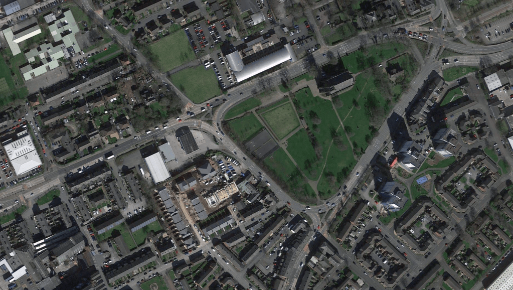
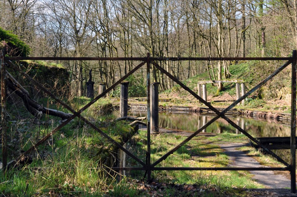
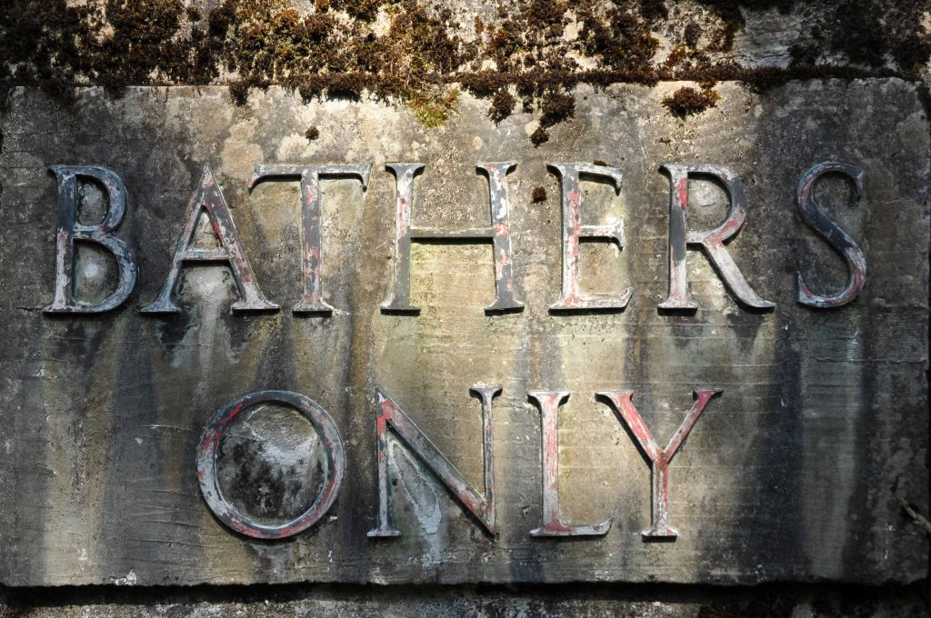
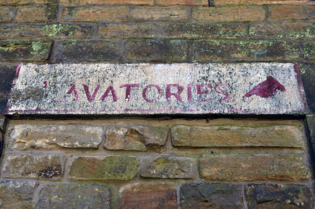
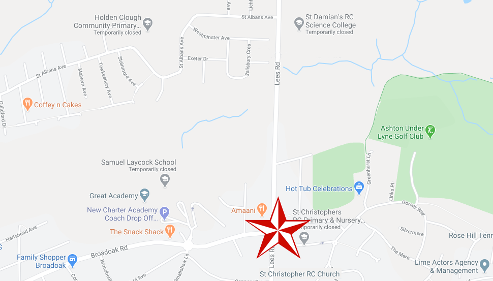
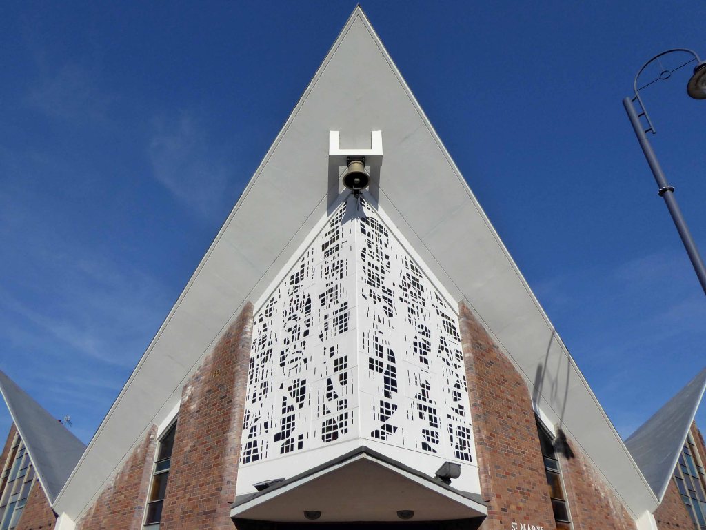
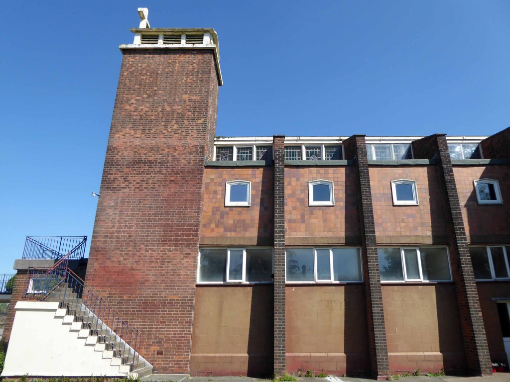
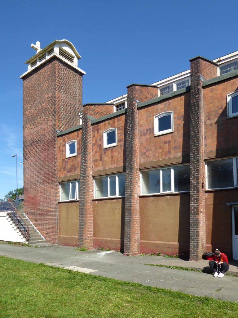
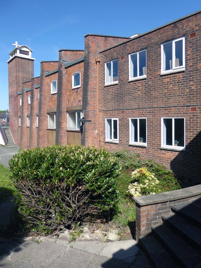
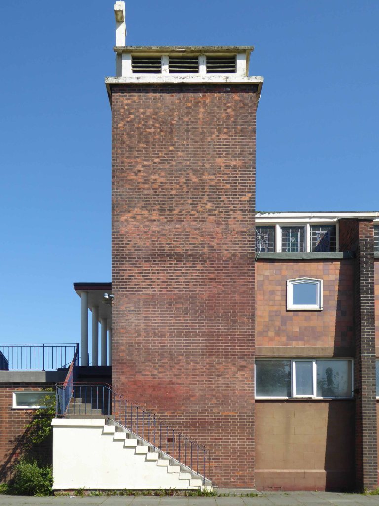
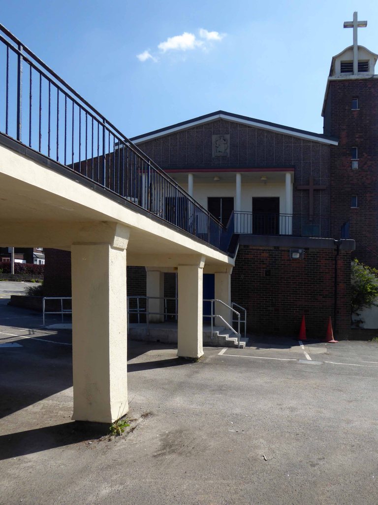
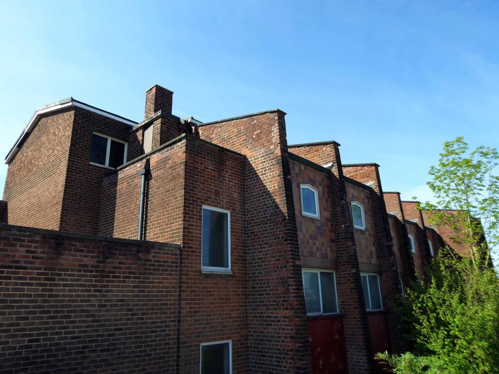
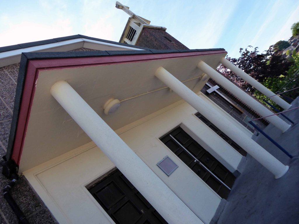
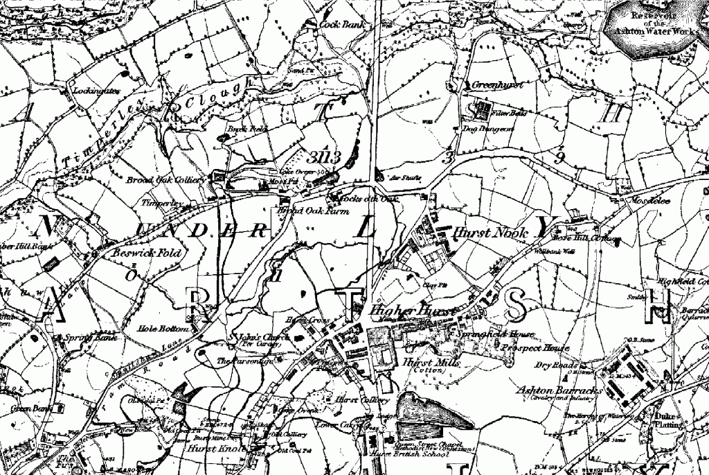
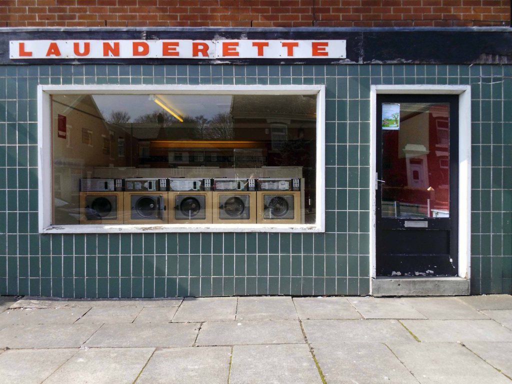
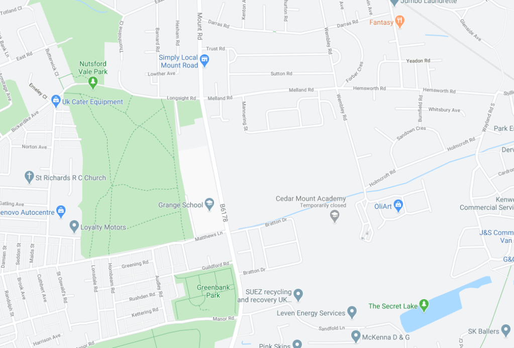
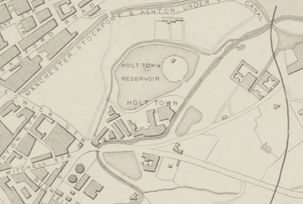
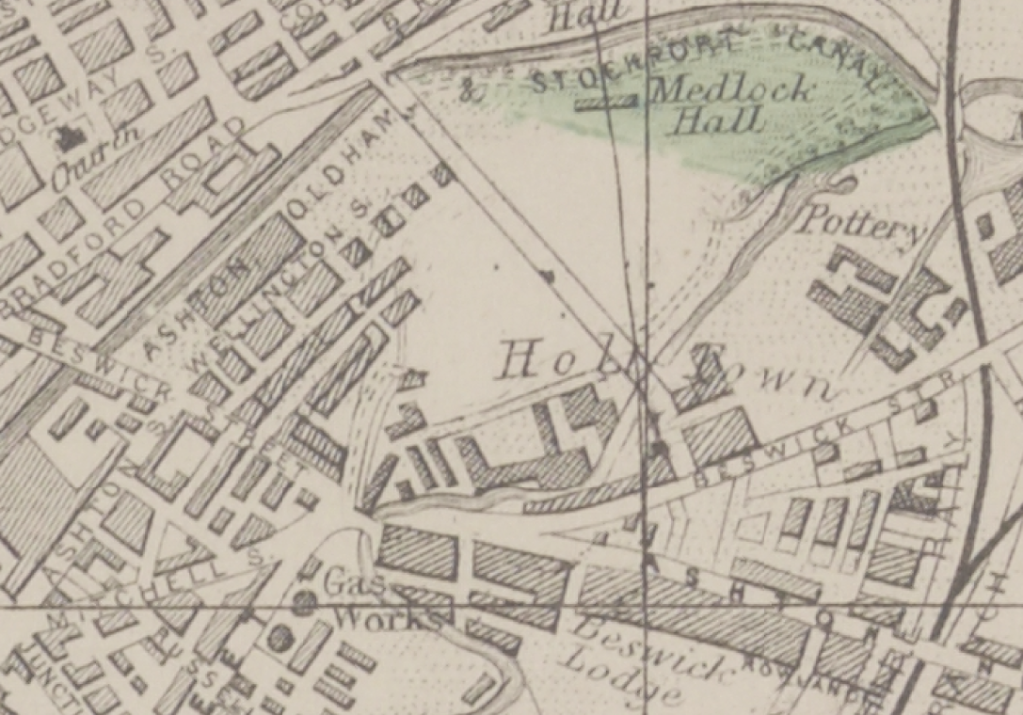
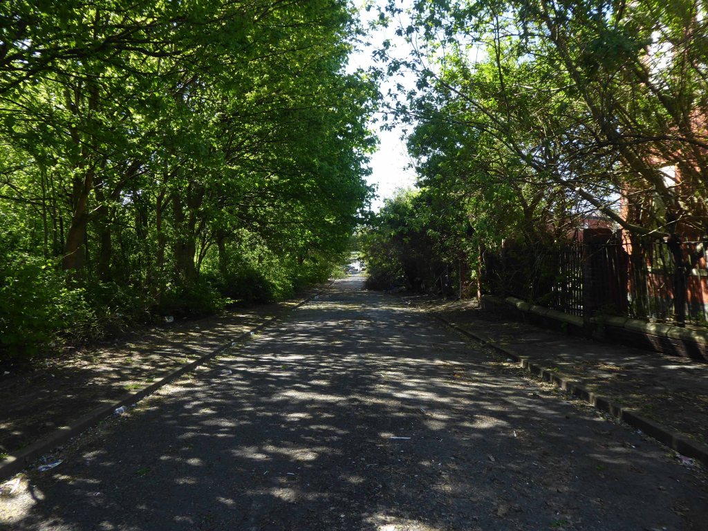
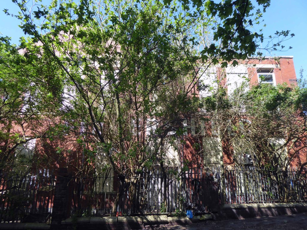
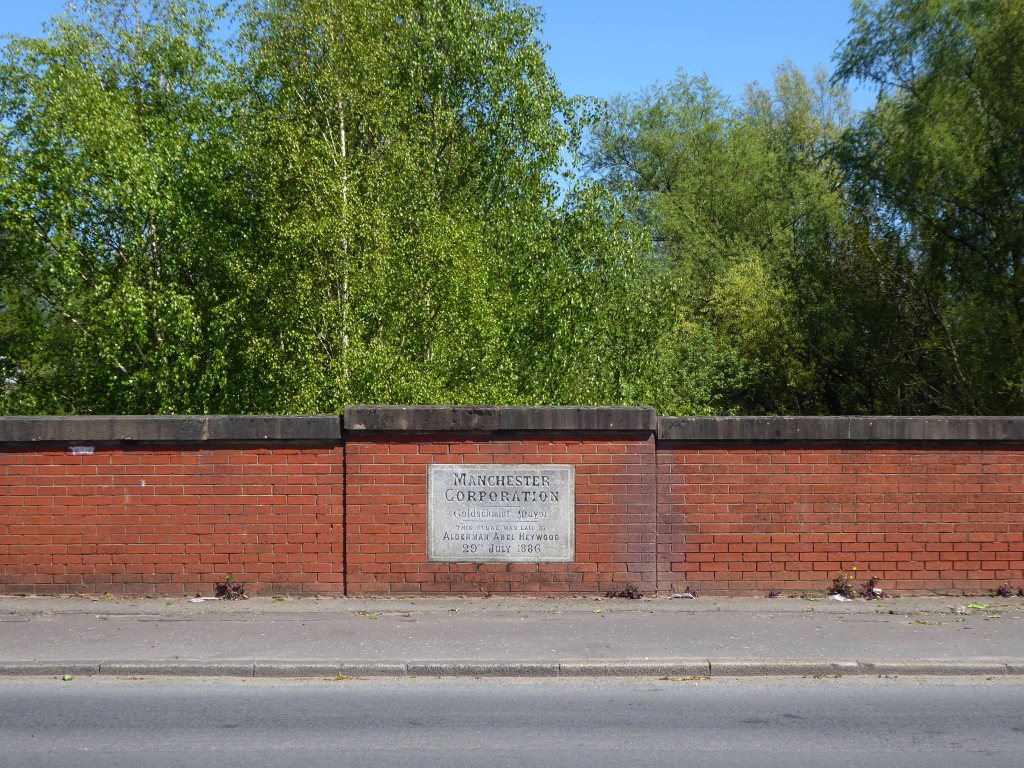
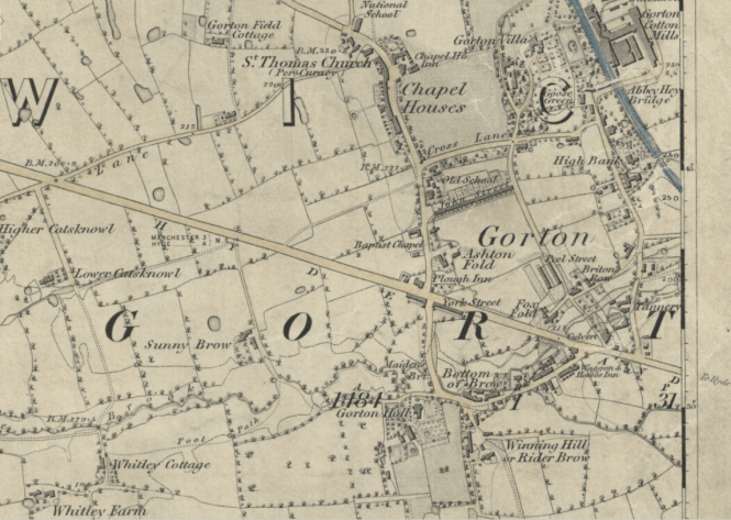
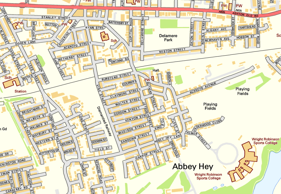
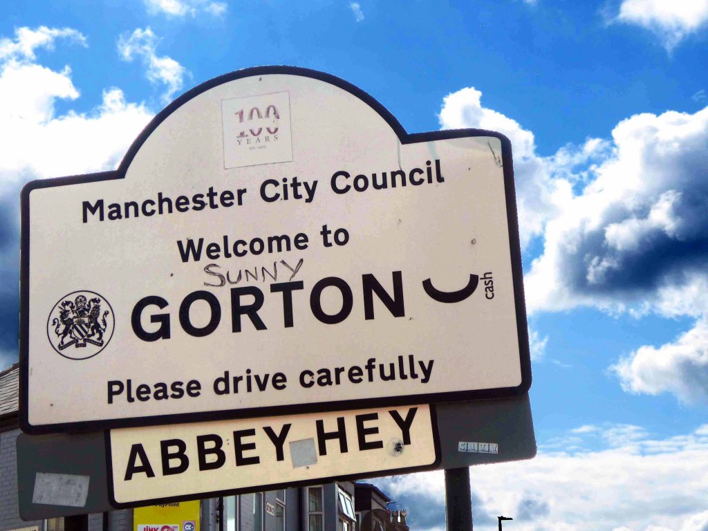
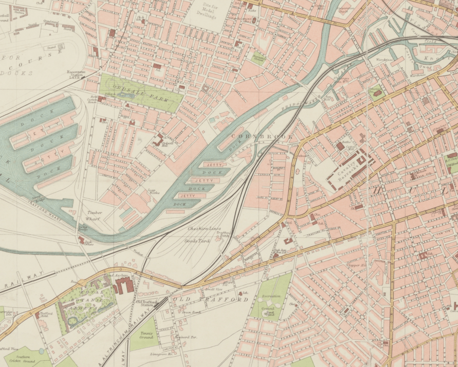
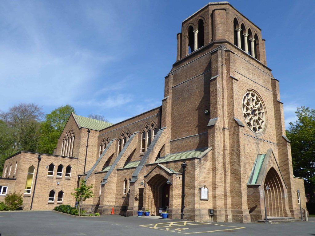
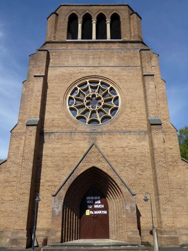
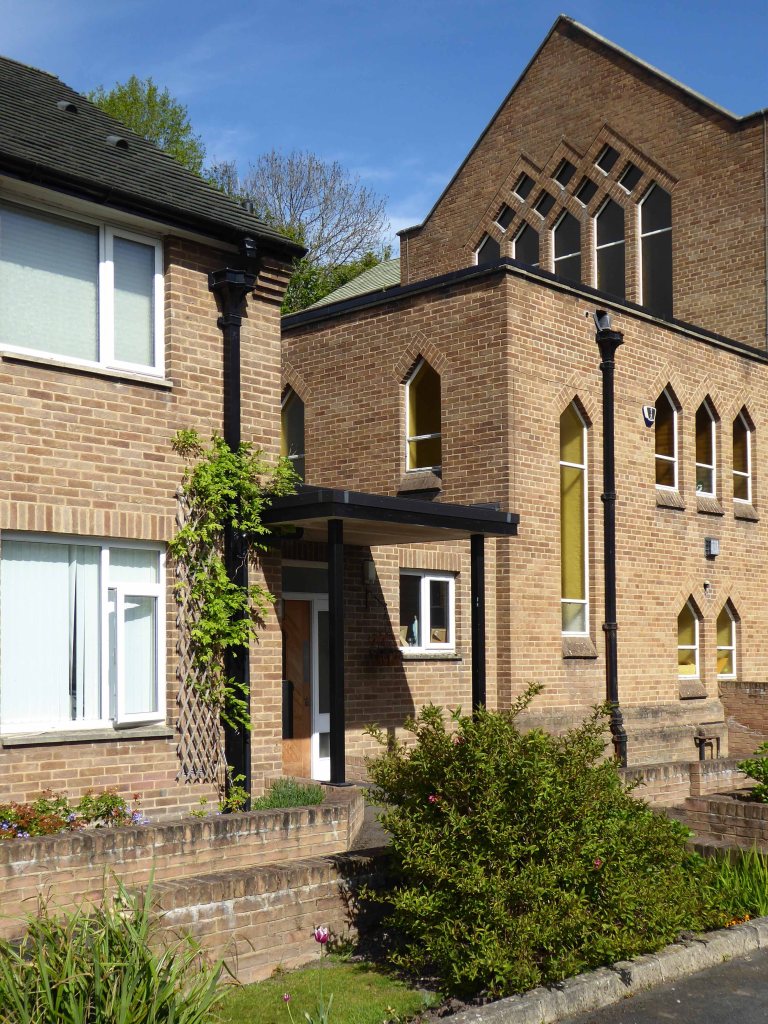
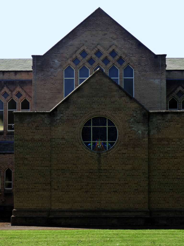
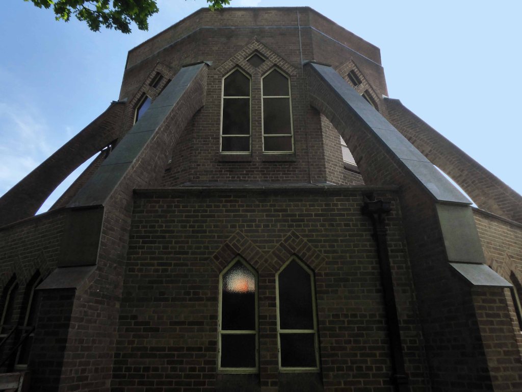
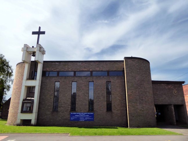
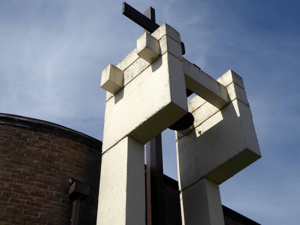
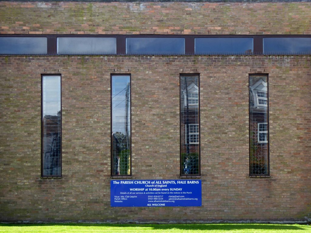
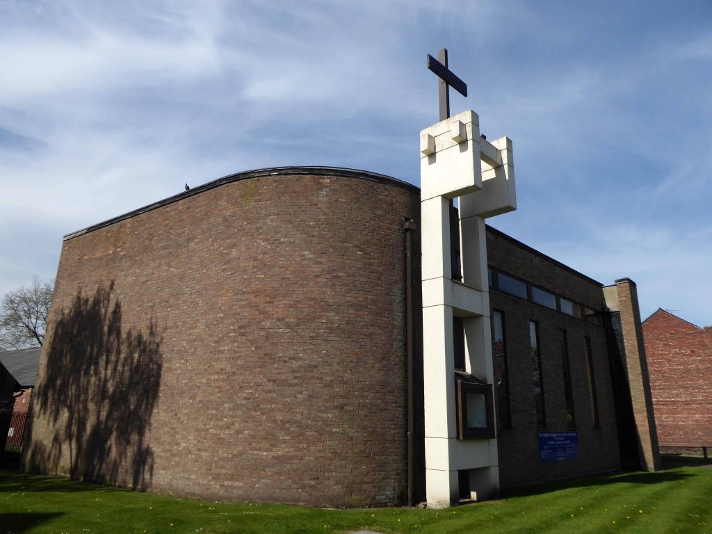
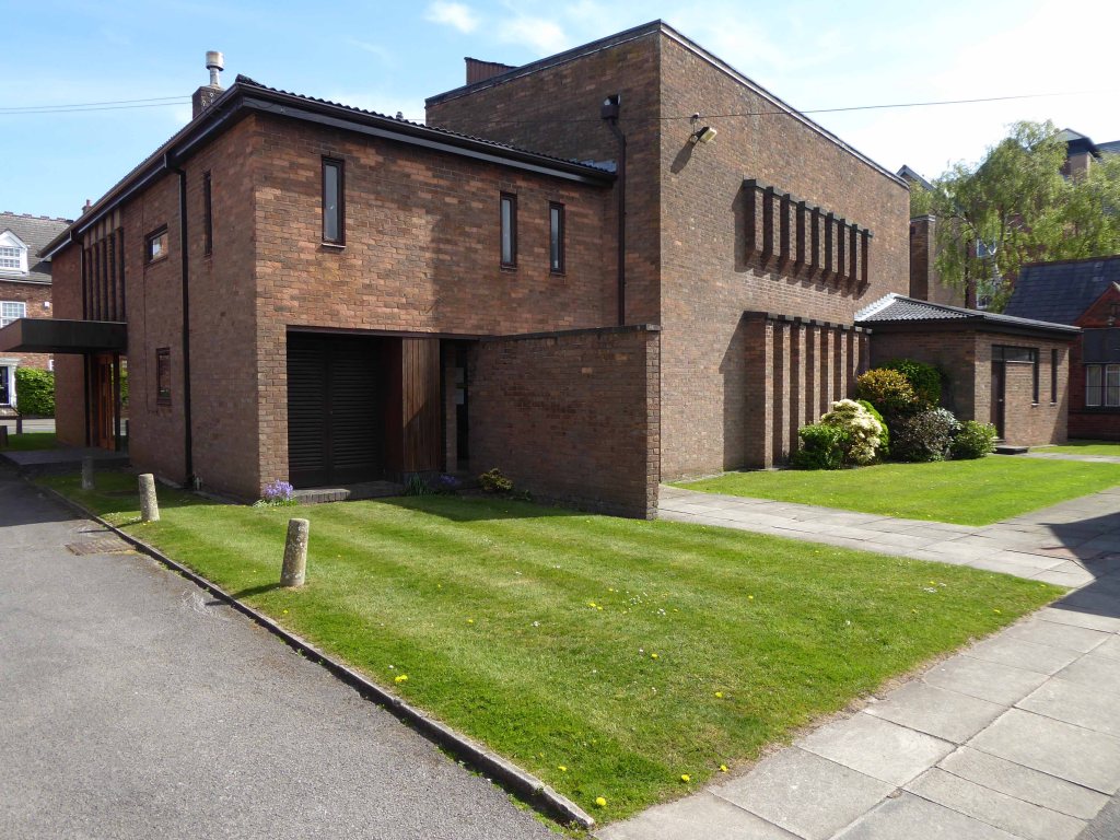
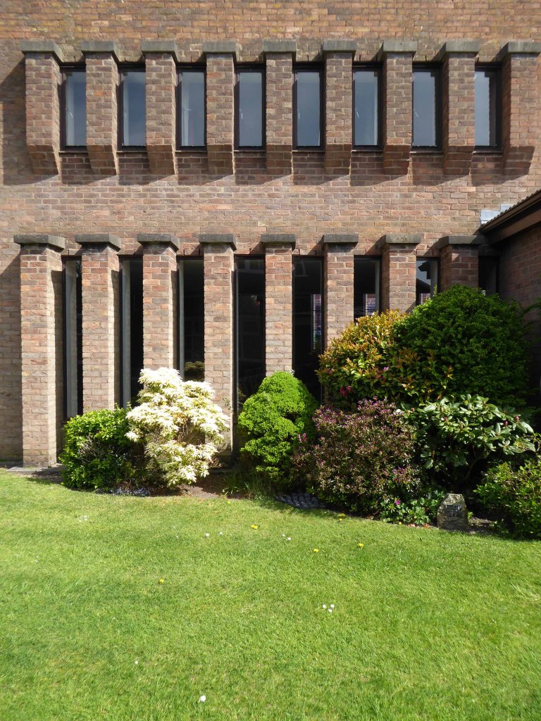
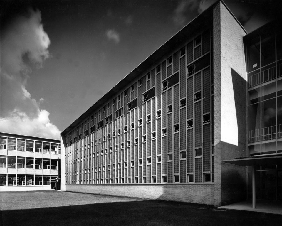
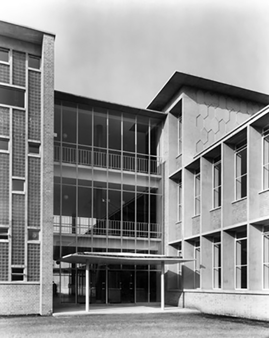
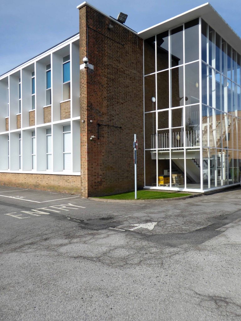
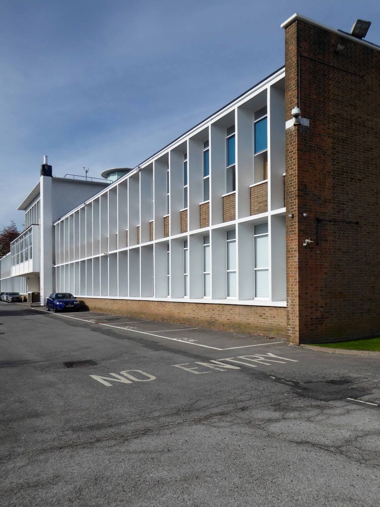
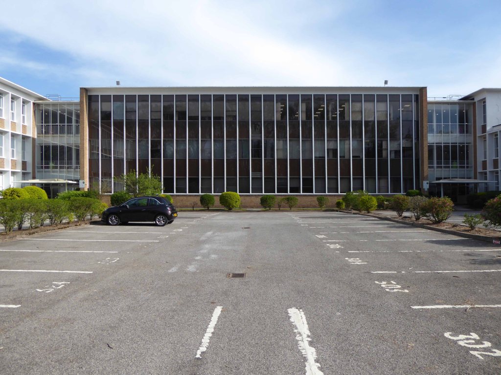
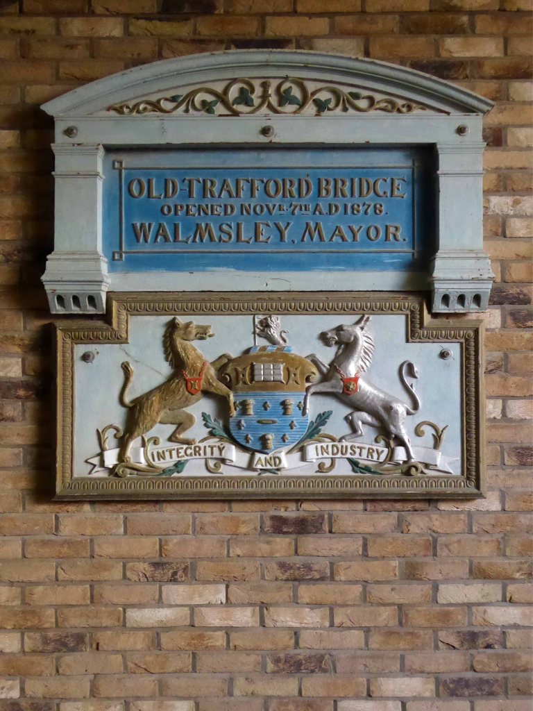
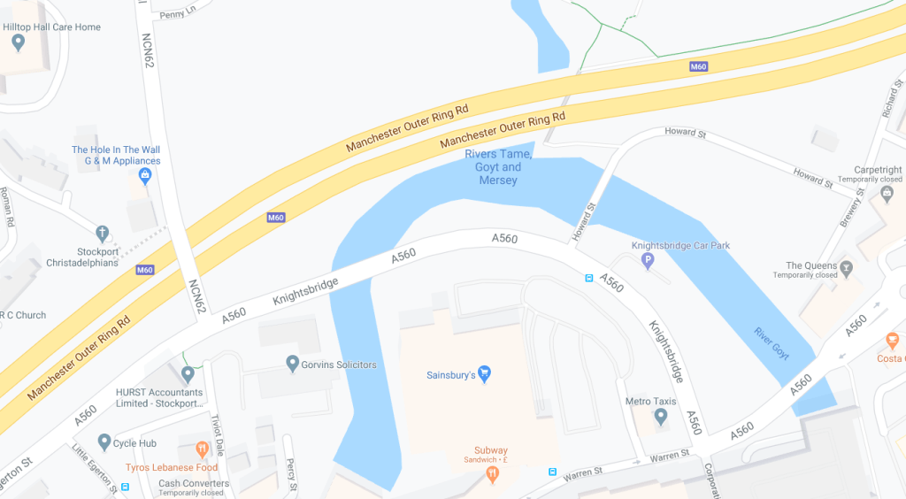
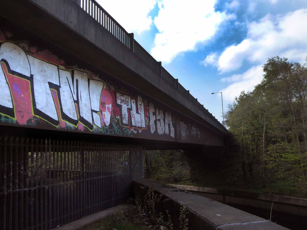
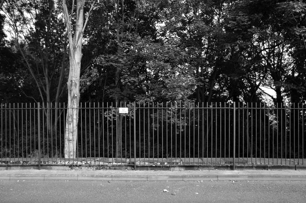
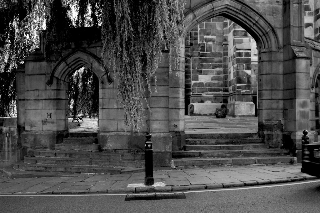
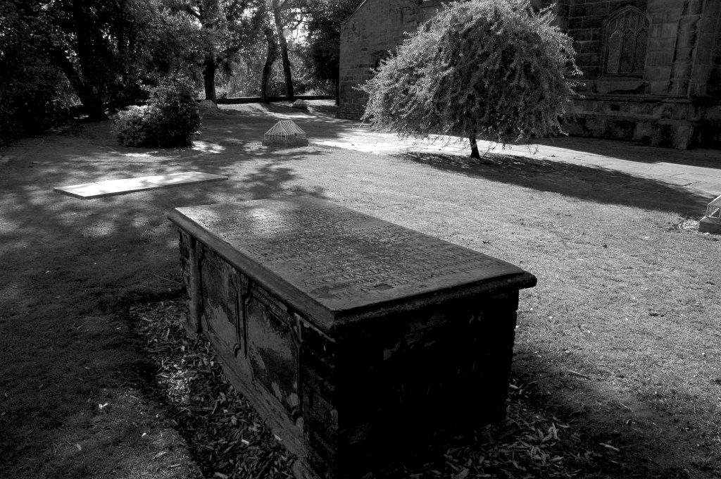
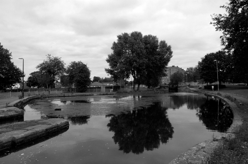
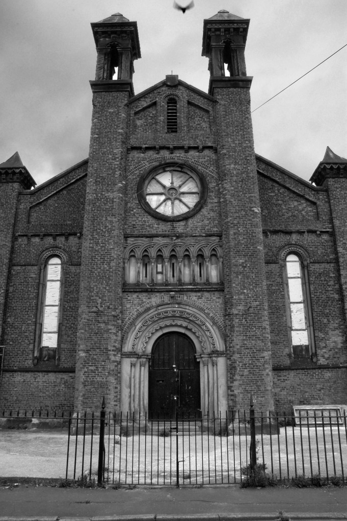
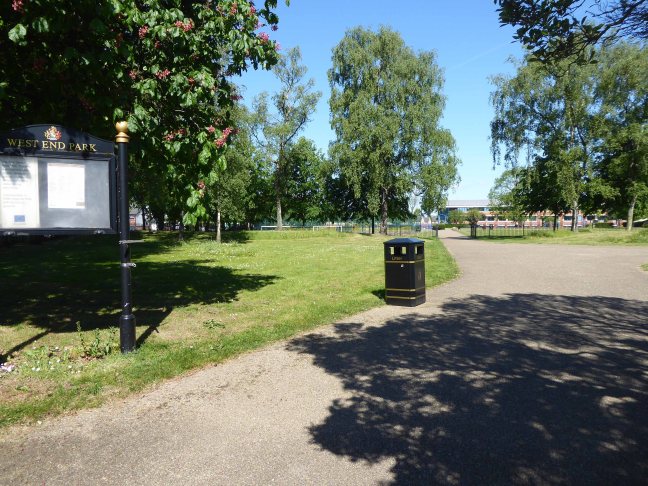
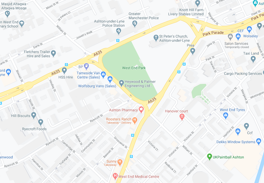
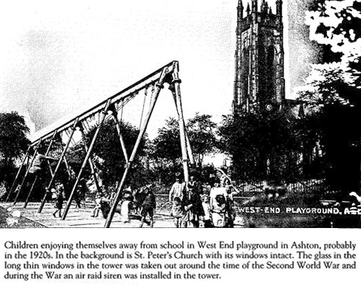
West End Park is a public park, opened in 1893. The site is bounded by Stockport Road, Manchester Road and William Lane. It was developed on land associated with St Peter’s Church.

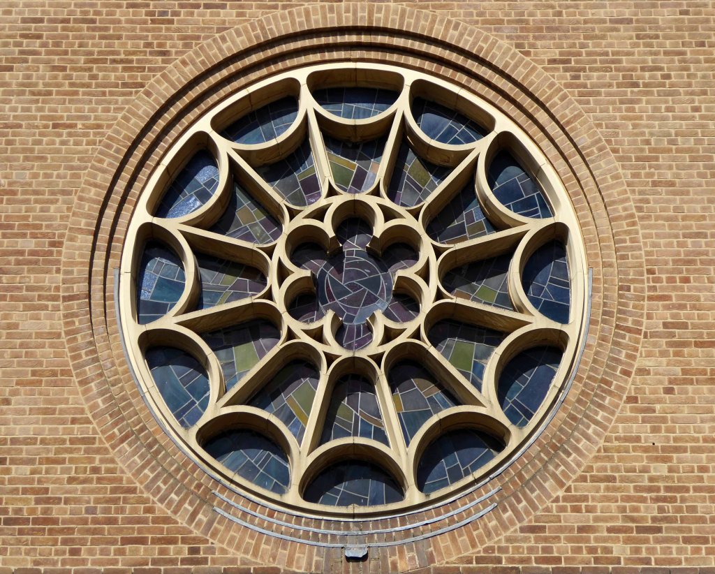
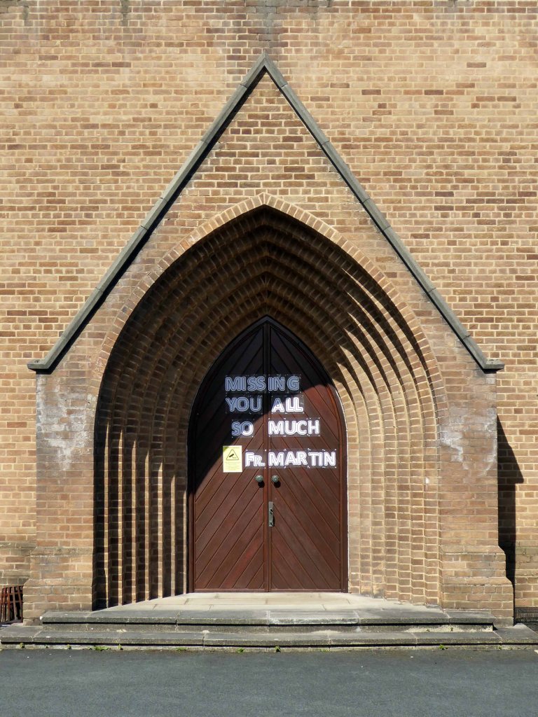
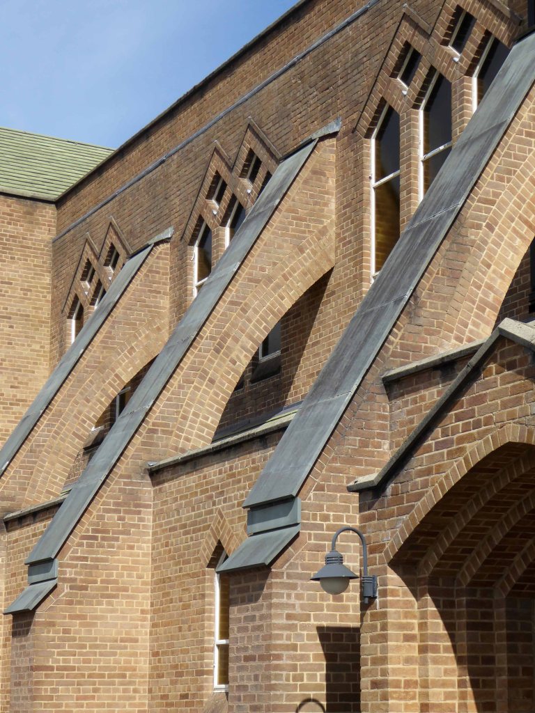
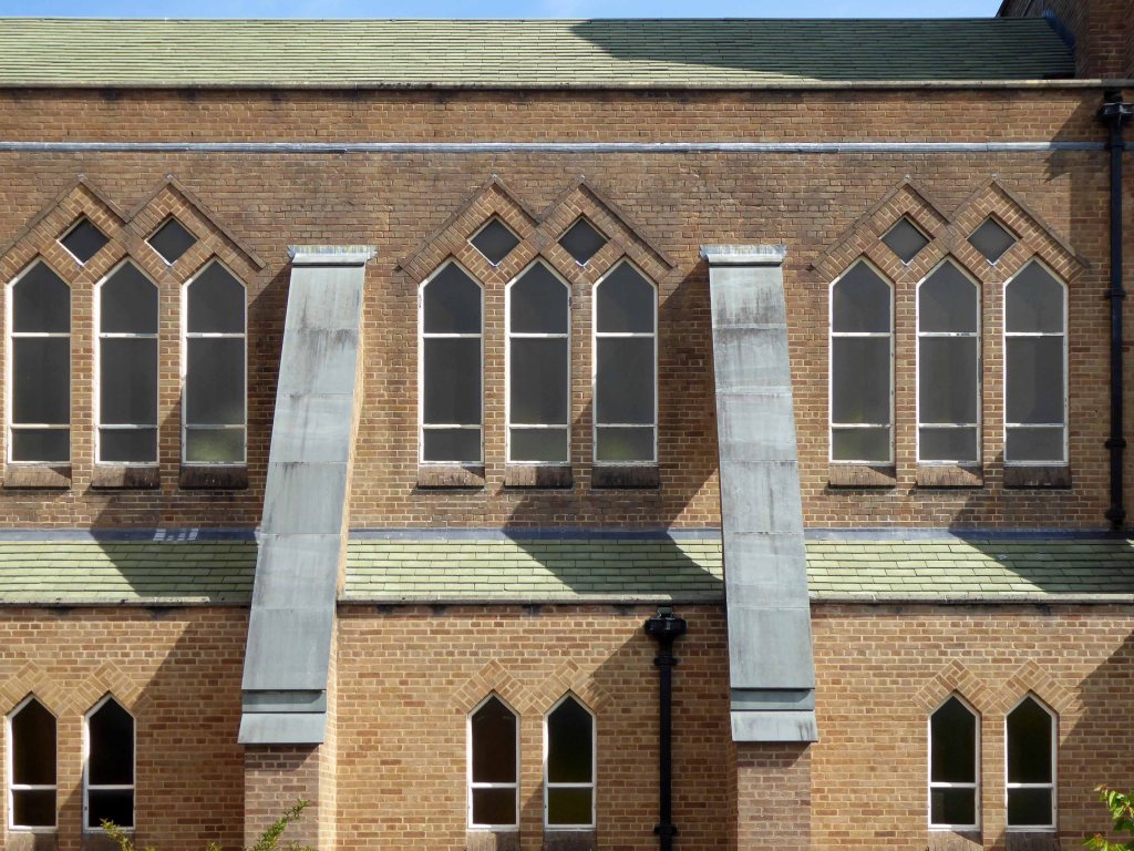
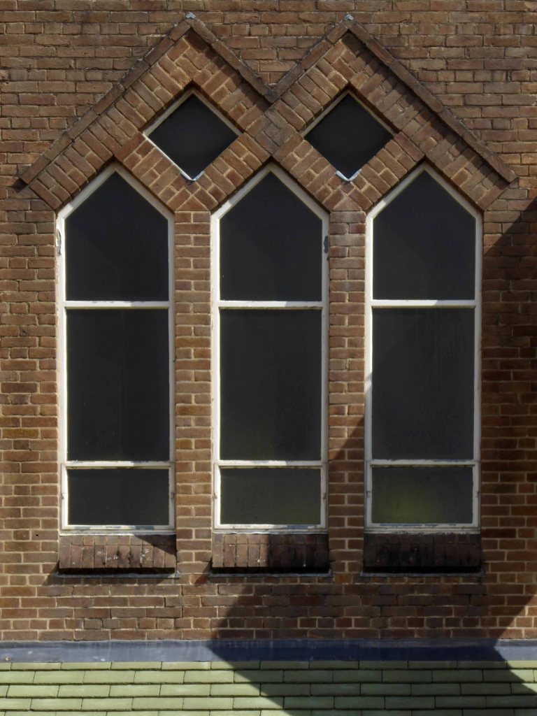
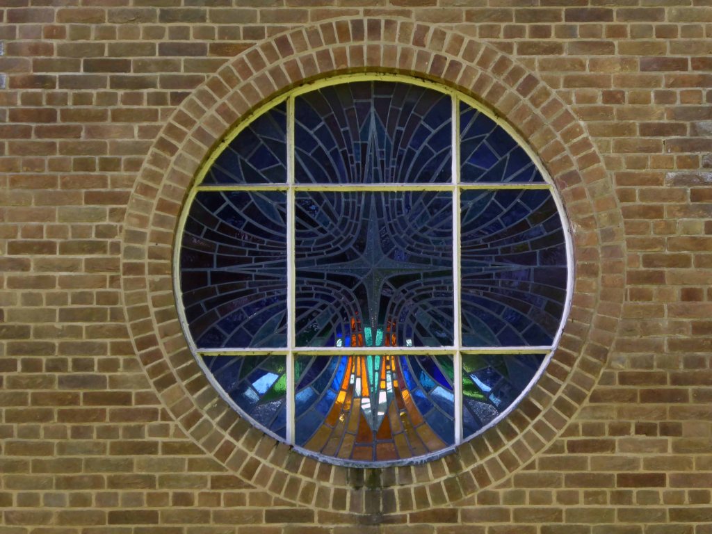
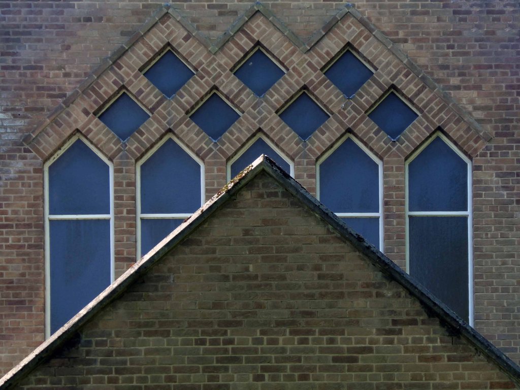
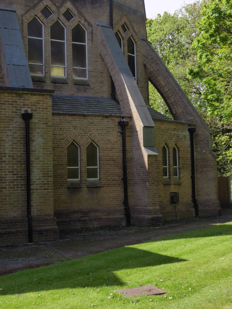
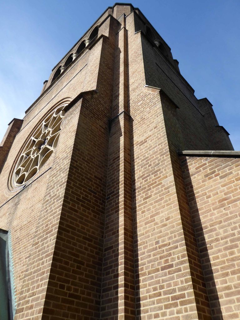
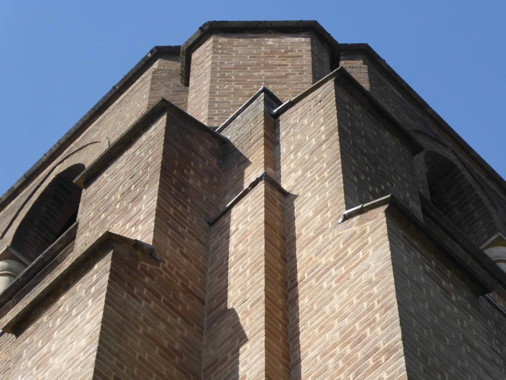
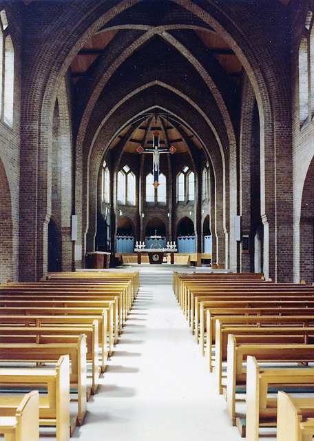
St Peter’s was built between 1821 and 1824, and was designed by Francis Goodwin. A grant of £13,191 was given towards its construction by the Church Building Commission. The land for the church was given by the patronage of George 6th Earl of Stamford and Warrington, whose cousin, Revd Sir George Booth, had been Rector of Ashton from 1758 until 1797

The benevolent Victorian landowners thought it politic to provide parks for the working folk, fresh air, exercise and perambulation being preferable to the demon drink.

Friendship Old Street – now a solicitor’s office

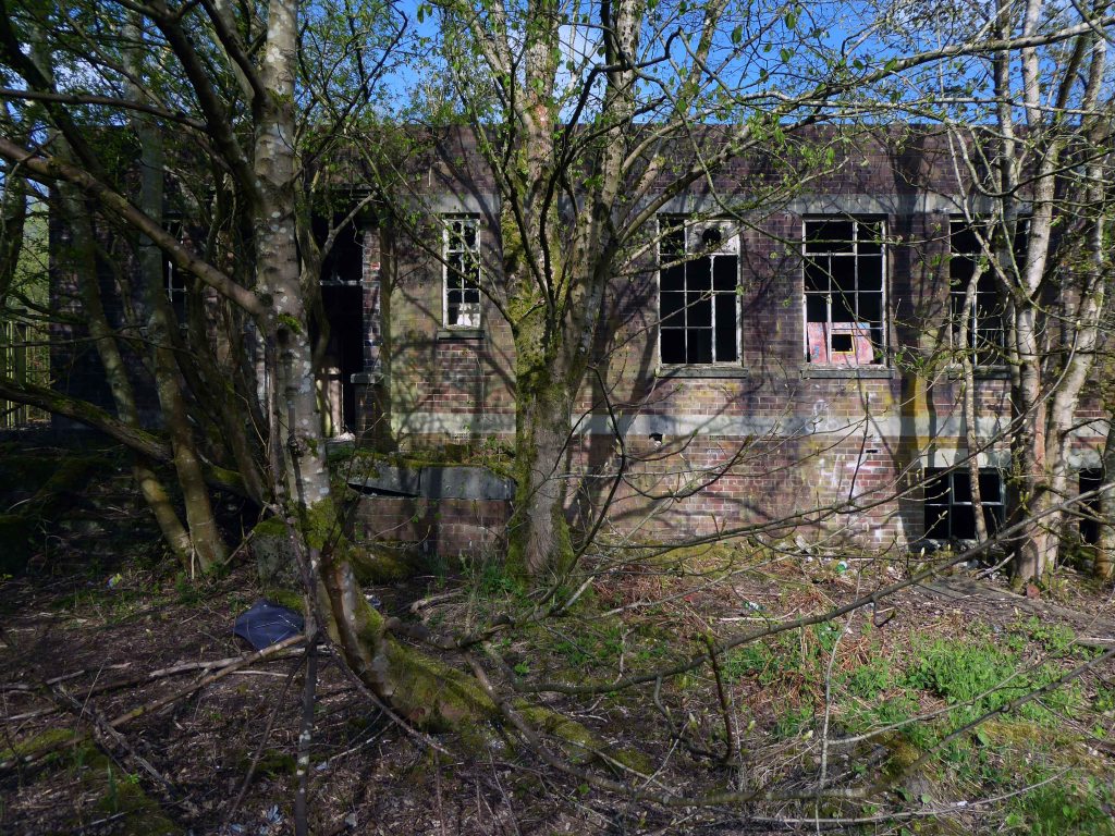
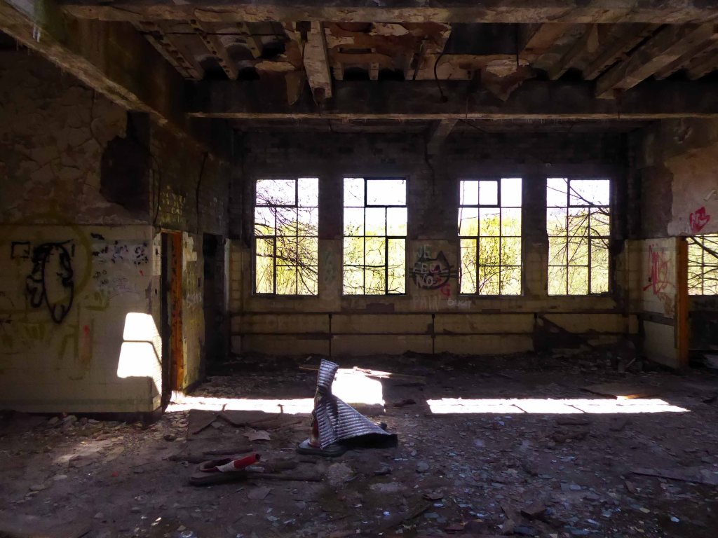
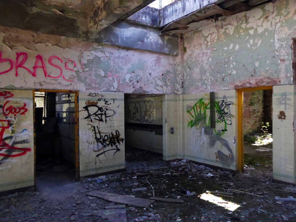
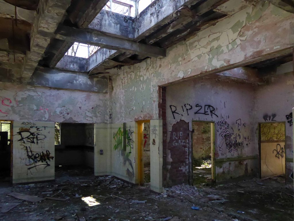
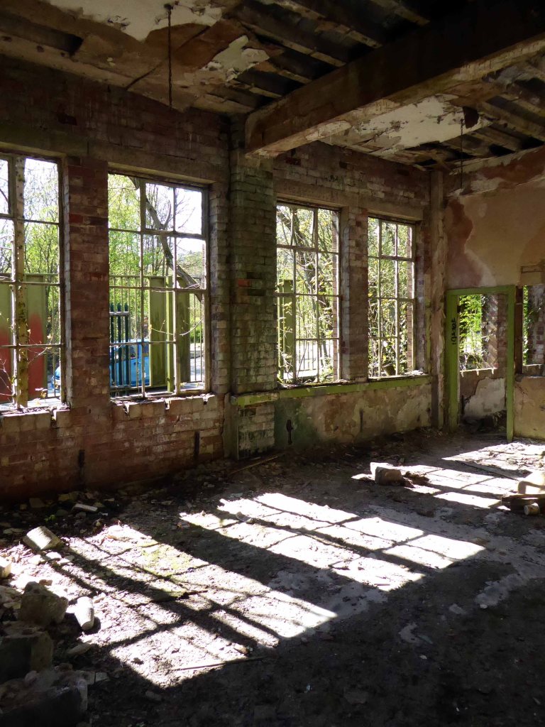
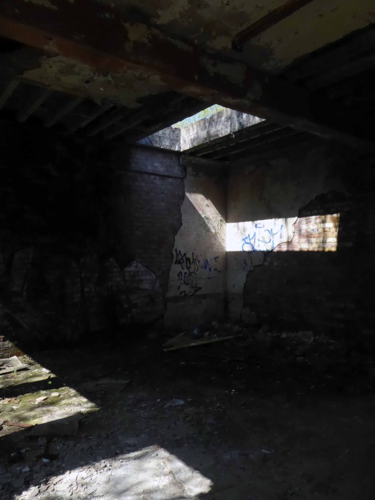
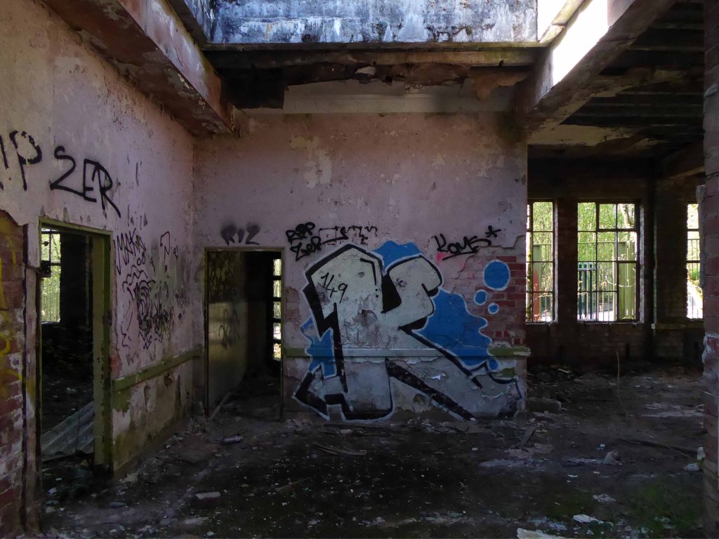
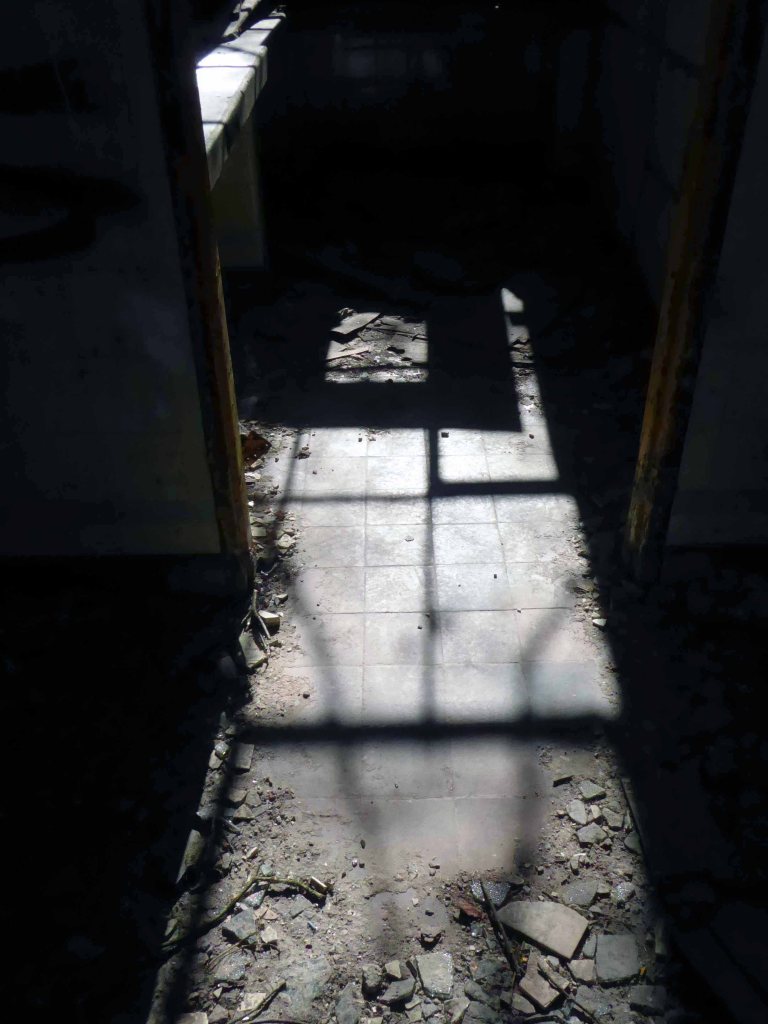
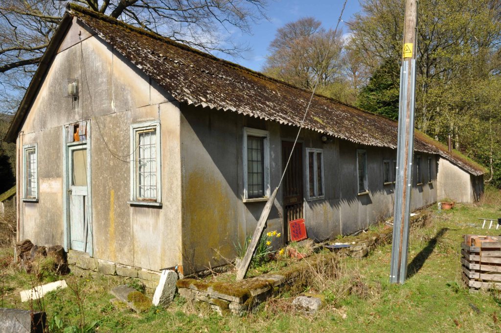
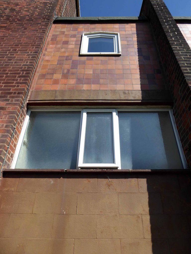
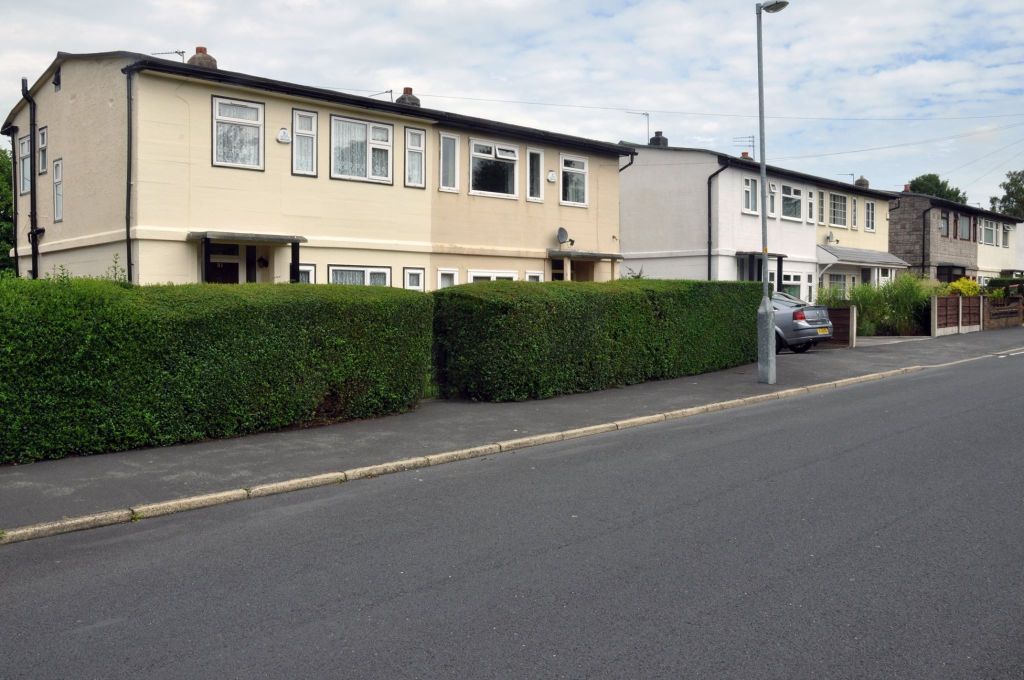
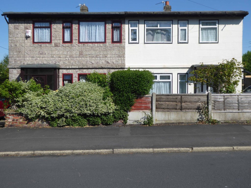
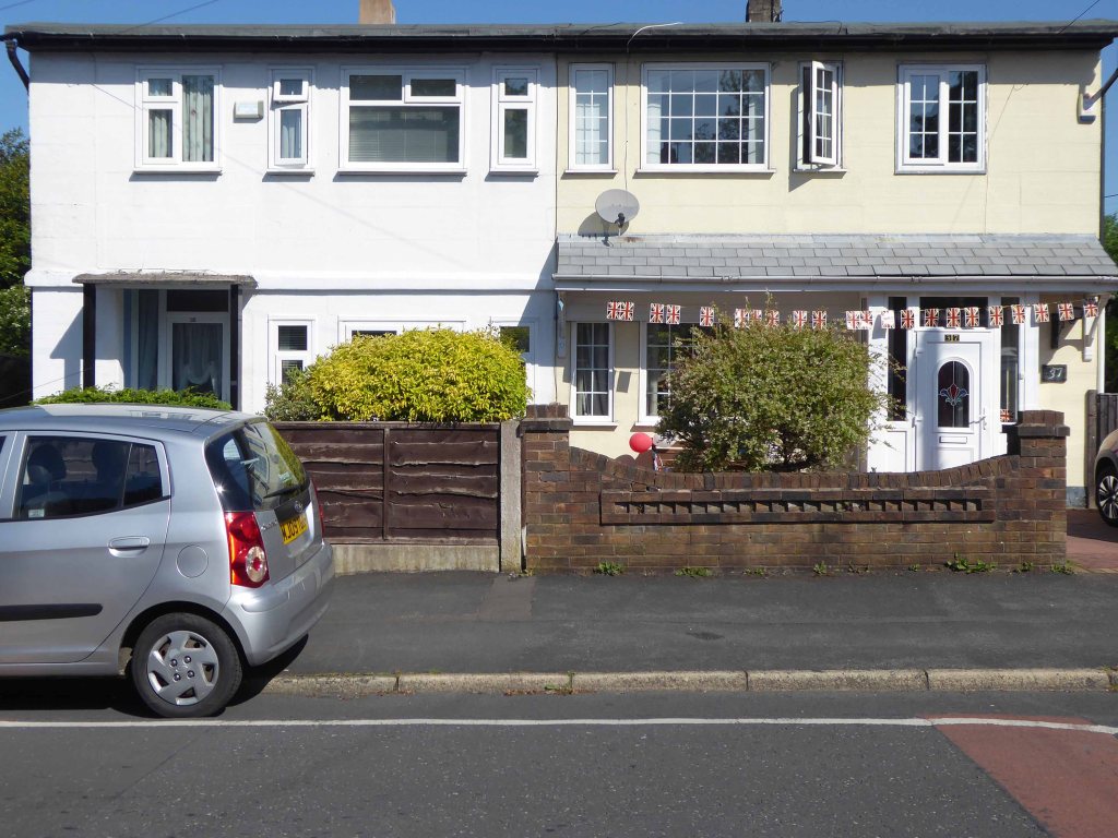
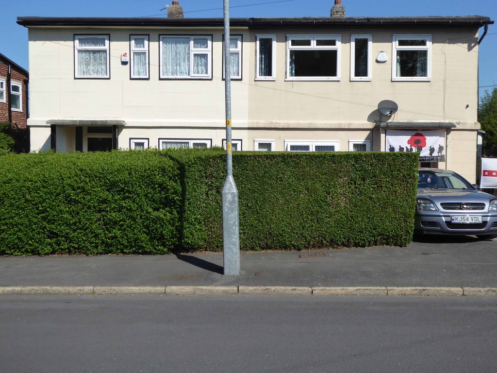
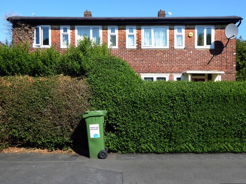
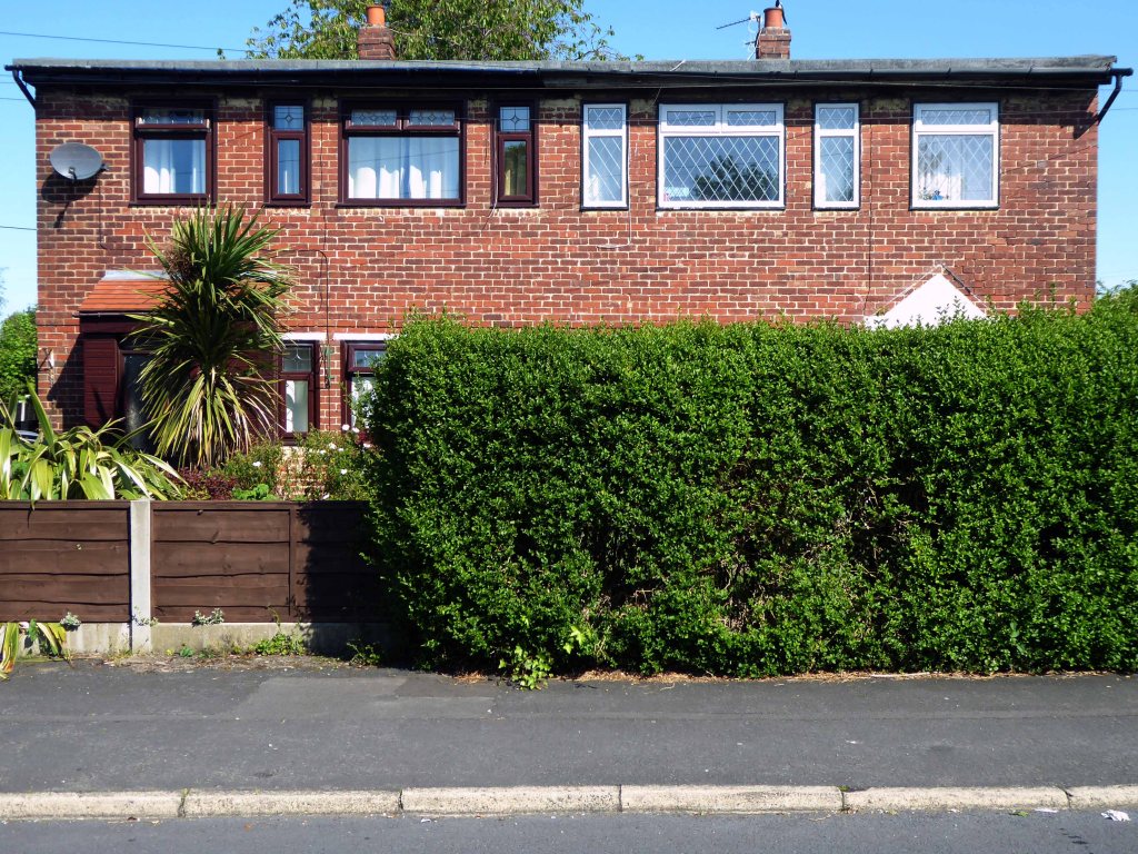
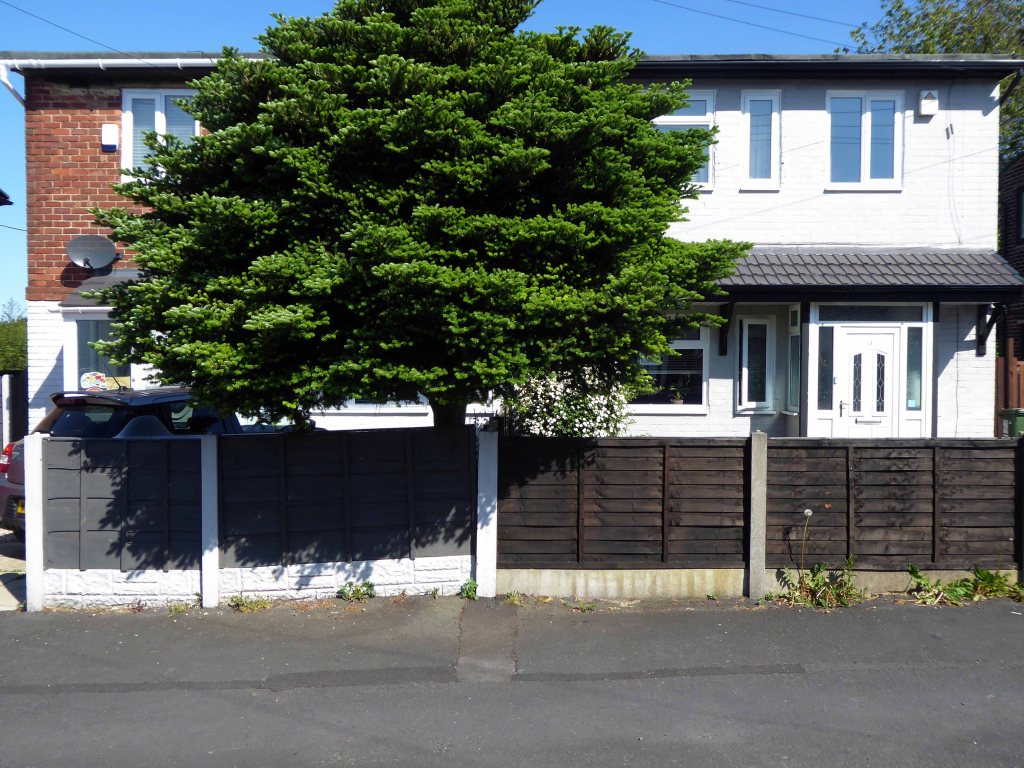
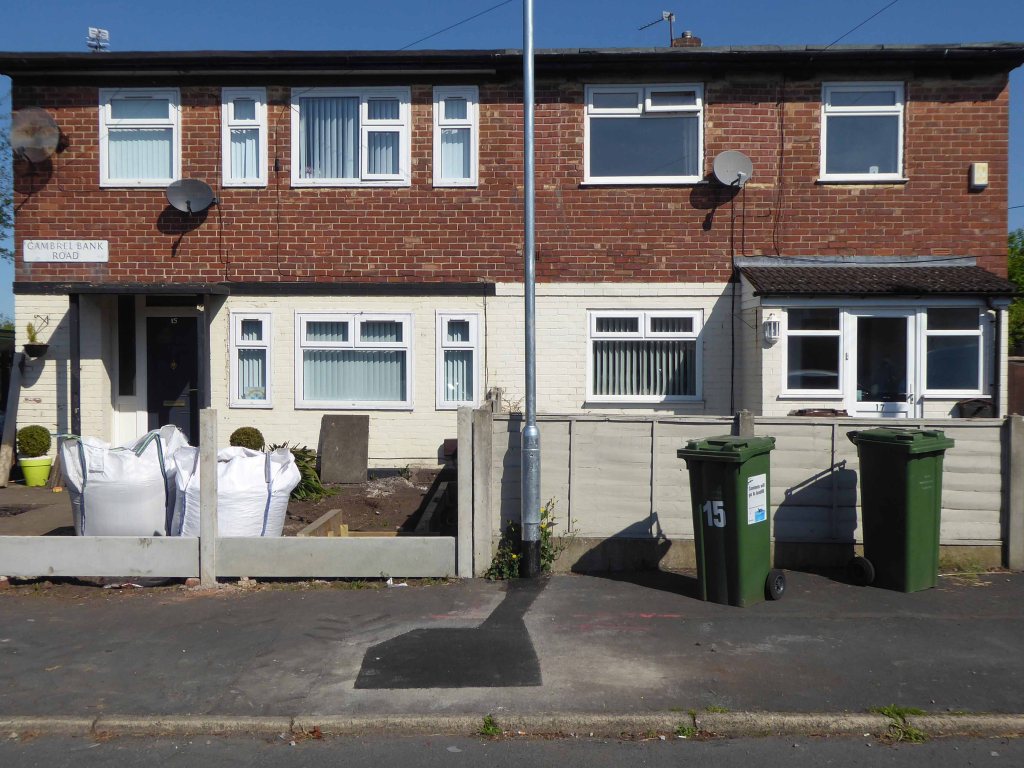
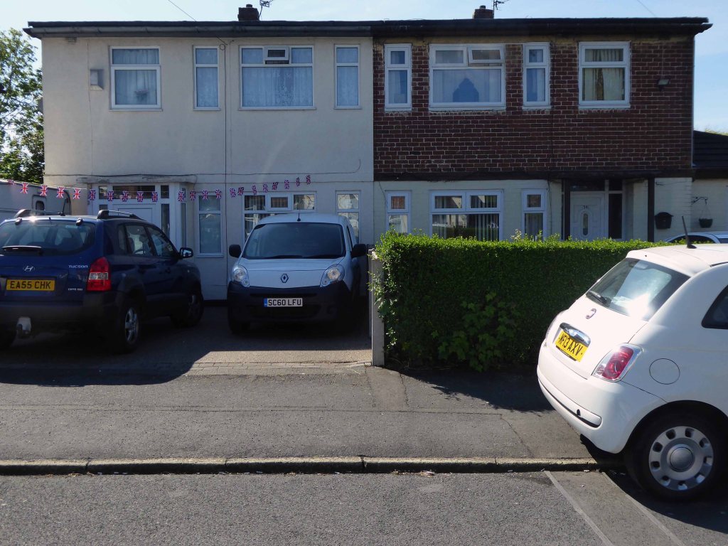
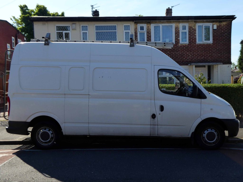
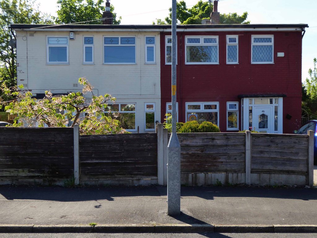
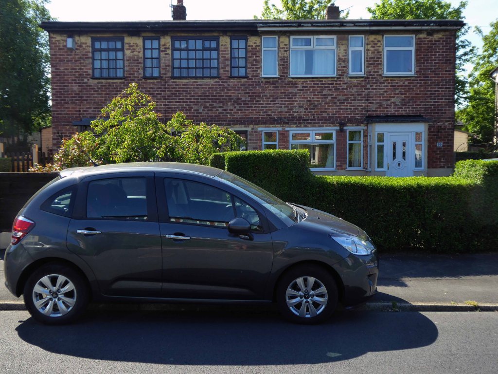
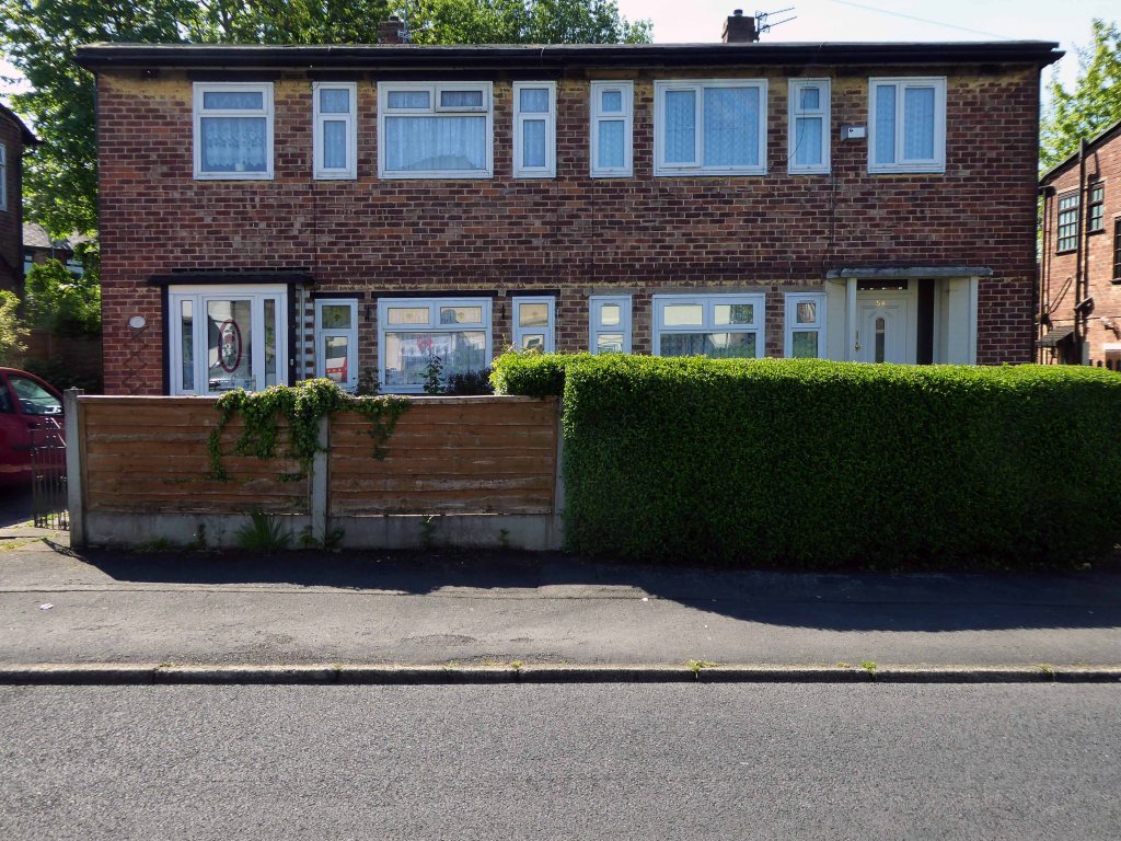
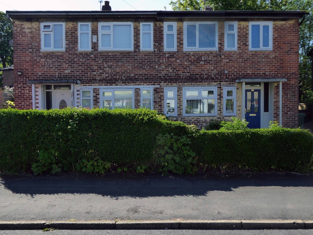
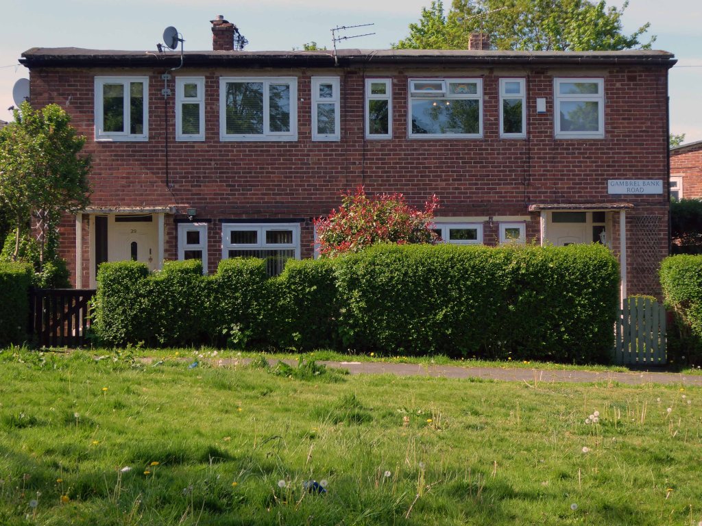
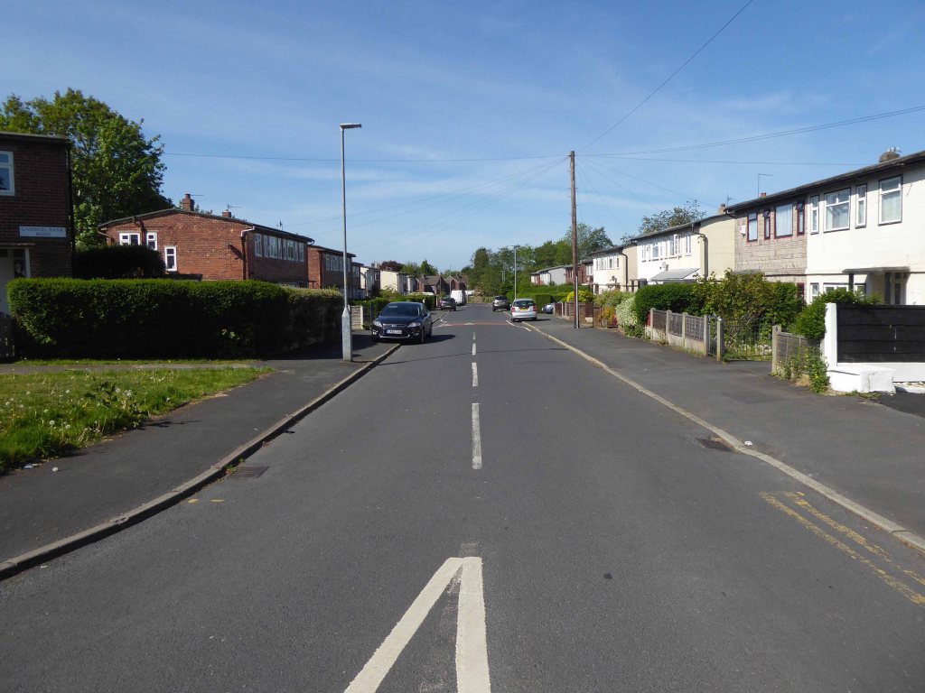
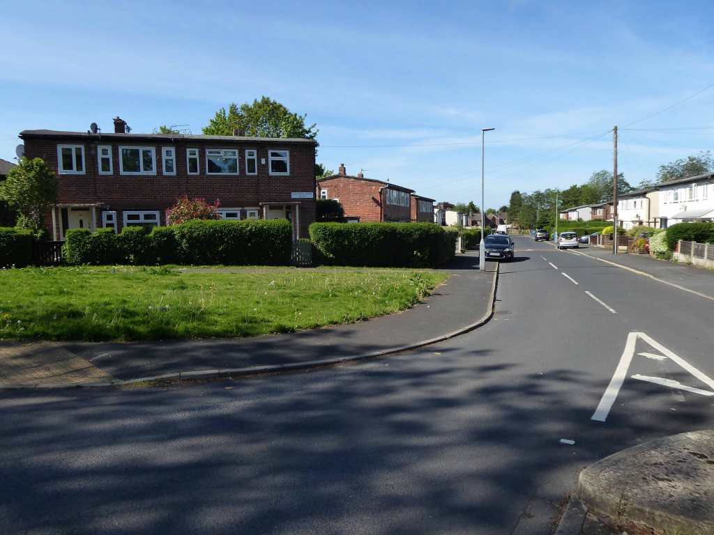
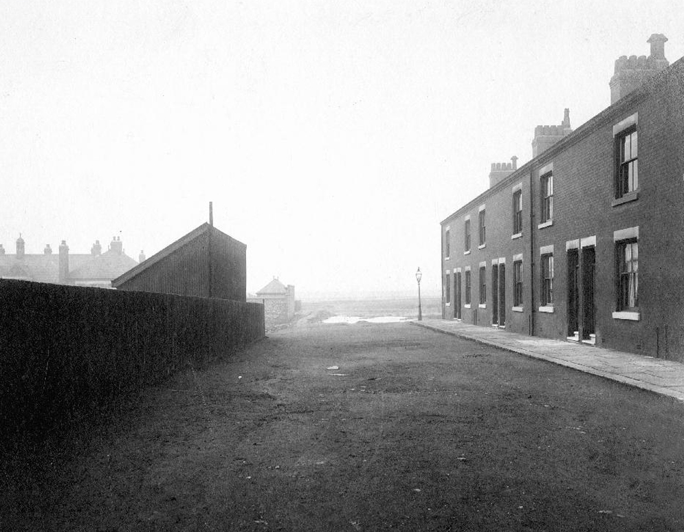
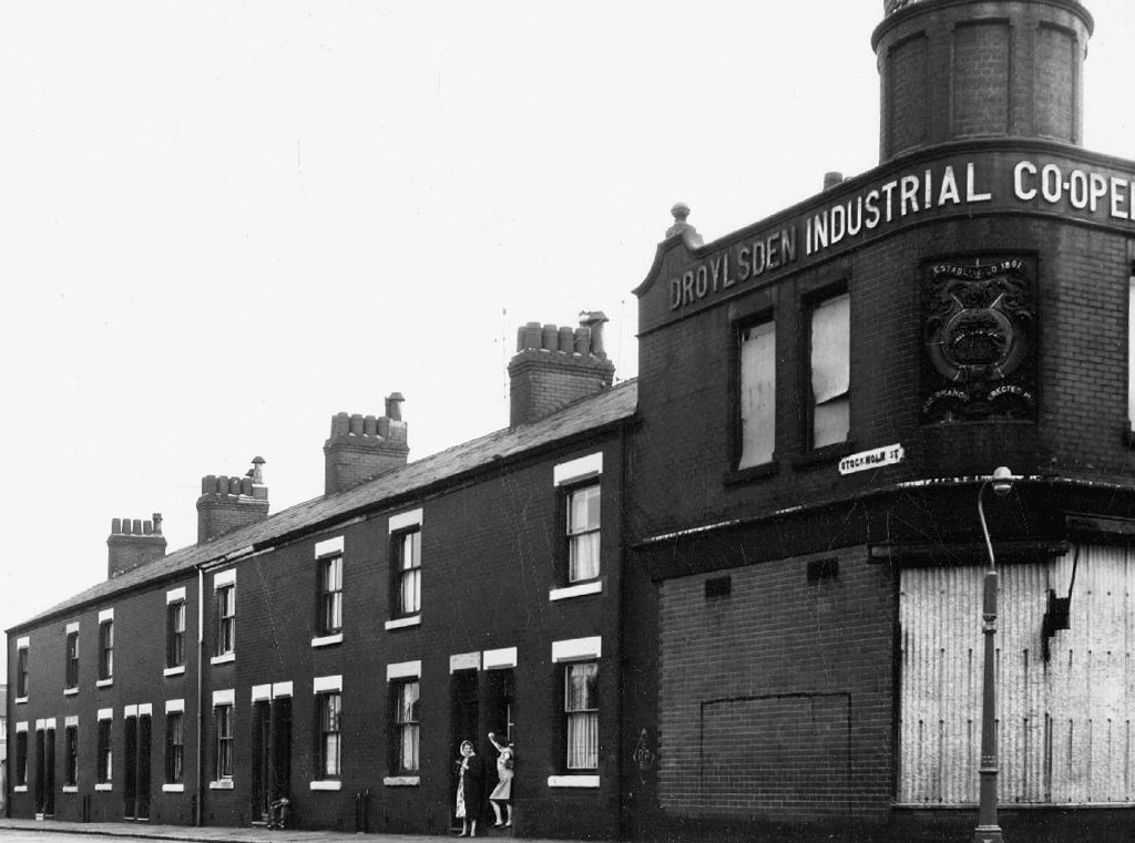
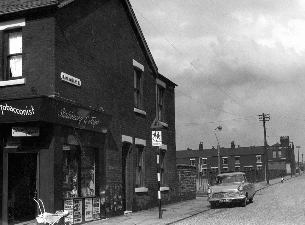
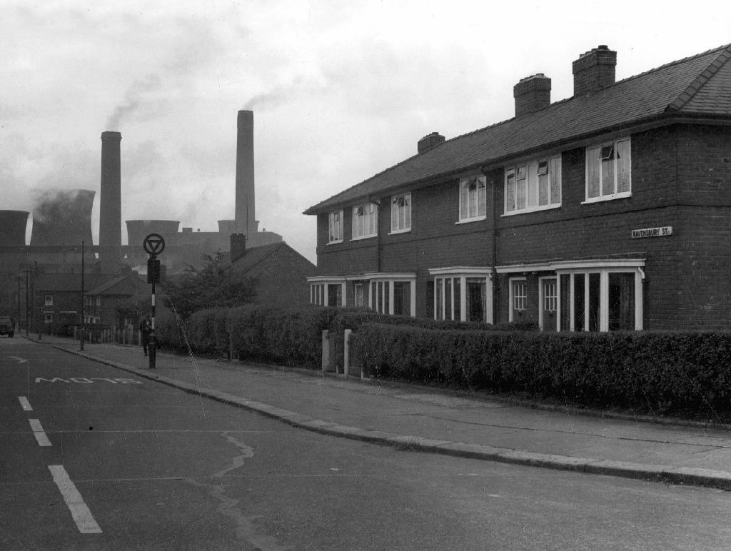
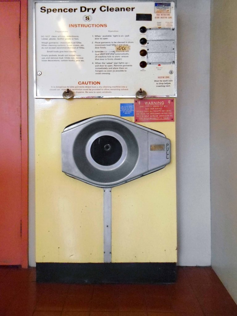
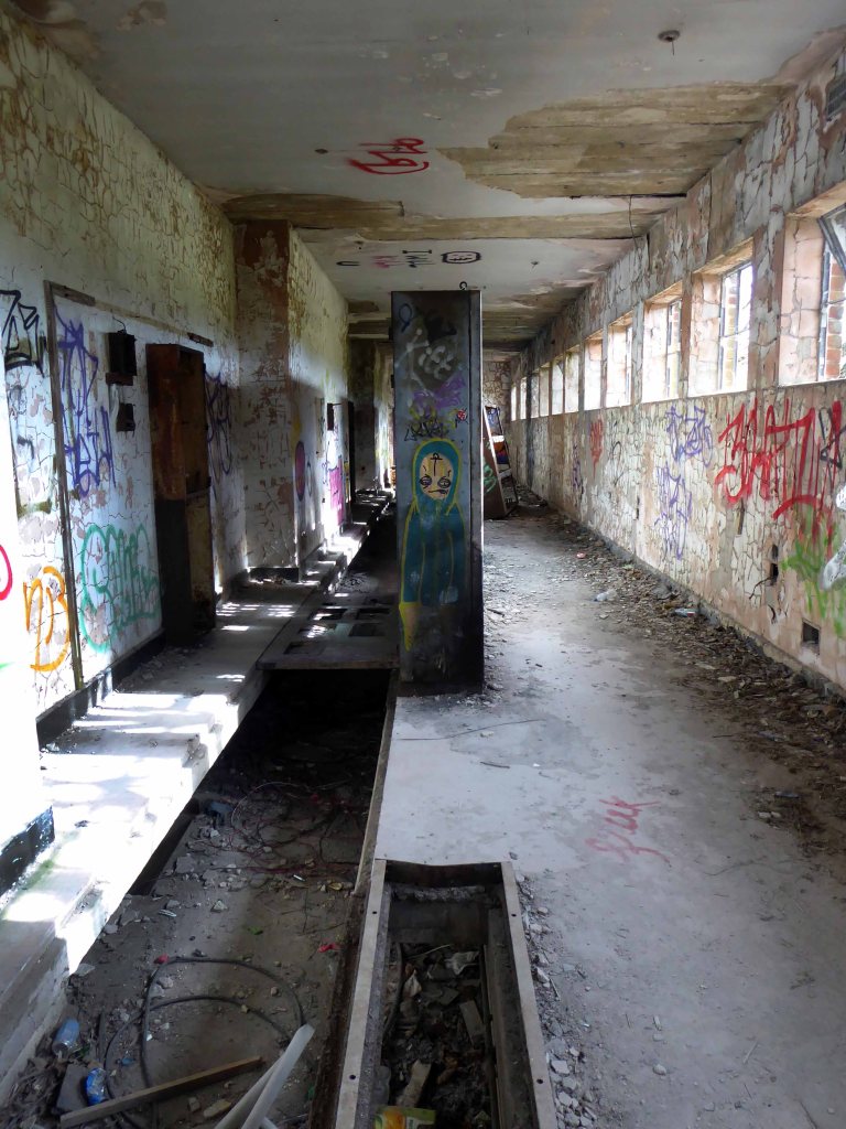
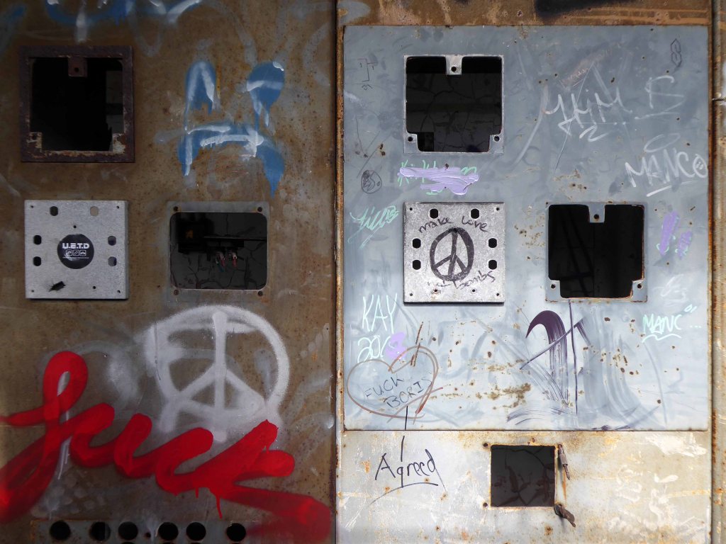
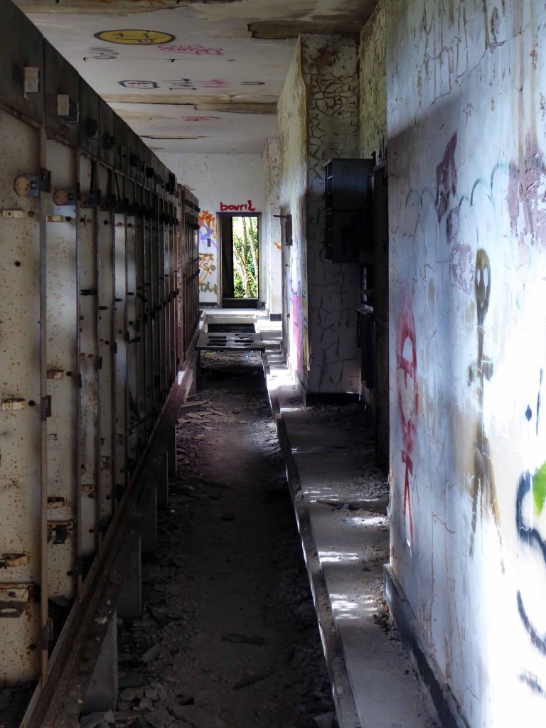
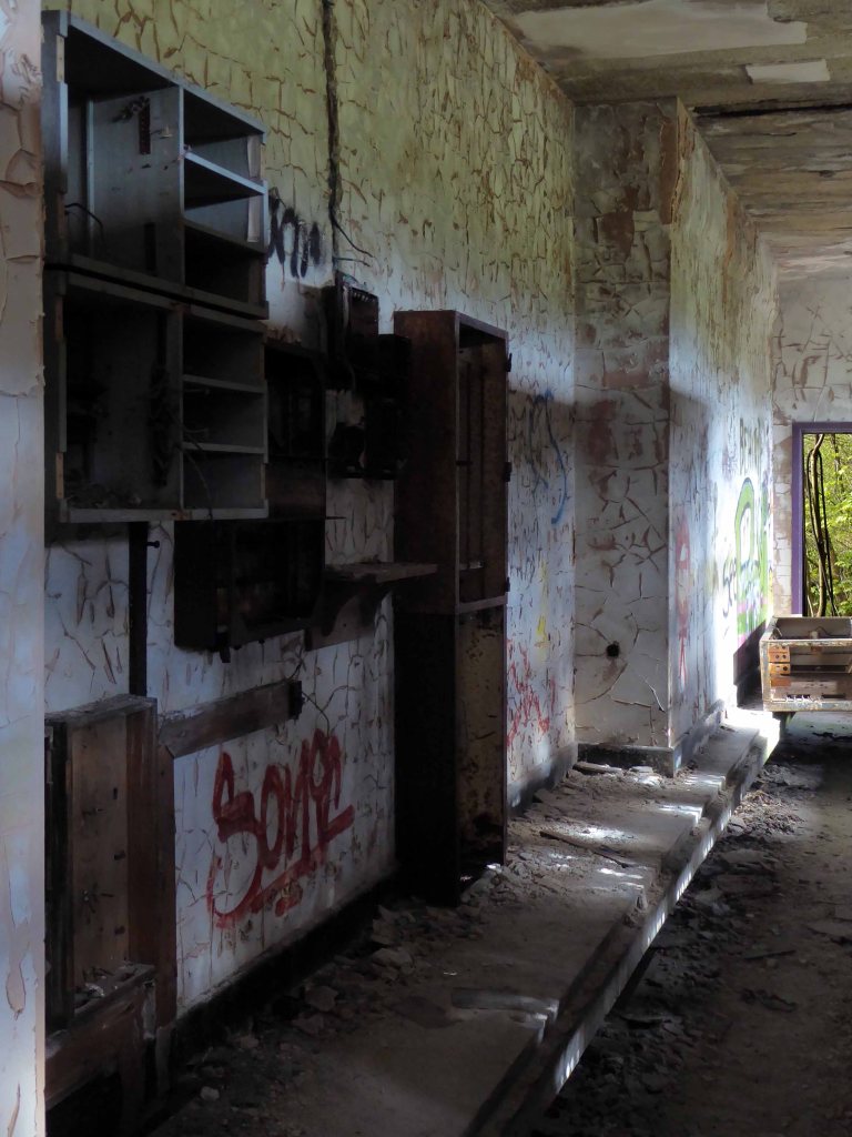
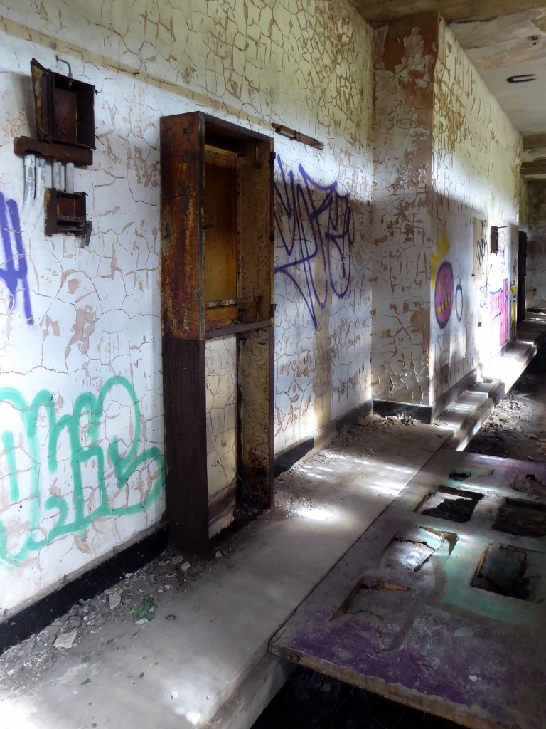
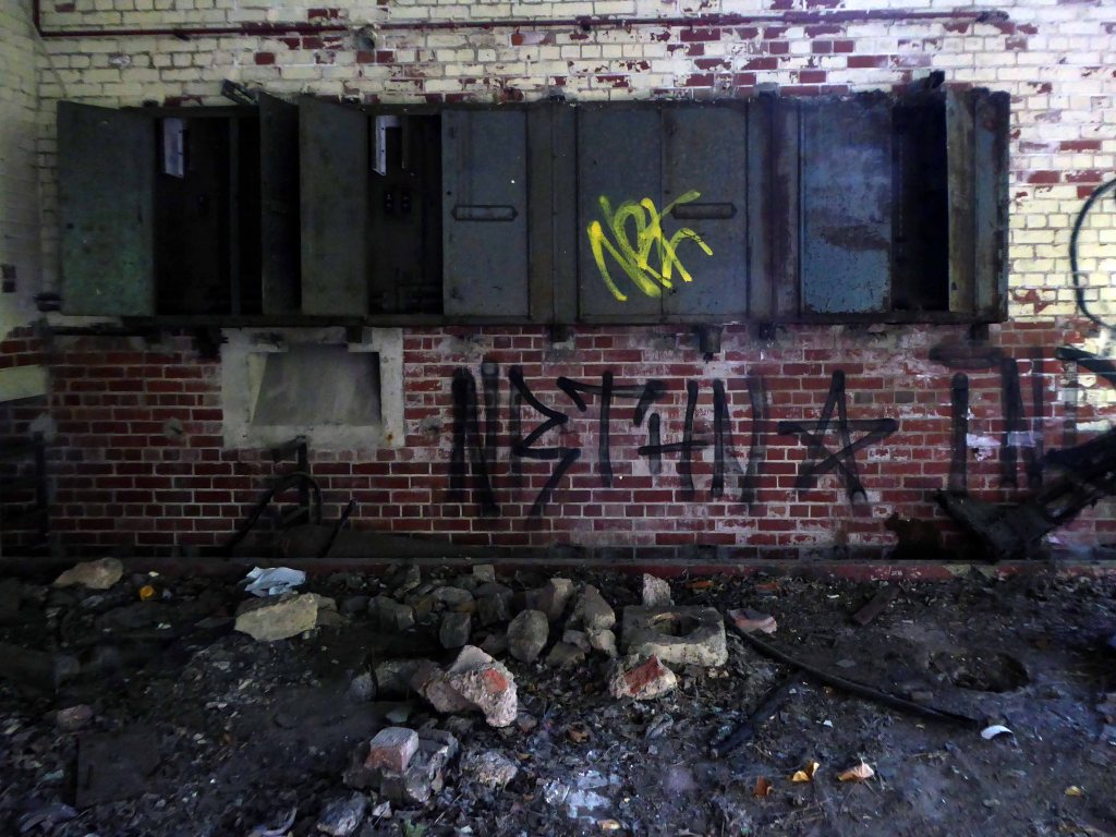
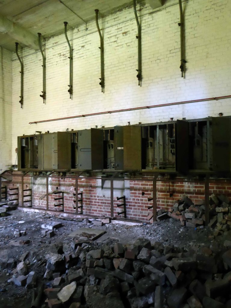
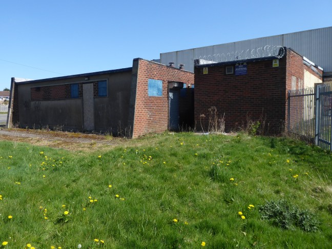
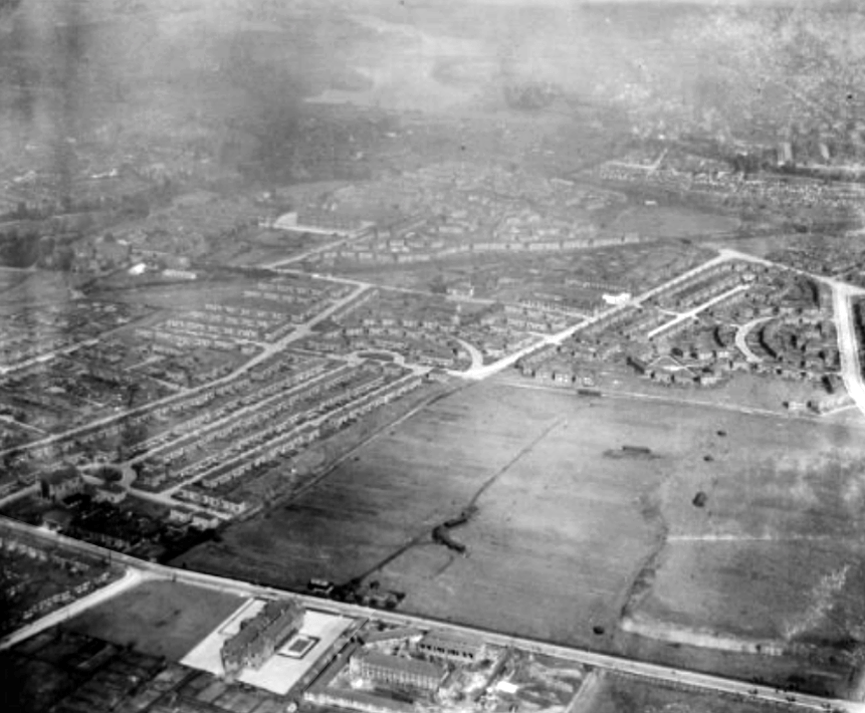
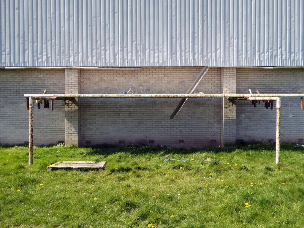
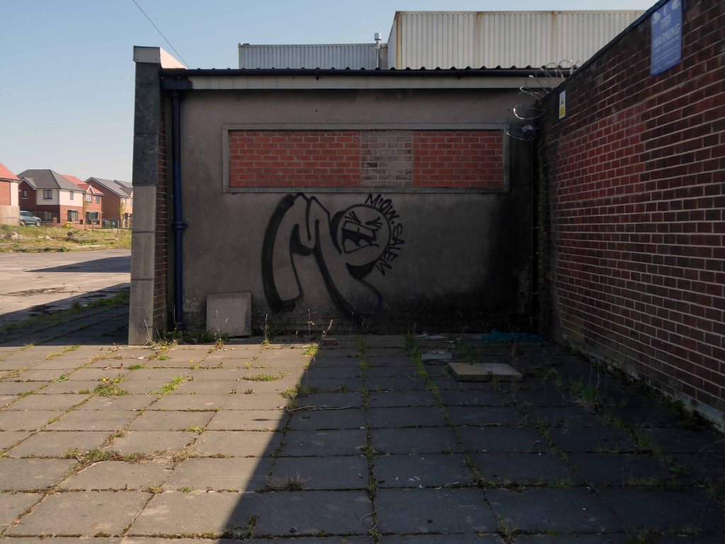
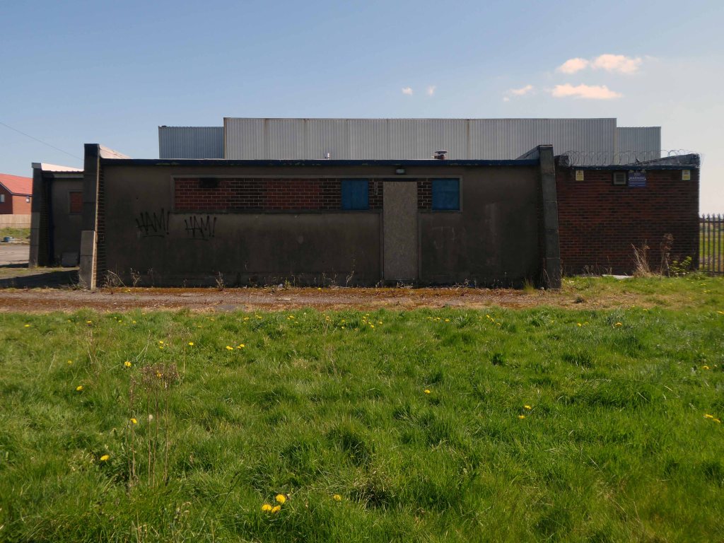
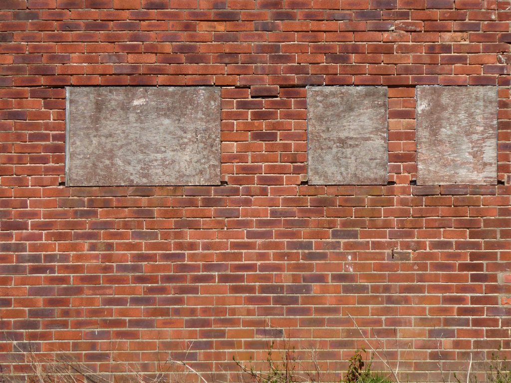
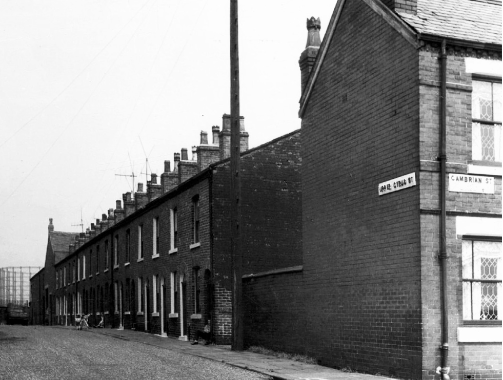
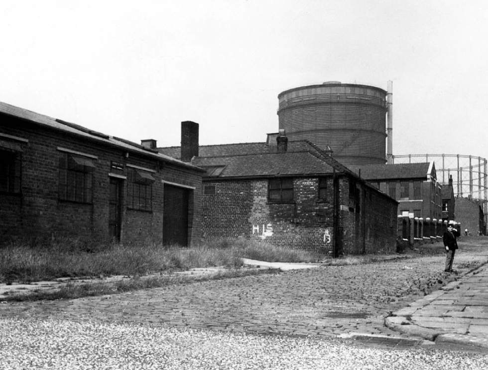
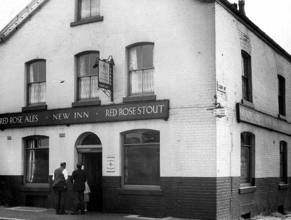
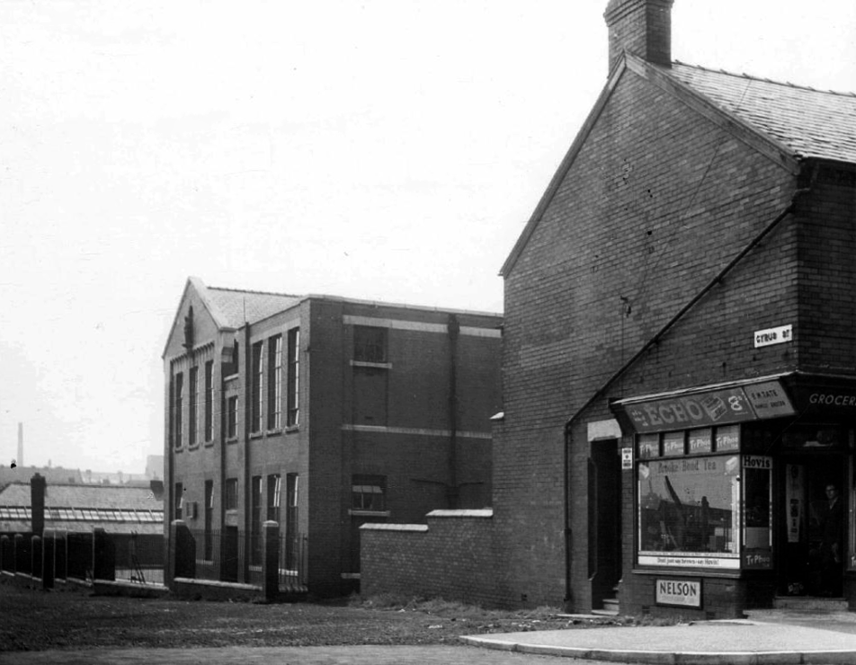
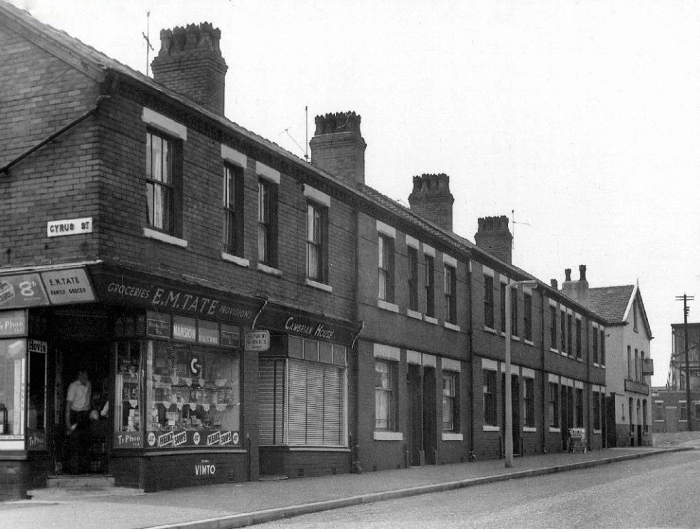
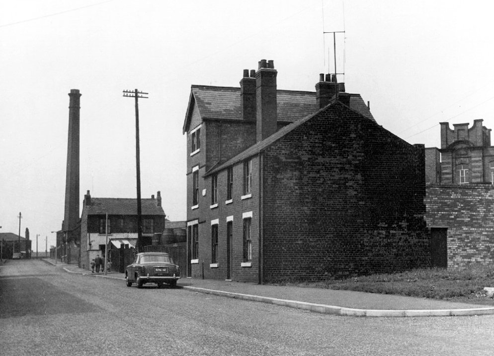
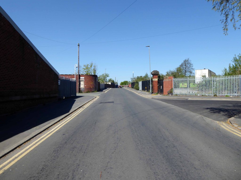
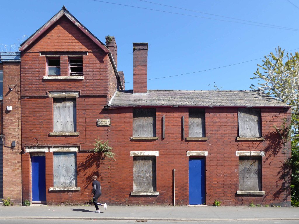
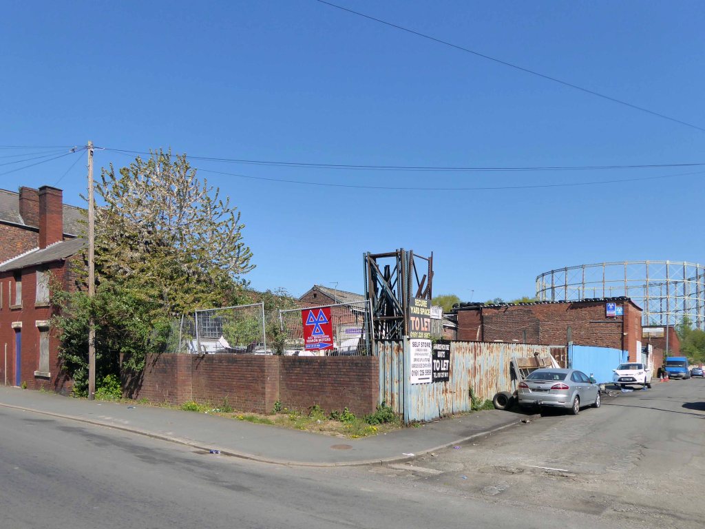
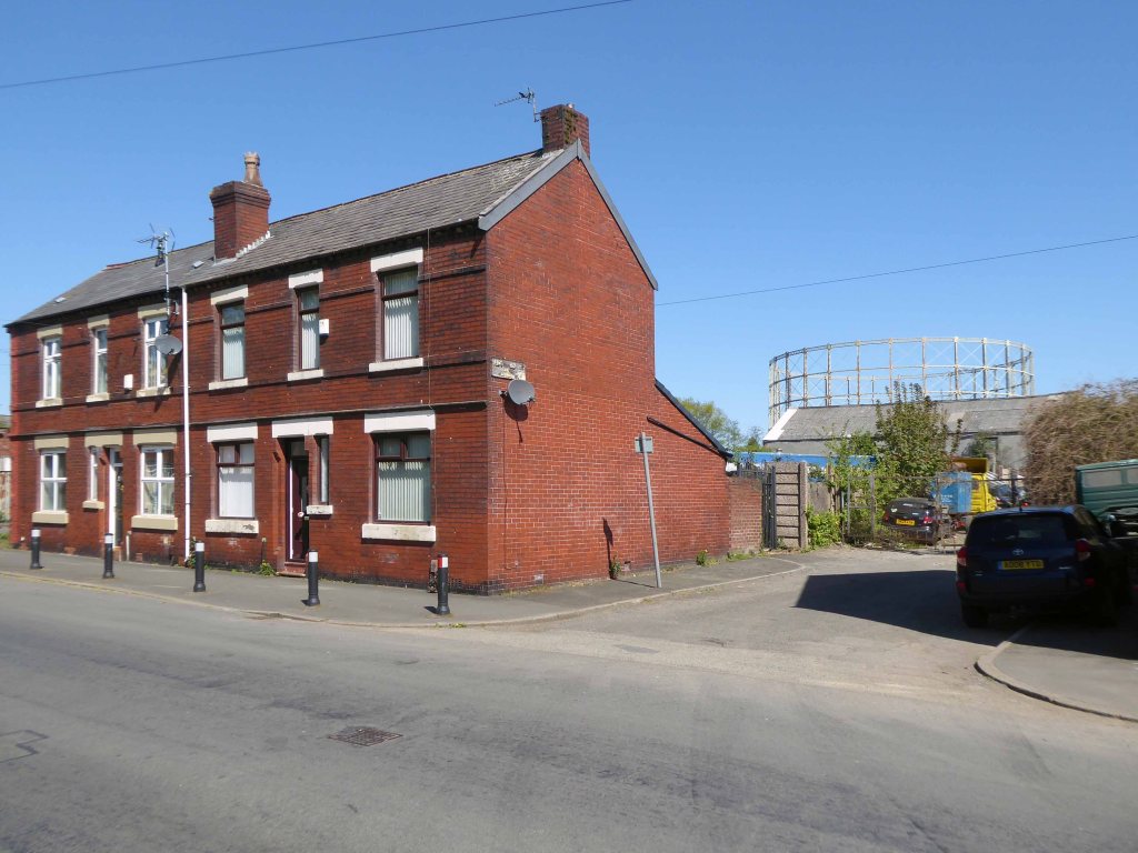
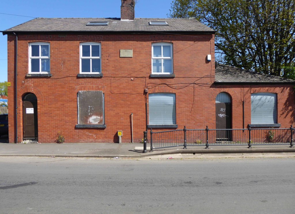
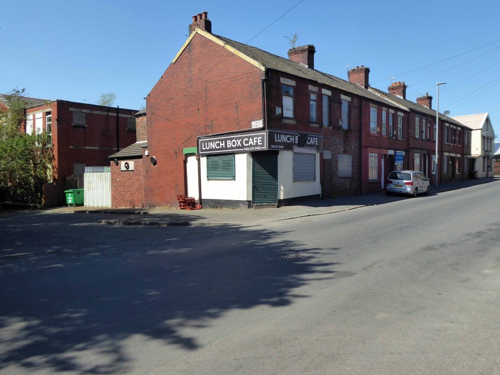
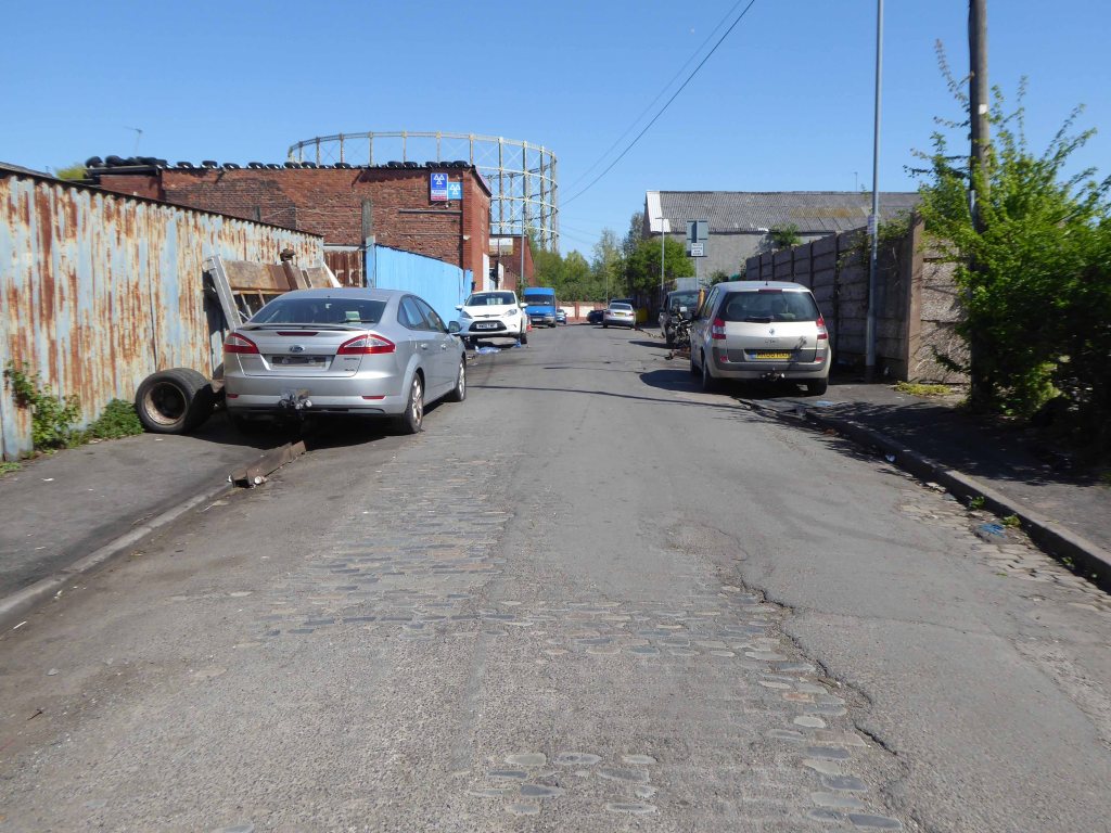
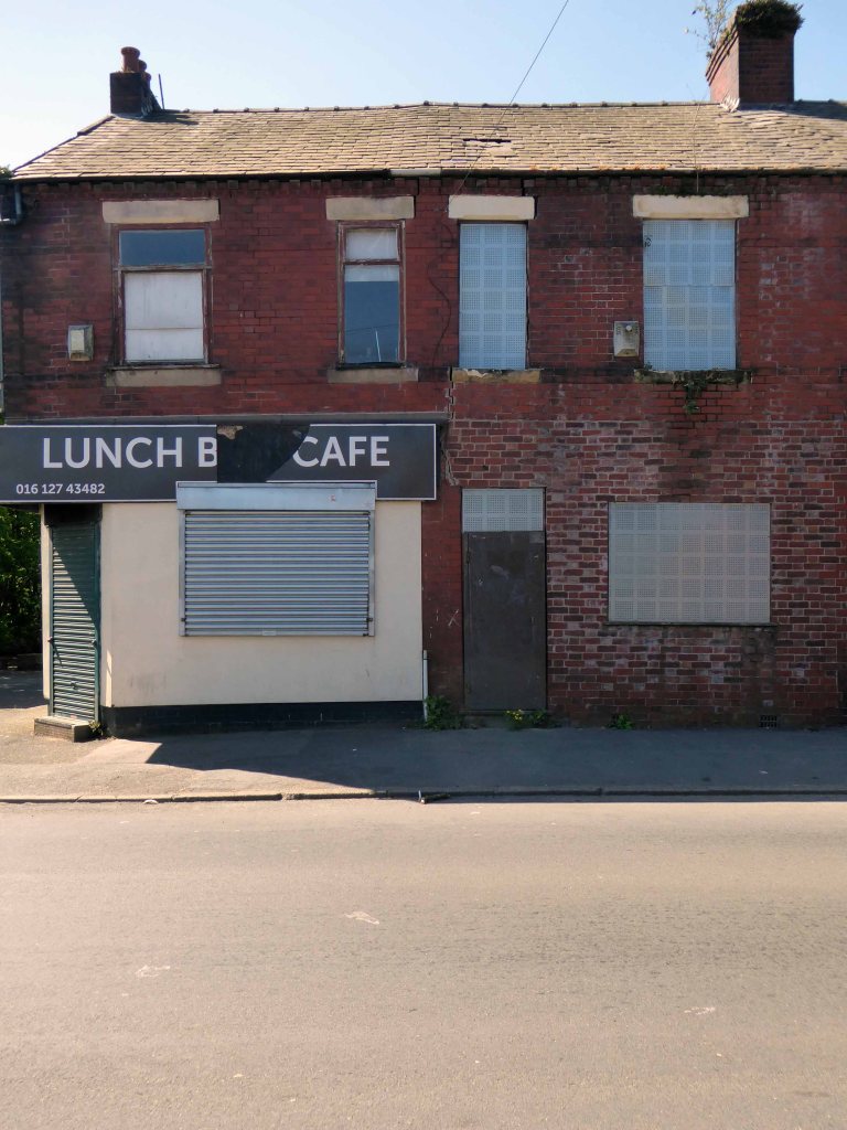
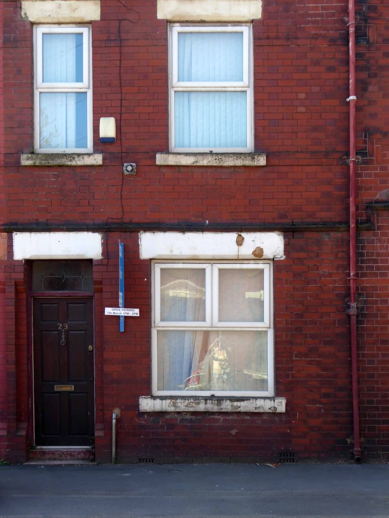
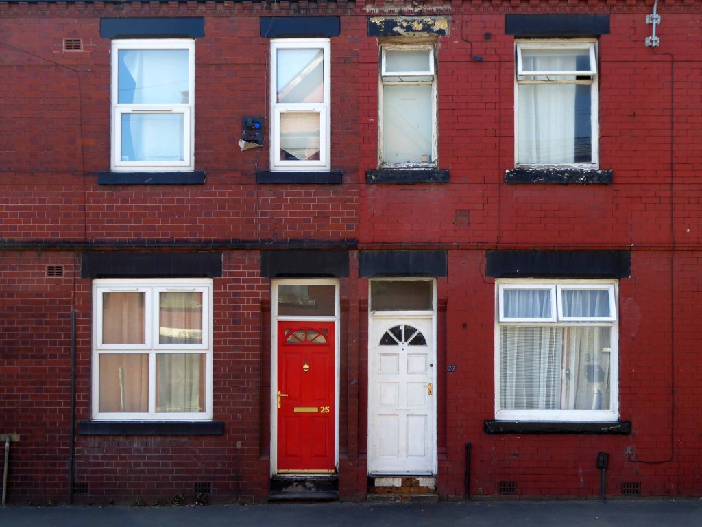
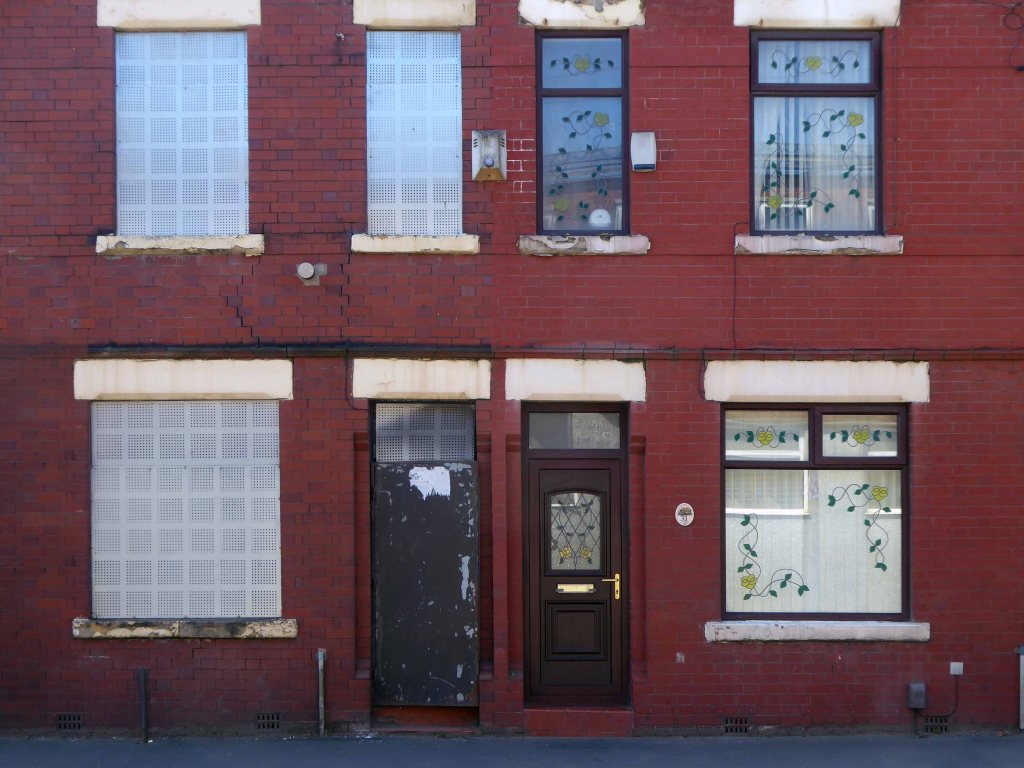
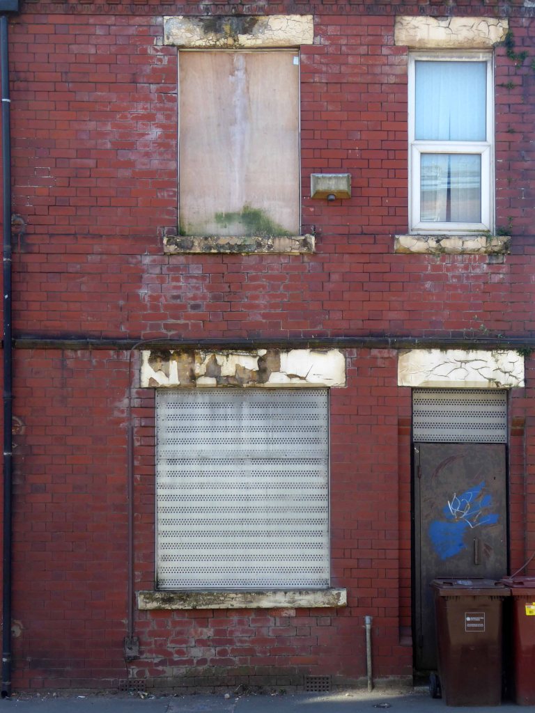
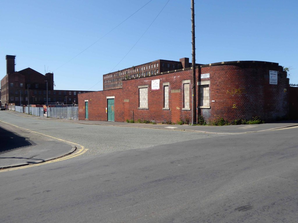
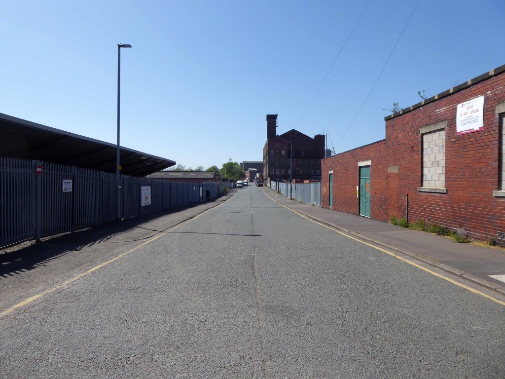
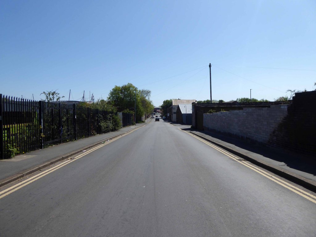
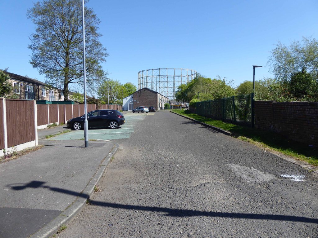
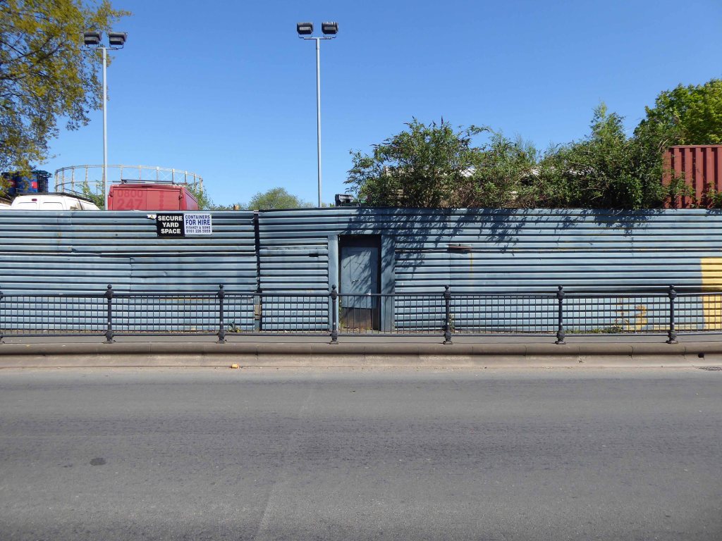
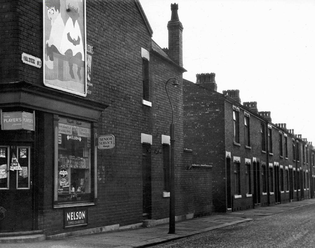
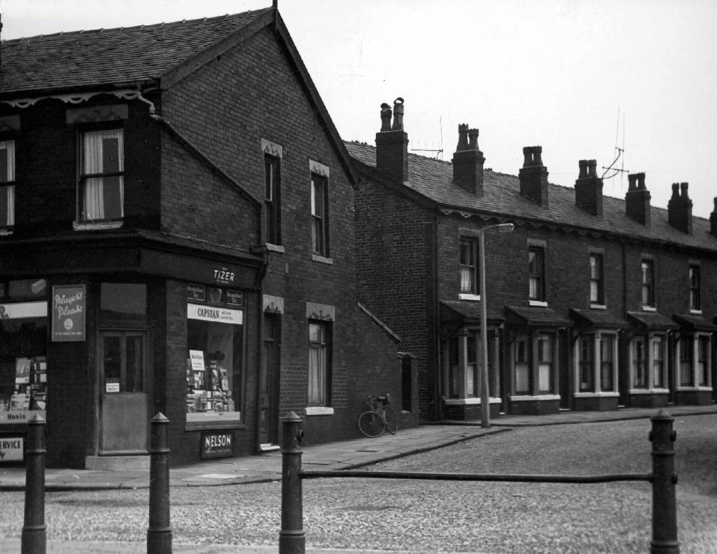
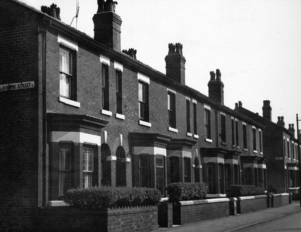
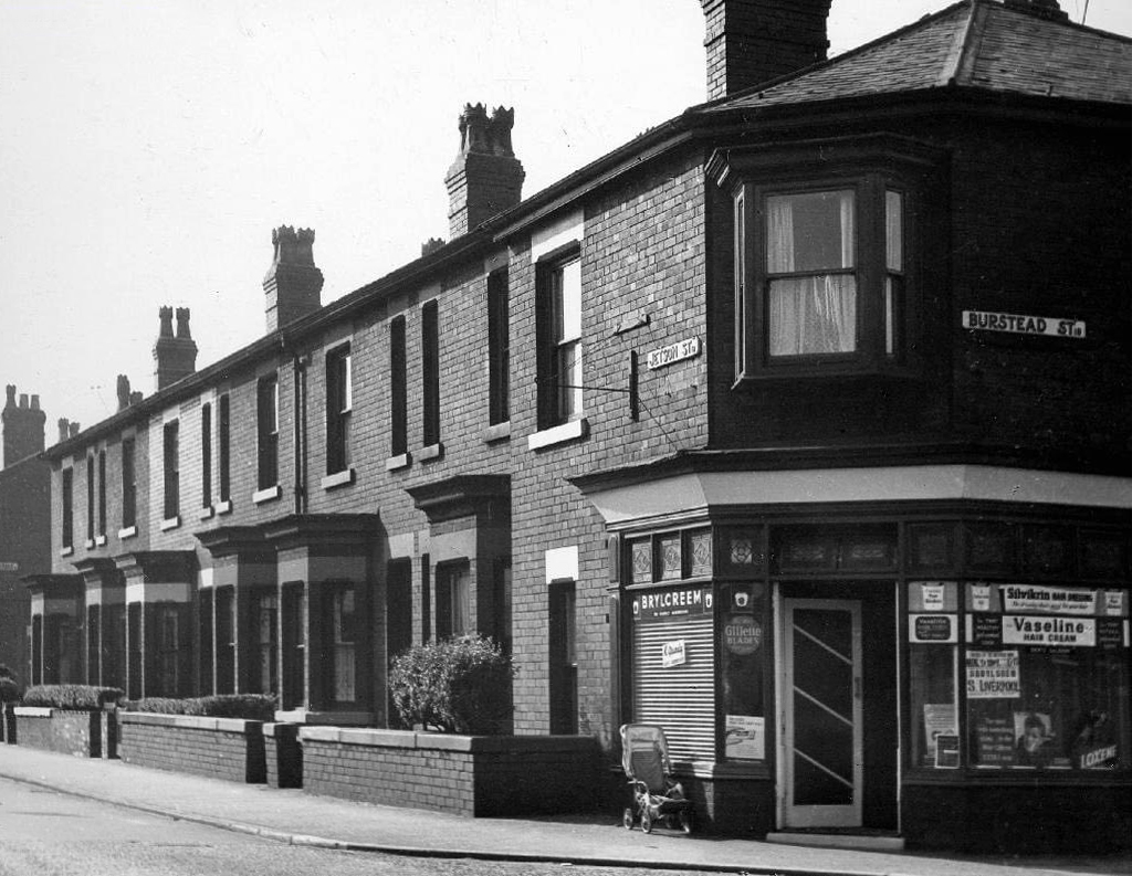
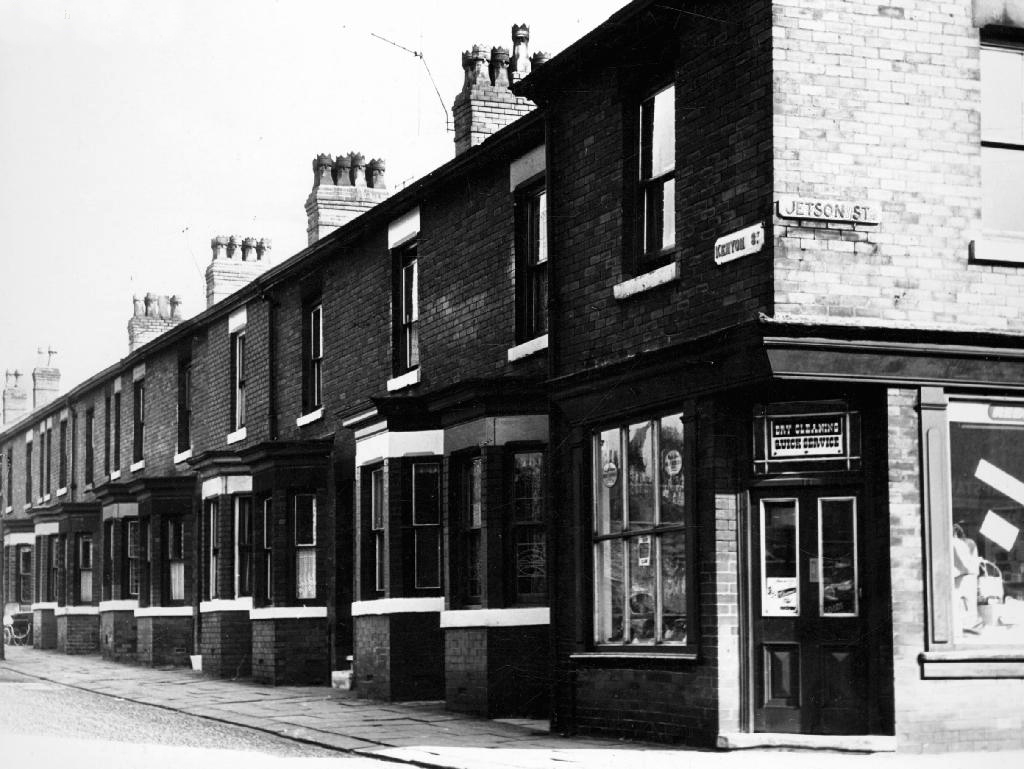
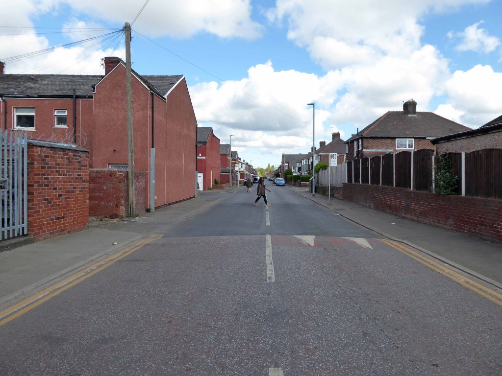
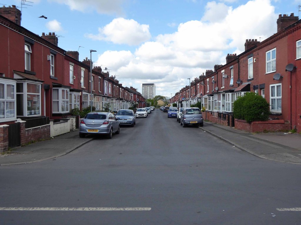
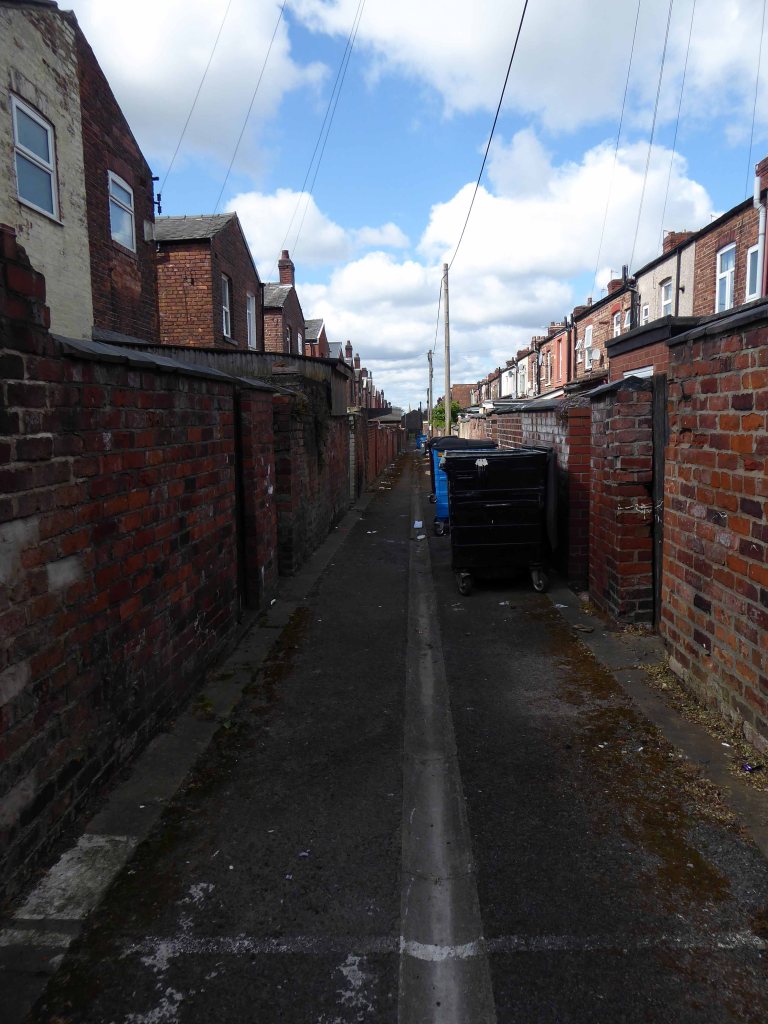
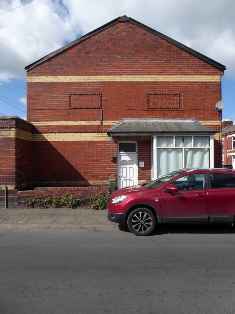
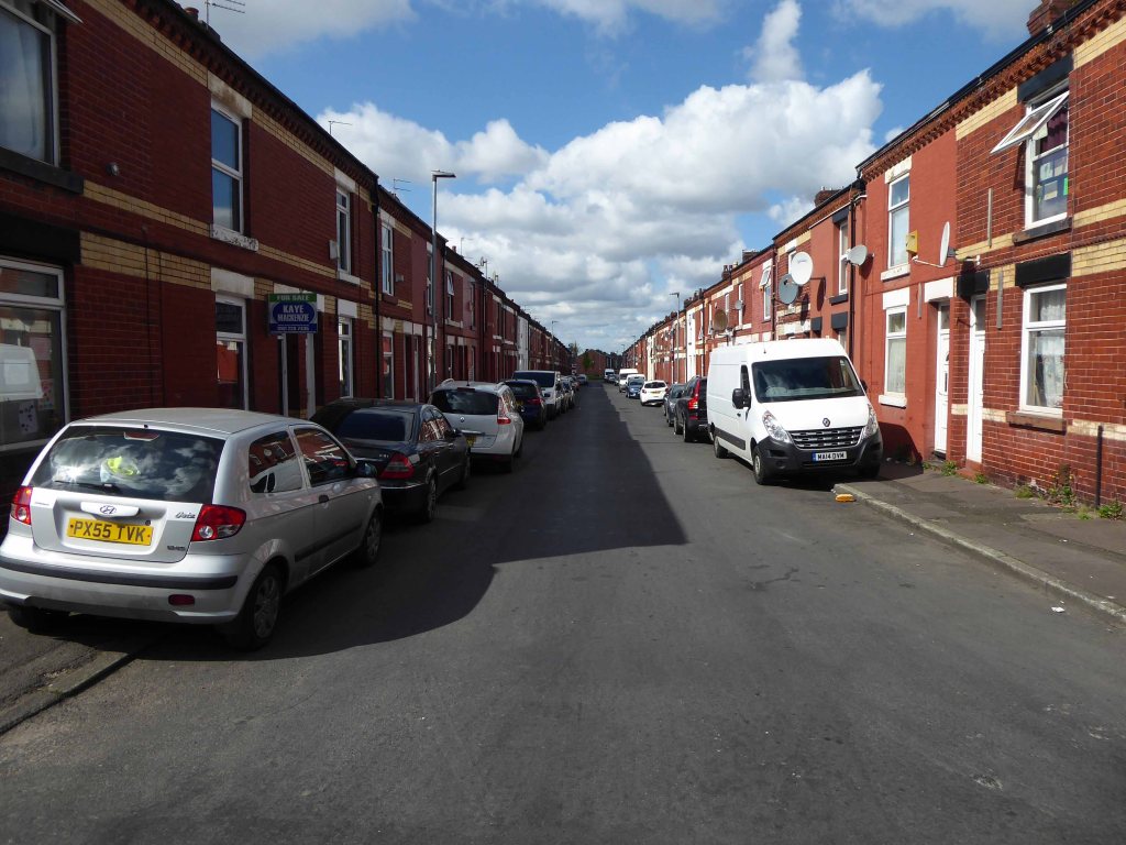
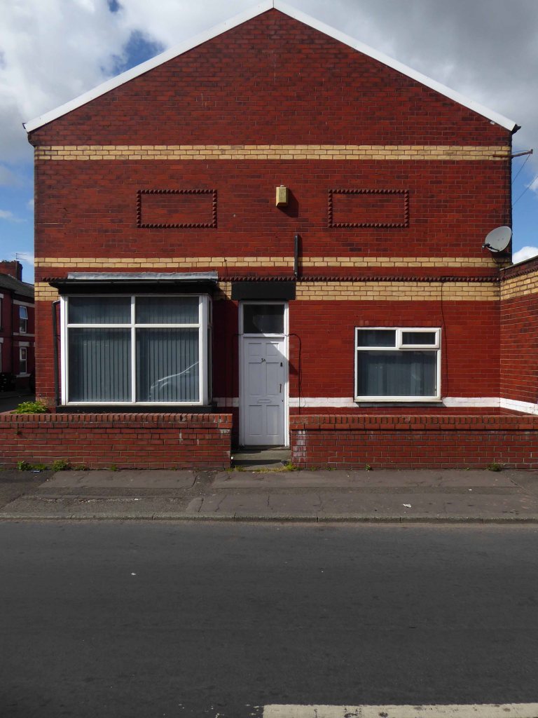
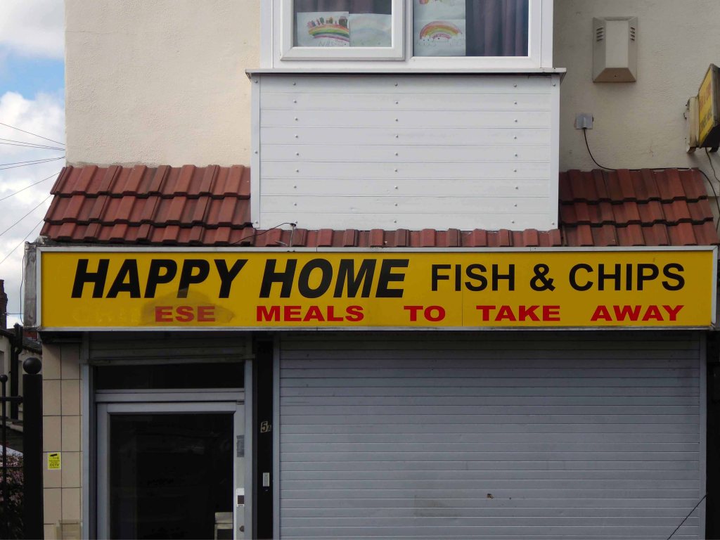
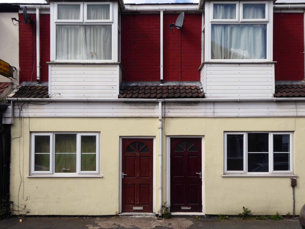
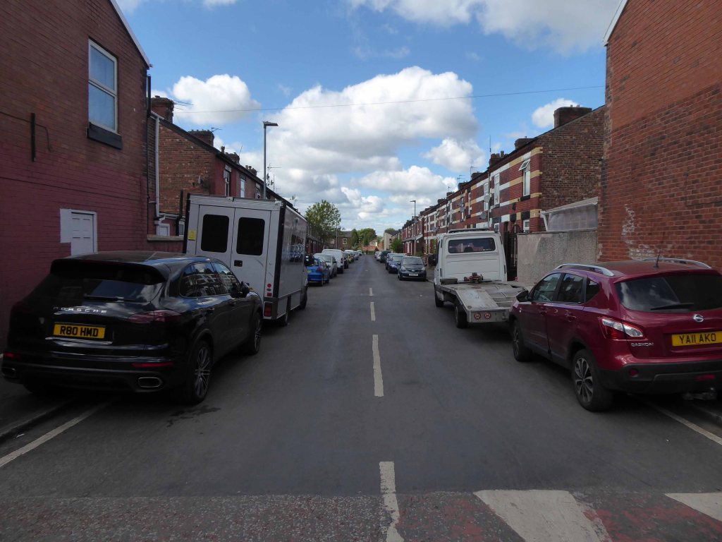
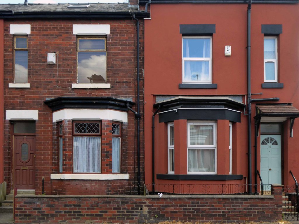
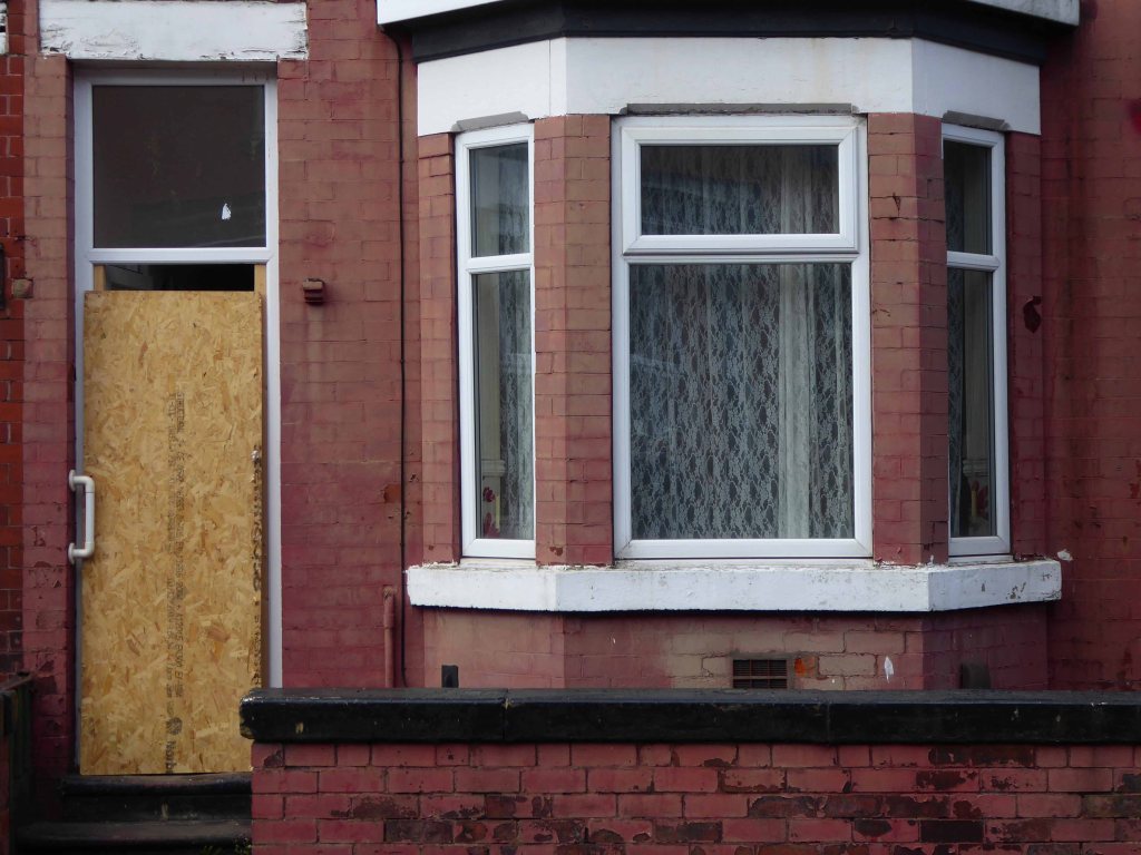
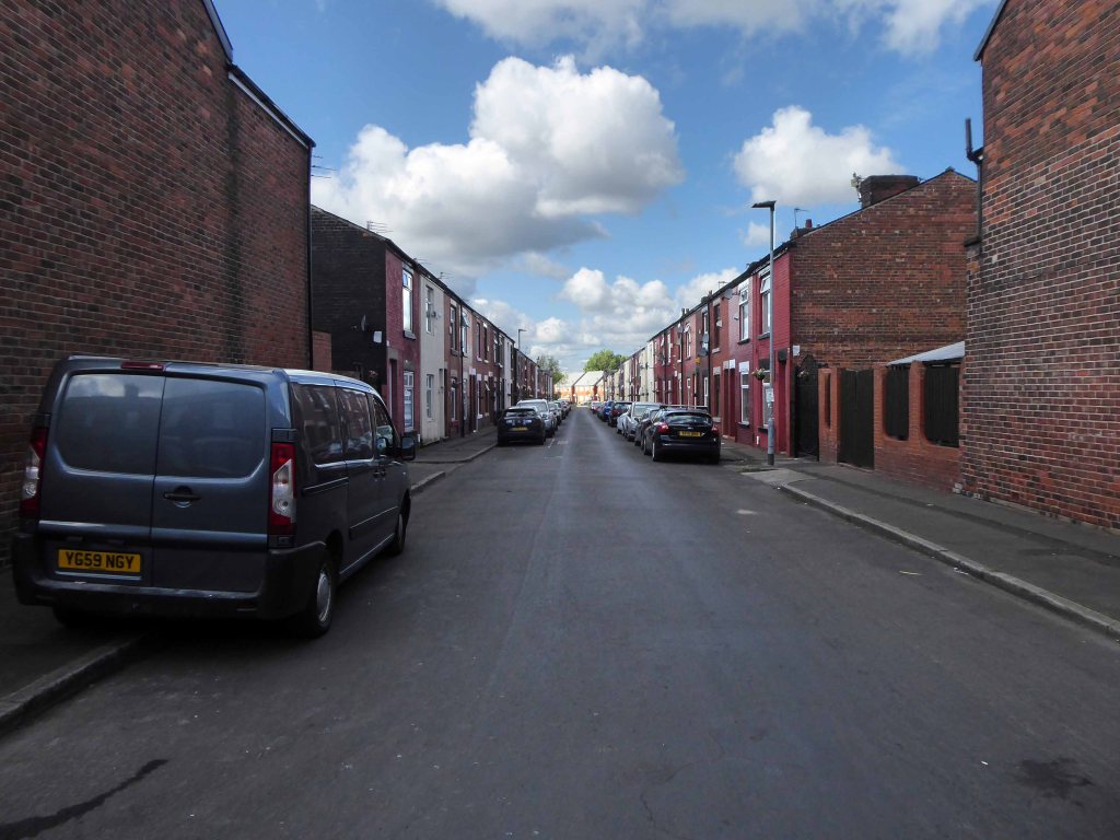
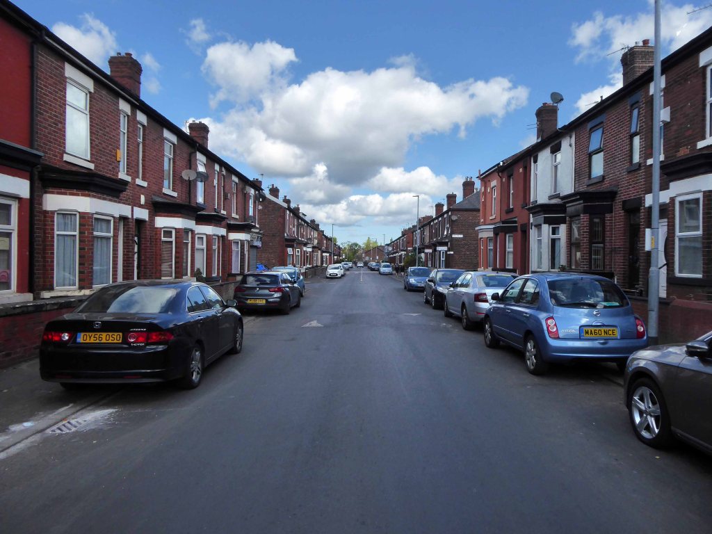
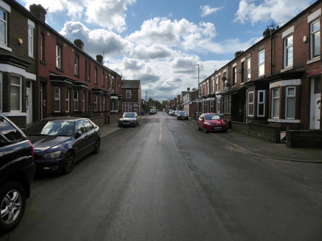
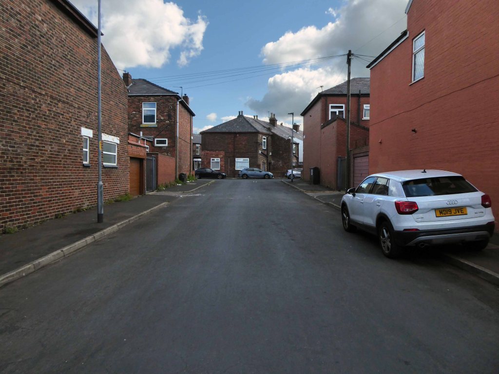
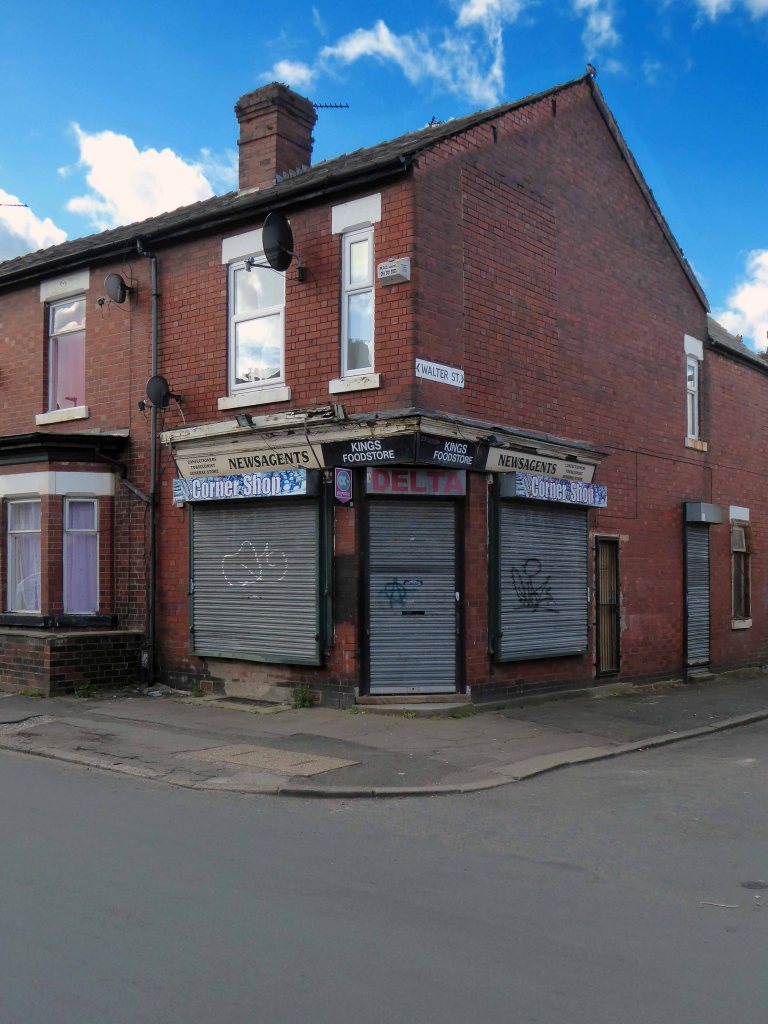
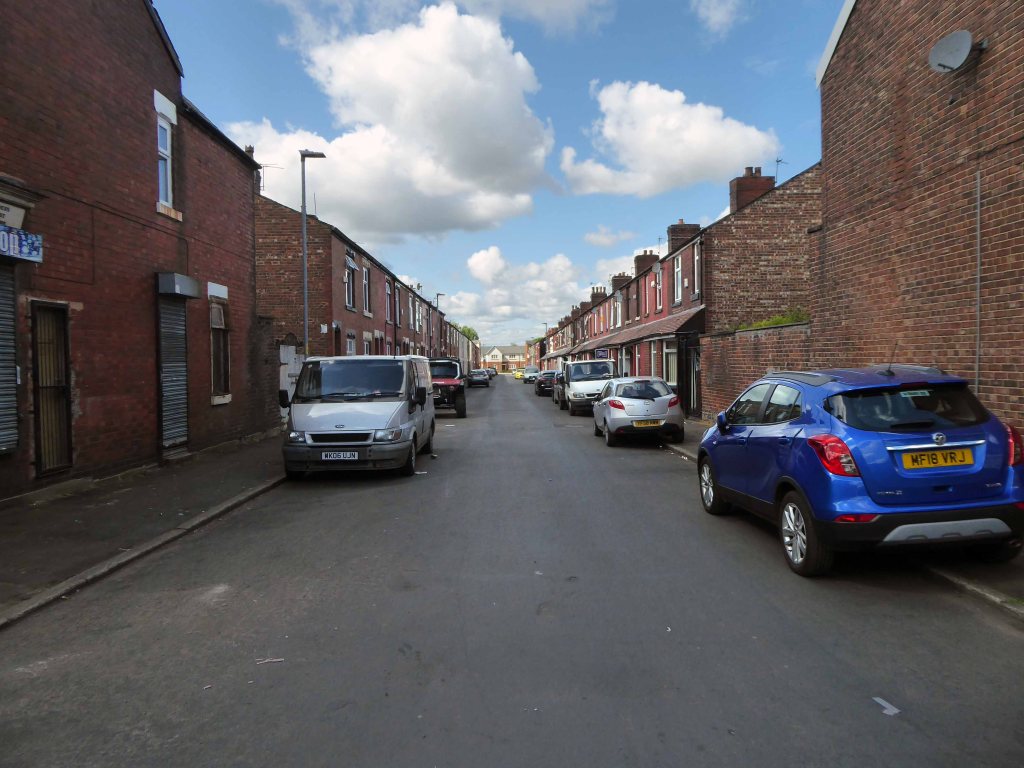
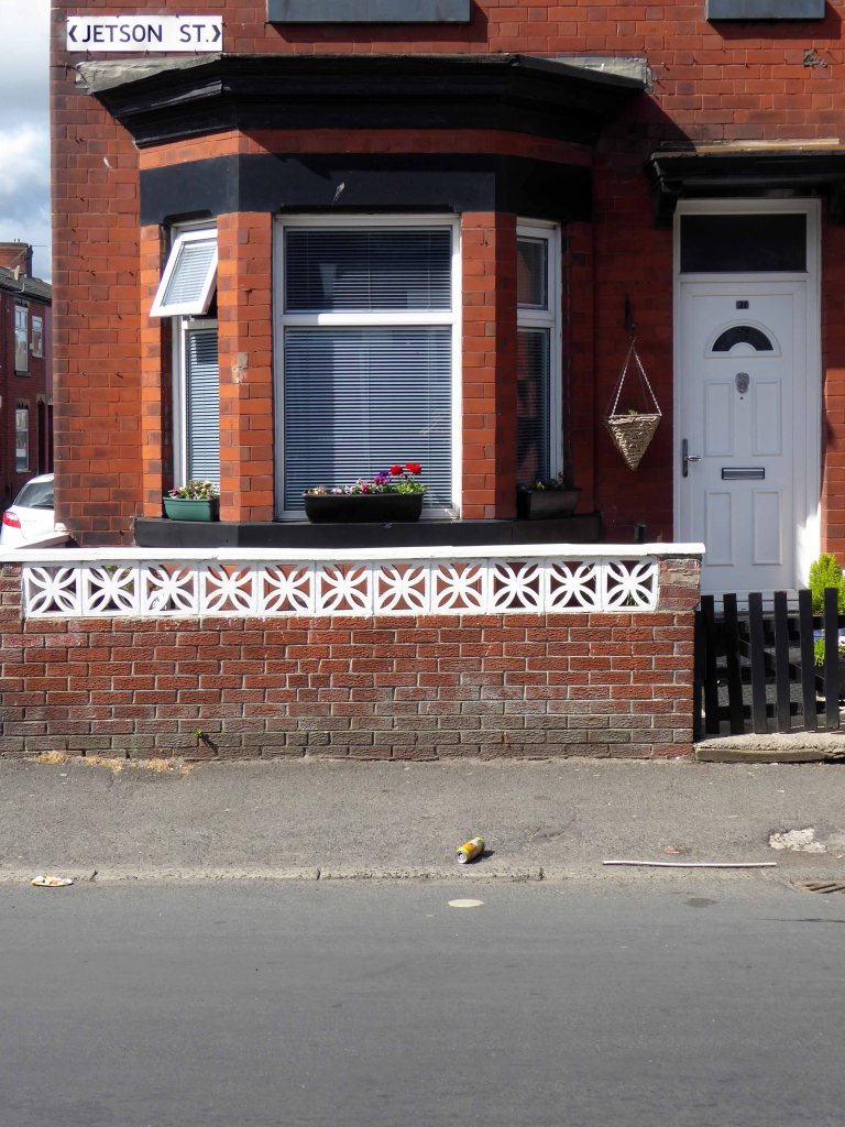
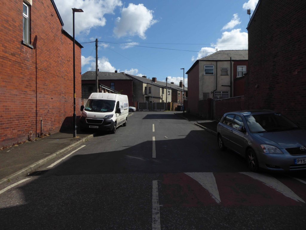
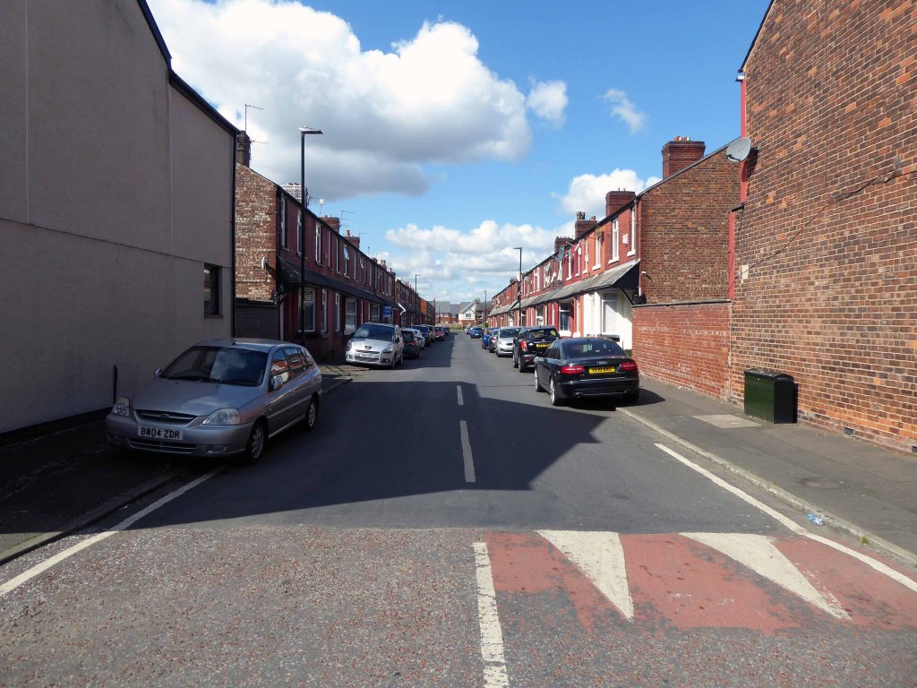
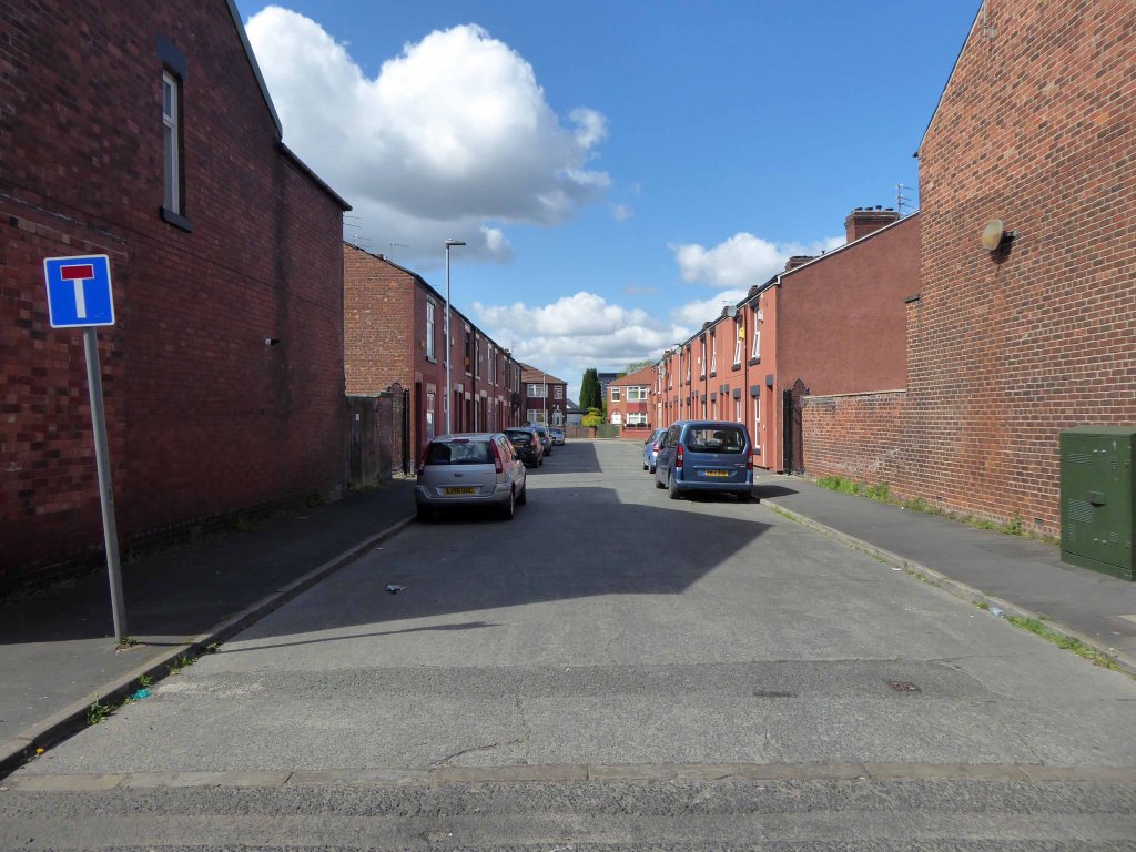
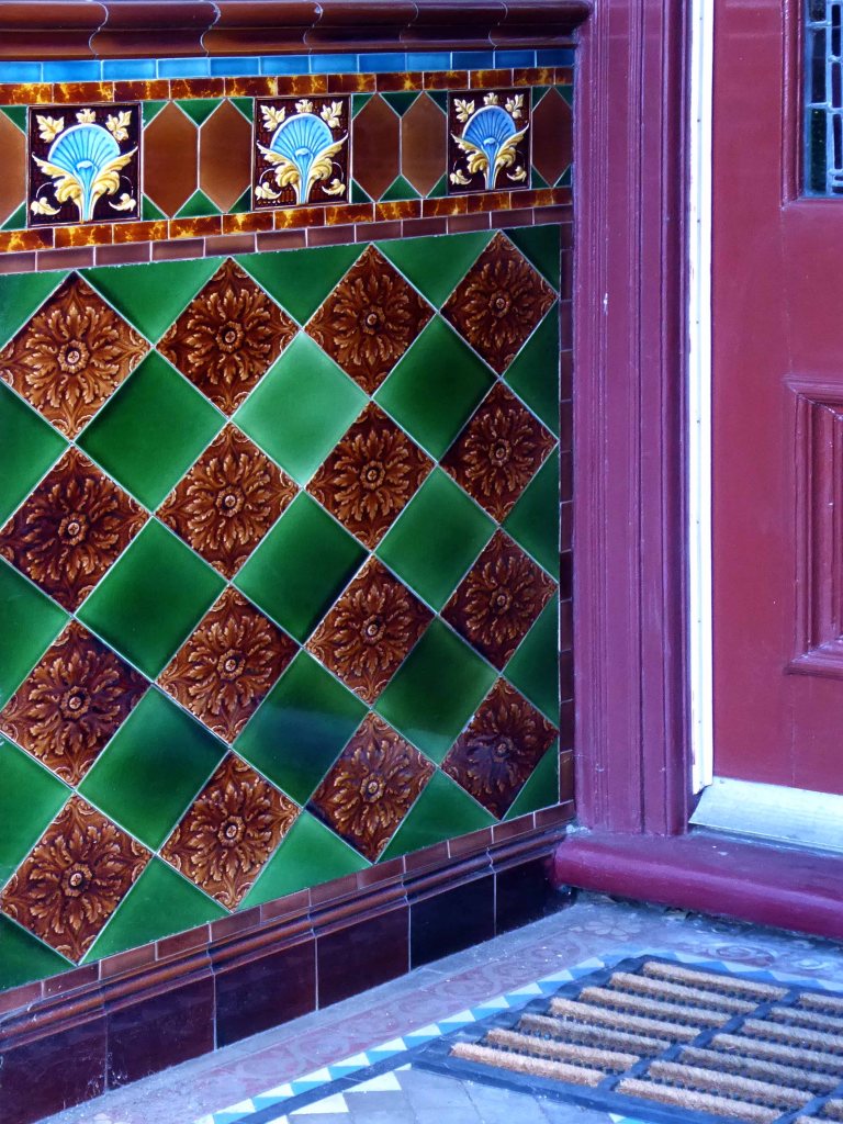
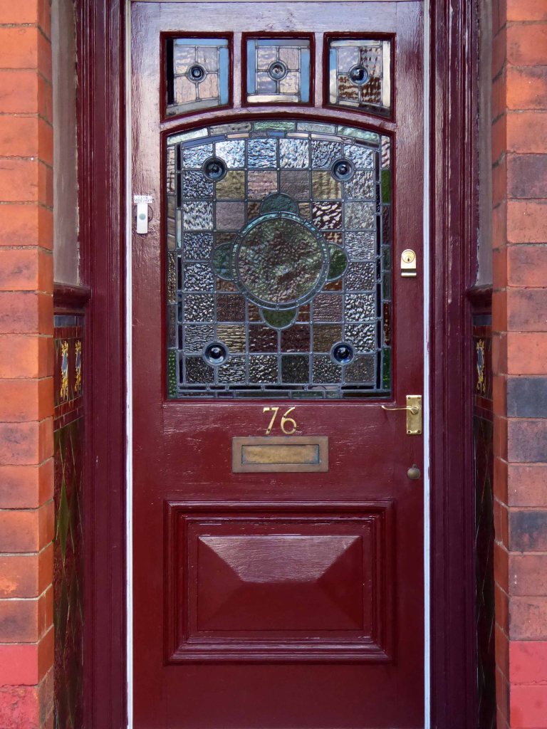
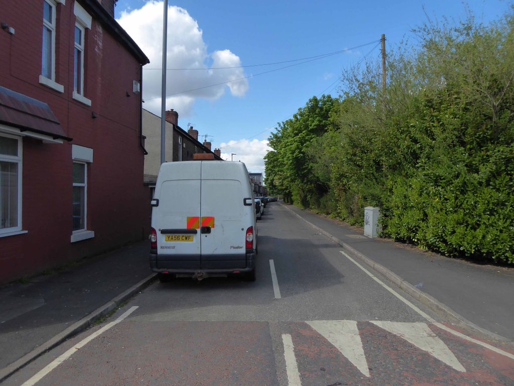
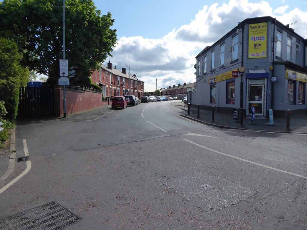
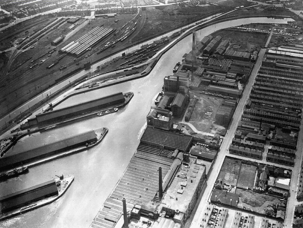
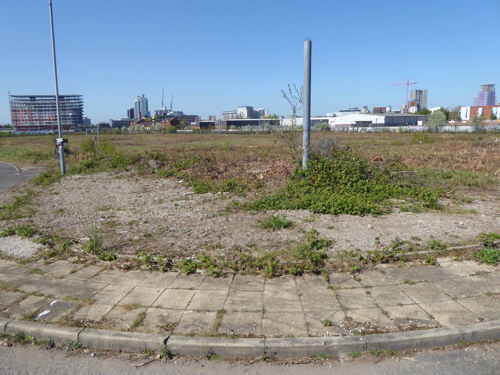
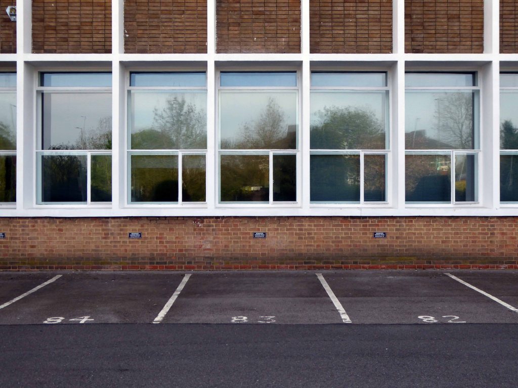
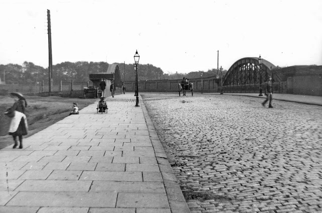
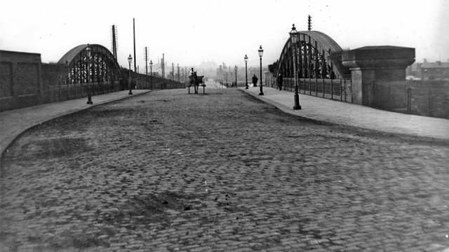
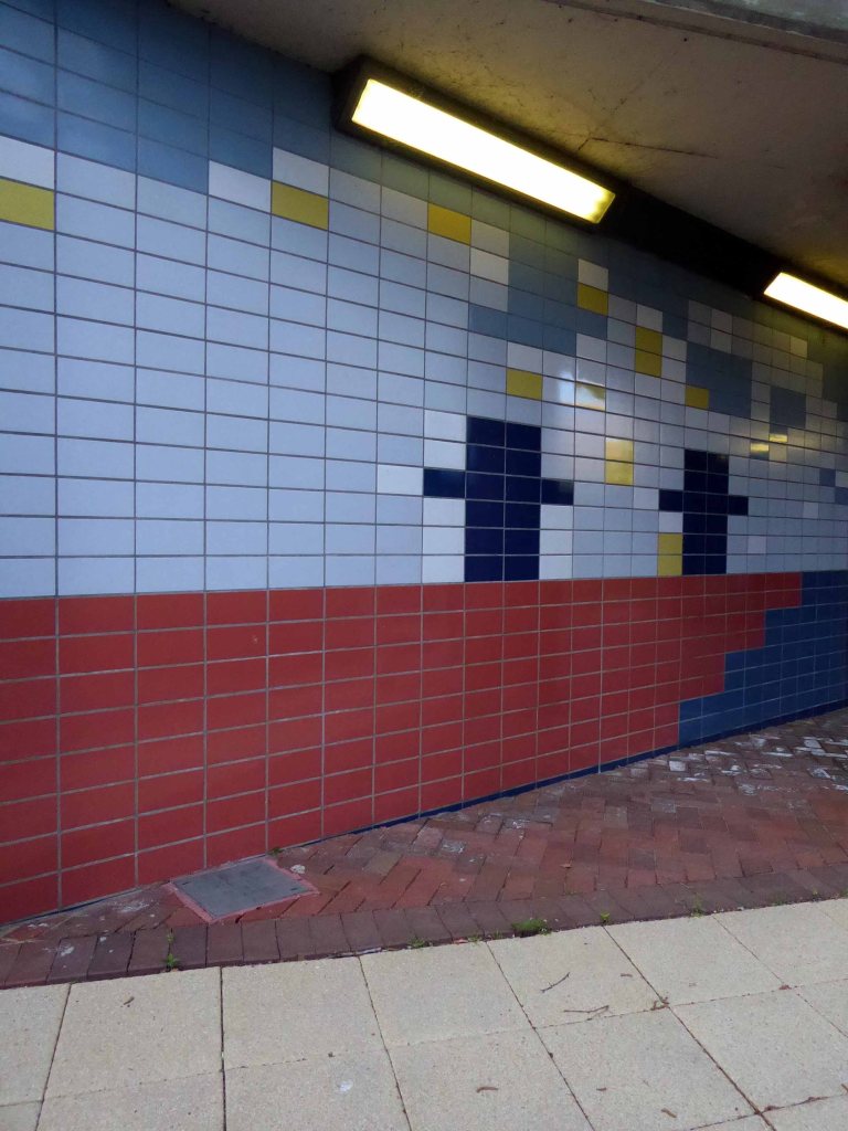
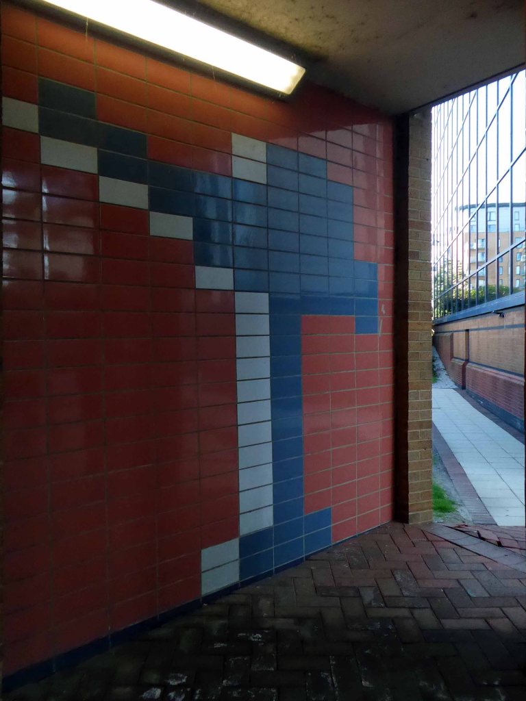
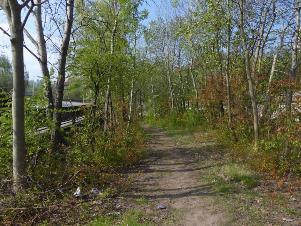
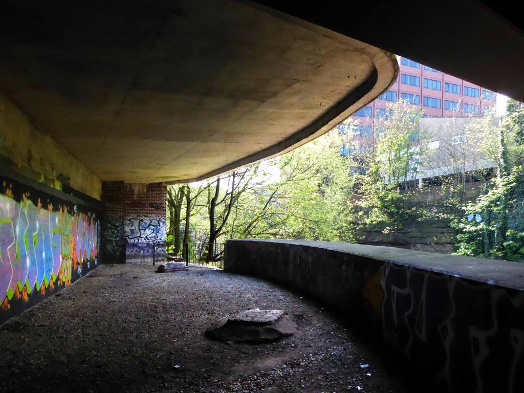
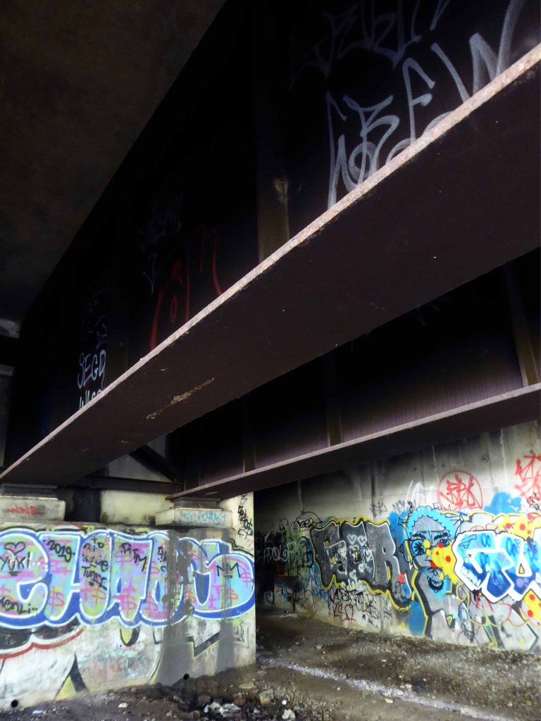
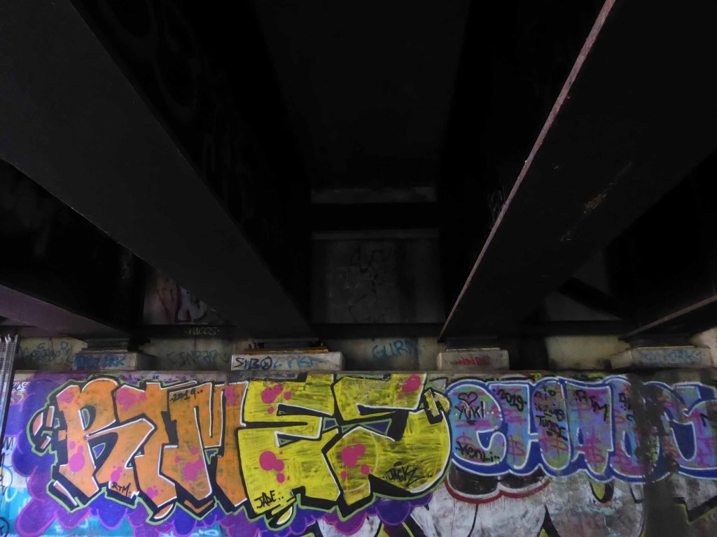
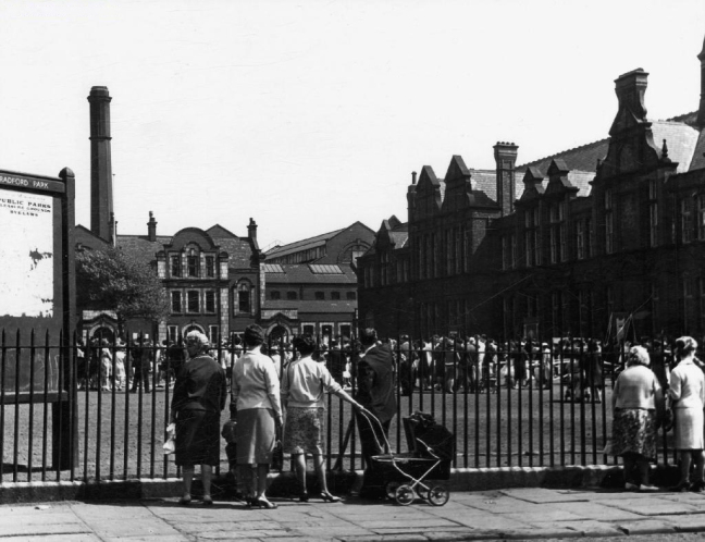
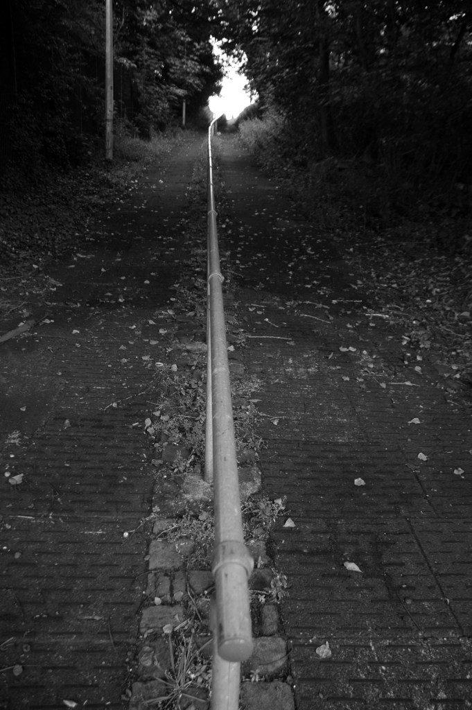
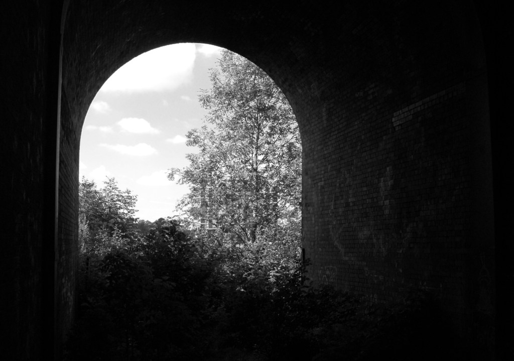
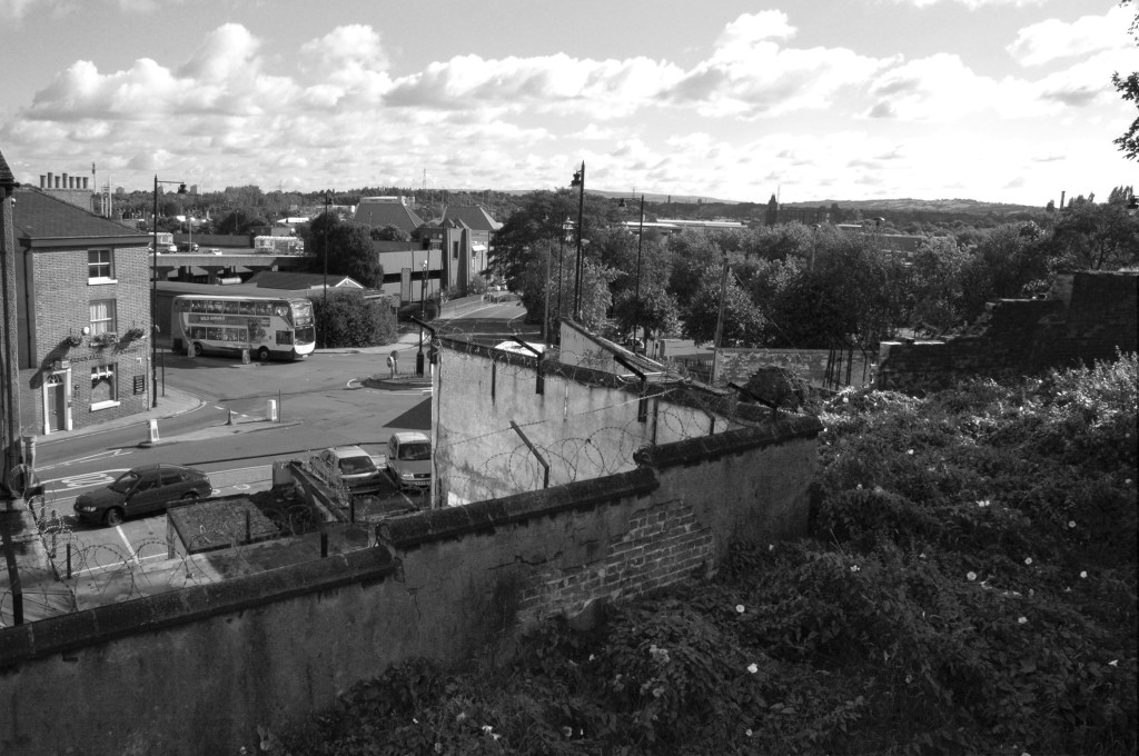
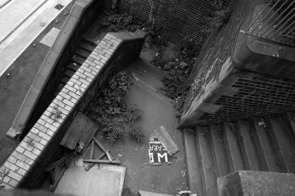
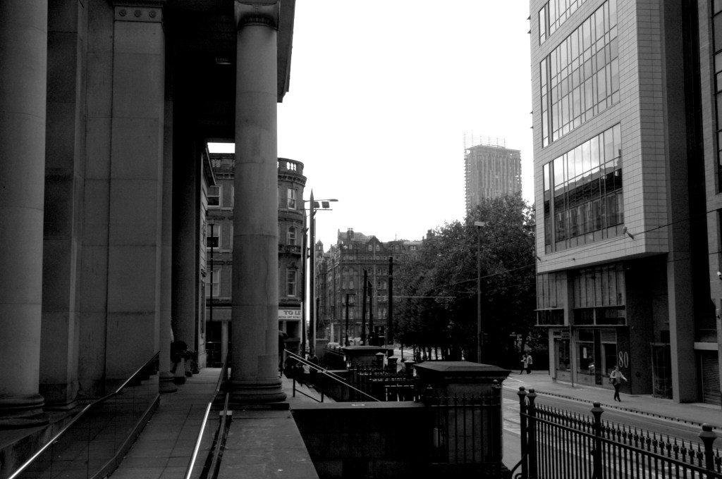
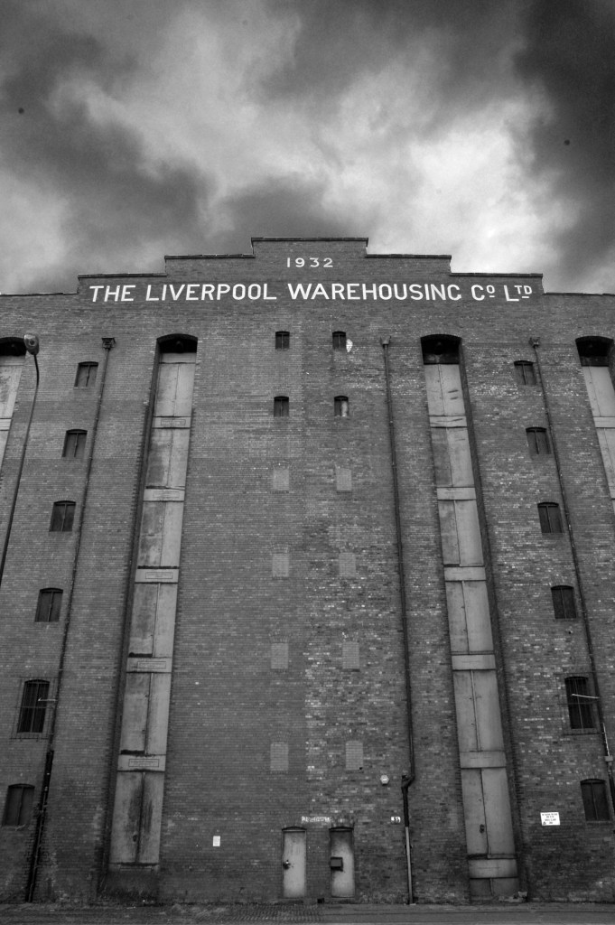
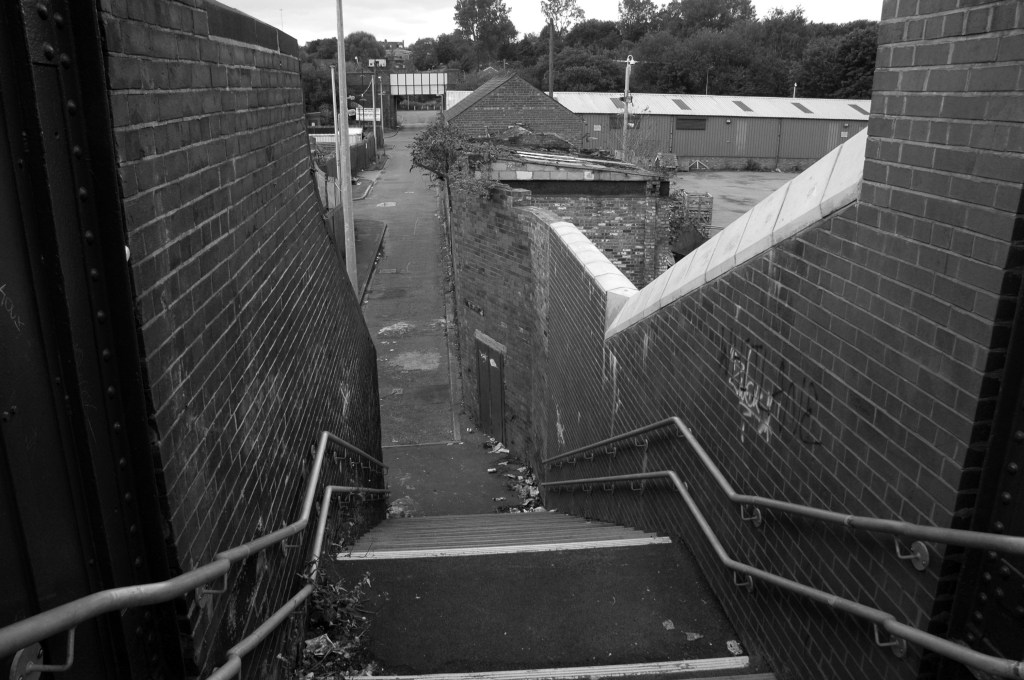
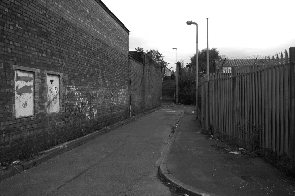
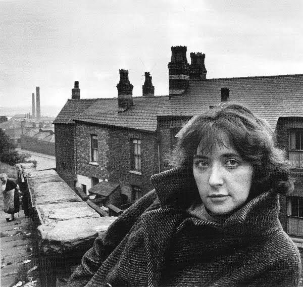
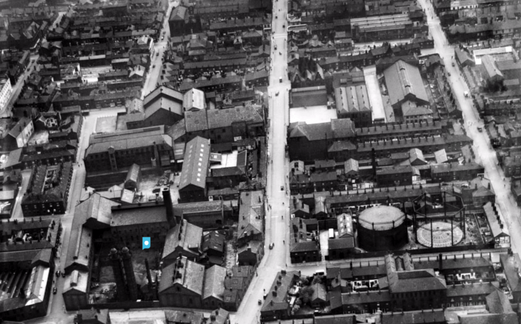
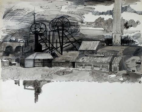
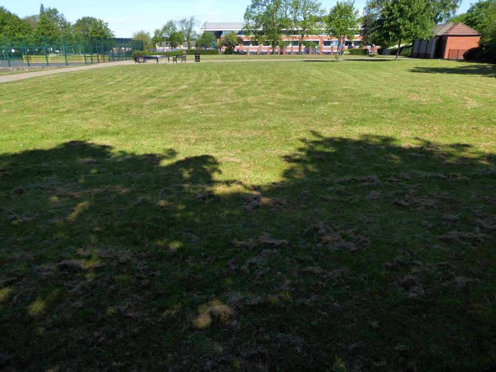
The area around the park was a dense warren of housing and industry.

Britain from Above

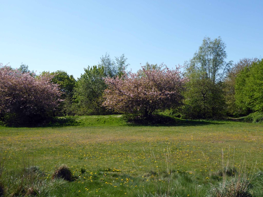
The parks provided a welcome relief from the tarmac, brick and concrete – very, very few homes having had access to a garden.

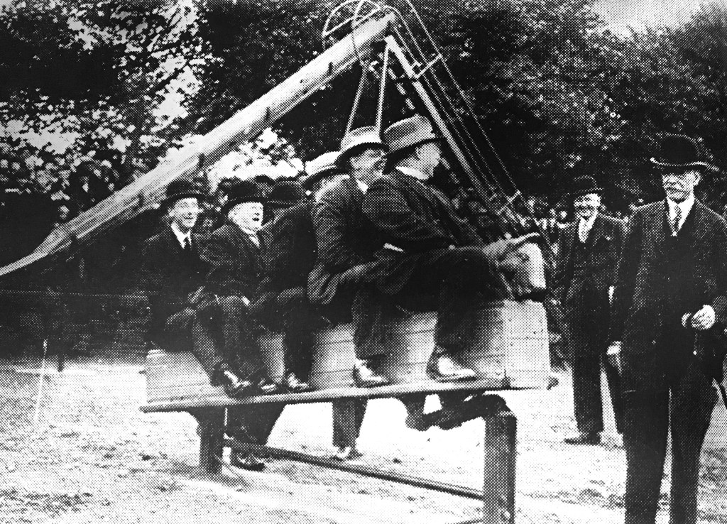
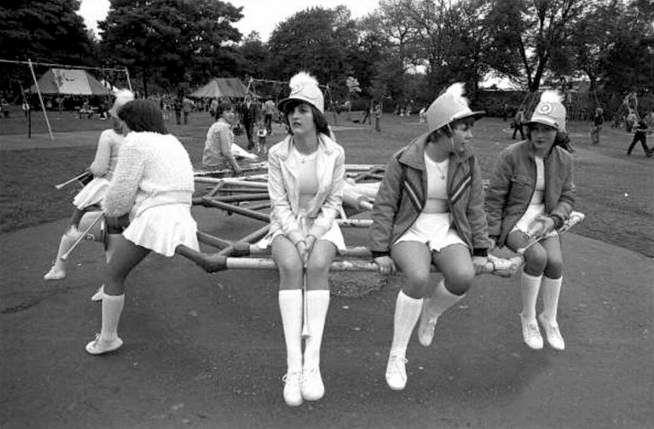
During the 1930s local councillors simply can’t resist the charms of the rocking horse.

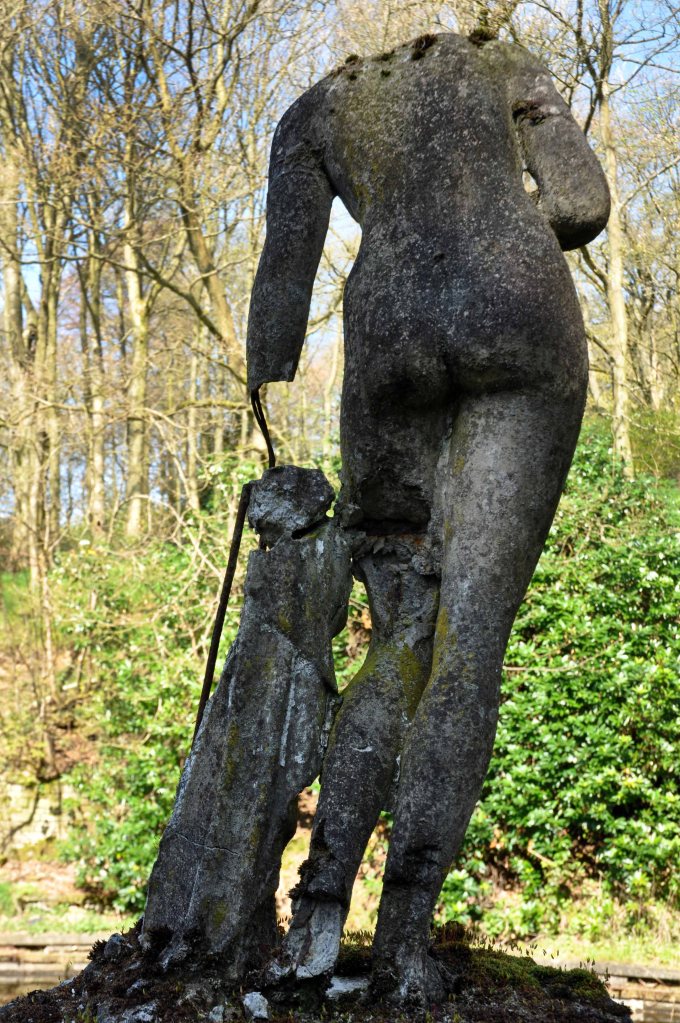
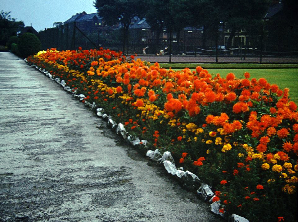
And a burst of colour in the summertime.

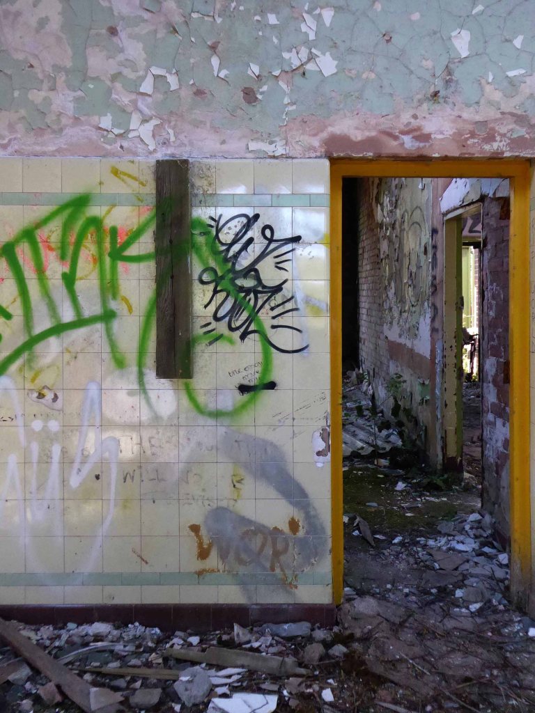
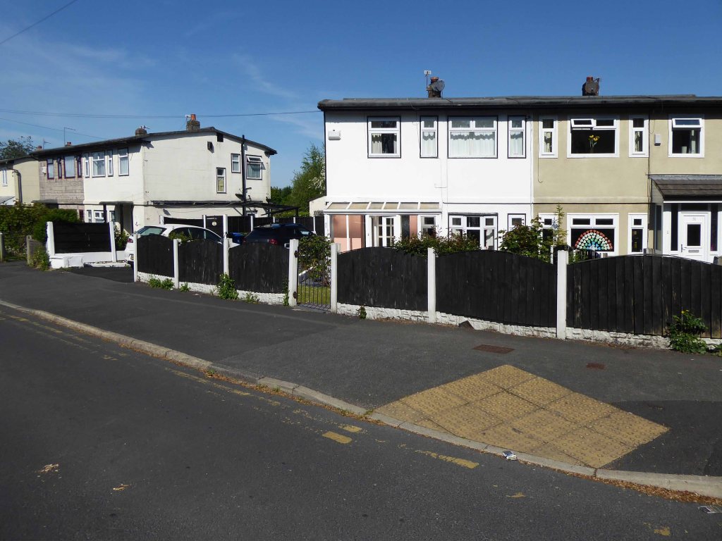
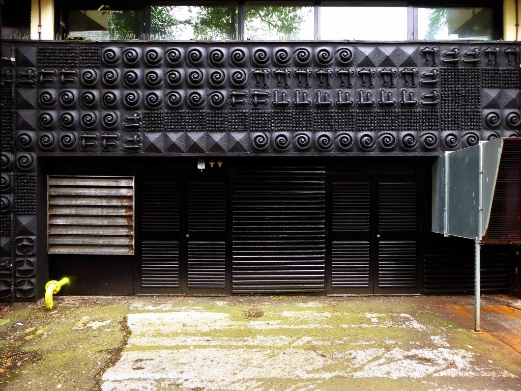
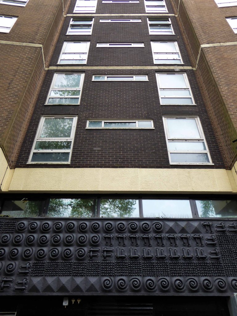
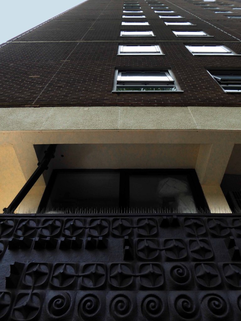
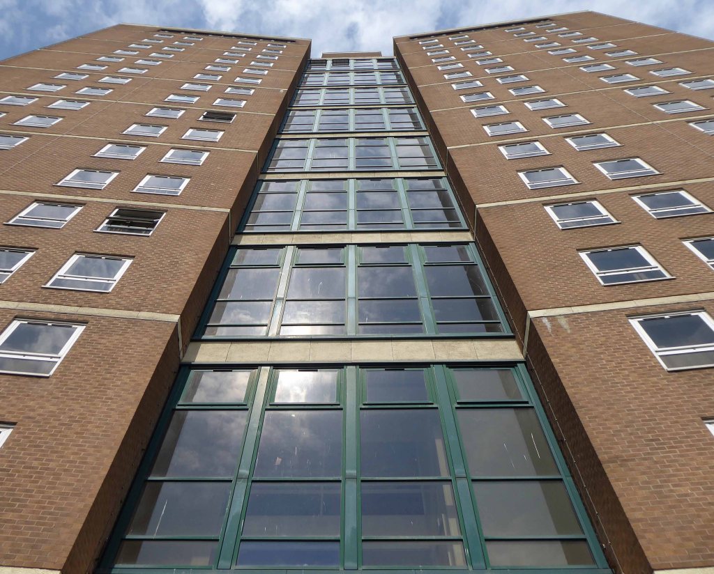
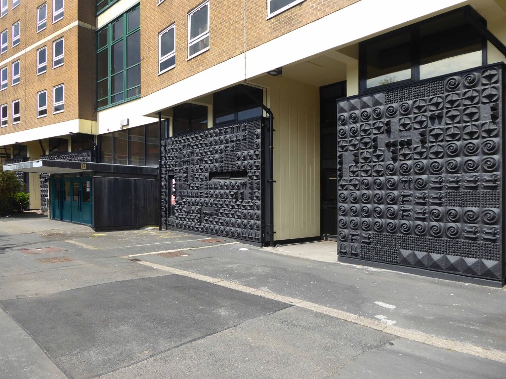
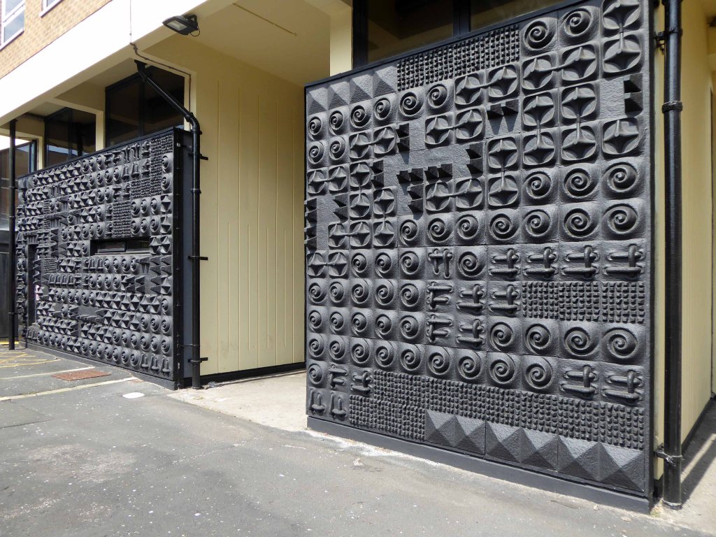
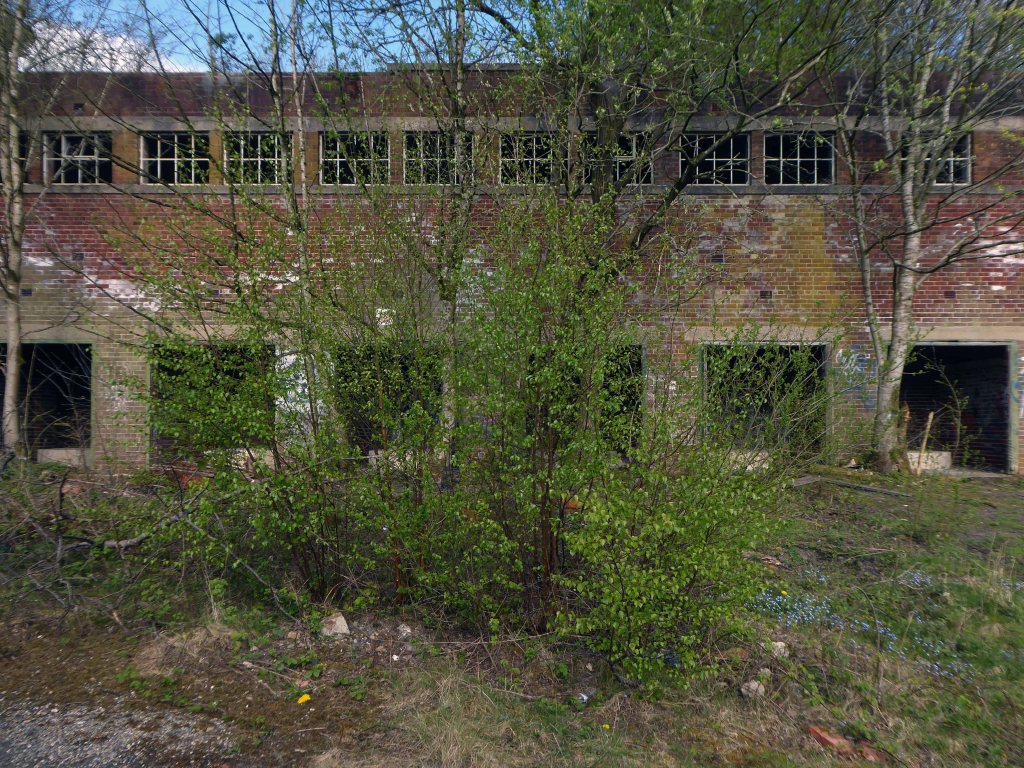
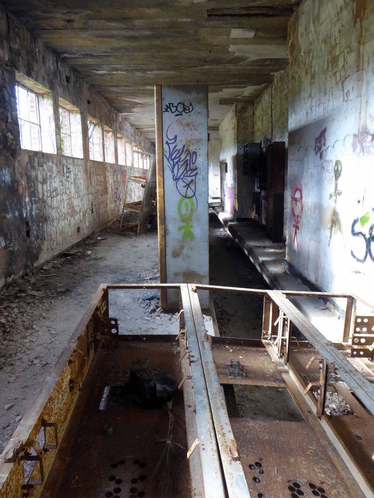
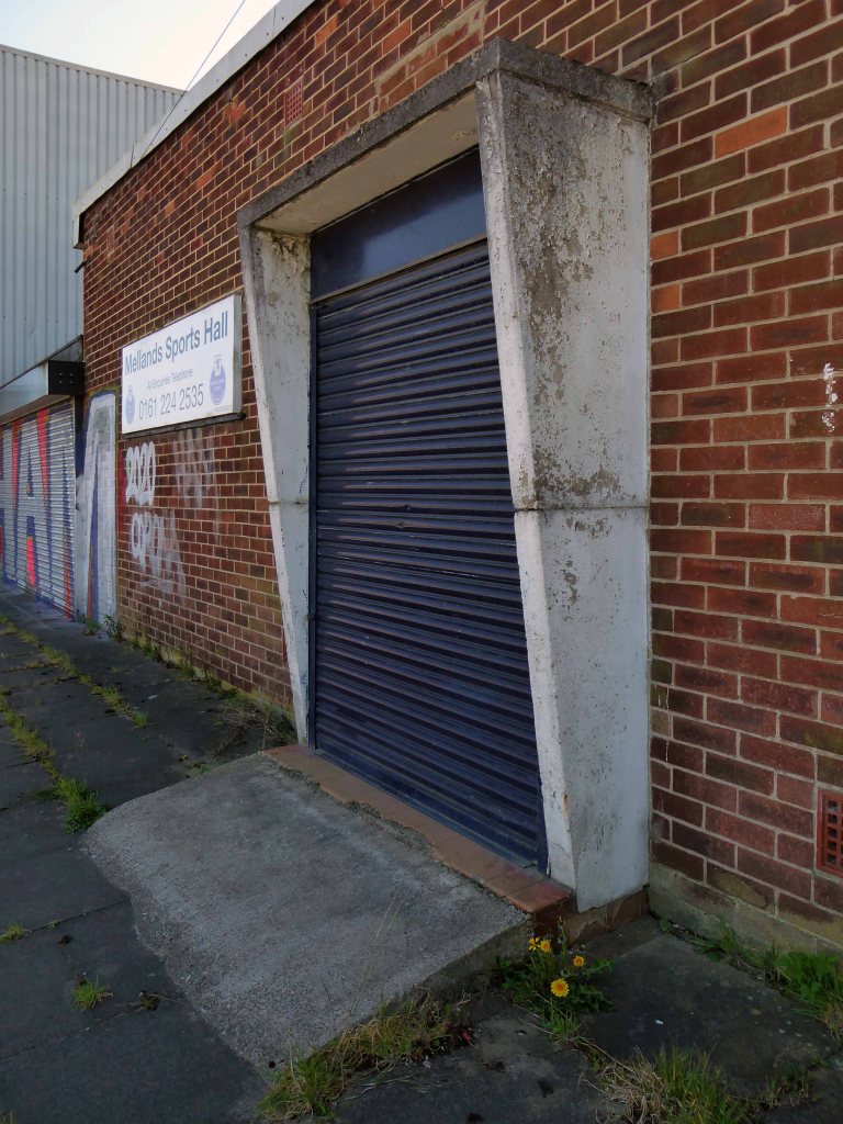
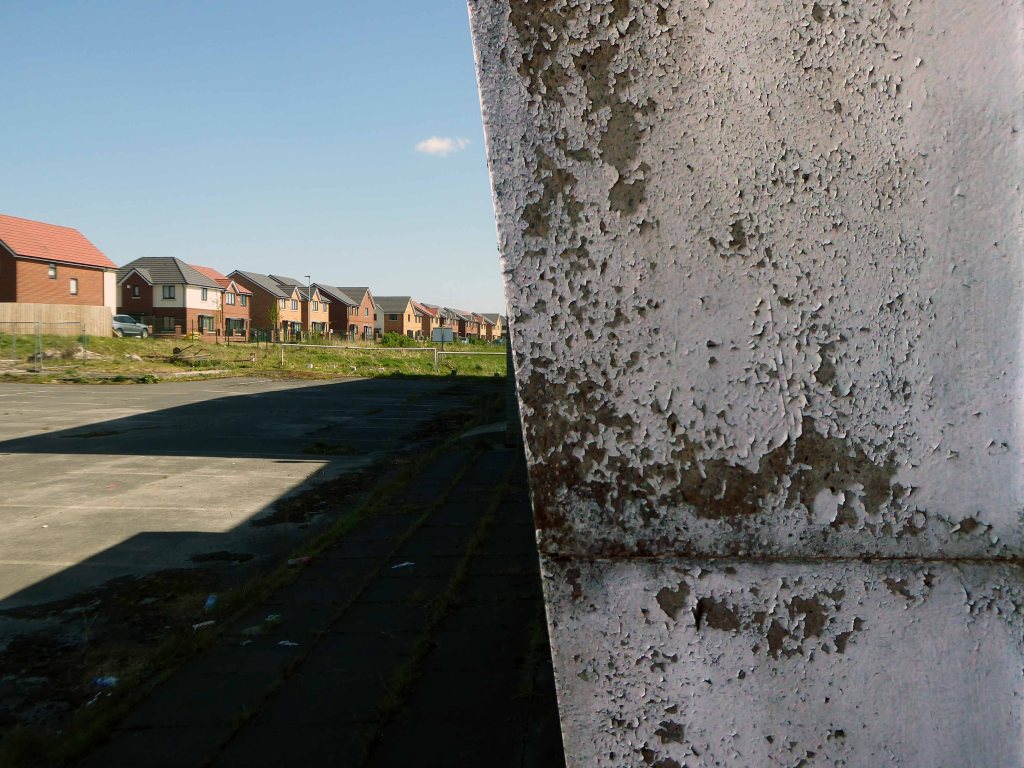
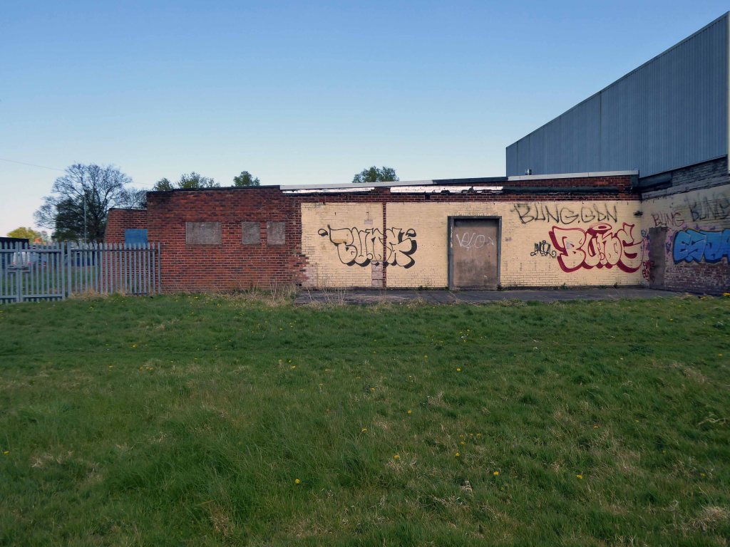
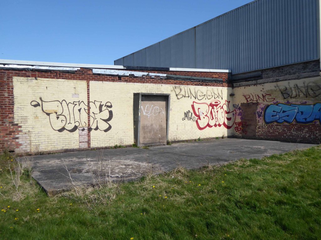
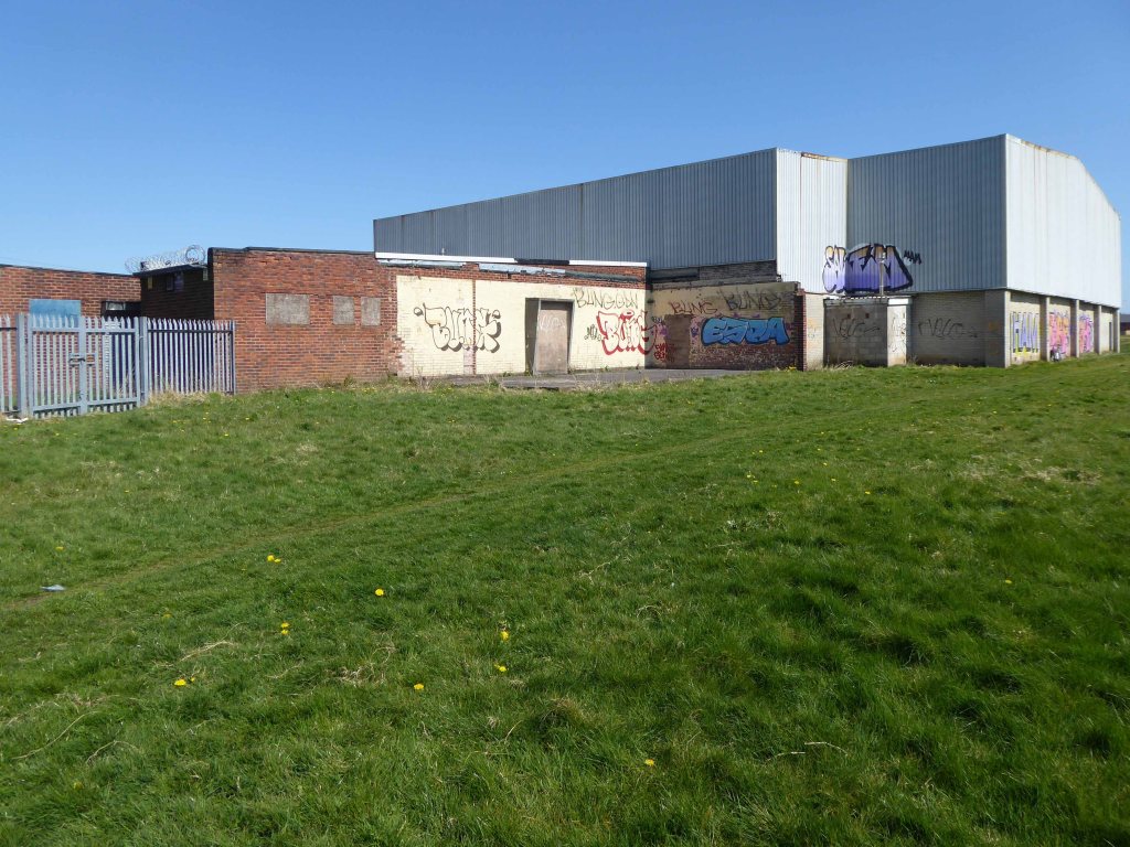
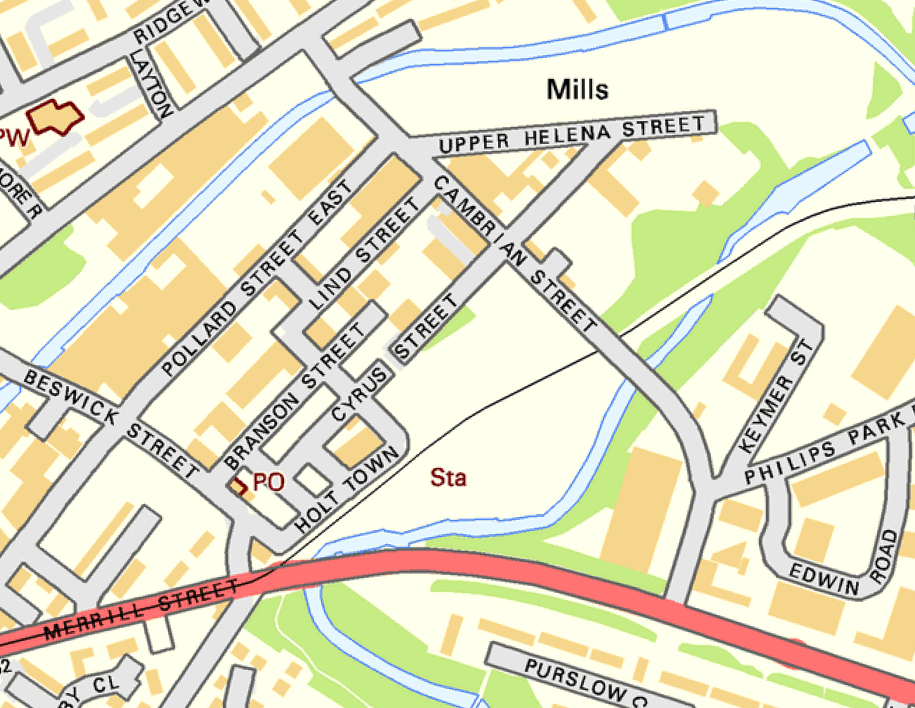
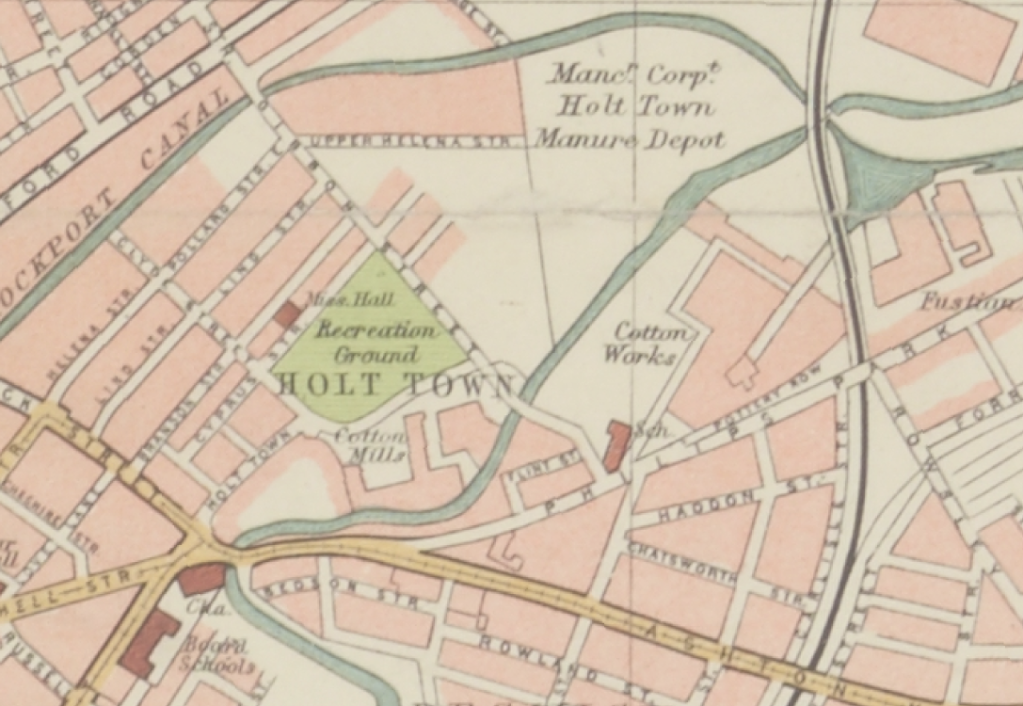
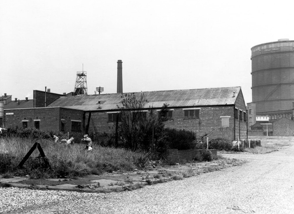
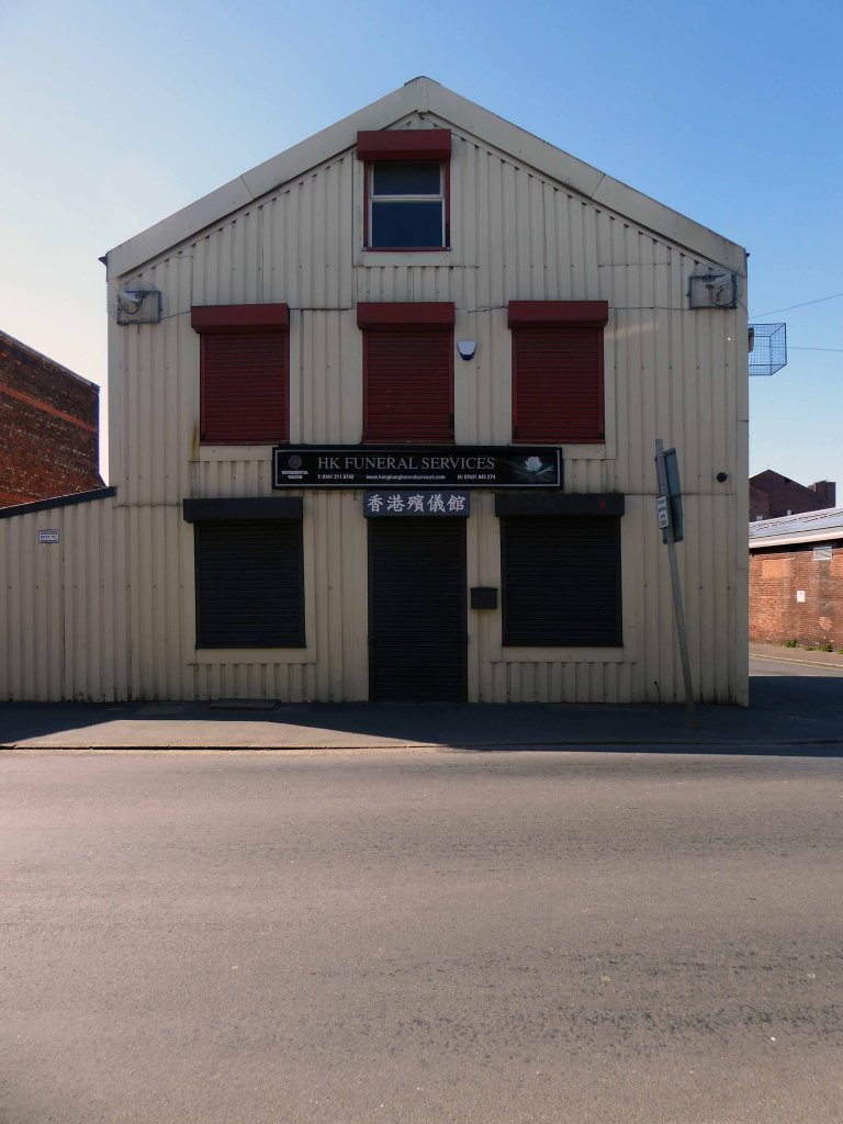
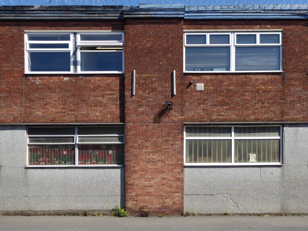
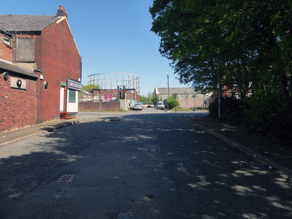
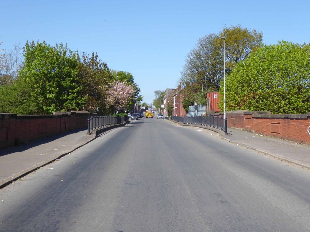
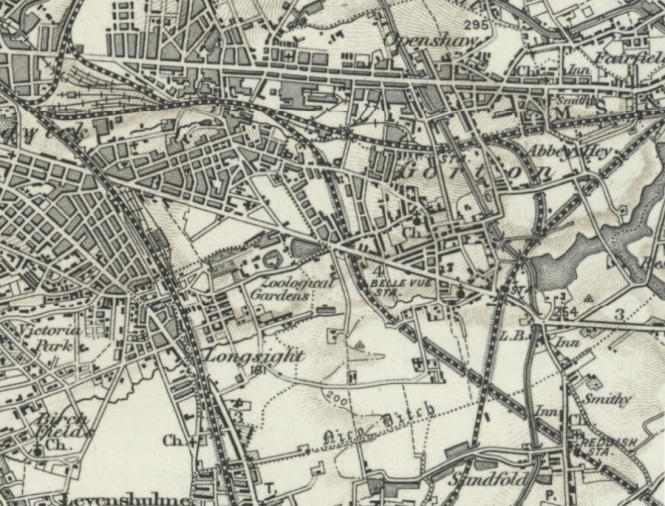
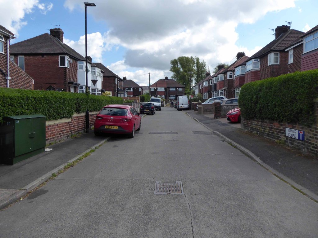
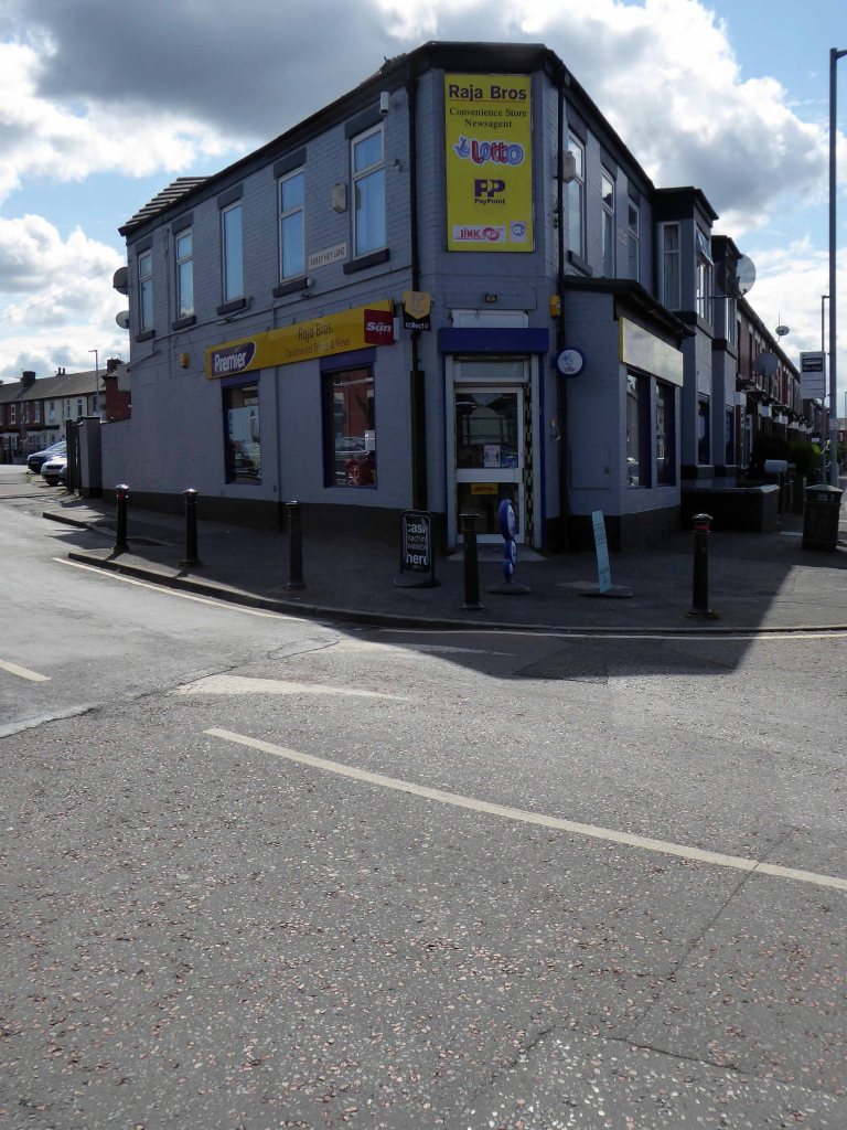
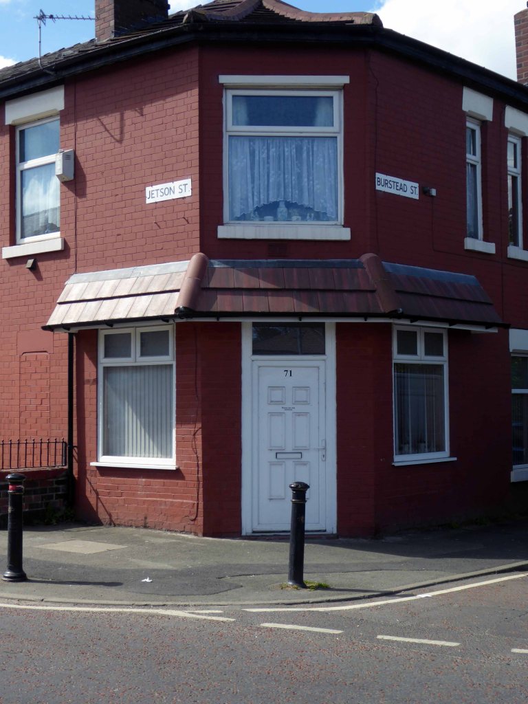
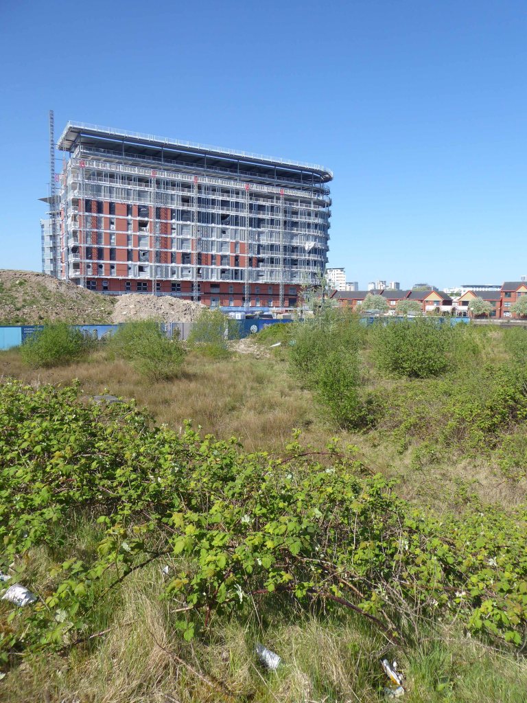
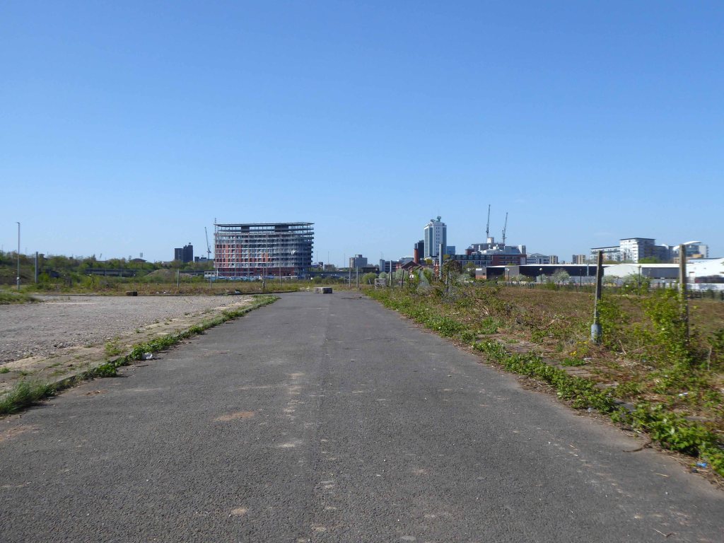
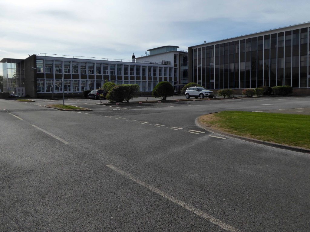
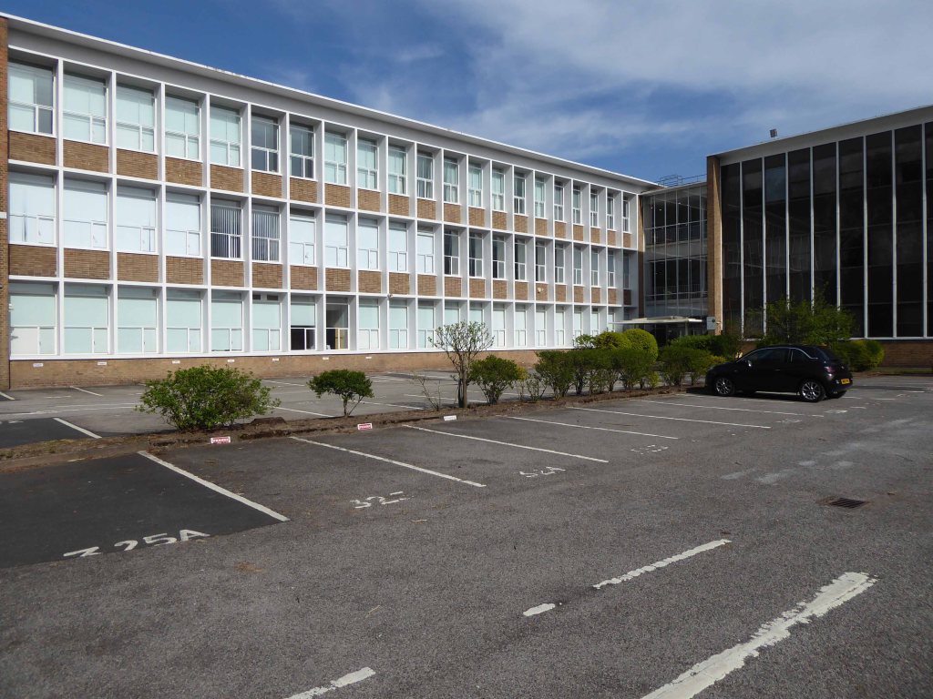
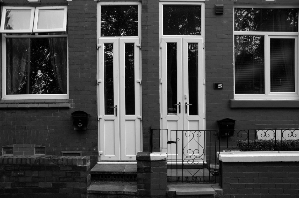
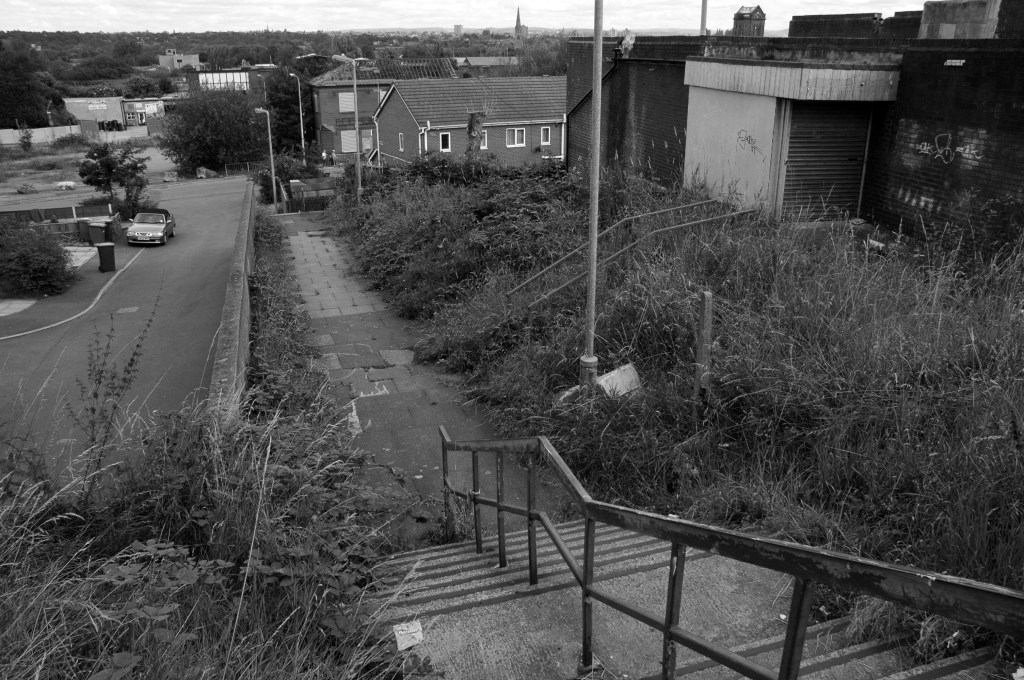
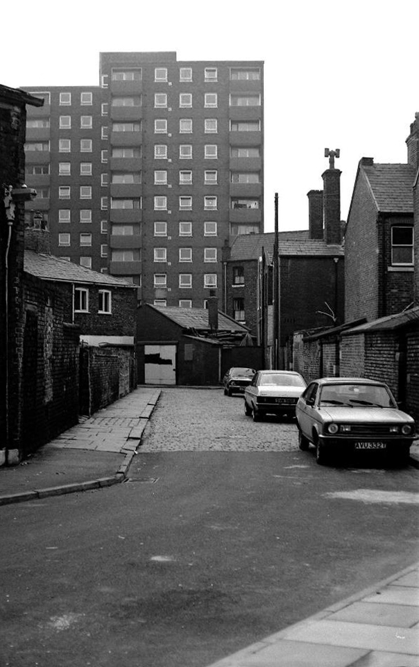
The West End was transformed in the 60’s, through slum clearance, the subsequent building of high rise and the introduction of light industry.

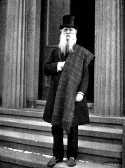
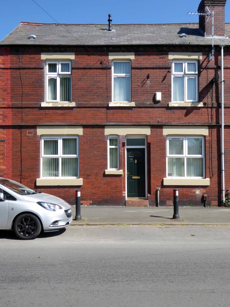
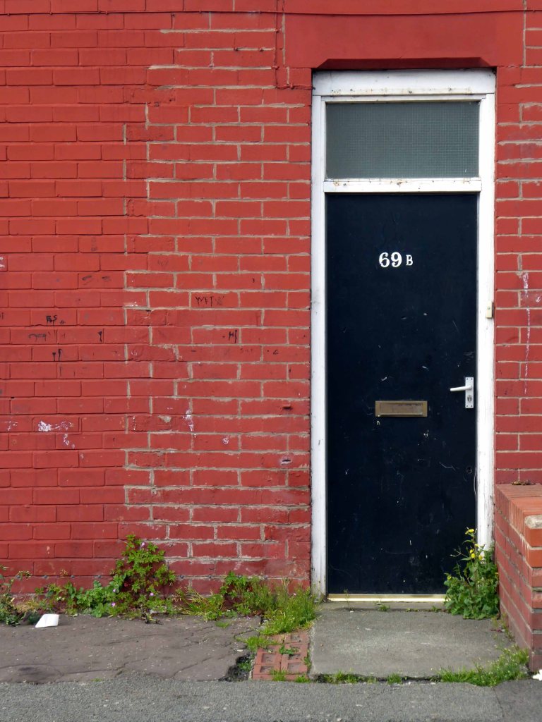
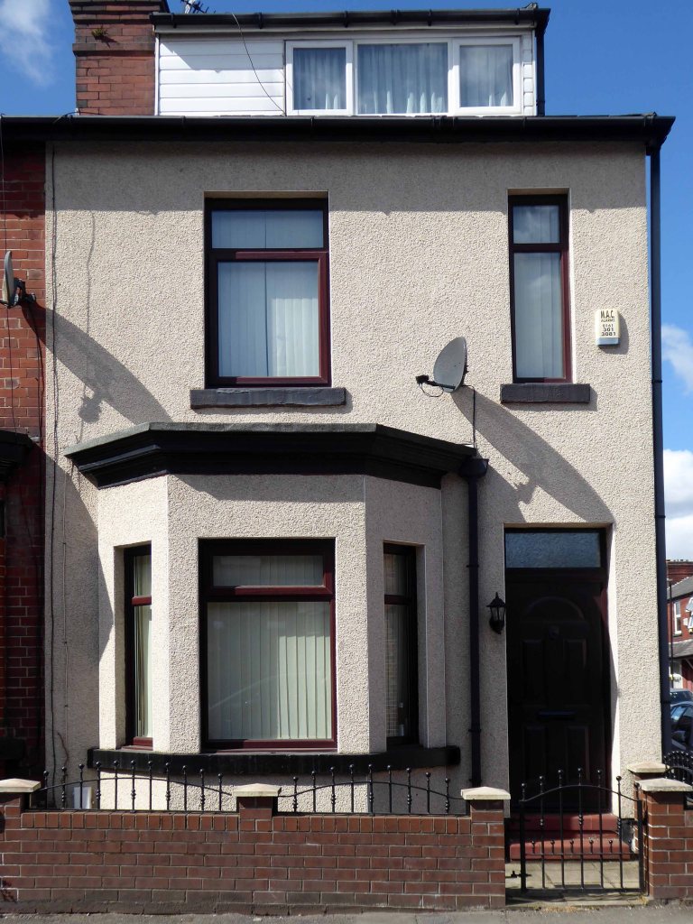
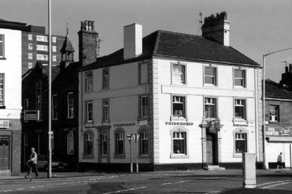
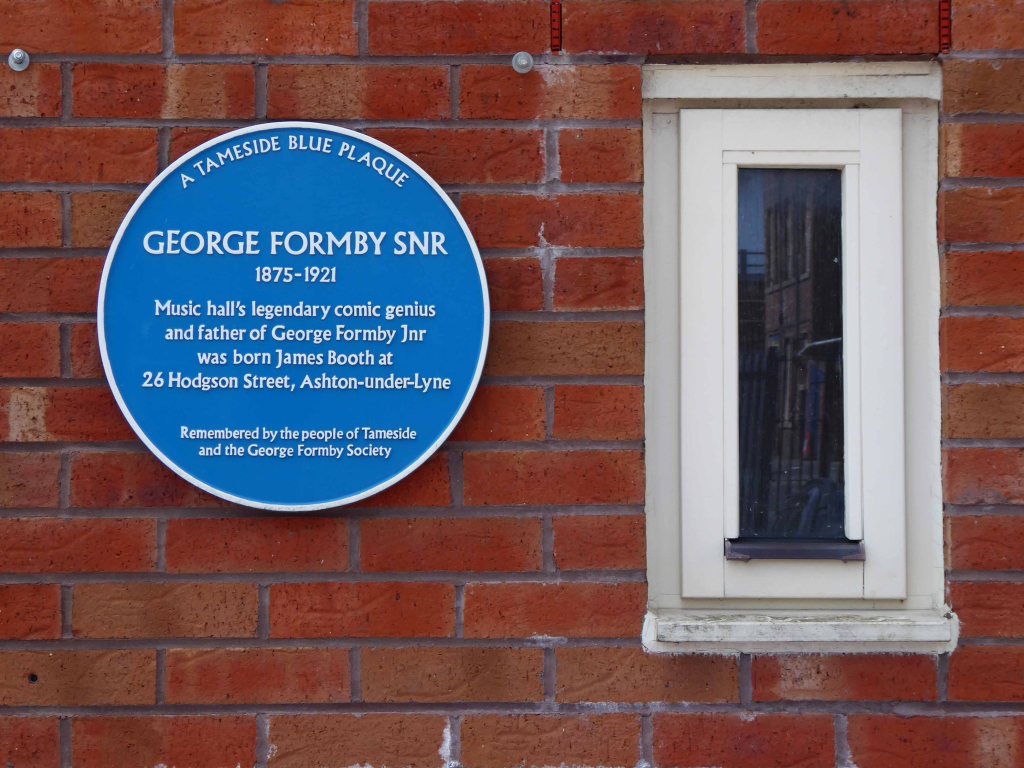
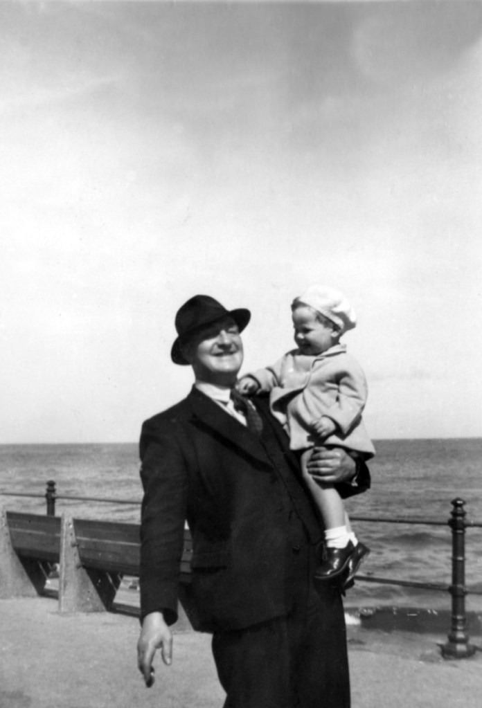
My Grandfather Samuel Jones lived in the area – at one time next door to George Formby Senior.

Later moving to nearby Hill Street.

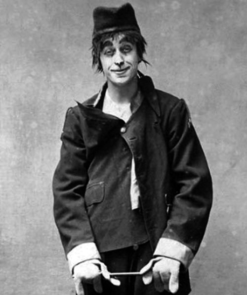
There’s a plaque for George – there isn’t one for Sam.

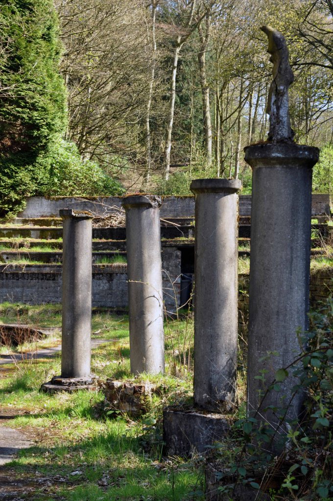
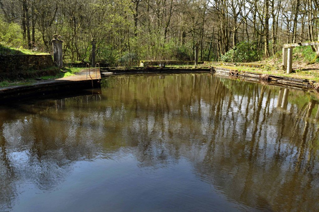
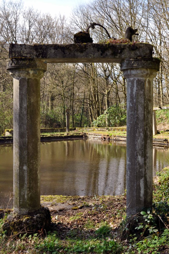
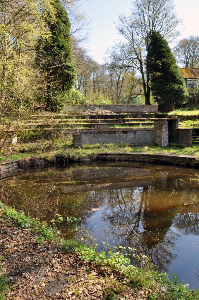
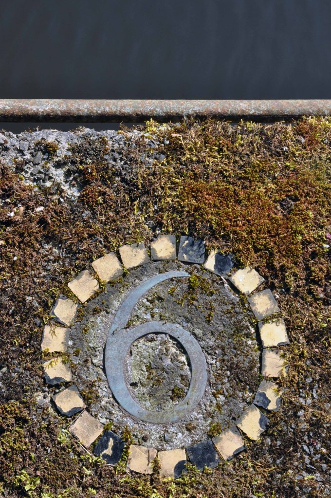
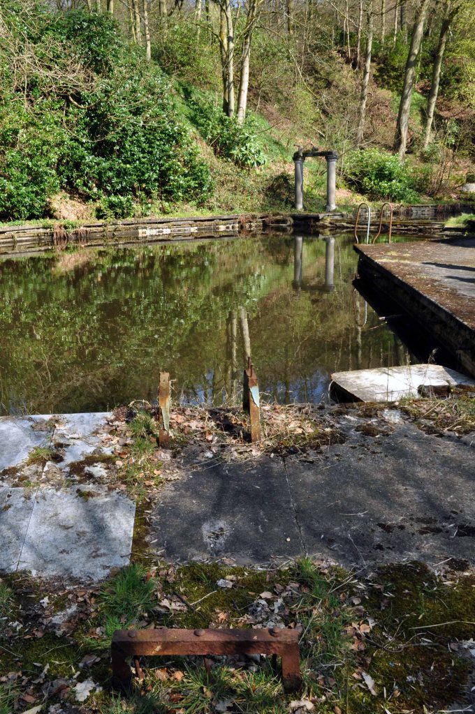
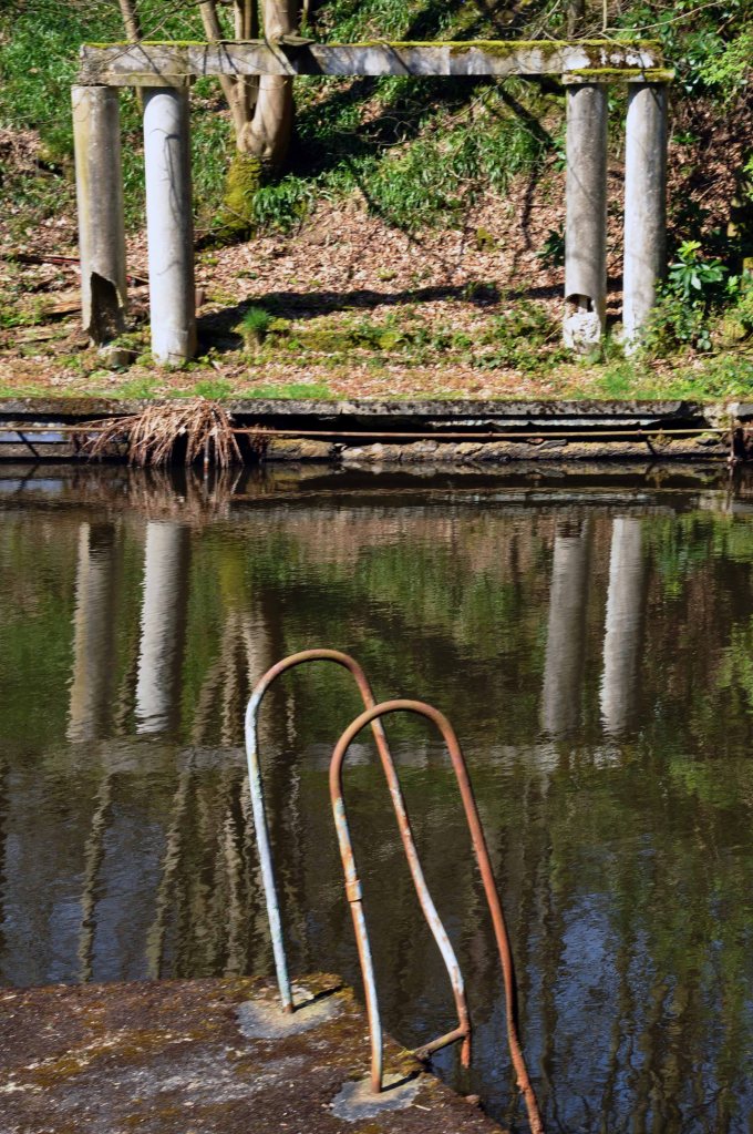
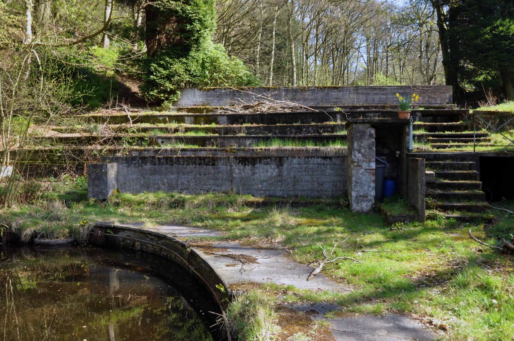
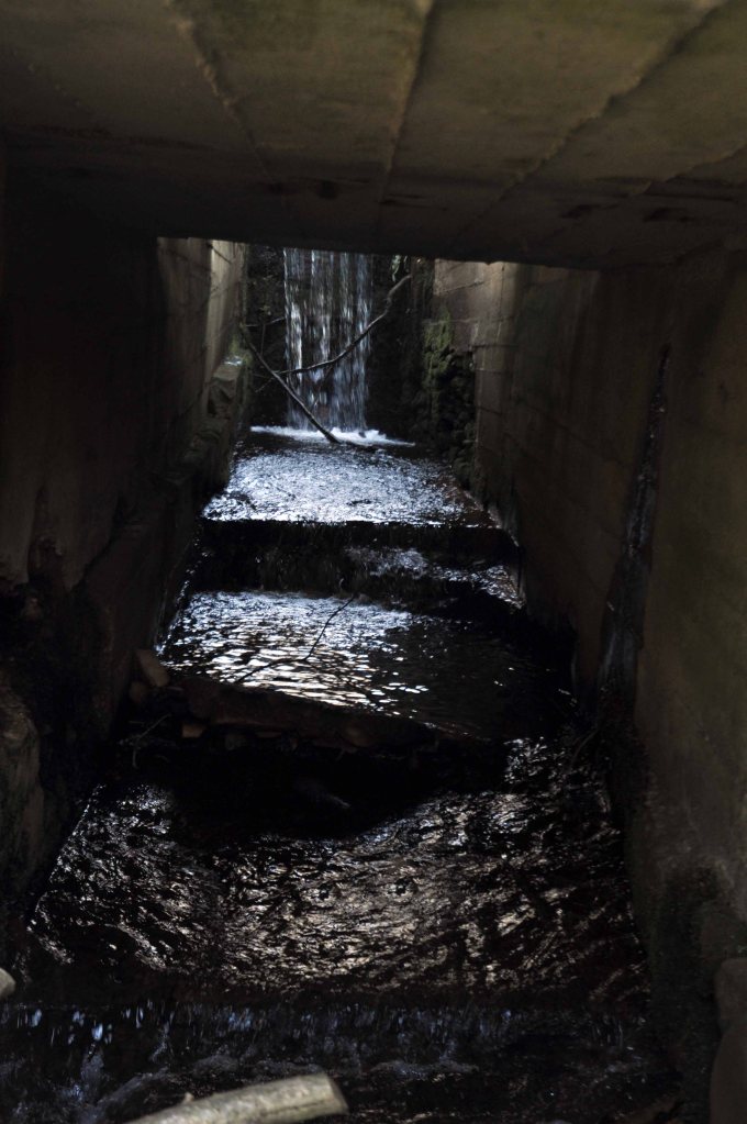
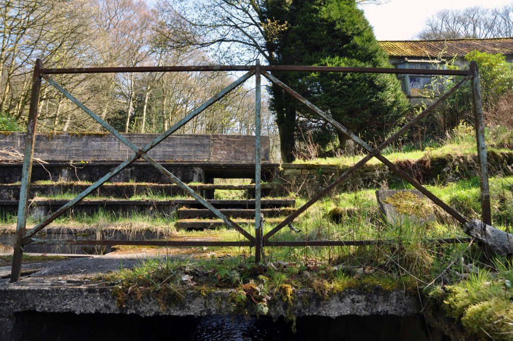
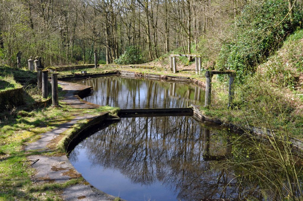
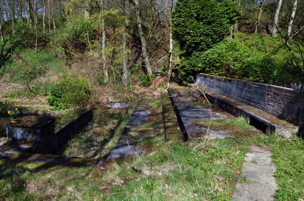
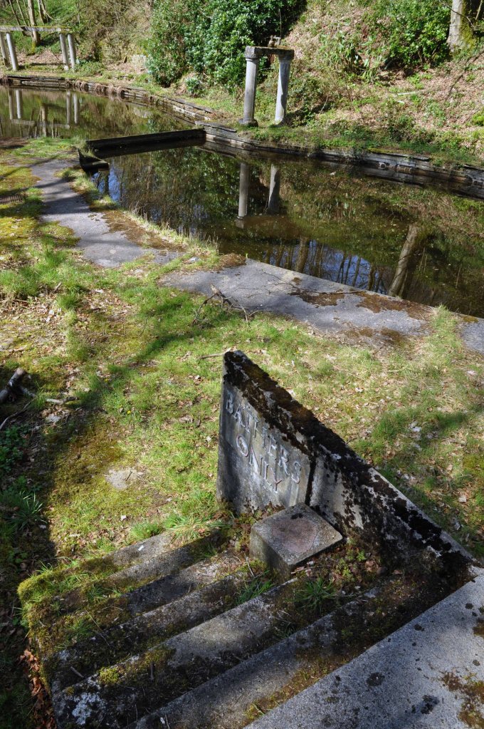
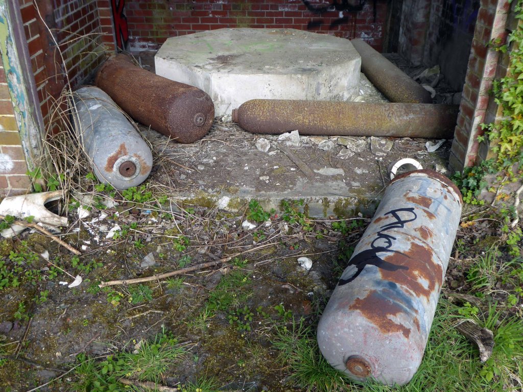
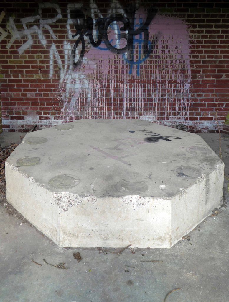
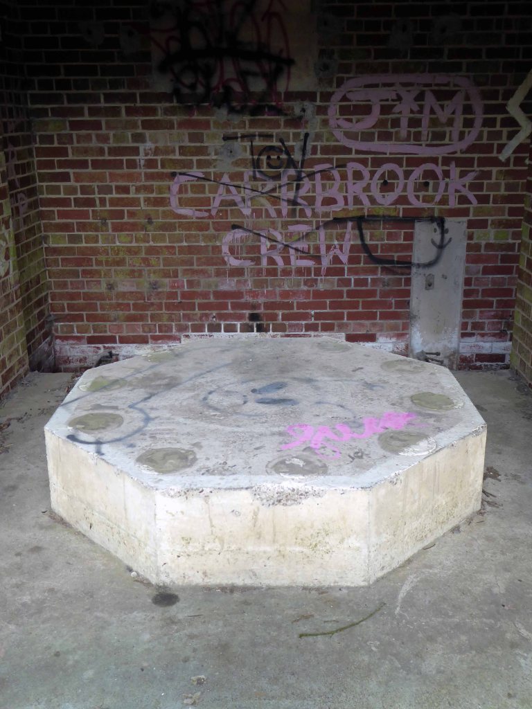
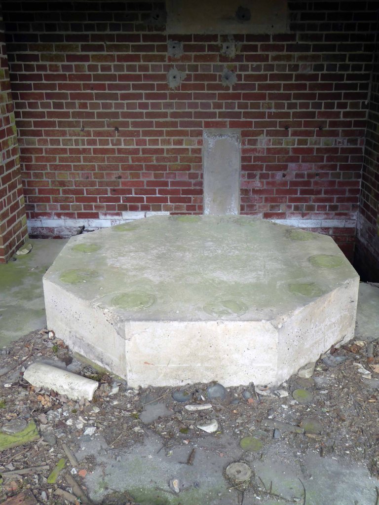
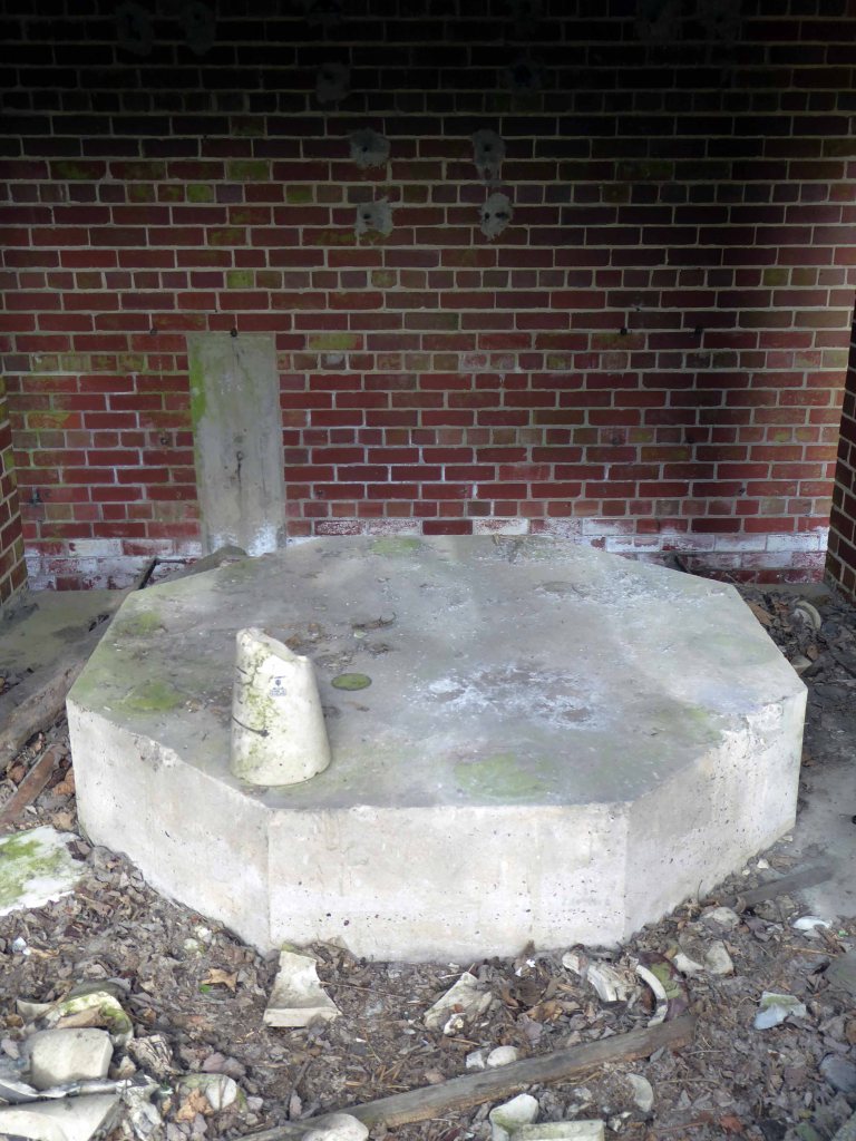
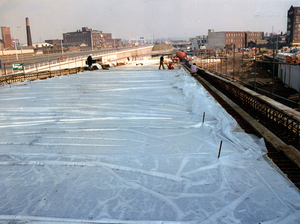
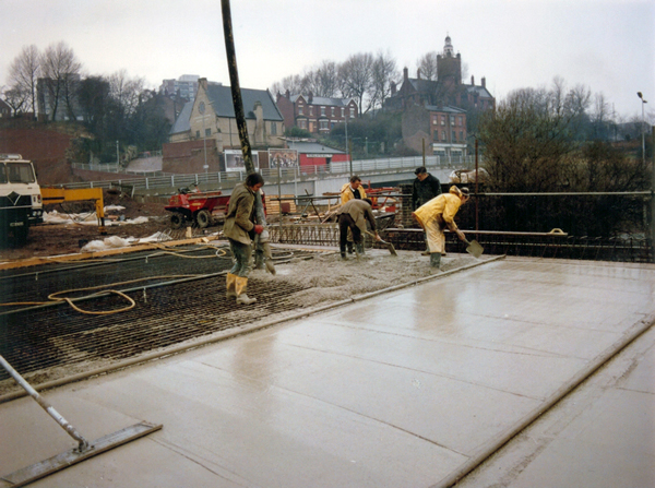
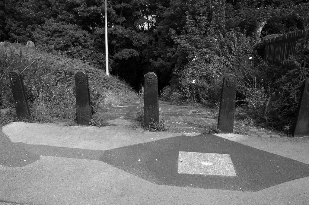
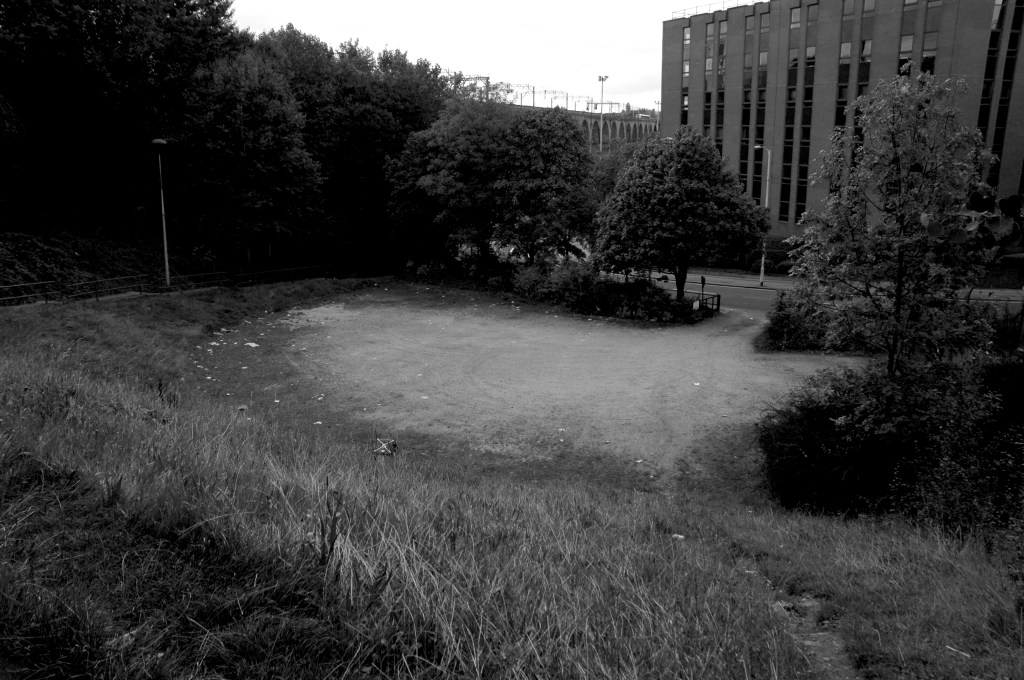
During the Great Depression men were required to work for the Dole – Sam was required to dig out a sunken garden in the park – he was a collier by trade, a good man with a shovel, built for back breaking work on Ashton Moss.

David Vaughan

Sam in Blackpool 1954

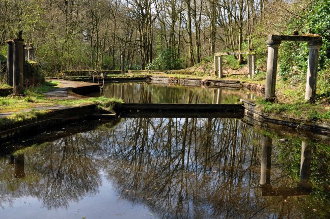
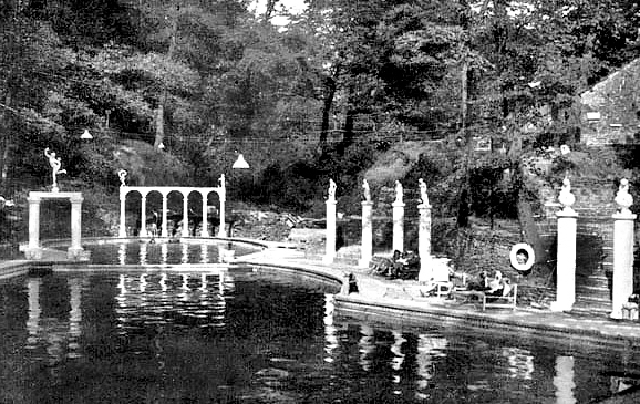
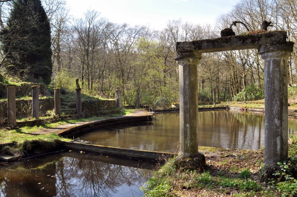
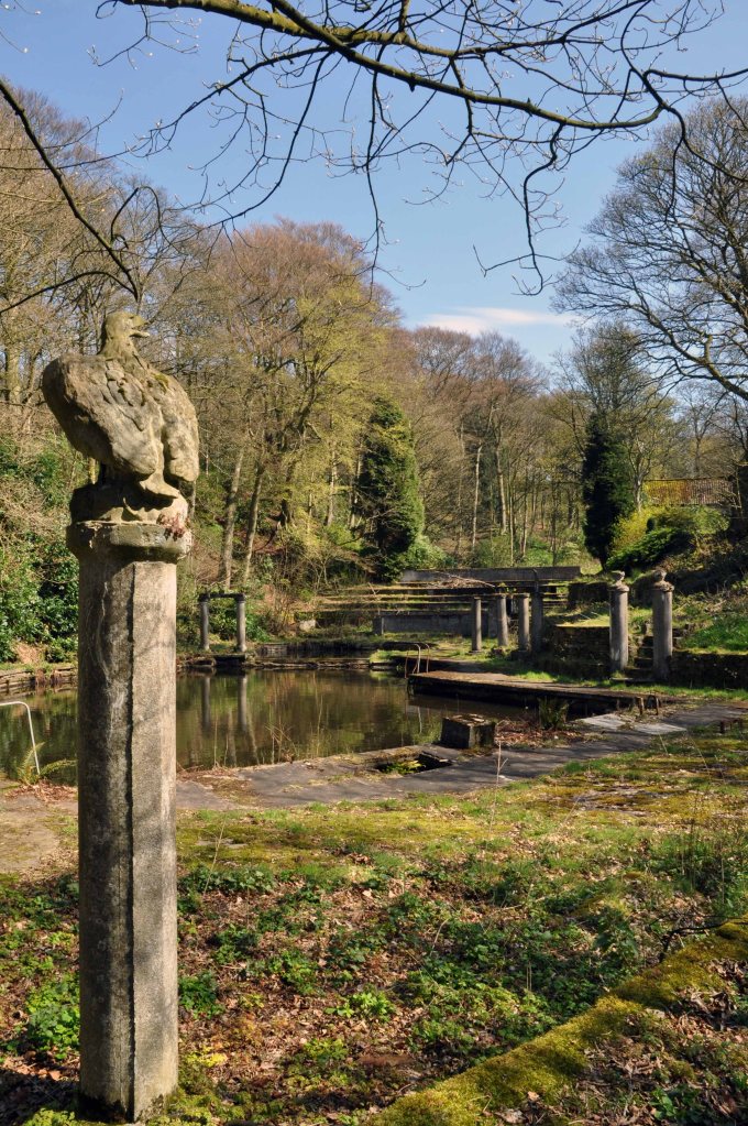
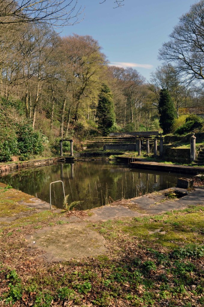
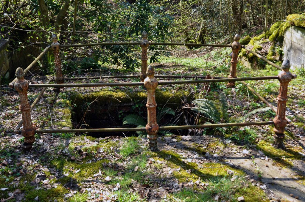
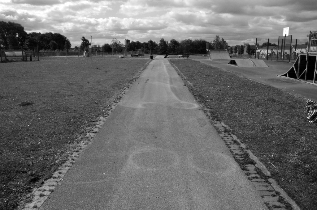
This is the sunken garden in the 1960s

Thirty yards wide, forty yards long and three yards deep, shifted by hand.

Three thousand six hundred cubic yards of earth.

One cubic yard of topsoil weighs about two thousand pounds on average.

Seven million two hundred thousand pounds of earth.

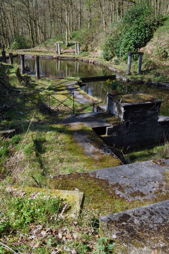
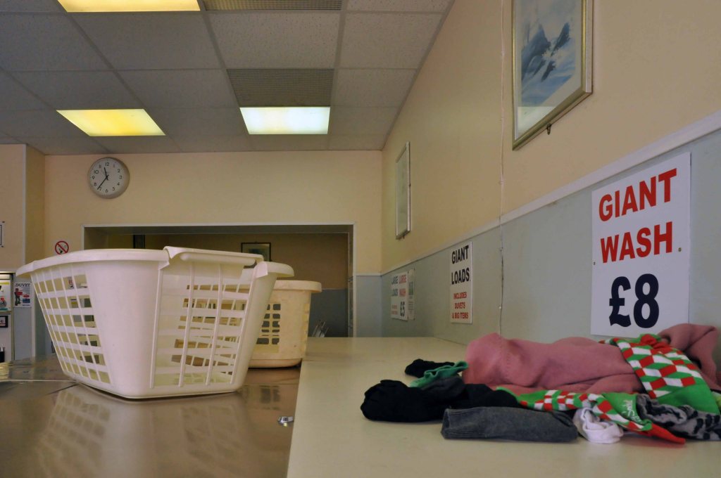
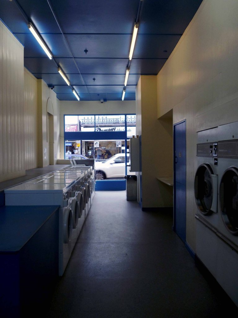
I worked there in the 1970s along with Alec and Danny bedding out the sunken garden, maintaining the bowling green, tennis courts and playground.

Keith Ingham

There were two permanent gardeners in the park, and a keeper in the summer – plus Danny Byrne and me brought in to help at busy times.

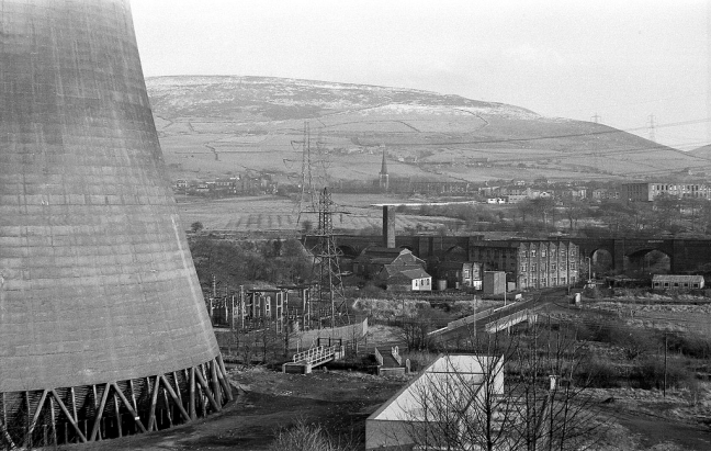
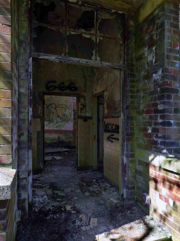
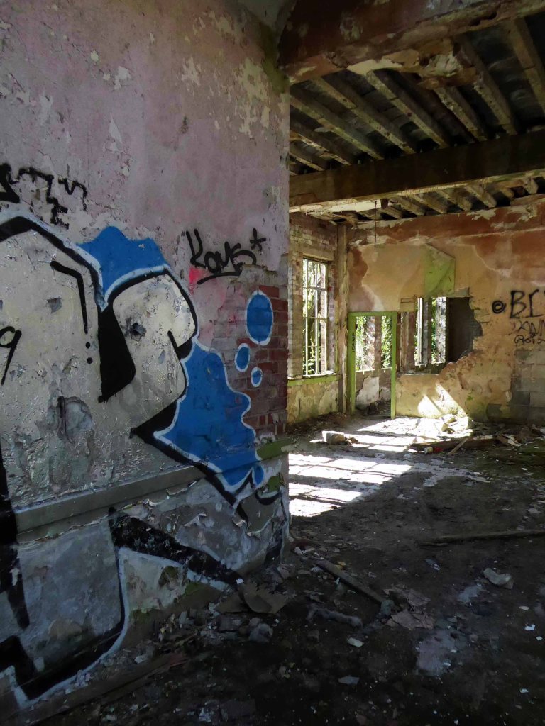
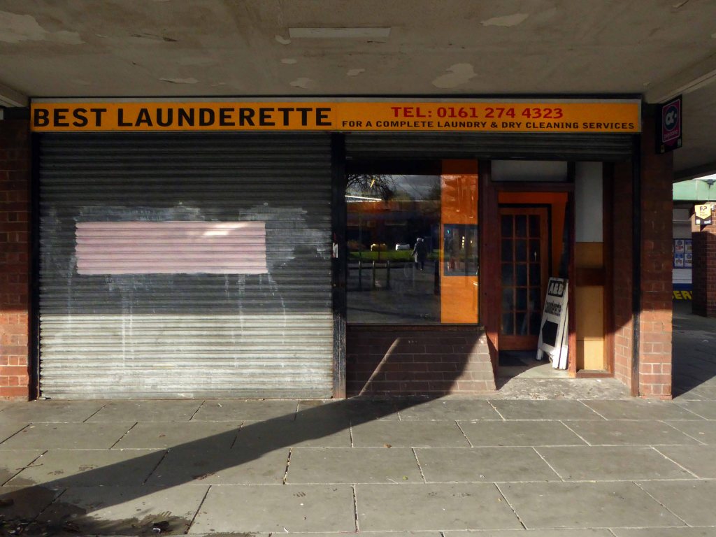
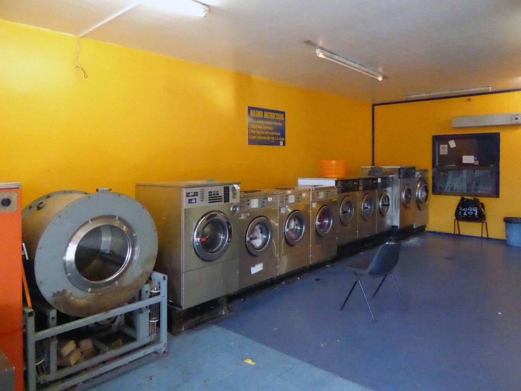
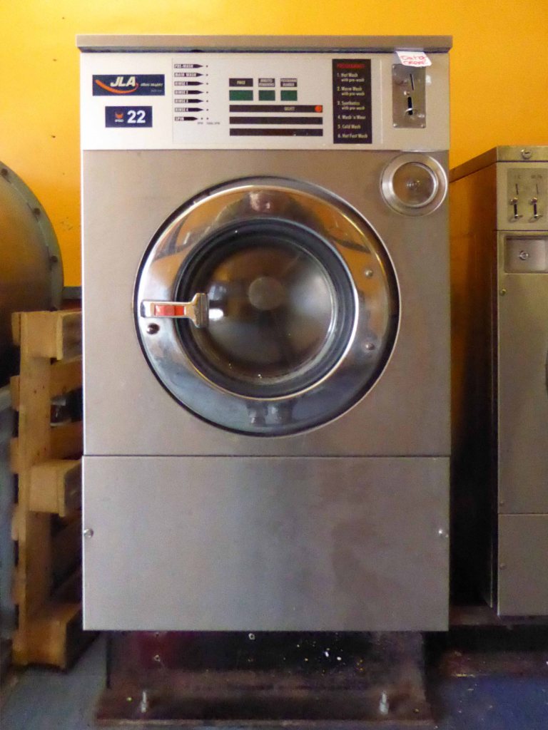
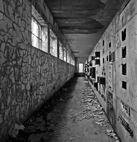
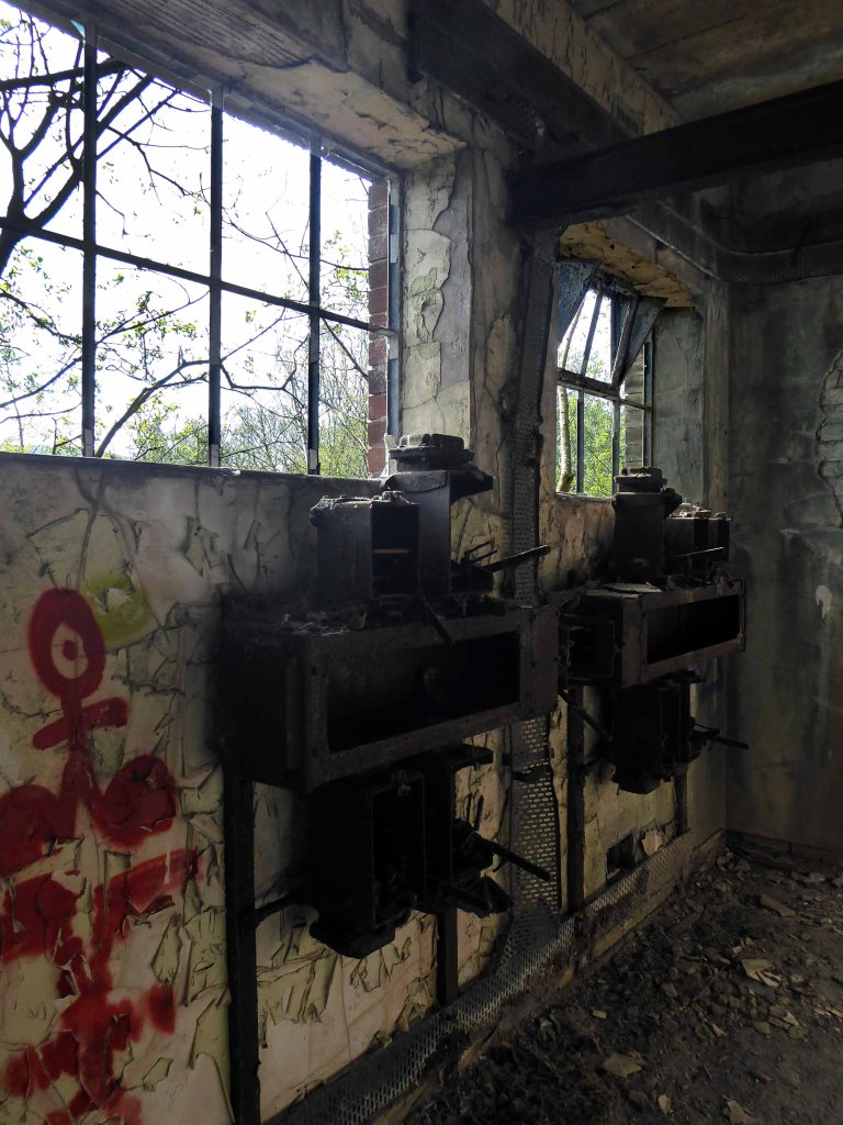
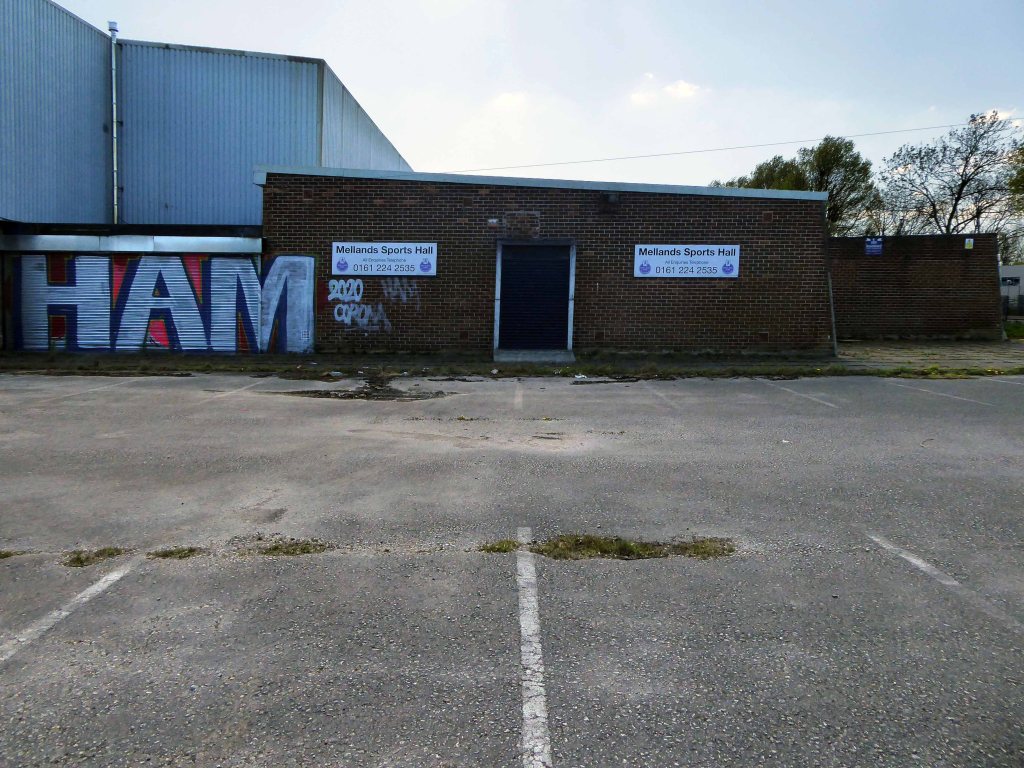
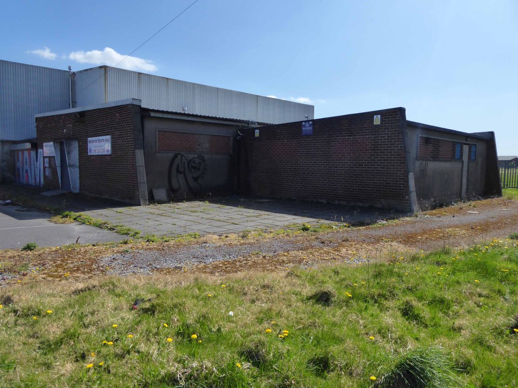
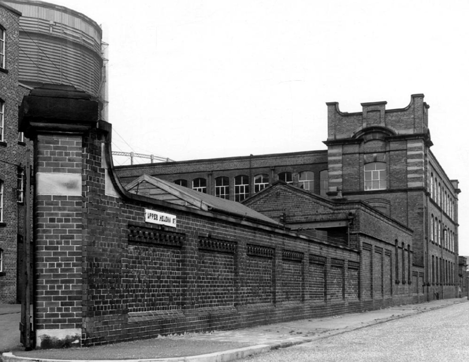
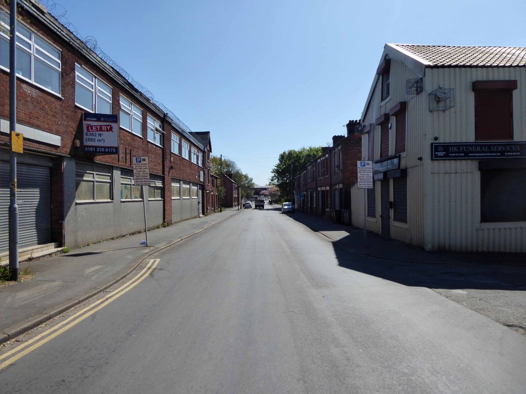
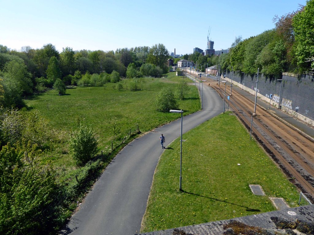
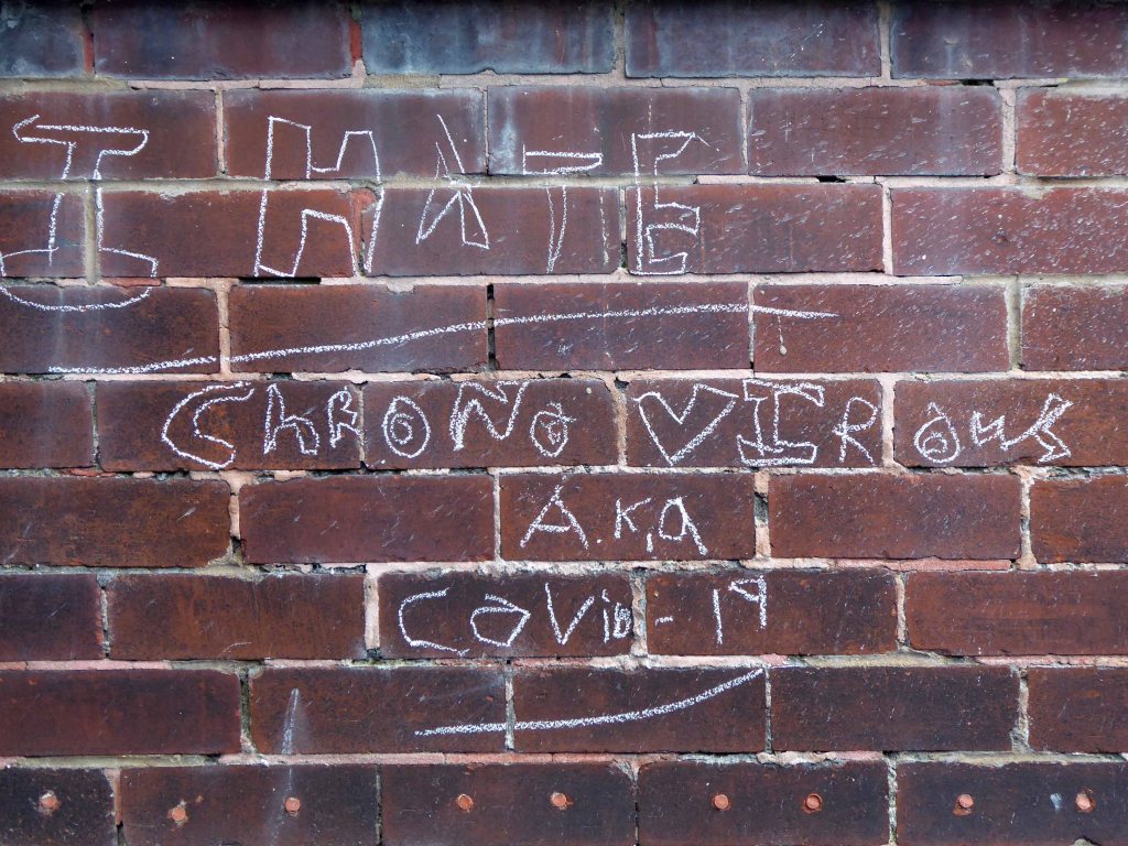
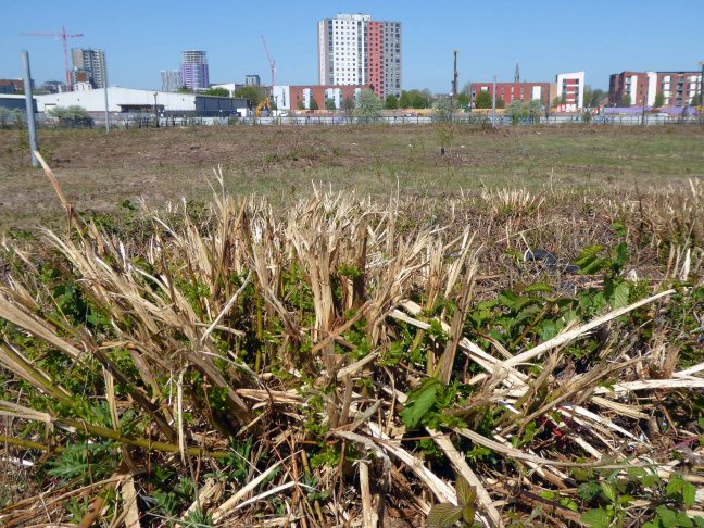
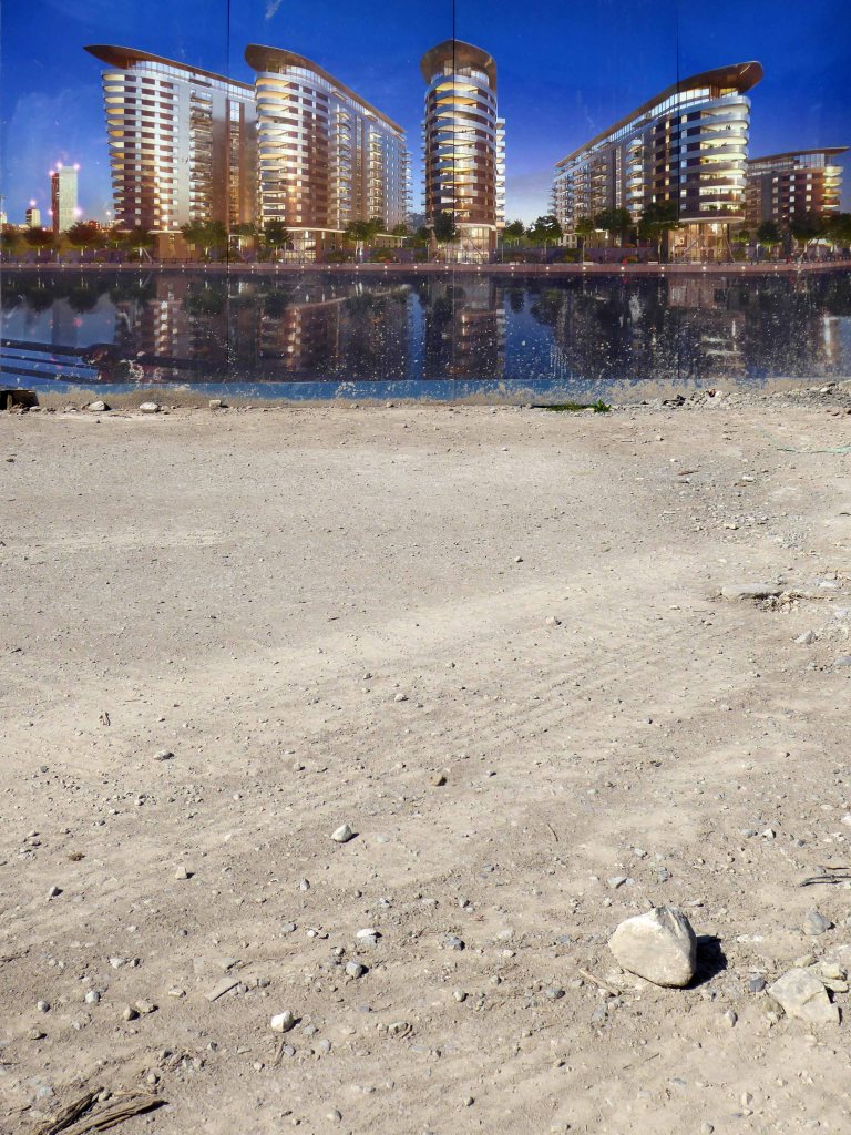
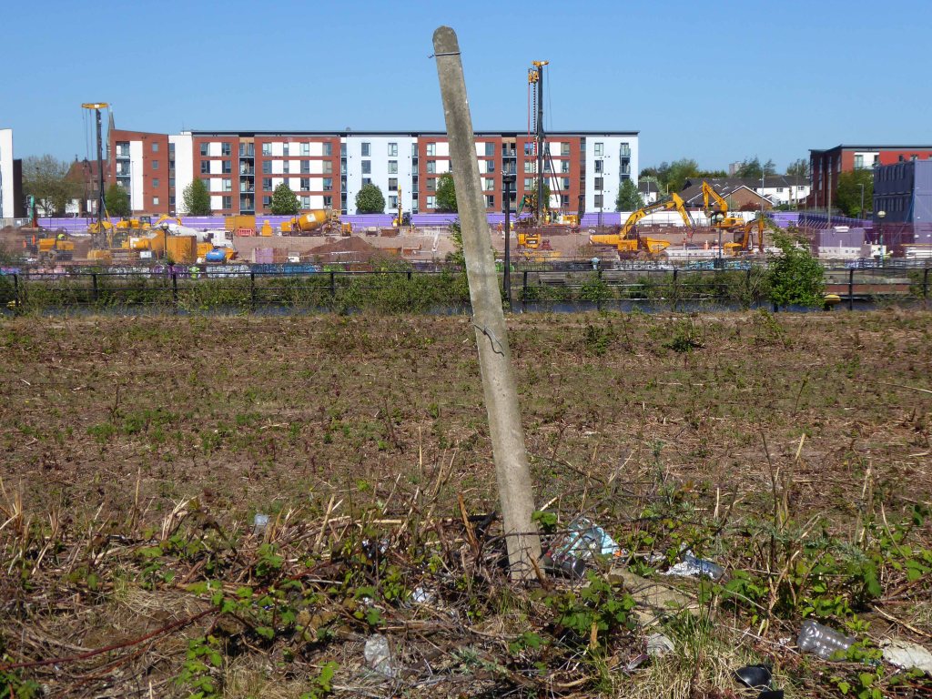
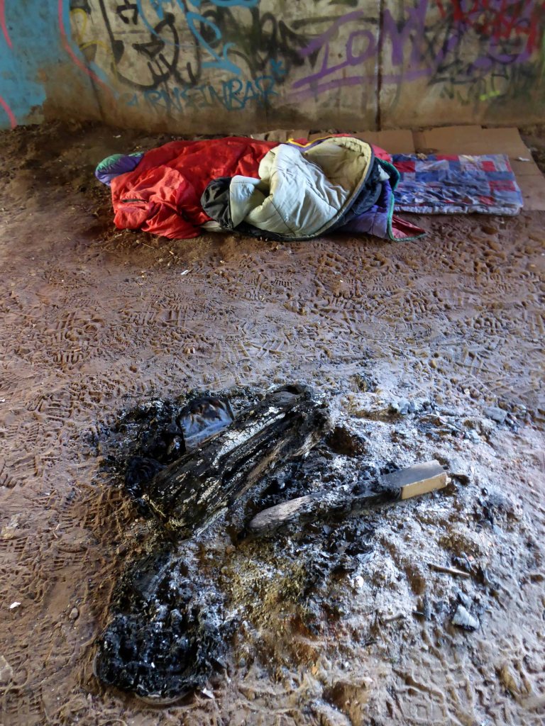
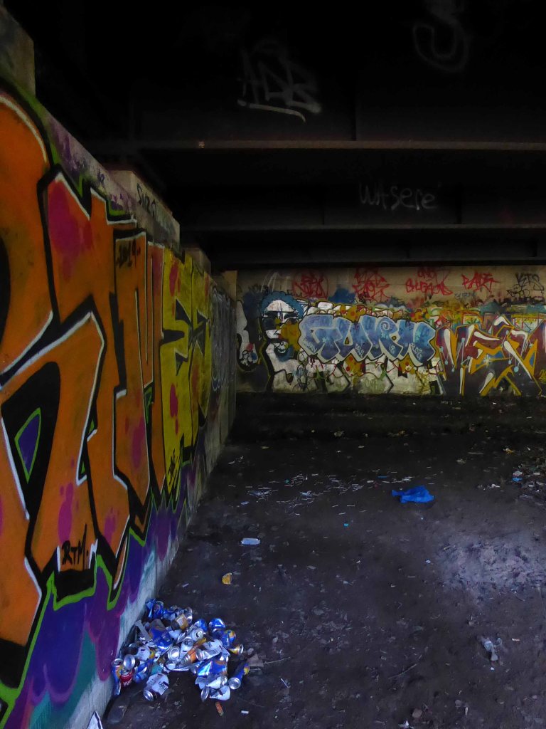
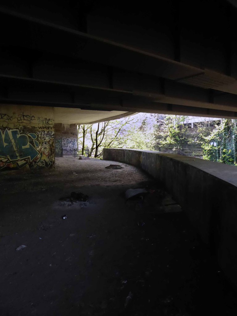
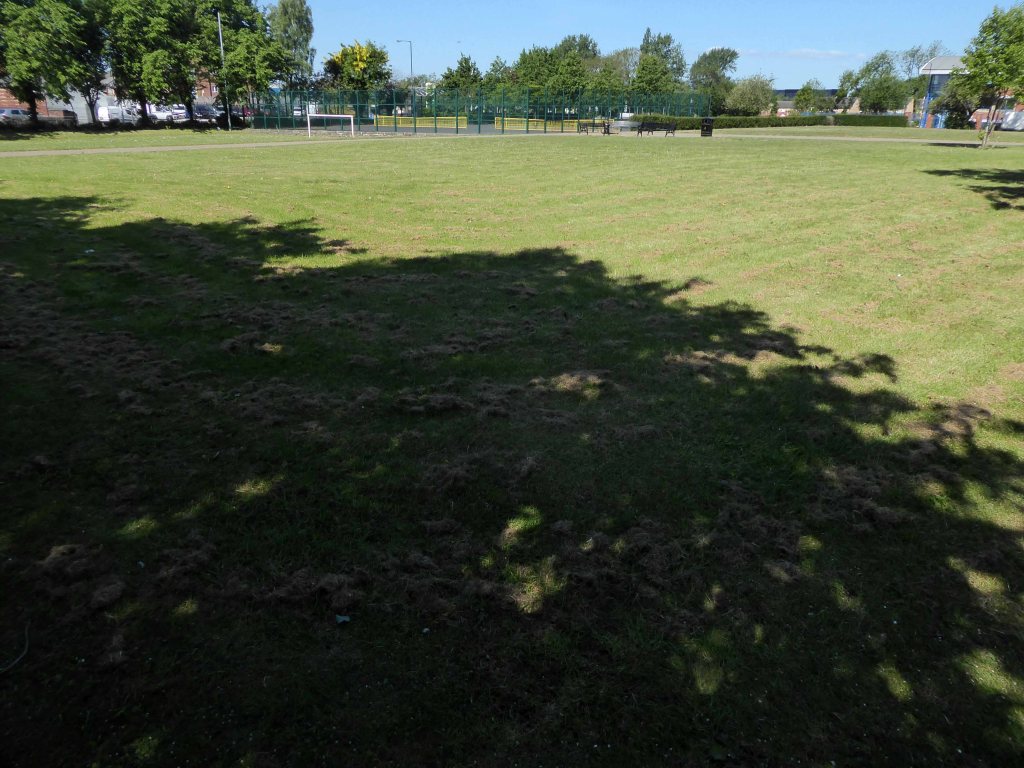
Throughout the 70s and onwards, economic decline hit the area hard, the closure of the cotton mills and little hope for the future. Rising unemployment and severe cuts to public spending did little to assure a rosy future for West End Park, or anything or anyone else for that matter.

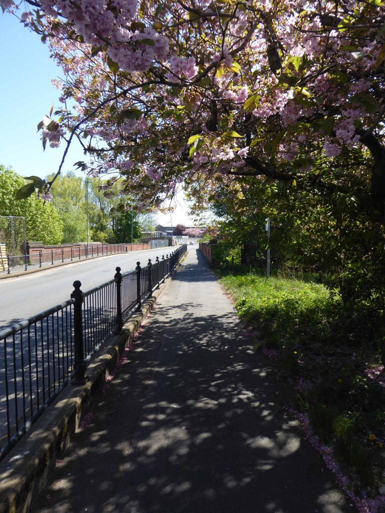
Help was at hand – one of many public projects funded by our old friends the EU. Changes in the way that parks were used and further spending cuts sounded the death knell for the flowers and bowling. Large open grassed areas were cheaper and easier to maintain.

And so the sunken garden was filled in, this time by mechanical means – all in a days work for a bloke with a JCB.

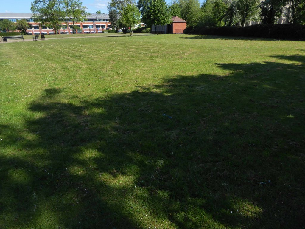
So I sit and reflect on the labour and conditions that created this and many of our public parks, our legacy is a much impoverished version of the original vision.

I think of my grandad Sam and his comrades, the sweat of their collective brows buried forever.

Our legacy the small state, a bring and buy your own world economy.

It would make you weep.

Hartshead Power Station – Offices

We have of course been here before, to see a concrete bus shelter and a derelict control room.

All that is solid melts into air as Marx and Marshall Berman told us.

Though remnants remain – this is a short journey through a hole in fence, down into the warren of power station offices past.

They have been stripped of their former use and meaning, transformed into a transitory art performance space, paint and plaster now peeling, appealing to the passing painter, partially reclaimed by nature.

Let’s tag along:

Park Hall Manor Pool – Little Hayfield

First there was a house.

A Grade II listed country house, now divided into two dwellings. c1812. Ashlar gritstone. Hipped slate roof with leaded ridges. Various ashlar triple stacks with moulded tops. Moulded cornice and low parapet. Two storeys, central block with recessed long wing to east, orangery to west.

Historic England

Currently trading as a quick getaway country cottage

This Grade II listed manor house is set within 14 acres of natural grounds, together with the occupied adjoining servants’ wing, and has been sympathetically converted, retaining many original features to provide comfortable accommodation for families wishing to meet up for that special family occasion, and wi-fi is available in the living room. 

Then came a pool:

Previously a private pool belonging to a country club in the 1930’s it later opened to members around 1938 who paid a small fee for its use. The pool is fed by a mountain stream and the water is reported to remain cool throughout the year. In the 1940’s/50’s locals recall the pool being open to the public where it cost a ‘shilling for children and half a crown for adults’ entry. During storms in 1947 the pool was badly damaged and reportedly ‘never the same again’ but postcards in circulation in the 1960’s provide evidence that the pool remained open at least until then.

Now it sits abandoned and hidden in the woods.

I went there in my early teens late 60’s the pool was still intact, well used and well cold. I remember chilly changing rooms with duckboards on concrete floors, a small café with pop and crisp if you had the pennies.

Most of all the simple joy of emersion in clear moorland water, on long hot summer days long gone.

Revisiting in April 2014, following a misguided scramble through brambles, it was a poignant reunion. The concrete shells of the pillars and statuary crumbling and moss covered, the waters still and occluded.

It sure it has subsequently been the scene of impromptu fashion shoots and pop promo videos, possibly a little guerrilla swimming. Though sadly it largely sits unused and unloved – let’s take a look around:

St Christopher RC – Ashton under Lyne

Lees Road Ashton-under-Lyne OL6 8BA

Architect: Francis A. Kerr 1955

A post-war design consisting of an upper church over a lower hall, the prominent campanile making it something of a local landmark. The portal frame construction, materials and design are standard for the time. The interior has been reordered but retains some original furnishings. 

A new post-war parish was created to serve the growing residential area in Hurst Cross, previously served from St Anne’s, Ashton. Fr Kelly built the new church, whose foundation stone was blessed by Bishop Marshall on 5 June 1954.  The first Mass was held on Easter Monday, 1955. 

The church is conventionally orientated with the sanctuary to the east. Less conventionally, it is a two-storey building, with a ground floor parish hall and a first floor church. The church is reached from Lees Road by a reinforced concrete bridge and steps. A brick campanile marks the southwest corner. The structure of the portal-framed building is expressed externally by raking brick buttresses to side elevations.  The west gable end is faced in aggregate panels with a concrete relief depicting St Christopher over a plain three-bay flat-roofed portico.  The aisles are faced in ceramic tiled panels to the upper level with render to the parish hall level. The nave is lit by three-light clerestory windows with smaller windows to the aisles. The shallow-pitched roof is laid with mineral felt.  A two-storey block containing a large sacristy connects to the contemporary presbytery.

Inside, the six-bay upper church has a plain west gallery above a narthex with glazed screen. The aisles have arcades of square brick piers and plain plastered walls. The clerestory windows are leaded with coloured glass margins. The ceiling is lined with acoustic panels and the concrete floor is laid with carpet or linoleum tiles. The reordered sanctuary retains the original polished concrete altar in a forward position; the 1950s altar rails and pulpit have been removed. The east wall is now hung with wallpaper, but was originally fair-faced brick; the Crucifix and painted timber high altar canopy are part of the original arrangement.  The side chapels also retain original 1950s polished concrete altars. The octagonal font with oak cover dates from the late nineteenth or early twentieth century, of unknown provenance. The hardwood pews were designed for the church.

Taking Stock

I have known this church for some fifty years – living just up the road.

It was probably along with St Mary’s Denton my first experiences of Modern Architecture.

I went to the youth club in the social area beneath the church.

St Mary

It is typical of the Italianate styling of the time, a functional mix of glass brick and concrete, far from ostentatious – and sitting comfortably in its setting.

On the day of my visit the country is in lockdown, Mass suspended and the body of the church used as a homeless shelter, prior to rehousing – signs of the times.

Beanland House No 2 – Ashton under Lyne

Gambrel Bank Road Ashton under Lyne

I have been here before in 2015 en passant, snapped the homes chatted to a resident and off, she had informed me that they had been post-war experimental concrete homes.

I thought no more about it – but subsequently I did, returning to the road to take another look.

Here’s one I didn’t make earlier.

There are four semi detached homes constructed from concrete, rendered painted and clad over the years, windows replaced, additions and amendments made.

Though the basic design characteristics have been retained.

There are no local archival images or histories, I assume that they were post-war, an addition to the inter-war Smallshaw council estate.

In an area which in 1848 was given over to mining and agriculture.

I have subsequently learnt from an online contact Mr Sid Cat, that the homes are Beanland No 2.

They are listed on the BISF site – 102 were built.

More than this I cannot say – further searches for Beanland proving largely fruitless.

In addition there are also several semi detached houses of identical shape and proportion faced in brick – why?

Suffice to say here we are now and here they all are.

Clayton Aniline CIBA Offices

Charles Dreyfus was a French emigrant chemist and entrepreneur, who founded the Clayton Aniline Company on 29 May 1876. The company obtained a lease on a parcel of land in Clayton, Manchester, sandwiched between the Manchester and Ashton Canal and Chatham Street – later known as Clipstone Street.

1904

At its peak in the 1970s, the site occupied over 57 acres and employed over 2,000 people. However, due to the gradual demise of the British textile industry, most textile production shifted to countries such as China and India with the textile dye industry following.

1960

In 2002, the company made 70 members of staff redundant and in 2004 the announcement was made that the site would be closing with the loss of over 300 jobs. A small number of staff were retained to assist in the decommissioning of the plant. The last workers left the site in 2007 and the remainder of the buildings were demolished shortly afterwards.

Wikipedia

Like much of the industry of east Manchester its tenure was relatively short – money was made and the owners departed, without wiping their dirty feet.

The site remained derelict until demolition, followed by extensive site cleansing – to remove the dangerous detritus of 200 years of hazardous chemical production.

It is now occupied by the Manchester City FC training academy.

Vincent Kompany had just completed his £6million move from Hamburg when he realised that Mark Hughes’ sales pitch about the direction the club was going was not entirely accurate.

They took me for a look around the training ground at Carrington – it wasn’t fit for purpose, it was a dump.

I remember there was a punch bag in the gym – and only one boxing glove. And even that had a big split in it!

Then in 2008 the corrupt boss Thai PM Thaksin Shinawatra is bought out by Sheik Mansour – the rest is history/mystery.

Mr Peter Swales makes no comment.

My interest lies in the company’s Ashton New Road offices – seen here in 1960.

Demolished and replaced by a distinctly Modernist block by 1964.

A flank was added on Bank Street along with a bank.

Archive photographs Manchester Local Image Collection

The office complex is still standing, now home to Manchester Police, I risked arrest and incarceration, in order to record the distinctive tile work, rectilinear grid and concrete facades.

Attracting several suspicious stares from the open glazed stairwells.

Let’s take a look.

Ravensbury Street – Droylsden Cooperative Society Store

On the corner of Ravensbury and Stockholm Street Clayton Manchester there stands a Cooperative Shop of 1908.

We have previously visited another fine example on Northmoor Road.

In 1902 the area is still set to open ground.

This Manchester Local Image Collection photograph of 1912 shows new terraced homes emerging to meet the housing needs of the world’s first industrial city.

Stockholm Street

Here is the street in 1965 the shop already shut.

The corner shop on Bank Street still trades.

The Stuart Street Power Station does not.

Changing patterns in shoppers habits sealed the fate of many local and corner shops, as larger supermarkets opened, increased mobility and car ownership became more common.

When I first visited the building was undergoing renovation work.

The beautiful terracotta tile work and corona obscured by scaffolding .

I returned last week to find the job almost done – converted to flats, in an area which has seen a great deal of improvement to the general housing stock, paving and street furniture.

A joy to see a fine building almost returned to its former glory, with a much needed social purpose, reviving the city’s western edge.

Mitzi Cunliffe – Owen’s Park #2

293 Wilmslow Rd Fallowfield Manchester M14 6HD

We have of course been here before visiting Mitzi Cunliffe and her work – Cosmos

Mitzi Solomon Cunliffe January 1st 1918  December 30th 2006

This time we are taking a peek around the back.

Having passed by on the top deck deck of the 42 on my way home to Stockport, I espied an extension of the sculpture to the rear of the tower.

I vowed to return!

Fighting through extraction units, wheelie bins, hoppers, plus a disused and disabused vacuum cleaner, I found myself in the narrow service area, where I did my best to get back from the wall, hard against the chain link fence.

The things you do.

For some much needed light relief, air and open space I revisited the front face of the tower.

eight laundrettes

It began on an aimless walk out of Wigan on through Frimley, I found heaven on earth in the warm enfolding arms of the Washeteria. A perfectly preserved fascia, interior and machines, more by diffident neglect than good management. Signature wood effect and patterned Formica panelling, over earnest signs demanding the highest standards of personal conduct, etched in thick discoloured coloured plastic, abound on every surface. Stuttering strip lighting and a stone cold linoleum floor. A dull white ceiling, with a surface texture formed from deep frozen ennui.

Three years later I had visited and snapped several examples, all with their own uniques characteristics though all contributing to a typology. 

In the United Kingdom known as launderettes or laundrettes, and in the United States, Canada, Australia, New Zealand as laundromatsor washeterias.

George Edward Penury created the word laundromat for Westinghouse. 

According to NALI – the National Association of the Launderette industry, numbers peaked at12,500 in the early 80s but have since dwindled to just 3,000. 

The first UK launderette – alternative spelling: laundrette. was opened on May 9th 1949 in Queensway London.

Come with me now and relive those warm damp languorous moments as we visit eight laundrettes.

All the books sold out in three hours – so here’s your chance to flick through the virtual pages as the prewash finishes.

Hartshead Power Station #1

I’ve been here before in search of a bus shelter.

I’m back here to day in search of an abandoned control centre at the long gone Hartshead Power Station.

The station was opened in 1926 by the Stalybridge, Hyde, Mossley and Dukinfield Transport and Electricity Board.

The station was closed on 29 October 1979 with a generating capacity of 64 megawatts. It was demolished during the late 1980s, although part of the site is still used as an electrical substation.

First glimpsed on an urban exploration site, I had awaited an opportunity to slip through the fence and take a look around – here’s what I found.

Most of the valuable equipment stripped out leaving and empty shell, covered in layers of the taggers’ interventions.

Mellands Playing Fields – Mount Road

Does it all begin here with Frederick Melland?

His zeal for play-grounds and open spaces was always great, and only a few years ago he took part in an agitation for the acquisition of a new park.

Seen here at the centre of the contemporary map – an empty space with no indication of its current use, or past status – drawn a blank.

It’s here in an aerial photograph of 1931.

Photograph – Britain From The Air

Surrounded by newly built social housing.

Melland Road 1965

Levyboy’s website informs us of the fields’ wartime uses:

As a Military Police and POW Camp
The 48th Battalion Manchester Home Guard used the facilities 

Photograph Brian Wood

I remember from the 60’s onwards the fields in use for amateur football – pubs, clubs, schools and works all supplying teams to the plethora of leagues across the city.

Auster Aircraft of Airliners forced to land at Melland Playing Fields whilst towing banner 1961
1963

Archive photographs – Local Image Collection

The pitches and the sports centre built in 1978 are now closed.

On my previous visit in 2015 the facilities were still open.

New housing has been built on the northern edge.

Gorton has received significant regeneration and investment over recent years as have nearby areas including Levenshulme. This is an aspirational, exciting new development and Arkwright Place has something for everyone – from first time buyers to growing families and downsizers – with a huge range of beautiful homes on offer.

A local campaign was organised to preserve the open space:

At present the fields are fenced and secured – though gaps have been made to allow access for strollers.

The goalposts still stand though currently without crossbars.

Which are stored by the Sports Hall.

The buildings are mothballed – awaiting what?

For me the concrete and brick functionalist changing rooms are a thing of beauty and seem to have been a part of my life for quite some time, as I cycled back and to – on my way to work.

Holt Town – Part Two

Here we are again in Holt Town, back in 2017 the area was in transition, its past almost erased and its future somewhere, over some far horizon.

1860
1880 the streets appear
Cambrian Street seems to have been known as Gibson Street until 1960.
1900

Things have changed, the trees are taller, the buildings decayed – the cafe closed, and the Corporation Manure Depot long long gone.

Plans have promised new affordable homes as part of the Eastlands Masterplan.

Things have changed since A Taste of Honey was in town.

Nothing now remains of this mill complex on Upper Helena Street
The homes on Upper Cyrus Street are long gone
Cyrus Street now over grown and Big Bertha demolished
The New Inn now the Hong Kong Funeral Home
St Annes School and the shop now closed
It had become the Luchbox Café now also closed
Still standing

Archive images – Local Image Collection

The area was my playground. Holt Town was always a but scary, there were old factories along the opposite side with wartime helmets in. A scrap yard under the arch. I remember sucking up mercury off the floor with a straw obviously from a spillage, no thoughts of danger, I’m alright now. The Seven Wonders, as we knew it, River, canal, railway, road, waterfall all crossing each other, not sure why? A fantastic industrial area to grow up in. The Don Cinema at the top corner at Mitchell Street and Ashton New Road.

I could go on.

Philip Gregson

Time’s up for the tiny urban cowboys.

Let’s see what’s going on.

Former football field
Upper Cyrus Street
Lind Street
Upper Helena Street
Pollard Street
Lanstead Drive
Cyrus Street
St Annes School
Cyrus Street
Devil’s Steps
River Medlock

Jetson Street – Abbey Hey

We are travelling backwards and forwards in time – firstly back to 1845 when the street was yet to be built, before the Industrial Revolution created the need for workers’ homes, to house the workers from the newly built workplaces, which also did not yet exist.

It was almost all fields around here.

Old Maps of Gorton

1845

A little further forward to 1896 when Jetson Street has emerged fully formed from the fields, along with rail, road, amusement and industry.

1896

Fast forward to today and it’s all almost still there – though most of the work and the majority of the amusement has evaporated into a cloud of post-industrial, Neo-Liberal economic stagflation.

So why am I here – fast forward to the fictional future!

As a kid I watched as the Jet Age emerged before my very square eyes, giving the street a certain cosmic charm – I was curious.

I have searched online – this seems to be the one and only Jetson Street in the whole wide world – I searched online for its origins.

The name Jetson means Son Of Jet and is of American origin.

Which quite frankly seems unreasonably glib.

The name Jetson is from the ancient  Anglo-Saxon culture of the Britain and comes from the names Judd and Jutt, which are pet forms of the  personal name Jordan. These names are derived from Jurd, a common abbreviation of Jordan, and feature the common interchange of voiced and voiceless final consonants.

The surname Jetson was first found in  Hertfordshire where they held a  family seat from very ancient times, some say well before the  Norman Conquest and the arrival of Duke William at Hastings in 1066 A.D.

Which quite frankly seems unreasonably obscure.

Let’s jet back to 1964.

T Brooks wandered these streets taking thousands of photographs for the Manchester Corporation, possibly the housing or highways departments – they all still exist here on the Local Image Collection.

This was a world of corner shops on ever corner, settled communities full-employment, neatly ordered rows of sturdy brick-built homes.

I follow in his hallowed footsteps, what if anything remains of this world – fast forward to 2015 my first fleeting visit.

Now trading as Happy Home
A barber shop no more

The area now has a richer racial mix – having recently become home to many African and Eastern European families. The architectural consistency of the houses has been swamped by render, window frame replacement, addition and extension, and the arrival of a plethora of motor cars. The majority of shops now long gone, as the once pedestrian community spread their retail wings and wheels elsewhere.

Jetson Street – North
Sandown Street
Kings Close
Madison Street
Kenyon Street
Kenyon Street
Sign of the times
Gordon Street
Jetson Street – North
Jetson Street – South
Walter Street
Walter Street
Claymore Street
Claymore Street
Courier Street
The only remaining front doors and tiled porch every other having been given over to the allure of uPVC and the enclosed doorway
My on street correspondent congratulated the Raja Brothers on the sound service they had provided during these difficult times.
Where the barbers was
Burstead Street
Abbey Hey Lane

Pomona – Manchester

The River Irwell bisects Salford and Manchester, joining the rivers Irk and Medlock, and then turns west toward Irlam, as part of the Manchester Ship Canal. Its course ends just east of Irlam, where it empties into the Mersey.

Urban development is ever so often dependent upon rivers – for sustenance, commerce and amusement. The Irwell and latterly the developments of the canal system has provided all of these in superabundance.

By 1870 the Pomona Gardens is thriving , boasting a concert hall and banqueting suite – further details here from Skyliner.

In the summer of 1887, a nearby chemicals factory exploded, damaging the palace – the area was under threat and destined to rot away to obscurity: the following year the gardens closed forever.

By 1900 the Ship Canal, docks and railways had arrived – Manchester and Salford are at the centre of an unprecedented growth in manufacture and trade.

1891
1923
1950

During the 1970’s the docks began a rapid decline, largely due to containerisation. The increasing size of freight-carrying ships meant they could no longer navigate the ship canal and this, combined with increased trading with Europe and the east, saw use of Manchester Docks decrease. In 1982 the remaining docks closed and the area became derelict. Recognising the need to redevelop the area, Salford City Council purchased the docks in 1984 using a derelict land grant. The Salford Quays Development Plan was adopted in May 1985, proposing complete reclamation and development of the area for commercial, residential and leisure use.

Wikipedia

Manchester and Salford begin the long haul from post industrial decline to service centred cities – there were even seeds sewn for the development of a luxury marina. When I first visited Pomona the area was seriously overgrown and the underground wiring stripped out.

2010
2010
2020

Remnant of the initial scheme – pedestrian access, balustrade and lighting.

What would poor old Pomona make of all this?

There was a failed attempt to prevent further development and return the area to nature. Peel Holdings prevailed and pressed on relentlessly with their programme of urbanisation.

I have posted concerning Pomona posts previously.

So it’s April 2020 – I’m on my way from somewhere else to somewhere else, I’ll cut across Pomona Island – the building site is in lockdown – ain’t nobody home.

Holy Angels – Hale Barns

The magnum opus of the architect Arthur Farebrother, who was a parishioner. The church is executed in monumental style and has a powerful and little-altered interior which owes a debt to Dom Paul Bellott’s design for the Benedictine Abbey of Quarr, Isle of Wight.

The parish was formed in 1958 and fundraising for building a church started almost immediately. The church was designed by Arthur Farebrother, a parishioner, and the contractors were Browns of Wilmslow, a craft firm with a high reputation particularly for woodwork and carving. The building was finally opened in 1964.

Holy Angels is a building of great presence, of pale brick executed in free early Gothic style with Romanesque overtones. It has a powerful pylon-like west tower, transeptal chapel, attached southwest baptistery with a conical copper-clad roof, and a plain presbytery attached on the north side. The interior is dominated by the powerful brick arches which continue into the ceiling as vaulting. Narrow processional aisles and ambulatory. The north side confessionals are framed by a timber surround. Elevated forward altar with choir seating around in an arc. The simple modern furnishings are probably original.

Taking Stock

I was in search of All Saints just along the way in Hale Road, but came upon Holy Angles looming large on the corner.

A commanding essay in pale brick, though referencing architecture of the Middle Ages, it has a transitional modernity in its angular Arts and Crafts details.

All Saints Church – Hale Barns

Hale Rd Hale Barns Altrincham WA15 8SP

As Hale Barns grew in the 1950s and 1960s it was clear that the small daughter church was less than adequate in terms of size and facilities, and under the leadership of the Rev Fred Cox, the then Vicar, a new church was planned for the site. Designed by Brian Brunskill, All Saints Church was consecrated in 1967.

Outside it can seem a rather stark building, of brown brick, set back from the busy Hale Road but inside it is full of light and space.  The influence has clearly been that of the French architect Le Corbusier, and there is a wonderful interplay of curved and straight walling.  At first there was no stained glass, but in the early 1980s glass by the Japanese artist Sumiko was installed in the north windows.  This includes a stylised tree-of-life design. In the baptistry there is some Victorian glass brought from St Mary’s Church.

In 2009 a radical and daring re-ordering of the building was completed. The church was carpeted and new furniture of high quality, designed and made by Treske, woodcarvers  of Thirsk, North Yorkshire, was installed.  The tree-of-life design in the 1980s glass has been echoed in the glass inserts to the Lectern and High Altar and also in the metal uprights of the Altar Rail.  All the fittings are moveable, giving a flexible space.  This flexibility give opportunities to explore how the building itself can enrich worship at different seasons of the Church’s year. 

All Saints

My first time in Hale Barns – hence my first visit to All Saints.

Small in scale, but large in ambition – a wonderful exercise in the calm controlled use of brick, rich in small details, along with an expressive mix of warm curves within a rigid grid.

Of particular note is the sculptural concrete bell tower, the exterior use of pebbles in the porch which flow into the interior space, along with a discrete palette of grey tiling.

It demands to be circumnavigated – fresh surprises await around each turn, simple hard landscaping of flags, softer restrained planting and open areas of lawn, so very well tended.

Let’s take a look around.

Here are some images of the reworked interior taken from the All Saints gallery.

Renold House

Manchester International Office Centre
11 Styal Rd Wythenshawe Manchester M22 5WB

Renold Chains were once a huge firm employing thousands in south Manchester, their main factory at Burnage, now demolished to make way for a supermarket. This grouping was designed as the administrative headquarters for the company and was in receipt of an RIBA Architecture Bronze Medal in 1955. The scheme, of two parallel wings connected by a central hub running perpendicular, now seems fairly pedestrian, though still exudes some presence by virtue of the evident control in the design and construction of relief within the main façade. This building, though, actually points toward the moment where Cruickshank & Seward were turning, with the rest of the profession, toward new engineered, curtain walling solutions. The three storey glazed stair towers are made of a relatively fine steel section glazing bar and are clearly expressed at the ends of the blocks; these perhaps pre-empt the altogether more refined towers at the Renold Building and Roscoe Building of the Universities. The third floor boardroom was also positively expressed as a curved solid, cantilevered above the entrance canopy. That the building was developed in such close proximity to the airport has ensured its continued viability as office and conferencing space. The firm also delivered the adjacent building for the same client in the 1970s.

Mainstream Modern

Four weeks into a pandemic – cycling somewhere else. I turned off and into the grounds of the former Renold House, currently trading as Manchester International Office Ccentre.

Manchester International Office Centre (MIOC) is a prominent landmark office building extending to some 100,000 sq ft which provides occupiers with high quality space ranging from suites of 450 to 8,000 sq ft.

The building has undergone a complete internal transformation with a total refurbishment of the reception and common areas. The office suites provide a superb working environment in line with the demands of todays occupier.

On arriving home I hungrily rustled up a few RIBA Archive images from 1954.

Much remains intact – though gone is the concrete grid and glass brick insertions of the 1954 central section – replaced with a slick glass and steel skin.

And there are unpleasant intrusions made by the fitting of contemporary security and lighting – using intrusive exterior conduit.

It’s a sunny day with a southwest light – there’s nobody about, let’s take a look around.

Manchester Liners – Tiles

In 1898 Manchester Liners Ltd was launched, four second hand ships were purchased and the company naming policy of applying the prefix Manchester was established.

The company began to operate services to Canada and the USA. Manchester Liners started WW1 with 15 ships in its fleet. During the war 10 ships were lost to enemy action, but because of the purchase of replacements the fleet was at 12 in 1918. At the outbreak of WW2, Manchester Liners had 10 ships in service. War losses were 7 ships, but the delivery of war-standard ships maintained the fleet at 8, which was sufficient to resume a weekly service to Canada.

The Manchester dockworkers strike record became so bad, that in 1973 the company decided to move half of its container services to Felixstowe. Furthermore, to obtain lower costs per unit, container ships were becoming bigger than the Canal limits.

History

This was a history of economic growth and prosperity, for some. Tangible commerce, the wealth of a nation built on making things, moving things. Cranes, ships, stevedores and sailors, the world and his wife converging at the base of the Manchester Ship Canal.

All this is long gone, containerisation, recession and state engineered shifts in global manufacture and trade.

They took away the cranes.

The area is now awash with intangible activity – what goes on behind the smoked and mirrored glass?

Just who is moving what around, how, where and why?

But hidden away between here and there is a tiled underpass.

A permissive path.

Where once there was a bridge – before the Manchester Ship Canal was built, the course of the River Irwell was approx. 50-100 yards further north of where the Ship Canal now passes under Trafford Road. This plaque is next to a pedestrian tunnel under Trafford Road, roughly on the line of the old navigation.

Archive photographs Salford History

So here it is a hidden, harshly lit, slightly disabused tribute to the brave souls who sailed the seven seas, stayed ashore, weighed, loaded and shifted stuff.

We all deserve a better deal.

Concrete Island – Stockport

He reached the foot of the embankment, and waved with one arm, shouting at the few cars moving along the westbound carriageway. None of the drivers could see him, let alone hear his dry-throated croak, and Maitland stopped, conserving his strength. He tried to climb the embankment, but within a few steps collapsed in a heap on the muddy slope.

Deliberately, he turned his back to the motorway and for the first time began to inspect the island.

Maitland, poor man, you’re marooned here like Crusoe – If you don’t look out you’ll be beached here for ever. He had spoken no more than the truth. This patch of abandoned ground left over at the junction of three motorway routes was literally a deserted island.

JG Ballard Concrete Island

I’m in a different place – the same but different, whilst out walking I went through an open gate, following a well worn path, for the very first time.

Leading who knows where.

The confluence of three rivers, the meeting of motorway and main road.

I ventured further – where if anywhere are we going?

This tight tree lined and paint daubed triangle offers no answers.

Tamed thirty years or so ago, with concrete and steel.

Further and further.

Into an underground world.

Through the railings and into a void – a void that had become home to the otherwise engaged, seeking solace somewhere, finding shelter from the storm. A storm of Twenty First Century austerity, man made – moving money around until those without are out, out in the open, nowhere else to go but here.

How often have I lain beneath rain on a strange roof, thinking of home. 

William C. Faulkner

A Taste Of Honey

This is a film that has stayed with me for most of my life – first seen as a nipper, fascinated by the fact that it was shot in a very familiar landscape.

As years have passed I have watched and rewatched it, finally resolving to track down the local locations used in its filming.

Studying and pausing the DVD, making thumbnail sketches of frames, researching online – referring to Reelstreets.

I have previously written about the way in which the movie shaped a particular image of the North.

And examined particular areas of Manchester such as Barmouth Street.

The film generated world wide attention and remains just as popular today.

Still watched, still loved, still relevant – here are a selection of photographs I took in 2011 – cycling around Manchester, Salford and just a little closer to home in Stockport.

Larkhill Road scene of the moonlight flit

The descent from Larkhill Road

Stockport Viaduct

Stockport Parish Church

Stockport running for the bus to Castleton

Midway Longsight – where Dora Bryan sang

Barmouth Street were the school scenes were filmed.

Timpson’s shoe shop now demolished opposite the Etihad

Phillips Park the back of the gas works in Holt Town

The Devil’s Steps Holt Town

Rochdale Canal

Ashton Canal

All Souls Church Every Street Ancoats

Piccadilly Gardens as we view the city from a moving bus.

Manchester Art gallery – where they watched the Whit Walks.

Albert Square part of the earlier bus ride.

Trafford Swing Bridge

Dock Offices

Chimney Pot Park Salford

Pendleton

Barton Aqueduct

Through my tour I have attempted to capture a sense of the settings as they are – how, if at all, the areas have changed.

There may be some minor inaccuracies or omissions which I am happy to amend.

You may wish to visit the sites yourselves, the majority of which are easily accessible, above all watch the film and appreciate that which is around you.

Portrait of Shelagh DelaneyArnold Newman