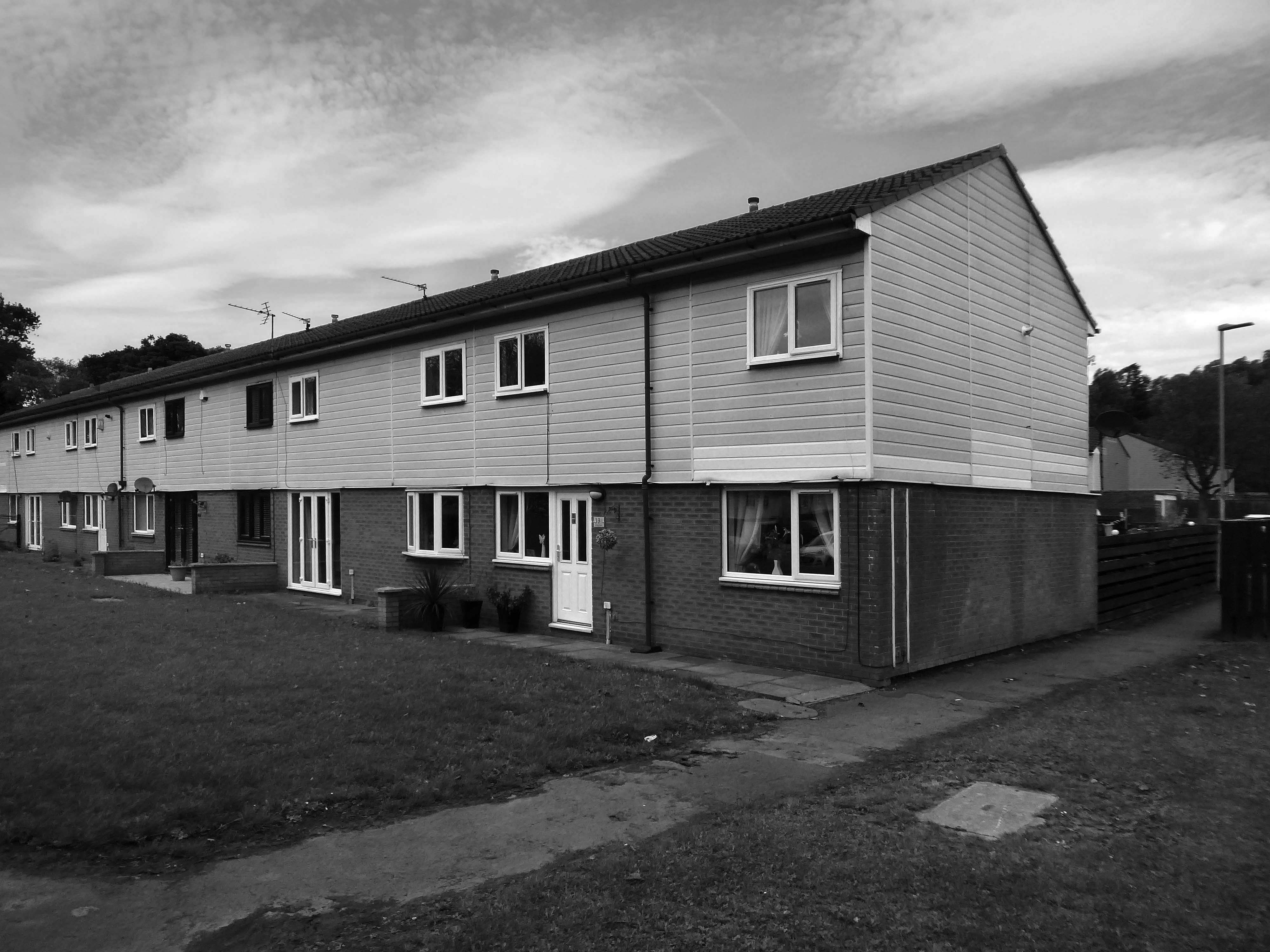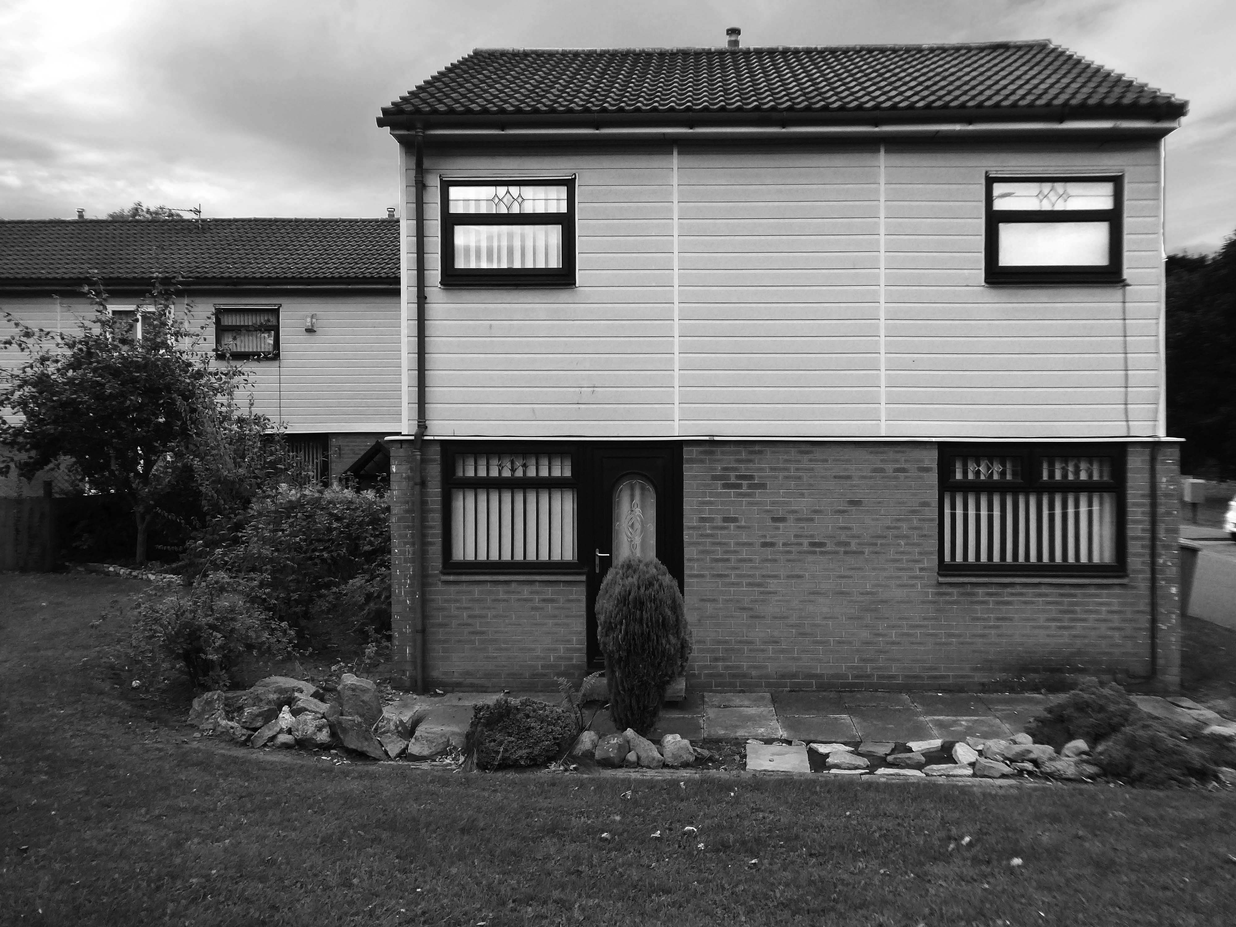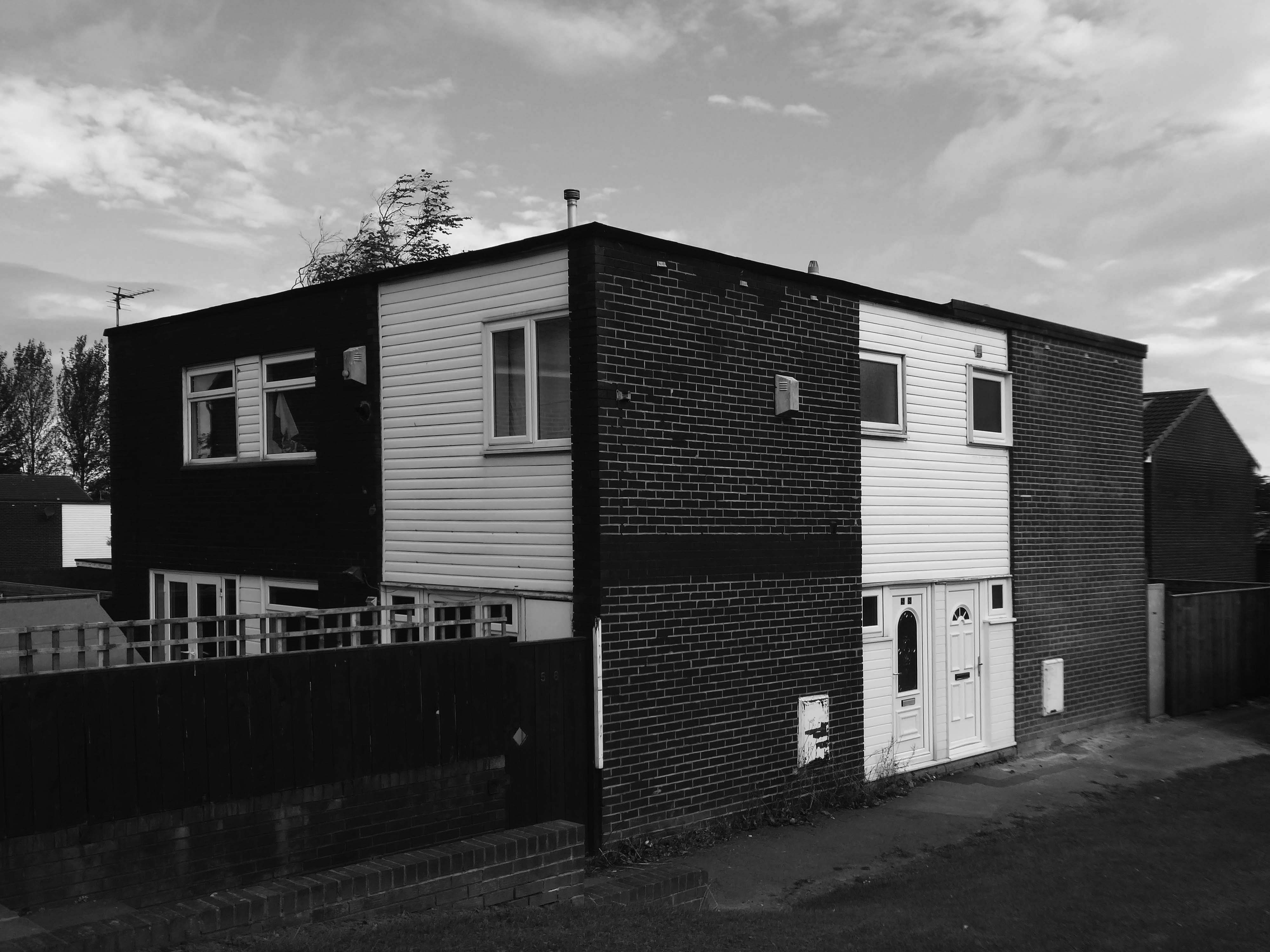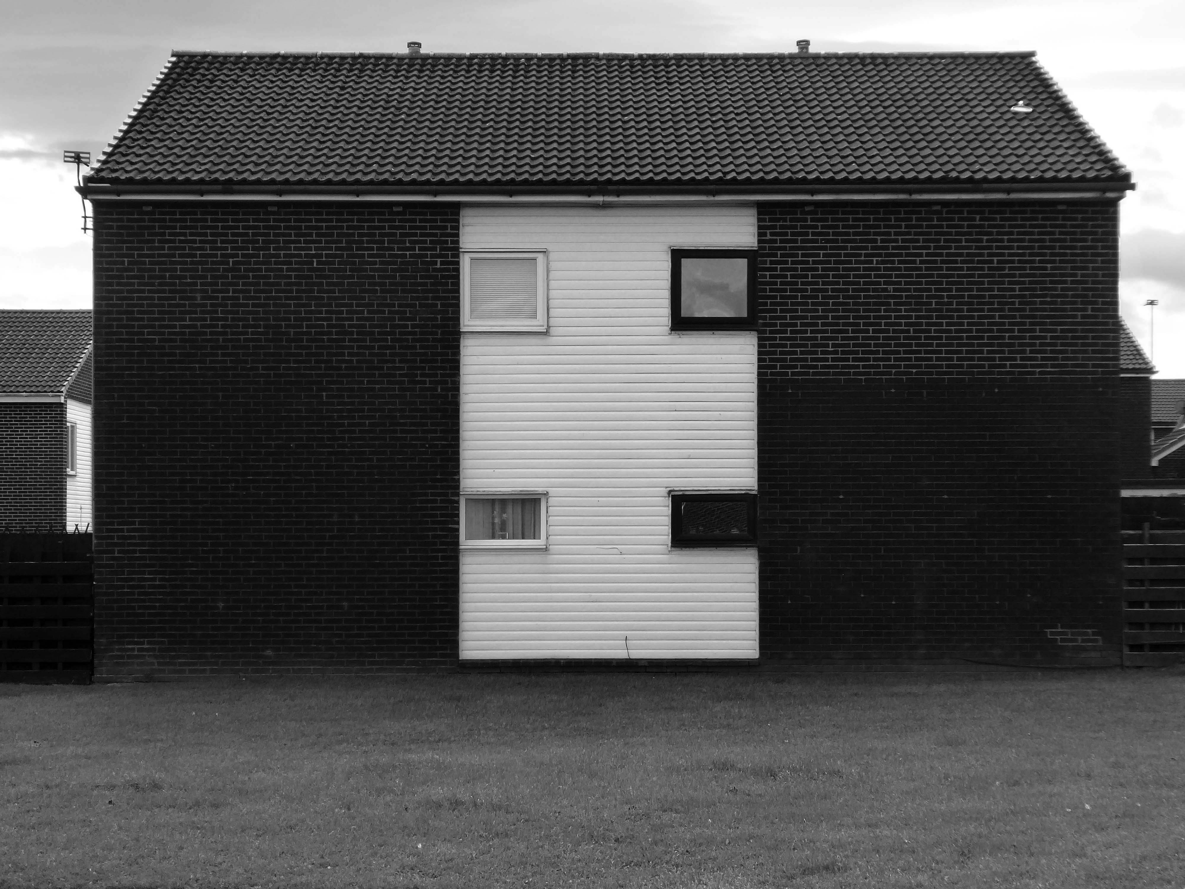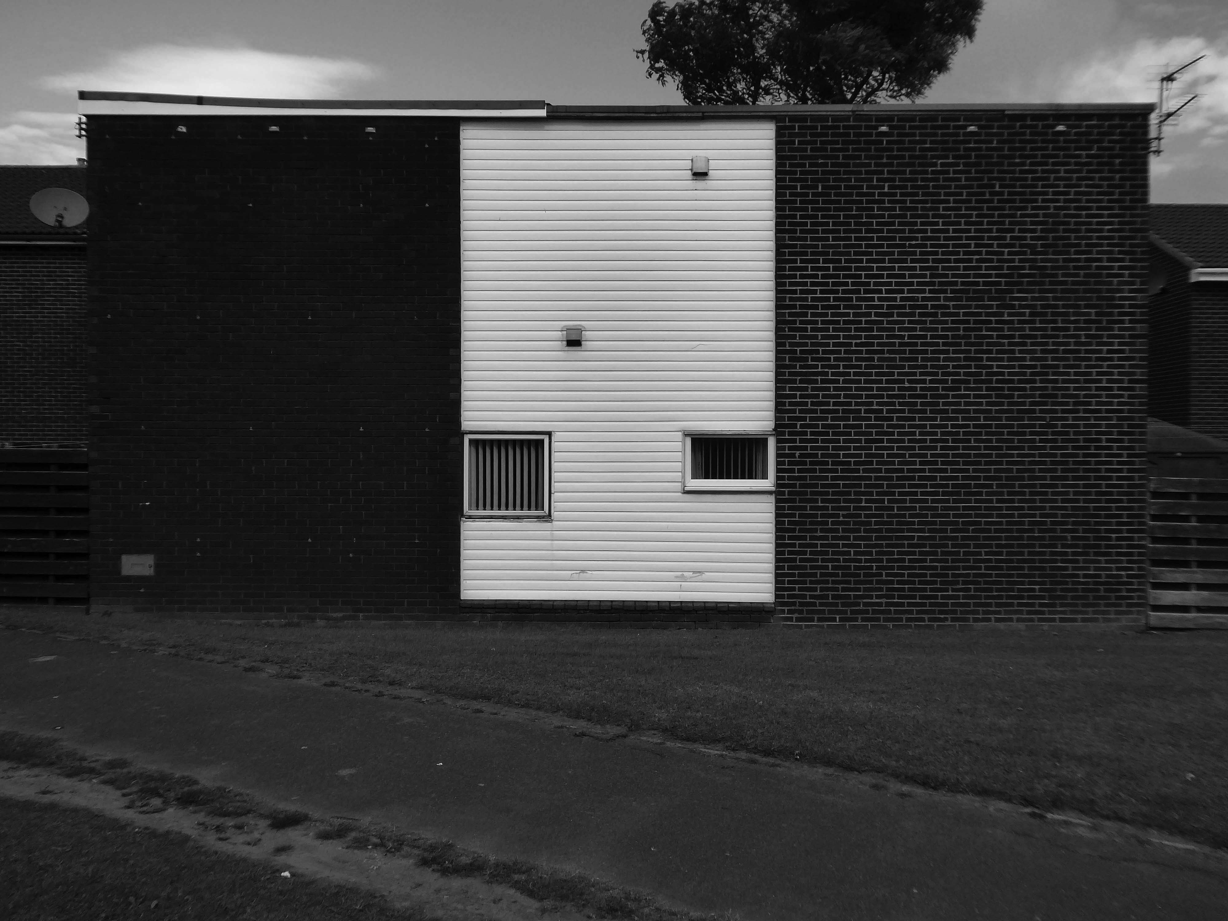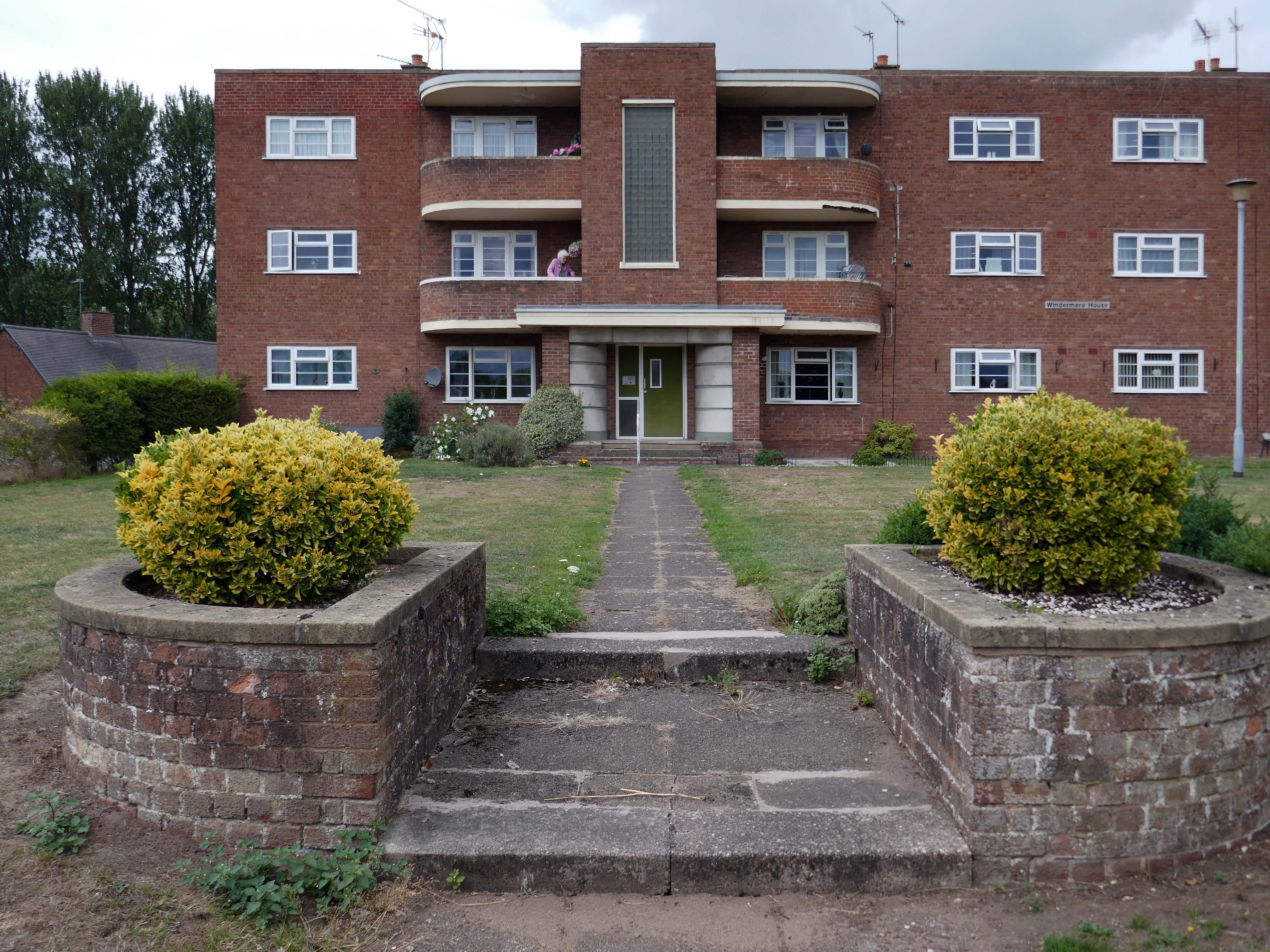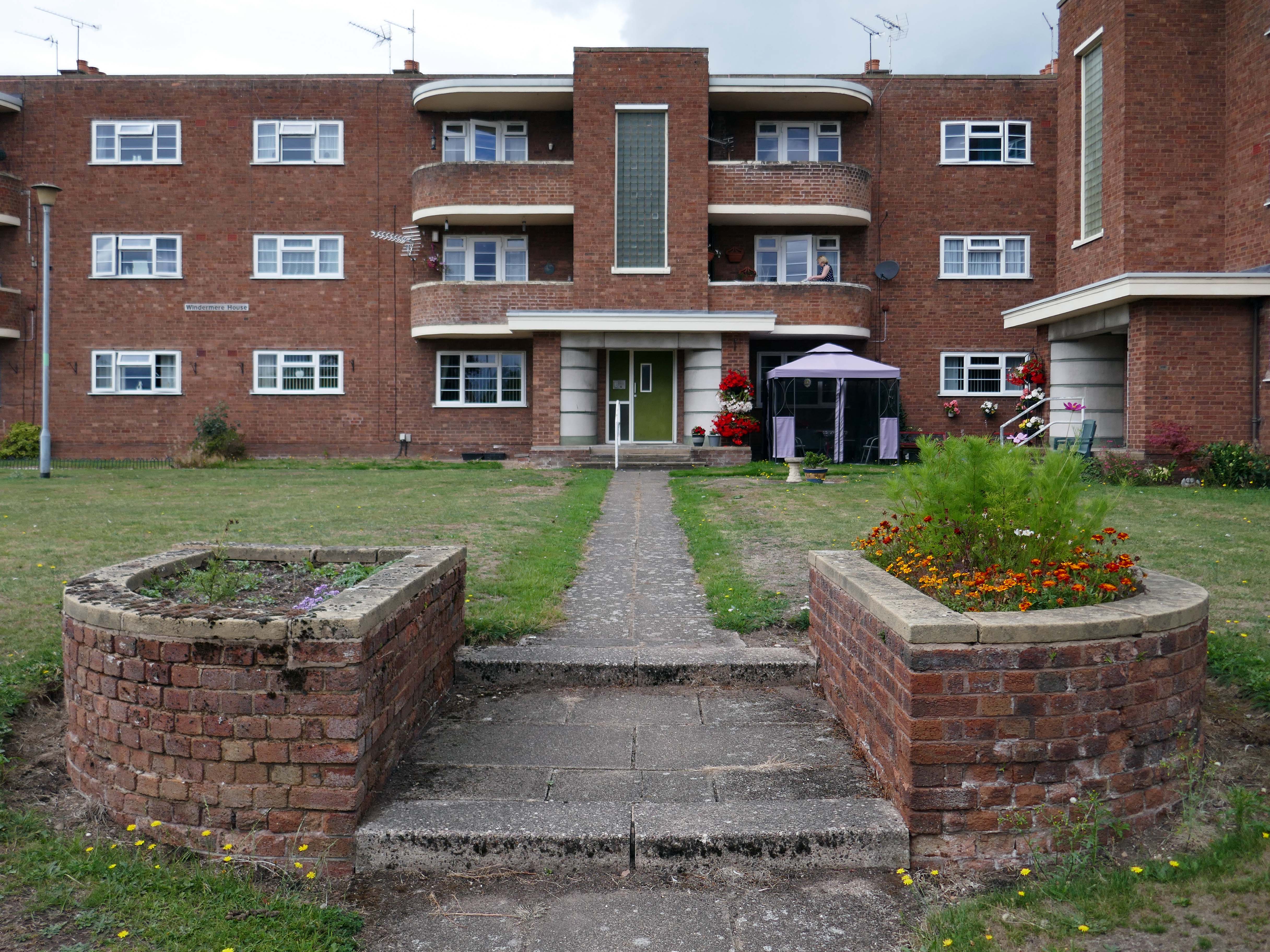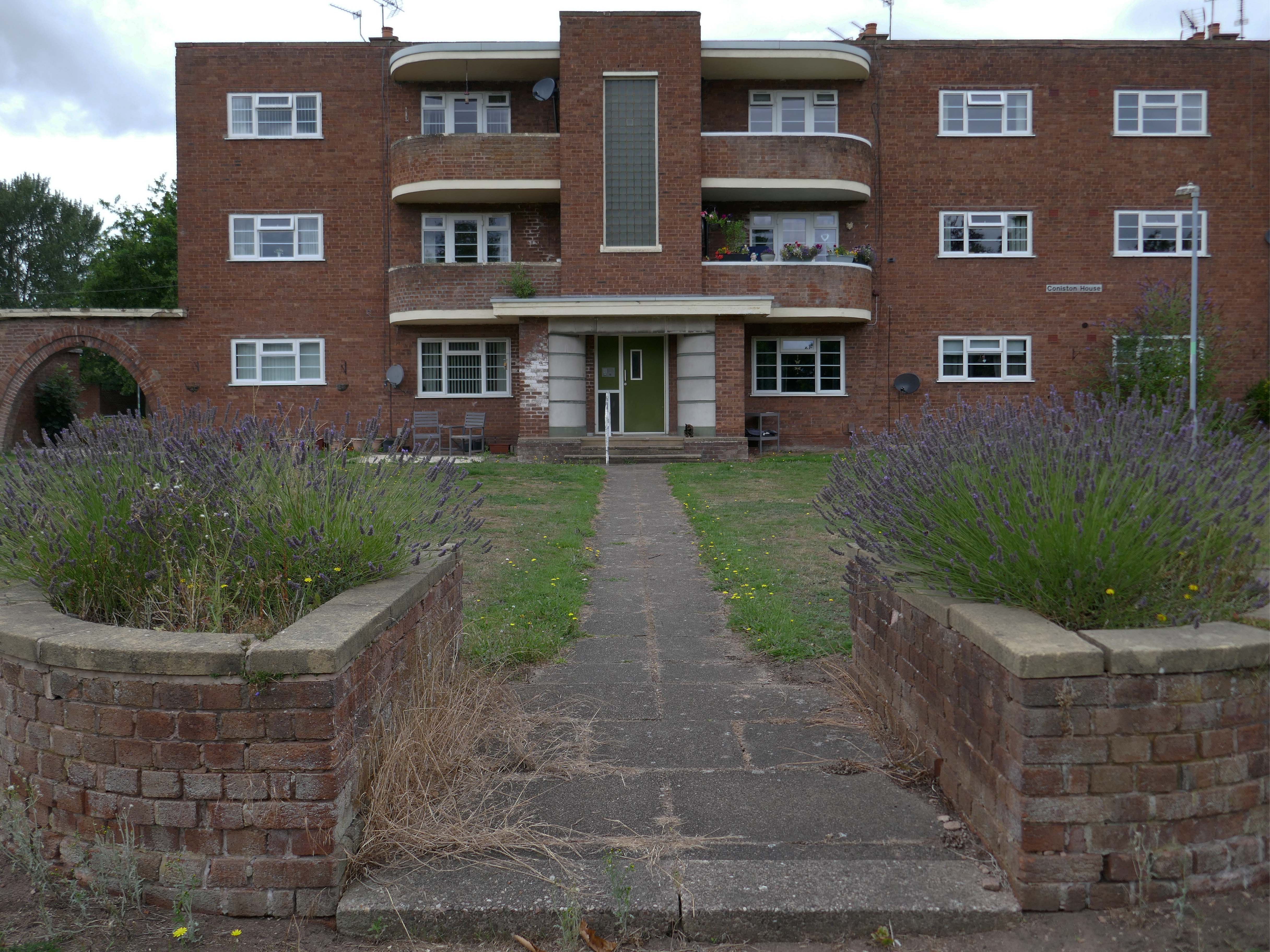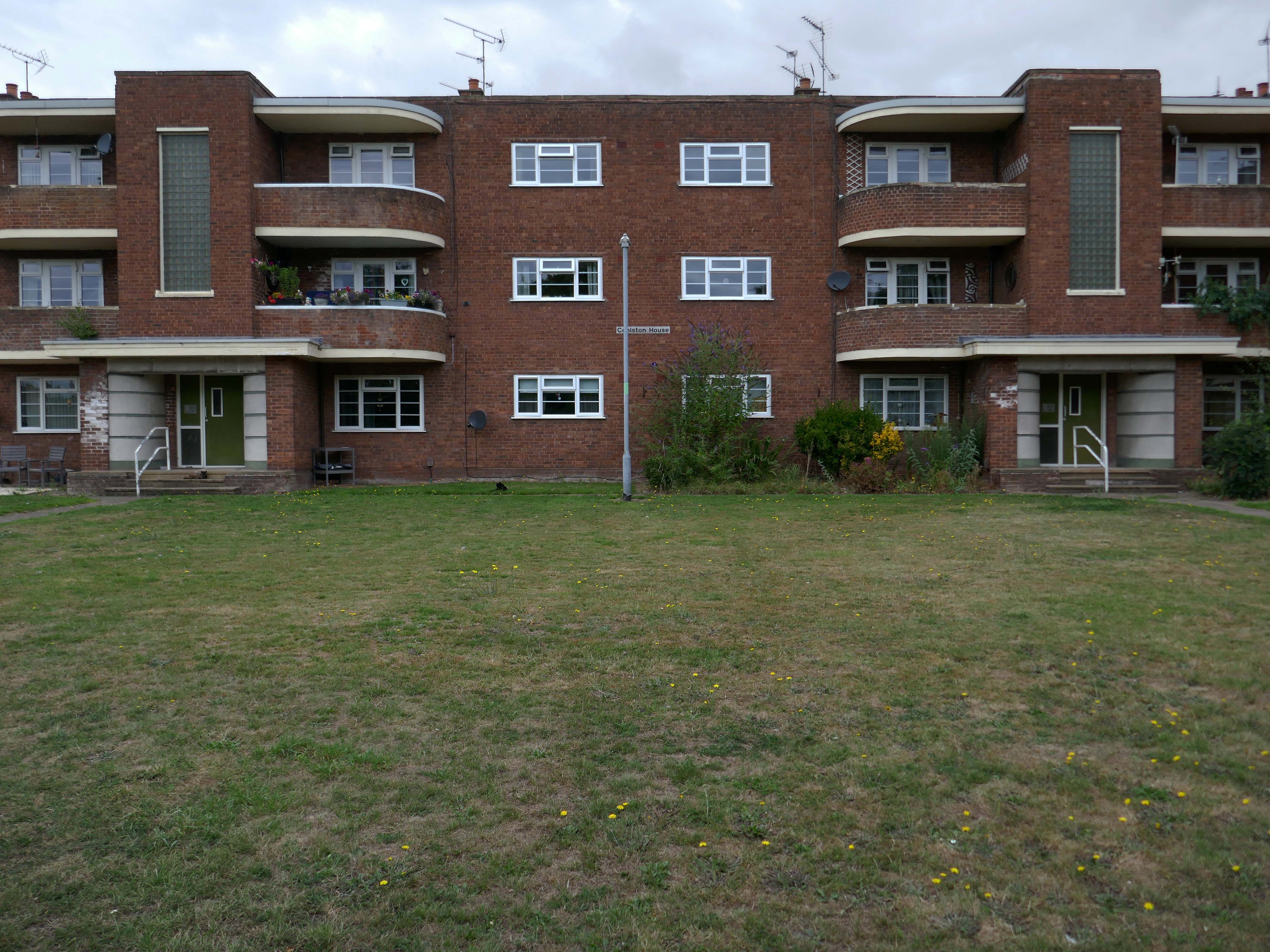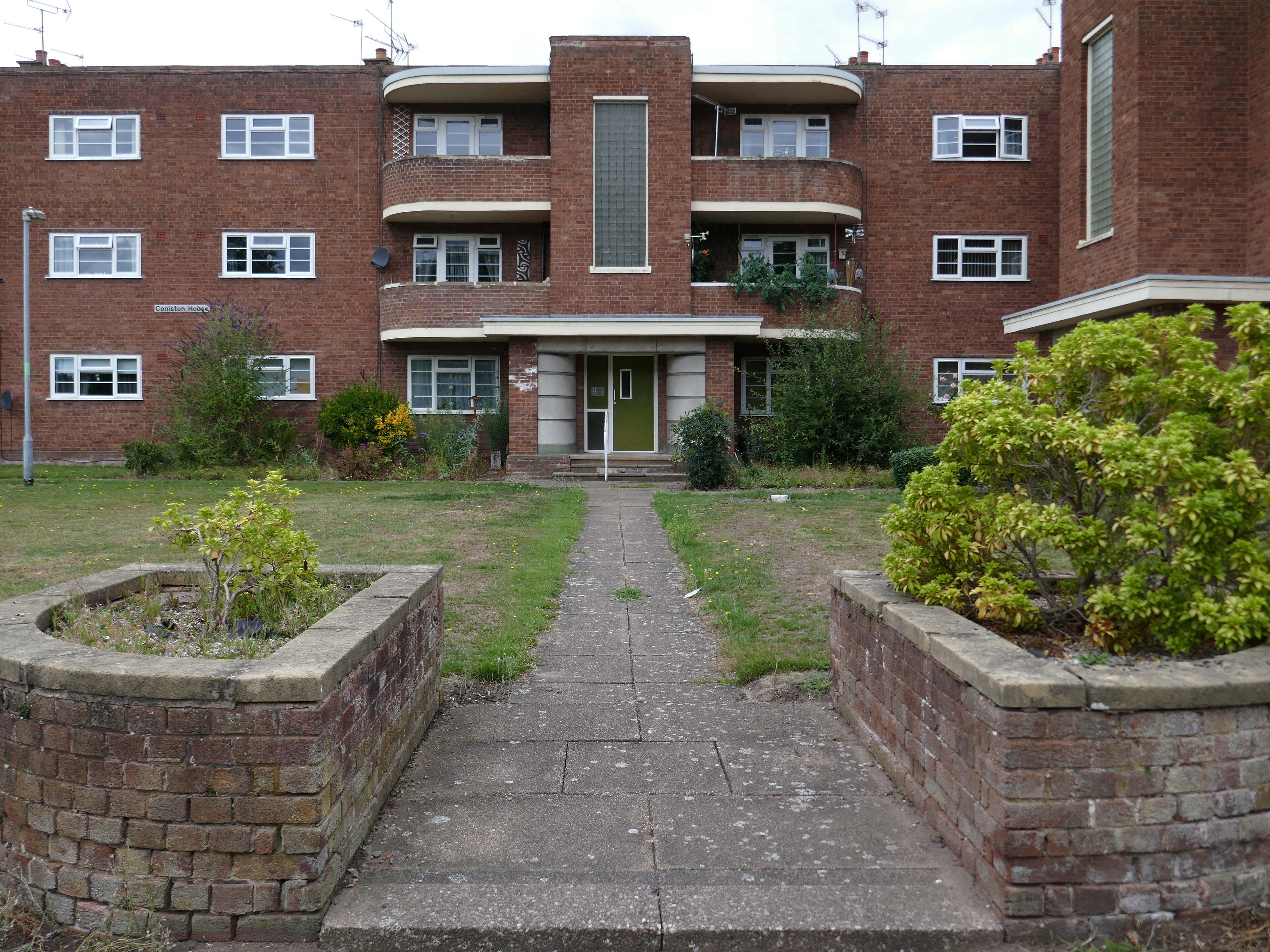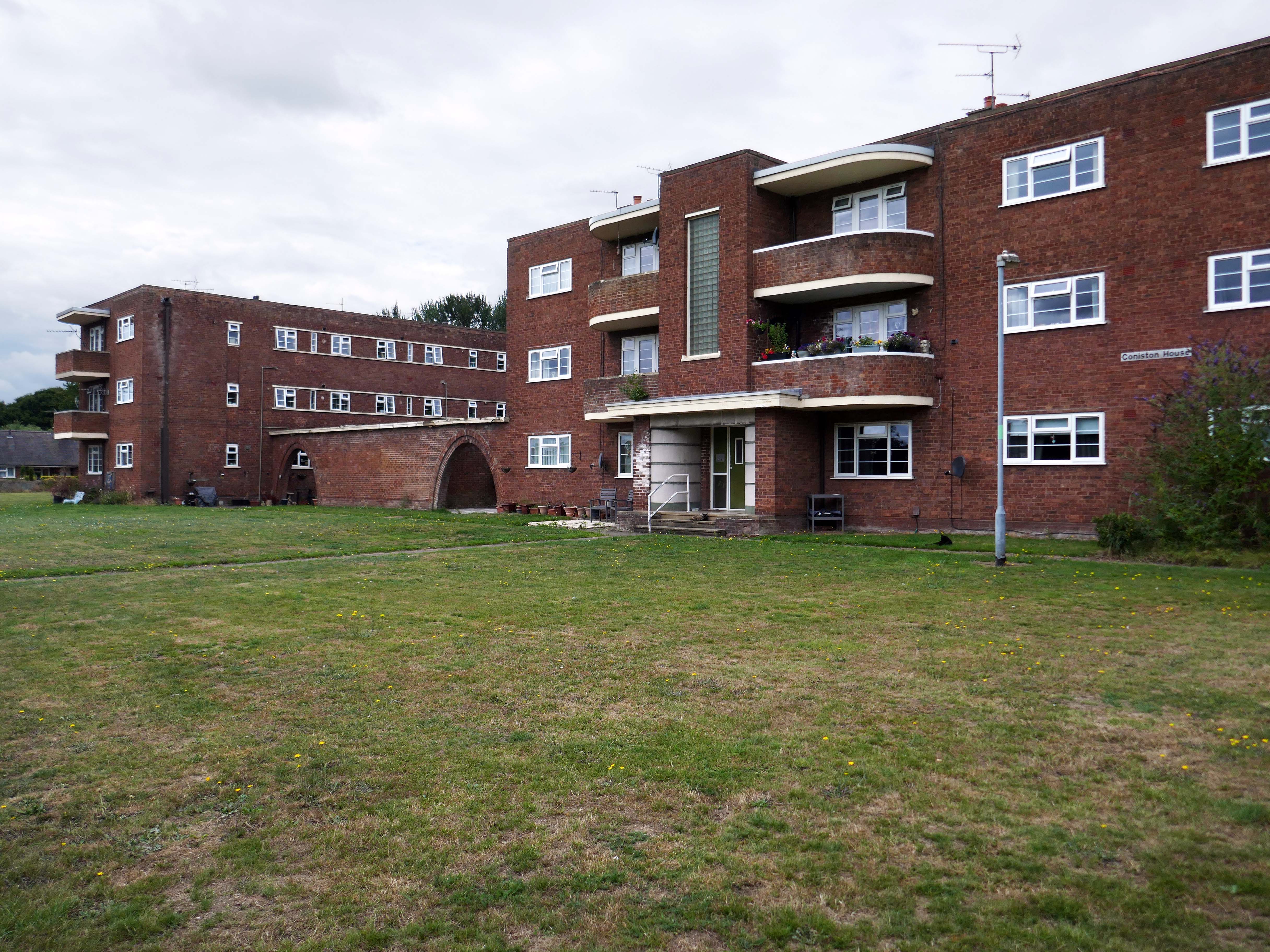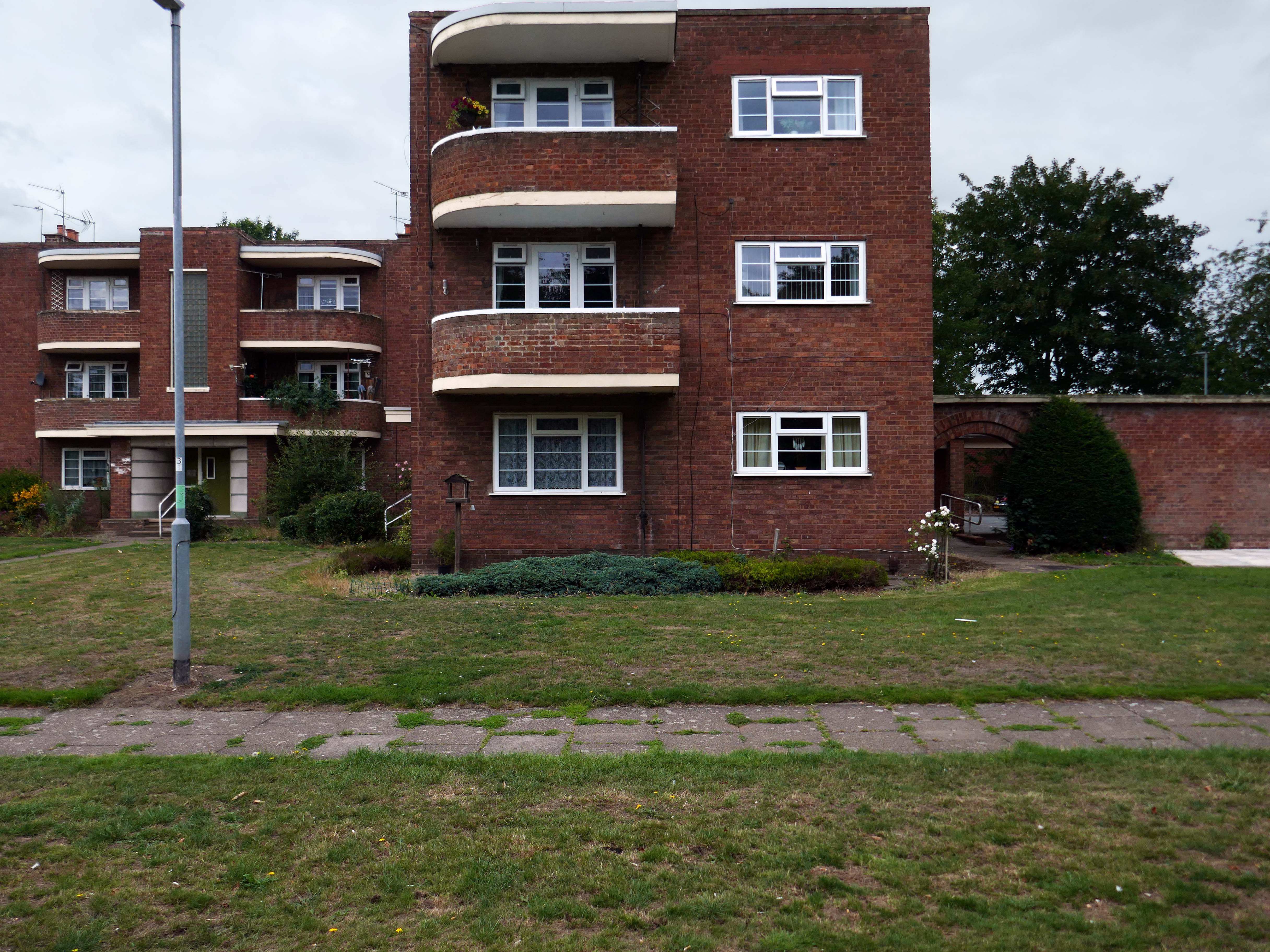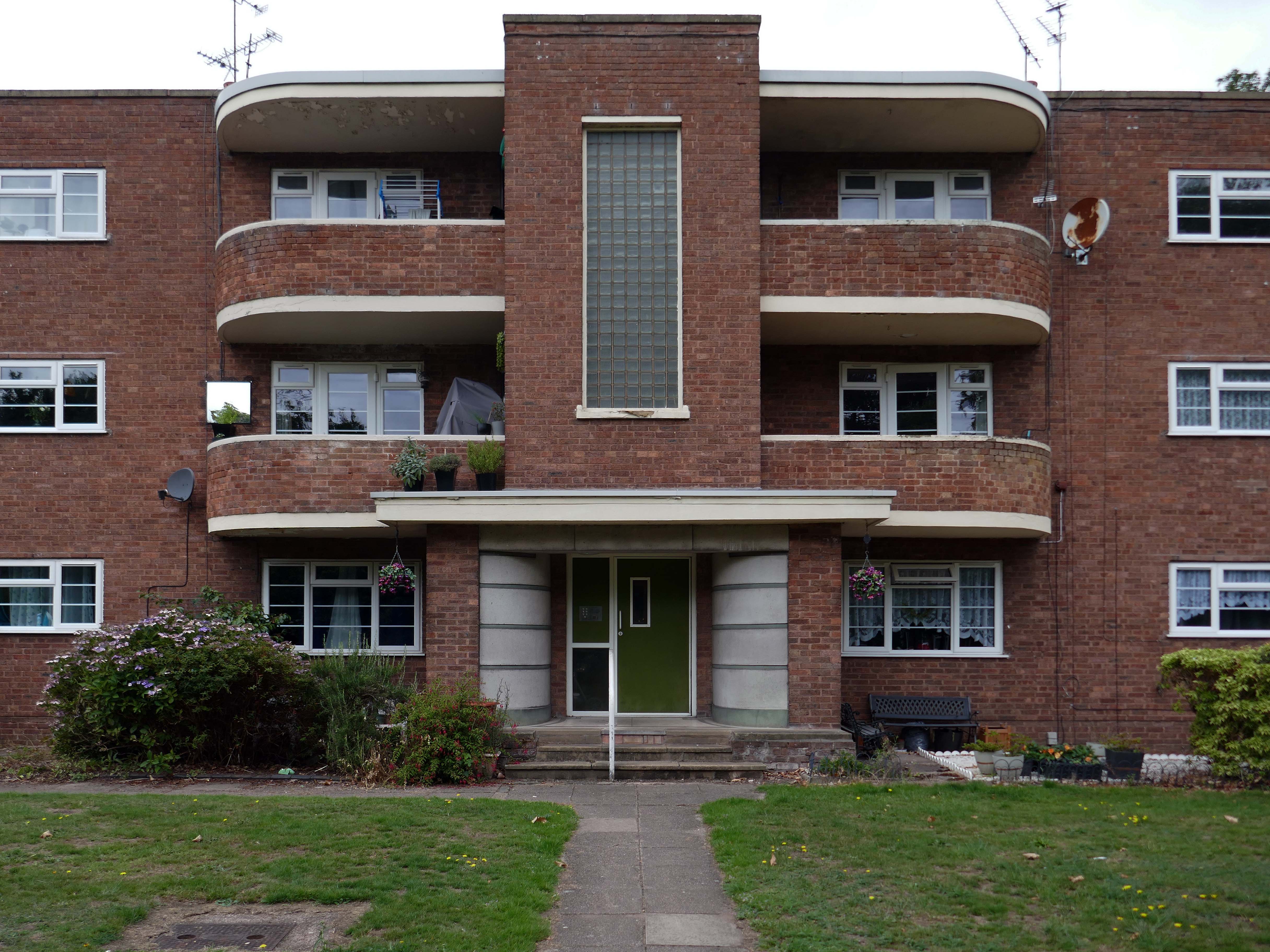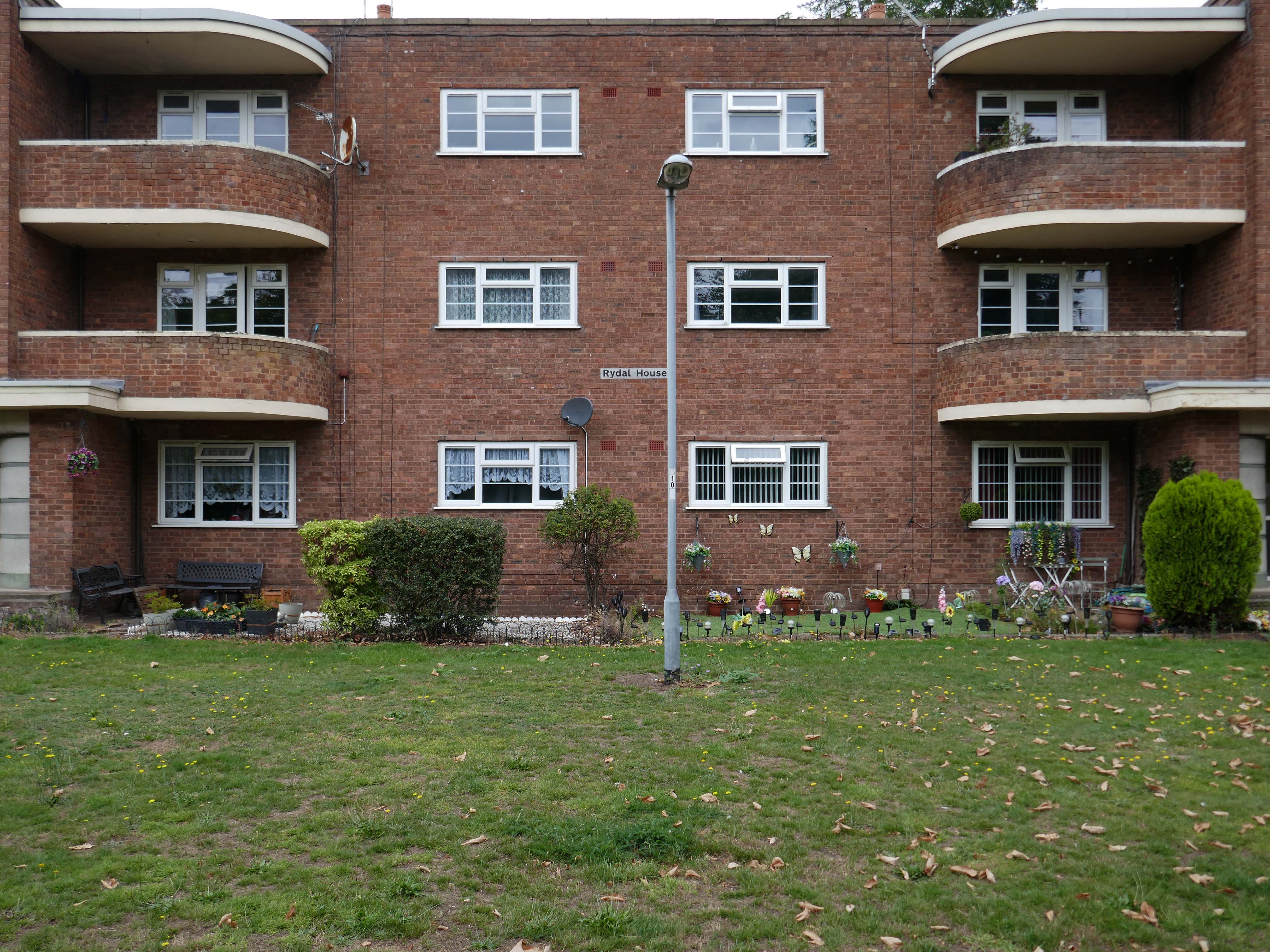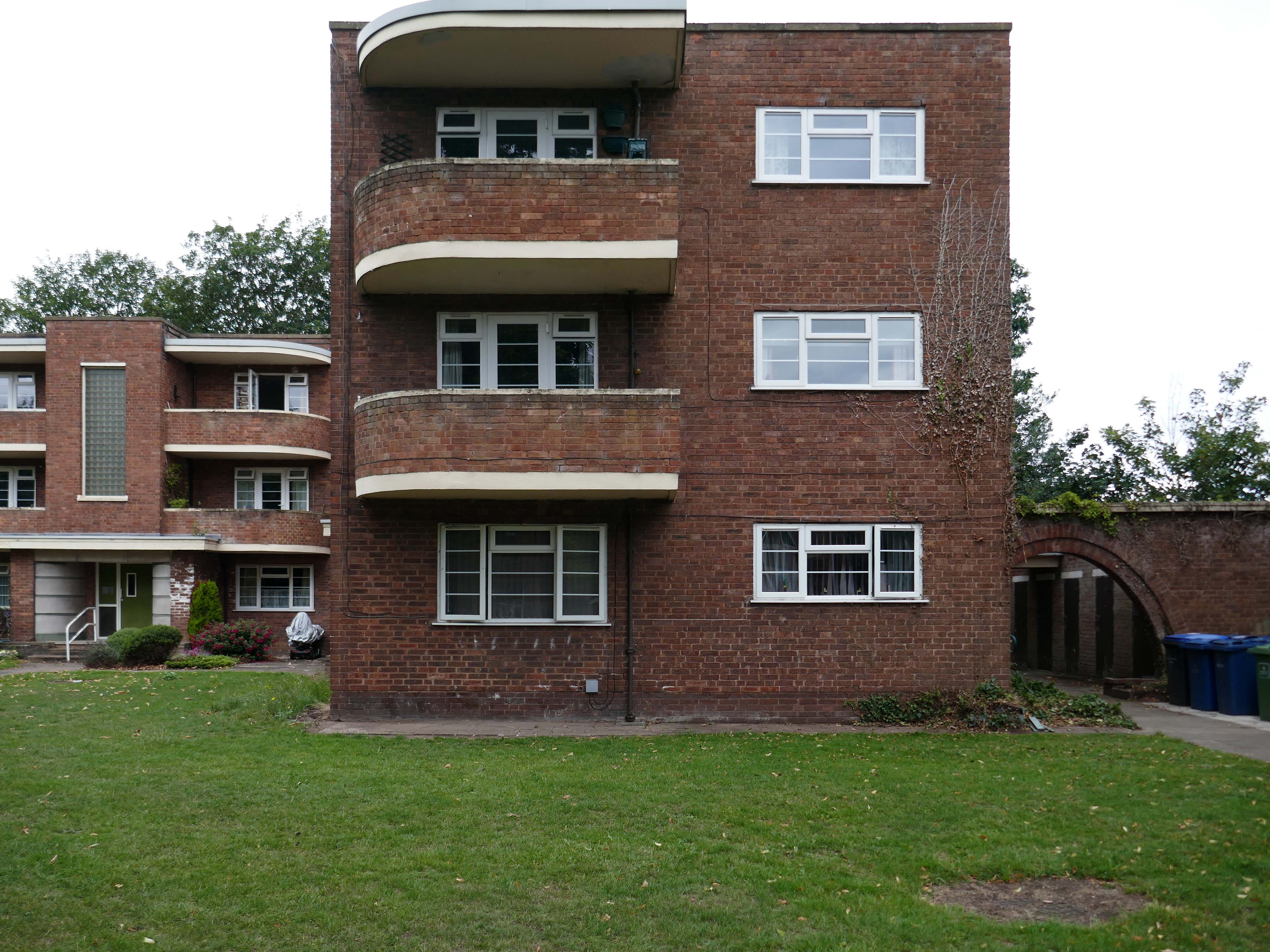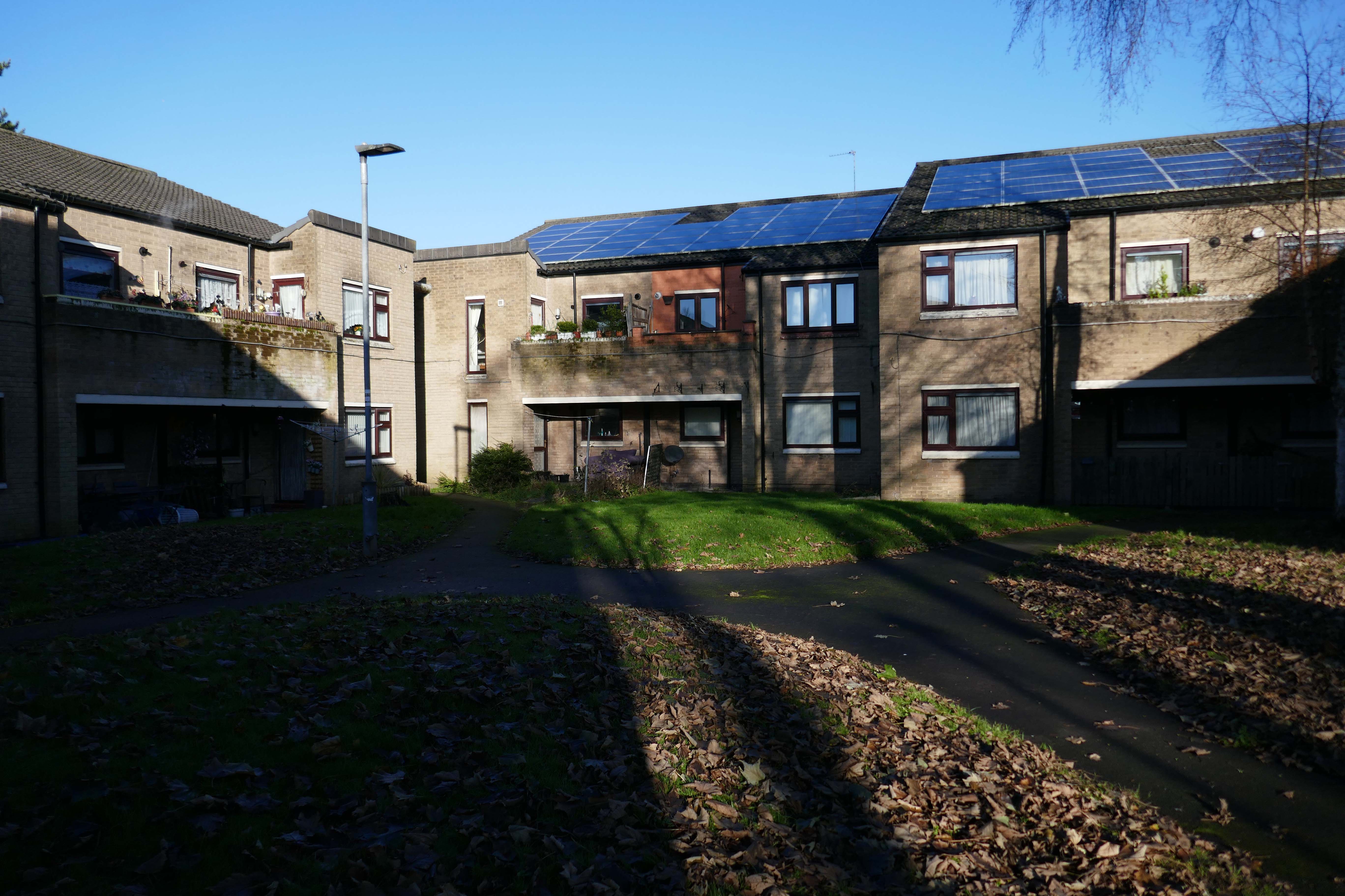
Once more to Peterlee having posted posts on the Apollo Pavillion, housing and housing history.
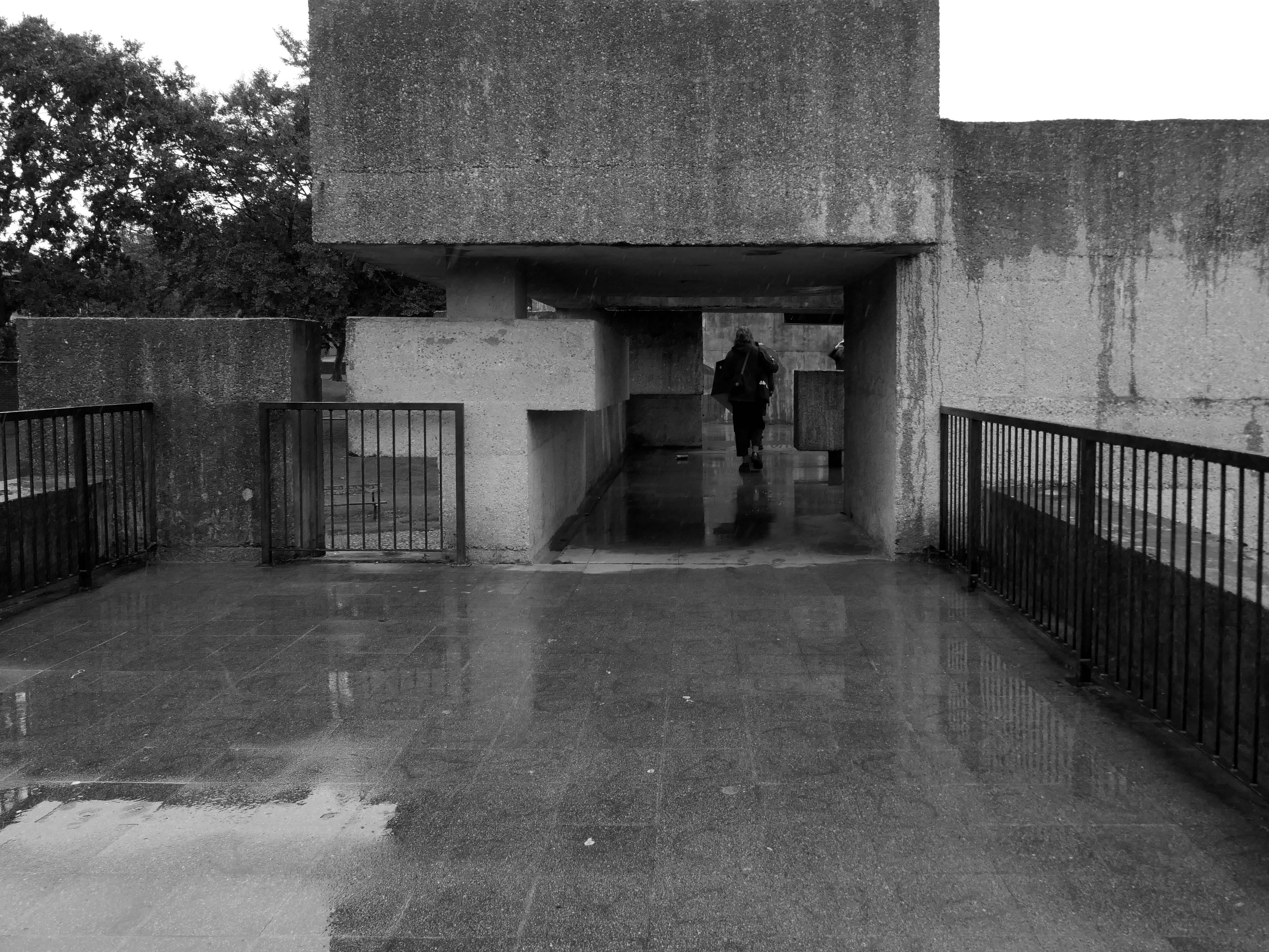
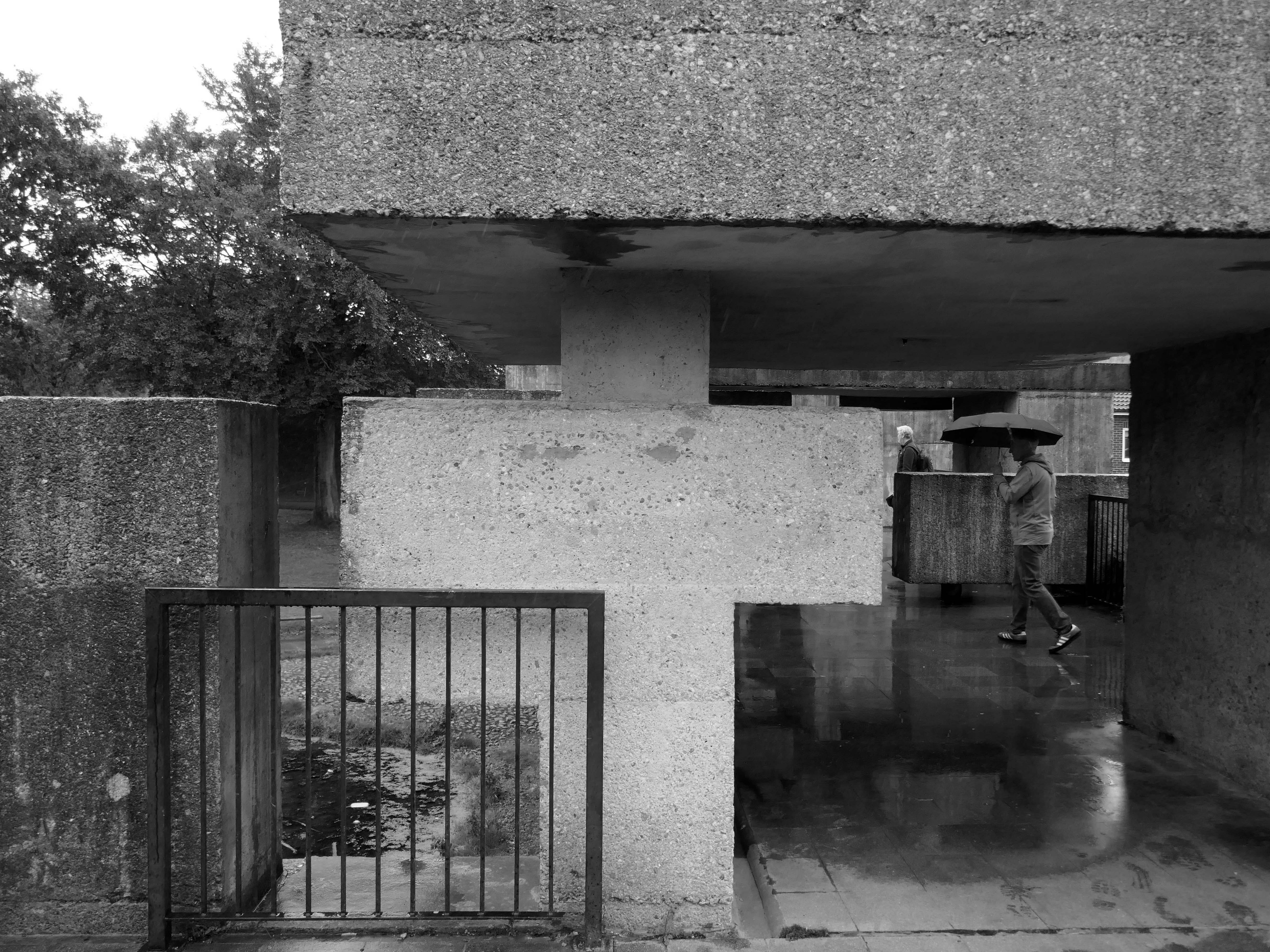
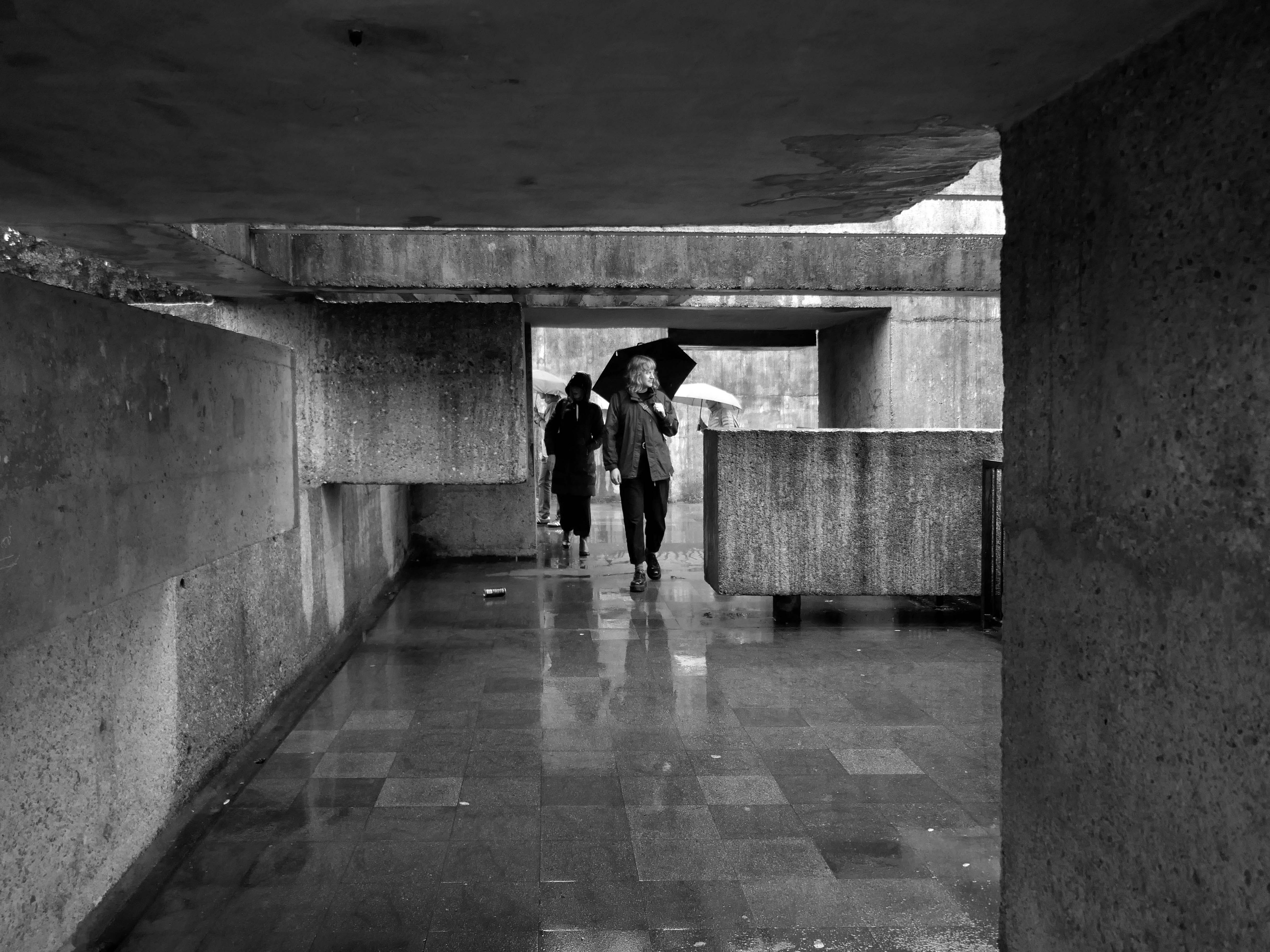
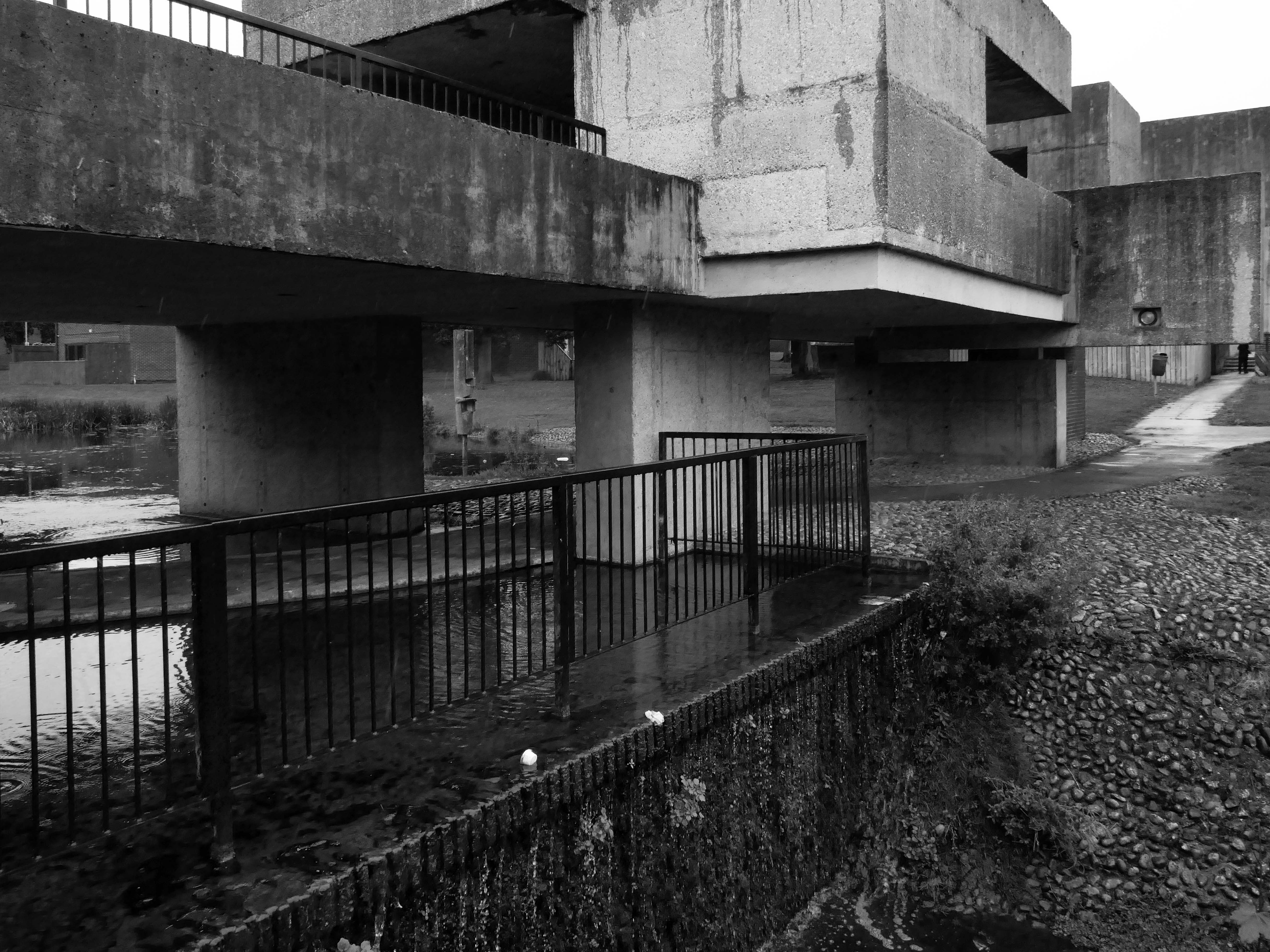
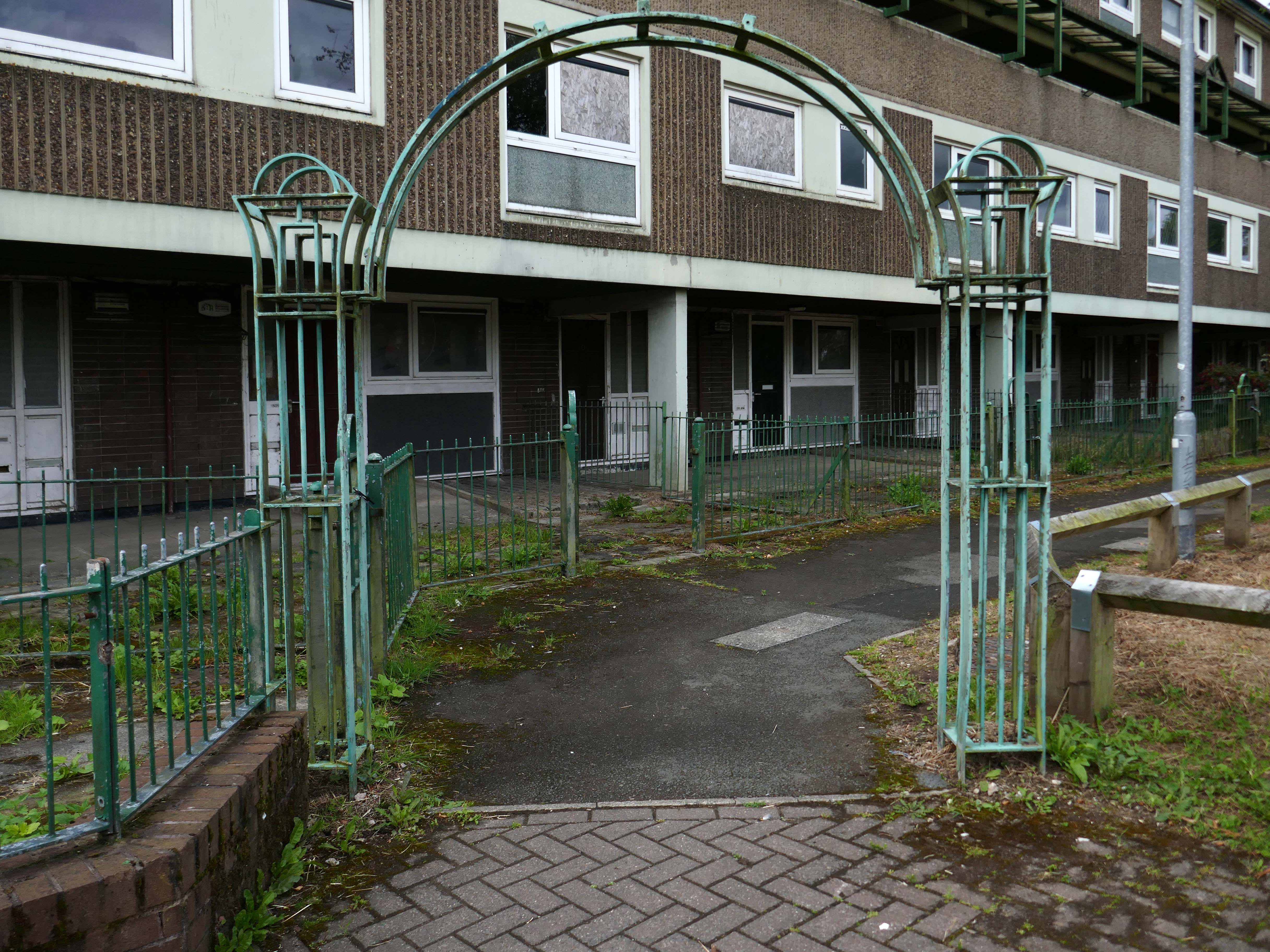
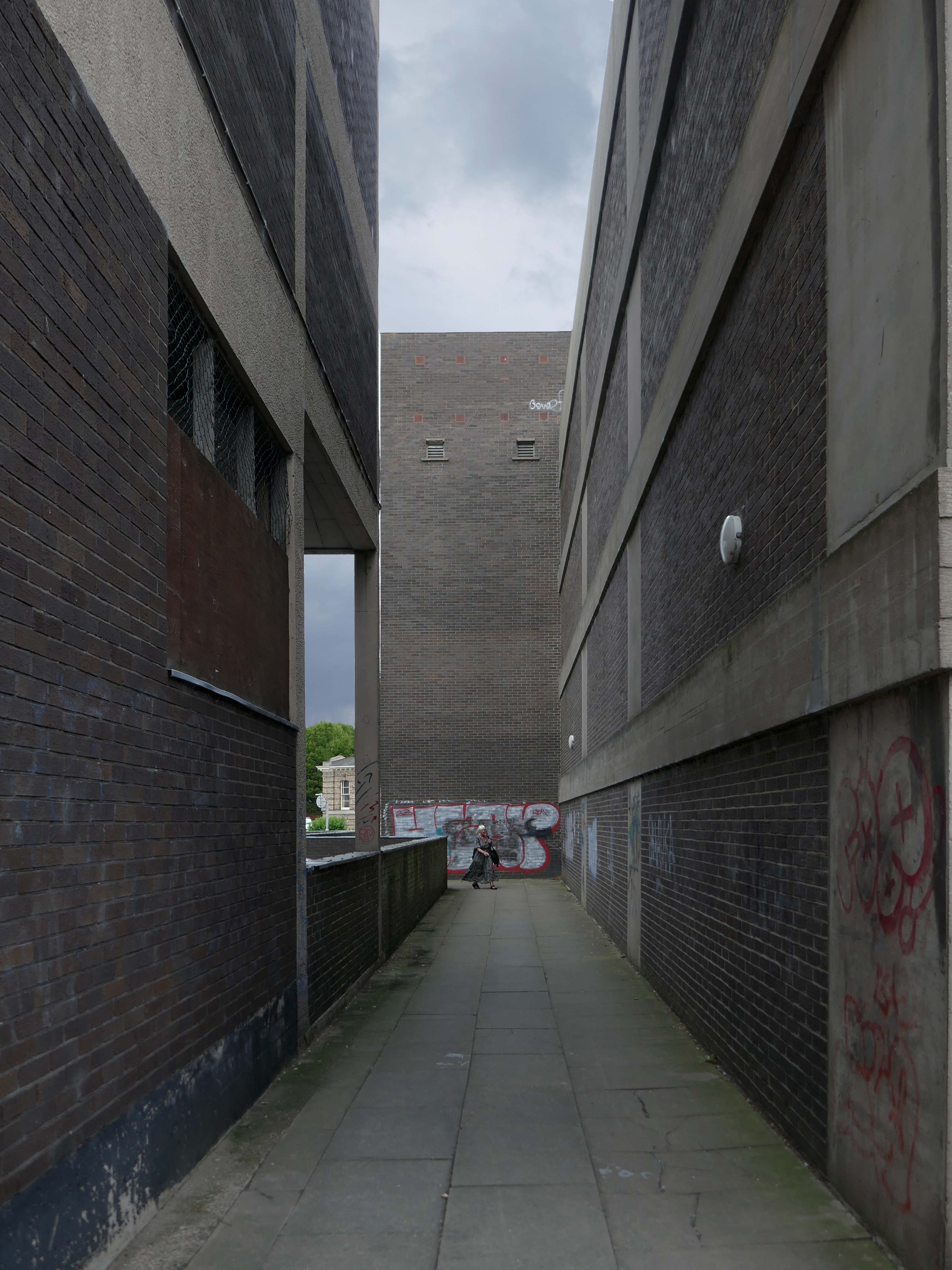
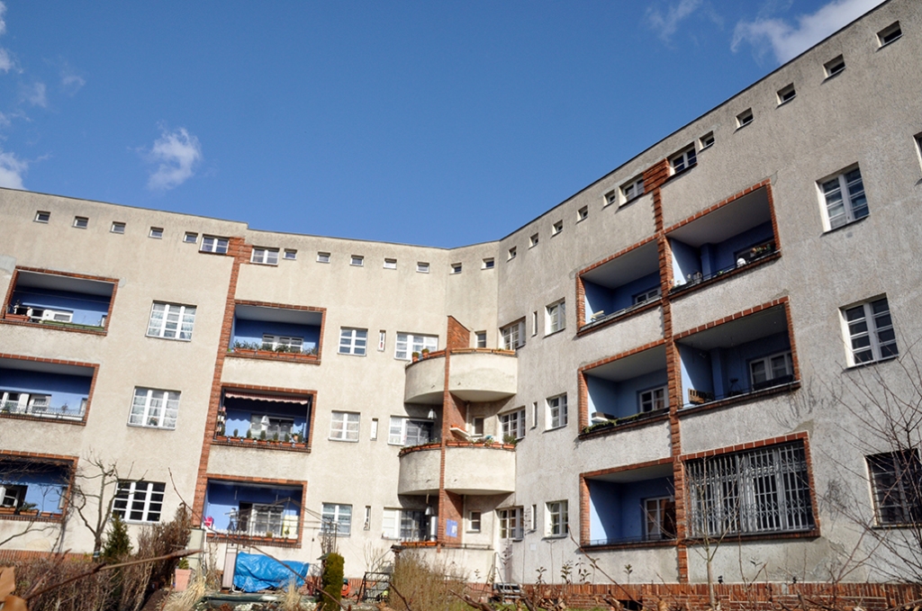
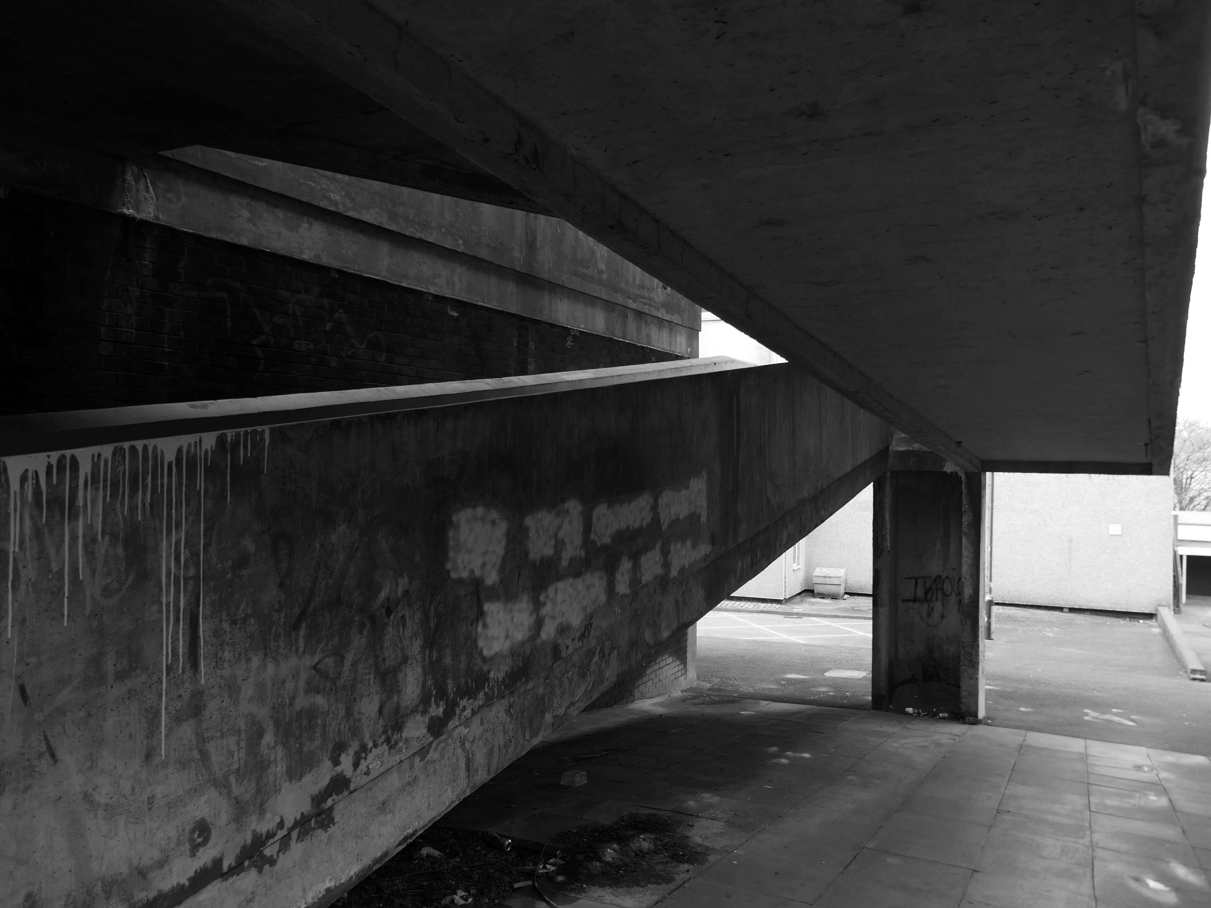
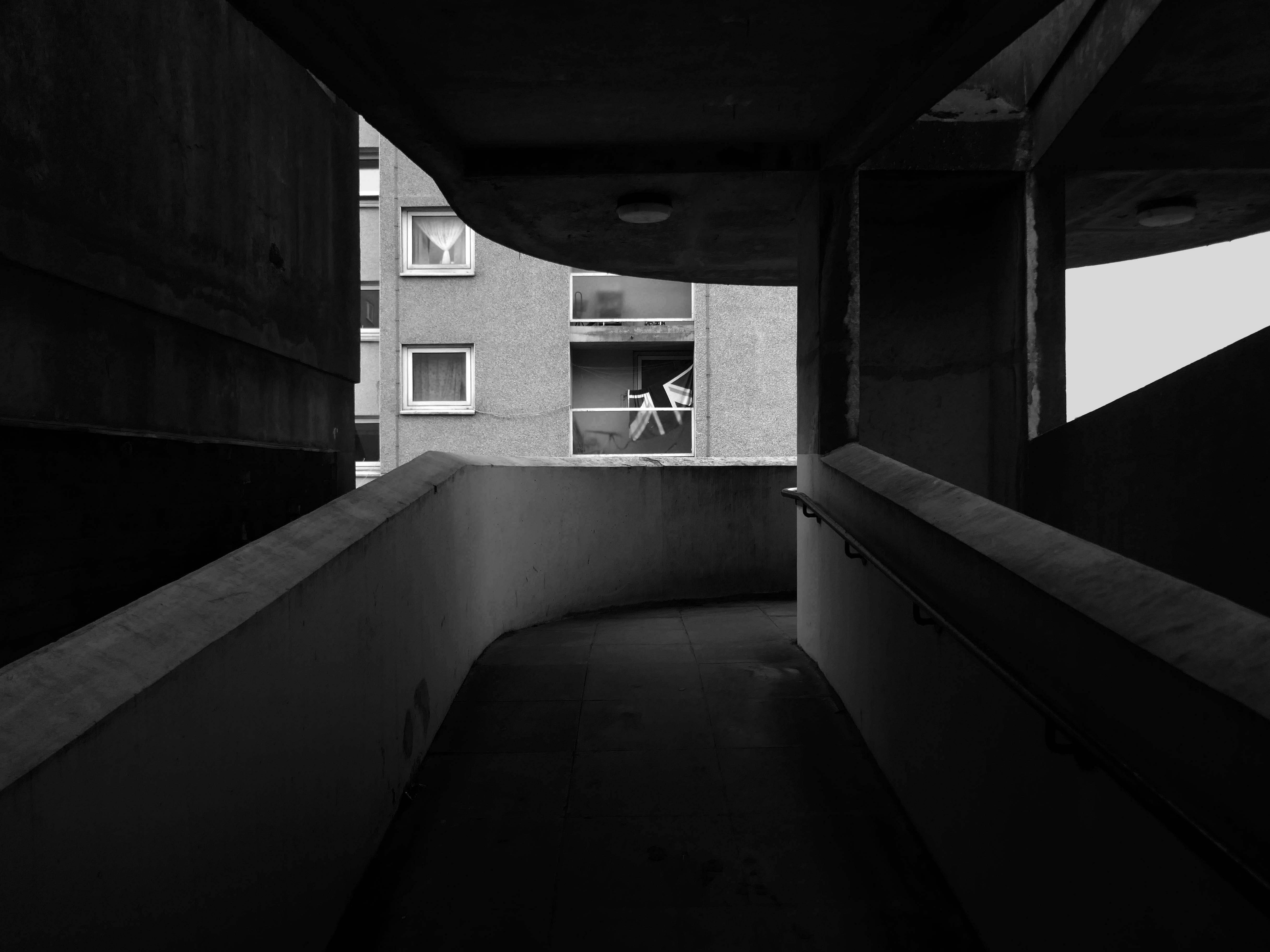
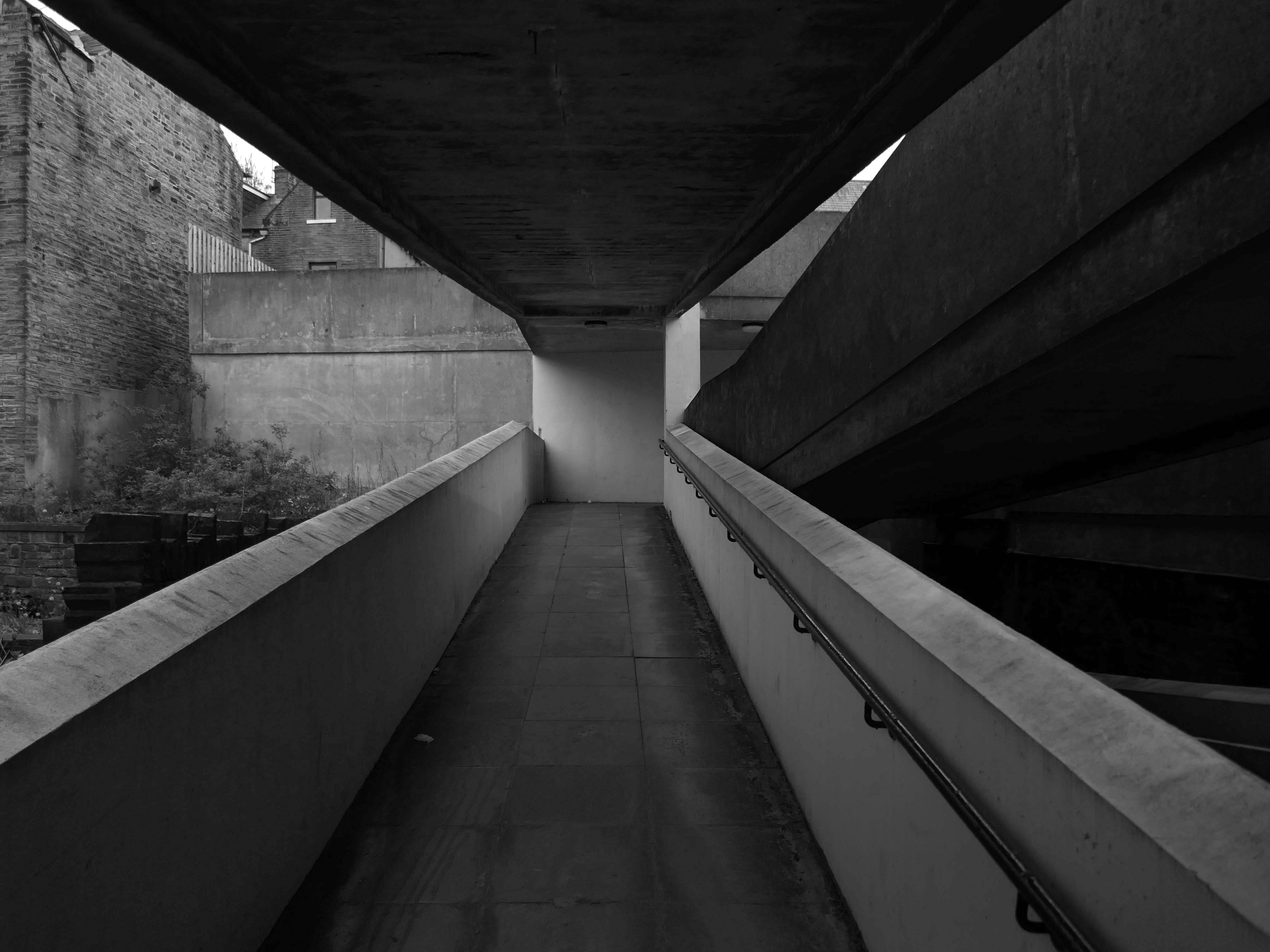
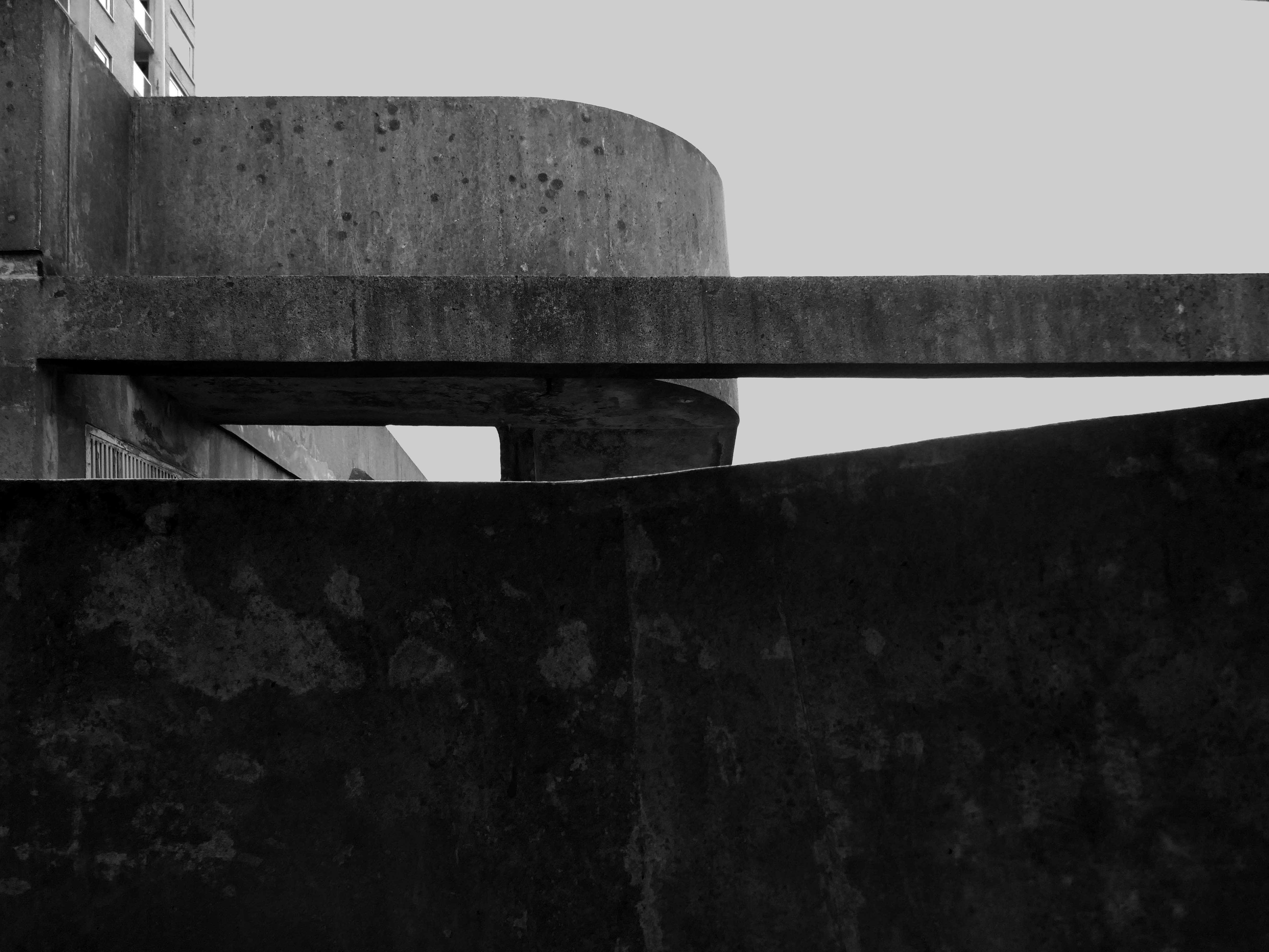
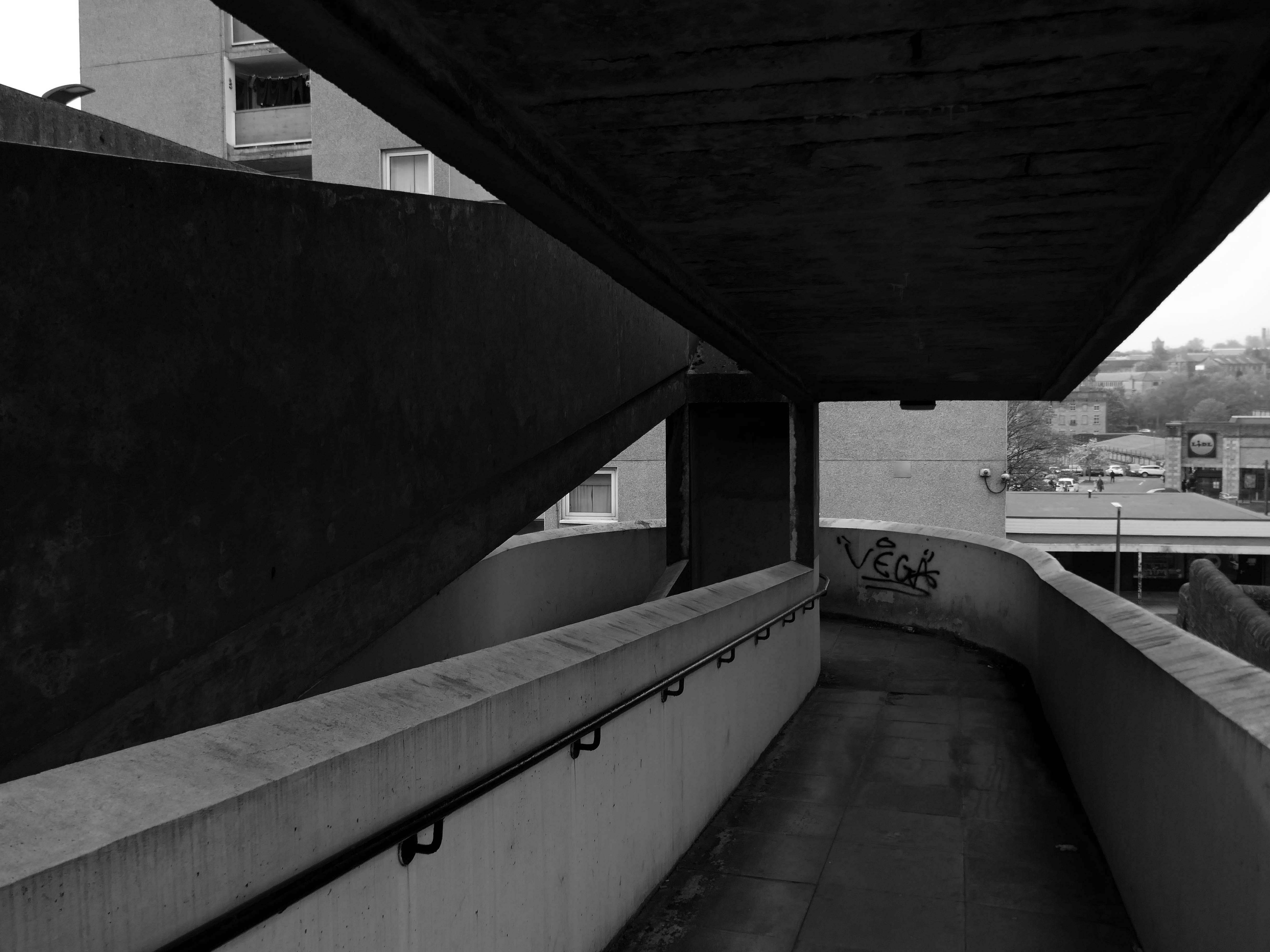
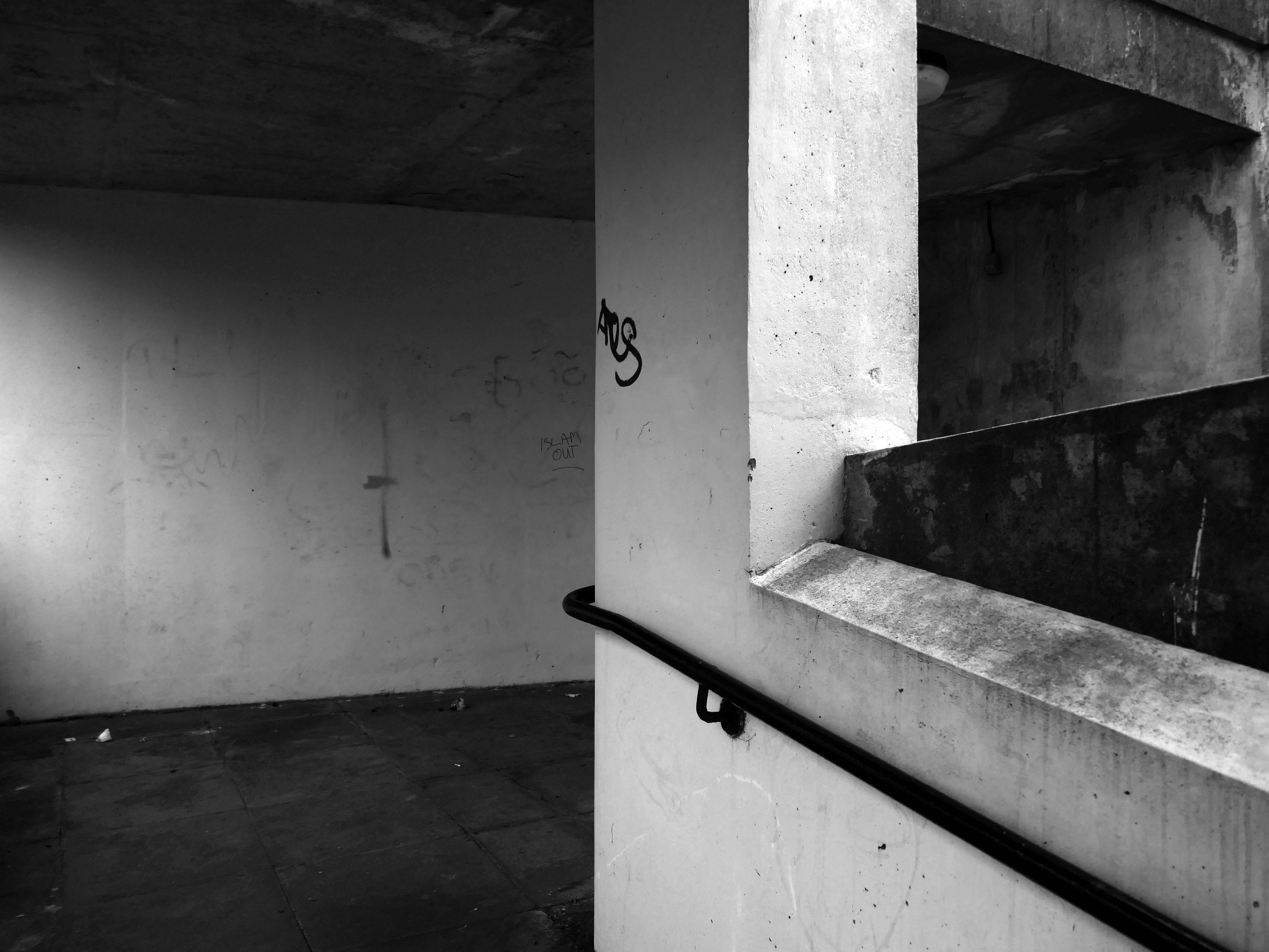
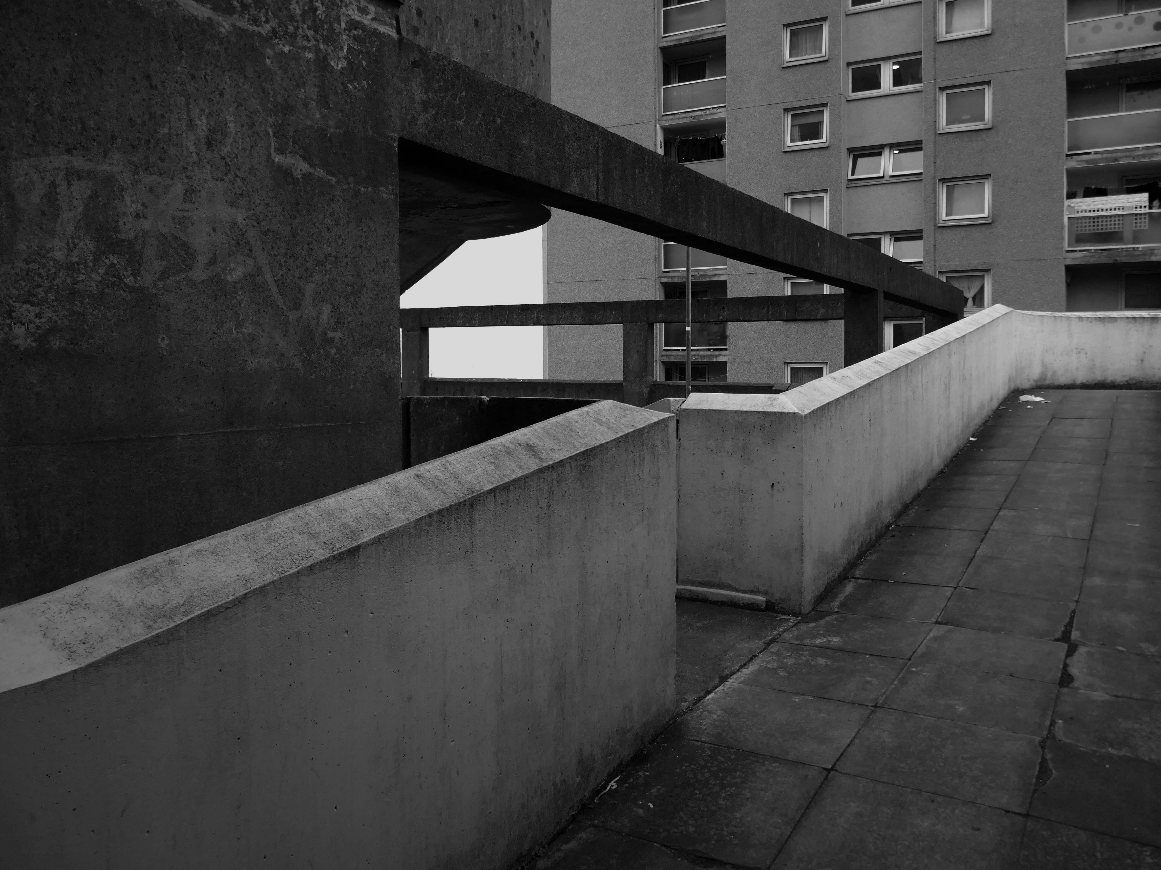
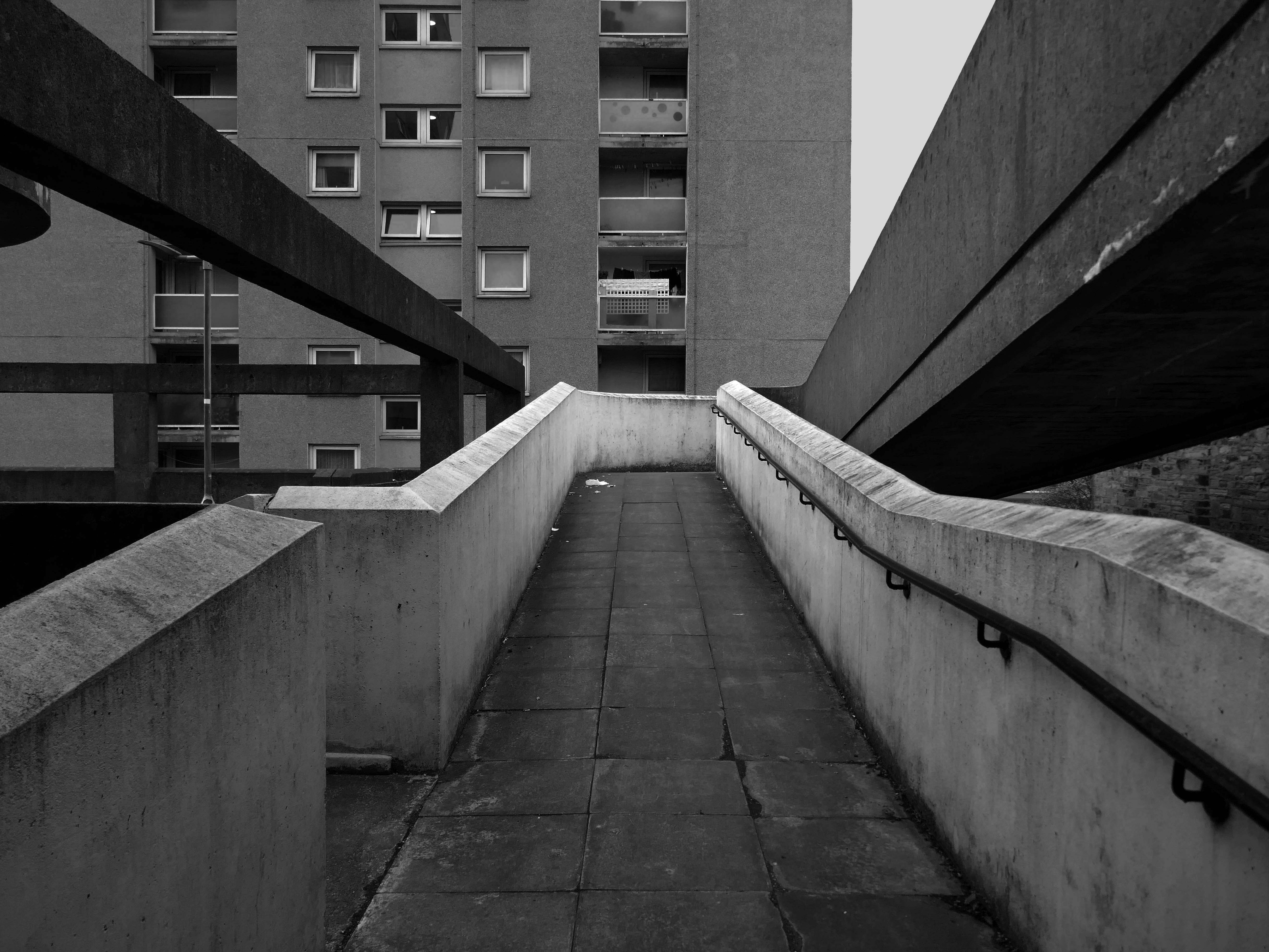
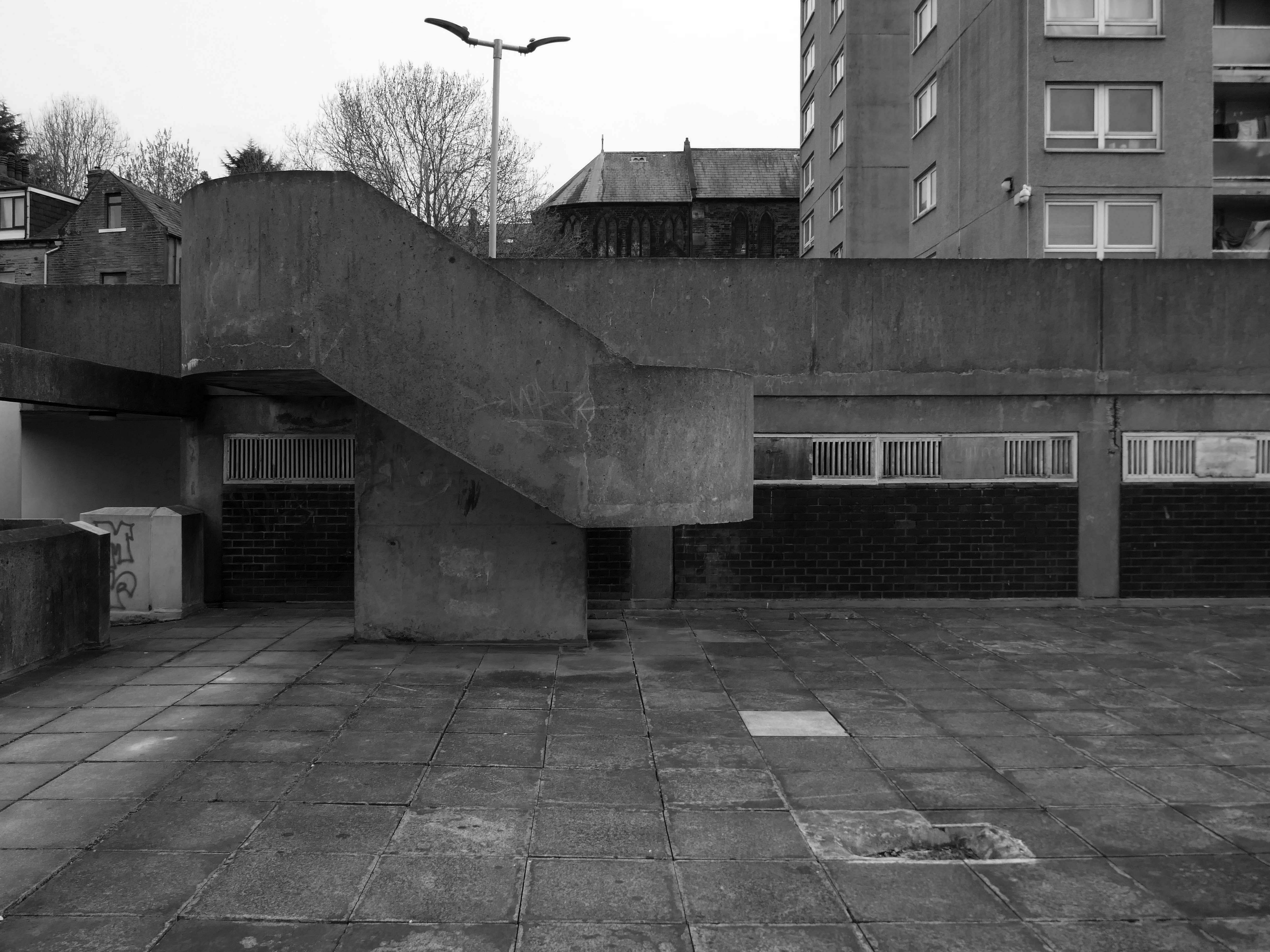
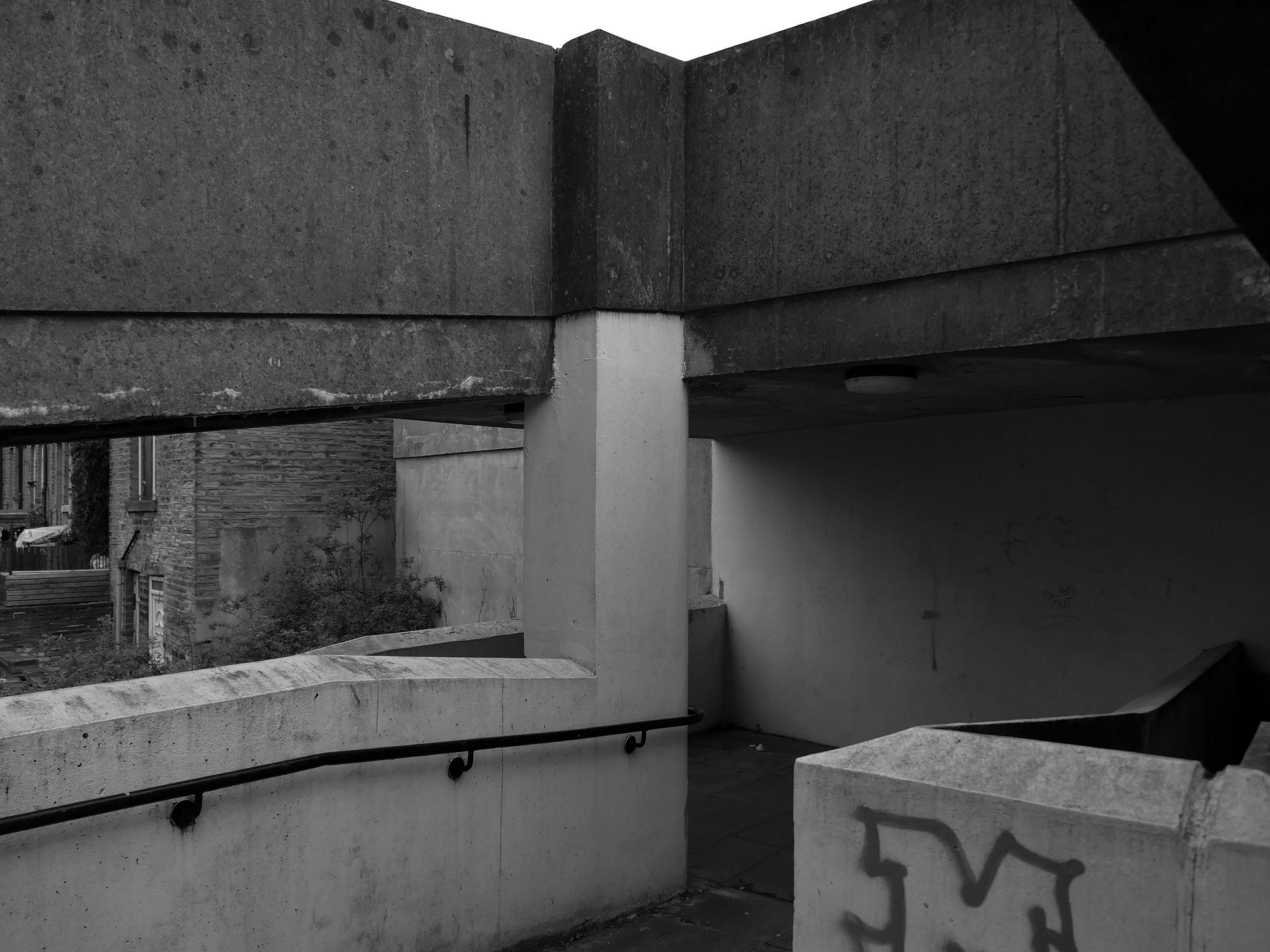
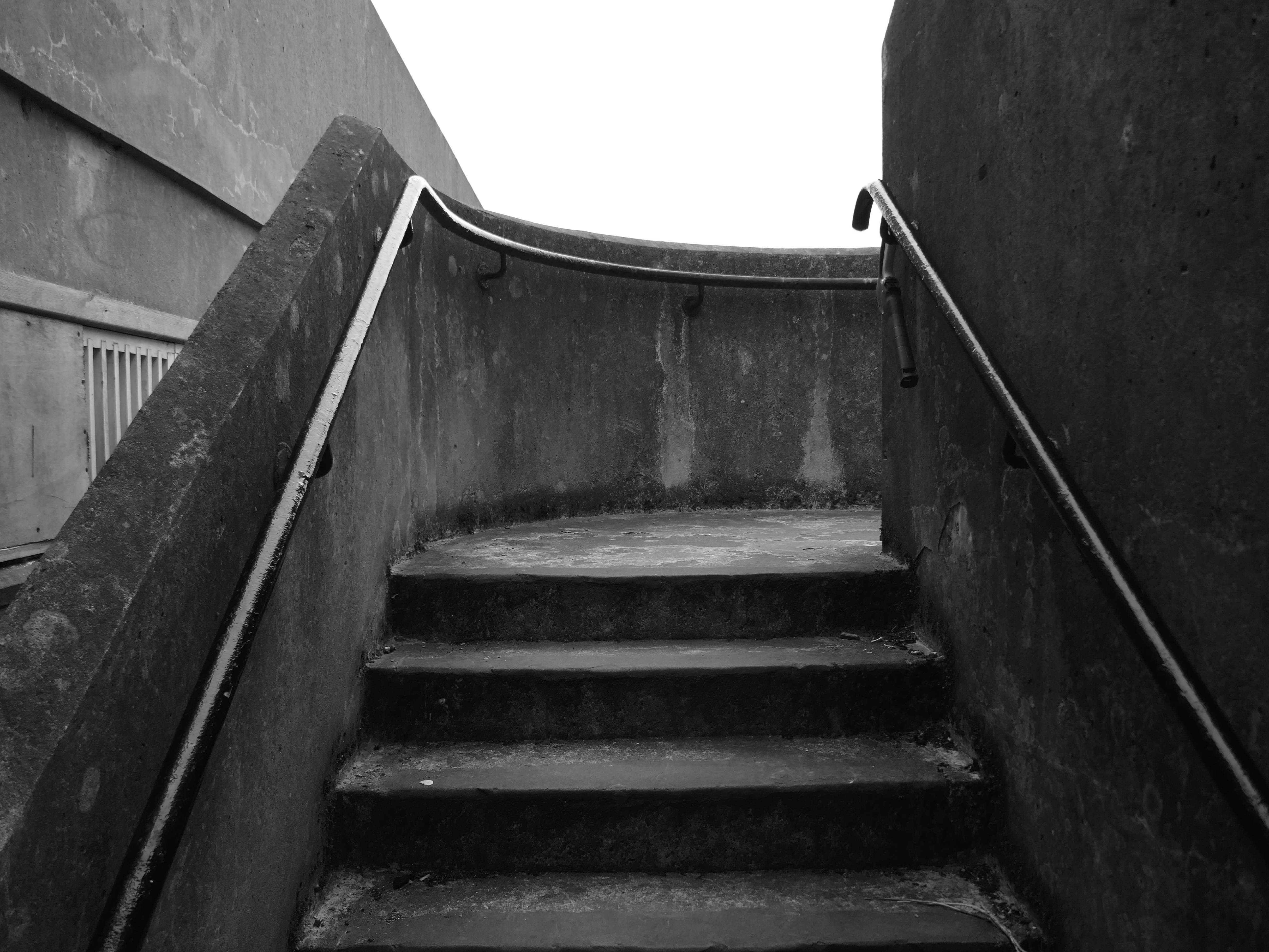
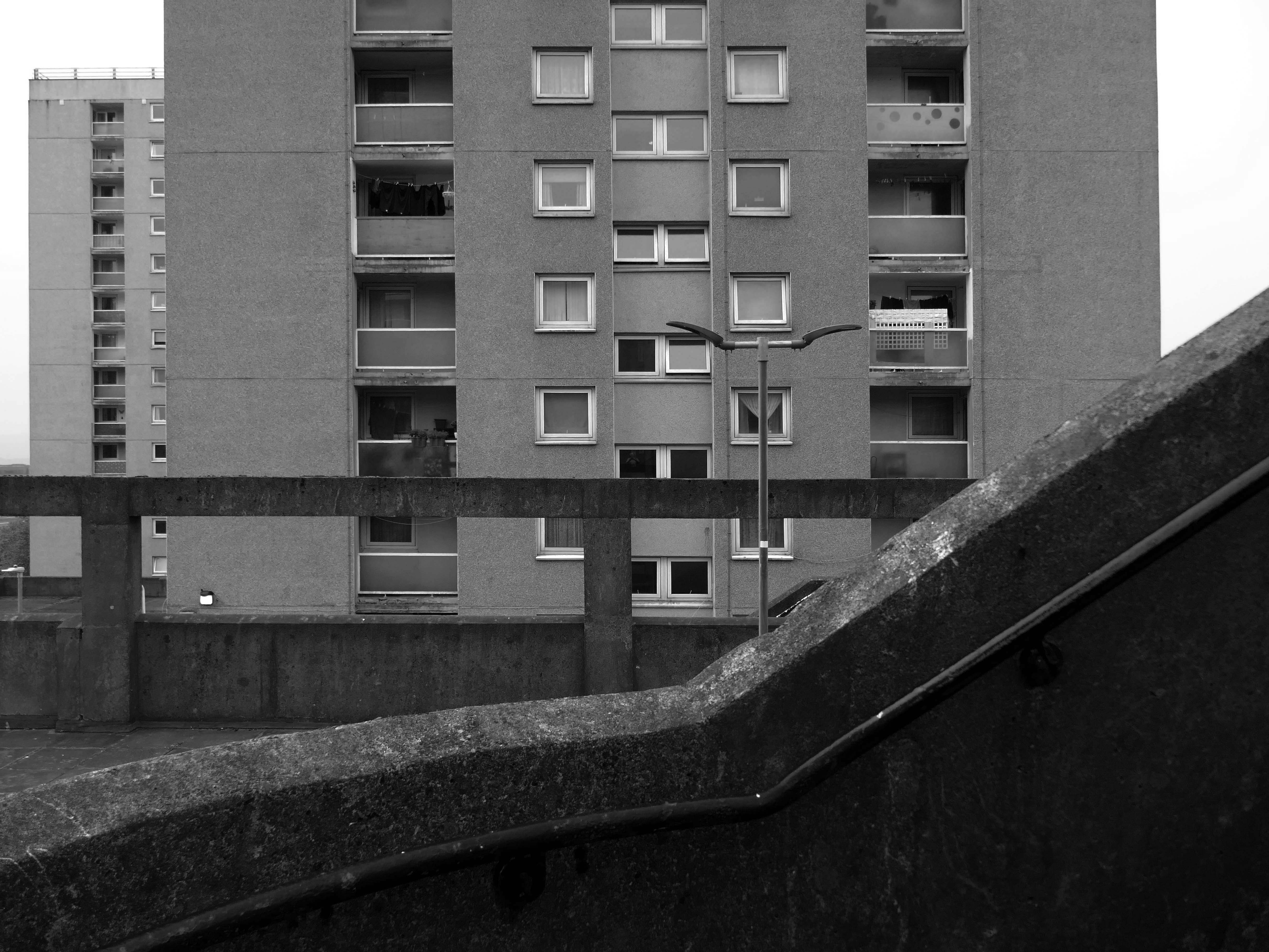
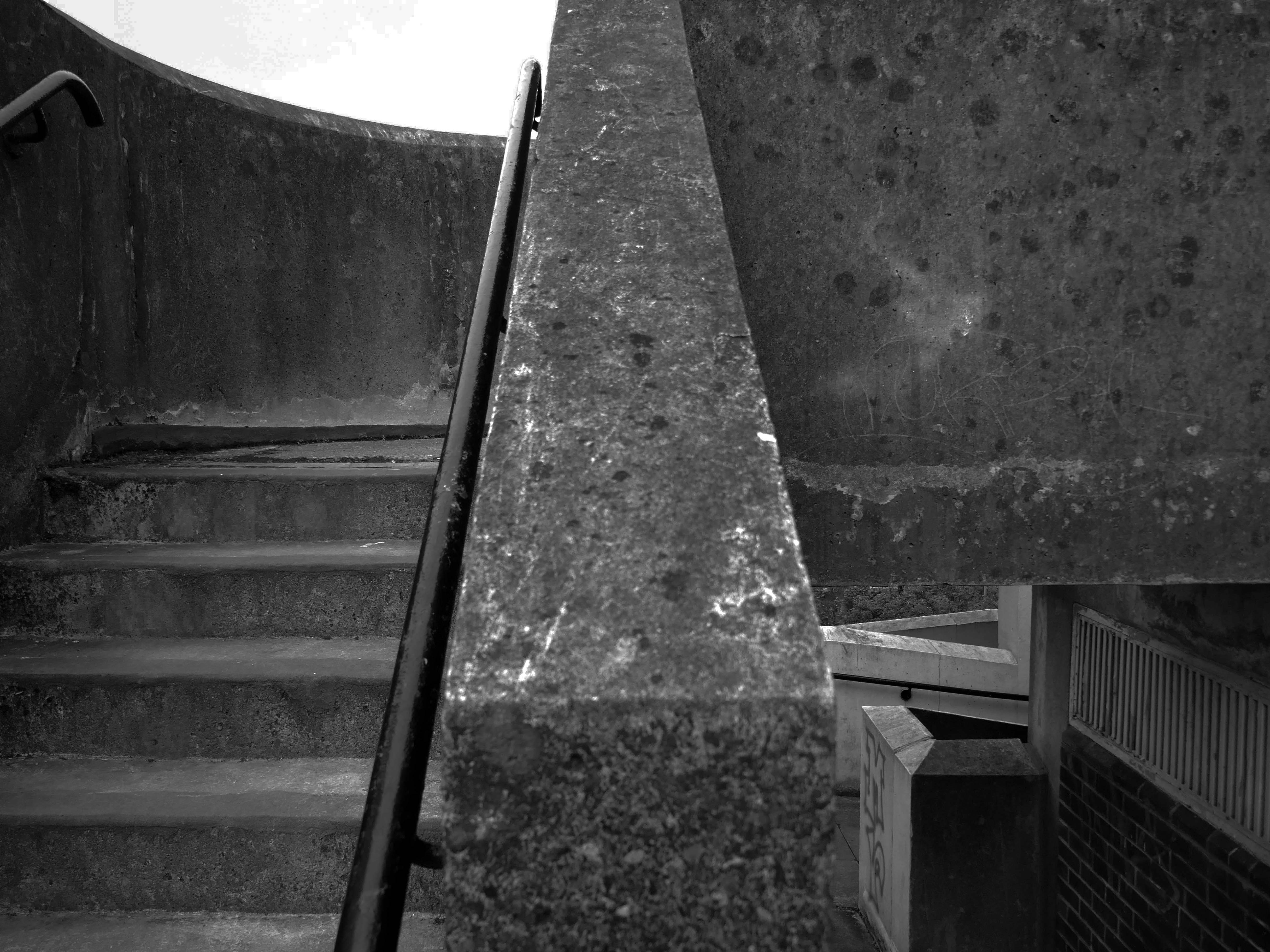
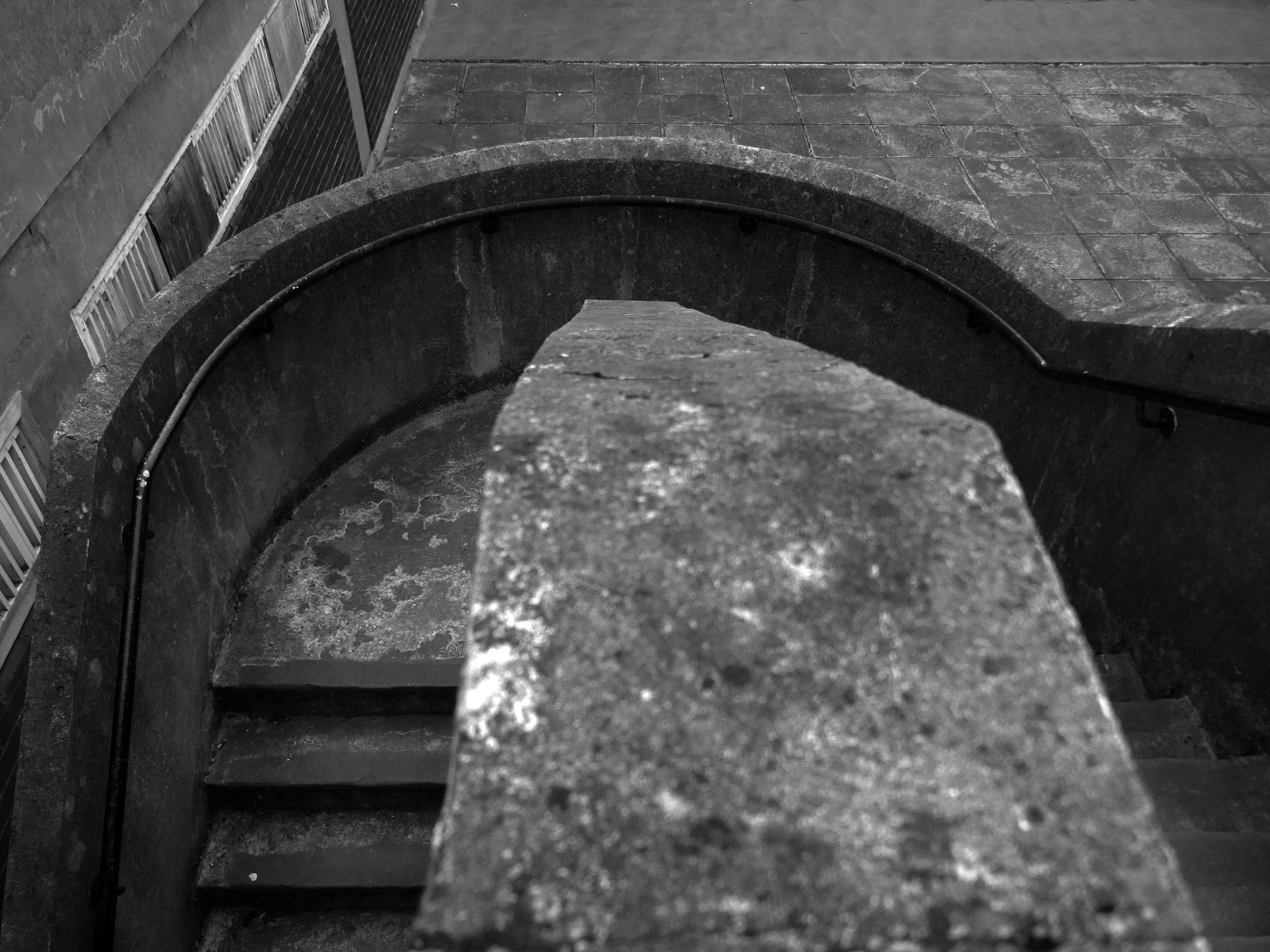
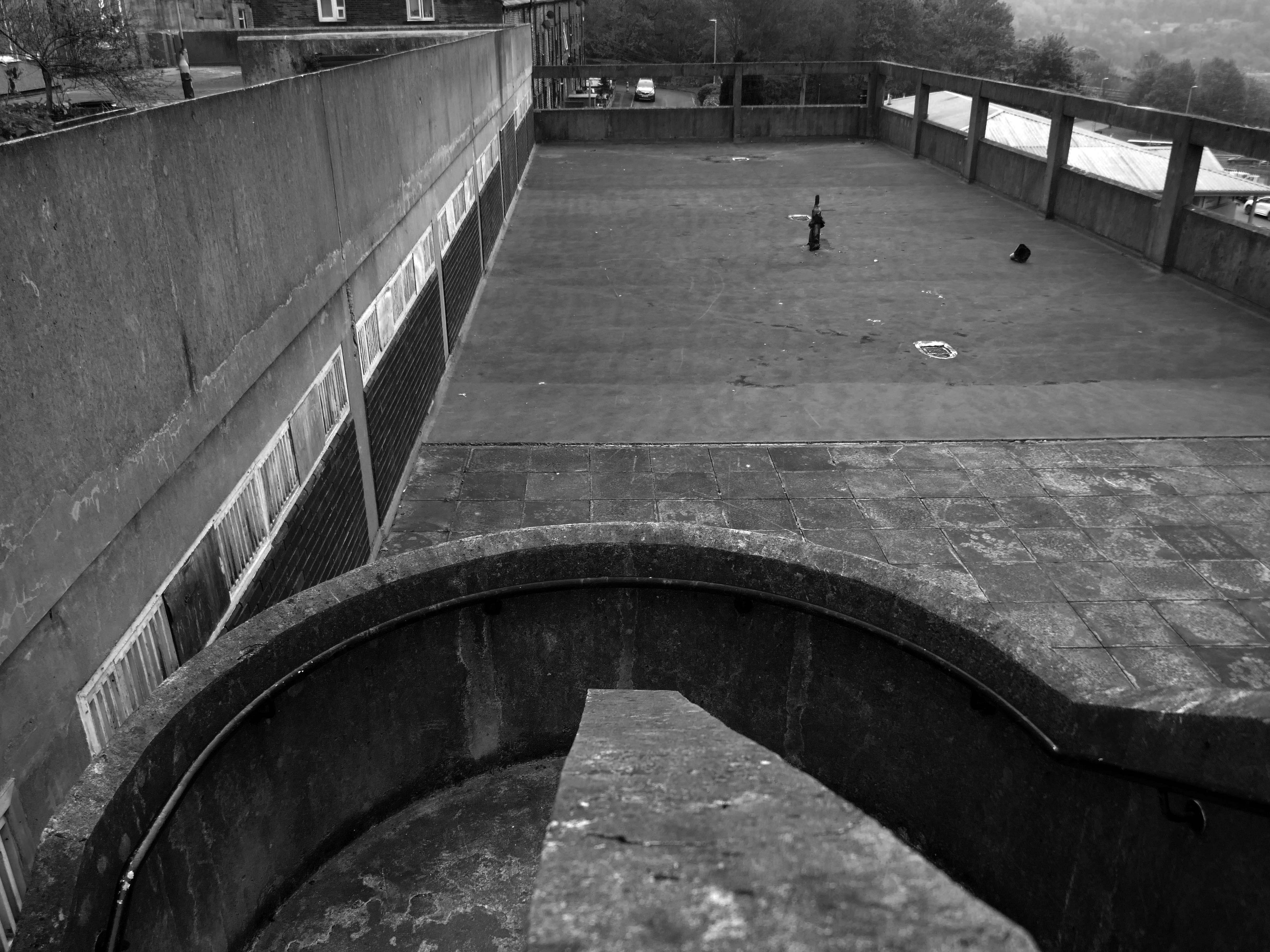
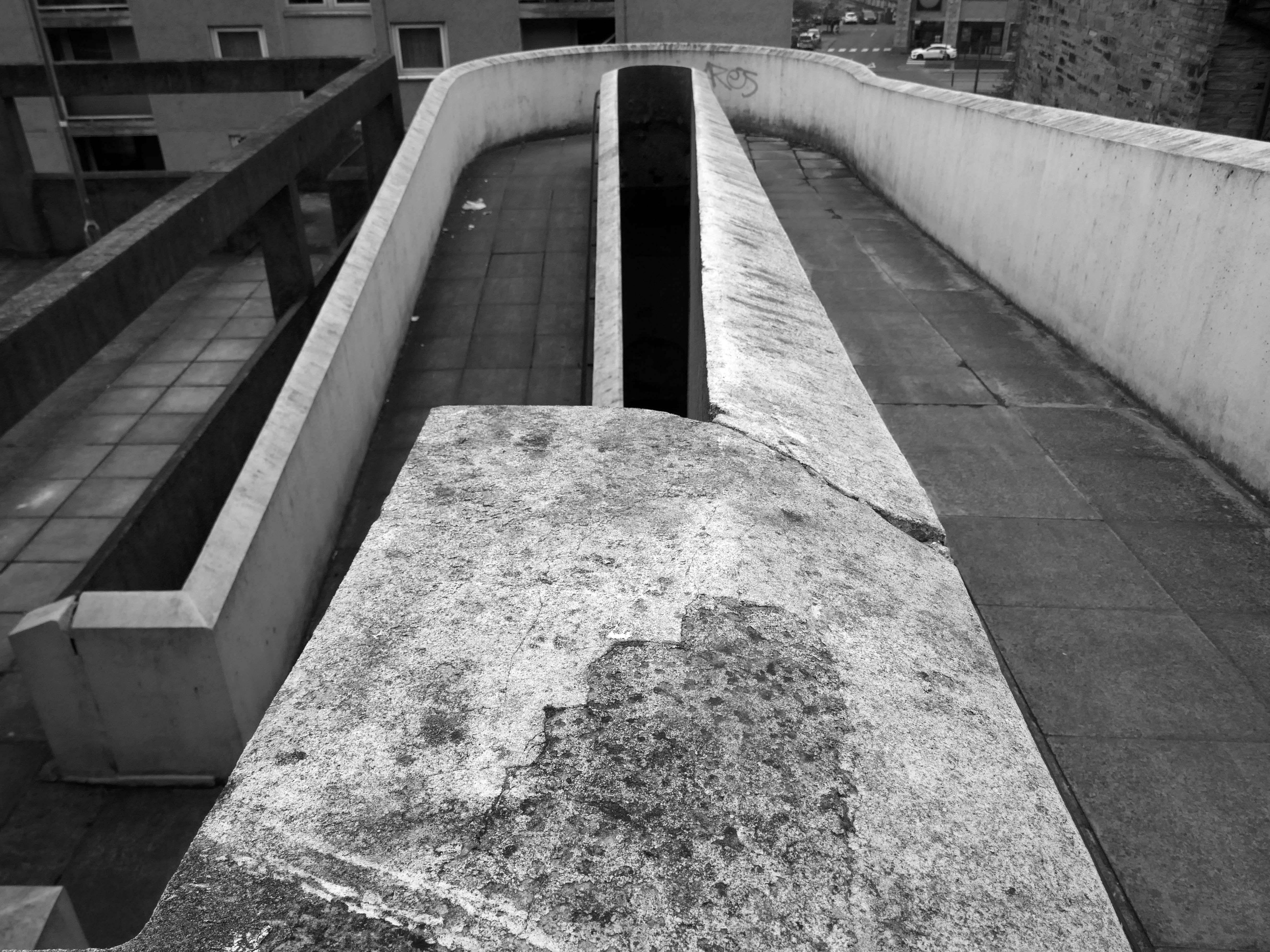
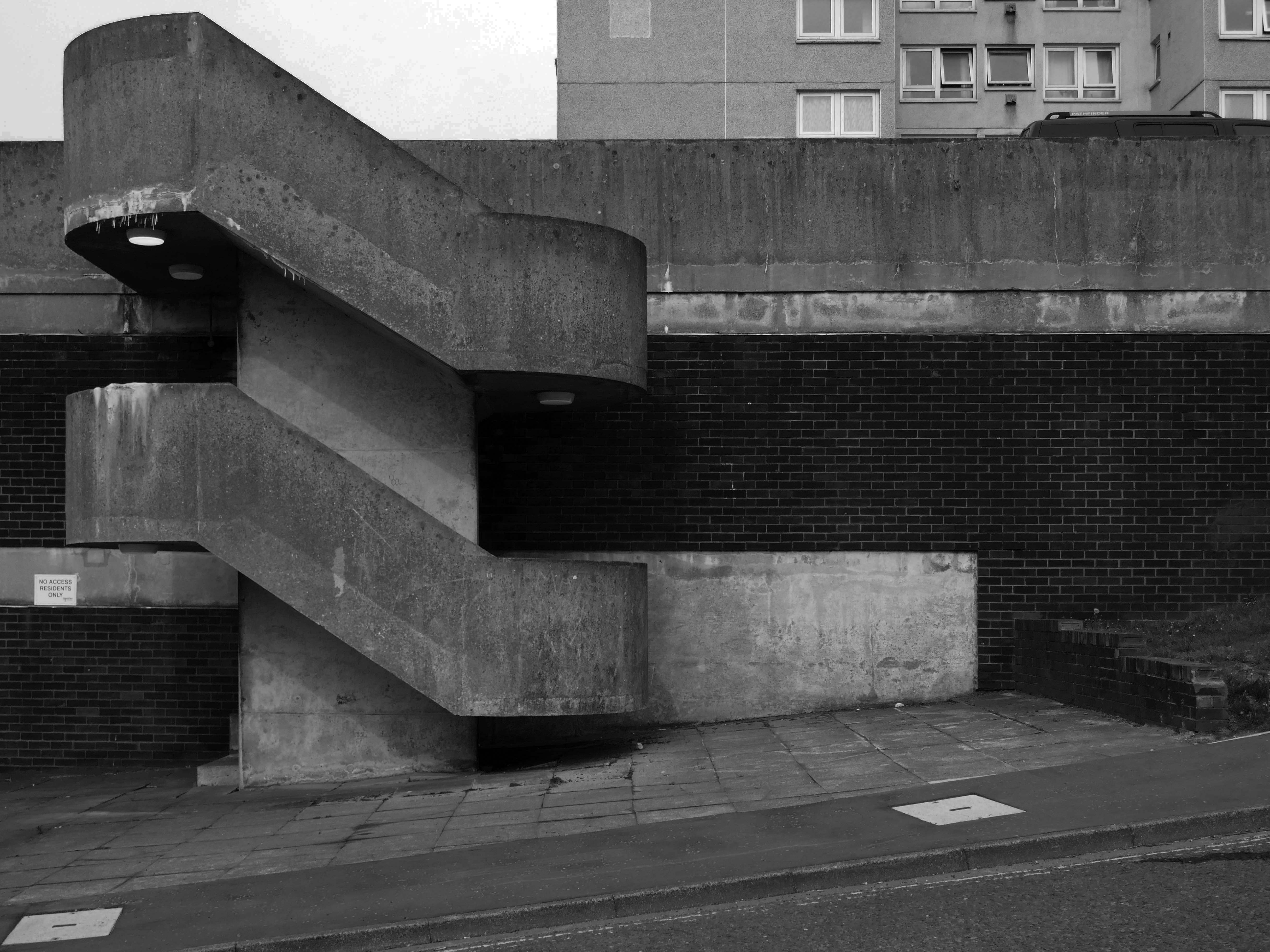
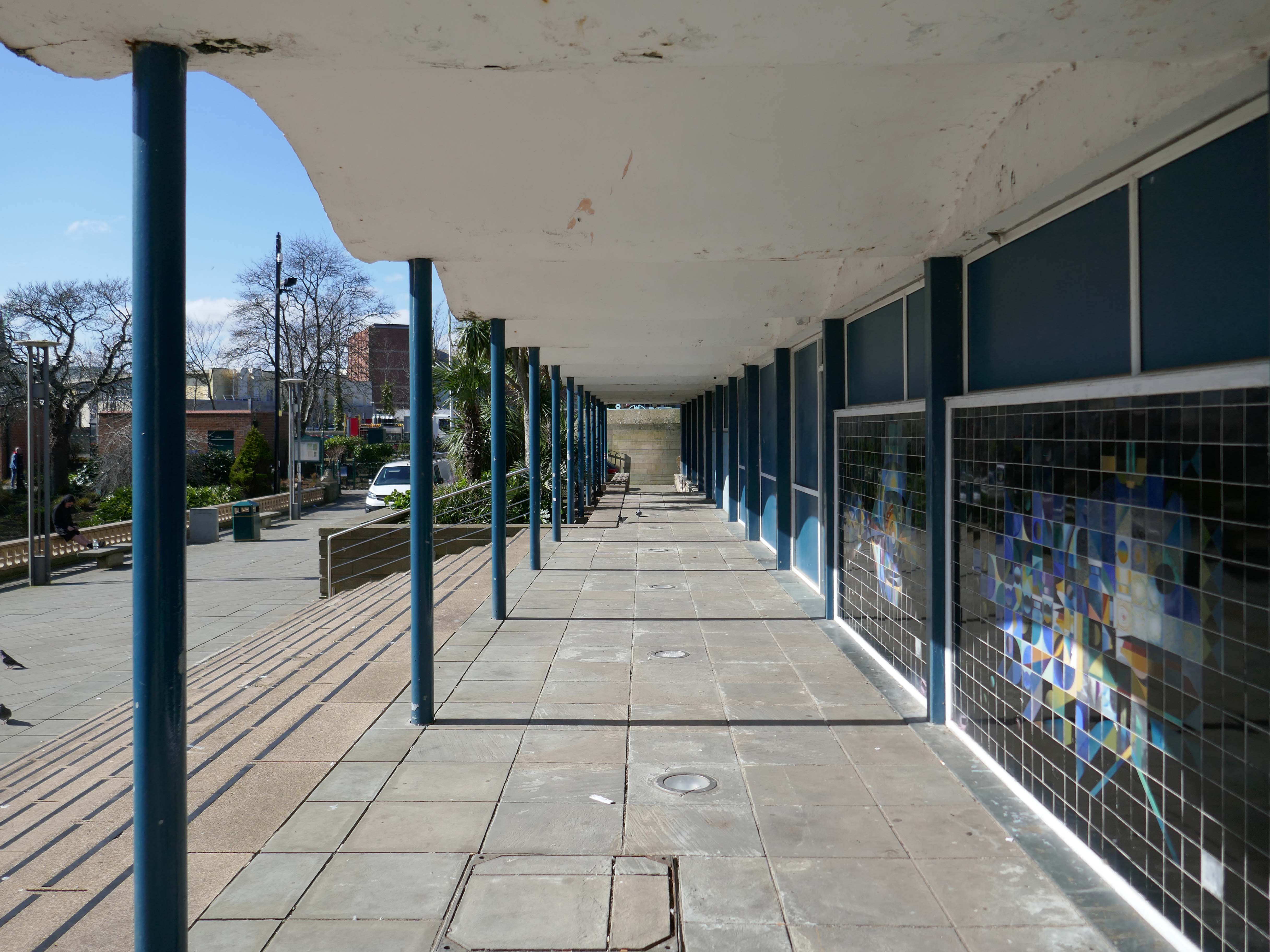
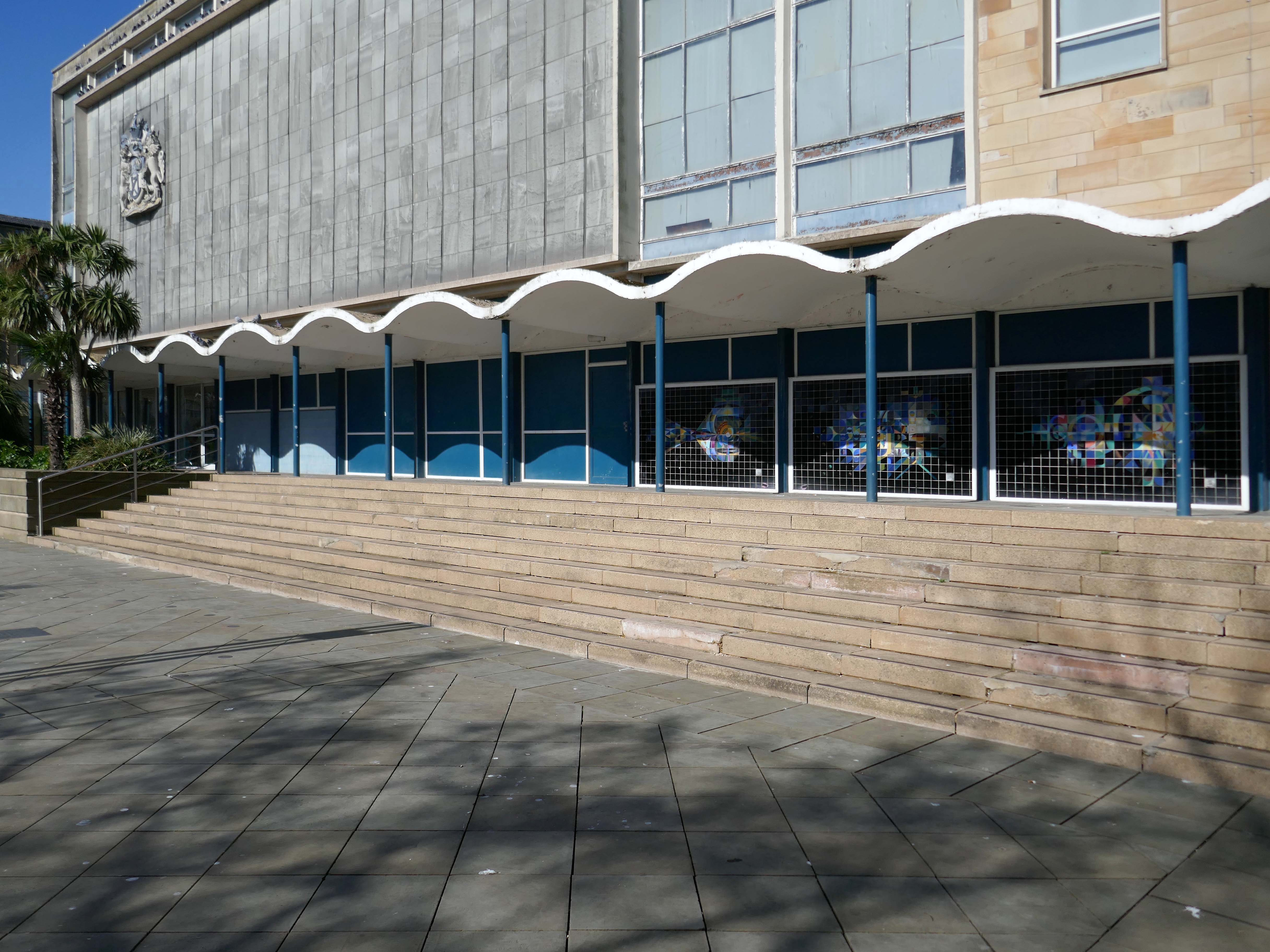
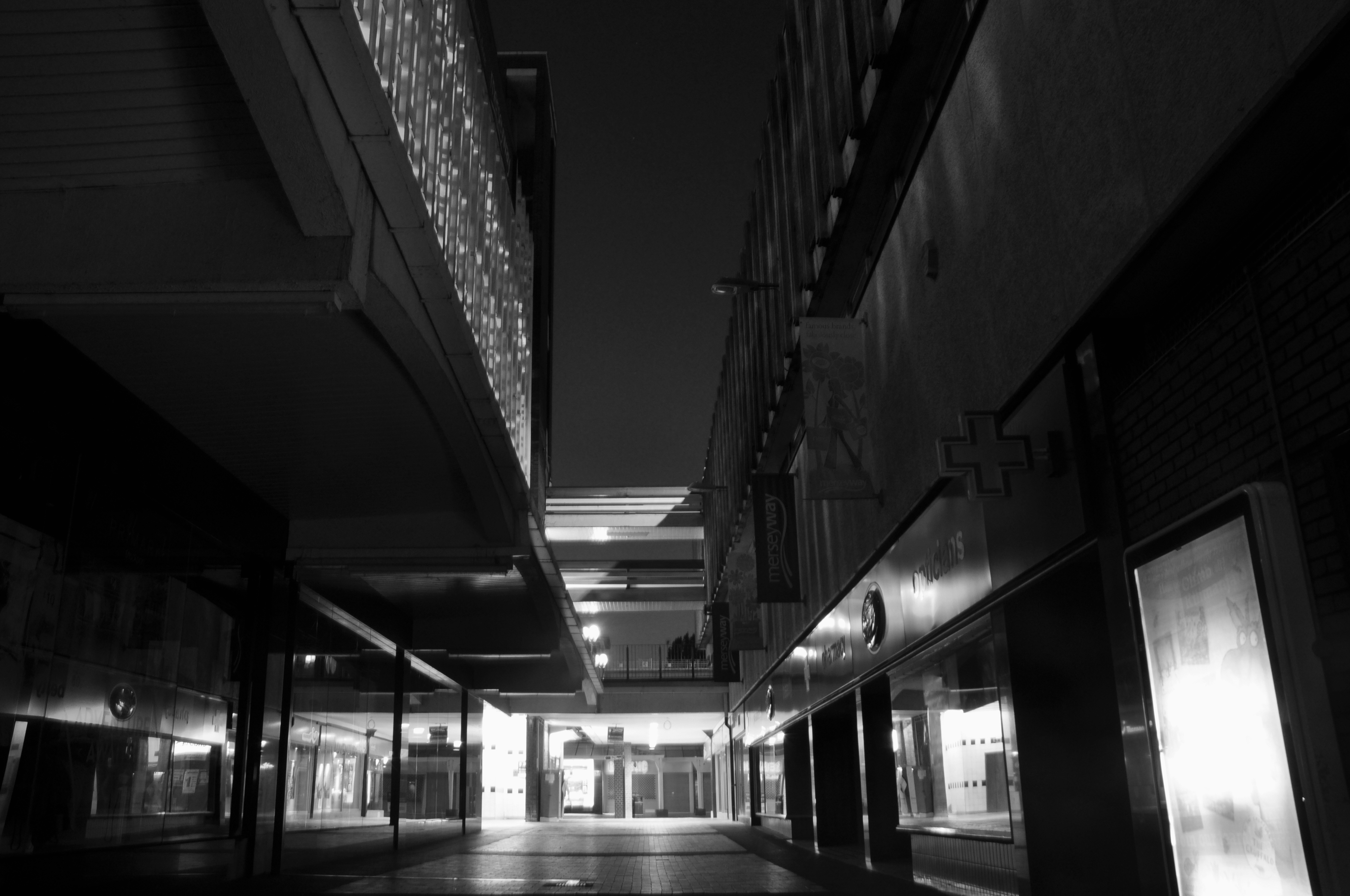
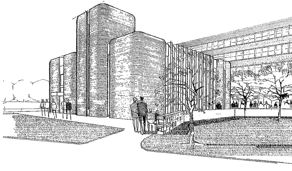
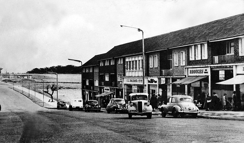
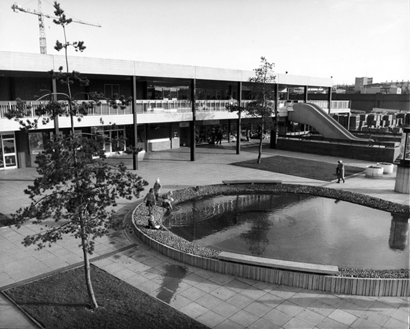
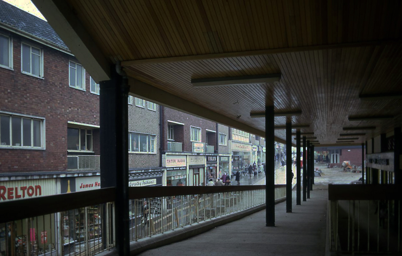
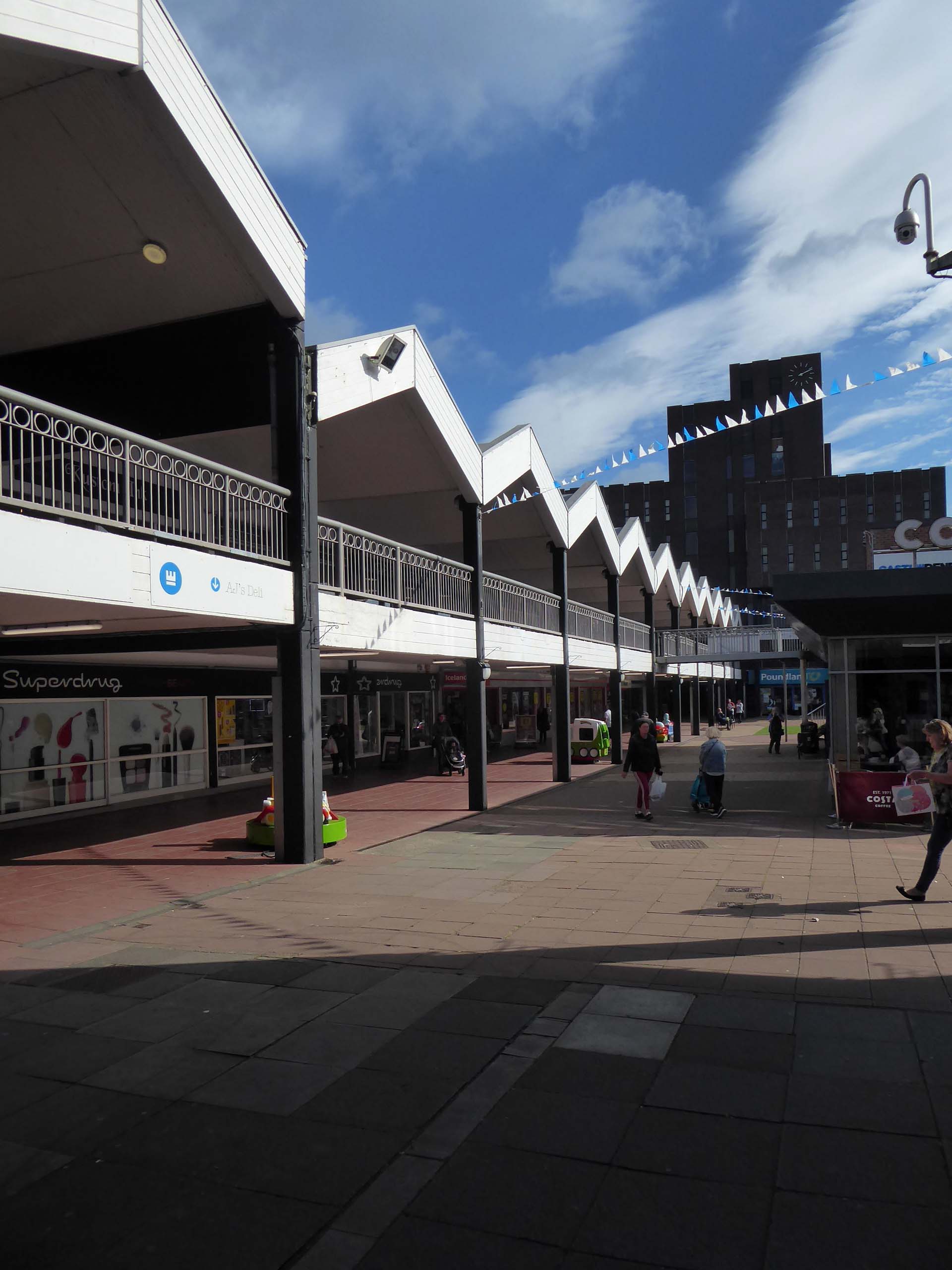
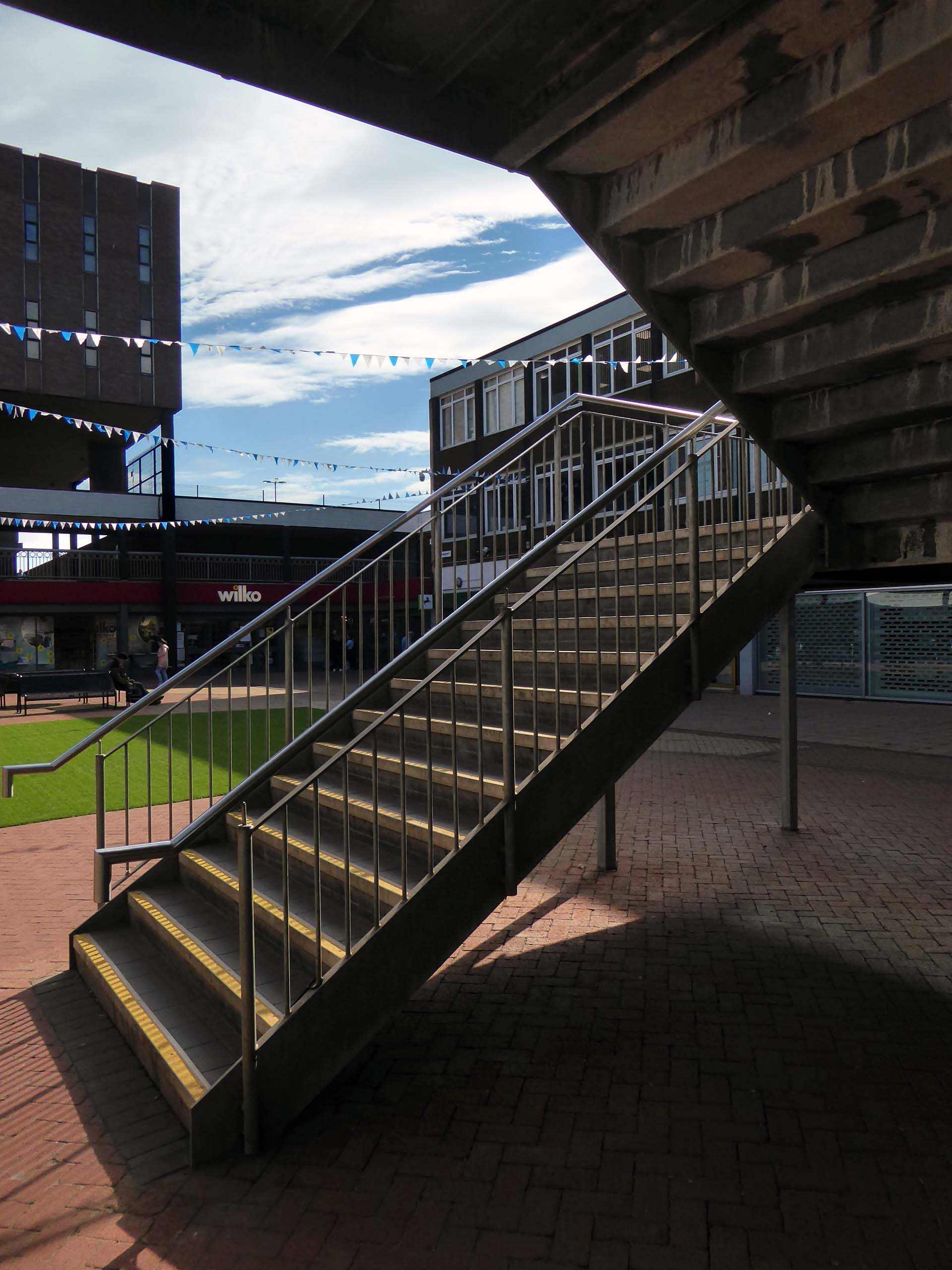
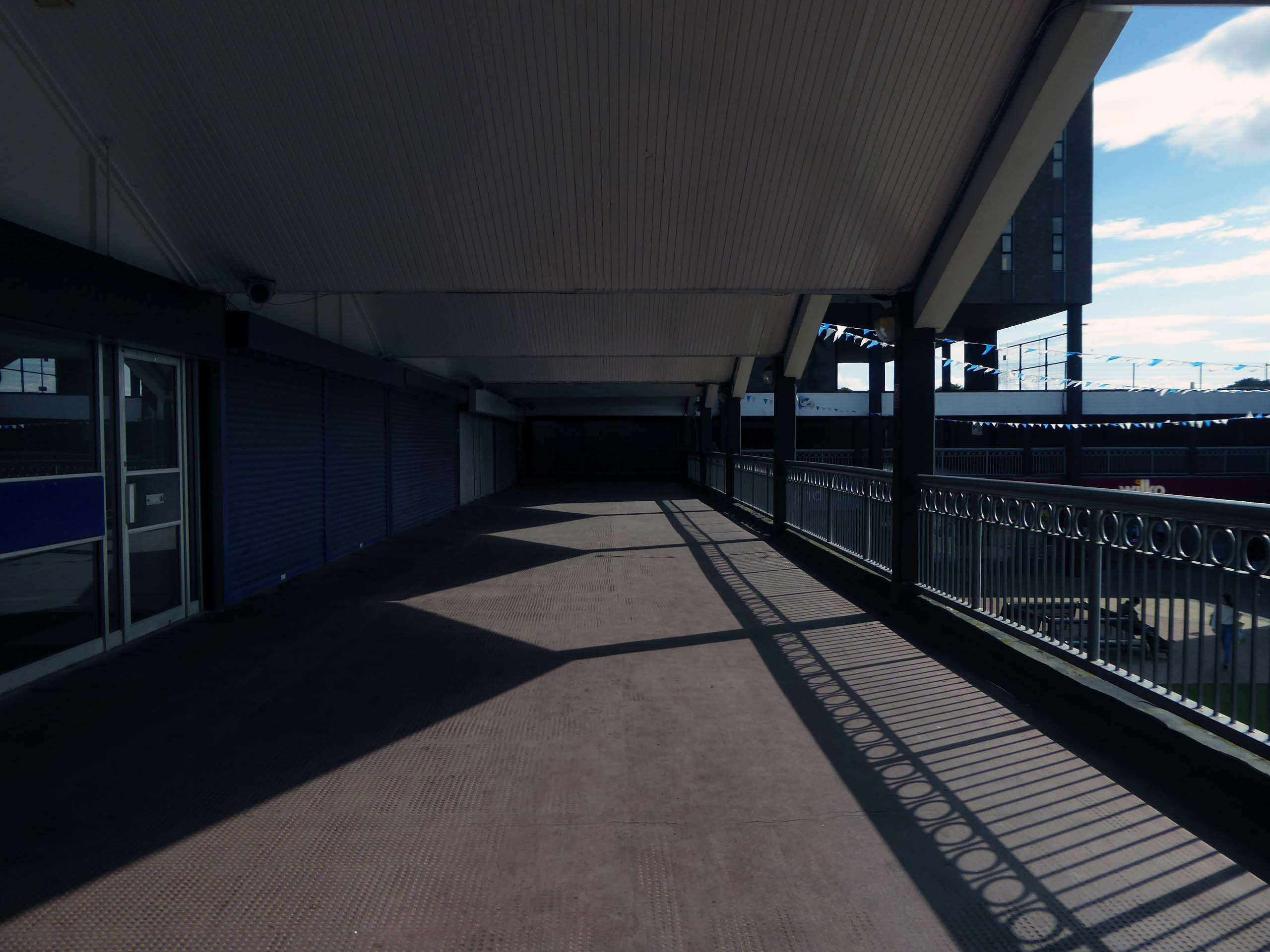
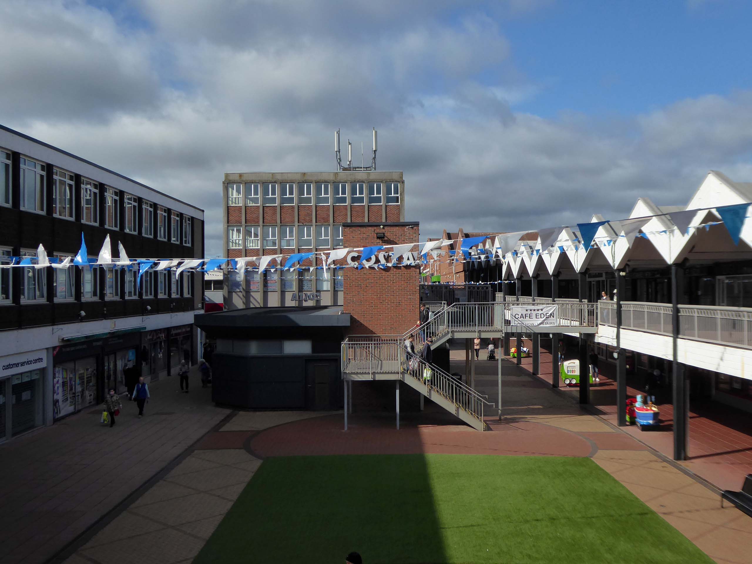
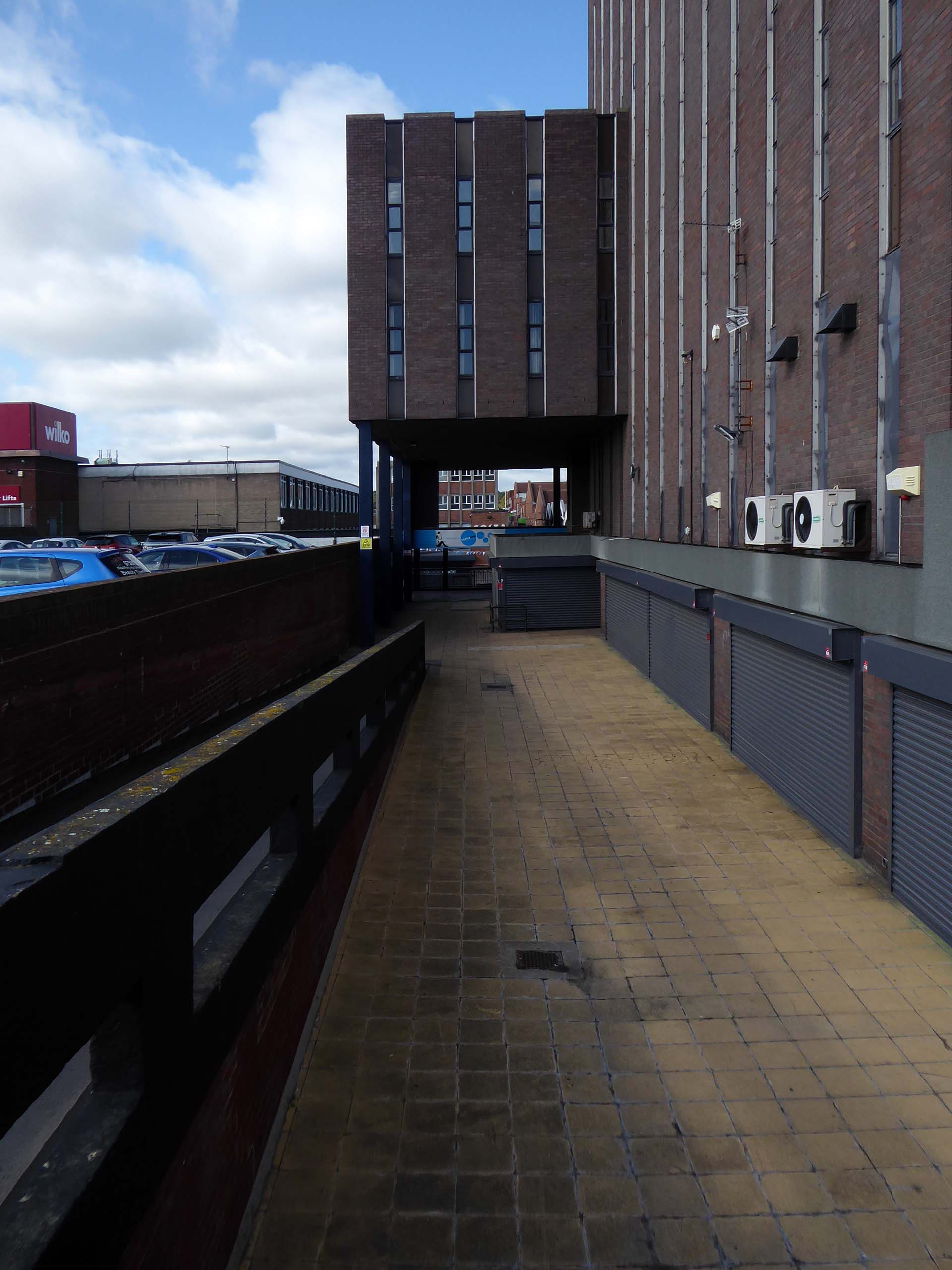
Plans for the new town centre started to be developed in 1960 by Chief Architect Roy Gazzard. The process would go through eight sets of revisions before they were finally approved in 1968. Yoden Way was then pedestrianised, and the small row of shops built in 1950’s was incorporated into the new shopping precinct, forming the north western end of Yoden Way. Like many other town centres across Britain undergoing modernisation, the high-street was split onto two levels, with ramps providing access to raised walkways.
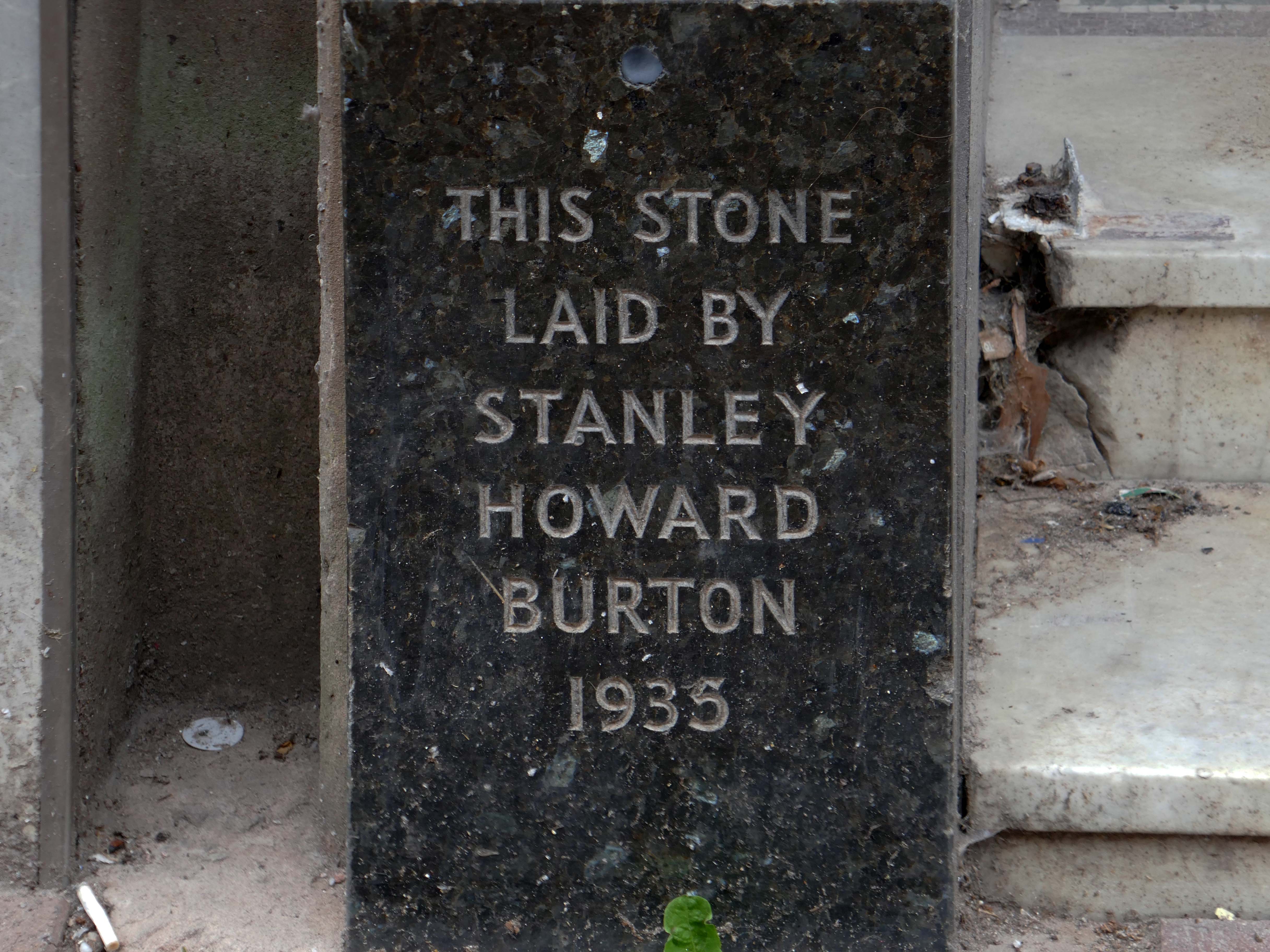
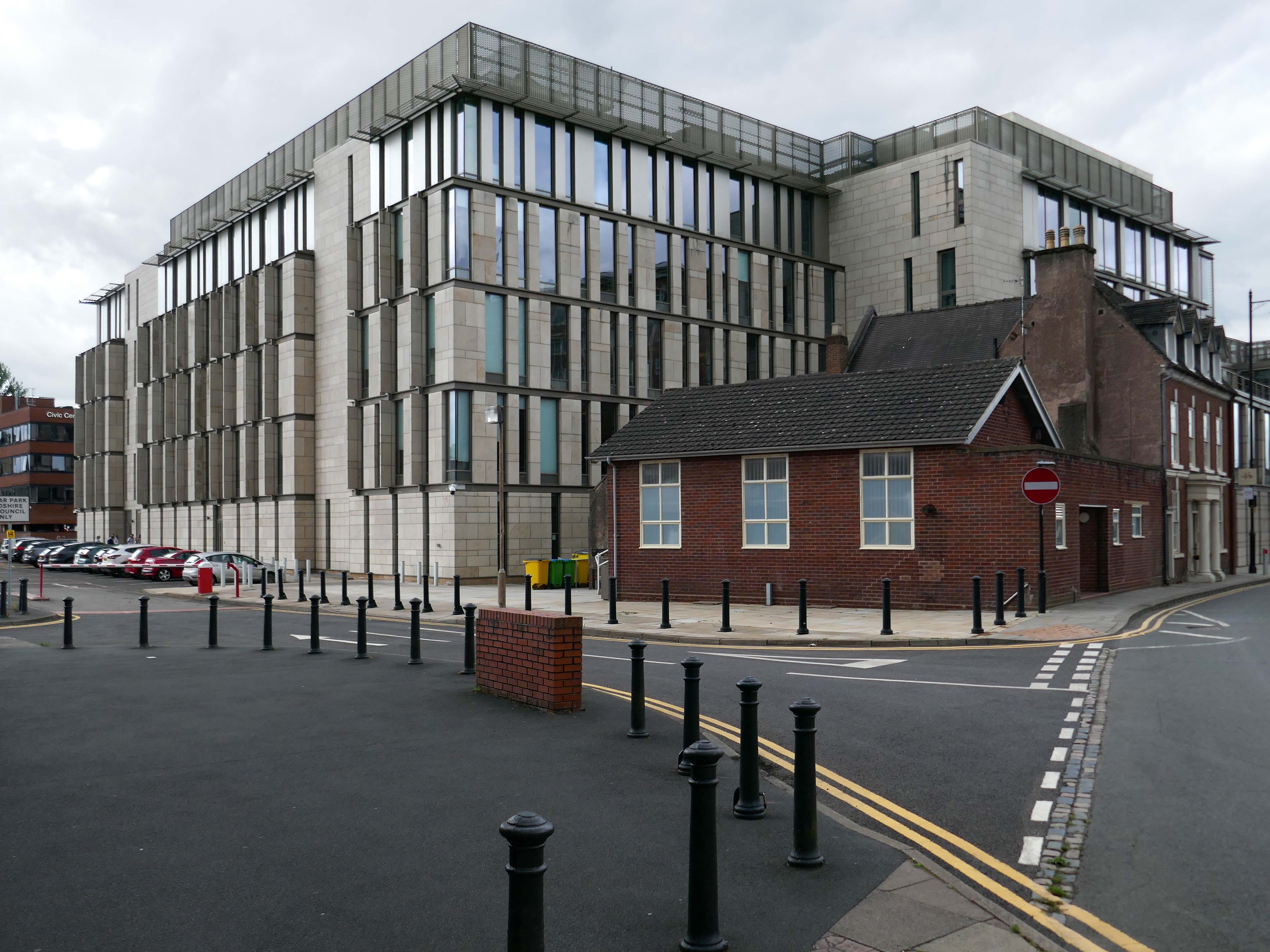
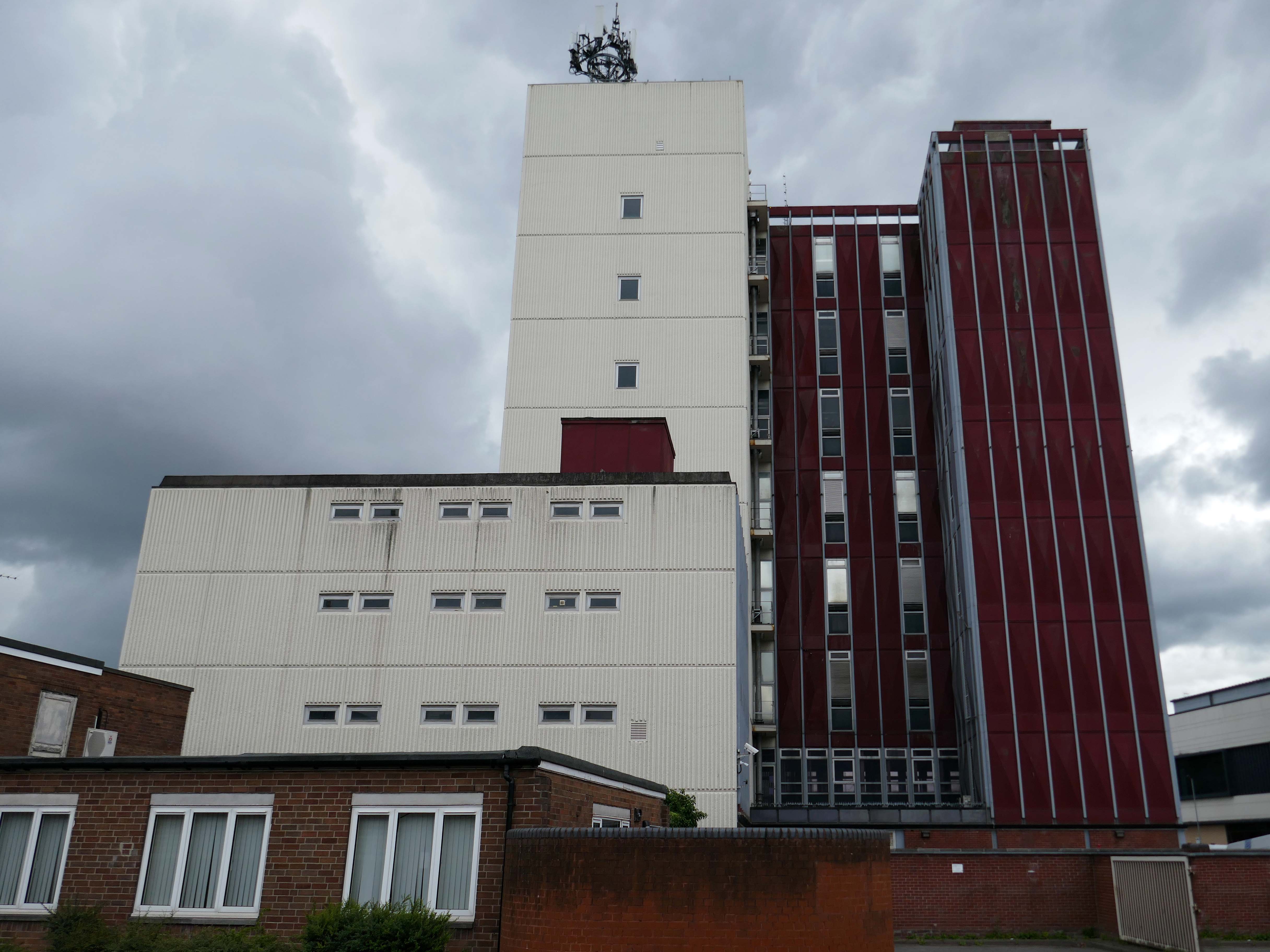
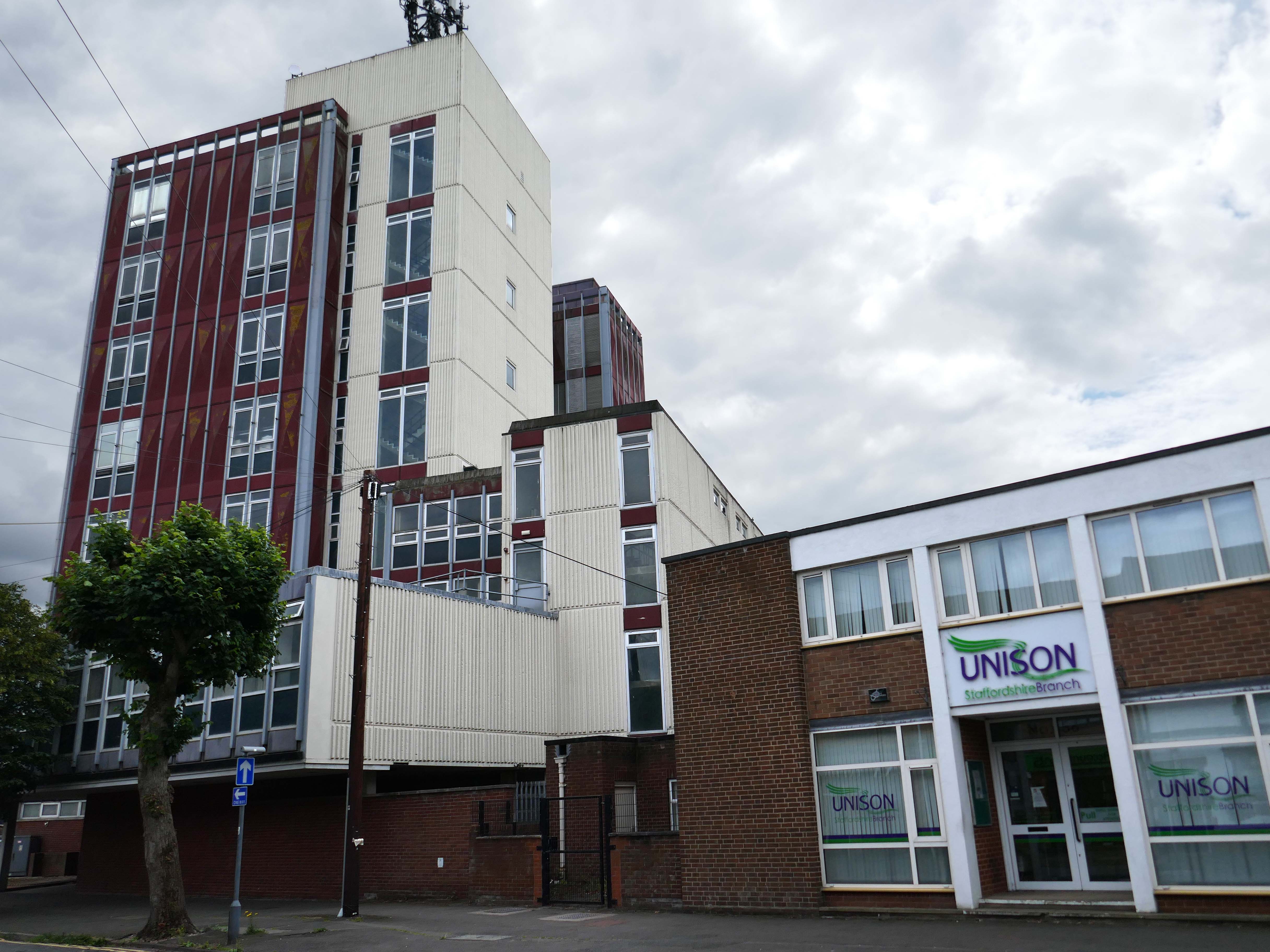
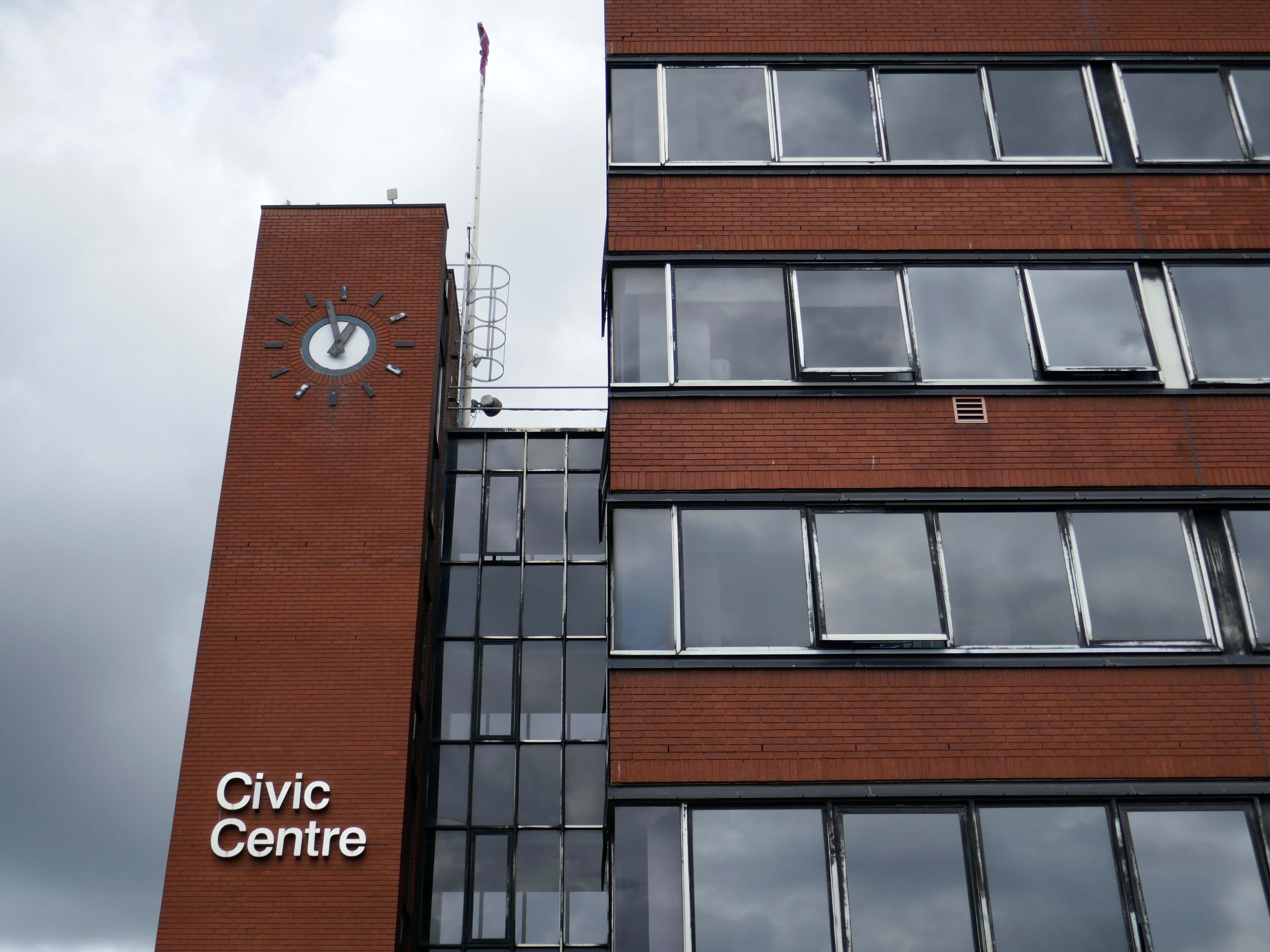
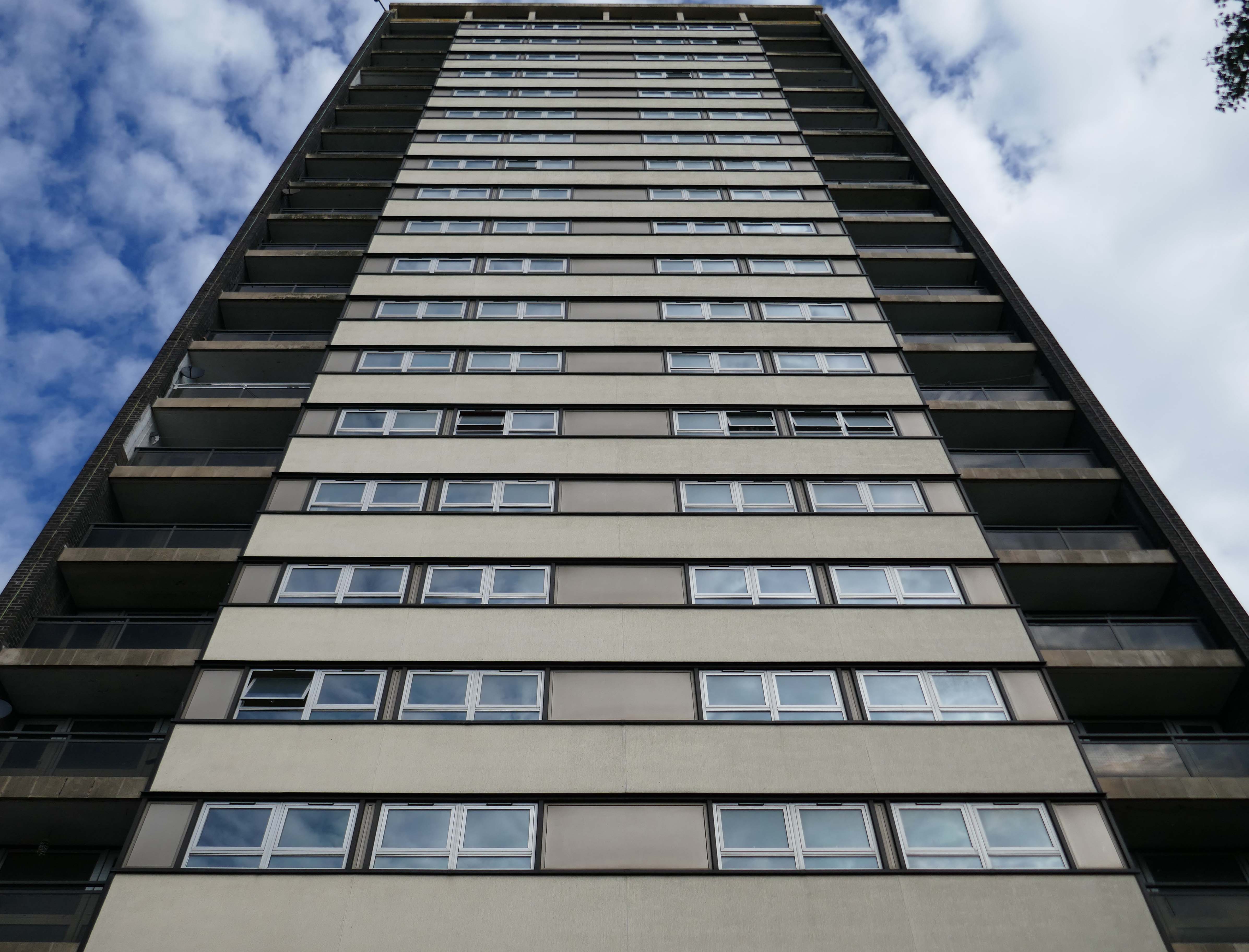
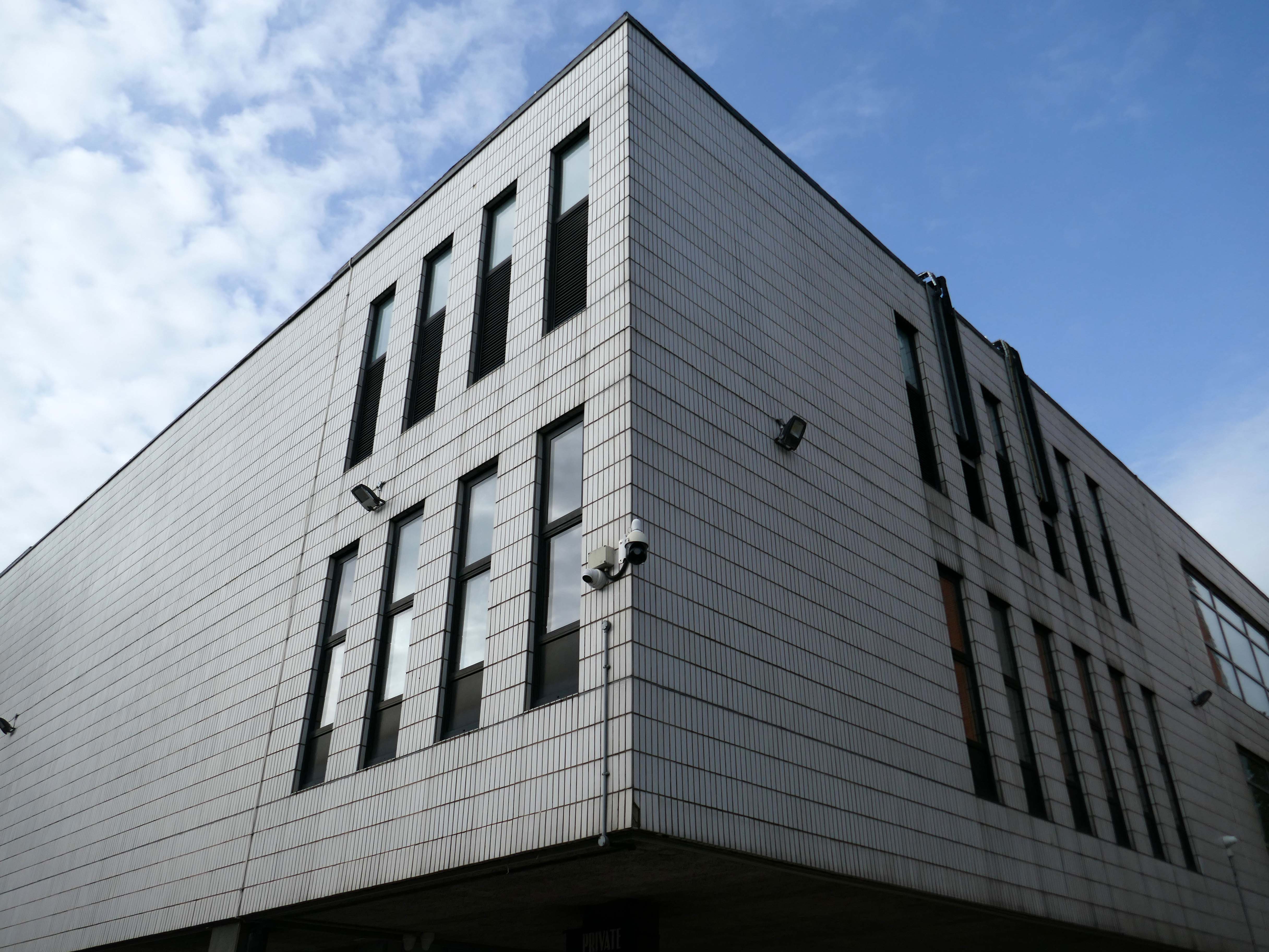
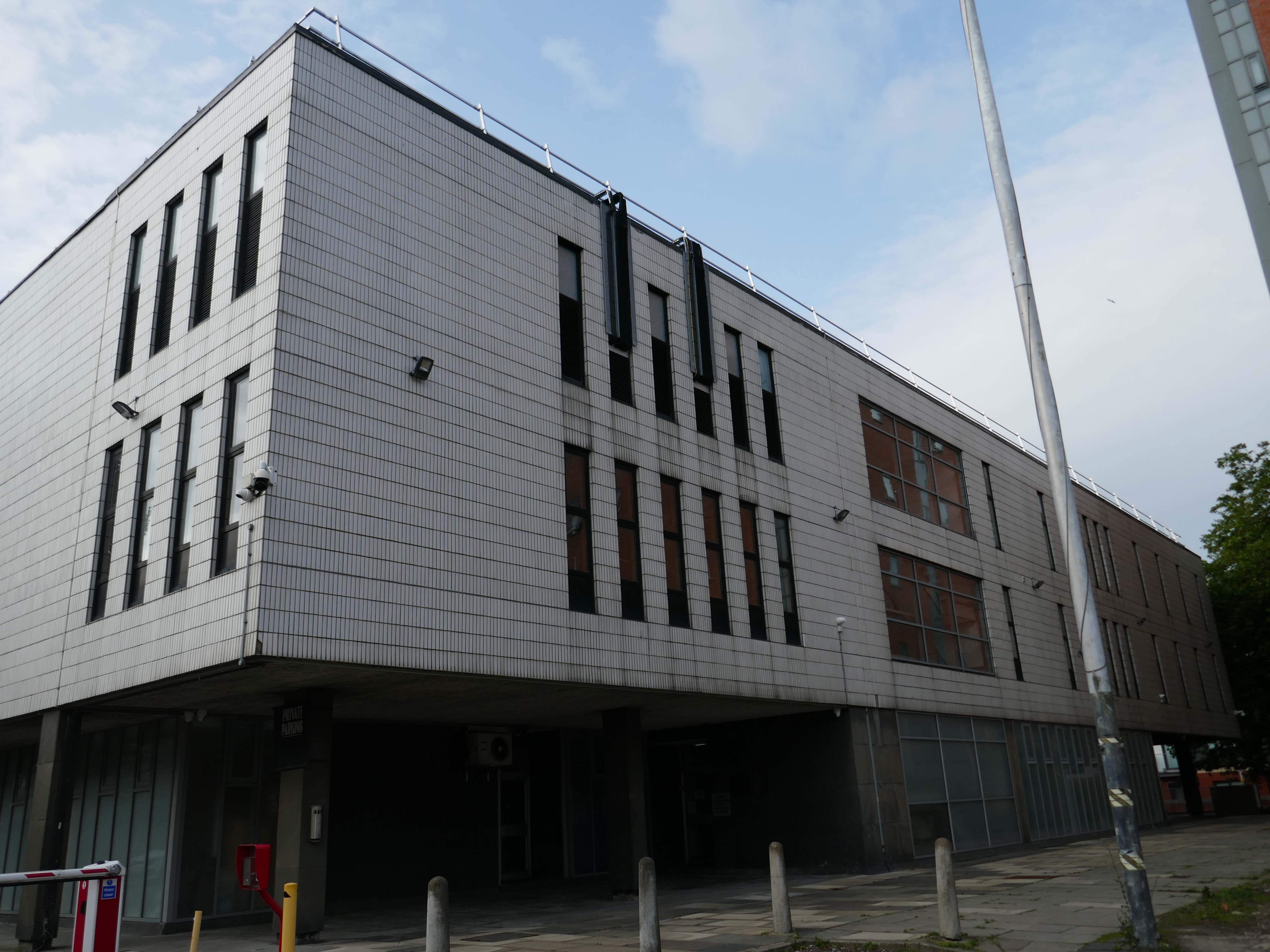
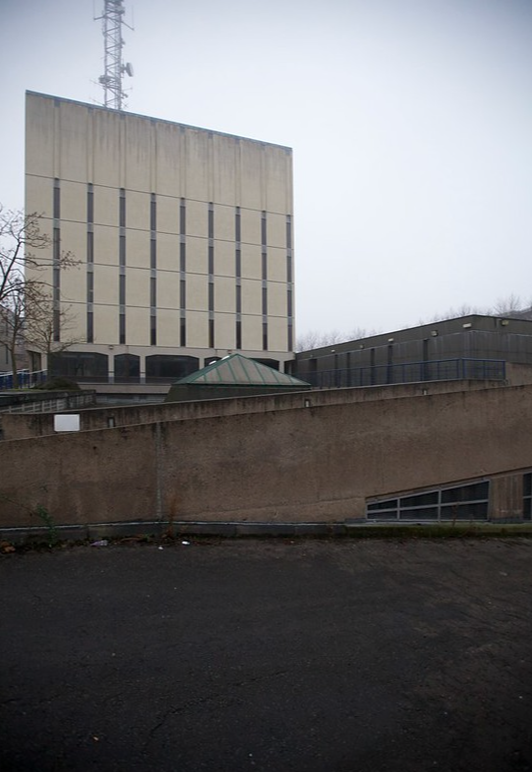
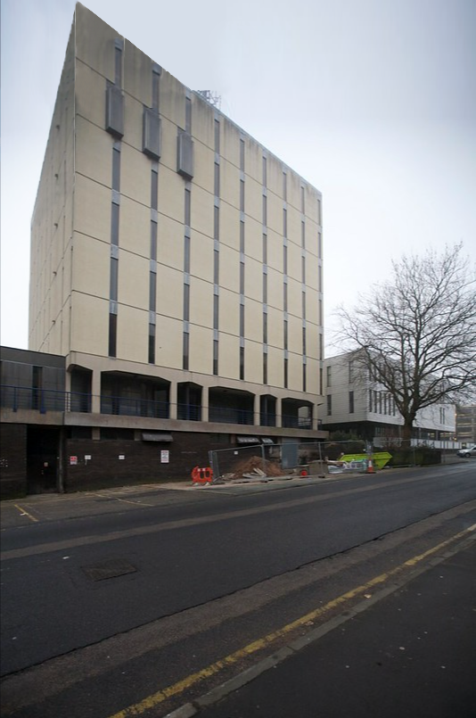
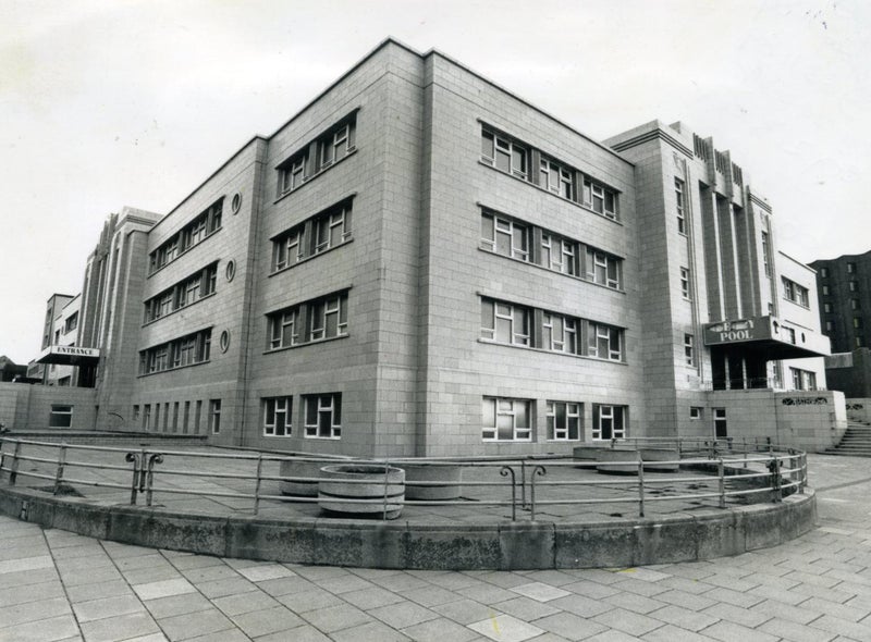
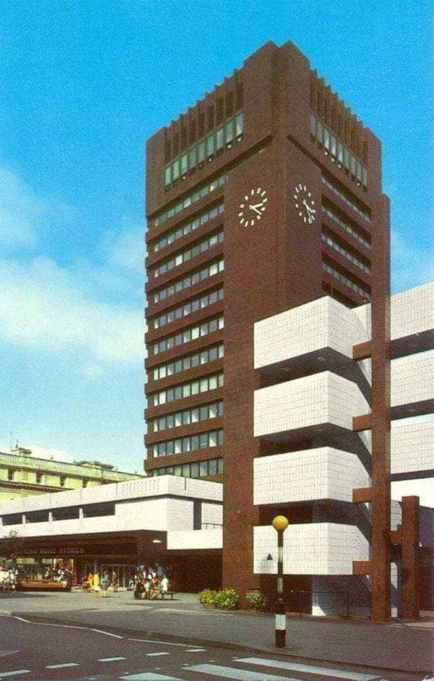
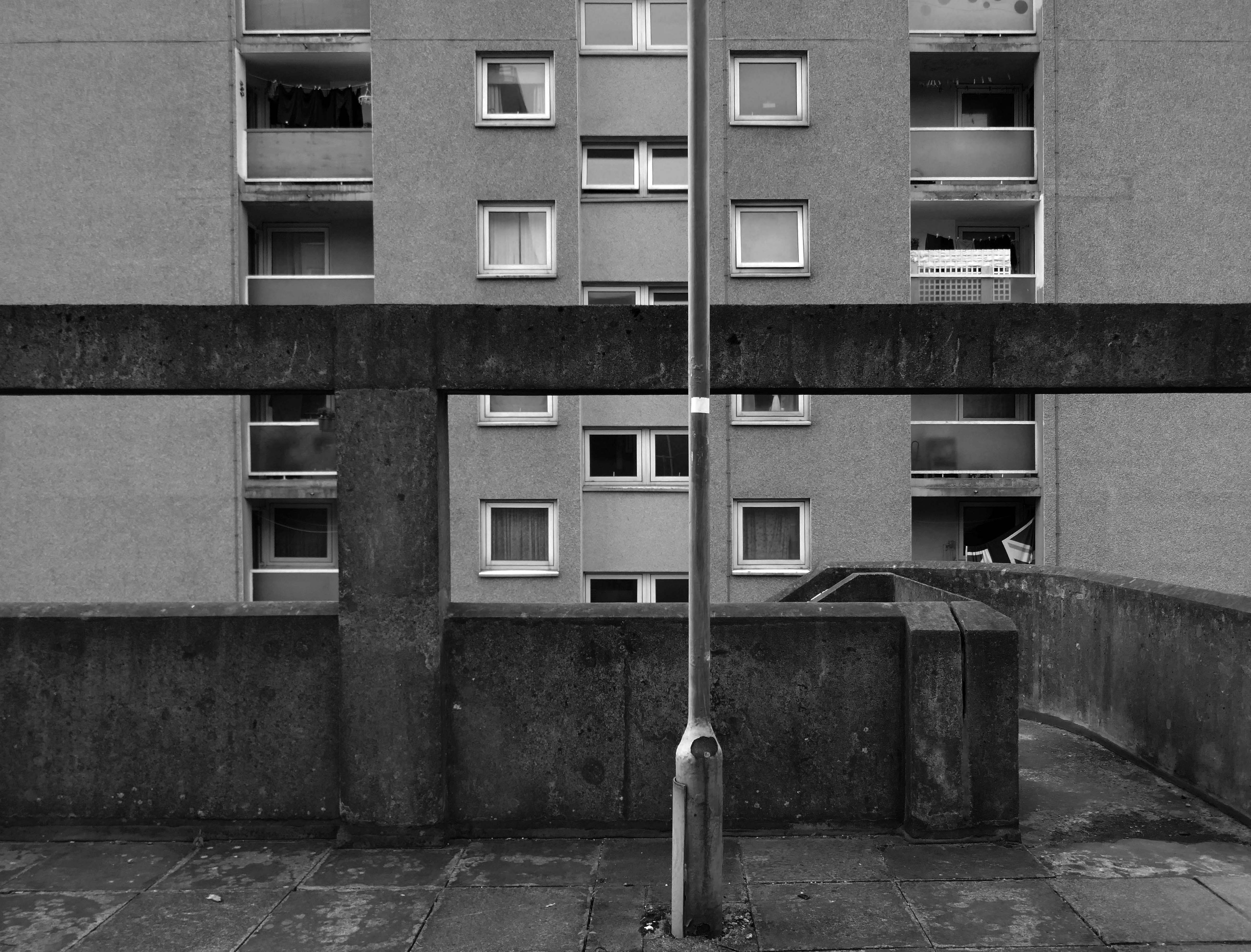
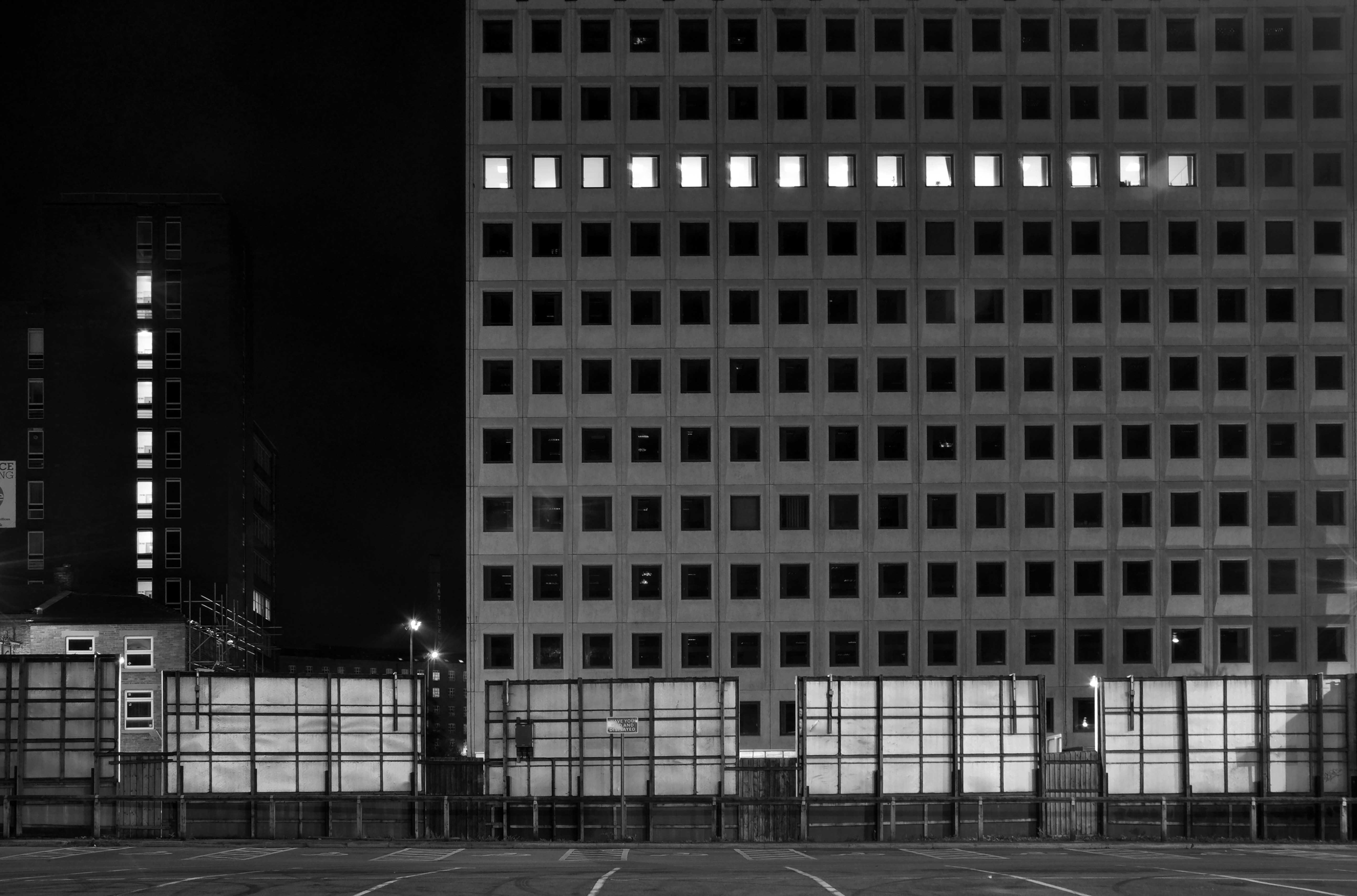
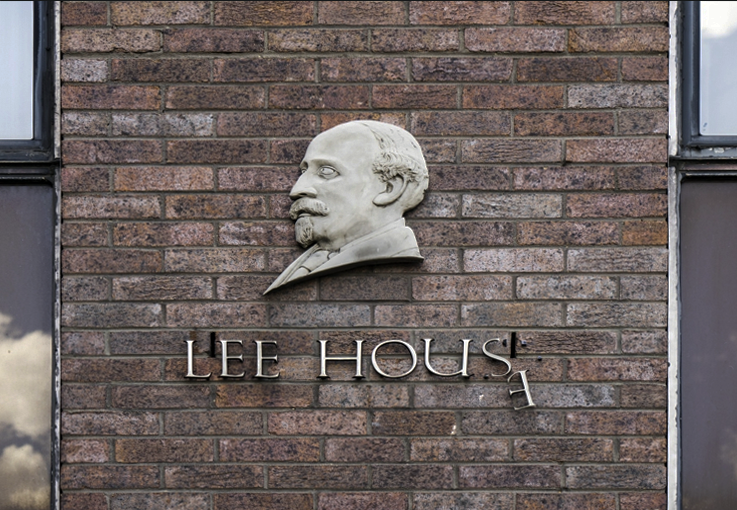
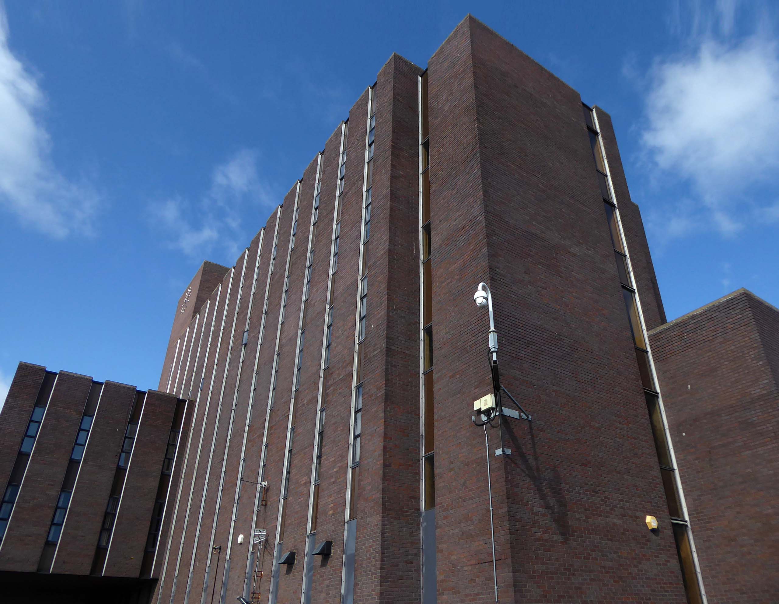
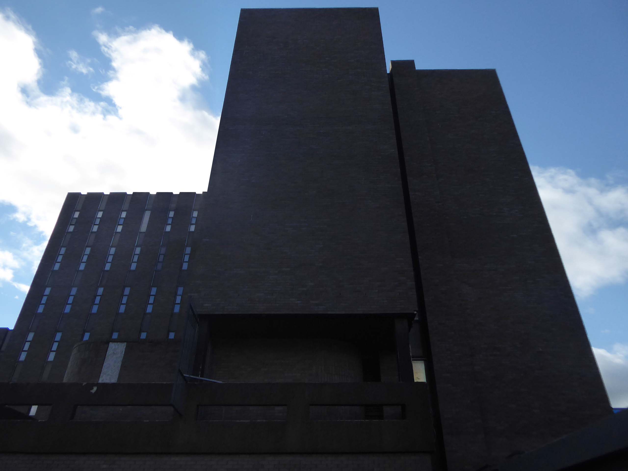
The construction of Lee House – named after Peter Lee, started in 1974. Once completed, the Development Corporation moved its Headquarters from Old Shotton Hall to Lee House in 1976, occupying the building until it was sold in 1984 and remaining staff relocated to Newton Aycliffe.
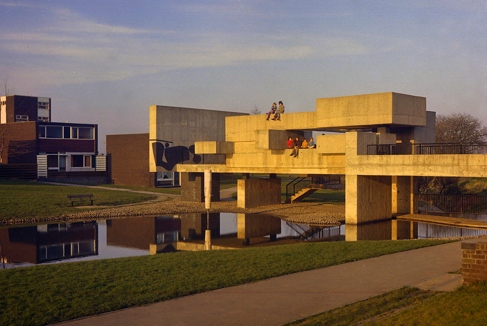
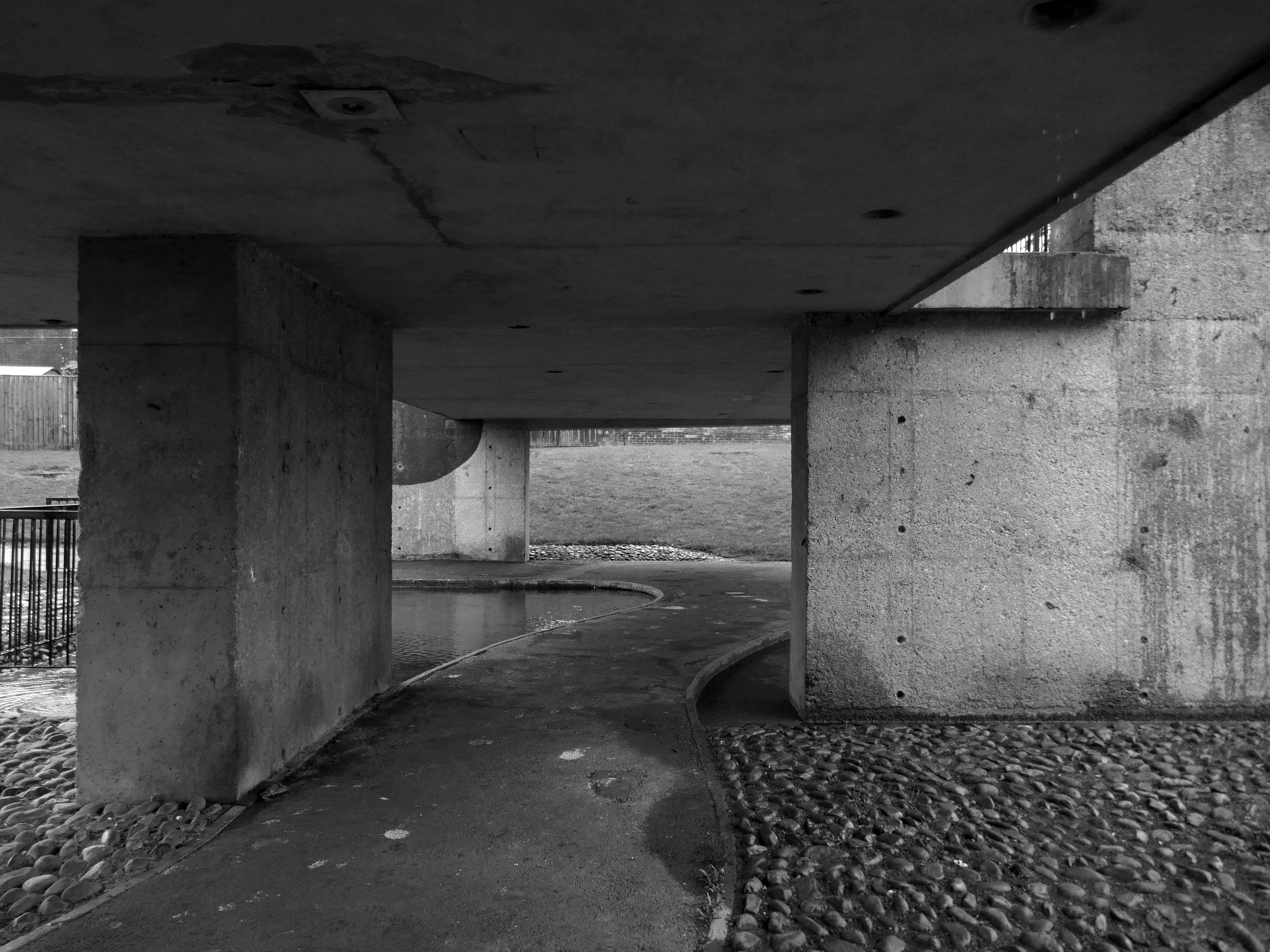
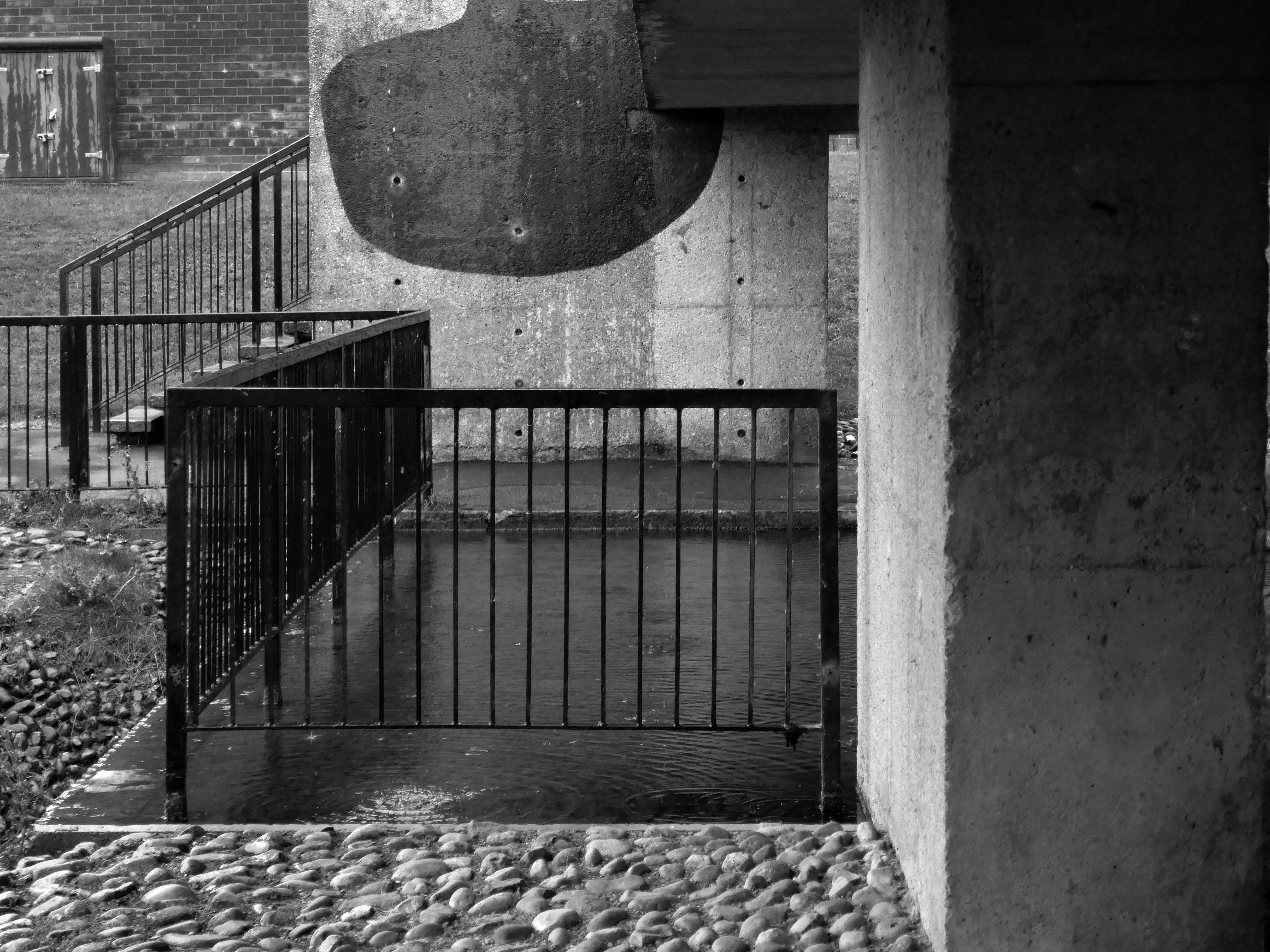
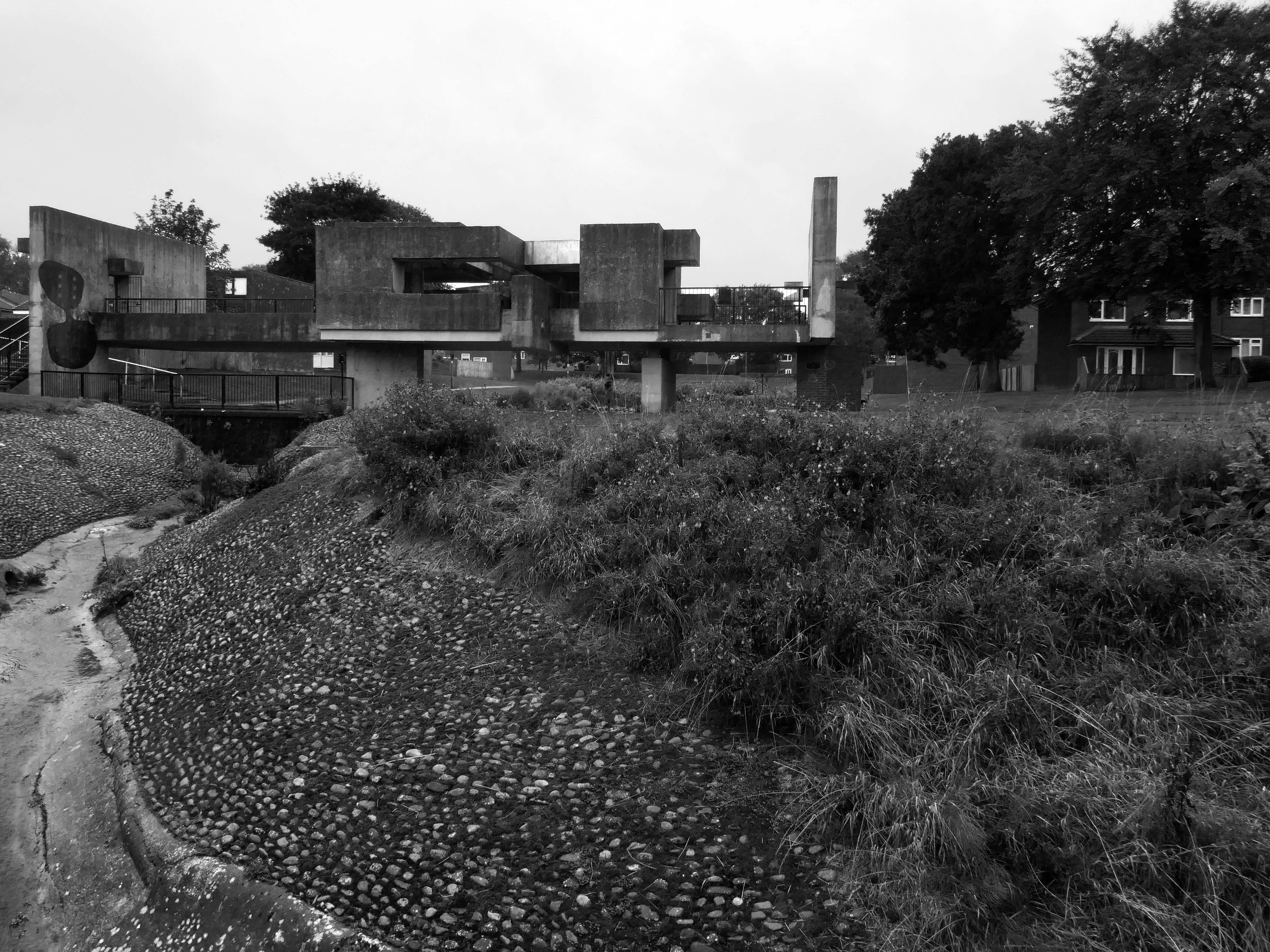
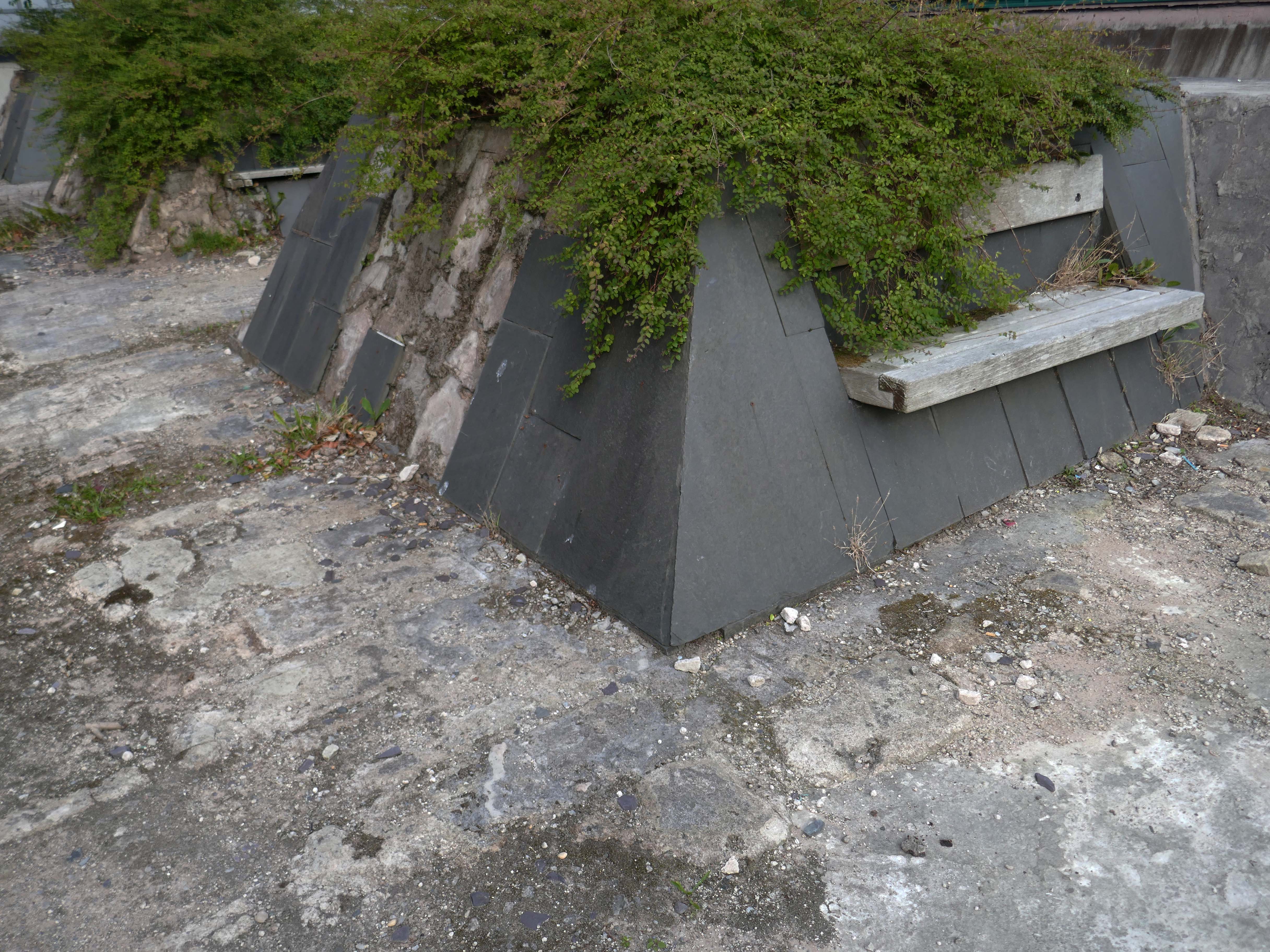
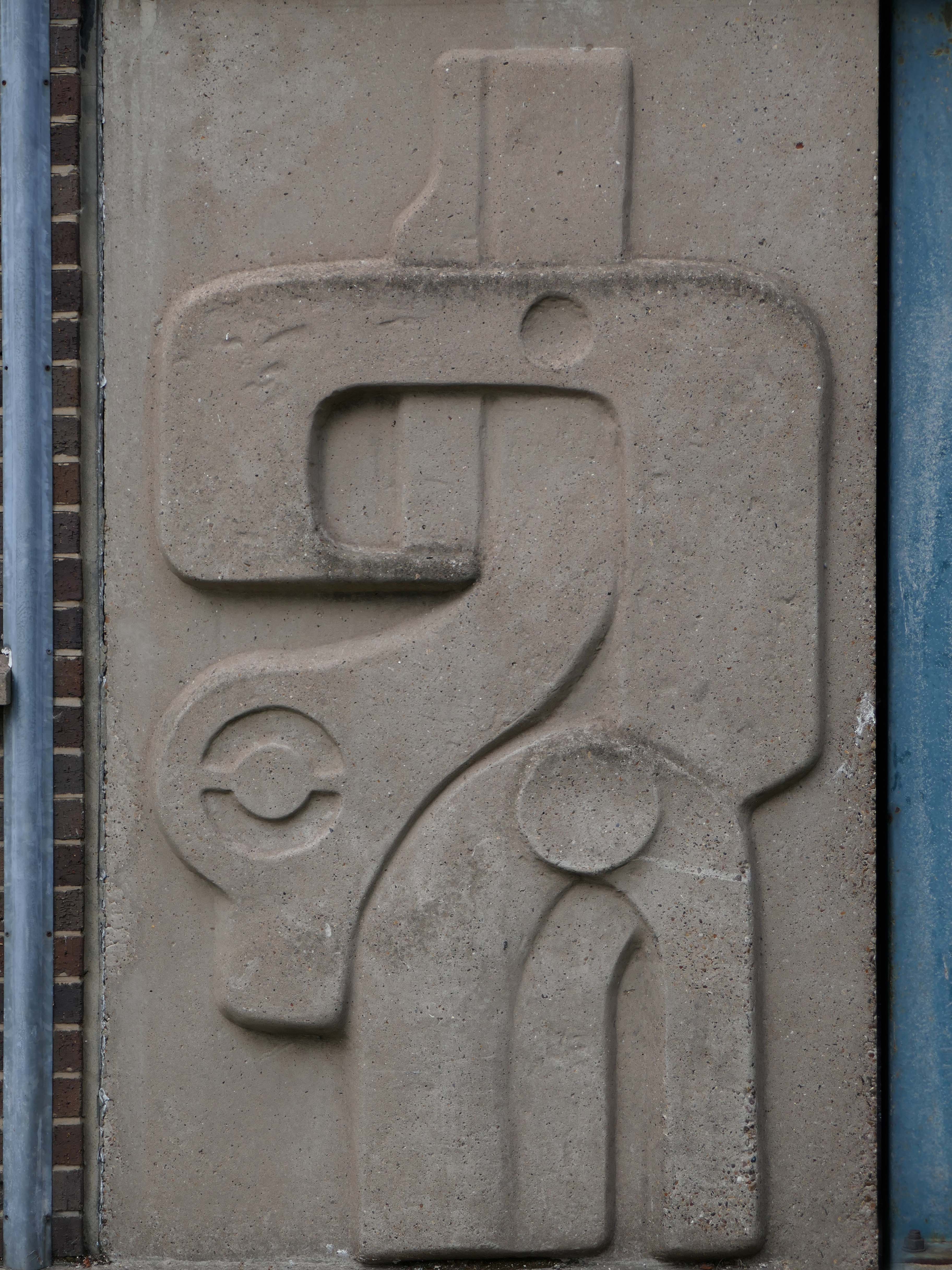
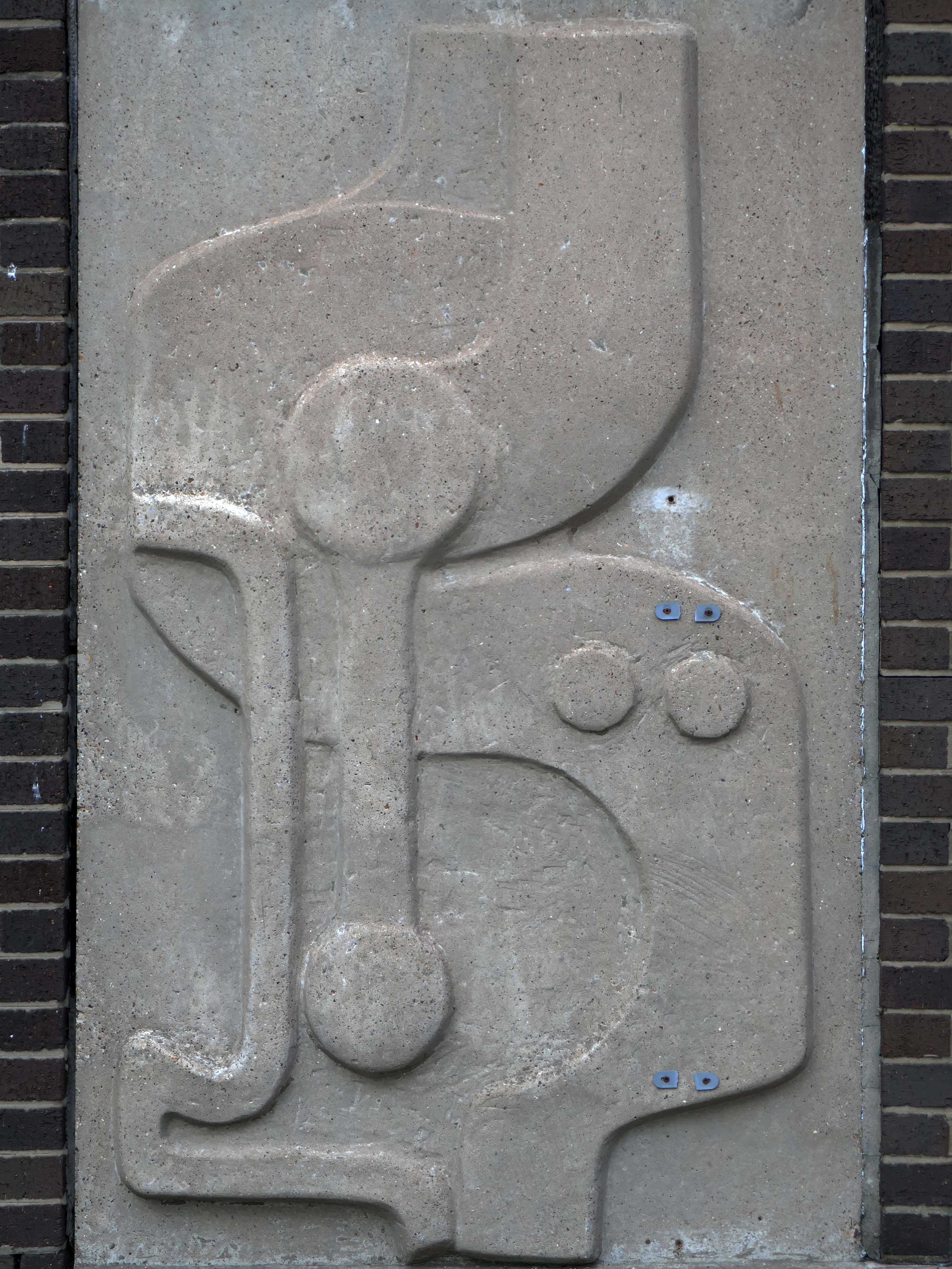
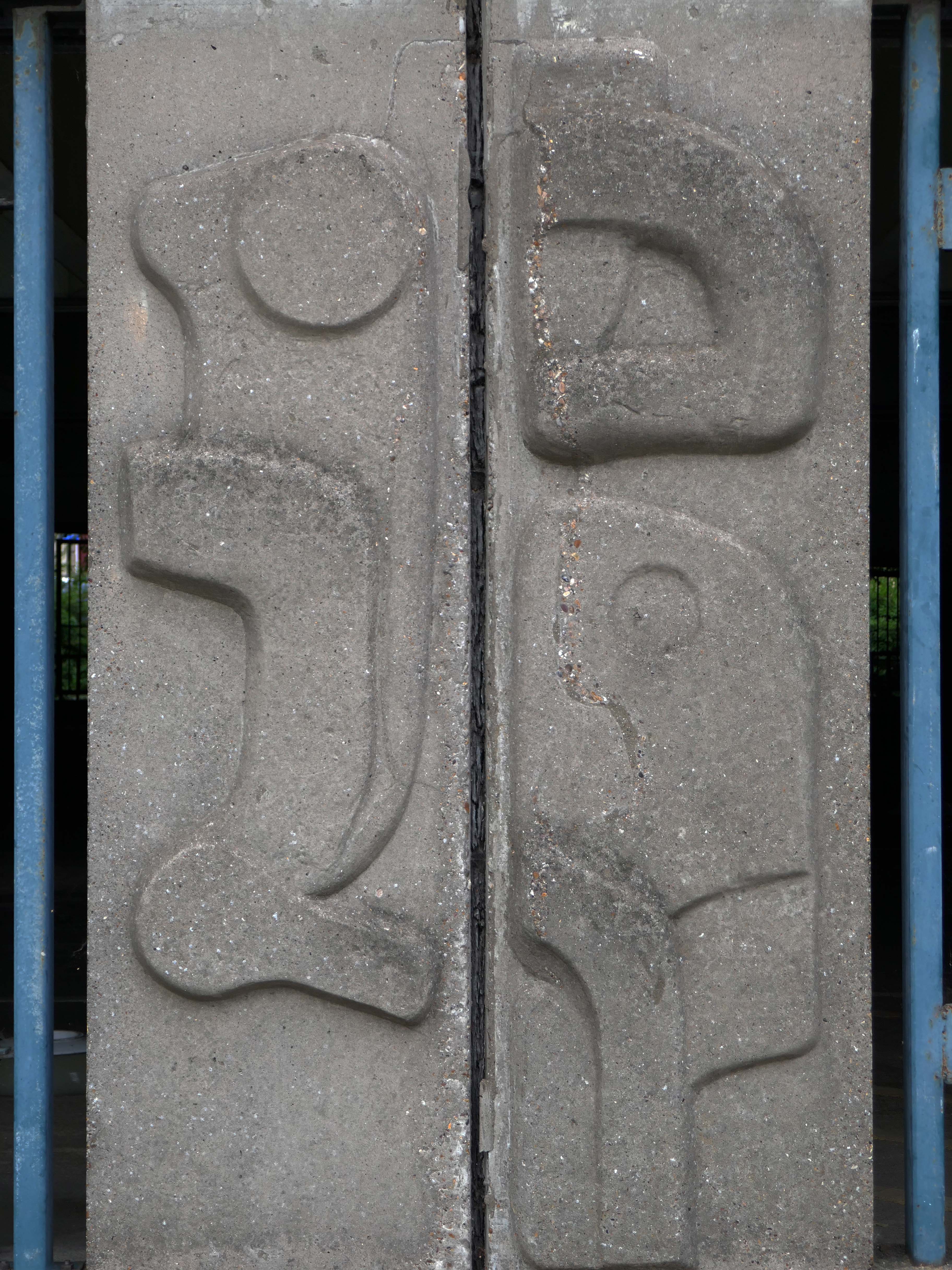
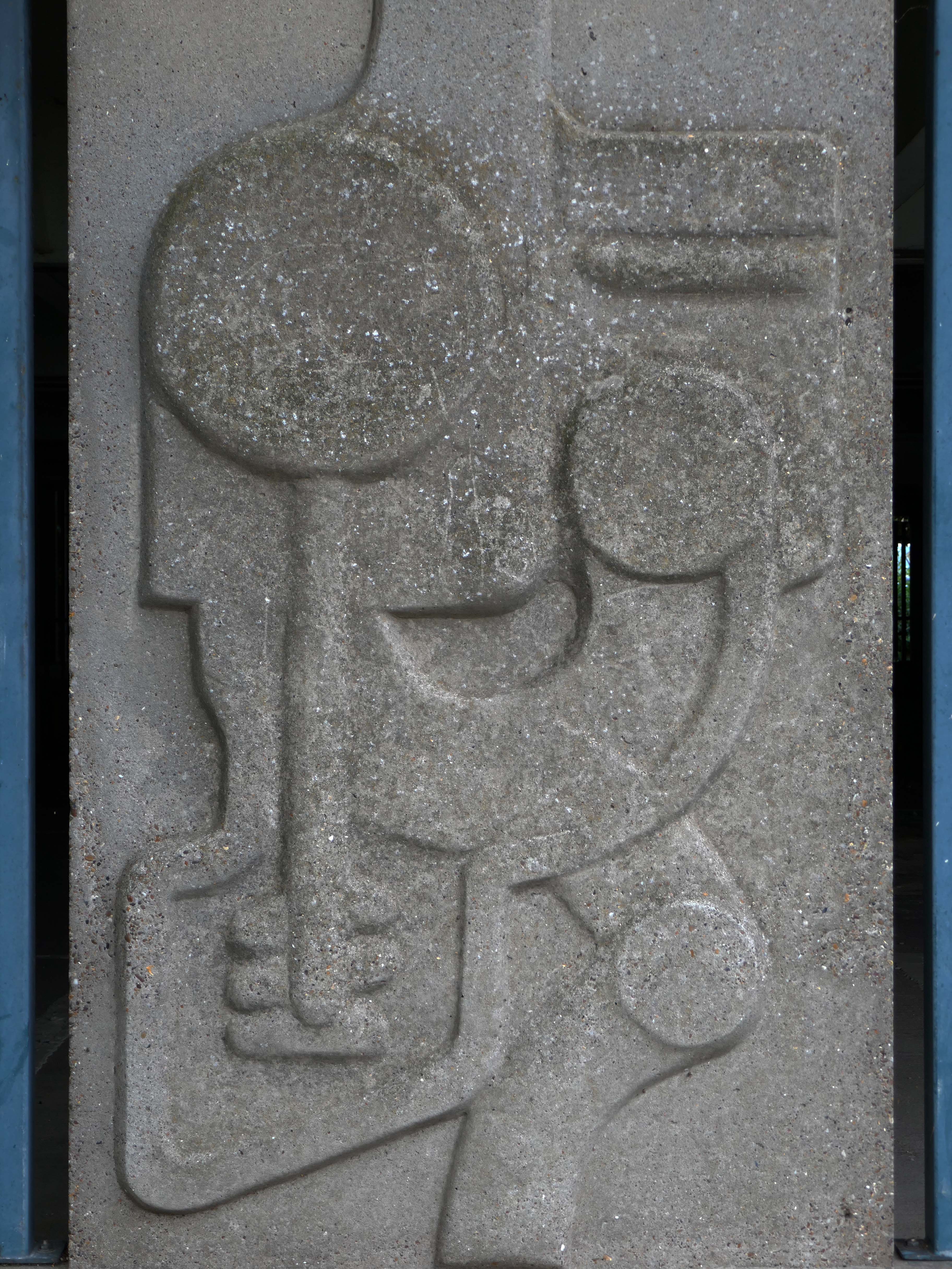
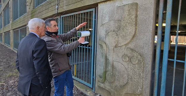
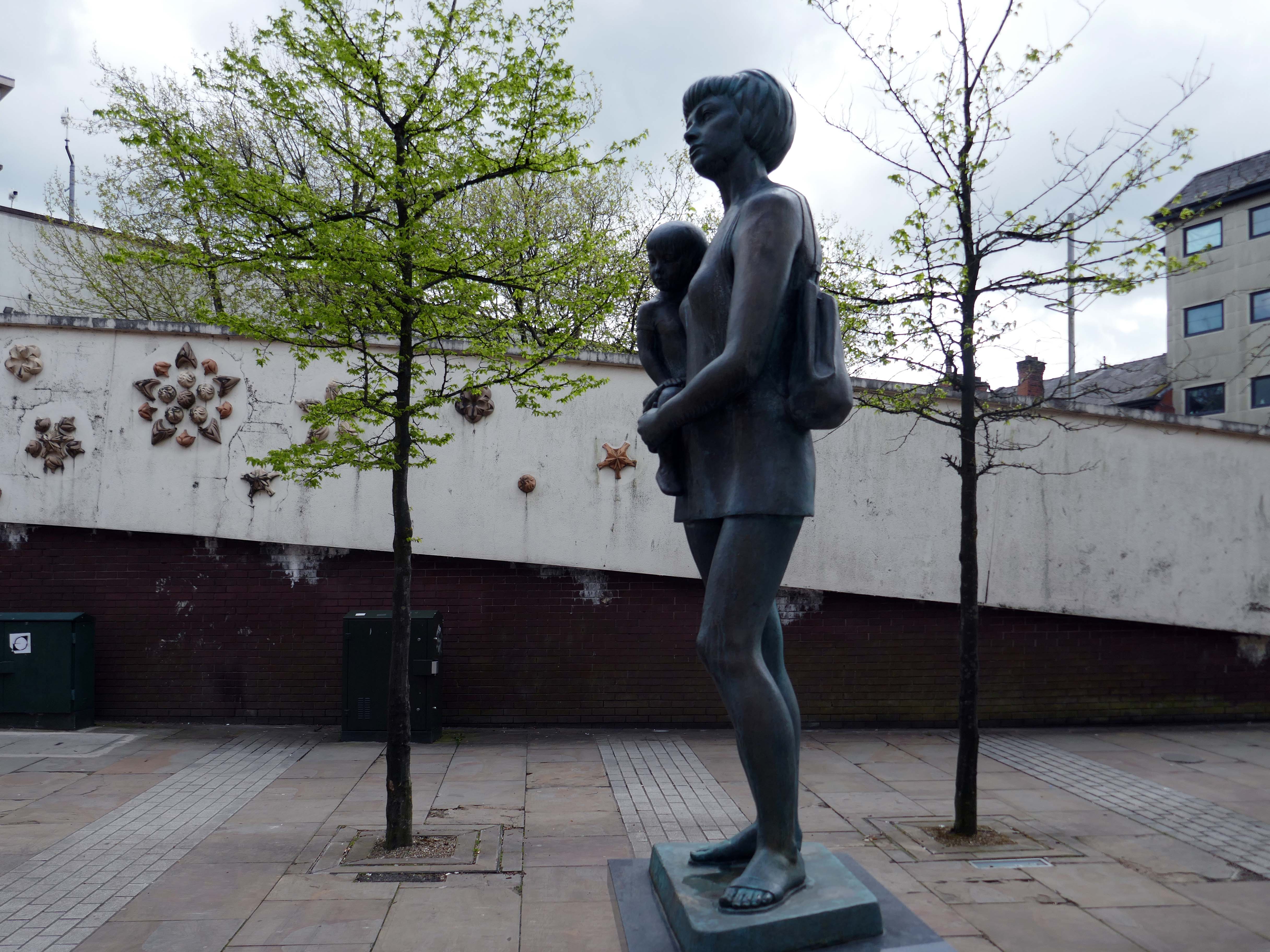
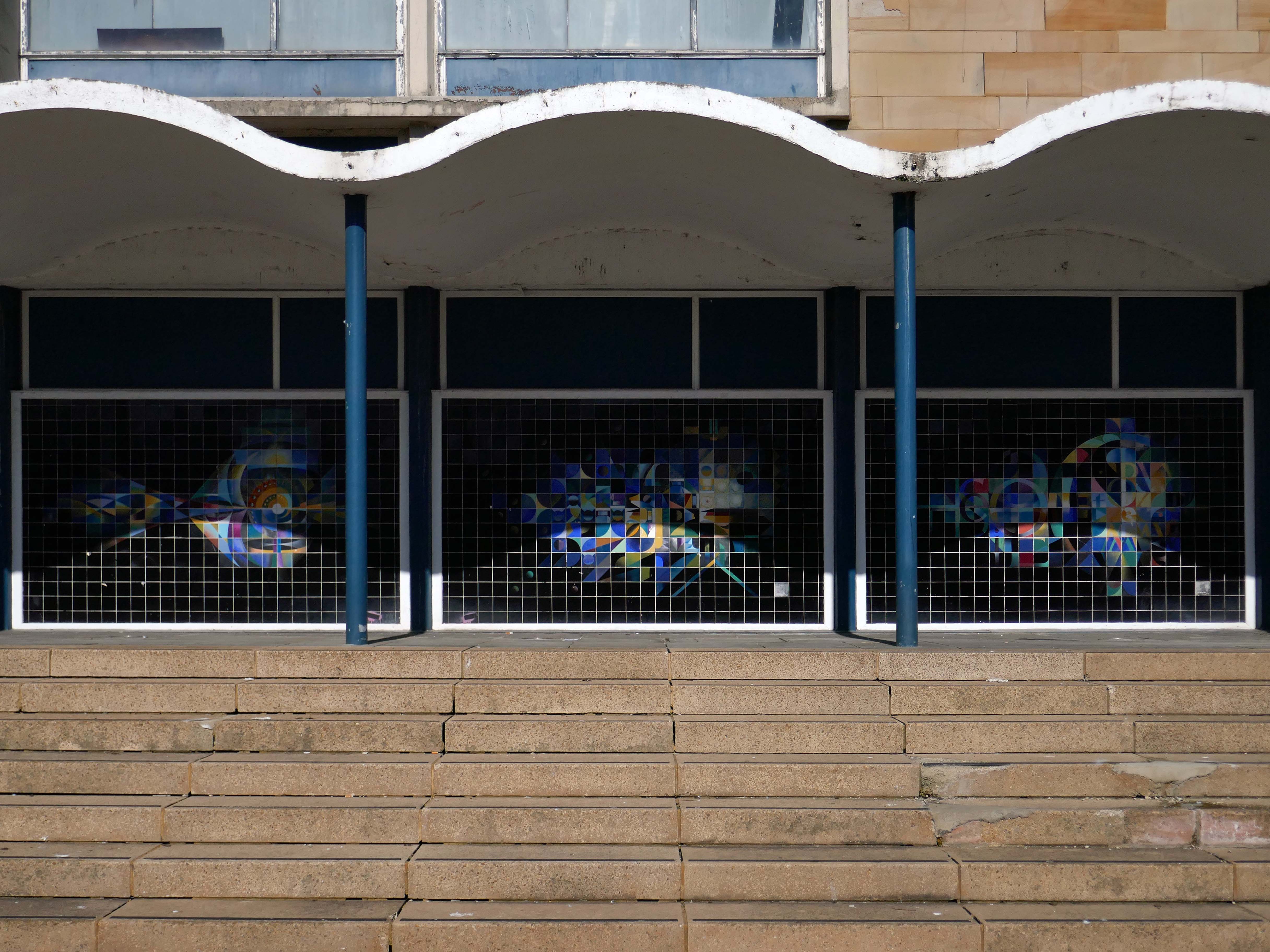
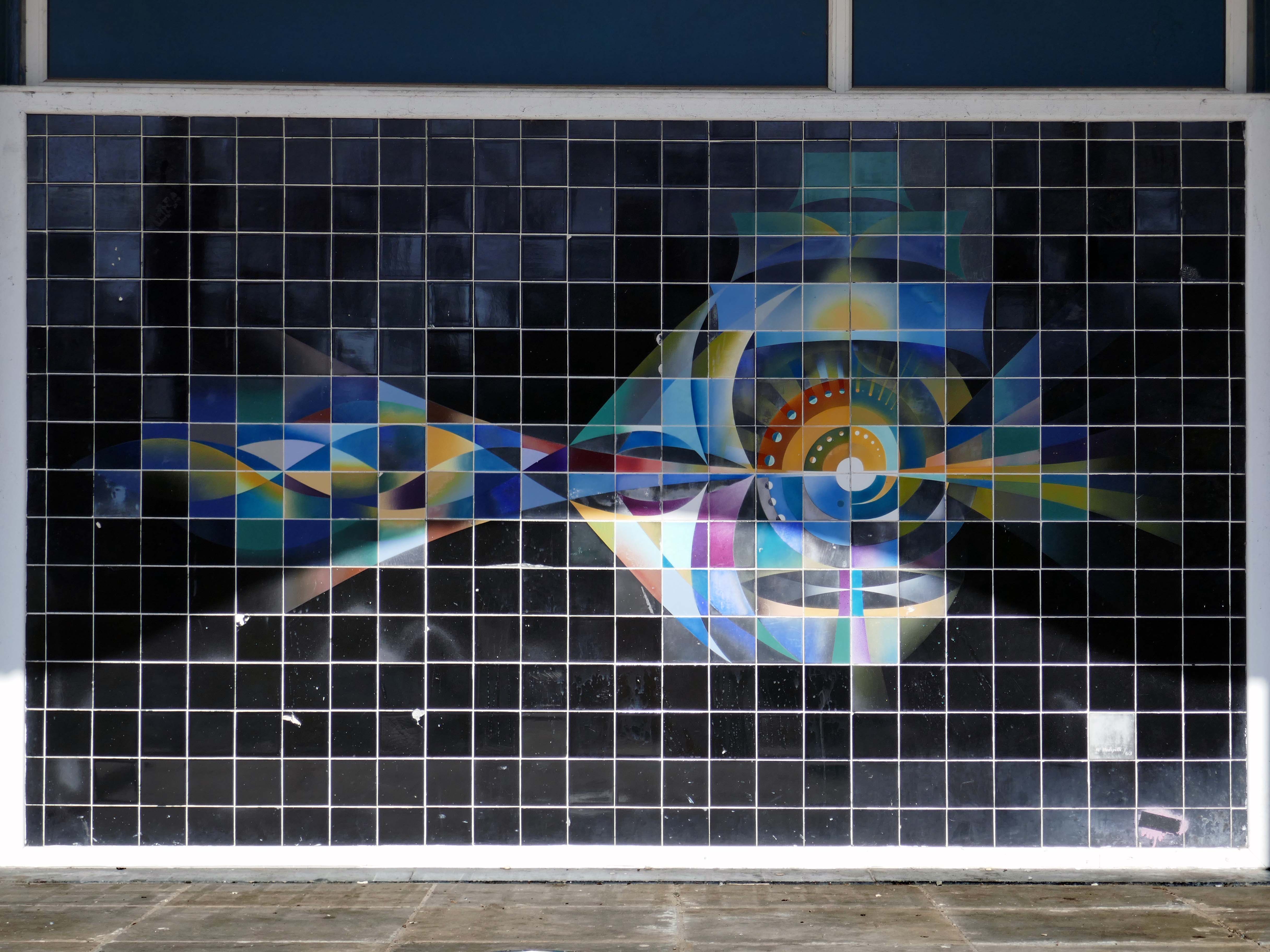
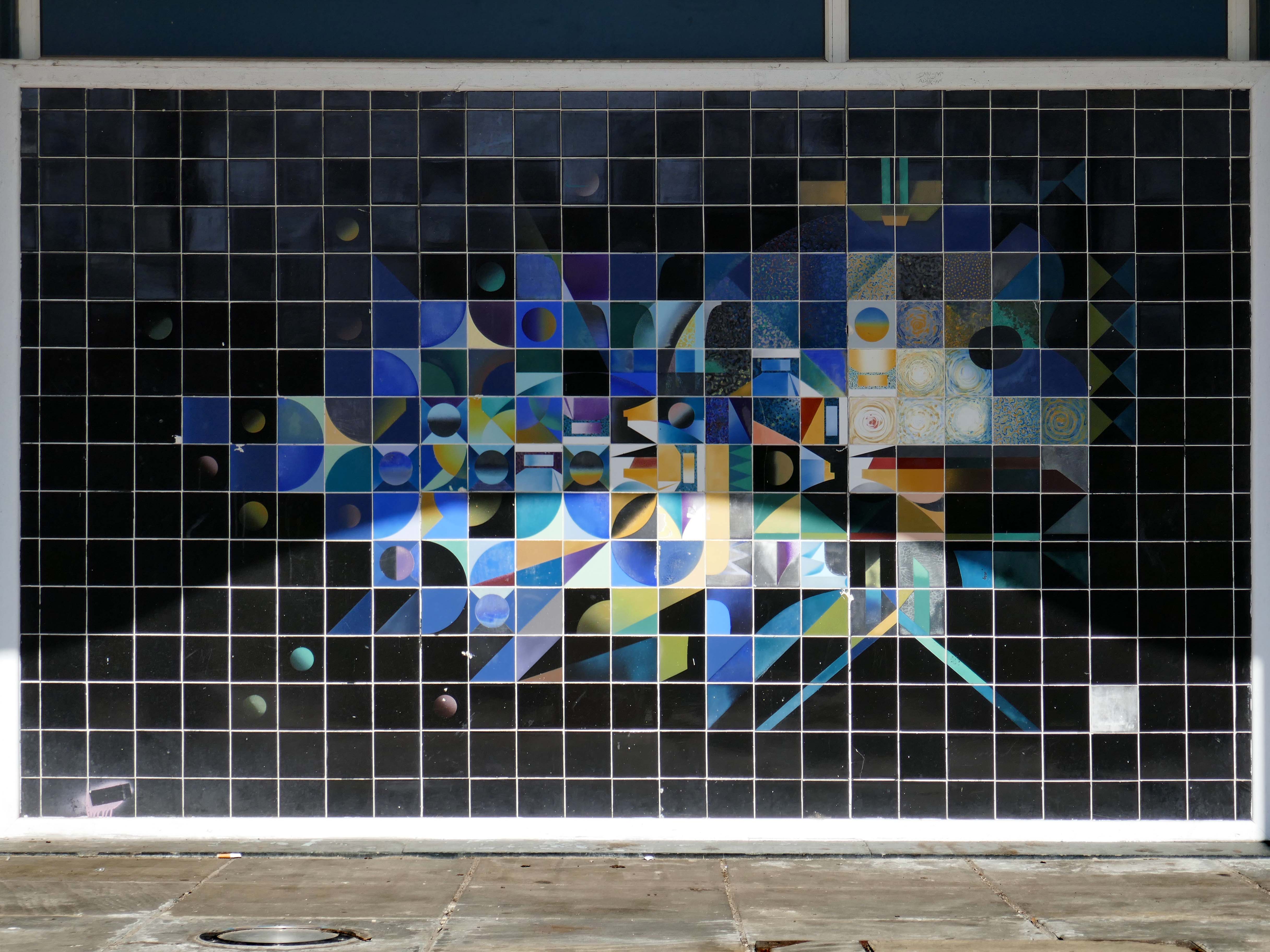
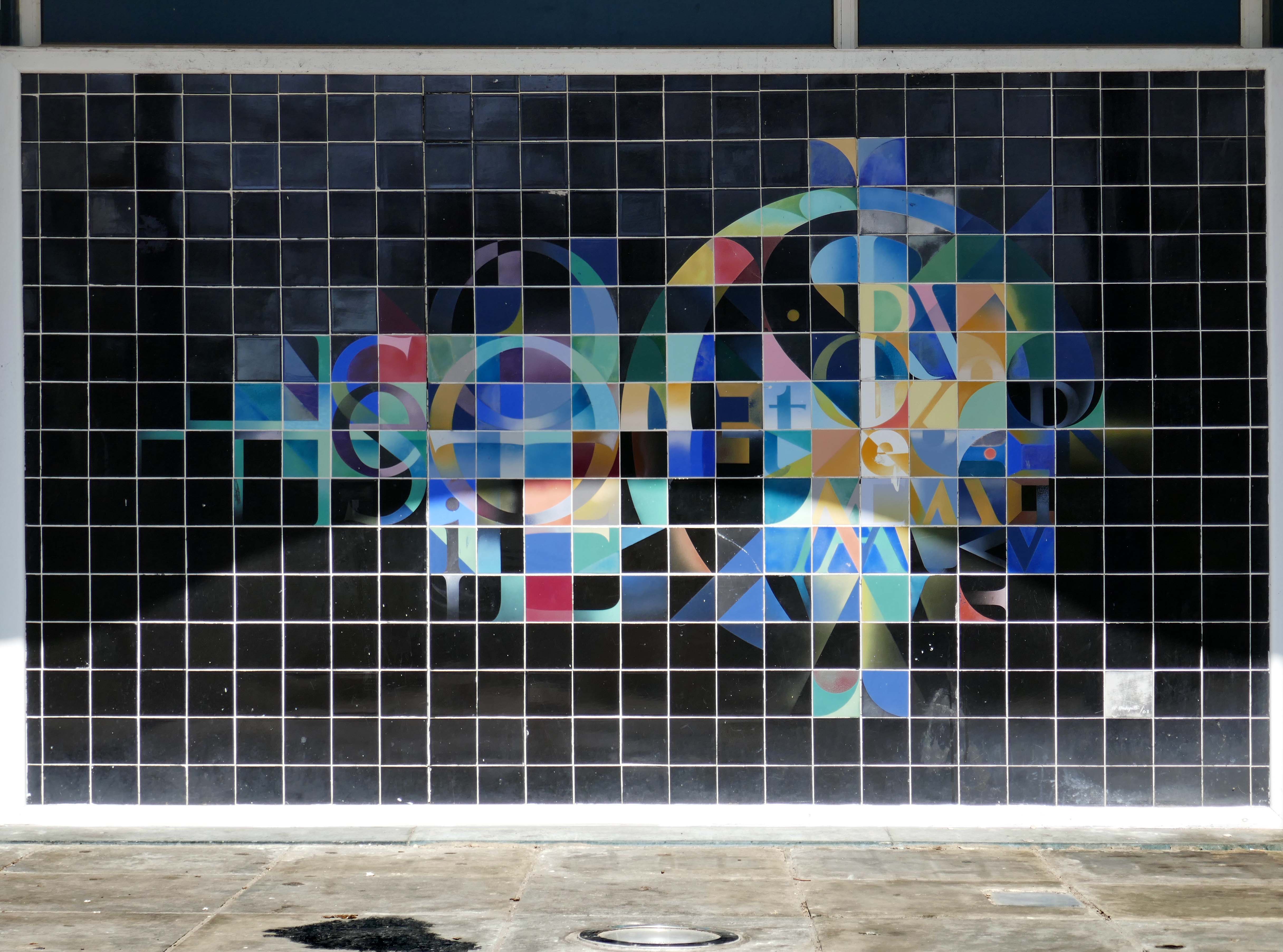
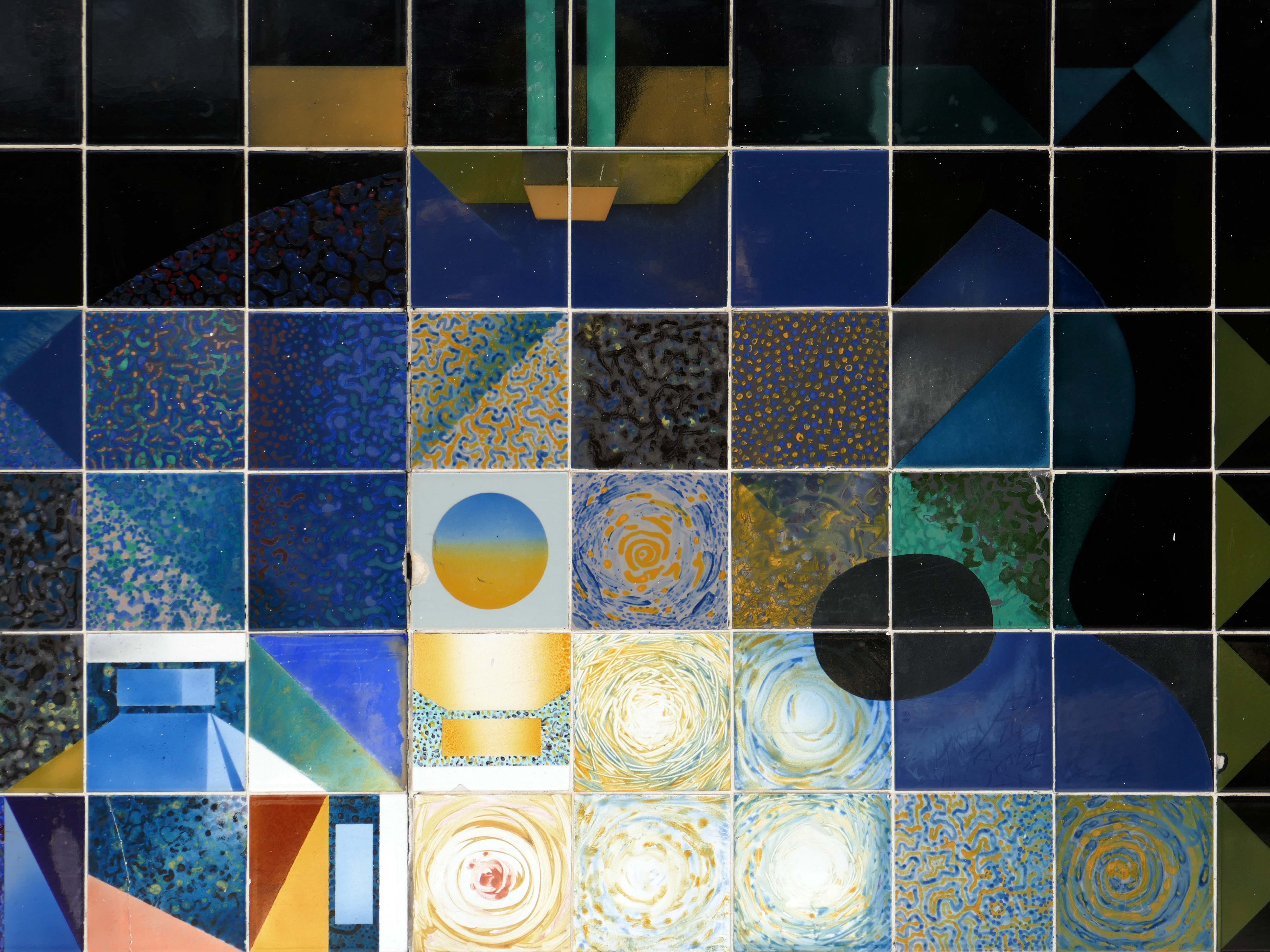
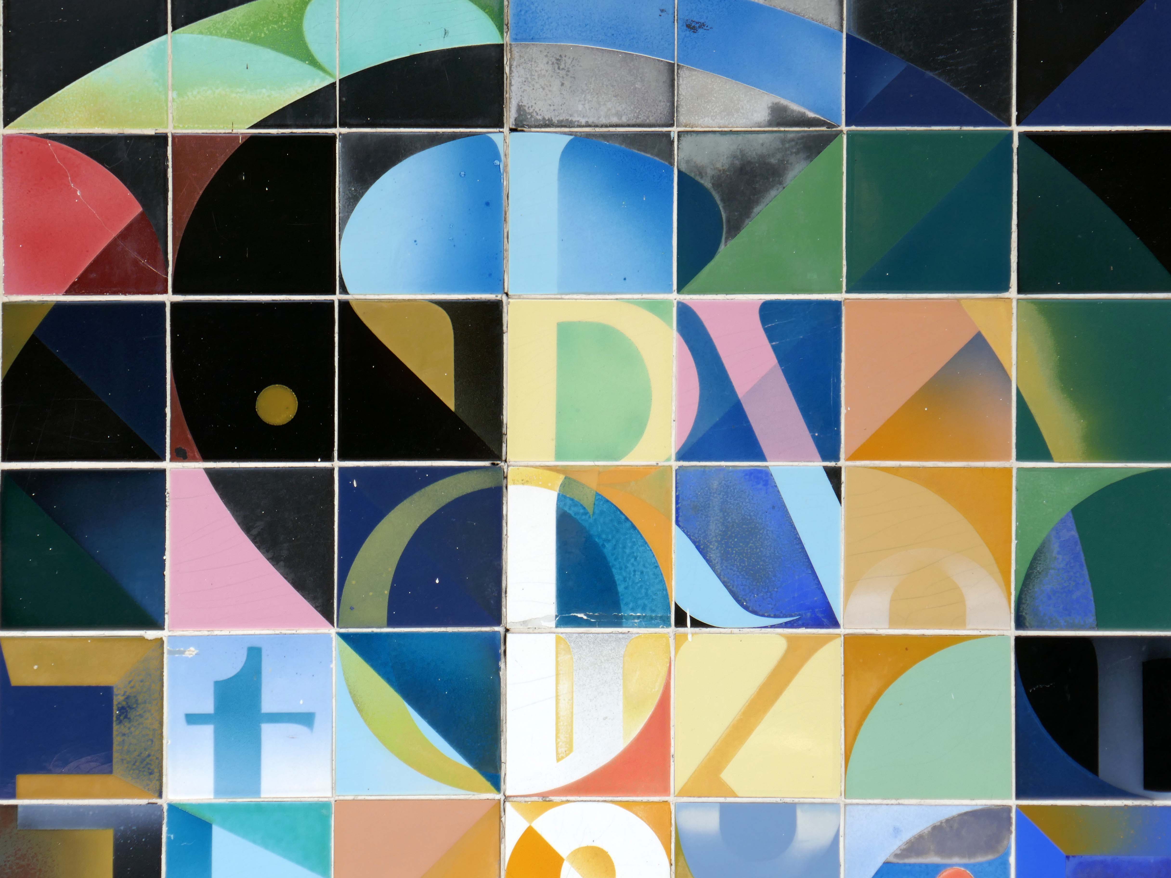
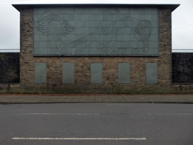
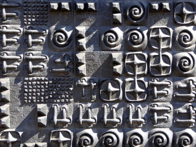
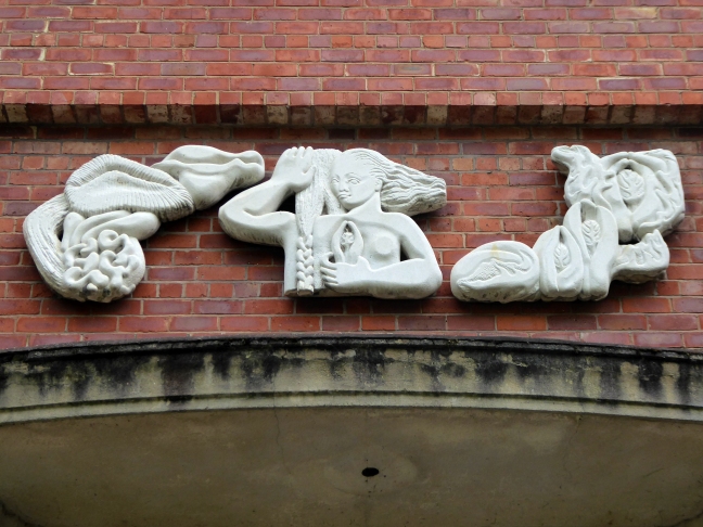
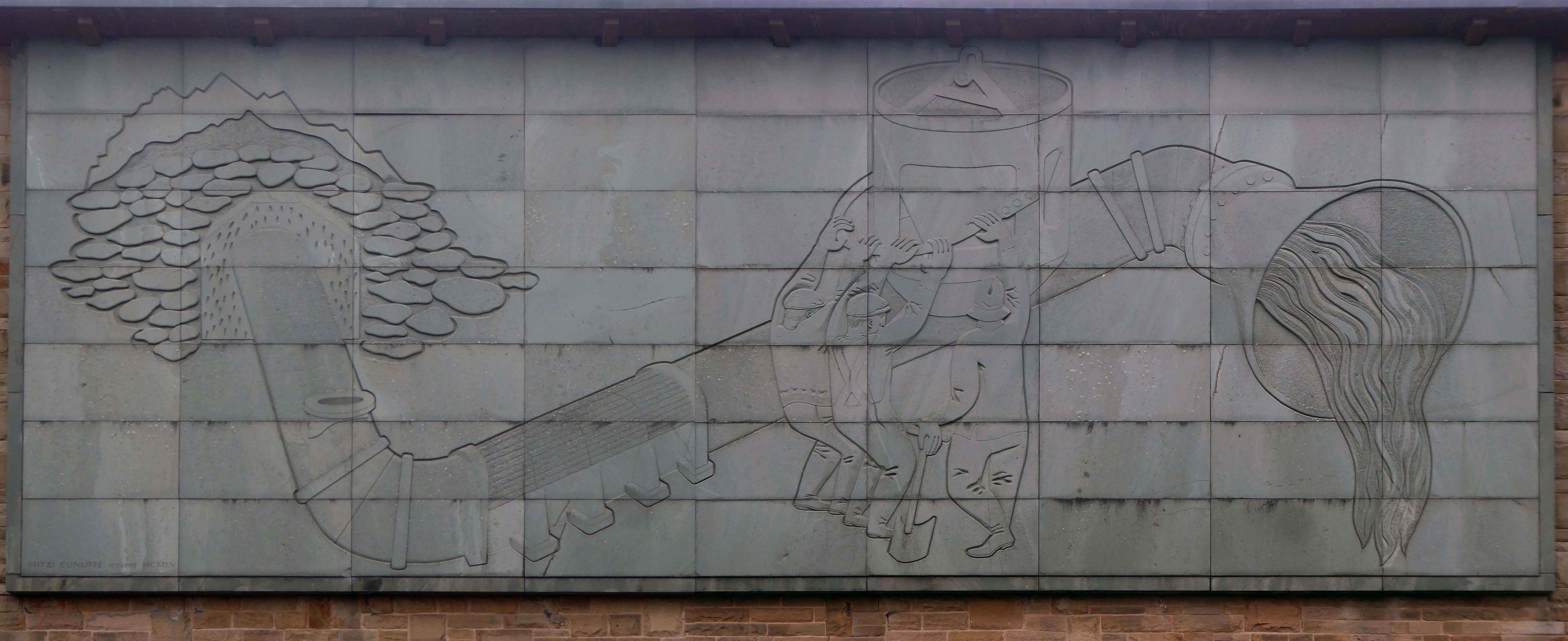
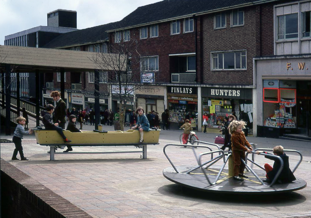
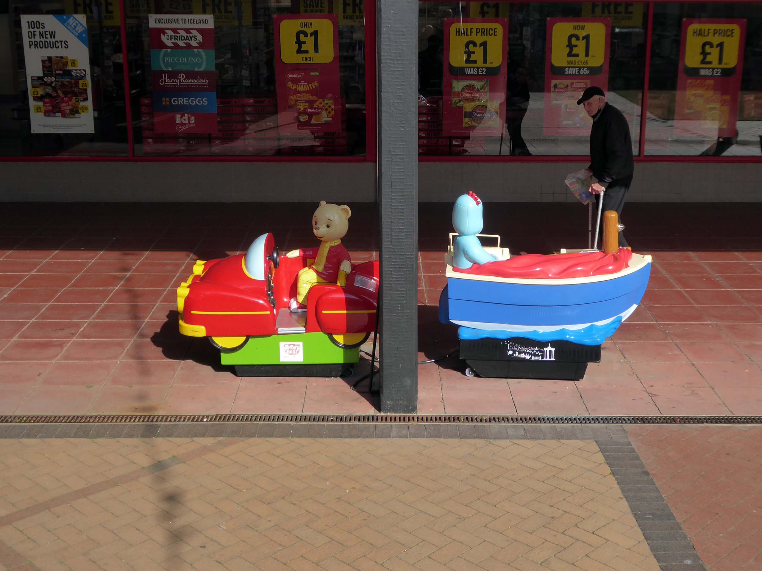
Enhancing the built environment, Peterlee Town Centre was furnished with play equipment, an ornamental pond, open air escalators, and a sculpture by John Pasmore – son of Victor.
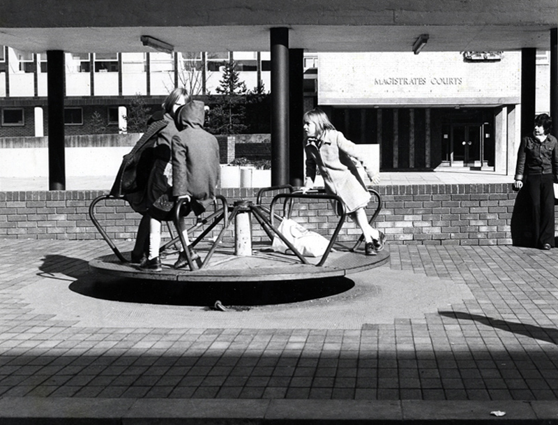
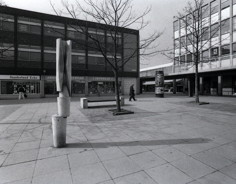
These features were later removed after the town centre was sold to Teesdale Investments – Peterlee Limited in 1985.
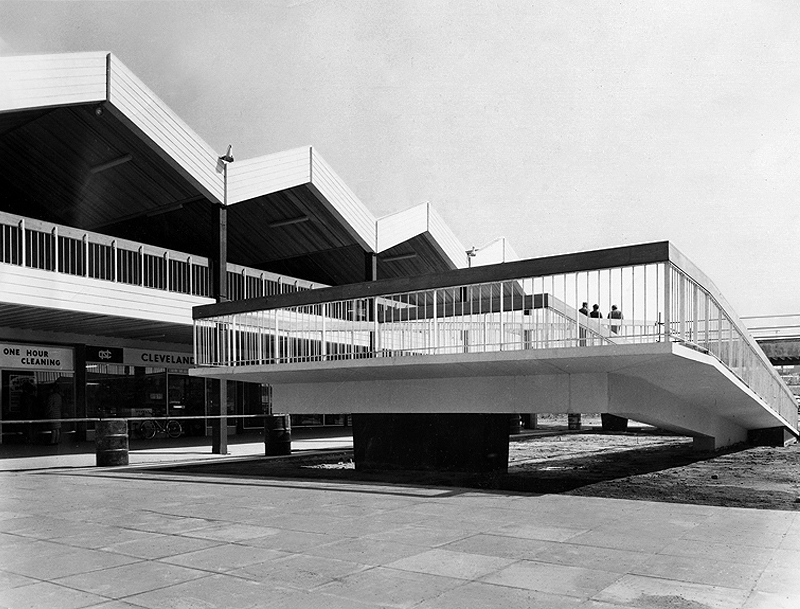
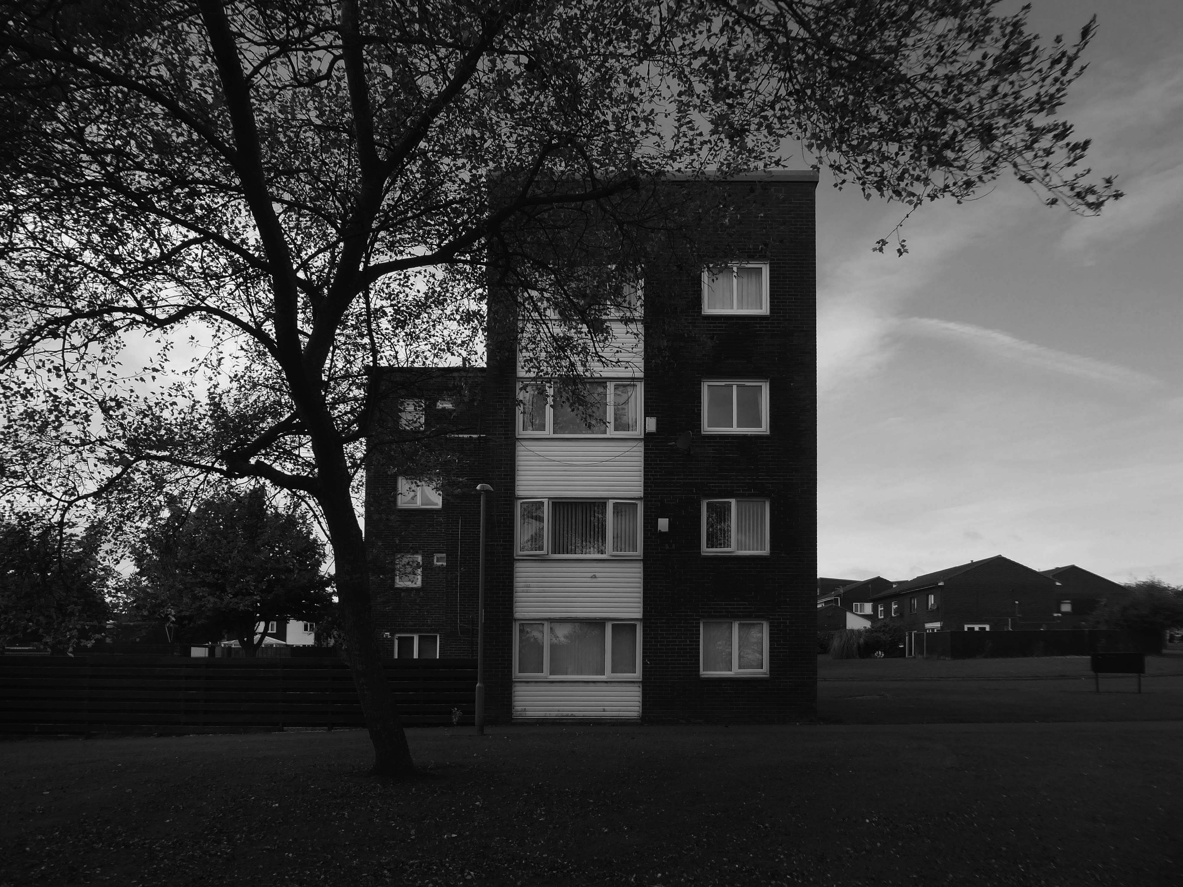
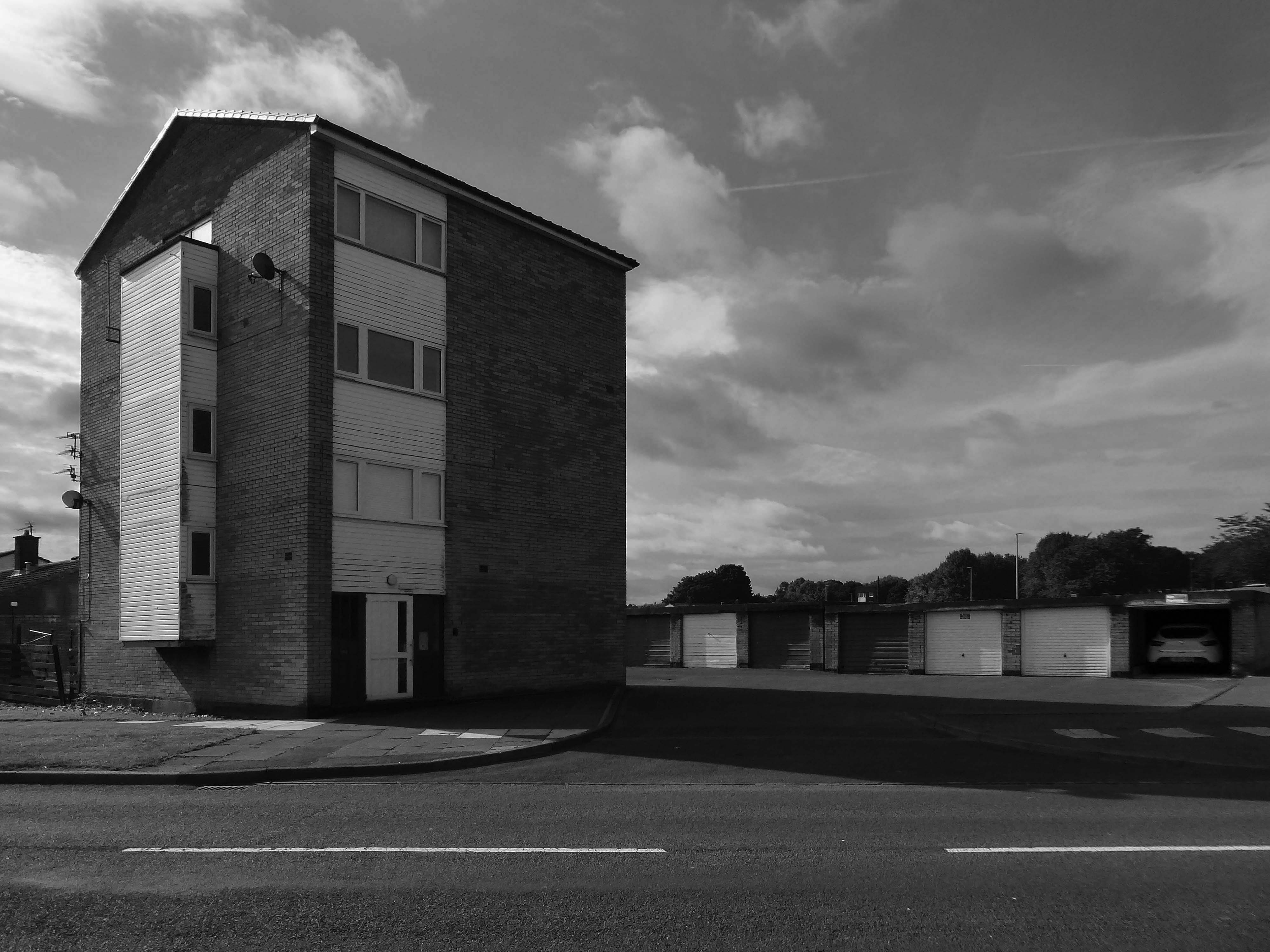
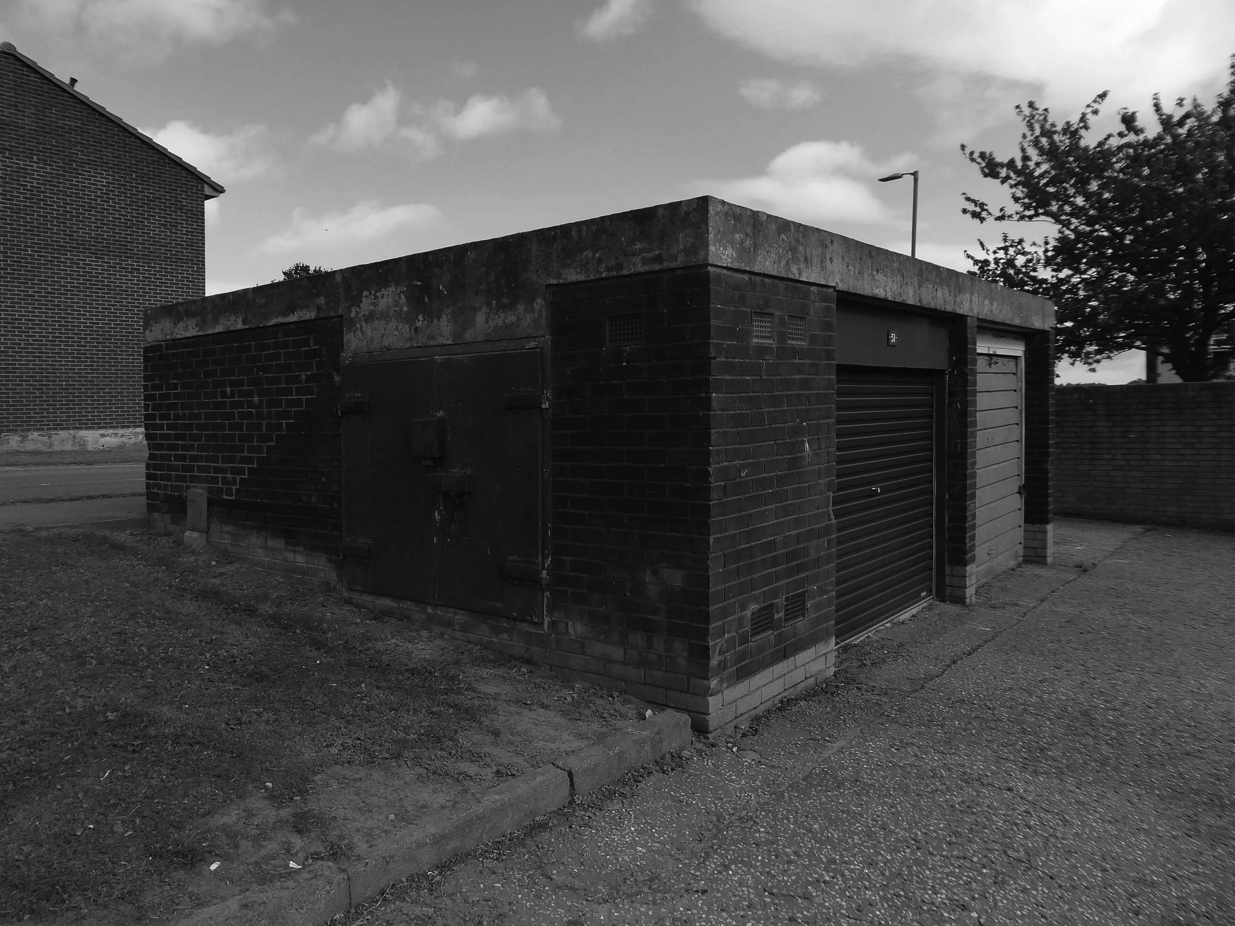
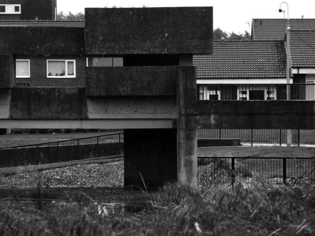
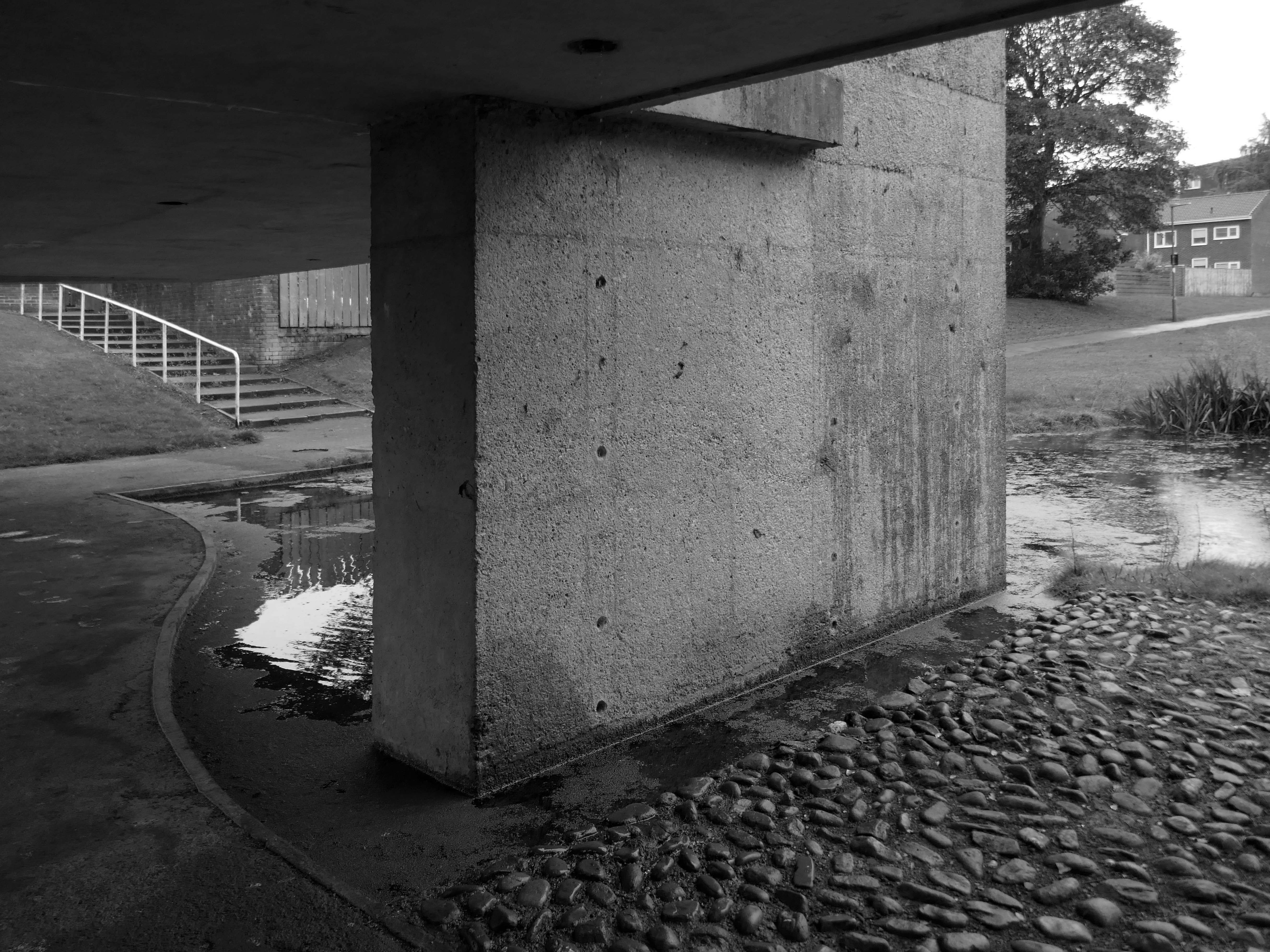
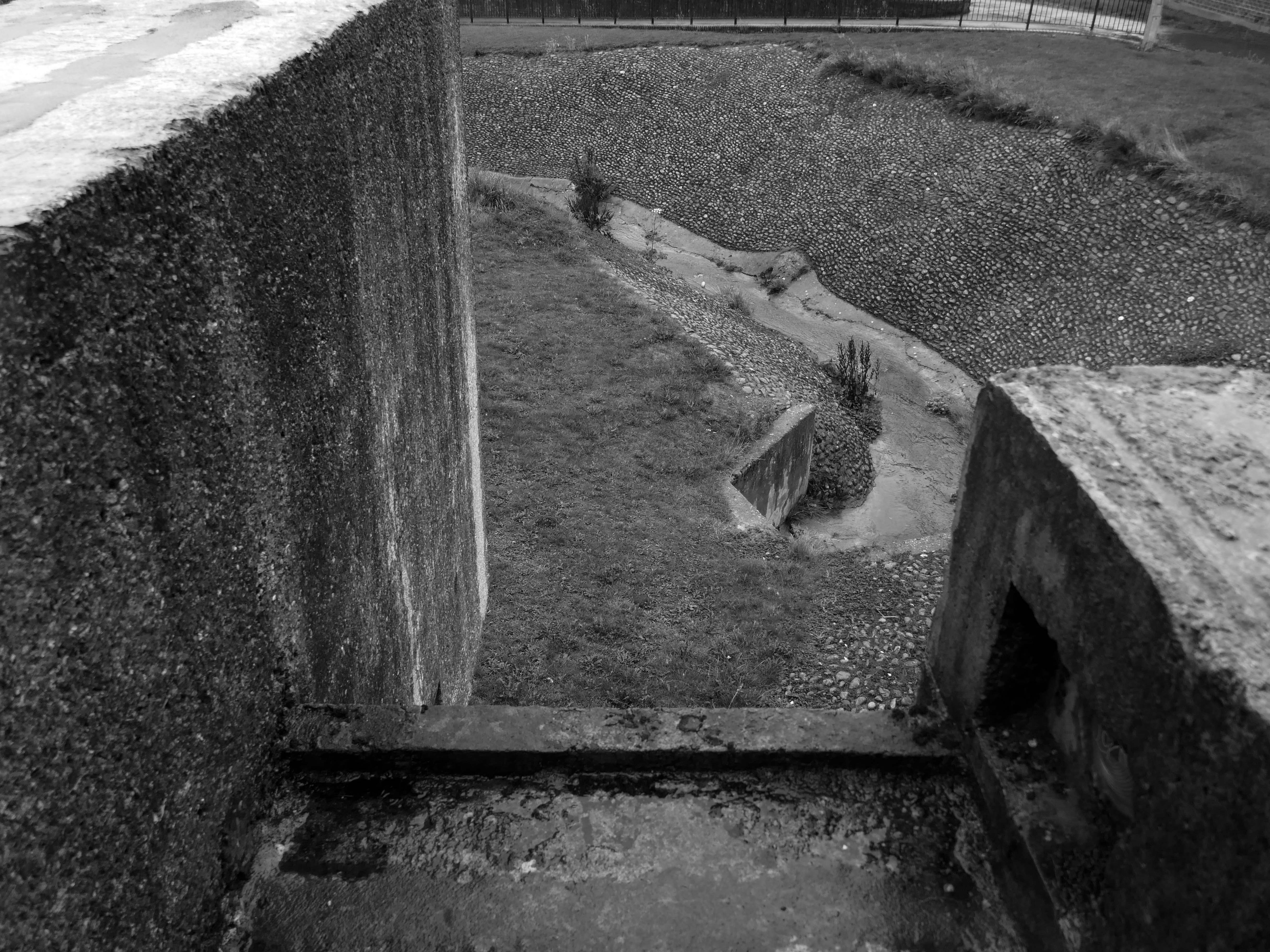
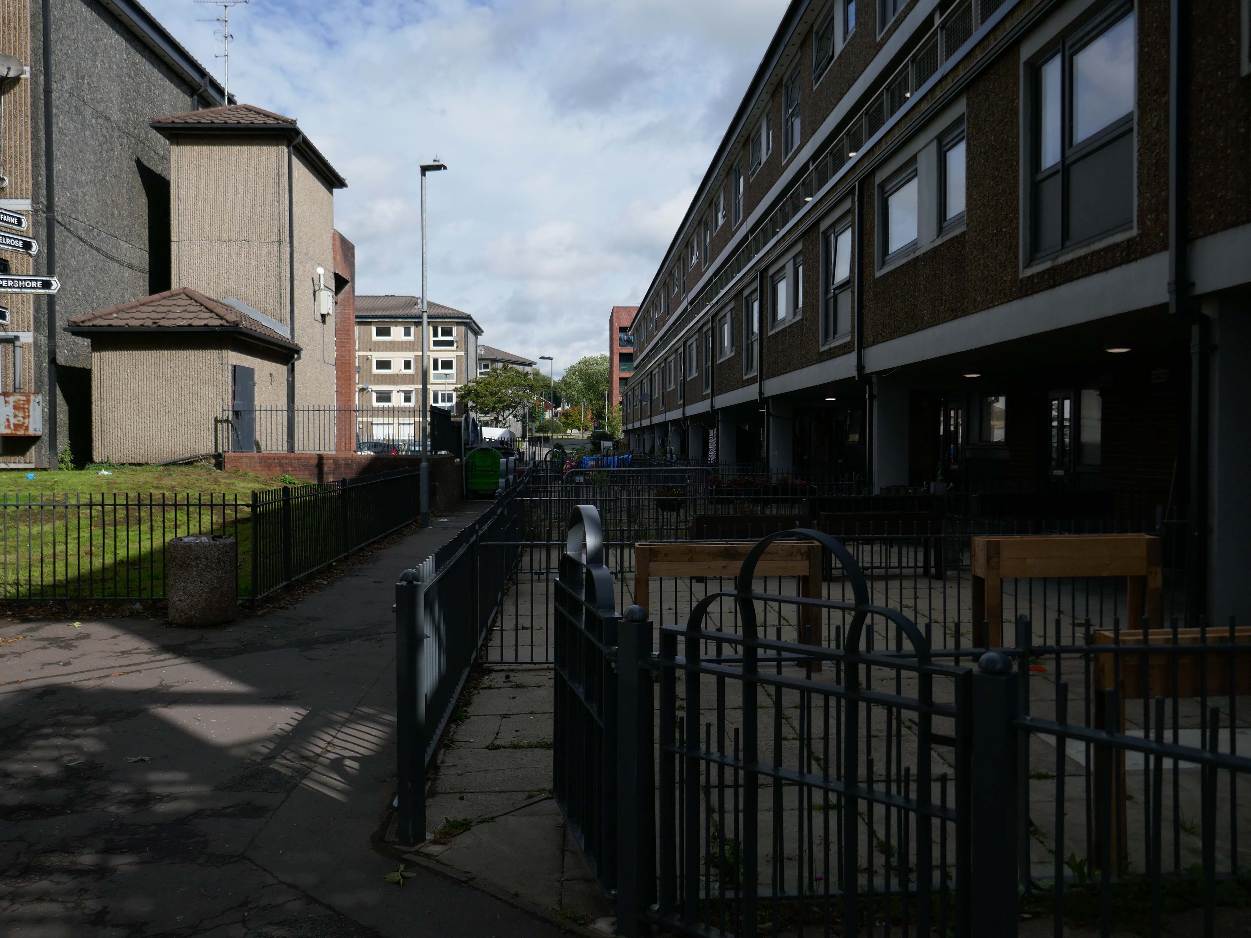
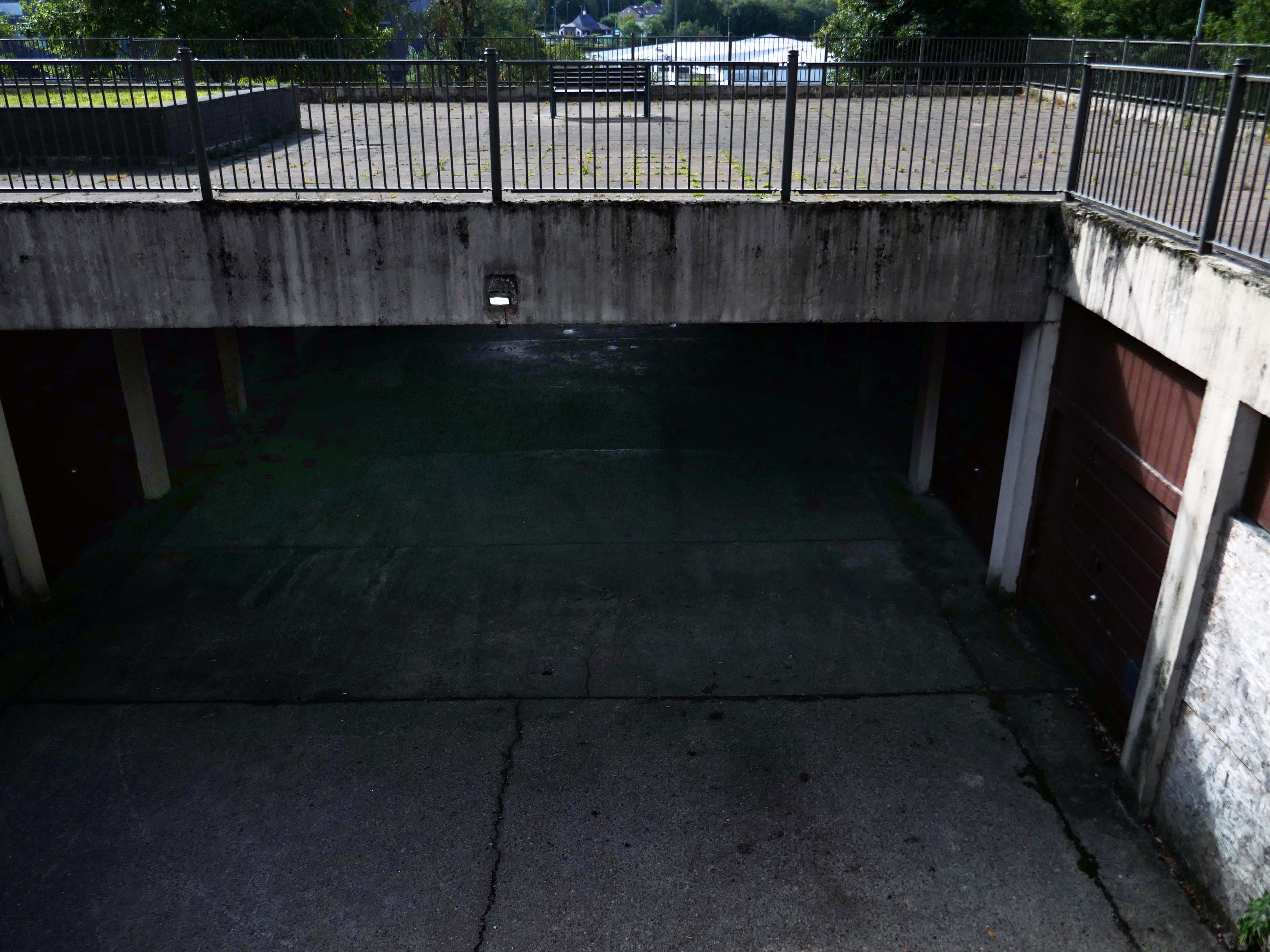
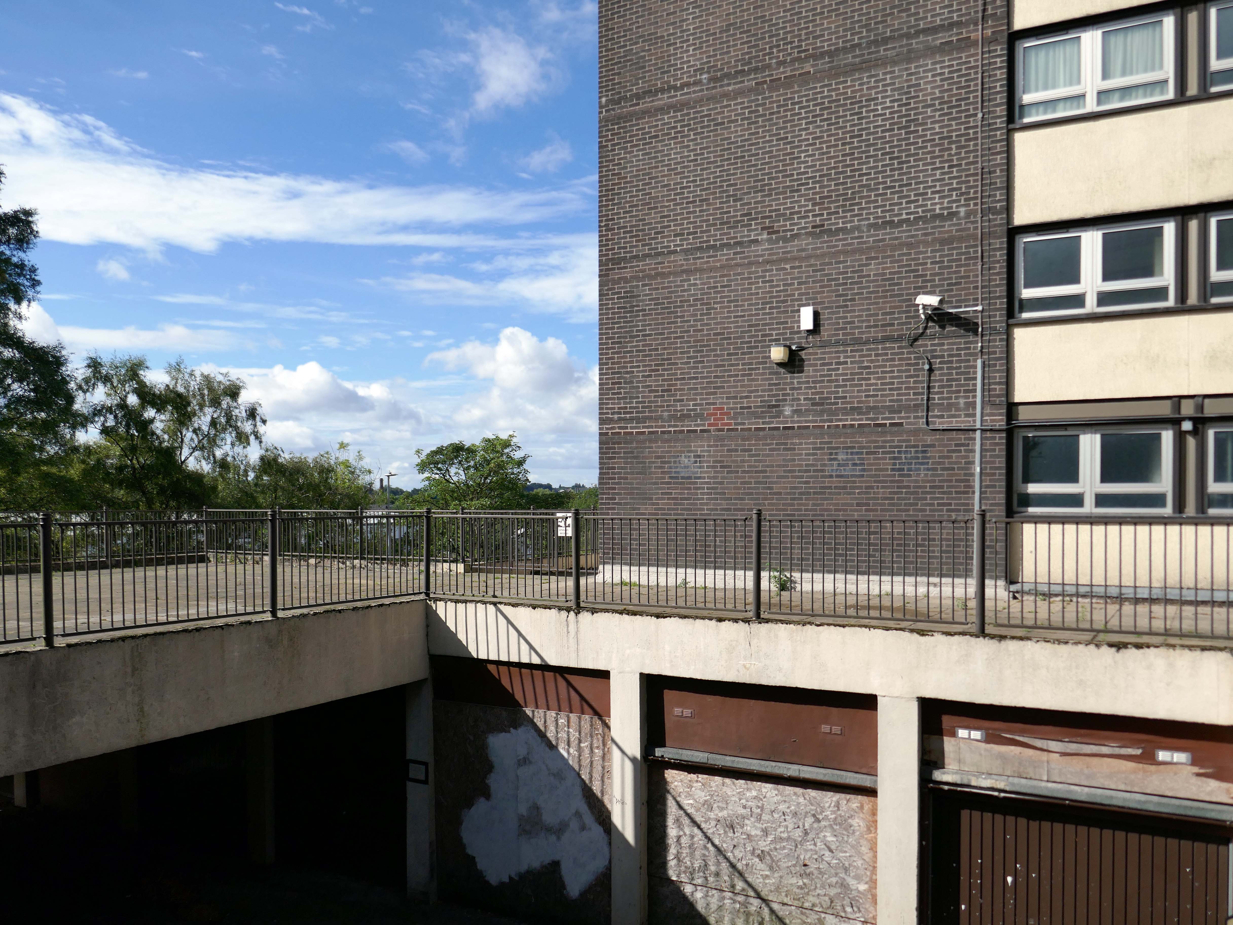
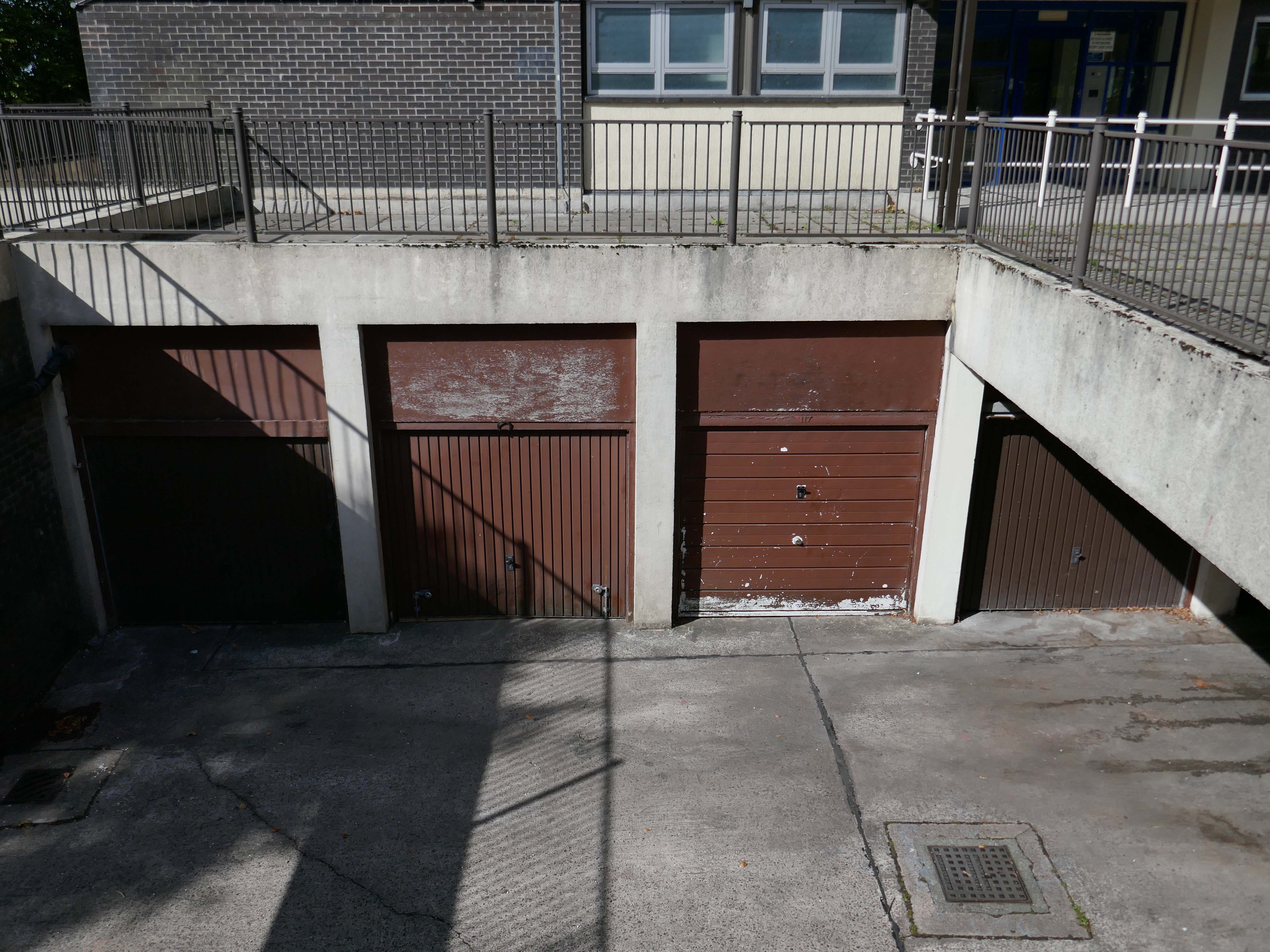
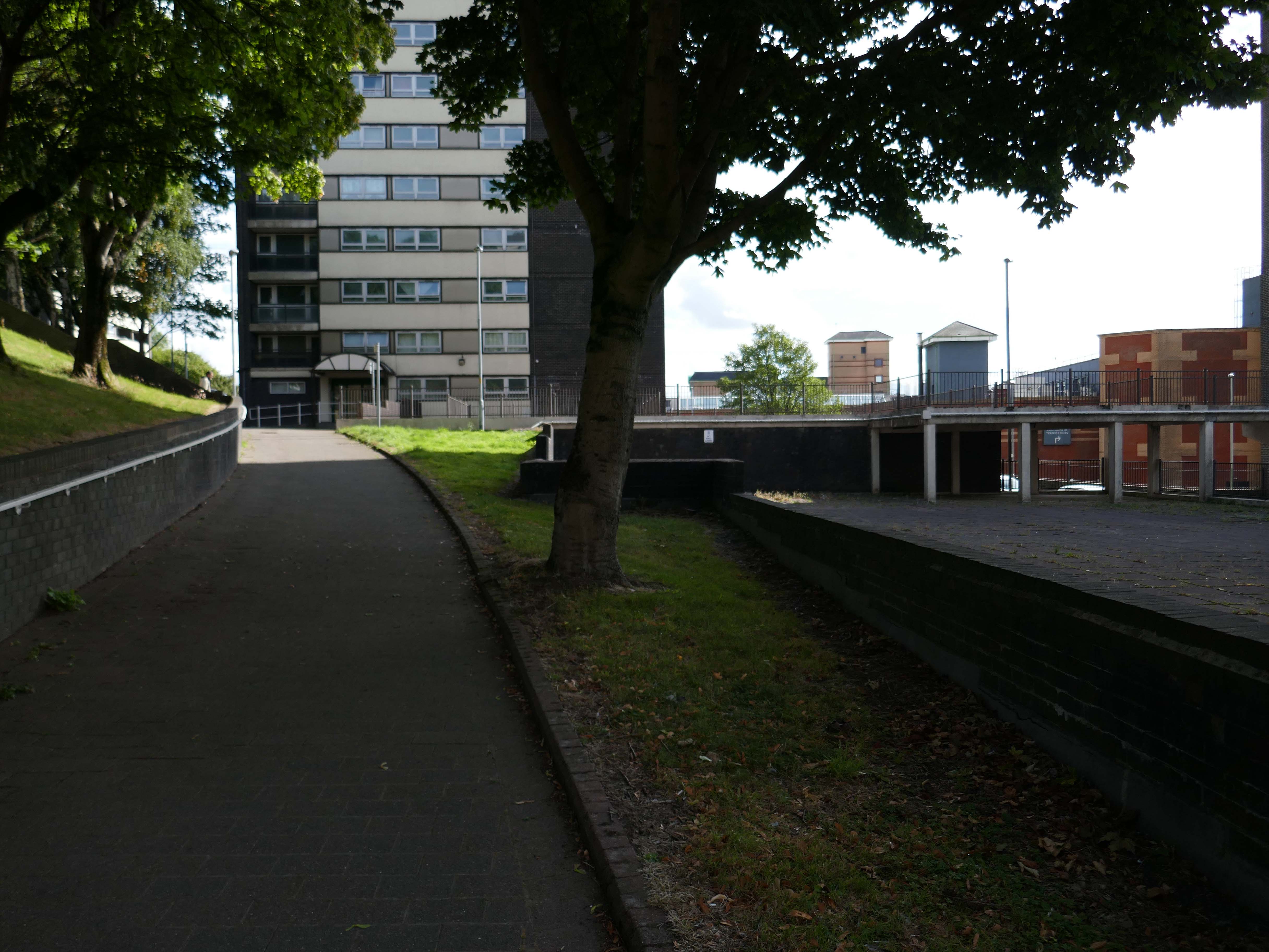
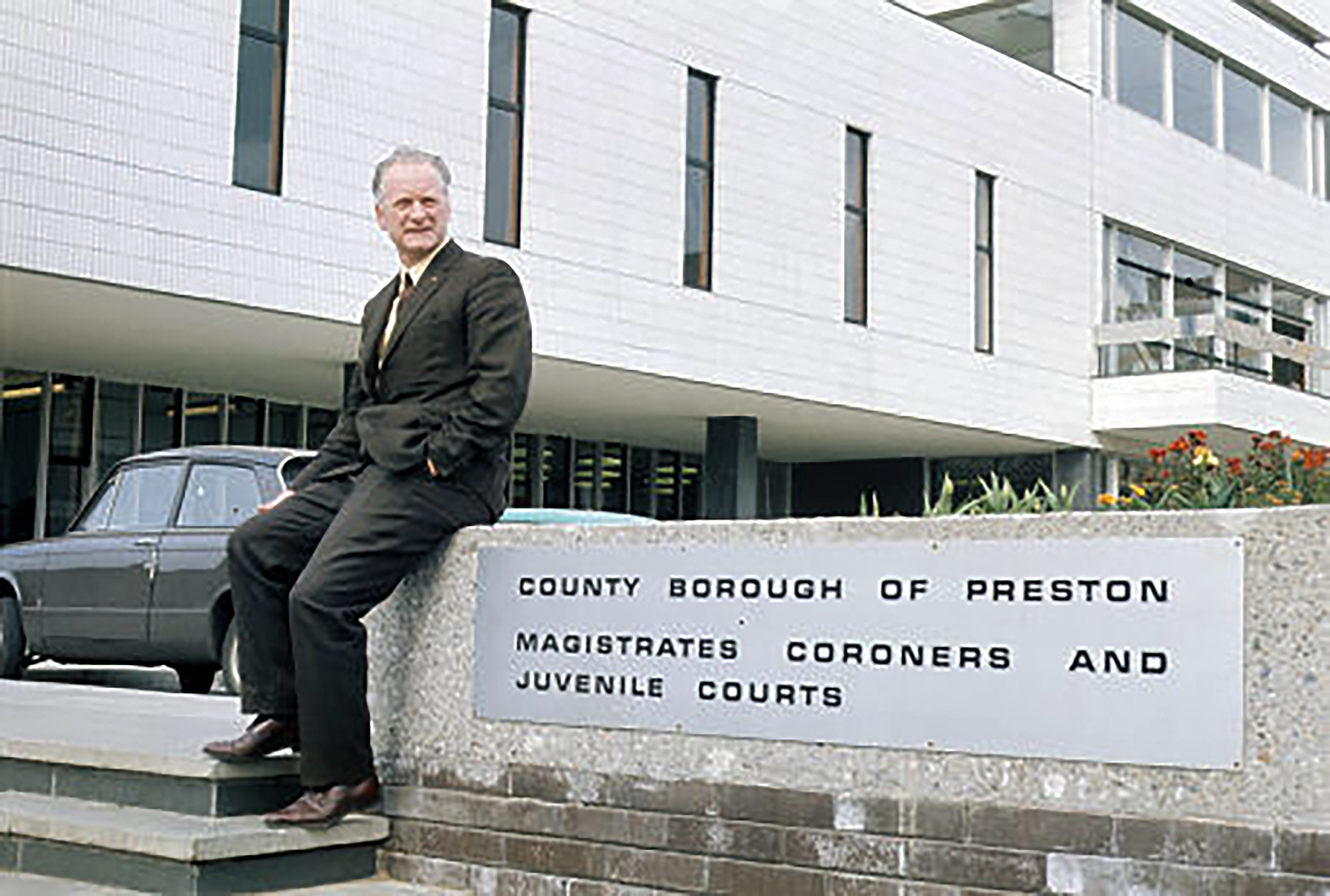
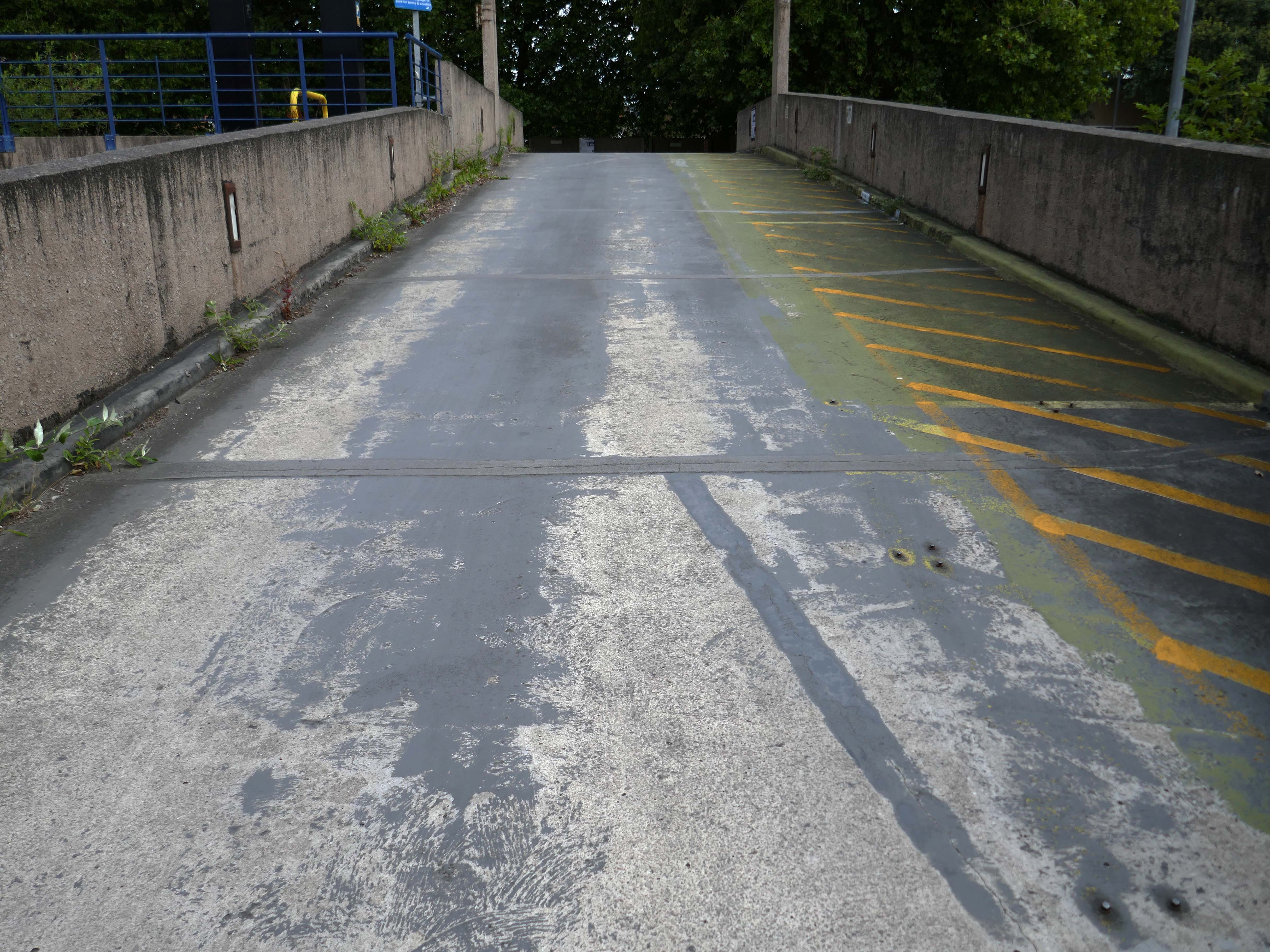
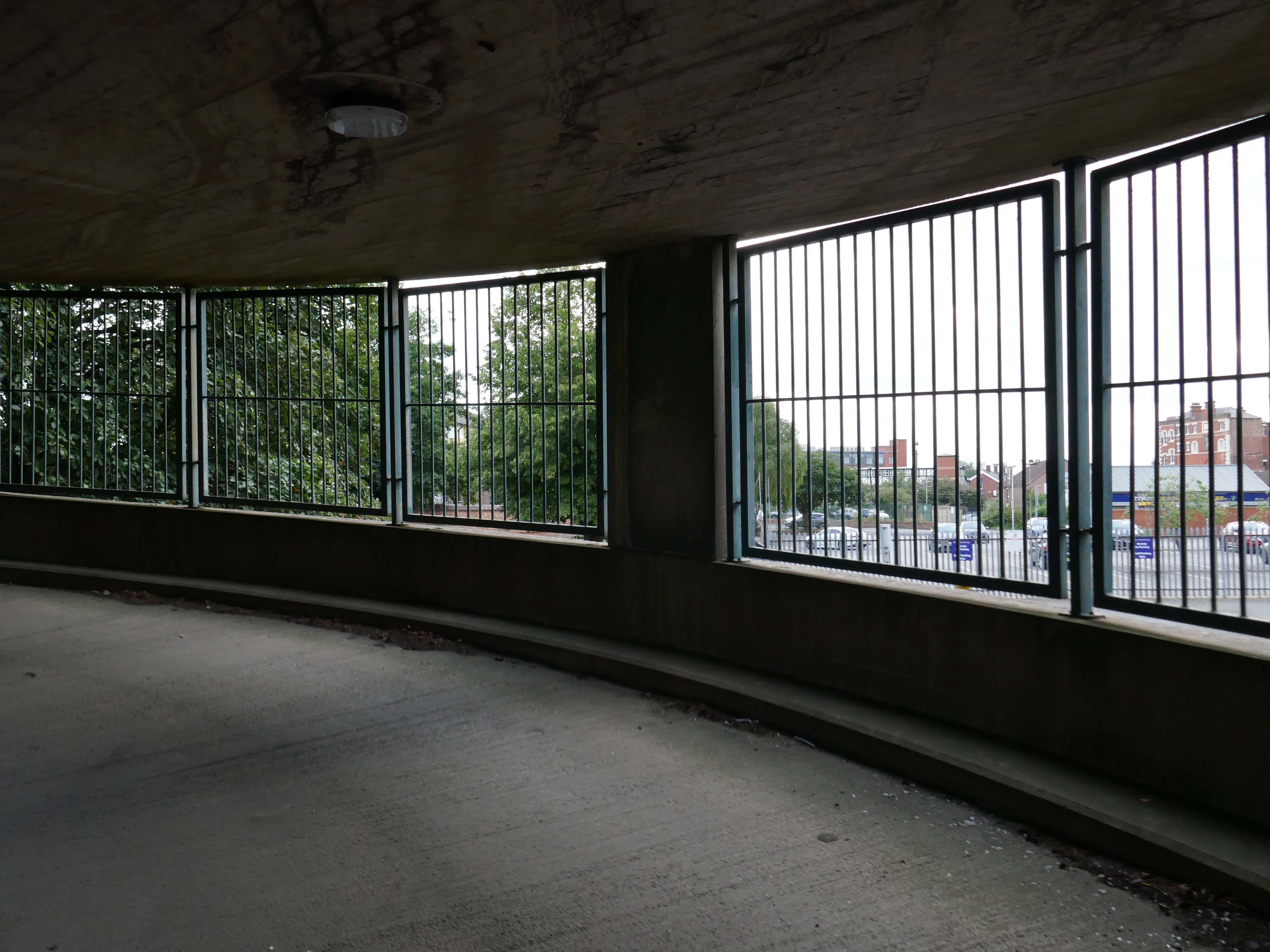
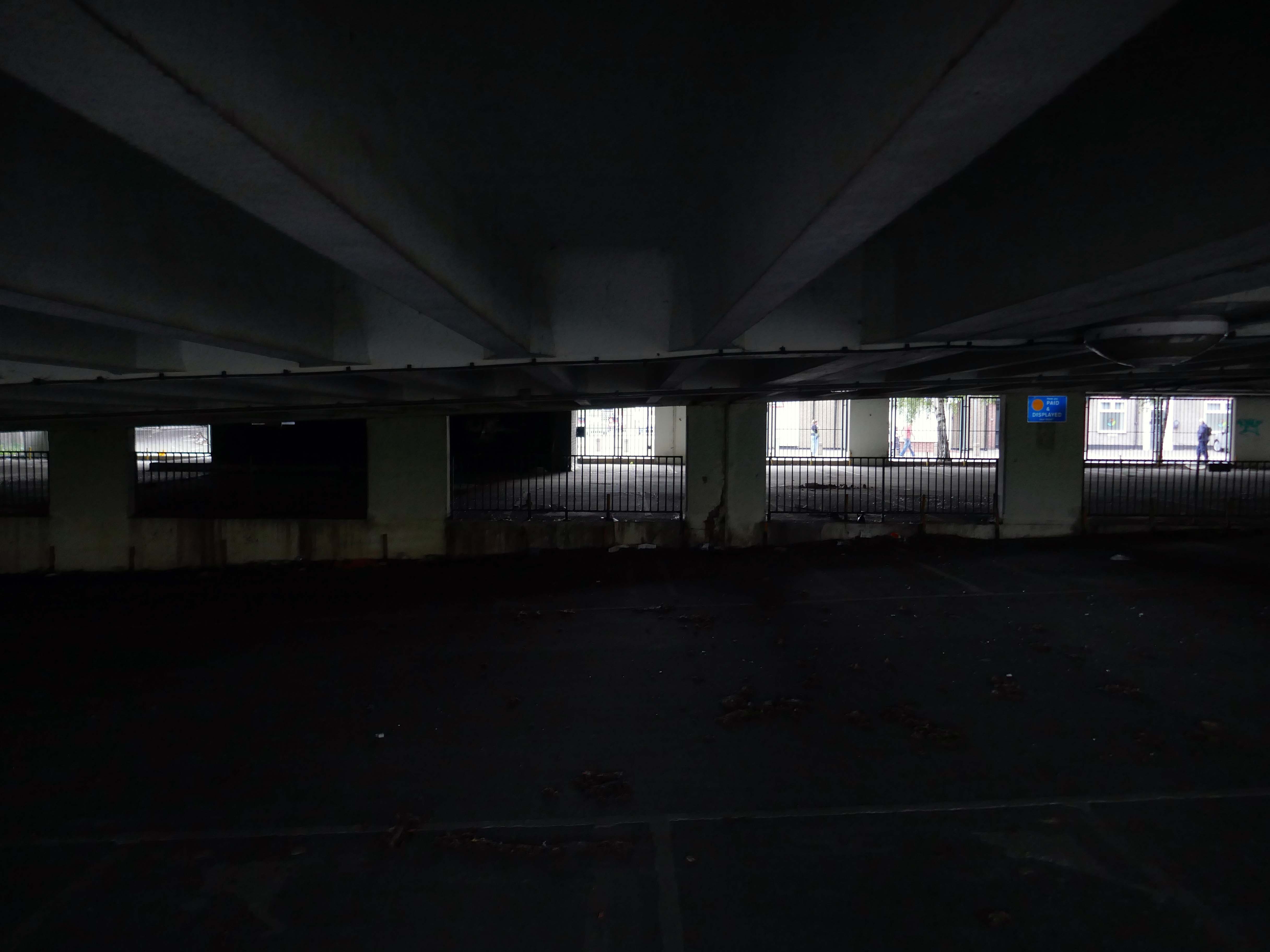
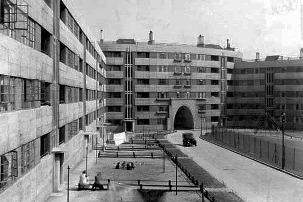
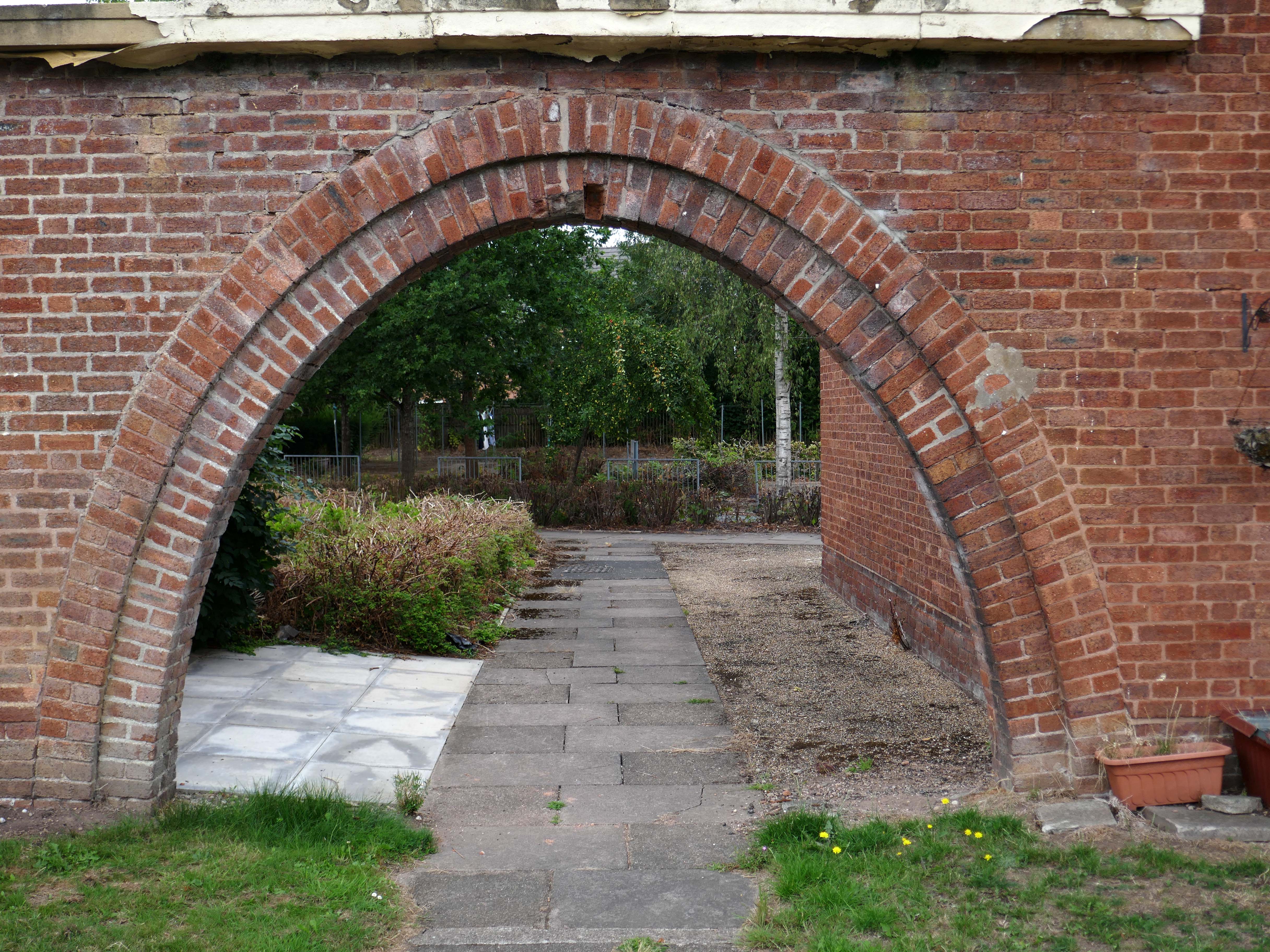
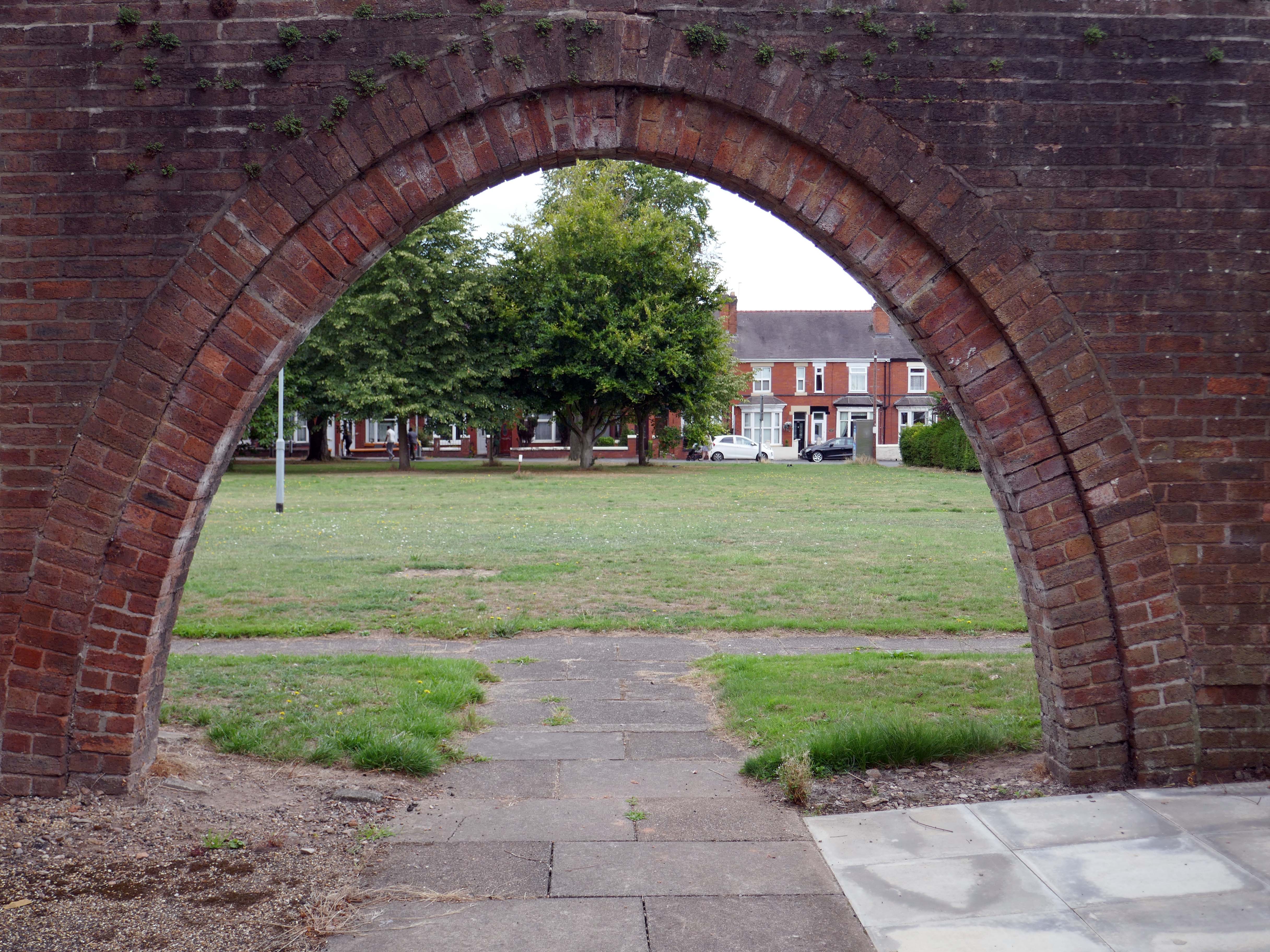
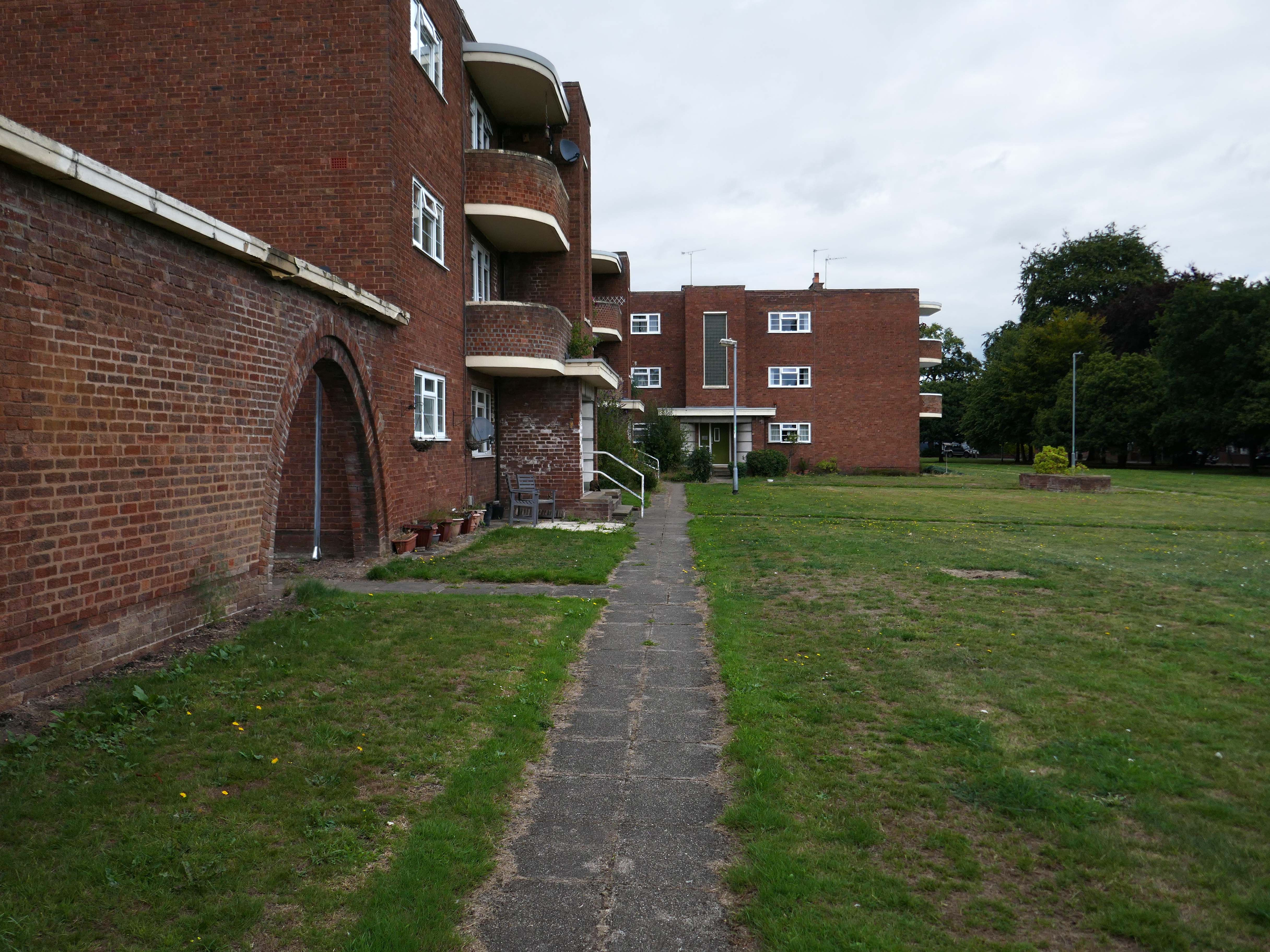
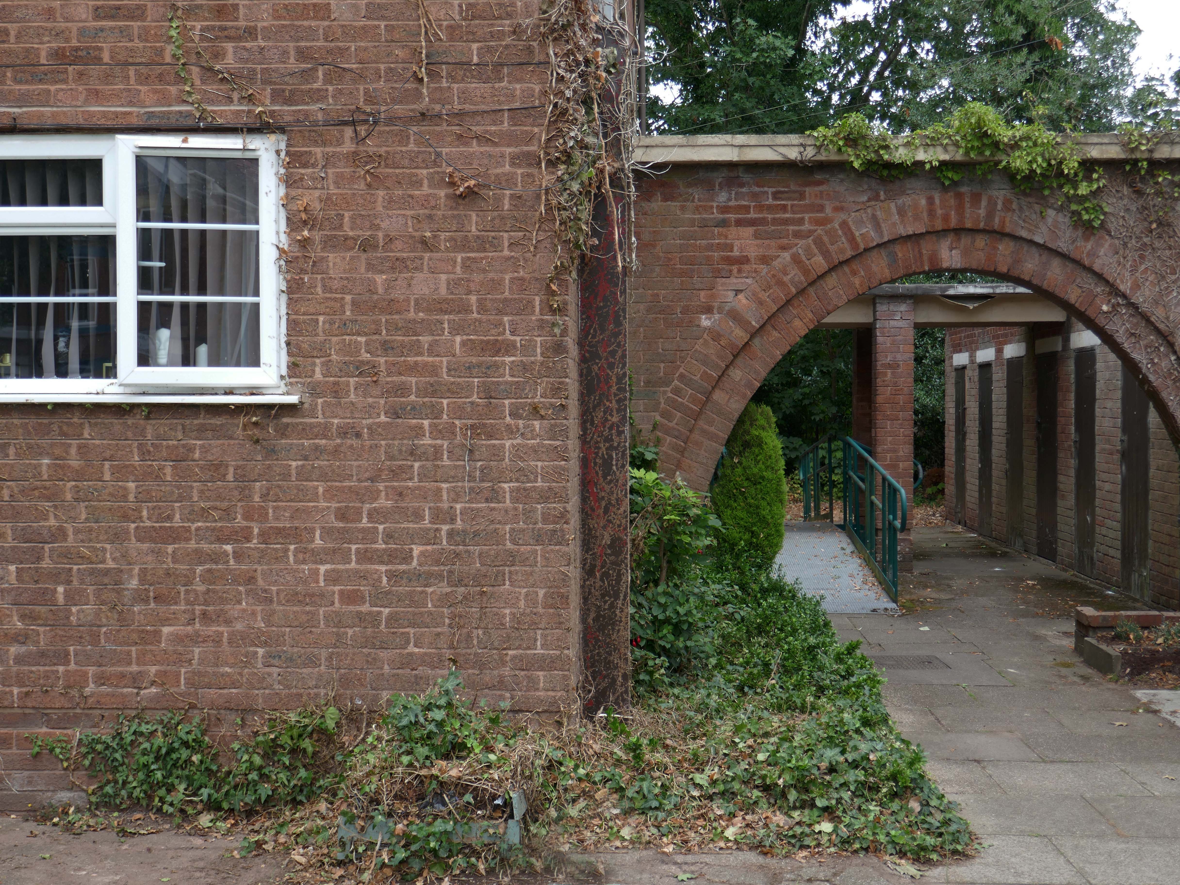
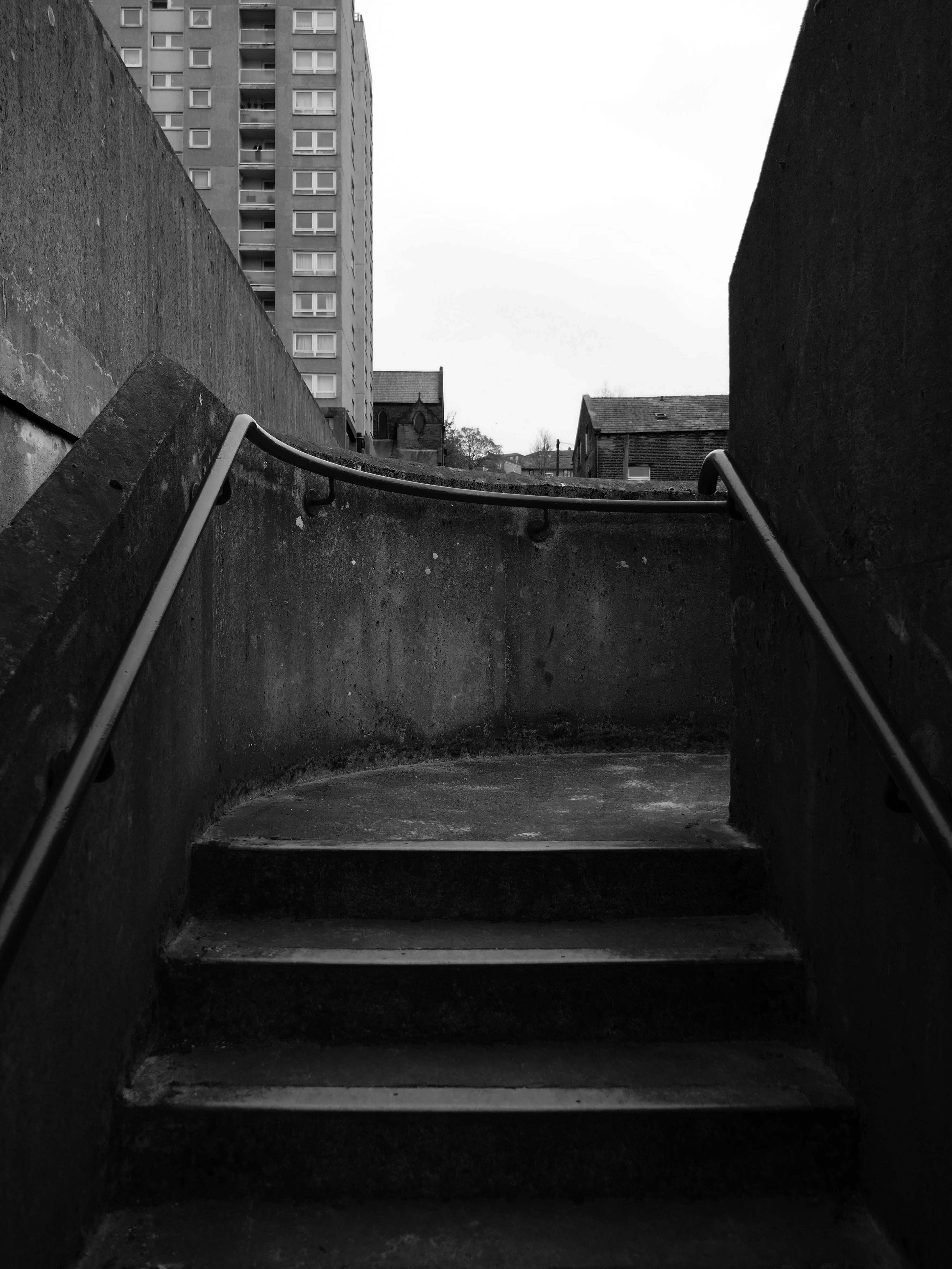
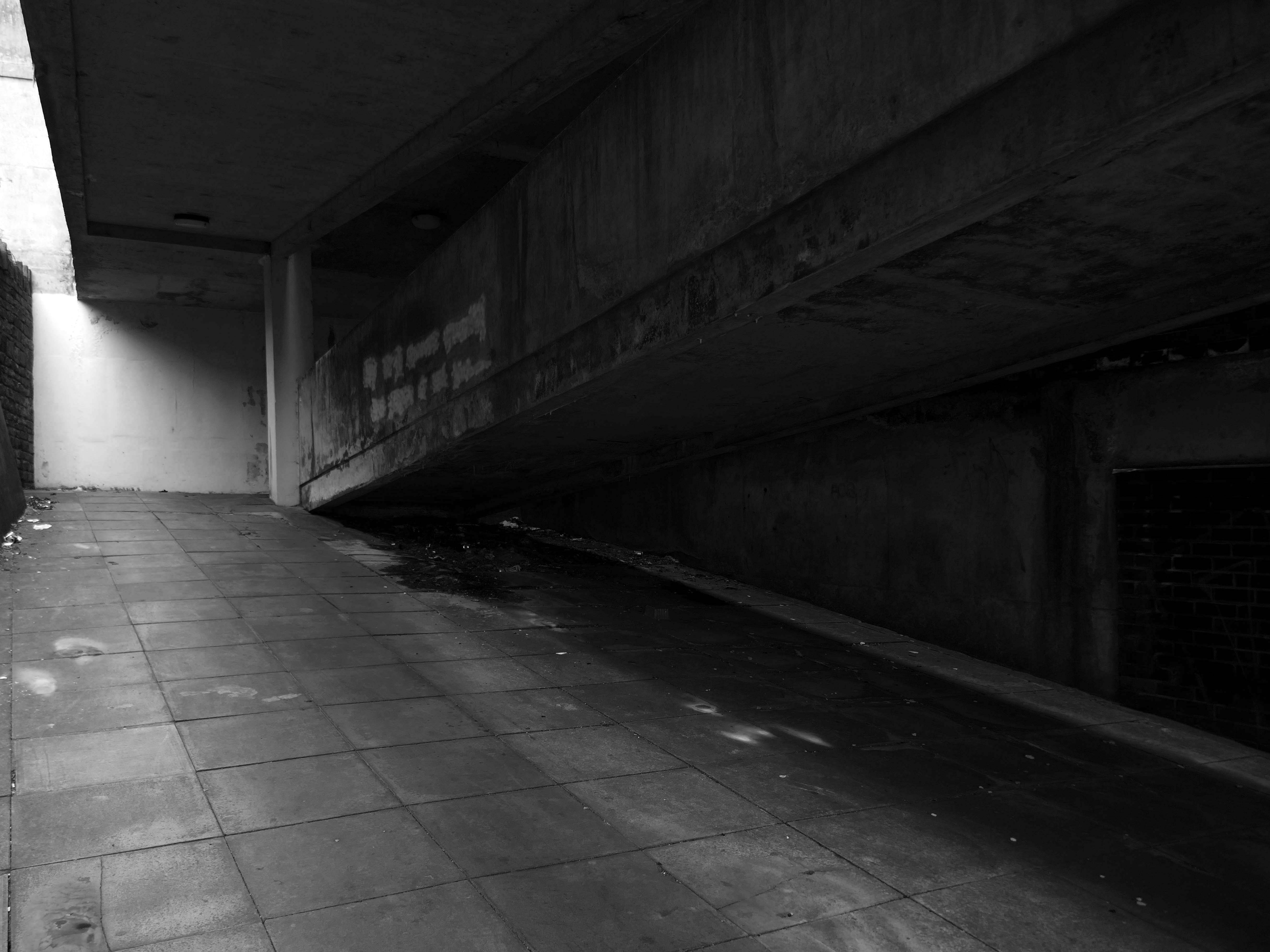
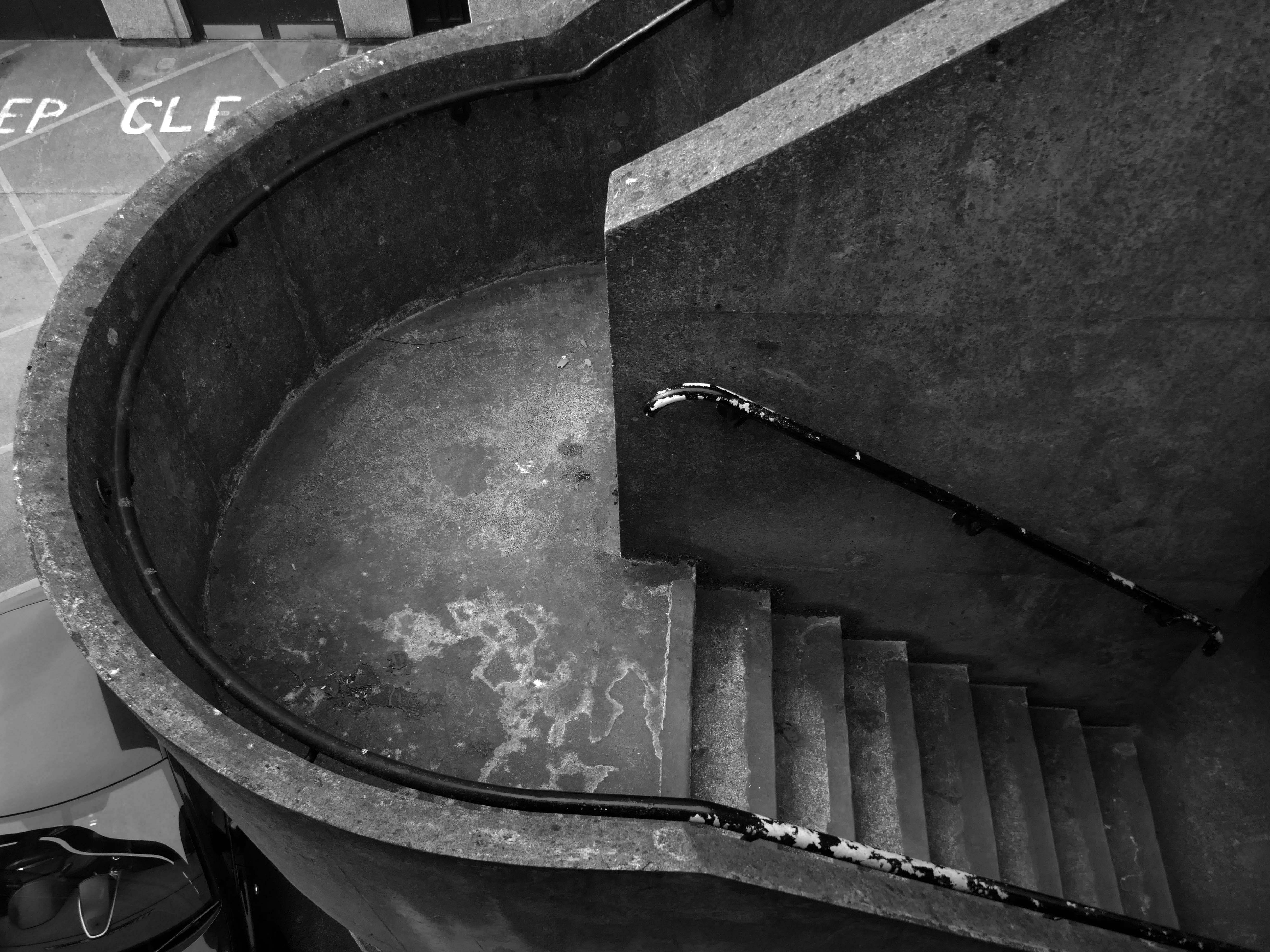
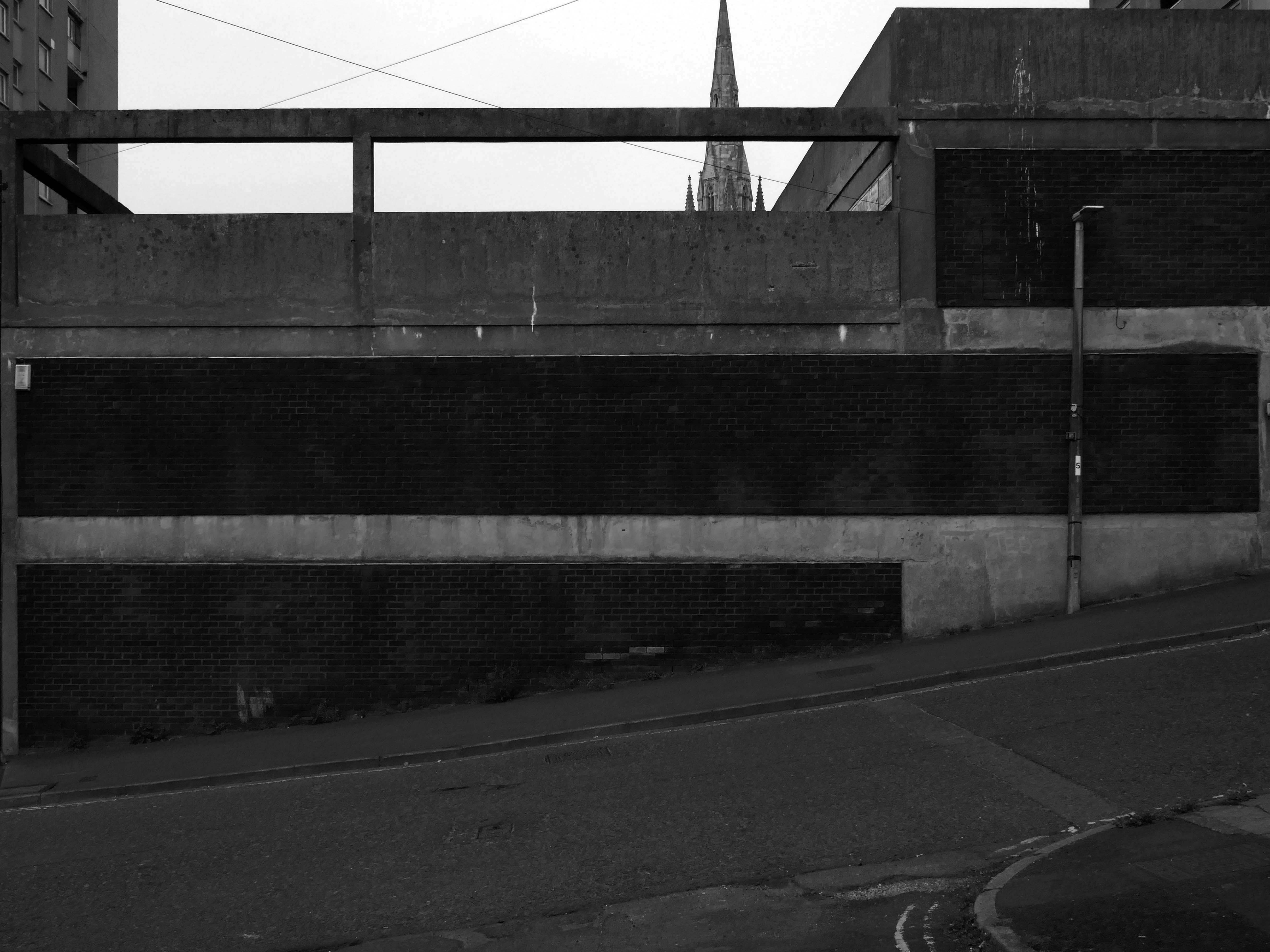
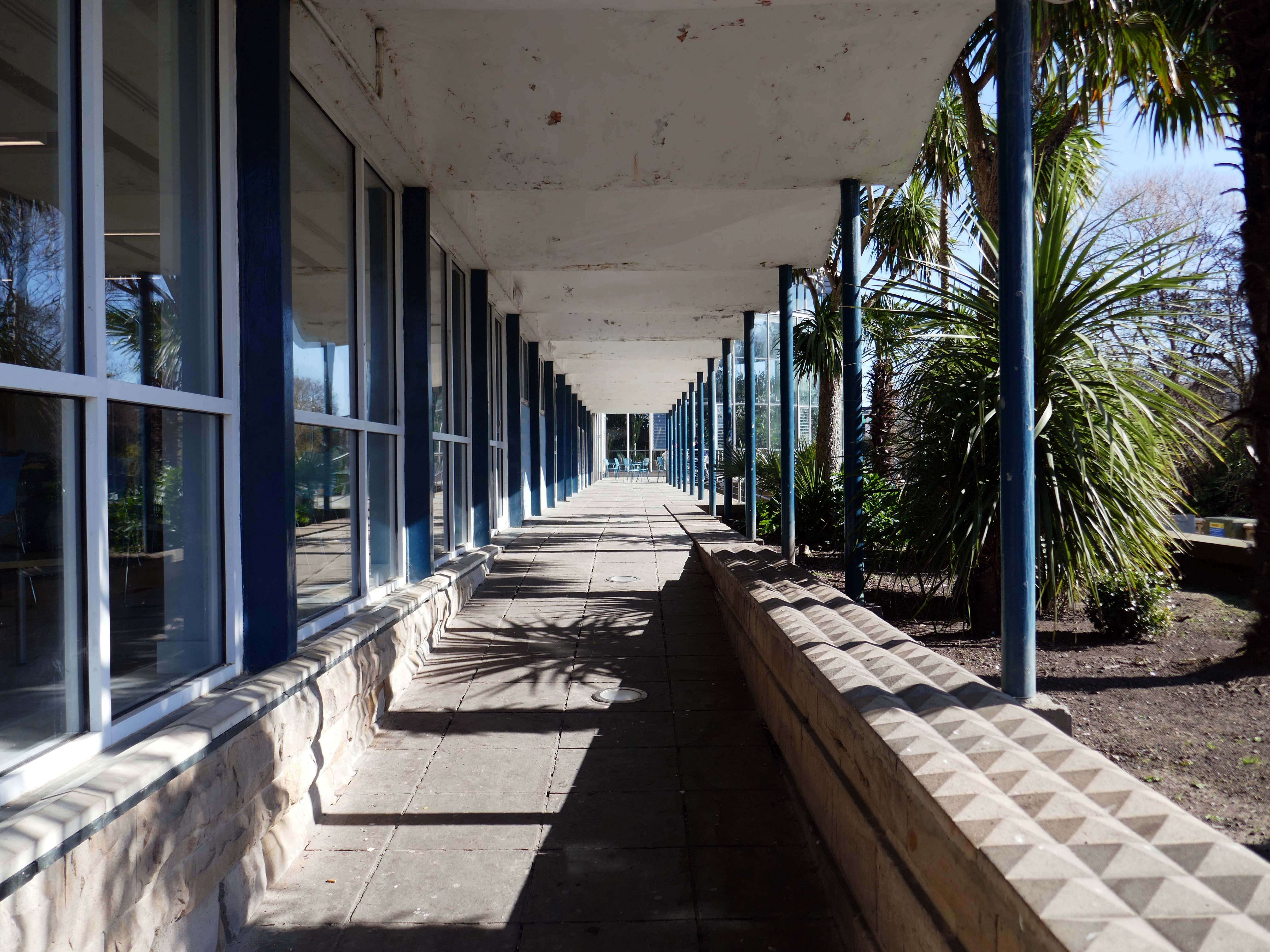
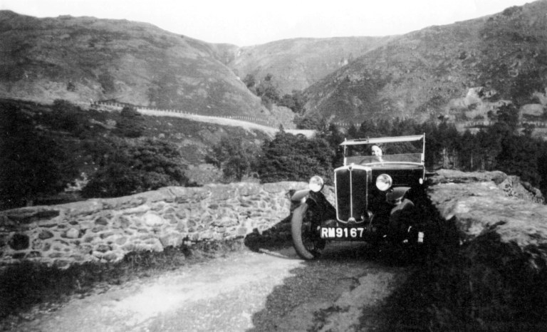
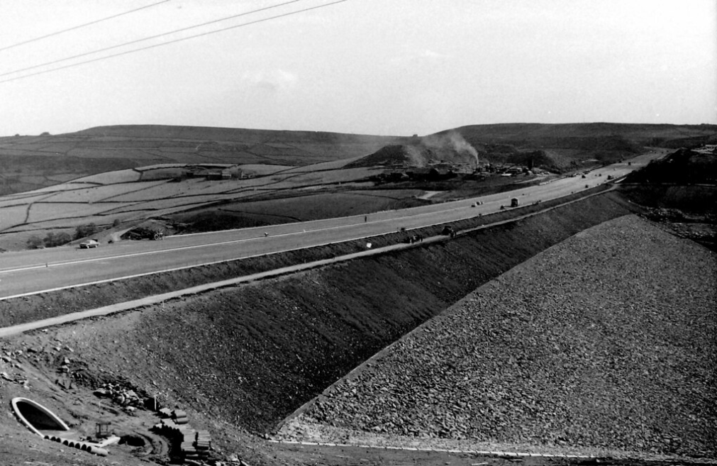
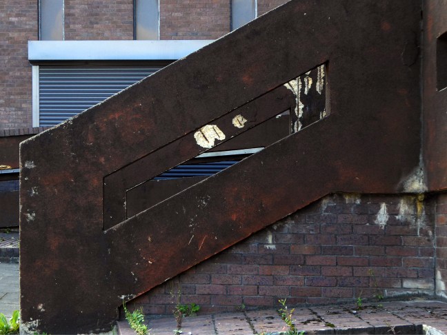
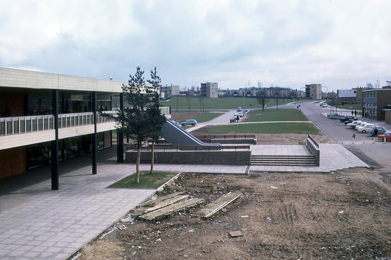
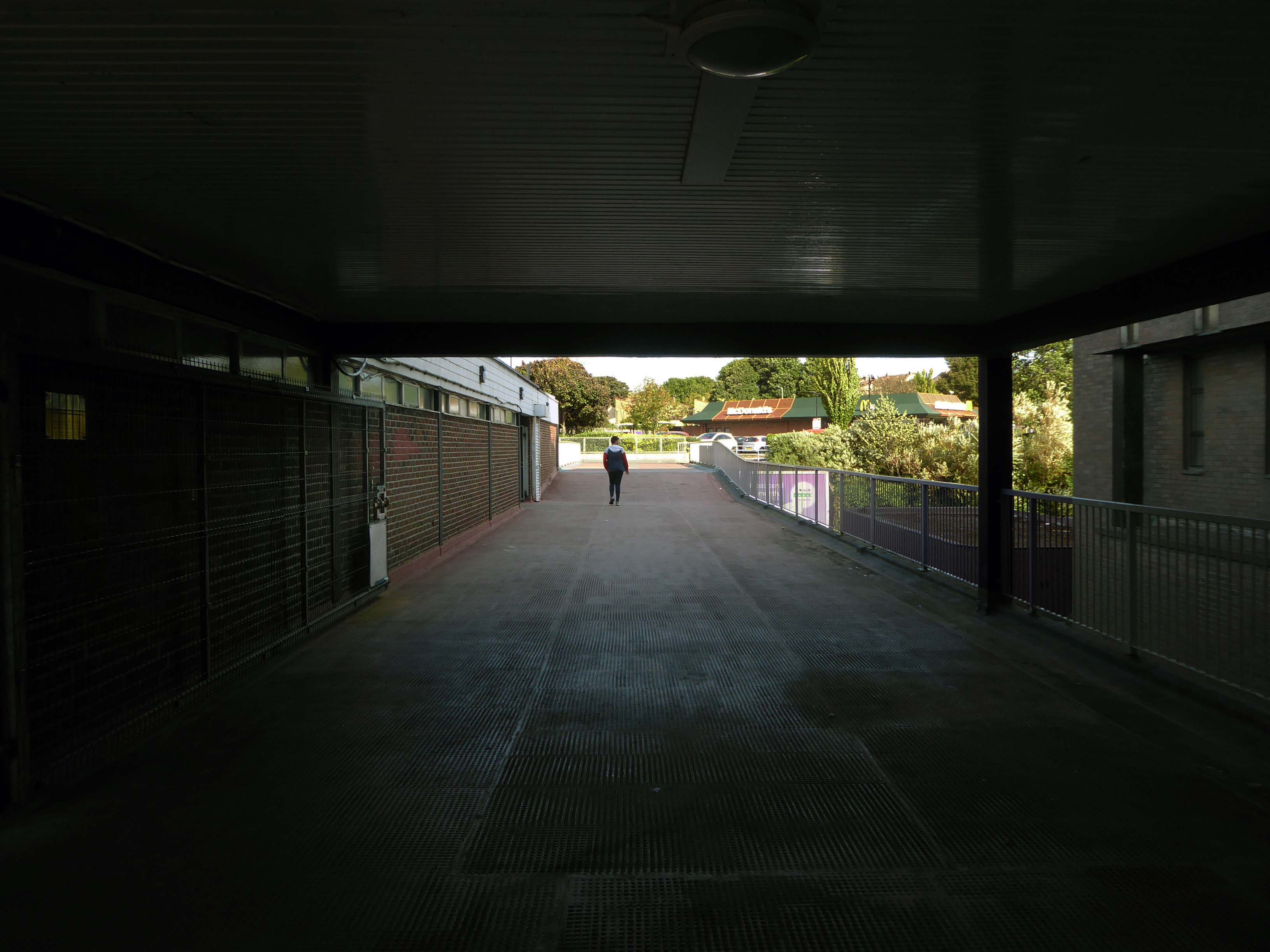
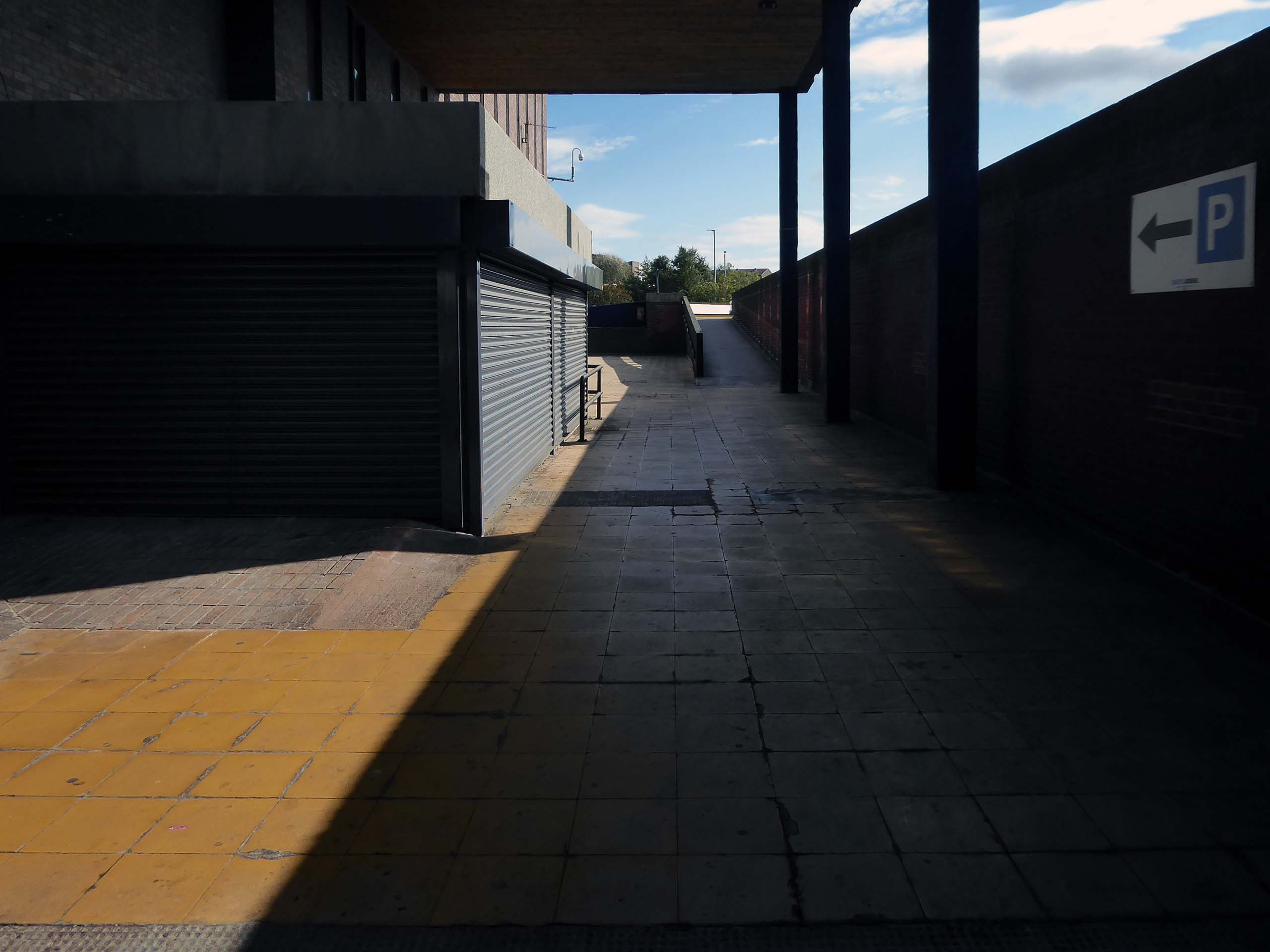
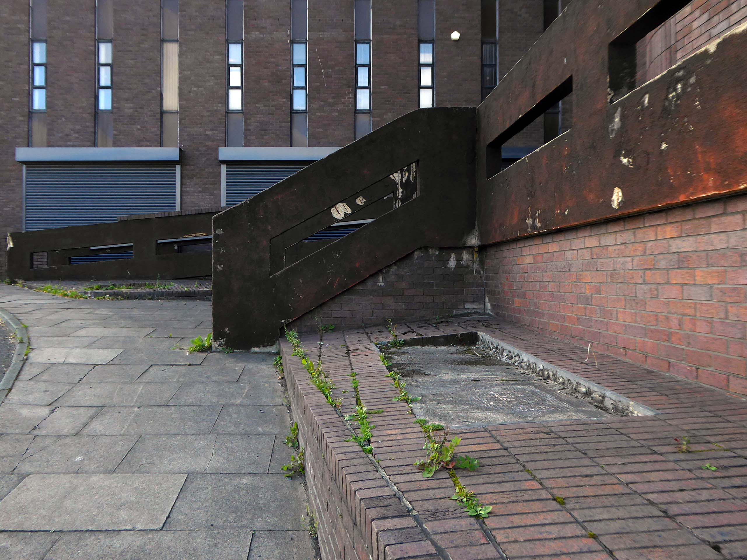
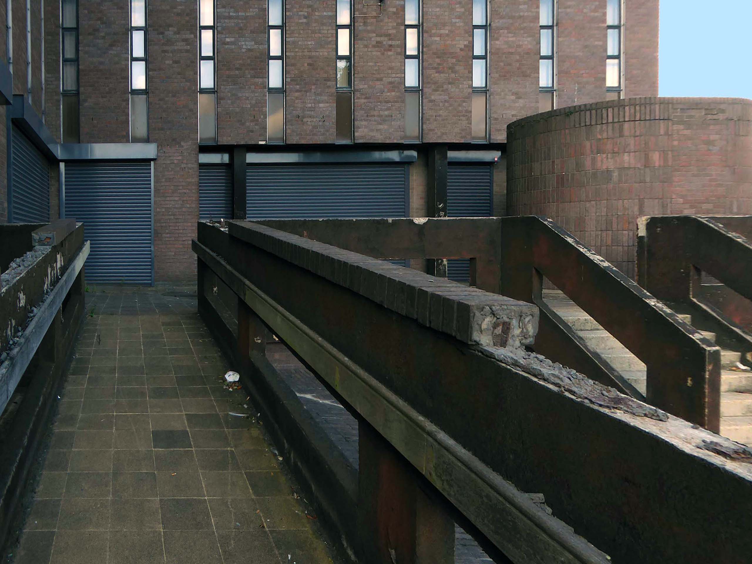
Access ramp at the bottom end of Yoden Way, prior to the construction of Lee House in 1973.
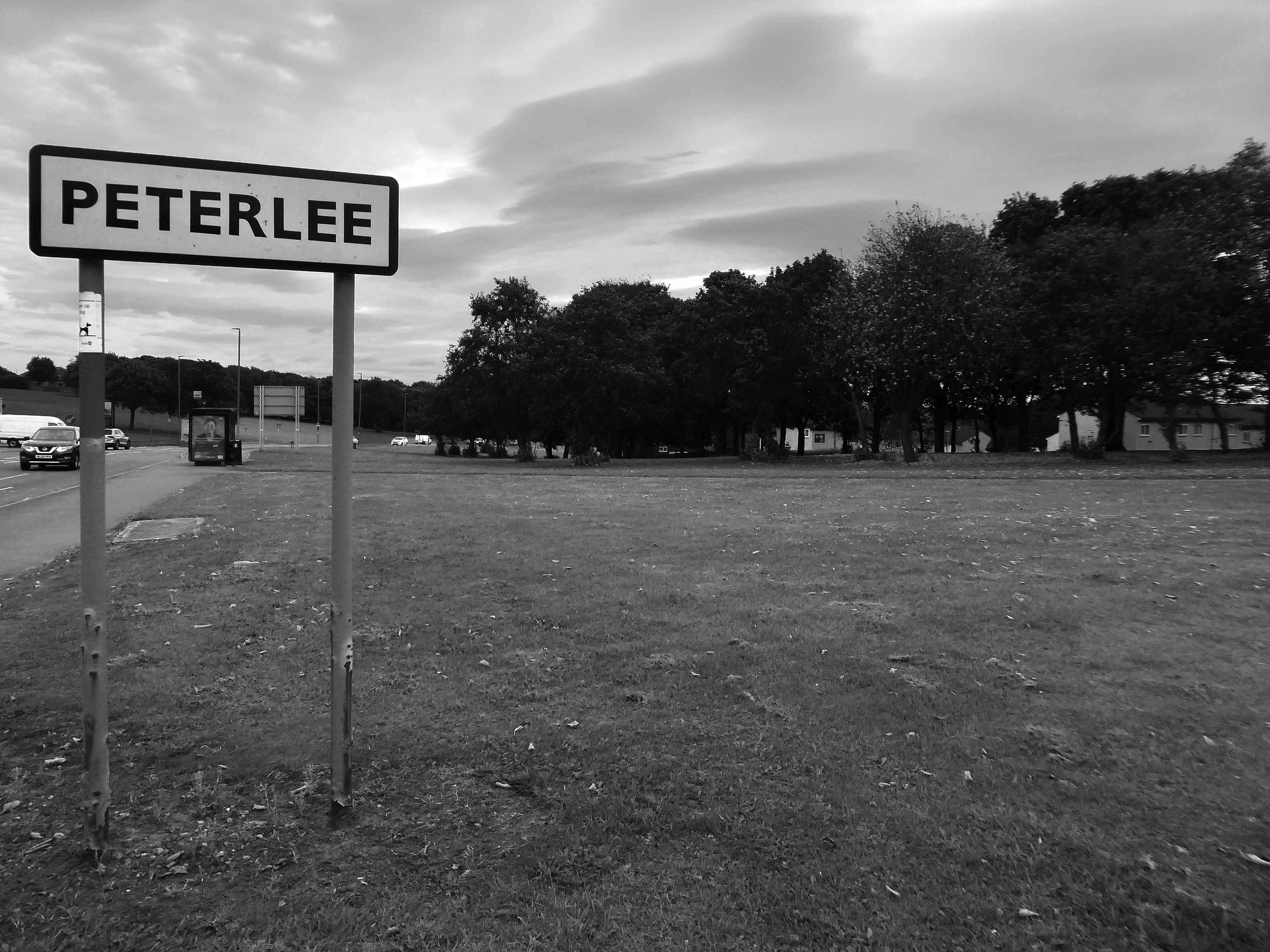
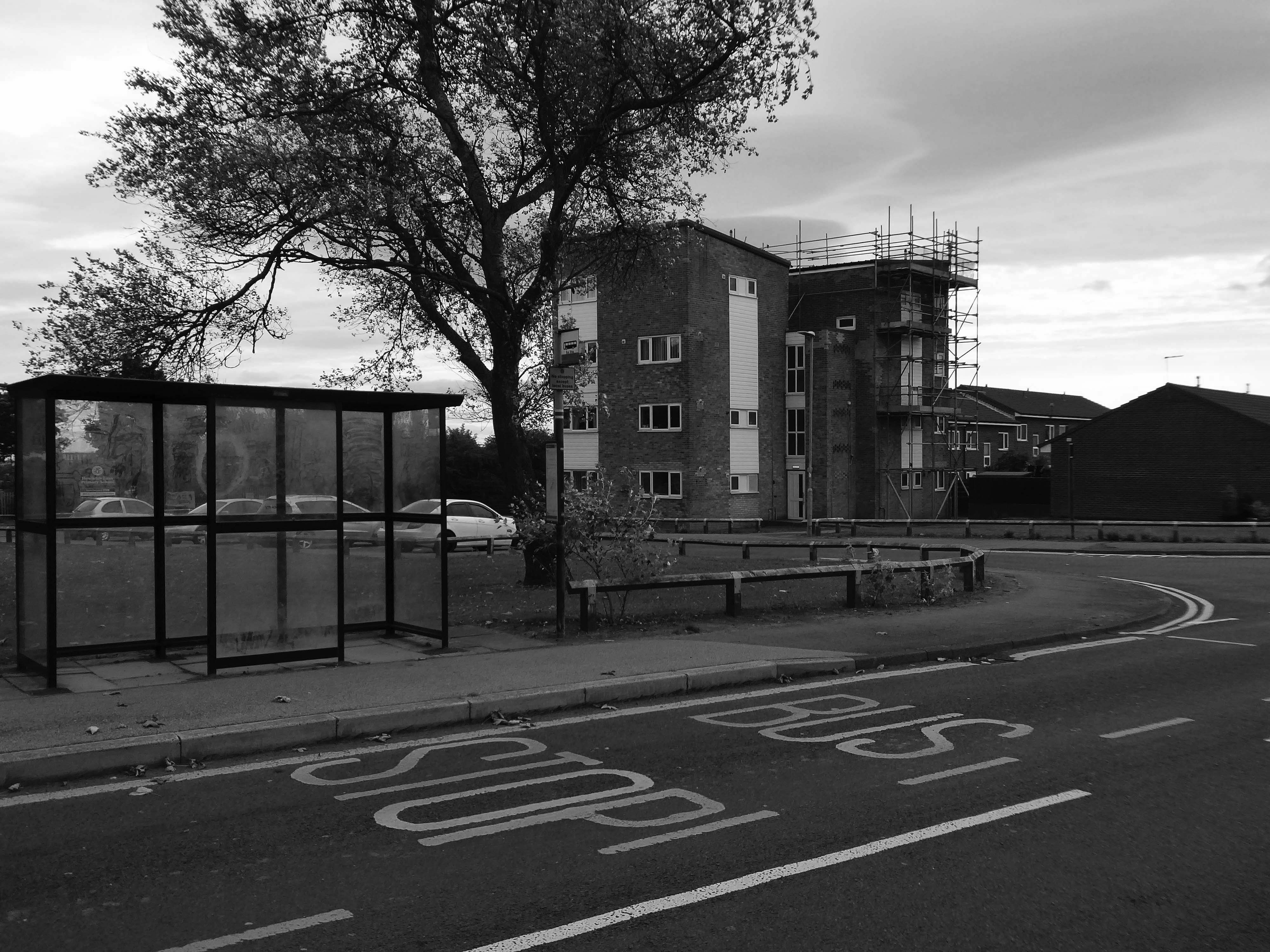
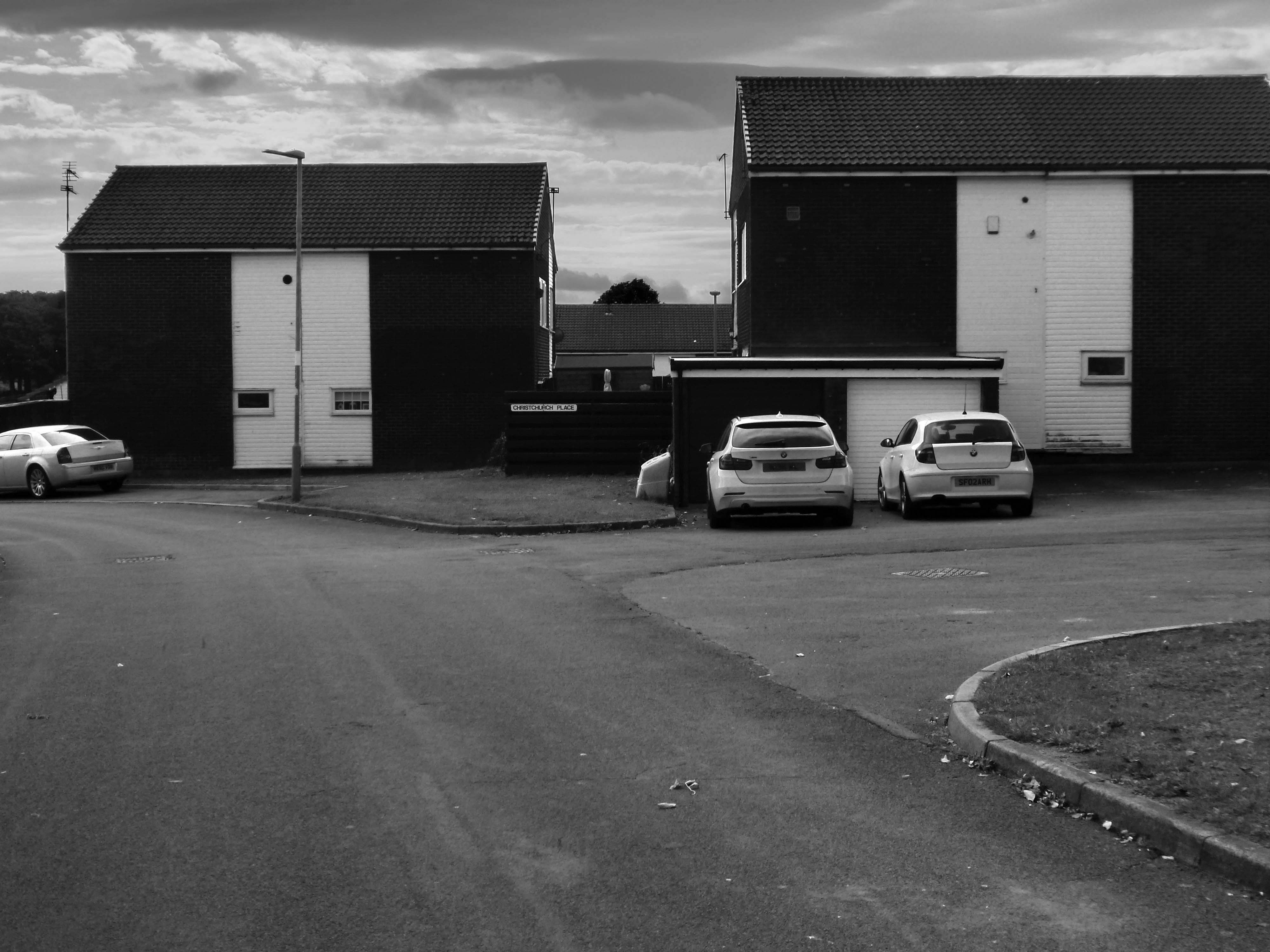
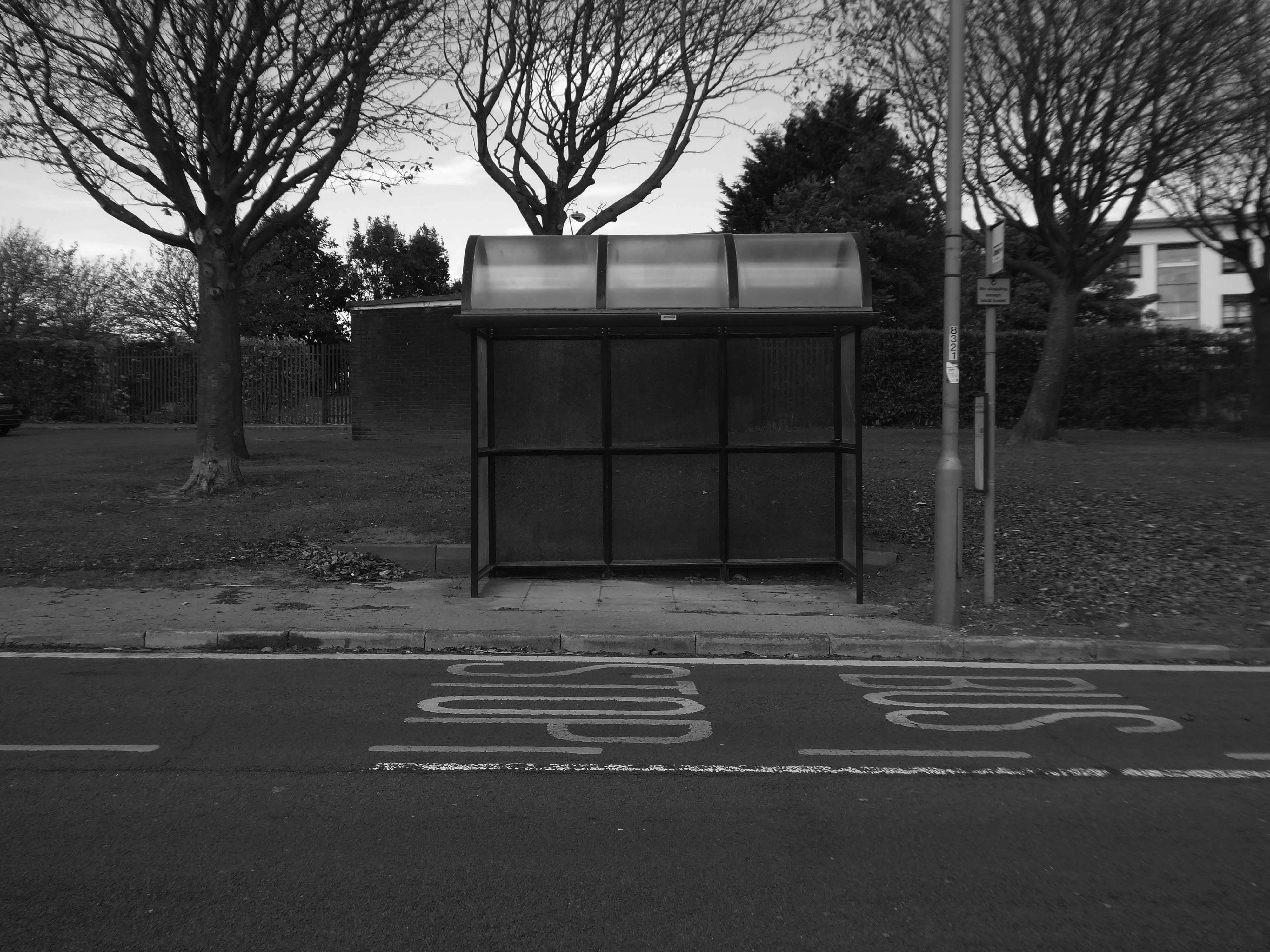
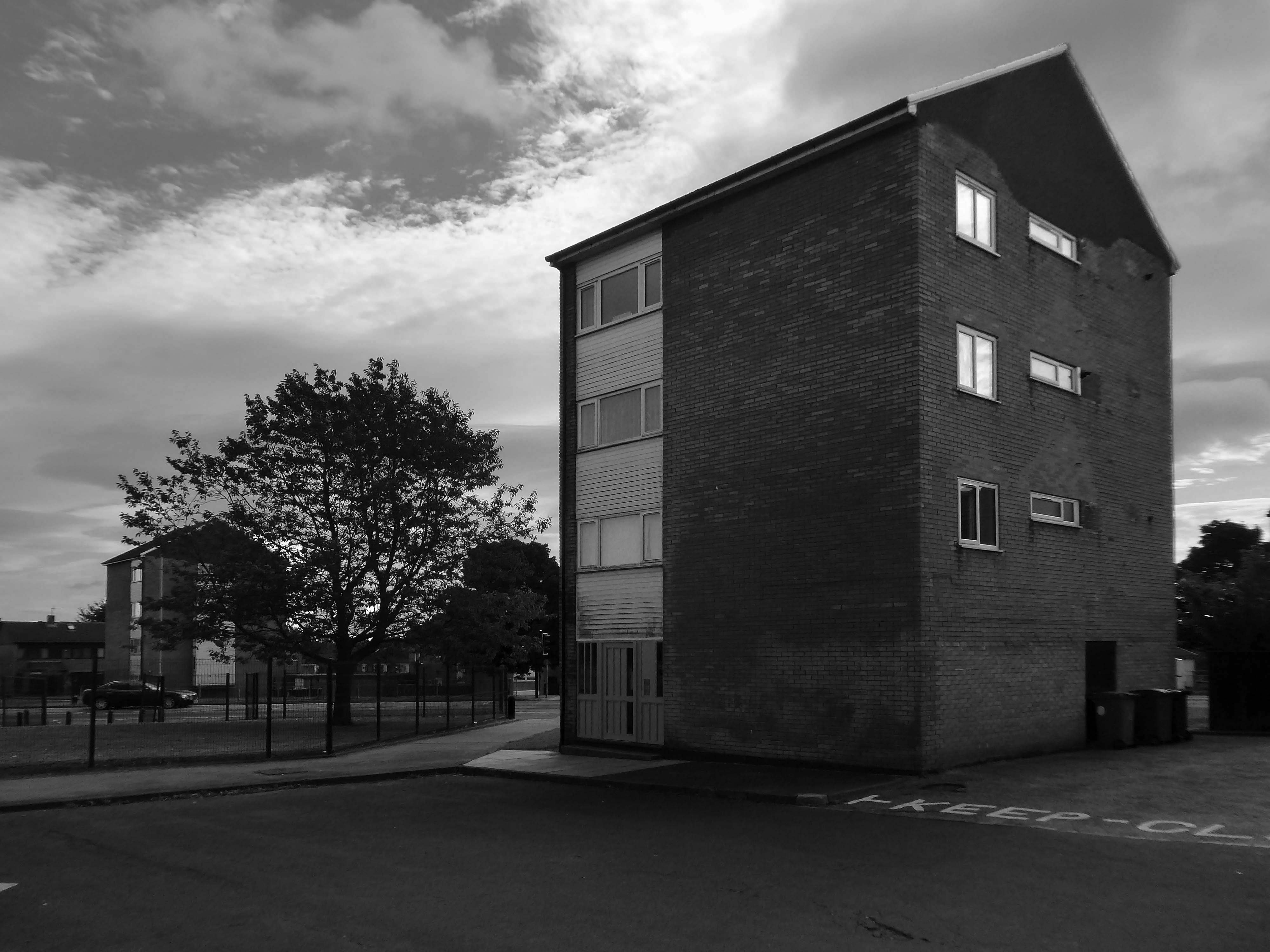
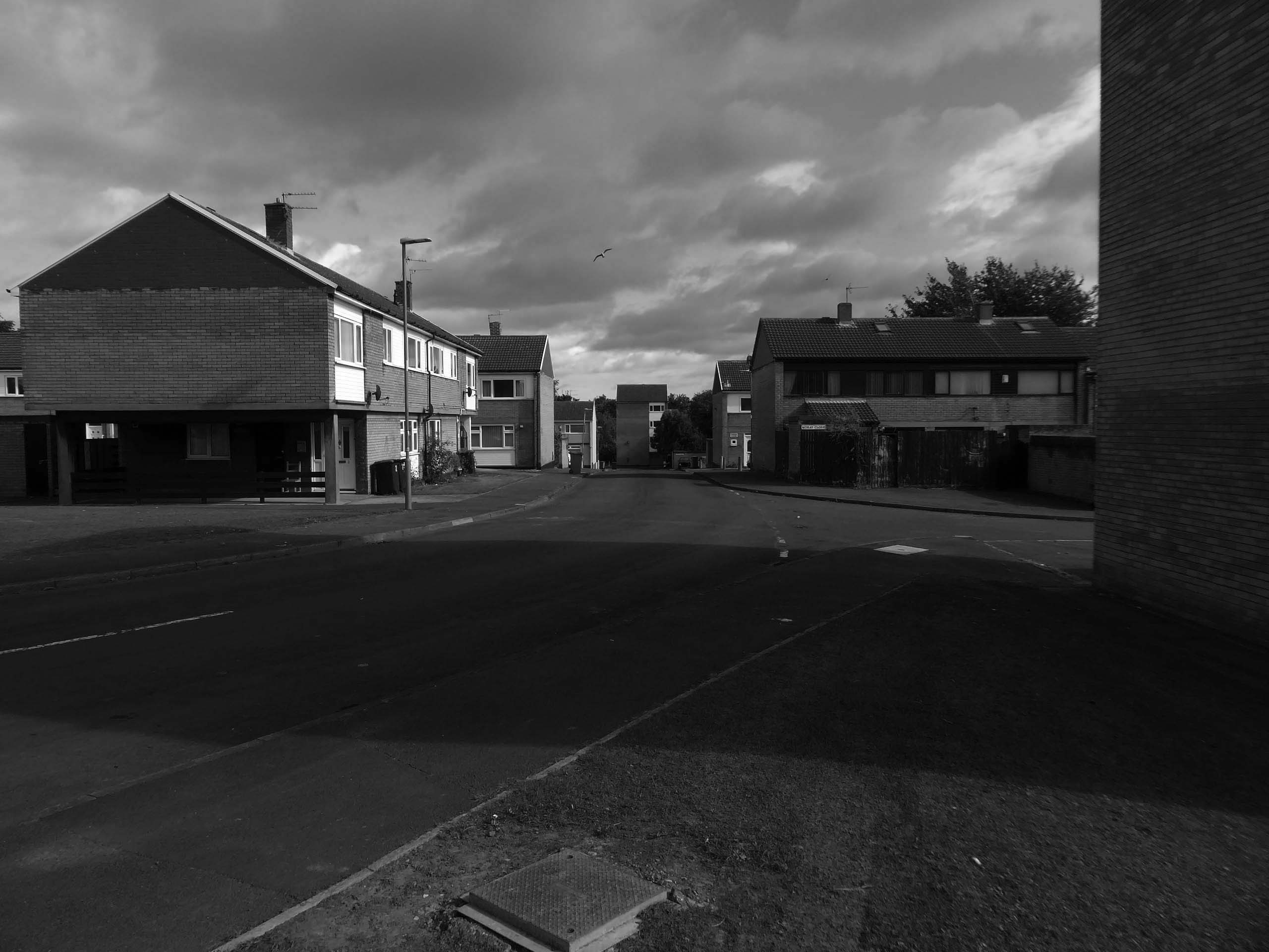
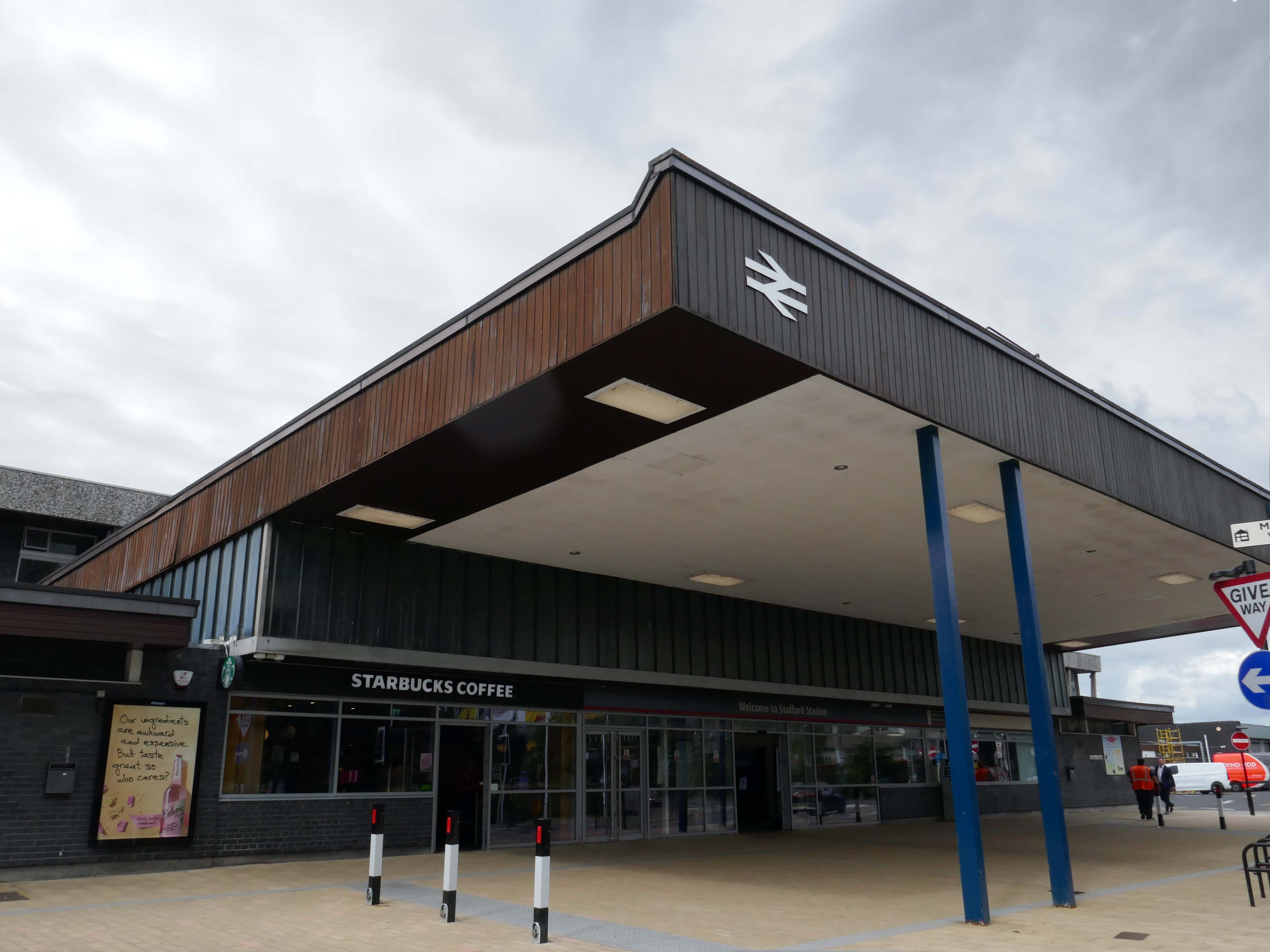
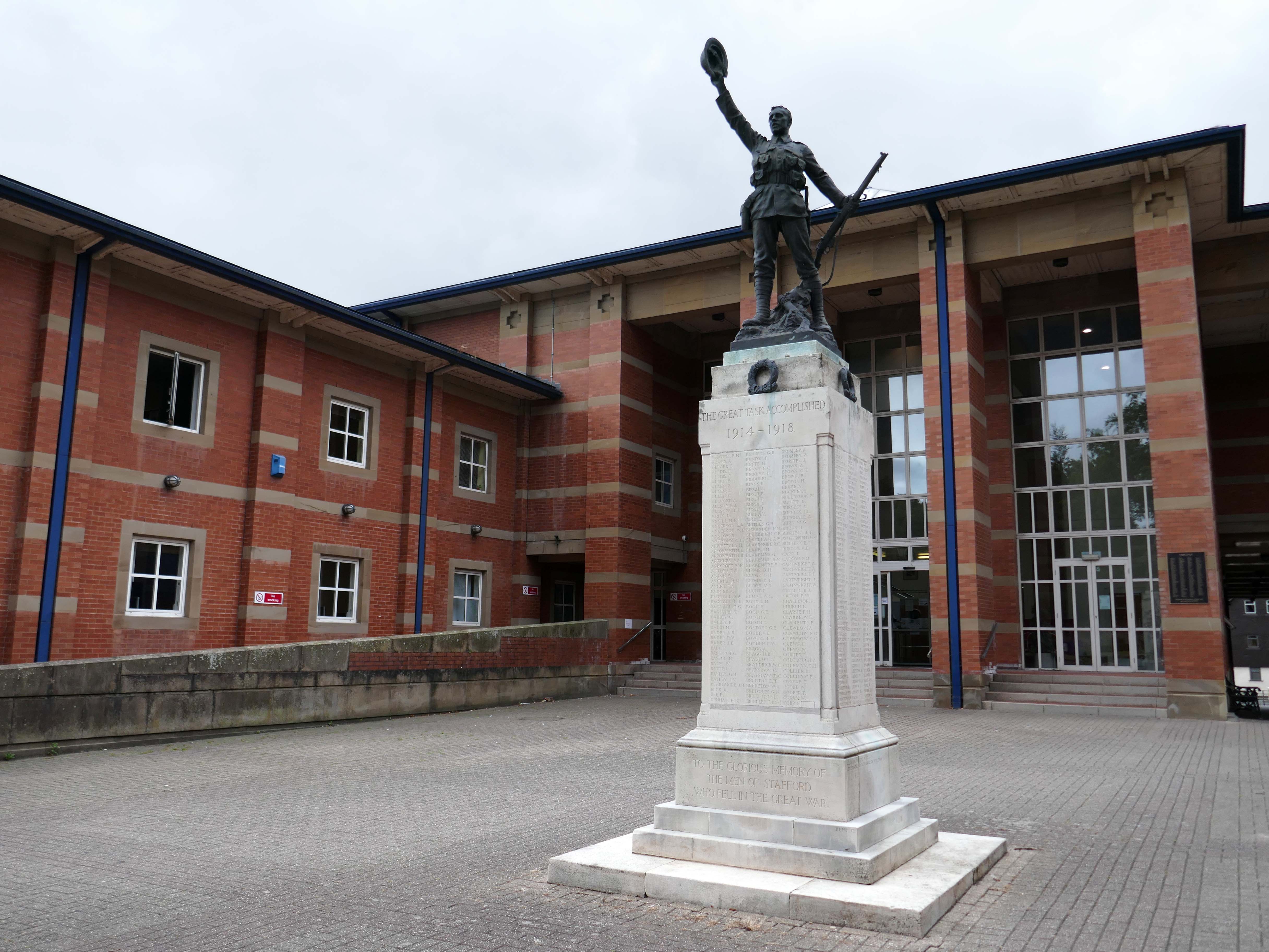
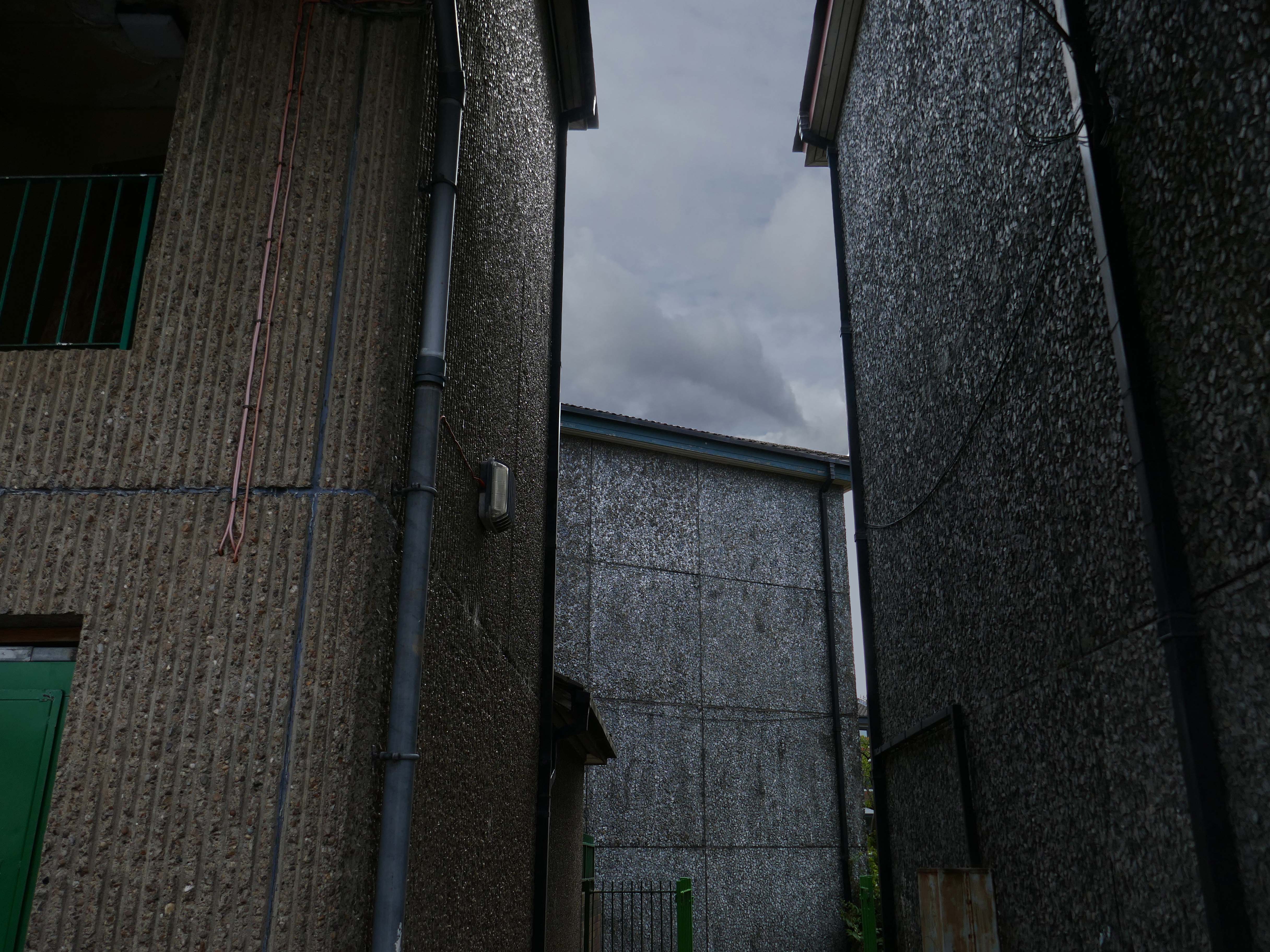
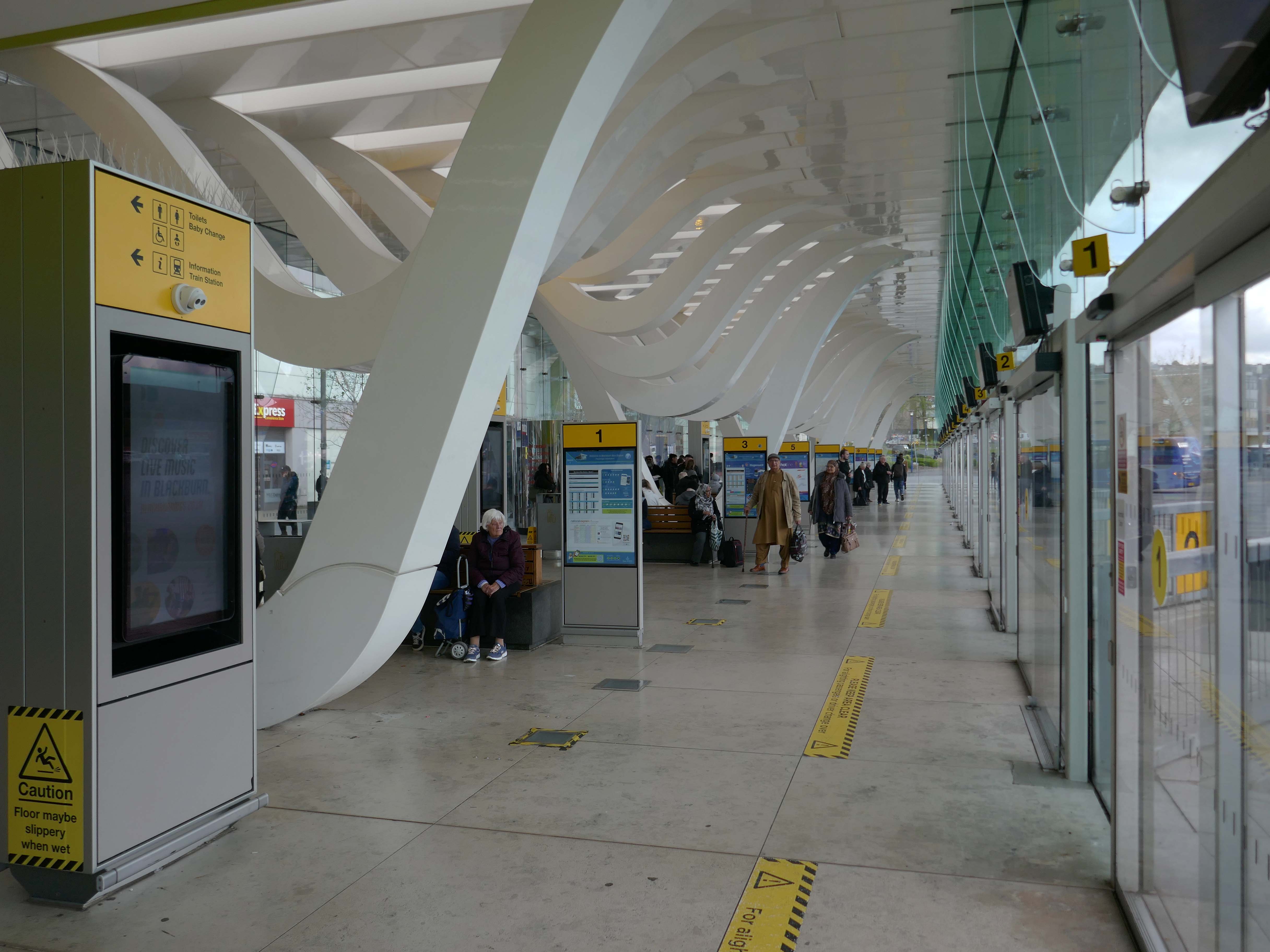
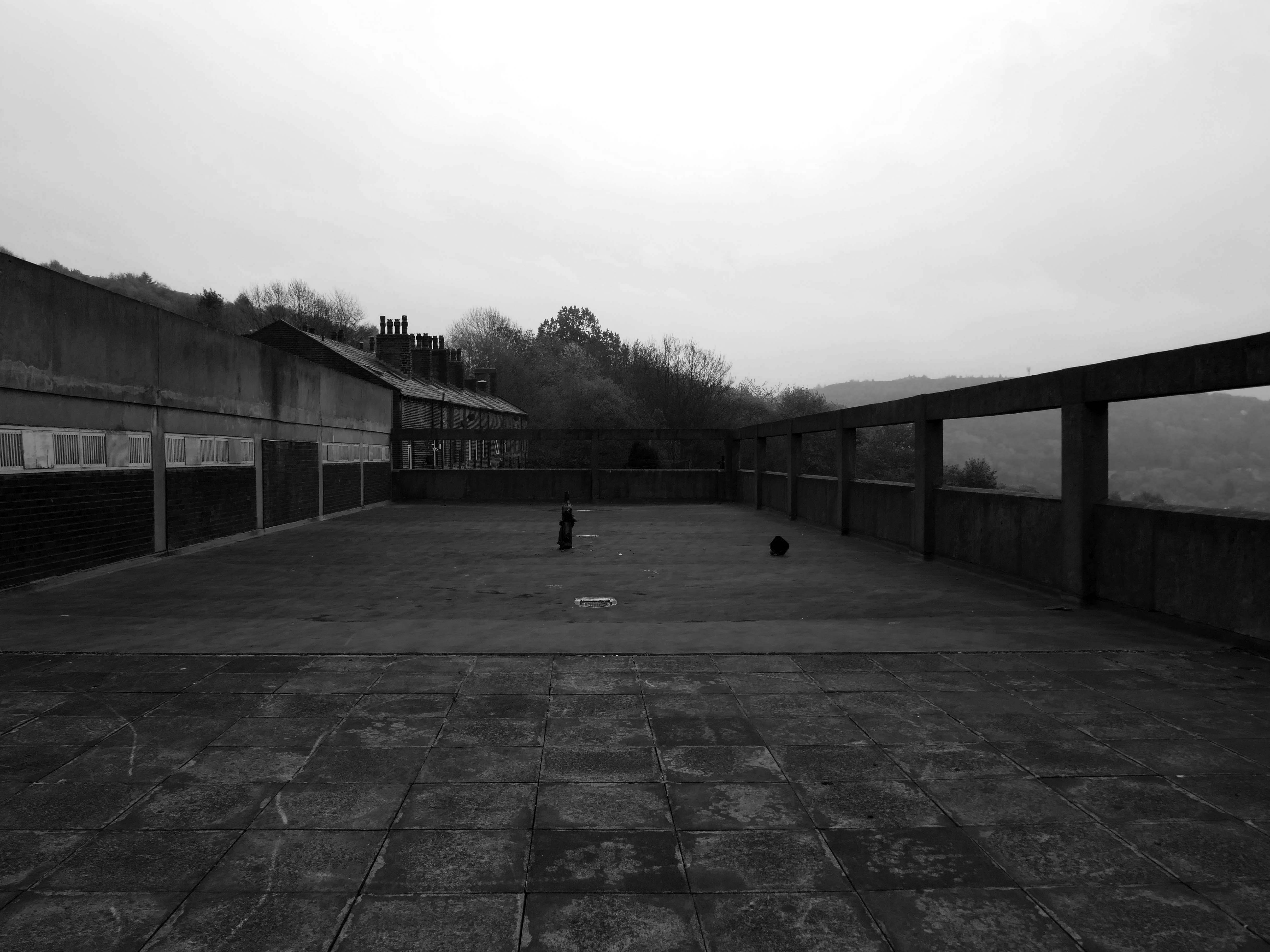
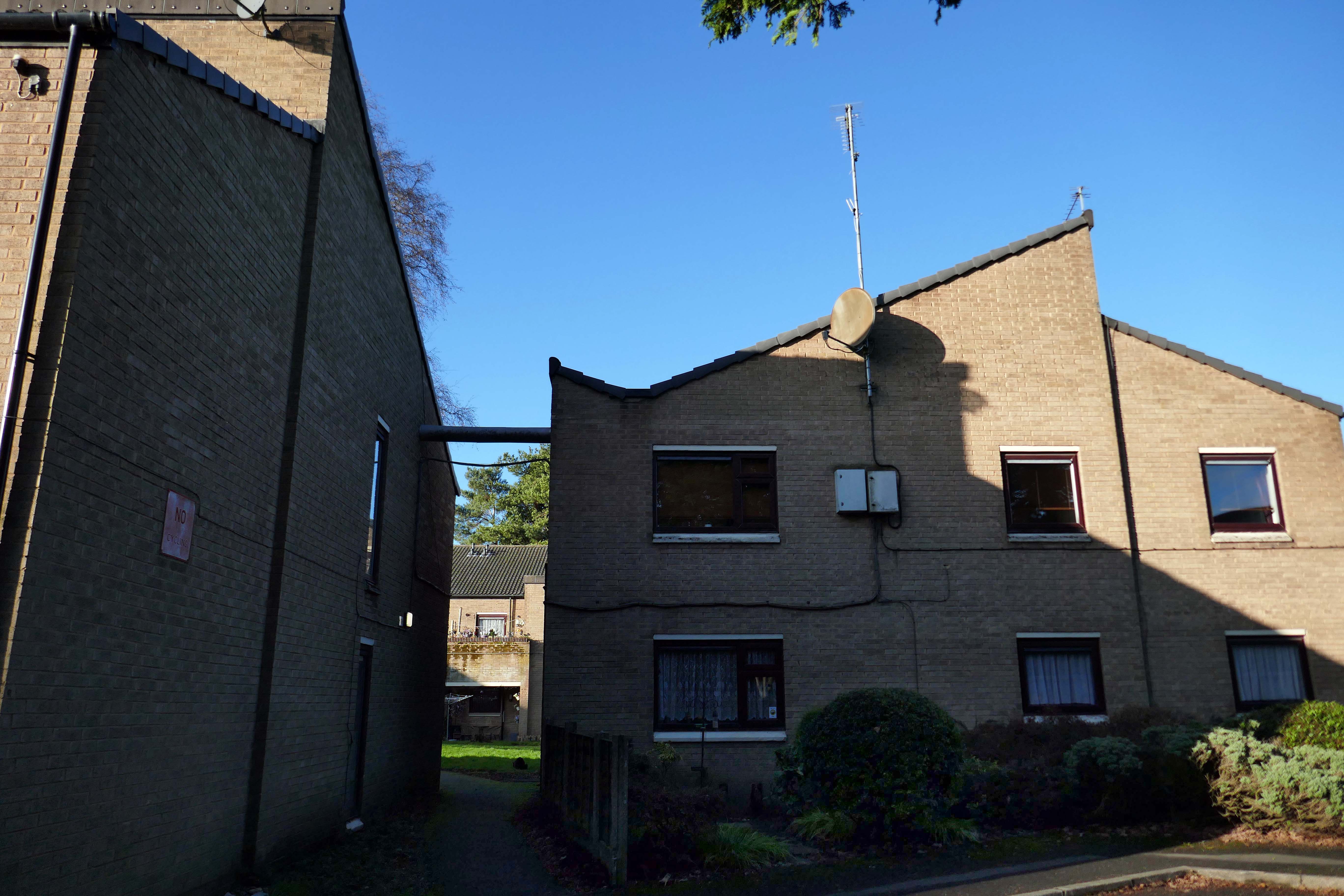
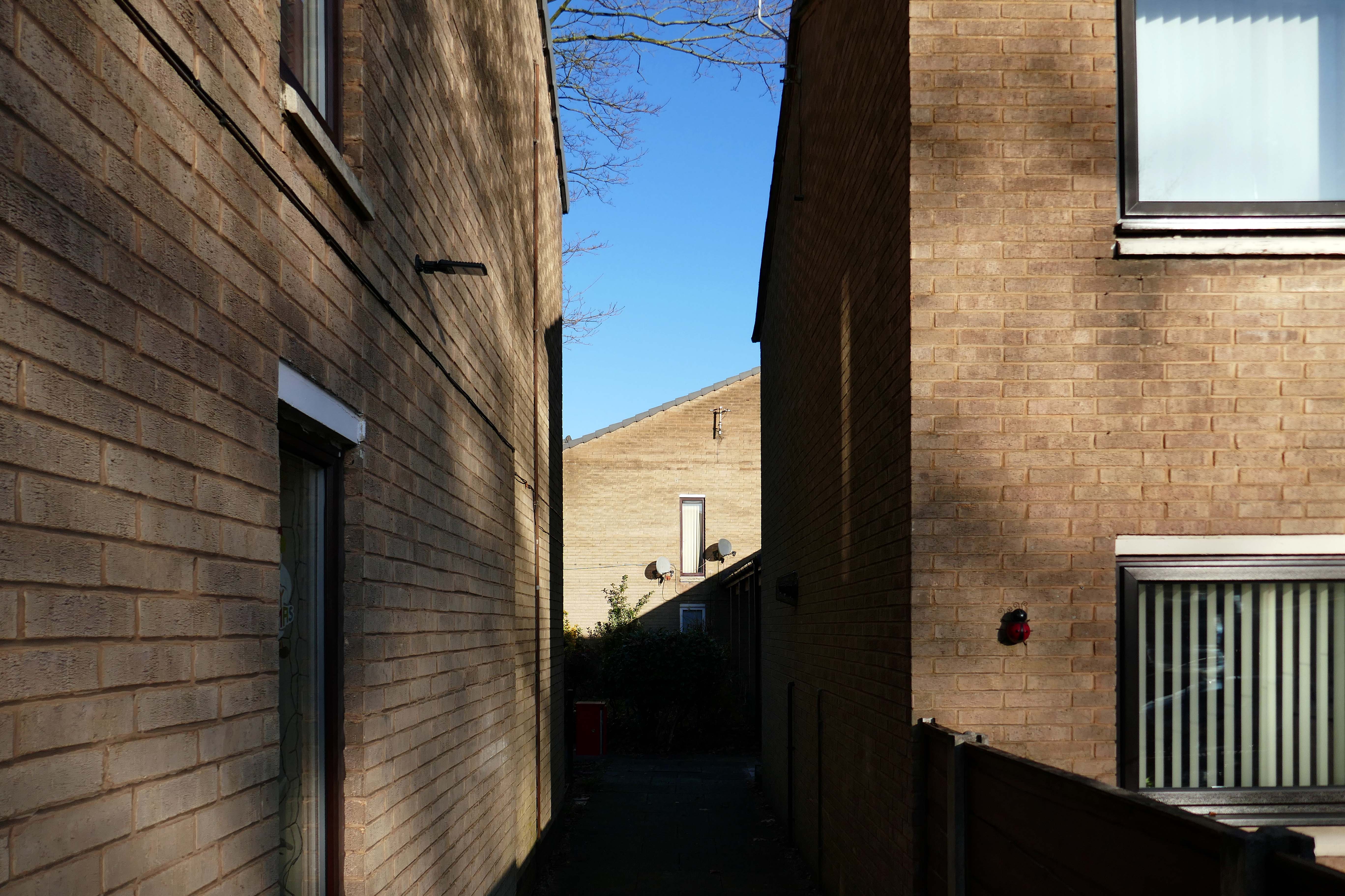
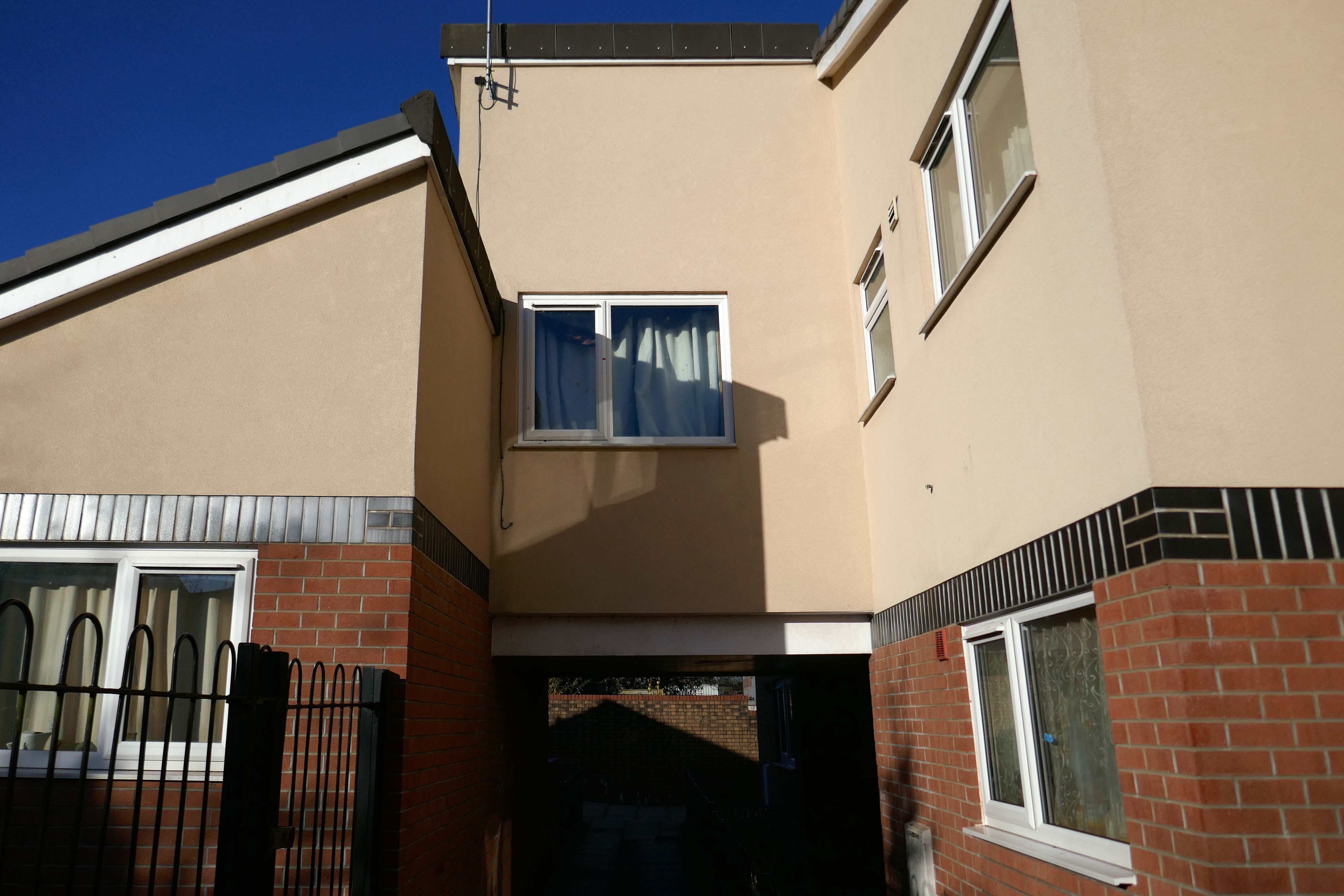
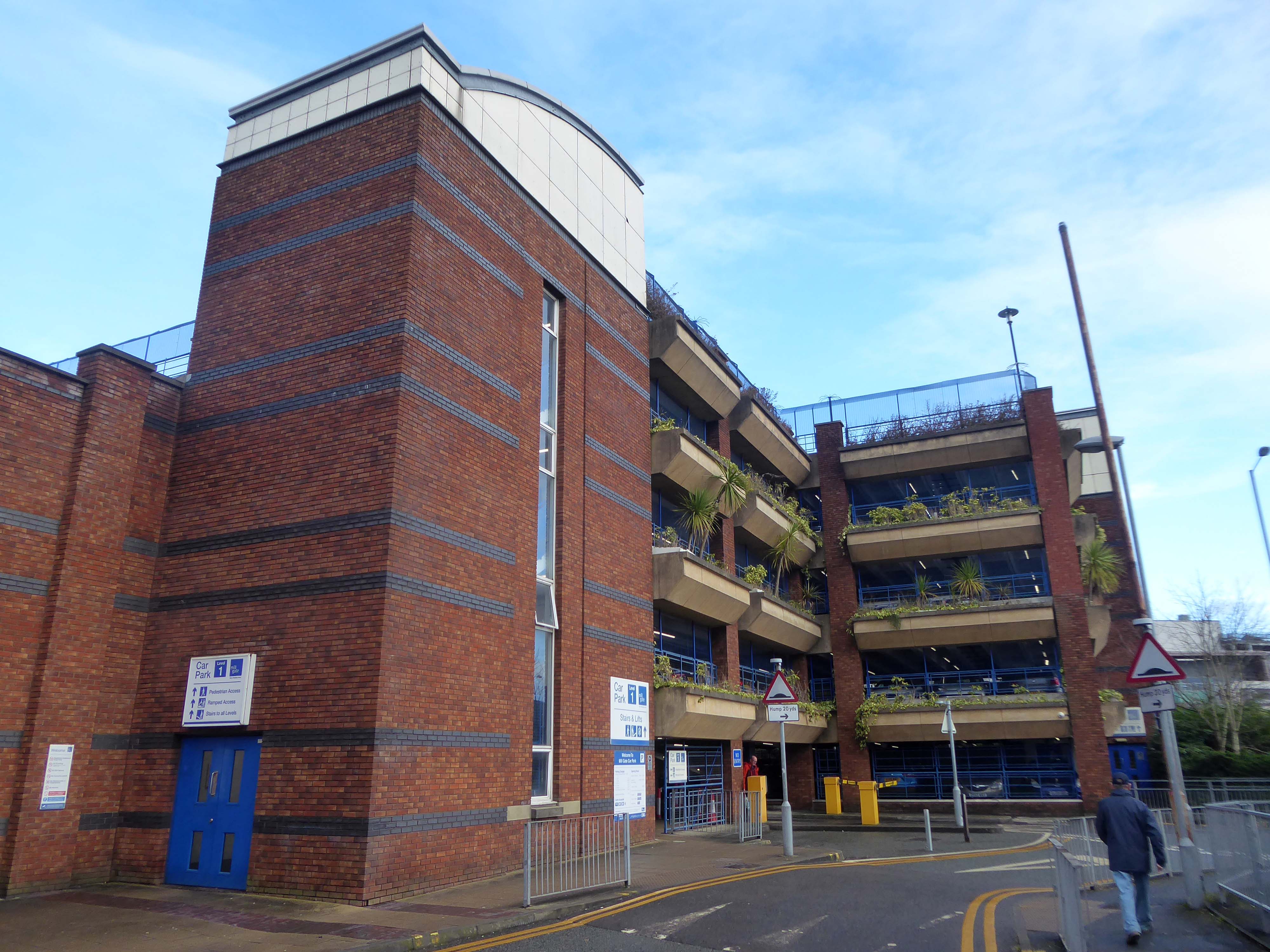
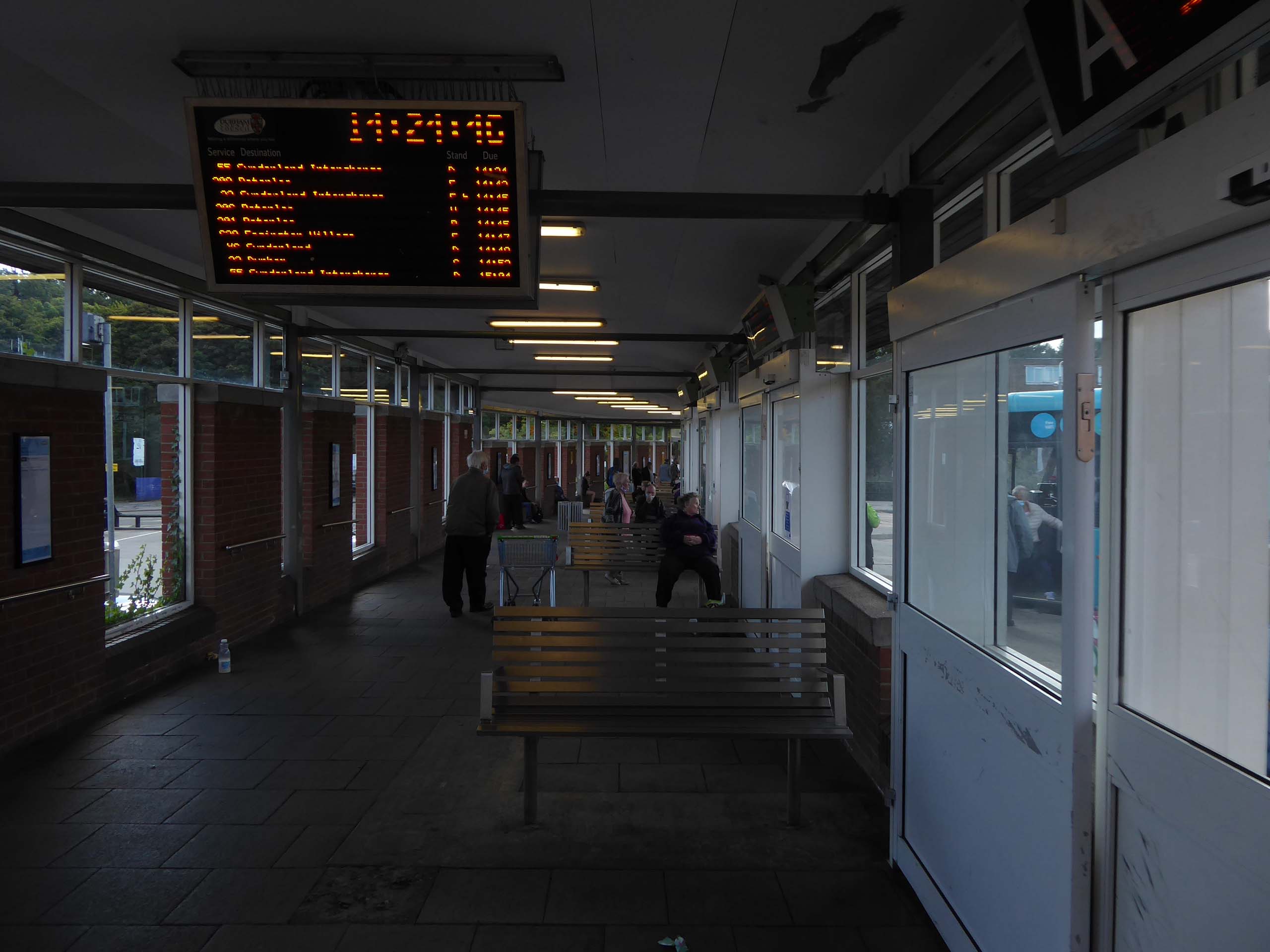
It’s 2021 and I arrive at the Bus Station.
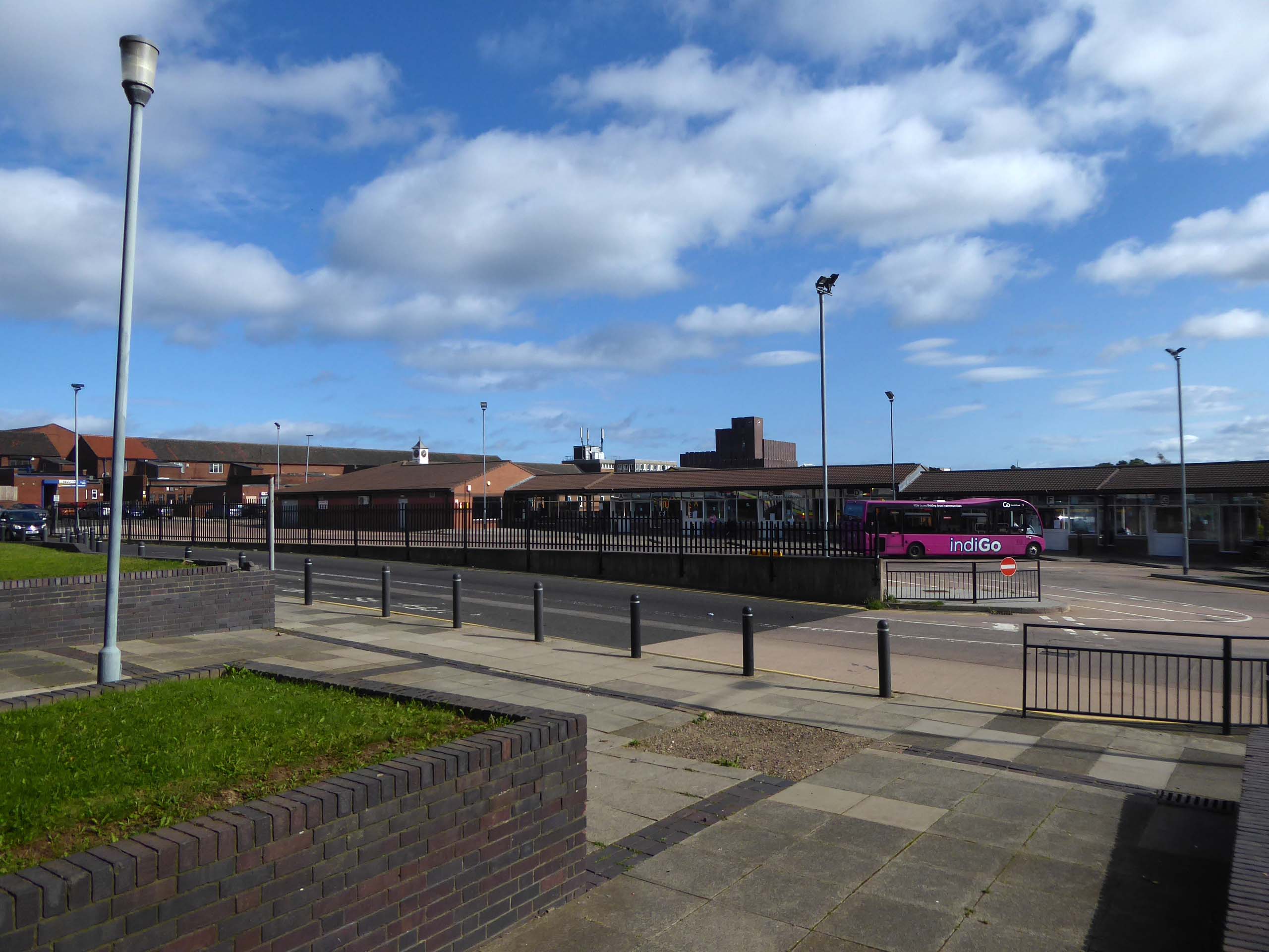
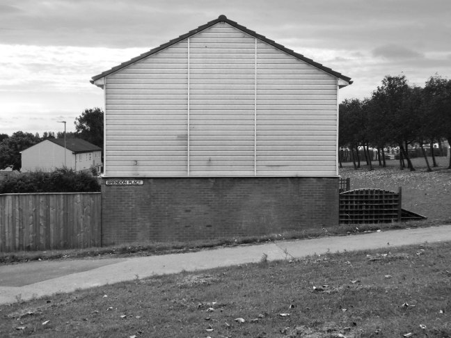
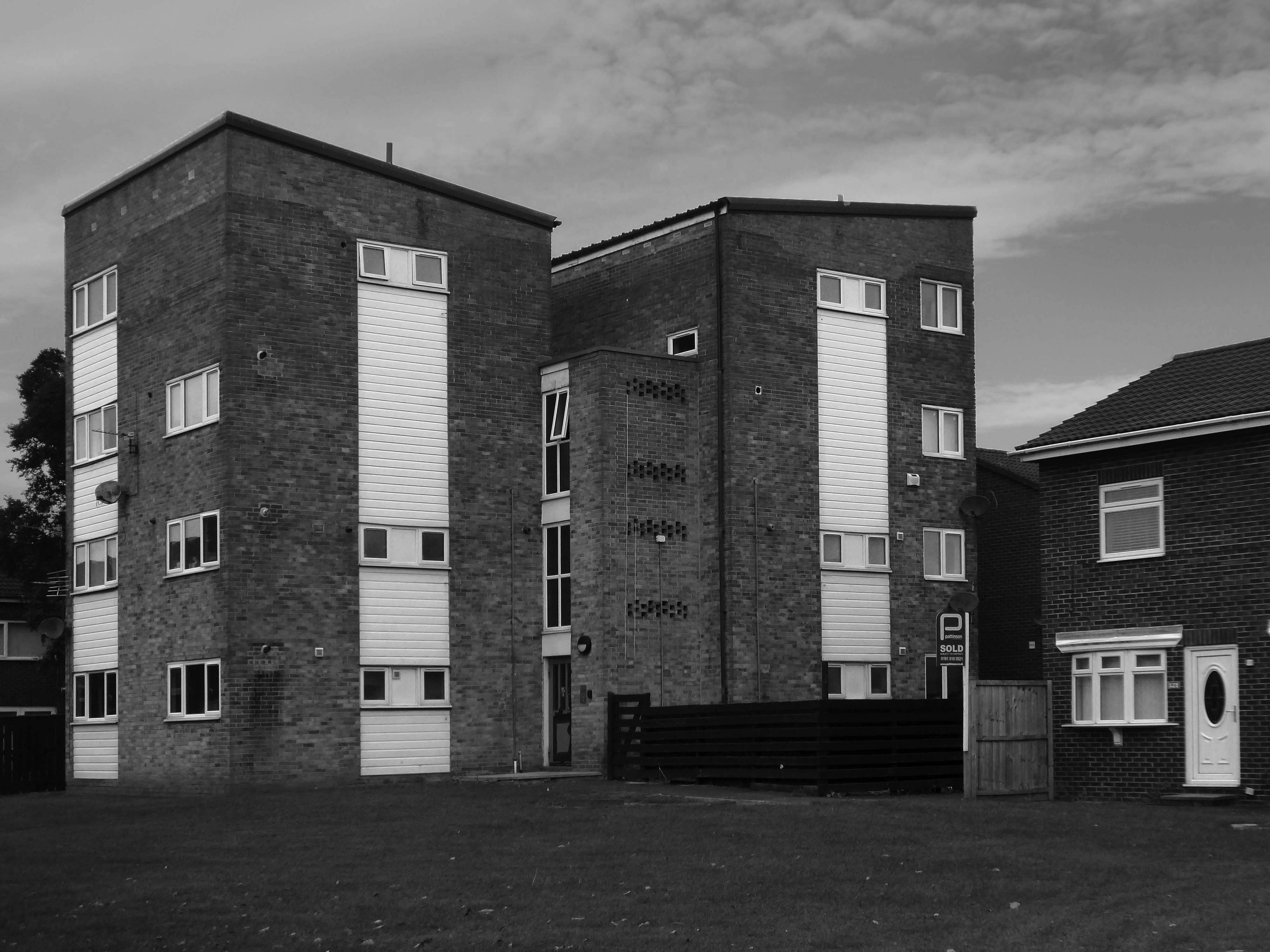
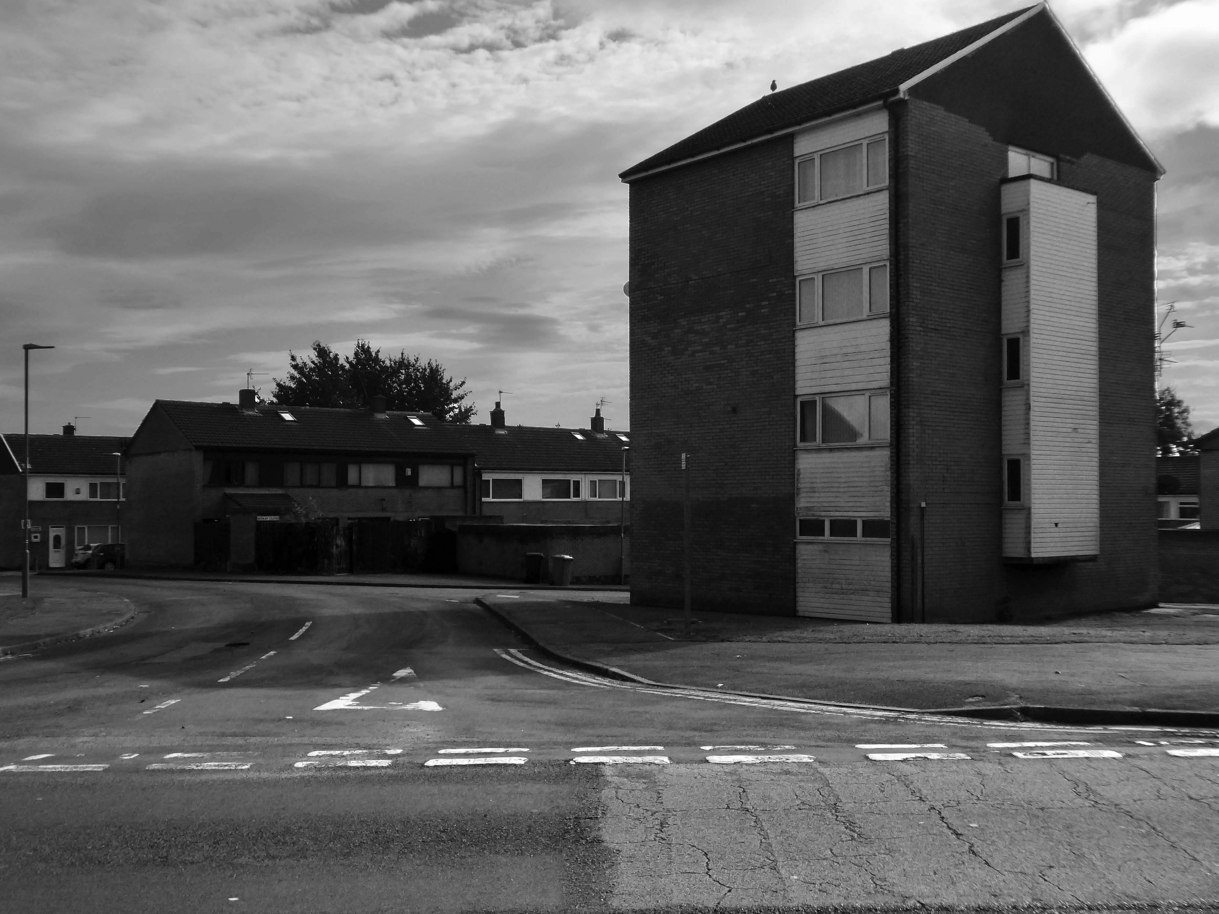
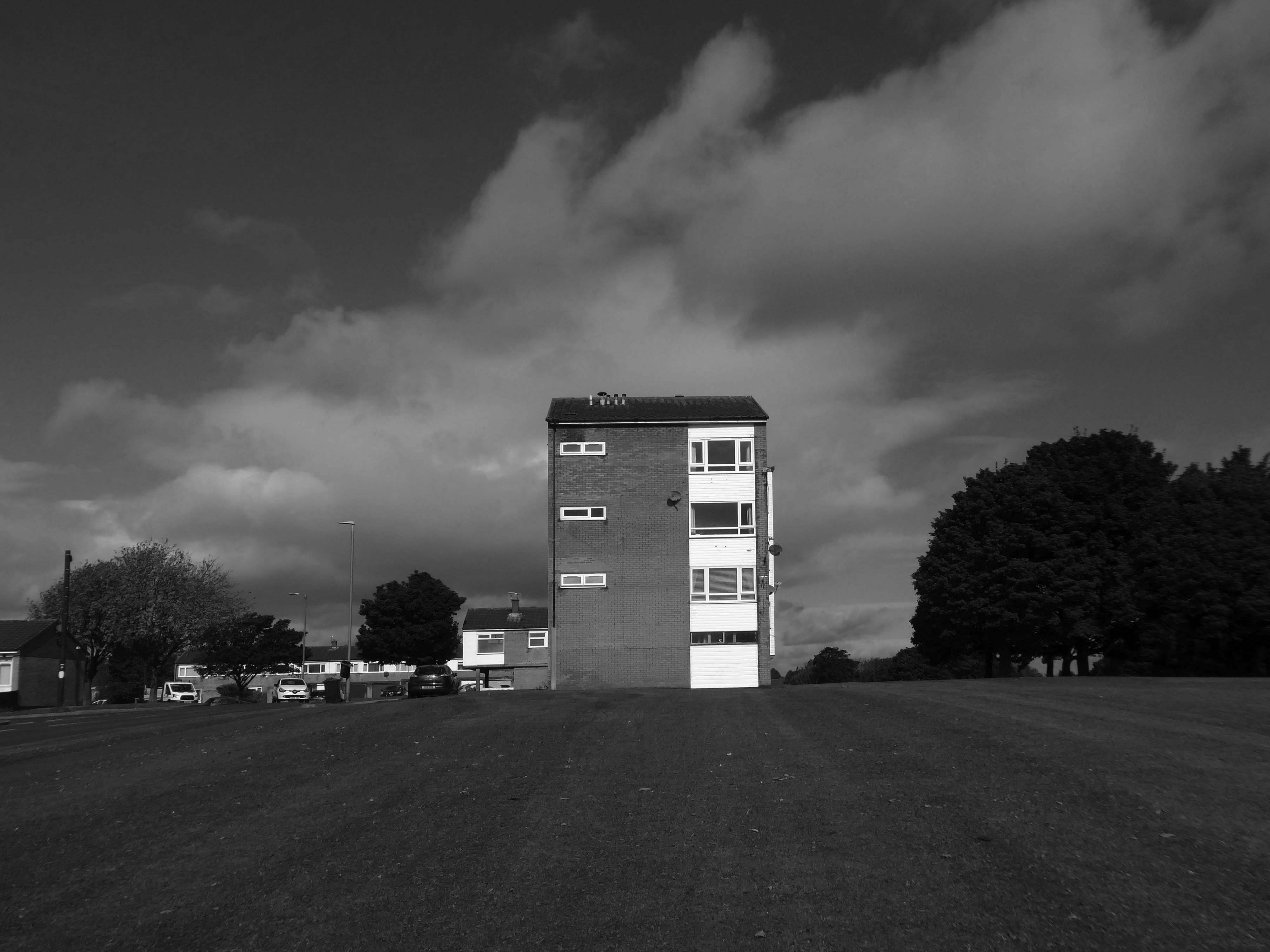
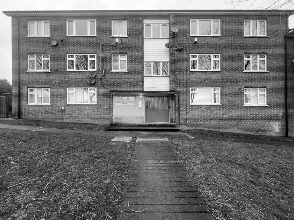
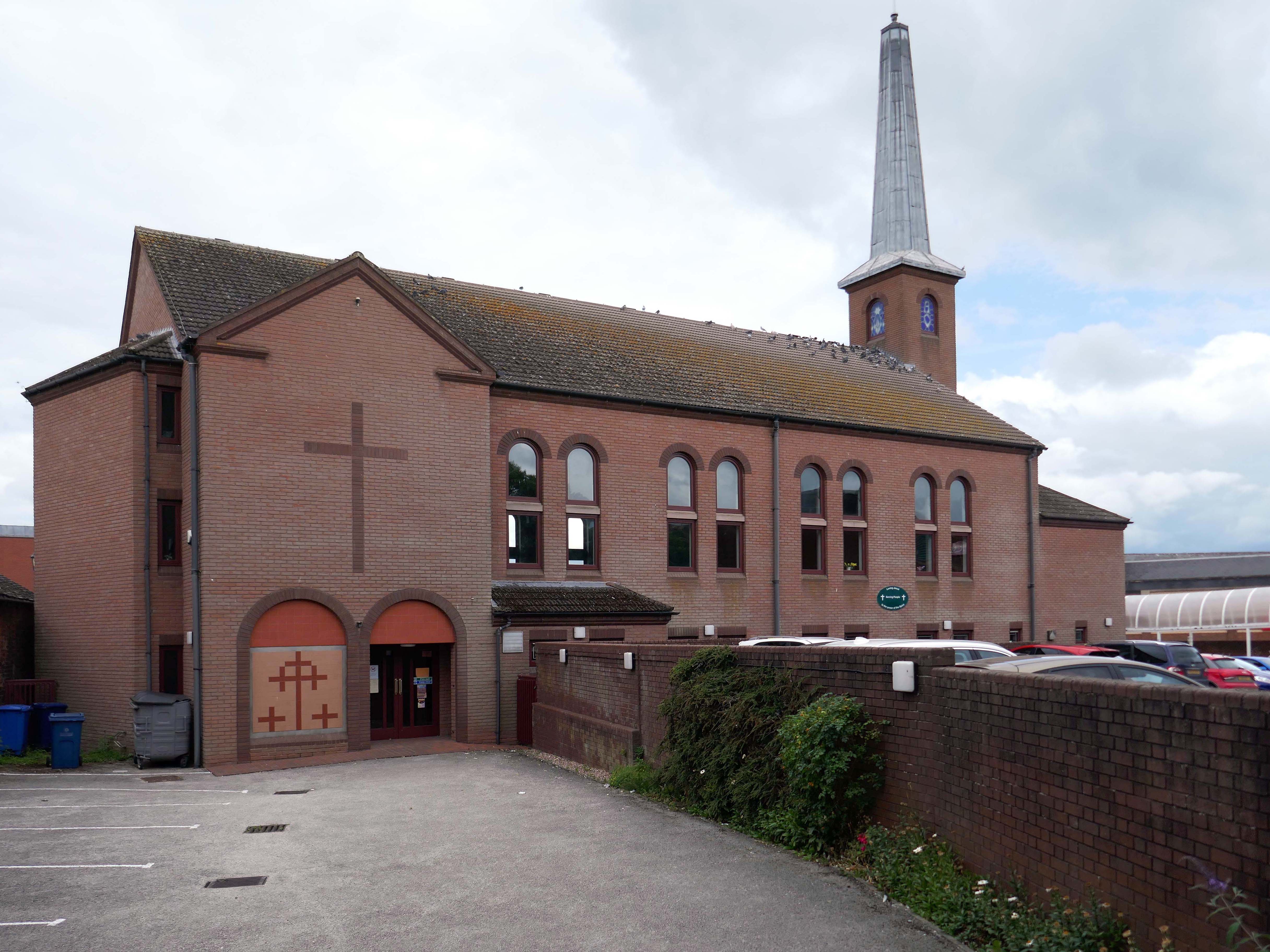
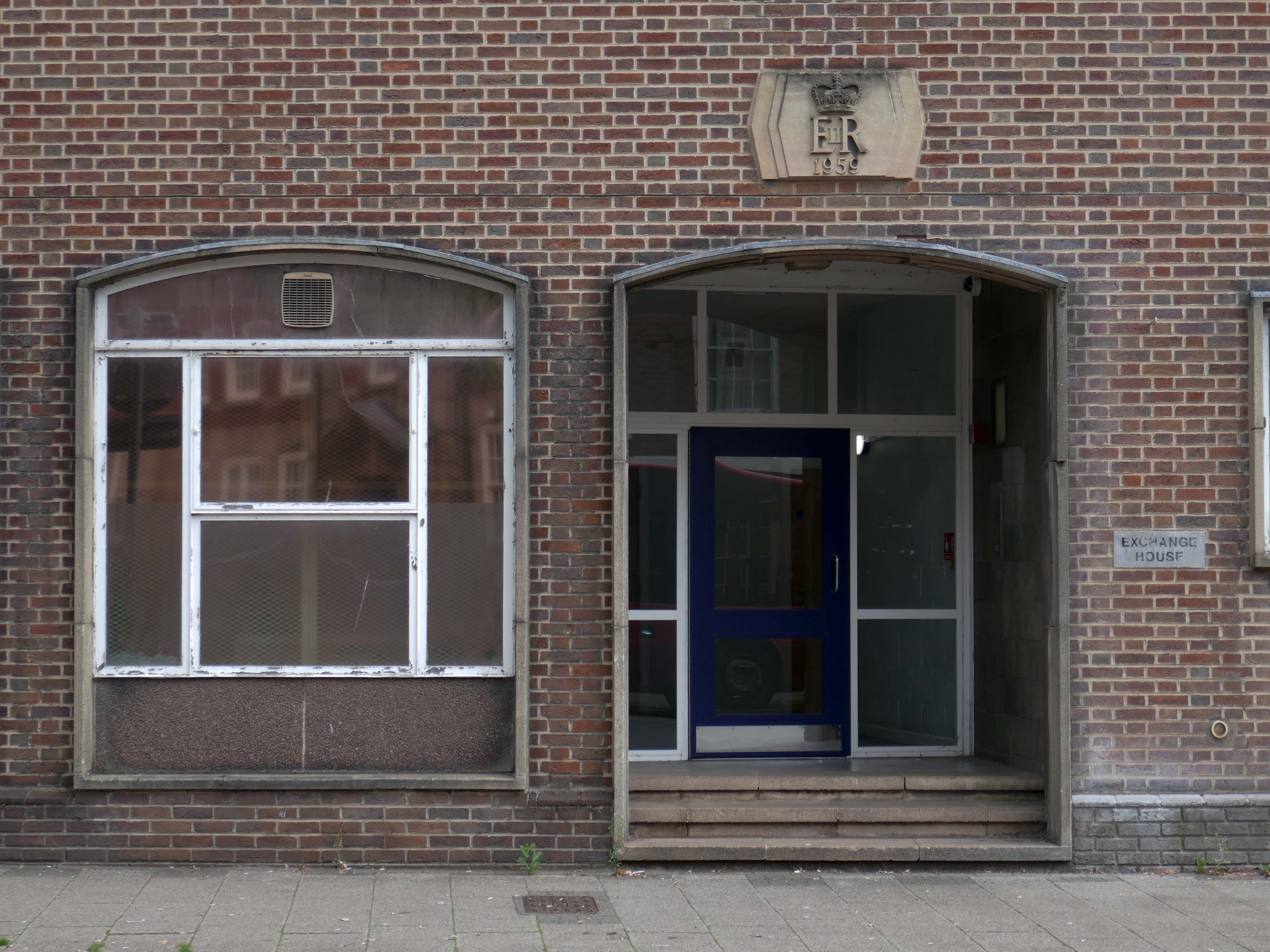
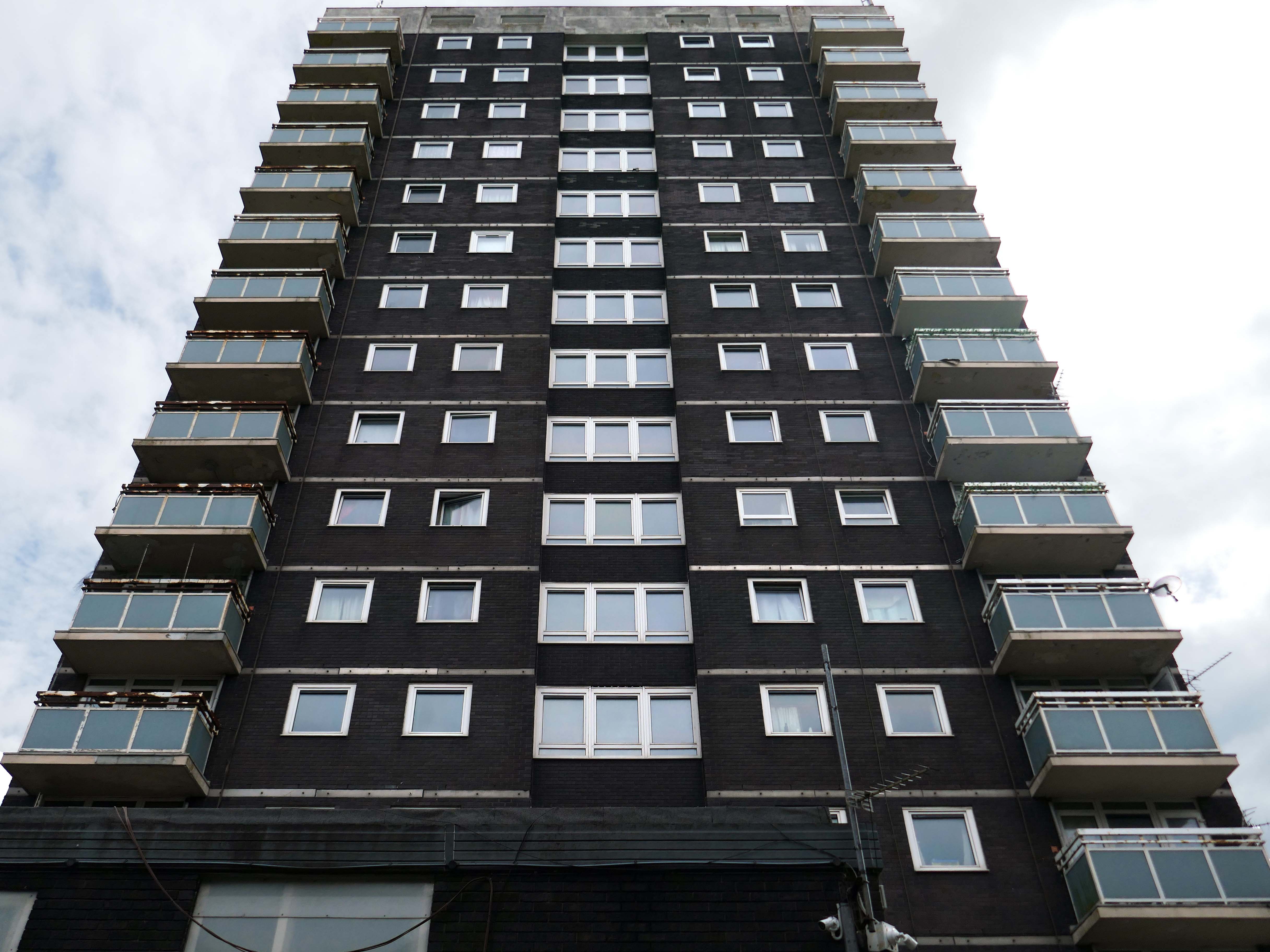
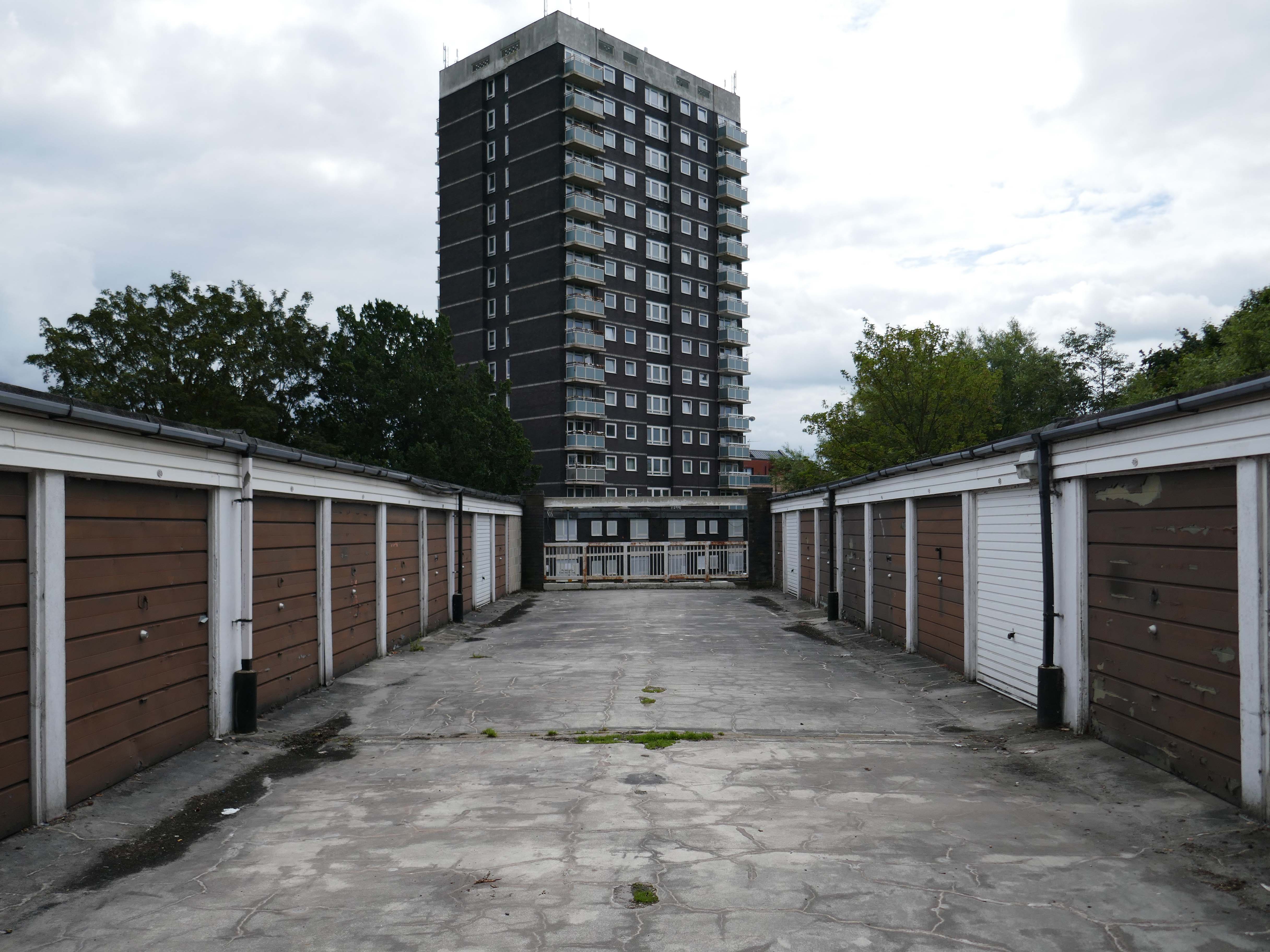
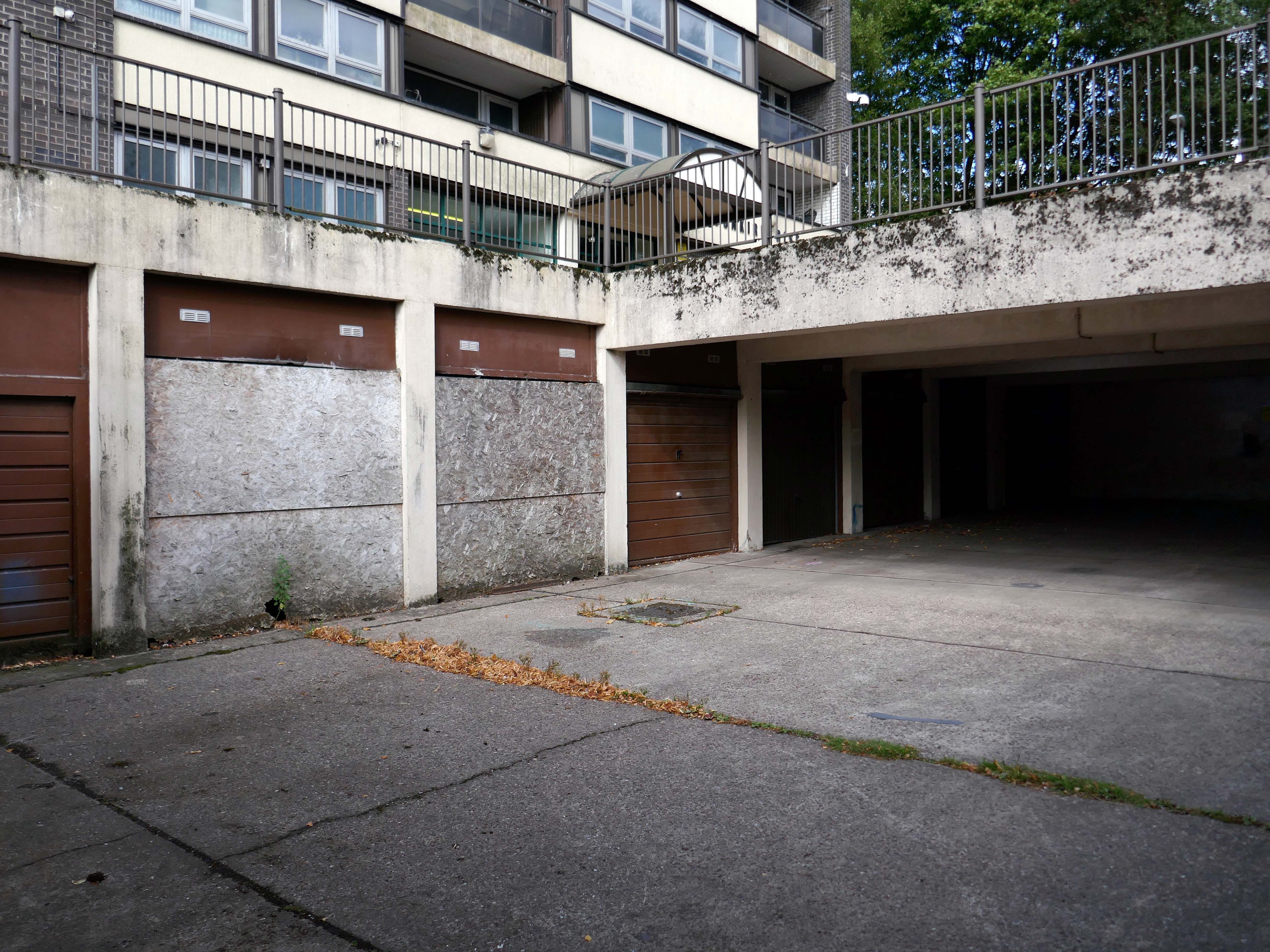
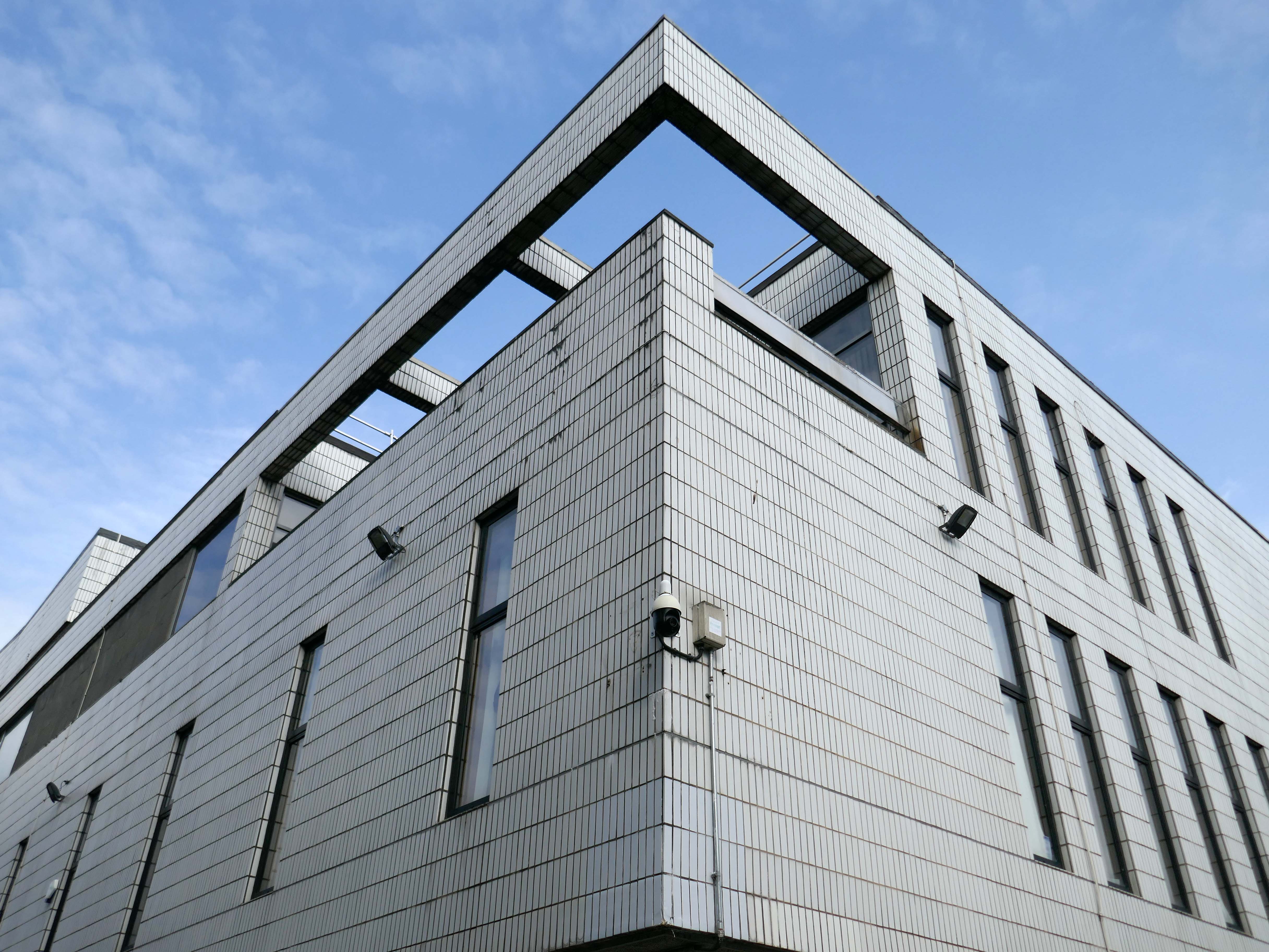
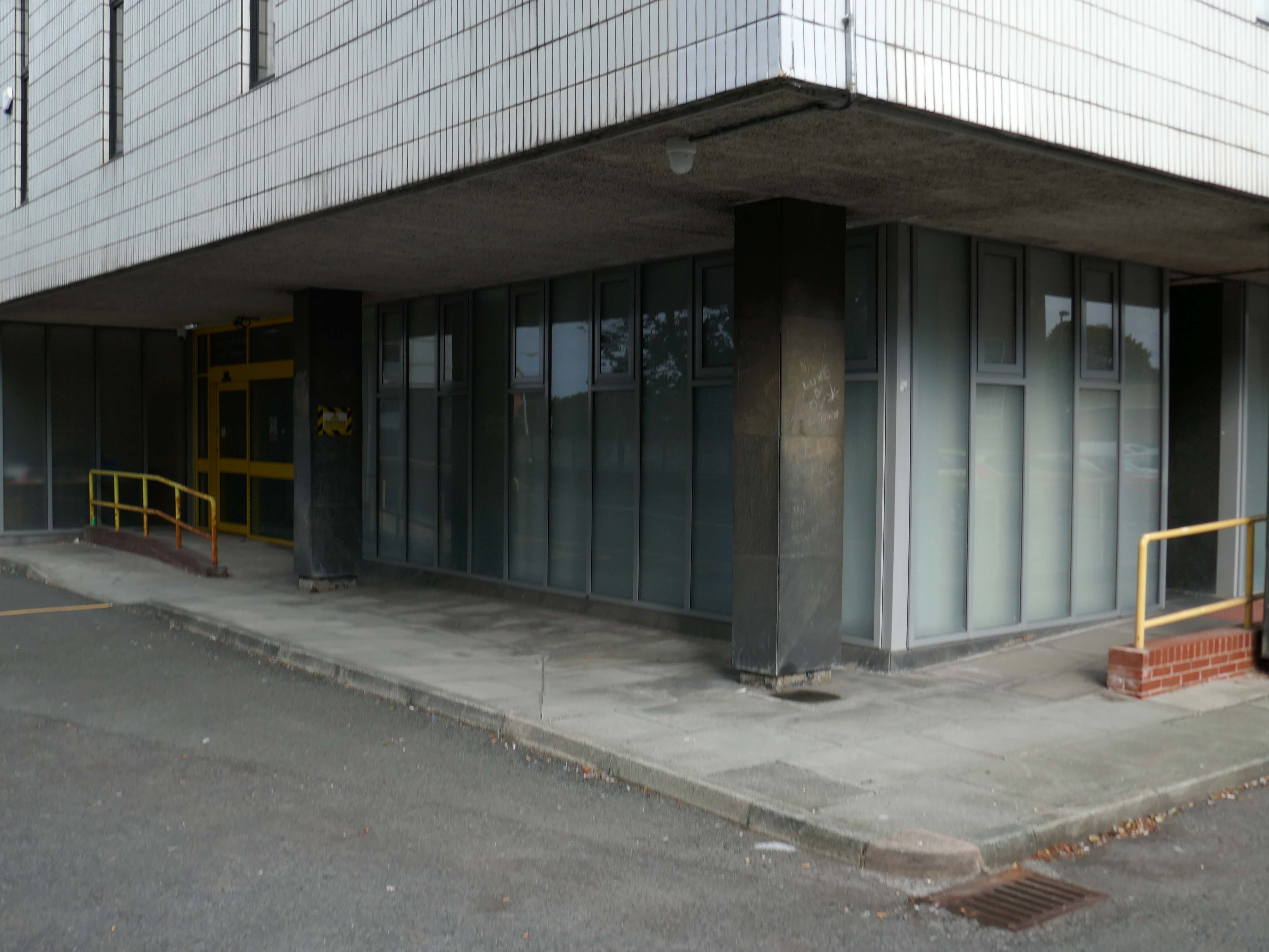
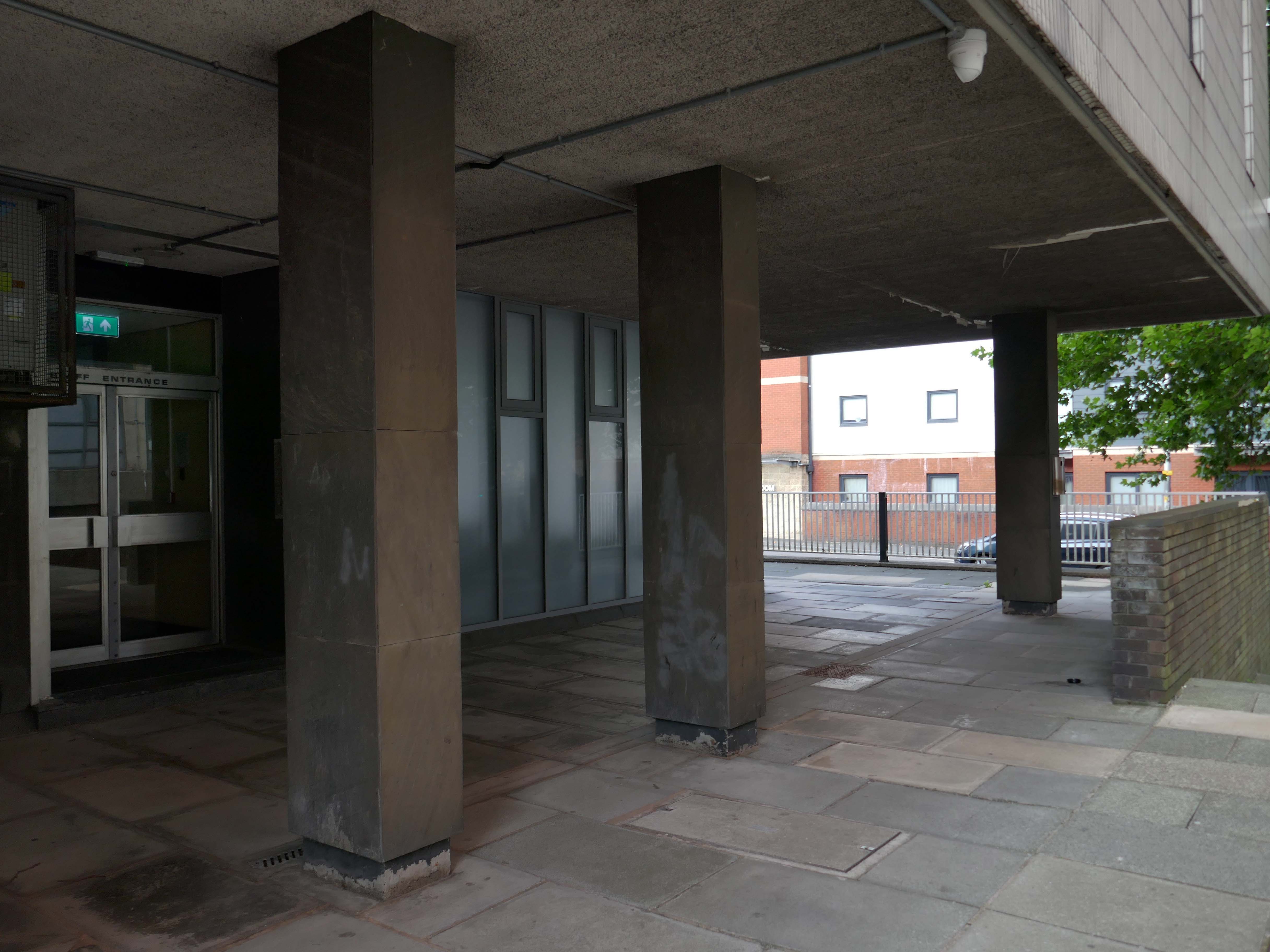
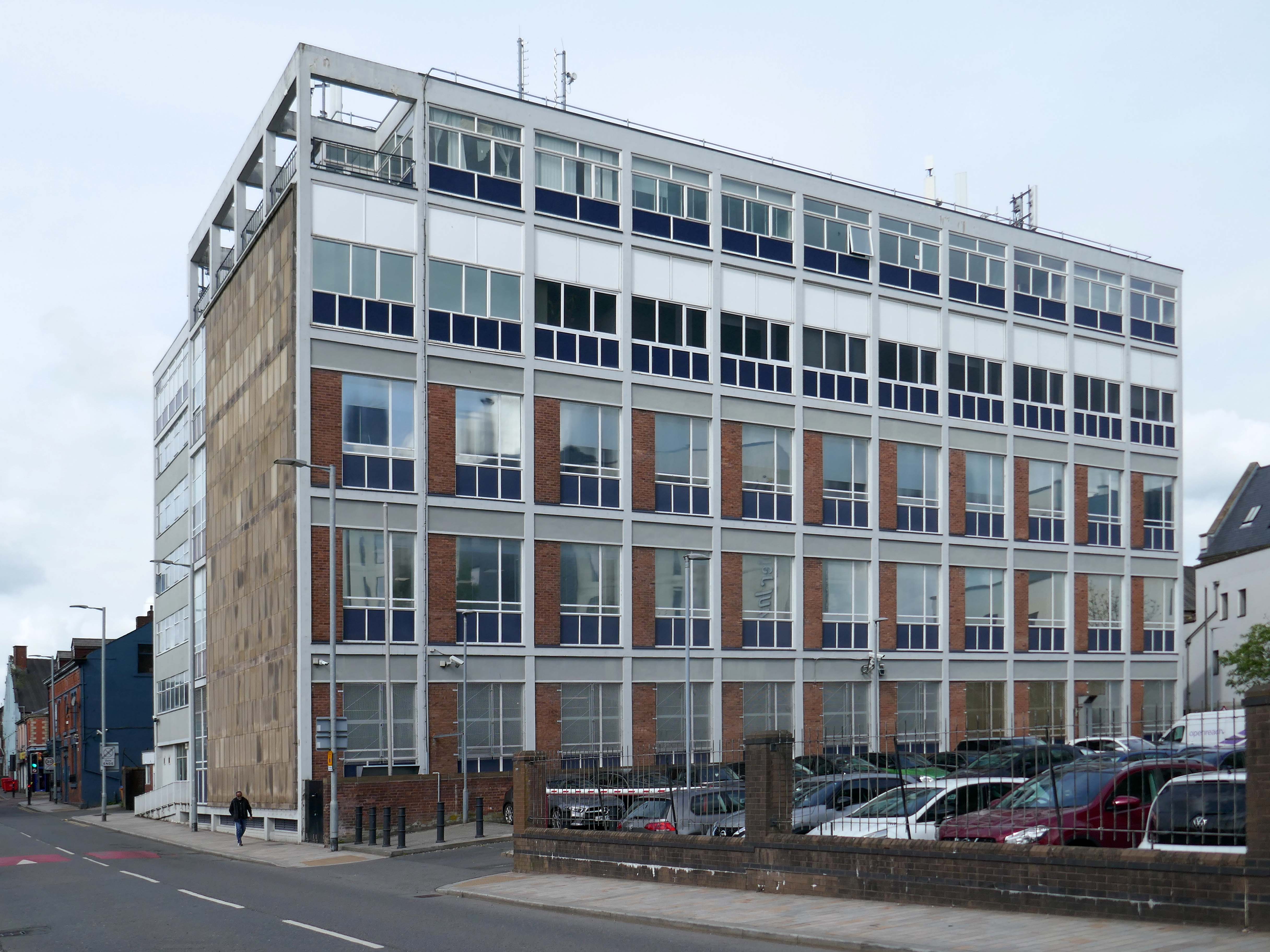
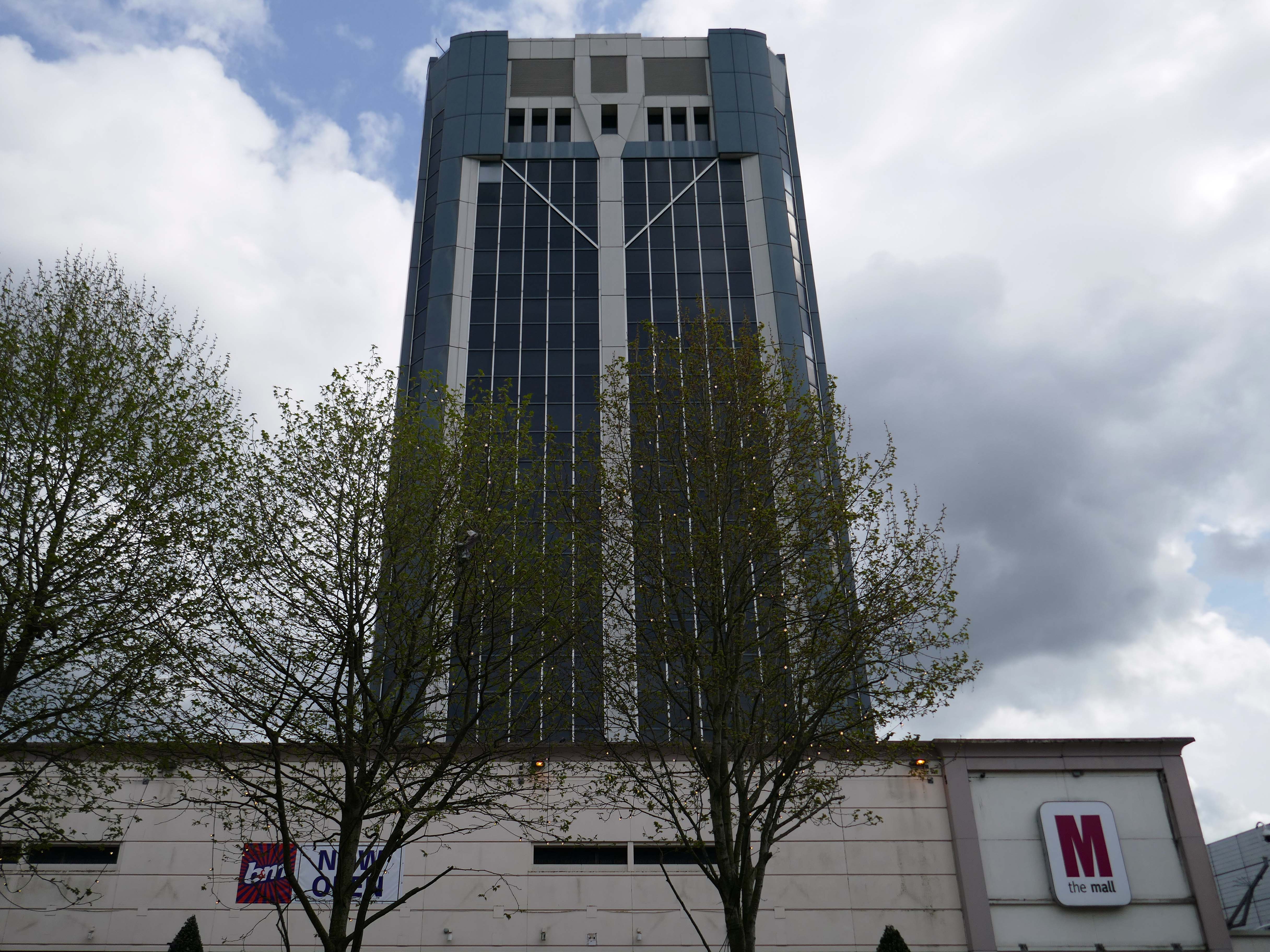
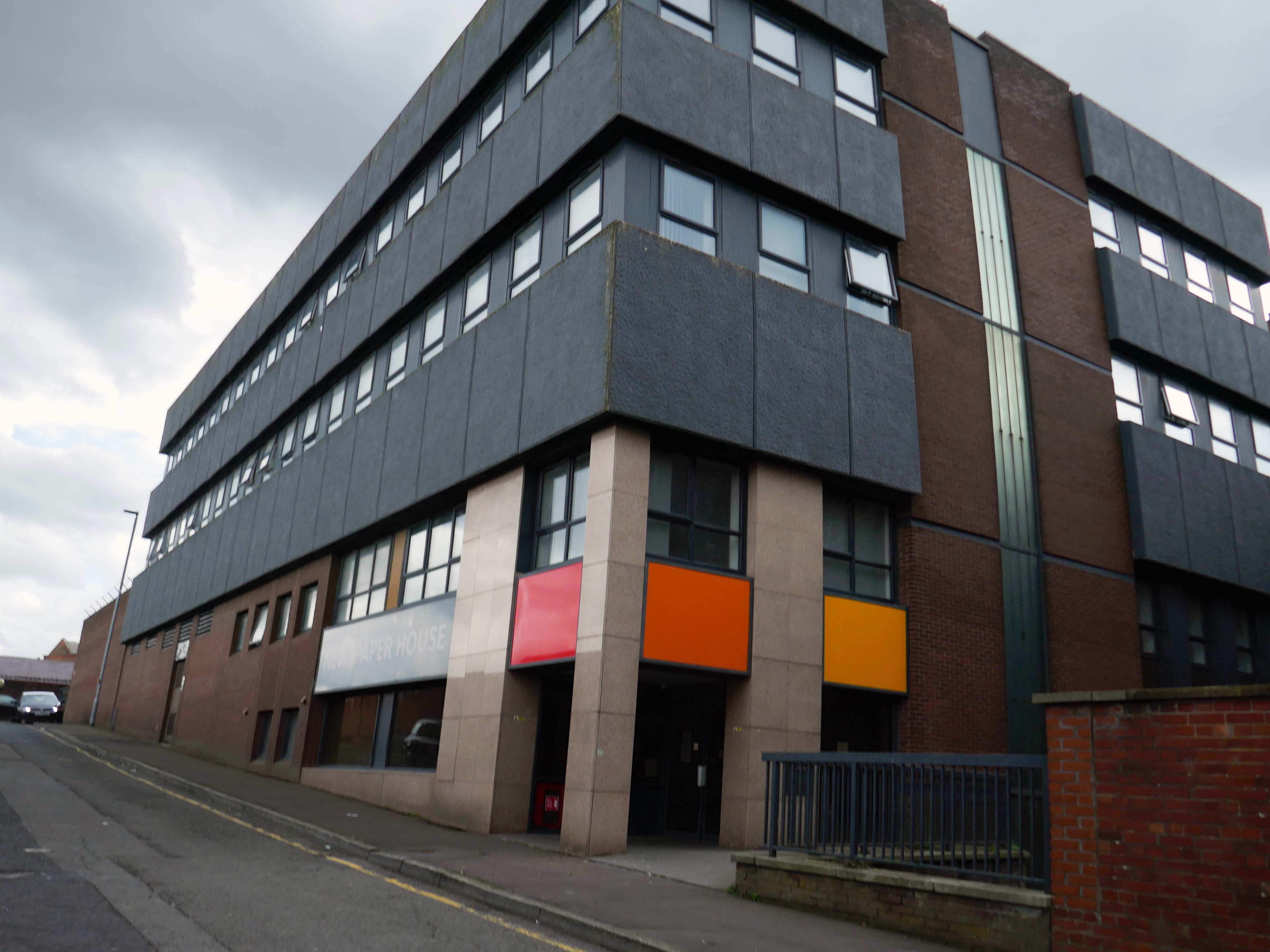
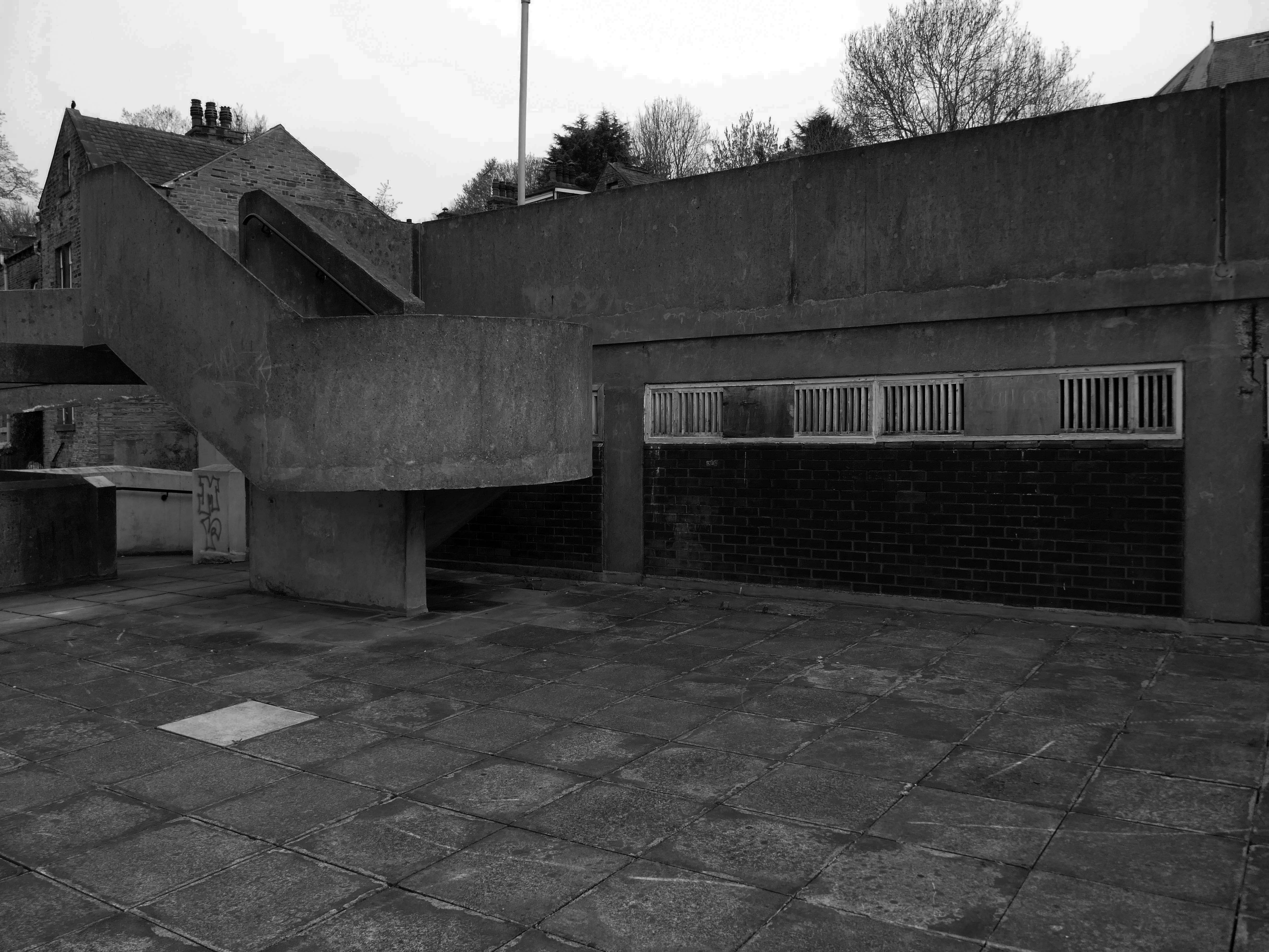
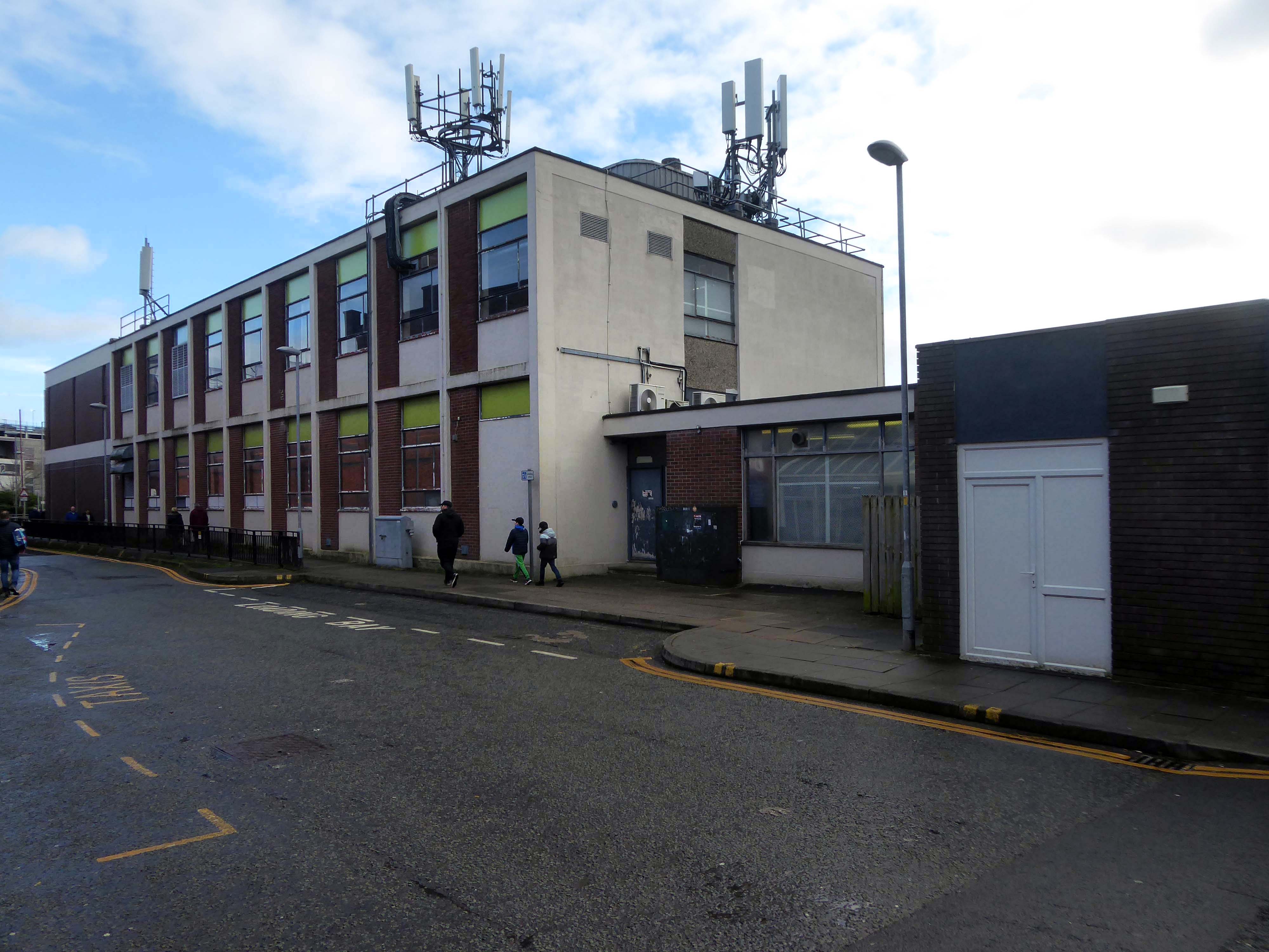
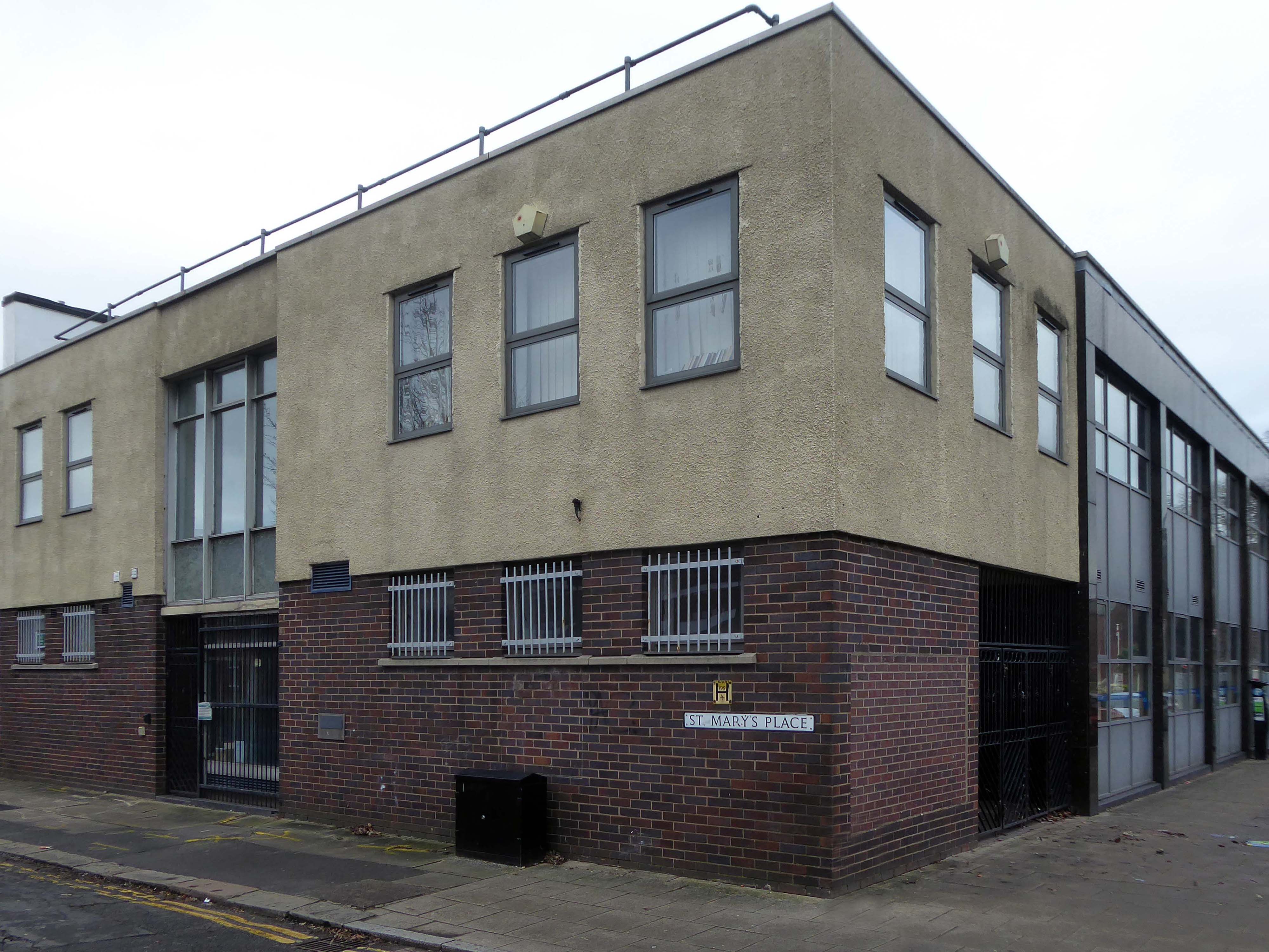
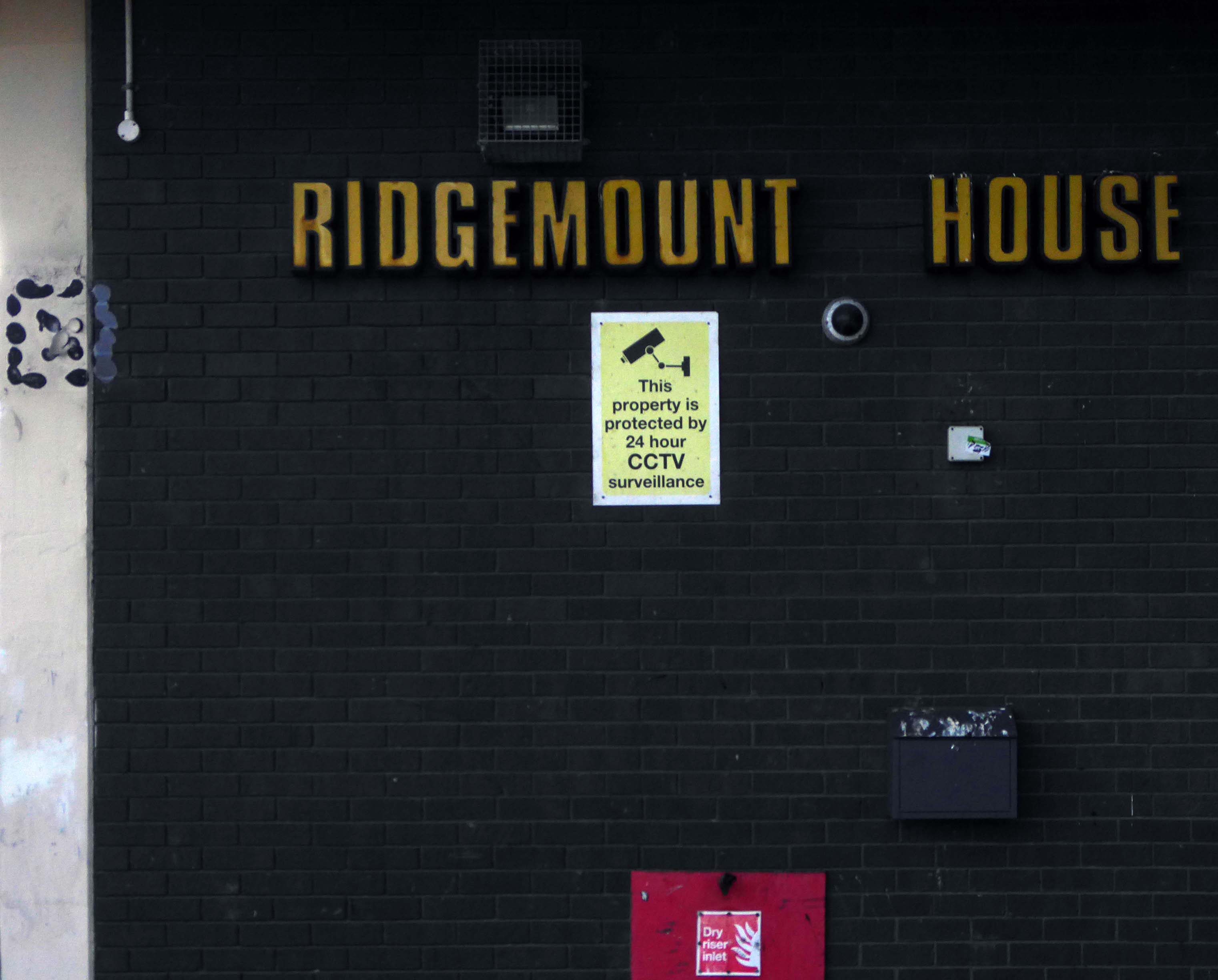
Immediately adjacent is Ridgemount House. – once home to the Job Centre.
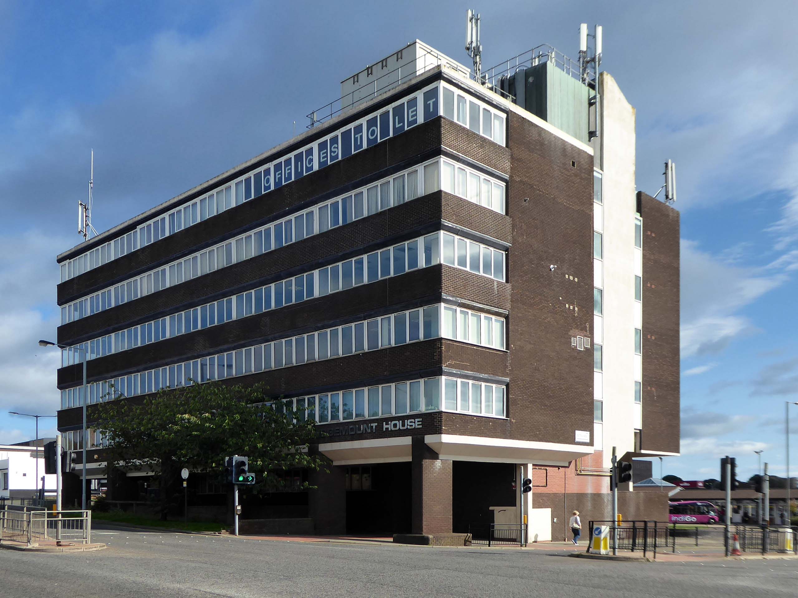
Firefighters were called to the disused Ridgemount House on Bede Way in Peterlee on Wednesday August 16th 2023 at about 8.20pm after reports of a blaze.
Crews found a fire had broken out in the first floor of the building, which was found to be the home of thousands of pounds worth of cannabis plants back in 2020, after a man converted two floors for use as a drug farm.
Tarlochan Singh, owner of Ridgemount House, has been prosecuted following the discovery of several serious fire safety breaches at the property.
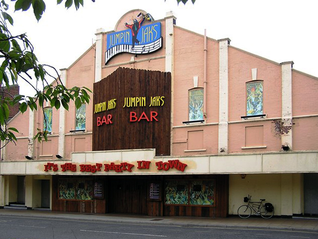
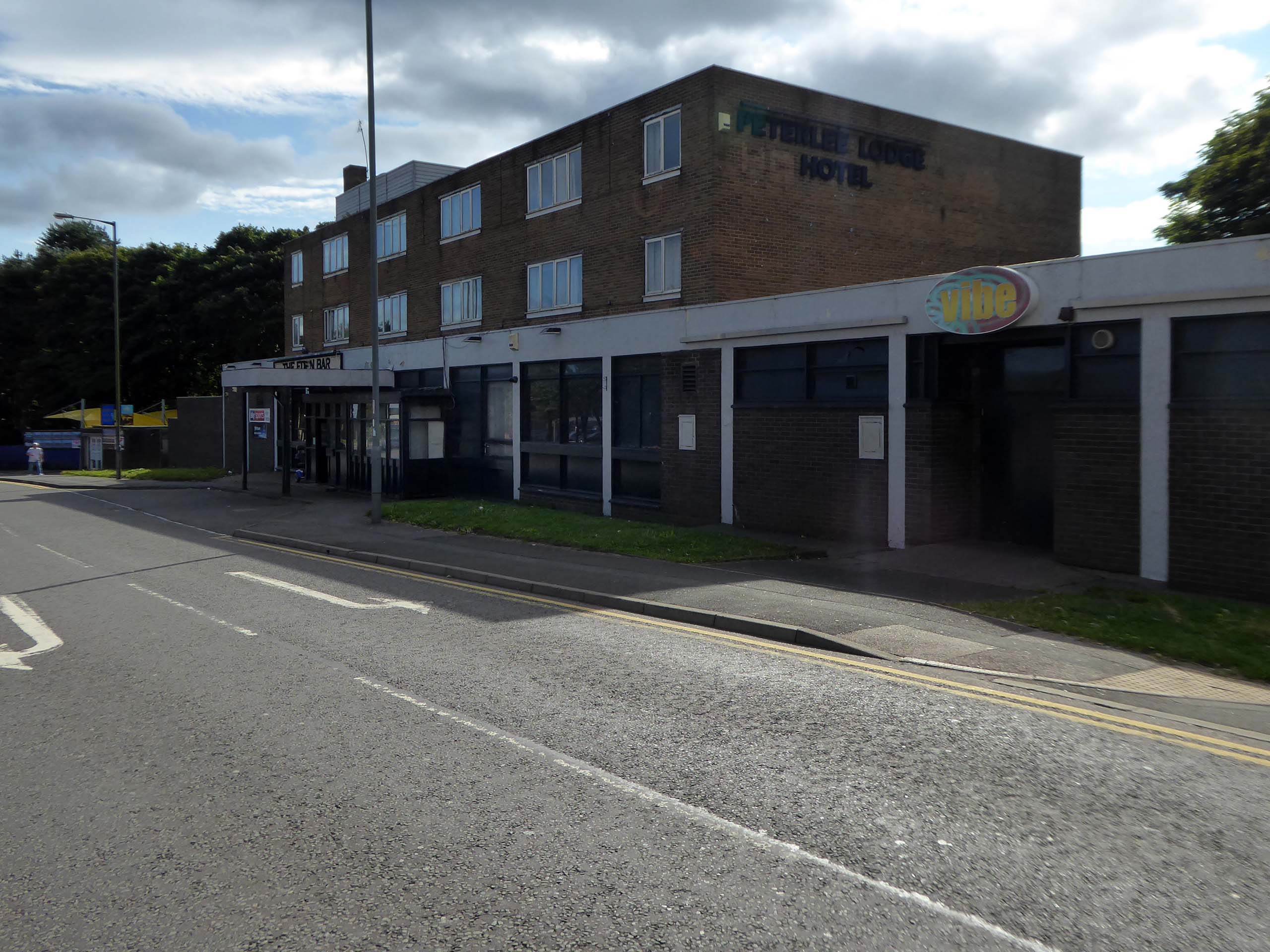
To the right is the Eden Bar and Vibe.
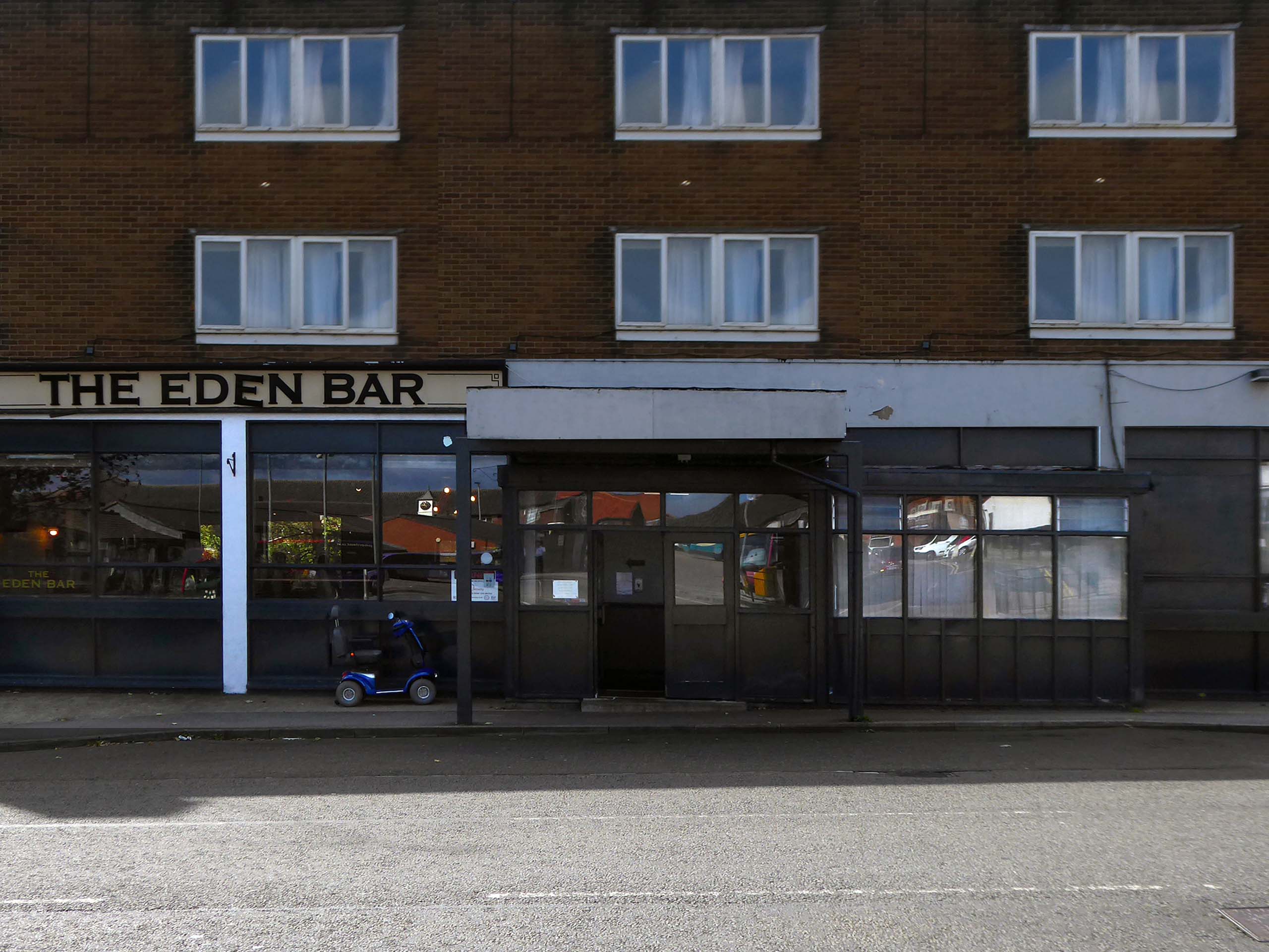
Readers have voted Peterlee nightspot Vibe as the ‘most tragic hometown club’ in the North East
Formerly known as The Dance Factory, Vibe, in Peterlee town centre, is a place famous for it’s almost impossible to get off ‘tramp stamp’ and next door neighbour The Lodge, where many locals will go for pre-drinks and some karaoke before heading to the club.
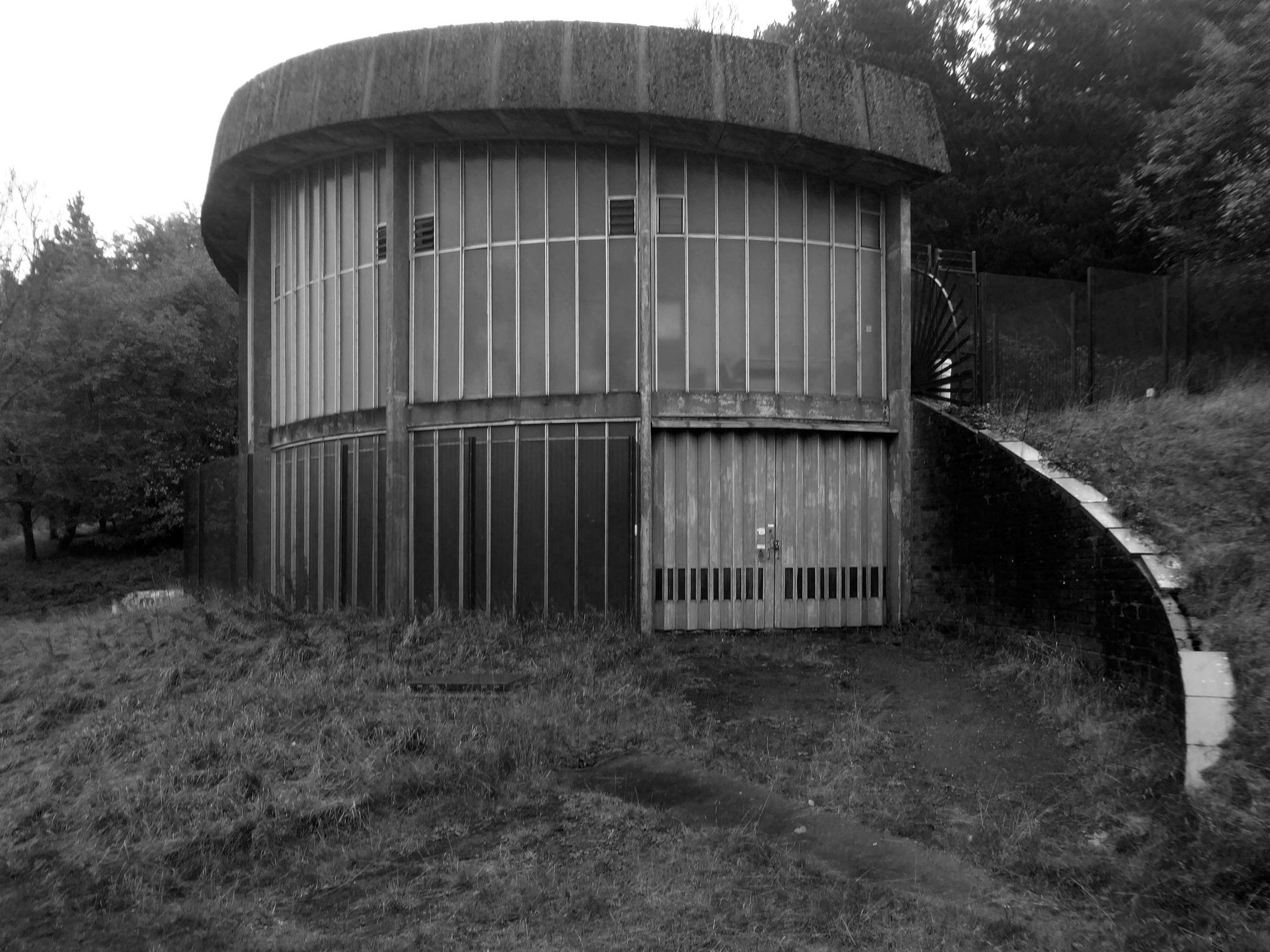
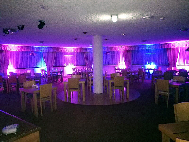
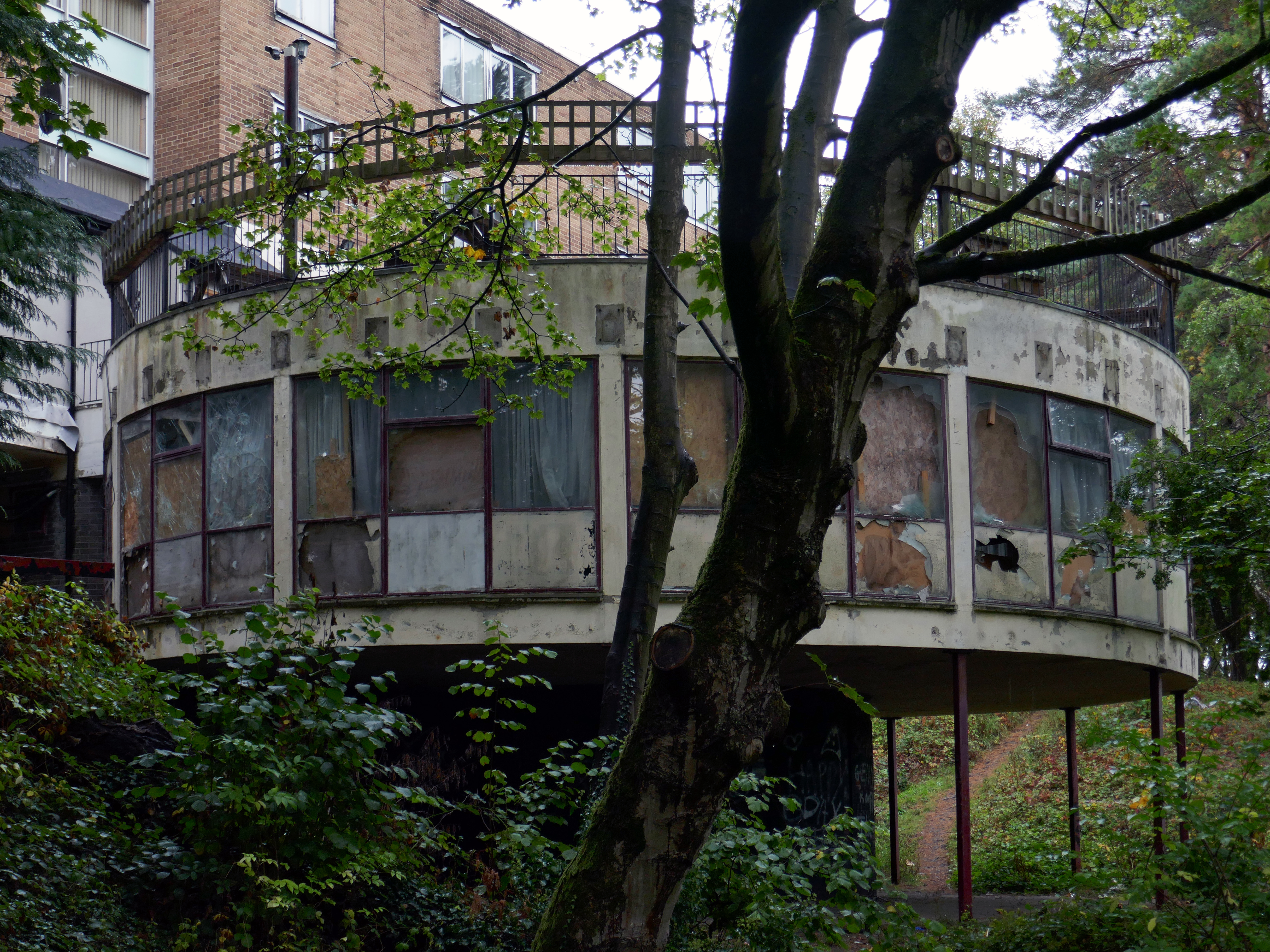
The bar which once boasted a bijou rotunda with an exclusive upper terrace, has now closed.
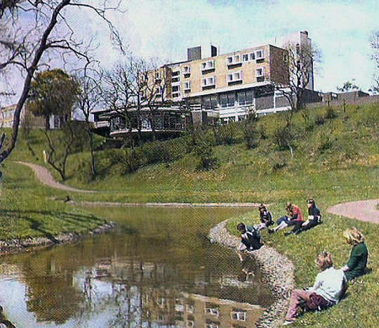
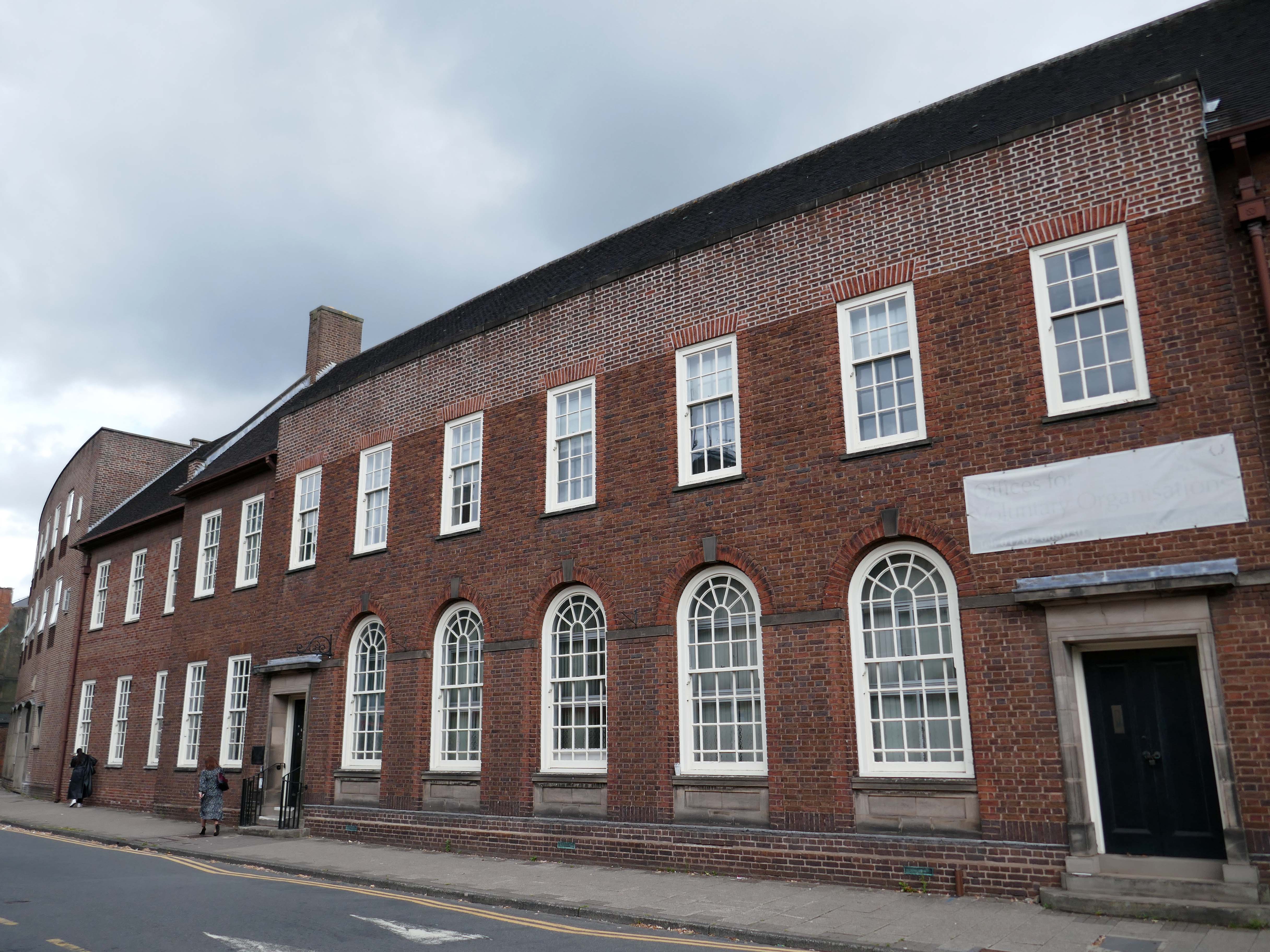
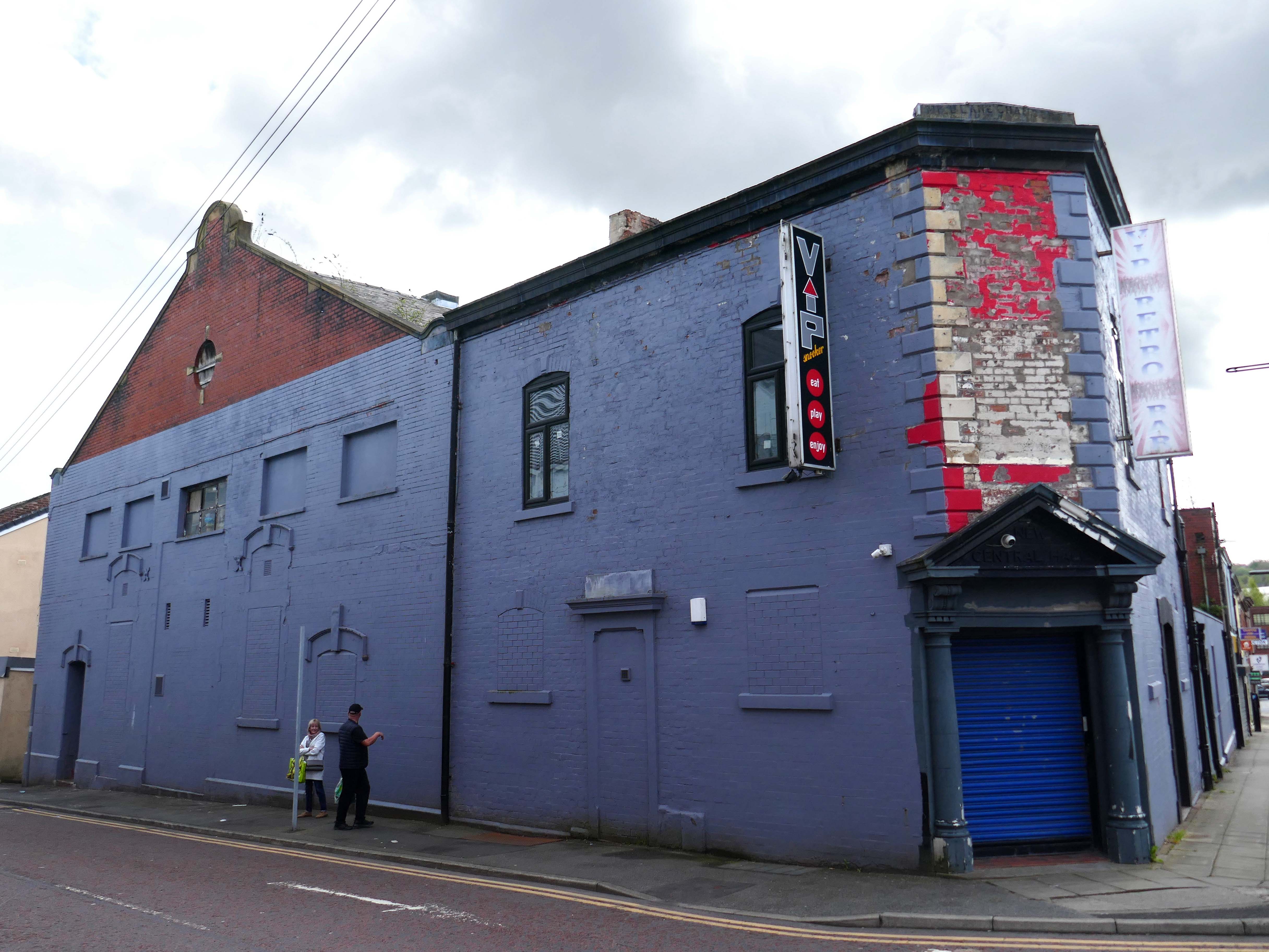
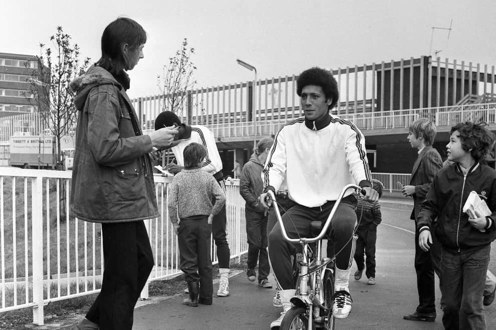
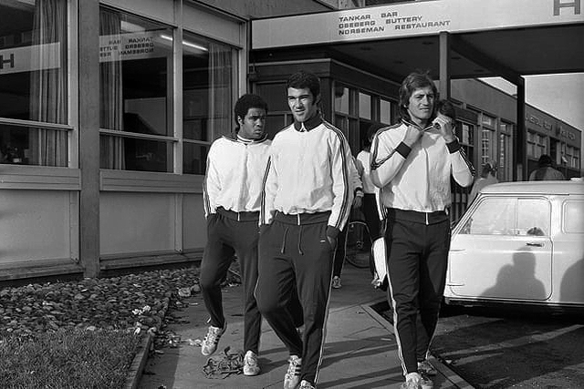
Back in 1973 the hotel was badged as the Norseman.
The giants of Sporting Lisbon faced Sunderland in the European Cup Winners Cup and they spent the build-up to the tie in the Norseman Hotel. They met local children, took a walk in the dene, signed autographs and even tried riding a Chopper bike. The side lost 2-1 at Roker Park to a talented Sunderland team before overcoming the Black Cats 2-0 back in Portugal.
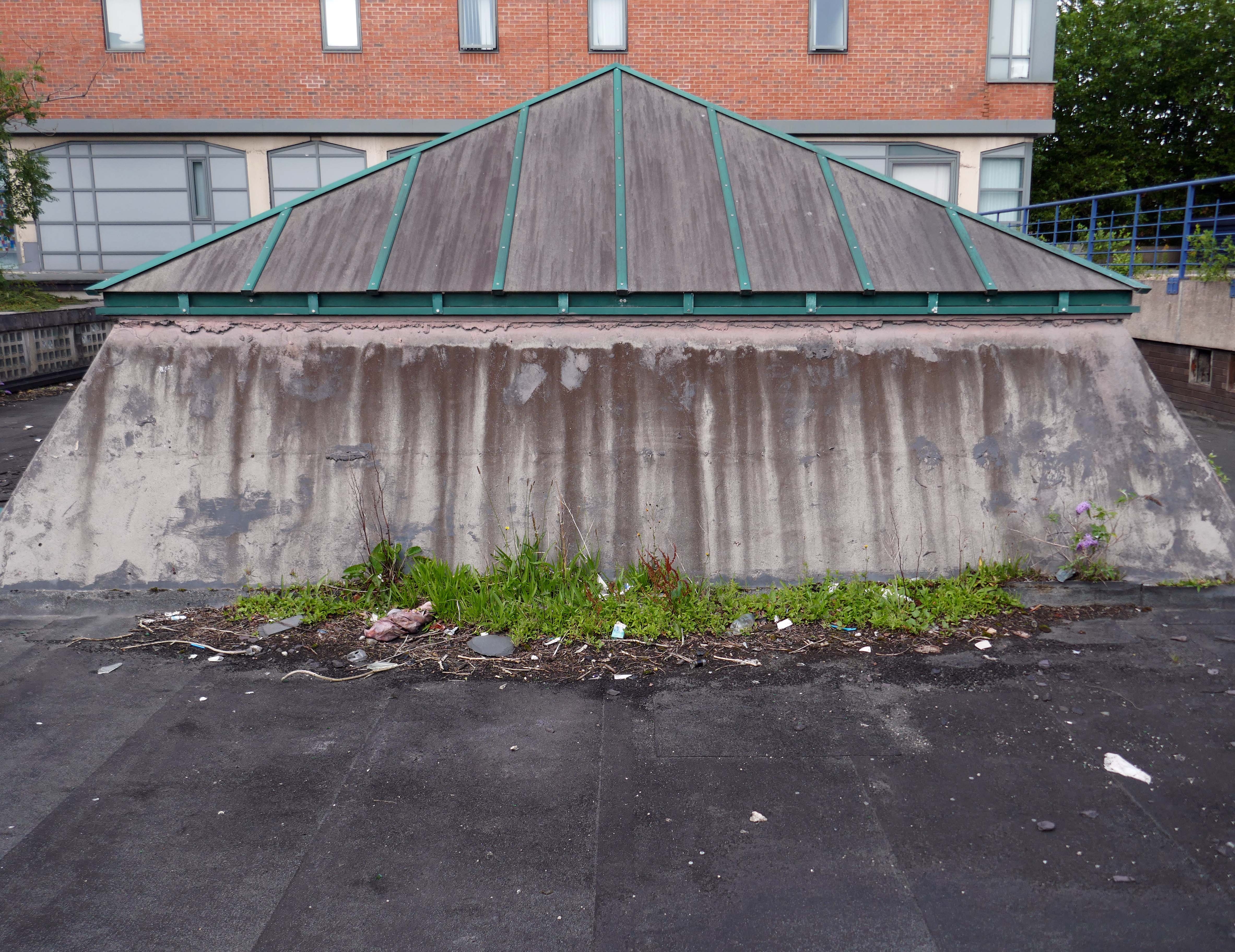
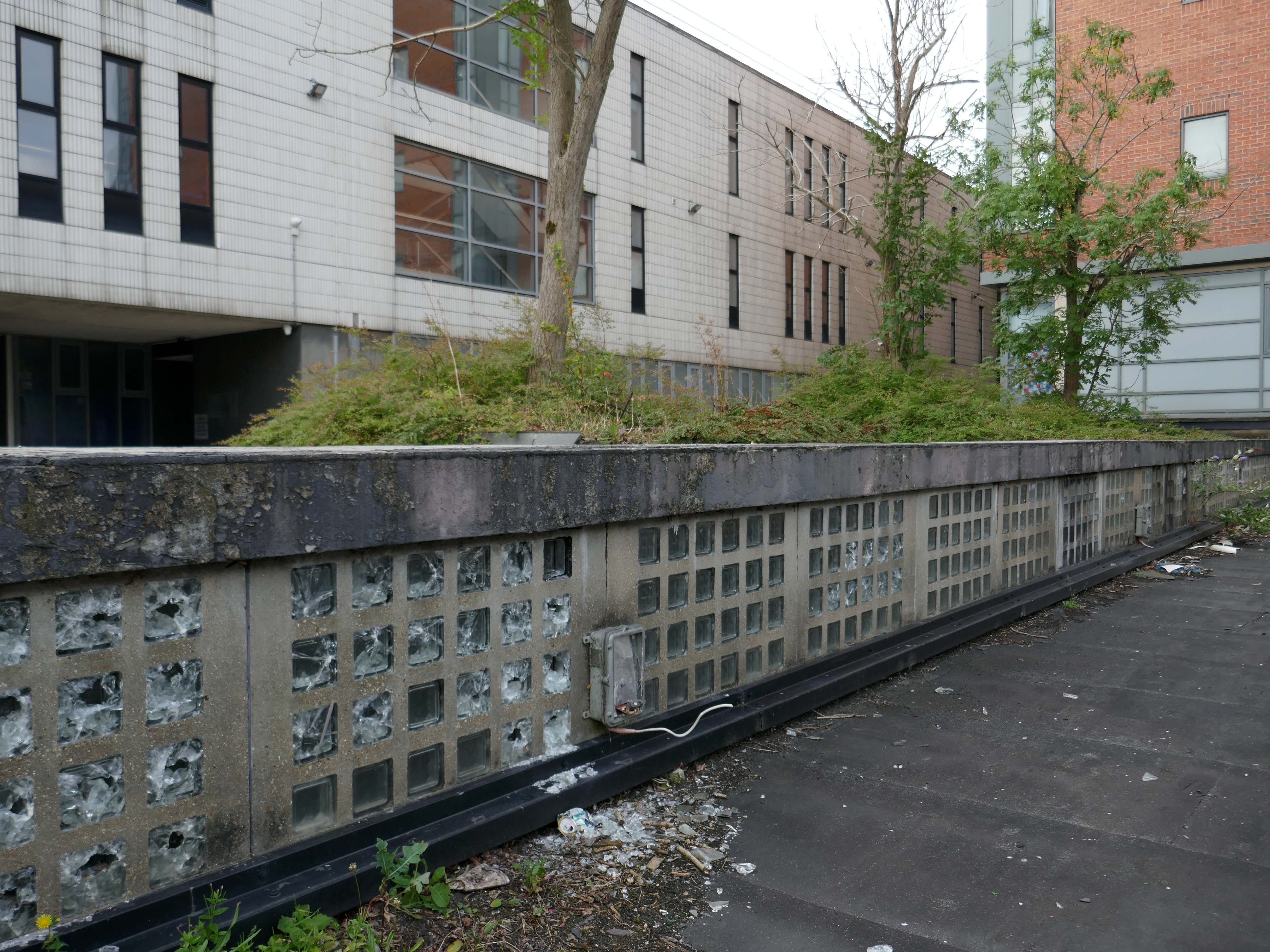
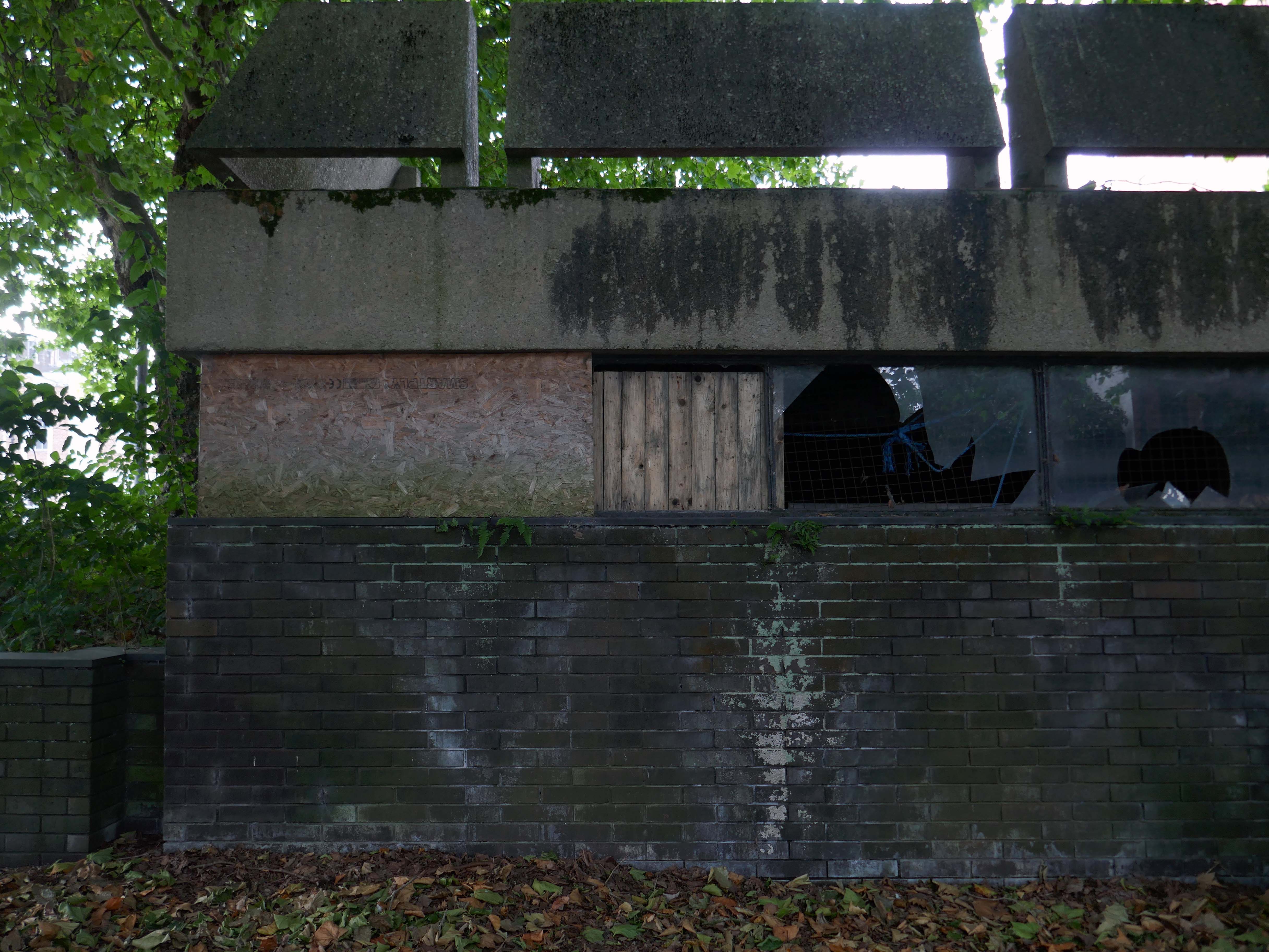
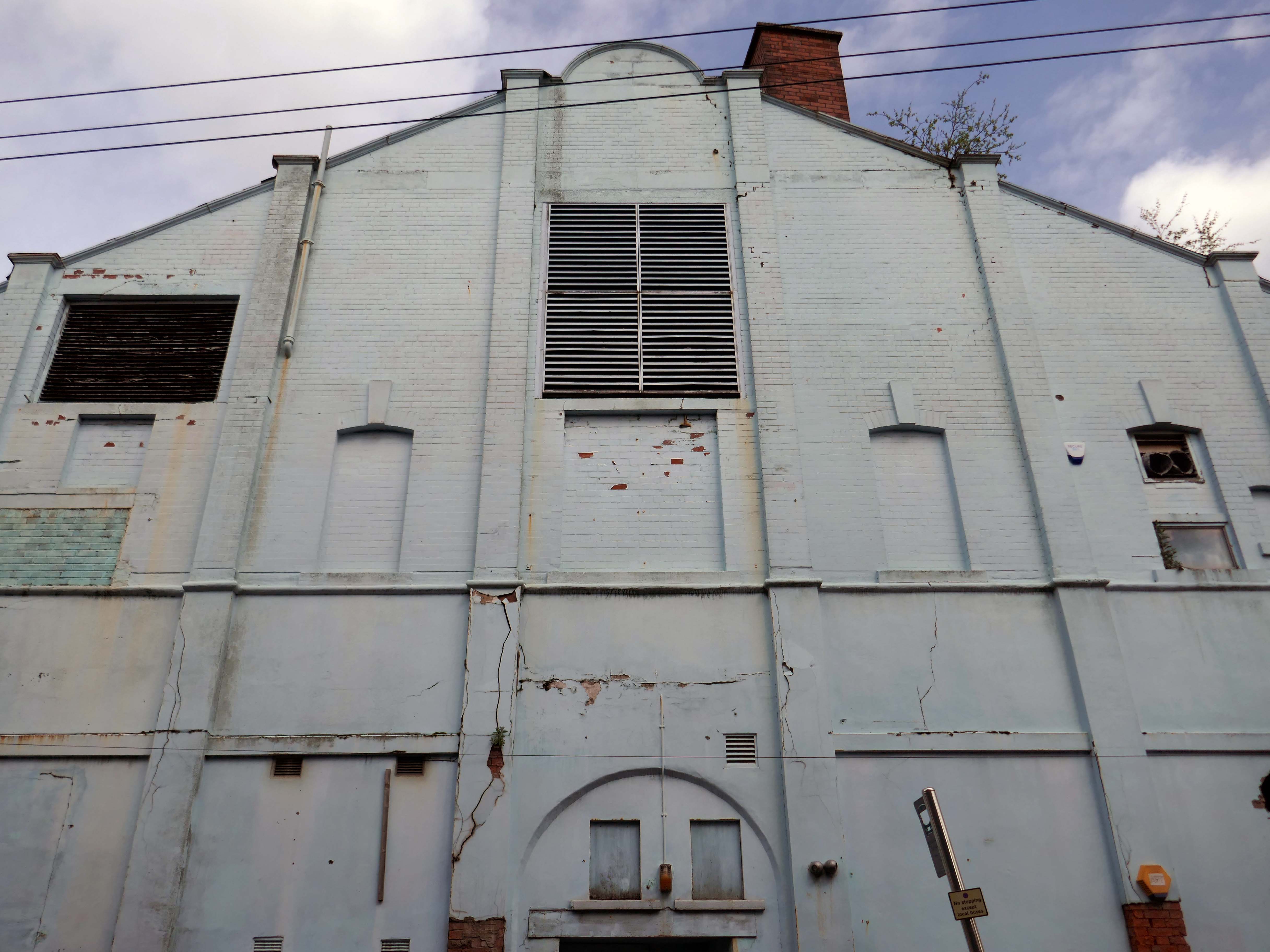
The rear rotunda is now a derelict shell.
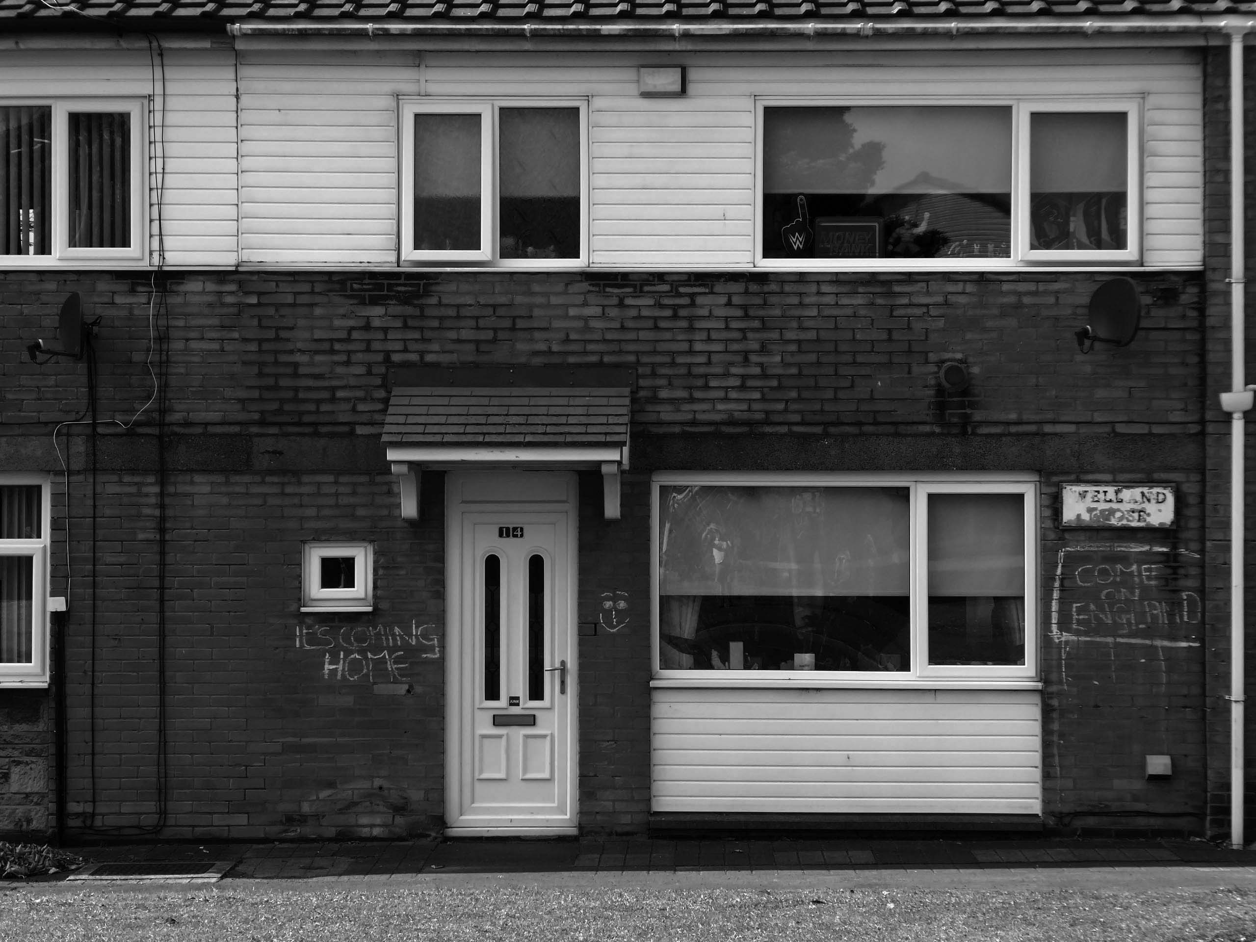
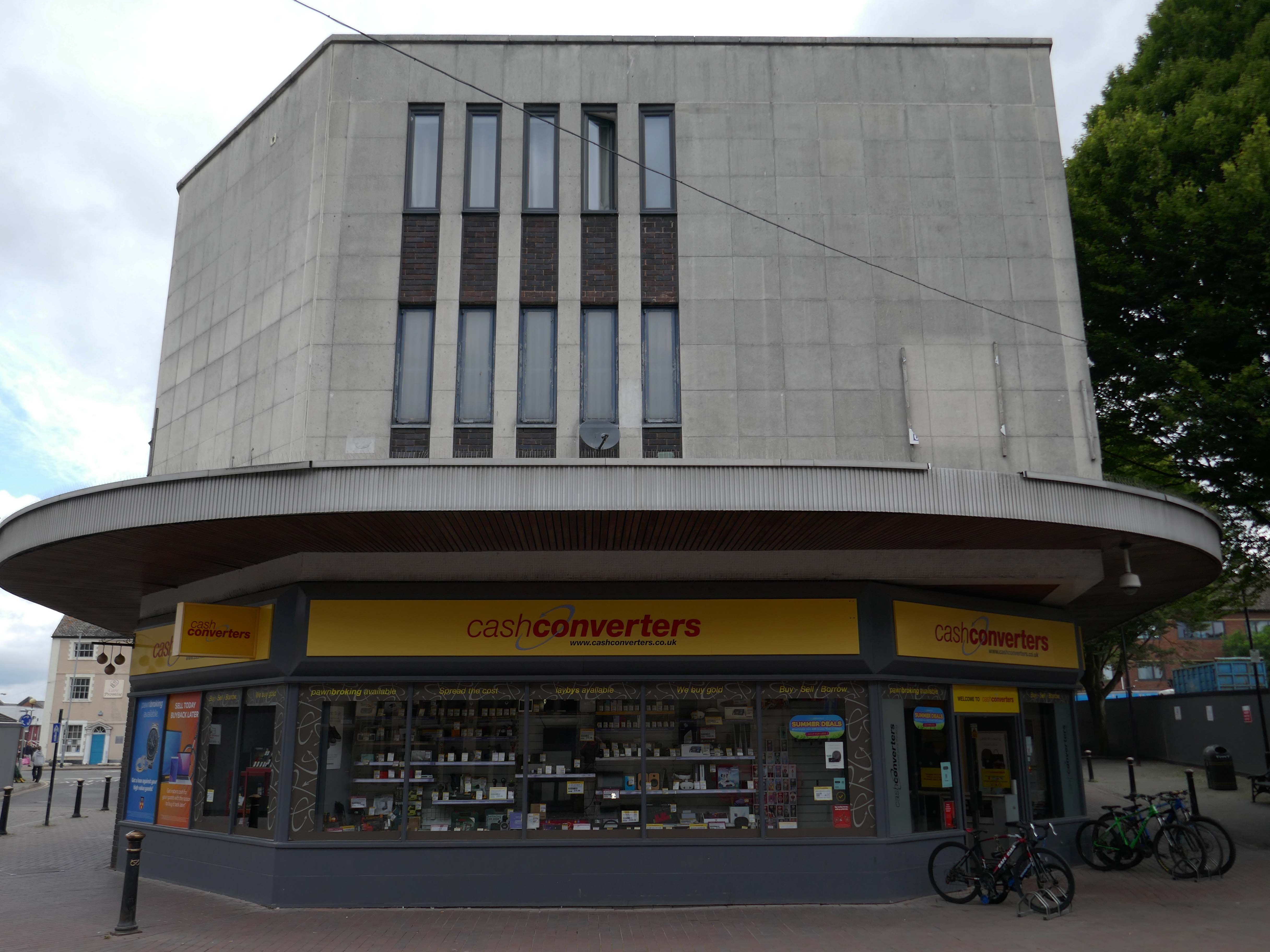
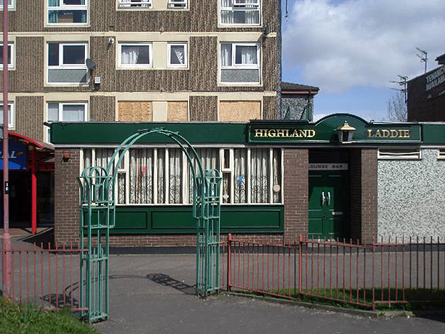
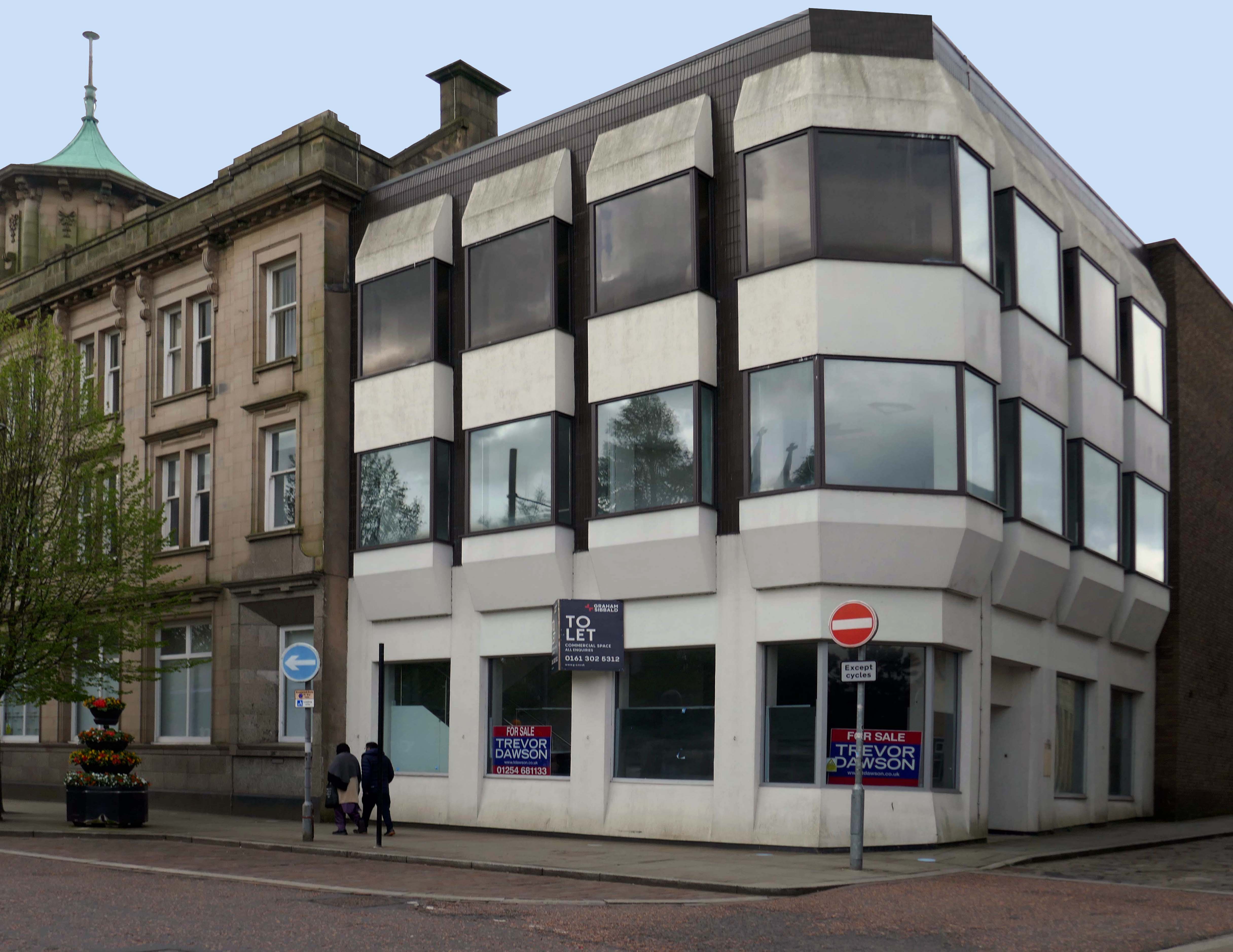
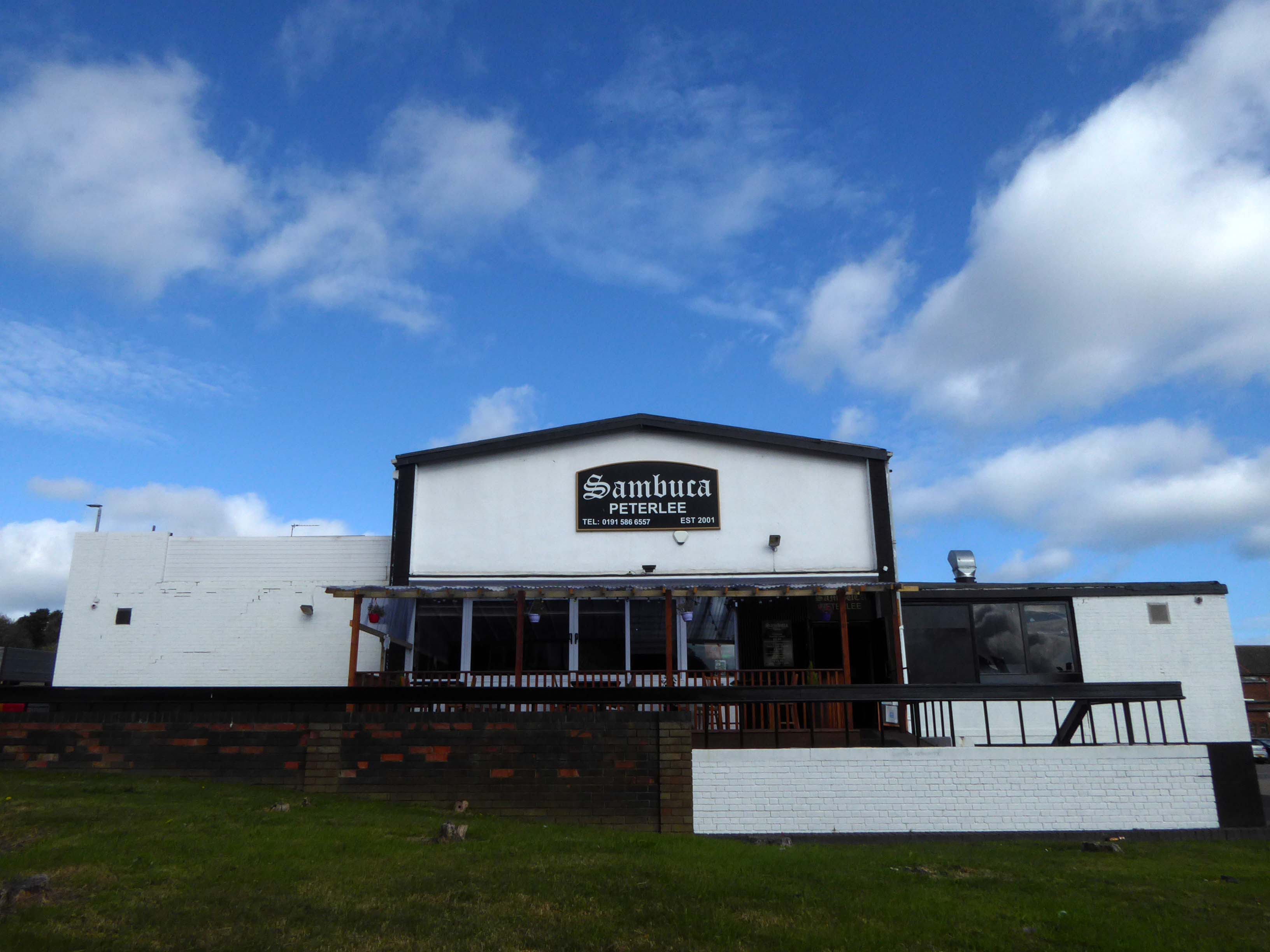
Back in 2021 Sambuca was the other town centre bar – badged with Olde English type.
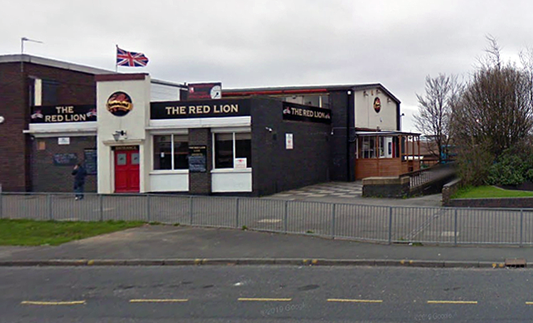
Formerly the Red Lion a Cameron’s estate pub.
April 20th 2014 – Happy Easter everyone.
We are open today all the way to 10pm – £2 bottles VHFs, house spirits only £3 double, buckets £4, Corona £2.50 selected shots 50p, cider cans £1 + £2
Karaoke – from now on everyone who sings gets a free shot
Then we have the best in all your favourite dance ‘n’ house tunes to take you into Monday.

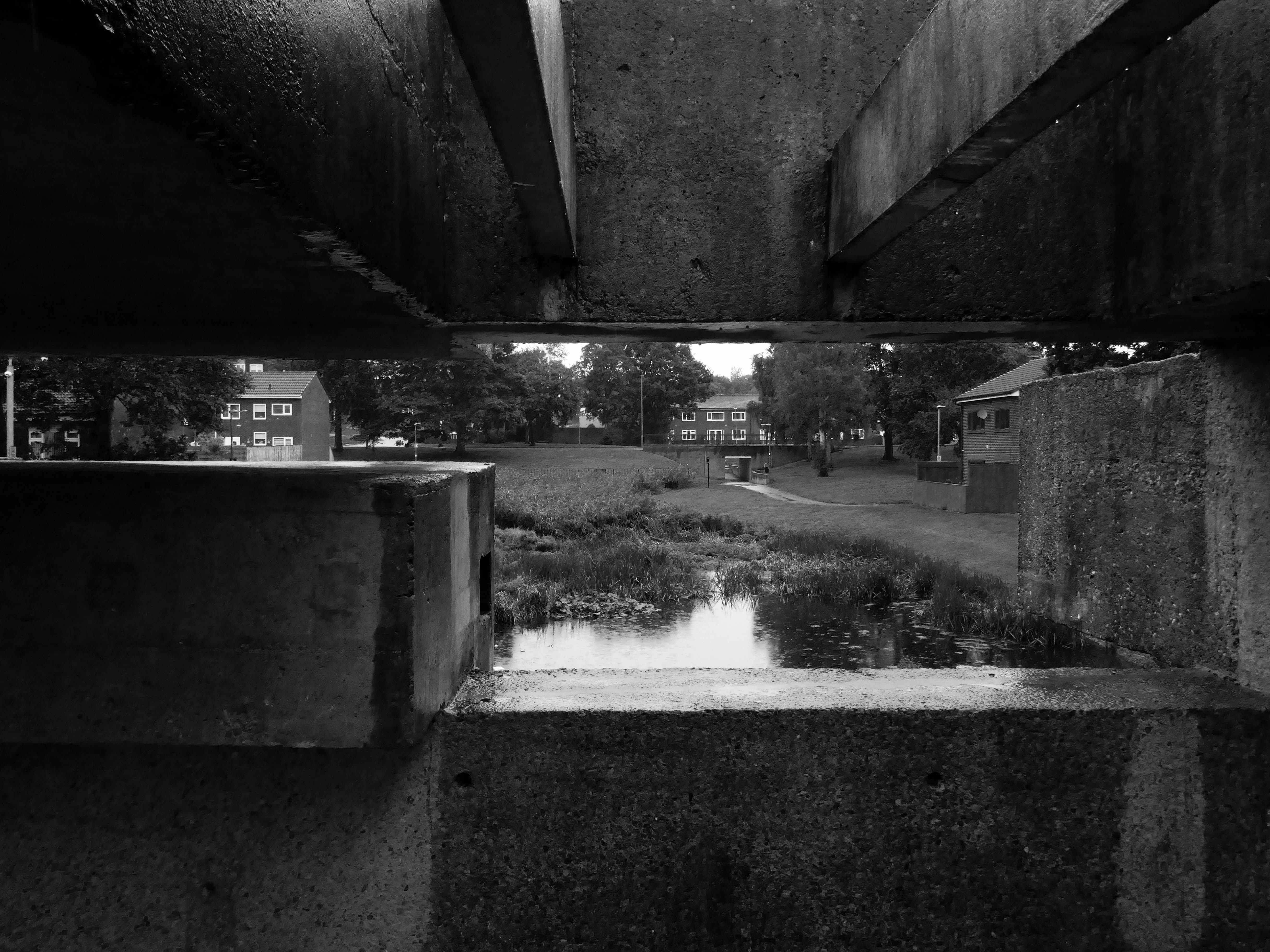
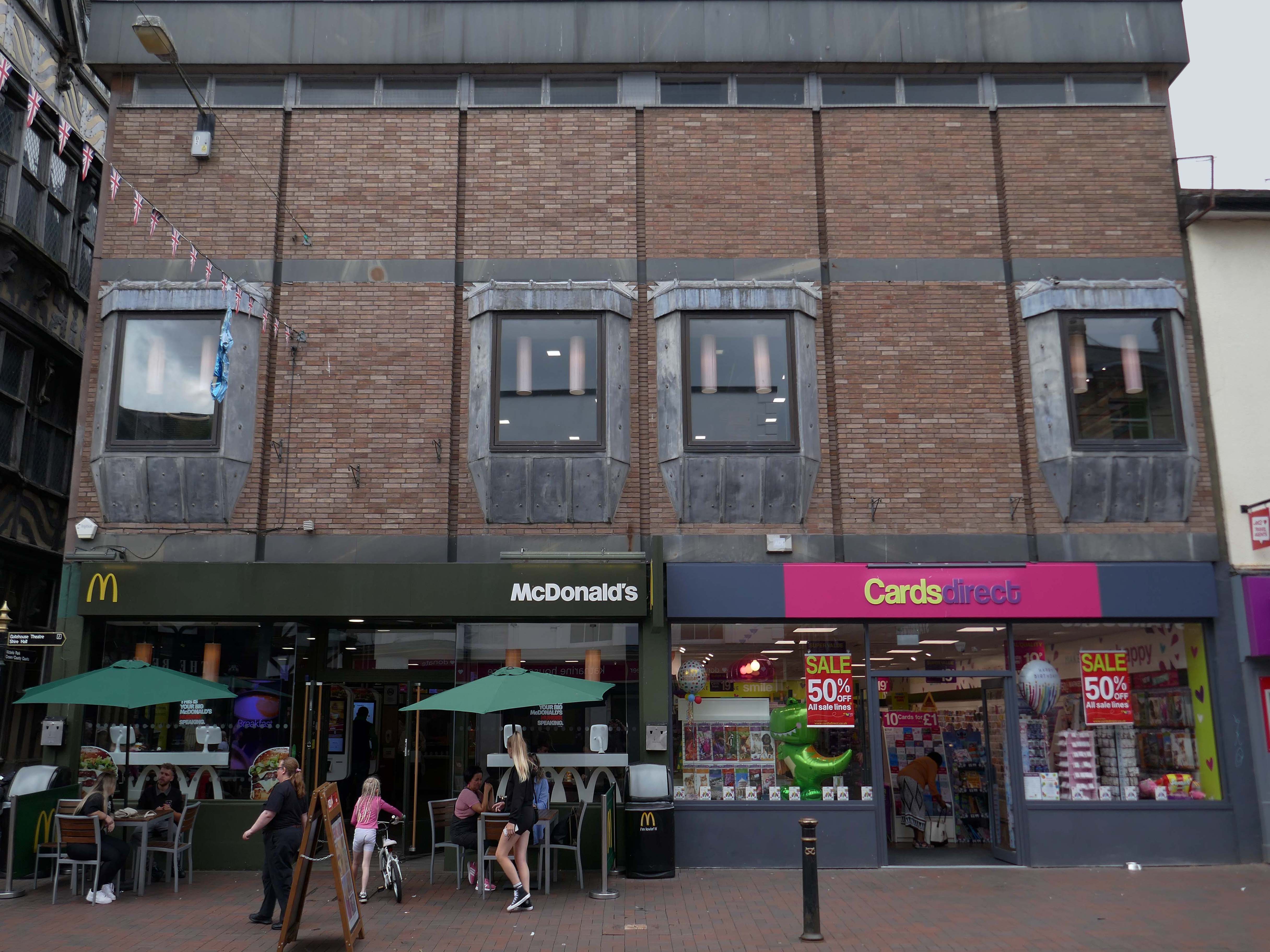
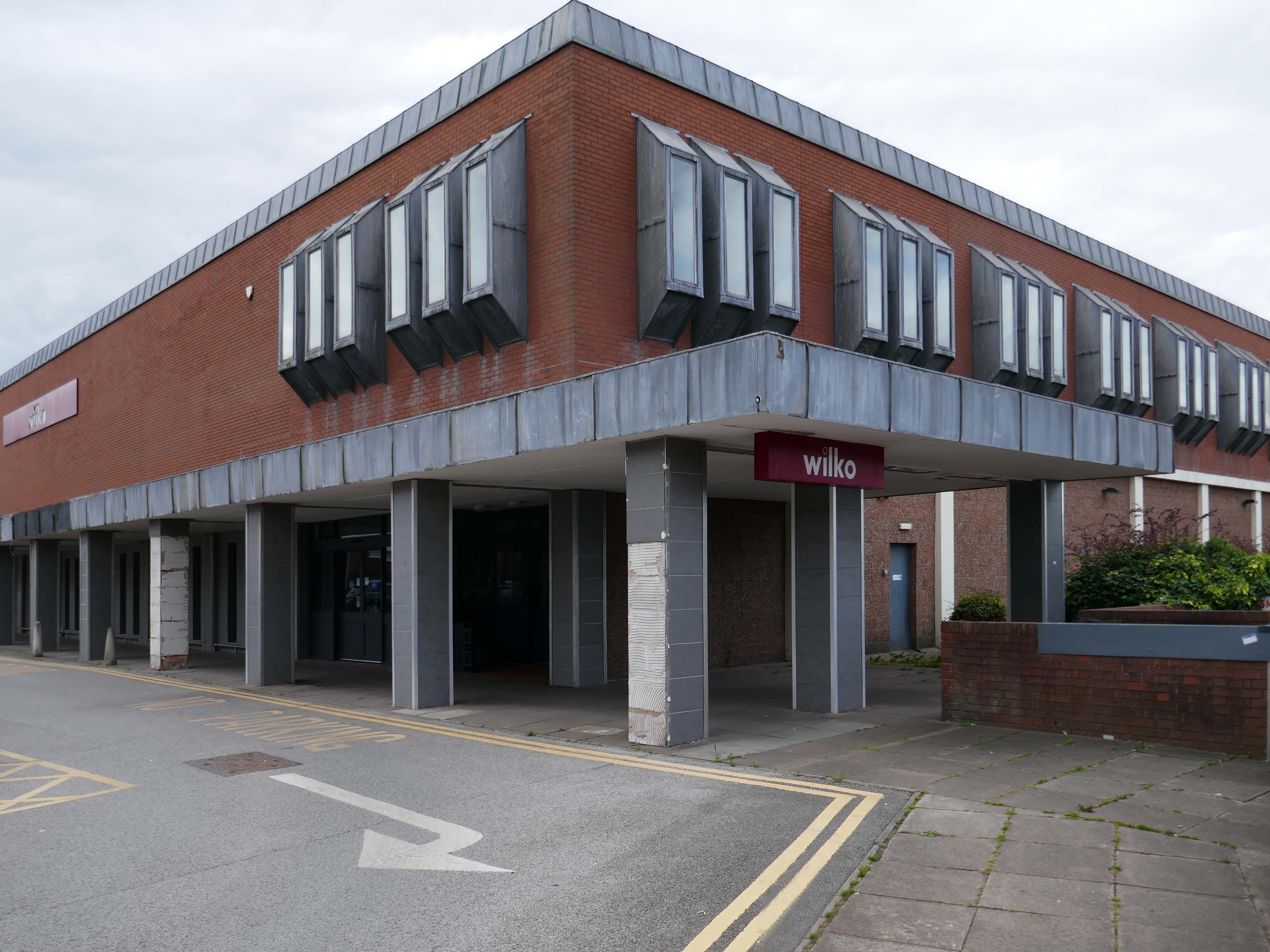
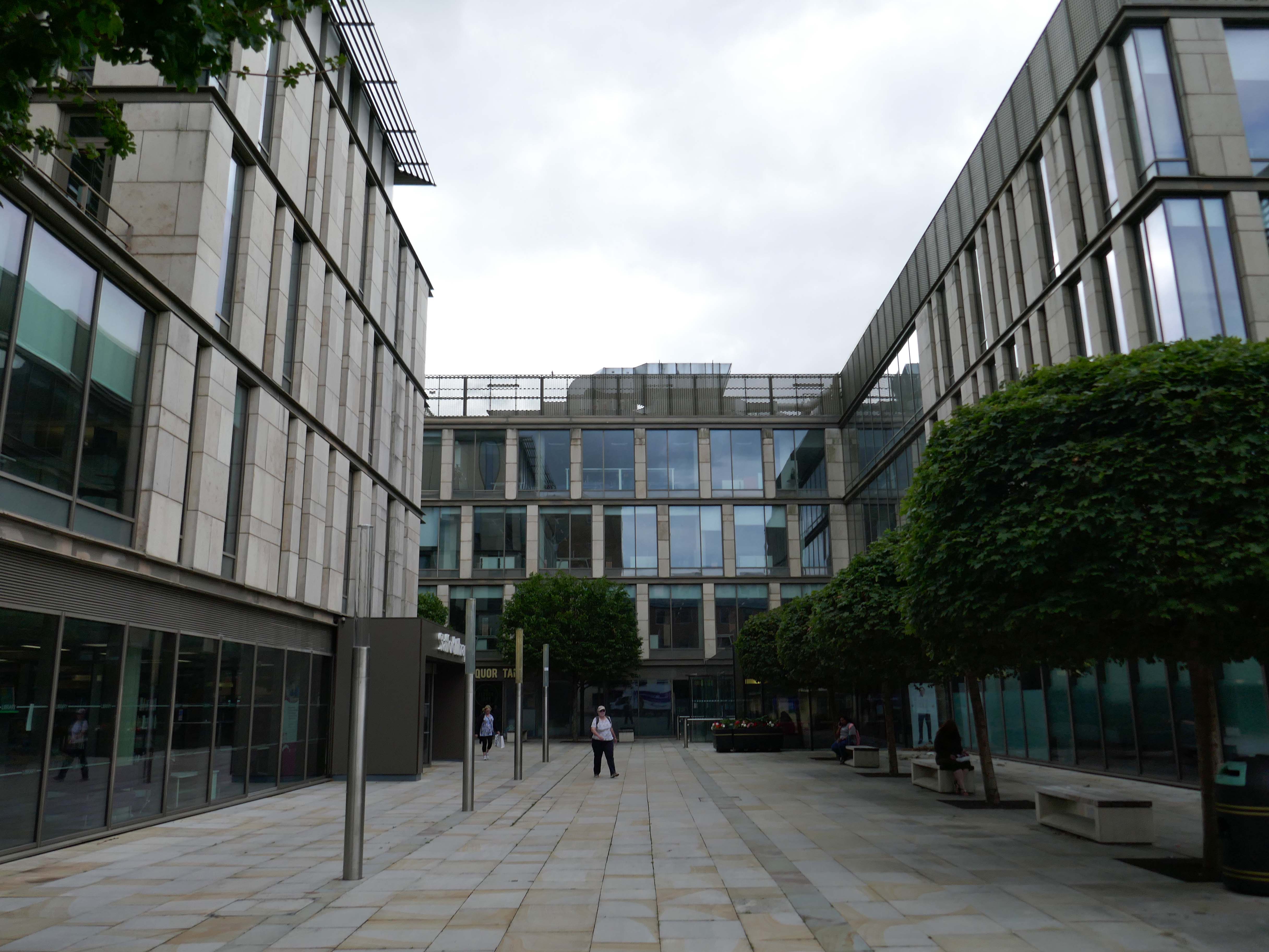
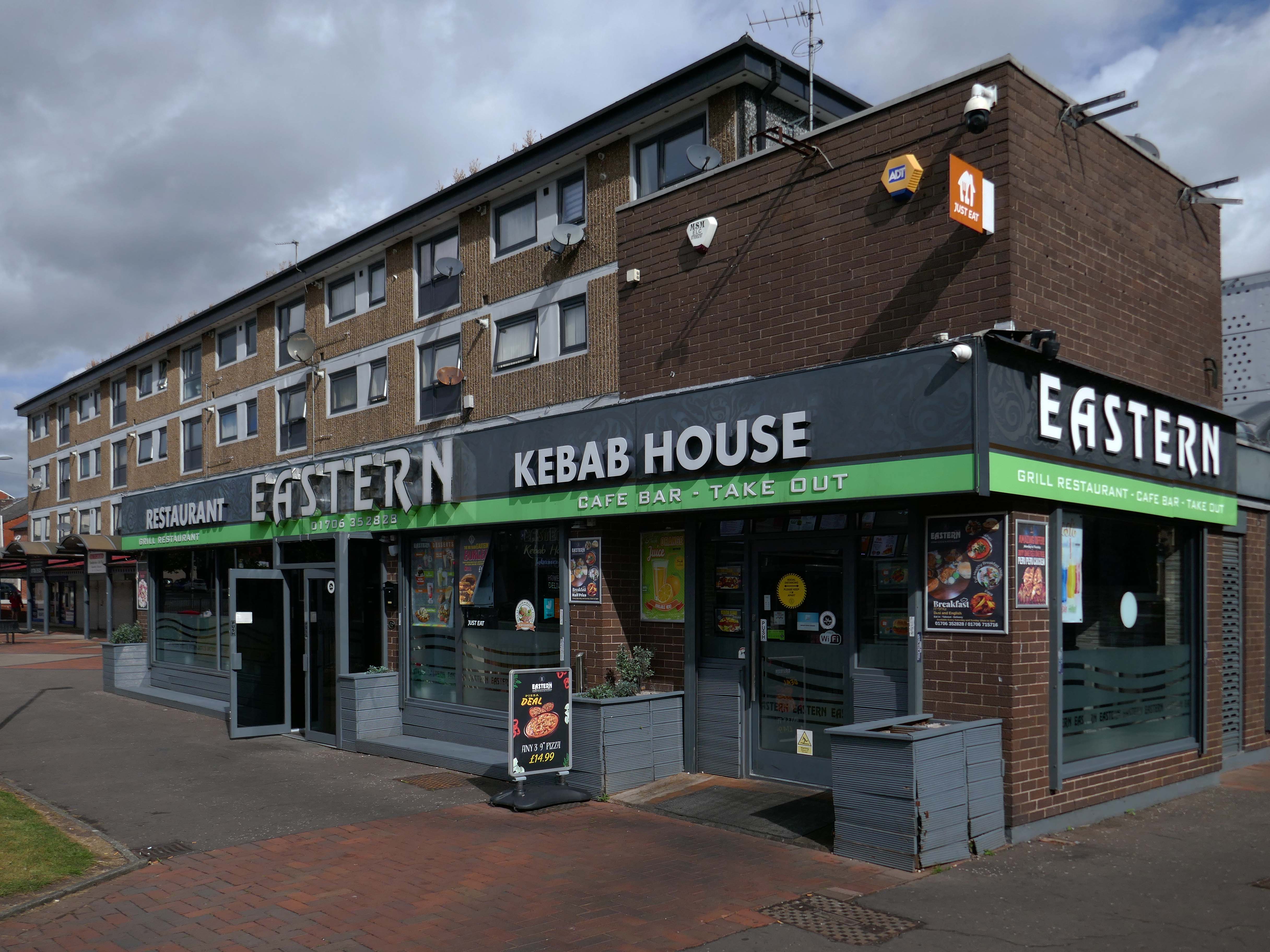
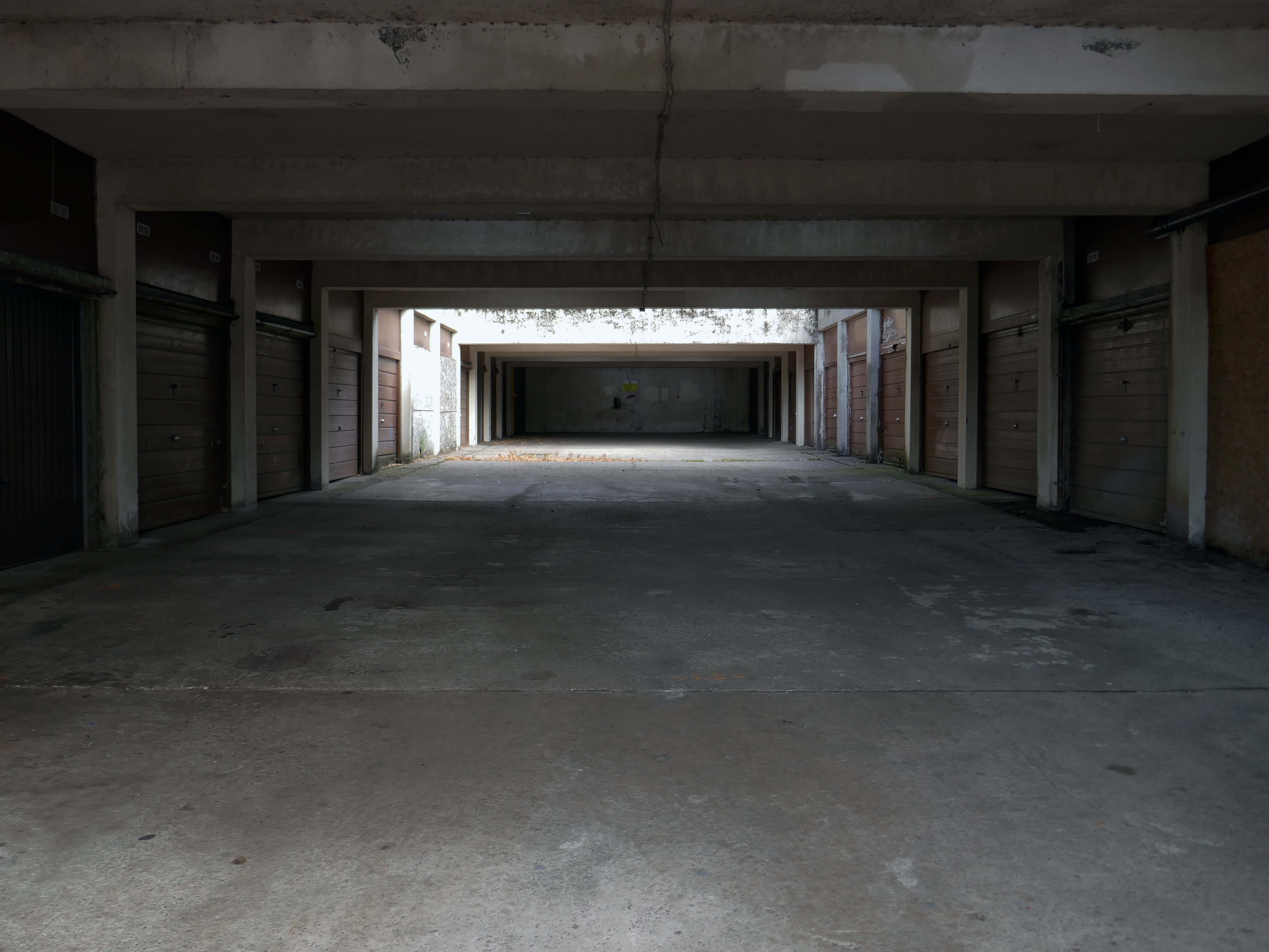
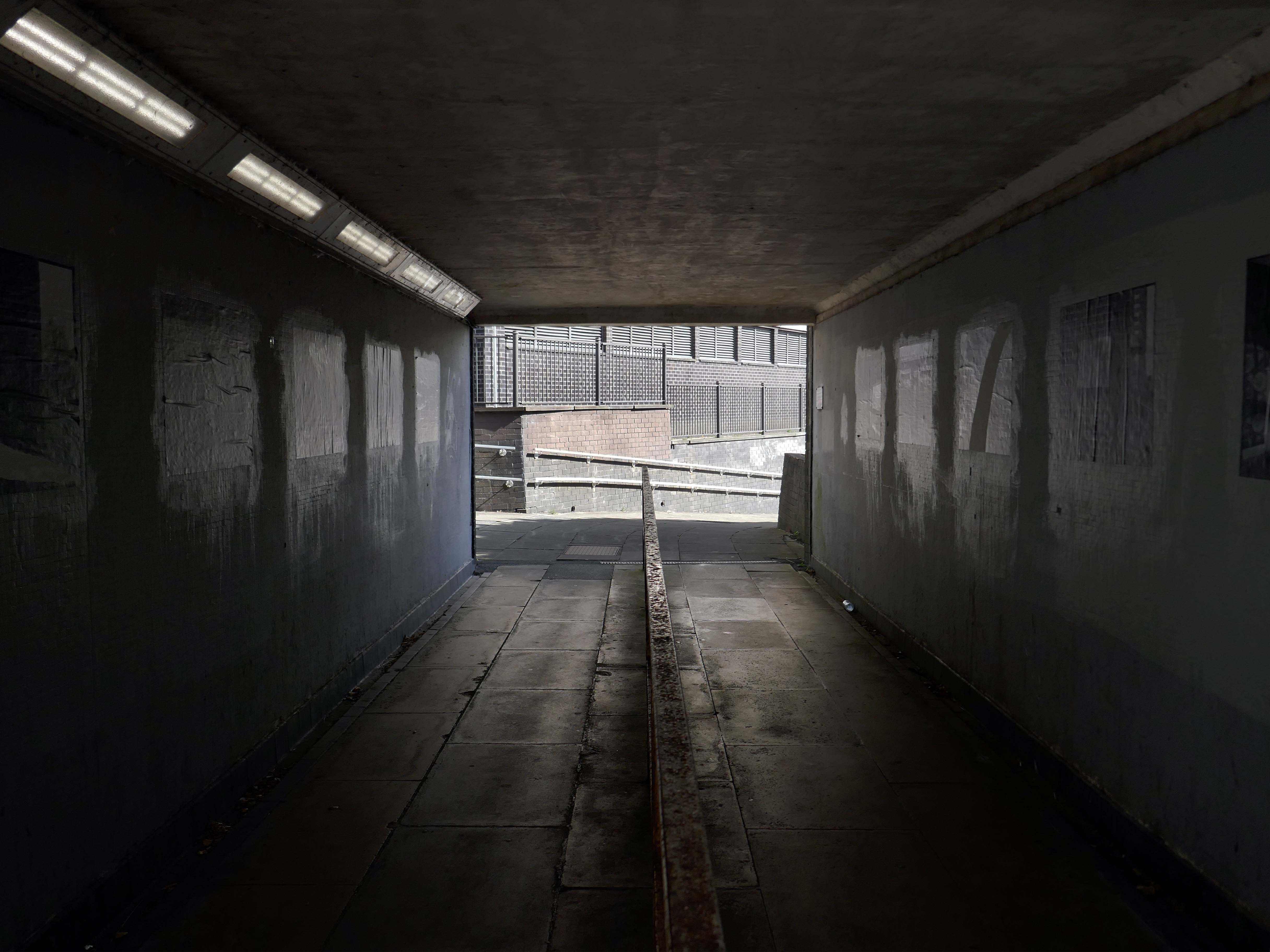
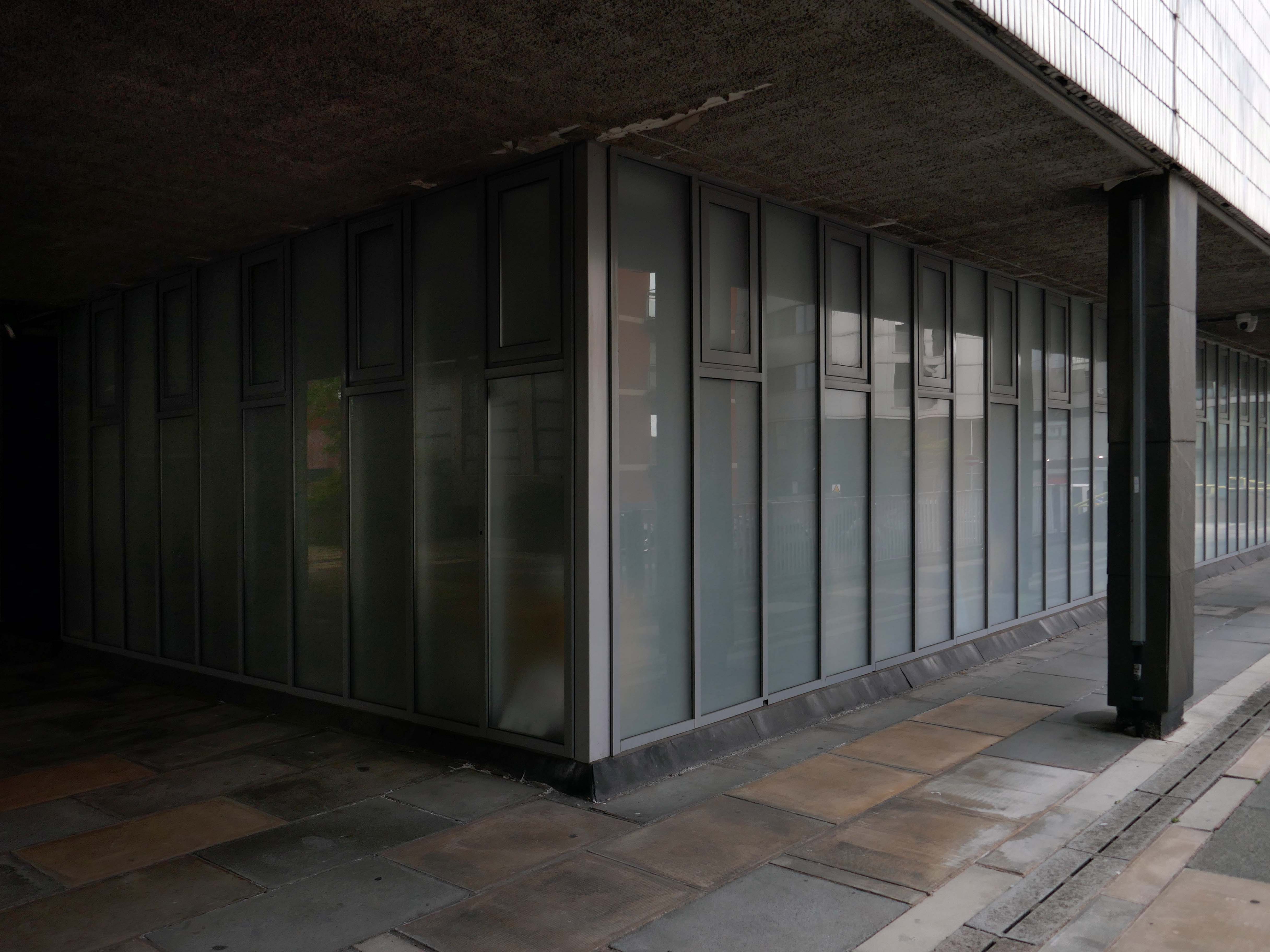
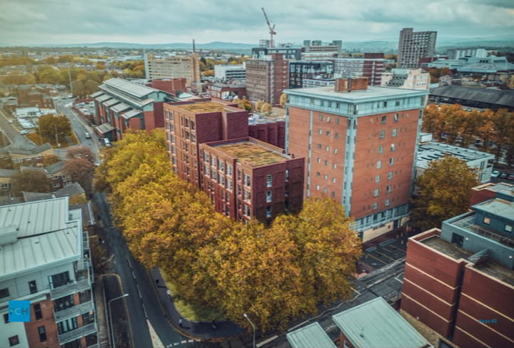
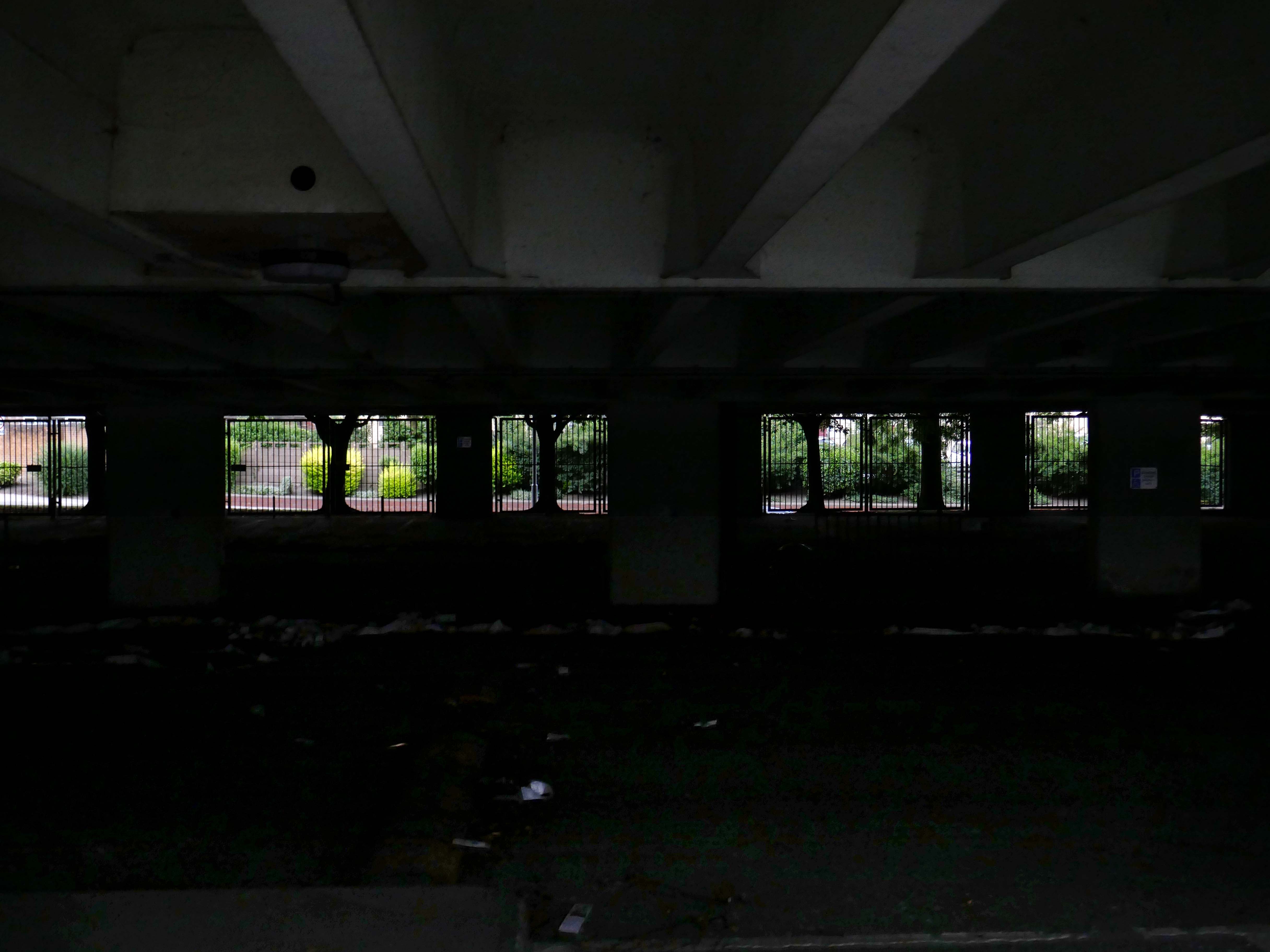
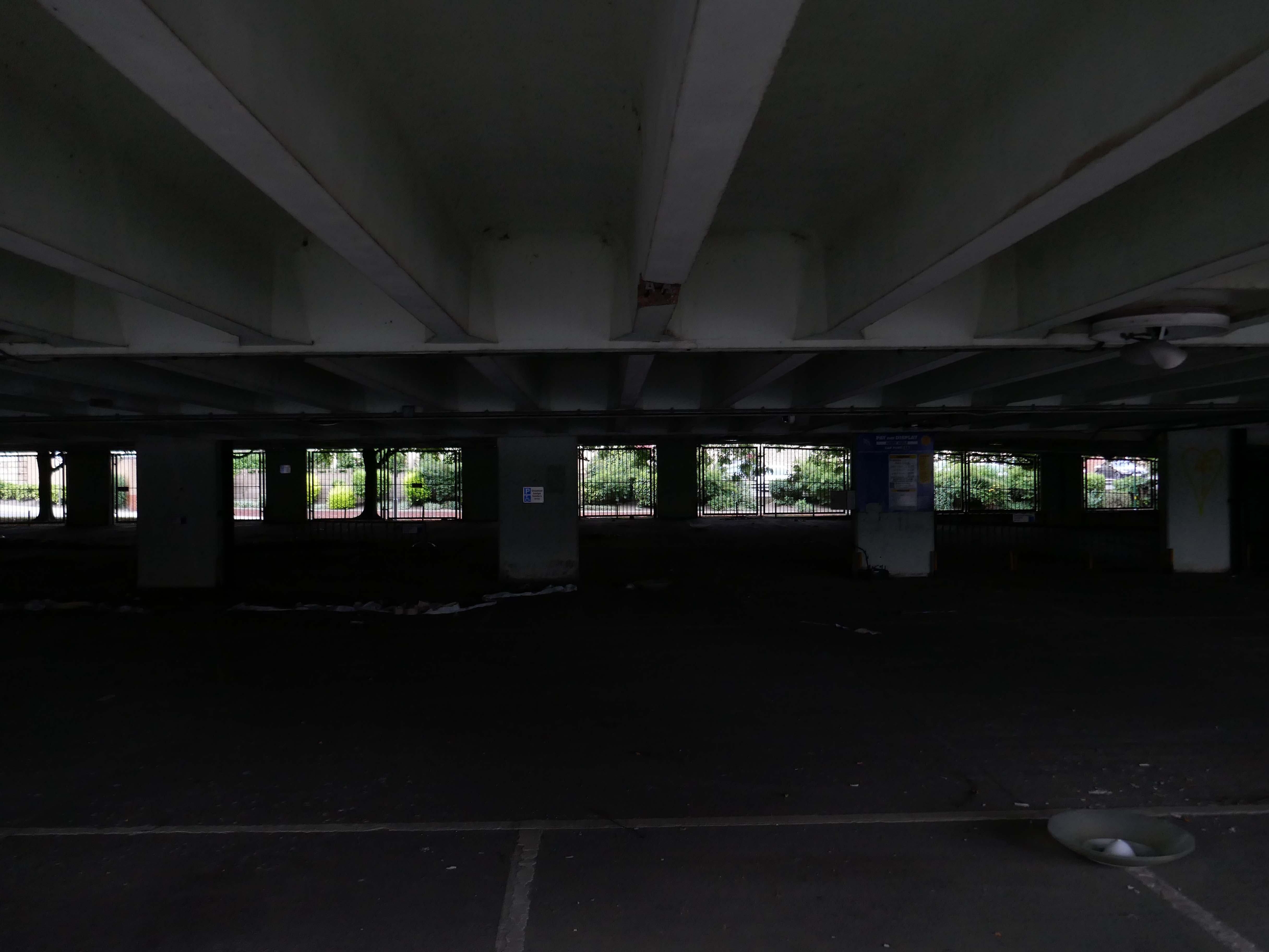
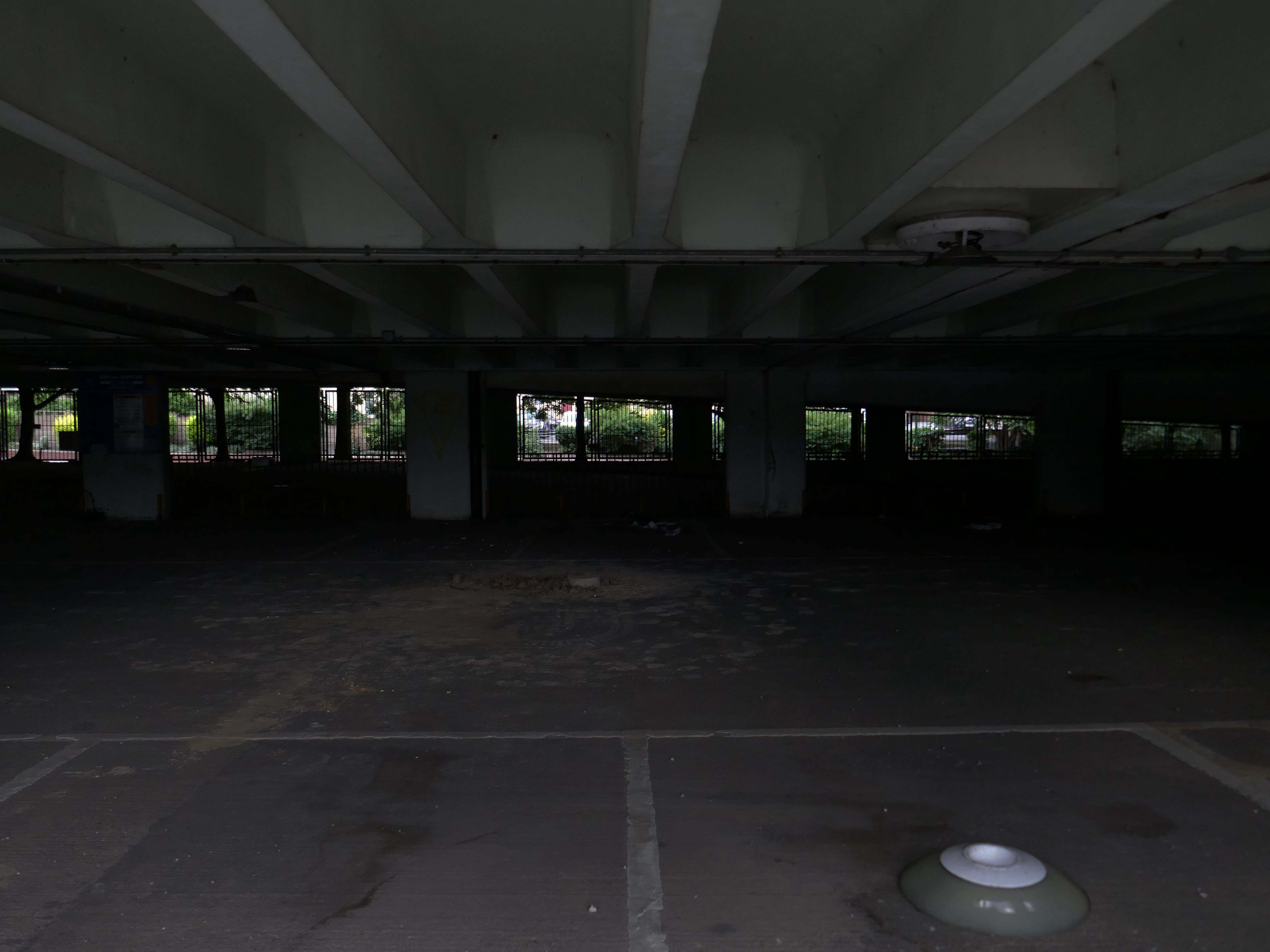
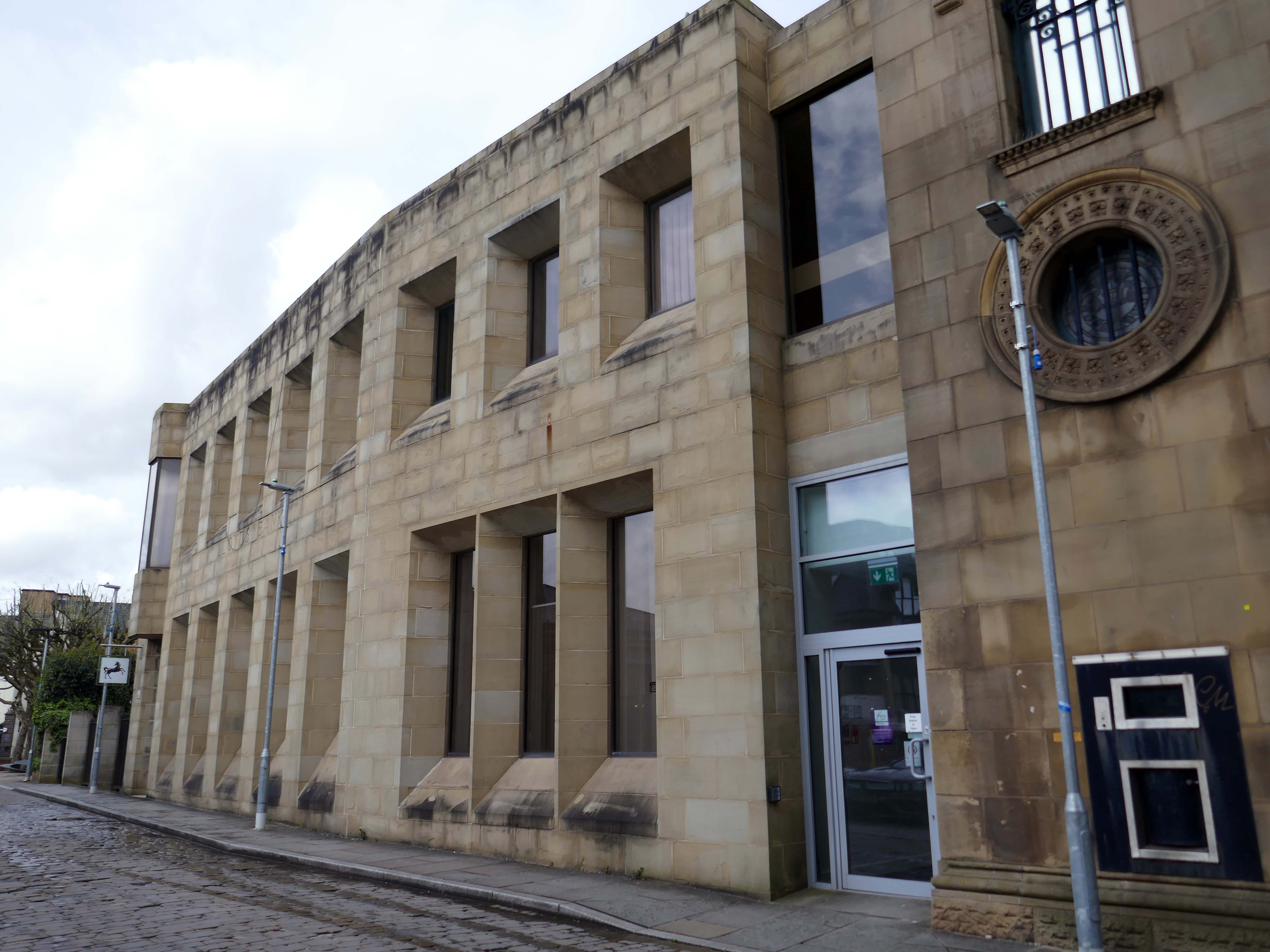
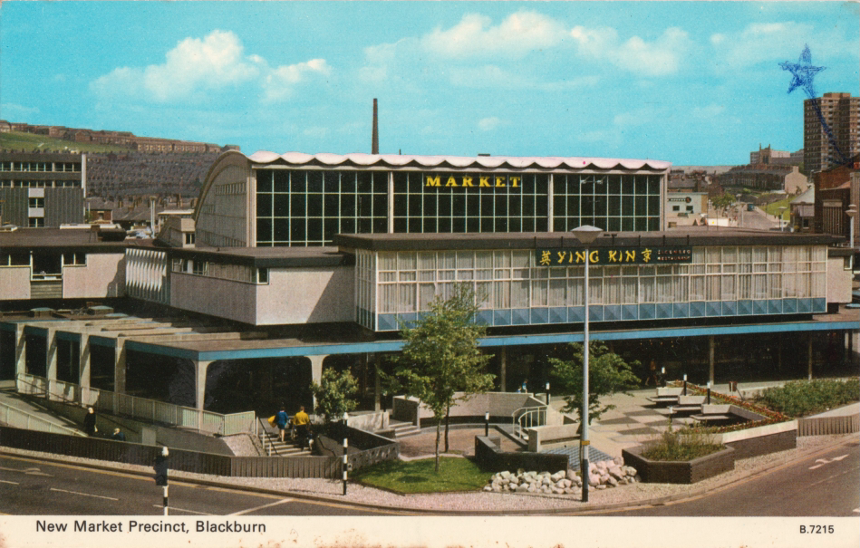
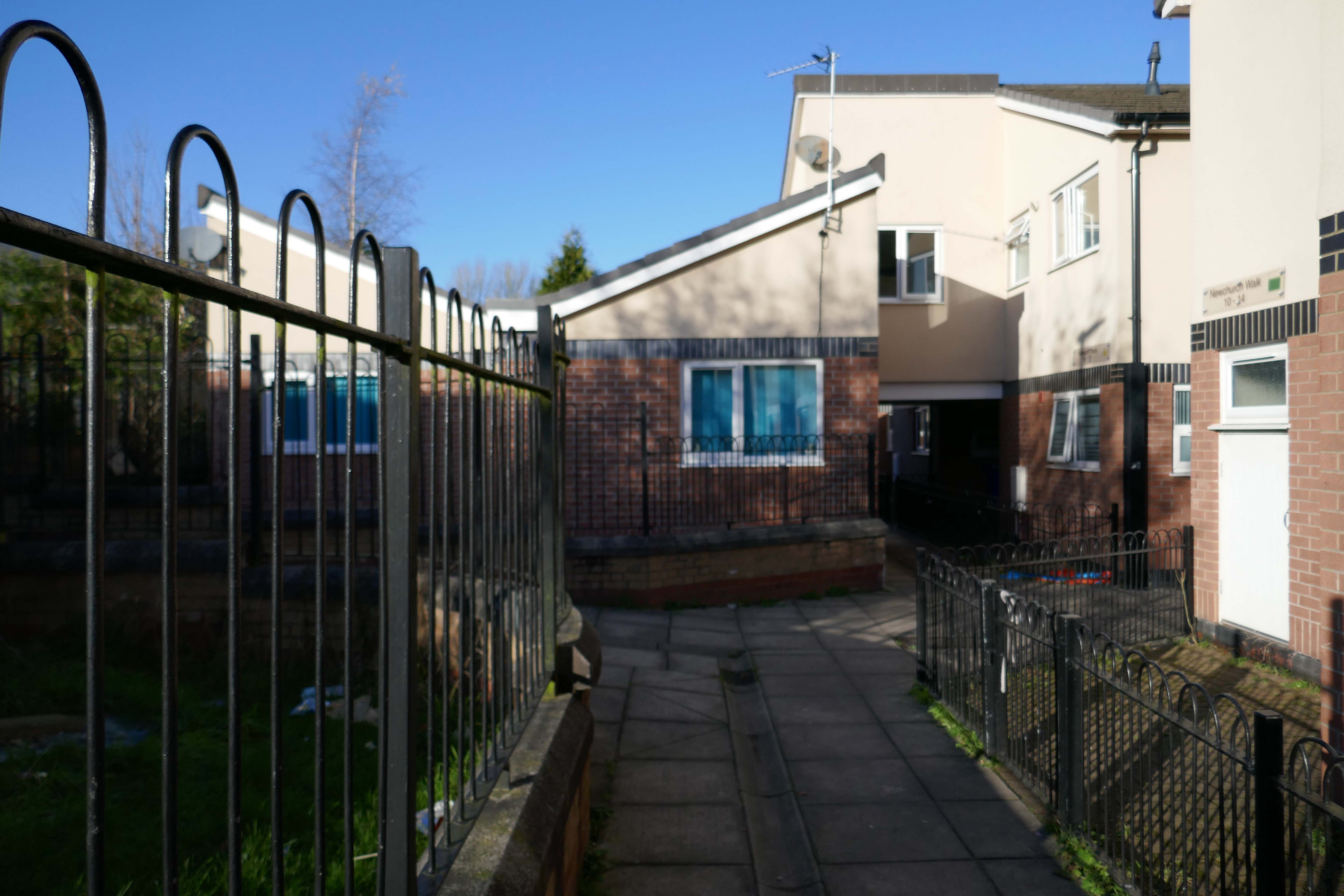
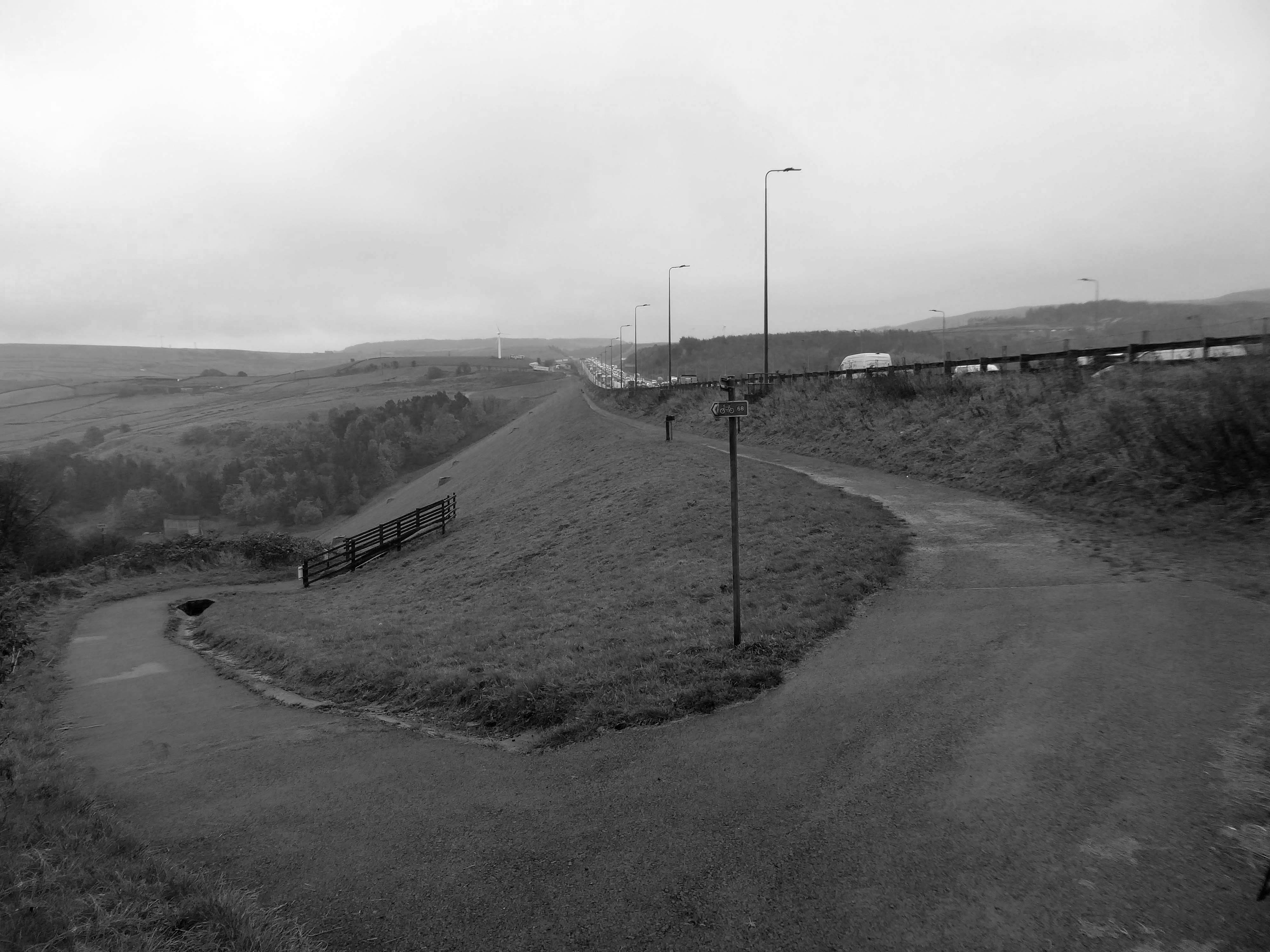
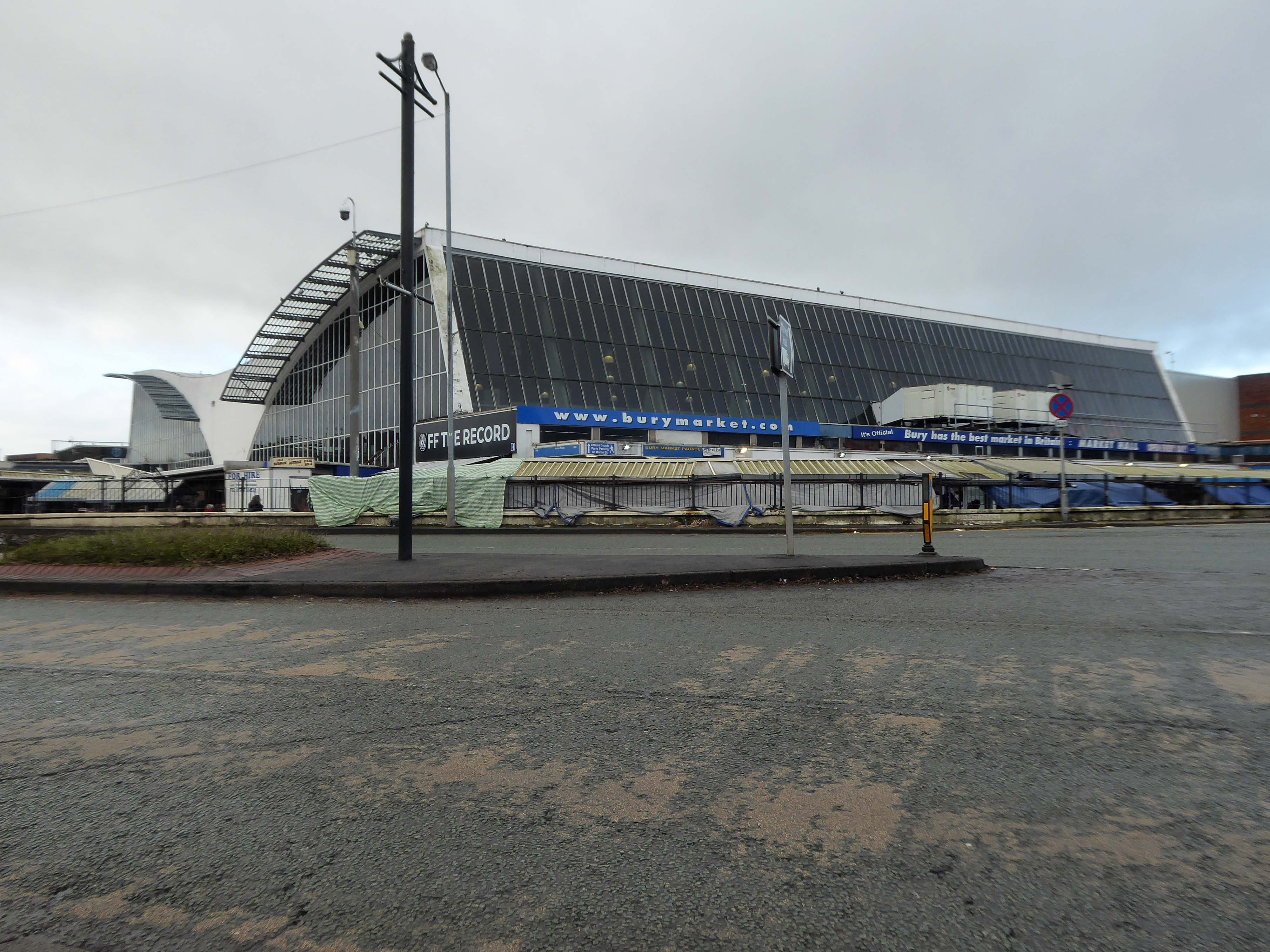
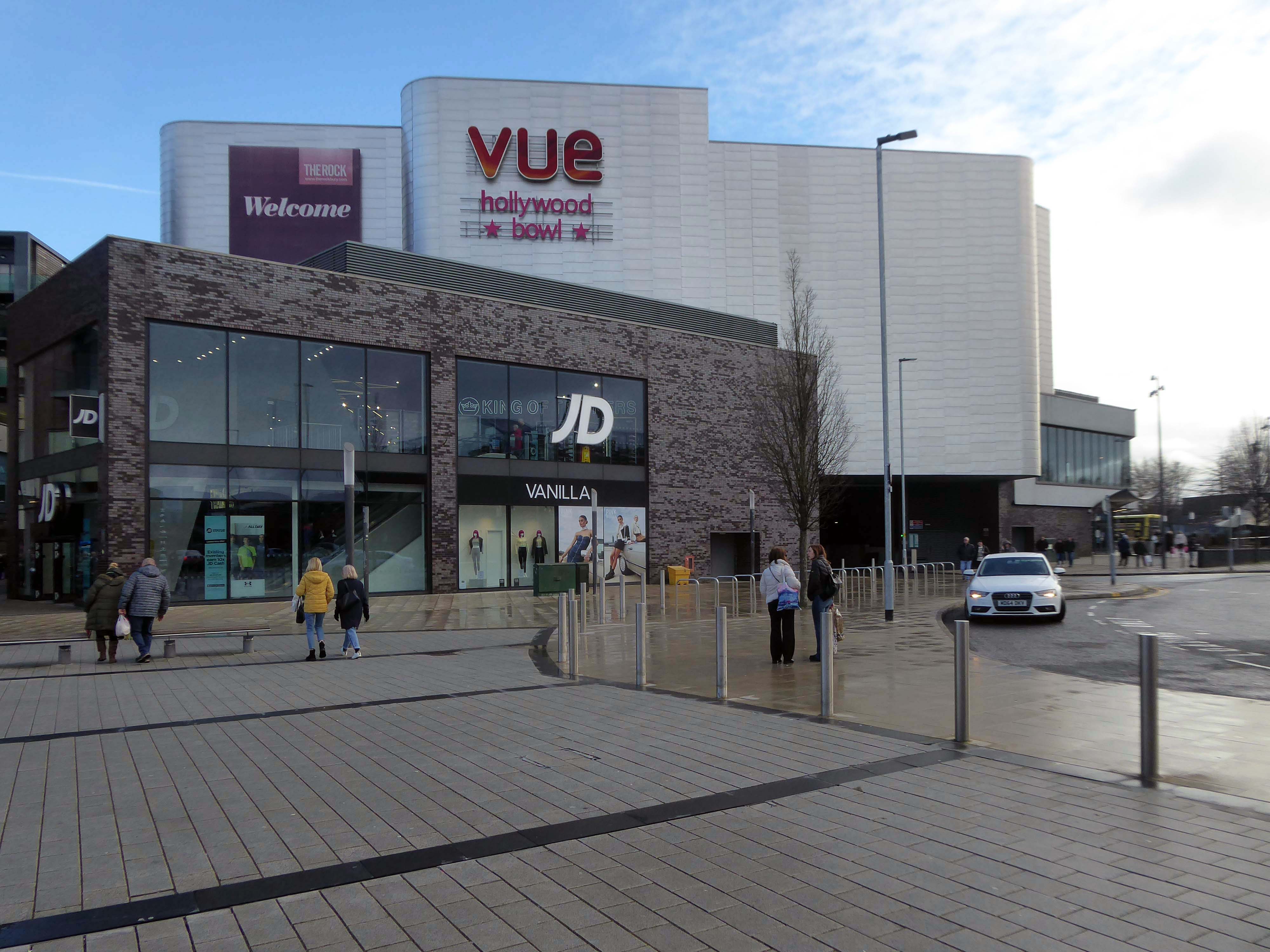
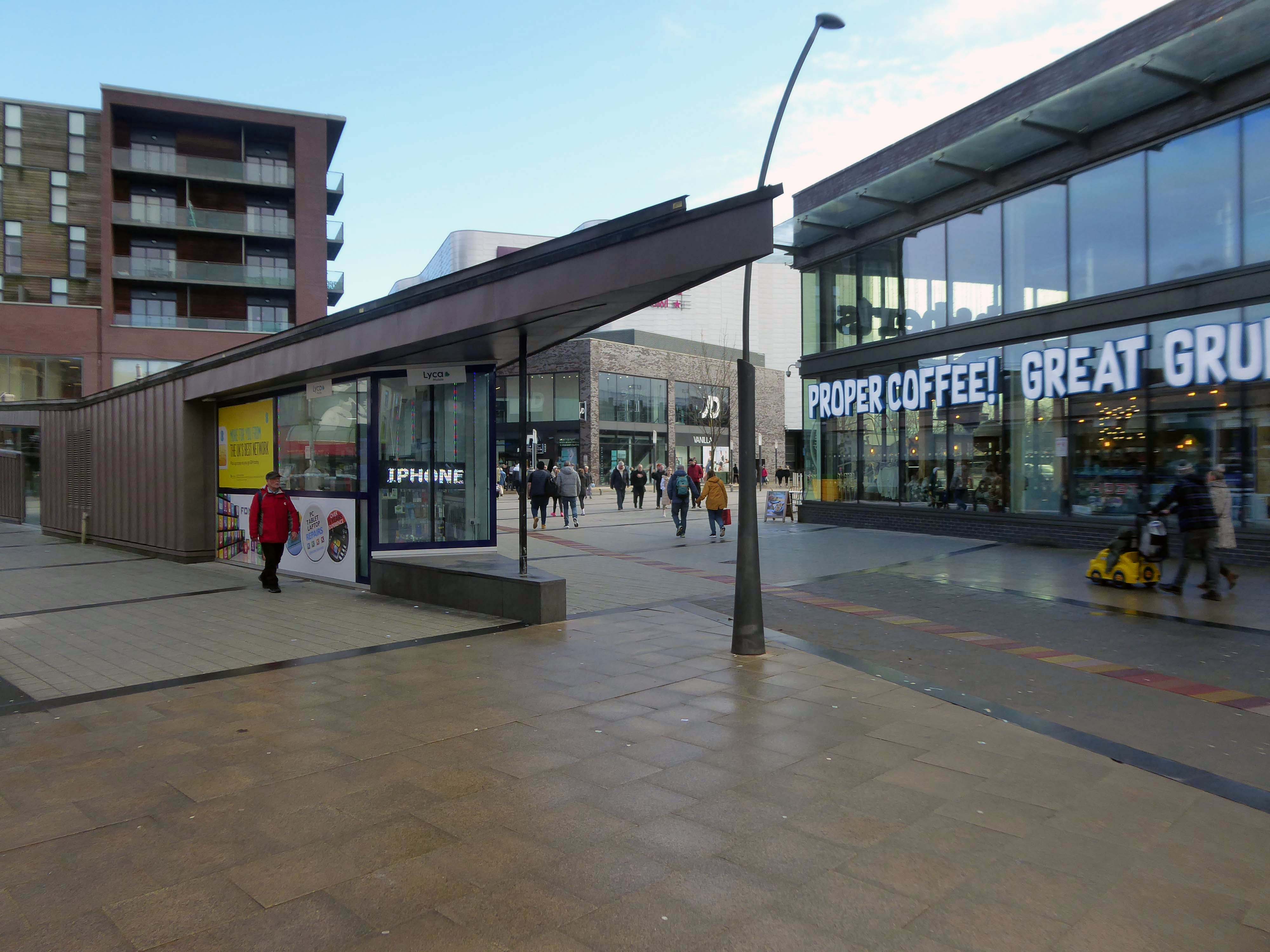
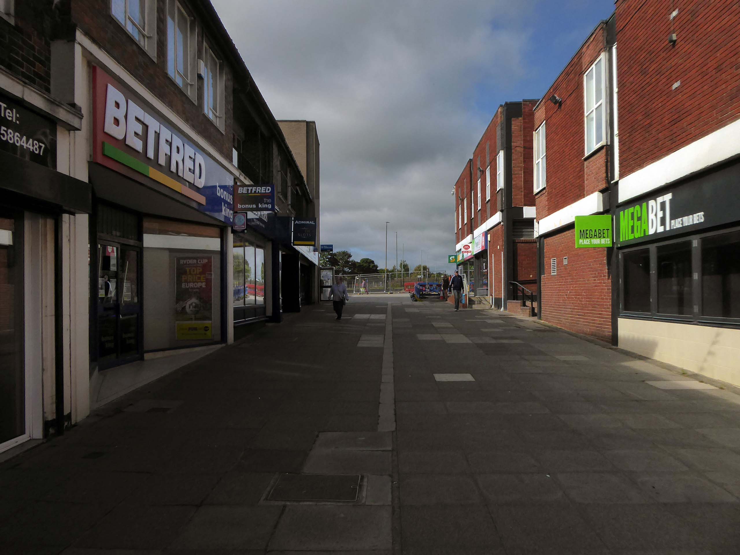
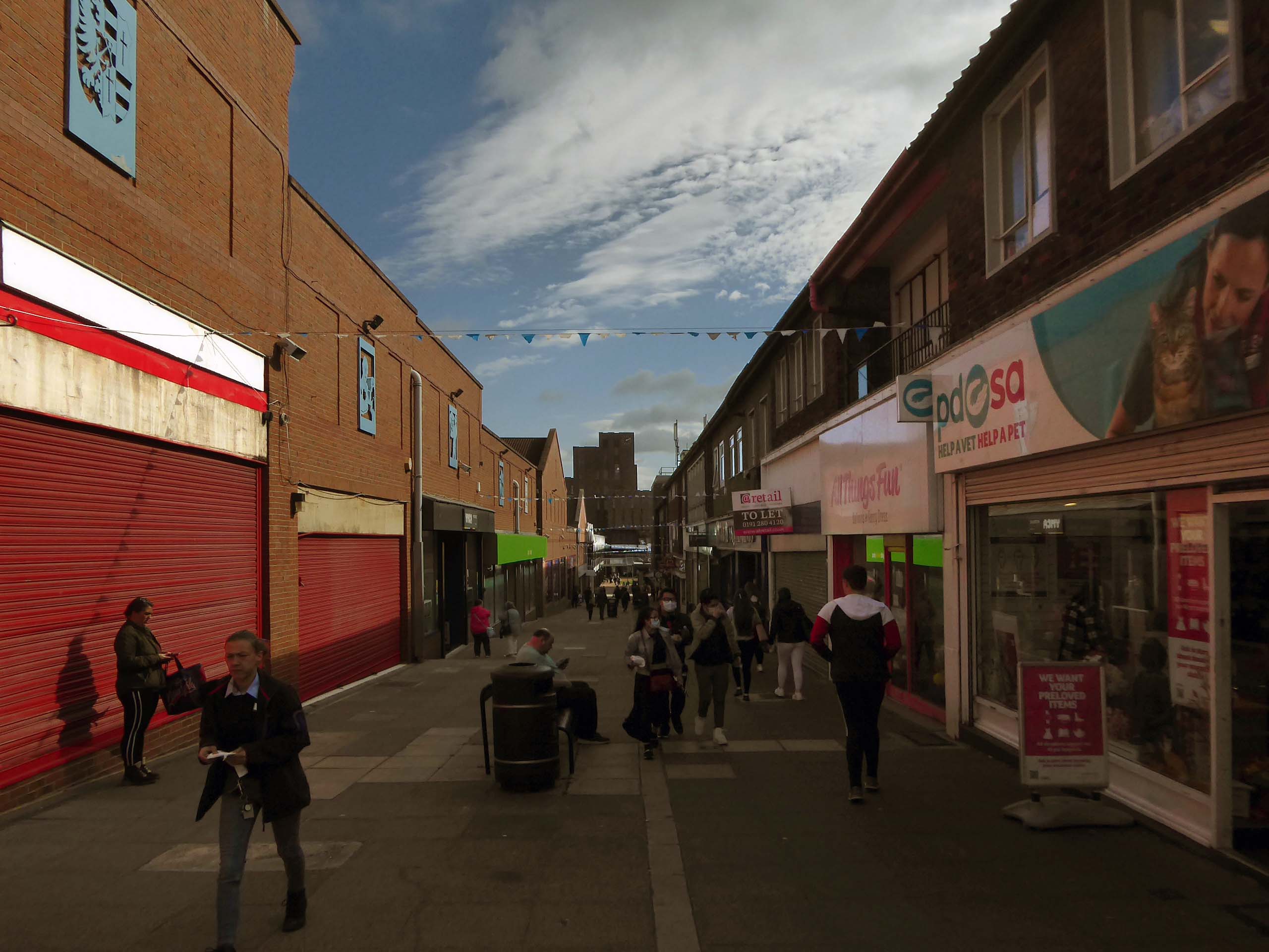
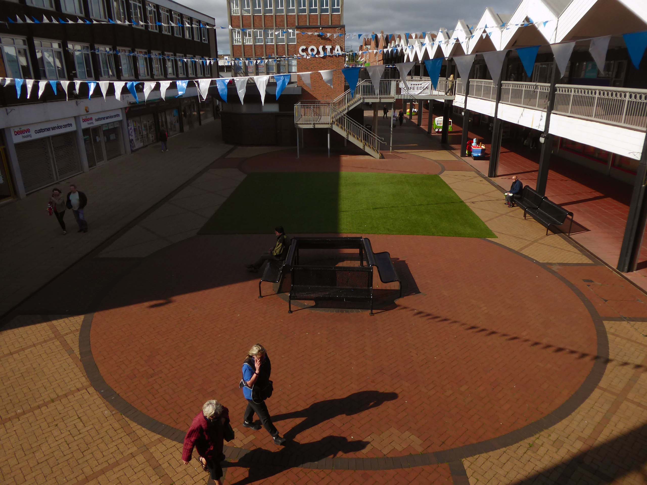
Onward to the Shopping Centre.
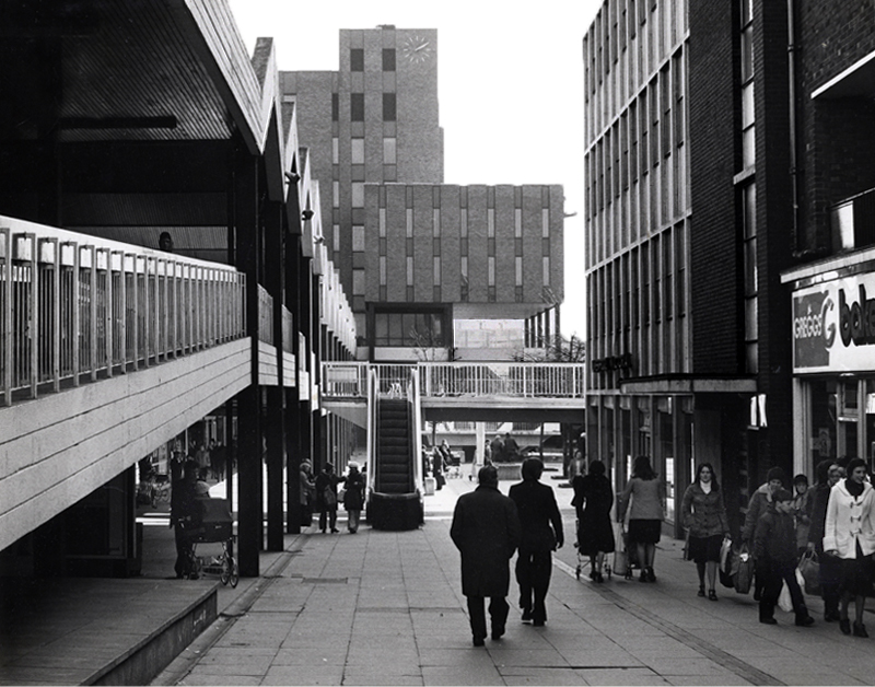
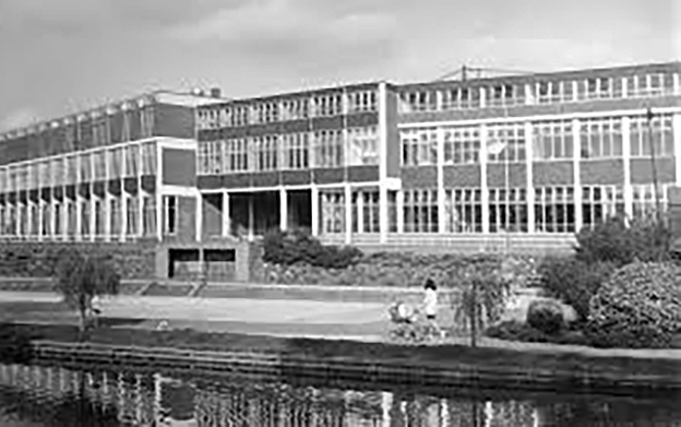
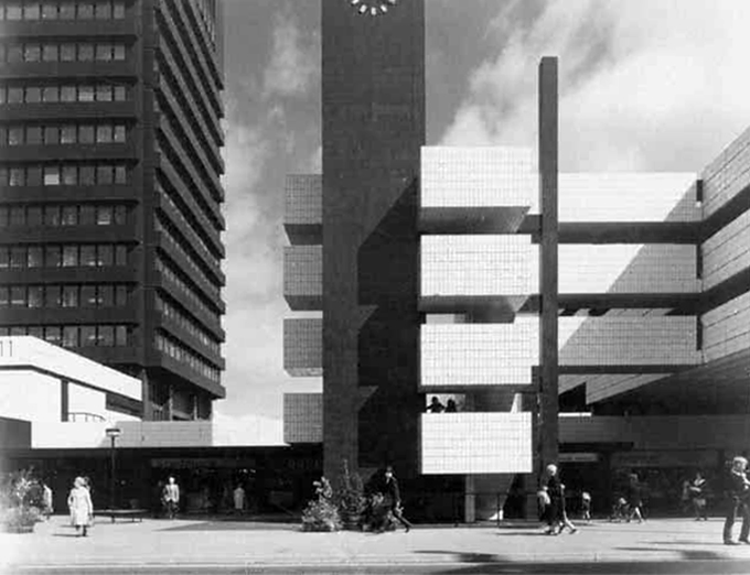
Yoden Way looking towards Lee House in 1977.
Photographs: JR James
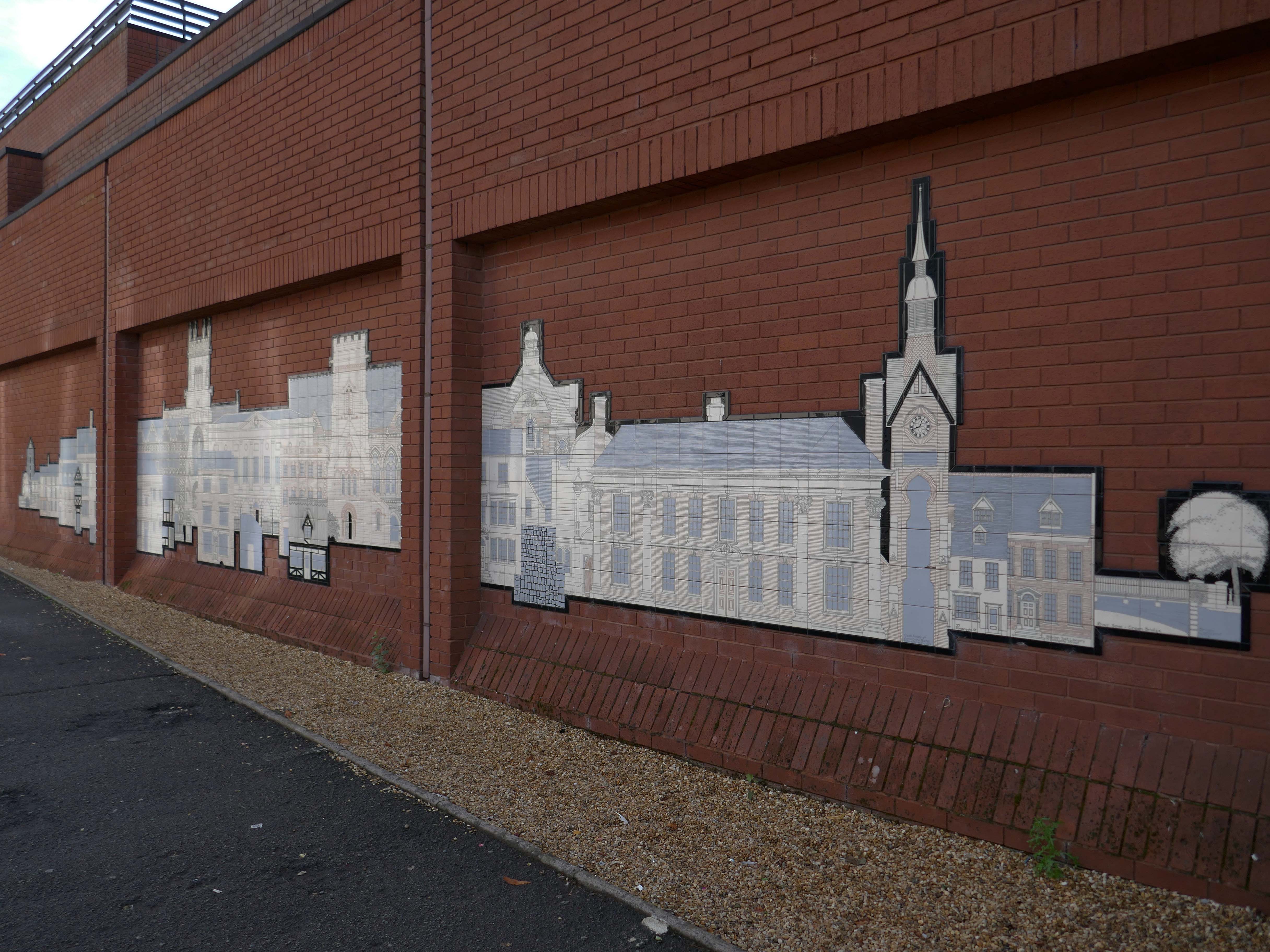
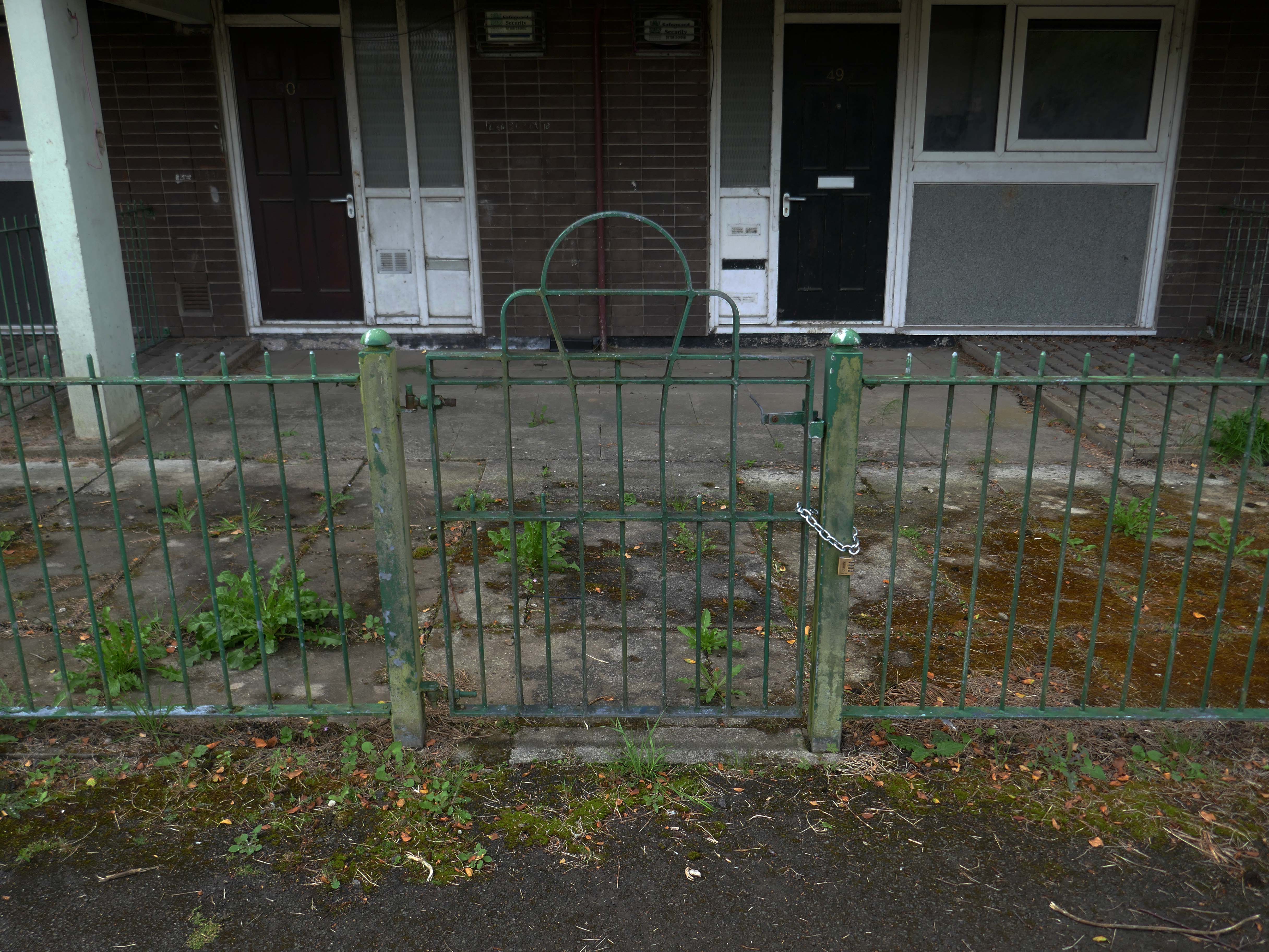
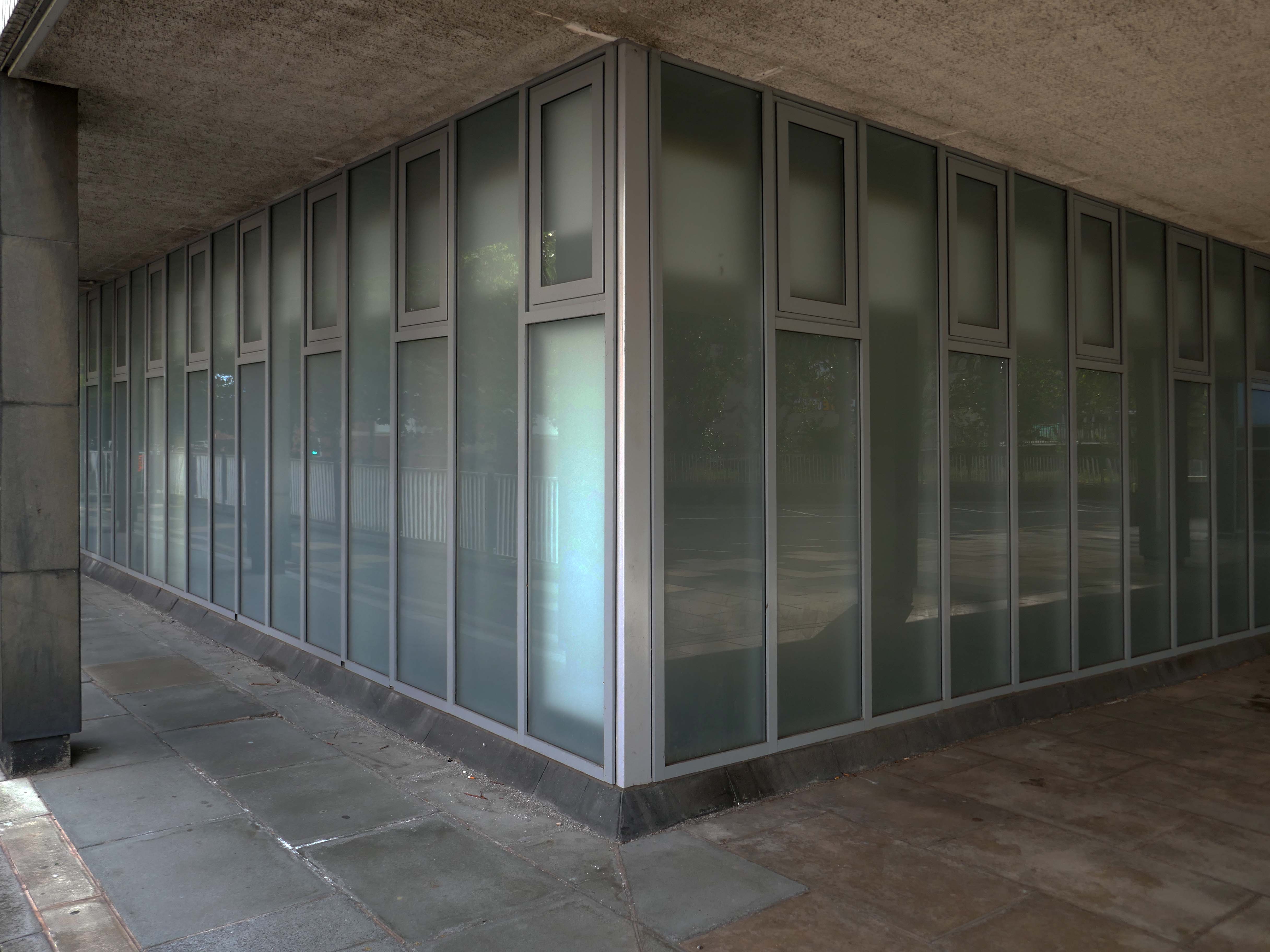
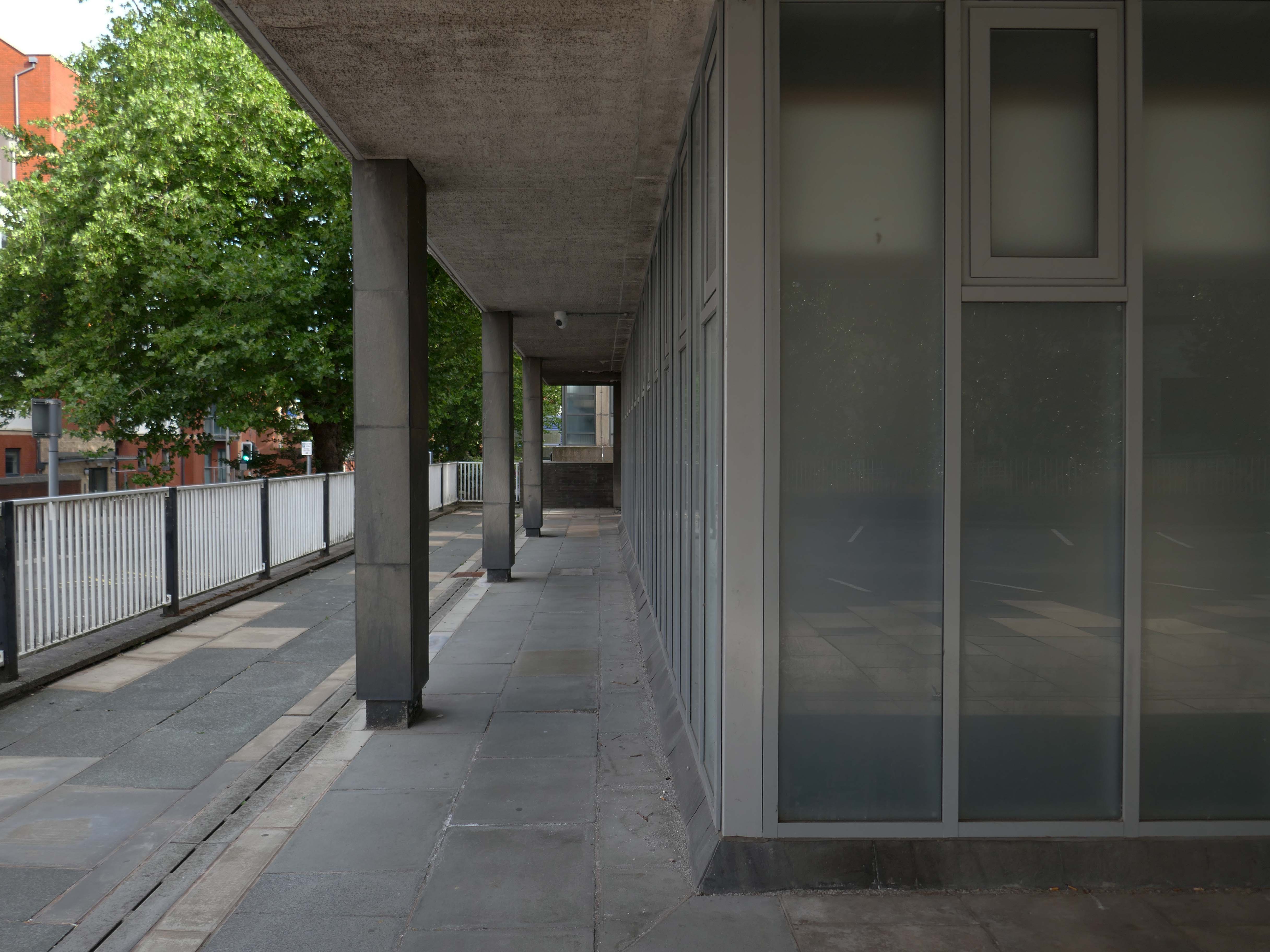
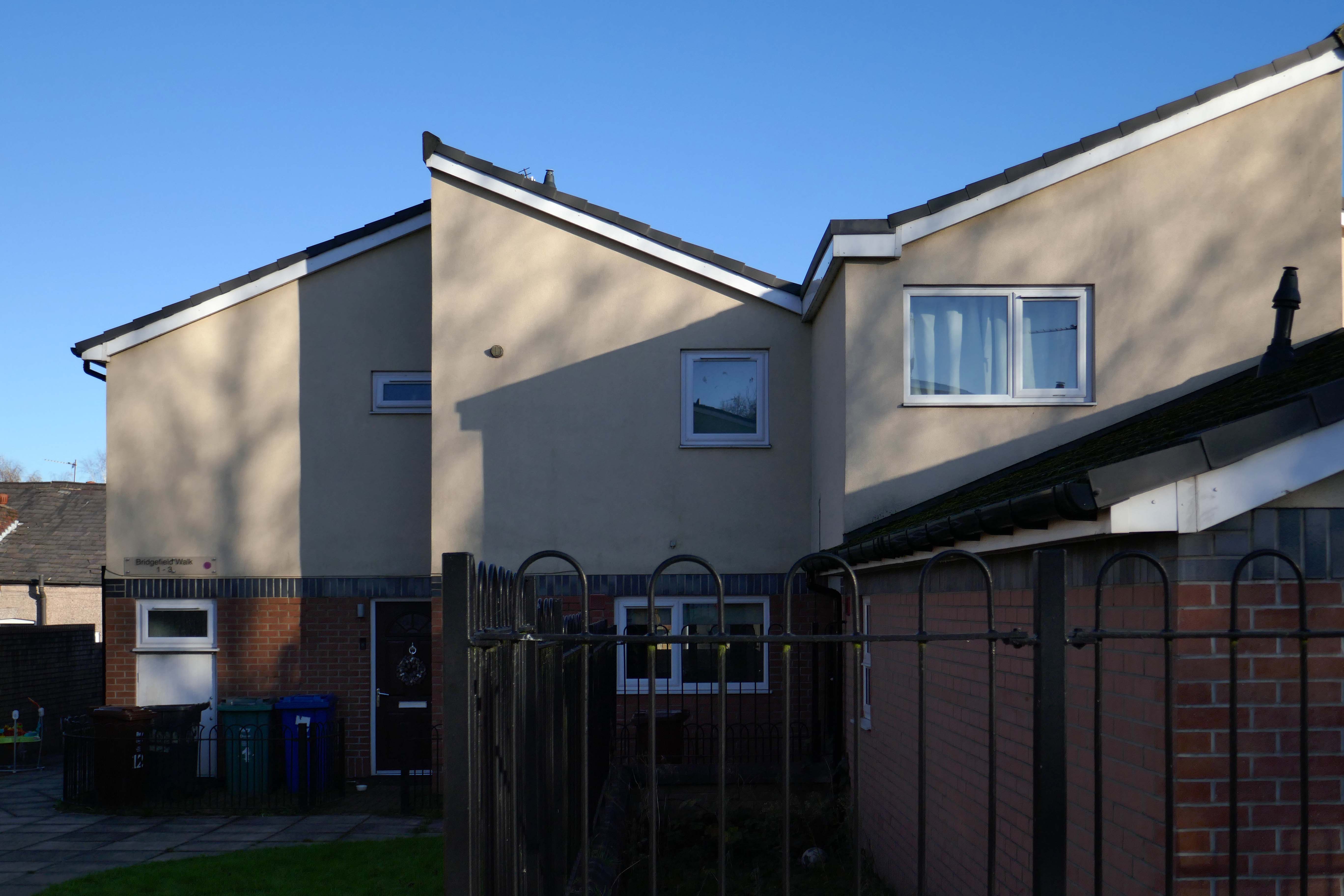
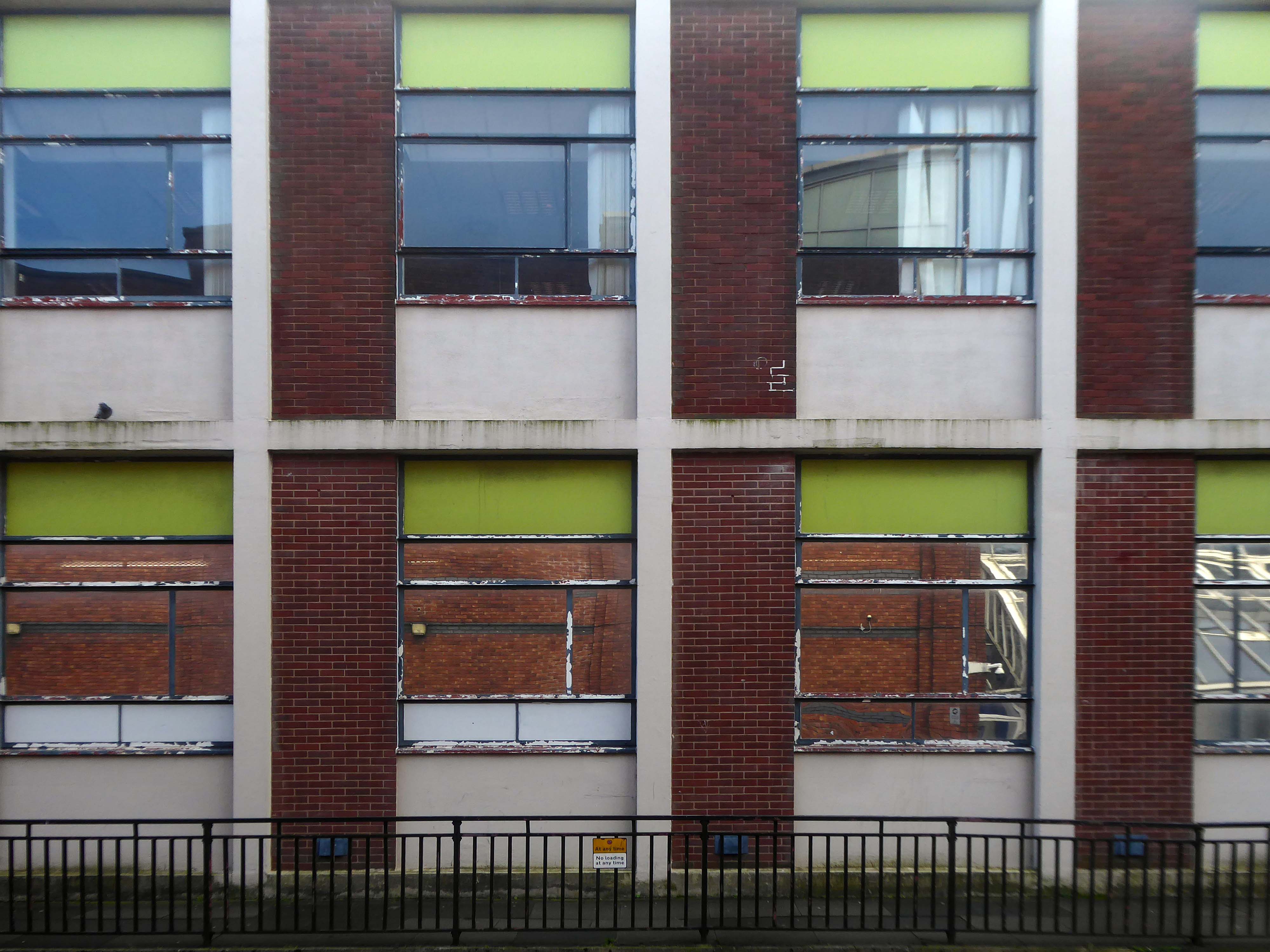
The 1950’s shops are still in situ.
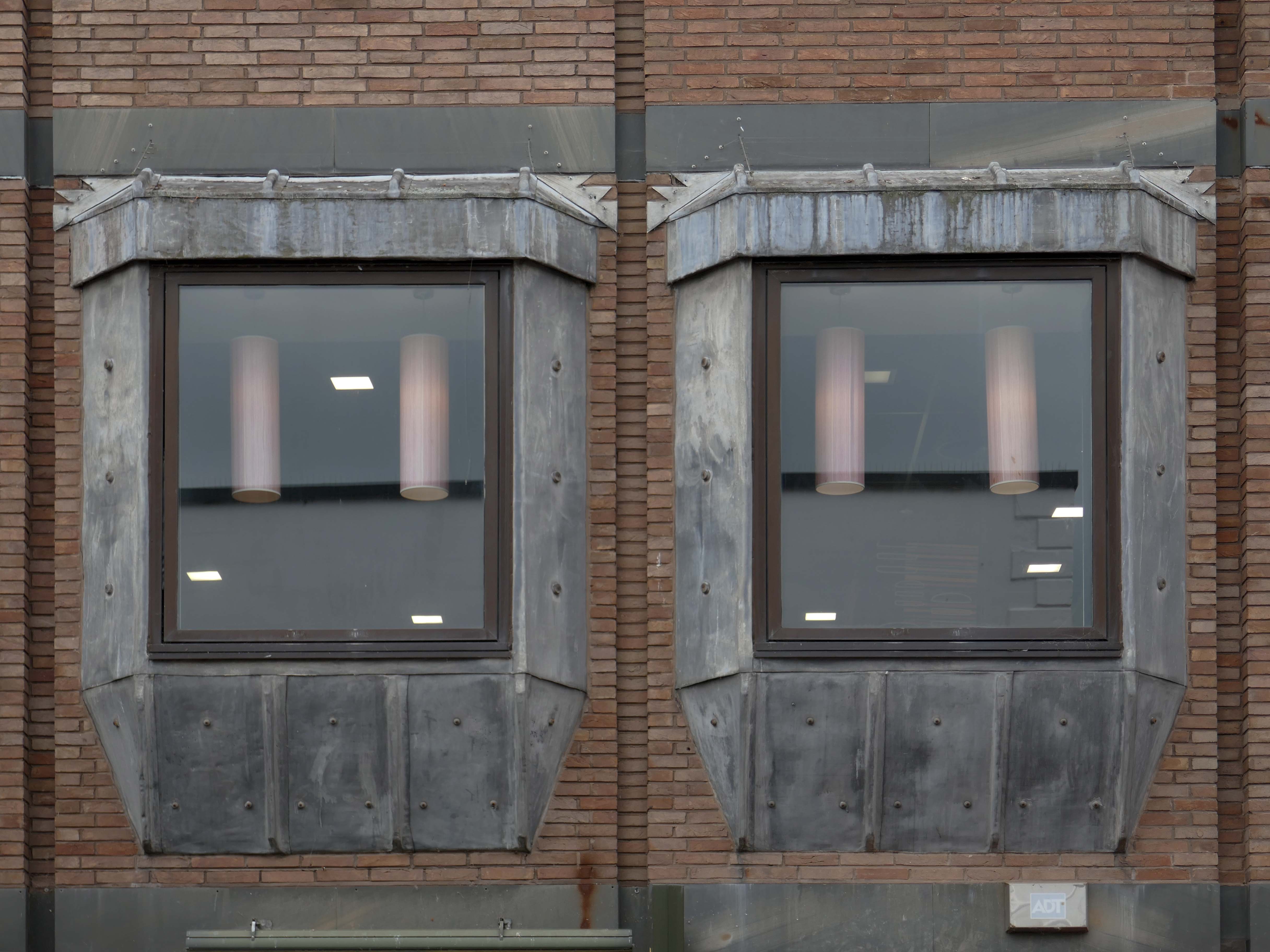
Though some of the original architectural detailing and features are no more.
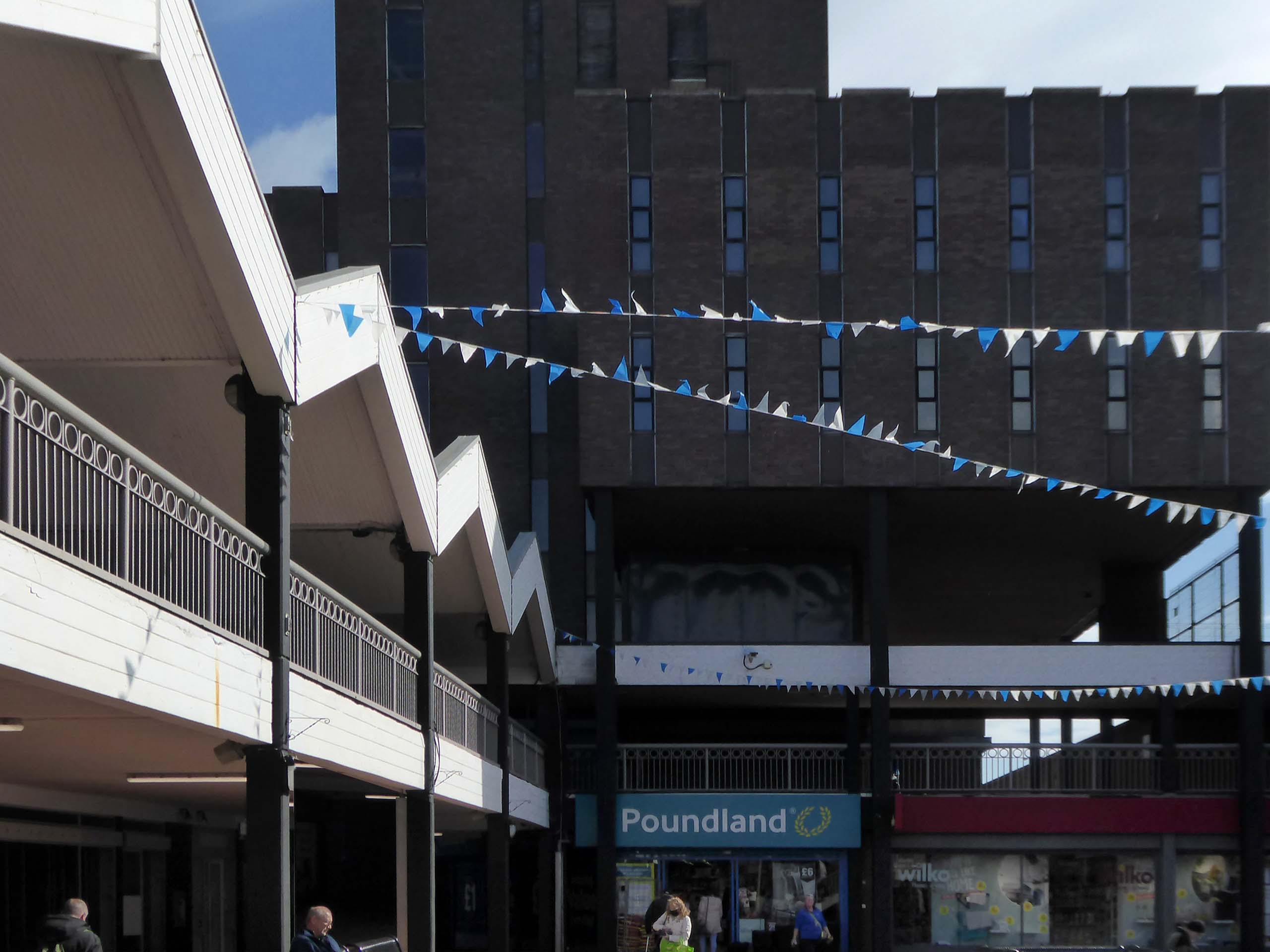
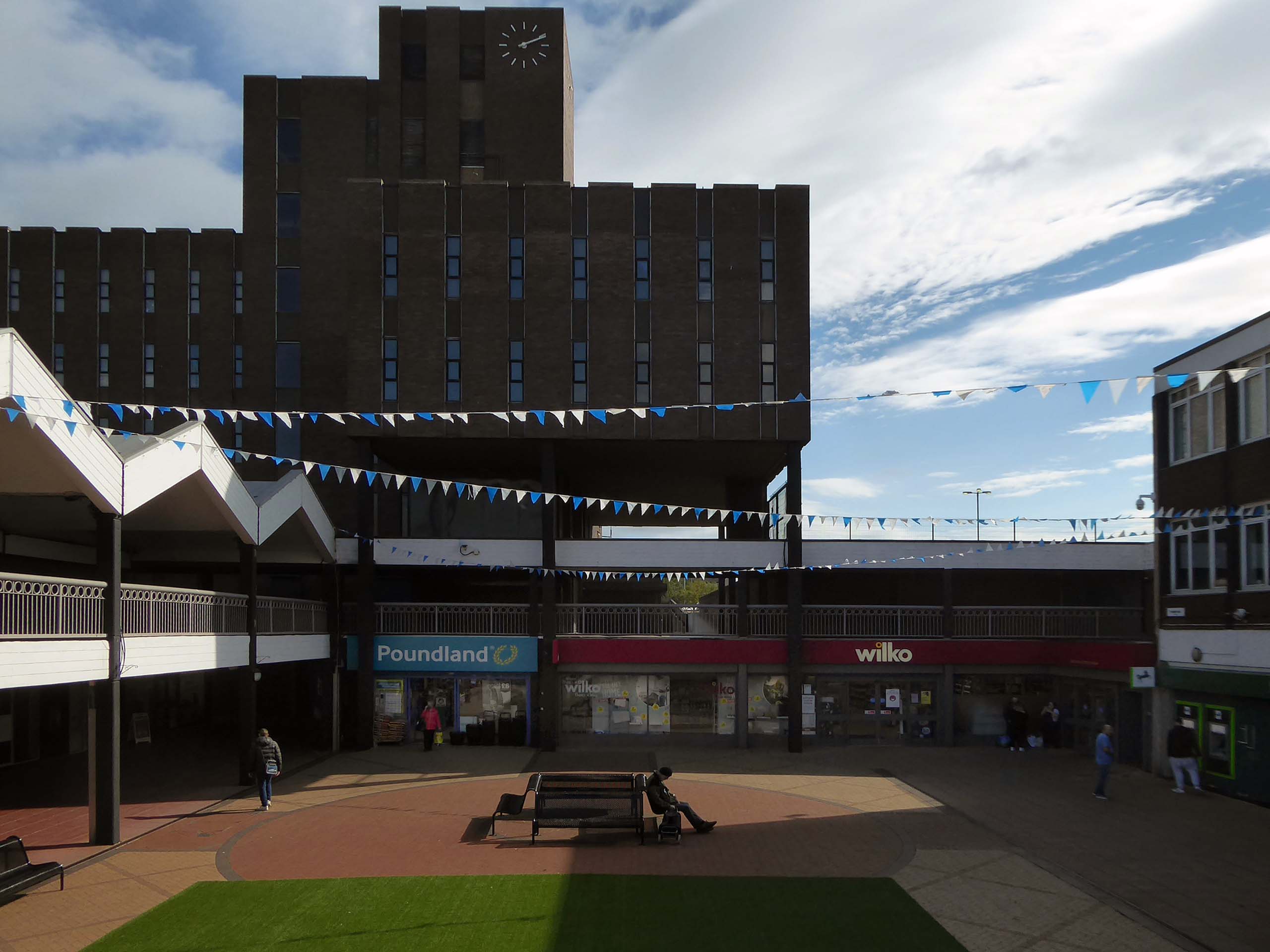
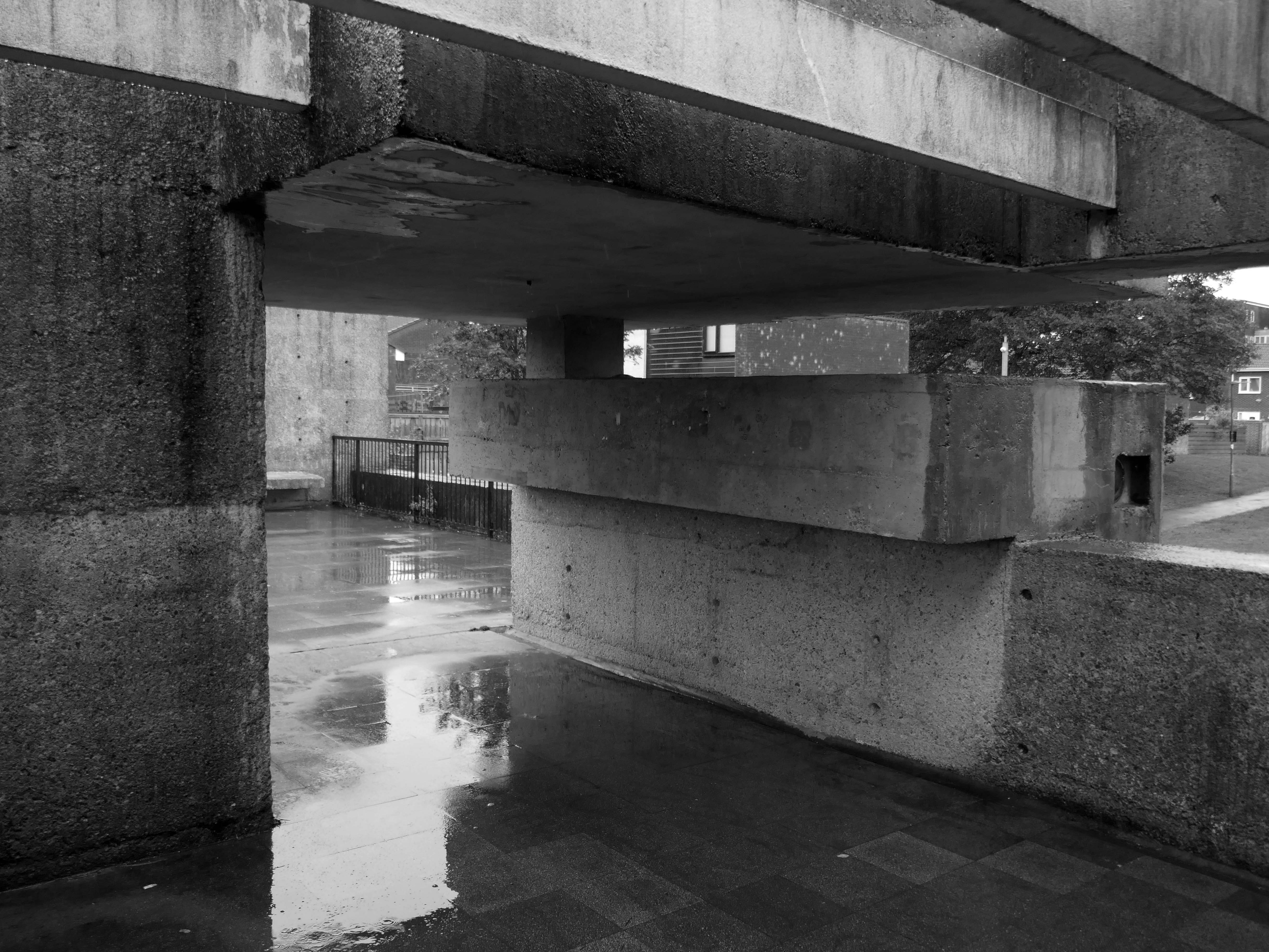
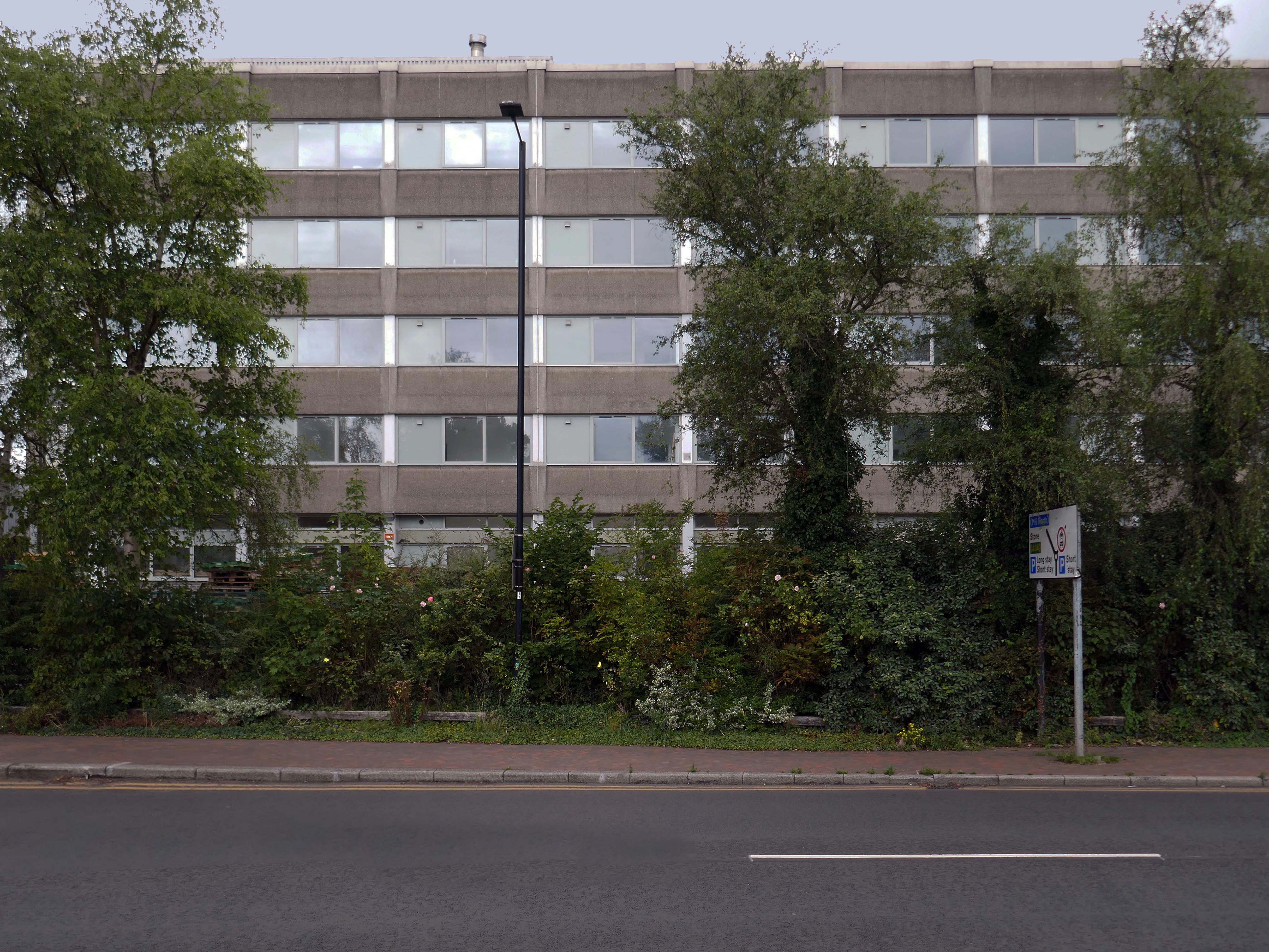
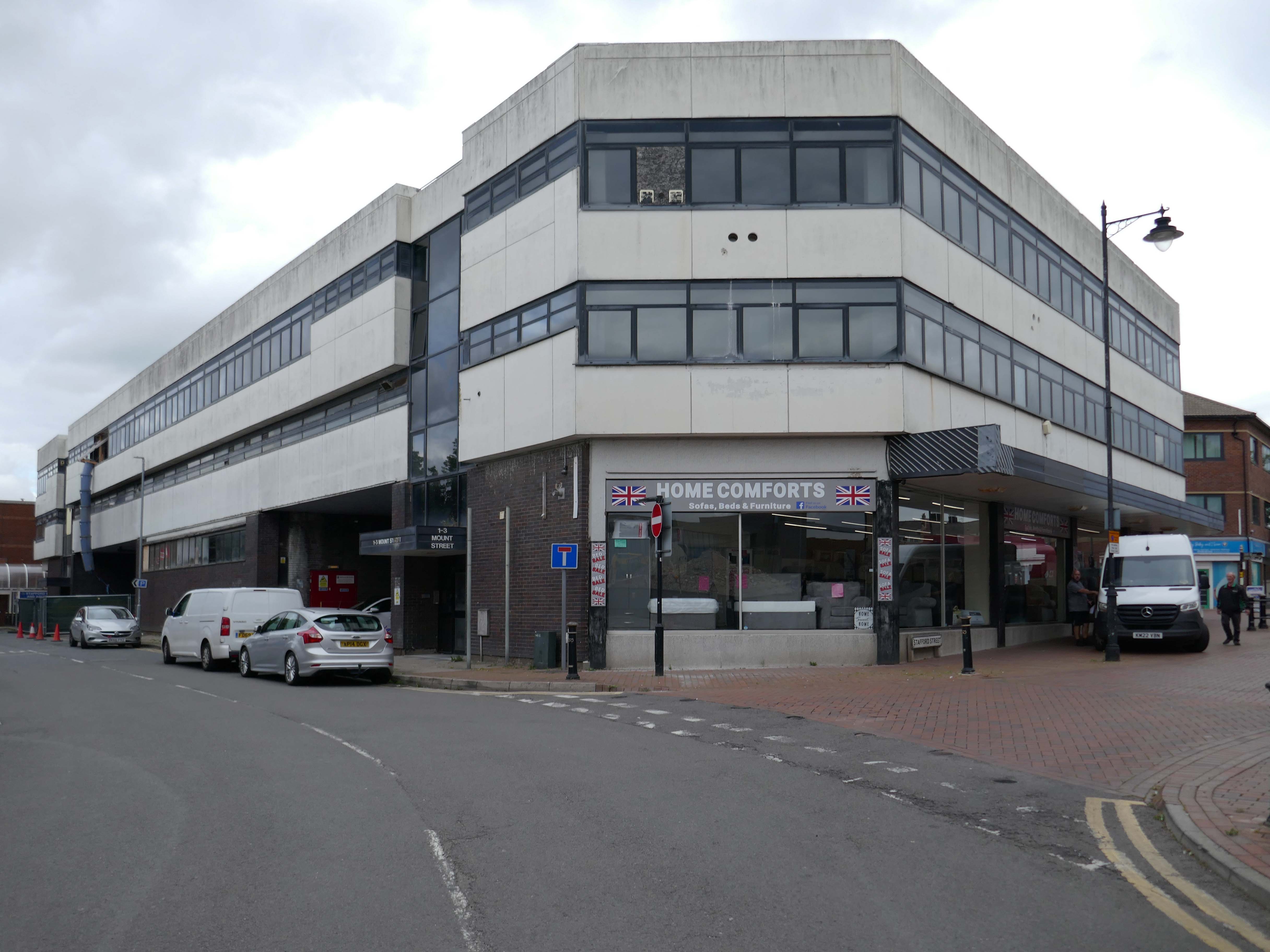
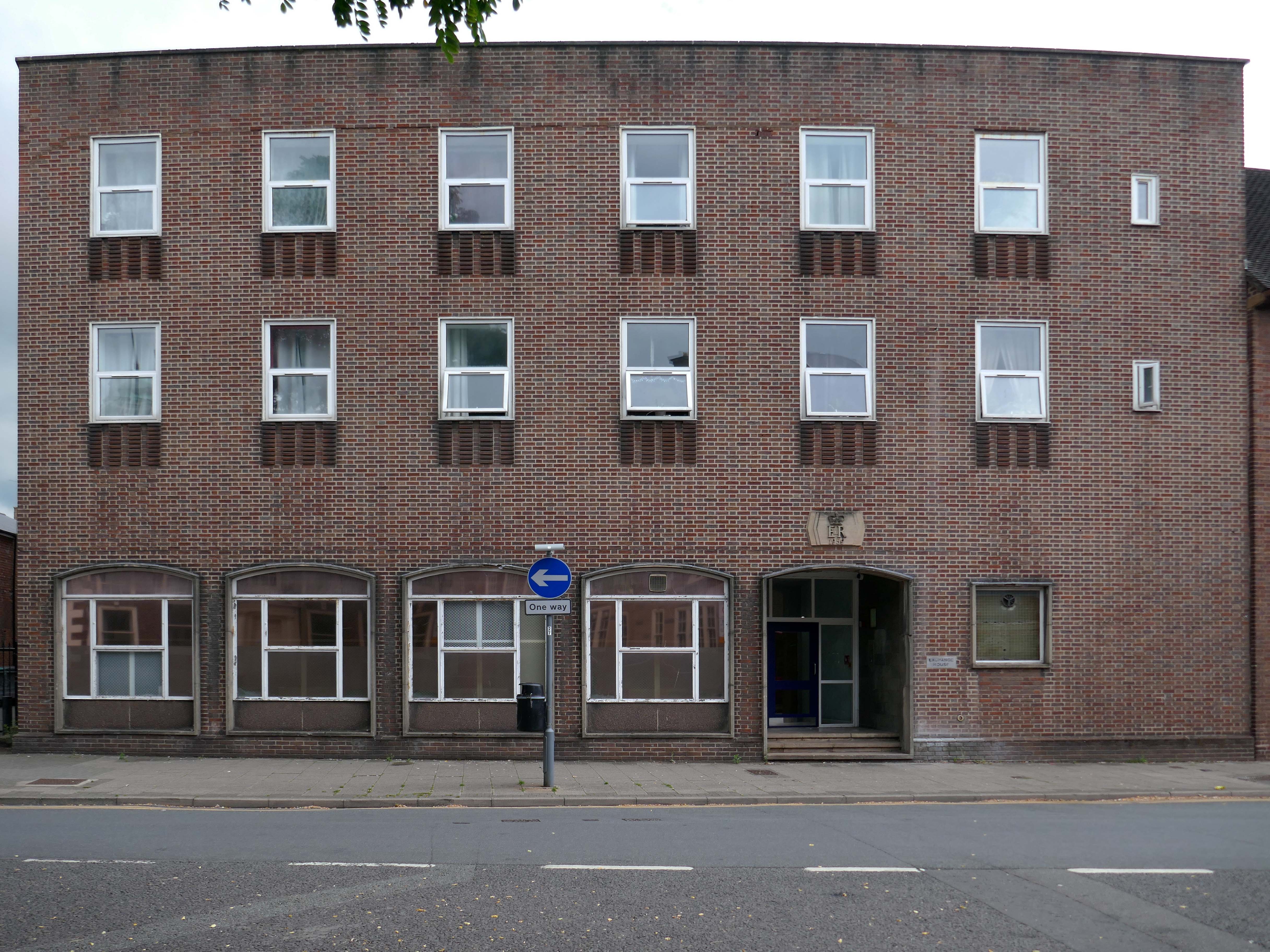
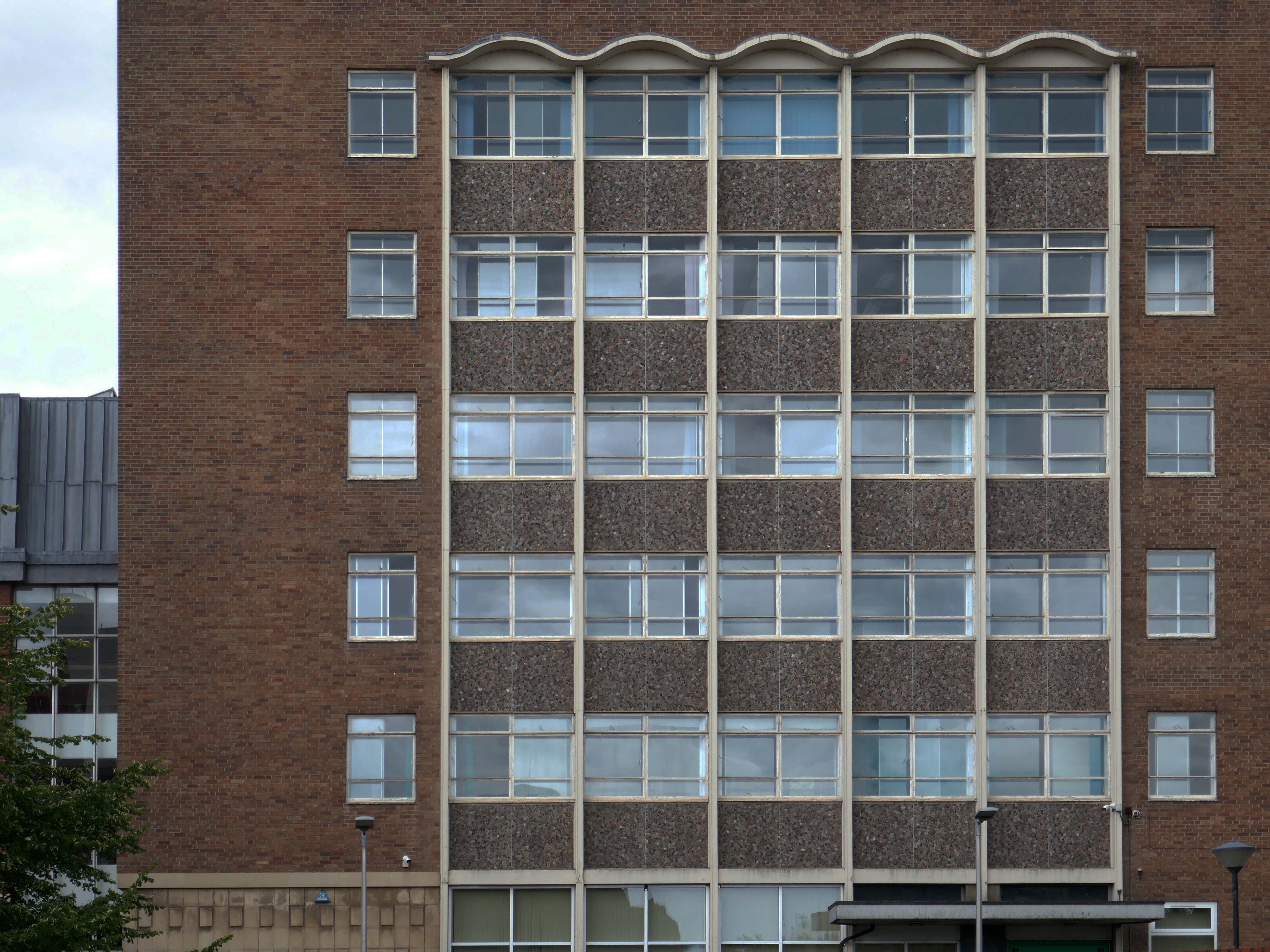
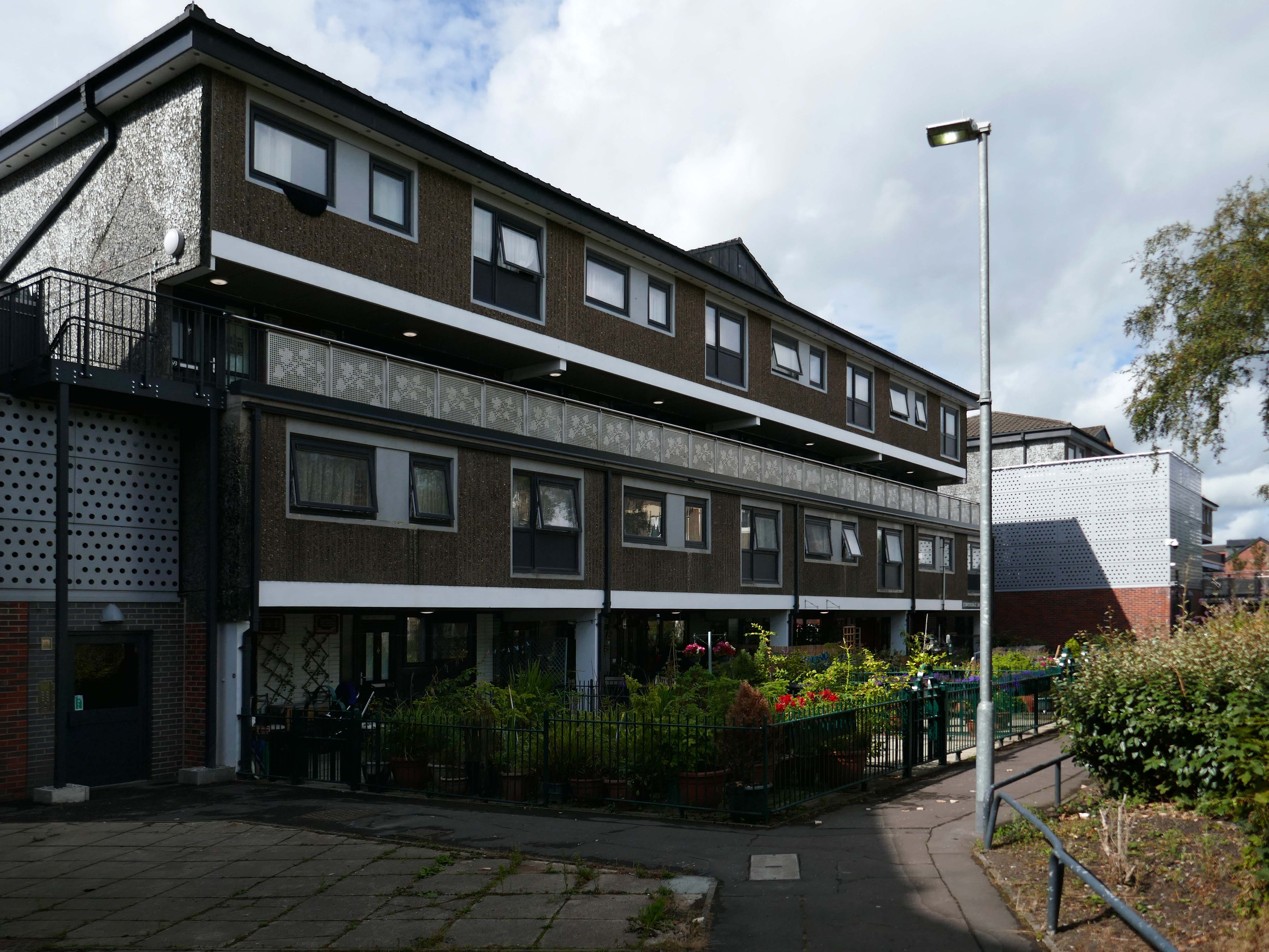
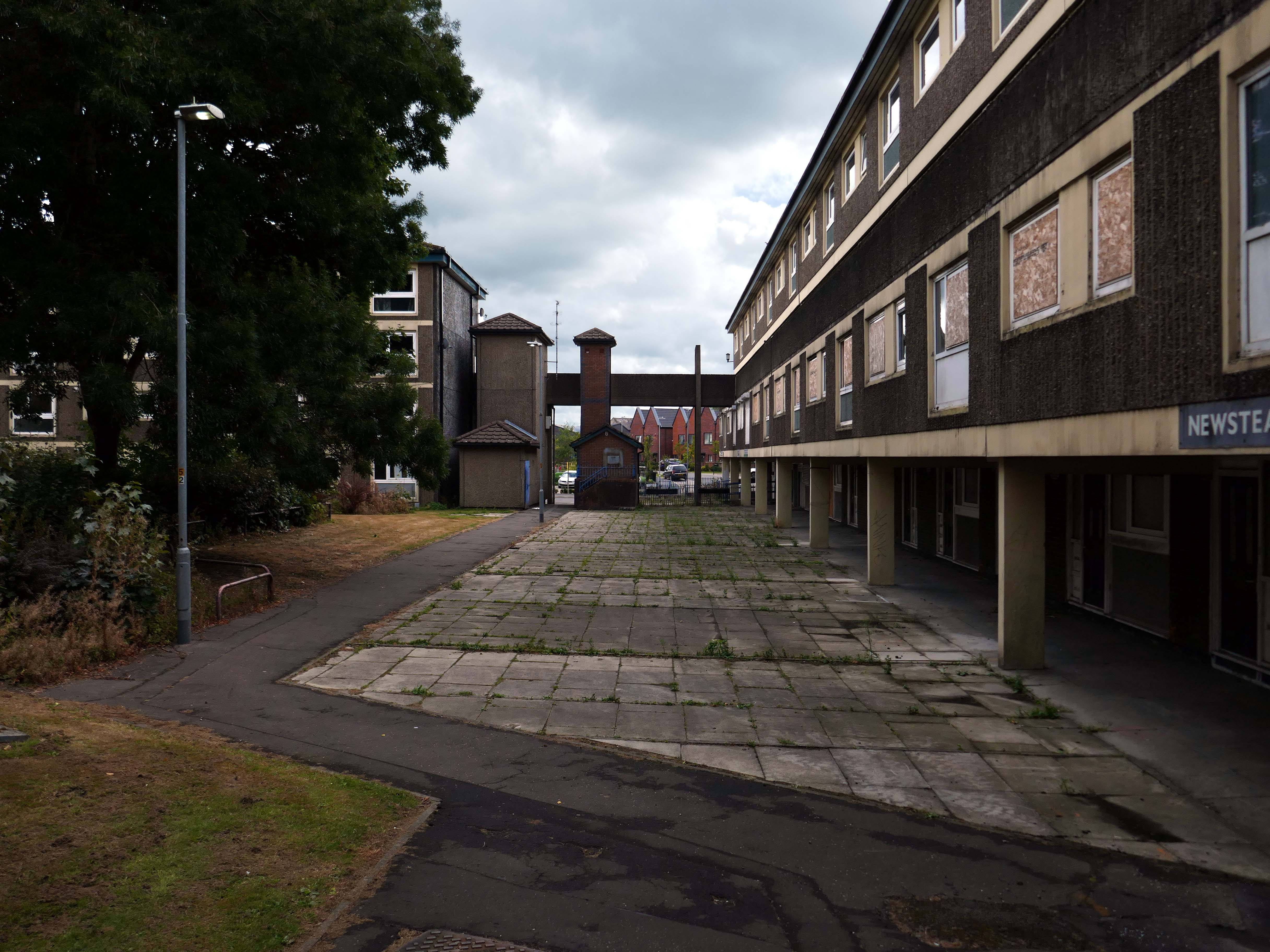
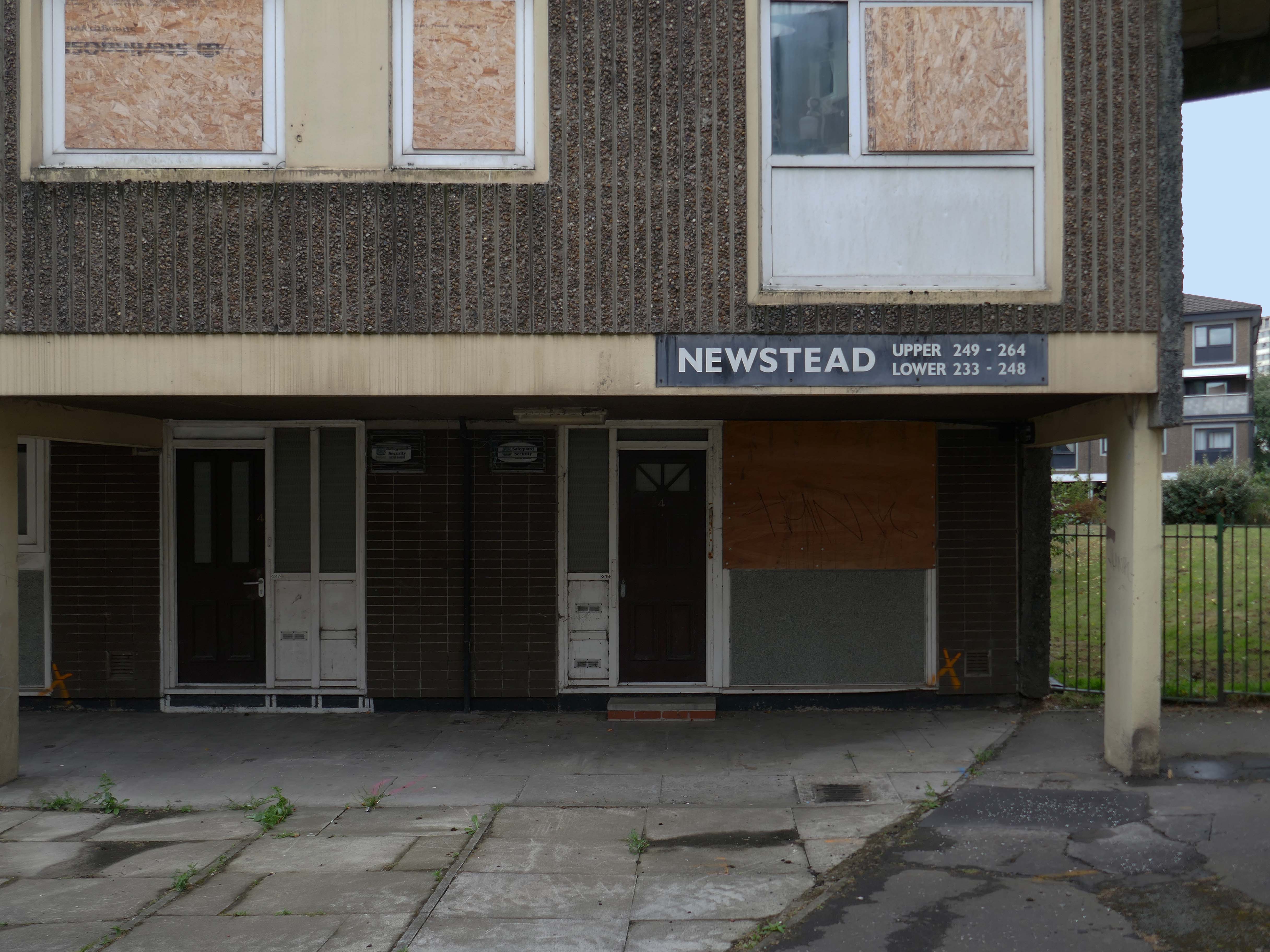
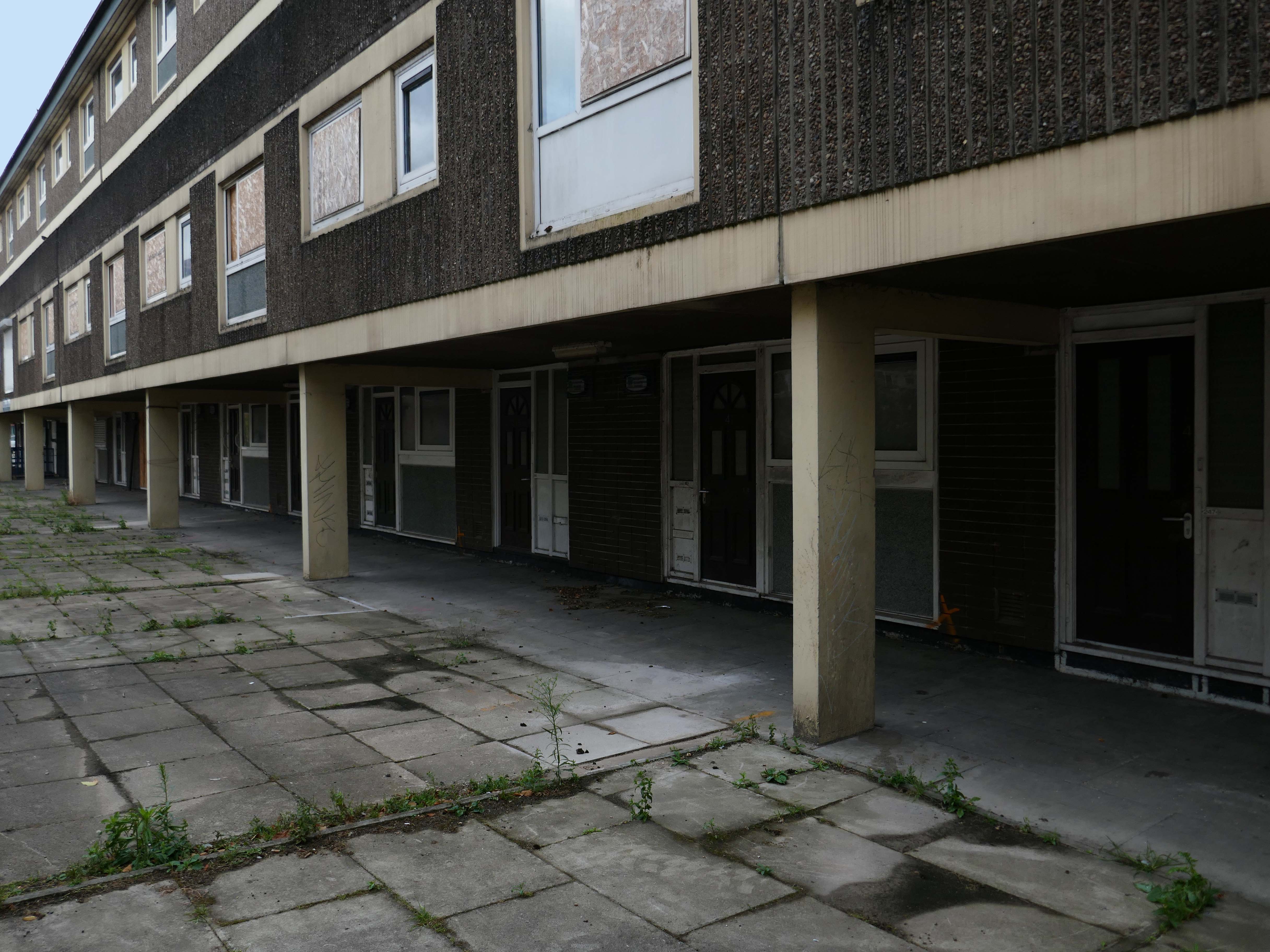
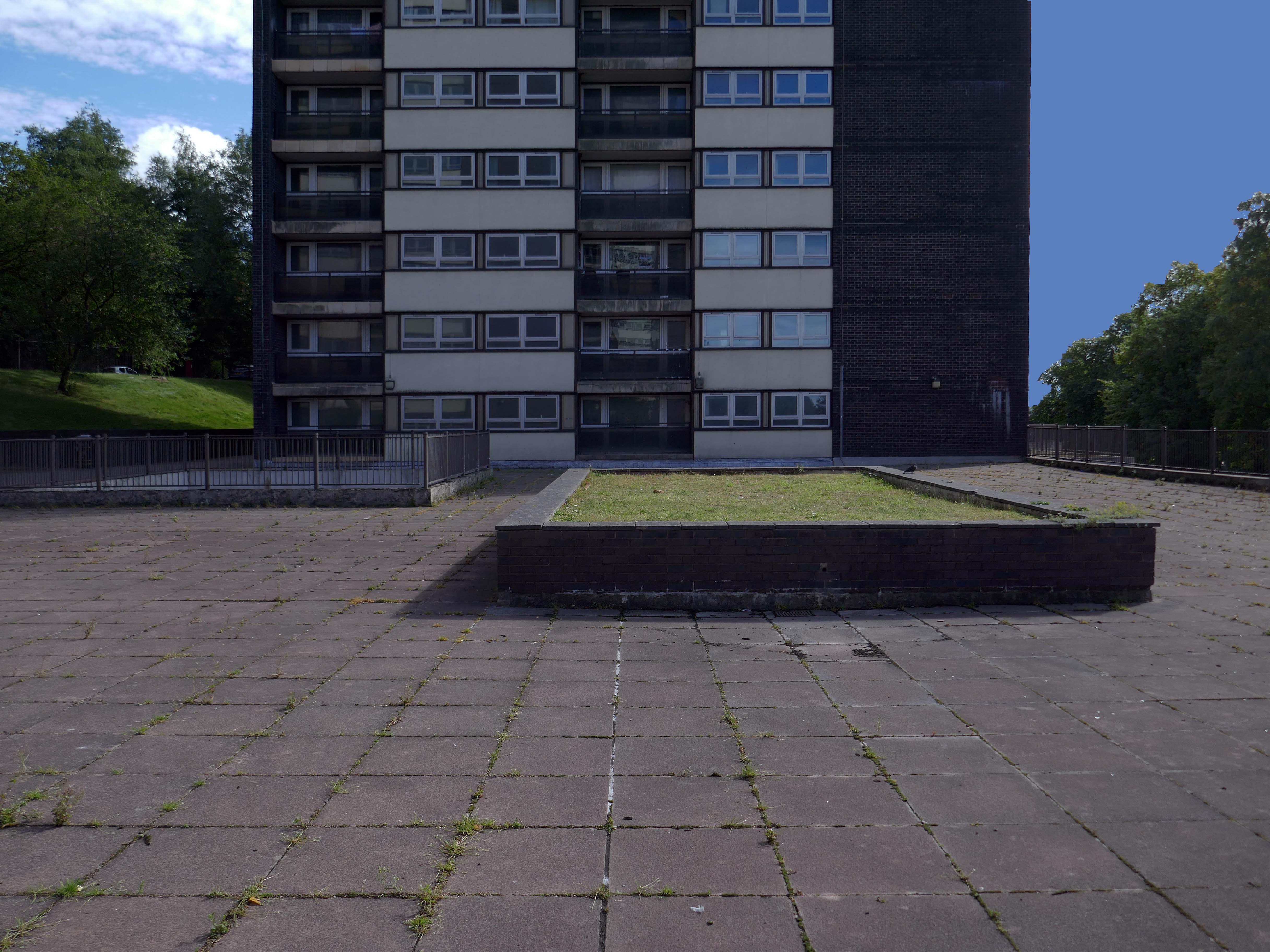
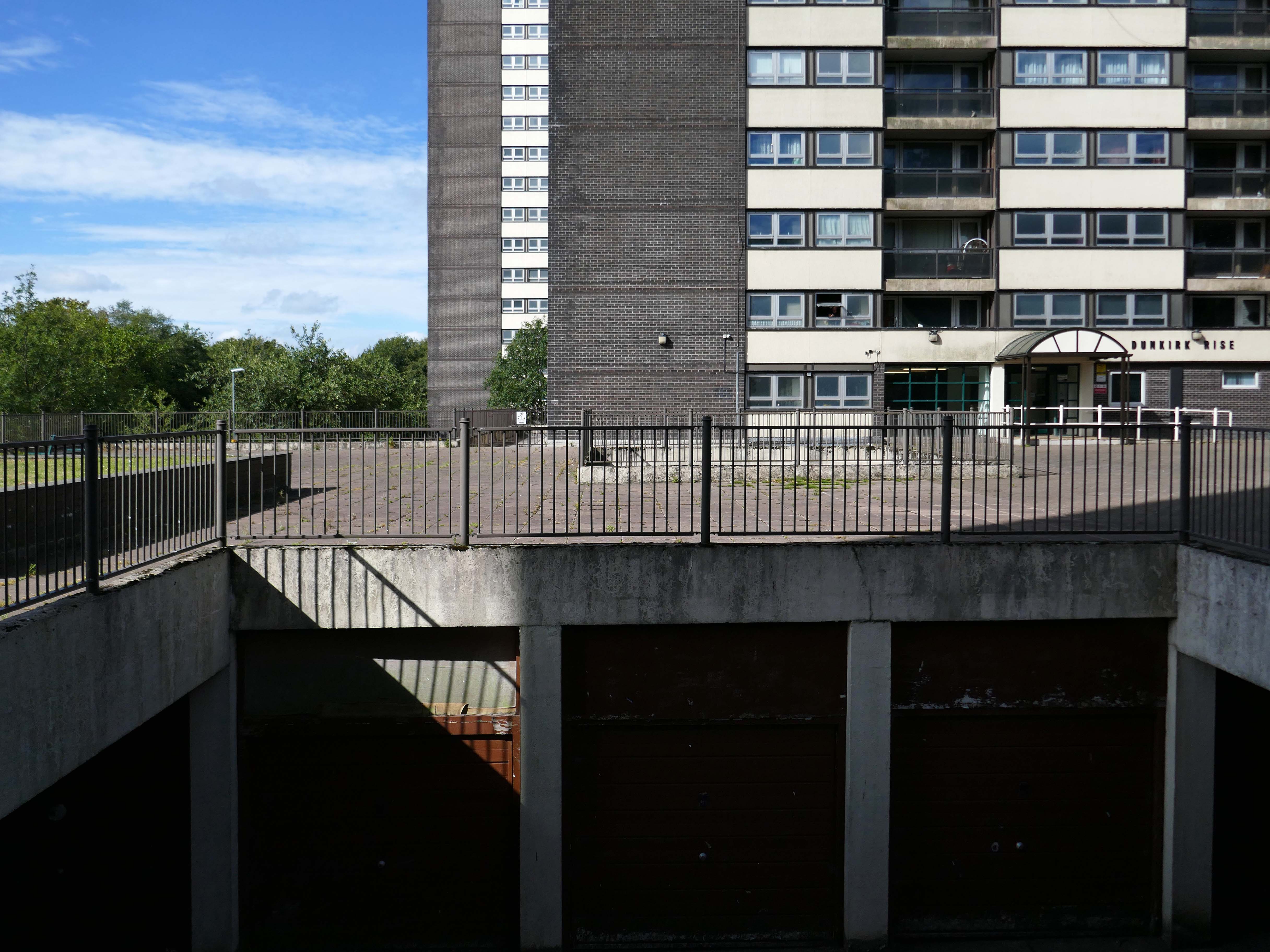
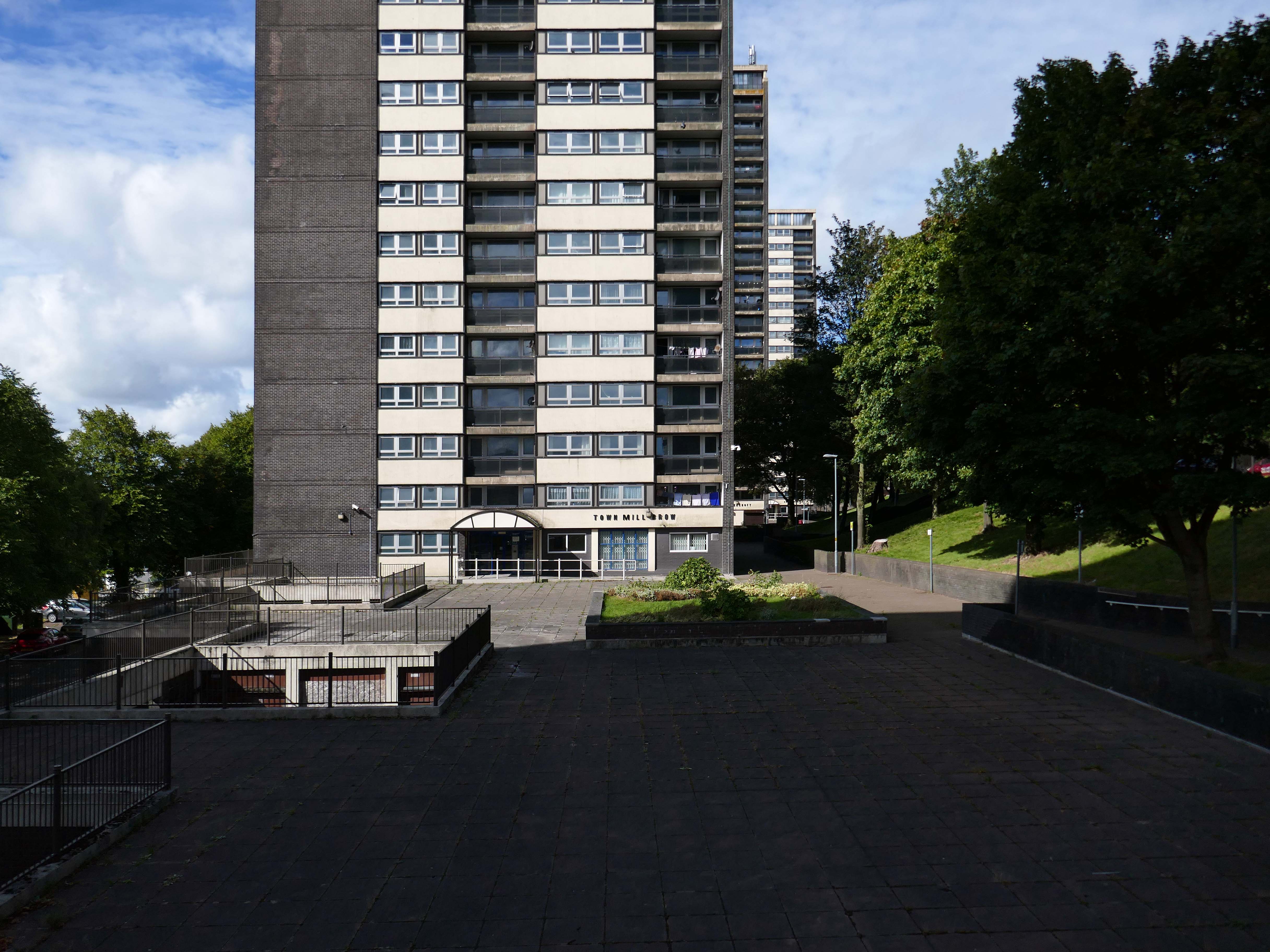
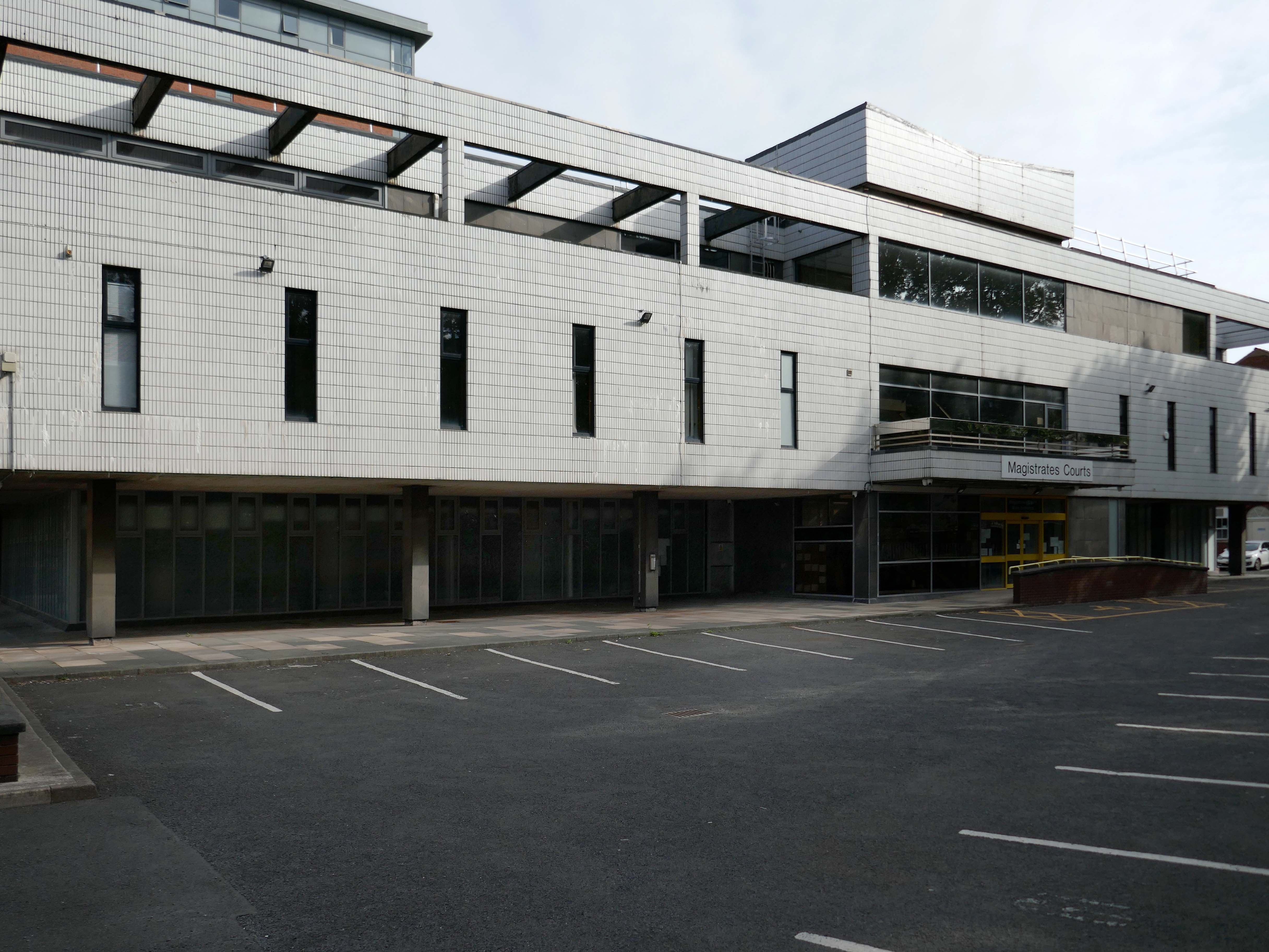
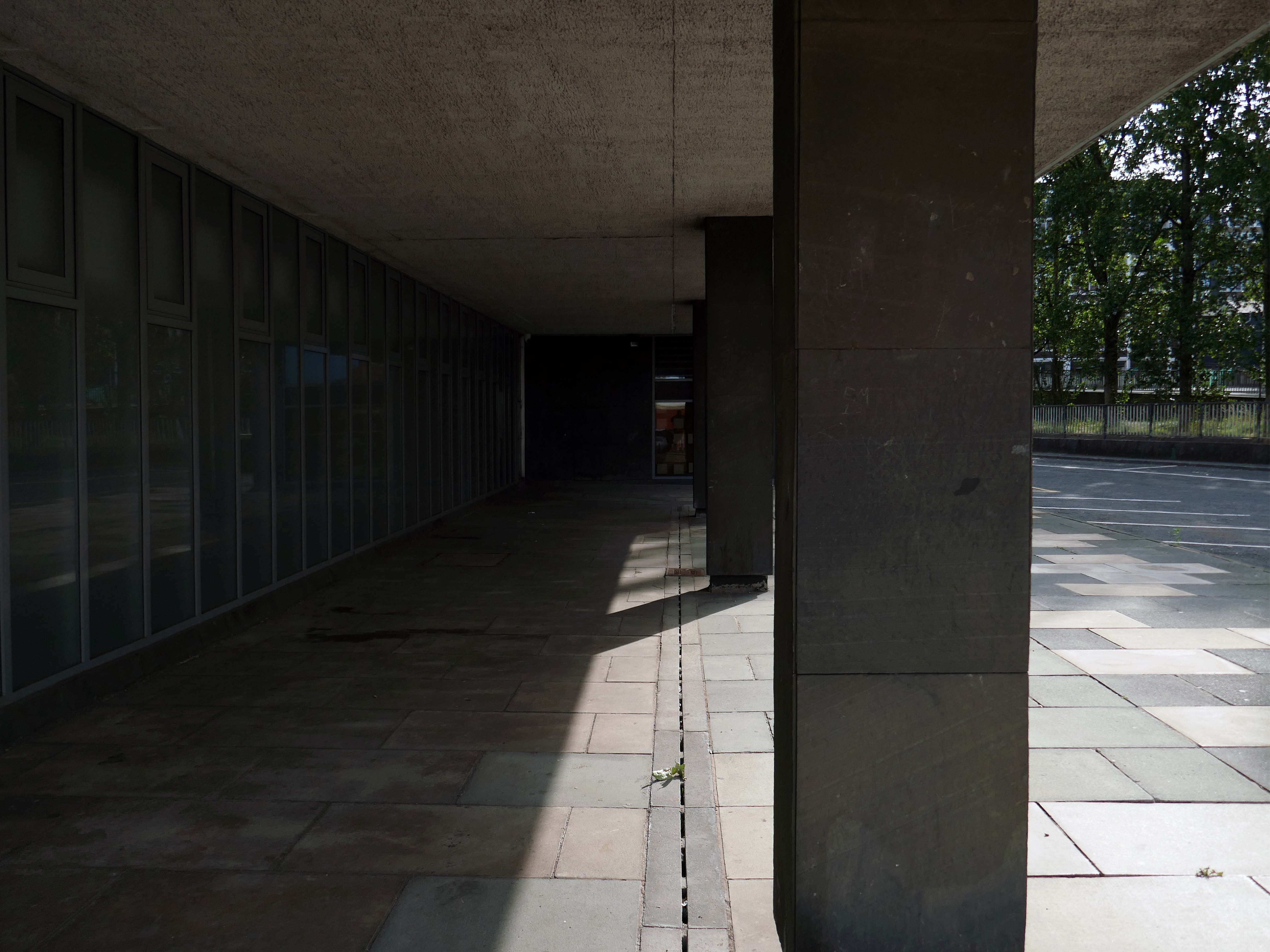
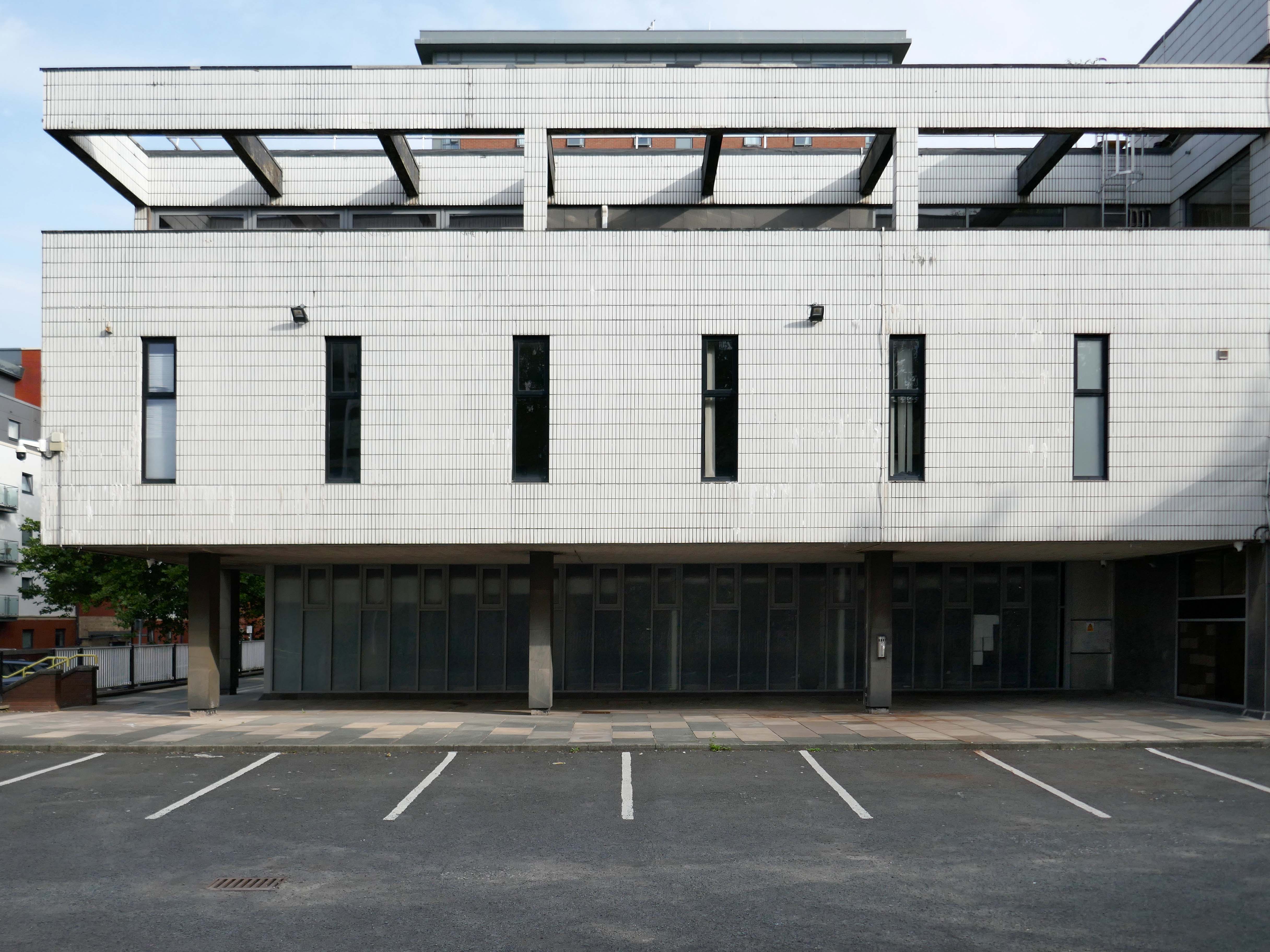
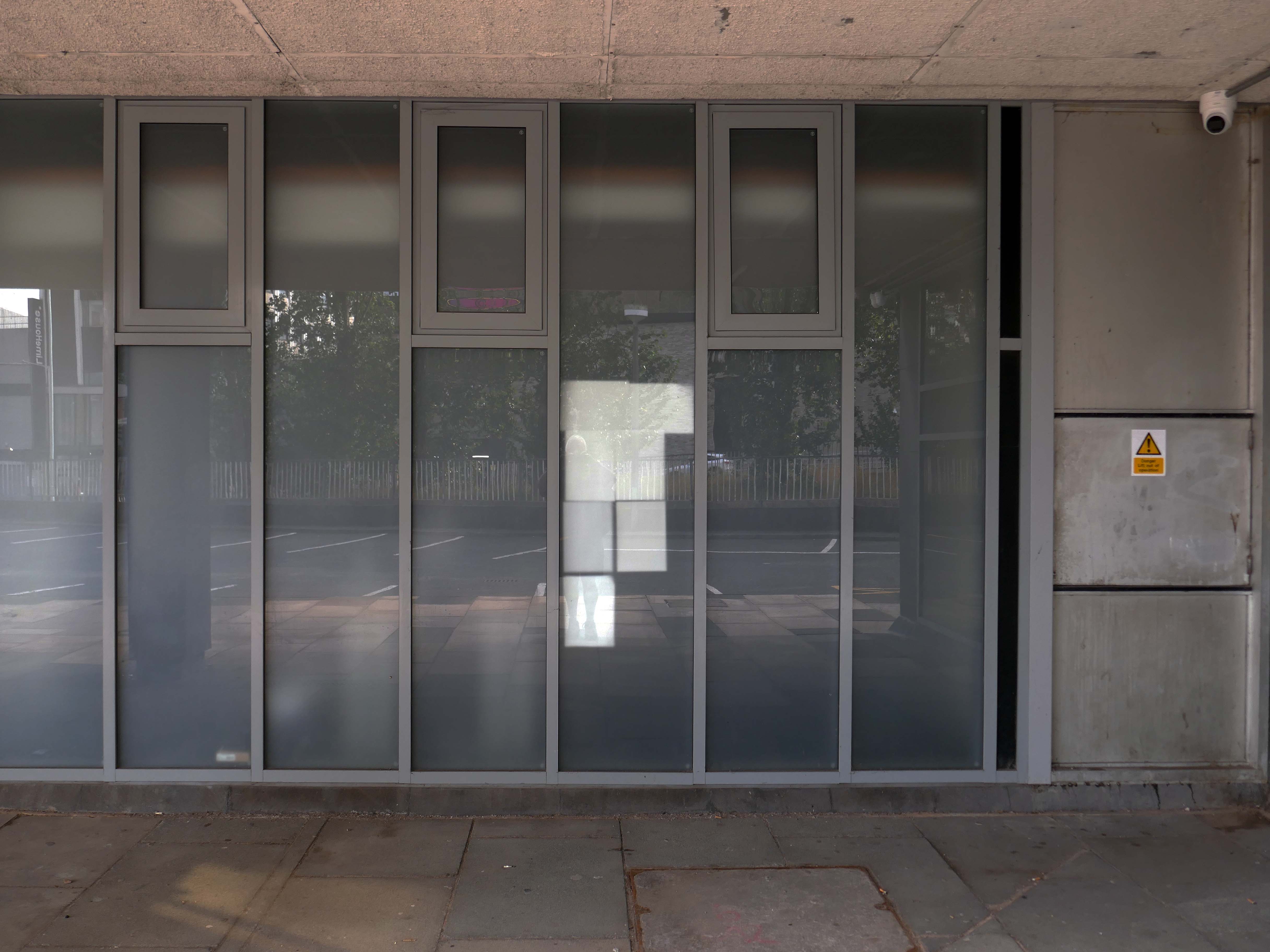
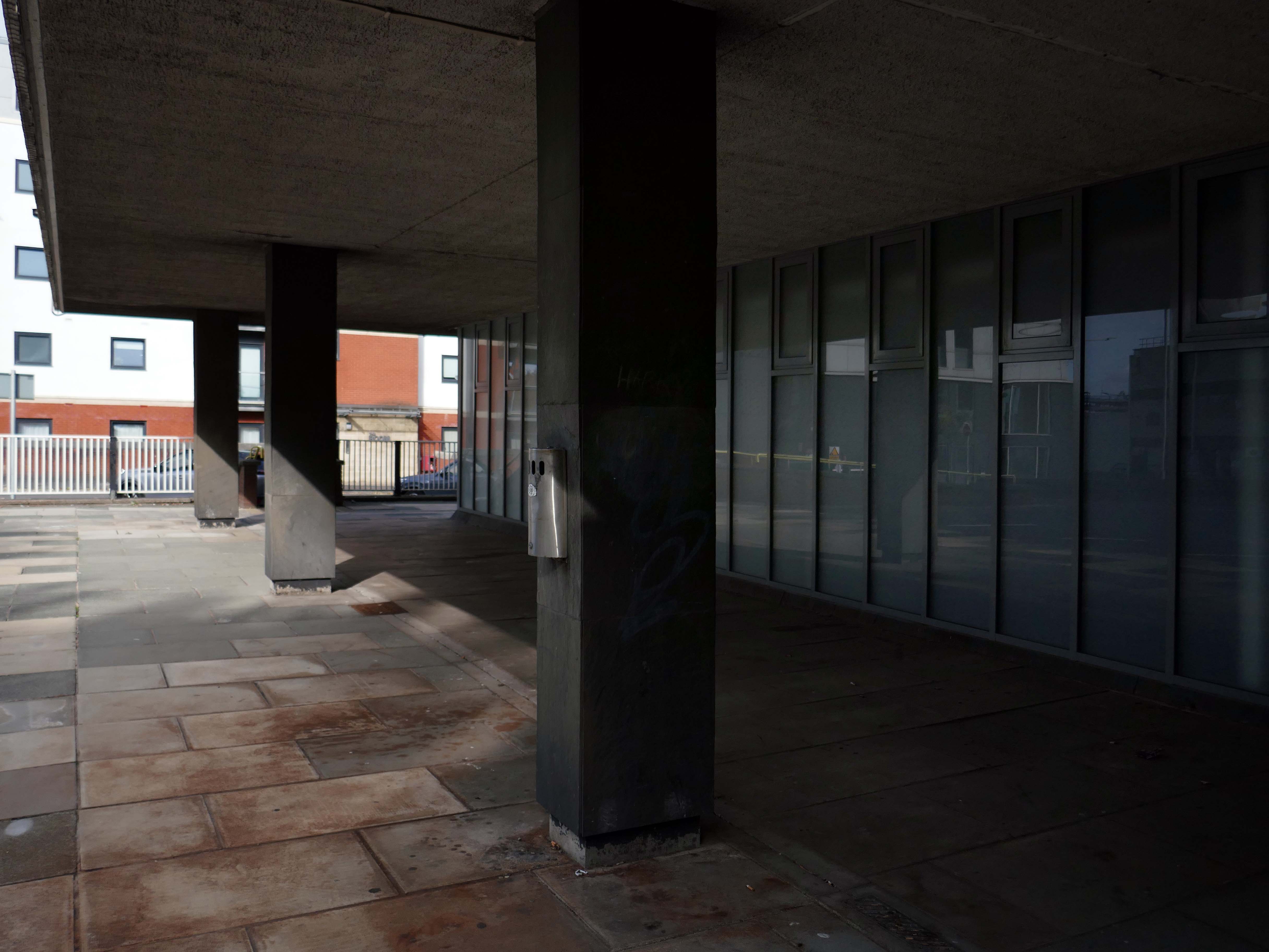
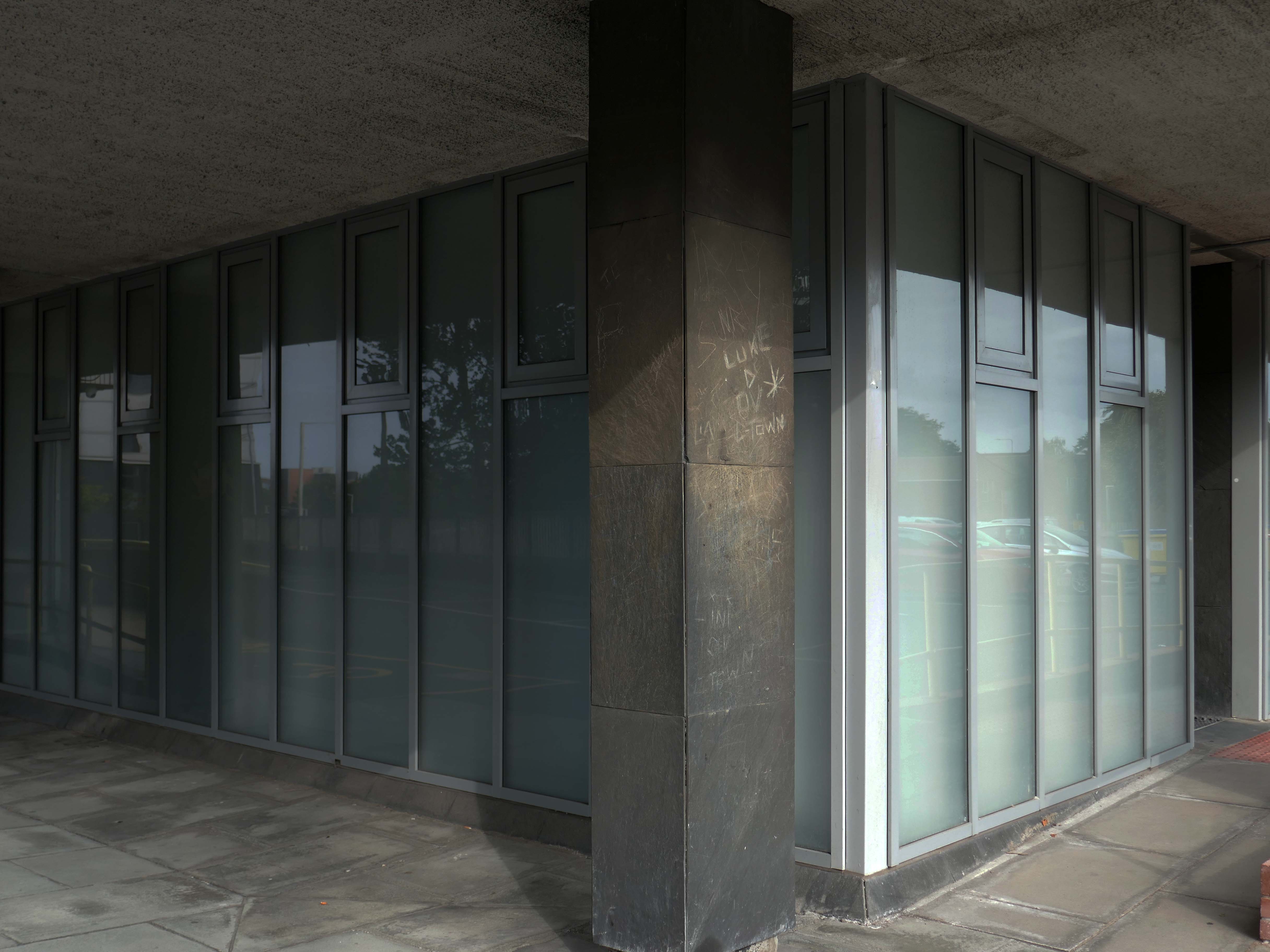
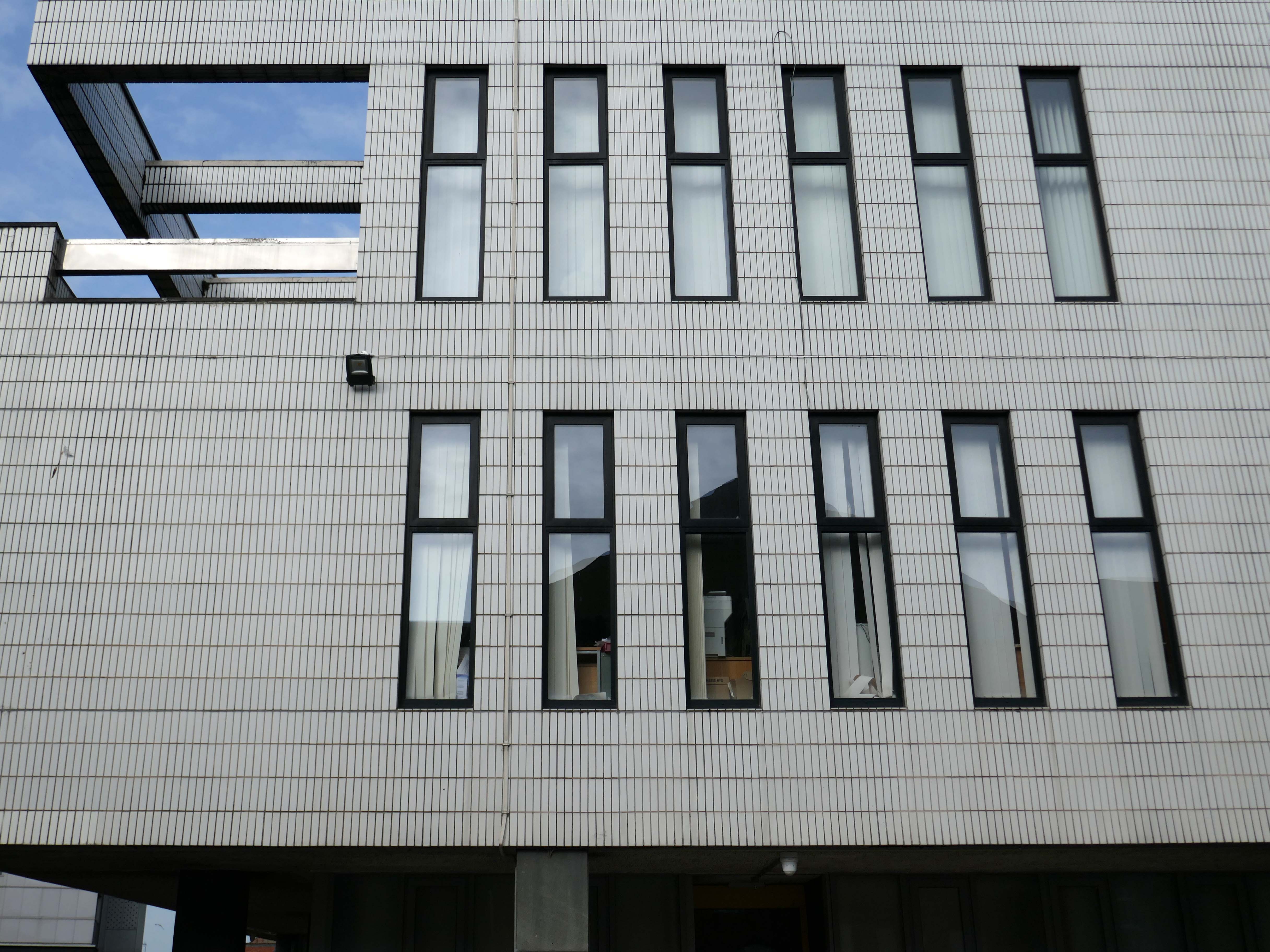
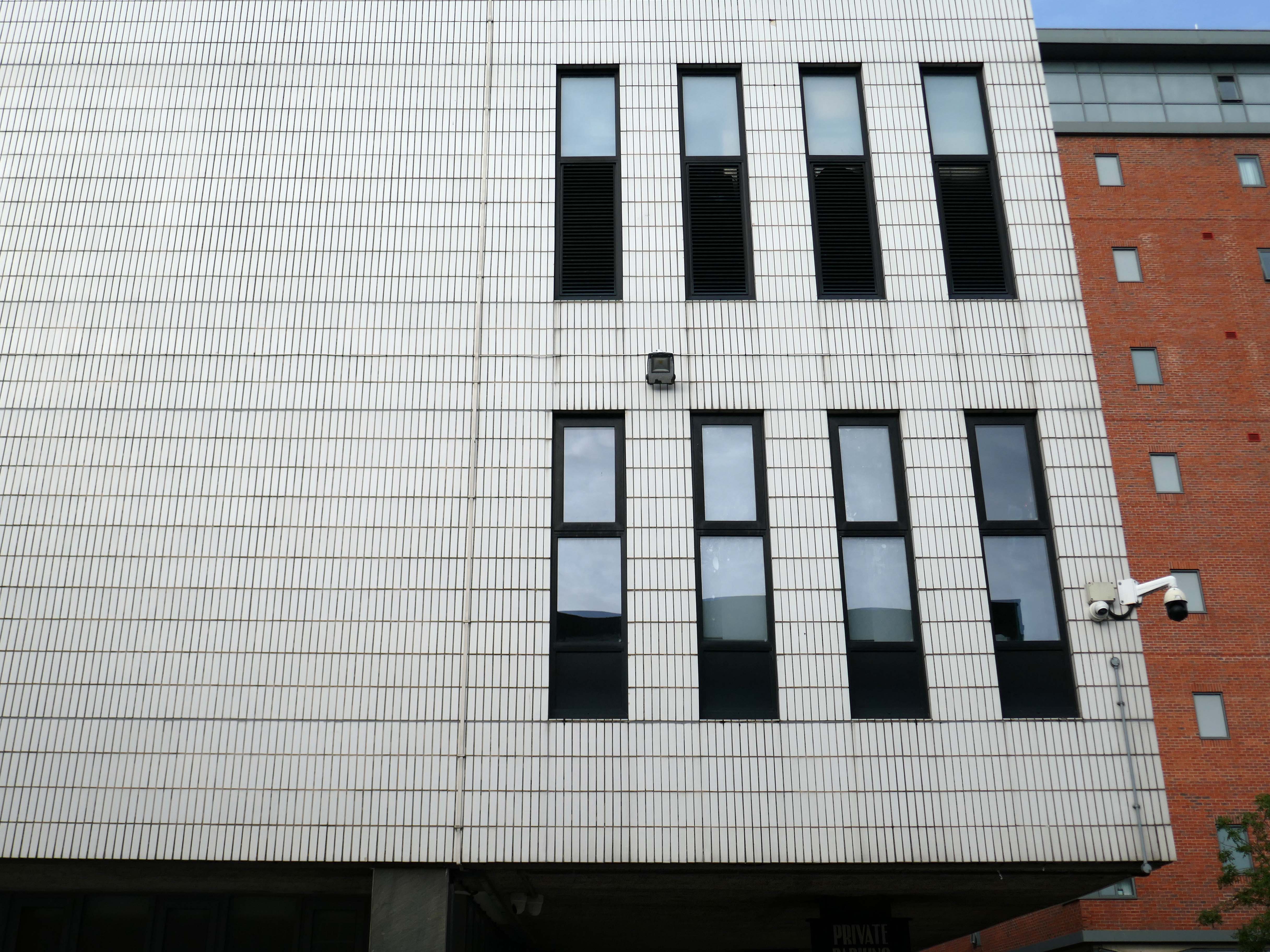
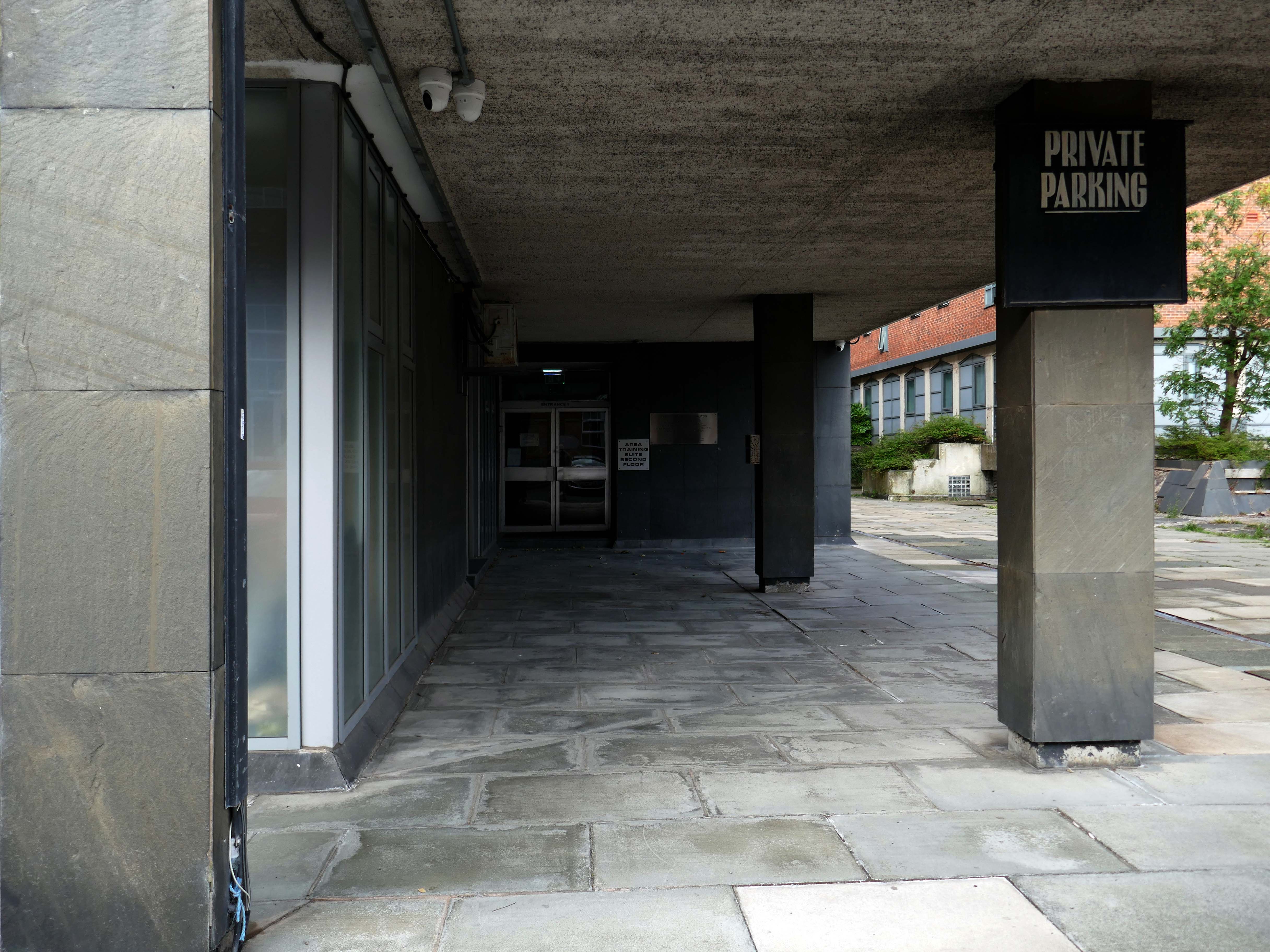
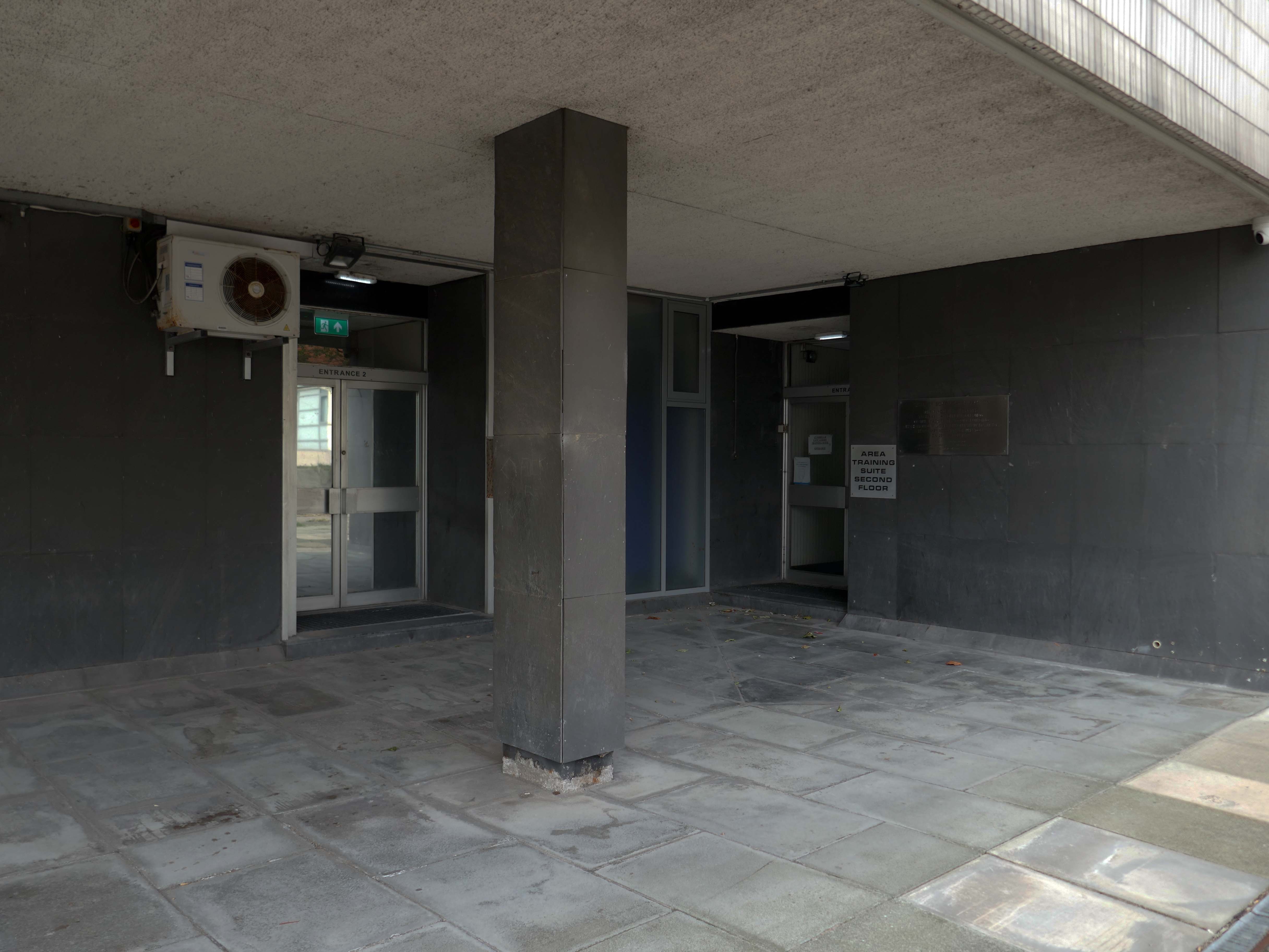
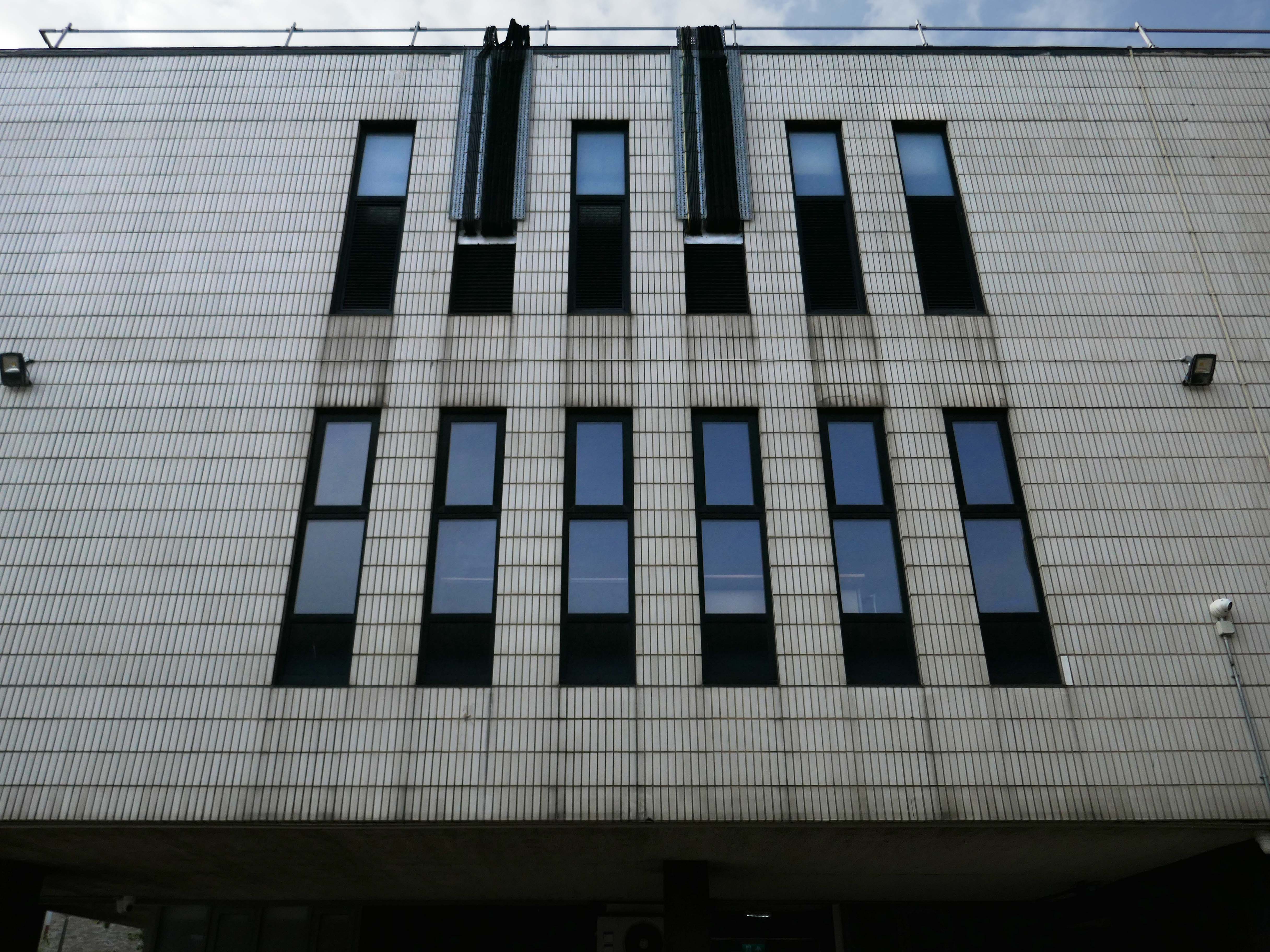
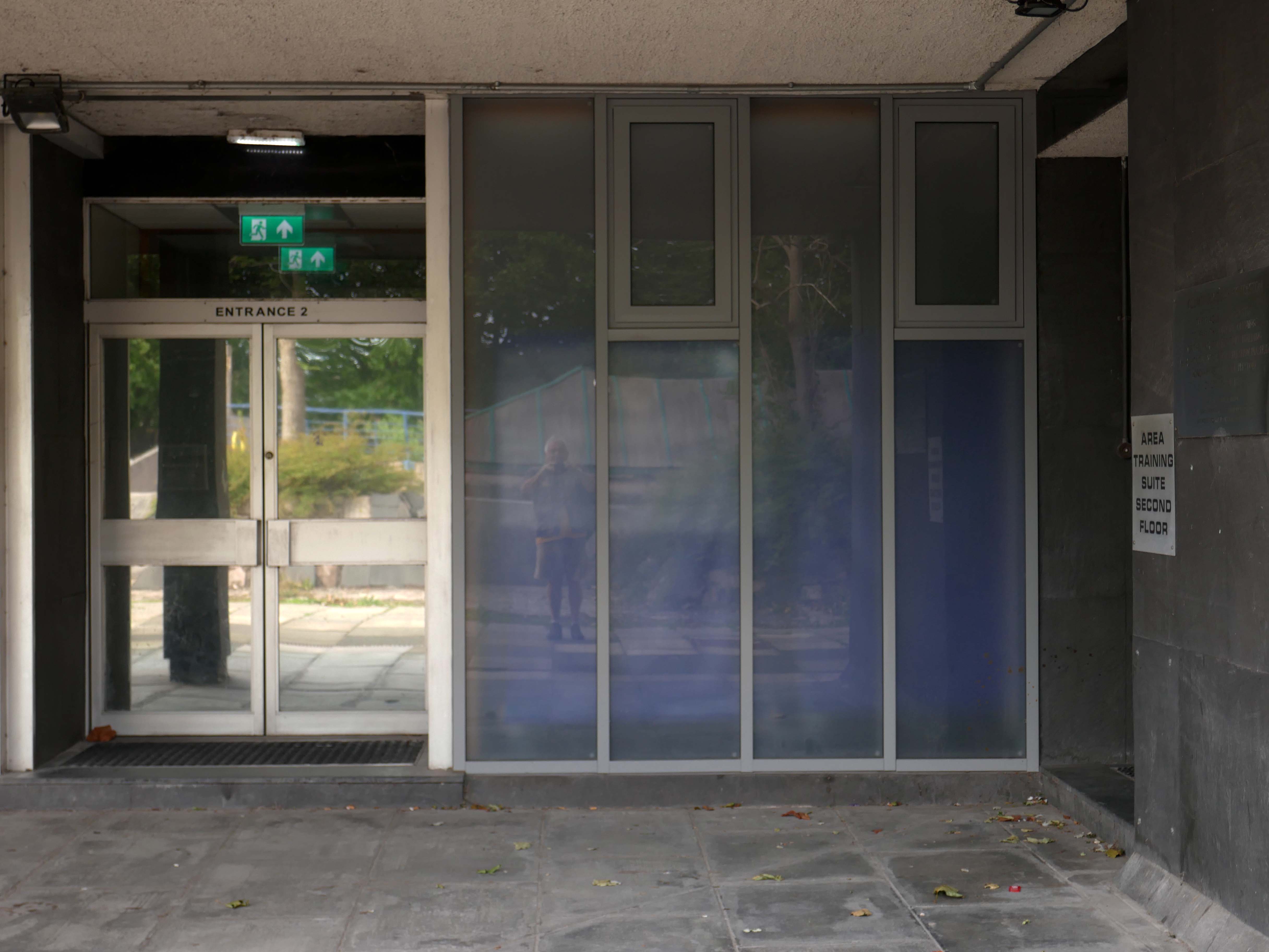
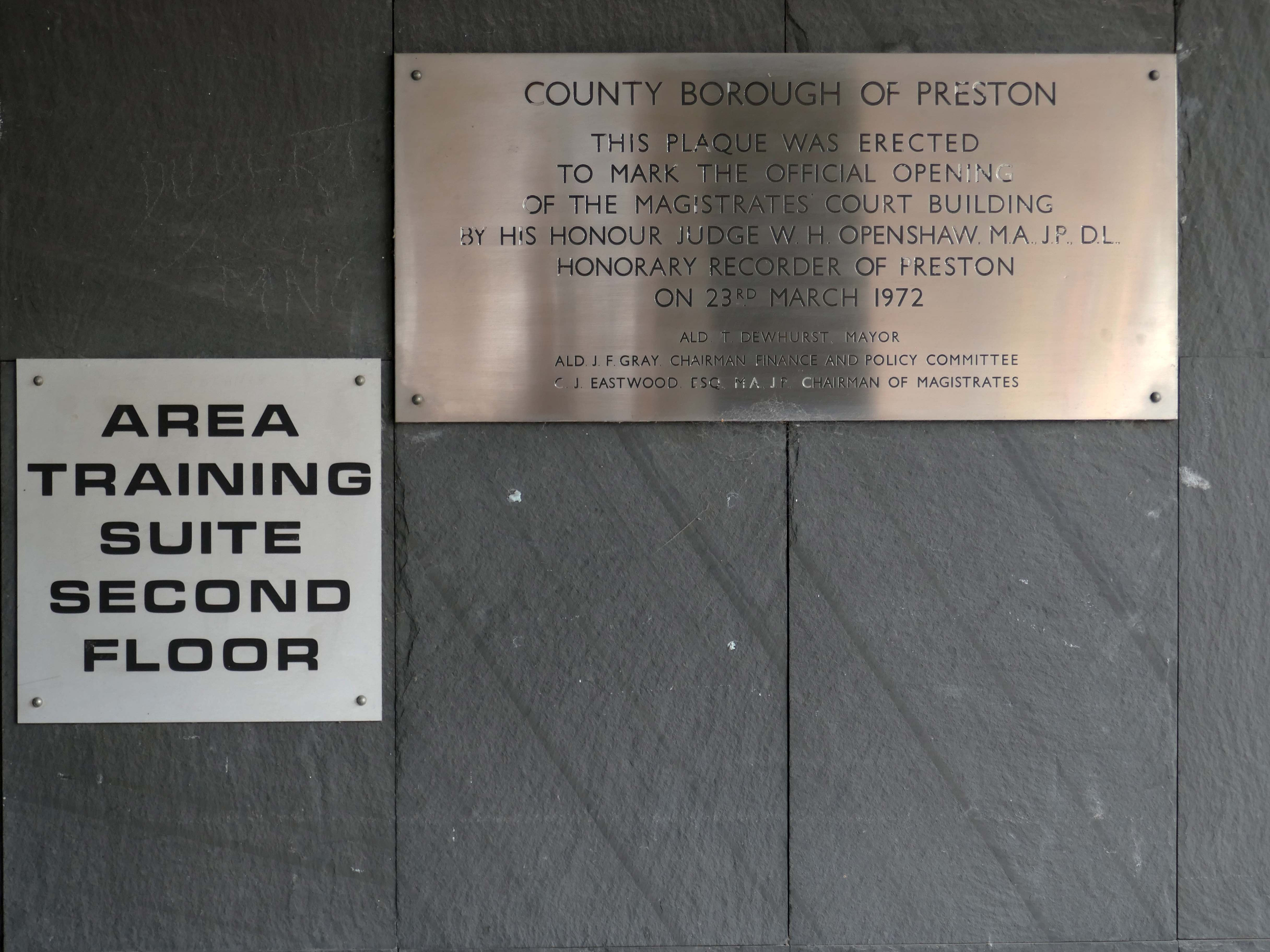
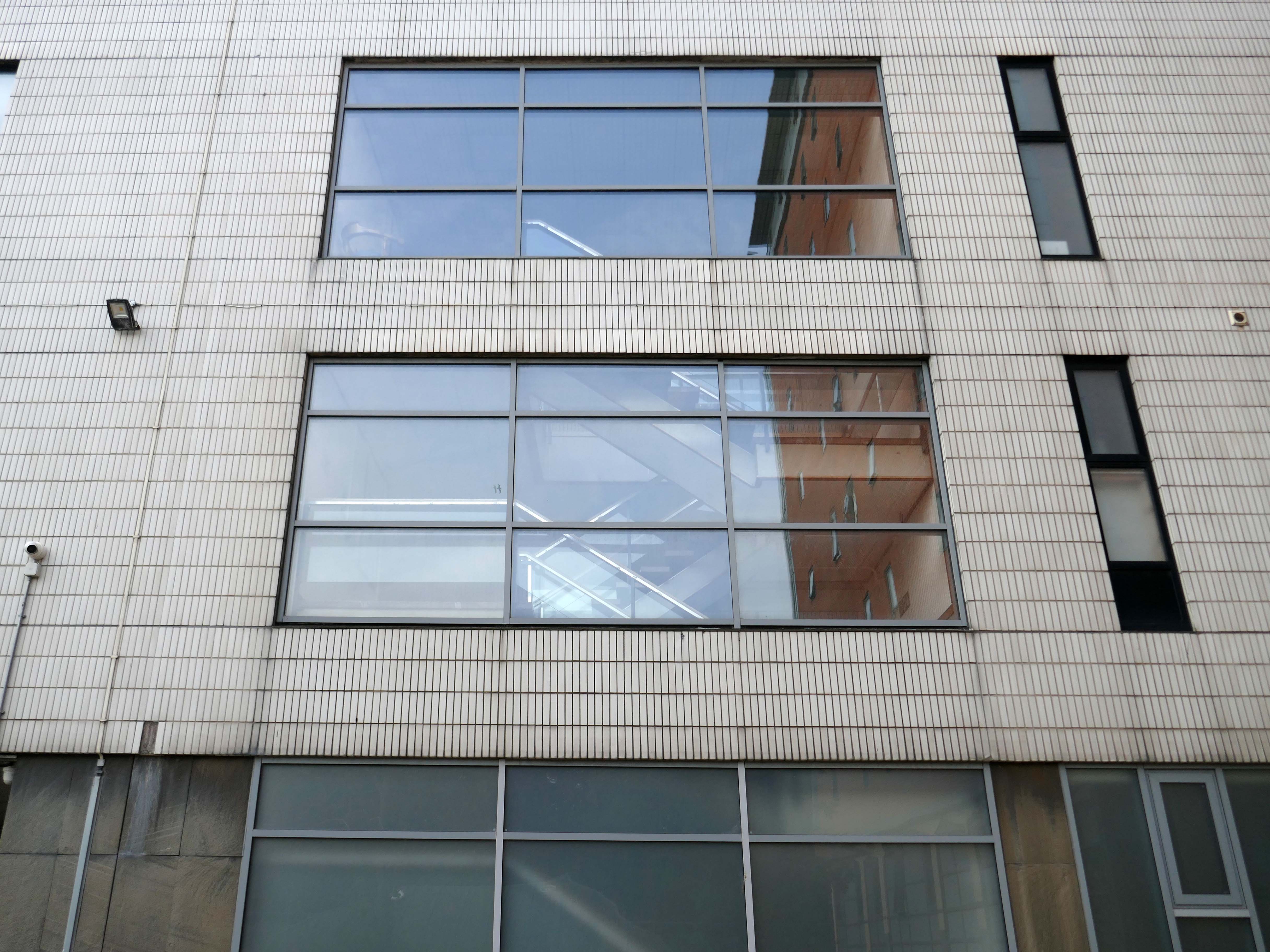
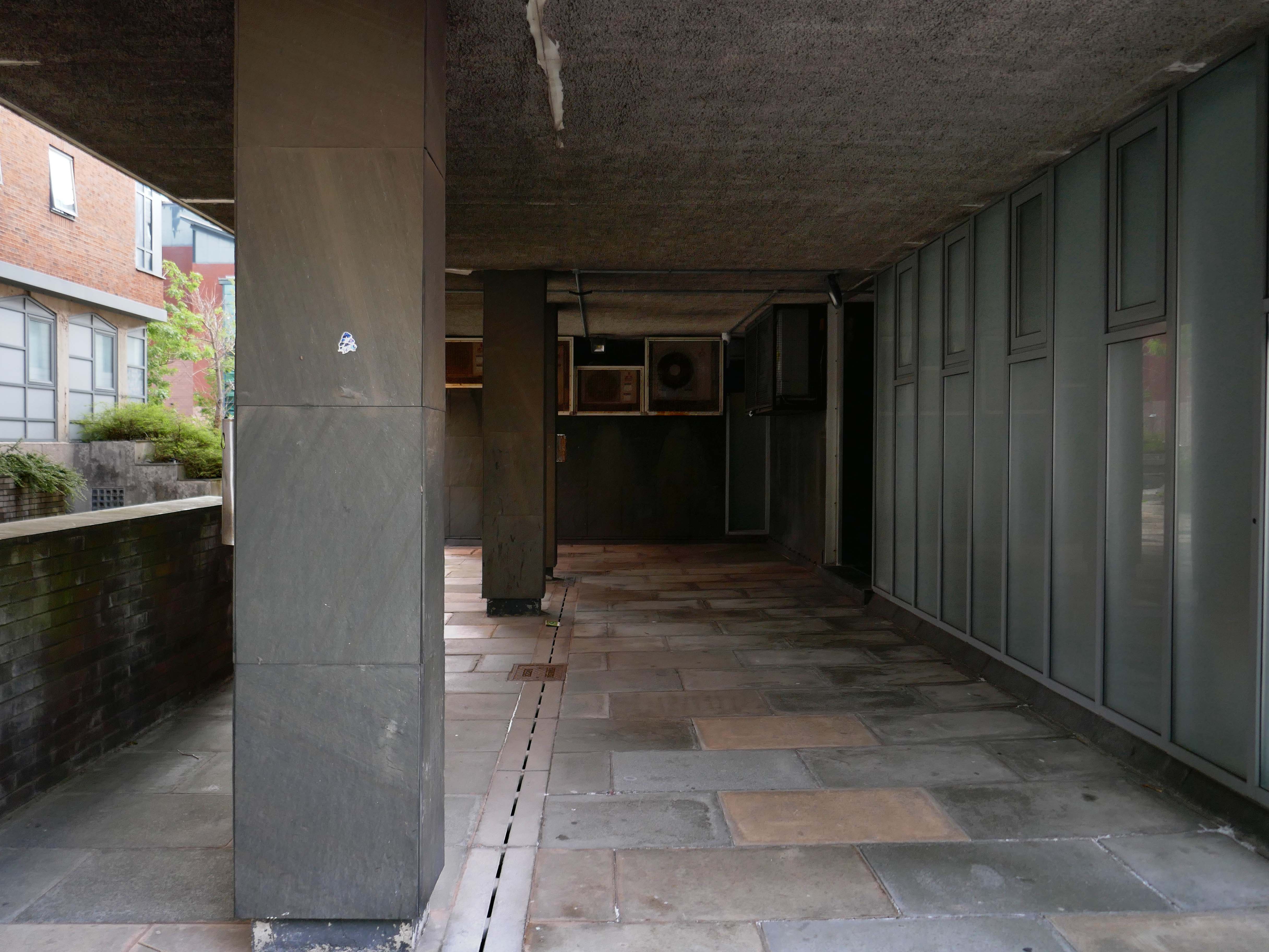
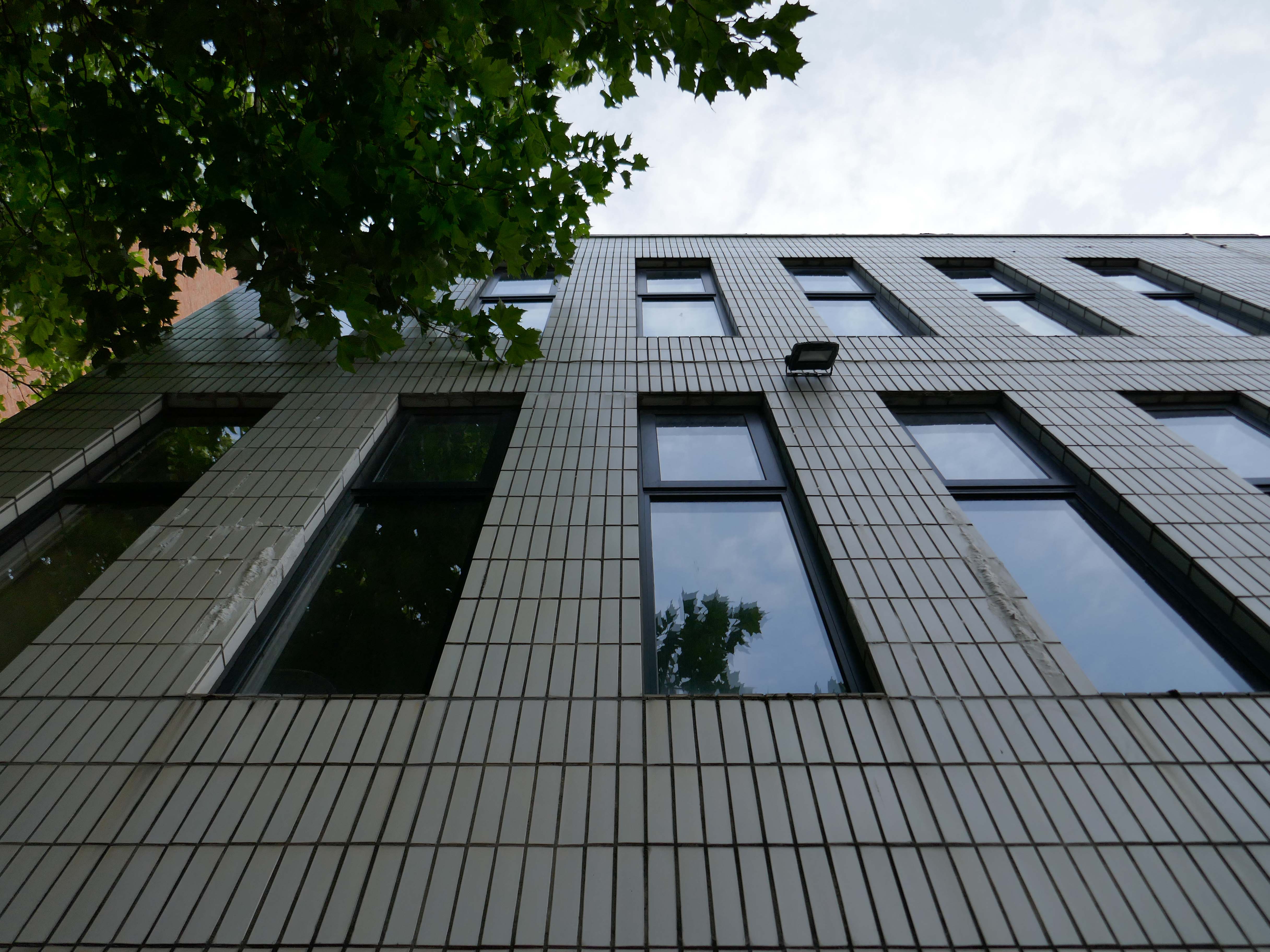
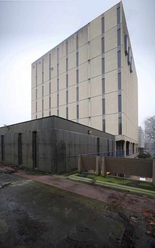
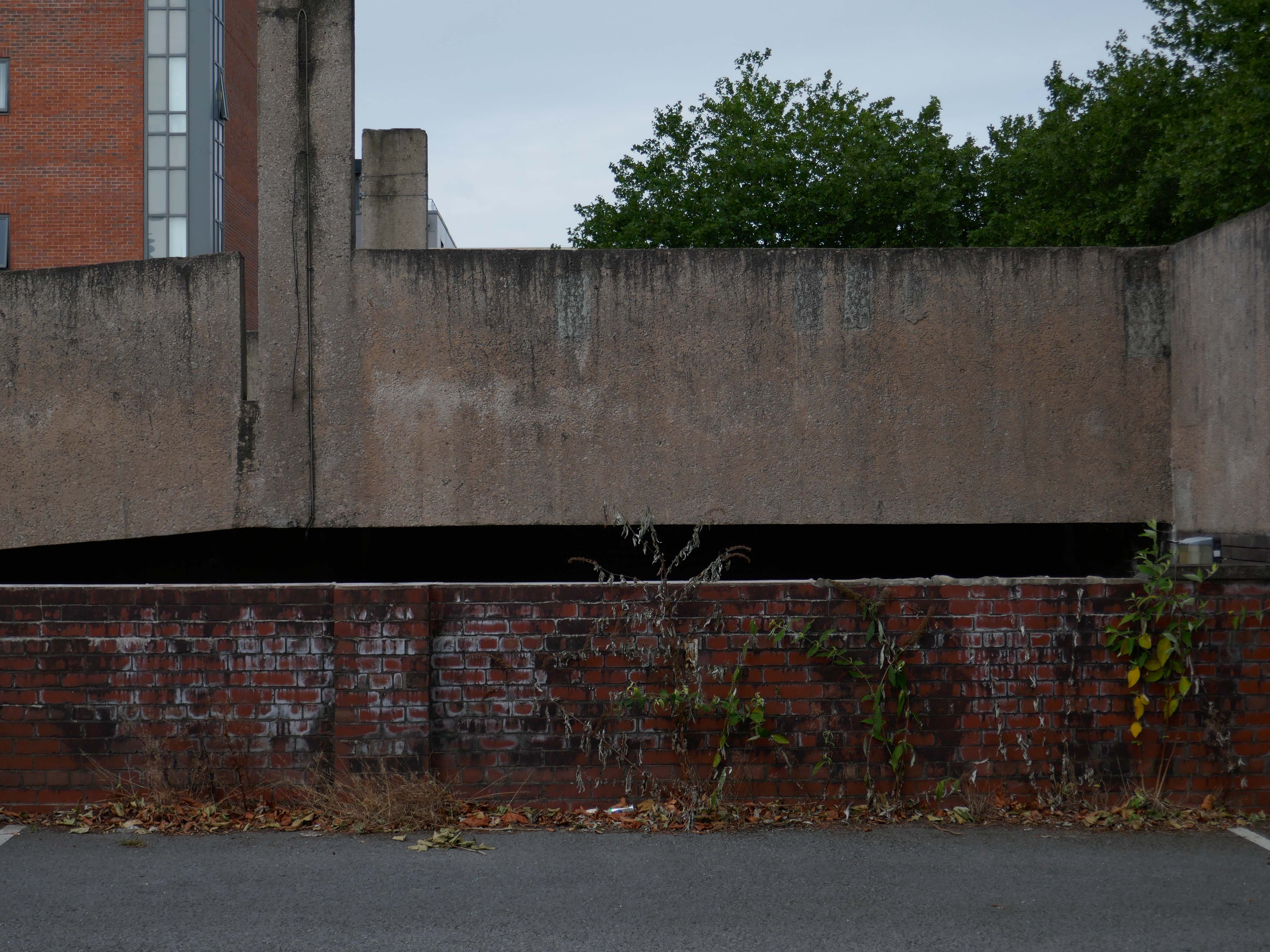
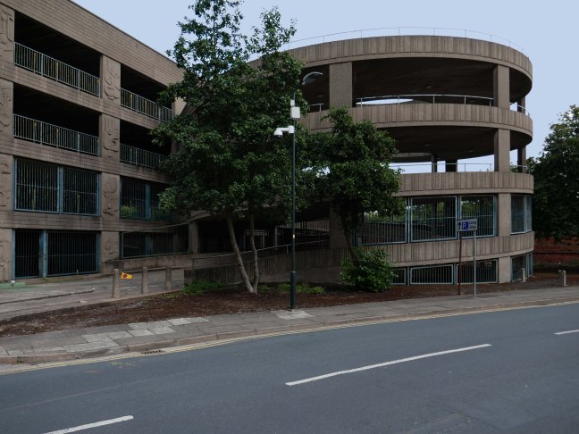
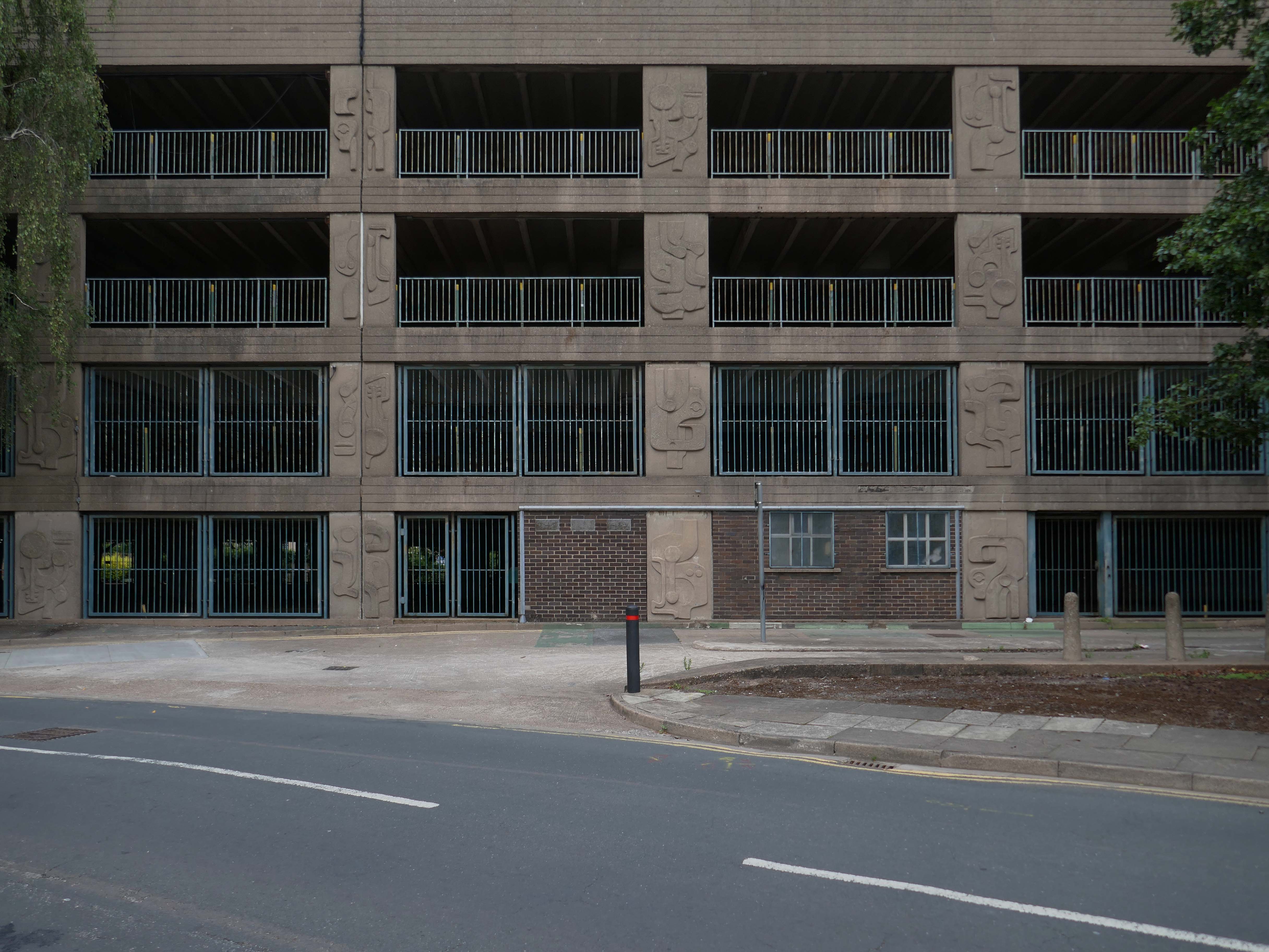
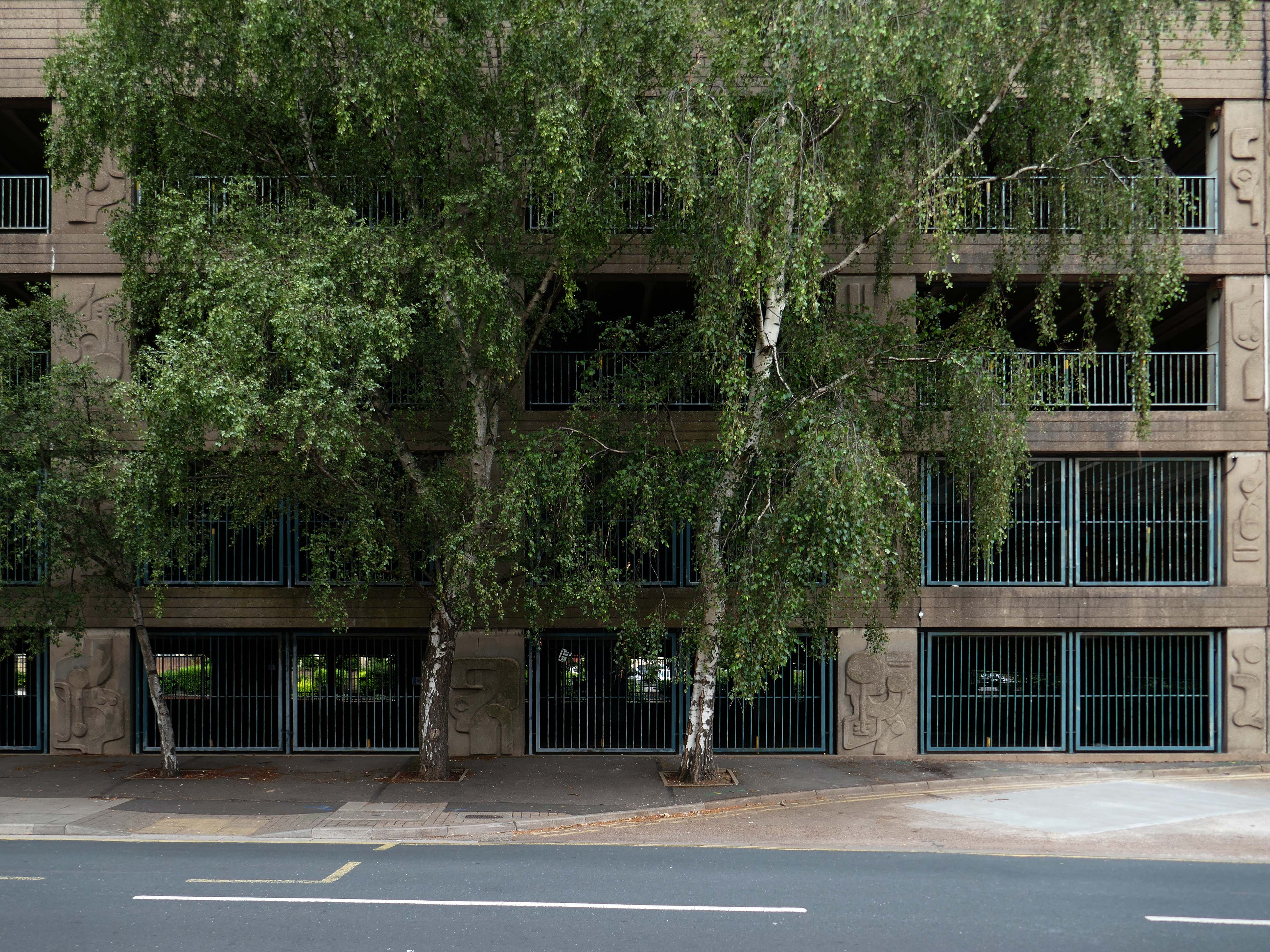
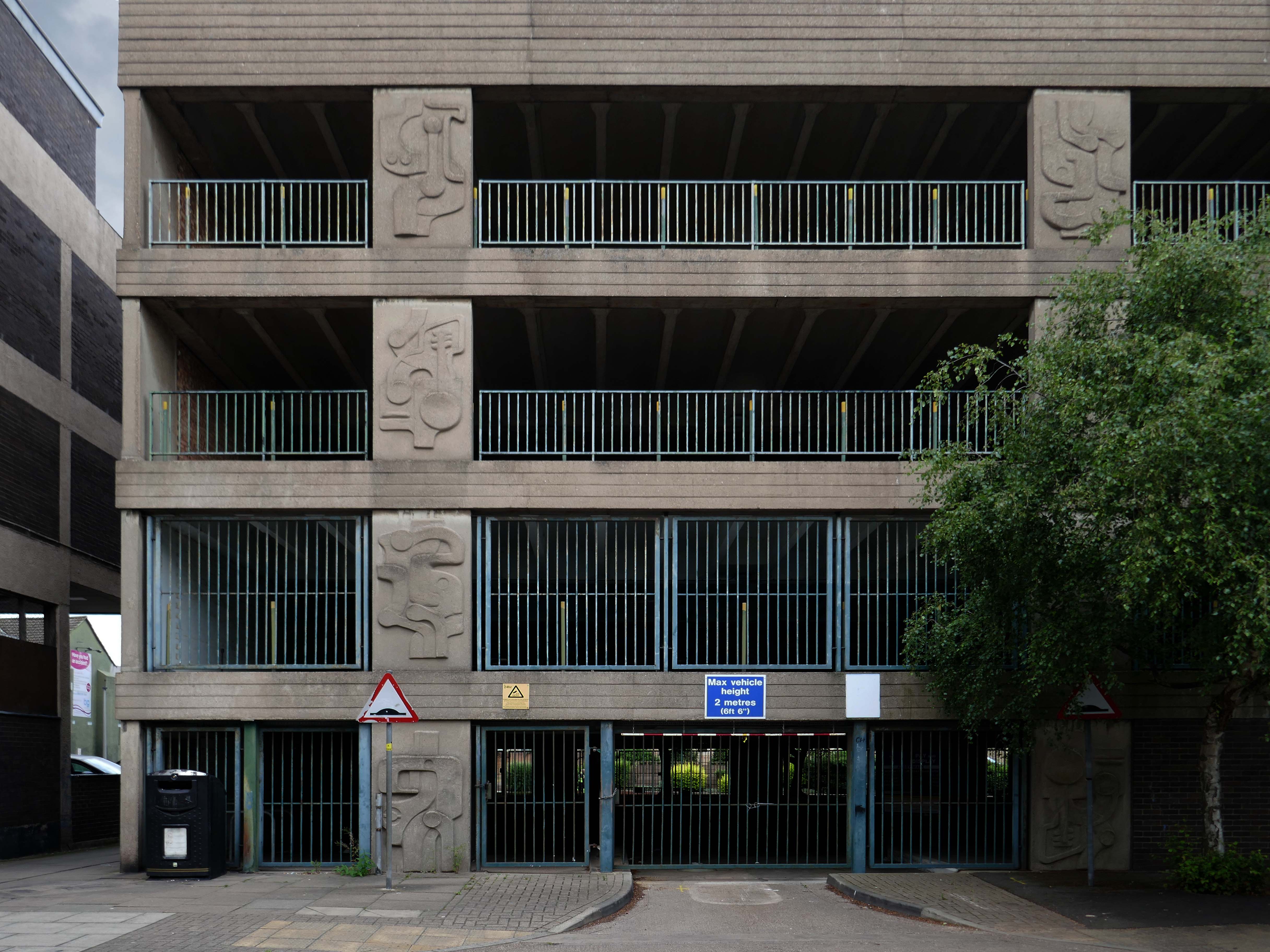
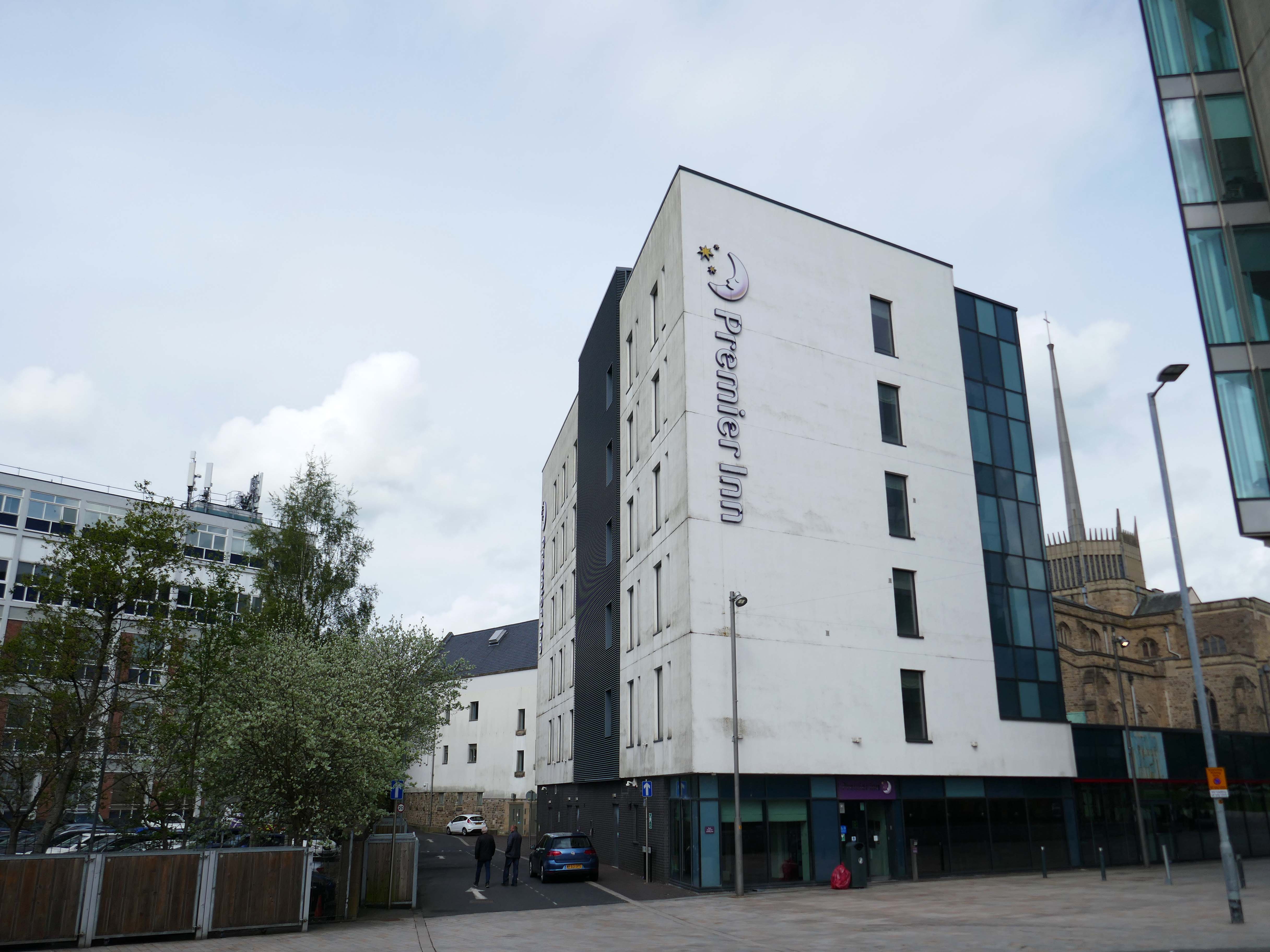
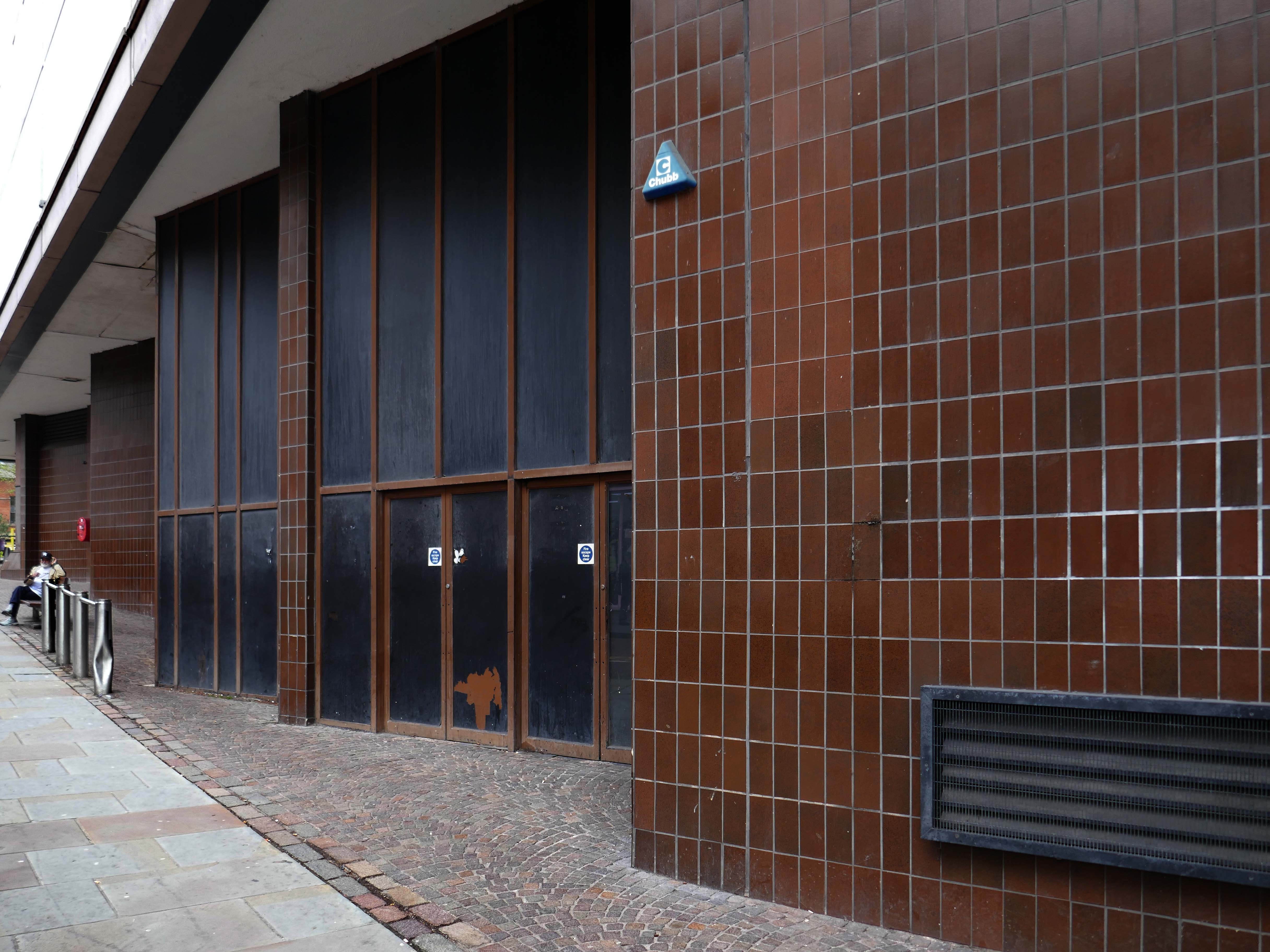
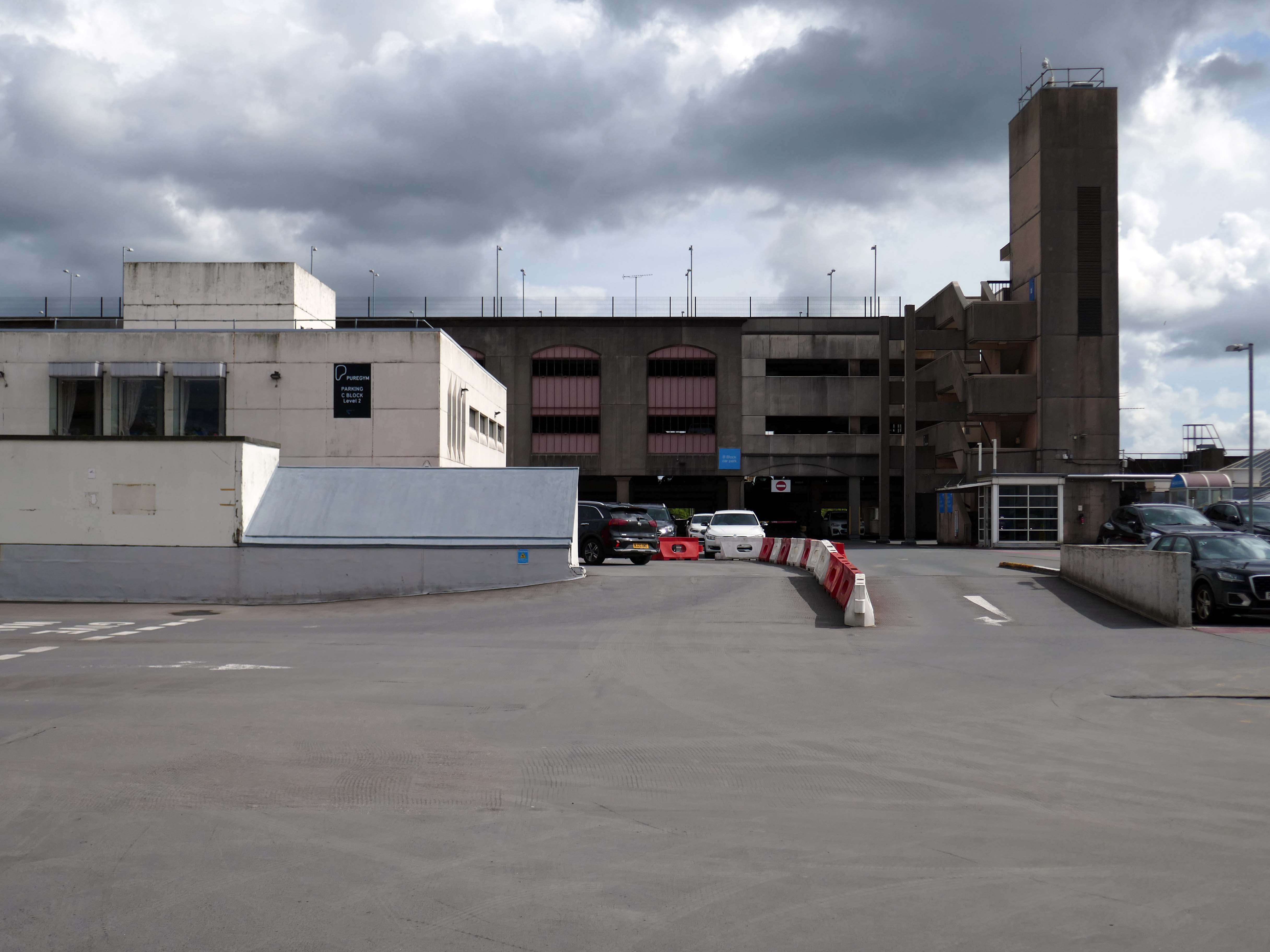
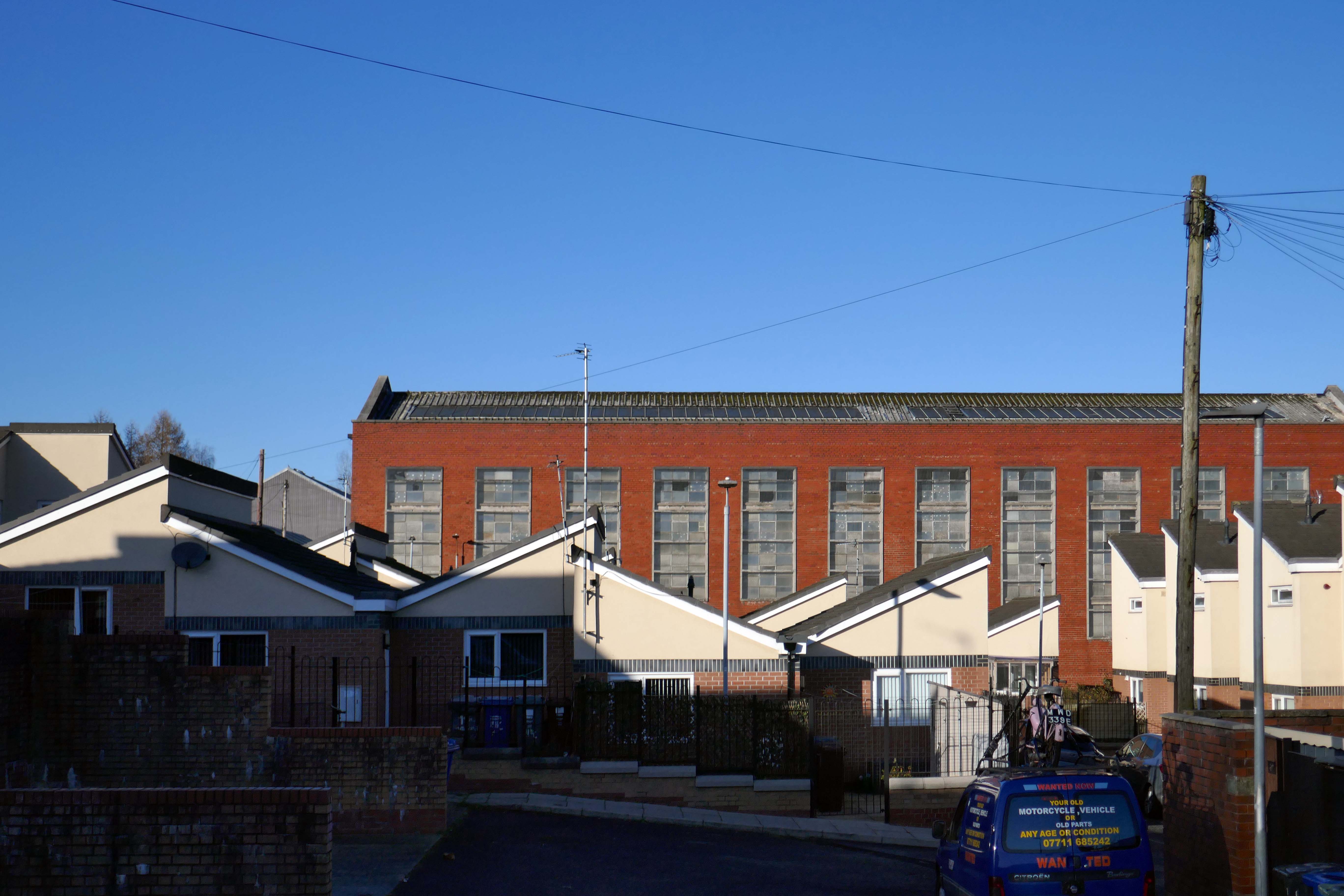
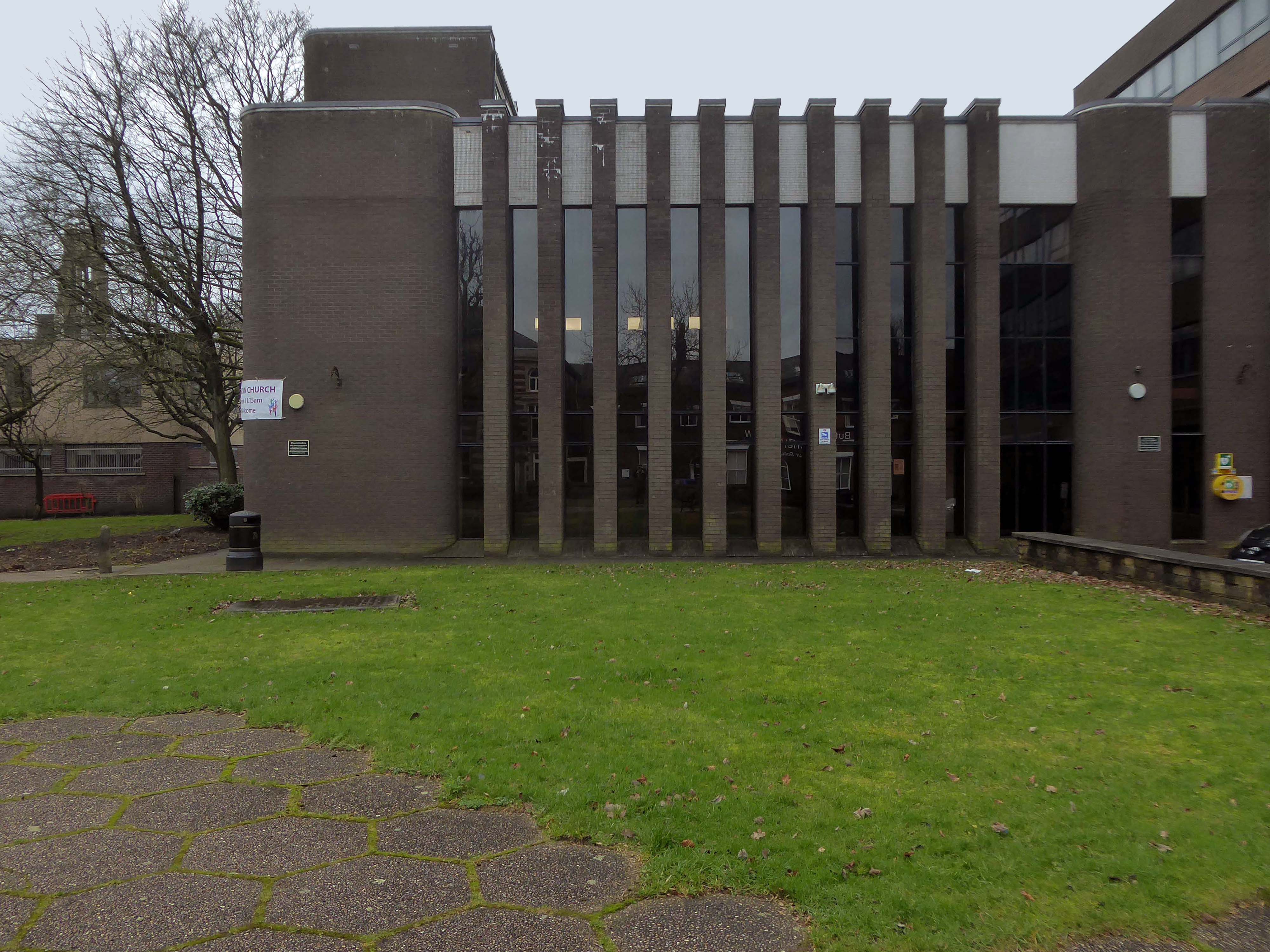
Lee House is still standing but vacant.
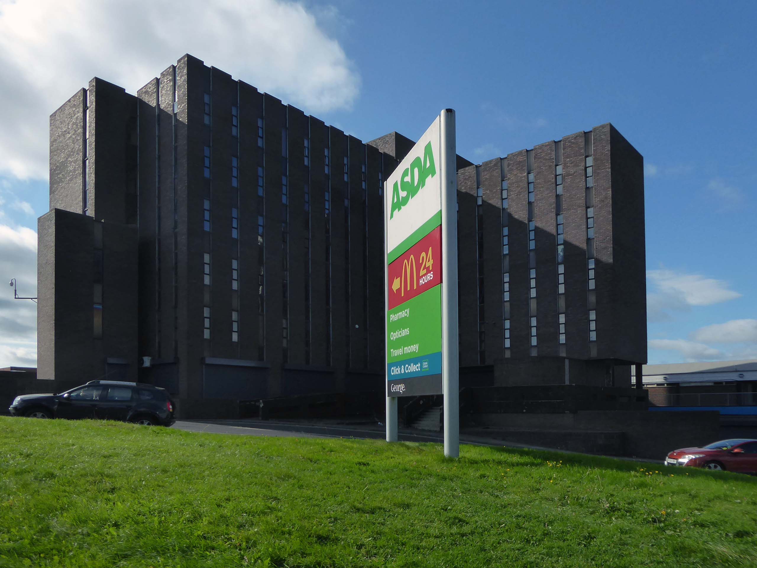
Lee House was once home to charity and community groups, but in 2015 the building owners ordered them to vacate the property. Even the building’s clock has stopped working and has been stuck on the same ten-past-two reading.
However, Durham County Council has now confirmed the building is in new hands. Economic development manager Graham Wood said: “We have worked with the previous owner to try to ensure the building is secured while we await proposals for its long-term future.
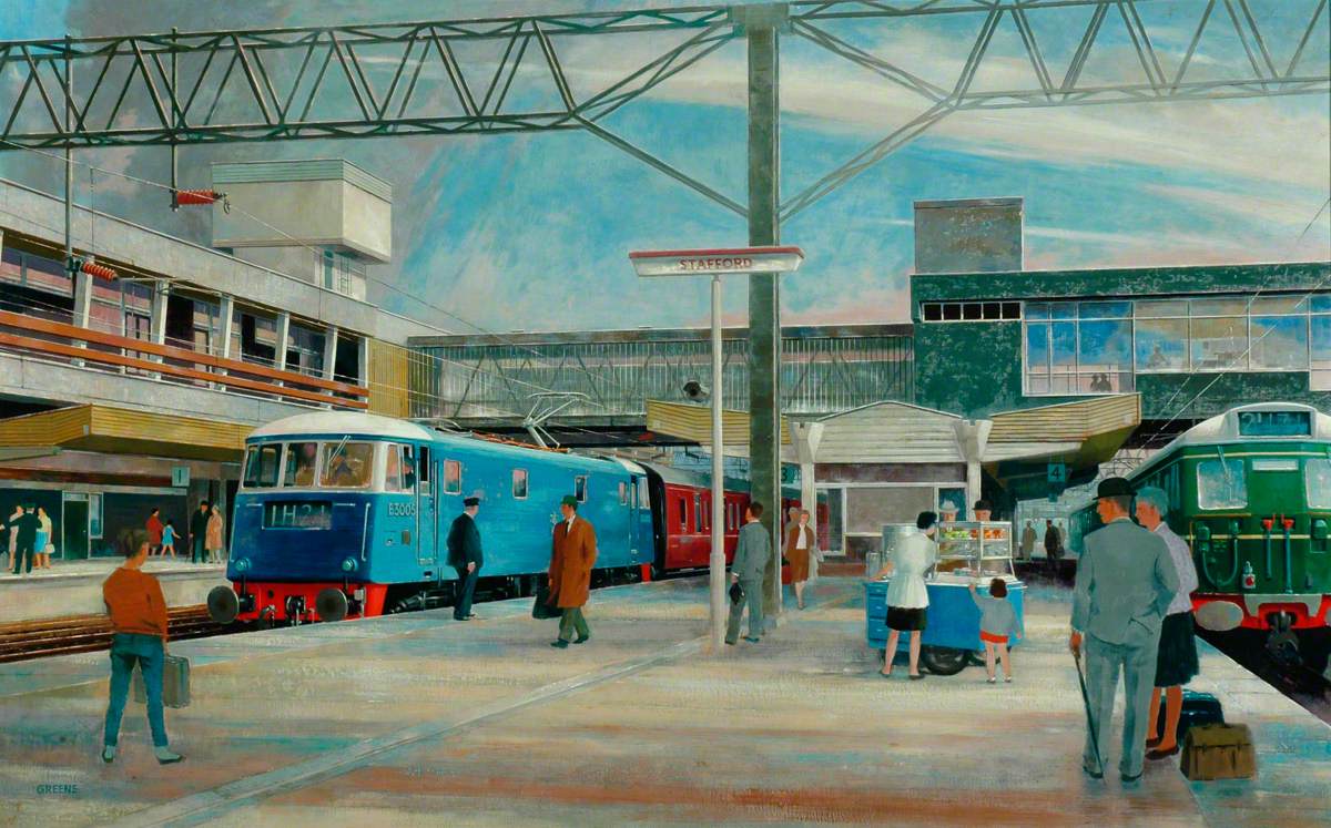
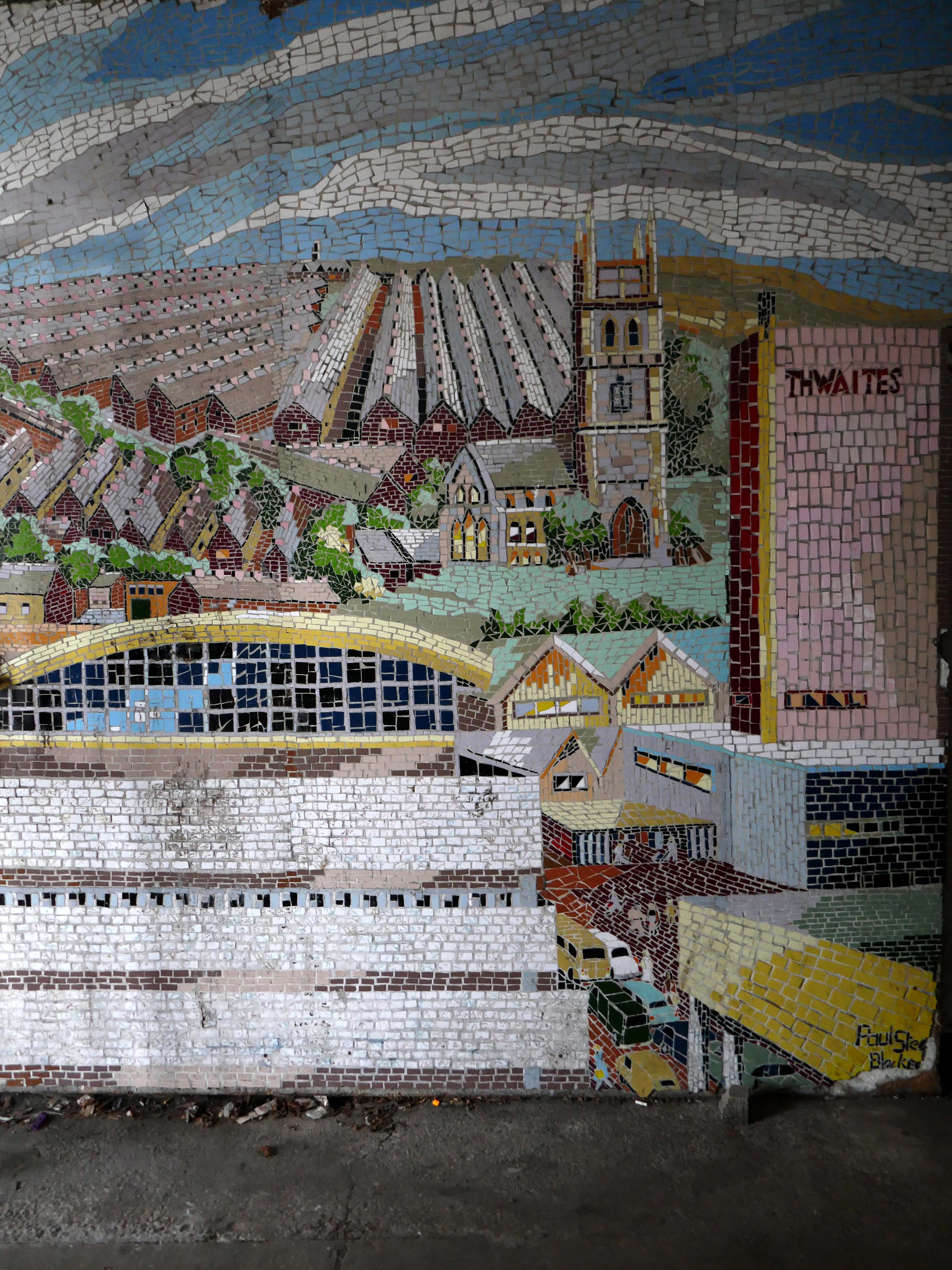
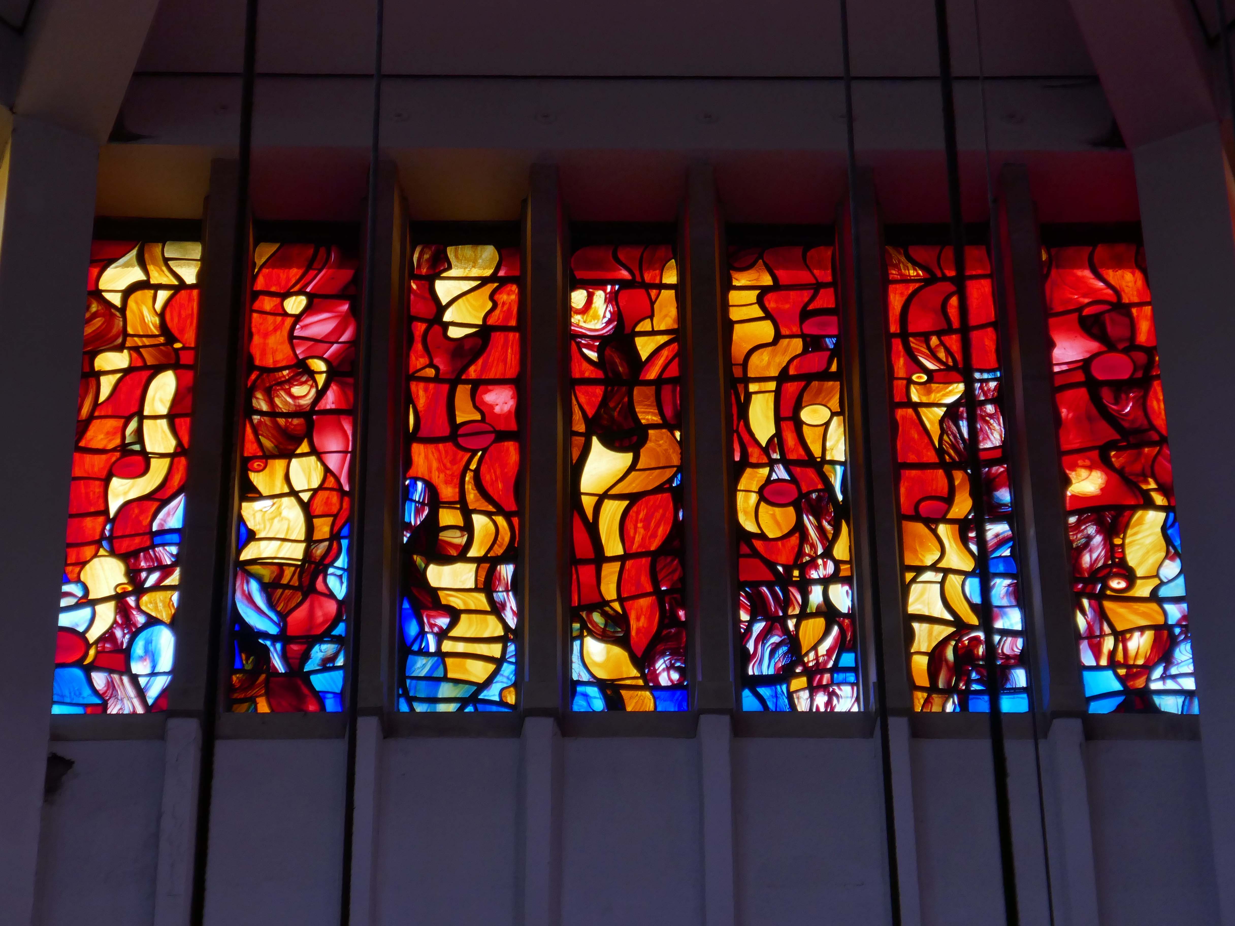
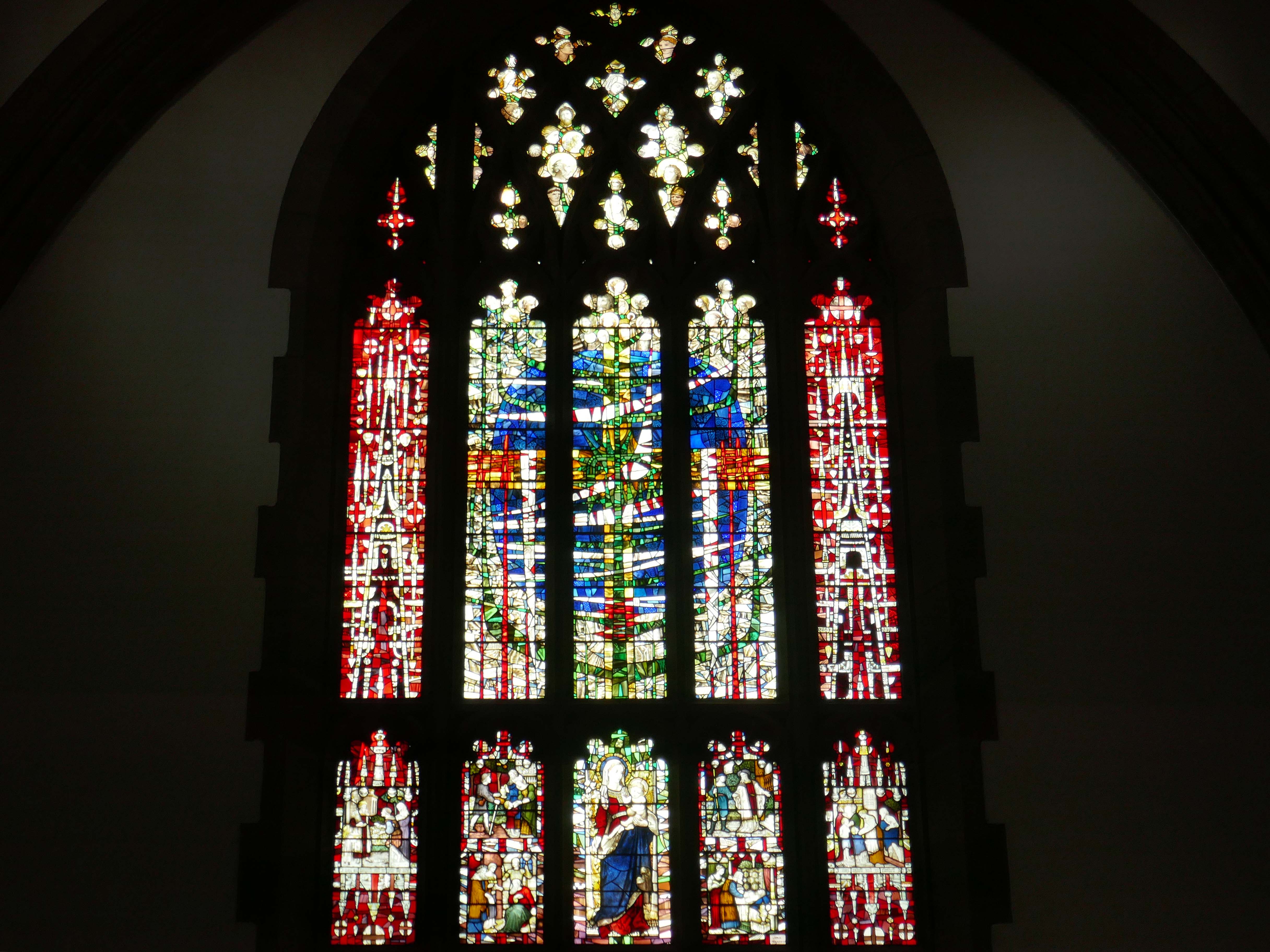
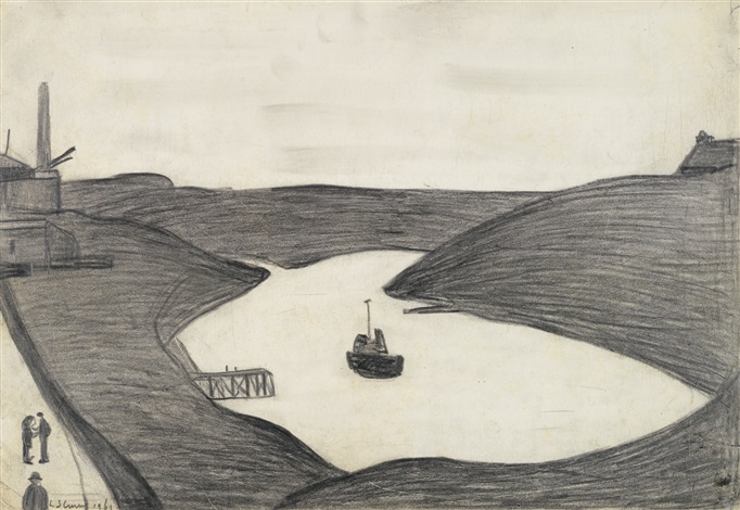
© Lynda Golightly / Art UK
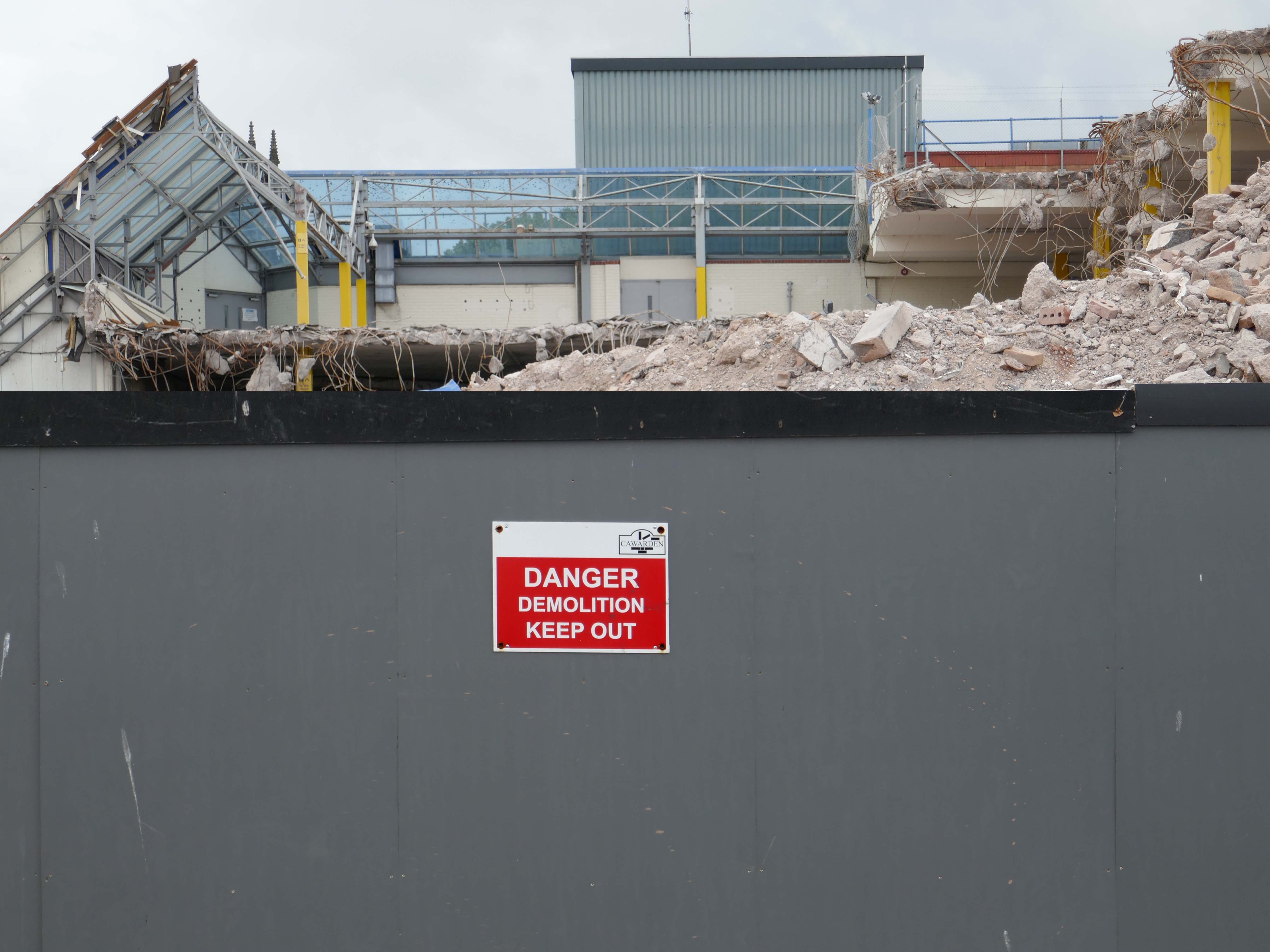
Four fire engines rushed to Lee House on Upper Yoden Way in Peterlee on Friday afternoon September 19th 2025 after a fire broke out on the first floor of the seven floor building.
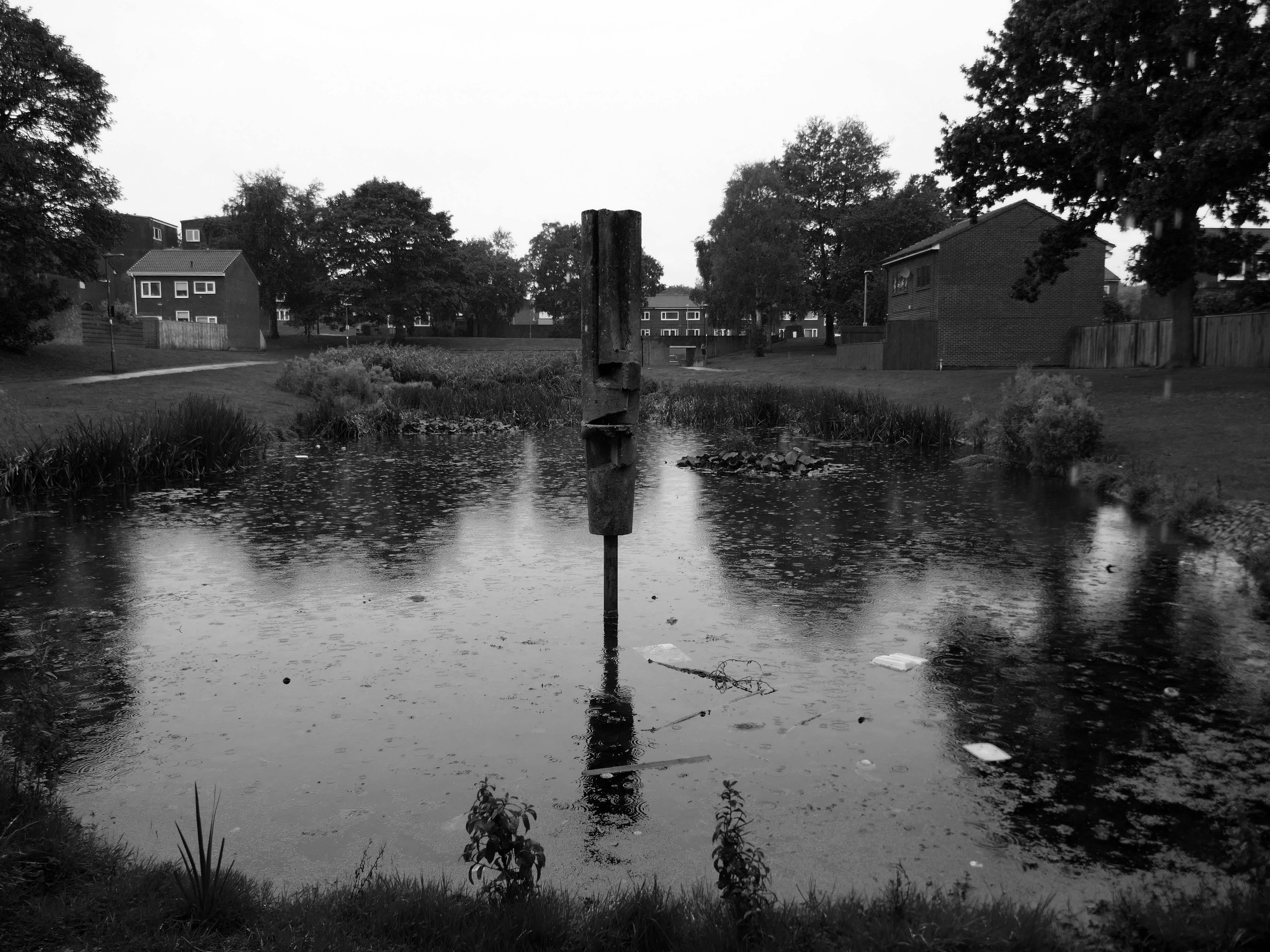
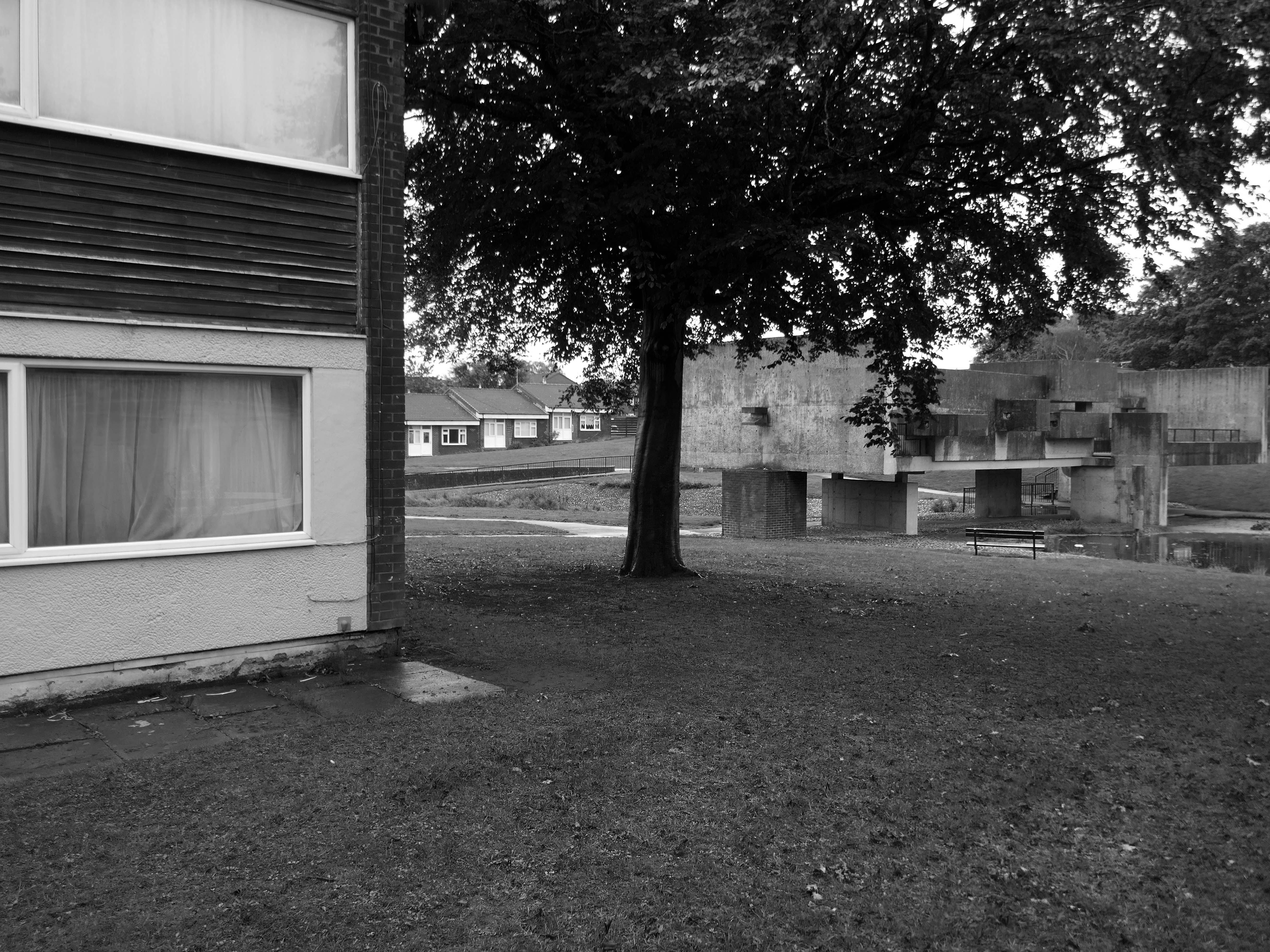
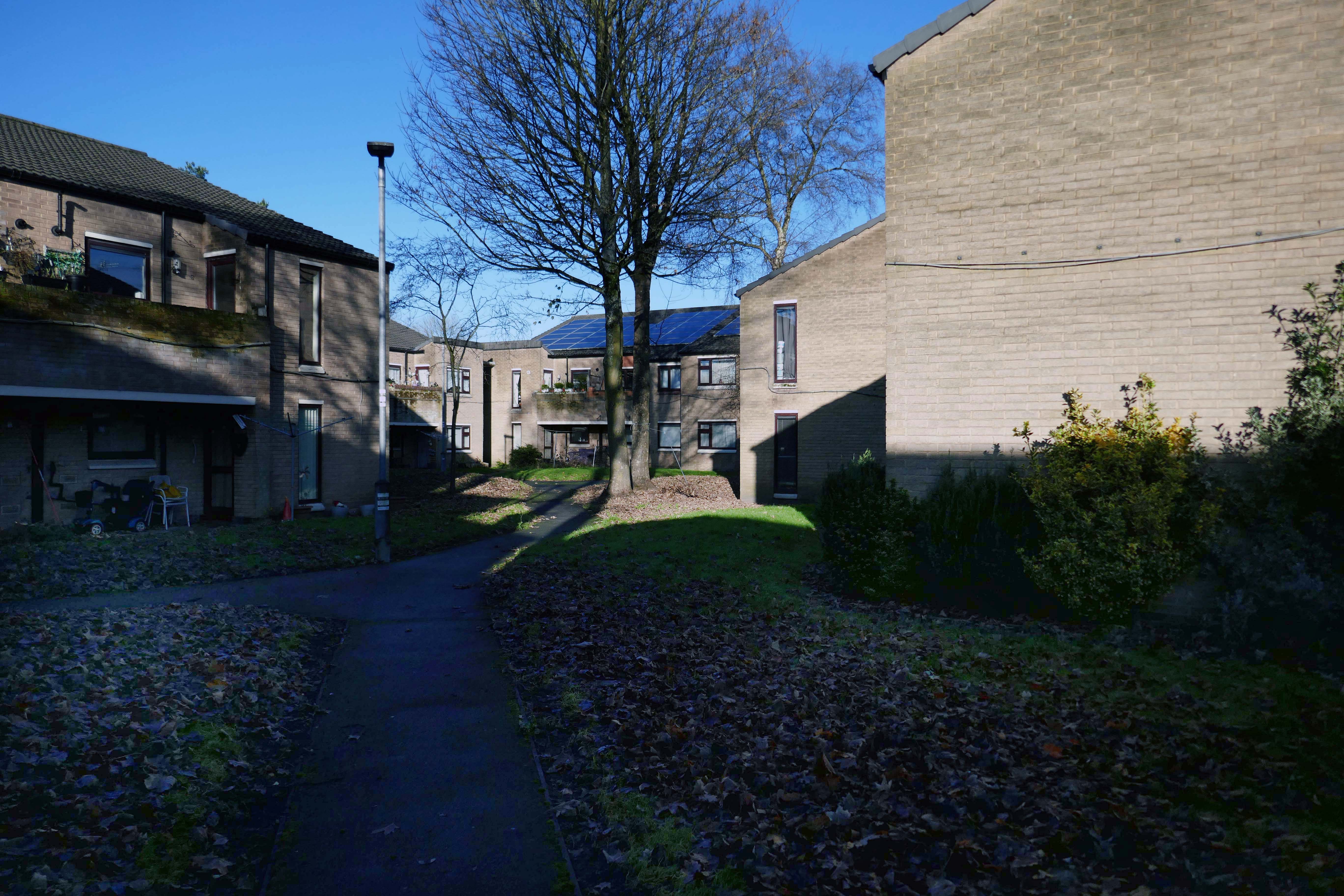
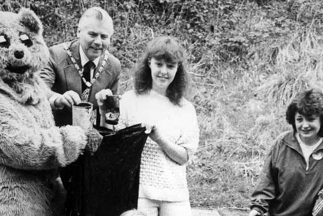
Clean-up campaigner Tidy Ted and Peterlee Mayor Councillor John Dickinson were helping youngsters to tidy up in the Peterlee Dene area in 1989.
Where are they now – when we need them most?