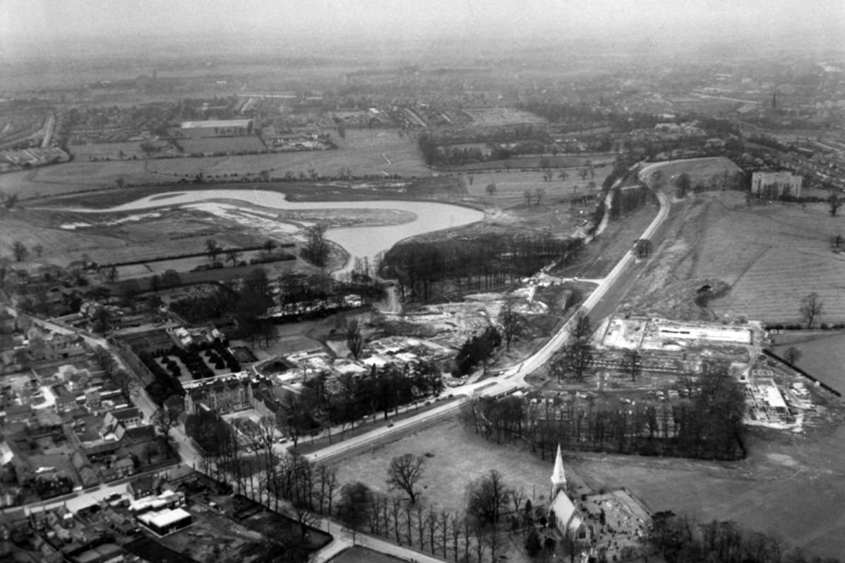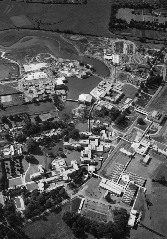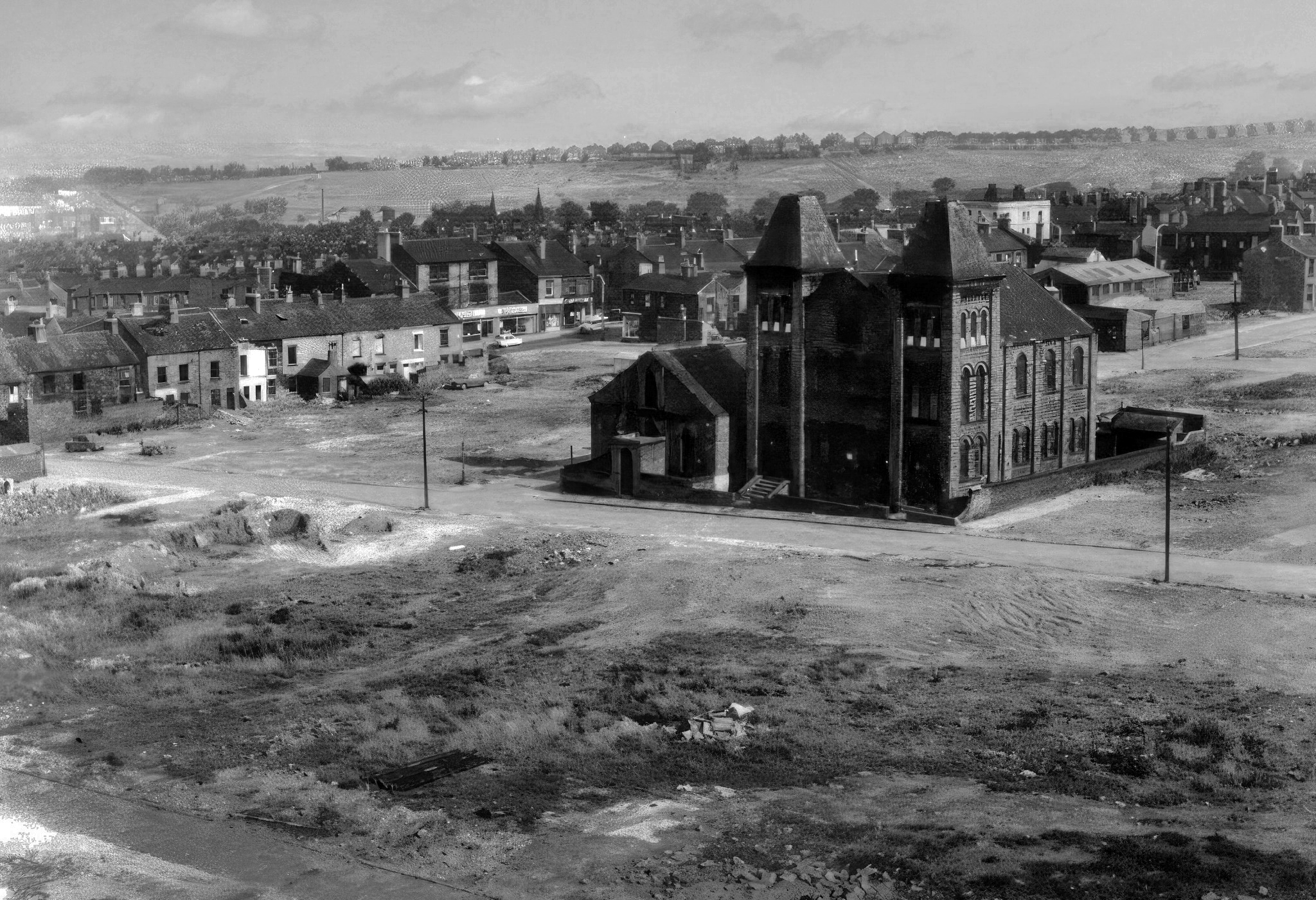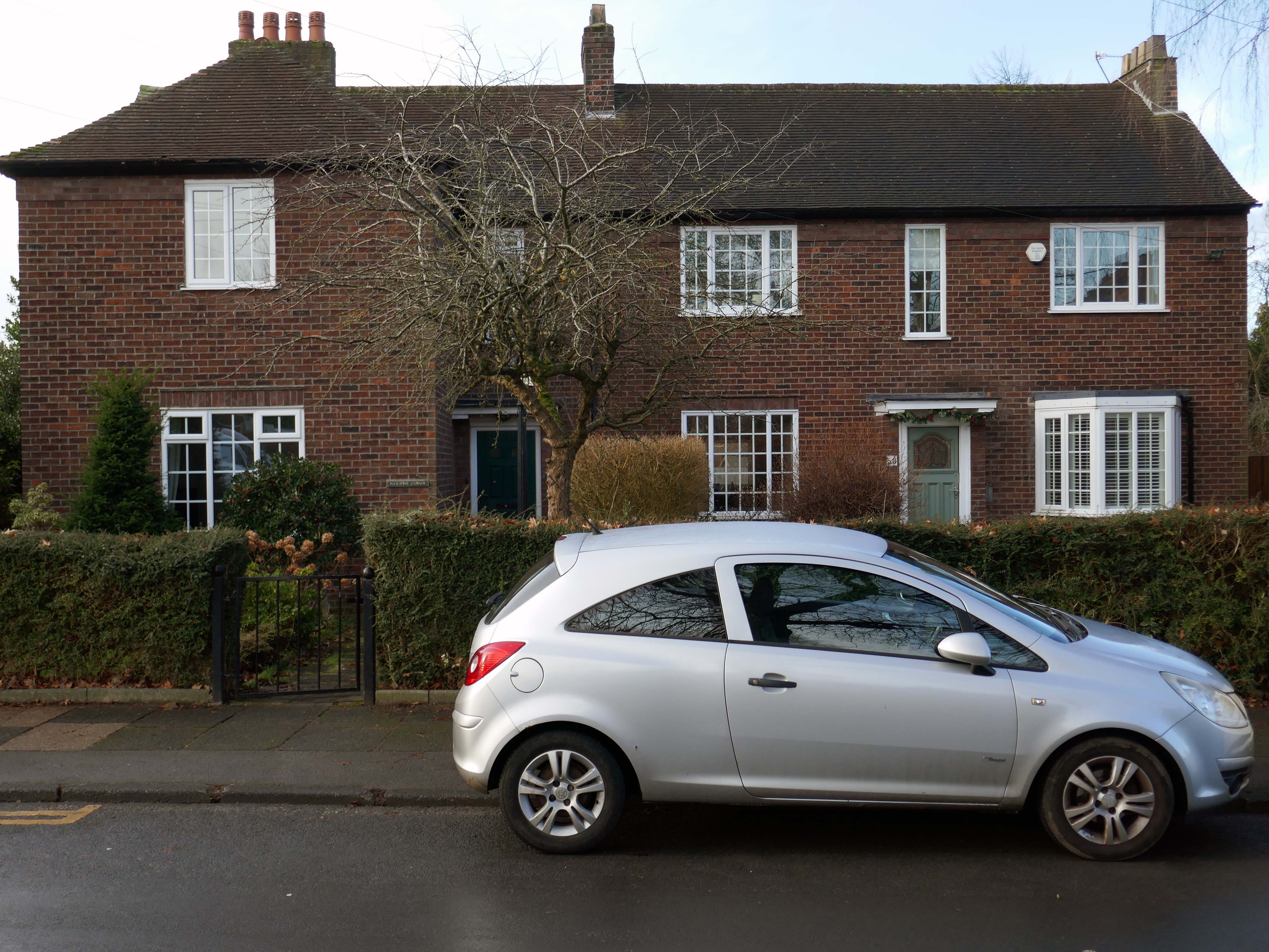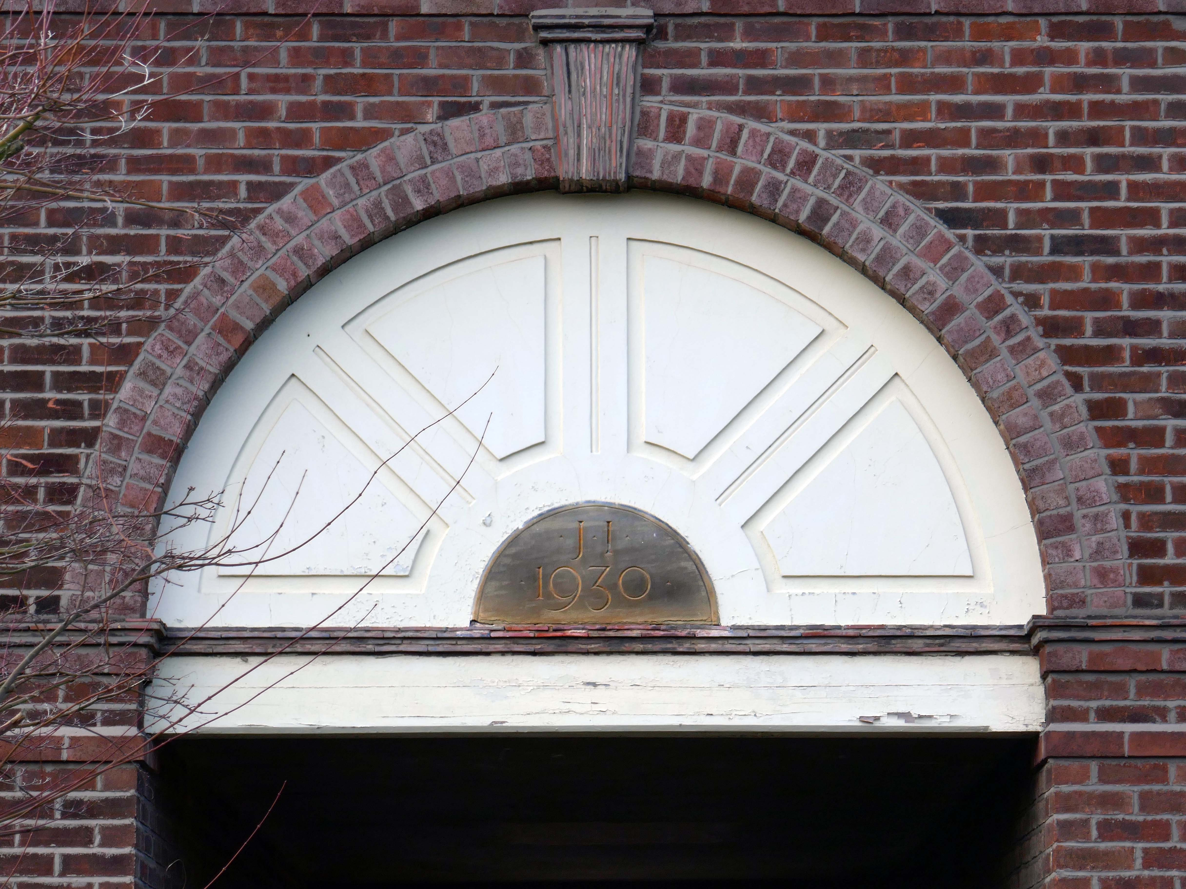
Keele University occupies a six hundred and twenty acre rural campus close to the village of Keele and comprises extensive woodlands, small lakes and Keele Hall in the historic Staffordshire Potteries heartland.
The estate was originally given by King Henry II of England to the Knights Templars, AD 1180. When the Templars were condemned and dissolved by the Council of Vienne in the time of Pope Clement V AD 1311, their possessions were annexed by the Knights Hospitallers until their dissolution by Henry VIII.
The estate was purchased from the Crown by the Sneyd family in 1540 and remained in their property until acquisition by the Stoke-on-Trent Corporation in 1948.
The first Keele Hall was built in 1580 and it was rebuilt in 1860. The Hall is a major conference, wedding and banqueting venue and has Grade II listing from English Heritage for its architectural importance.
The University itself was founded as the University College of North Staffordshire in 1949 and received its Charter as the University of Keele in 1962.
By 1969 Keele University was being described as “the most original innovation in British university education in the 20th century”.
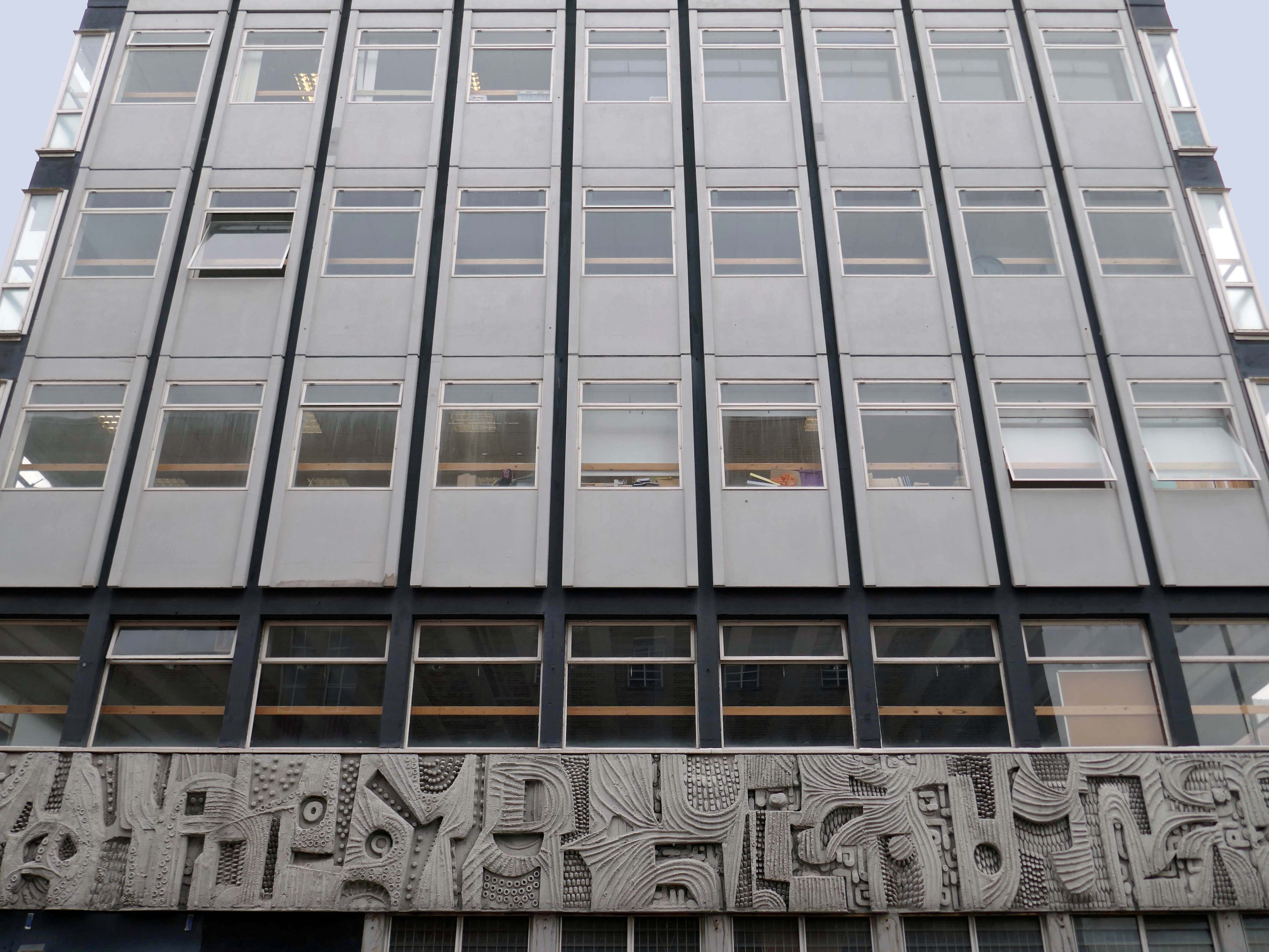
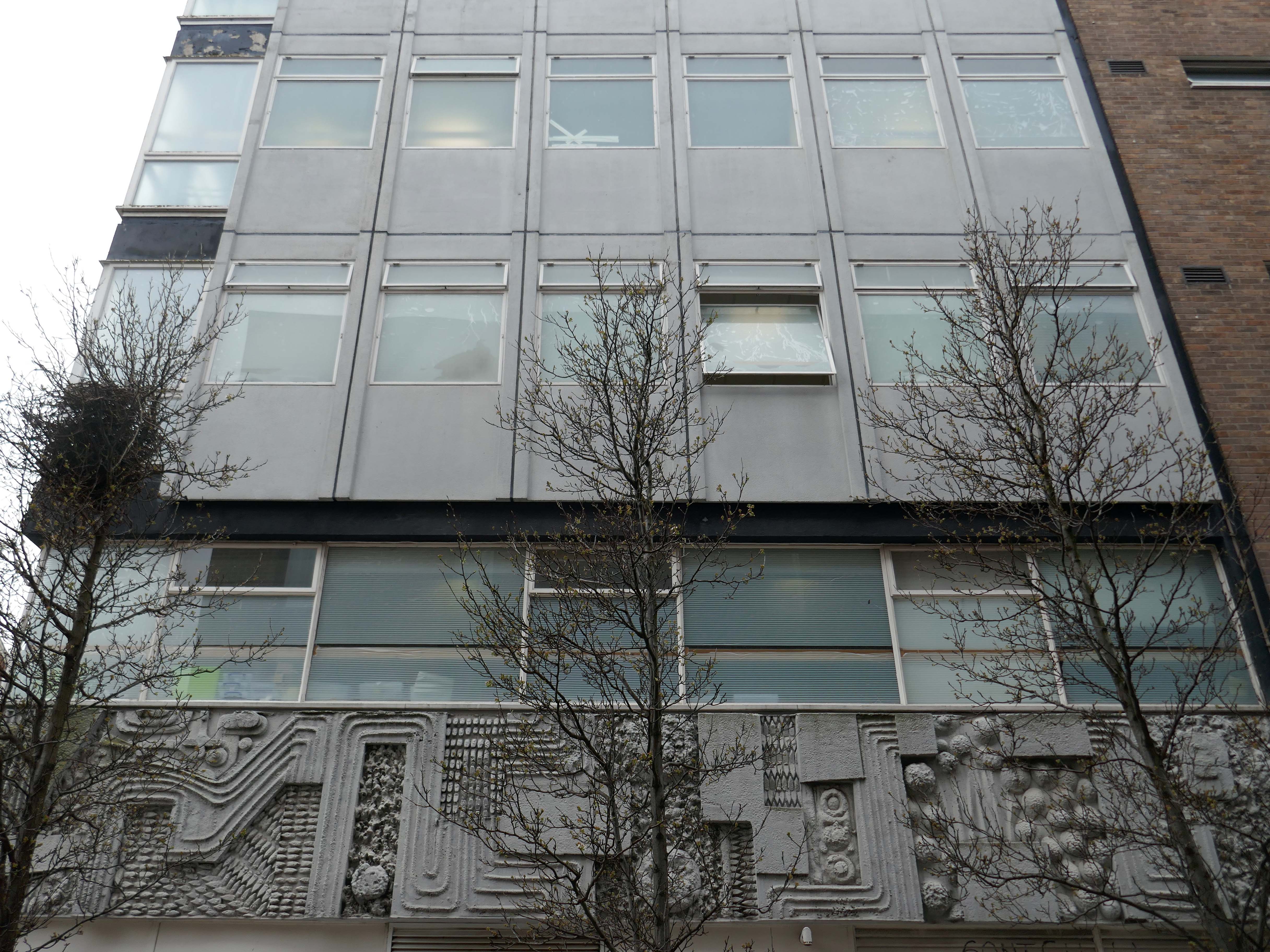
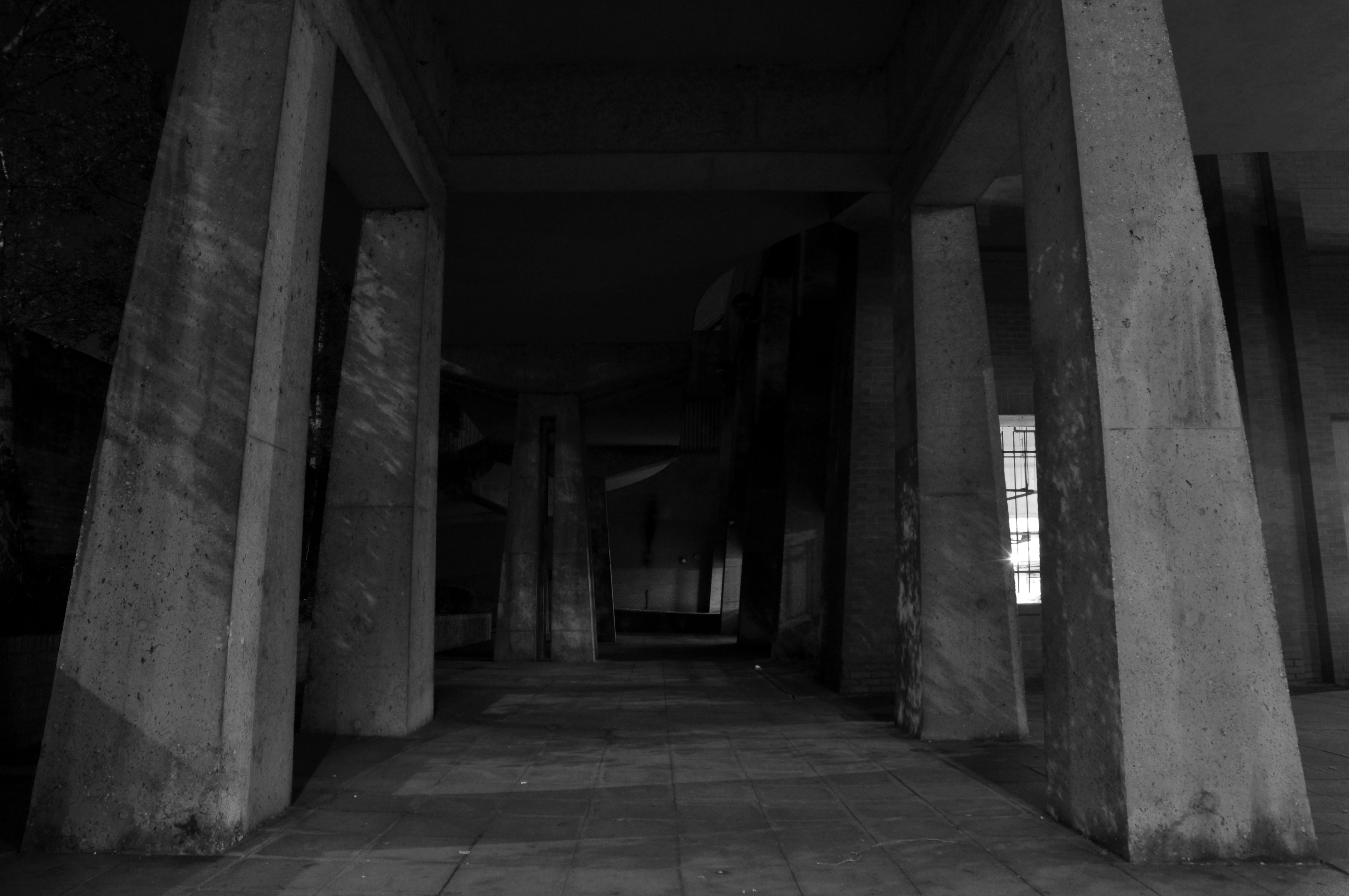
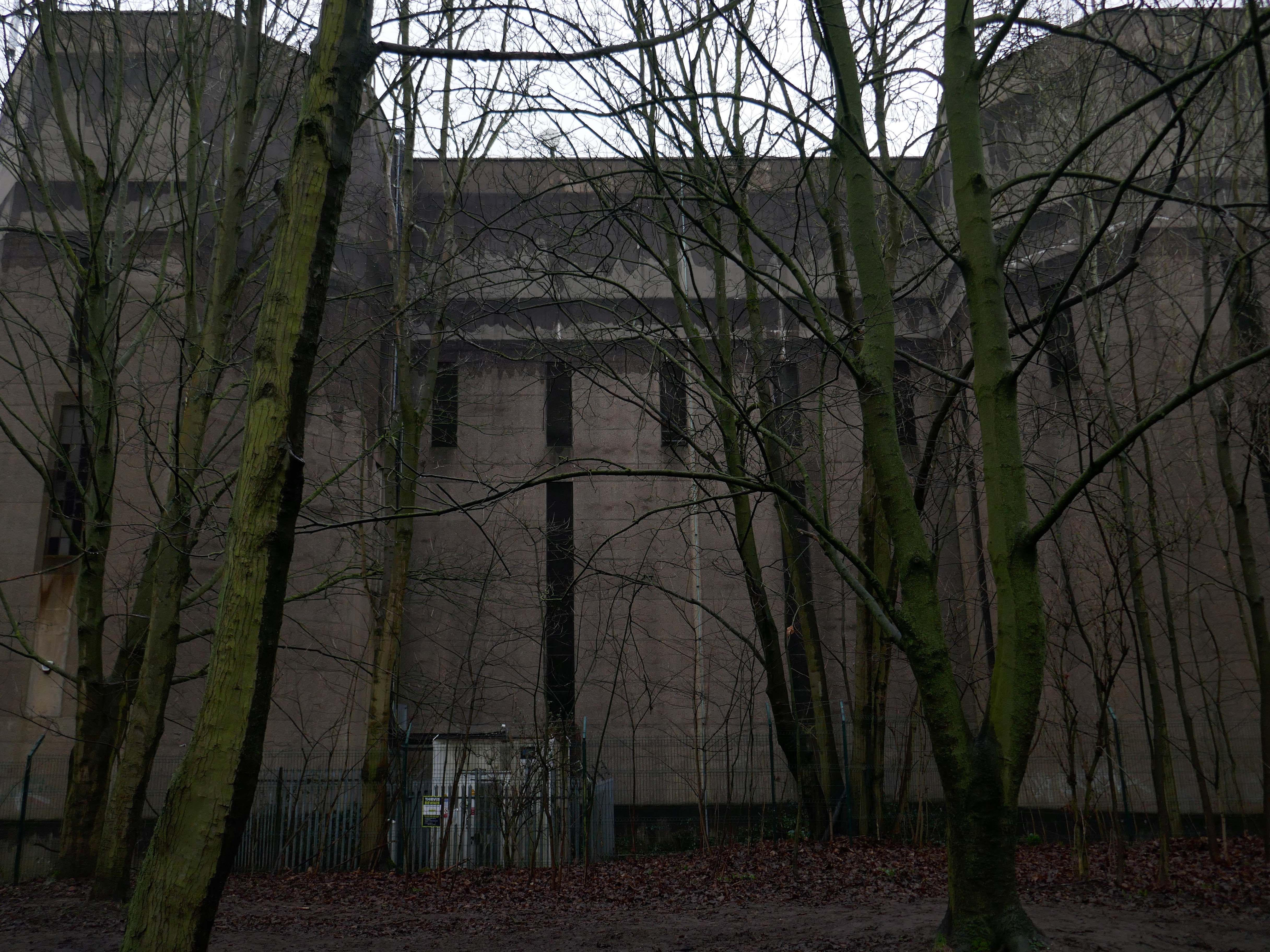
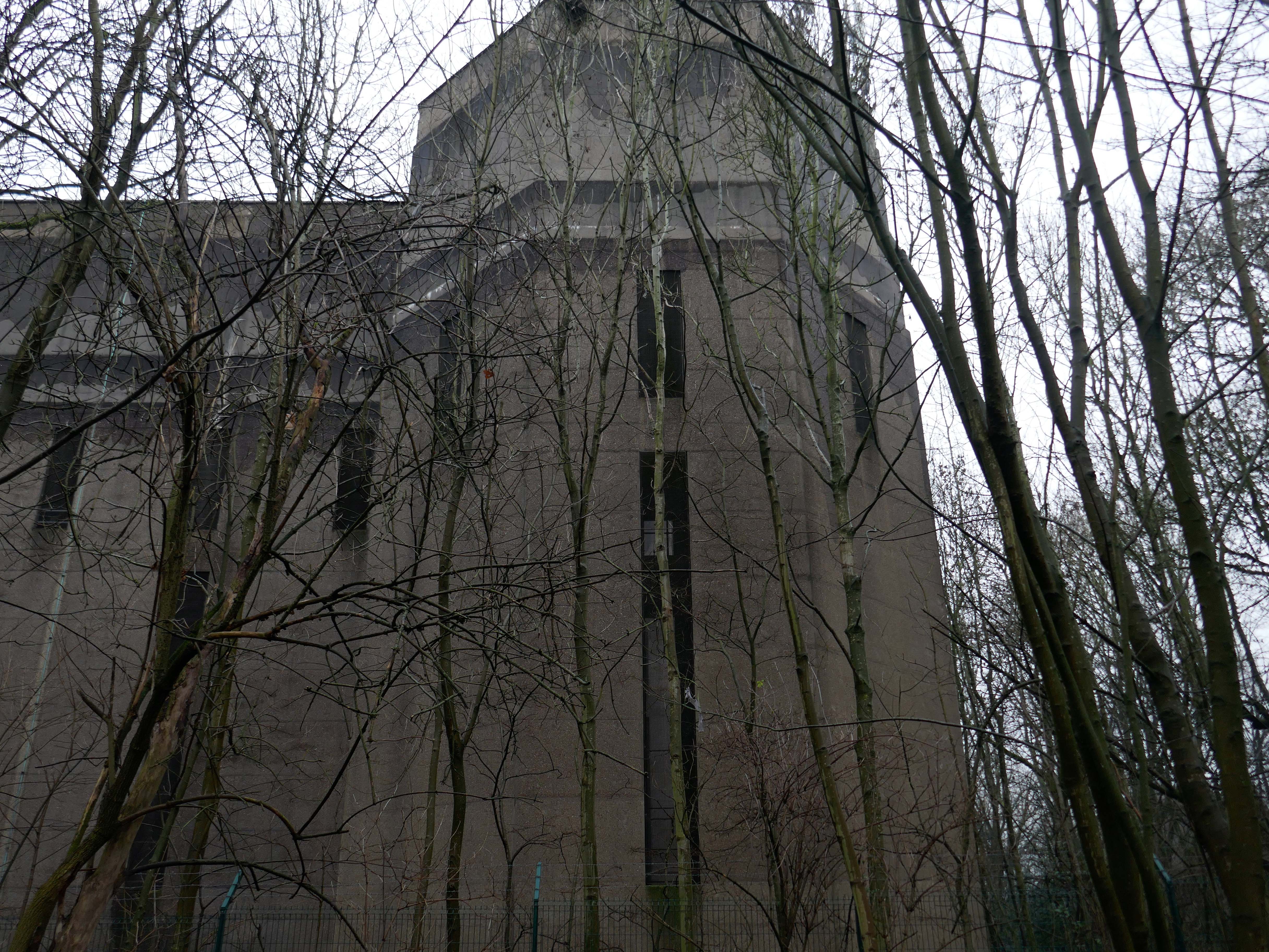
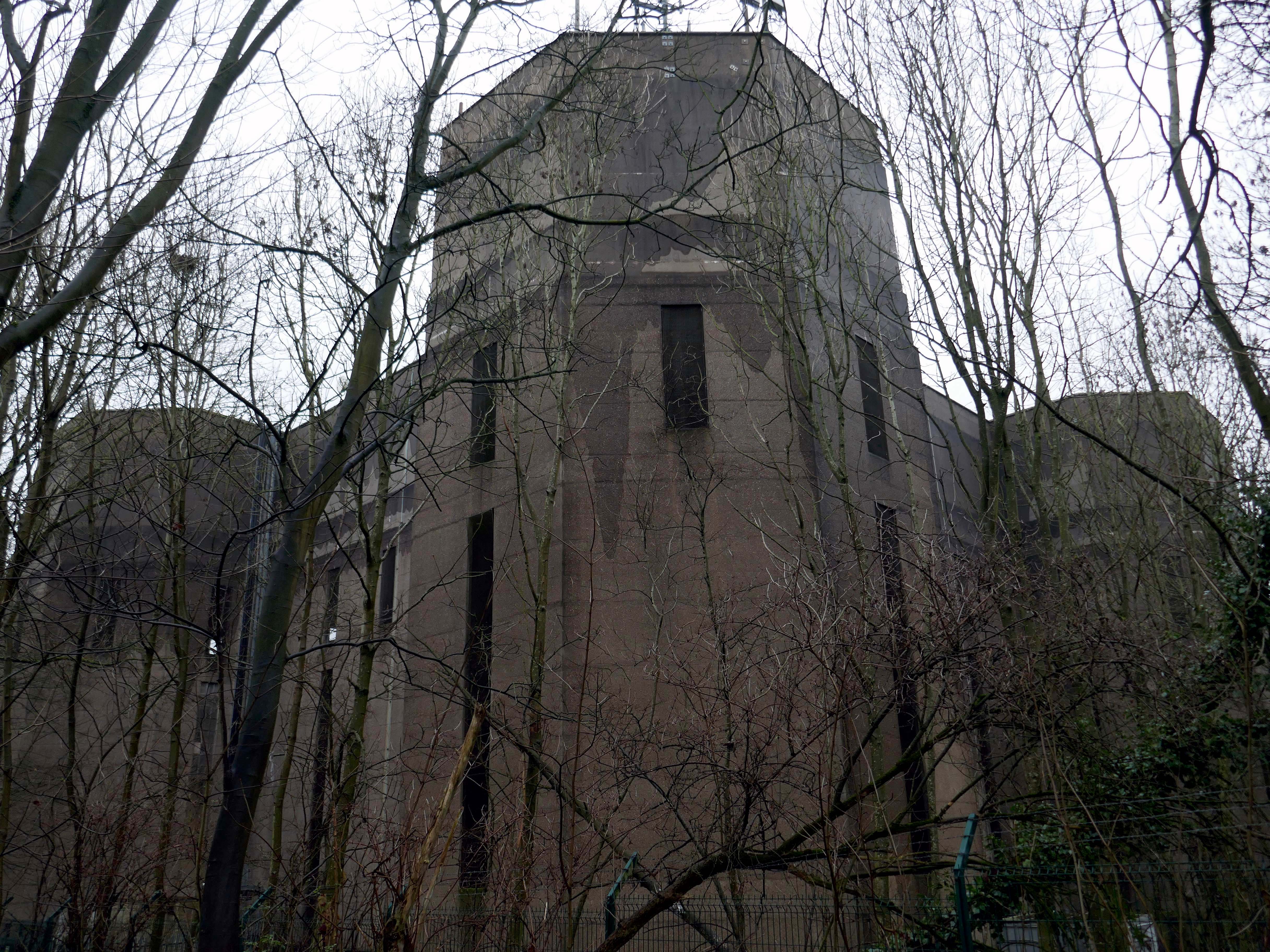
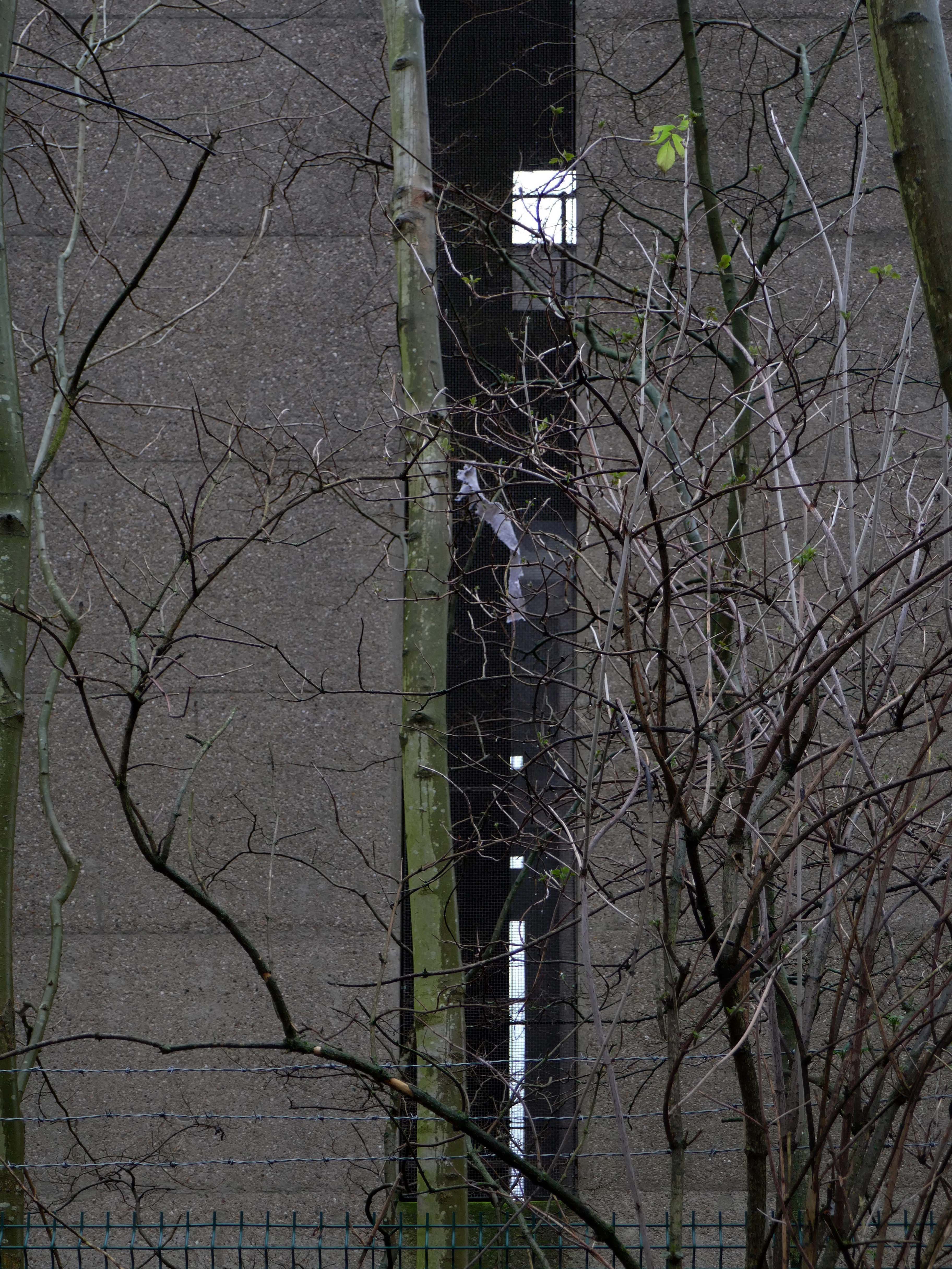
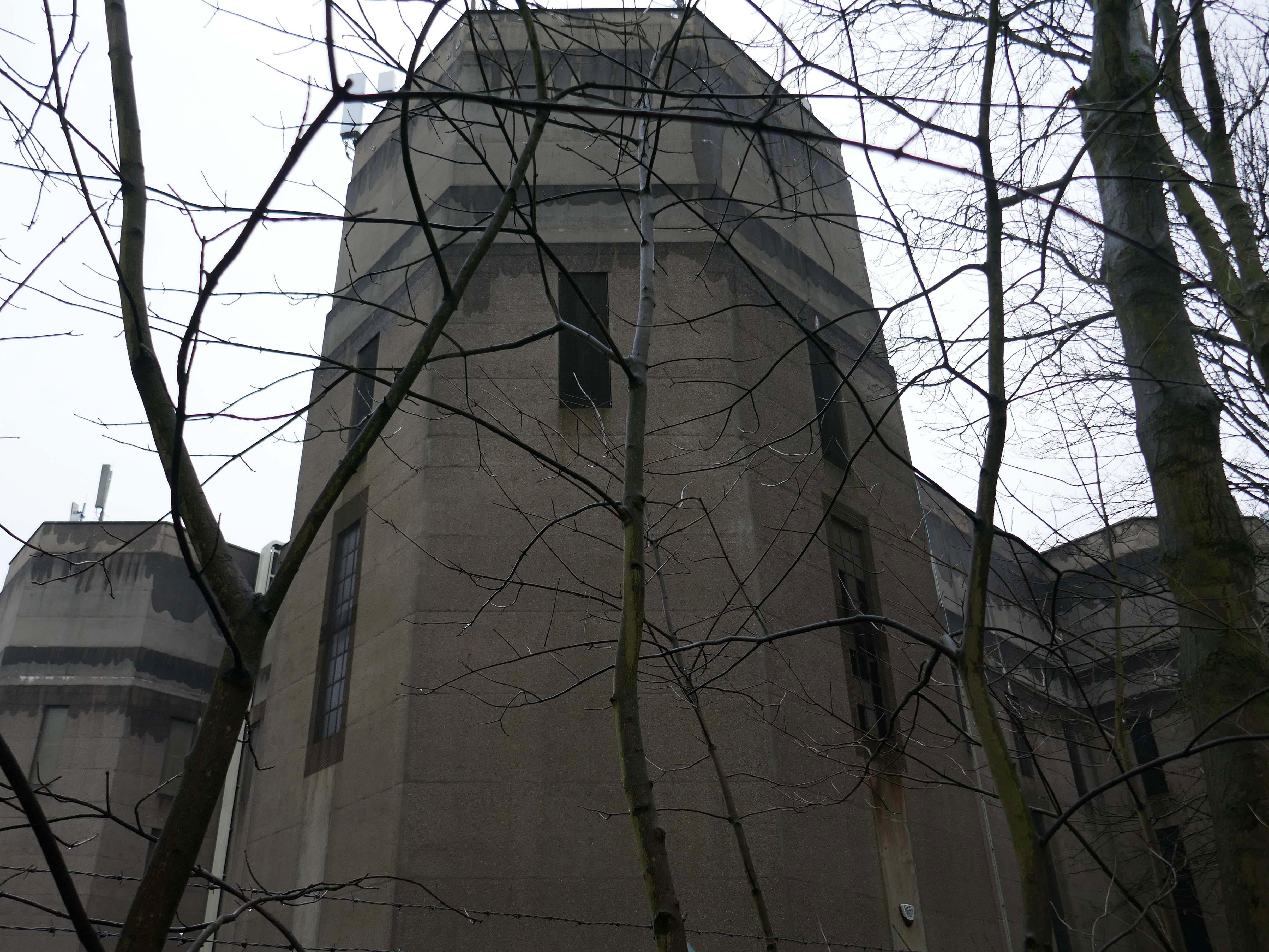
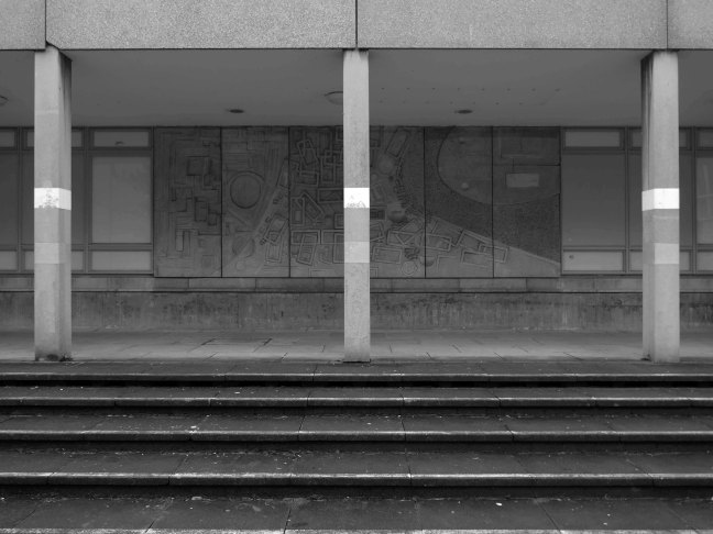
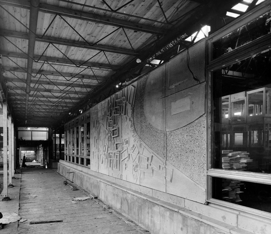
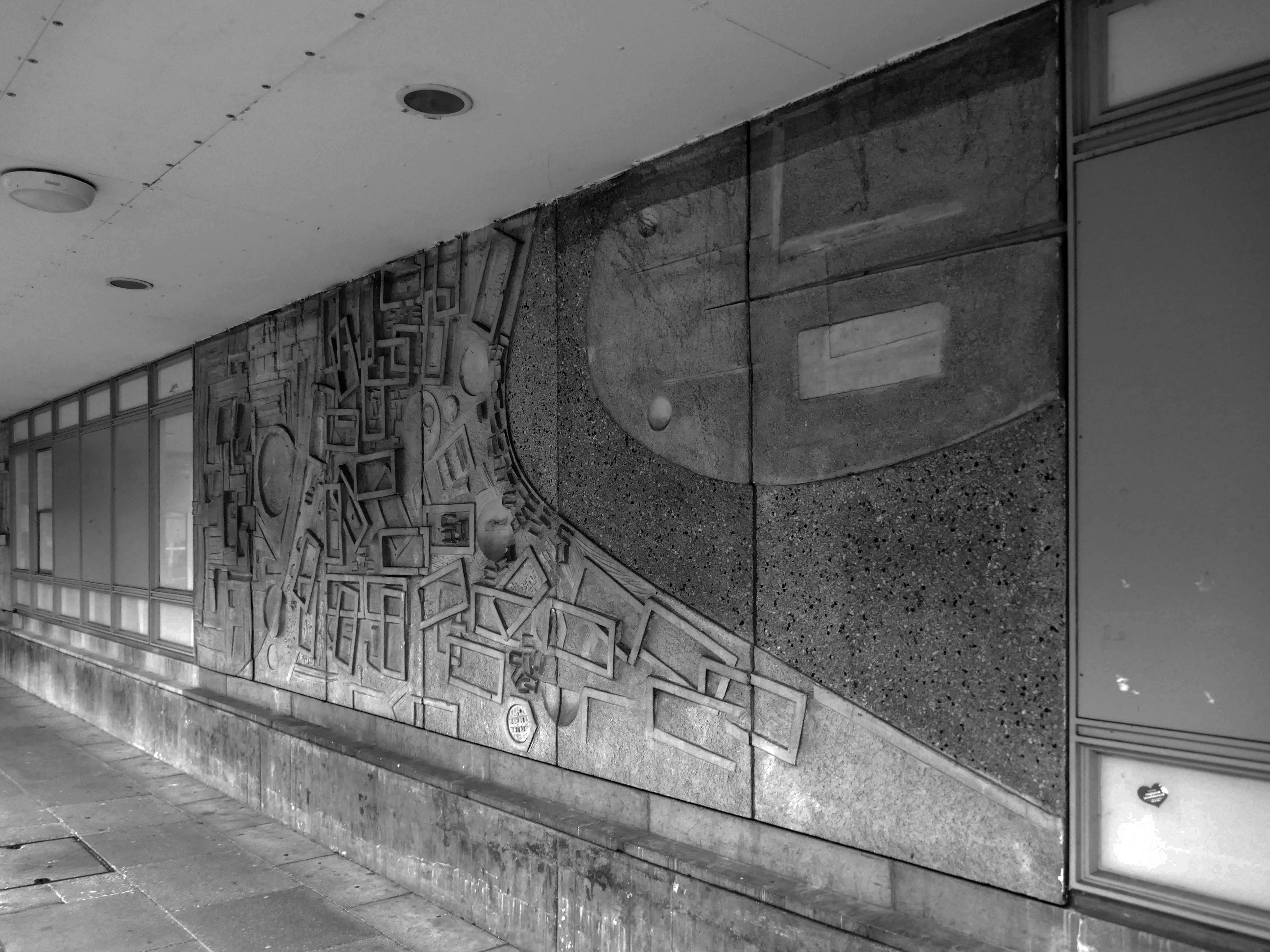
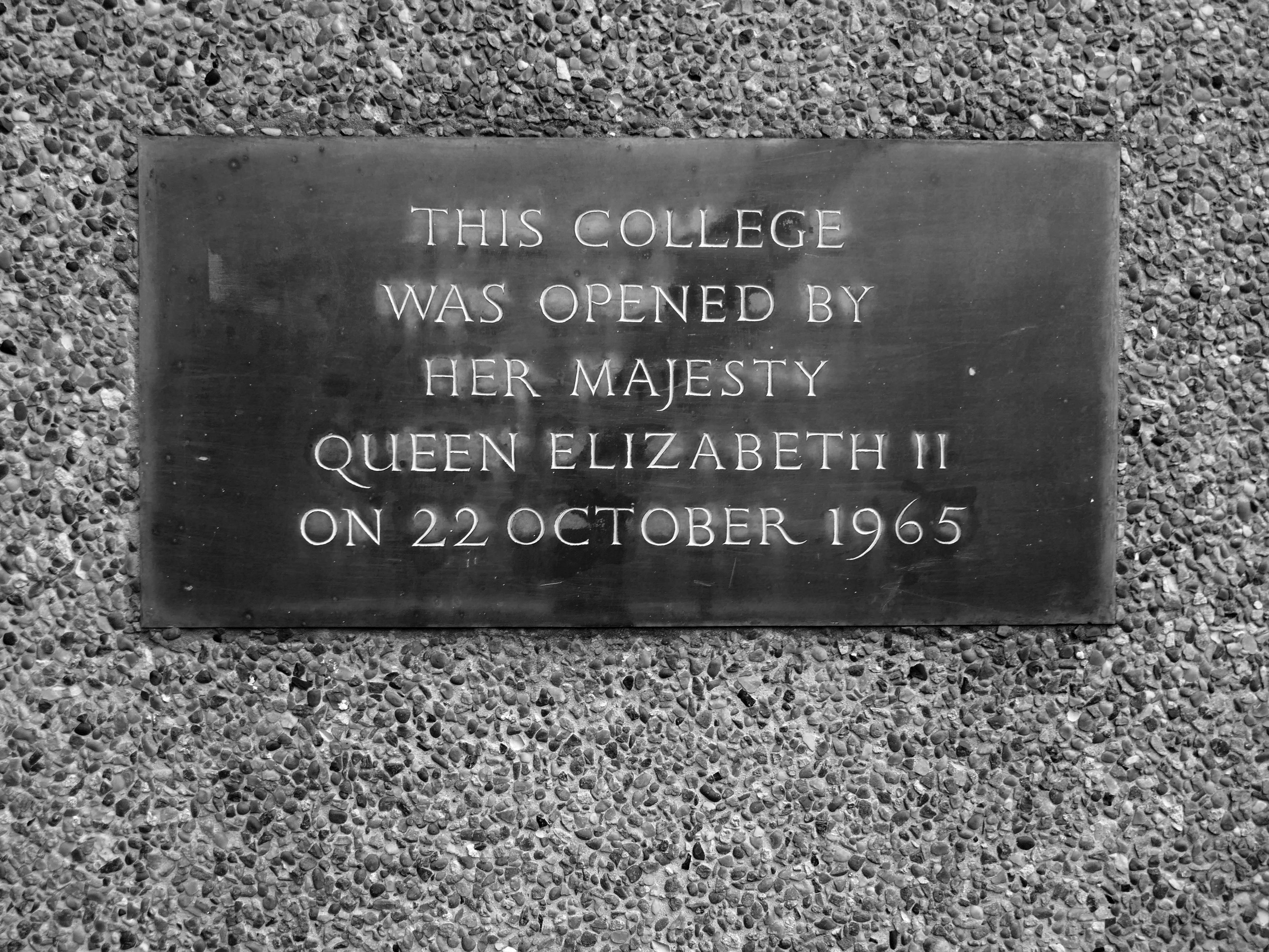
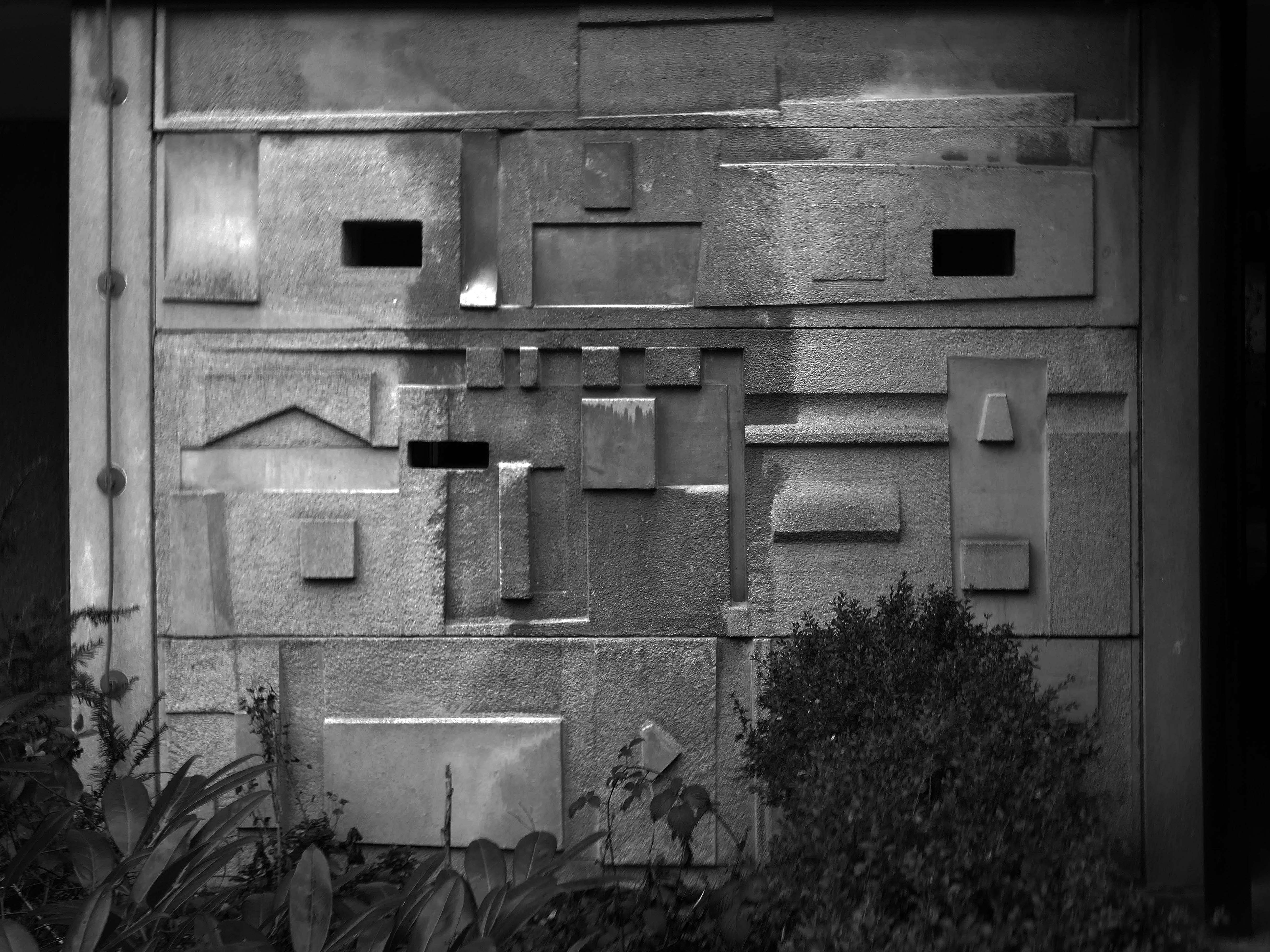
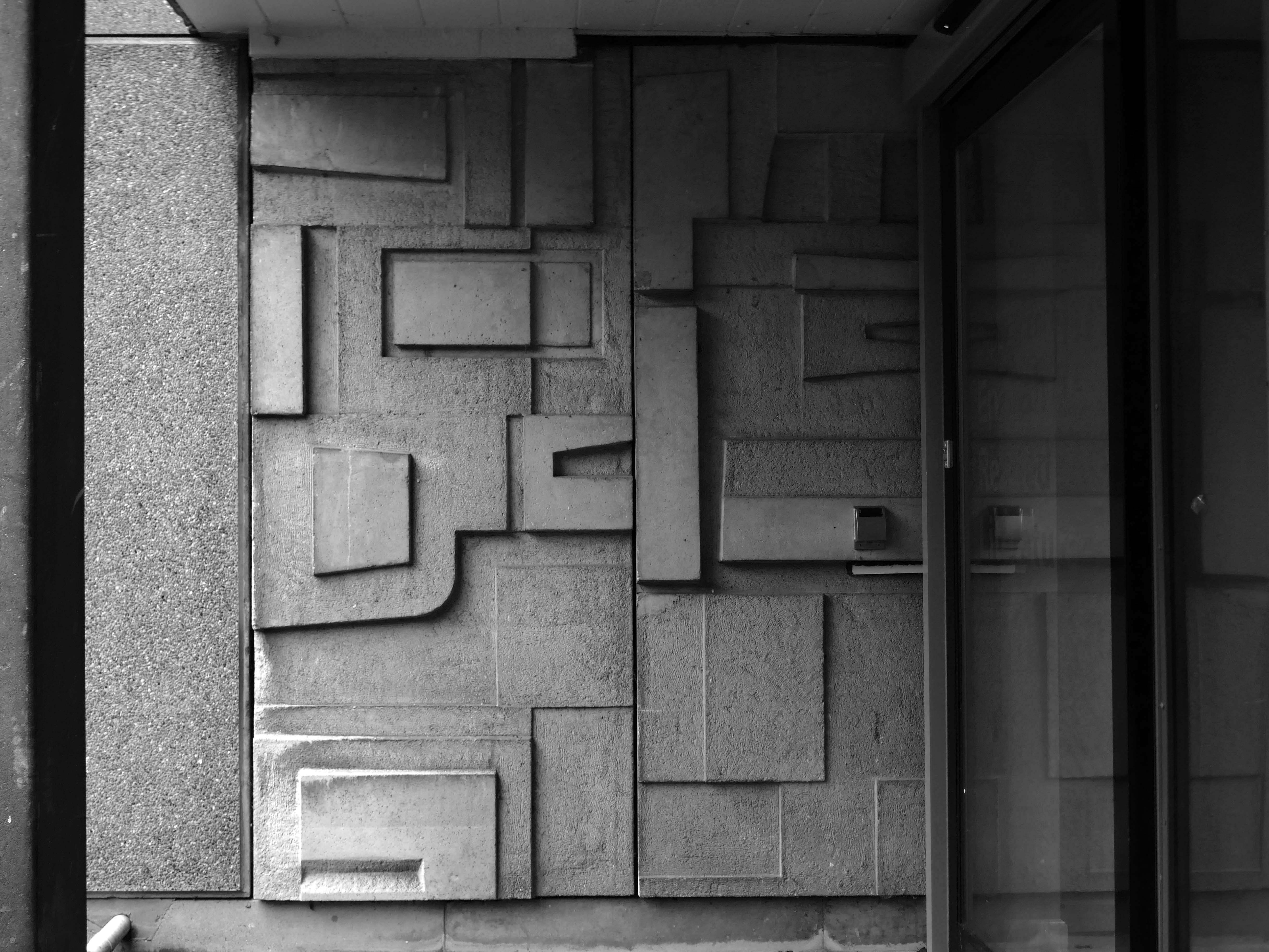
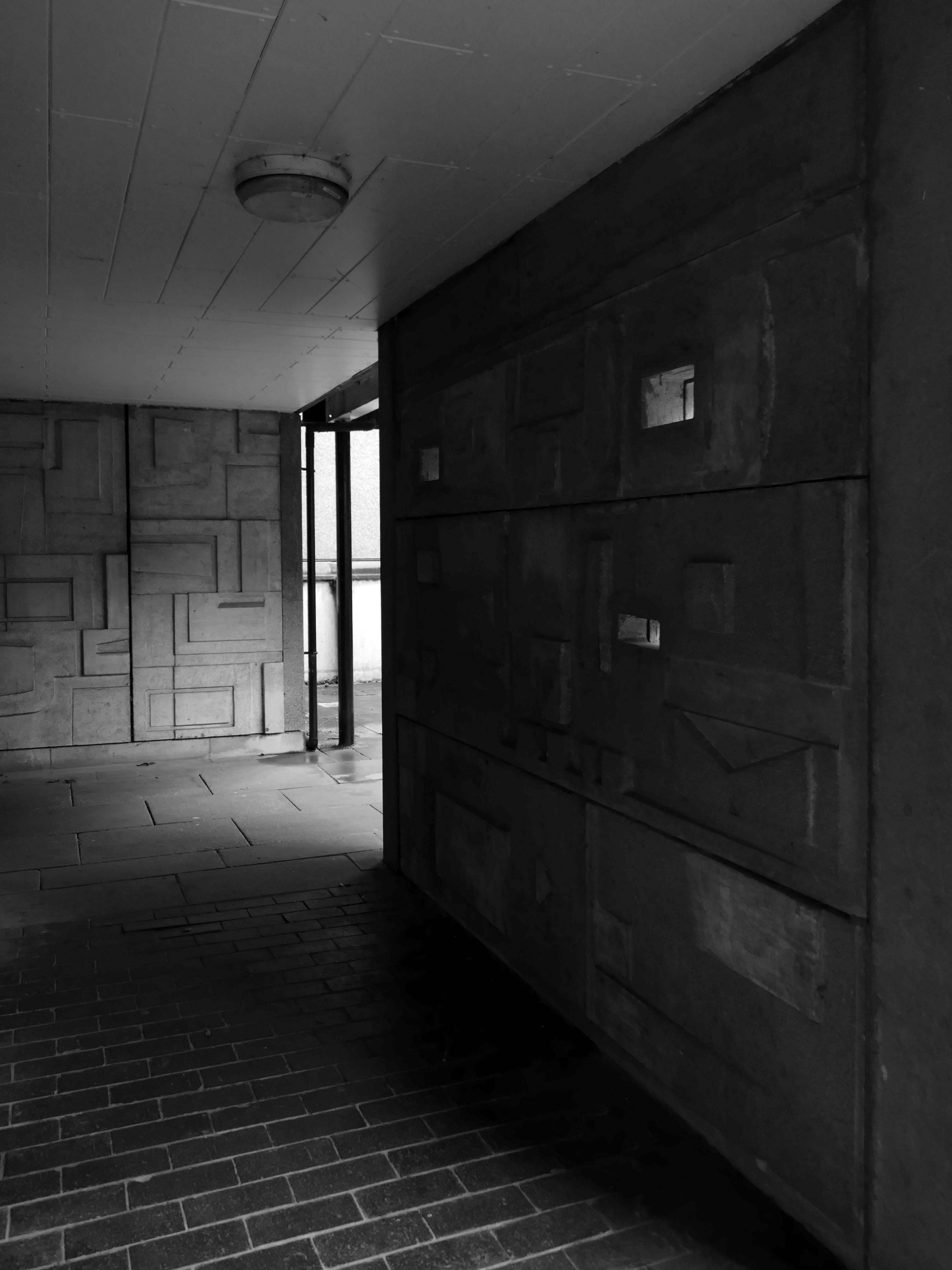
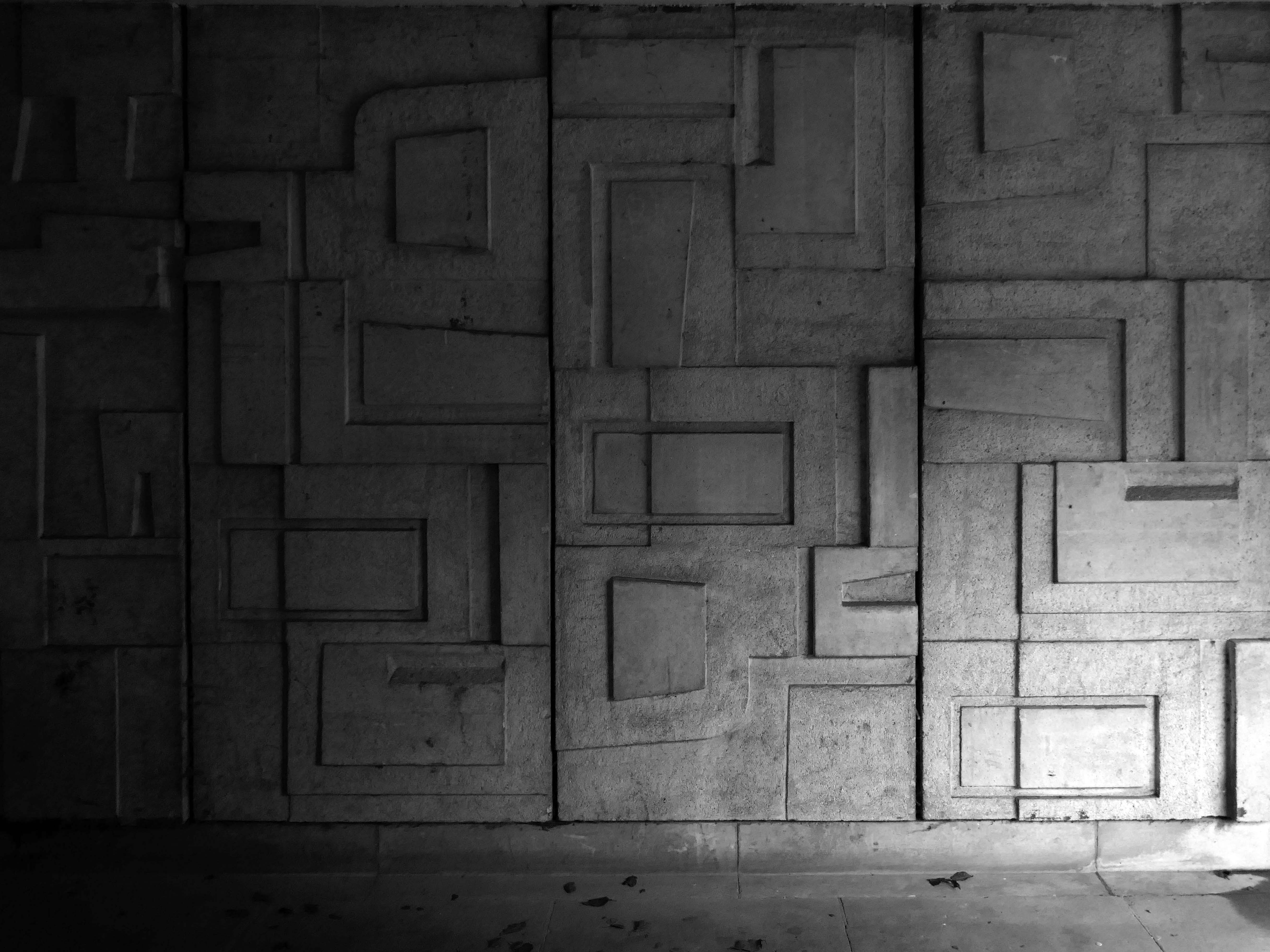
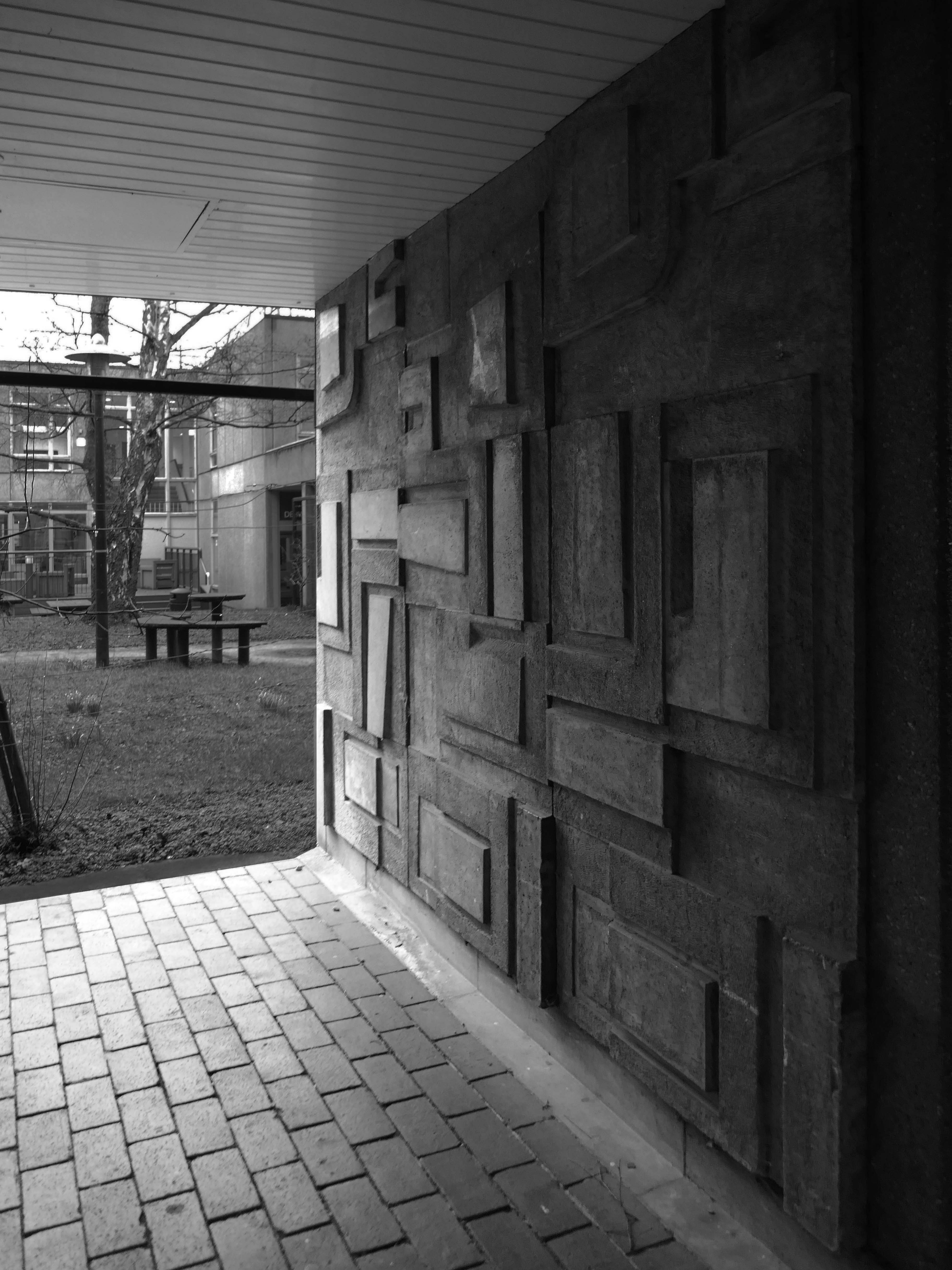
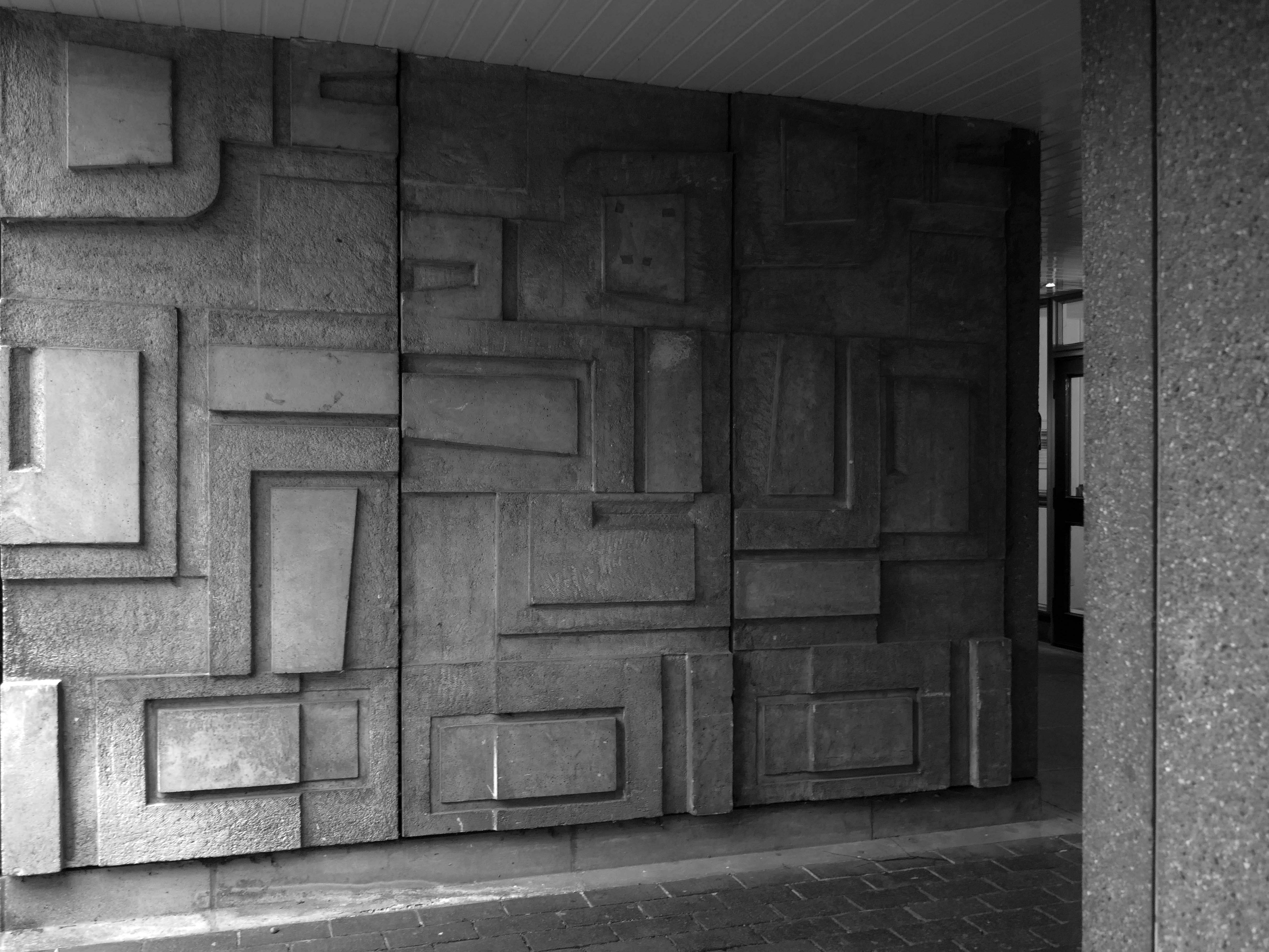
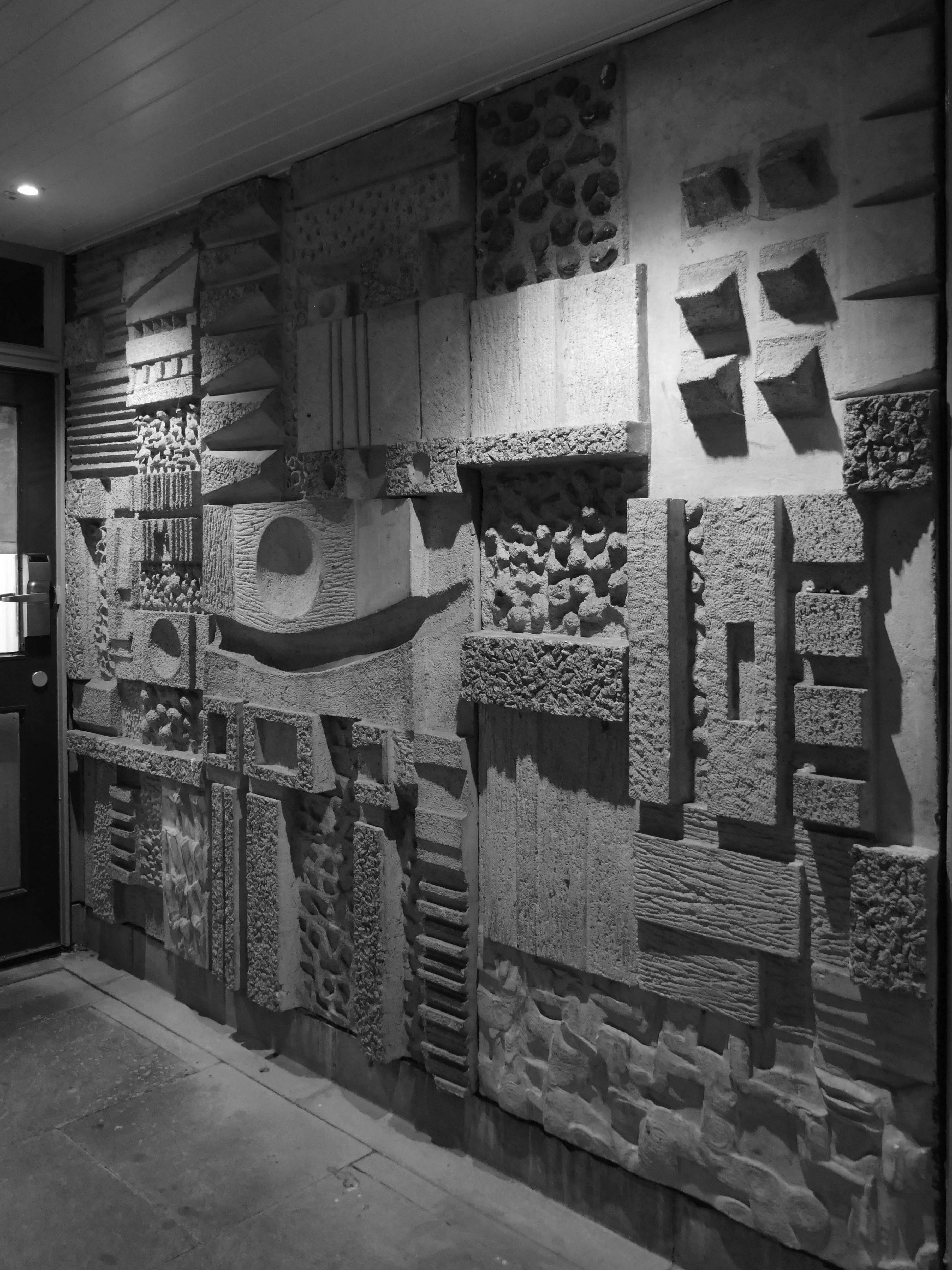
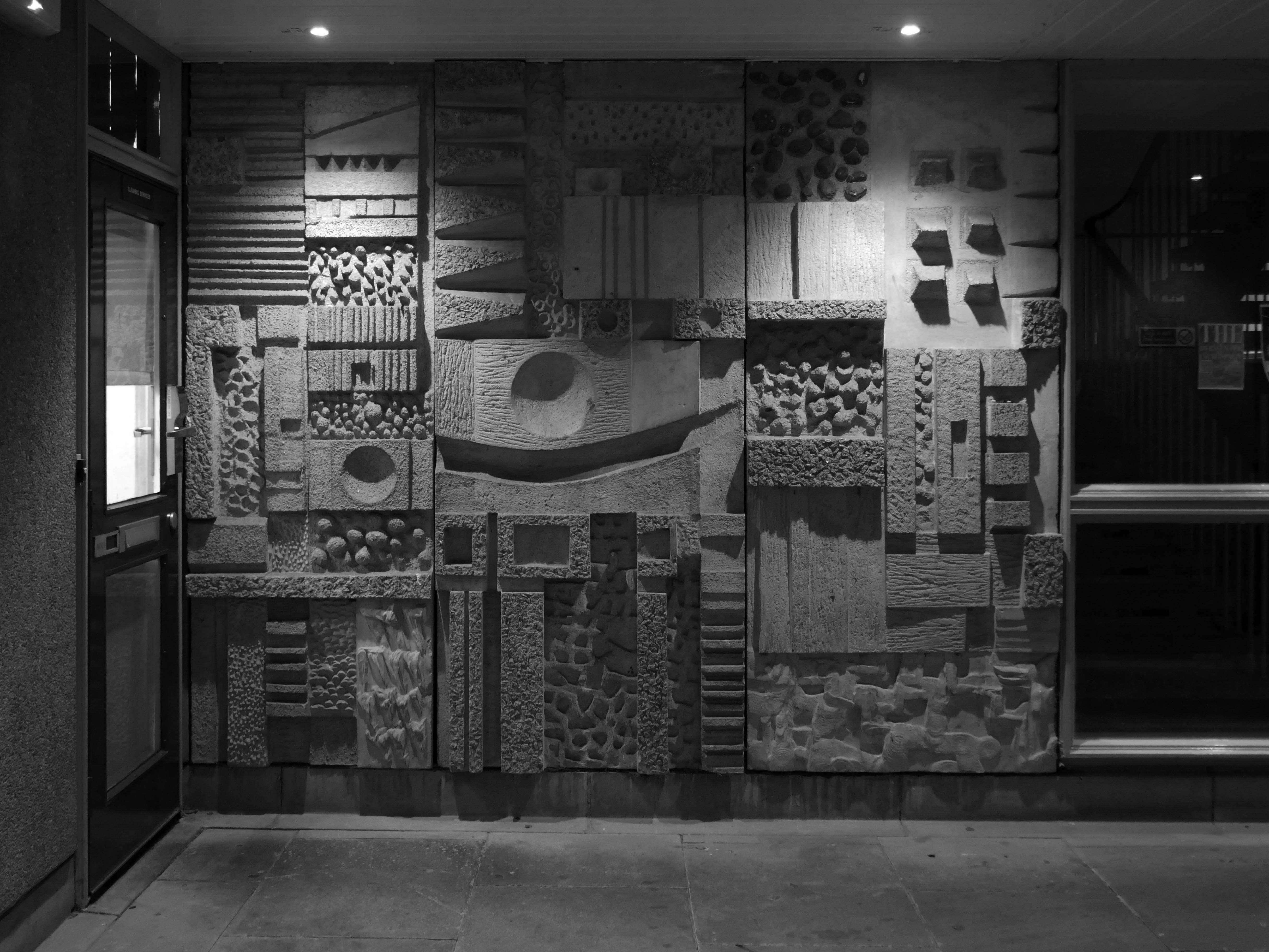
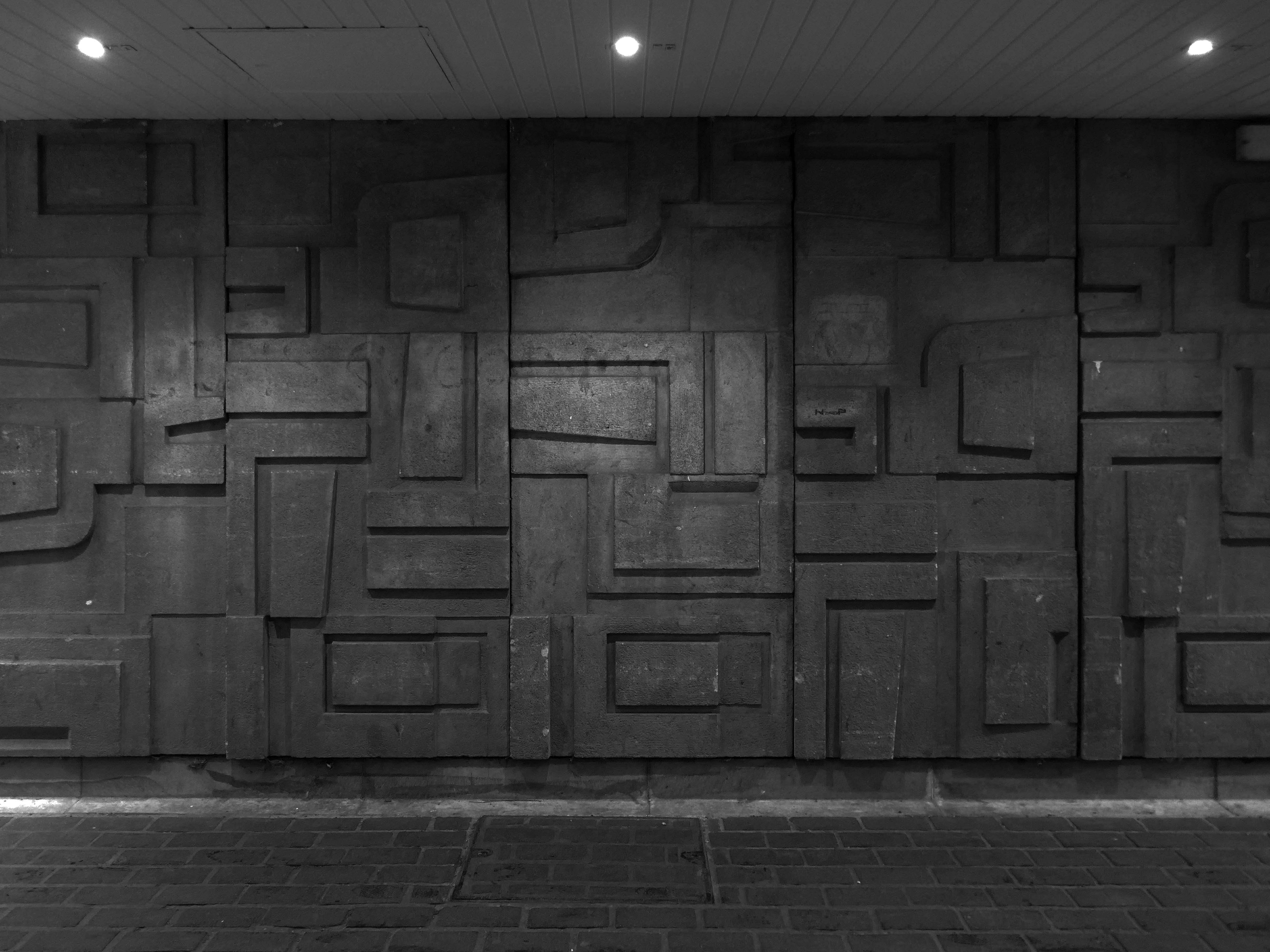
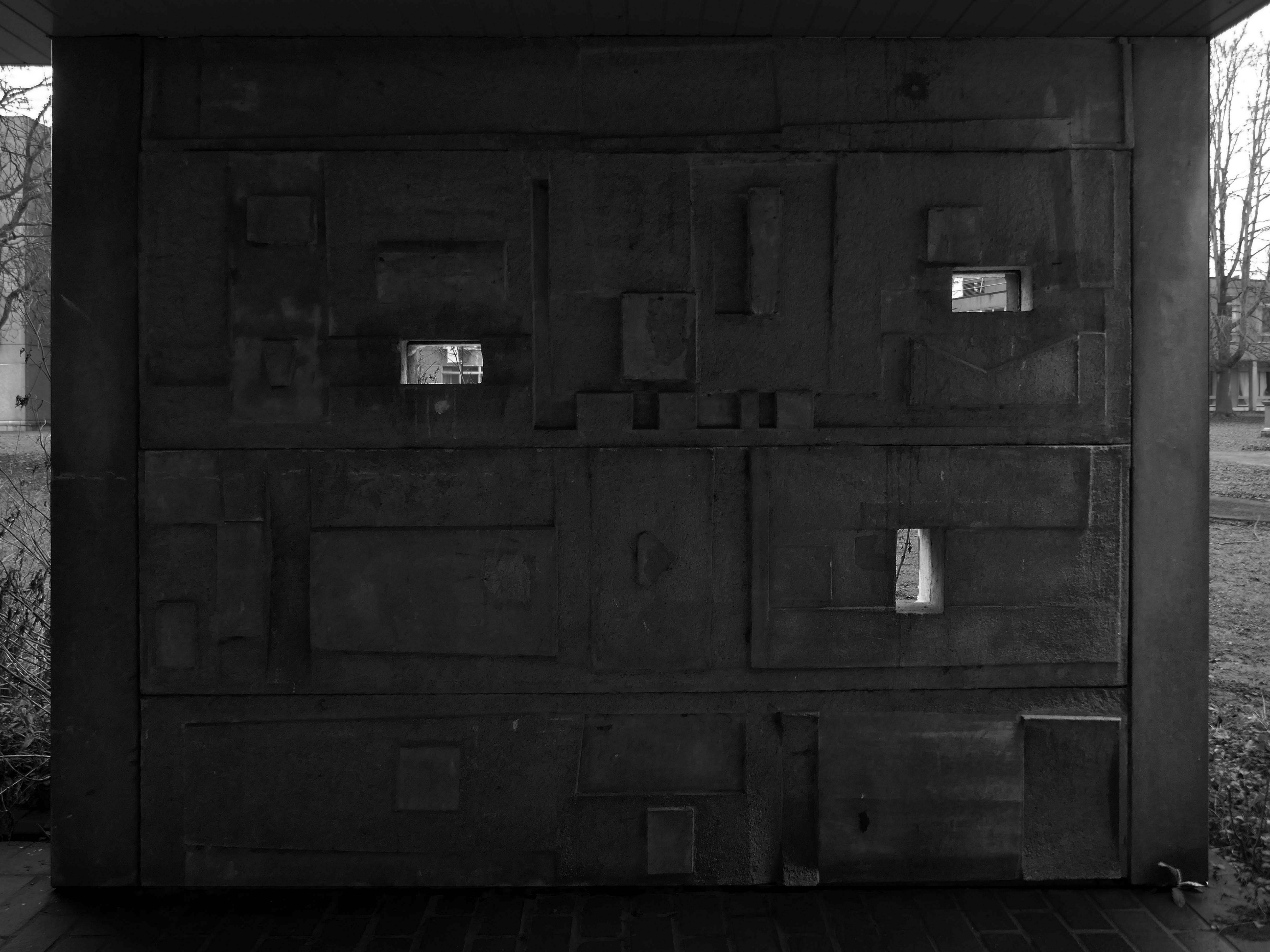
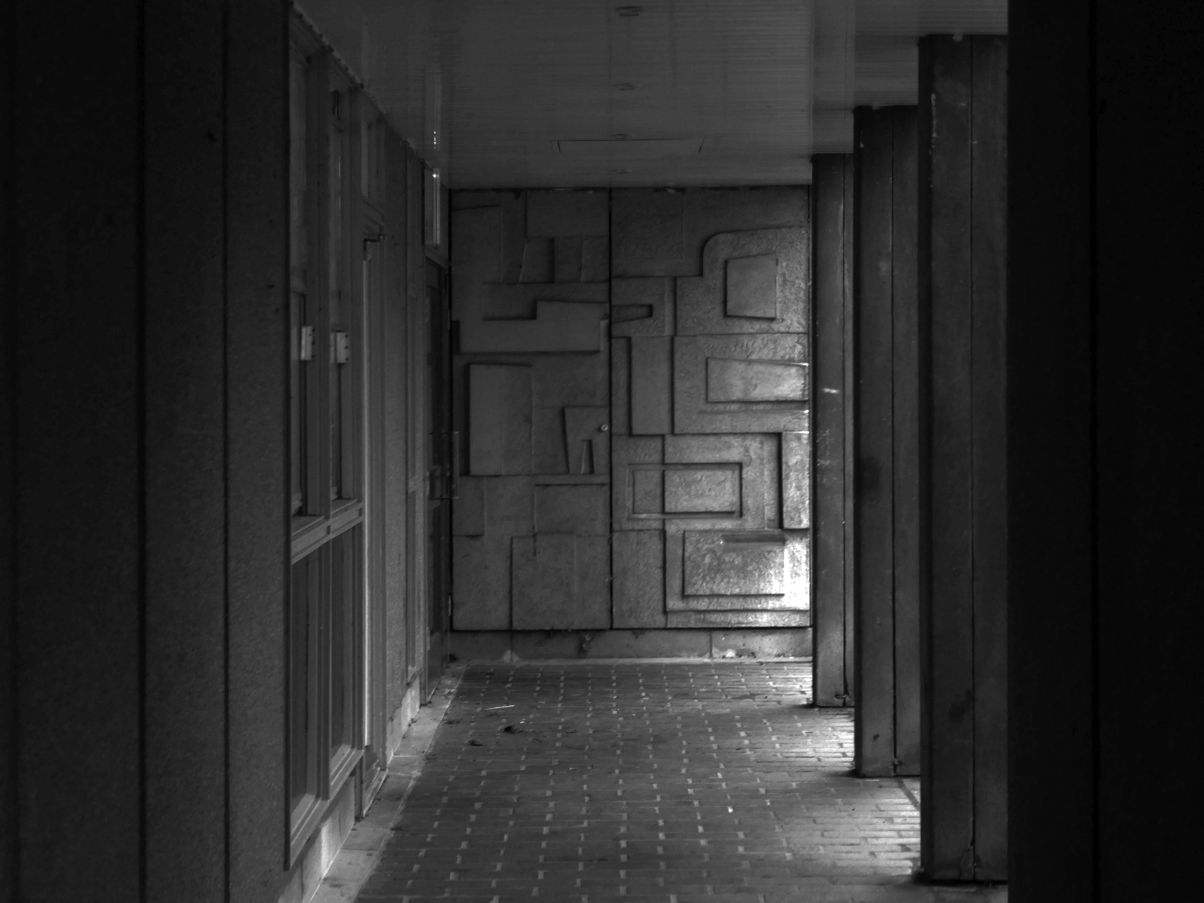
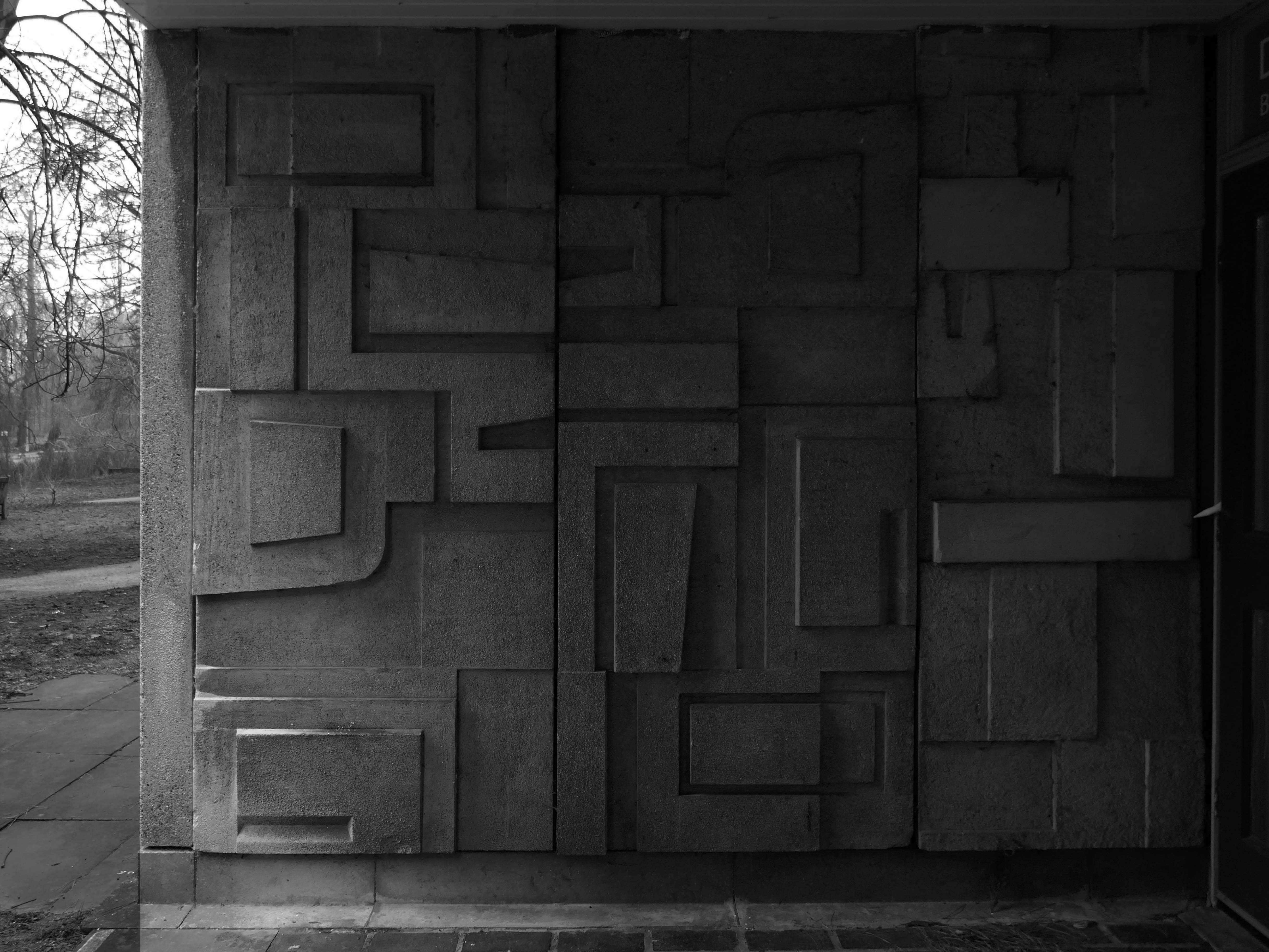
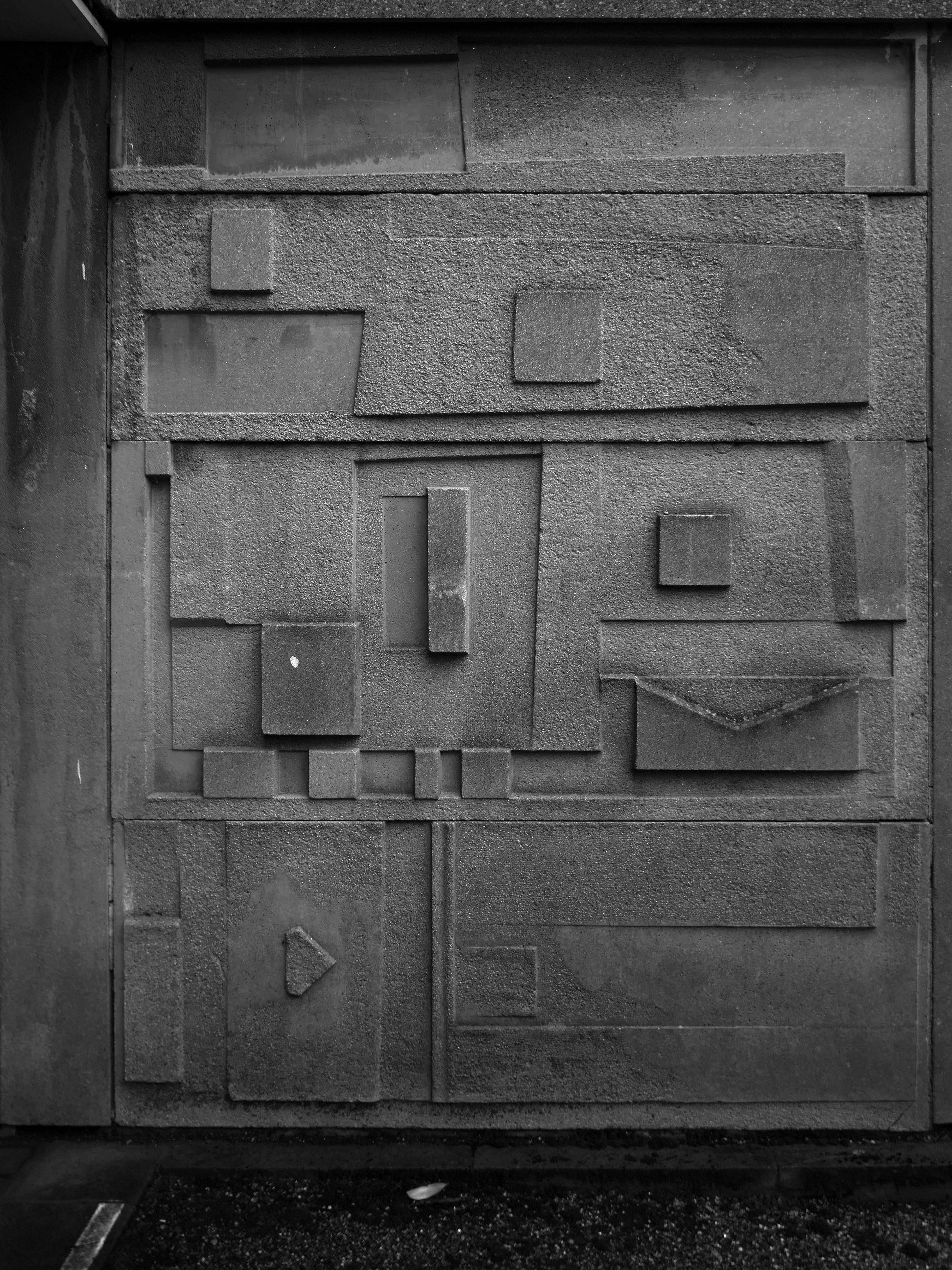
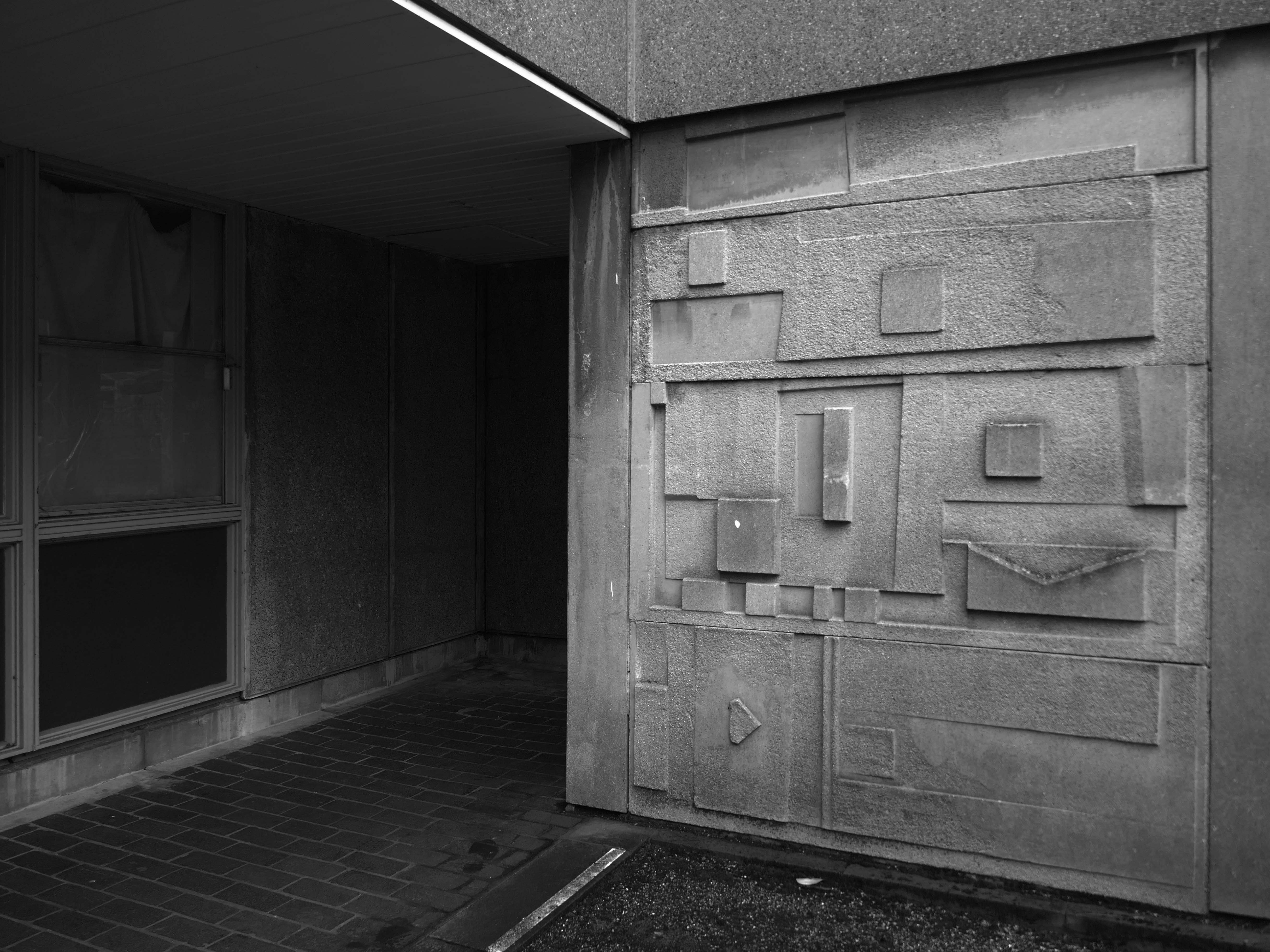
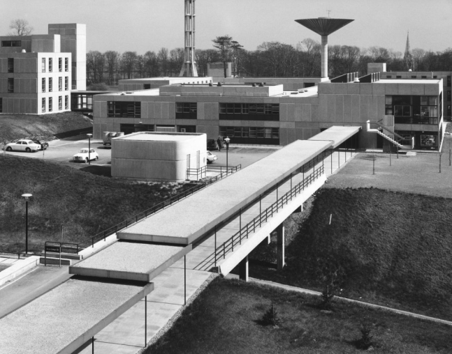
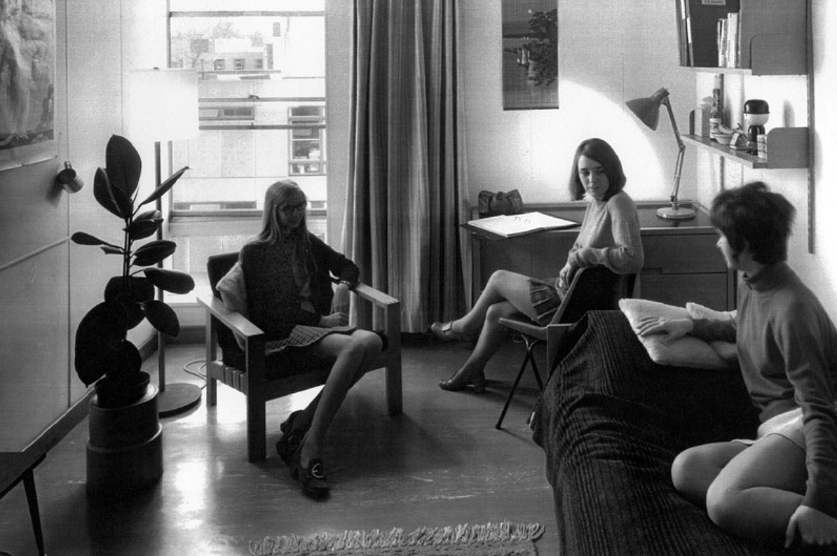
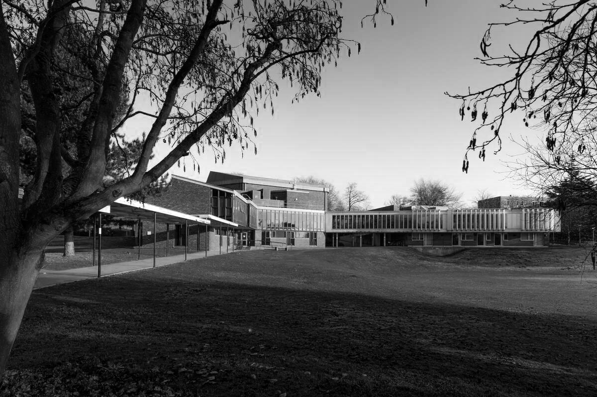
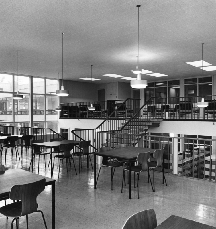
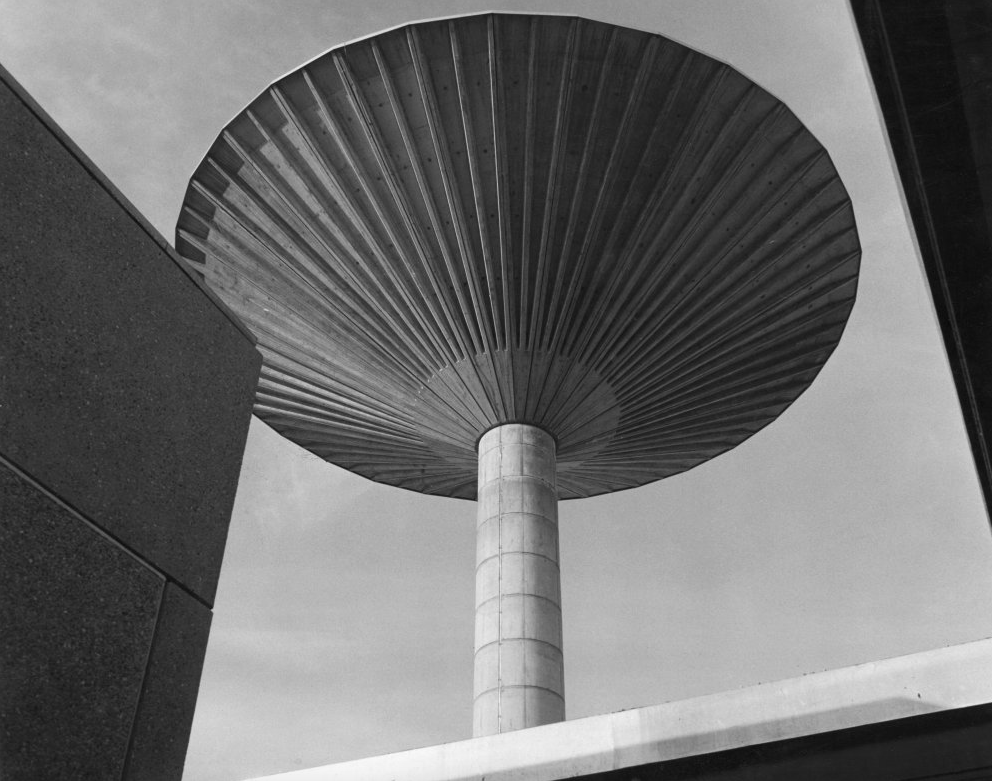
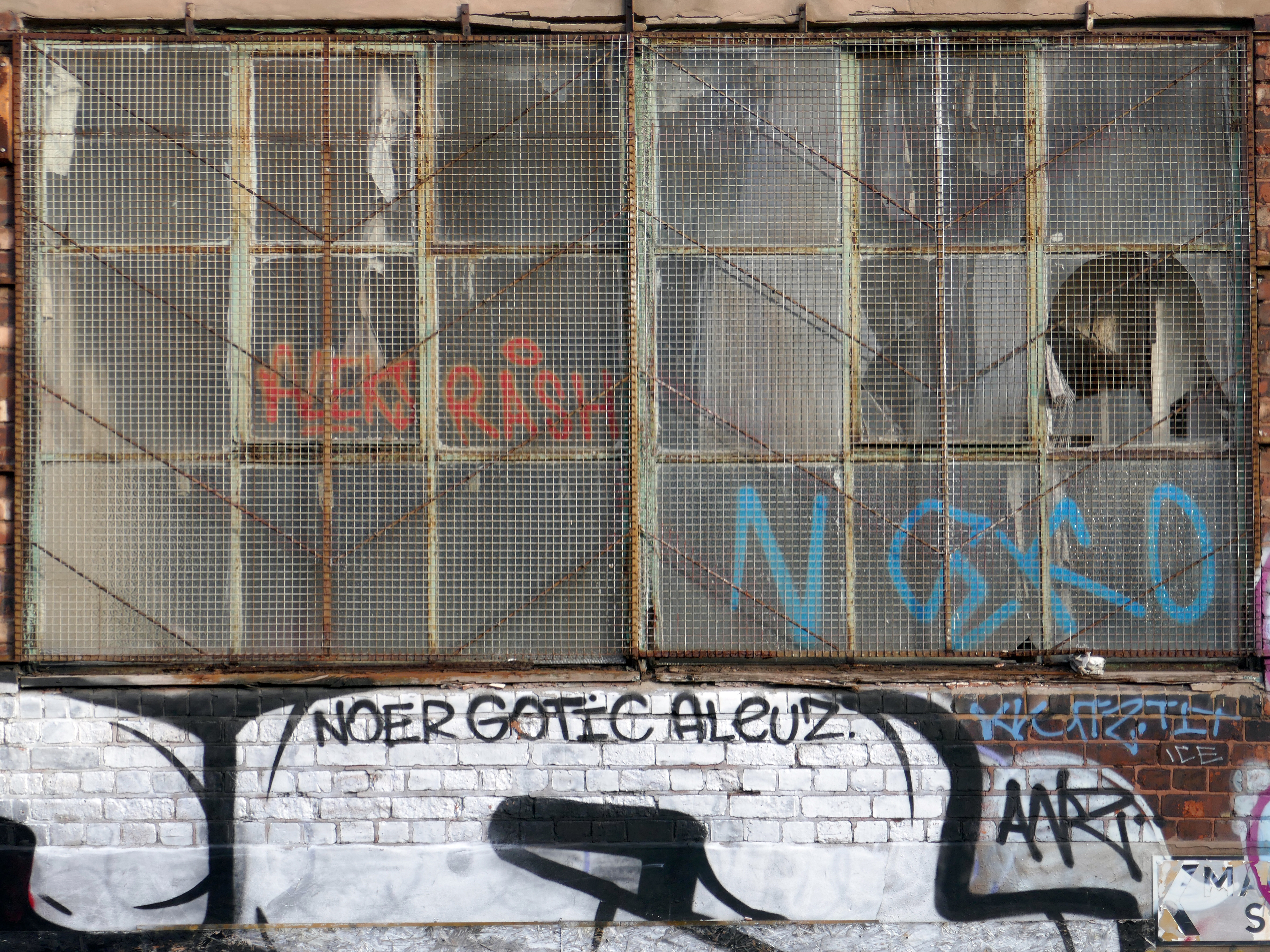
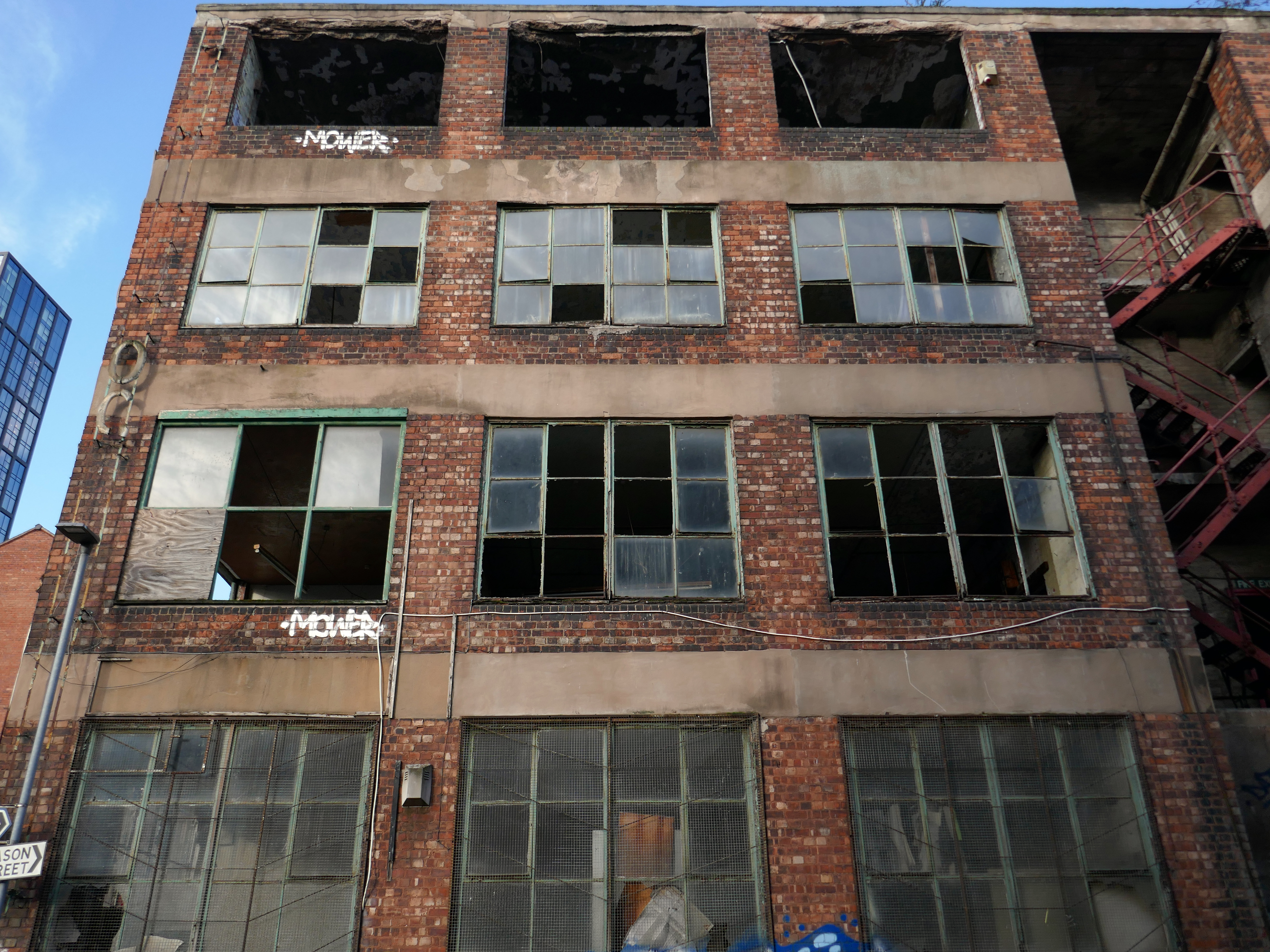
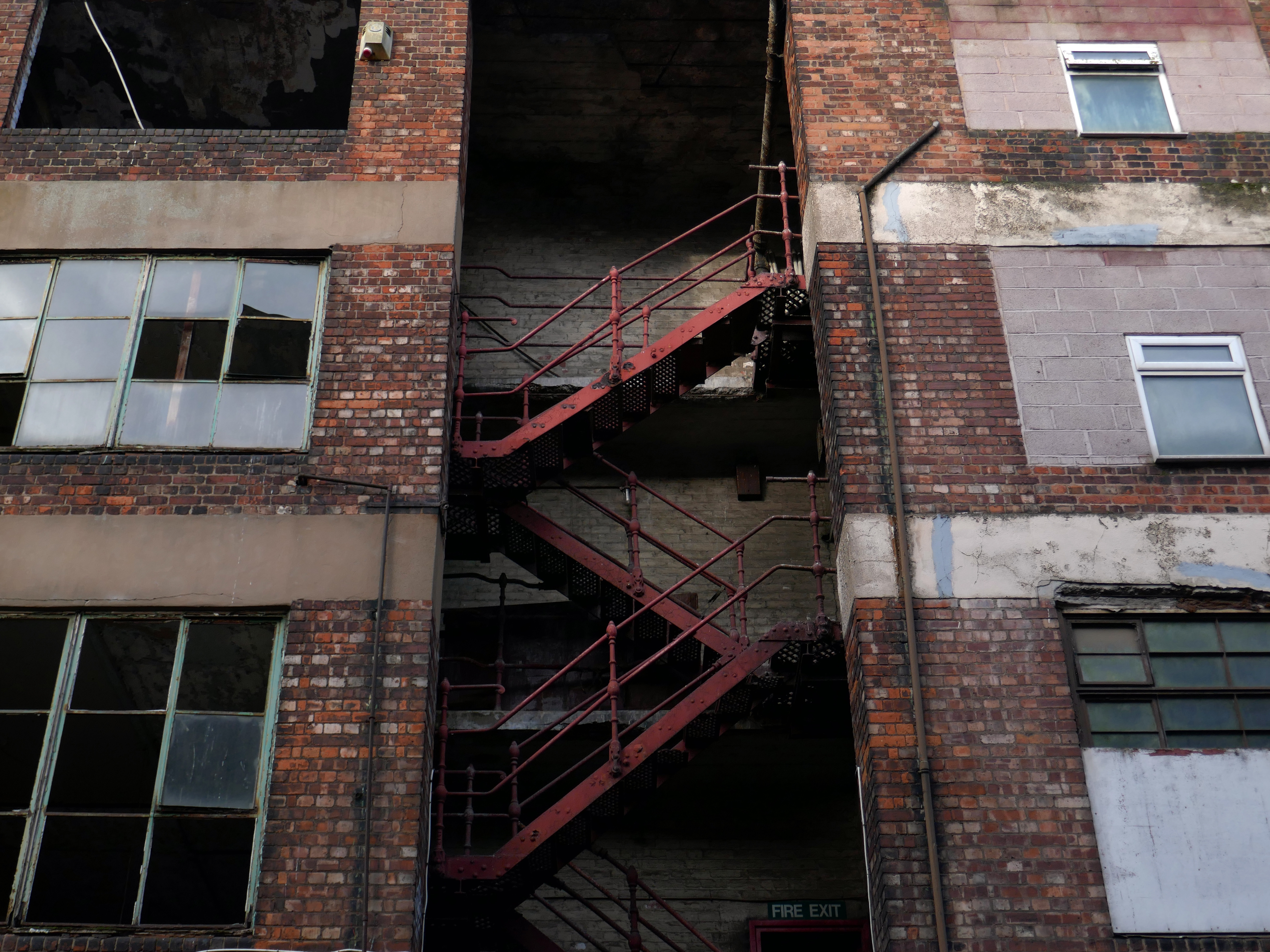
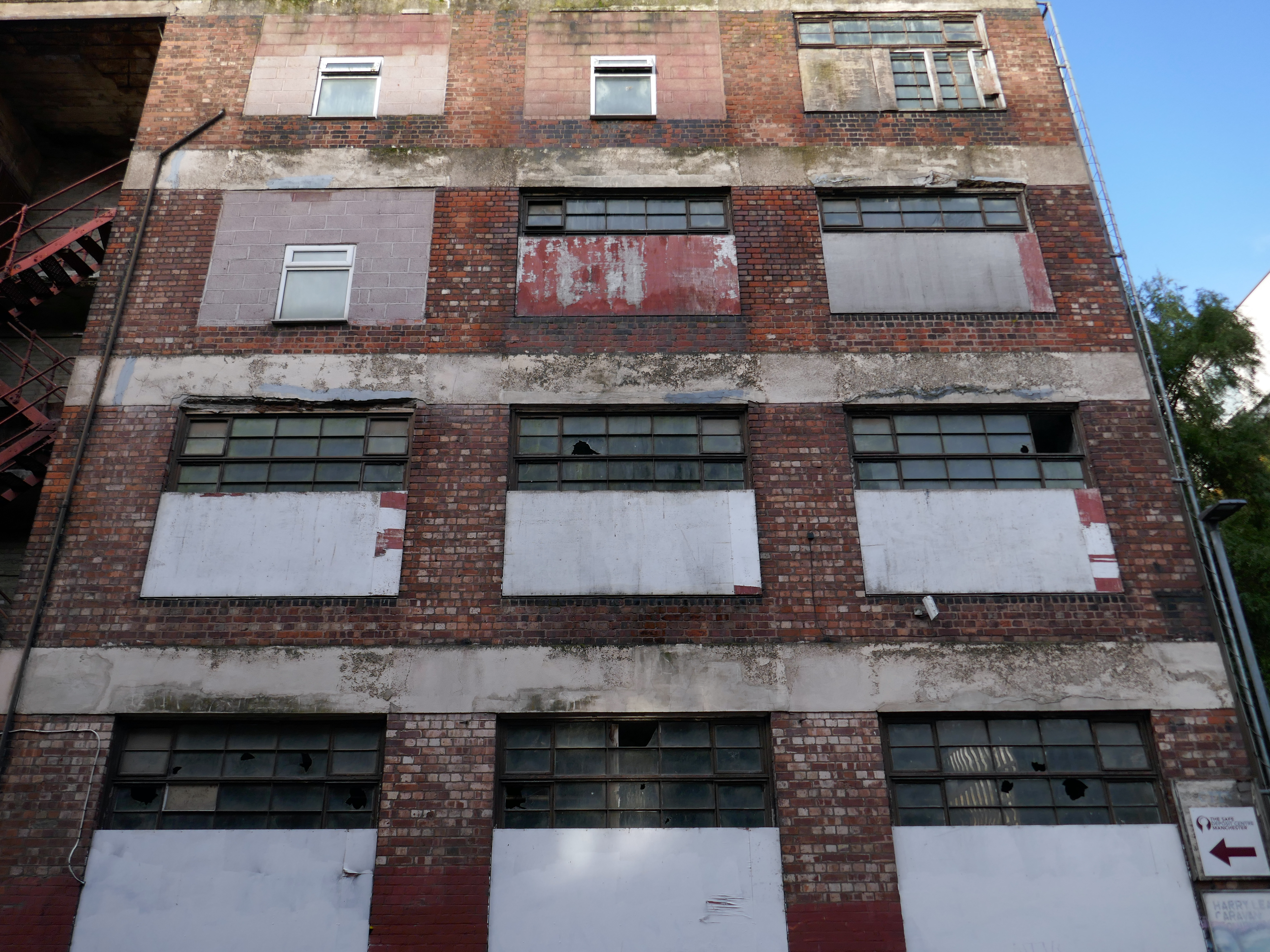
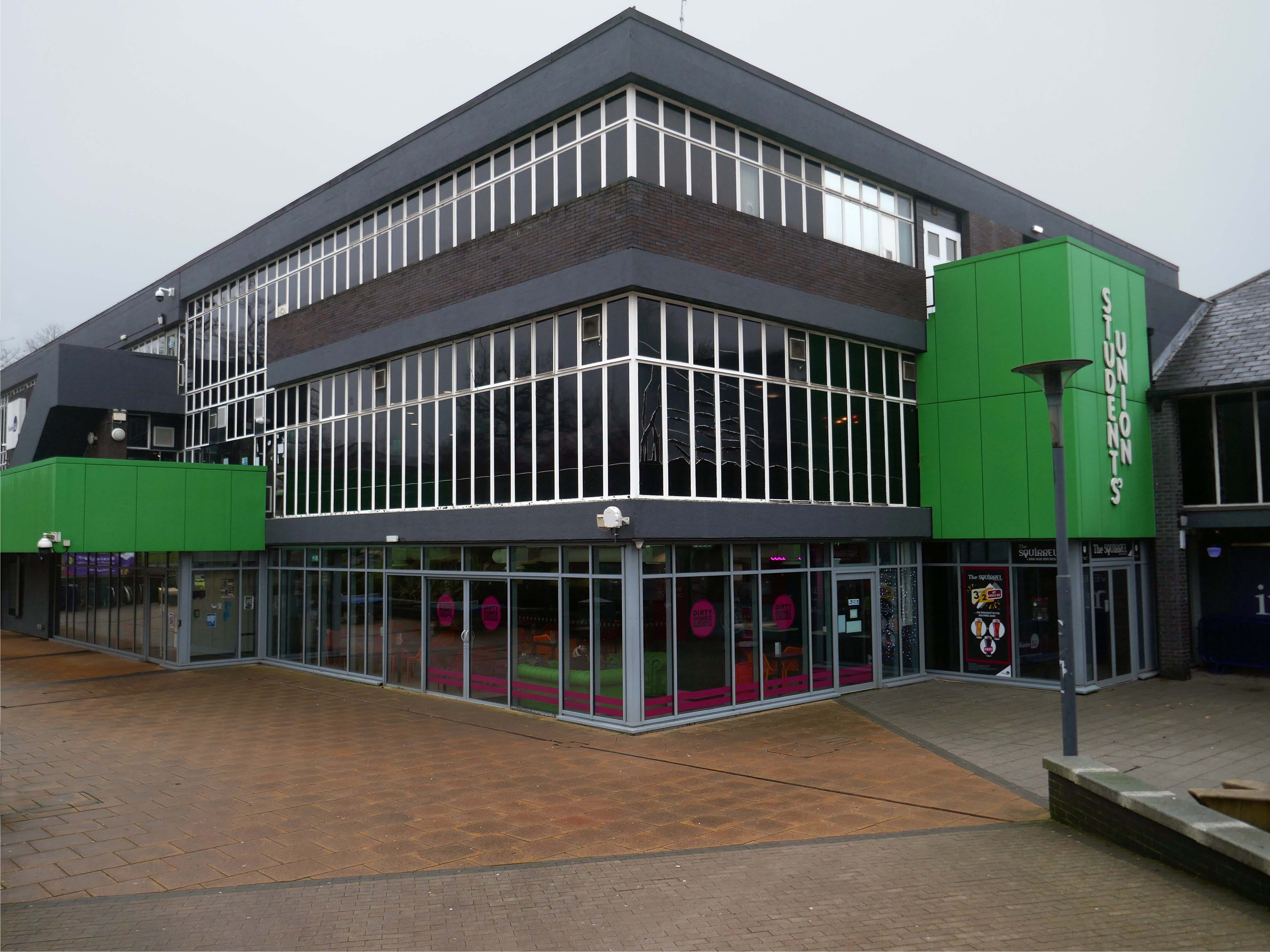
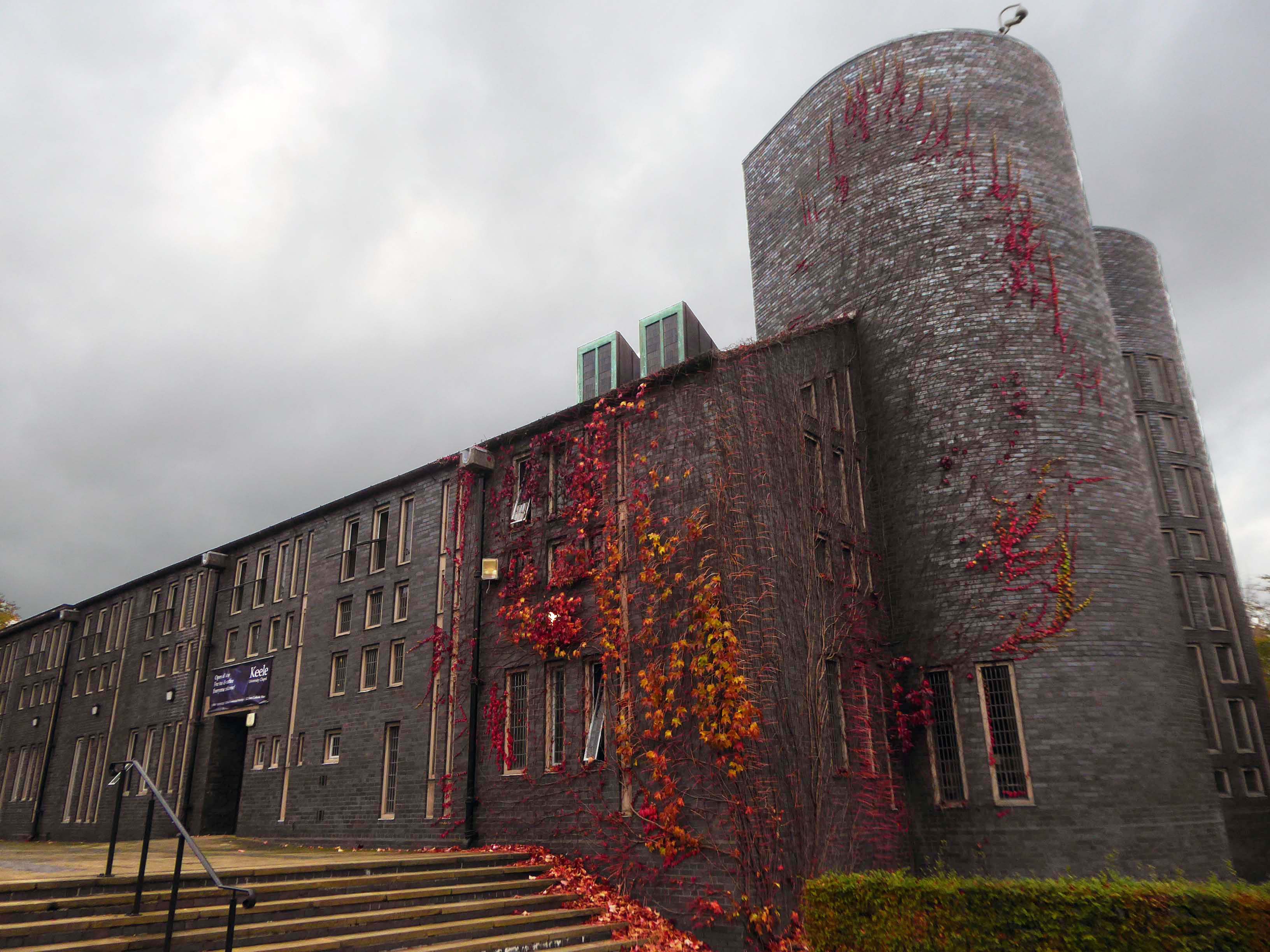
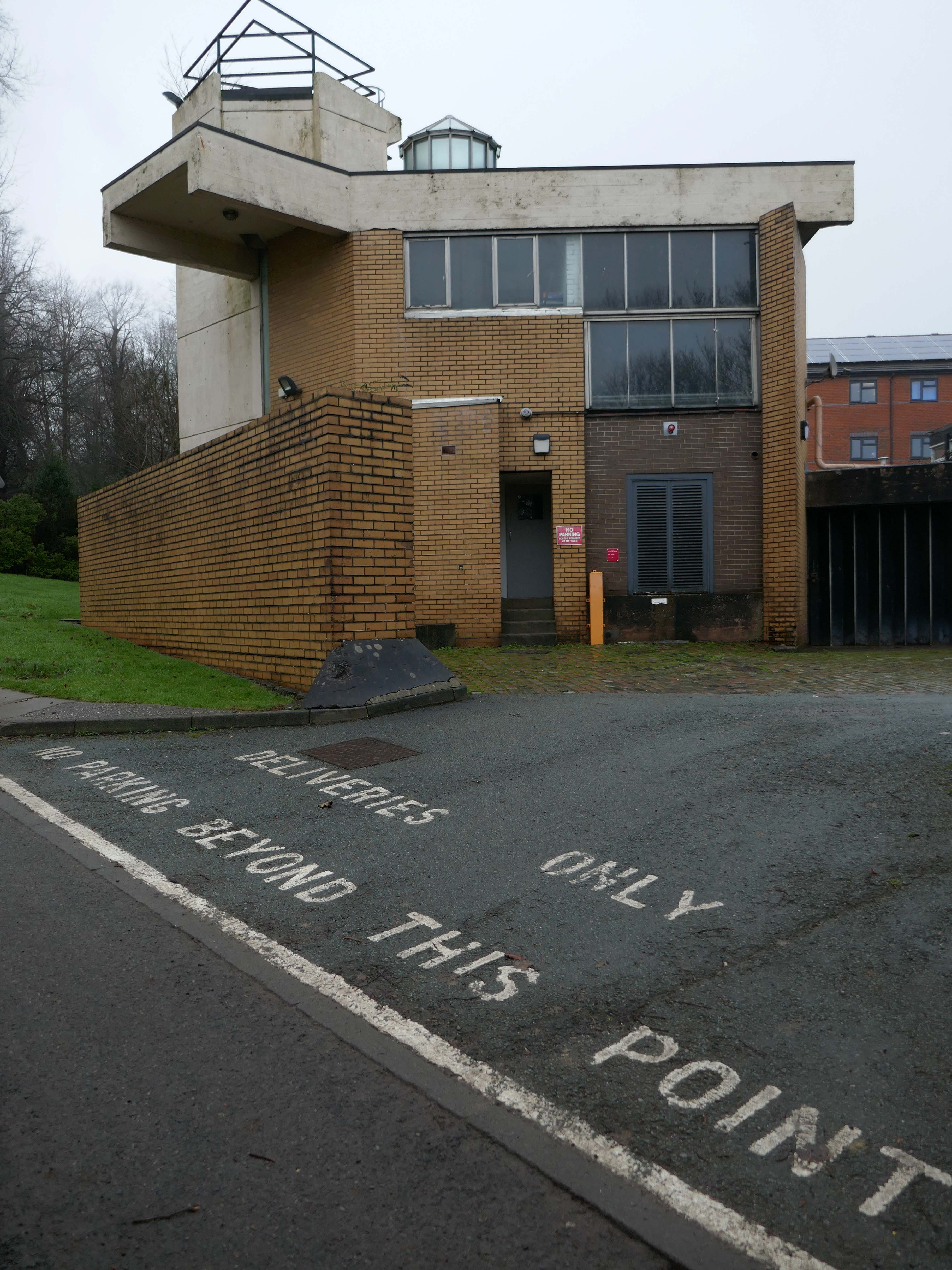
Students Union 1961-62 Stillman & Eastwick-Field enclosed and extended 1975.
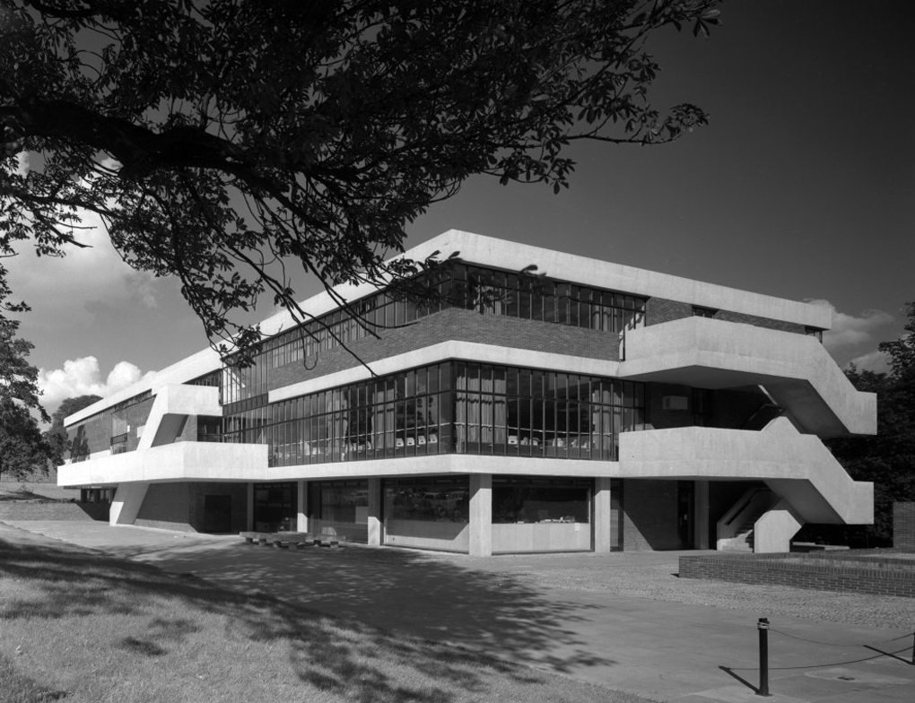
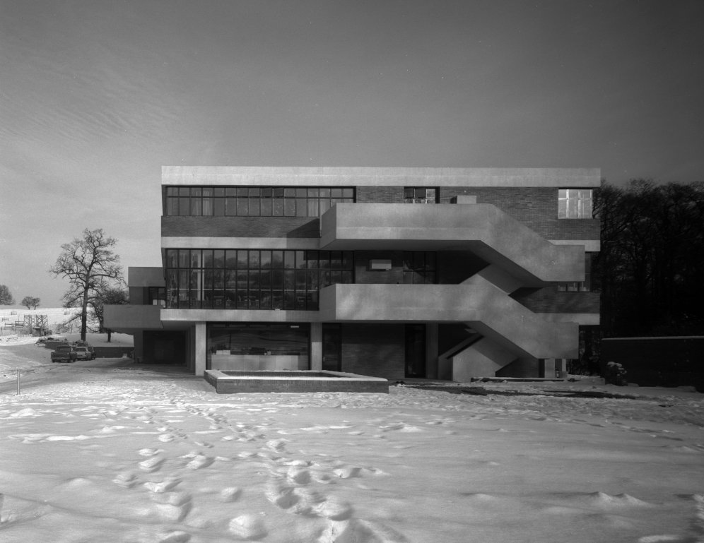
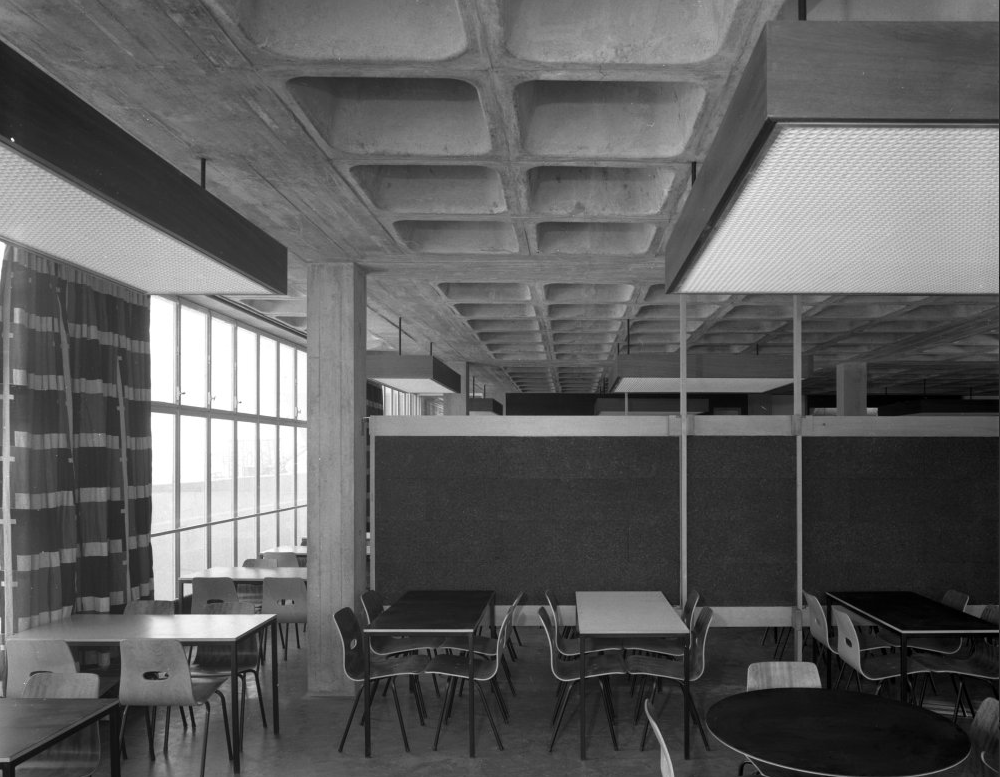
RIBApix Henk Snoek 1963
I fear that time has not been kind to this once fresh faced youngster.
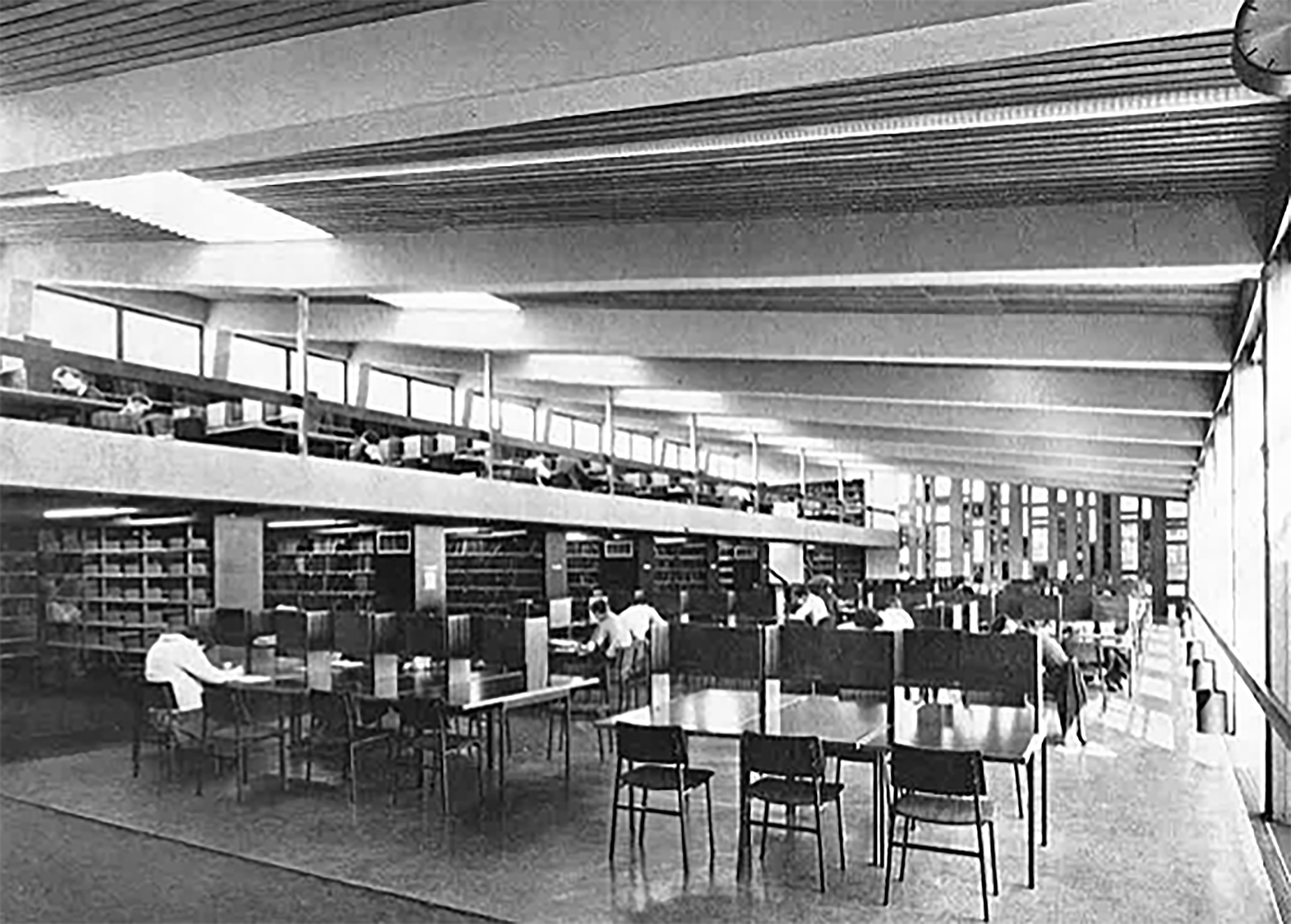
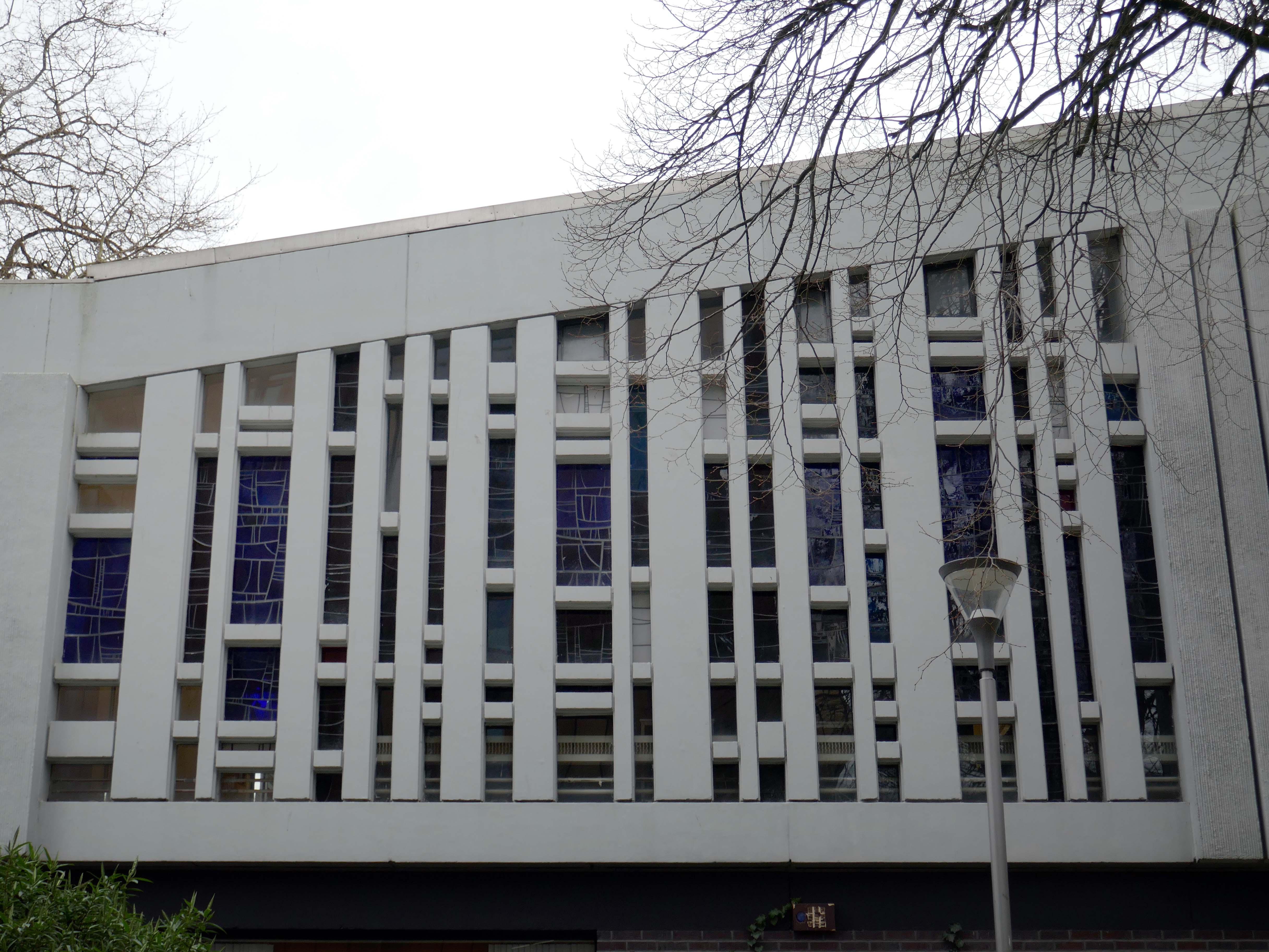
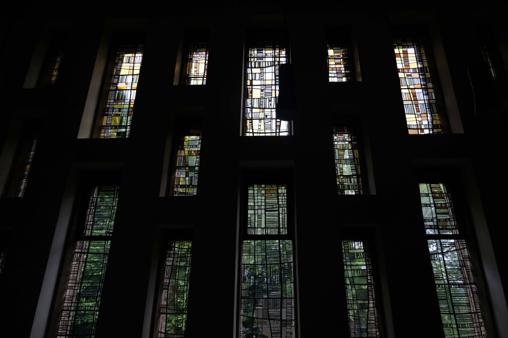
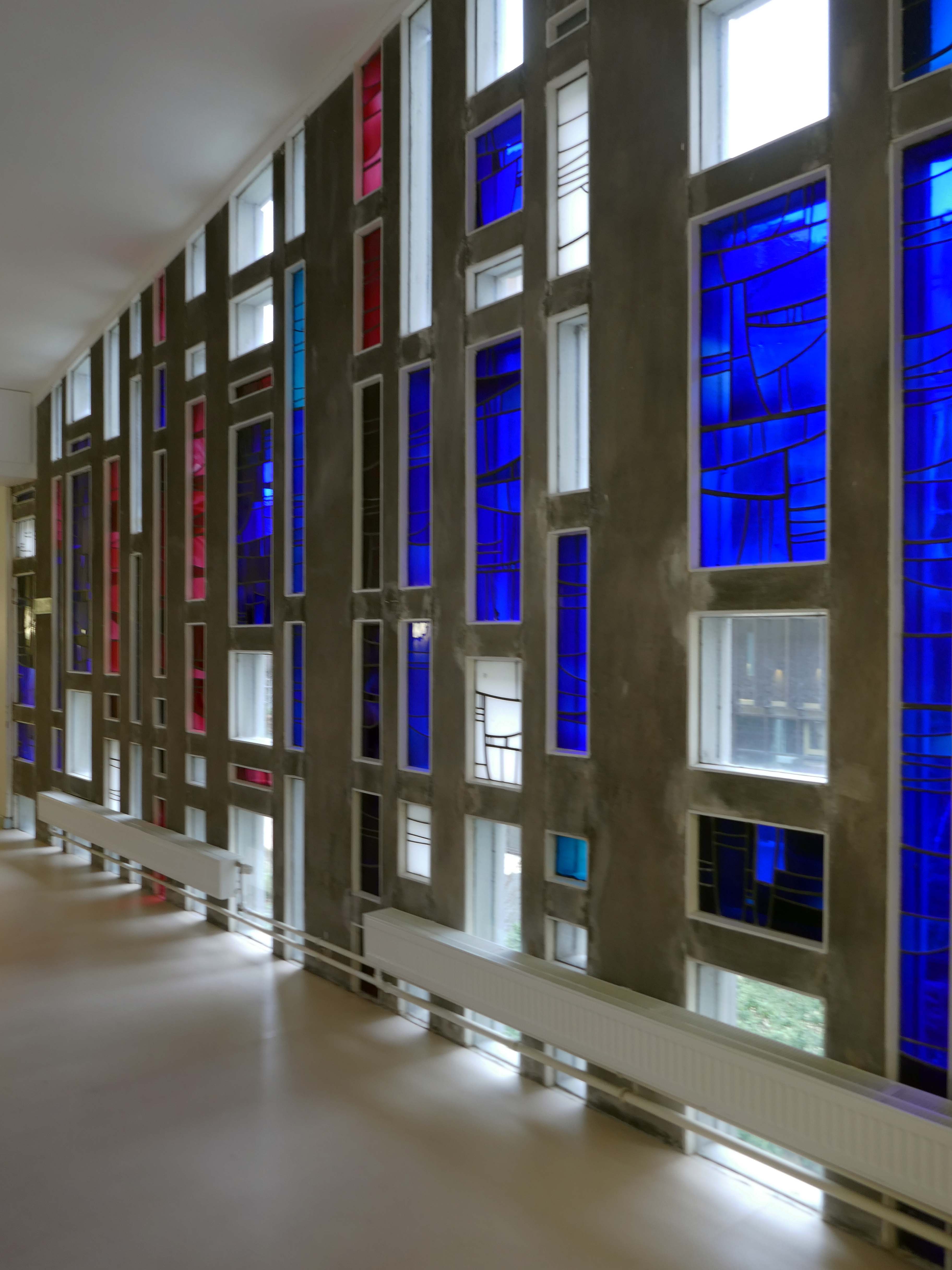
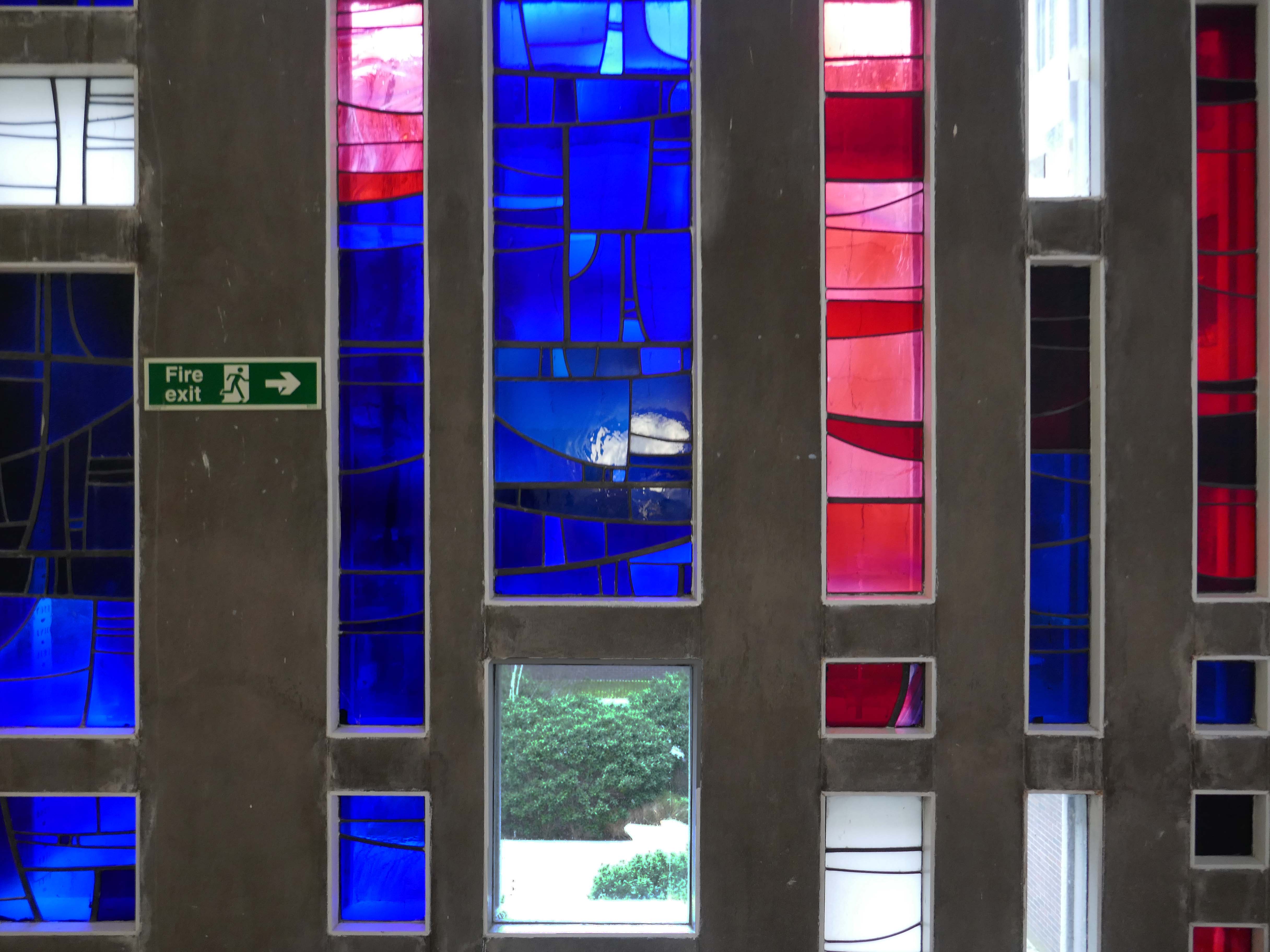
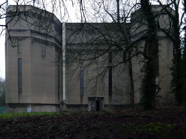
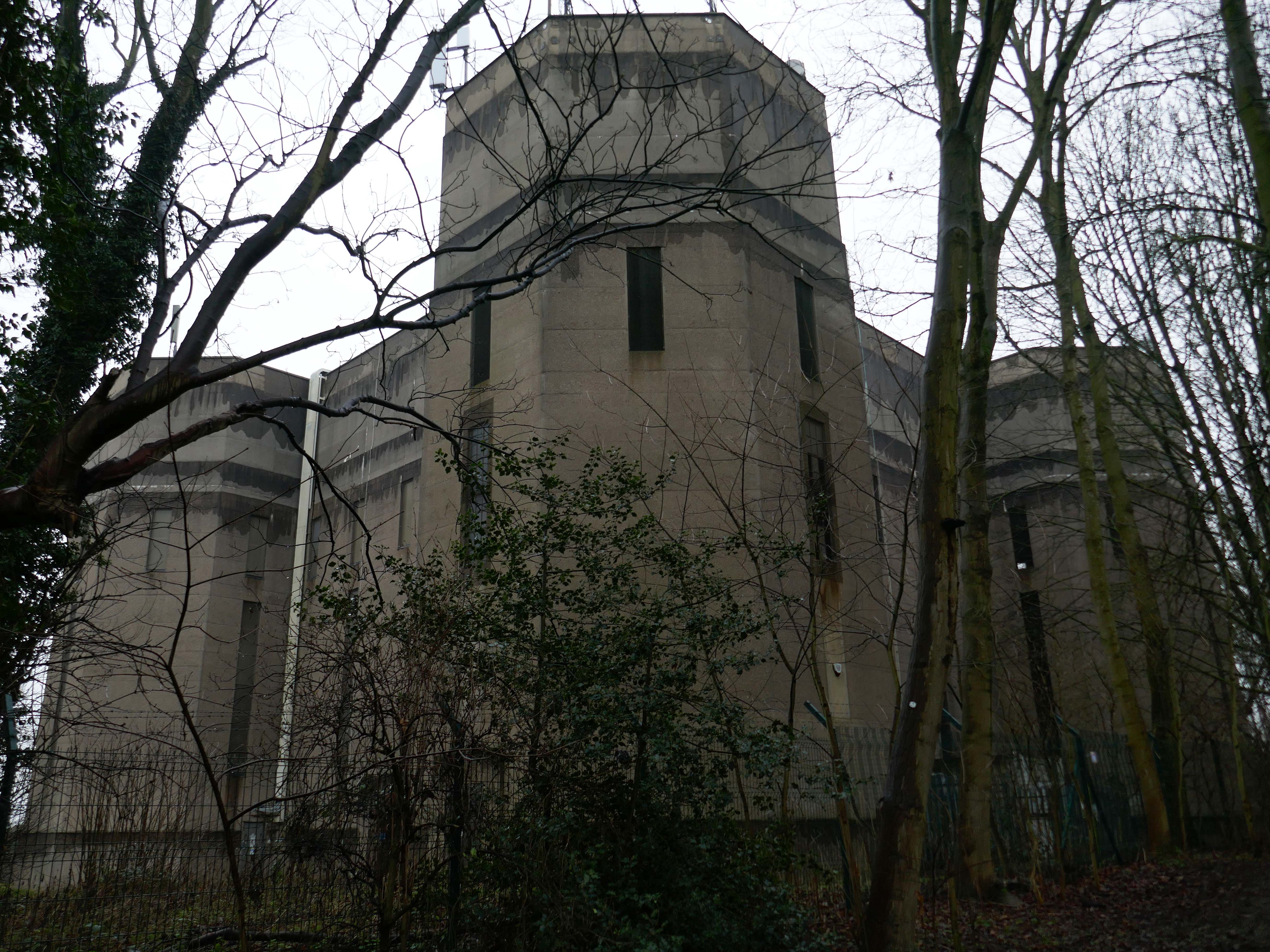
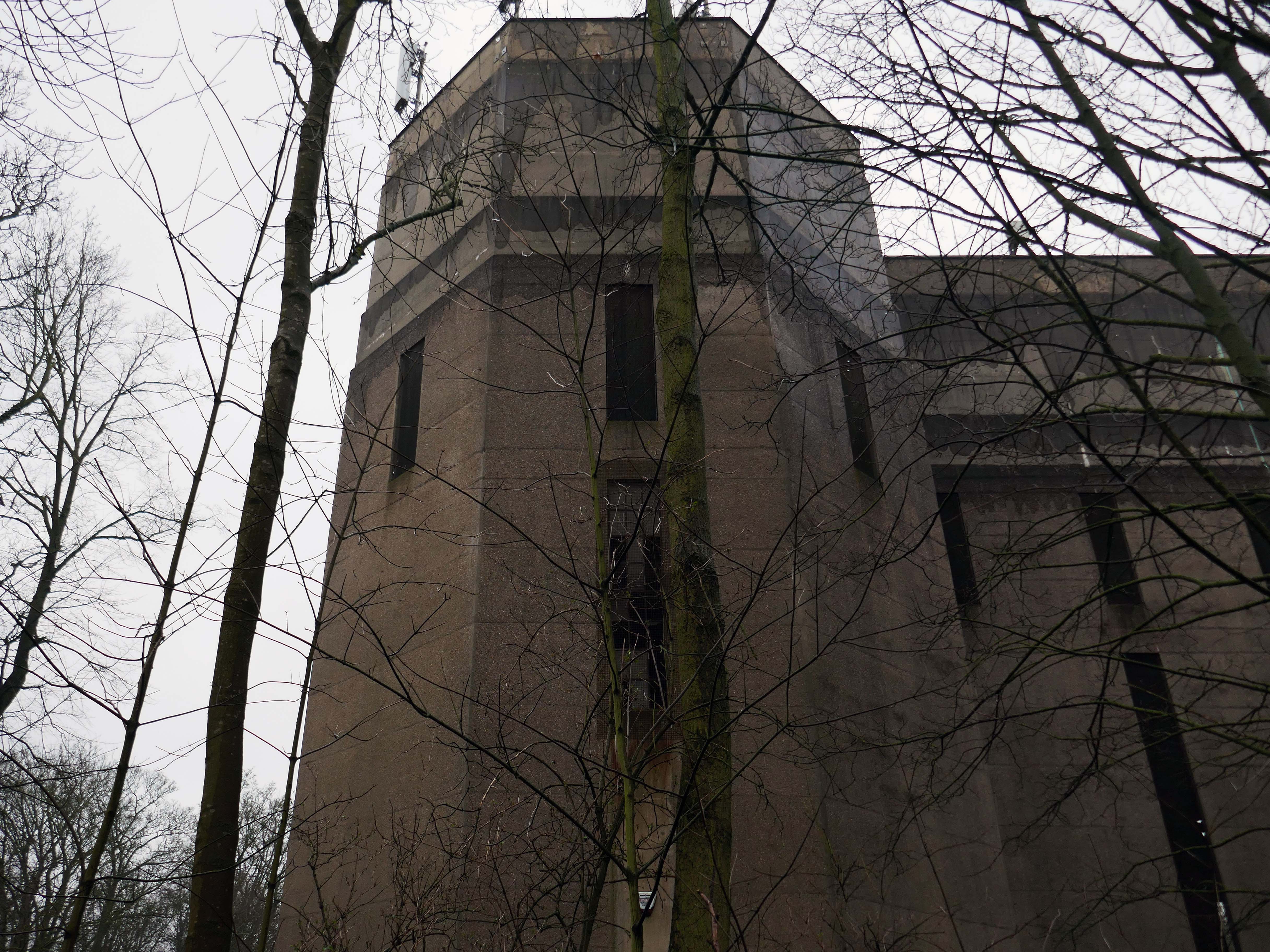
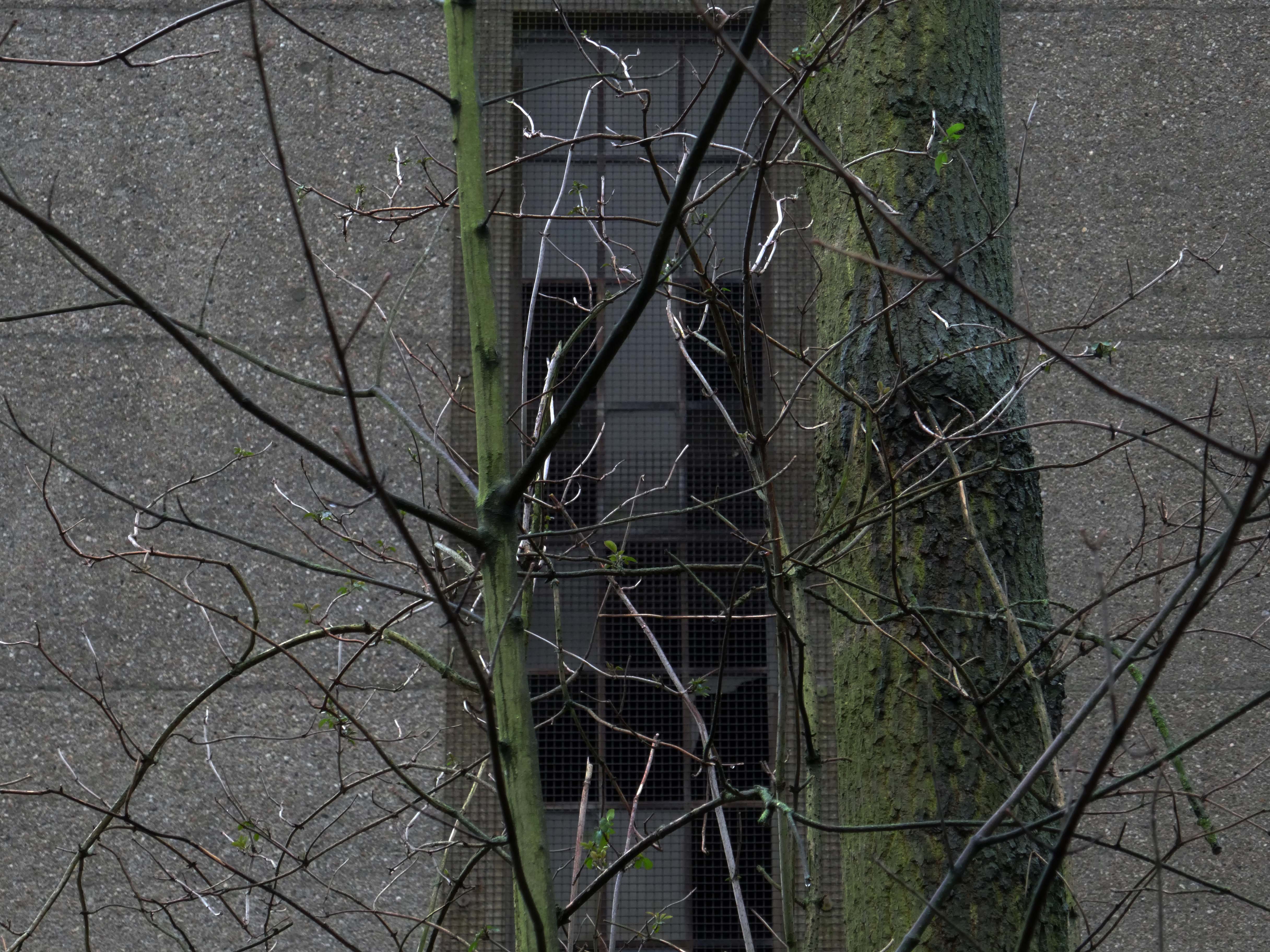
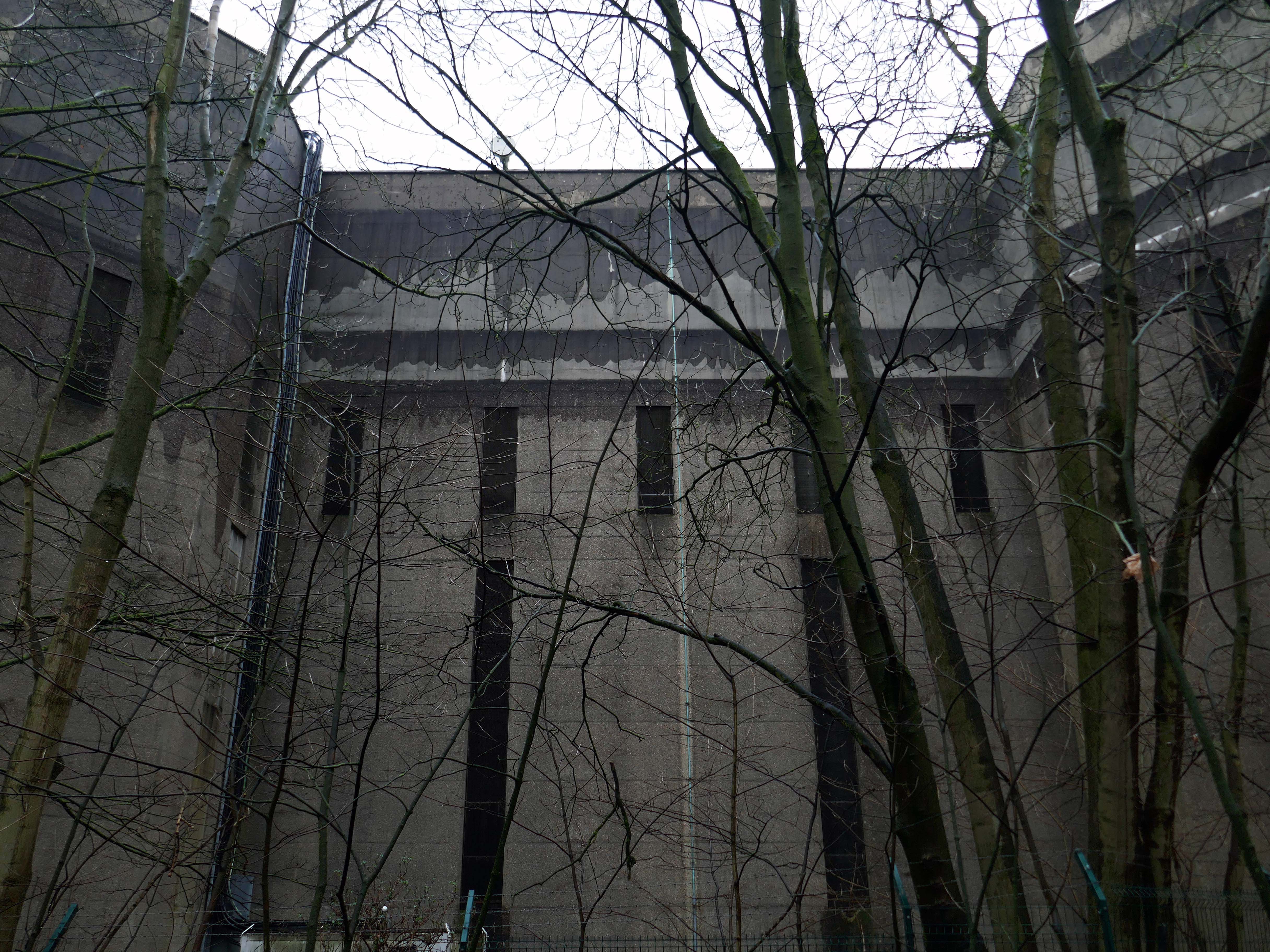
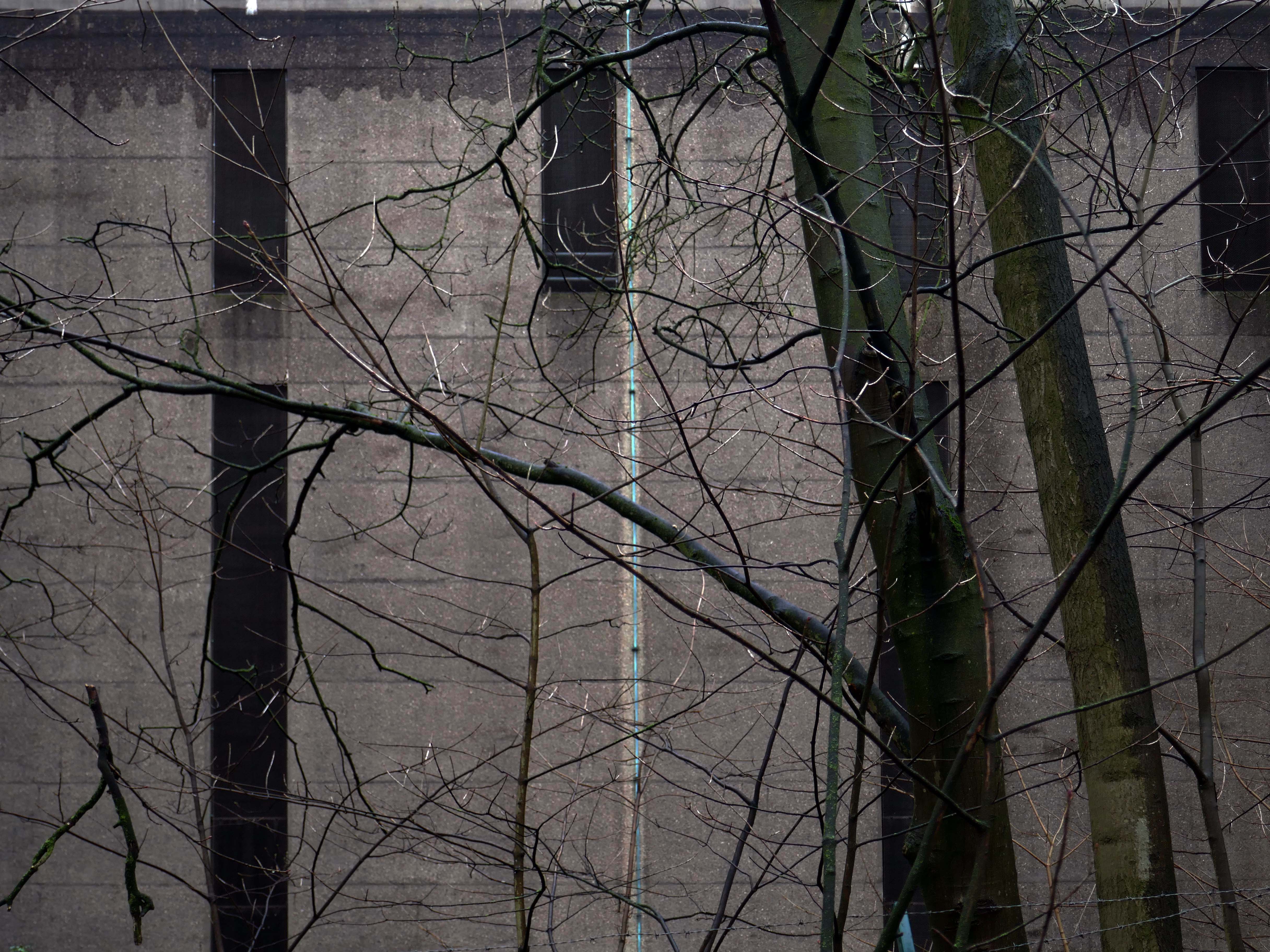
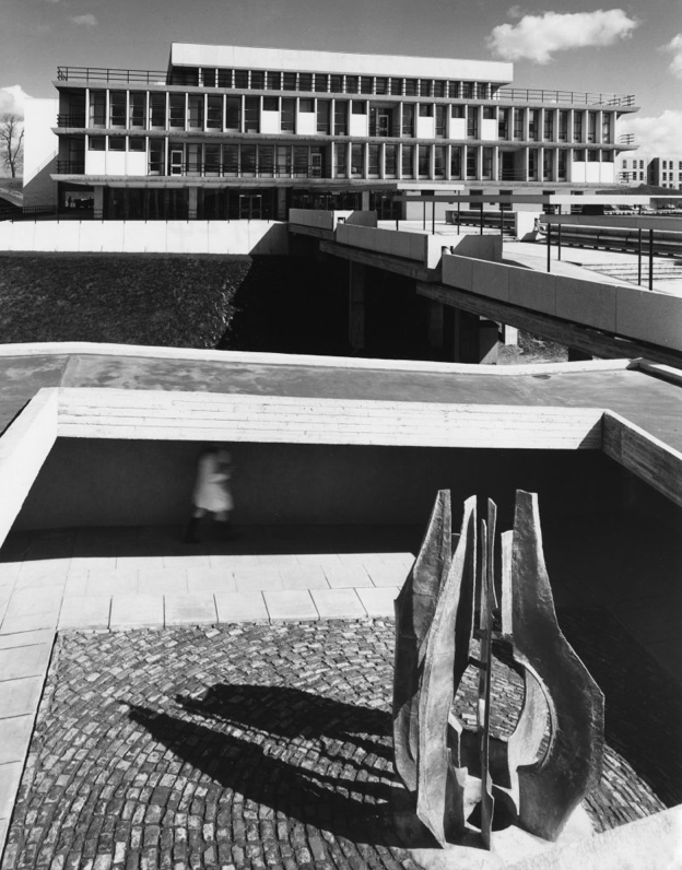
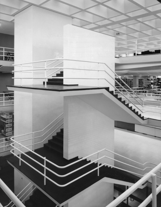
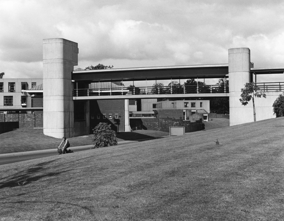
Library 1961 Sir Howard Robertson.

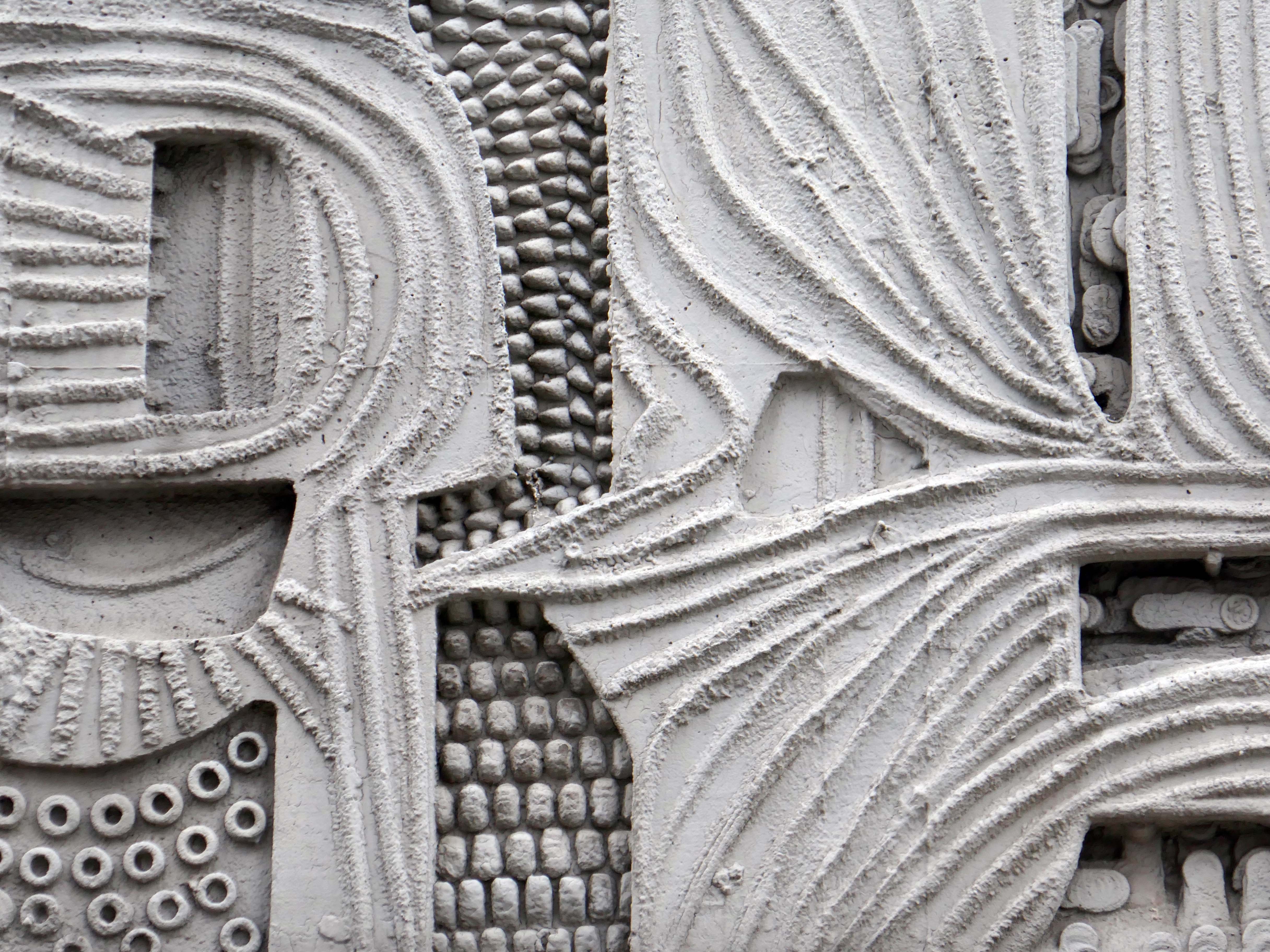
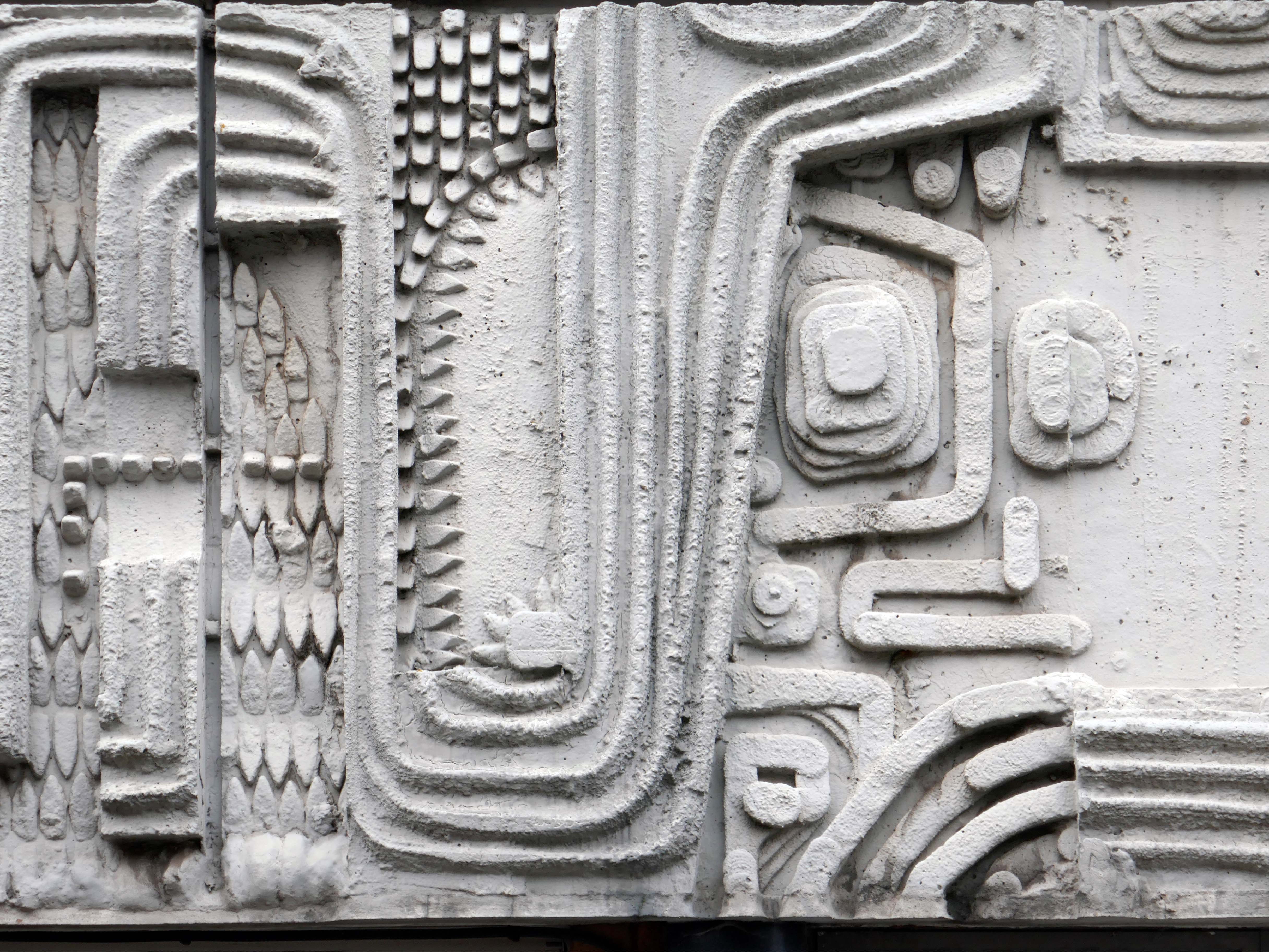
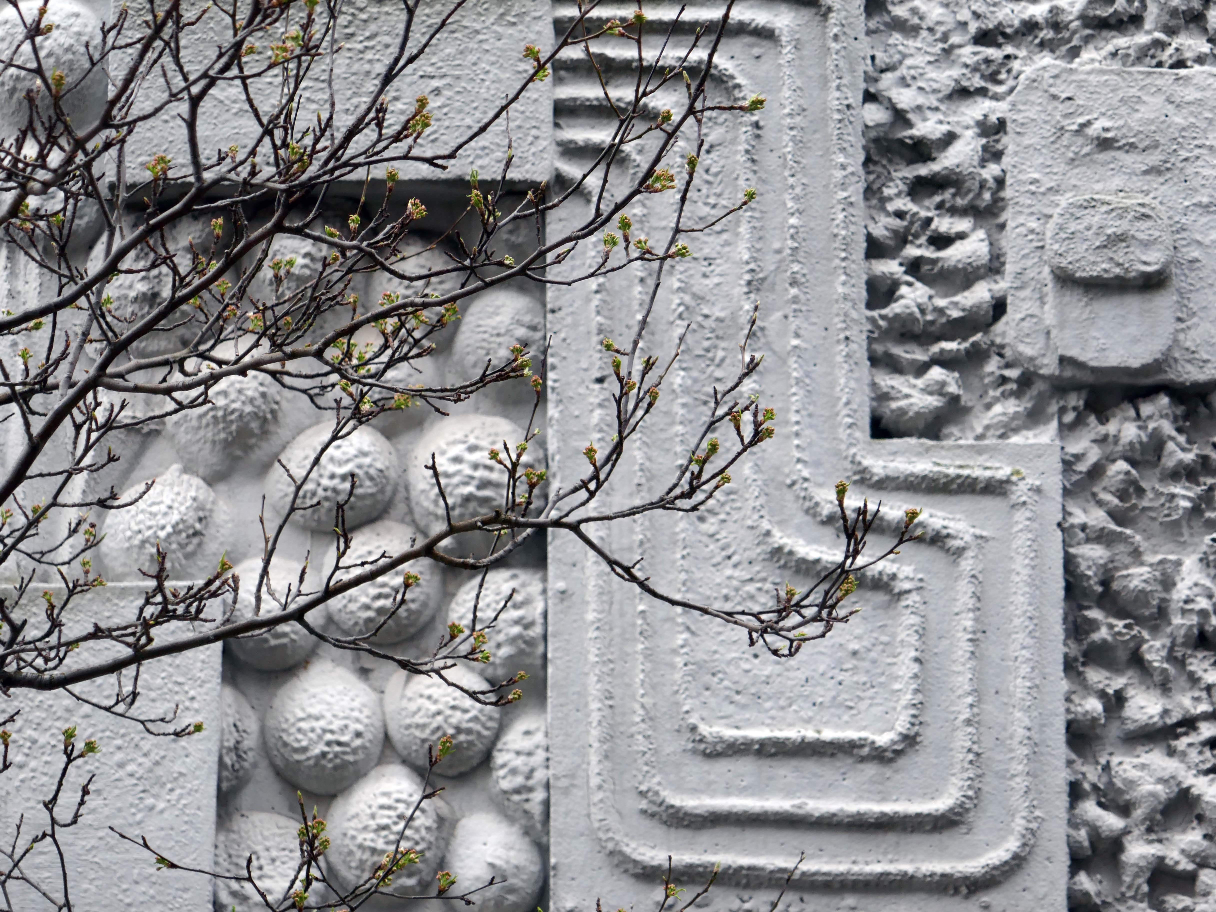
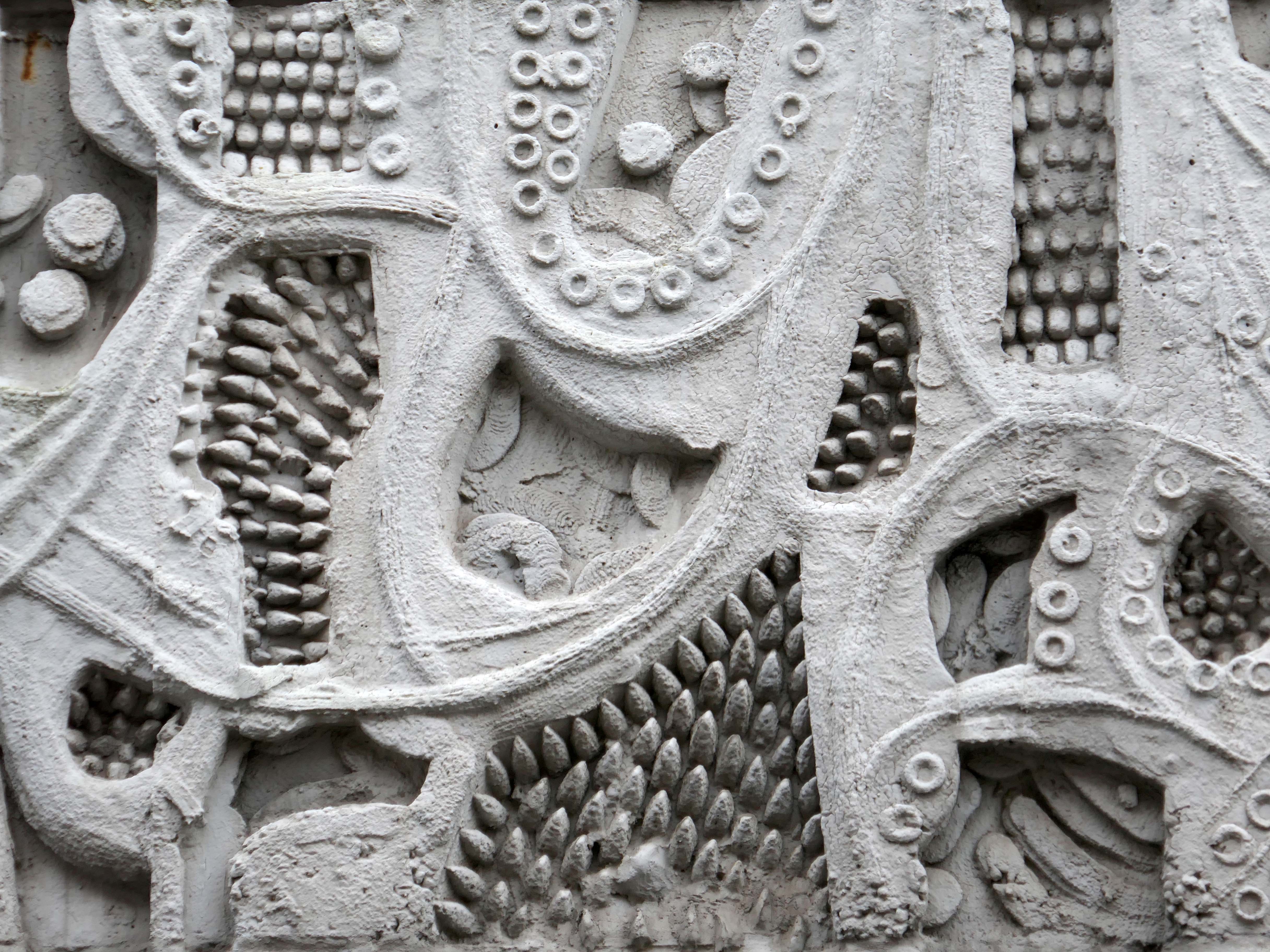
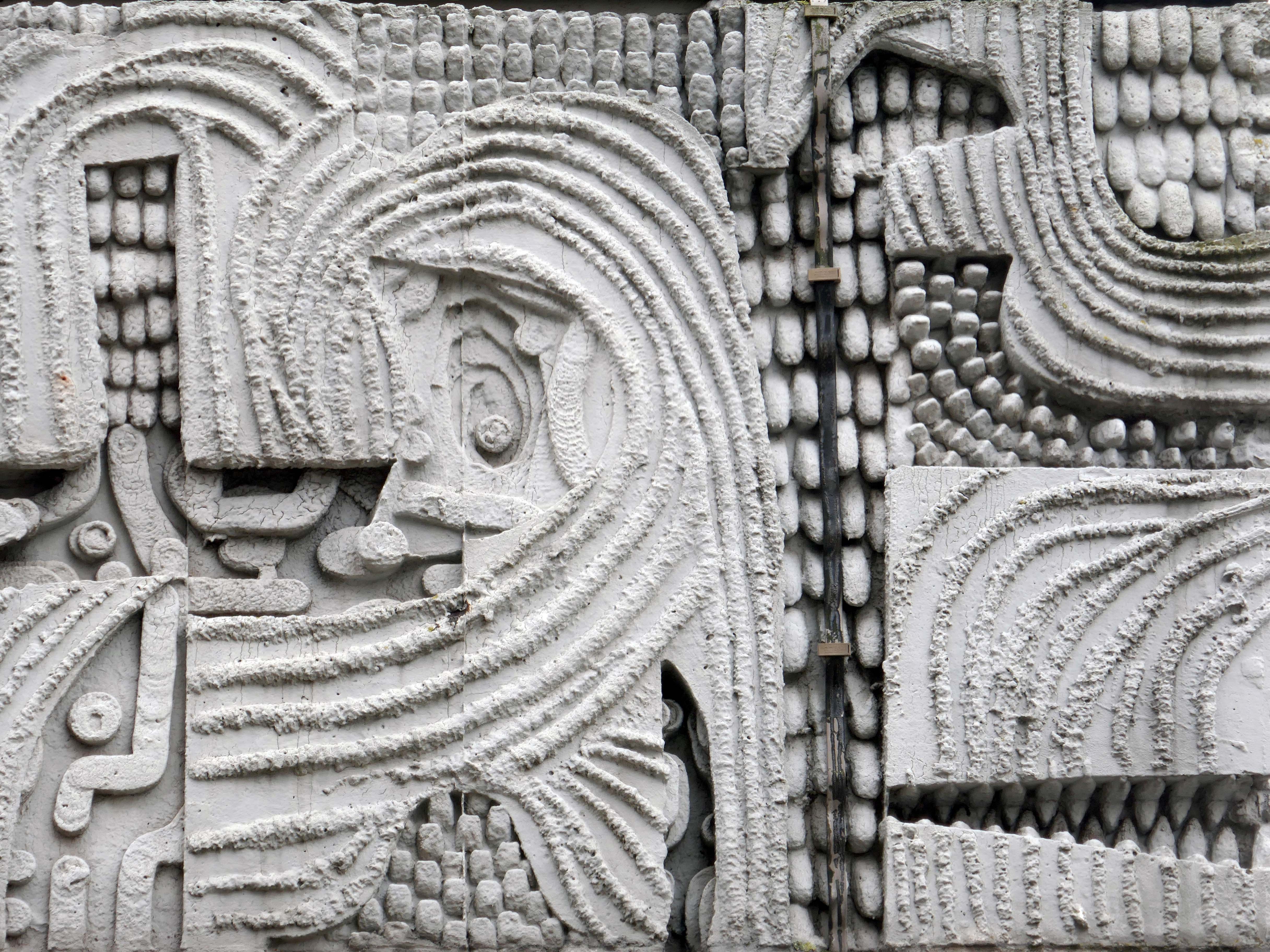
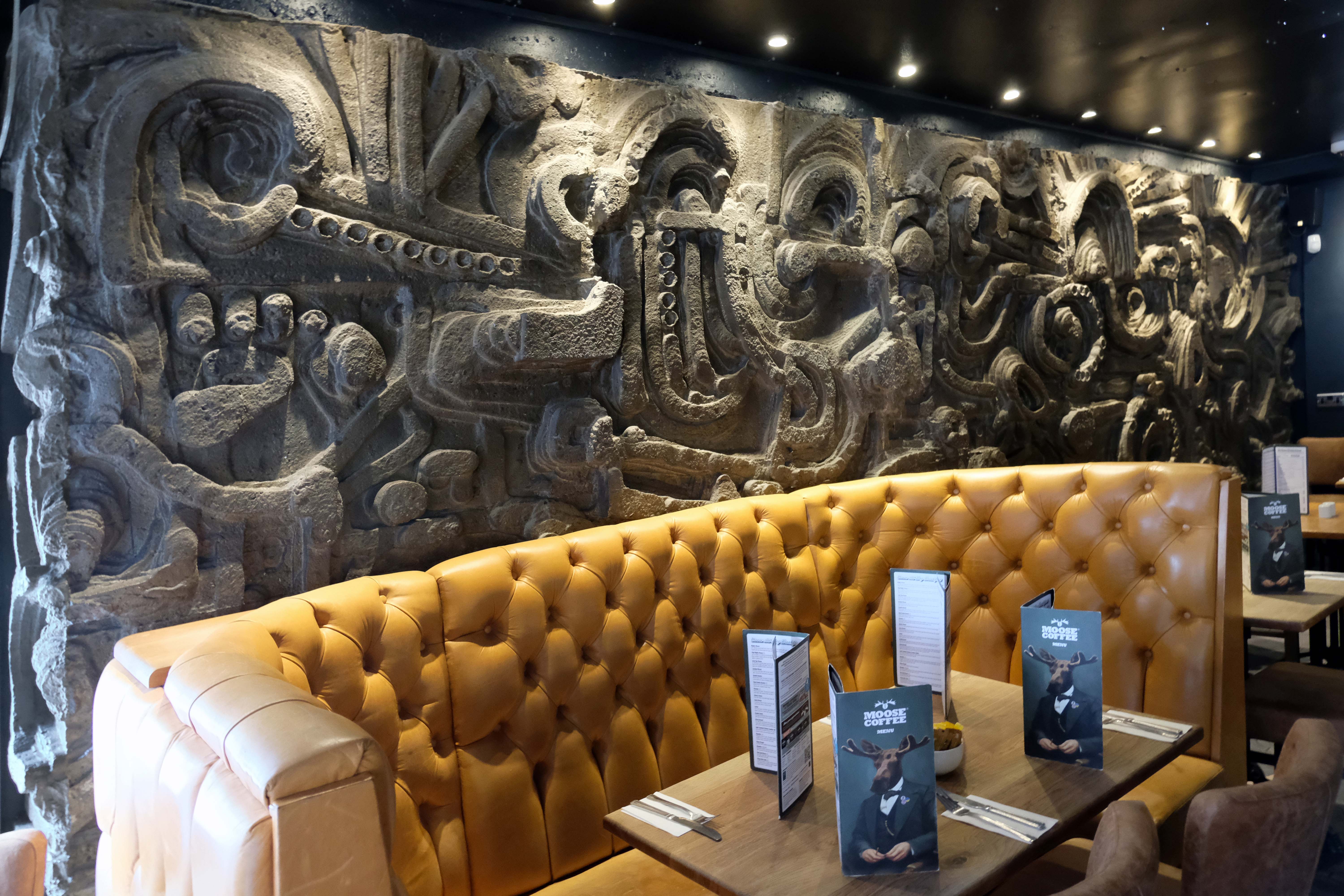
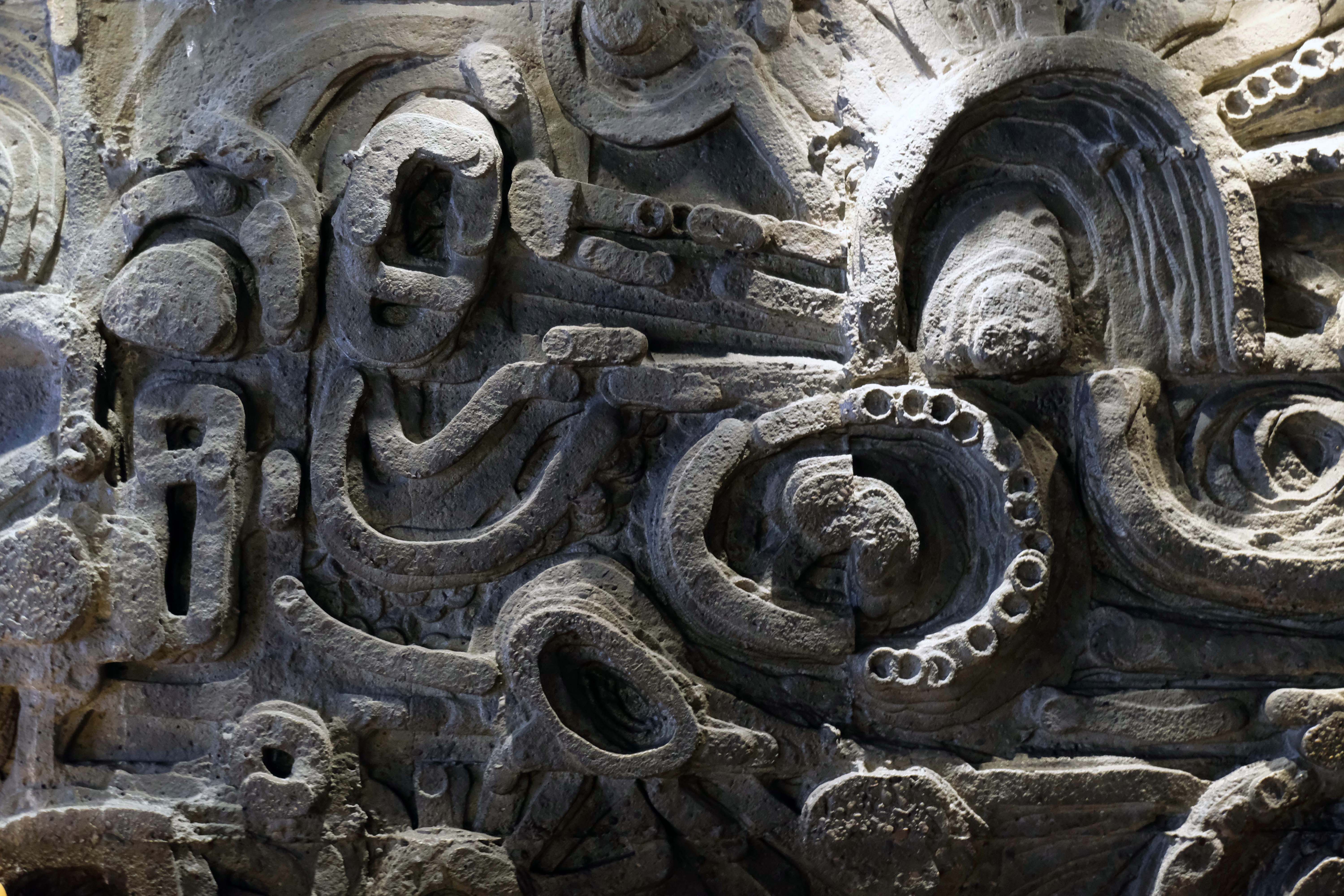
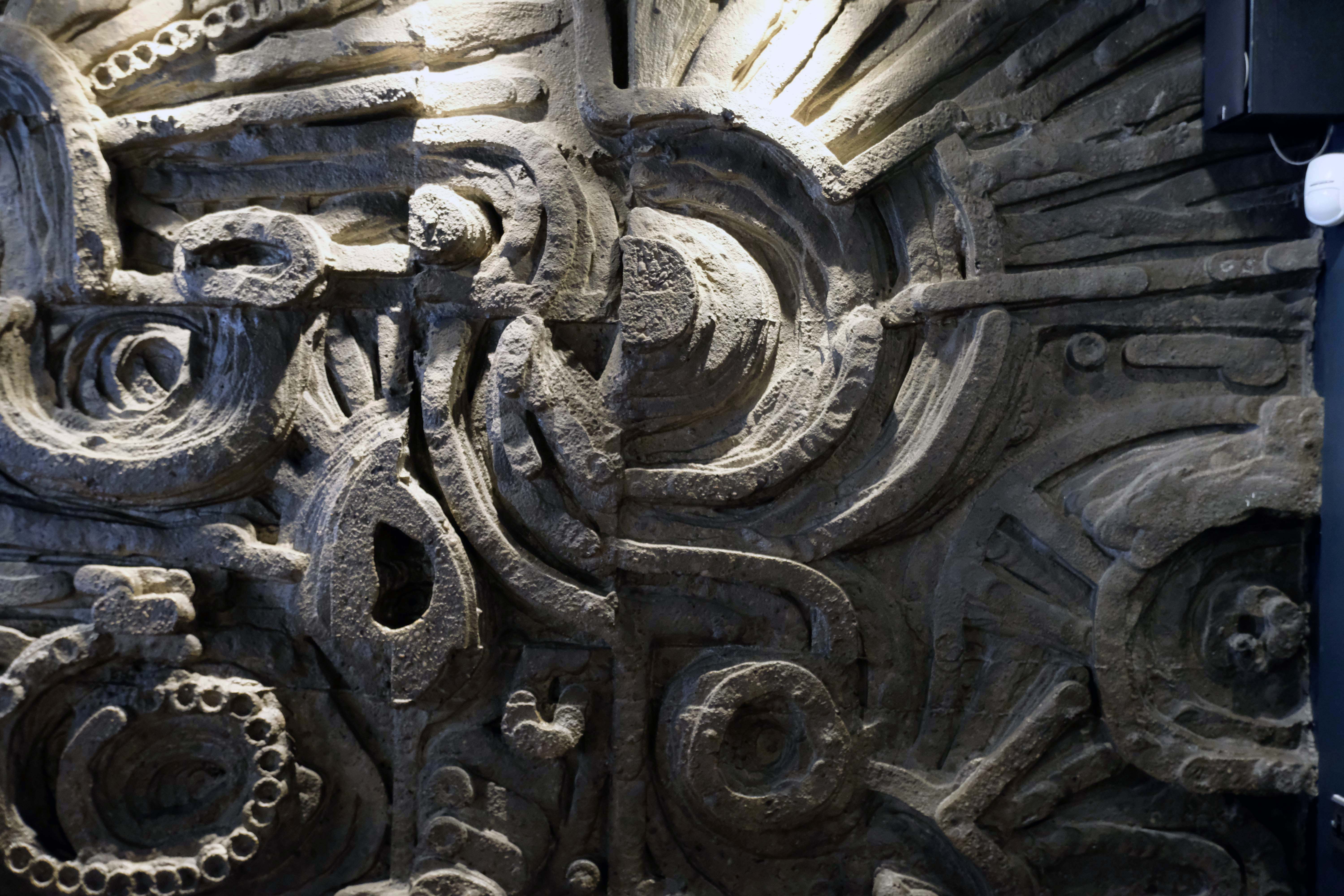
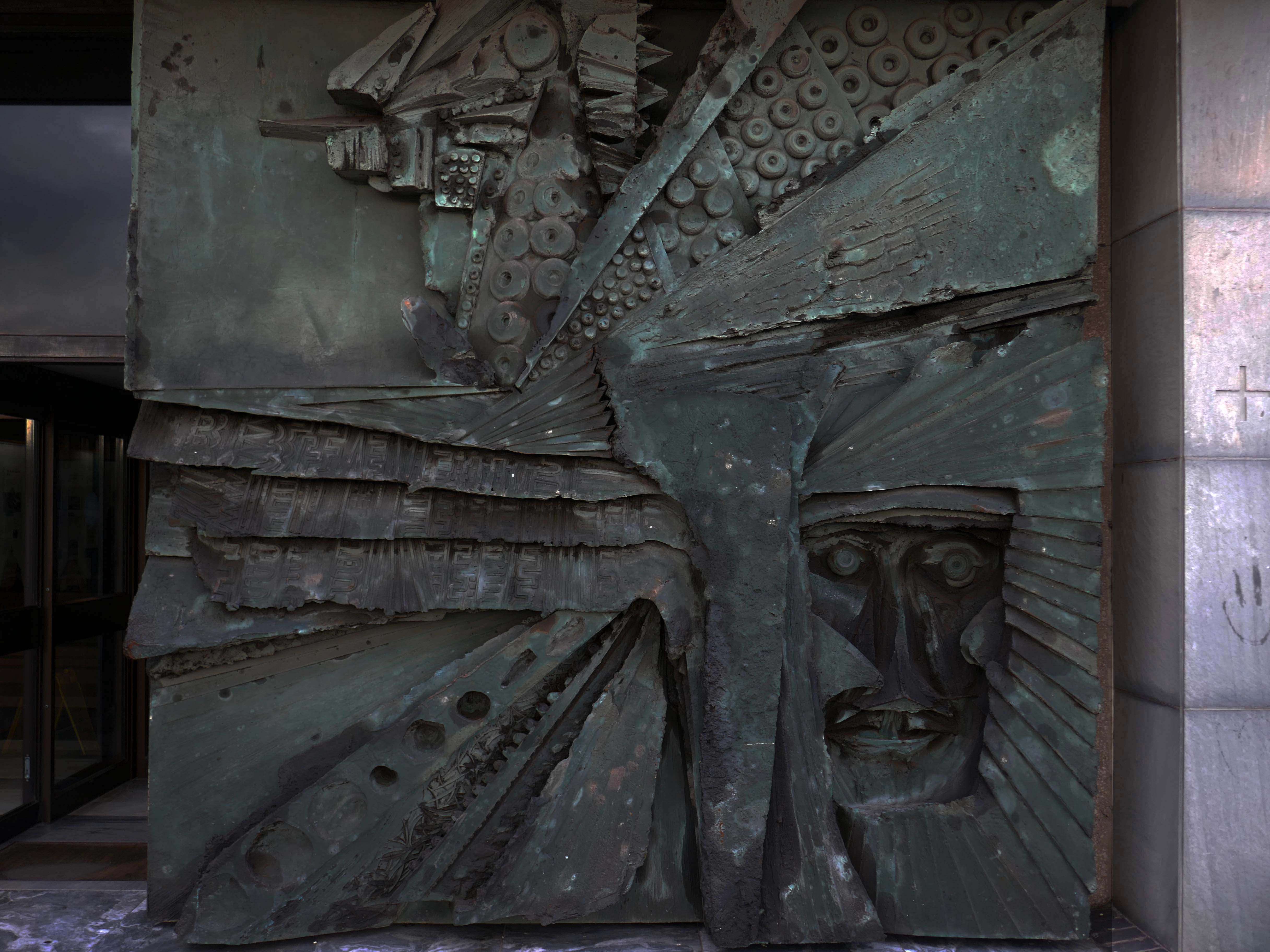
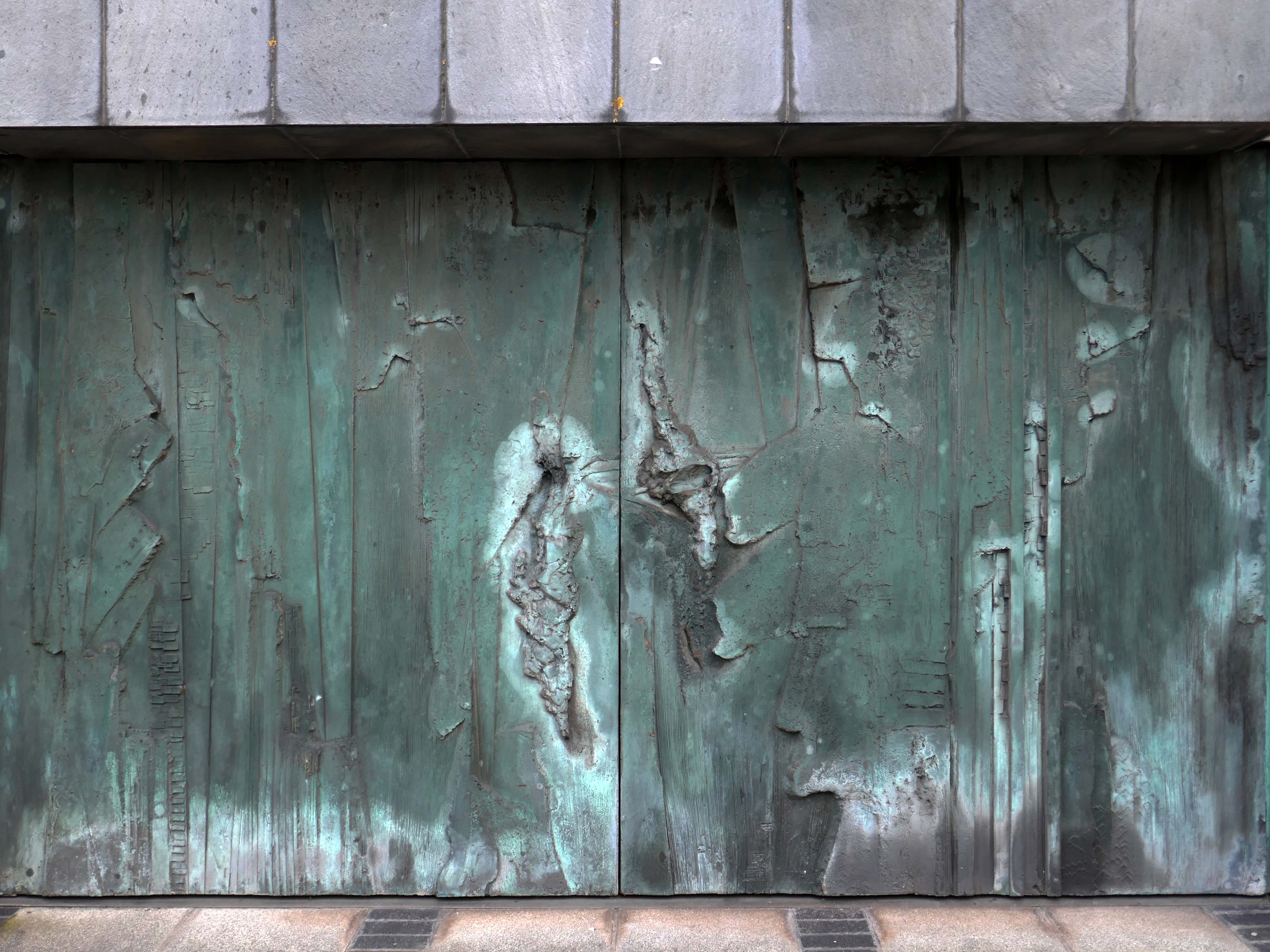
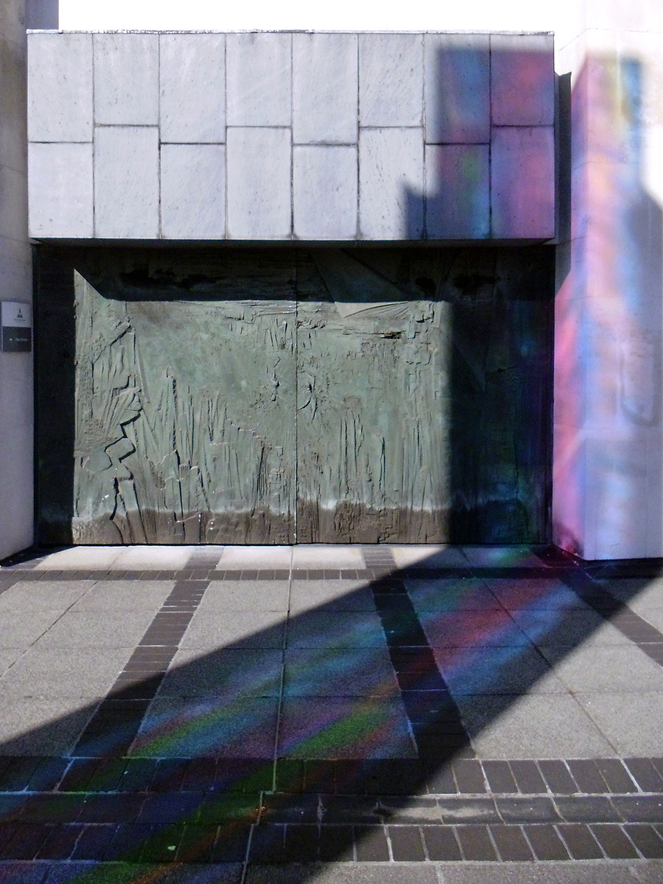
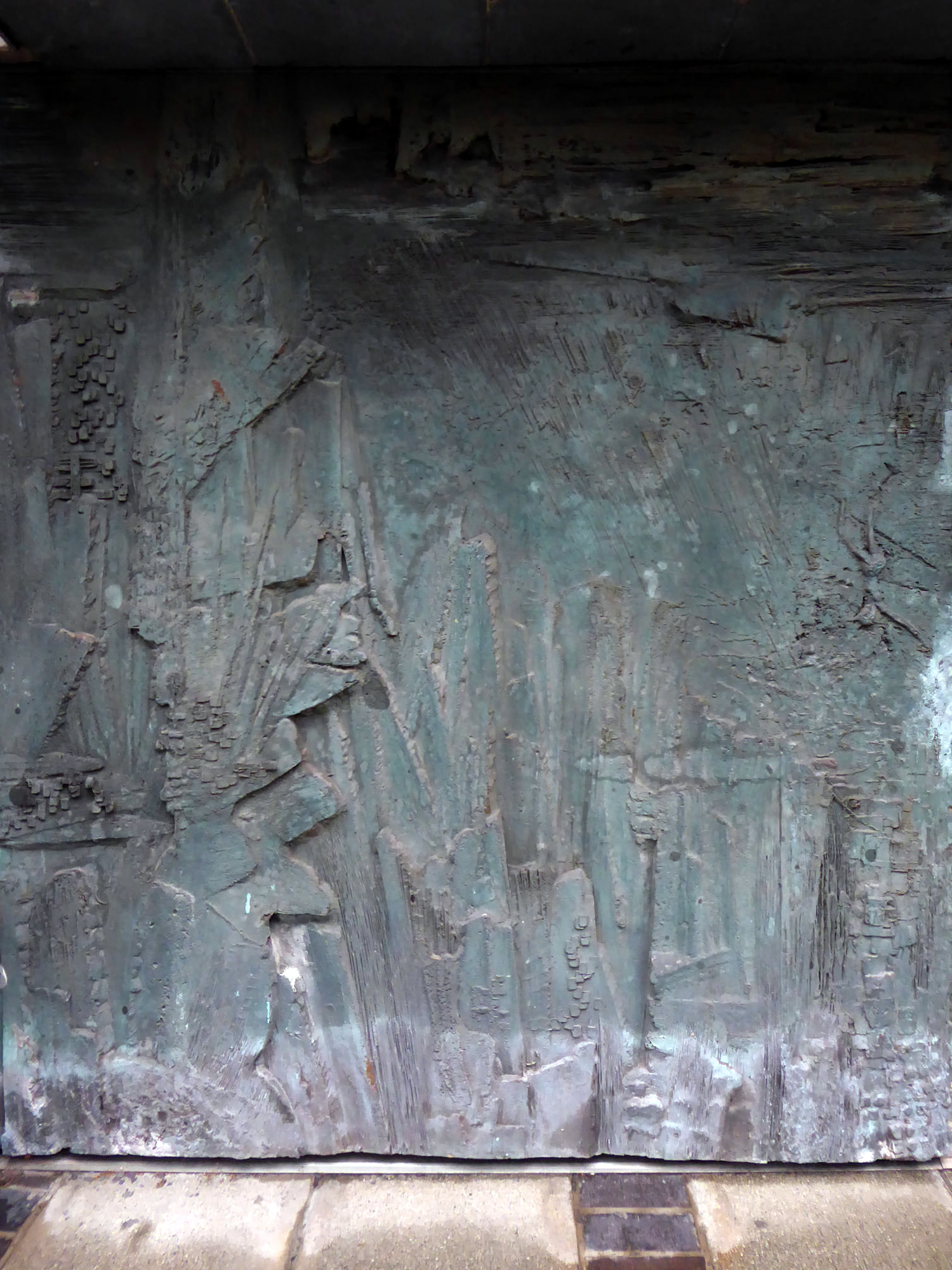
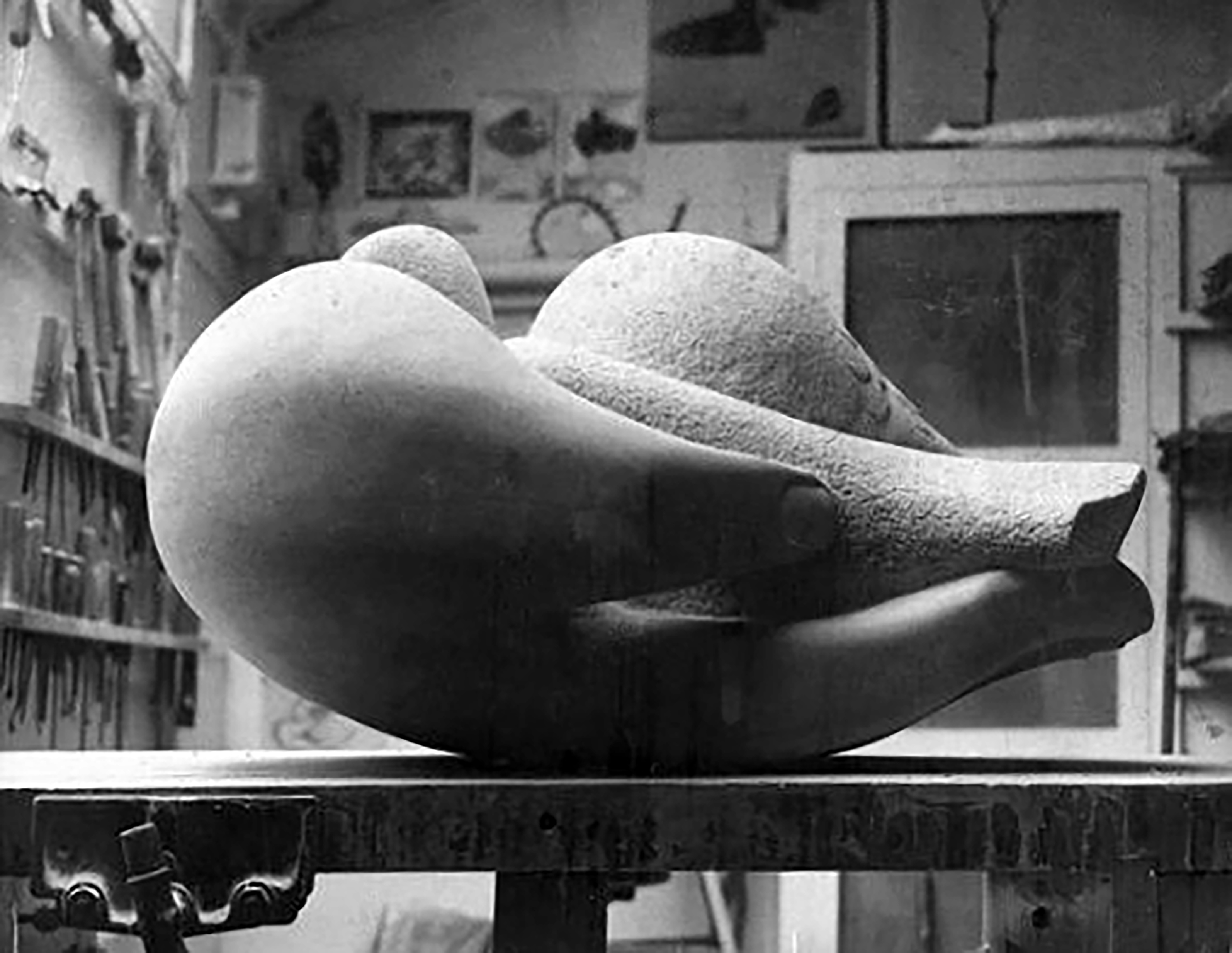
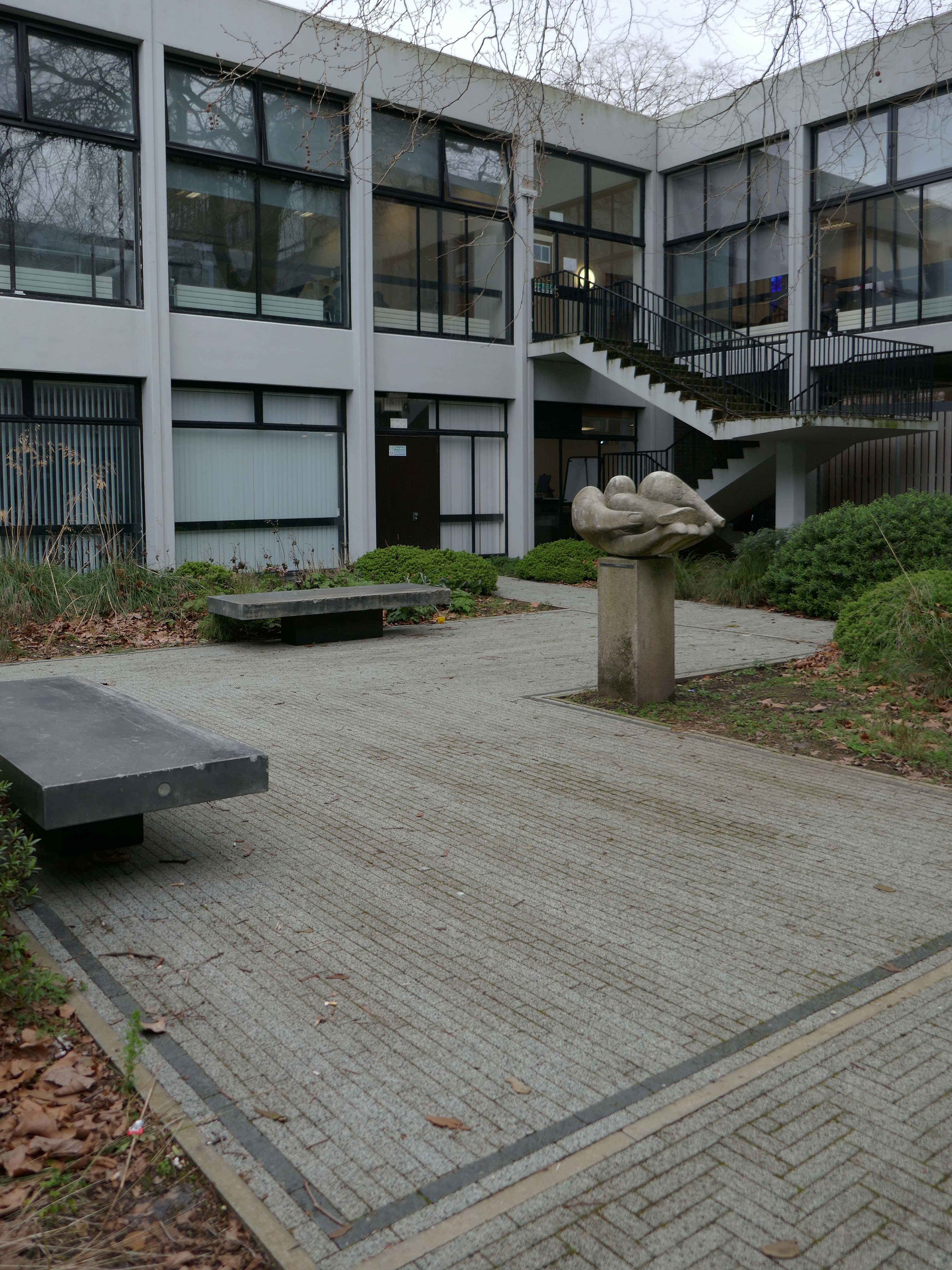
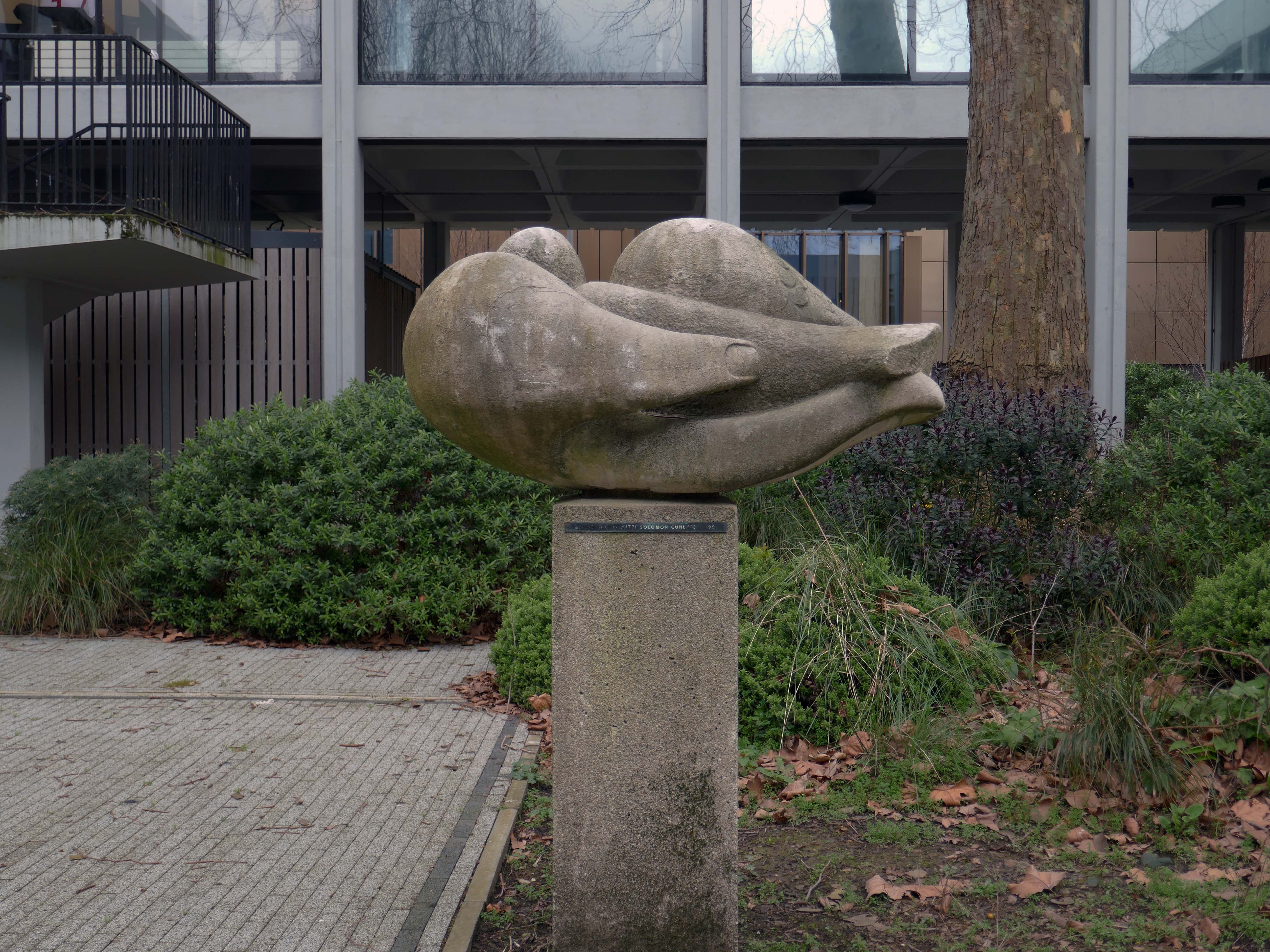
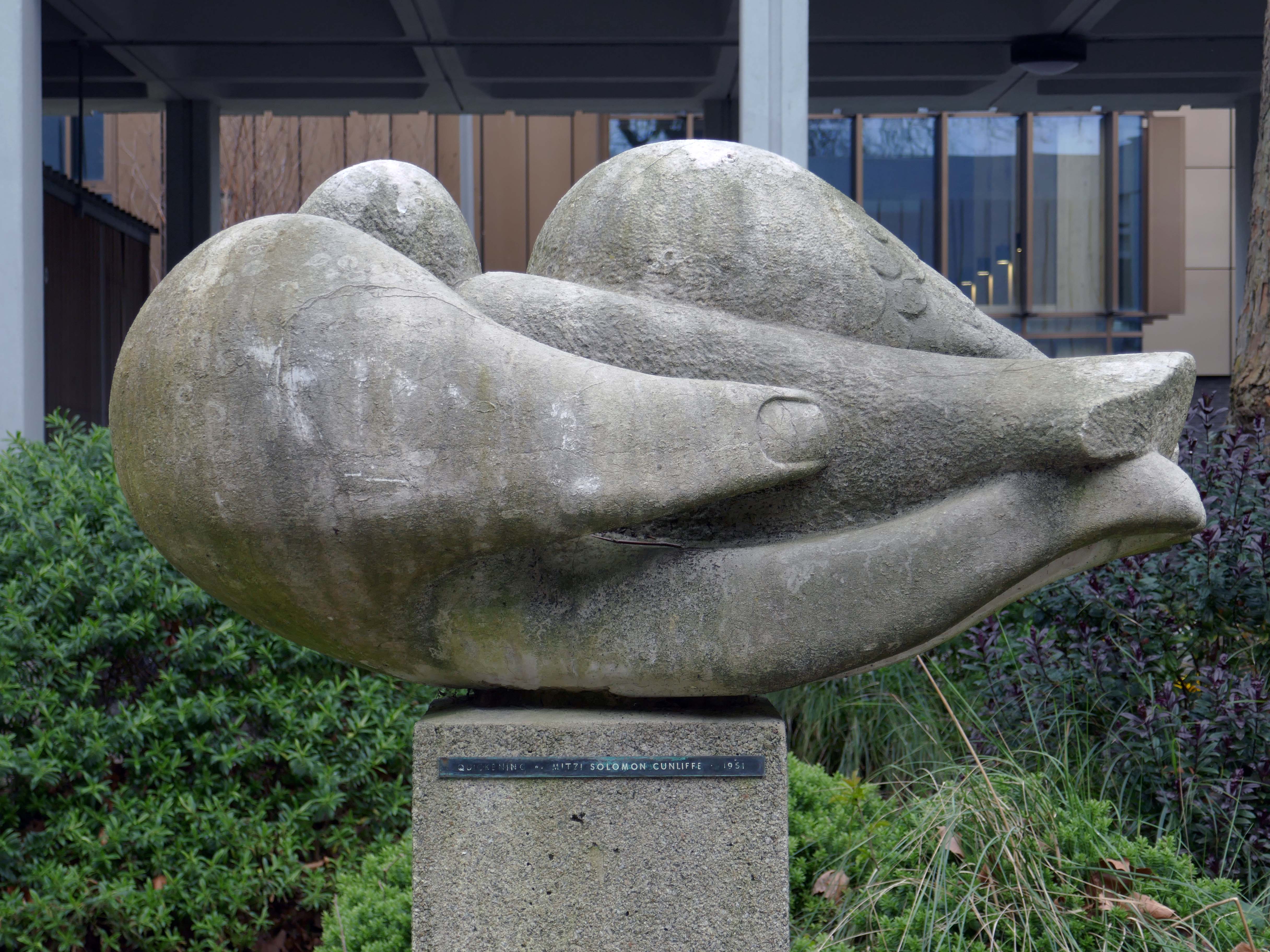
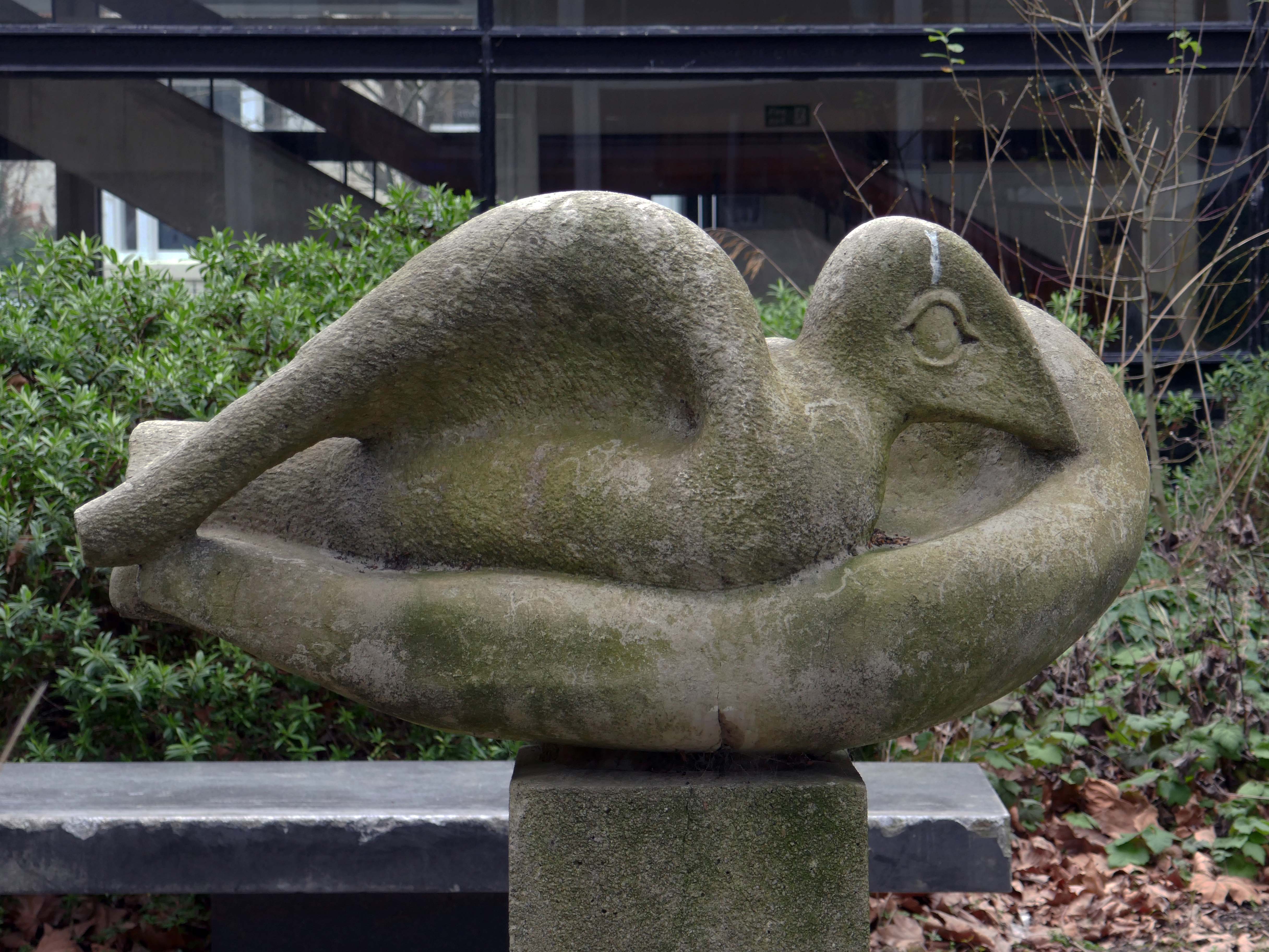
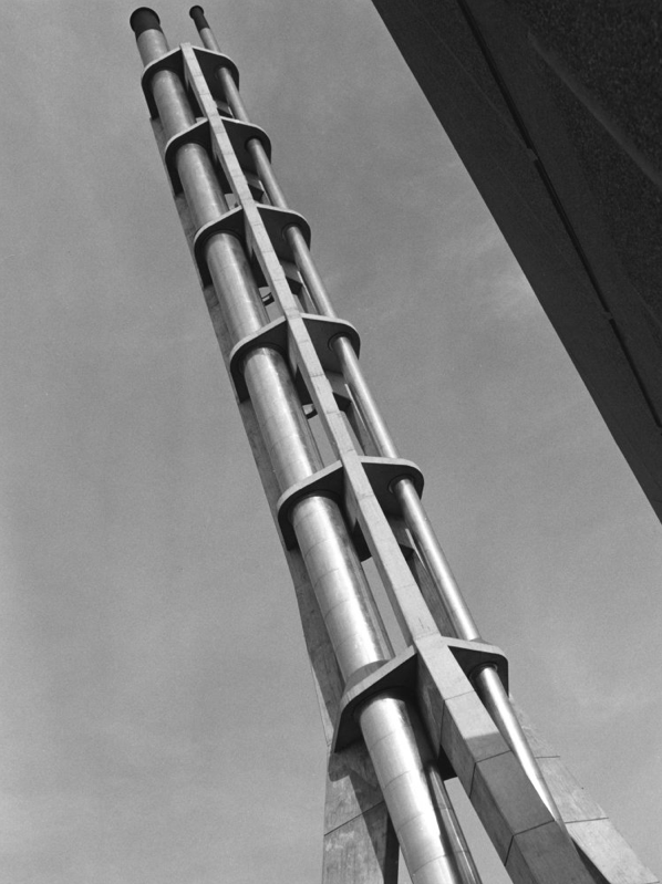
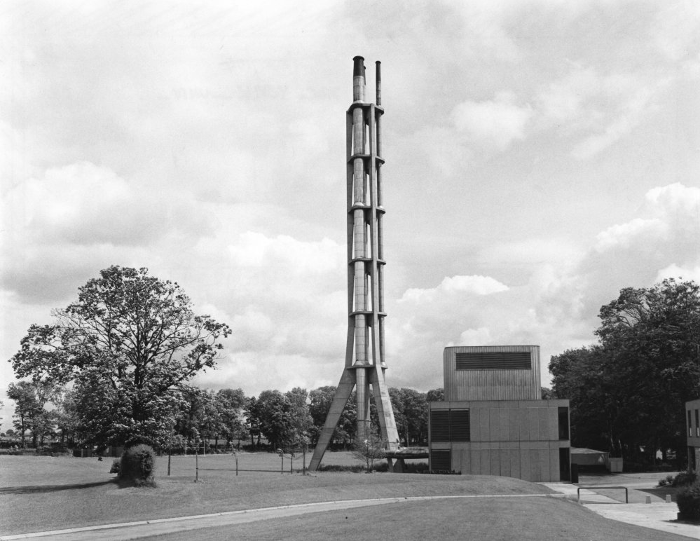
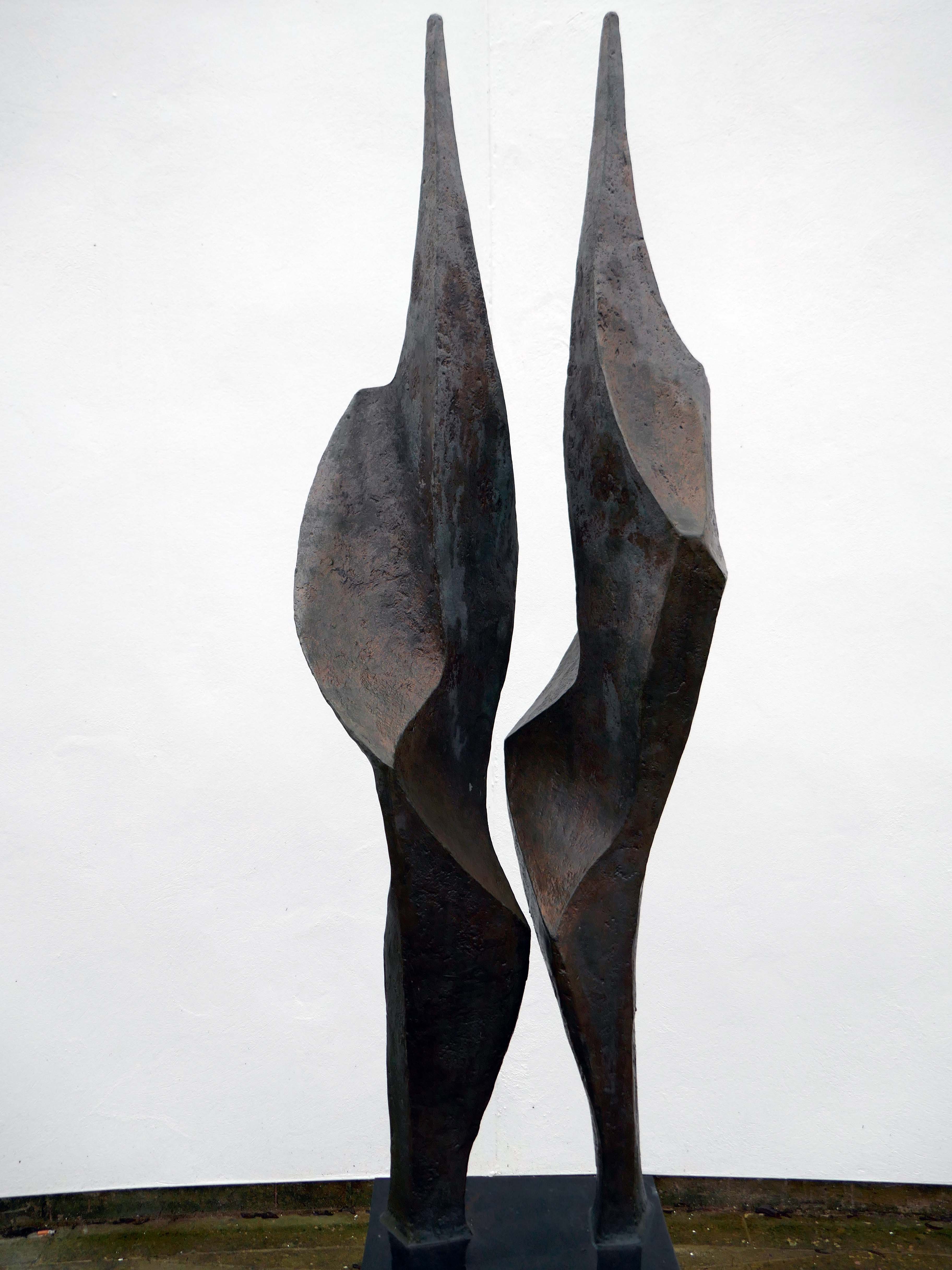
Flame 1995 Diana Whelan
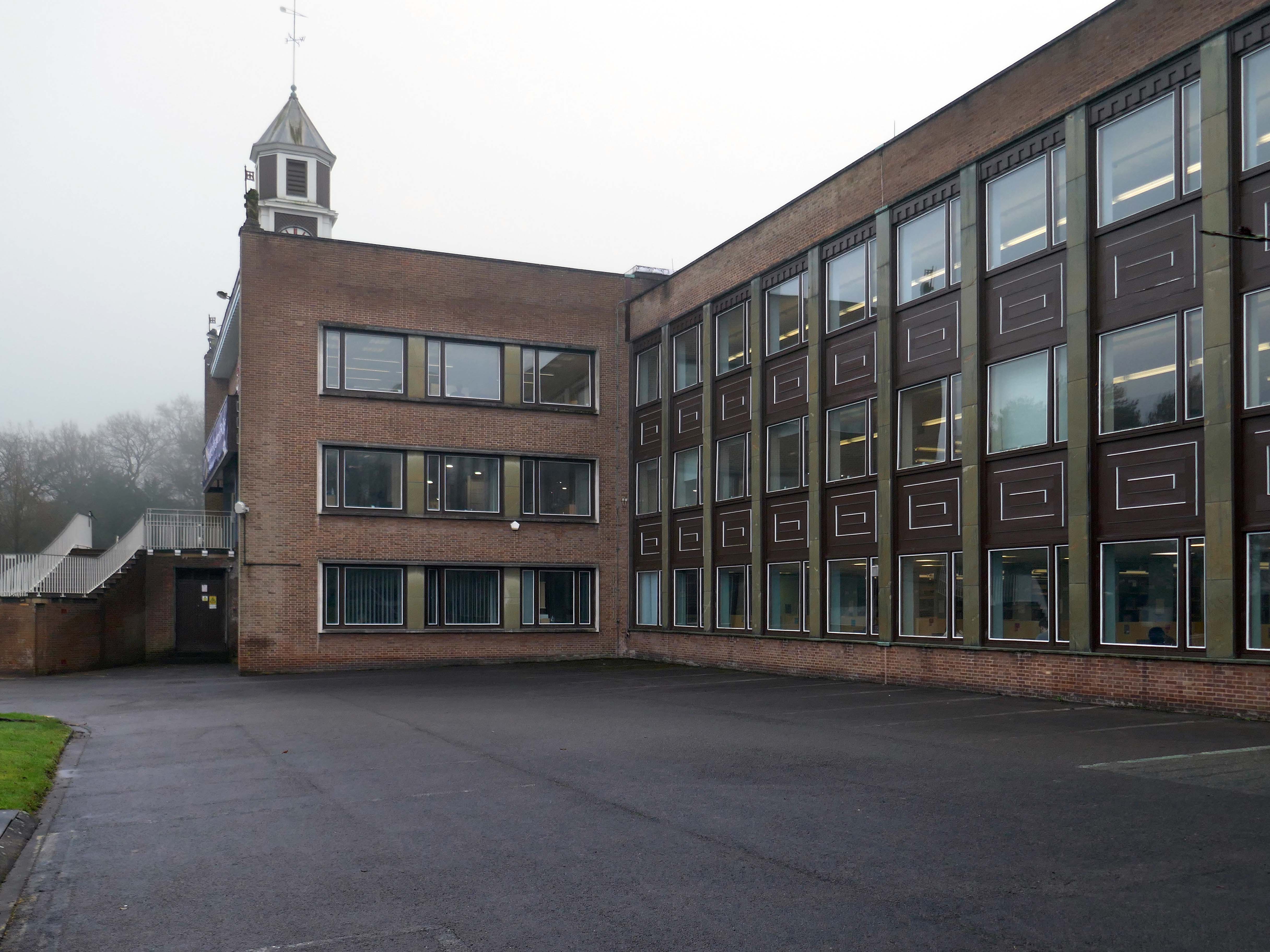
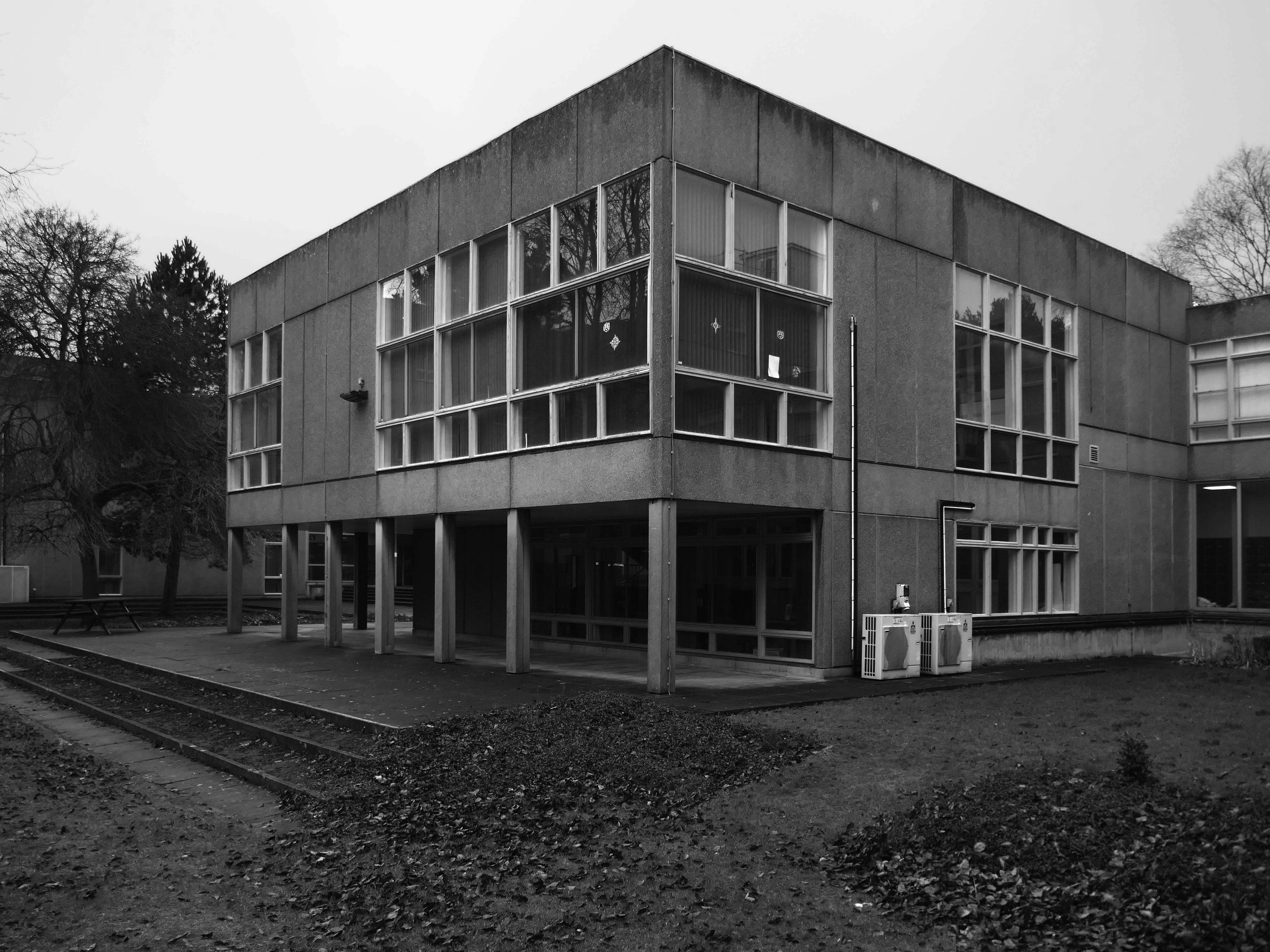
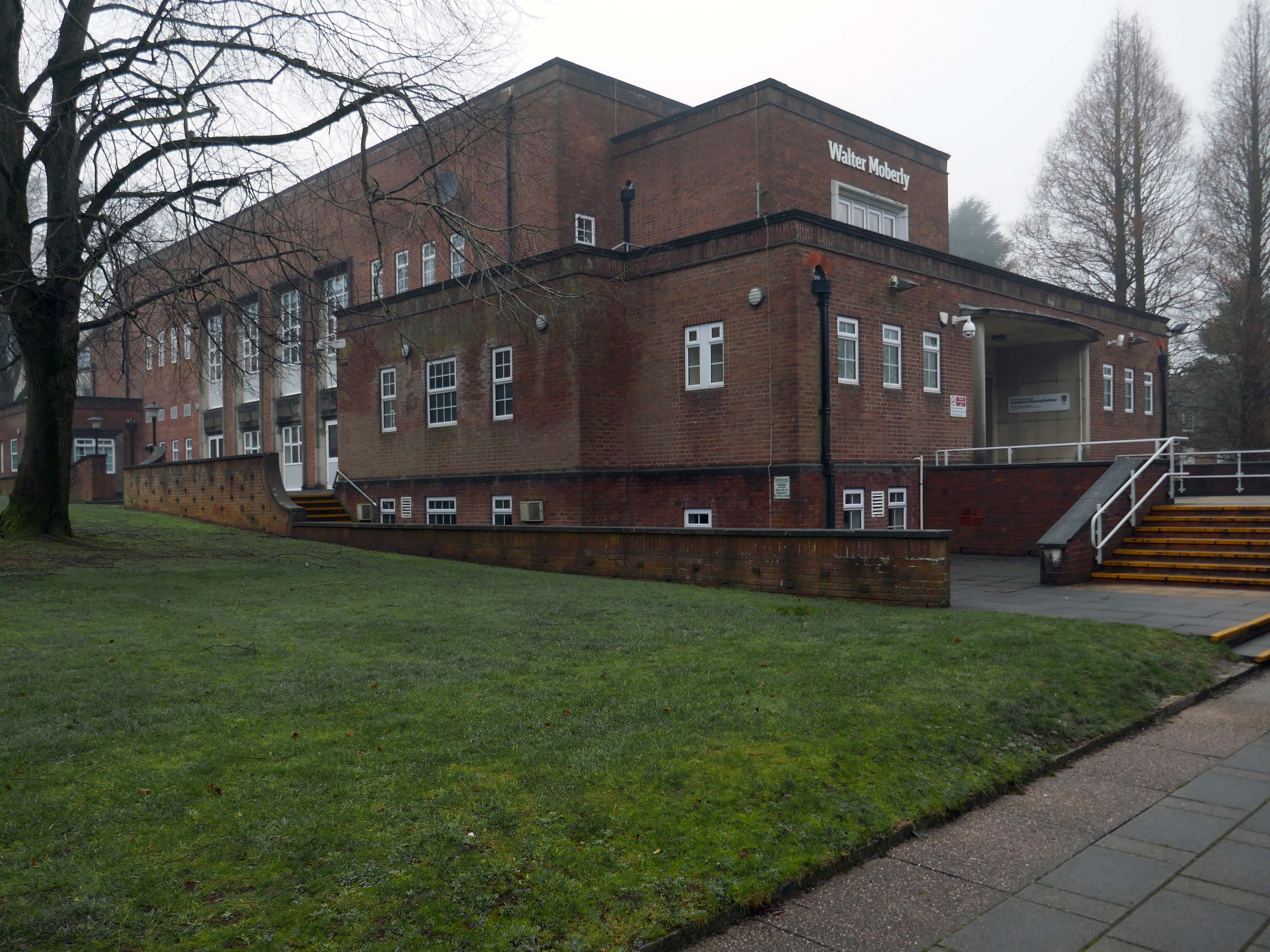
Walter Moberly Hall 1954 JA Pickavance with honorary architect JR Piggott Stoke on Trent City Architect.
Walter Moberly was a British academic who, as Chairman of the University Grants Committee, played a significant role in the creation of Keele University.
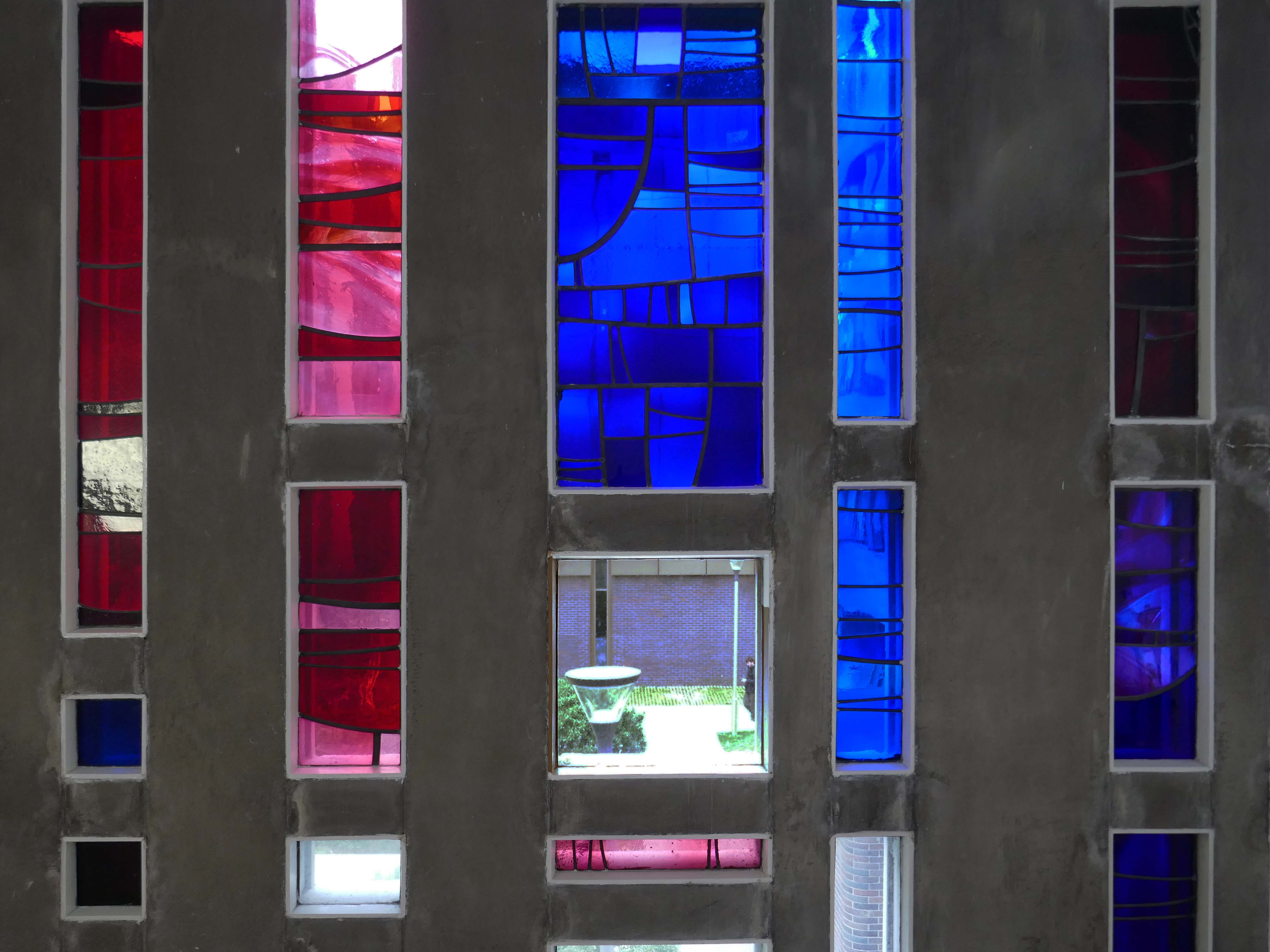
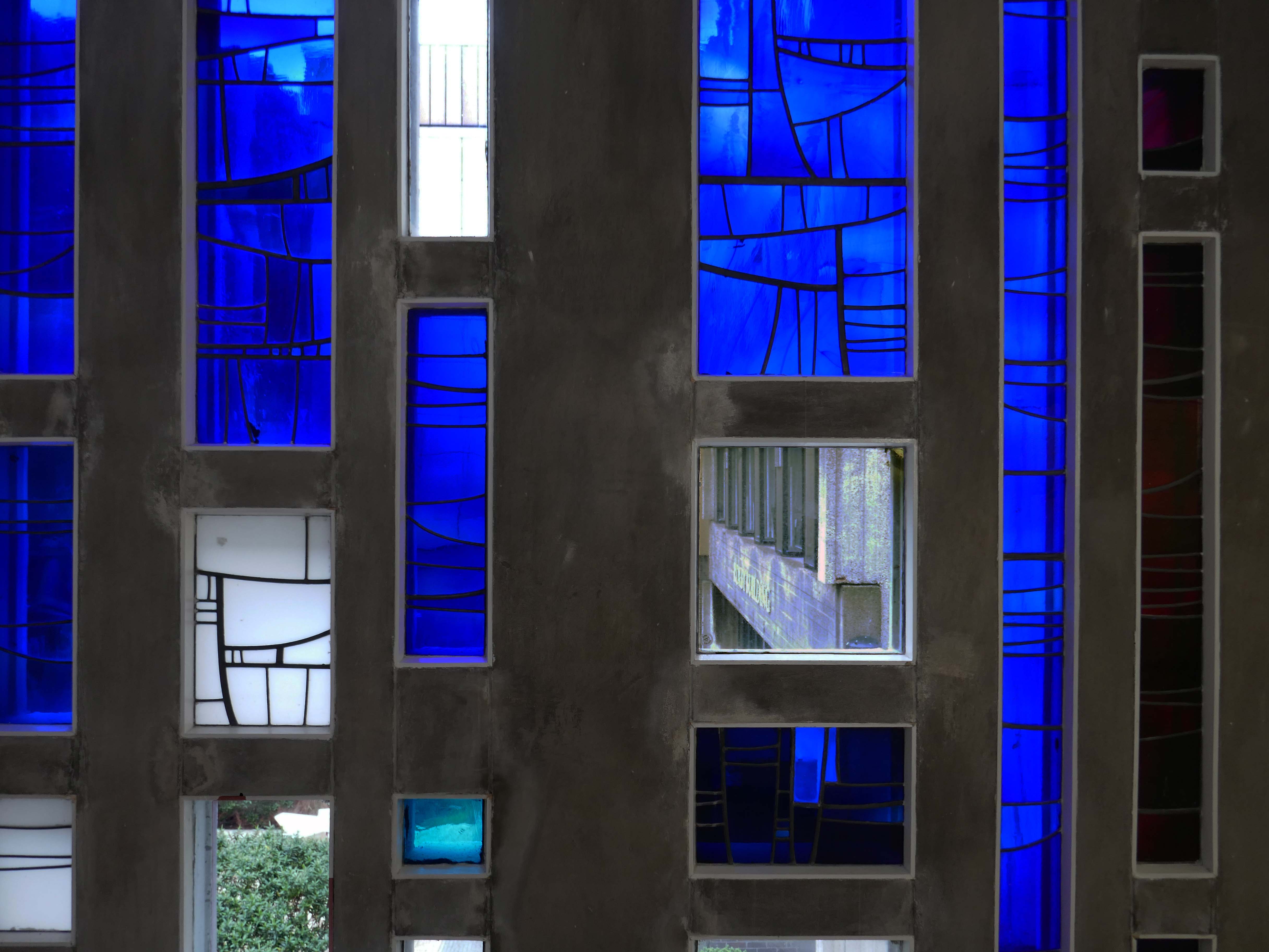
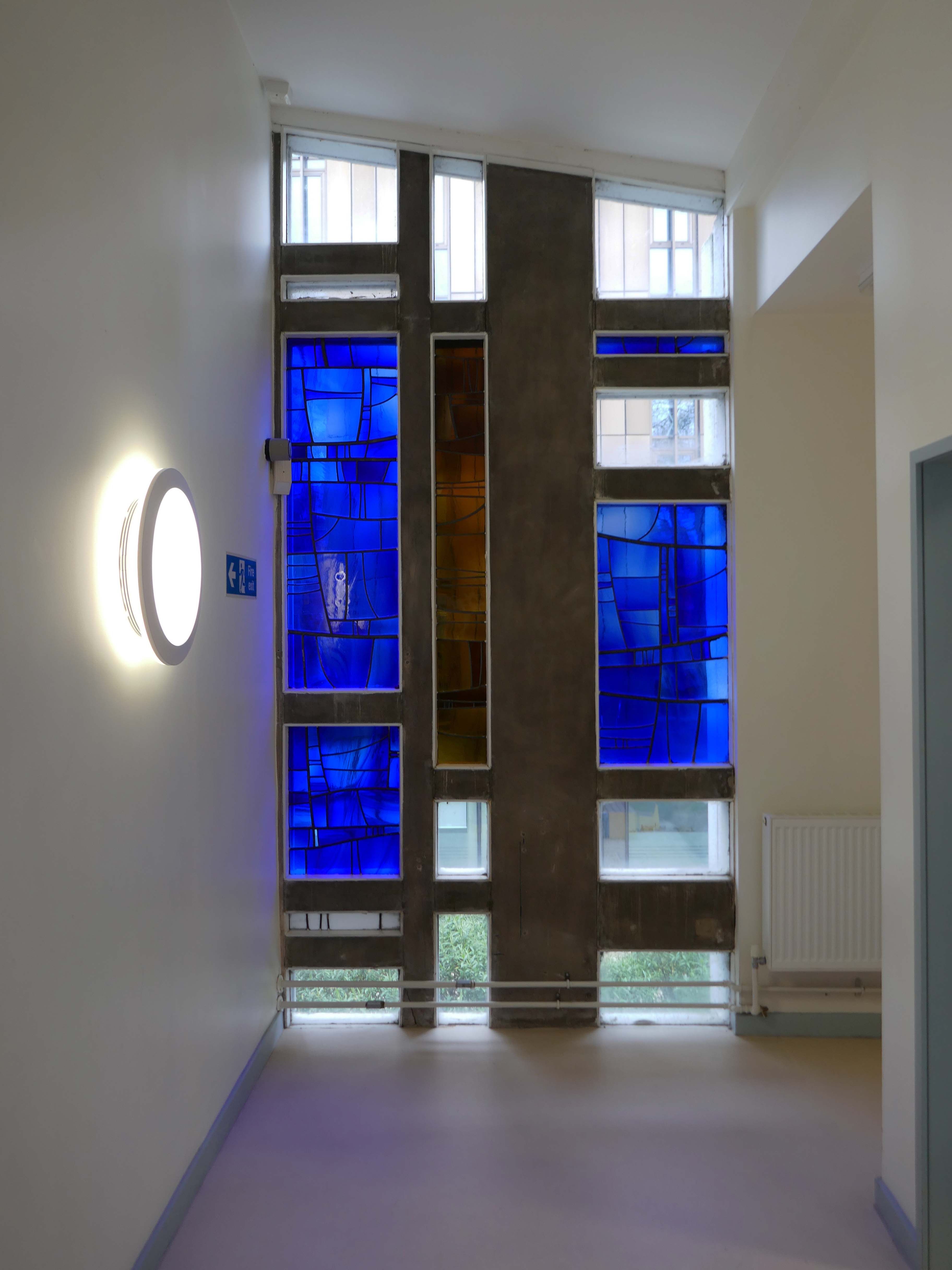
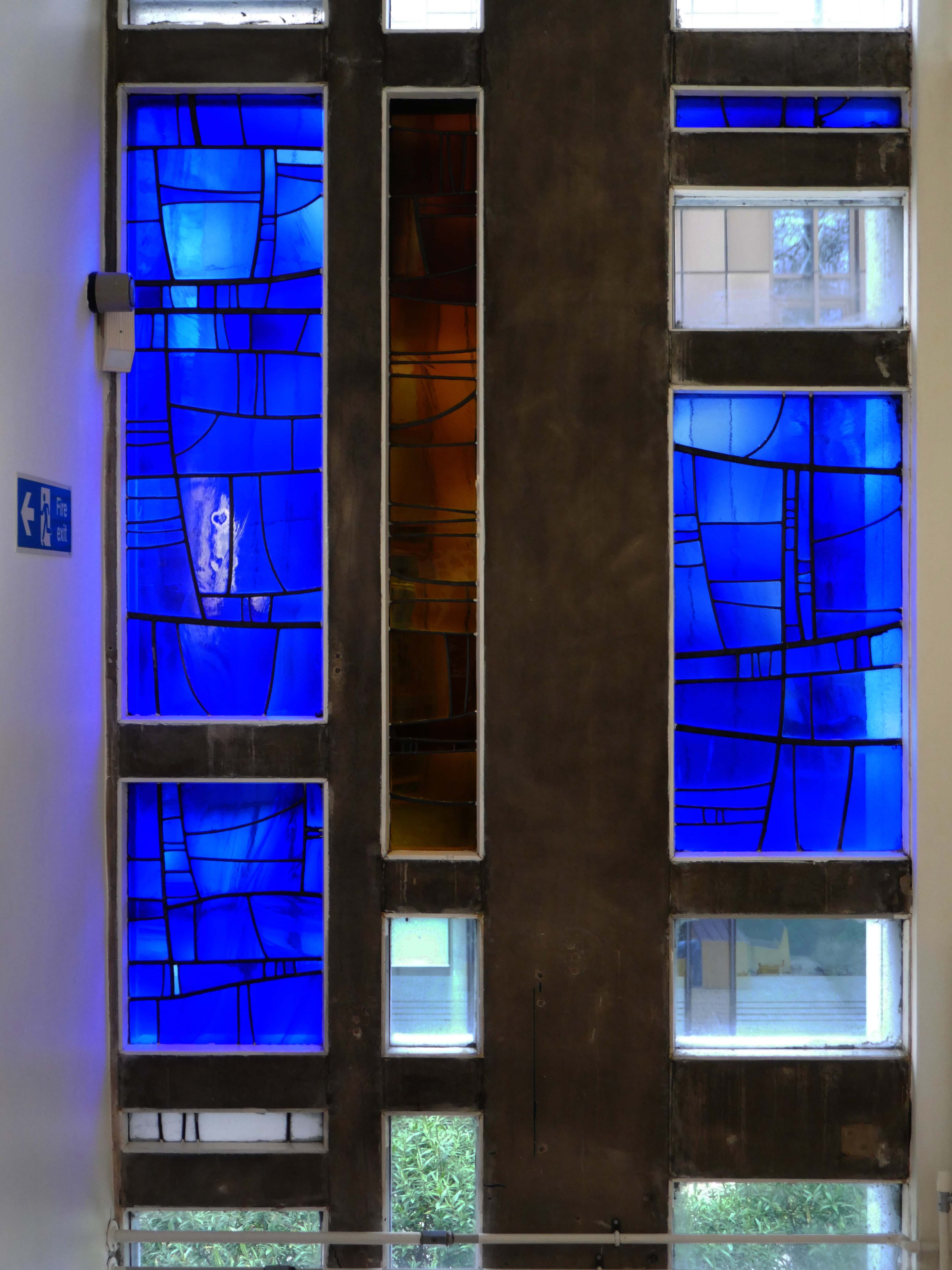
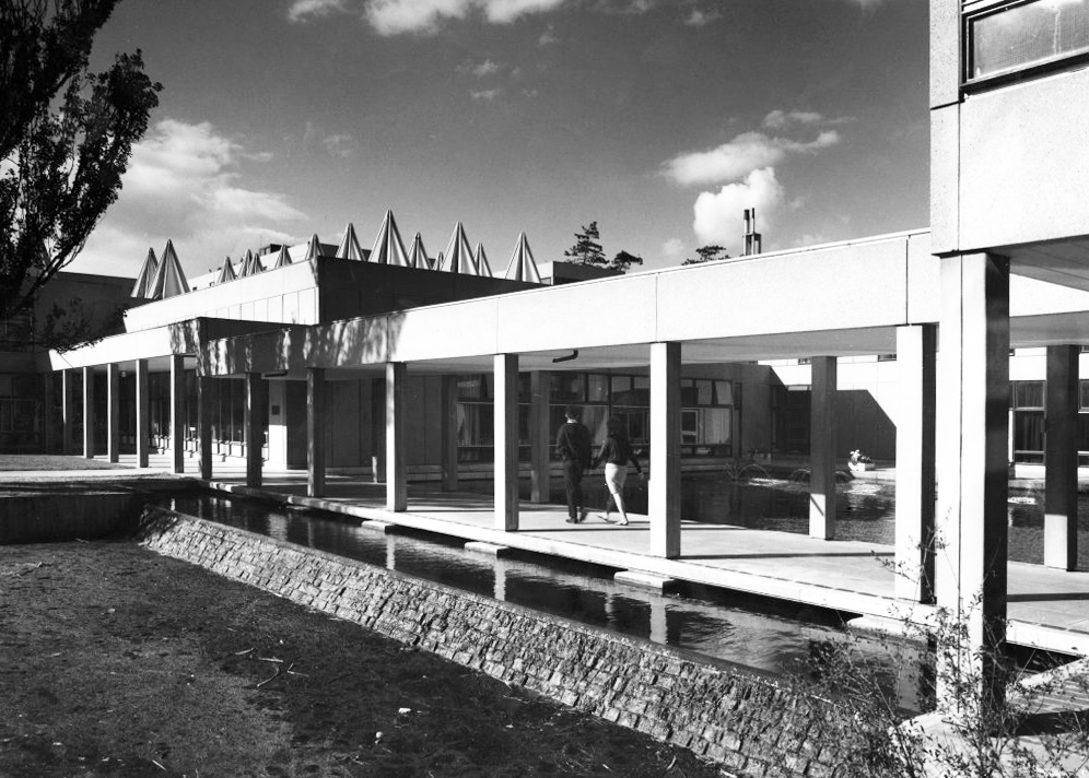
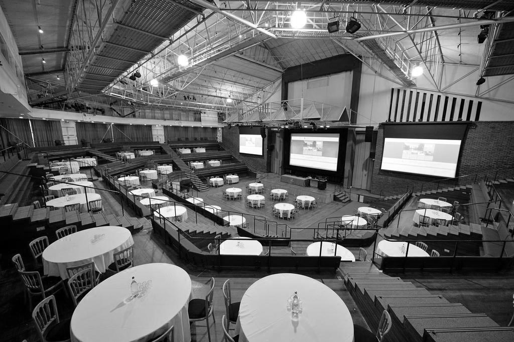
It was an essential feature of the Keele experiment for the entire student body in the Foundation Year to gather here for lectures. It was also vital to the social and cultural activities of the community of scholars, being used for lectures, plays, debates, concerts and other events requiring a large auditorium.
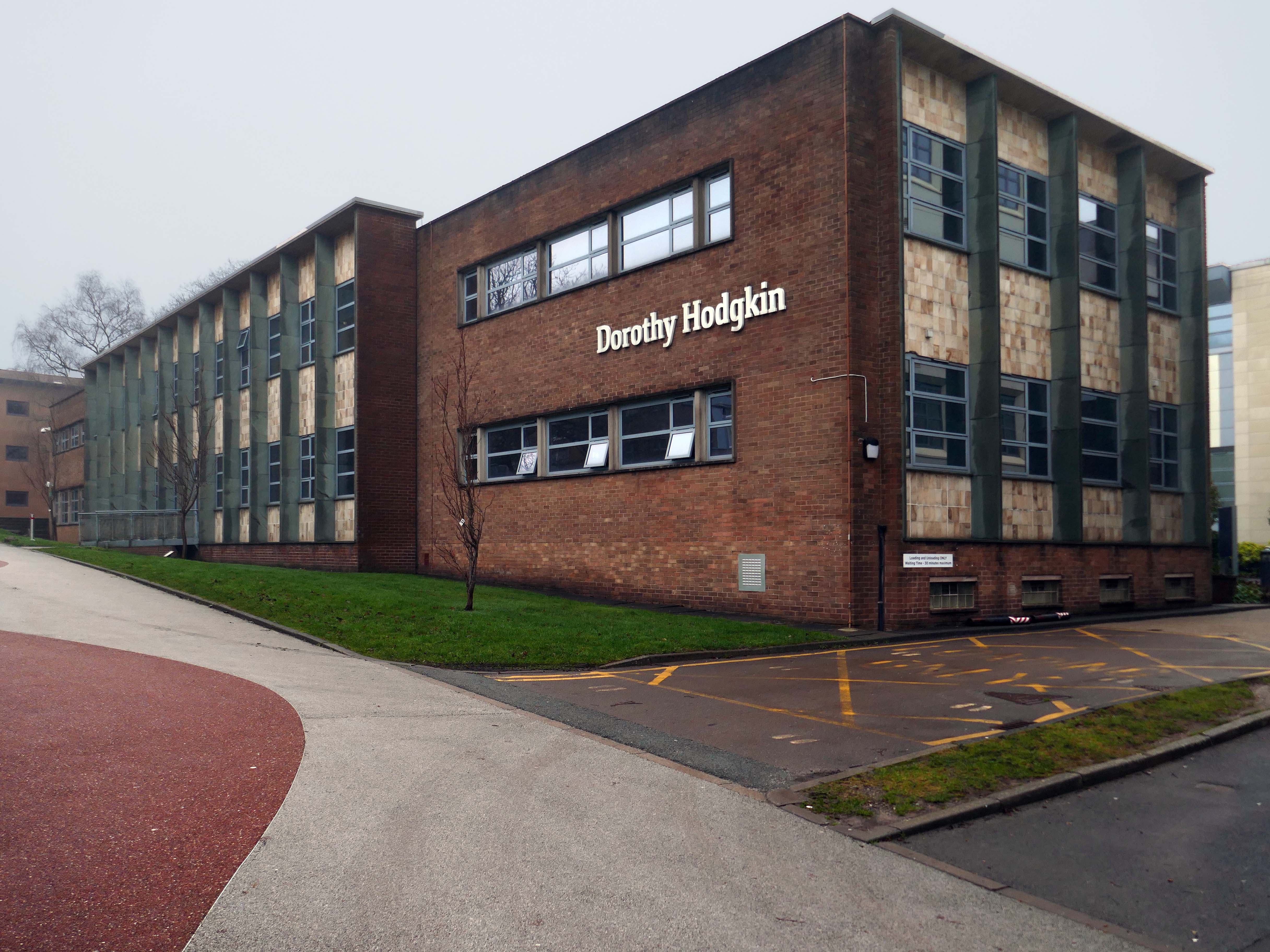
Dorothy Hodgkin
Dorothy Mary Hodgkin OM FRS was a British chemist, credited with the development of protein crystallography. She advanced the technique of X-ray crystallography, a method used to determine the three-dimensional structures of biomolecules.
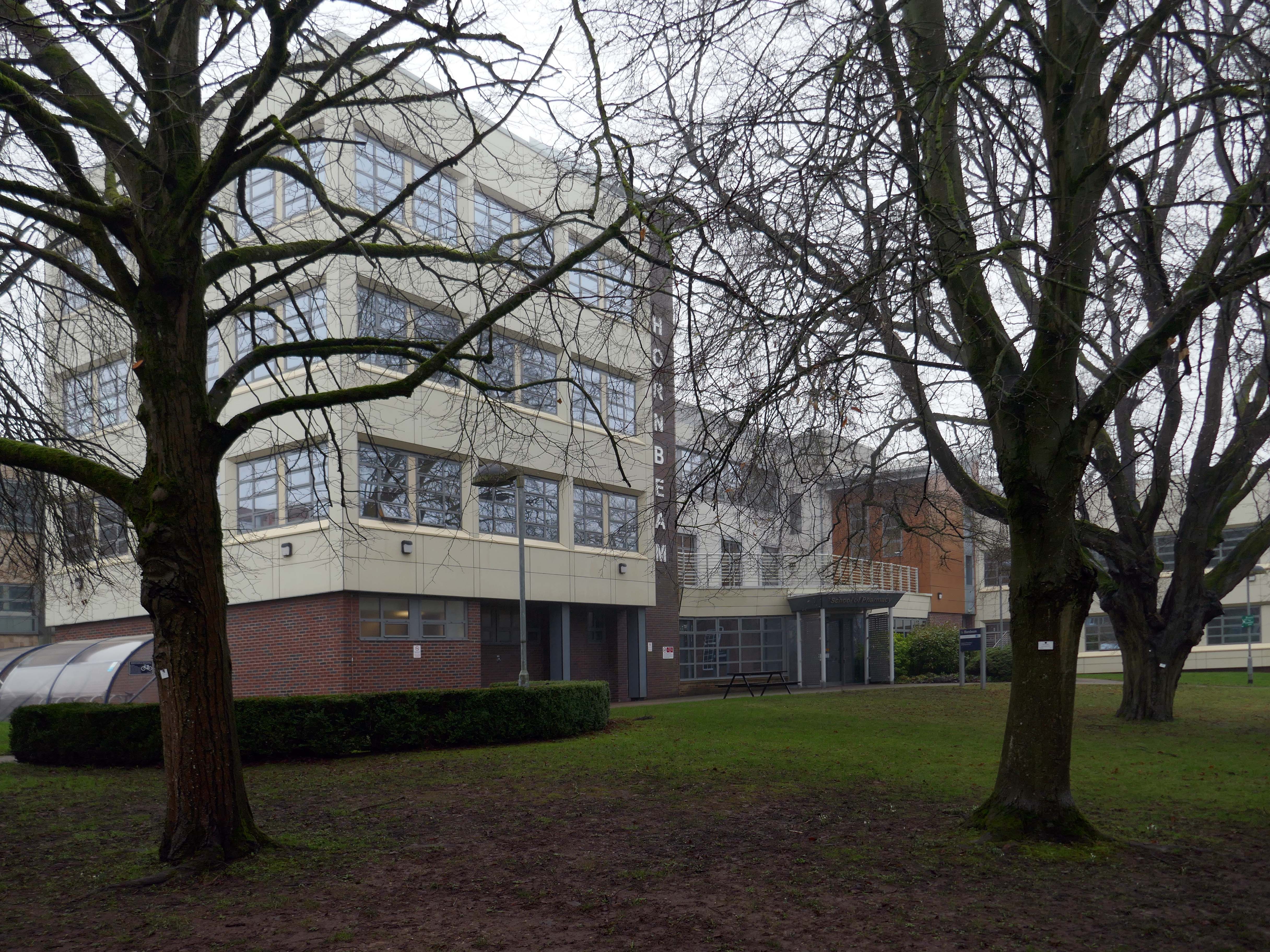
Hornbeam Building an extension of 2015.
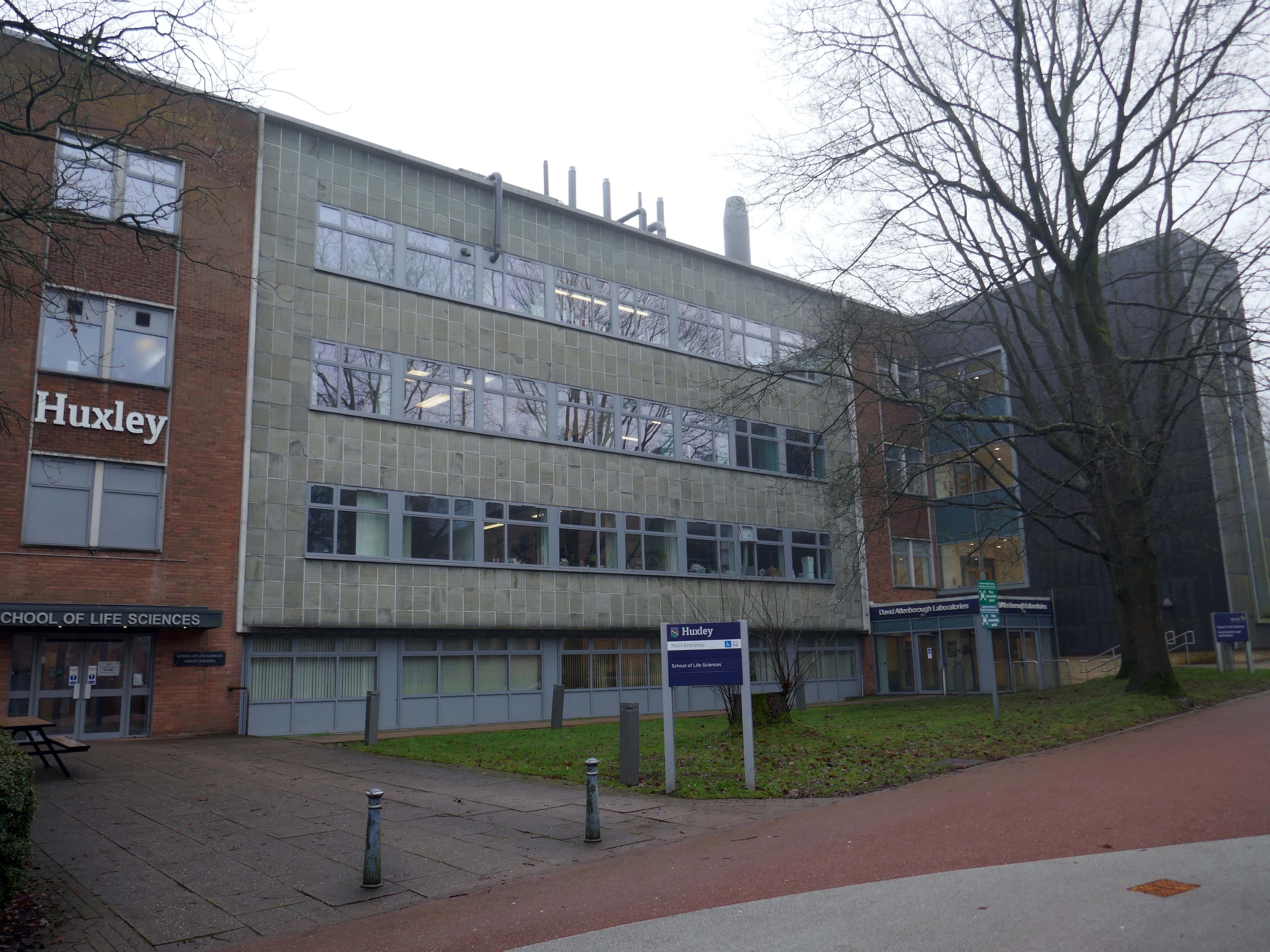
Huxley
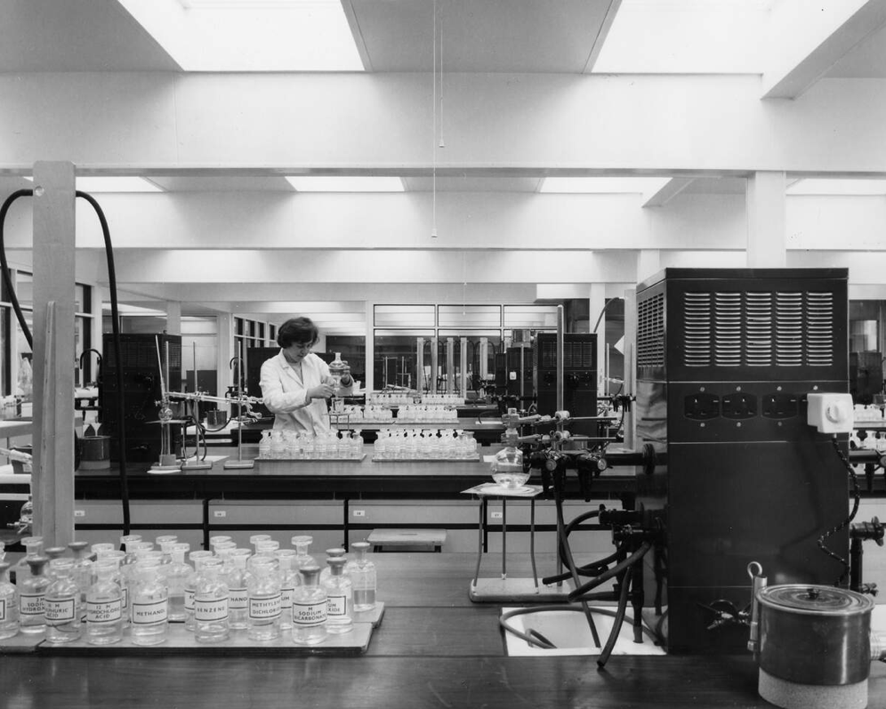
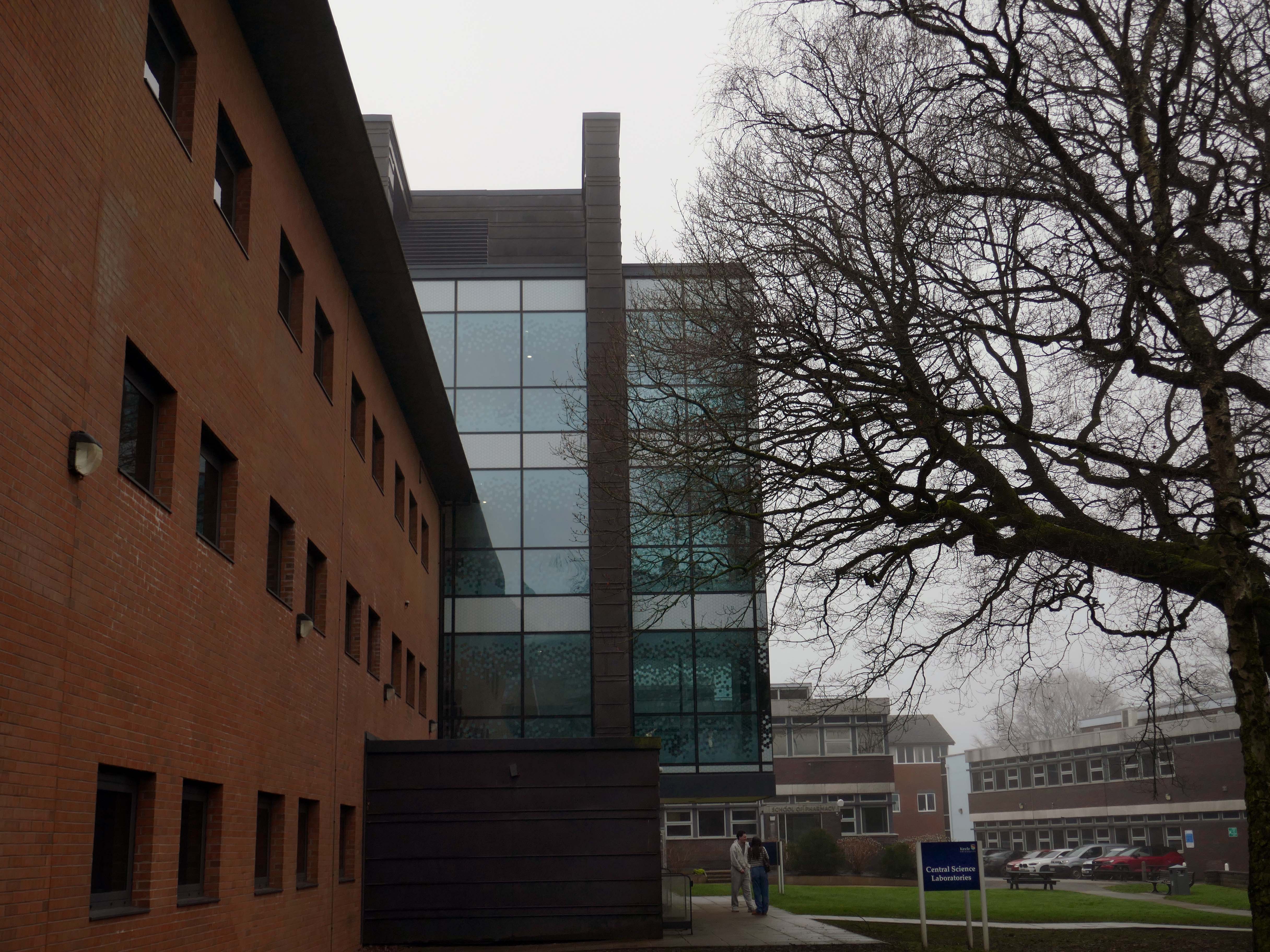
Central Science Laboratories 2018-19 Halliday Meecham Architects
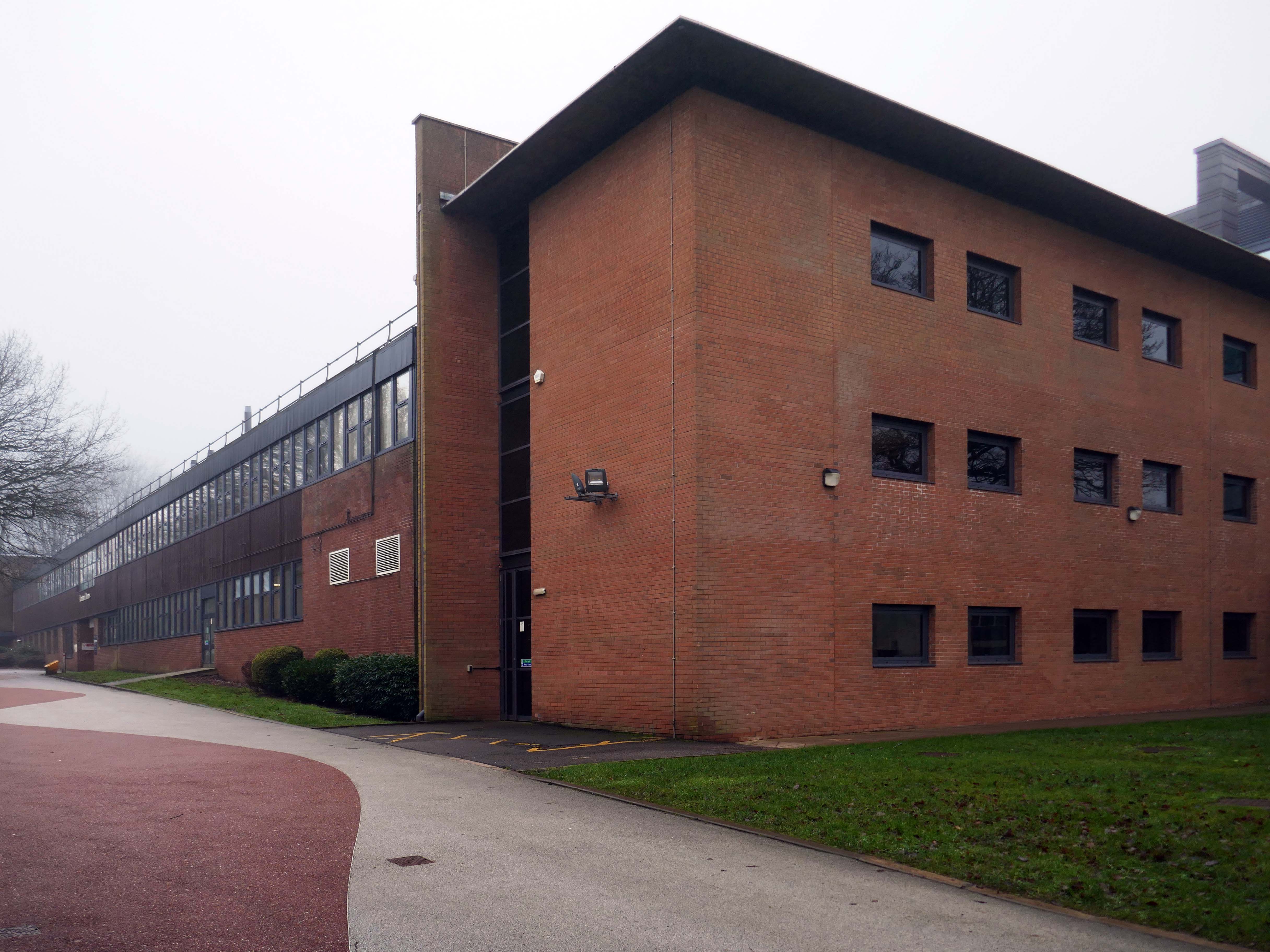
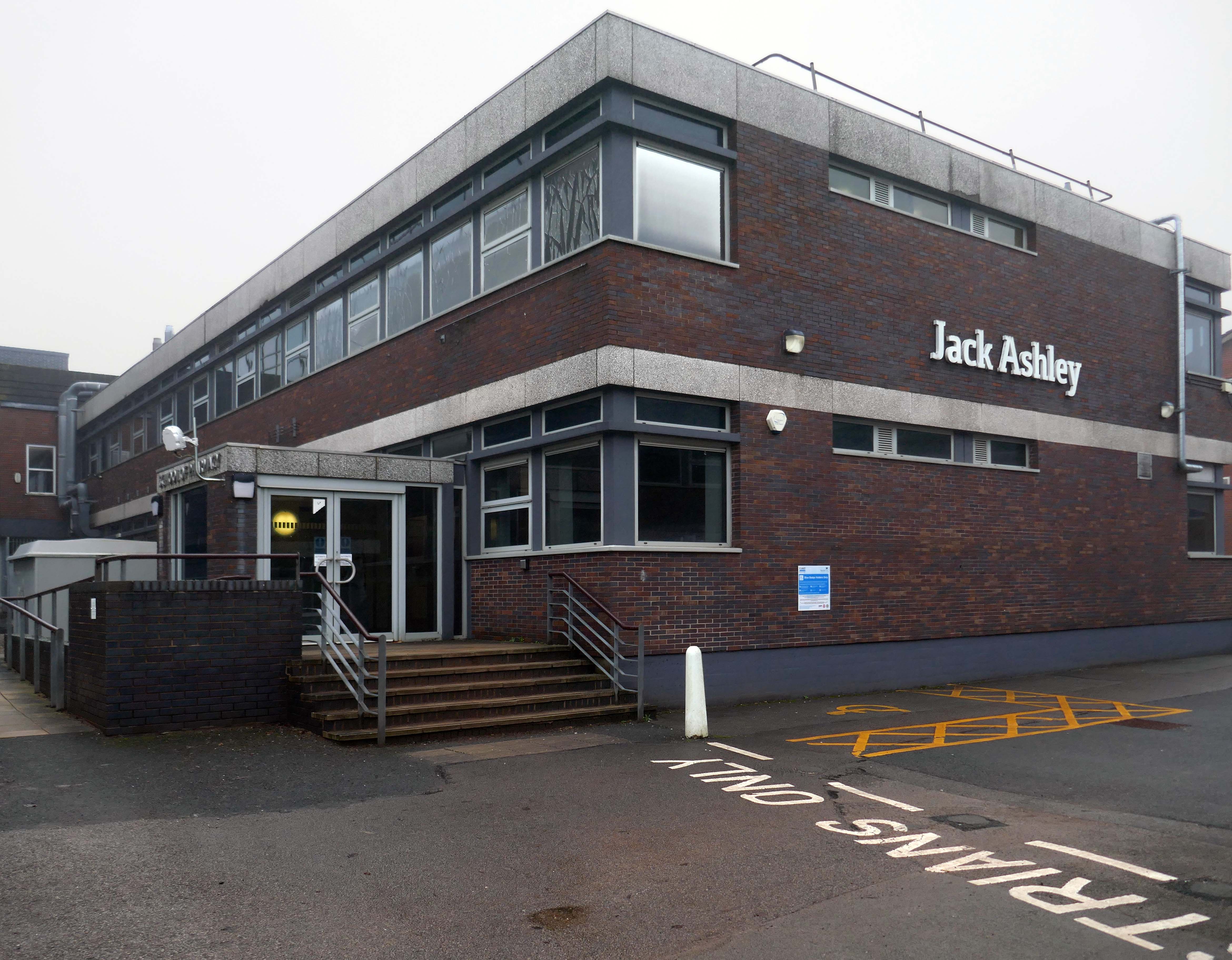
Jack Ashley Building
Jack Ashley was MP for Stoke-on-Trent South for 26 years, from 1966 to 1992. In December 1967, Ashley lost his hearing as a result of complications from a routine operation to correct a perforated eardrum. He was persuaded to retain his seat in the House of Commons, electing instead to take a crash course in lip reading. He thus became the first totally deaf MP. Ashley was a lifelong campaigner for the disabled, especially the deaf and blind. He led high profile campaigns, including the campaign for improved compensation for victims of thalidomide, vaccine damage and damage done by the arthritis drug, Opren. In 1986, he and his wife founded the charity Defeating Deafness.
Following his retirement from Parliament in 1992, Ashley was made Baron Ashley of Stoke.
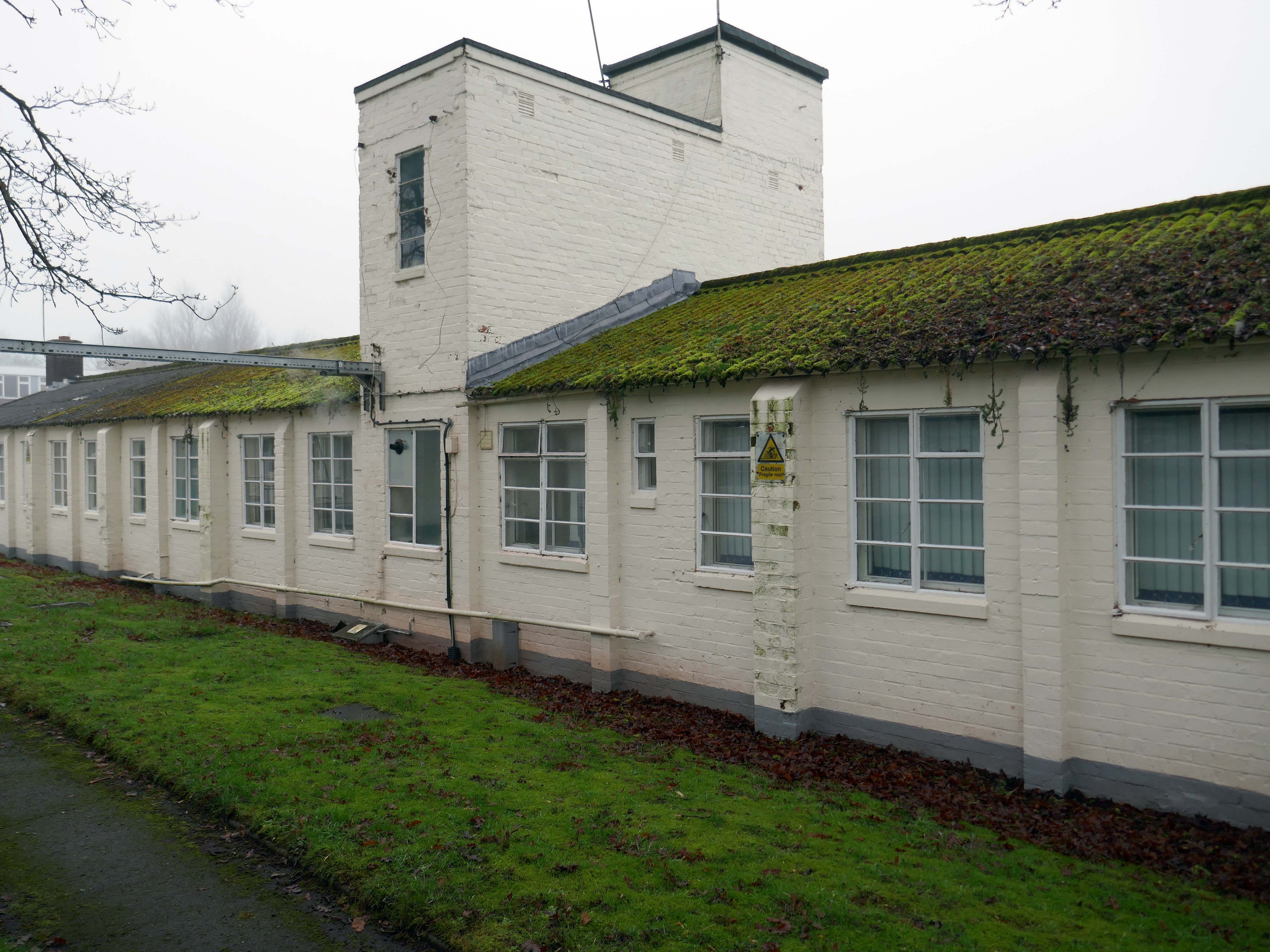
The Huts
British troops arrived at Keele Hall during 1940 and an army base was built to house troops evacuated from Dunkirk.
The Huts provided memorable and very comfortable homes for Keele students from the 1950s right into the 1970s
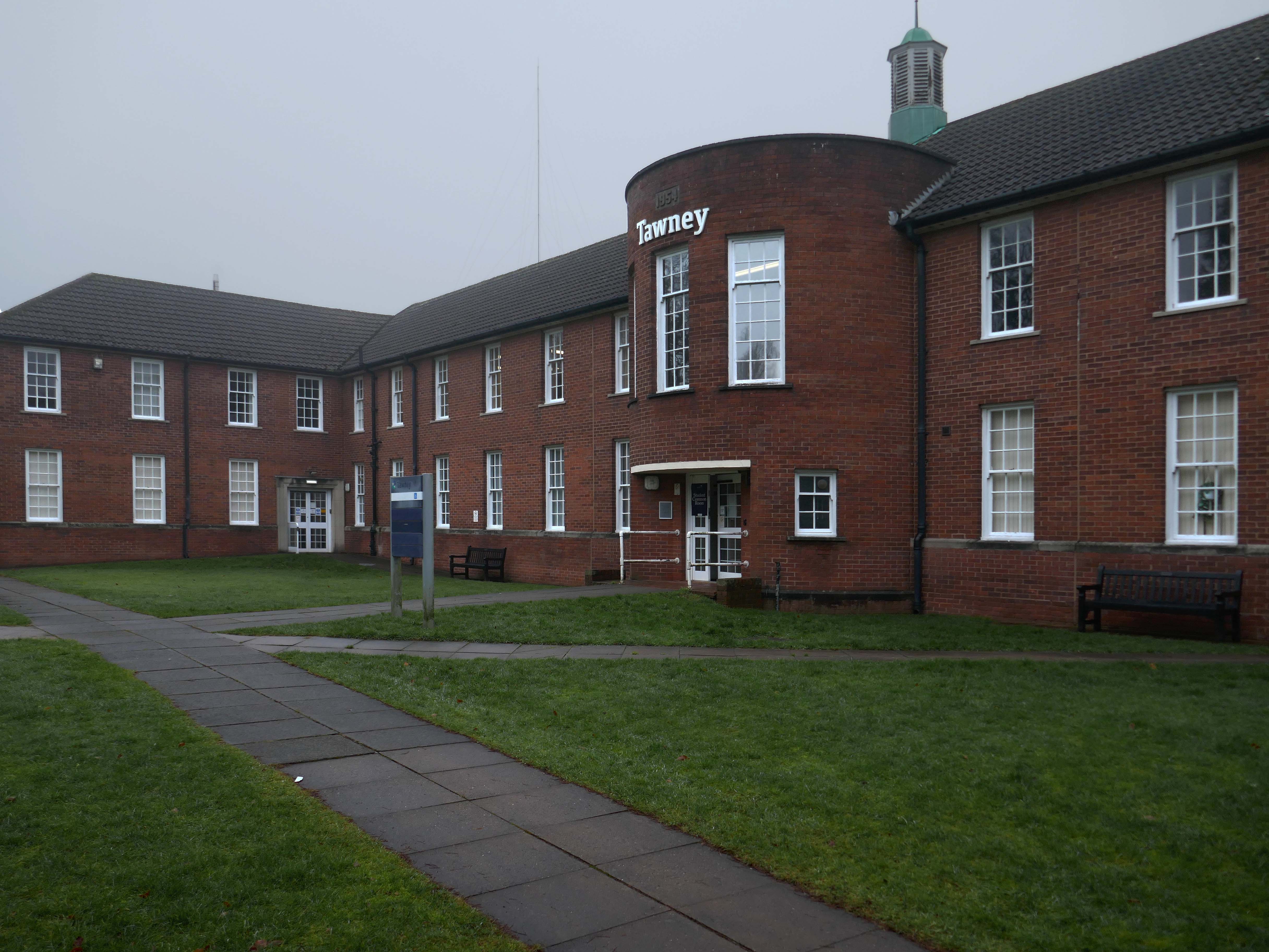
Tawney Building 1954 JA Pickavance
Richard Henry Tawney was an economic historian, social critic and proponent of adult education, whose writings had a profound influence on Lord Lindsay, the founder of Keele University.
This and the Walter Moberly Building were originally planned as the first two buildings in a quadrangle, emulating the typical design of many American liberal arts colleges. Lindsay drew much of his inspiration for Keele and his educational philosophy from this American model of higher education which was characterised as the search for truth in the company of friends”.
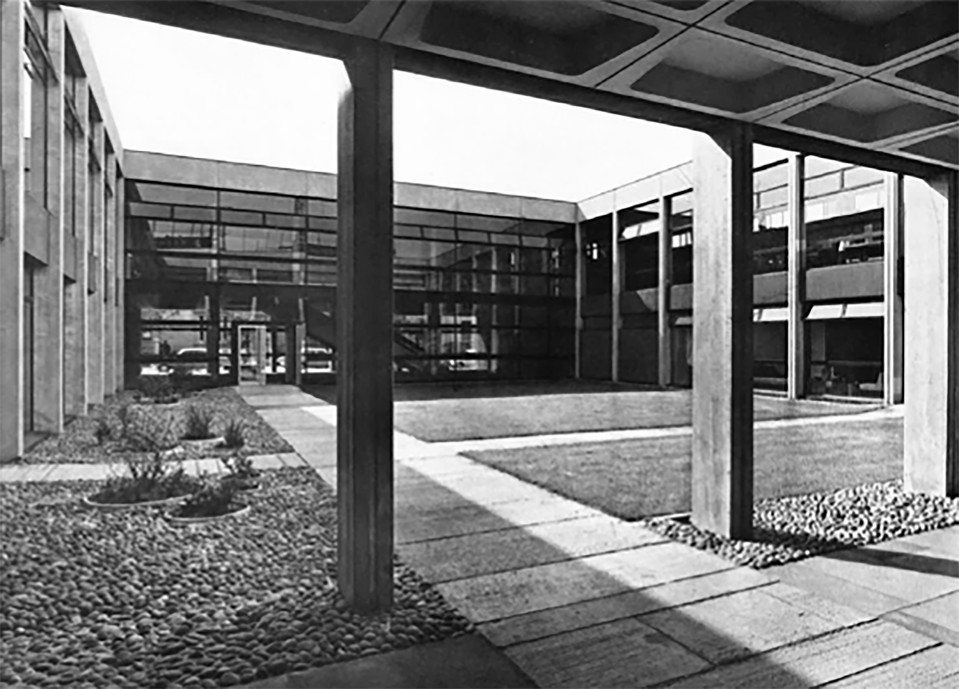
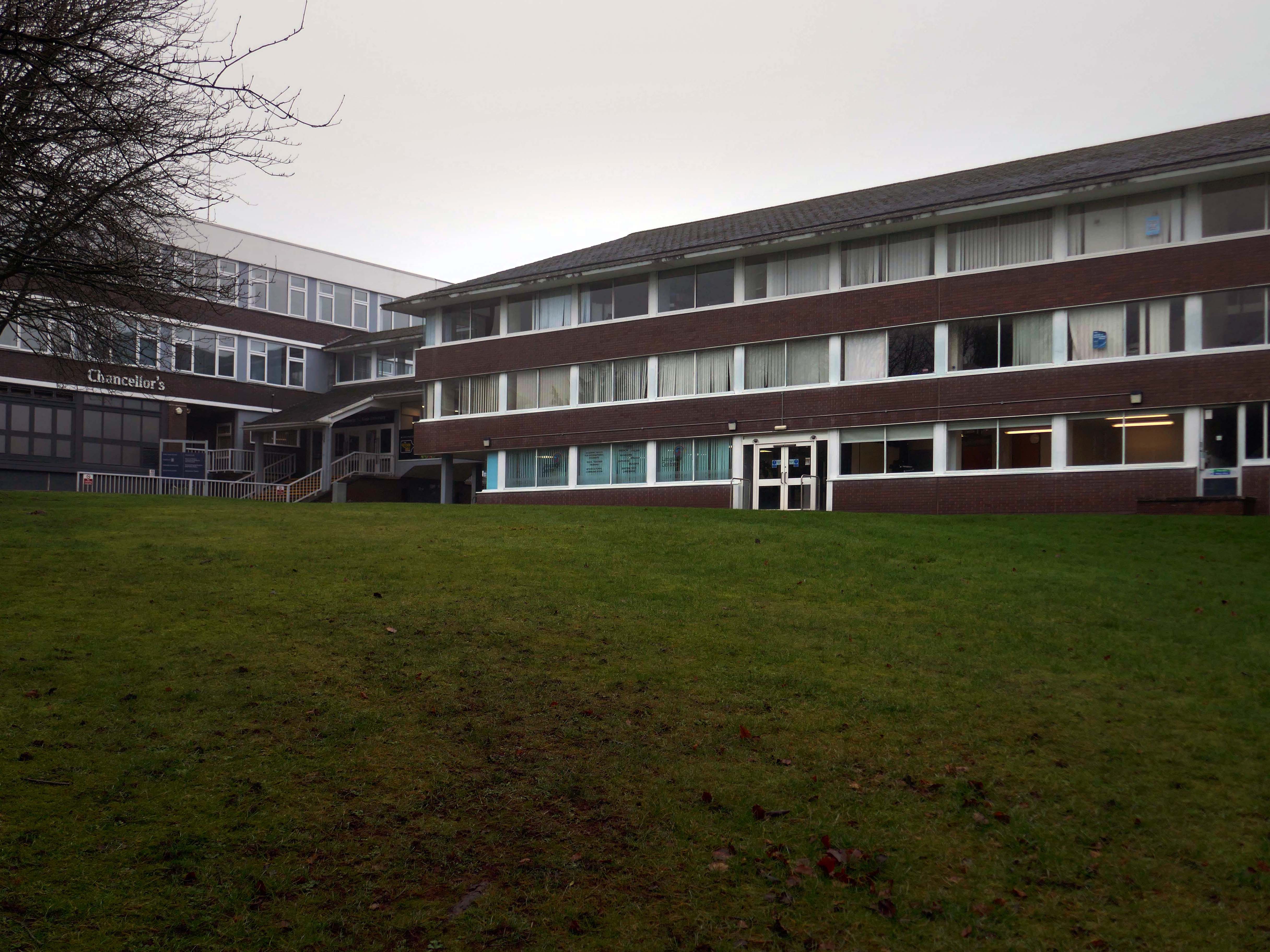
Chancellor’s Building 1962-66 Shepheard Epstein & Hunter extended 1977.
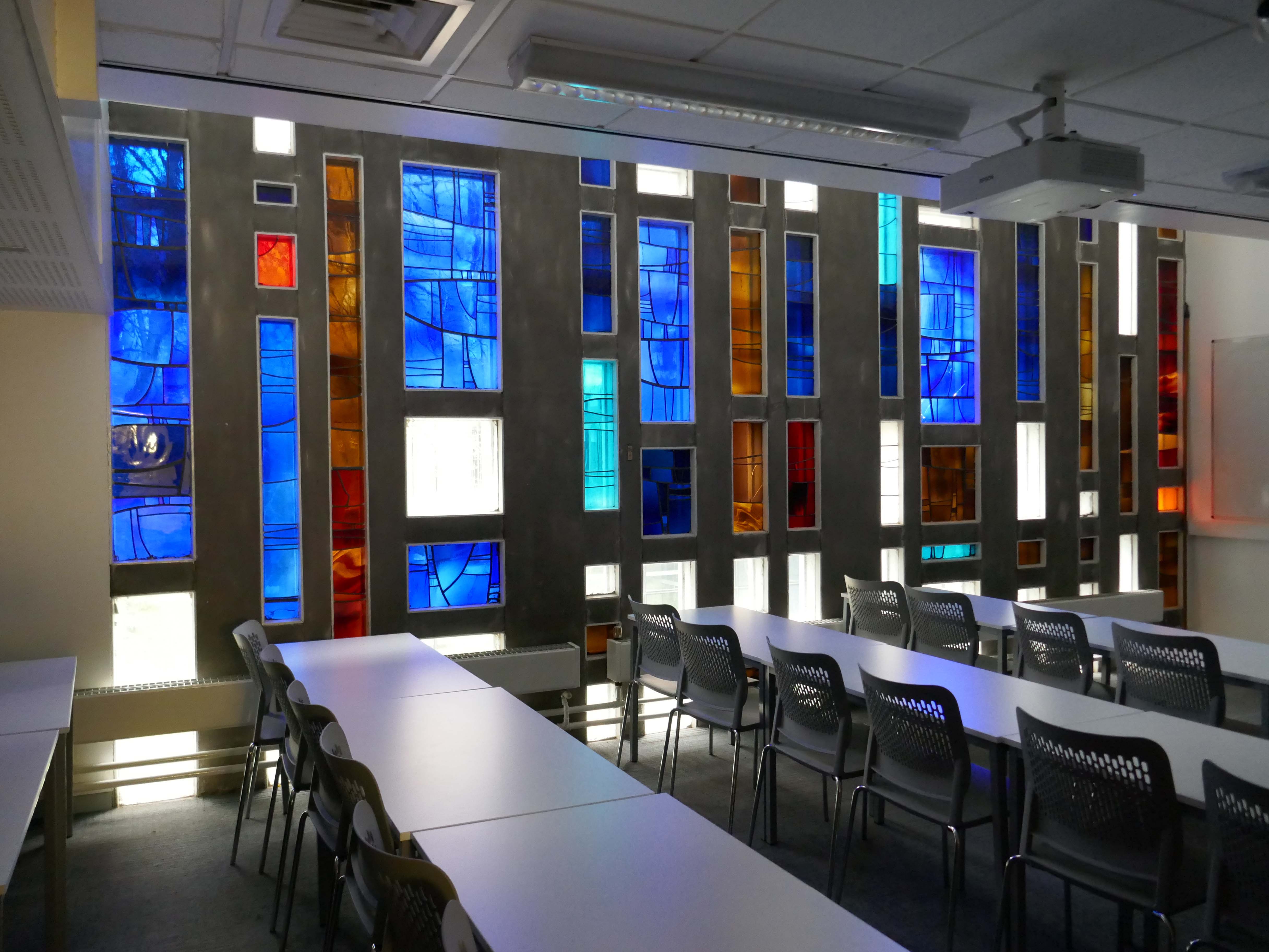
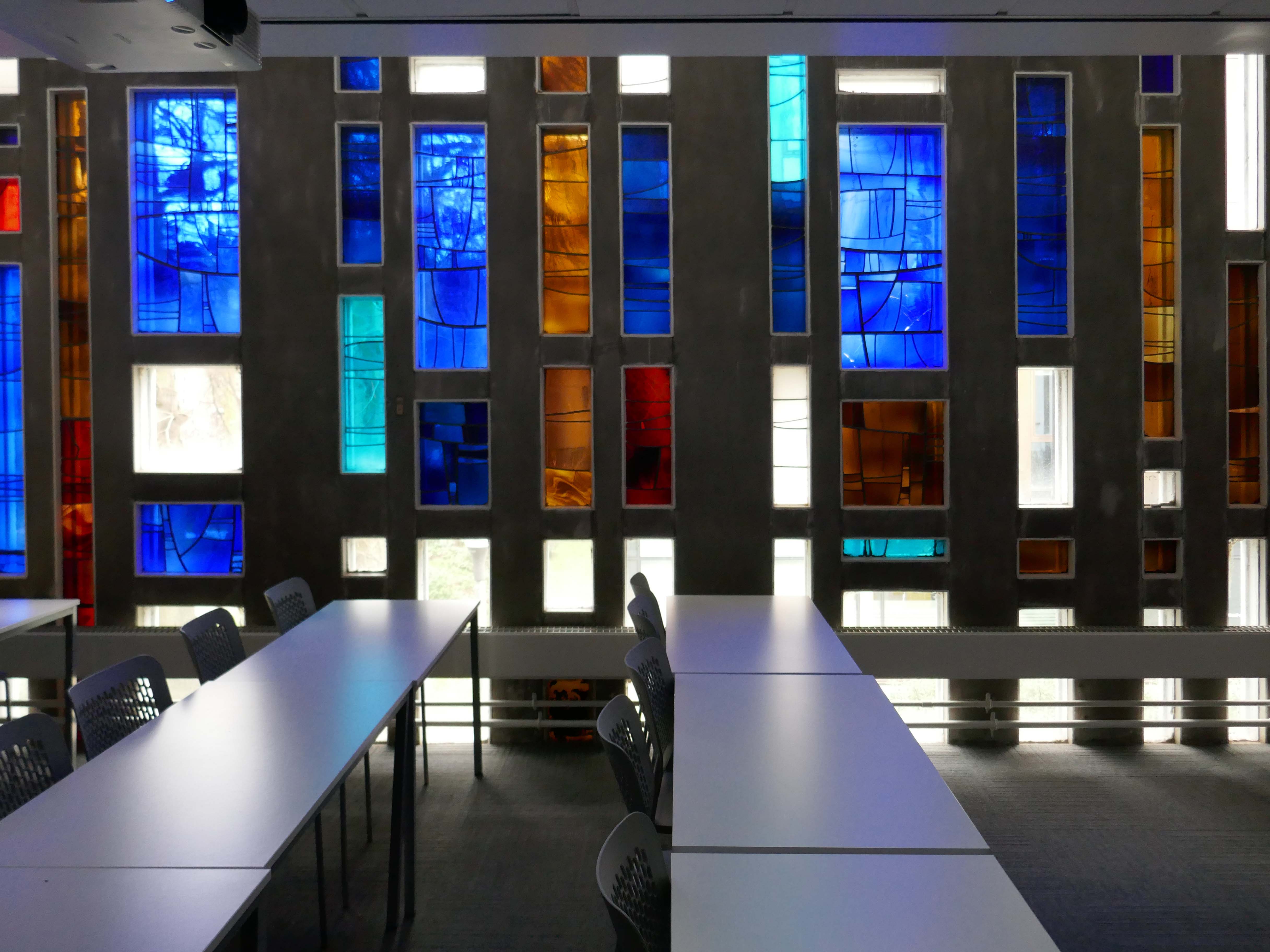
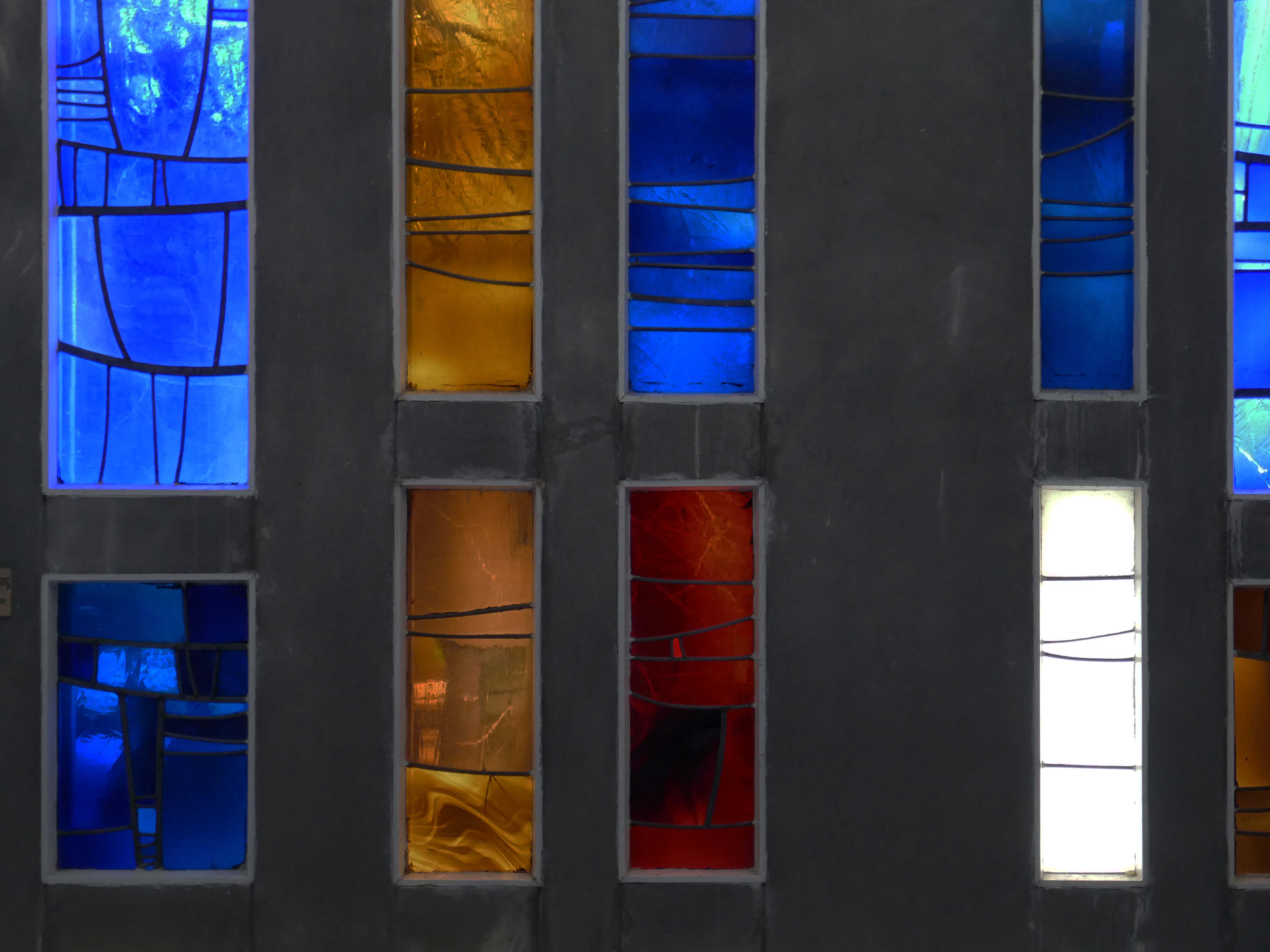
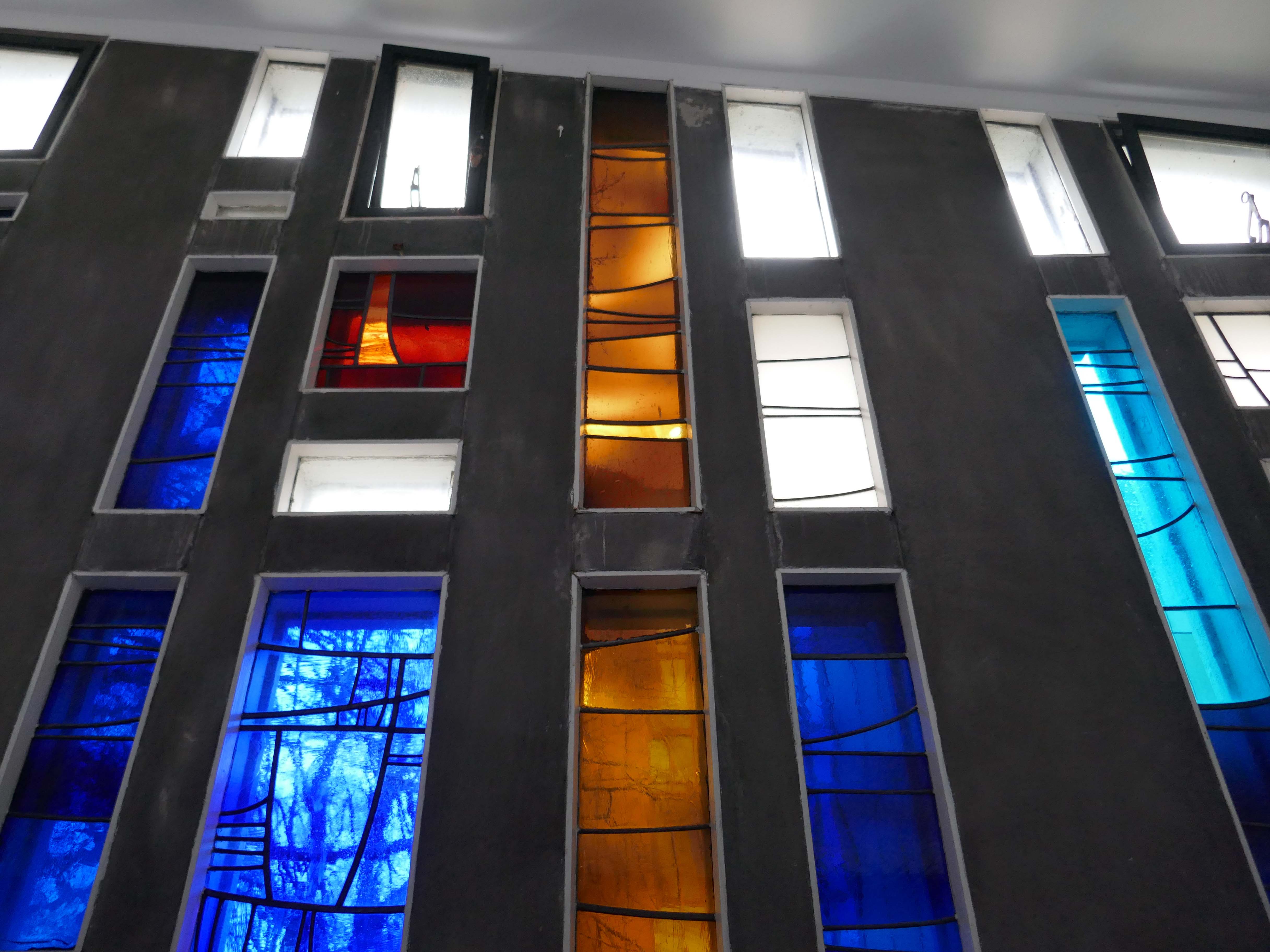
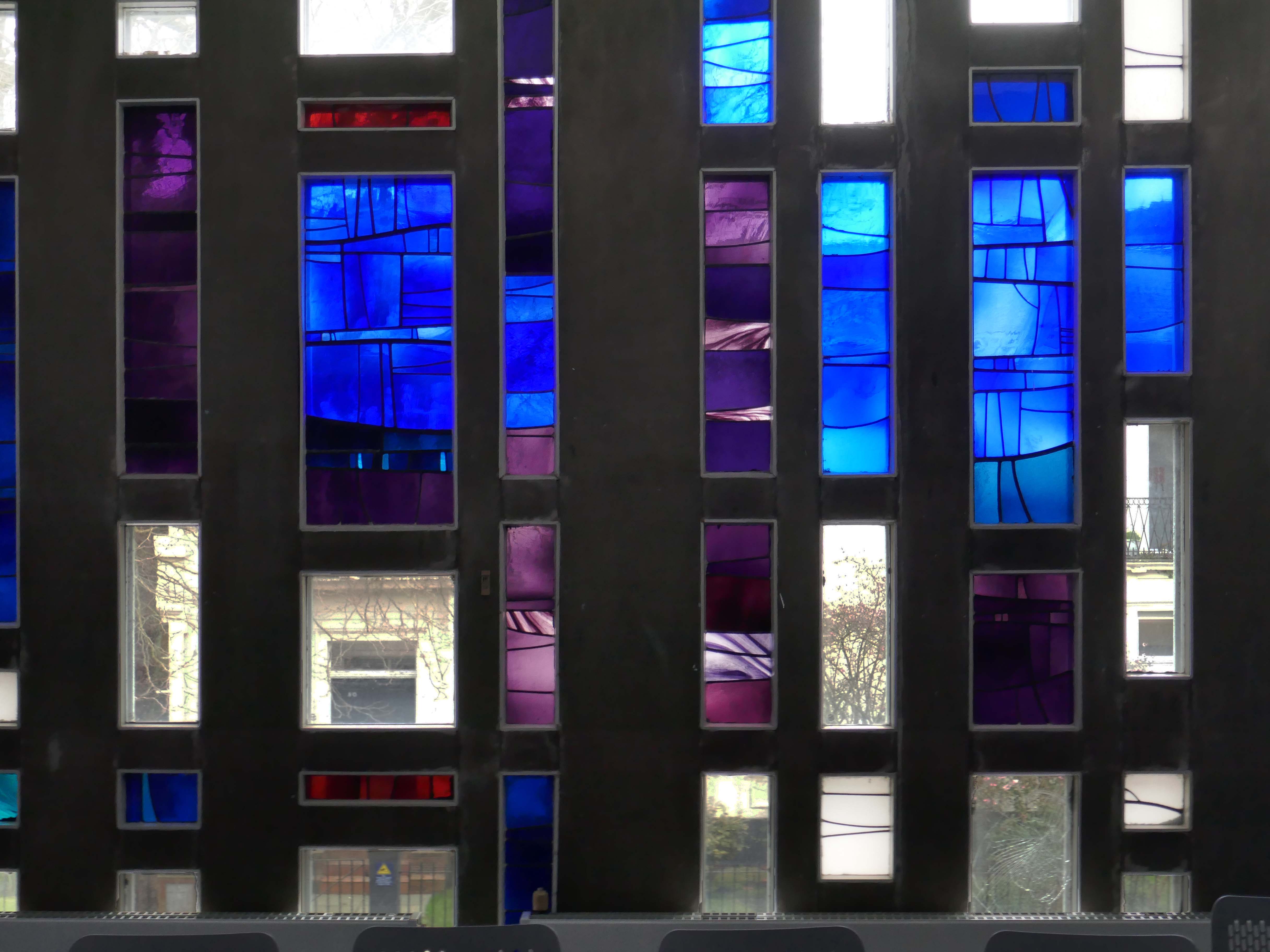
The tour of the academic buildings ends at The Chapel 1964-65 George Pace.
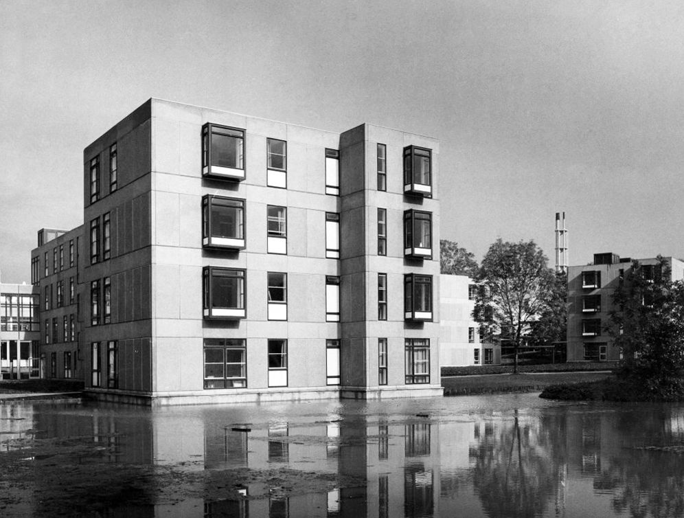
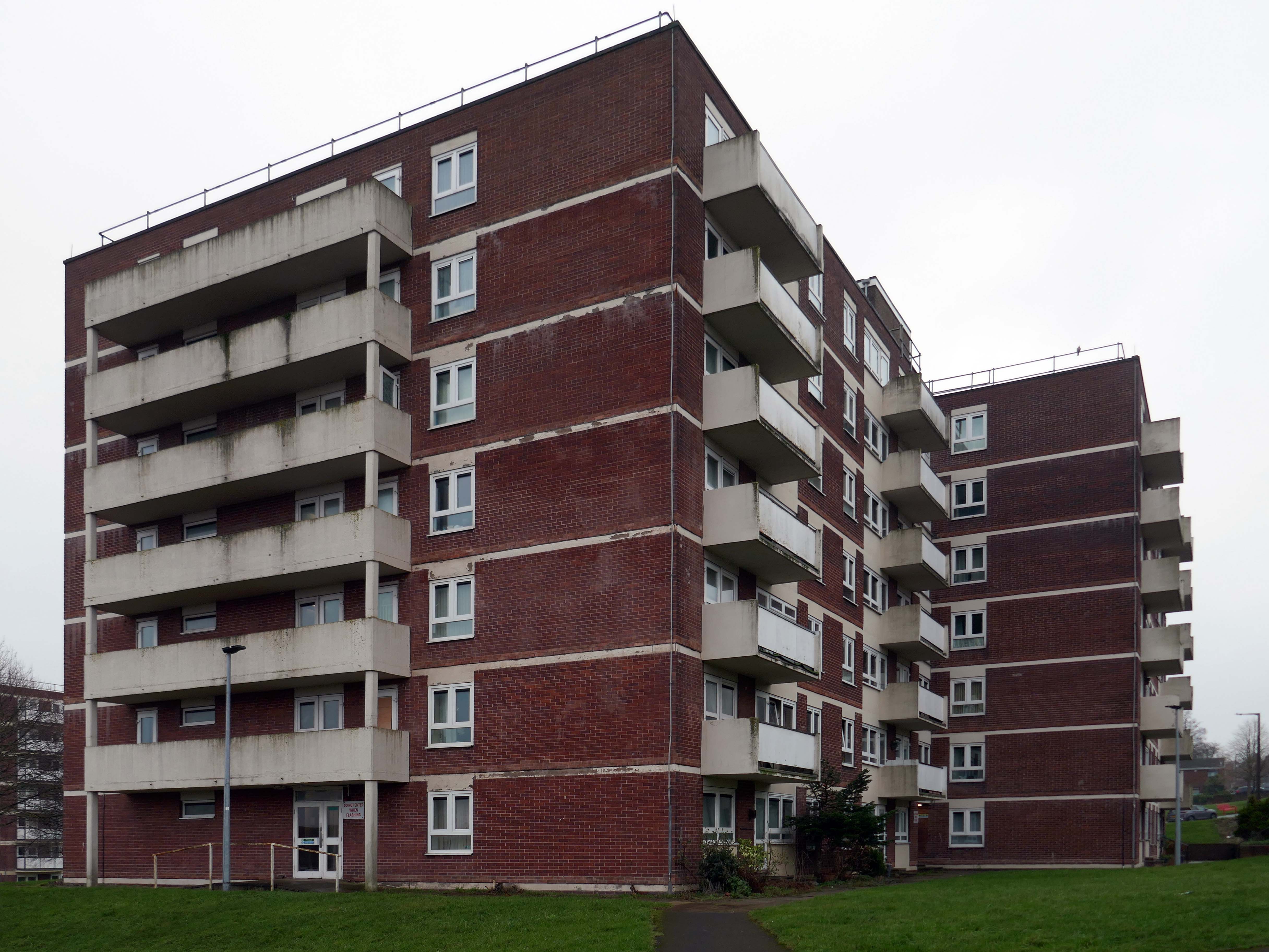
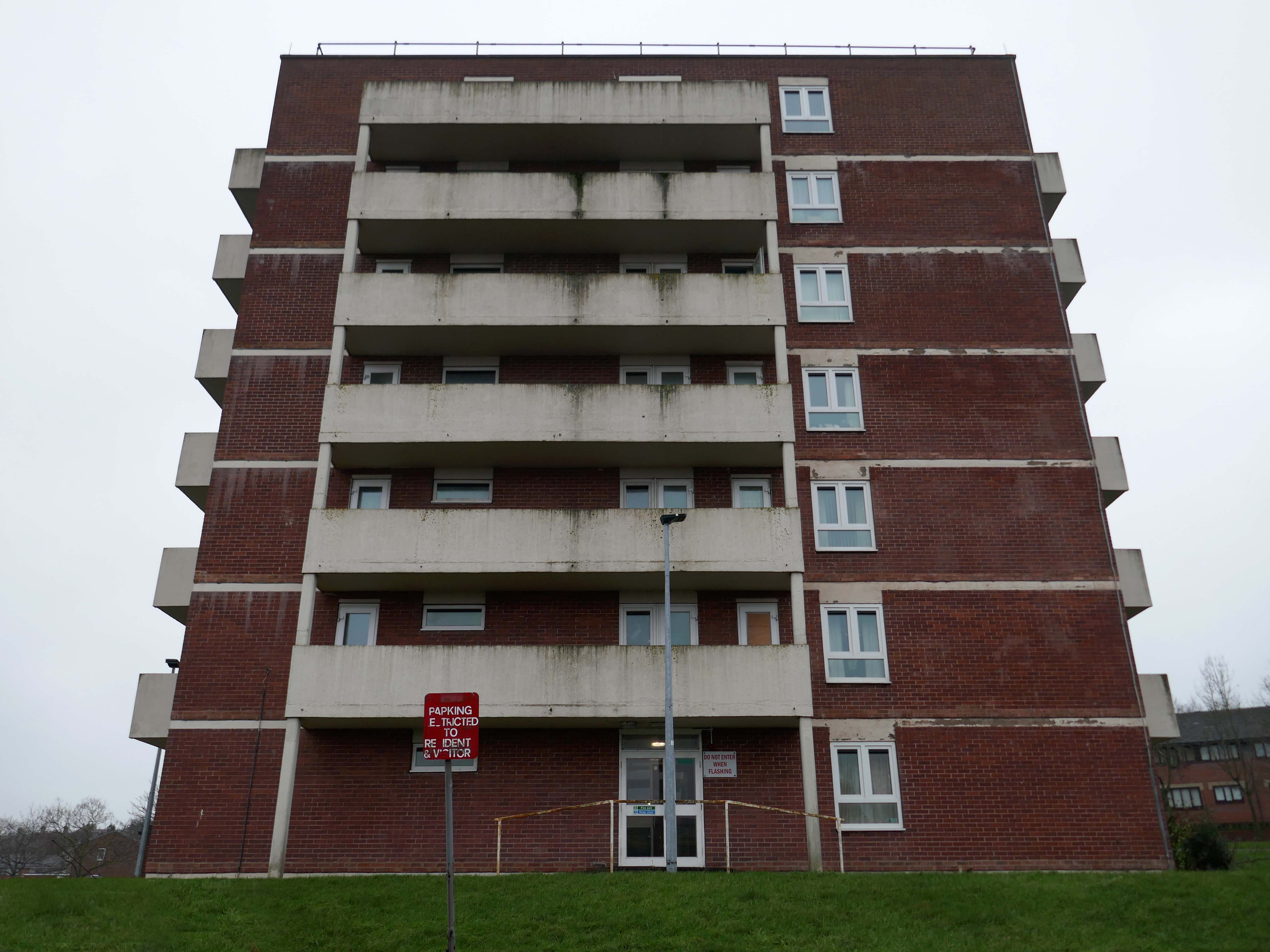
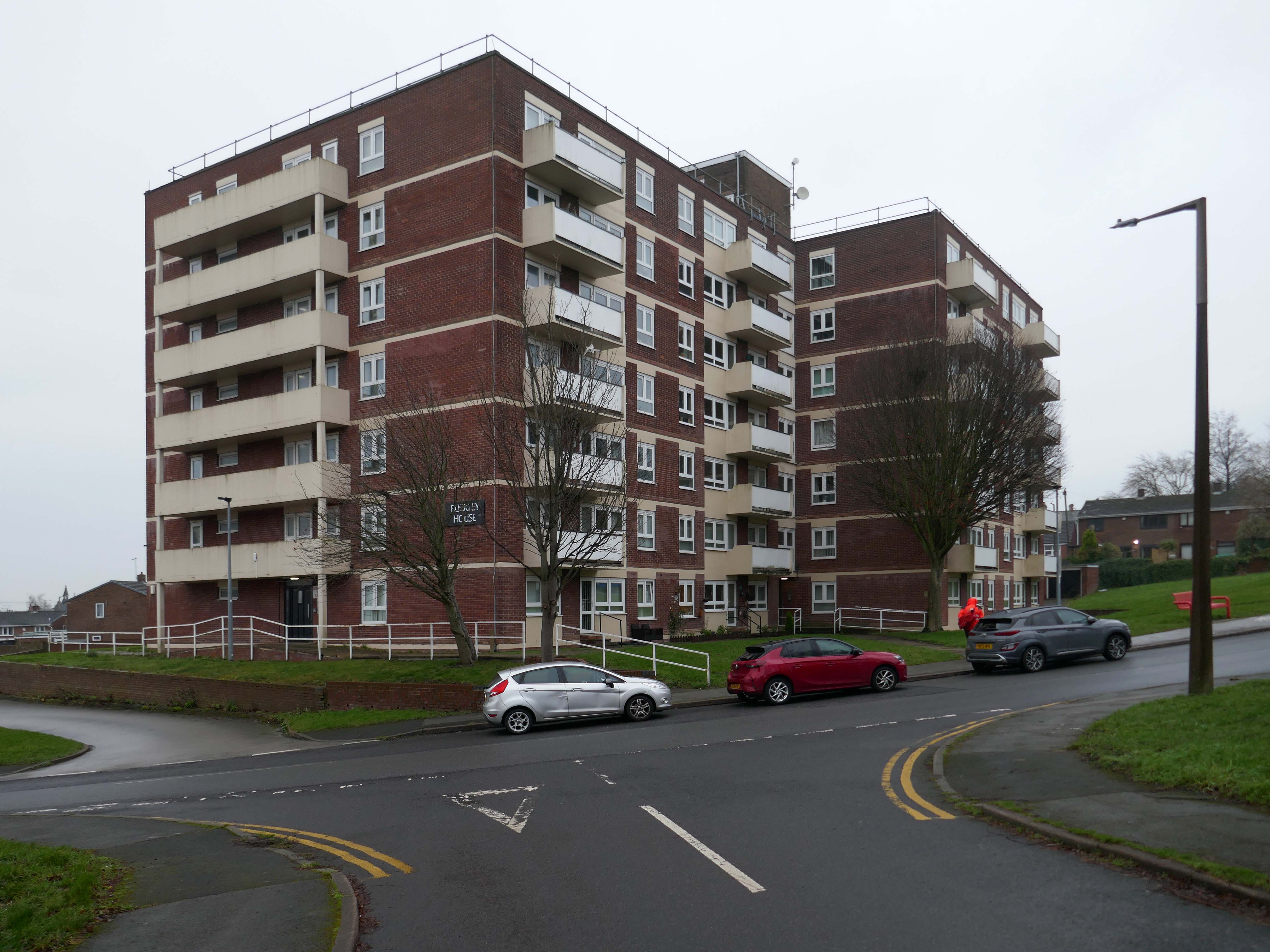
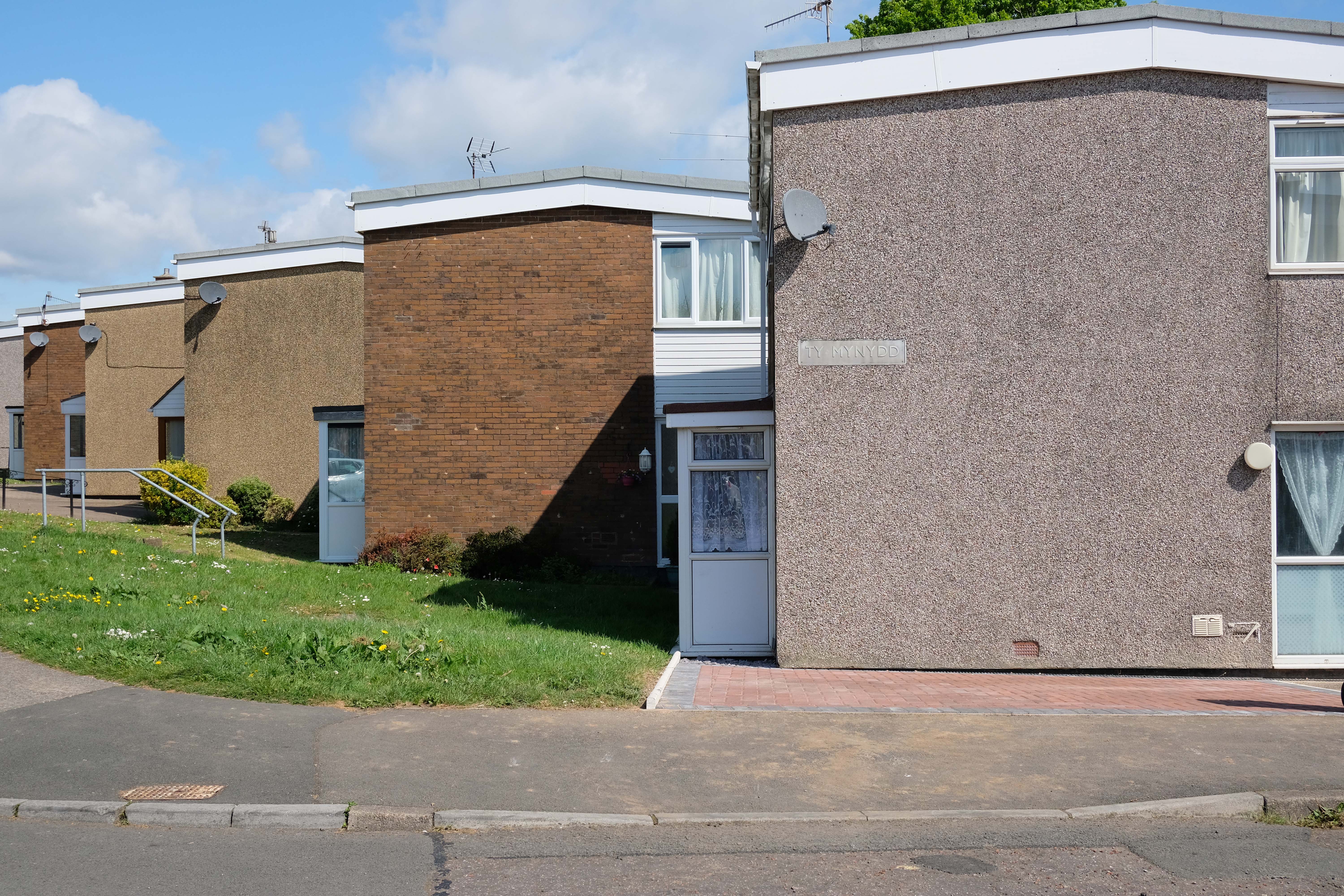
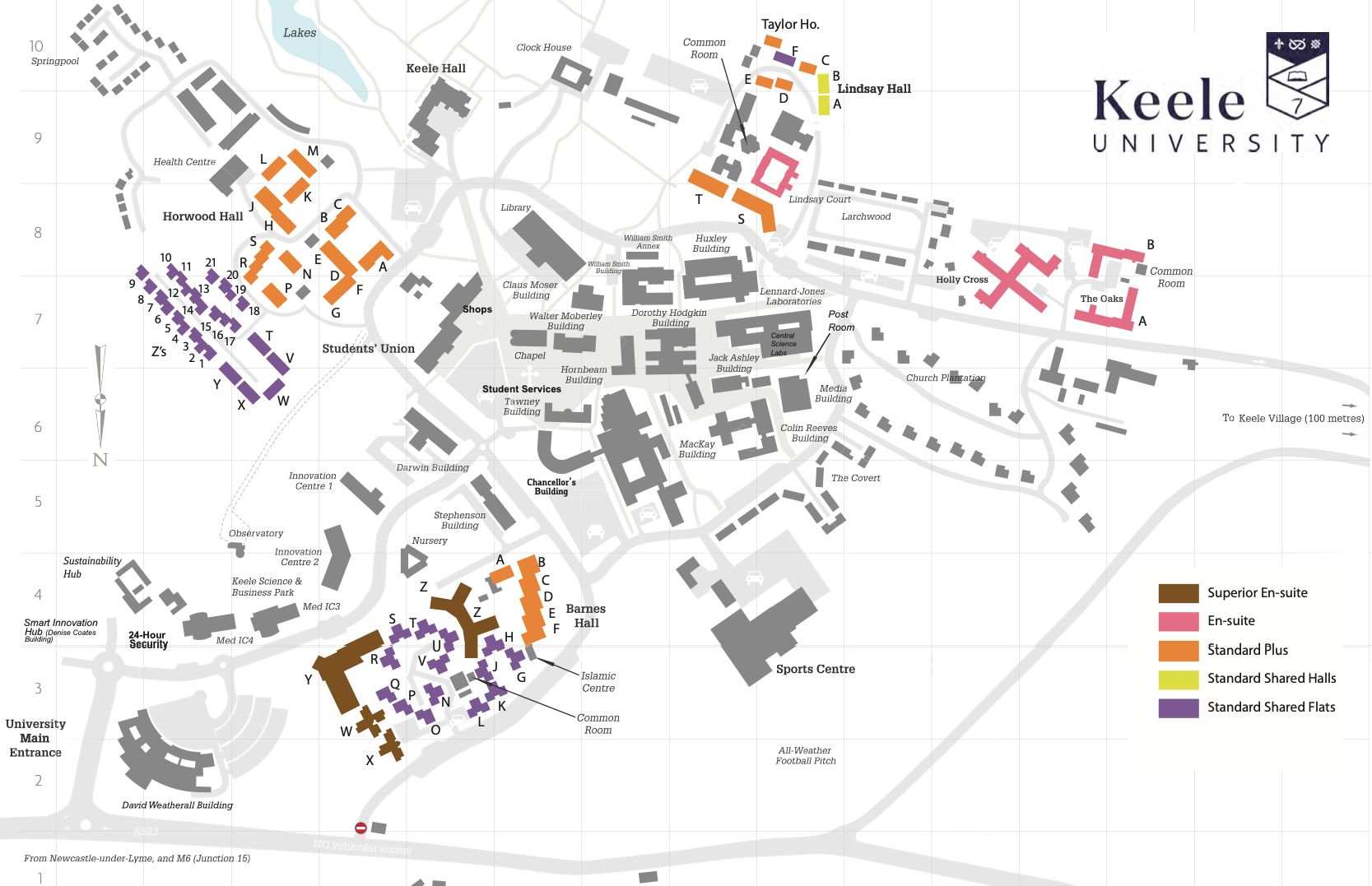
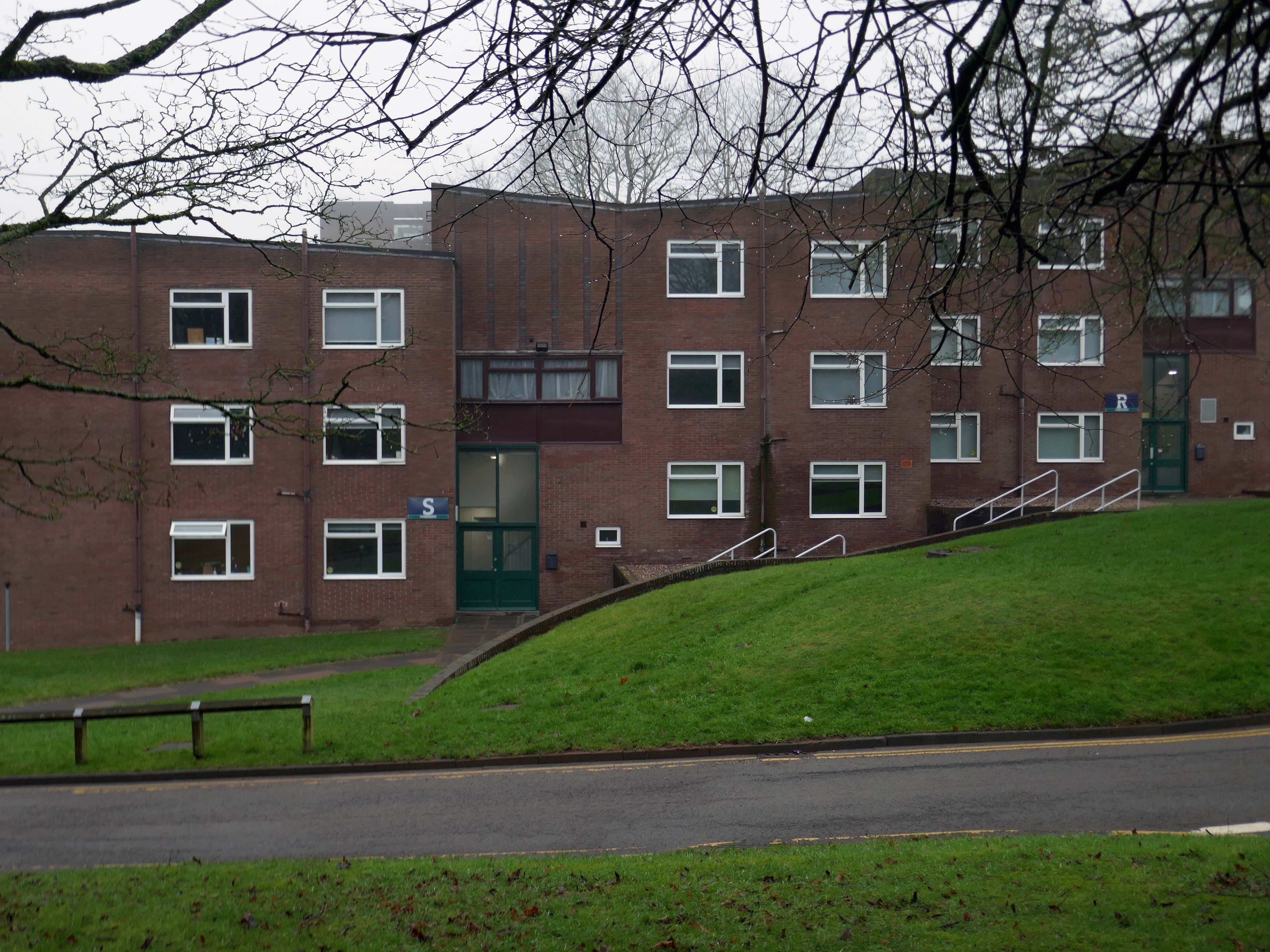
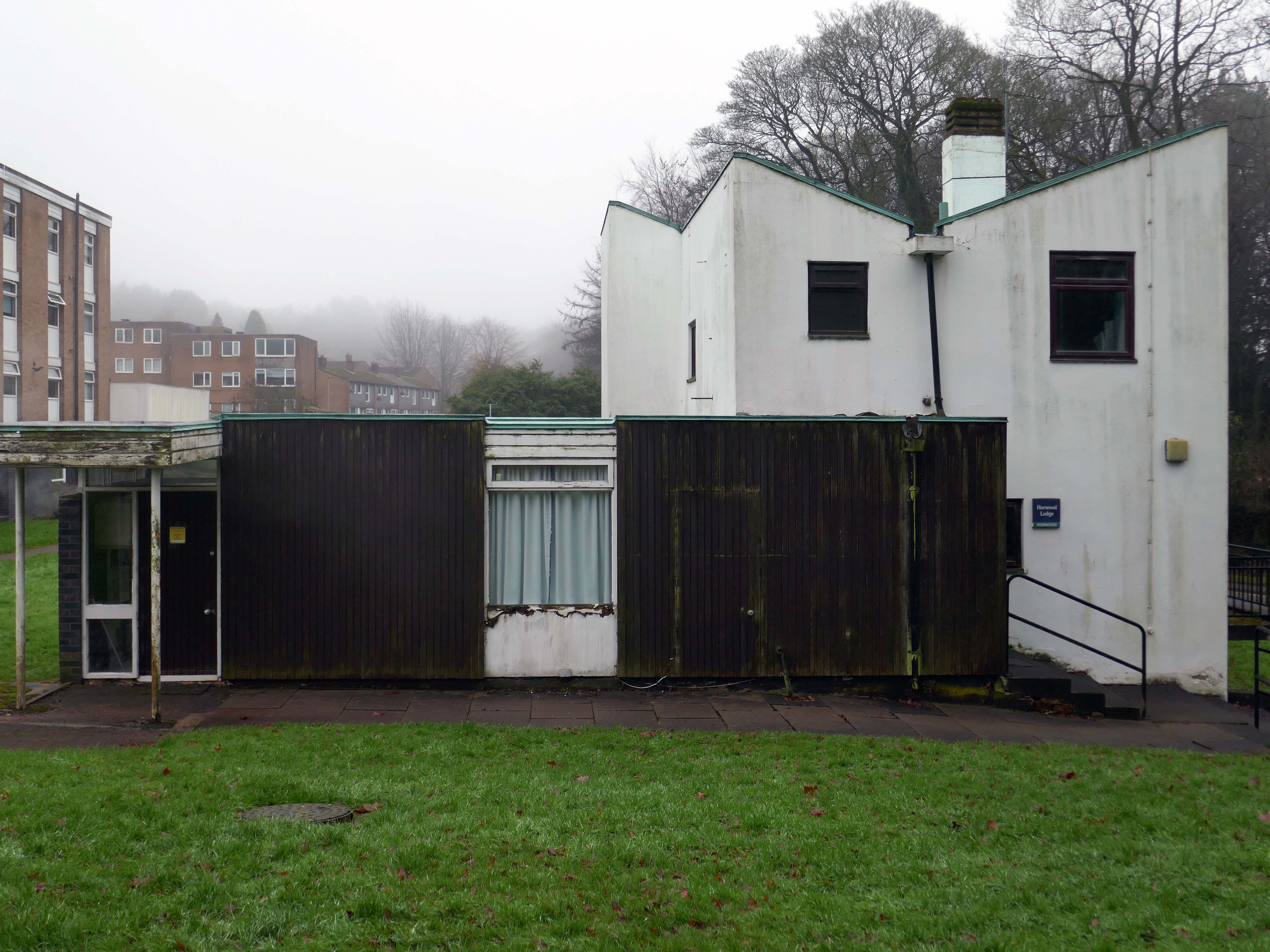
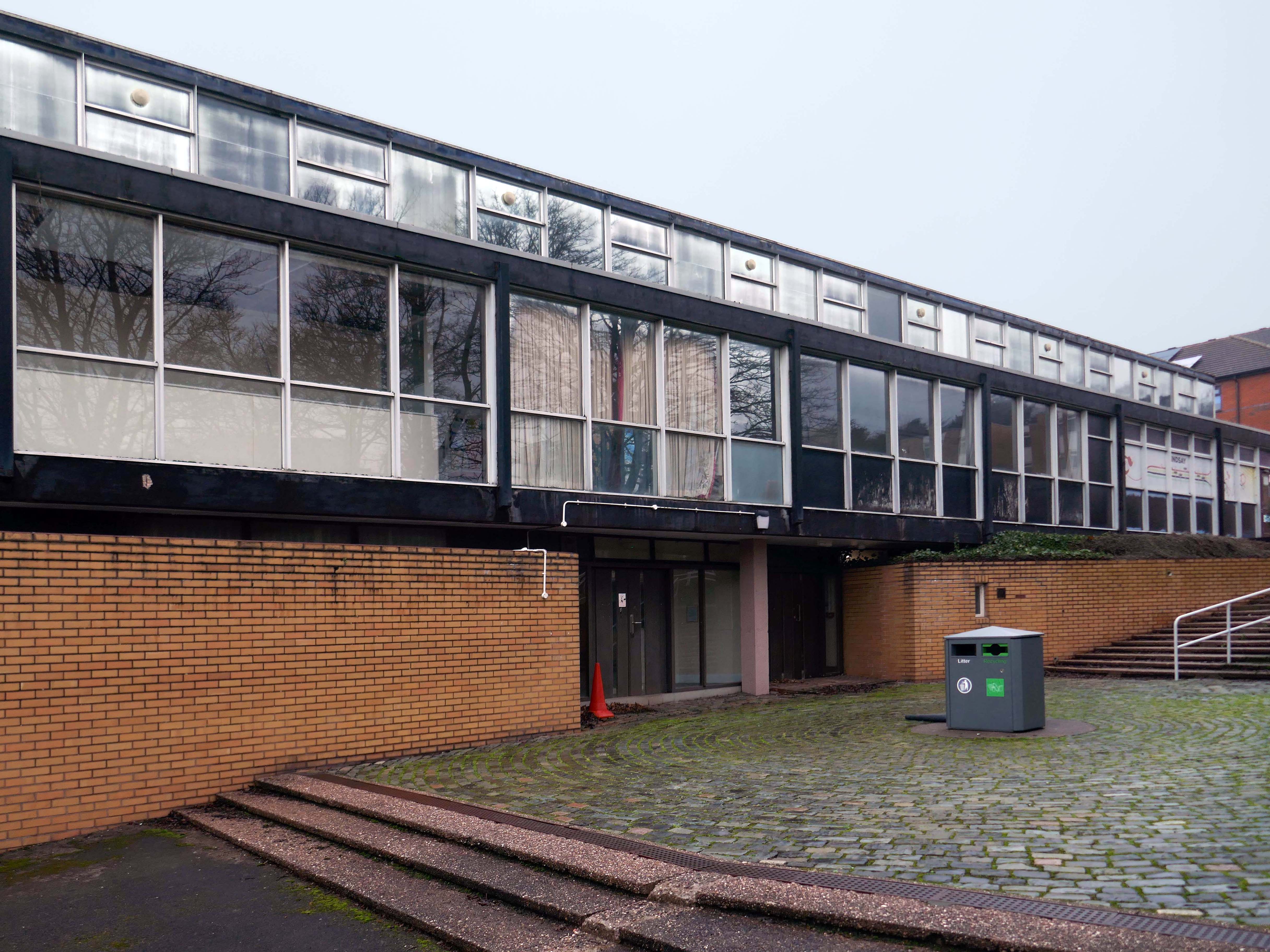
Onwards to the student accommodation – Horwood Hall 1961-64
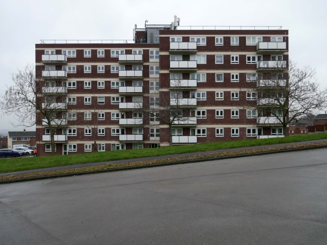
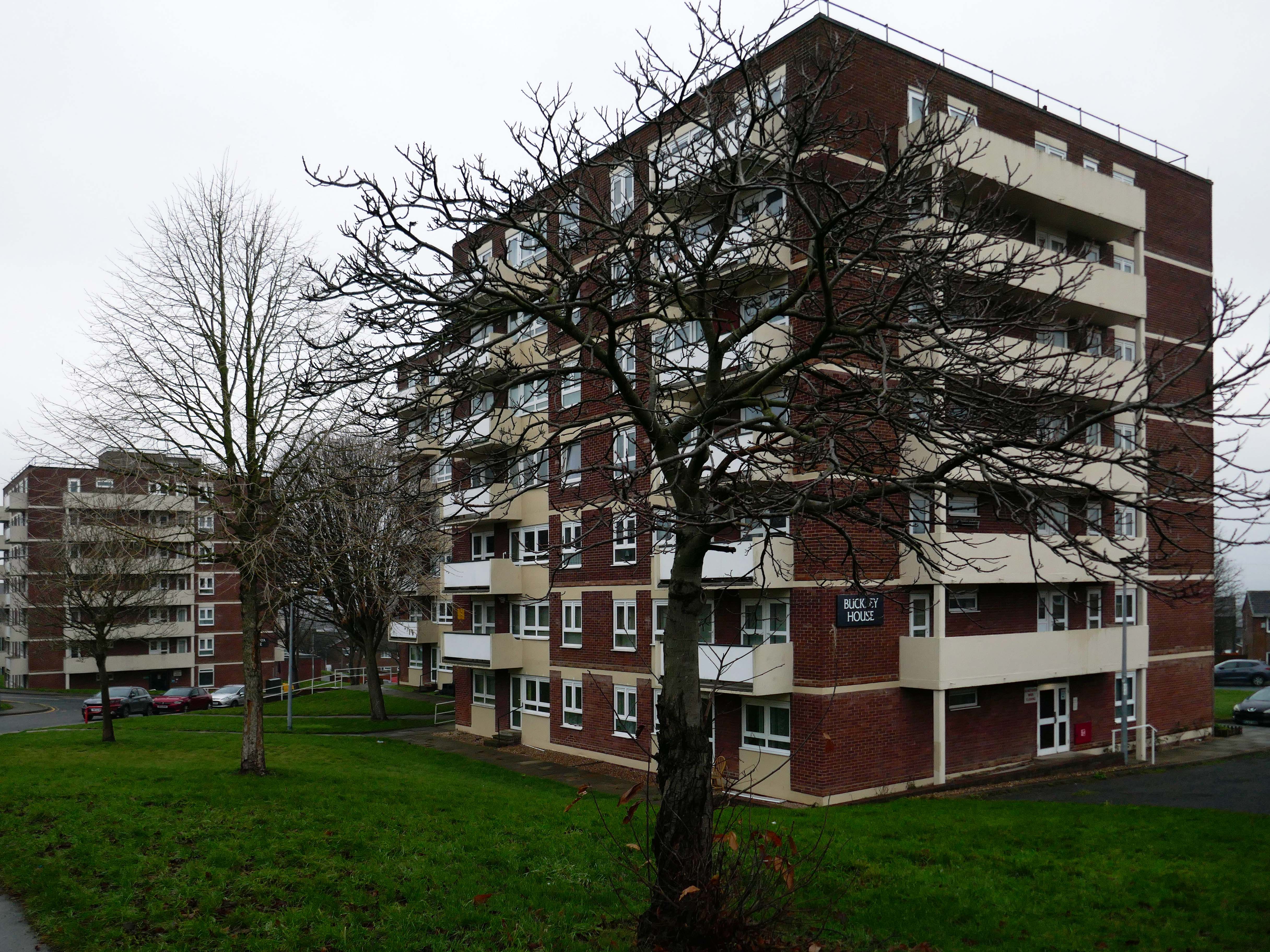
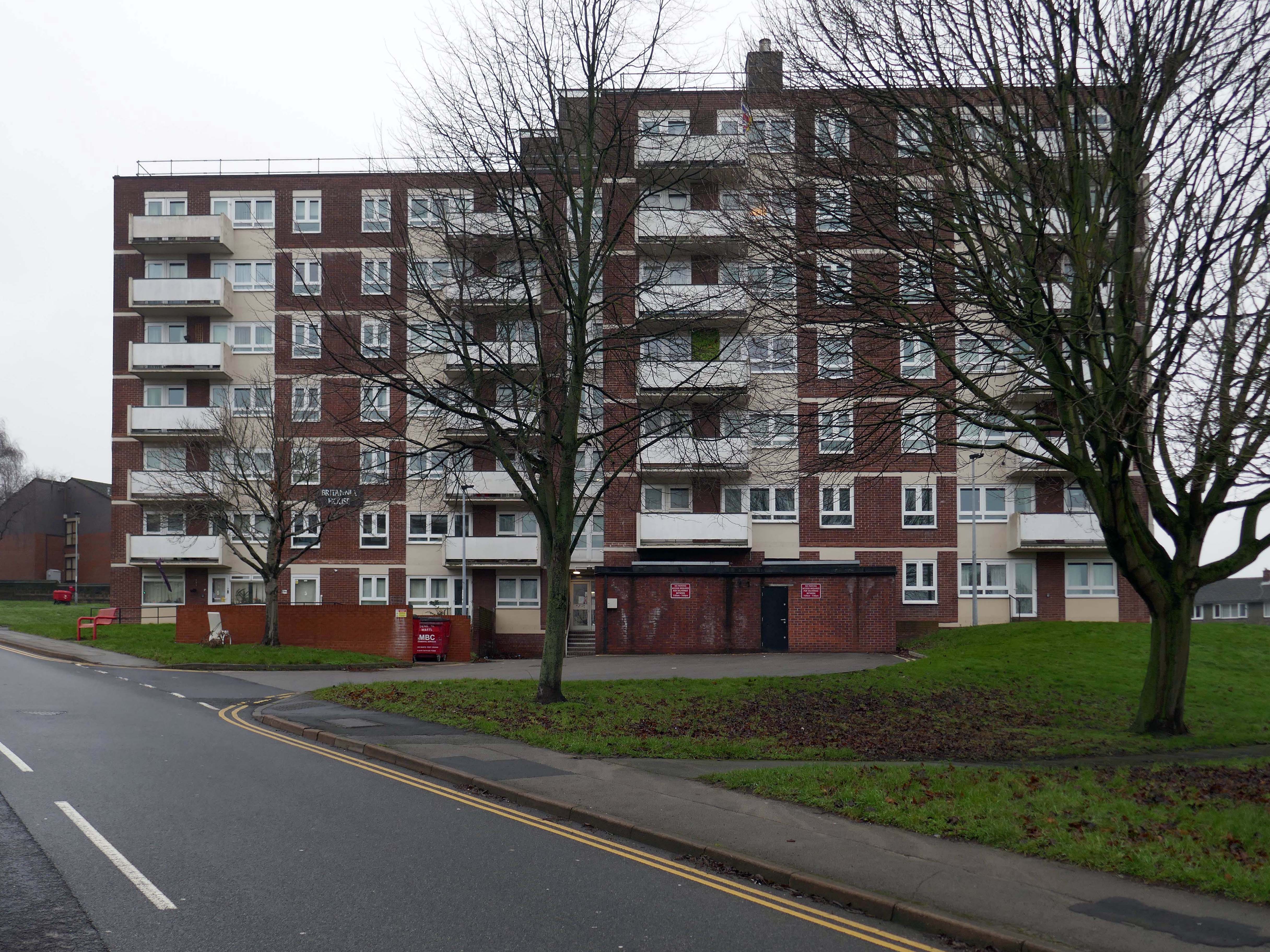
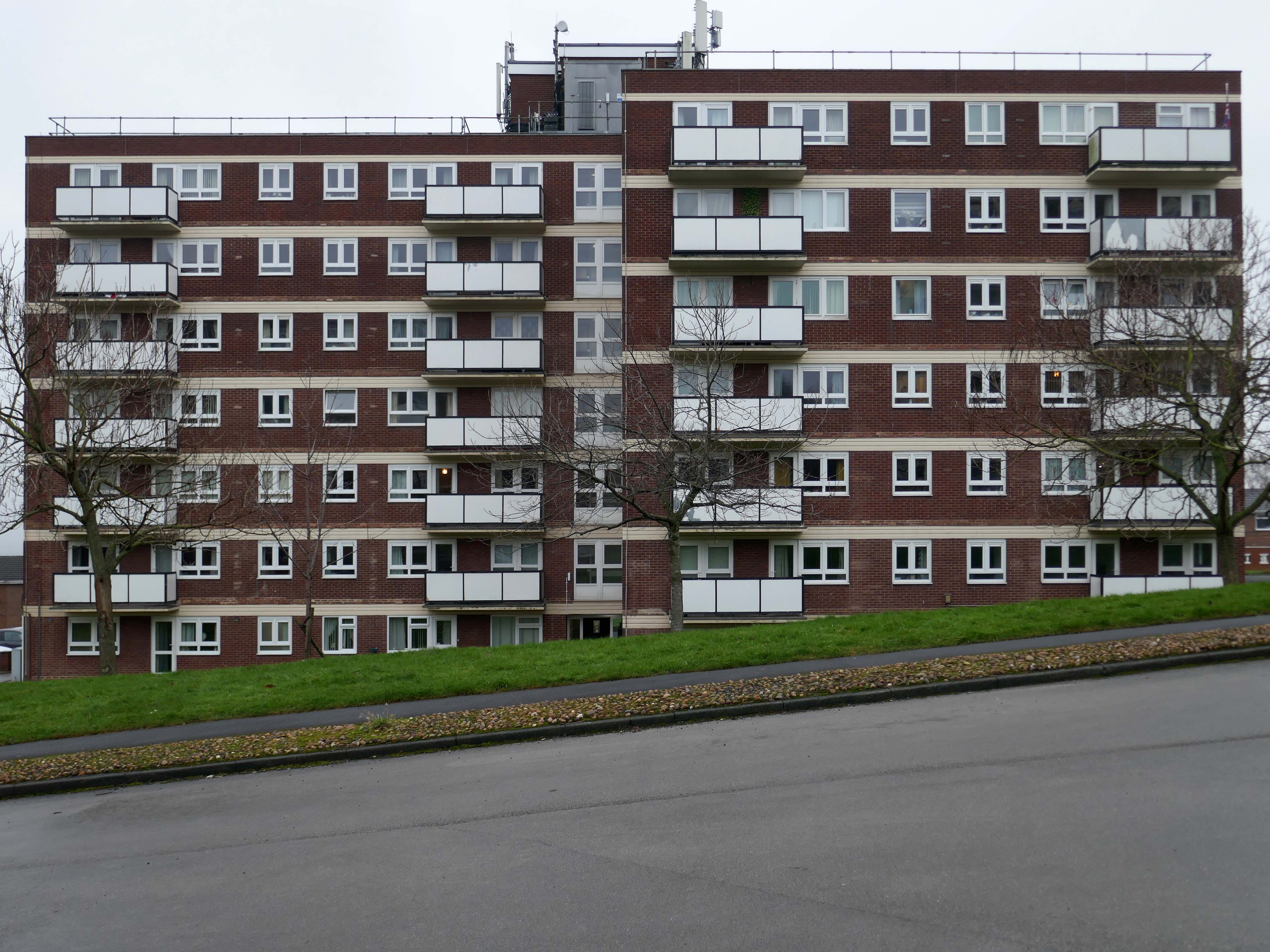
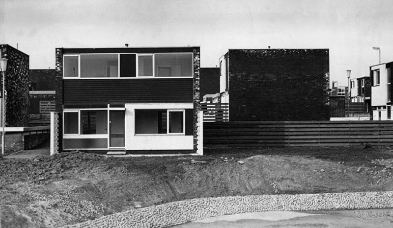
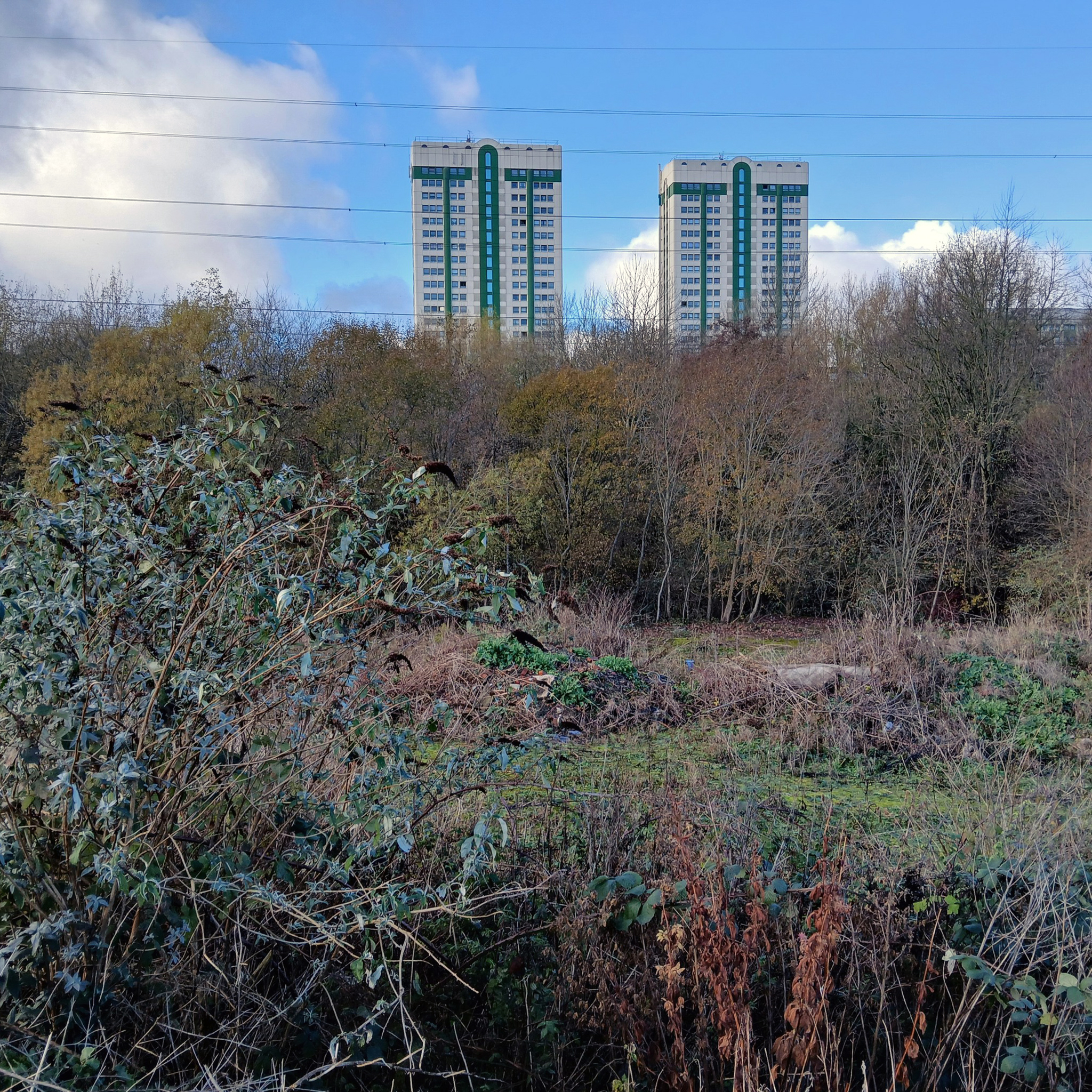
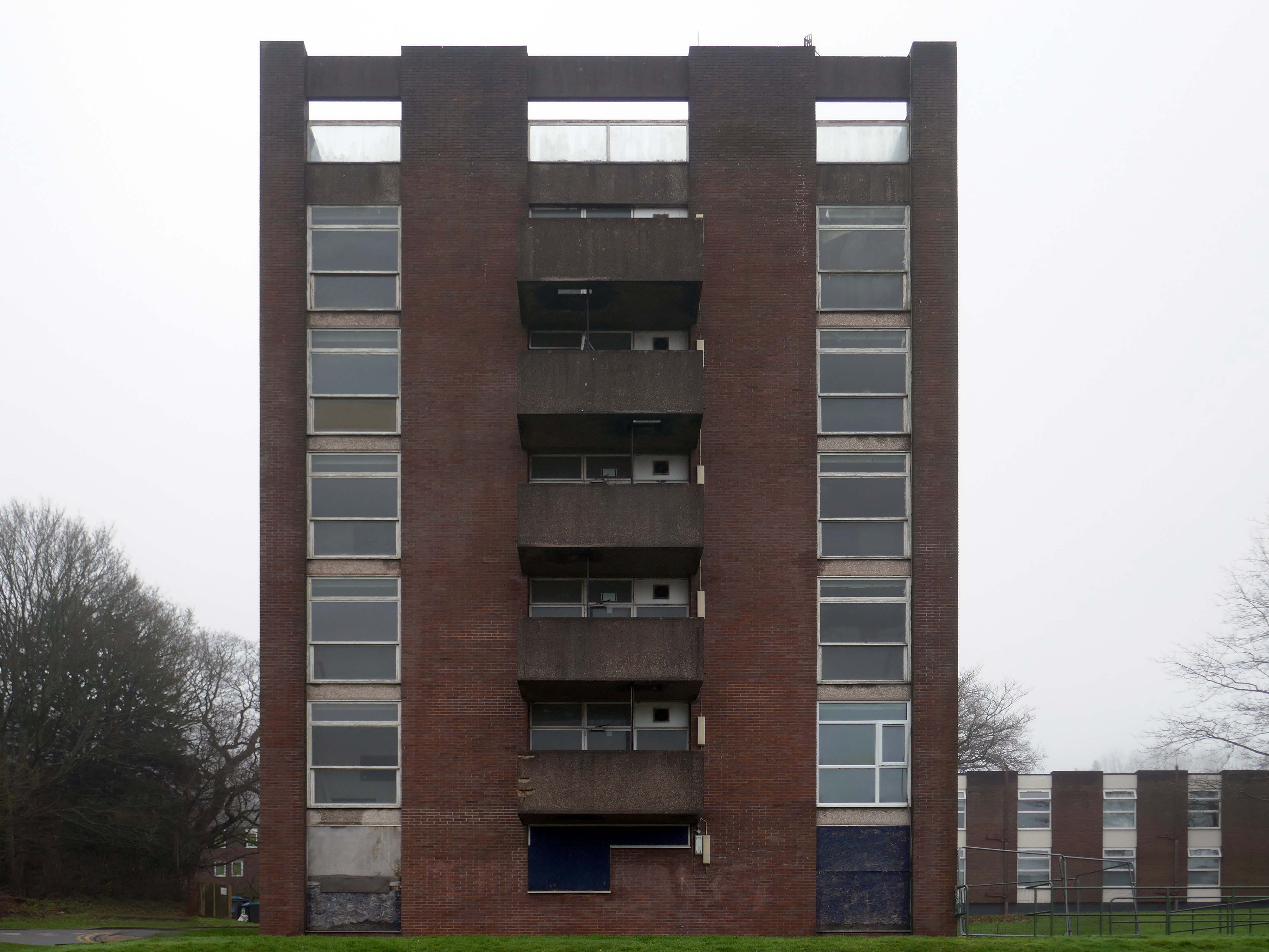
The majority of housing was two to four storeys in height with the exception of this now empty point block.
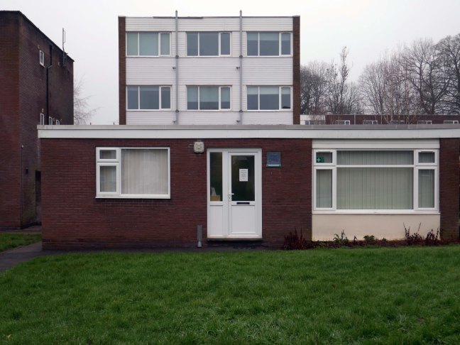
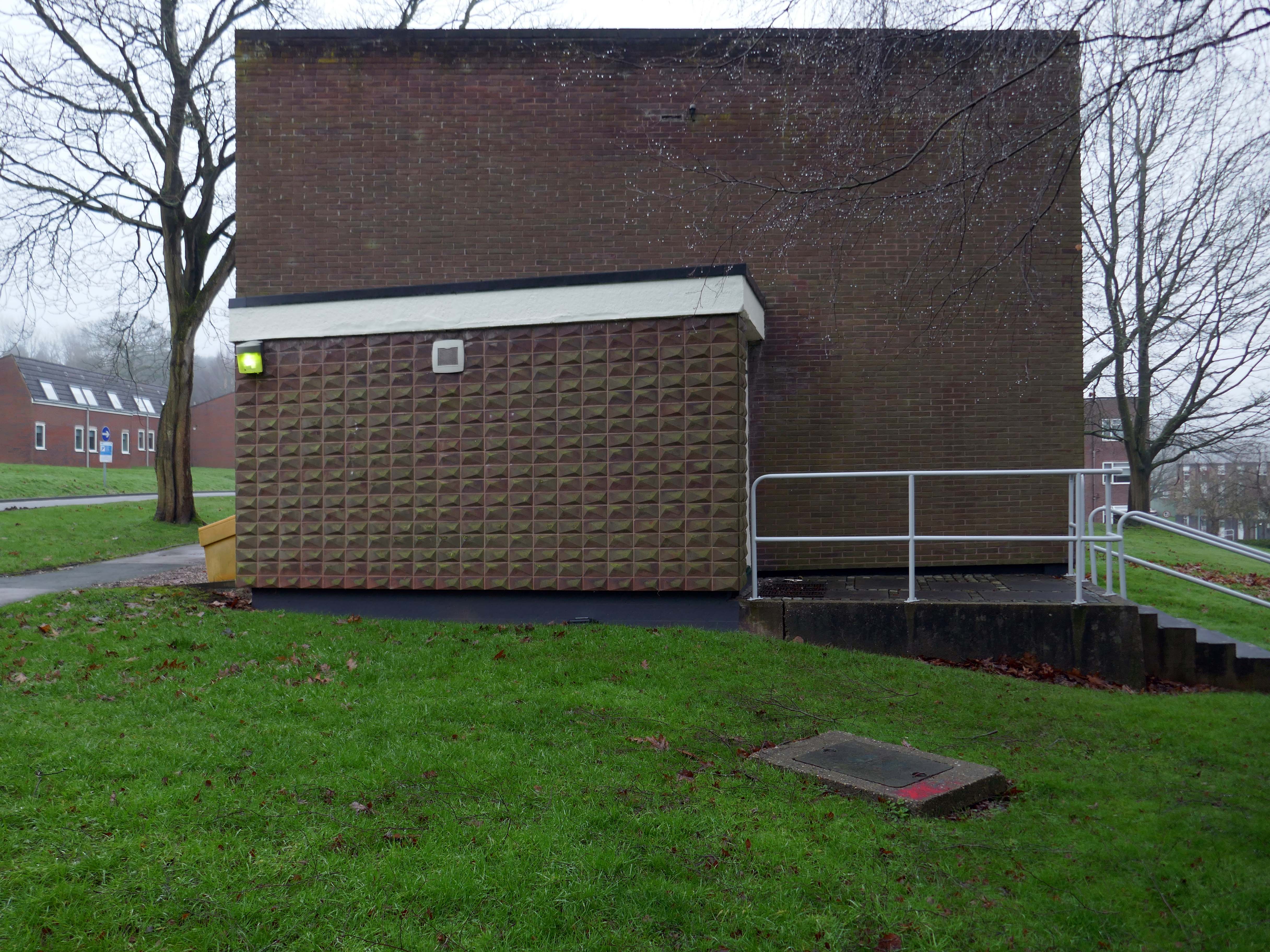
The site includes this butterfly roofed Warden’s House.
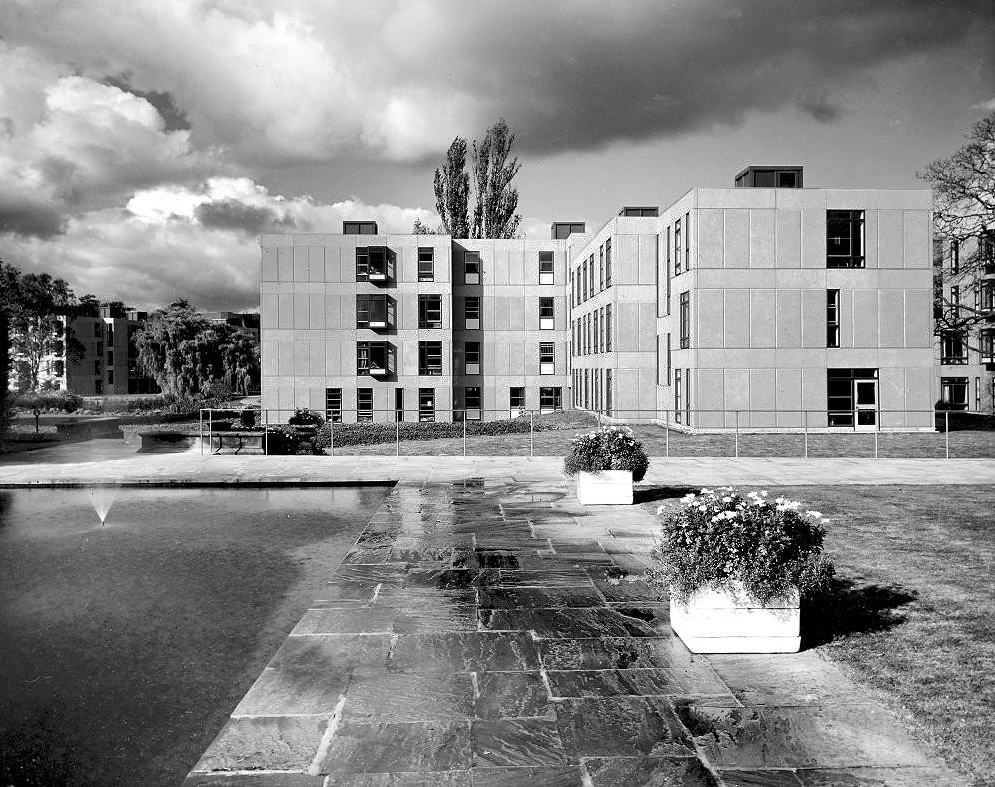
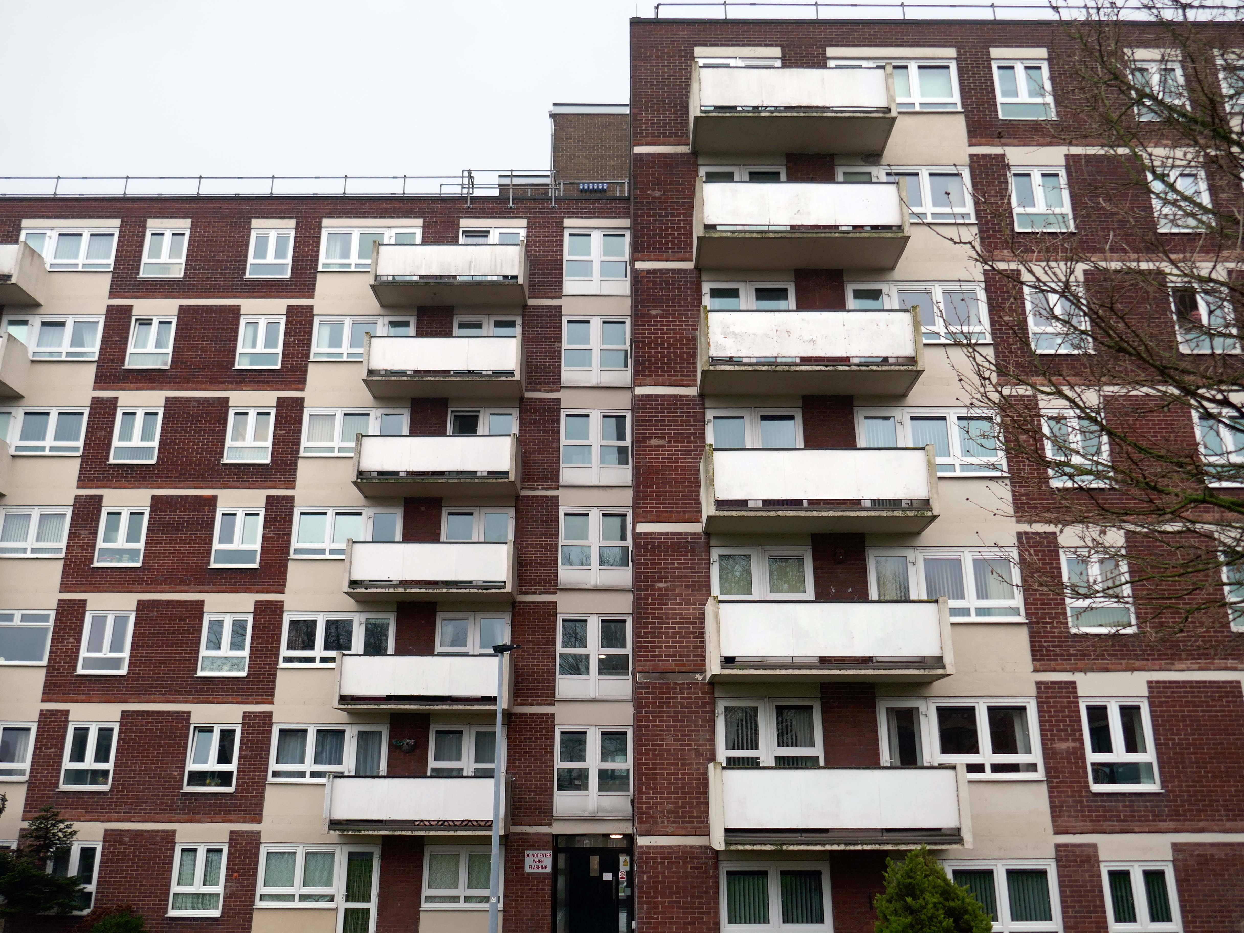
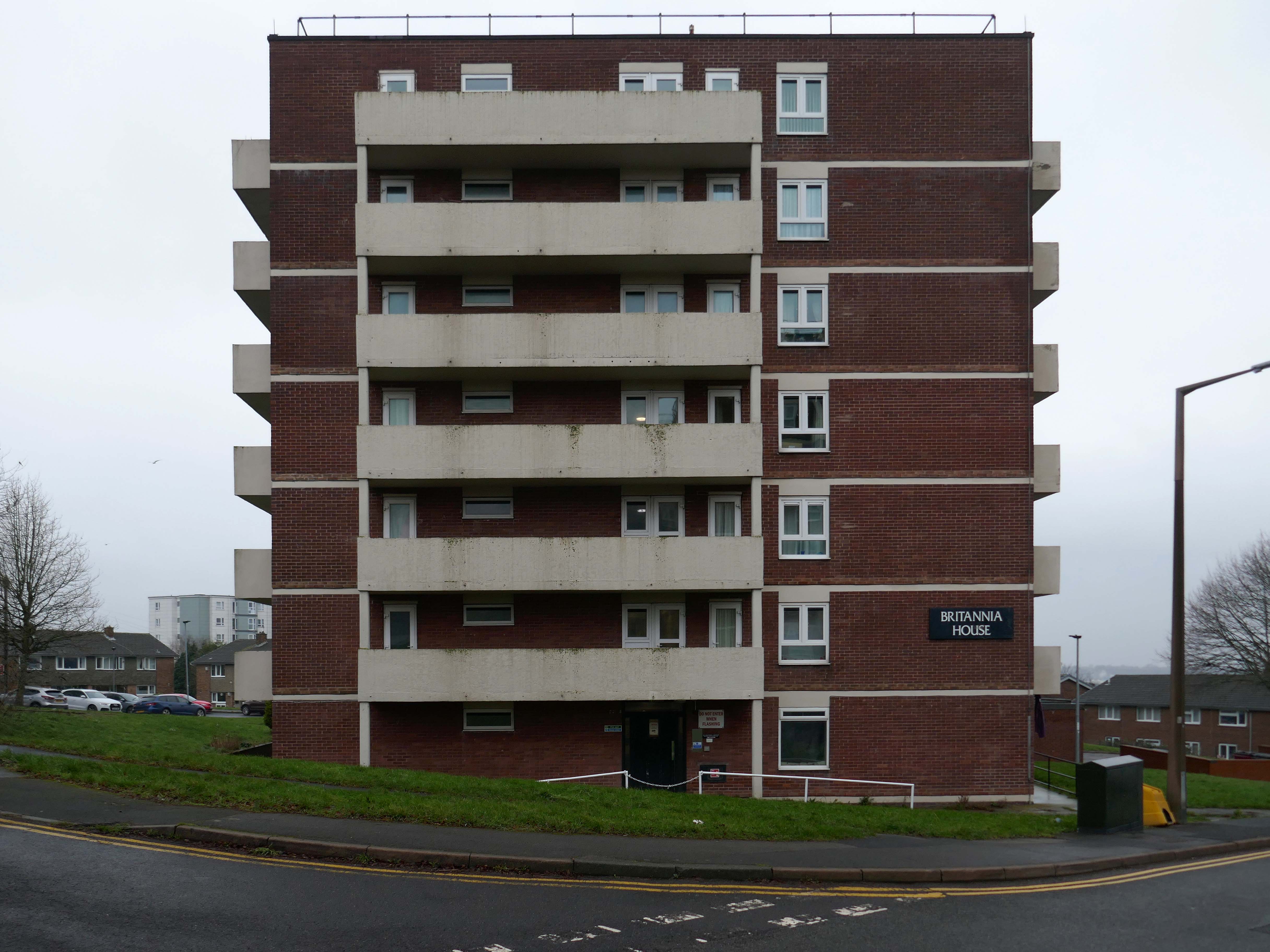
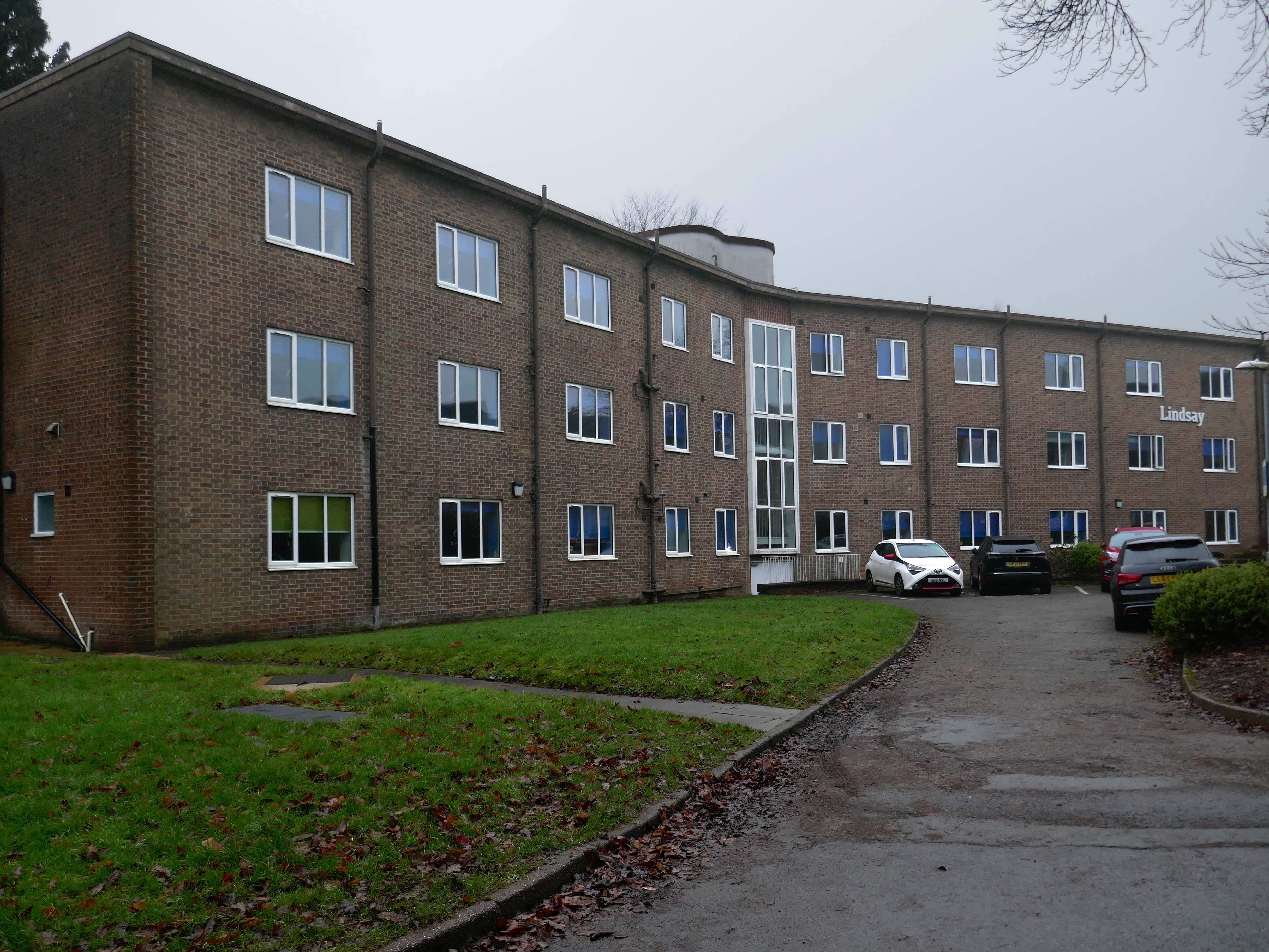
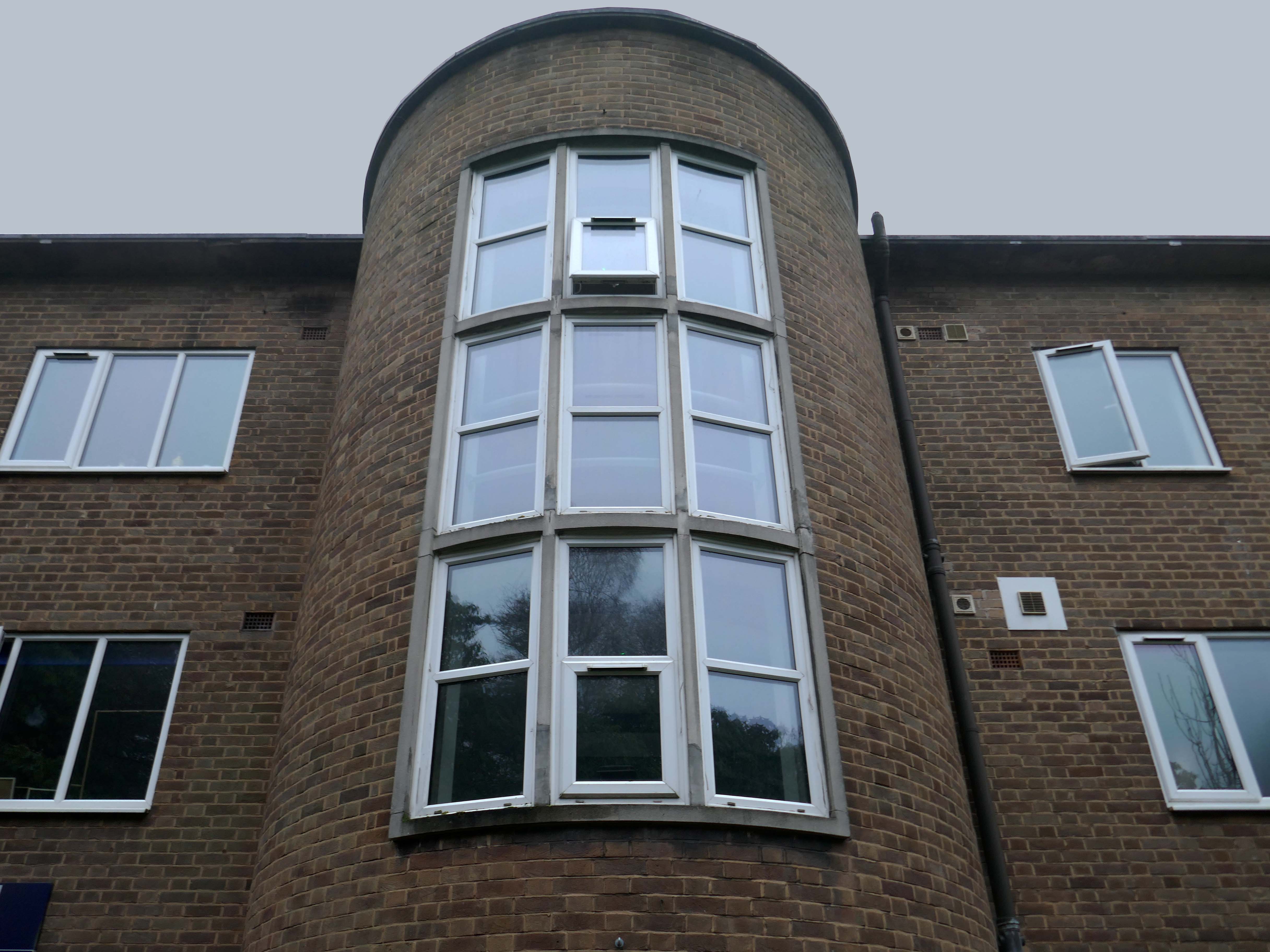
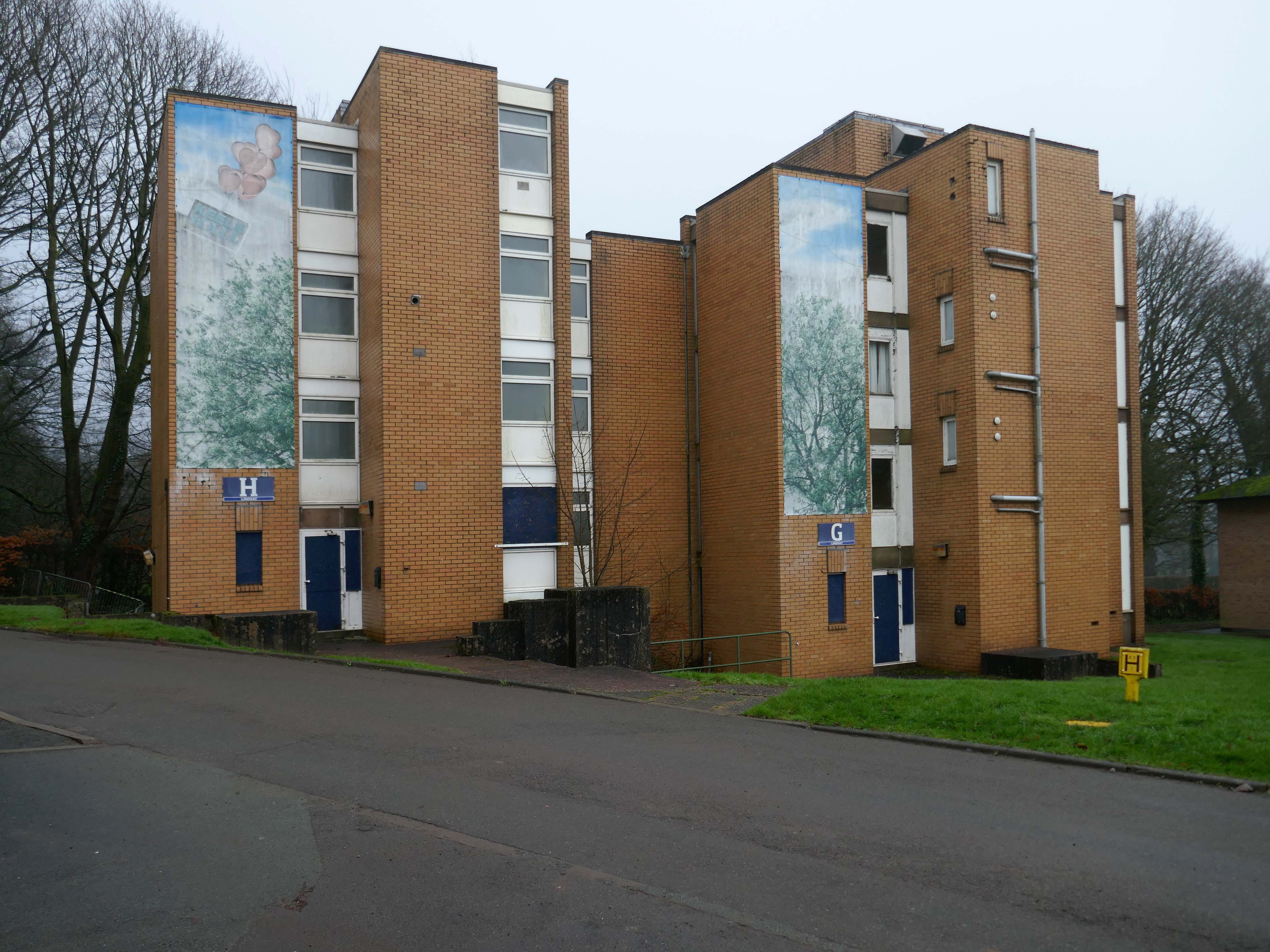
Lindsay Hall 1961-64
This winged block has more of the interwar styling than the Sixties.
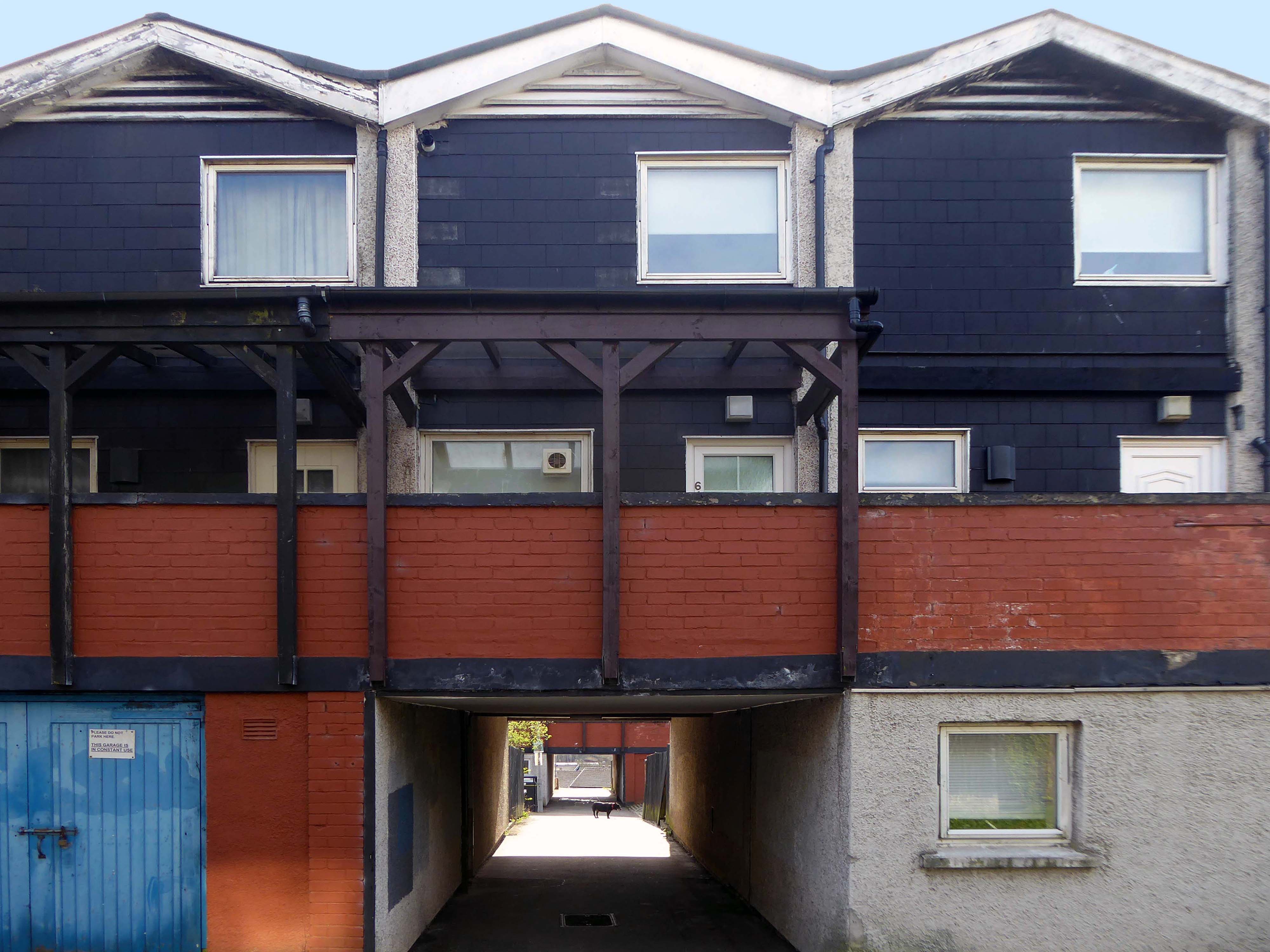
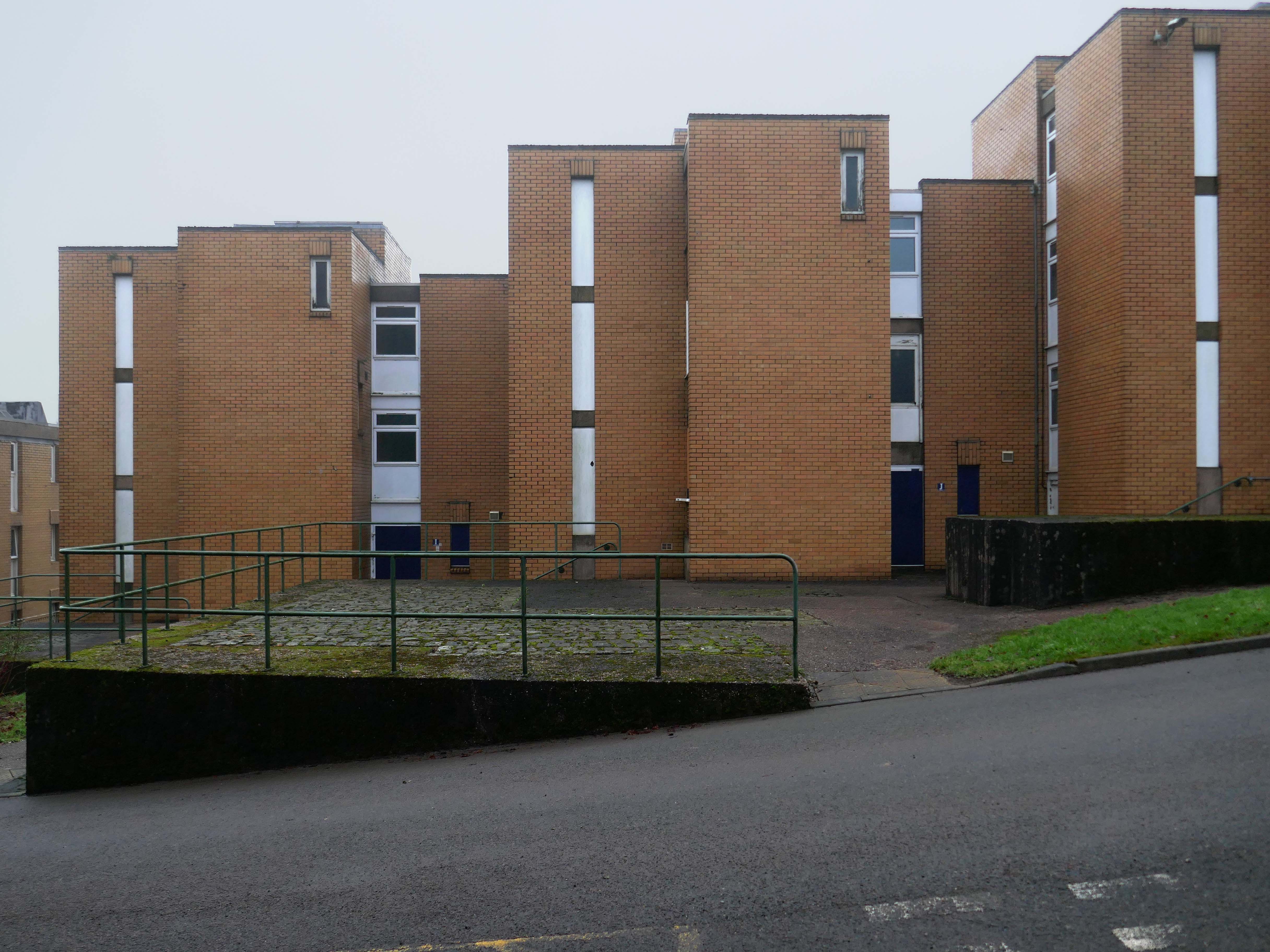
There is a whole group of low rise blocks which are currently tinned-up.
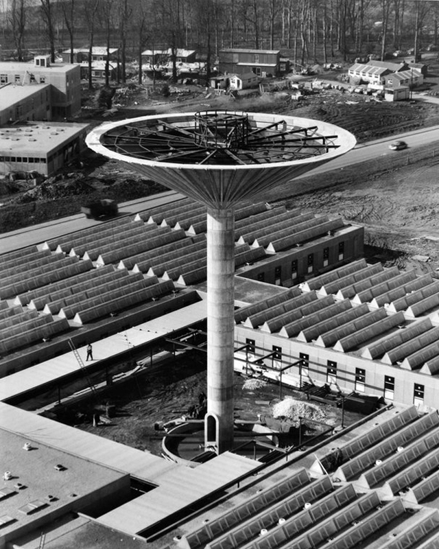
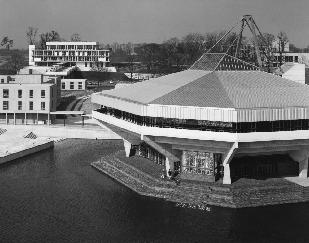
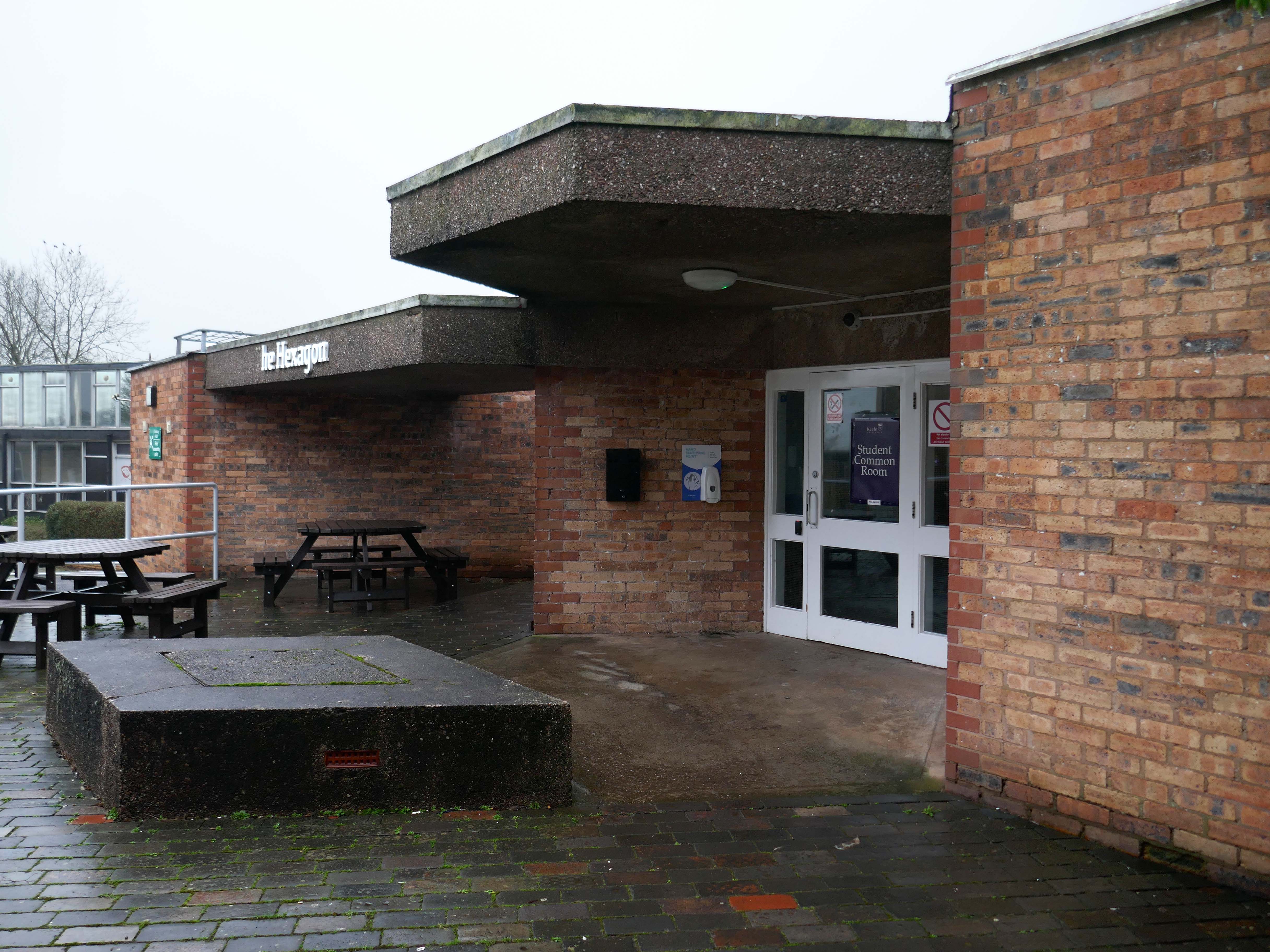
At the centre of the site The Hexagon –
Open 24/7 with WiFi, TVs and vending machines, and all students can use the facility – you don’t need to live in halls.
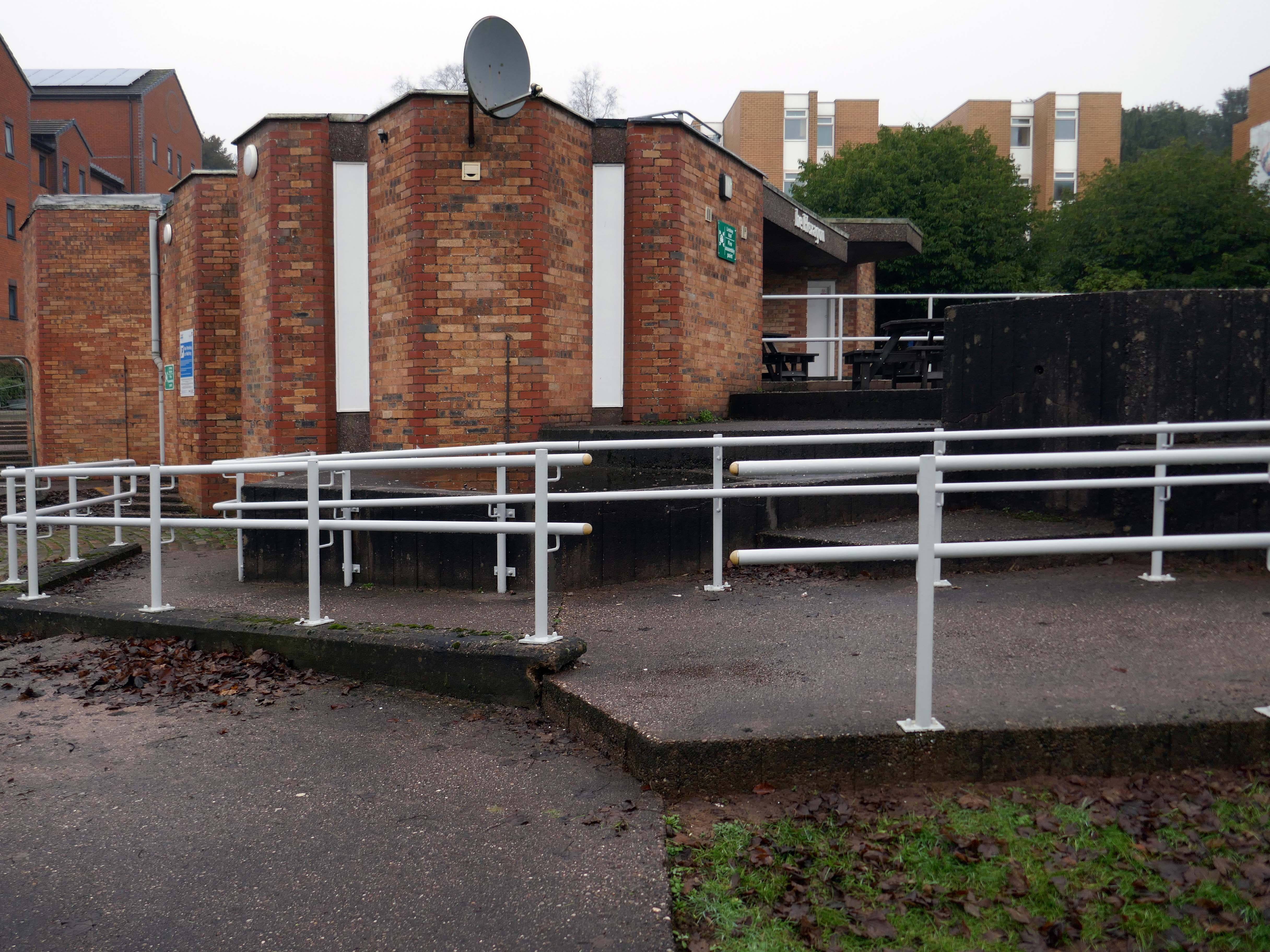
Adjacent are the Lindsay Studios.
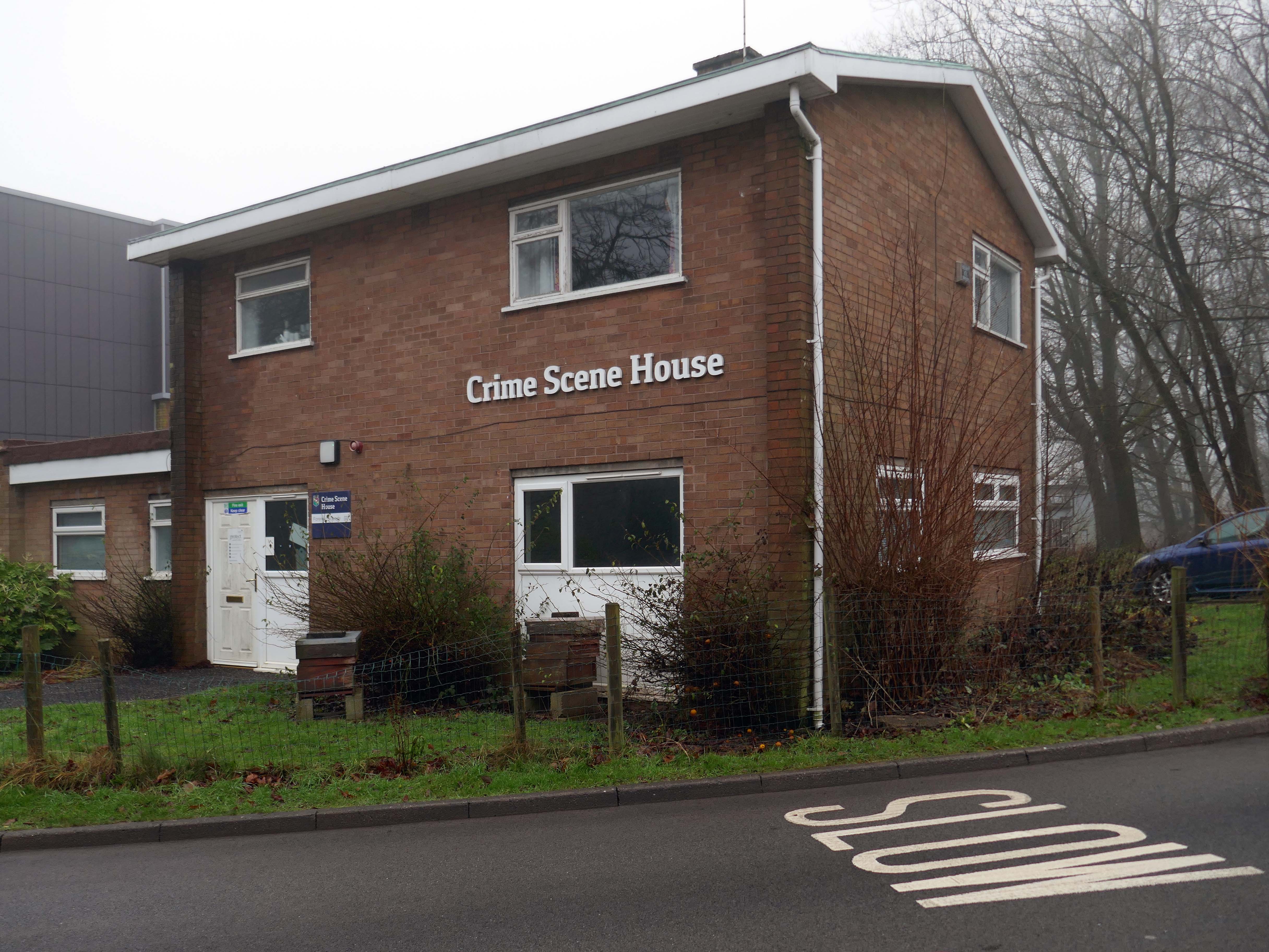
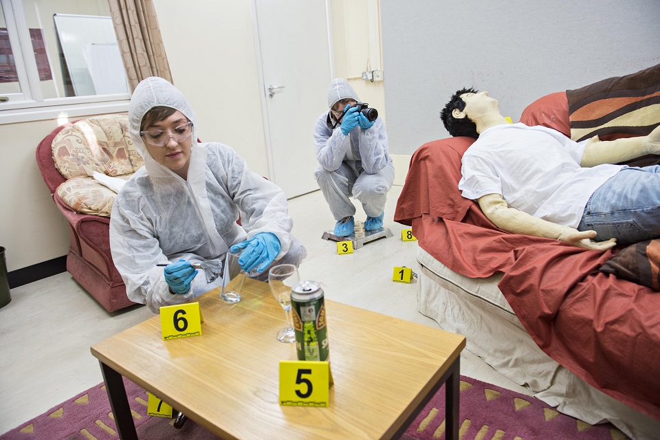
Special mention is reserved for the Crime Scene House.
Having a crime scene house allows us to provide context to our teaching and gives you experience in a typical environment encountered by a forensic scientist.
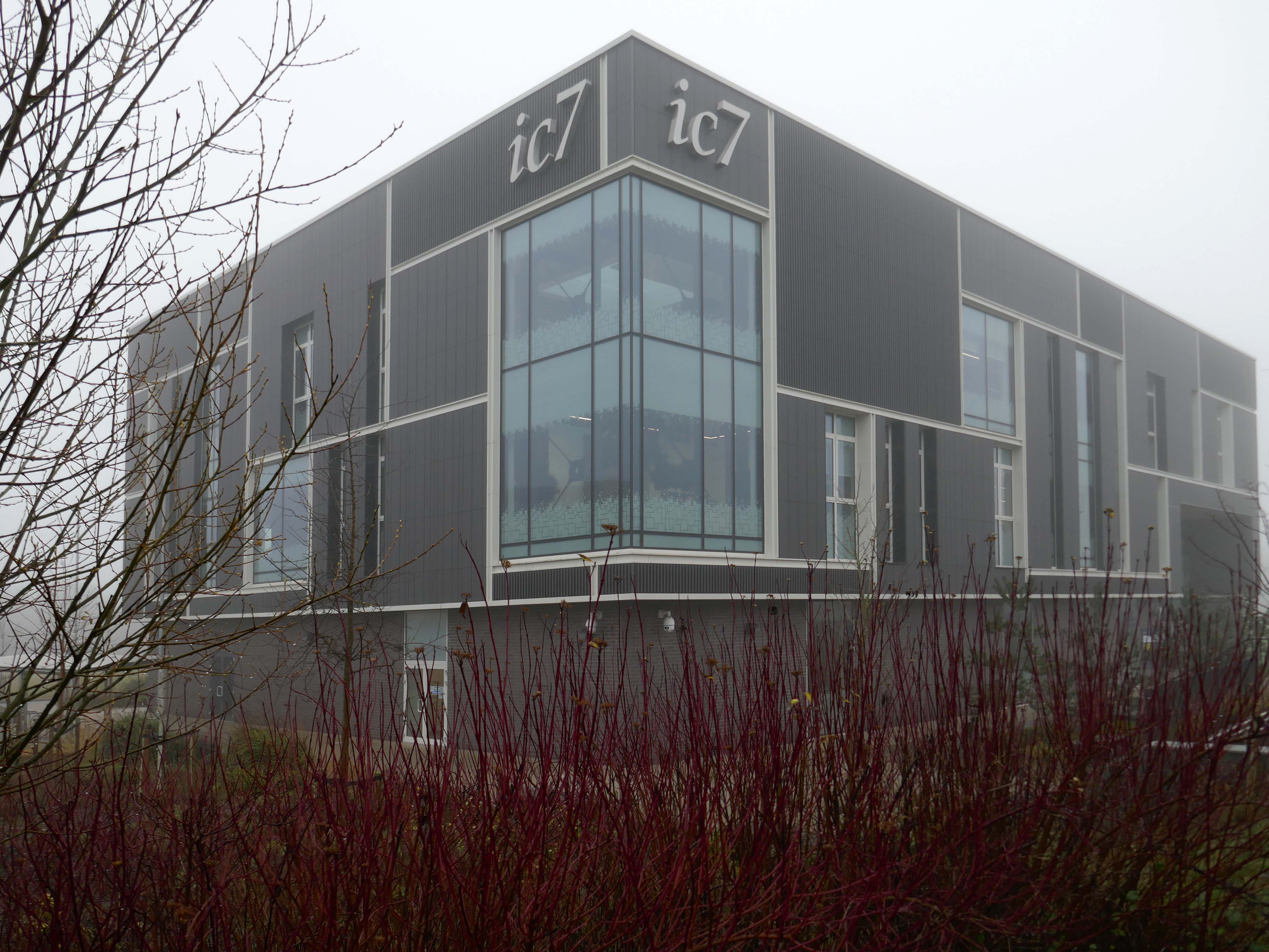
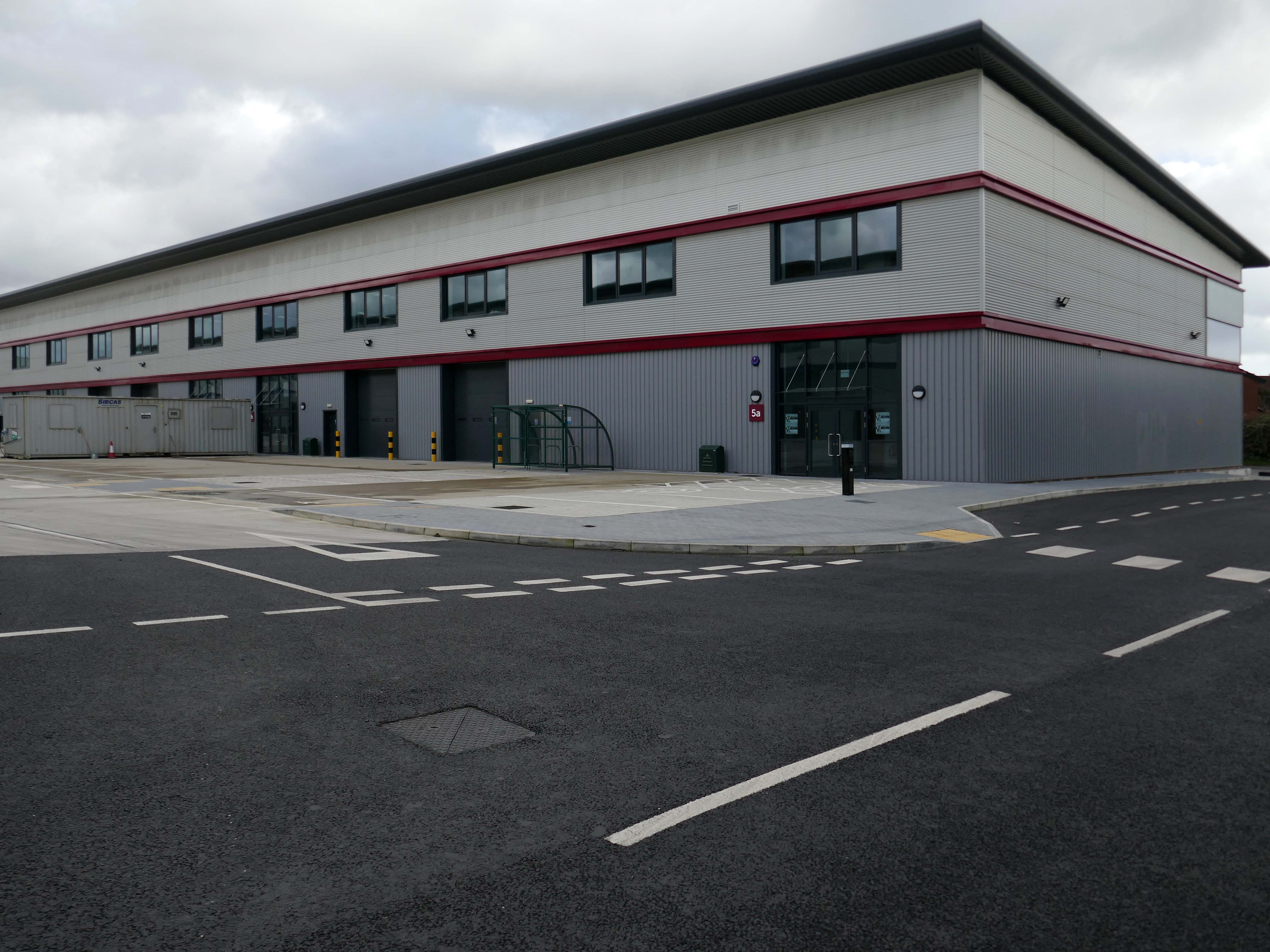
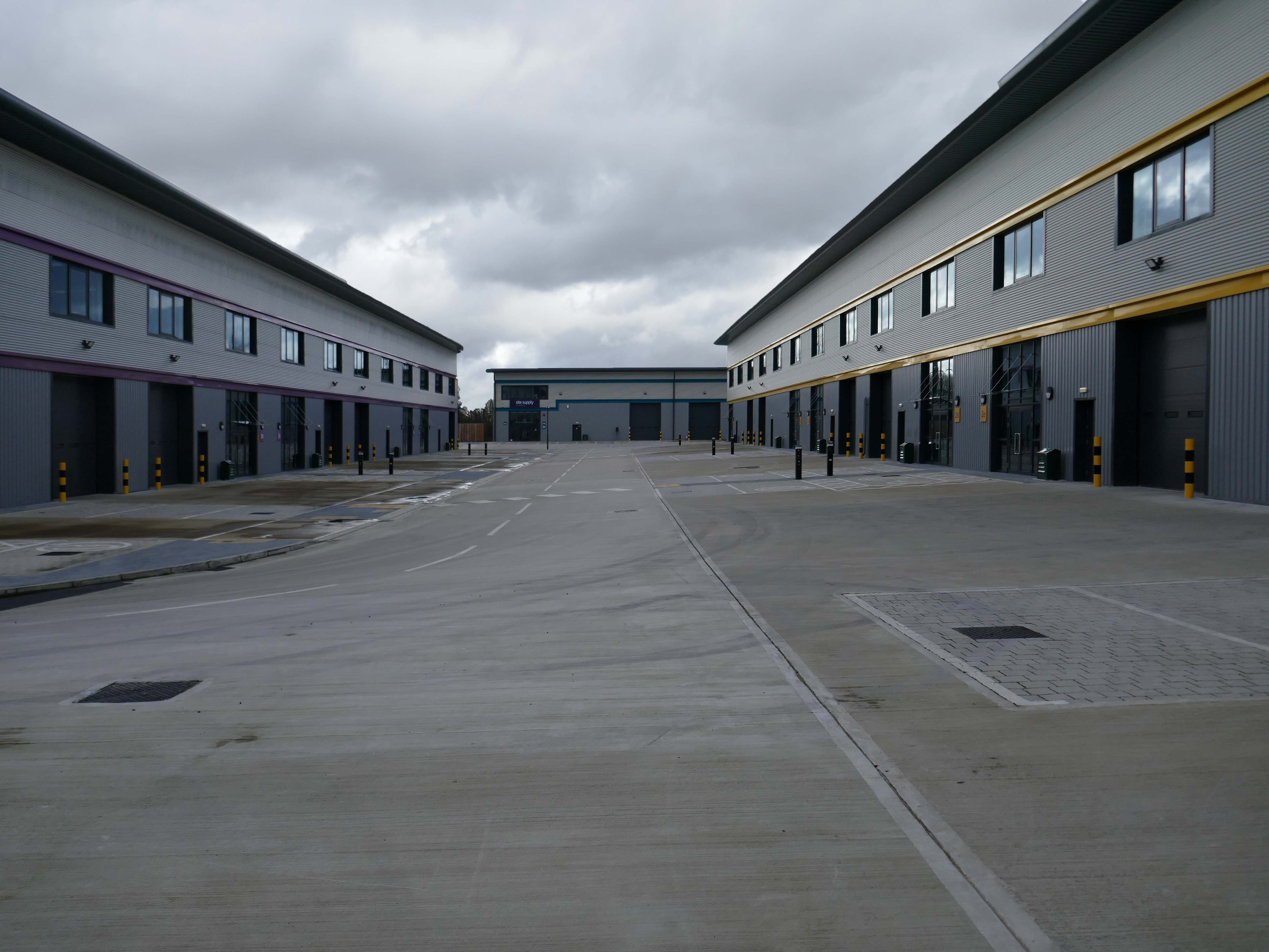
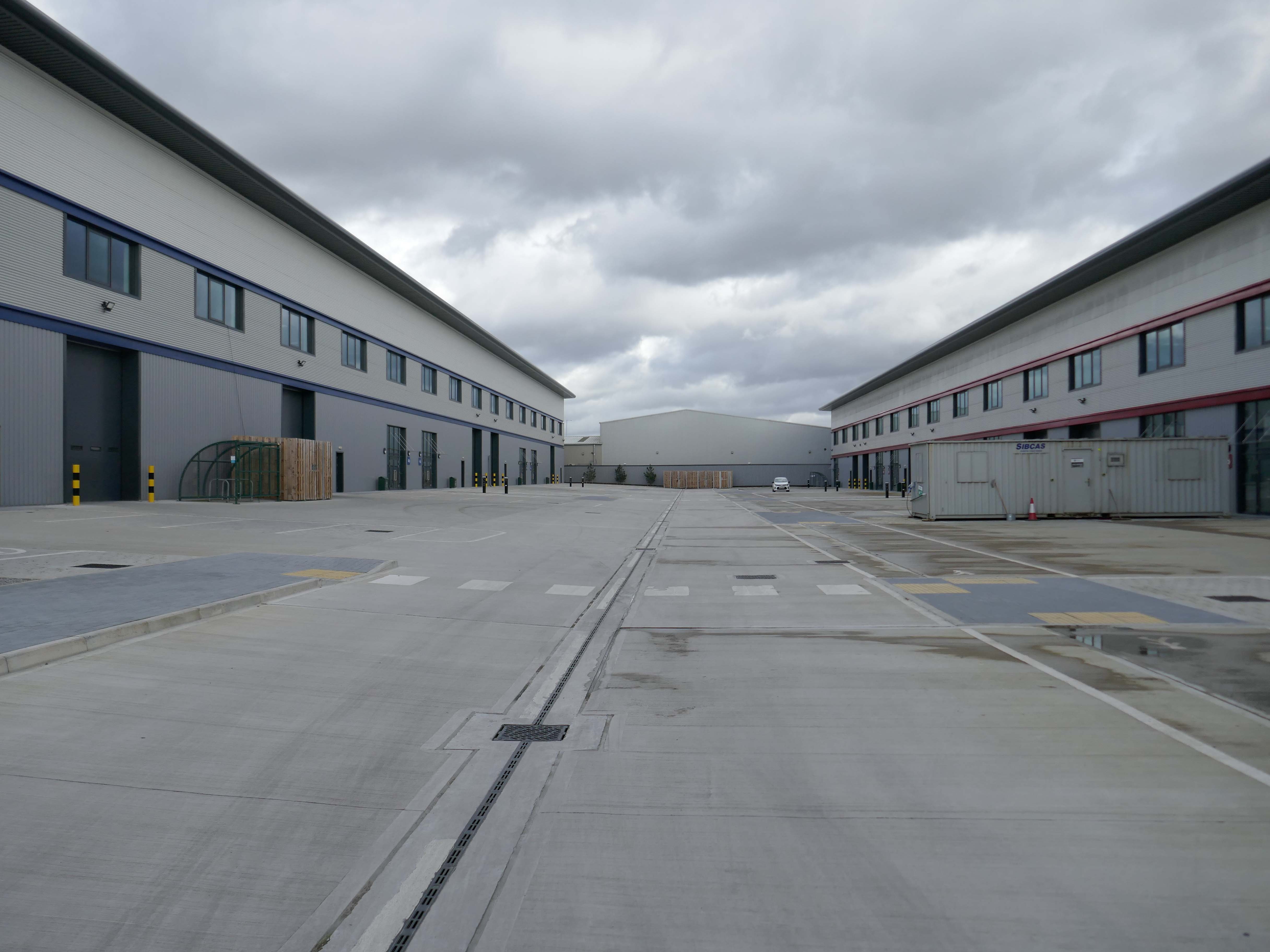
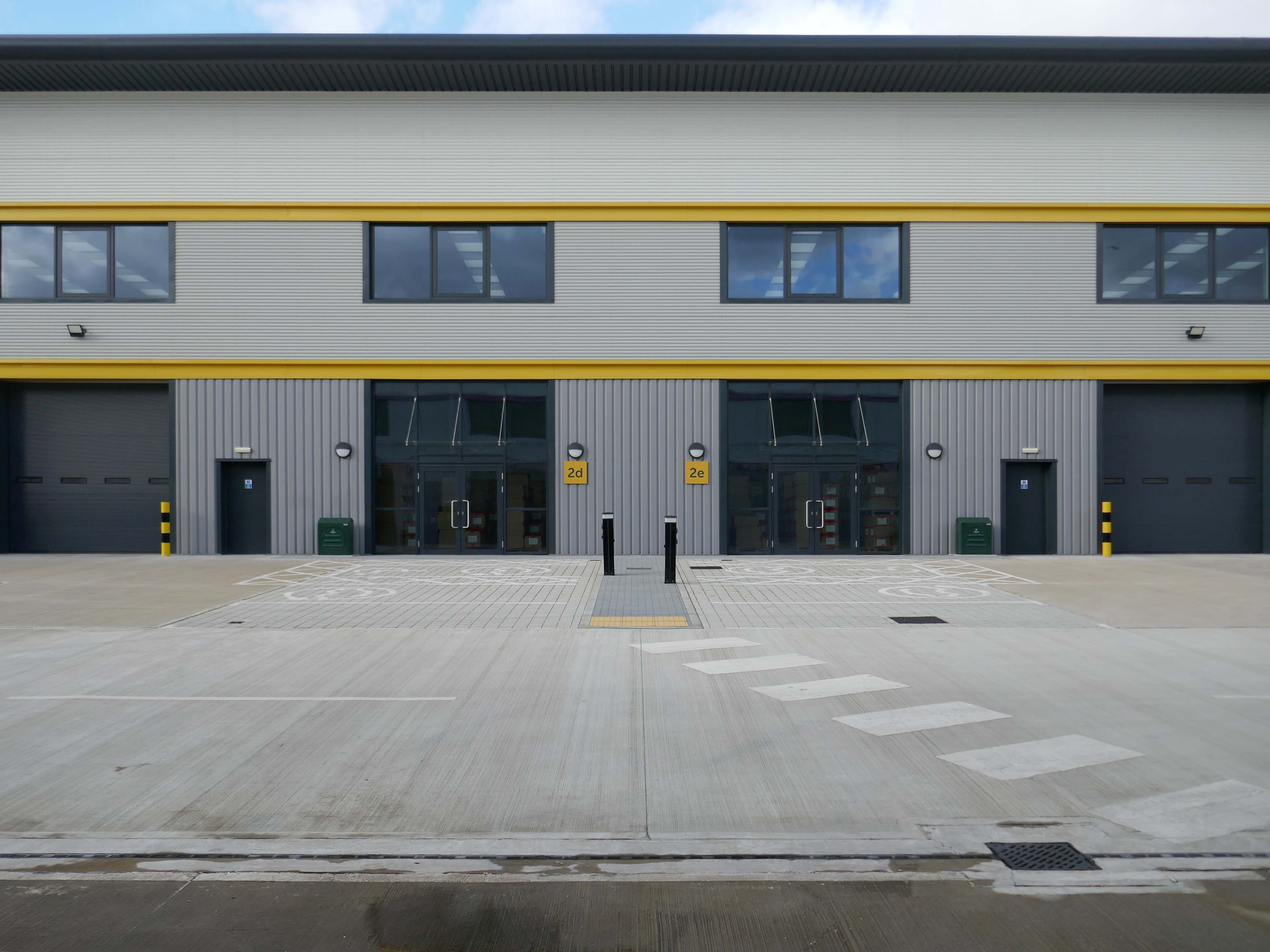
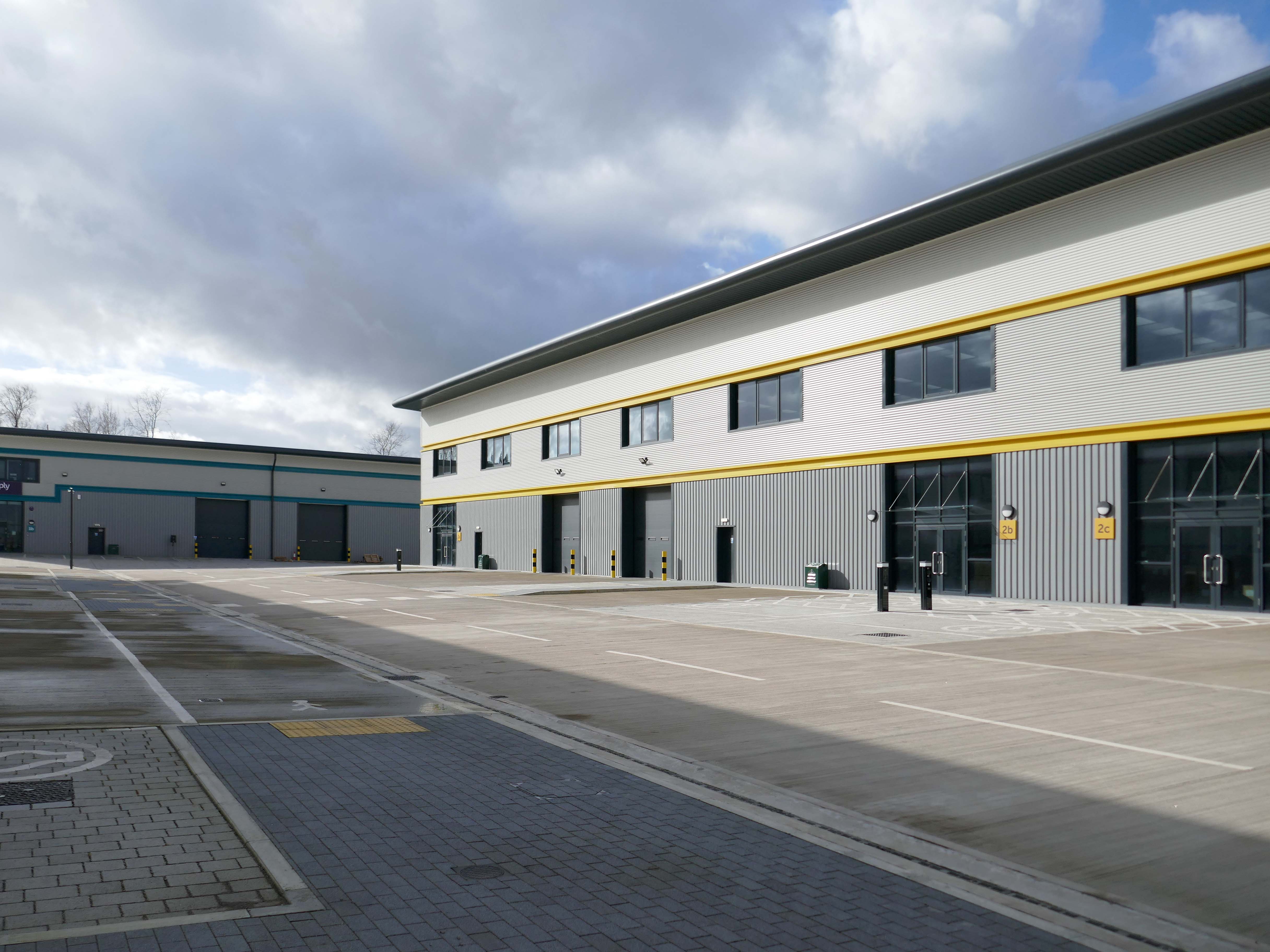
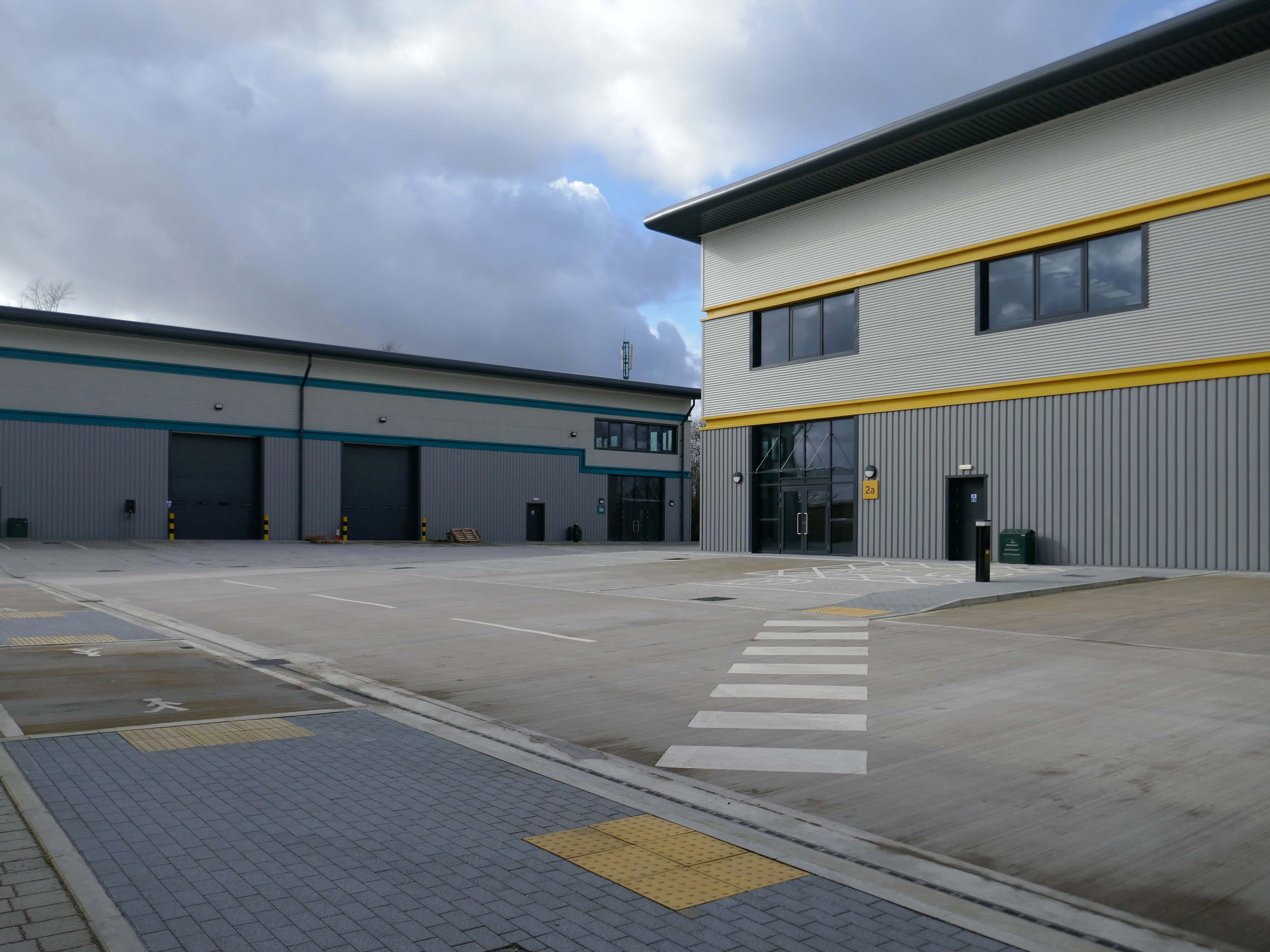
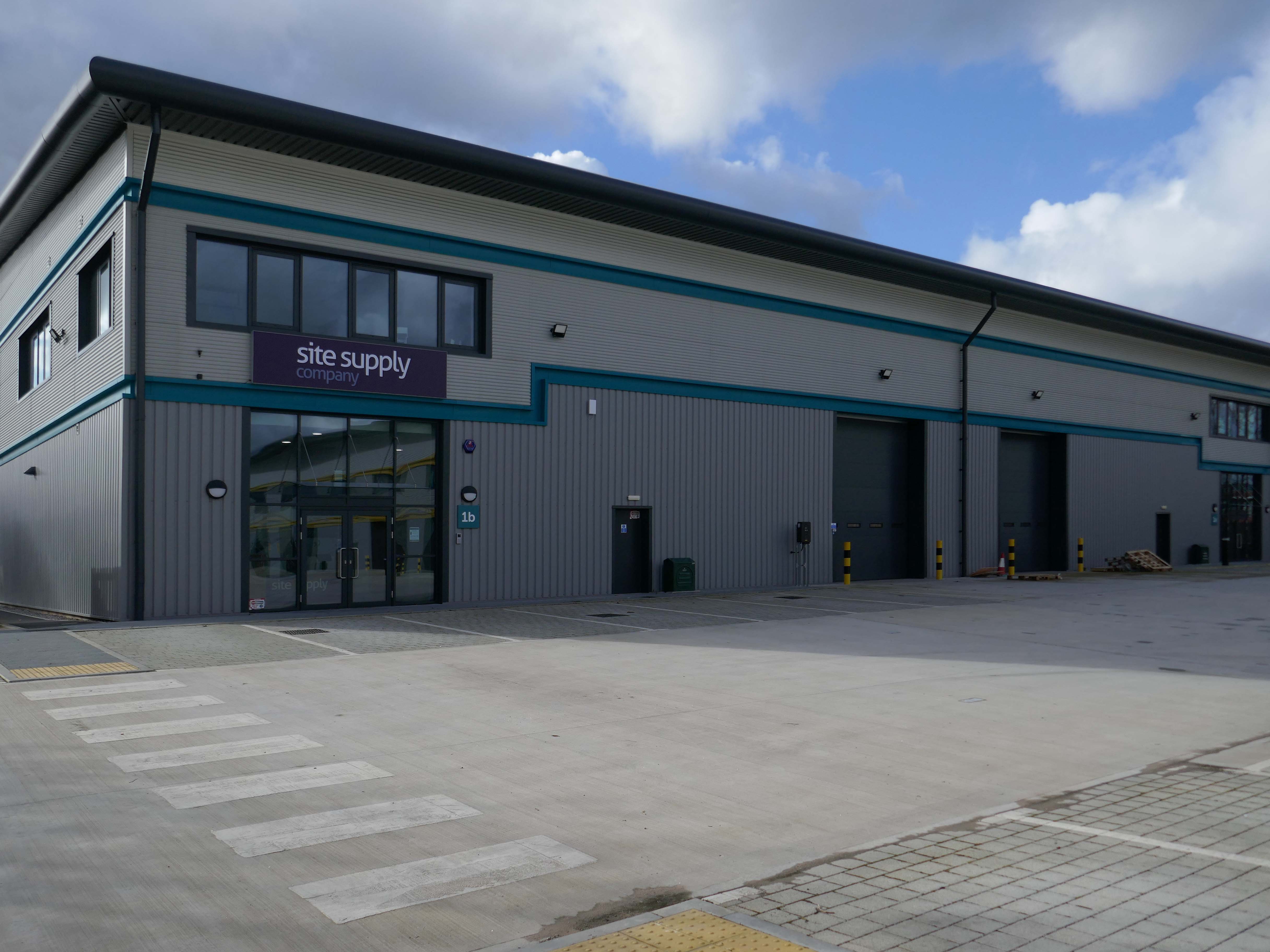
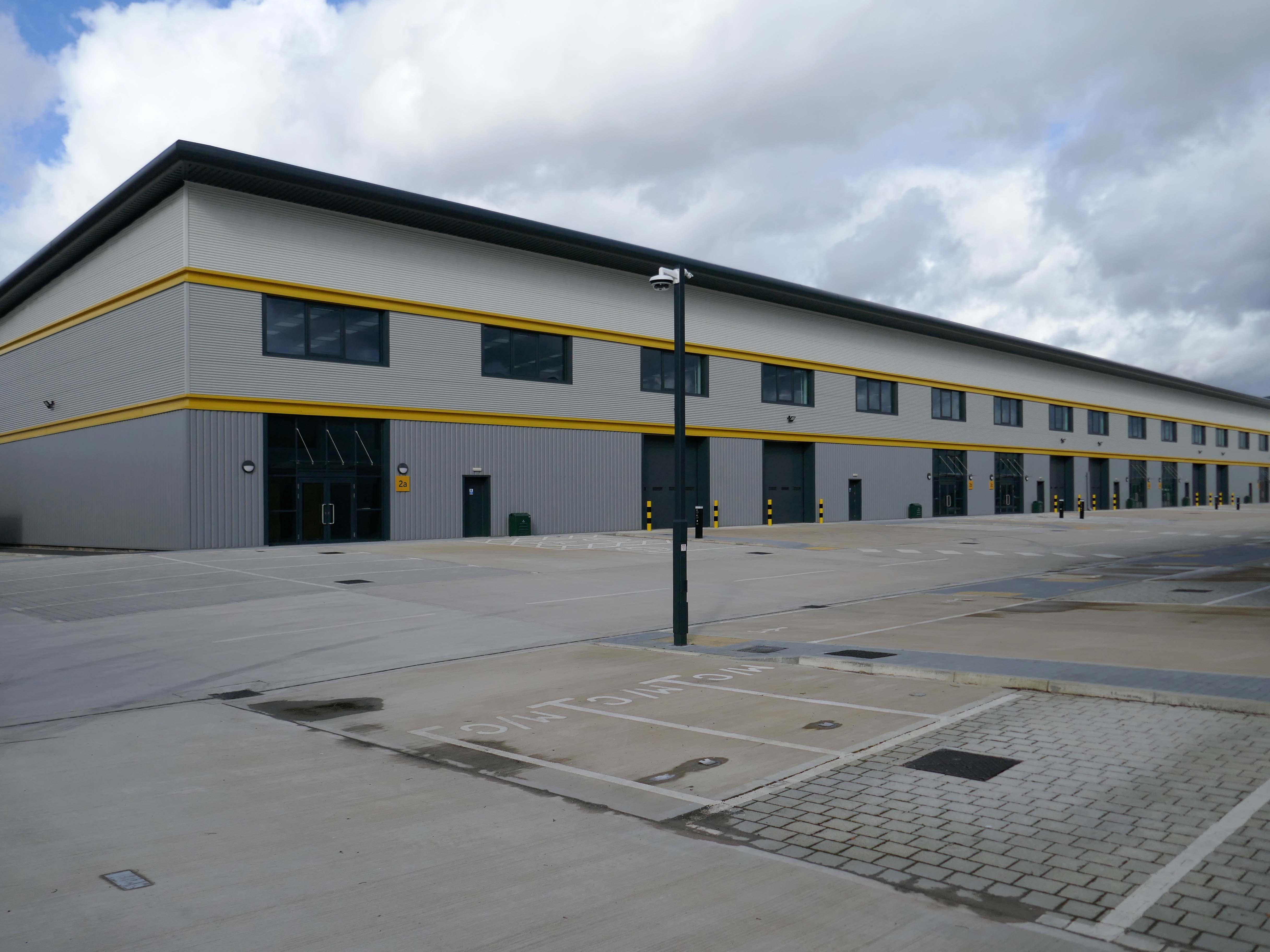
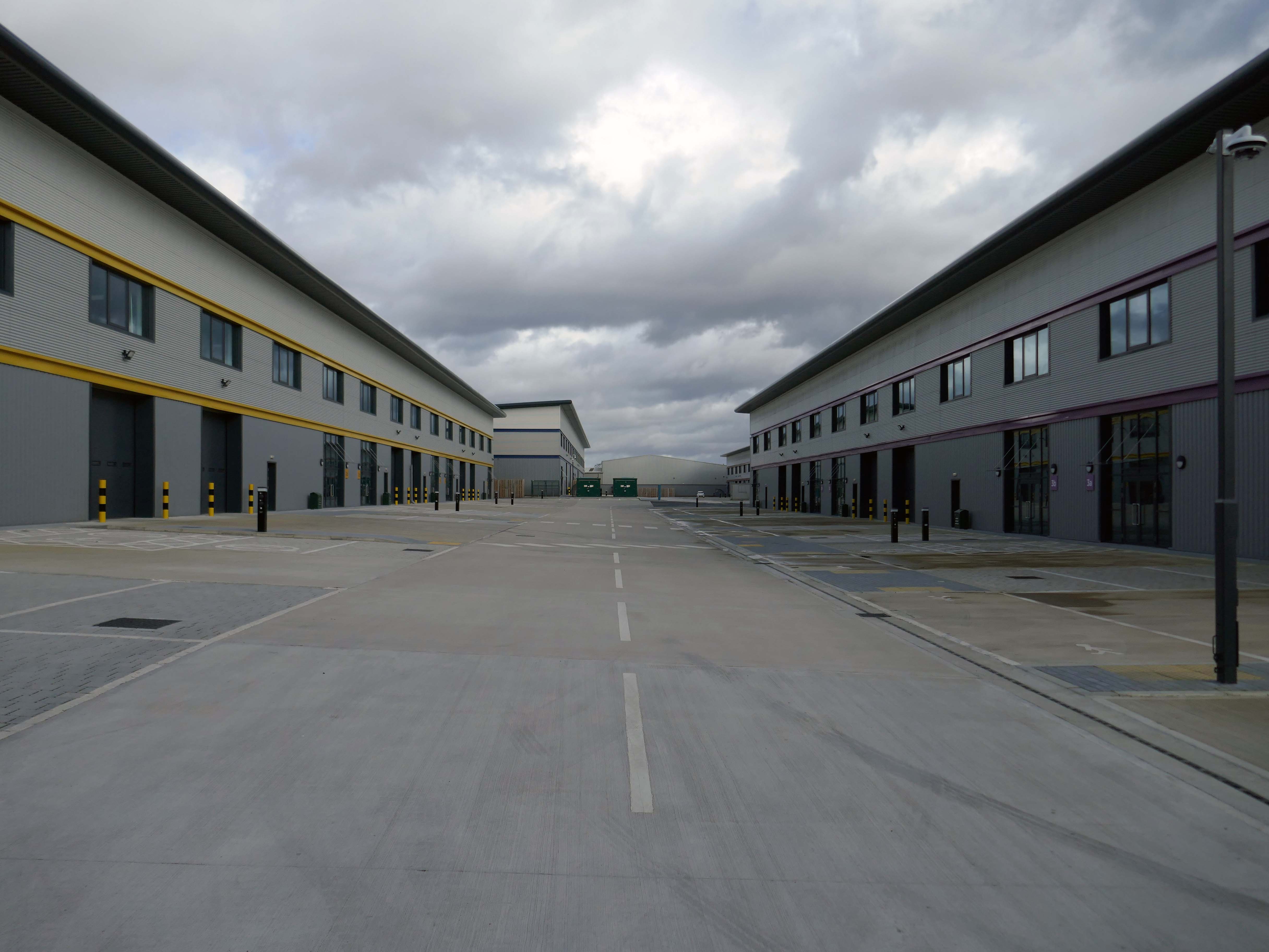
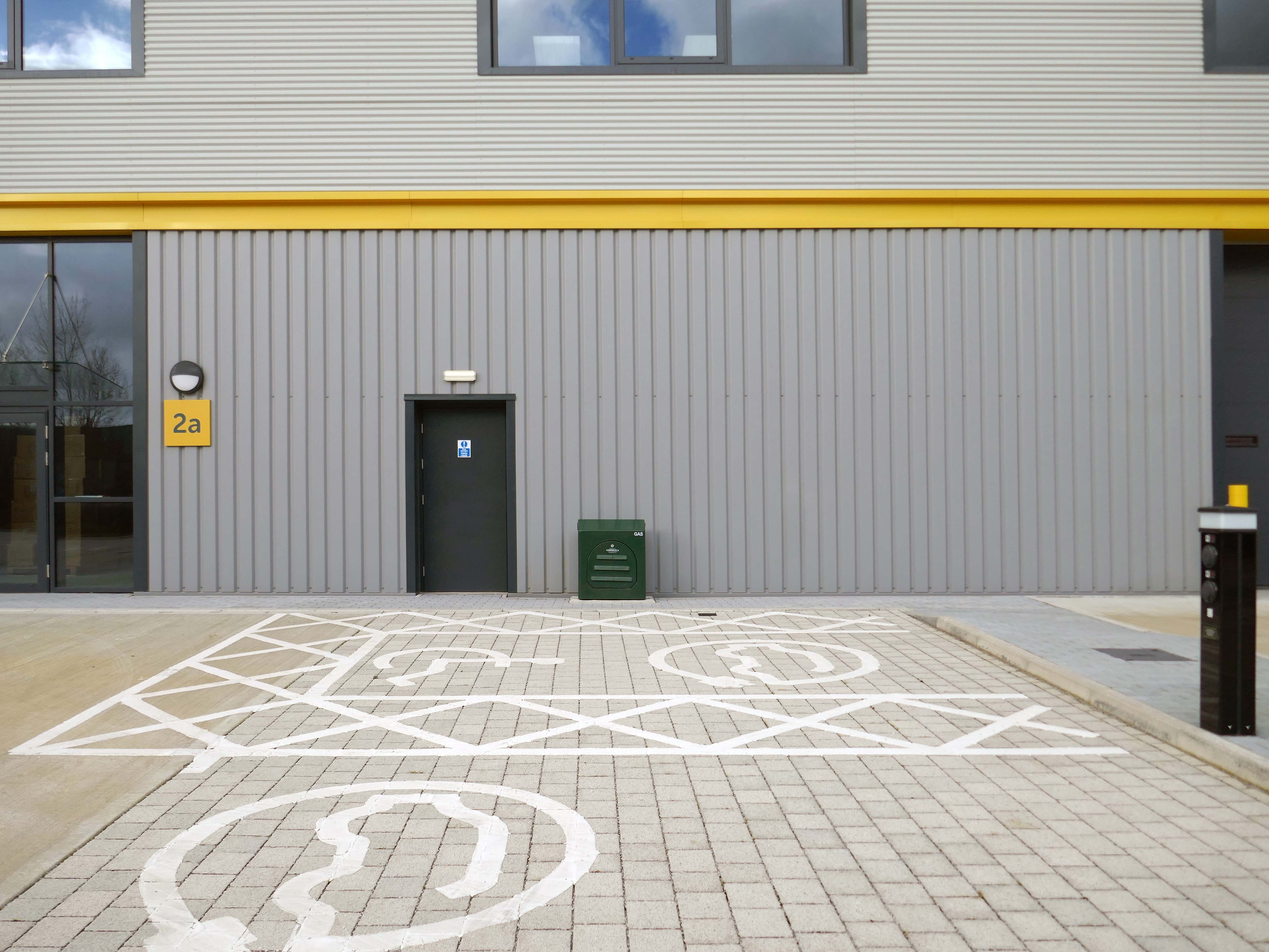
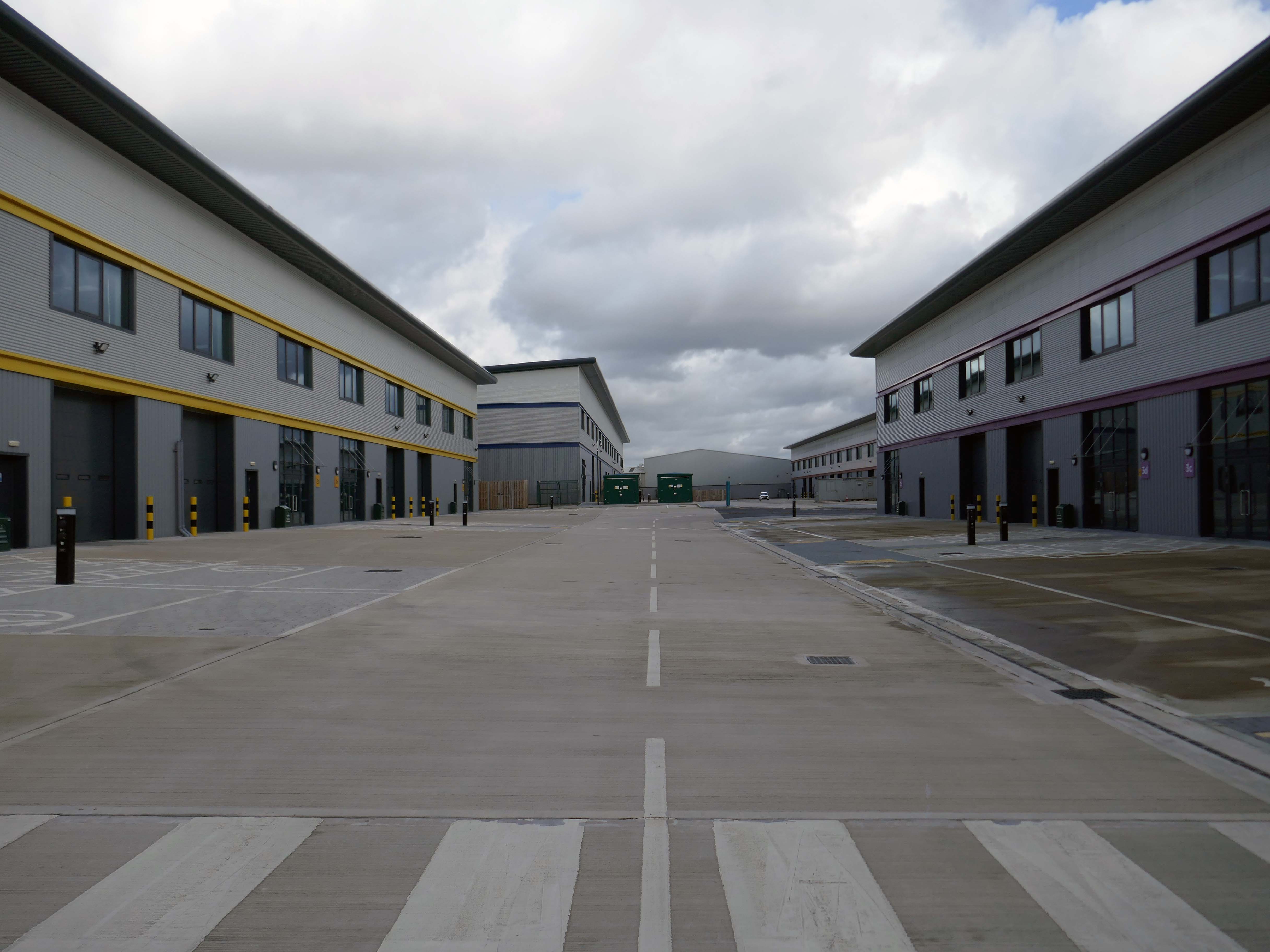
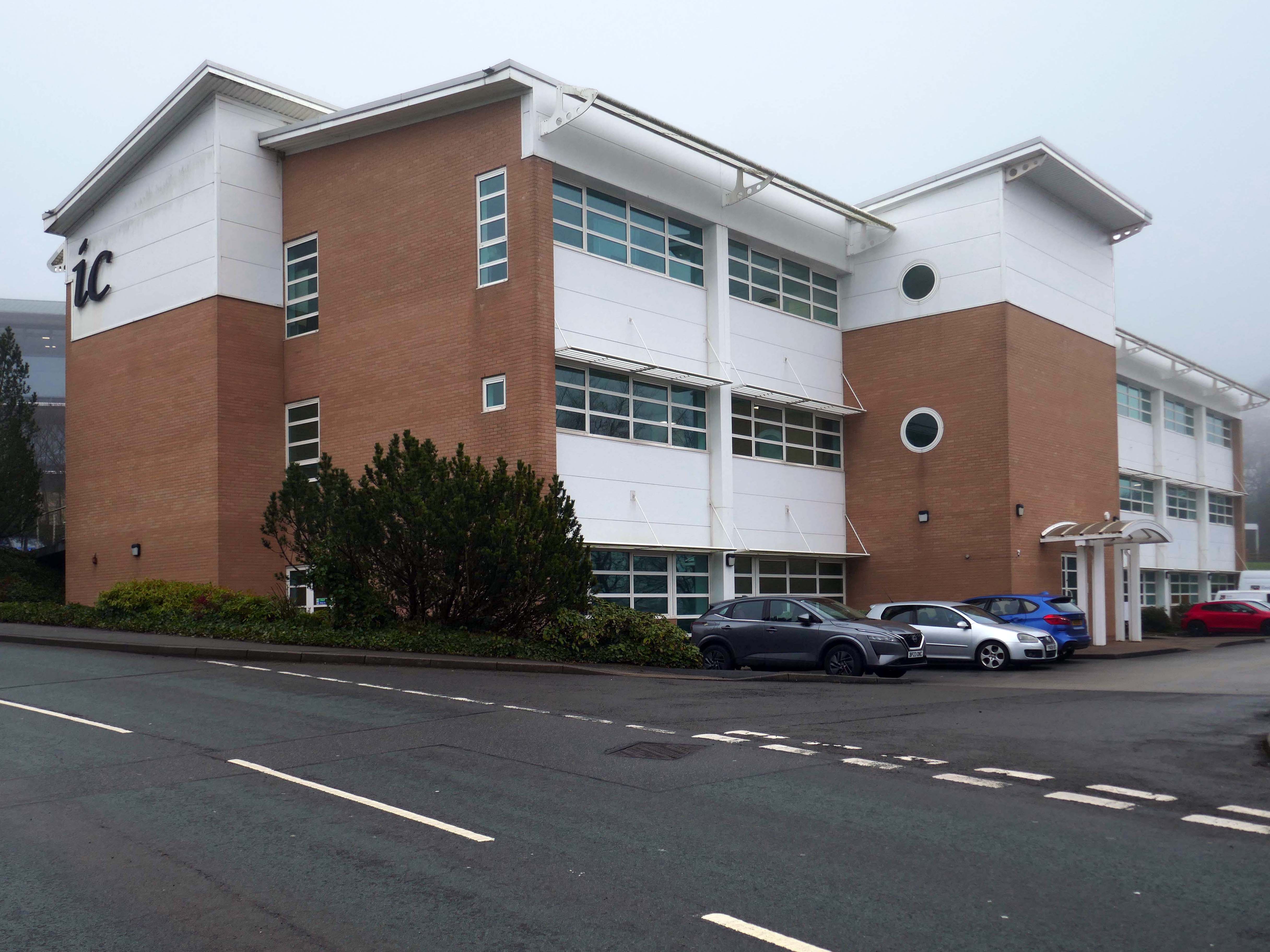
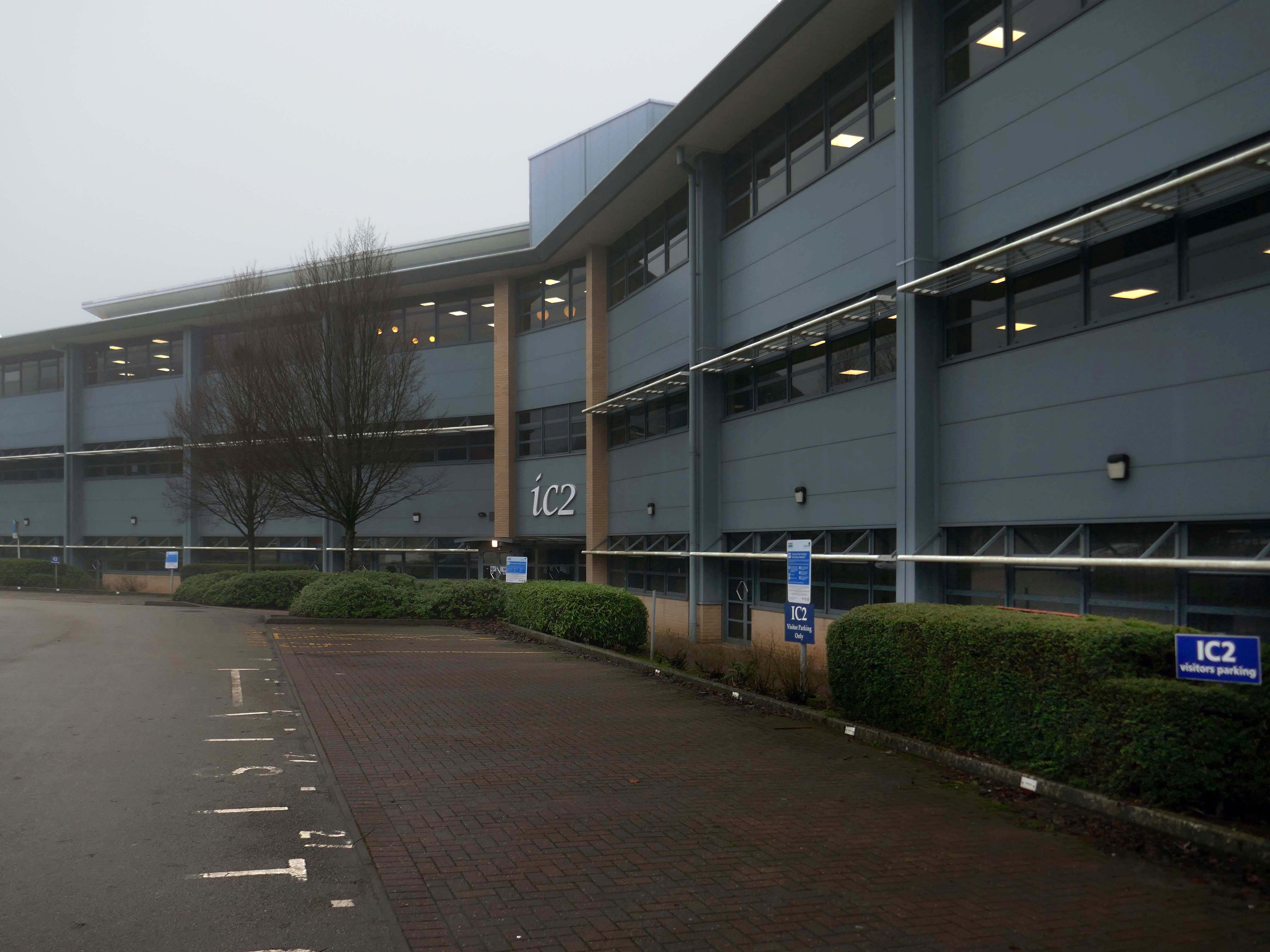
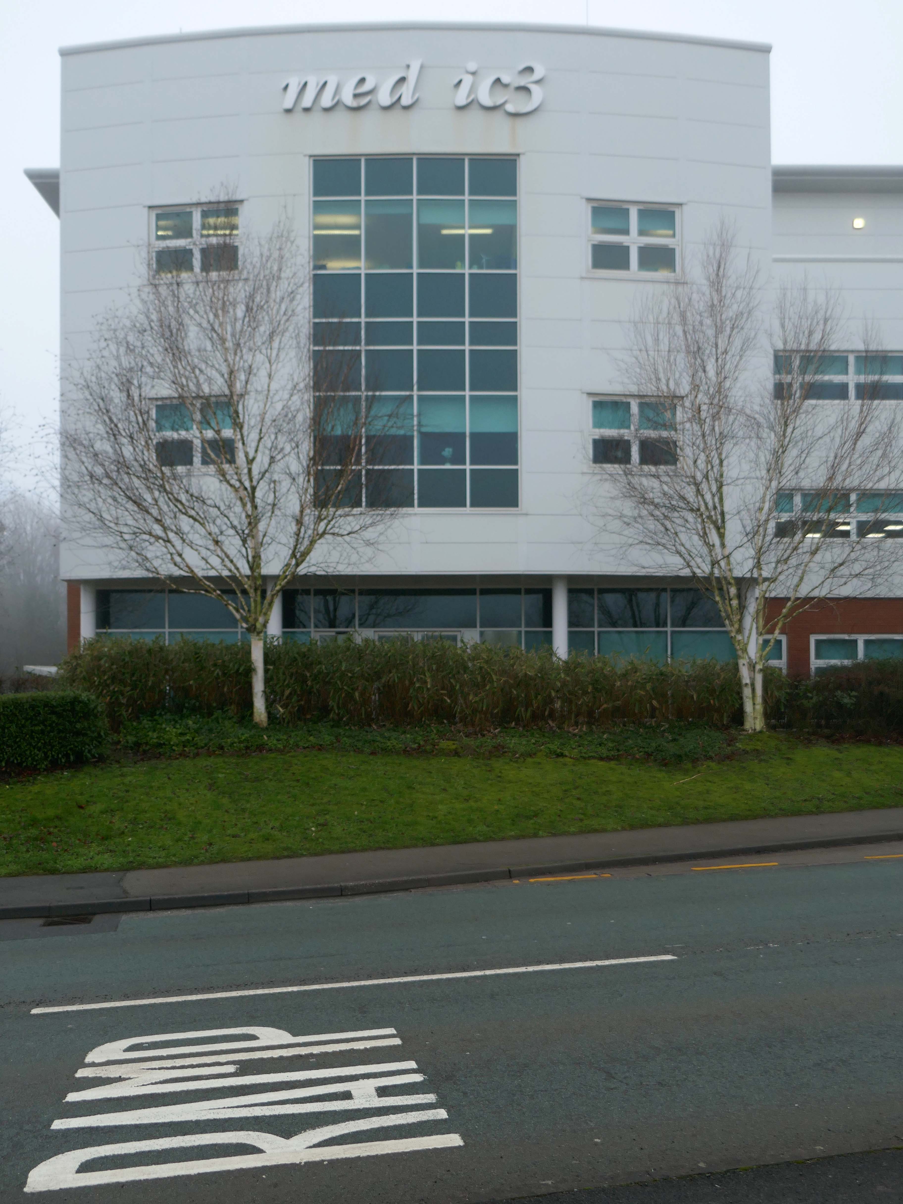
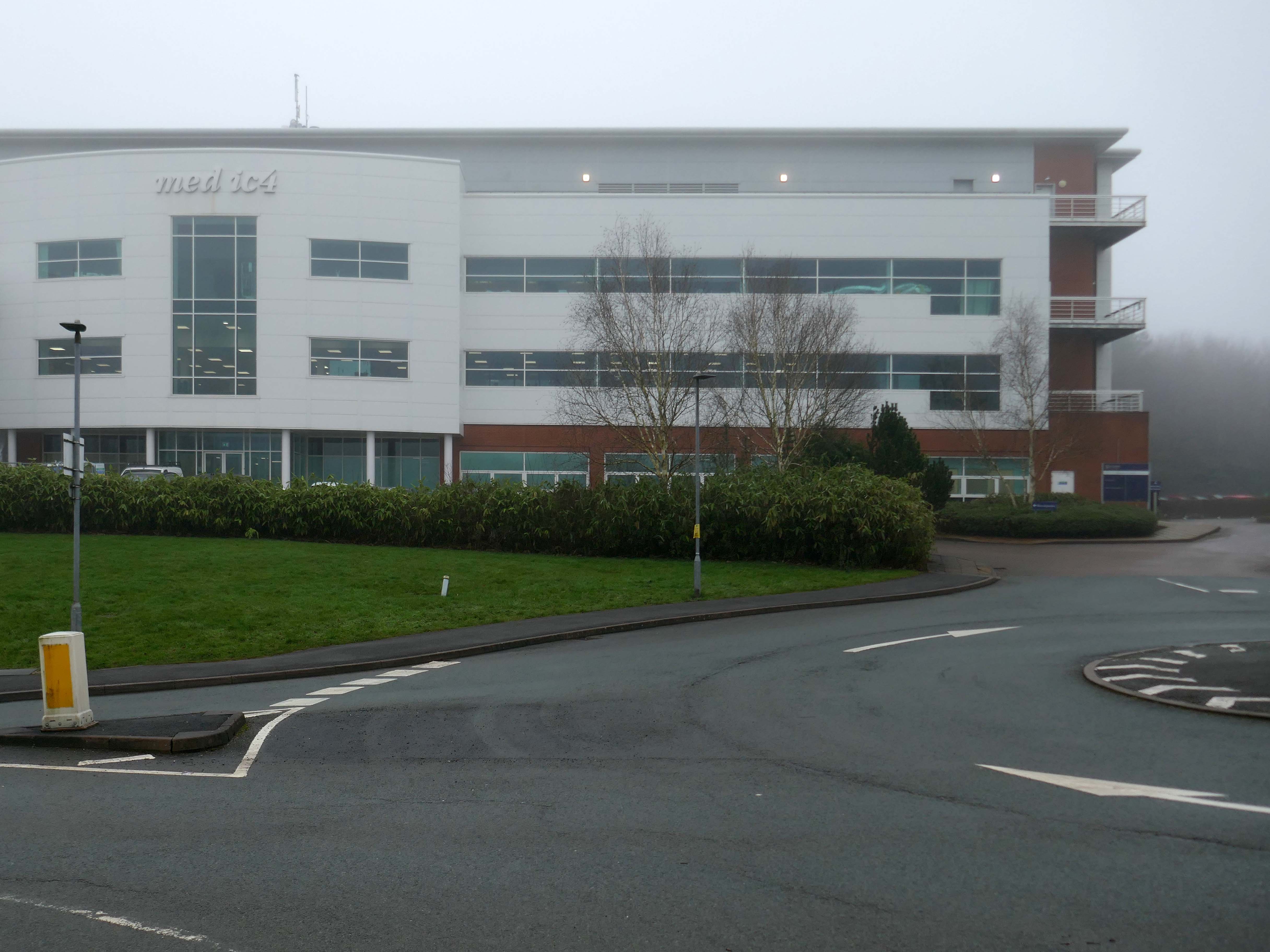
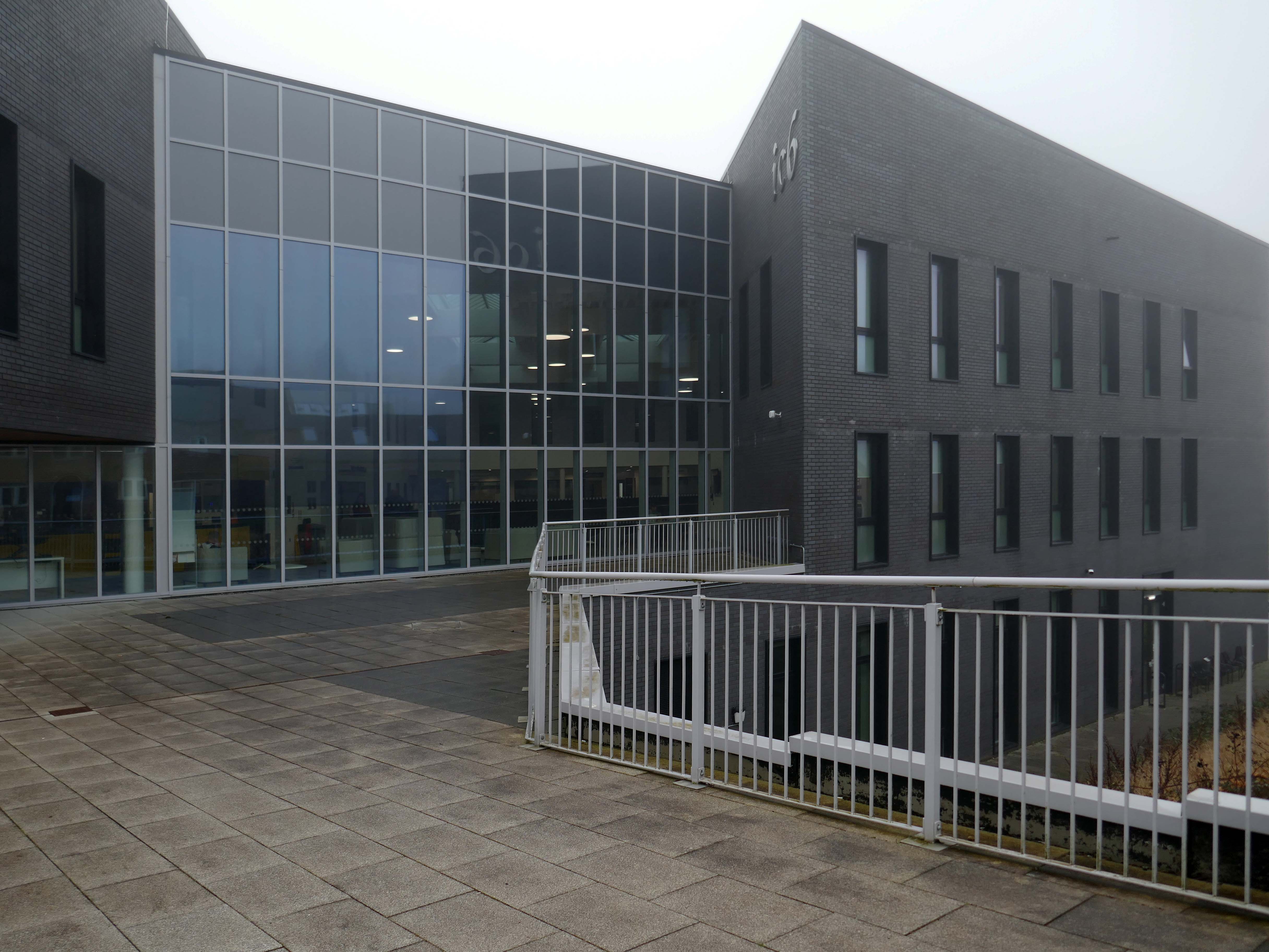
The Innovation Centres were built in 2000-4 by Hulme Wright & Partners.
IC1
IC2
IC3
IC4
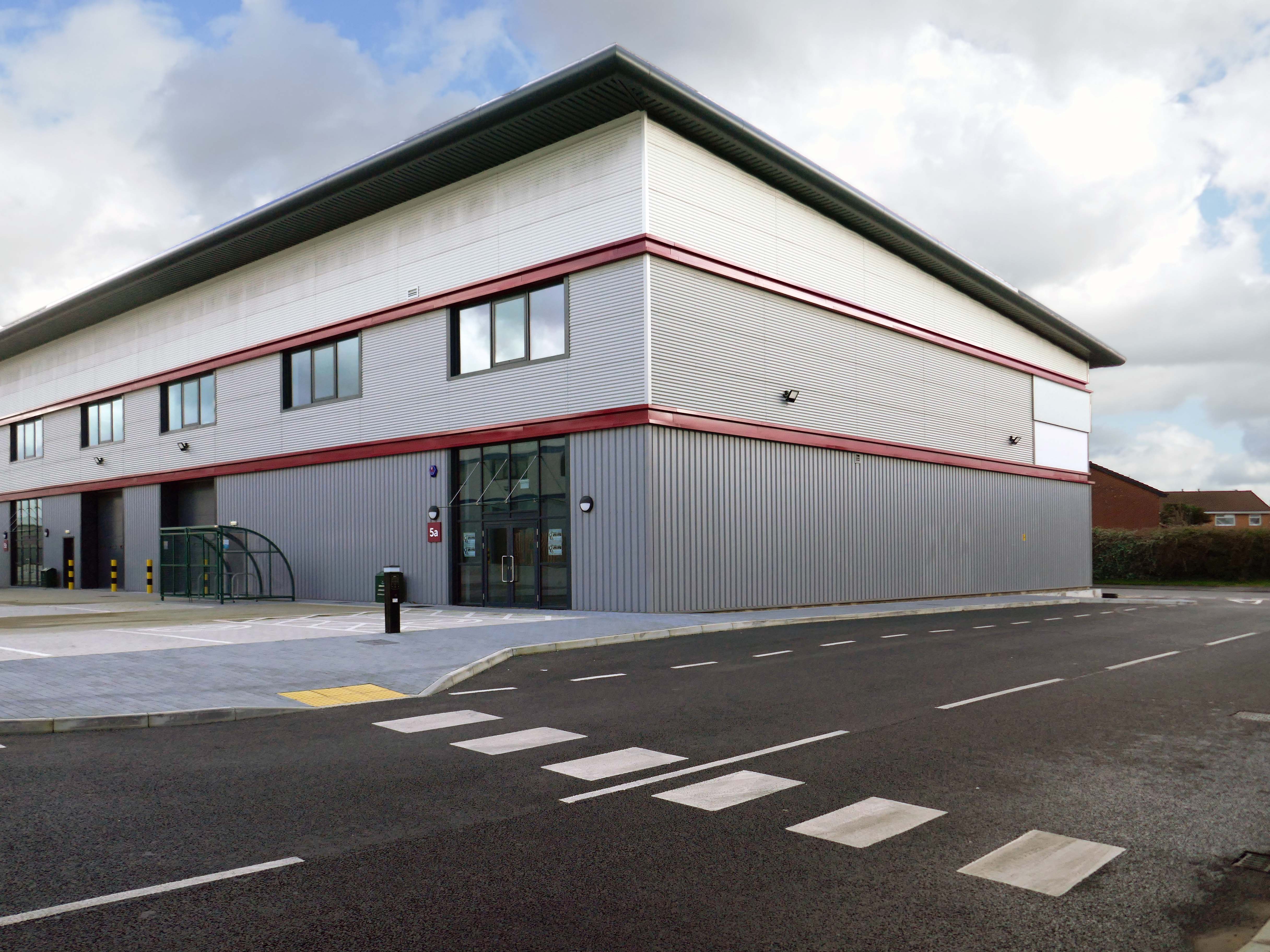
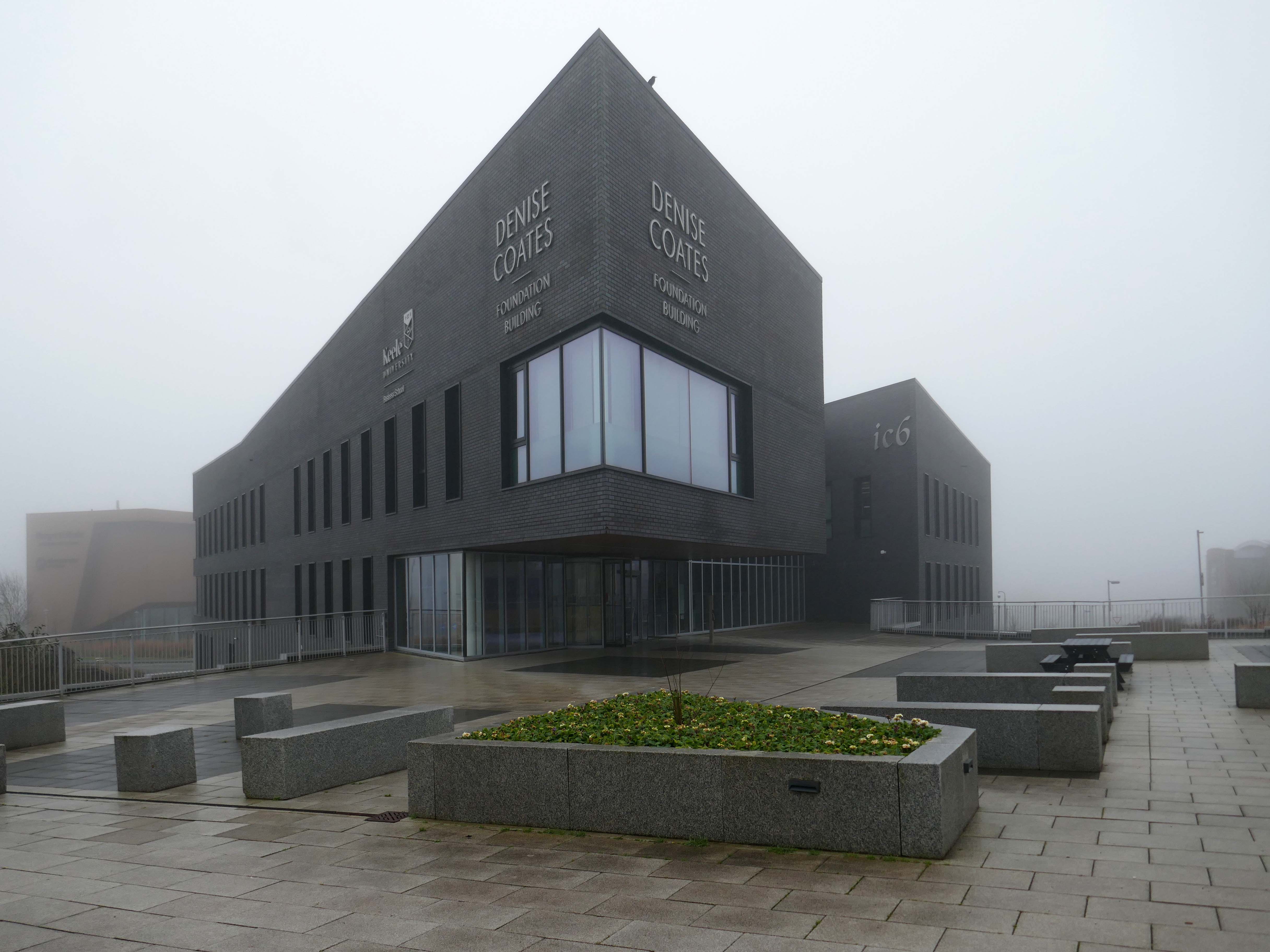
Denise Coates Foundation Building 2018-19 BDP – principal architect Sue Emms
IC5
Caudwell Children 2018-19 James Pass for C4 Projects.
The award-winning Caudwell International Children’s Centre is the UK’s first purpose-built centre for multi-disciplinary therapy for childhood disability and research of neurodevelopmental conditions including autism.
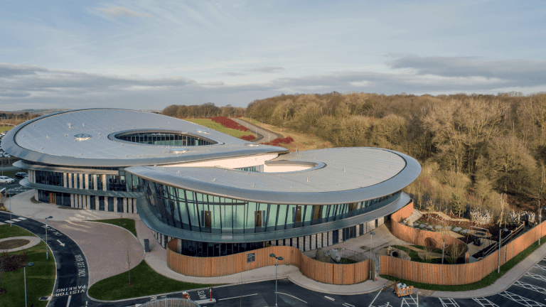
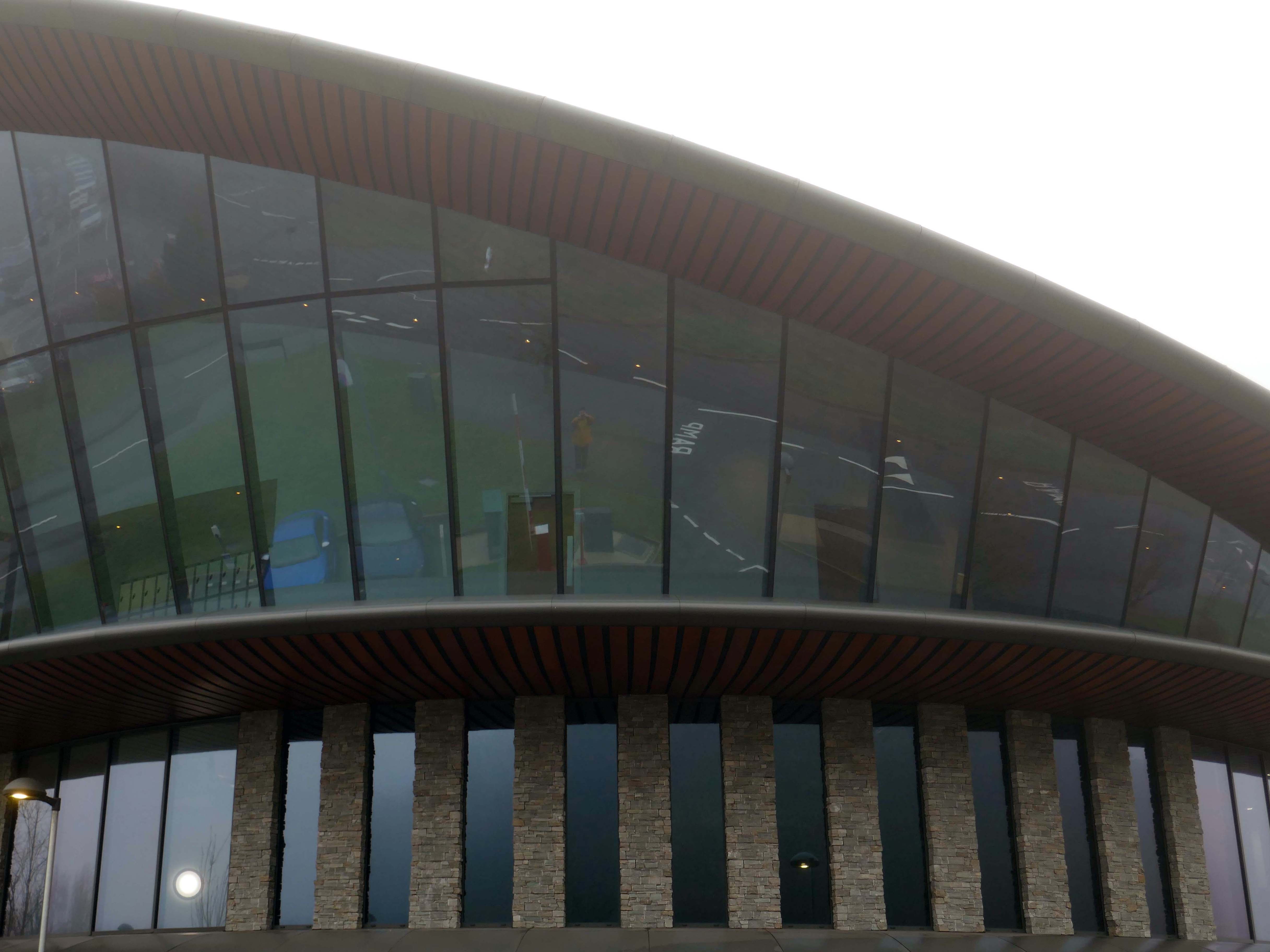
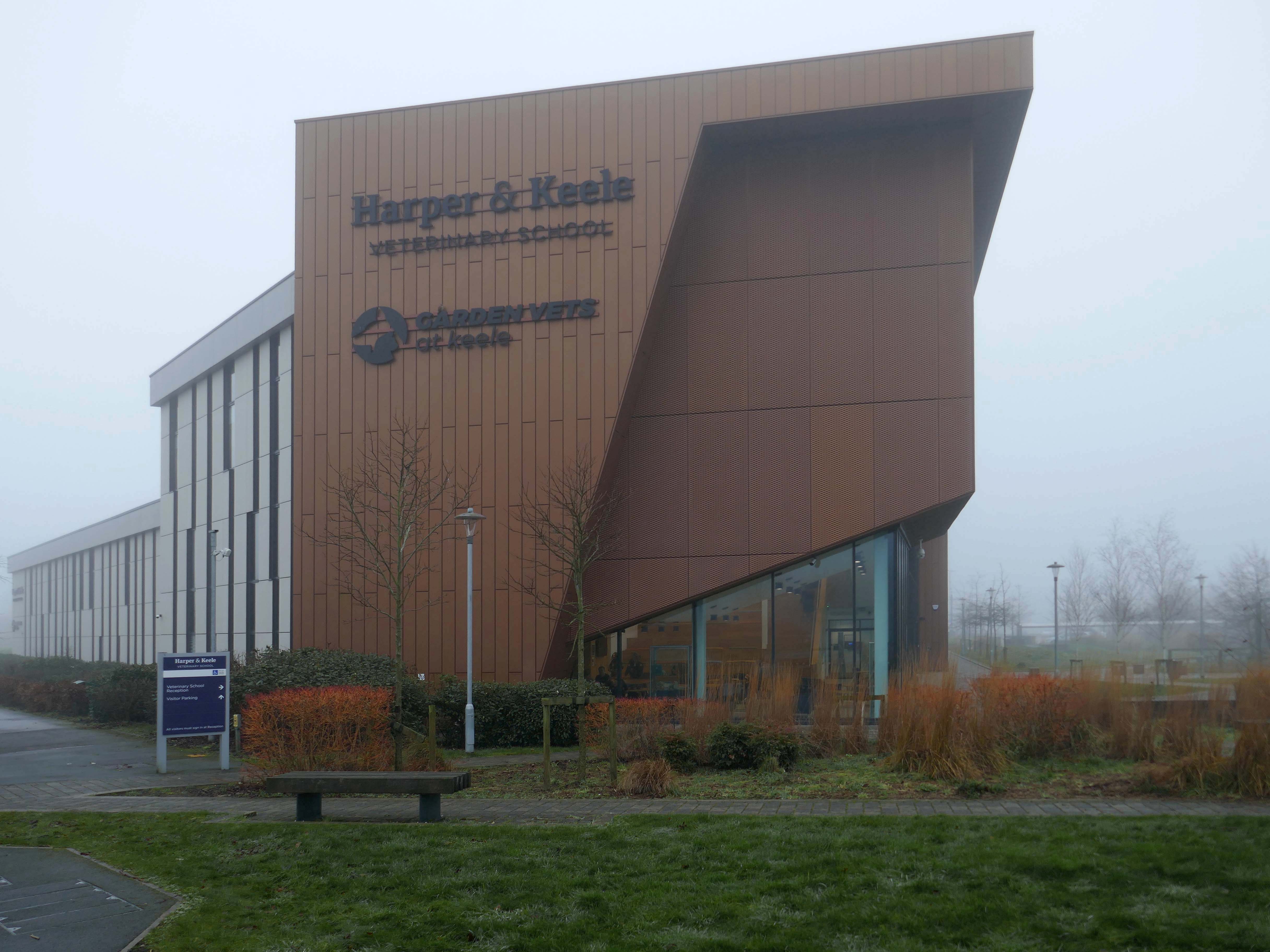
Harper and Keele Veterinary School 2020-21 Jefferson Sheard.
Launched in 2020, the Harper and Keele Veterinary School is committed to equipping a new generation of vets with the skills and tools to thrive as professionals and contribute to animal, human, and planetary health. Drawing on the combined expertise and resources of Harper Adams University and Keele University, together with a vibrant network of veterinary practice partners, students benefit from practical experience and clinical skills from the outset.
IC7 designed by HLM Architects, working with Tetra-Tech, Poole Dick, Currie & Brown and William Bailey, and constructed by Bowmer and Kirkland
Innovation Centre 7 brings together small and medium sized digital enterprises, experienced academics and state-of-the-art digital infrastructure all under one roof, providing tenants with unique access to the facilities, industry links and burgeoning student talent pool of future employees that will lead to the competitive advantages needed to innovate, expand and succeed in emerging digital markets.