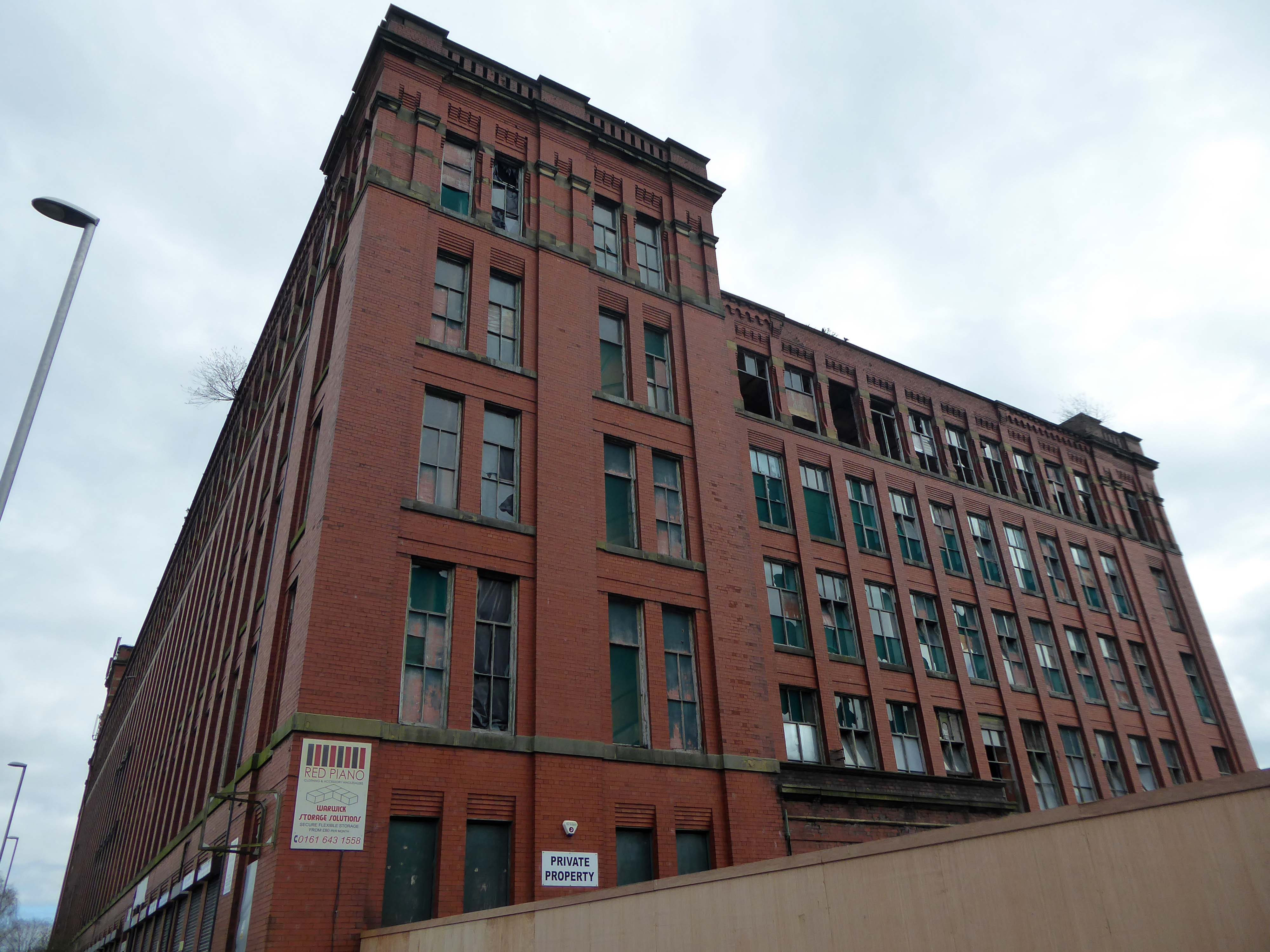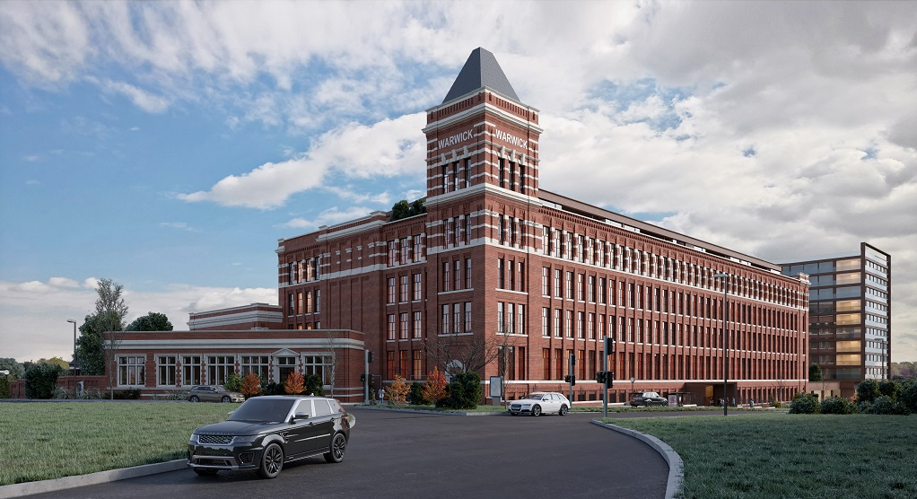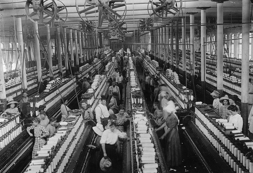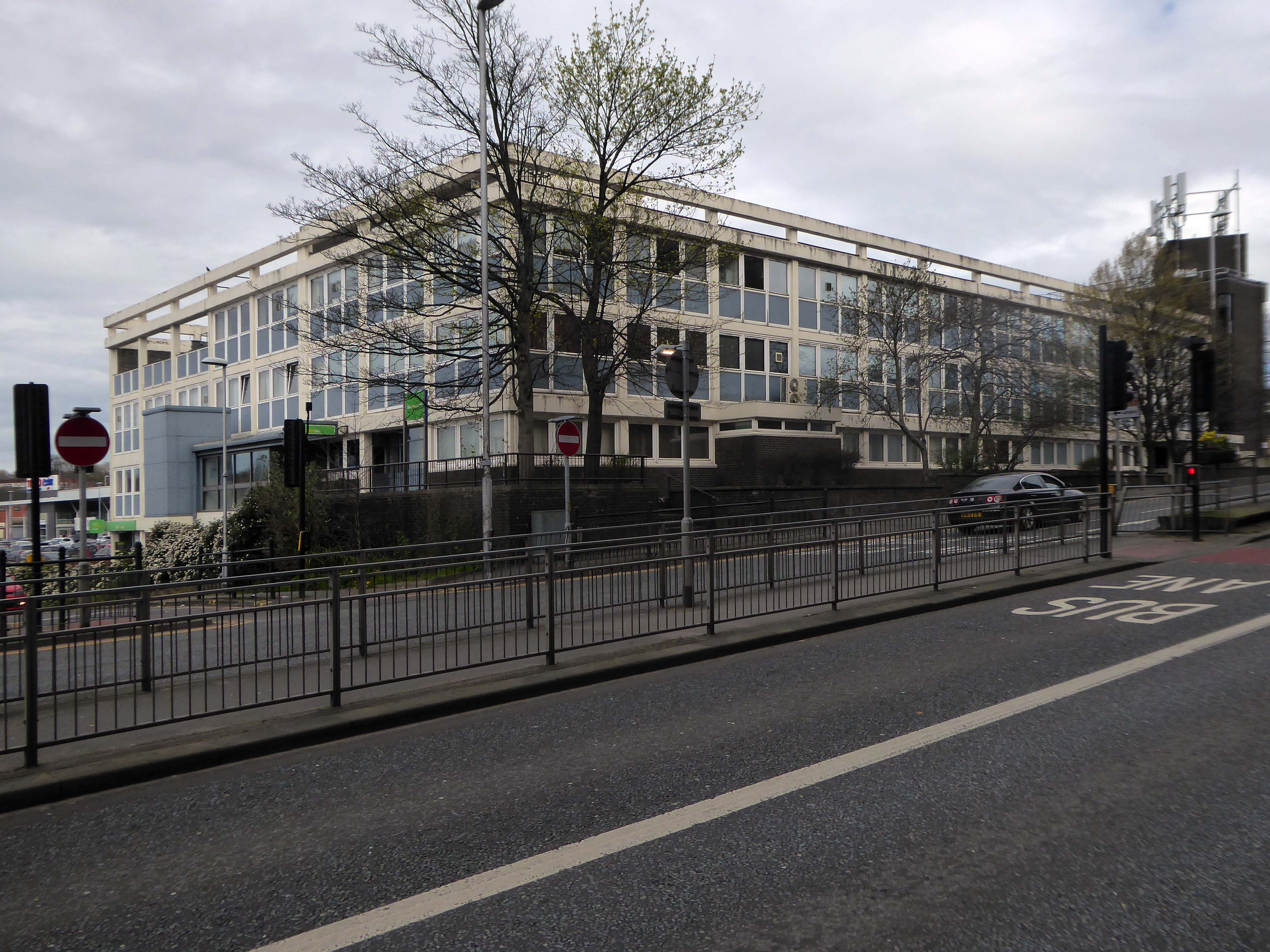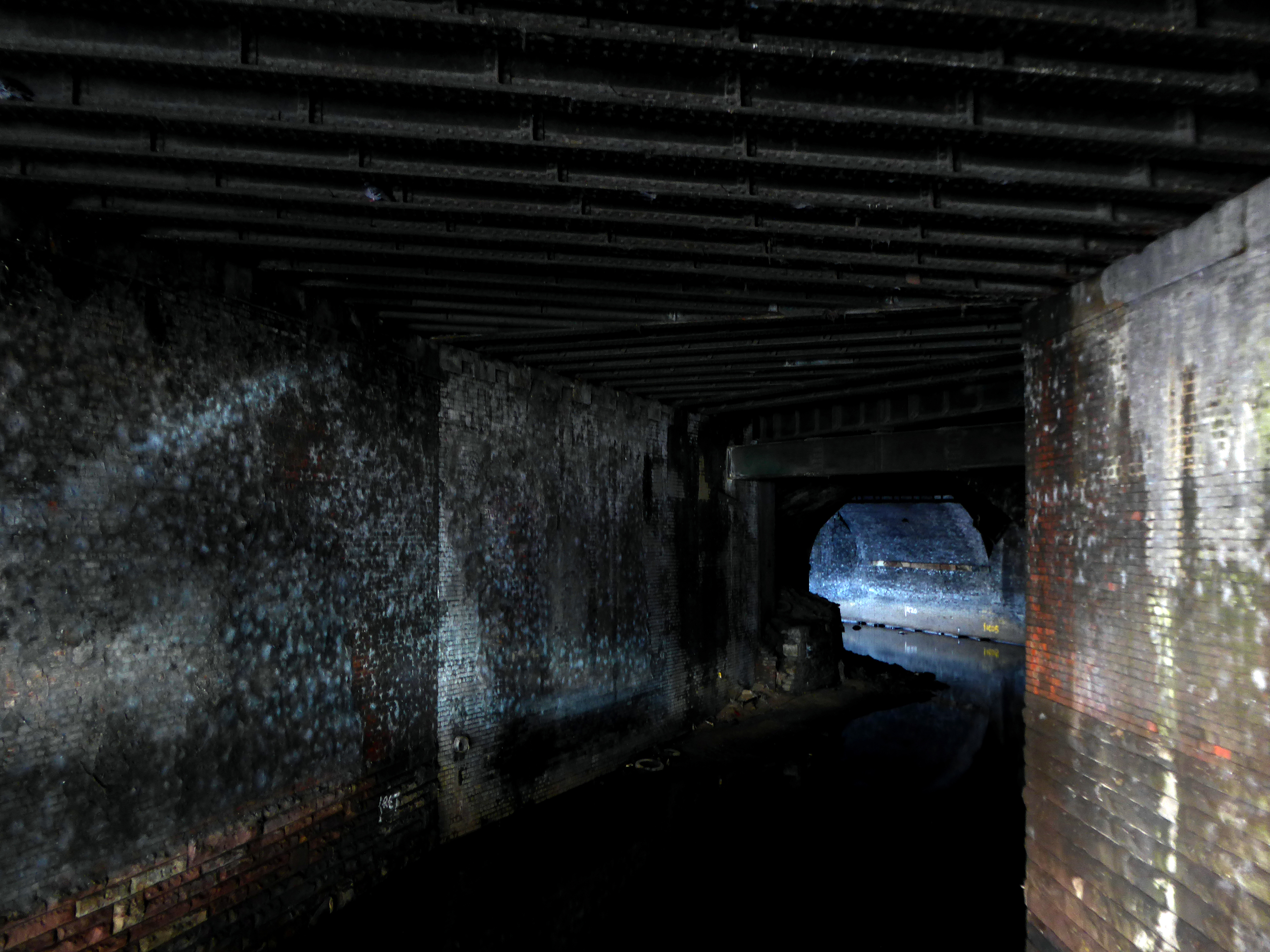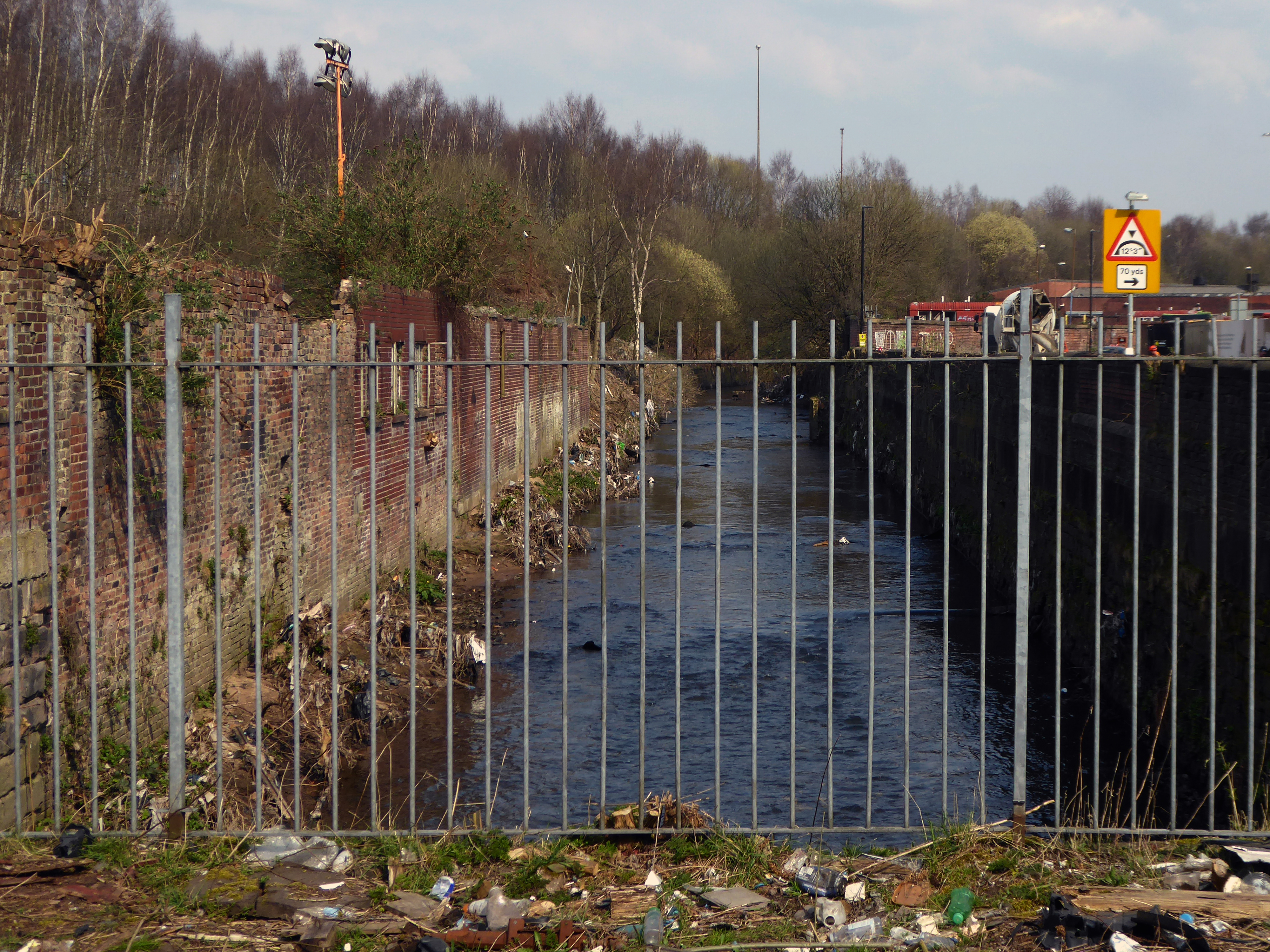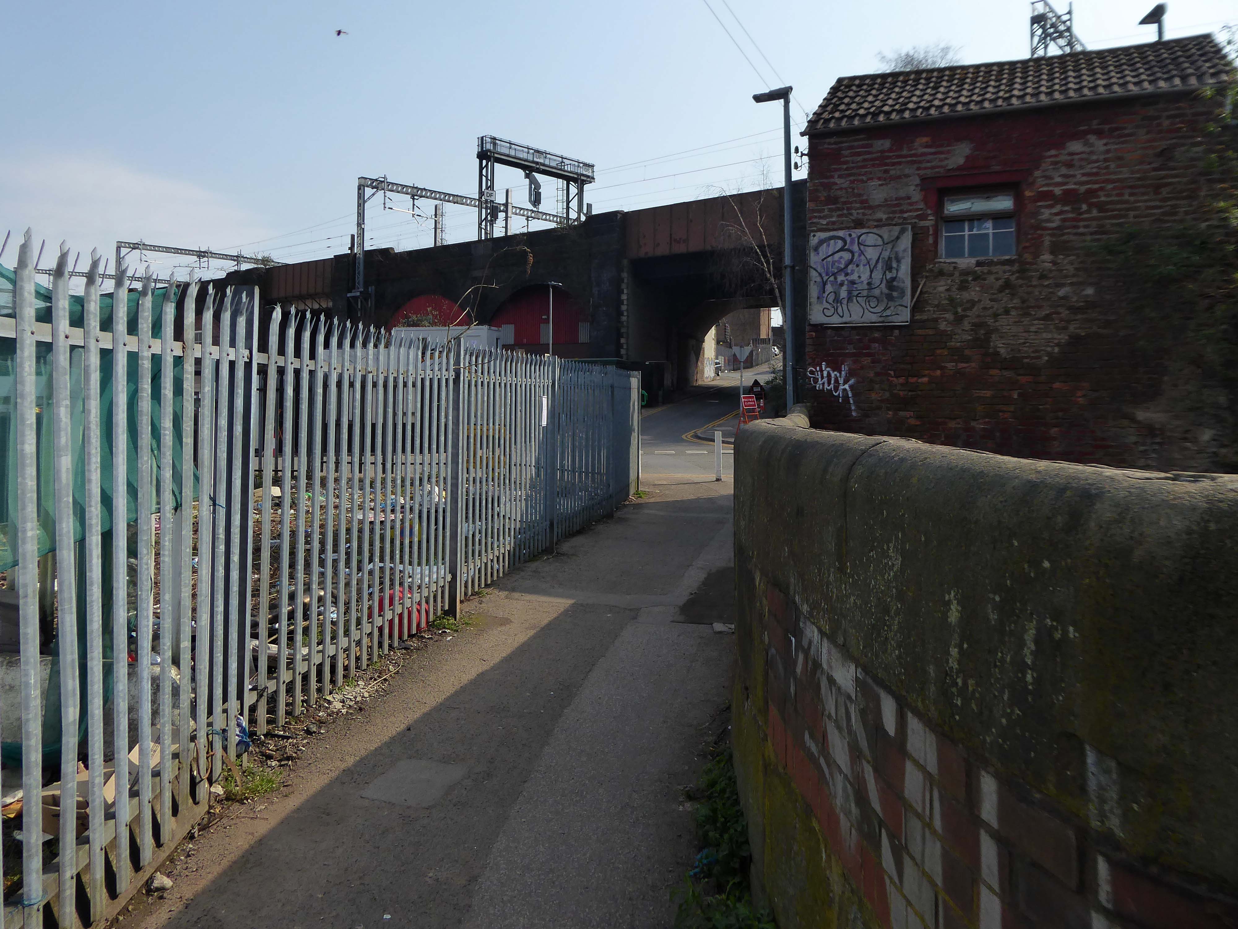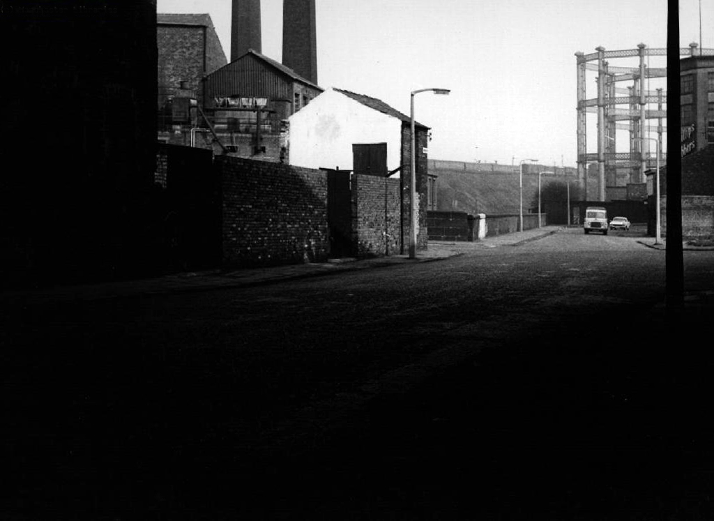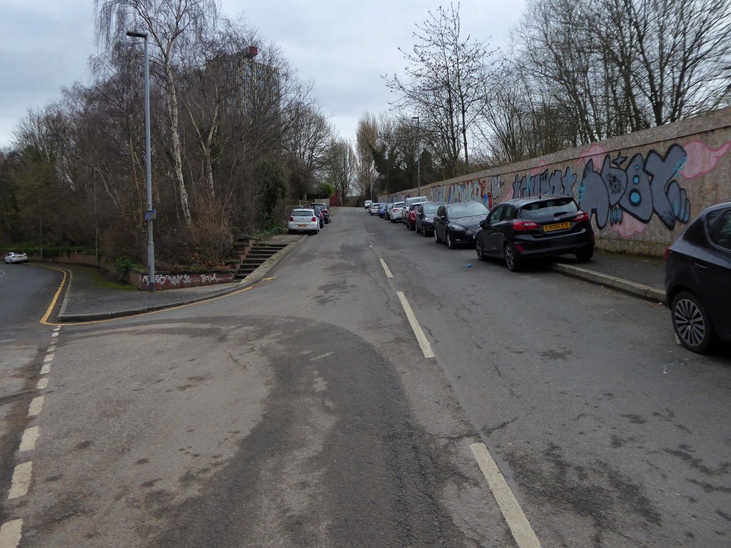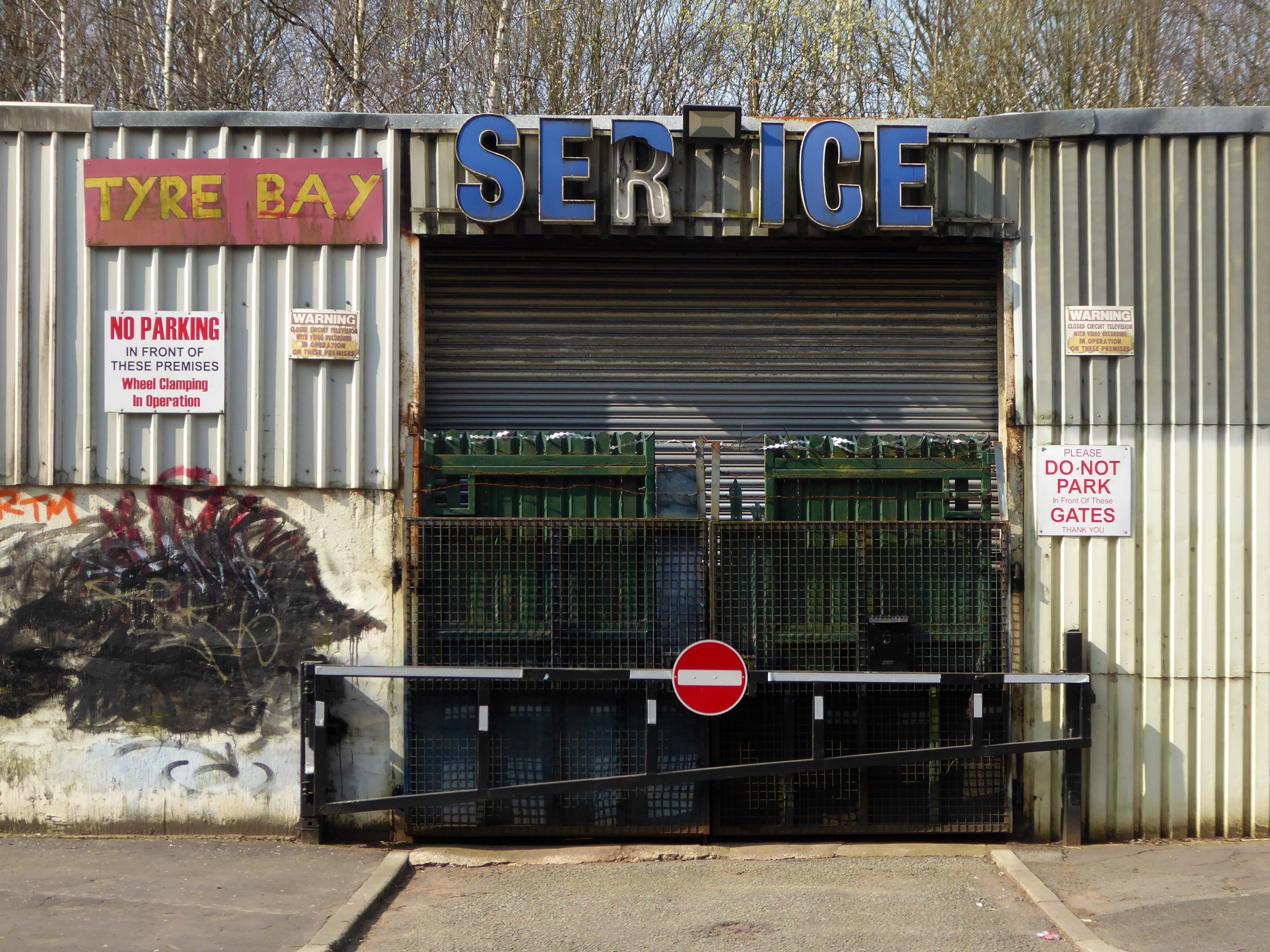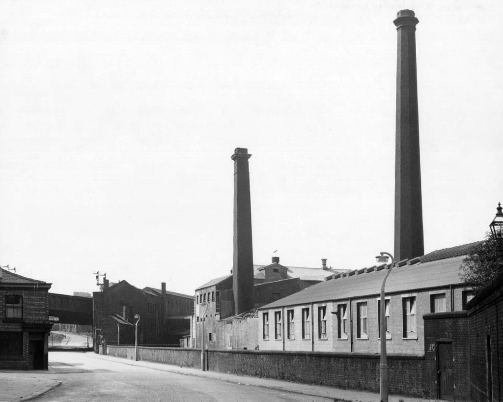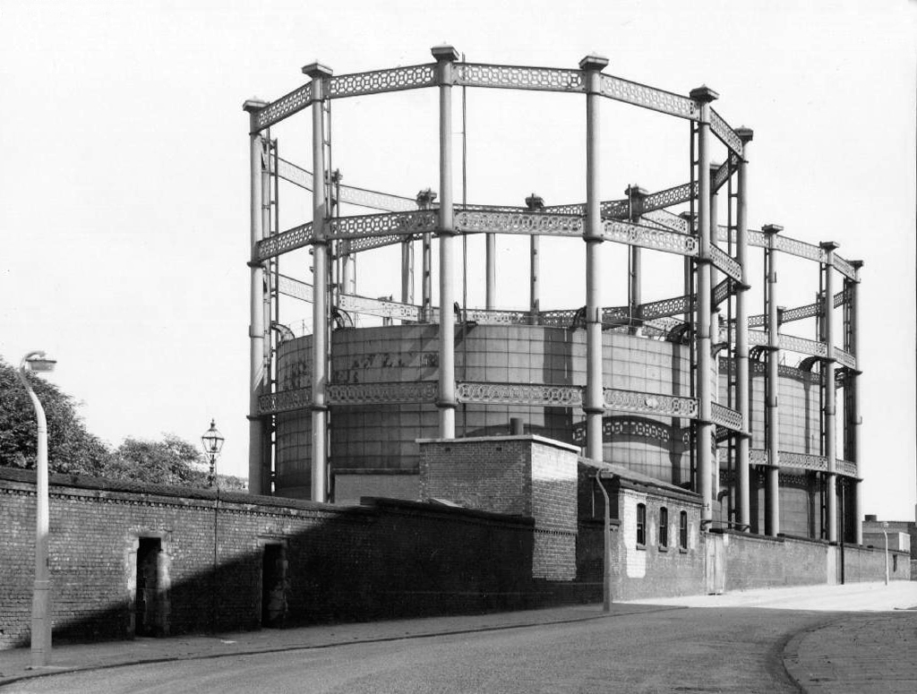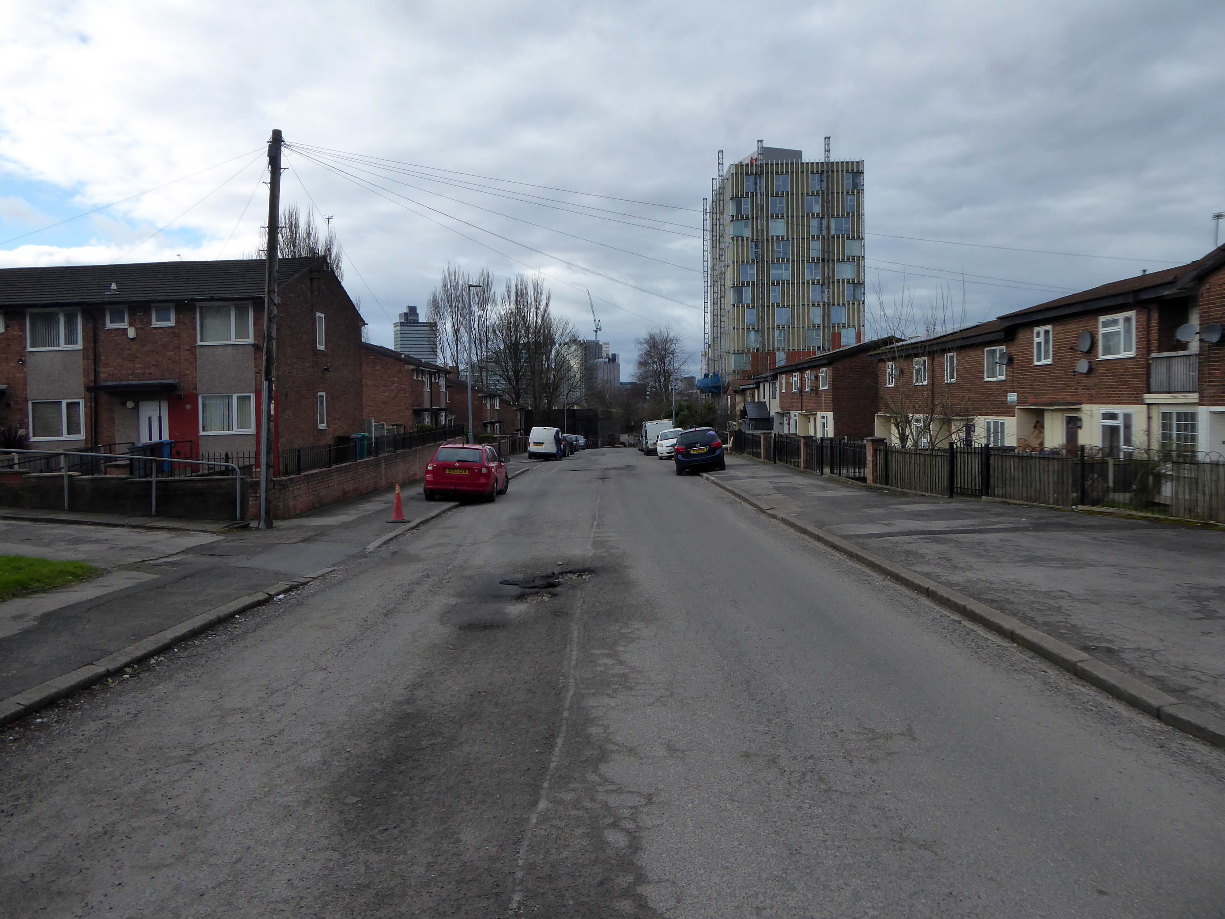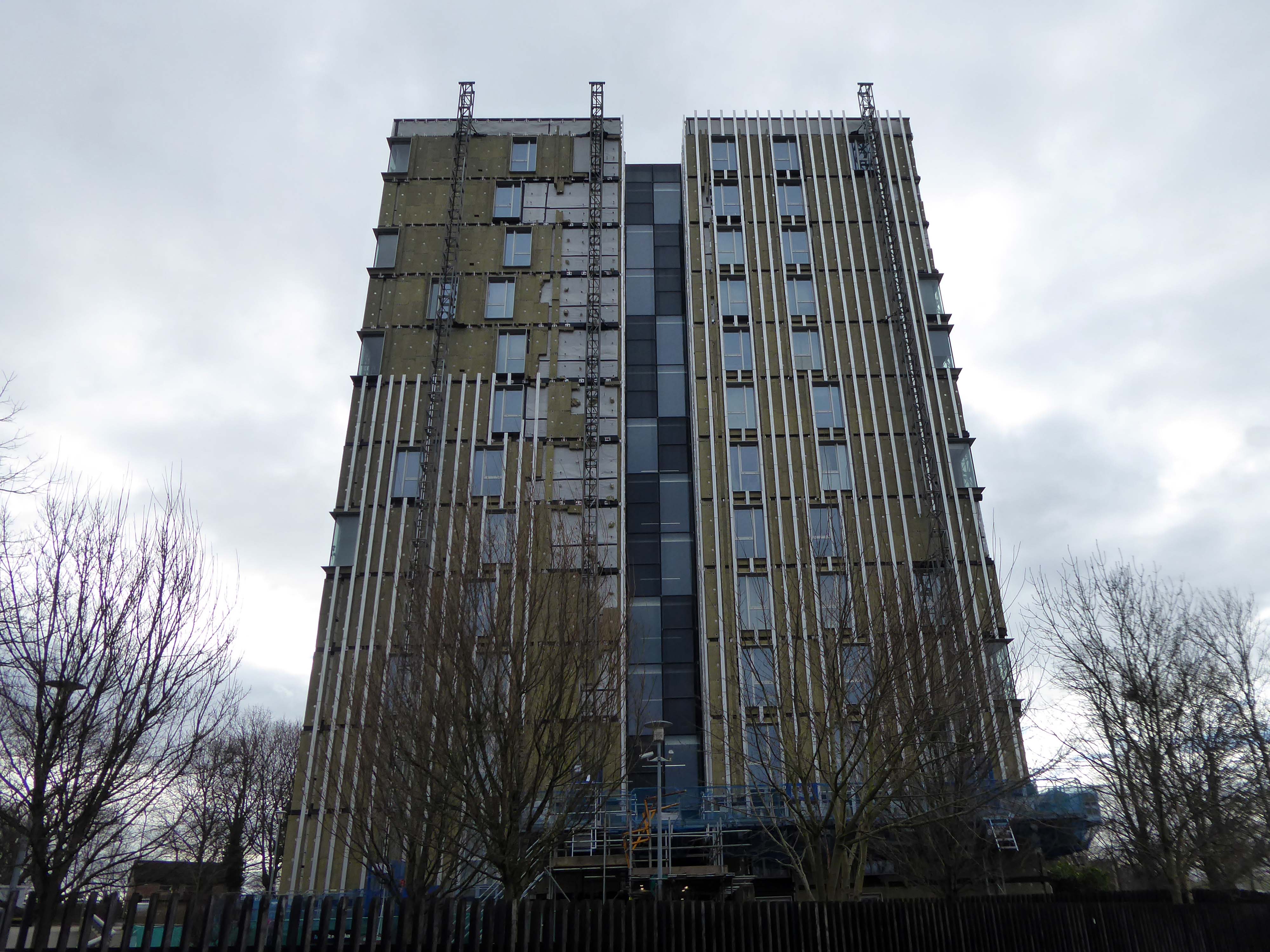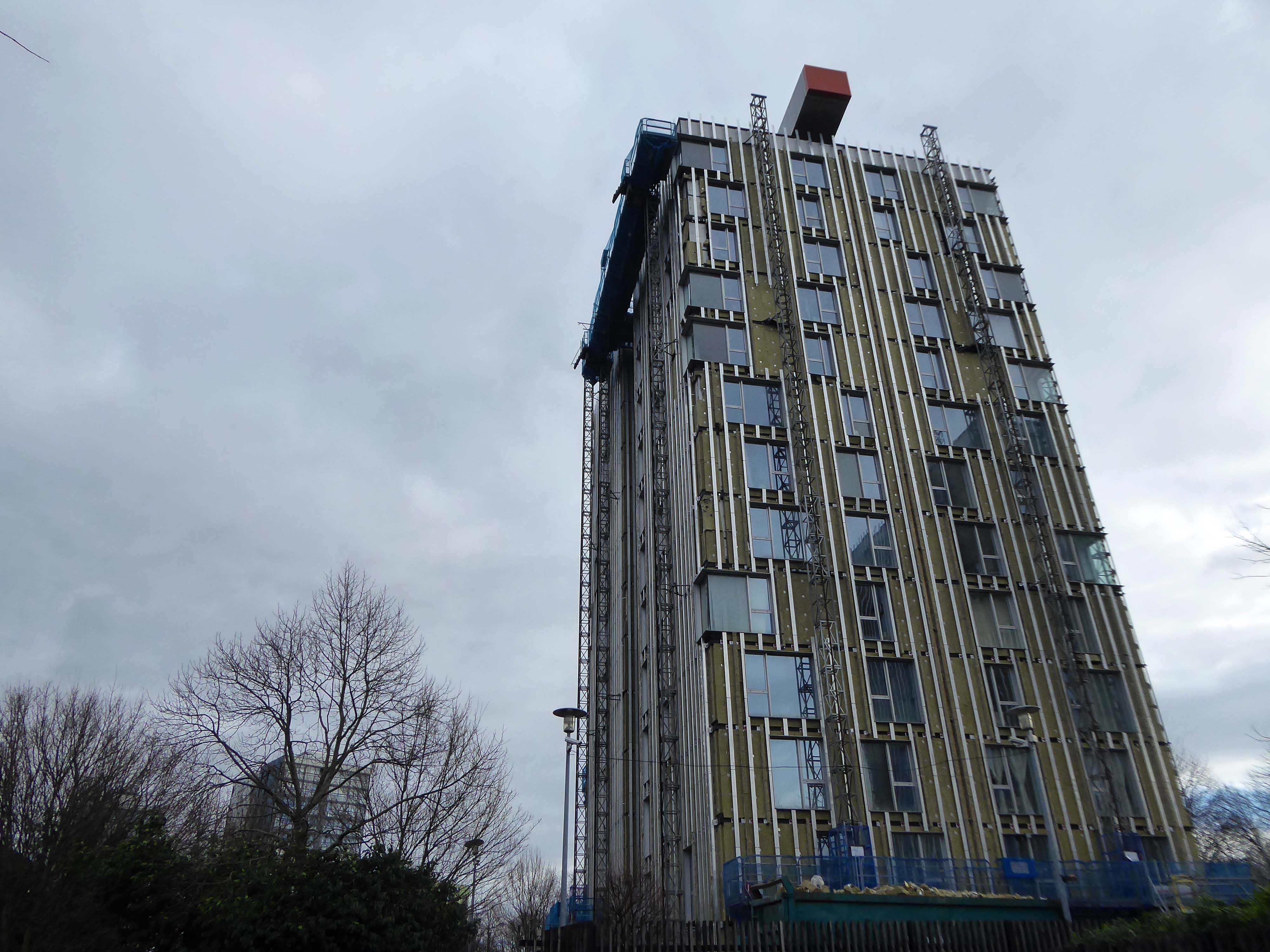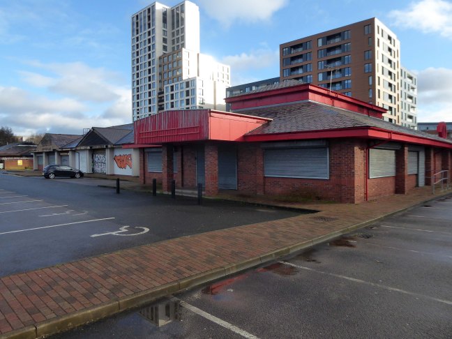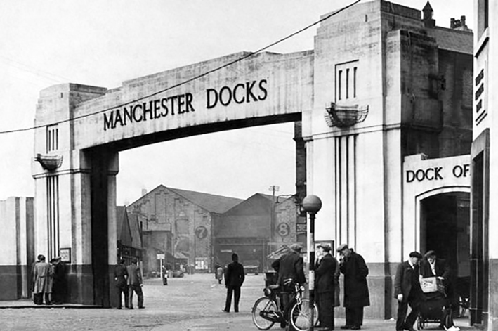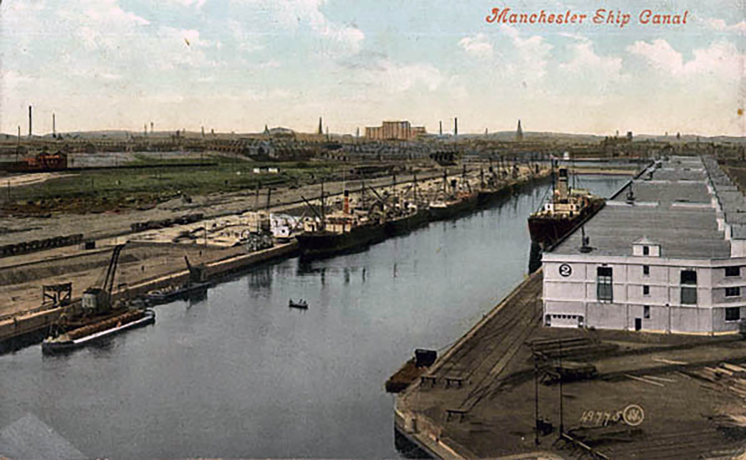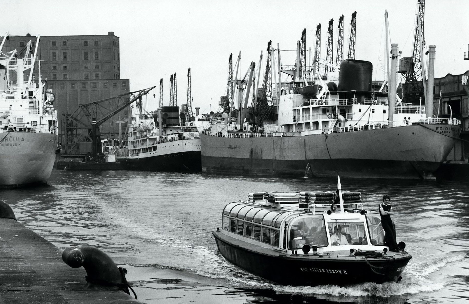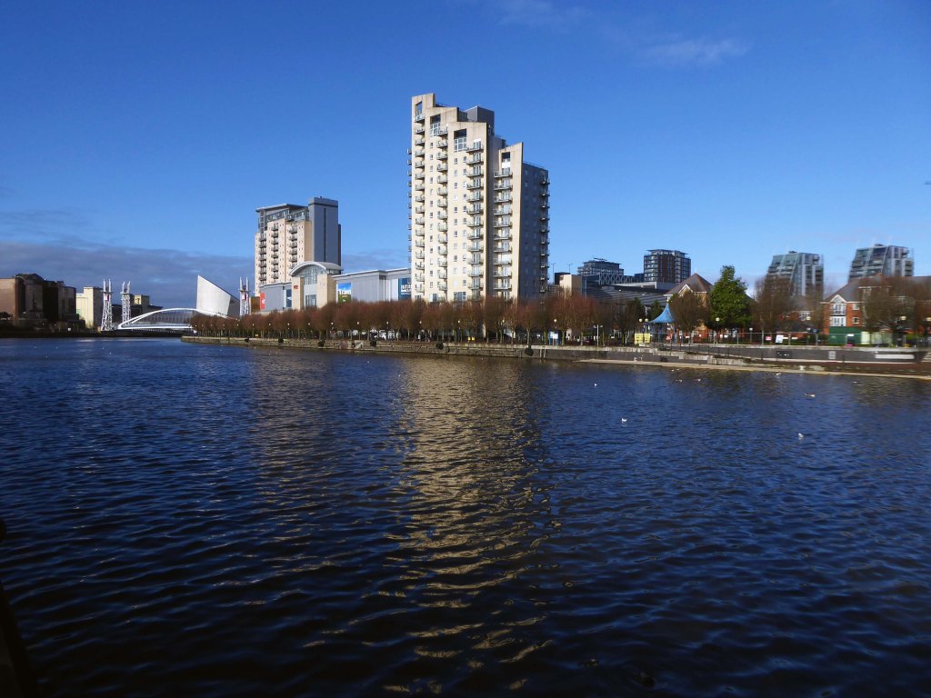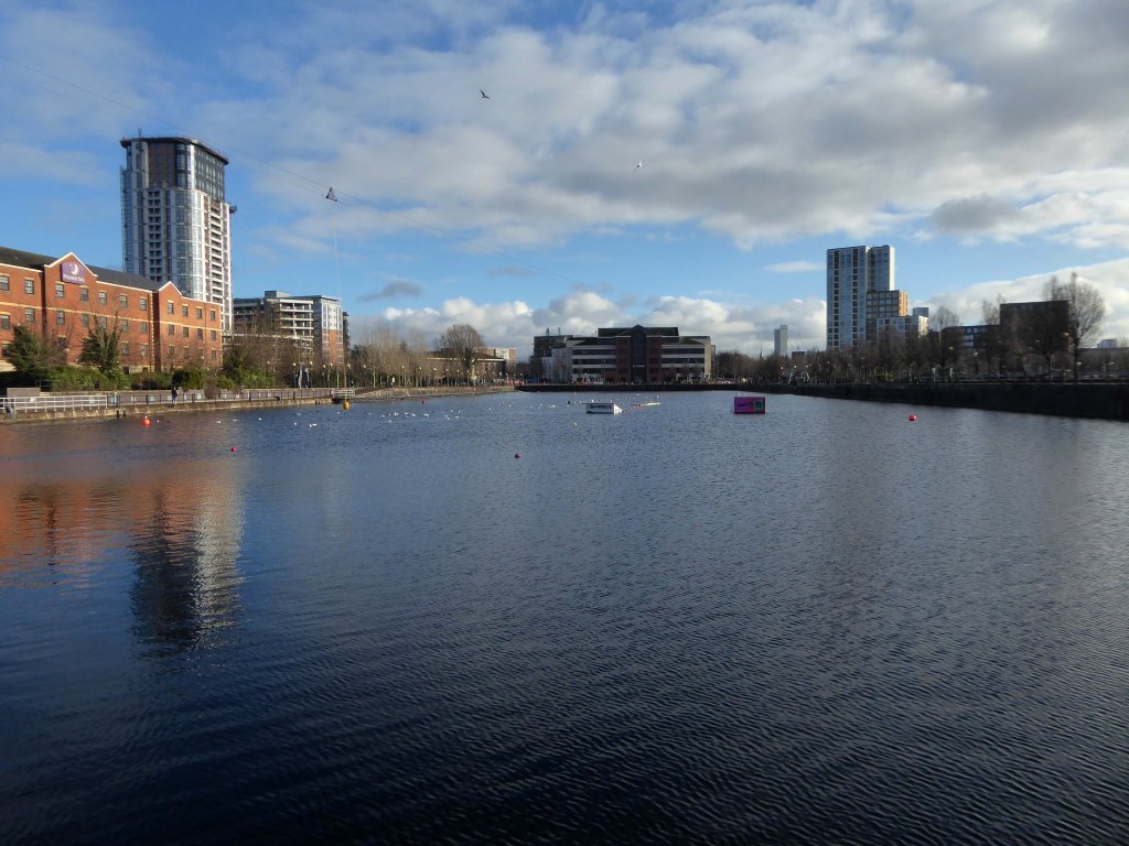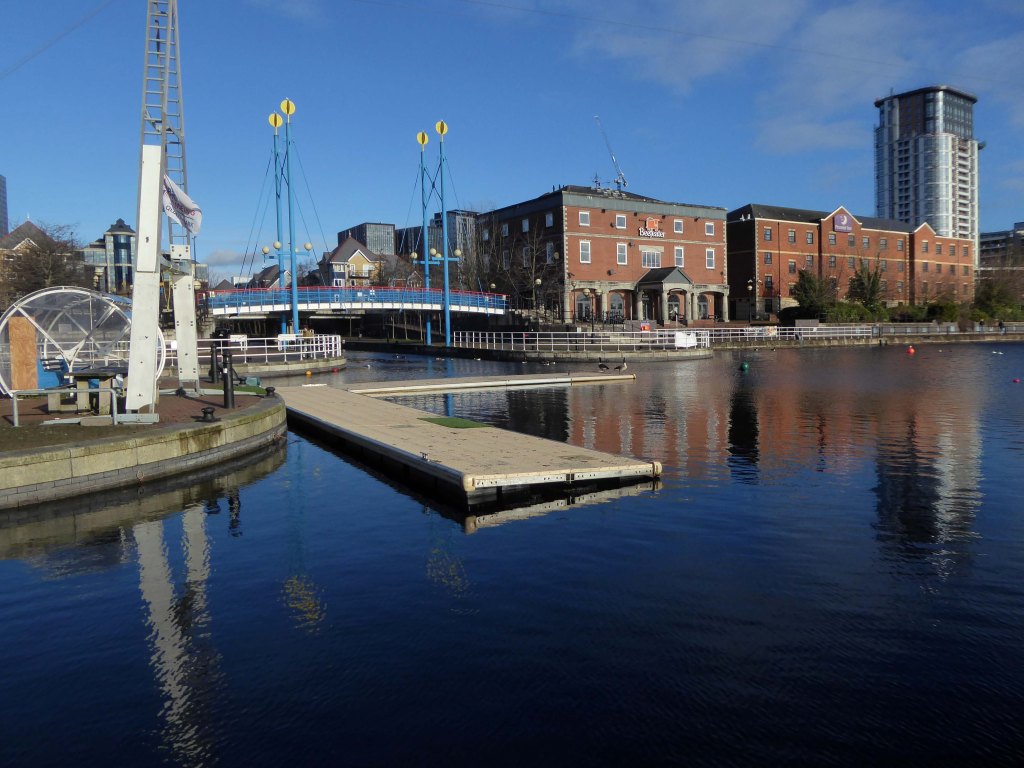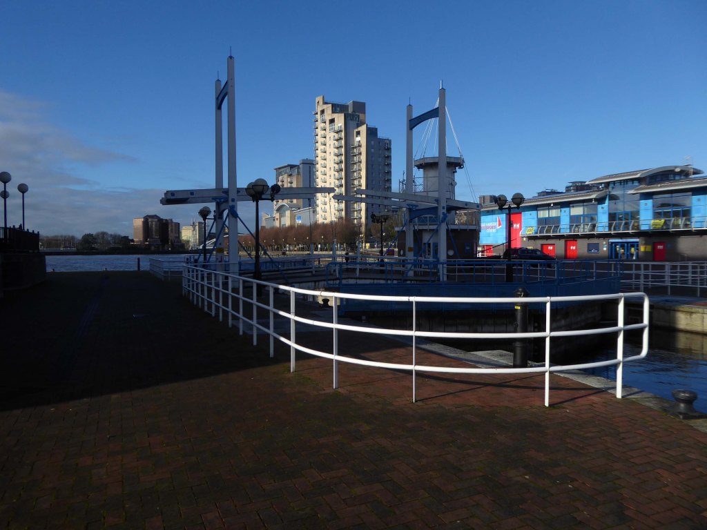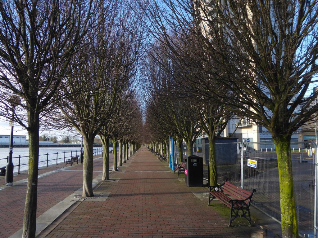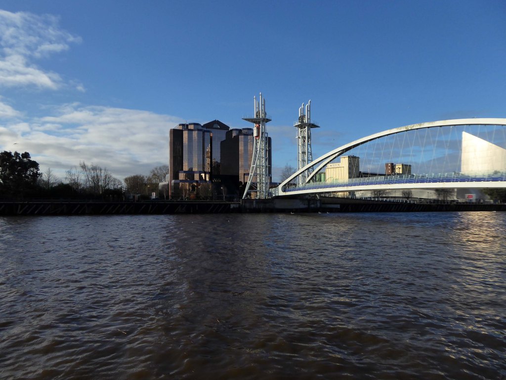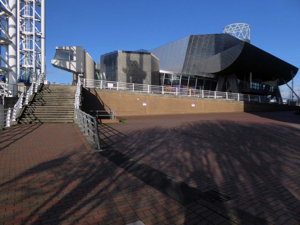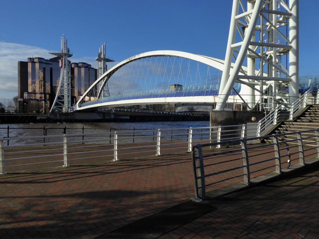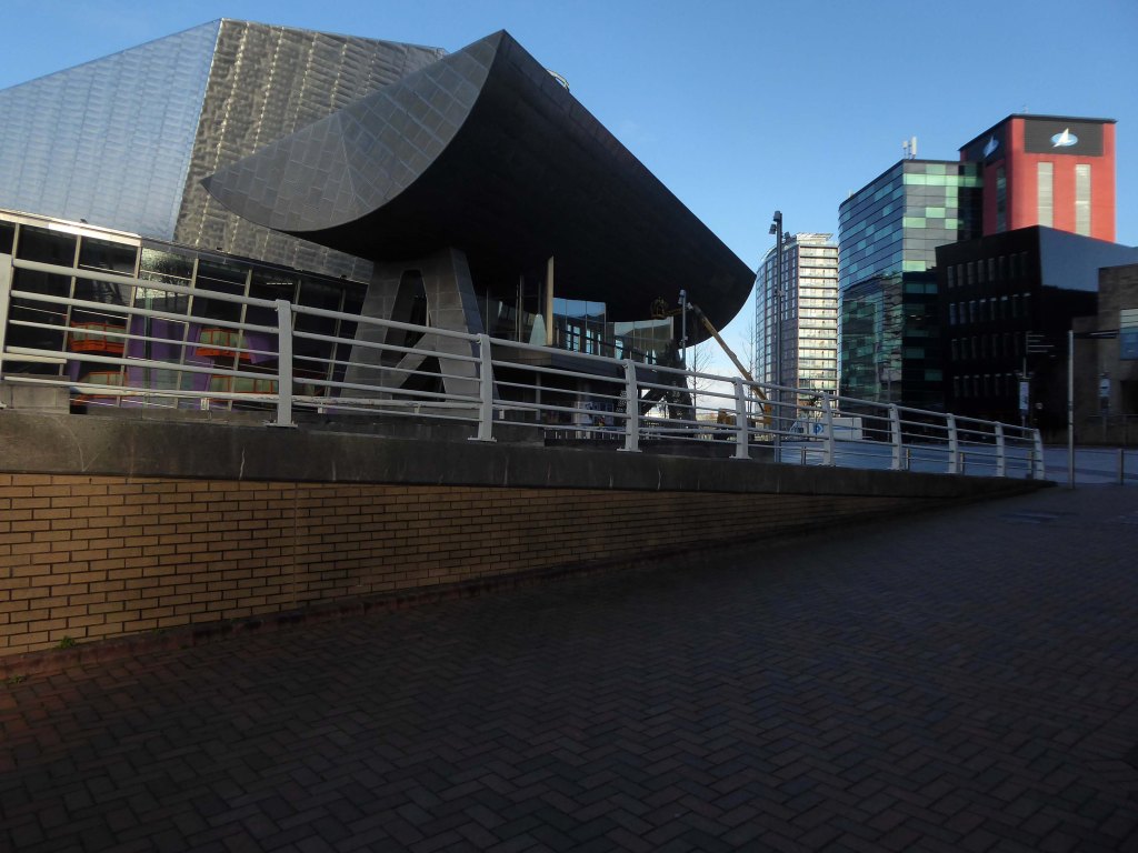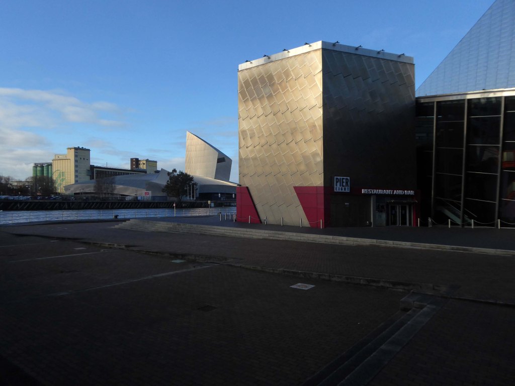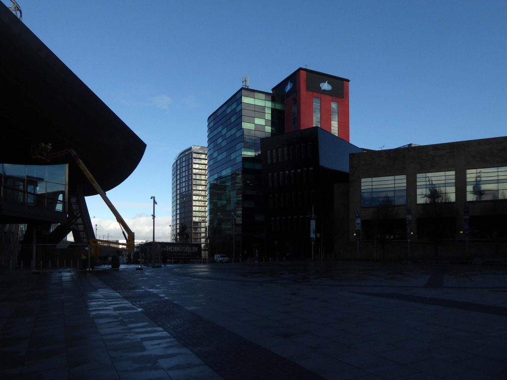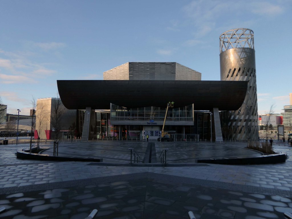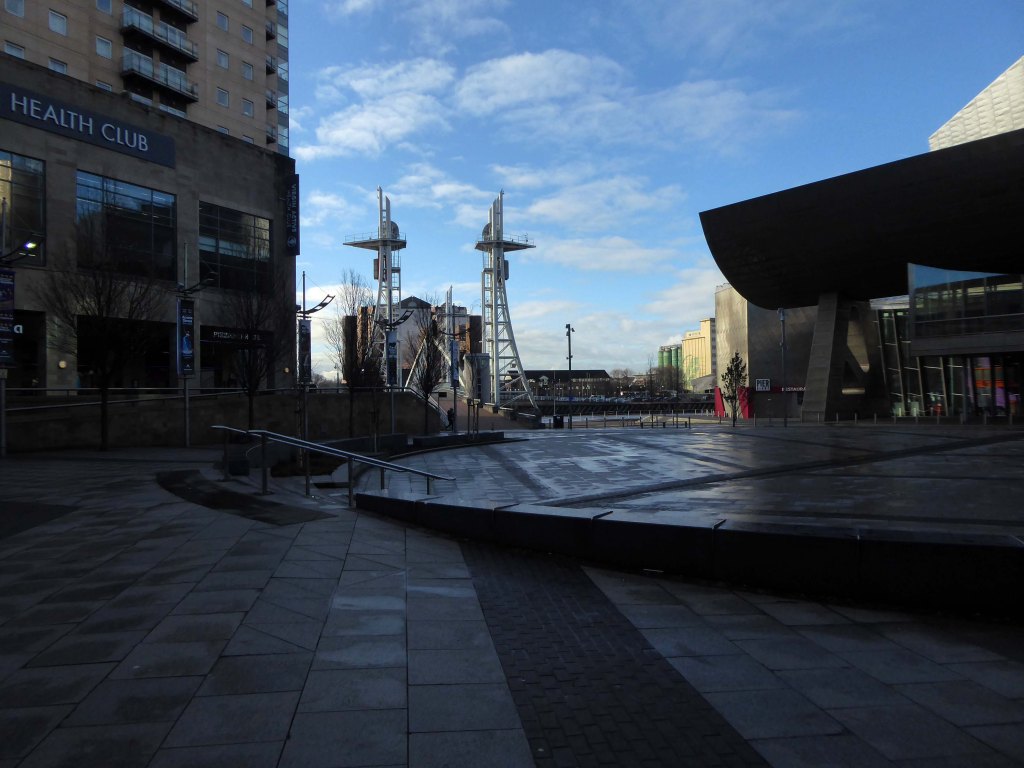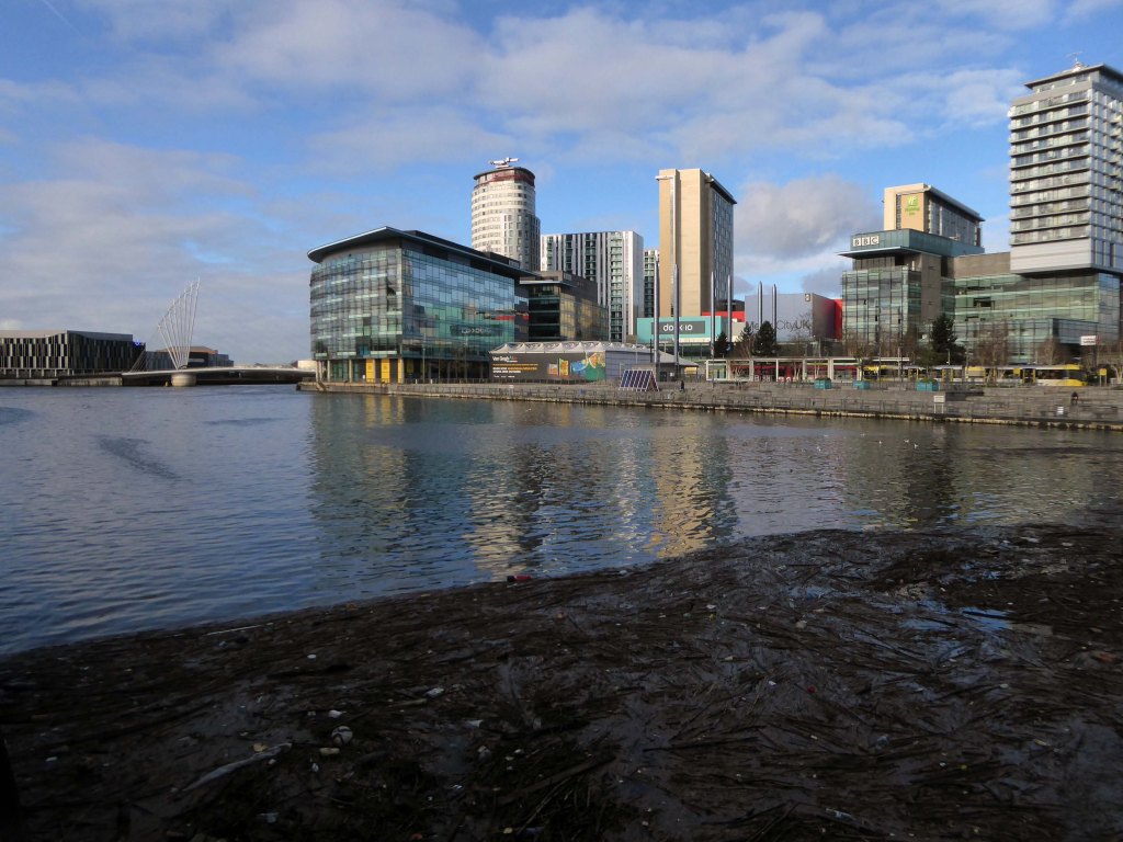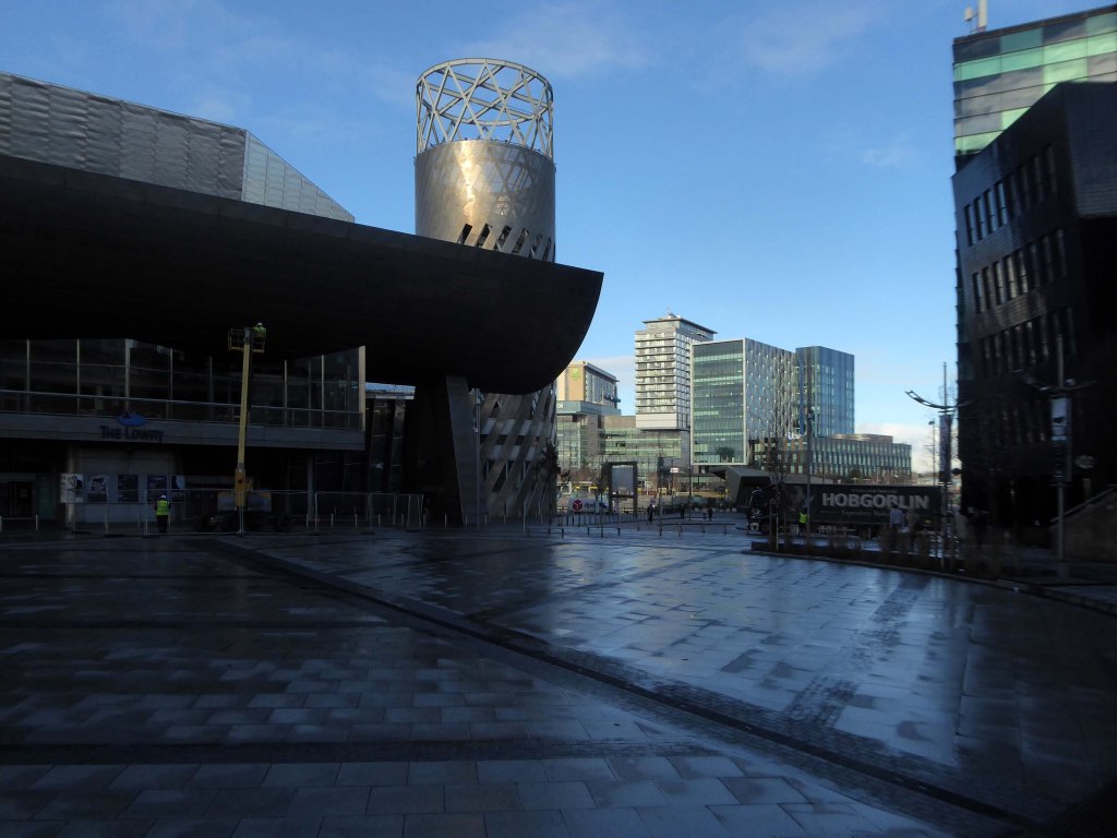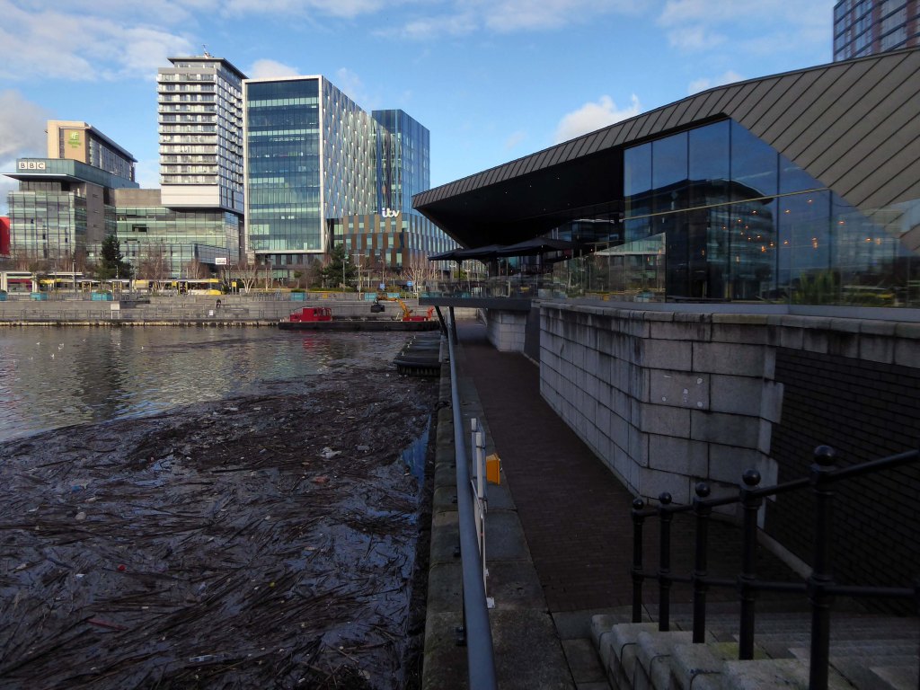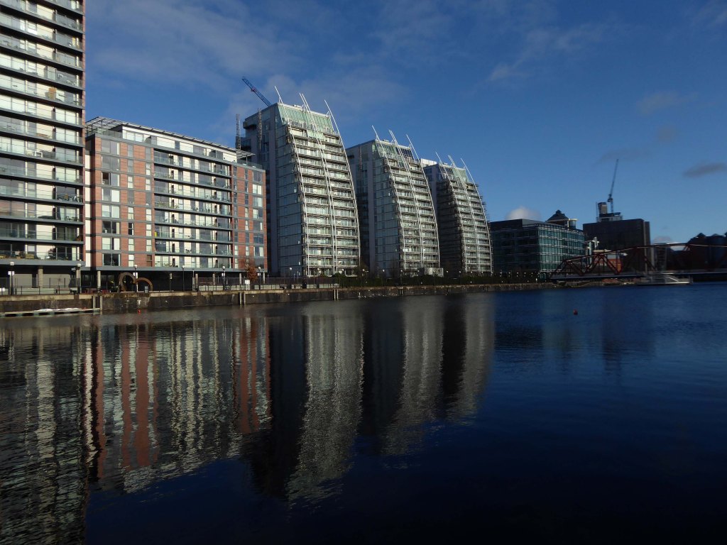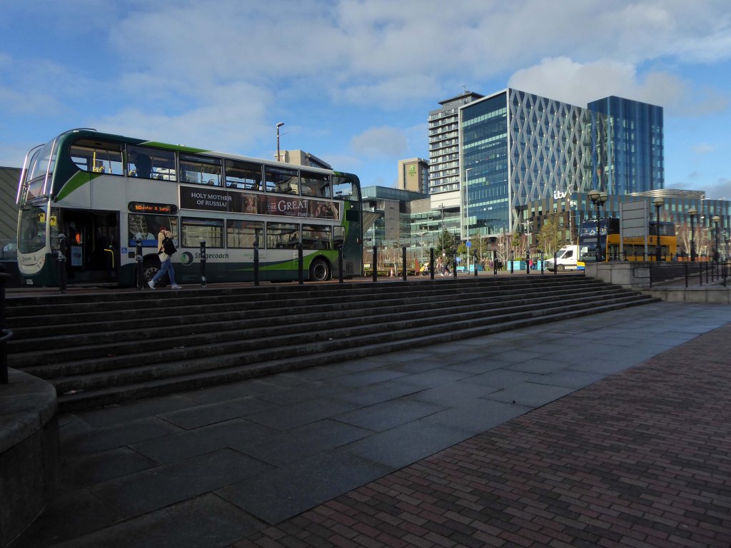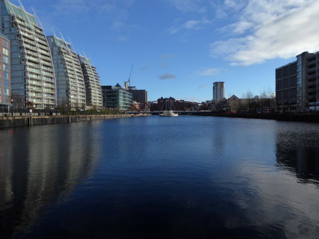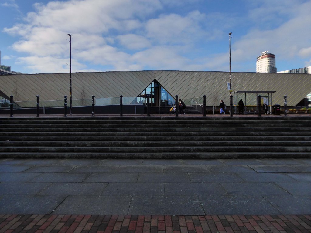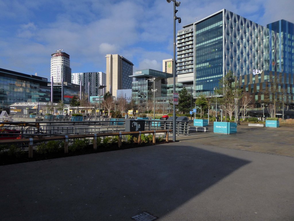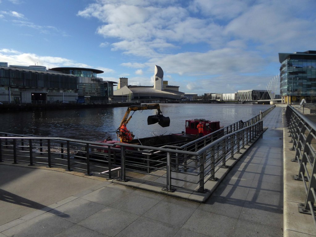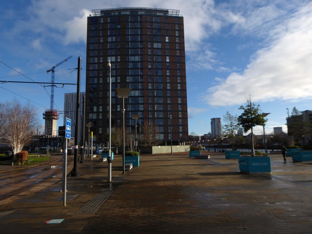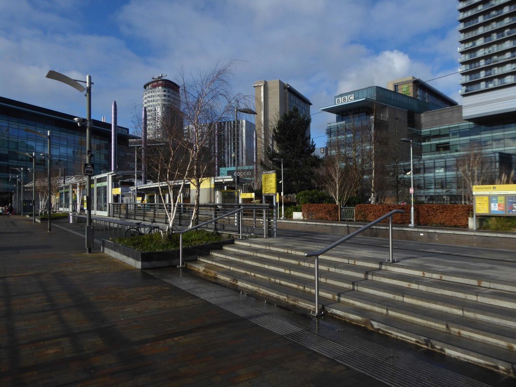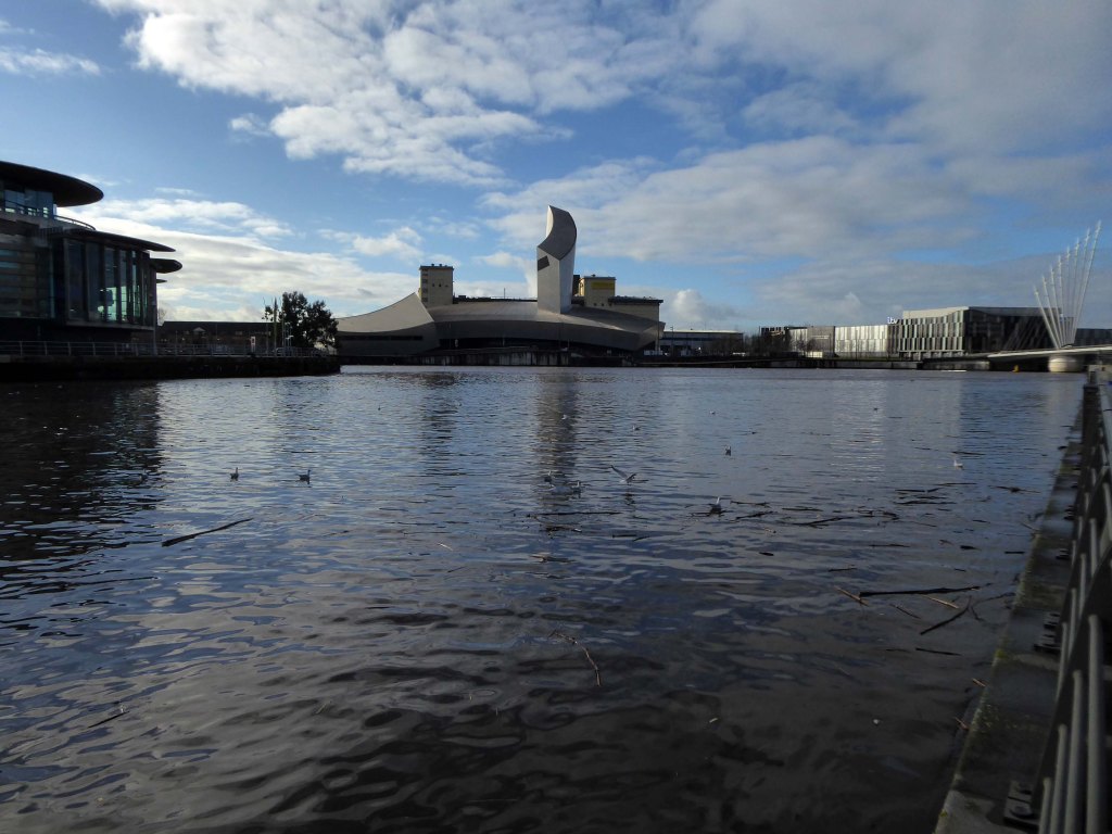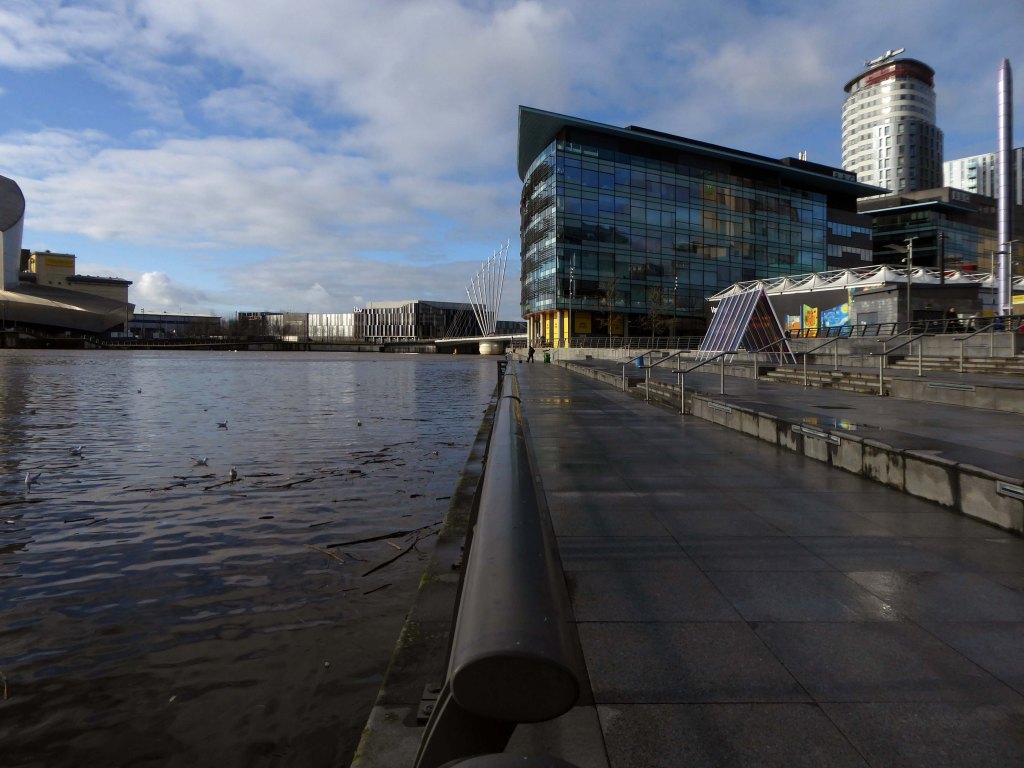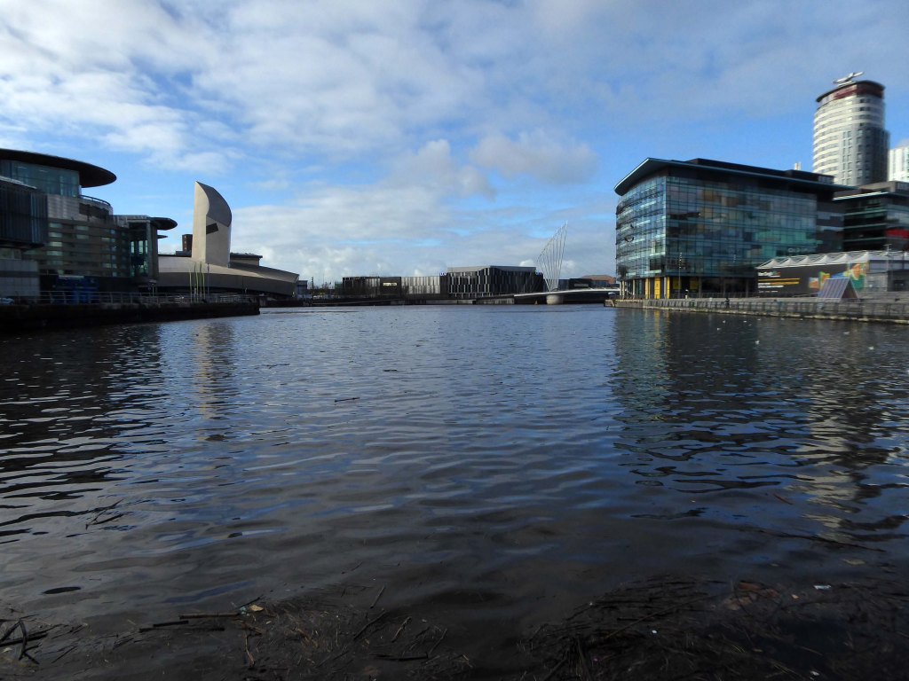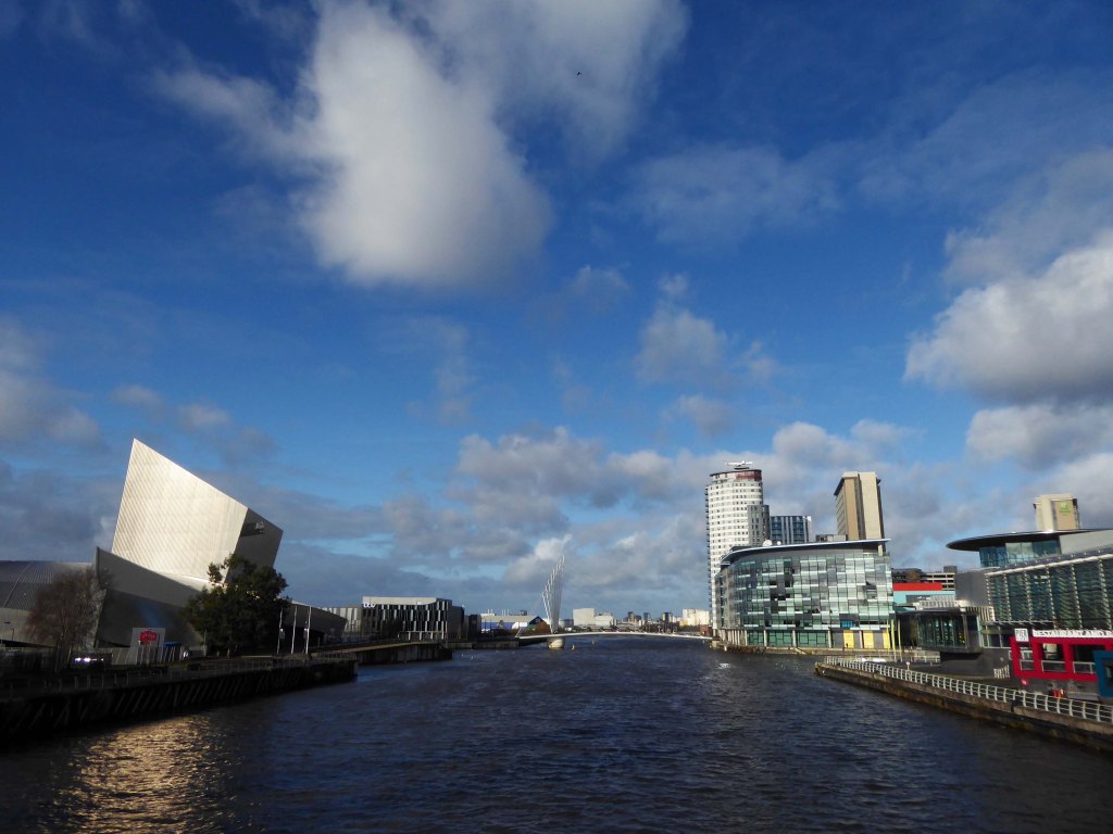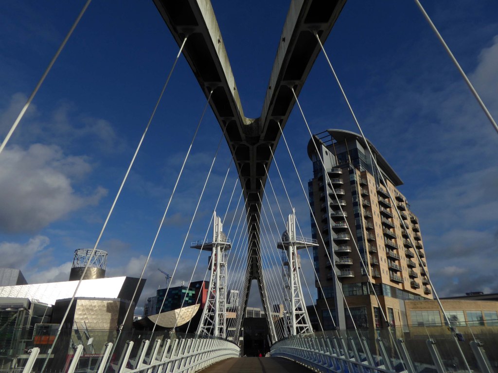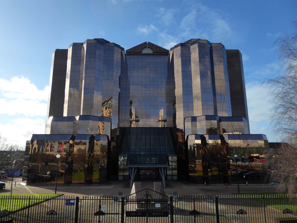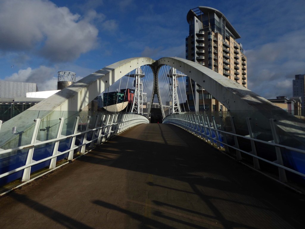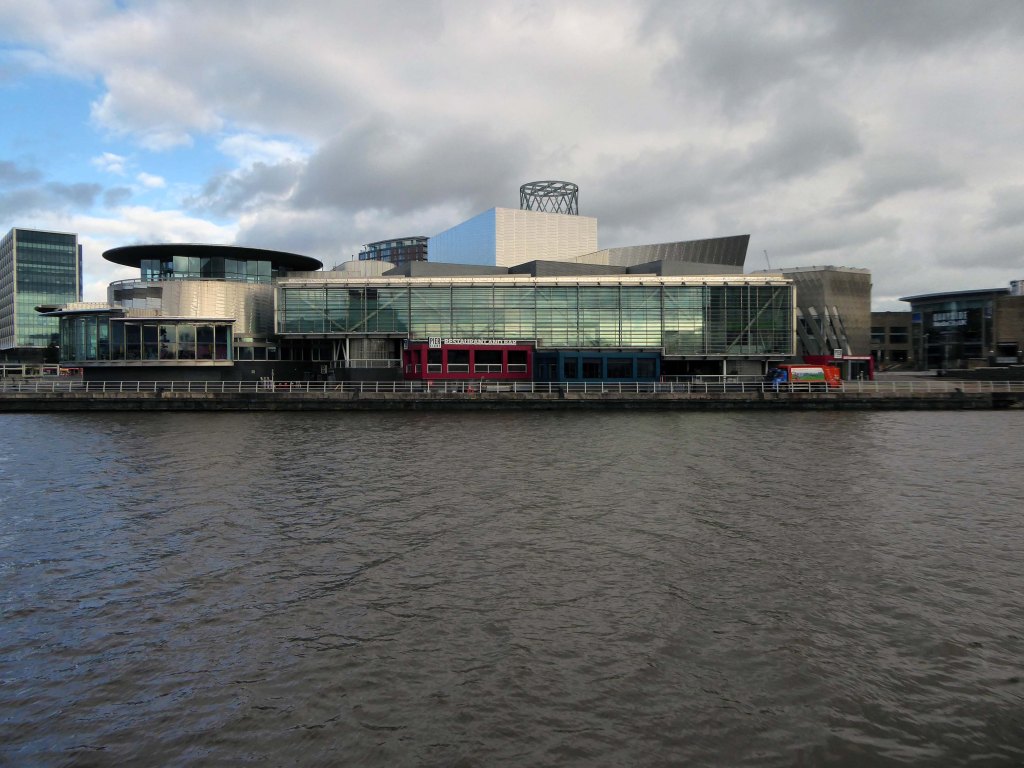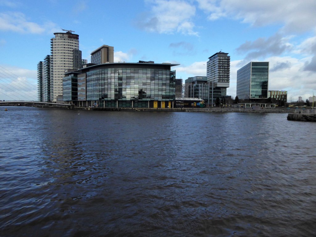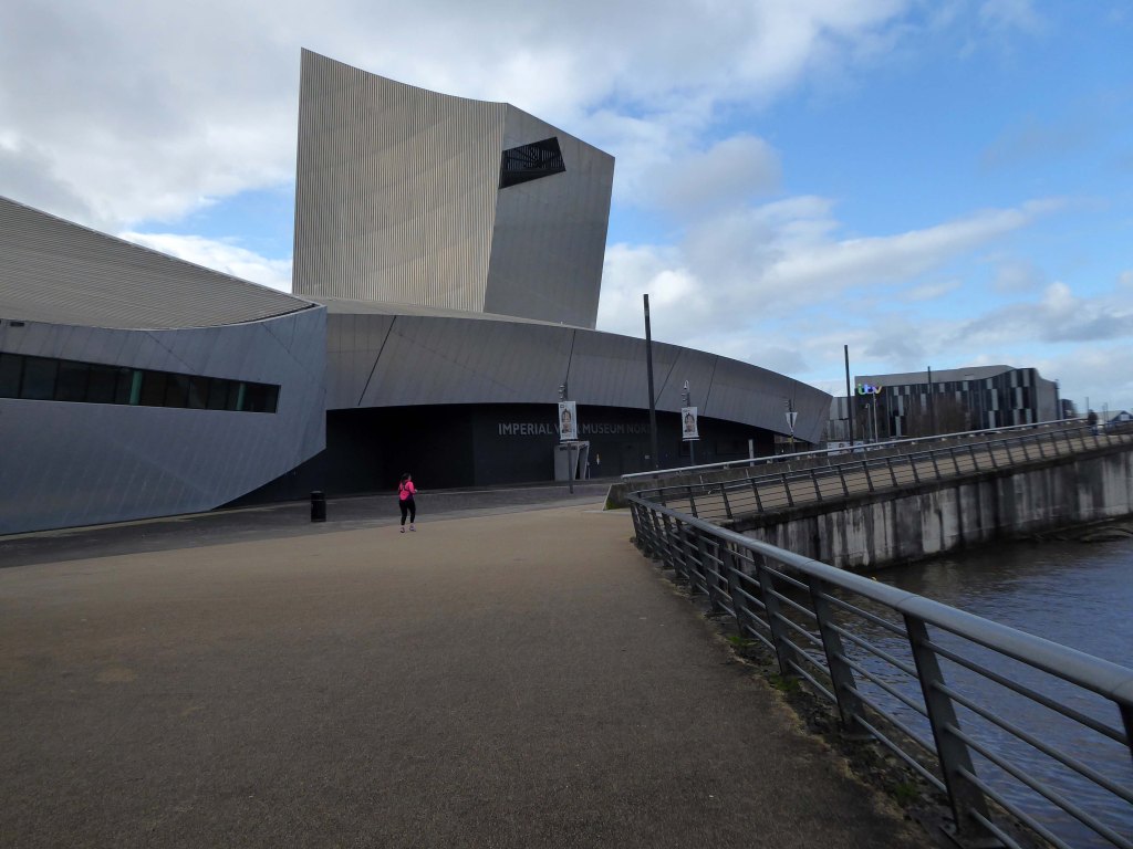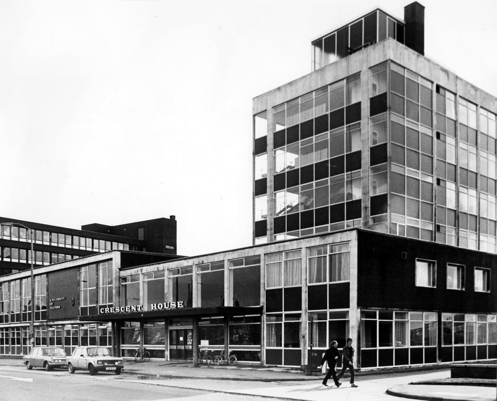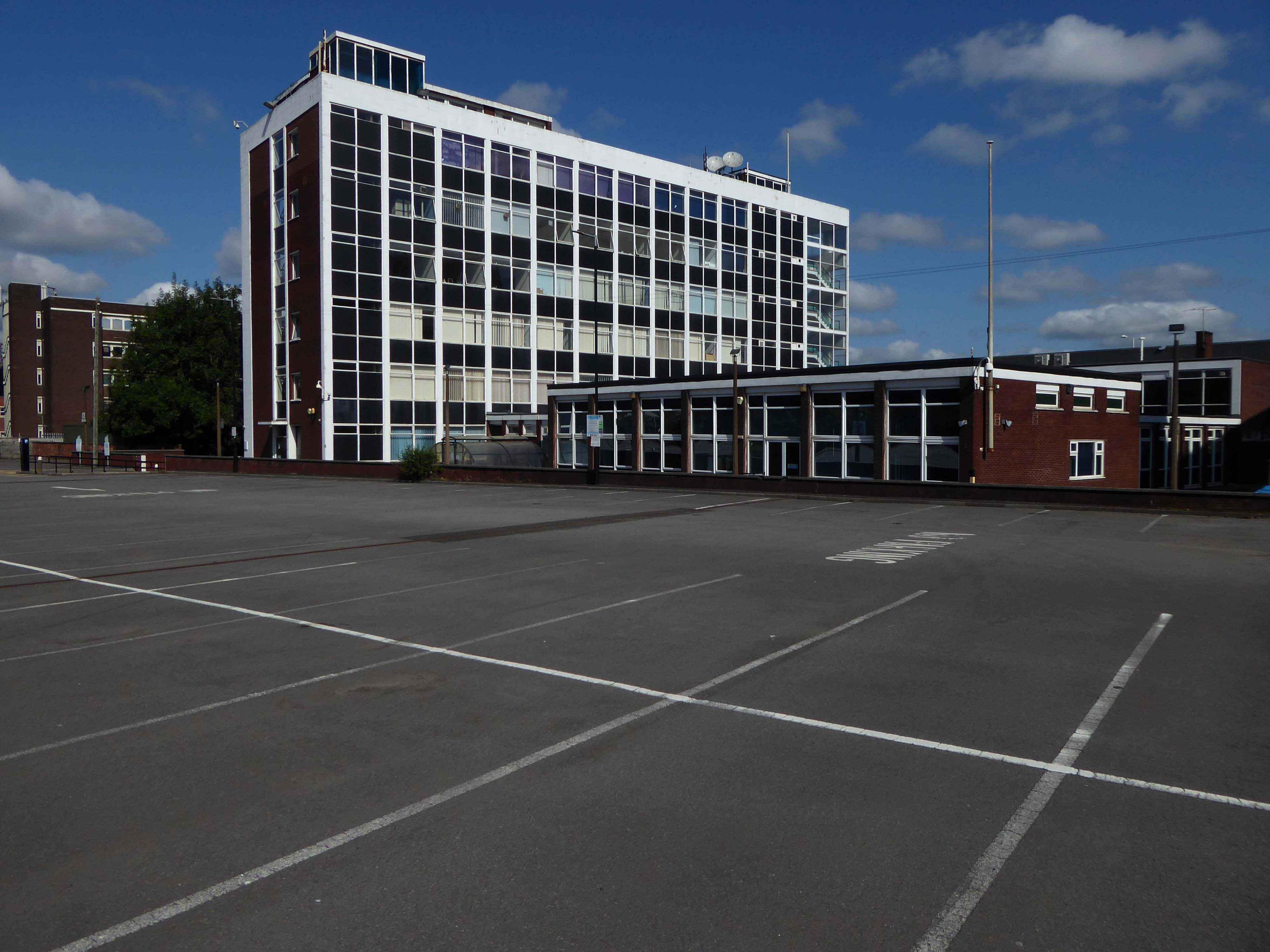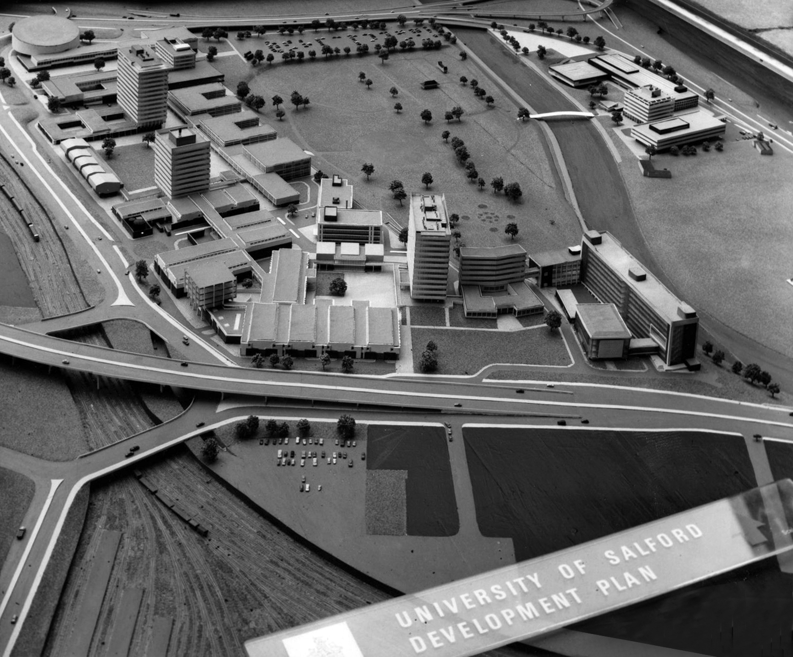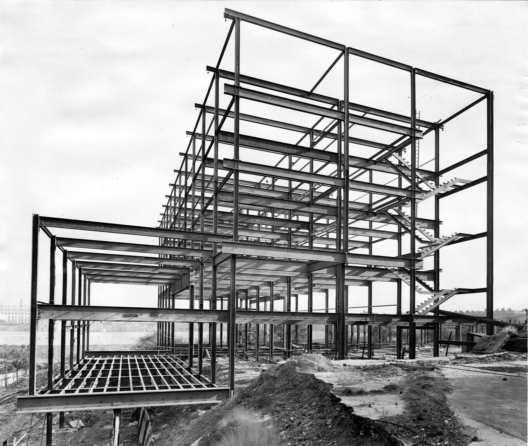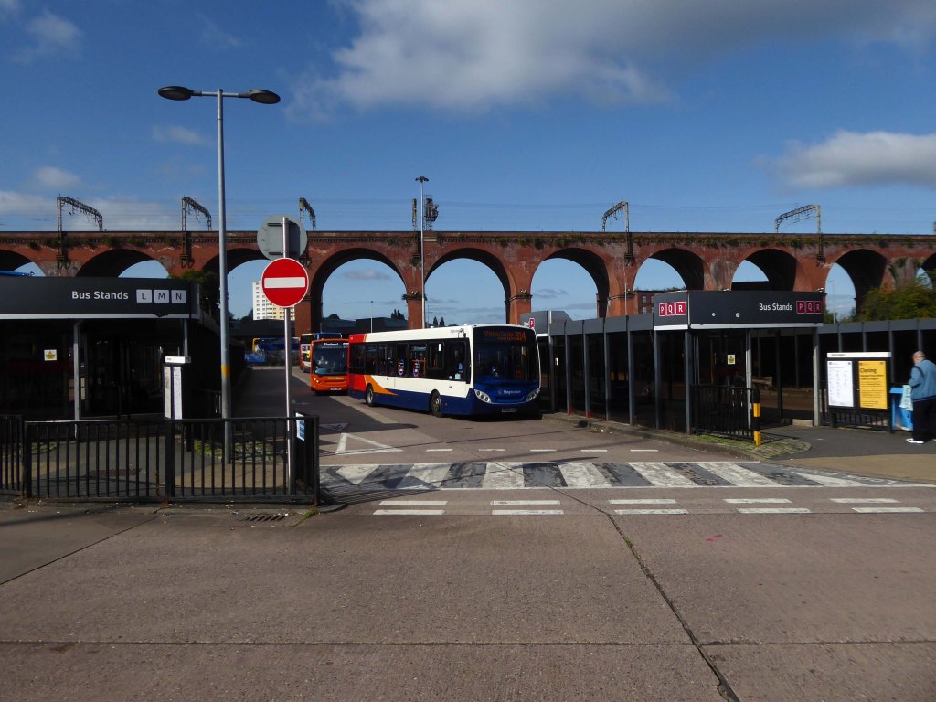
They were situatedin Salford, Stretford and Manchester at the east end of the Manchester Ship Canal. They formed part of the Port of Manchester from 1894 until their closure in 1982. The docks marked the upper reaches of the ship canal,and were a destination for both coastal and ocean-bound vessels carrying cargo and a limited number of passengers, often travelling to and from Canada.
Manchester Docks were divided into two sections; the larger Salford docks to the west of the Trafford Road swing bridge and Pomona docks to the east. Each section consisted of four docks in total, the largest being to the west; Dock 5 at Pomona was never fully completed. Of the eight working docks only one, Dock 1 at Pomona, was within Manchester itself. During much of 1948, Manchester Docks were Britain’s third busiest port owing to damage suffered by the Port of Hull during the Hull Blitz.
During the 1970s the docks began a rapid decline, largely due to containerisation. The increasing size of freight-carrying ships meant they could no longer navigate the ship canal and this, combined with increased trading with Europe and the east, saw use of Manchester Docks decrease. In 1982 the remaining docks closed and the area became derelict. Recognising the need to redevelop the area, Salford City Council purchased the docks in 1984 using a derelict land grant. The Salford Quays Development Plan was adopted in May 1985, proposing complete reclamation and development of the area for commercial, residential and leisure use.
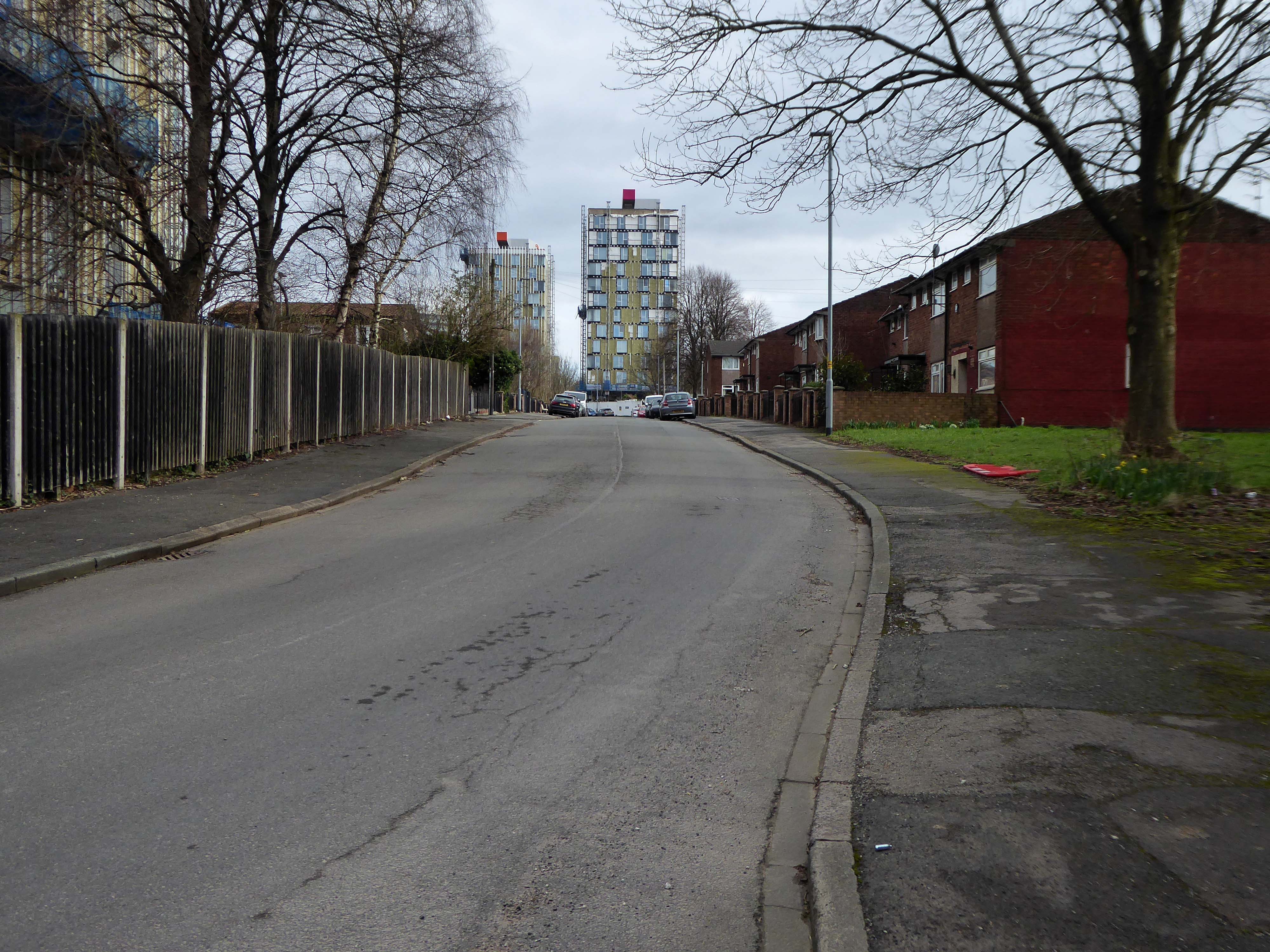
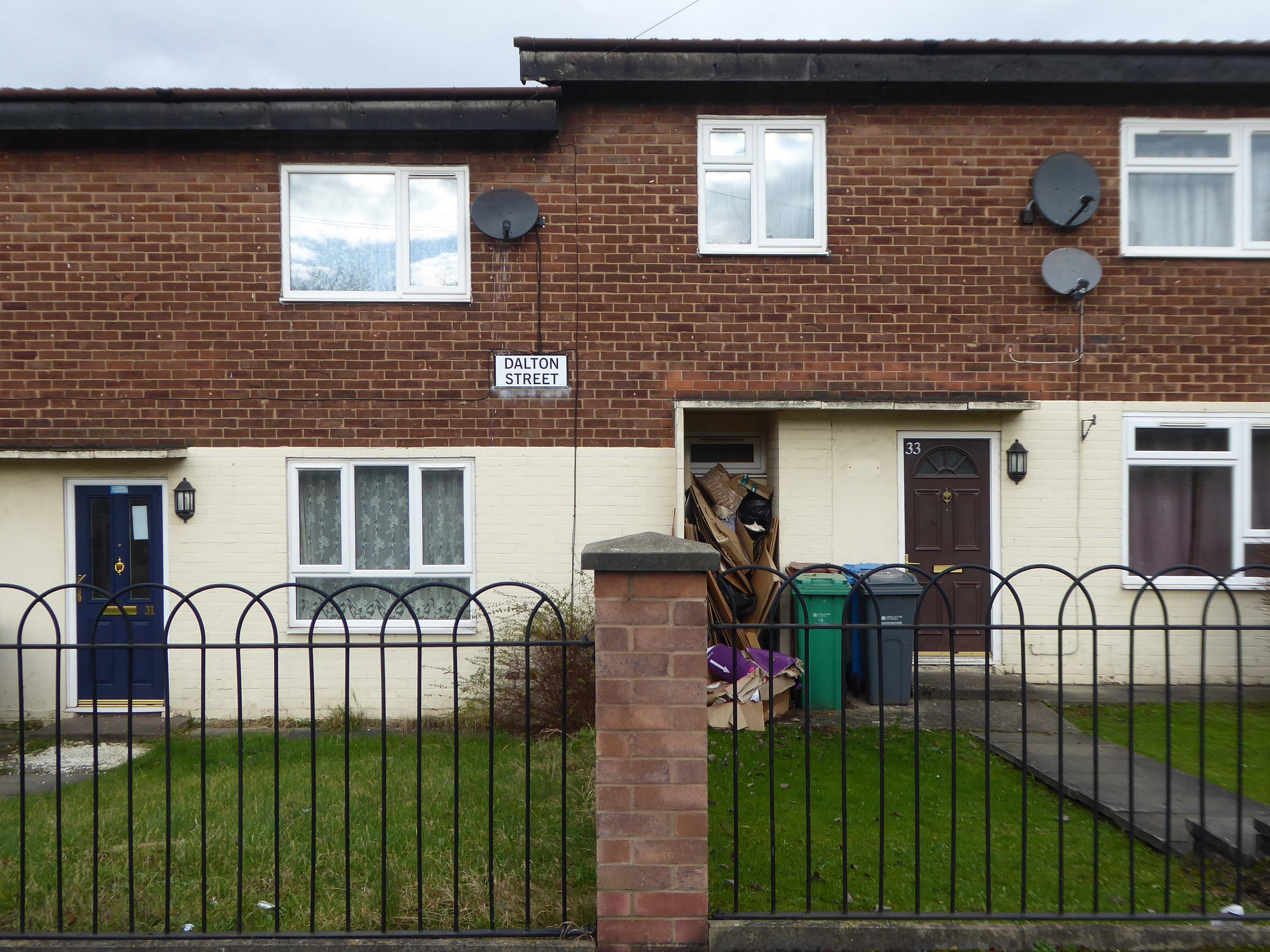
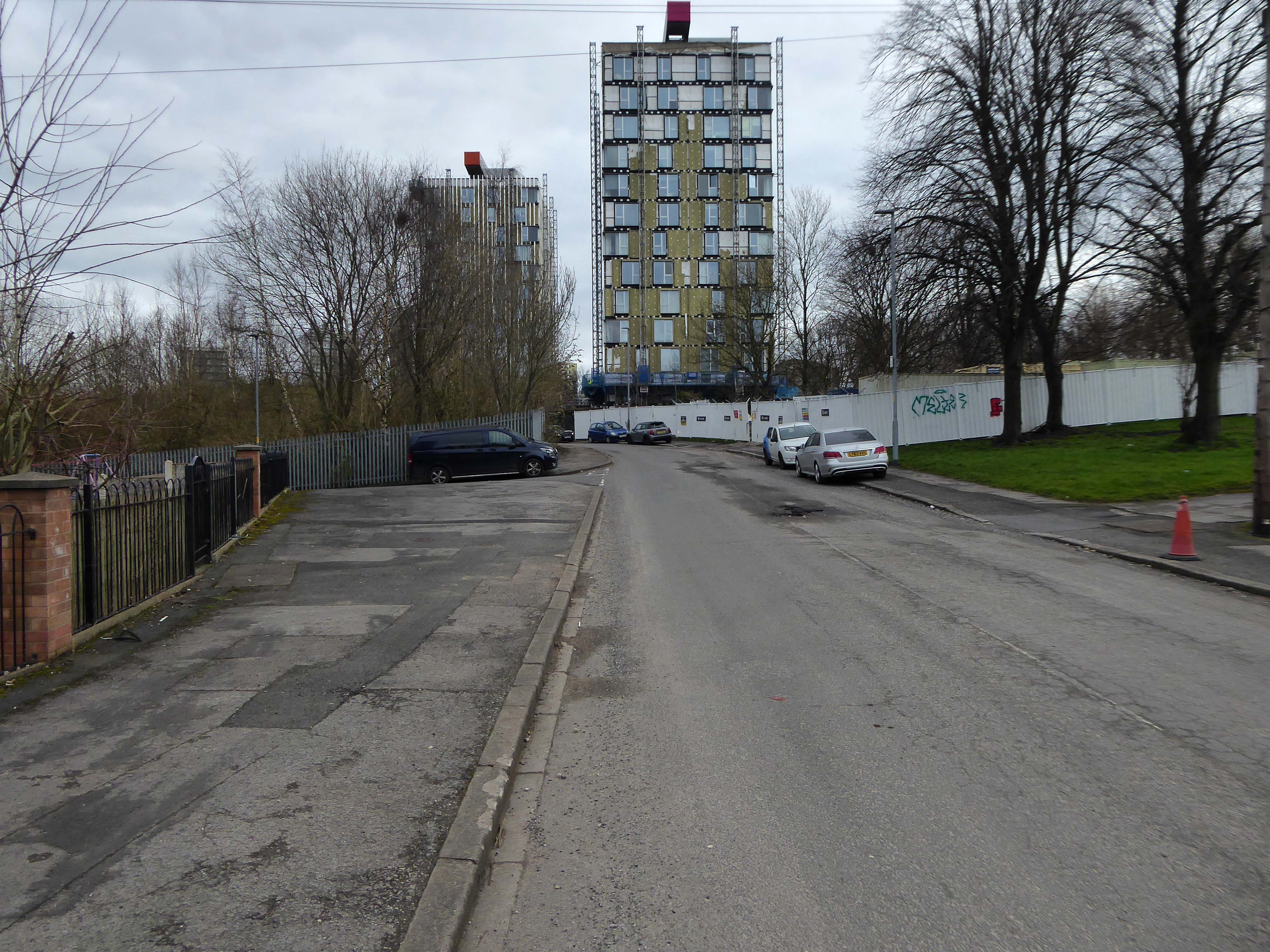
The report argues that the Northern Gateway should offer mixed, affordable and age appropriate housing and amenities. An equitable development plan should be developed, through community-led engagement, to ensure that the benefits of regeneration are shared amongst new and existing residents.
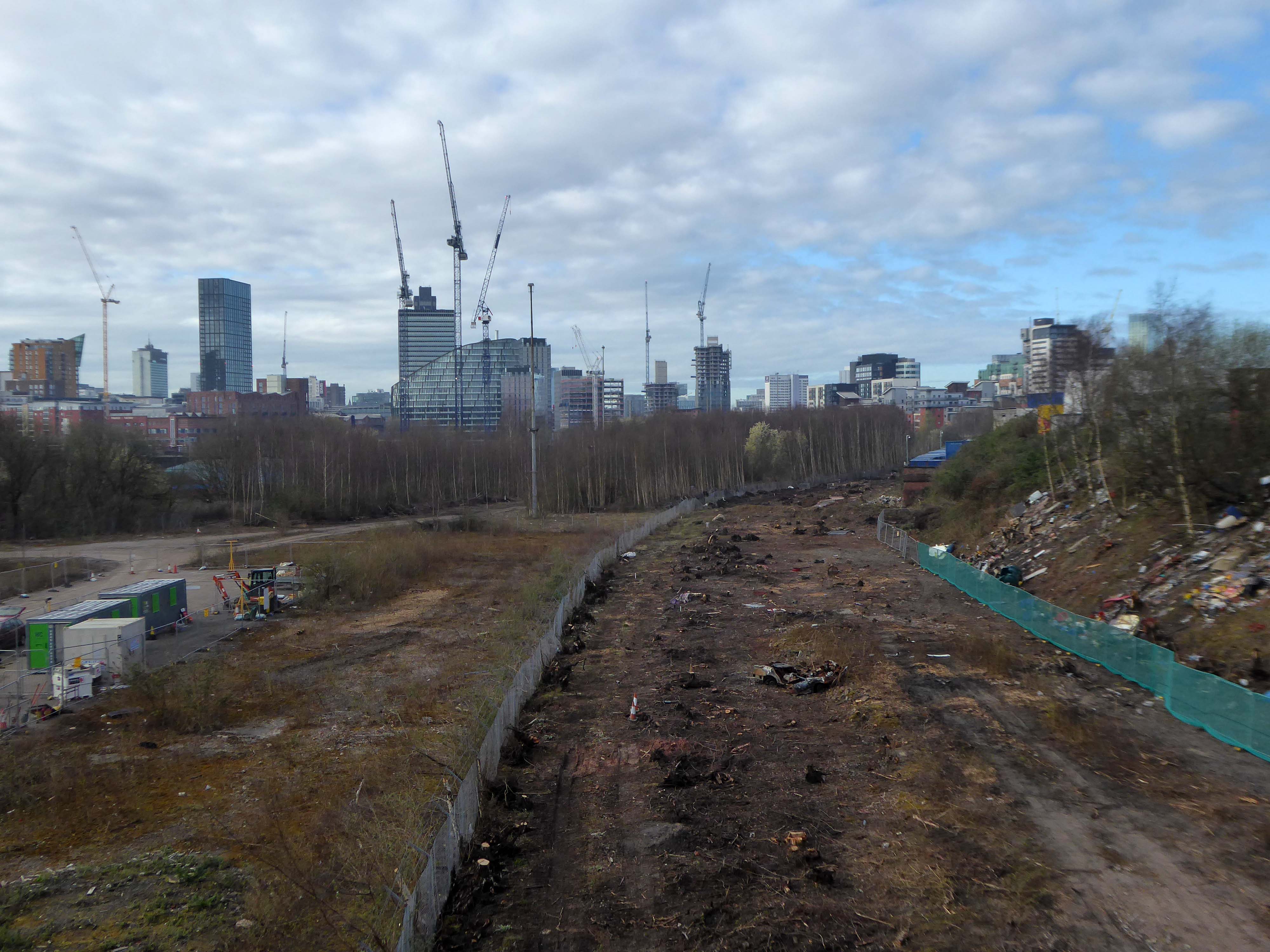
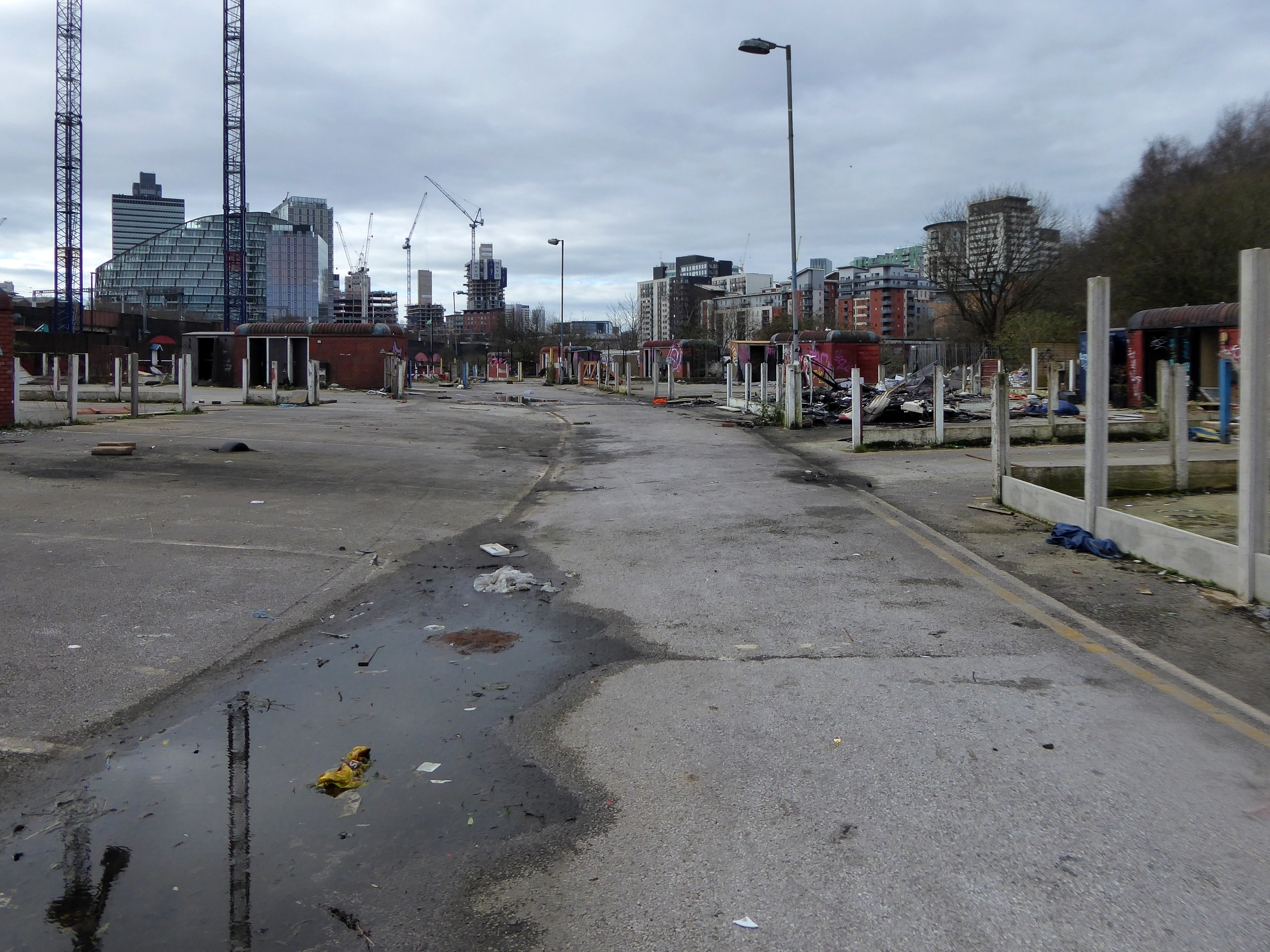
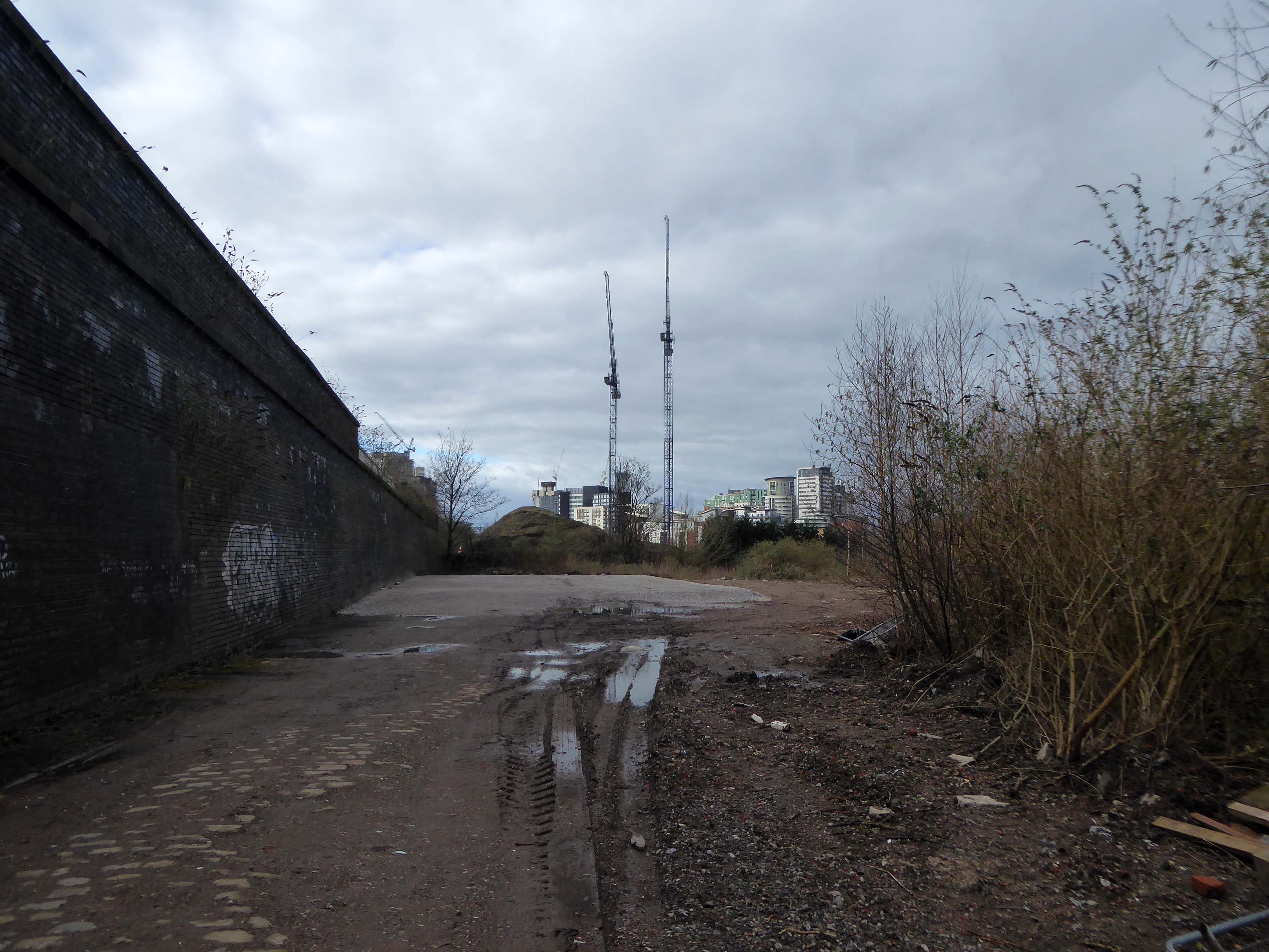
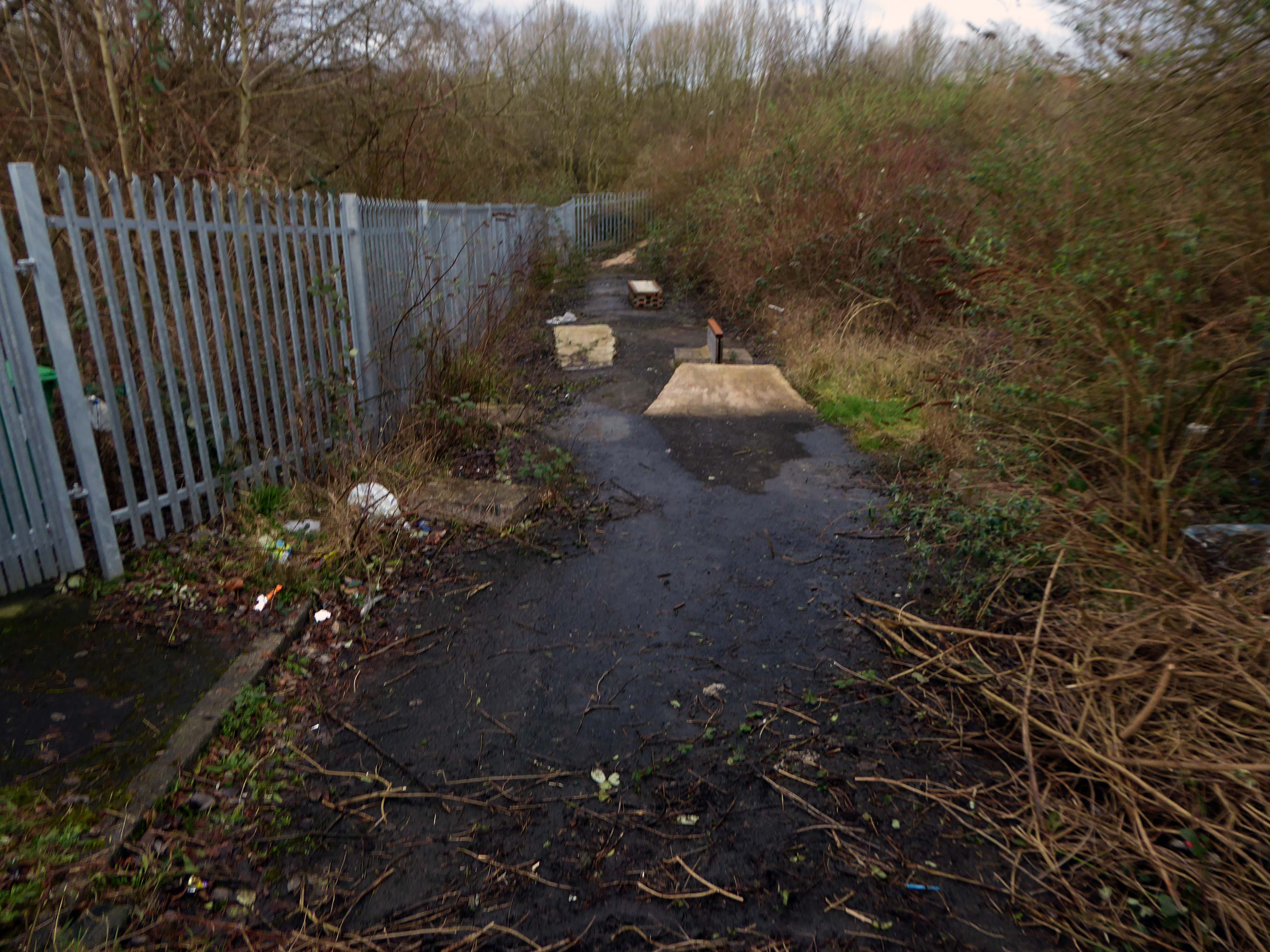
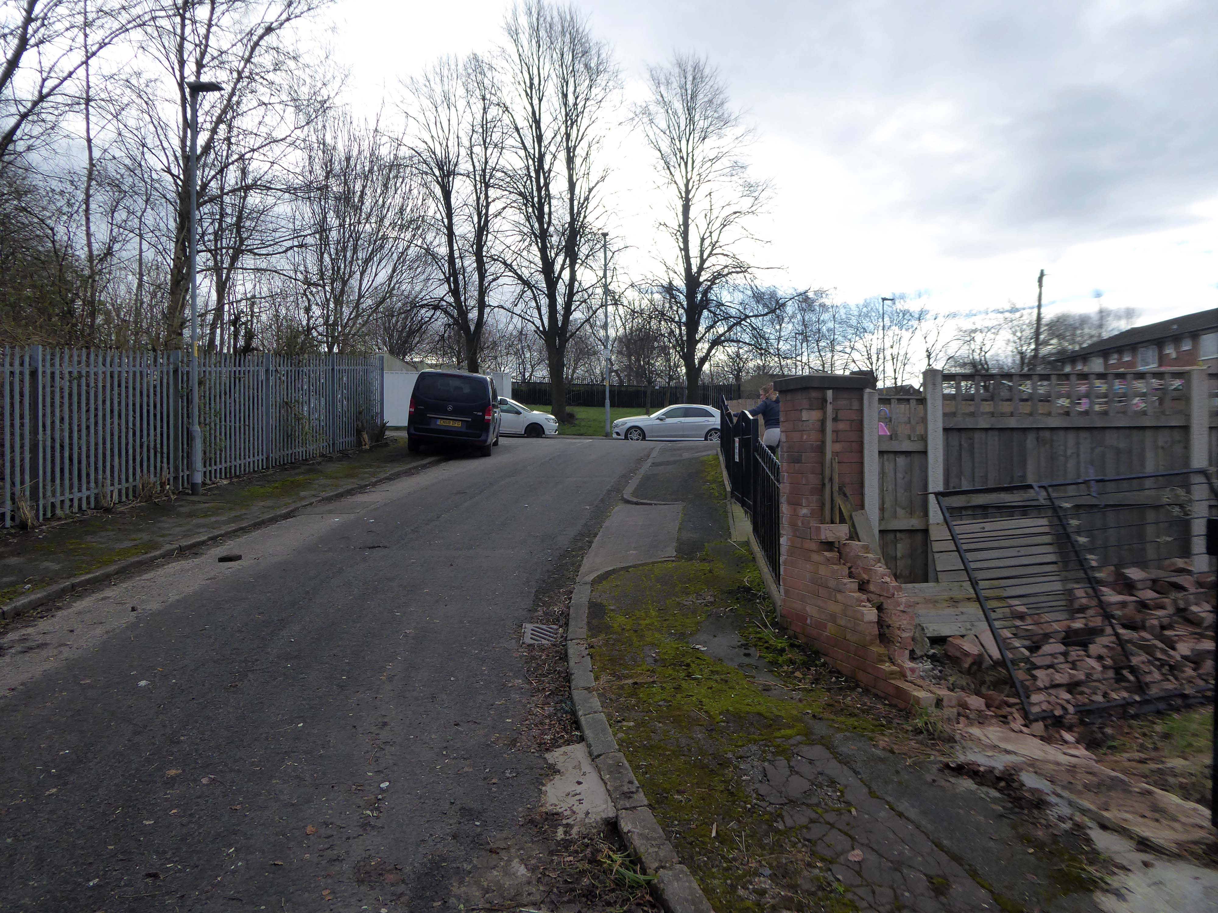
As of 2021 there is inaction and stasis
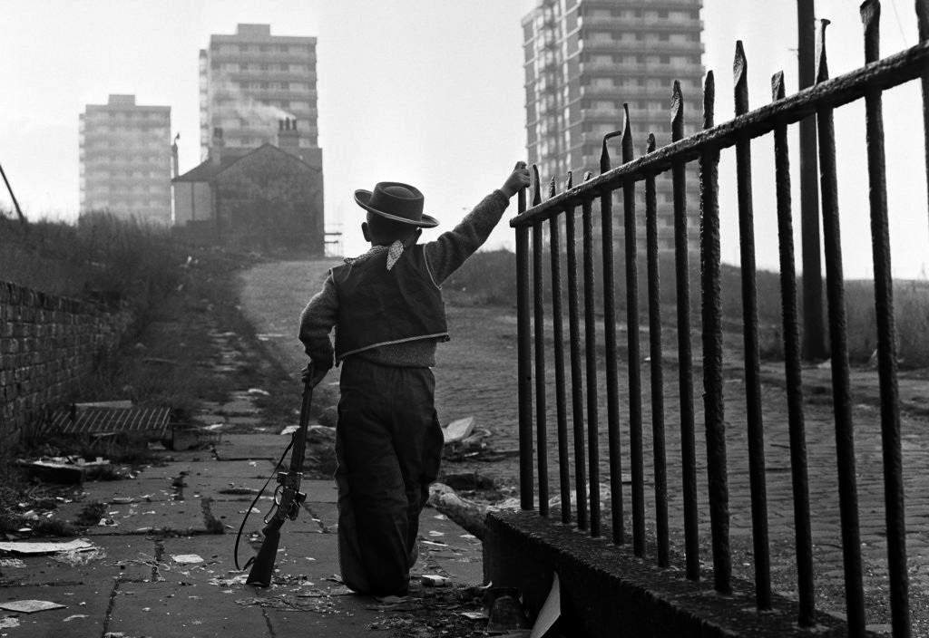
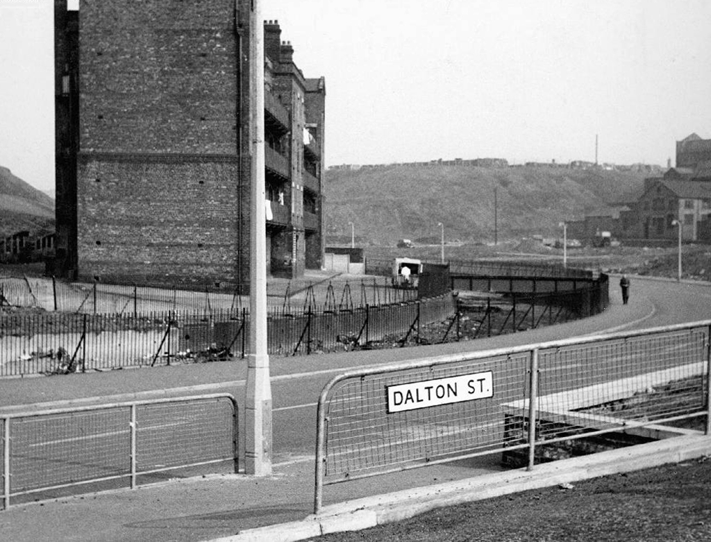
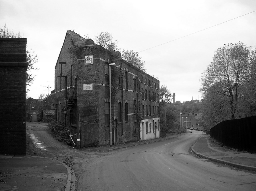
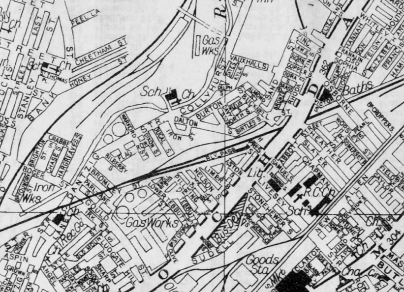
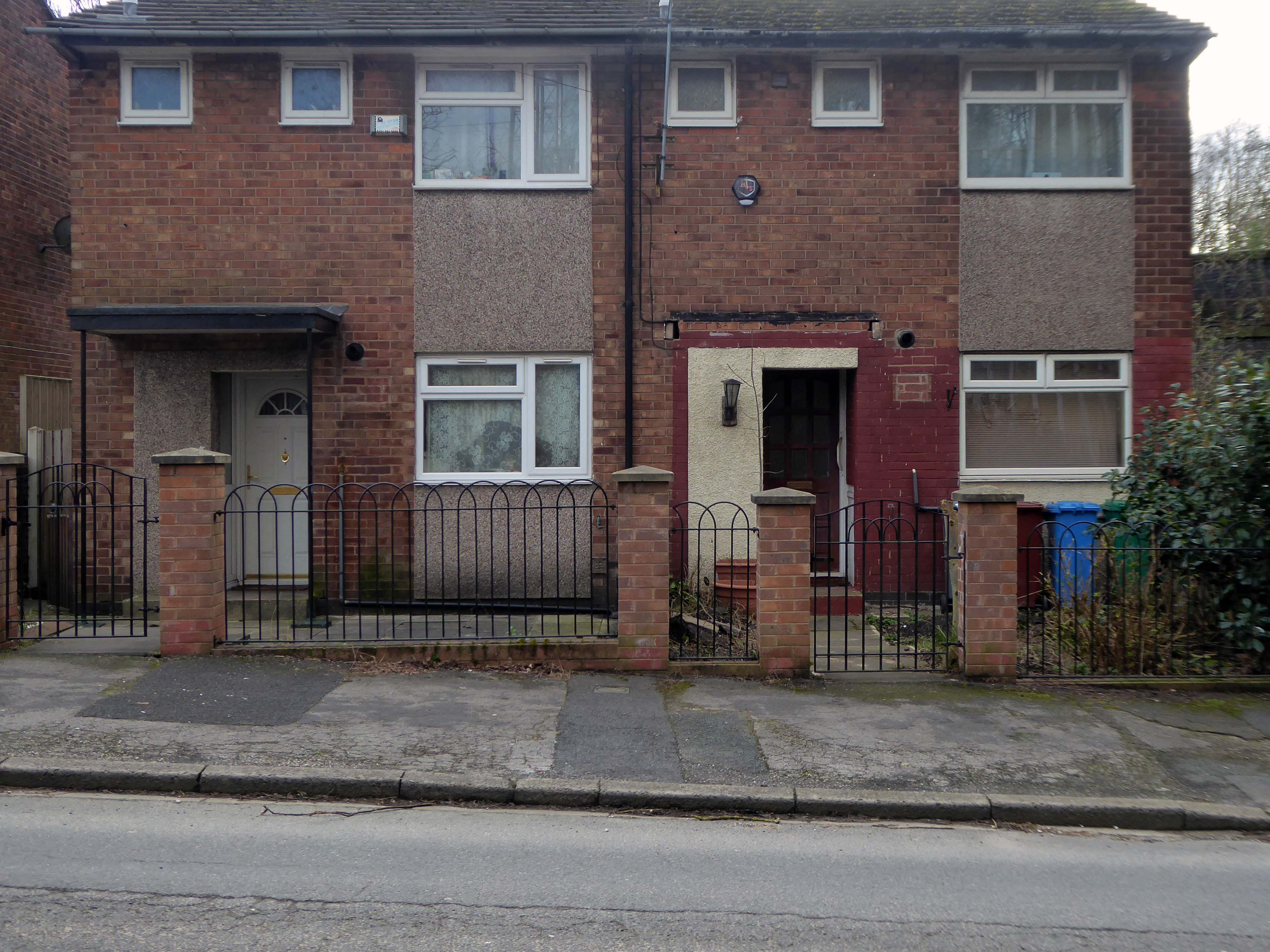
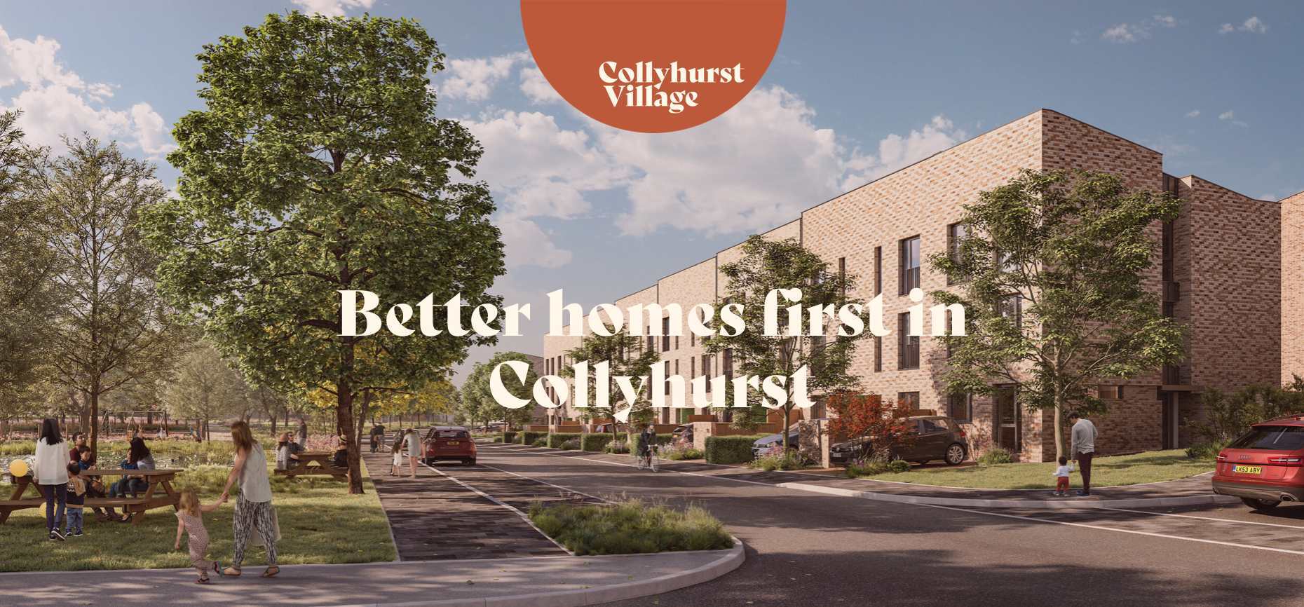
Collyhurst was described as a ‘forgotten place’ by some residents who felt that there had been insufficient investment in local housing and amenities.
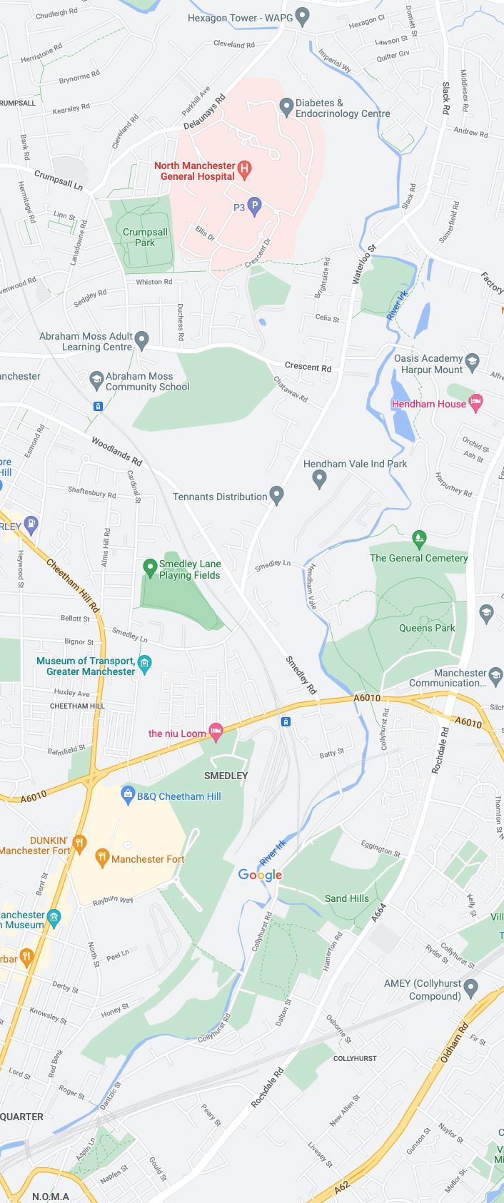
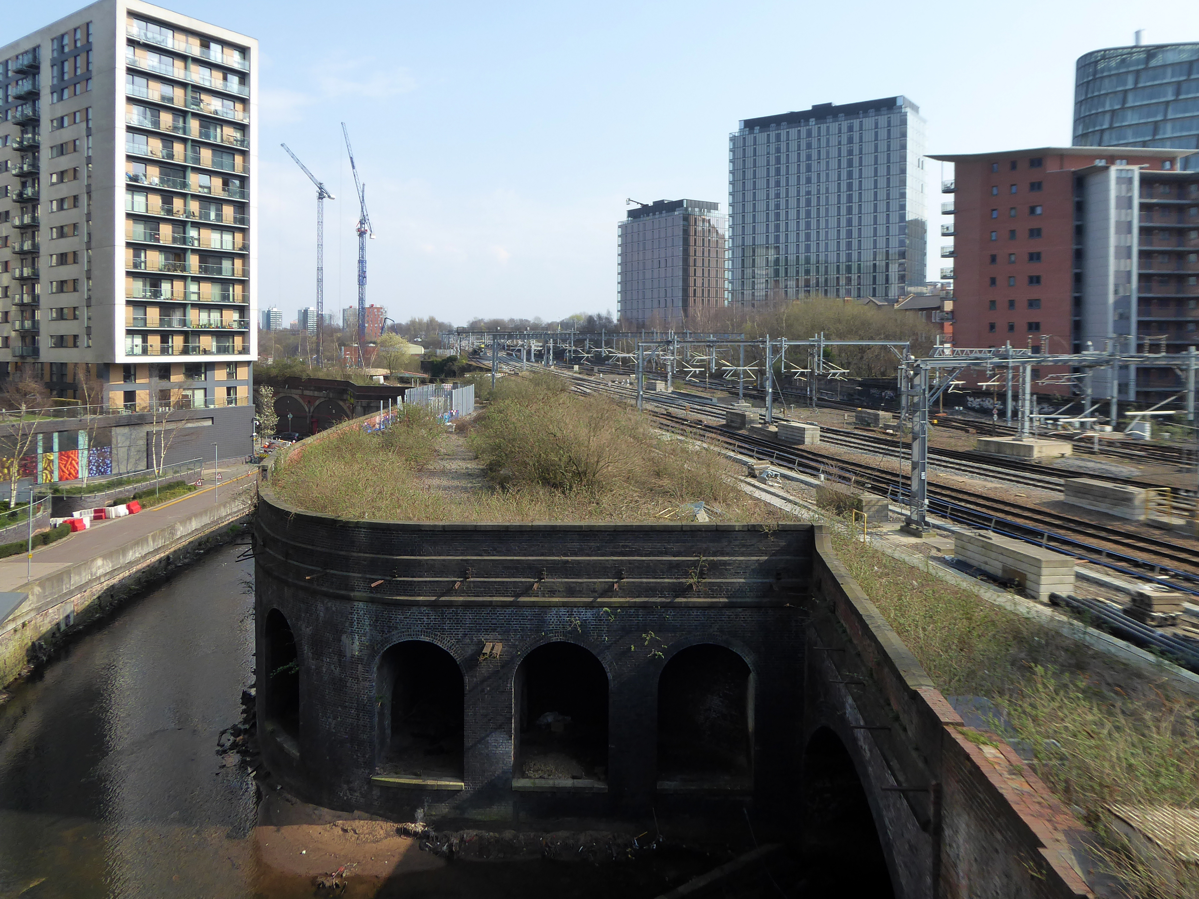
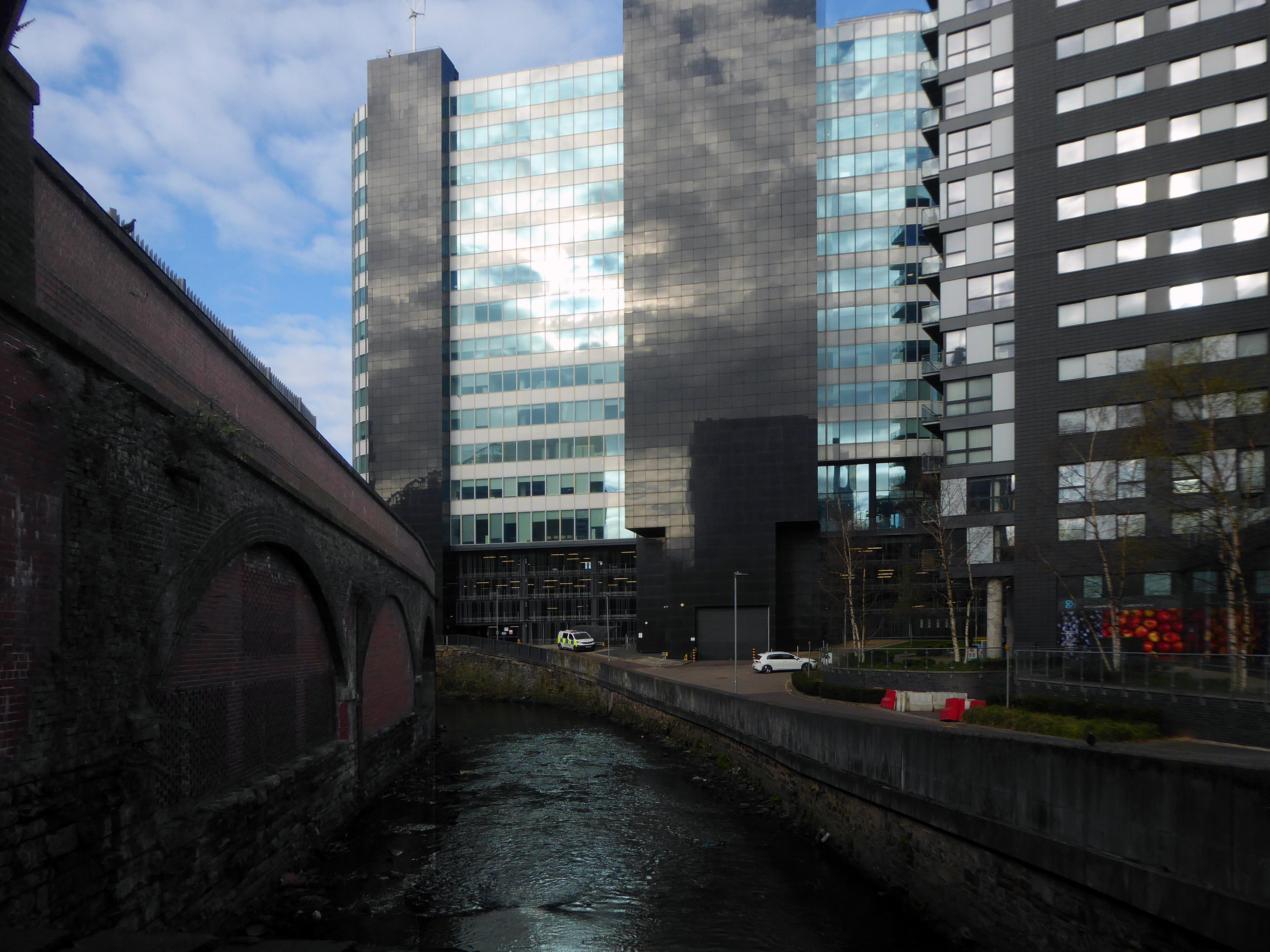
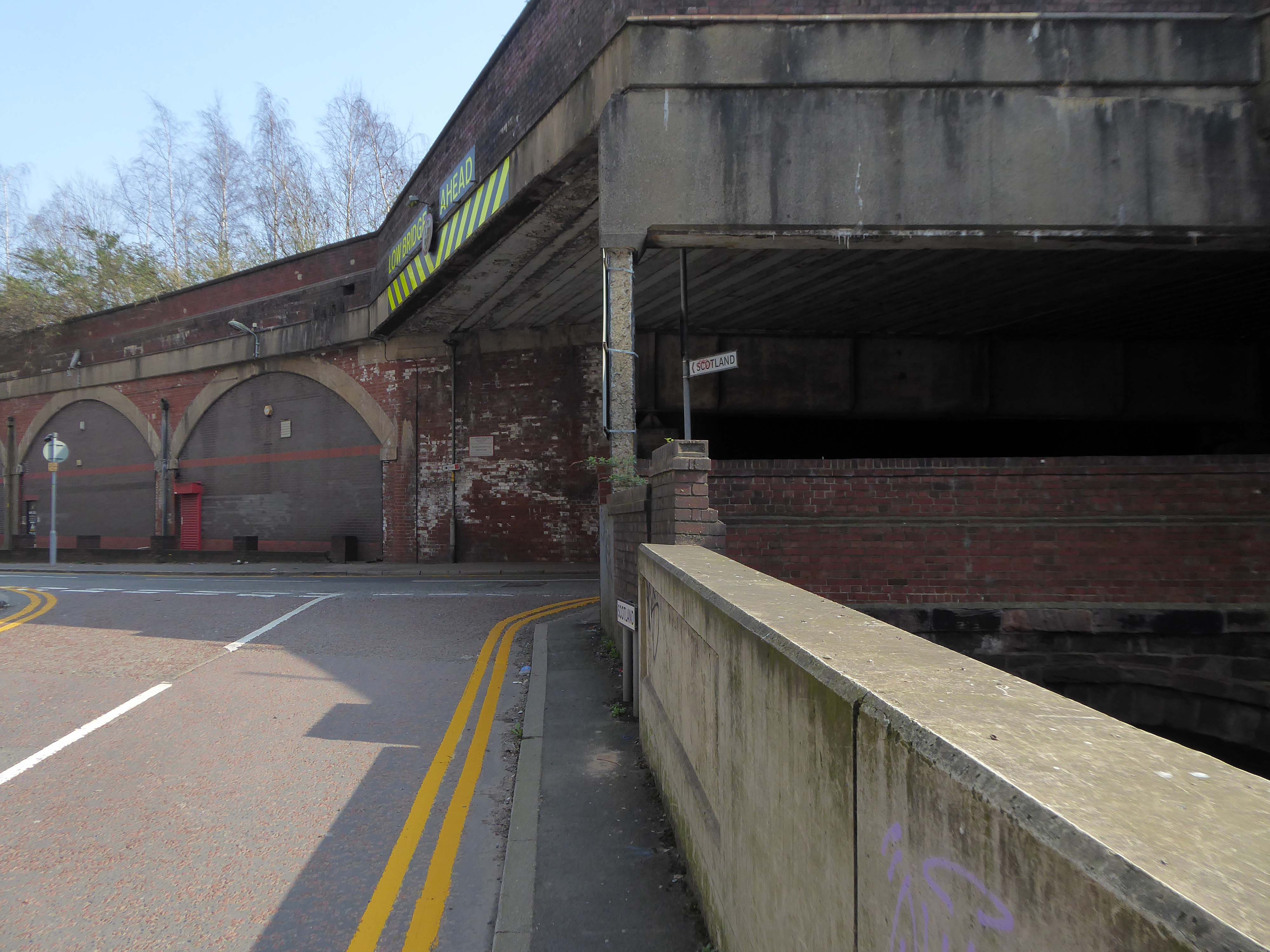
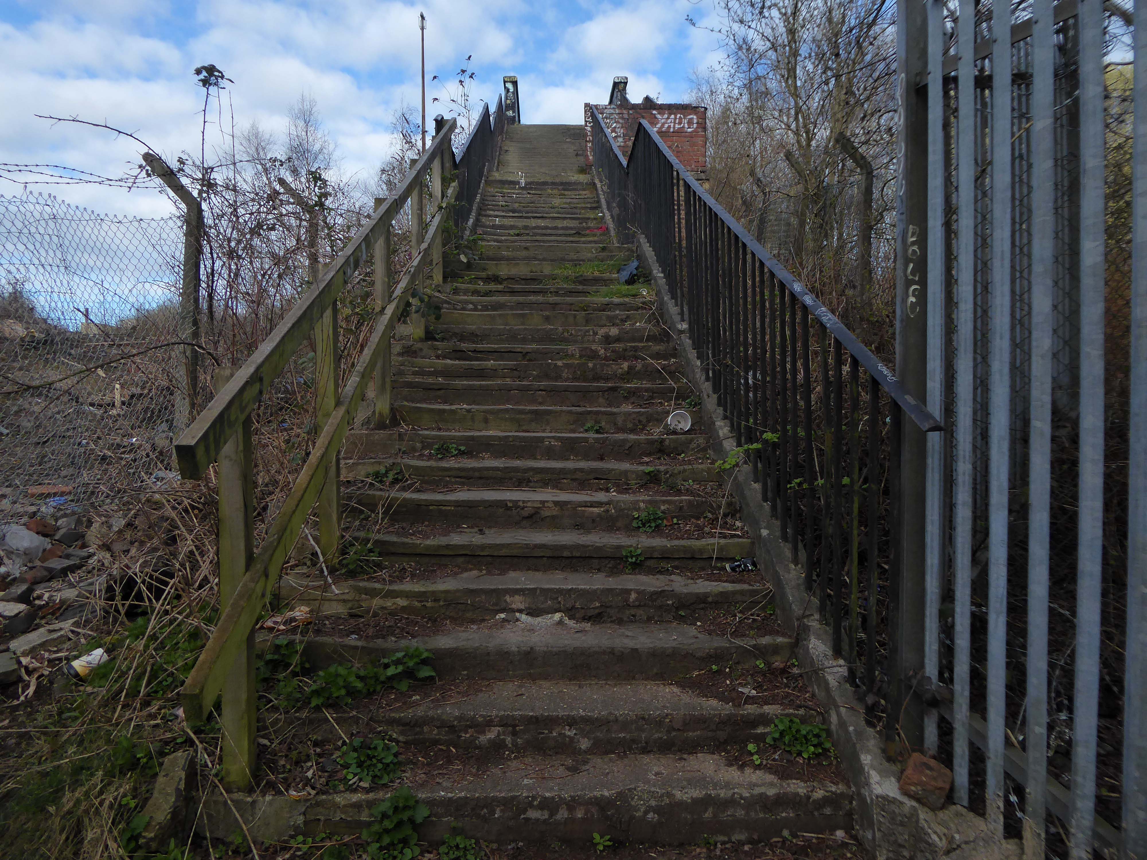
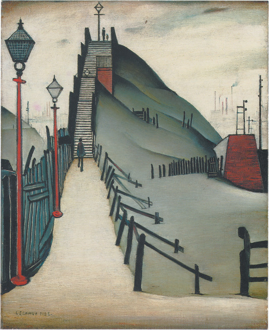
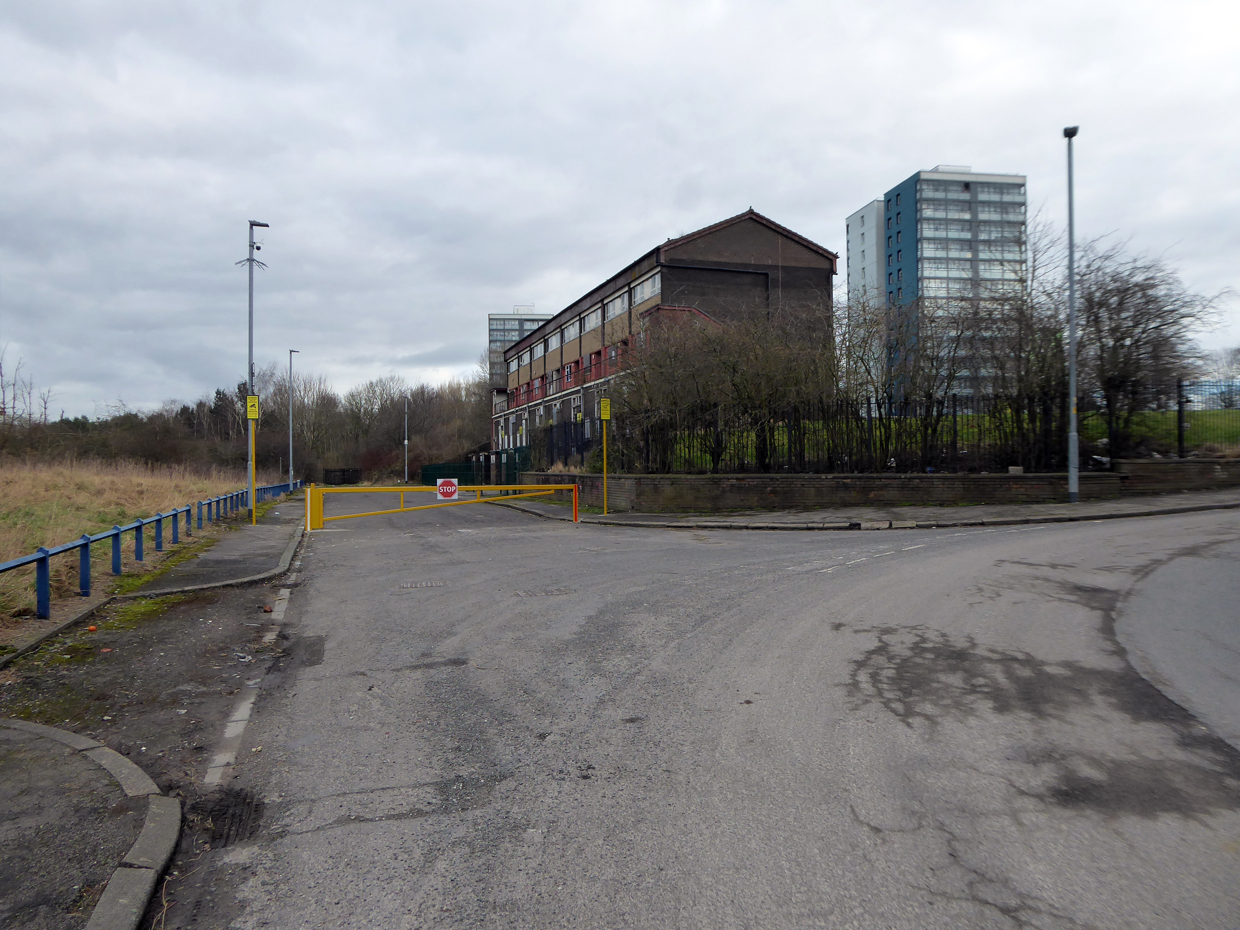
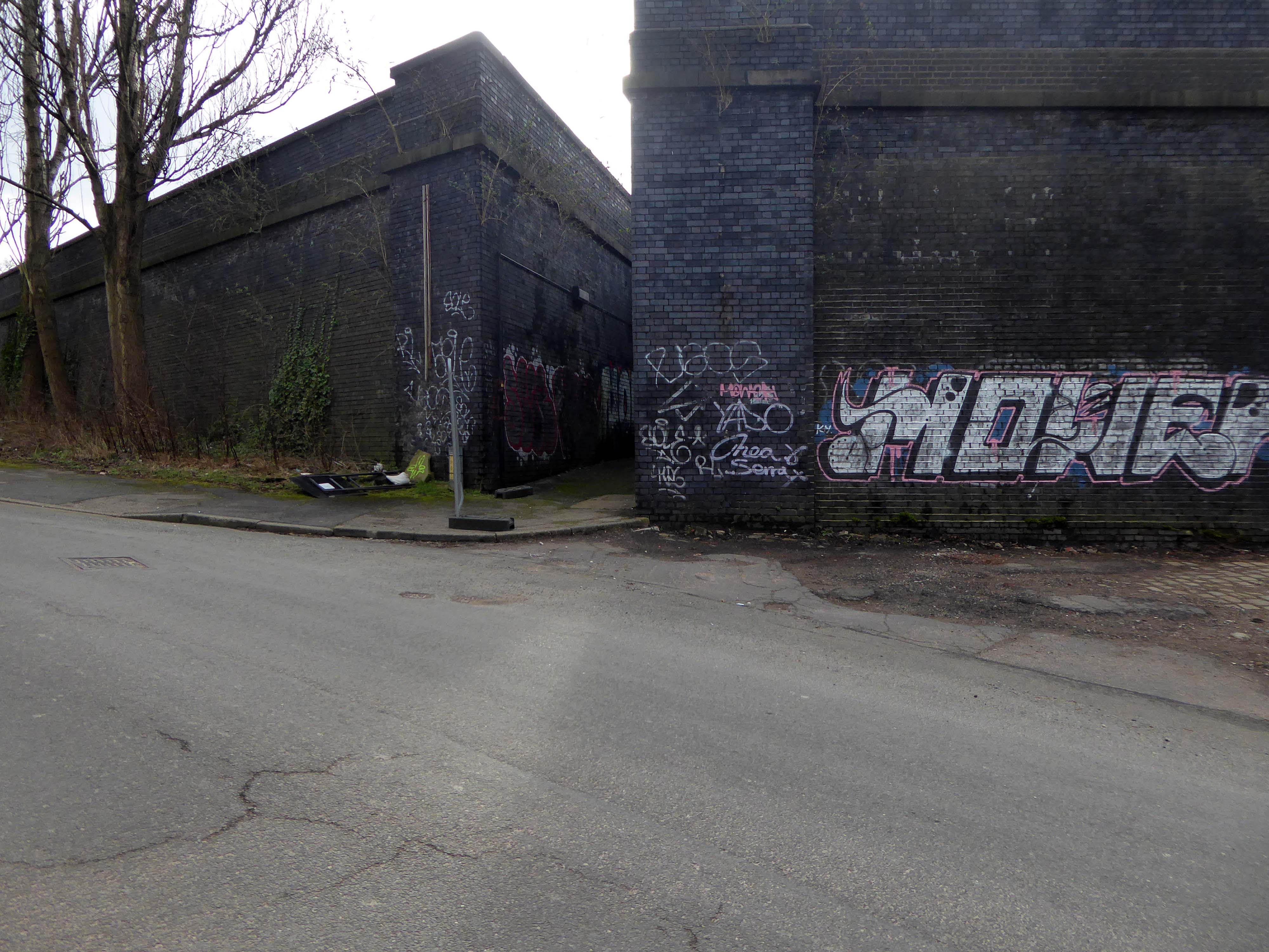
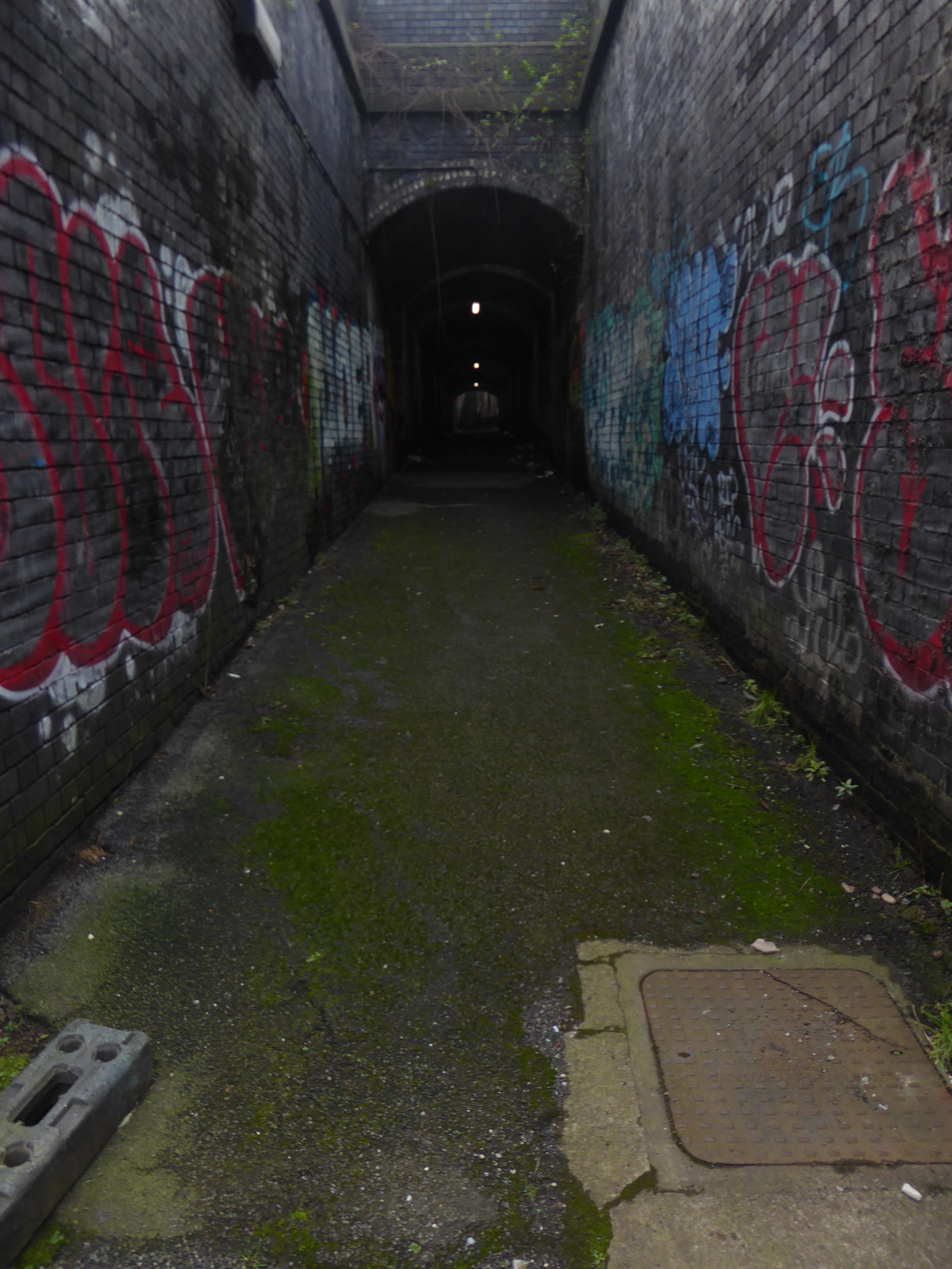
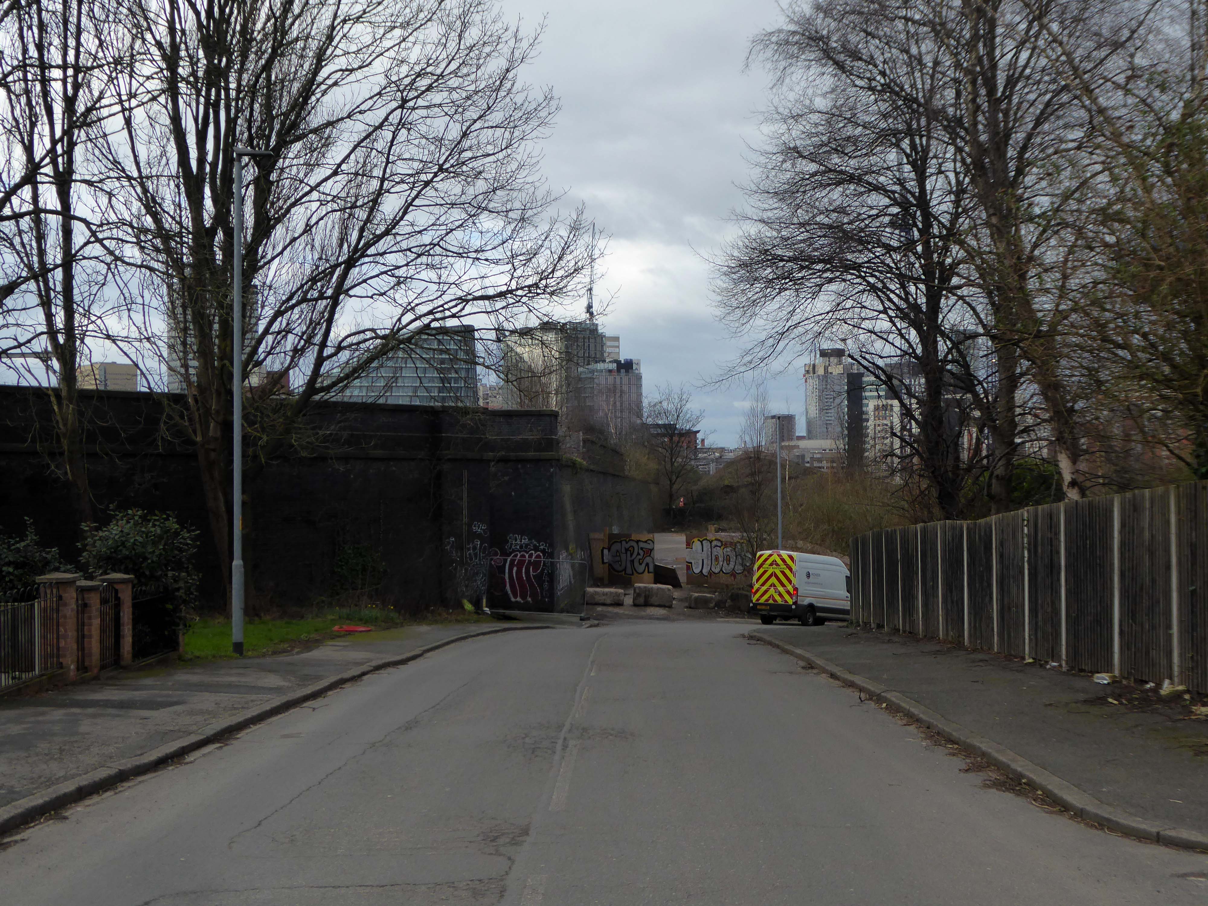
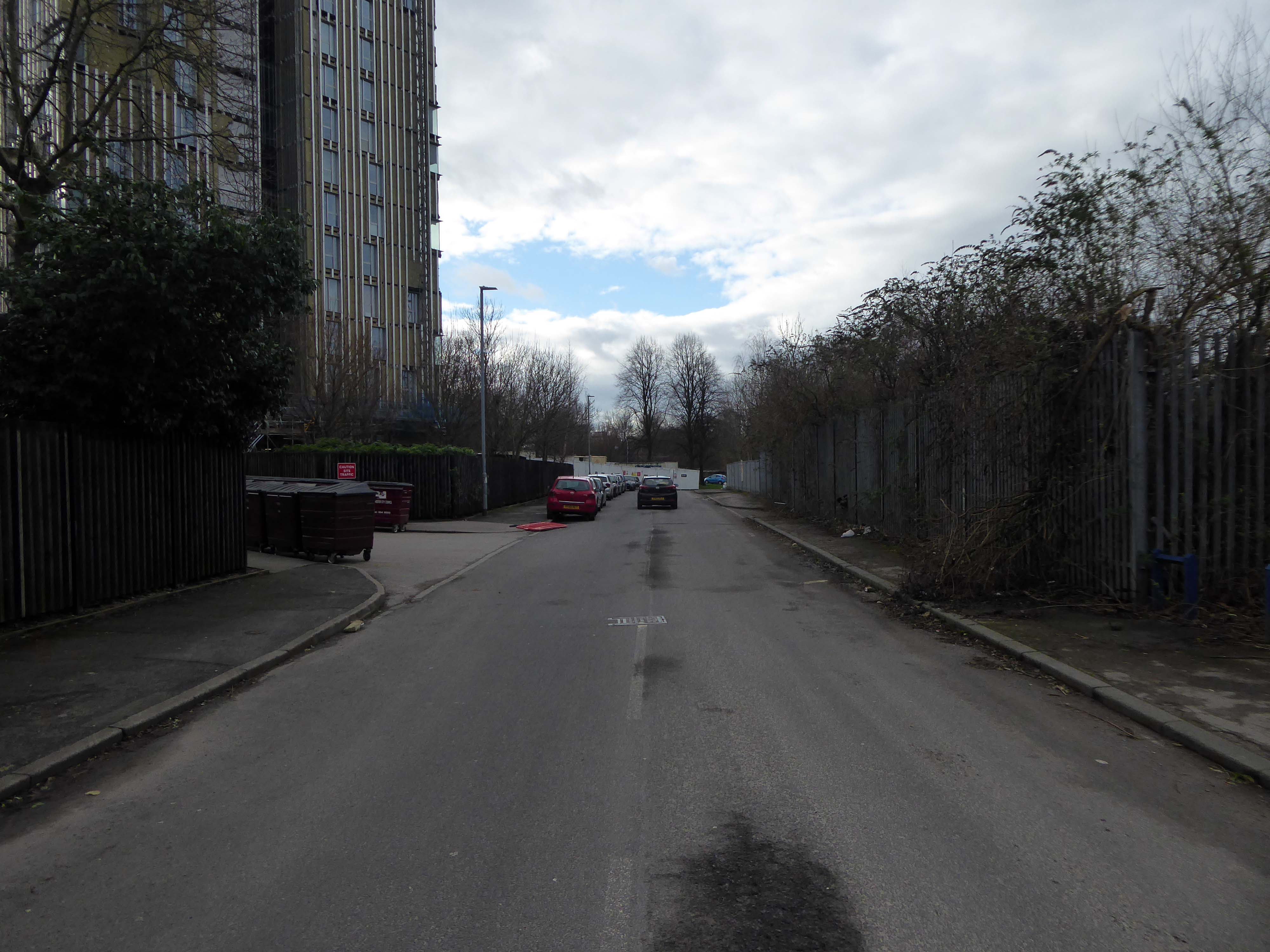
The Northern Gateway remains a hidden portal to who knows where.
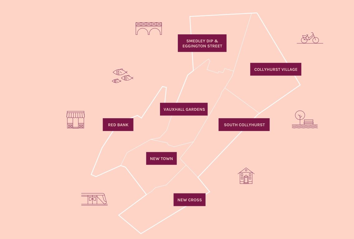
Detailed proposals for a second scheme to be delivered within neighbouring South Collyhurst, one of the seven neighbourhoods to be developed as part of the overall Framework, are expected later this year.
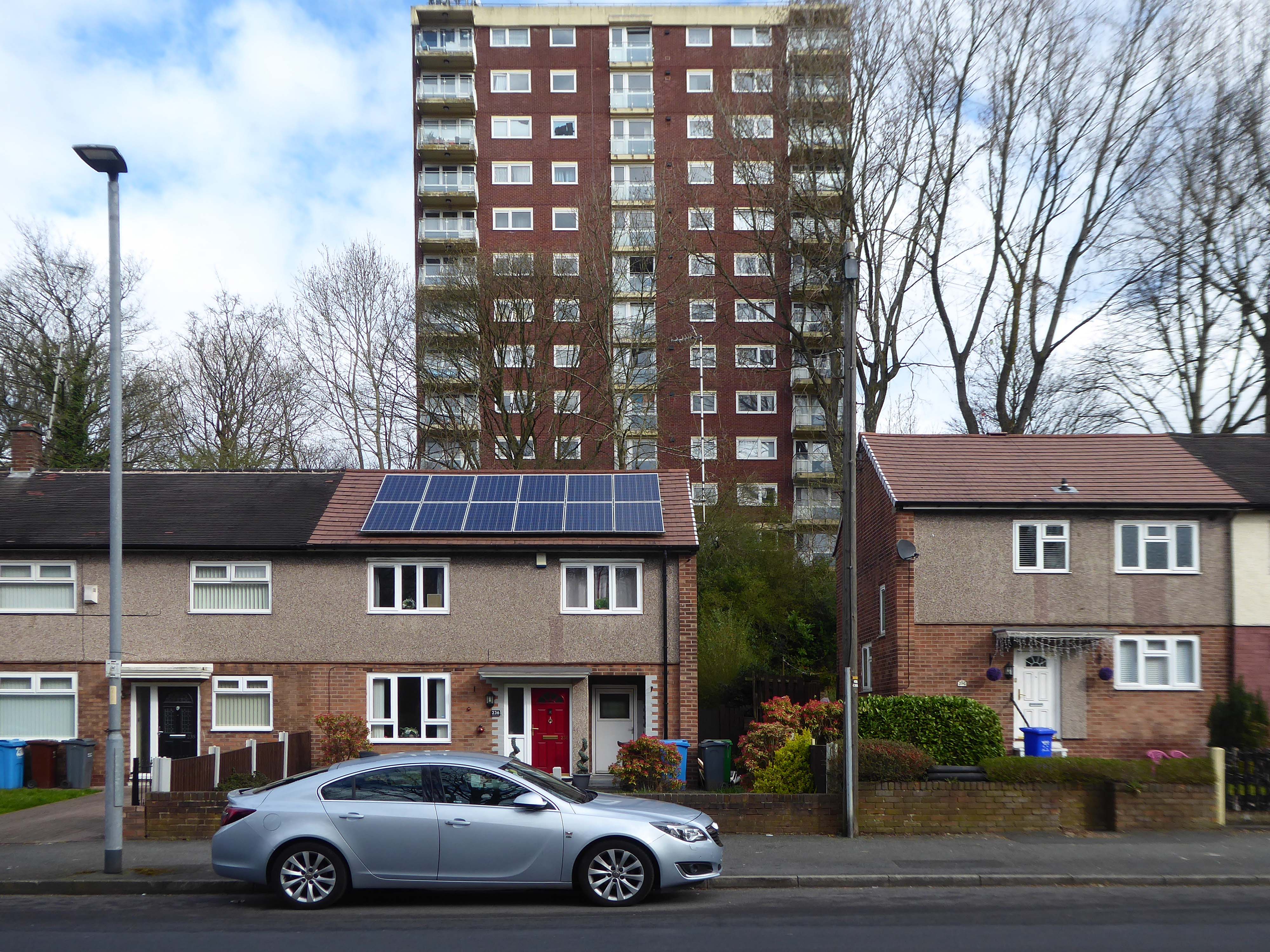
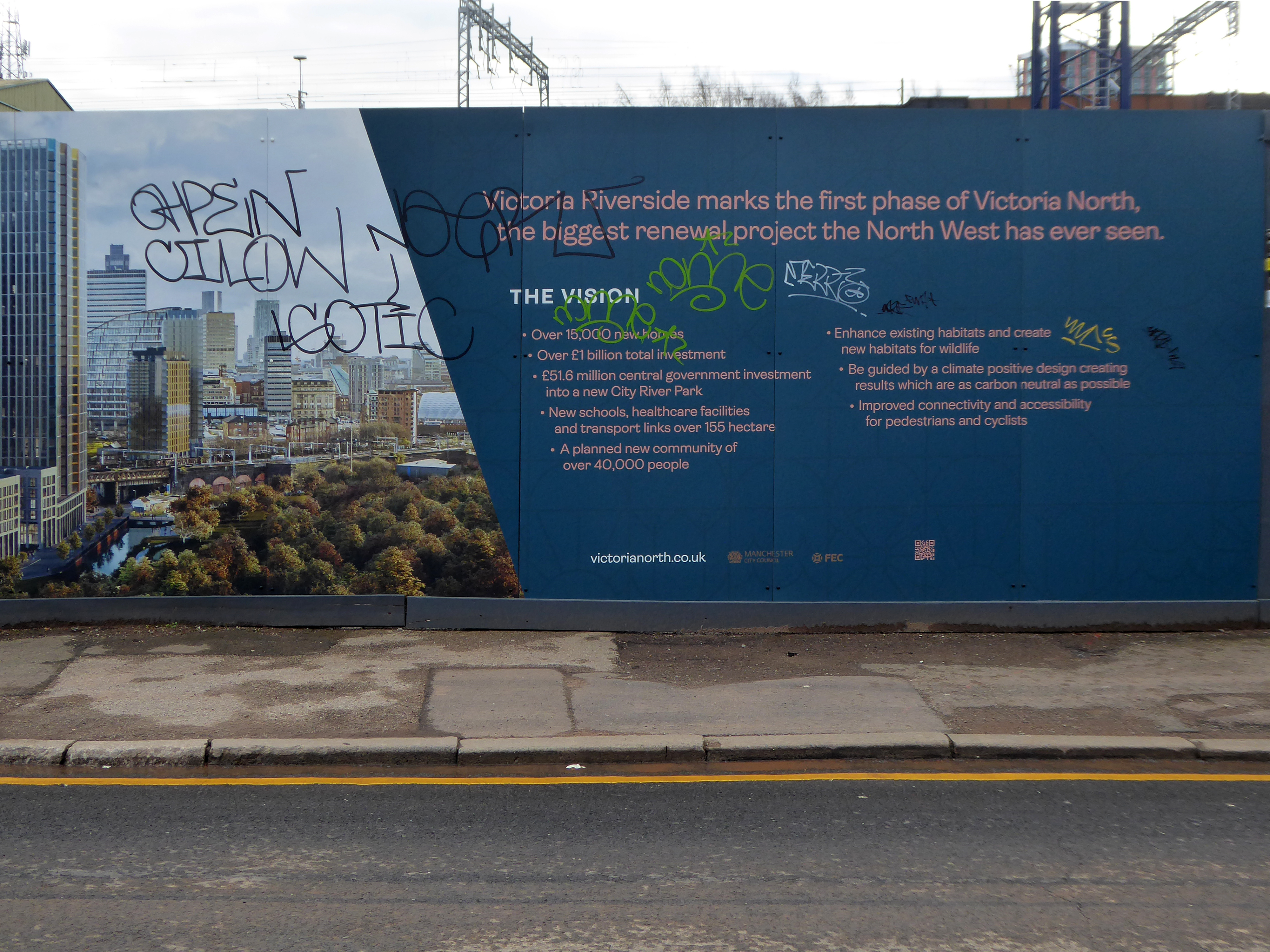
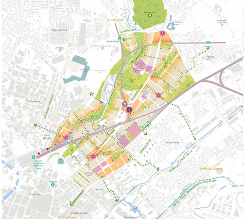
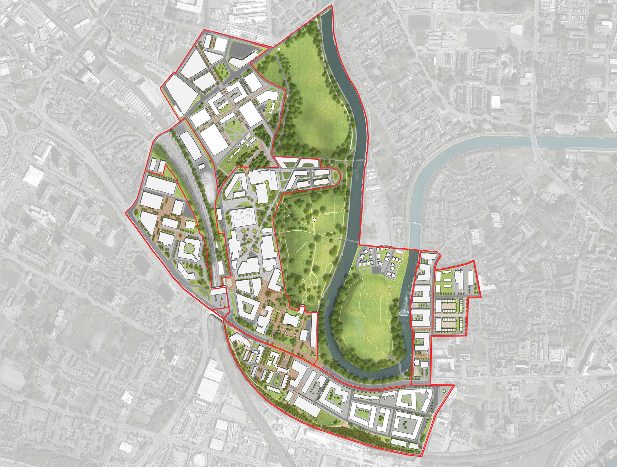
Far East Consortium and Manchester City Council’s 390-acre masterplan will now be known as Victoria North, a move that aims to “create a sense of place”, according to Gavin Taylor, regional general manager at FEC in Manchester.
The Northern Gateway has served us well as a name as we shaped plans for the area’s regeneration. But as we begin to bring forward development this year, it’s the right time to start creating a sense of place for what will be a significant new district in Manchester, as well as an identity that people can engage with.
Sir Richard Leese, leader of Manchester City Council, said:
We are at the beginning of an incredibly exciting phase of history for this part of Manchester and with some eagerness to see how this potential unfolds.
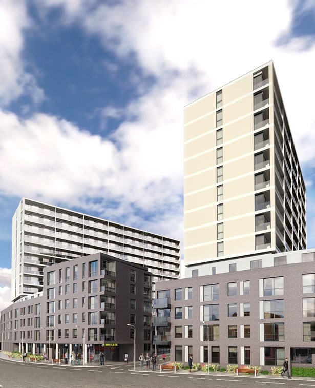
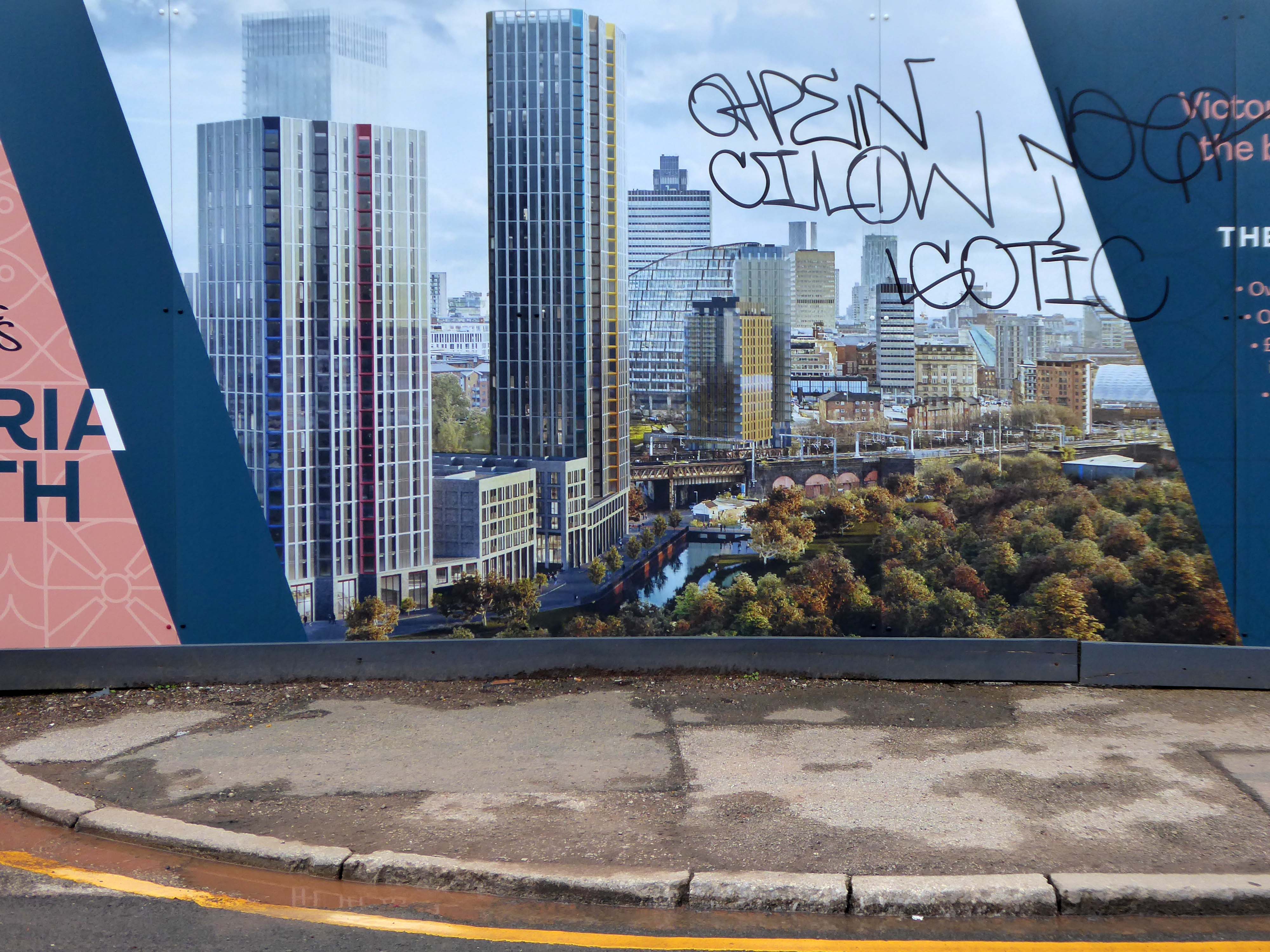
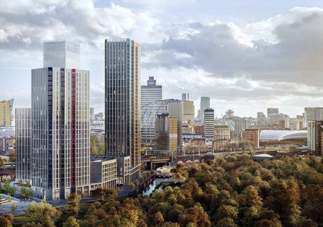
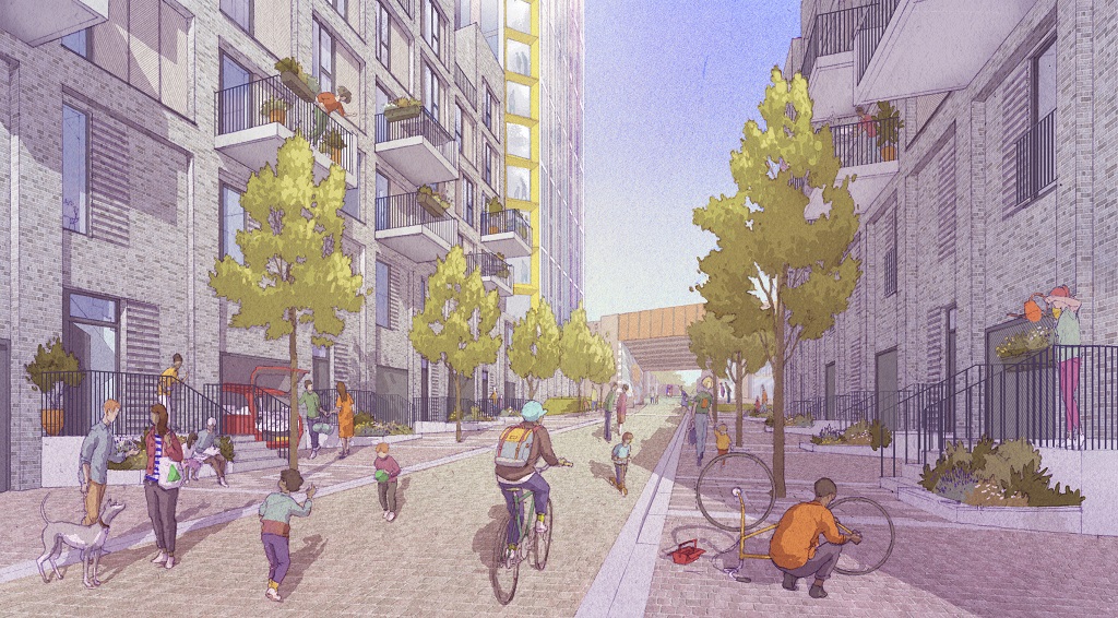
Victoria Riverside, a 634- home development marks the first stage of the regeneration project with the first apartments hitting the market.
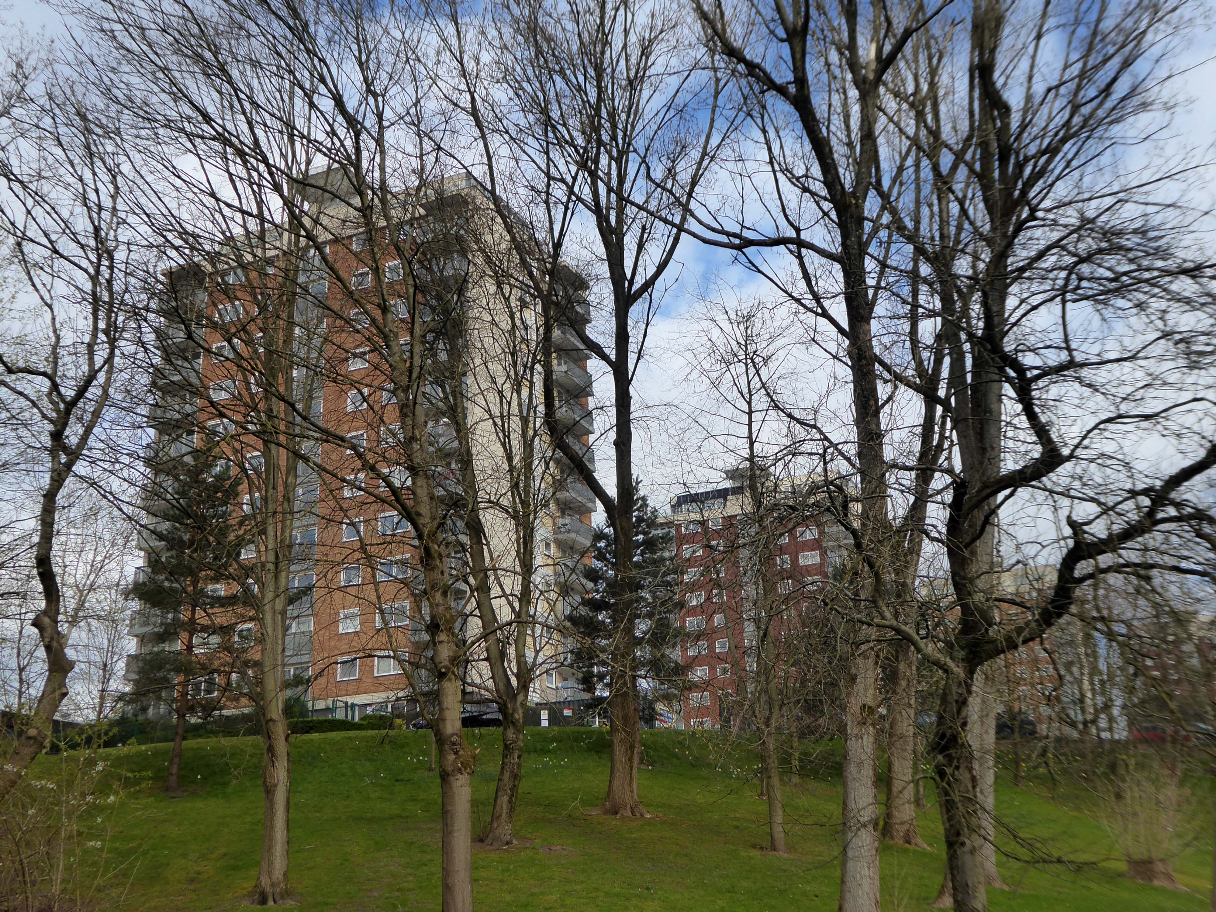
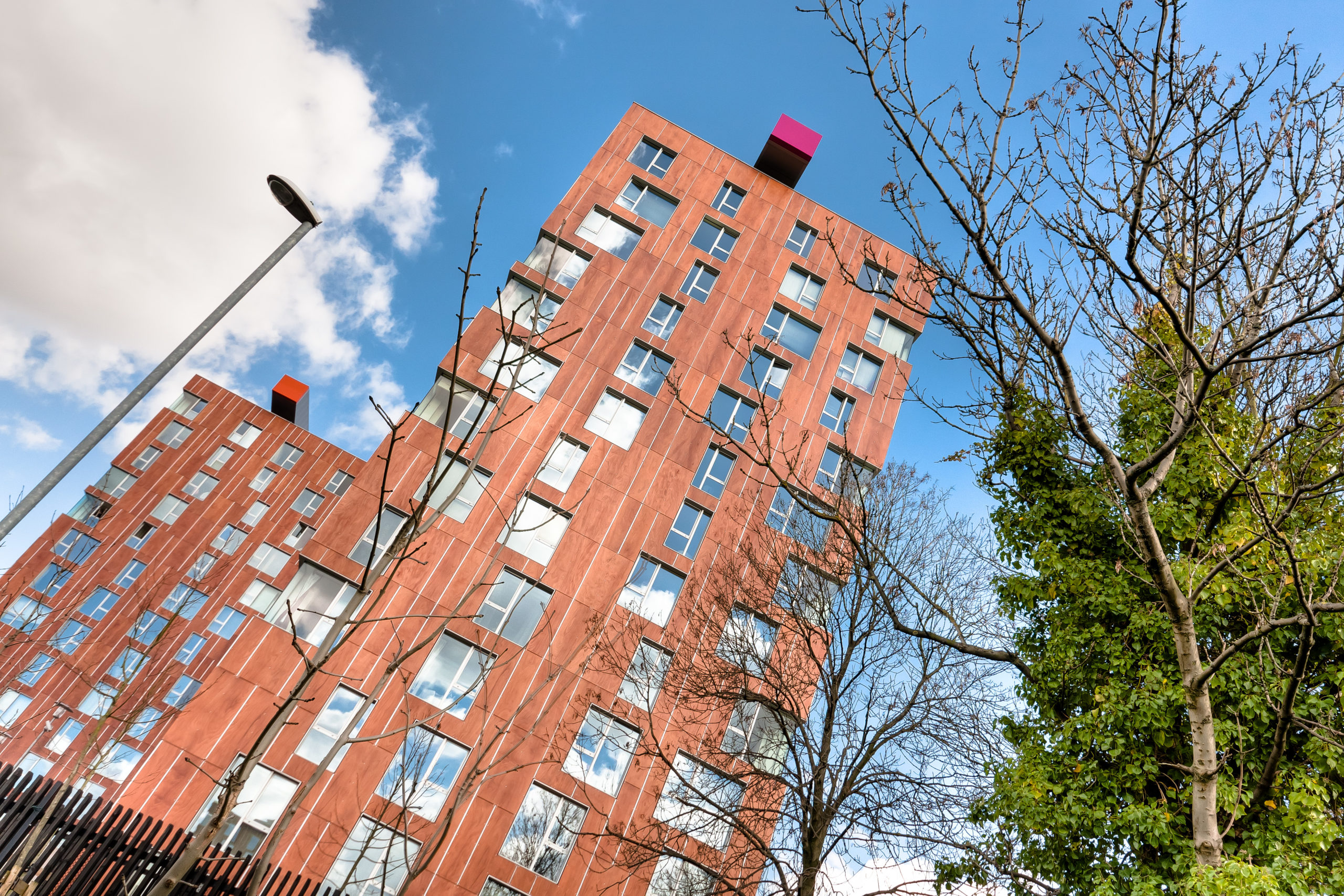
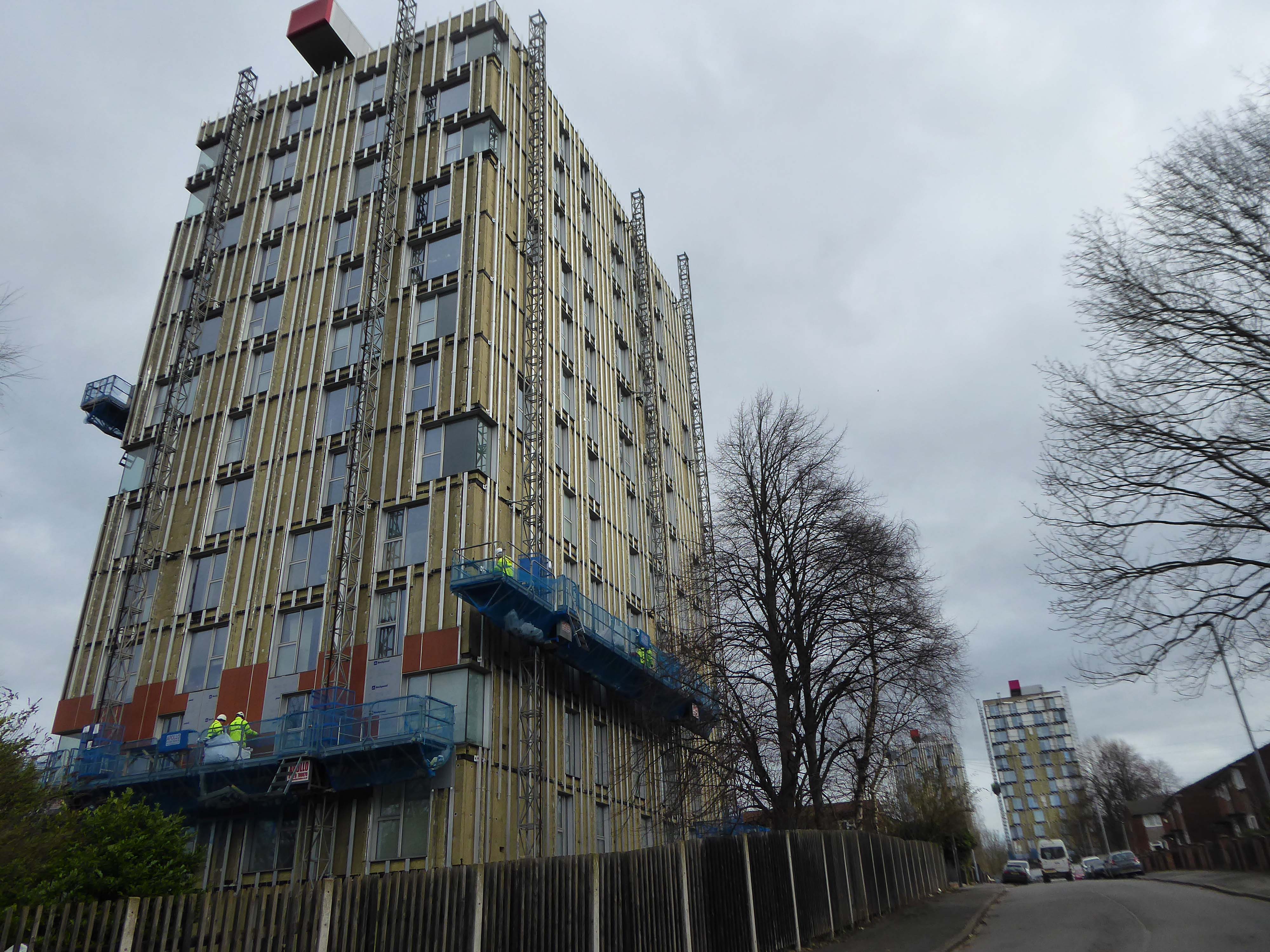
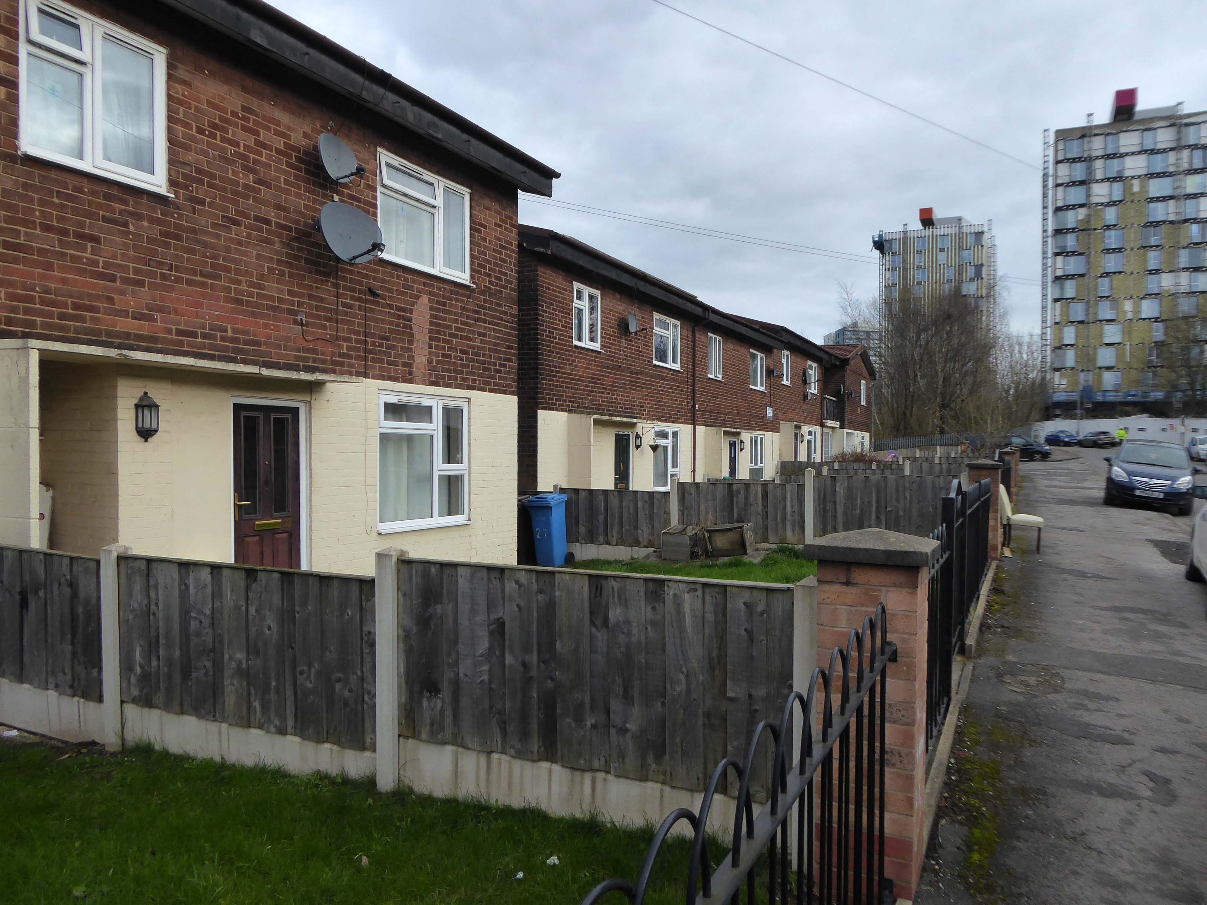
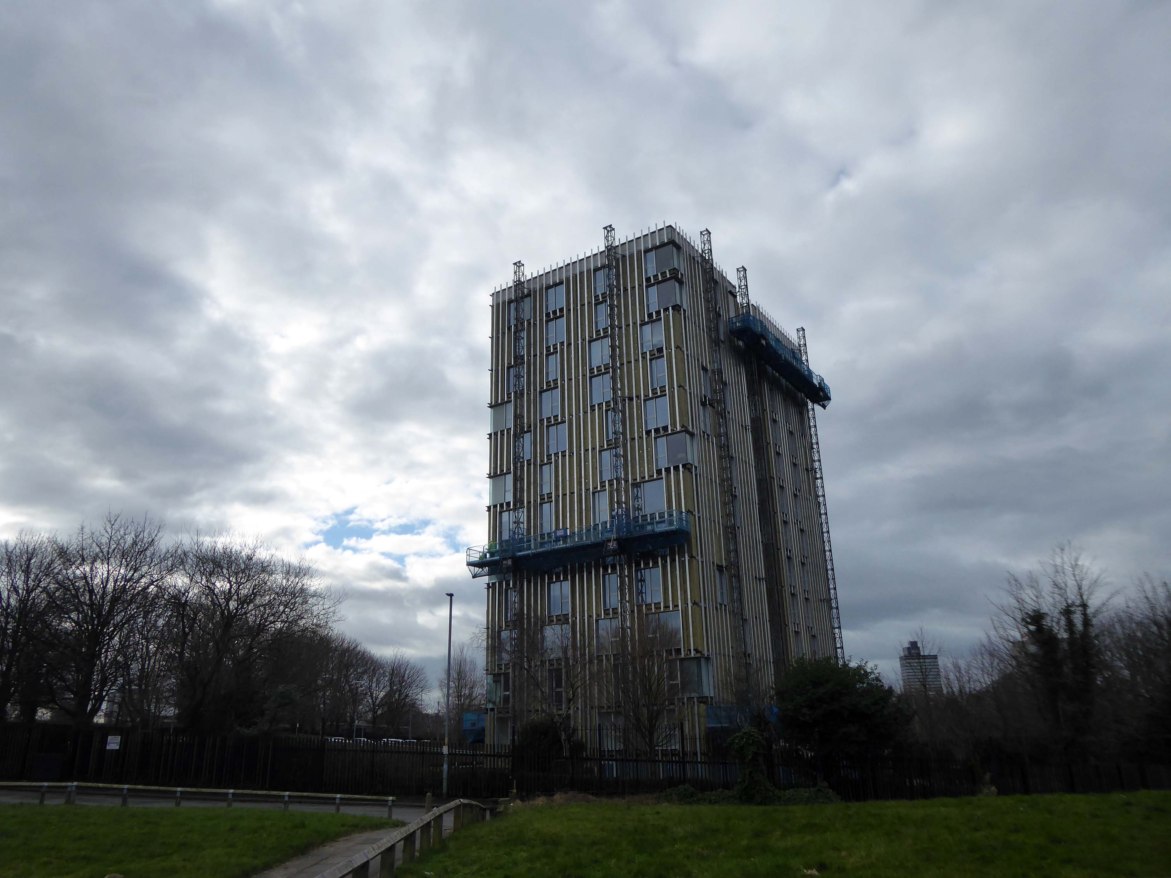
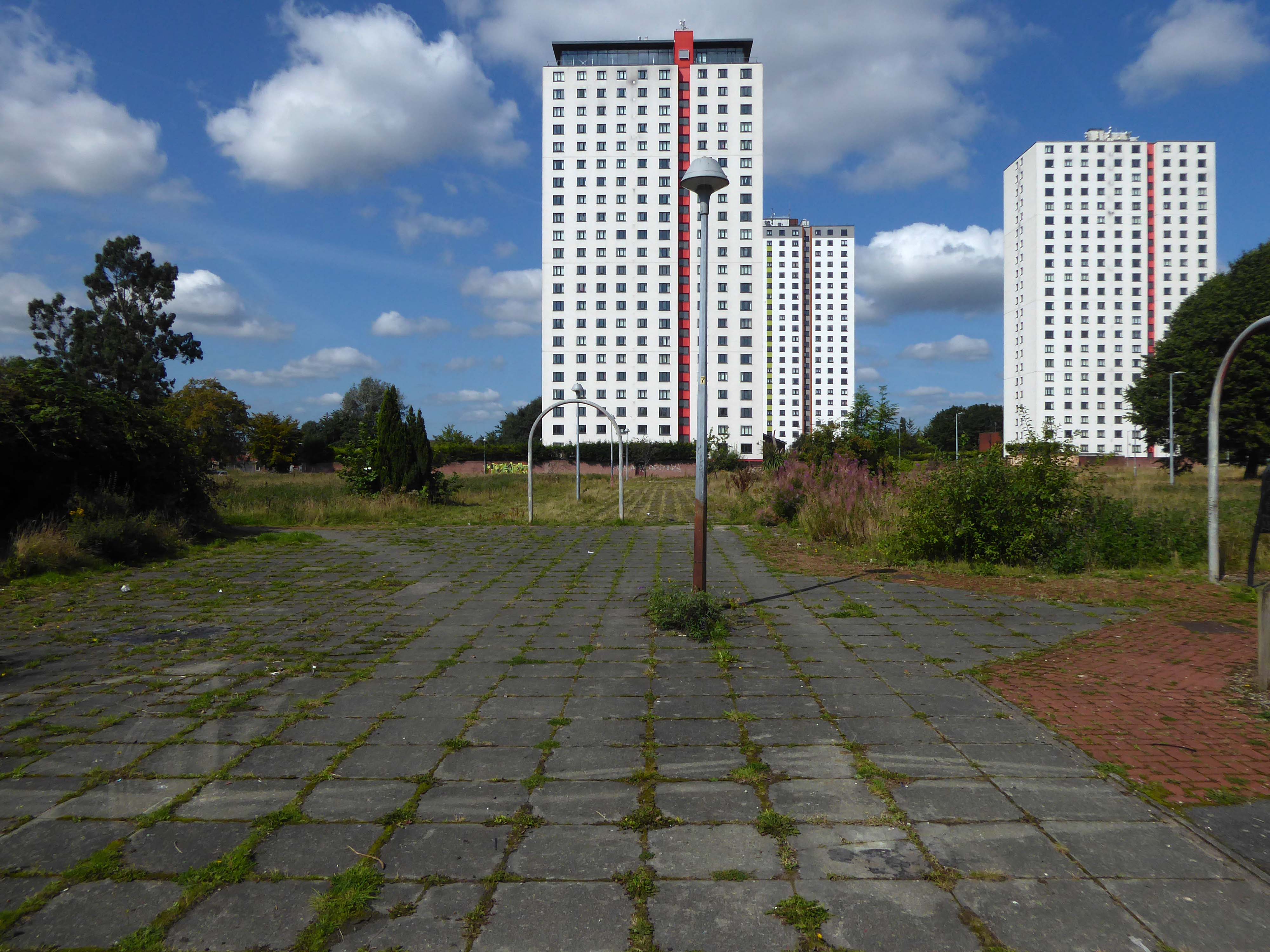
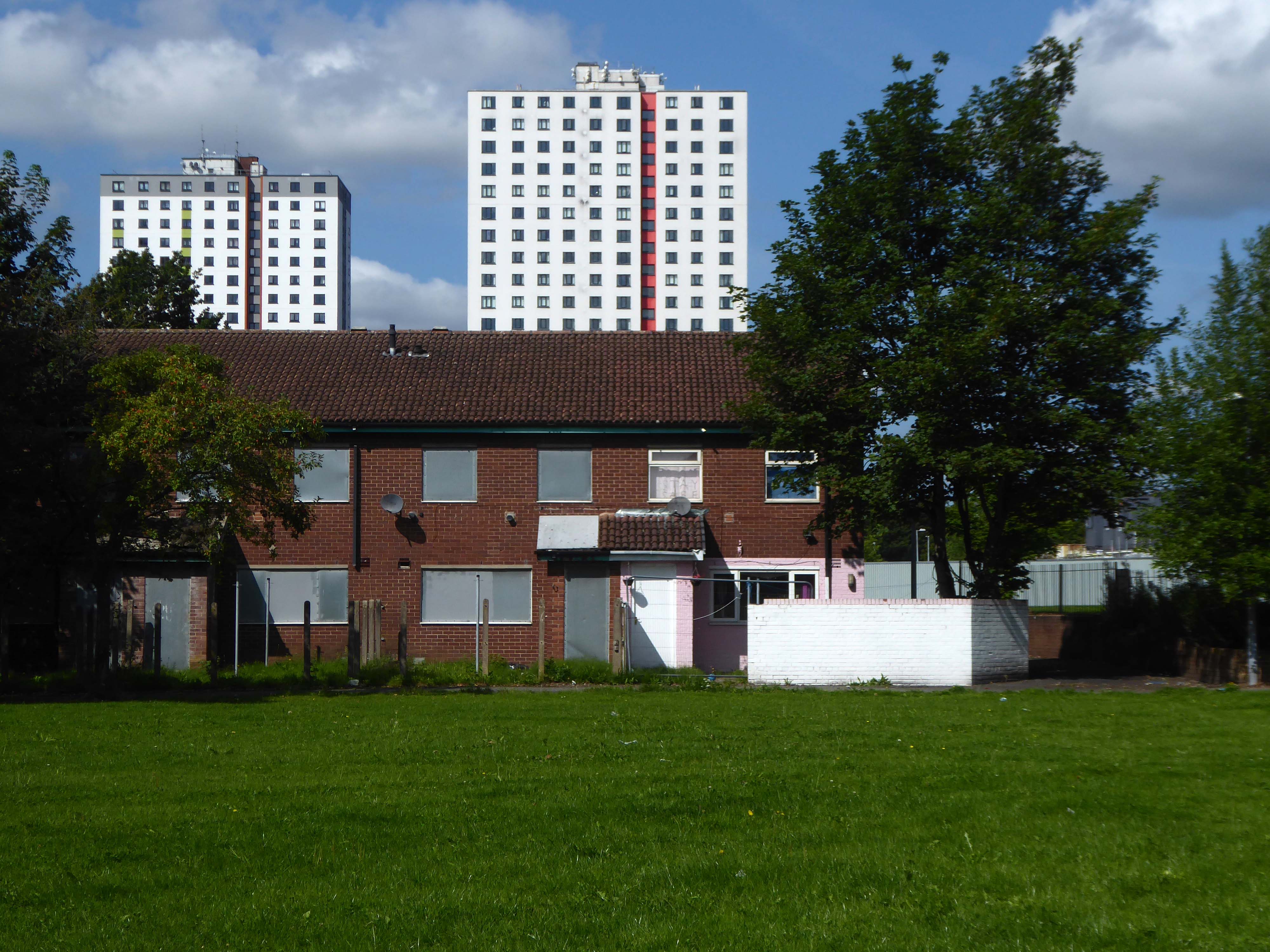
The three towers – Park View, City View and Crown View, are based within the Red Bank neighbourhood.
Red Bank has been described as:
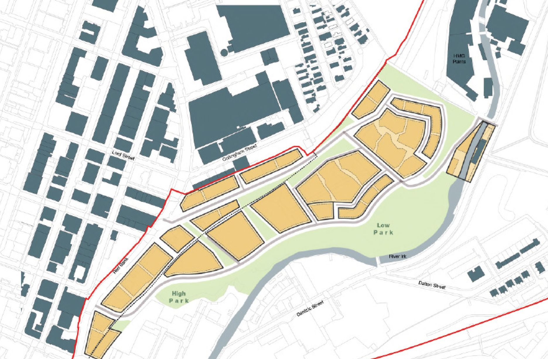
A unique landscape and river setting making the neighbourhood perfect for a residential-led, high-density development – all set in a green valley.
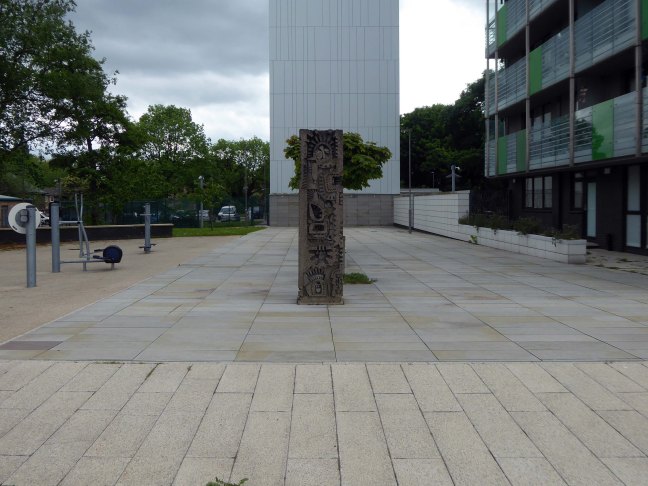
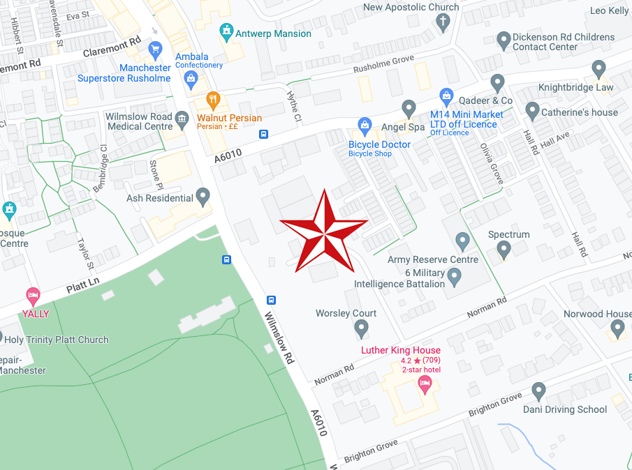
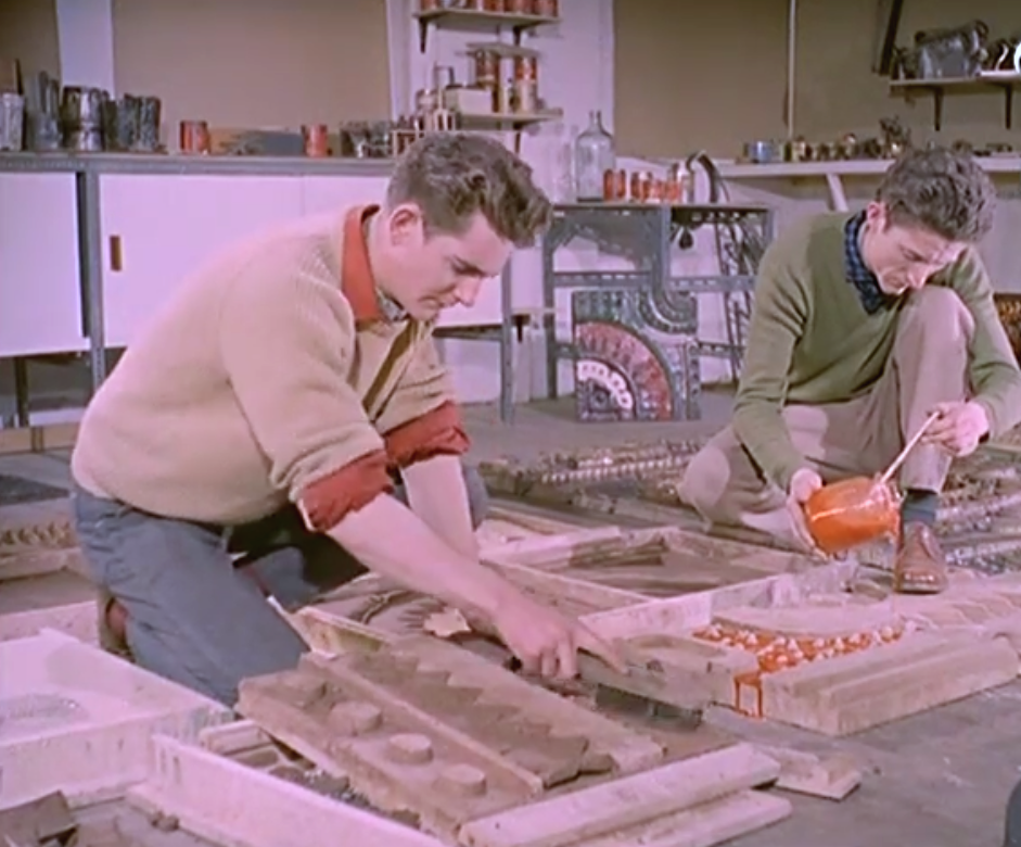
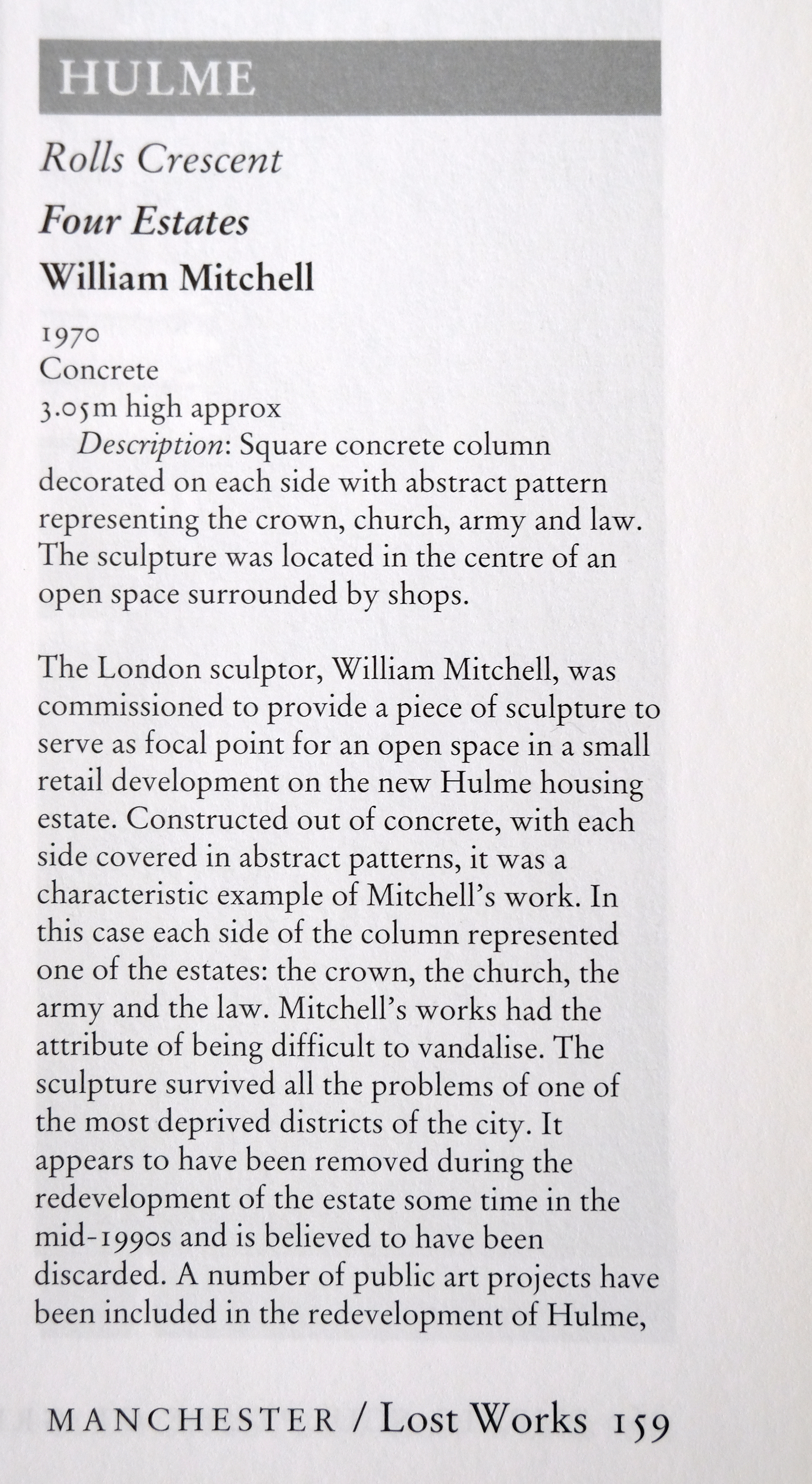
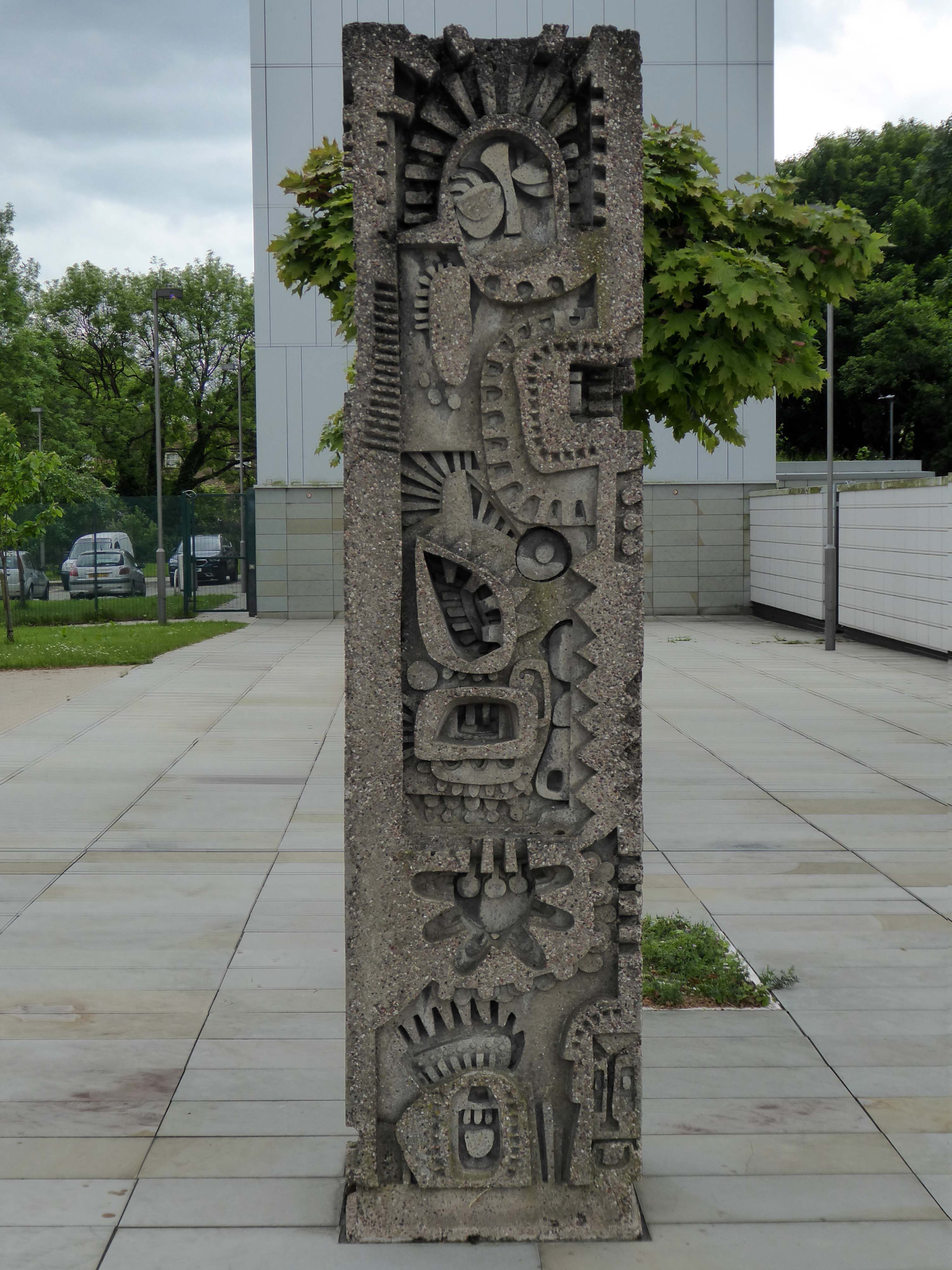
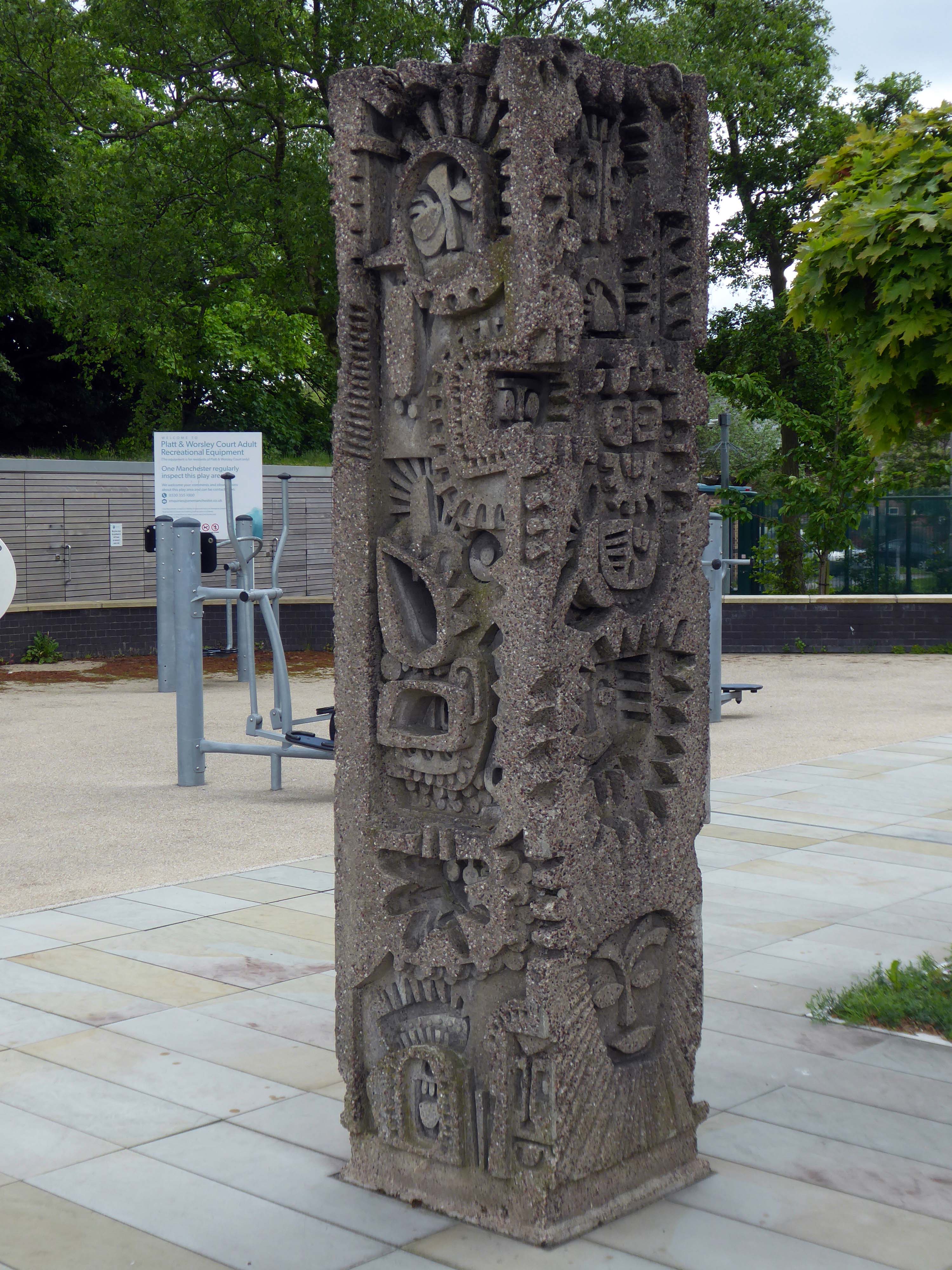
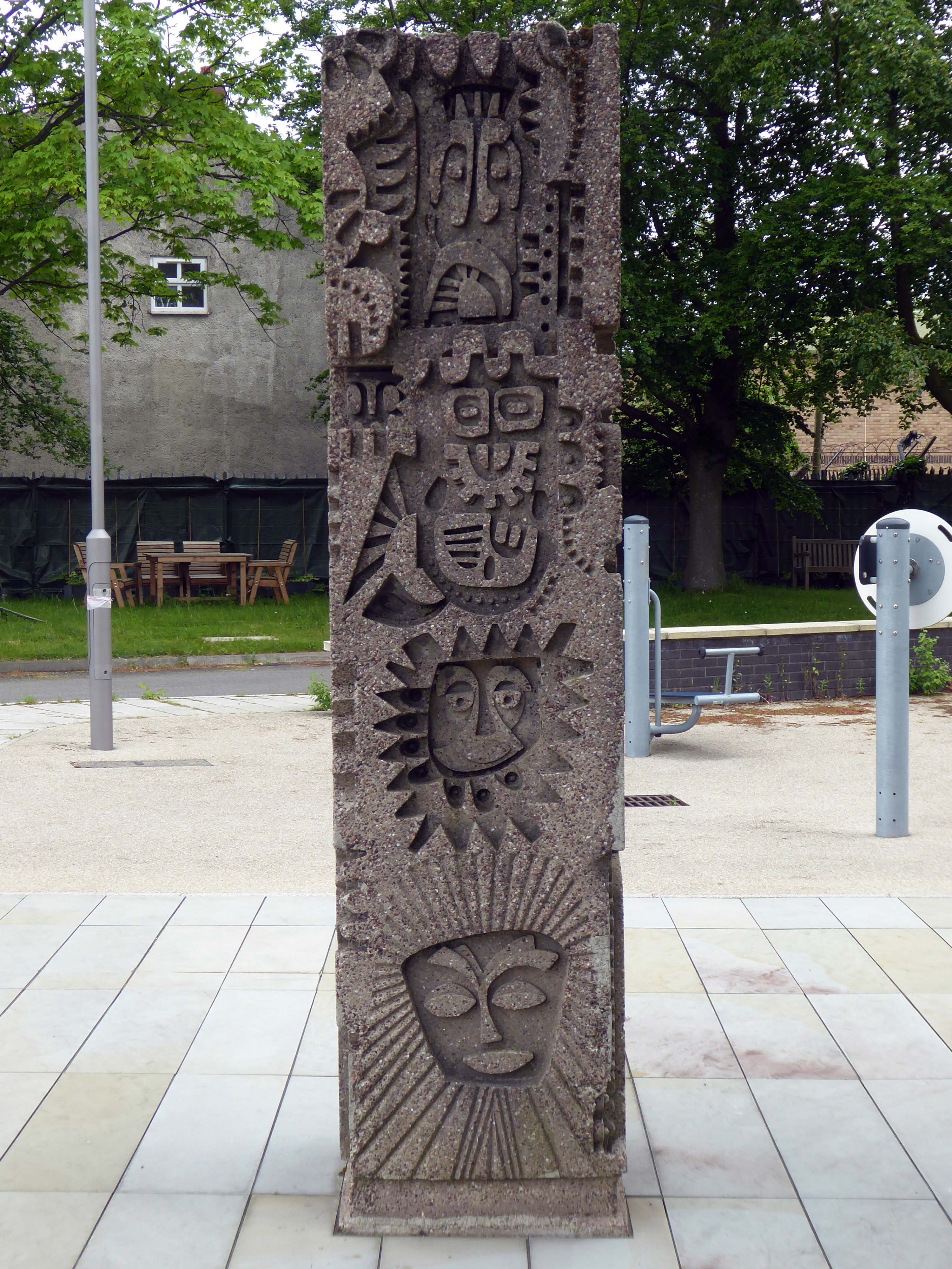
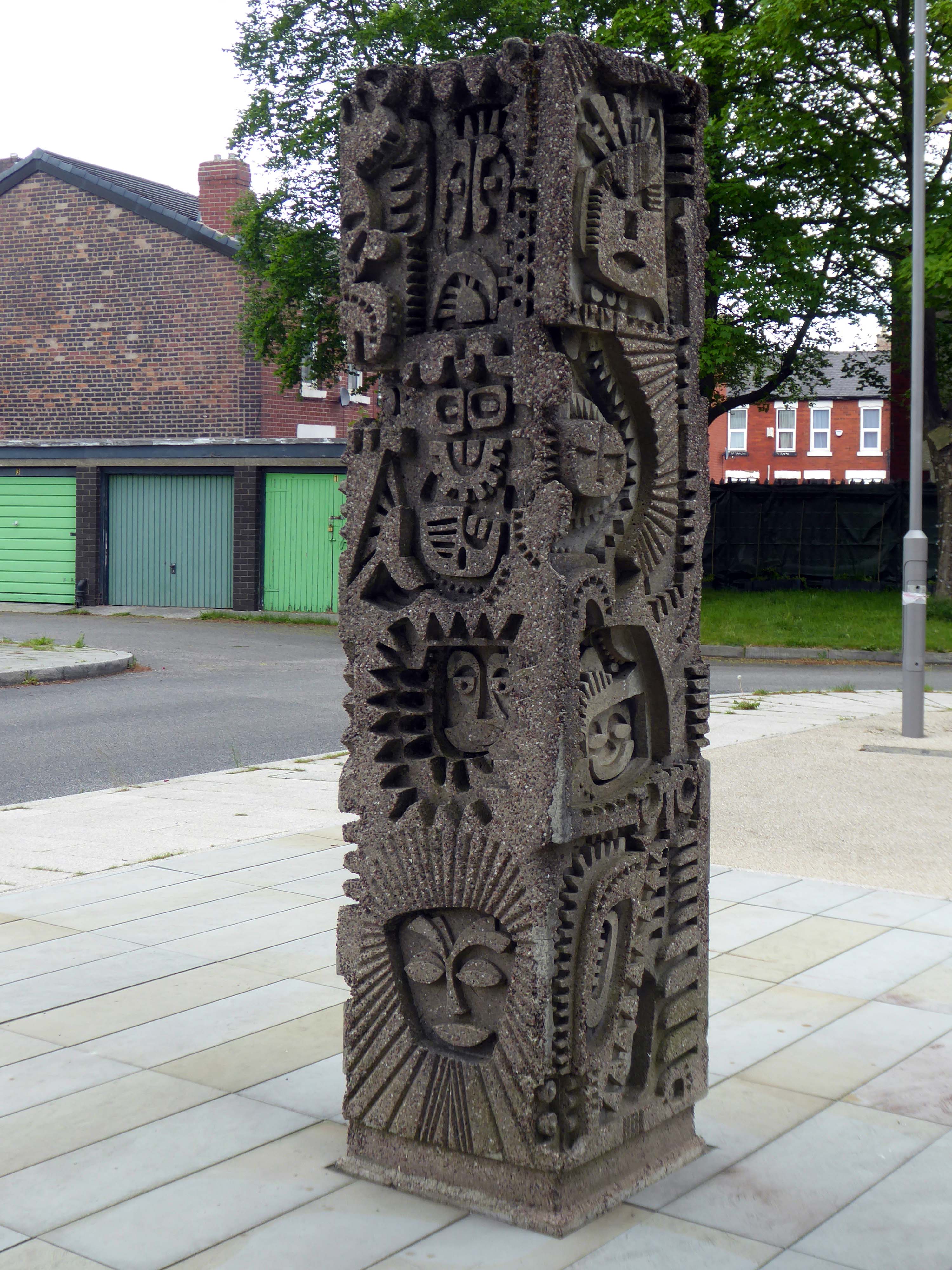
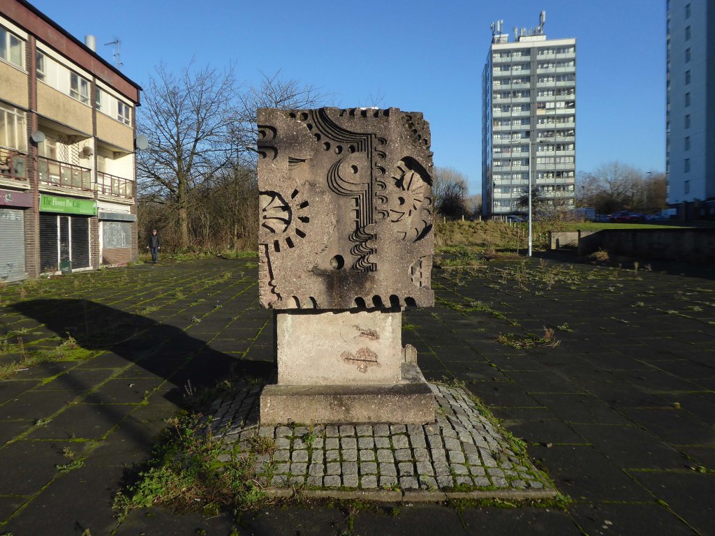
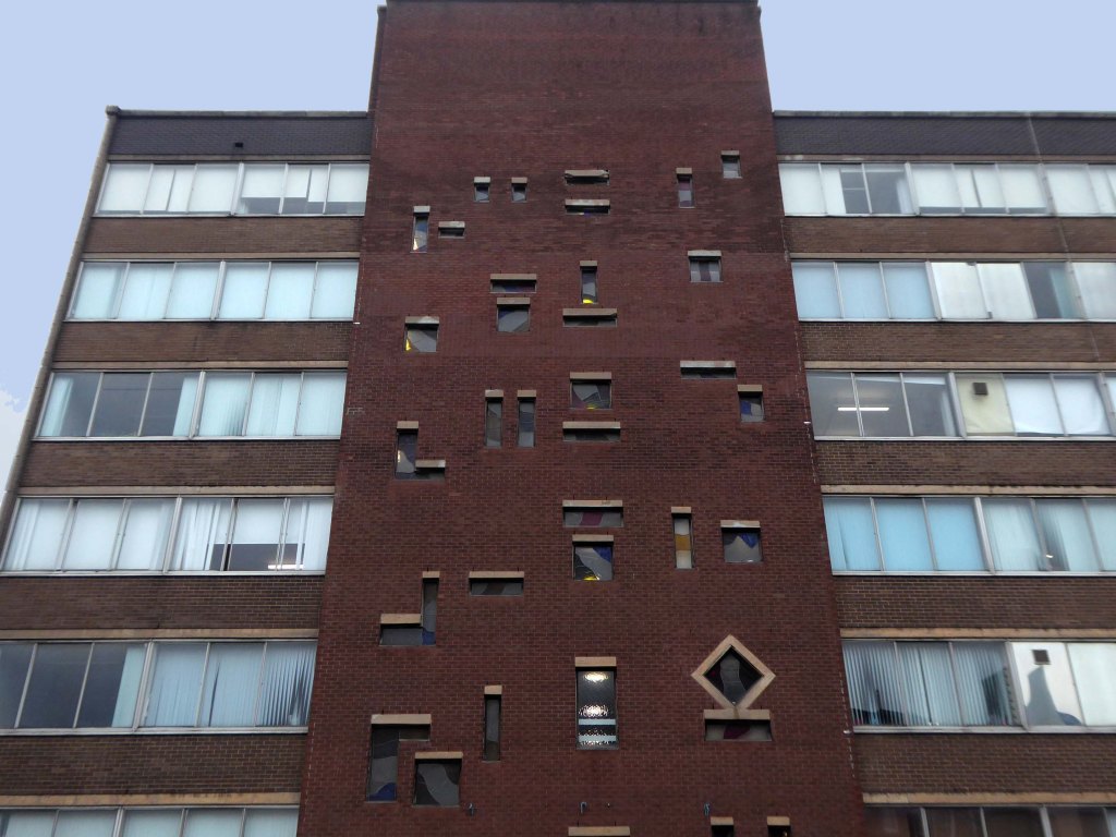
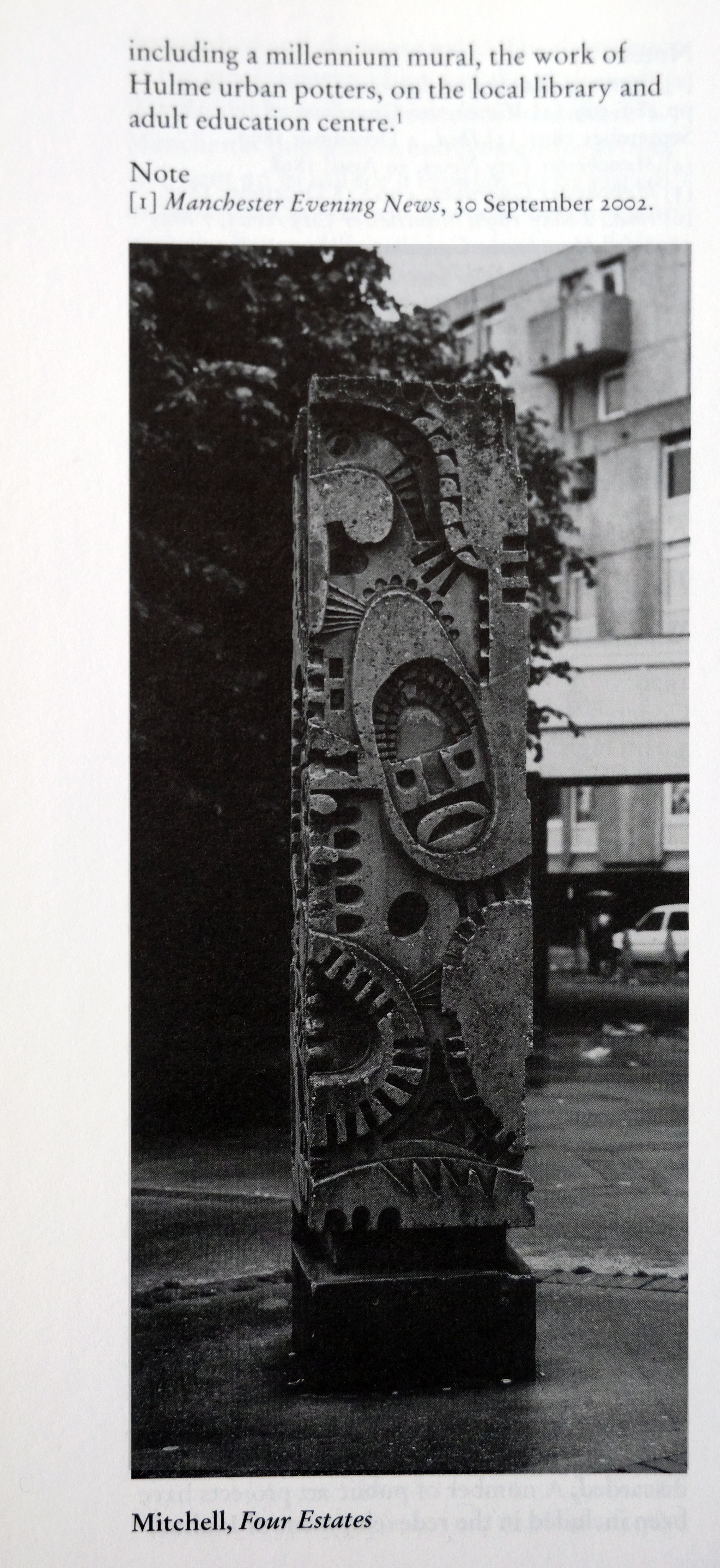
The putative William Mitchell totem continues to keep silent watch over the Square.
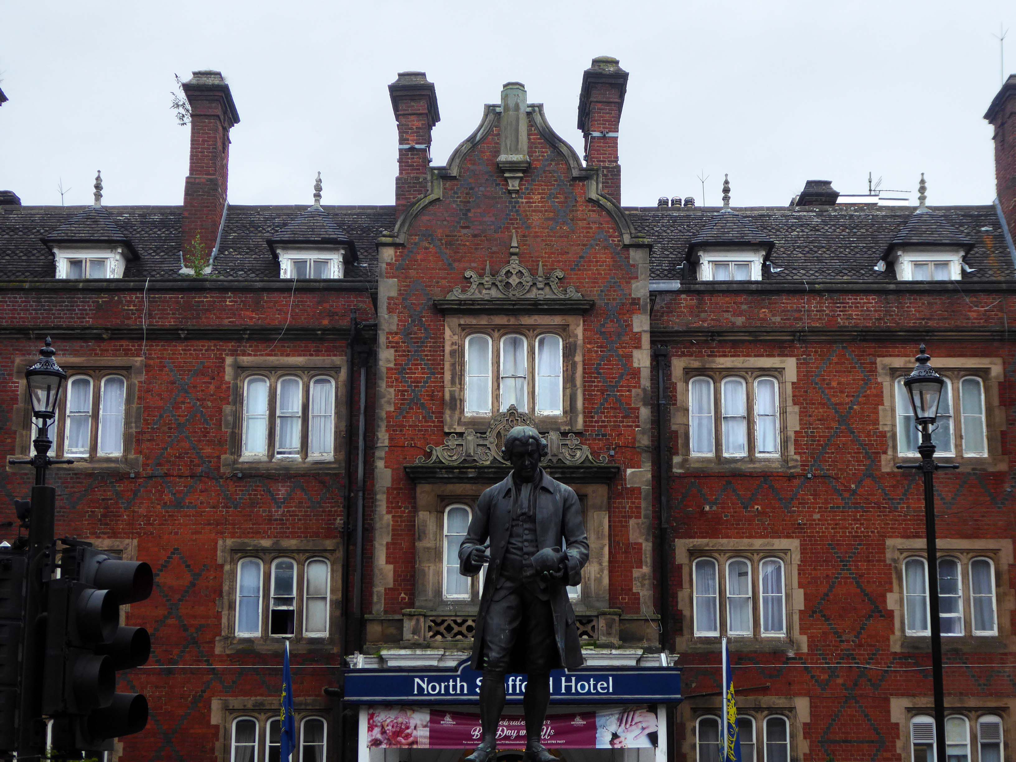
We begin by doffing our caps to Josiah Wedgwood – who along with countless other unsung heroes defined Stoke on Trent as the heart of the pottery industry.
Stoke is polycentric, having been formed by the federation of six towns in 1910.
It took its name from Stoke-upon-Trent where the main centre of government and the principal railway station in the district were located.
Hanley is the primary commercial centre.
The other four towns are Burslem, Tunstall, Longton, and Fenton.
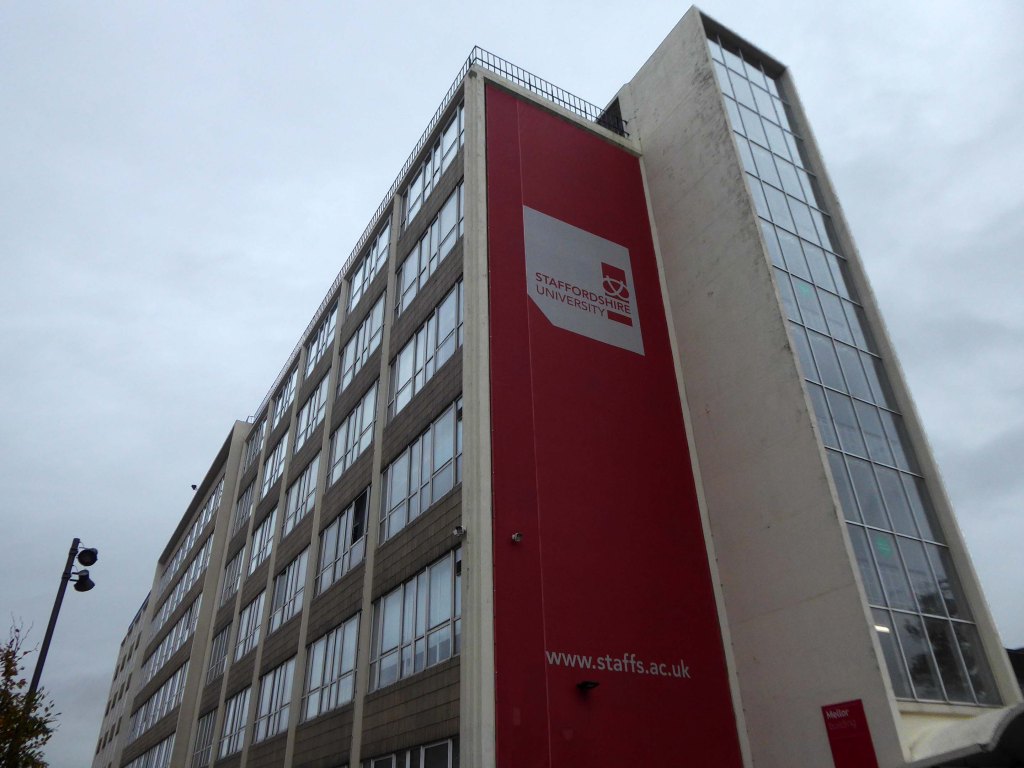
Staffordshire University was founded in 1914 as a polytechnic intistution, and was officially given University Status on 16 June 1992. Our University is famous for its forward-thinking approach, and has become a figurehead for its vocational and academic teaching, innovative grasp of industry, and student employability.
Although our campus continues to expand to create dynamic opportunities, we are proud of our heritage in the great city of Stoke-on-Trent. Steeped in the history of ceramic manufacture and production, industry in Stoke-on-Trent has been fuelled by Staffordshire University for over 100 years.
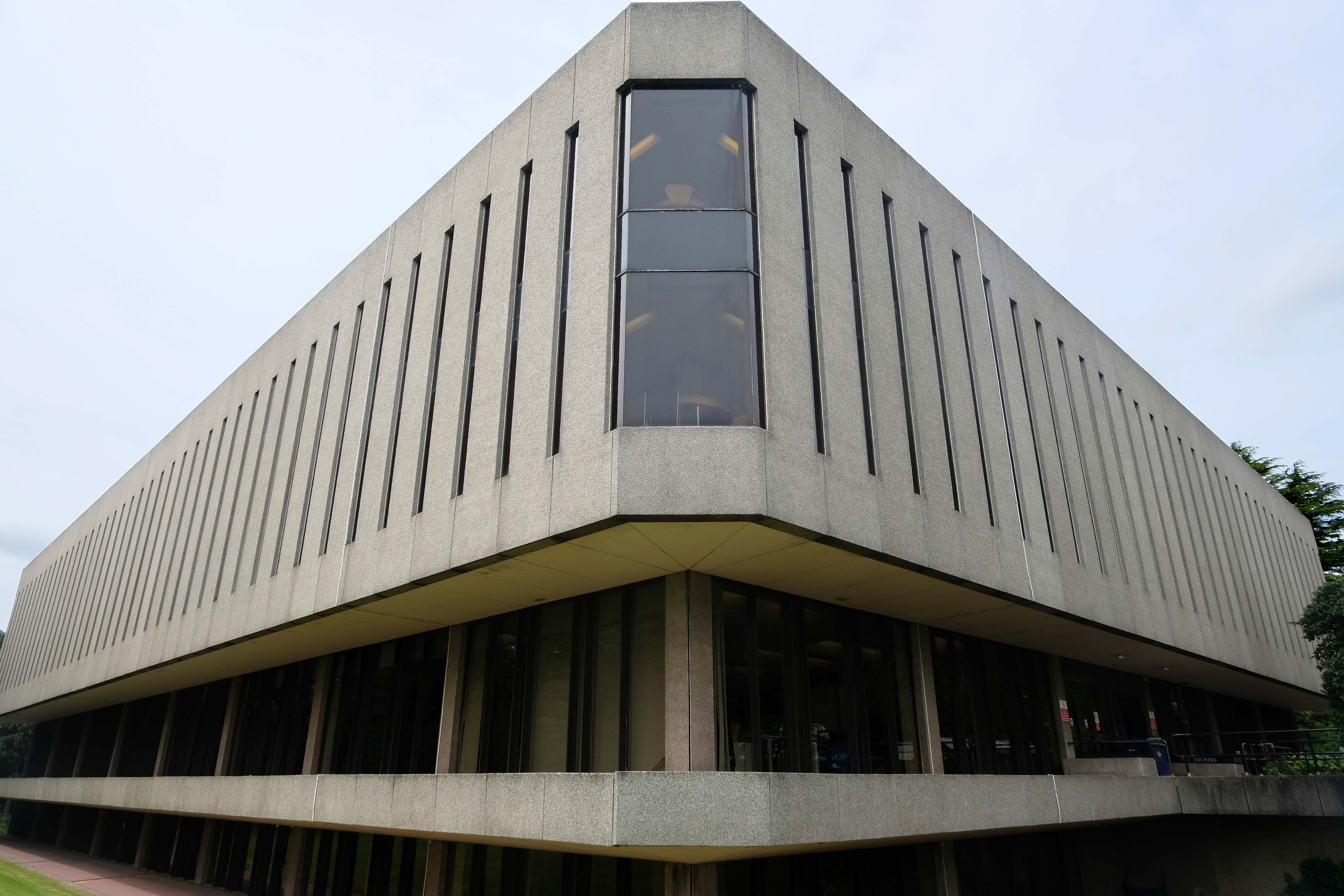
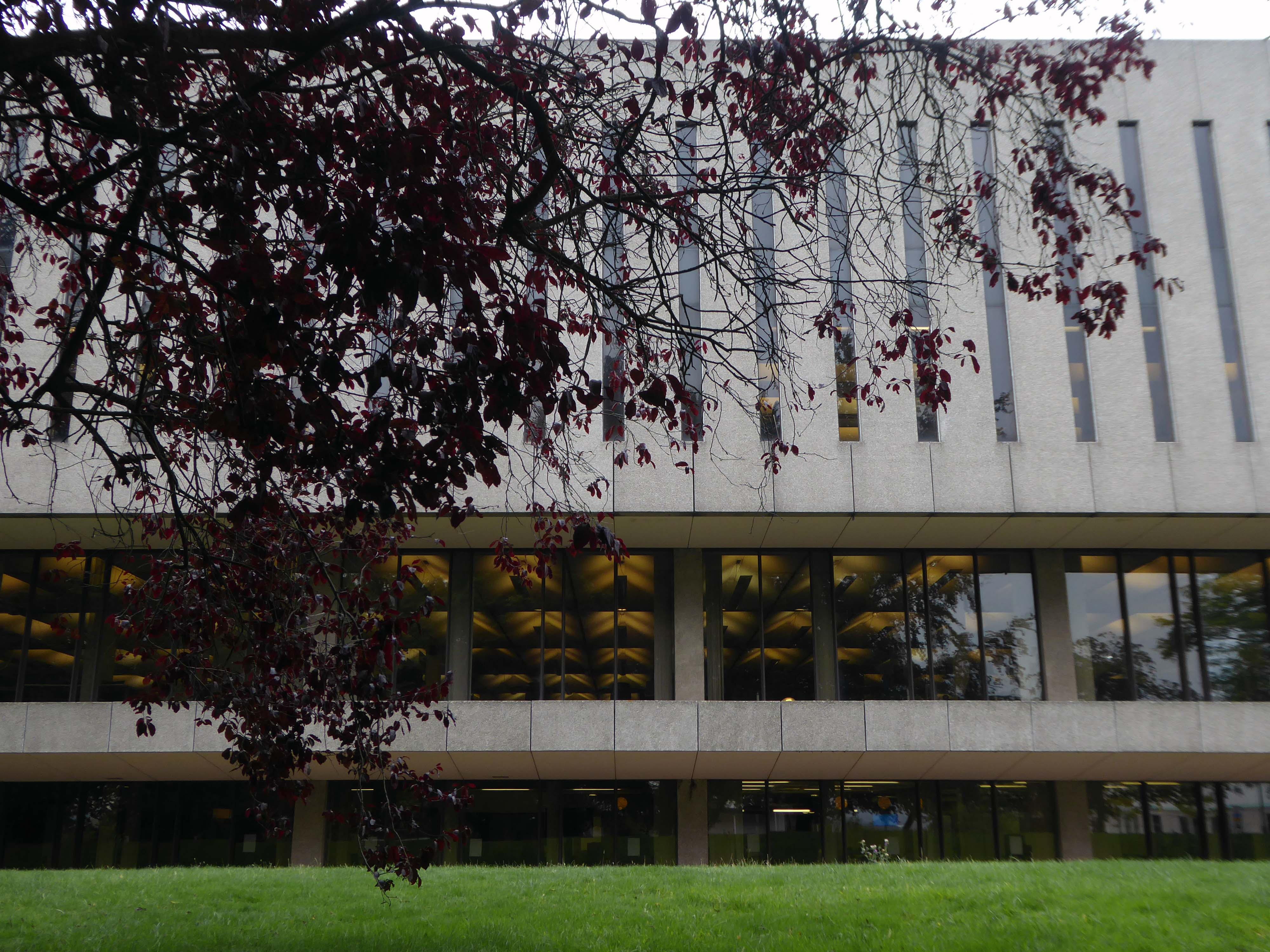
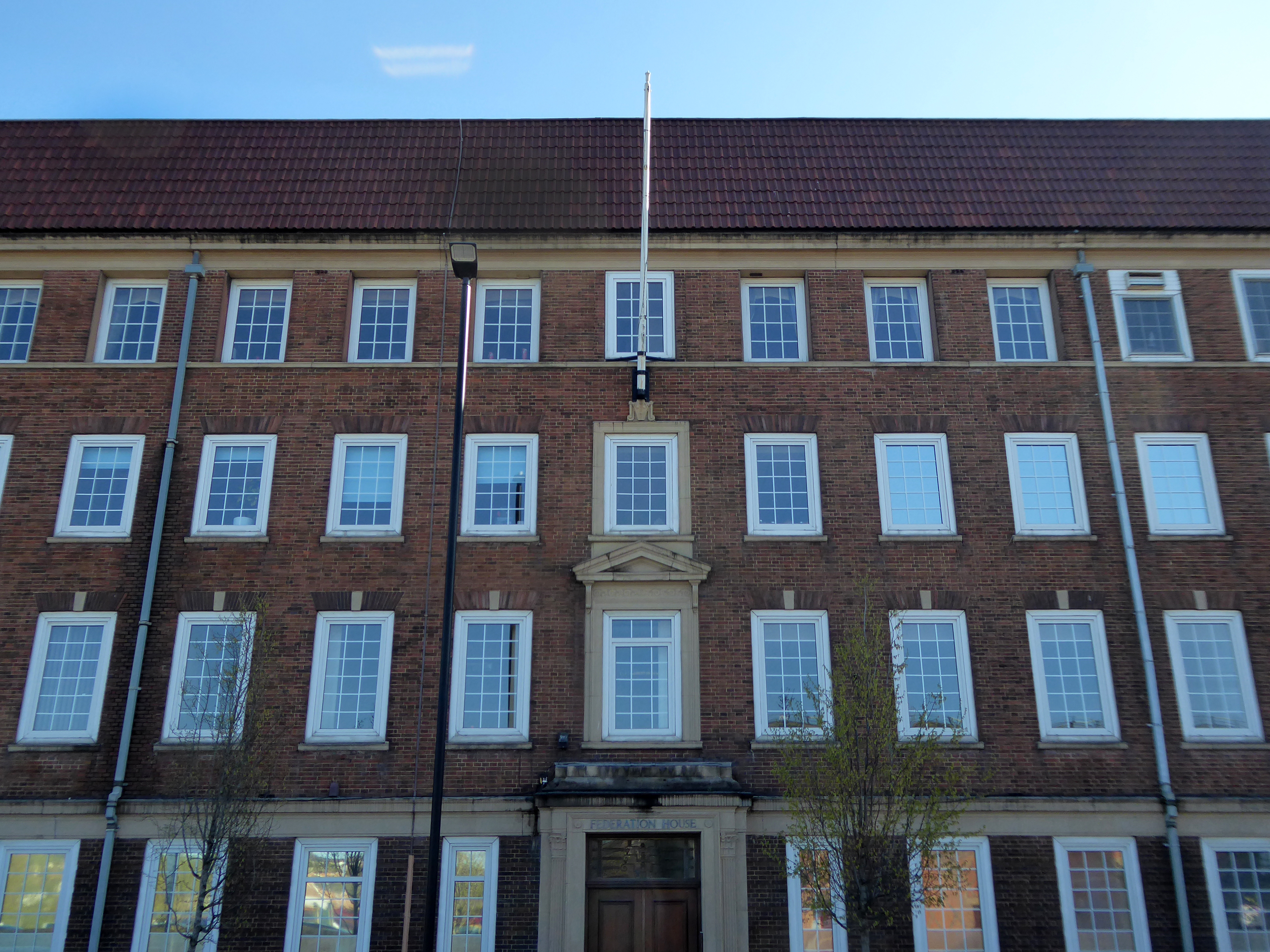
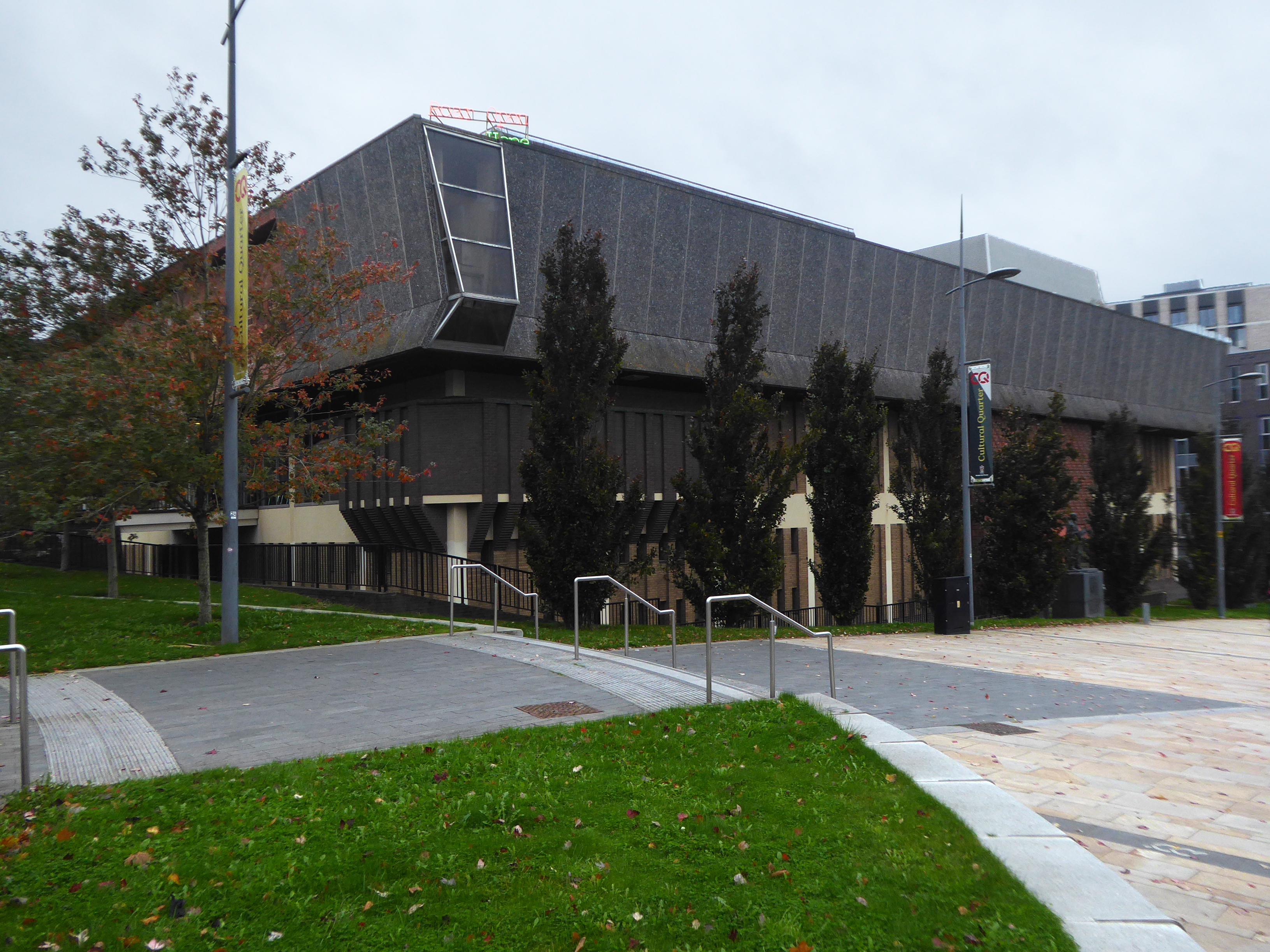
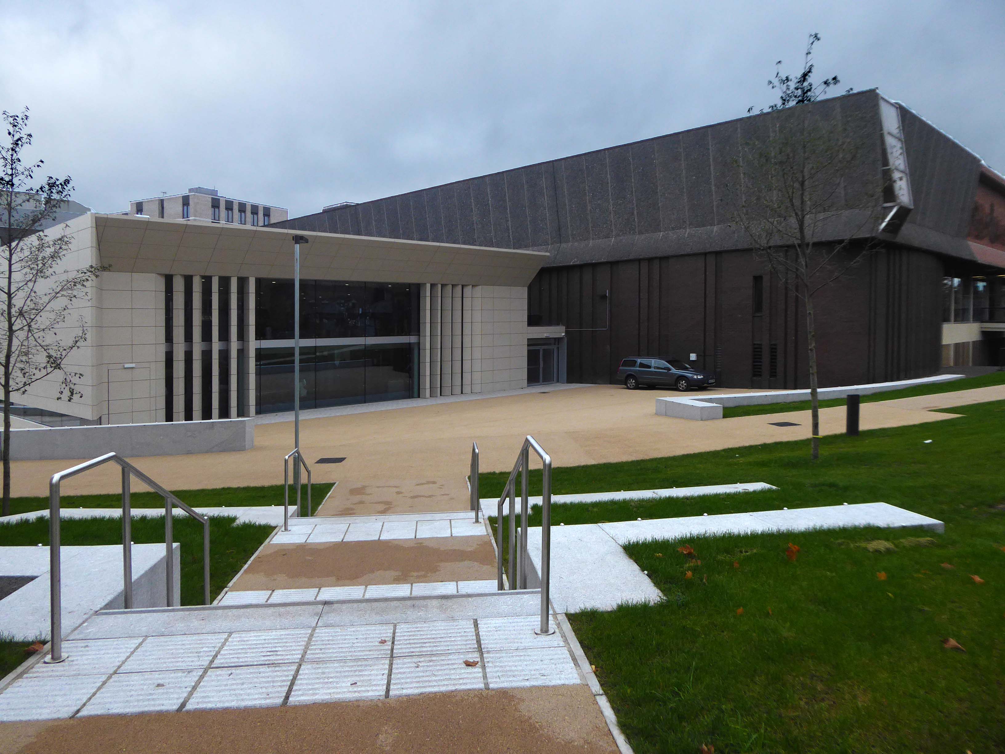
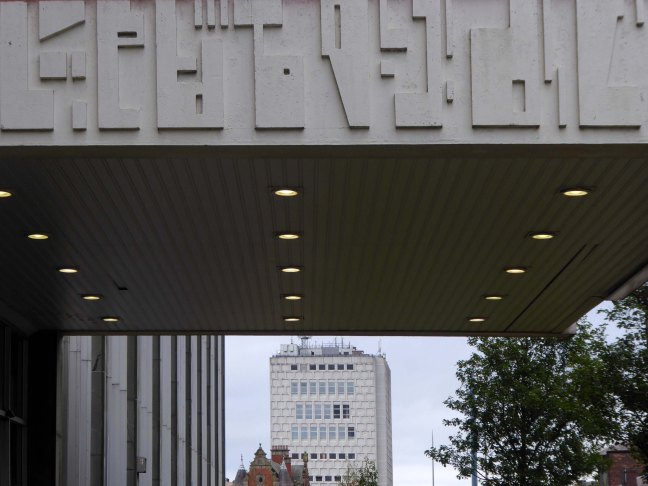
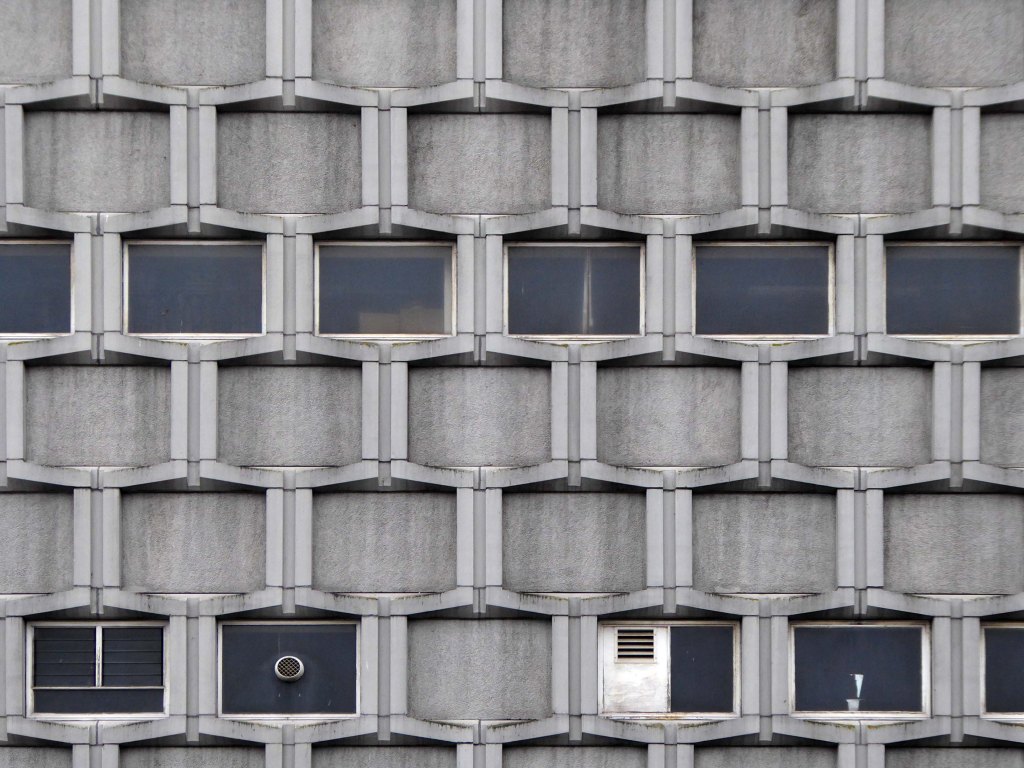
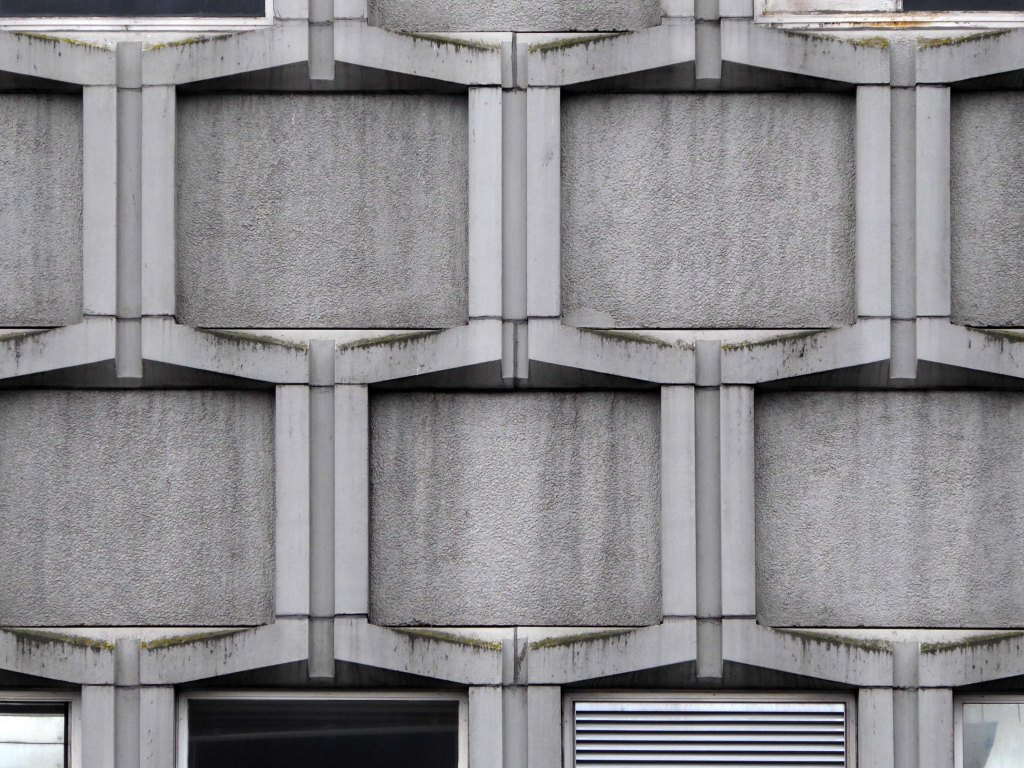
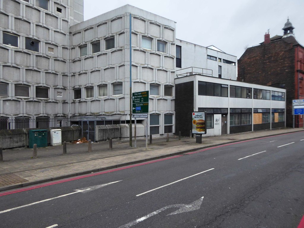
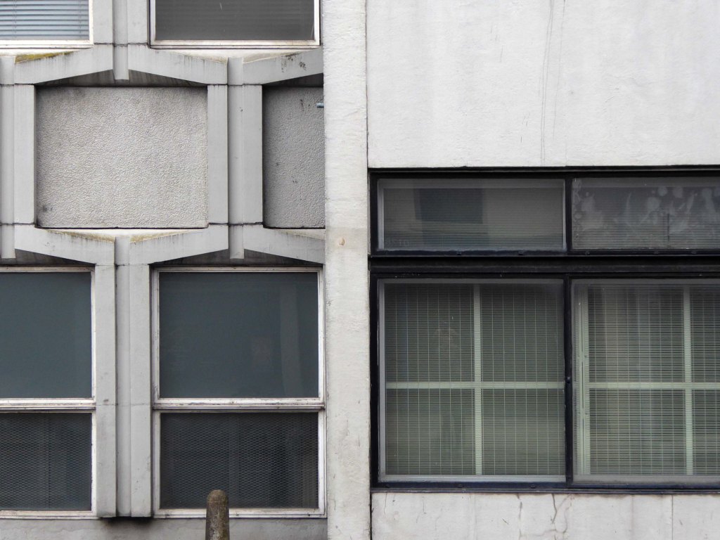
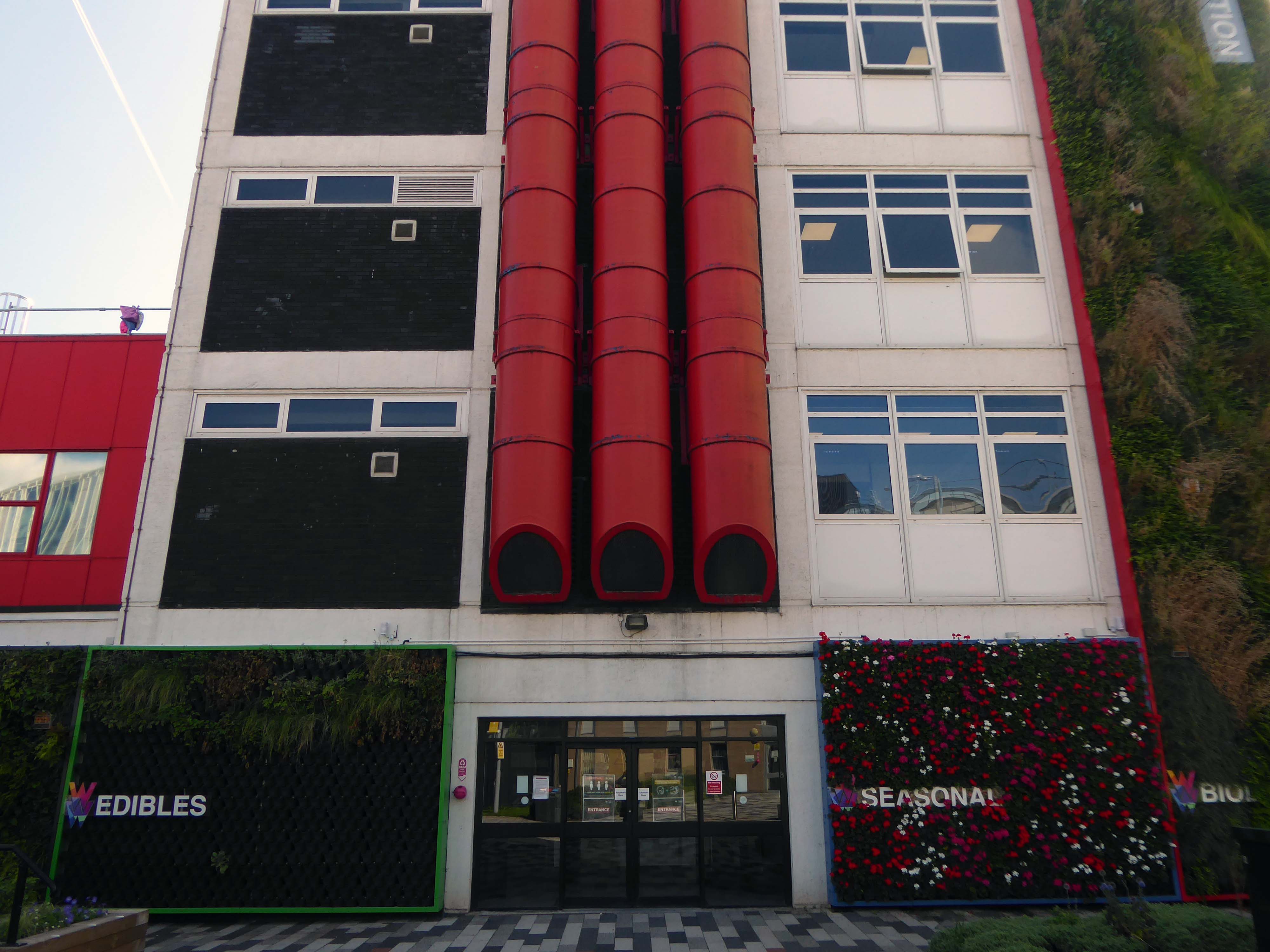
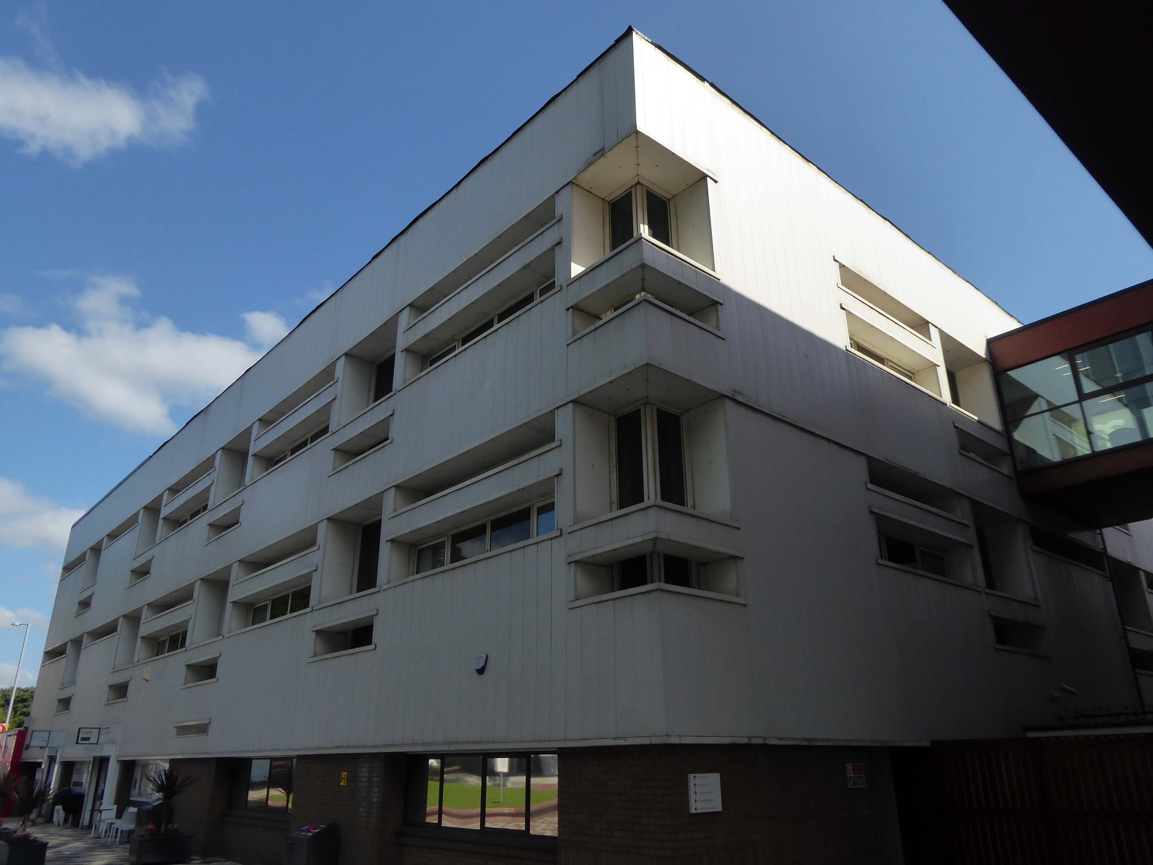
The Flaxman Building 1970 was designed by City Architect Thomas Lovatt and built by the City Works Department – the last public works assignment before competitive tendering opened up public restrictions to private enterprise.
Named for to Wedgwood’s famous modeller the classical artist, John Flaxman RA 1755-1826.
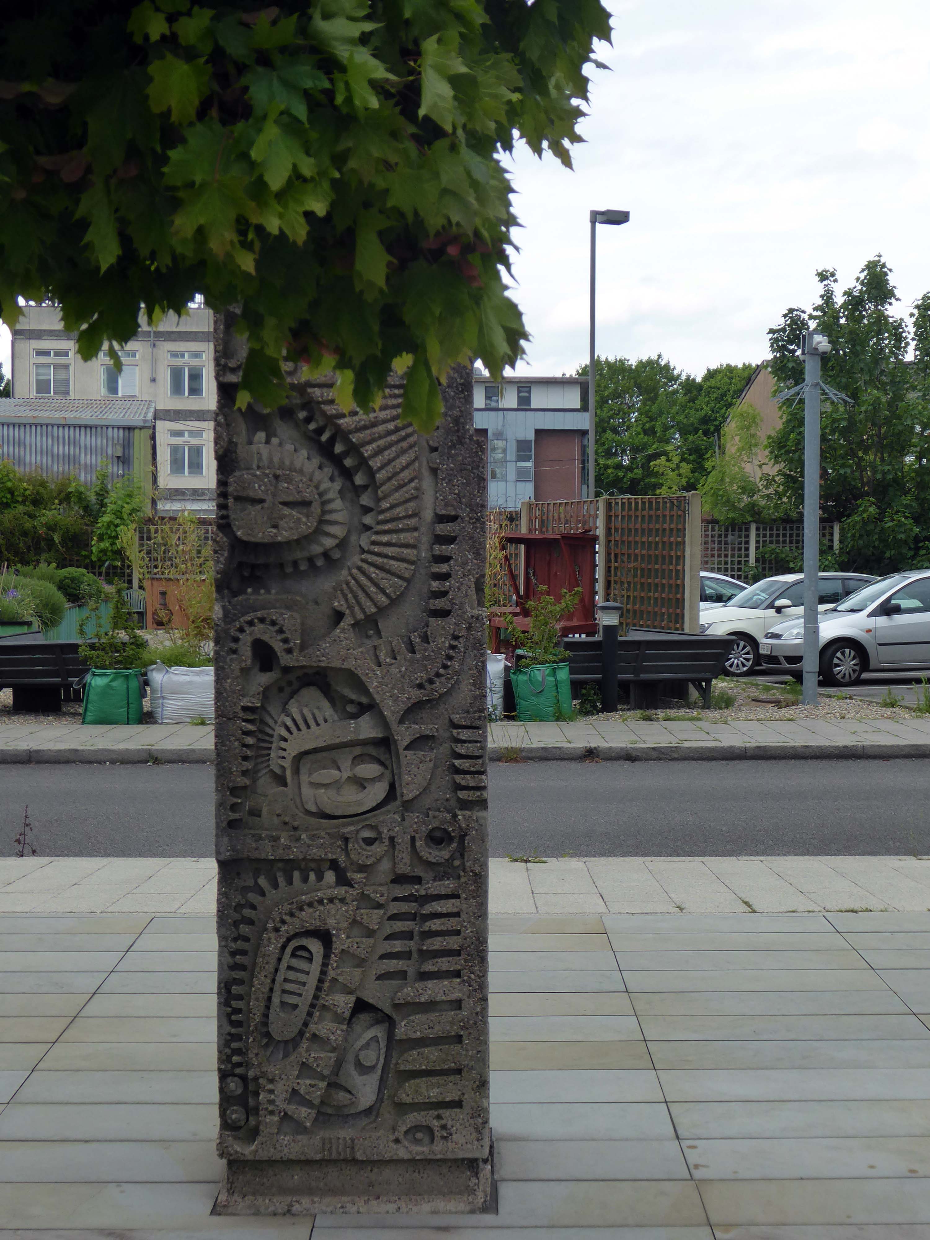
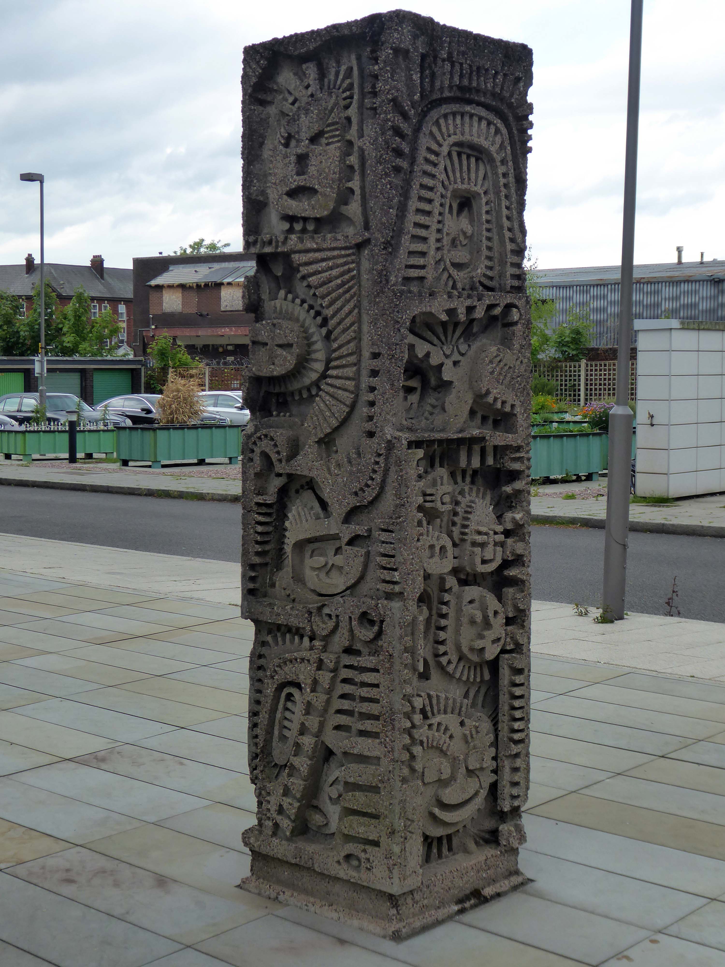
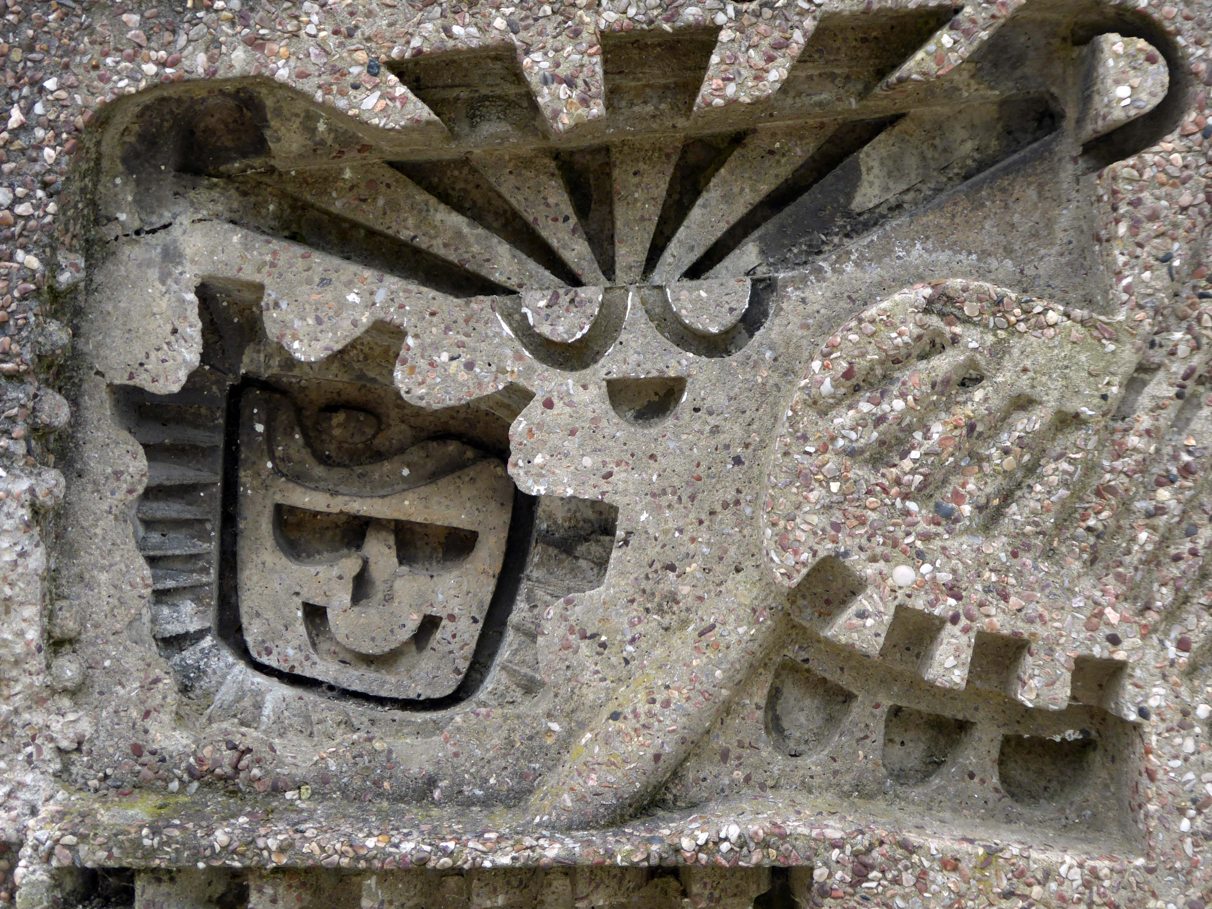
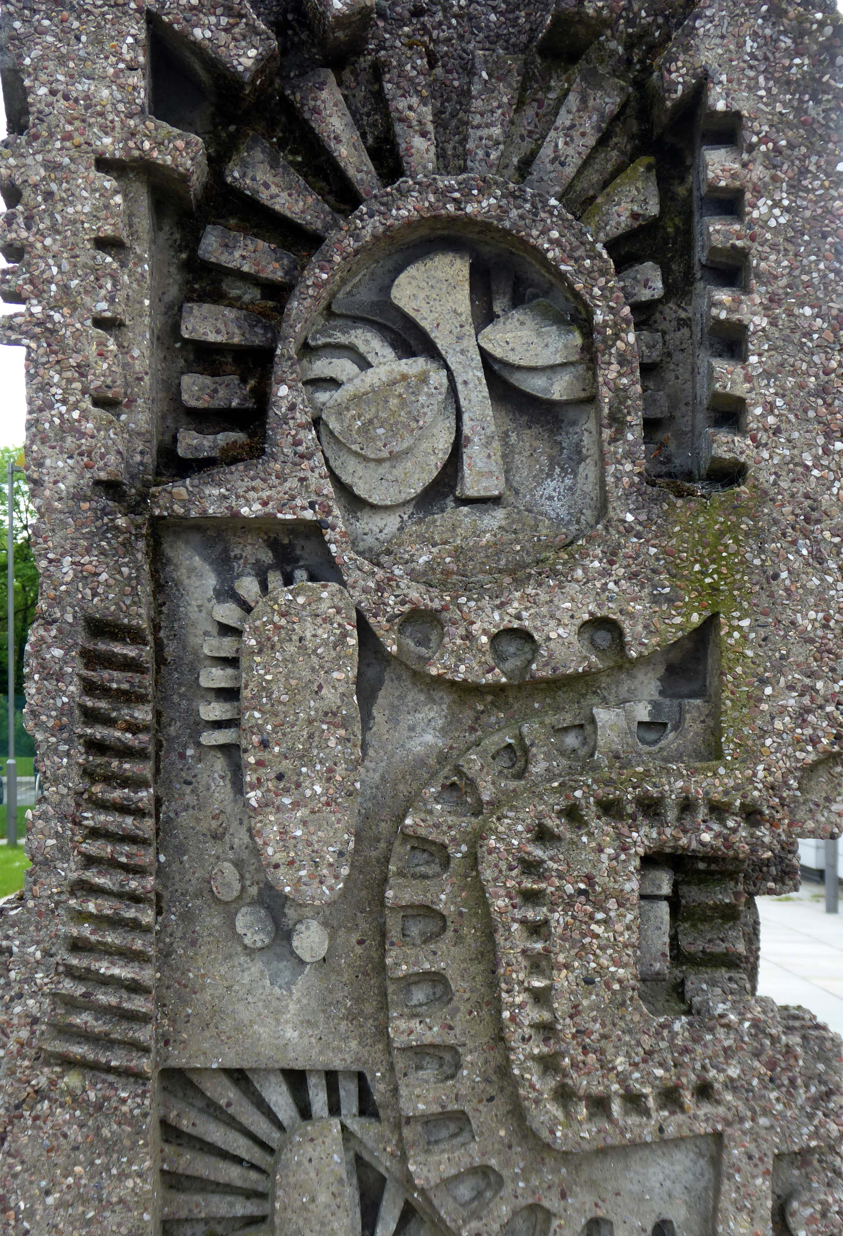
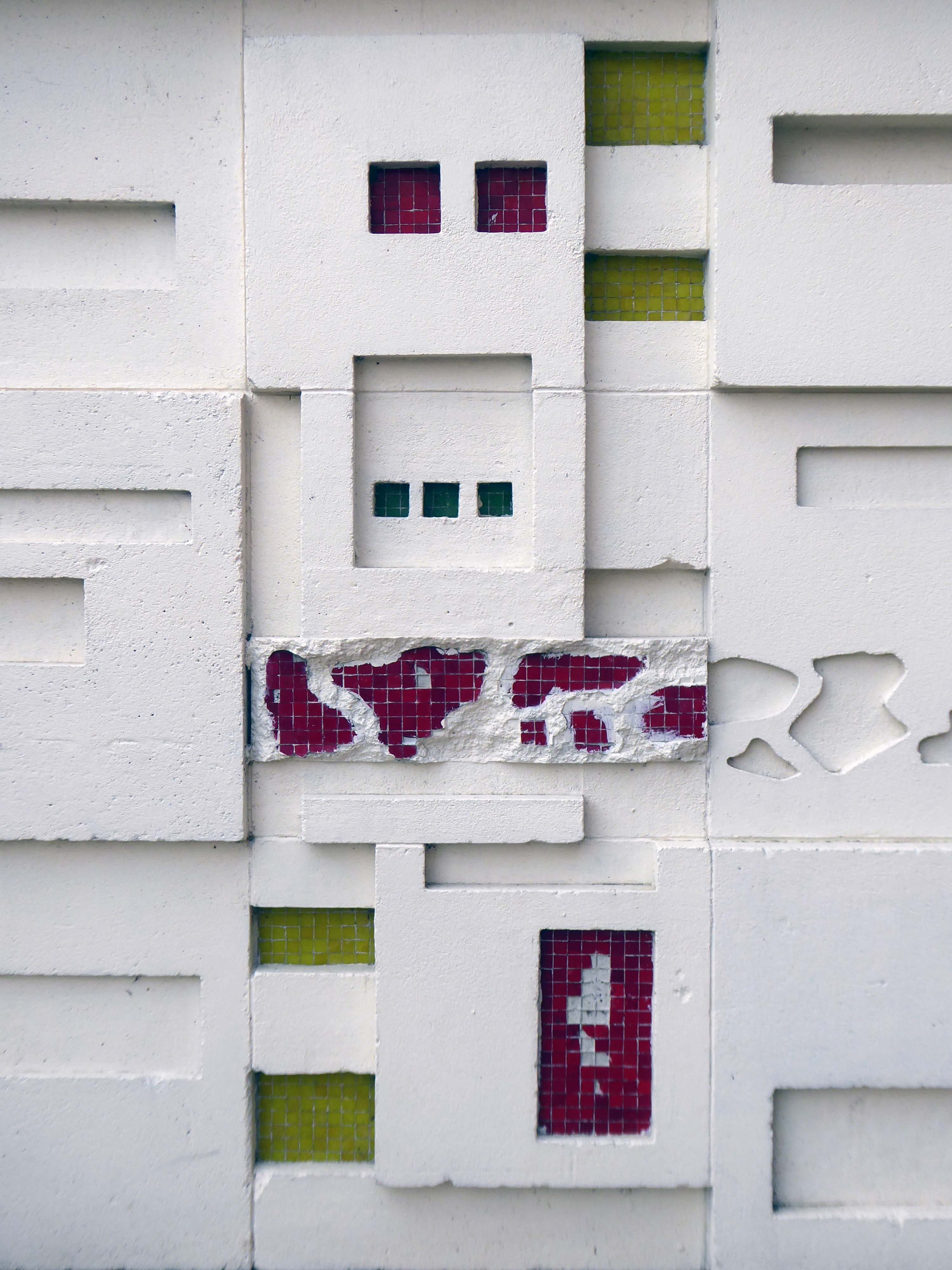
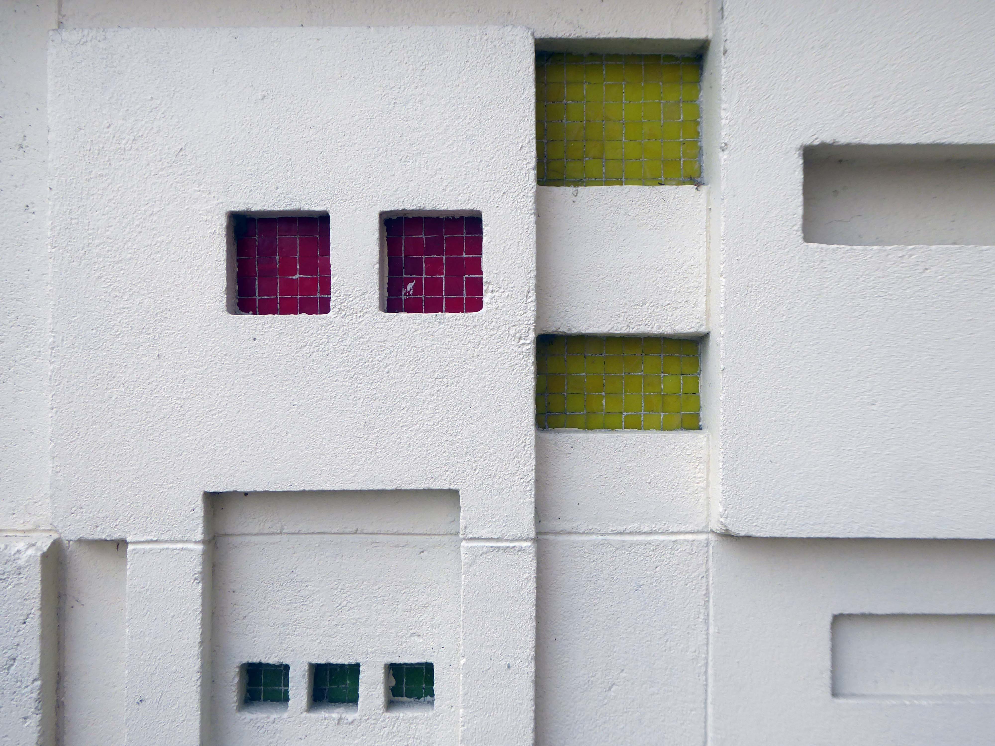
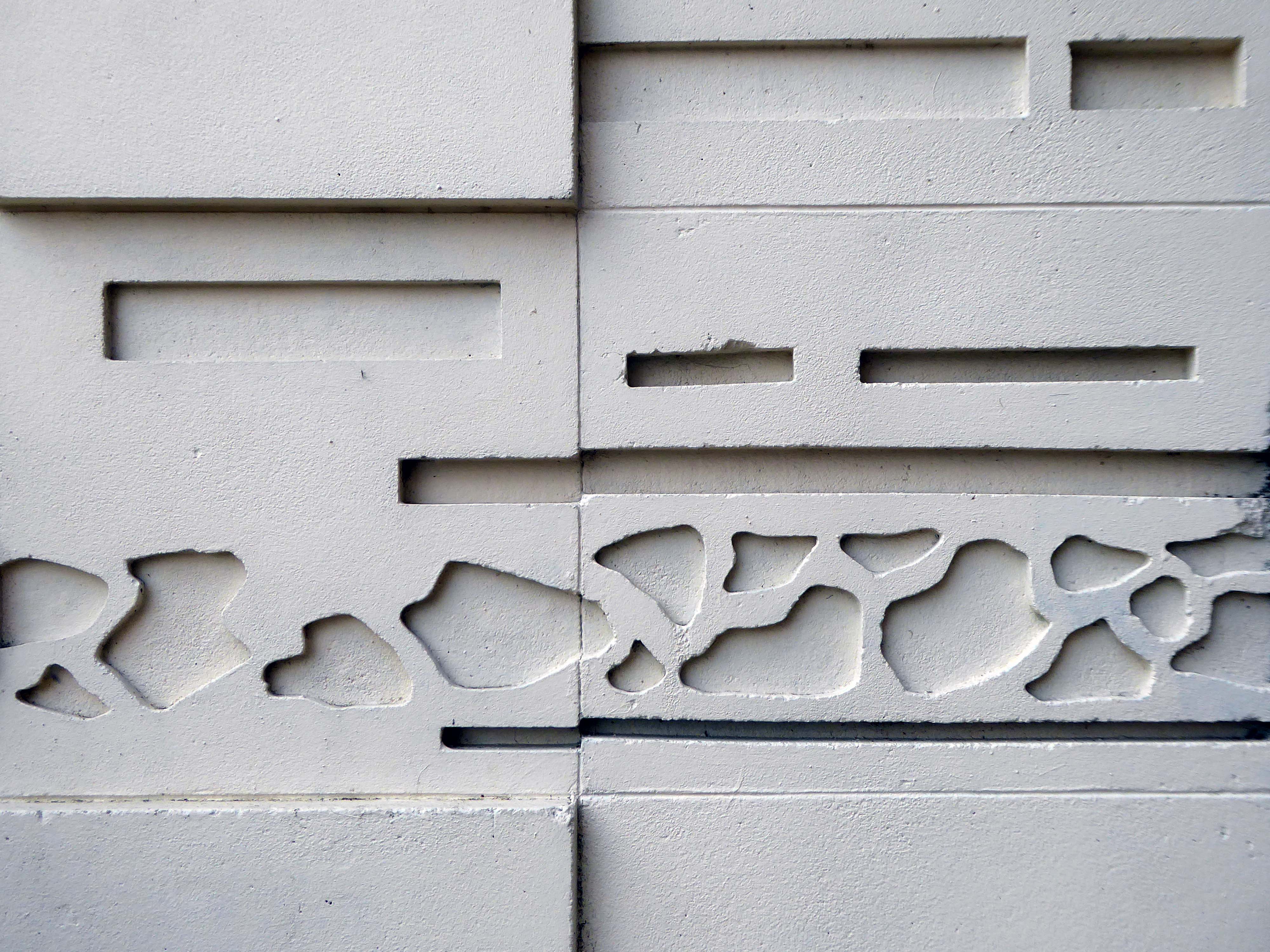
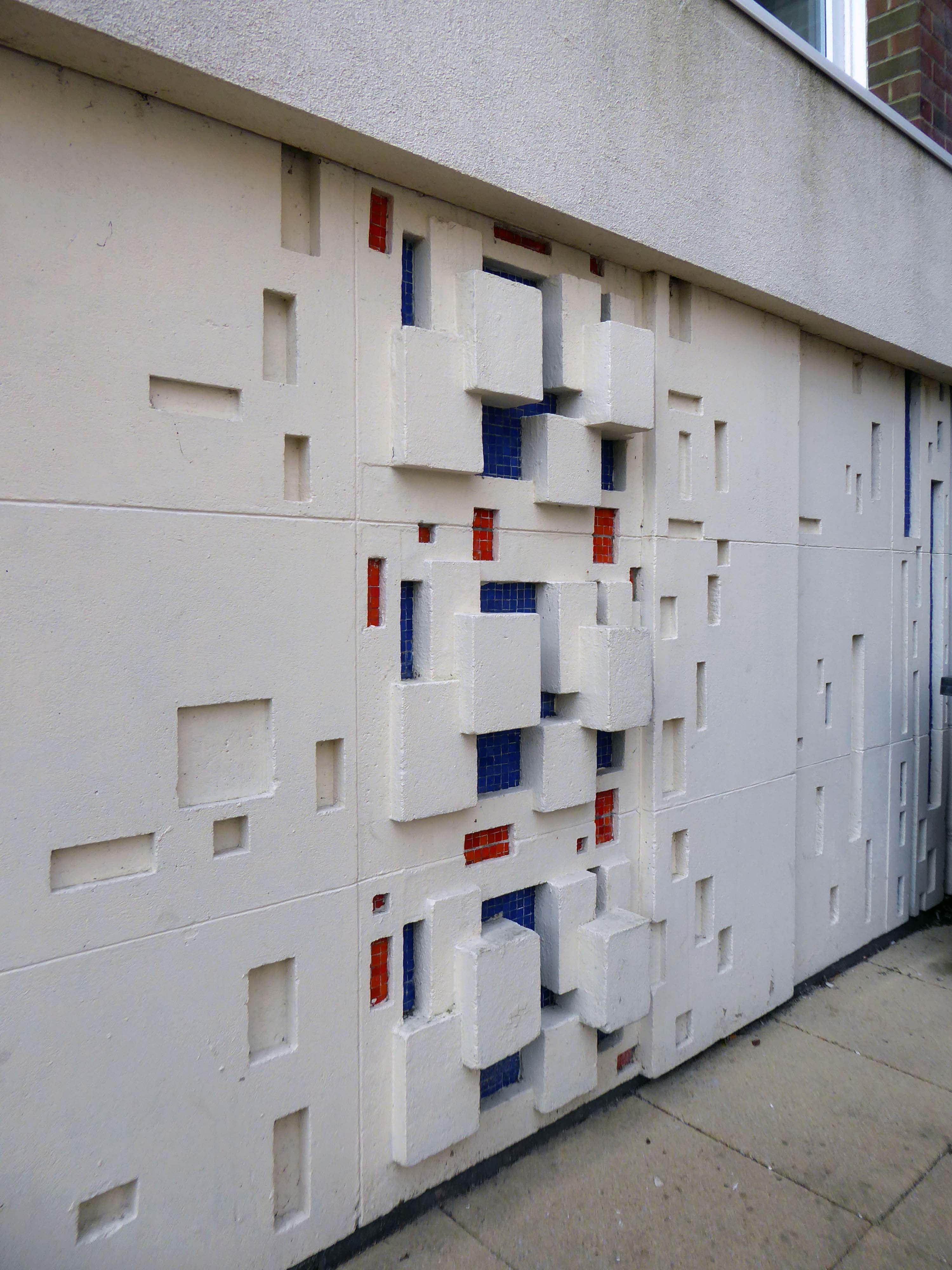
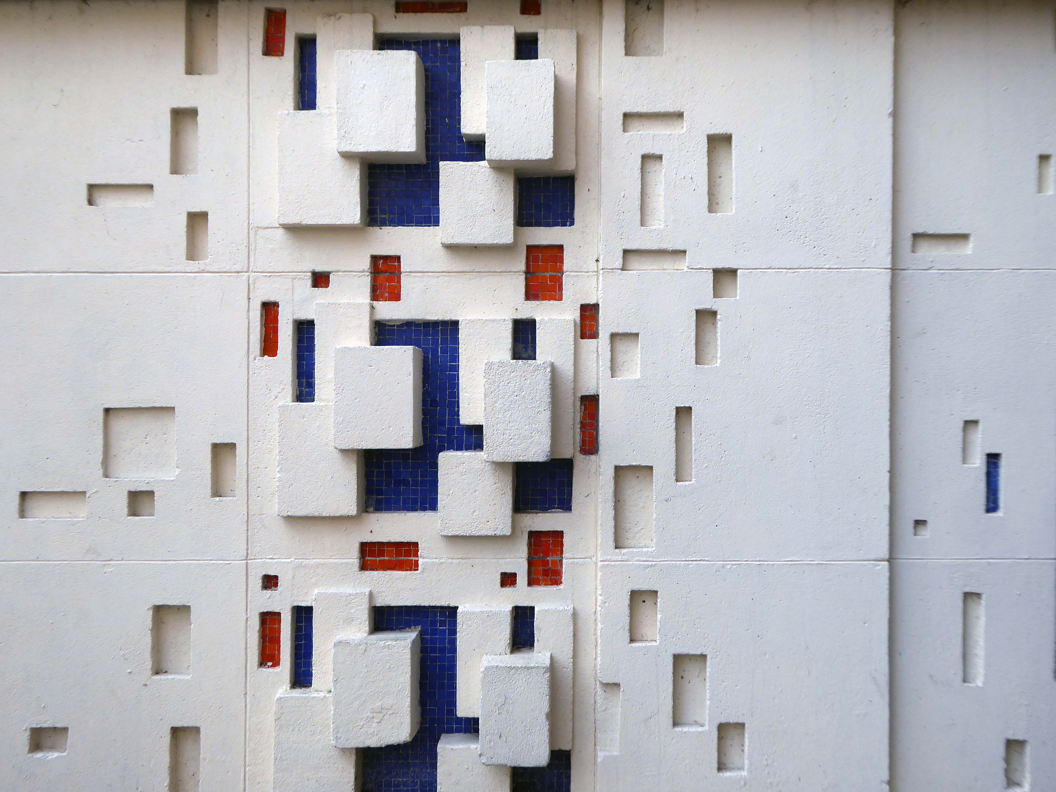
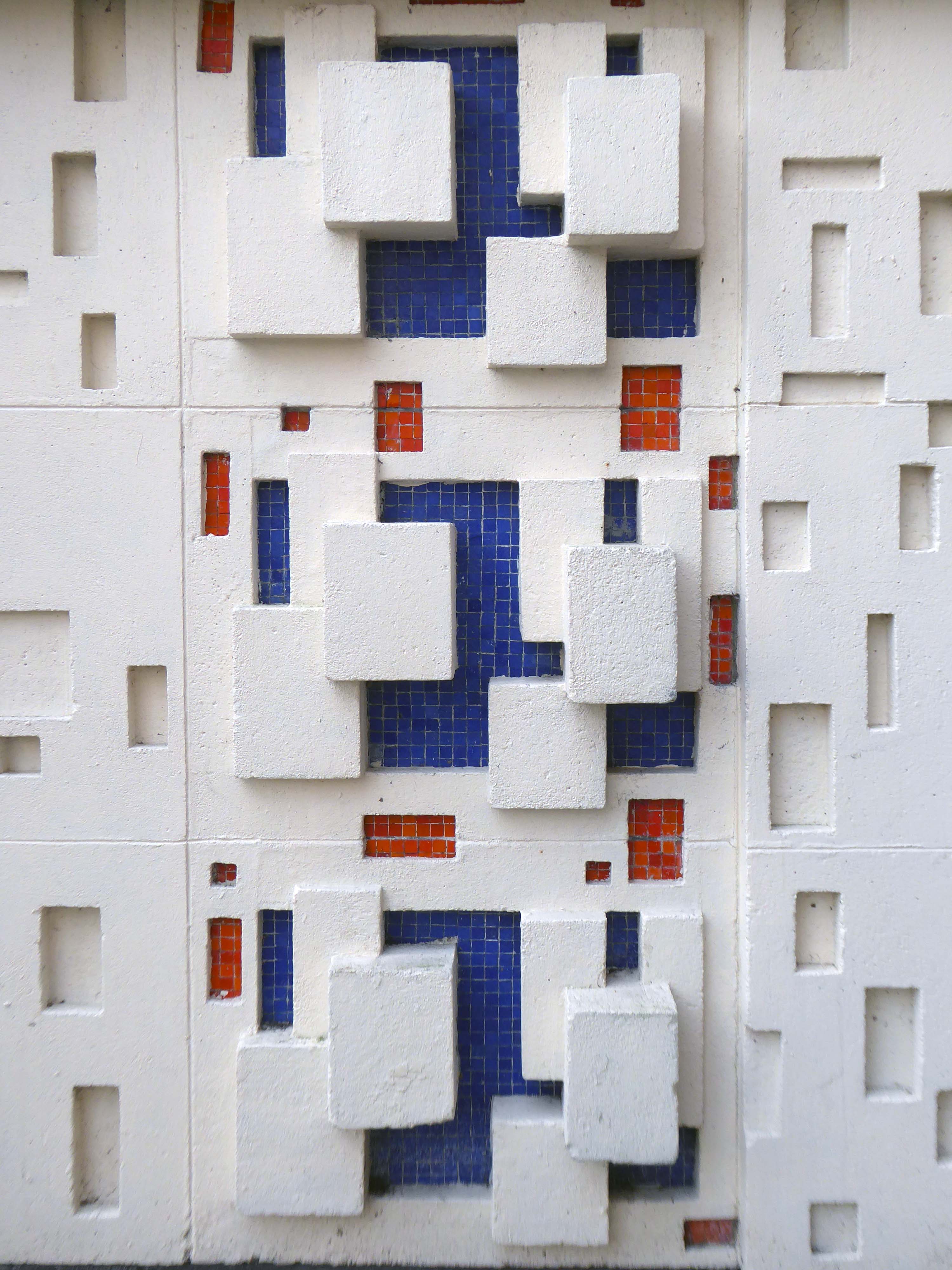
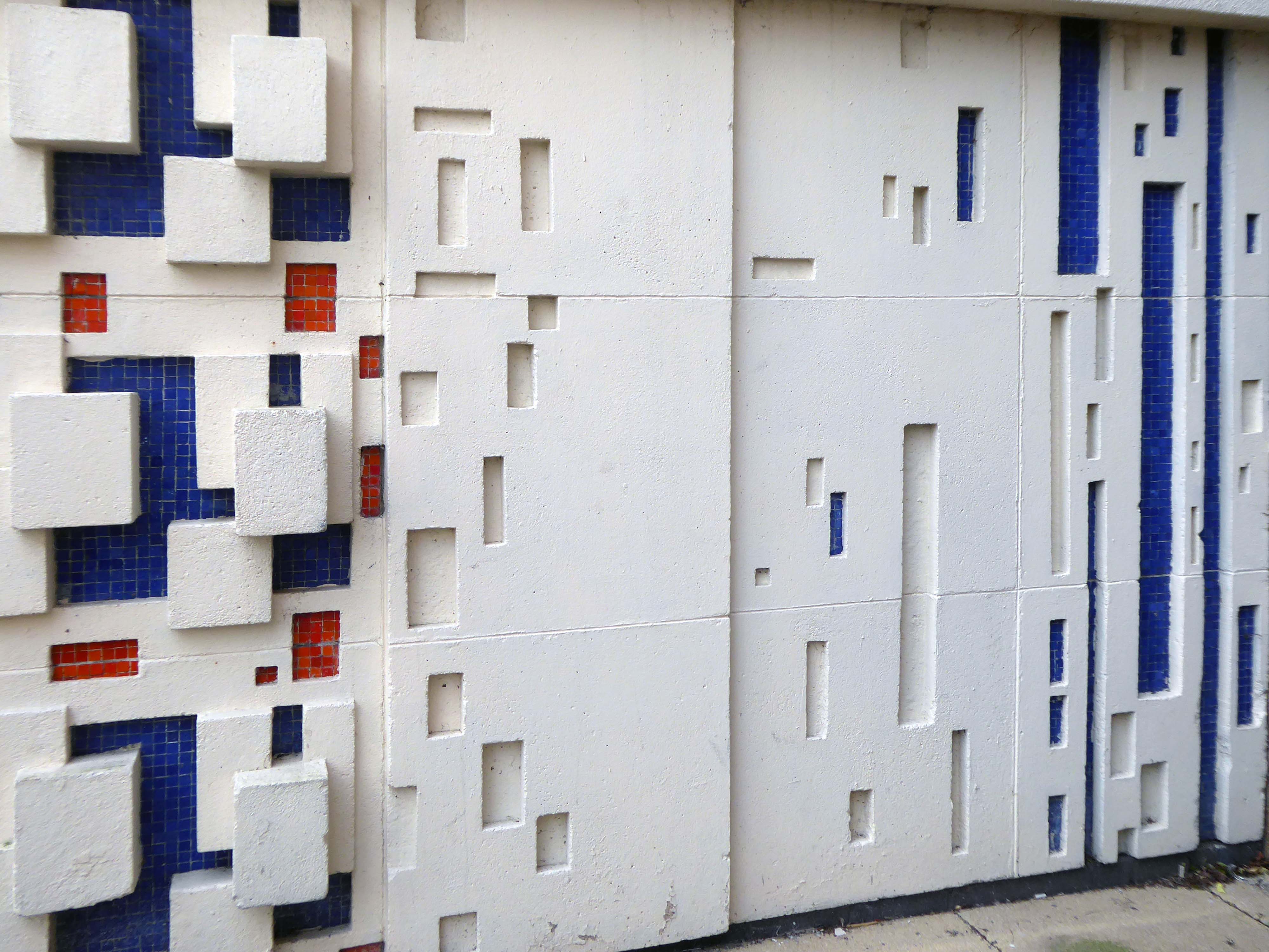
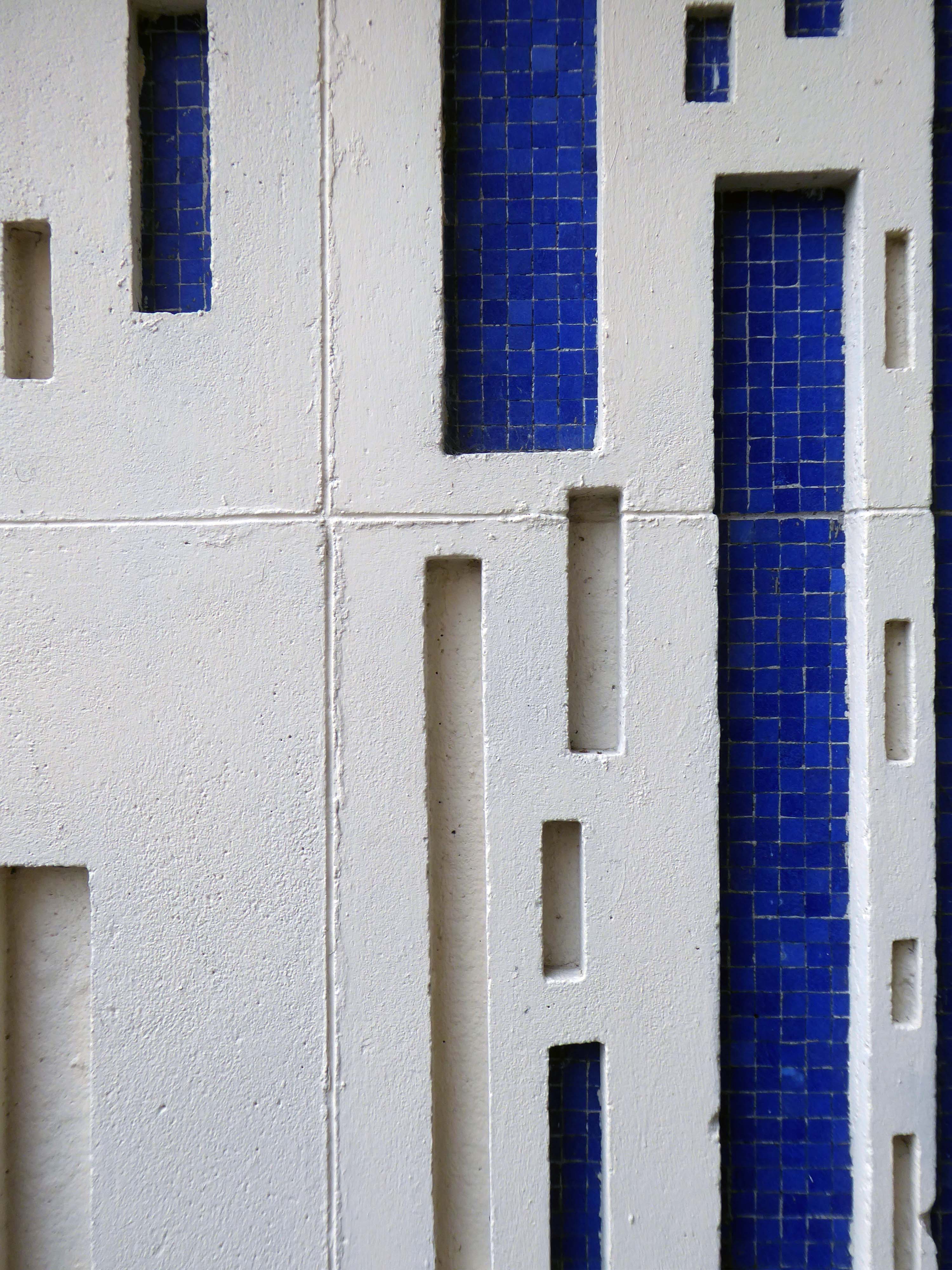
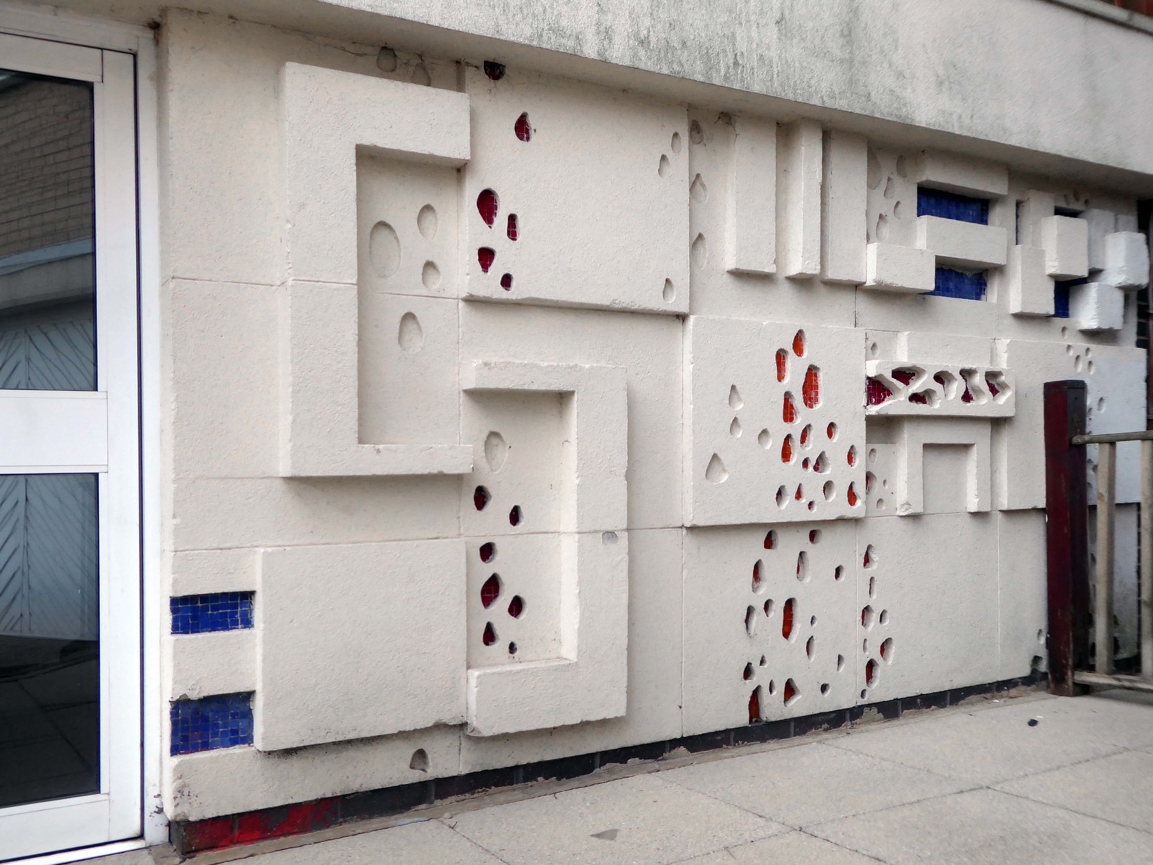
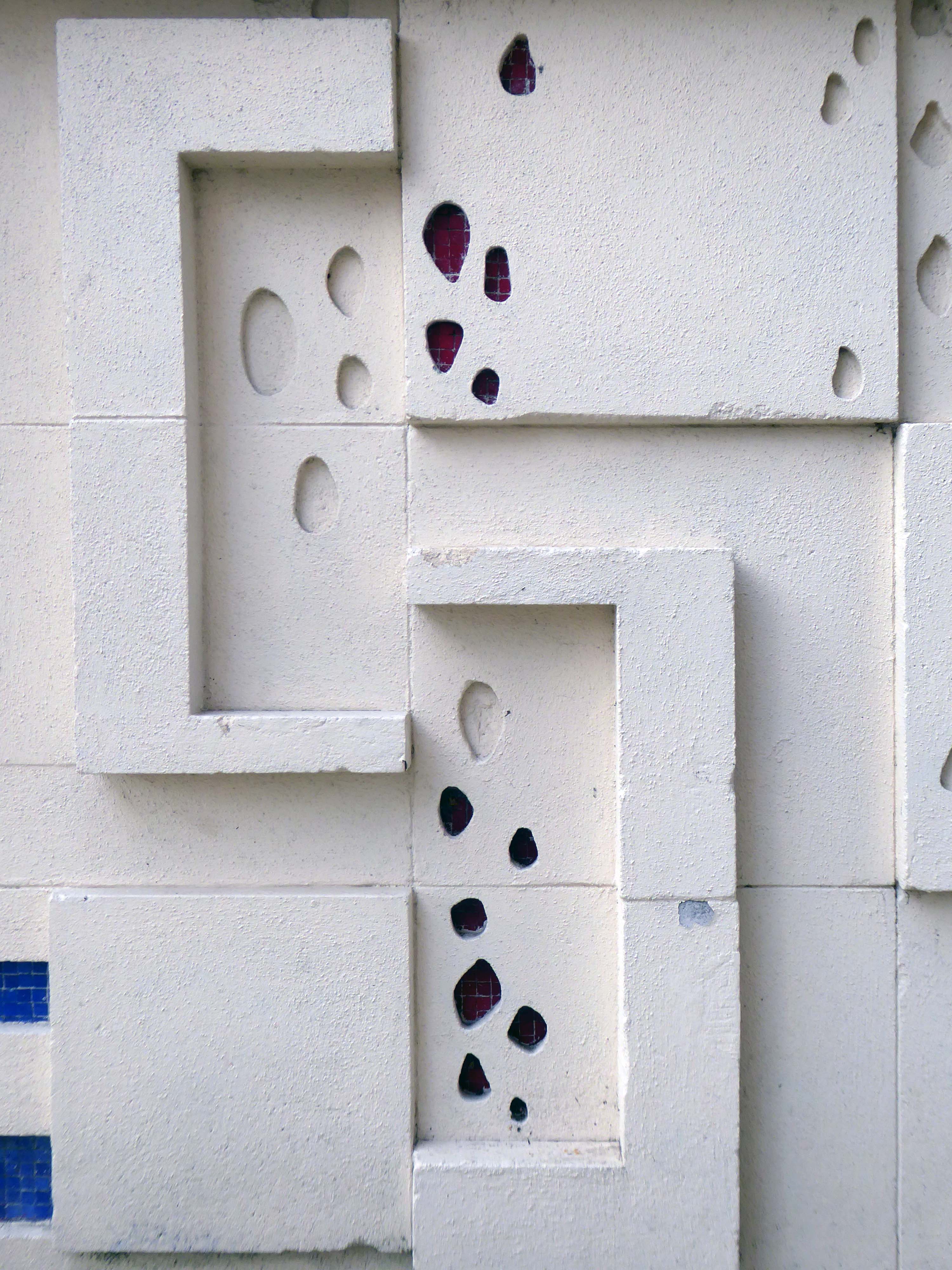
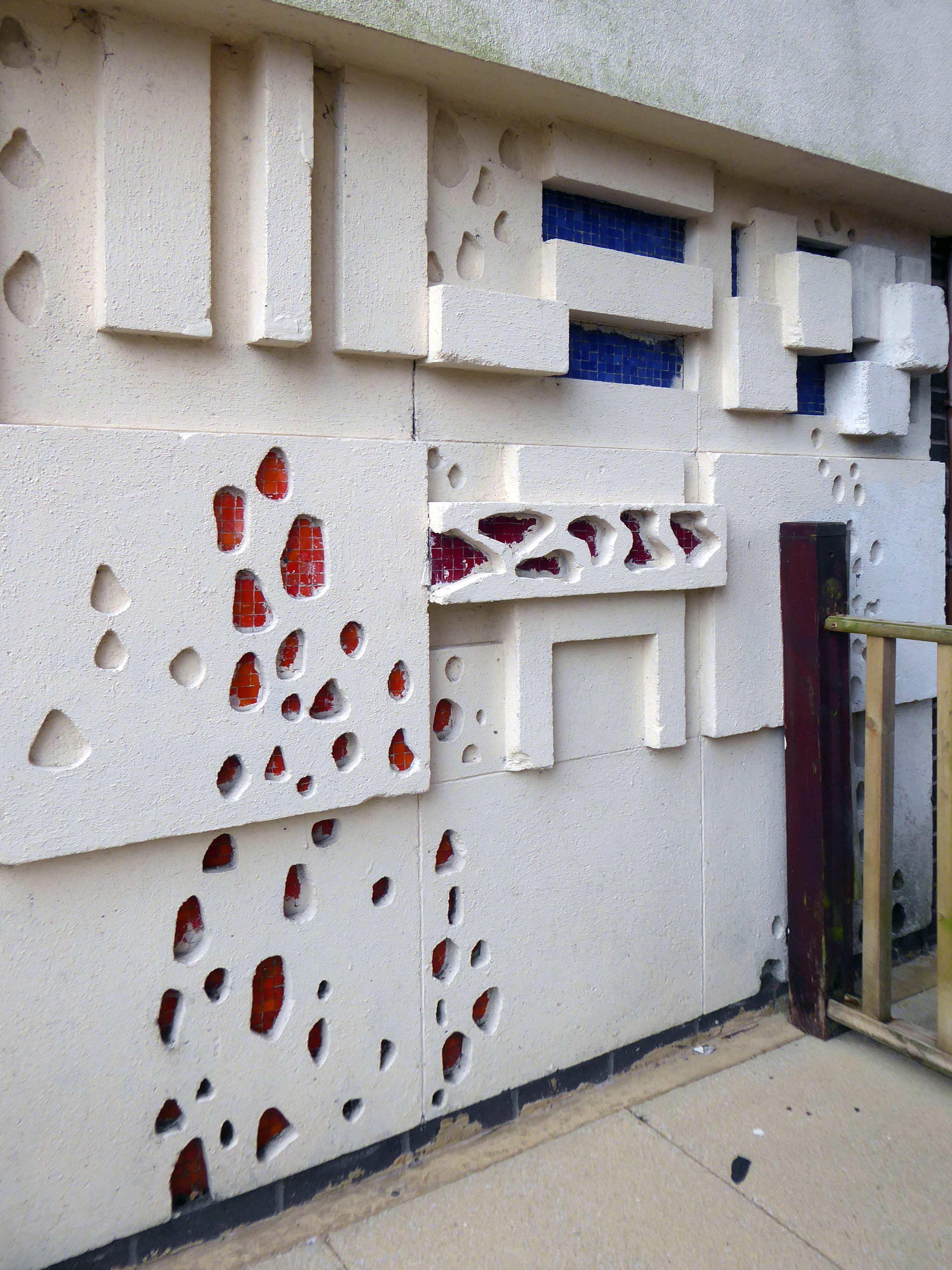
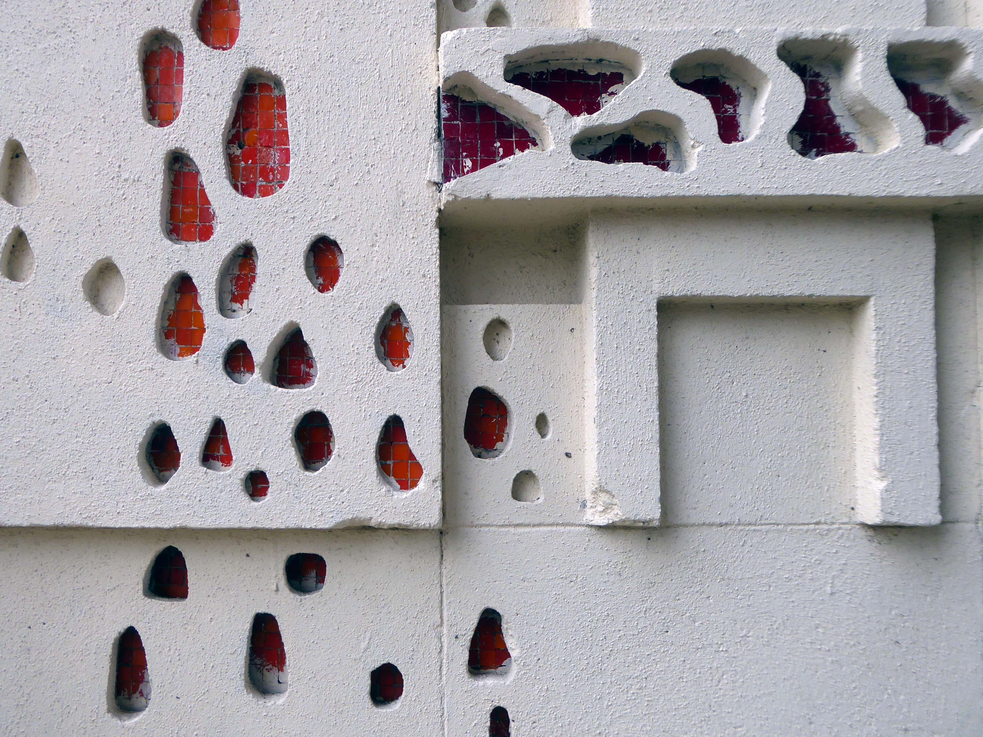
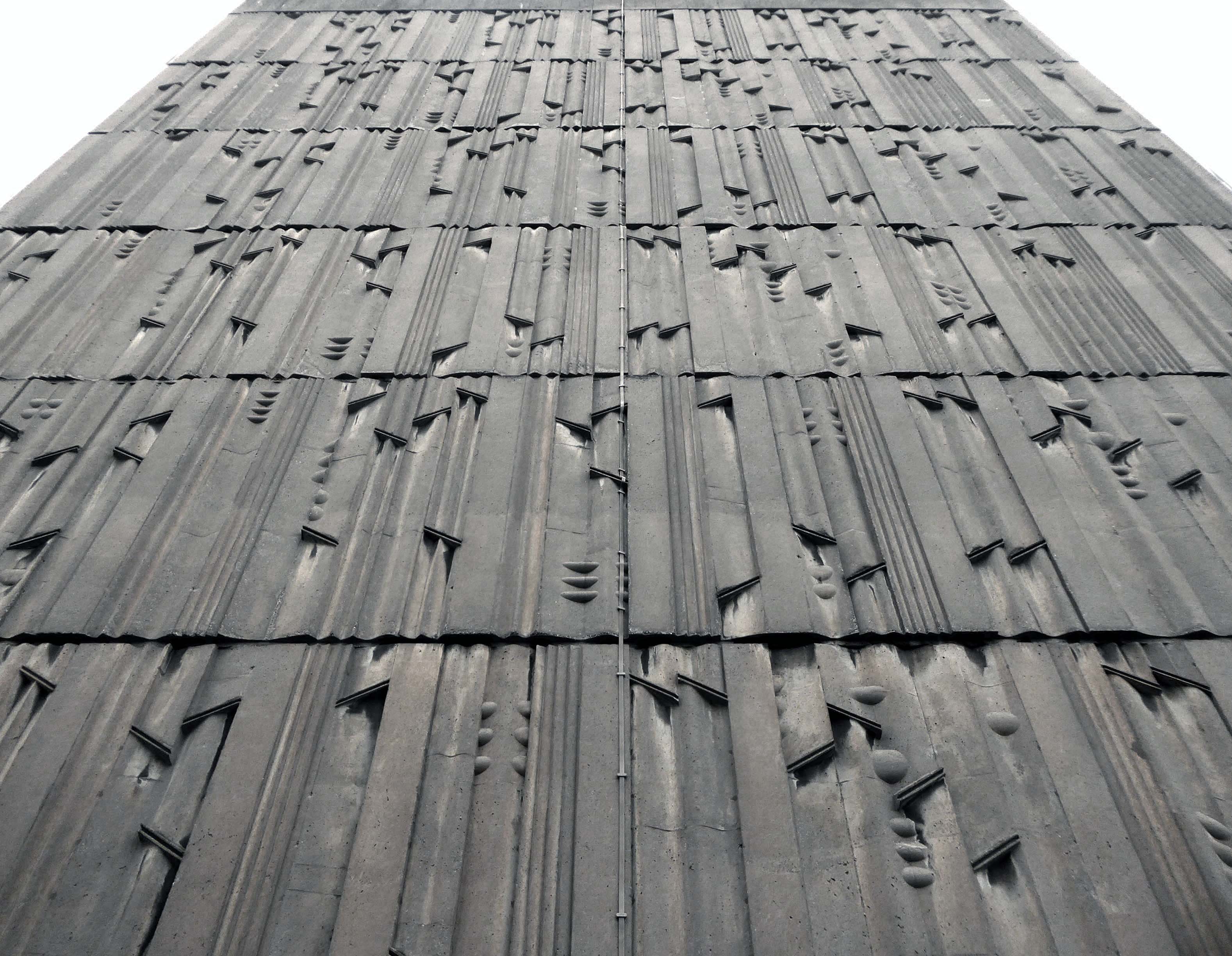
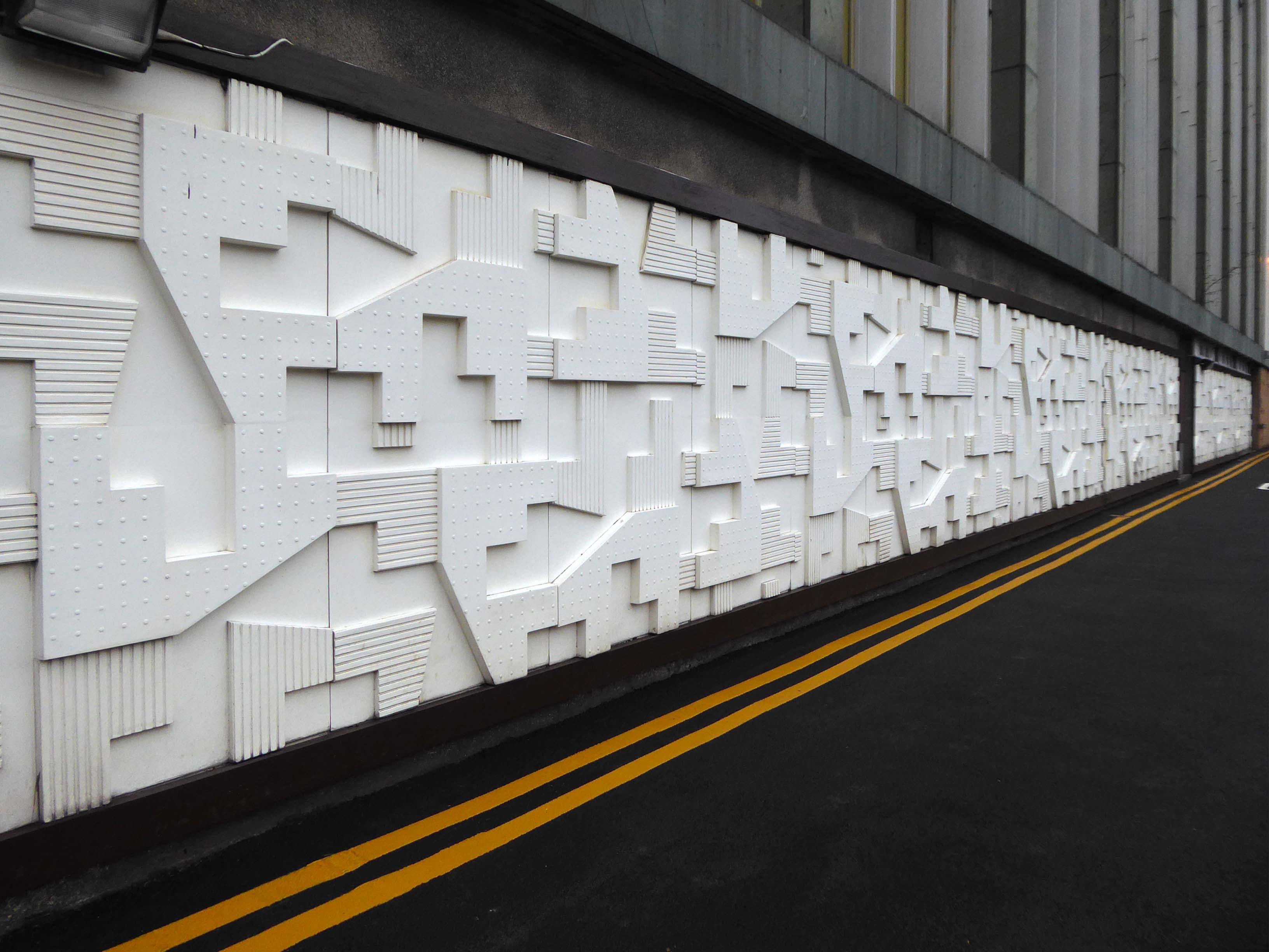
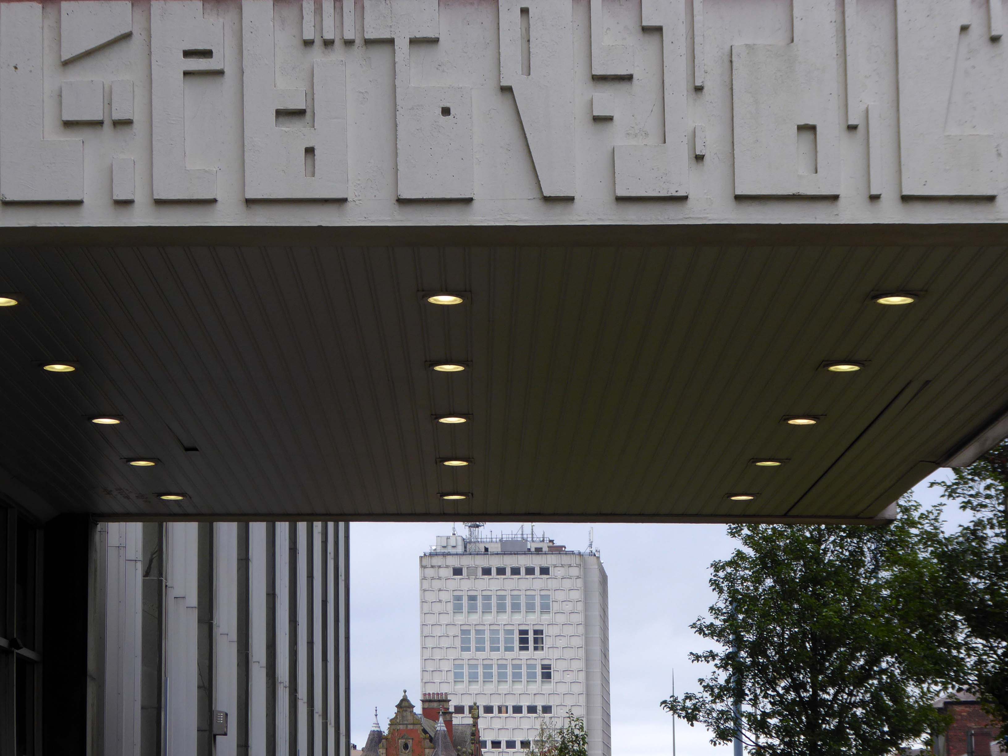
This concrete is very much in the style of William Mitchell – though there is no record of attribution.
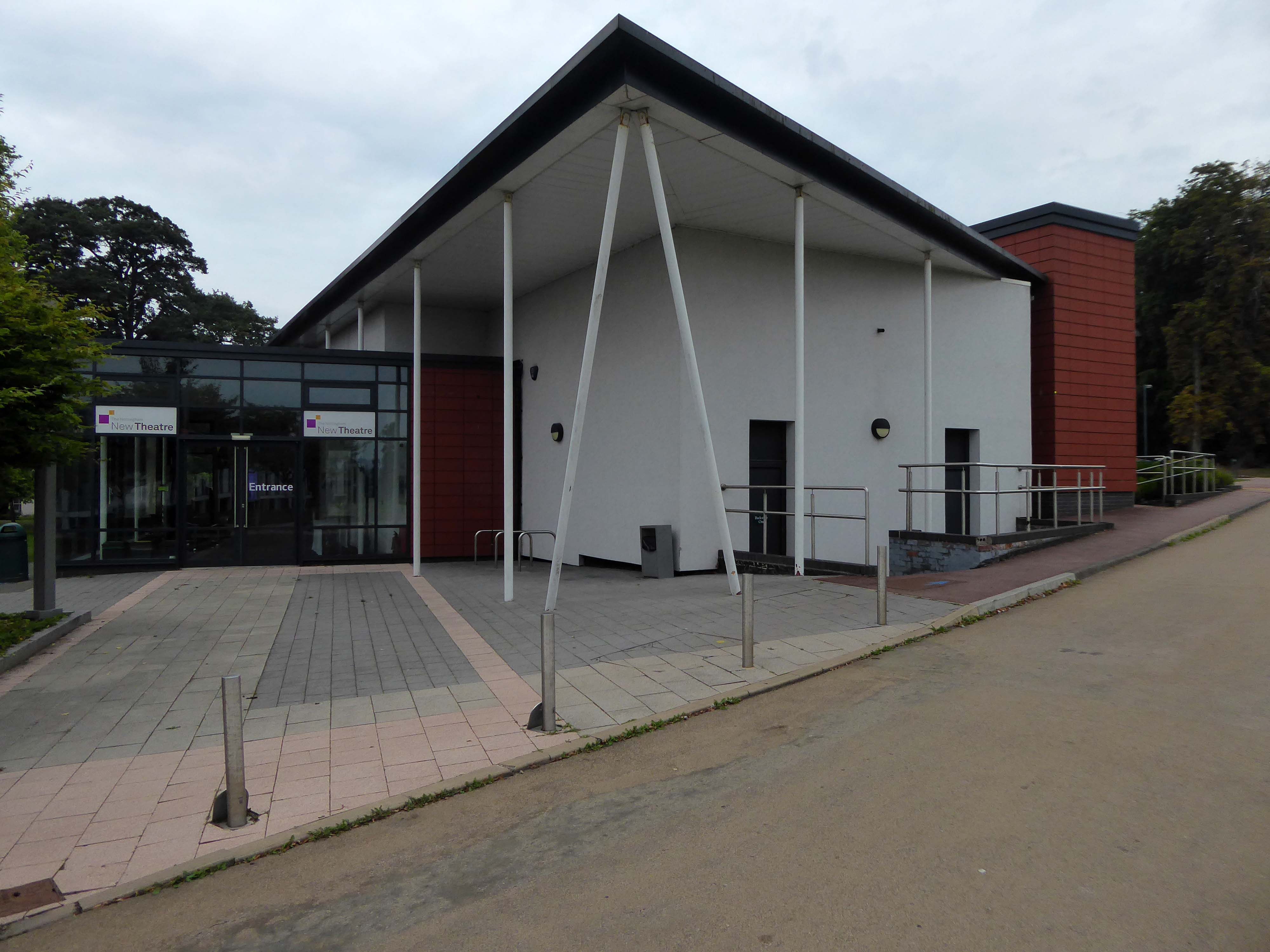
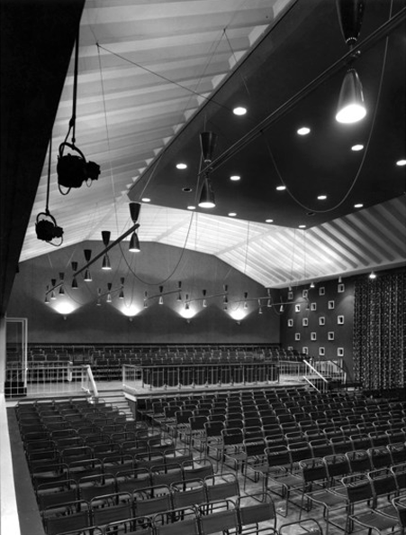
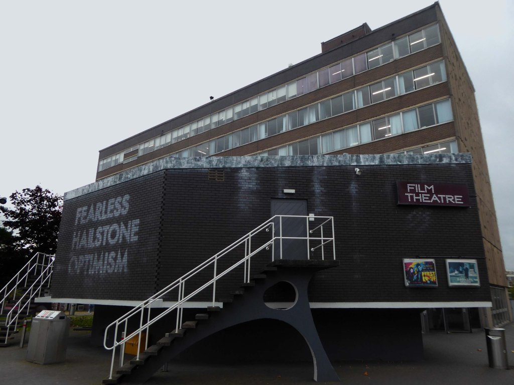
The Regional Film Theatre opened in College Road, on the premises of North Staffordshire Polytechnic now Staffordshire University in 1974.
The North Staffordshire Film Society moved there to screen films one evening a week, while the Film Theatre operated on three nights a week.
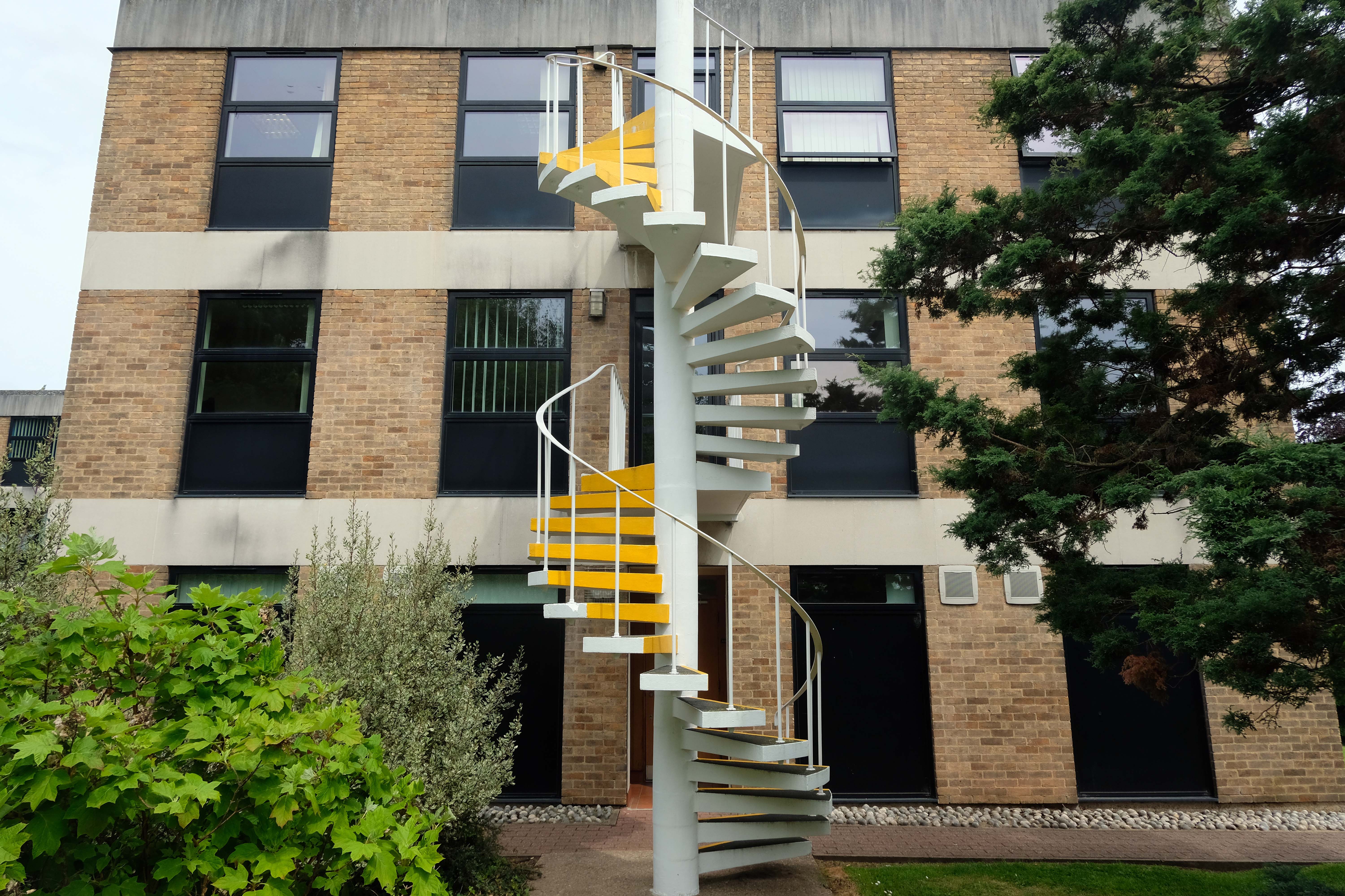
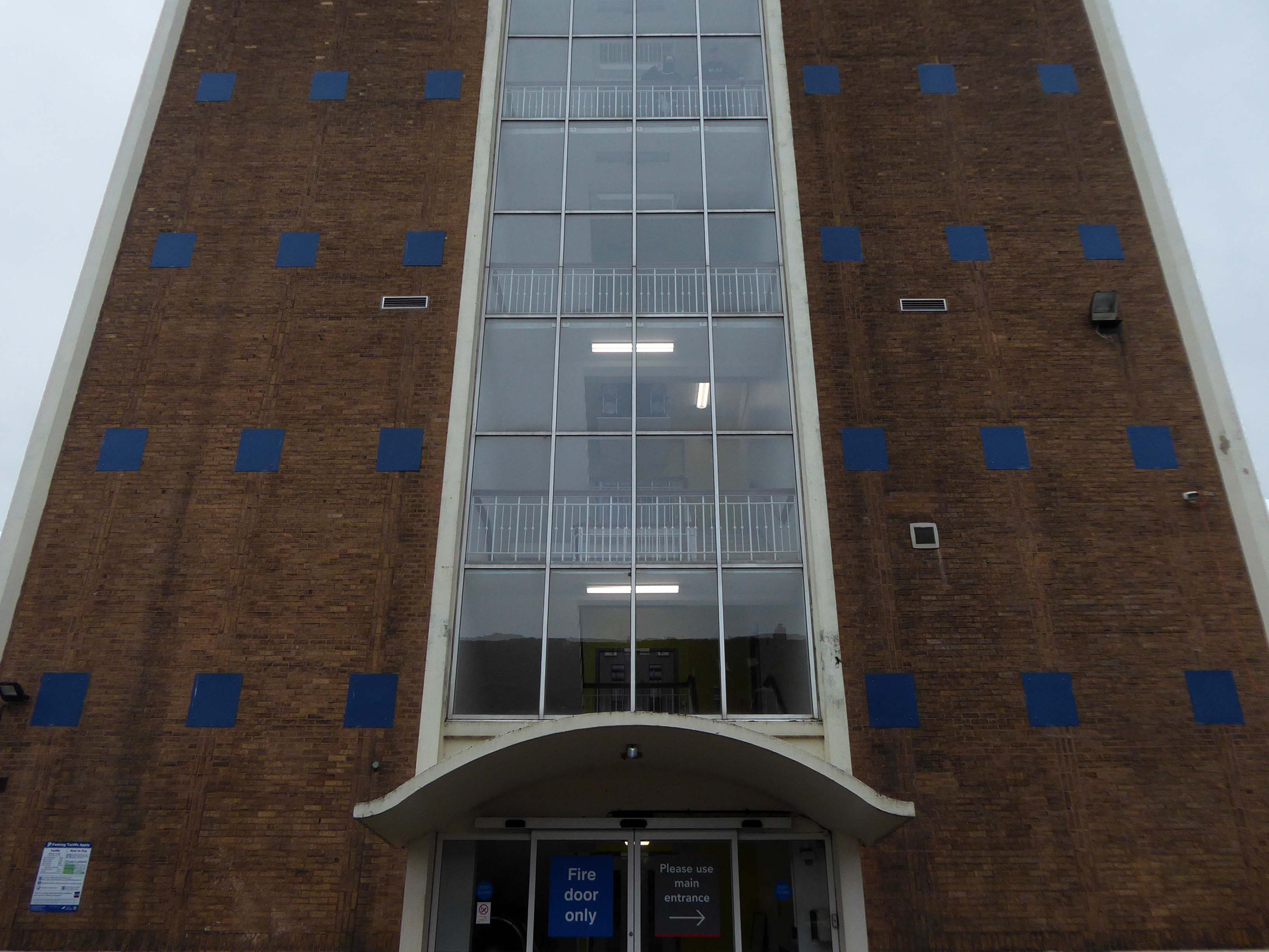
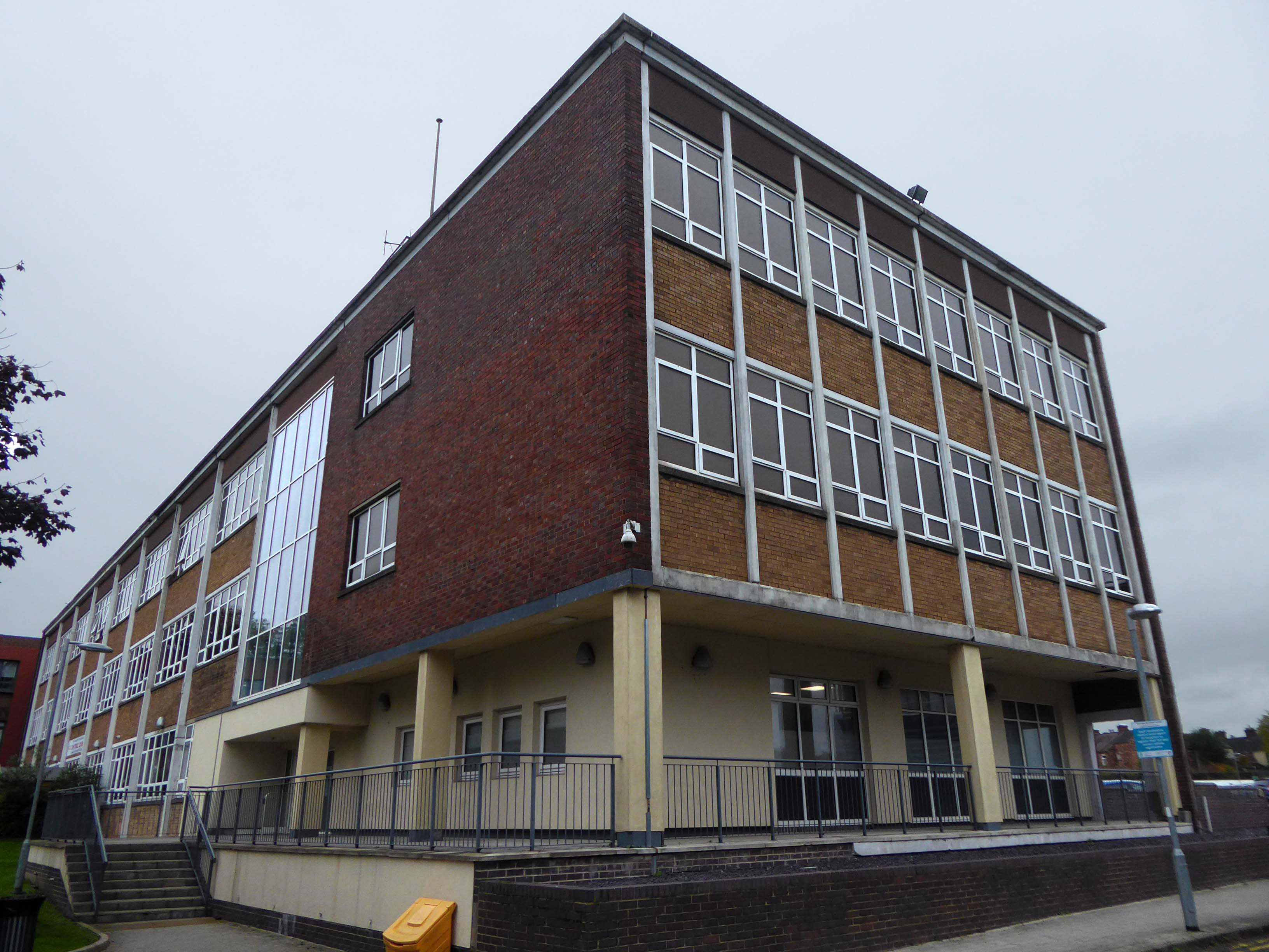
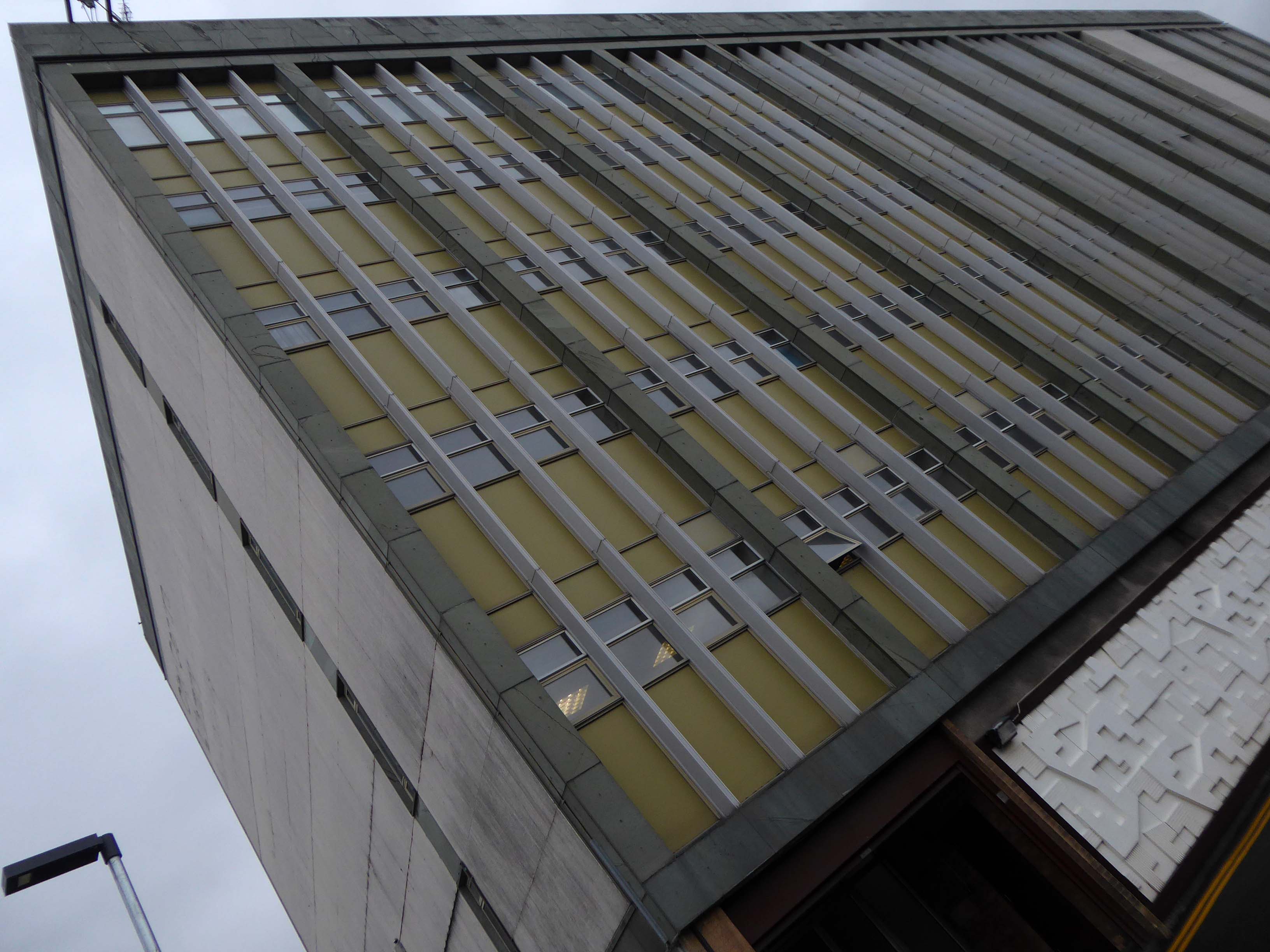
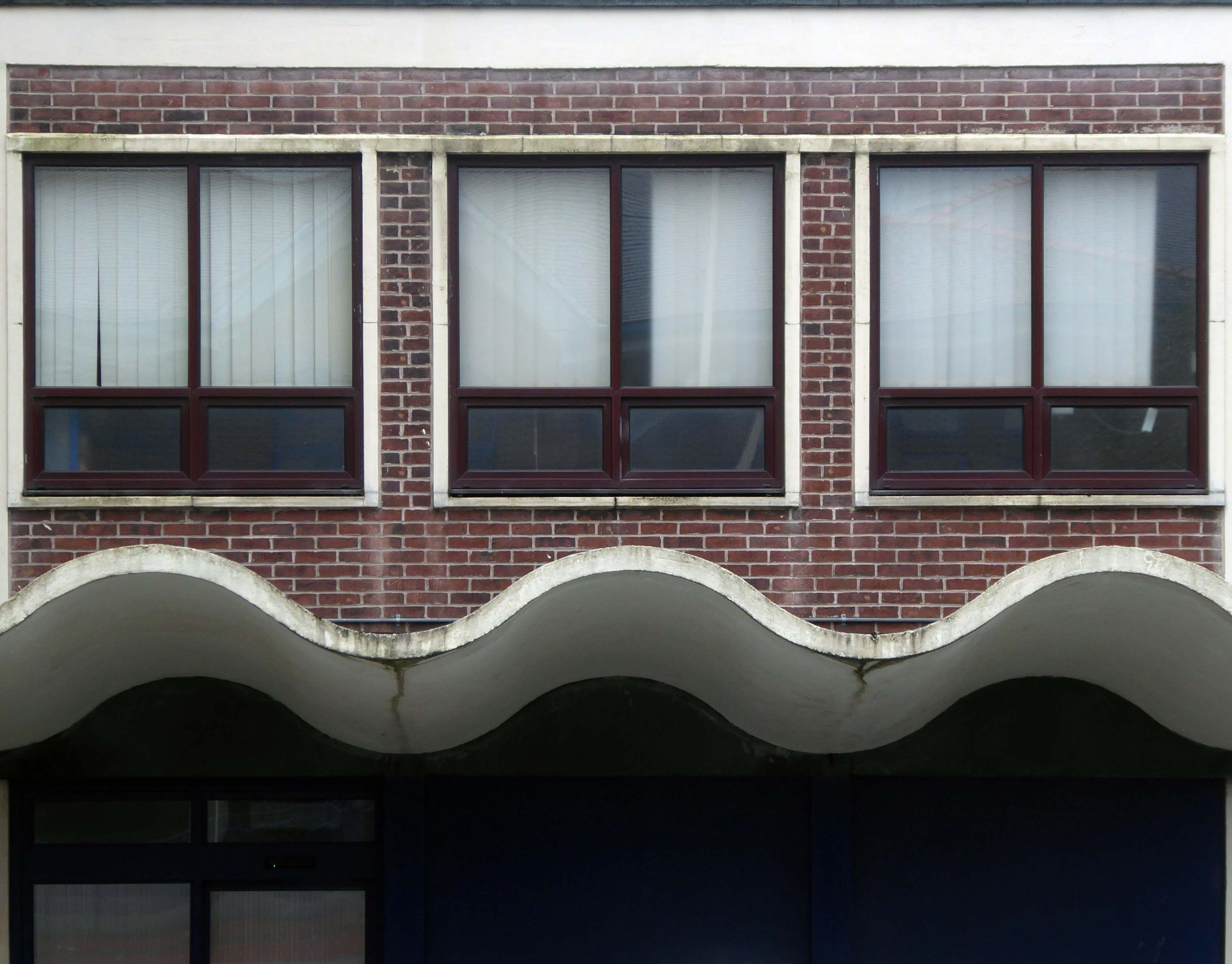
Across the way is the assertive slab tower of the 1950’s Mellor Building with its curvy cantilevered porch cover.
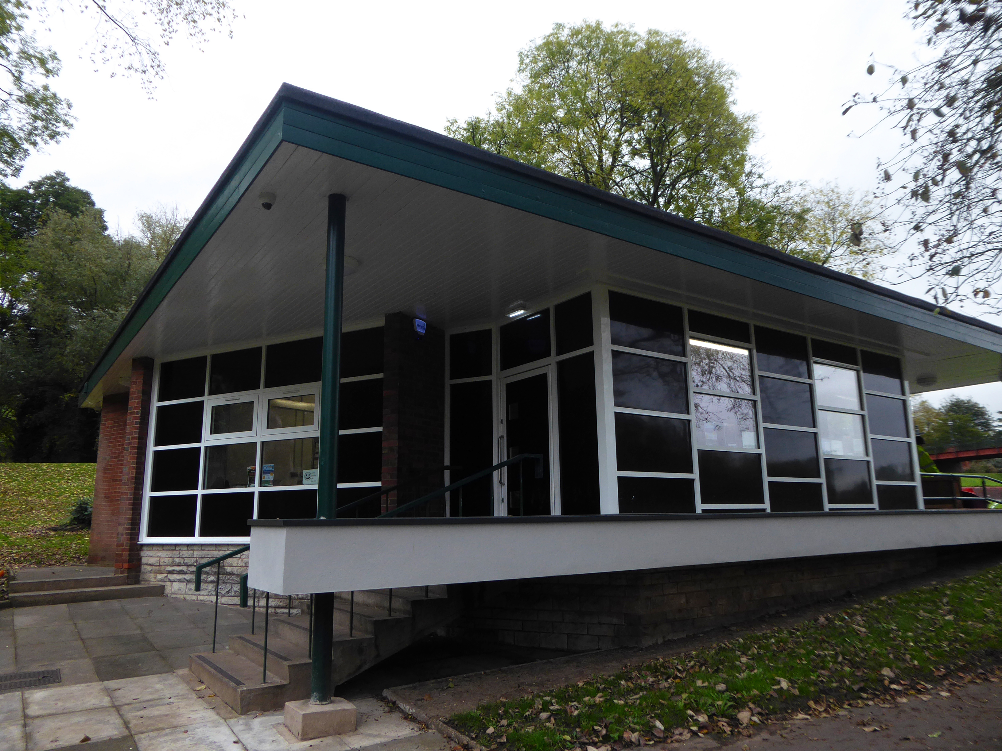
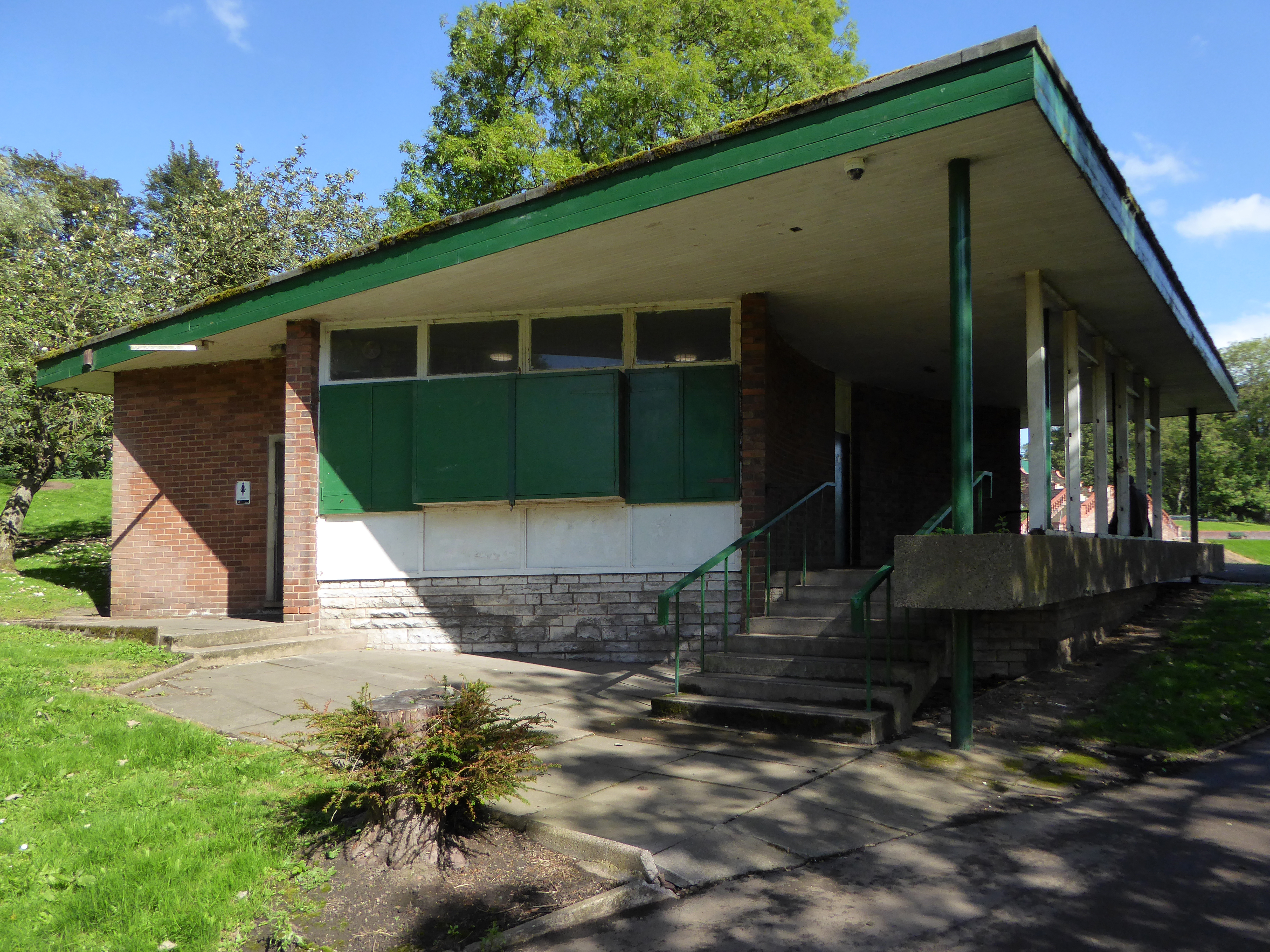
Tucked away in Hanley Park is this period building.
It has been refurbished and the walkway enclosed since my previous visit.
hanley park was laid out in the 1890s by Thomas Hayton Mawson the pavilion of 1896 is by his associate Dan Gibson.
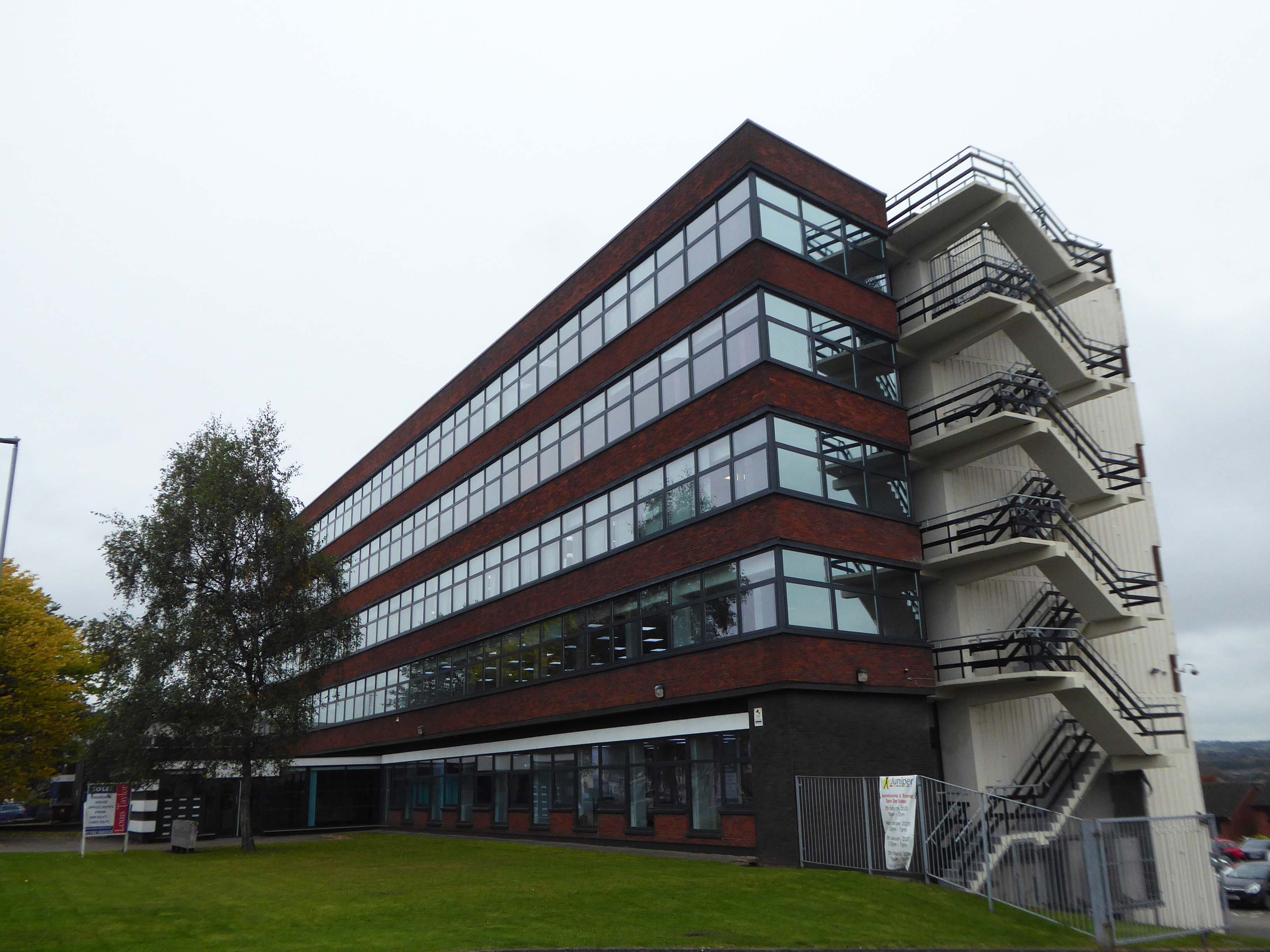
Further along the way we come upon Churchill House with its distinctive fire escape.
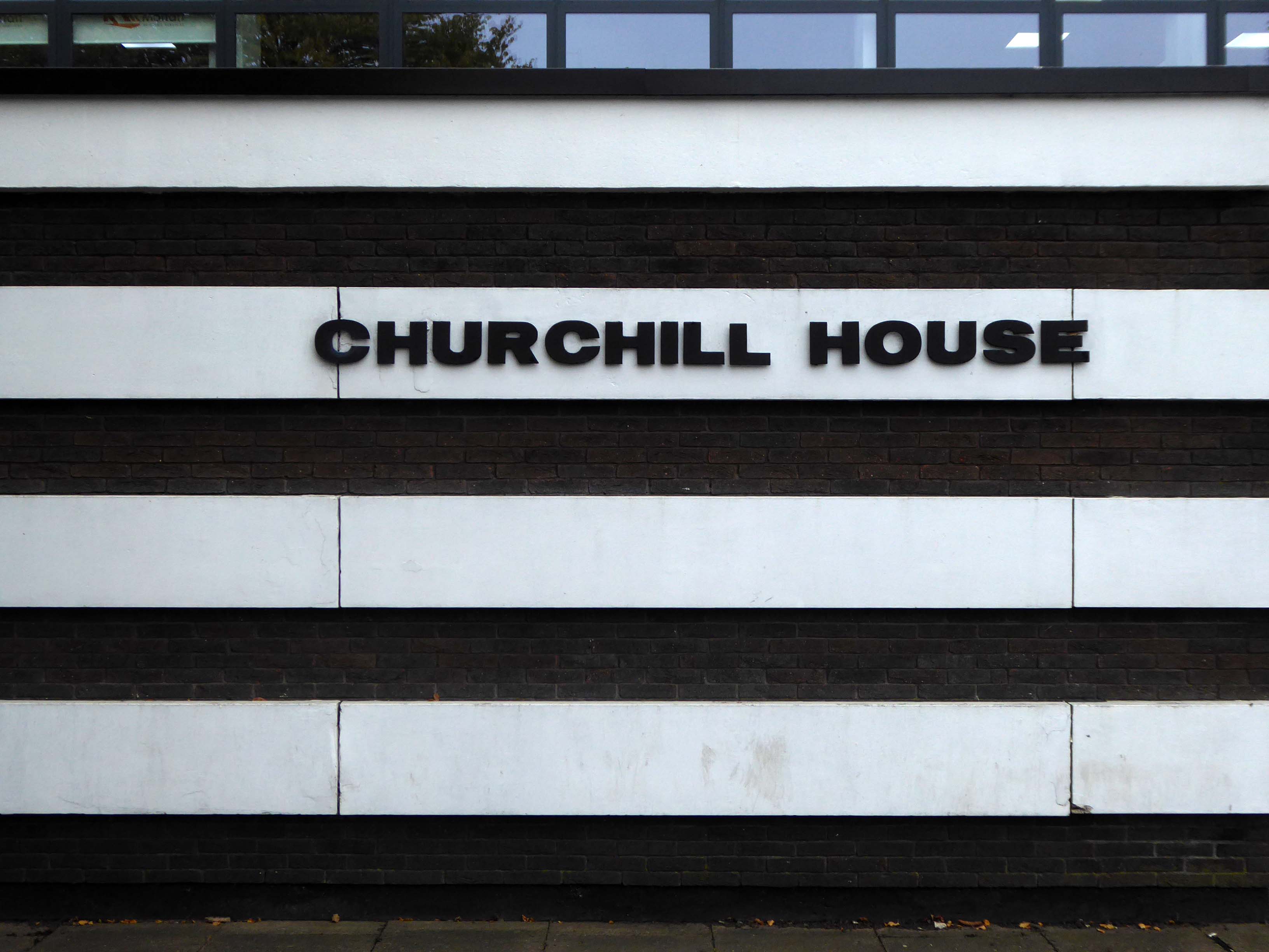
And original architectural signage.
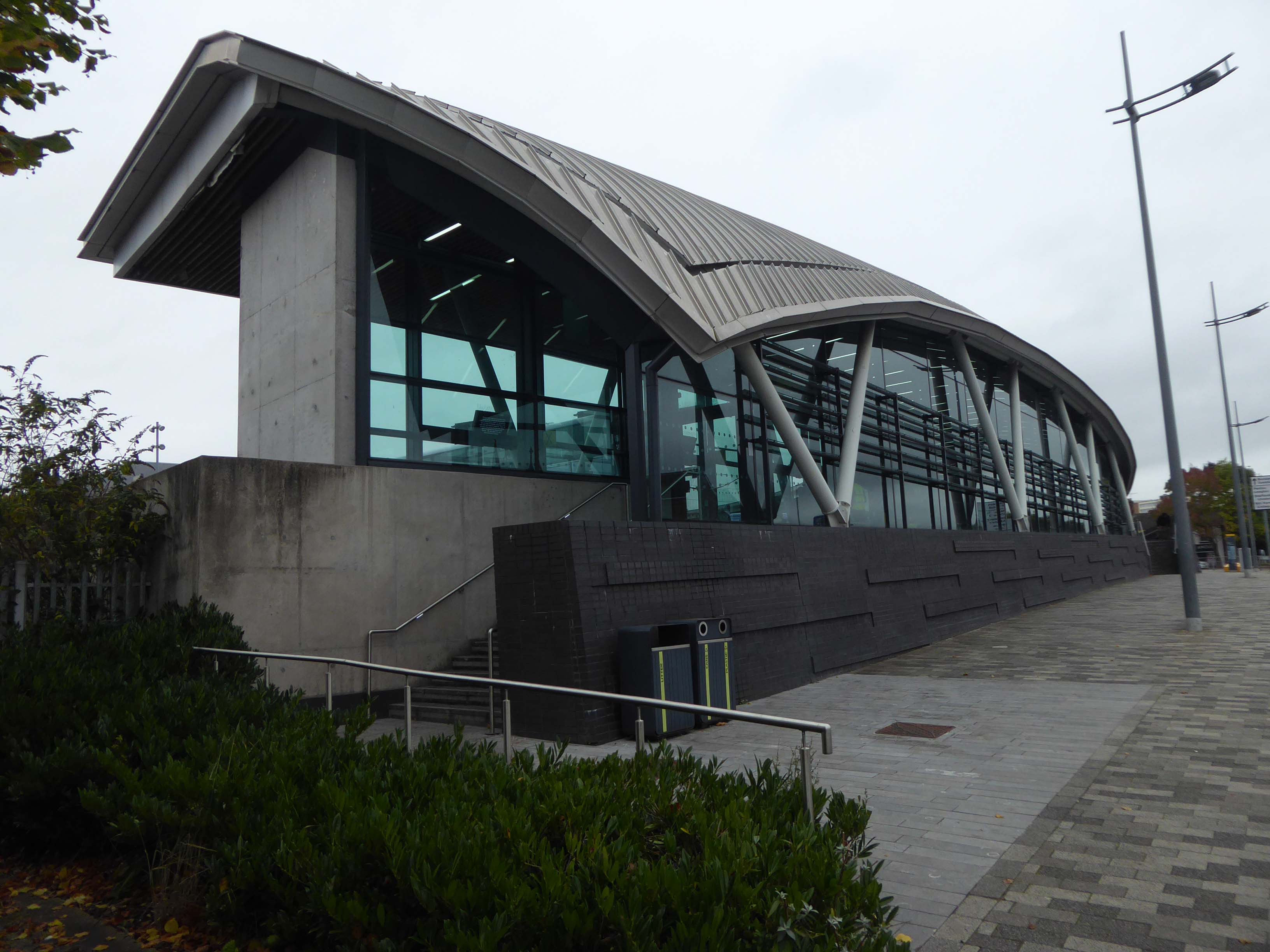
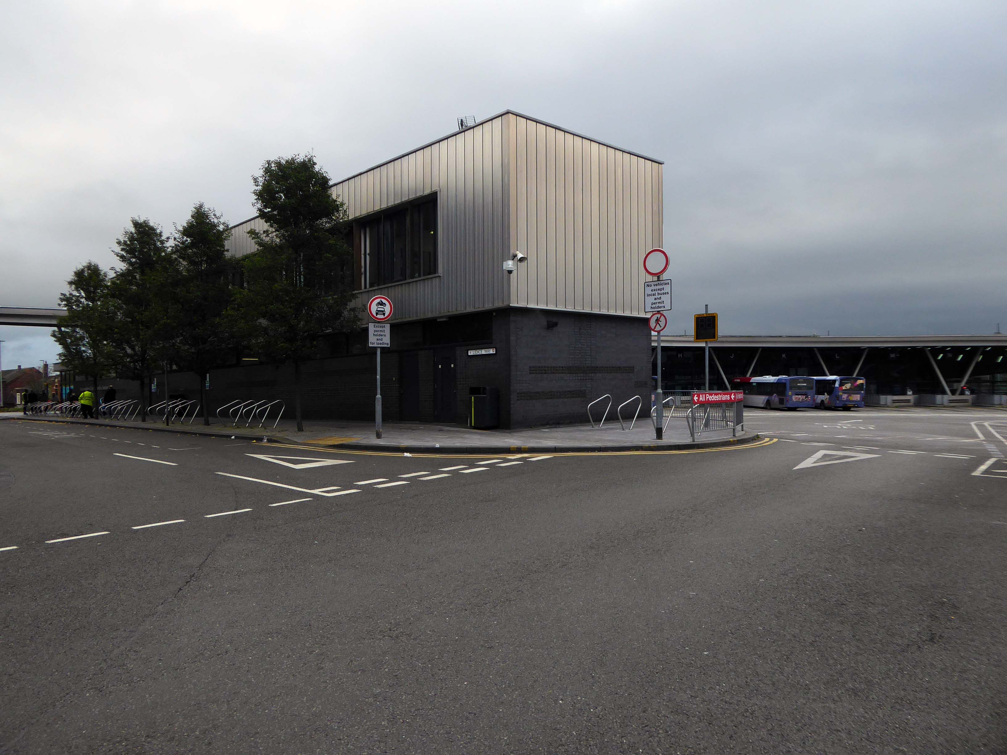
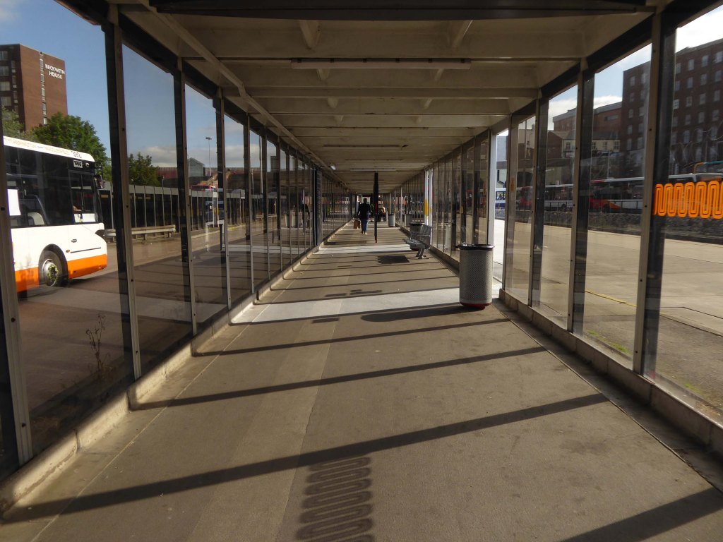
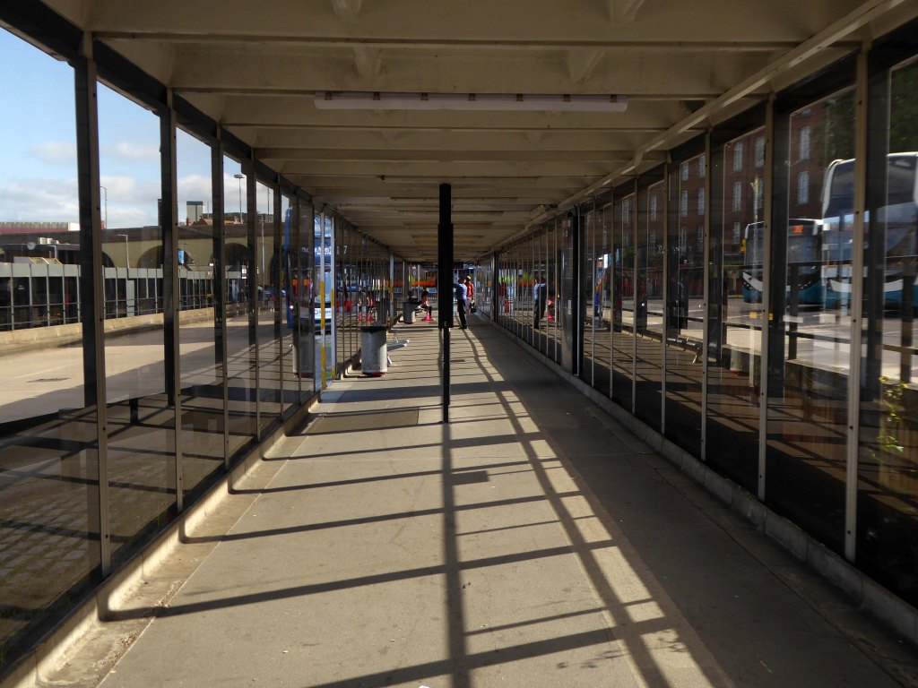
Crossing the inner ring road to the sweeping canopy of the Hanley Bus Station Architects Grimshaw engineers Arup.
Wrapping a corner site, the canopy rises and falls to create a mutable form: appearing as a shimmering, contemporary shield to the south, and a welcoming timbered environment to the north with sweeping views to Victorian Hanley.
Tapered down at the ends to shelter waiting passengers from the prevailing wind, the roof extends beyond the station edge to connect with the neighbouring public plaza.
Sitting atop a Staffordshire blue brick plinth with a Carlow blue limestone concourse, the station adopts materials that are resonant in this area. Its gracefully sweeping canopy belies the challenging site constraints, which were carefully resolved to accommodate the difficult routing of buses, the creation of a safe, sheltered environment for passengers and drivers, and a sloping site underpinned by clay and coal.
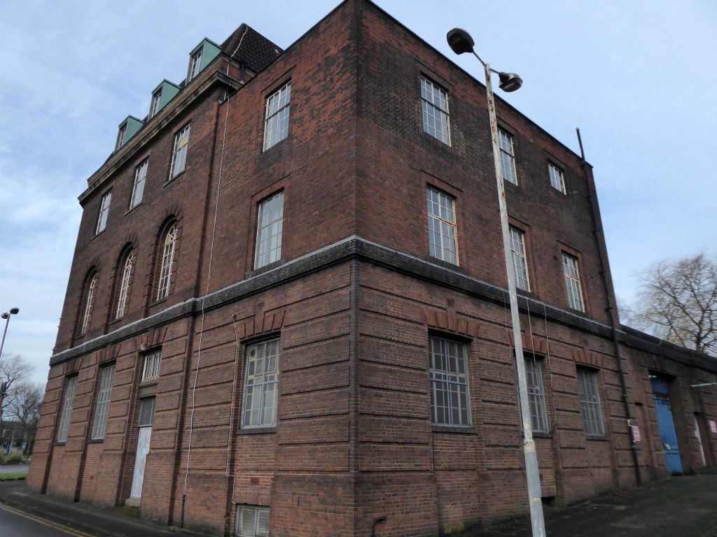
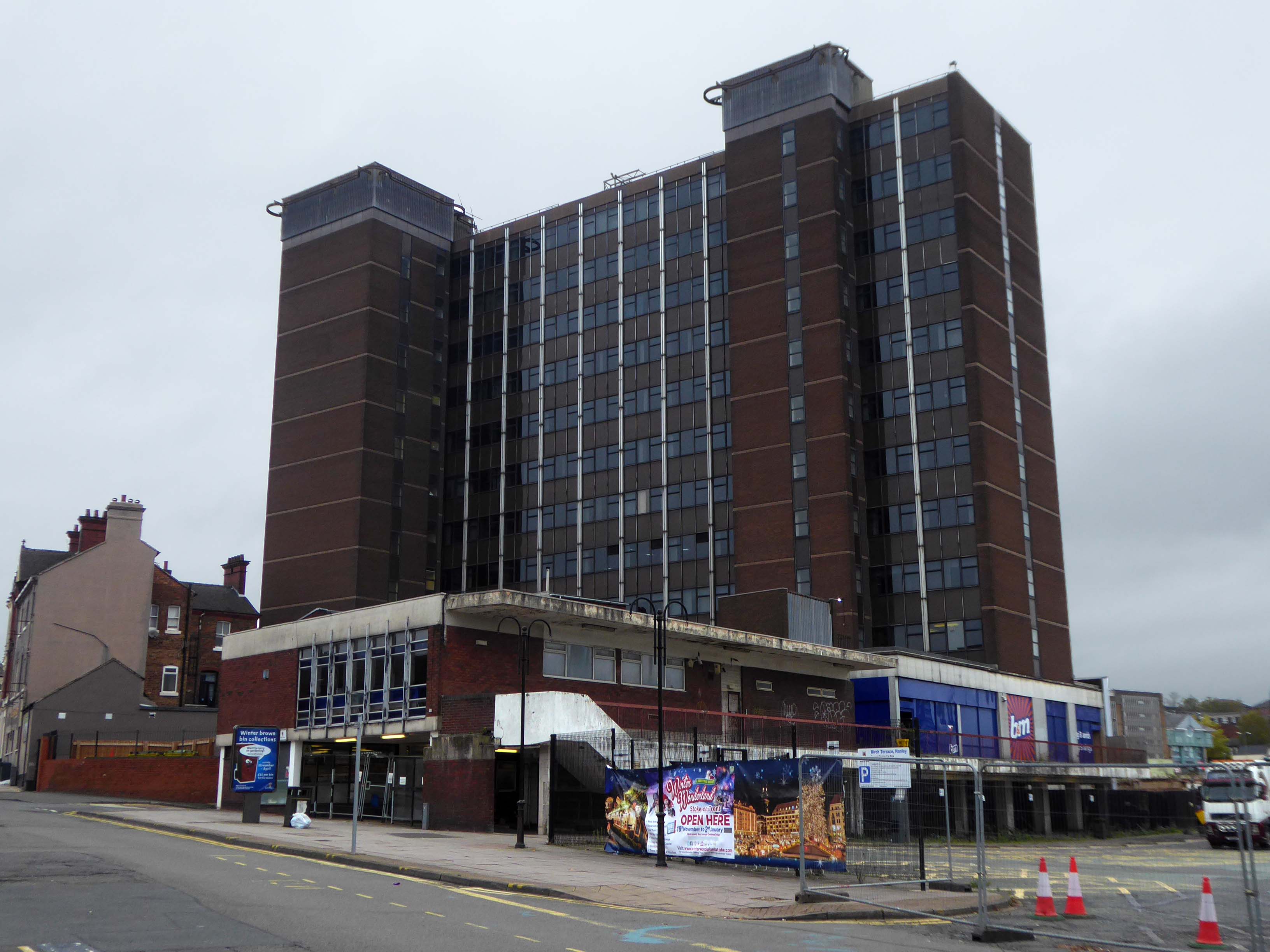
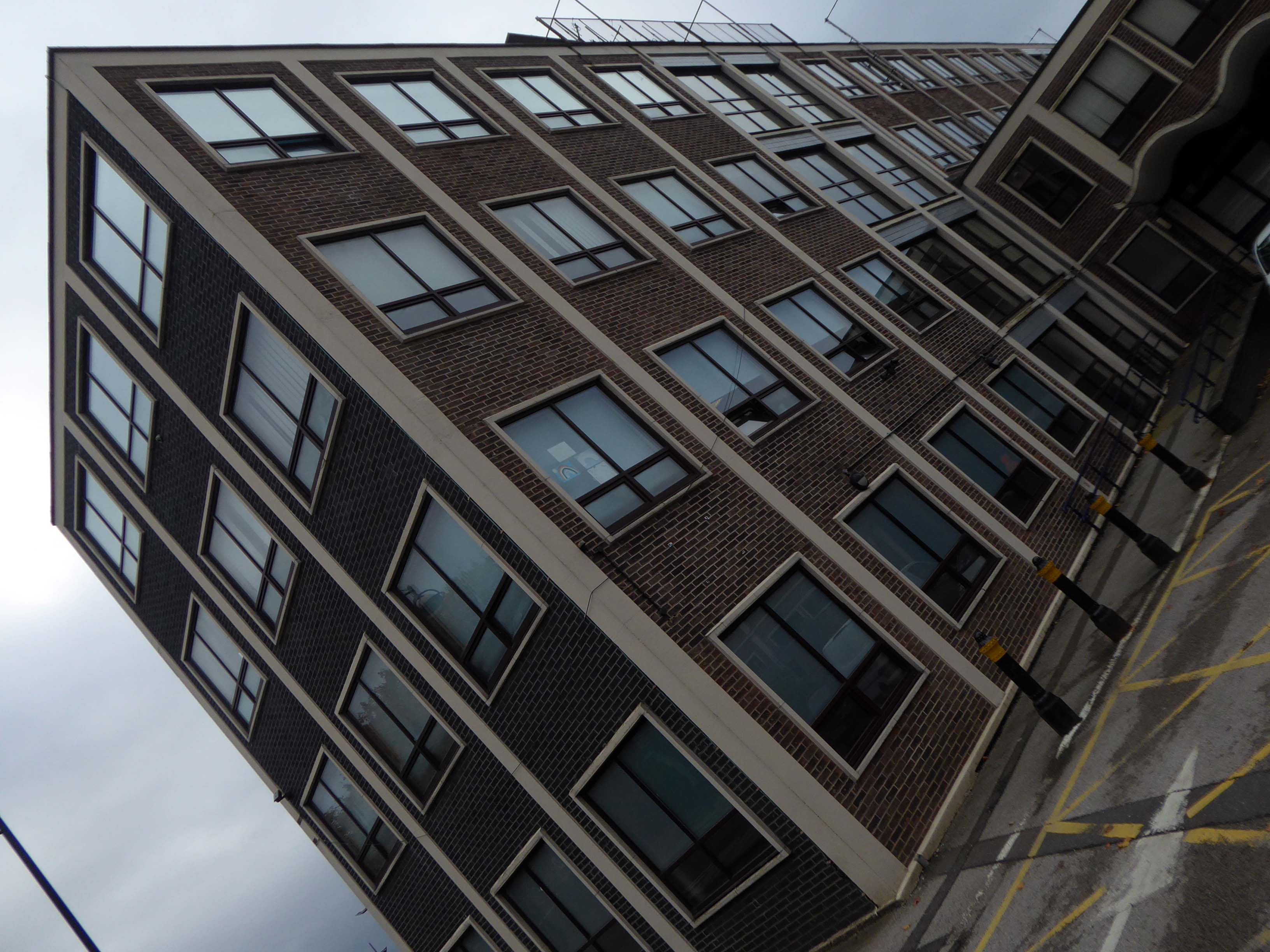
Above the former bus station looms Blackburn House home to HMRC, an imposing brown brick behemoth.
Photo James Morgan
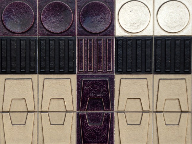
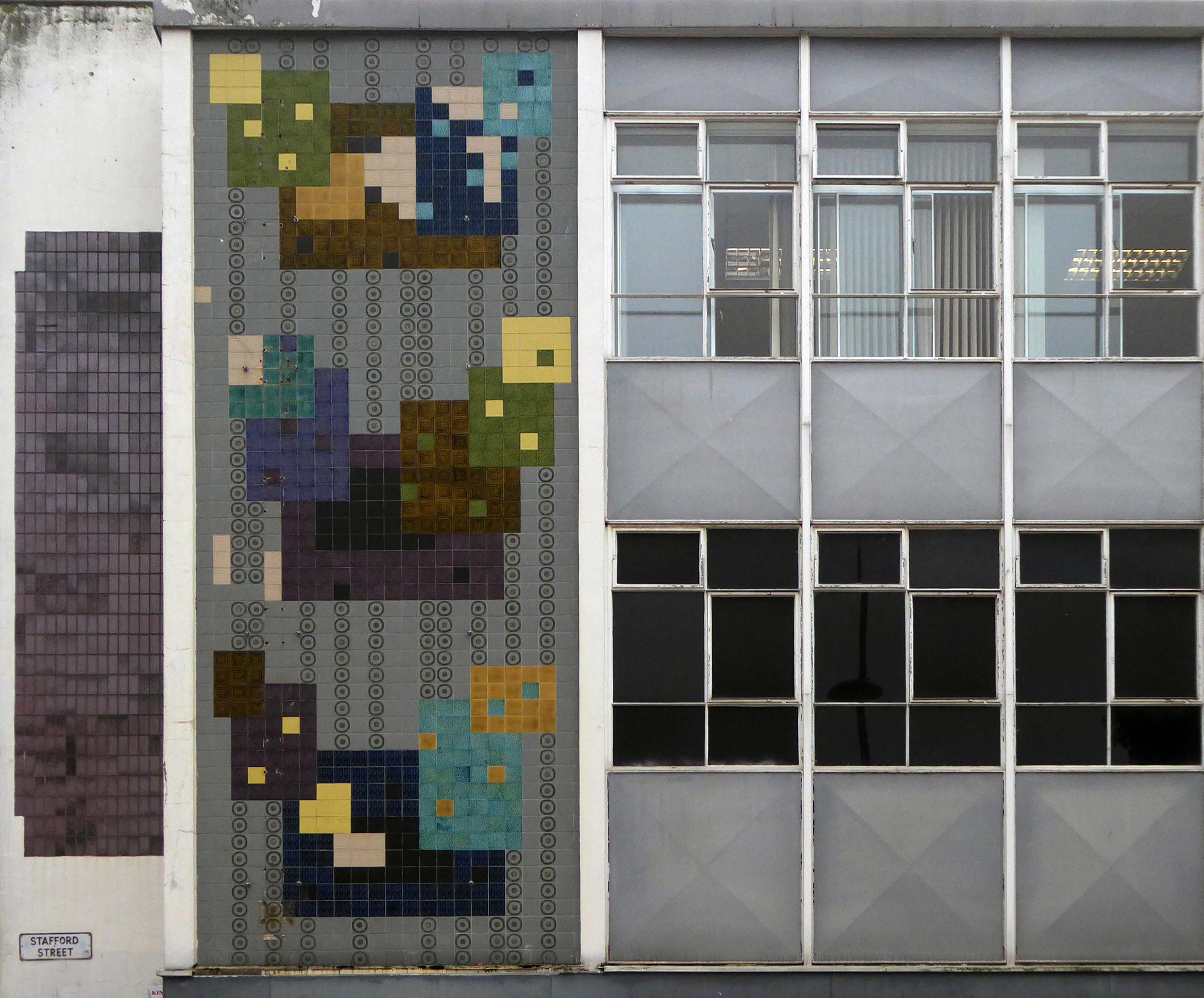
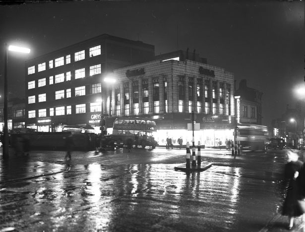
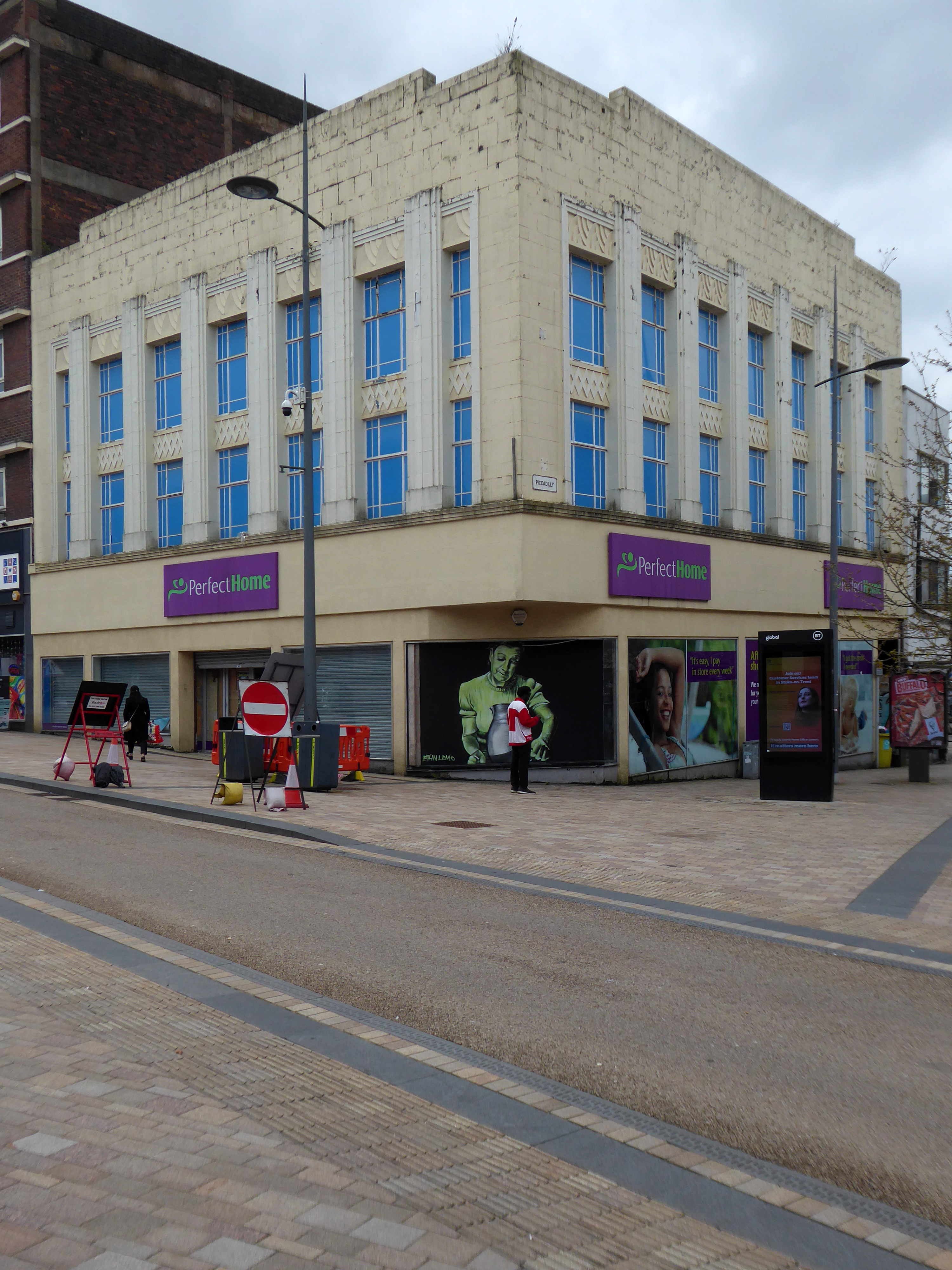
Previously C&A currently Wilko – adorned with these enchanting Tiles.
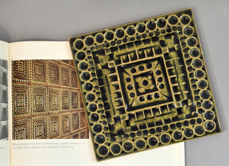
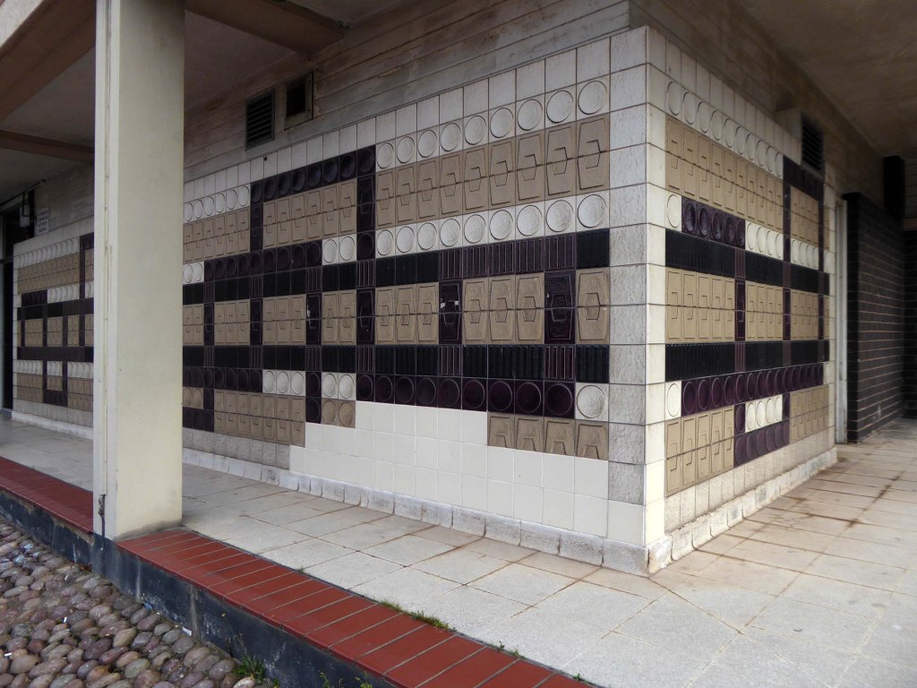
This little-noticed panel is composed of six inch surface-textured tiles in a variety of muted tones, mainly greens, purples and blues, some with geometric reliefs. The mural is unusual because it is one of the few surviving installations produced by Malkin Tiles; at least one of the motifs is from their ‘Turinese’ range marketed during 1961-8 and designed by Leonard Gladstone King, Malkin’s art director.
Tile Gazetteer
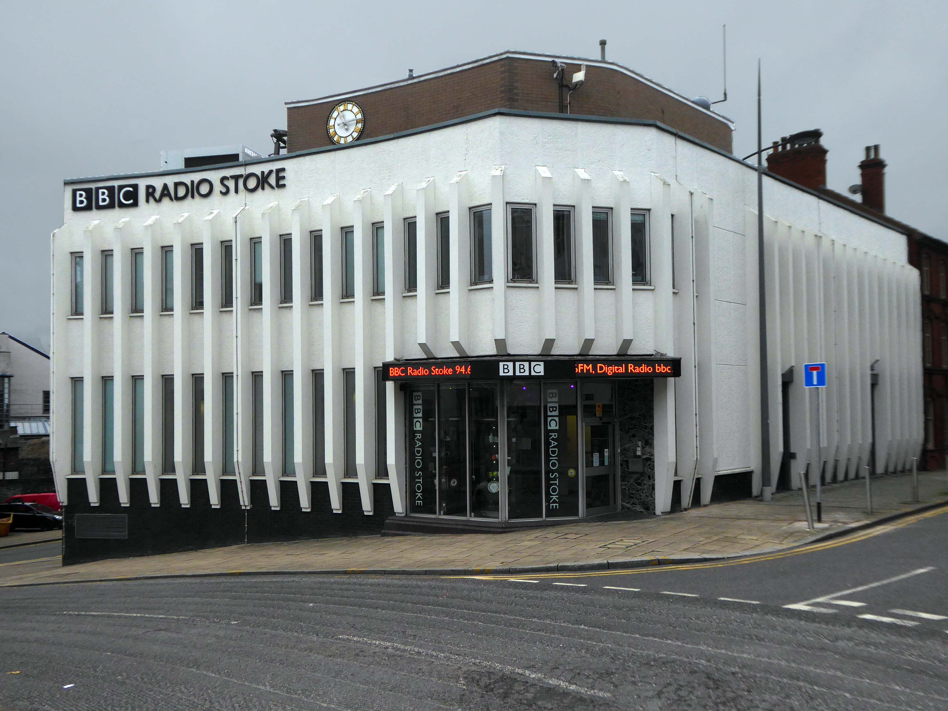
Over the road Radio Stoke HQ 1968 – formerly home to Hanley Economic Building Society.
Crossing back through town and over the ring road to look at some tiles.
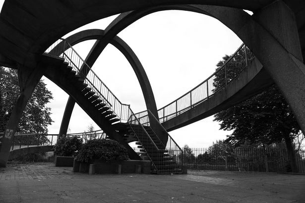
But missing this bridge – which was demolished in 2020.
Back into town again to look at the Burton’s.
Photo: Stoke Sentinel
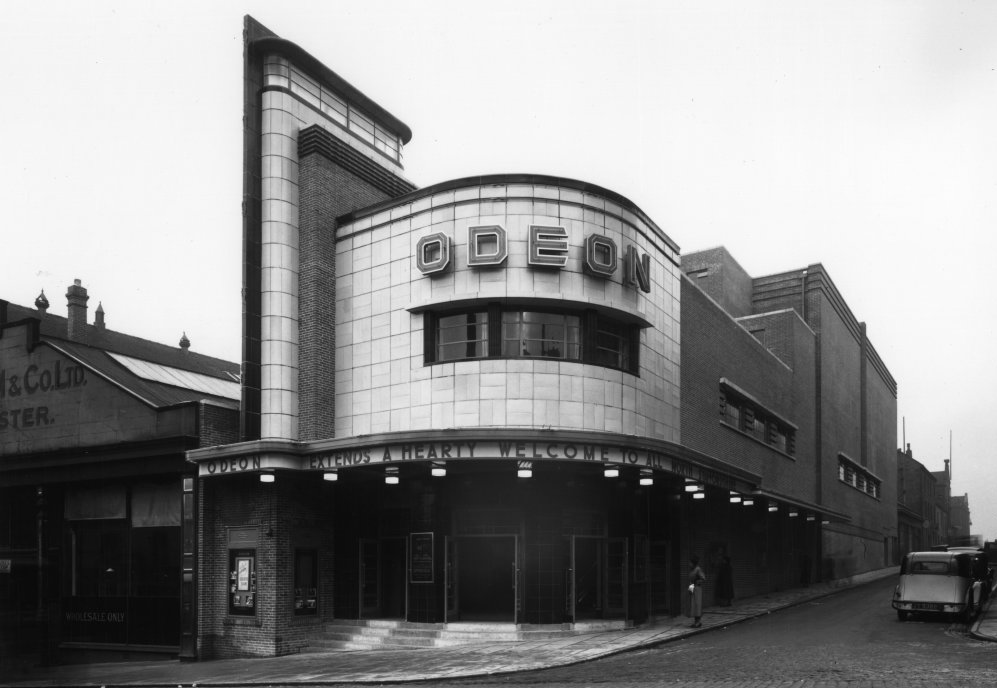
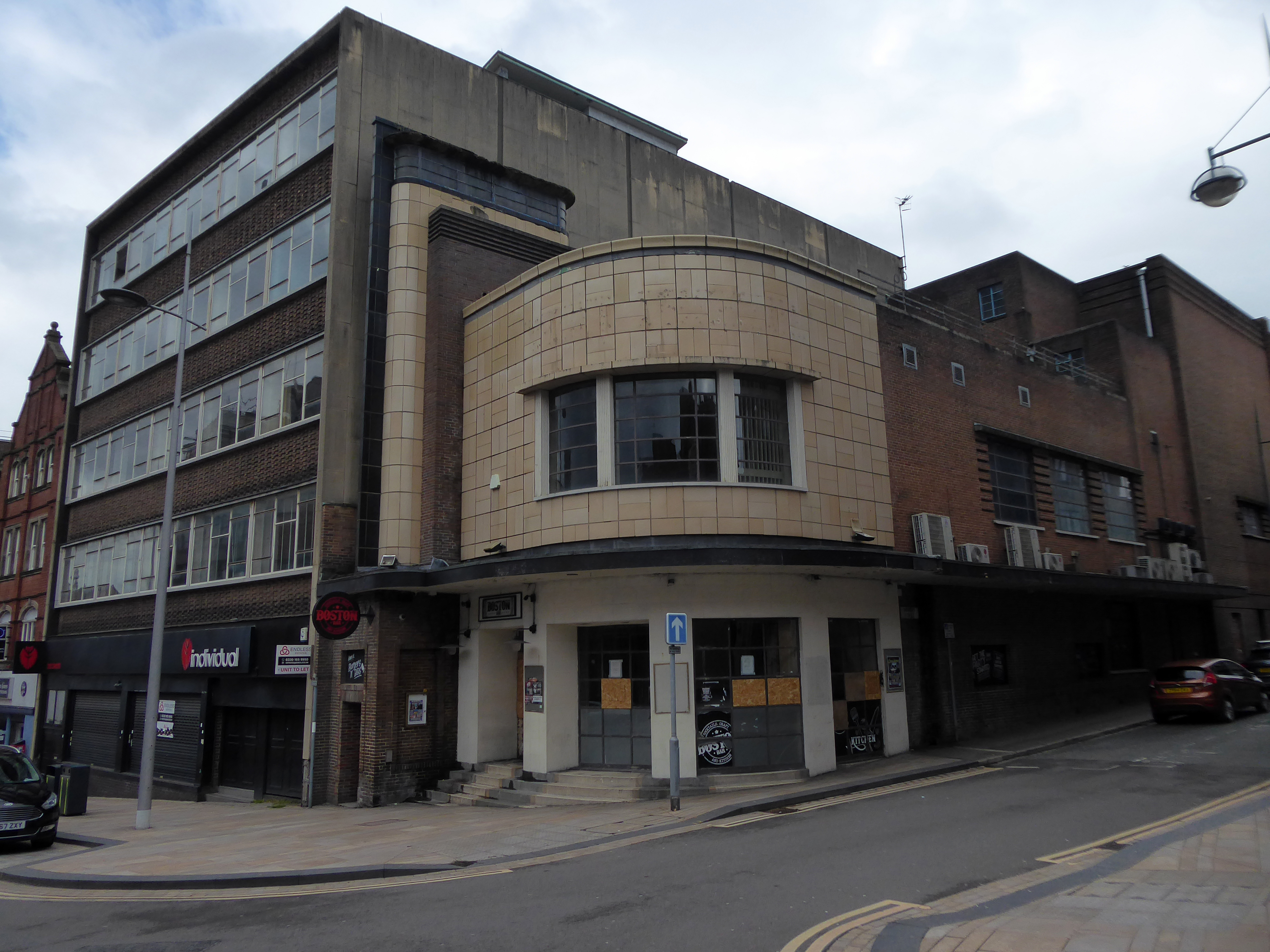
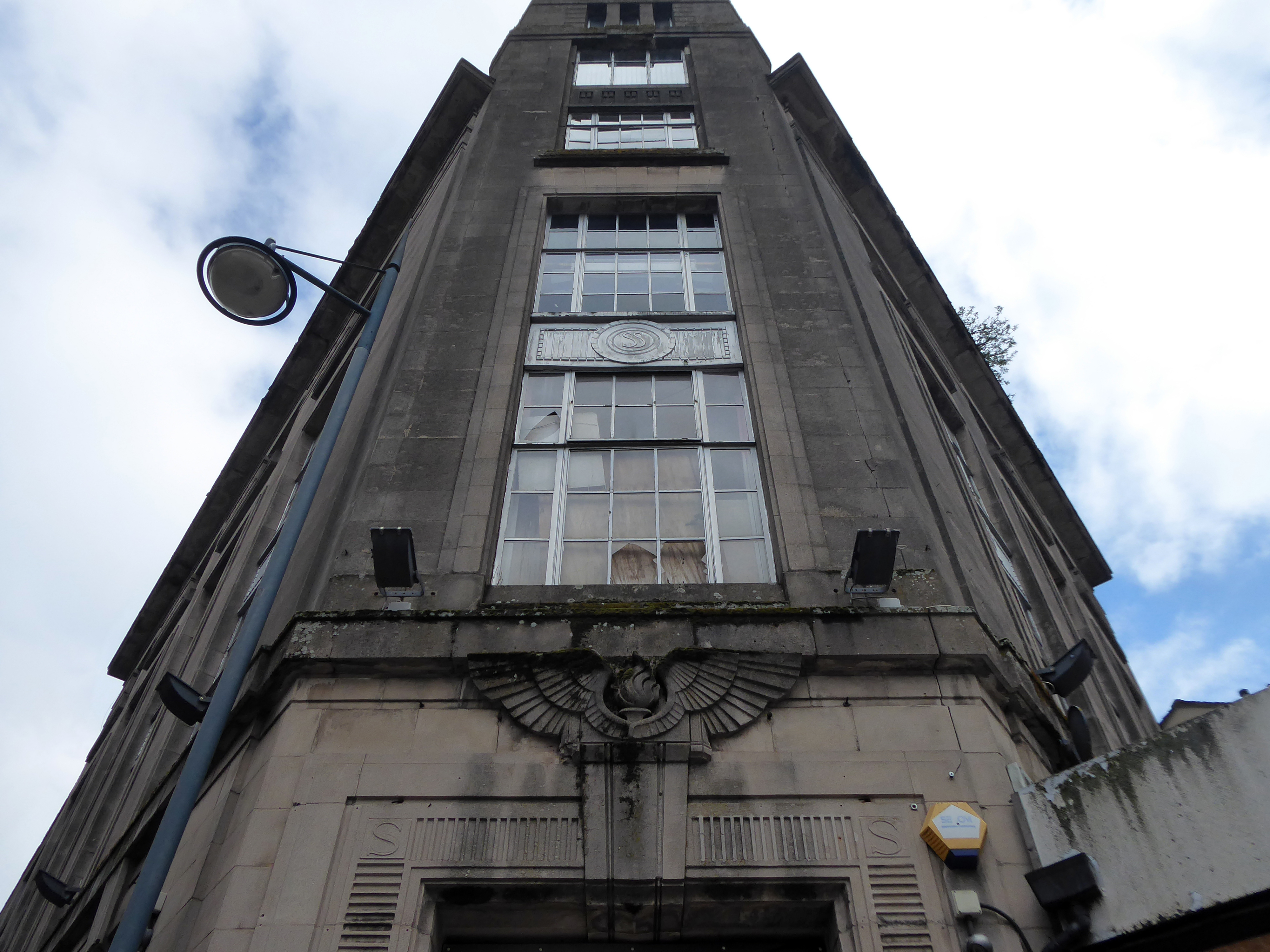
Odeon Cinema – architects: Arthur J Price and Harry Weedon 1938
The Odeon was one of the original cinemas in the Oscar Deutsch chain of Odeon Theatres Ltd. It was opened on 13th February 1938 with Max Miller in “Educated Evans”. It had a very small entrance at the corner of Trinity Street and Foundry Street, with a slender fin tower on the left side, and clad in cream faience tiles. The bulk of the auditorium was along Foundry Street, and seating was provided for 1,036 in the stalls and 544 in the circle. Decoration was in a typical Odeon style, with several troughs across the ceiling containing concealed lighting.
The Odeon was closed by the Rank Organisation on 15th November 1975 with Roger Daltrey in Tommy. The auditorium decoration was stripped out in the early-1980’s, and by 1982 it was used for storage, when on 4th August 1982, it was partially damaged in a fire, although the main shell of the building was not damaged. By 1991, the building was standing derelict.
By 1999, a bar was operating in the former foyer area. By 2003, the former auditorium had been brought back to use as a Chicago Rock Café. In 2008, the building had become a bar & nightclub named Revolution, with the former foyer in use as a bar named The Base.
In December 2021 plans were announced to demolish part of the former Odeon Theatre to build flats.
Designed by Glancy Nicholls Architects, the team worked collaboratively through the SCAPE framework to design a 3,800 square foot extension. The facility includes bespoke structural glazing, which enables the Spitfire to be viewed from outside of the museum.
You’re nobody ’til somebody loves you, You’re nobody ’til somebody cares. You may be king, you may possess the world and it’s gold, But gold won’t bring you happiness when you’re growing old.
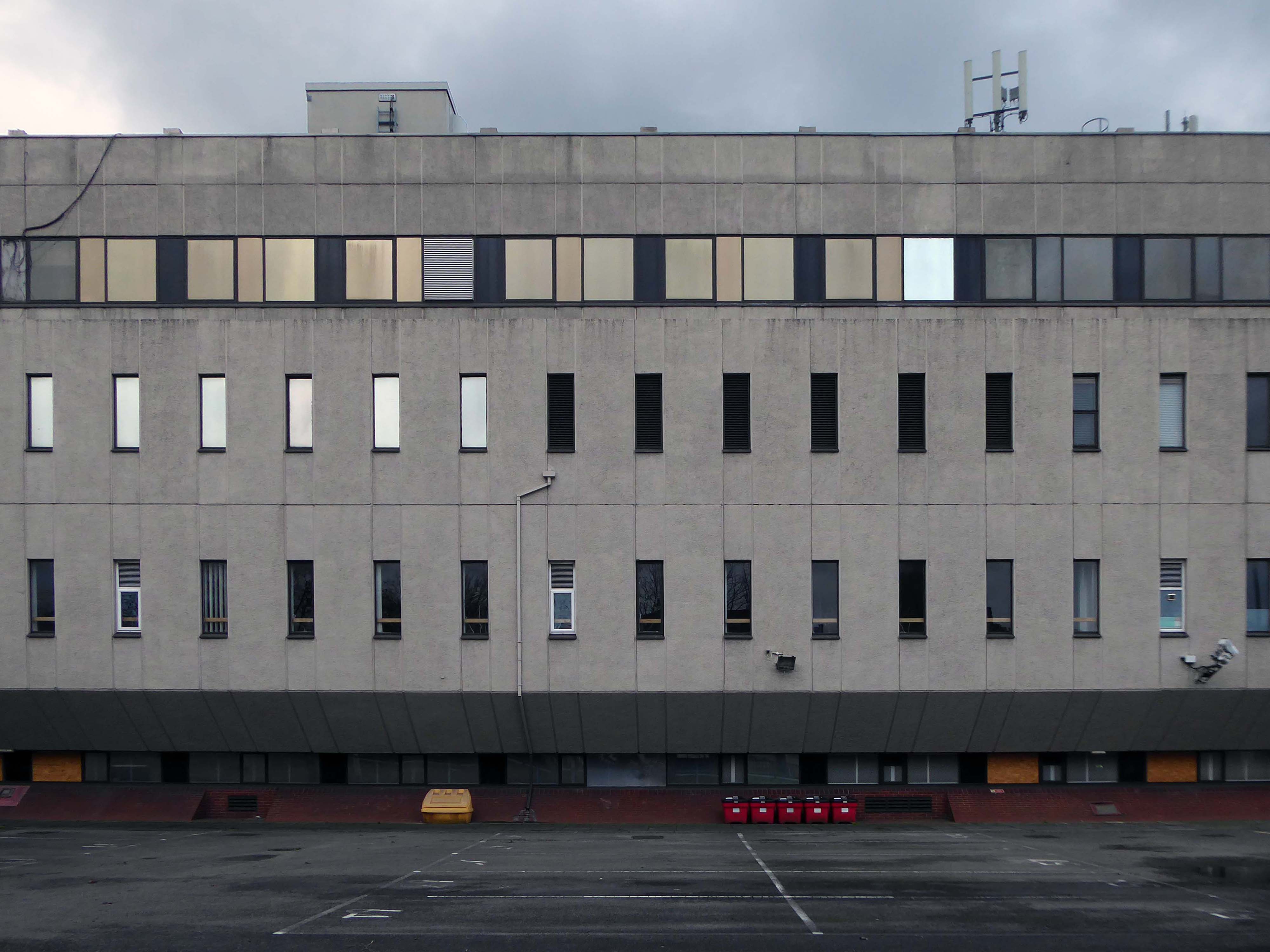
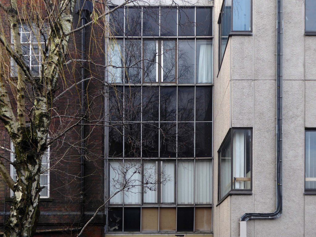
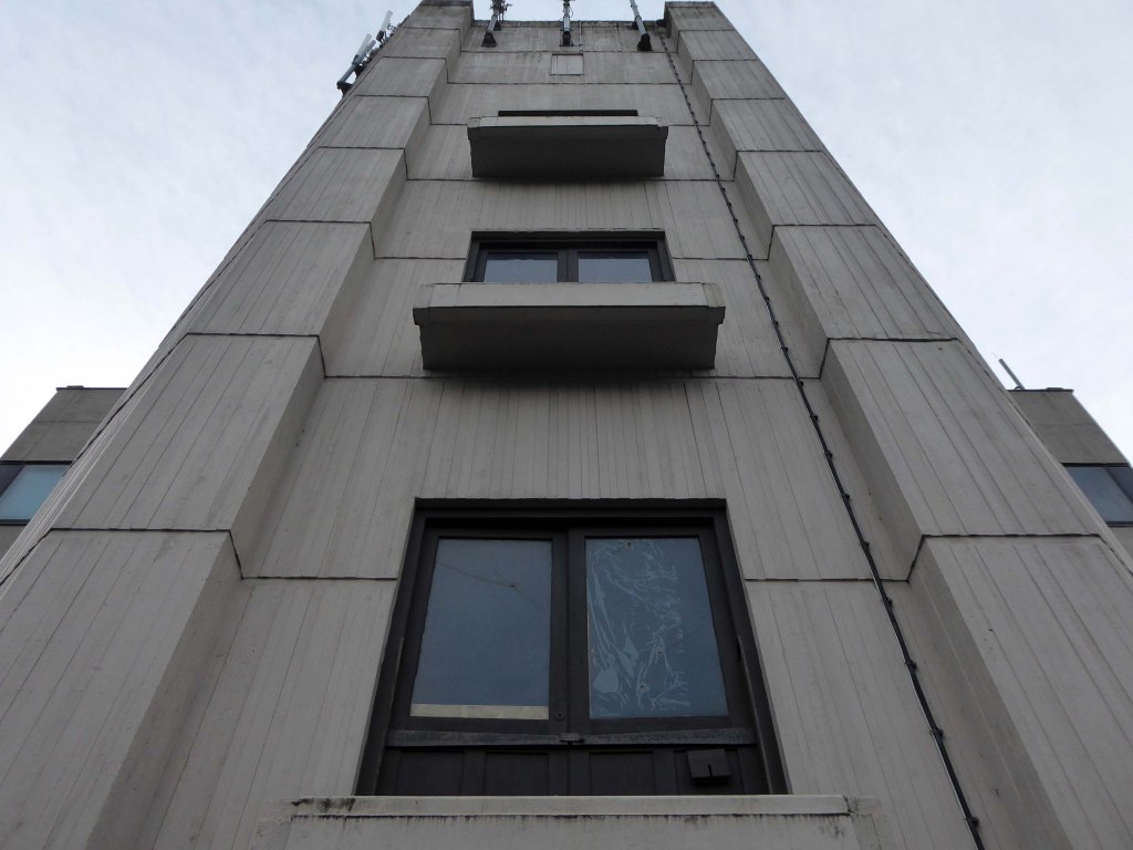
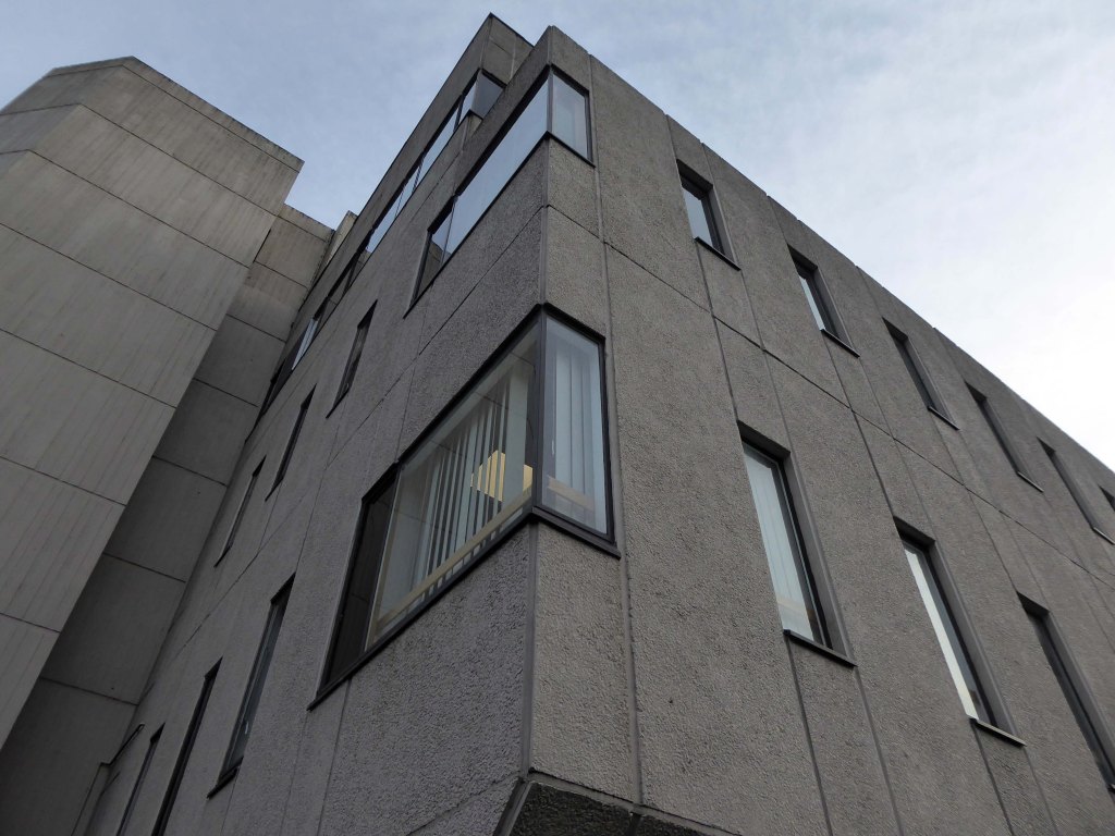
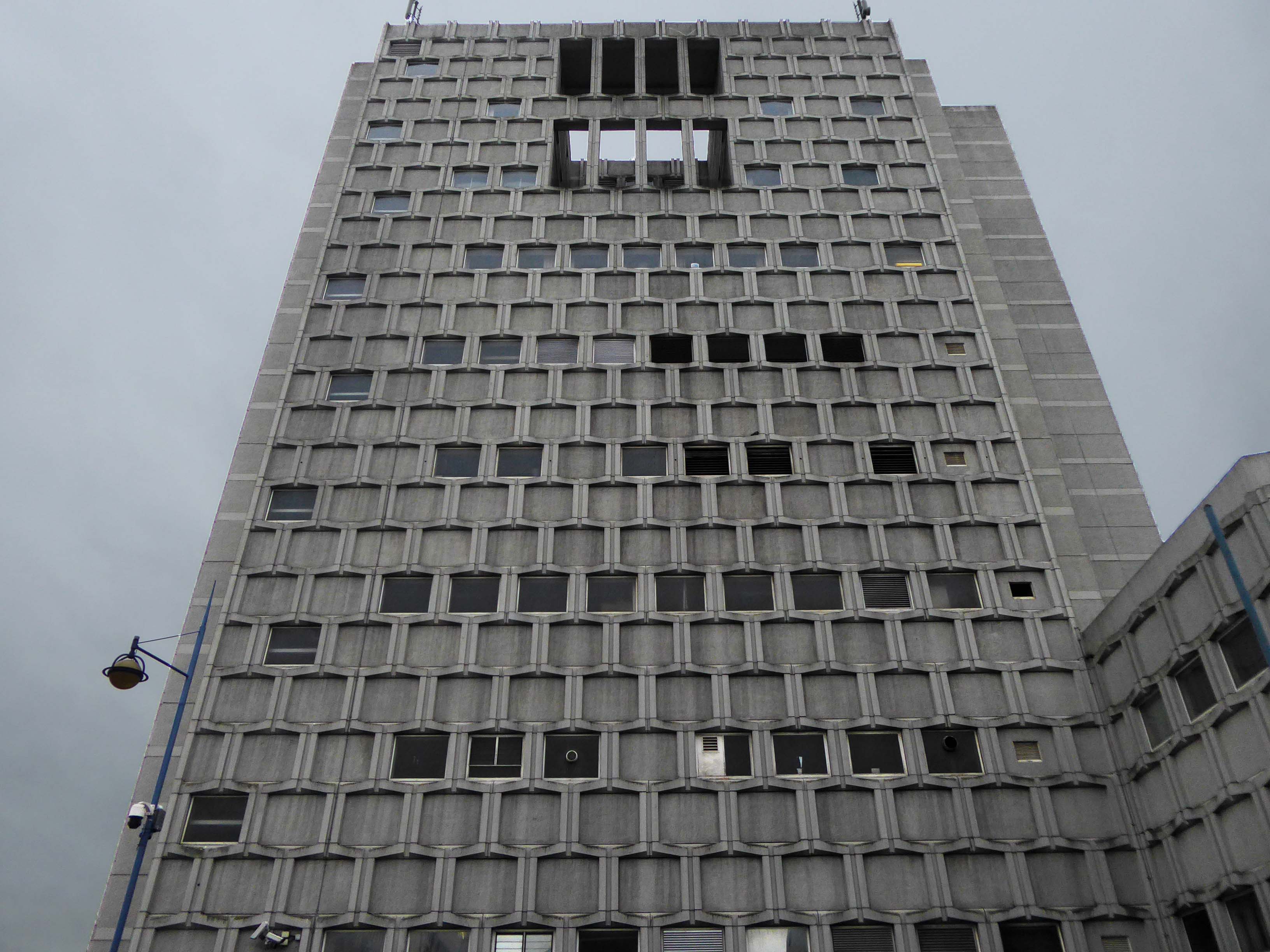
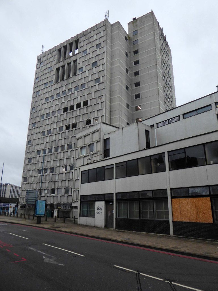
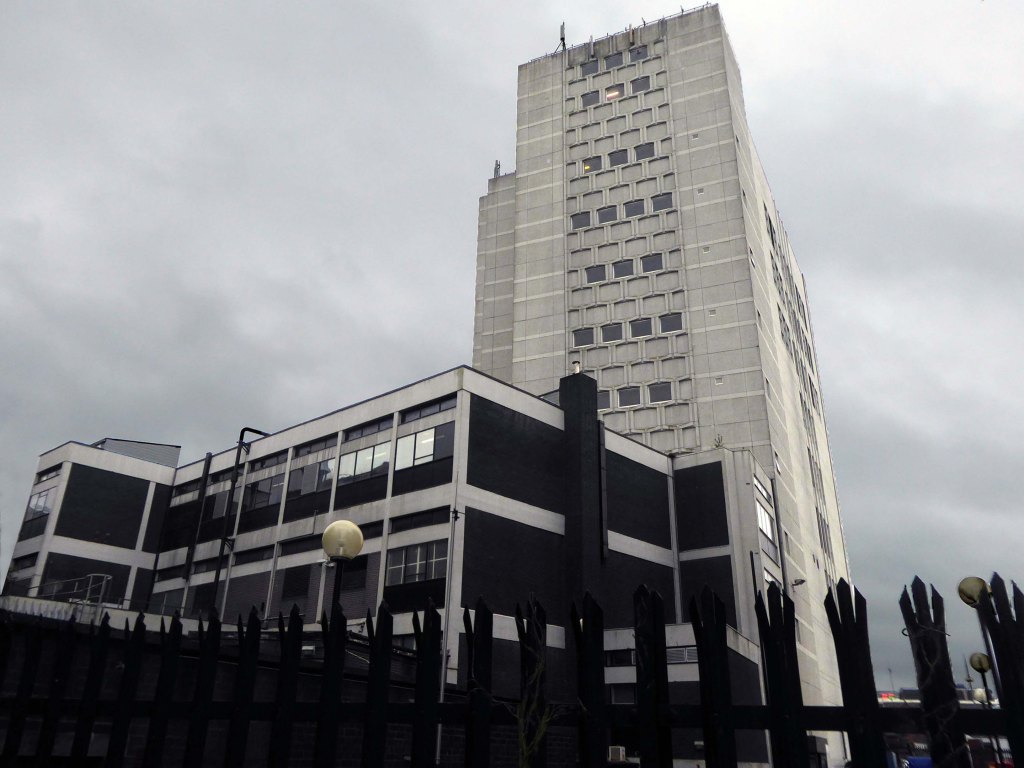
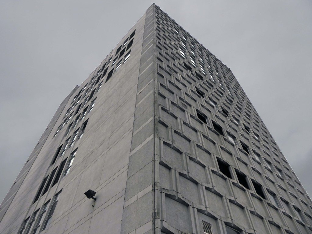
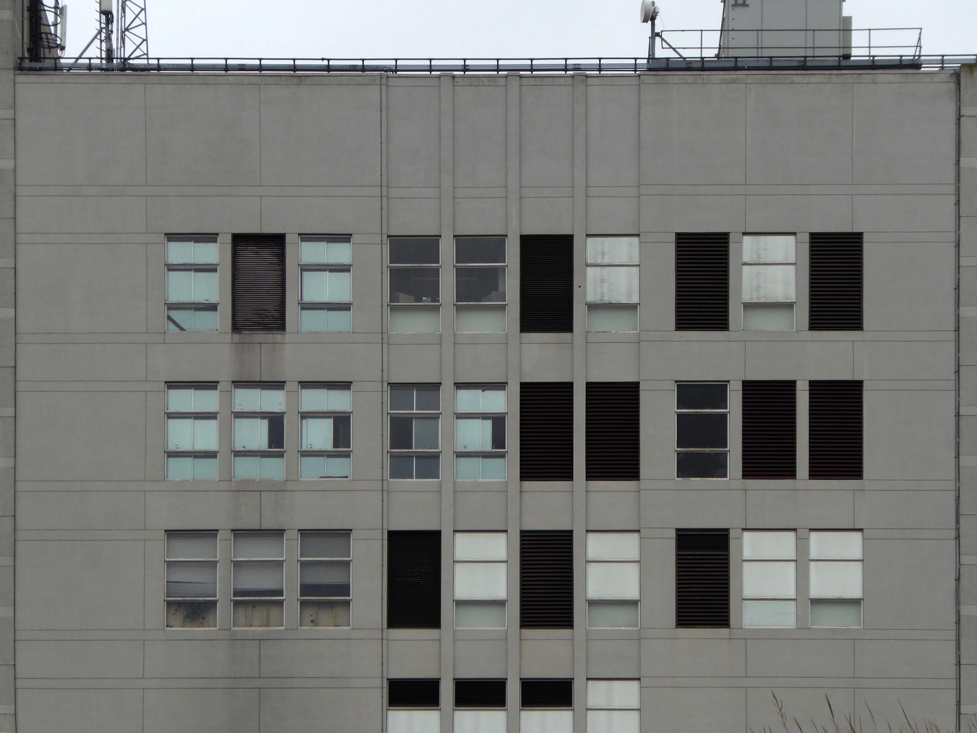
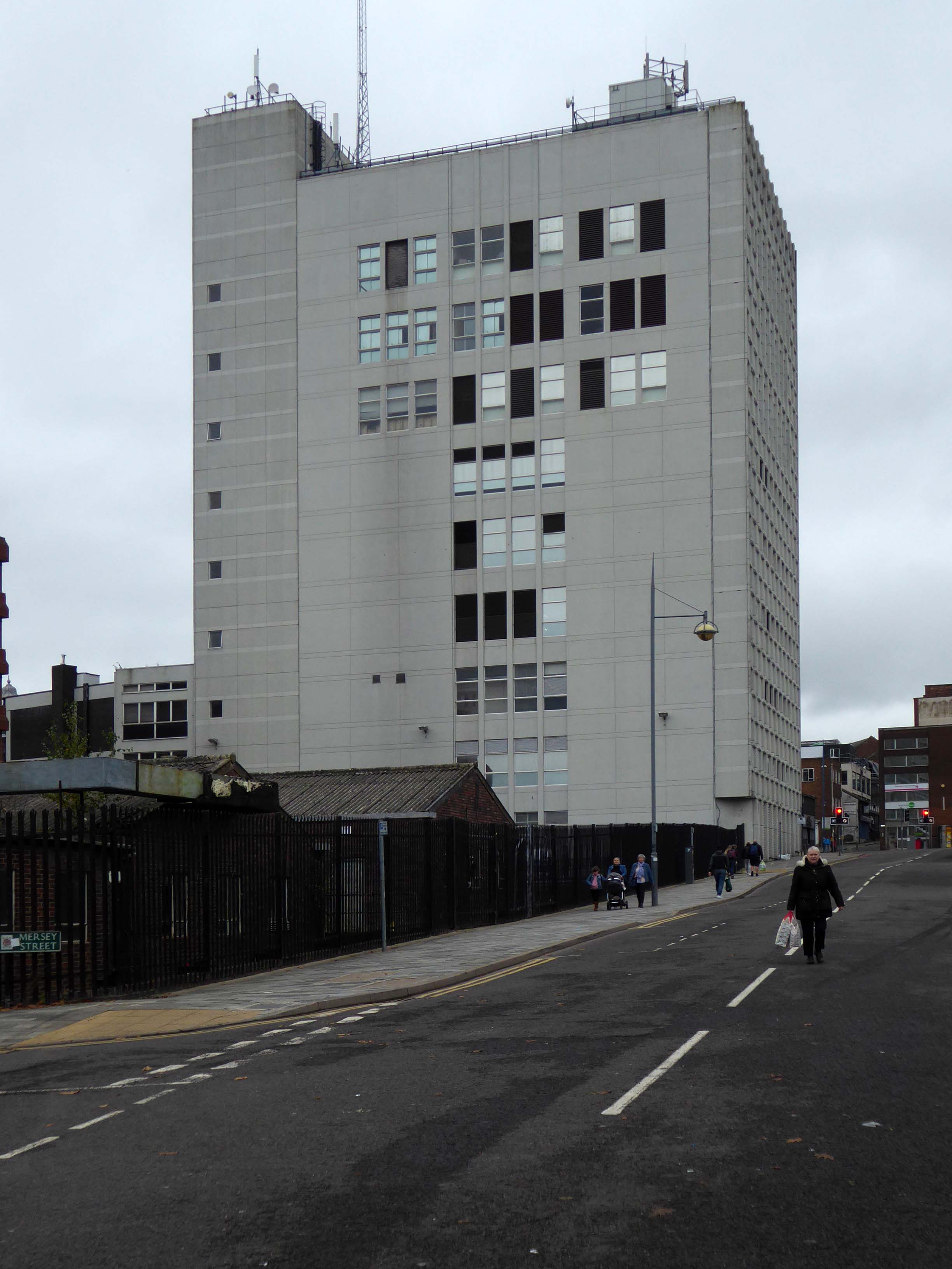
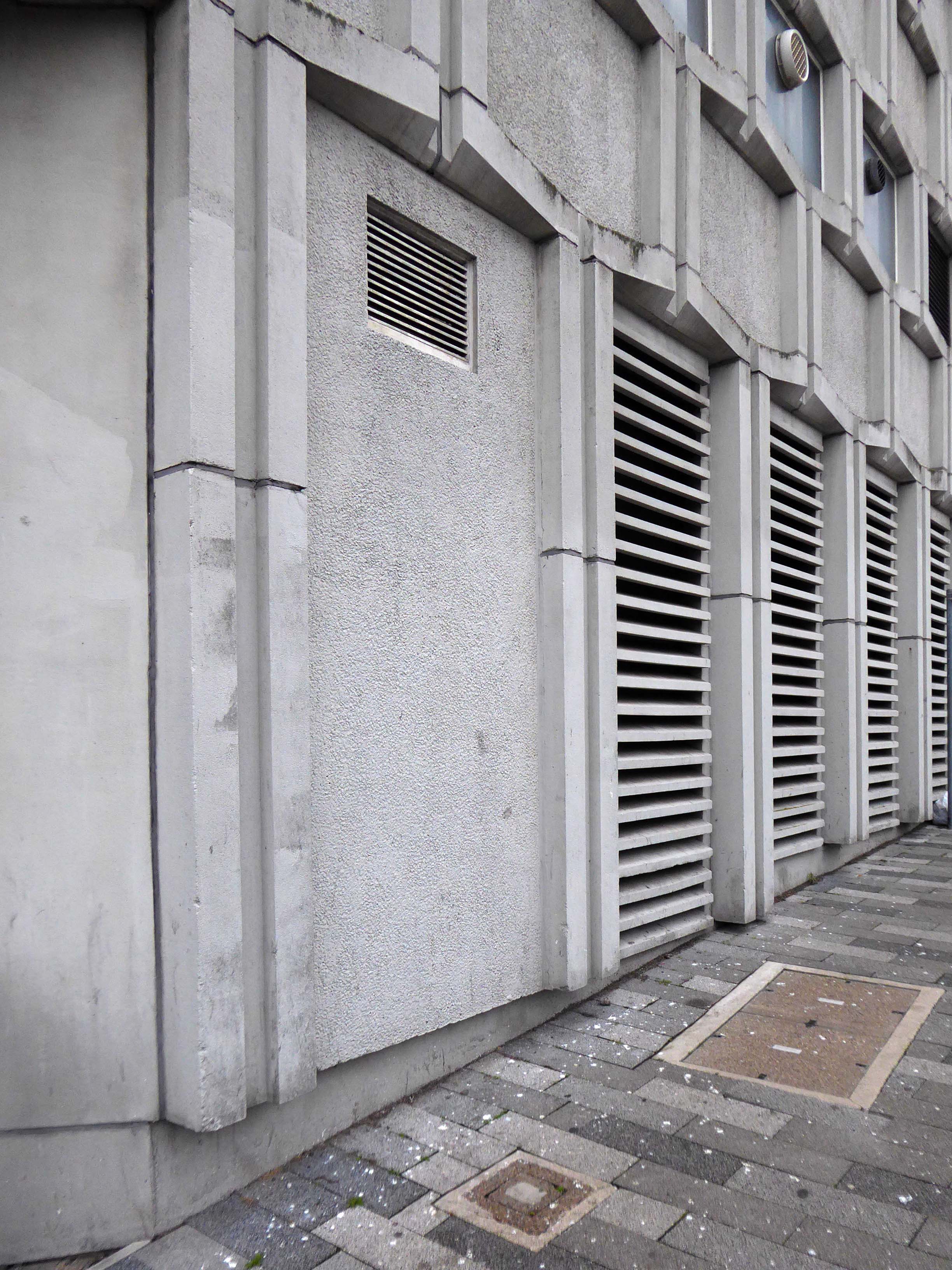
Hanley GSC represents a major telecommunication facility for BT and is positioned within the City boundaries of Stoke-on-Trent, on a very congested site.
The building fabric was starting to degrade and in need of structural refurbishment.
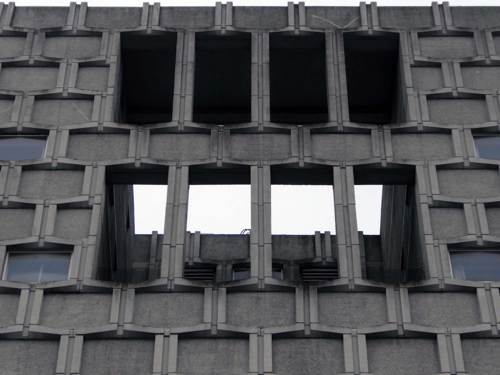
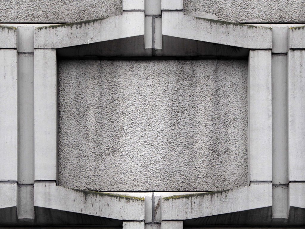
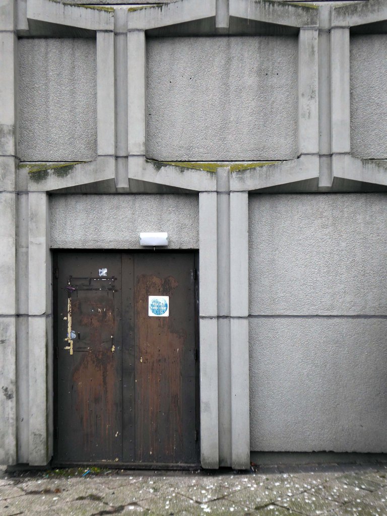
Works comprised of cleaning down the externals by high pressure water jetting, carrying out concrete repairs, applying an anti-carbonation coating, anti-corrosion treatments, painting the windows and applying sealants to windows and various joints around the structure.
All work was carried out whilst the exchange was fully manned and operational.
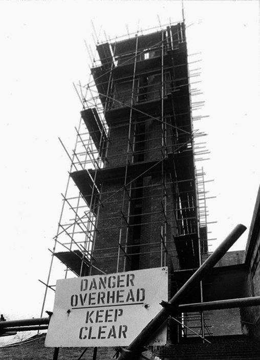
Works were carried outover a 26 week period, utilising mast climbers around the structure, with a limited amount of scaffolding on the low level structures.
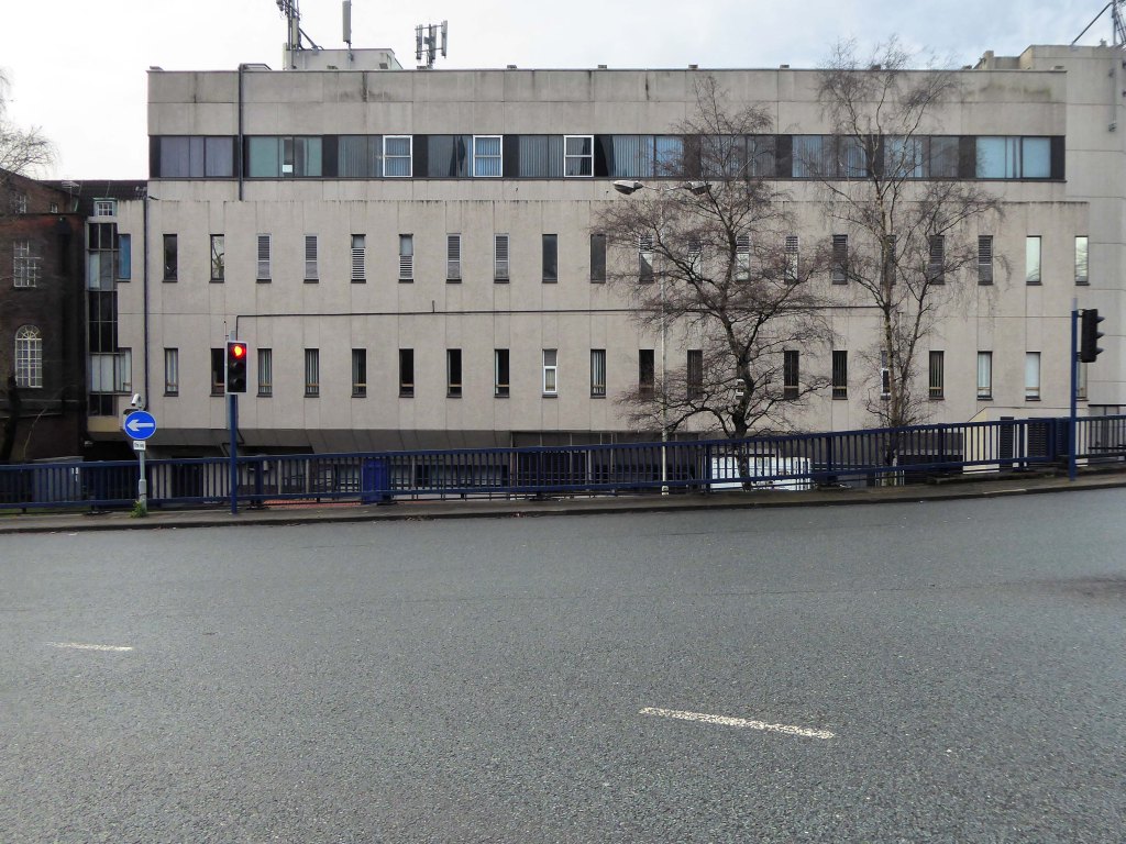
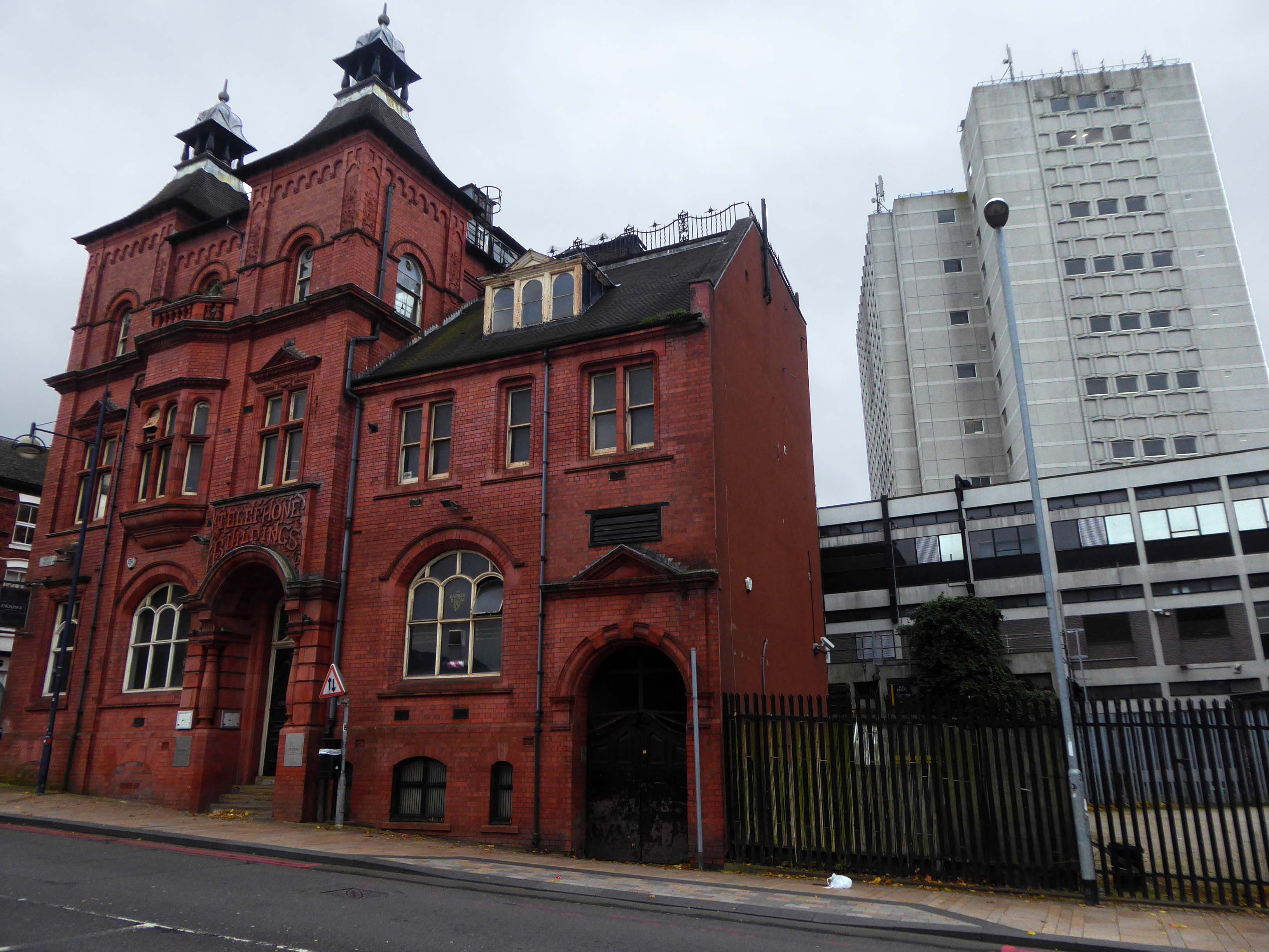
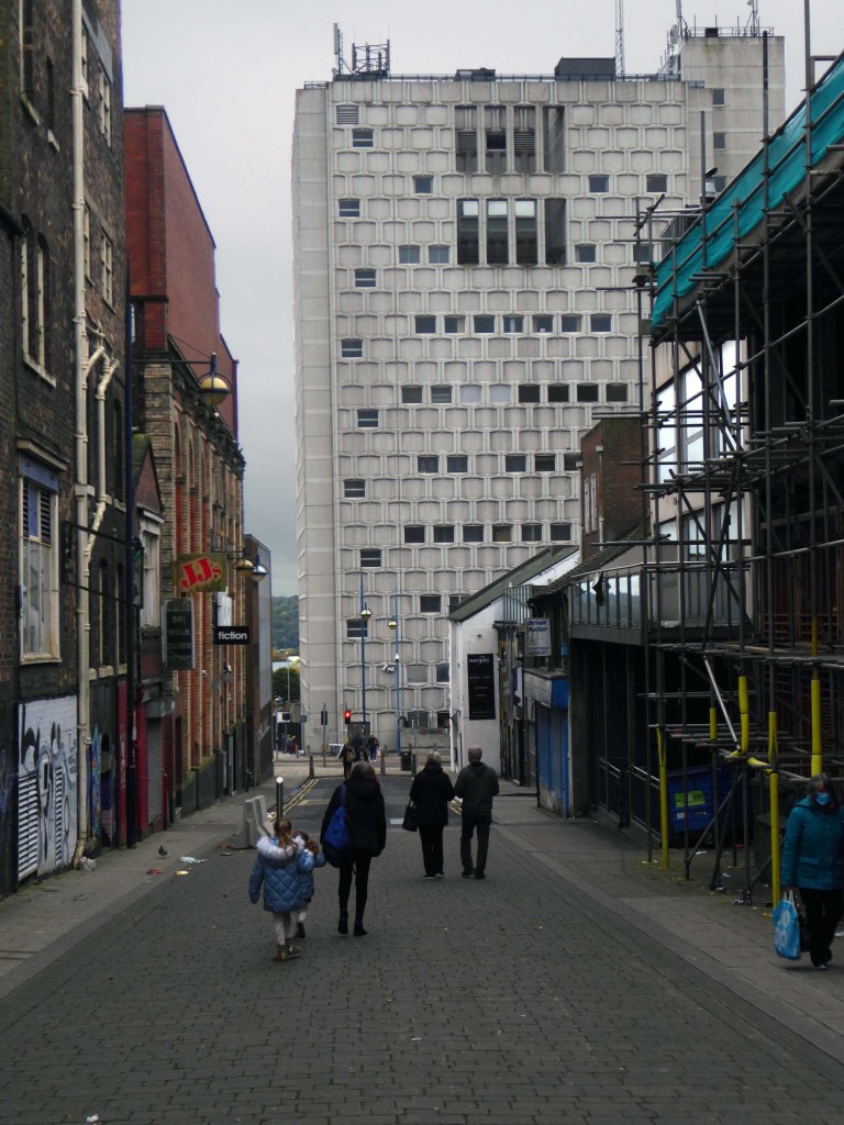
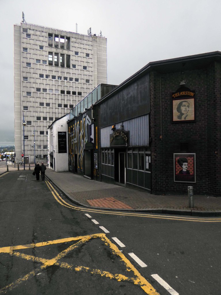
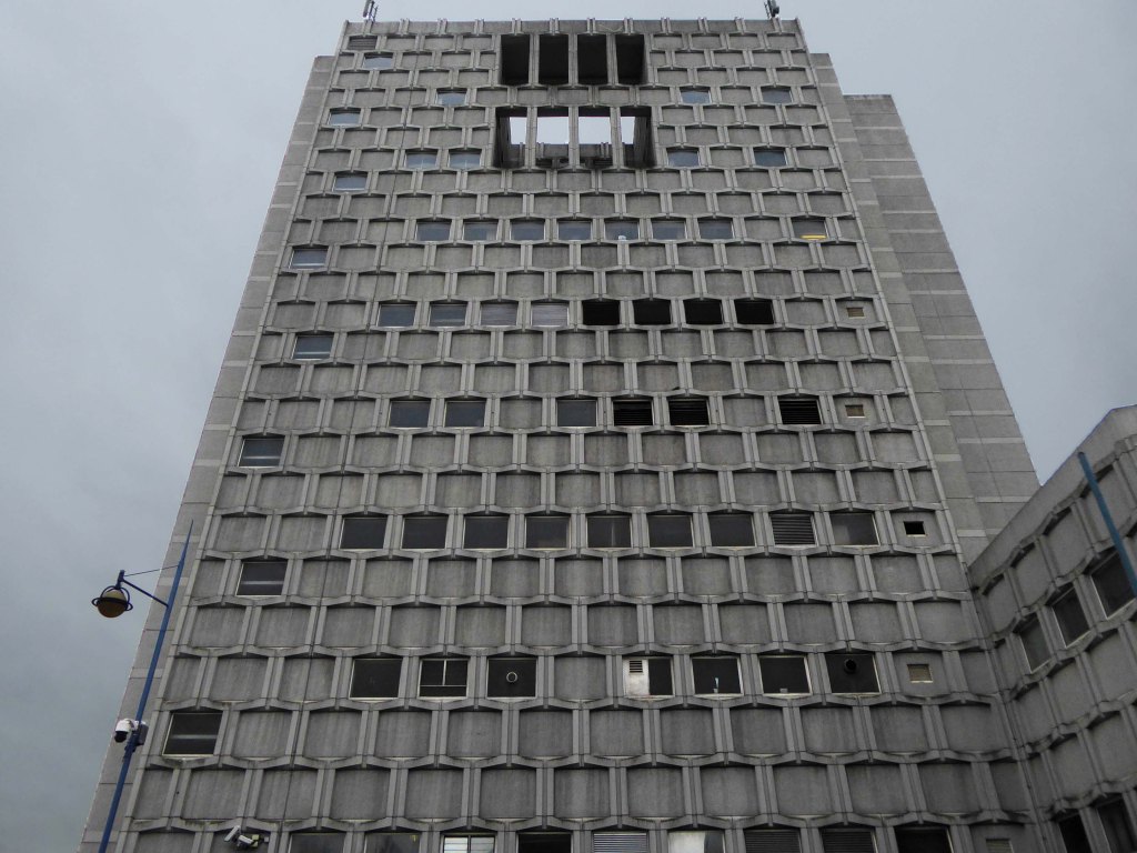
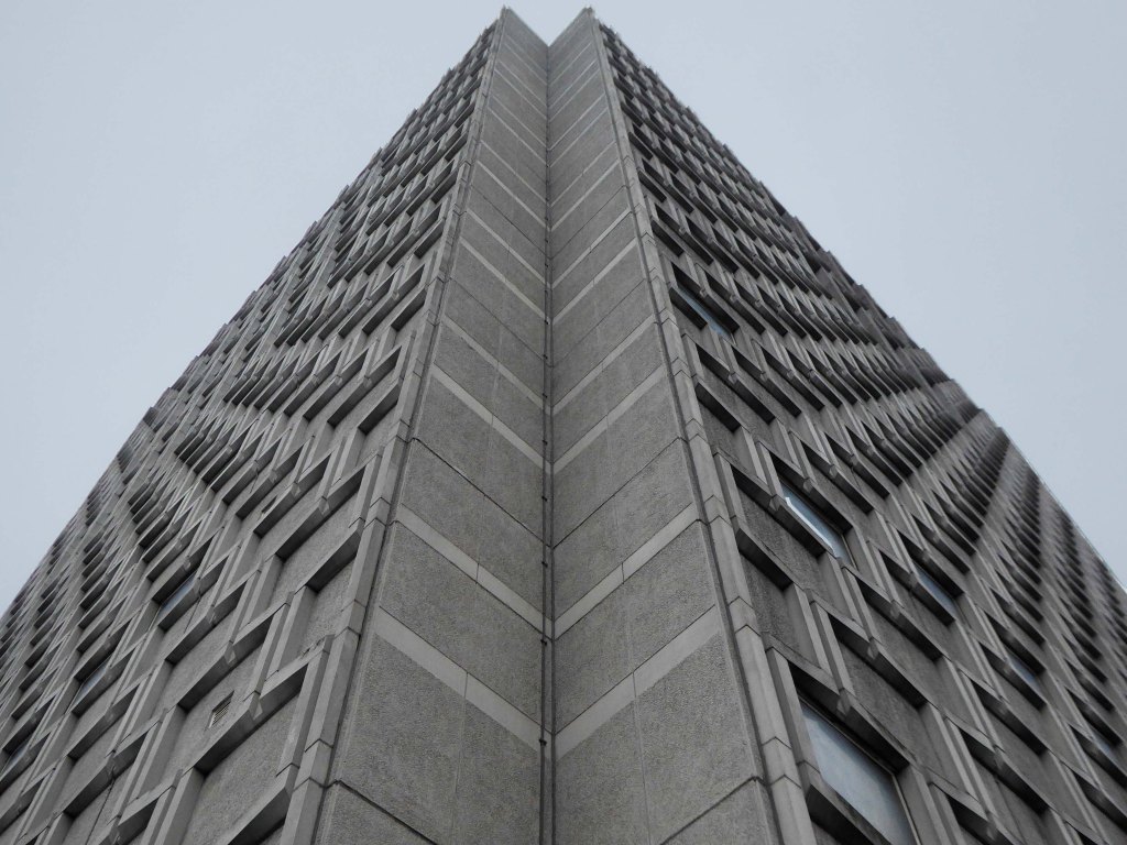
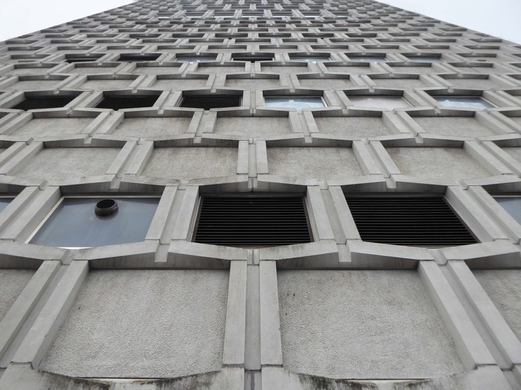
Derided locally as an eyesore, currently the tallest building in town following the demolition of Unity House.
It has an antecedent as an immediate neighbour.
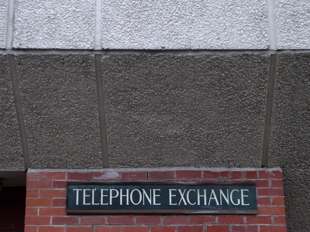
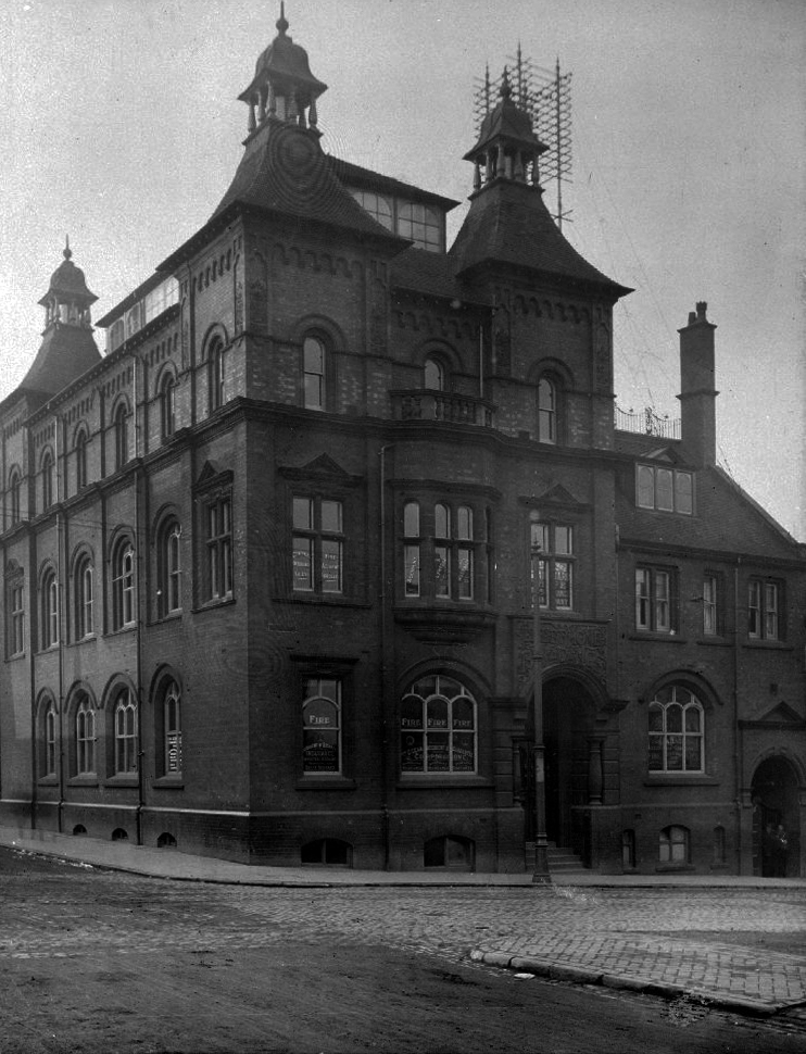
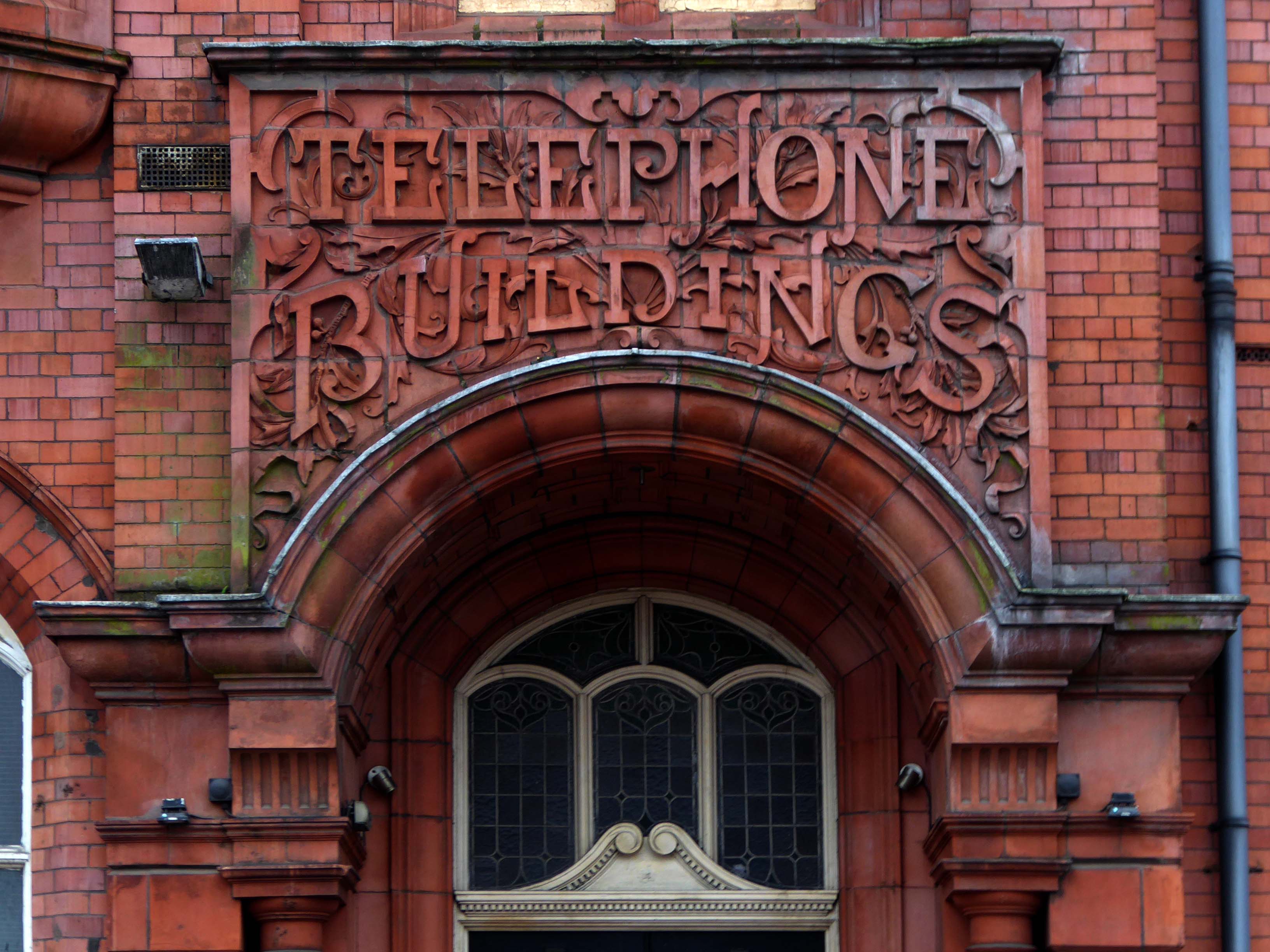
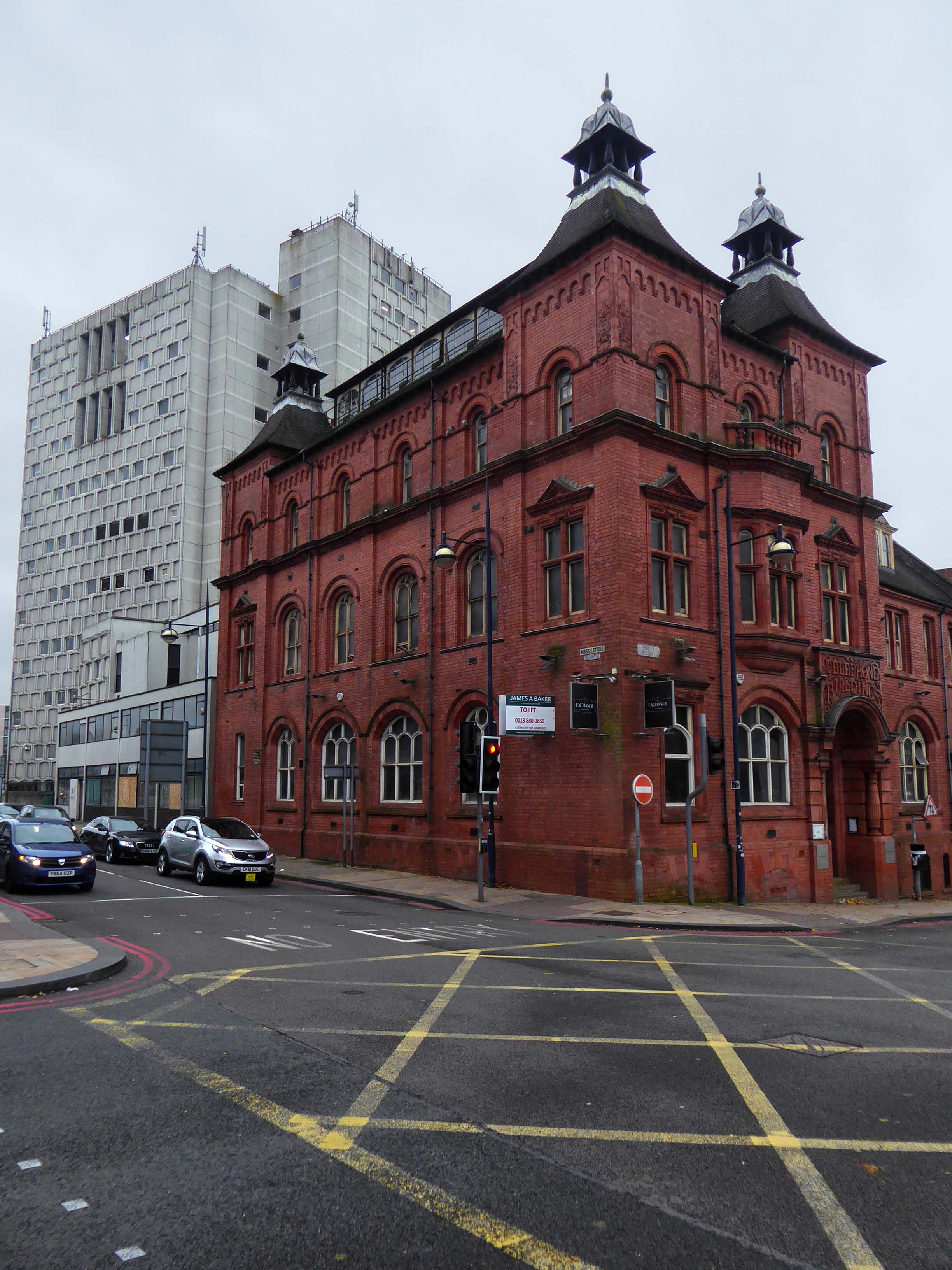
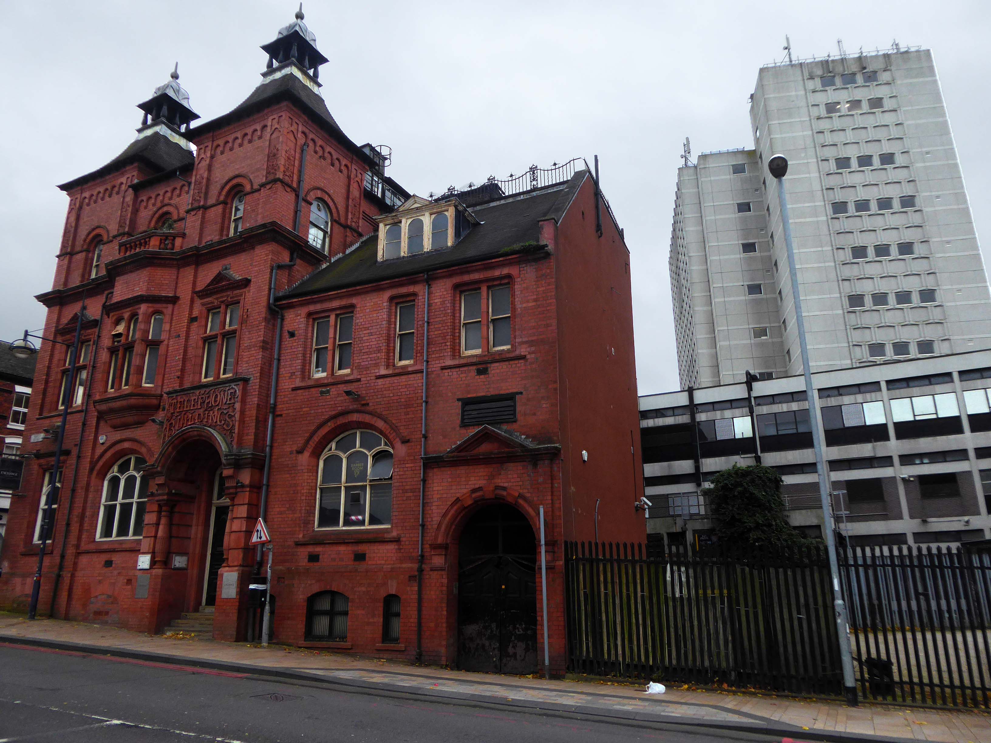
Former telephone exchange and offices – circa 1900.
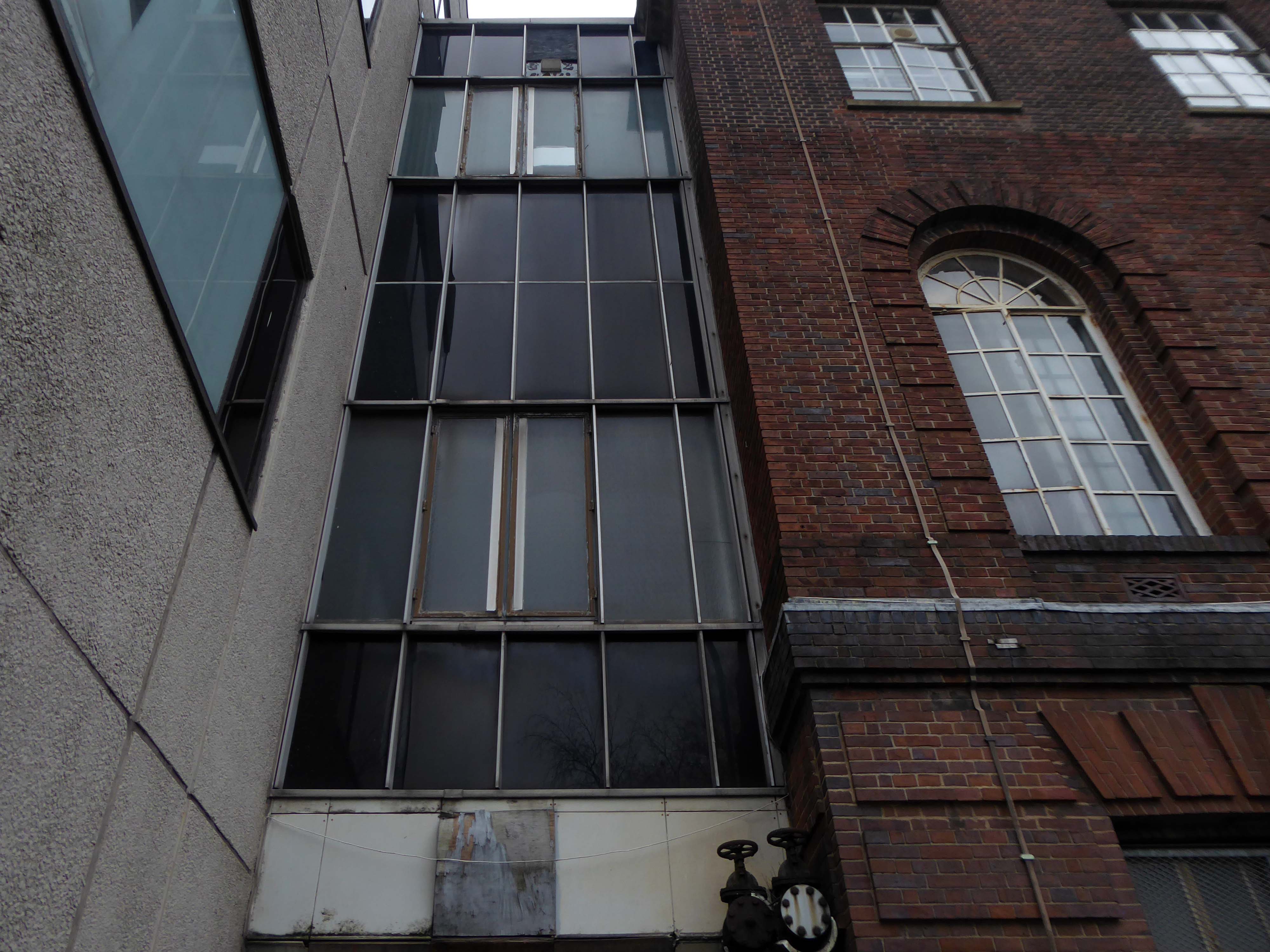
Brick and terracotta with plain tiled roof. Eclectic style, with main block of three storeys, and three 3 narrow bays with flanking towers, all vertical spaces elongated.
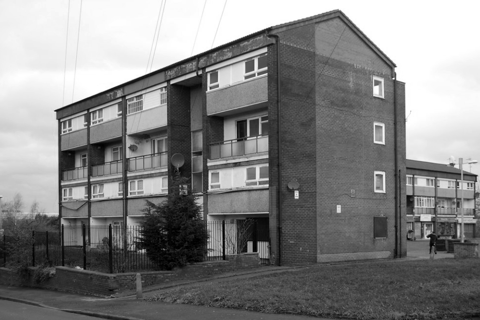
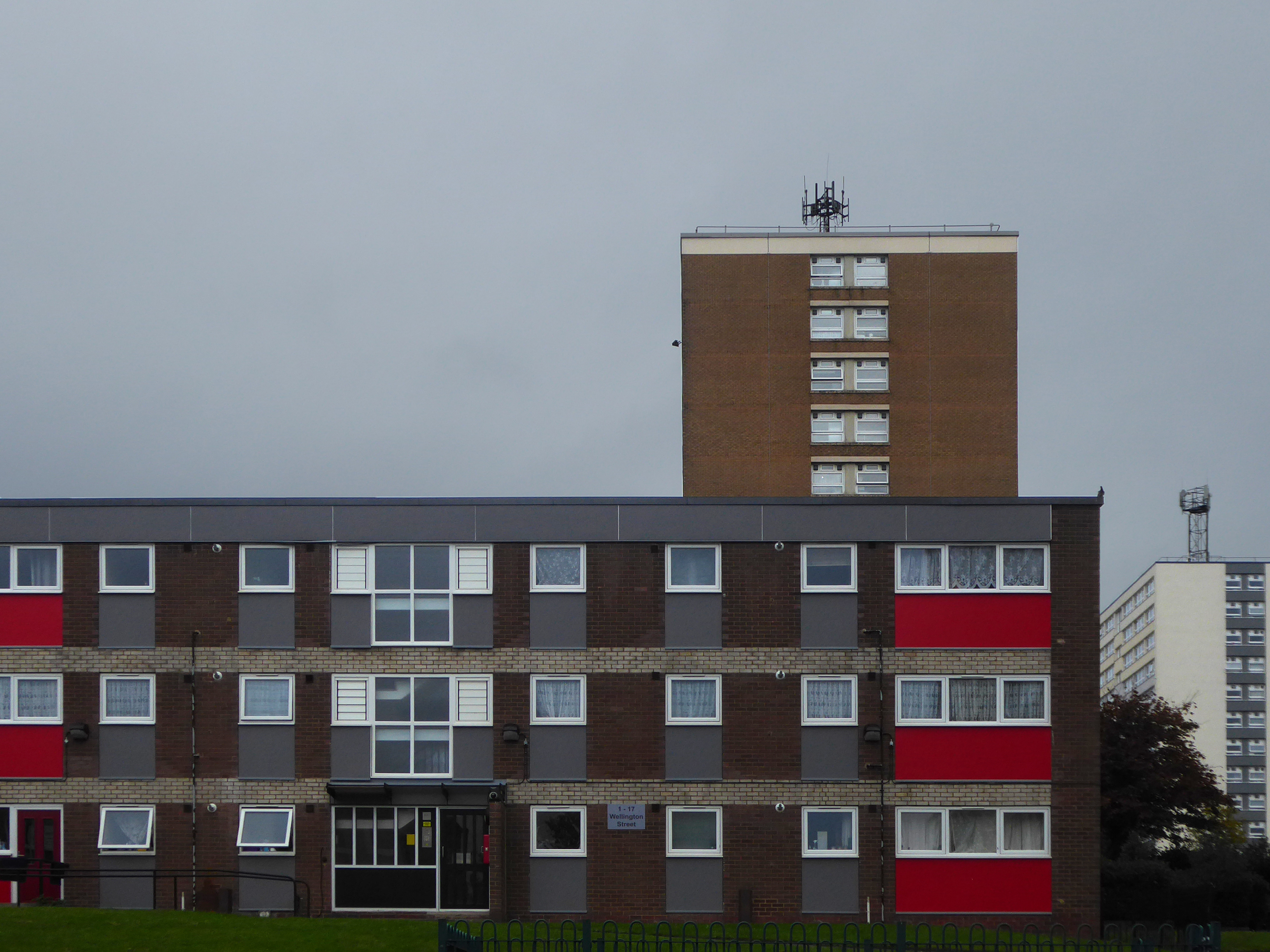
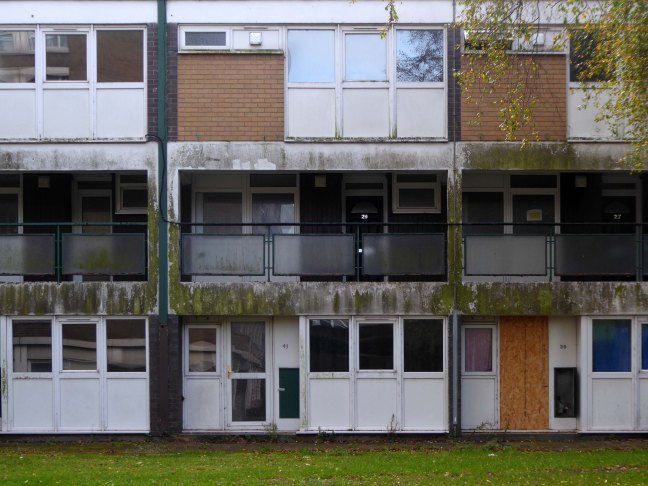
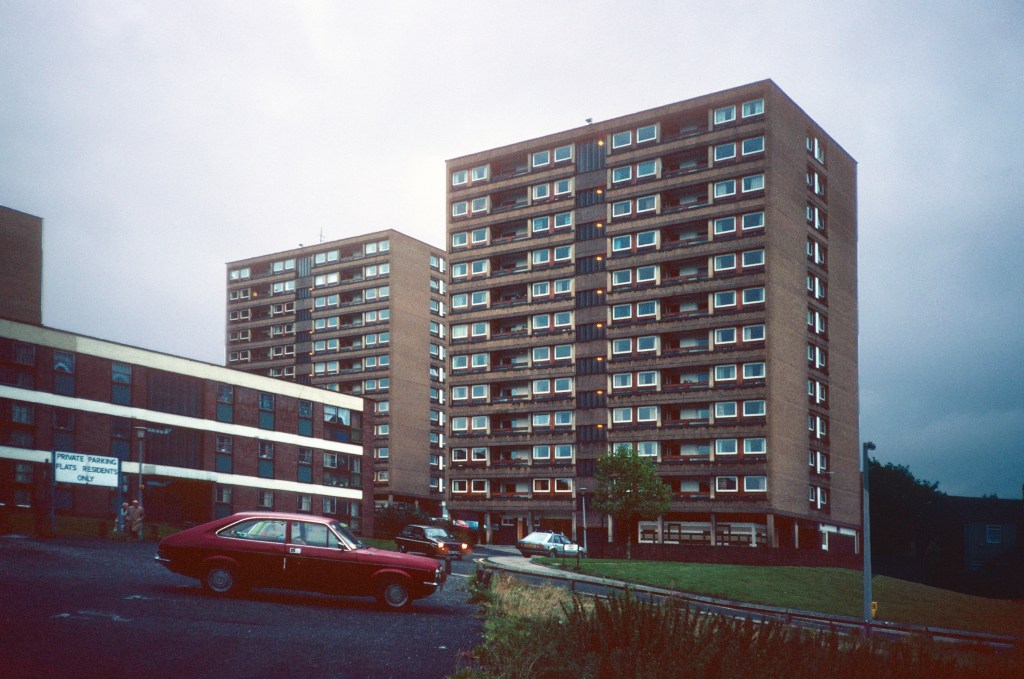
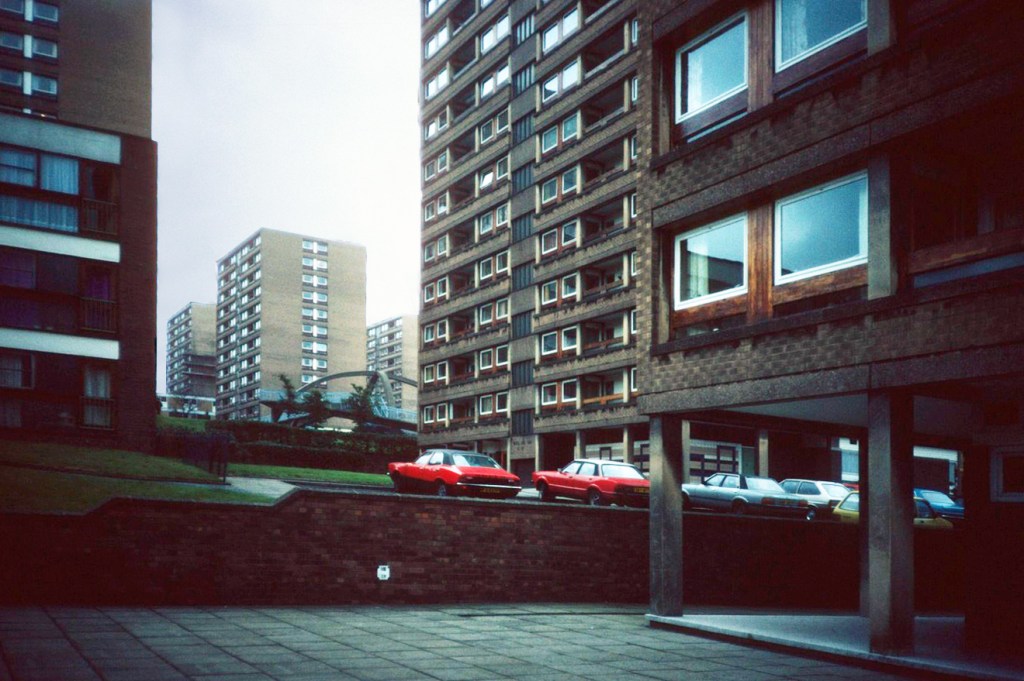
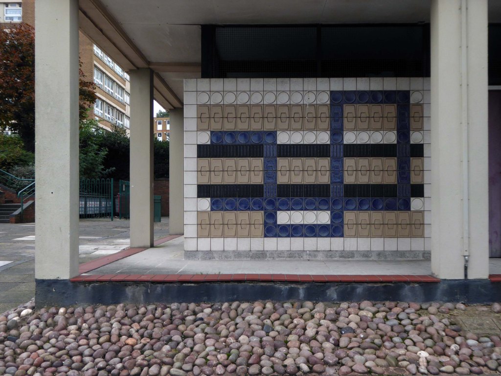
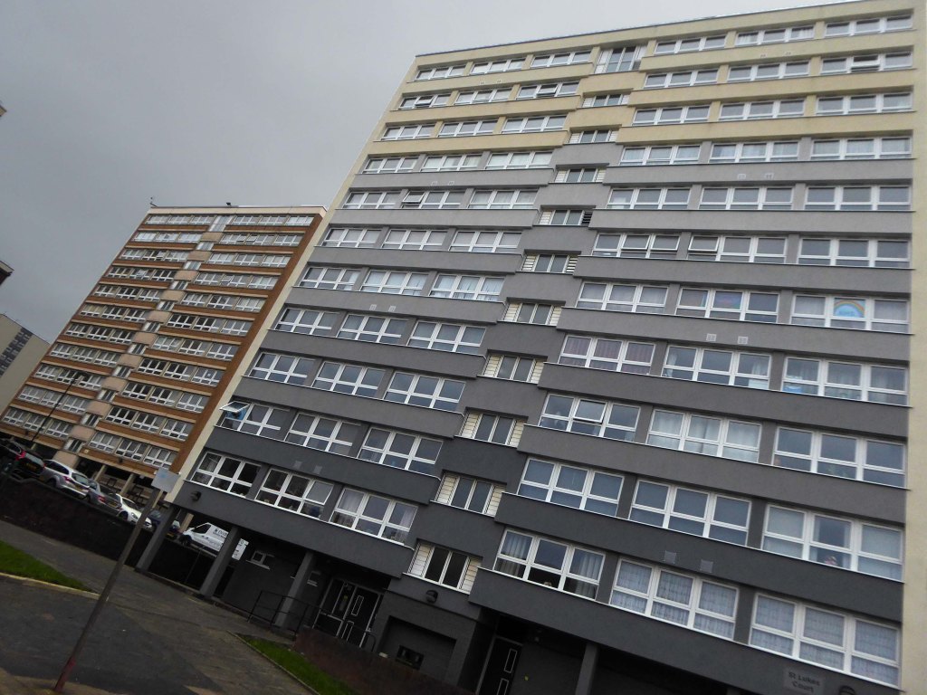
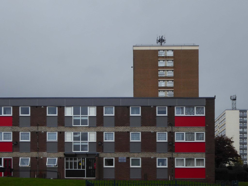
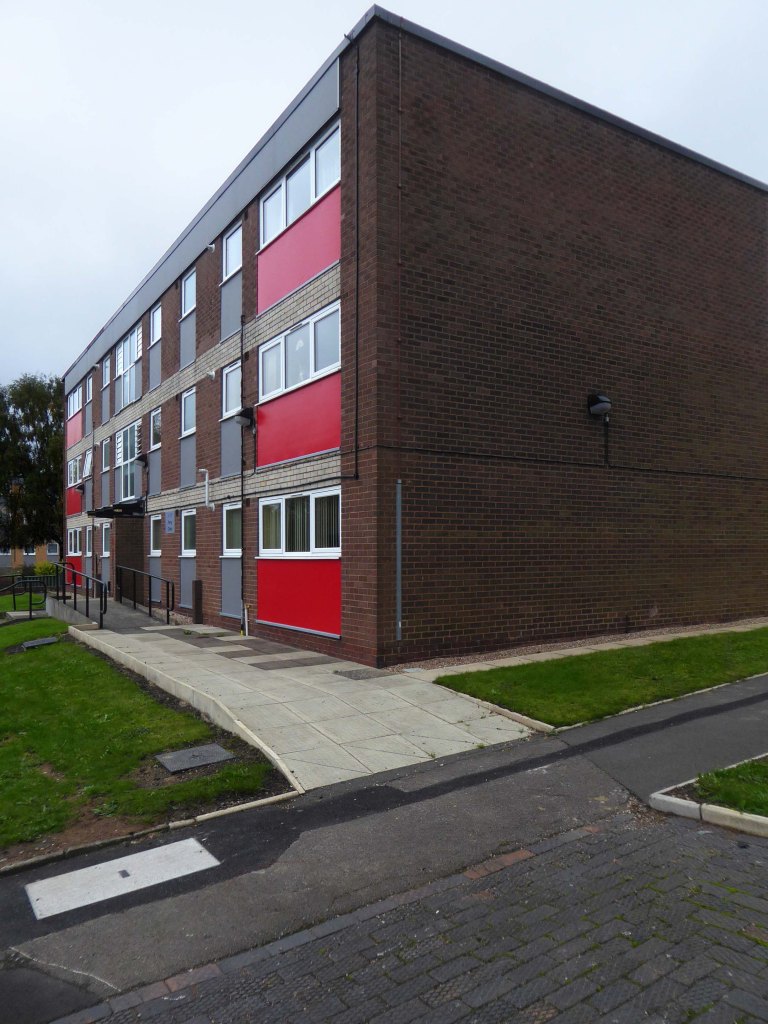
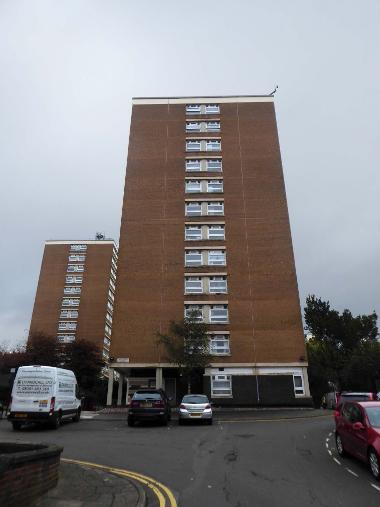
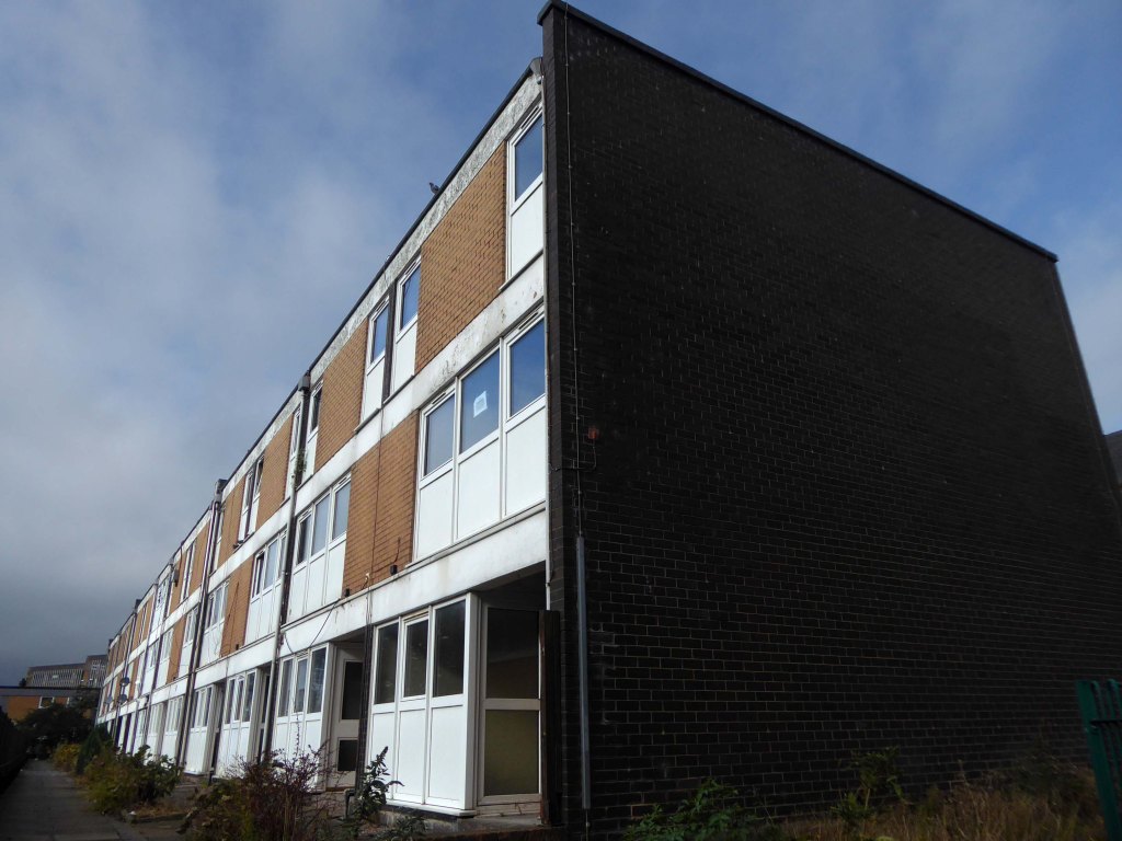
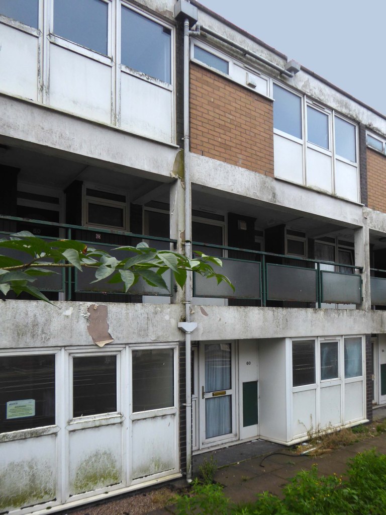
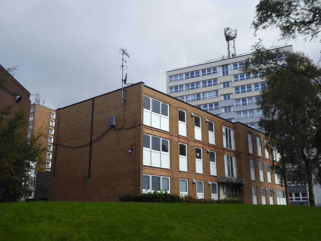
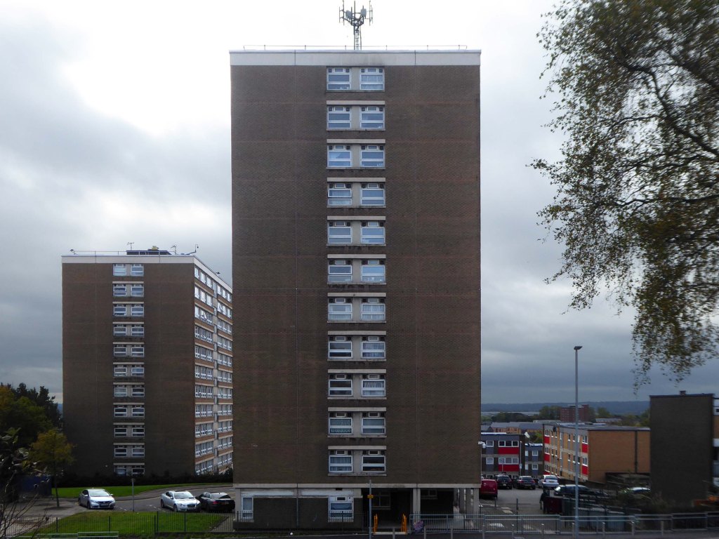
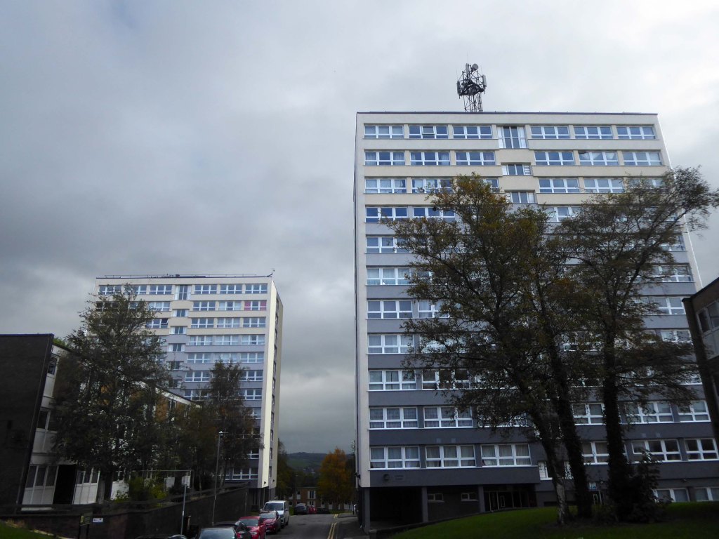
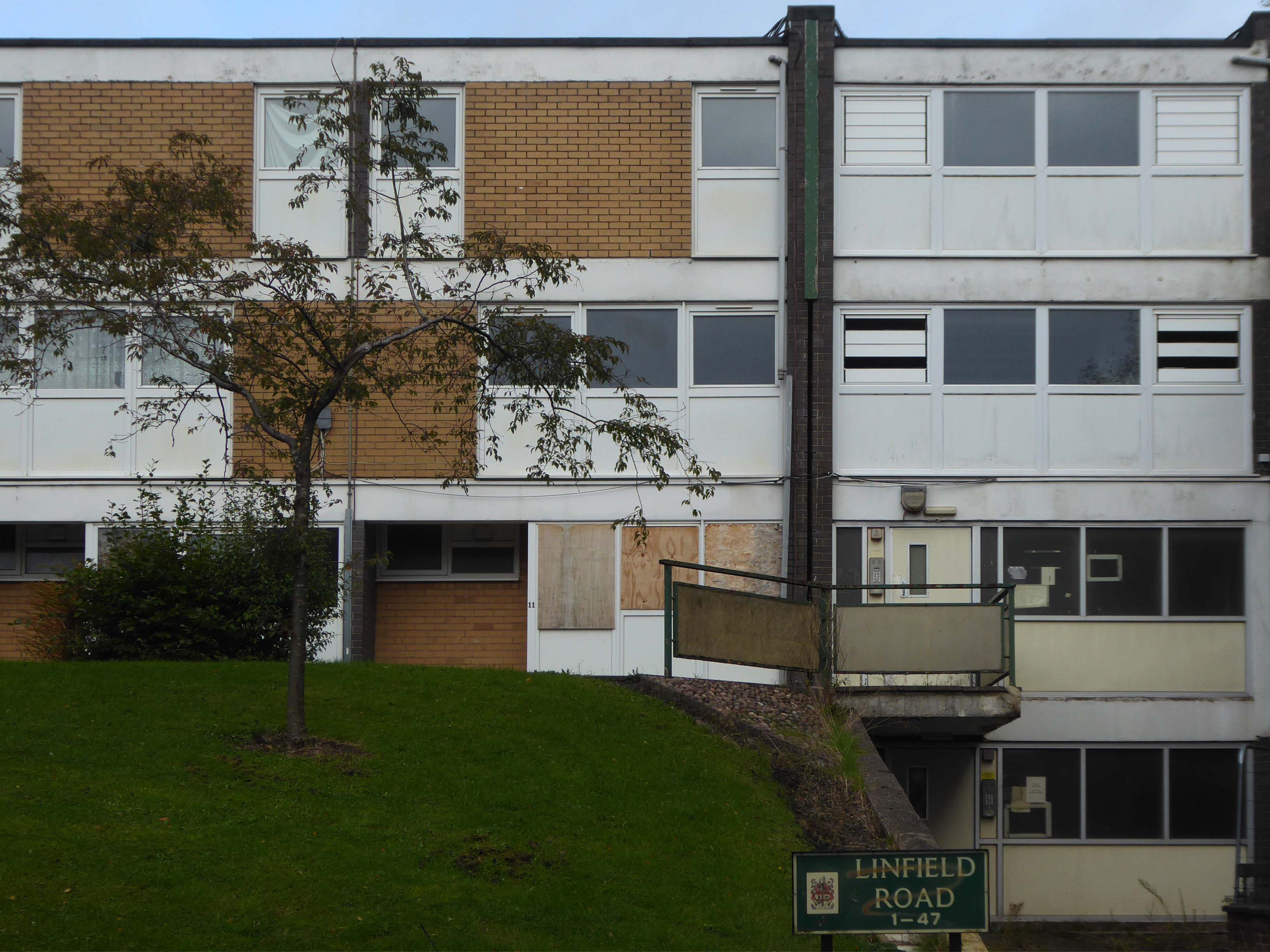
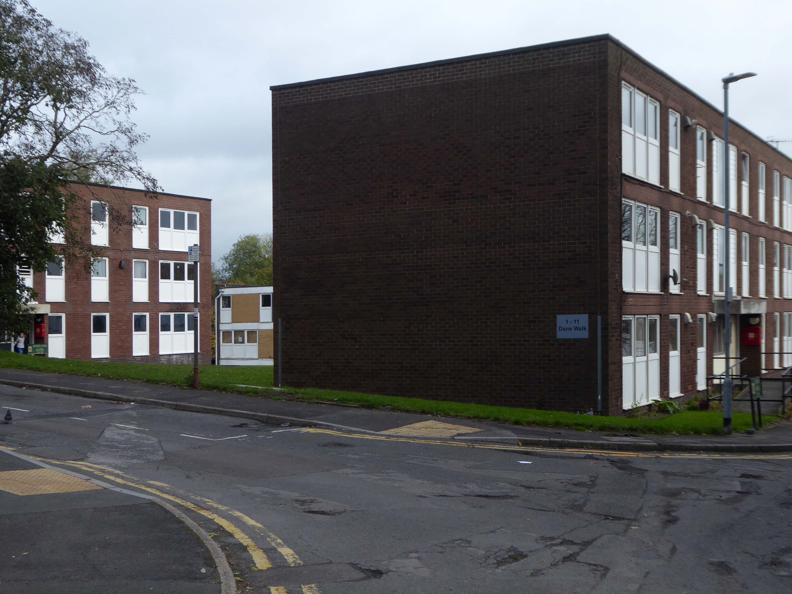
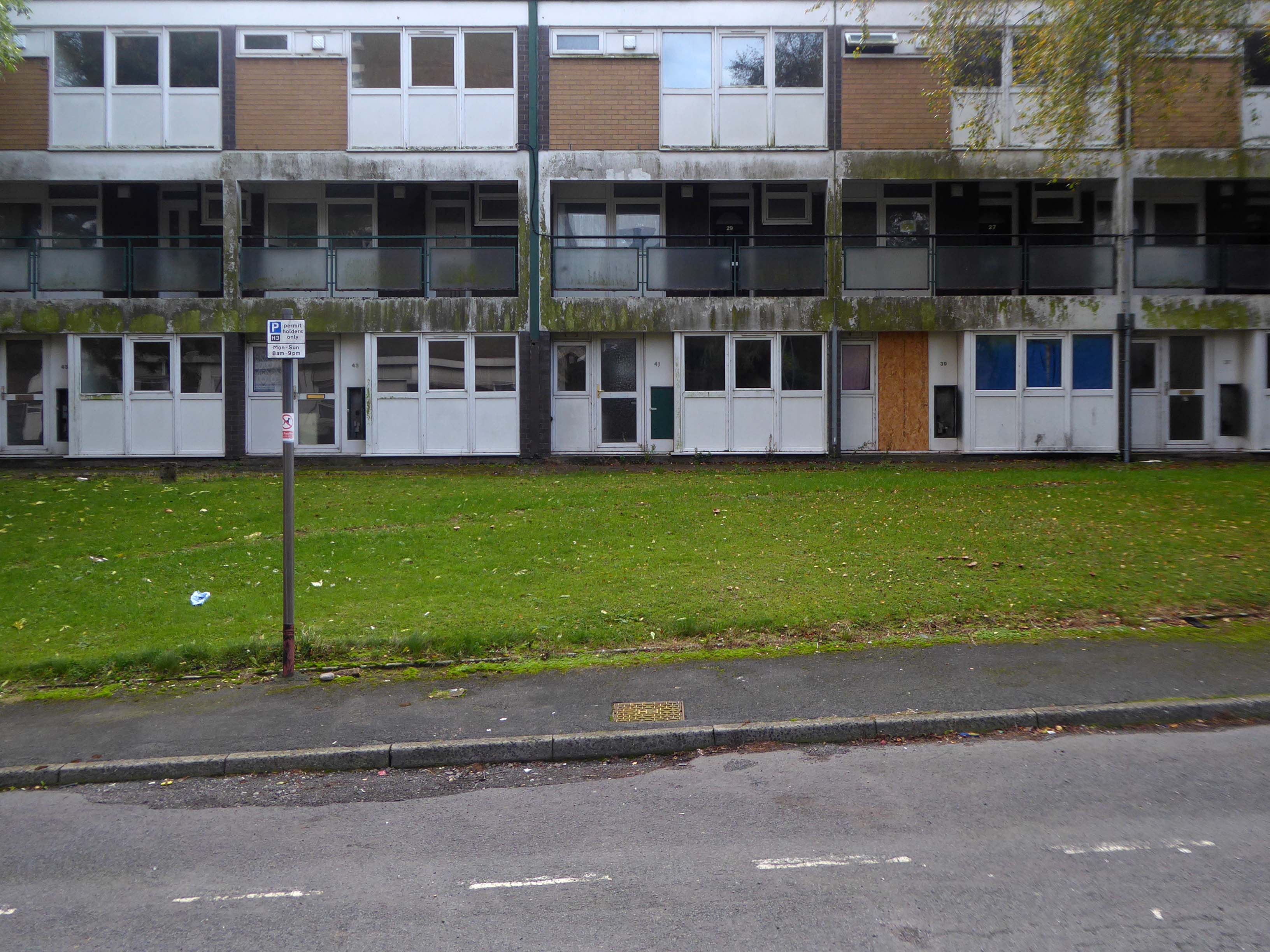
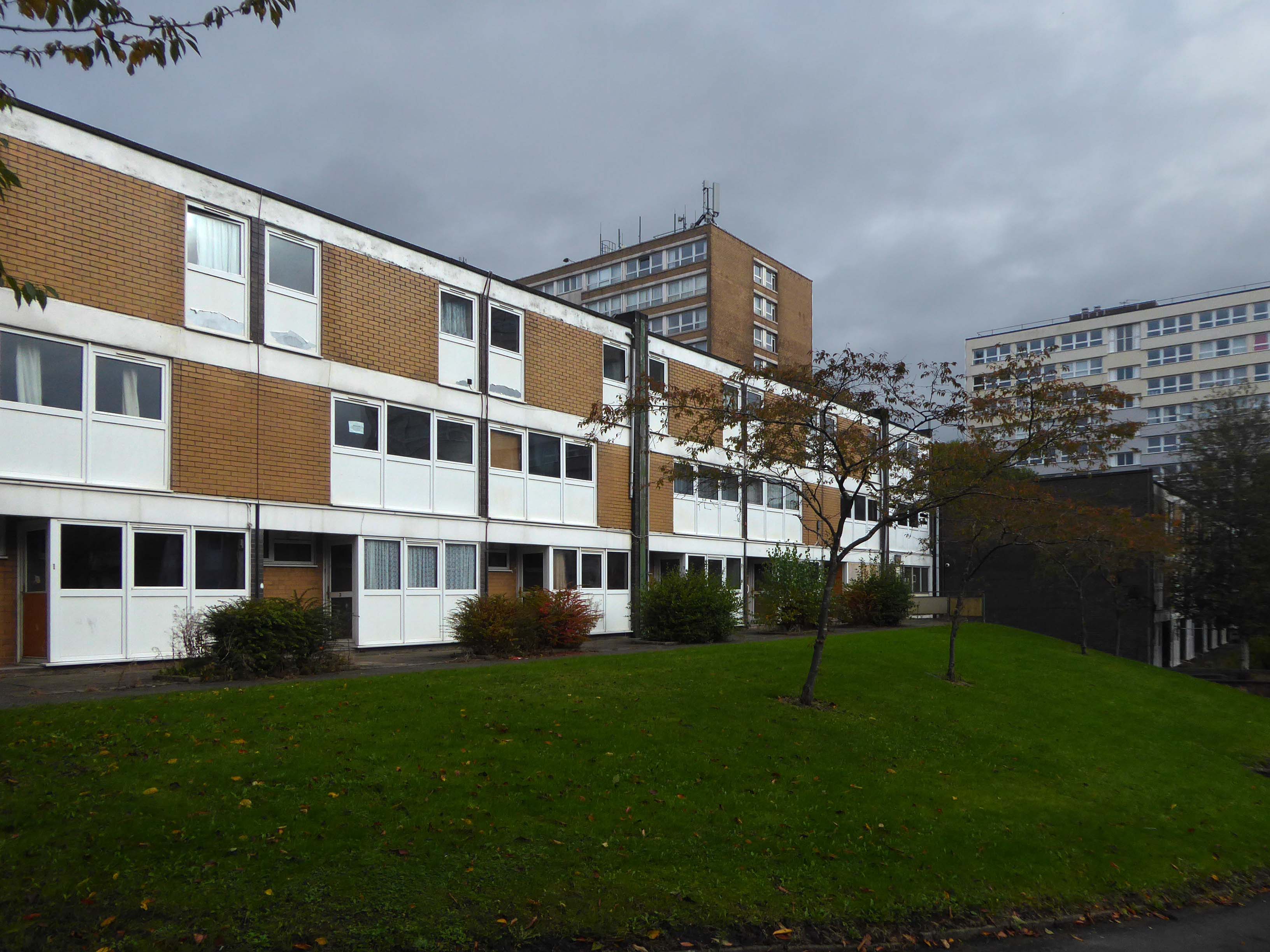
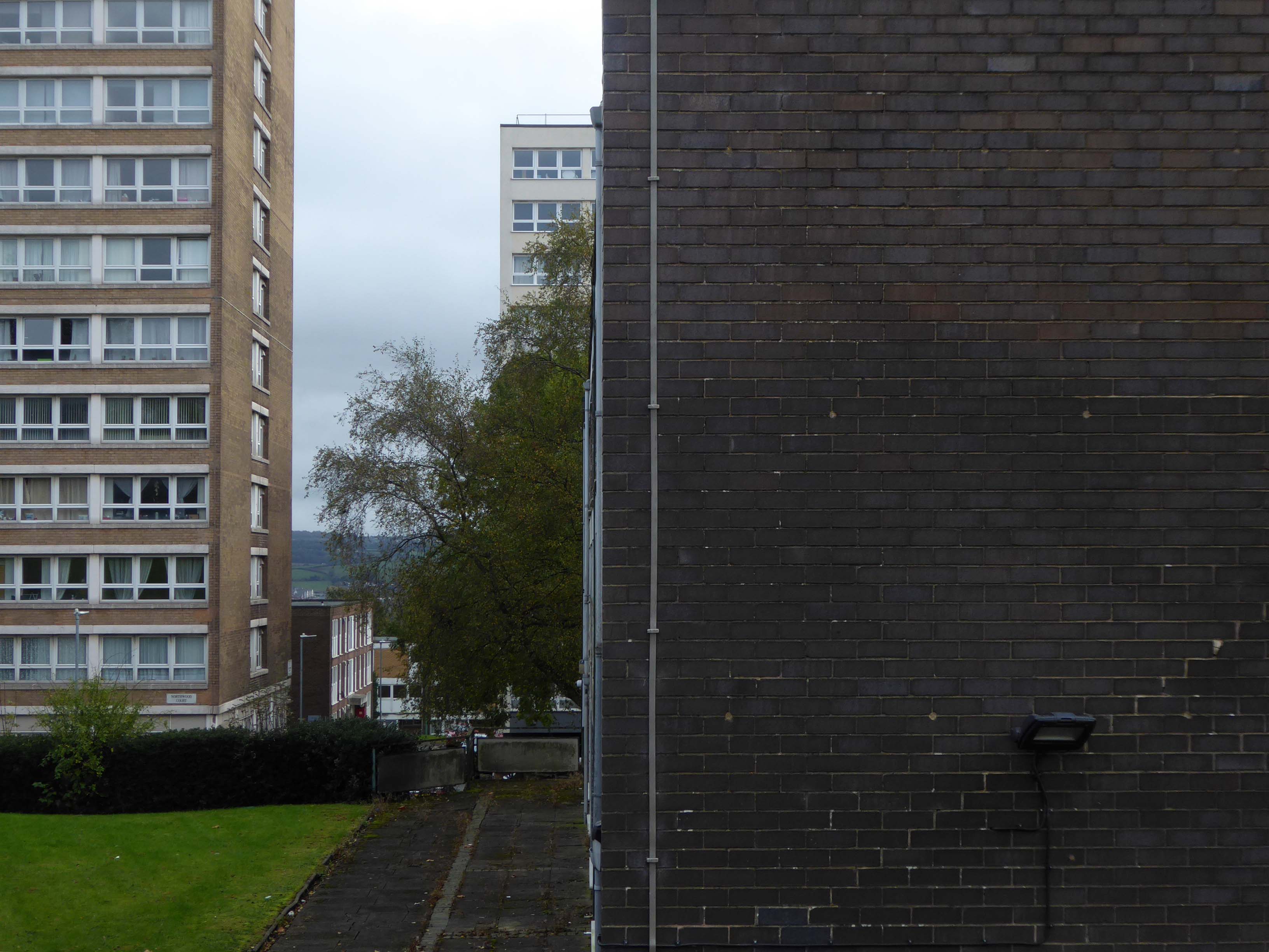
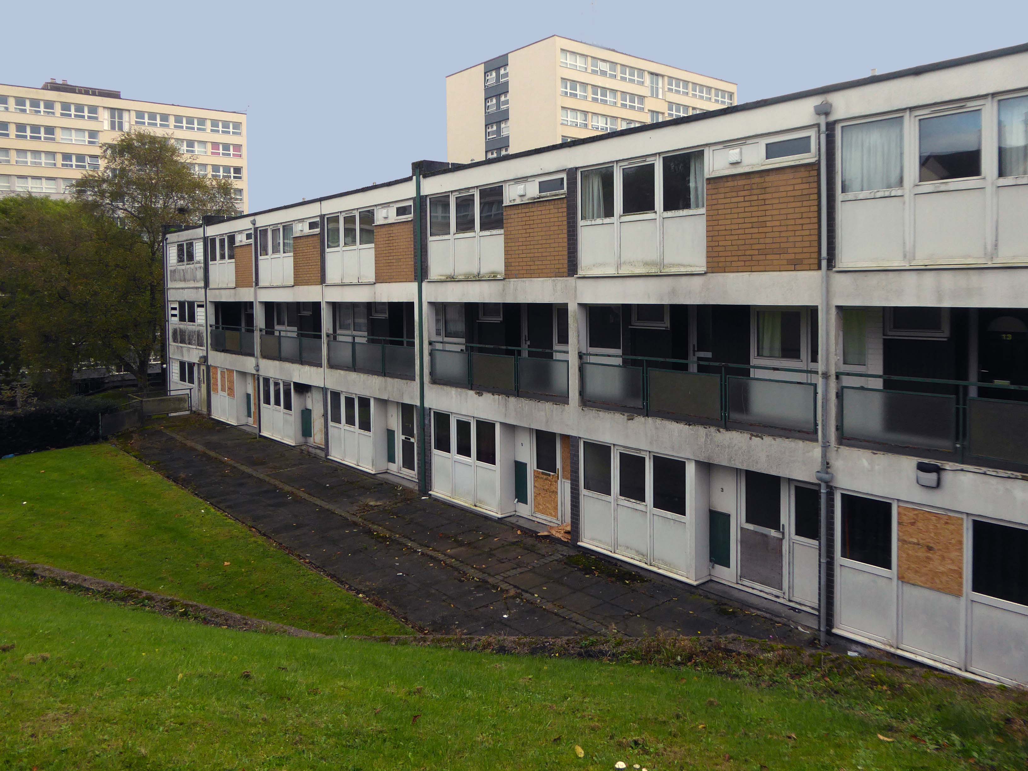
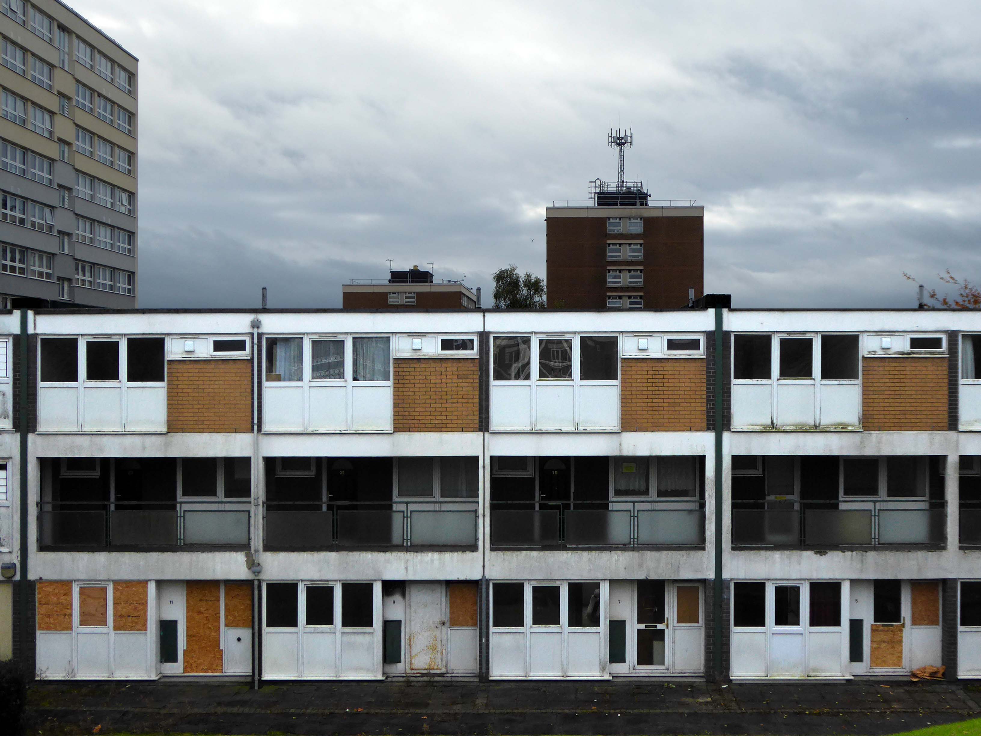
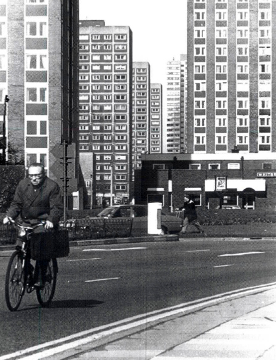
A tale of tower blocks and low rise terraces and maisonettes.
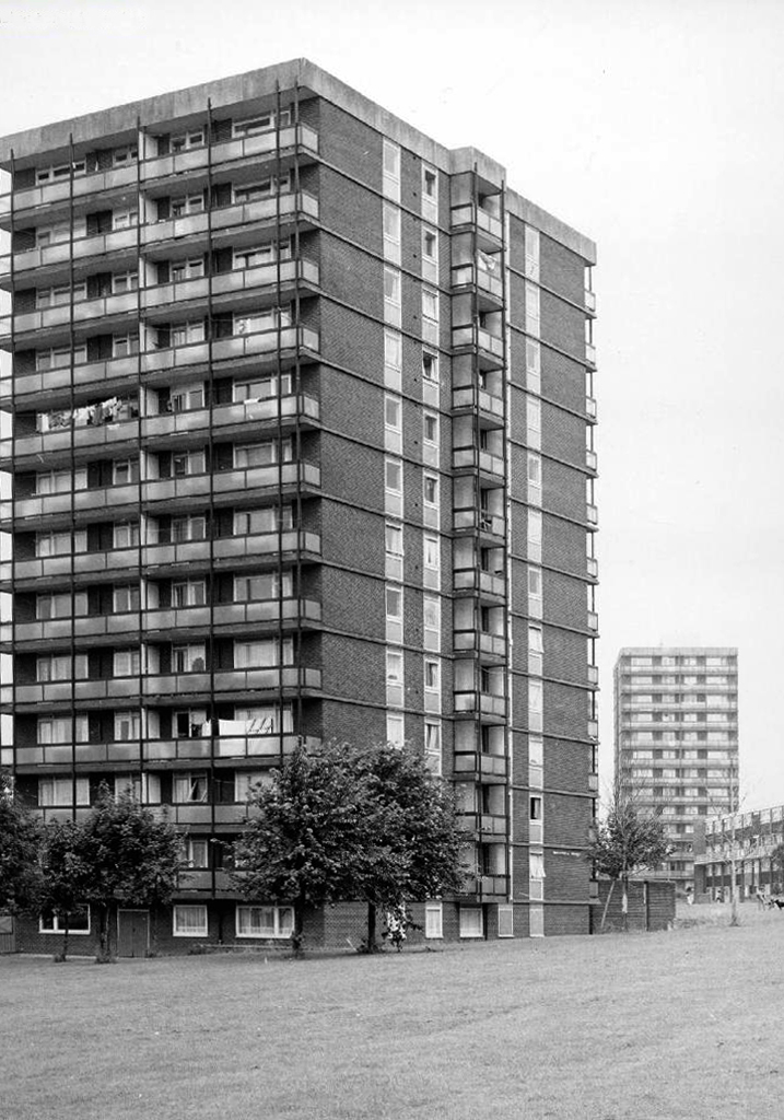
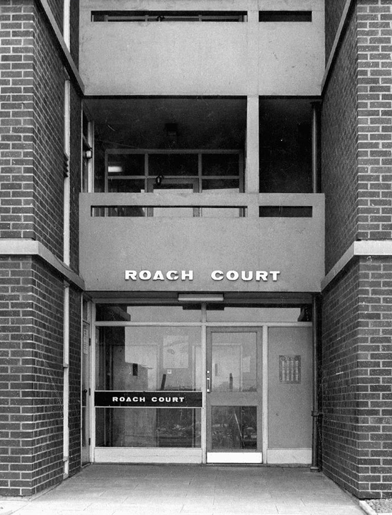
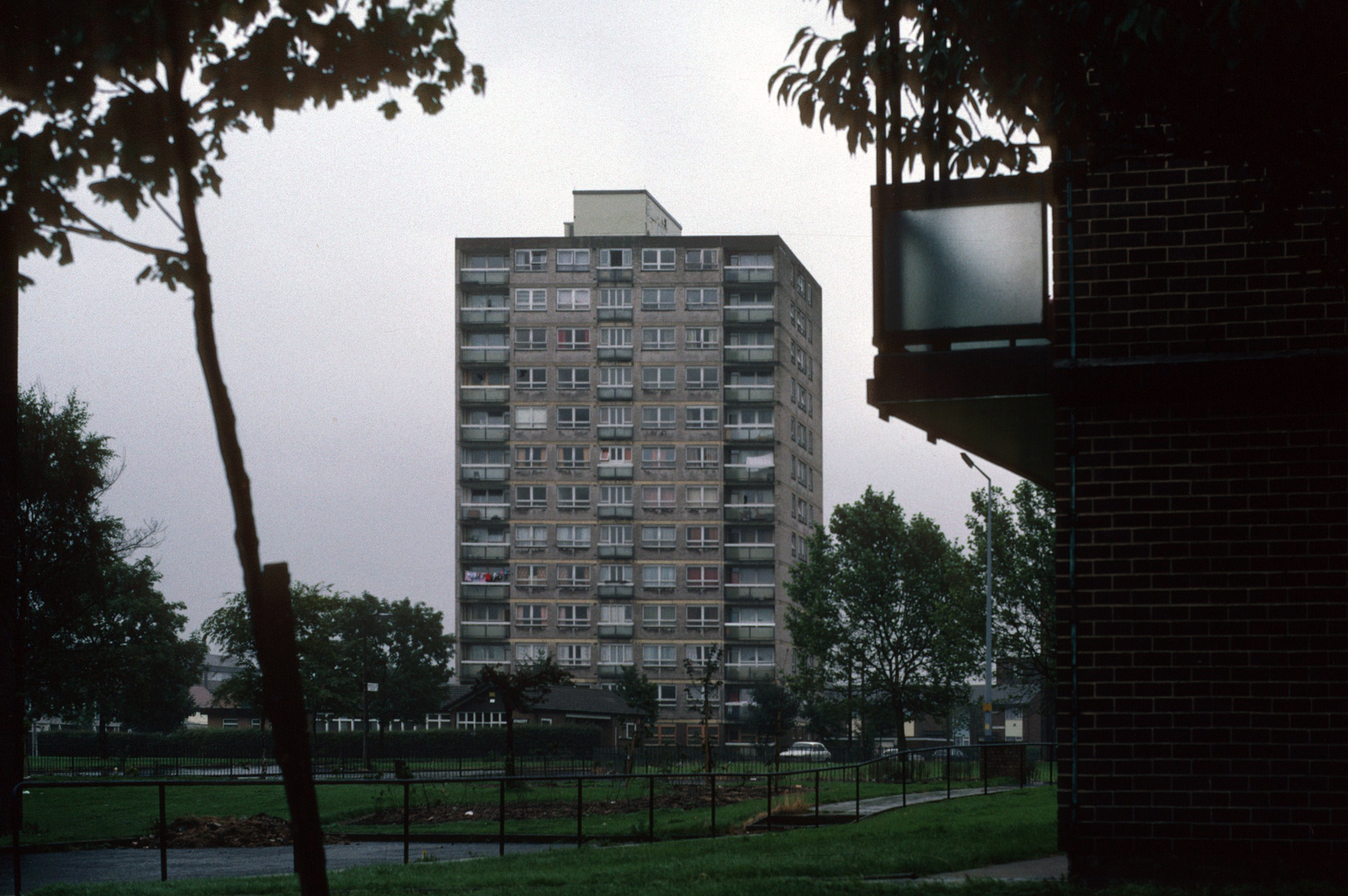
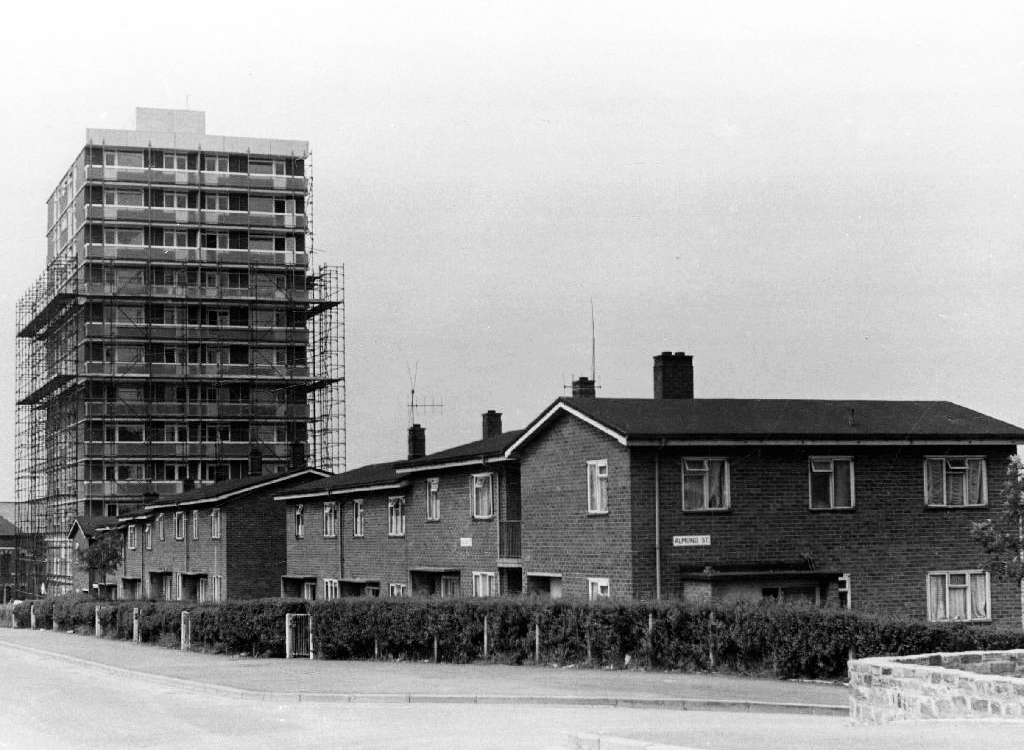
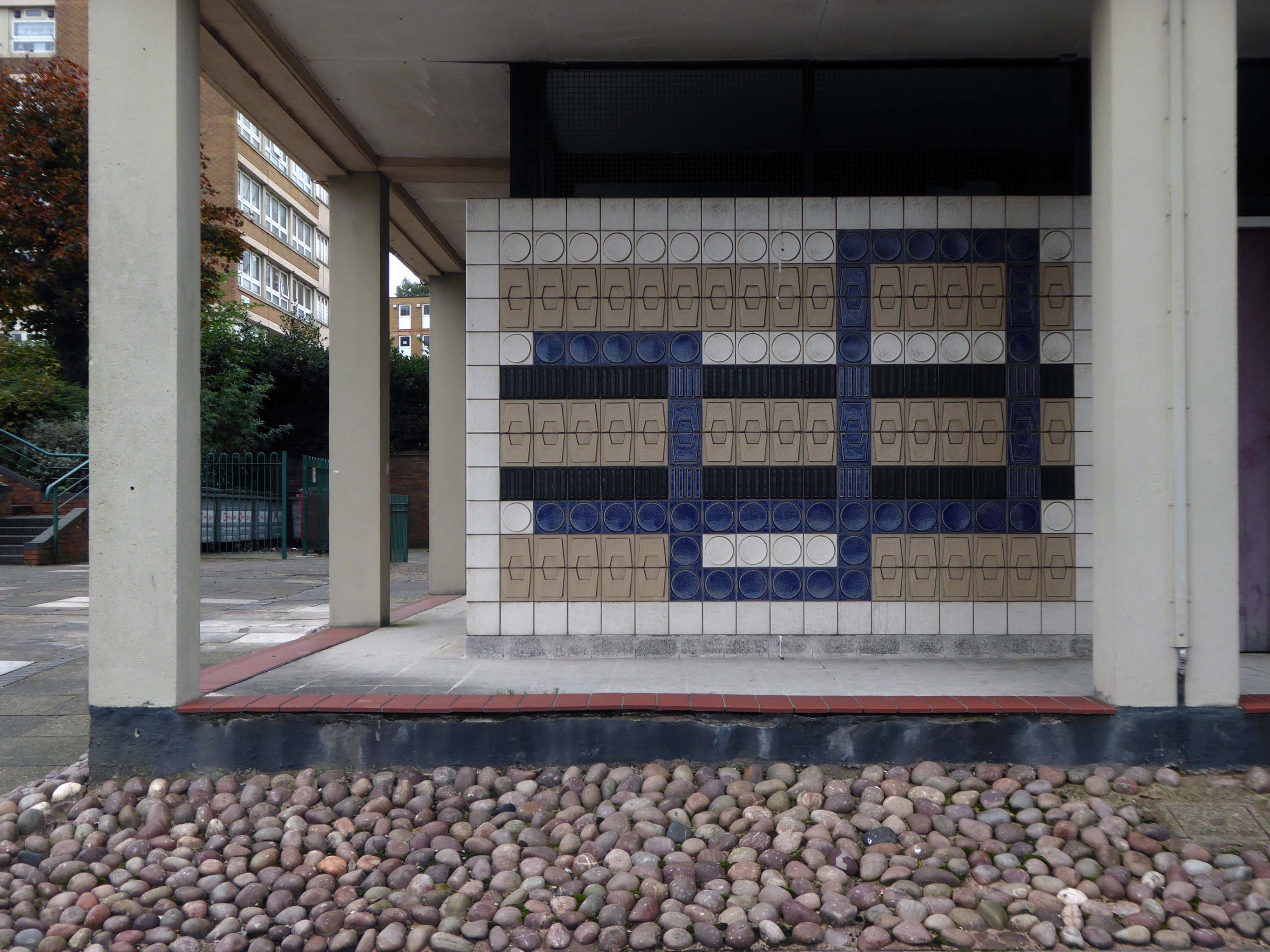
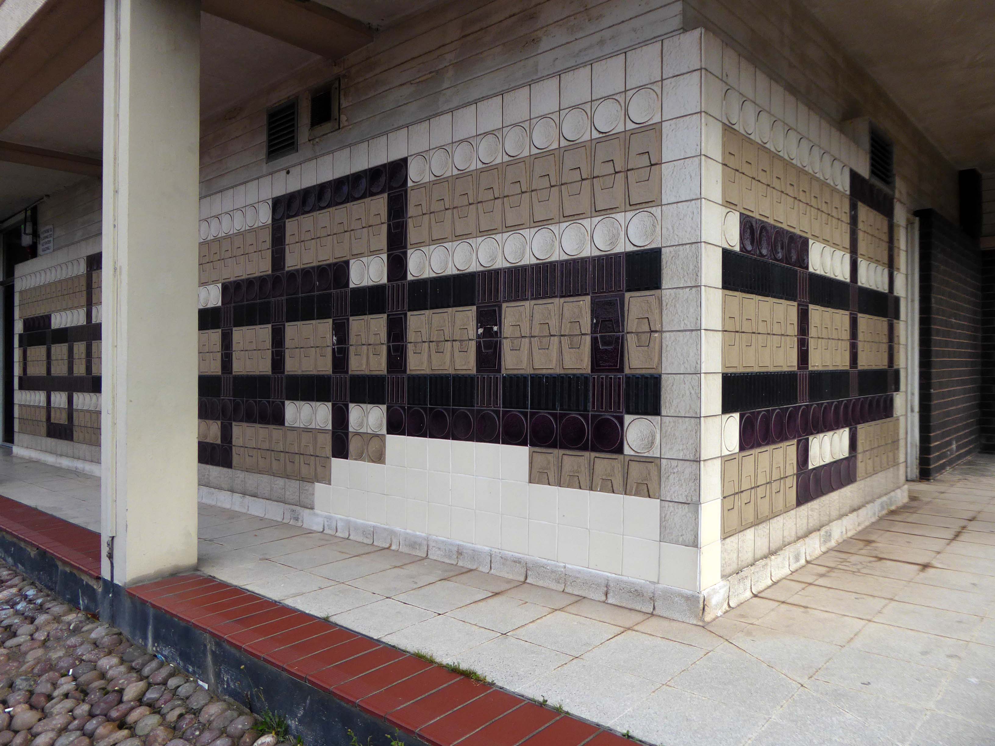
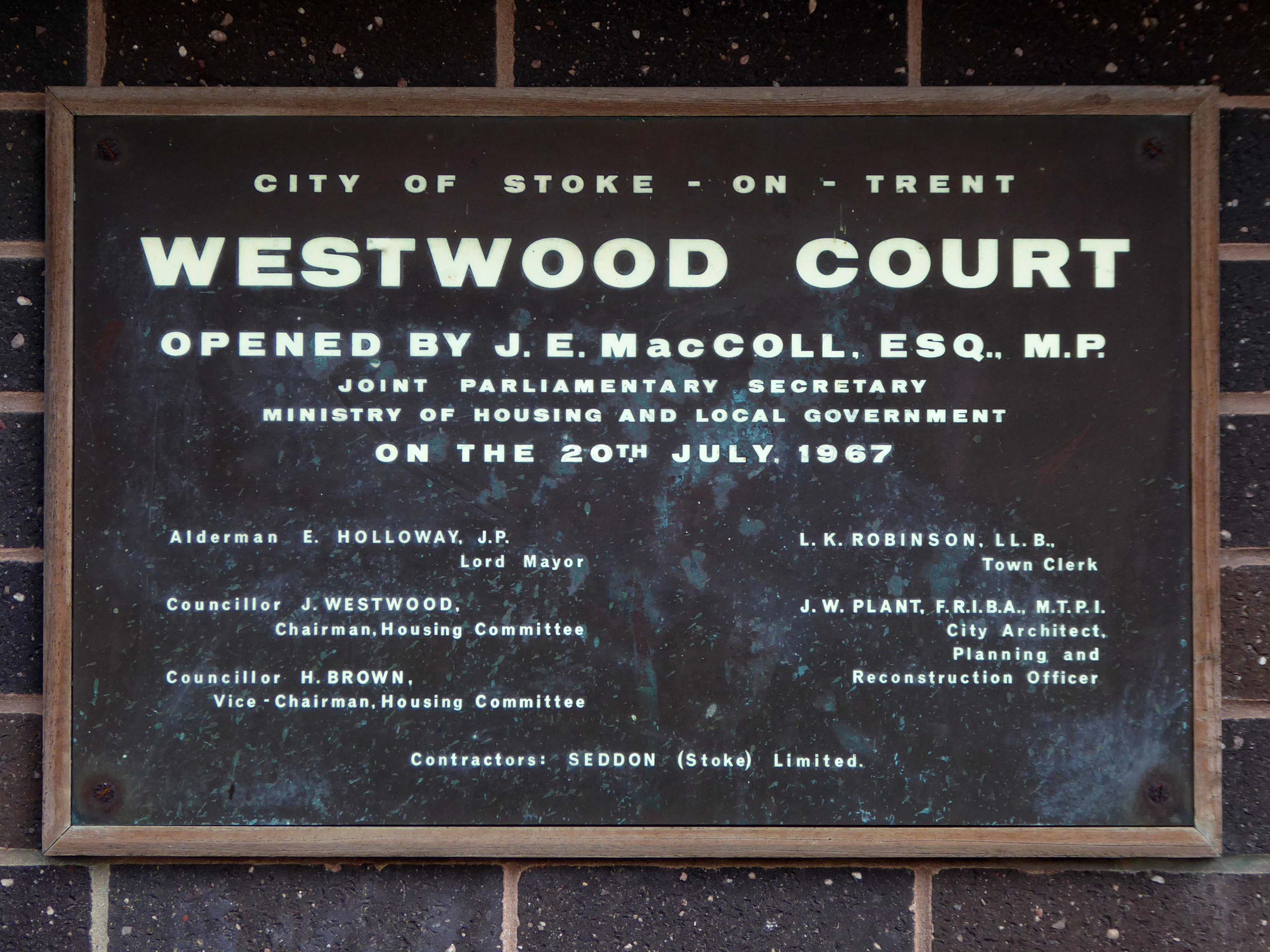
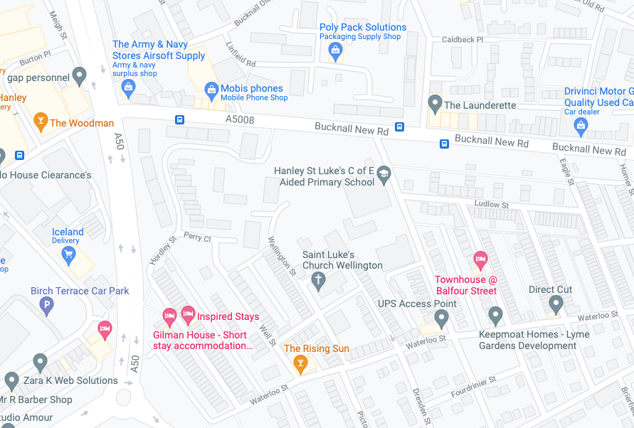
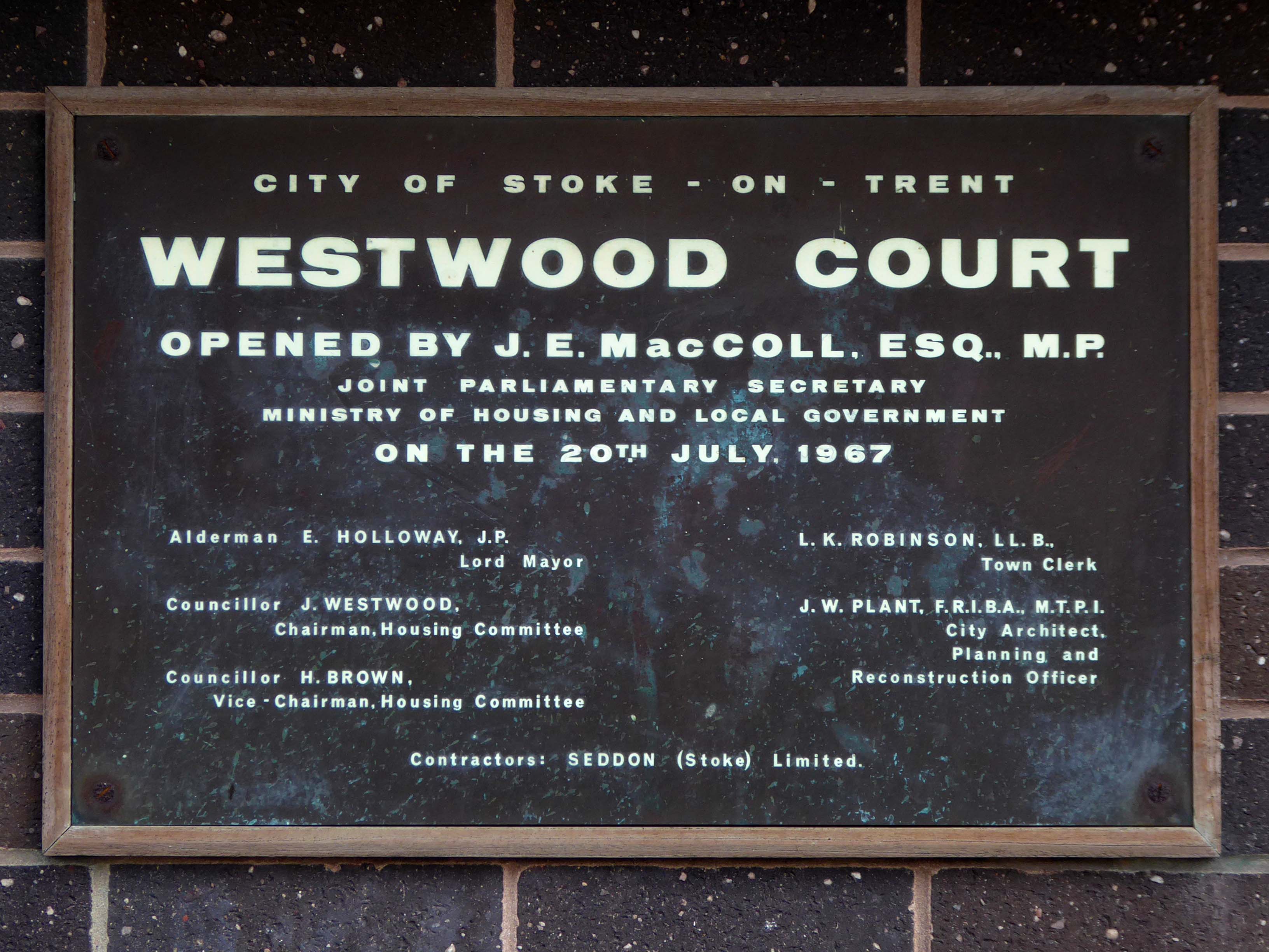
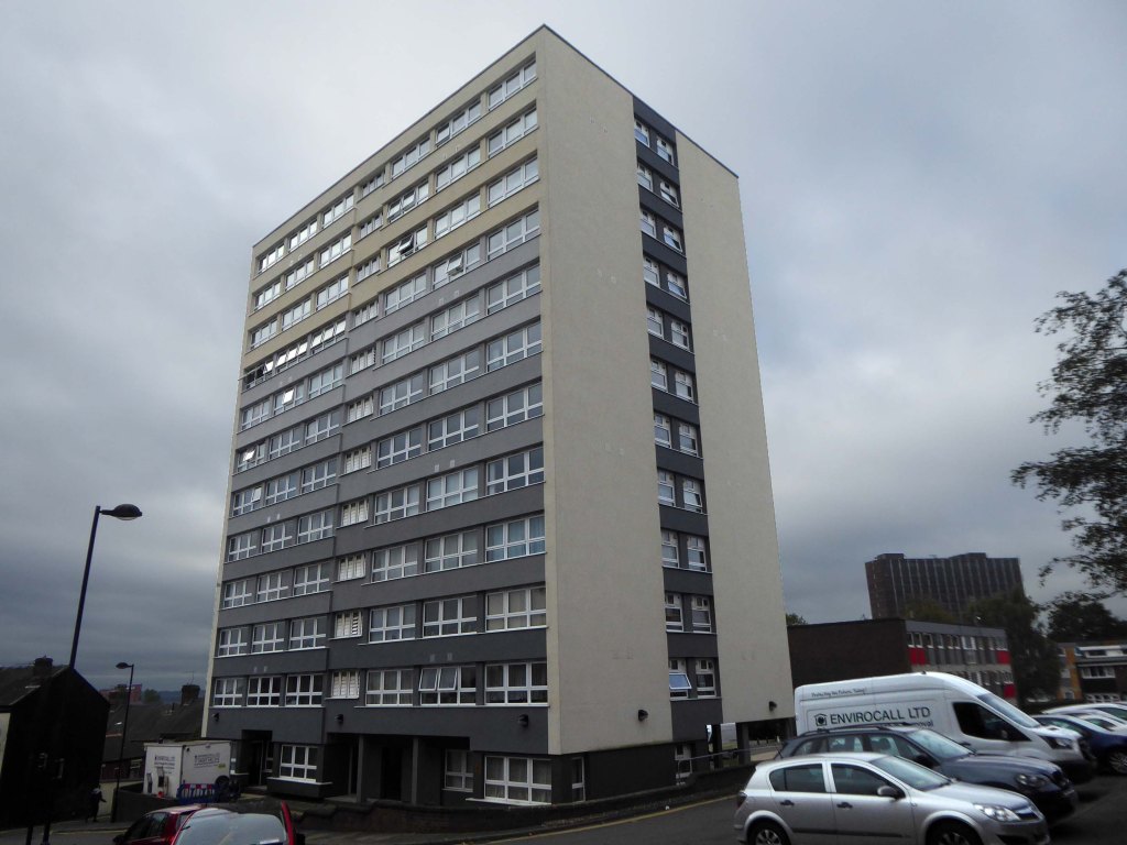
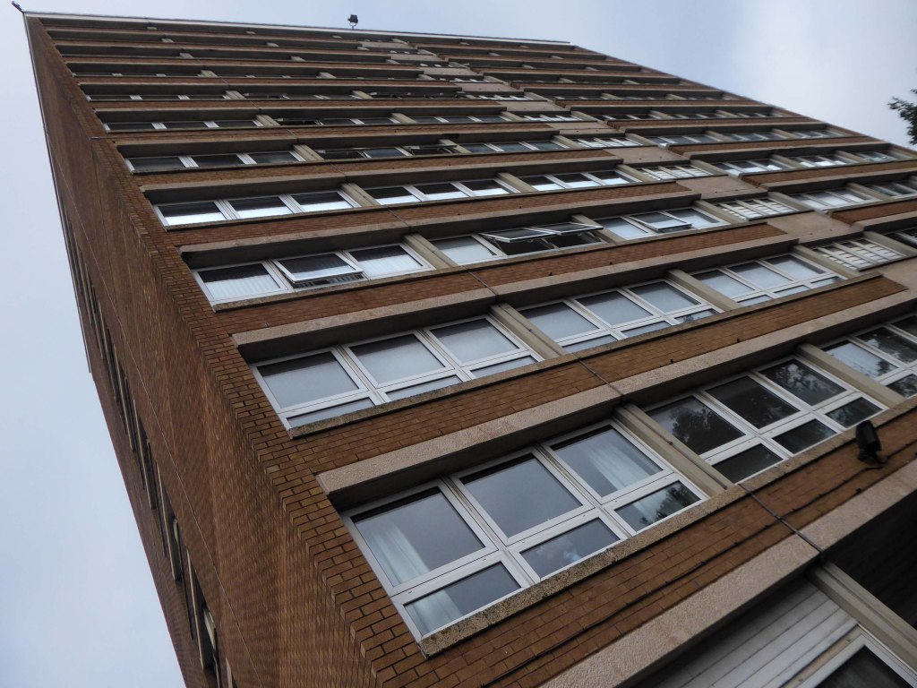
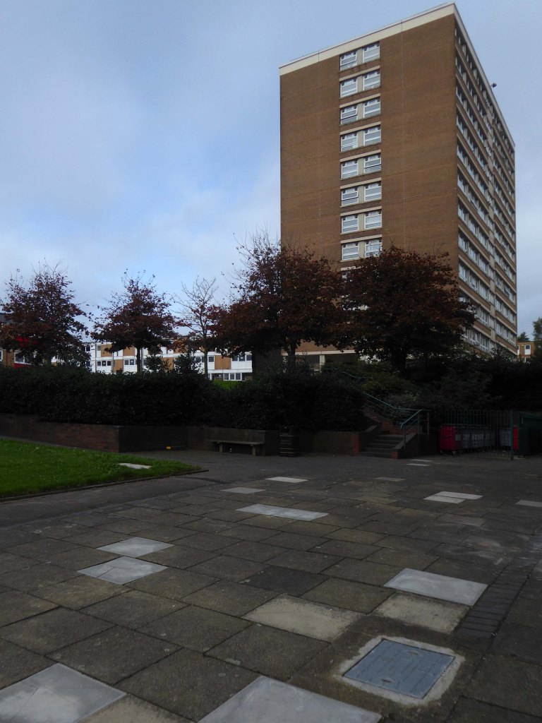
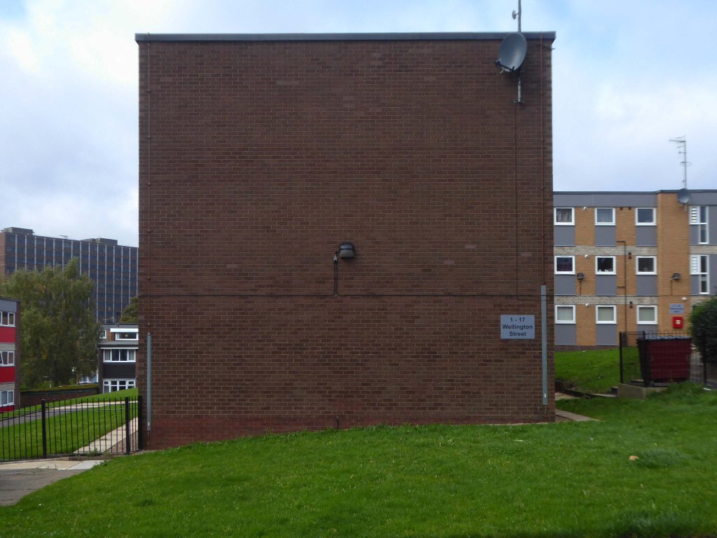
The first group of 1965, the work of City Architect JW Plant grouped around Westwood, Wellington and St Lukes Courts three 12-storey blocks containing 138 dwellings named Bucknall New Road Stage I.
Photographs Tower Block
From a time when civic pride celebrated the development of social housing with a small plaque.
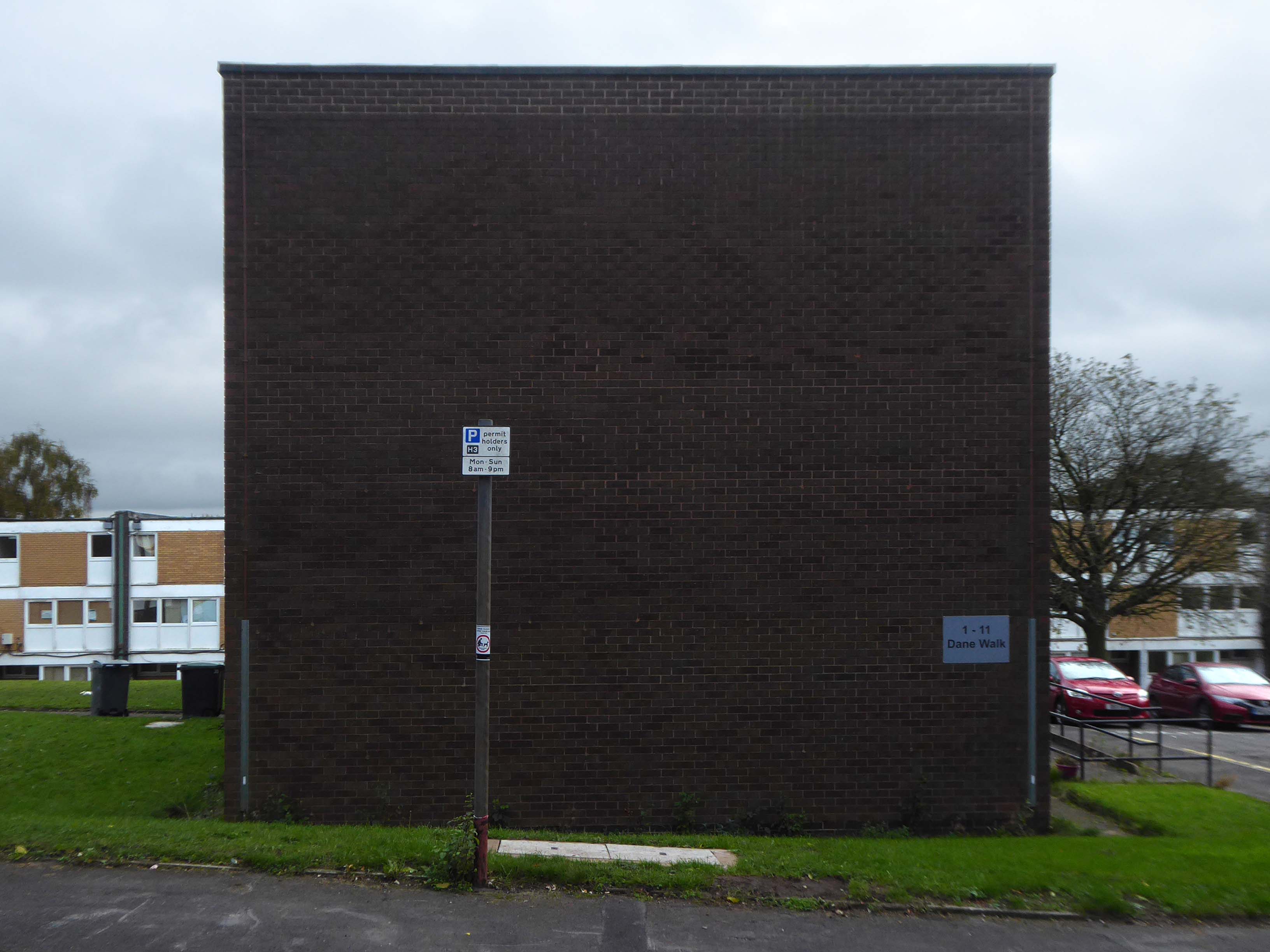
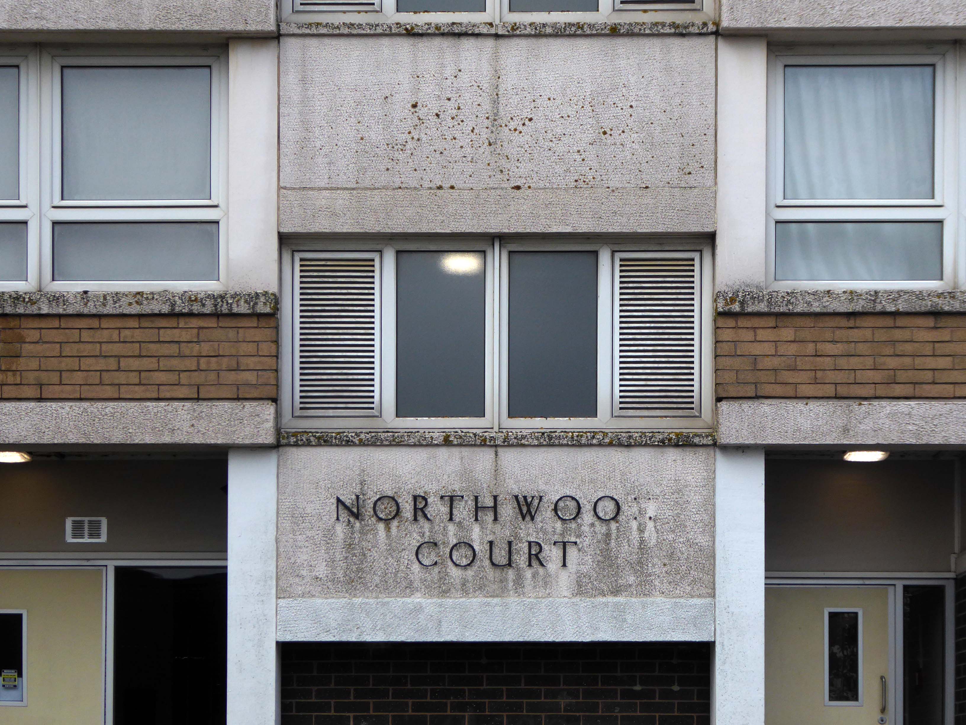
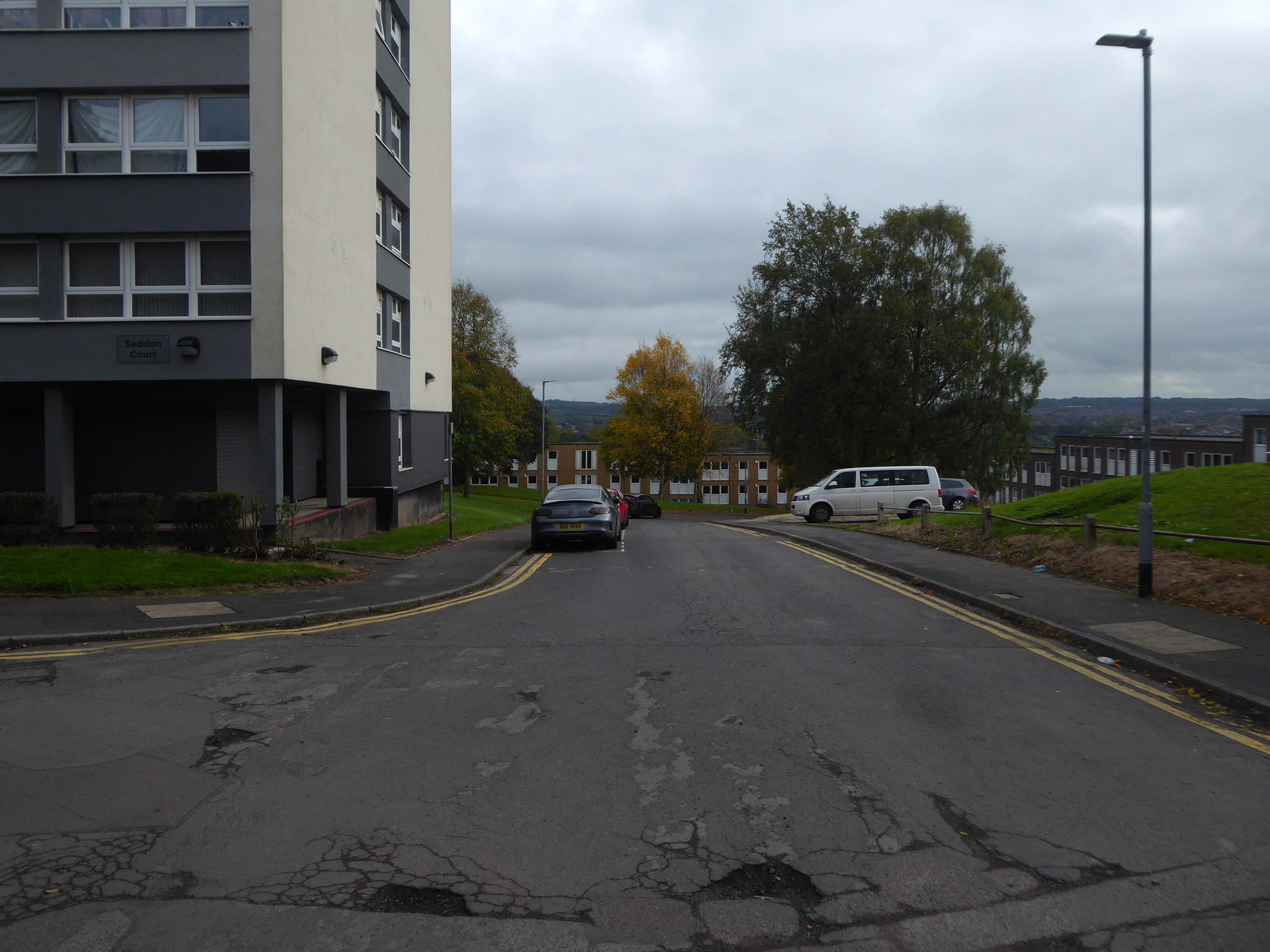
The second group Bucknall New Road Stage II 1968 – also the work of JW Platt Seddon, Northwood and Lindop Courts.
There are plans afoot awaiting finance to demolish and replace some of the terraces, as part of a wider plan for the City’s social housing.
The project would see the council join up with a social property investor and apply for government funding for the works.
The plans would see 226 apartments at Bucknall New Road, and 51 flats and 62 houses at Pyenest Street.
A total of 155 low rise flats and maisonettes at Bucknall New Road would be cleared, creating a net gain of 224 new affordable homes.
Cllr Randy Conteh, cabinet member for housing, communities and safer city, said: “This is a major initiative for the city and the first time a scheme of this scale and ambition has been developed.
The original master plan would have swept away the Victorian Technical Institute and Salford Art Gallery.
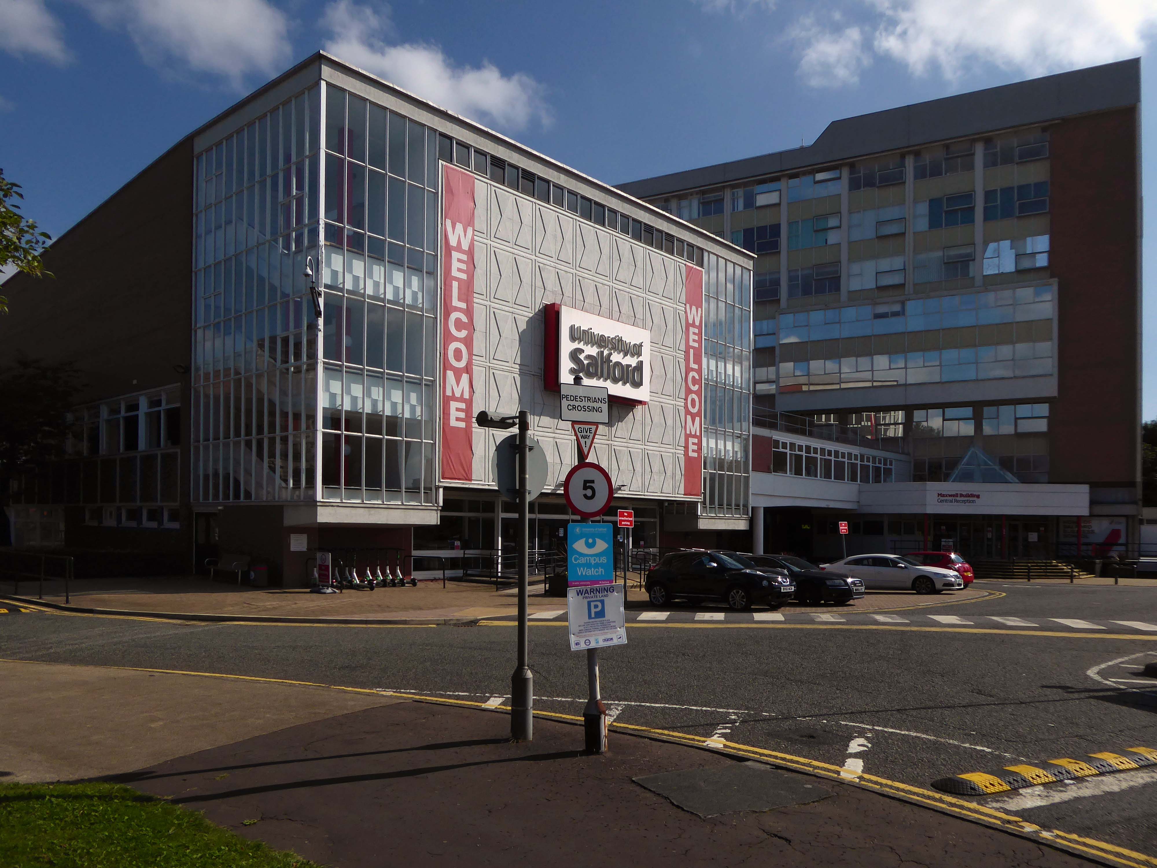
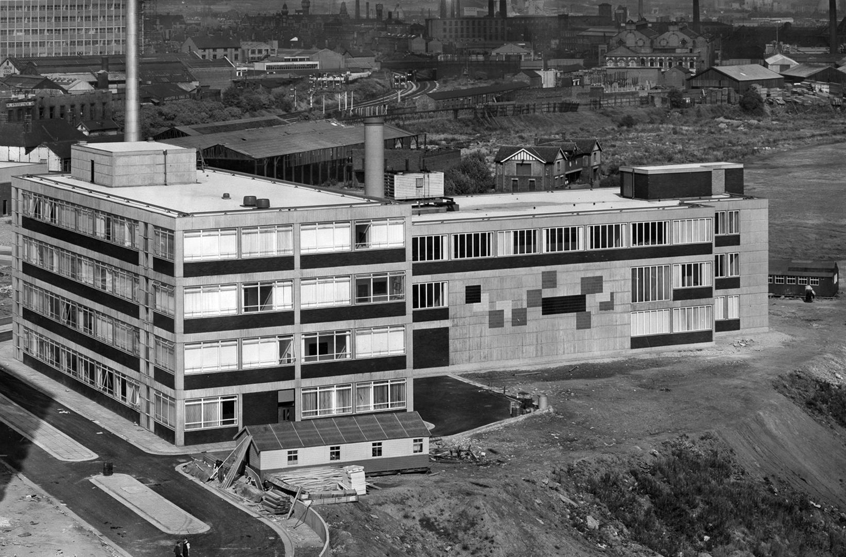
Across the road are the Maxwell Buildings.
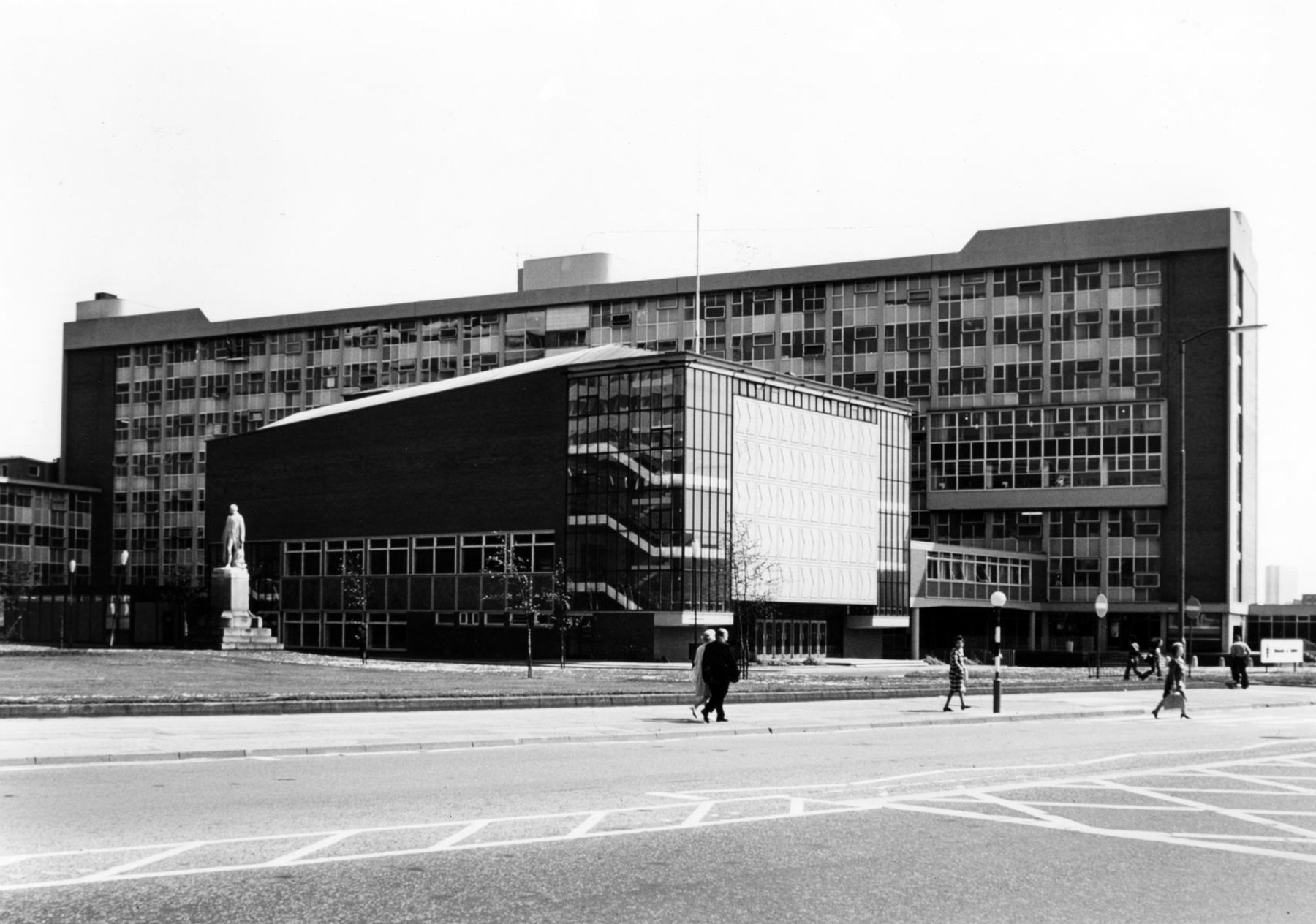
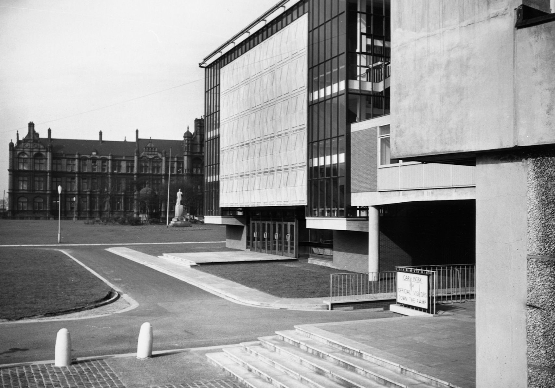
They were built between 1959 and 1960 to a design by the architect C H Simmons of the Lancashire County Architects Department.
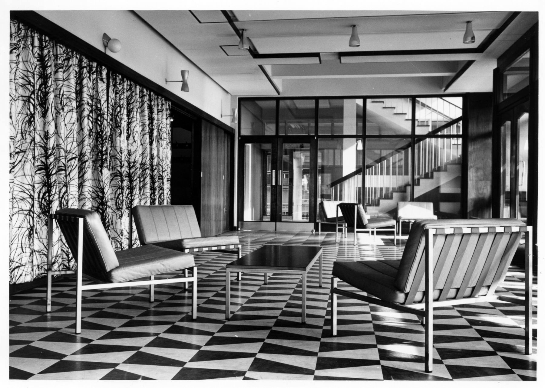
The interior decorative order of Sixties’ institutions was integral to the architectural design, sadly this is no longer so.
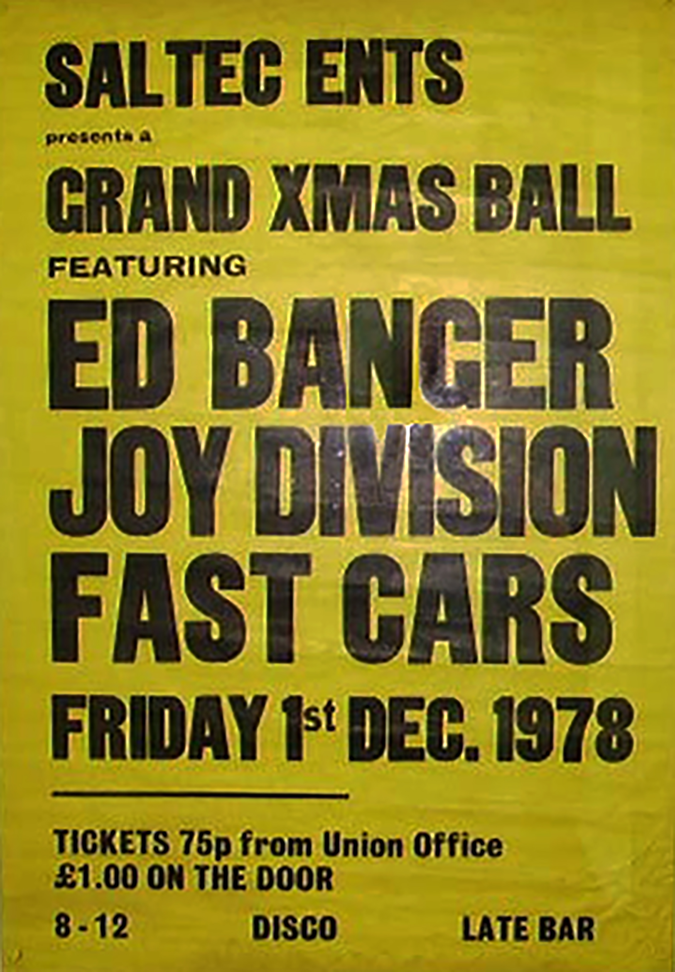
The hall has a great musical heritage.
Featuring the Fast Cars who we have previously encountered in Swinton at the Lancastrian Hall.
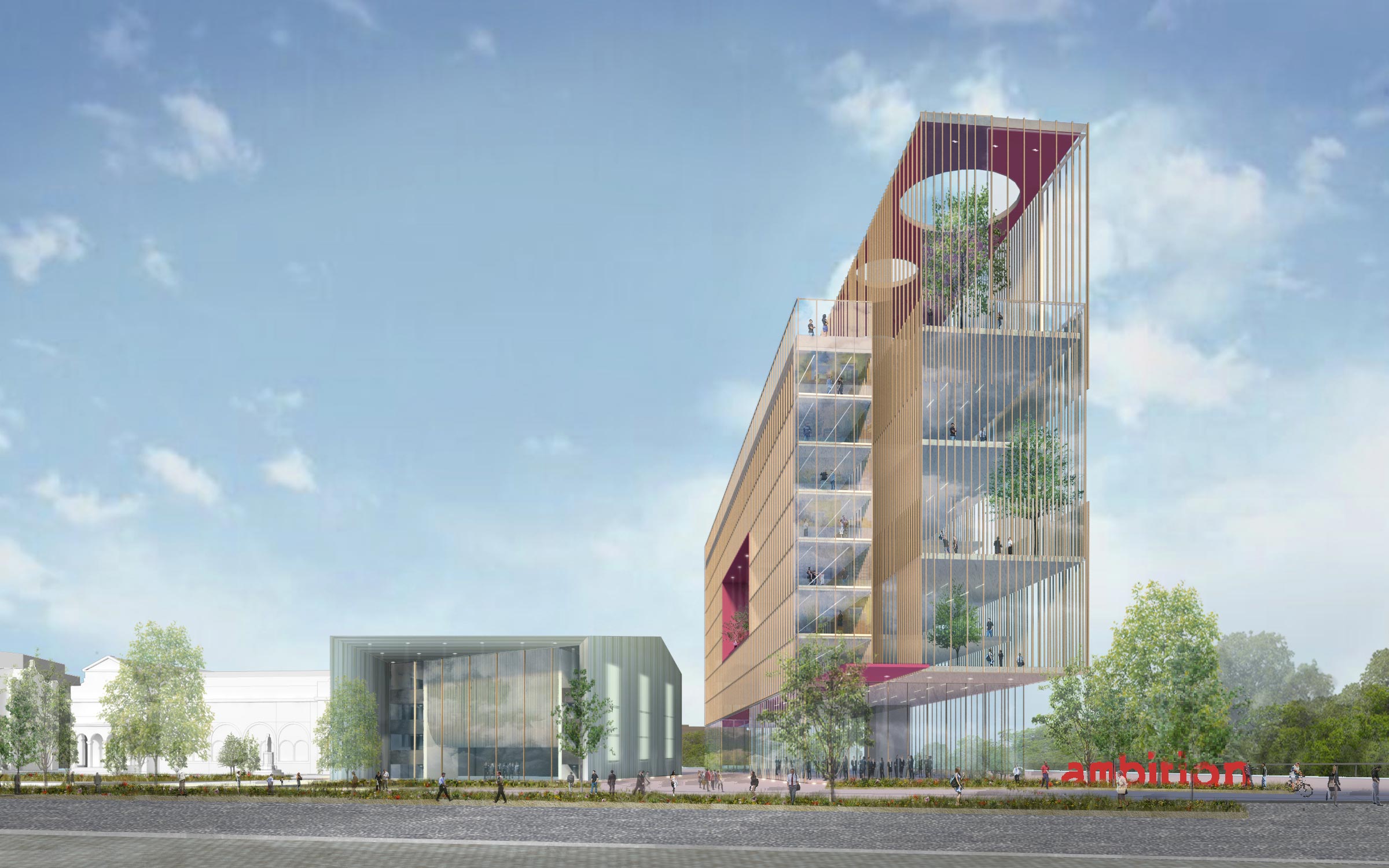
Which may be the subject of ambitious redevelopment.
Take a turn around the corner to the Cockcroft Building.
The east facing mural painted out and obscured by retrofitted infrastructure.
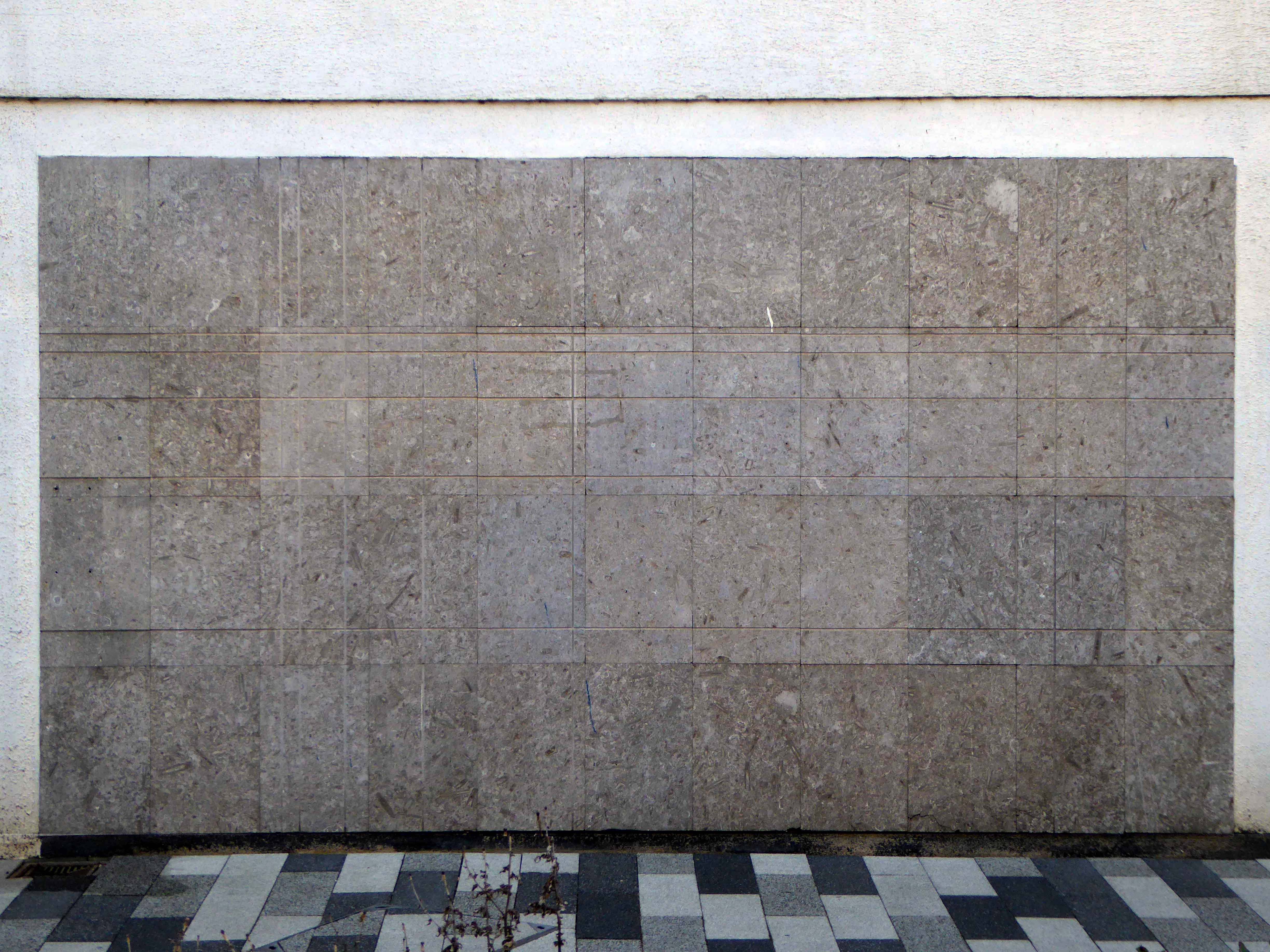
These incised stone panels obscured by plants.
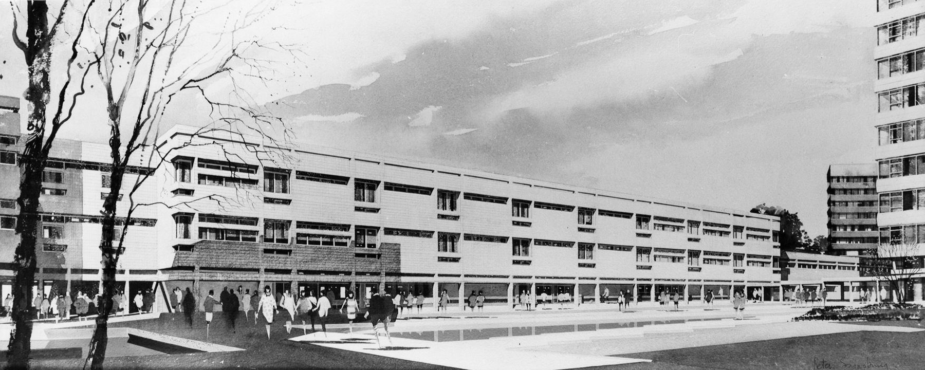
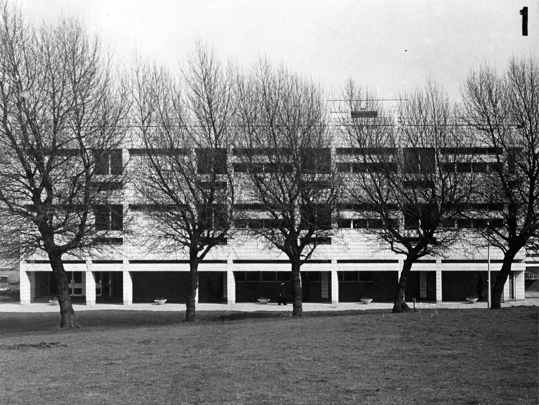
To the left is the Clifford Whitworth Library – this is the original architectural impression – signed Peter Sainsbury.
The original fascia was tile clad.
Subsequently replaced by uPVC boards.
Yet again the original interior was integral too the architectural scheme and period.
Across the way the Chapman Building.
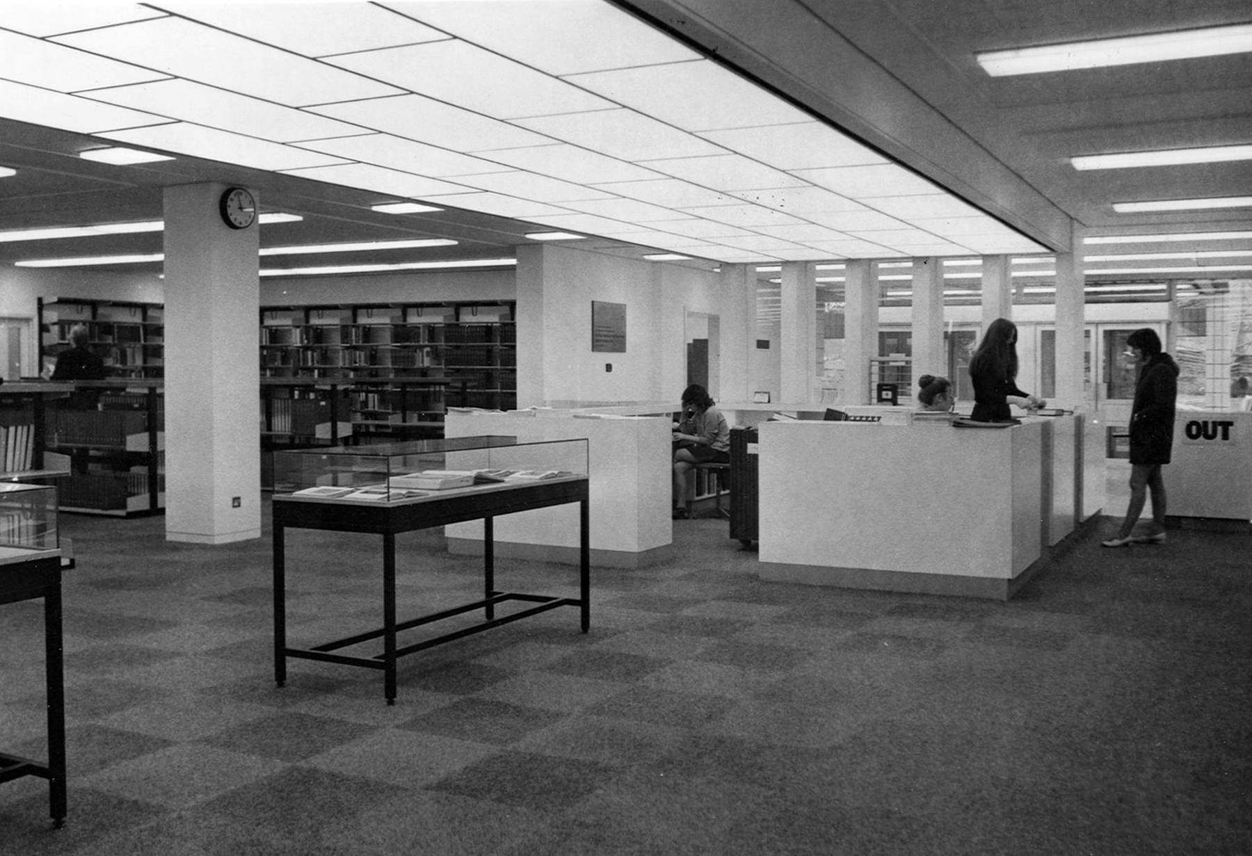
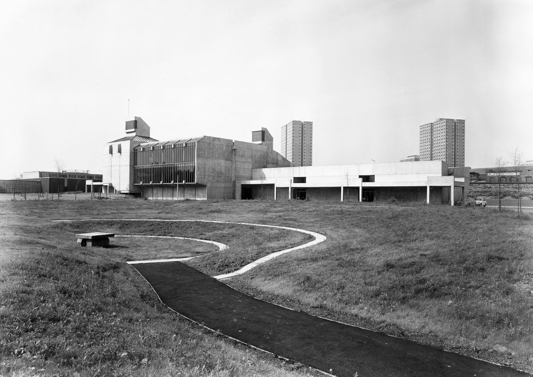
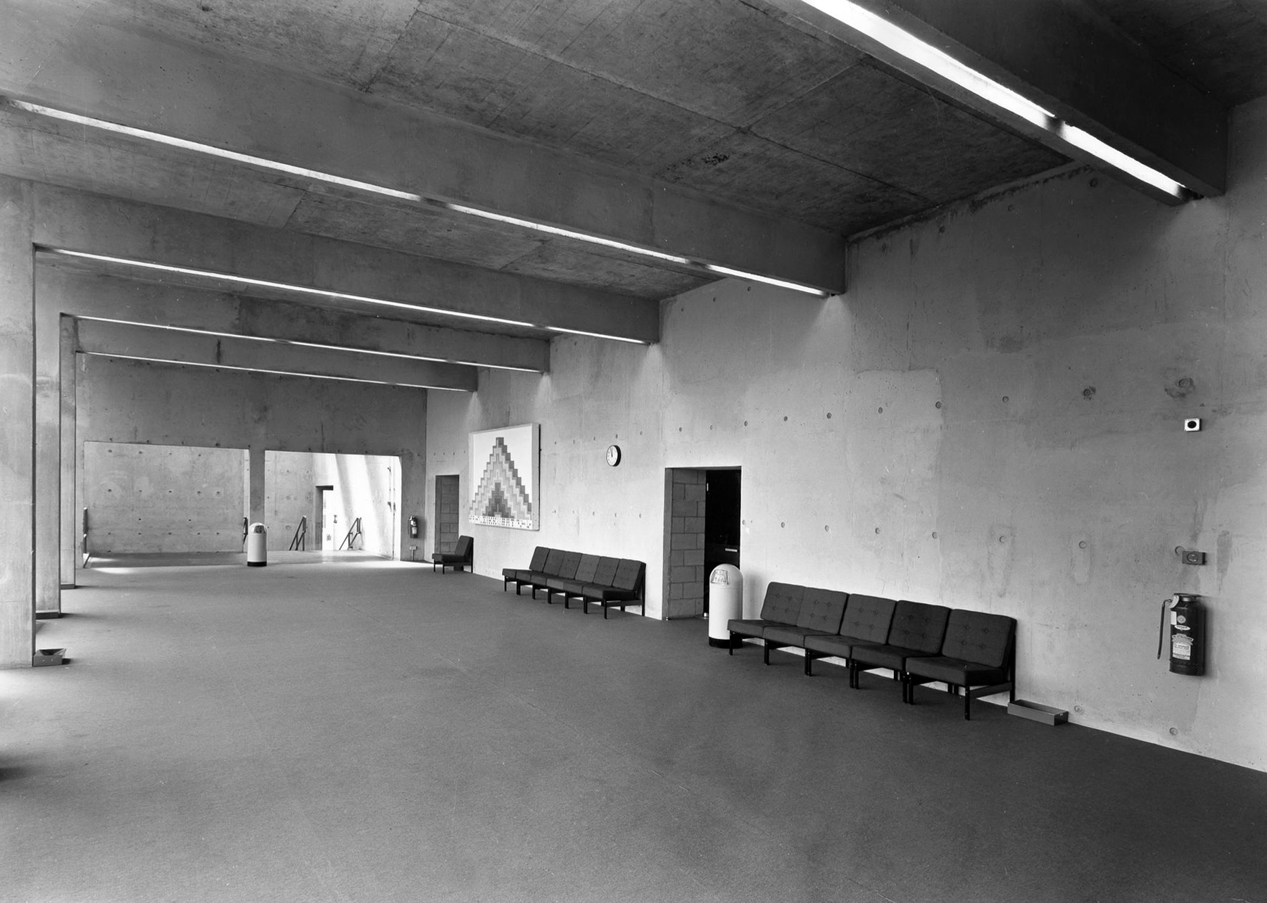
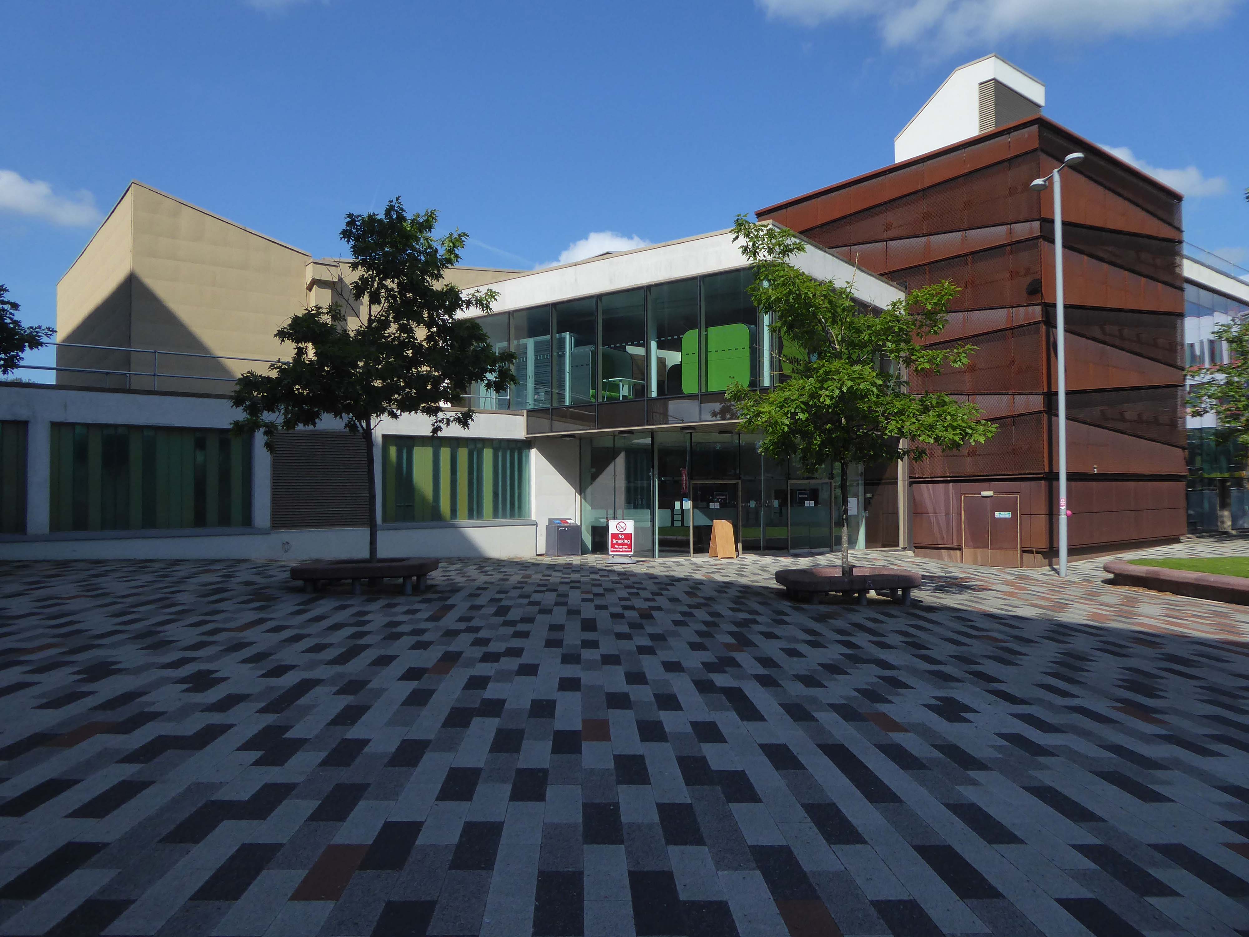
It was designed by WF Johnson and Partners of Leamington Spa, as a lecture theatre block and gallery. It sits with its long axis running parallel to the railway behind. The series of grey volumes, occasionally punctuated by colourful floods of red and green trailing ivy, hang together in a less than convincing composition. The orientation and access to the building seem confused and detached from any cohesive relationship to the rest of the campus, but there is something perversely attractive about the right essay in the wrong language. The reinforced concrete building contained five lecture theatres, communal spaces, an art gallery, AV support areas and basement plant rooms. Following a major refurbishment in 2012, several additions were made to the exterior and its total concrete presence somewhat diminished. It still houses lecture theatres and a number of other learning and social spaces.
To the rear of the building there are some of the original details, now painted a series of funny colours.
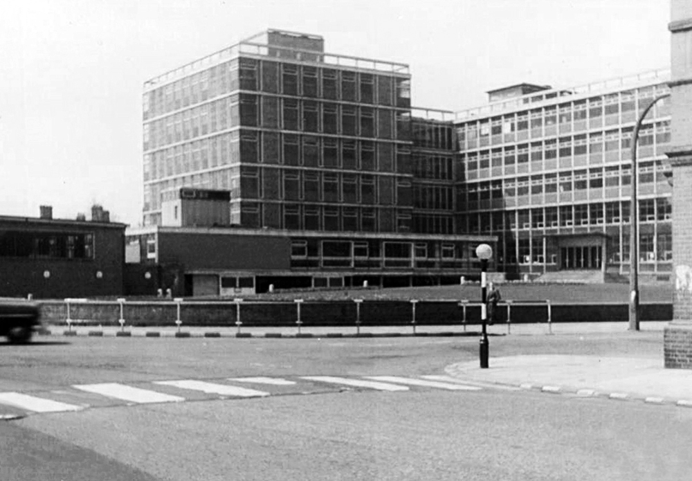
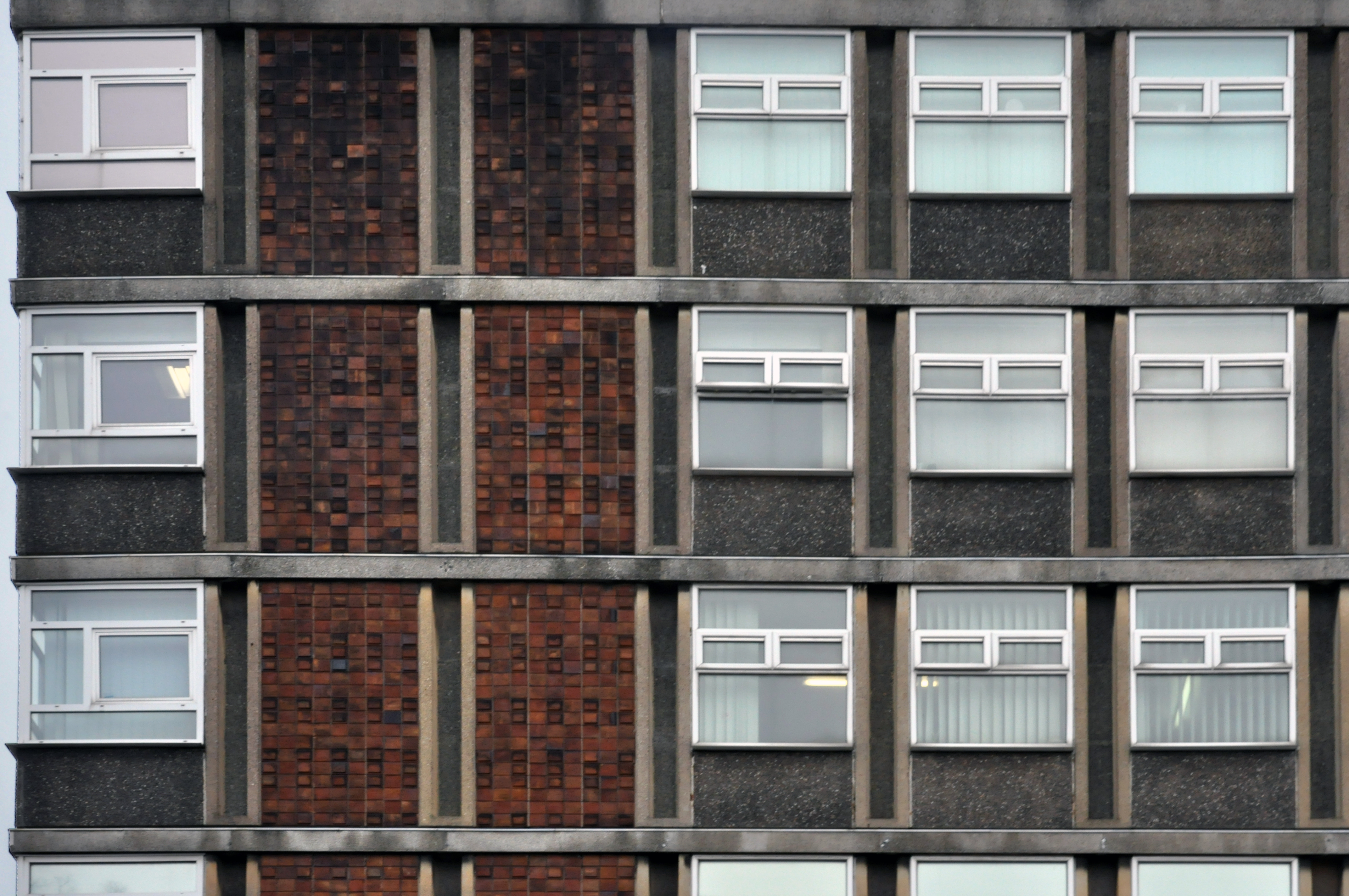
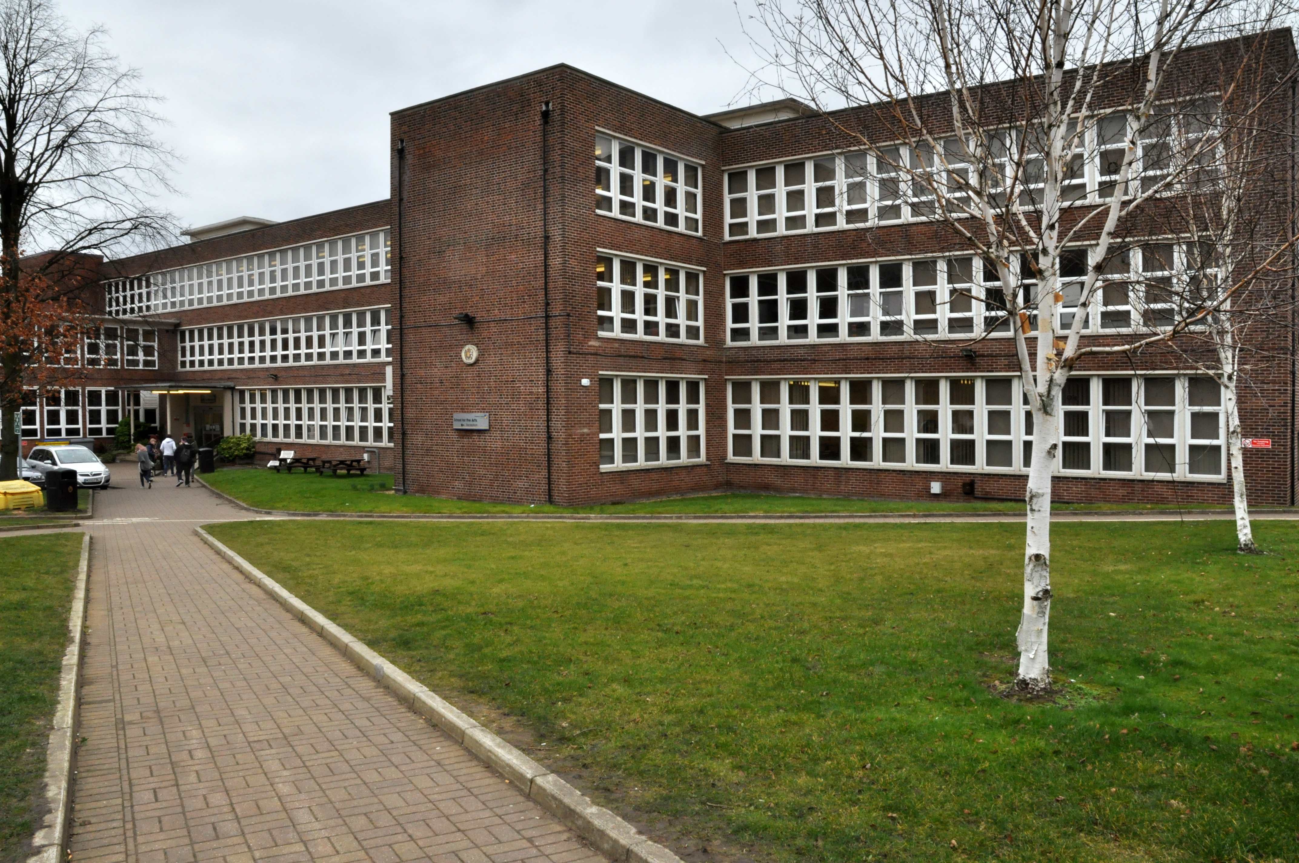
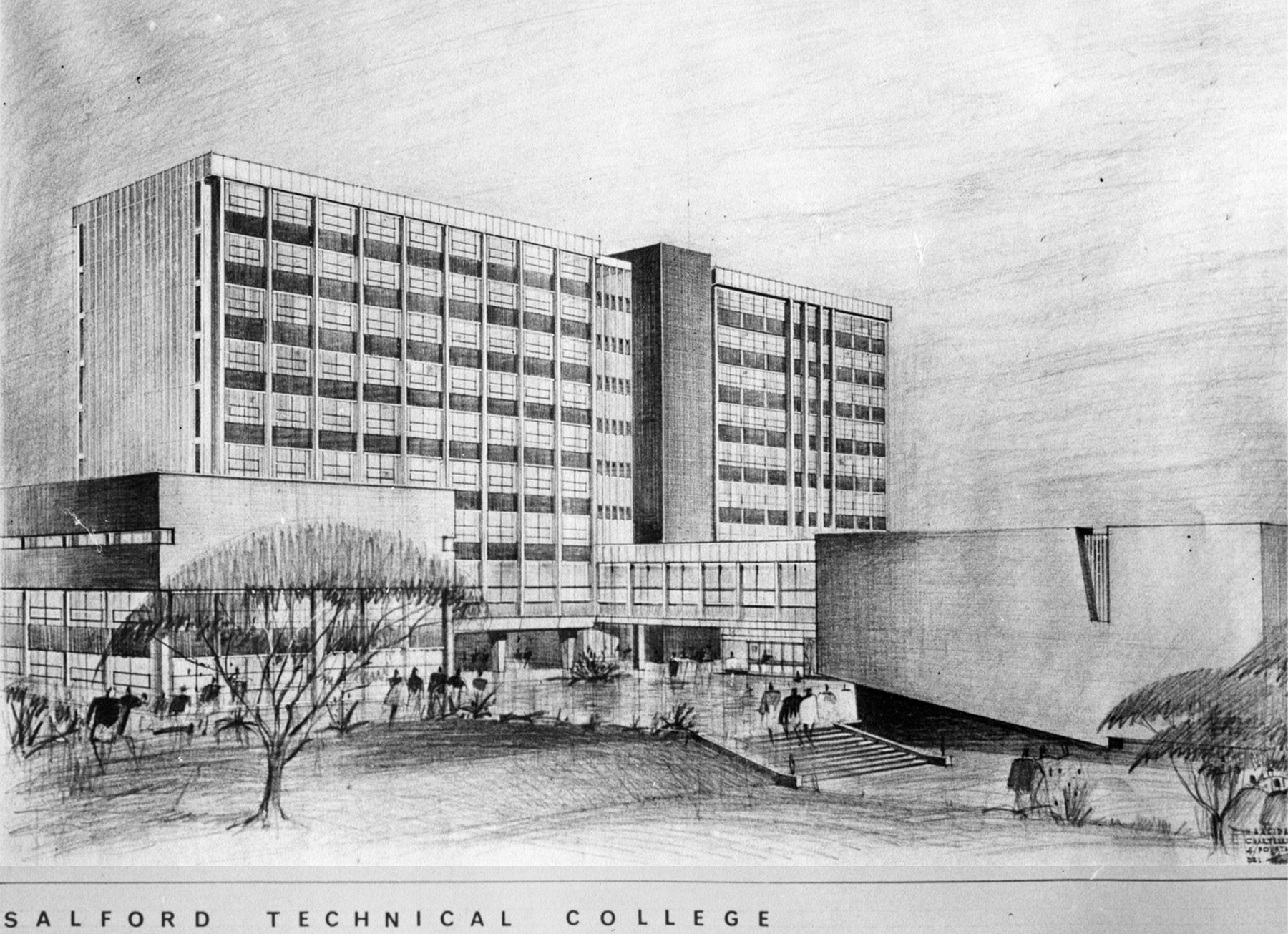
A ways down the road the former Salford Technical College.
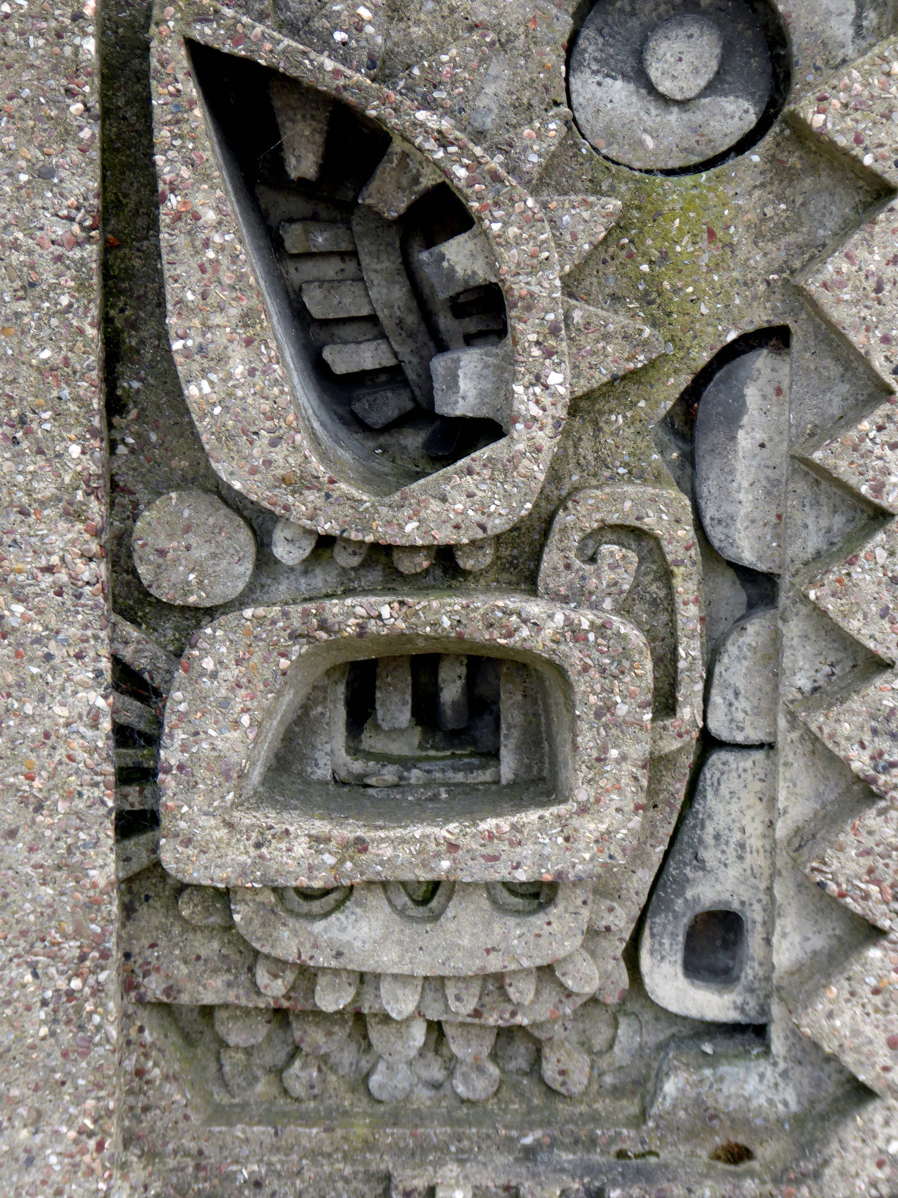
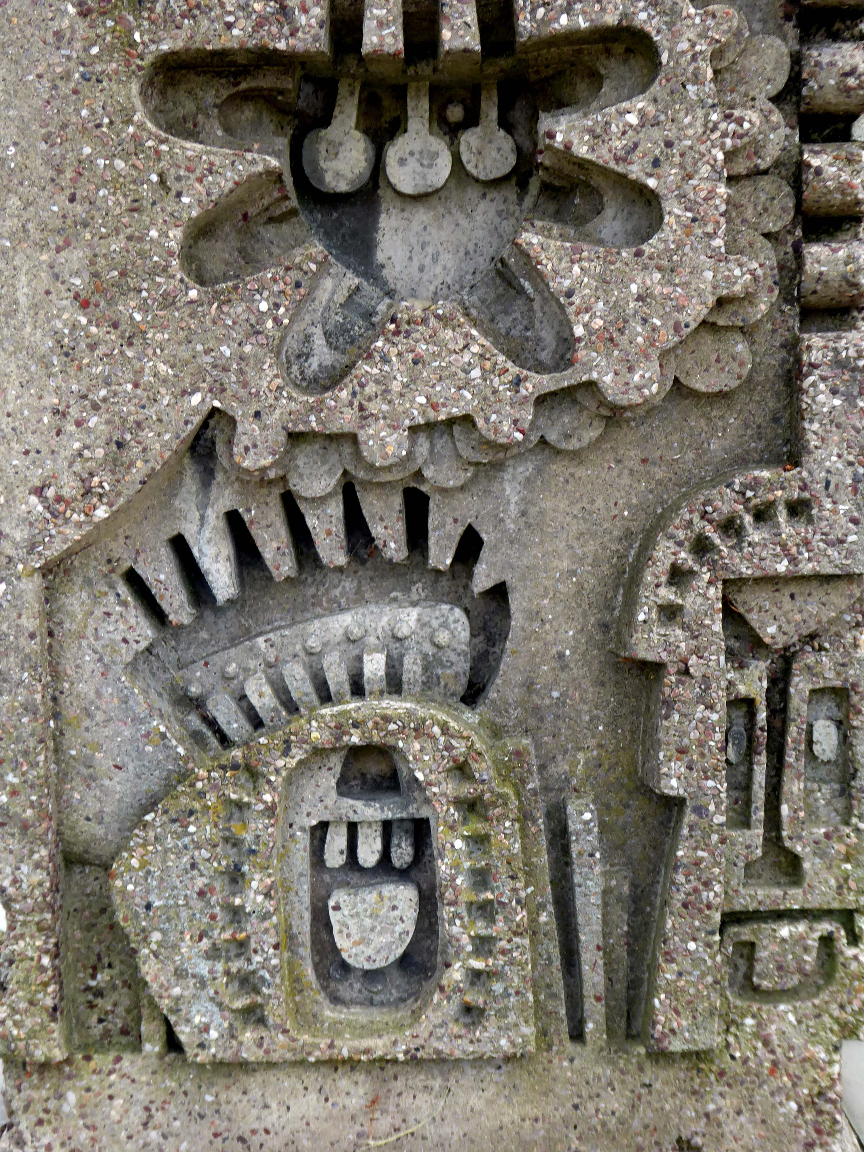
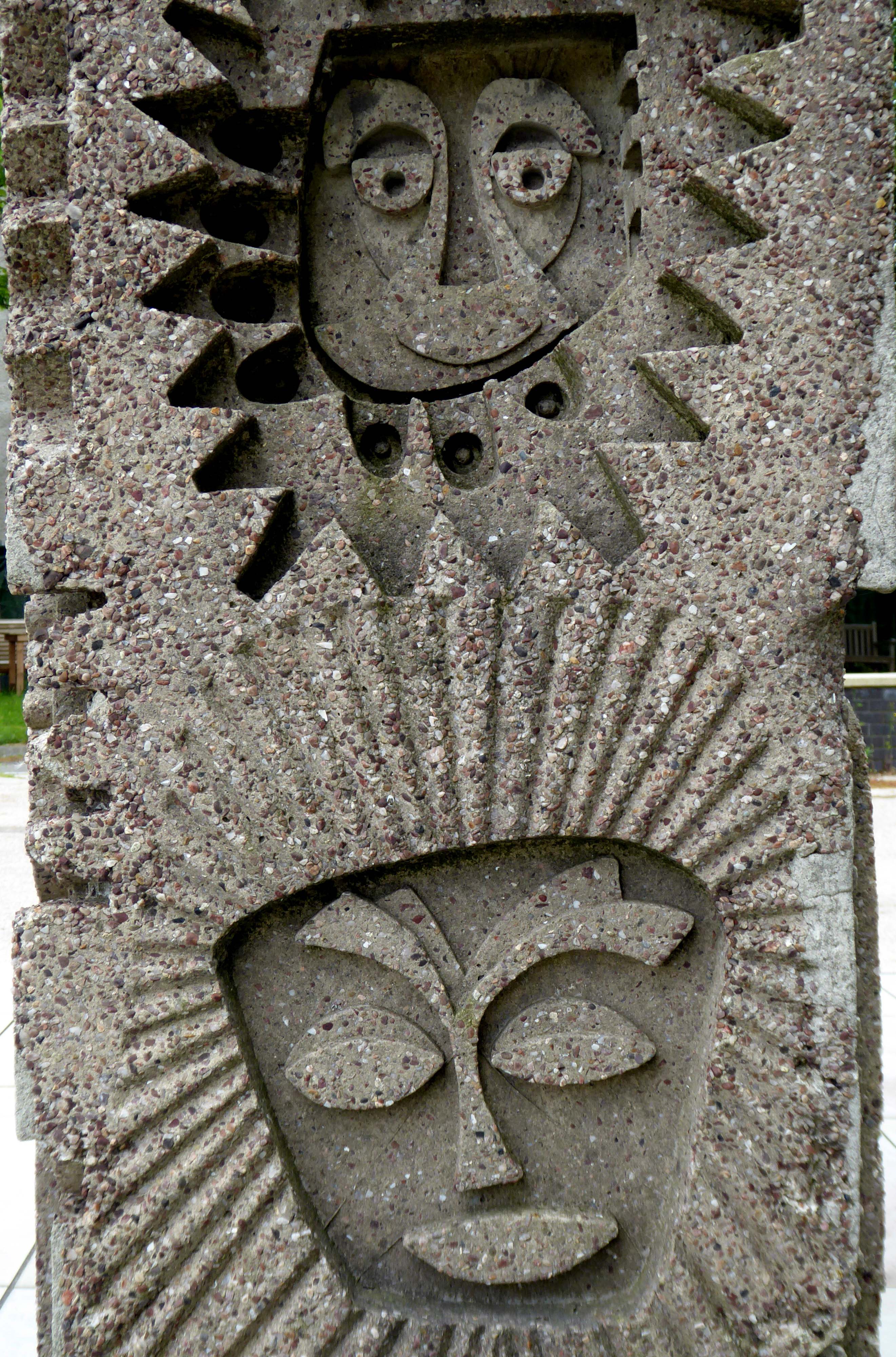
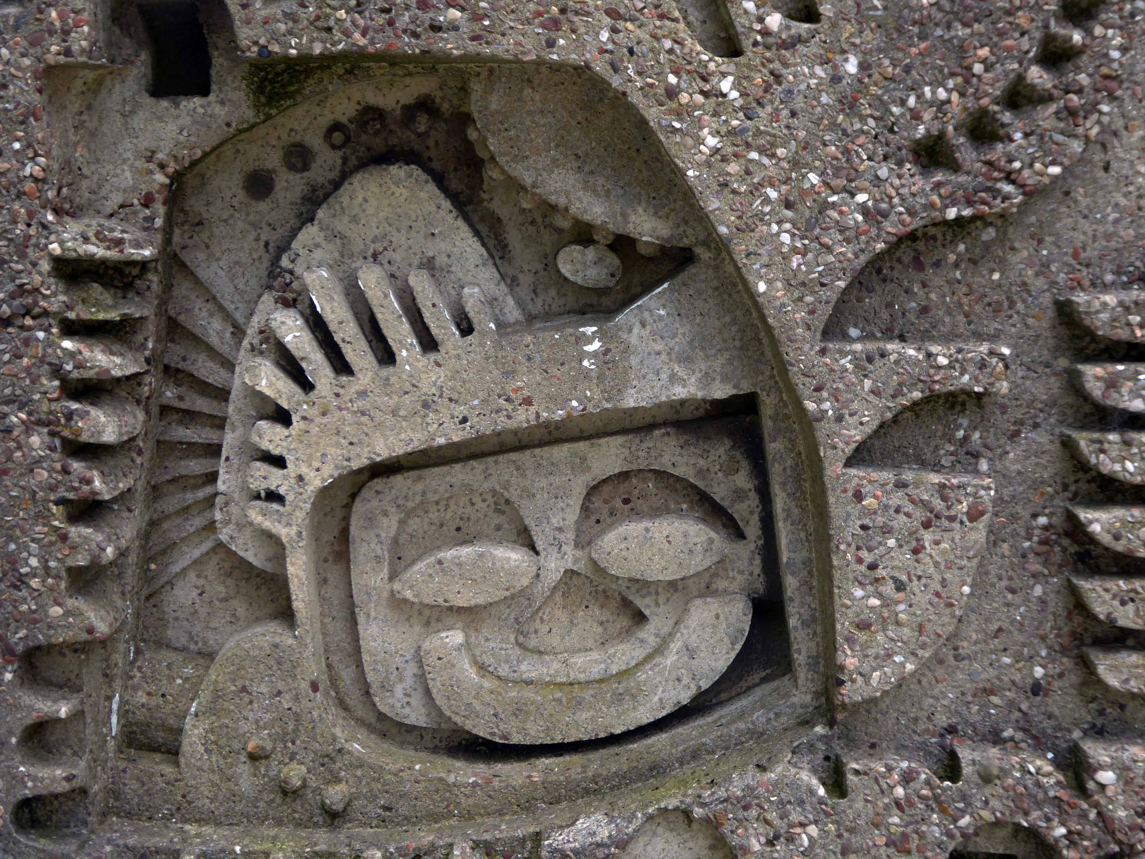
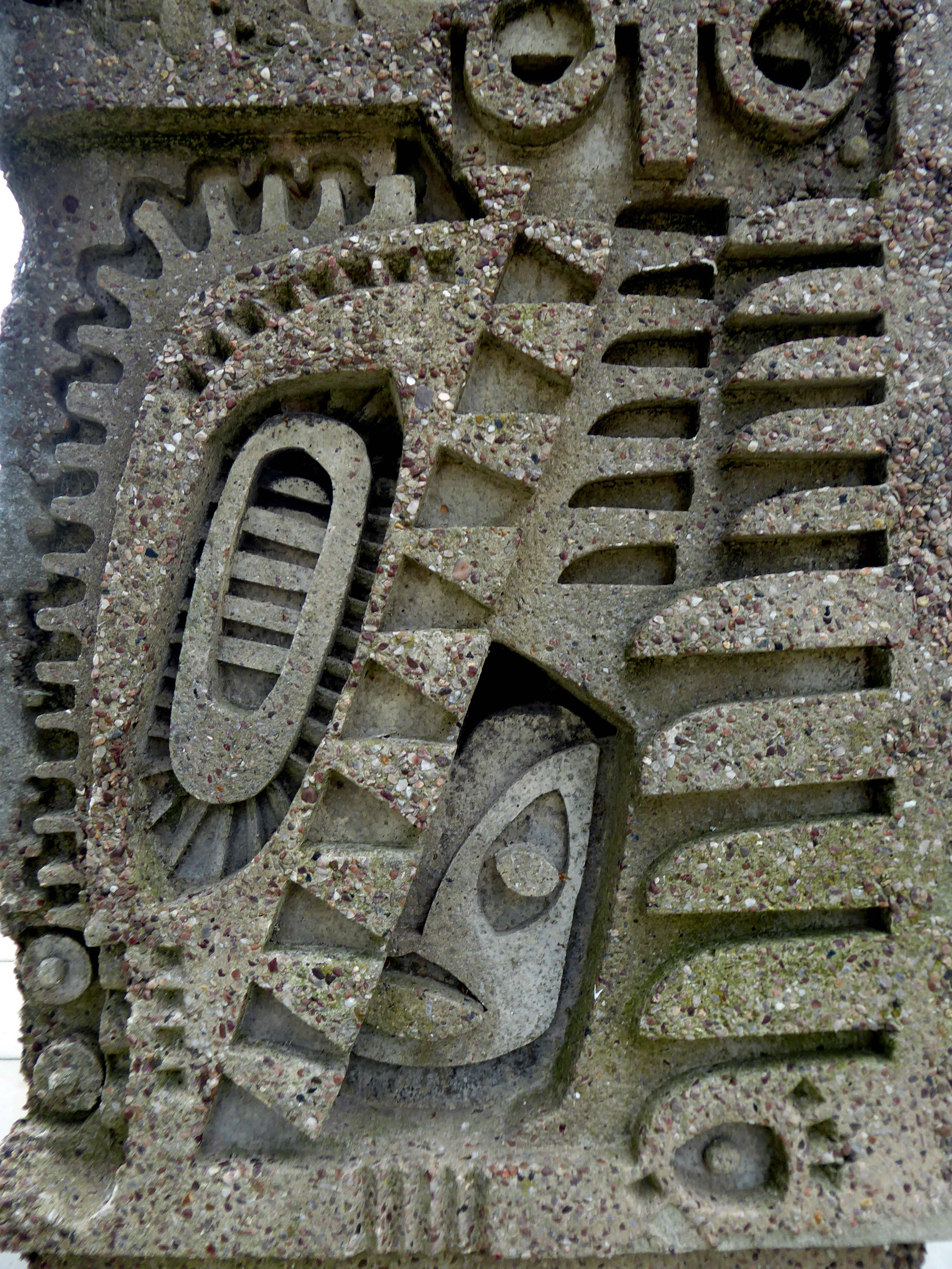
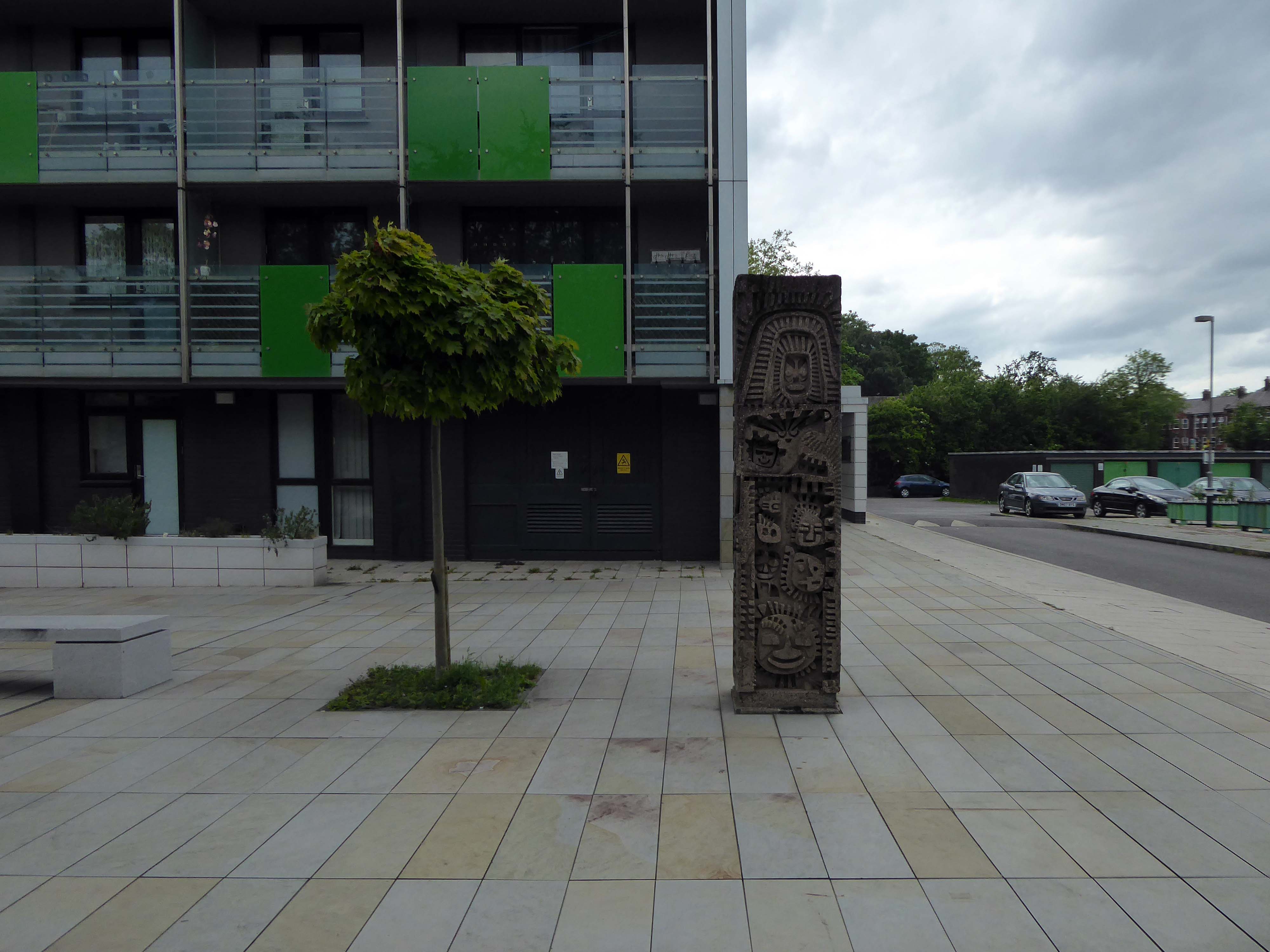
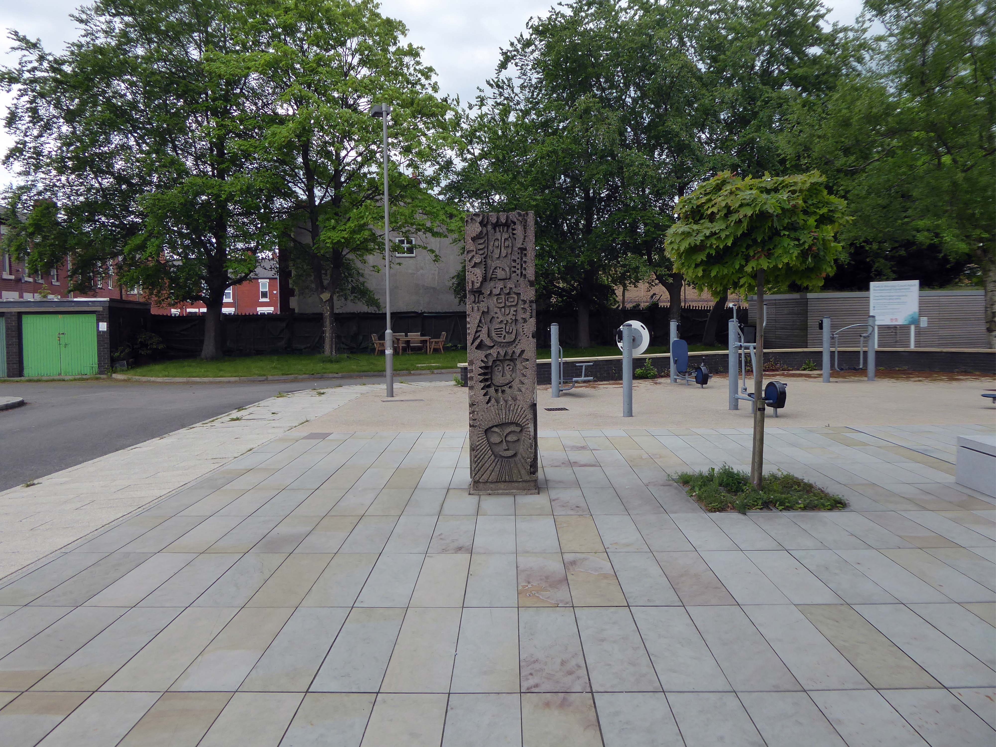
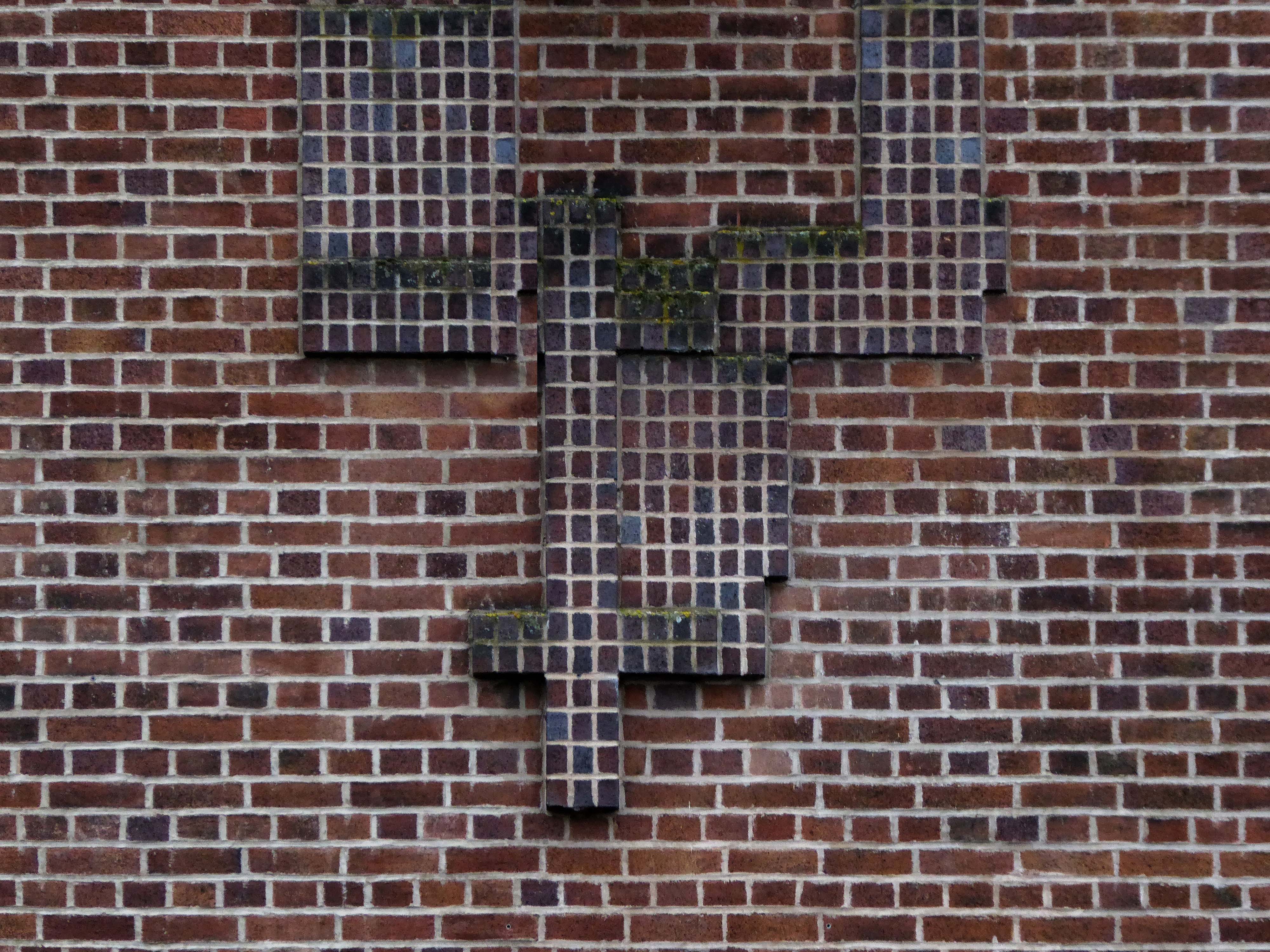
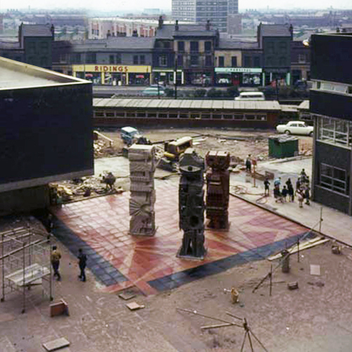
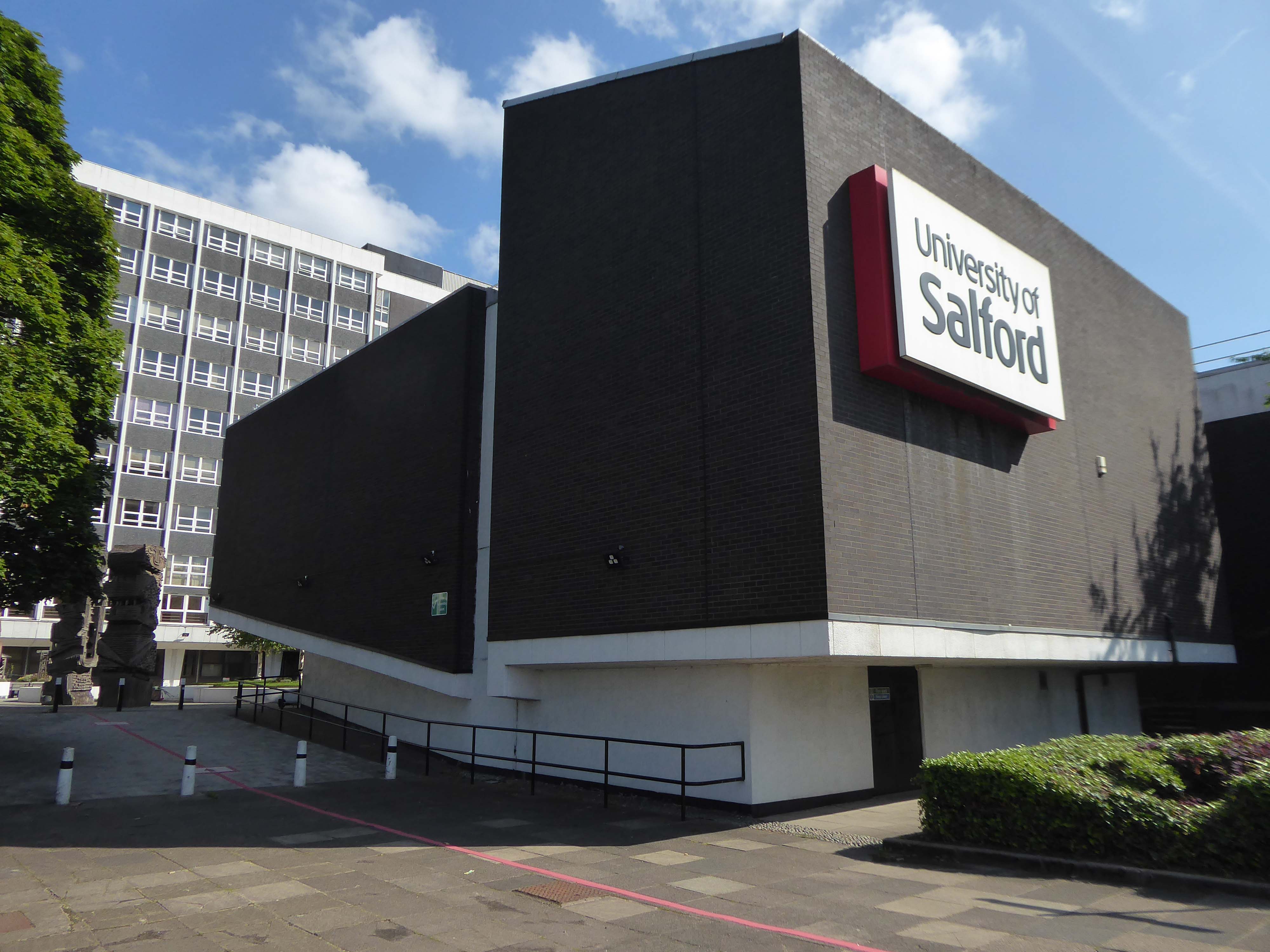
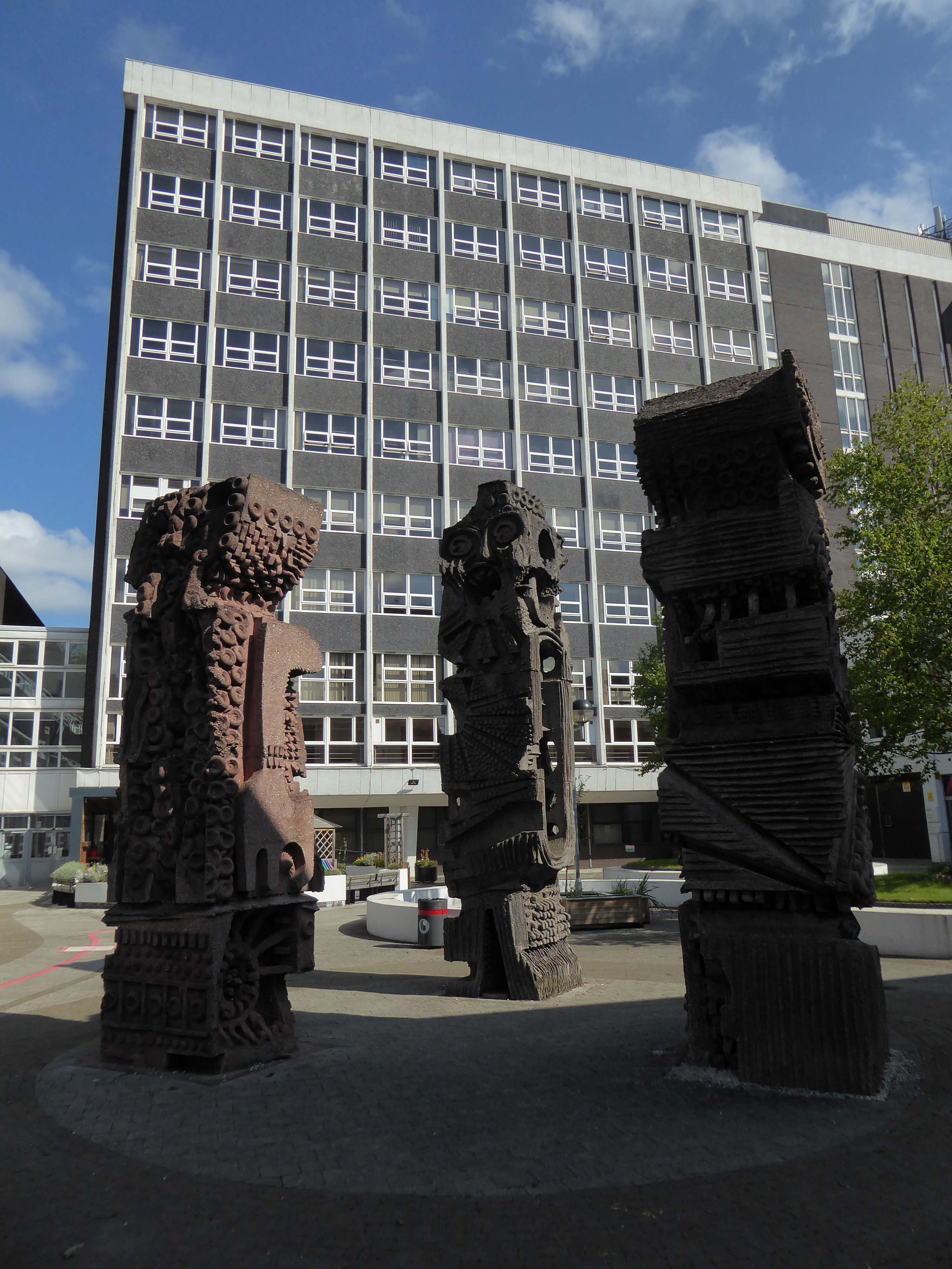
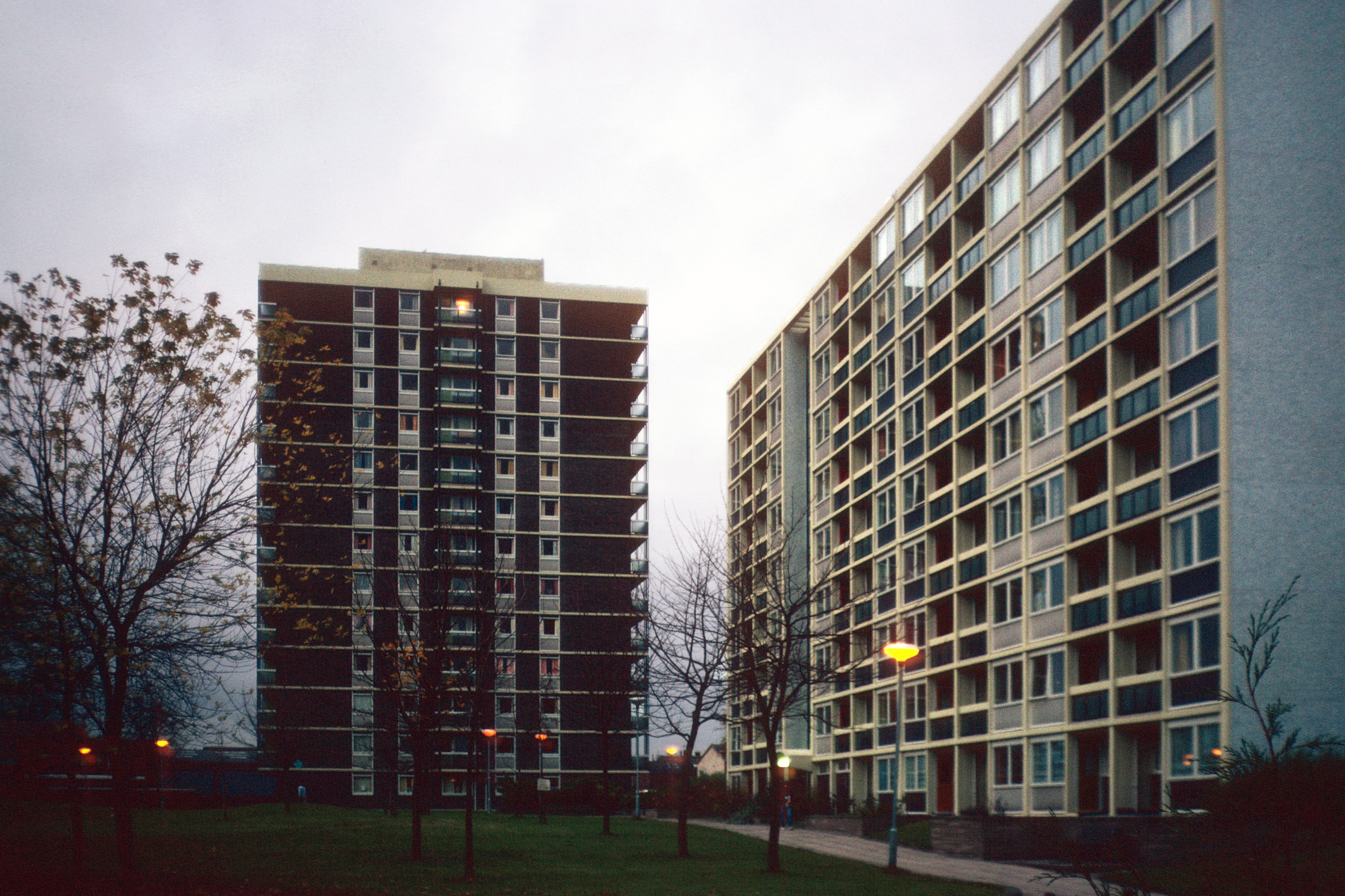
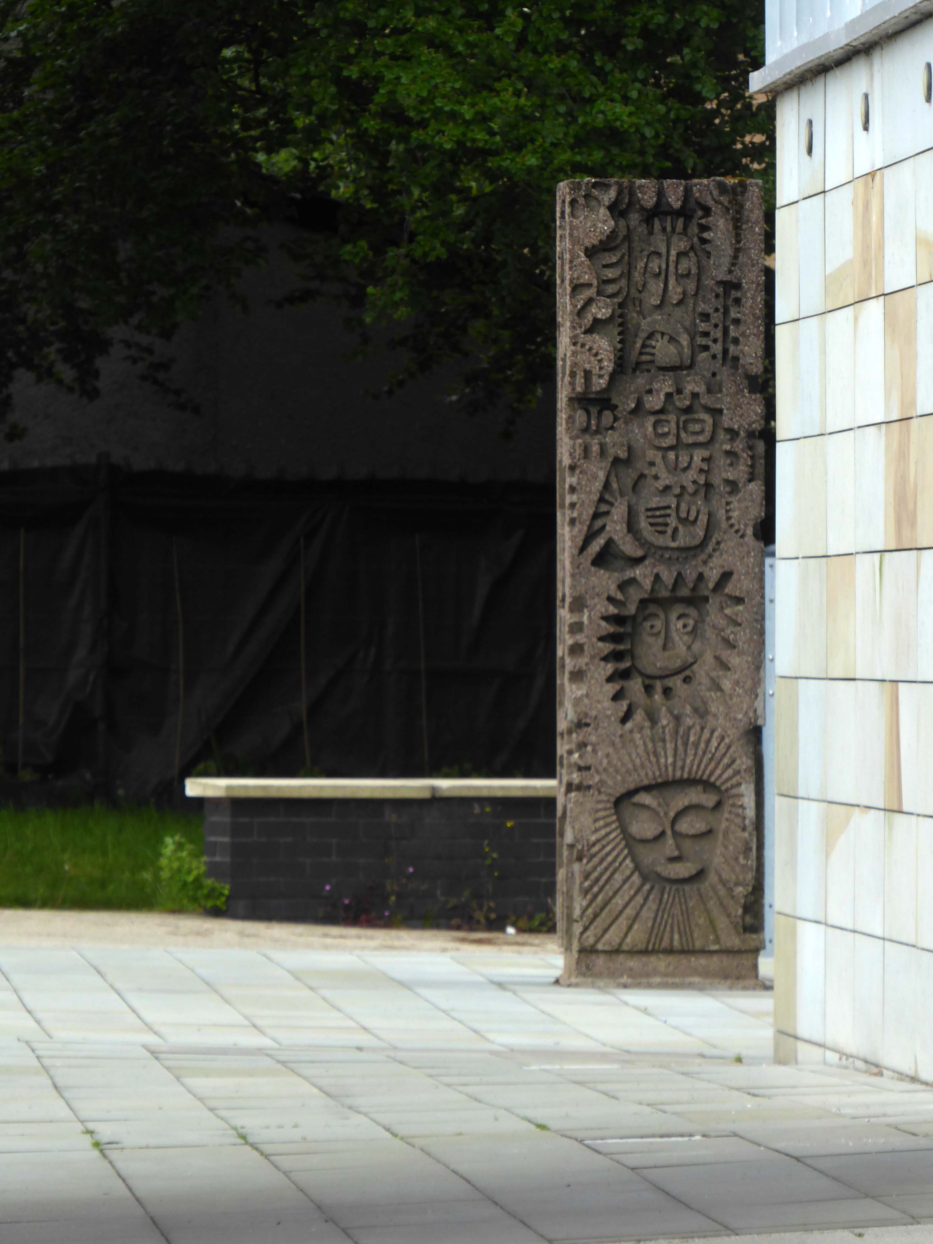
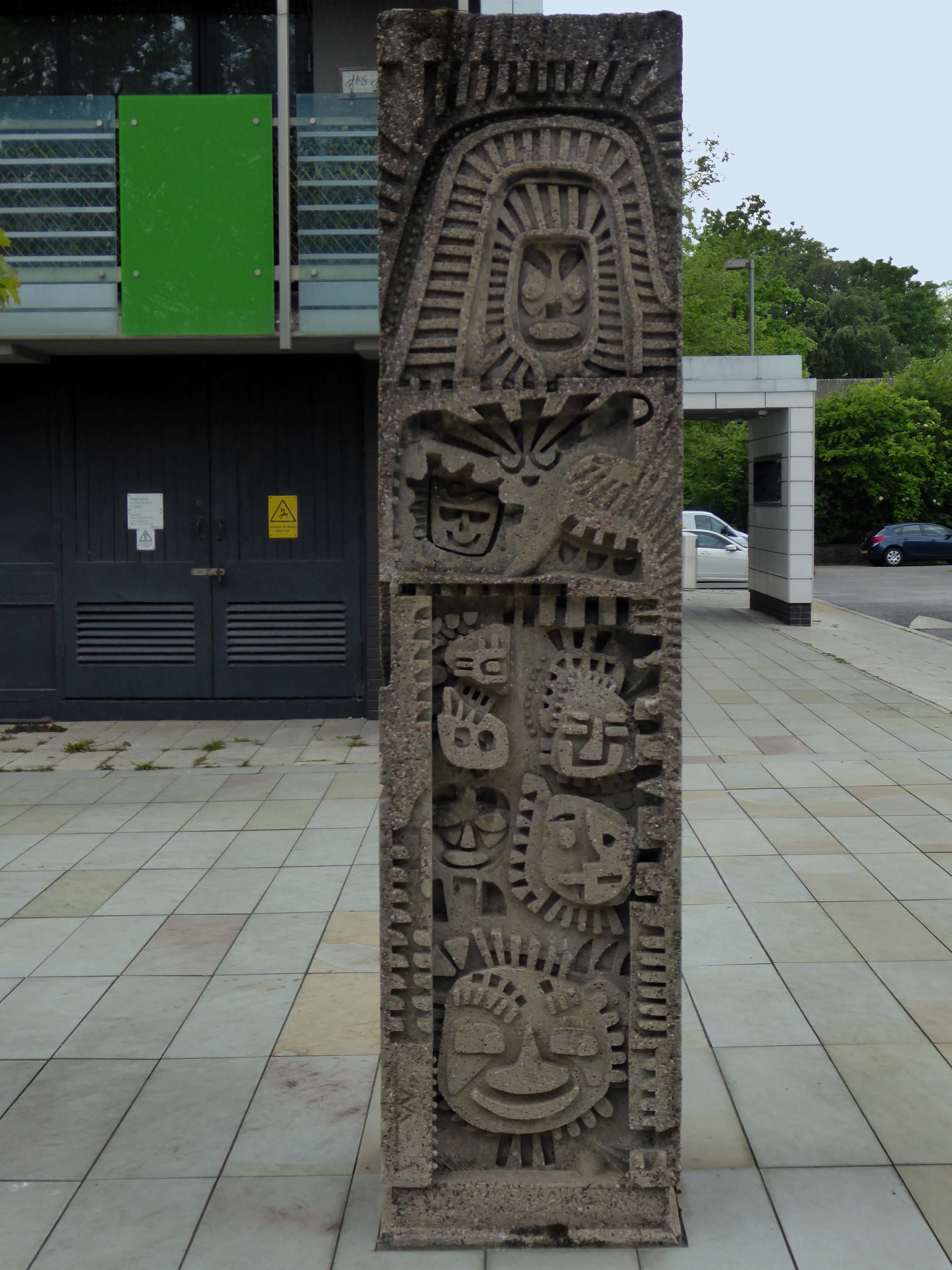
Now the part of the University of Salford, this grouping is probably the most significant work by Halliday Meecham during this period. The blocks wrap to almost enclose a courtyard and they step up in height towards the rear of the site. To the front is a lecture theatre block in dark brick. The multi-storey elements are straightforward in their construction and appearance and have had their glazing replaced. Perhaps the richest elements here are the three totemic structures by artist William Mitchell, which were listed at Grade II in 2011. Mitchell was actively engaged with the experiments of the Cement and Concrete Associations during the 1960s and produced a wide variety of works for public and private clients; other works regionally include the majority of the external art and friezes at Liverpool Metropolitan Cathedral and the Humanities Building at Manchester University. These textured concrete monoliths appear to have an abstract representation of Mayan patterns and carry applied mosaic. They were made on site using polyurethane moulds. There is another Mitchell work hidden behind plasterboard in the inside of the building.
April 1965 saw the Salford City Reporter proudly boast in an article that
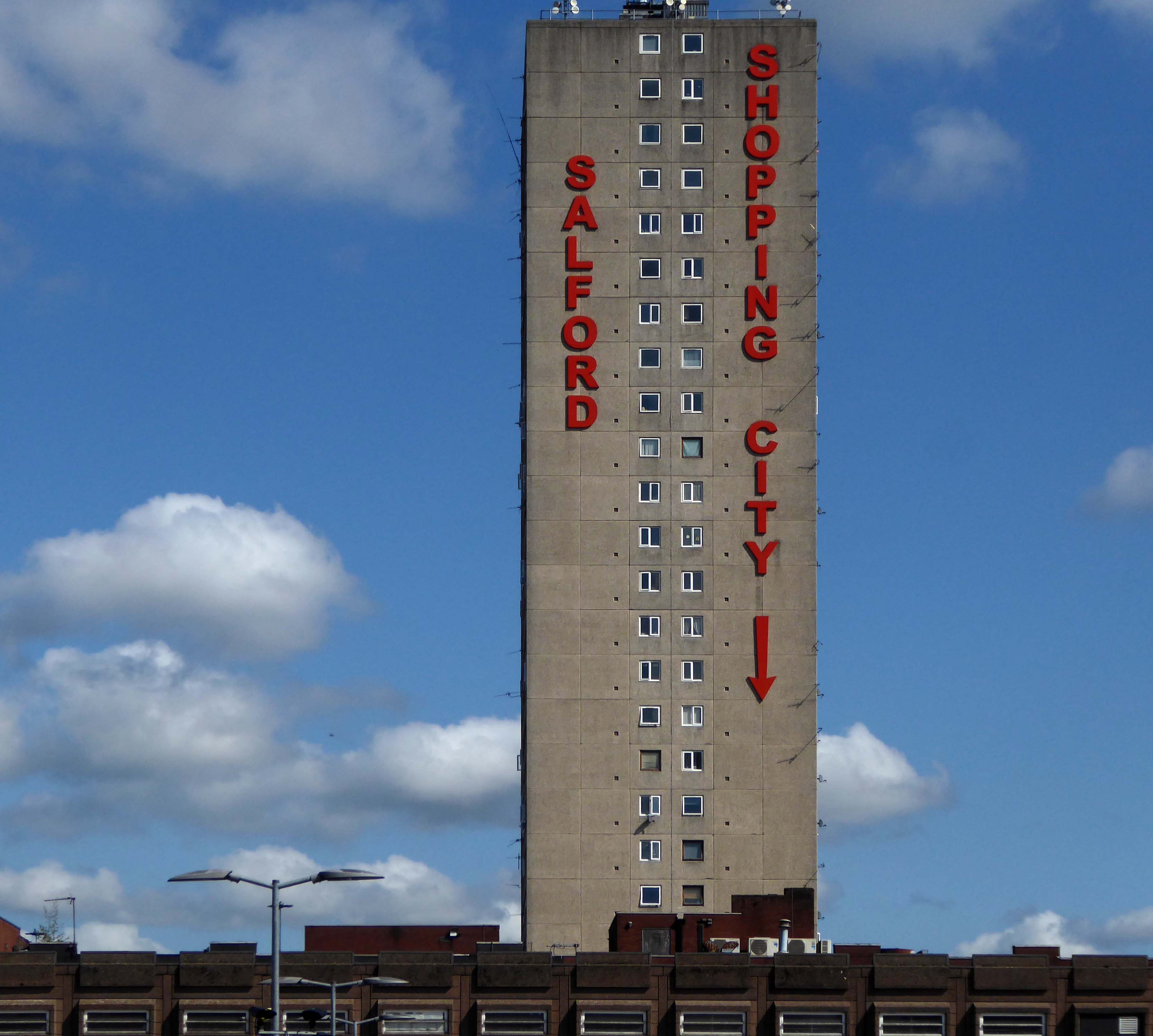
The Ellor Street dream begins to come true – complete with interviews with residents of the newly constructed Walter Greenwood, Eddie Colman and John Lester Courts all which towered some 120 feet above the Hanky Park skyline.
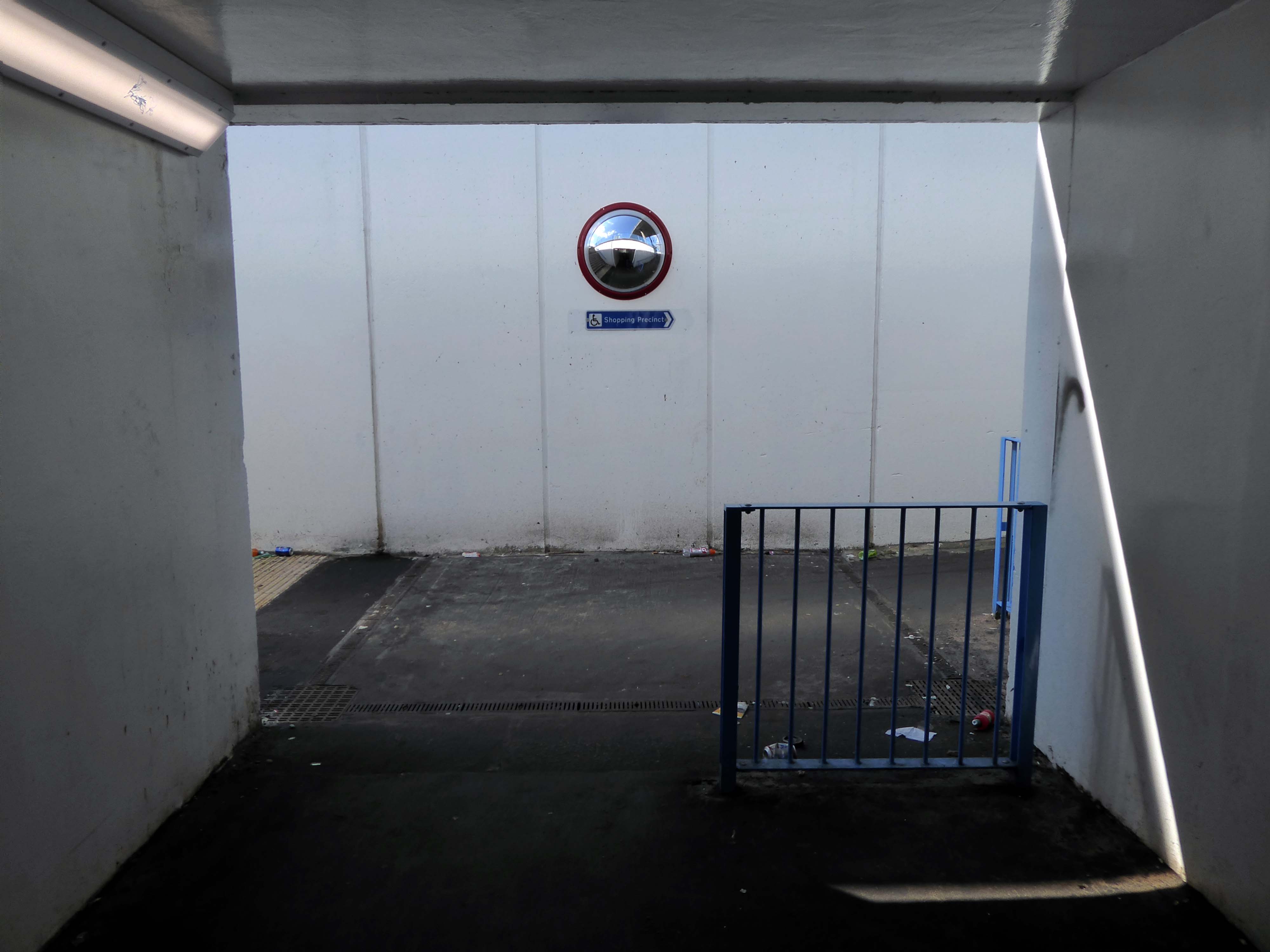
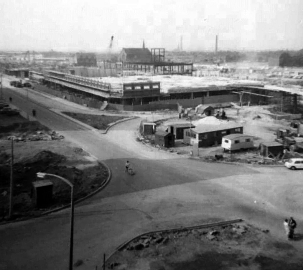
These particular blocks of flats were of special significance because their completion was the end of the first stage of the Ellor Street redevelopment scheme which was to provide 3,000 new homes, the £10 million pound Salford Shopping Precinct and a new civic centre – which never got built – making this A Salford of the Space Age.
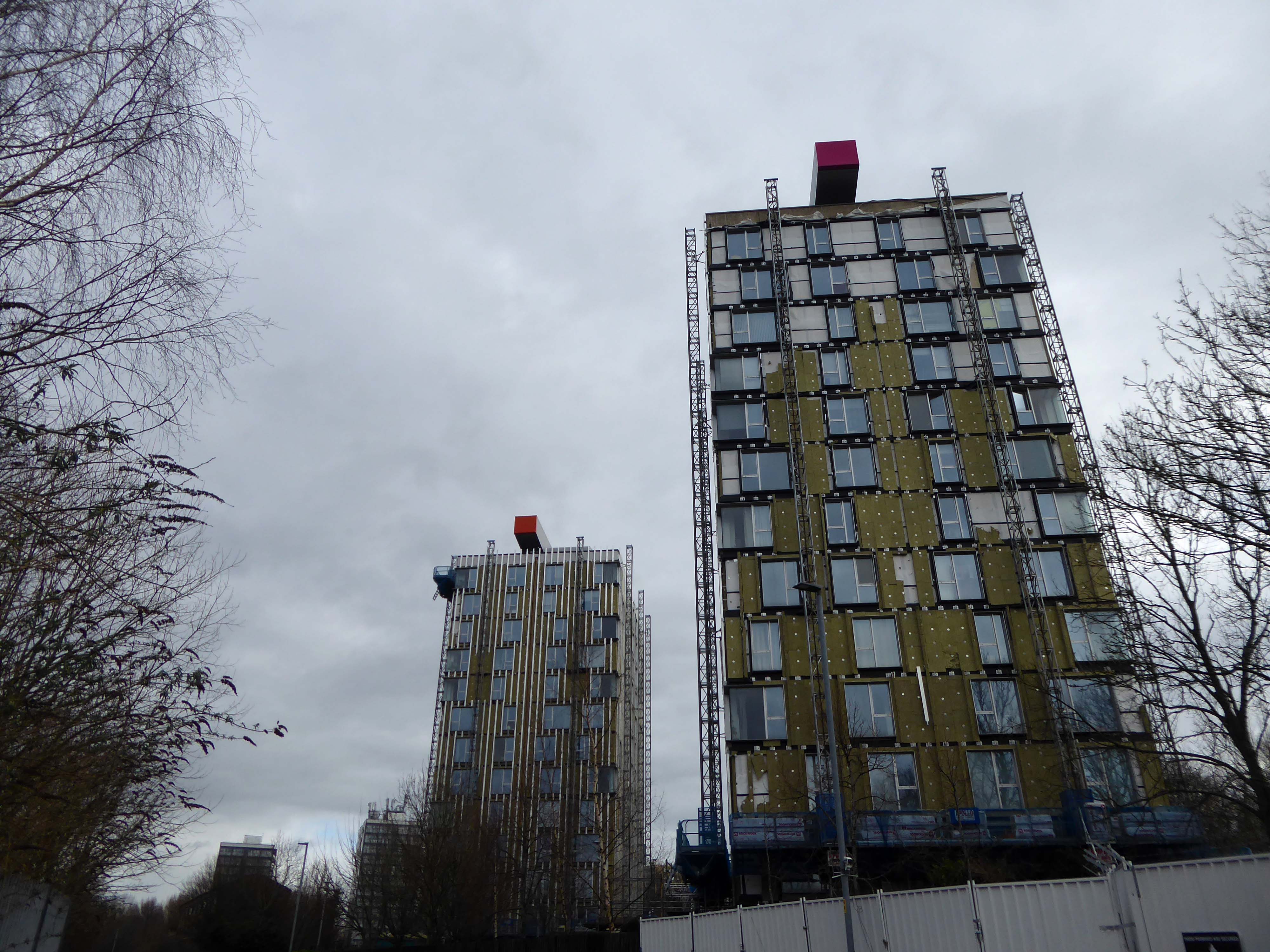
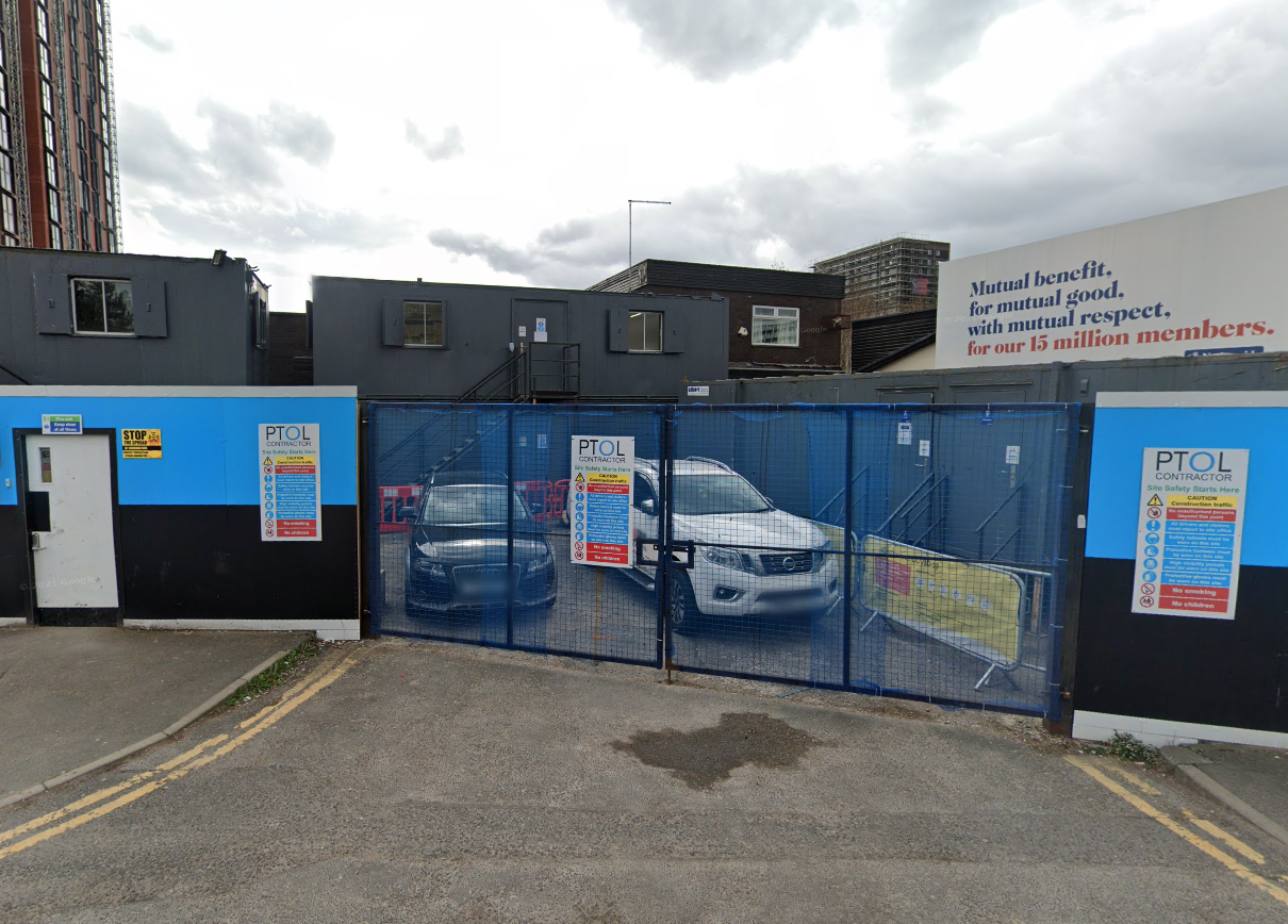
The tower blocks are now clad and the site a construction base for cladders.
Full details of Salford’s complex and extensive redevelopment can be found here at Tower Block.
Walter Greenwood Court was demolished in 2000/2001, whilst Eddie Colman and John Lester Court are now student accomodation for the nearby Salford University.
The construction of the shopping centre and surrounding areas continued and on 21 May 1970 the new Salford Market officially opened. From 1971 onwards new shops inside the precinct itself began to open.
However, due to a lack of funds and a political scandal which saw chairman Albert Jones jailed for eight months construction of Salford Precinct was halted. The site had only 95 shop units compared to the proposed 260, the hotel and two storey car park were never built.
The architectural core of the site has been retained, including the 23 storey Briar Court residential tower.
Tucked in behind is Mother of God and St James RC Church.
Clearances took place from the middle of the twentieth century and new high-rise housing blocks were built, as well as a shopping centre.
There was a Catholic presence in the area from 1854, when schools were built. What was described in The Tablet as a beautiful church, an Early English Gothic design by M. Tijou – presumably Herbert Tijou, architect of the chapel to Loreto College, Manchester, was opened by Cardinal Manning, Archbishop of Westminster in 1875.
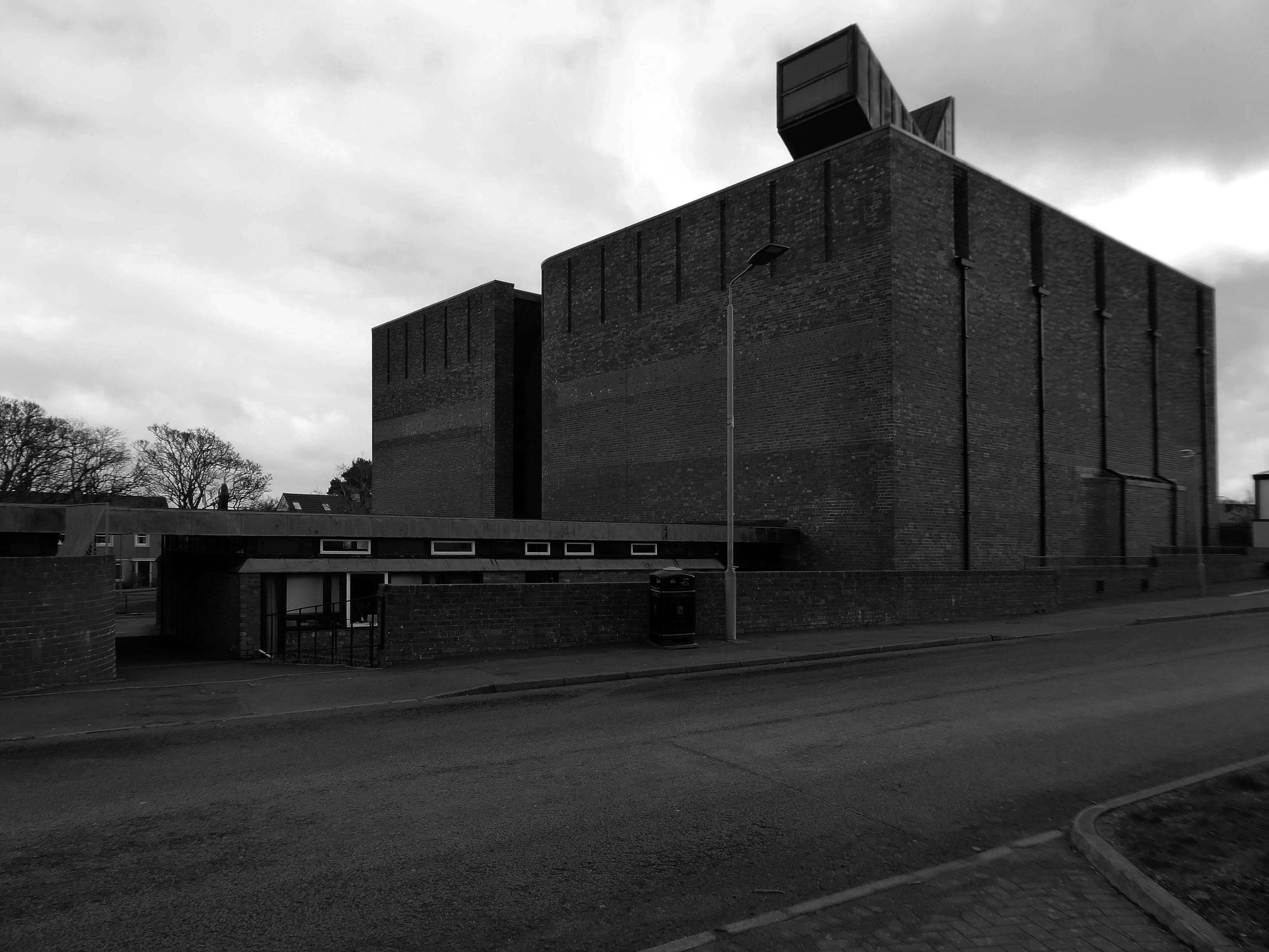
One hundred years later this church was demolished and replaced by the present building.
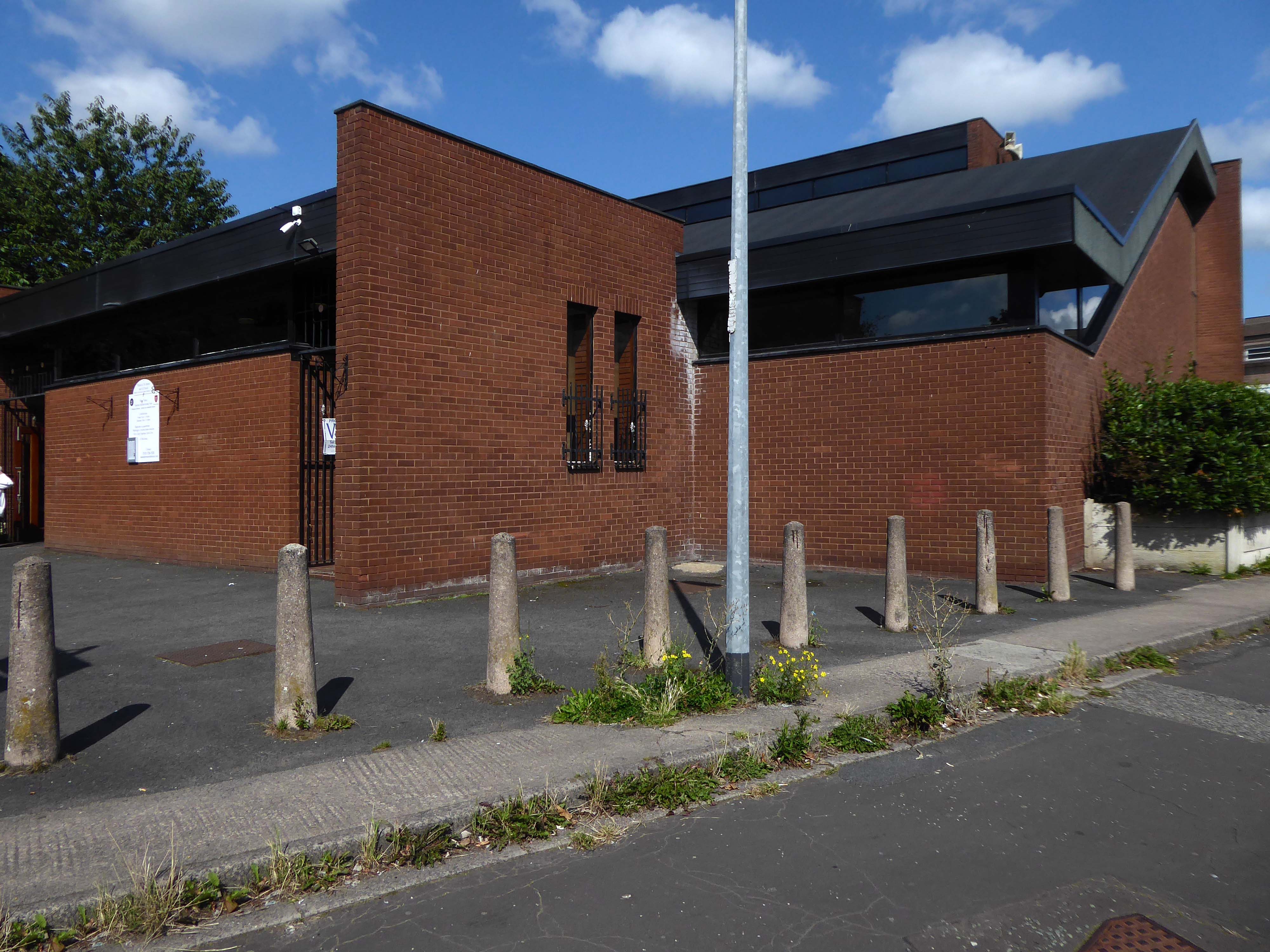
The architects were Desmond Williams & Associates, the design bearing some similarity to their St Sebastian, Salford. In 2010 the church of All Souls, Weaste, was closed, and the marble sanctuary furnishings brought to the church.
Description
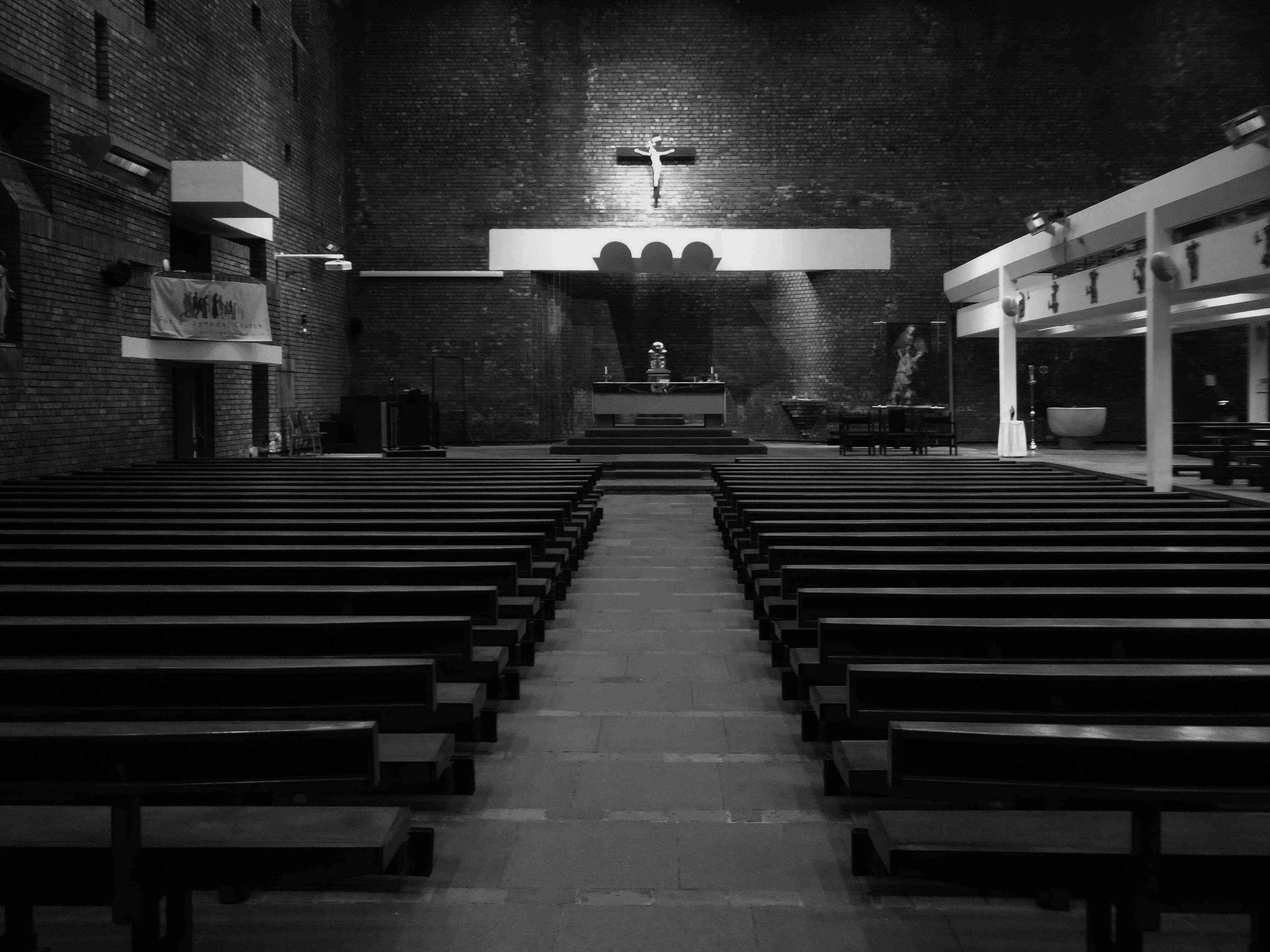
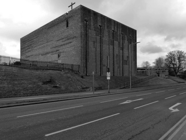
All orientations given are liturgical. The church is steel framed with brick walls and a monopitch roof (originally covered with copper, now with felt). Bold brick forms create a presence, and the design is somewhat defensive, with few windows. The building is entered from a lower porch which forms a narthex. The slope of the roof and the stepped clerestory lighting create a striking impression inside, and full-height windows towards the east end incorporate stained glass figures said to have originated in the previous church. Marble sanctuary furnishings are presumably those from the church in Weaste and appear to be of later twentieth century date, while the font is of traditional type with a clustered stem and may have come from the earlier church.
Returning to The Crescent the High Street Estateis all but demolished, save for one resident and their row.
This is an area which has seen a succession of clearances, redevelopment and shifts in demographics during a relatively short and intense period of change.
That process of change continues to hastily unfold.
Whilst cycling twixt Redcar and Newcastle one sunny Monday morn, I espied a tower on the distant horizon.
I pedalled hurriedly along and this is what I found.
Dawson House aka Kingsway.
A fifteen-storey circular tower block of 60 one-bedroom flats and 29 two-bedroom flats, making 89 dwellings in total. The block was built as public housing at the western fringe of the Town Centre development that began in 1952. Approved in 1973, the block is of triangular concrete-beam construction.
The architects were Elder Lester Associates.
The block was built by Teeside County Borough Council.
Stanley Miller Ltd.’s tender for the contract was £778,850.
The tower block was opened on 3rd April 1975 by the Mayor of Stockton Borough Council, John Dyson.
The block is described as ‘gimmicky circular tower block’ in The Buildings of England: County Durham by N. Pevsner.
In November 2013, a time capsule was buried in front of The Family, under a stone with the inscription Forever Forward 30 11 2013.
The capsule is not to be unearthed until the year 2078.
Twenty million pound bid to take back control of the centre of Billingham.
The council says: Proposals include addressing the physical condition of Billingham town centre in support the Council’s ambition to take back control of the centre. Redevelopment would solve the challenges of changing retail trends that are contributing towards excess retail space and high vacancy rates.
This includes exploring options for mixed-use redevelopment and high-quality public spaces that improve accessibility within the town centre and a modern retail offering.
Built in 1968 by local architects Elder Lester and Partners as part of the expansive plans for the town centre along with the Forum, La Ronde nightclub was to form part of the expansive plans for Billingham focused on the pursuit of increased leisure time.
La Ronde’s distinct cylindrical form comes from the car park access ramp that winds around the stair core to the upper floors of the club. The elevated drum-like form inset with cross latticed concrete webs was cast entirely in-situ.
In 2006, the council demolished La Ronde and Forum House at the cost of £500,000 to make way for a supermarket.
The Forum
In 1960, Billingham Urban District Council, began one of the most ambitious new leisure centres in Europe. The Forum was funded by the district’s new-found wealth – a product of the local petrochemical industry. It was designed by local architects Elder Lester and Partners and brought together a variety of recreational activities including an ice rink, swimming pool, sports centre, theatre, and bar all under one roof. The Forum opened in July 1967 to great enthusiasm. Weekly attendance over the first six months was between 20 000 and 30 000 people, far exceeding all expectations.
The inclusion of the theatre alongside the sports facilities broke new ground in recreational planning and in the shift from sport to the broader notion of ‘leisure’, the Forum predated architectural thinking of the time by nearly a decade. The building’s form is derived from the functions within, expressed in a variety of bulbous elements. The most distinctive is the canopy of the ice rink roof which is hung using steel cables running the length of the roof and cross-braced to achieve a clear 73m span.
Having appraised the exteriors and pumping infrastructure, let us now consider the interior life of the site.
A site where a myriad working lives once unfolded – labourers, technicians, maintenance staff, administrators and managers.
They are now but fleeting shadows, their documents strewn across upturned furniture, empty lockers their standing open and untended, laboratories whose processes have ceased. A chaotic canteen with no-one to cook for, unsafe safety suits and unwashed washrooms.
We have taken a trip around the extant exteriors of the processing plant.
Now let’s turn our attention toward the epic infrastructure which extracted and pumped seawater.
Sea water is sucked in and then lifted 50ft into sea water ponds by huge pumps where any debris is removed. It is then passed to the seawater main where chlorine and dilute sulphuric acid are added which releases the bromine. It is literally blown out of the water. This water is passed into the top of a tower where it drops over 20ft through the packed section of the tower. There it is met by currents of air travelling upwards. Where it meets these air currents the bromine gets stripped out the water, which is returned to the sea. Whilst the wet bromine laden air passes from the top of the tower to be treated with sulphur dioxide and water. This produces mists of hydrobromic and sulphuric acids.
This mist passes into an absorber, and the acid coalesces. From here, it blows to a collecting tank. The bromine free air returns to the blowing out tower and the cycle begins again. The acidic product is referred to as primary acid liquor. This is now pumped to the steaming out tower. It enters the top and is treated with chlorine and steam, which releases the bromine as vapour. It is then condensed to a liquid. The bulk of bromine goes to dibromoethane, whilst the remainder is sold or used to make other intermediates.
It takes about 22,000 tonnes of seawater to produce 1 tonne of bromine. Every minute 300,000 gallons of seawater are drawn in.
This now redundant technology has left a legacy of industrial dereliction amongst the ancient Pre-Cambrian rocks and sylvan seas of the Anglesey Coast.
This is a landscape which induces fear and fascination in equal measure.
Whatever is fitted in any sort to excite the ideas of pain, and danger, that is to say, whatever is in any sort terrible, or is conversant about terrible objects, or operates in a manner analogous to terror, is a source of the sublime; that is, it is productive of the strongest emotion which the mind is capable of feeling.
Amlwch has been the centre of the world’s copper industry, a coastal town on Anglesey with a long history of trade, the coming and going of goods.
Once the site of a processing plant extracting bromine from sea water.
The Associated Octel factory was built to extract bromine from seawater and turn it into an additive for petrol engines. At the time, petrol used in road vehicles contained lead. Engine knocking was a common problem, when the mixture of air and fuel didn’t burn efficiently with each detonation. This could damage engine cylinders over time. The additive produced here reduced knocking and improved engine efficiency.
As the health effects of lead in vehicle exhaust gases became better understood, unleaded petrol was developed. It was introduced to UK filling stations in the 1980s, and leaded petrol was later phased out. As demand for anti-knock additive reduced, the Octel factory diversified into other bromine products and was taken over by Great Lakes Chemical Corporation. In 2003, the corporation decided to close the works with the loss of more than 100 jobs.
A detailed history of the site can be found here at Octel Amlwch.
The site has been subject to arson attacks and partial demolition, the extant buildings tagged, tattered and torn.
Slowly but surely nature breaks through the tarmac and concrete.
The gate is open, the lights are out, there’s nobody home.
Turn right out of the station toward the Cecil Cinema.
The Theatre De-Luxe was built in 1911 at the corner of Anlaby Road and Ferensway with its entrance in Anlaby Road and its auditorium along the side of the pavement in Ferensway. Kinematograph Year Book of 1914 lists 600 seats and the owners as National Electric Picture Theatres Ltd.
In 1925, the theatre was rebuilt to a radically altered ground-plan and renamed the Cecil Theatre.
The Cecil Theatre’s demise came during bombing on the night of 7/8 May 1941 when German incendiary bombs reduced the building to a shell; and it remained like that until demolition in 1953.
Work on the new Cecil Theatre was begun in April 1955 and it was opened on 28th November 1955 with 1,374 seats in the stalls and 678 in the balcony.
Architects: Gelder and Kitchca
At the time of opening it had the largest CinemaScope screen in the country measuring 57 feet wide, and the first film shown was Marilyn Monroe The Seven Year Itch.
In the 1980’s it was taken over by the Cannon Cinemas chain. The cinema operation was closed on 23rd March 1992 and the cinemas were ‘For Sale and/or Lease. It was taken over by Take Two Cinemas and renamed Take Two Cinema. It was closed on 27th February 1997 and the two screens in the former circle were stripped out and converted into a snooker club.
Whilst bingo continues in the former stalls area of this post war cinema, the former mini cinemas in the circle still contain the snooker tables, but the space is unused. The screen in the former restaurant/cafe area remains basically intact, but is unused.
Whilst circumnavigating the Cecil one can’t help but notice the KCOM HQ – and its distinctive white telephone kiosks.
The work of City Architect A Rankine OBE RIBA
When Hull City Council founded KCOM back in 1904, as Hull Telephone Department, it was one of several local authorities across the country granted a licence to run its own phone network.
1952 Call Father Christmas service was introduced.
Having heard of a recorded message service in Scandinavia, Hull Councillor J M Stamper suggested the idea of putting Father Christmas on the telephone. The Call Father Christmas service was introduced shortly afterwards, the first of its kind in the UK. By dialling a Hull Central number children could hear recordings of a Christmas story and carol singing.
The success of the Father Christmas service led to the creation of other recorded information lines, such as Bedtime Stories, Teledisc and Telechef.
This recipe line was introduced in 1950s and was still going strong until the 1990’s, with 50s recipes such as meat loaf and corned beef with cabbages being replaced by dishes such as Italian Chicken Bake.
Sea trade created a large Danish community which Hull’s very own Amy Johnson was descended from. Her grandfather was Anders Jorgensen, who anglicised his name to the more pronounceable Andrew Johnson. A Danish pastor was appointed and an old chapel in Osborne Street was purchased in 1841.
It was on May 9, 1954, that the present church, with its now familiar separate bell tower, was consecrated by the Bishop of Copenhagen.
Hull was the most severely damaged British city or town during the Second World War, with 95 percent of houses damaged. It was under air raid alert for one thousand hours. Hull was the target of the first daylight raid of the war and the last piloted air raid on Britain.
Of a population of approximately three hundred and twenty thousand at the beginning of the war, approximately one hundred and fifty two thousand were made homeless as a result of bomb destruction or damage.
Overall almost one thousand two hundred people were killed and three thousand injured by air raids.
Despite the damage the port continued to function throughout the war.
The earliest housing was built just after World War II, starting with what is known locally as Australia Houses.
A circular five storey housing block off Porter and Adelaide Streets, with a communal garden in the middle. These flats consist of deck access flats and some traditional style Art Deco tenements. Some are three bedroom, and have been refurbished over the years.
Porter Street – three six-storey blocks containing seventy dwellings of 1954
Contractor J Mather
New Michael Street and Melville Street aka Upper Union Street one hundred and eight dwellings in three nine-storey blocks of 1958
Contractor Truscon
The designer behind Hull’s tower blocks was Andrew Rankine RIBA, who from 1939 remained City Architect until his retirement in 1961.
Just around the corner:
Over the last three years both companies have worked on undertaking the complex development of an off-site constructed, low carbon, Code 5 housing product. Working with Hodson Architects on the design the project will provide 3-bed family houses on the Thornton Estate in Hull. The scheme will increase provision of suitably sized accommodation in the area for families.
The project will see Premier Interlink manufacture the steel framed modules at the factory in Brandesburton East Yorkshire starting this March. The five houses are to be prefabricated off-site, with each house comprising of four separate units which are then assembled on site. This offers the benefit of reducing construction time, improving efficiency, reducing material wastage and offering an improved thermal envelope.
The Goodwin Trust, a brilliant and pioneering community group, decided the new version of pre-fab, or ‘modular’ housing, was exactly what was needed to provide affordable housing for the people it also cares for in so many other different ways.
Back toward the station and Hammonds of Hull/House of Fraser – soon to be a food court, artisan everything outlet.
Built in 1952 on Paragon Square to designs by T. P. Bennett, with extensions added in 1954 and 1957. Within a couple of years the business had grown again by opening its own hairdressing salon, and in 1960 added a new warehouse to accommodate their furniture workshops and stock rooms. This itself was extended within four years, while a fourth floor was added to the main store.
On the right a civic building Festival House of 1951.
Apprenticed to Lutyens‘ assistant Oswald Milne and later working with Charles Cowles-Voysey
With his good friend, John Betjeman, he helped found the Victorian Society in 1958.
On 1st May 1951, the foundation stone of Festival House was laid, to commemorate the first permanent building to be built in the city centre since the 1941 Blitz. Placed under the stone was a time capsule containing coins, stamps, a Festival of Britain programme, a copy of that day’s Hull Daily Mail, and a booklet about the city. Festival House was owned by Hull Corporation on behalf of the people of Hull.
Before us Alan Boyson’s Three Ships – now listed and set for preservation.
The fate of the attached former CO-OP/BHS is less secure.
Architect: Philip Andrew
Onward to the Queens Gardens the almost filled in former Queens Dock – forever fourteen feet below sea level.
We encounter Tonkin Liu’s Solar Gate – a sundial that uses solar alignment to mark significant times and dates in Hull. The super-light innovative two-shell structure is place-specific, responding to pivotal historic events and to the cultural context of its location in Hull’s Queens Gardens adjacent to the ancient site of Beverley Gate.
Carved stone panels Kenneth Carter1960 – Ken’s art career began as an inspiring teacher, first at his alma mater, Hull College of Art, and later as principal lecturer at Exeter College of Art.
A number of decorative fountains featured in the ponds; those at the eastern end designed as part of the sculptured panels of 1960, byRobert Adams, described by Herbert Read as belonging to:
The iconography of despair. Here are images of flight, of ragged claws, scuttling across floors of silent seas, of excoriated flesh, frustrated sex, the geometry of fear.
And behind we glimpse Frederick Gibberd’s fine Technical College.
We resisted the charming period charms of the Clarence Pier
The pier was originally constructed and opened in 1861 by the Prince and Princess of Wales and boasted a regular ferry service to the Isle of Wight.
It was damaged by air raids during World War II and was reopened in its current form on 1 June 1961 after being rebuilt by local architects AE Cogswell & Sons and R Lewis Reynish.
Mind the Baby Mr. Bean an episode of British TV comedy series Mr. Bean was filmed on location at Clarence Pier.
Lyons obtained a licence to use the Wimpy brand in the United Kingdom from Edward Gold’s Chicago based Wimpy Grills Inc. and, in 1954, the first Wimpy Bar was established at the Lyons Corner House in Coventry Street, London.The bar began as a special fast food section within traditional Corner House restaurants, but the success soon led to the establishment of separate Wimpy restaurants serving only hamburger-based meals.
In a 1955 newspaper column, Art Buchwald, syndicated writer for the Washington Post, wrote about the recent opening of a Wimpy’s Hamburger Parlor on Coventry Street and about the influence of American culture on the British.
Buchwald wrote:
Food served at the table within ten minutes of ordering and with atomic age efficiency. No cutlery needed or given. Drinks served in a bottle with a straw. Condiments in pre-packaged single serving packets.
In addition to familiar Wimpy burgers and milkshakes, the British franchise had served ham or sardine rolls called Torpedoes and a cold frankfurter with pickled cucumber sandwiches called Freddies.
During the 1970s Wimpy refused entry to women on their own after midnight.
Moving along eye spy the Isle of Wight Ferry through the Hovertravel window.
Hovertravel is now the world’s oldest hovercraft operator, and this service is believed to be unique in western Europe.
It is the world’s only commercial passenger hovercraft service.
The operator’s principal service operates between Southsea Common on the English mainland and Ryde Transport Interchange on the Isle of Wight: the crossing time of less than 10 minutes makes it the fastest route across The Solent from land to land.
This service commenced operations in 1965, Hovertravel currently operates two 12000TD hovercraft on a single route between Ryde and Southsea.
The Knight & Lee building, which is located between two conservation areas on a prominent corner of Palmerston Road and Clarendon Road in Southsea, Portsmouth, was designed by Cotton, Ballard and Blow.
Notable surviving original interior features include spiral staircases with terrazzo flooring in the northwestern and southwestern corner customer entrance vestibules.
A little Stymie Bold Italic aka Profil for your delectation along with a delightful low concrete fence.
A ghostly sign.
The Wheelbarrow where we drank, currently home to Joe and his pizzas.
The former Duchess of Fife in Castle Road long gone Long’s pub
Founded by William Tollervey 1814 and was acquired by Samuel Long in 1839. Registered in March 1924.
Acquired by Brickwoods Ltd 1933 when brewing ceased.
The Barley Mow my favourite local where we would take a drink later.
Later.
The evening was enlivened by the arrival of a drunken wedding party the bride all in white, veil askew.
The besuited groom three sheets to the wind, mayhem ensued, we departed.
The Grade II Listed India Arms – North part 1902 by AE Cogswell; south part formerly Fishmonger and Game shop 1900, which formed the extension to the public house c1980.
Founded 1847 when Richard Gale acquired the Ship & Bell home brew house.
Registered in April 1888 with 80 public houses.
Acquired by Fuller, Smith & Turner Ltd in 2005 with 111 houses and closed.
Now we is at the Borough Arms and other favourite – purveyors of strong rough cider.
Built in 1899 architect AE Cogswell as the Old Vic now listed but no longer a pub
Along with the adjacent Wiltshire Lamb which since the 1980s this pub has had a variety of names including, Drummond’s, Tut ‘n’ Shive, Monty’s and now Hampshire Boulevard, usually shortened to HB.
The Norrish Central Library: city architect Ken Norrish 1976 – is all that remains this Brutal part of Portsmouth.
It faces the stylish new Civic Centre: Teggin & Taylor 1976 – a piazza completed by the adjacent Guildhall.
Alas no more:
The Tricorn Centrewas a shopping, nightclub and car park complex, it was designed in the Brutalist style byOwen Luder andRodney Gordon and took its name from the site’s shape which from the air resembled a tricorn hat.
Constructed in the mid-1960s, it was demolished in 2004.
Next we are by the former Portsmouth Polytechnic Fine Art block in Lion Terrace.
The ground floor corner housed the print room where I learnt my craft under the tutelage of Ian Hunter who we hooked up with for a pint and a chat.
Thanks ever so Ian for everything.
The happy days came to an end when the department was acrimoniously closed during a Hampshire shuffle.
We also cycled out to Langstone Harbour in search of the Arundel Canal lock gates, where Tim had languidly drawn away the hours, too many summers long ago.
After some circuitous searching we finally found them.
We ended a long day in the Barley Mow sharing yet another pint, one of many in our almost fifty year friendship.
The weary workers are already rehoused in One Time Square.
So I went to take a walk around, before the wrecking ball arrives.
The council said there were:
No operational reasons to keep the building in council use or occupied beyond this point, allowing the site to be cleared for redevelopment.
Justifying the demolition, Warrington said the building has poor energy efficiency, high service costs, and is inflexible for modern office and business working
Cost estimates for refurbishment, M&E installation, and energy efficiency measures to keep the building in office use stand at £5m; even if this is actioned, the building would still have limitations for flexible modern working practices and energy efficiency.
The council had explored renting the building out but said: there was no demand for office space of this scale and quality; a sale was also considered but the council found market demand was not significant.
Residential is the most likely outcome for the site, and it will be built into a masterplan for an area including Scotland Road, Town Hill, and Cockhedge. The council said it would look to sell the site in future.
There’s been more than a few comings and goings along Ashton Old Road.
1906
Where once there were fields, homes and industry arrive, as the Industrial Revolution is in full swing.
1908
The streets to the north of Ashton Old Road are alive with shops, homes, people and prams.
Along with the occasional motor car.
Alpha StreetBowness StreetBurman StreetSilverdale StreetToxteth StreetTrevor Street
The Old Road boasted some fine busy boozers.
And a splendid church and school.
St Clements
The man responsible for the majority of these archive photographs is Tommy Brooks of 56 Gransmoor Road.
He is my hero, a member go the Manchester Amateur Photographic Society, cycling the streets of Manchester to produce a unique record of life in the Sixties.
Converted to retail use 24th September 2012 after closure. This interesting Victorian building stands back from the road with what may well be a coach road in front. Inside the high ceilings and glorious plasterwork gave the impression of a gentlemen’s club. Though it previously sold cask Banks’s beers in its earlier years, its final days were seen out with only keg beers being available.
The rising cost of repairs, combined with ‘a desire to progress’ with the regeneration of Droylsden town centre and the inaccessibility of the library’s T shape, three-floor configuration means that a ‘solution for the future of the library’ is now needed, according to the town hall.
The stadium opened on July 24th 1926 – 7.30 prompt.
In 1925, Charles A. Munn, an American businessman, made a deal with Smith and Sawyer for the rights to promote the greyhound racing in Britain.
Smith and Sawyer met Brigadier-General Alfred Critchley, who in turn introduced them to Sir William Gentle JP. Between them they raised £22,000 and formed the Greyhound Racing Association Ltd. When deciding where to situate their new stadium, Manchester was considered to be the ideal place because of its sporting and gambling links. Close to the city centre, the consortium erected the first custom-built greyhound stadium and called it Belle Vue. The name of the stadium came from the nearby Belle Vue Zoological Gardens that had been built in 1836 and the land on which the stadium was to stand had been an area of farmland known as Higher Catsknowl and Lower Catsknowl.
By June 1927, the stadium was attracting almost 70,000 visitors a week.
1958
In October 2019 GRA Acquisition sold the lease to the Arena Racing Company and just two months later on 19 December housing planning permission was passed resulting in a probable closure in 2020.
The imminent closure came following an announcement on 1 August 2020, with the last race being run on 6 June, won by Rockmount Buster – trained by Gary Griffiths.
Going to the dogs was an institution for many, whole families enjoying the spectacle, possibly having a bet, bite and a pint.
Time changes everything social habits, views on animal welfare and gambling.
Diners enjoying their meal at Belle Vue Greyhound stadium while punters line trails outside waiting for the next race, 23rd September 1976.
The hare no longer courses electronically around the oval track, the traps no longer flap and the Tote has taken the last of your change, for the very last time.
Drink up and go home.
The new £30,000 stand that has just been completed 29th April 1960.The track’s Assistant General Manager Colin Delaney with the plans for the new stadium complex. 1989.
Speedway was first held at the stadium during 1928 but was not held again until 1 April 1988, when the Belle Vue Aces returned to the stadium. The team departed Kirkmanshulme Lane at the end of the 2015 season, prior to moving to the new National Speedway Stadium for the 2016 campaign.
The shale speedway track was 285 metres in length.
I was a regular of a Monday evening cheering on The Aces.
When I cycled by in 2015 the stadium was already looking tired – the dramatic concrete cantilevered gull-wing turnstiles a neglected storage area.
Last week I had to dodge behind the hoardings to take some snaps.The site is secured and demolition imminent.The stadium will soon be gone – as a footnote I have at home a 50s sign, appropriated on a work’s night out and later gifted to me by my dear departed pal – Dave Ballans.
I’ll always treasure the perspex shark’s fin, Dave’s memory and going to the dogs.
So what of the future?
Belle Vue Place – the name lingers on long after the fun has gone.
Countryside are proud to showcase our stunning collection of 114 new homes at Belle Vue Place, featuring a choice of stunning 3 & 4 bedroom homes all designed and finished to the highest standard.
And very handy for the speedway just up the road on Kirky Lane!
According to local historian Diana Leitch, the site has been in use since 1465; the first house was built in 1603 as part of a large estate with a deer park.
In 1740 the site was purchased by the Broome family, and a new house was constructed after 1785 by William Broome, extant today as the front part of the university’s former administration building, now known as Sandhurst House.
By 1812 the house was occupied by a Colonel Parker, and in the 1820s and ’30s it was a girls’ school.
The site was purchased by the Wesleyan Methodist Church on 18 March 1841 for £2,000, and opened as a theological college on 22 September 1842.
The Old Chapel building, originally the college chapel, is a two-storey building constructed in gothic style, with Flemish bond brickwork, built on a sandstone plinth in 1842.The structure consists of three wings, containing a central hall range, with two domestic wings on each side, initially used as tutor accommodation, forming a symmetrical appearance with the gable end of the upper hall. For many years it was used as a library and lecture theatre.
The ground floor eventually became the student union, and contained a bar and café.
During both world wars the site was used as a military hospital. In 1943 the Board of Education had begun to consider the future of education, following reforms that would inevitably come after the war ended. It was estimated that with the raising of the school leaving age, following the 1944 Education Act, about 70,000 new teachers would be needed annually, almost ten times as many as before the war.
In 1944 a report was produced by the Board of Education on the emergency recruitment and training of teachers, and it was decided that there were to be several new training colleges set up. These colleges were to be staffed by lecturers seconded from local authorities, with mature students selected from National Service conscripts. In 1945 the theological college, which was no longer required by the Wesleyans, was leased to the Manchester Education Authority.The new emergency training college was officially opened on 31 January 1946, with Alfred Body as its first principal.
By 1950, the emergency college was purchased by the City of Manchester and made permanent as Didsbury Teacher Training College, with an initial enrolment of about 250 male and female students. As a result of becoming a permanent college, Didsbury became part of Manchester University’s School of Education.
Over the next two decades, numerous buildings were constructed on the site; Behrens, Birley and Simon were all named after prominent local families with ties to the college.
Didsbury became part of Manchester Polytechnic in 1977, renamed Didsbury School of Education.
The adjacent Broomhurst halls of residence have since been demolished.