IRK VALLEY #ONE

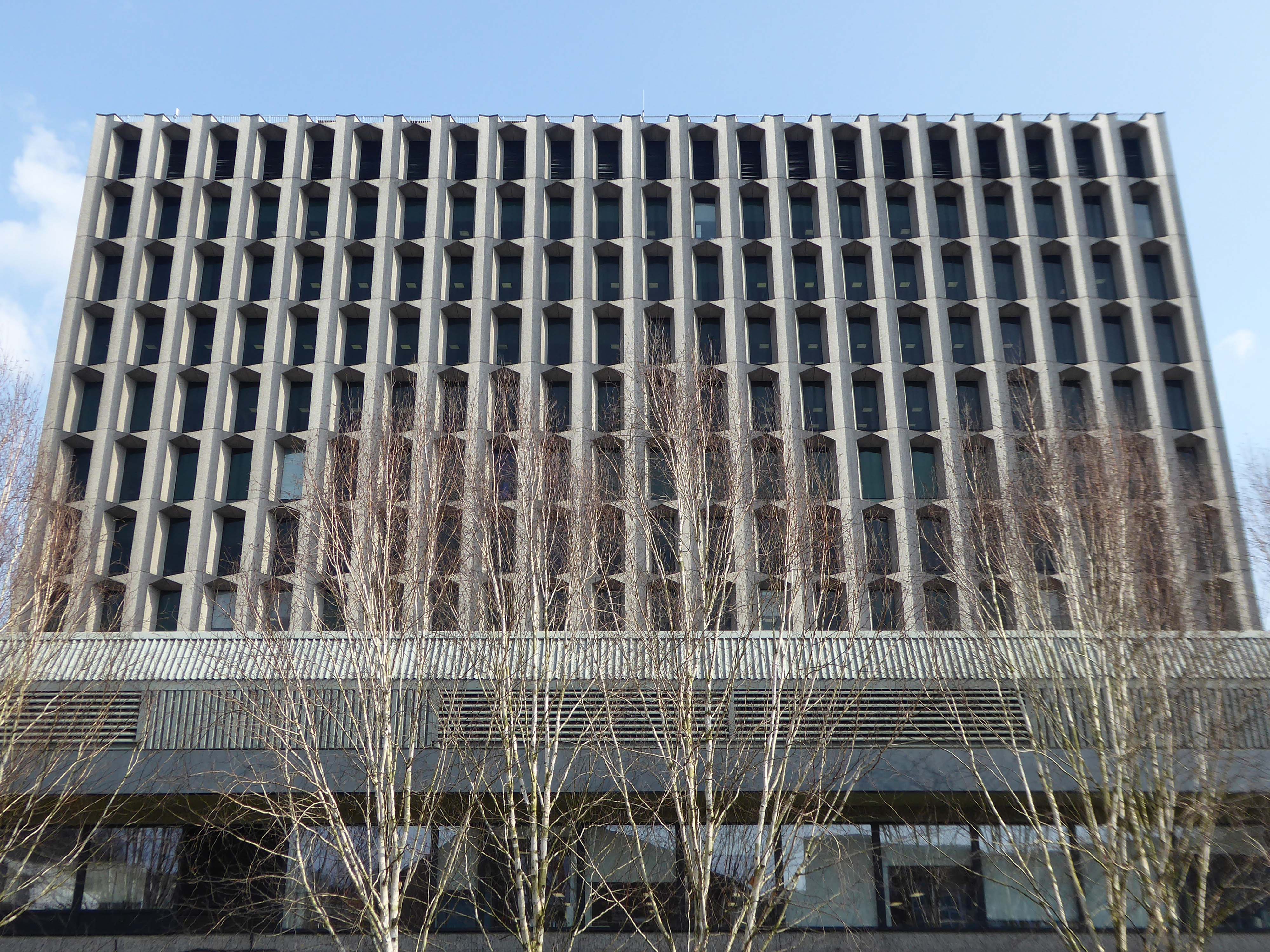
The first leg of a journey to the source of the River Irk beginning behind Victoria, finishing by the Hexagon Tower in Blackley.

The Irk’s name is of obscure etymology, but may be Brittonic in origin and related to the Welsh word iwrch, meaning roebuck

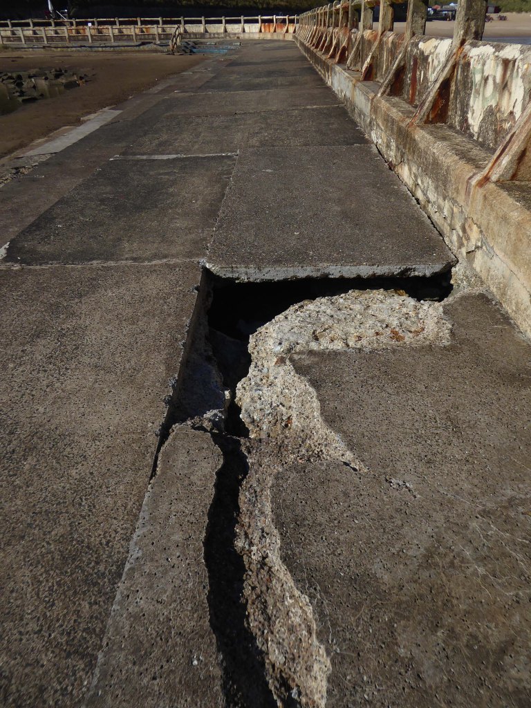
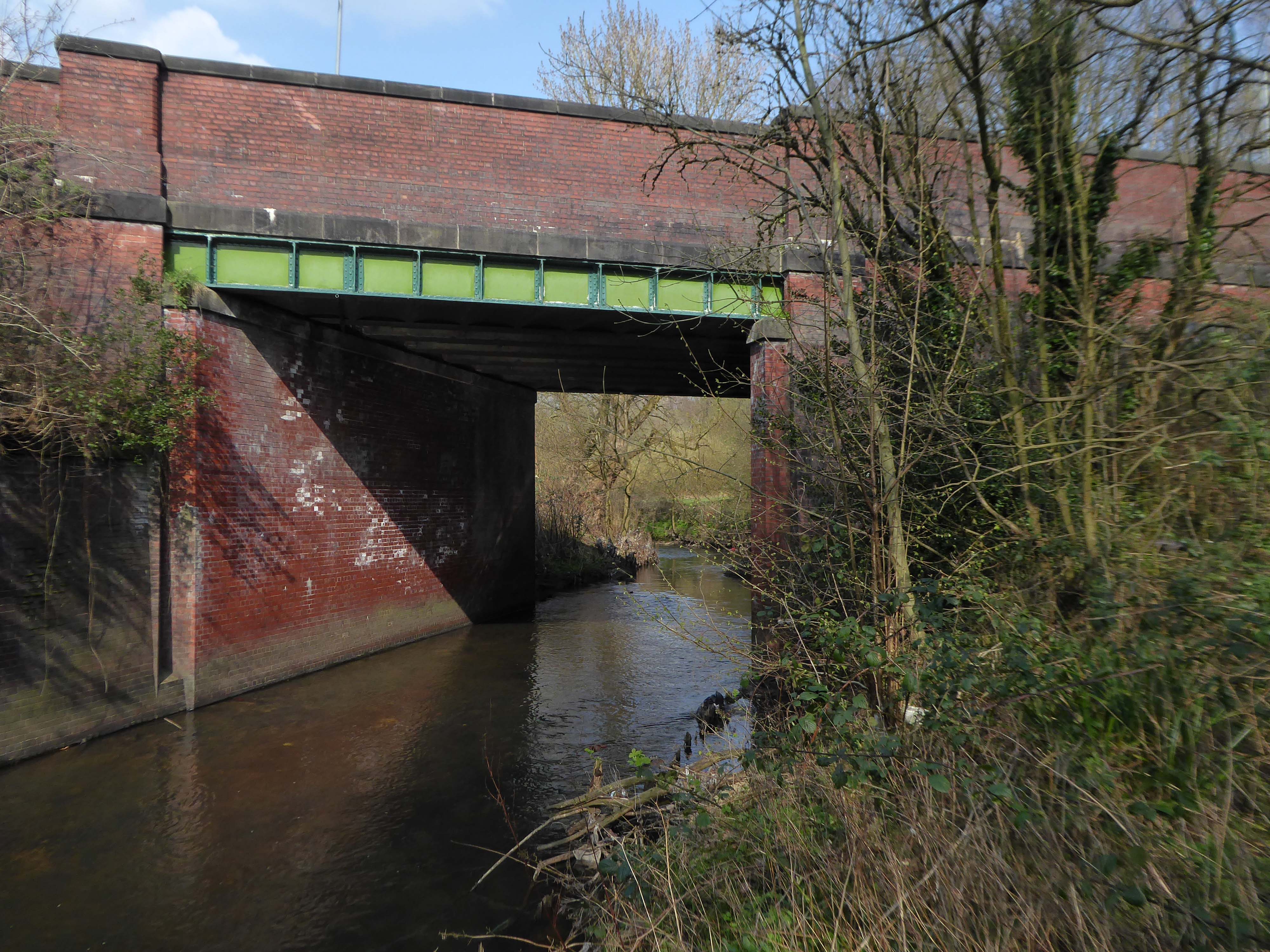
In medieval times, there was a mill by the Irk at which the tenants of the manor ground their corn and its fisheries were controlled by the lord of the manor. In the 16th century, throwing carrion and other offensive matter into the Irk was forbidden. Water for Manchester was drawn from the river before the Industrial Revolution. A bridge over the Irk was recorded in 1381. The river was noted for destructive floods. In 1480, the burgesses of Manchester described the highway between Manchester and Collyhurst which – the water of Irk had worn out. In 1816, of seven bridges over the Irk, six were liable to be flooded after heavy rain but the seventh, the Ducie Bridge completed in 1814 was above flood levels.

According to The New Gazetteer of Lancashire the Irk had – more mill seats upon it than any other stream of its length in the Kingdom and – the eels in this river were formerly remarkable for their fatness, which was attributed to the grease and oils expressed by the mills from the woollen cloths and mixed with the waters. 

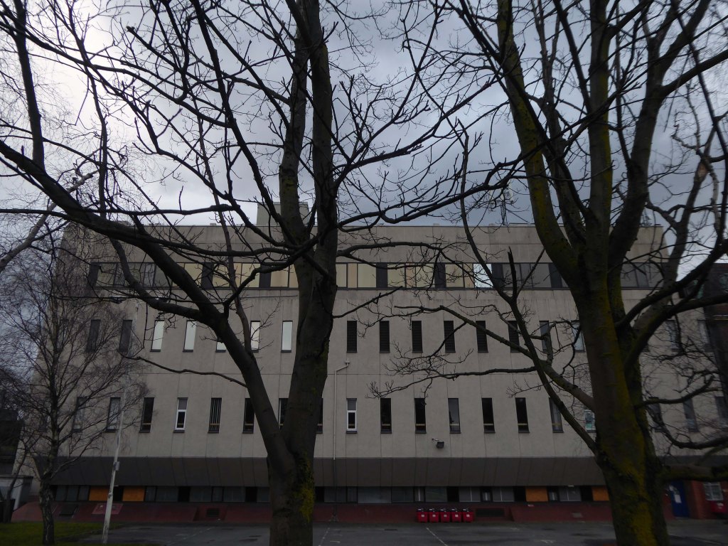
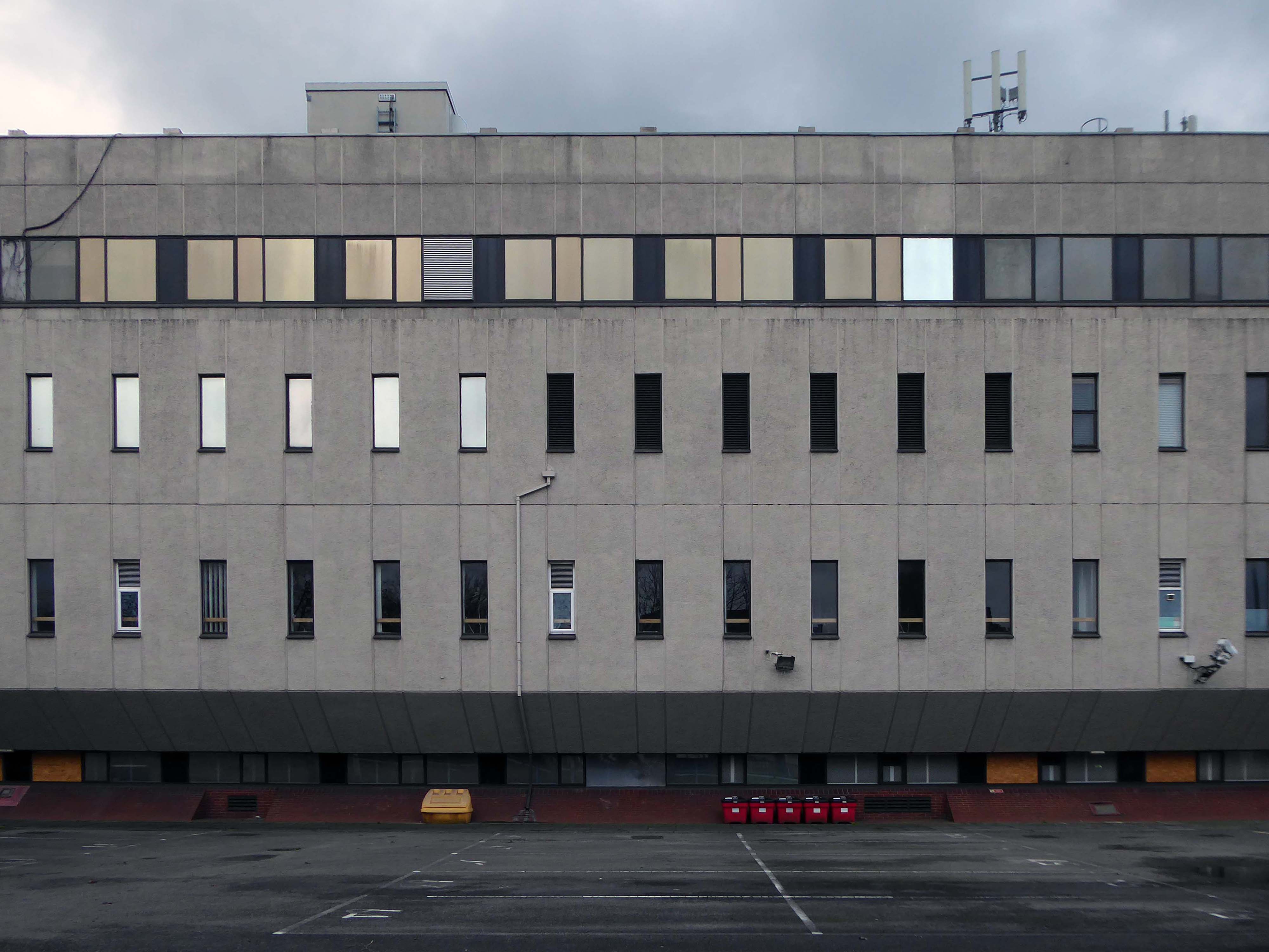
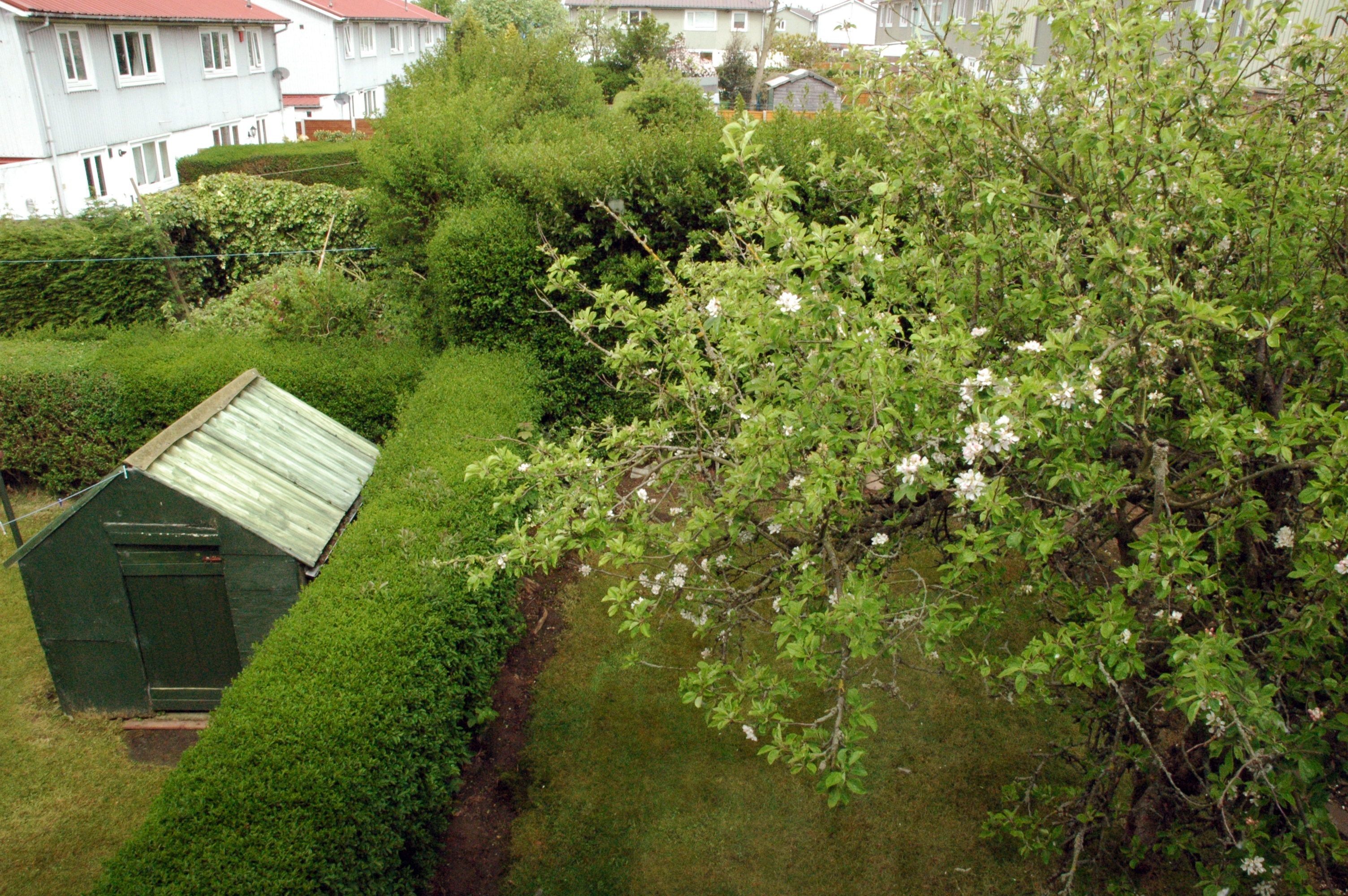
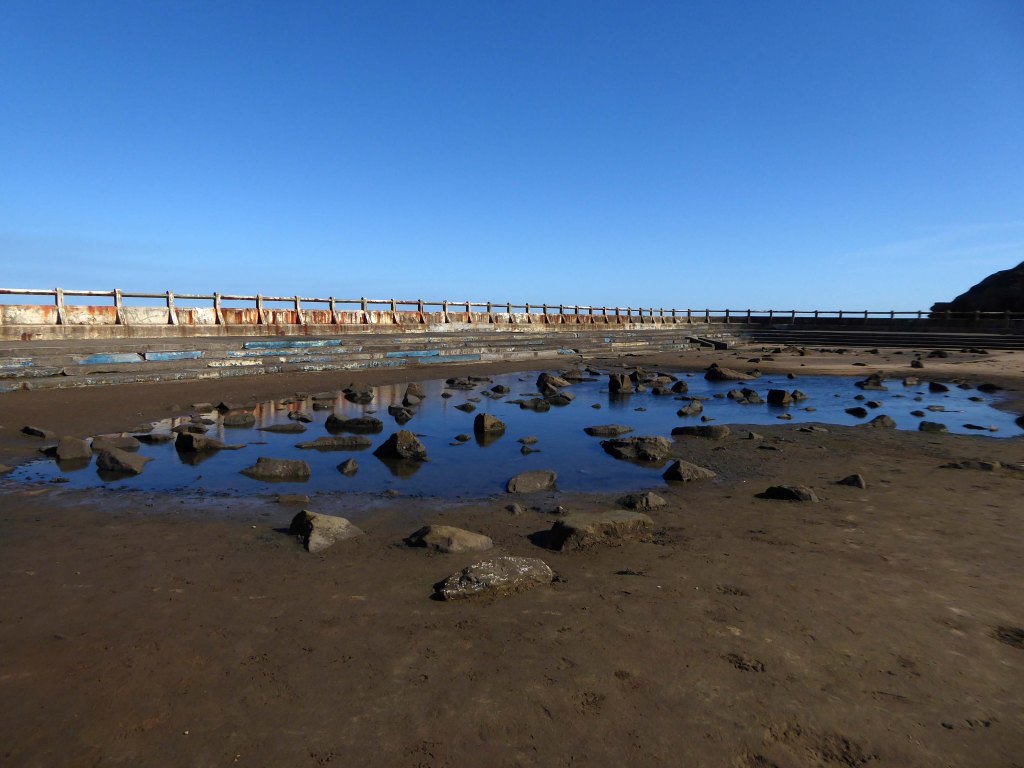
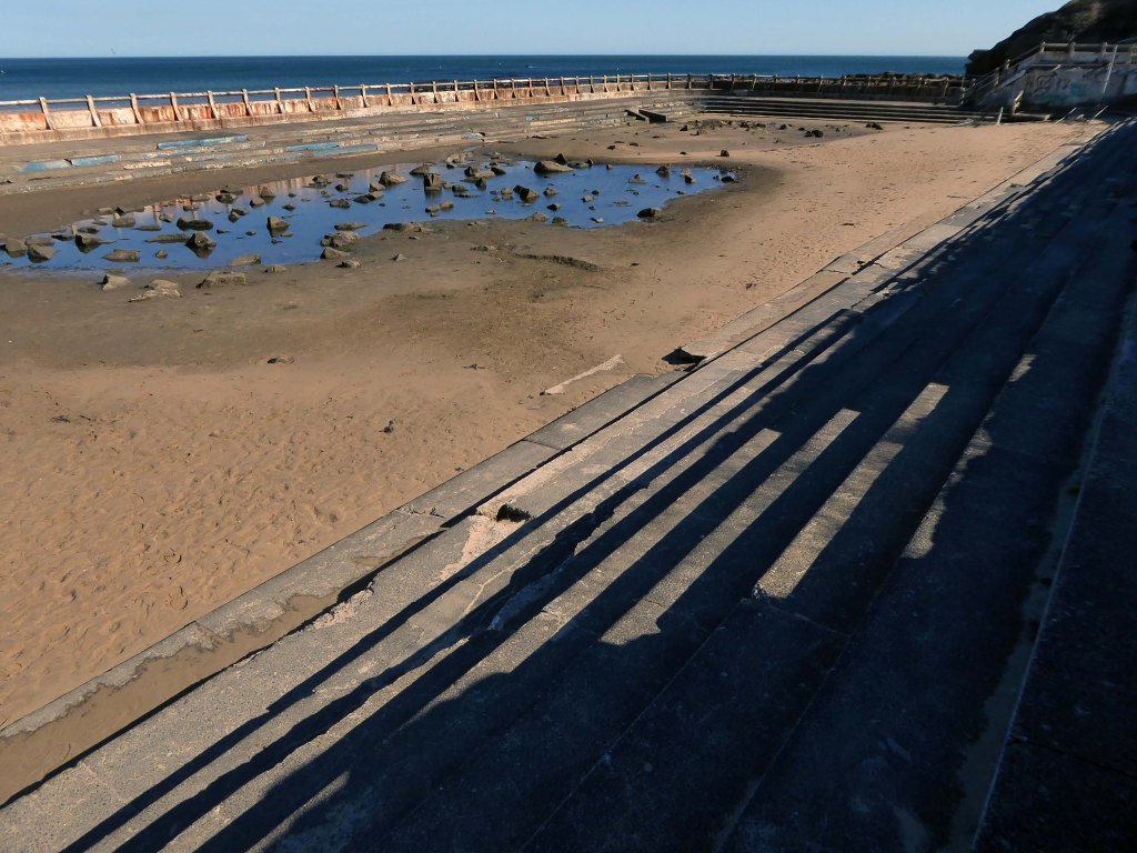
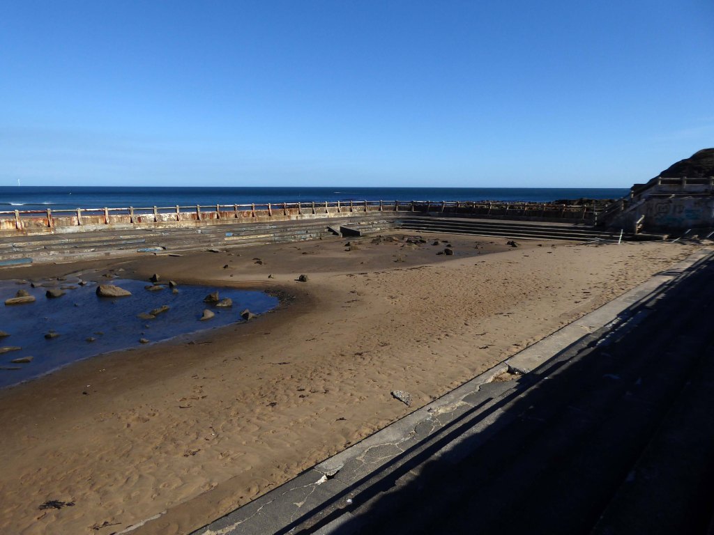
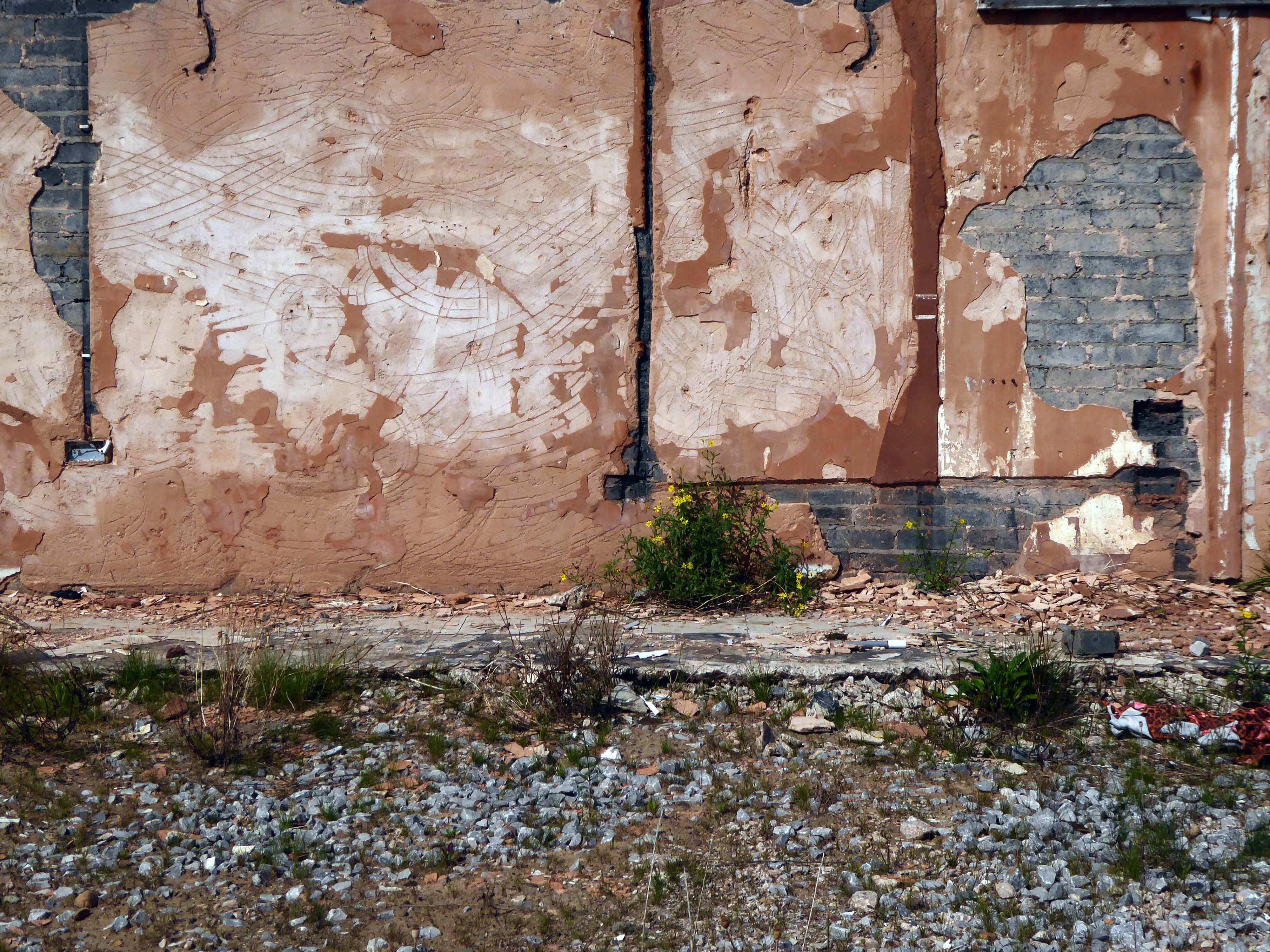
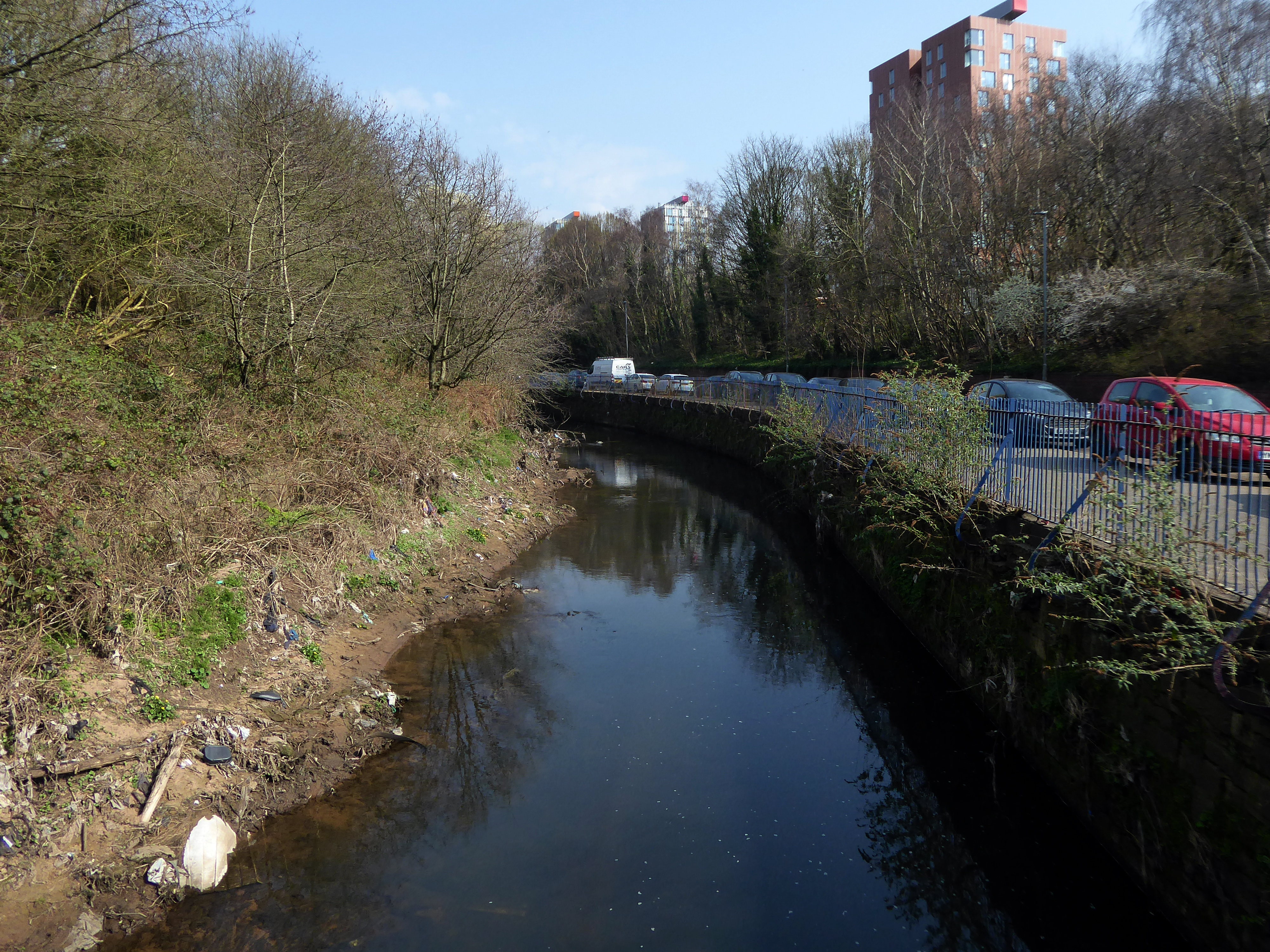
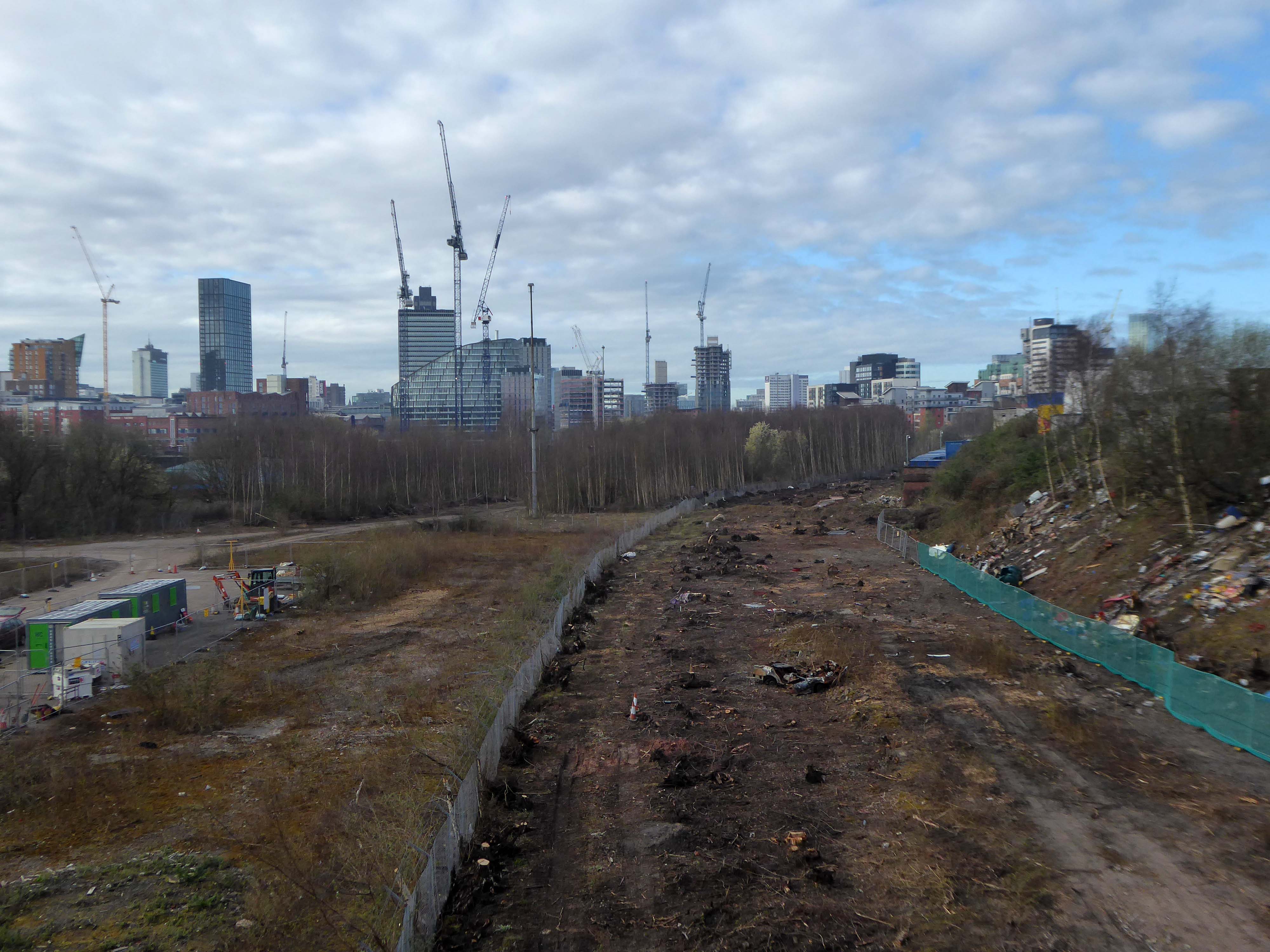
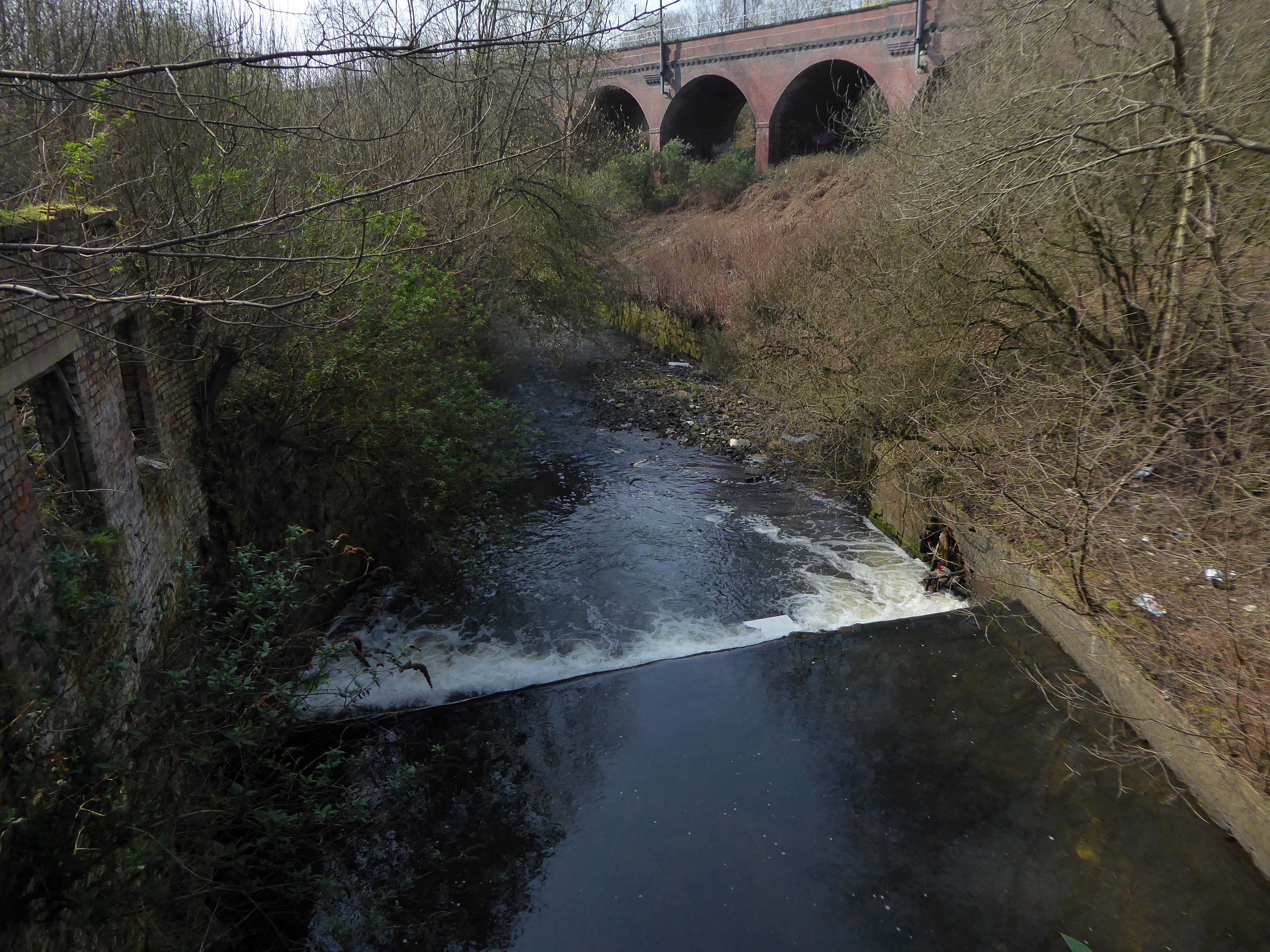
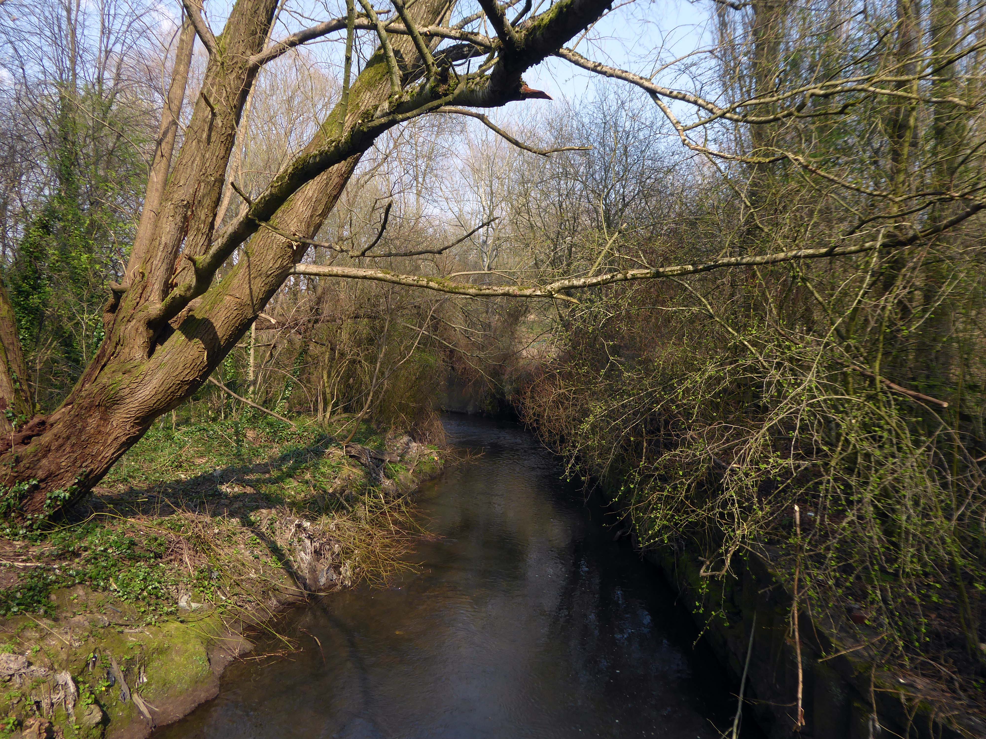
However, by the start of the 20th century the Irk Valley between Crumpsall and Blackley had been left a neglected river – not only the blackest but the most sluggish of all rivers.

Wikipedia

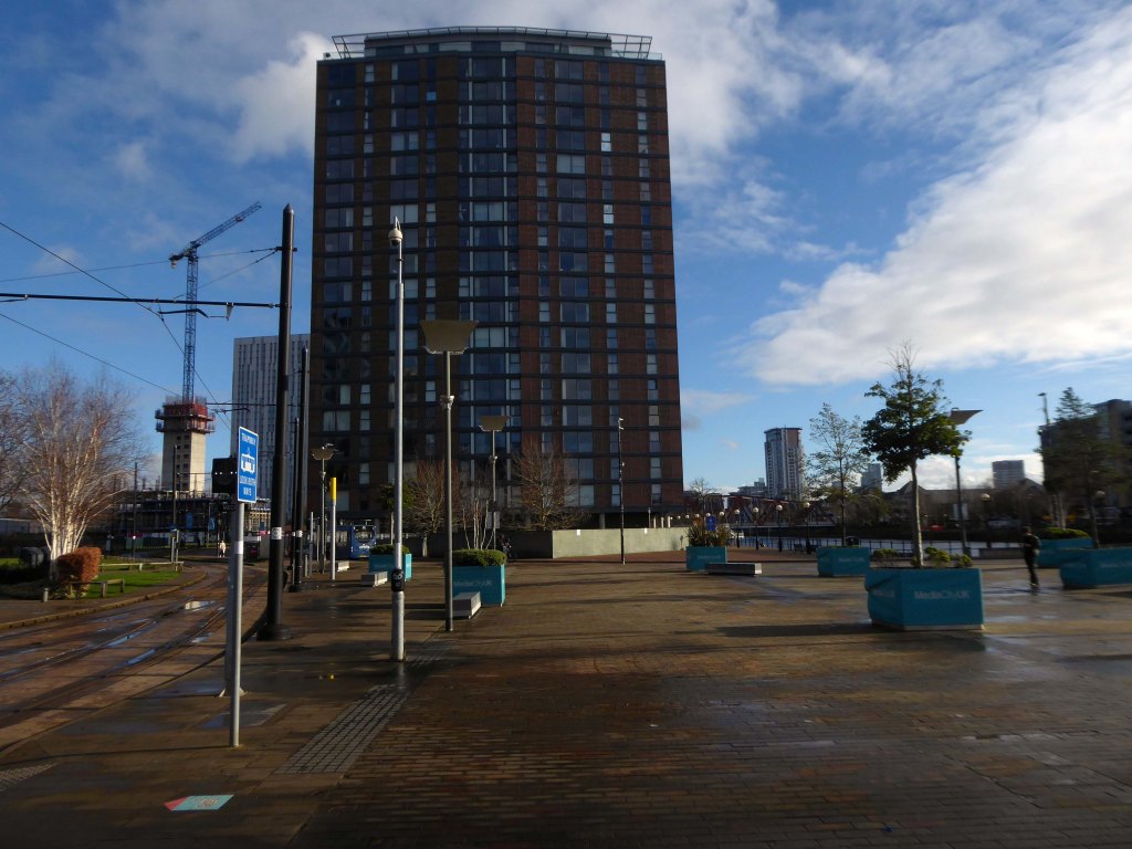
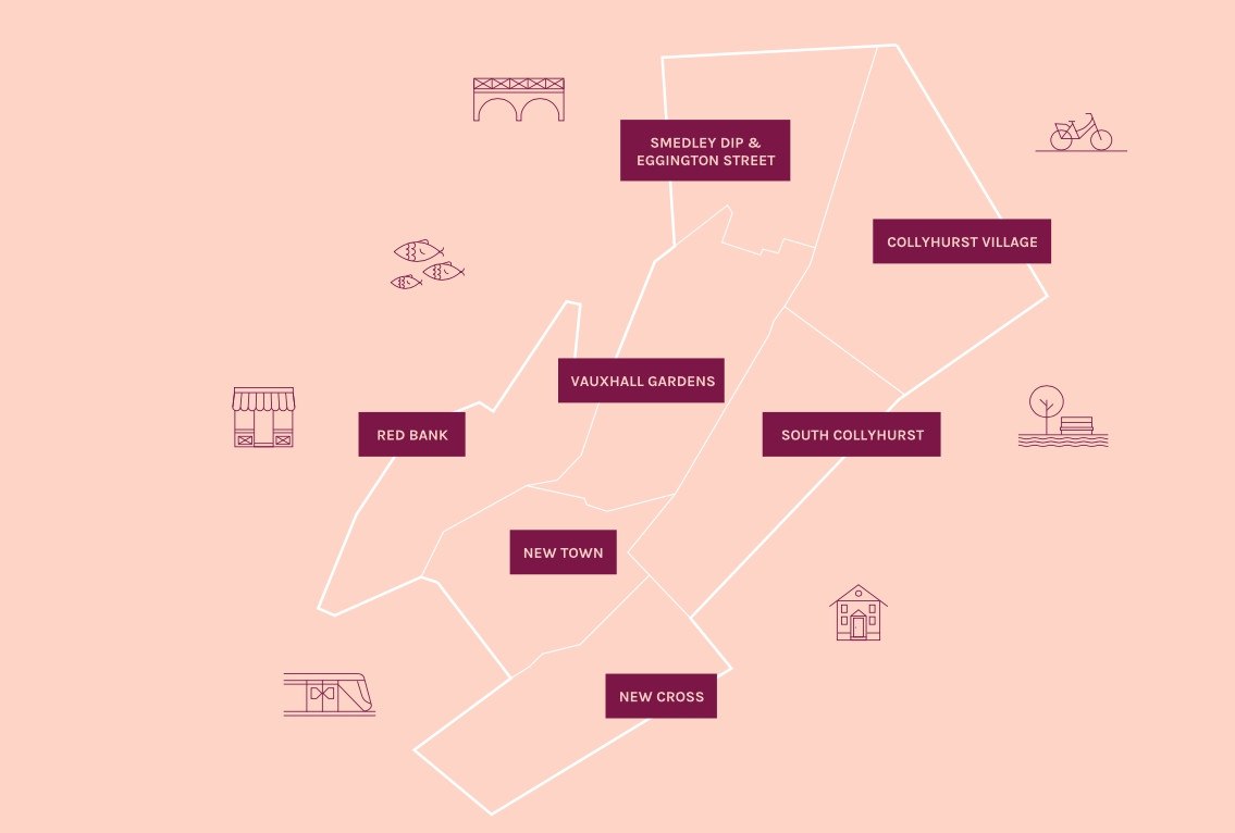
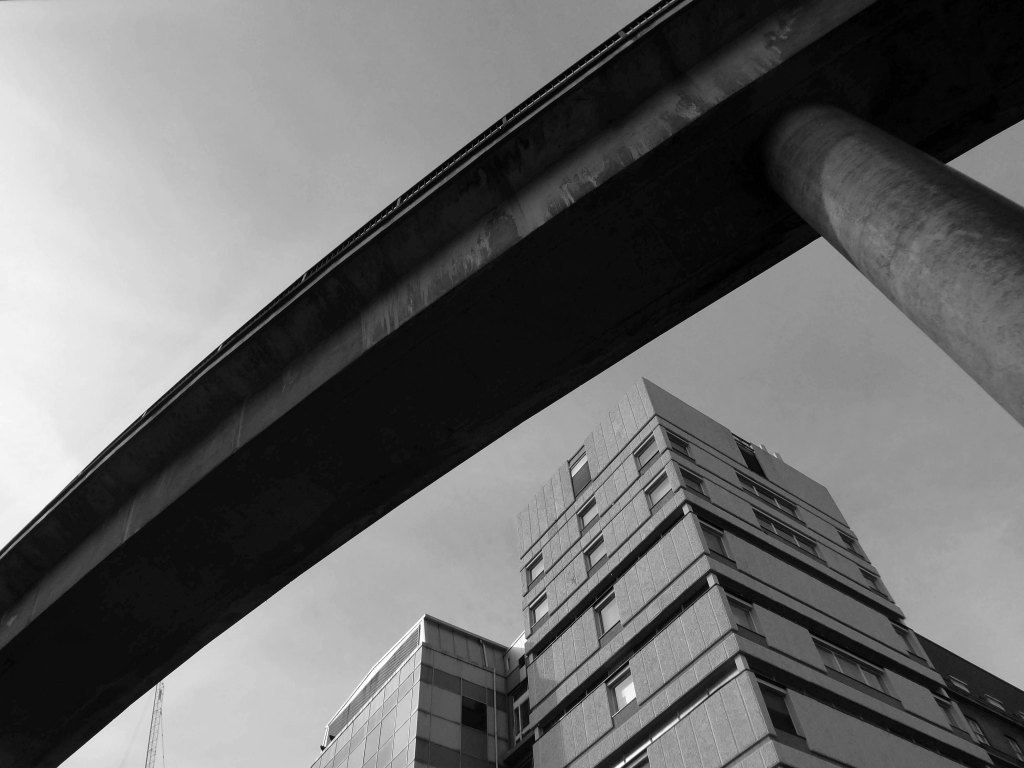
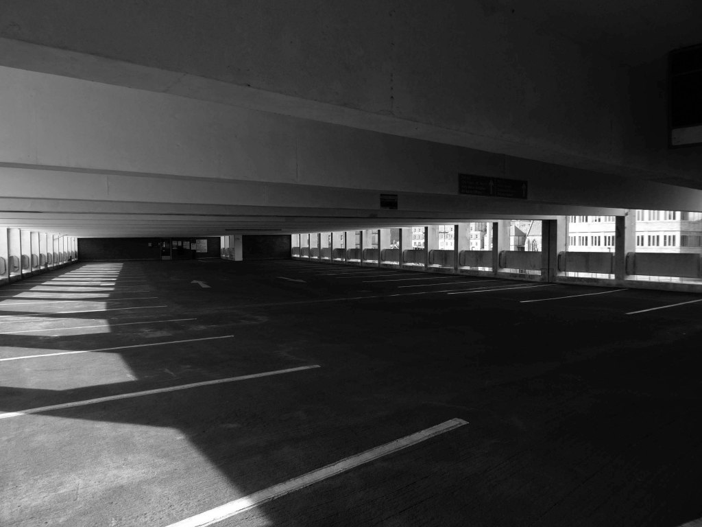
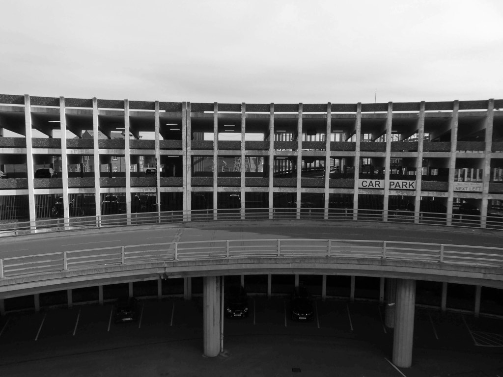
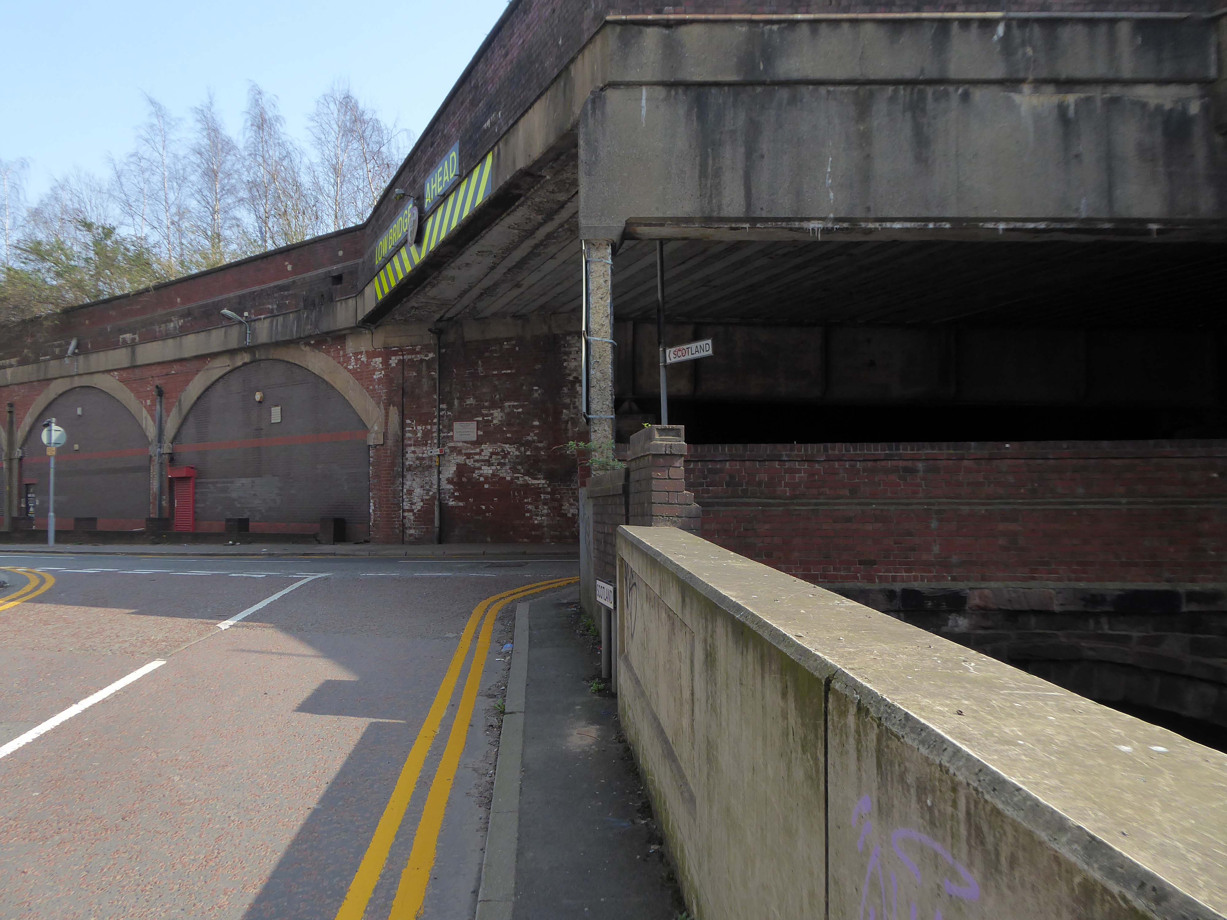
The river emerges from beneath the city into an area named Scotland – a remnant of Manchester’s links with the Jacobite Rebellion.

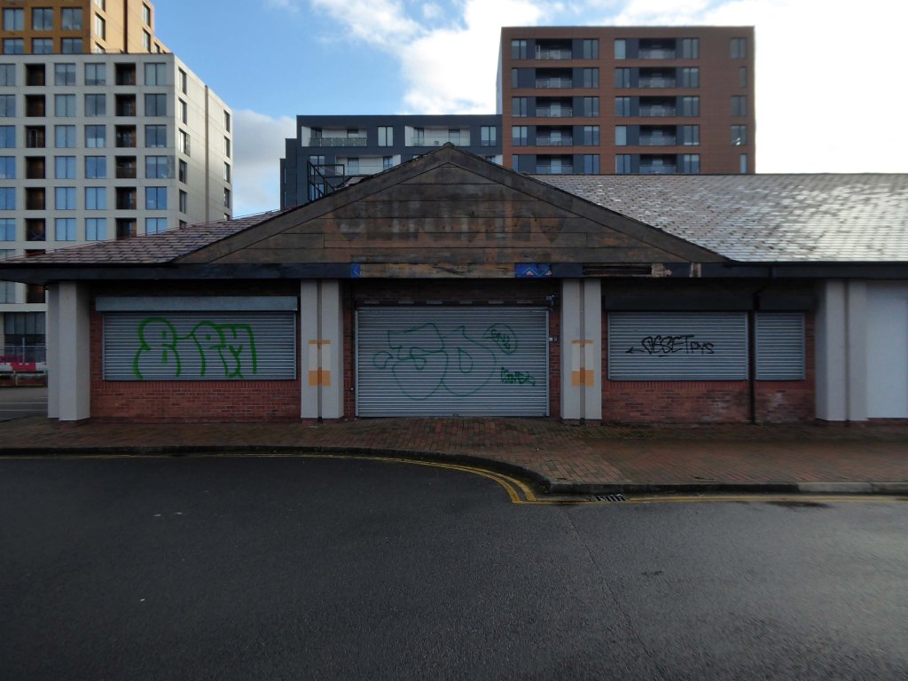
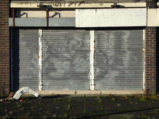
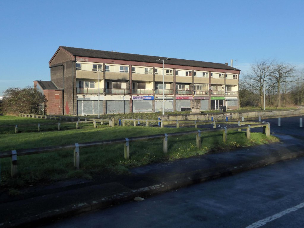
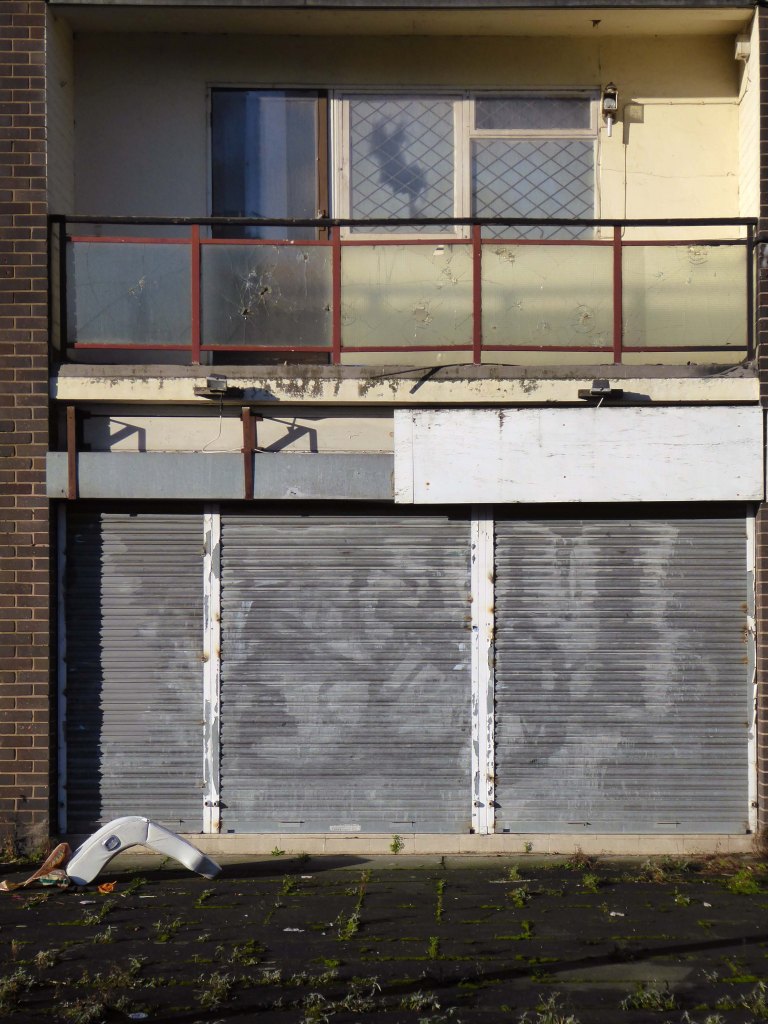
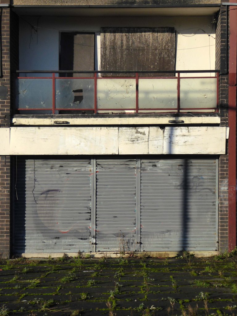
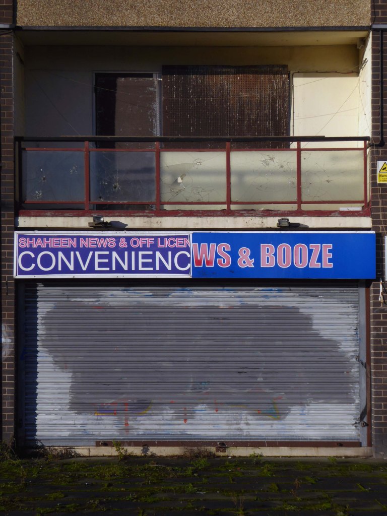
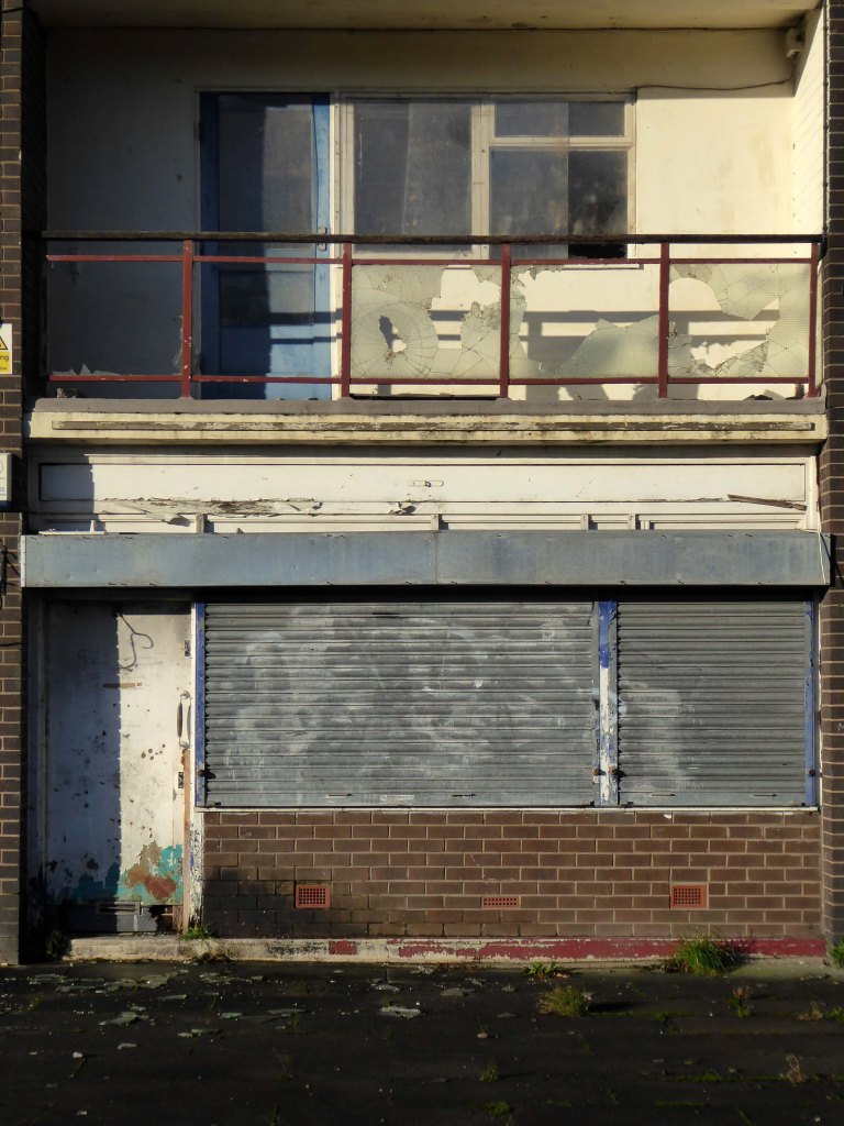
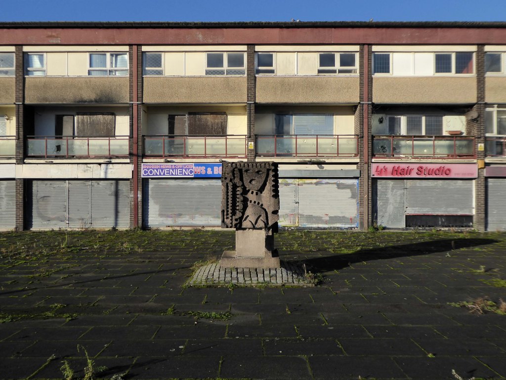
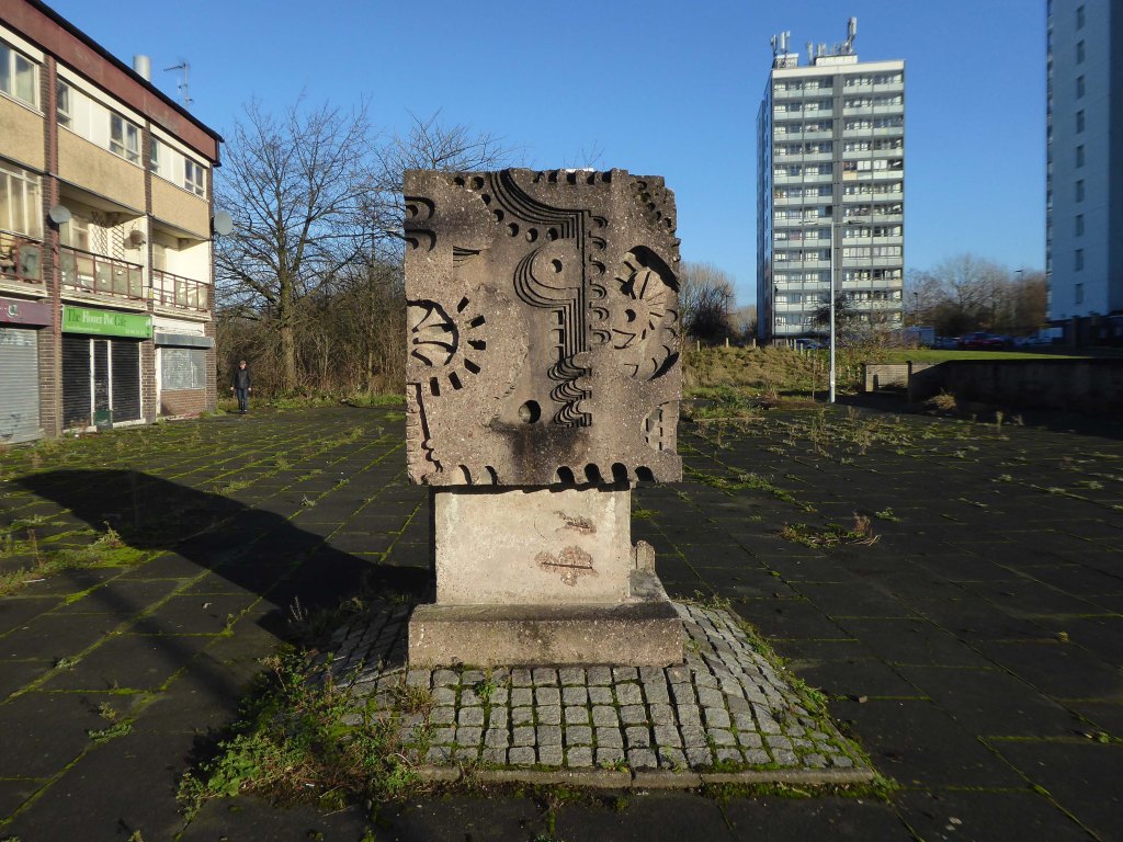
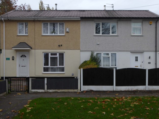
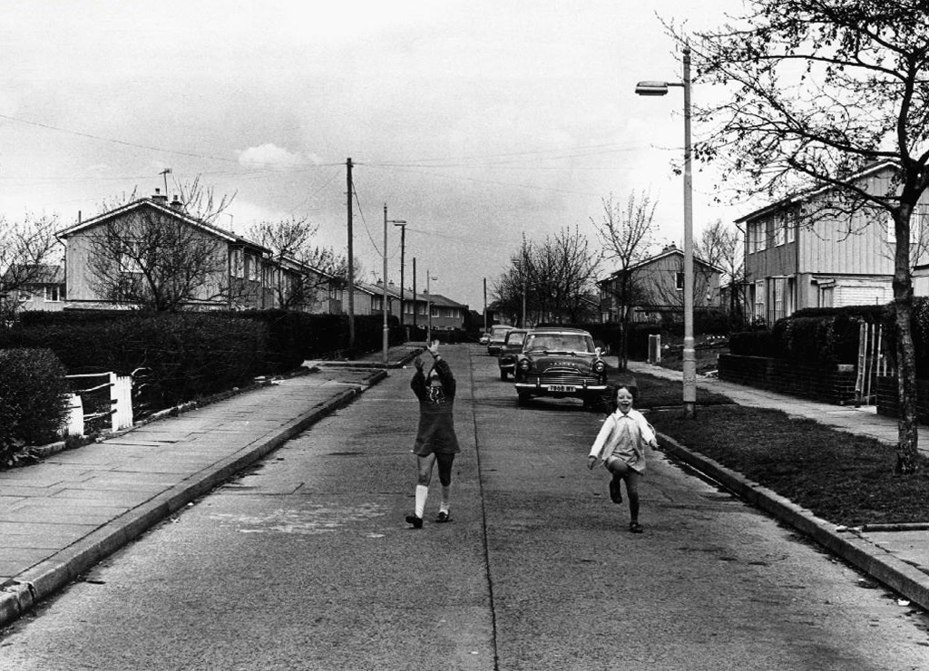
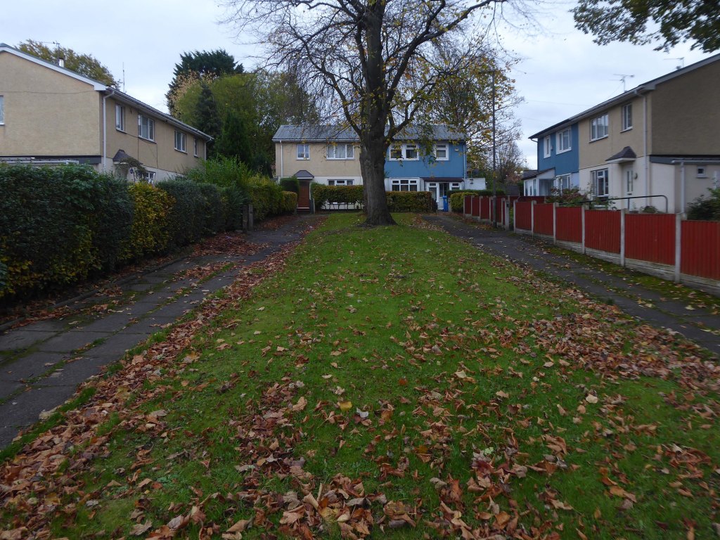
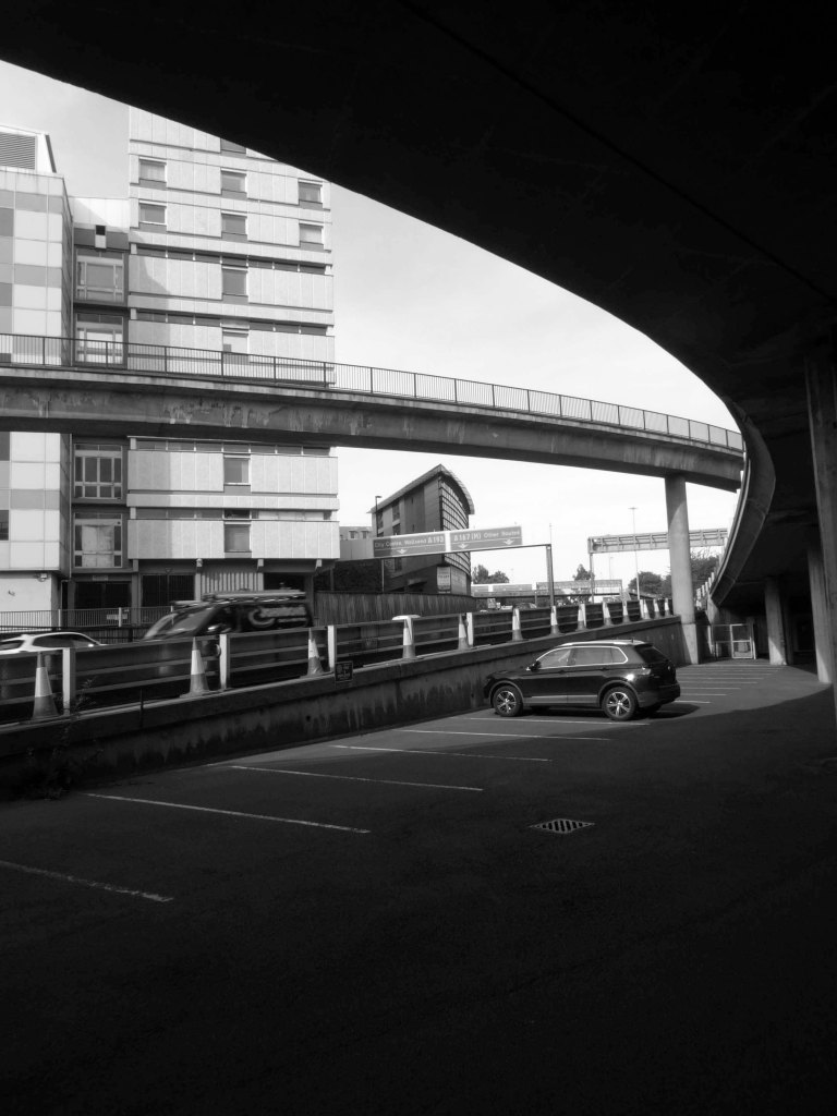
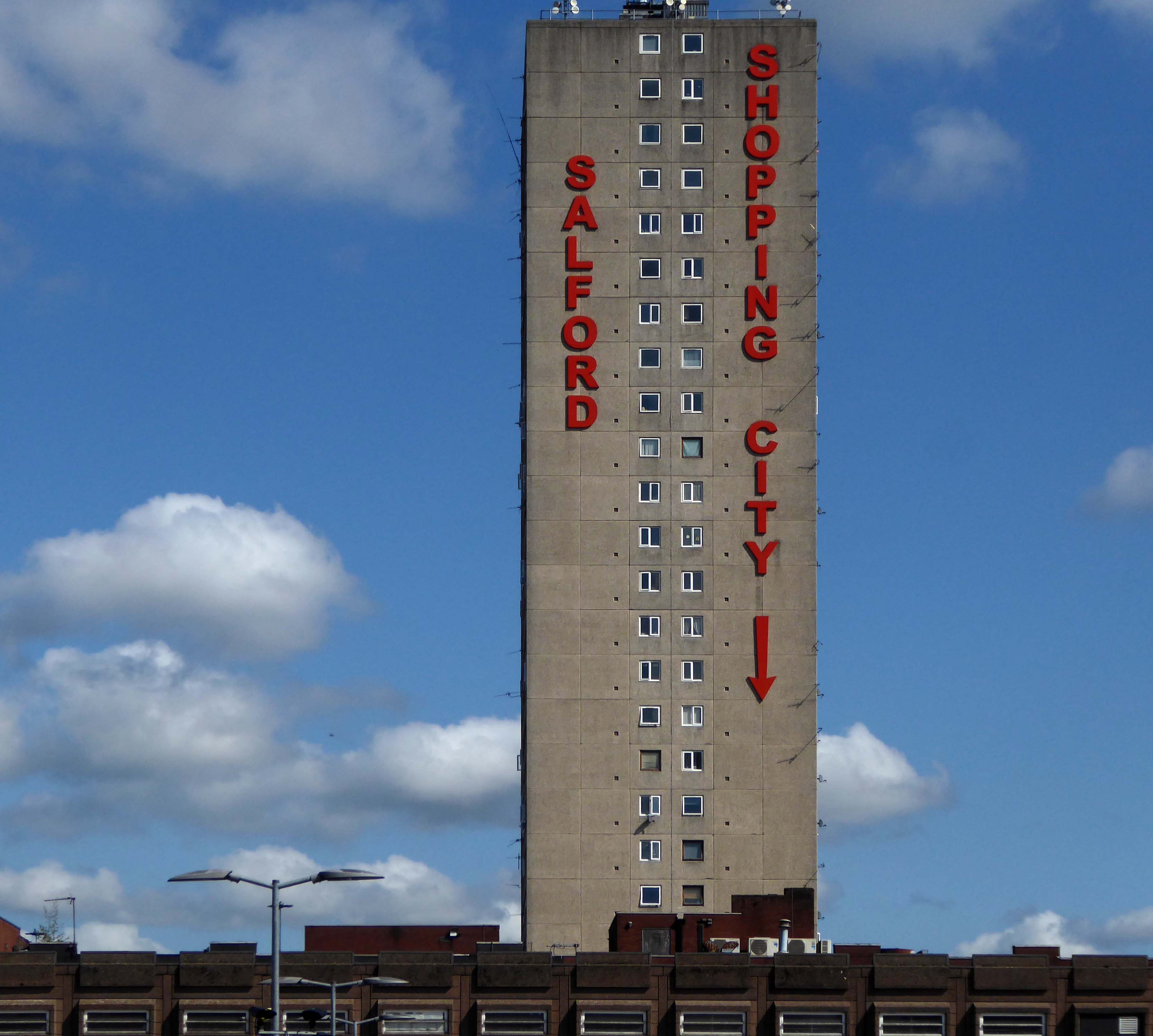
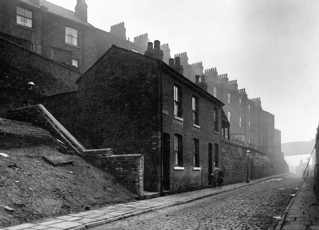
To the left were the squalid Victorian homes of Red Bank – currently presenting as the Green Quarter.

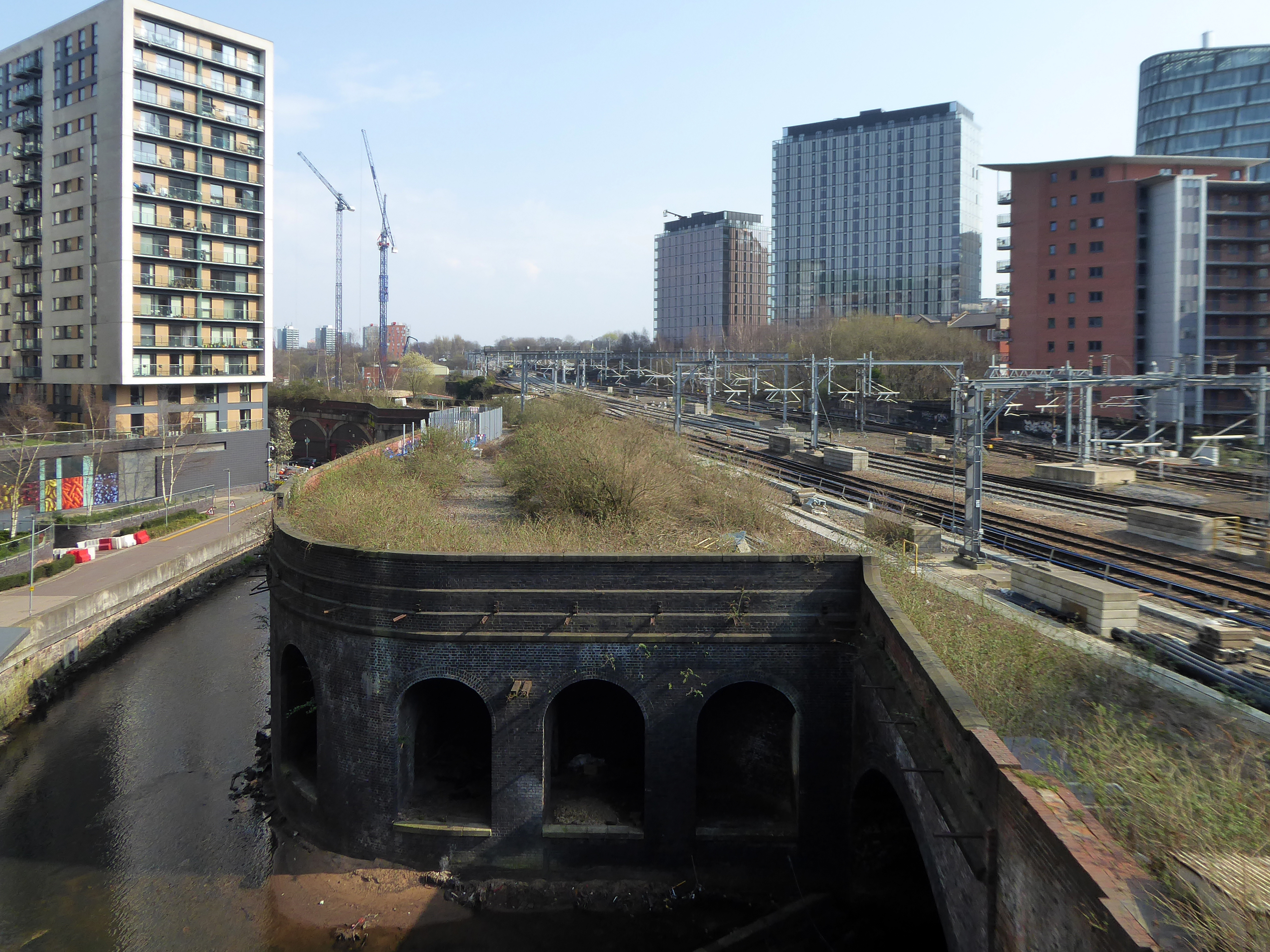
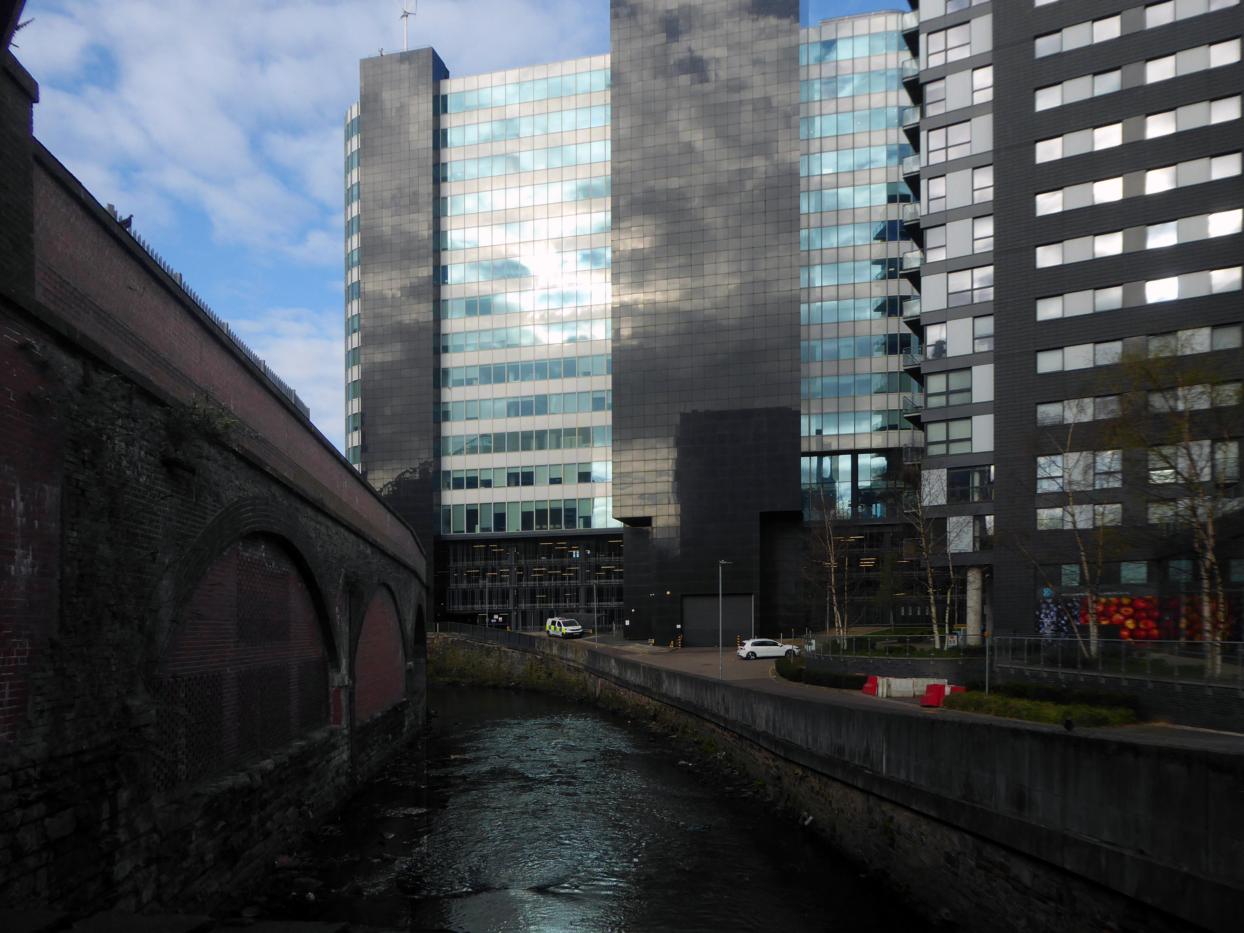
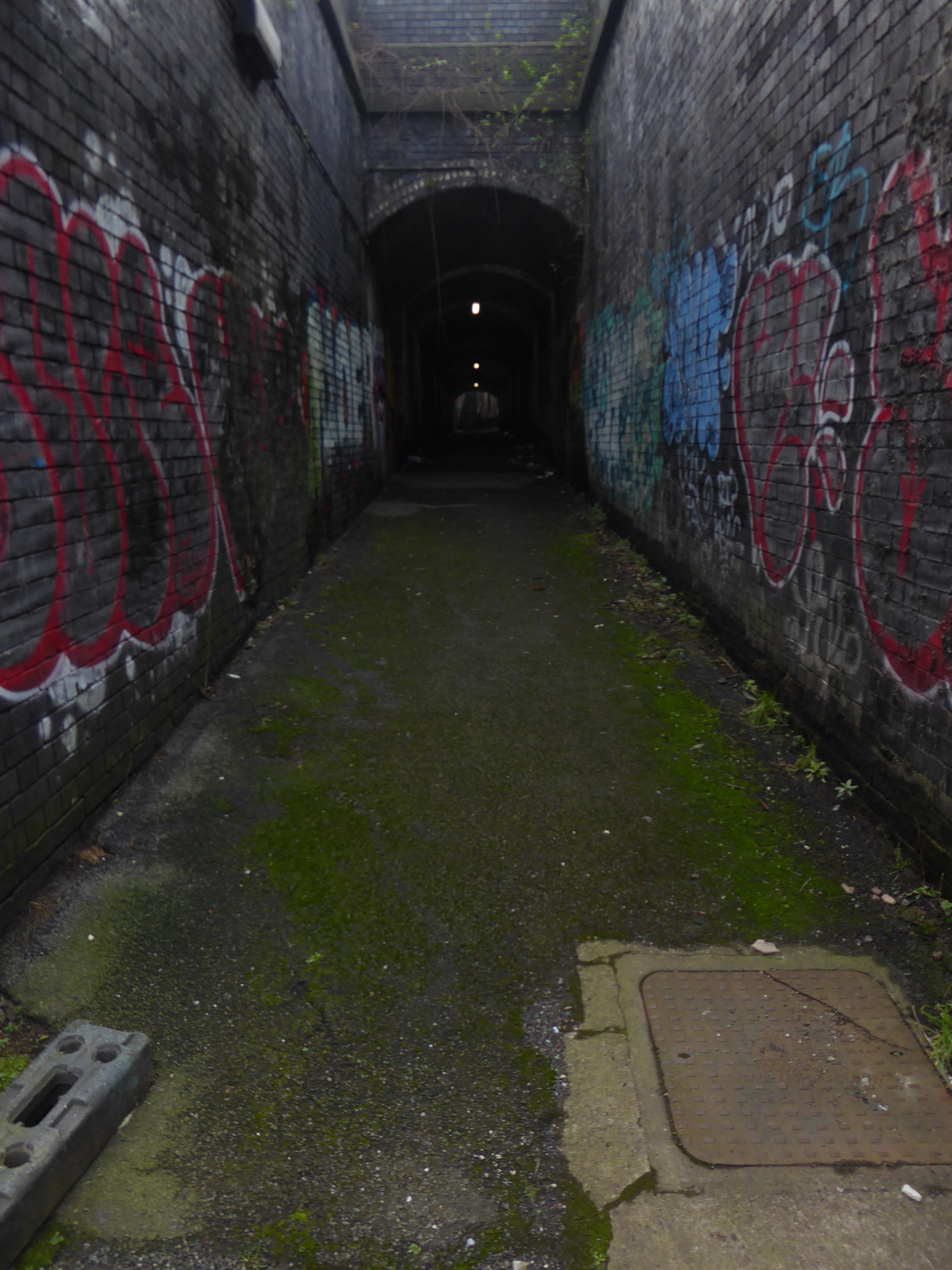
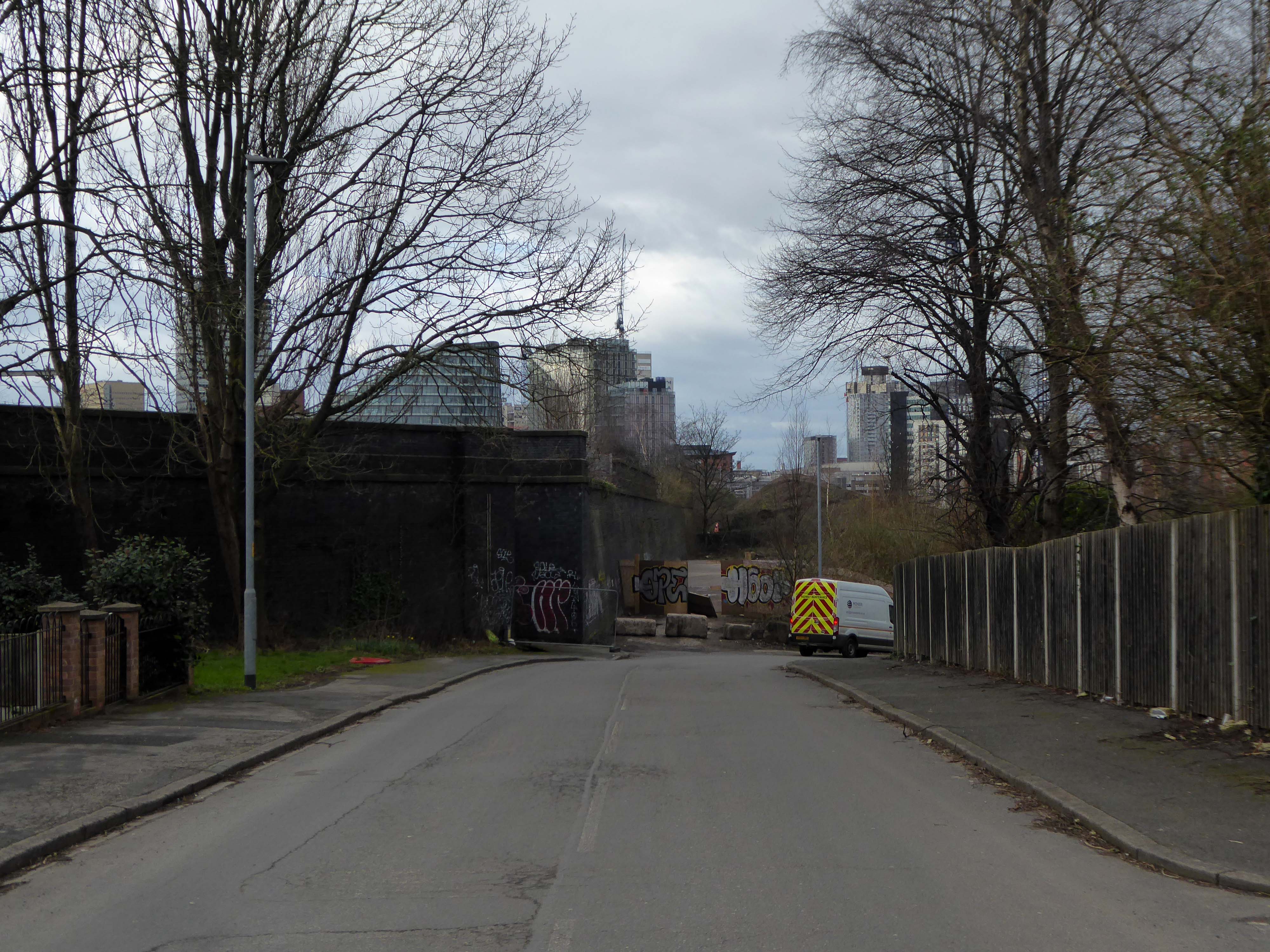
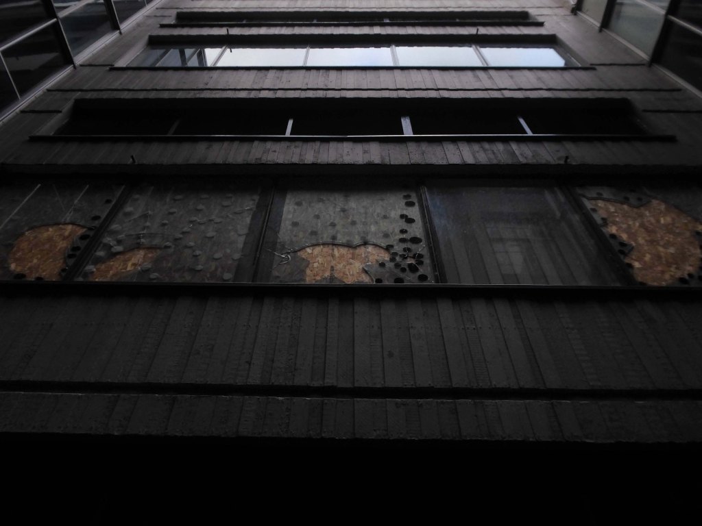
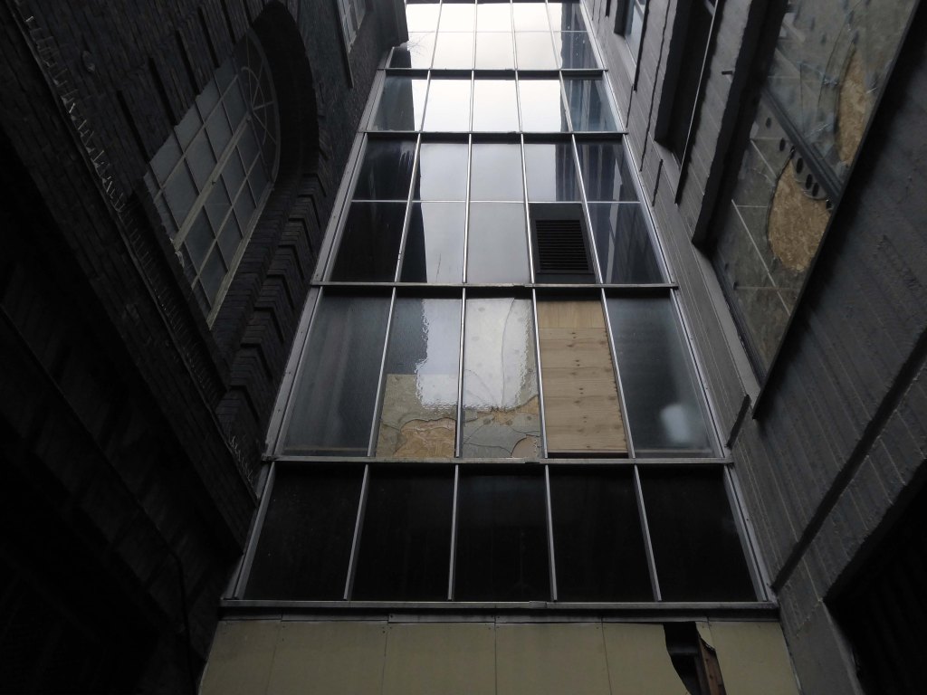
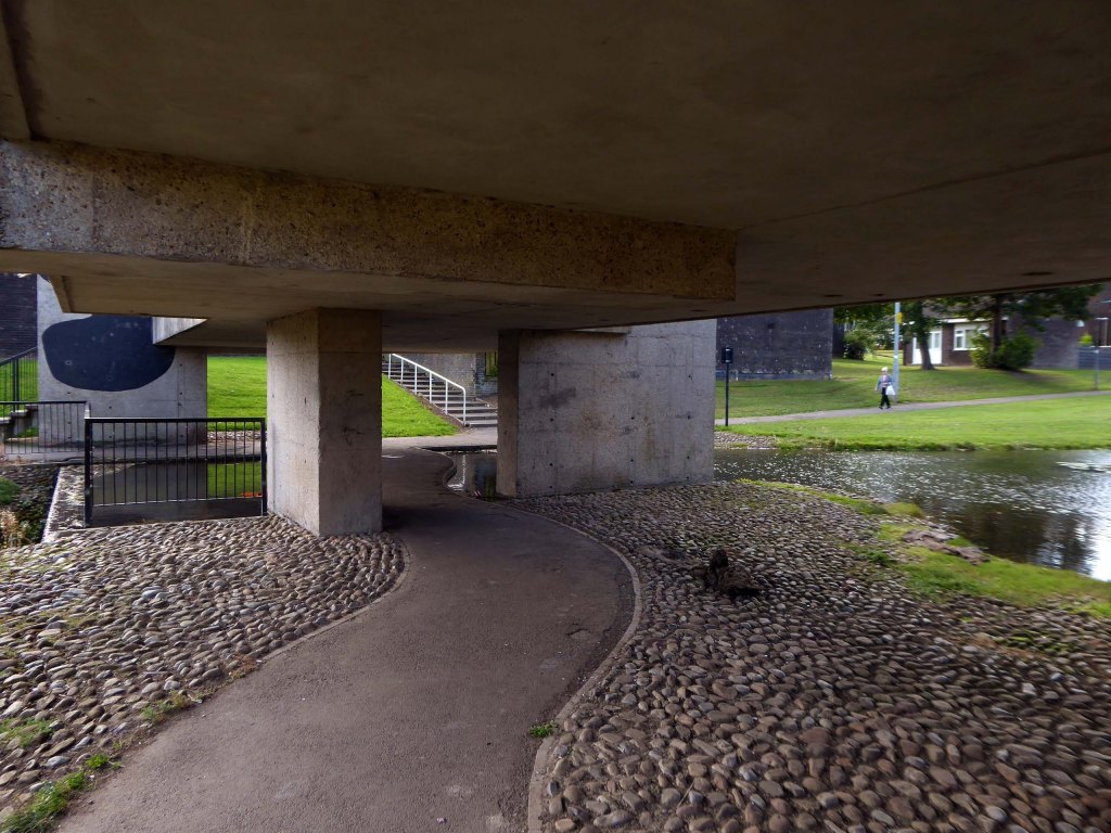
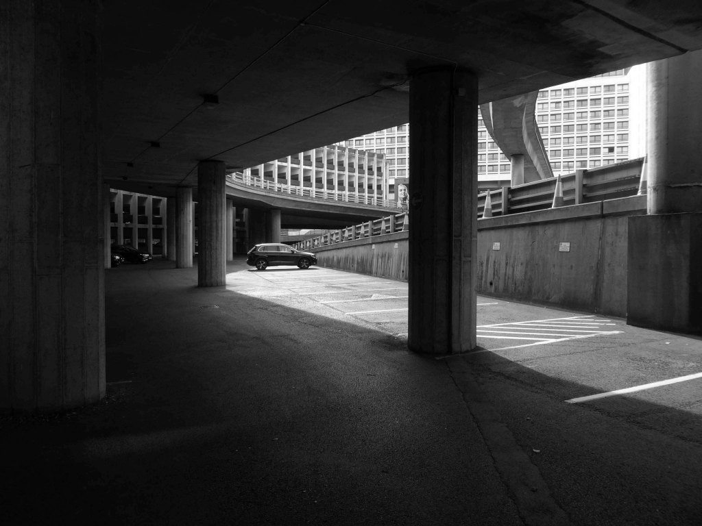
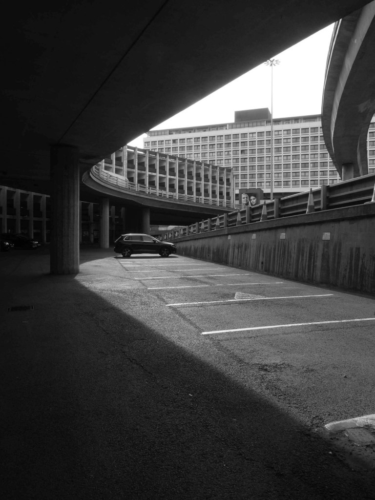
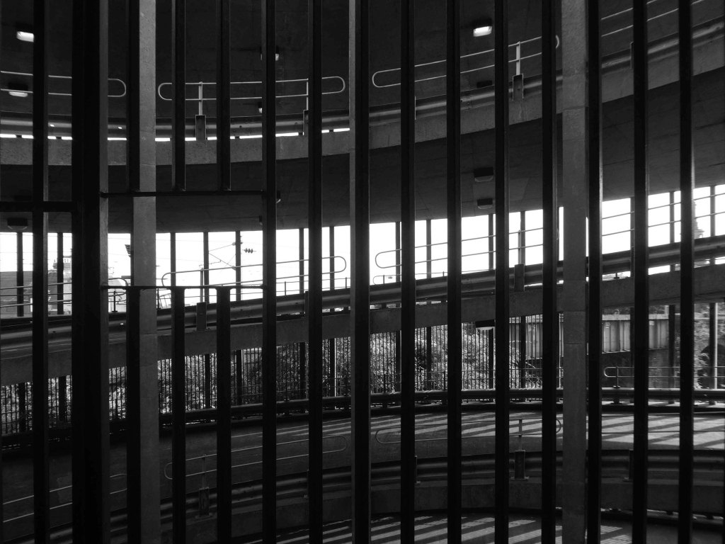
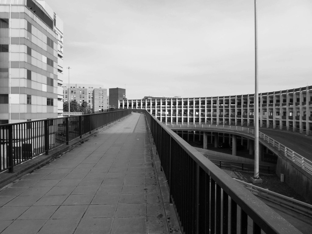
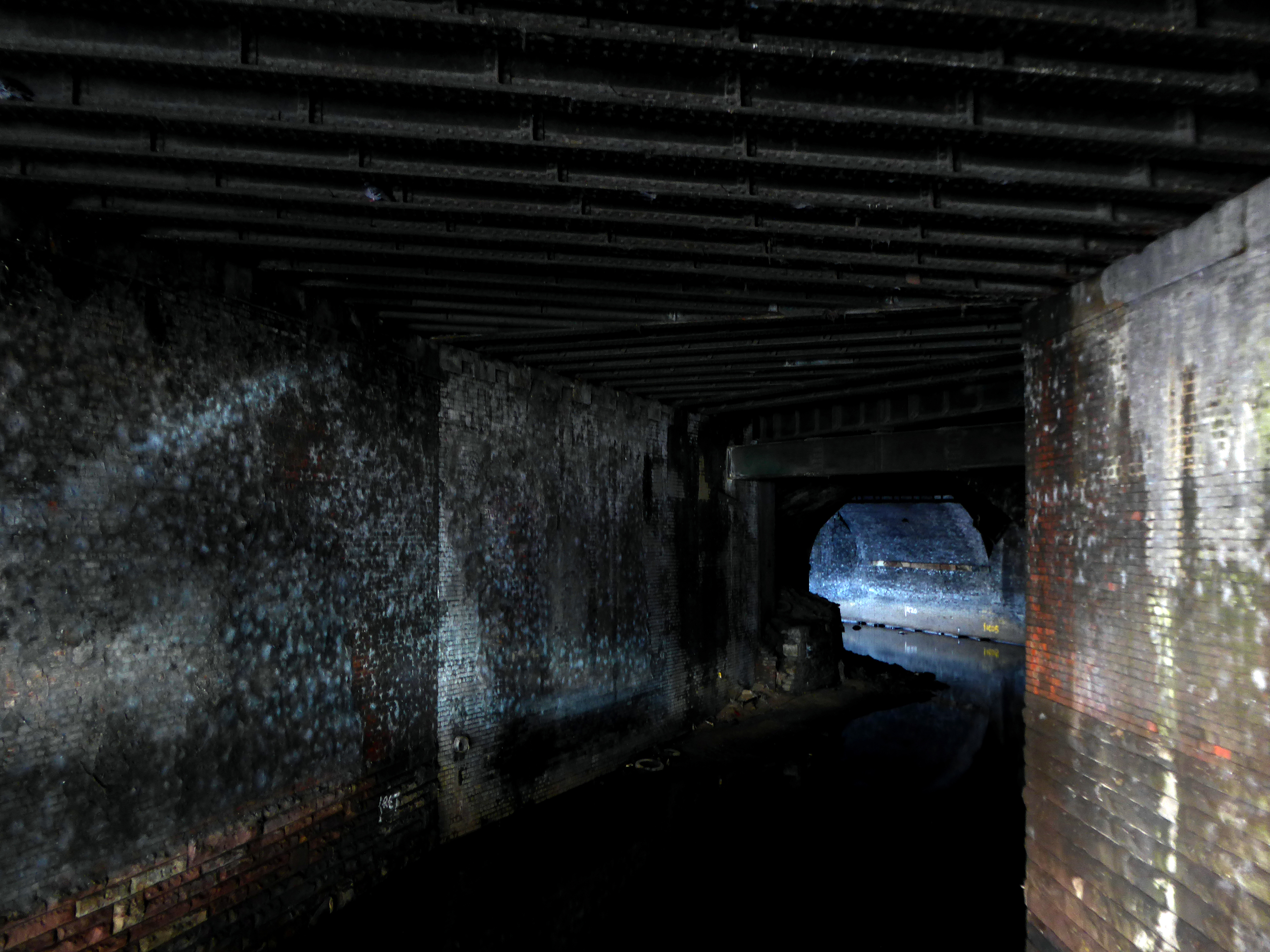
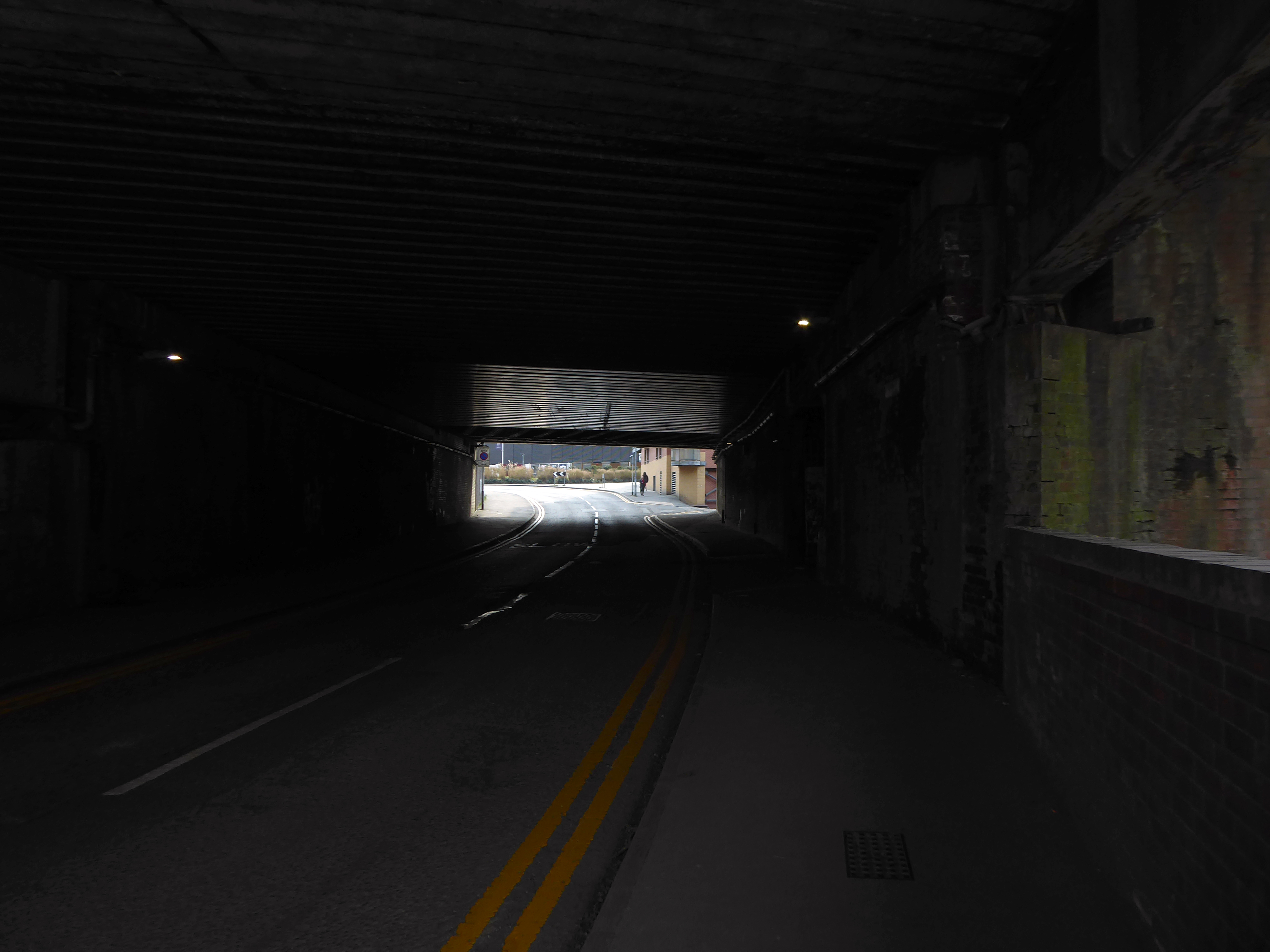
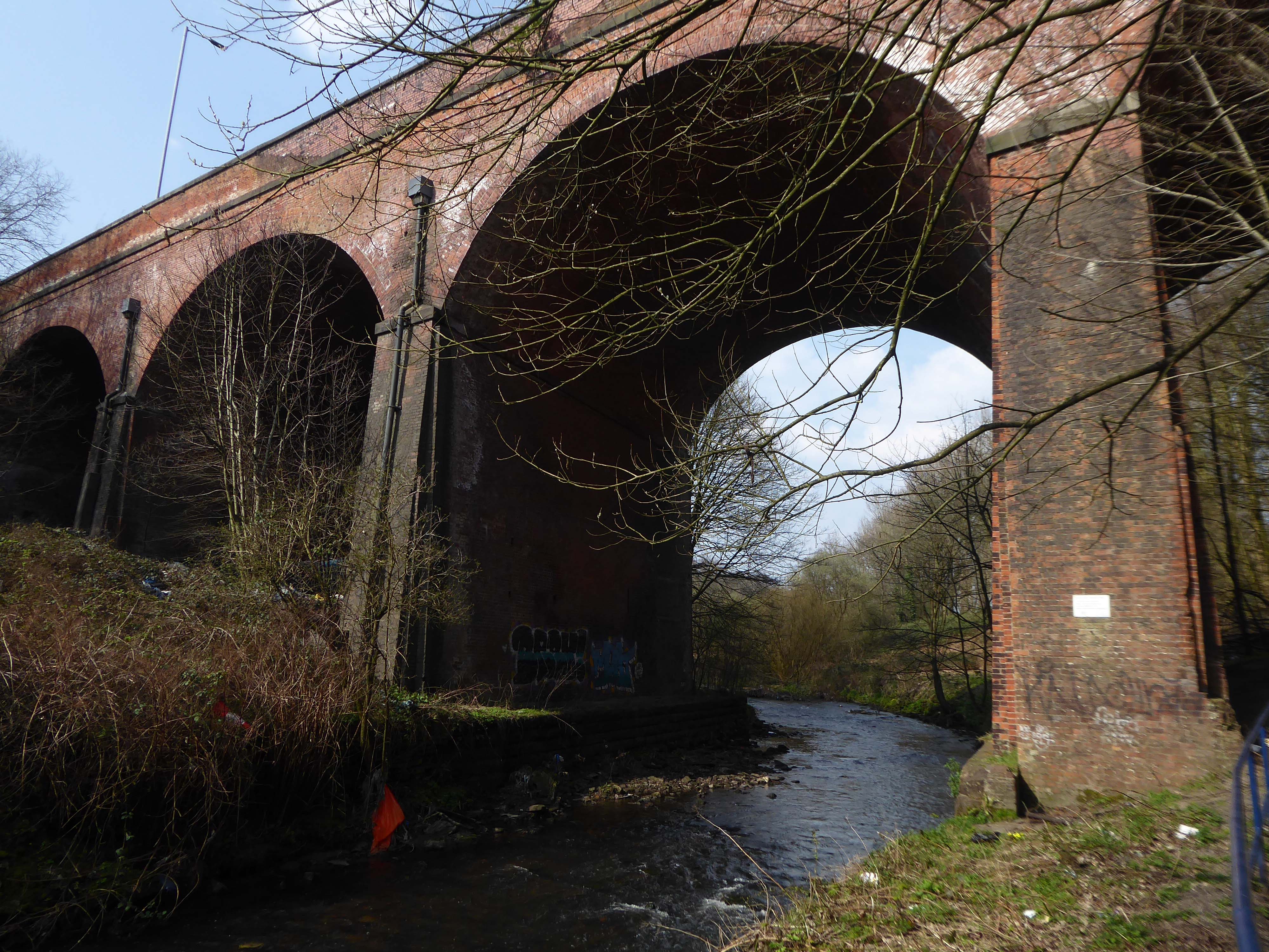
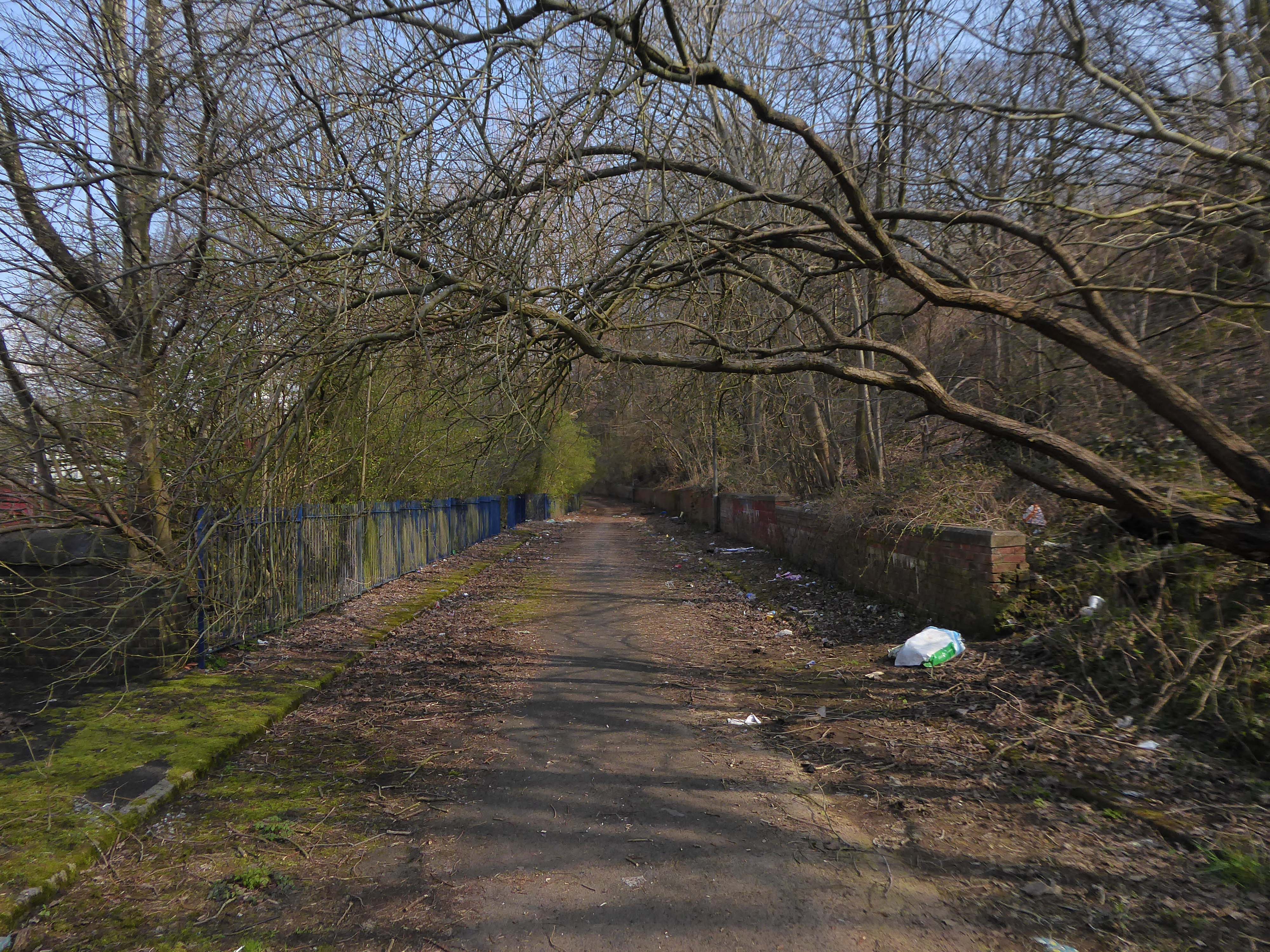
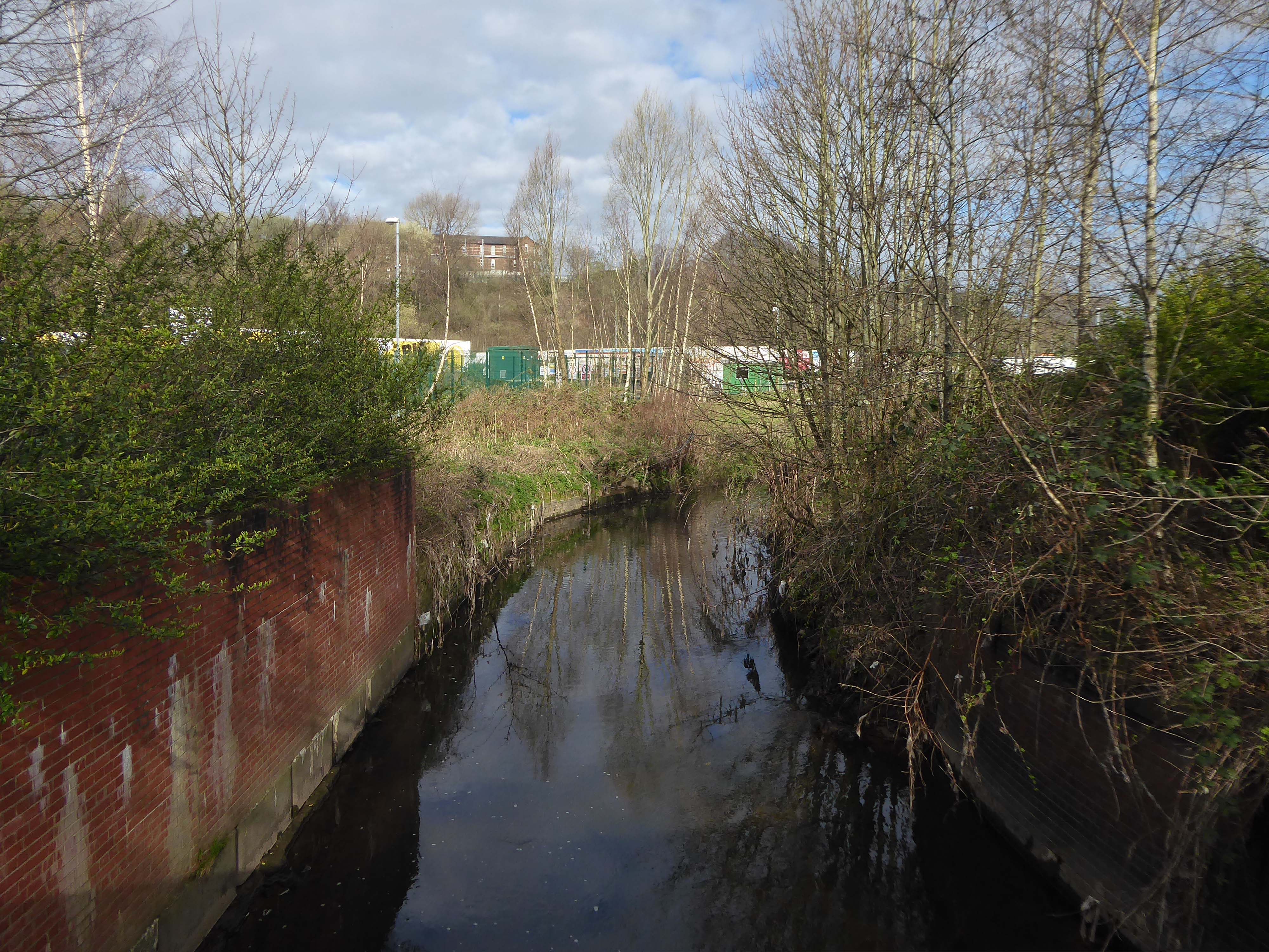
The river briefly becomes subterranean again.

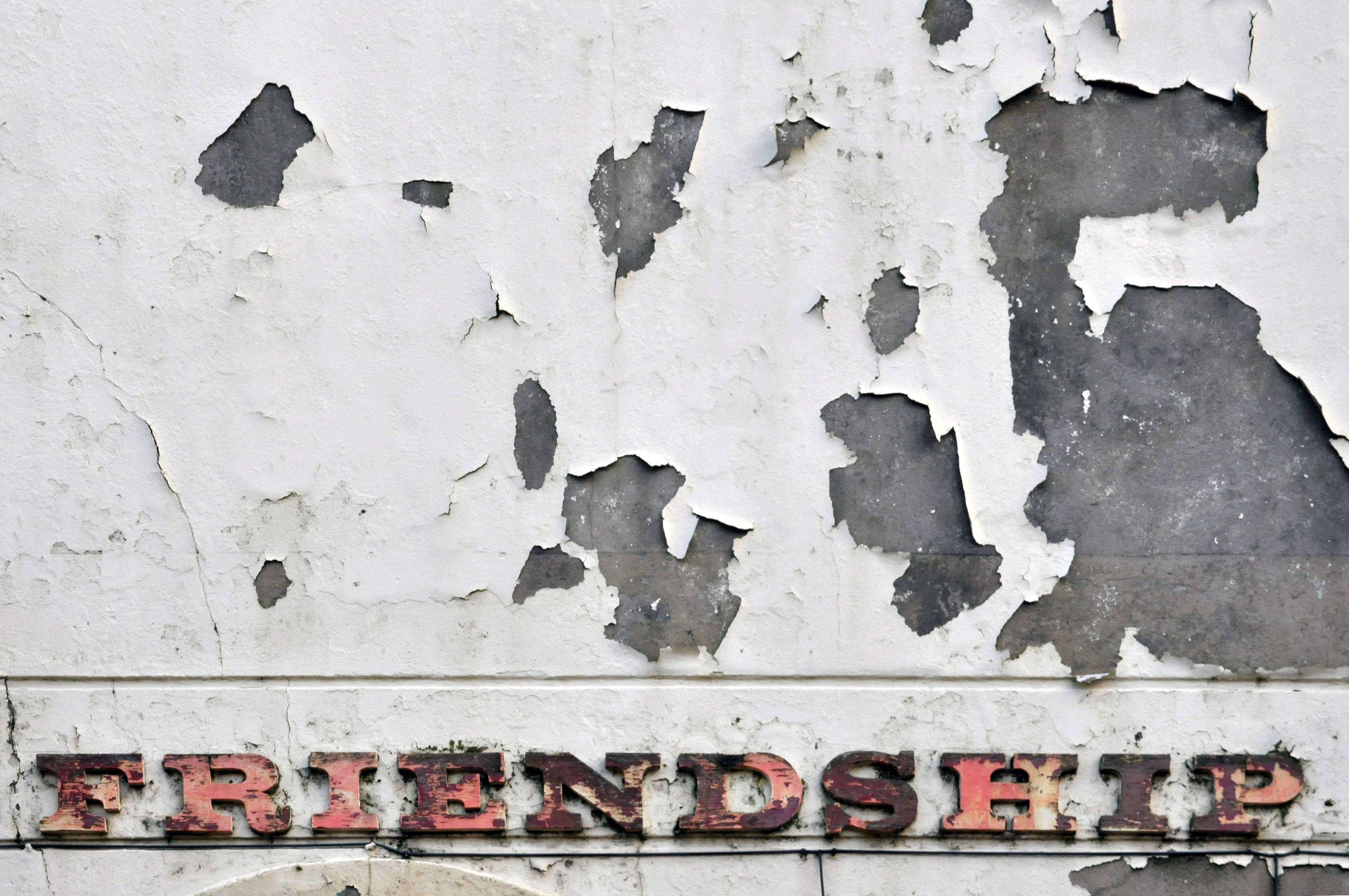
This is a river with an ignominious history – famously damned by émigré Friedrich Engels.

At the bottom flows, or rather stagnates, the Irk, a narrow, coal-black, foul-smelling stream, full of debris and refuse, which it deposits on the shallower right bank.

Mr Engels currently resides by the Medlock.

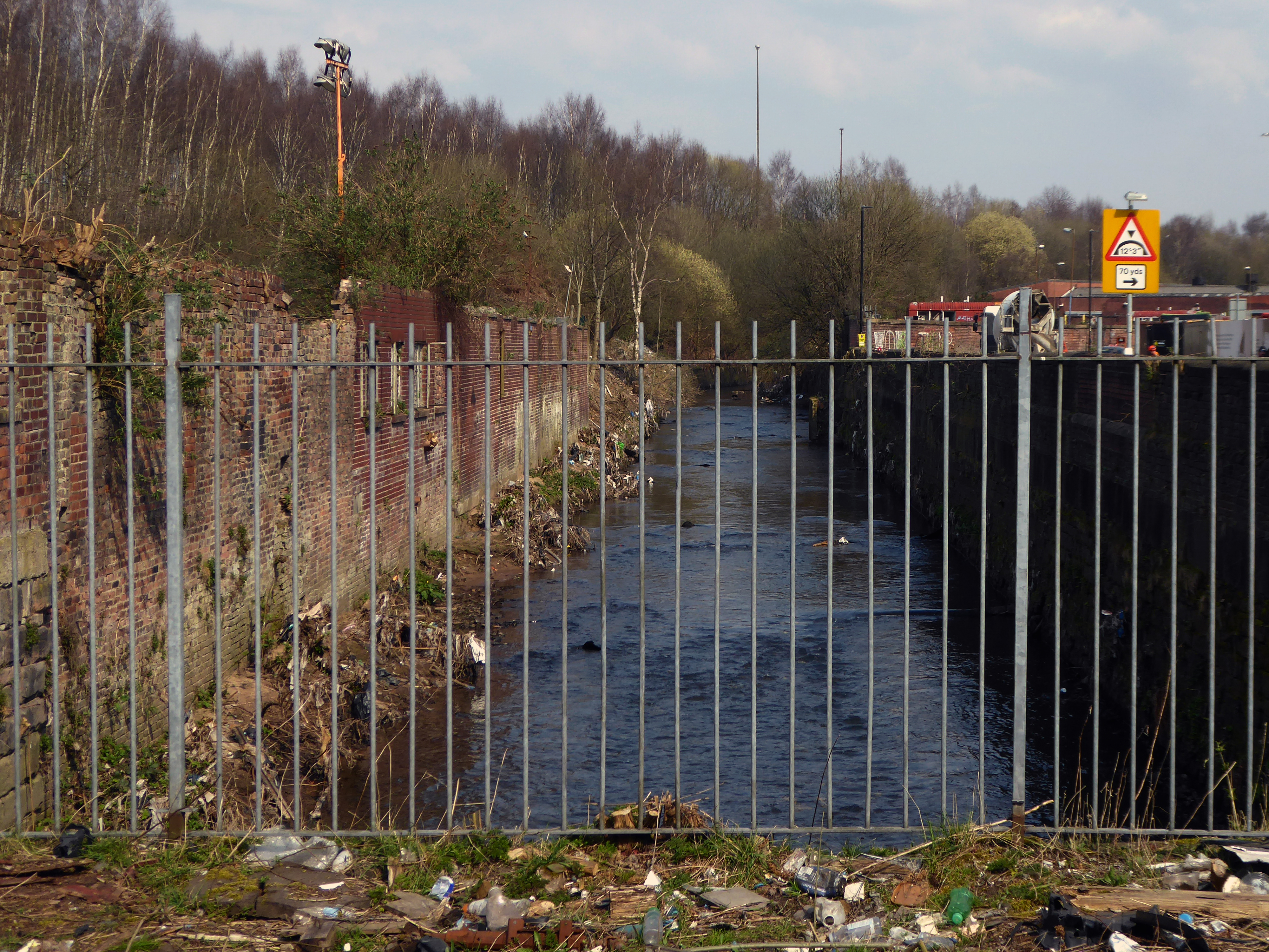
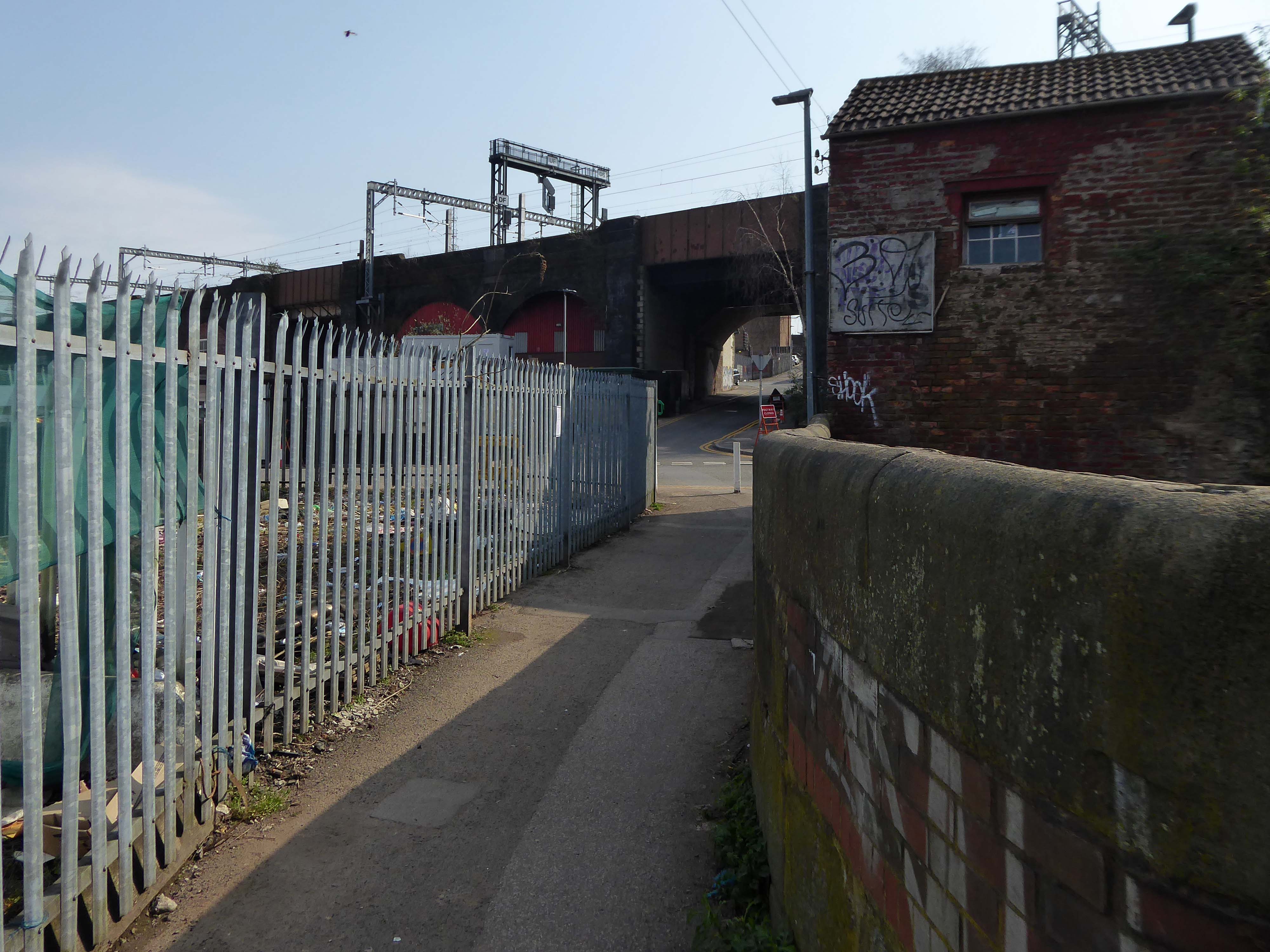
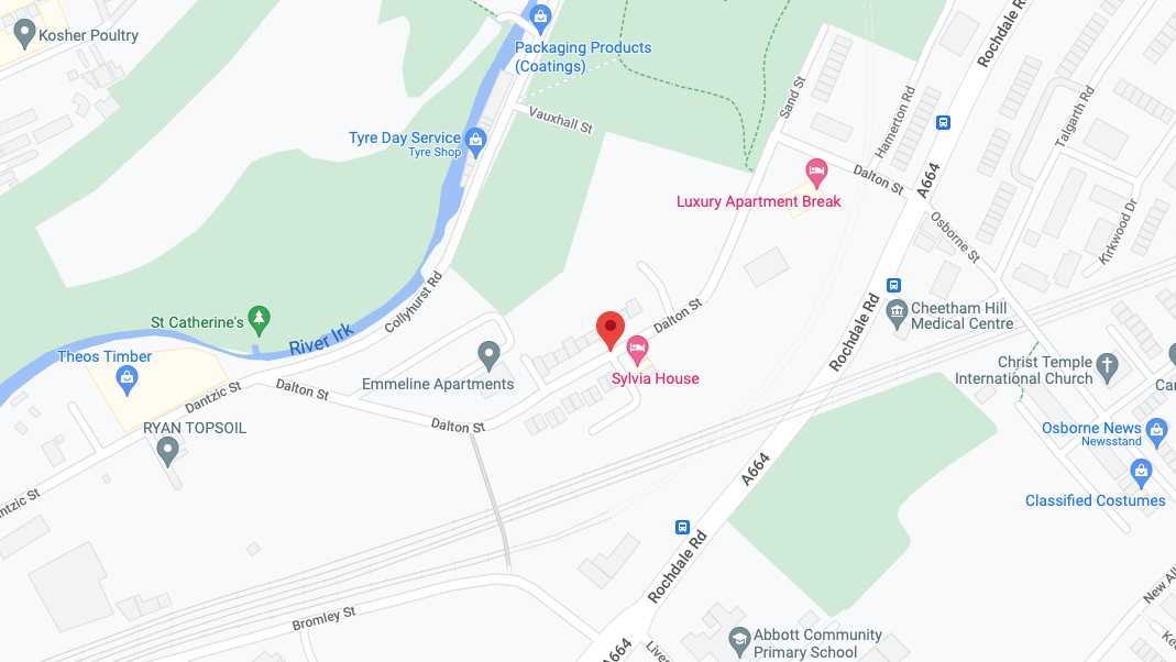
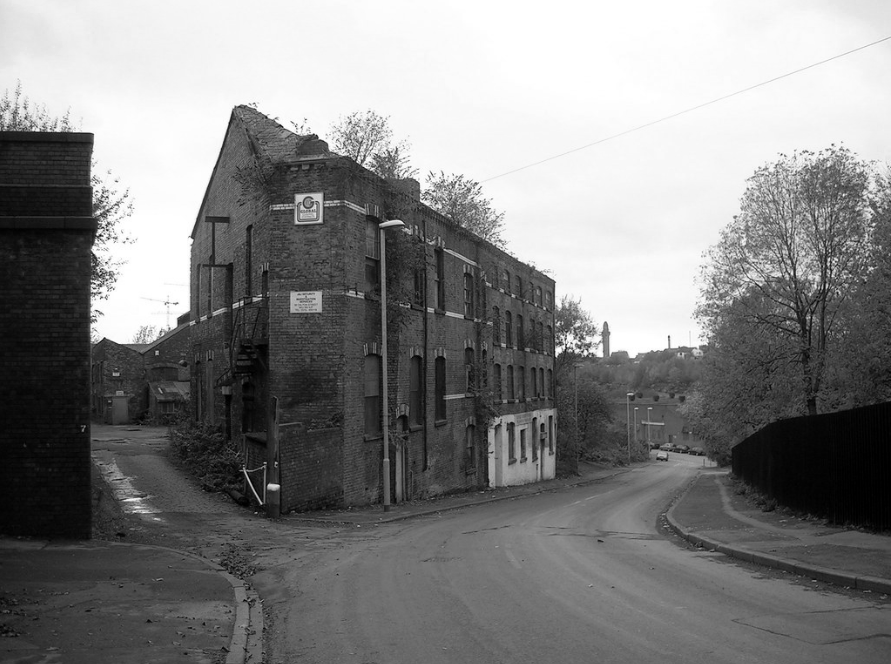
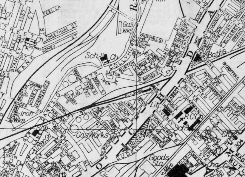
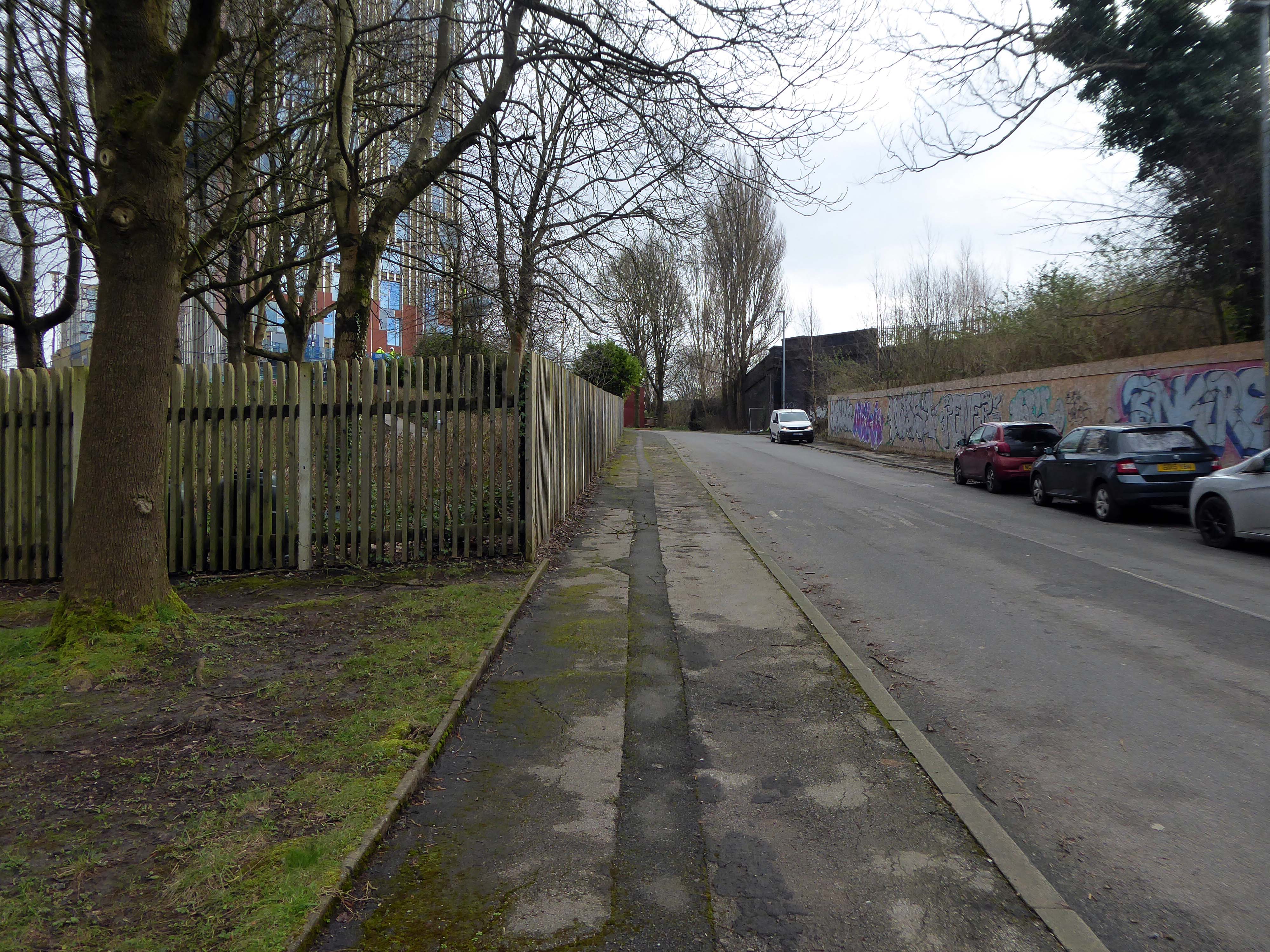
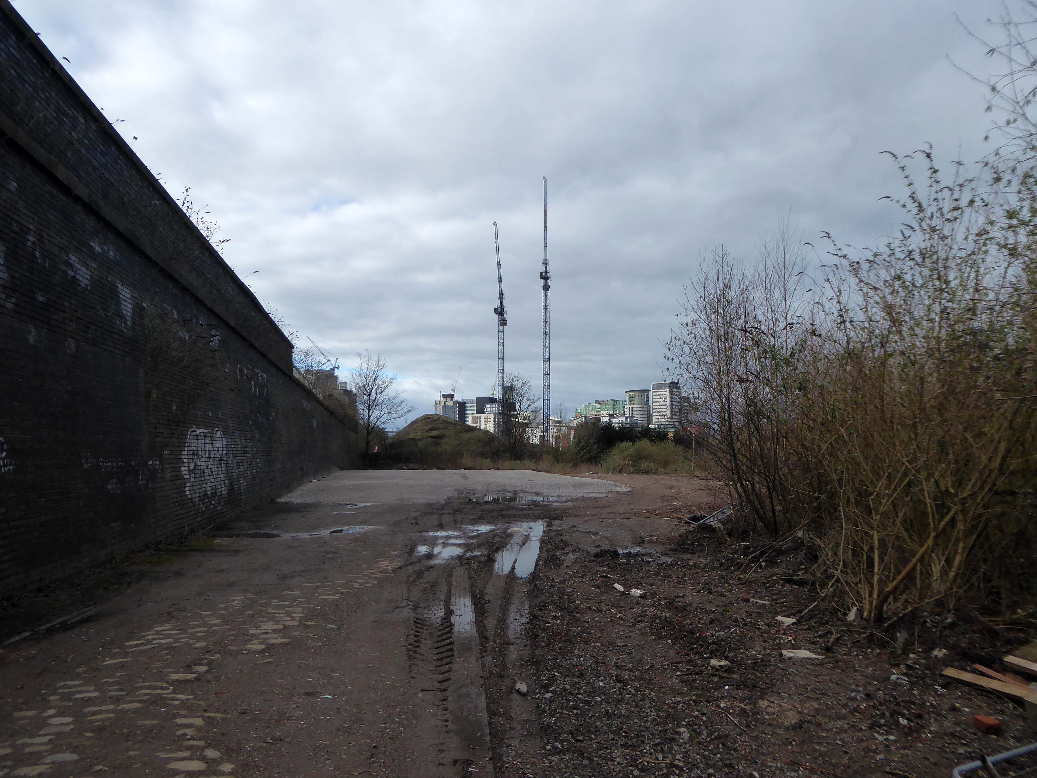
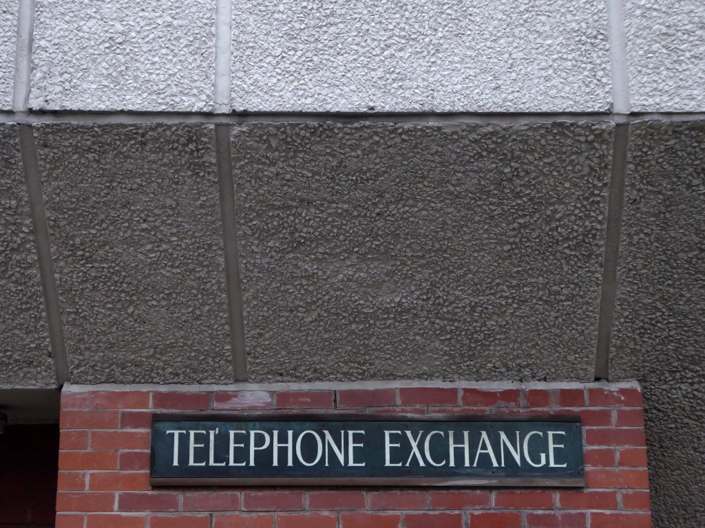
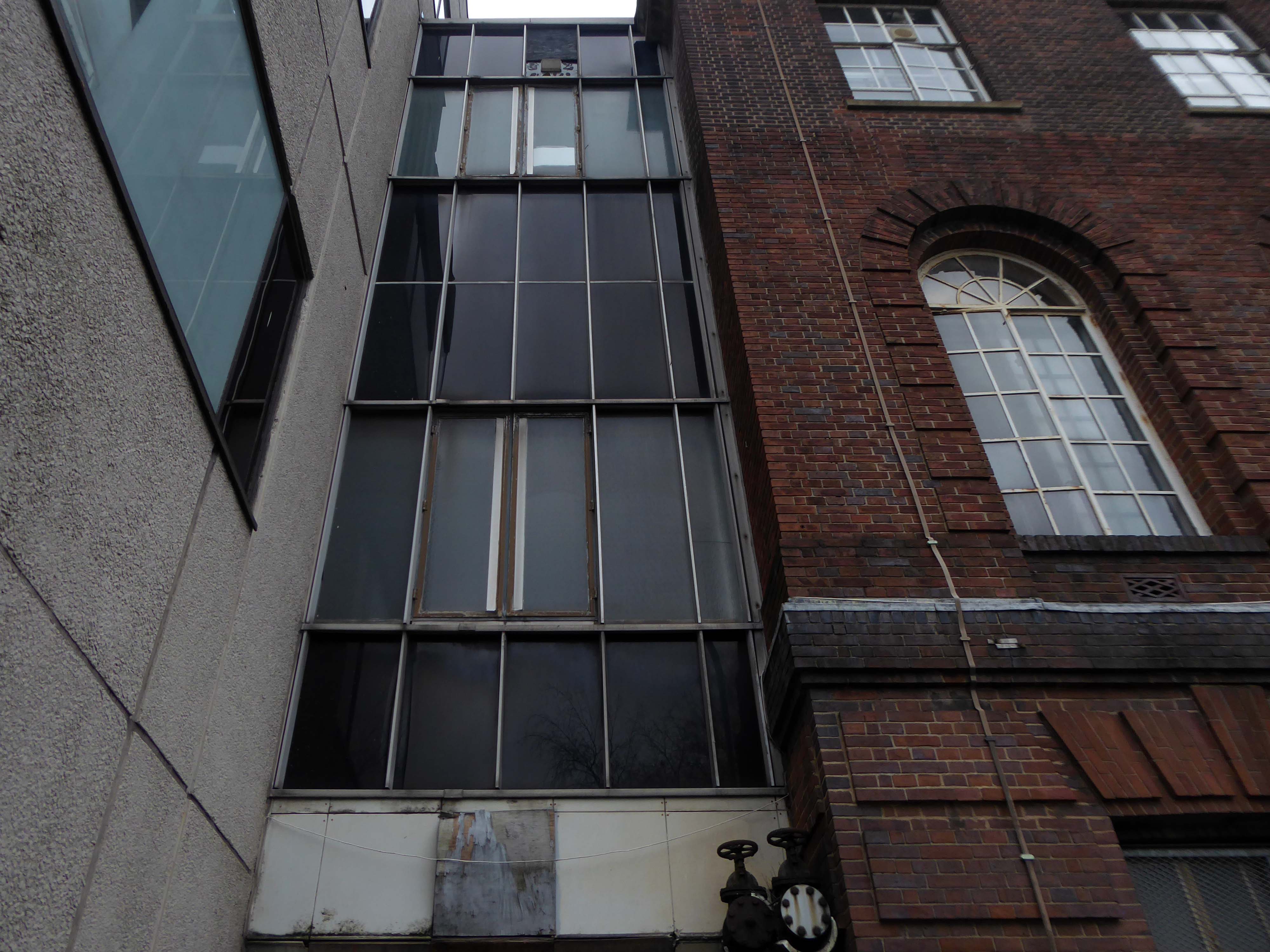
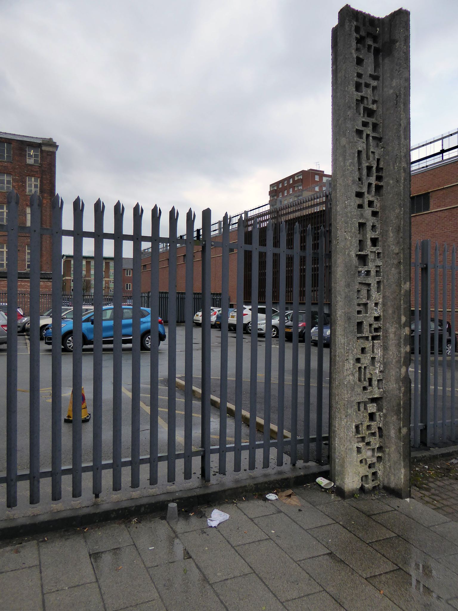
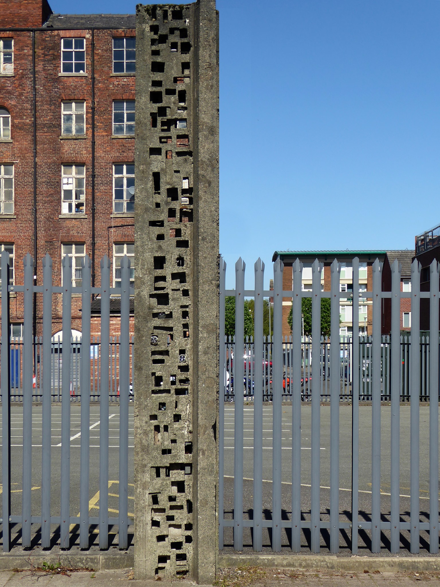
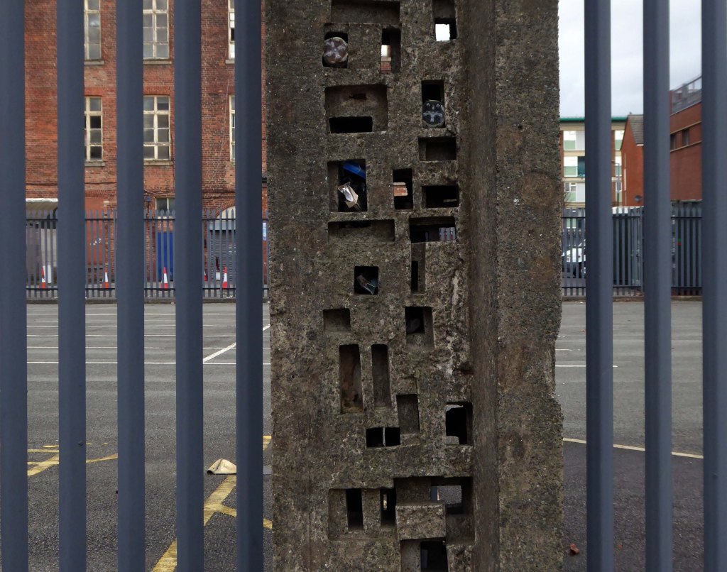
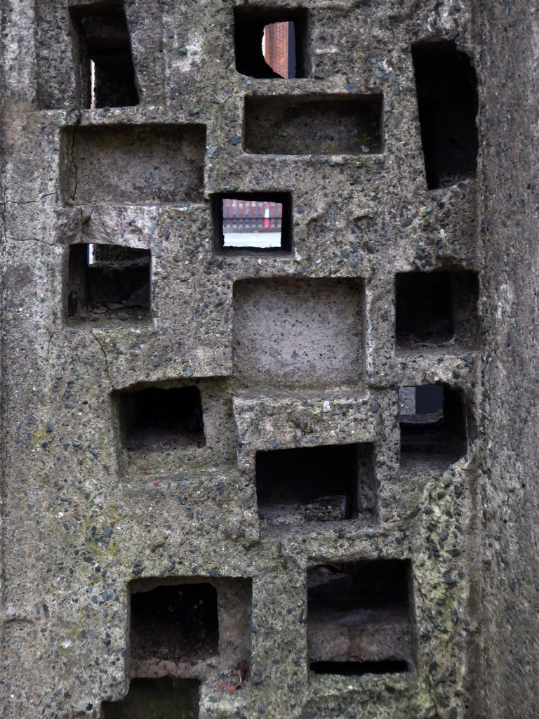
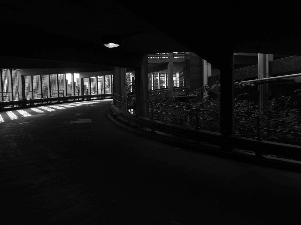
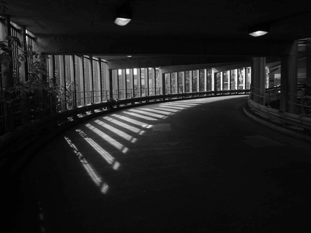
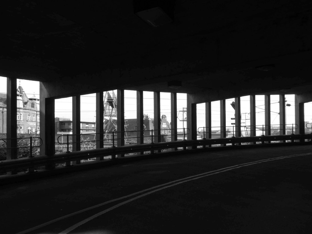
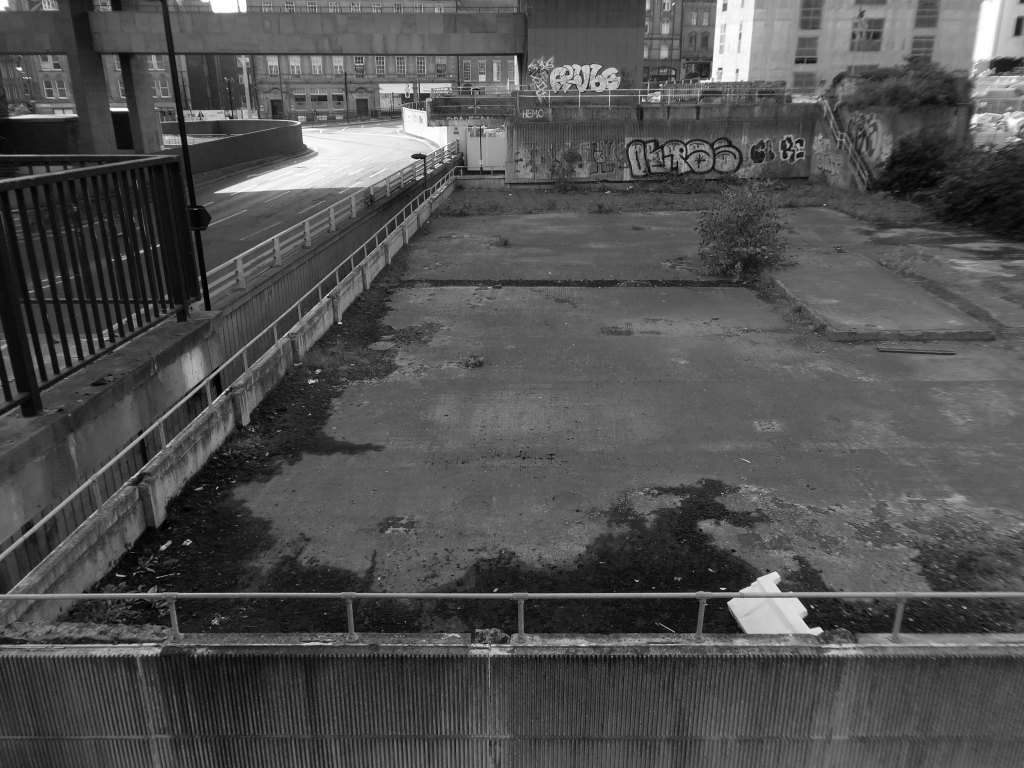
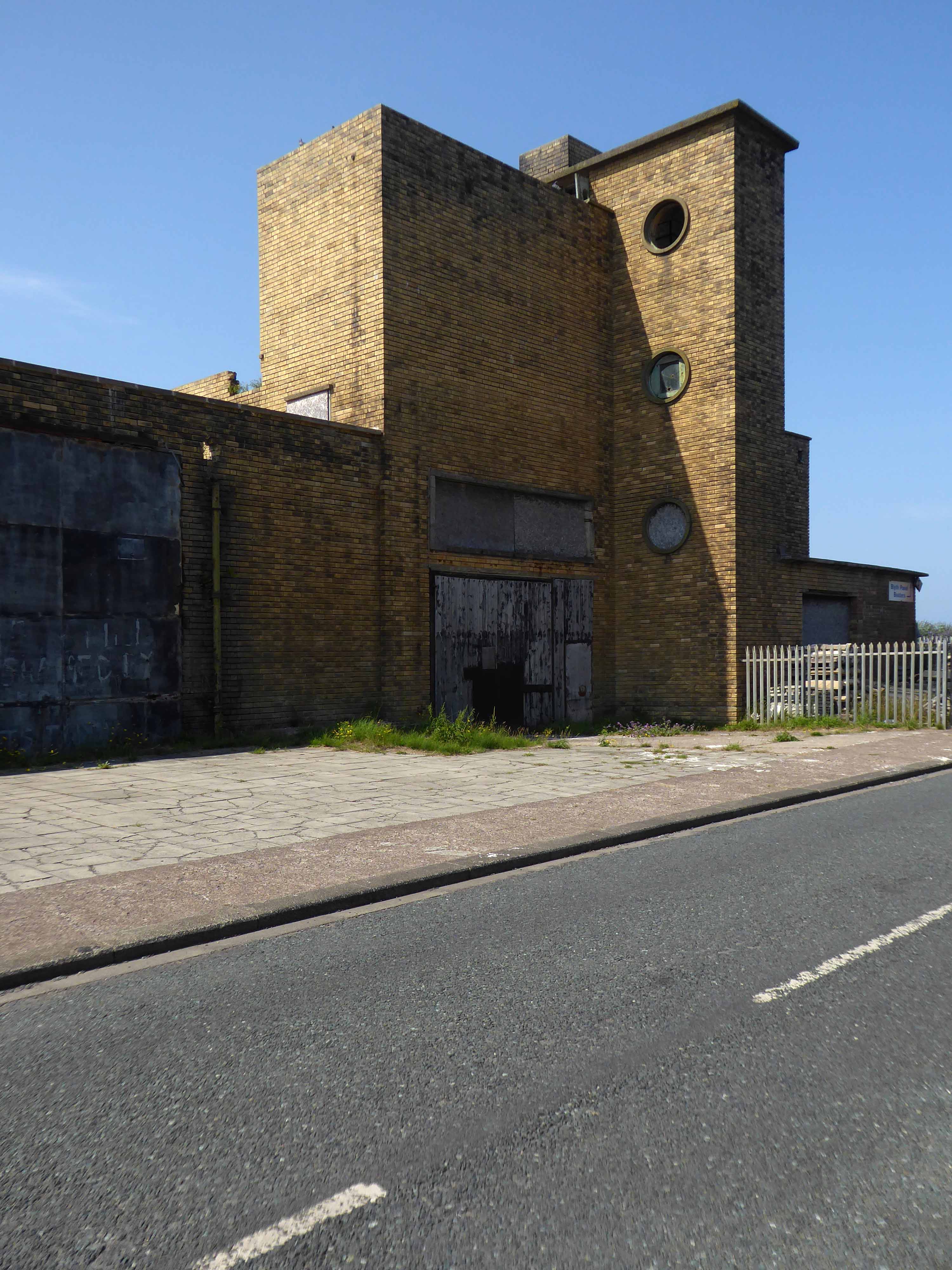
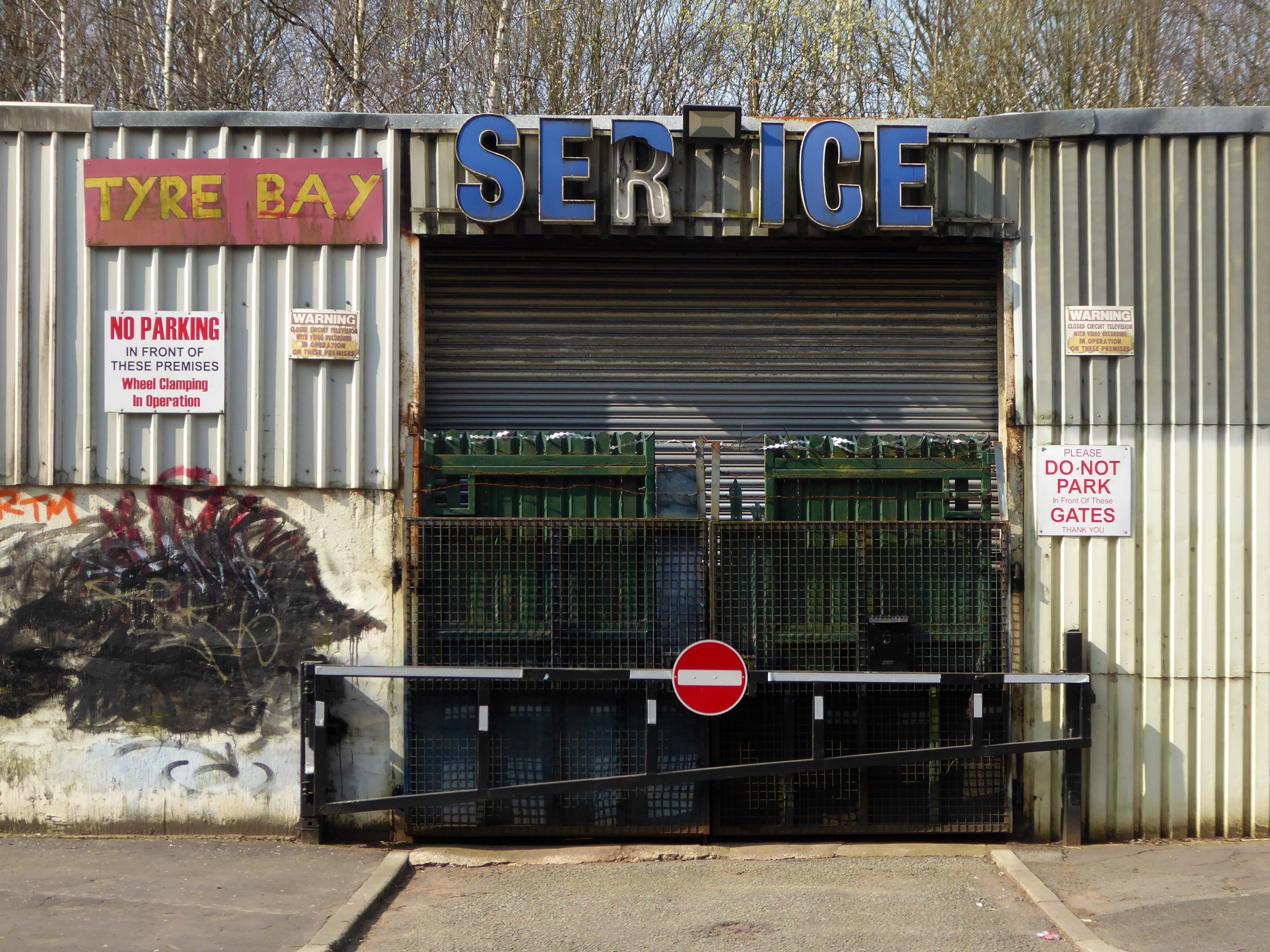
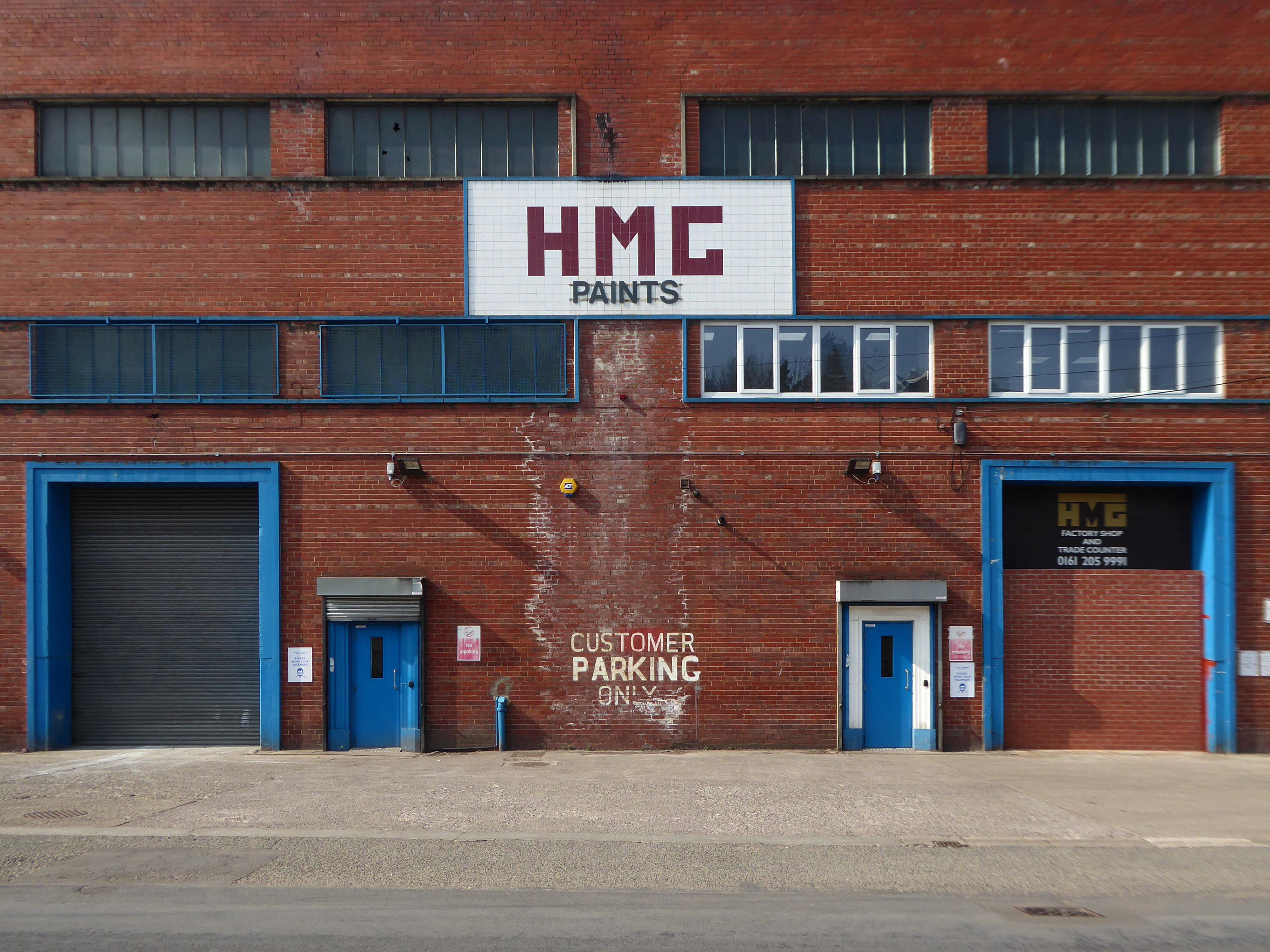
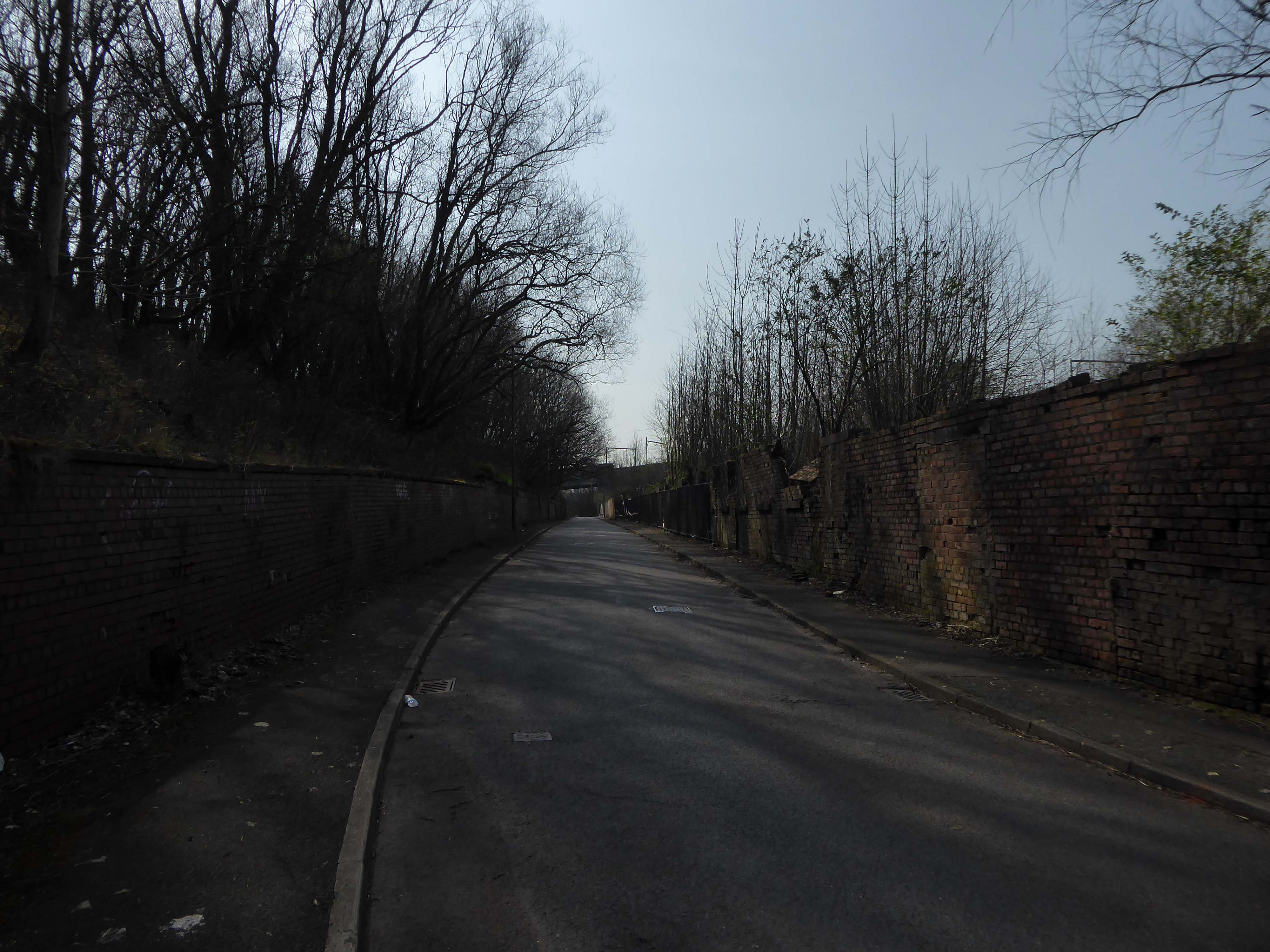
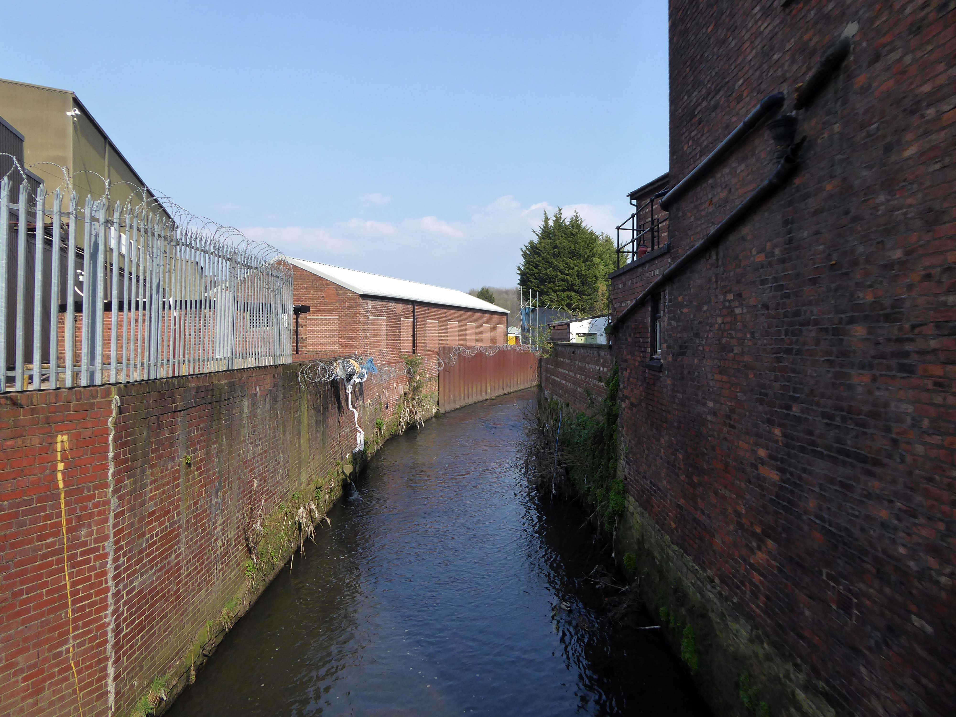
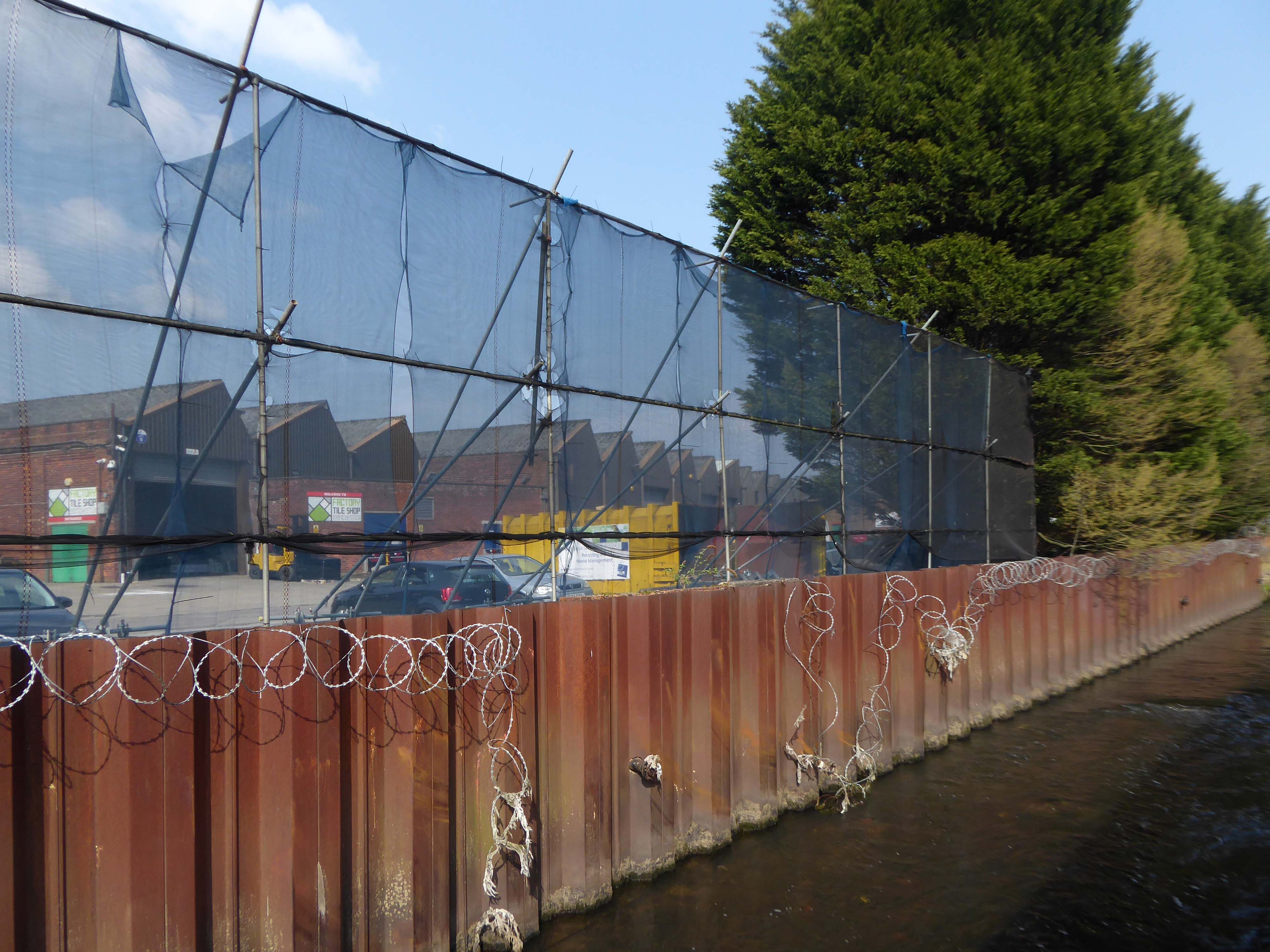
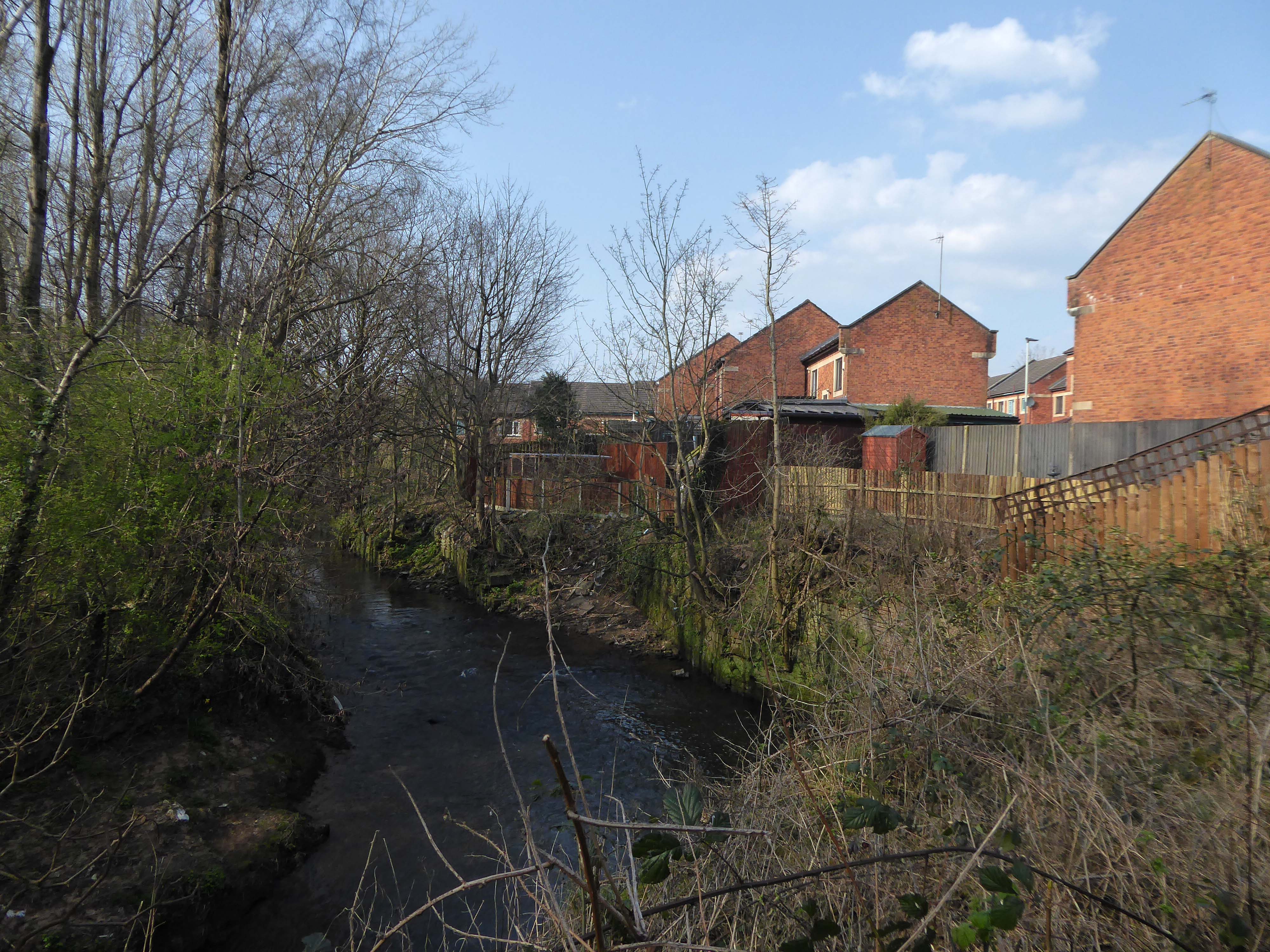
The stretch along Dantzic Street into Collyhurst Road was heavily industrialised, of which some remnants prevail.

Along with an abandoned traveller’s camp, where once the gas works had stood.

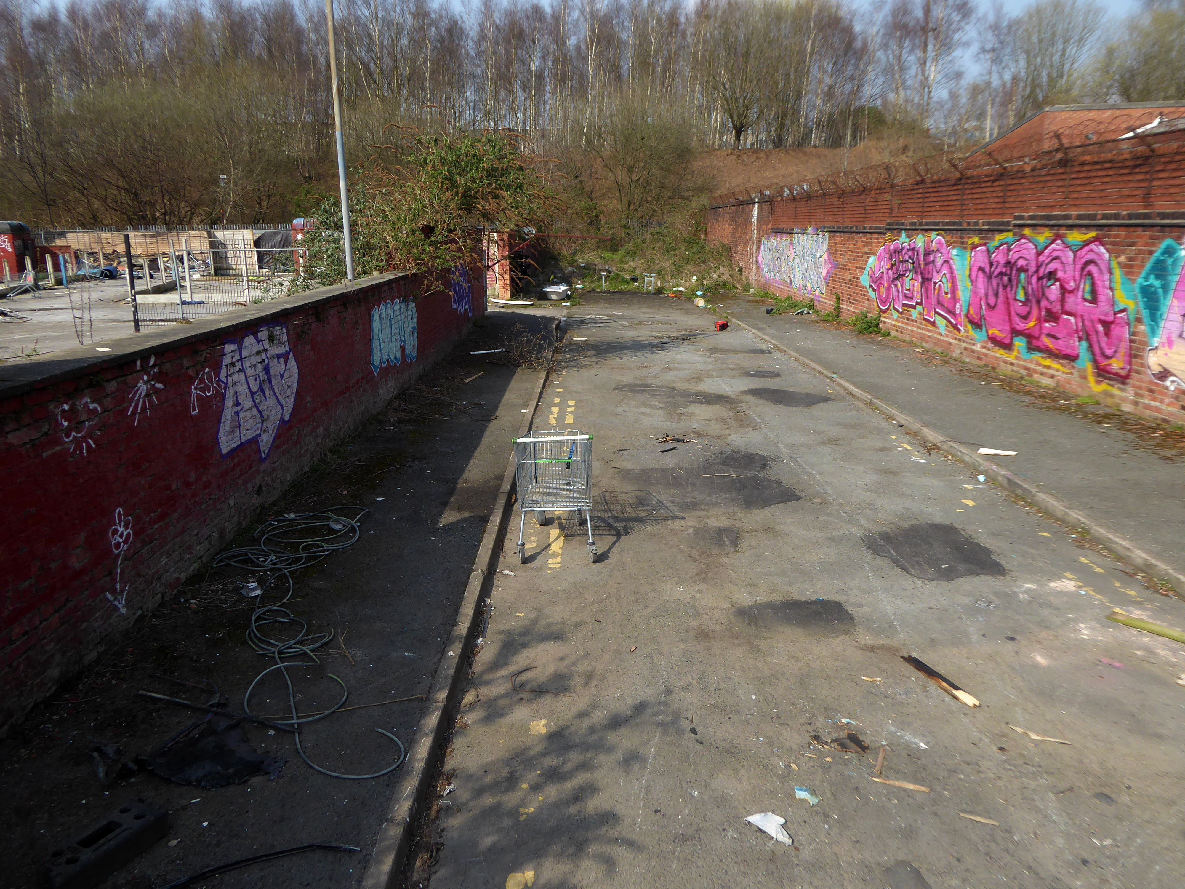
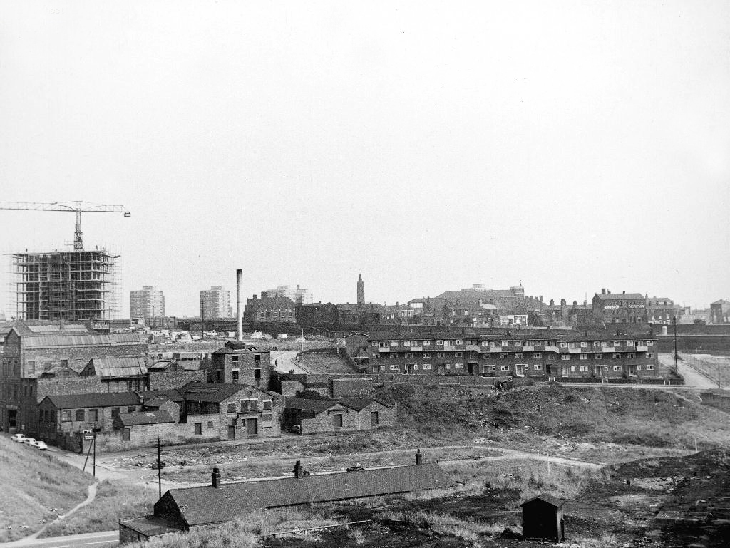
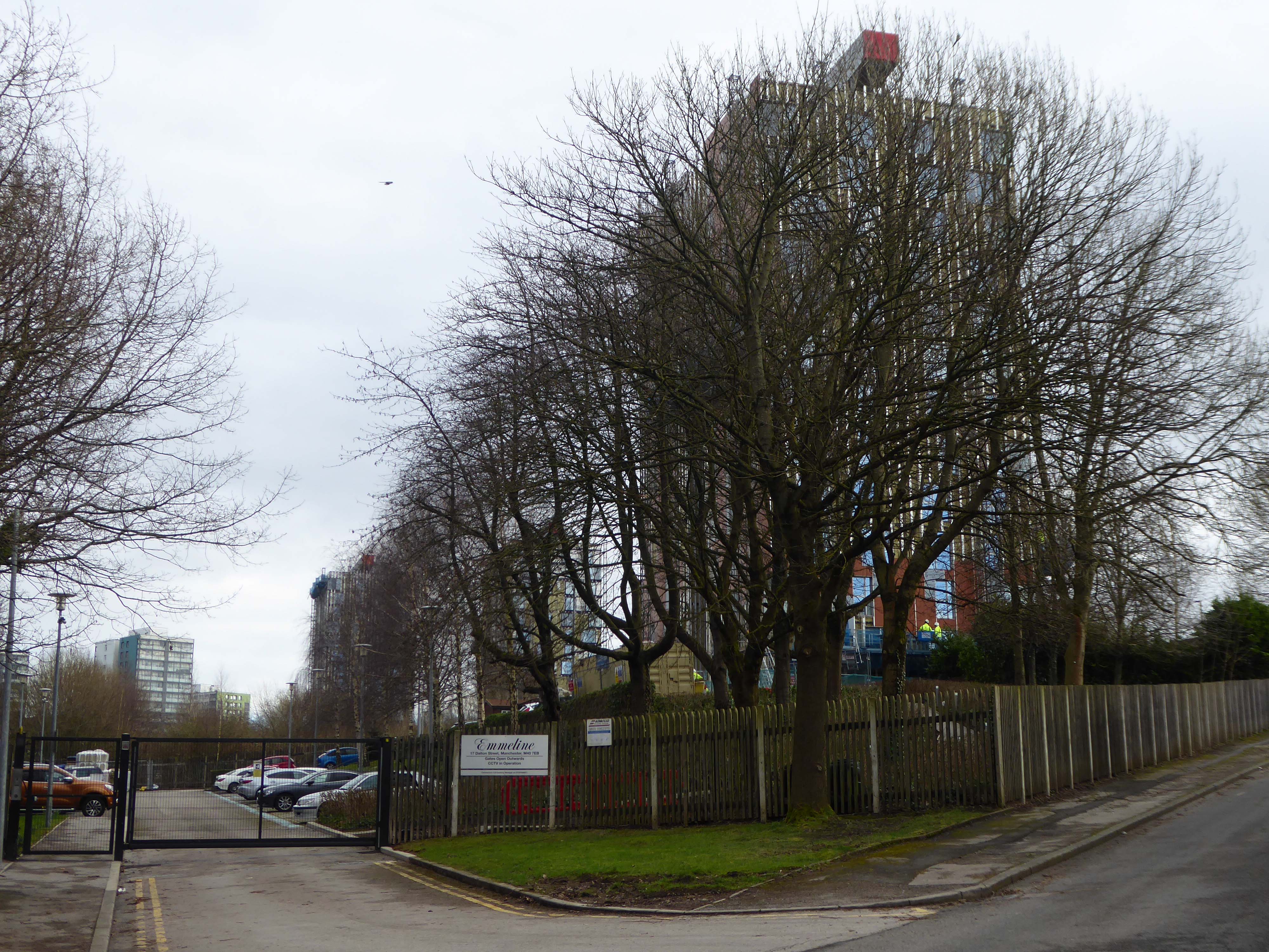
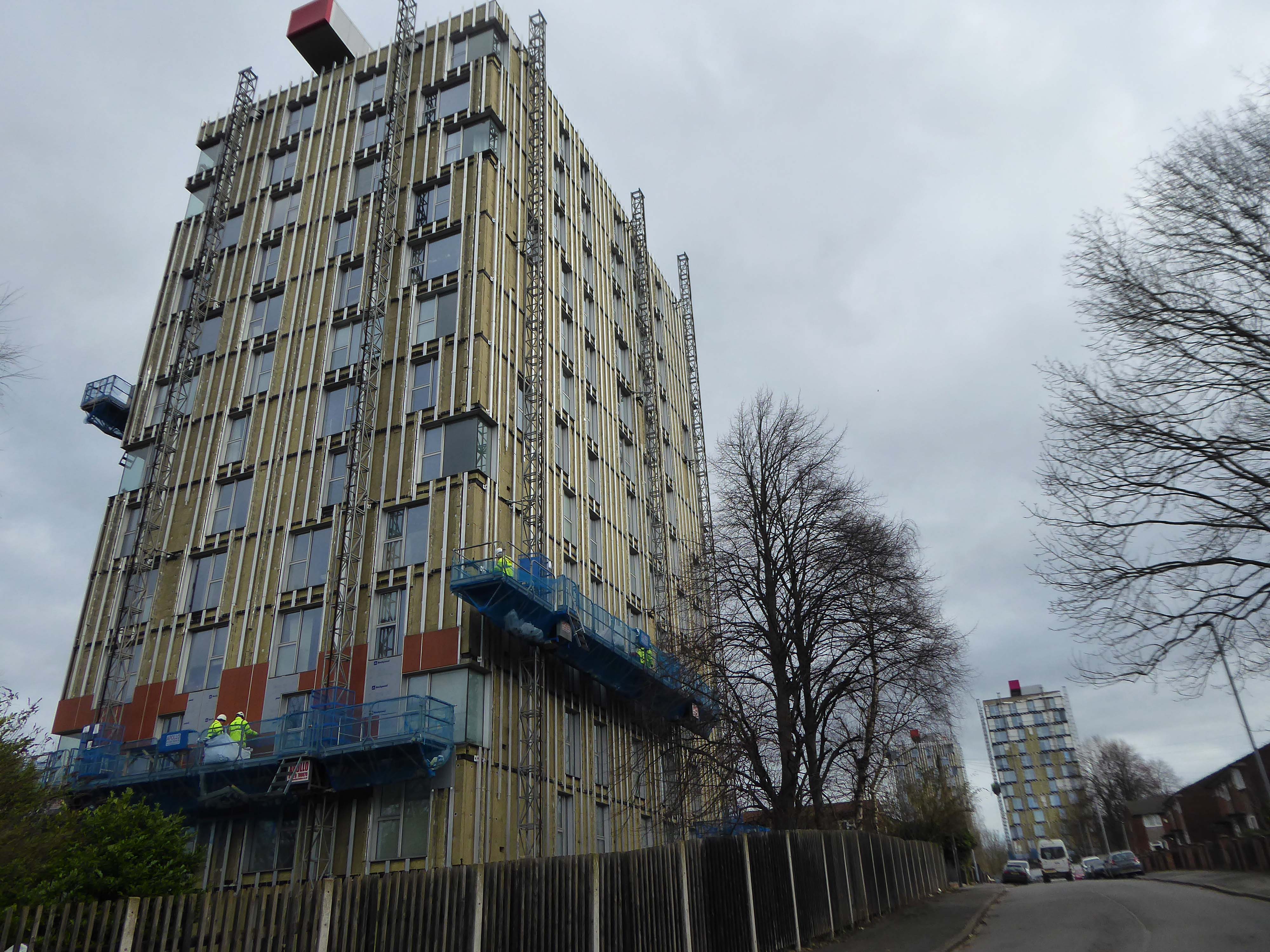
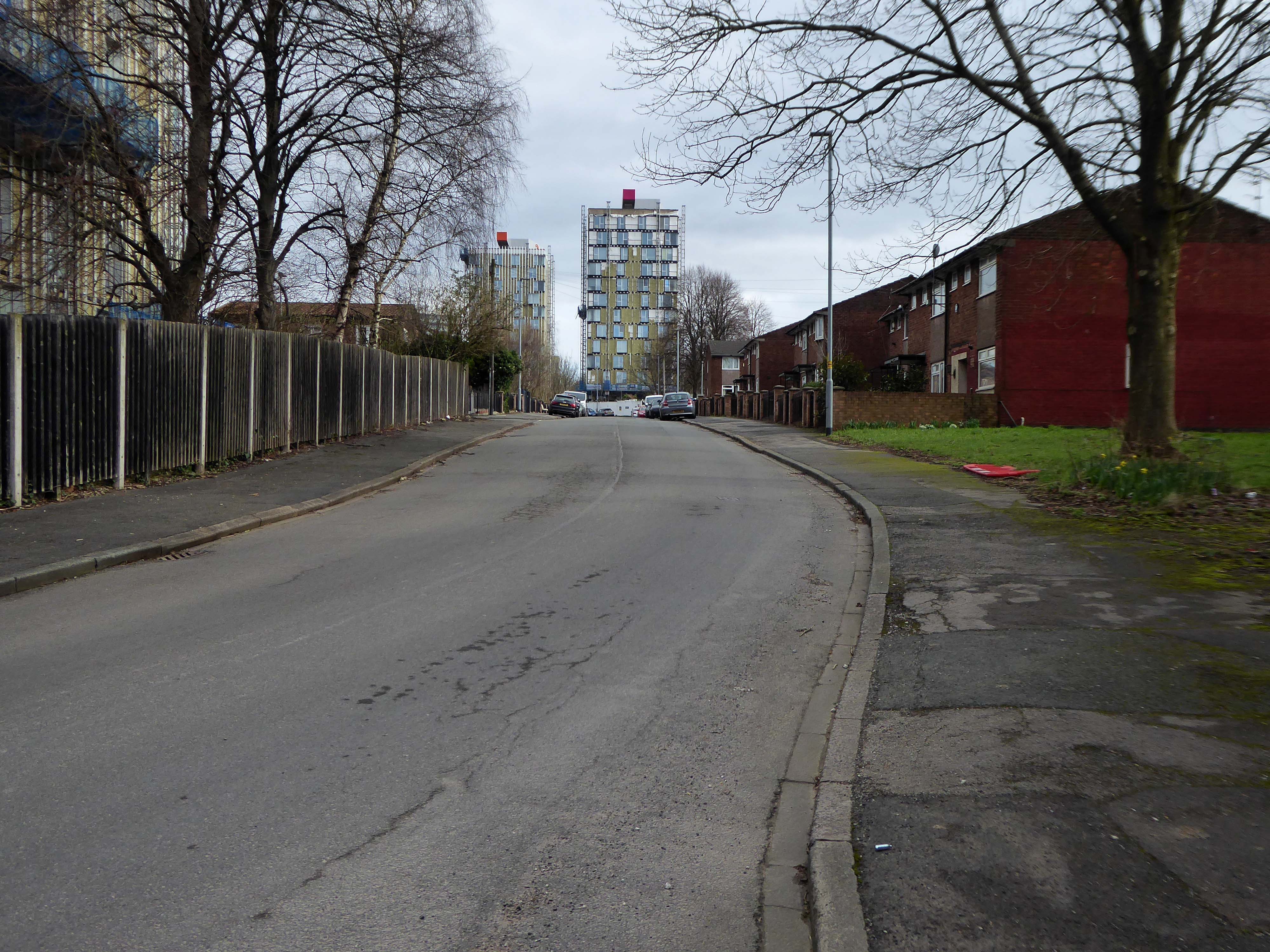
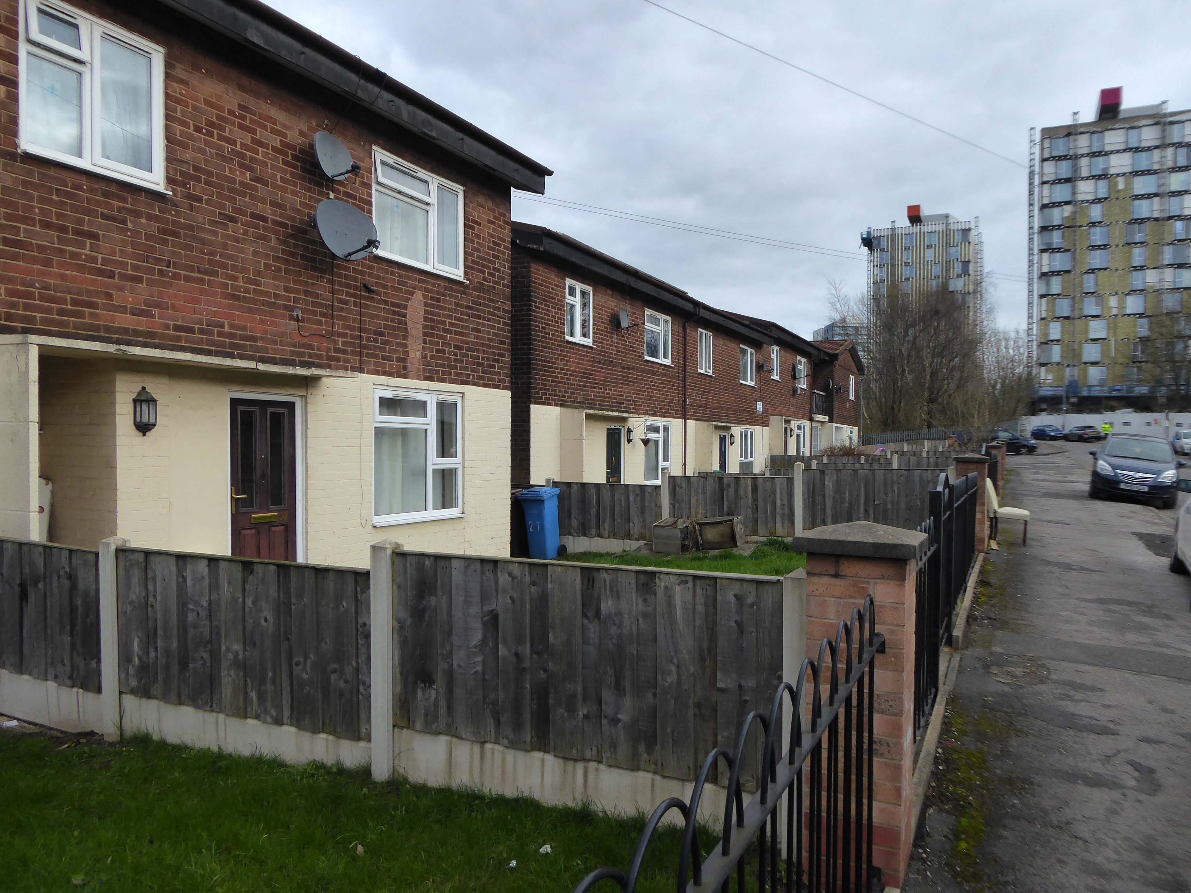
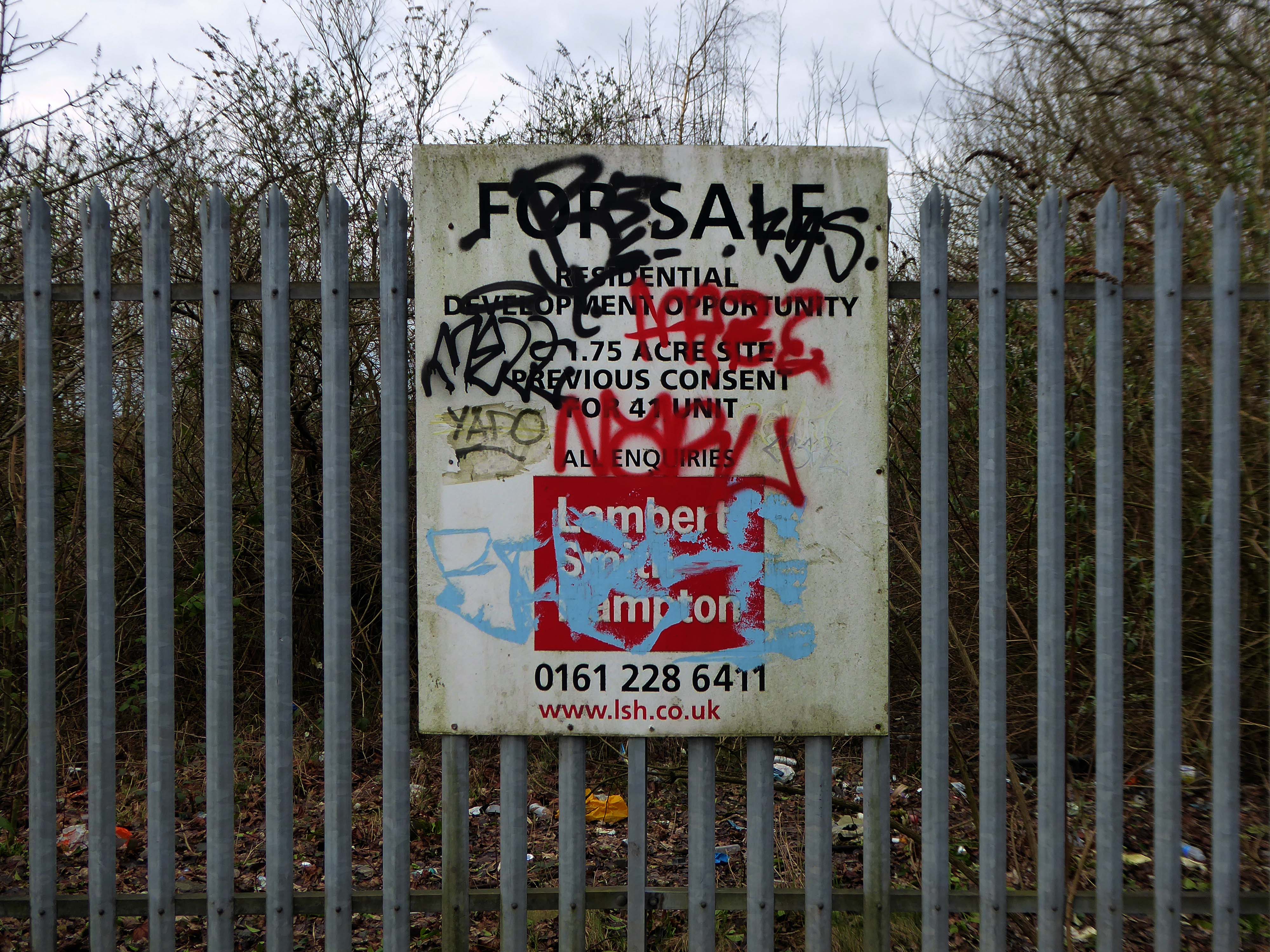
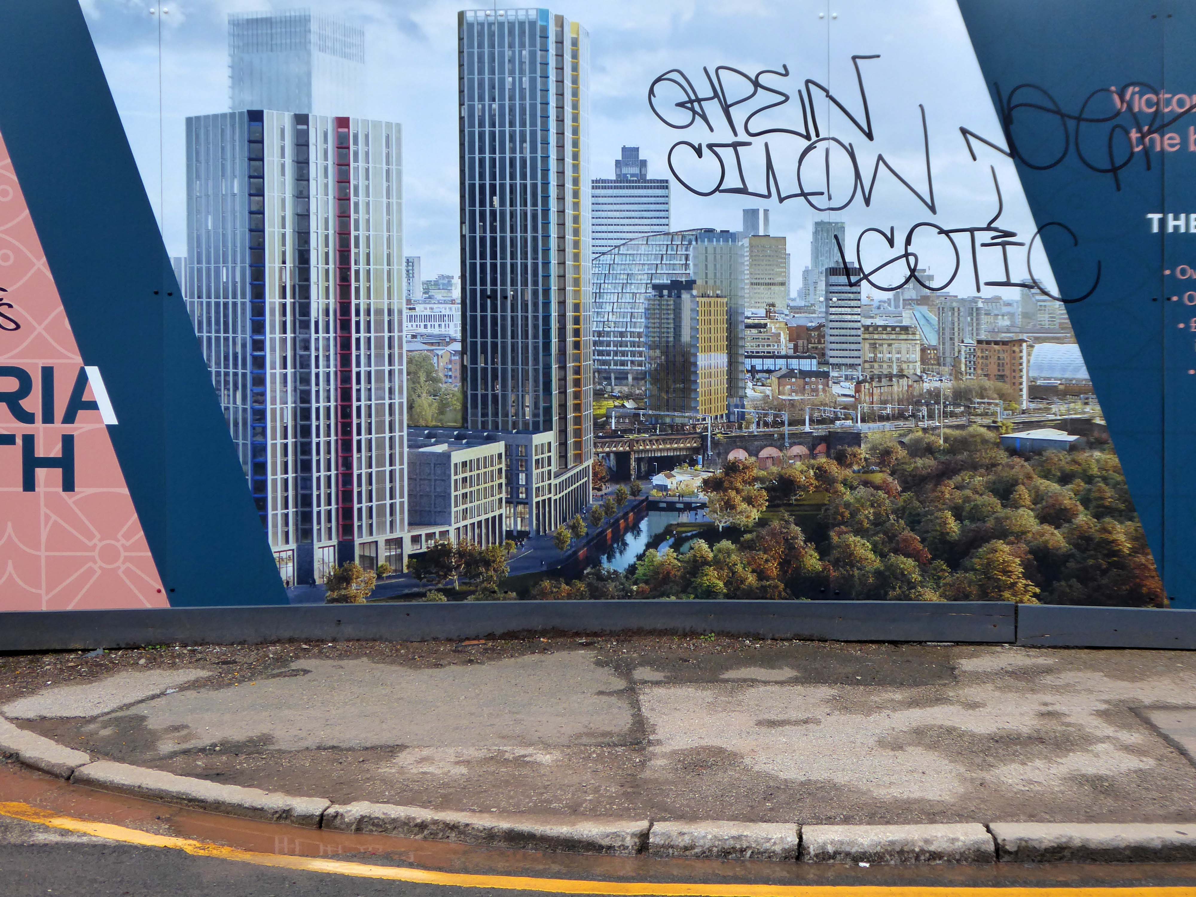
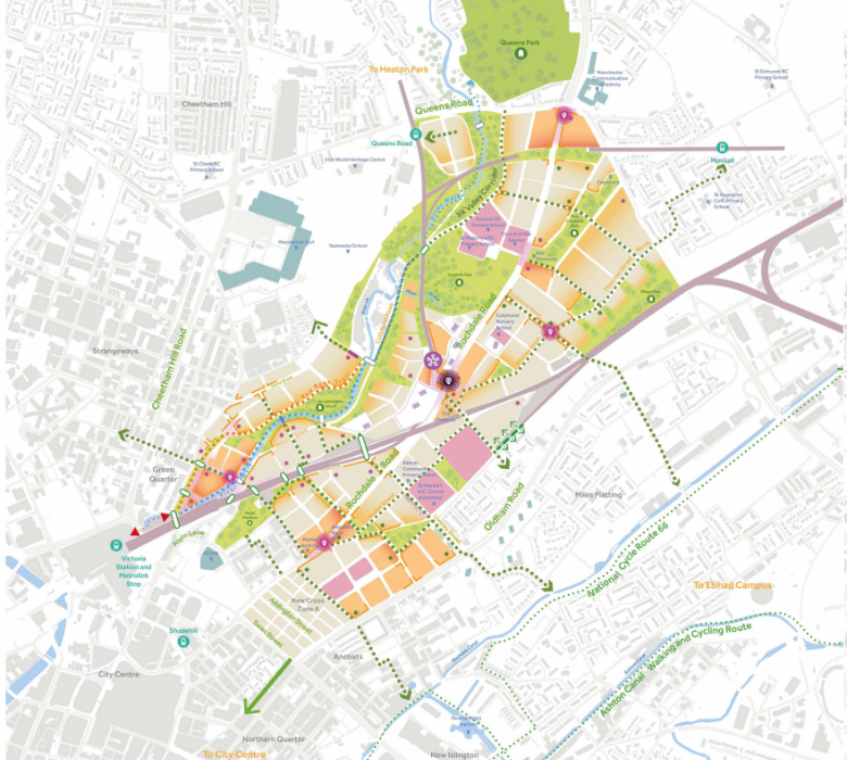
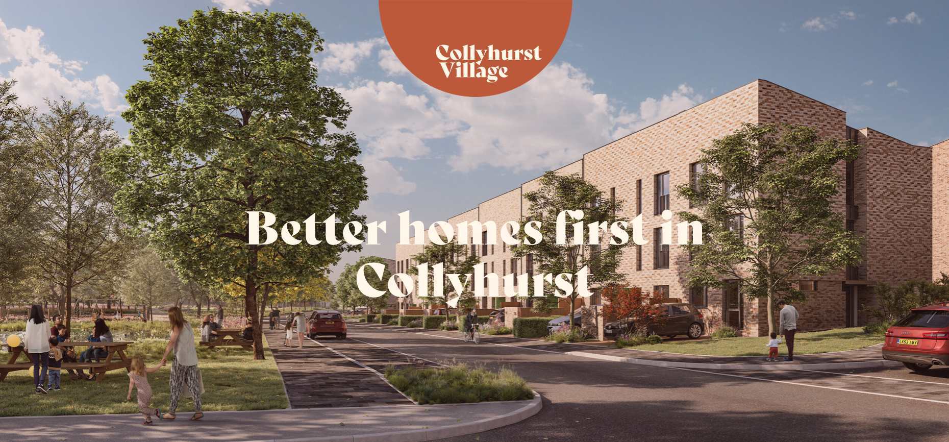
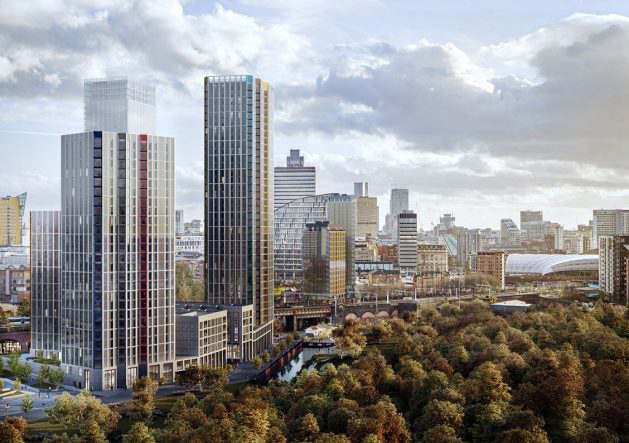
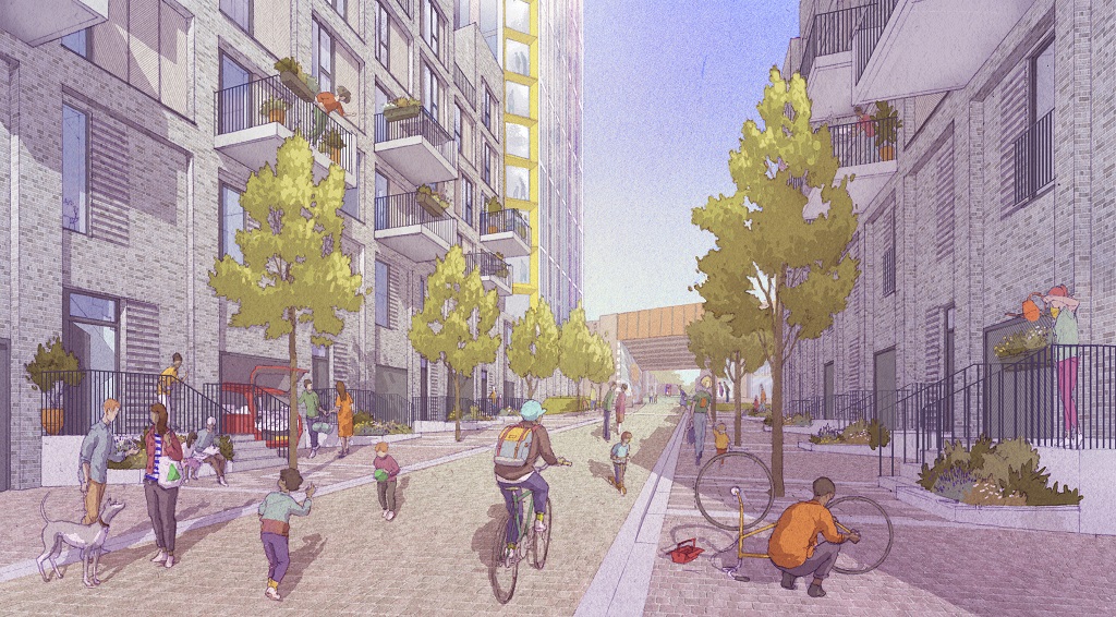
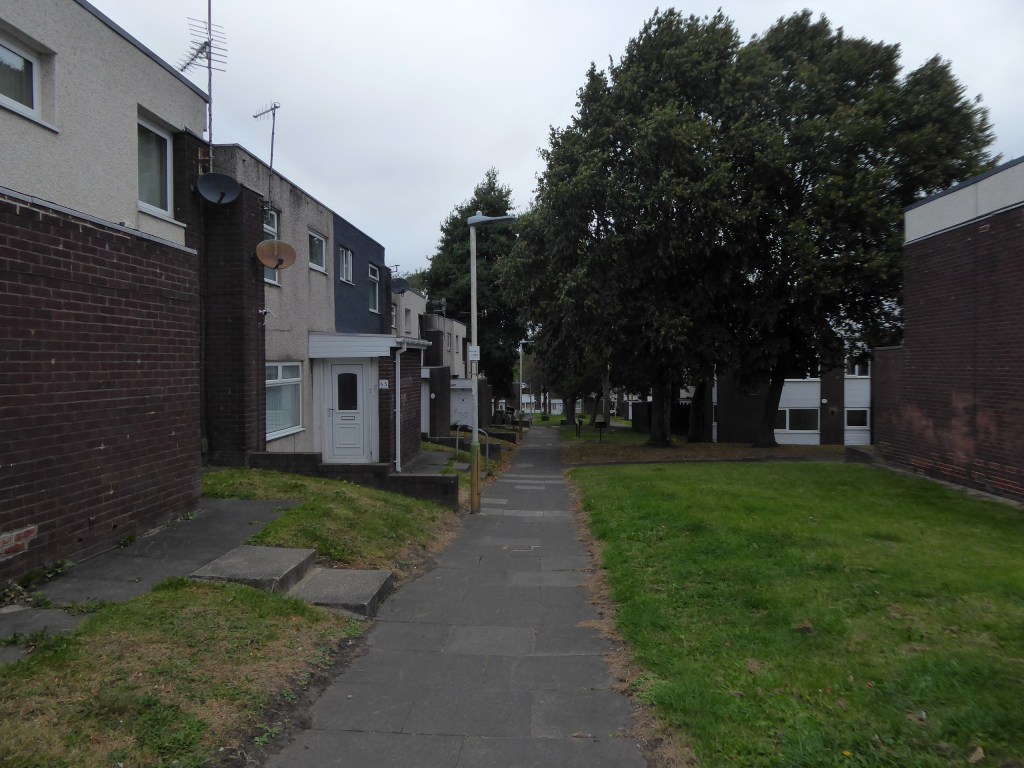
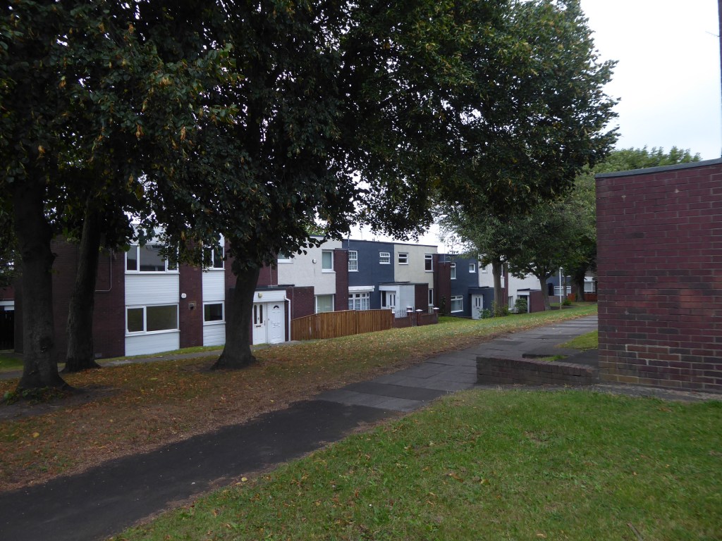
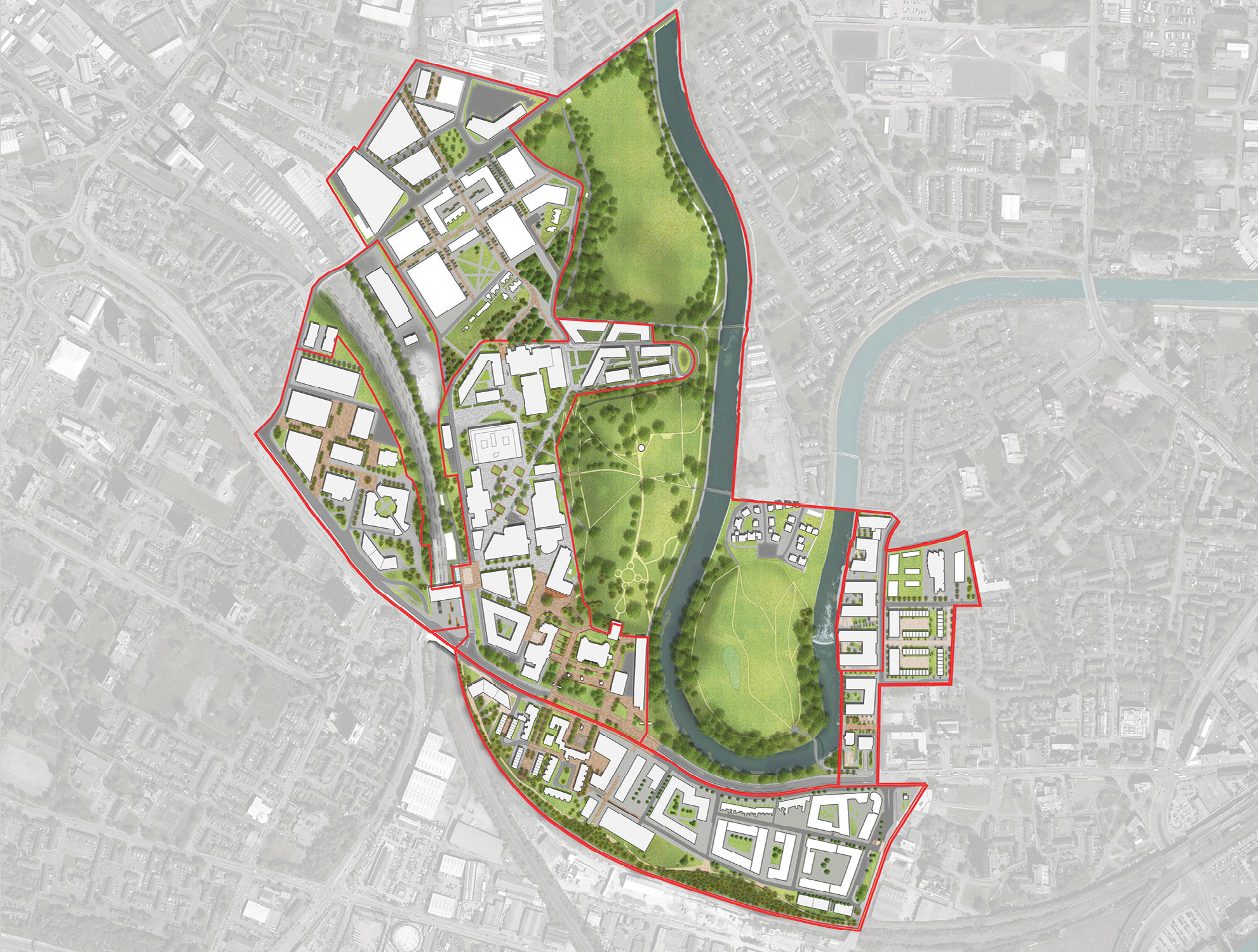
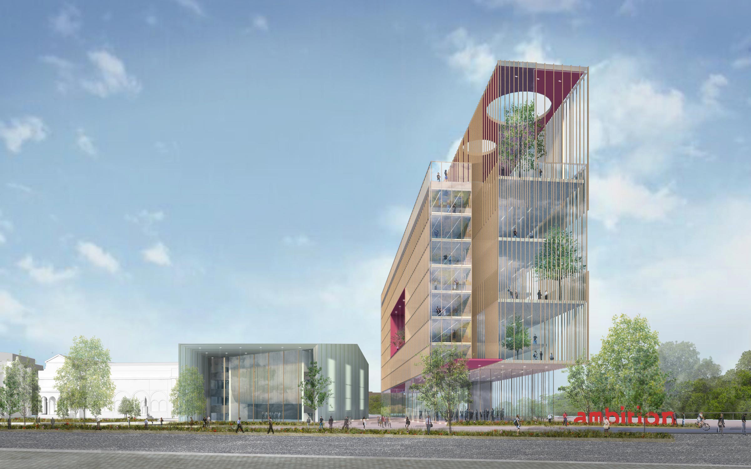
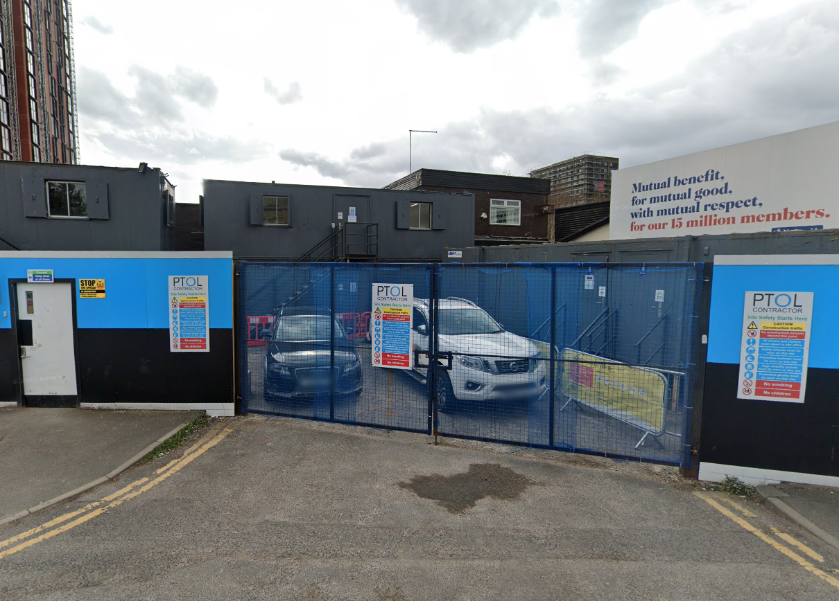
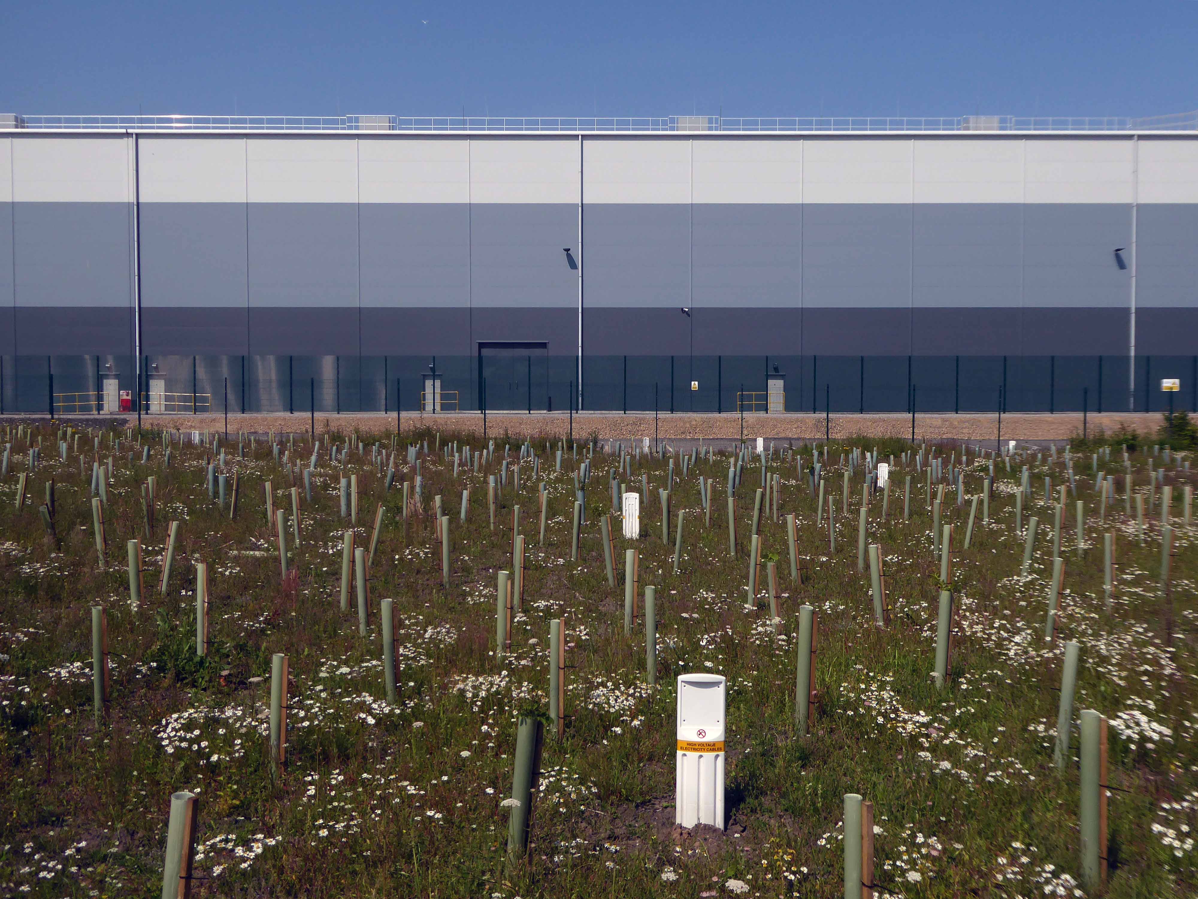
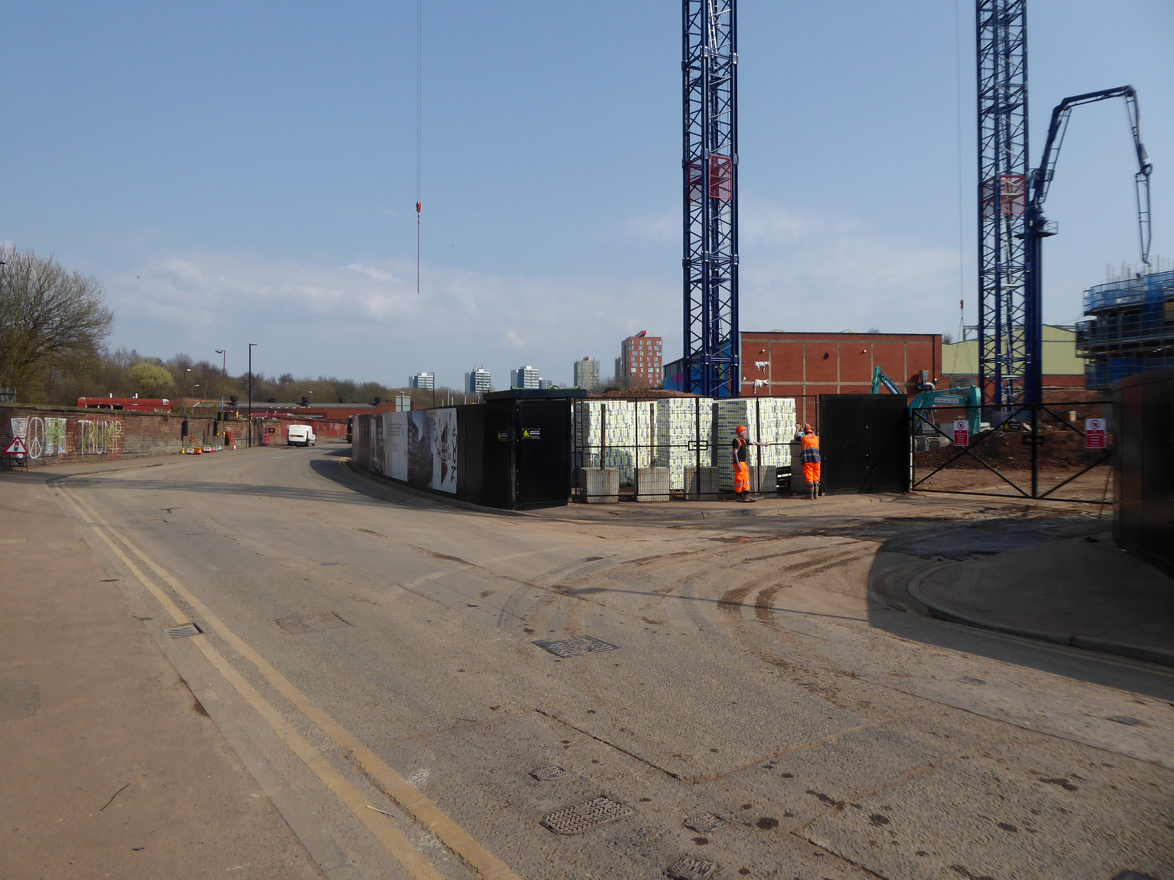
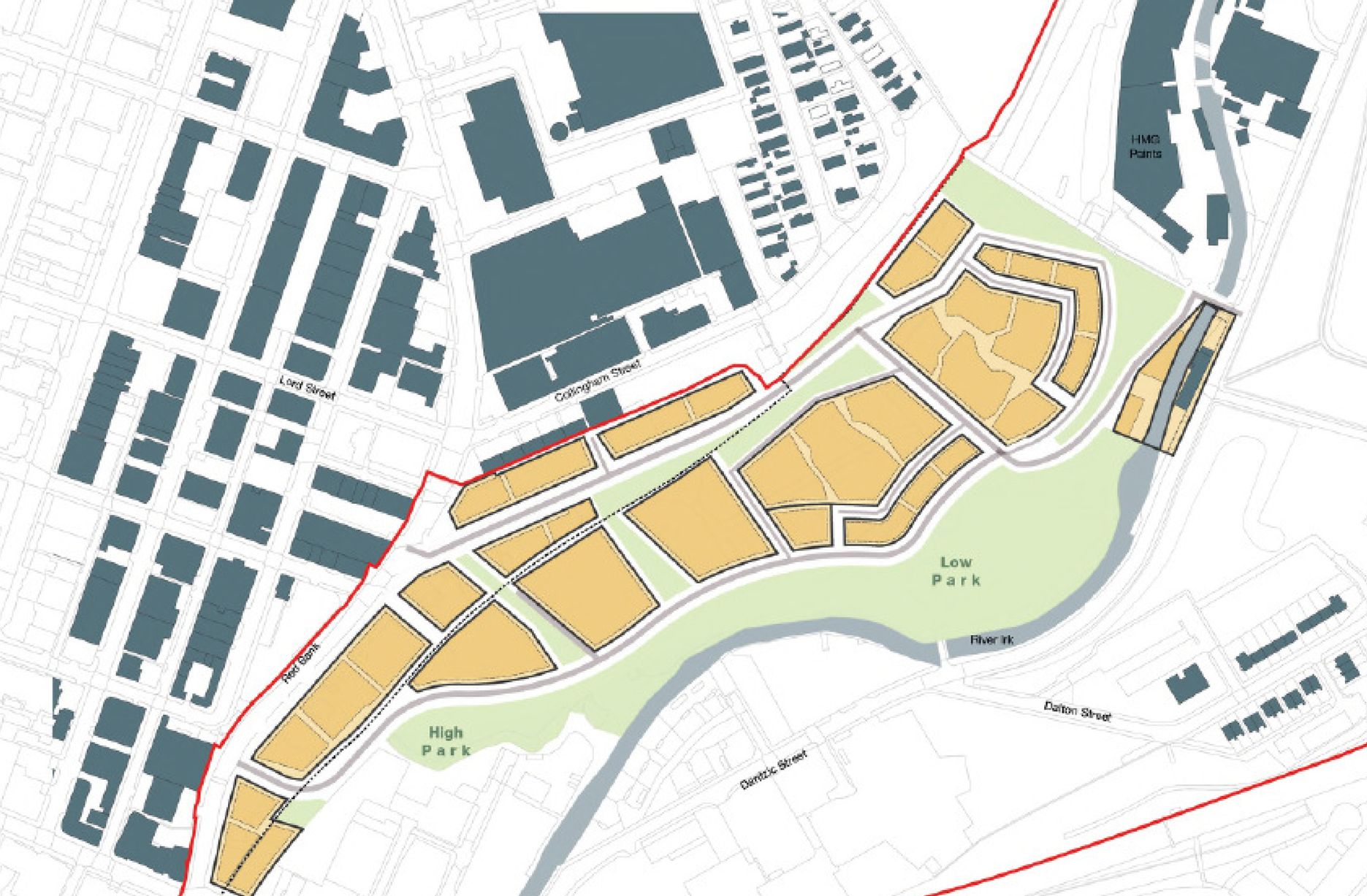
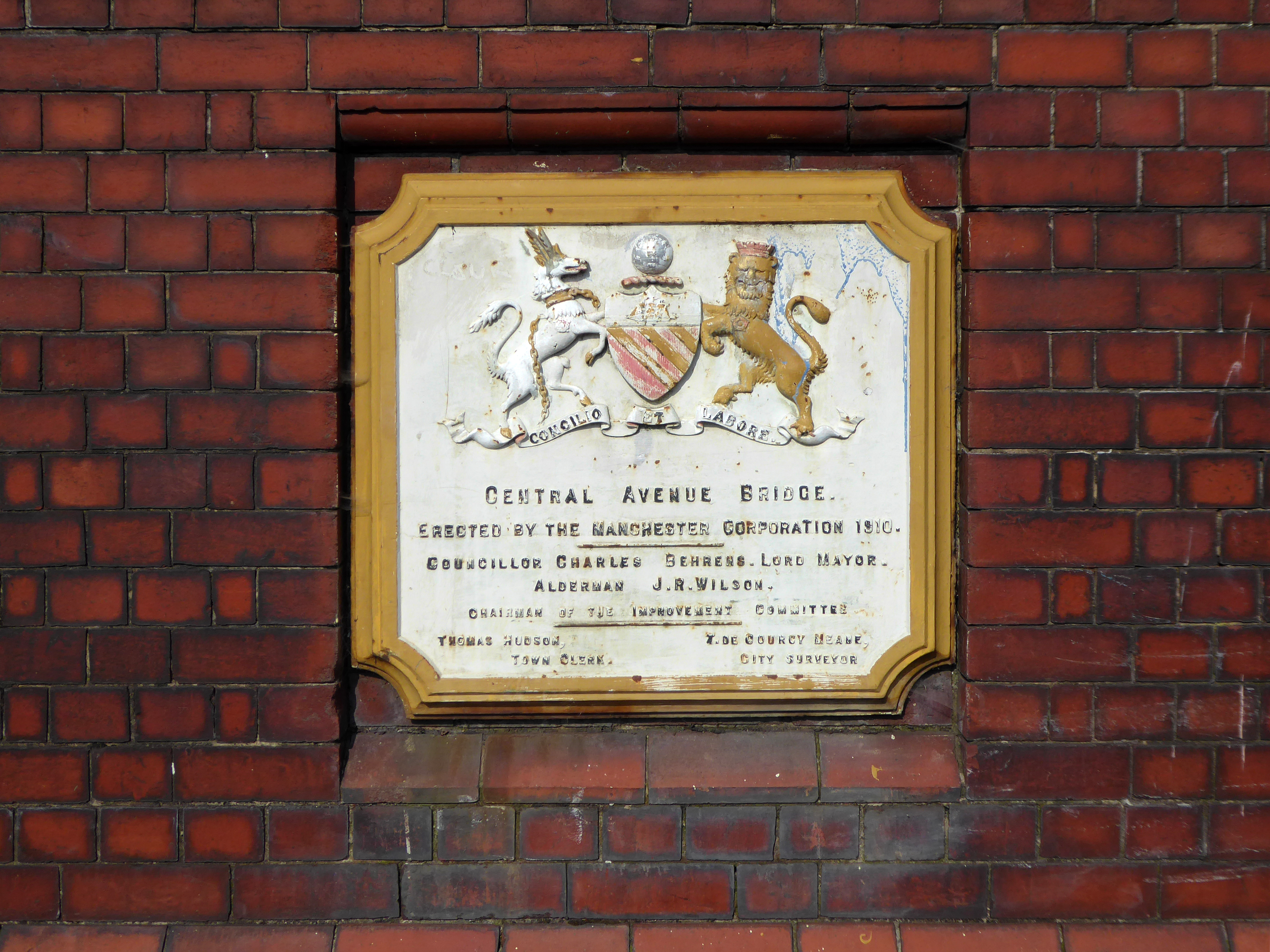
New housing is being built forming the first wave of the Victoria North masterplan.

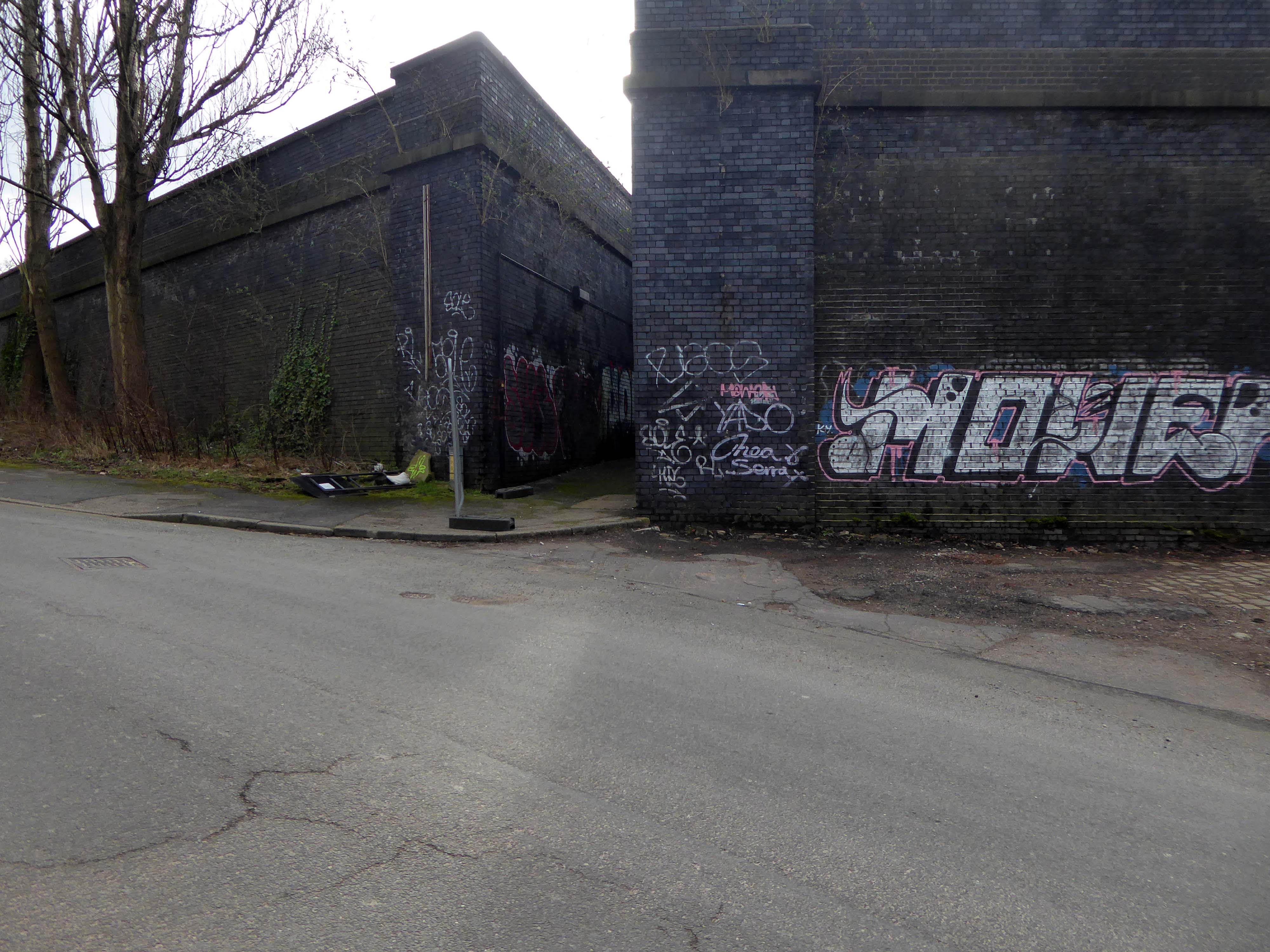
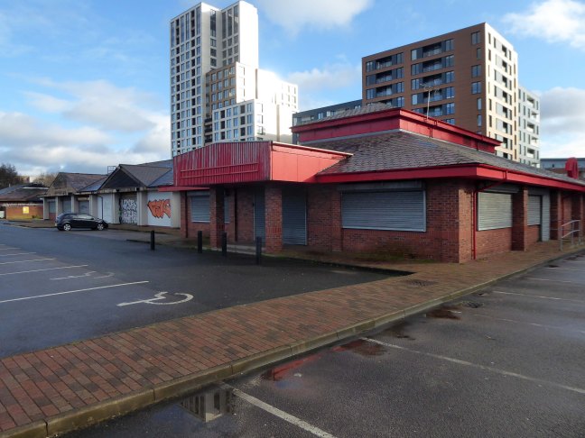
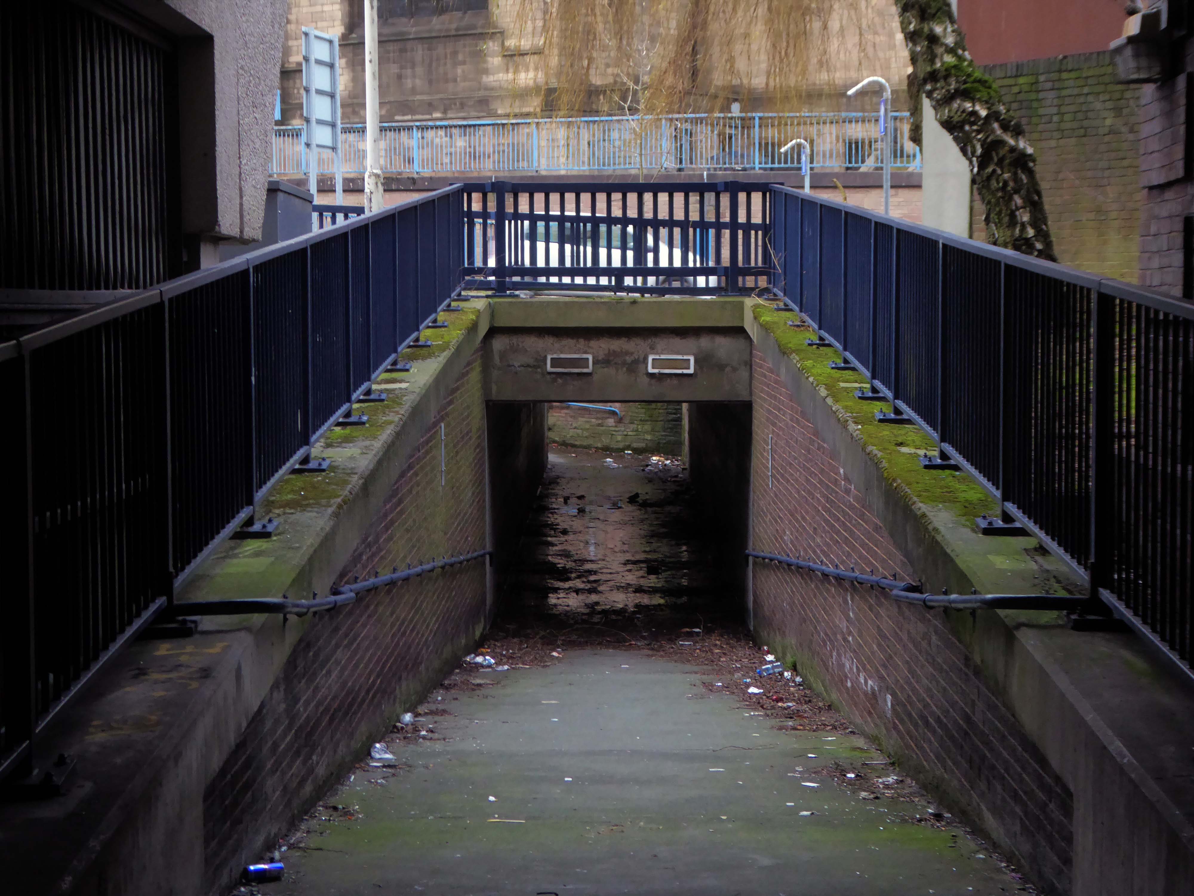
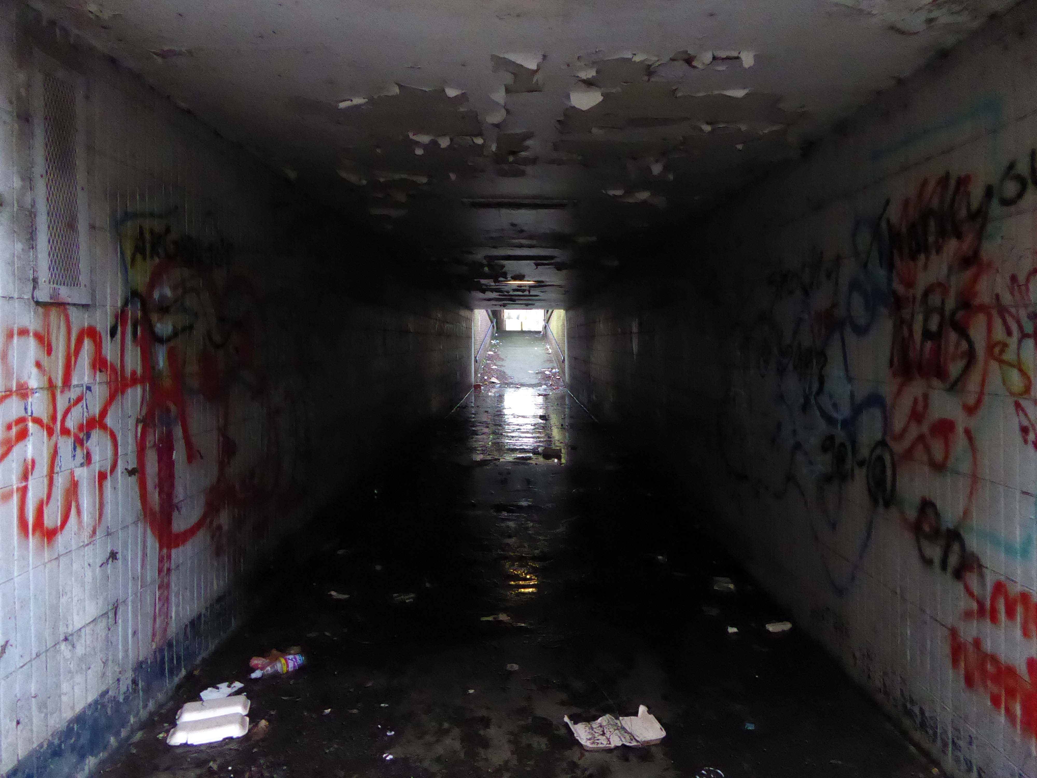
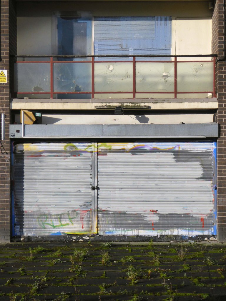
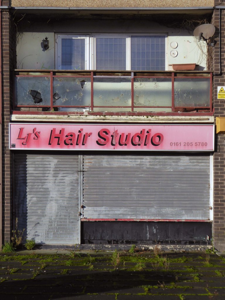
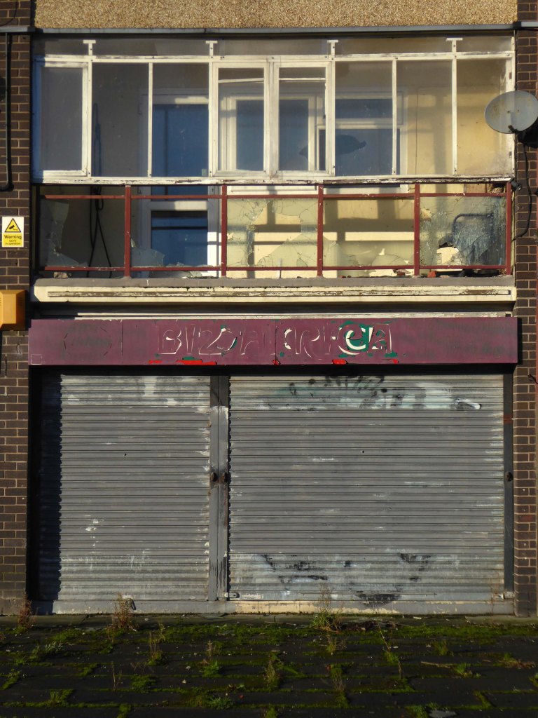
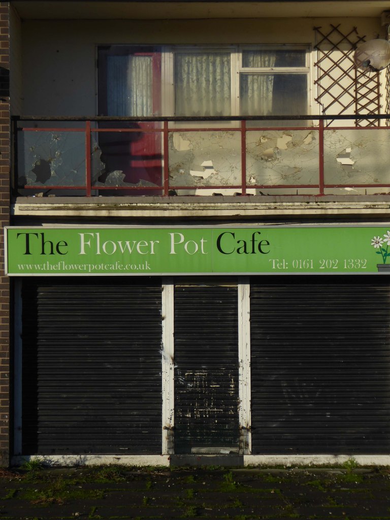
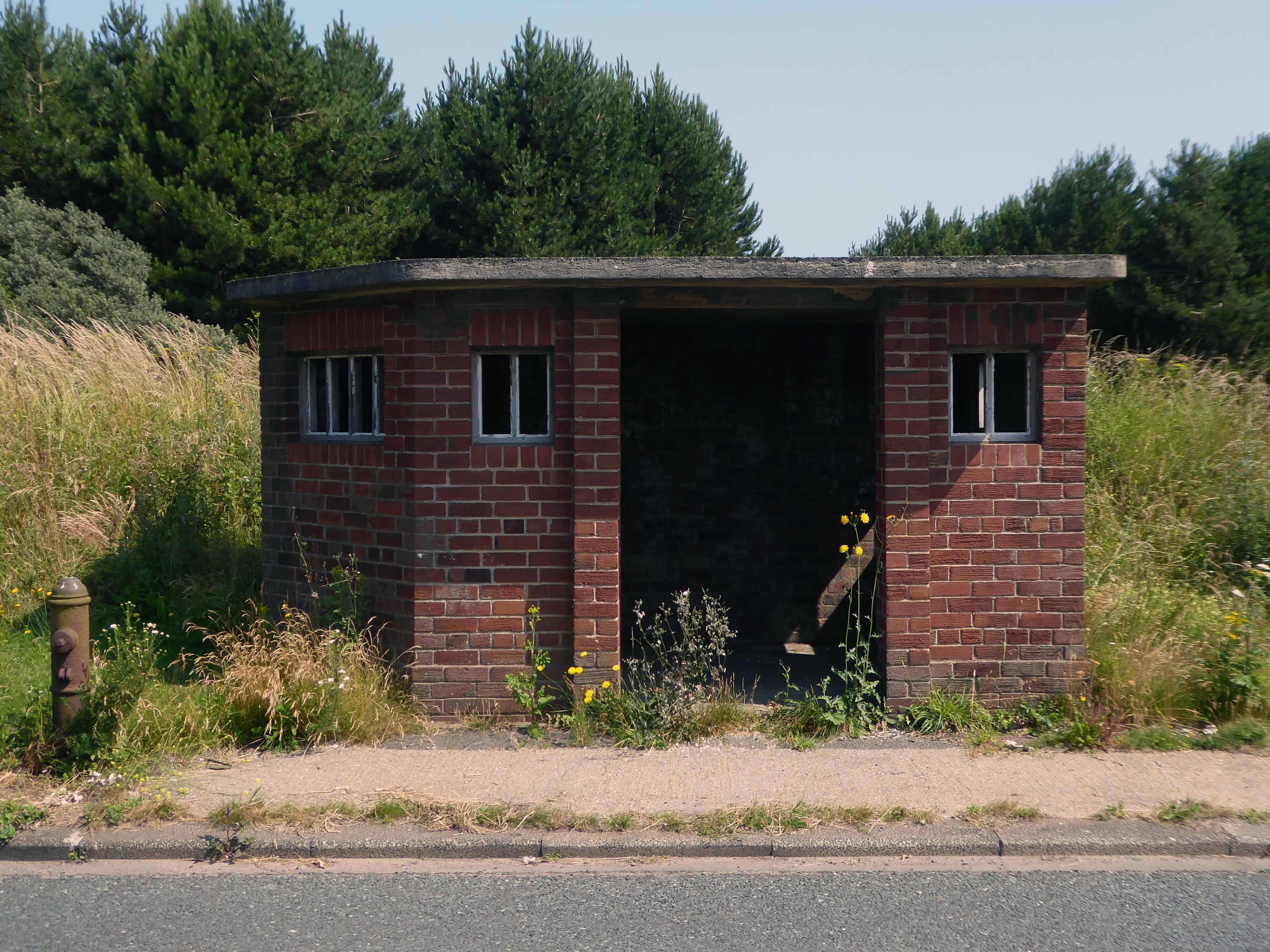
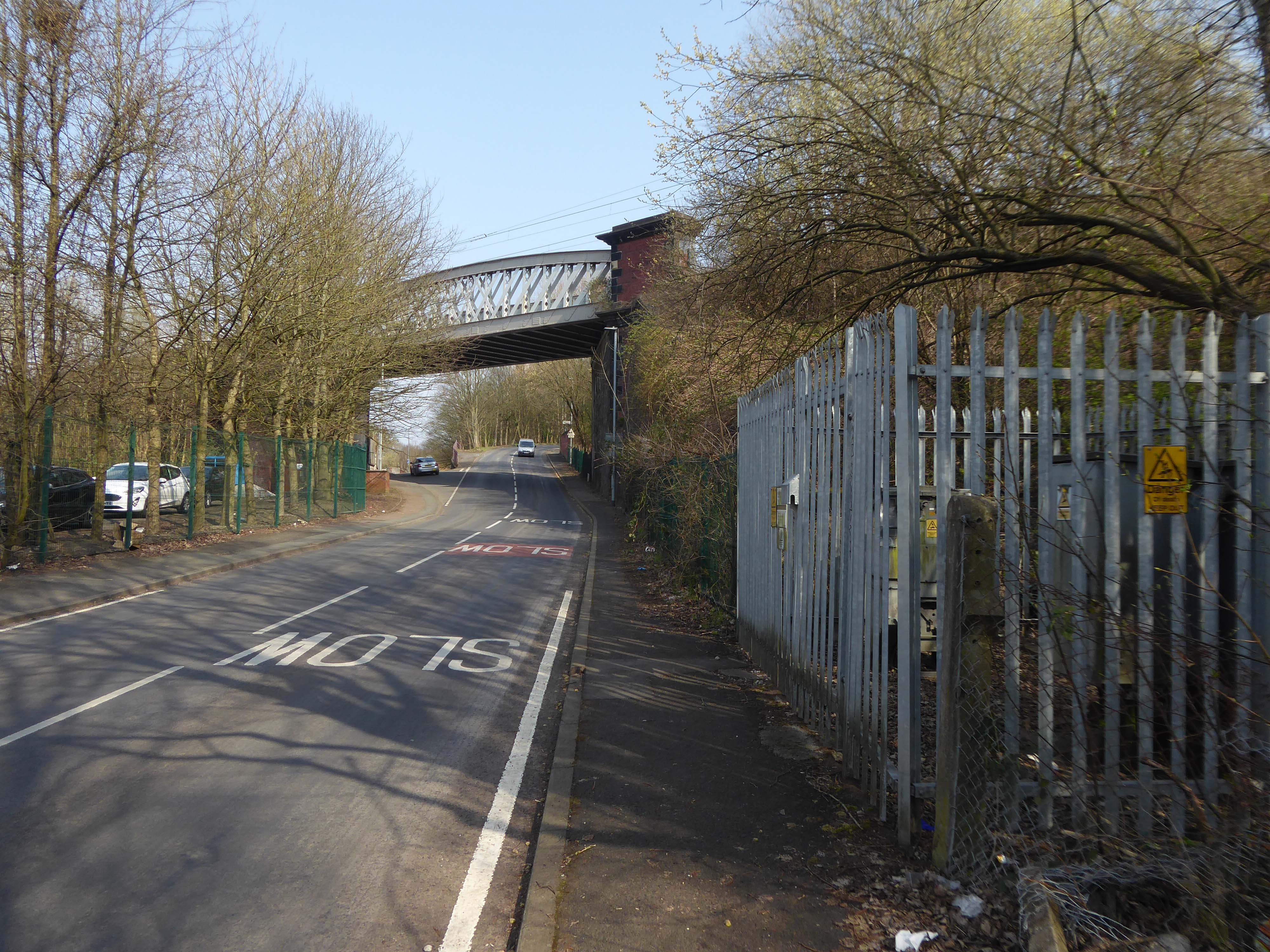
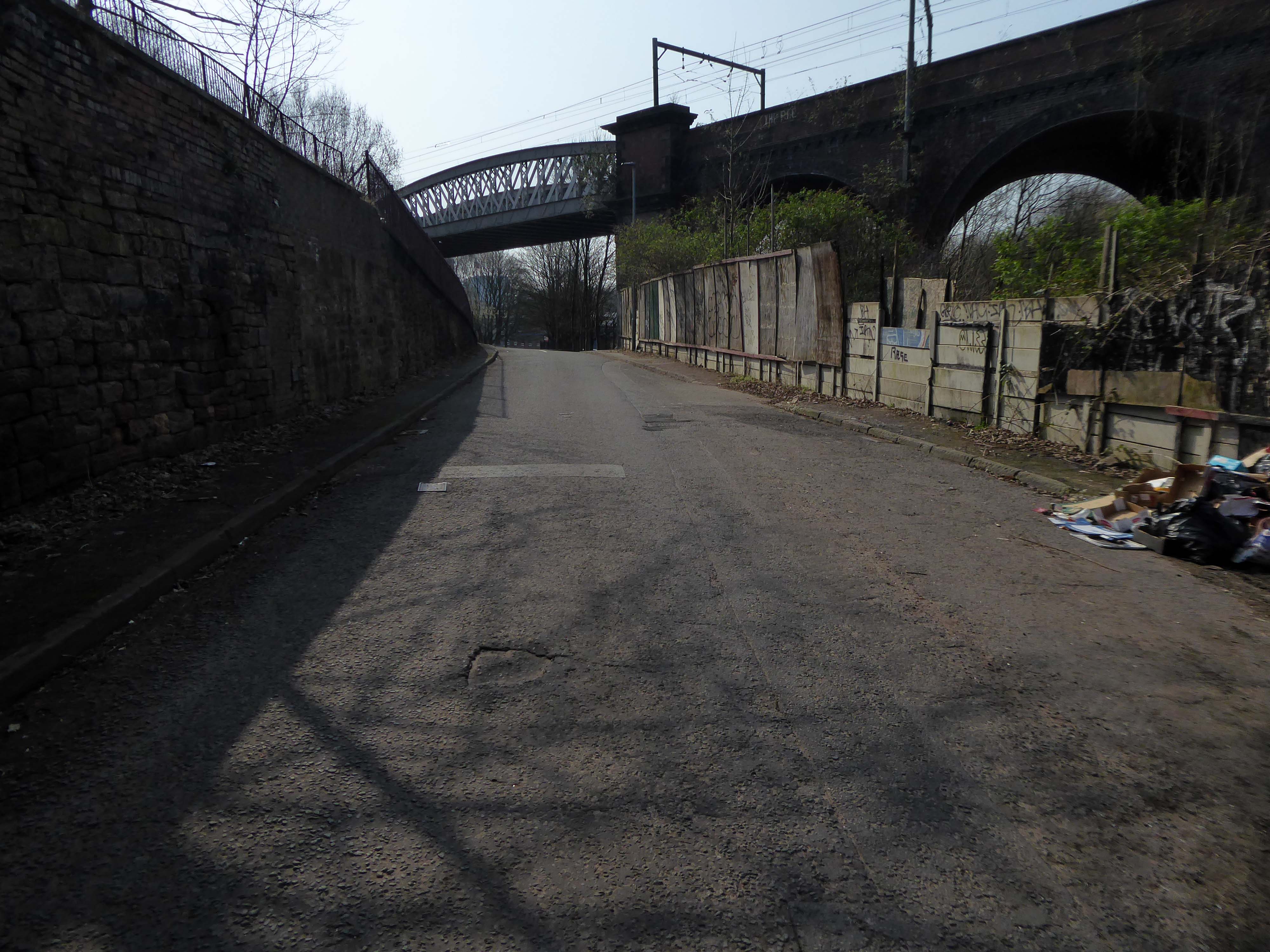
Previous enterprises have hit the buffers beneath the railway on Bromley Street.

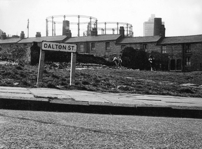
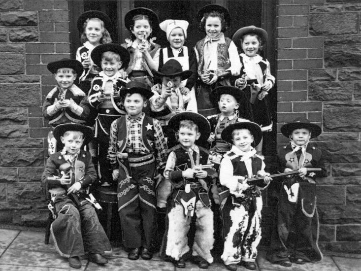
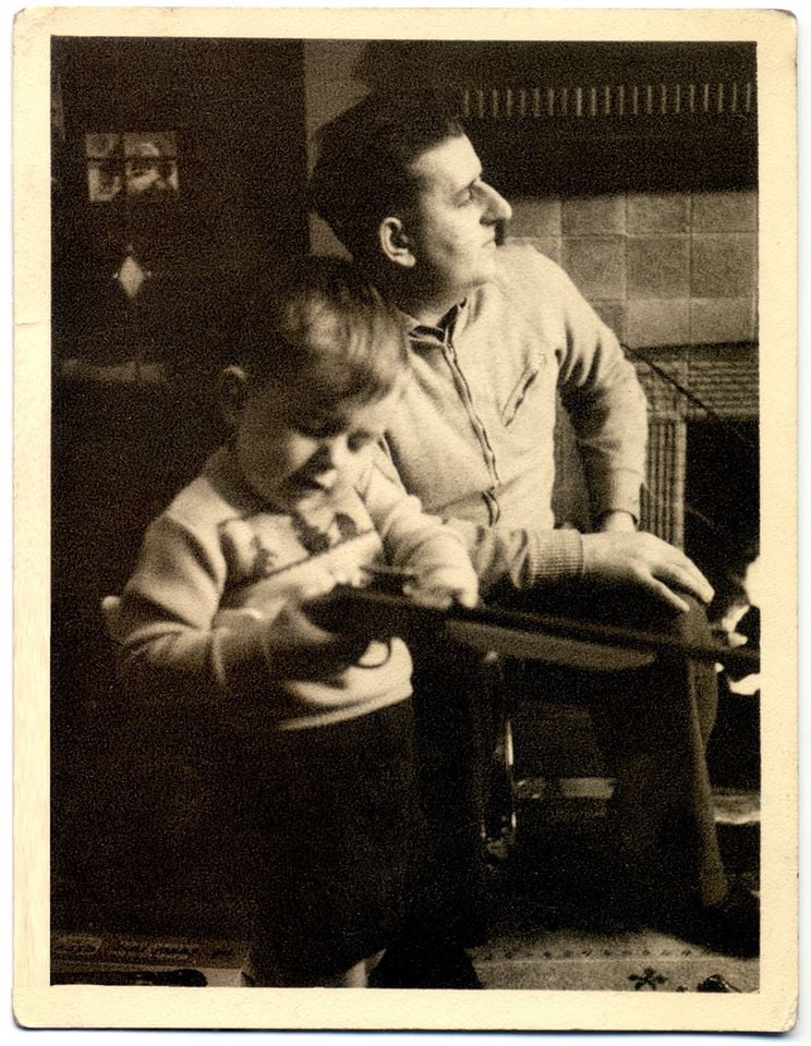
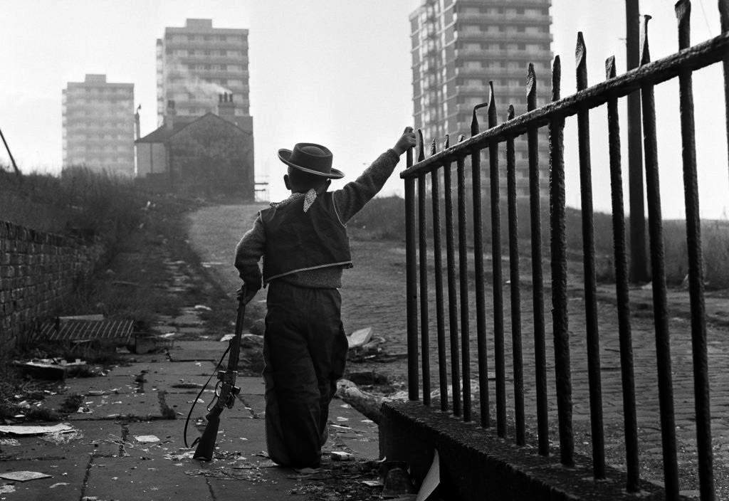
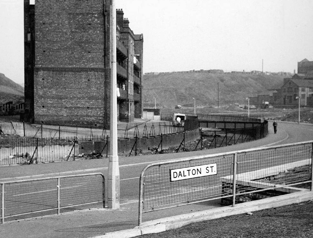
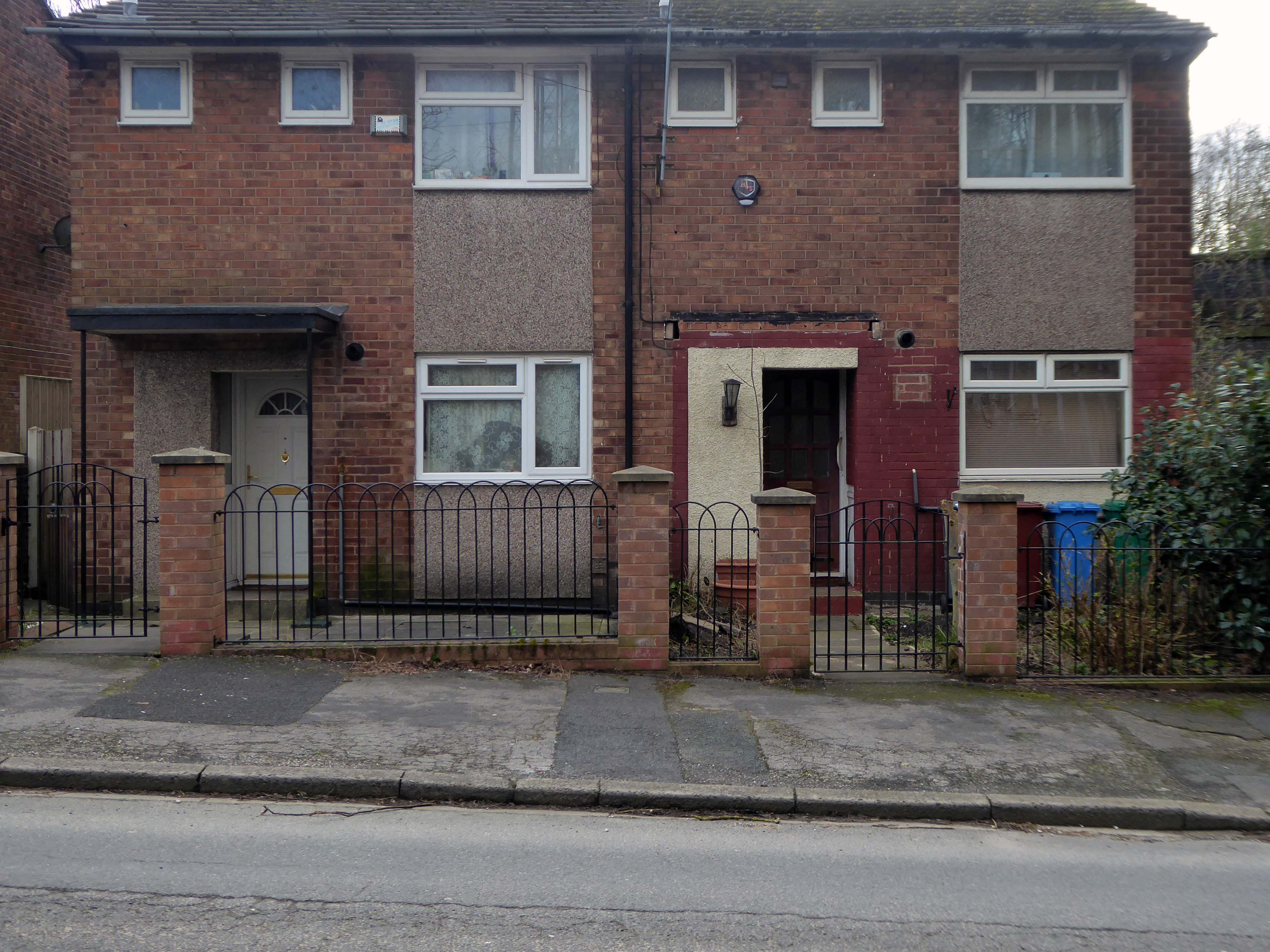
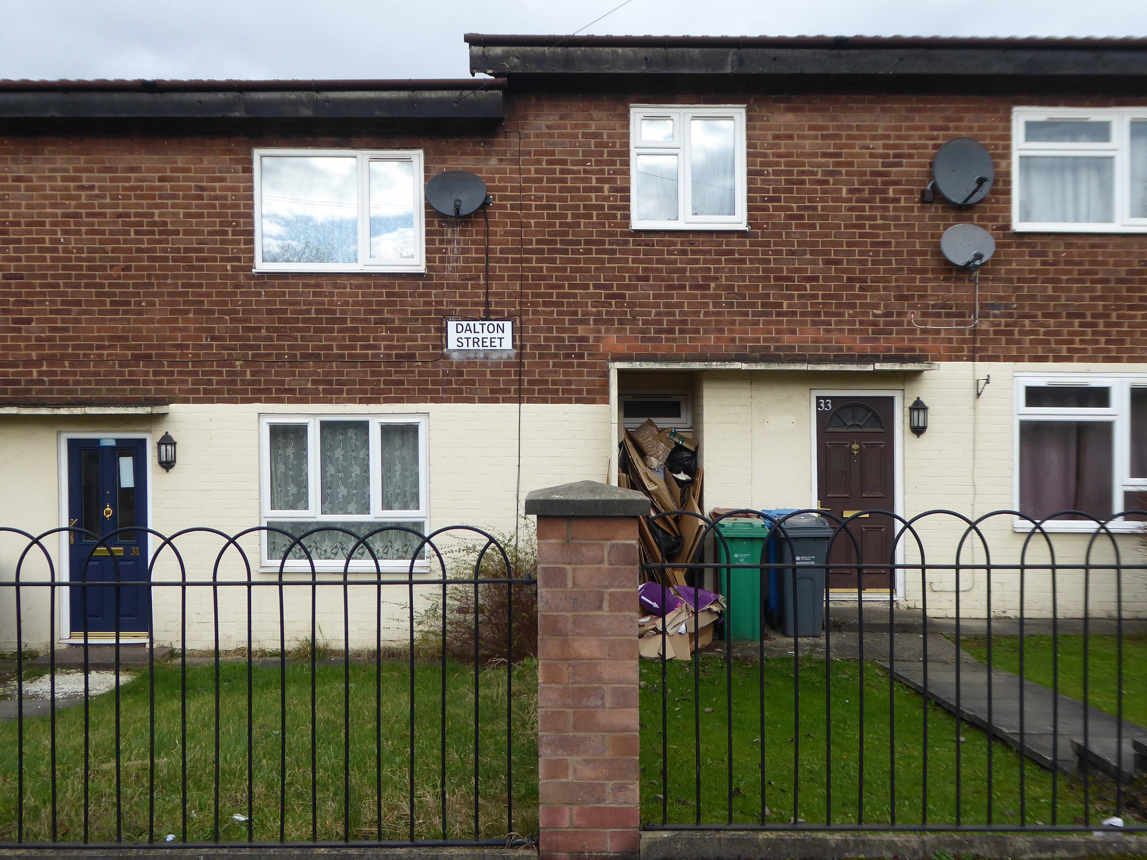
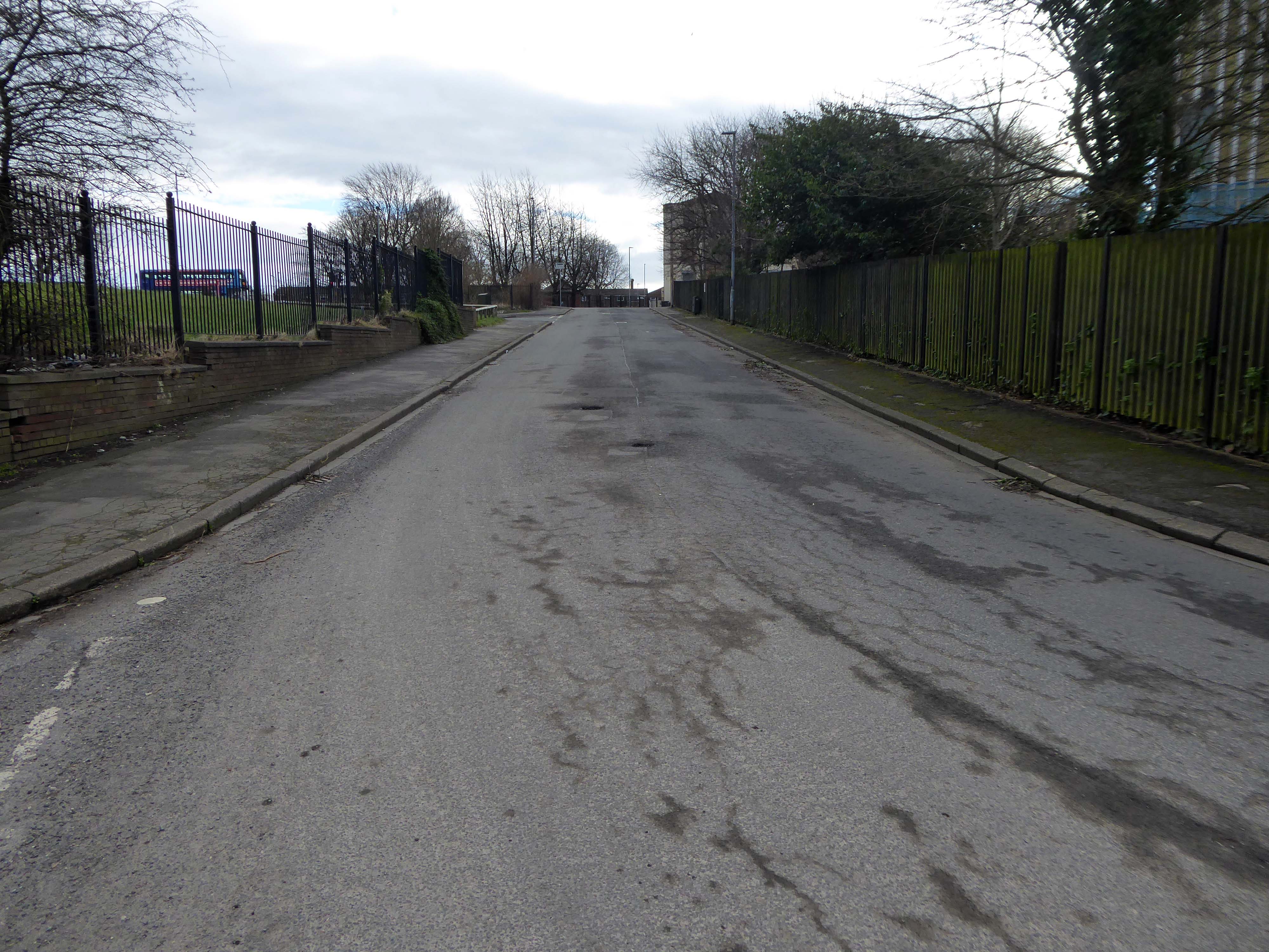
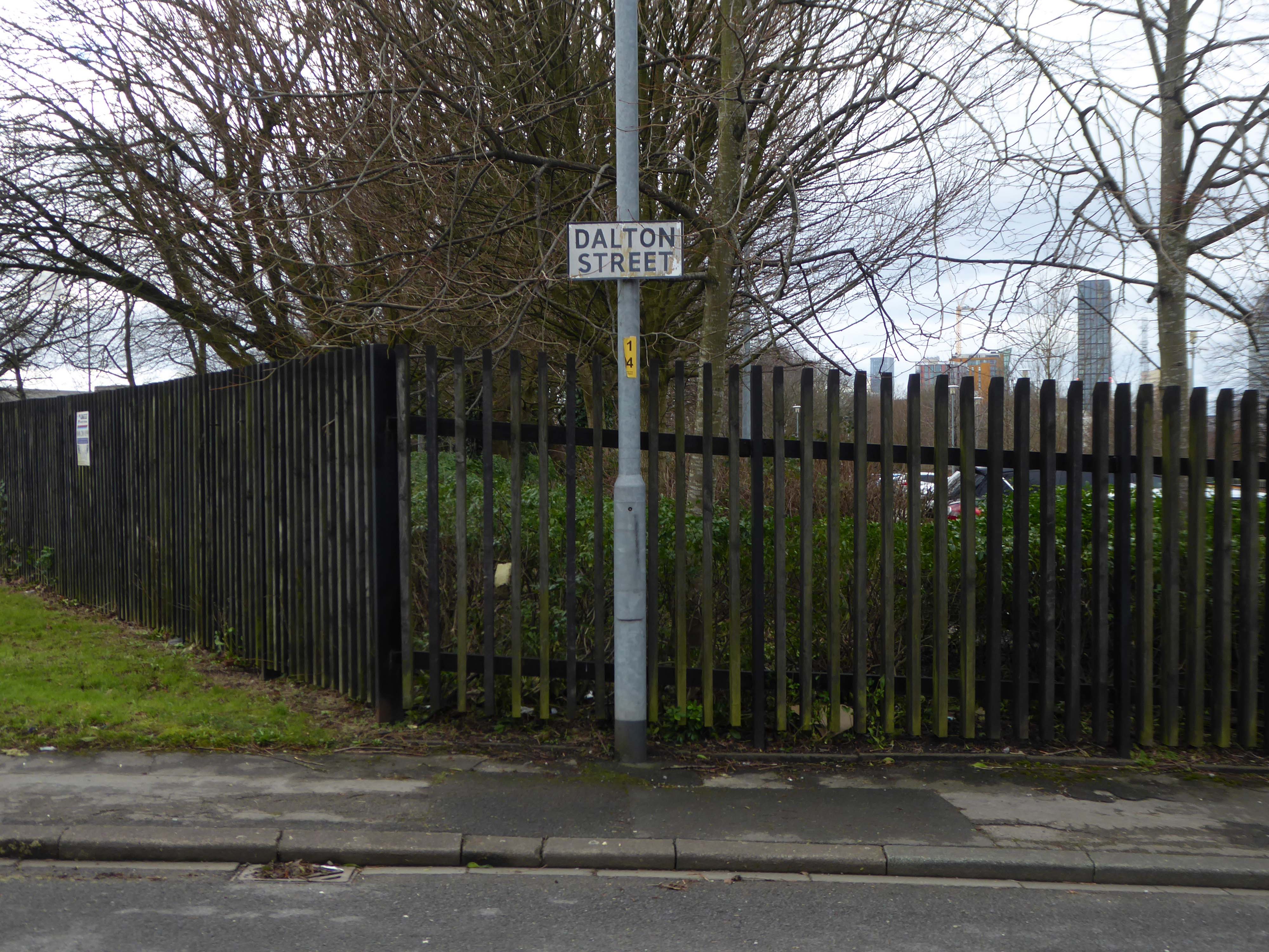
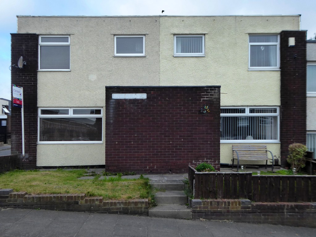
To the right is Dalton Street once home to the Collyhurst Cowboy.

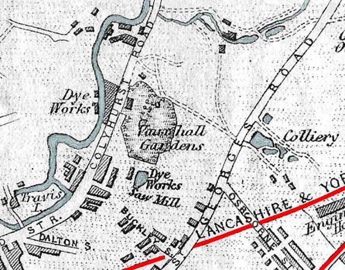
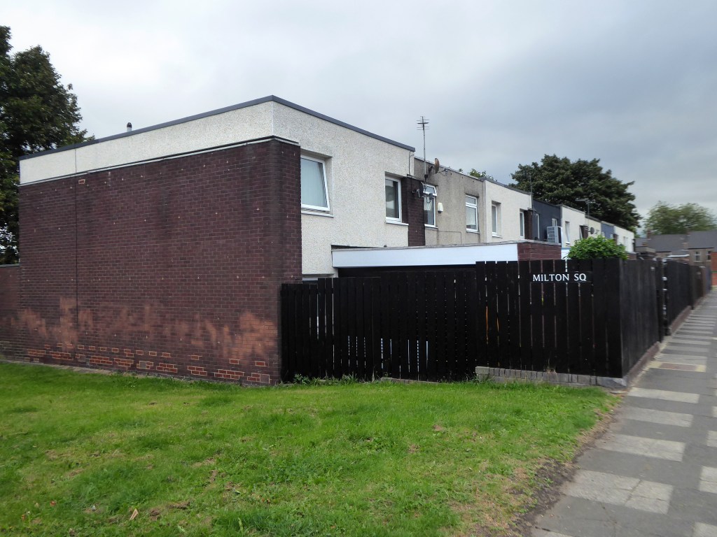
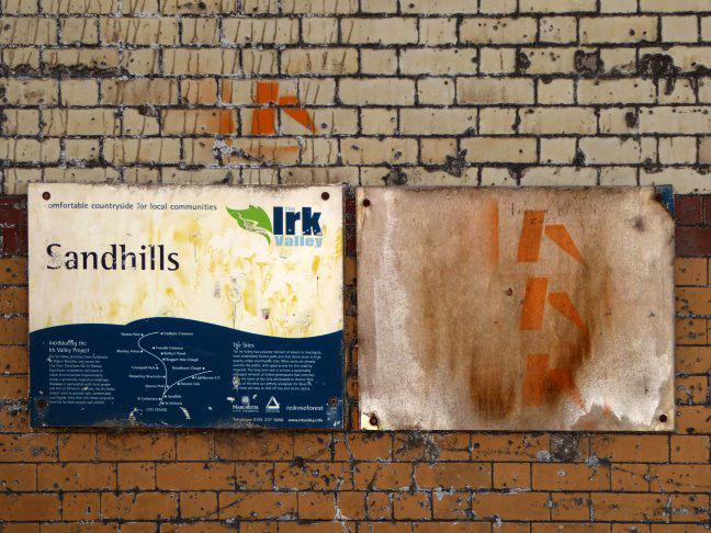
Here are the remains of Vauxhall Street, named for Vauxhall Pleasure Gardens, built in the remains of the Collyhurst Quarry – which in turn became Sandhills.

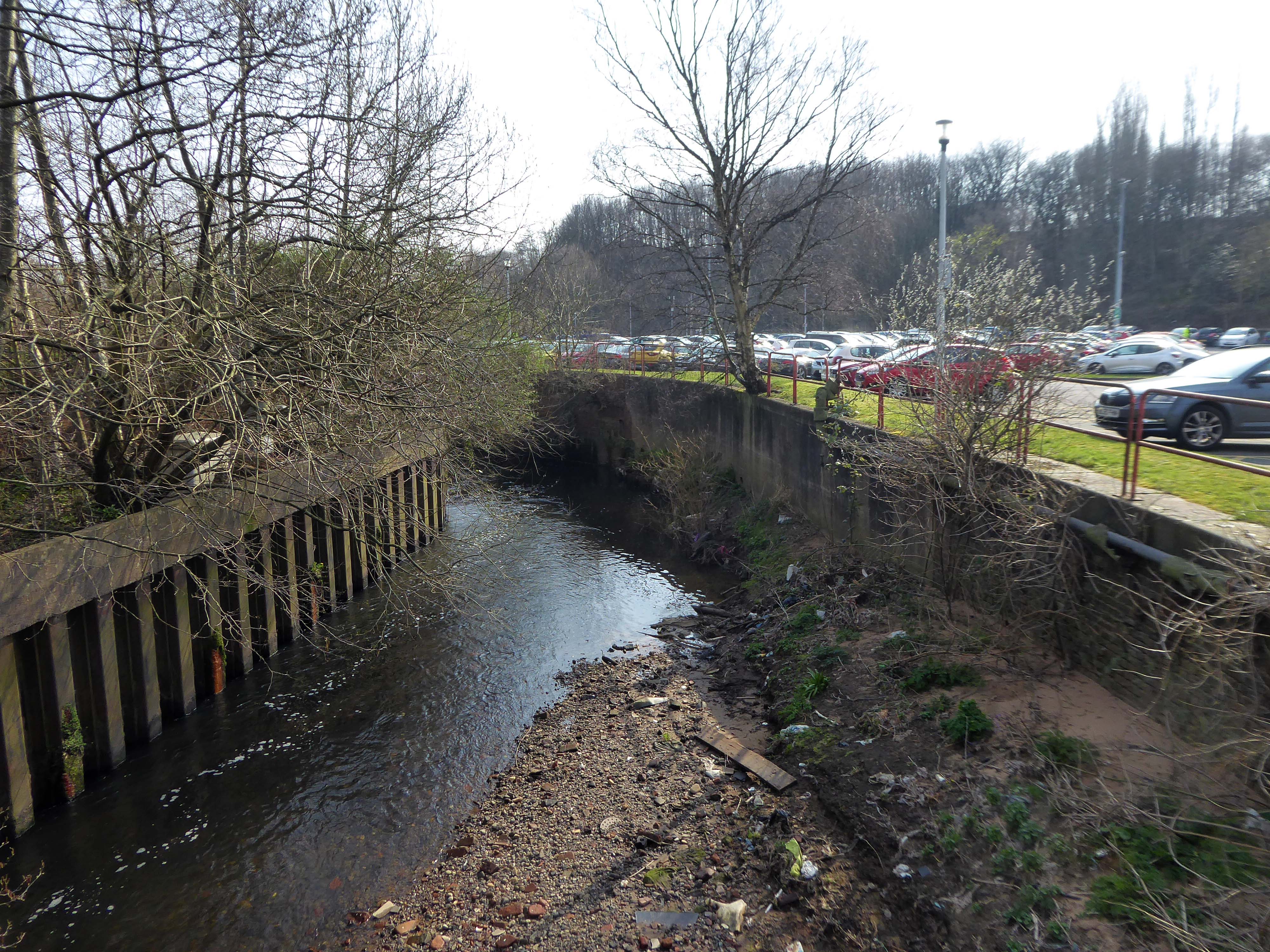
There are current plans afoot to create a City River Park.

In addition the local authority oversees the Irk River Valley Project , along with Groundwork, United Utilities, Woodland Trust and Greggs.

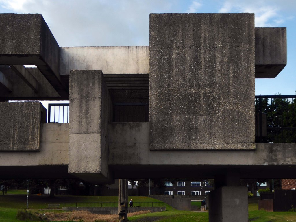
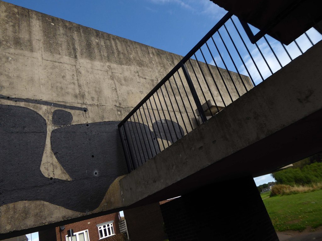
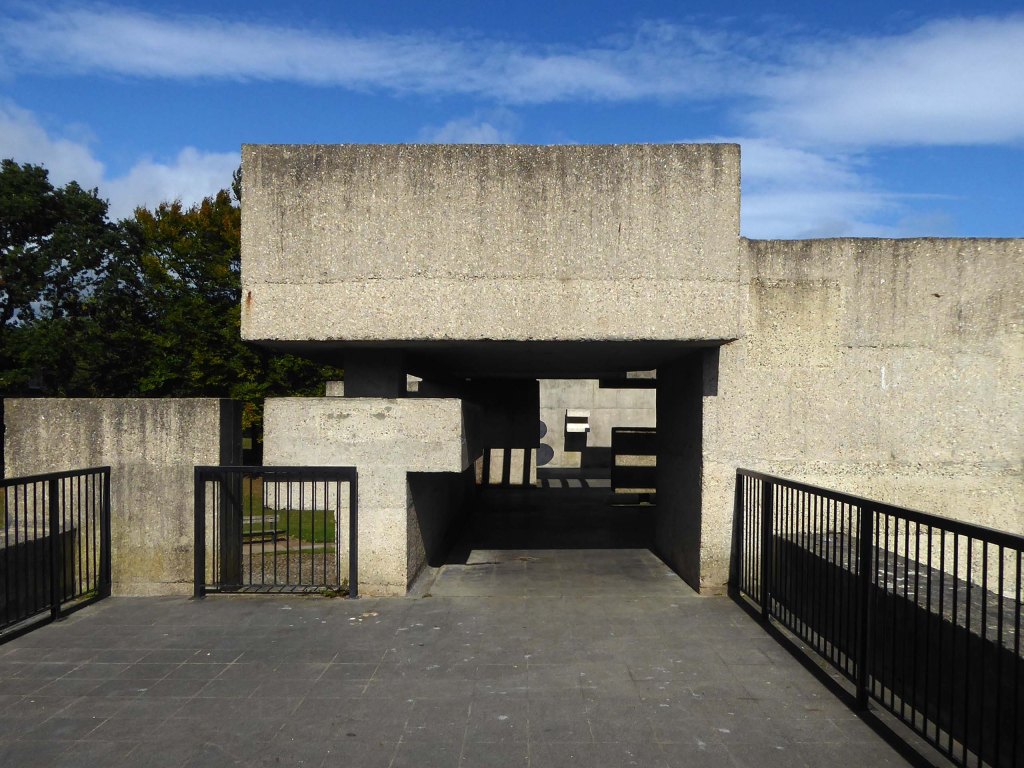
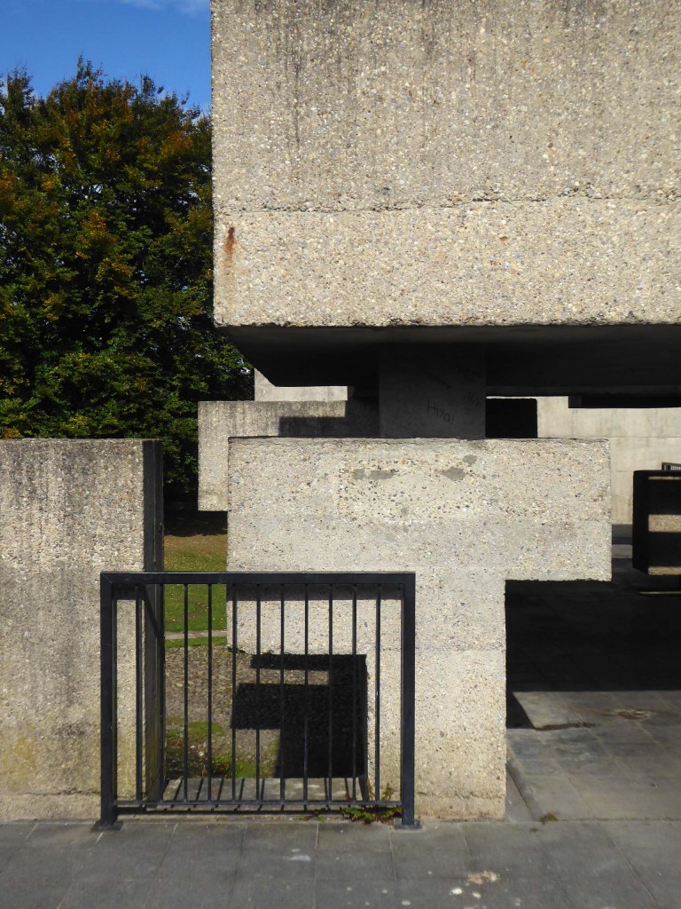
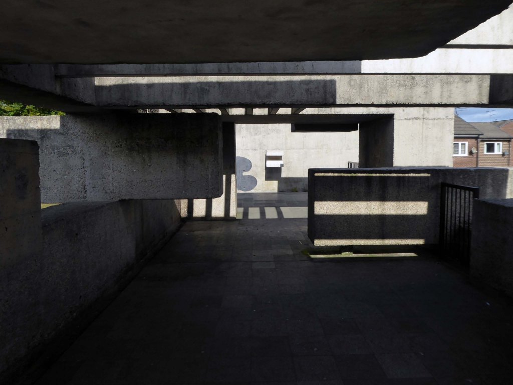
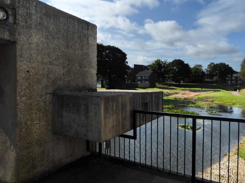
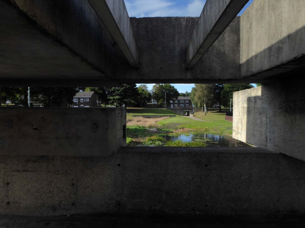
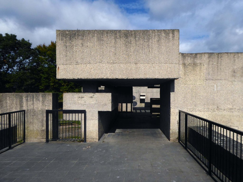
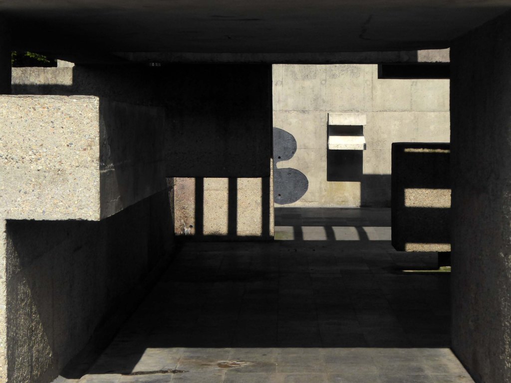
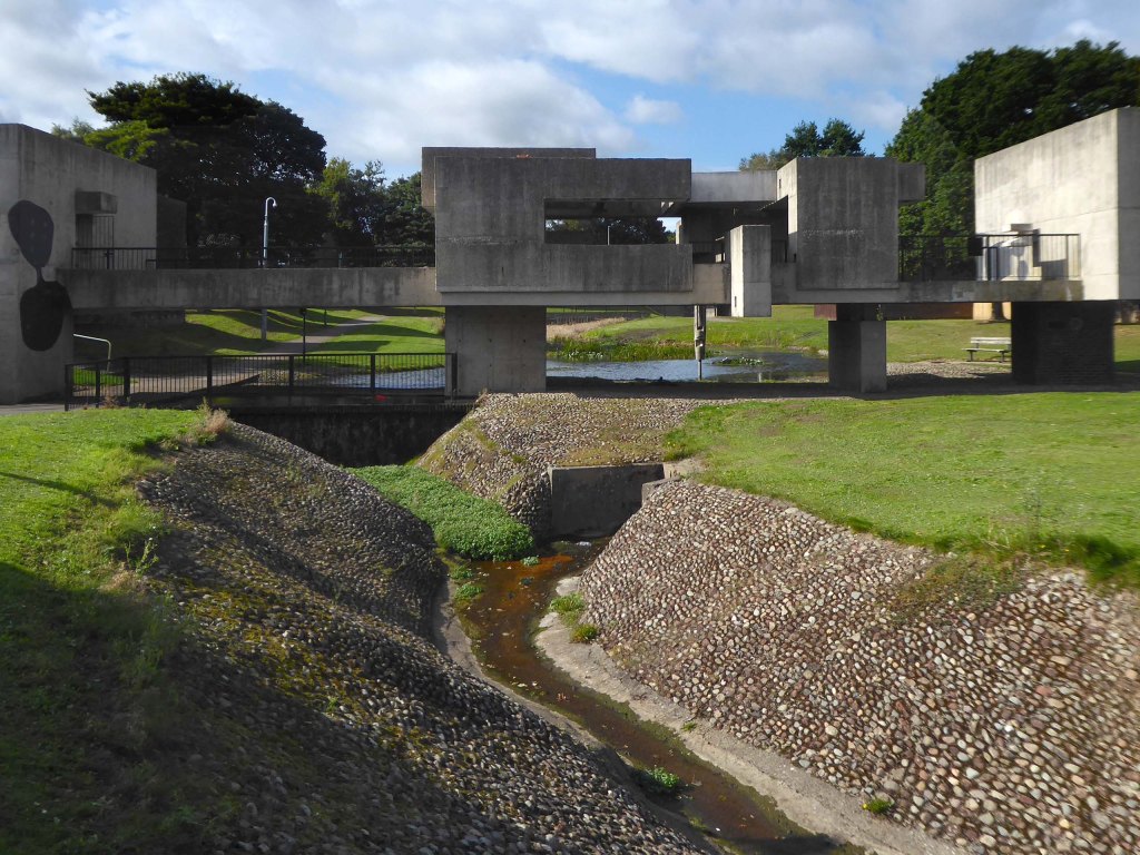
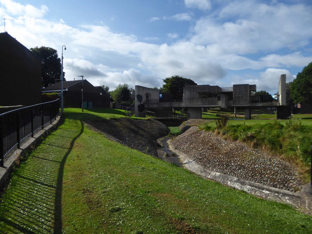
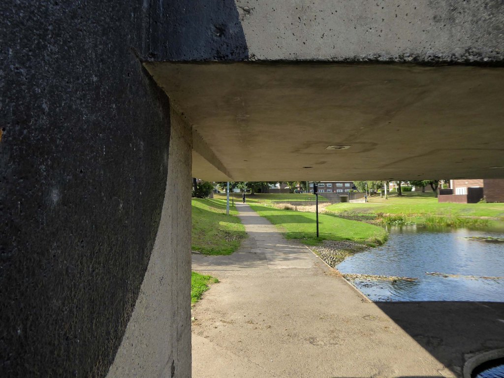
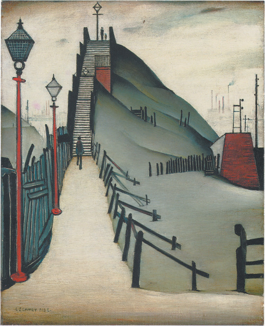
To the left are St Catherine’s Steps

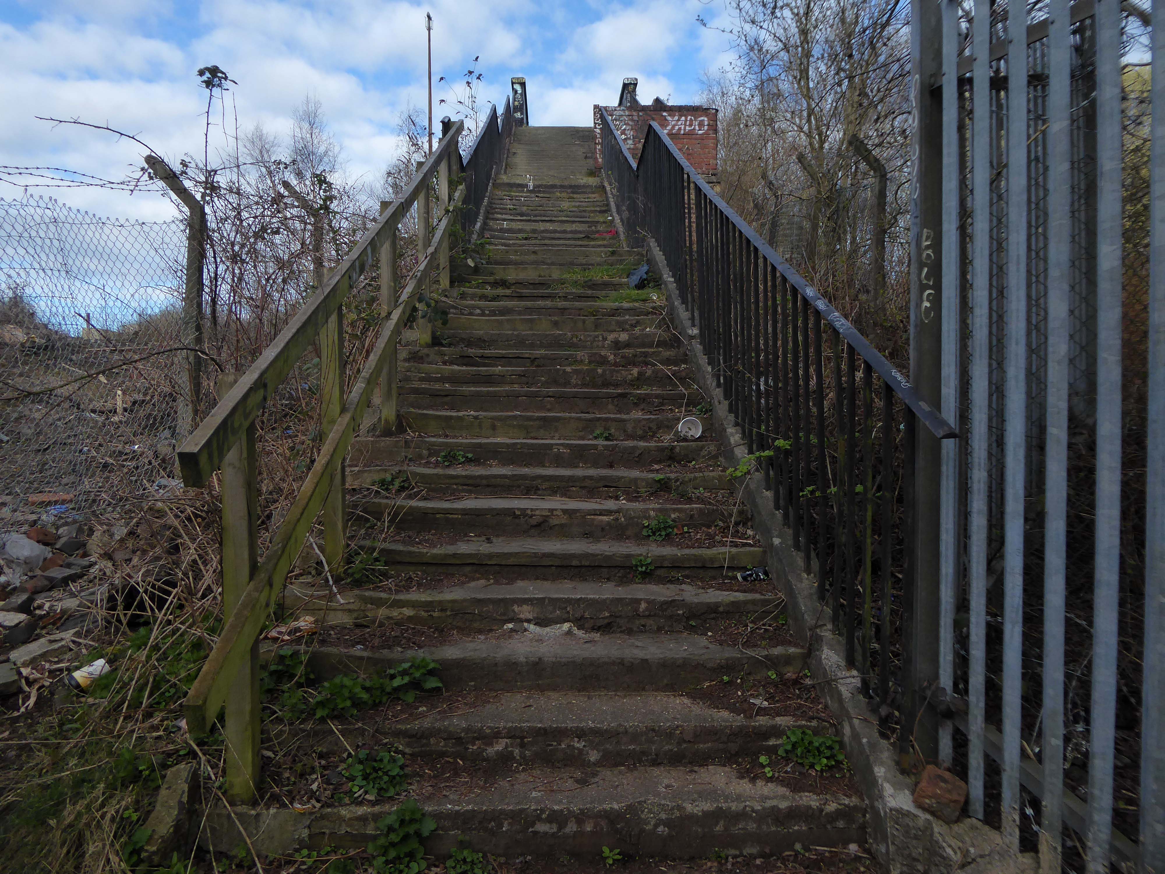
Immortalised by almost local lad LS Lowry

Spanning the defunct railway workings, affording a view of the brightly blooming city centre.

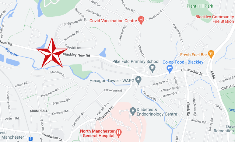
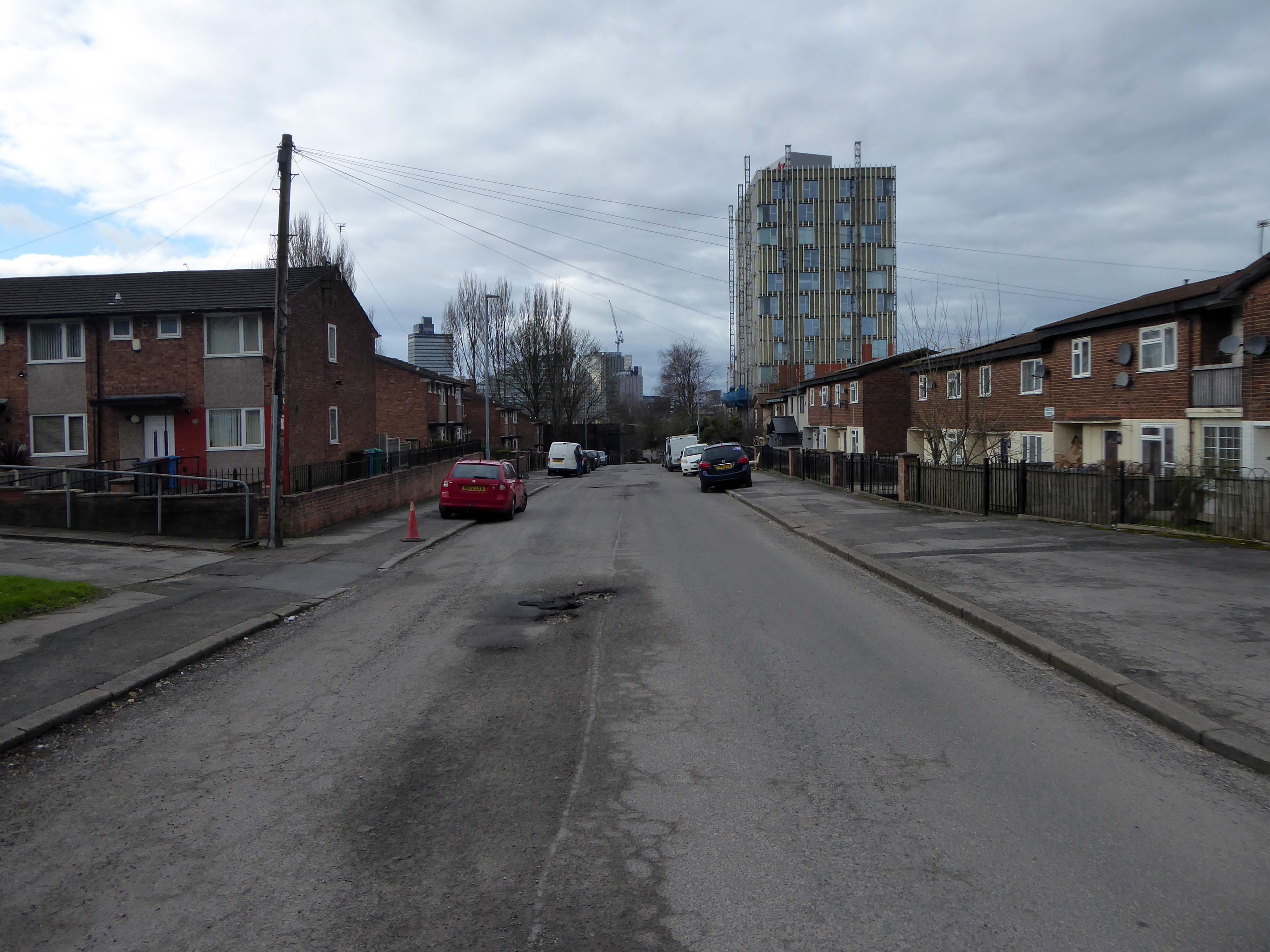
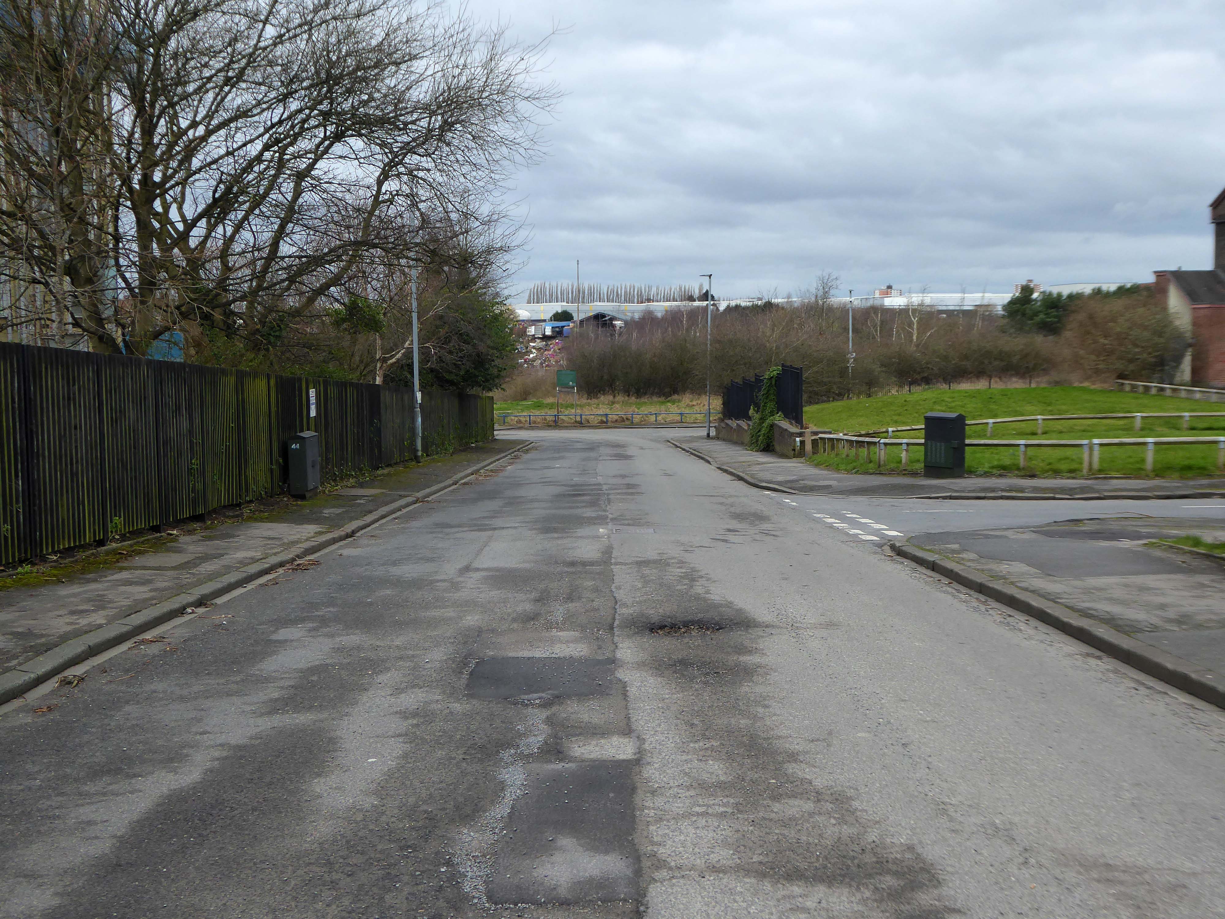
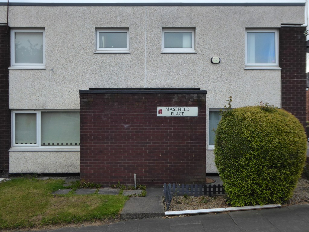
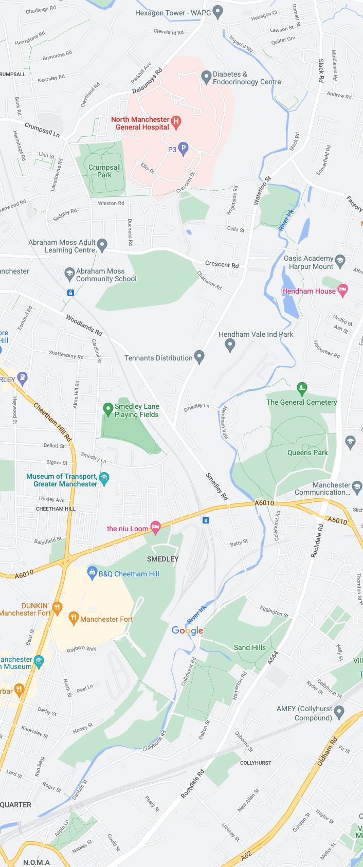
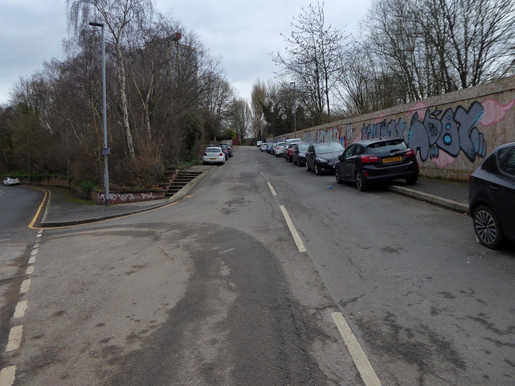
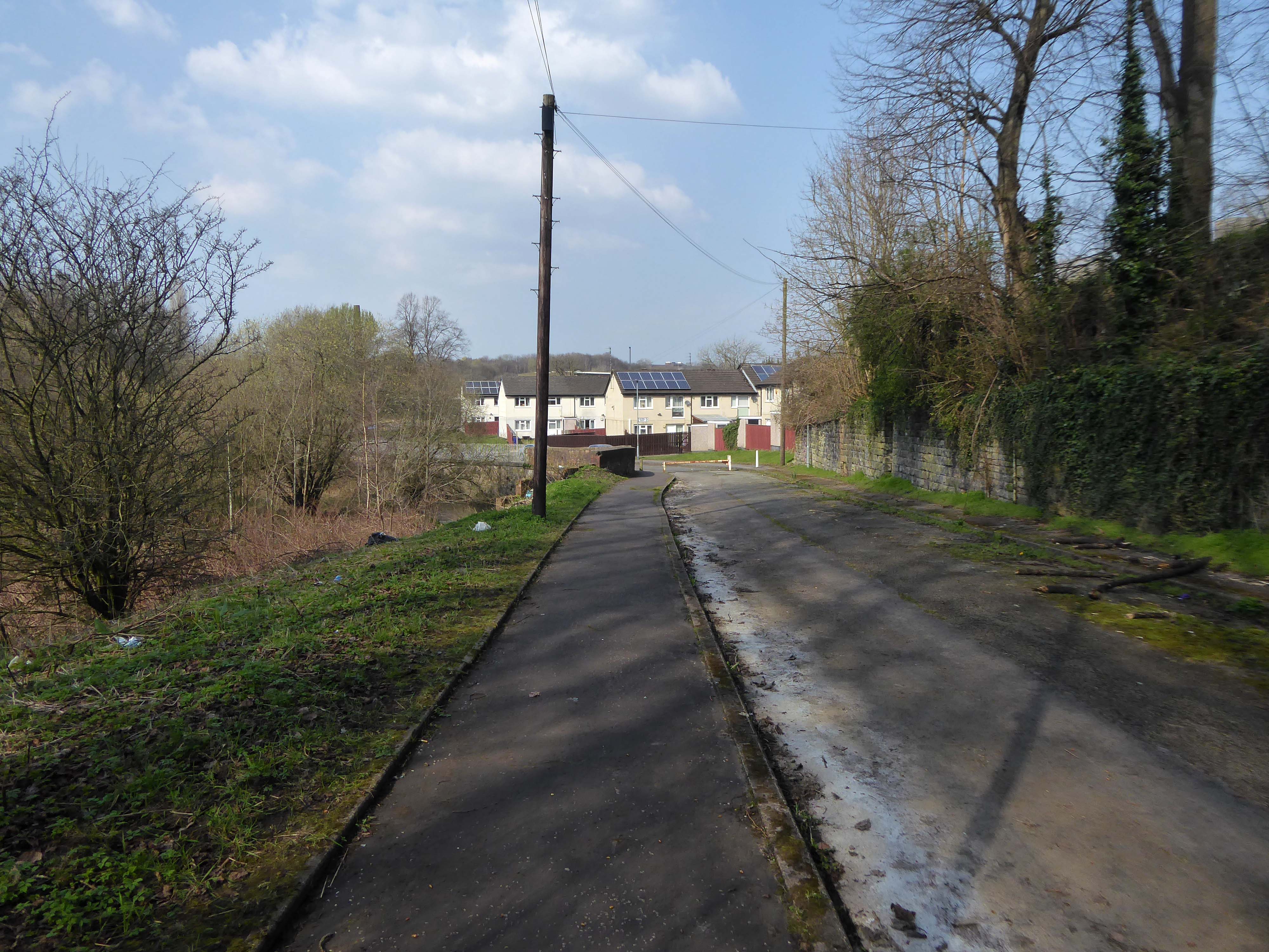
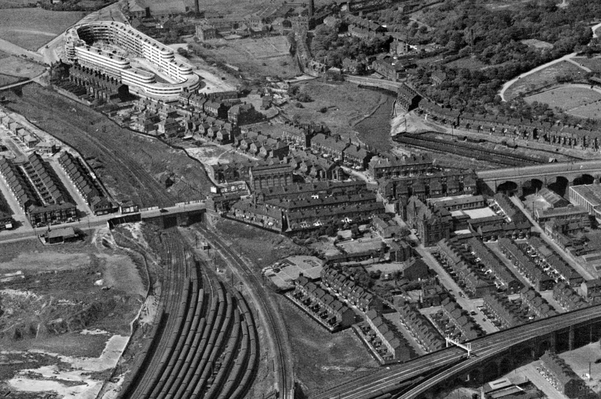
Leaving Collyhurst Road, we journey along Smedley Road.
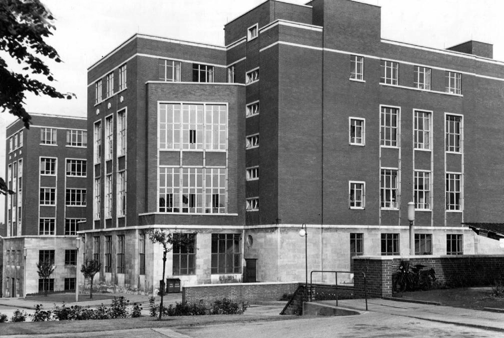
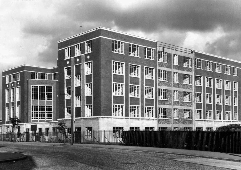
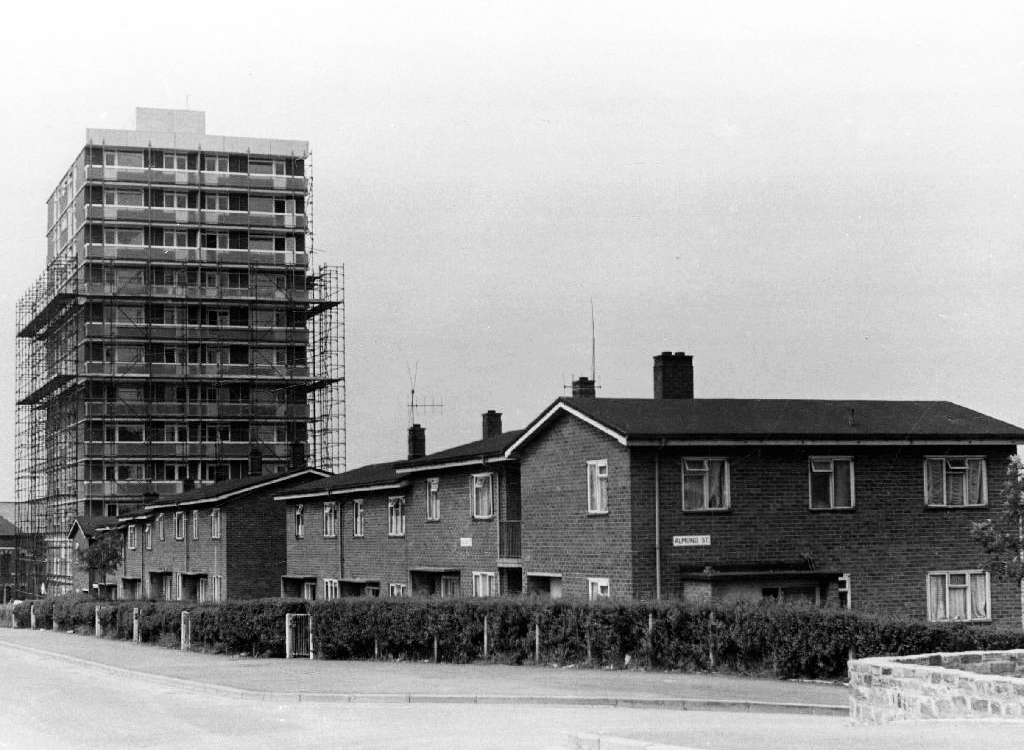
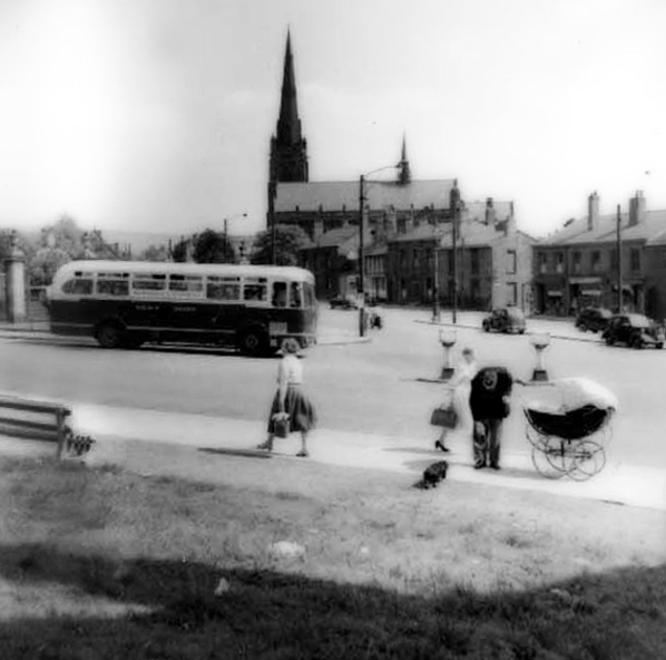
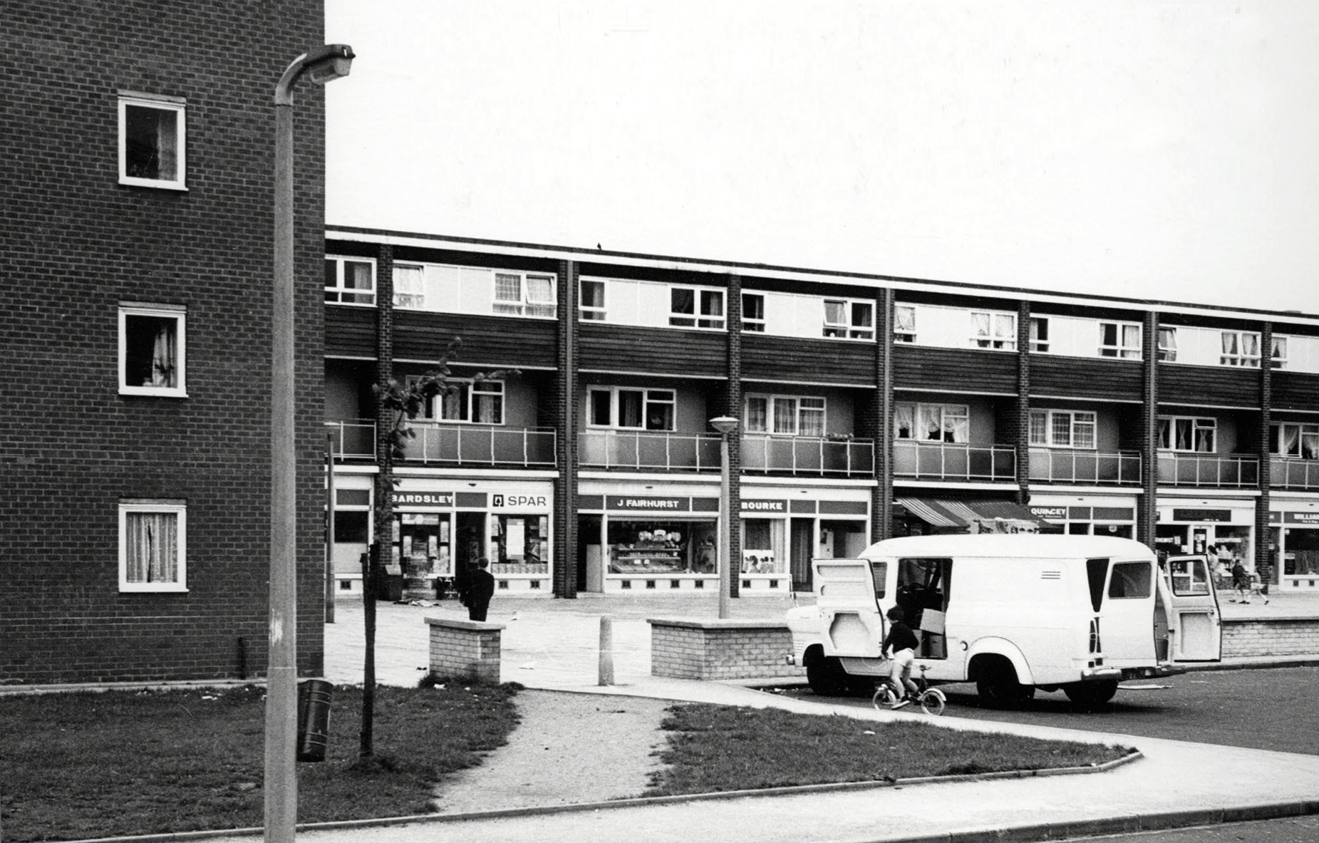
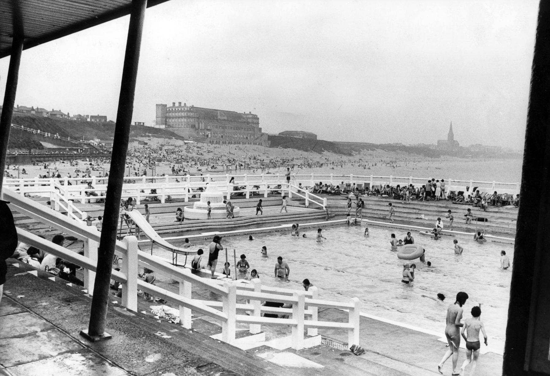
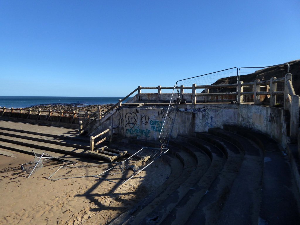
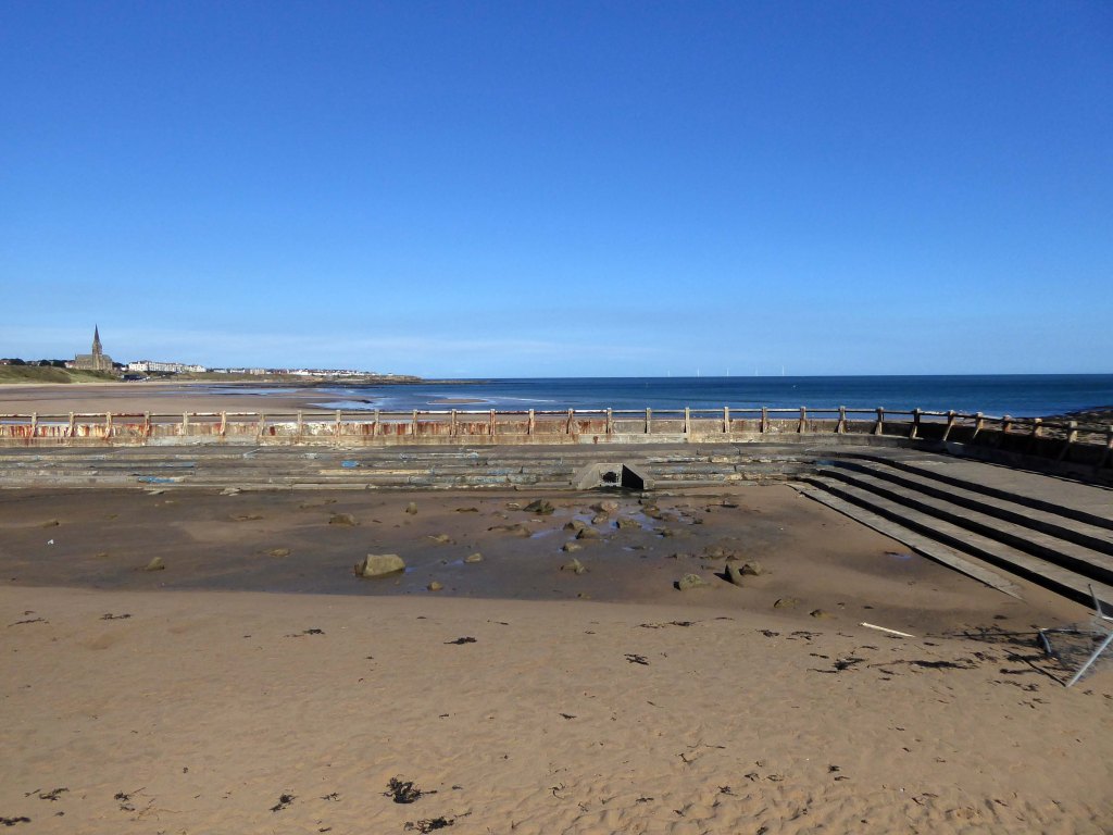
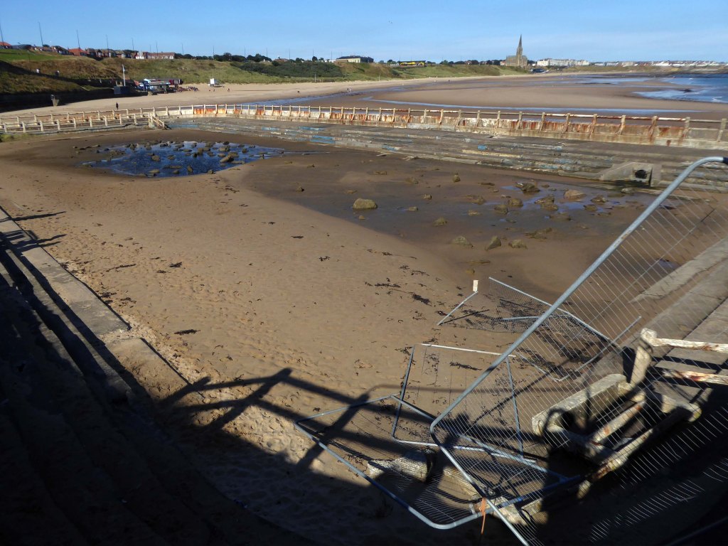
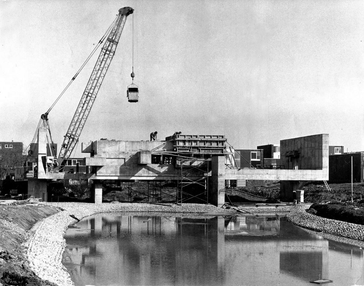
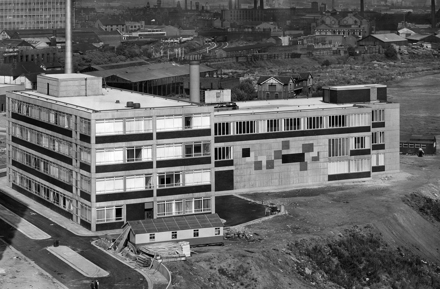
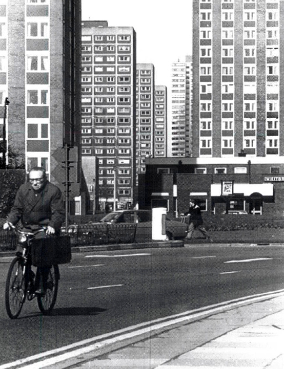
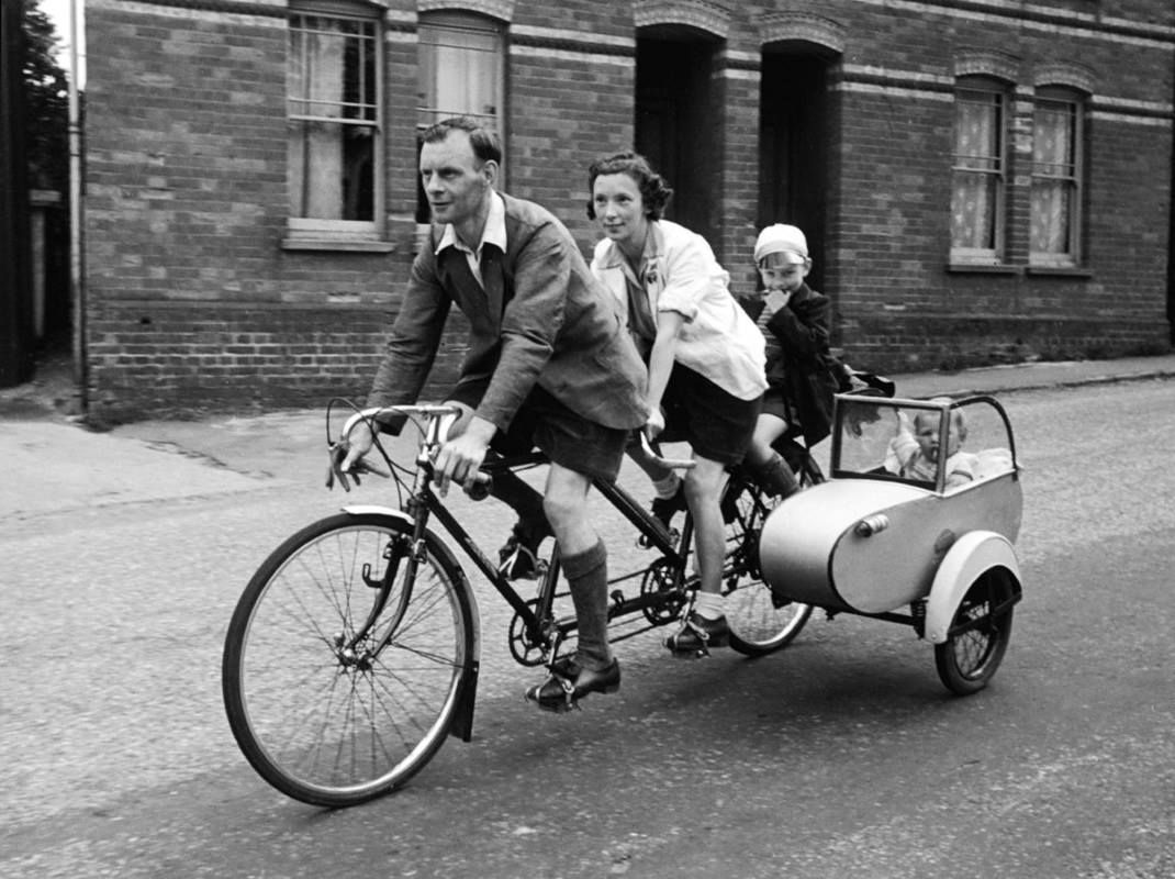
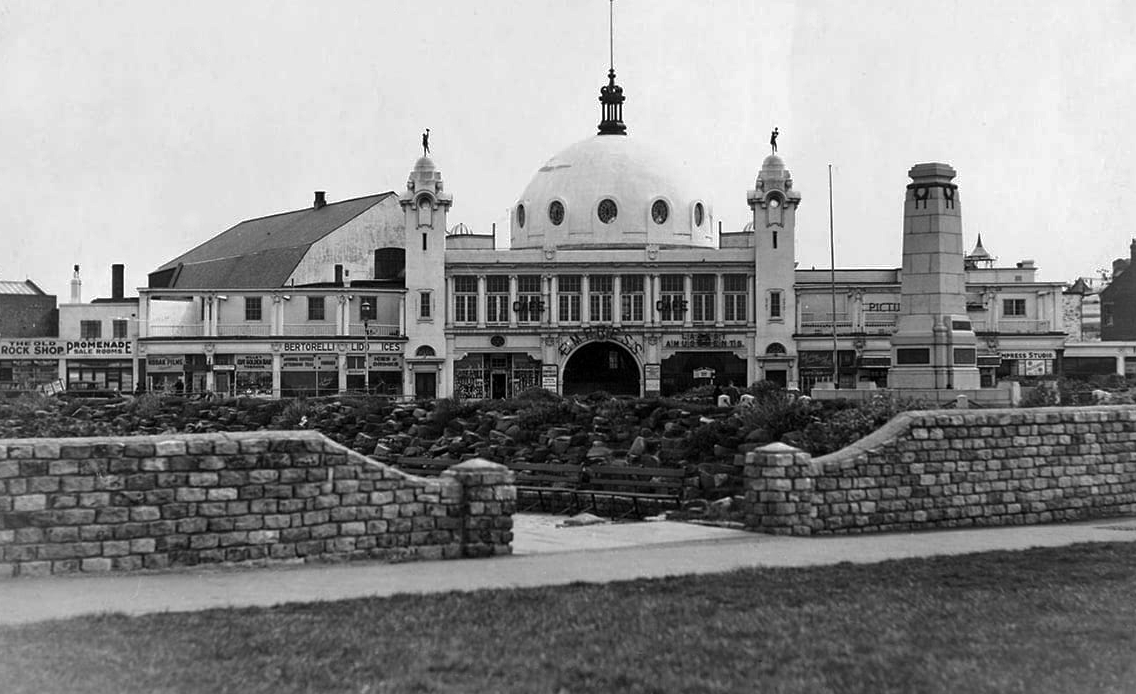
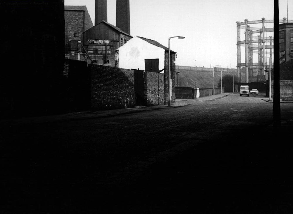
Seen here in 1934.

Passing beneath Queens Road – Queens Park to the right.

Queen’s Park was one of Britain’s first municipal parks created in 1846. The park was originally arranged around Hendham Hall, home of the Houghton family however this was demolished in 1884.

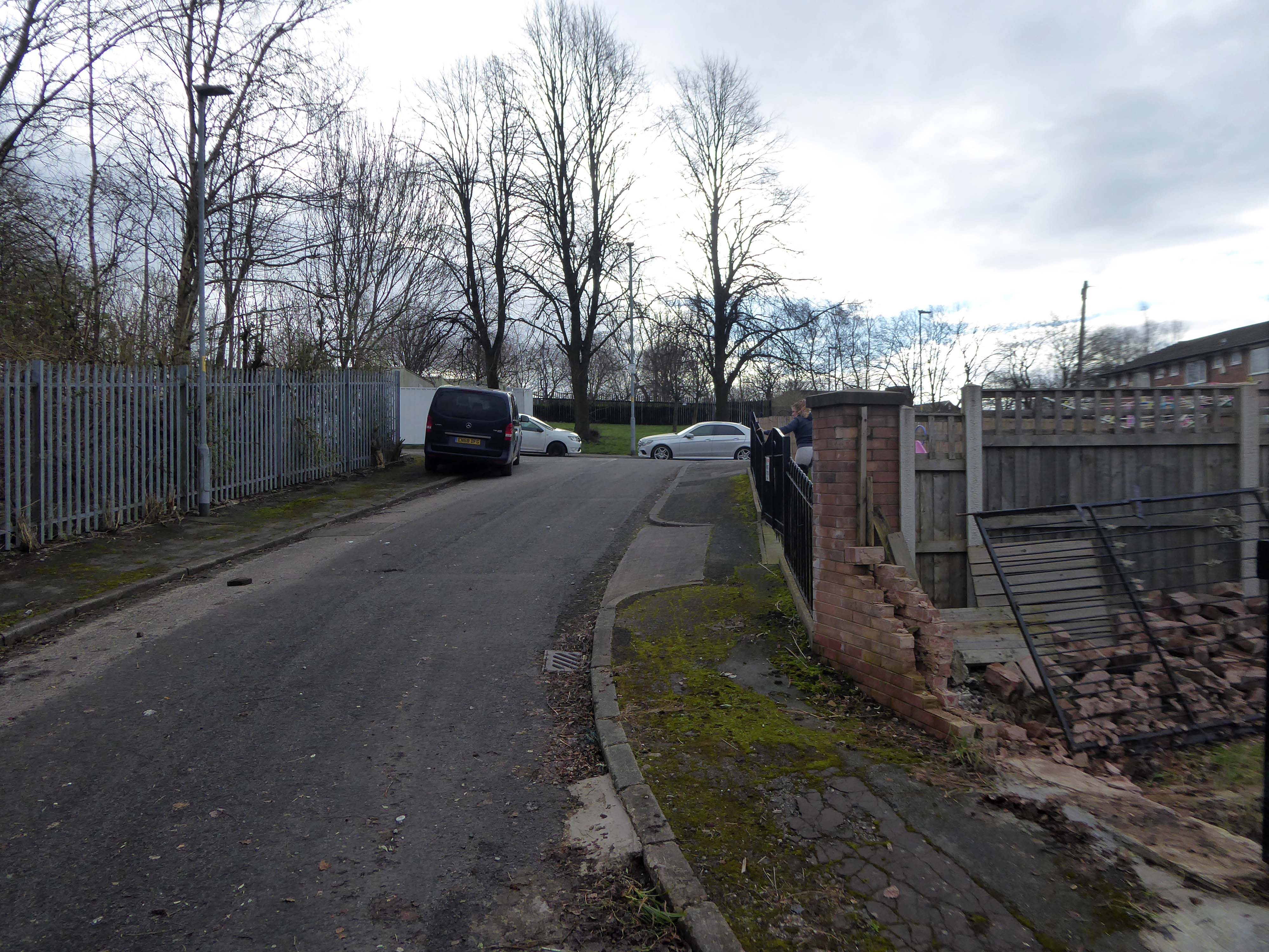
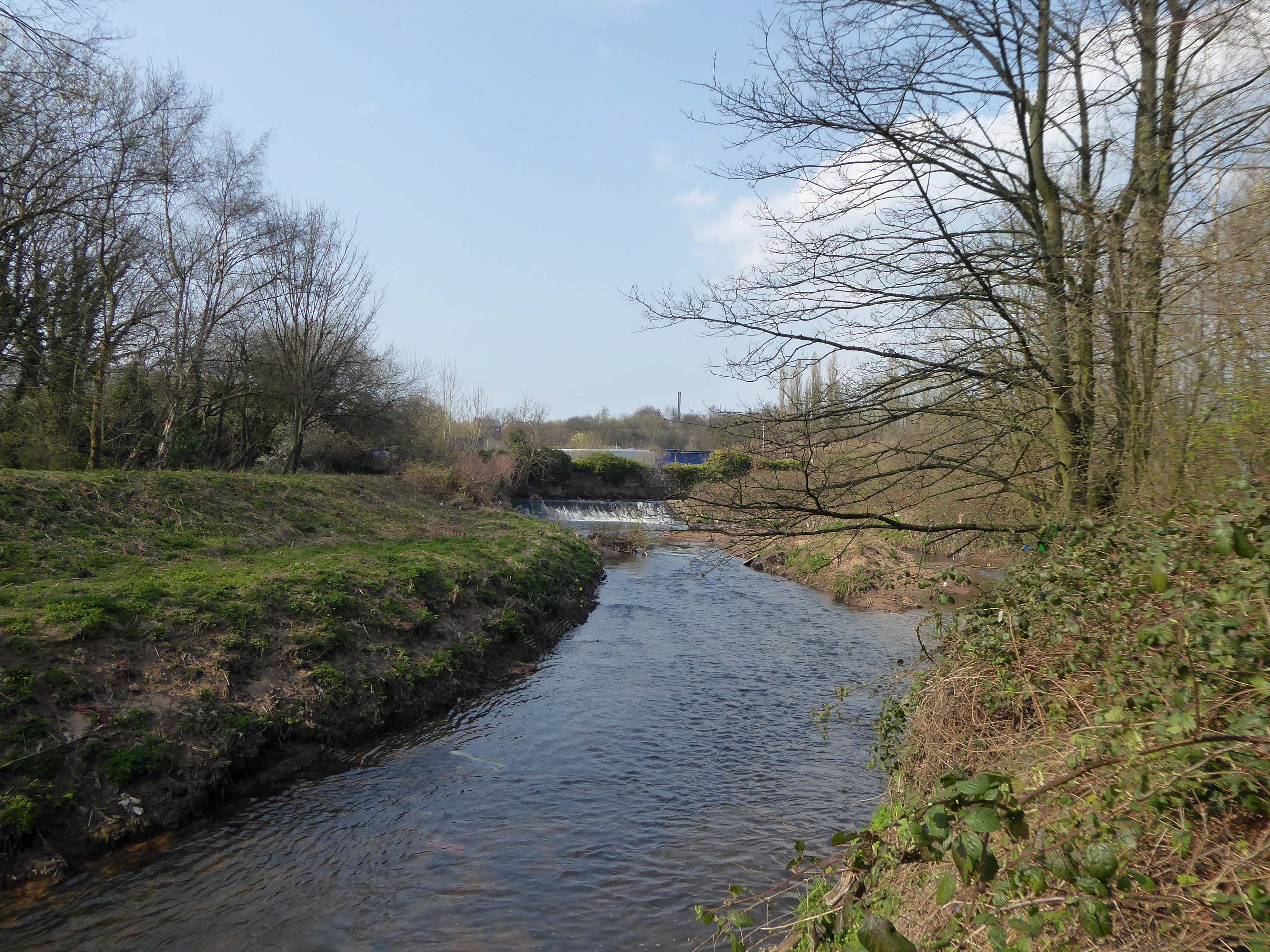
Dropping down to Hendham Vale.

To the right is the Smedley Hotel.

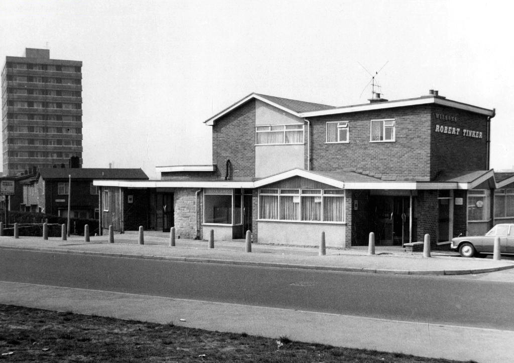
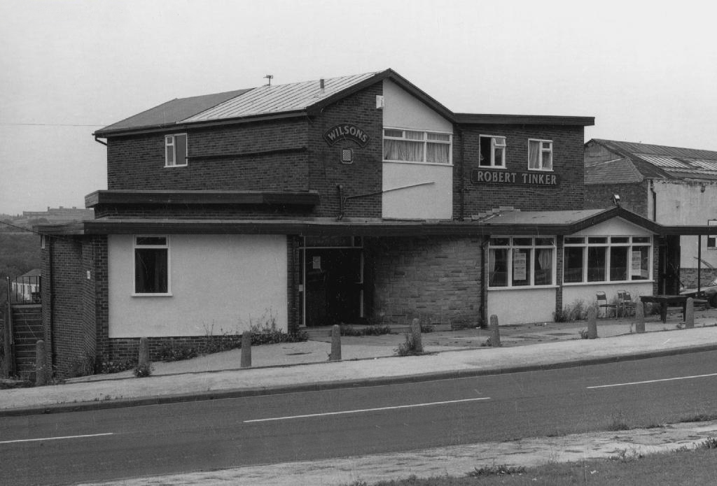
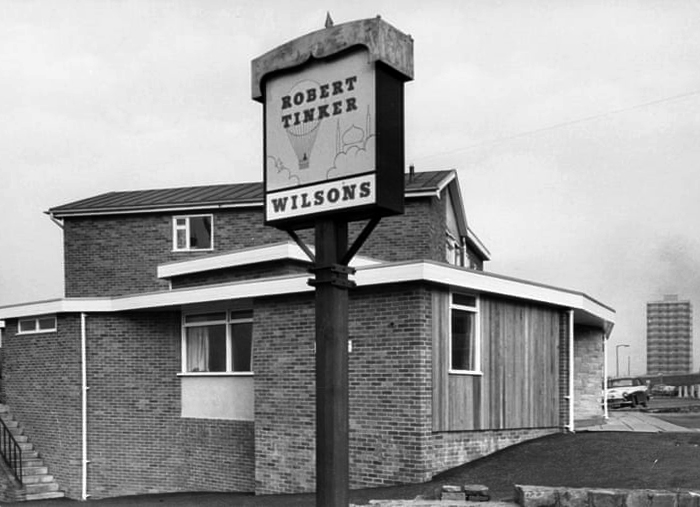
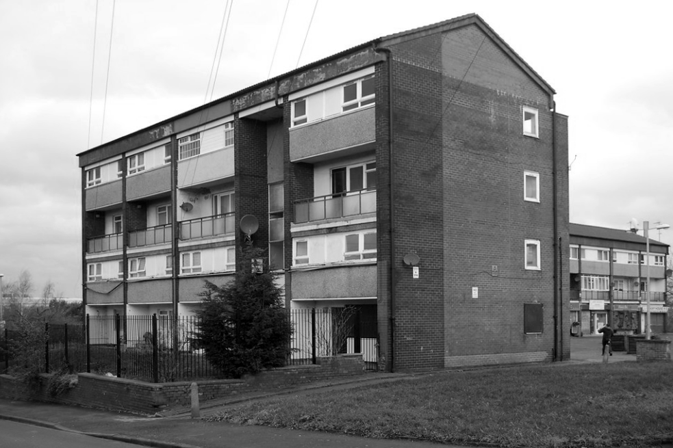
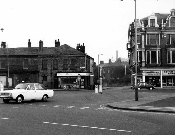
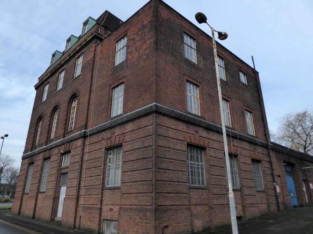
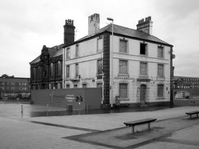
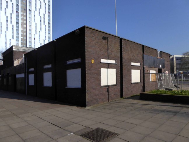
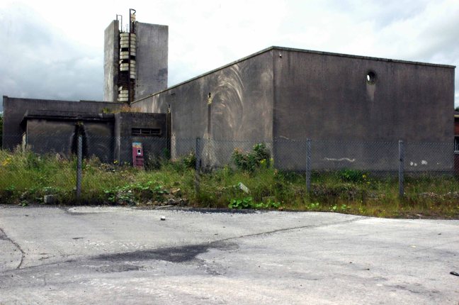
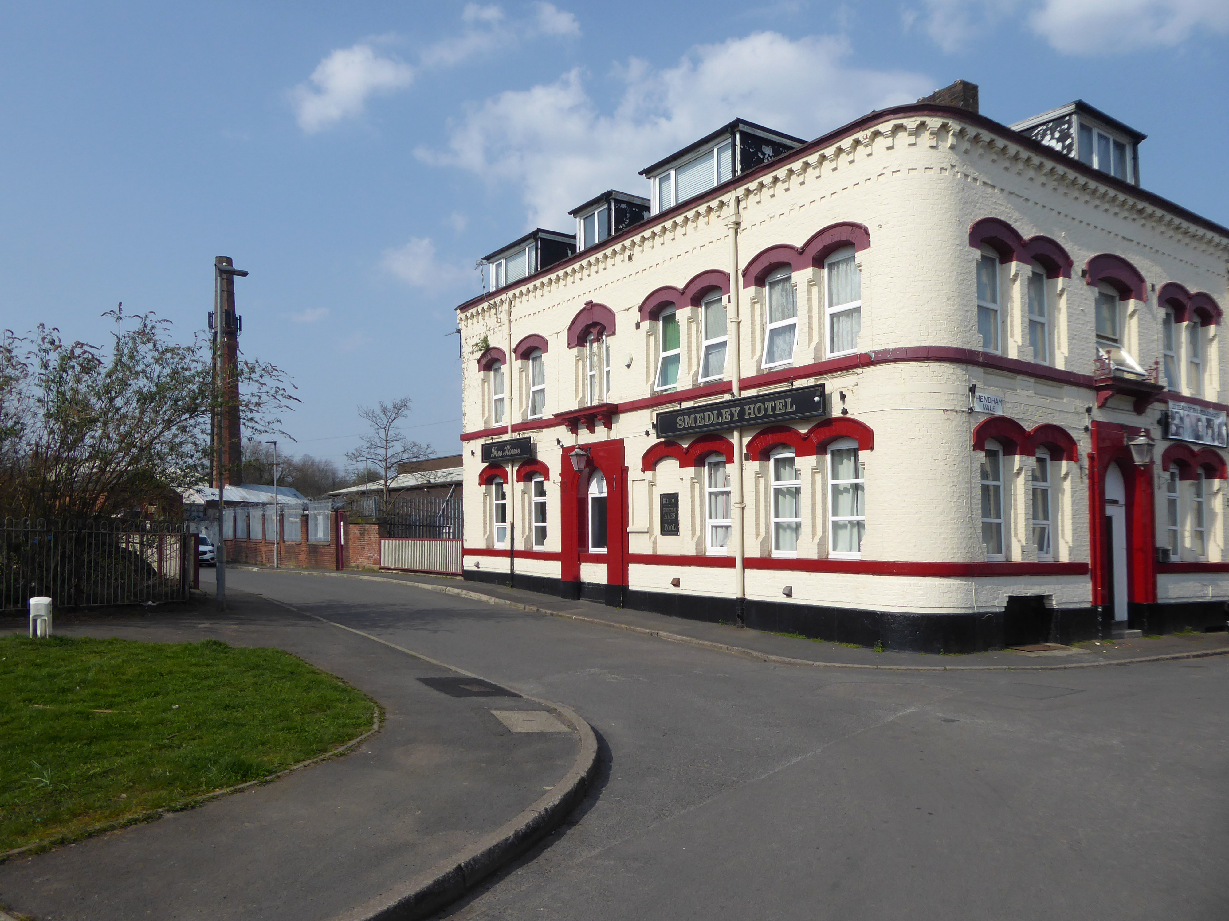
The Smedley Hotel is a very large pub that is hidden away on a quiet back street. Once inside there were a few different rooms and I had a drink in the bar which was fairly large and seemed in need of some attention. The pub still had its old Chesters signs outside and there were three real ales on the bar. I had a drink of Chesters bitter and this was a very nice drink the other beers were Chesters mild and Boddington’s bitter.

I thought this pub would be long gone but it is still standing and I think open for business.

Alan Winfield 1994

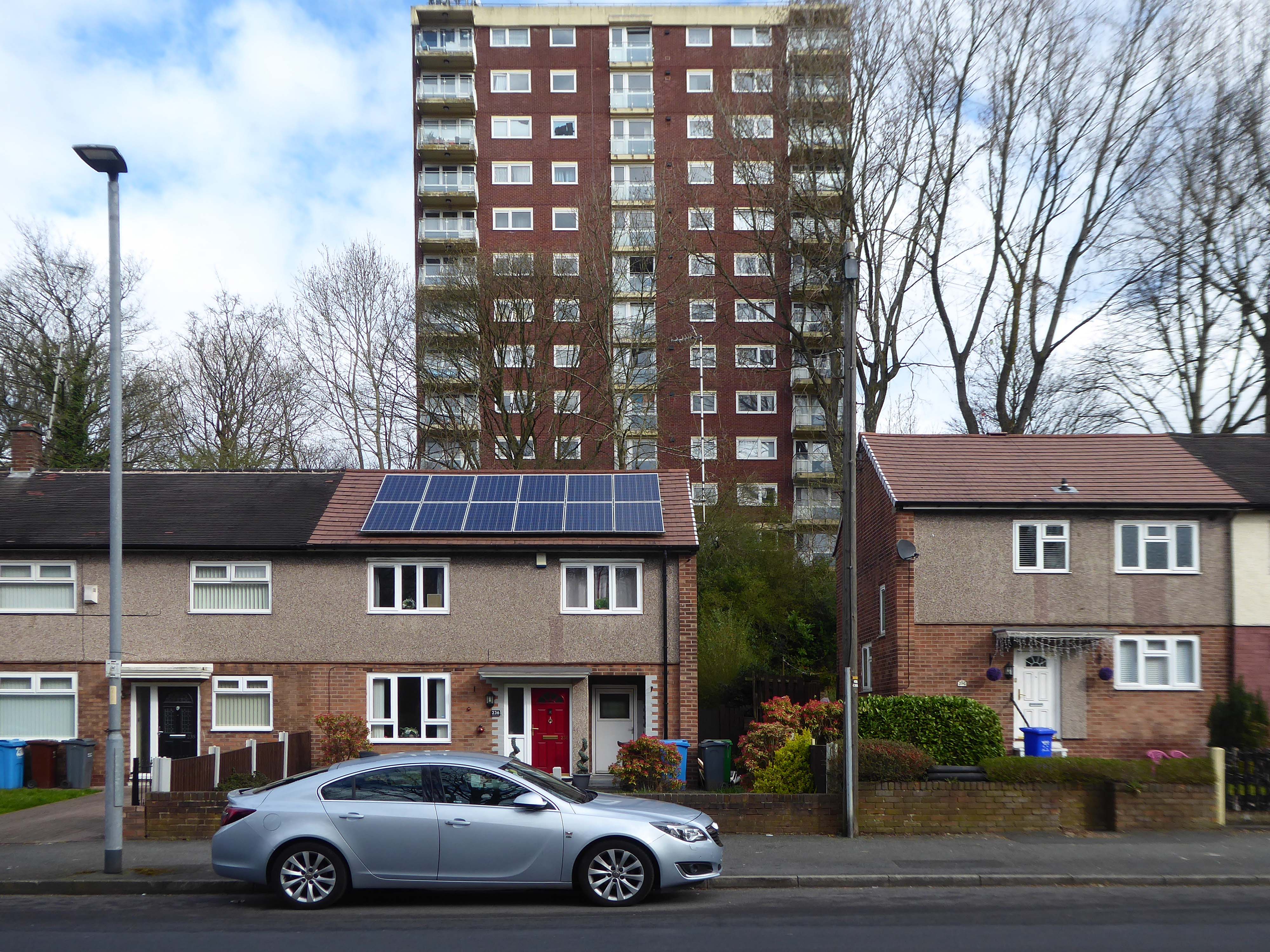
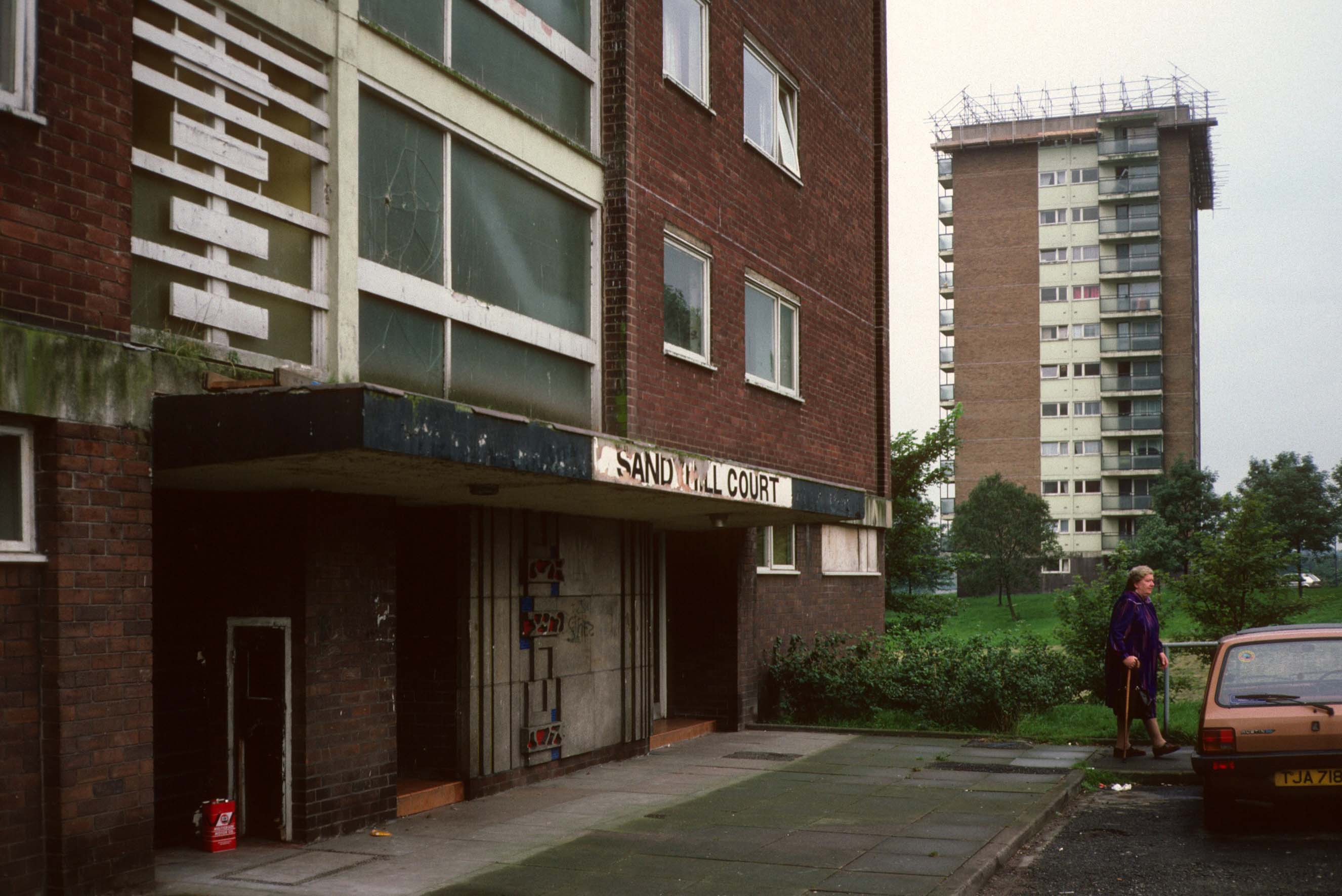
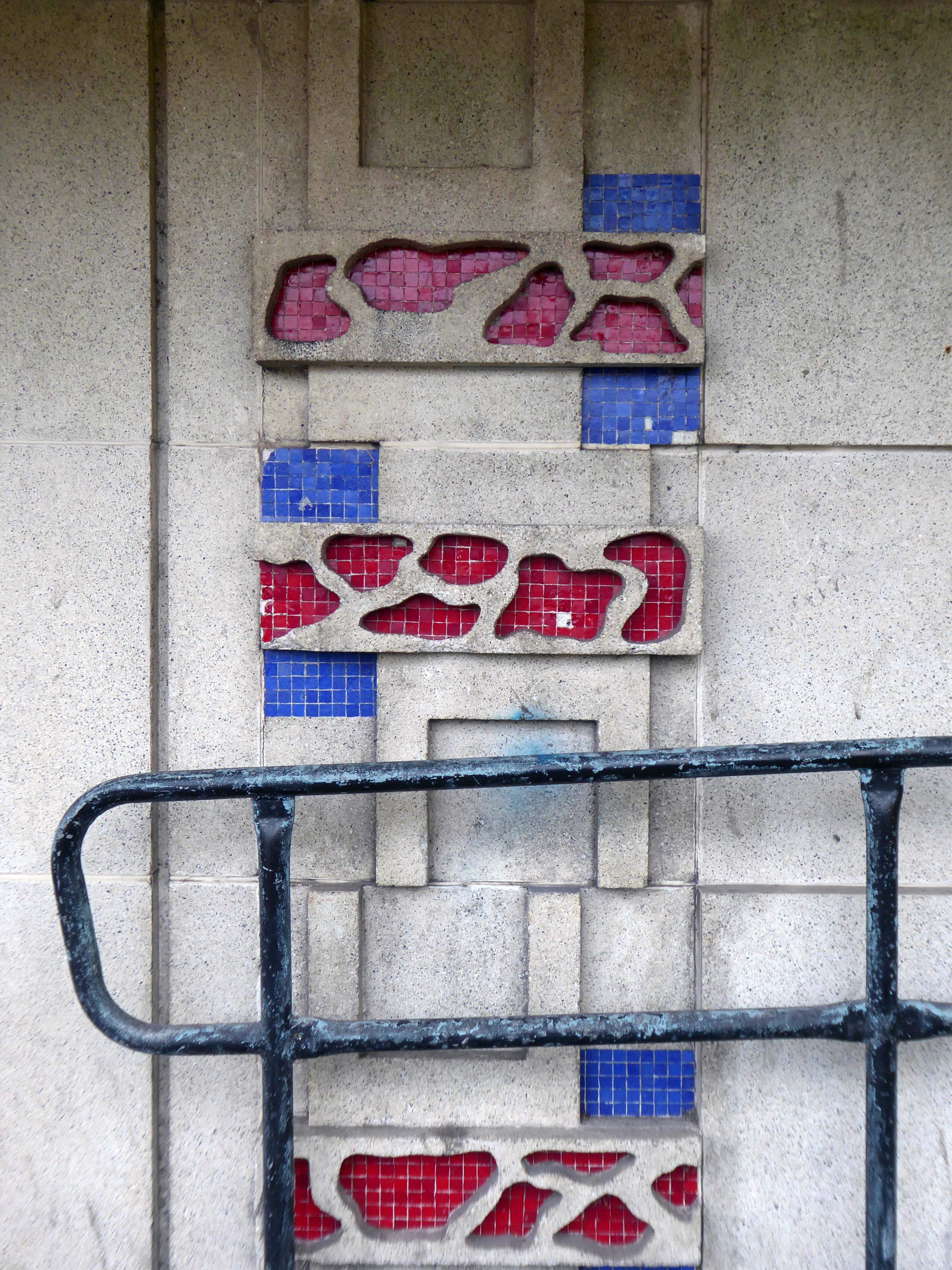
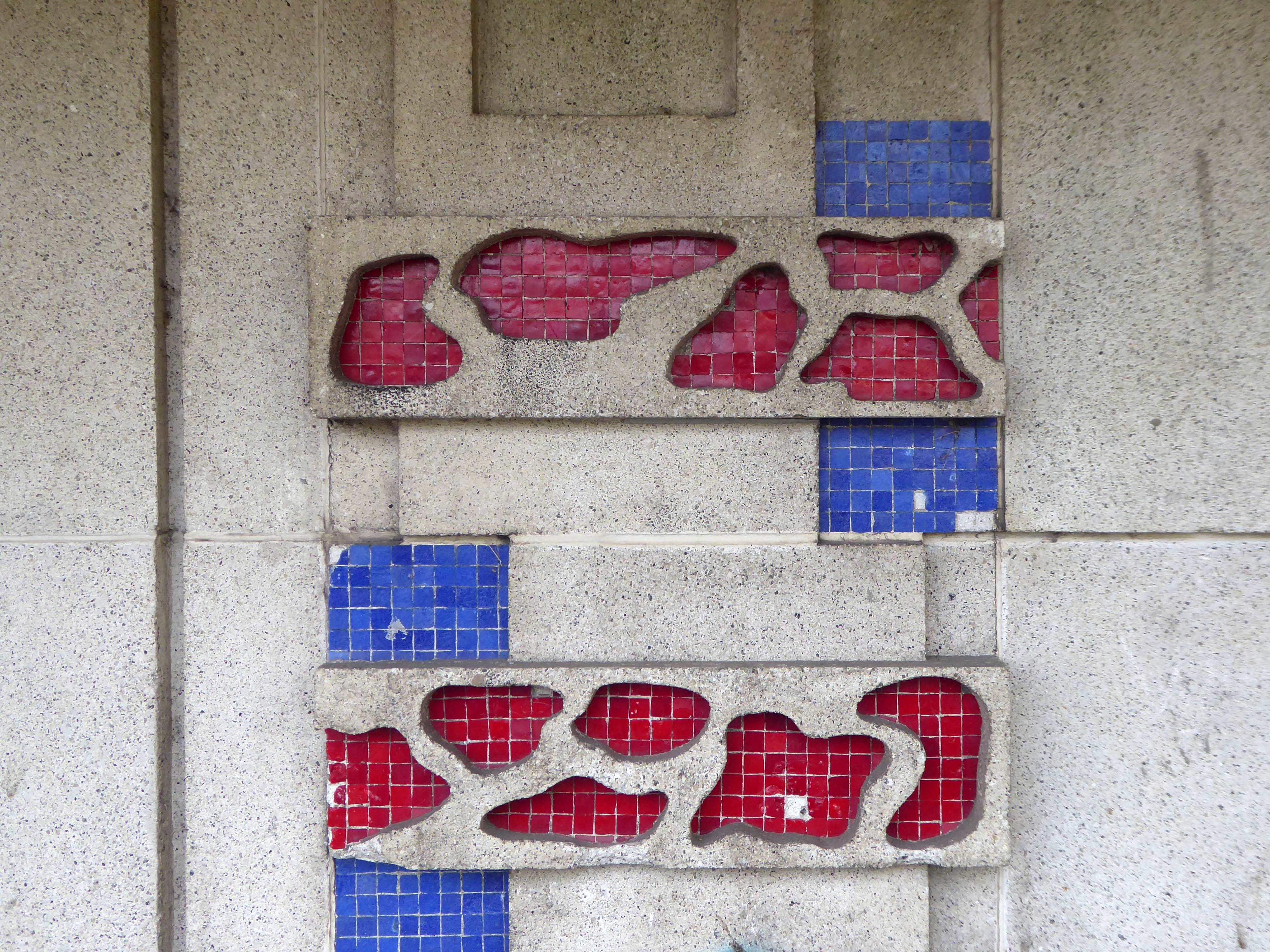
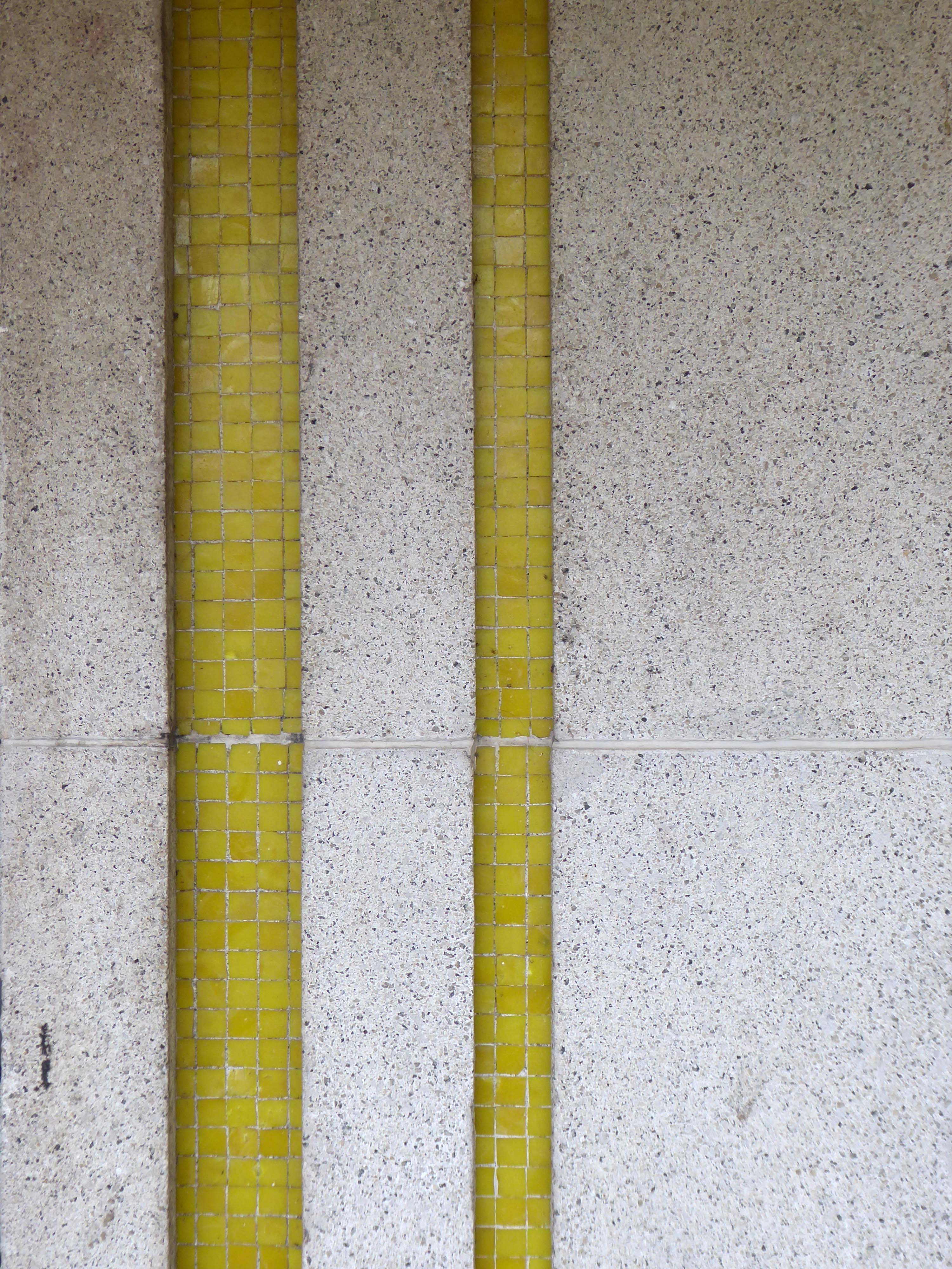
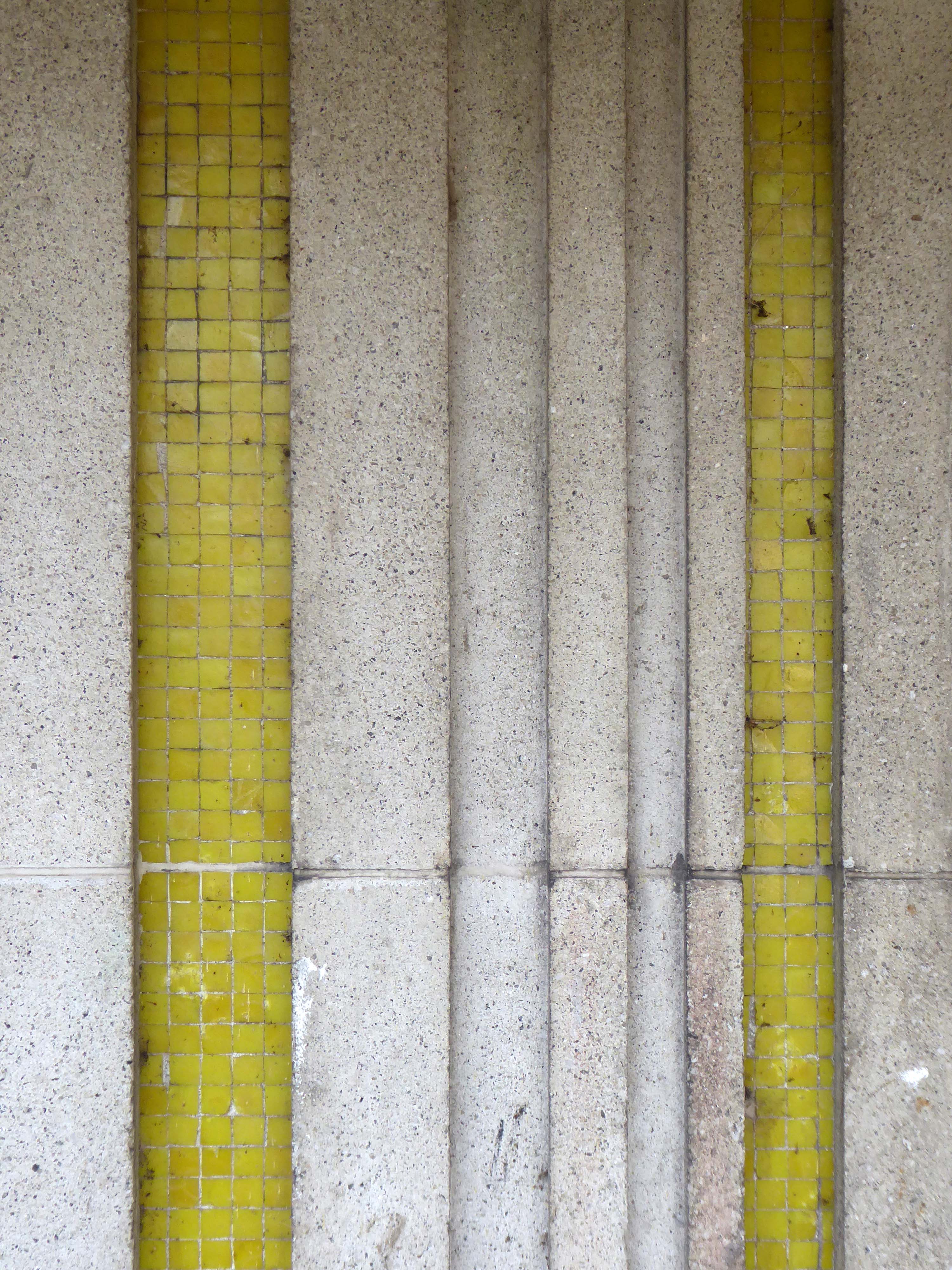
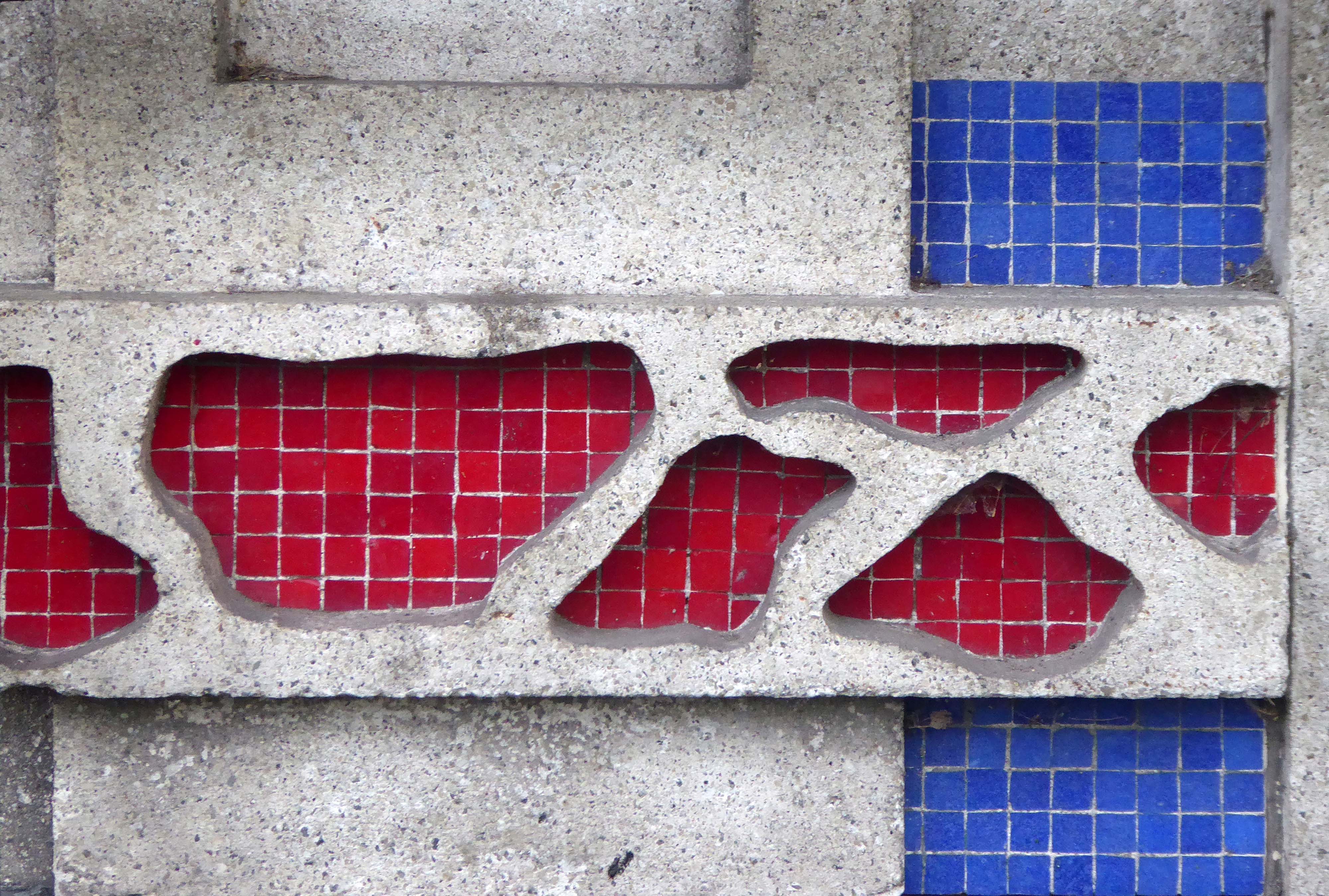
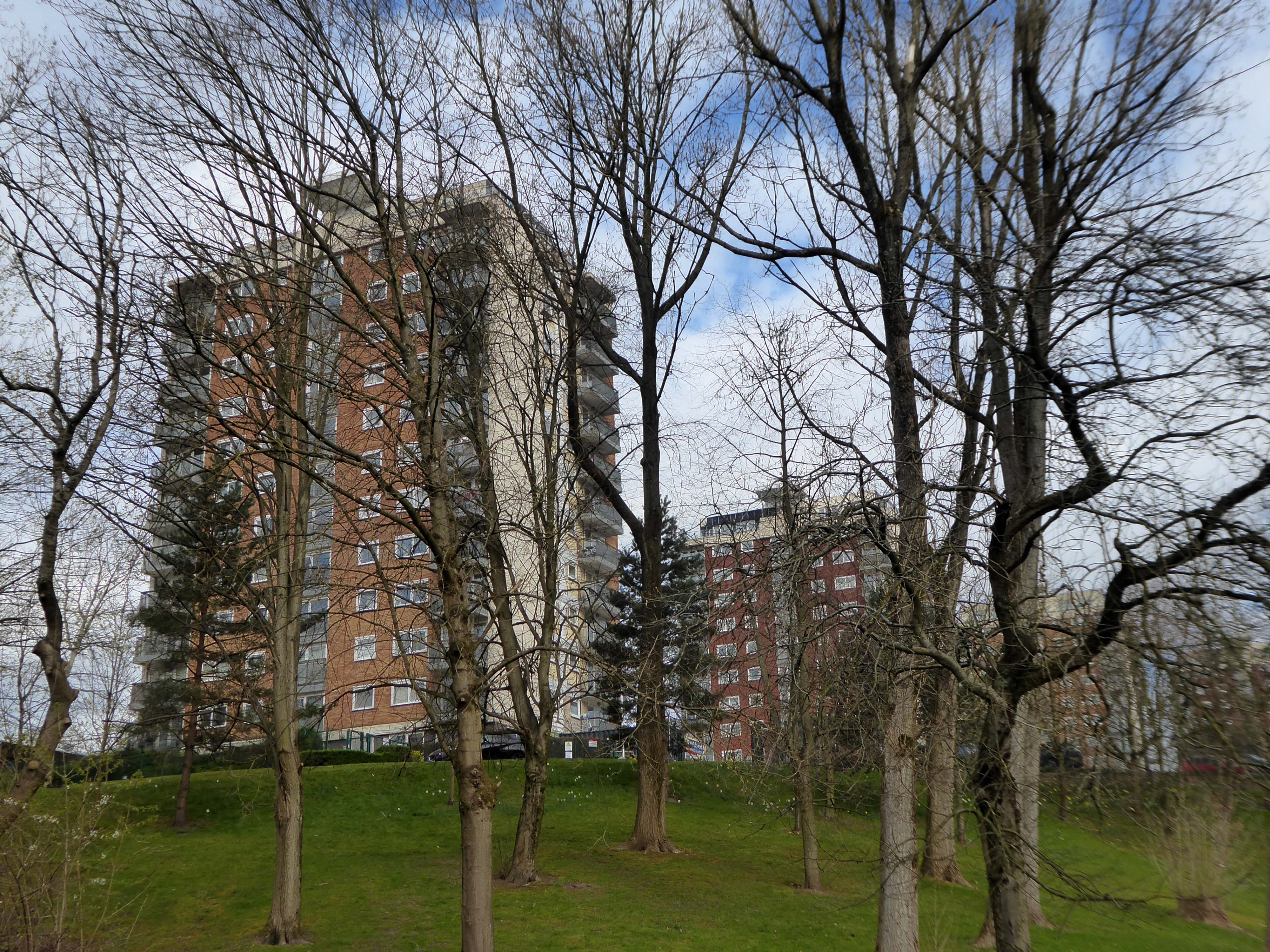
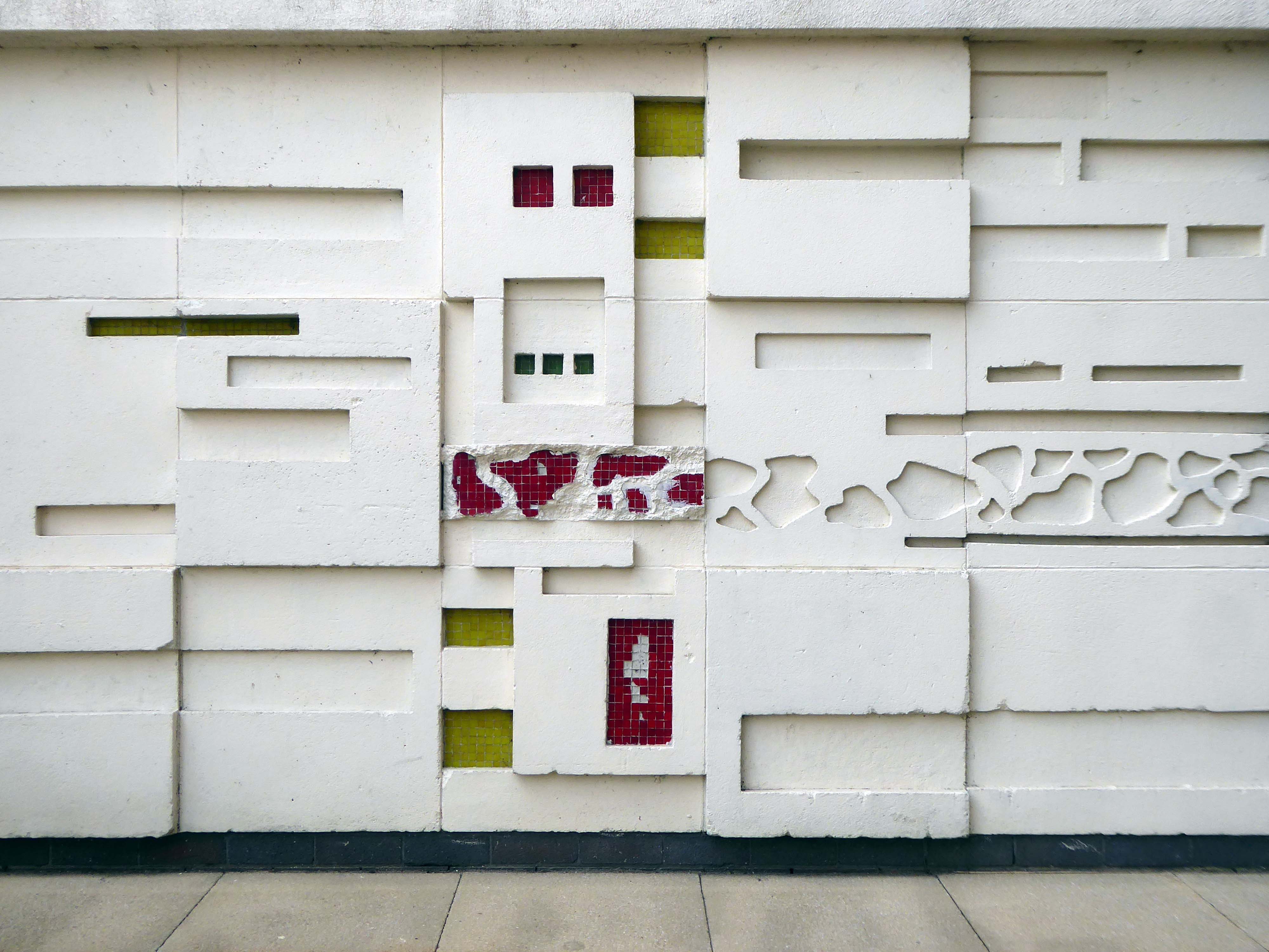
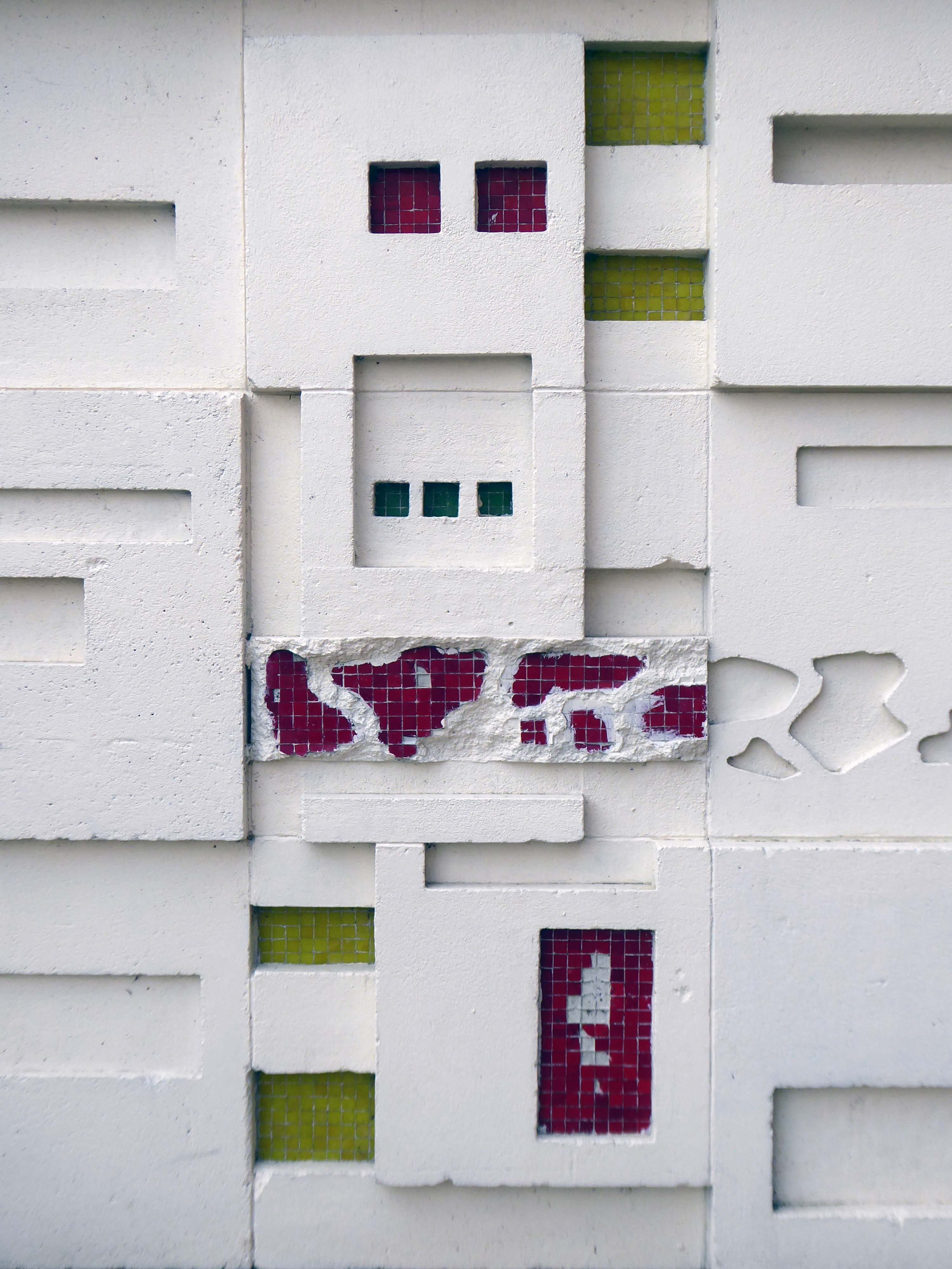
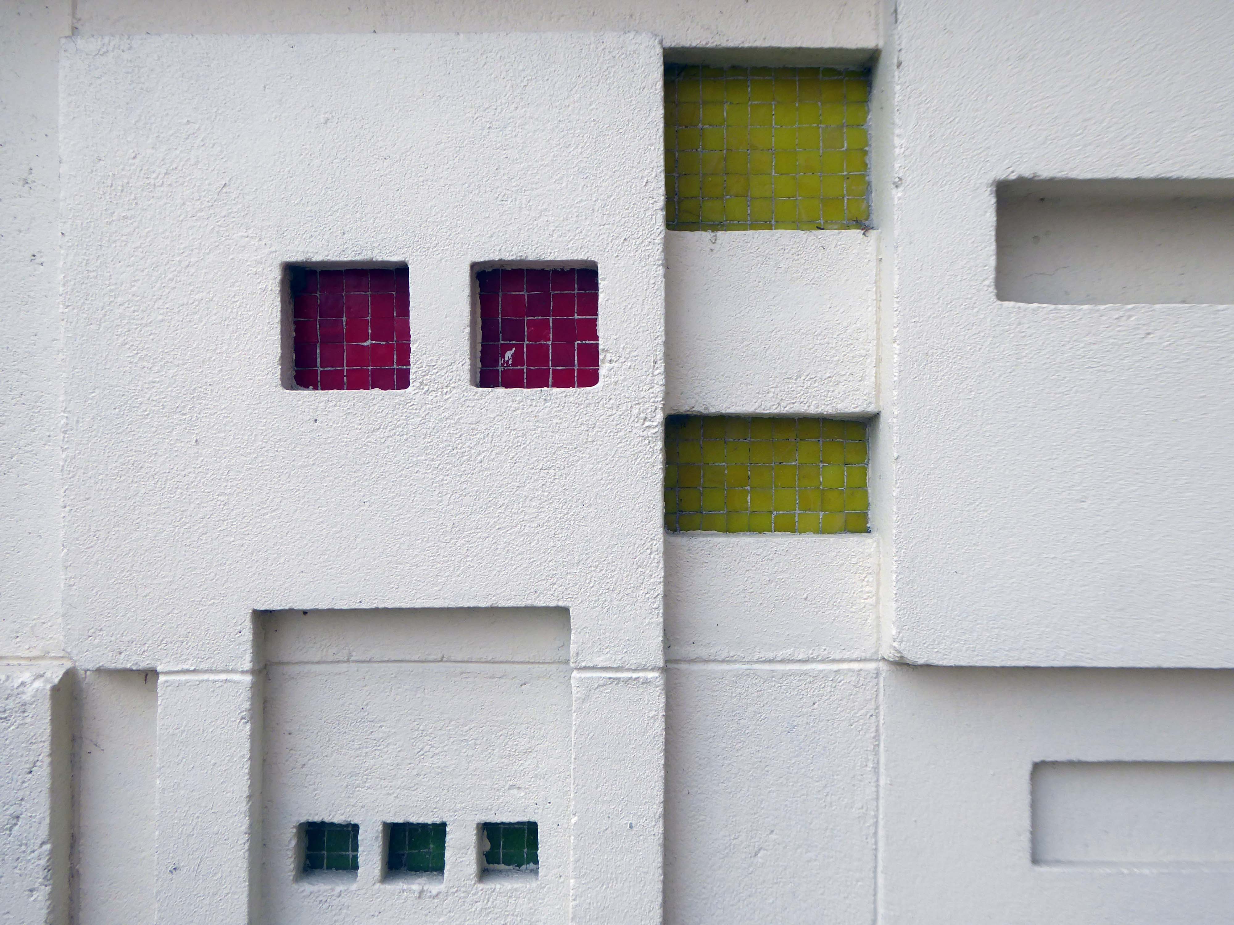
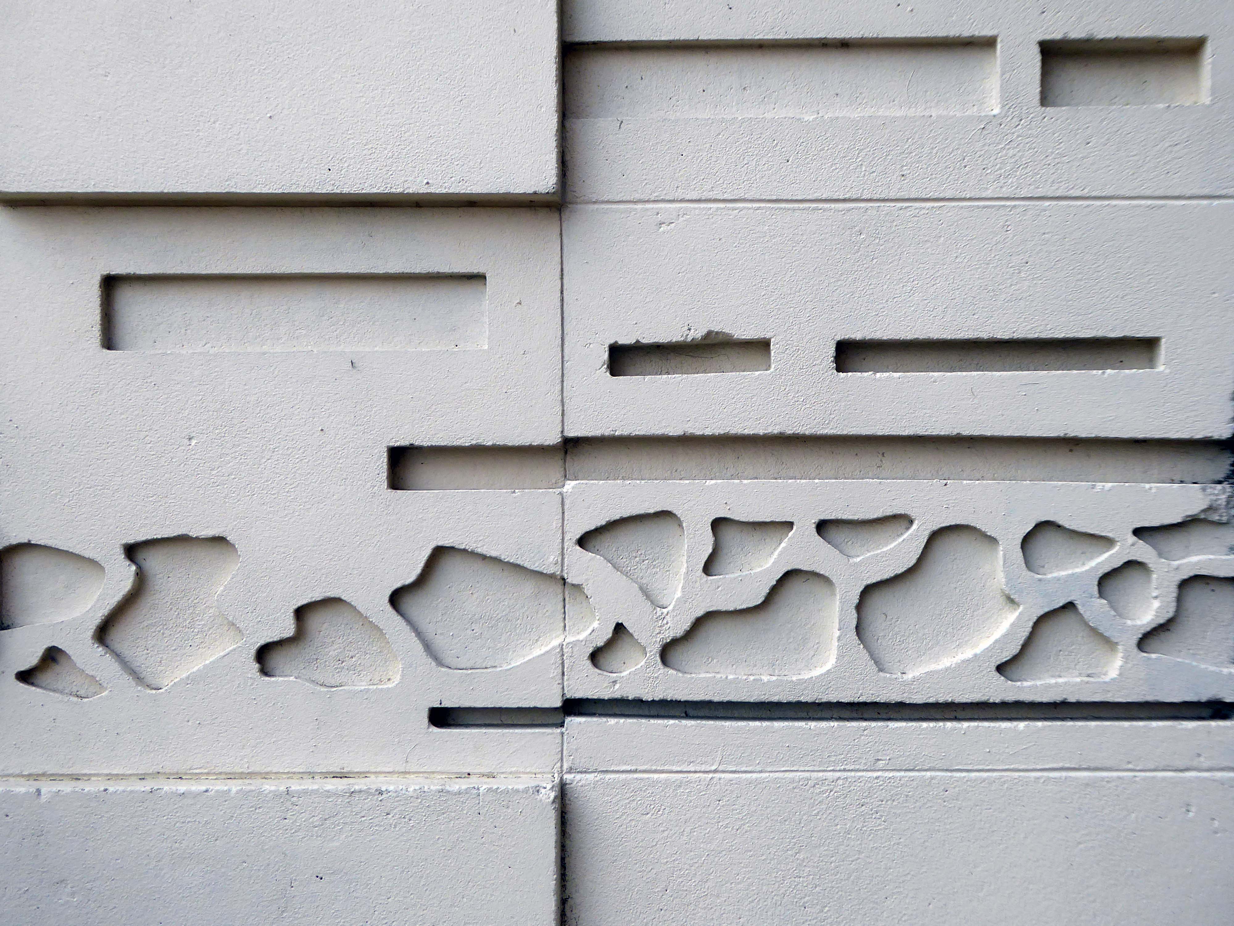
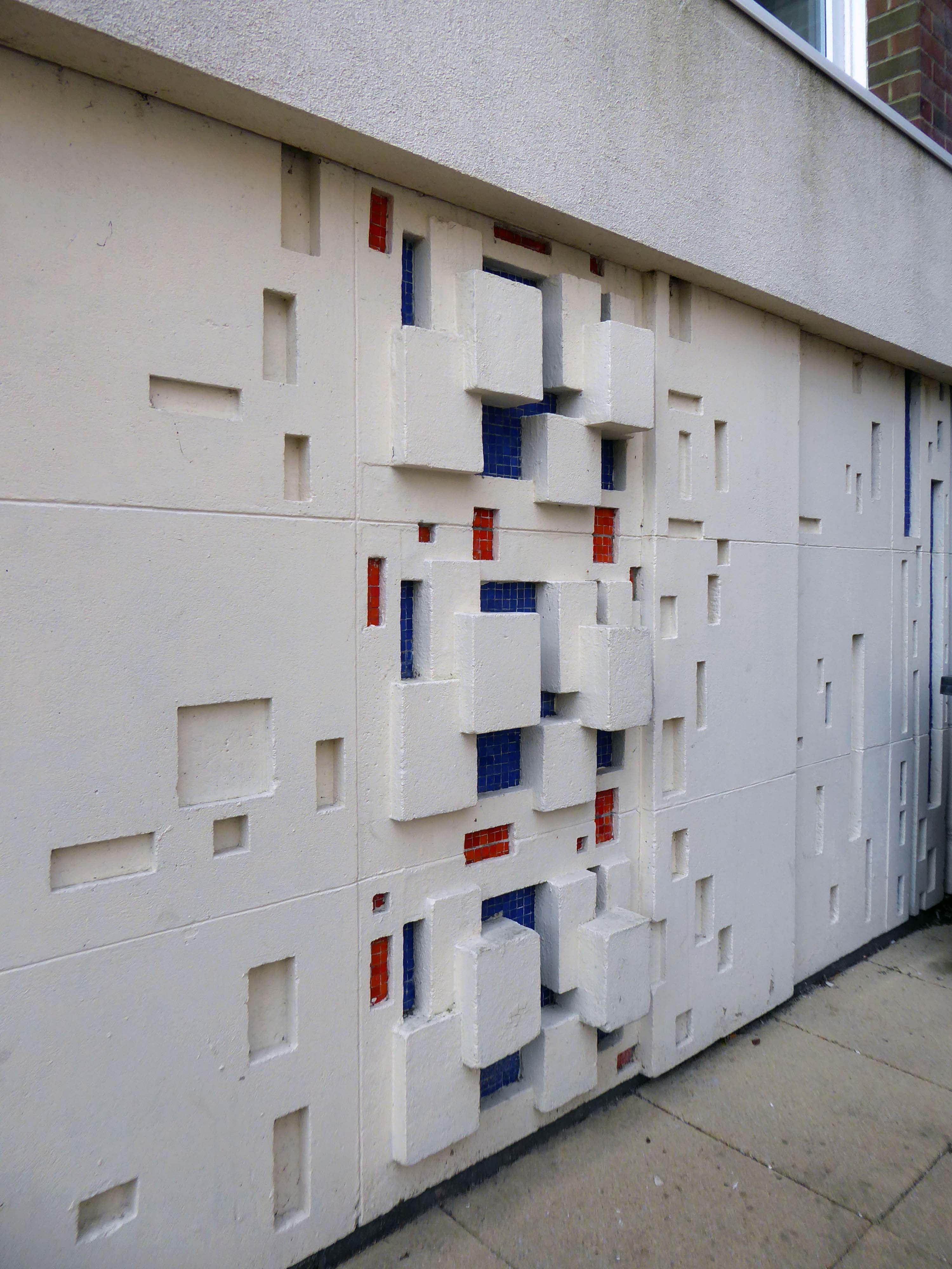
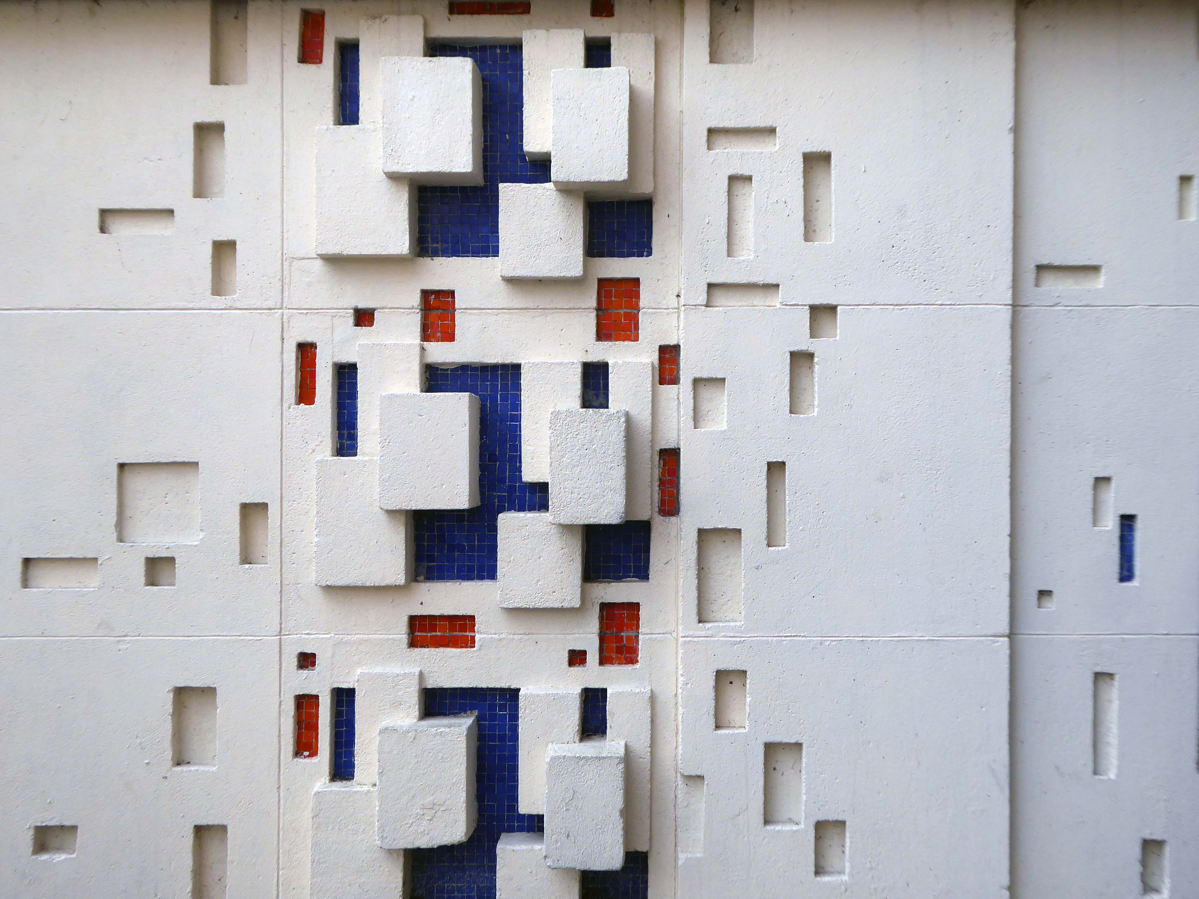
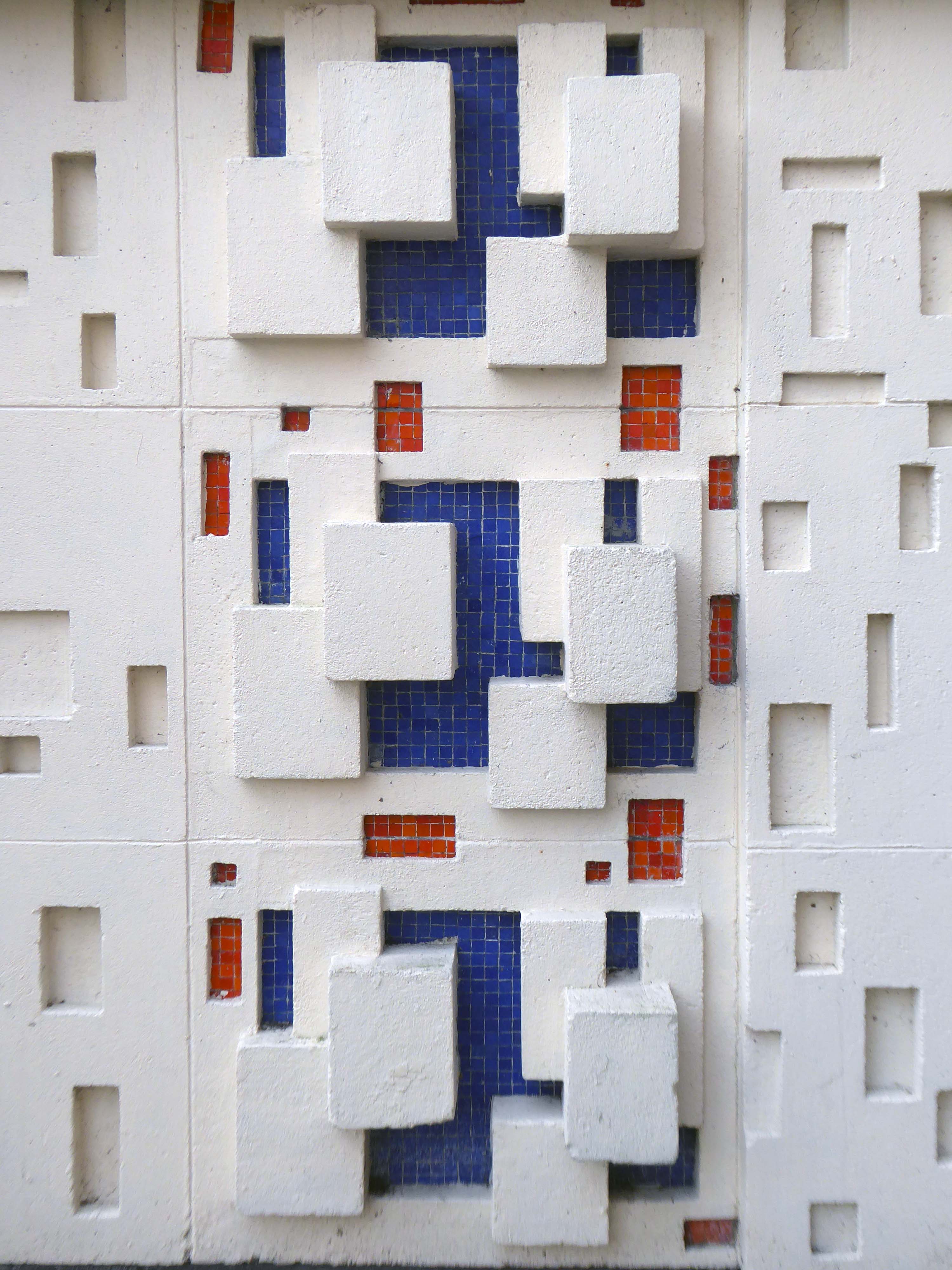
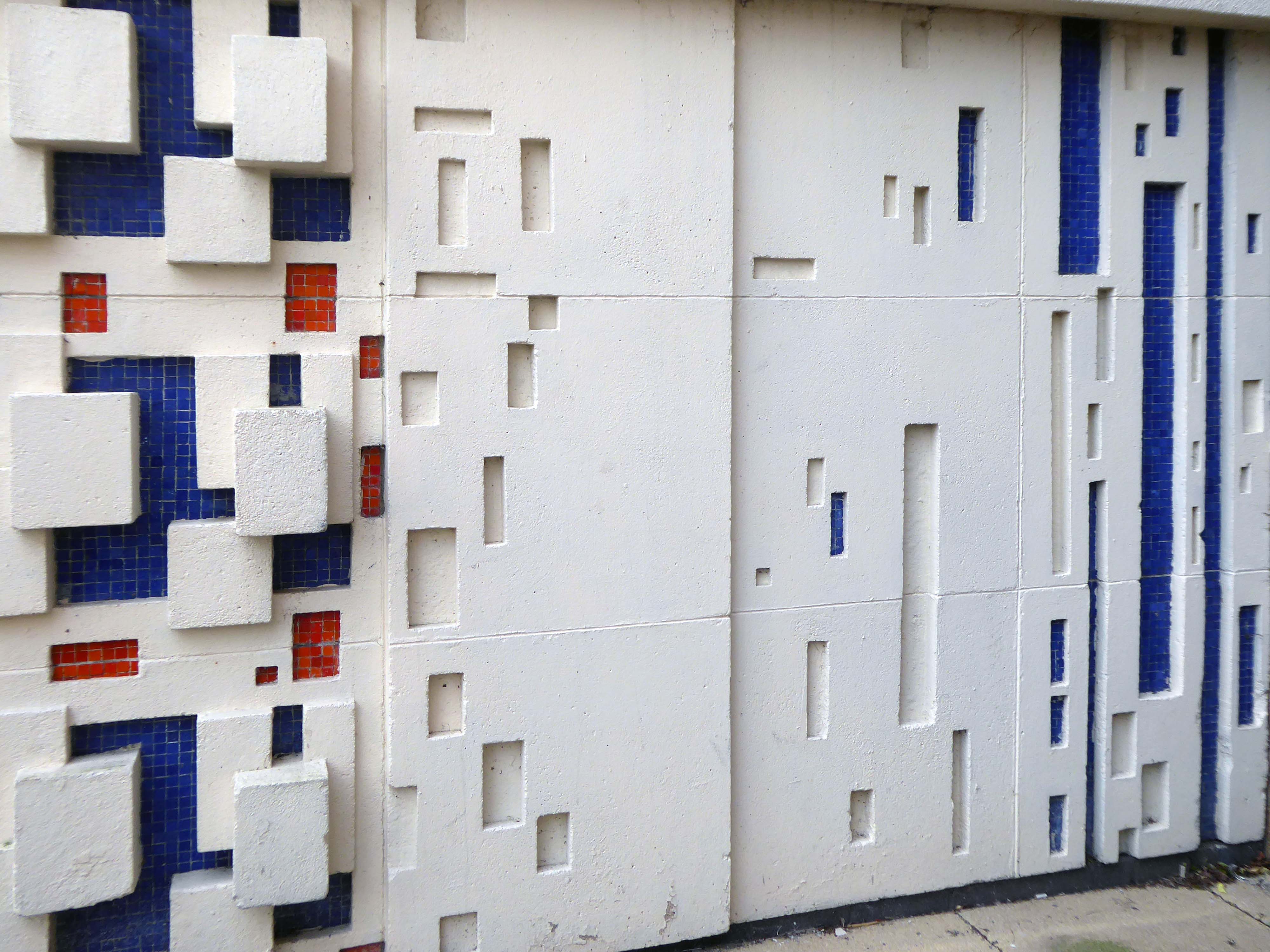
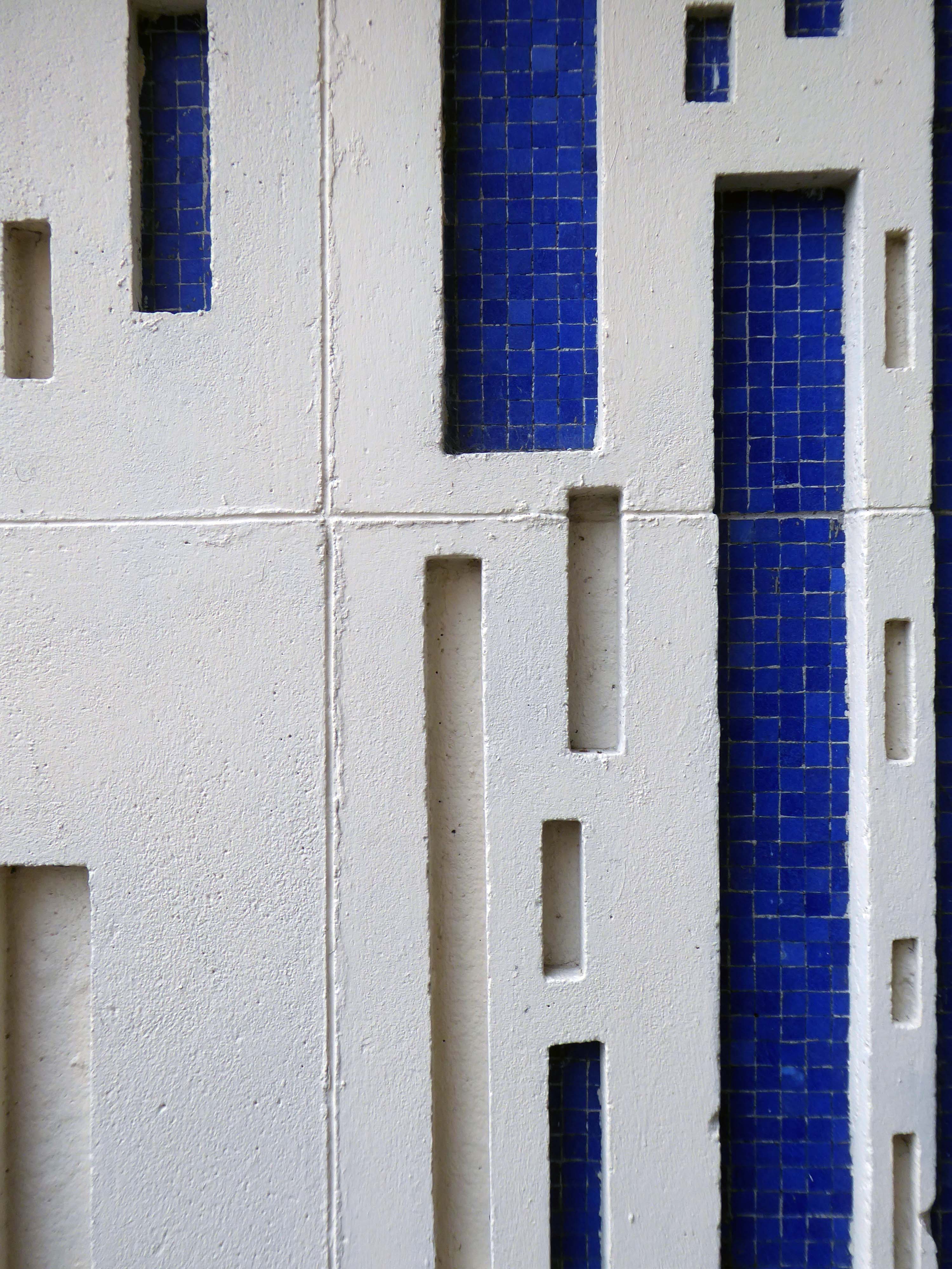
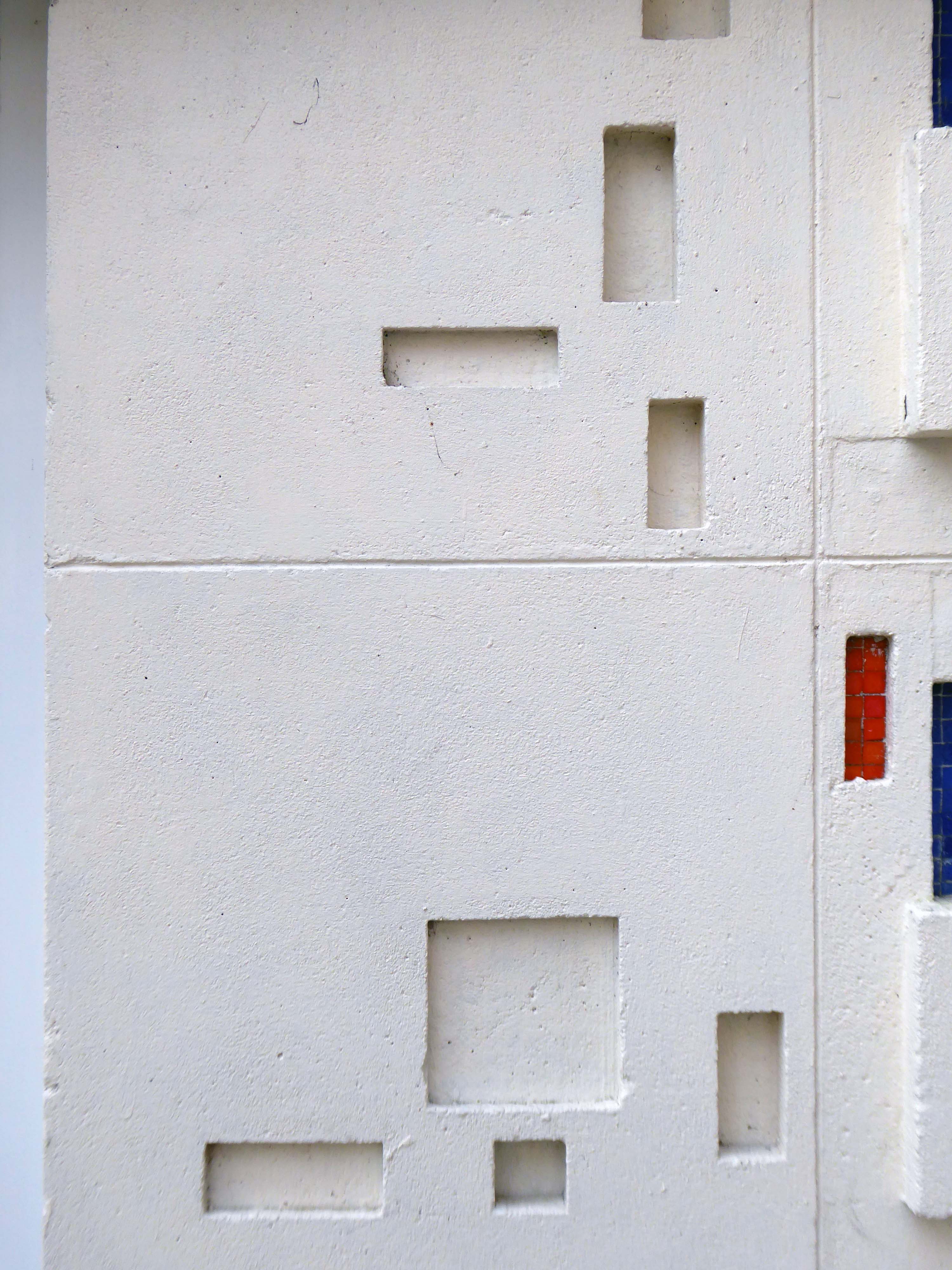
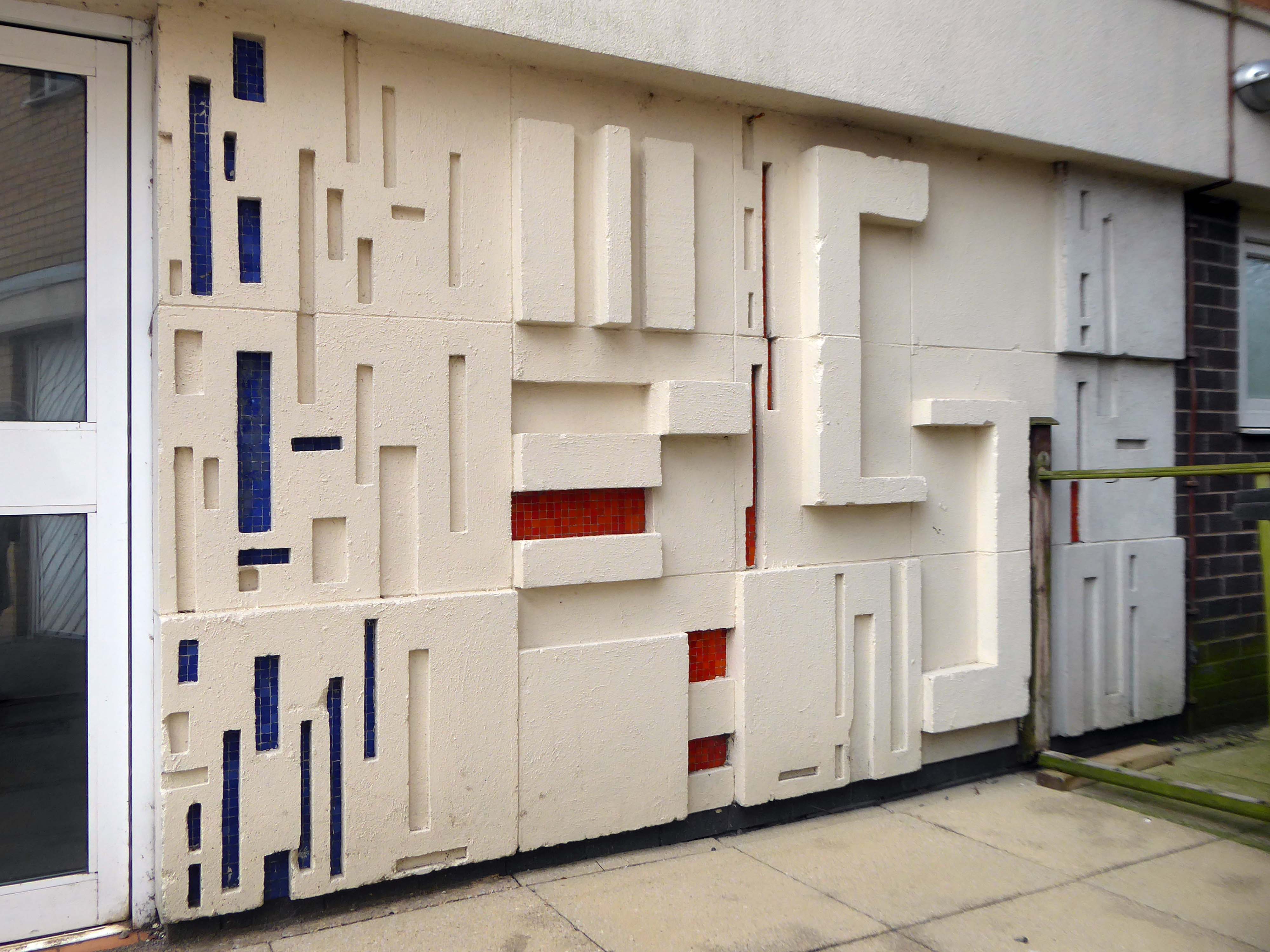
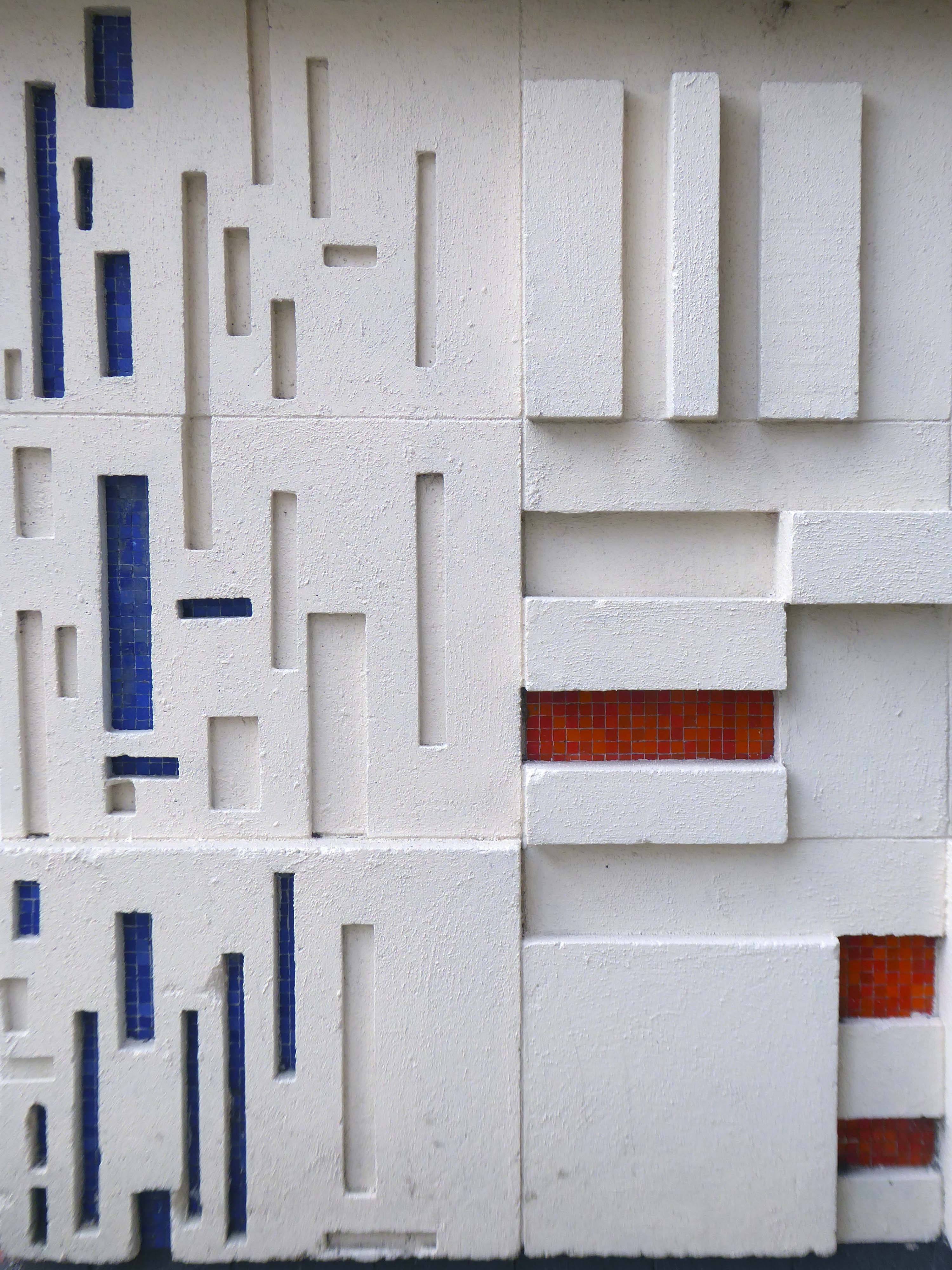
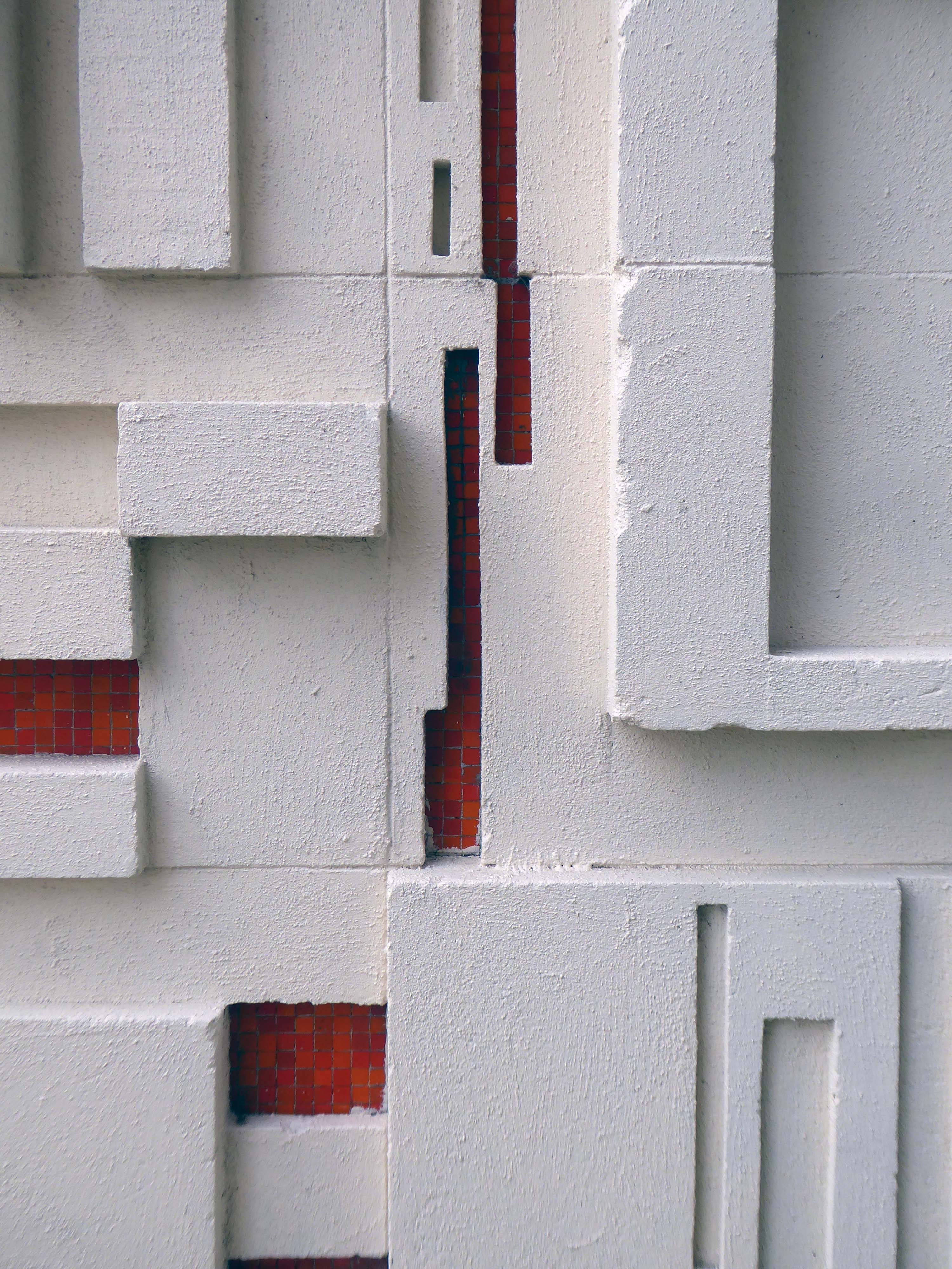
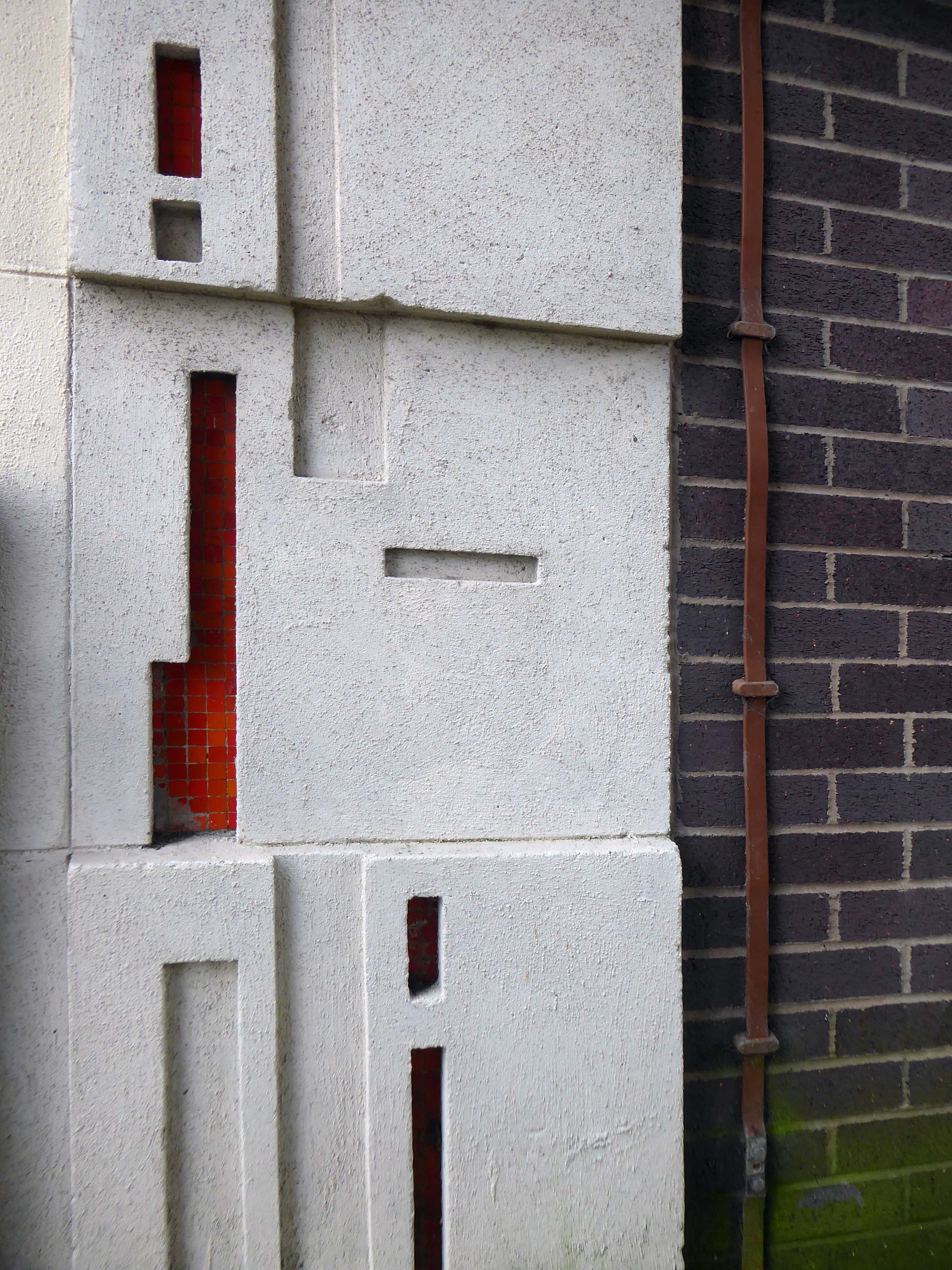
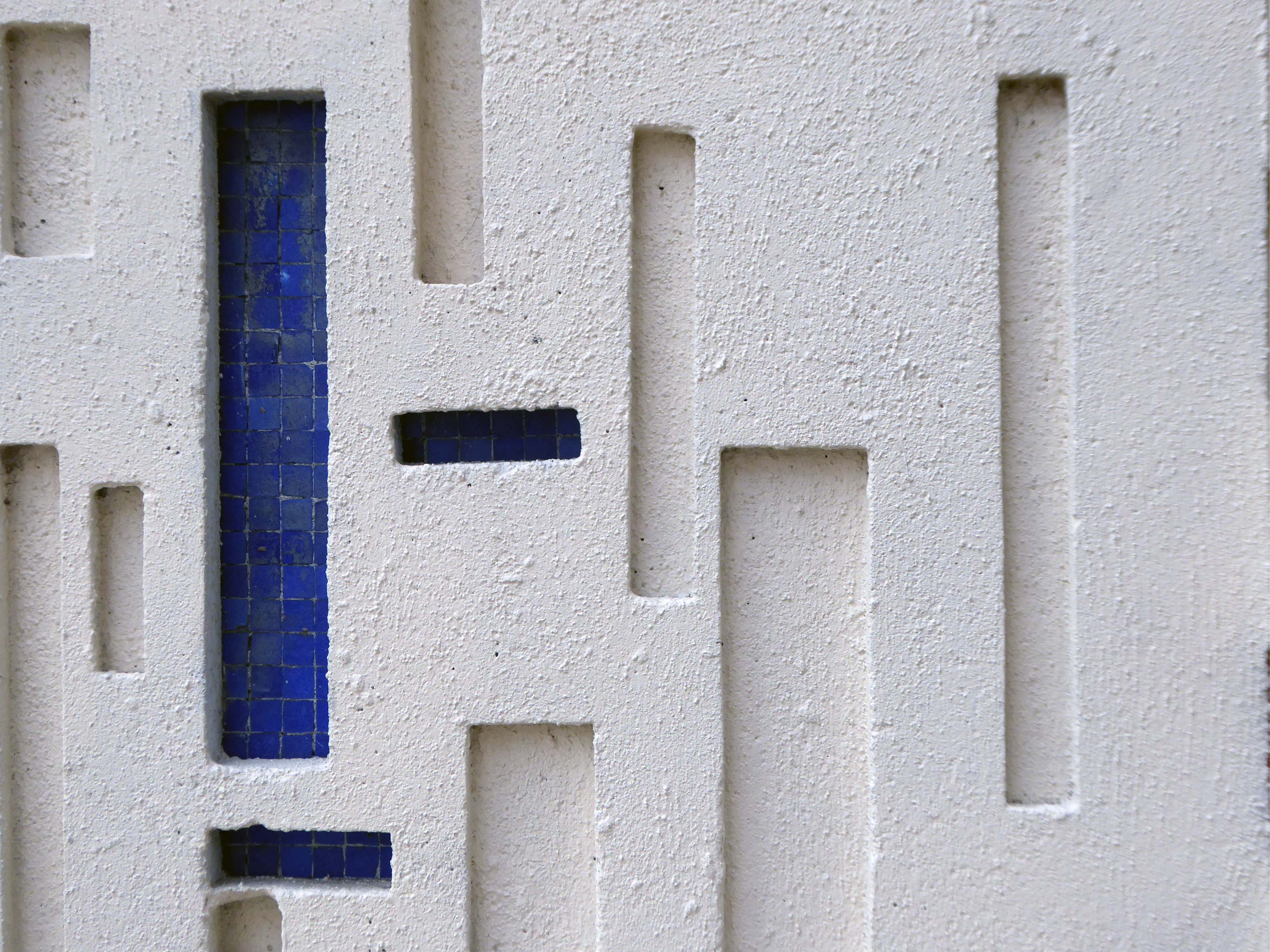
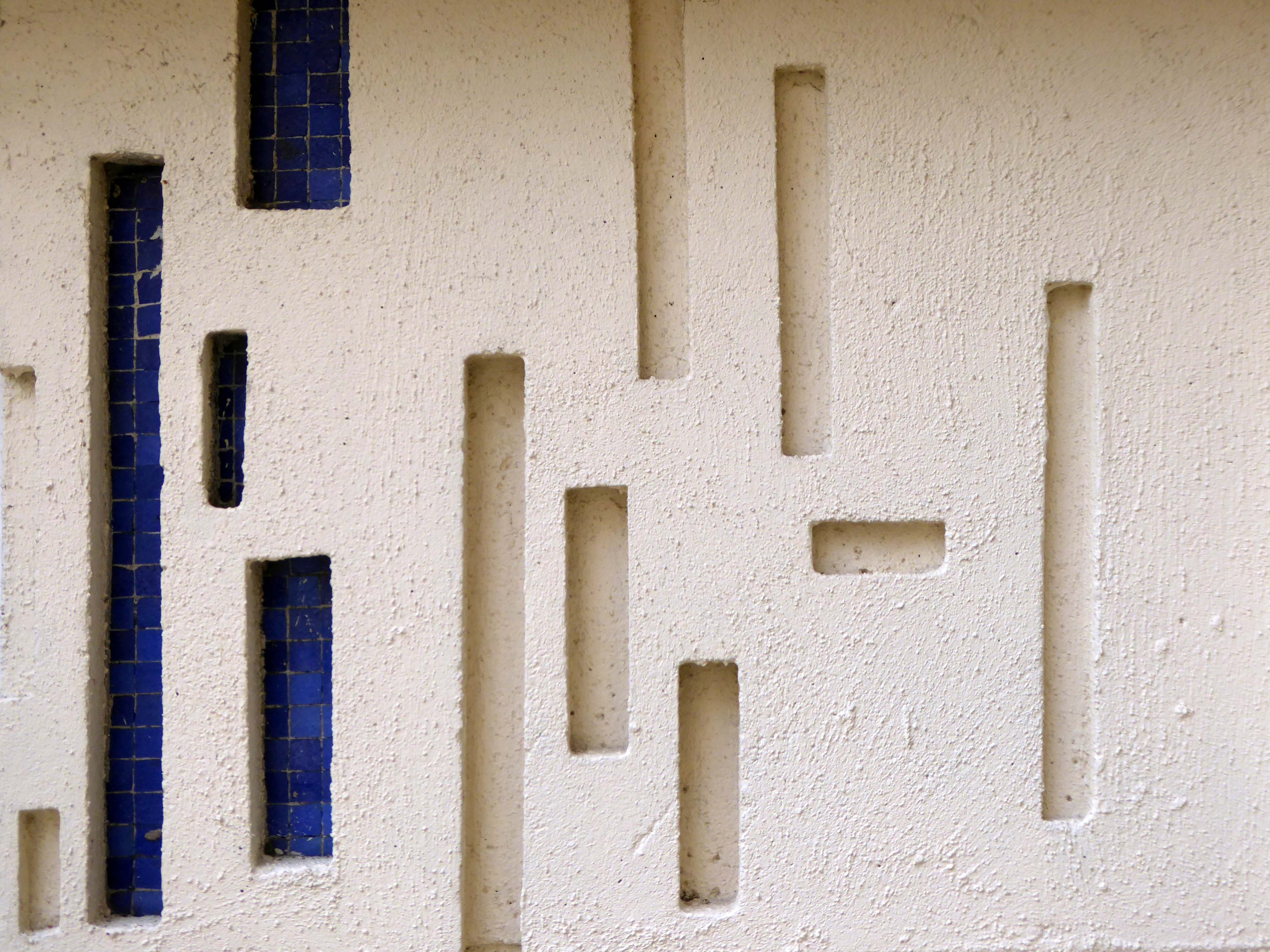
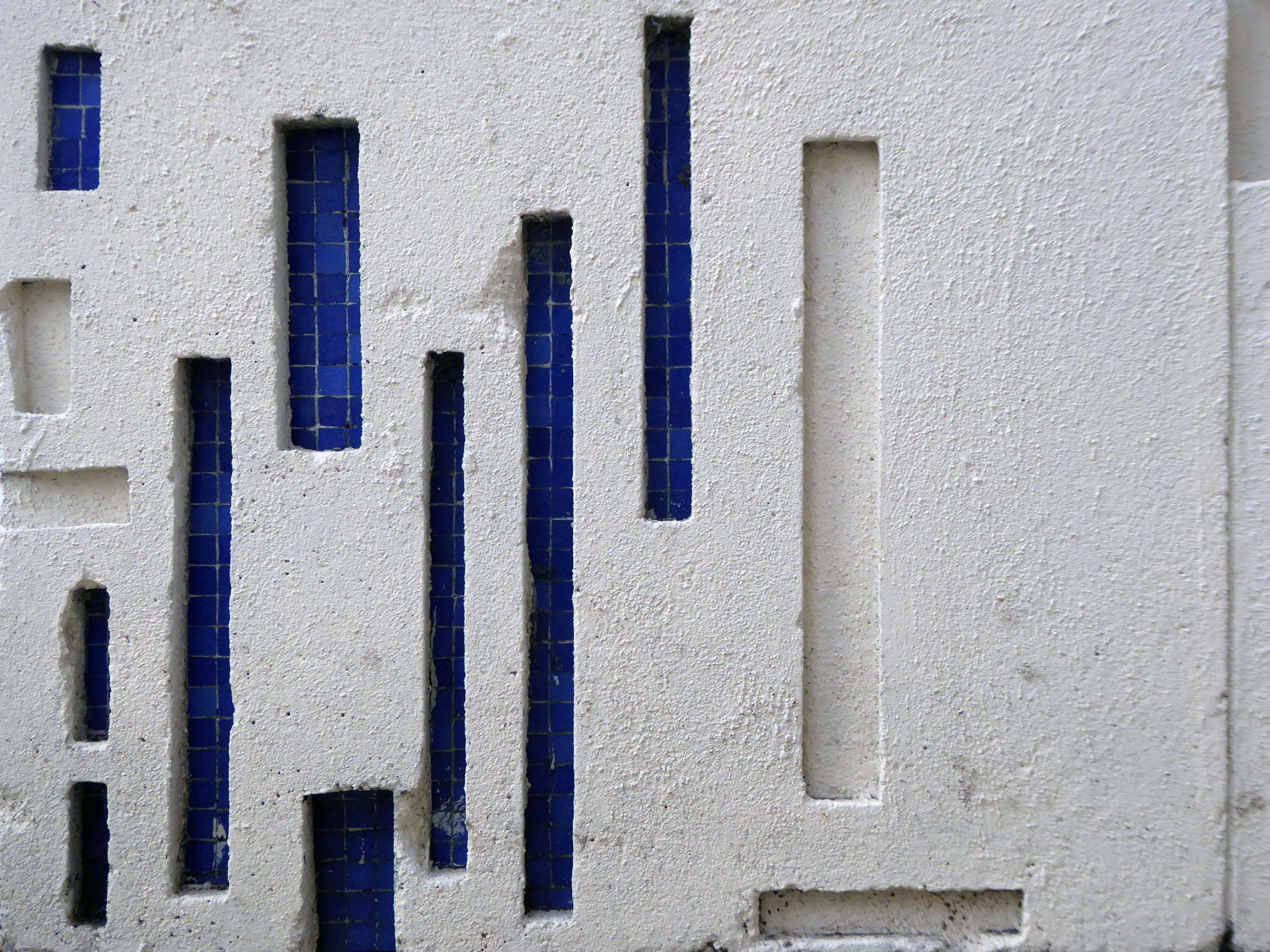
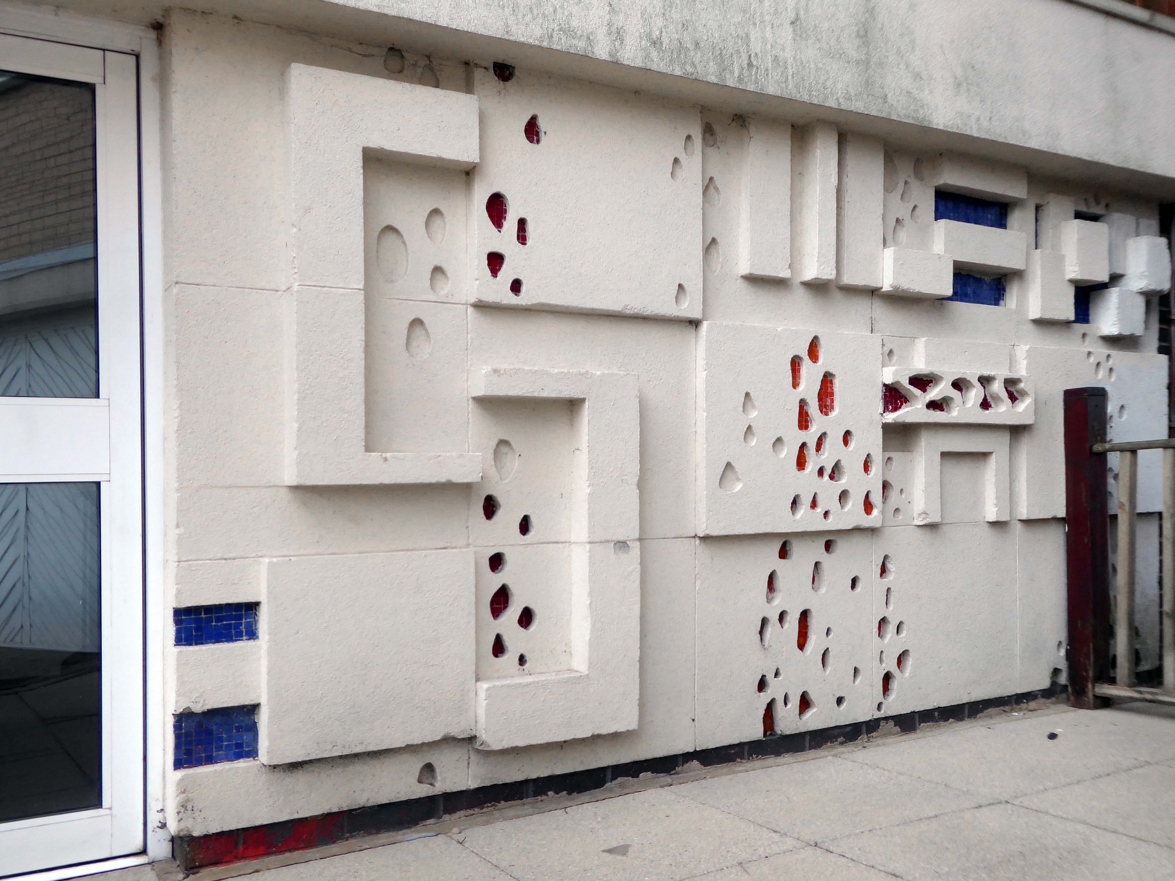
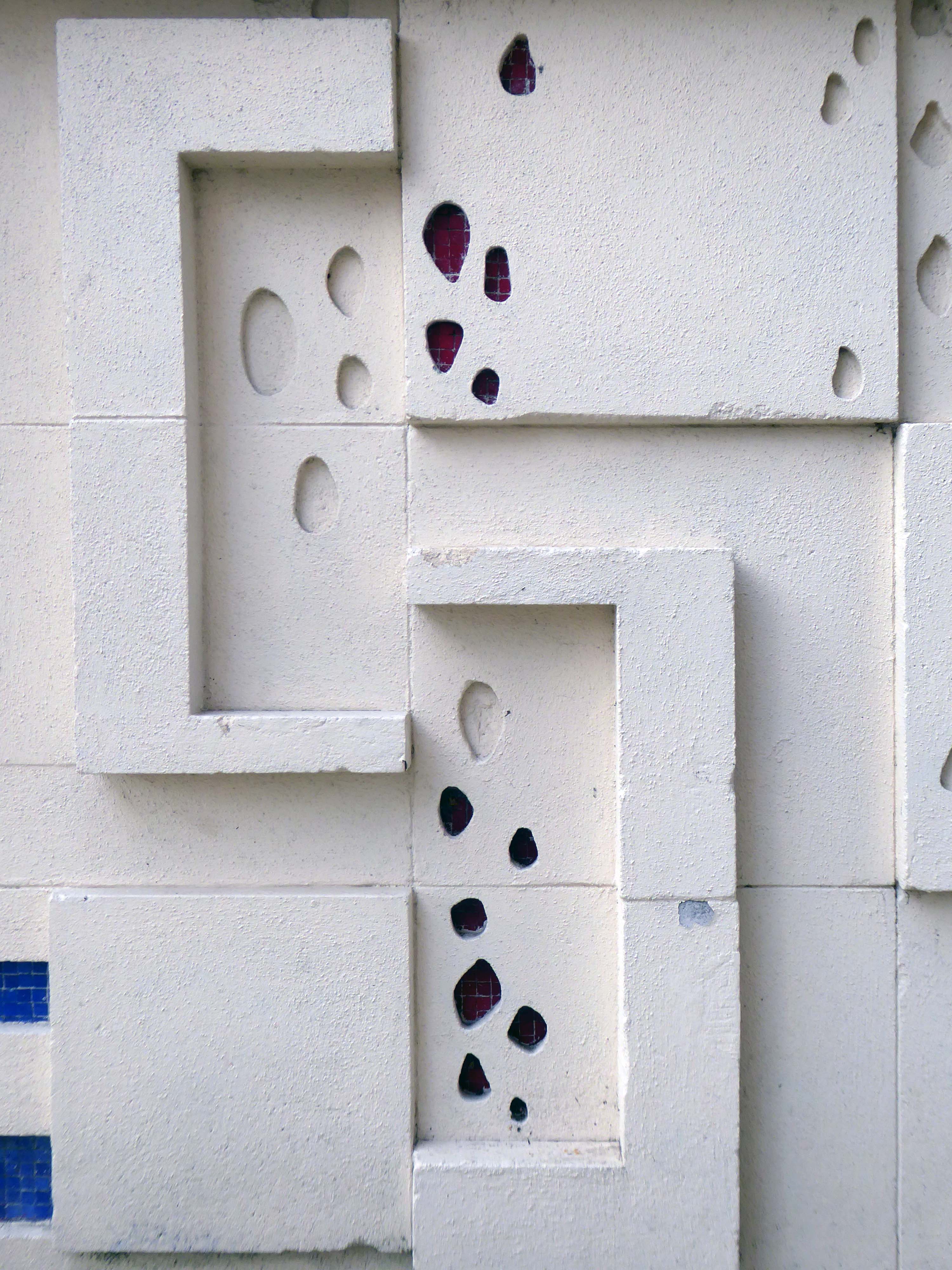
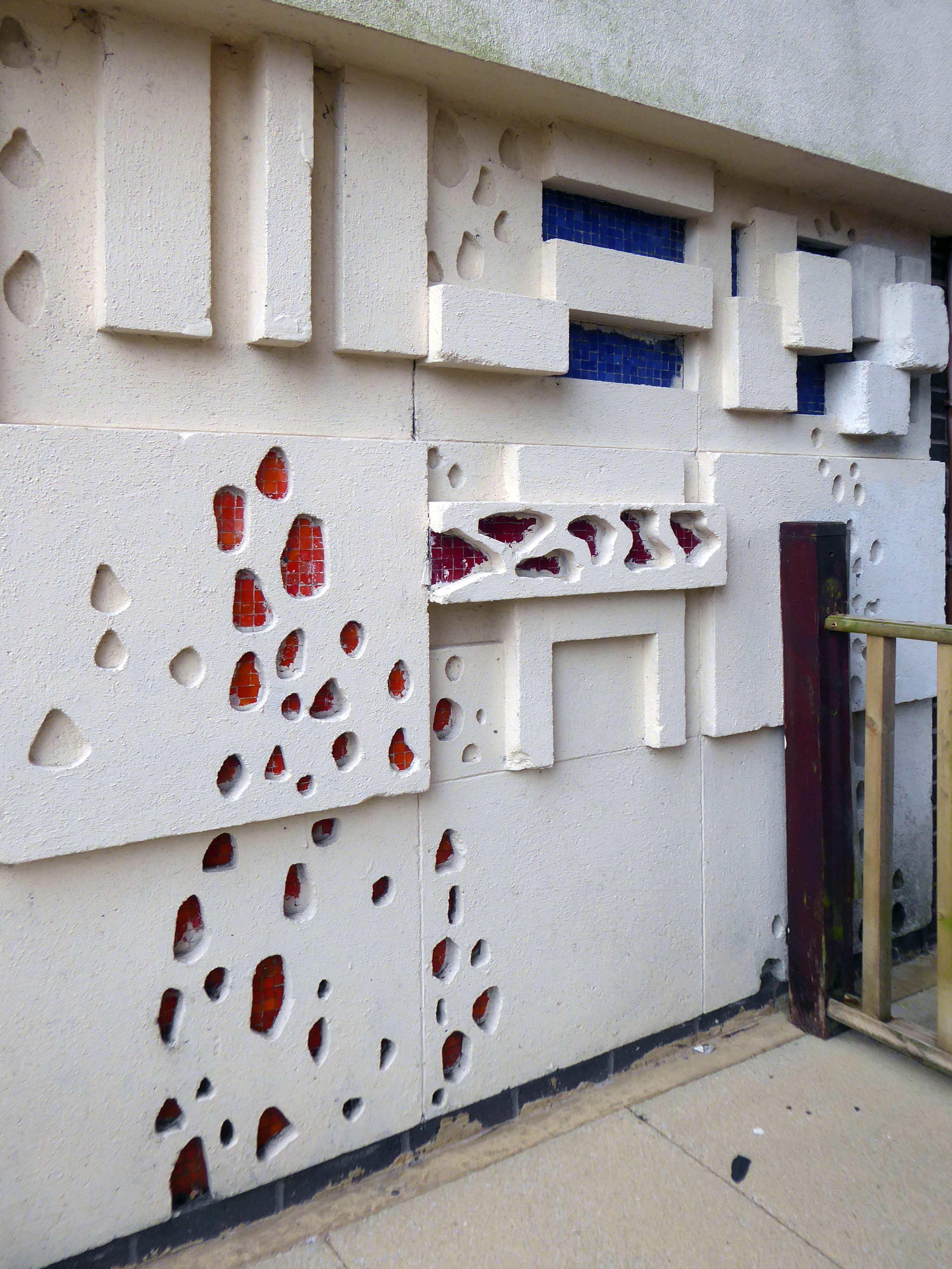
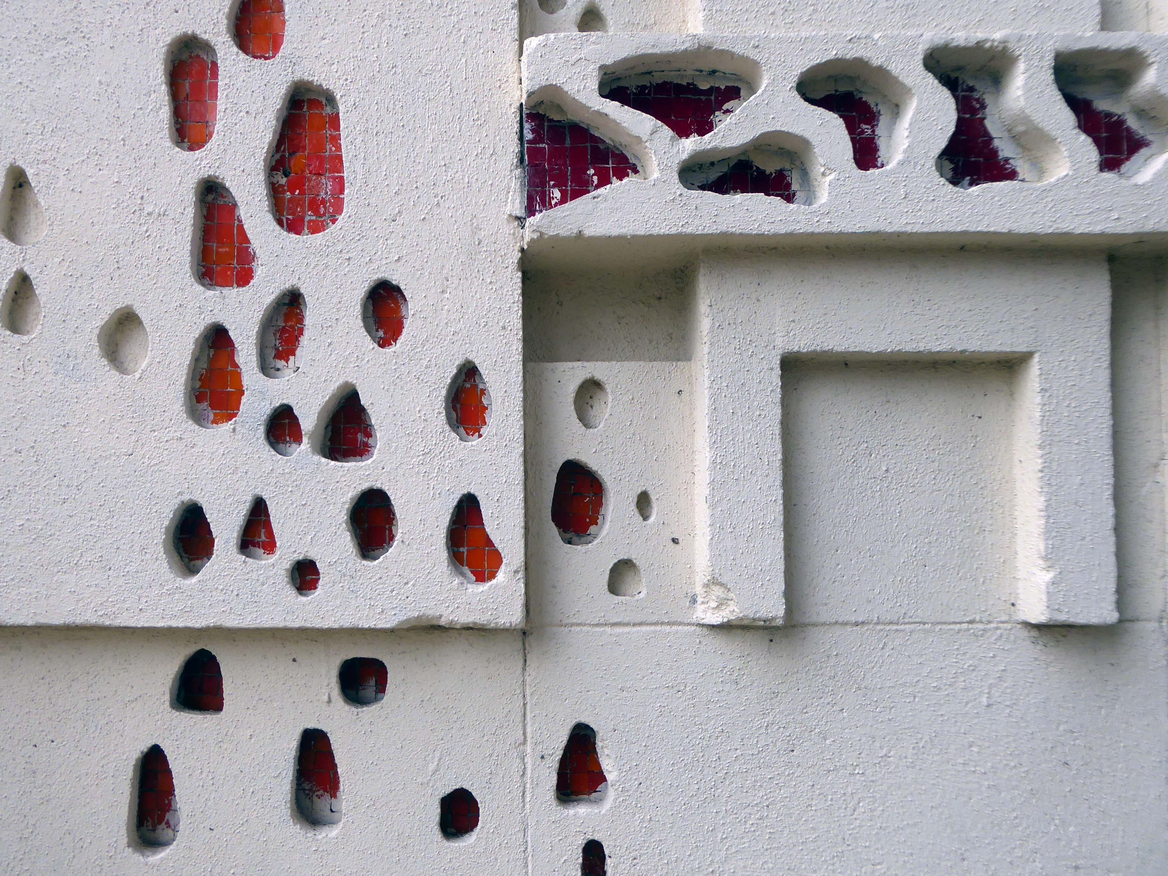
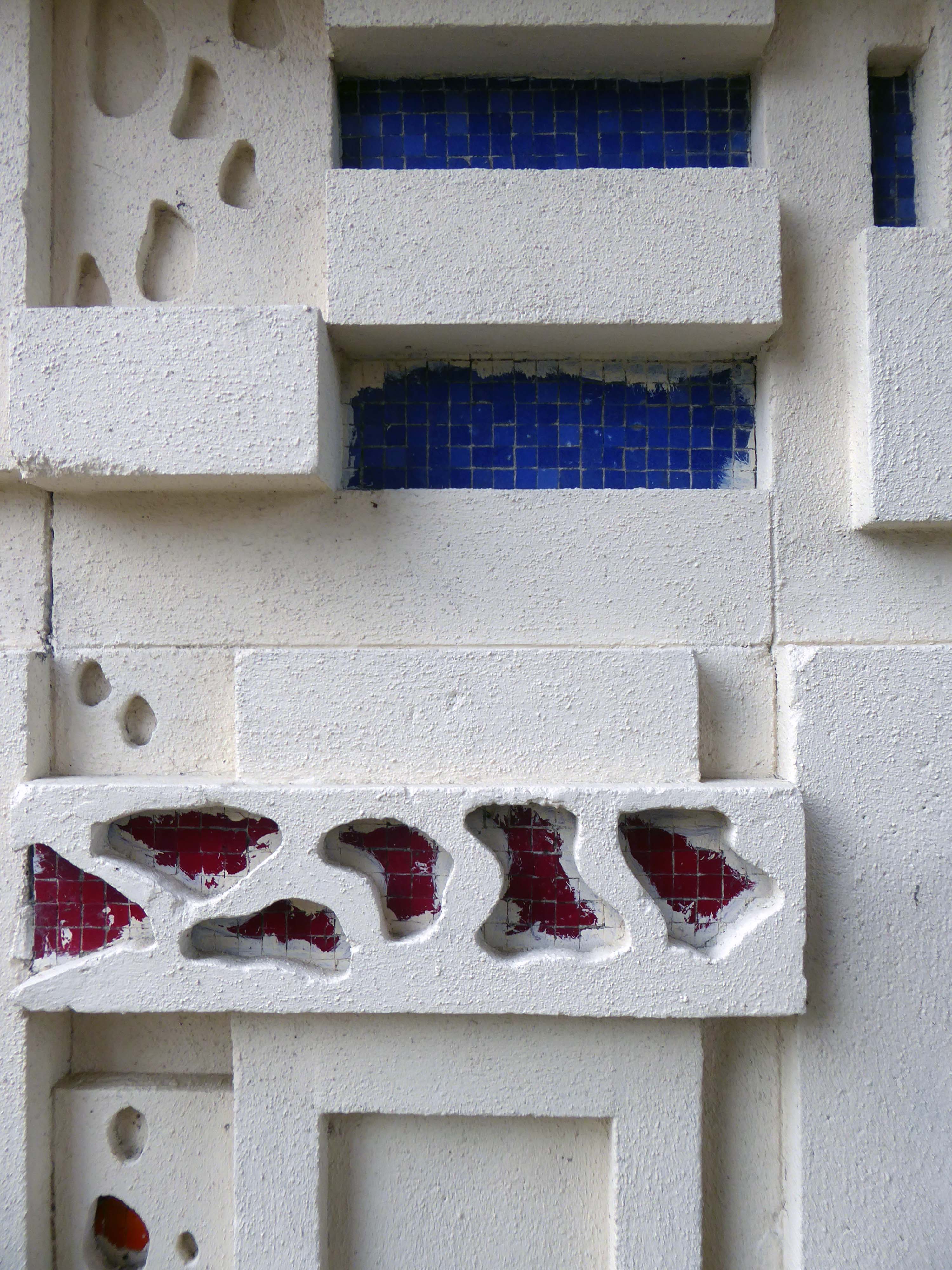
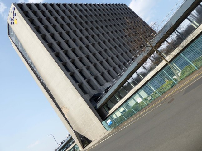
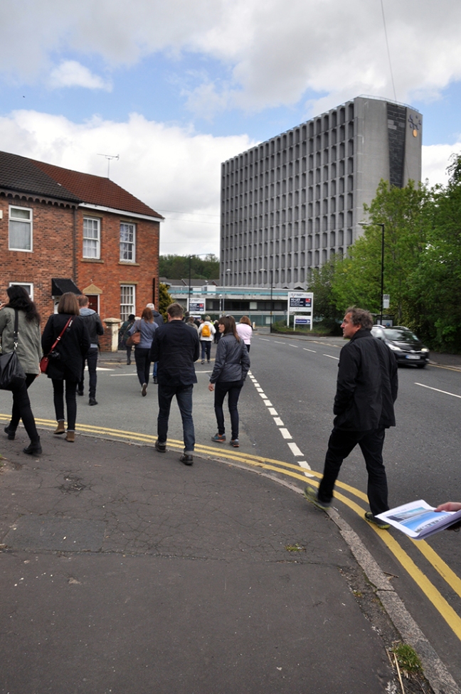
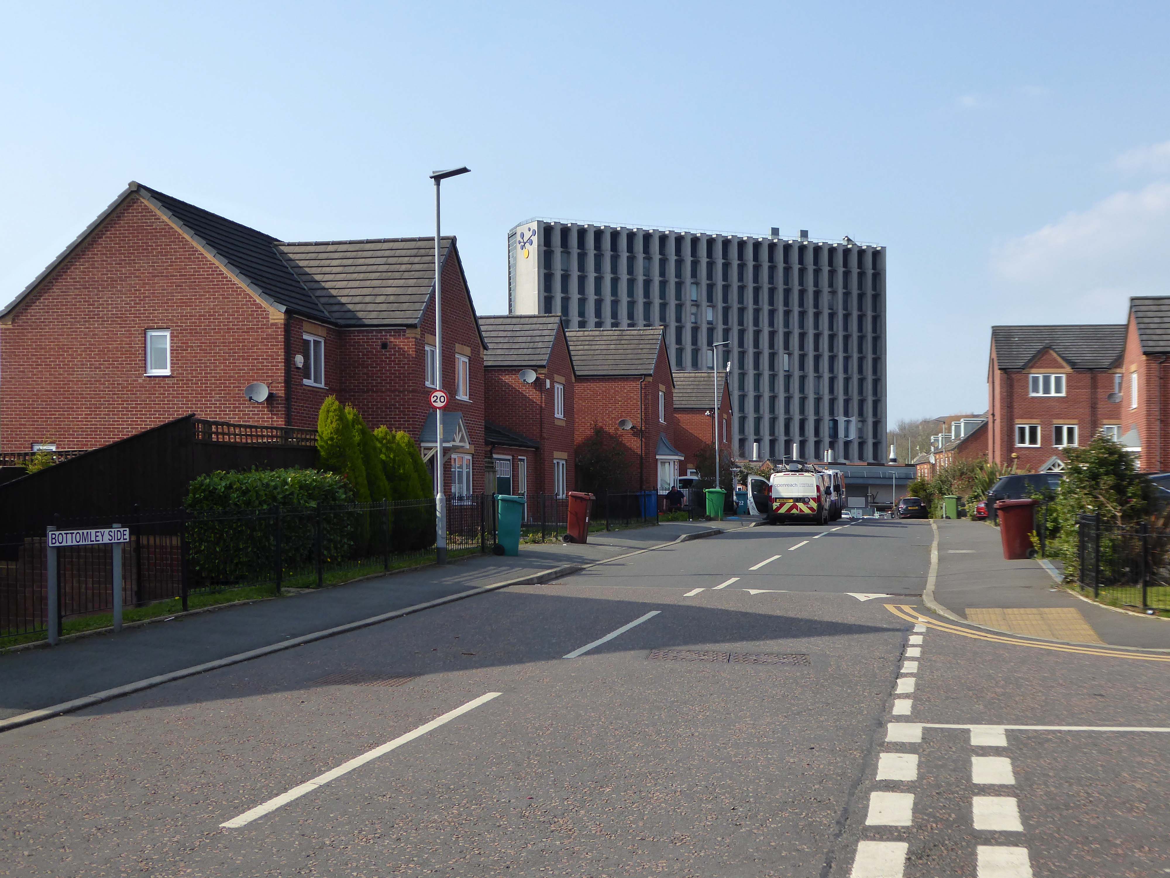
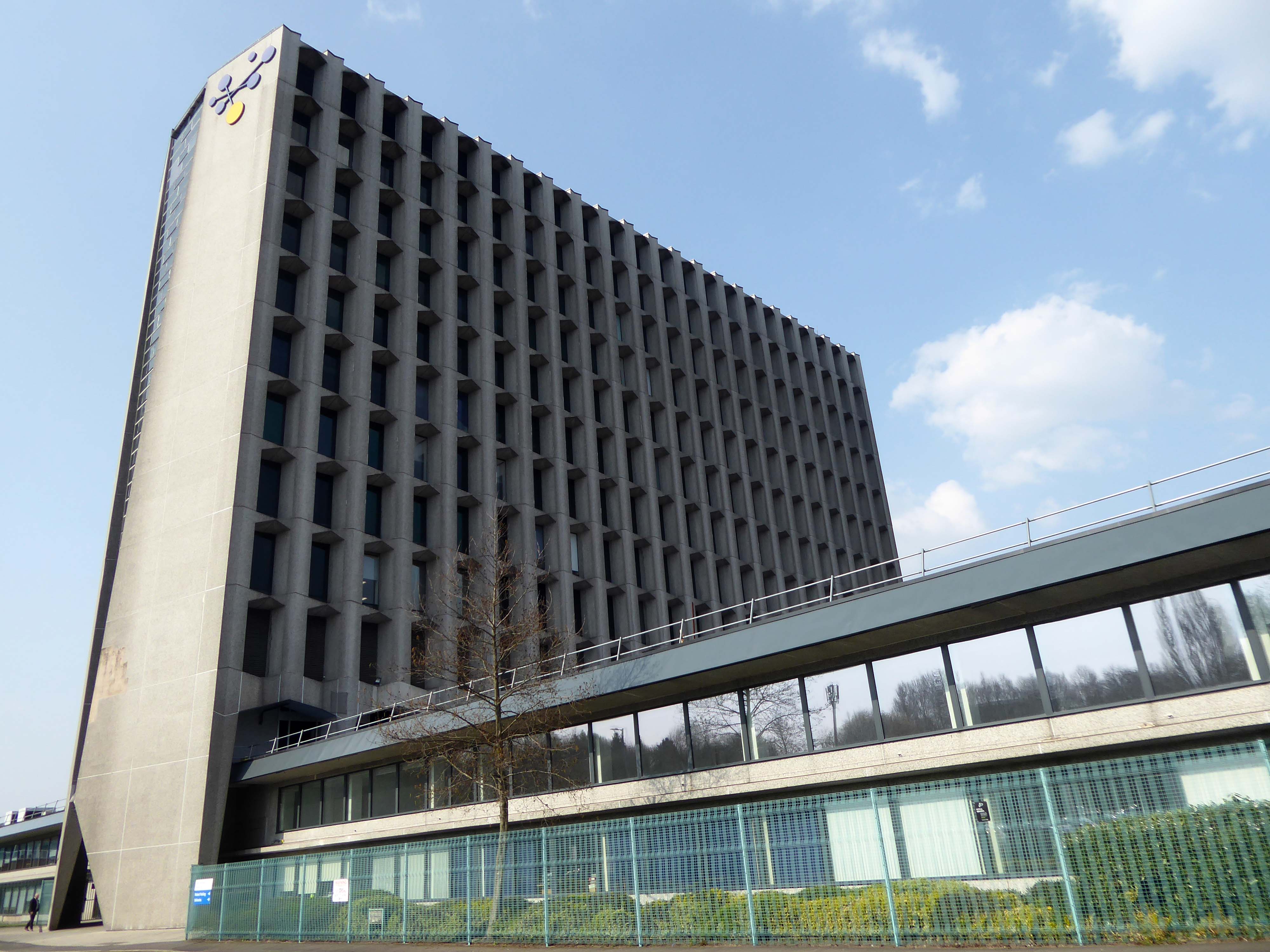
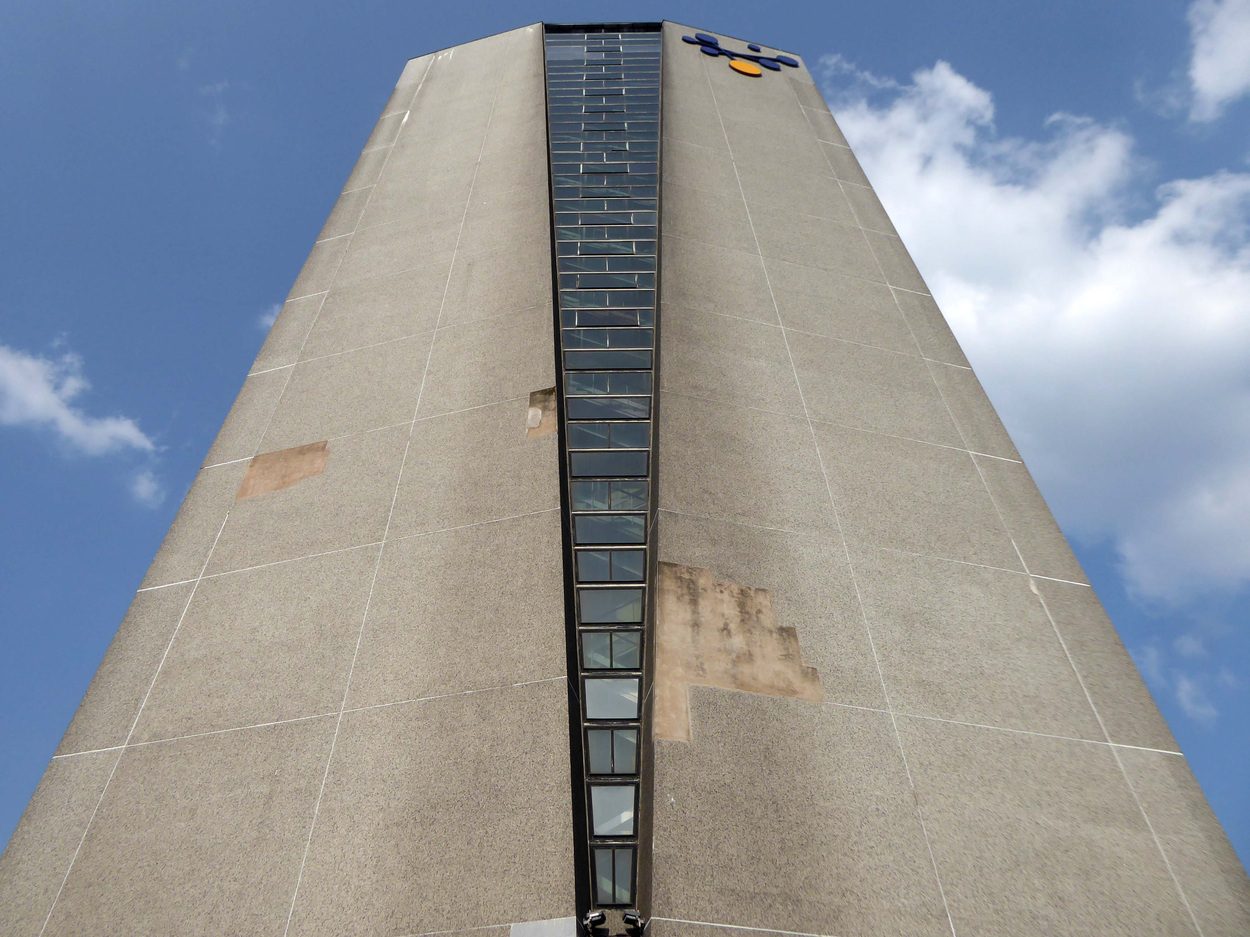
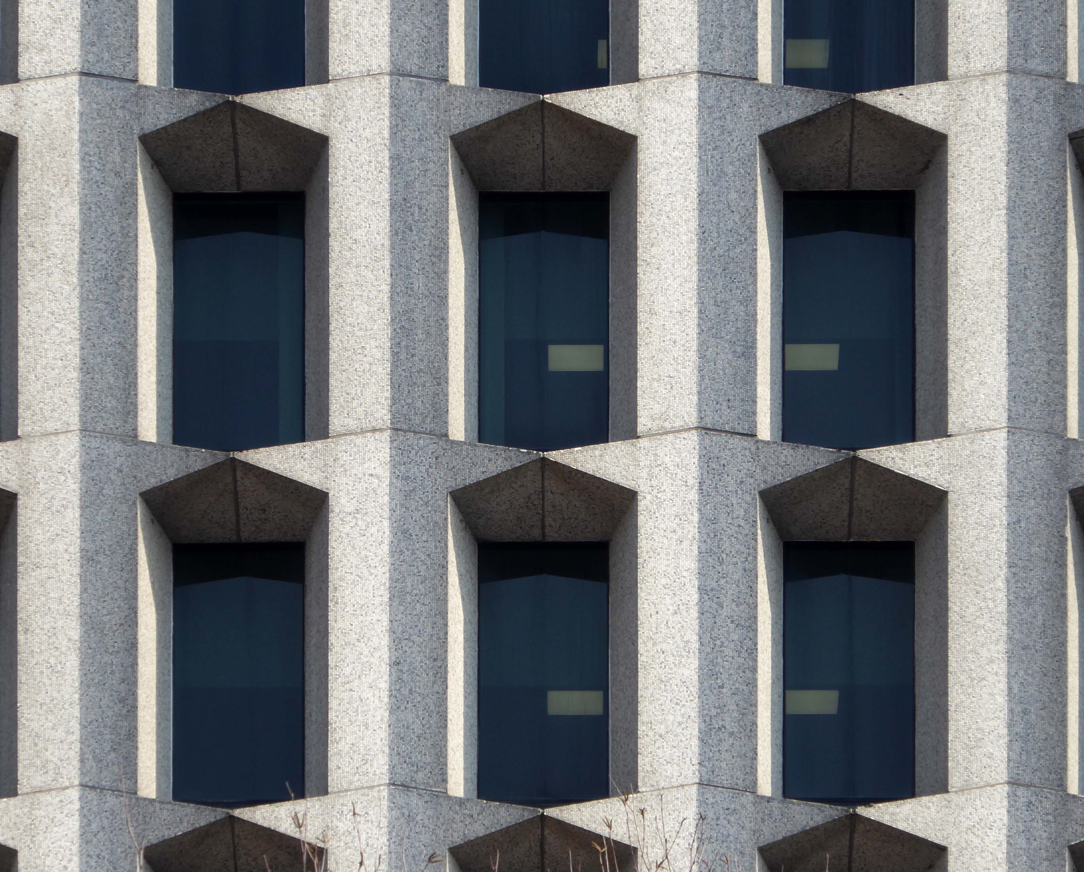
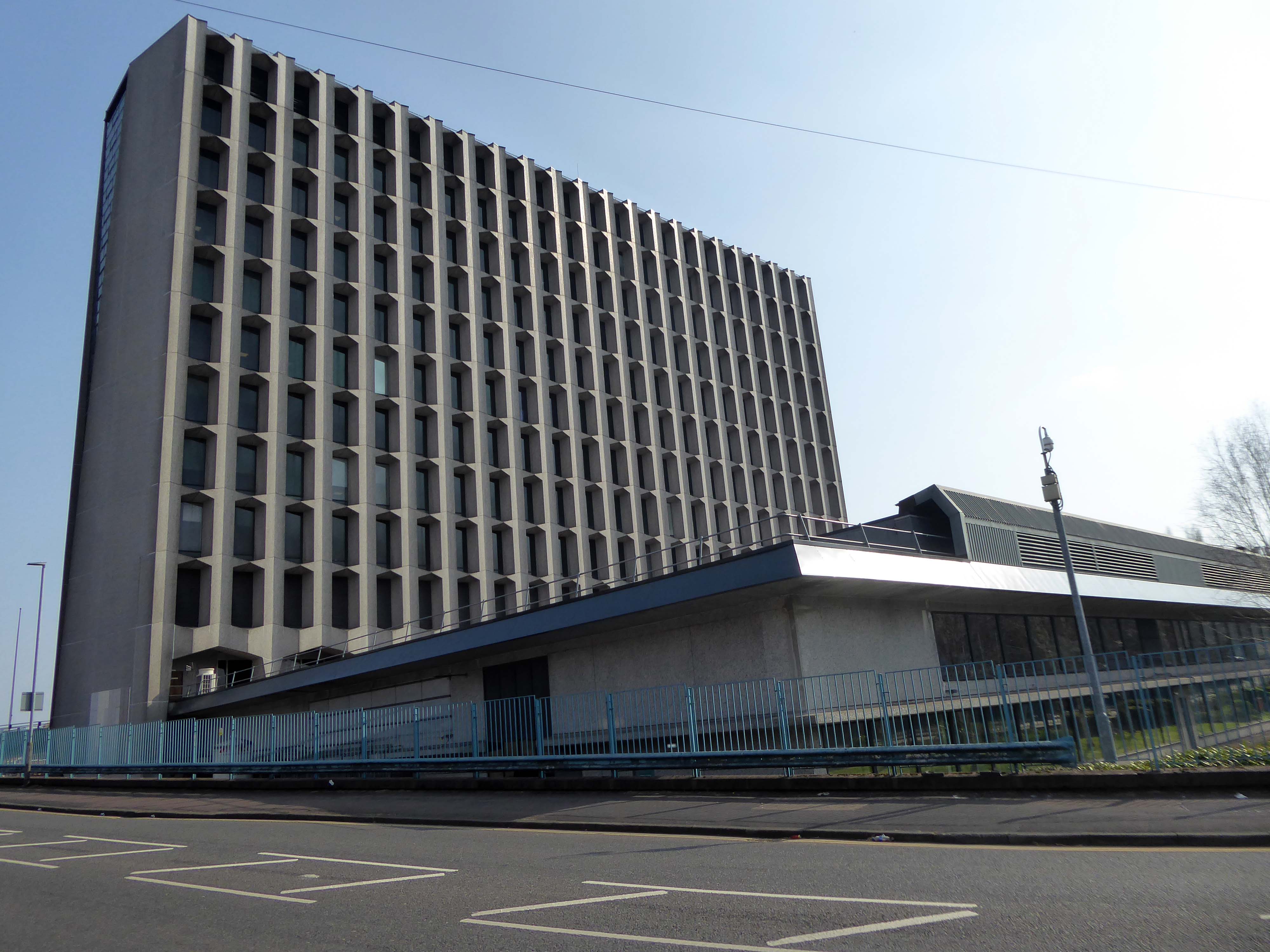
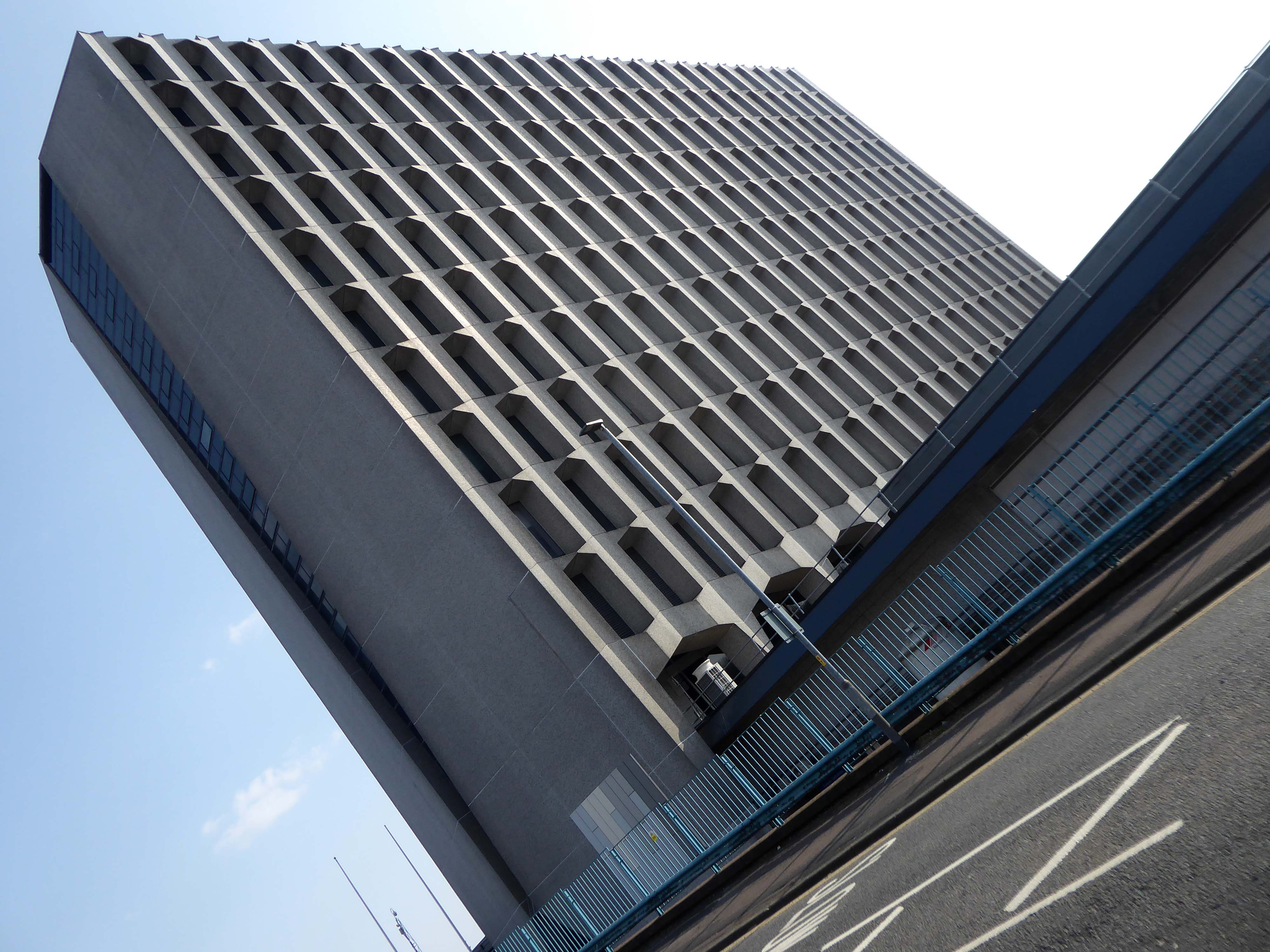
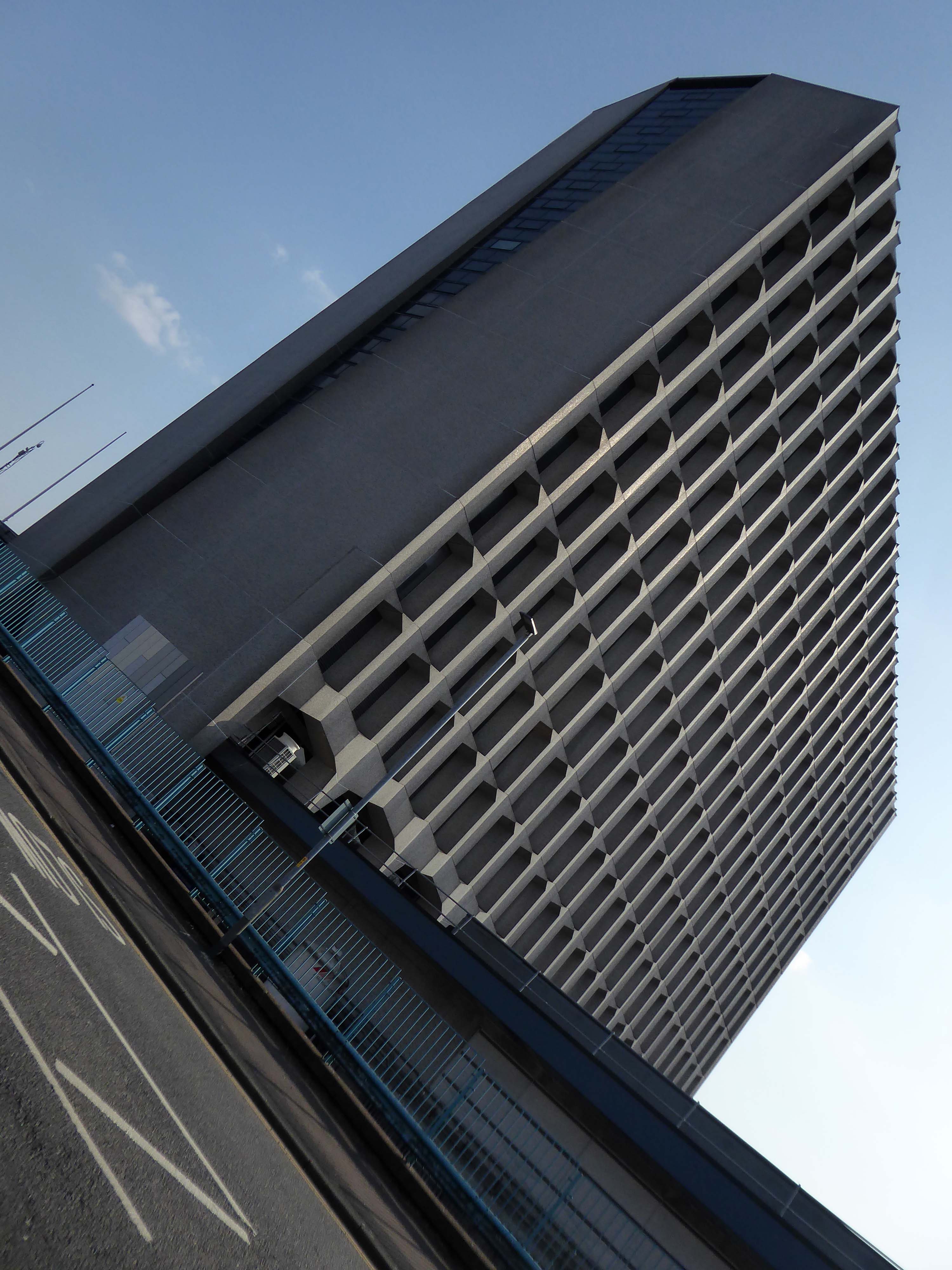
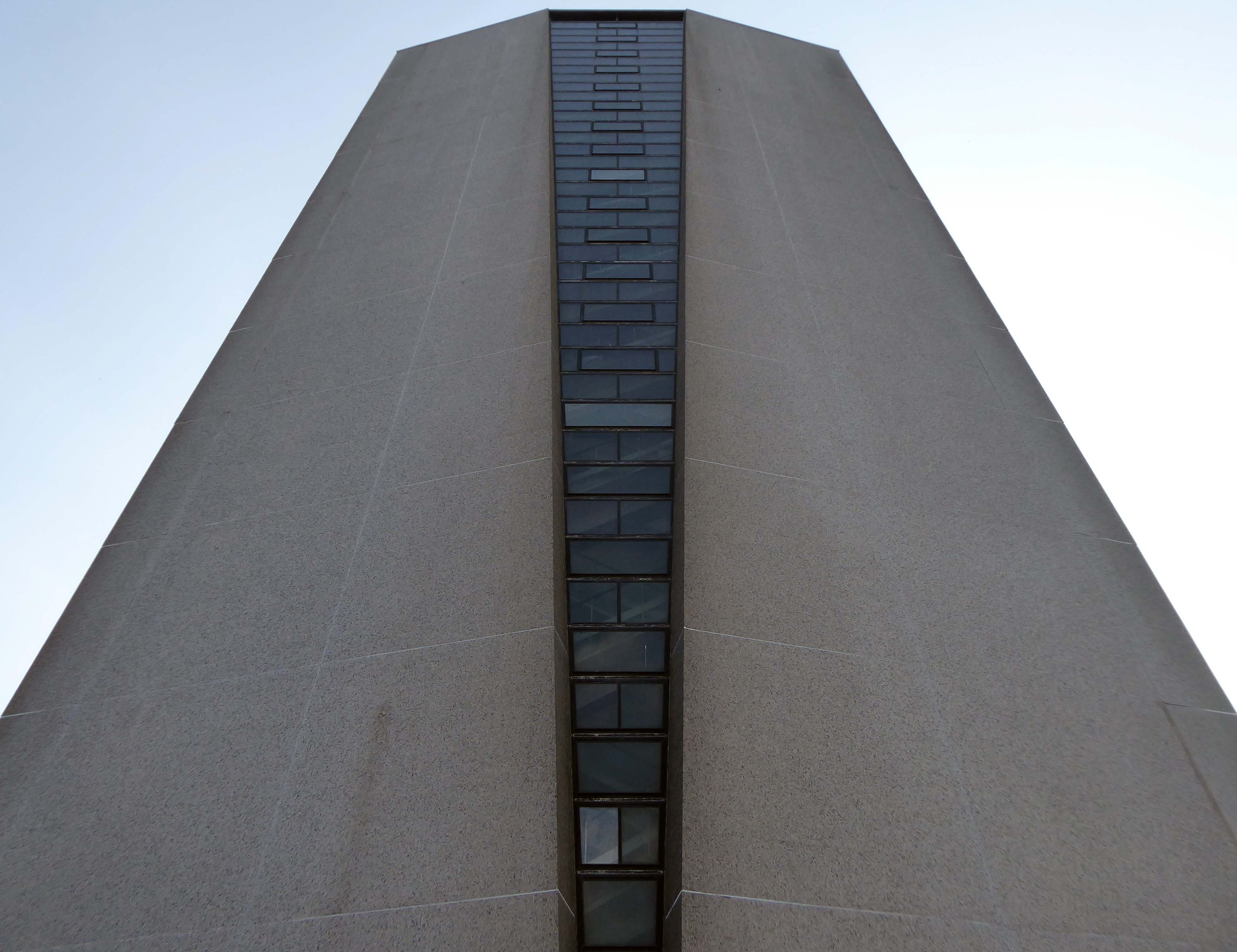
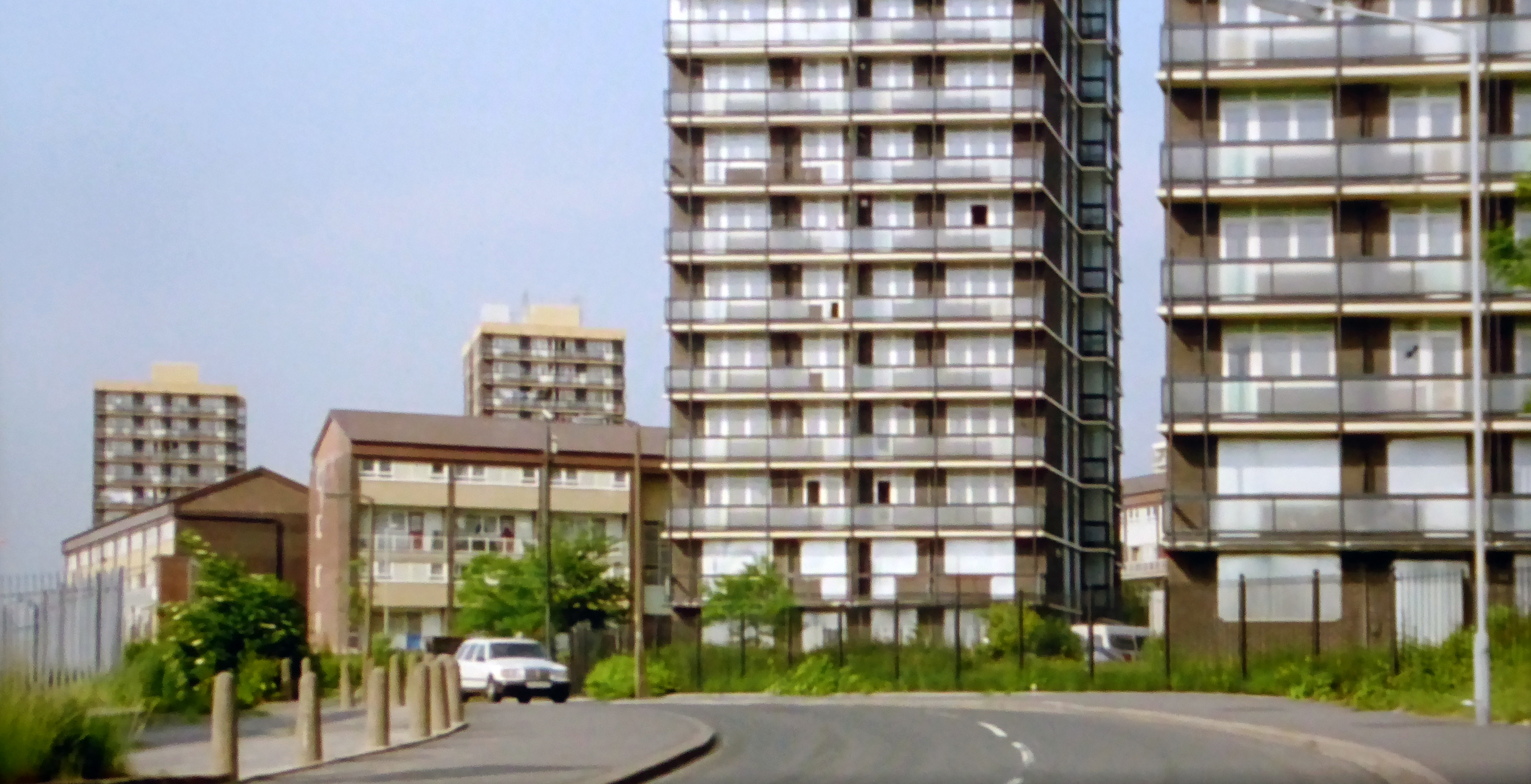
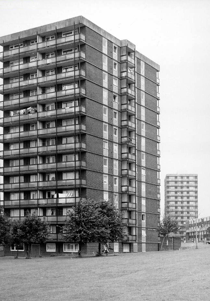
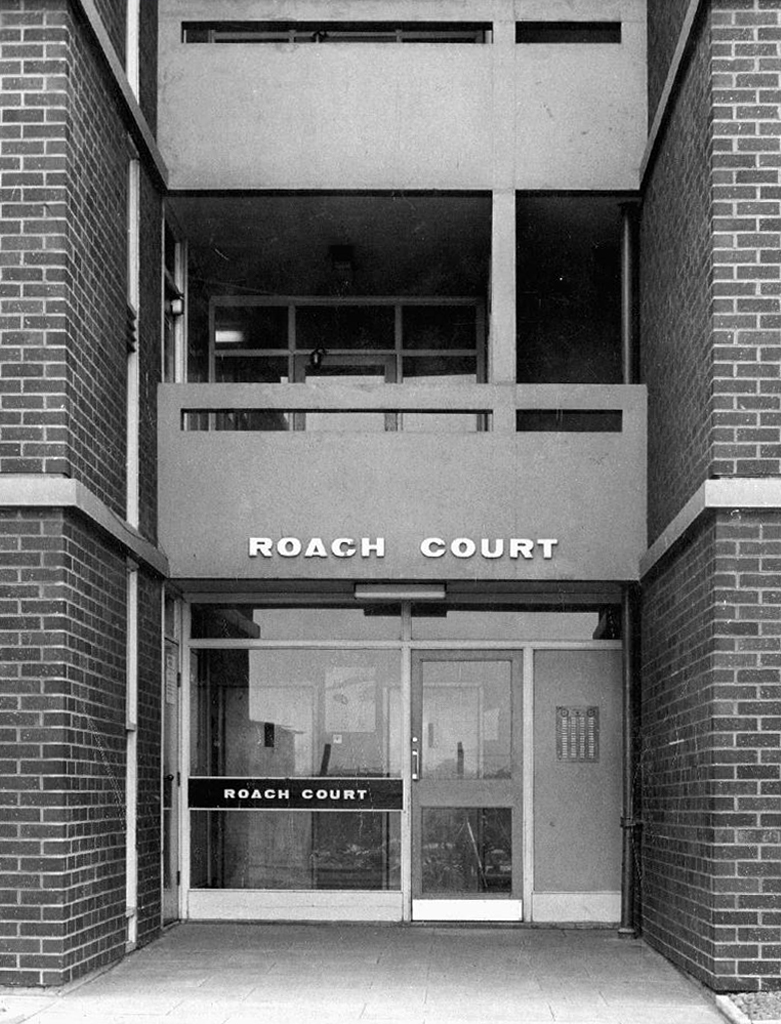
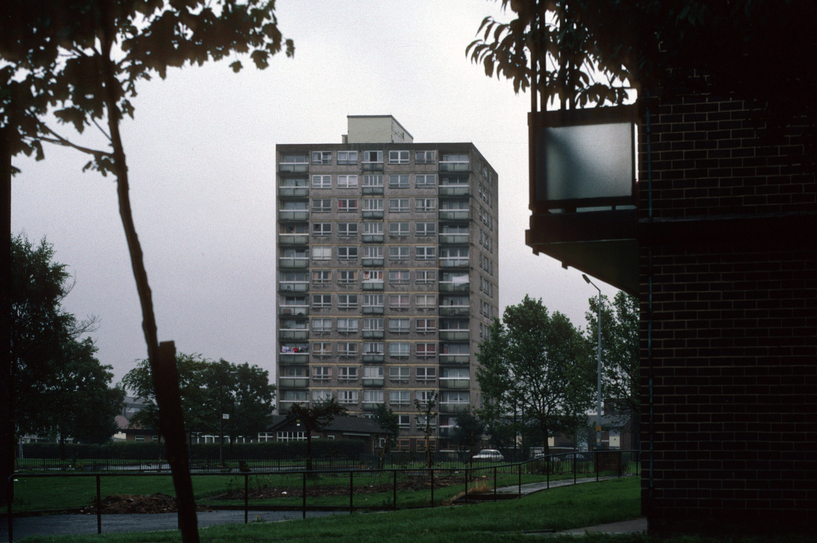
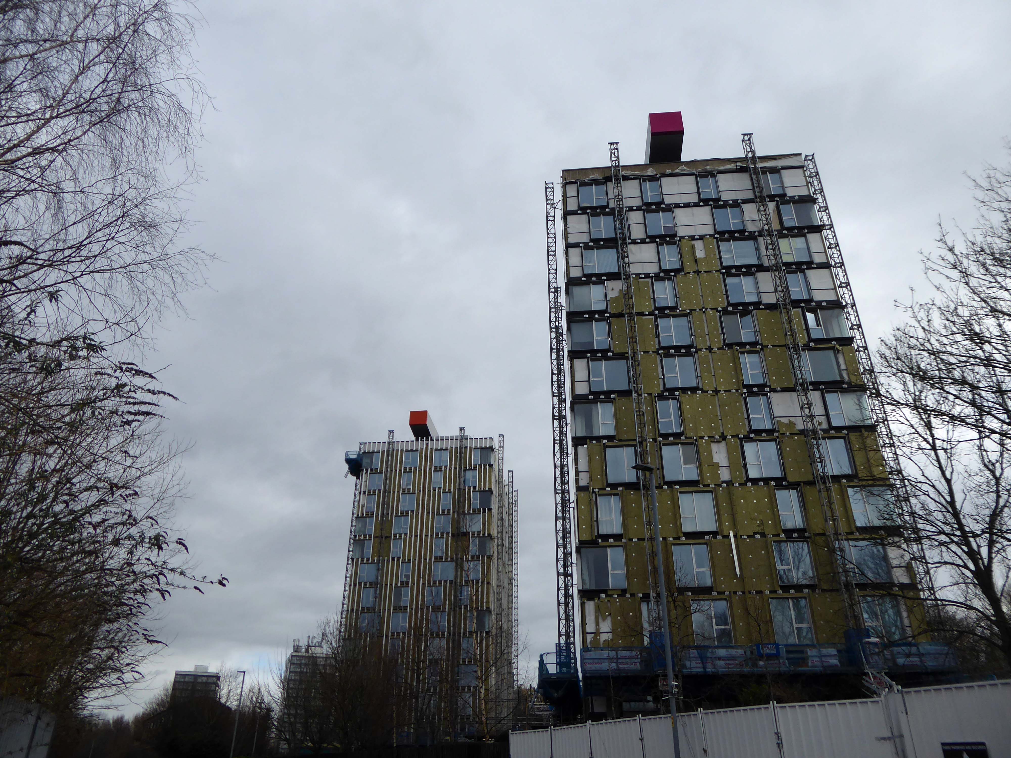
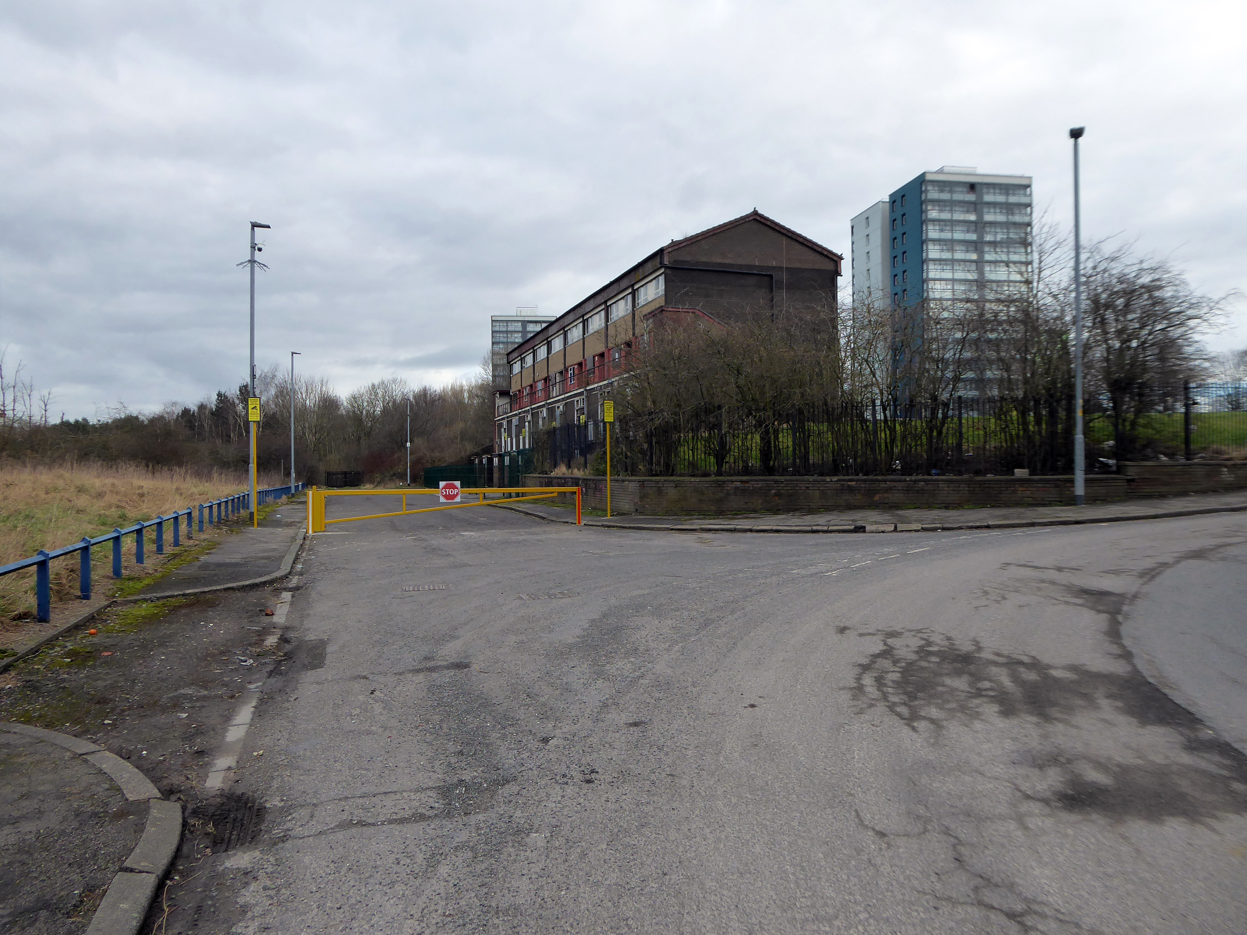
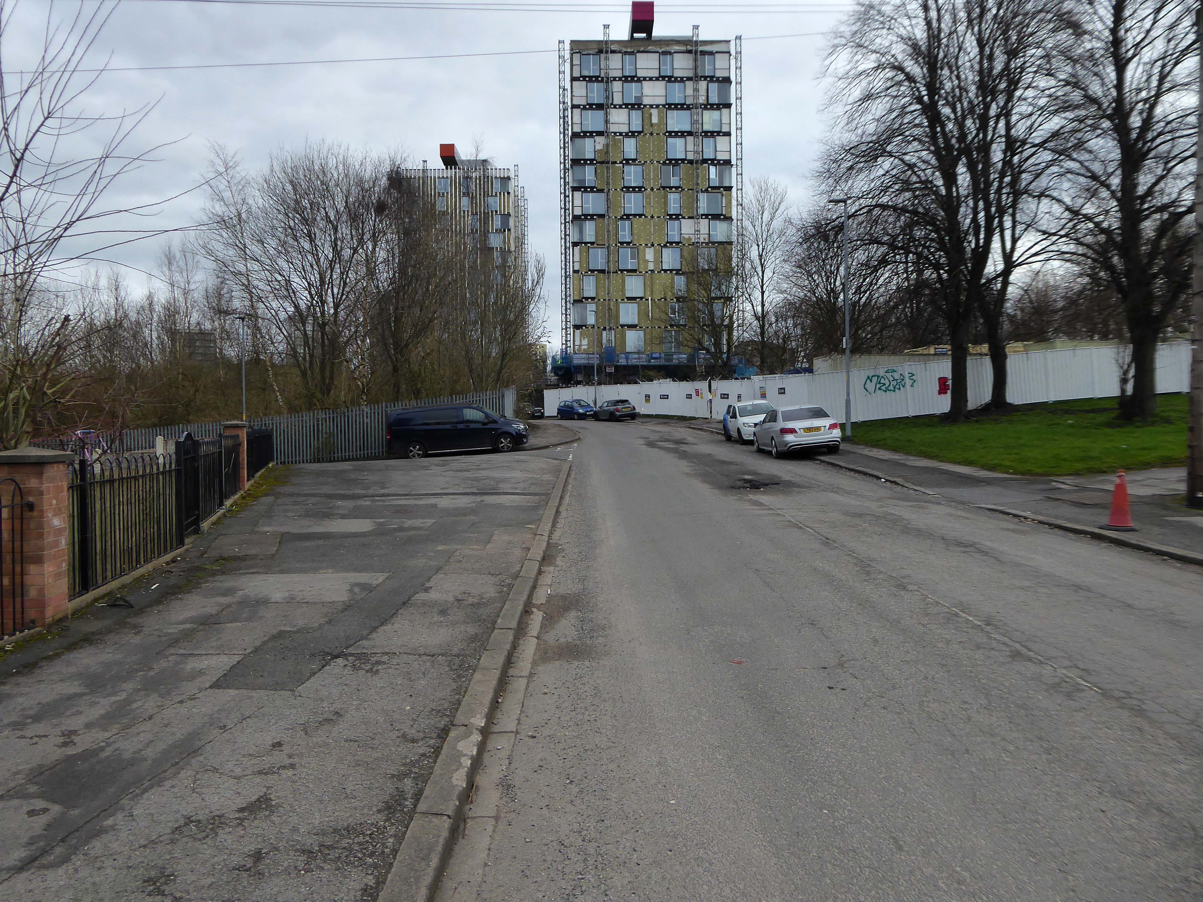
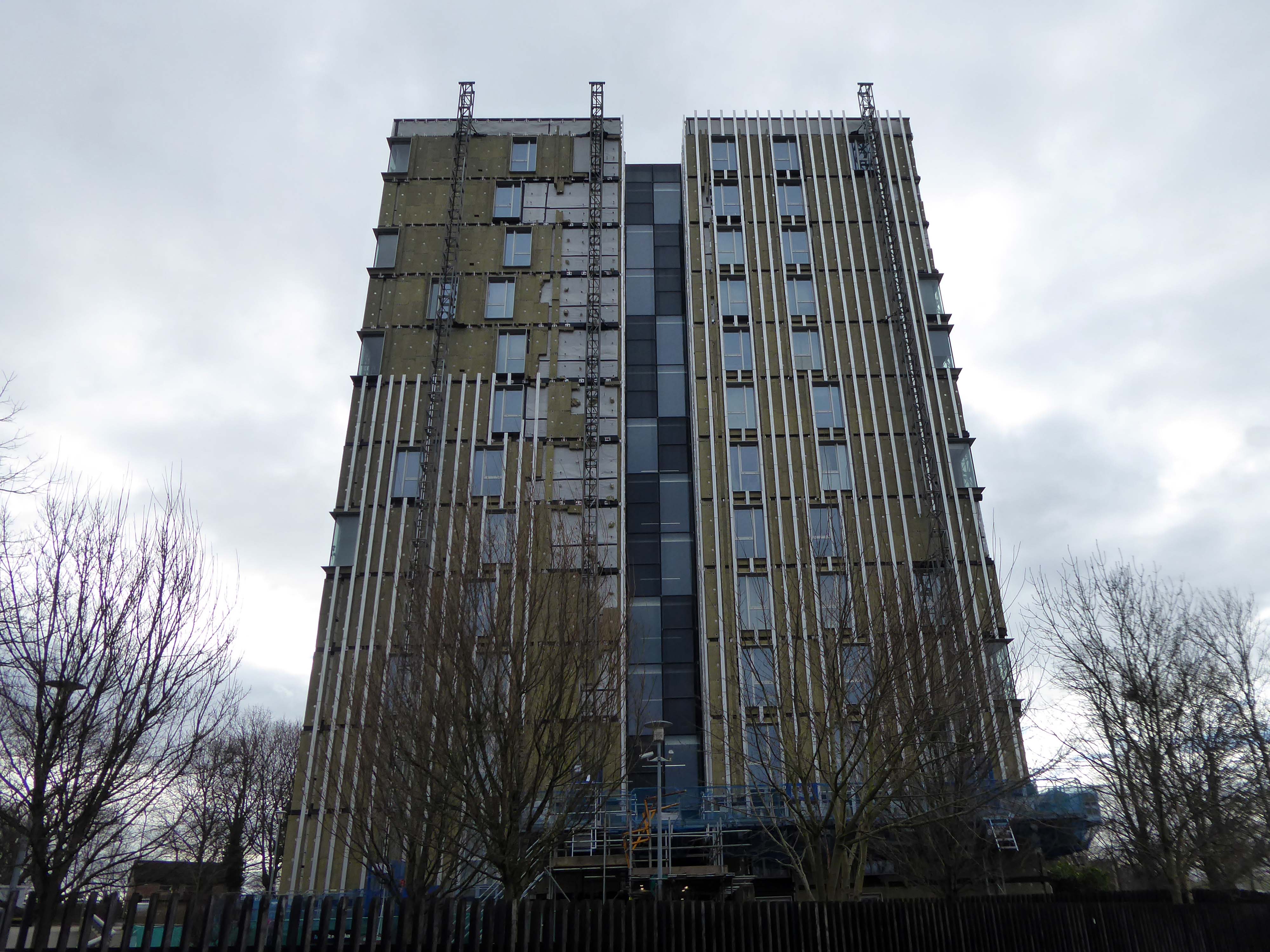
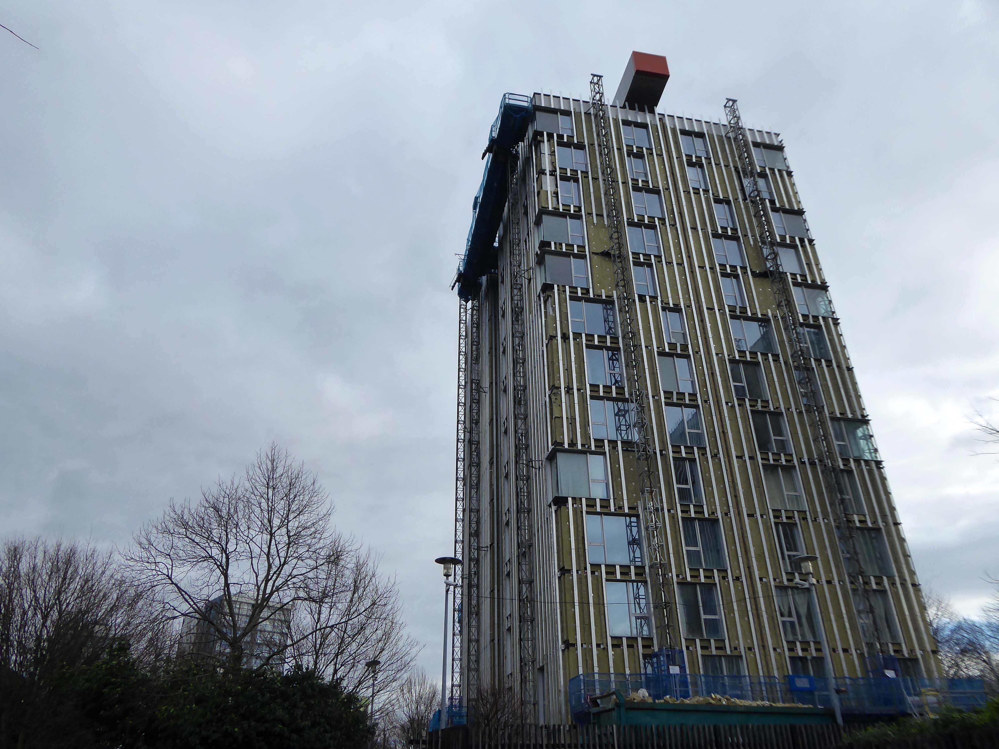
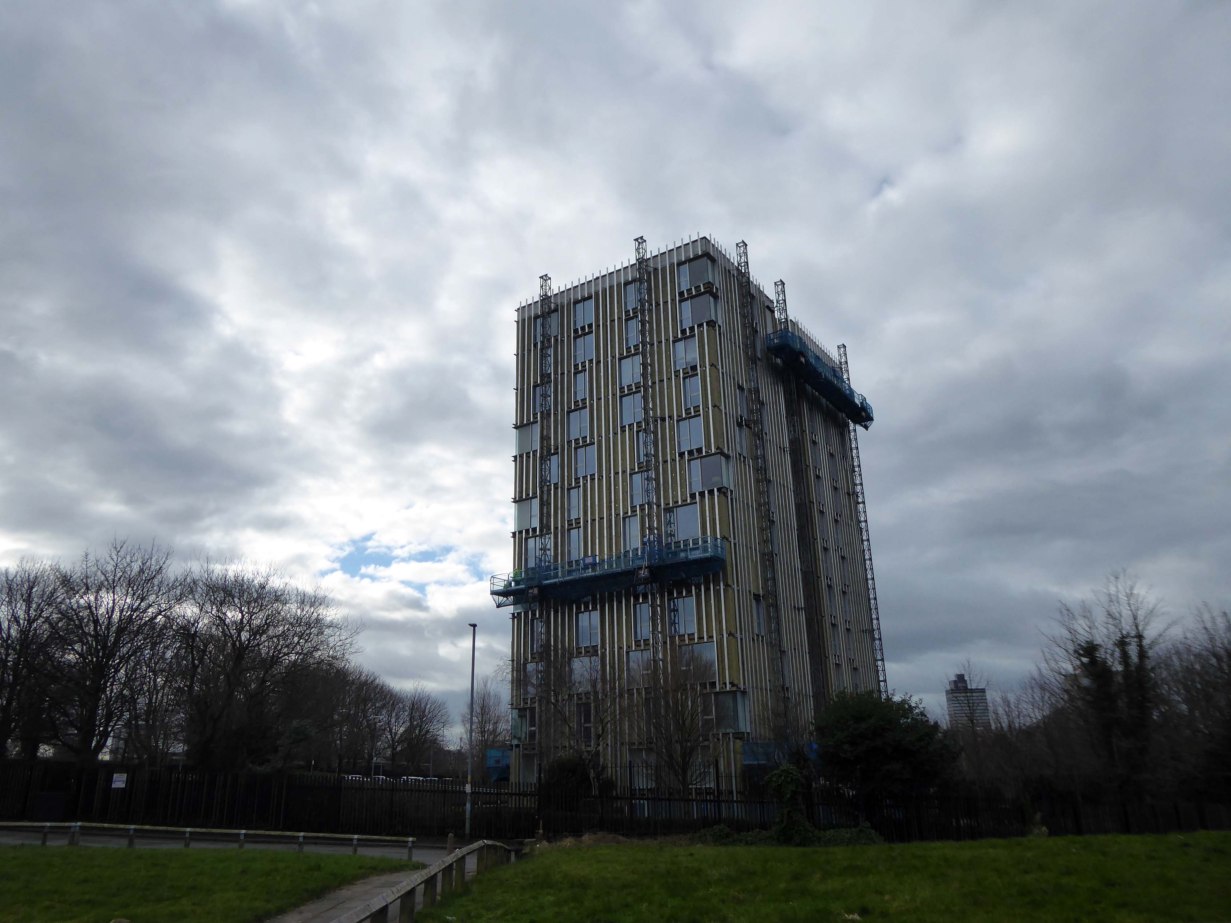
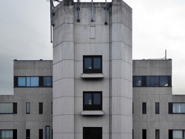
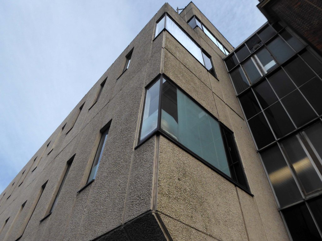
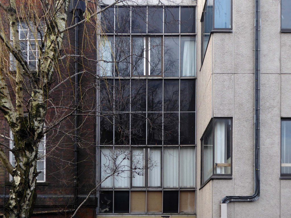
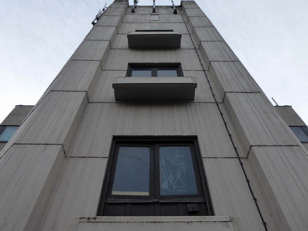
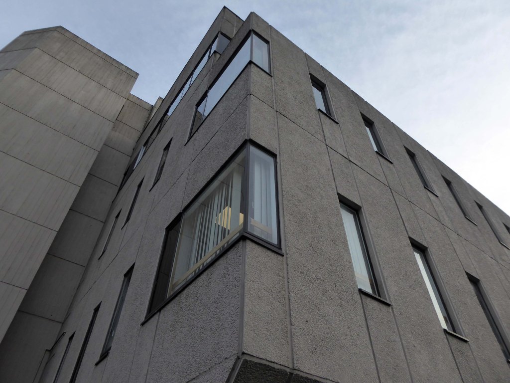
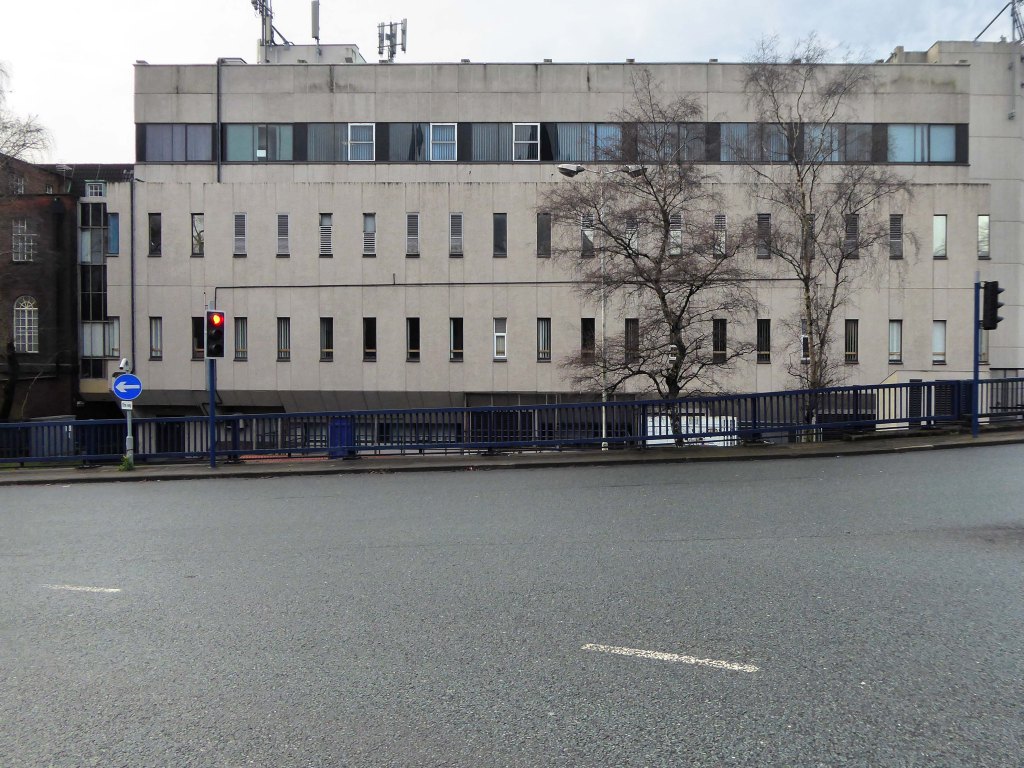
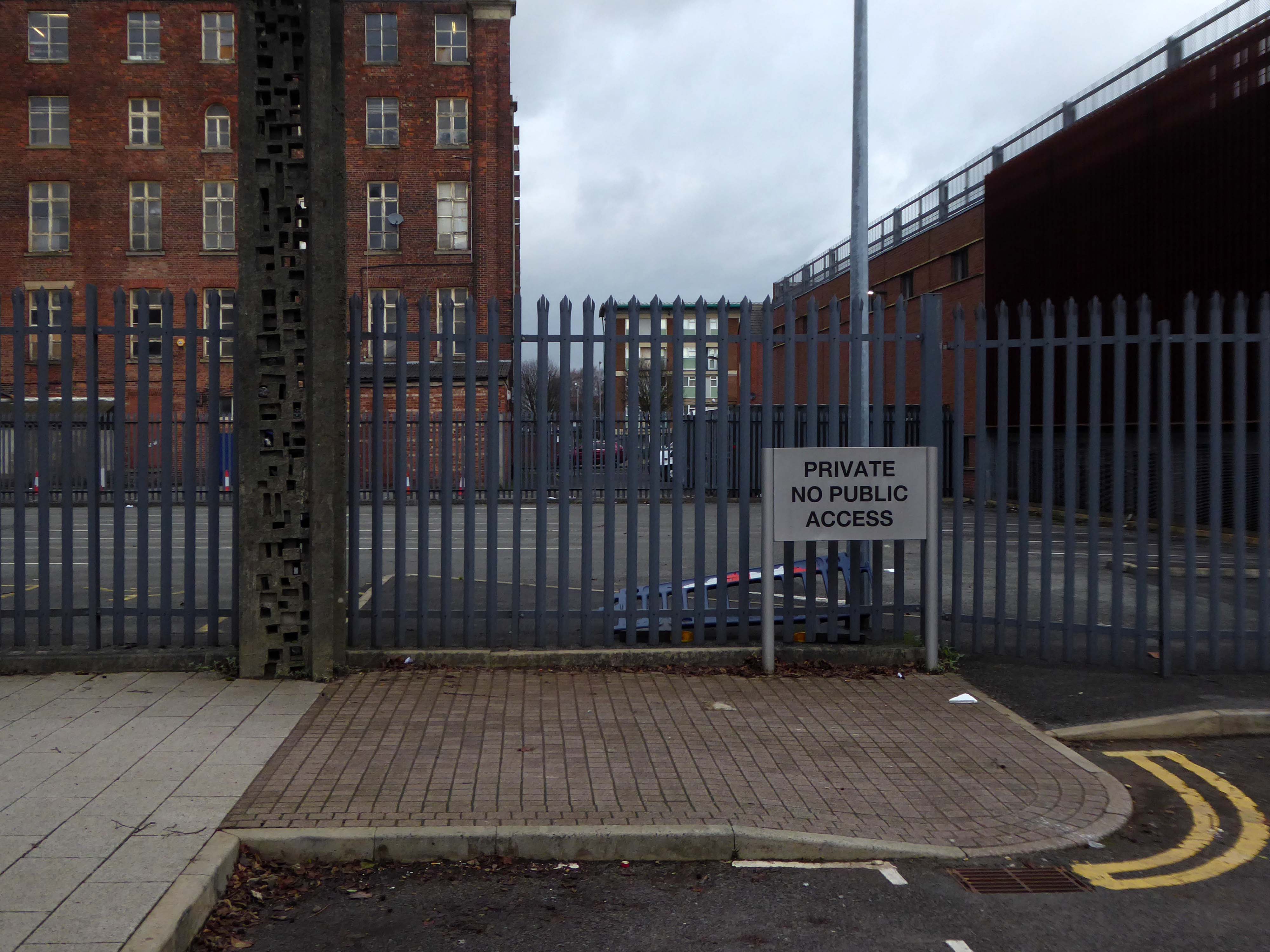
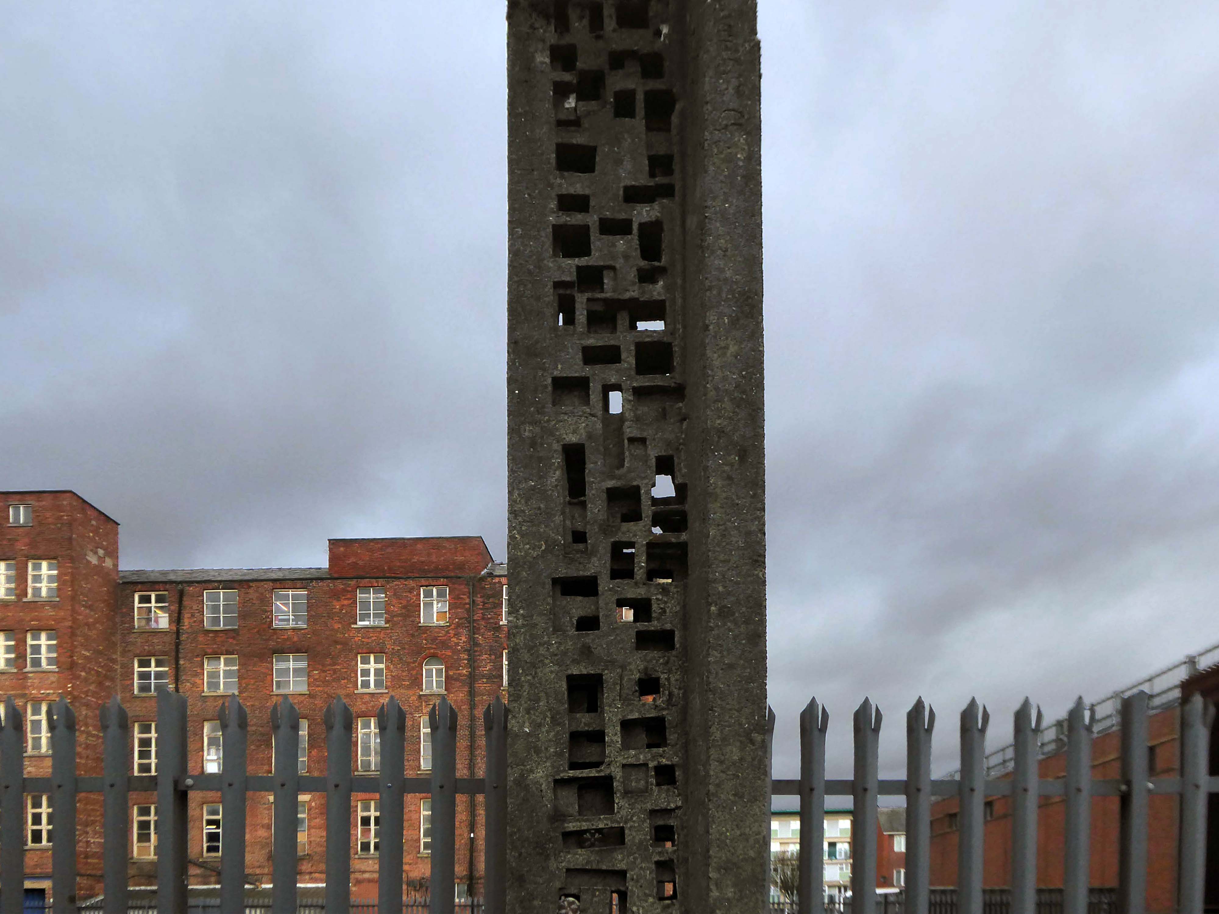
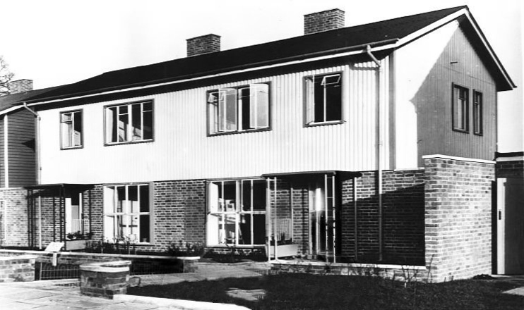
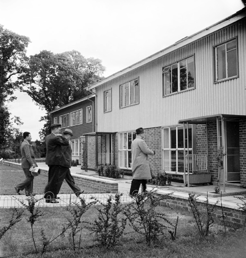
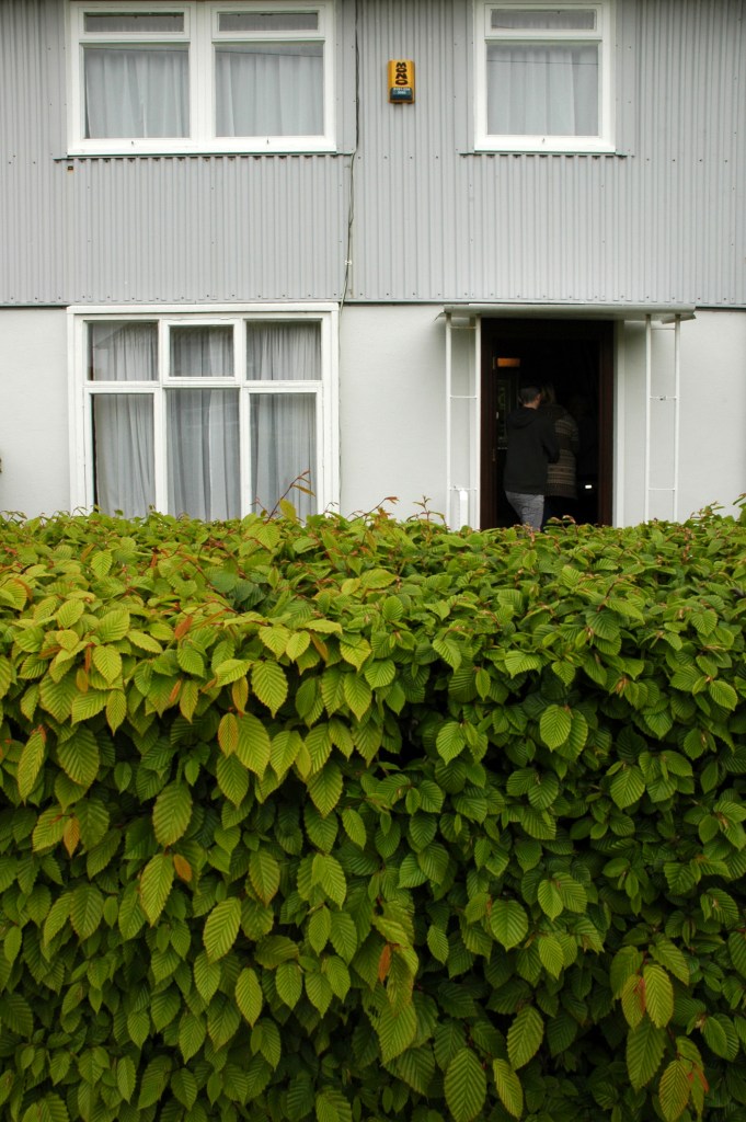
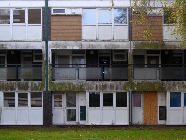
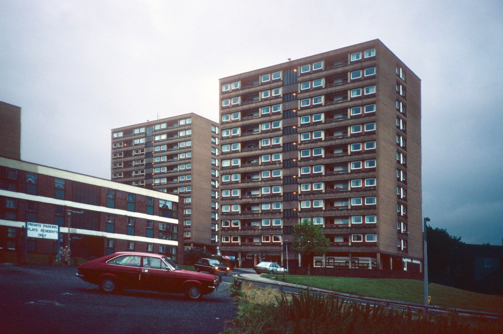
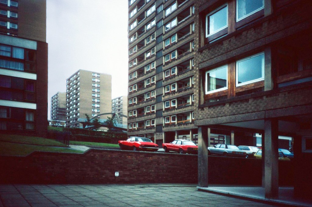
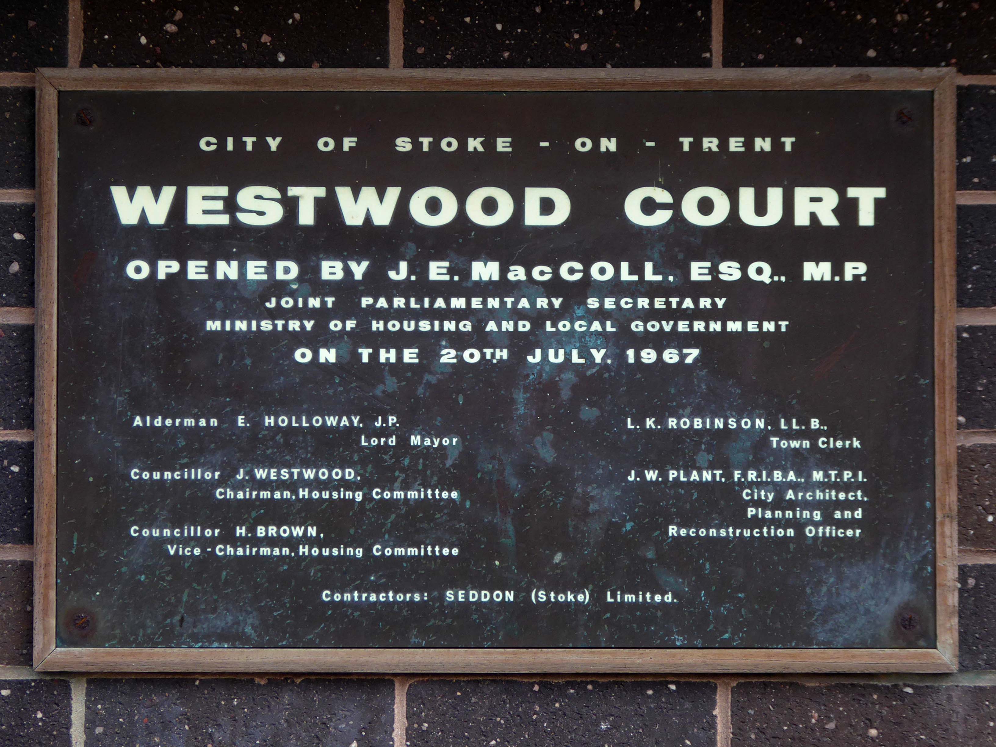
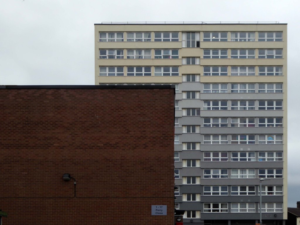
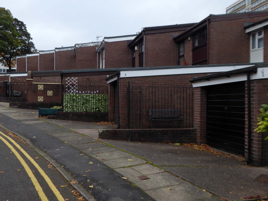
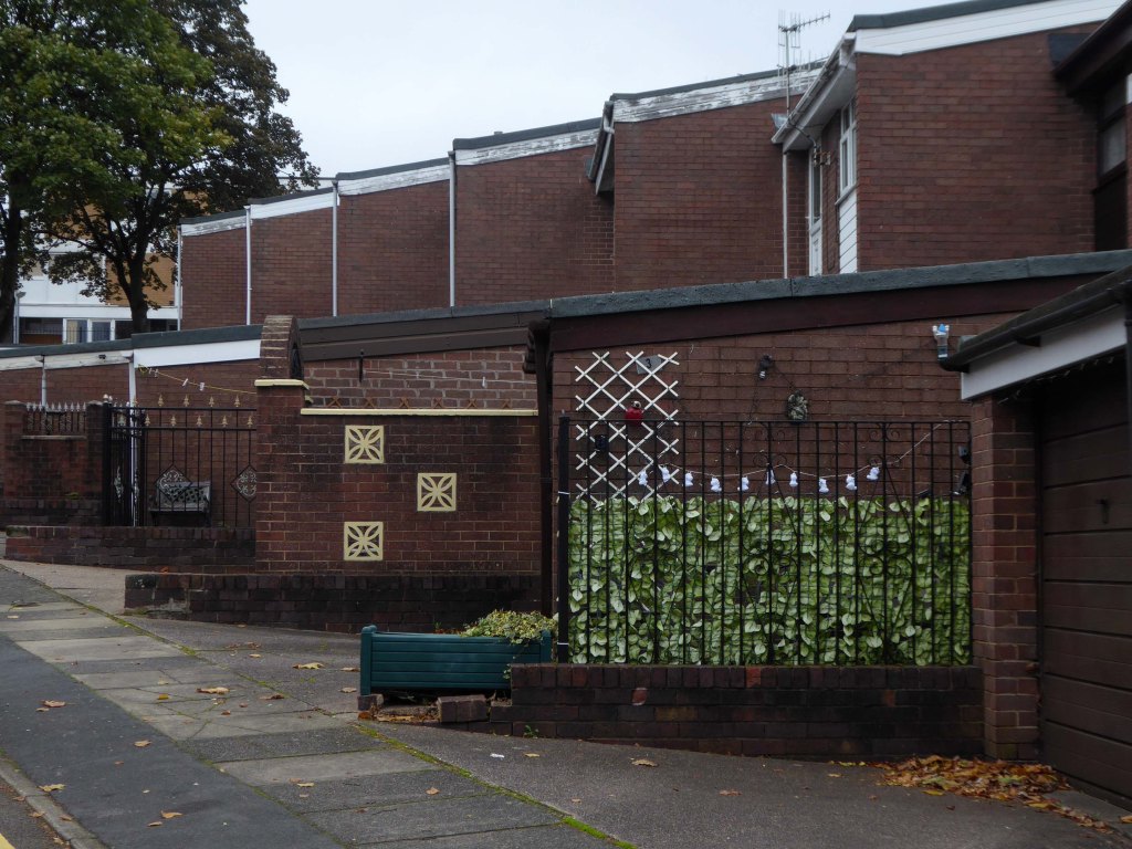
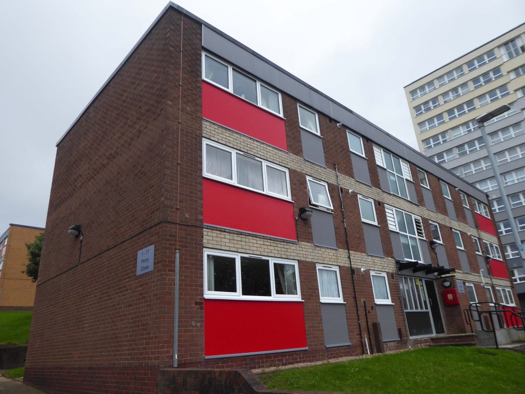
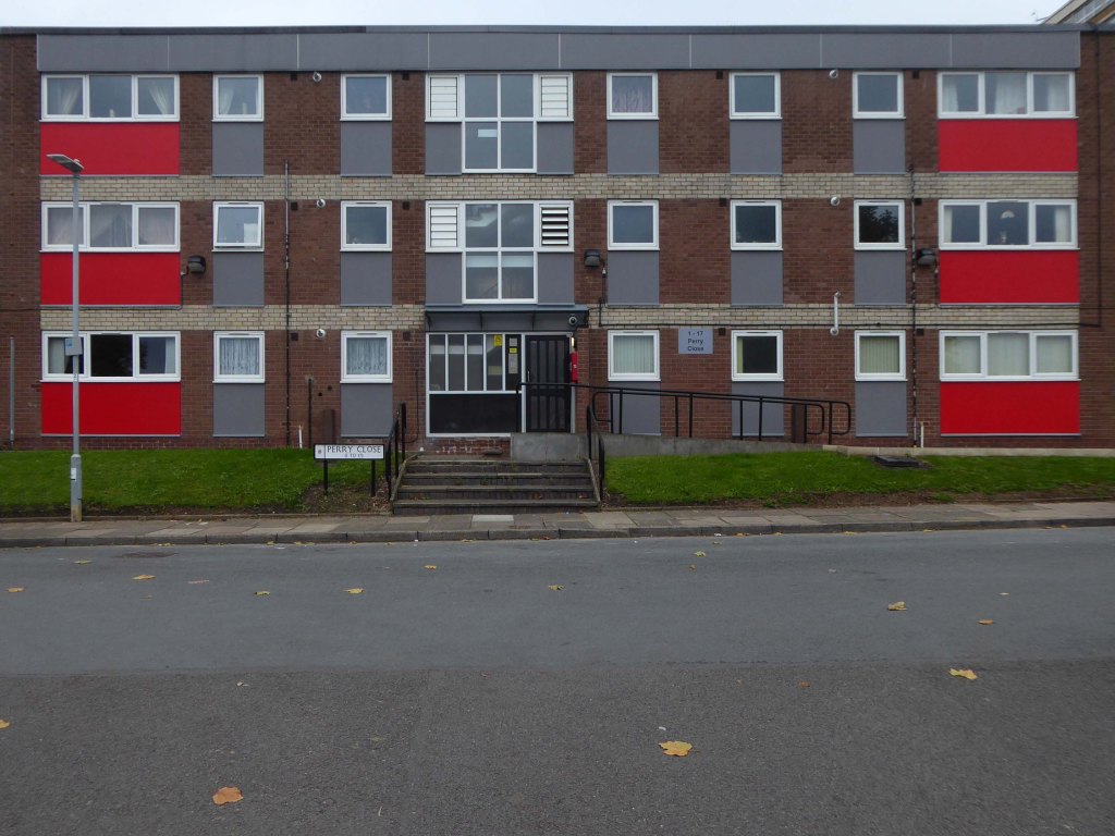
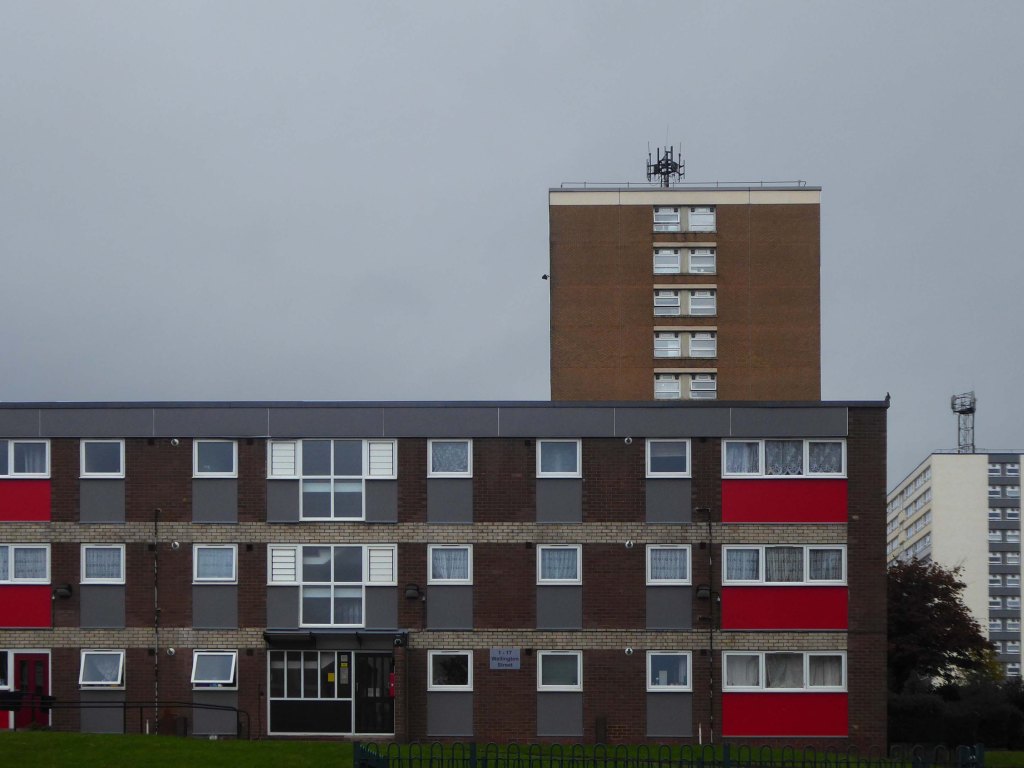
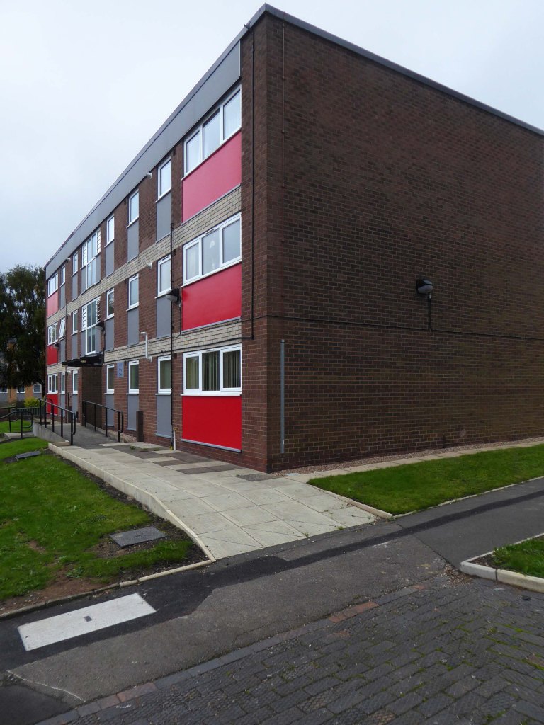
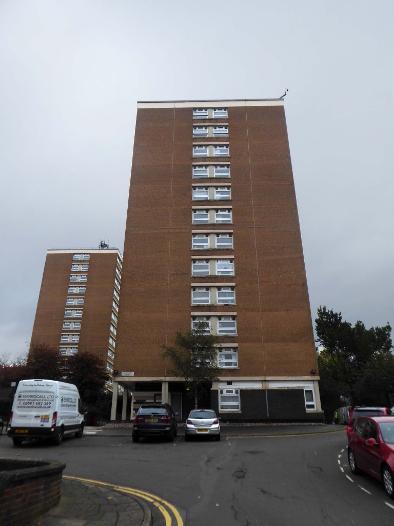
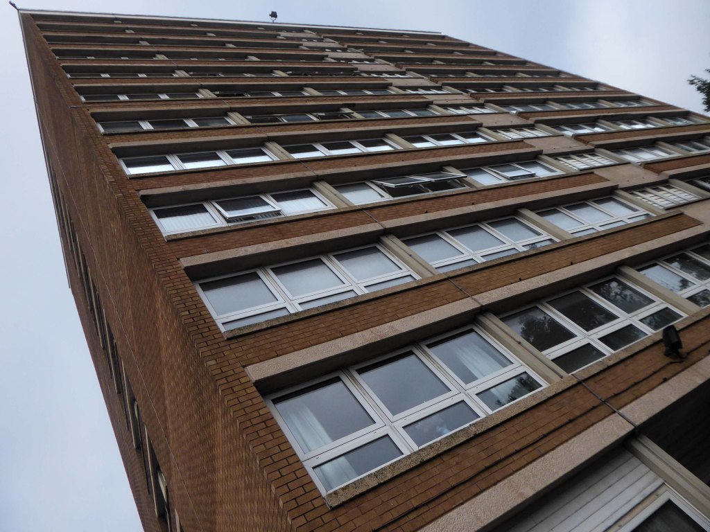
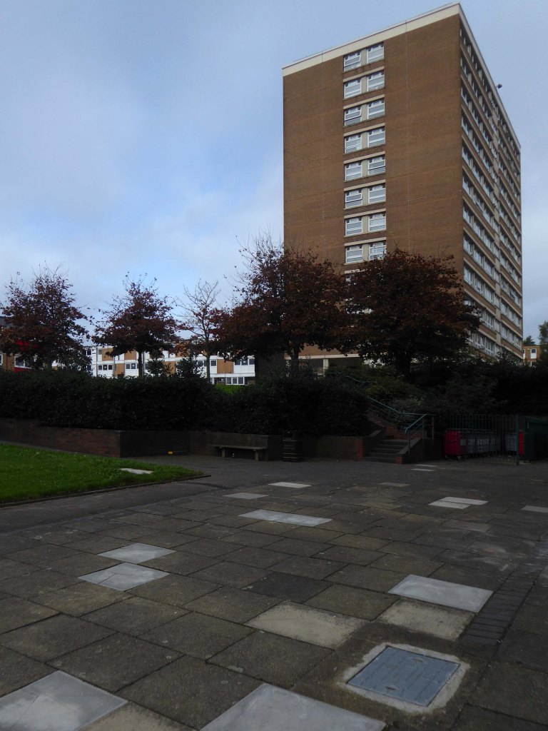
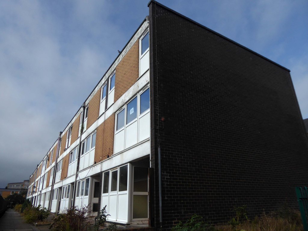
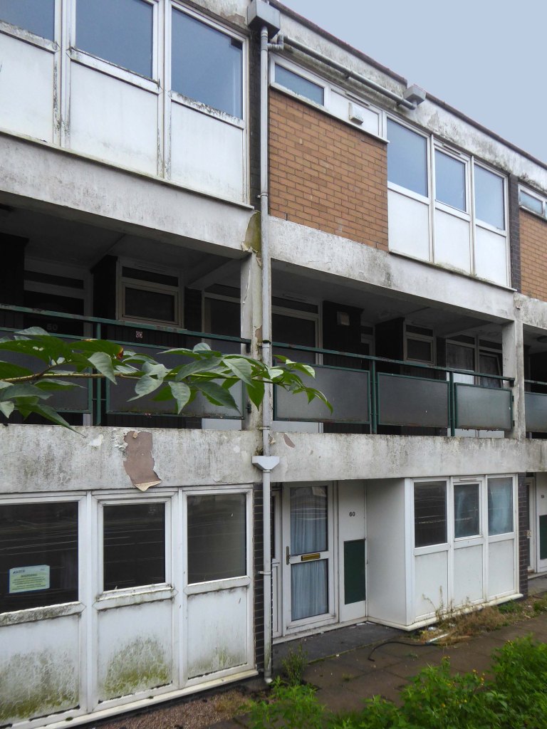
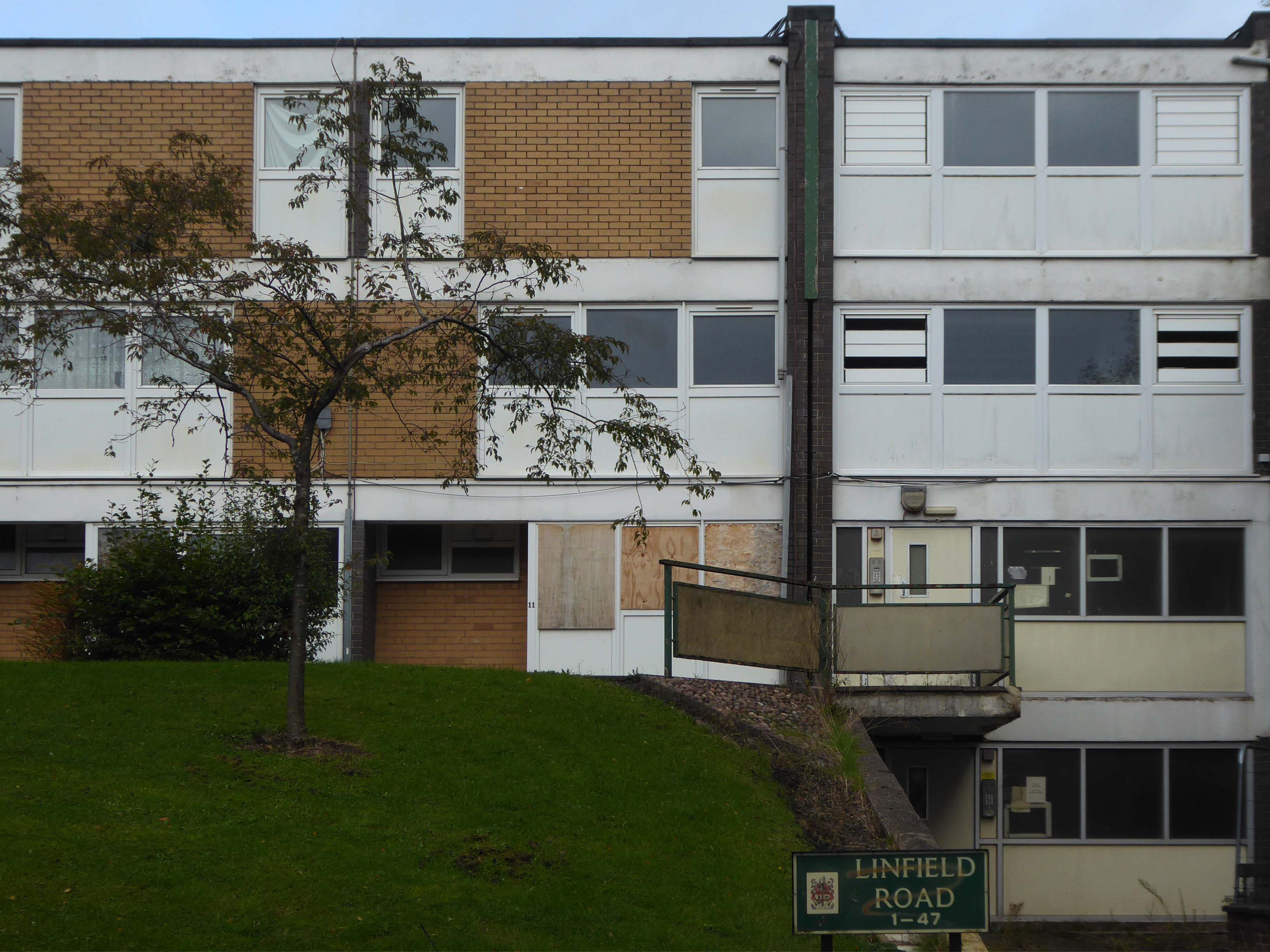
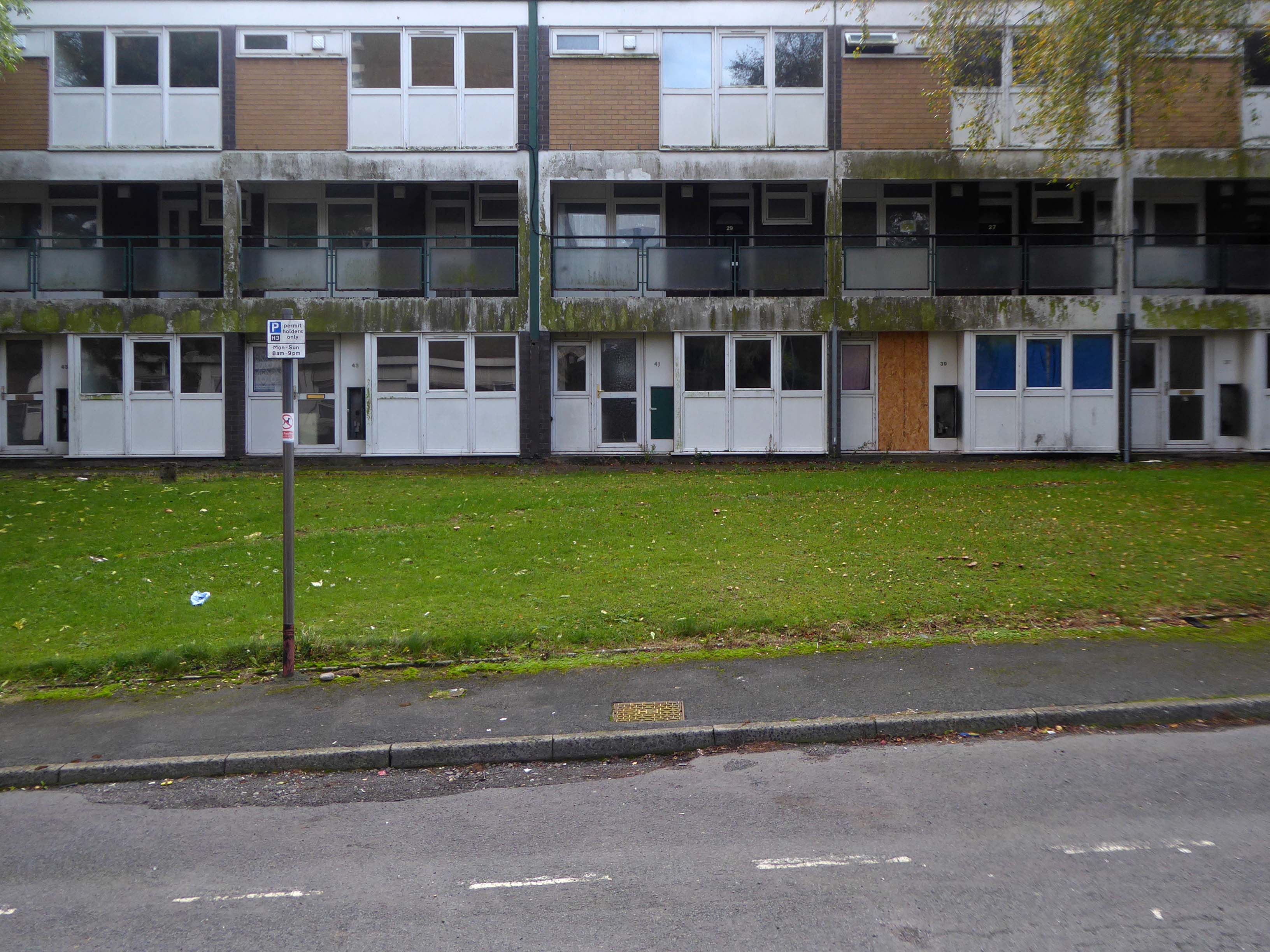
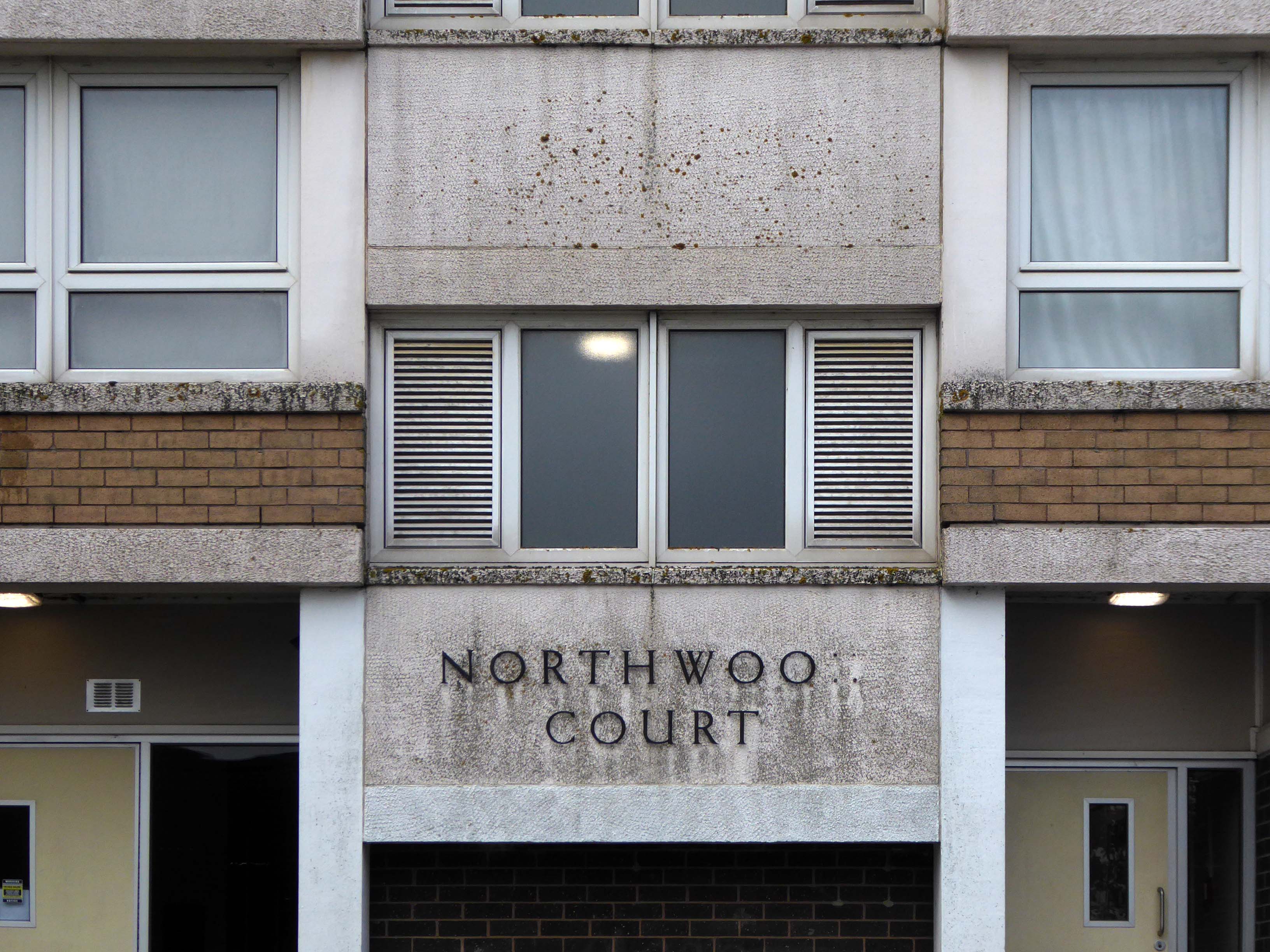
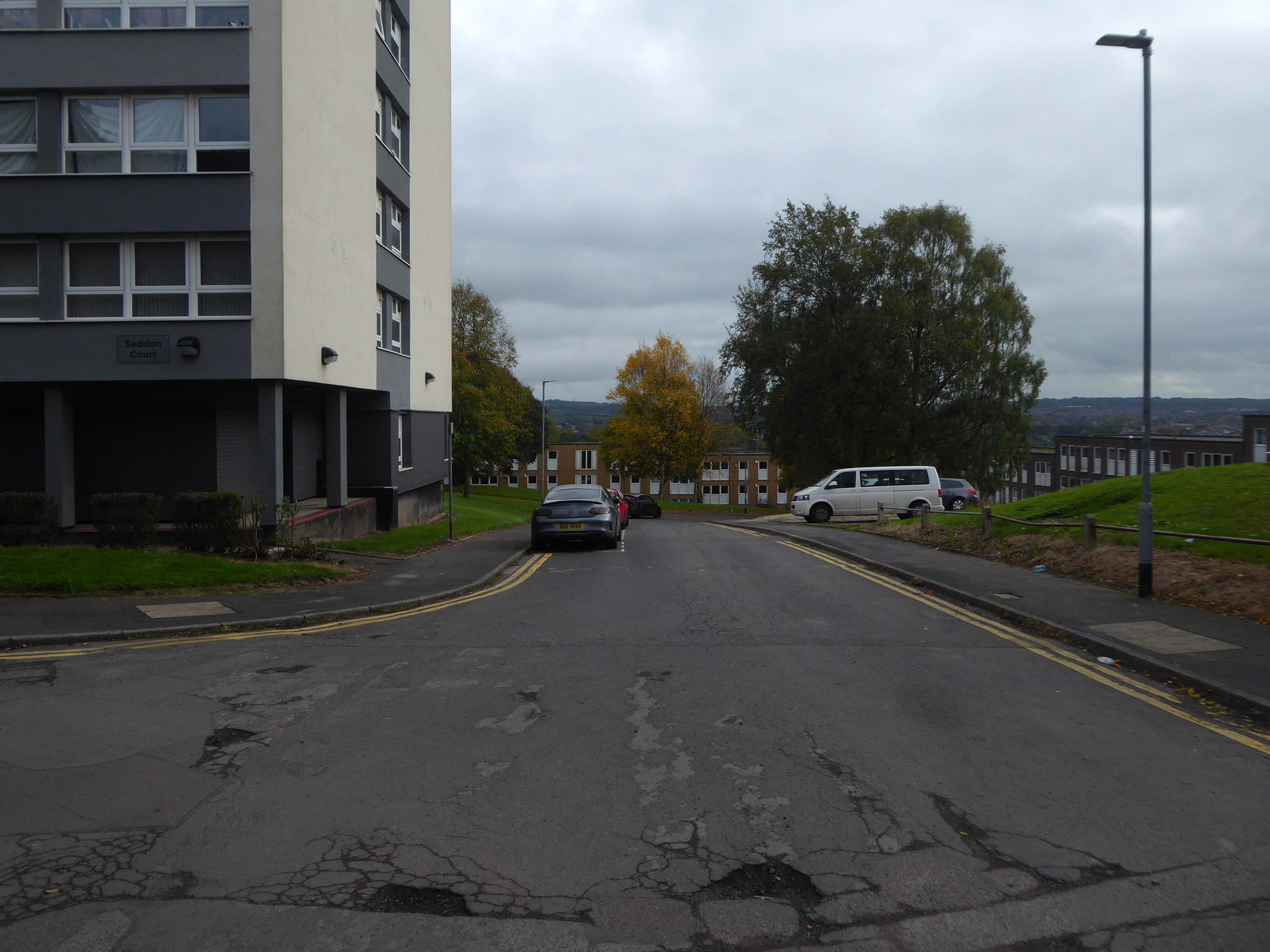
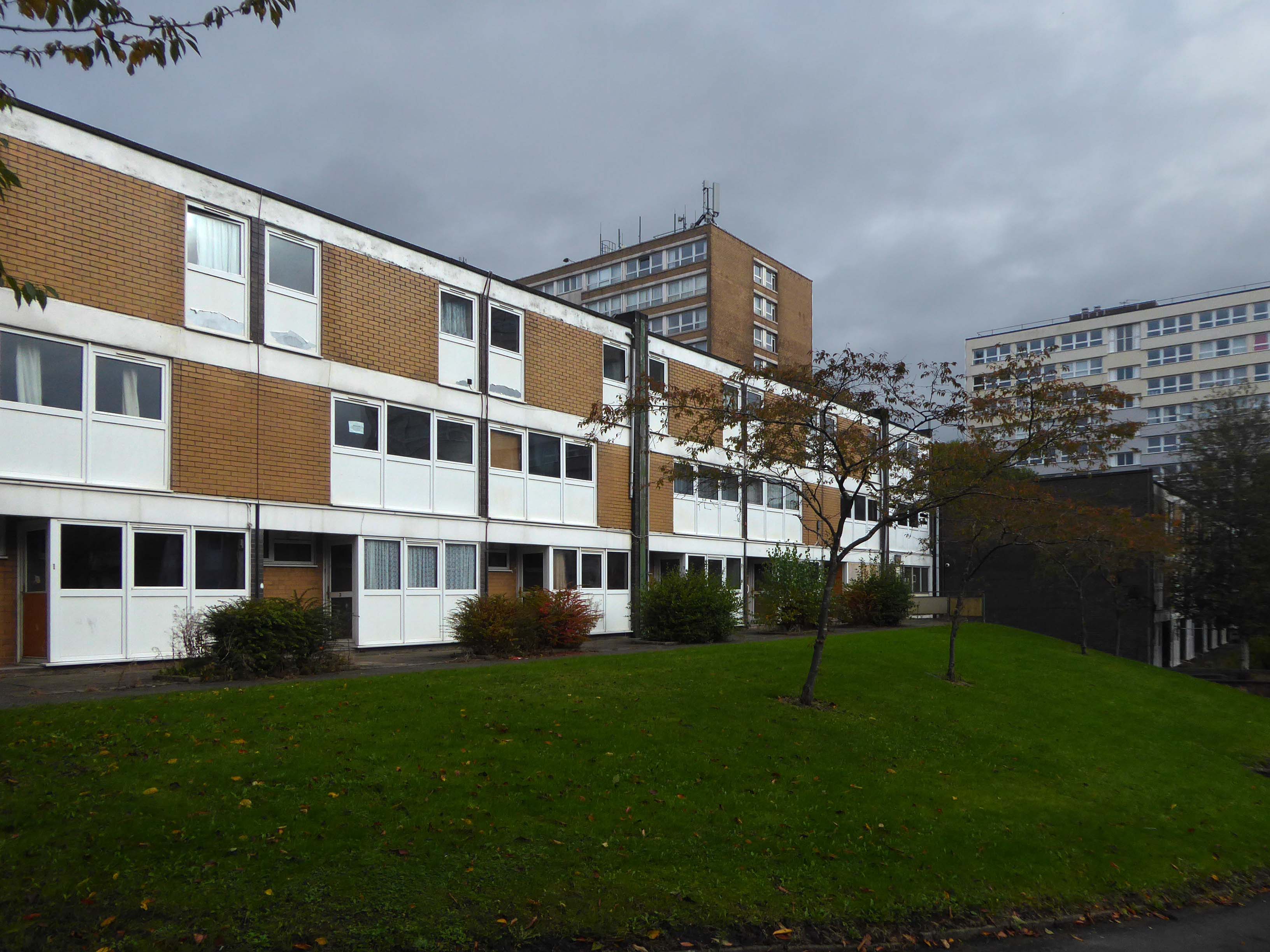
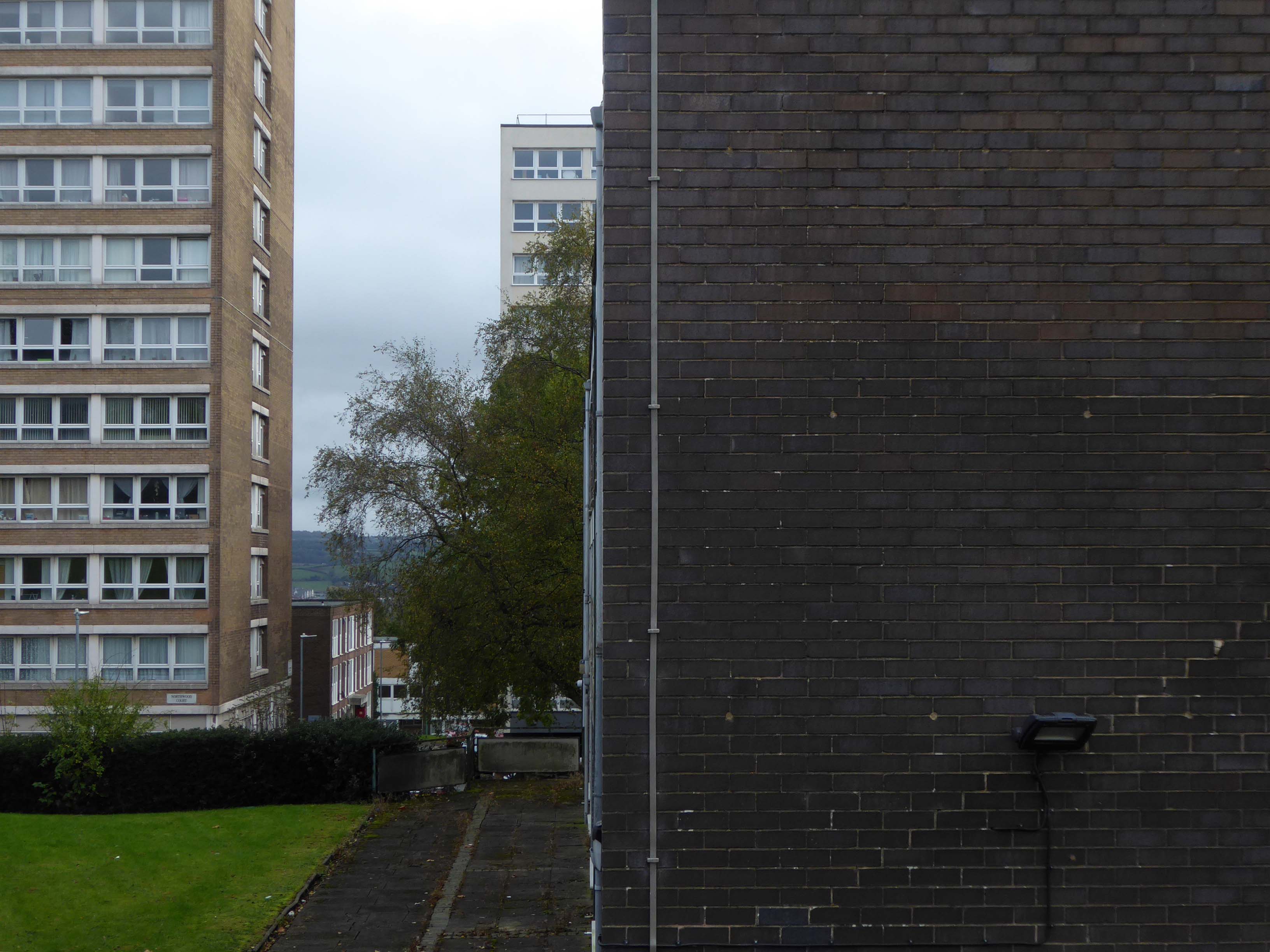
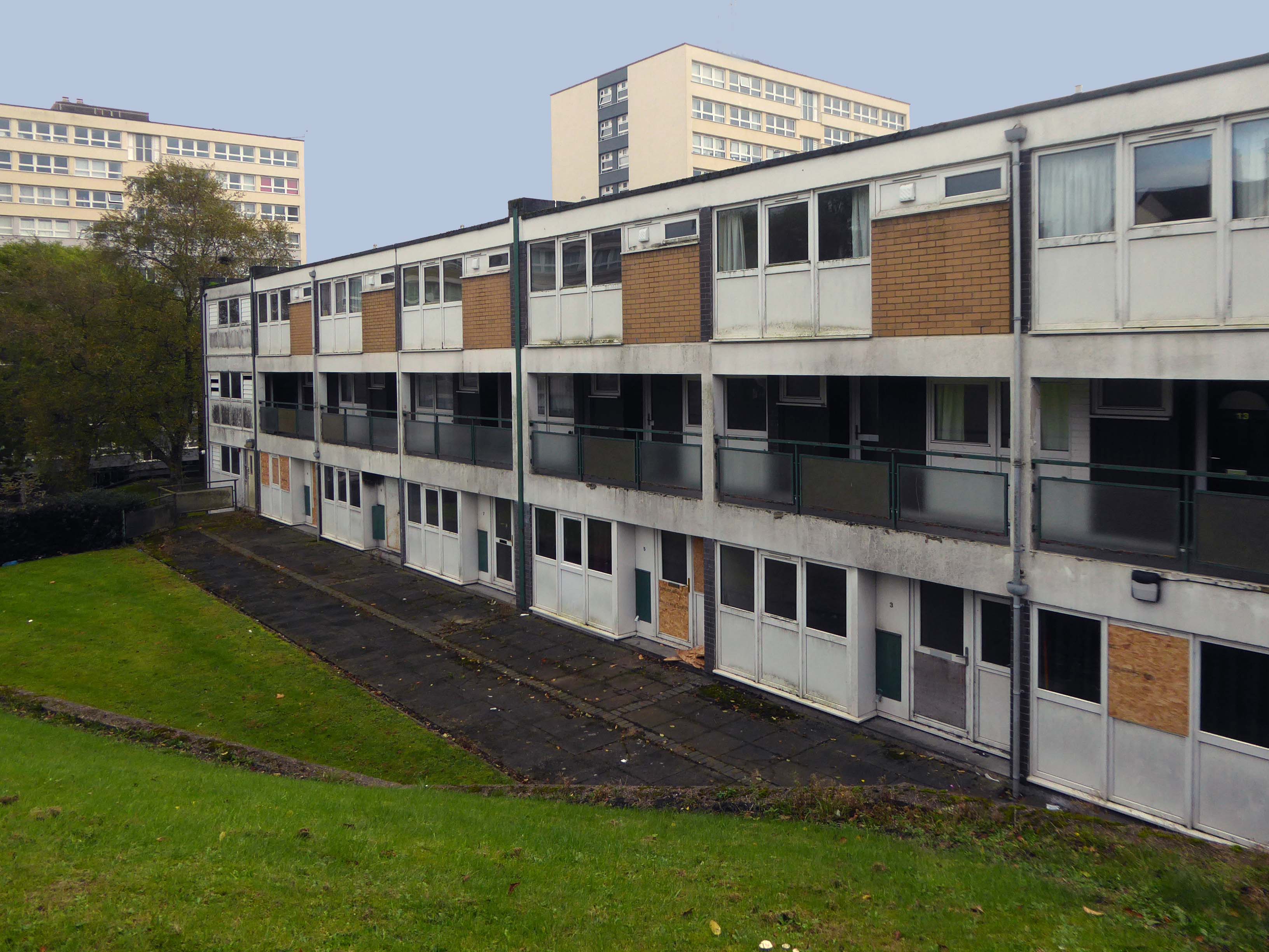
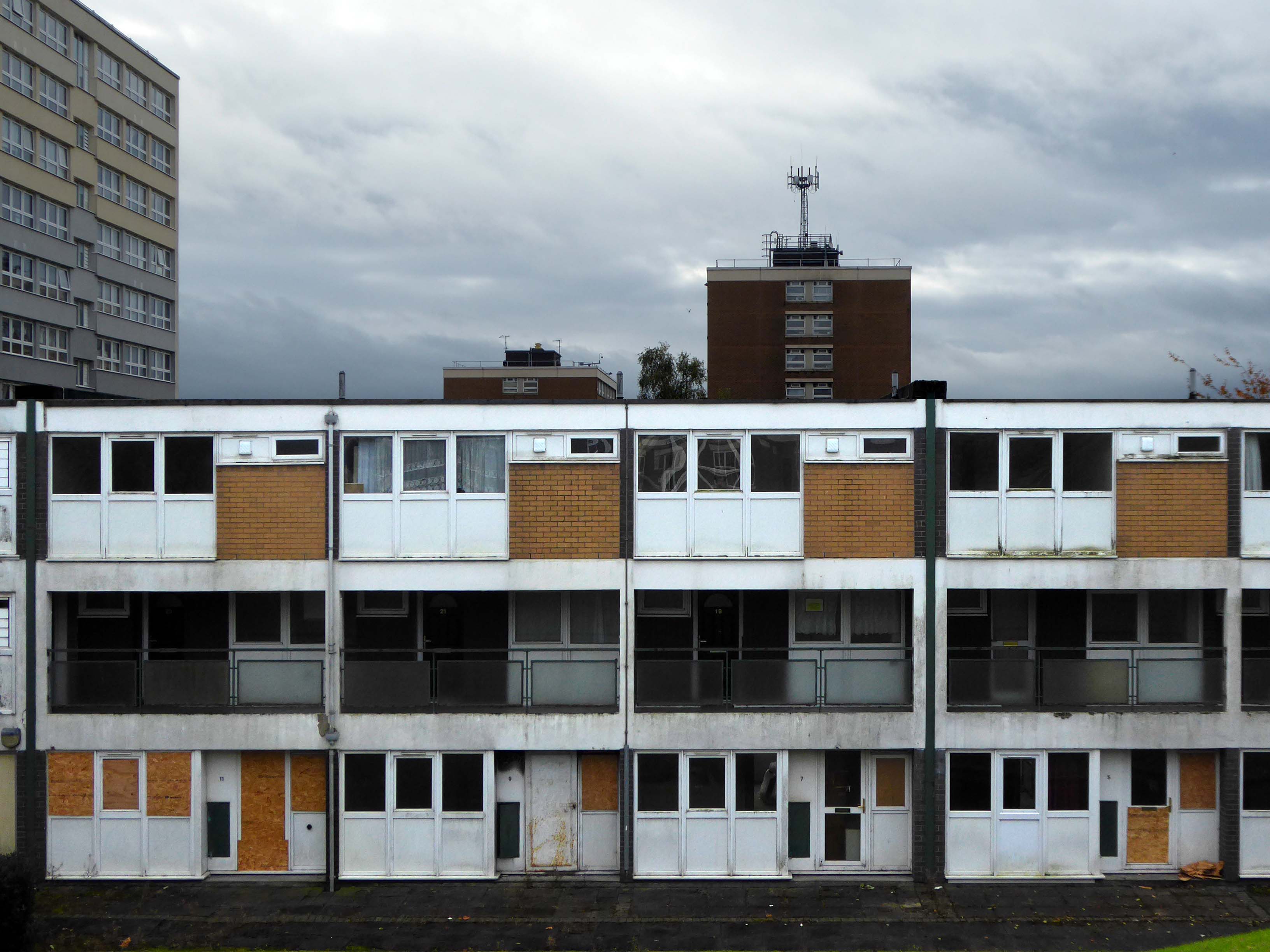
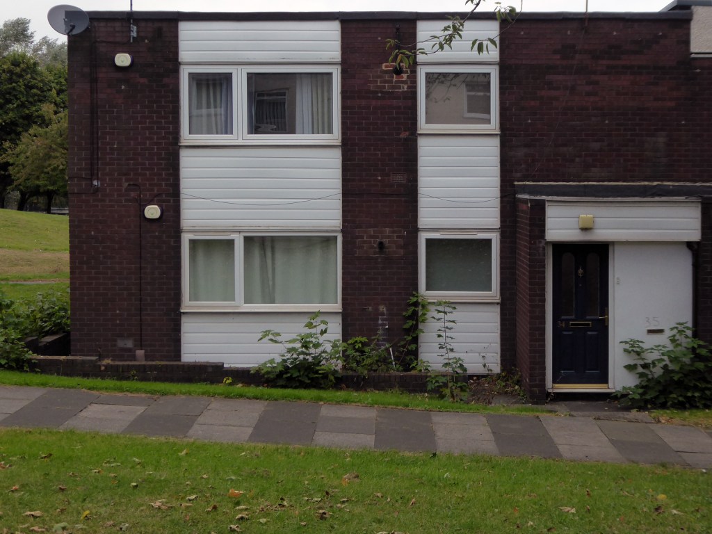
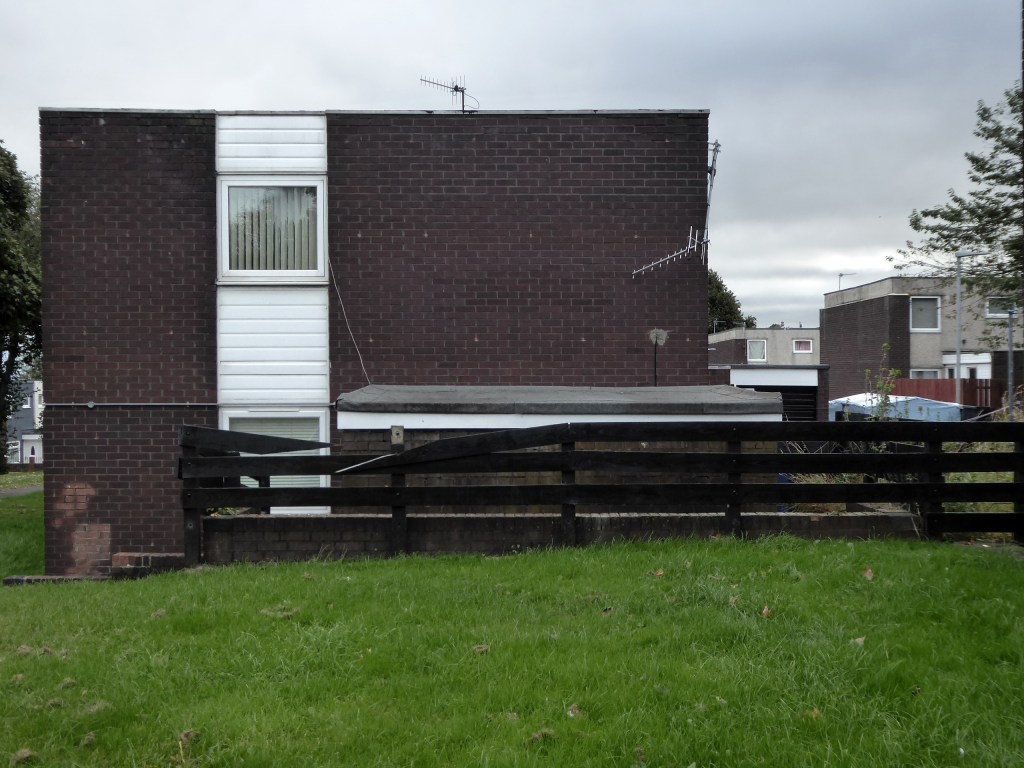
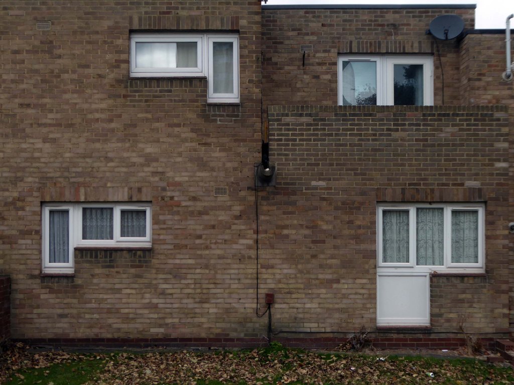
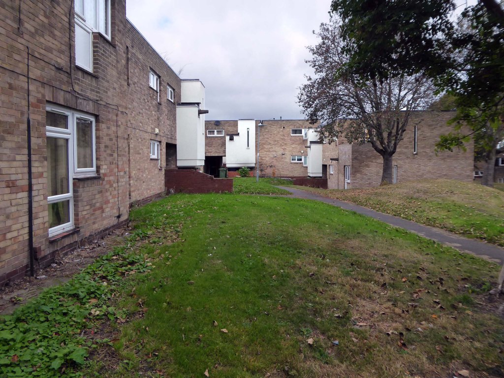
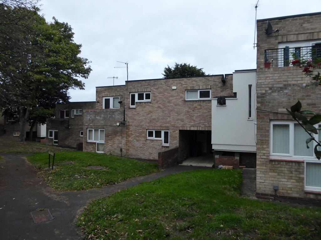
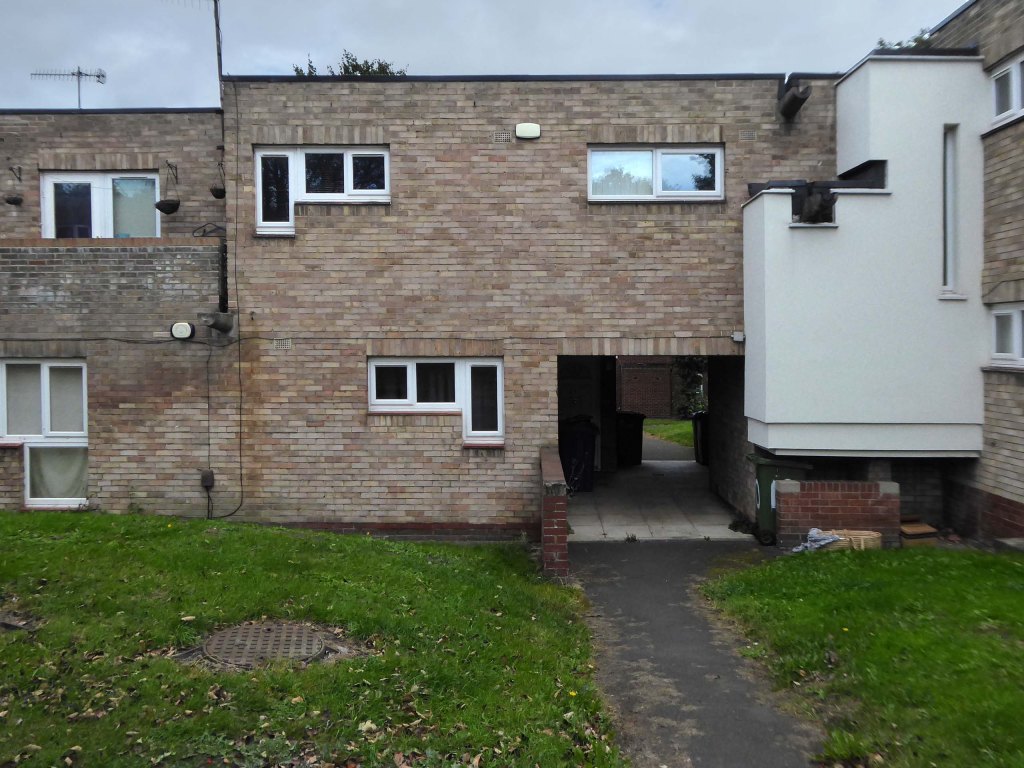
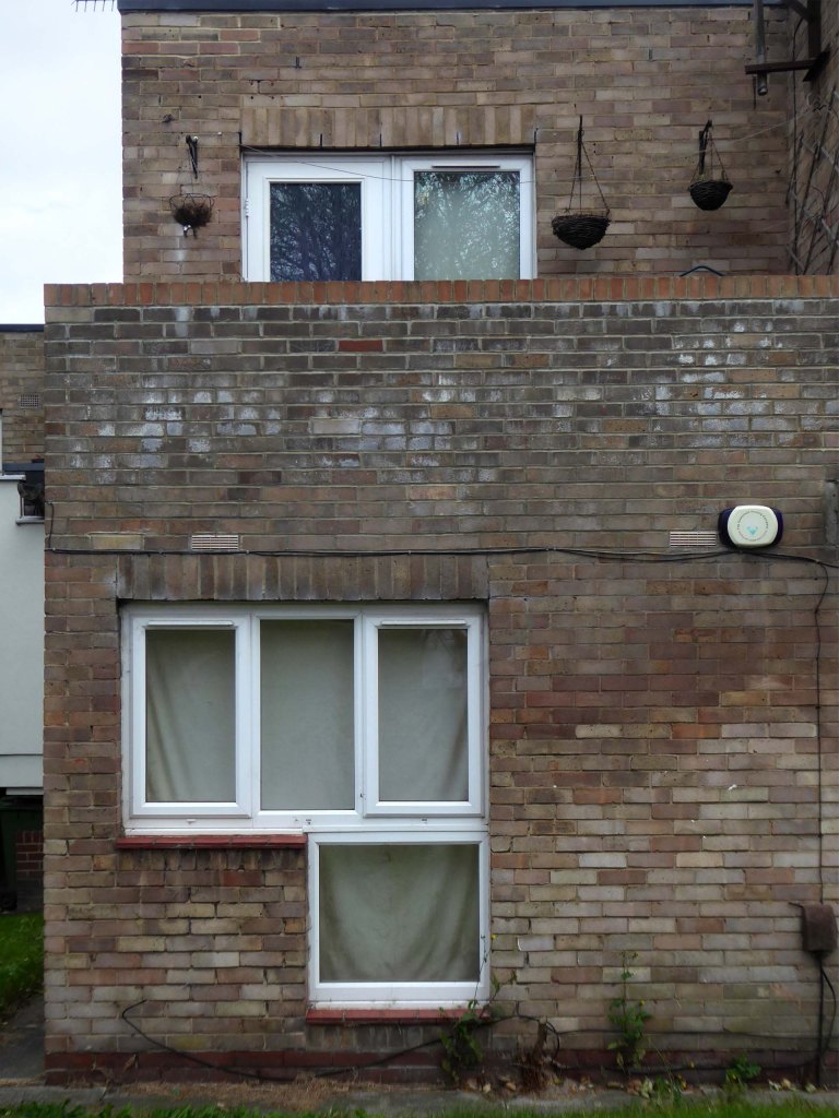
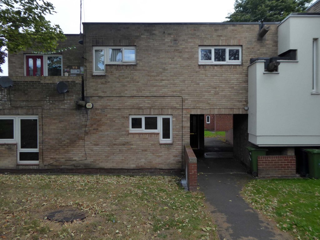
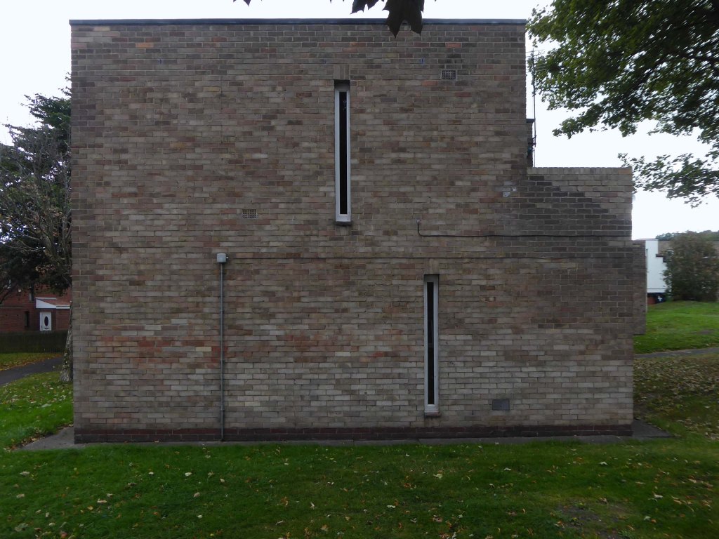
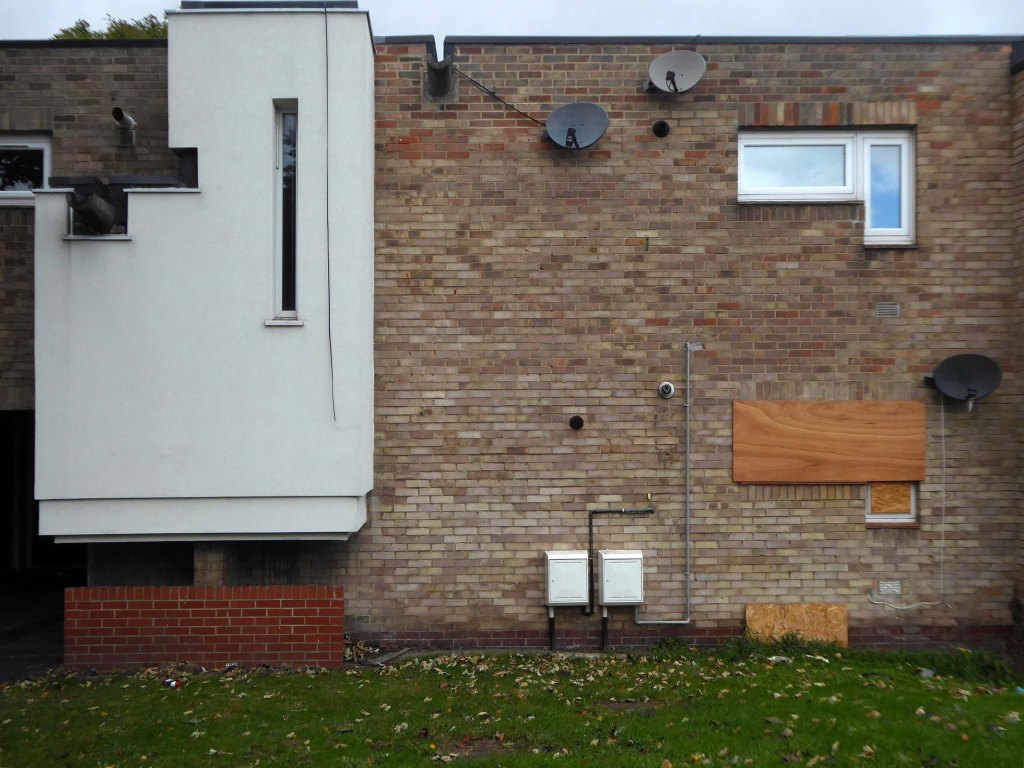
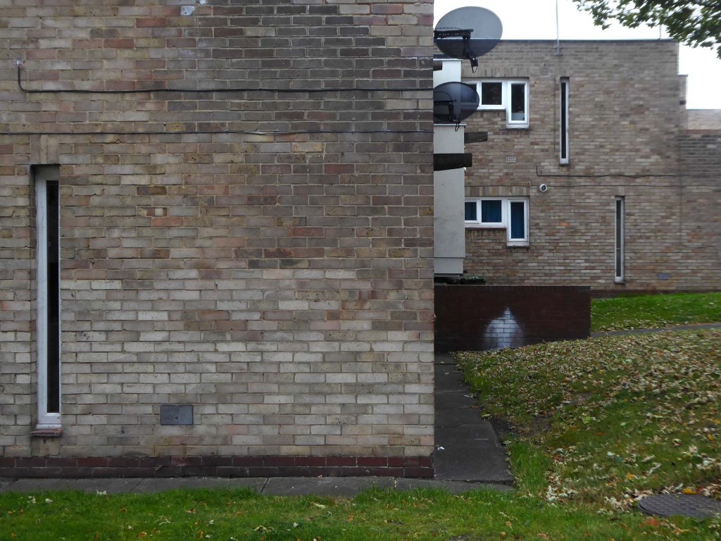
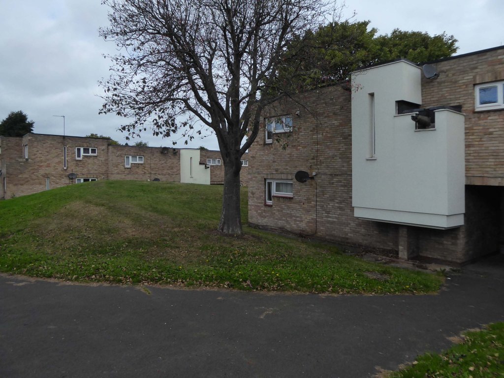
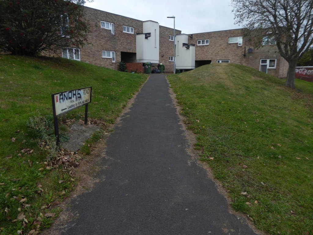
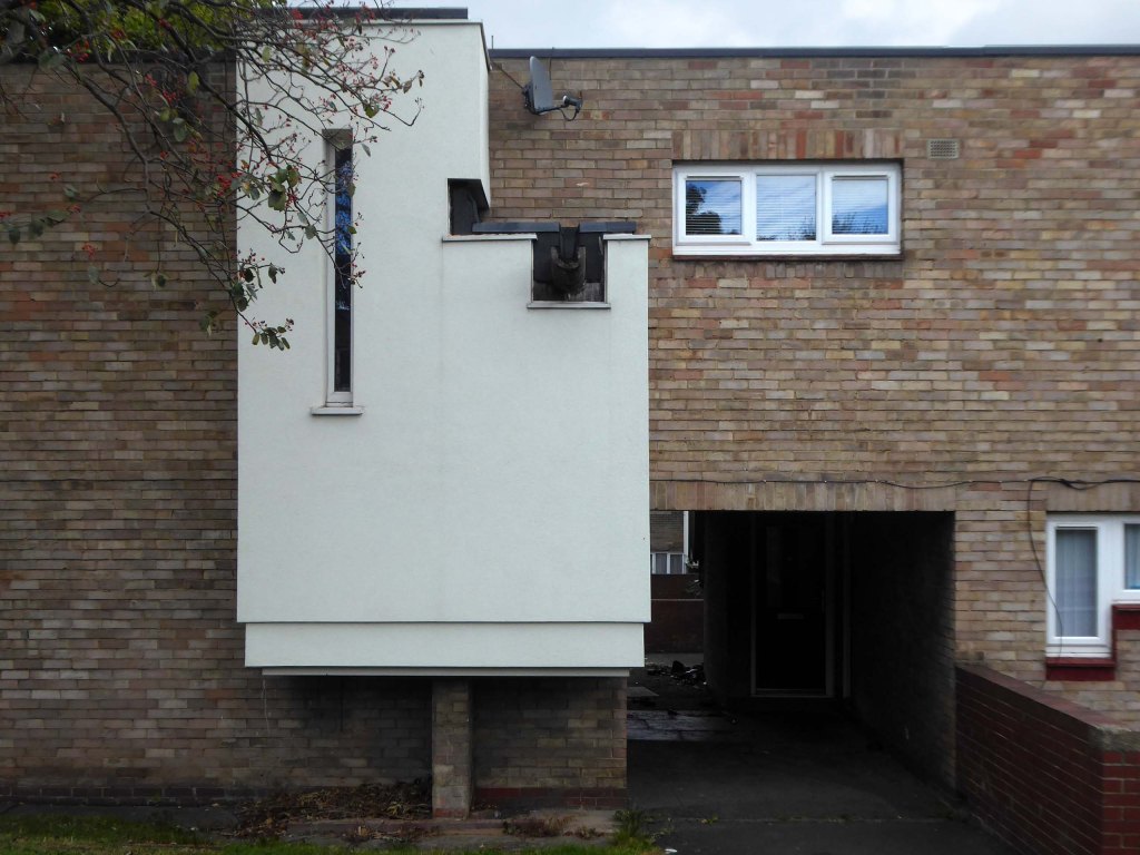
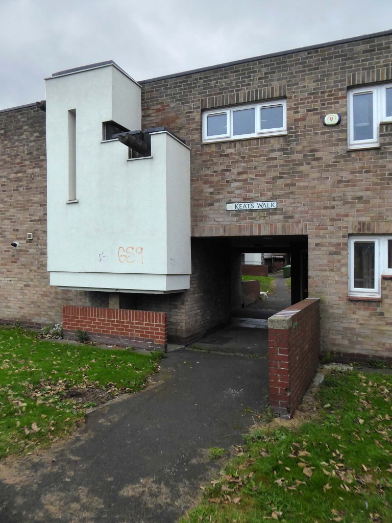
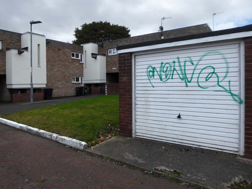
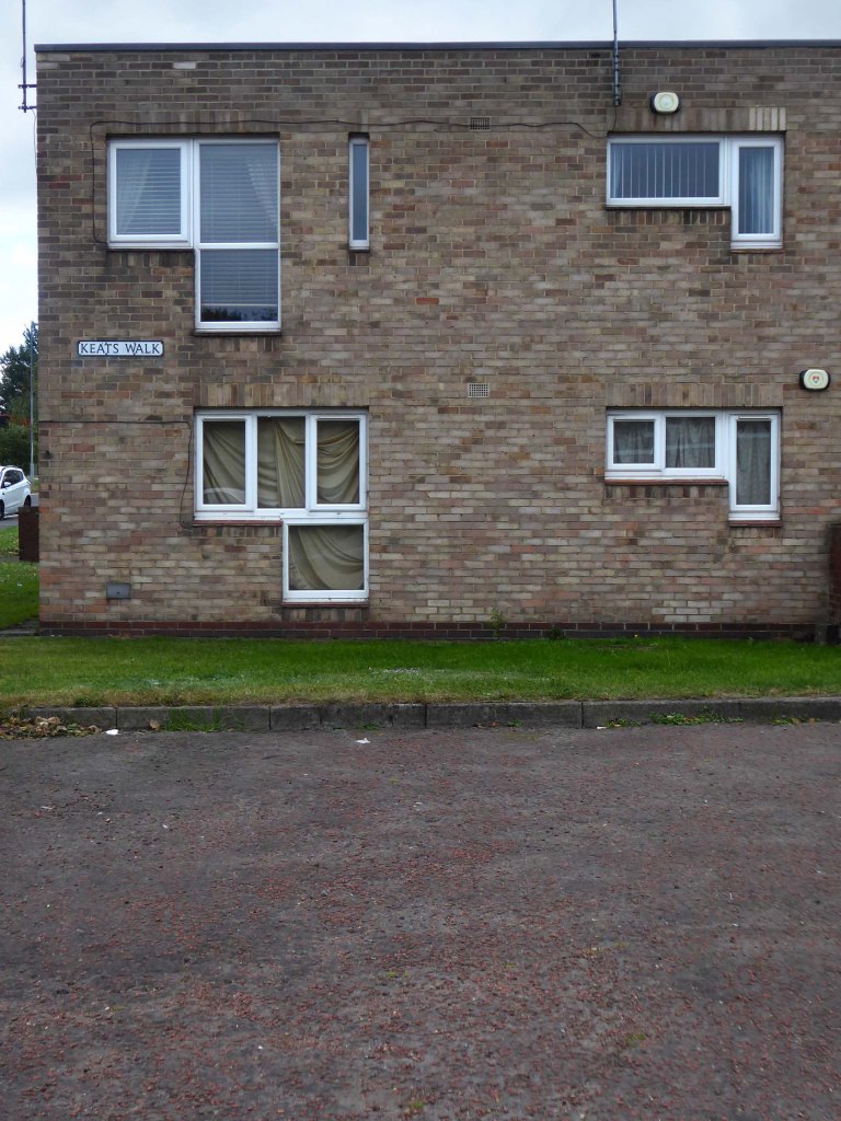
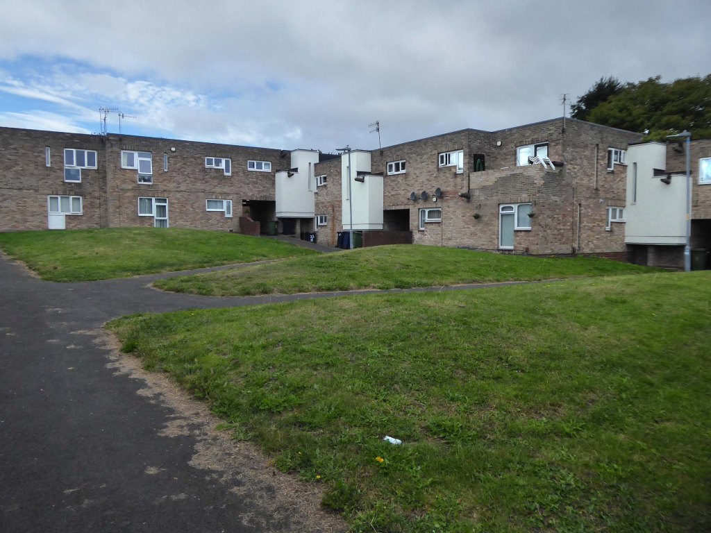
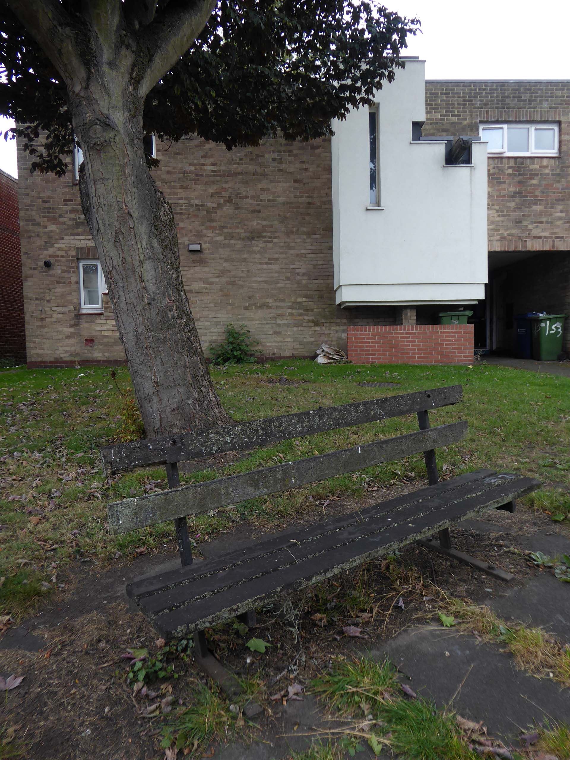
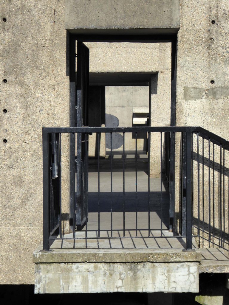
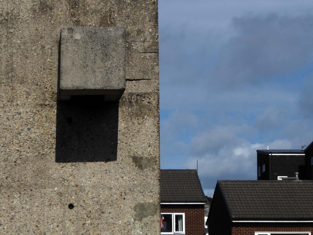
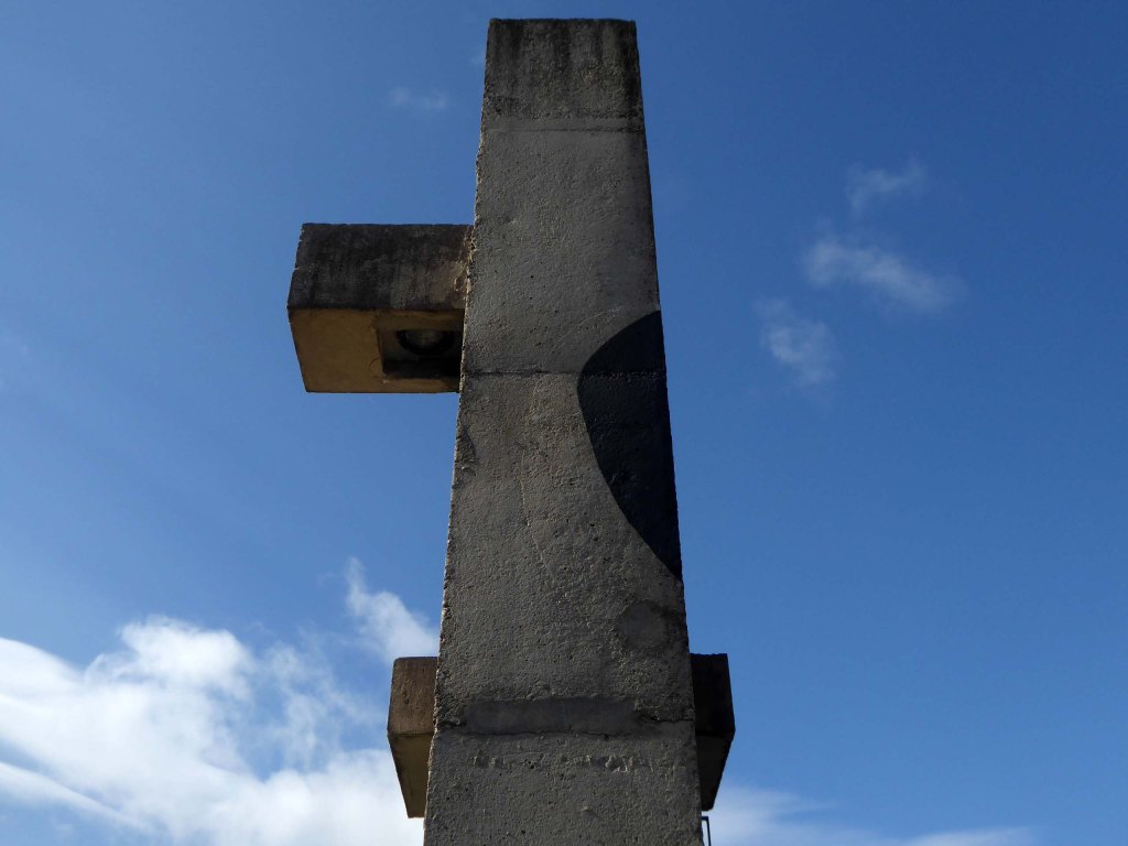
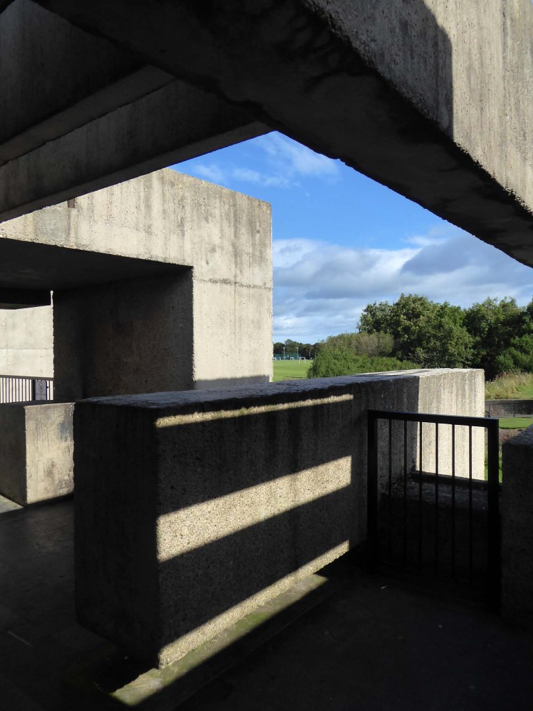
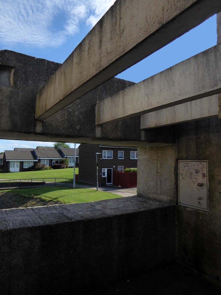
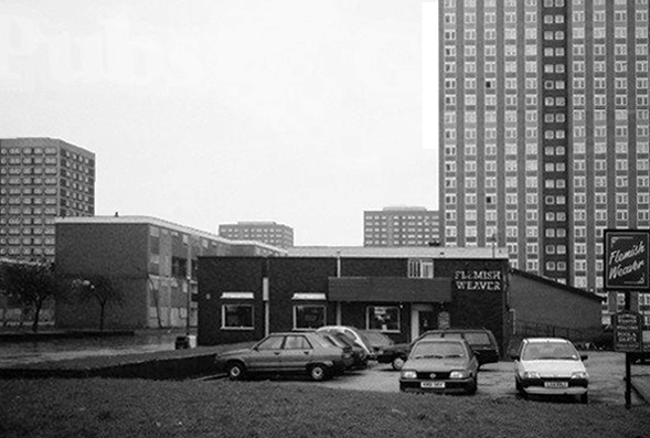
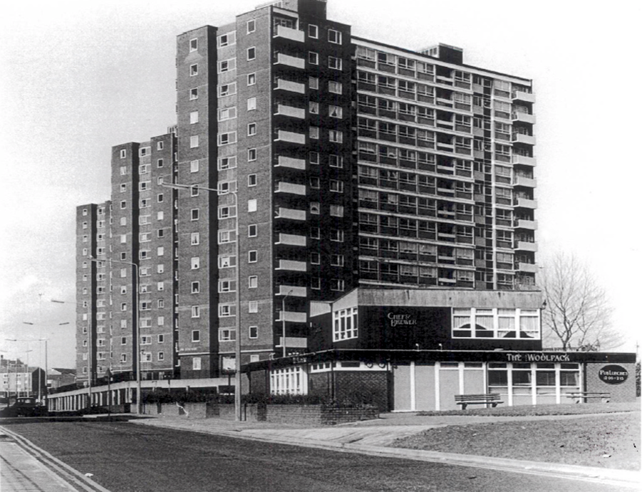
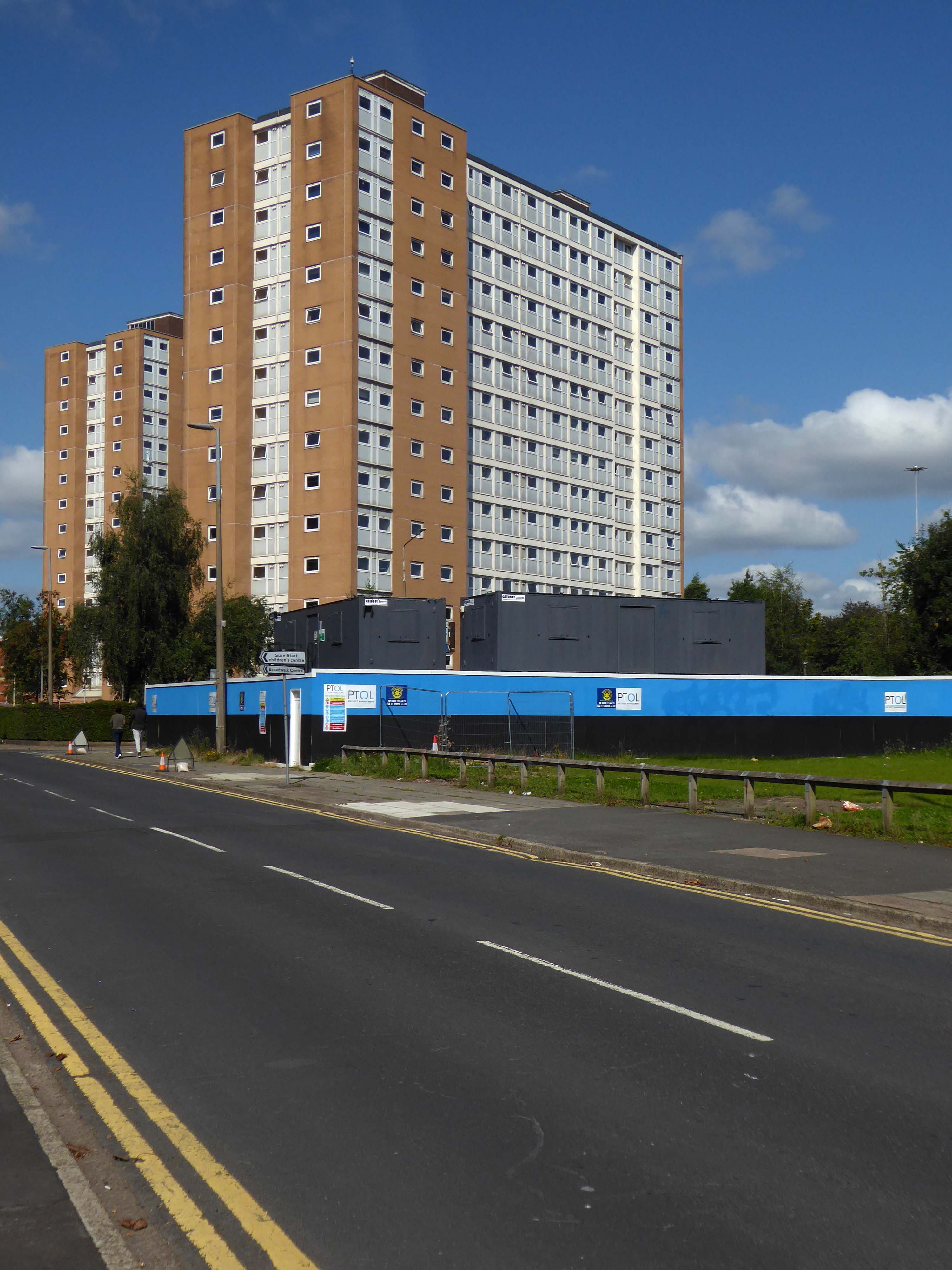
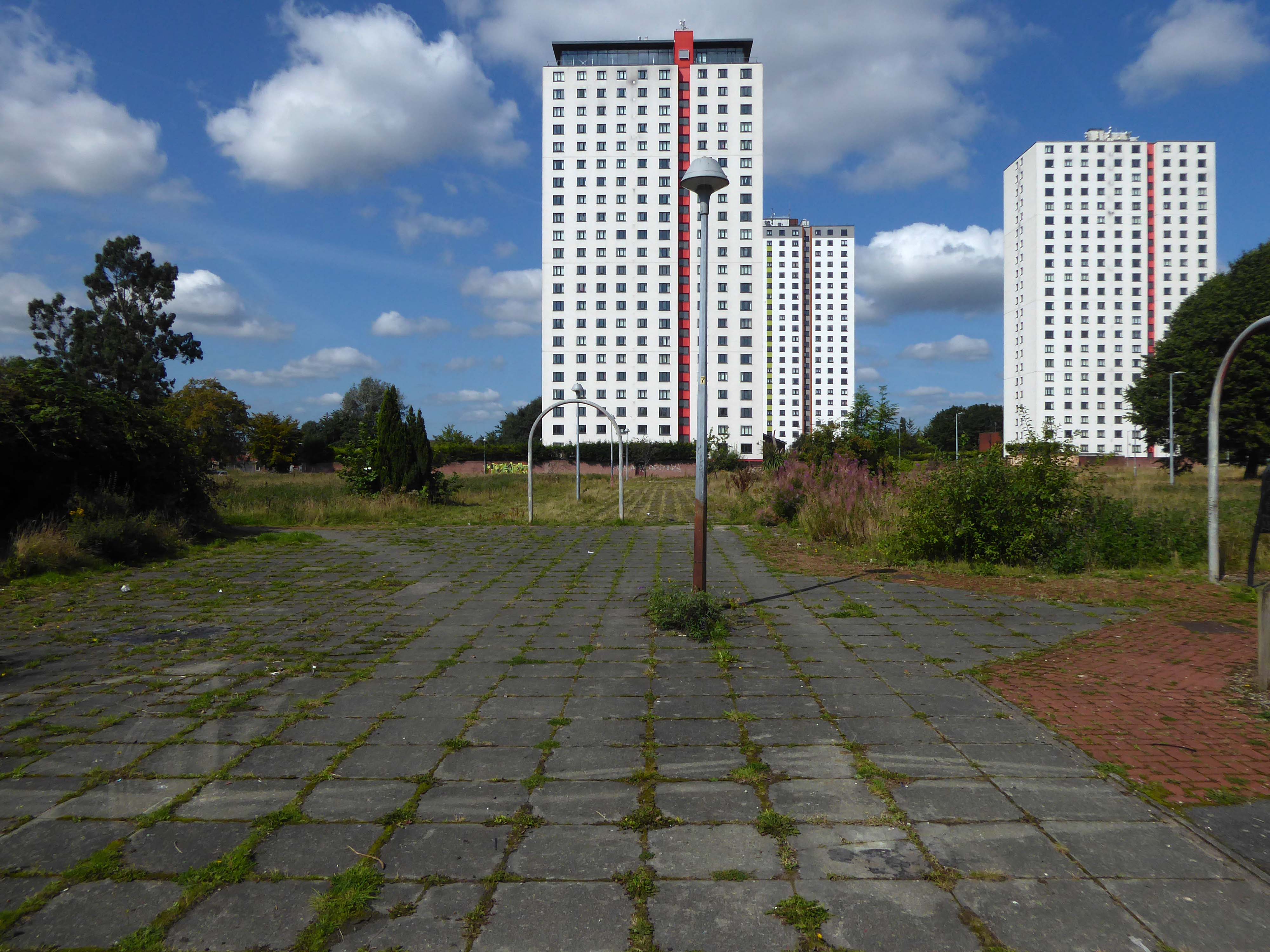
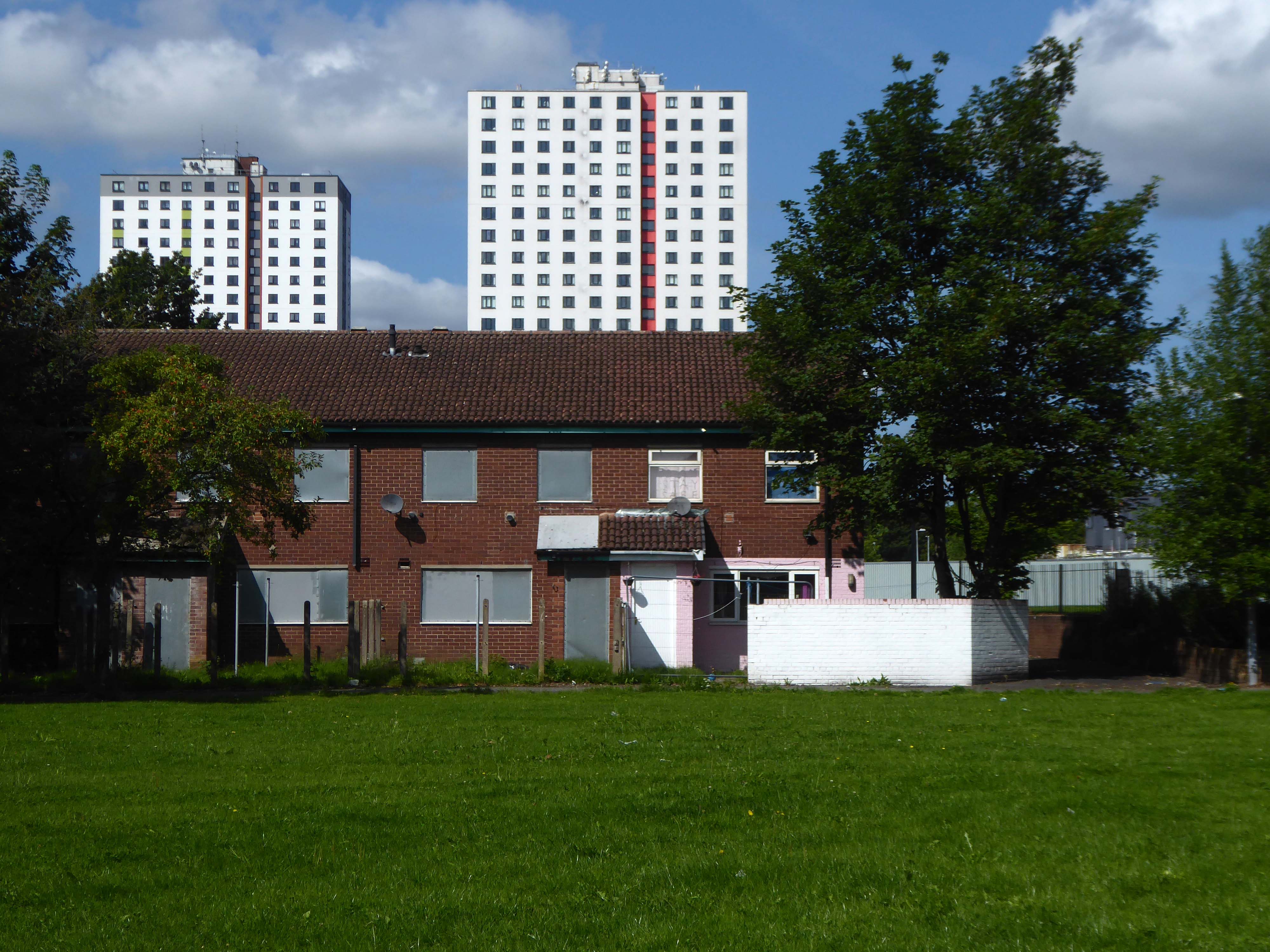
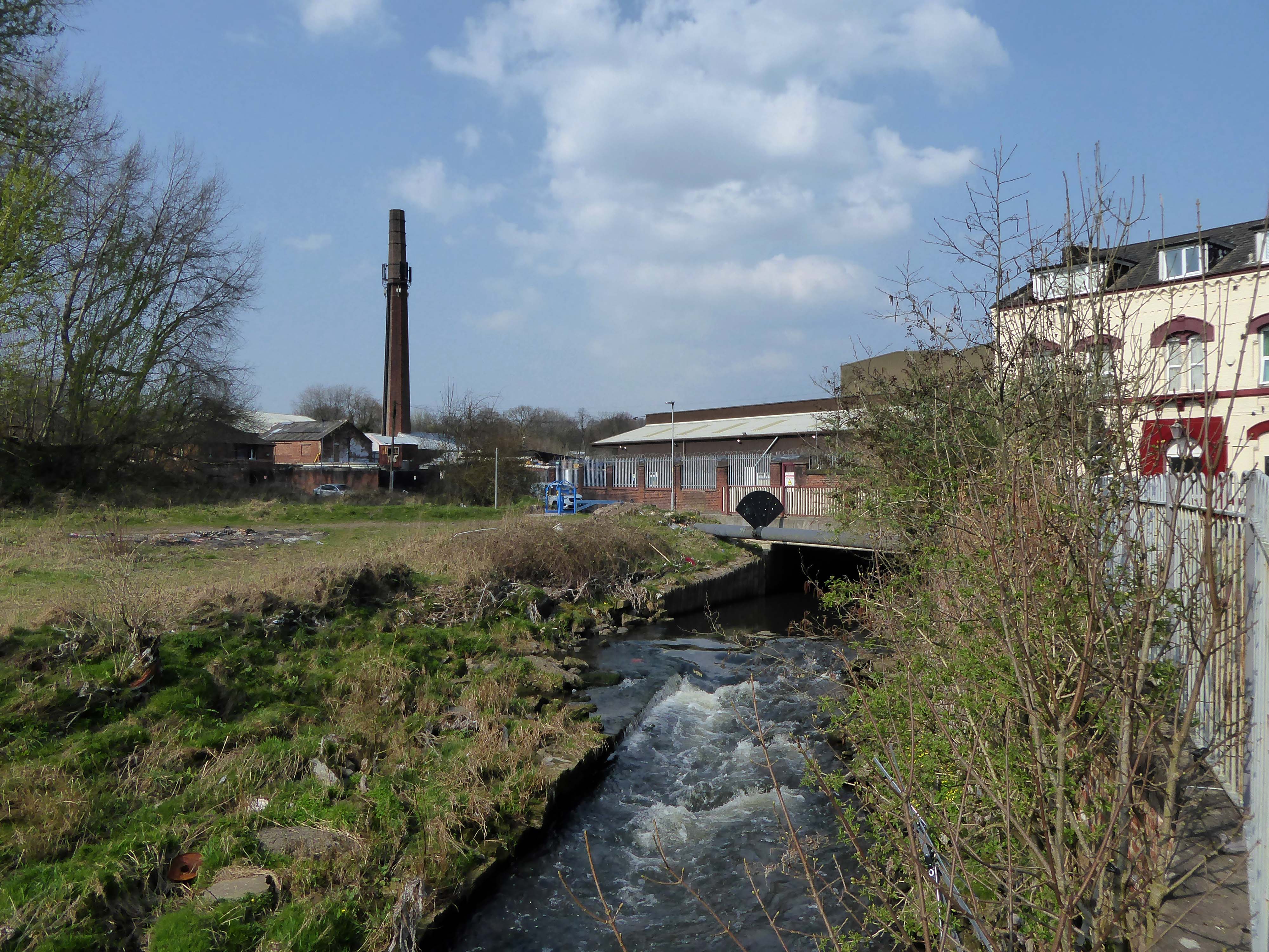
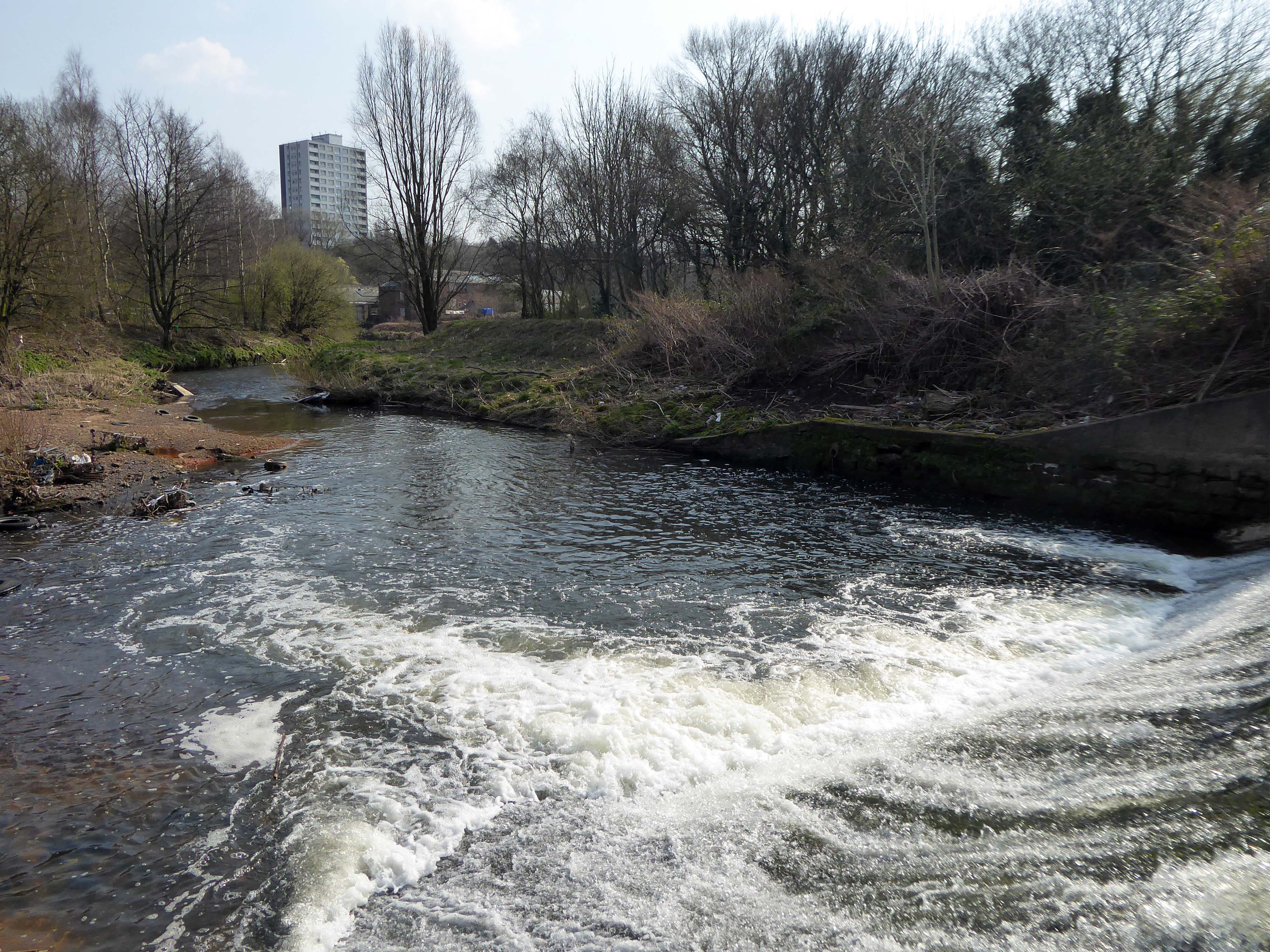
Lost to the world are the Manchester Moderne flats of Kennet House overlooking the Irk Valley on Smedley Lane.

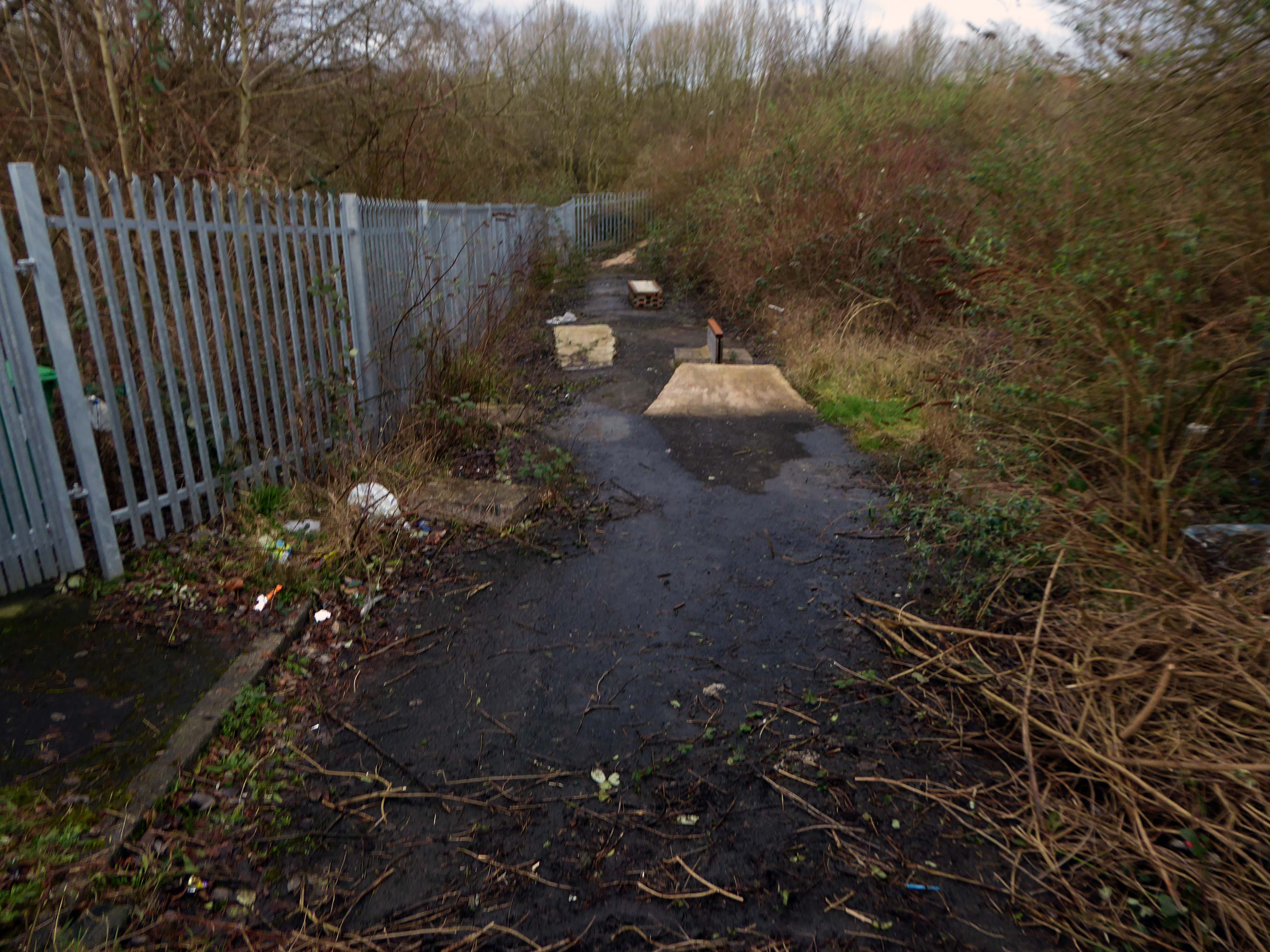
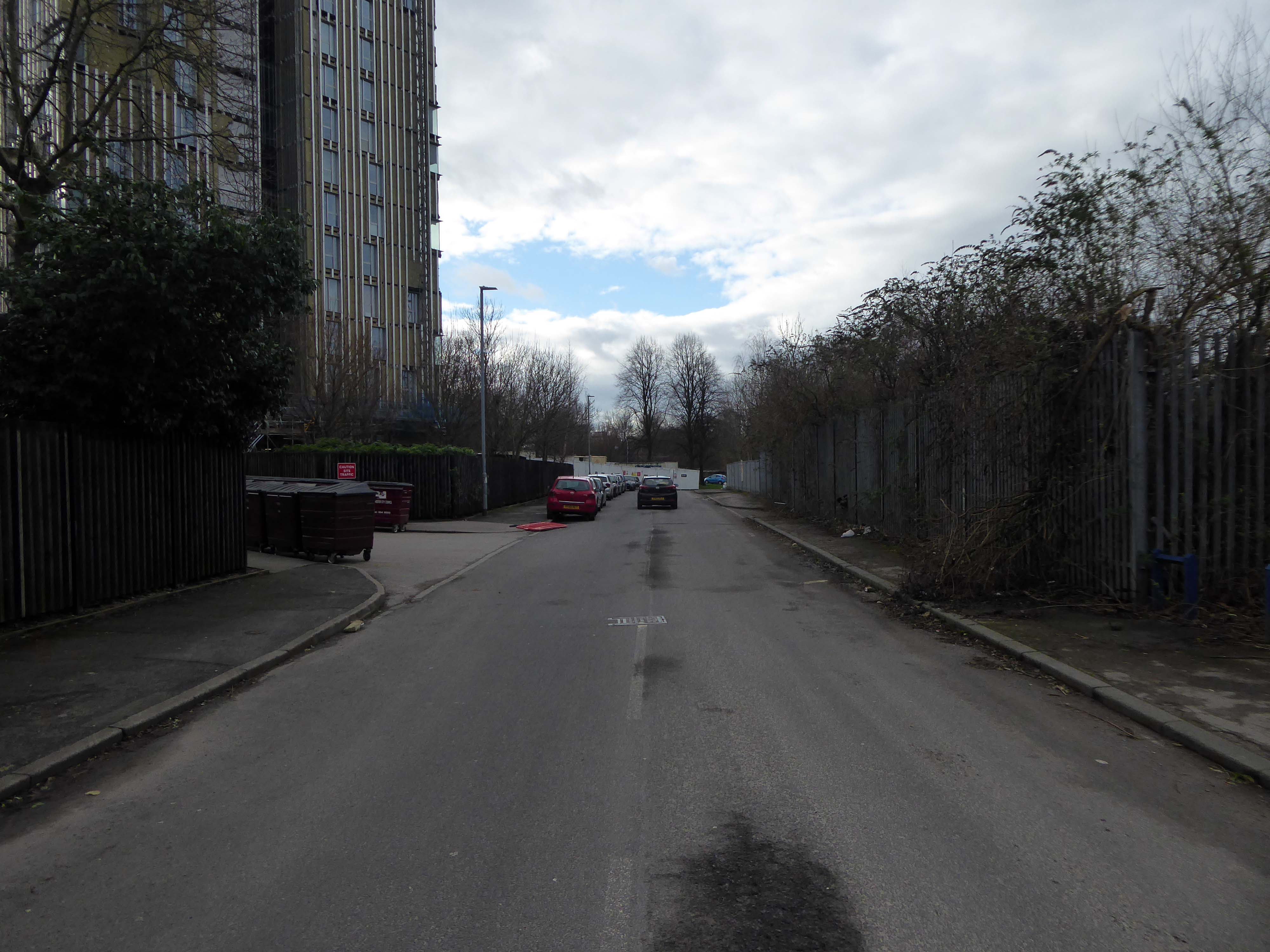
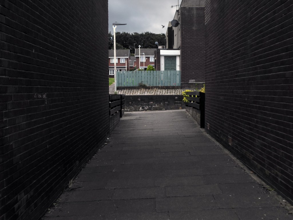
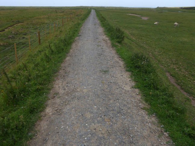
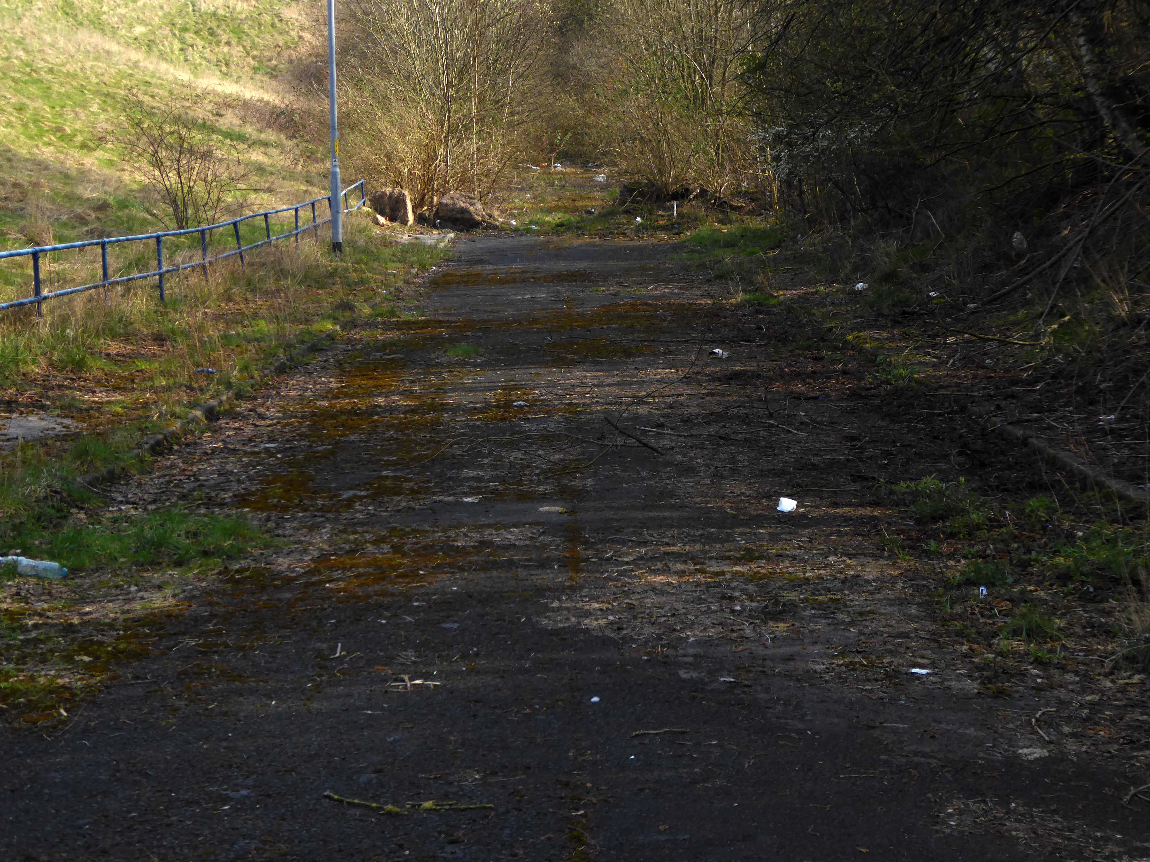
Hendham Way becomes a pedestrianised lane.

Taking the road up and then down, returning to the river, and following the wrong path – alongside the Hapurhey Reservoir and Ponds.

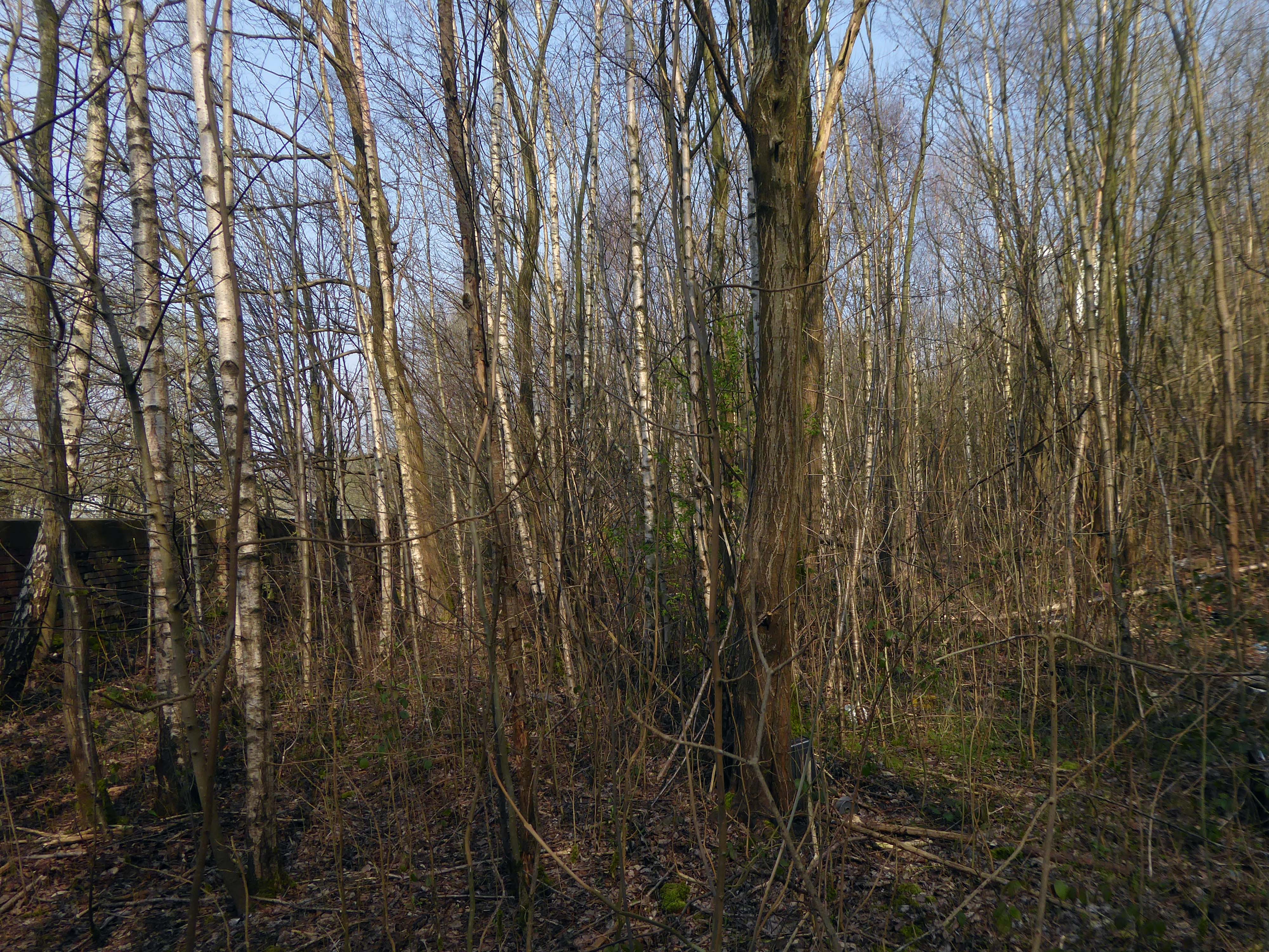
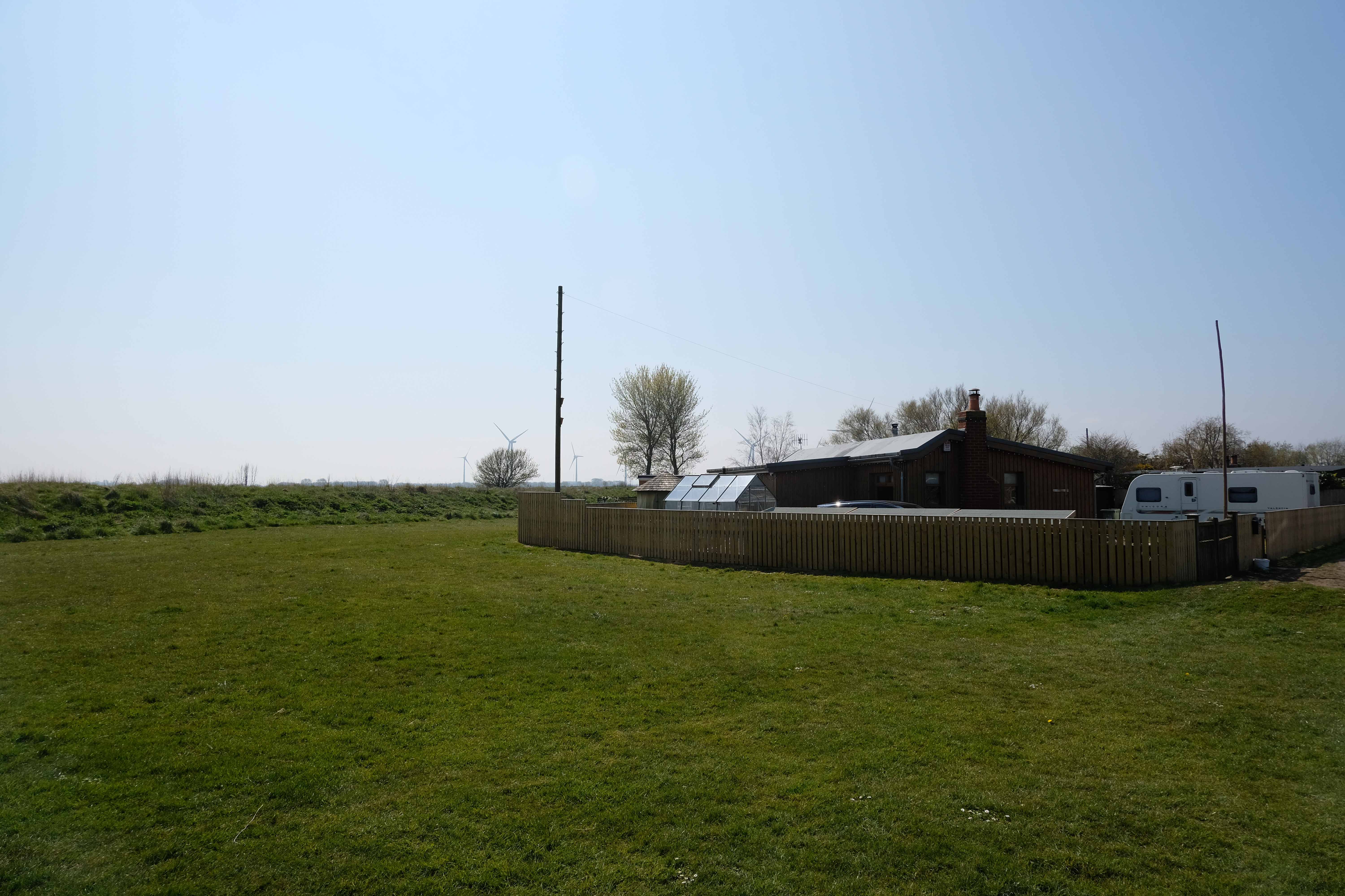
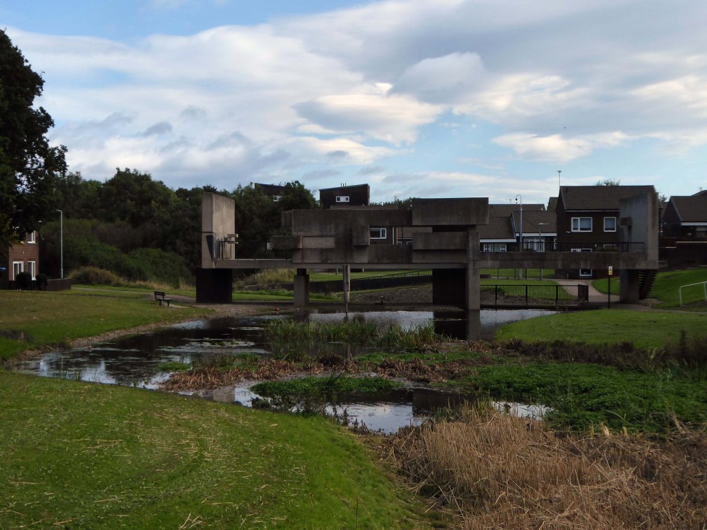
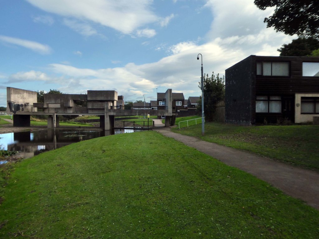
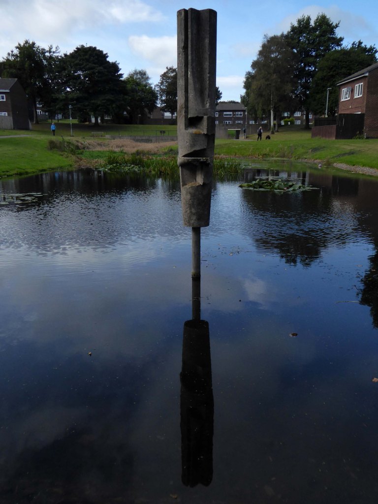
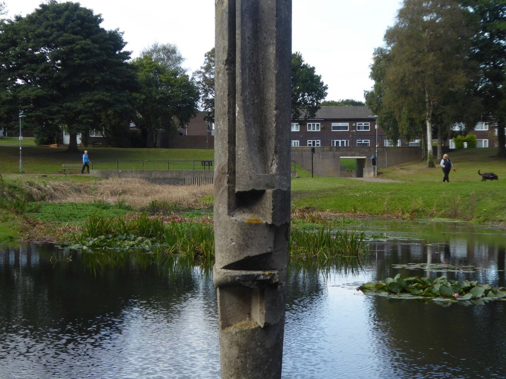
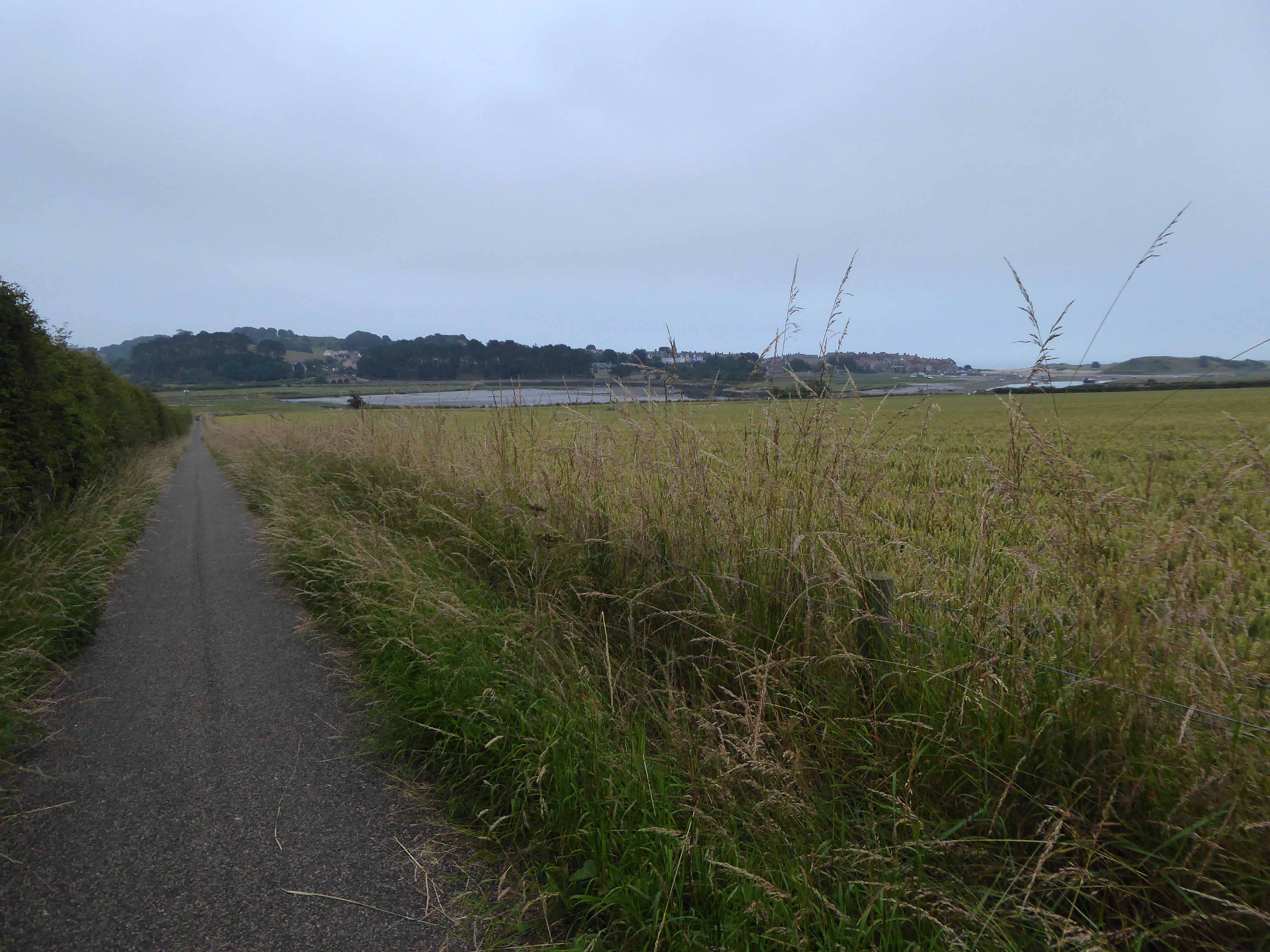
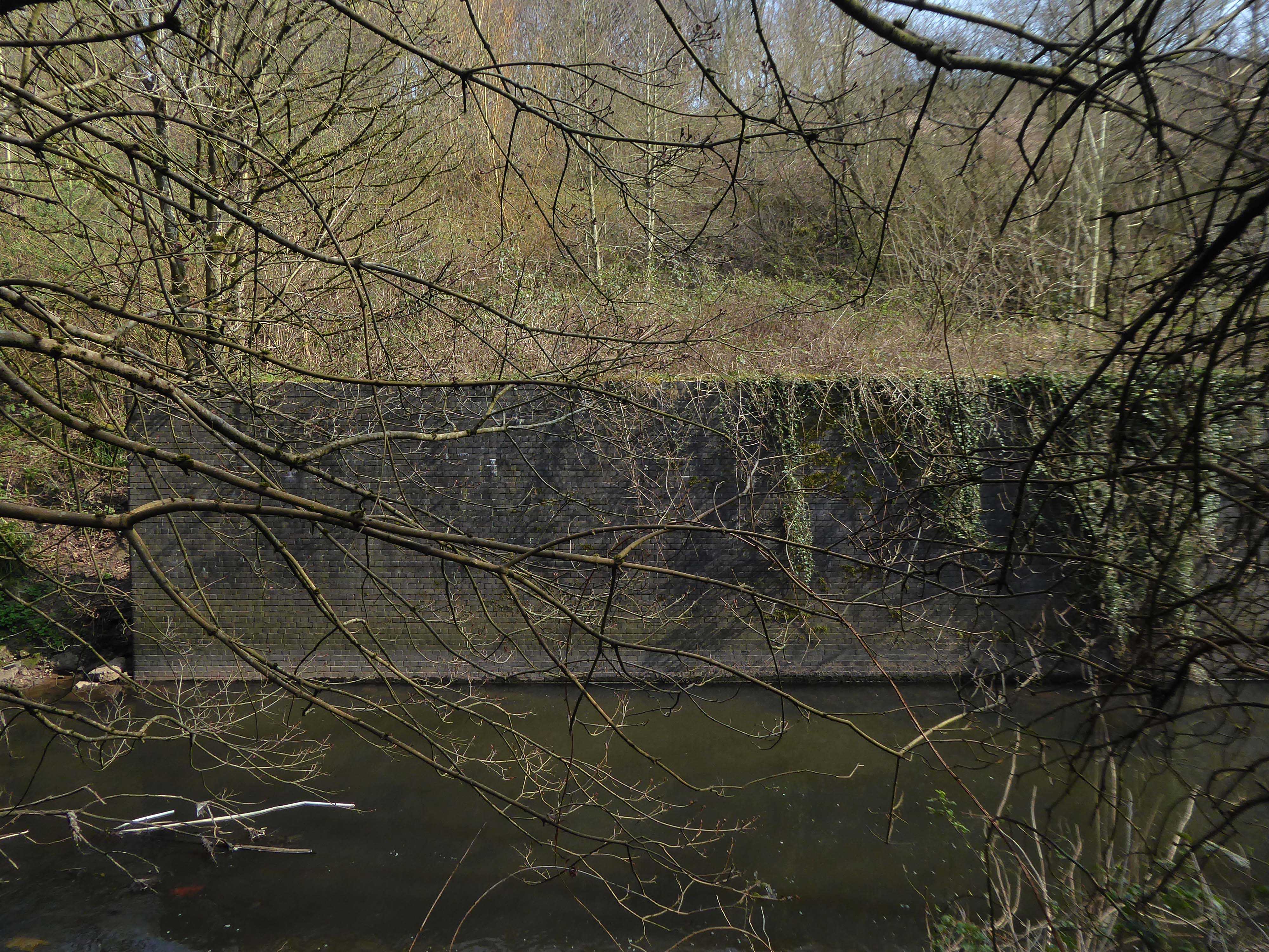
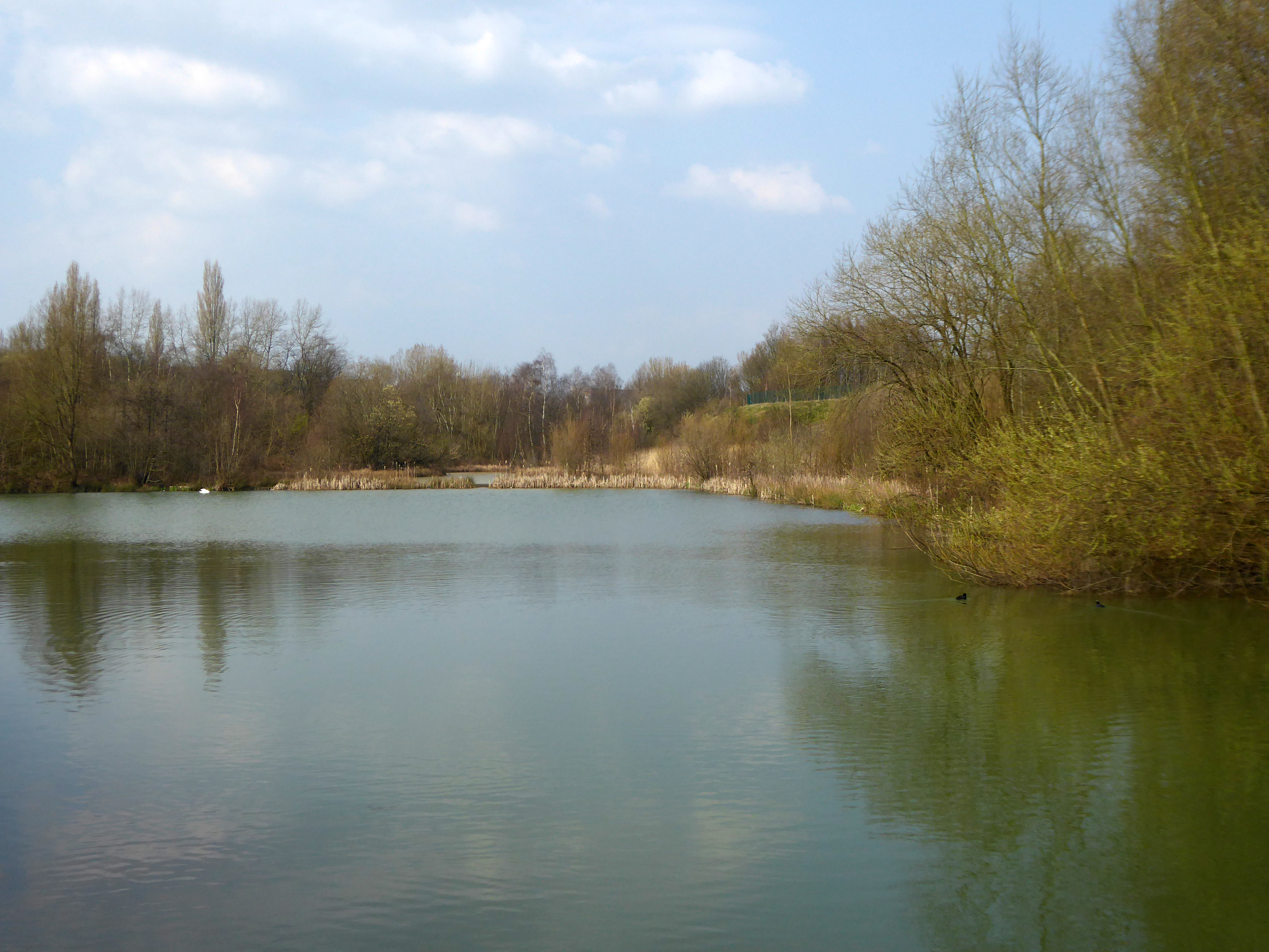
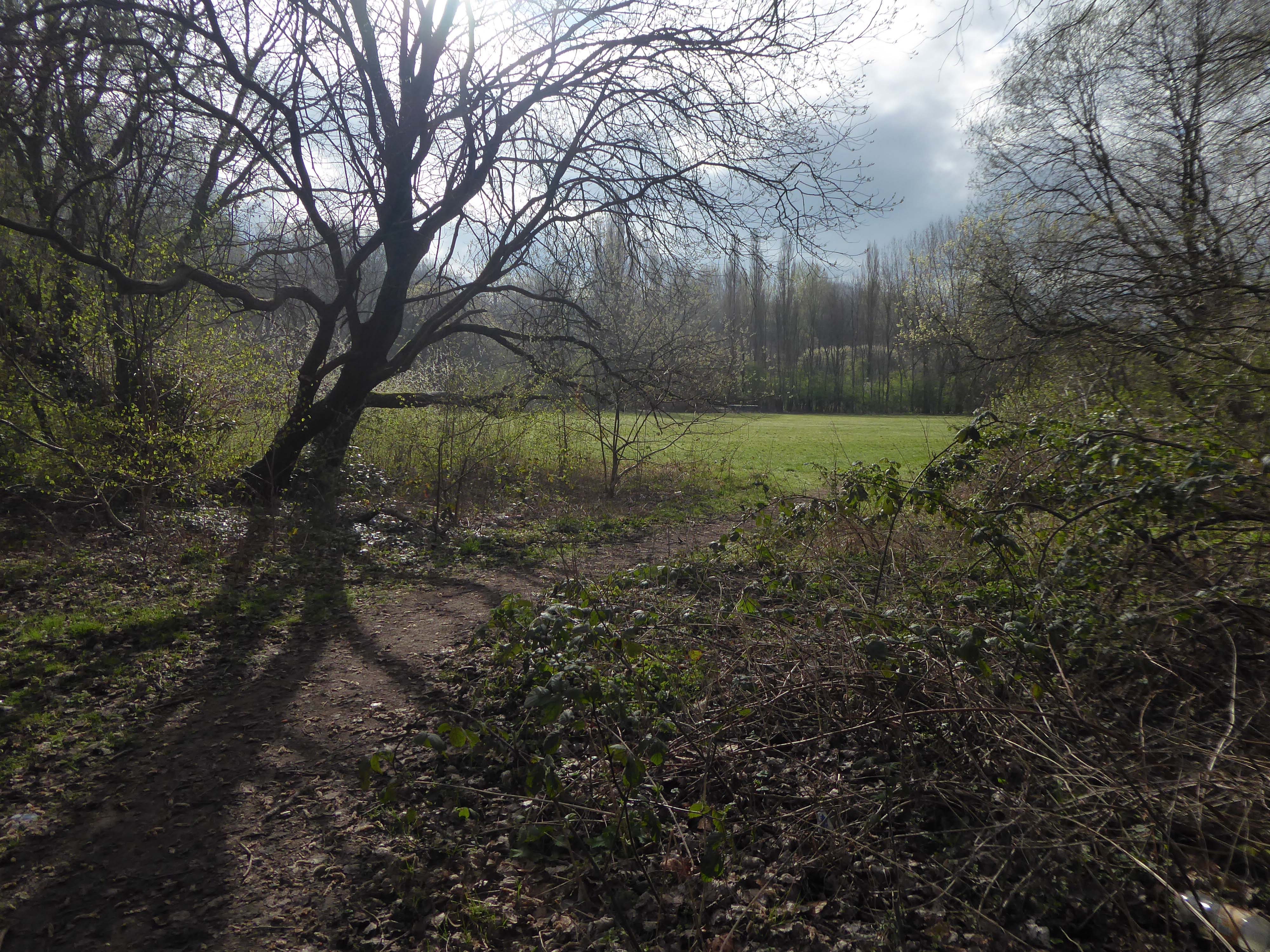
A remnant of the industrial era the reservoirs and ponds, once used by the factories as a source of water, have over the year become a thriving habitat which supports a substantial amount of wildlife.

Then cutting back and regaining the correct path.
Finally arriving at the Hexagon Tower.

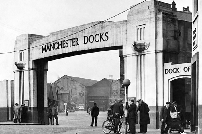
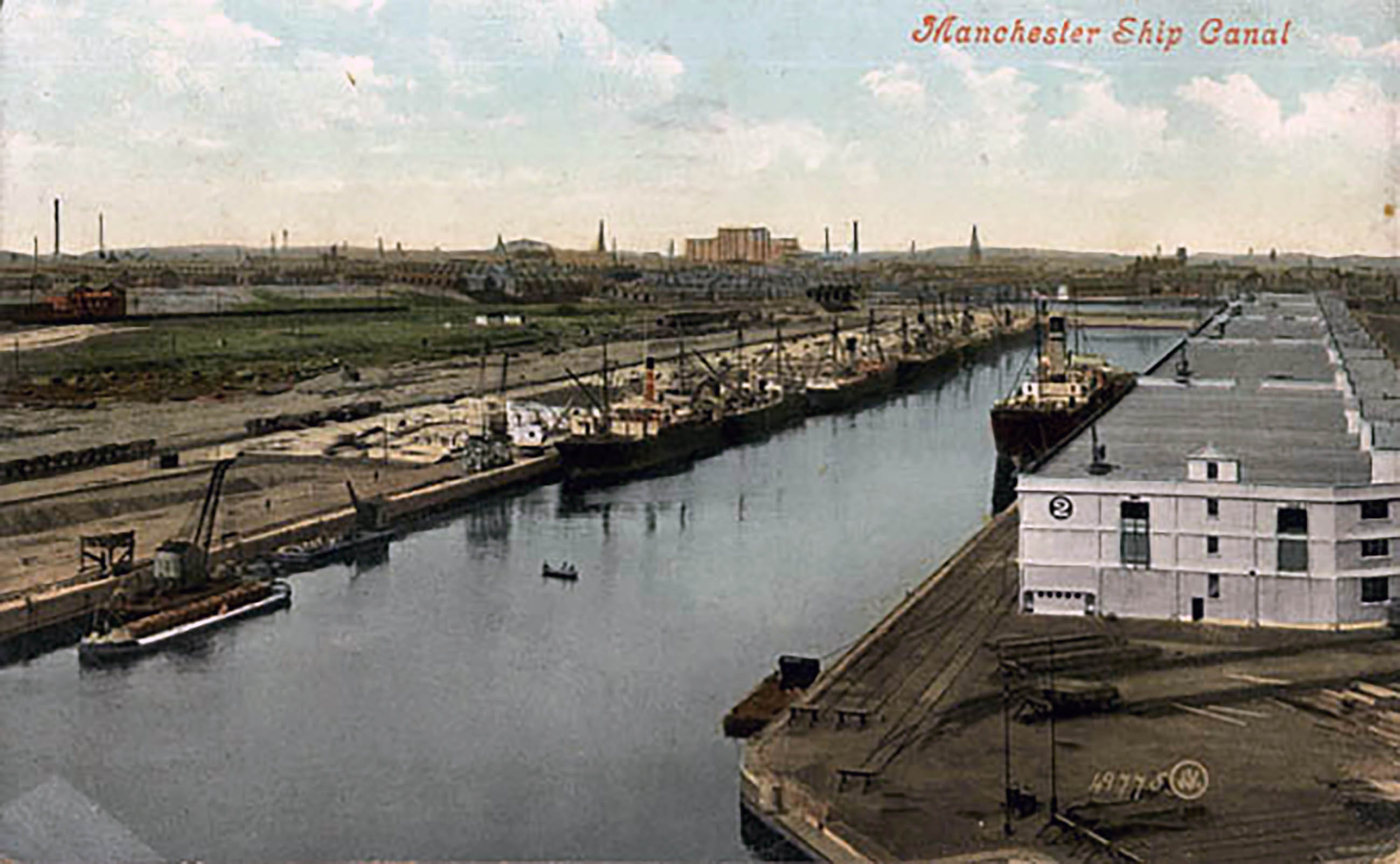
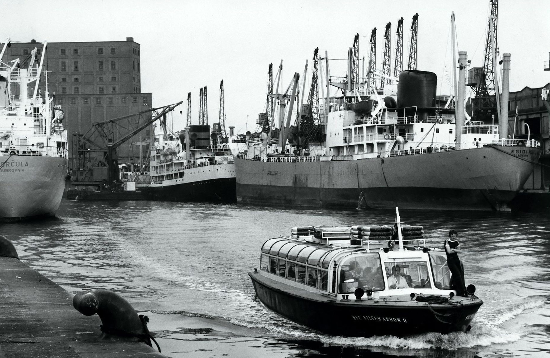
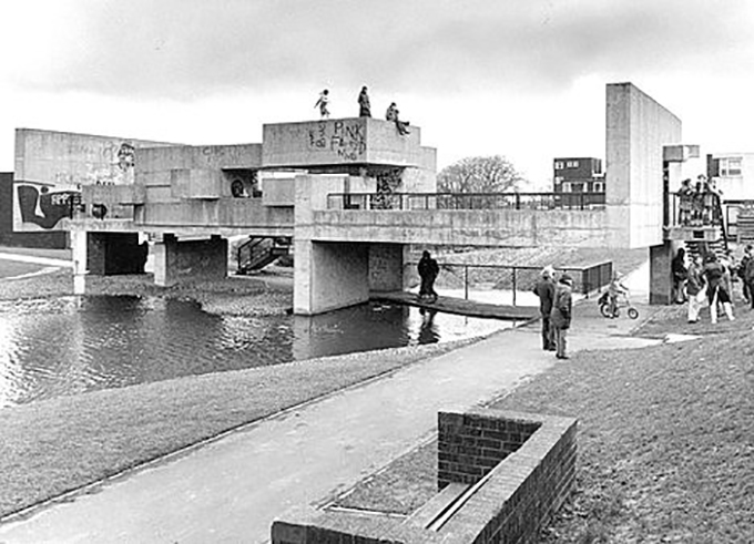
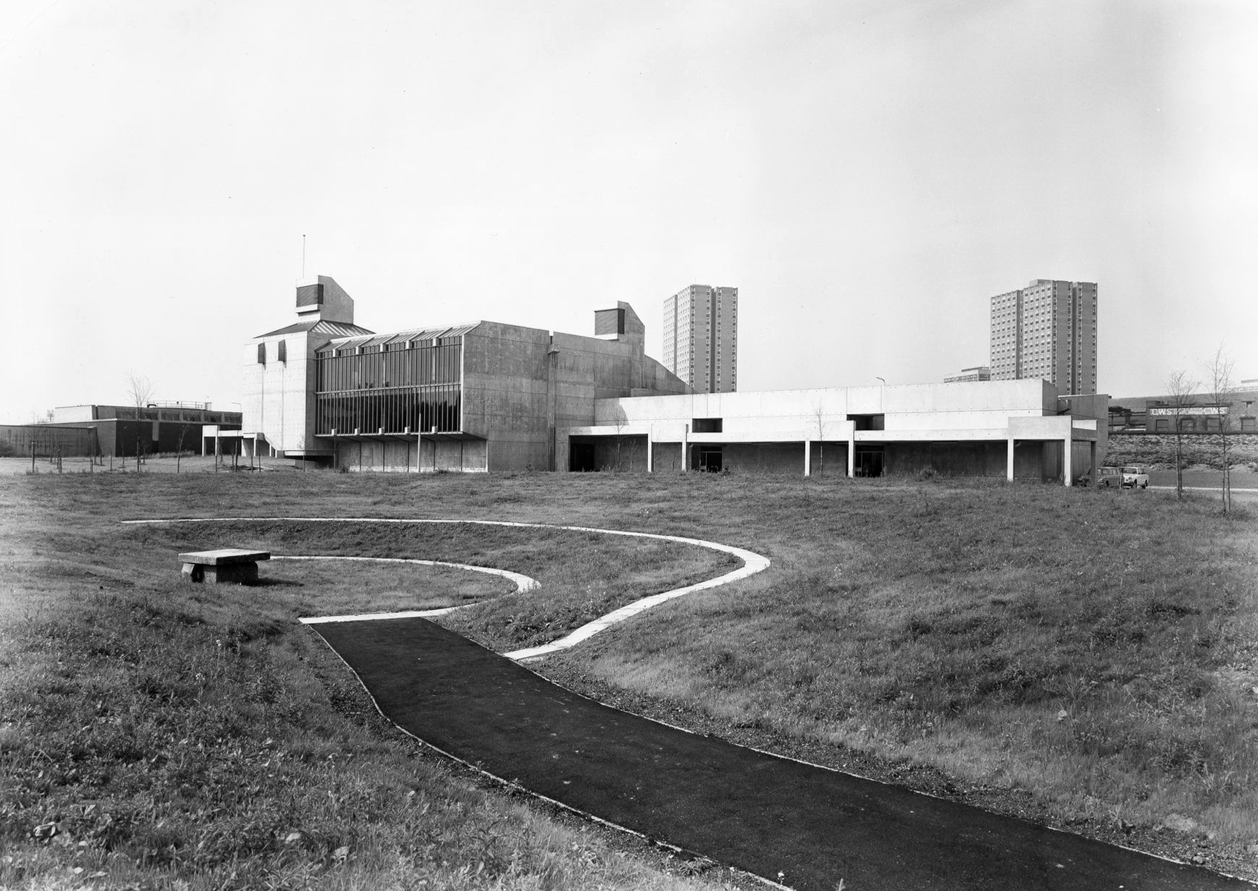
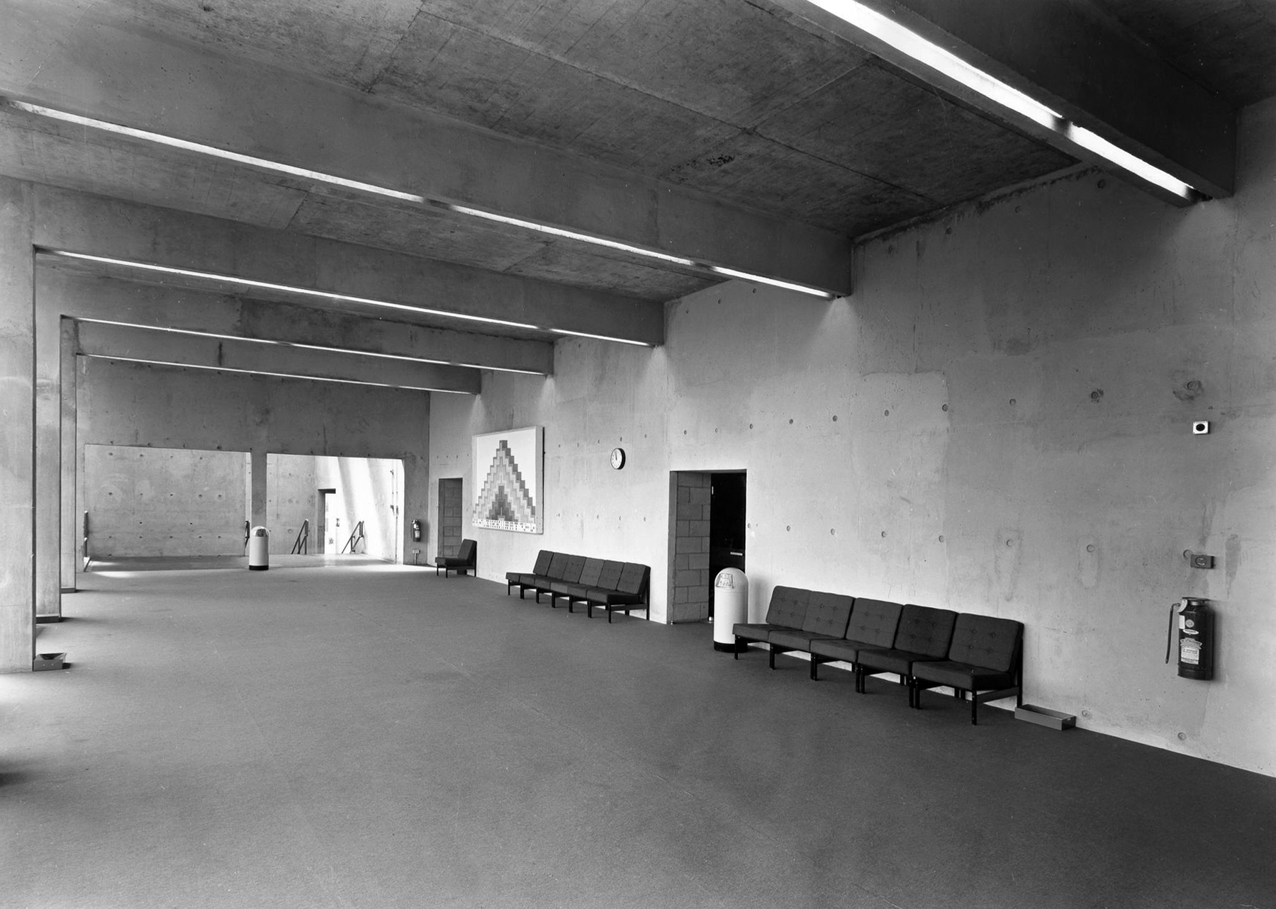
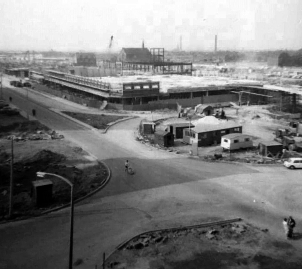
Black and white photographs: Manchester Local Image Collection

Tower Blocks – Blackley

Sandyhill Court Sandyhill Rd Manchester M9 8JS

Almost high on a hill stands a lonely tower block.

Seen here in 1987.

Tower Block

Sandyhill Court – Stands on the corner of Riverdale Road and Sandyhill Road and is still a local authority block.

The front entrance has a mosaic and concrete relief, recalling De Stijl particularly Joost Baljeu.

Along with echoes of Jean Arp.

The flats had acquired a stereotypical bad reputation.

Blight flats will soon be high-rise des-res.

Residents on a blighted Blackley estate have been told of plans to deal with the mostly unoccupied high-rise flats that are seen as the cause of the problem.

Manchester Evening News

I entered via the vehicular access – in order to view the four remaining reliefs.

The Lakeside Rise blocks now form part of a private gated community and are accessed from Blackley New Road.

The original blocks and their locations are as follows:

Ashenhurst Court Now Lakeside 1
Heaton Court Now Lakeside 2
Wilton Court Now Lakeside 3
Blackley Court Now Lakeside 4

Bracknell Court demolished – was on the corner of Riverdale Road and Bridgenorth Road adjacent to Heaton Court
Riverdale Court demolished – was on Riverdale Road opposite Bantry Avenue.

Hexagon Tower – Blackley Manchester

Crumpsall Vale Blackley Manchester M9 8GQ

I was last here at the Hexagon Tower in 2015 – on a Manchester Modernist Society magical Orbital Bus Tour.

ICI commissioned the building from Richard Seifert in September 1969, as a research, development and production centre.

I returned in 2022 whilst cycling/walking the River Irk.

Since my previous visit the tower has been made good – after a fashion.

It looked splendid in the late March sun, as I approached along Imperial Way.

Imperial Way named for its progenitor ICI – the Imperial Chemical Industries.

ICI’s Dyestuffs Division had its headquarters at Blackley in north Manchester, in a complex known as the Hexagon, which included its main R & D labs, and an experimental manufacturing plant.

John Rylands Library

New Hexagon House 1958 architect: Harry Fairhurst

Manchester Local Image Collection.

Now I find myself outside the new Hexagon Tower 2022.

Now home to multiple chemical users under the auspices of WAPG.

Dalton Street – Manchester

The North’s gone west.

We all went west.

Excepting one individualist nurse.

I went west with my dad in 1958.

Now I’m going east to Dalton Street, home to the Collyhurst cowboy.

Photograph: Dennis Hussey

This is an illusion within an illusion, twice removed.

The Hollywood recreation, recreated on the rough ground of post war Britain.

In 1960 the area was a dense network of streets, industry and homes – demolished during the period of slum clearance.

Escaping the dark, dank Irk Valley onwards and upwards to Rochdale Road.

The Dalton Works Arnac factory survived until 2008

Photograph: Mikey

The tight maze of Burton Street and beyond, reduced to rubble.

Dalton Street was not home to the Dalton Gang, they lived here in Oklahoma

It was home to imaginary gangs, committing imaginary crimes, in an imaginary Manchester, in ITV’s Prime Suspect Five.

Kangol capped criminals doing business outside the Robert Tinker on the corner of the very real Dalton and Almond Streets.

The Robert Tinker was an estate pub in a run down area of Collyhurst. The pub looked pretty grim from the outside, but it was smarter than I expected inside, I had a drink in the lounge which was carpeted and comfortable. This was a Banks’s tied house and there were two real ales on the bar, I had a drink of Banks’s bitter and this was a decent drink, the other beer was Banks’s mild. This pub closed about two years after my visit and looked derelict, it has now been demolished.

Alan Winfield

Robert Tinker was the owner of the Vauxhall Gardens, a Victorian pleasure venue.

At the opening there was a special attraction, a giant cucumber which had been grown in the gardens reaching a length of seven feet and eight inches and a large and beautiful balloon was to be liberated at 9pm

It was built adjoining the site of the Collyhurst Sandstone Quarry.

Much of the red sandstone used for building in Manchester and the surrounding area, including stone for the Roman fort at Castlefield, St Ann’s Church in the city centre, Manchester Cathedral and the original buildings of Chetham’s Hospital, came from Collyhurst Quarry. Geologists use the term Collyhurst Sandstone for this type of soft red sandstone, which occurs in North West England

Tinker died in 1836 and gradually his gardens were whittled away, the subsoil was sold to iron moulders who cherished its certain properties and before long the trees were chopped down and houses were being built on the former site.

Those houses are in their turn whittled away, replaced in the 1960’s with fashionable tower blocks.

Architects: J Austen Bent 1965

In total five thirteen storey blocks – Humphries, Dalton, Roach, Vauxhall and Moss Brook Courts

Seen here in 1985.

Tower Block UK

Subsequently purchased by Urban Splash and refurbished:

Designed by Union North Architects, the names for the Three Towers were decided in a public competition and the winning names were Emmeline, Christabel and Sylvia – naming the towers after the Pankhurst sisters and their mother. 

Julie Twist

Currently being record to see post Grenfell regulations.

As the terraces were cleared new low-rise social housing also arrived.

All archival photographs Manchester Local Image Collection unless otherwise stated.

Along with maisonettes adjoining Eastford Square

Photograph: Stuart Collins 2014 – demolished 2015

The remains of the remaining Eastford Square homes tinned up and secured awaiting who knows what.

So let’s take a short walk, see how things stand.

The area now forms the core of the latest municipal Masterplan – Victoria North.

Victoria North is a joint venture programme between Manchester City Council and developer Far East Consortium.

An internationally recognised developer, FEC specialises in residential led mixed-use developments and hotels, along with its casino and car park operations throughout mainland Europe. 

The cowboys are now long gone – or are they?

When I was a cowboy out on the Western Plain
Well, I made a half a million
Working hard on the bridle reins

Come a cow-cow yicky come a cow-cow yicky, Harpurhey

Huddy Leadbetter

Salford Quays

Manchester Docks were a series of nine docks.

They were situated in Salford, Stretford and Manchester at the east end of the Manchester Ship Canal. They formed part of the Port of Manchester from 1894 until their closure in 1982. The docks marked the upper reaches of the ship canal, and were a destination for both coastal and ocean-bound vessels carrying cargo and a limited number of passengers, often travelling to and from Canada.

Manchester Docks were divided into two sections; the larger Salford docks to the west of the Trafford Road swing bridge and Pomona docks to the east. Each section consisted of four docks in total, the largest being to the west; Dock 5 at Pomona was never fully completed. Of the eight working docks only one, Dock 1 at Pomona, was within Manchester itself. During much of 1948, Manchester Docks were Britain’s third busiest port owing to damage suffered by the Port of Hull during the Hull Blitz.

During the 1970s the docks began a rapid decline, largely due to containerisation. The increasing size of freight-carrying ships meant they could no longer navigate the ship canal and this, combined with increased trading with Europe and the east, saw use of Manchester Docks decrease. In 1982 the remaining docks closed and the area became derelict. Recognising the need to redevelop the area, Salford City Council purchased the docks in 1984 using a derelict land grant. The Salford Quays Development Plan was adopted in May 1985, proposing complete reclamation and development of the area for commercial, residential and leisure use.

Wikipedia

One of the very few school excursions we undertook way back in 1968 was to the docks – in an elegant glass topped barge.

So I thought it was about time I went to take look around – this time I arrived by tram and proceeded on foot.

BT Telephone Exchange – Ashton under Lyne

BT Roundabout OL6 6QQ

In 1913 Ashton is already a crowded town, a cotton town.

The first telephone exchange arrives and sweeps away property at the junction of Scotland and Bedford Streets.

The second arrives along with the bypass and establishes a roundabout, an island of telecommunication.

Tameside Image Archive

There they sit betwixt St Michael’s Parish Church and Albion Congregational.

A marriage of inter-war brick Revivalism and post-war concrete Brutalism.

Ninety nine point nine percent of the passing parade pass by onto the bypass by car, I took time to circumnavigate the site on foot.

This is what I saw.

Concrete Totem – Ashton under Lyne

Dale Street East OL6 7ST – behind the Safe Start.

Formerly the Friendship – which suddenly became surplus to requirements, when the Old Street area was redeveloped, and the adjacent Magistrates Courts built.

So far so good, these are the facts we are located.

In an unfamiliar street, in an unfamiliar town.

I myself had the good fortune to grow up here and drink in the Friendship.

Even so I have no recollection of this distinctive concrete column, neither does the whole of the internet.

Do you?

Though very much in the style of the day – exemplified by William Mitchell there is currently no attribution for this work.

Was it at some point relocated, if so from where?

There are more questions than answers.

Eastford Square – 12/21

Here we are again and again and again, a curious passer-by, curious as to what may or may not have taken pass.

Local Image Collection 1970

There is a report of 2020

The report argues that the Northern Gateway should offer mixed, affordable and age appropriate housing and amenities. An equitable development plan should be developed, through community-led engagement, to ensure that the benefits of regeneration are shared amongst new and existing residents.

As of 2021 there is inaction and stasis

Collyhurst was described as a ‘forgotten place’ by some residents who felt that there had been insufficient investment in local housing and amenities.

The Northern Gateway remains a hidden portal to who knows where.

Northern Gateway 2018

Detailed proposals for a second scheme to be delivered within neighbouring South Collyhurst, one of the seven neighbourhoods to be developed as part of the overall Framework, are expected later this year.

Construction Enquirer 2021

Northern Gateway rebrands as Victoria North

Far East Consortium and Manchester City Council’s 390-acre masterplan will now be known as Victoria North, a move that aims to “create a sense of place”, according to Gavin Taylor, regional general manager at FEC in Manchester.

The Northern Gateway has served us well as a name as we shaped plans for the area’s regeneration. But as we begin to bring forward development this year, it’s the right time to start creating a sense of place for what will be a significant new district in Manchester, as well as an identity that people can engage with.

Sir Richard Leese, leader of Manchester City Council, said:

We are at the beginning of an incredibly exciting phase of history for this part of Manchester and with some eagerness to see how this potential unfolds.

Victoria Riverside, a 634- home development marks the first stage of the regeneration project with the first apartments hitting the market. 

The three towers – Park View, City View and Crown View, are based within the Red Bank neighbourhood. 

Red Bank has been described as:

A unique landscape and river setting making the neighbourhood perfect for a residential-led, high-density development – all set in a green valley.

The putative William Mitchell totem continues to keep silent watch over the Square.

Tin Town – Wythenshawe

Prior to the end of WWII, the British Iron & Steel Federation worked closely with Architect Frederick Gibberd & Engineer Donovan Lee, to develop several steel framed prototype houses and flats, which could be erected quickly and efficiently with limited use of skilled labour.

Frederick Gibberd

These prototype were duly named BISF which is a acronym of the originating  sponsor, The British Iron & Steel Federation.

However, it was in fact the newly formed company, British Steel Houses Ltd, that went on to develop and manufacturer the BISF houses we see today.

Over 34,000 three-bedroom semi-detached houses and 1048 Terraced Houses were erected across England, Scotland and Wales.

Non Standard House

The final production design incorporated rendered mesh ground floor walls and the now familiar, profiled steel sheeting panels affixed to the upper storey. The preferred roofing material was generally corrugated asbestos cement, or corrugated metal sheeting.

The frame of the prototype ‘B’ house was of the same general design as the type ‘A’ frame, but fabricated from flat light steel sections.

Northolt

The roof trusses were also of light steel sections and the roof cladding was the same as that used in the type A house. 
Both prototypes had been designed to accept a variety of external wall materials, including traditional brick masonry if desired.

The external steel cladding that was affixed to the upper storey of the original BISF house appears visually similar to the external cladding that was used during the production of the unrelated Hawksley BL8 temporary bungalow.

This visual similarity caused many people to wrongly assume that the BISF House was a semi-detached version of the temporary bungalow, despite the fact that the BISF House was built as a permanent dwelling.

The vast majority of BISF houses were built as two-storey semi-detached pairs. A smaller number of terraced houses were also built by replicating the standard semi-detached frame.

A number of variations relating to the layout and materials used in the construction of this house have been noted, but in all cases, the original construction, design & construction of the steel framework, remains largely as described.

The area in Wythenshawe where the BISF houses were built, is known locally and colloquially as Tin Town.

Here are the homes in 1955.

Here are the homes in 1972.

JF Hughes Local Image Collection

In 2012 we visited the home of former Durutti Column drummer Bruce Mitchell.

Bruce in Greater Mancunians.

Owen Hatherley wrote about this White Bus Tour in The Guardian – at the behest of Richard Hector-Jones.

New residents were given the choice of an apple or cherry tree for their back gardens.

Here are the photographs I took in November 2021.

Hanley Housing

A tale of tower blocks and low rise terraces and maisonettes.

The first group of 1965, the work of City Architect JW Plant grouped around Westwood, Wellington and St Lukes Courts three 12-storey blocks containing 138 dwellings named Bucknall New Road Stage I.

Photographs Tower Block

From a time when civic pride celebrated the development of social housing with a small plaque.

Two blocks have retained their distinctive tiles.

Similar to the Burslem produced Malkin Tiles I have seen in both Eastbourne and Halifax.

The second group Bucknall New Road Stage II 1968 – also the work of JW Platt Seddon, Northwood and Lindop Courts.

There are plans afoot awaiting finance to demolish and replace some of the terraces, as part of a wider plan for the City’s social housing.

The project would see the council join up with a social property investor and apply for government funding for the works.

The plans would see 226 apartments at Bucknall New Road, and 51 flats and 62 houses at Pyenest Street.

A total of 155 low rise flats and maisonettes at Bucknall New Road would be cleared, creating a net gain of 224 new affordable homes.

Cllr Randy Conteh, cabinet member for housing, communities and safer city, said: “This is a major initiative for the city and the first time a scheme of this scale and ambition has been developed.

Insider Media LTD

Milton Square Gateshead

As a companion to the adjacent Poet’s Estate – let’s take a look at Malory, Milton, Masefield and Wordsworth.

This is a similar mix of boxy terraces and traffic free walkways.

Possibly of a later date.

Humberston Fitties 2021

Here we are again.

Having visited in 2008, I returned in April 2021 to wander this magical area and take some more snaps.

Previously on Modern Mooch.

In the interim the ownership of the estate has changed hands, passing from the local authority to private ownership.

Tingdene are now responsible for the site.

Council chiefs remain tight-lipped on how much Northamptonshire-based Tingdene paid for the site but it is estimated to be more than £2 million.

Grimsby Telegraph

Accordingly costs have risen, some tenants are displeased.

During Covid restrictions the demand for coastal property has increased, the gentle gentrification has begun.

New build, restoration and the national pandemic of home improvement are all apparent, changing the nature of the formerly informal architecture.

Take a look

Poet’s Estate – Gateshead

I’d seen these homes from the train.

So I walked from Newcastle to take a look.

They turn their backs on Sunderland Road and the Tyne.

A tight cluster of terraced apartments, set in a grassy rolling terrain, linked by paths and short underpasses.

A modern mediaeval, mildly fortified village, rendered in pale brick and white render.

Keats, Kipling, Blake, Byron and Shelley enclosed.

Take a look around #40

Bathing Pool – Tynemouth

I had cycled by on a journey from Newcastle to Amble.

I returned to take a closer look.

At the Southern end of Tynemouth Longsands beach, on the North East coast, lies the decaying remains of Tynemouth Outdoor Swimming Pool. A concrete, rectangular, salt water tidal pool, built in the 1920s. Popular with locals and holiday makers alike for over 50 years. It began to lose favour in the late 70s with the introduction of cheap package holidays abroad, just as other British coastal holiday destinations lost out.

The pool fell into disrepair, and in the mid 90s the Local Authority demolished the ancillary buildings and bulldozed the rubble into the pool, at a cost of £200,000, before filling with concrete and imported boulders to form an artificial ‘rock pool’.

The anticipated marine life they introduced never flourished and the pool remains an eyesore to this day.

Friends of Tynemouth Pool

There are plans for restoration and renewal.

So that once again the merry bathers may bathe merrily.

Chronicle Live

There’s still a long way to go.

Sea Fishing – North Shore Blackpool

I love to walk the long concrete promenade along the North Shore.

In fact I’ve previously written all about it.

One very sunny post lockdown day I walked along again.

I was taken by the strung out procession of anglers casting from the sea wall.

So I took some pictures.

Apollo Pavilion – Peterlee

An architecture and sculpture of purely abstract form through which to walk, in which to linger and on which to play, a free and anonymous monument which, because of it’s independence, can lift the activity and psychology of an urban housing community on to a universal plane.

The idea for the Apollo Pavilion was the culmination of Victor Pasmore’s involvement with the planning and design of the new town of Peterlee in County Durham which began in 1954 with his appointment by A.V. Williams, the General Manager, as a consultant architectural designer to the Corporation. The brief was to inject a new initiative into the new town’s design, which had been limited by practical and financial constraints. The early departure of Berthold Lubetkin from the original design team, and the limitations imposed by building on land subject to underground mining, had led to a deterioration in the quality of the architecture being produced at Peterlee.

At Peterlee Pasmore worked initially alongside architects Peter Daniel and Franc Dixon to develop the Sunny Blunts estate in the south-west area of the town, though by the time the Pavilion was built Dixon had left and the team included the more experienced Harry Durell, Colin Gardham and landscape architect David Thirkettle. Pasmore continued to be involved with Peterlee until 1978 and designed the Pavilion as a gift to the town.

It was restored in 2009 with the help of a Heritage Lottery Grant of £336,000. The restoration restored the south side stairway – the other had not been part of the original design, reset the cobbles in the surrounding area and reinstated the two murals on the north and south walls.

A metal gate restricting access at night time to the upper level has been introduced, and the original lighting scheme, out of action since the mid 1970s, has been reinstated.

Peterlee Gov

Victor and me do have previous – a visit to the then Civic Centre Rates Office

Along with the Renold’s building mural at UMIST.

I jumped the X9 bus and headed for Peterlee – walked the wide open streets in search of signs.

There were no signs.

I found it instead by chance and instinct.

Here it is.

Peterlee was to be the miners’ capital of the world and was named after the well-known miner and councillor Peter Lee. 

Architect Berthold Lubetkin’s plans included everything from football pitches and tennis courts, to a rock-climbing centre and a zoo. However, to Berthold Lubetkin’s frustration, the National Coal Board opposed his plan and, after numerous failed attempts to agree on the siting of housing, Lubetkin quit the project in 1950. He later gave up architecture altogether and took up pig farming.

It remains a grand place to live it seems, tidy housing set in rolling greenery.

There are no longer coal mines or miners.

Manors Car Park – Newcastle upon Tyne

Brims and Co. Limited

Manors Car Park’s distinctive form derives from the constraints of the train line to east which collided with the new Central East Motorway A167 M which dips beneath, shaping the car park between these constraints. The curvature of the concrete decks sweeps uniformally across the site, interrupted only by the circulation ramp. The car park was the first multi-story car park in Newcastle and marked the beginnings of Wilfred Burns car-centric plans for the modernisation of the city through the Central East Motorway Plan – 1963.

Burns plan aimed to increase the economic growth of the city through greater convenience for an emerging car owning populace and even went as far as to incentivised cars travel by offering limited free parking in the city centre.

Manors car park connected and accompanied by an equally dramatic and elongated pedestrian footbridge from Manors Train Station – today Manors Metro, touching the car park for access before swooping under Swan House on Pilgrim Street Roundabout. The bridge takes what feels like the longest imaginable route over the motorway, allowing pedestrians to bypass Northumberland high street and take in the theatrics of the swooping concrete forms and motorway traffic.

Something Concrete +Modern

Newcastle Libraries

In the early 1960s, under the leadership of T Dan Smith and his chief planning officer Wilf Burns, Newcastle city council undertook a comprehensive re-planning of the city centre that, had it been carried out to its full extent, would have led to the construction of underground motorways and a series of raised pedestrian decks running along Northumberland Street in the main shopping zone. The plan was that the new city would encircle the historical core, which would be preserved; meanwhile vast swathes of Georgian housing to the east would be razed. There were also plans for high-rise towers in the centre, only one of which was built.

The Guardian

This tendency in town planning was due in part to the publication of H. Alker Tripp’s book of 1942.

Along with Traffic in Towns an influential report and popular book on urban and transport planning policy published 25 November 1963 for the UK Ministry of Transport by a team headed by the architect, civil engineer and planner Colin Buchanan. The report warned of the potential damage caused by the motor car, while offering ways to mitigate it. It gave planners a set of policy blueprints to deal with its effects on the urban environment, including traffic containment and segregation, which could be balanced against urban redevelopment, new corridor and distribution roads and precincts.

These policies shaped the development of the urban landscape in the UK and some other countries for two or three decades. Unusually for a technical policy report, it was so much in demand that Penguin abridged it and republished it as a book in 1964.

Wikipedia

In a one man war against the segregation of traffic and pedestrian I often walk car parks, ramps and all.

Stockport Asda, Piccadilly Manchester, Merseyway, Heaton Lane, Hull, Red Rock, Grimsby, and Margate.

As a non-driving militant pedestrian I assert my right to go wherever I wish to – within reason.

Okay let’s go.

Salford Walk

We begin on the Crescent – taking in the former AUEW Building.

B&W images copyright USIR Archives

It became part of Salford University’s estate, renamed the Faraday Building.

It is currently unoccupied.

The University’s Masterplan is shifting emphasis to the Peel Park and Media City sites.

Also leaving Crescent House in limbo.

The original master plan would have swept away the Victorian Technical Institute and Salford Art Gallery.

Across the road are the Maxwell Buildings.

They were built between 1959 and 1960 to a design by the architect C H Simmons of the Lancashire County Architects Department.

The interior decorative order of Sixties’ institutions was integral to the architectural design, sadly this is no longer so.

The hall has a great musical heritage.

Featuring the Fast Cars who we have previously encountered in Swinton at the Lancastrian Hall.

Which may be the subject of ambitious redevelopment.

Take a turn around the corner to the Cockcroft Building.

The east facing mural painted out and obscured by retrofitted infrastructure.

These incised stone panels obscured by plants.

To the left is the Clifford Whitworth Library – this is the original architectural impression – signed Peter Sainsbury.

The original fascia was tile clad.

Subsequently replaced by uPVC boards.

Yet again the original interior was integral too the architectural scheme and period.

Across the way the Chapman Building.

It was designed by WF Johnson and Partners of Leamington Spa, as a lecture theatre block and gallery. It sits with its long axis running parallel to the railway behind. The series of grey volumes, occasionally punctuated by colourful floods of red and green trailing ivy, hang together in a less than convincing composition. The orientation and access to the building seem confused and detached from any cohesive relationship to the rest of the campus, but there is something perversely attractive about the right essay in the wrong language. The reinforced concrete building contained five lecture theatres, communal spaces, an art gallery, AV support areas and basement plant rooms. Following a major refurbishment in 2012, several additions were made to the exterior and its total concrete presence somewhat diminished. It still houses lecture theatres and a number of other learning and social spaces.

Mainstream Modern

To the rear of the building there are some of the original details, now painted a series of funny colours.

A ways down the road the former Salford Technical College.

Now the part of the University of Salford, this grouping is probably the most significant work by Halliday Meecham during this period. The blocks wrap to almost enclose a courtyard and they step up in height towards the rear of the site. To the front is a lecture theatre block in dark brick. The multi-storey elements are straightforward in their construction and appearance and have had their glazing replaced. Perhaps the richest elements here are the three totemic structures by artist William Mitchell, which were listed at Grade II in 2011. Mitchell was actively engaged with the experiments of the Cement and Concrete Associations during the 1960s and produced a wide variety of works for public and private clients; other works regionally include the majority of the external art and friezes at Liverpool Metropolitan Cathedral and the Humanities Building at Manchester University. These textured concrete monoliths appear to have an abstract representation of Mayan patterns and carry applied mosaic. They were made on site using polyurethane moulds. There is another Mitchell work hidden behind plasterboard in the inside of the building.

Mainstream Modern

Subsequently assimilated into the University.

Across the A6 the former estate pub the Flemish Weaver is currently shrouded in particle board and in use as a base for construction workers.

Just down the way The Woolpack is no more.

April 1965 saw the Salford City Reporter proudly boast in an article that

The Ellor Street dream begins to come true – complete with interviews with residents of the newly constructed Walter Greenwood, Eddie Colman and John Lester Courts all which towered some 120 feet above the Hanky Park skyline.

These particular blocks of flats were of special significance because their completion was the end of the first stage of the Ellor Street redevelopment scheme which was to provide 3,000 new homes, the £10 million pound Salford Shopping Precinct and a new civic centre – which never got built – making this A Salford of the Space Age.

Salford Online

The tower blocks are now clad and the site a construction base for cladders.

Full details of Salford’s complex and extensive redevelopment can be found here at Tower Block.

Walter Greenwood Court was demolished in 2000/2001, whilst Eddie Colman and John Lester Court are now student accomodation for the nearby Salford University.

Onwards and underwards towards Salford Shopping City.

The construction of the shopping centre and surrounding areas continued and on 21 May 1970 the new Salford Market officially opened. From 1971 onwards new shops inside the precinct itself began to open.

However, due to a lack of funds and a political scandal which saw chairman Albert Jones jailed for eight months construction of Salford Precinct was halted. The site had only 95 shop units compared to the proposed 260, the hotel and two storey car park were never built.

The architectural core of the site has been retained, including the 23 storey Briar Court residential tower.

Tucked in behind is Mother of God and St James RC Church.

Clearances took place from the middle of the twentieth century and new high-rise housing blocks were built, as well as a shopping centre.

There was a Catholic presence in the area from 1854, when schools were built. What was described in The Tablet as a beautiful church, an Early English Gothic design by M. Tijou – presumably Herbert Tijou, architect of the chapel to Loreto College, Manchester, was opened by Cardinal Manning, Archbishop of Westminster in 1875.

One hundred years later this church was demolished and replaced by the present building.

The architects were Desmond Williams & Associates, the design bearing some similarity to their St Sebastian, Salford. In 2010 the church of All Souls, Weaste, was closed, and the marble sanctuary furnishings brought to the church.

Description

All orientations given are liturgical. The church is steel framed with brick walls and a monopitch roof (originally covered with copper, now with felt).  Bold brick forms create a presence, and the design is somewhat defensive, with few windows. The building is entered from a lower porch which forms a narthex. The slope of the roof and the stepped clerestory lighting create a striking impression inside, and full-height windows towards the east end incorporate stained glass figures said to have originated in the previous church. Marble sanctuary furnishings are presumably those from the church in Weaste and appear to be of later twentieth century date, while the font is of traditional type with a clustered stem and may have come from the earlier church.

Taking Stock

Returning to The Crescent the High Street Estate is all but demolished, save for one resident and their row.

This is an area which has seen a succession of clearances, redevelopment and shifts in demographics during a relatively short and intense period of change.

That process of change continues to hastily unfold.

Amble to Berwick upon Tweed

The final day the first sight of cloud and sea mist.

I awoke early and took an amble around Amble.

Then off on the road to Warkworth and beyond to Alnmouth – where I revisited a small group of asymmetric post-war dormer bungalows.

Stopping to view the flood plain of the River Aln, chatting perchance with the local environmental officer.

Who explained how the flood defences had been removed, as this encouraged the natural process of flooding and receding to proceed unhindered, thus preventing property from being interminably sodden.

We also discussed the decline in vernacular architecture and the fashion for all that is New England, much to the detriment of New Northumberland.

One day everywhere will look like a someone else’s vision of somewhere else.

The good folk of Craster have wisely prevented the local bus from entering the North Sea.

The way north took me over a well laid concrete track.

I came upon three wise men from Durham, Rochdale and Doncaster, gathered around a concrete-bag bunker.

They were all Grateful Dead fans who like me had attended the Bickershaw Festival in 1972.

The first and last outdoor festival I ever done attended, unforgettable.

Weaving down and around quiet lanes I encountered this Walker Evans workshop.

Armstrong Cottages is an estate originally built by Lord Armstrong for the workmen restoring Bamburgh Castle.

The 1901 Census lists the current inhabitants with their provenance and professions.

114 residents are listed for the 19 cottages, of whom 53 are working men employed in the building trade: their professions include stonemasons, joiners, plumbers, rope & pole scaffolders, blacksmiths, and plasterers.

Many come from Northumberland or Scotland, but a significant proportion are from further afield: Cumberland, Westmorland, Lancashire, Durham, Yorkshire, Derbyshire – and one from the Channel Islands.

Seven nights in November will now cost you the best part of a thousand pounds.

The Armstrong family the former owners, made millions from the sale of armaments.

If I thought that war would be fomented, or the interests of humanity suffer, by what I have done, I would greatly regret it. I have no such apprehension.

He also said:

It is our province, as engineers to make the forces of matter obedient to the will of man; those who use the means we supply must be responsible for their legitimate application.

I paused a wee while to take a sip of water and admire the agrarian architecture.

A couple on their bikes stopped to chat, as a babe in arms the lad had been transported by mam and dad, in a sidecar with tandem attached.

Such a delightful and poignant recollection – we wished each other well and went on our way.

I made my way from the rolling hills back down toward the coast.

Where a permissive path hugged the shore, which I cautiously shared with some equally cautious sheep.

Looking back toward Lindisfarne.

Looking forward to the past.

Pausing for the passing of a mainline train.

Berwick upon Tweed in view.

Come the evening I spent an hour or two in The Curfew, feasting on fine beer, company, haggis scotch egg and game pie.

Finishing with this well deserved and wonderful, bottle of Oude Geuze.

The final day – so many marvellous miles covered, forever stopping to chat, snap, look and learn.

No finer way to see the world, though so condensed and intense even at touring speed – apologies to all the things that I failed to see.

So long to Amble, Newcastle, Redcar, Scarborough and Hull.

Newcastle to Amble

Well here we are heading north for a fourth day – having bidden farewell to Hull, Scarborough and Redcar.

Passing a few familiar sights.

Pearl Assurance House Architect: T P Bennetts

BHS Murals Joyce Pallot and Henry Collins.

The building was originally developed by C&A and it is thought that funding for the reliefs might have been provided by the store and/or Northern Arts. It became BHS which subsequently closed, the building is now occupied by Primark, C&A estates still own the site. 

Civic Centre entrance to the Council Chamber.

Taking a bold leap into the unknown I left the city centre, unwisely following unfamiliar roads, predictably becoming very lost.

I sought assistance from a passing fellow cyclist, very kindly he guided me to Tynemouth, following a mysterious and circuitous course across the undulating terrain – thanks.

The city quickly becomes the seaside with its attendant retail bricolage.

An all too familiar redundant Lido – opened in 1925 and closed in the mid 90’s – but a Friends Group aims to breathe new life into the site.

The Park Hotel built in the 1930’s and recently refurbished has been bought by The Inn Collection Group.

Chronicle Live

Much has been done to improve the promenade at Whitley Bay

The Whitley Bay Seafront Master Plan sets out our ambitious plans to regenerate the coastline between St Mary’s Lighthouse and Cullercoats Bay.

The proposals are a mix of council and private sector developments and involve more than £36m of new investment at the coast.

North Tyneside Gov

In 1908 the Spanish City was officially opened.

A simple three-arched entrance had been built facing the seafront and the area was now completely enclosed within a boundary. In 1909, large rides appeared, including a Figure Eight rollercoaster and a Water Chute. Elderton and Fail wanted to make a statement and create a new, grand entrance to the fairground. They hired the Newcastle architects Cackett& Burns Dick to survey the site and begin drawing up plans for new Pleasure Buildings.

Building began in February 1910 and the construction was completed by builders Davidson and Miller 60 days later. The use of the revolutionary reinforced concrete technique pioneered by Francois Hennebique was perfect for the job, being cheap and fast. The Dome and surrounding buildings – a theatre and two wings of shop units – opened on 14 May 1910 to great fanfare. Visitors marvelled at the great Spanish City Dome, the second largest in the country at the time after St. Paul’s Cathedral in London, which provided a spectacular meeting place with uninterrupted views from ground level to its ceiling, 75 feet above.

Telegraph-wire cyclists, acrobatic comedians, singing jockeys, mermaids, they all appeared at the Spanish City during its first decade. One of the wings hosted the menagerie, where visitors could see hyenas, antelopes and tigers! This was converted into the Picture House cinema in 1916.

Spanish City

Eventually the Master Plan will be fully implemented.

Beacon House beckoned and I took time to have a good old look around.

Ryder and Yates 1959

A little further along, a selection of Seaside Moderne semis in various states of amendment and alteration.

Before I knew it I was in Blyth.

The town edged with military installations

Gloucester Lodge Battery includes the buried, earthwork and standing remains of a multi-phase Second World War heavy anti-aircraft gun battery and radar site, as well as a Cold War heavy anti-aircraft gun and radar site. The battery occupies a level pasture field retaining extensive rig and furrow cultivation.

Historic England

During WW2 Blyth Harbour was used as a major submarine base and that combined with the heavy industry in the area it made a very good target for the Luftwaffe.

Derelict Places

827 men of the 225th Antiaircraft Artillery Searchlight Battalion of the U.S. Army, arrived at this location in early March 1944 and were attached to the 30th British AAA Brigade. Here they sharpened their skills in the high-altitude tracking of aircraft.

Skylighters

I headed into town.

Uncovered this gem in the library porch.

Stopped to admire the bus station.

And found a post box marked Post Box.

Burton’s gone for a Burton.

The cycle route took me off road along the estuary and under the flyover.

Encountering a brand new factory.

And the remnants of the old power station.

Blyth Power Station – also known as Cambois Power Station, refers to a pair of now demolished coal-fired power stationsThe two stations were built alongside each other on a site near Cambois in Northumberland, on the northern bank of the River Blyth, between its tidal estuary and the North Sea. The stations took their name from the town of Blyth on the opposite bank of the estuary. The power stations’ four large chimneys were a landmark of the Northumberland skyline for over 40 years.

After their closure in 2001, the stations were demolished over the course of two years, ending with the demolition of the stations’ chimneys on 7 December 2003.

Wikipedia

UK battery tech investor Britishvolt has unveiled plans to build what is claimed to be Britain’s first gigaplant at the former coal-fired power station in Blyth in Northumberland.

The £2.6 billion project at the 95-hectare Blyth Power Station site will use renewable energy from the UK and possibly hydro-electric power generated in Norway and transmitted 447 miles under the North Sea through the ‘world’s longest inter-connector’ from the North Sea Link project.

By 2027, the firm estimates the gigaplant will be producing around 300,000 lithium-ion batteries a year.

The project is predicted to create 3,000 new jobs in the North East and another 5,000 in the wider supply chain.

Energy News

Long gone is the Cambois Colliery, its pit head baths and the buses that bused the workers in and out.

One hundred and eleven men died there.

The route headed along the coast on unmade roads and paths, I bypassed the Lynemouth Pithead Baths – having visited some ten years ago.

I was delighted to find that Creswell Ices were still in business and my temporary partner Adrian treats me to a tub.

Having arrived in Amble I was delighted to find the Cock & Bull.

Following a few pints I feasted on fish and chips.

Then watched the sun set over the harbour.
Good night all.