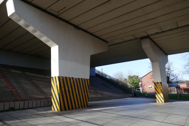
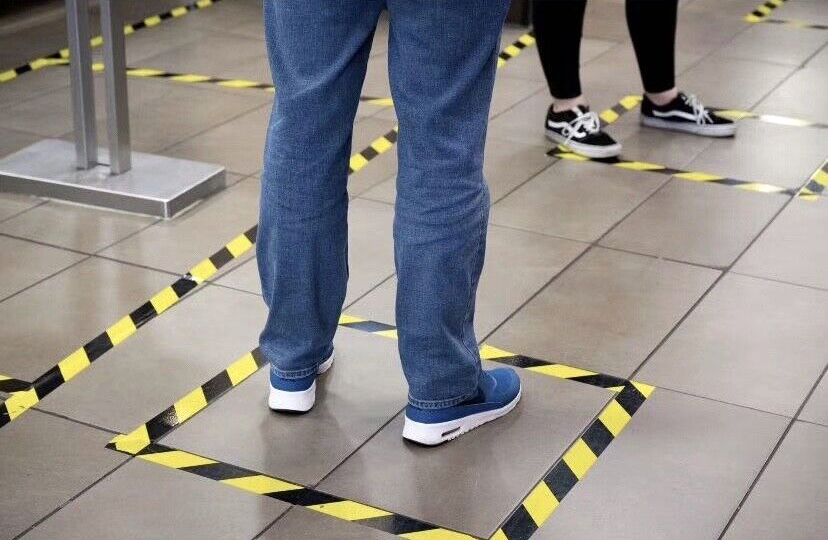
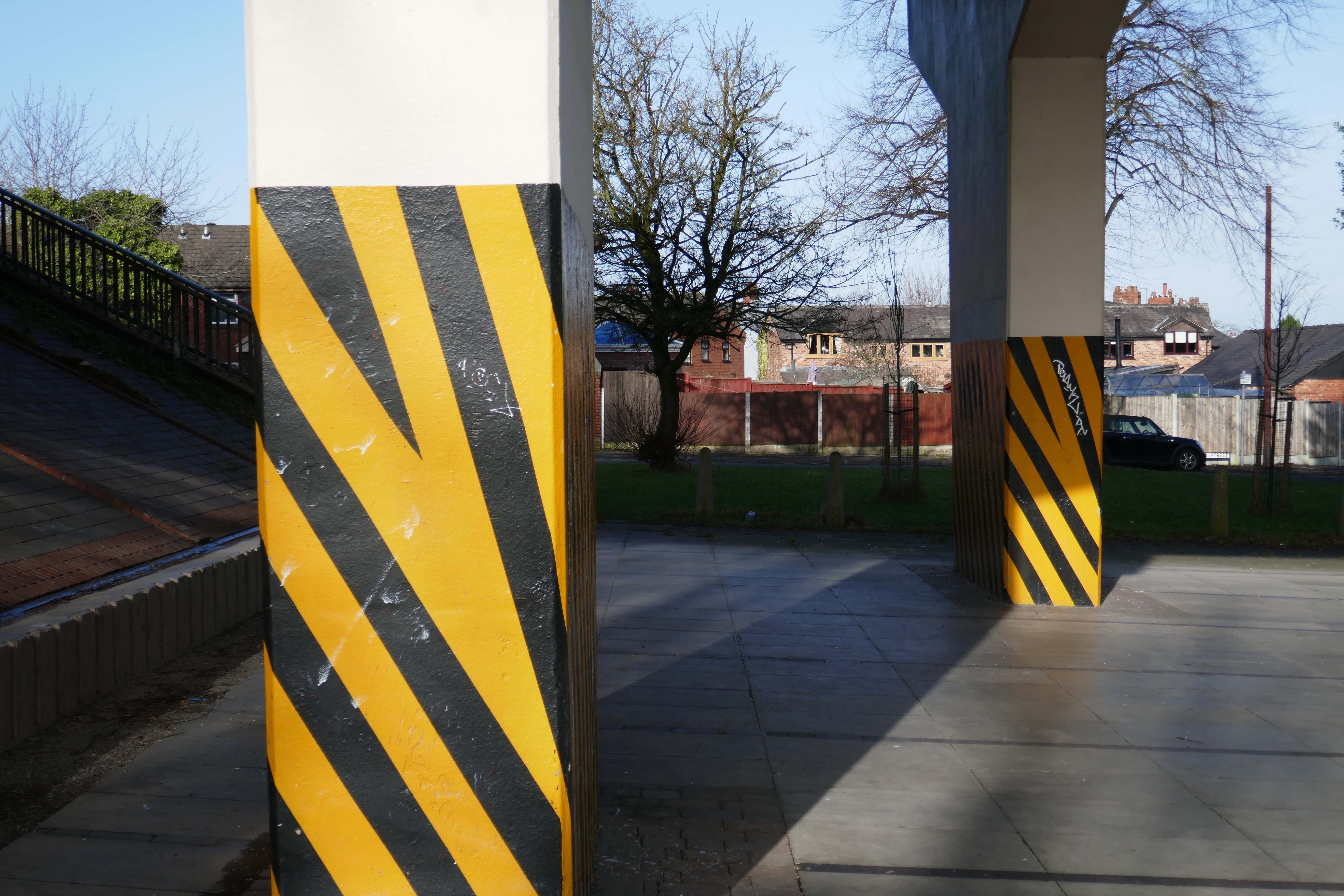
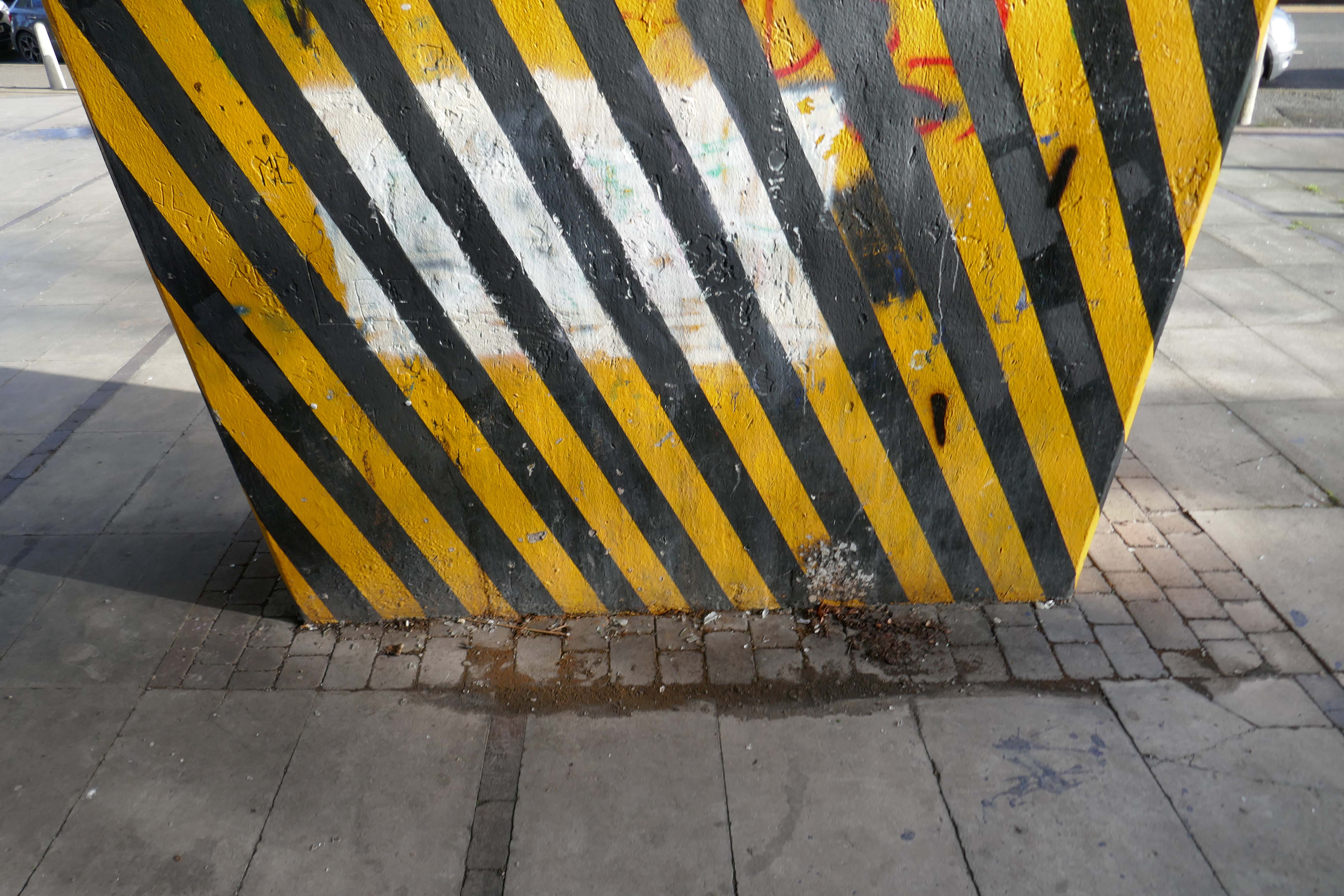
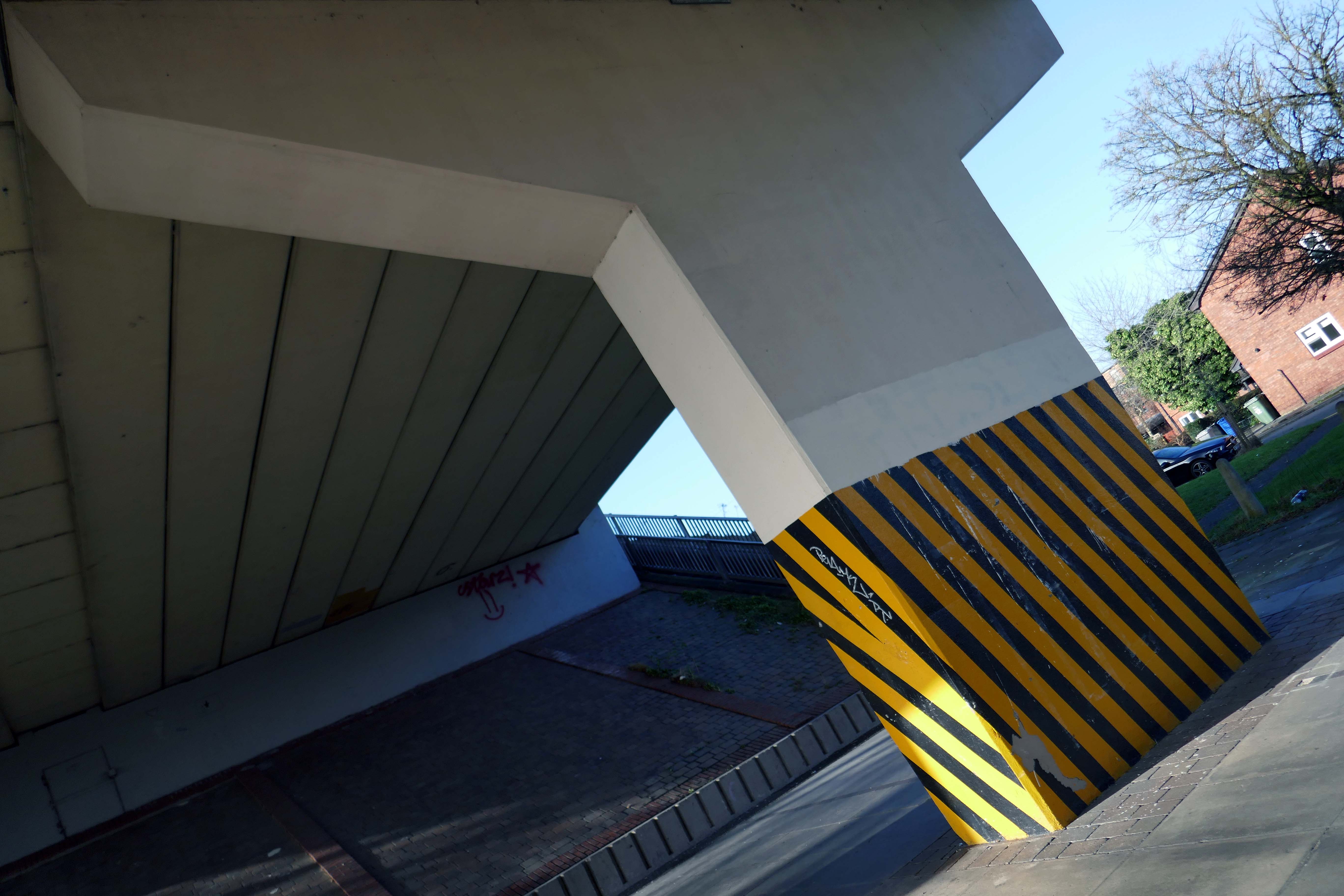
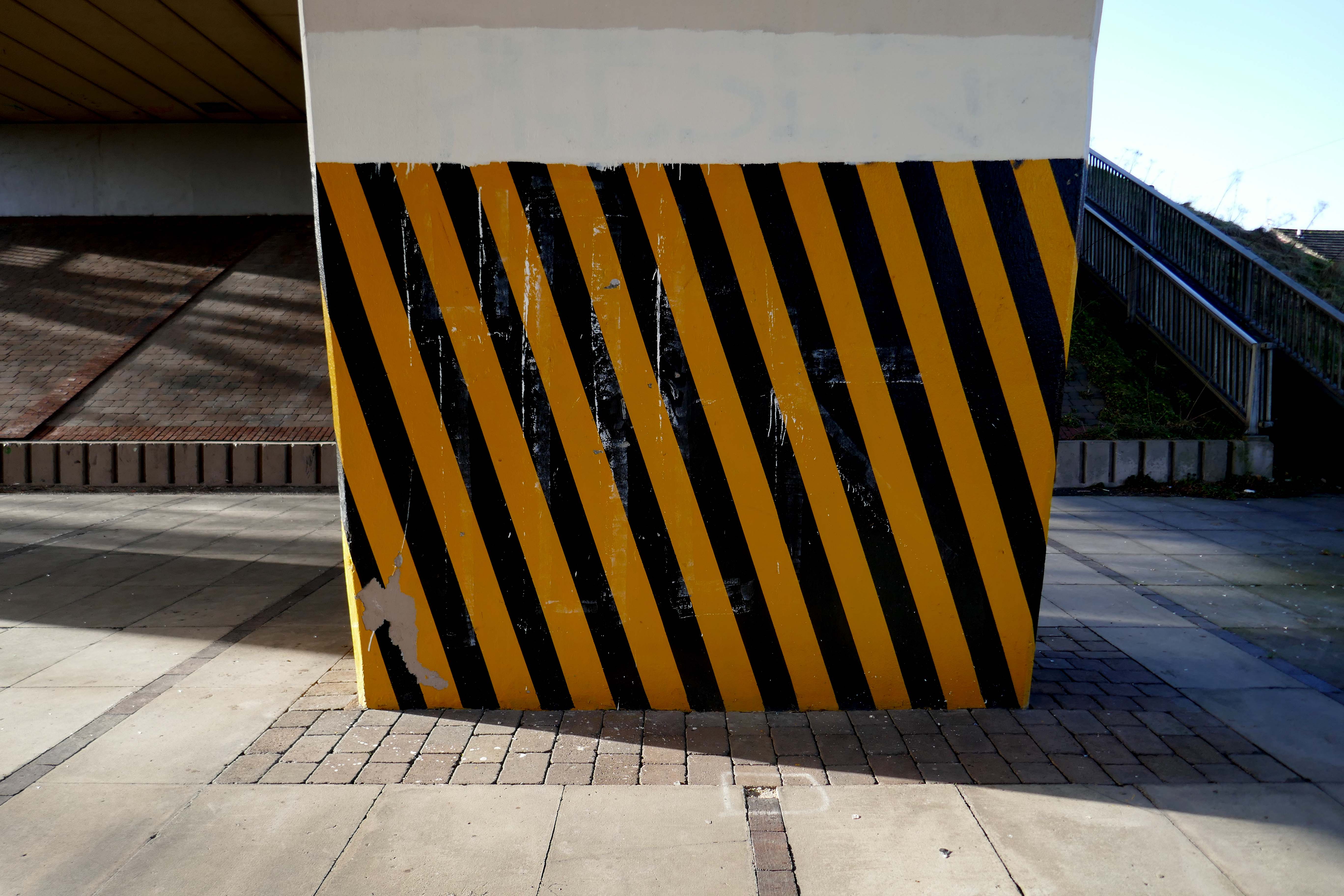
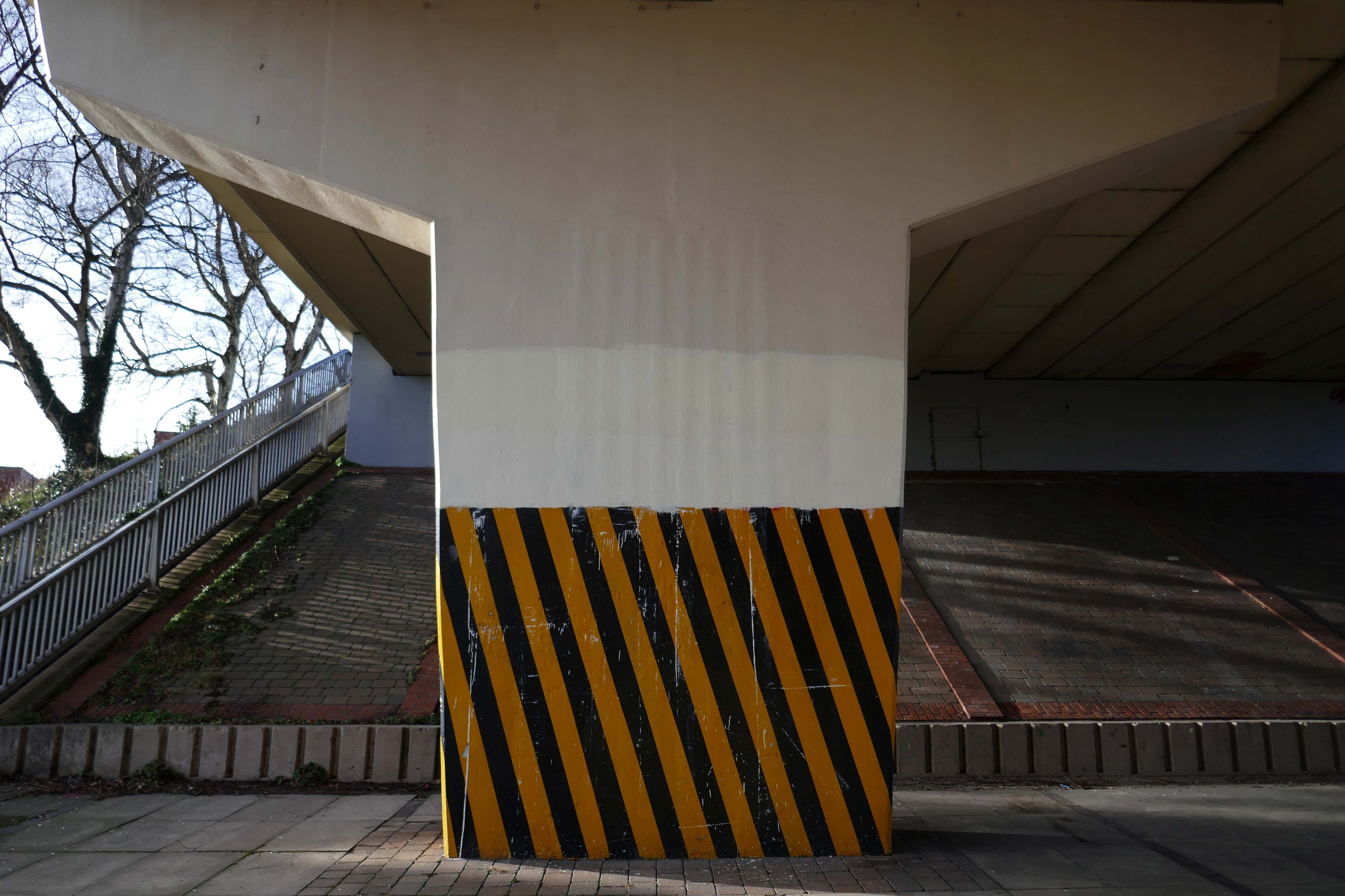
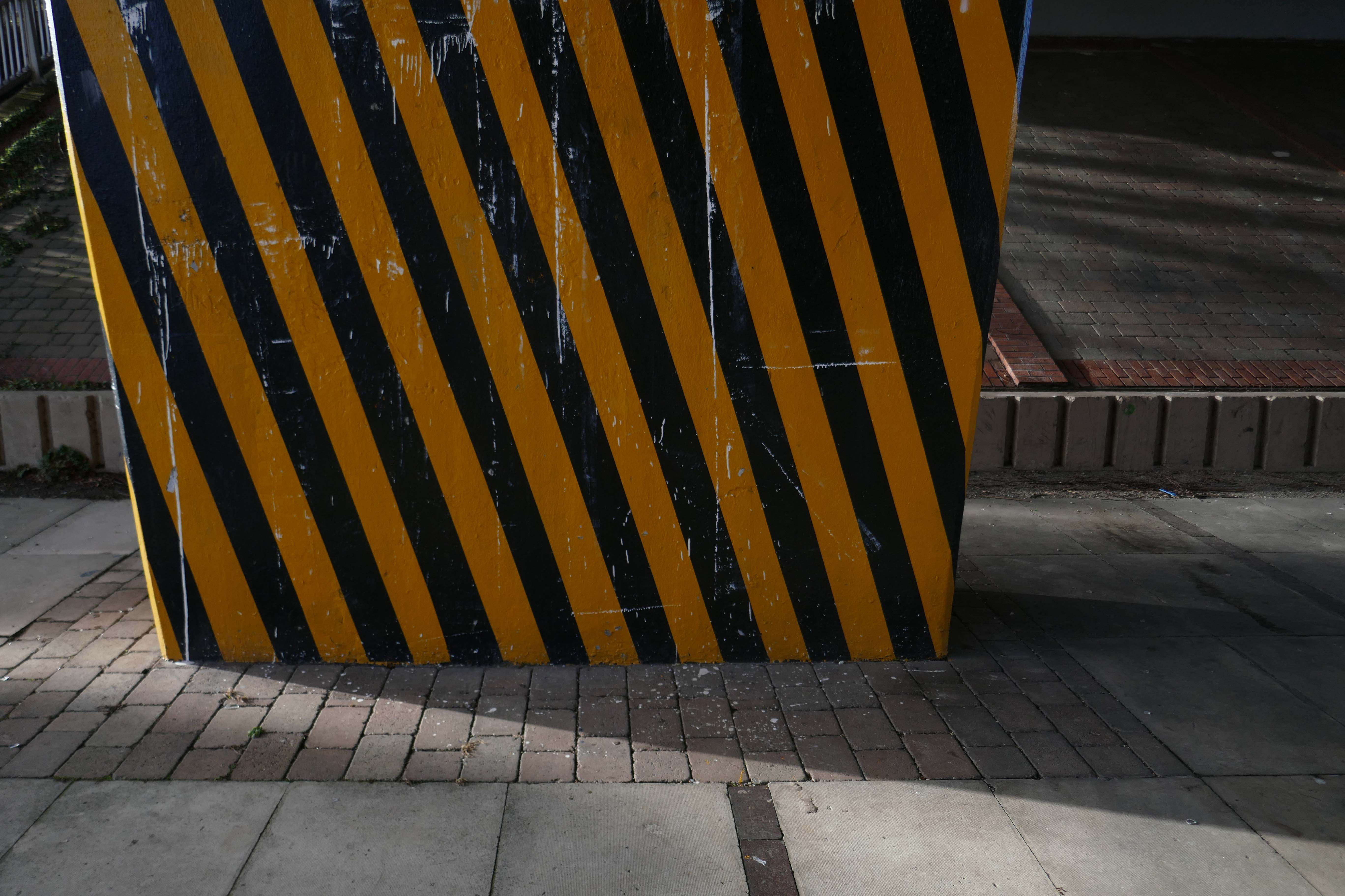
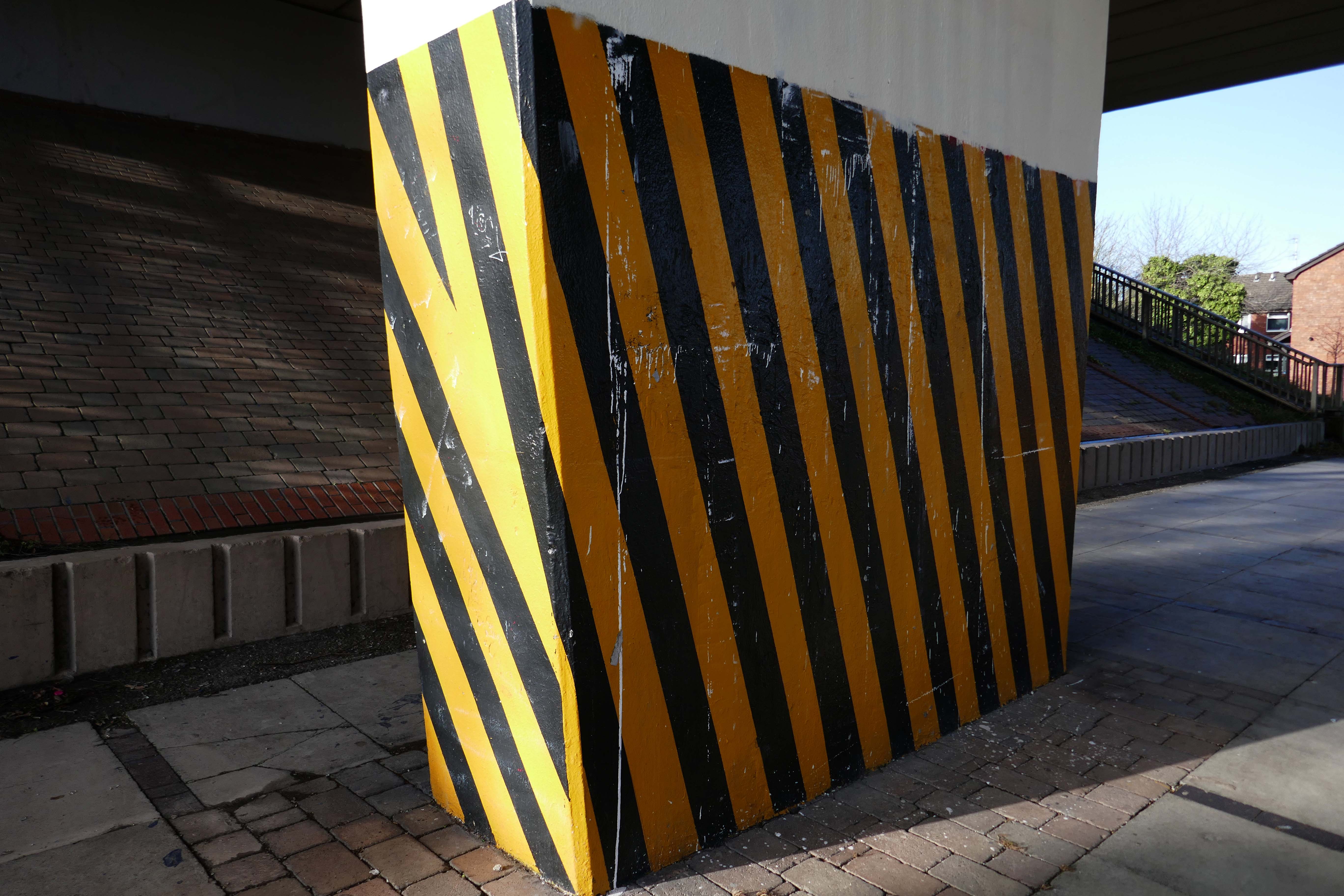
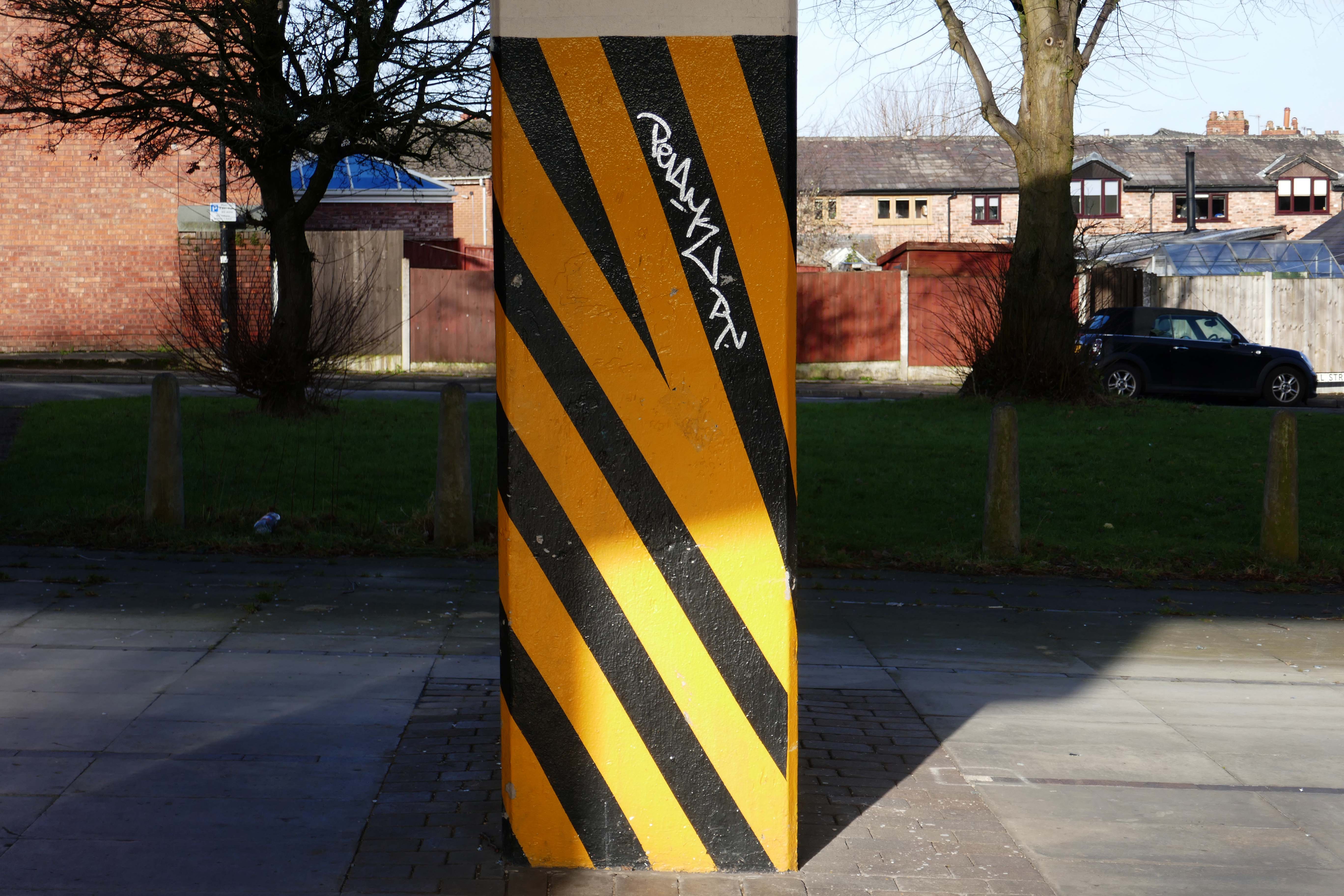
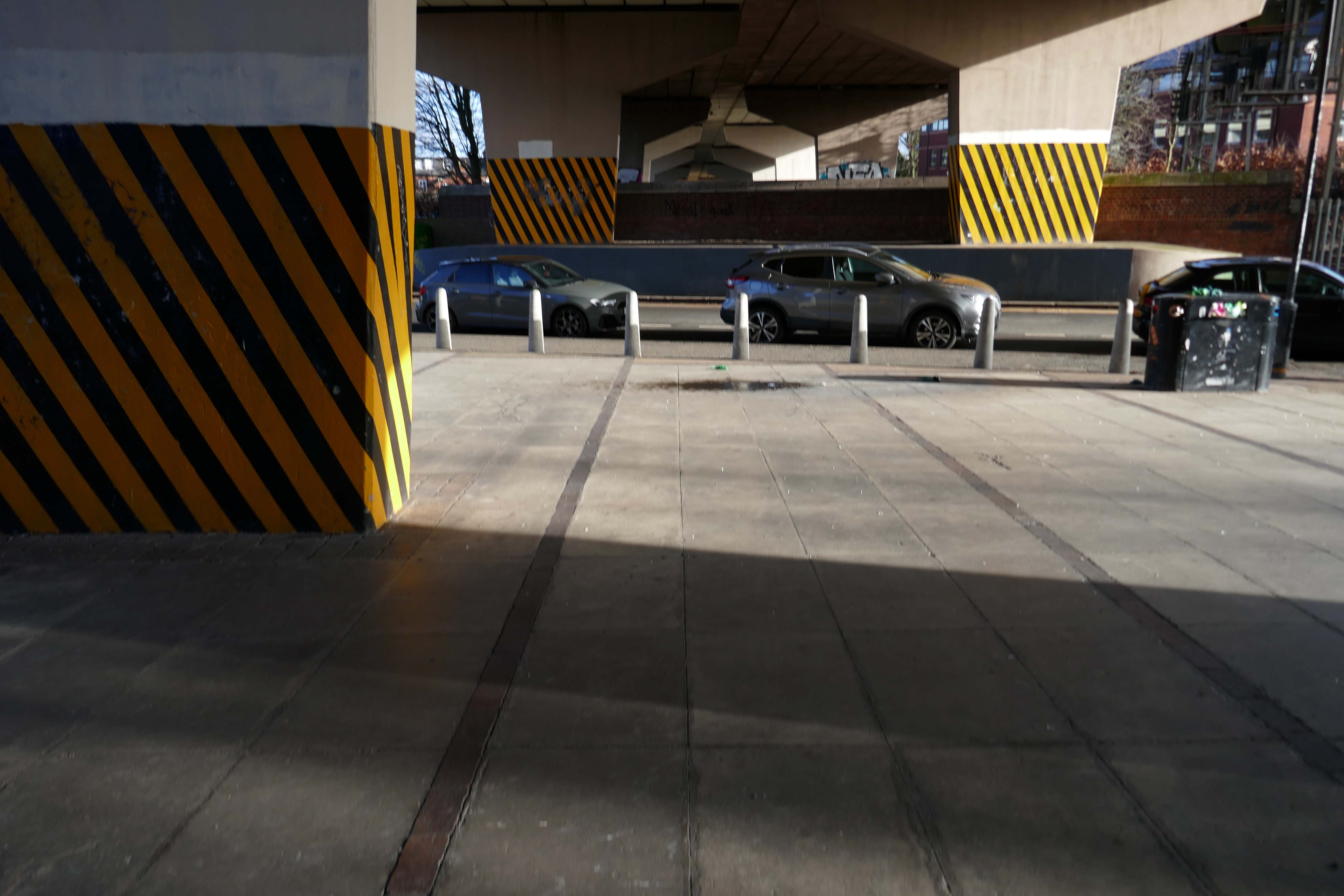
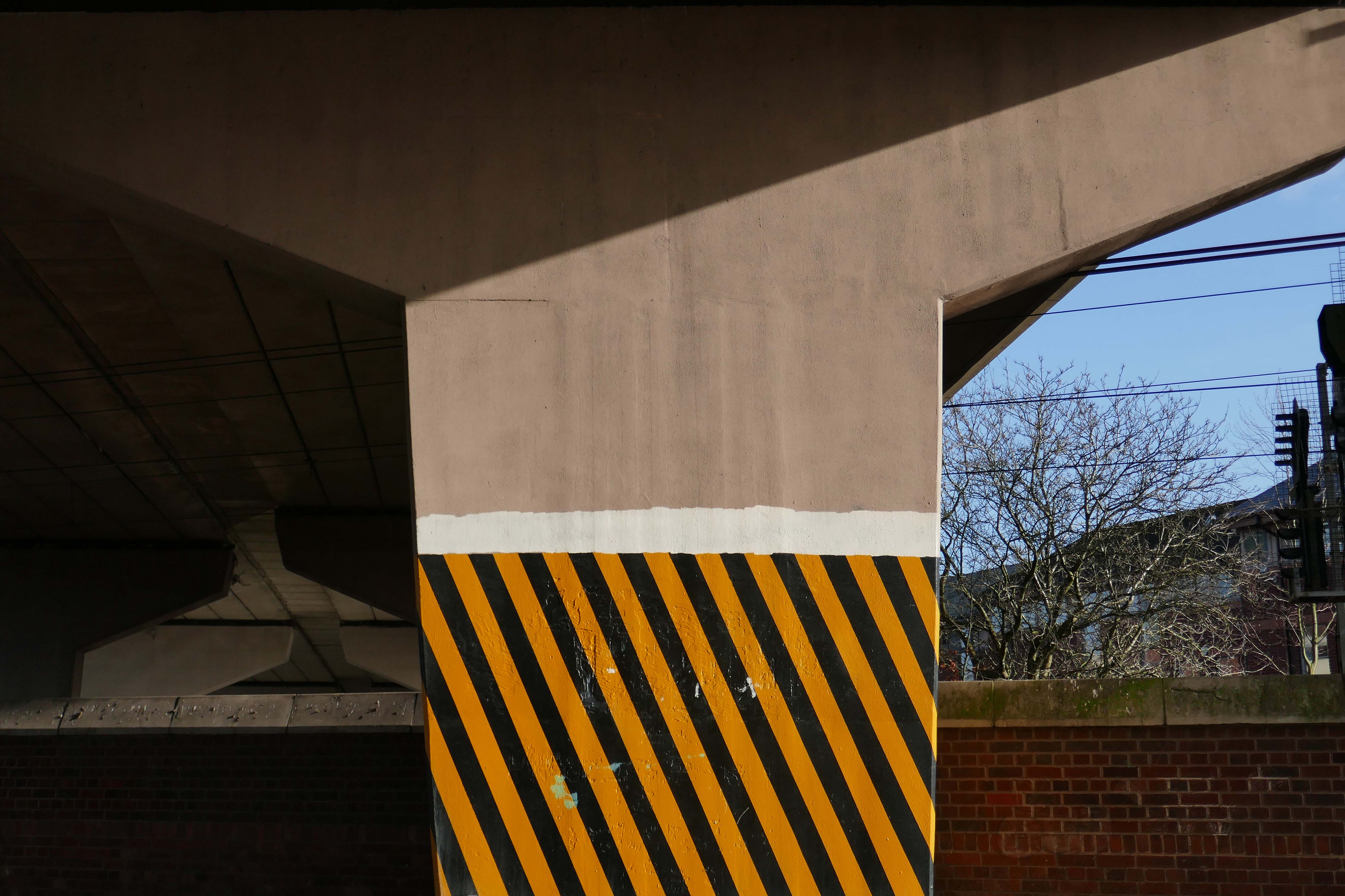
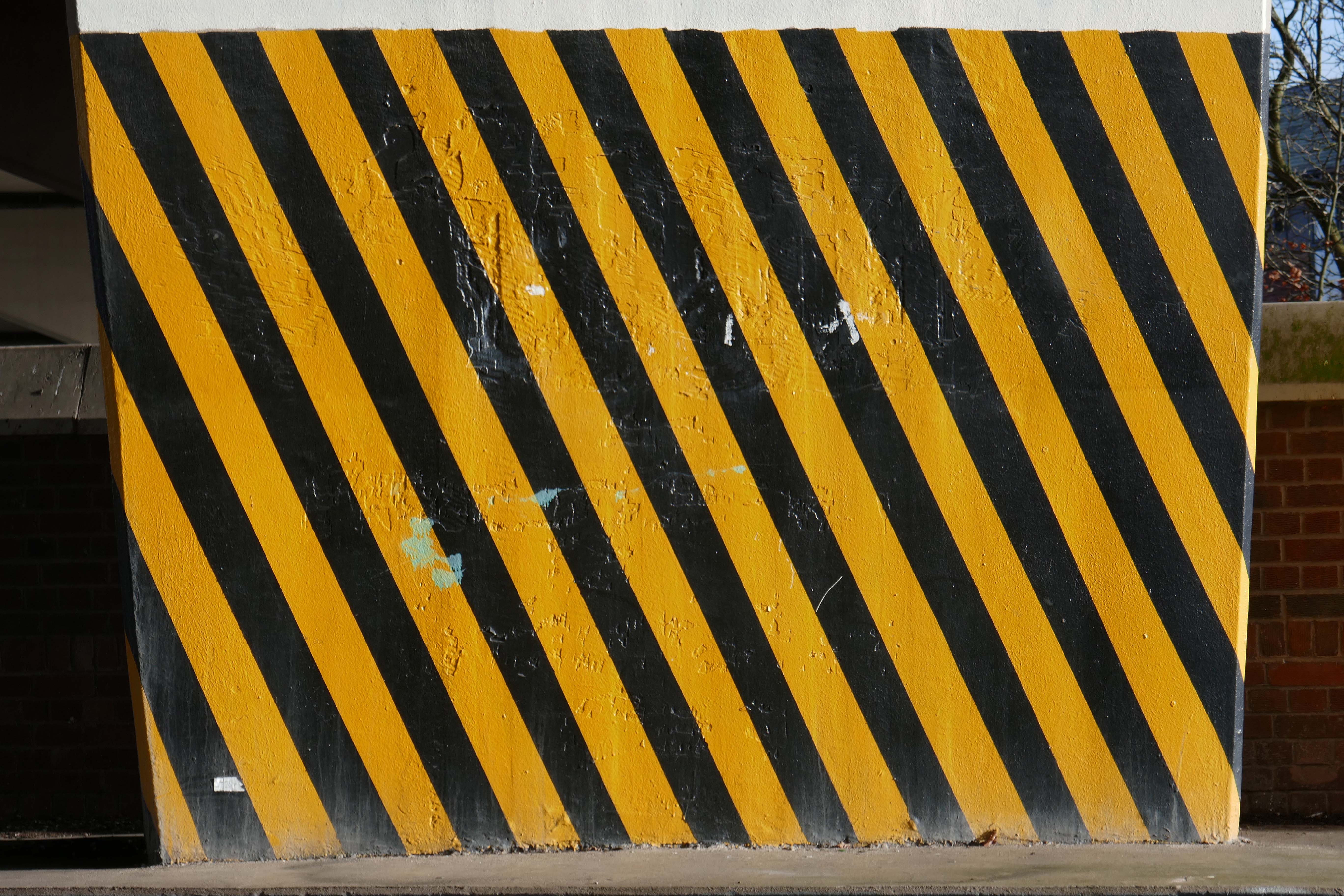
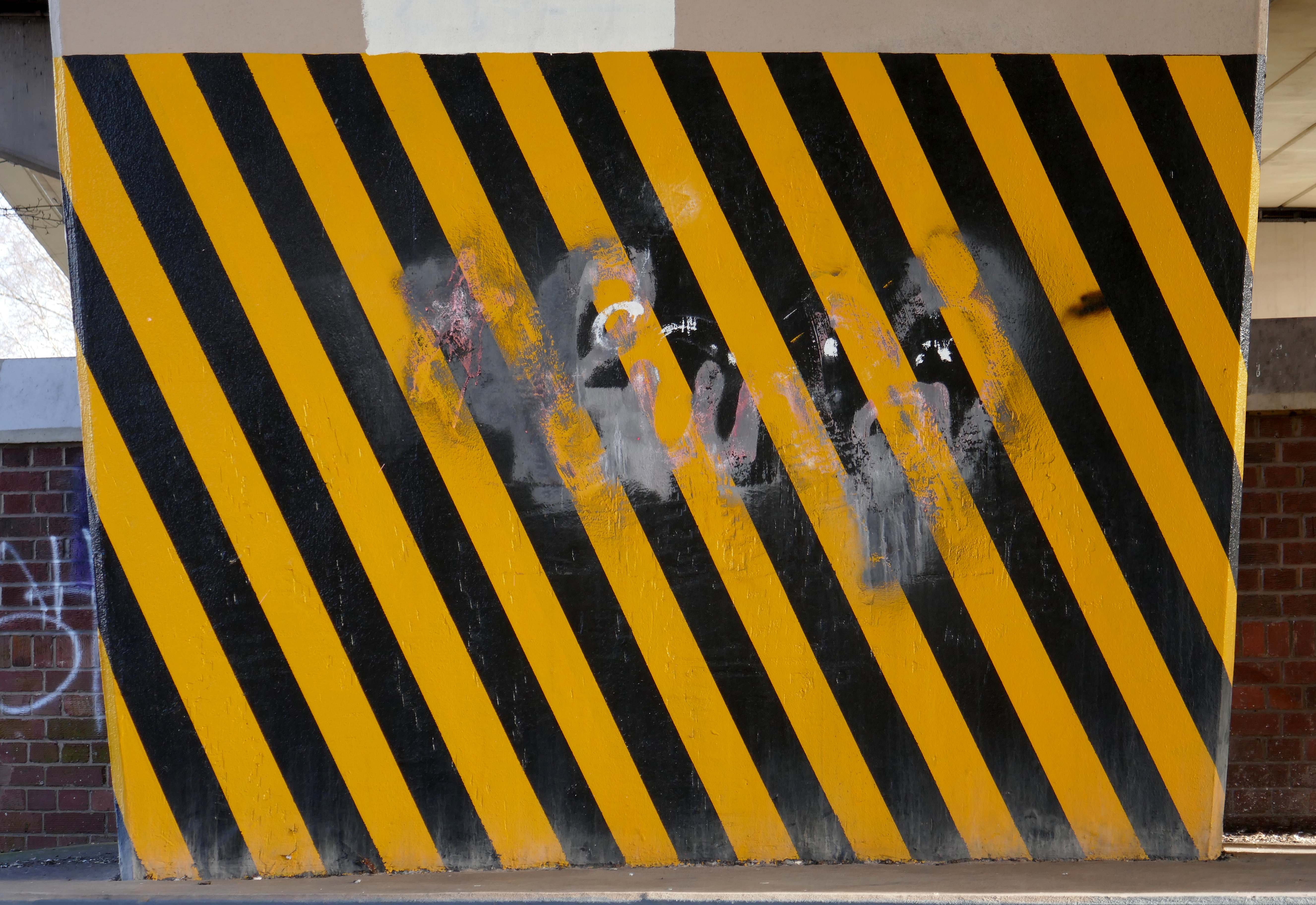
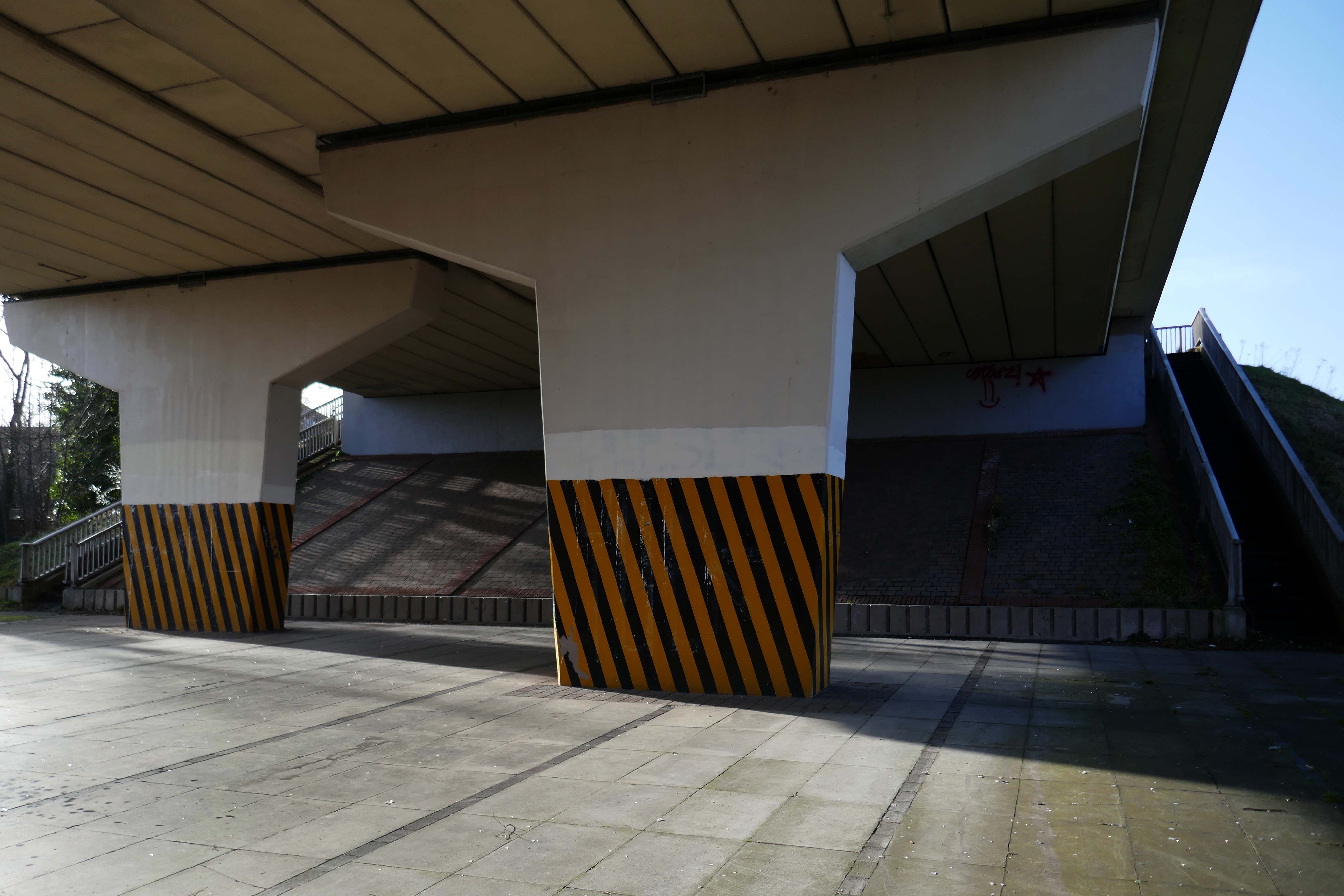
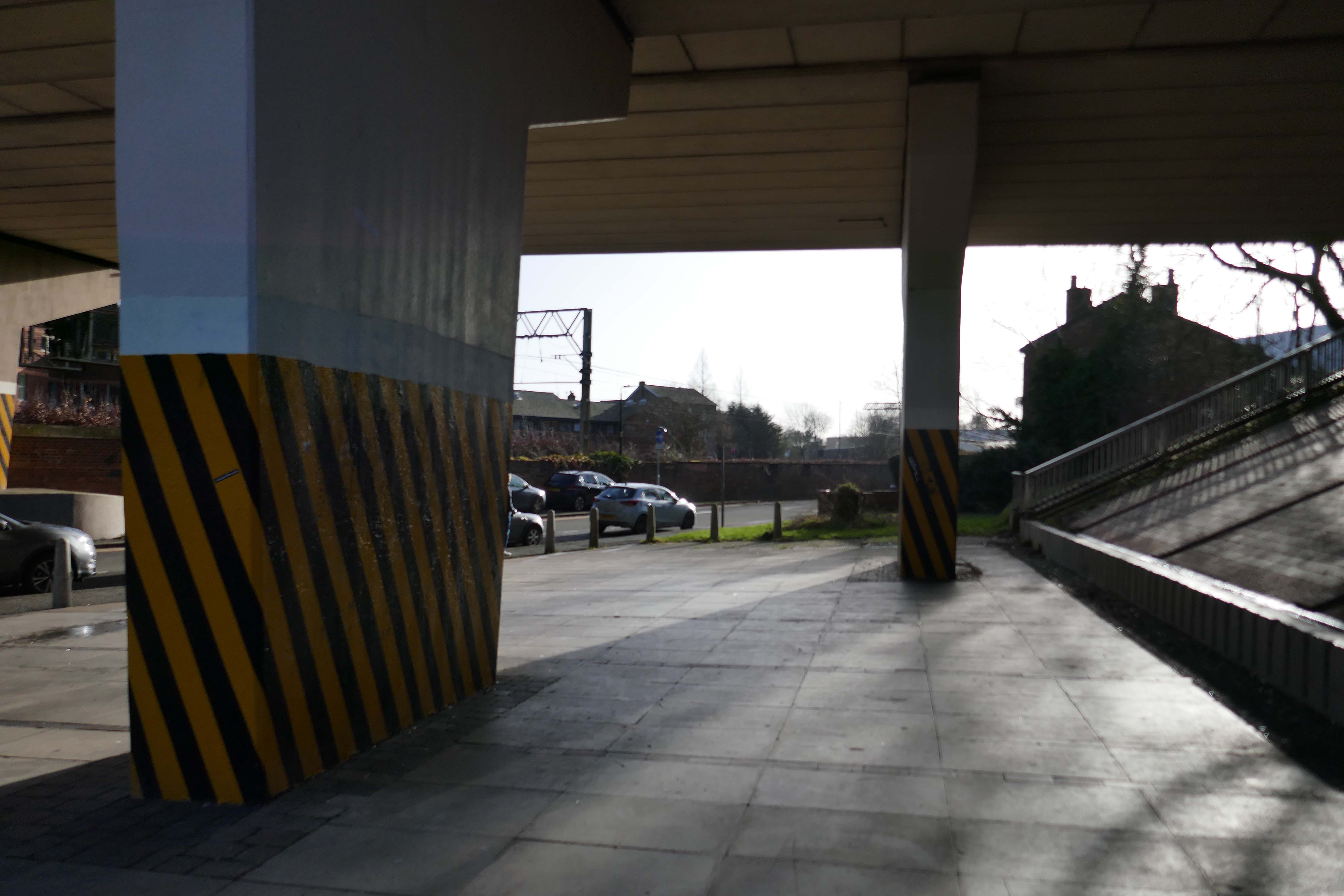
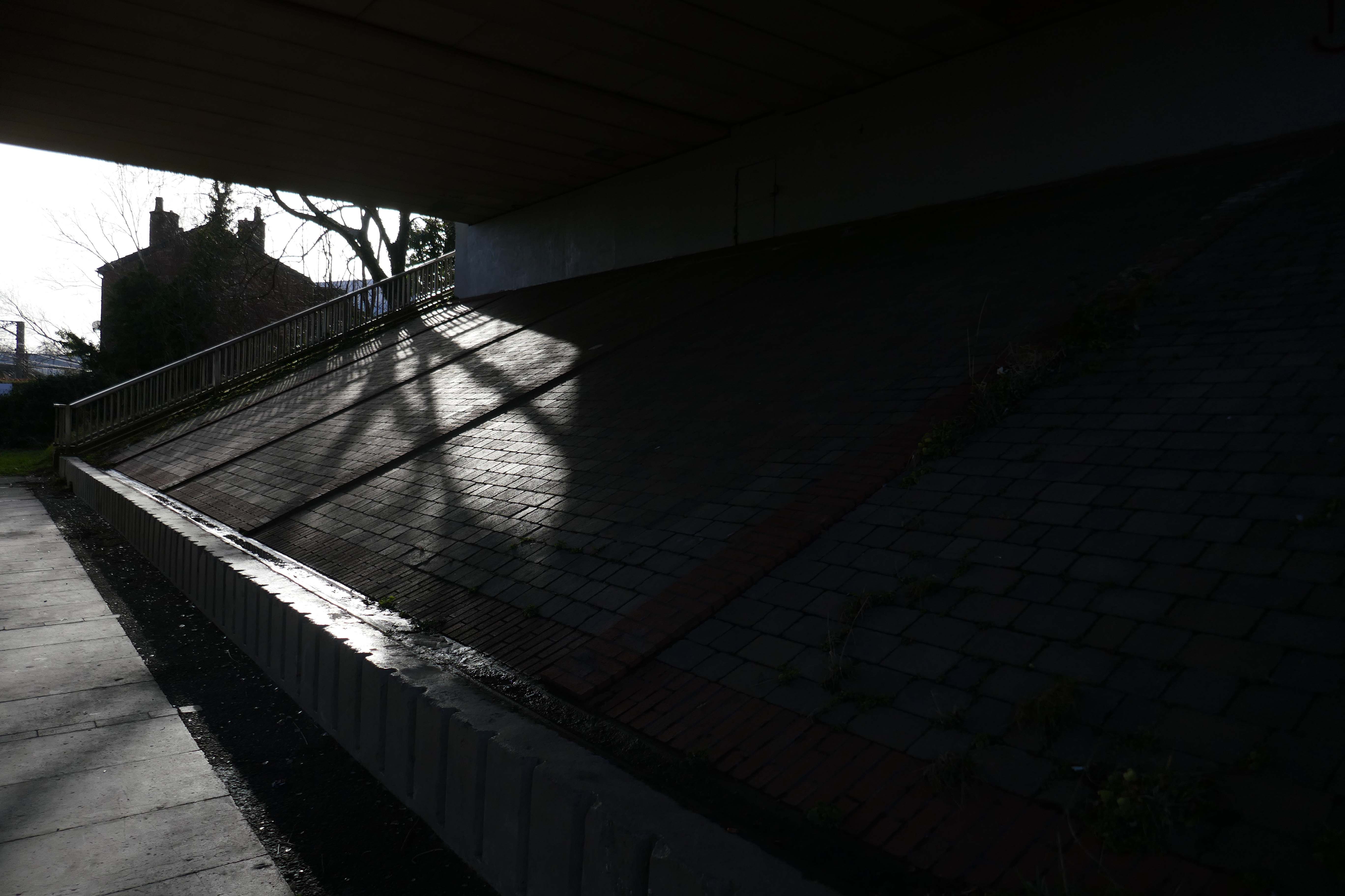
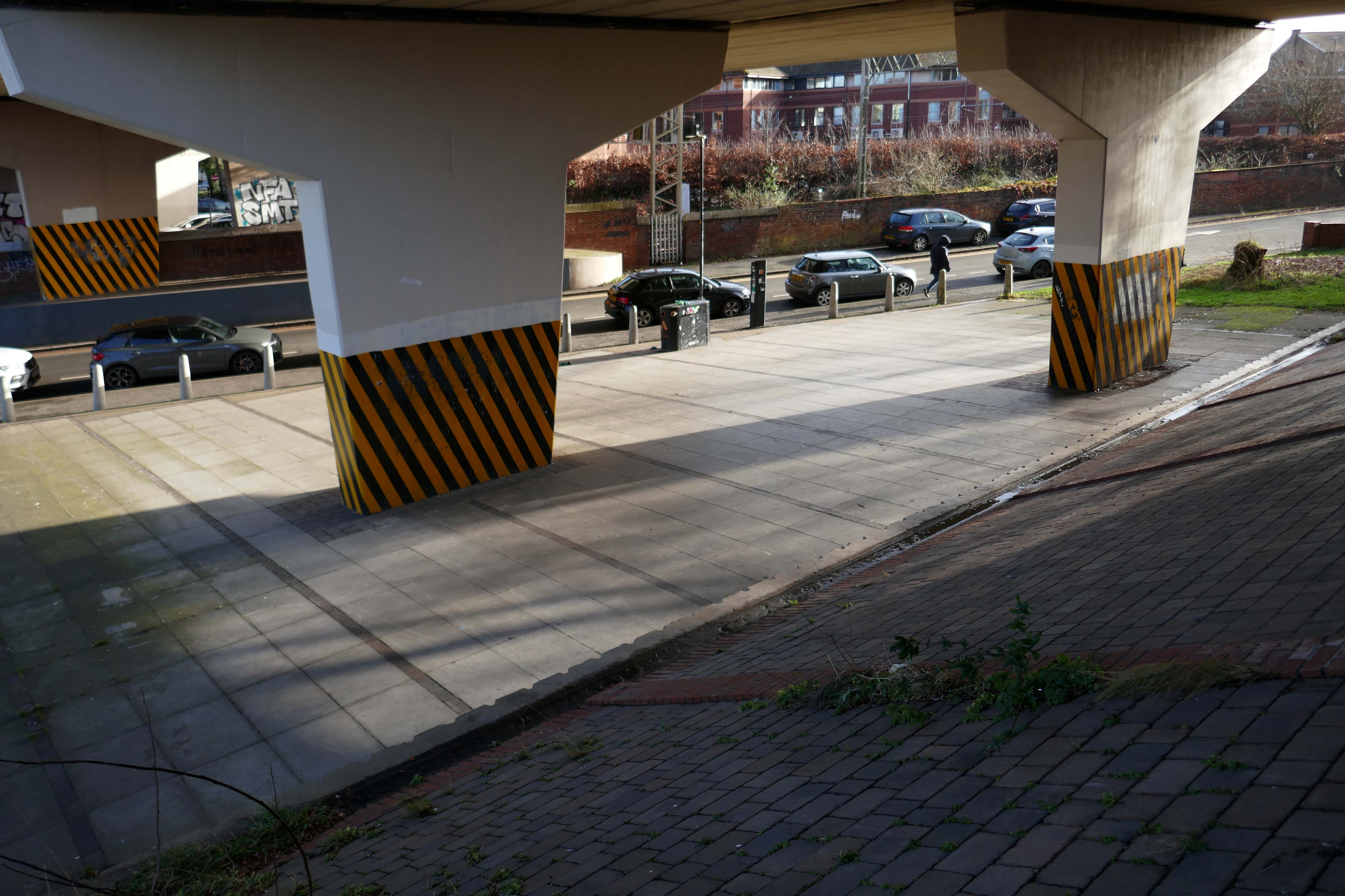
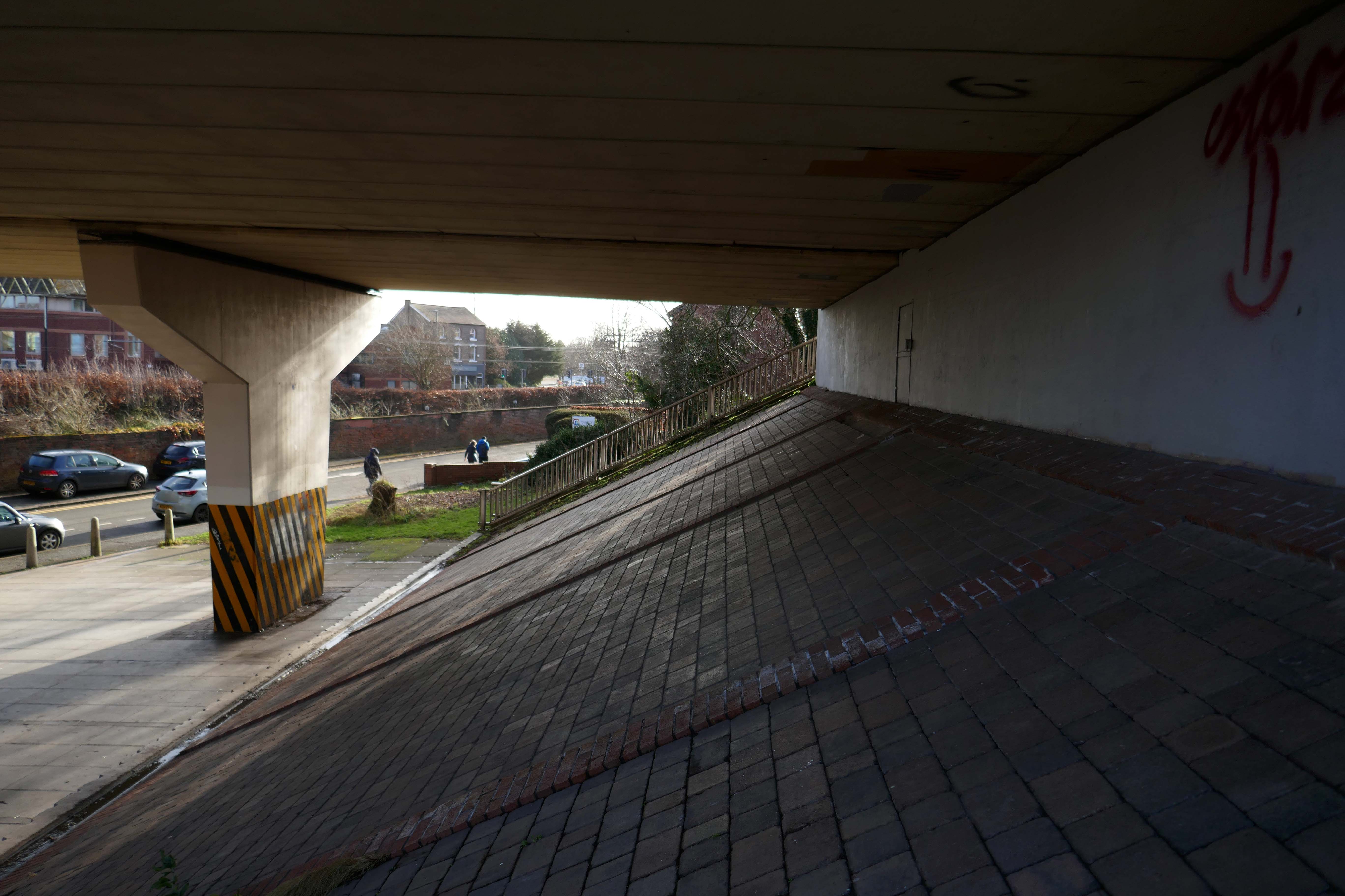
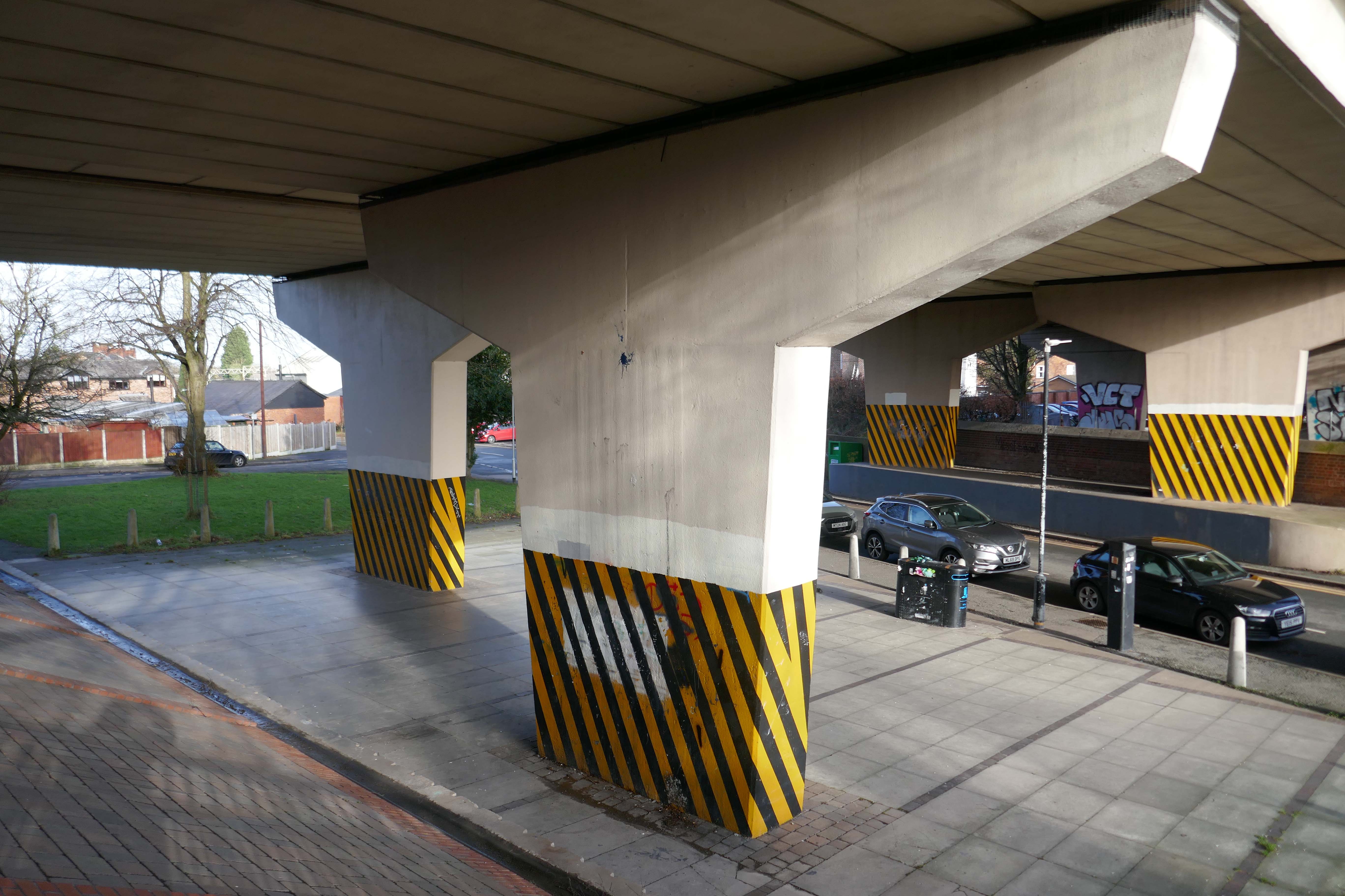
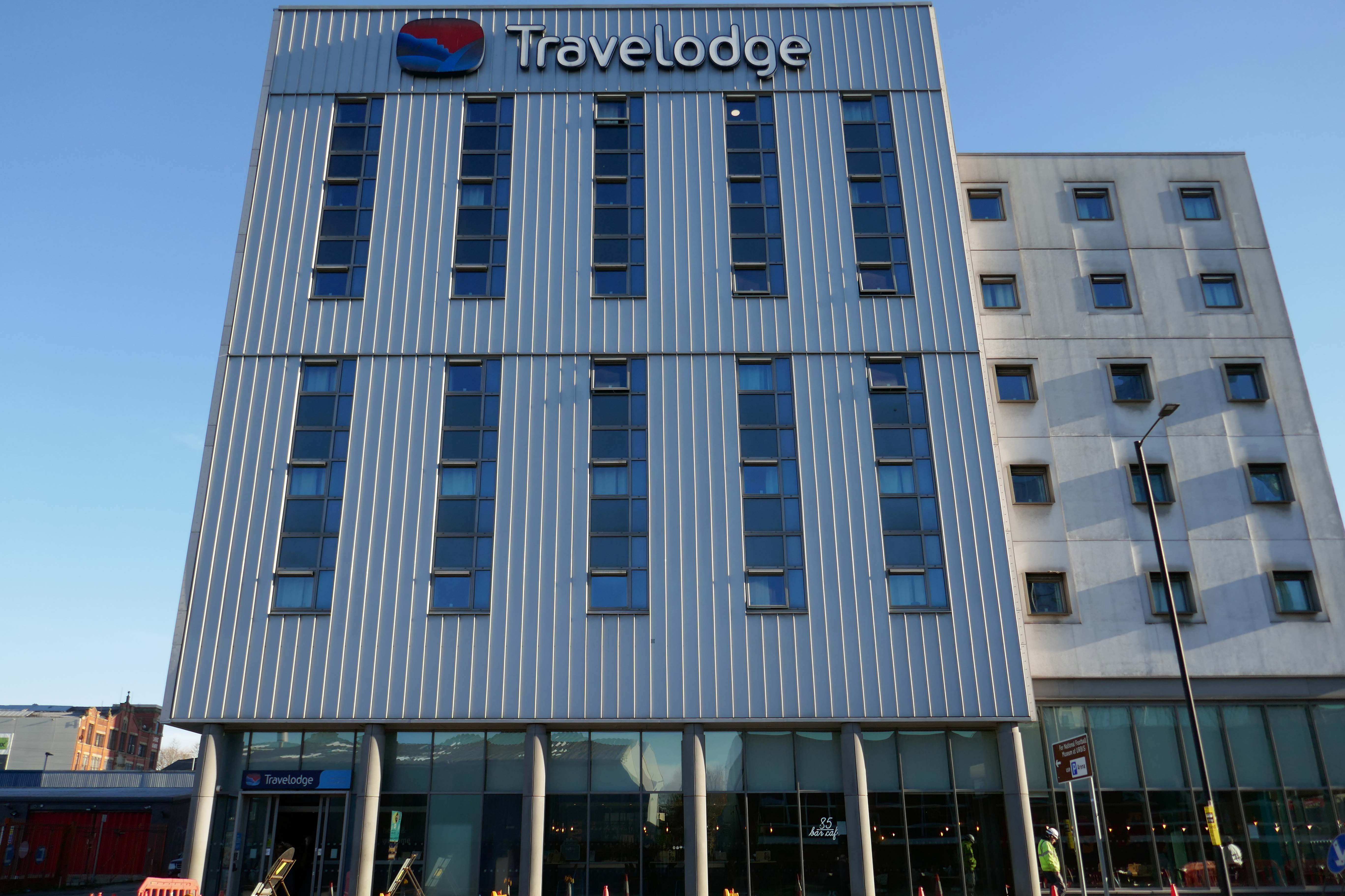
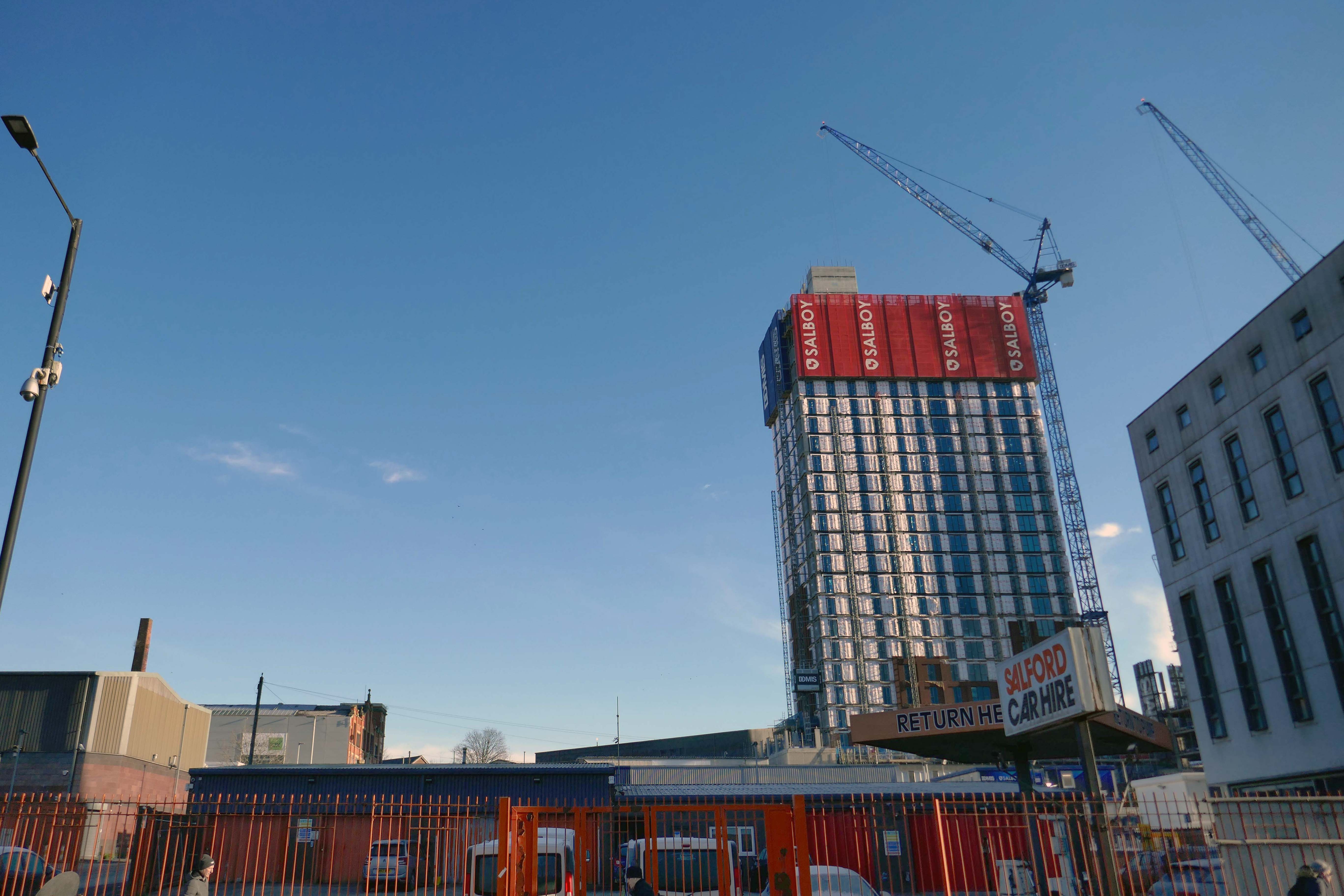
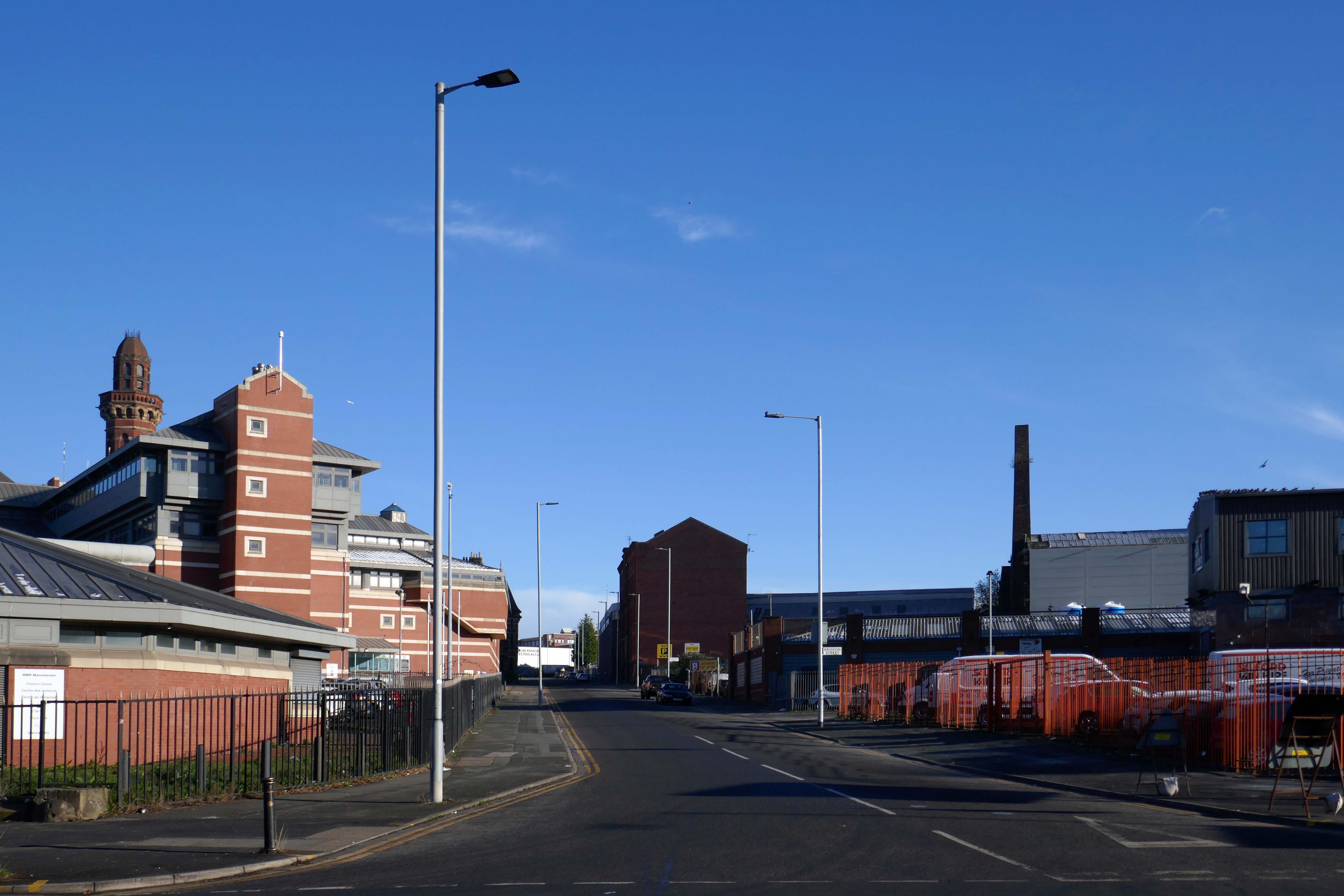
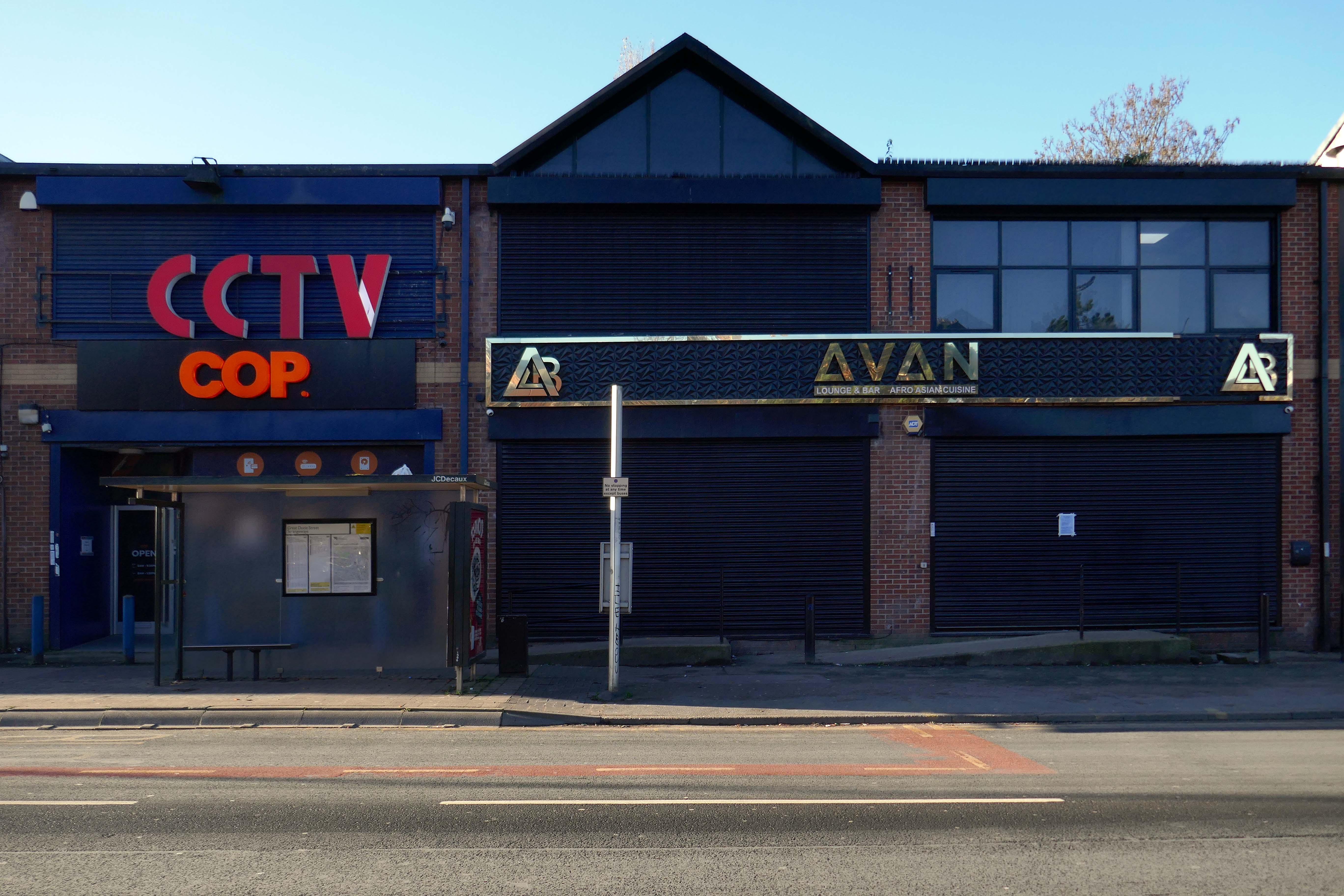
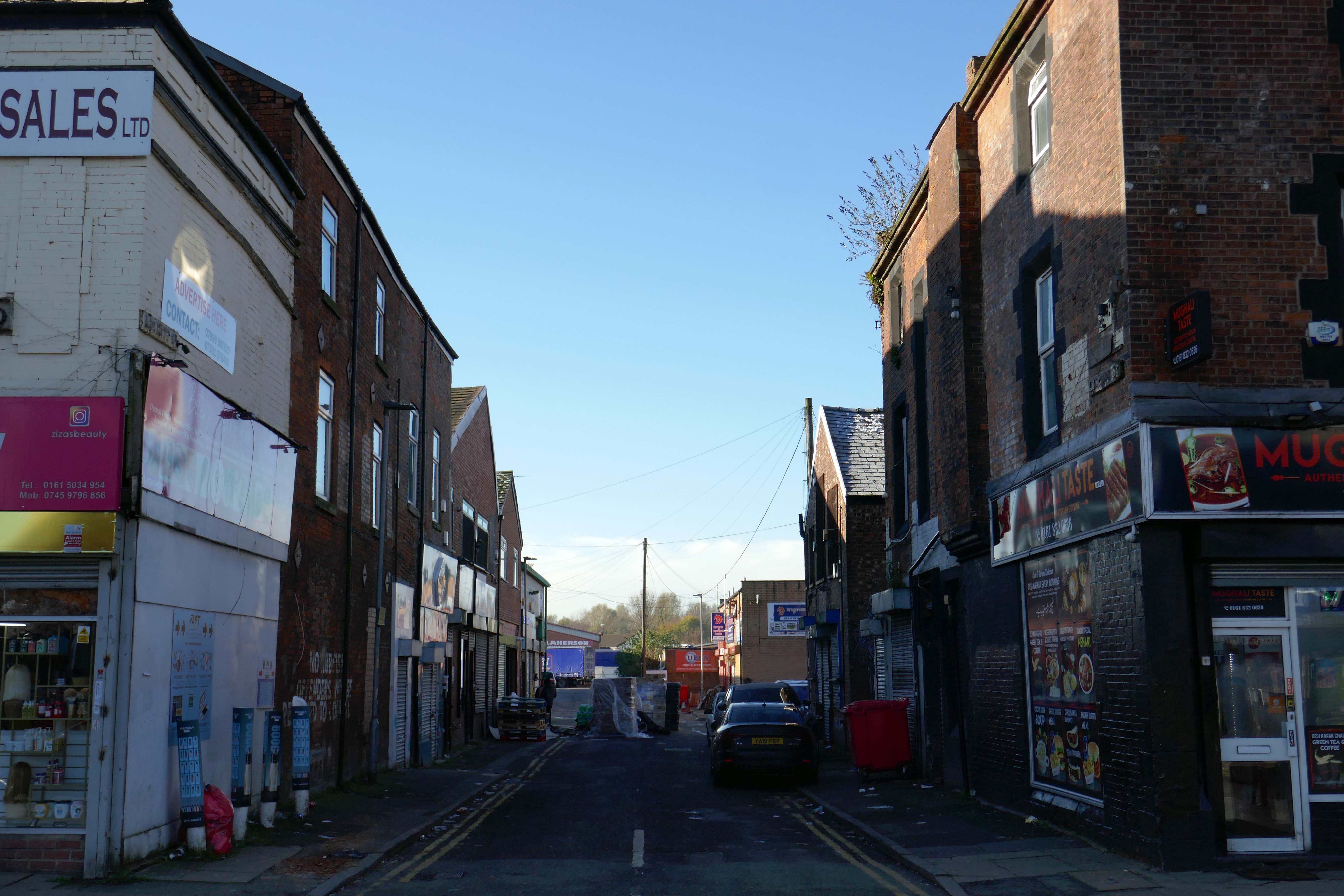
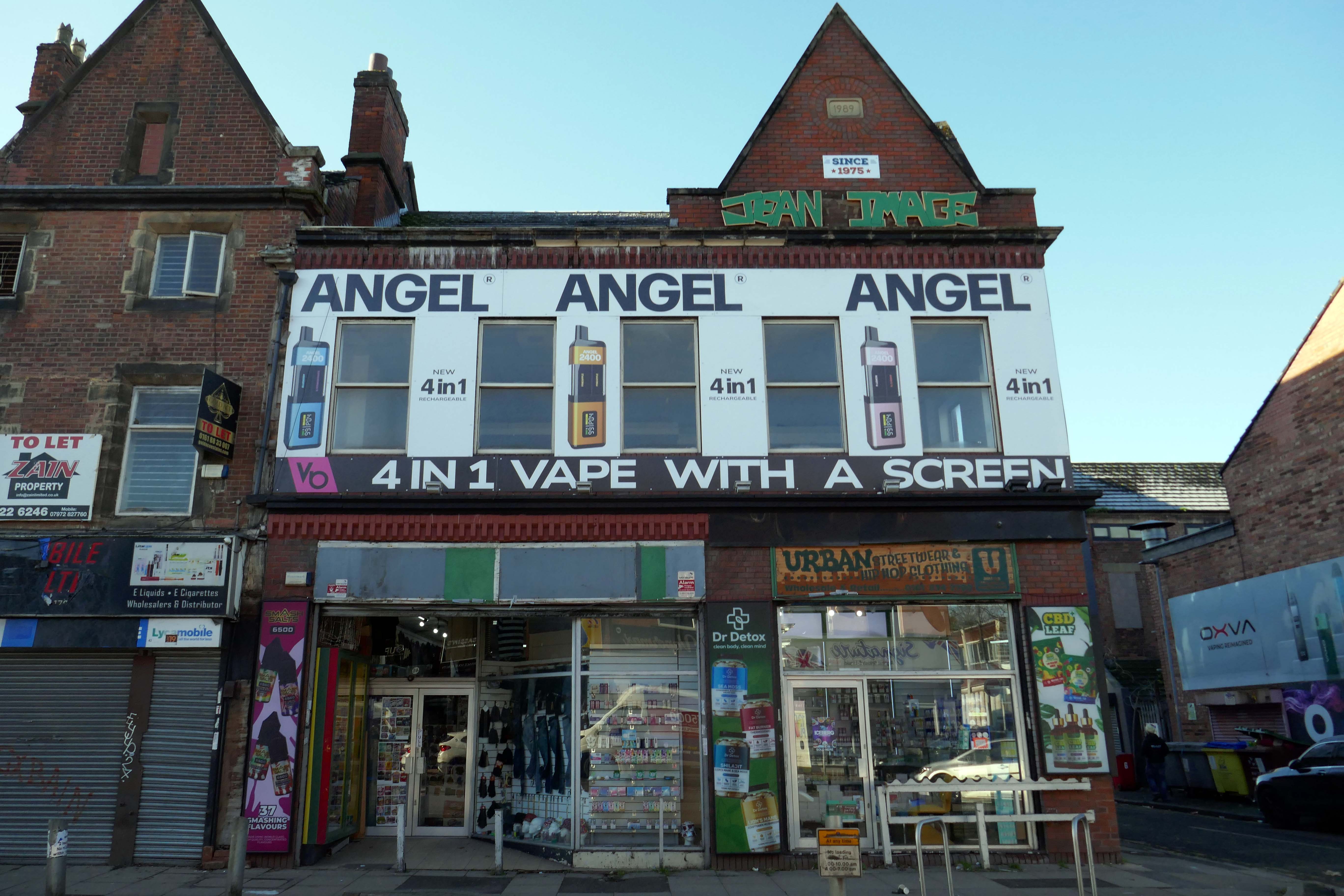
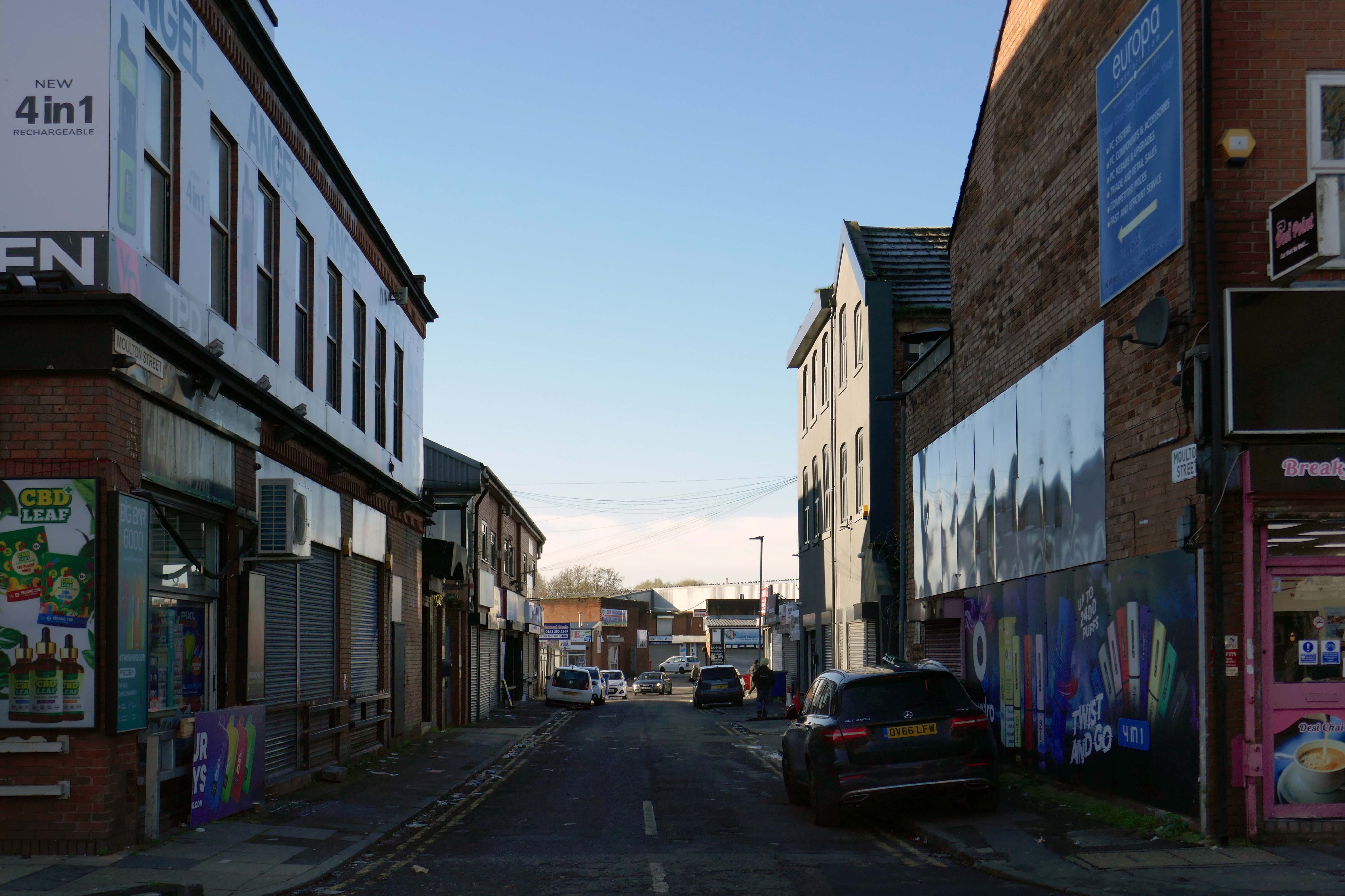
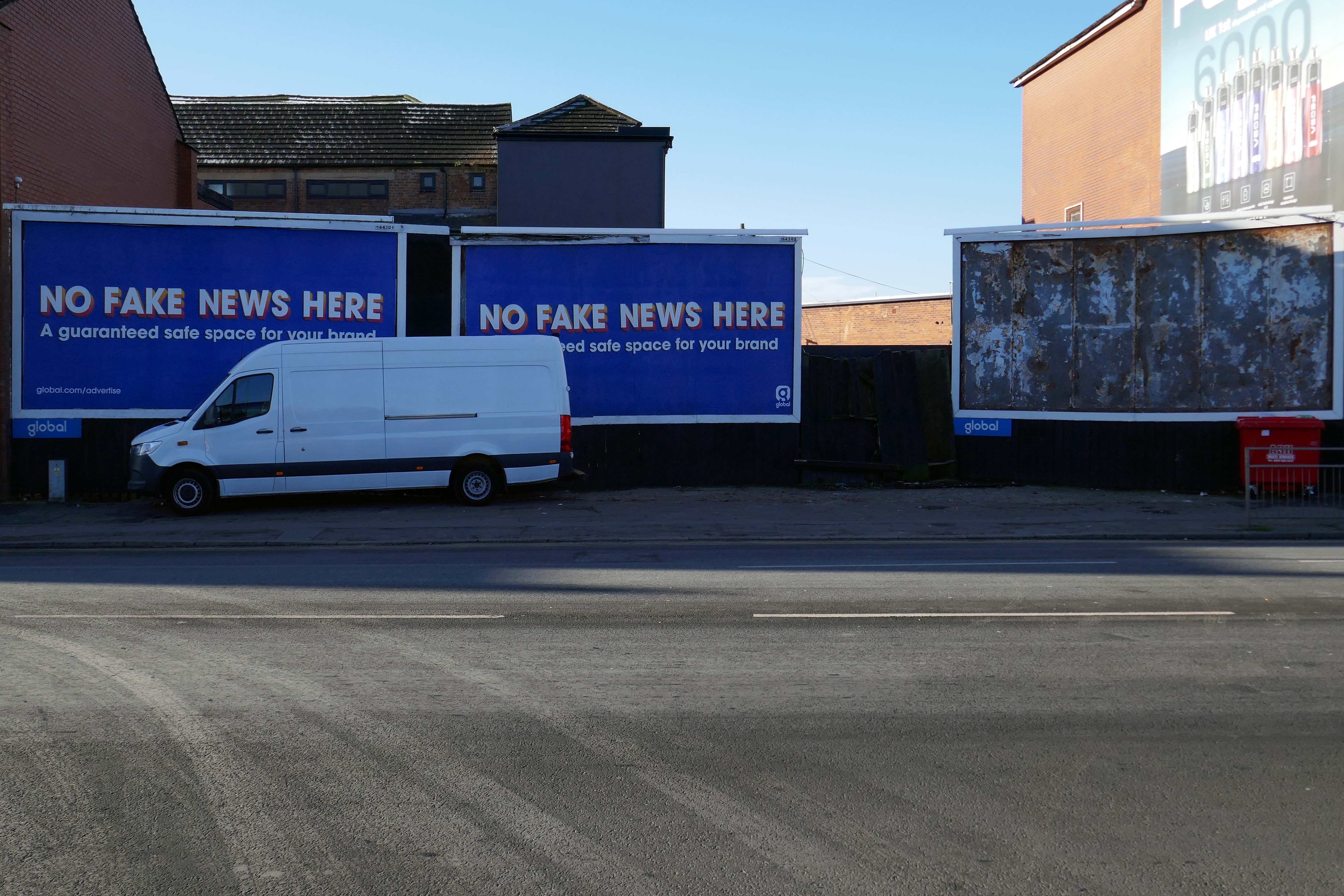
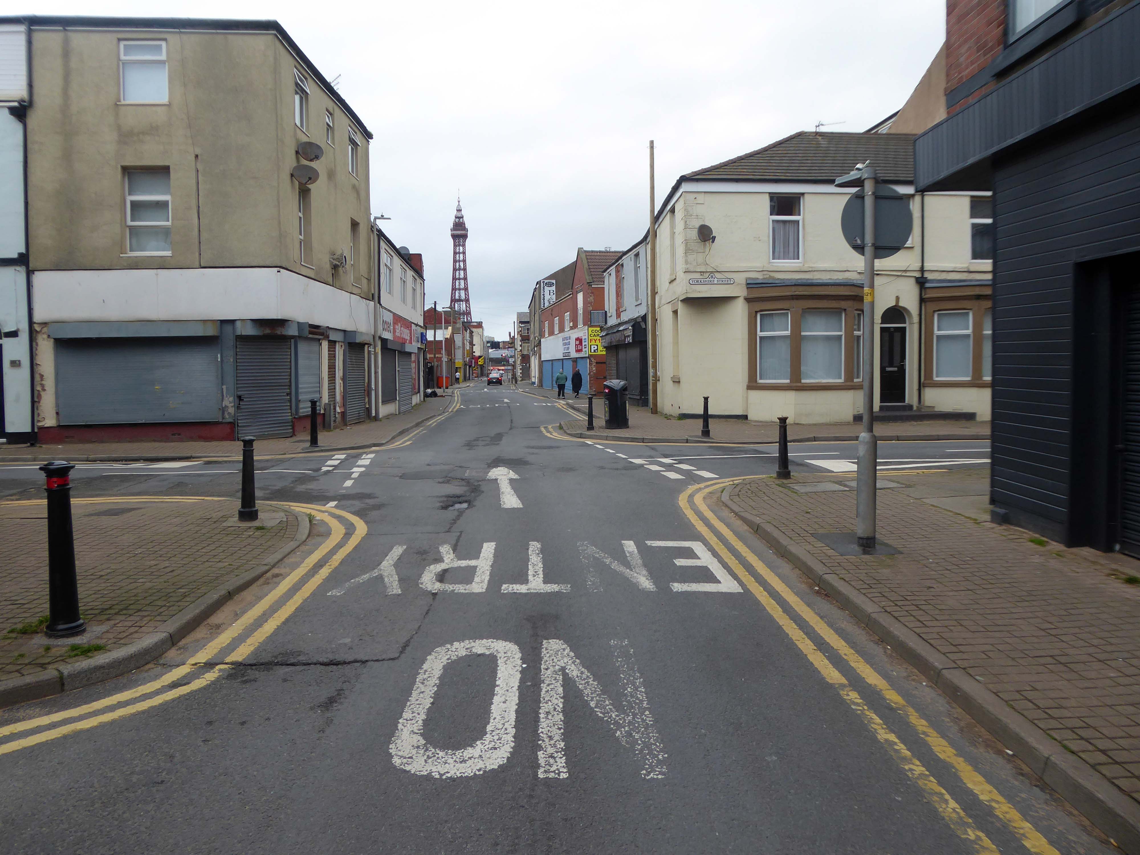
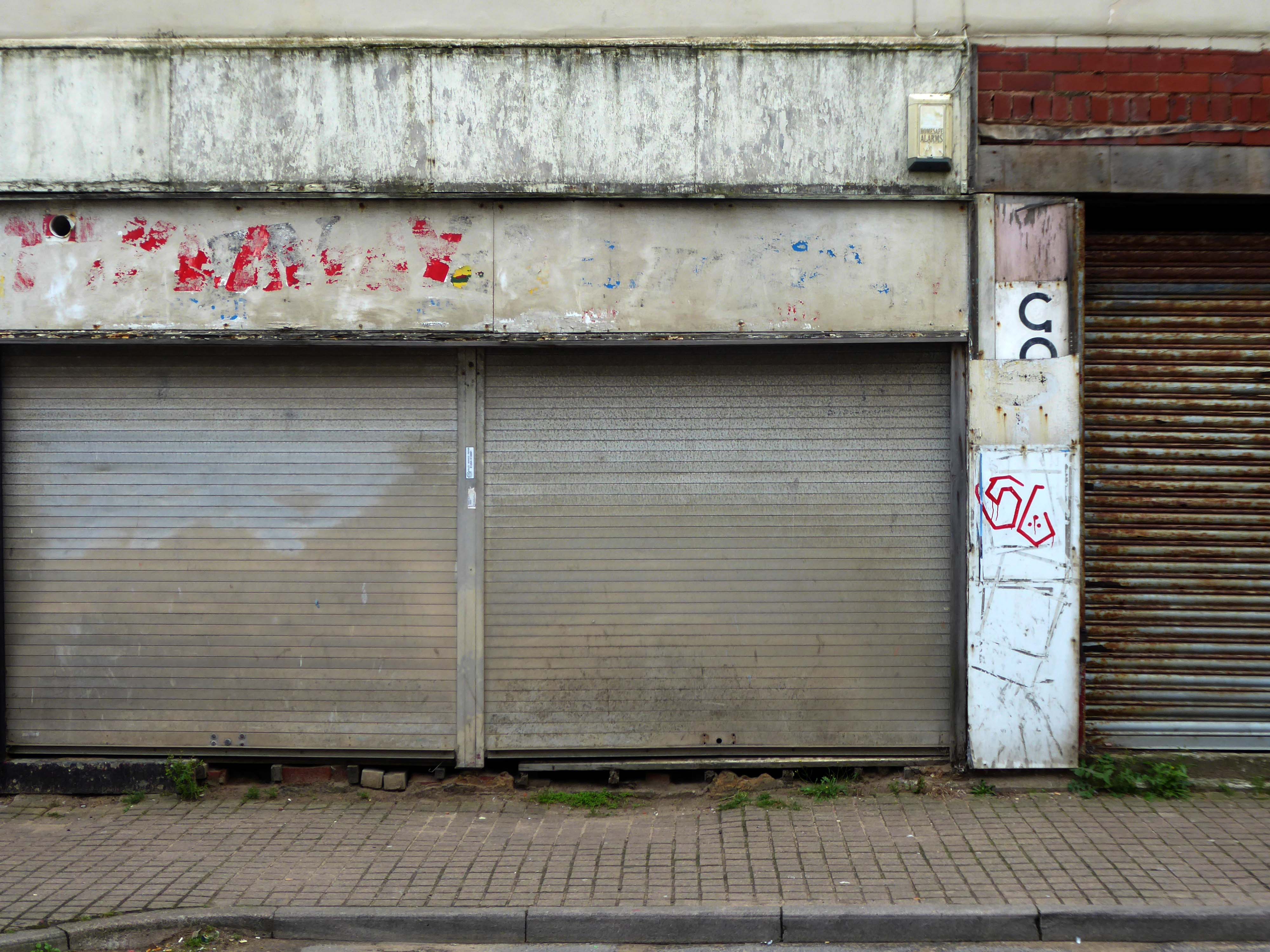
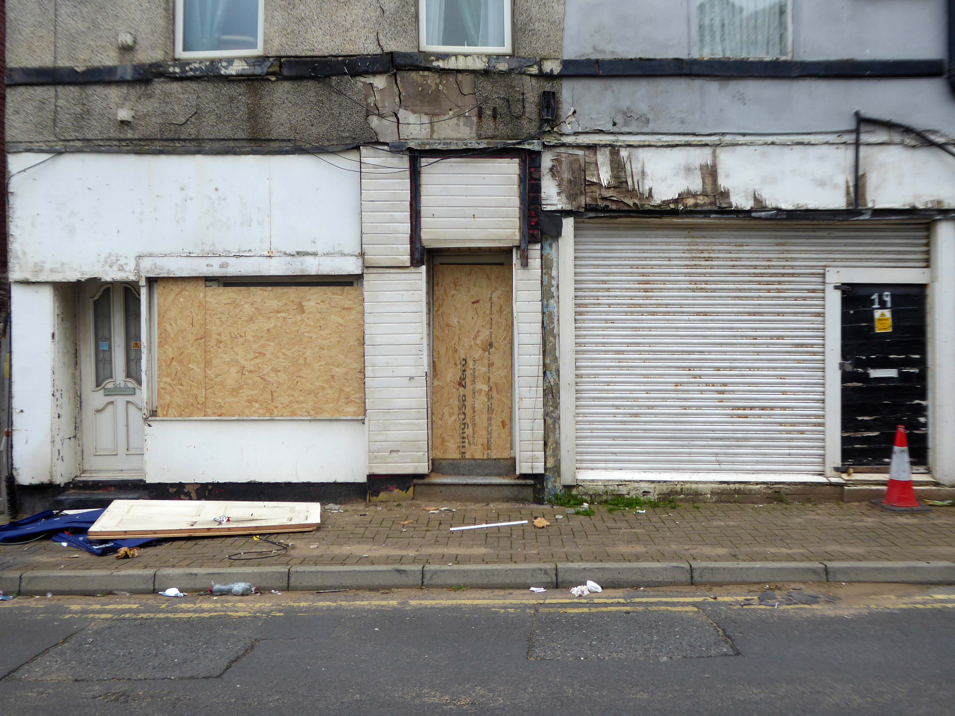
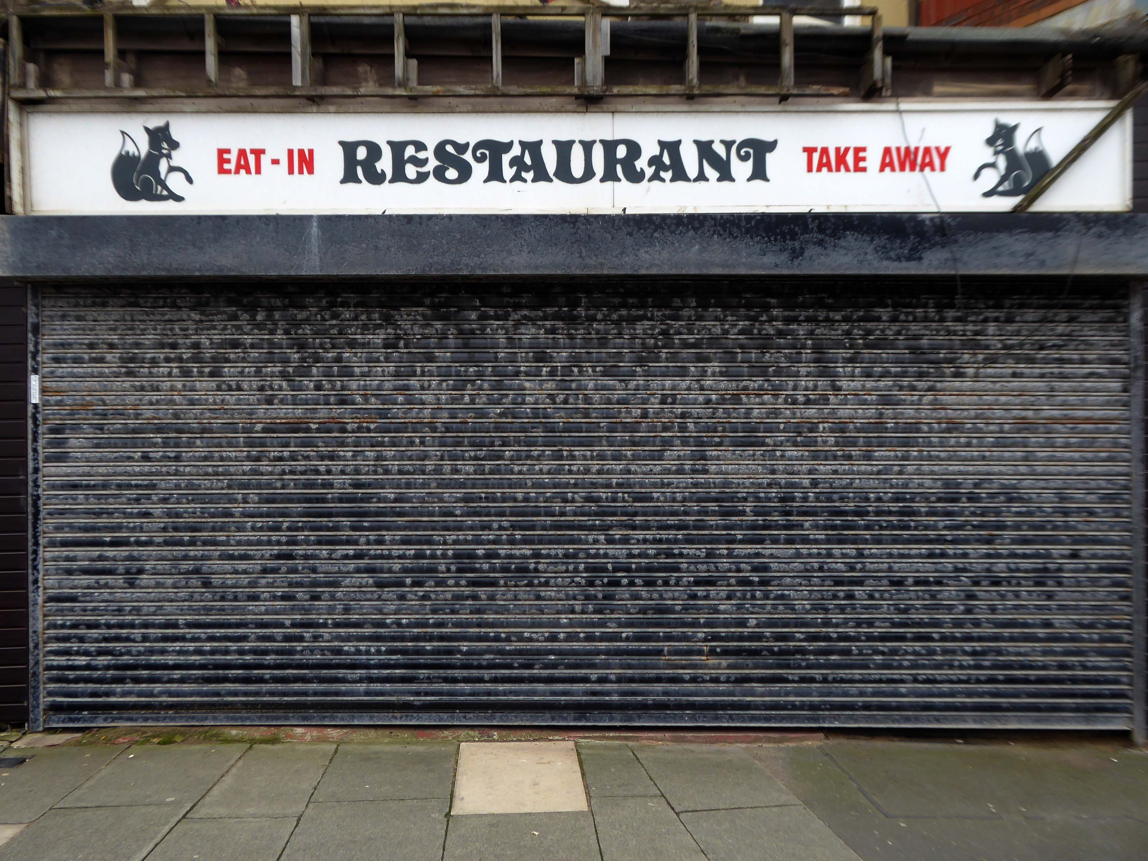
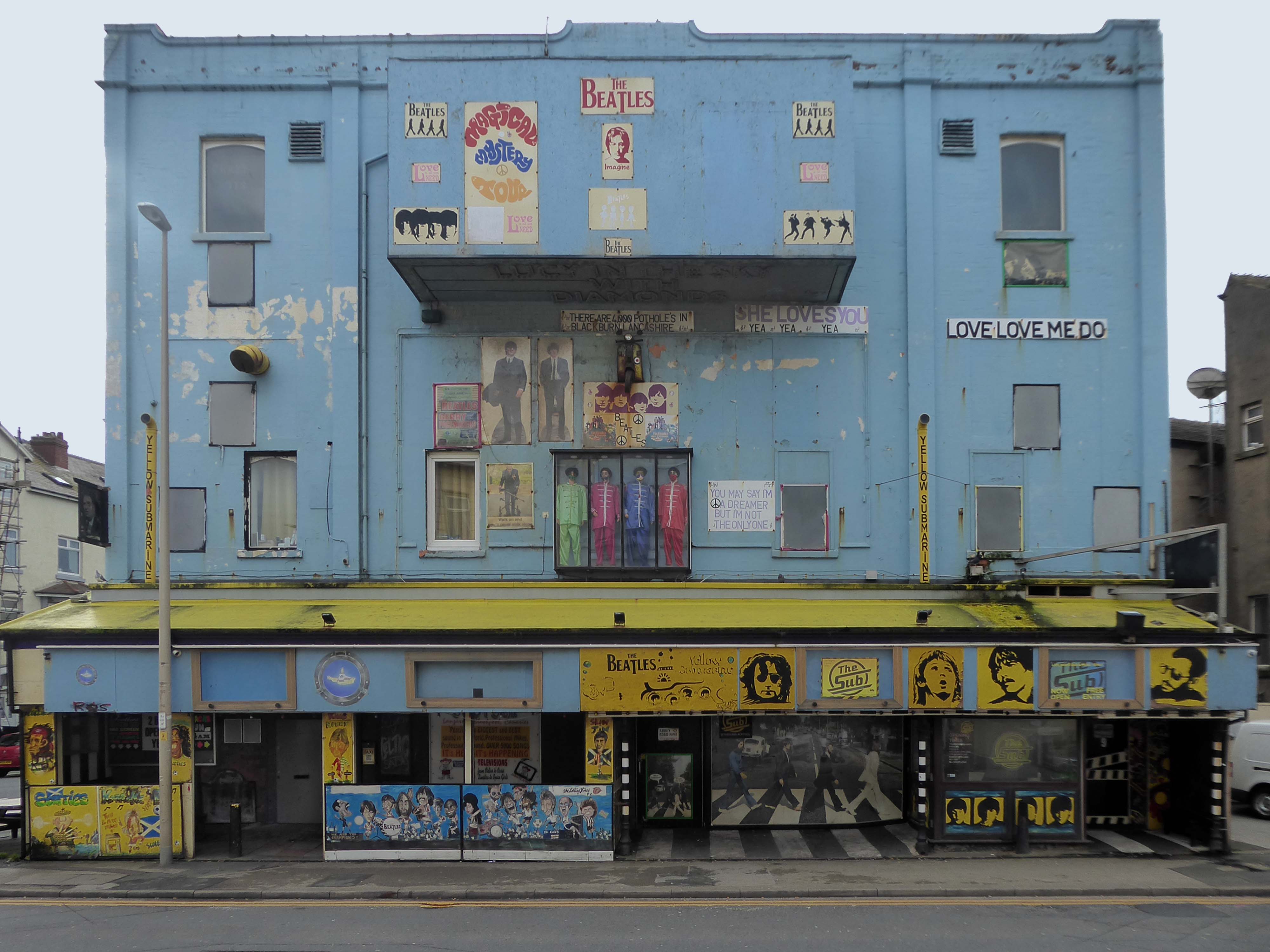
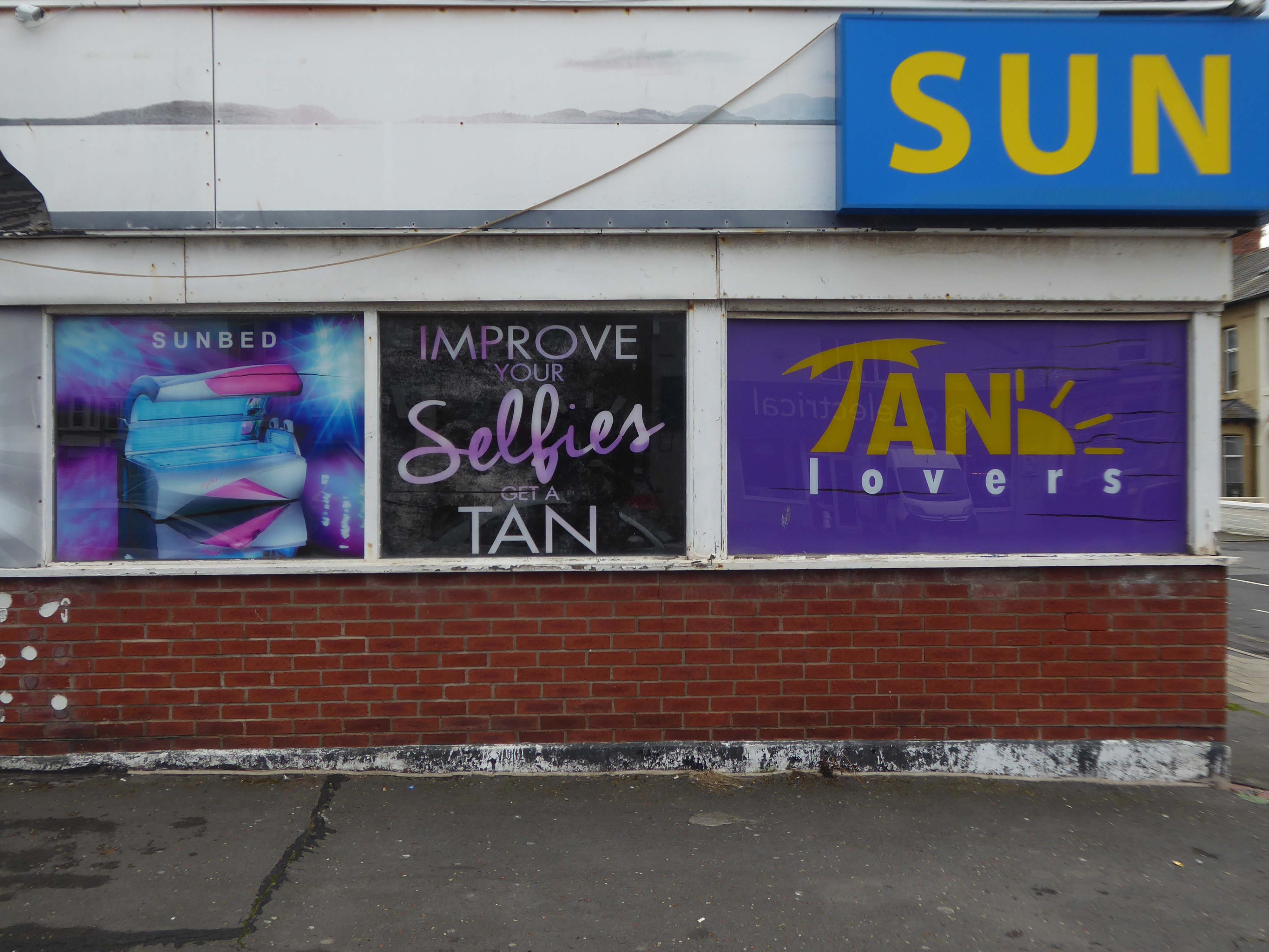
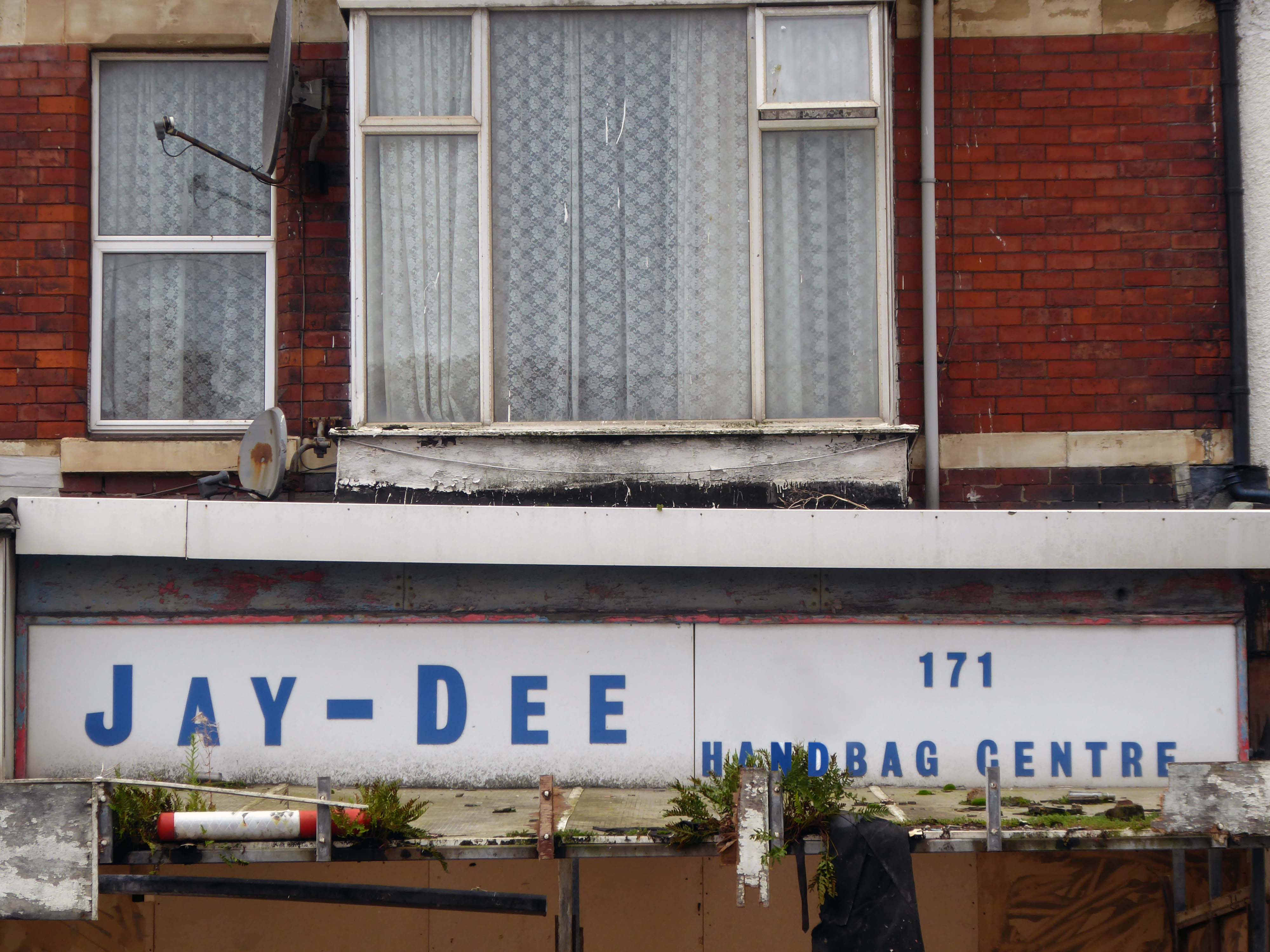
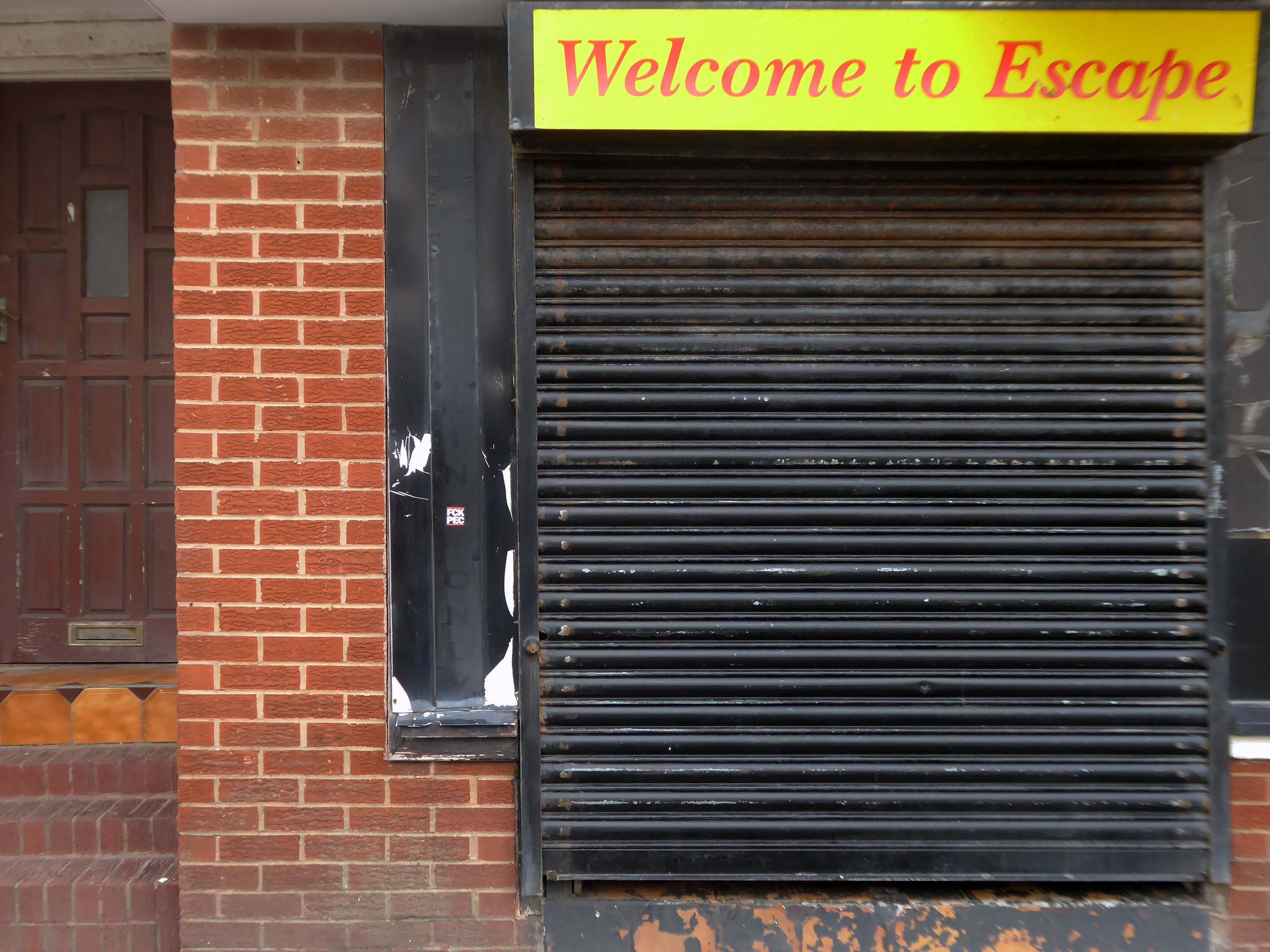
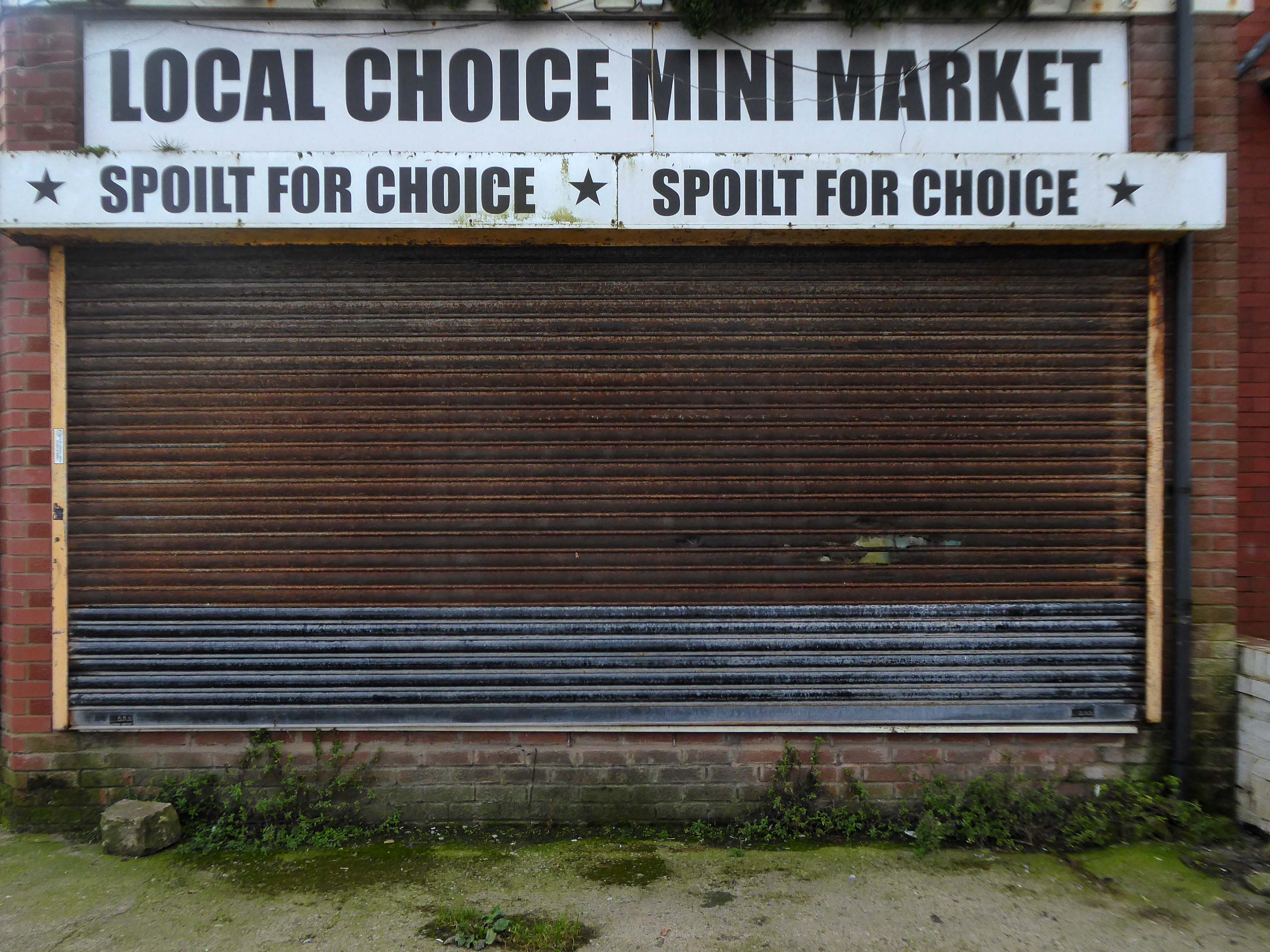
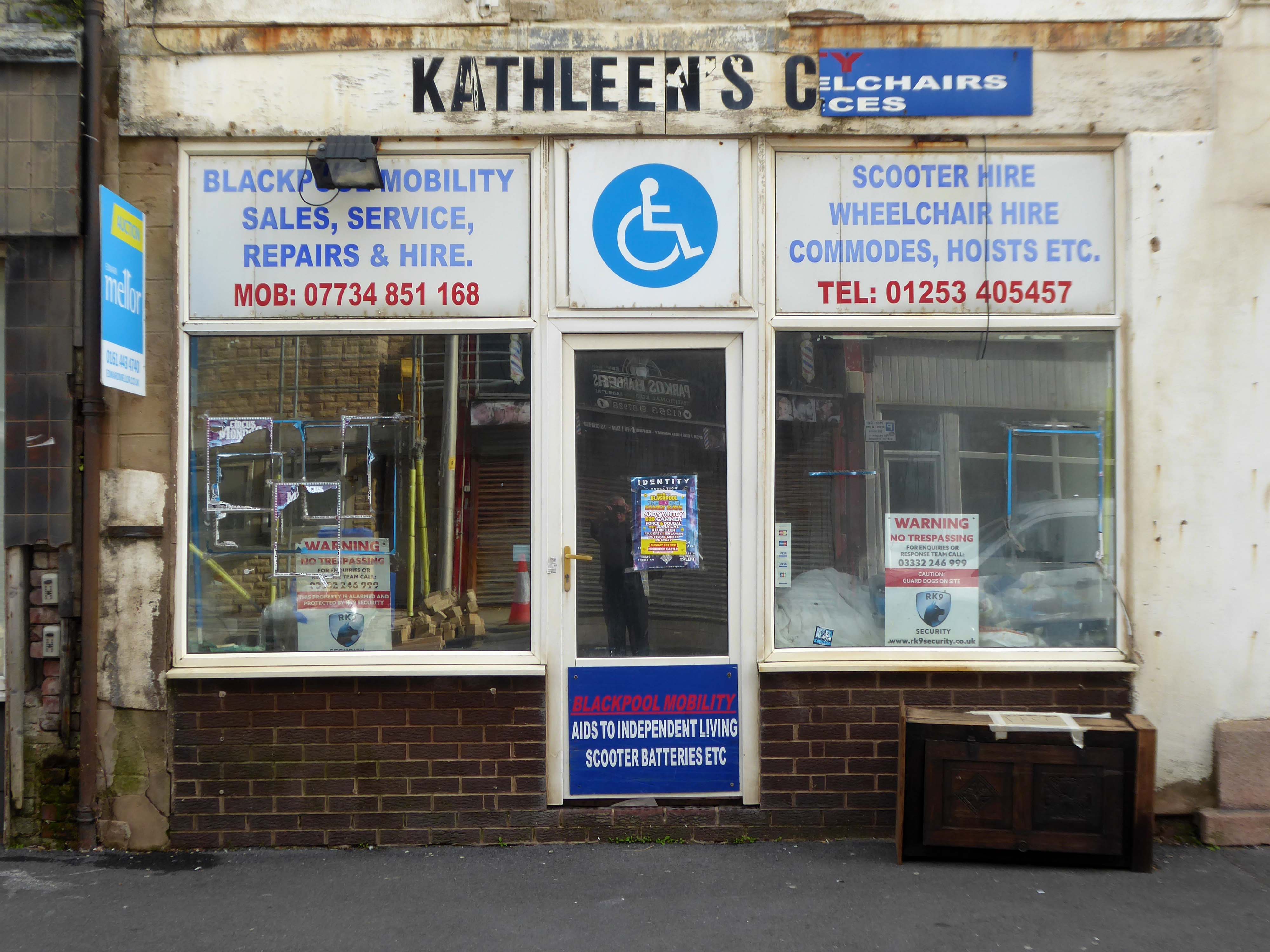
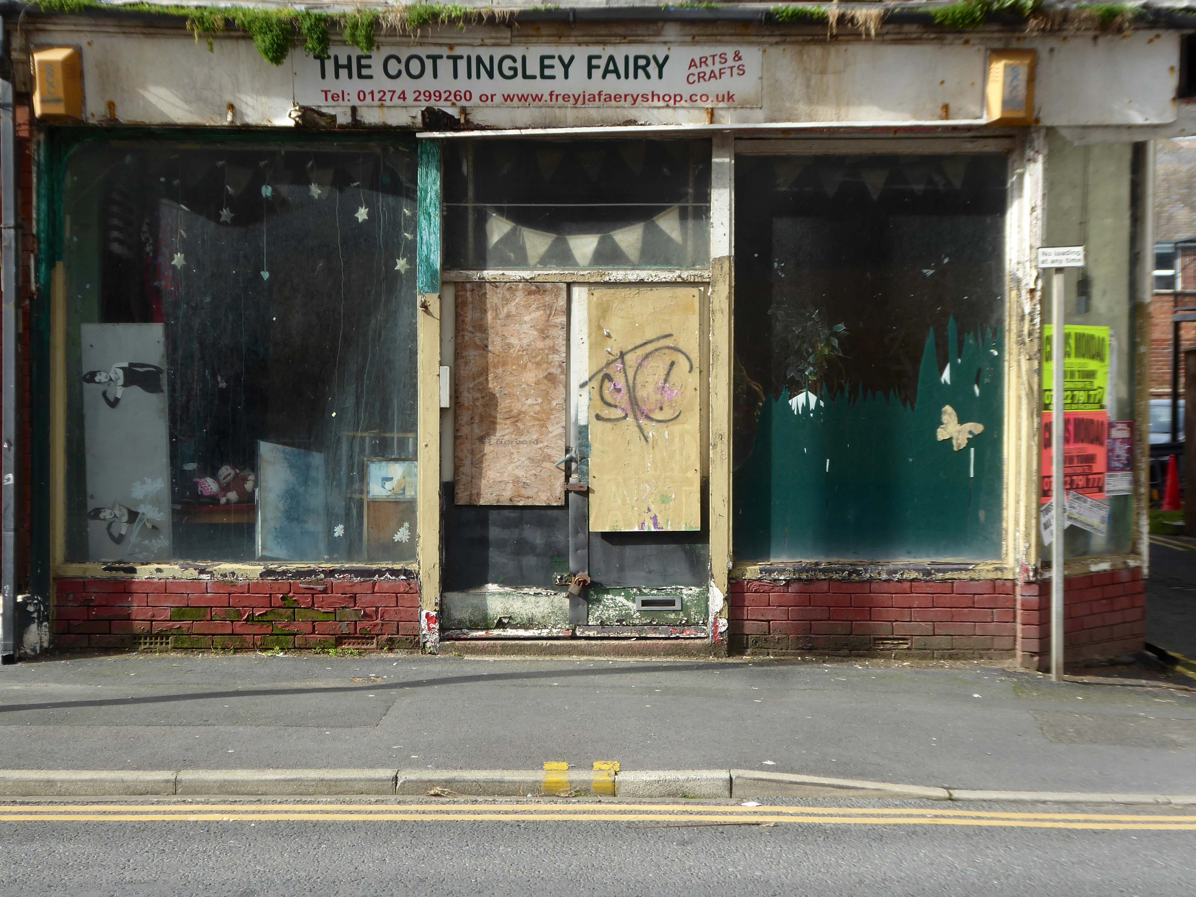
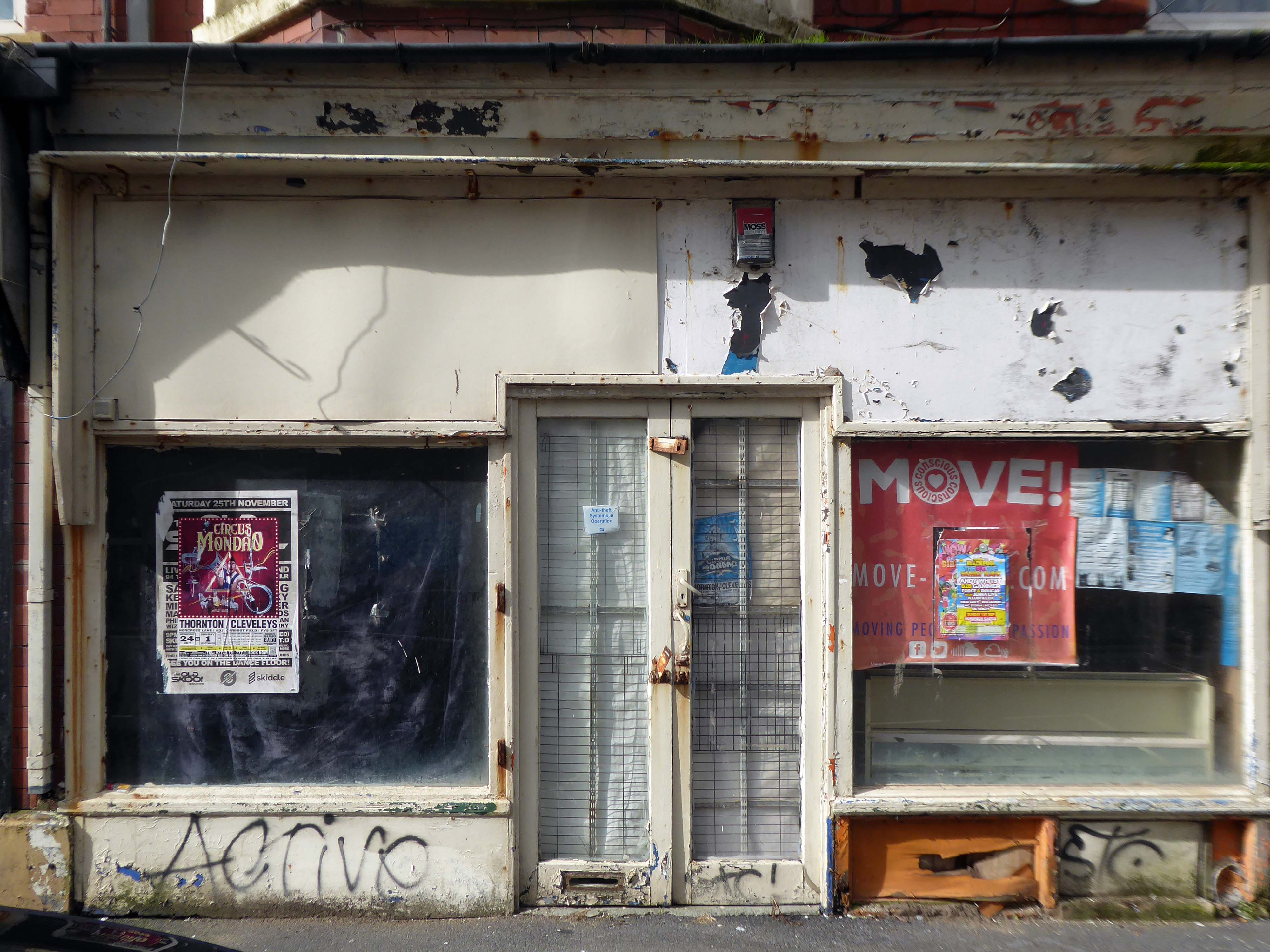
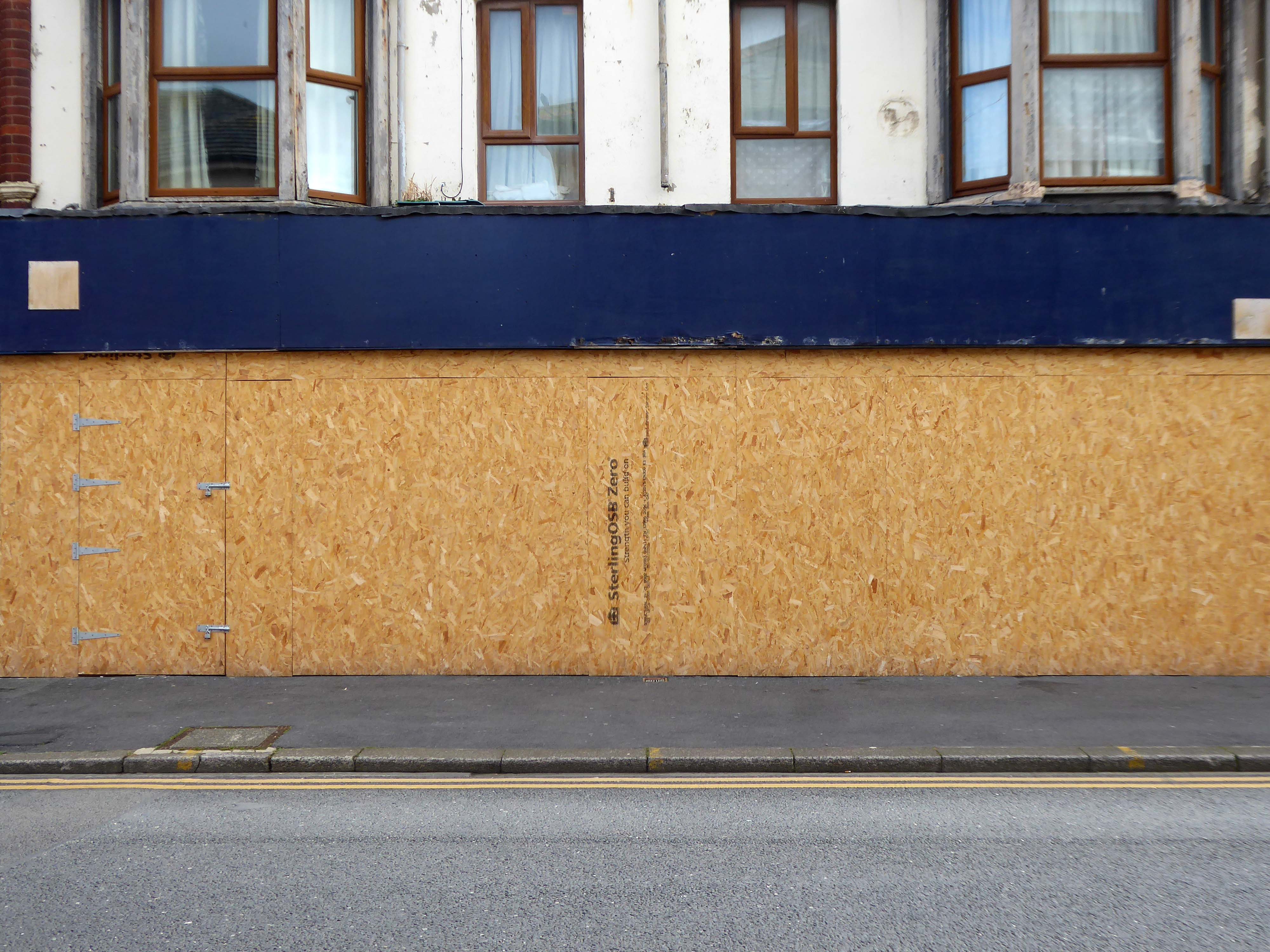
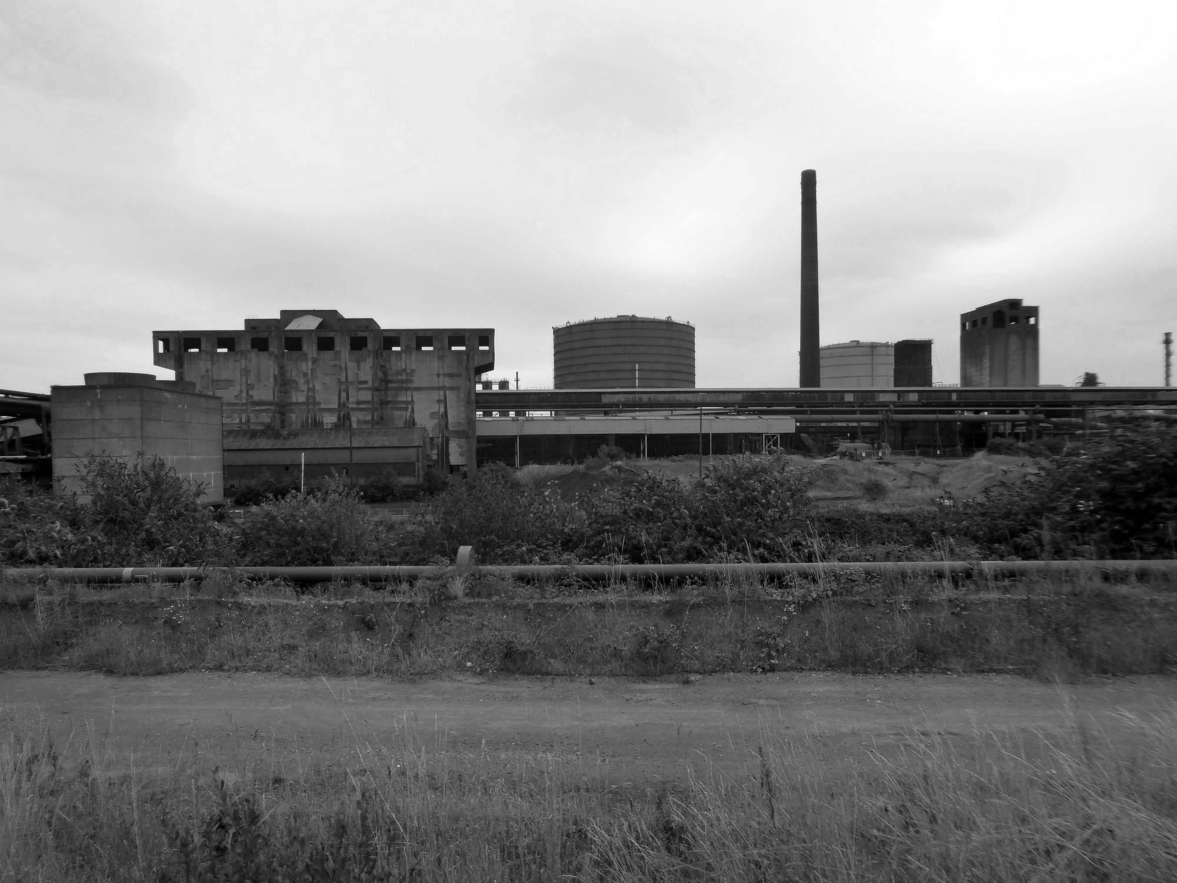
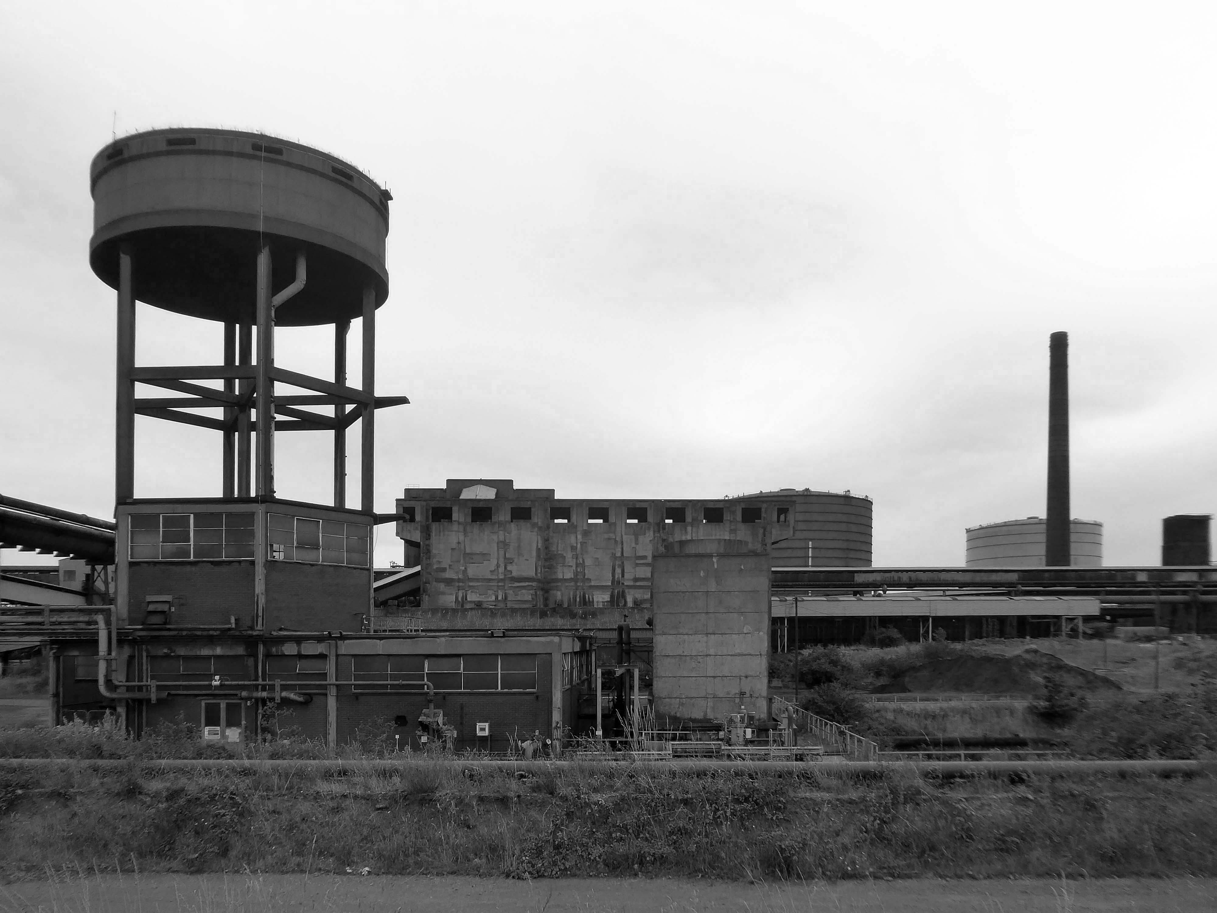
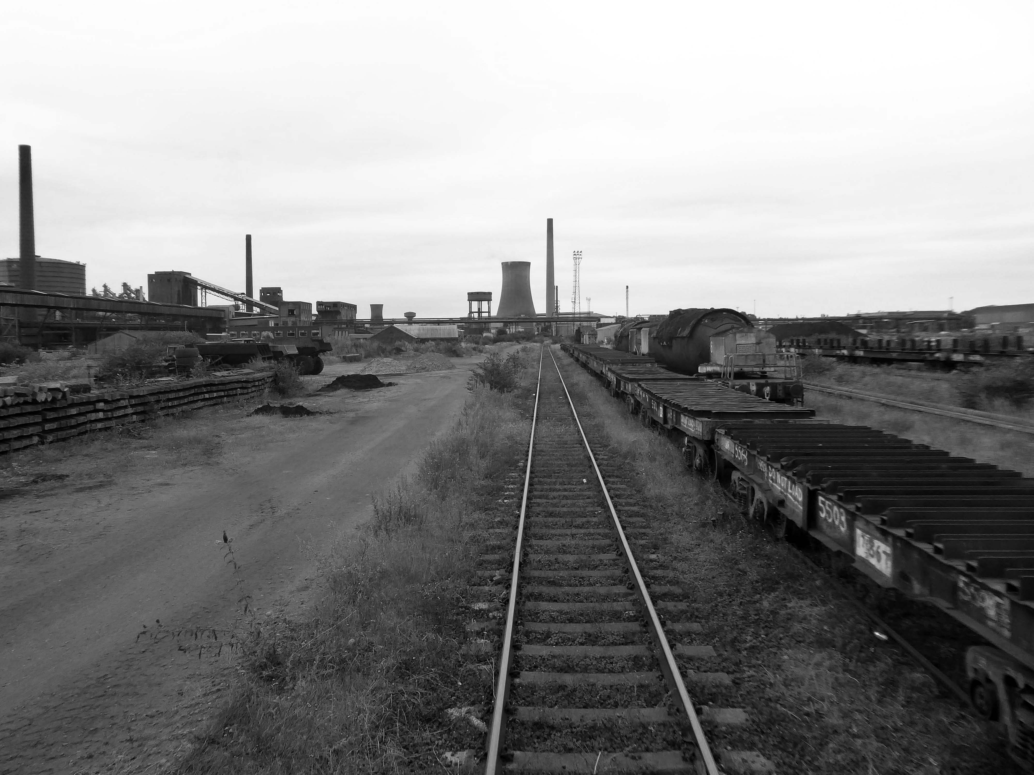
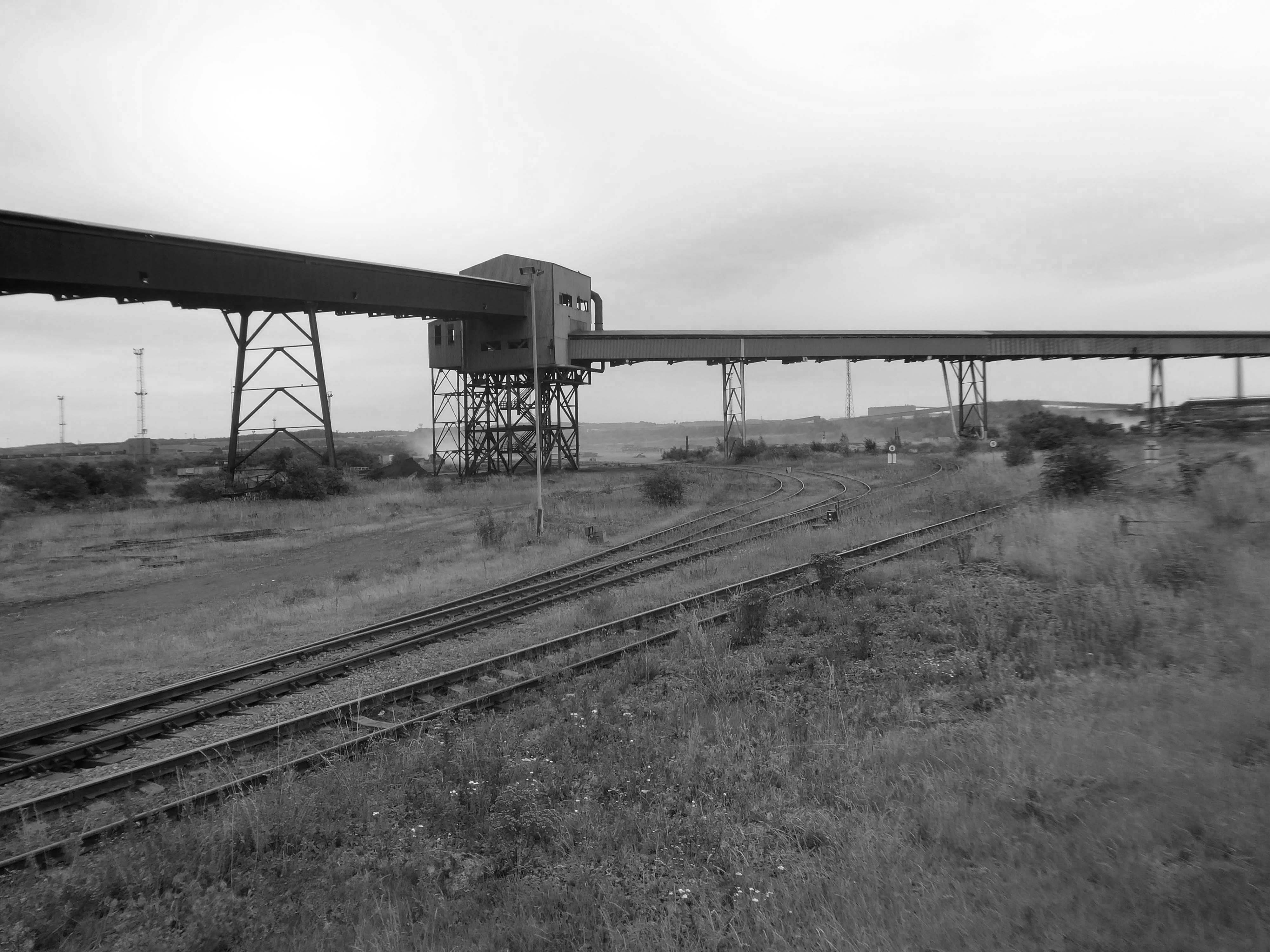
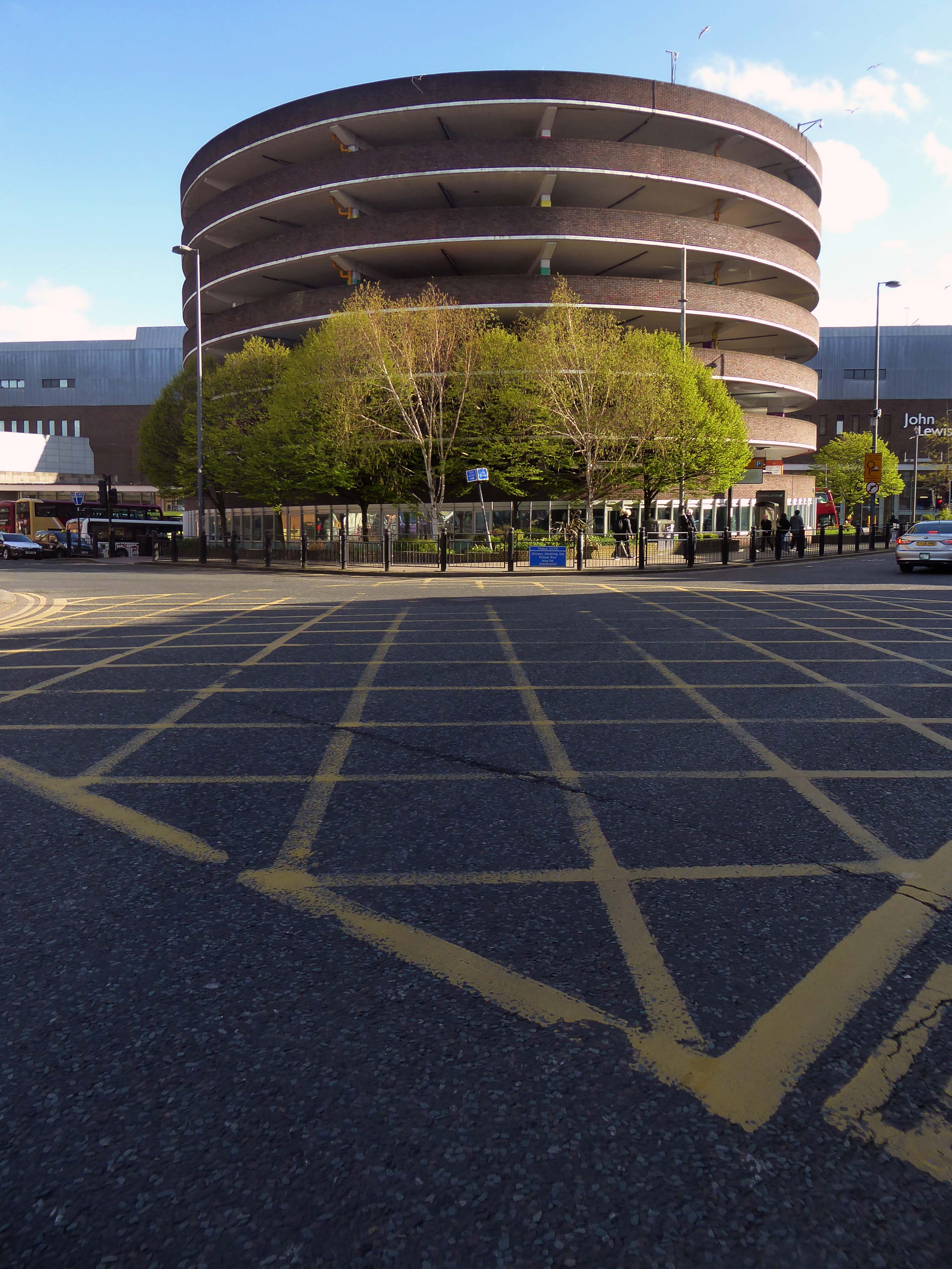
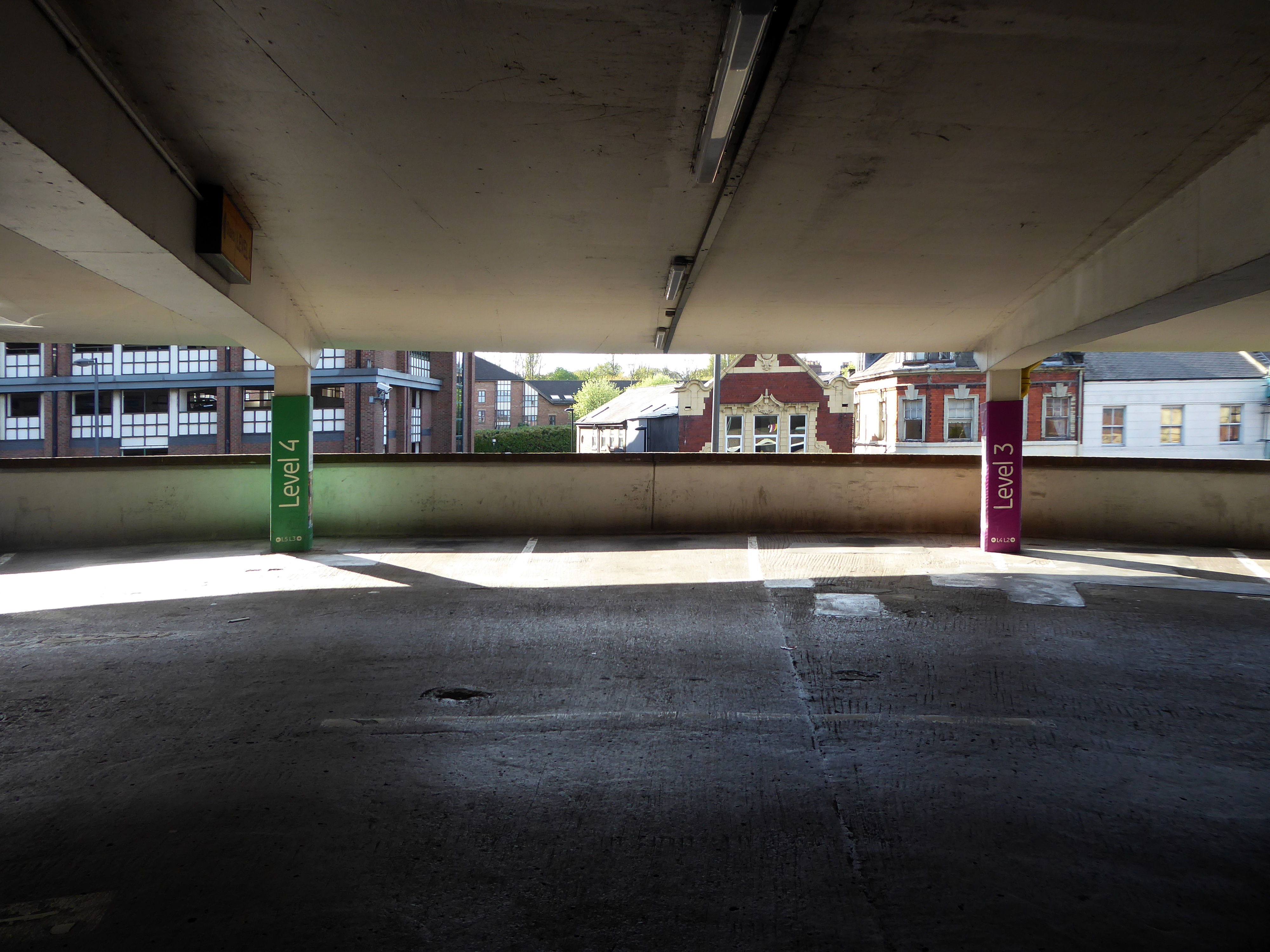
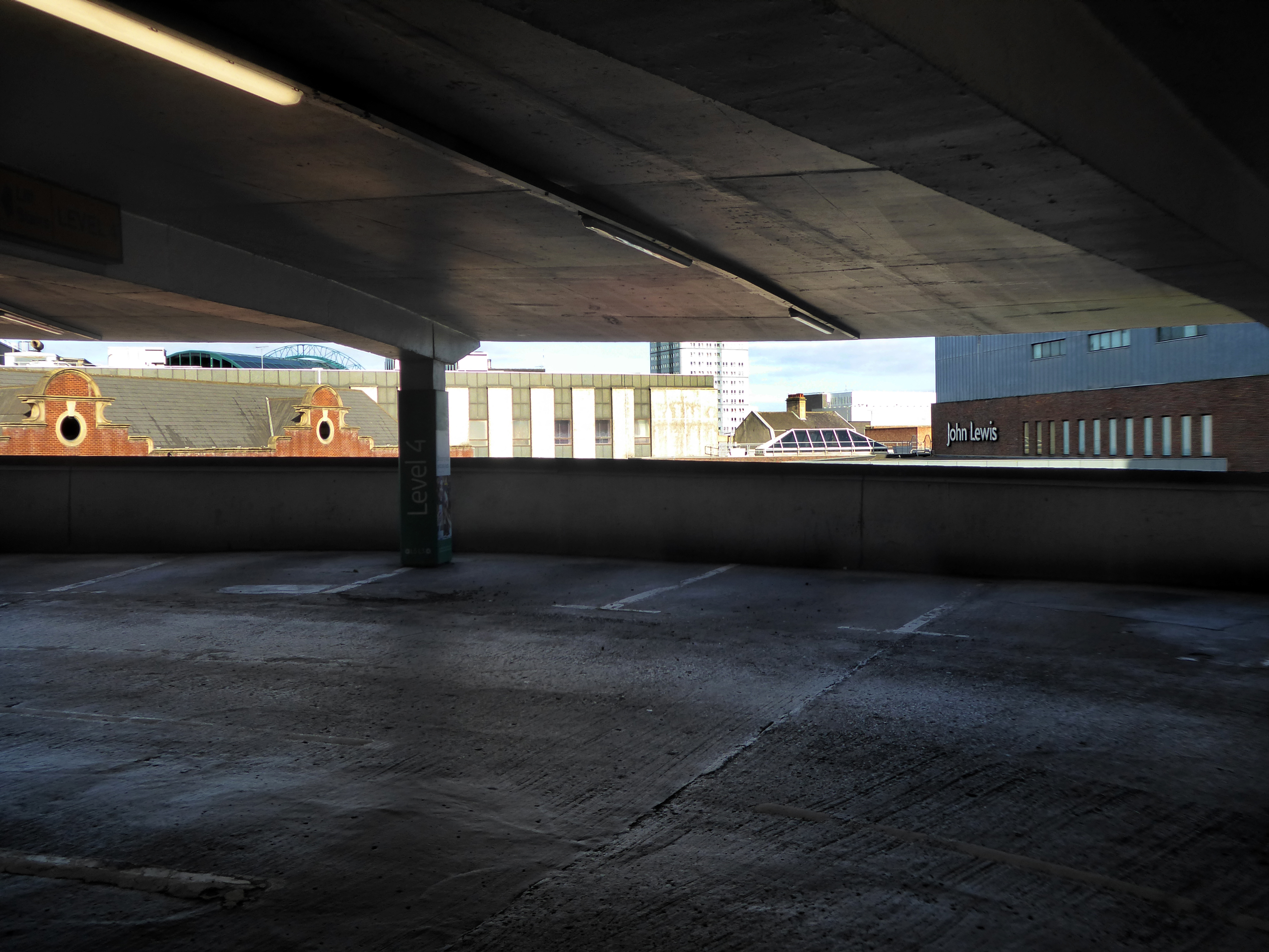
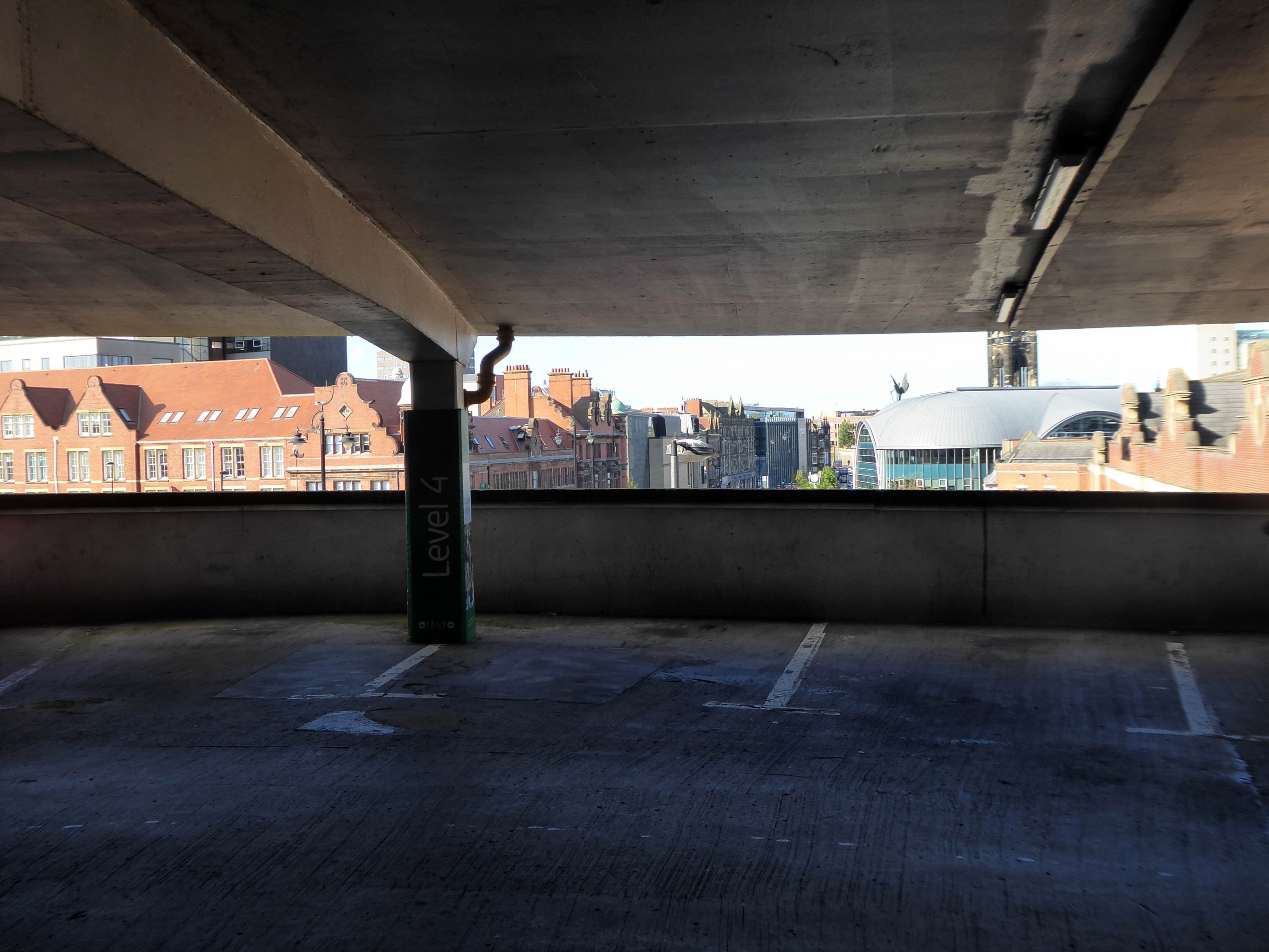
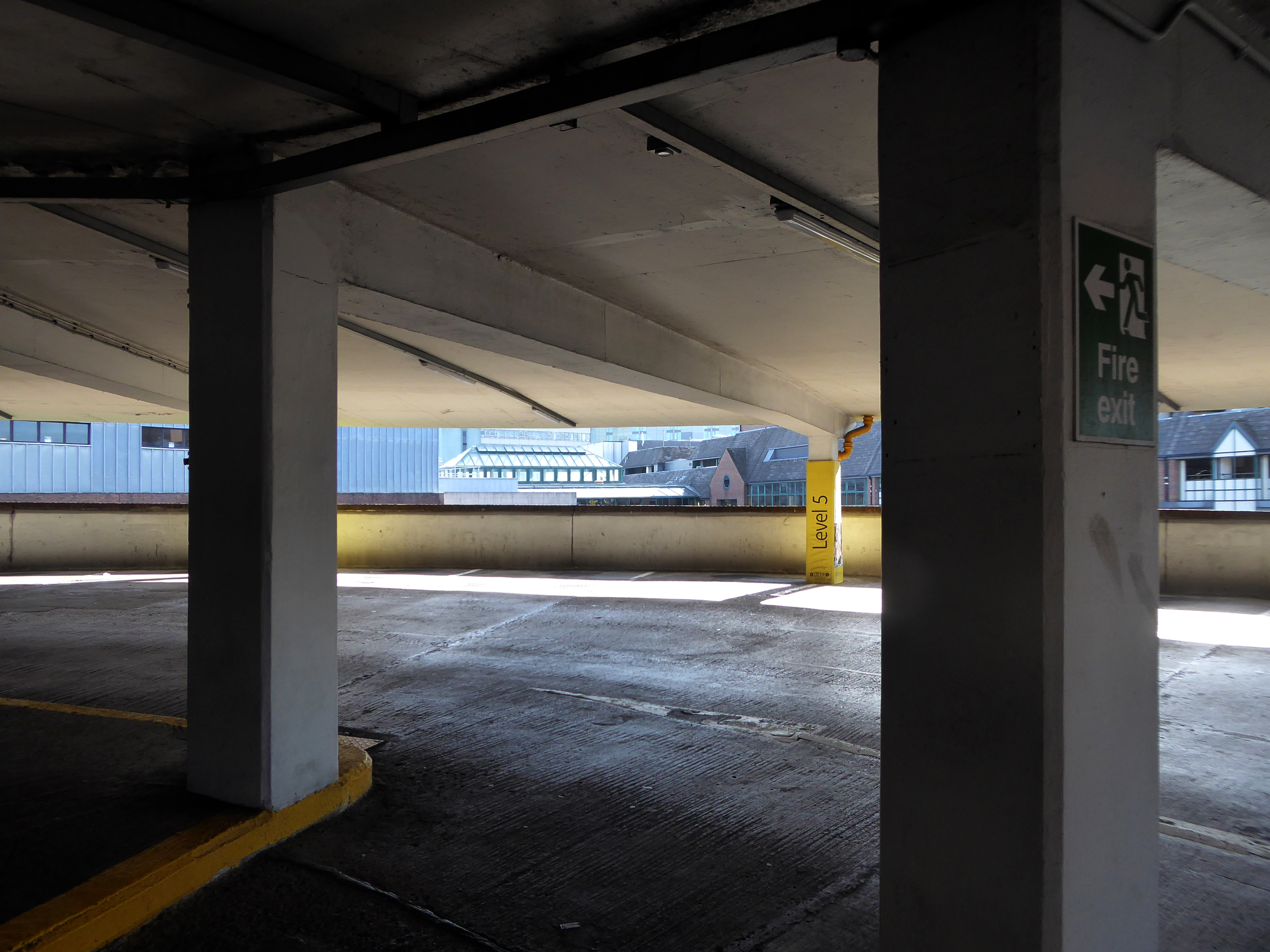
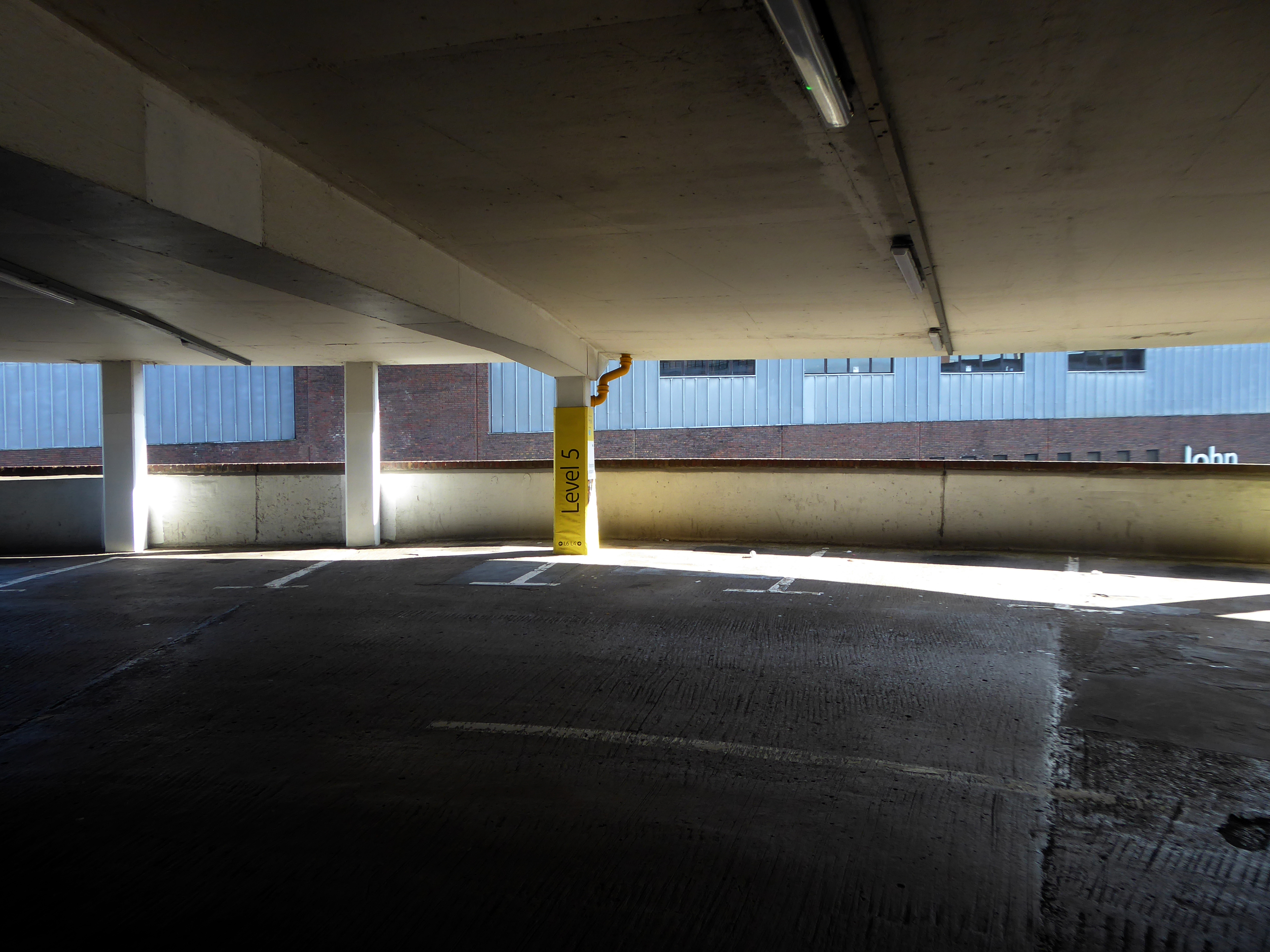
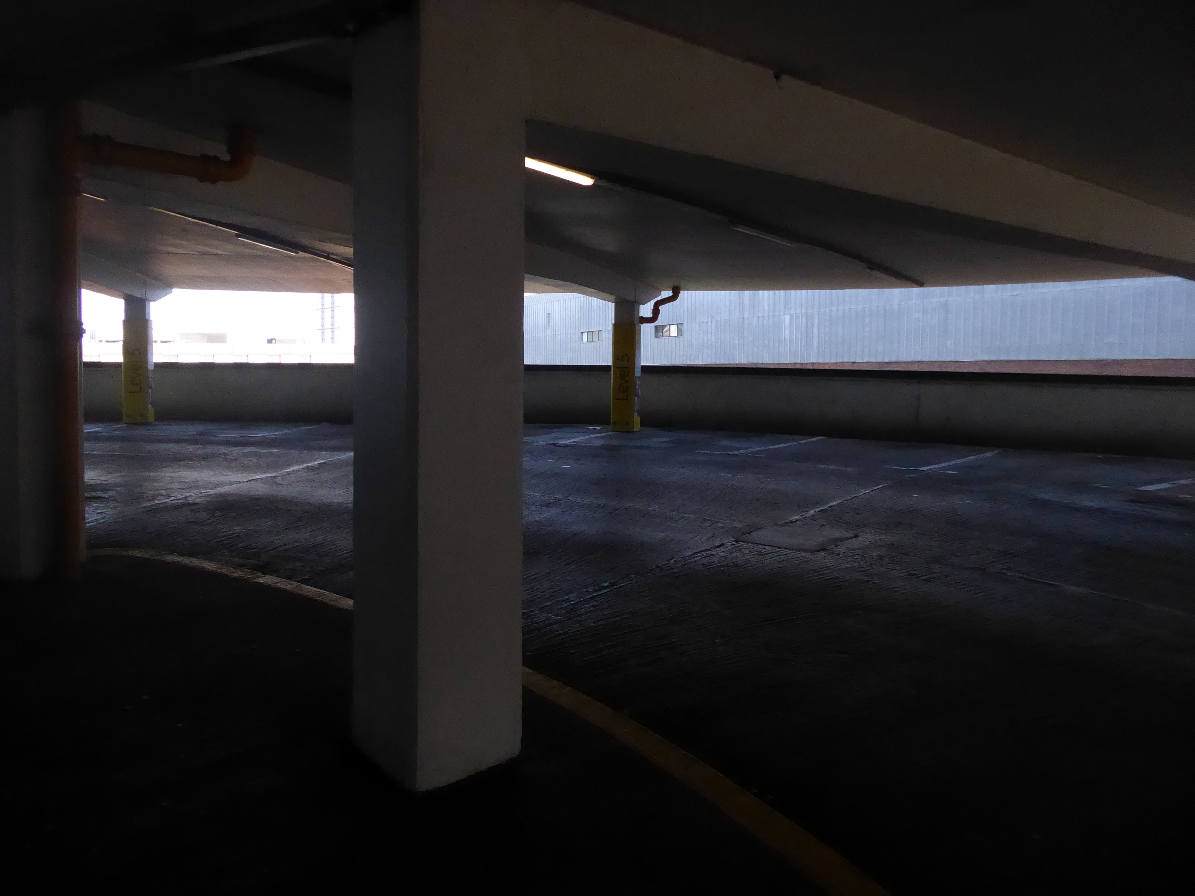
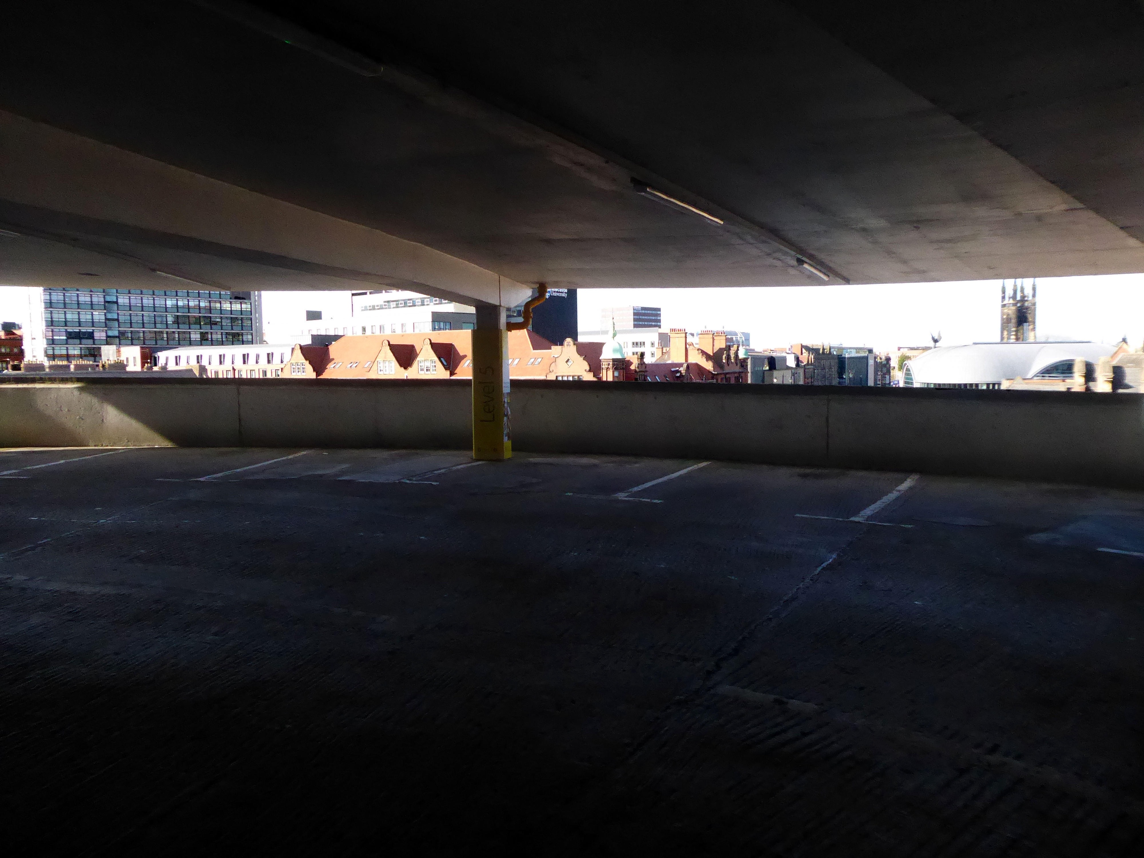
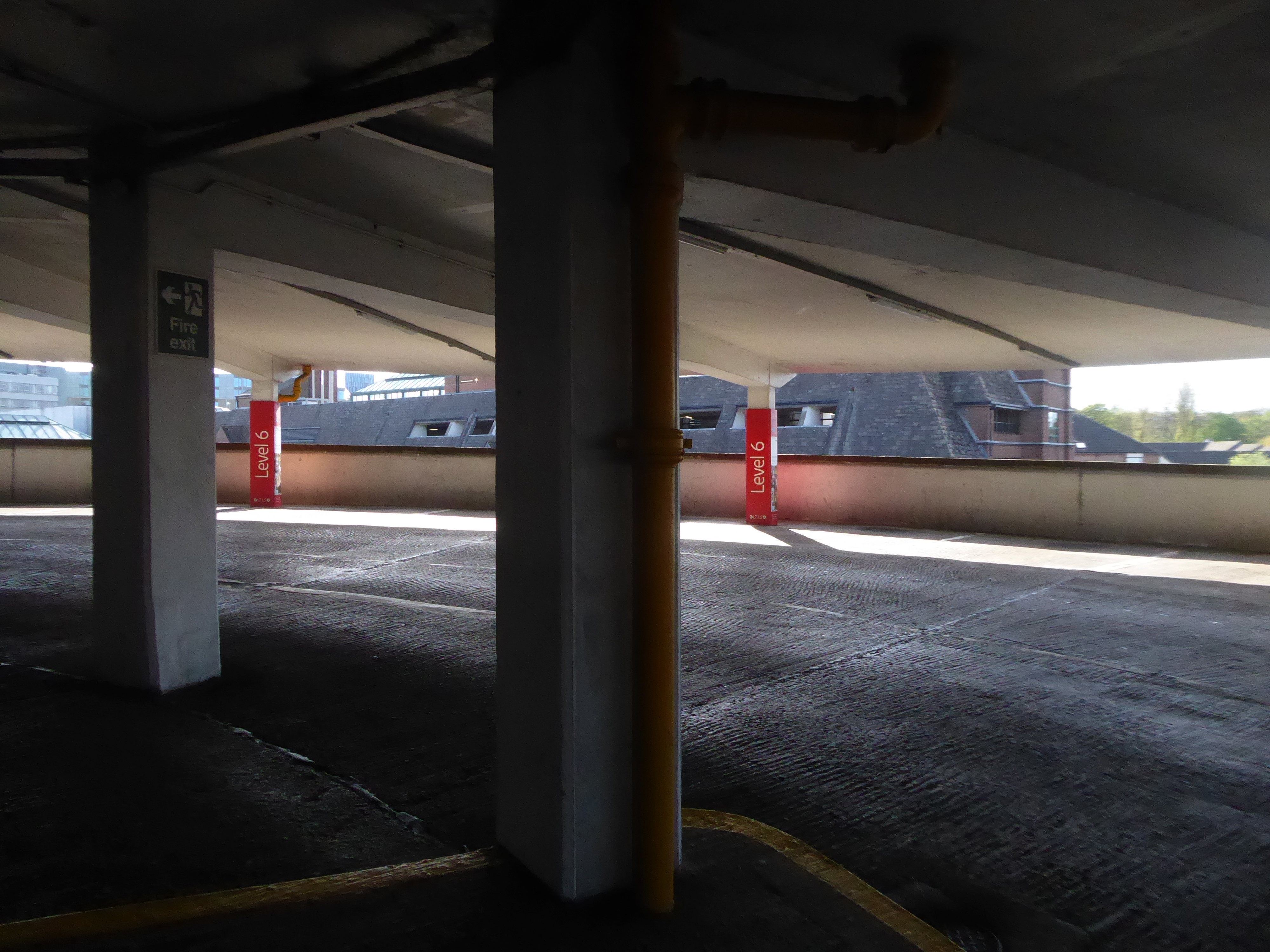
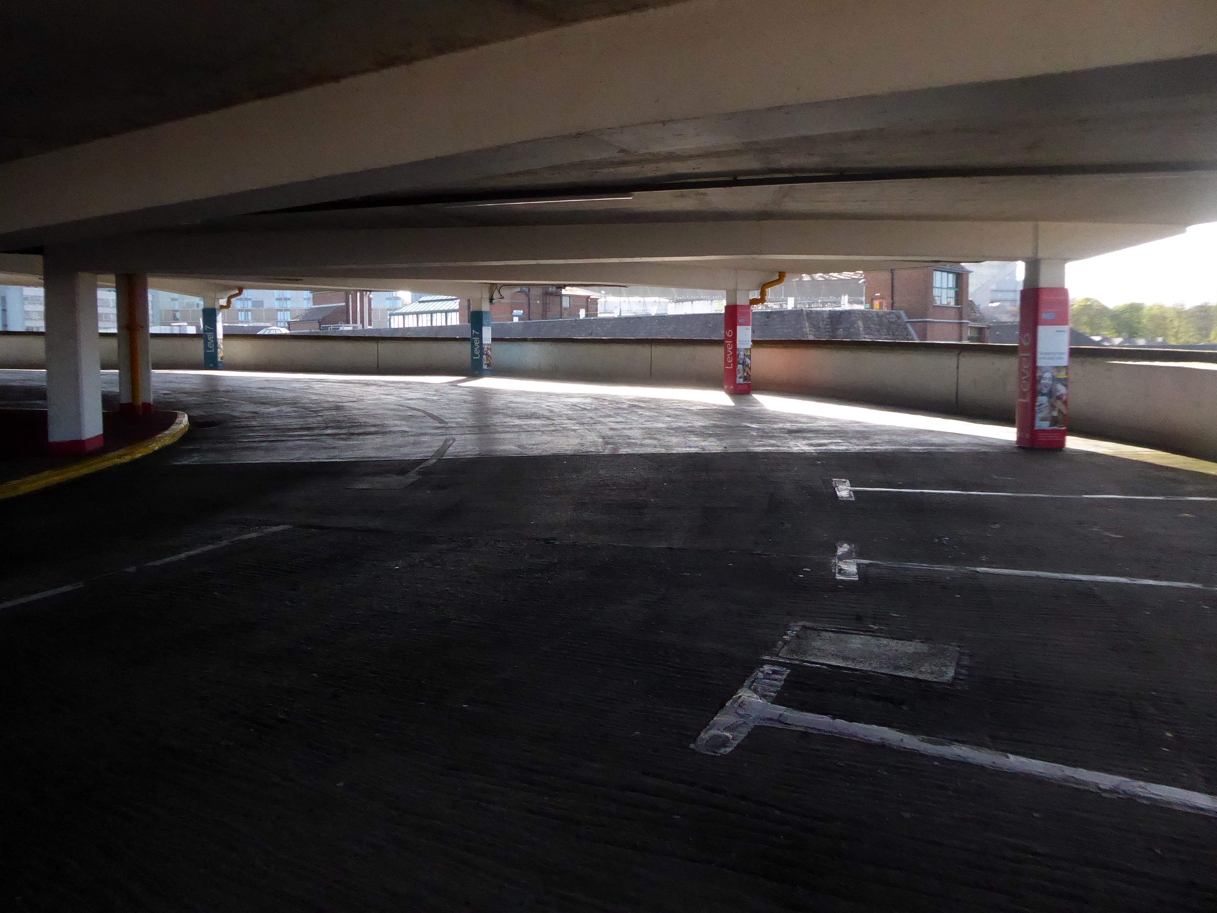
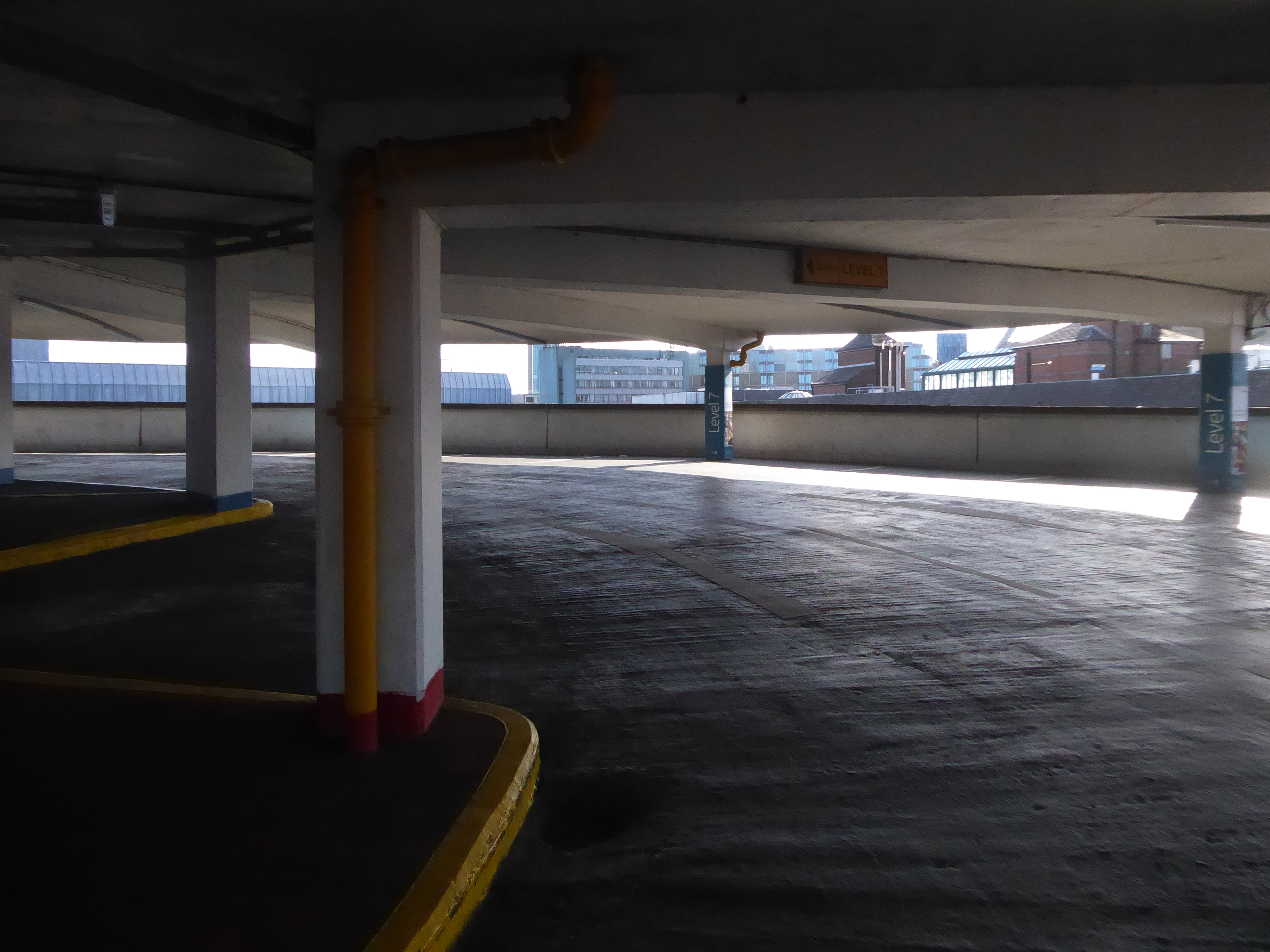
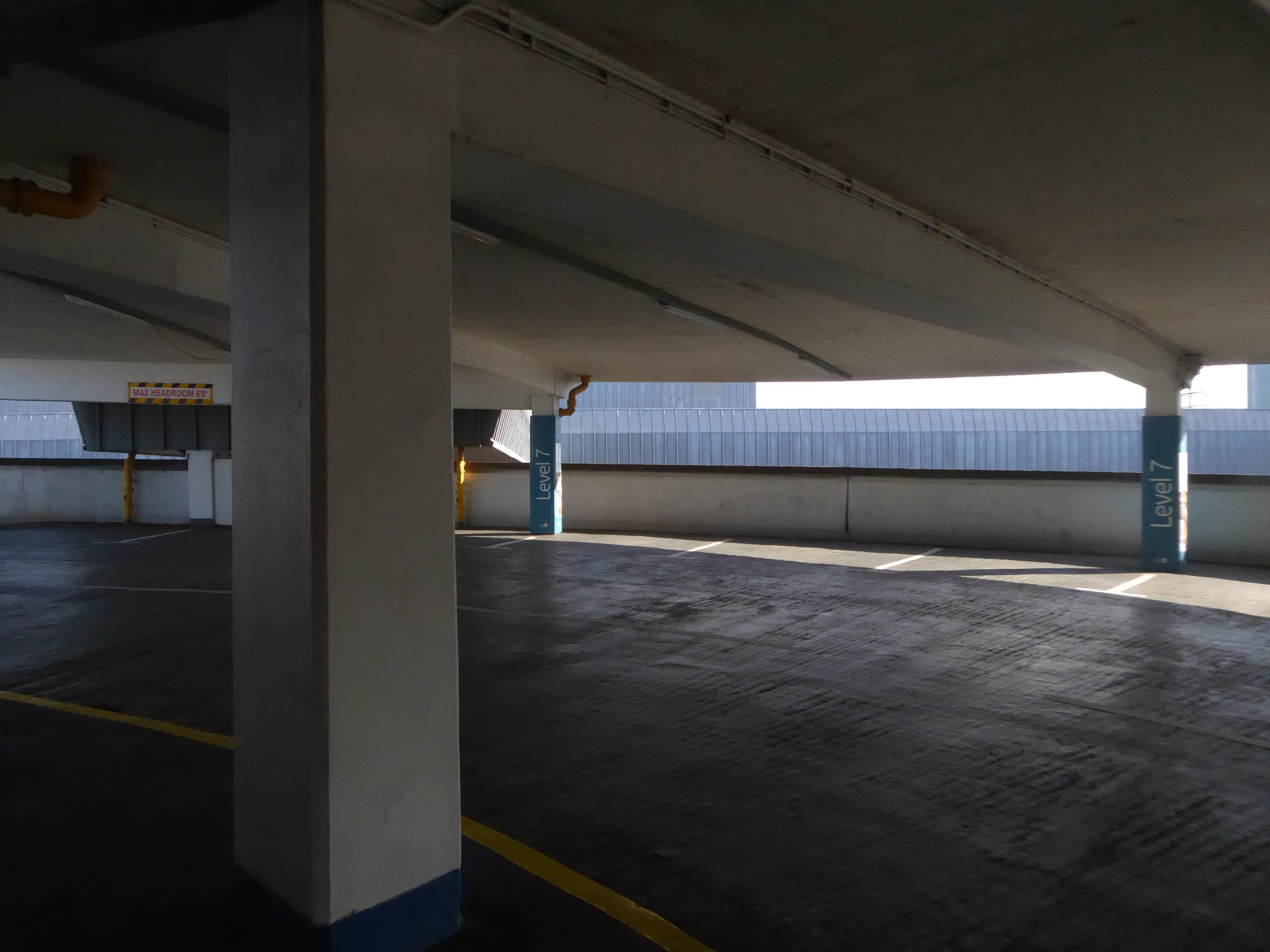
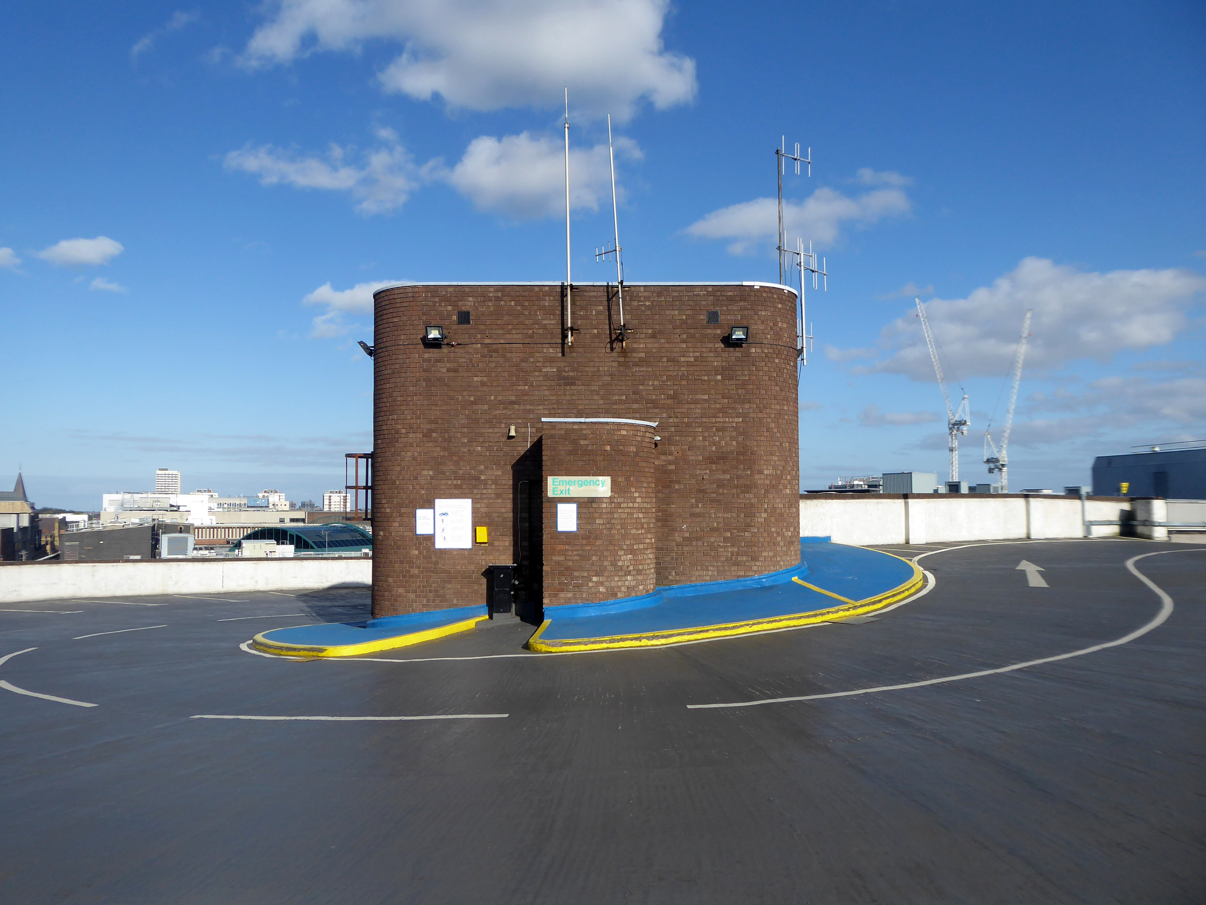
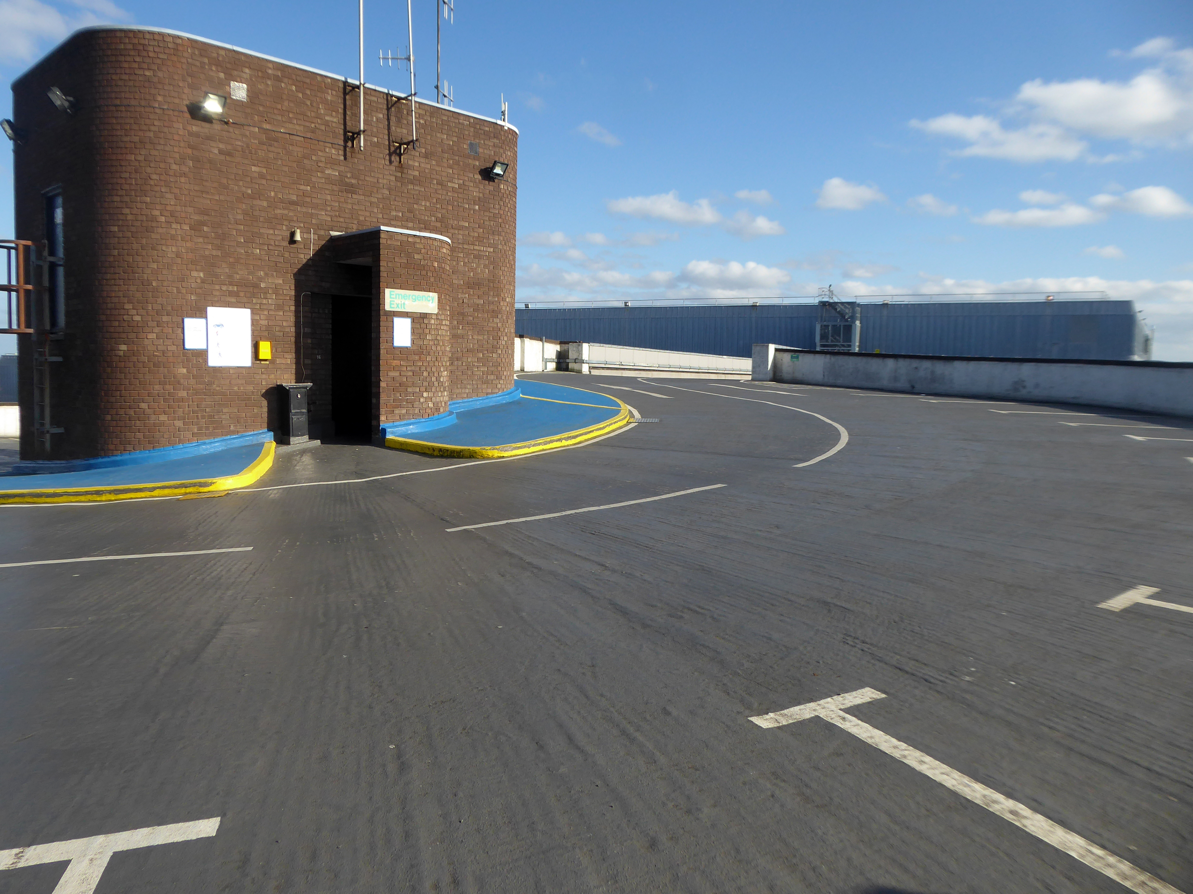
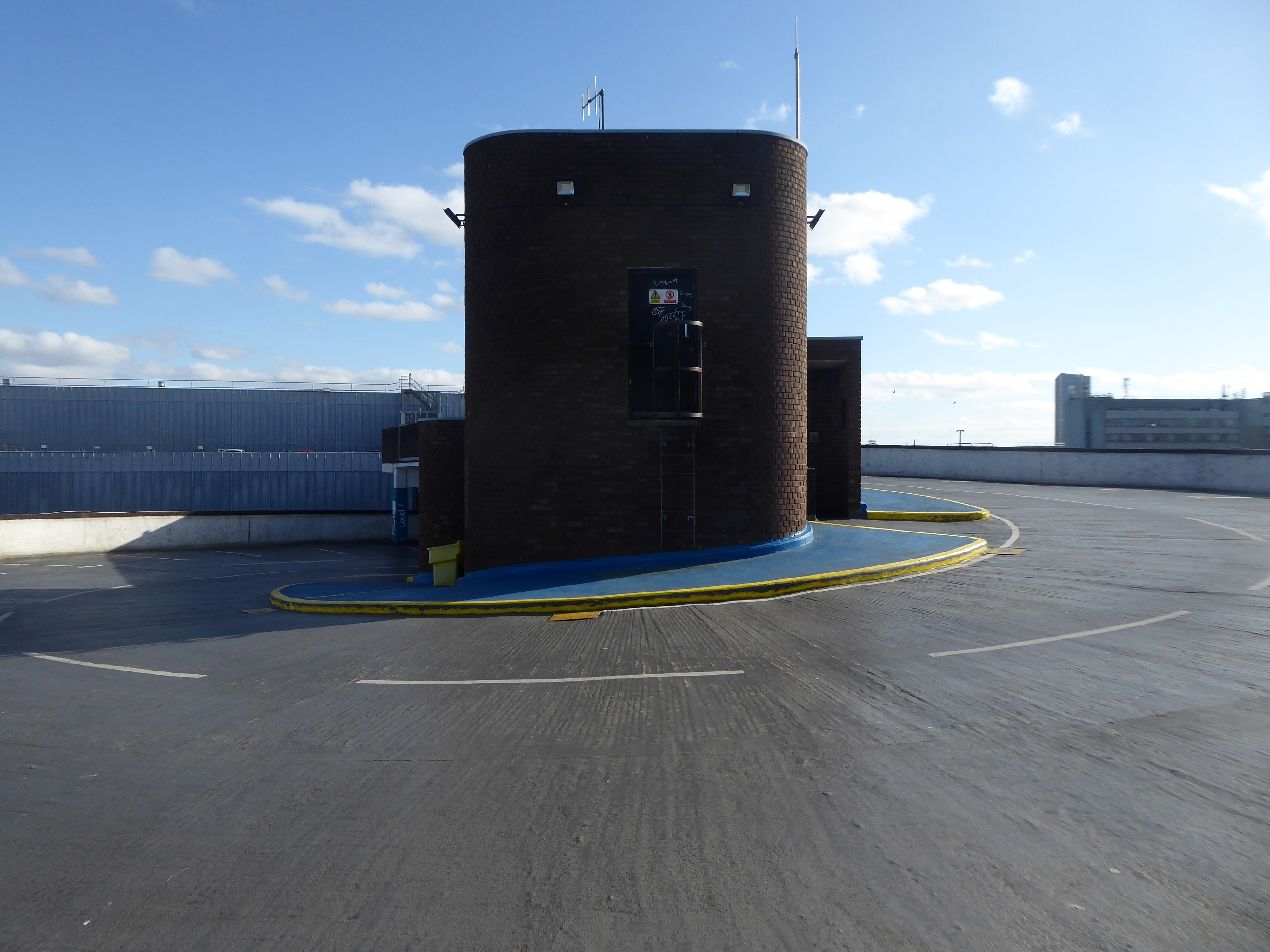
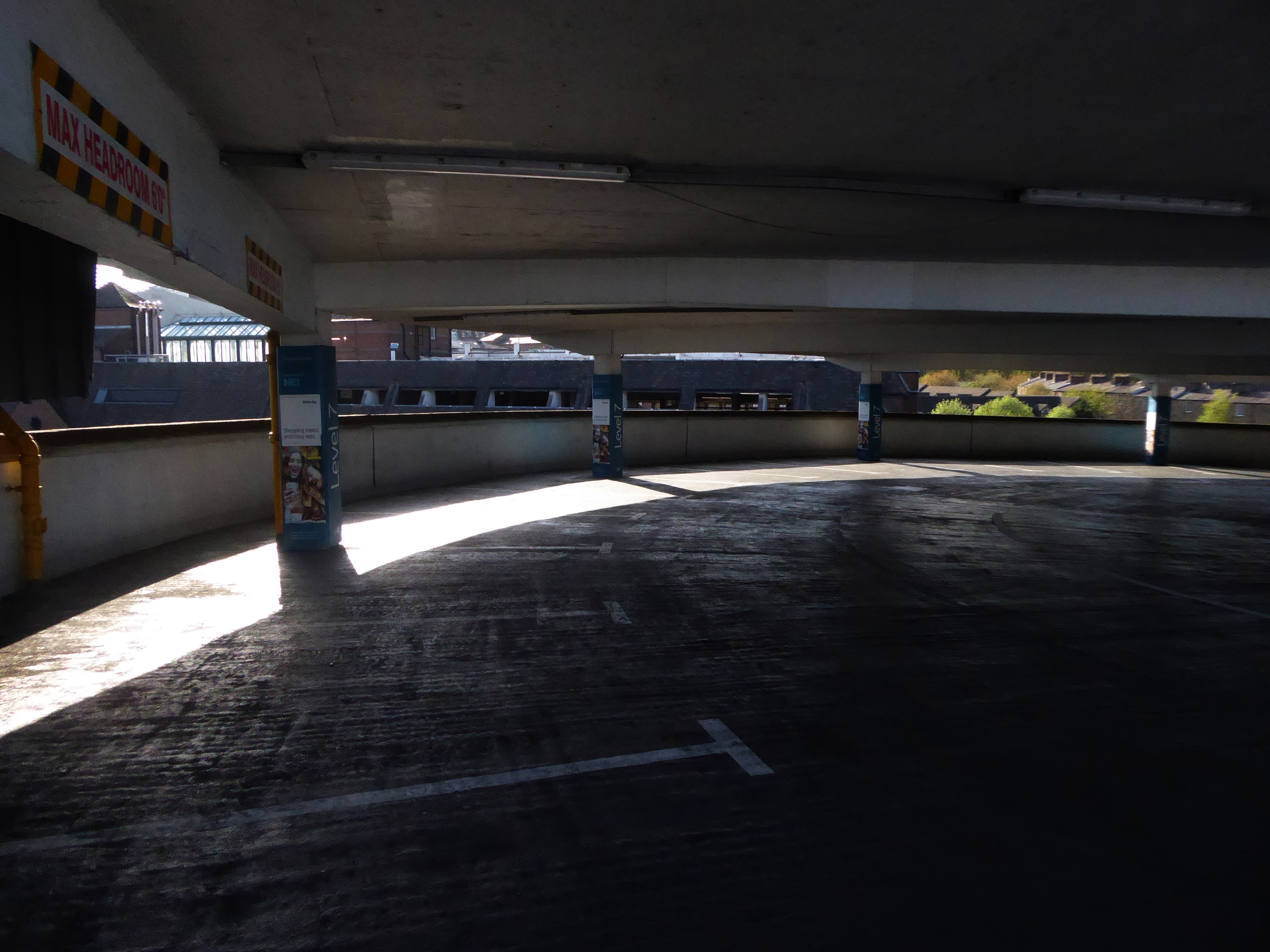
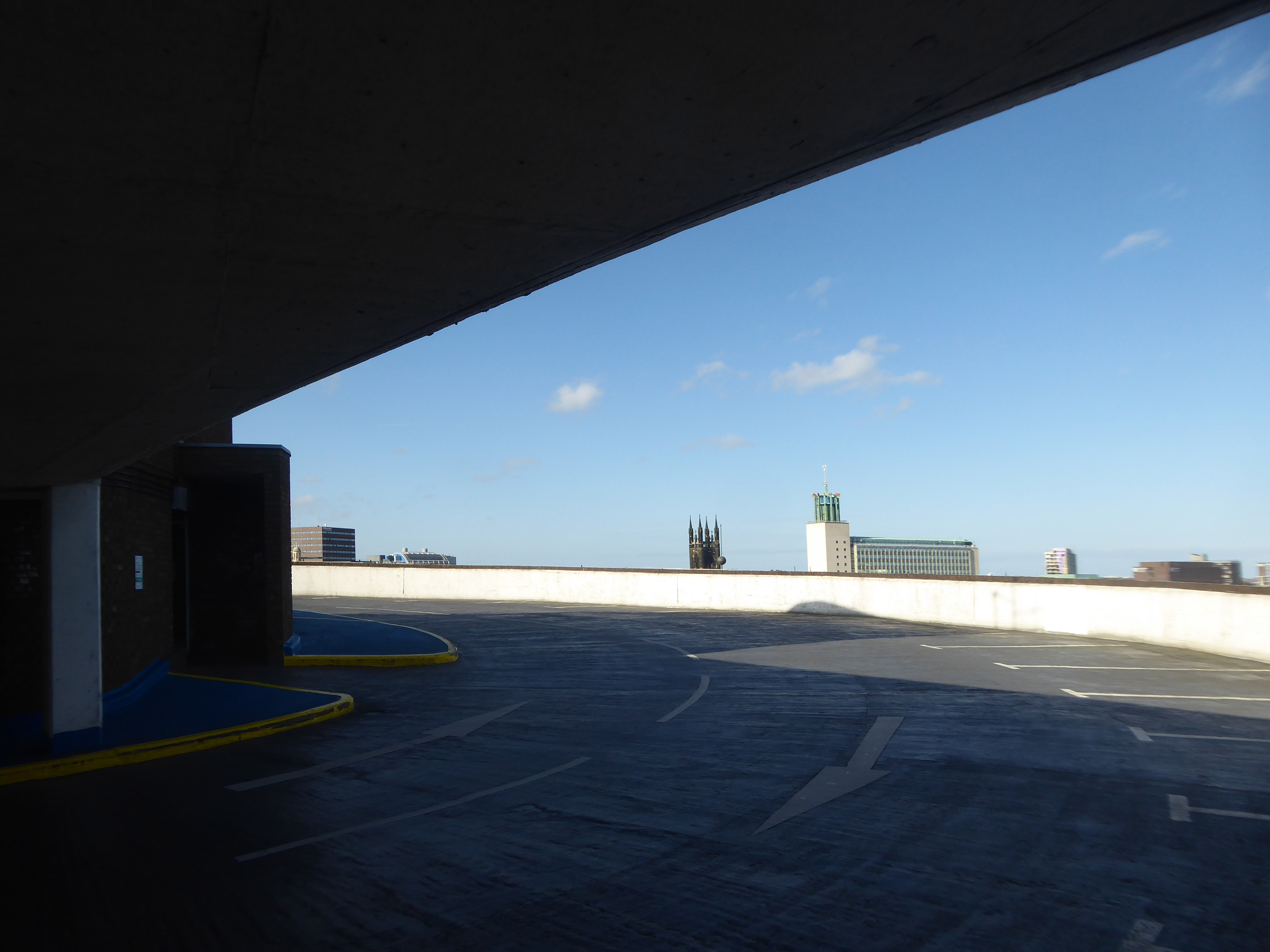
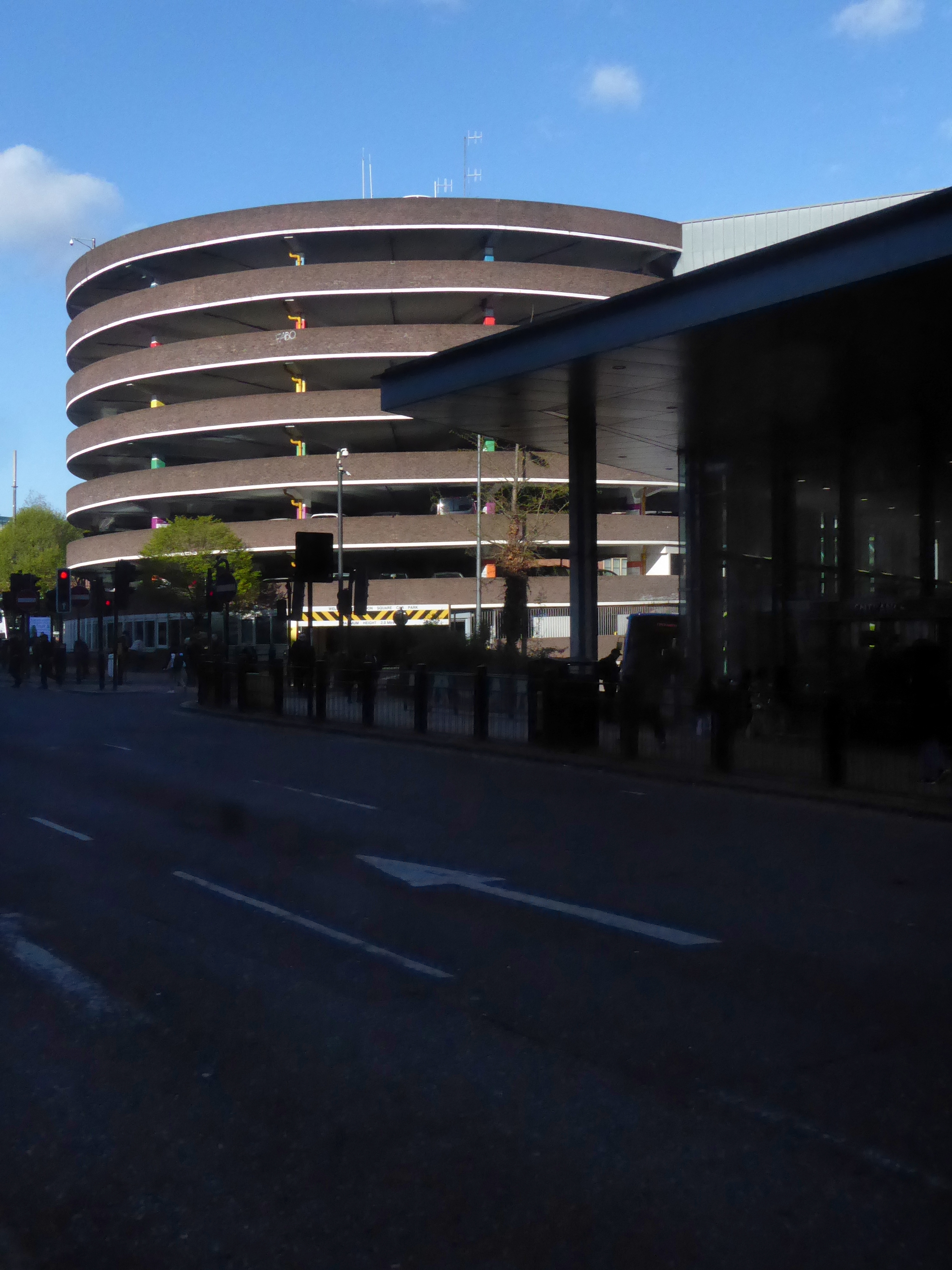
Health and safety regulations state that markings should be placed around obstacles or dangerous locations. This includes where any of the following present a risk:
people tripping or falling
objects falling
people or vehicles colliding with objects
These markings should be made up of alternating red and white or yellow and black stripes of equal size at a 45 degree angle. Barricade tape can be used to satisfy this requirement as long as the tape is “commensurate with the scale of the obstacle or dangerous location in question”
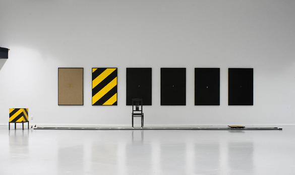
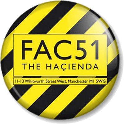
I hereby lay claim to this symbol, sign, icon, the combination of black and yellow, wherever it may appear, in this or any other world, in whatever shape, form, pattern or composition, be it civil or military. I hereby claim to be its originator and owner.
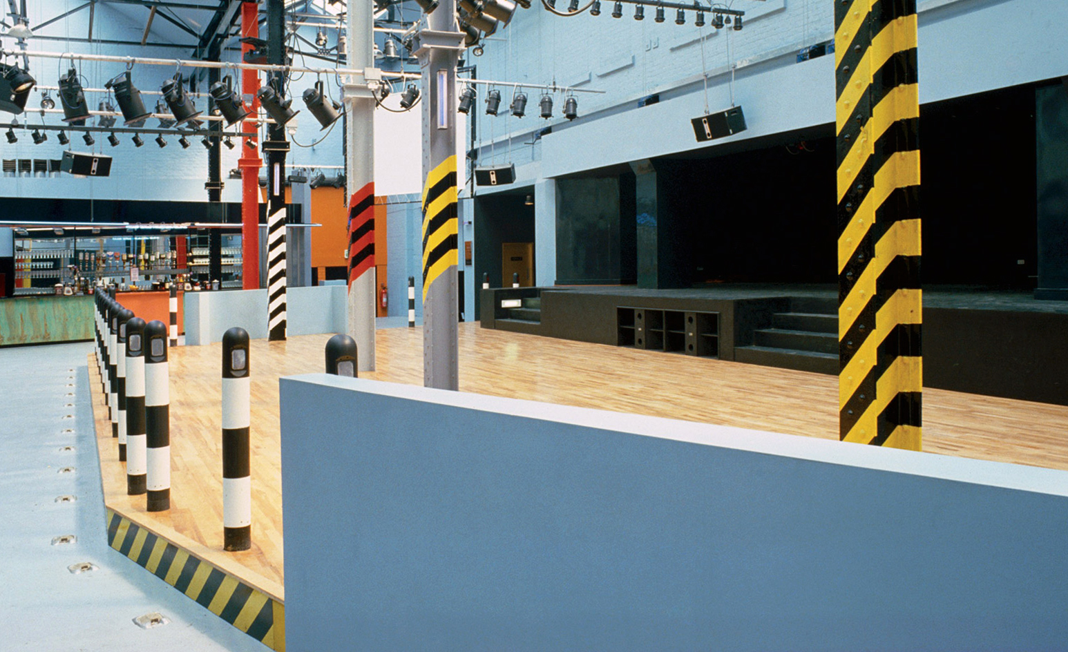
Designed by Ben Kelly, upon recommendation by Factory graphic designer Peter Saville, upstairs consisted of a stage, dance area, bar, cloakroom, cafeteria area and balcony with a DJ booth.
The Haçienda was opened on 21 May 1982, when the comedian Bernard Manning remarked to the audience:
I’ve played some shit-holes during my time, but this is really something.
His jokes did not go down well with the crowd and he returned his fee.
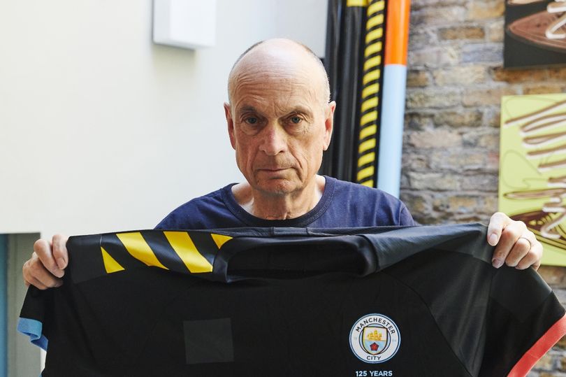
The black and yellow stripes on Manchester City’s away shirts were meant to be an uplifting homage to Manchester’s cultural heritage, but the choice of design now risks becoming a chip on the team’s shoulders.
The team’s jersey is embroiled in a controversy after Ben Kelly, the man who originally designed the stripes for famed Manchester nightclub the Haçienda, complained in a recent interview to Gaffer magazine that he was not credited or consulted by the creators of the football apparel.
When Manchester City and Puma launched the team’s 2019/20 kit last July, they said in a press release that the uniform paid tribute to the “Madchester” years of the late 1980s and early 1990s, when the city in north-west England became a hub of alternative music and dance culture.
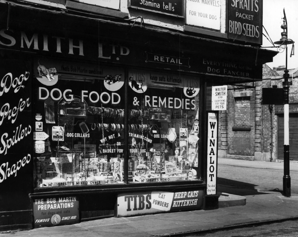
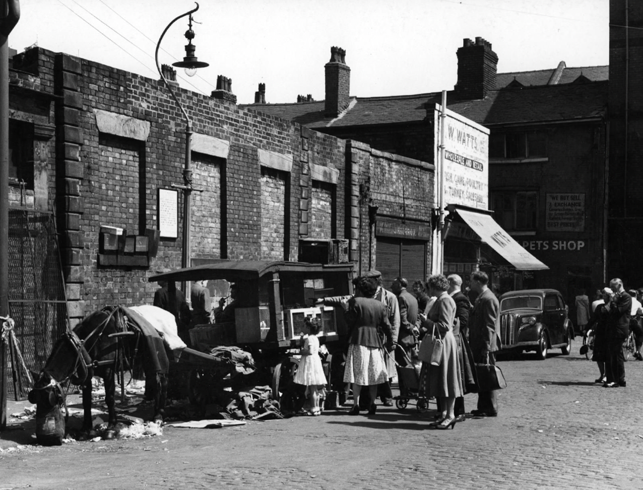
Thanks to L Kaye and the Manchester Local Image Collection there is a photographic record of Tib Street through the years.
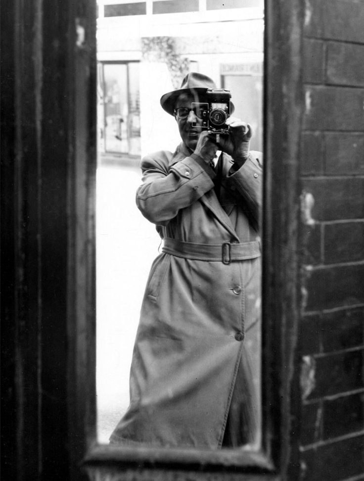
Shot on 35mm black and white film, cautiously clad in gaberdine and trilby. The legwork aside the processing and printing of a whole heap of exposures was a gargantuan task.
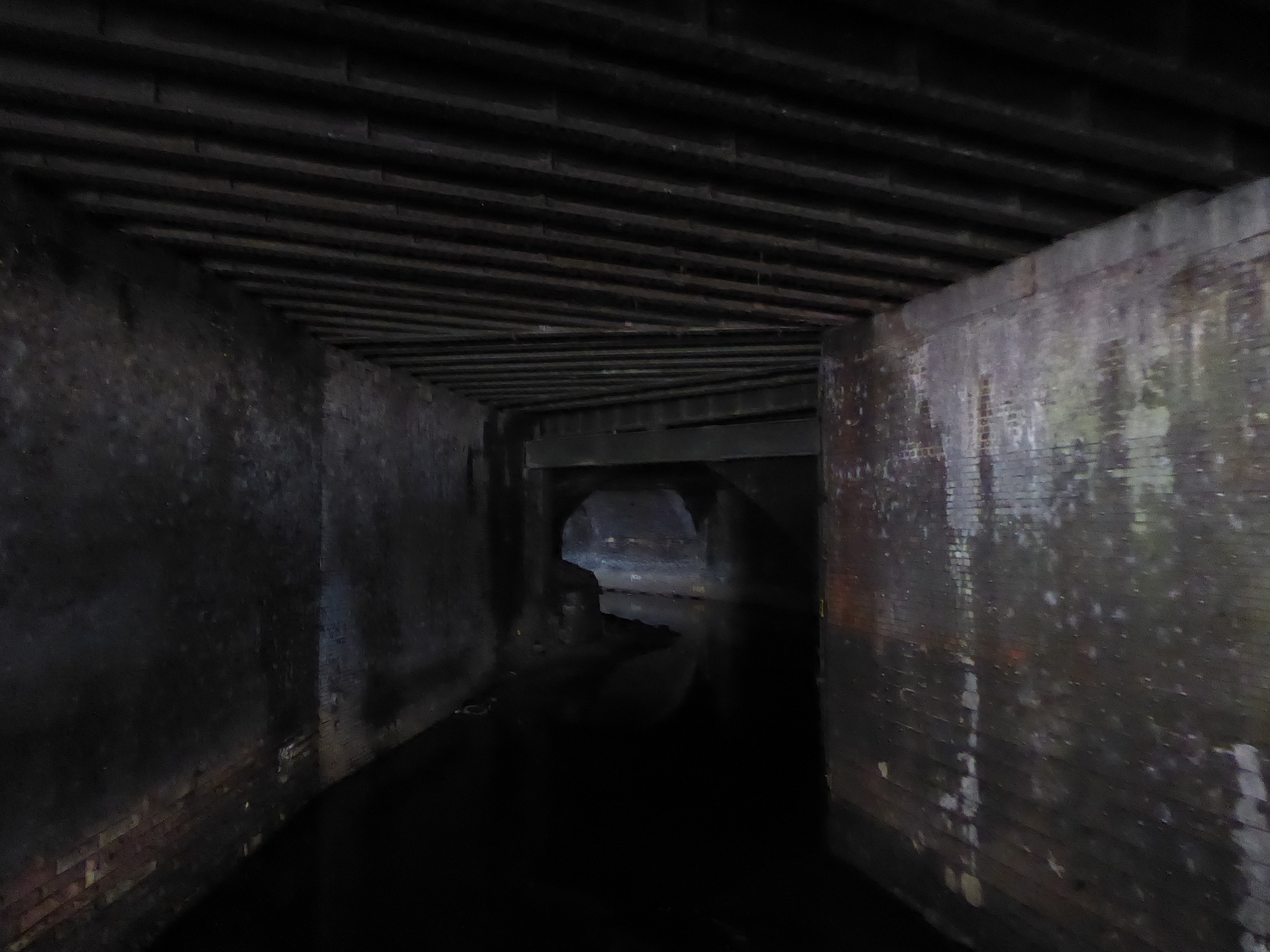
The river’s source is a spring in Miles Platting , from where it flows underneath Oldham Road and the eponymous Tib Street to reach the city centre. After flowing underneath West Mosley Street, the Tib crosses Princess Street to flow underneath the Manchester Town Hall Extension, the Central Library and the Midland Hotel’s dining room, before joining the Medlock at Gaythorn (now First Street, close to Deansgate railway station.
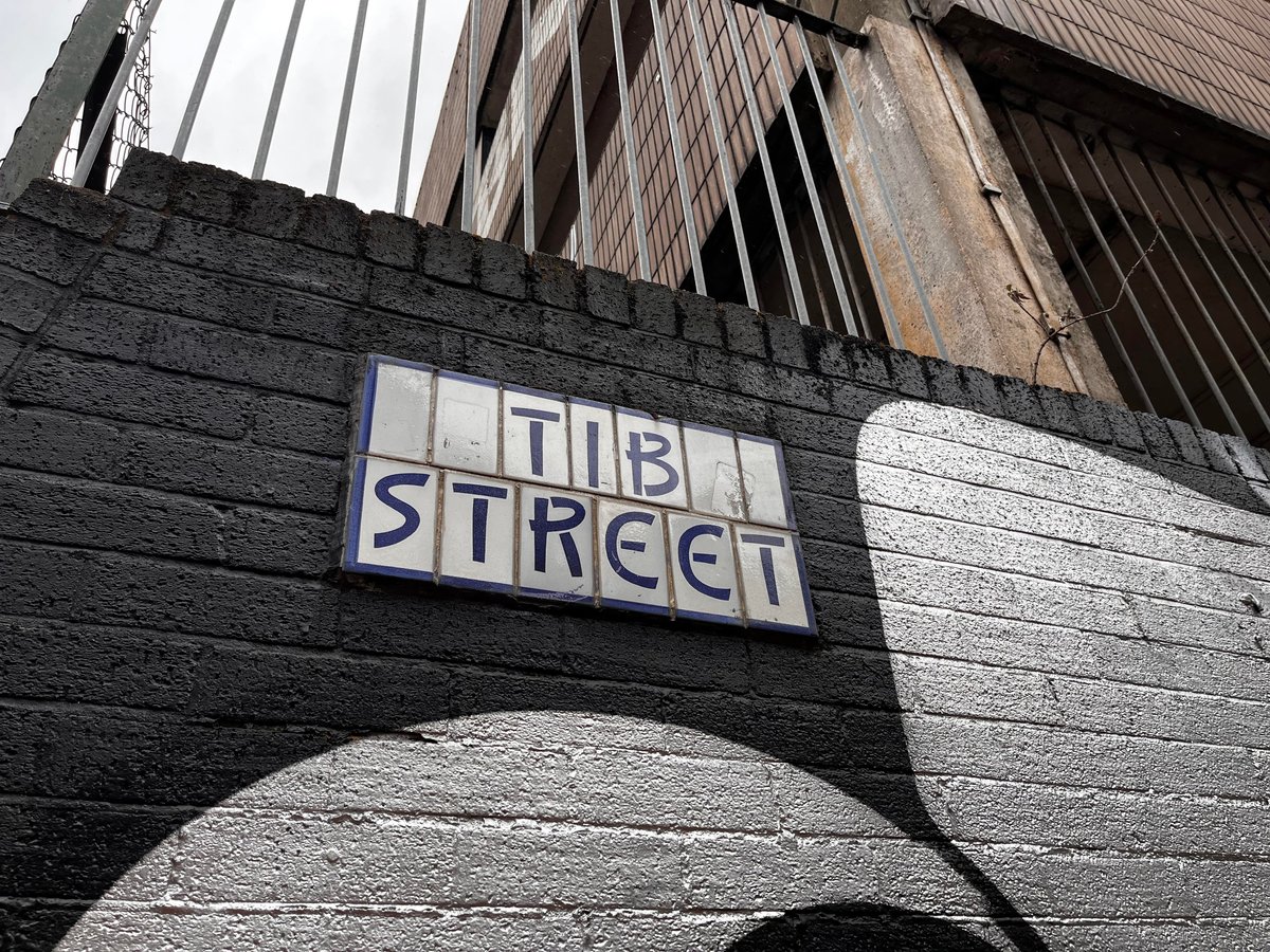
The distinctive street signs the work of my old pal Tim Rushton.
There are those who will remember Tib Street, as a street of pet shops.
Whilst on Sundays the area was transformed into an al fresco menagerie – a land of caged birds and cuddly coneys.
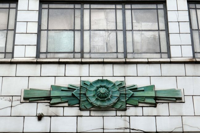
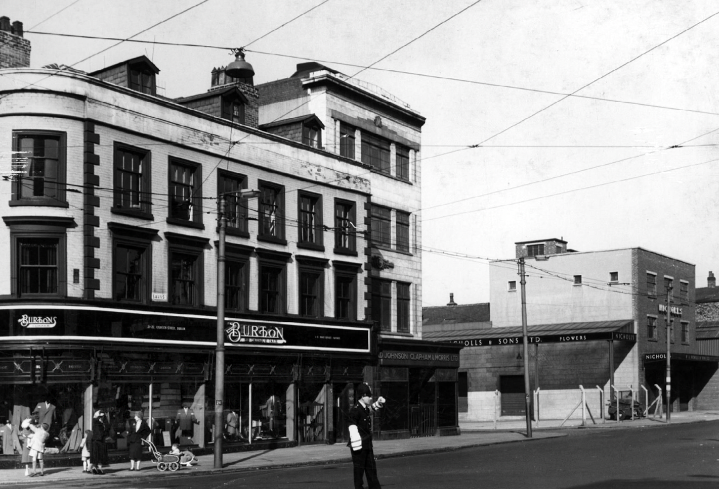
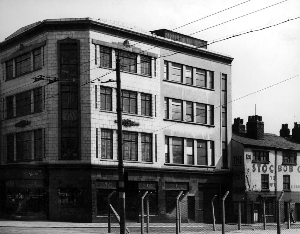
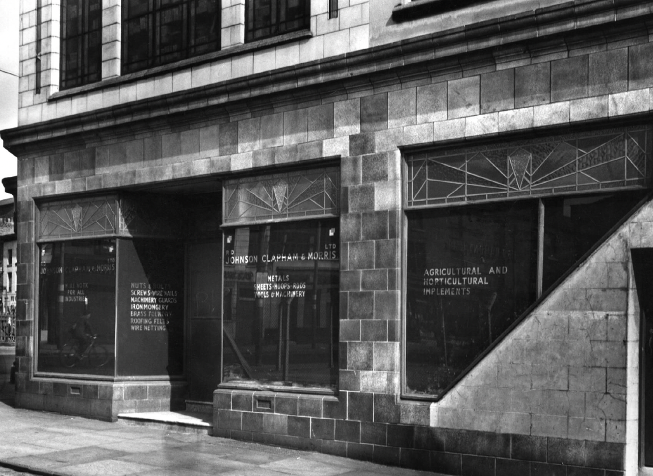
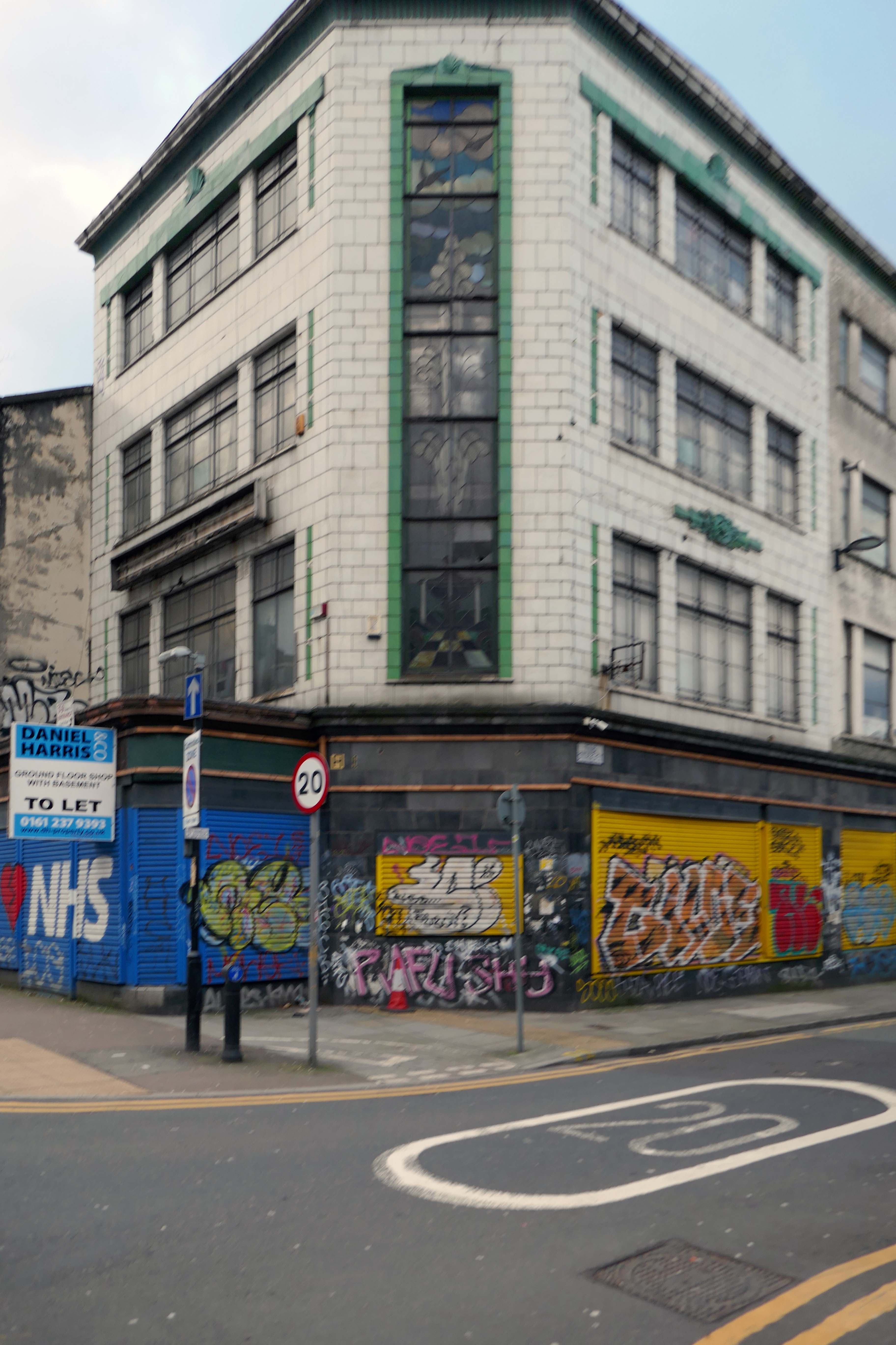
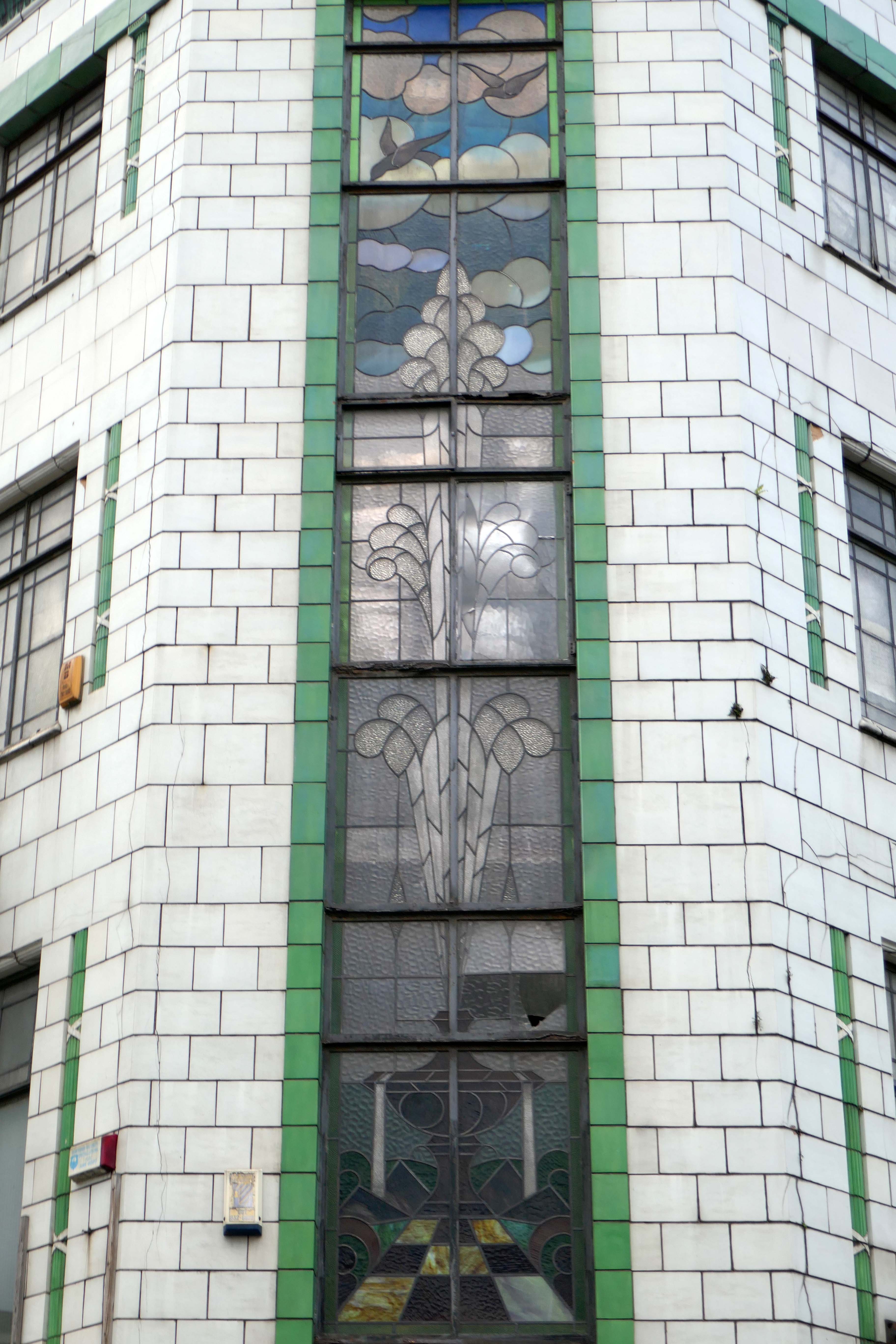
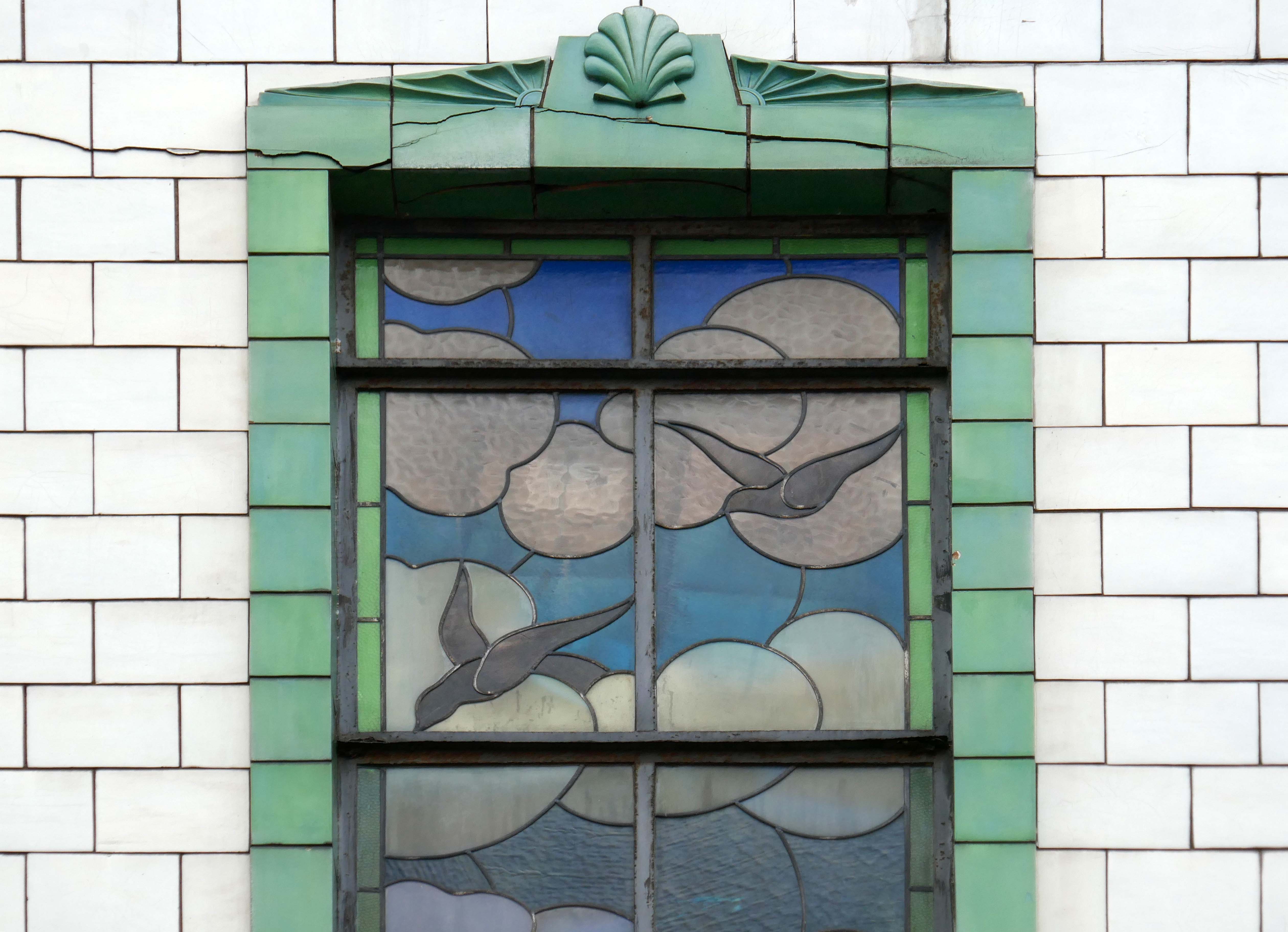
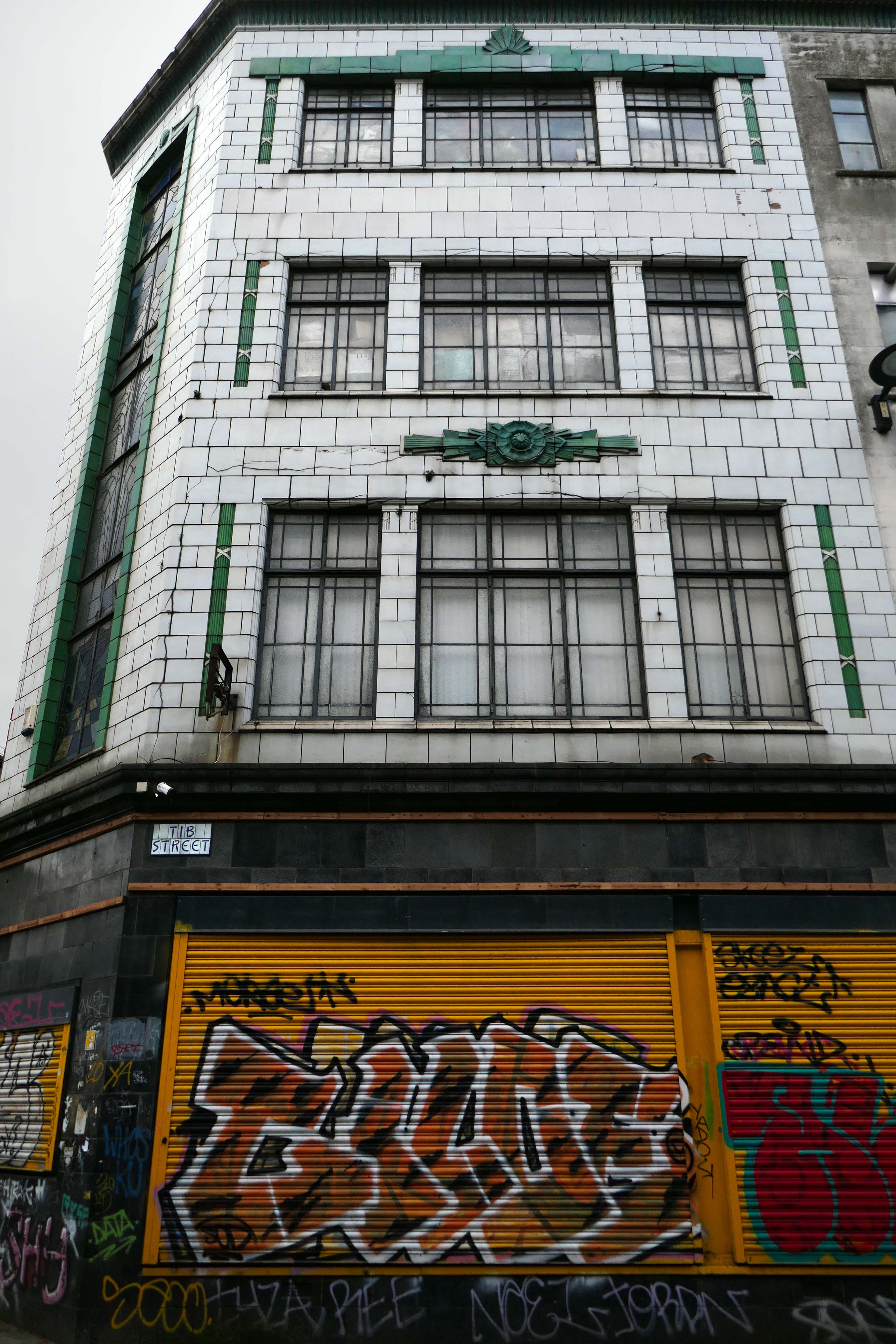
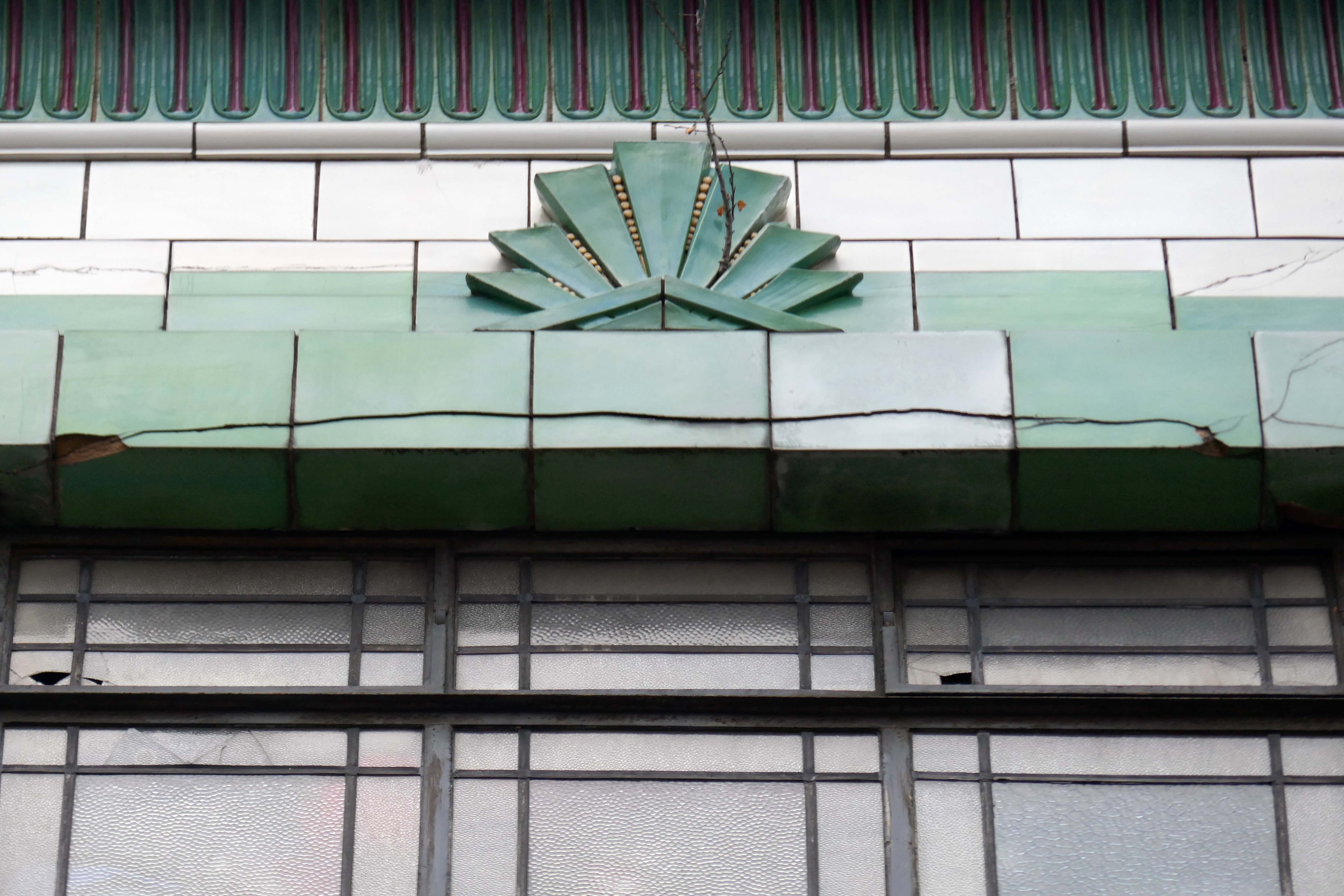
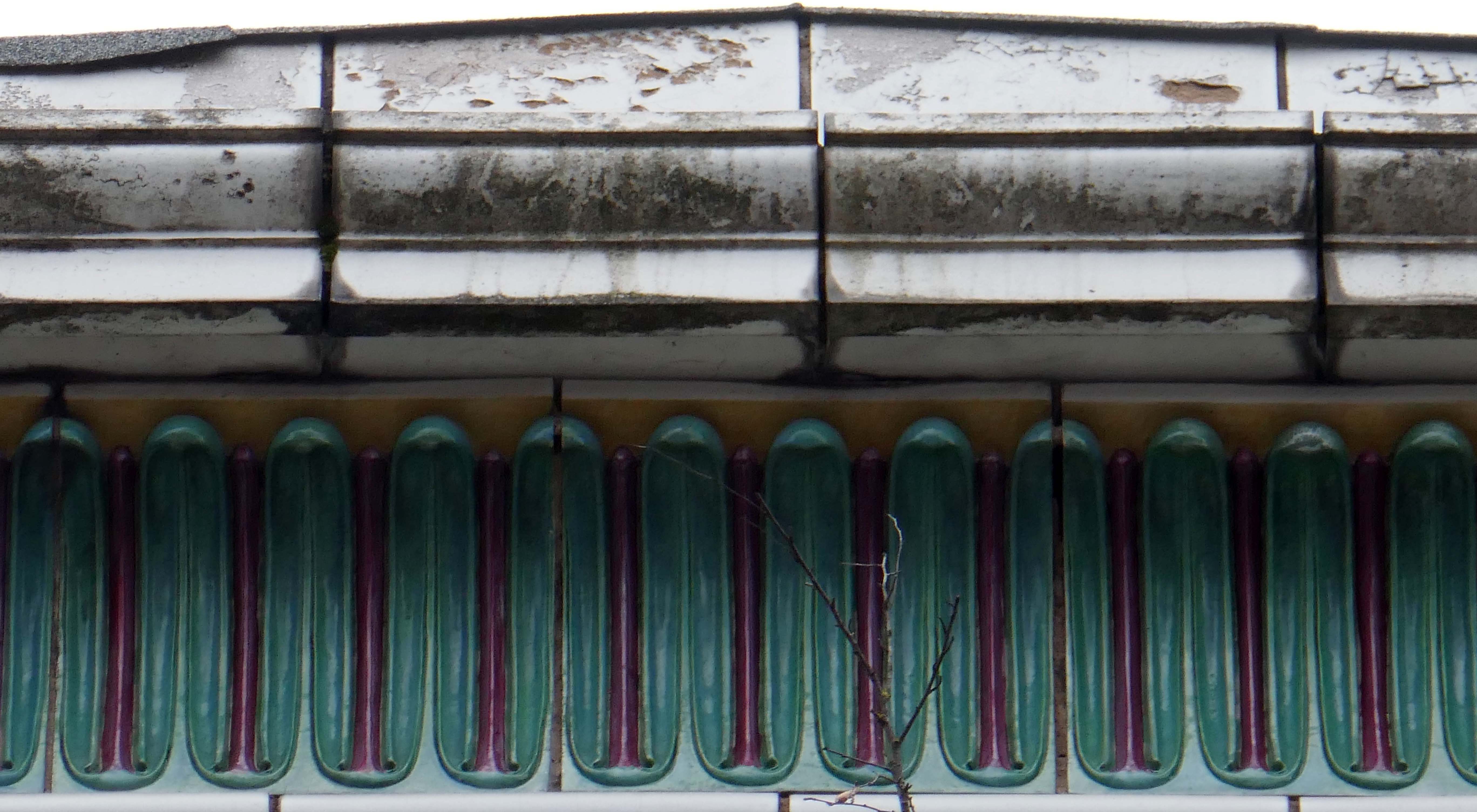
I have long been curious about the faience fronted shop on the corner of Tib and Swan Streets, it featured on my modernist mooch around the north of the city centre.
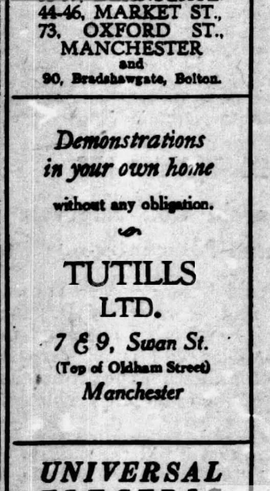
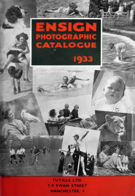
I have been informed by Lee Hutchings that it had originally been home to Tuttils Ltd.
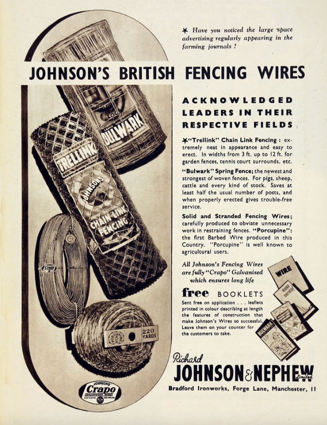
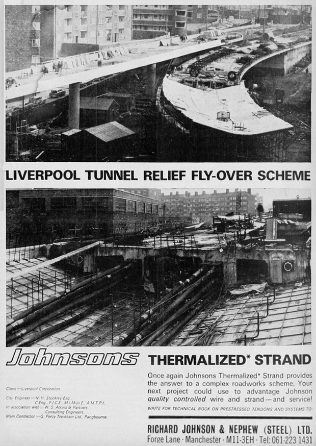
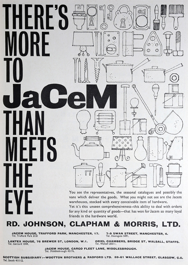
It was also, formerly the showrooms for local manufacturers Johnson & Nephew.
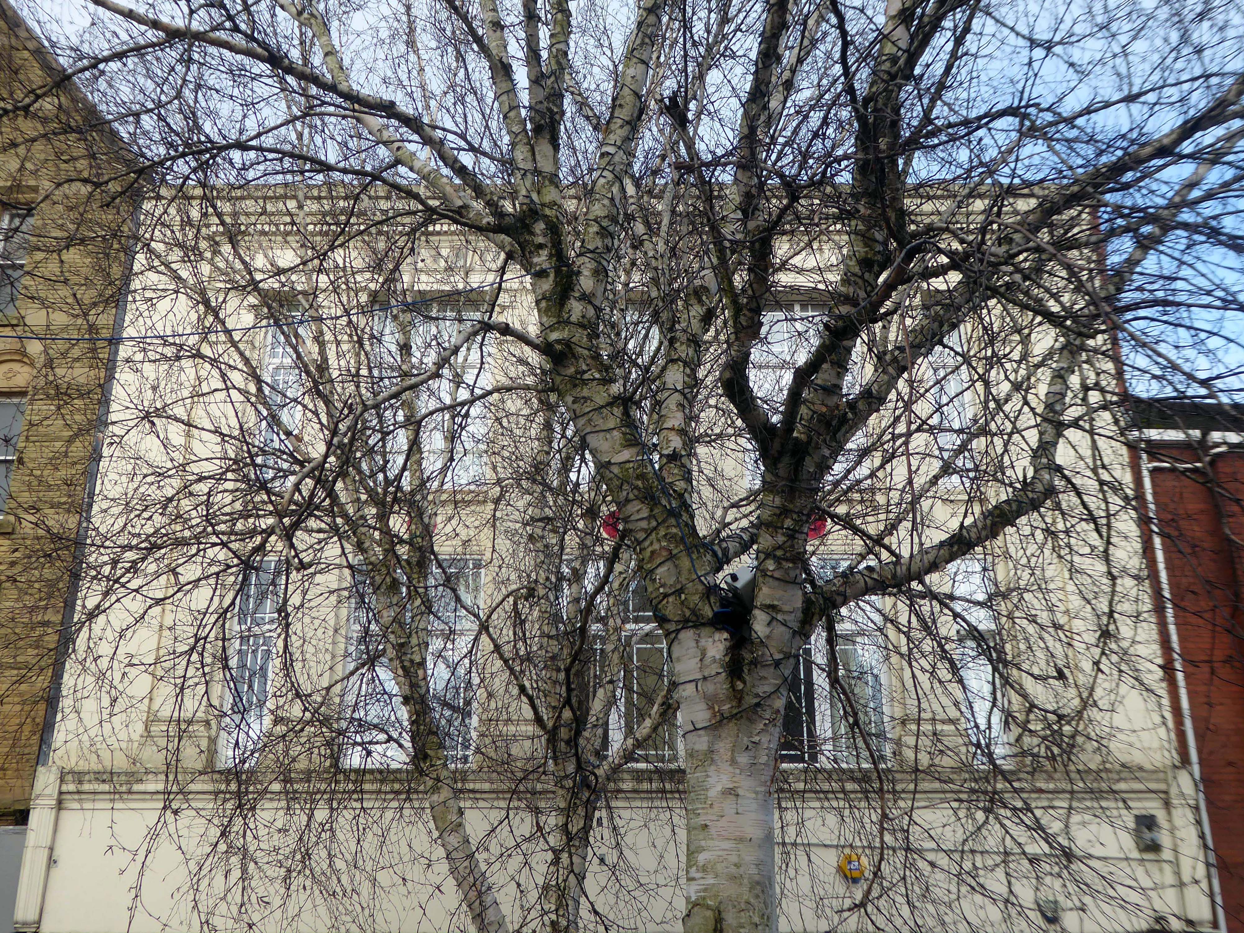
Here it is in 1959 – with a Burton’s for a neighbour.
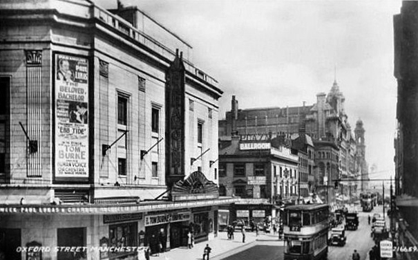
Pragmatic Manchester is far from awash with Art Deco – the lost Paramount/Odeon of Oxford Street comes to mind, demolished in 2017.
The Paramount Theatre was built in 1930 to the designs of architects Frank T. Verity & Samuel Beverley for the U.K. arm of the American Paramount Theatres Ltd. chain. The Manchester Paramount Theatre was a sumptuous American import.
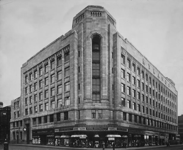
Along with the Rylands Building on High Street – currently receiving a facelift following the demise of Debenhams.
The building was originally built as a warehouse by J. Gerrard & Sons of Swinton for the Rylands textile company, which was founded by the entrepreneur John Rylands. That firm had occupied warehouses in High Street ever since 1822; its west-facing side is on High Street. The building was designed by the eminent Manchester architects, Fairhursts – Harry S. & P. G. Fairhurst, in an Art Deco style. It is clad in Portland stone and features a decorative corner tower and eclectic ‘zig zag’ window lintels. The work was completed in 1932.
Rylands will be sensitively restored to its elegant past. The building will comprise workspace, retail and leisure, creating an exciting new destination in Central Manchester.
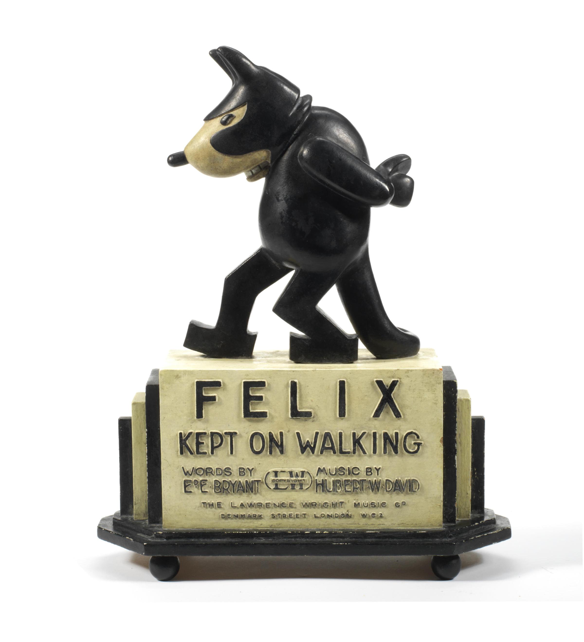
I began walking when quite young, then like Felix, I kept on walking, walking still.
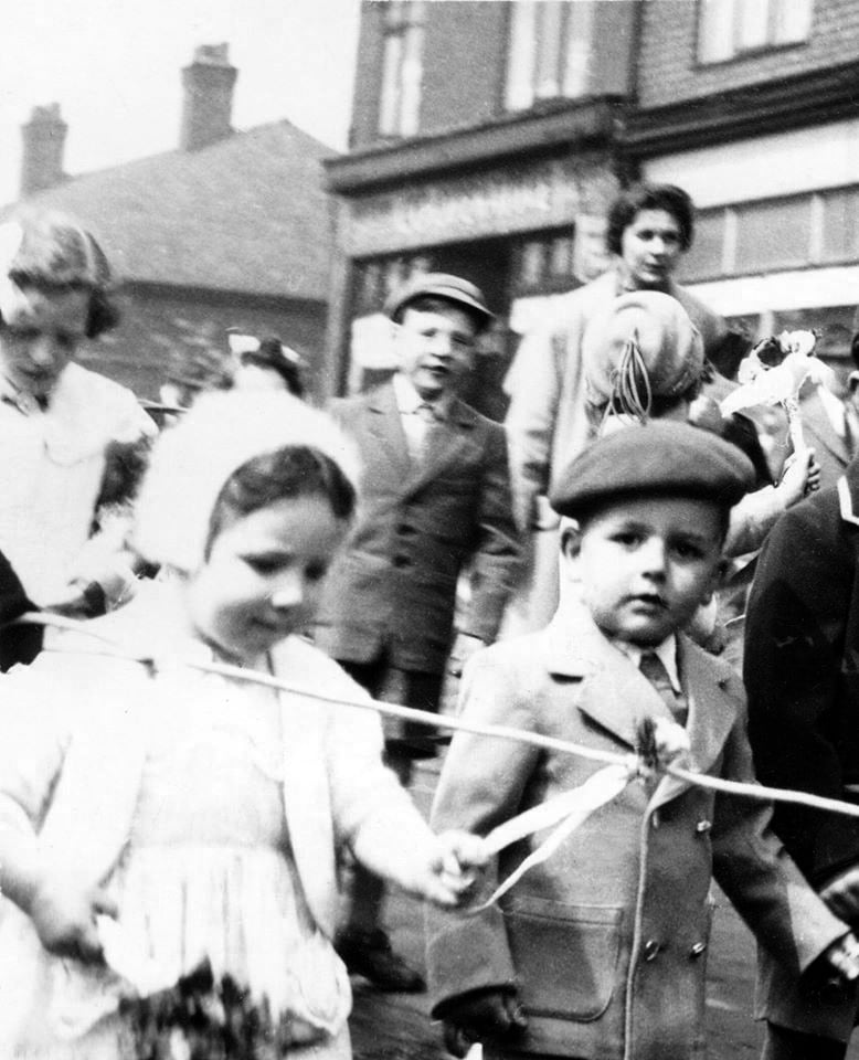
The photograph was taking during the Whit Walks in 1958 – aged three, I was engaged in religious pilgrimage, as we know there are many reasons for walking, this is but one.
I was fortunate to grow up at a time when youngsters were permitted to roam freely, less traffic, less anxiety, gave me access to a wider axis of exploration.
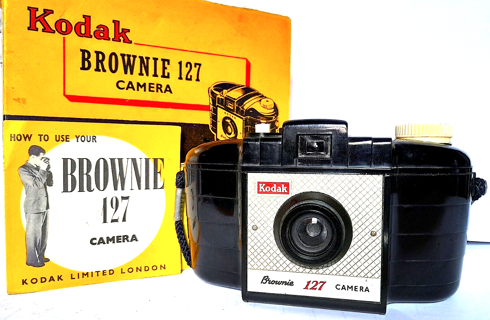
The photograph would have been taken I assume, by my mam, on the Brownie 127. When aged nine I wandered alone through the local woods and exposed twelve frames of 44mm 127 film, the prints are long gone, yet I remember each of the photographs and locations clearly.
I went to school, then I didn’t, then I went to Art School, eventually becoming a teenage Constructivist, tutored by Jeffrey Steele, a leading light in the British Systems movement.
The rigidity of the grid, symmetry and orthogonal framing have stayed with me.
Then I went to work for a very long time indeed, then all of a sudden I didn’t. Taking early retirement aged 59 some ten years ago, subsequently taking to the roads, streets and hills of Britain in search of nothing in particular.
In recent years there has been a rapid development in the culture of walking, theories, films, guides, songs and literature. I am fully cognisant of such, yet believe at heart that walking can be free of such baggage, we can stride unhindered, atavistic and carefree/less.
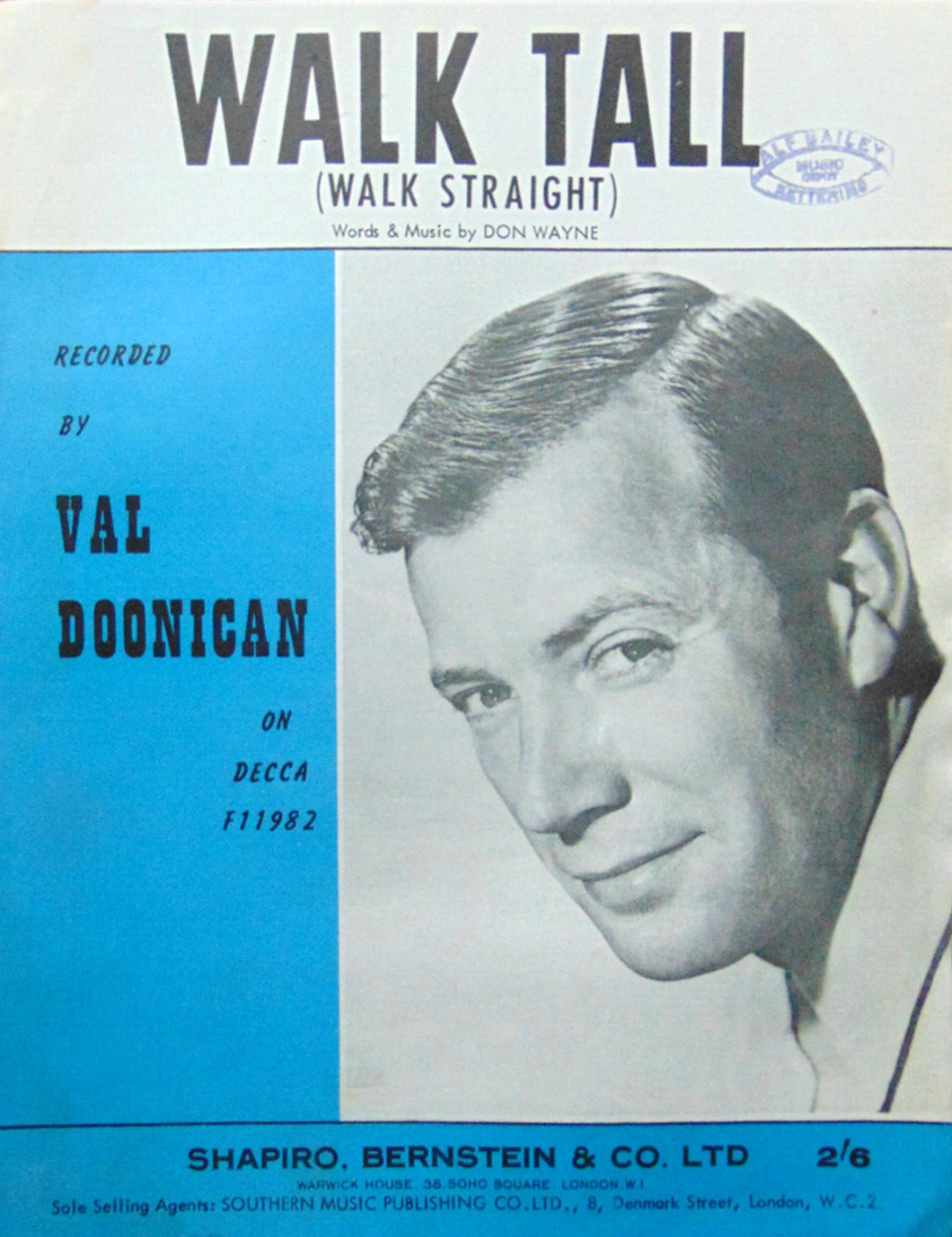
Walk tall, walk straight and look the world right in the eye.
Getting lost is about the unfamiliar appearing.
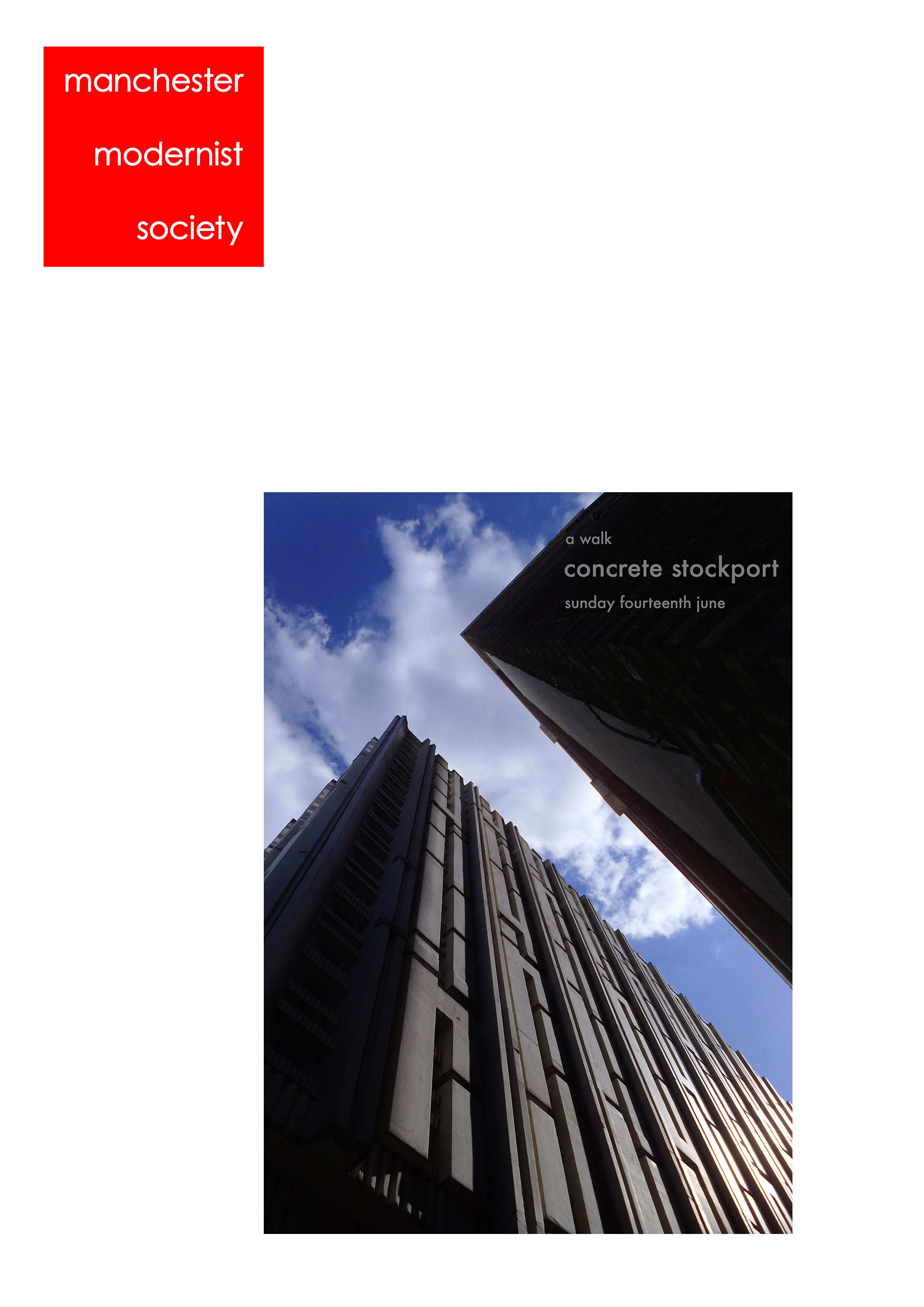
In my own small way, I have become part of that baggage, having been asked to lead a walk around Stockport by the the modernist neé Manchester Modernist Society.
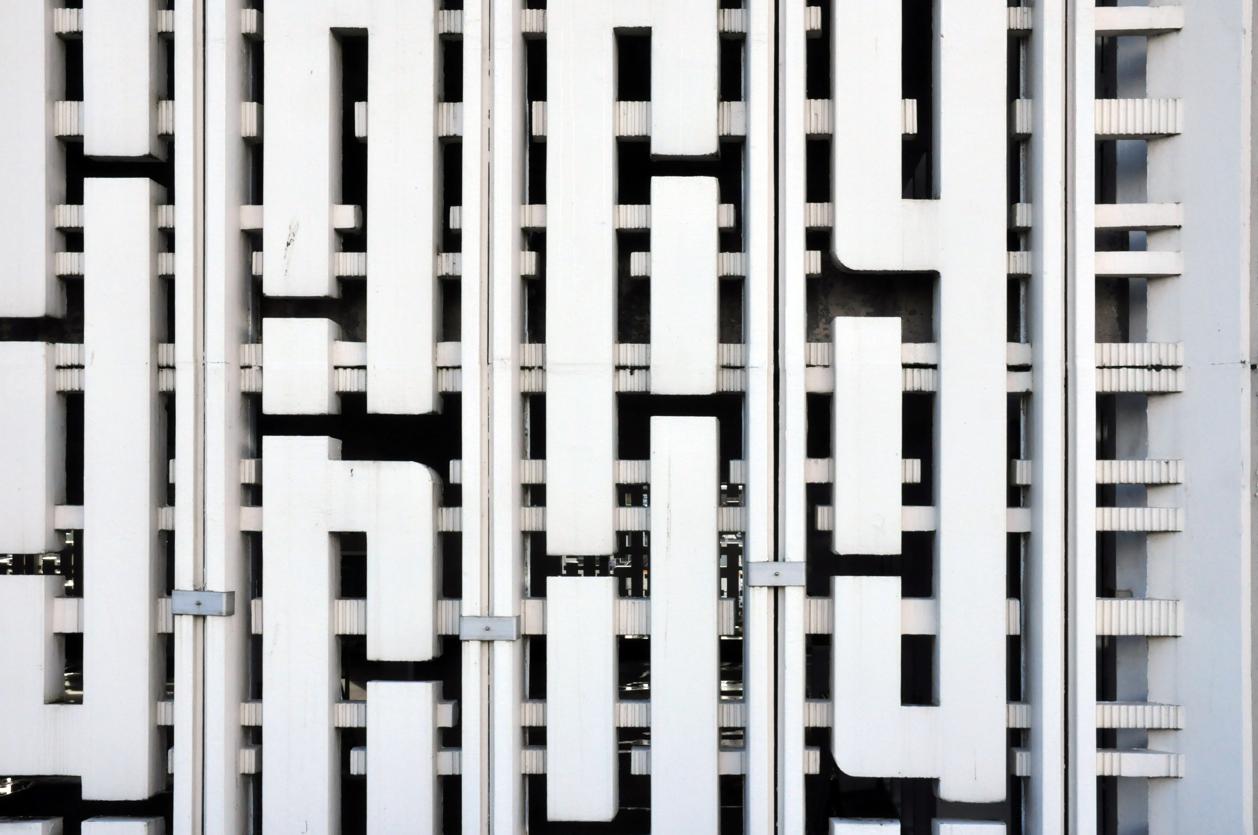
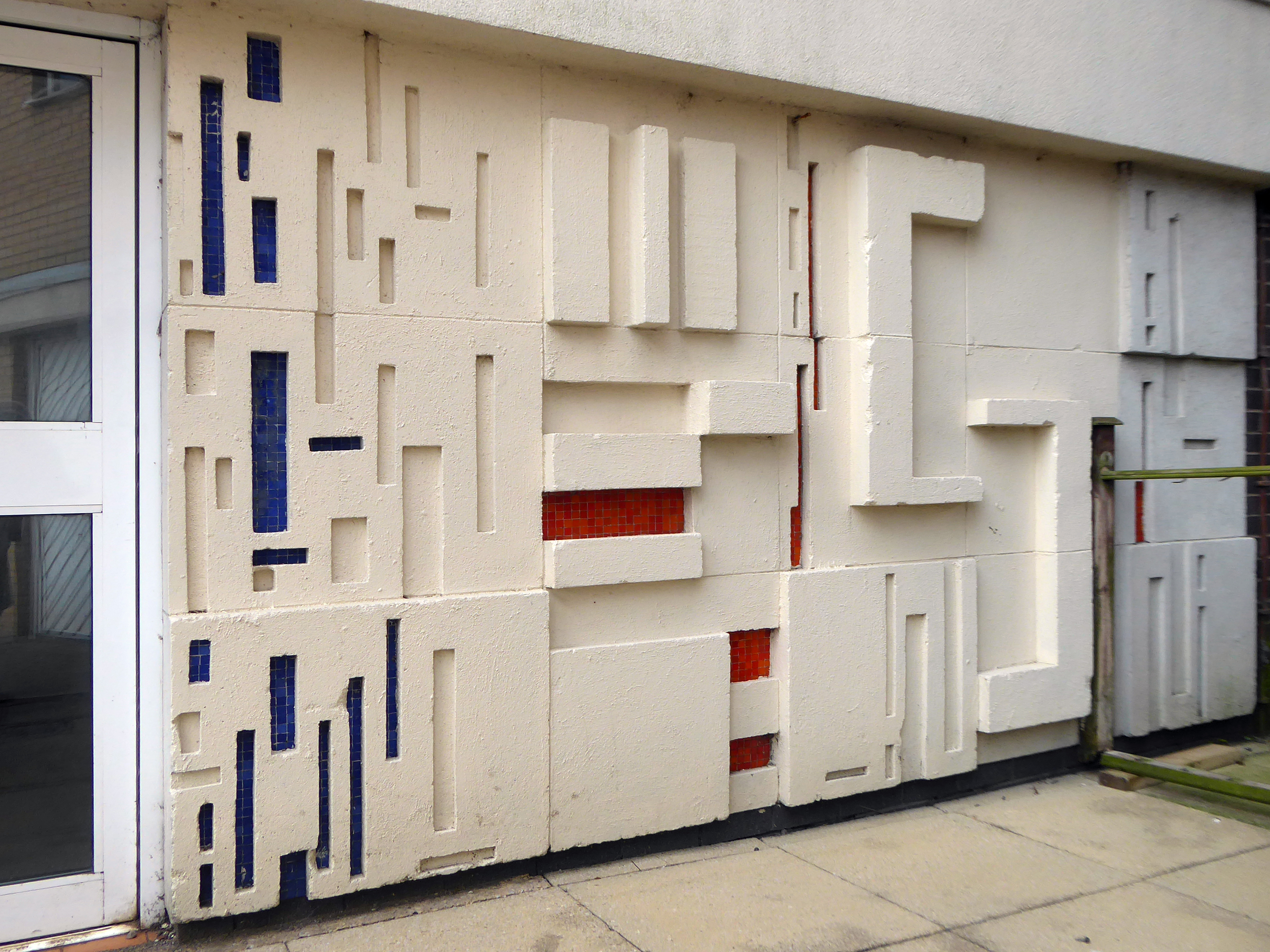
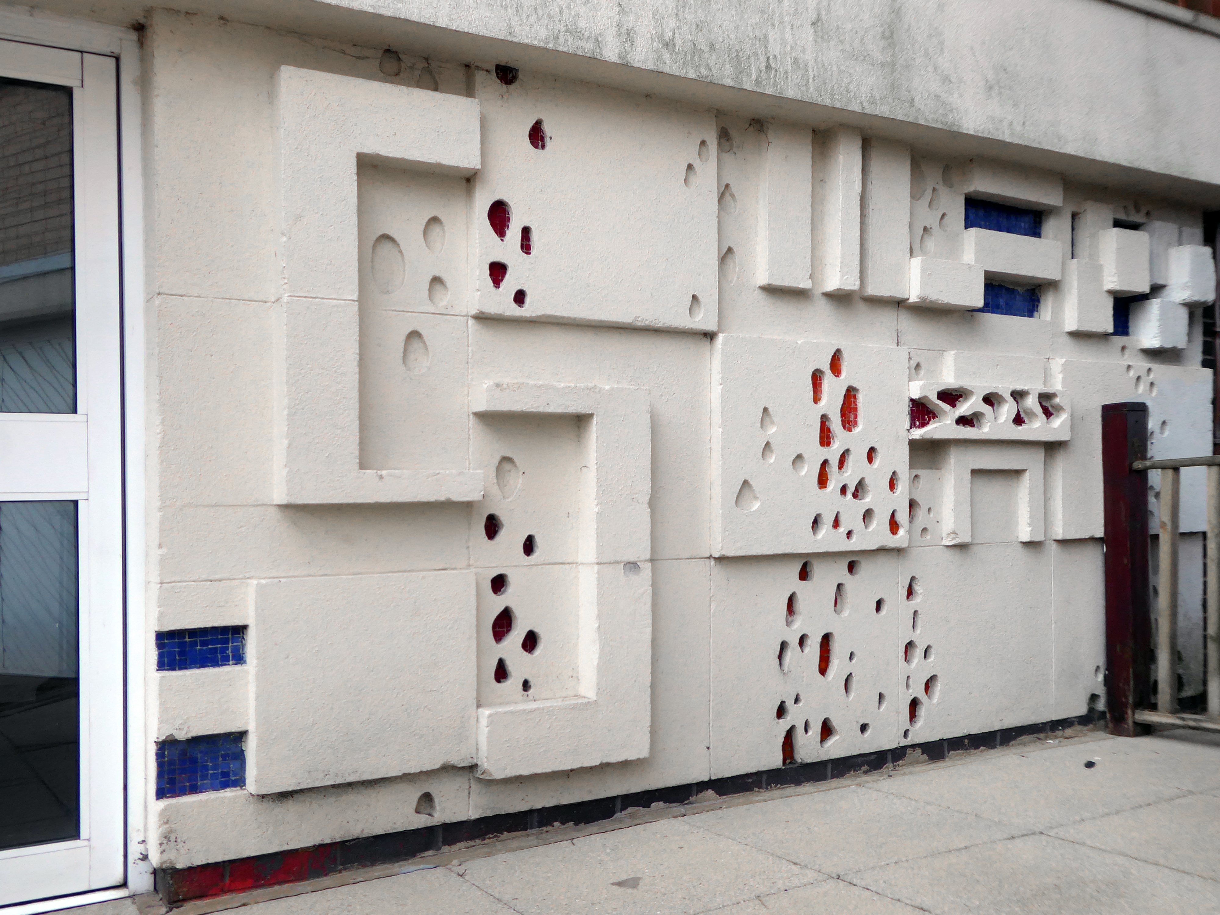
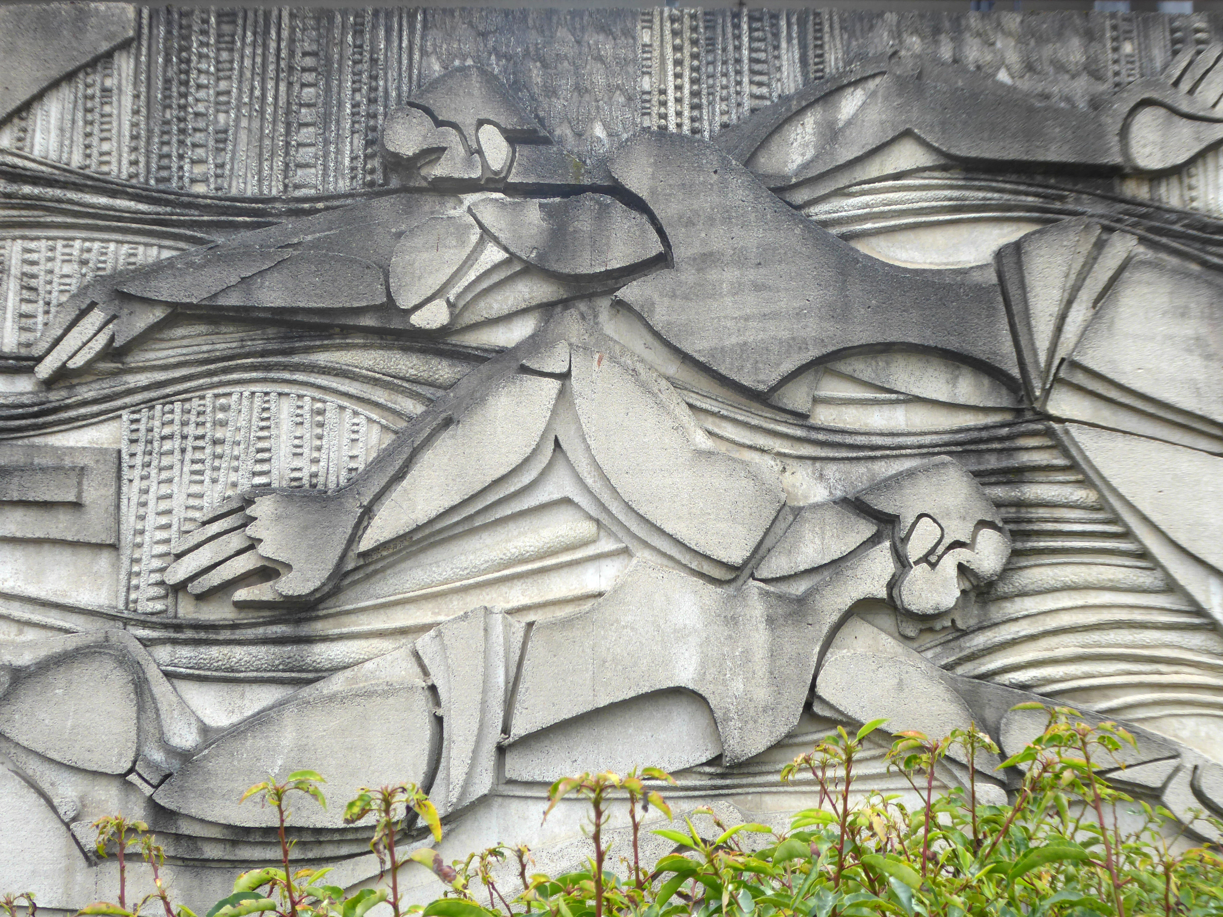
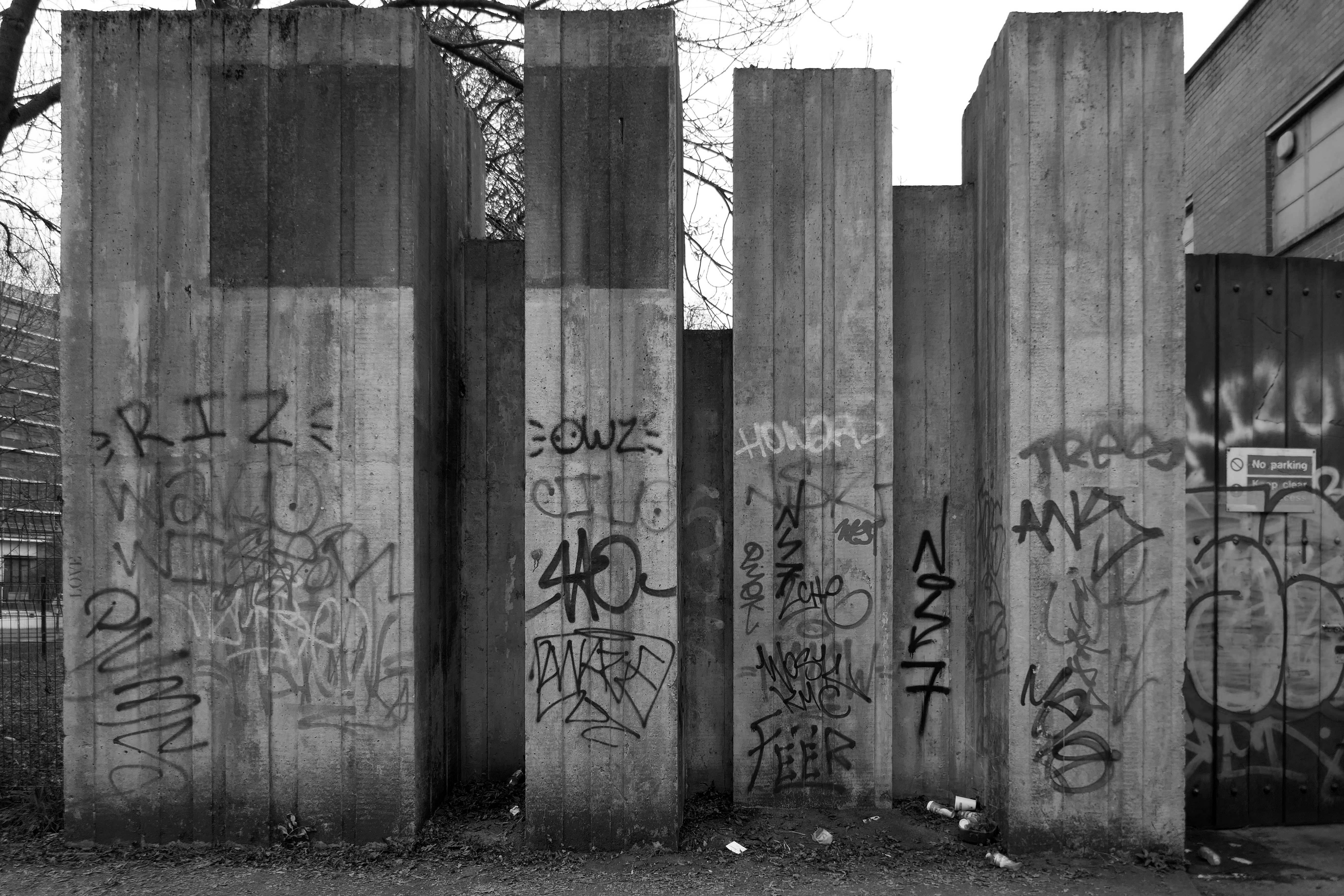
The photograph depicts Alan Boyson’s concrete screen wall, attached to the former Cooperative super store designed by Philip Andrew. The two worked to gather on the Hull Cooperative store, which is adorned by Alan’s huge Three Ships mosaic.
Philip was a childhood friend of Alan Boyson and it was Alan’s father, manager of the Marple Co-operative Society, that recommended Philip for an apprenticeship job in 1951 to the chief architect at the CWS in Manchester HQ.
In preparation for the tour, I visited the town’s Local Heritage Library and read extensively from serendipitous charity shop finds.
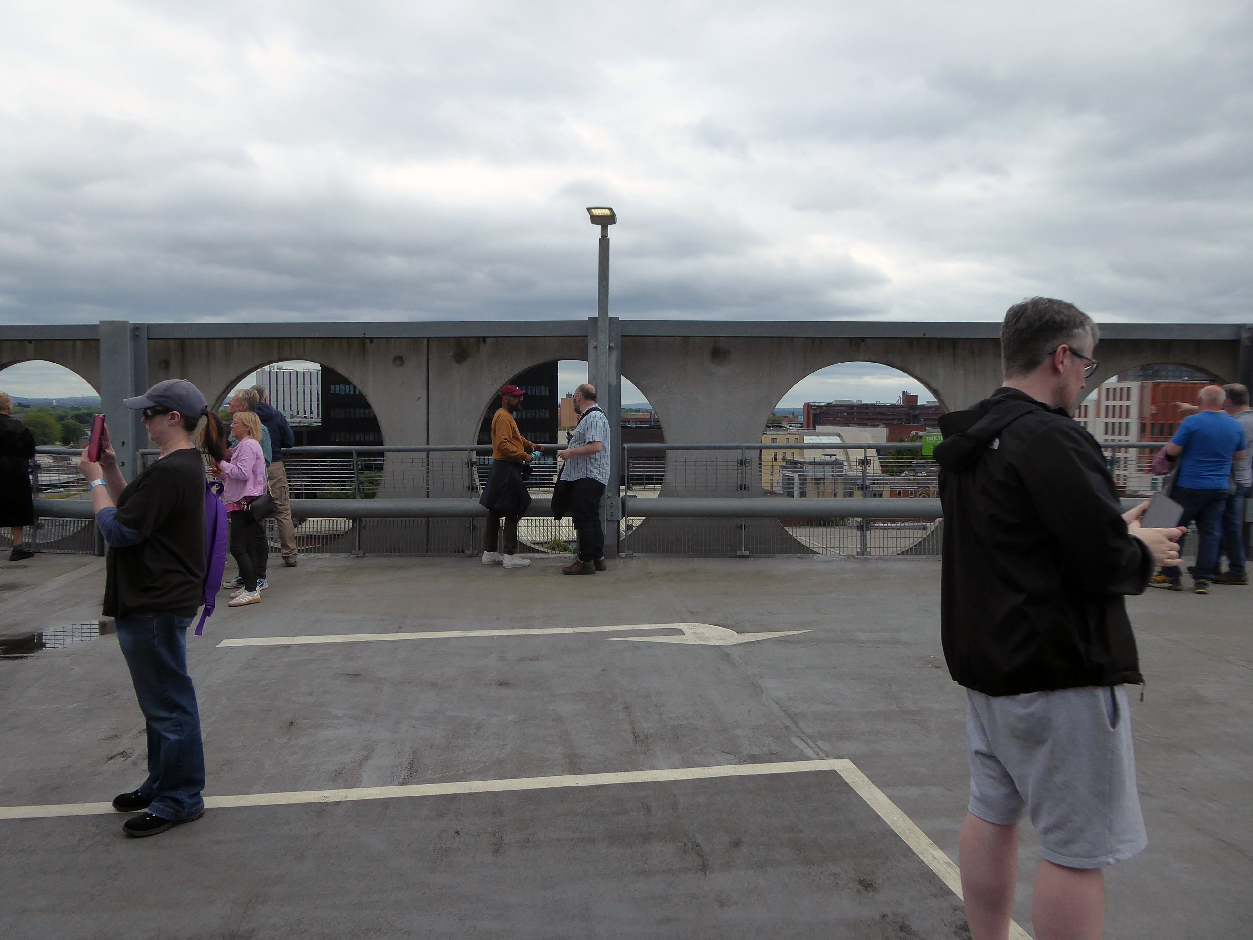
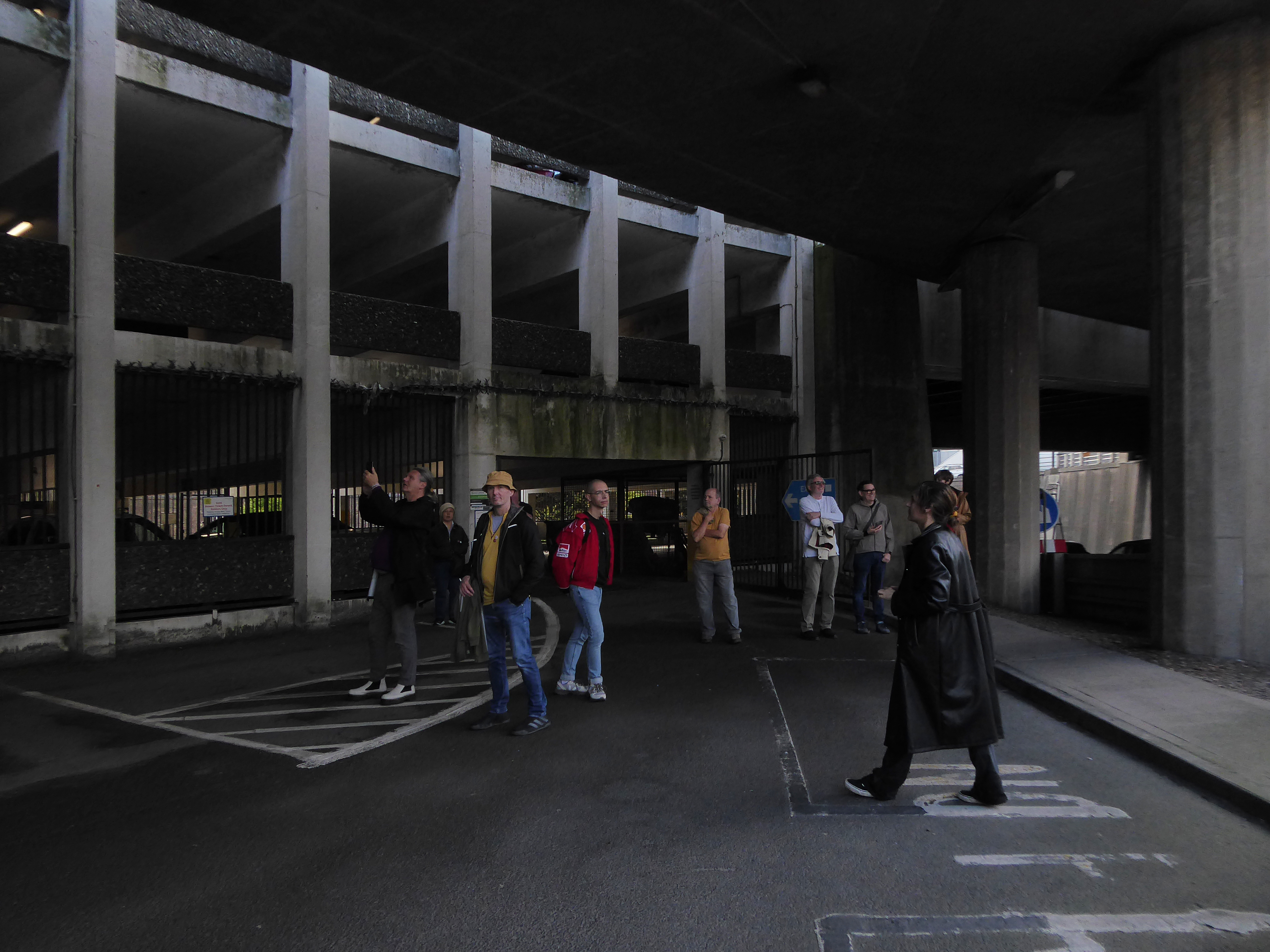
The two hour route was designed around an economy of distance and elevation, allowing time for others to take in, what may be for them unfamiliar surroundings. A group of around twenty or so folk became sociable and engaged, with a suitably concise and apposite contribution from myself. There are those who busied themselves taking snaps along the way, chatting amiably or simply gazing in amazement.
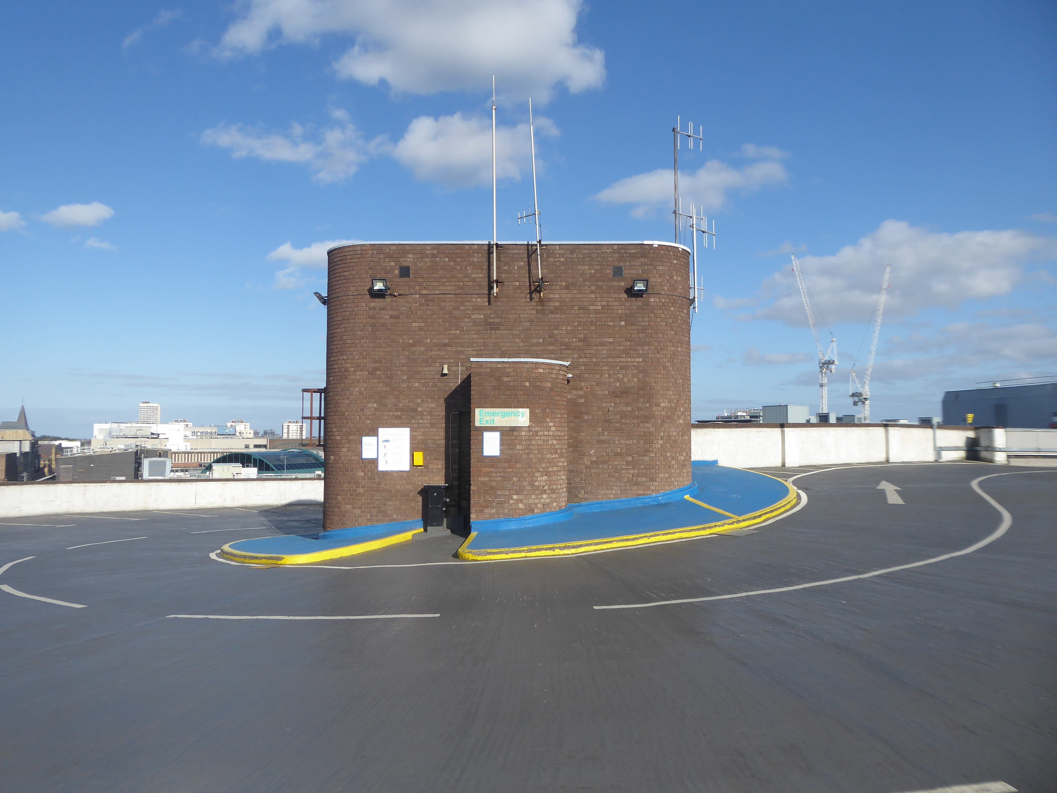
The service building above the former Debenham’s store.
Famed as an imaginary TV police station, this civic building is a civic building I simply can’t resist. I return on a regular basis to wander and snap. This is an open public space that seems little loved and has few visitors.
From then onwards I have been taking folks on Modernist Mooches on a regular basis, two or so a month, during the less inclement times of year.
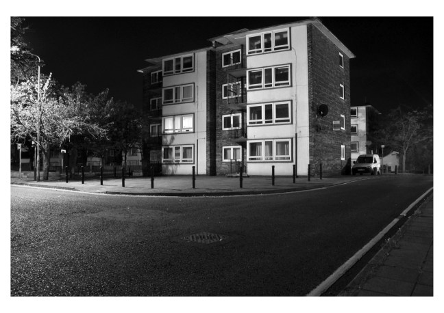
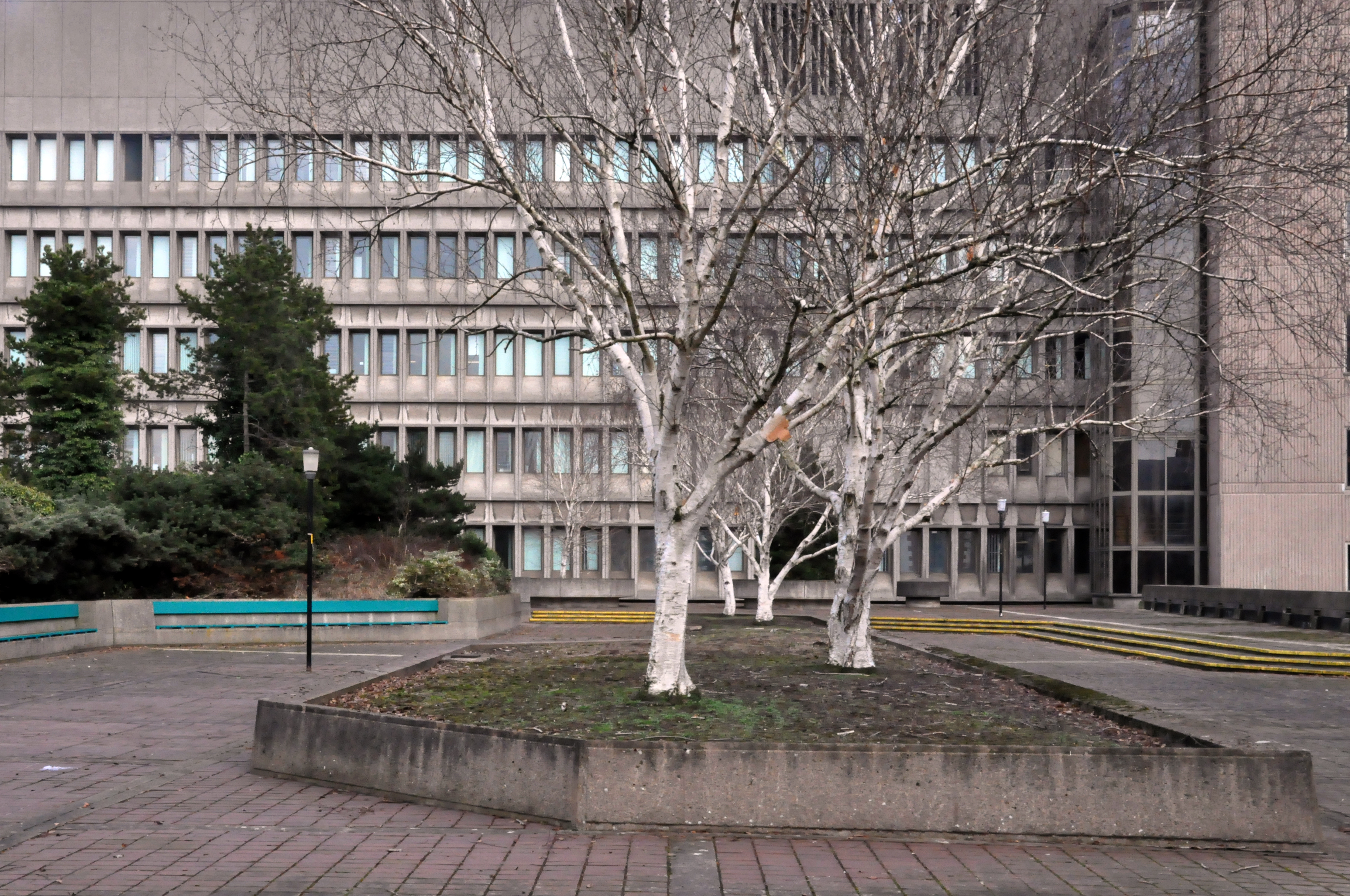
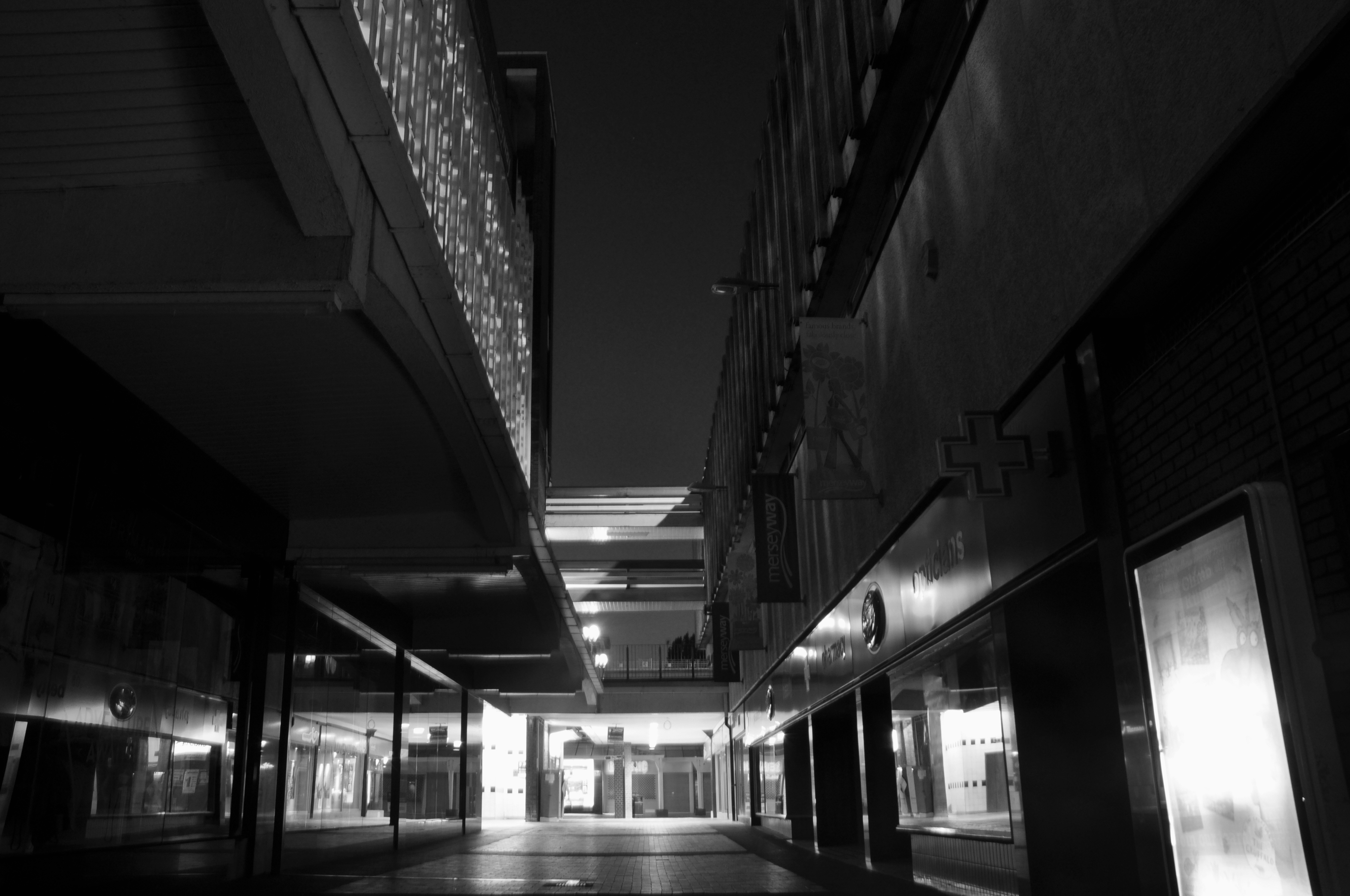
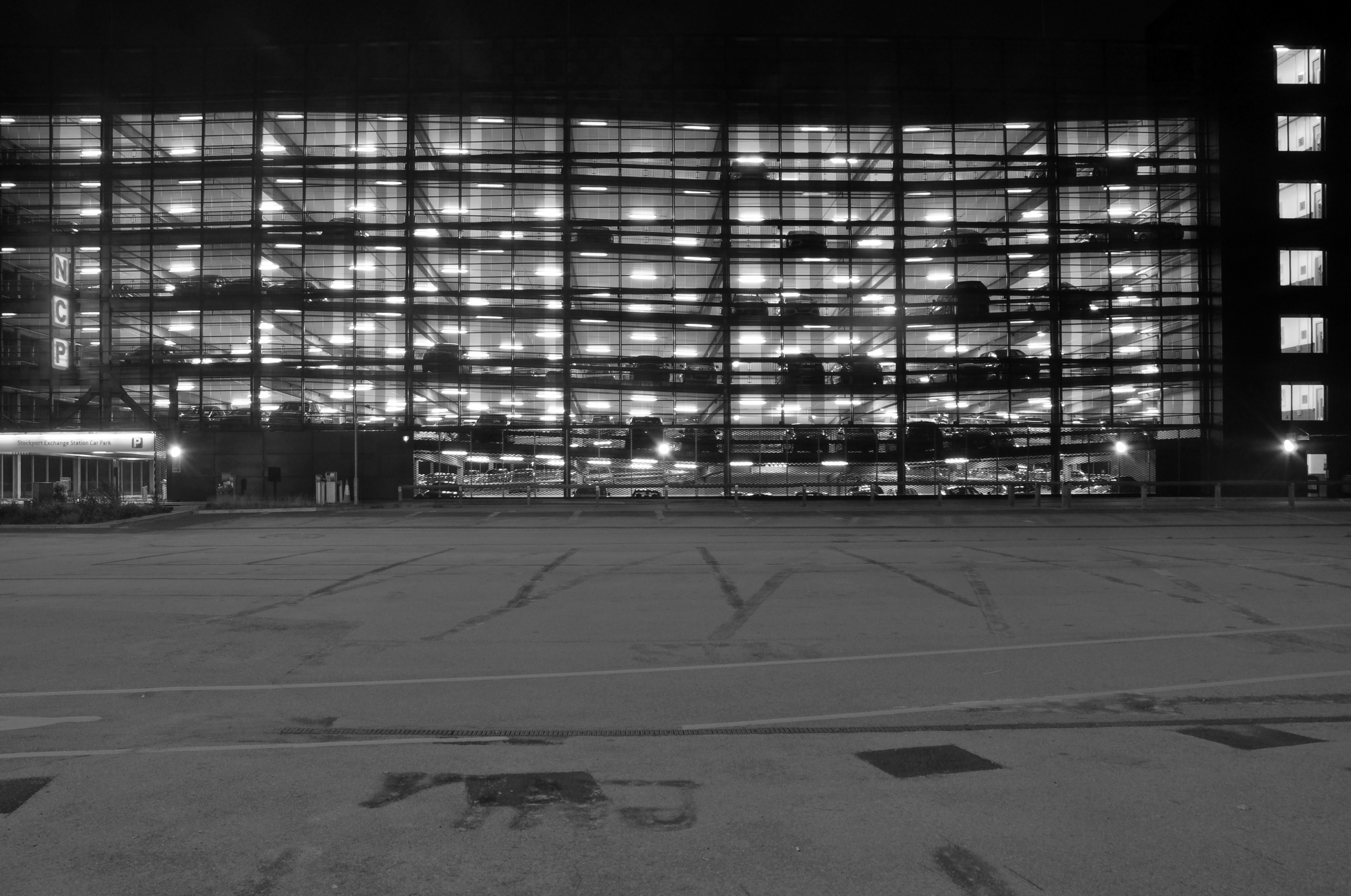
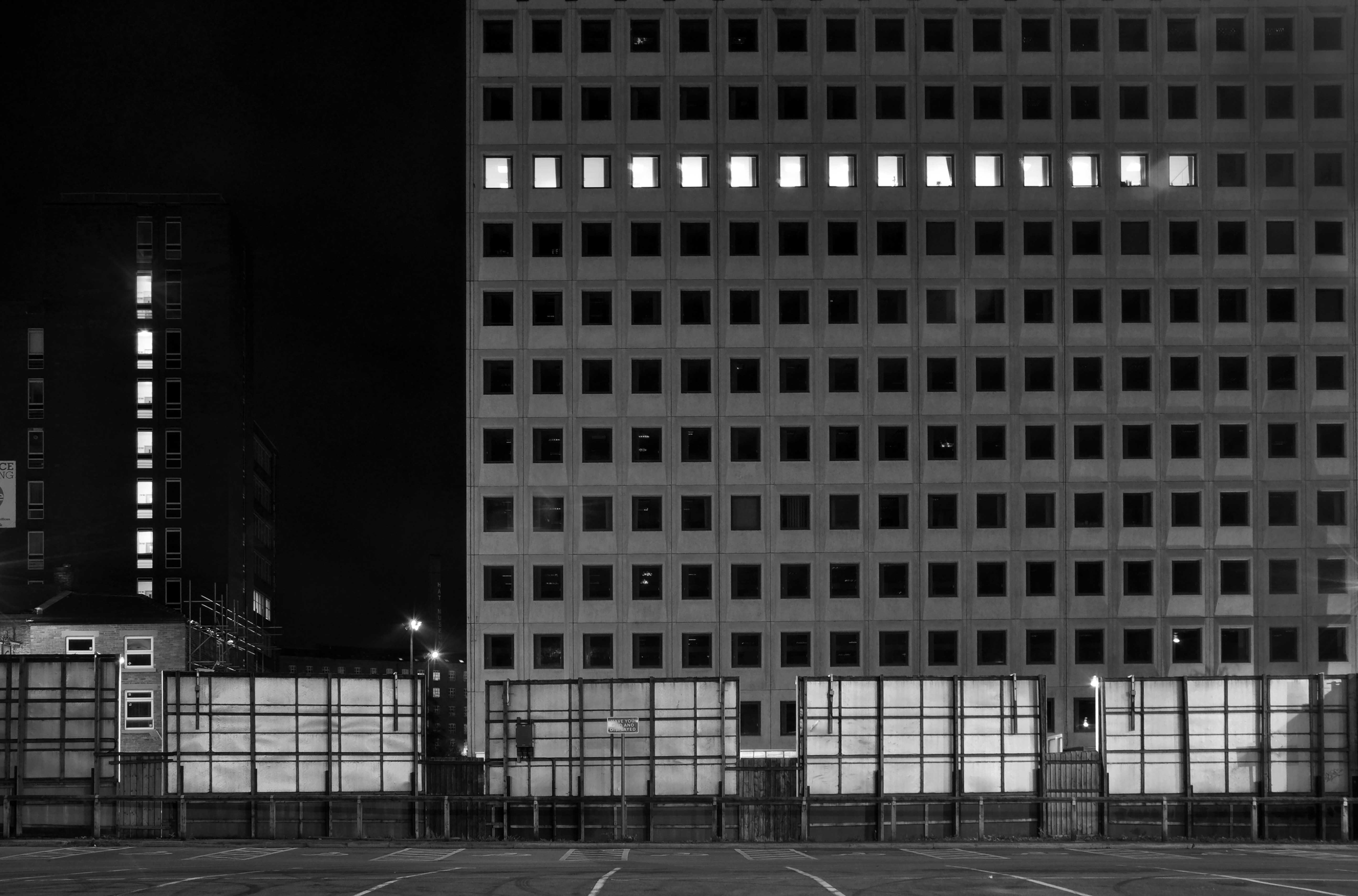
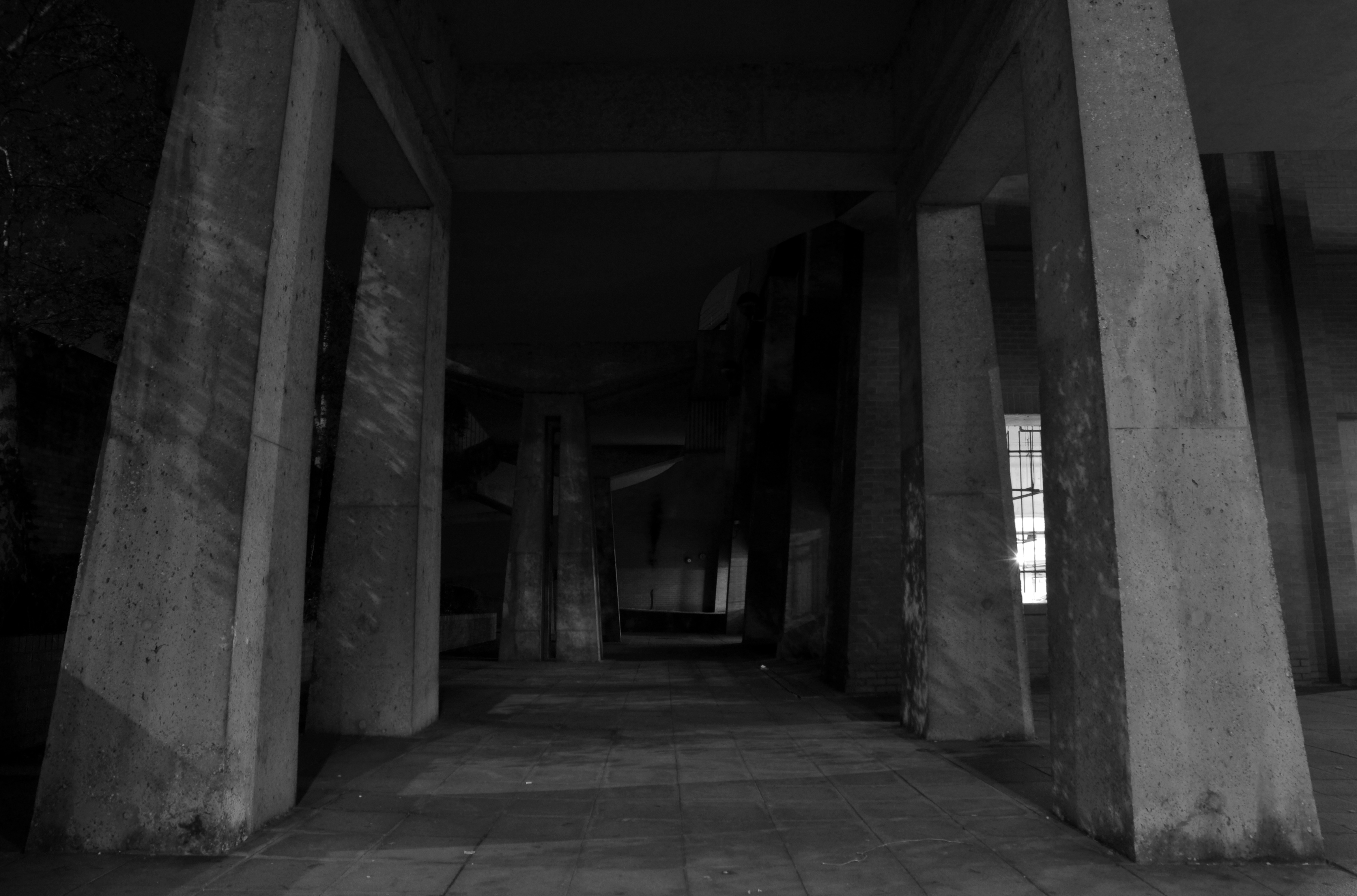
At about the same time I was asked to exhibit my photographs in Stockport, I chose to mooch about at night. Walking around an almost deserted town, avoiding the glare of streetlights, there is a mild frisson to be about when nobody else is about. The air feels different, exposures are longer, the almost waking world feels arrested, by the low available light.
My local shopping centre and as such part of my weekly walking and shopping life.
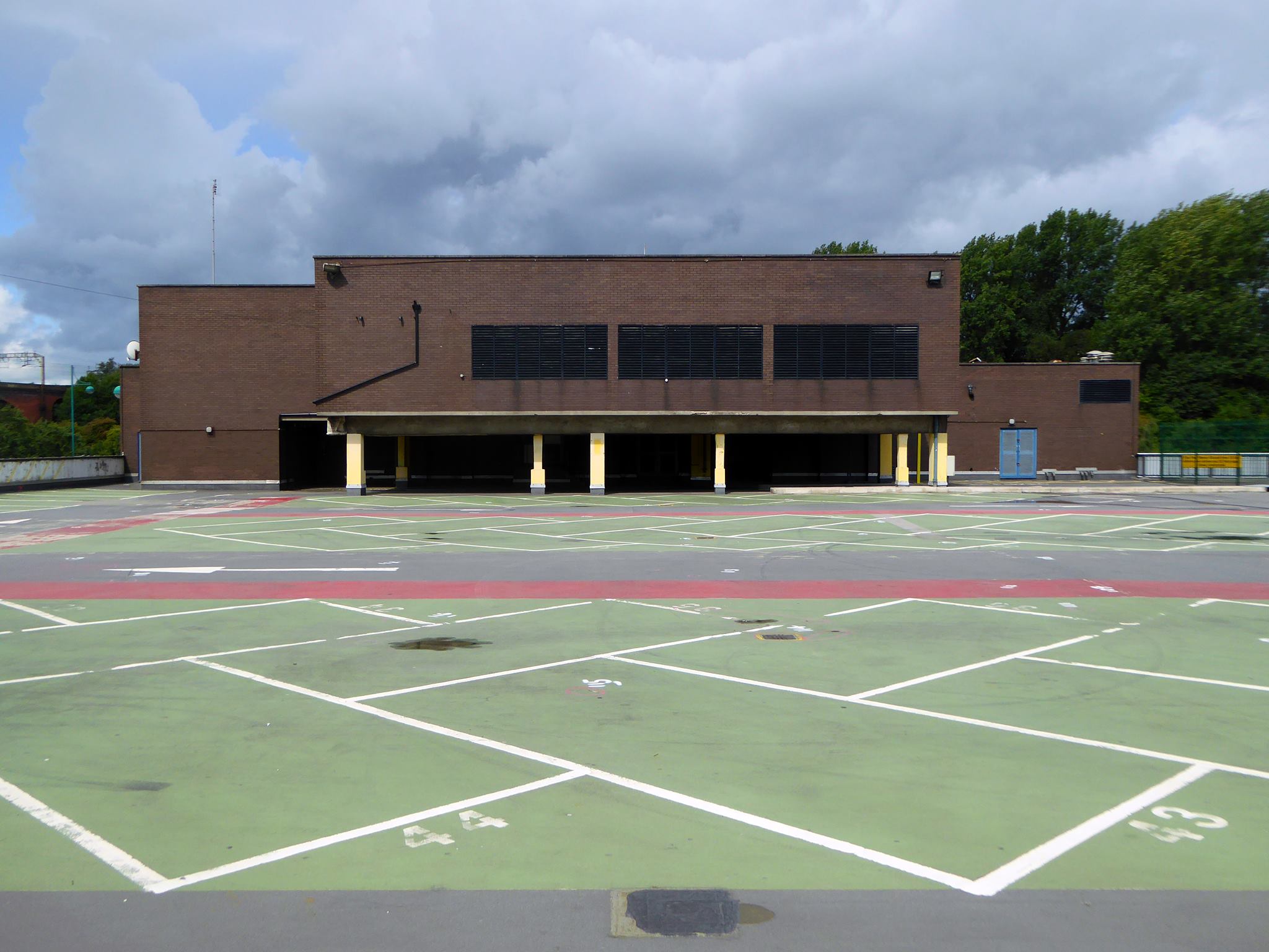
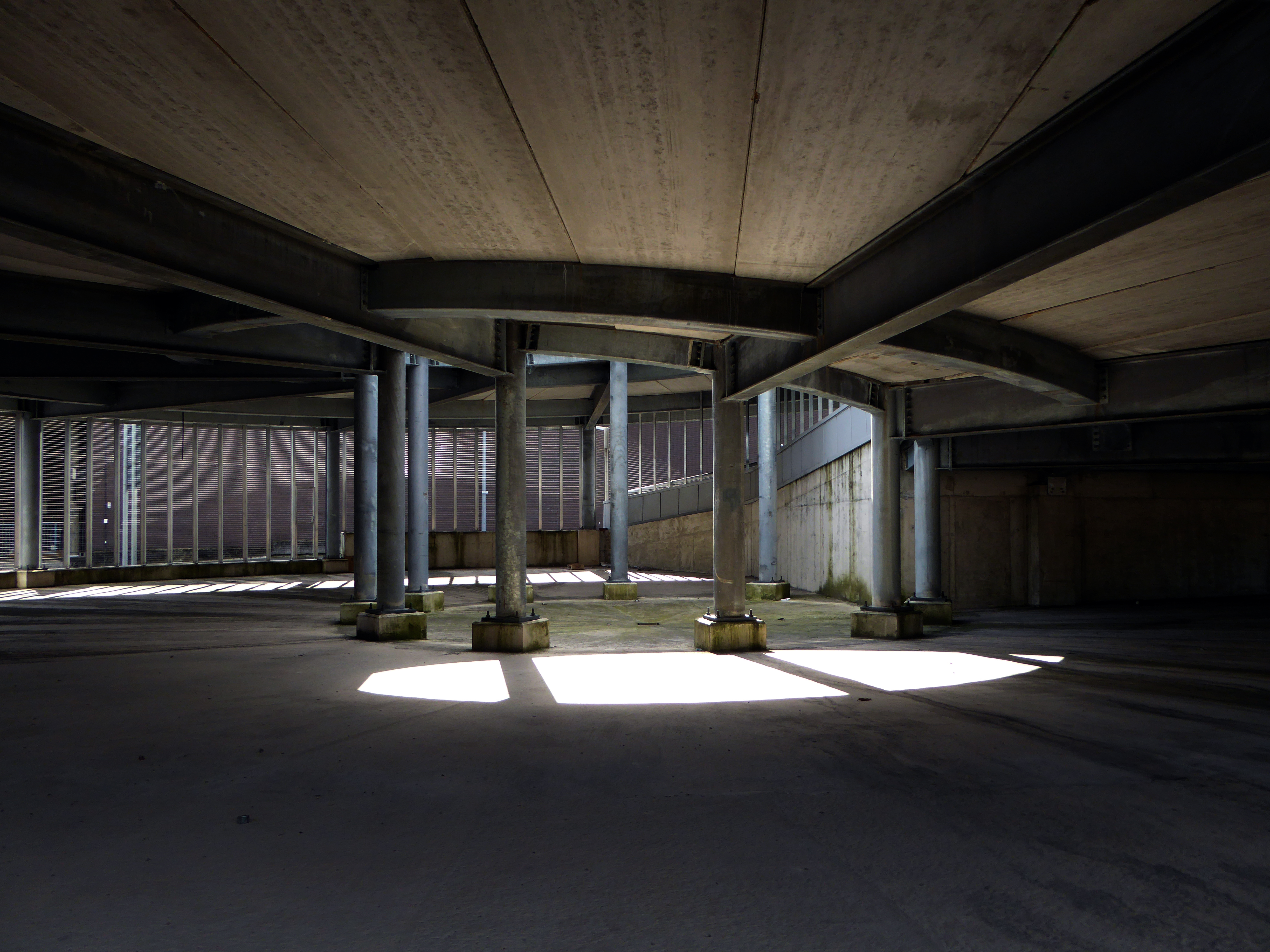
NCP Car Park located on Stockport Station approach.
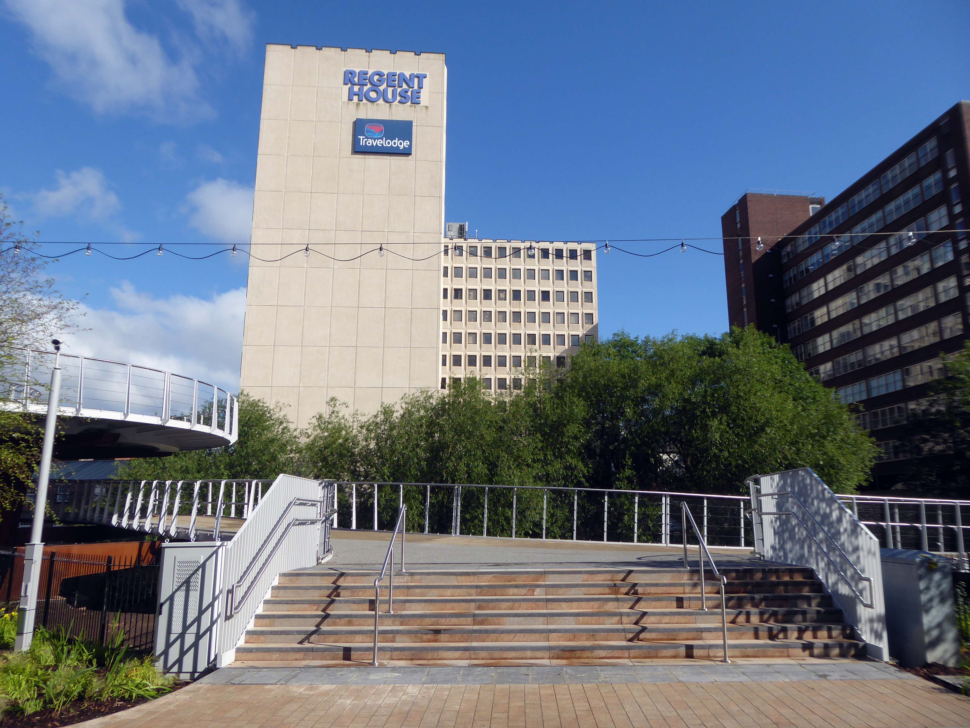
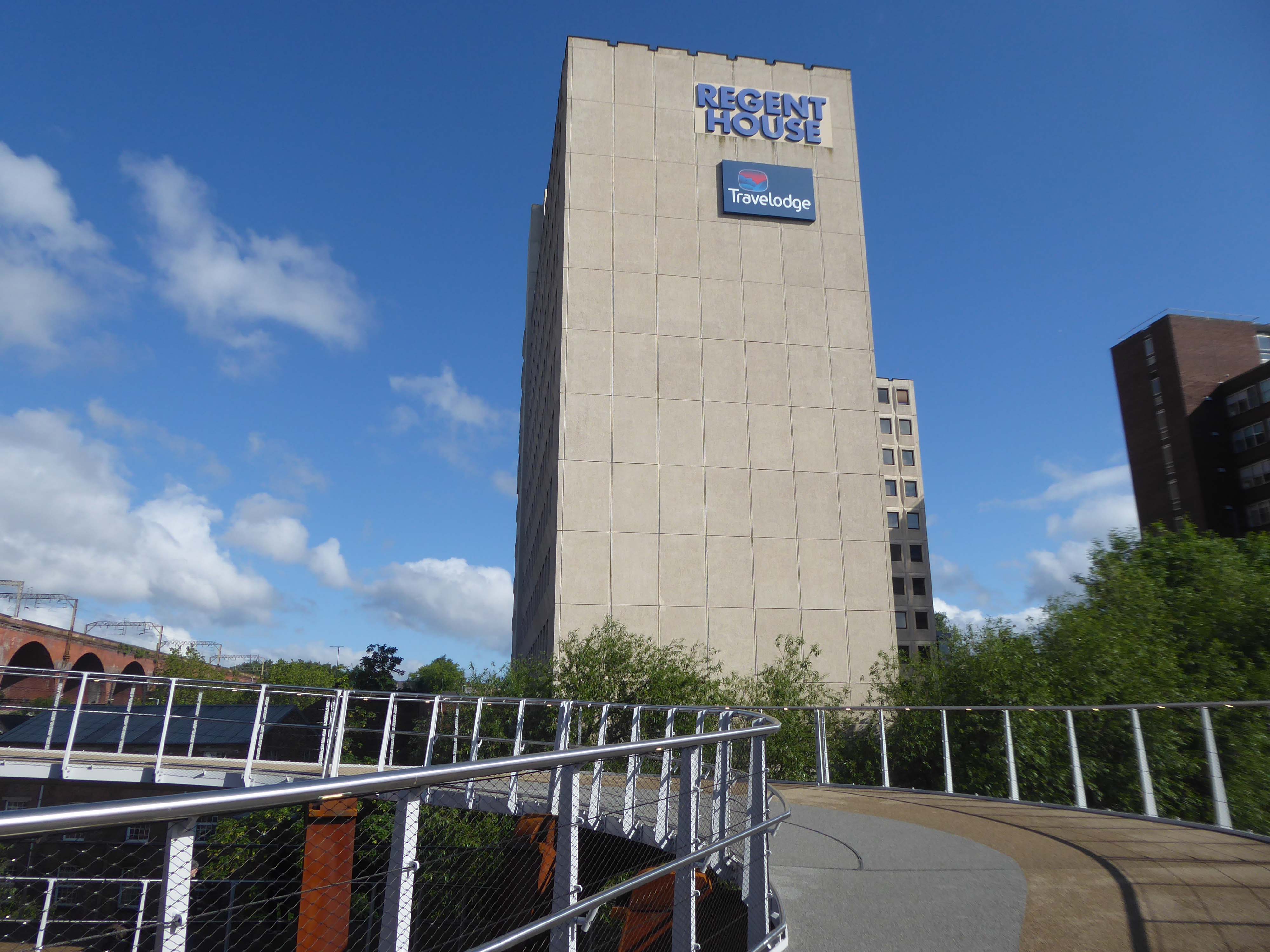
Regent House
Asda superstore
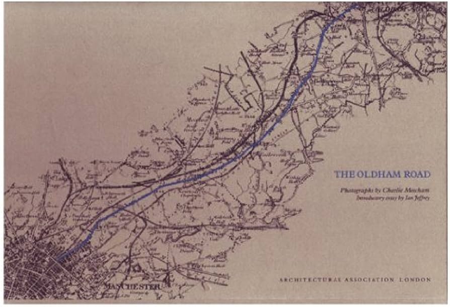
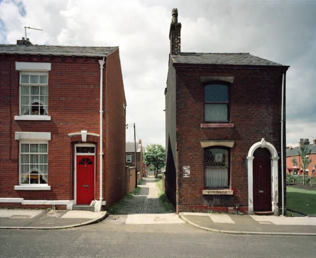
I found a copy of Charlie Meecham’s book Oldham Road in a charity shop.
Inspiring me in 2014, to walk in mostly straight lines, though often as not zig zagging along the main arterial roads of Manchester.
Taking pictures on Sunday mornings, in order to avoid traffic, mildly amused to be ignoring the primary function of the routes.
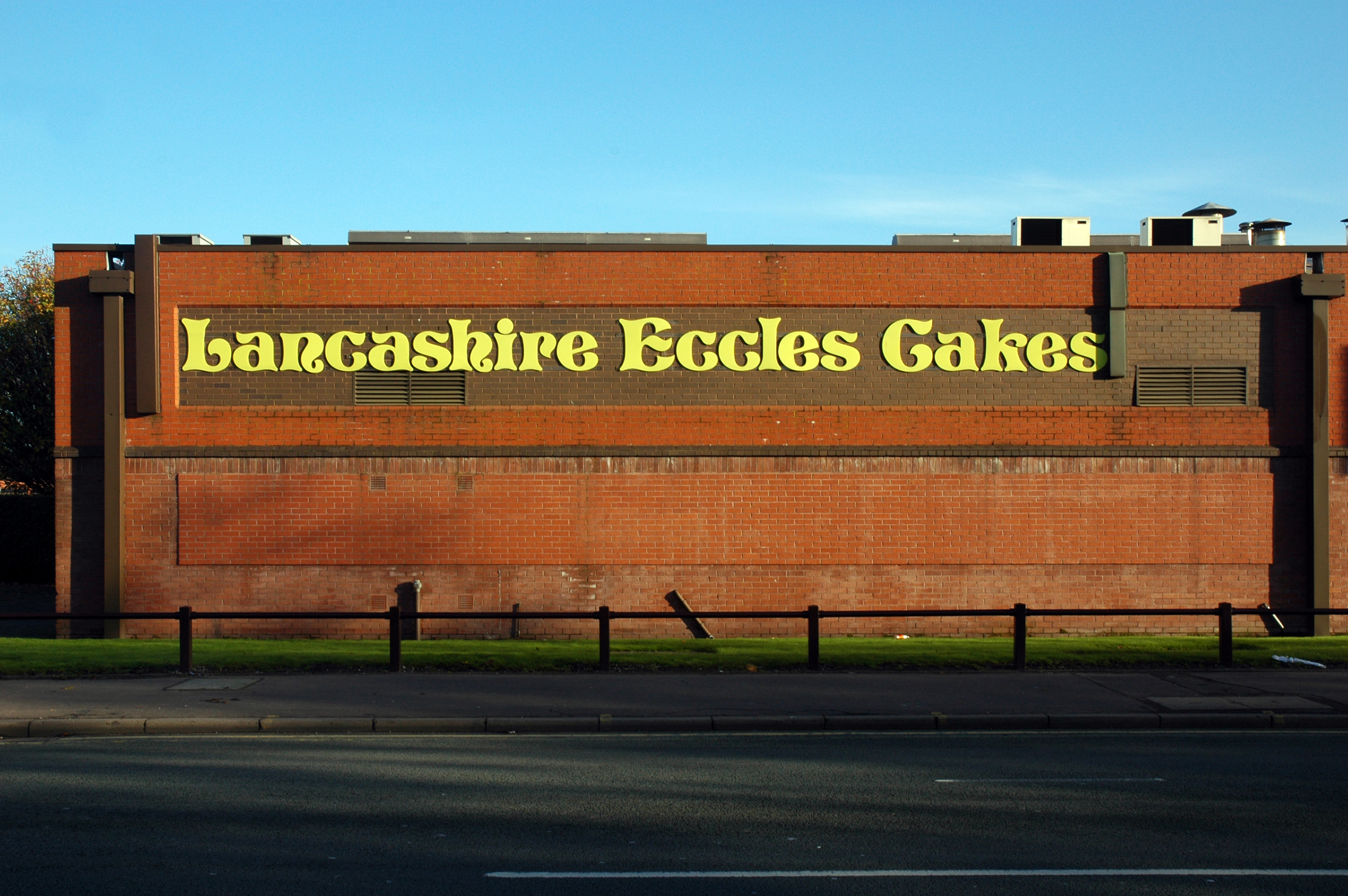
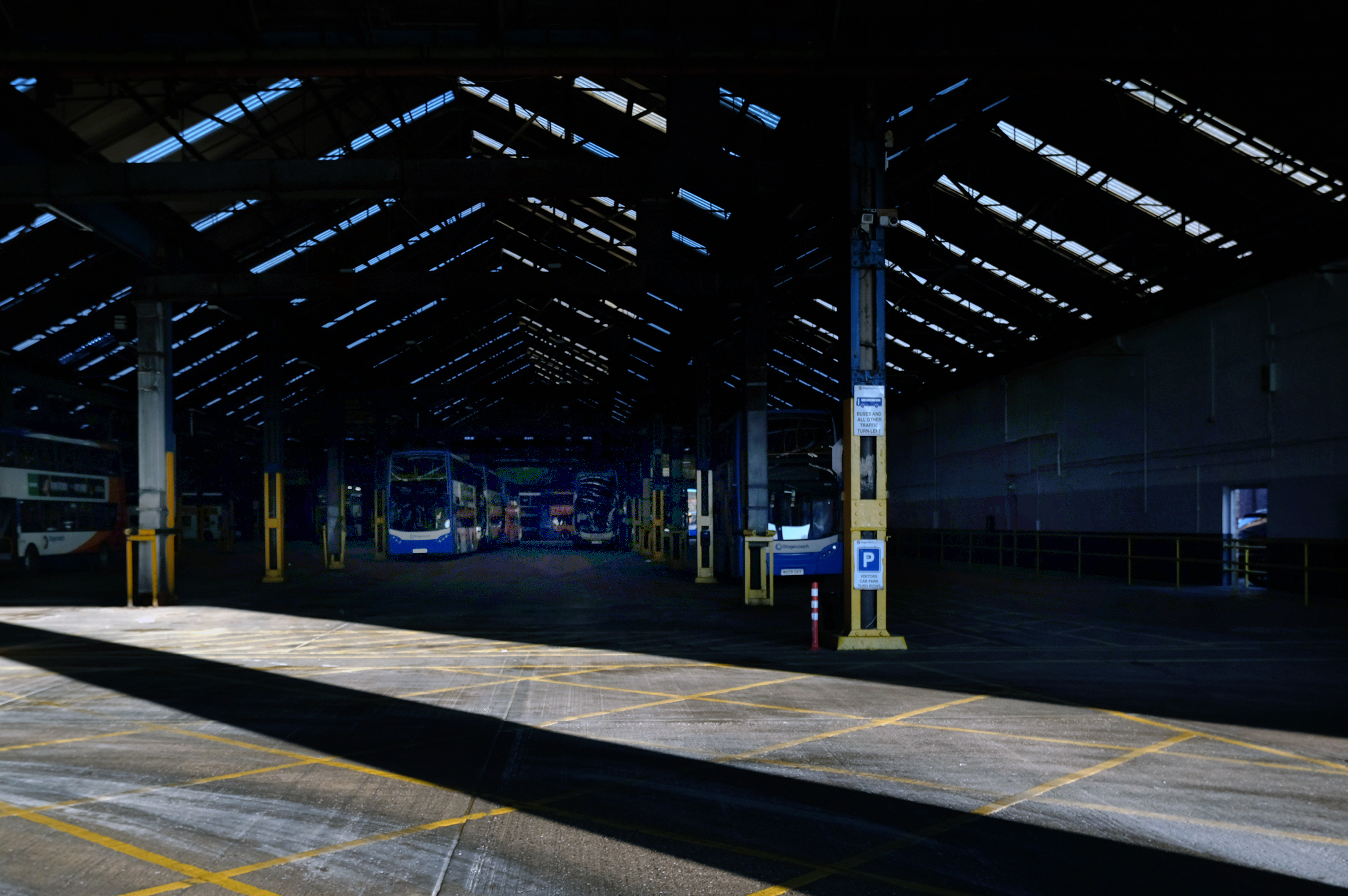
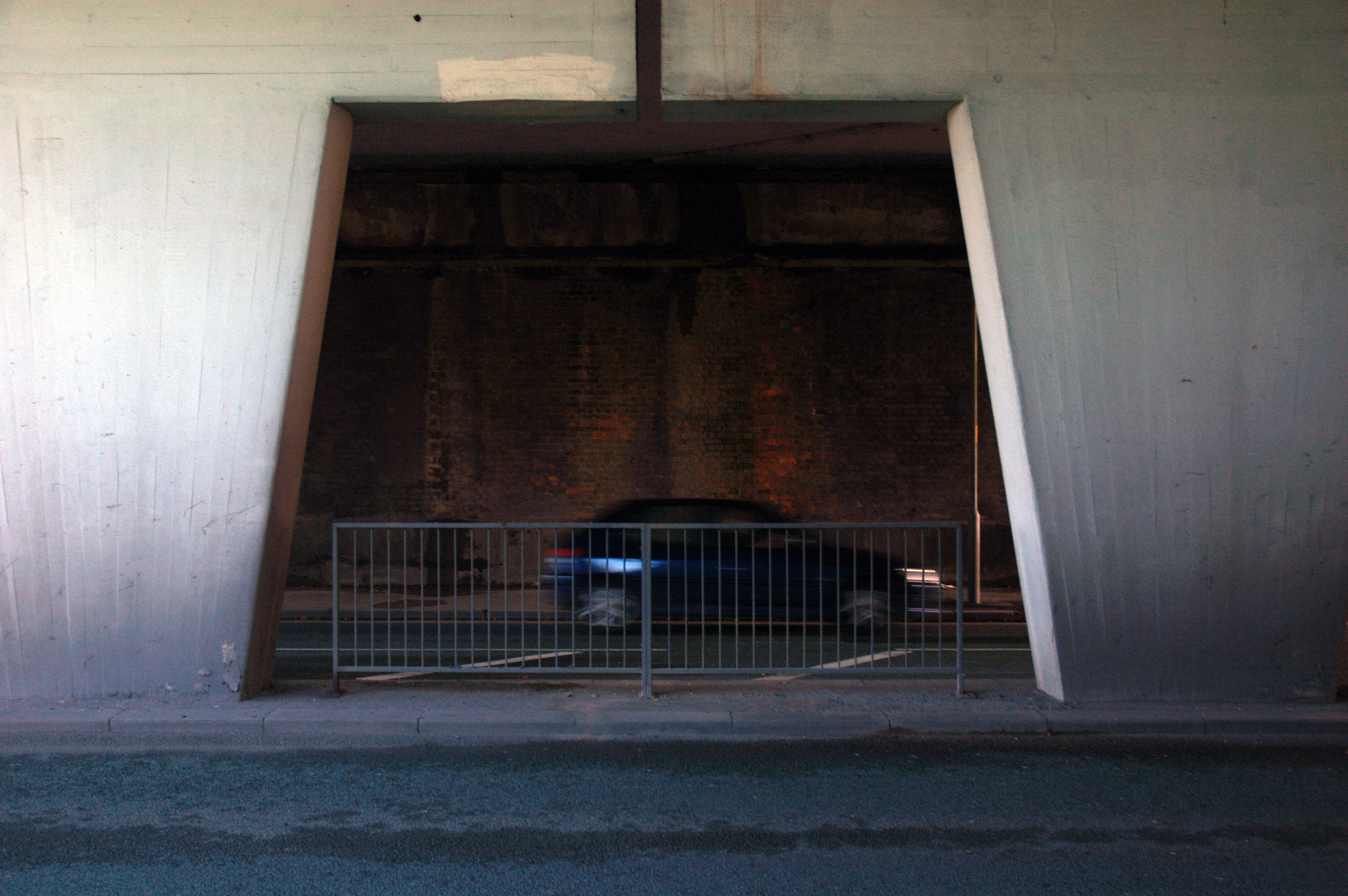
This is one of the more familiar roads, having walked up and down several times over several years. It was to have been an extension of the Mancunian Way, forming a trans-pennine motorway. Much of the property lining the route was cleared in preparation, it was never built, and for years a strange semi-deserted ambience hung over the A57.
Bus Depot
Railway Bridge
The car showrooms which later became an African Evangalist church.
Having cleared away both Victorian and Sixties housing, new architectural forms arose in West Gorton.
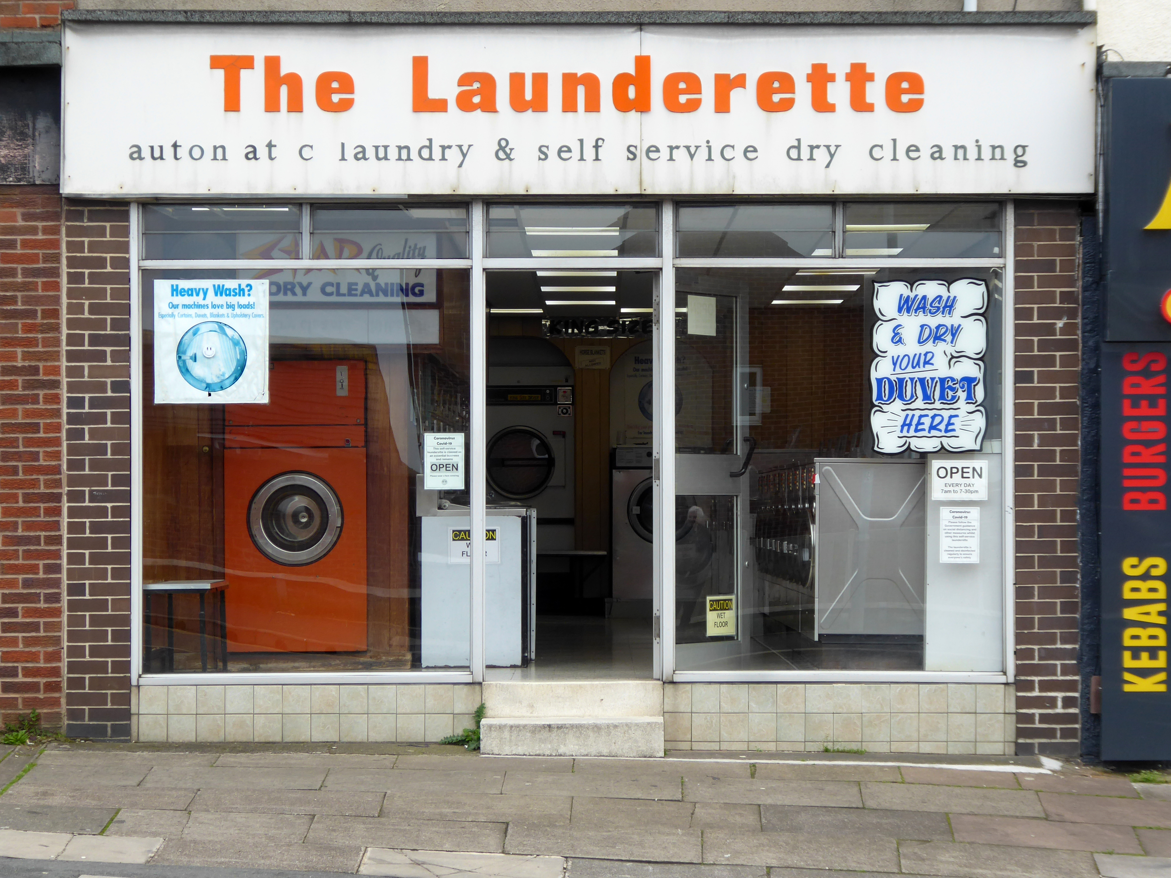
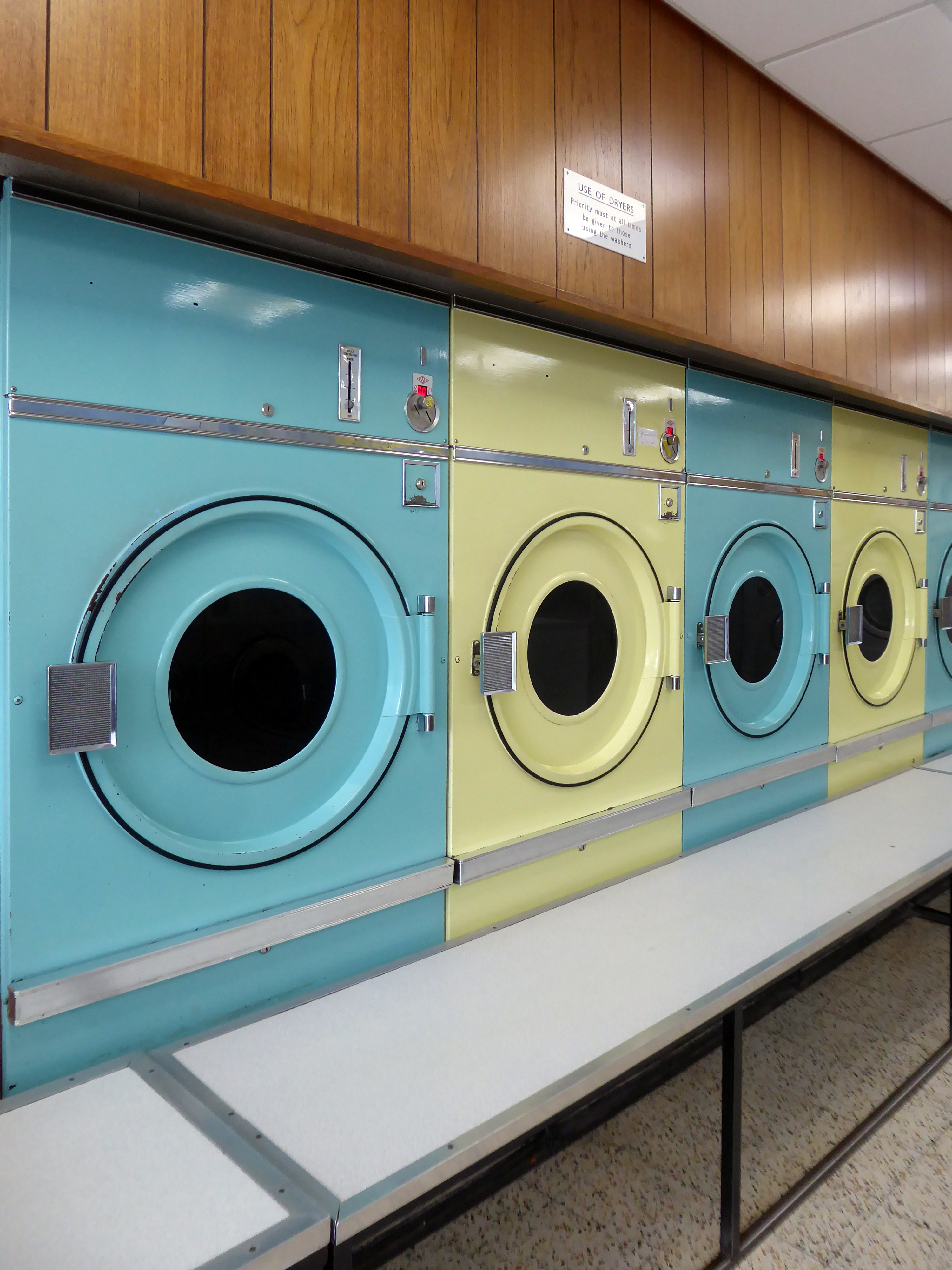
Now, everywhere I go, I see launderettes – so arriving in Hanley with time on my hands, wandering around I found this exemplary example.
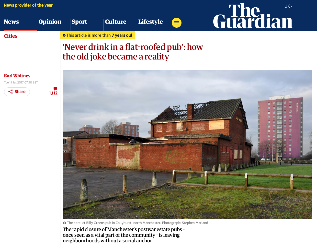
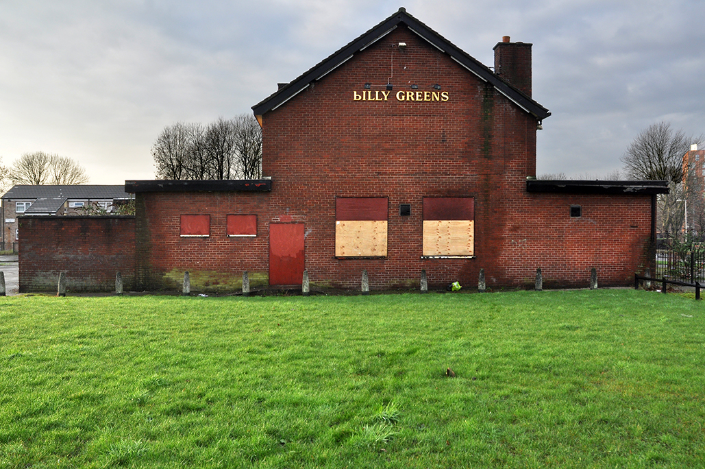
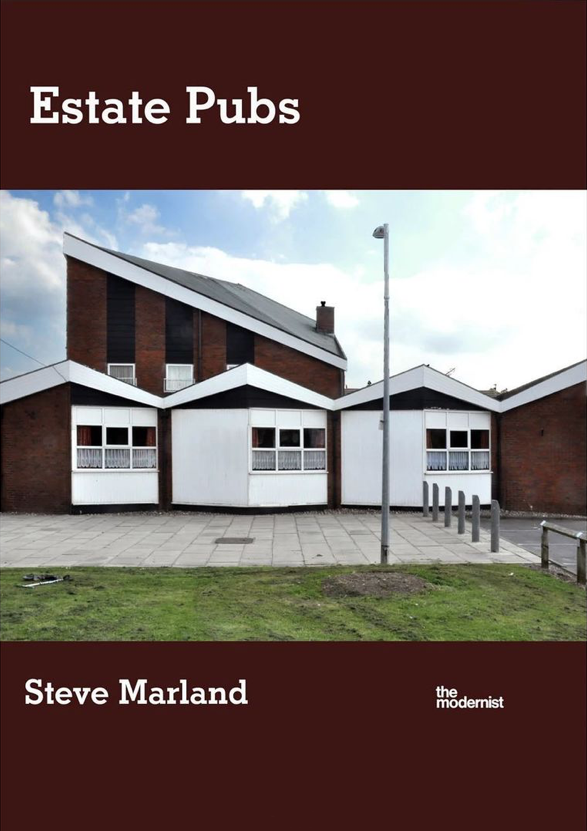
Having a blog entitled Manchester Estate Pubs, the national media became interested in my photographs. I had spent quite some time, wandering around in search of this endangered architectural typology.
This was Billy Greens in Collyhurst, named for a local boxer, now demolished.
Which in turn became the second modernist calendar.
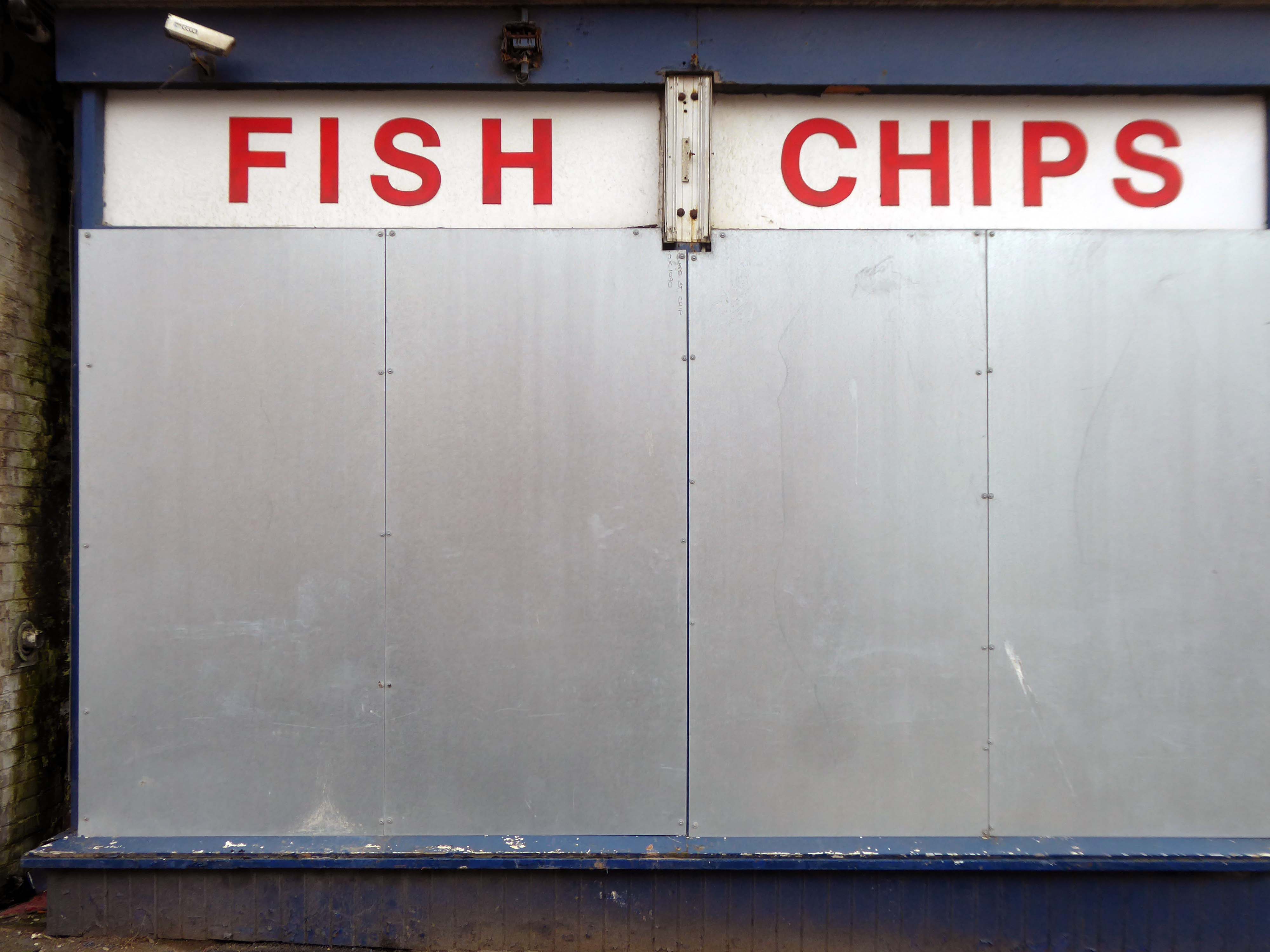
Followed the following year by fish and chip shops.
So building a vocabulary for my mooching, discovering yet another chippy, laundry, pub, Burton’s, telephone exchange, glazed stairway or underpass.
These things find you, yearning for some small amount of attention and affection.
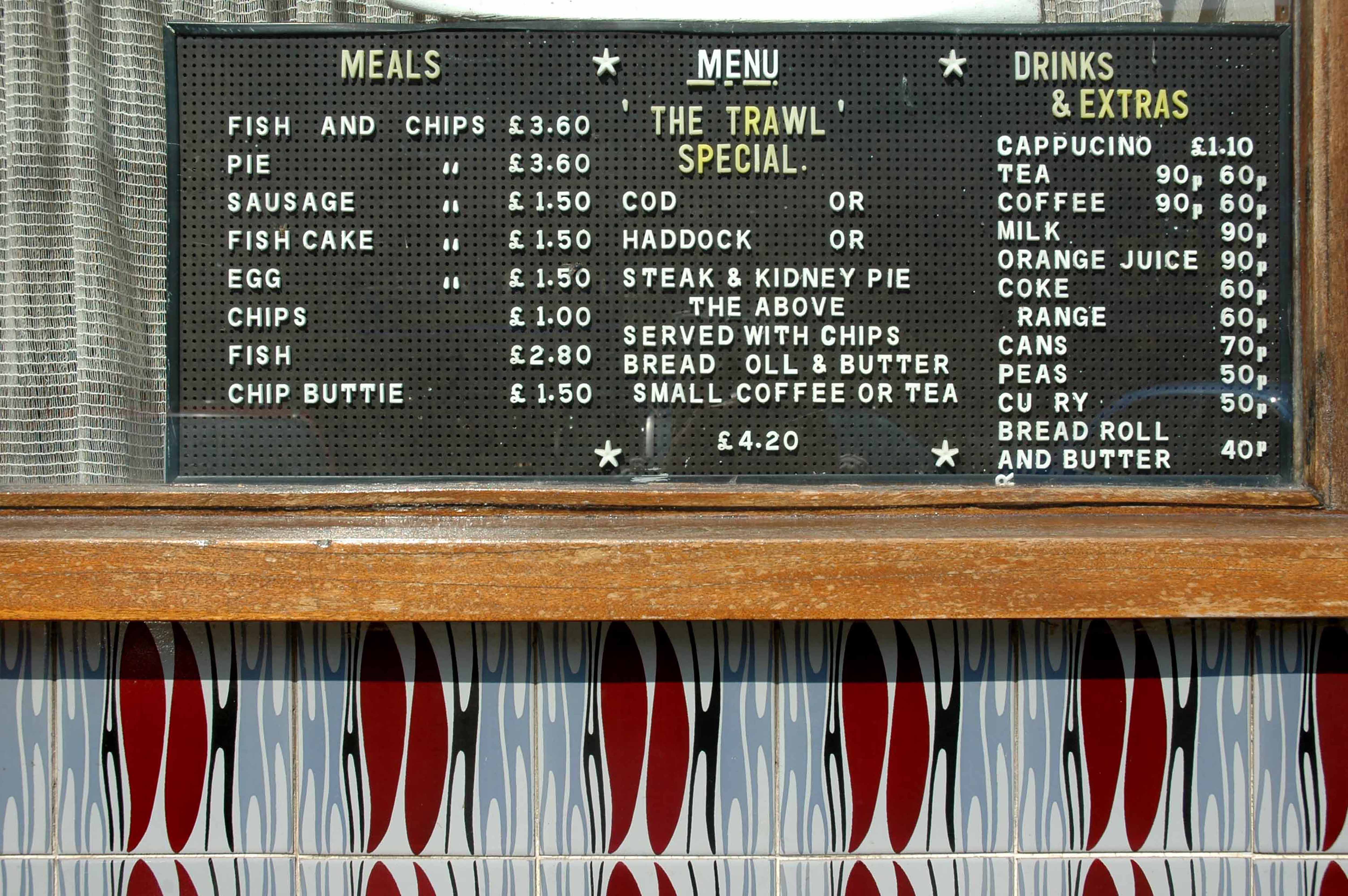
The Trawl – my favourite peg board menu, my favourite Bridlington chippy.
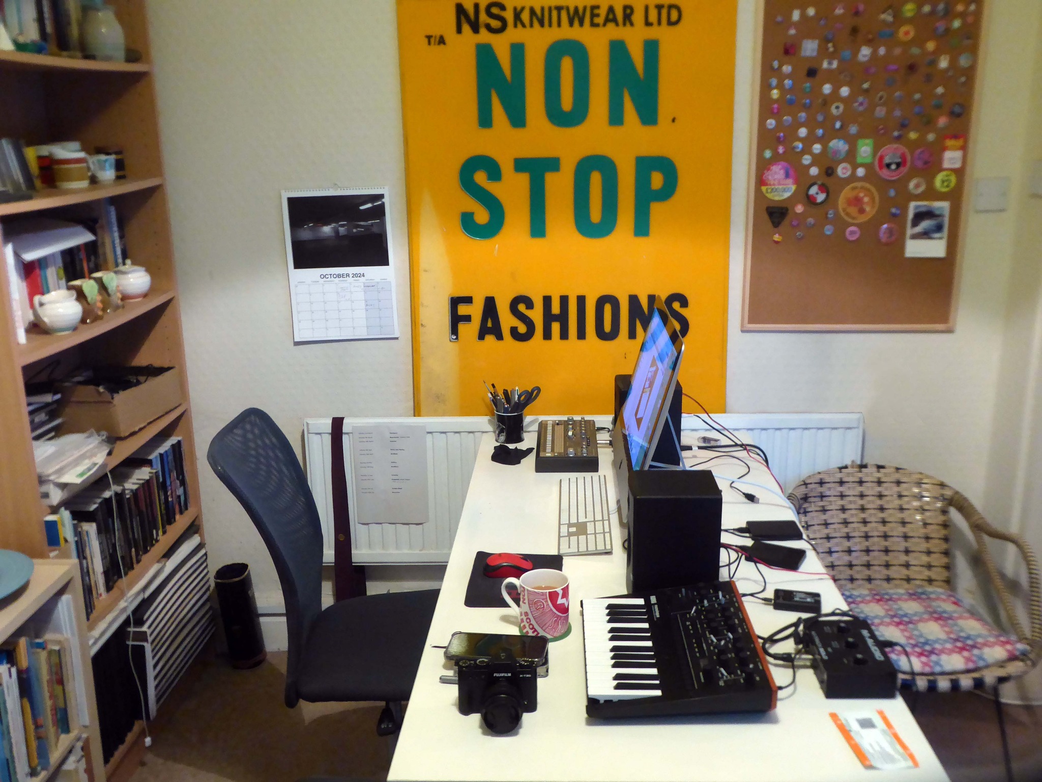
We are now coming to the end of the car park year – seen here on the wall of my command centre.
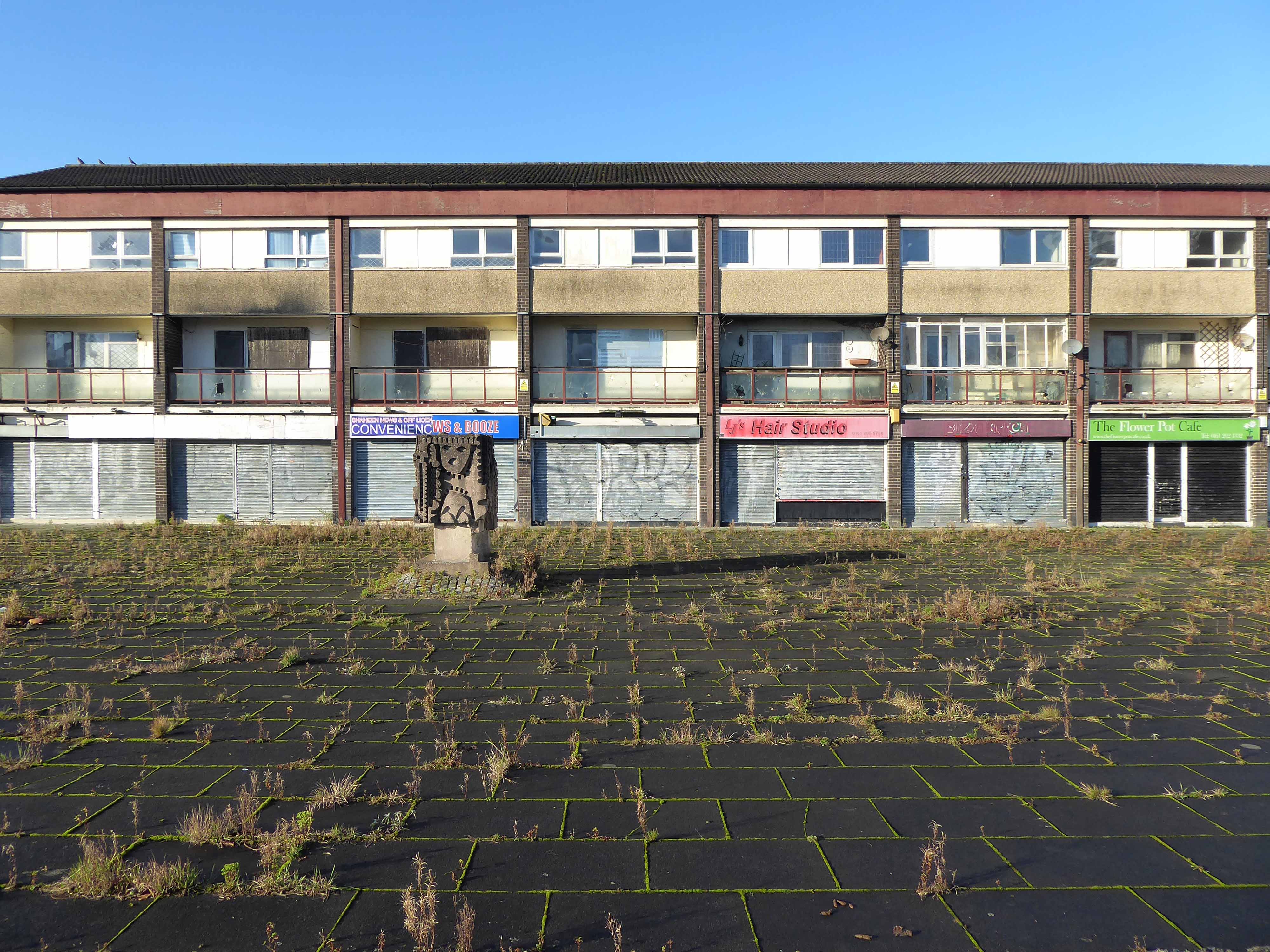
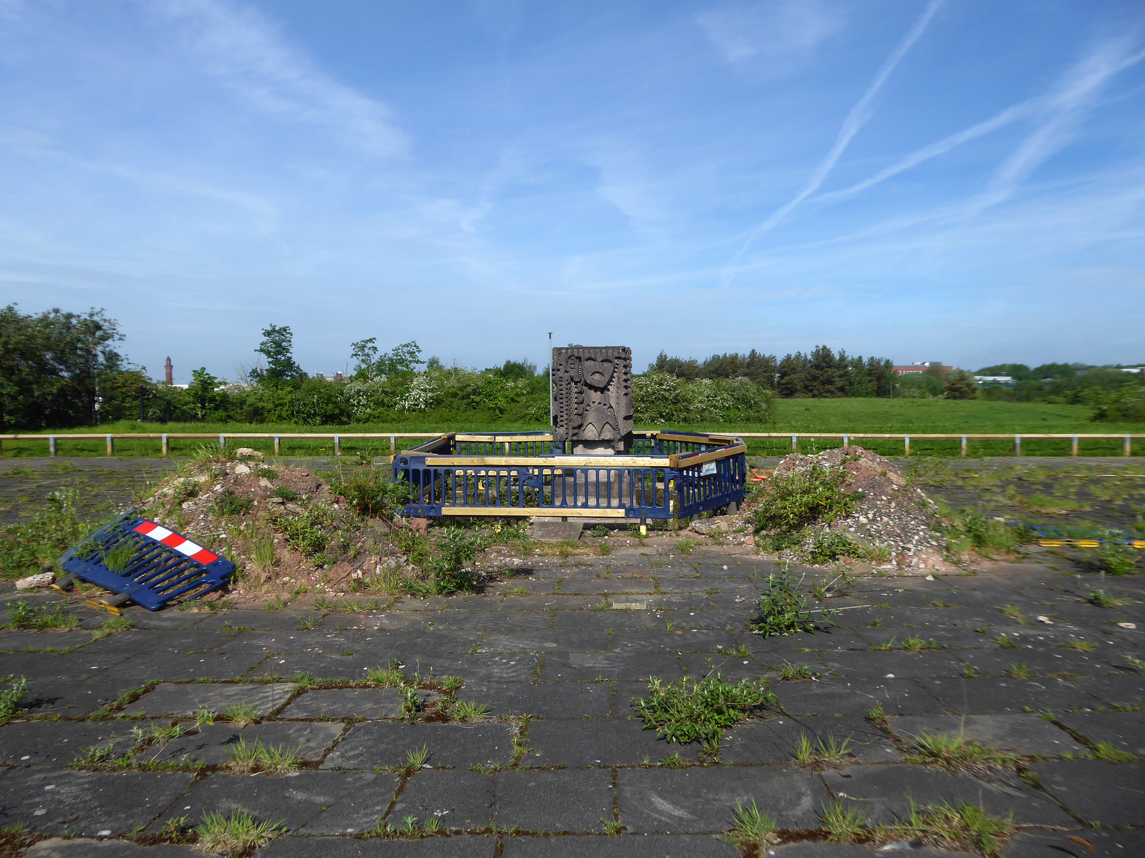
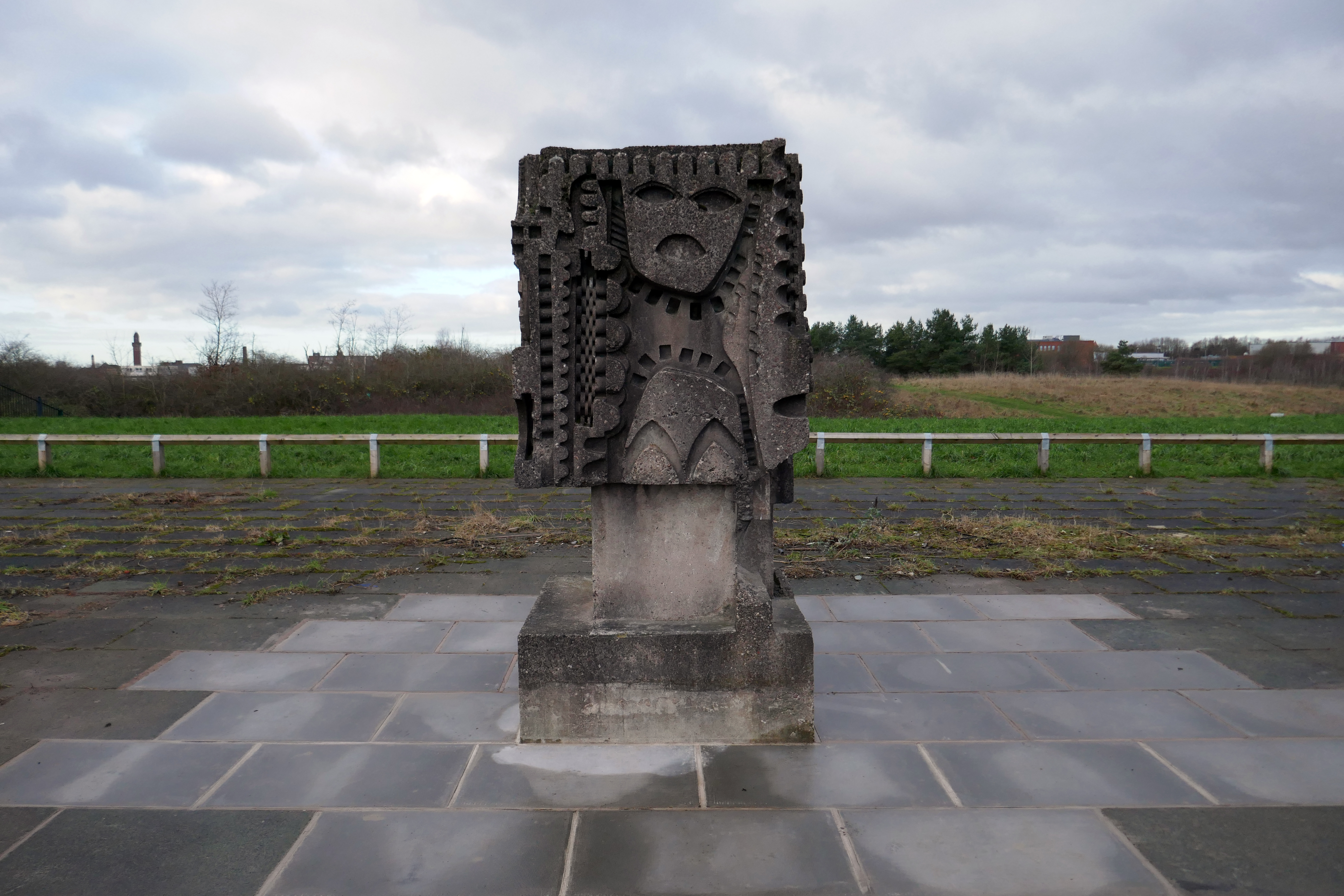
Home to William Mitchell’s Totem, the homes long gone and the Council pledged to move the totem too.
The state of play this week, the detritus removed and the base filled in, repaved and safe for a while.
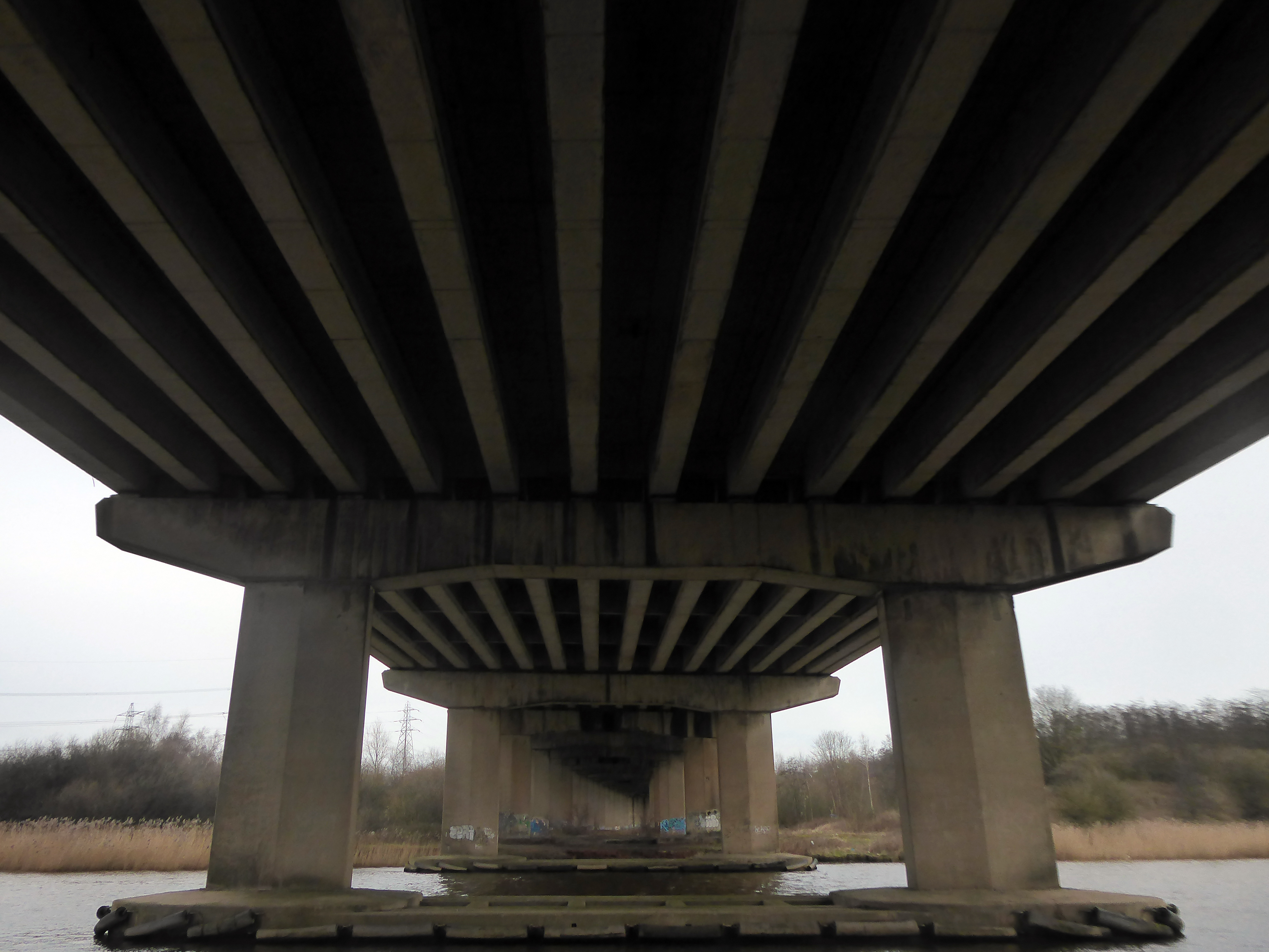
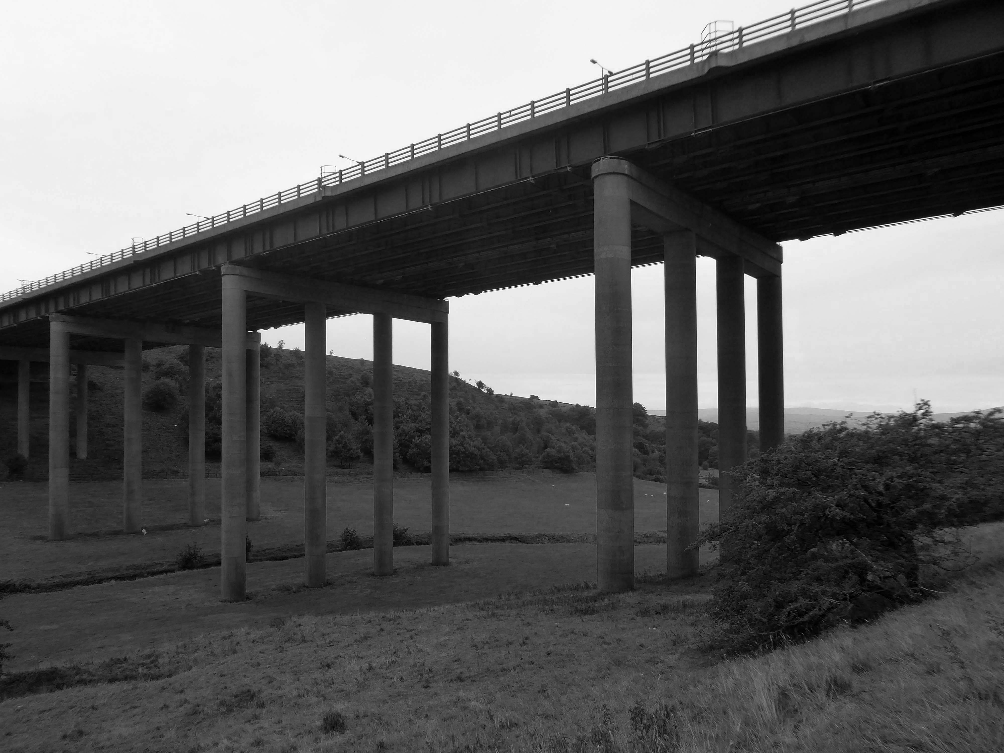
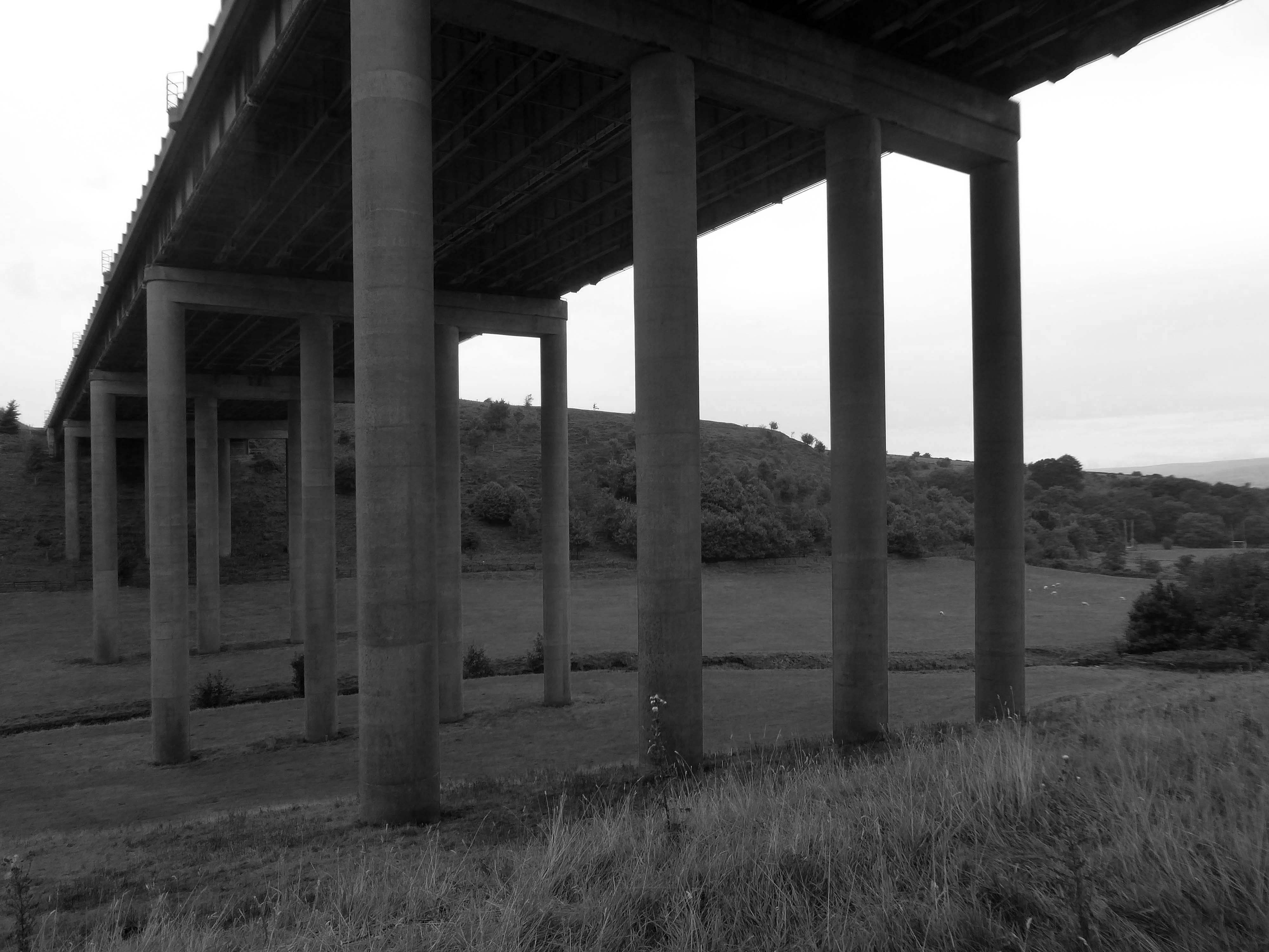
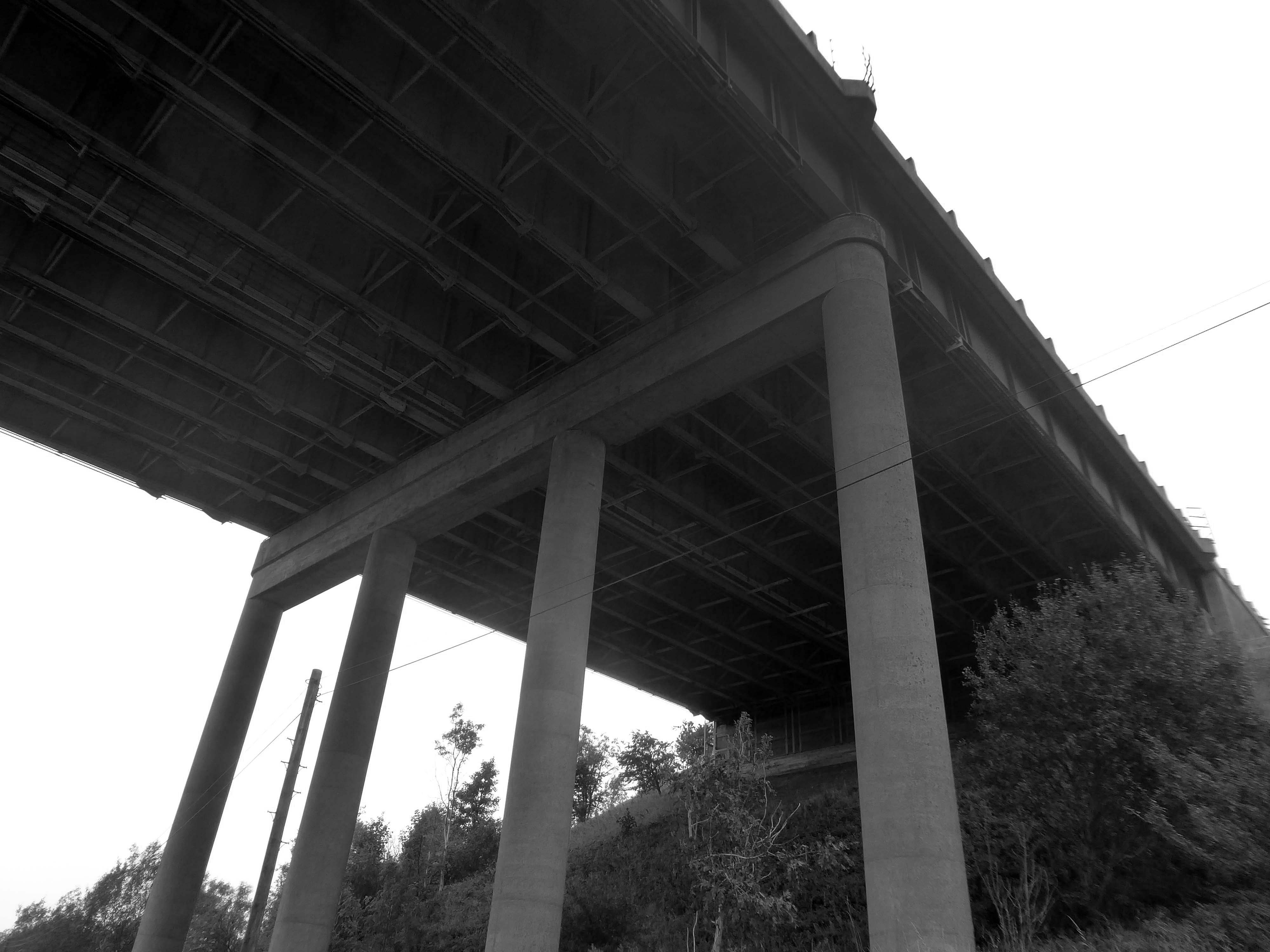
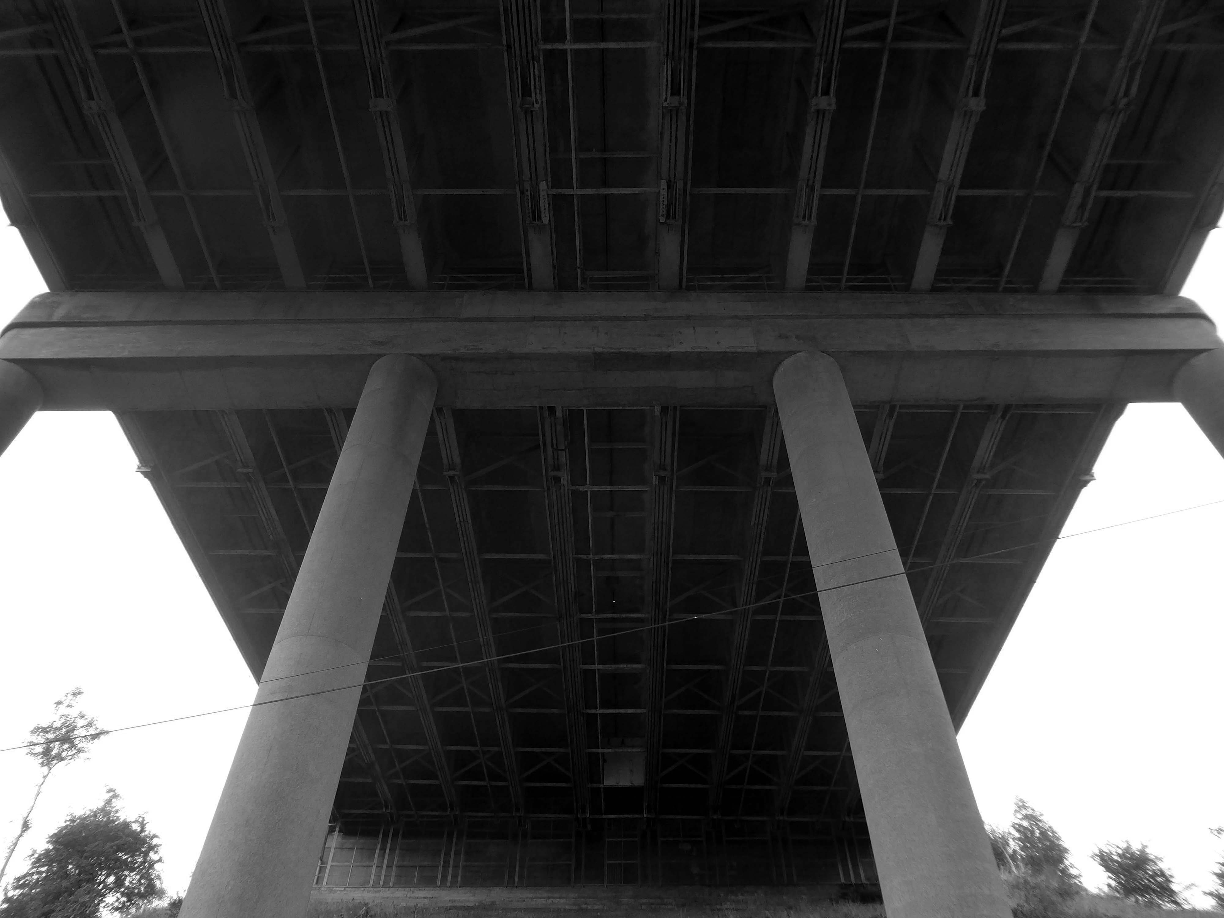
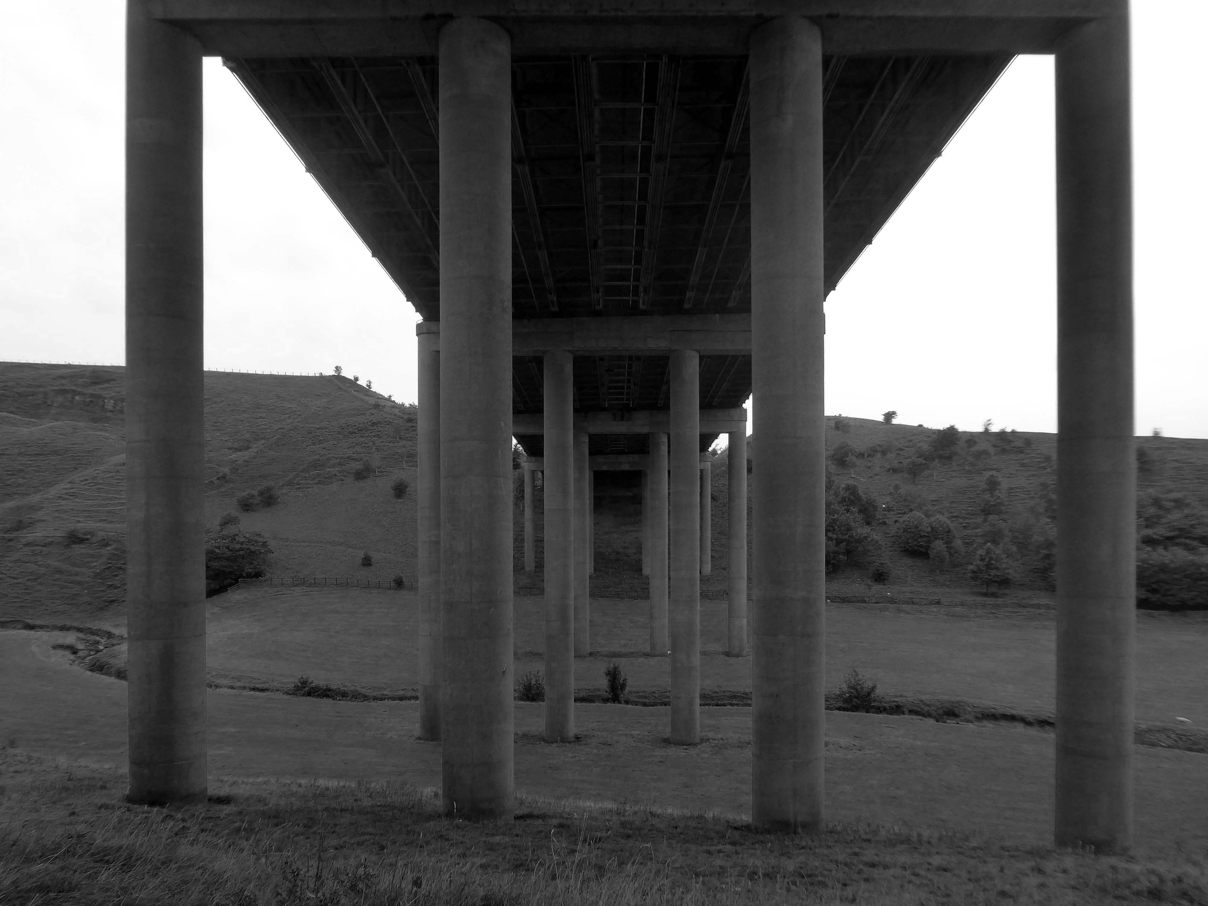
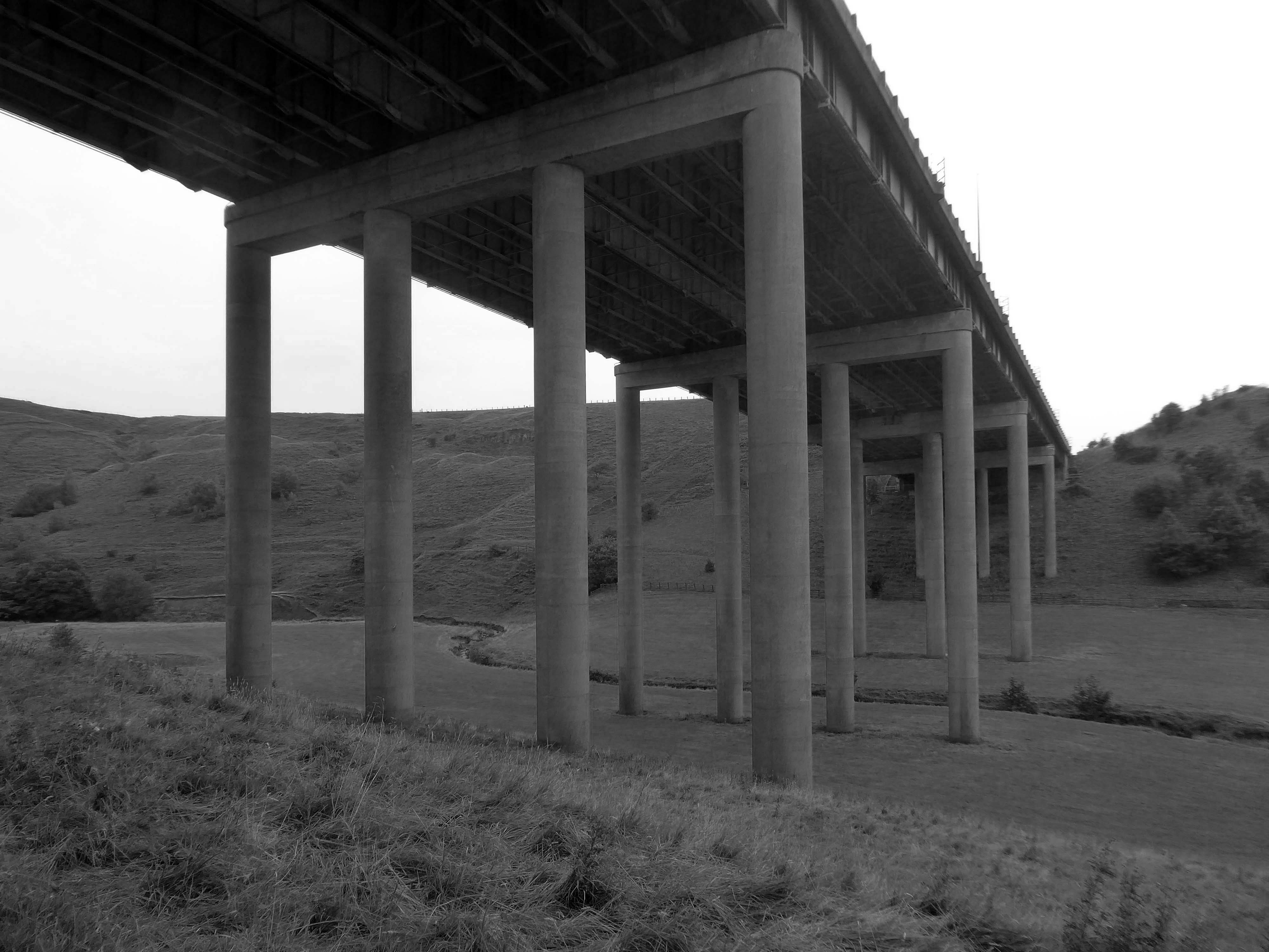
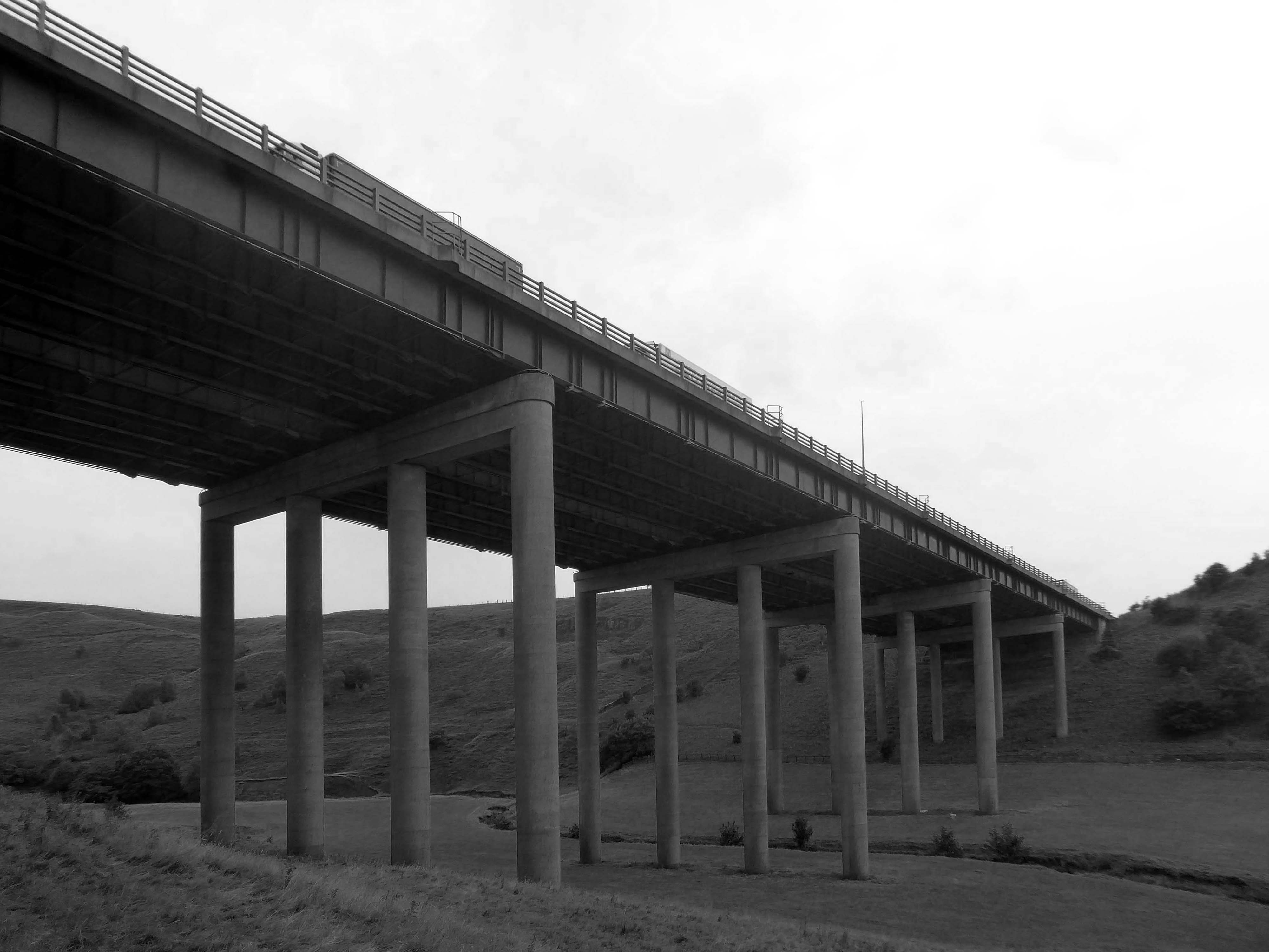
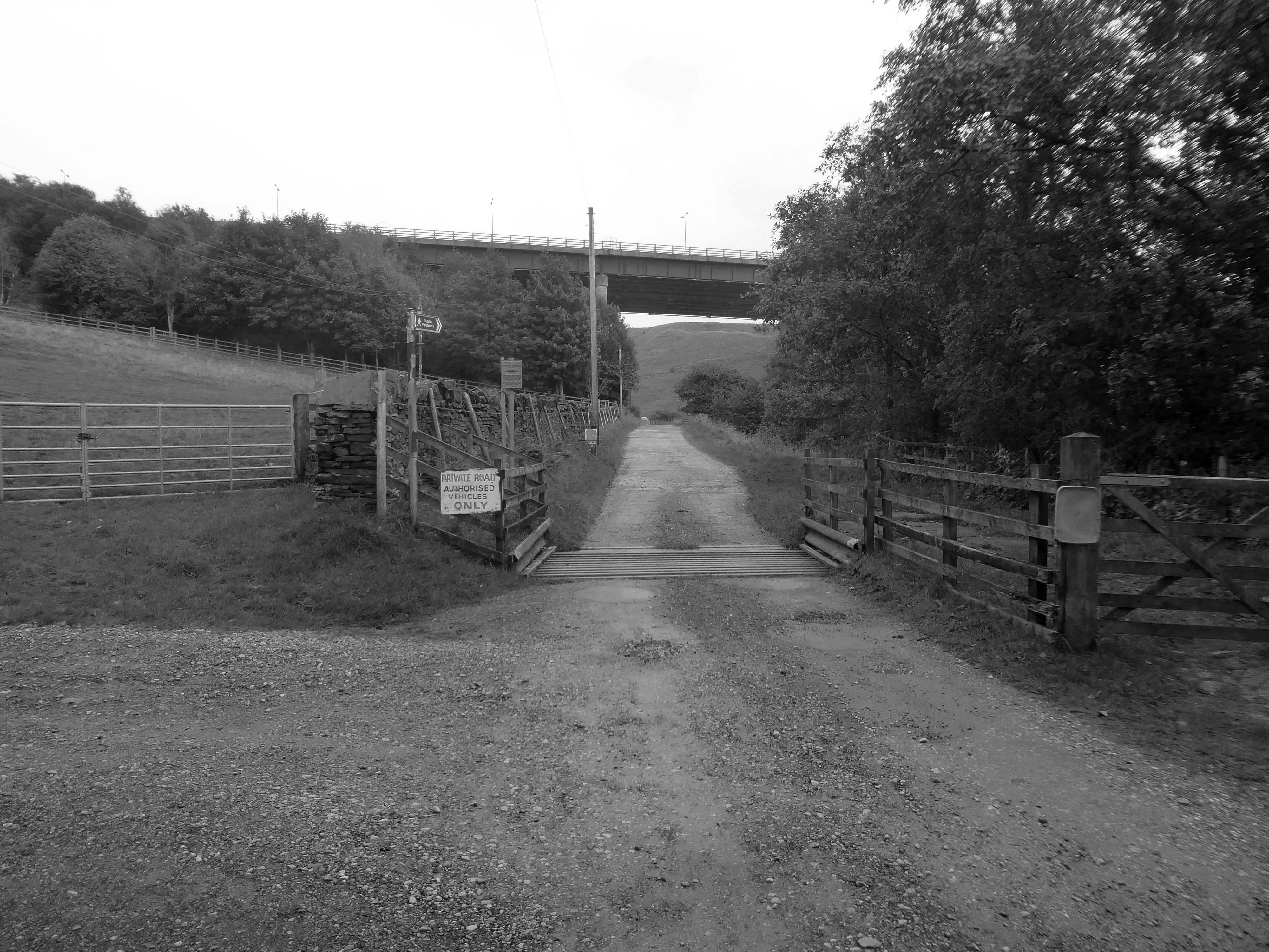
Off now to the Weaver Valley another day another river, passing under Weaver Viaduct
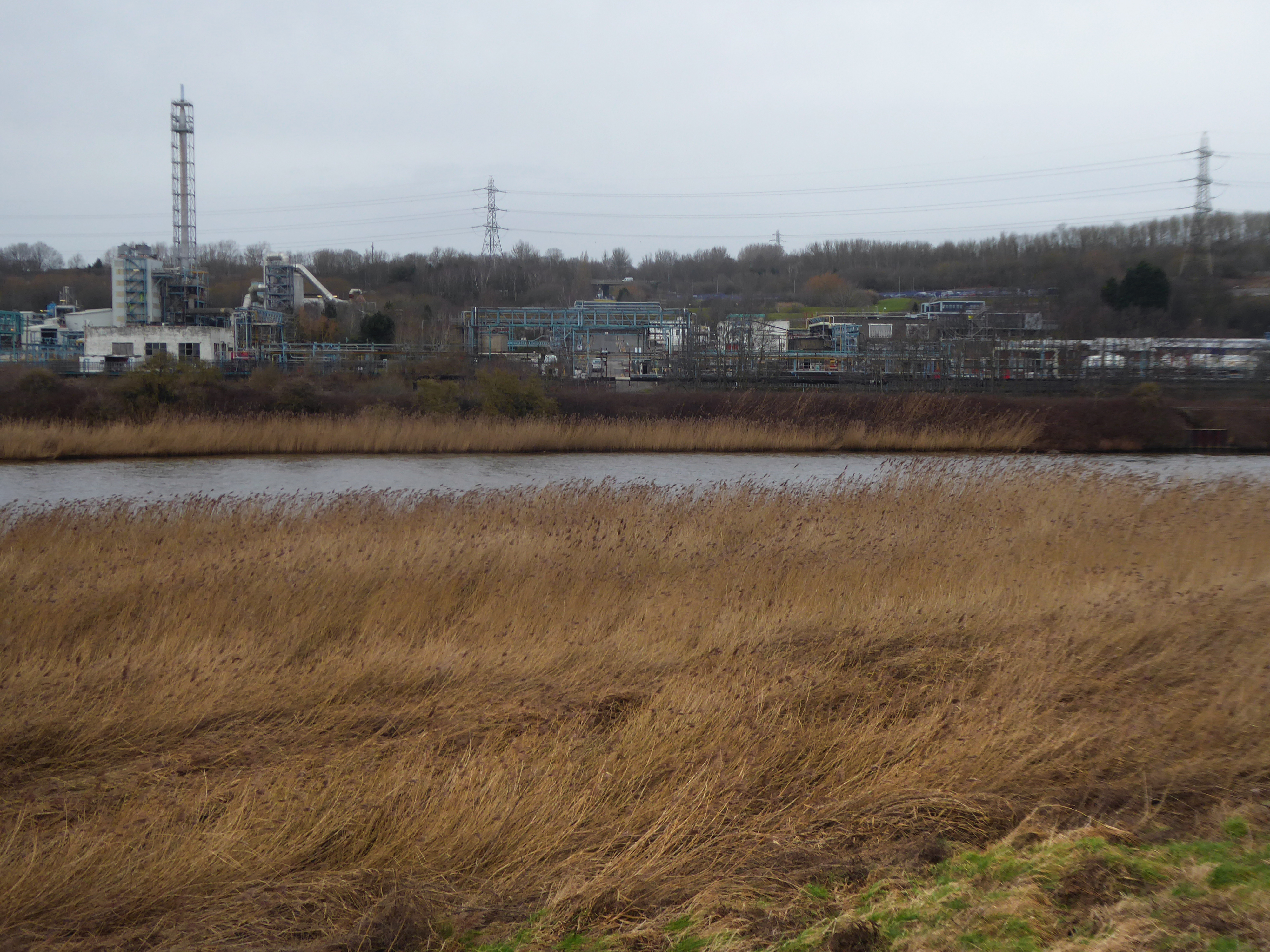
The looking toward KouraGlobal – leader in the development, manufacture, and supply of fluoro products and technologies, opened a new HFA 152a production facility at their Runcorn site in the UK.
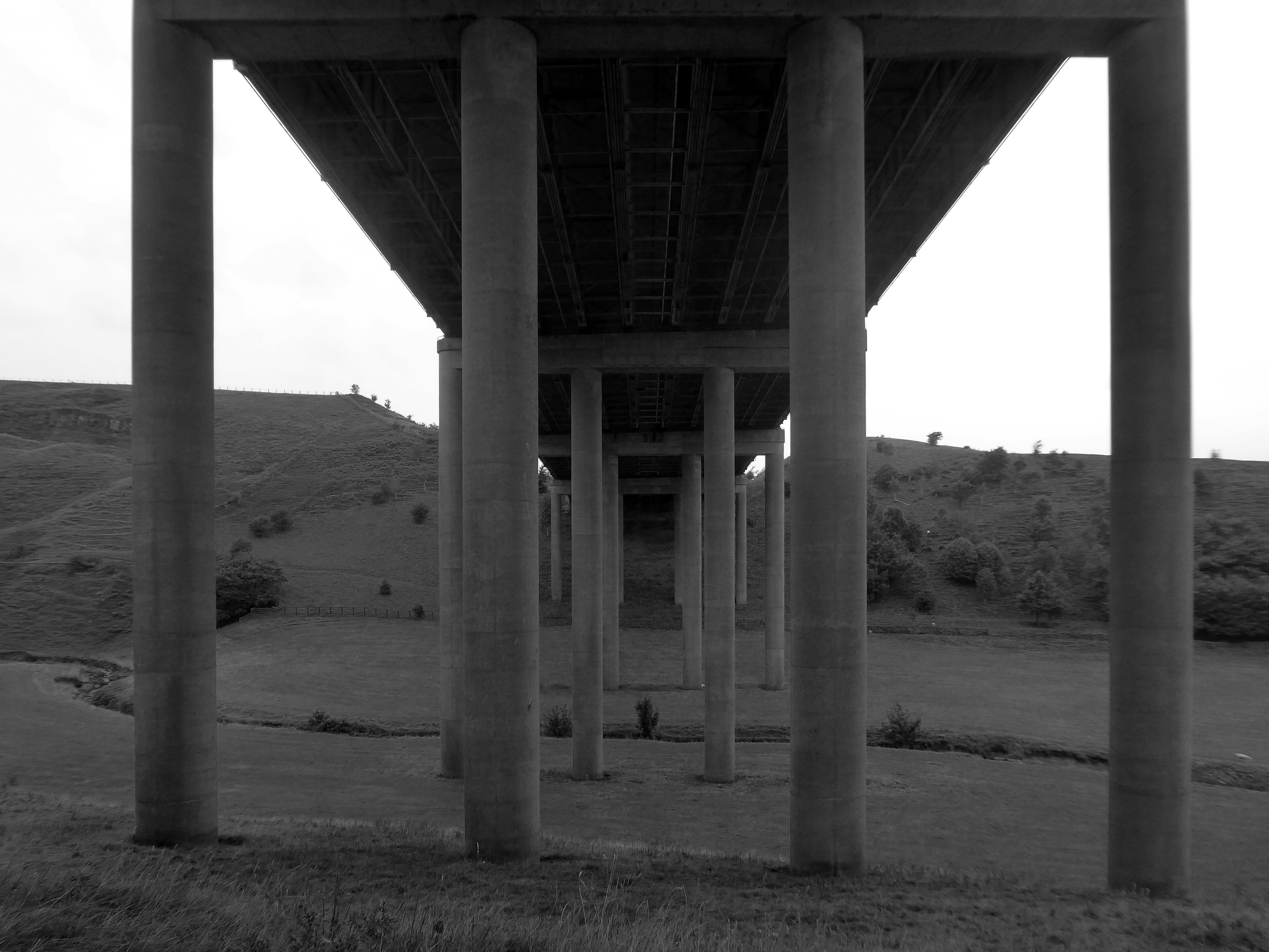
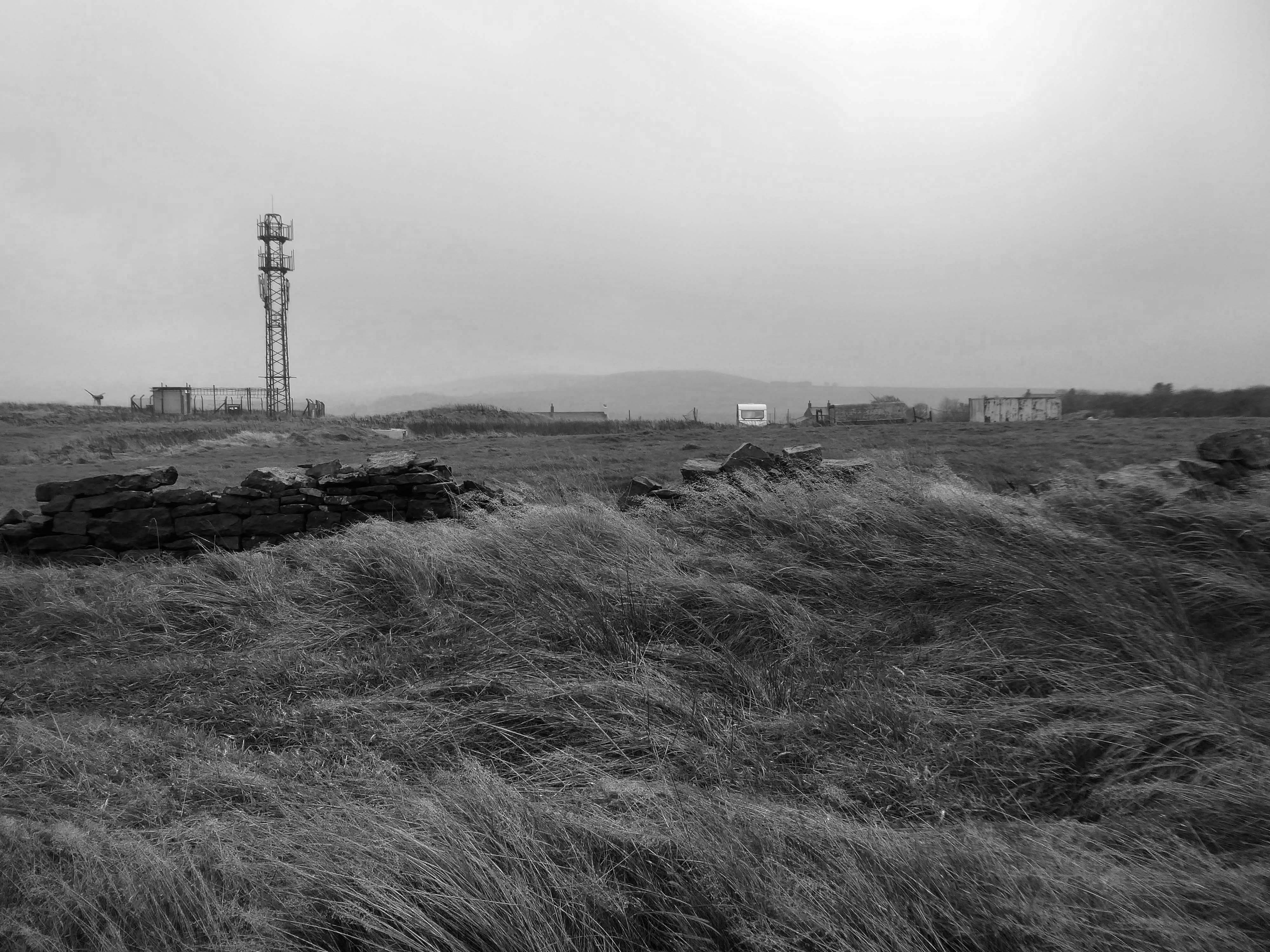
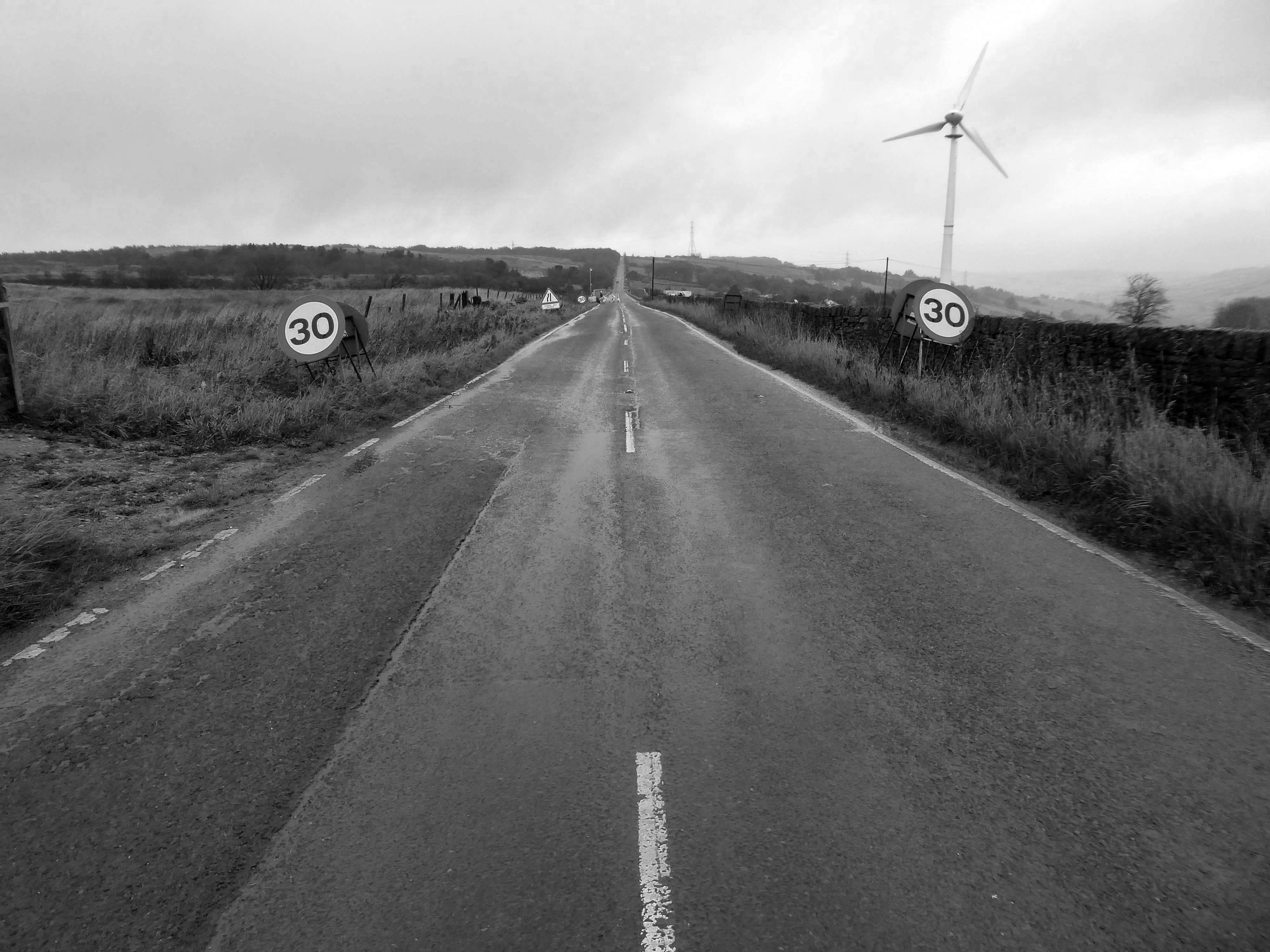
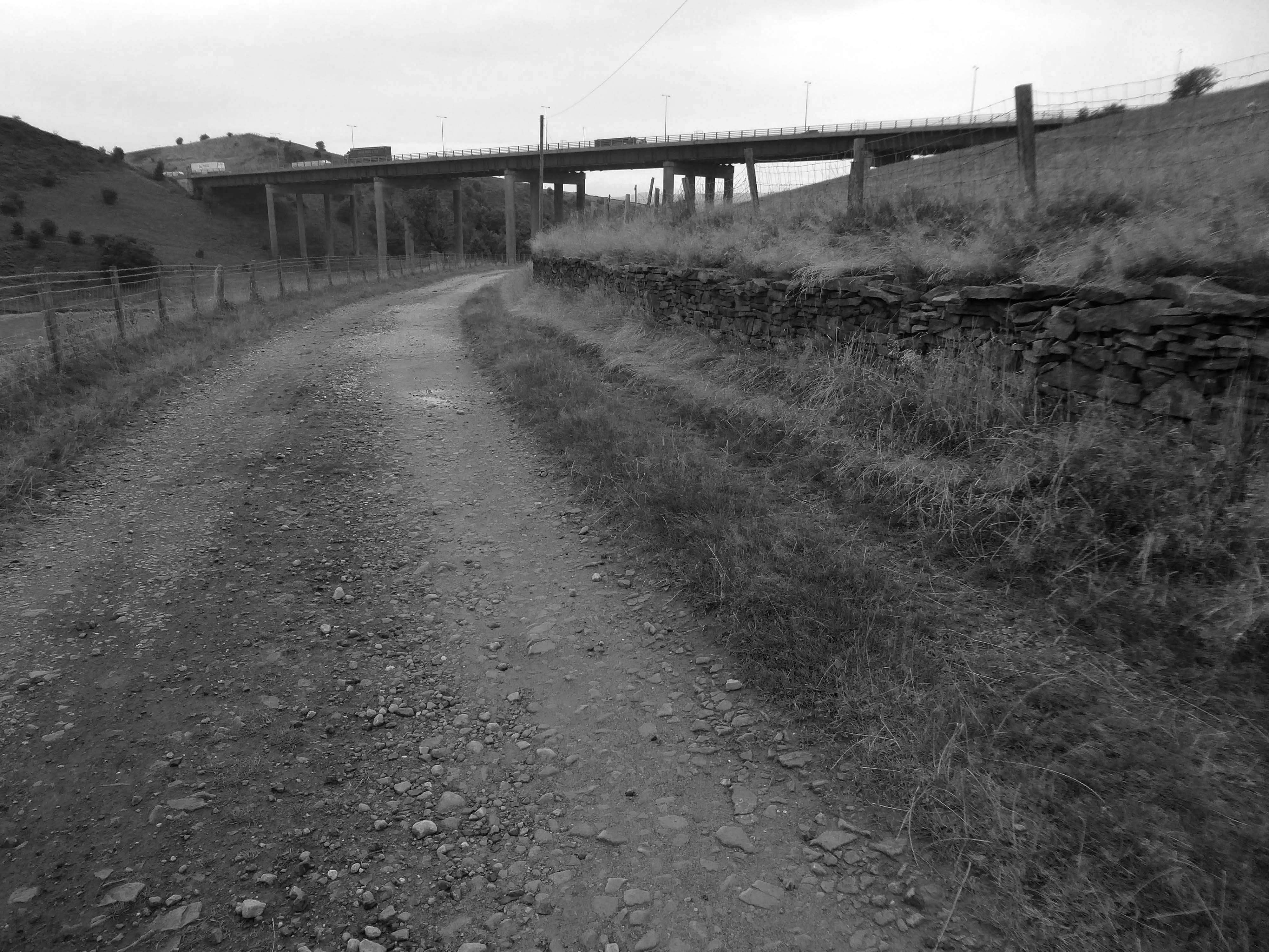
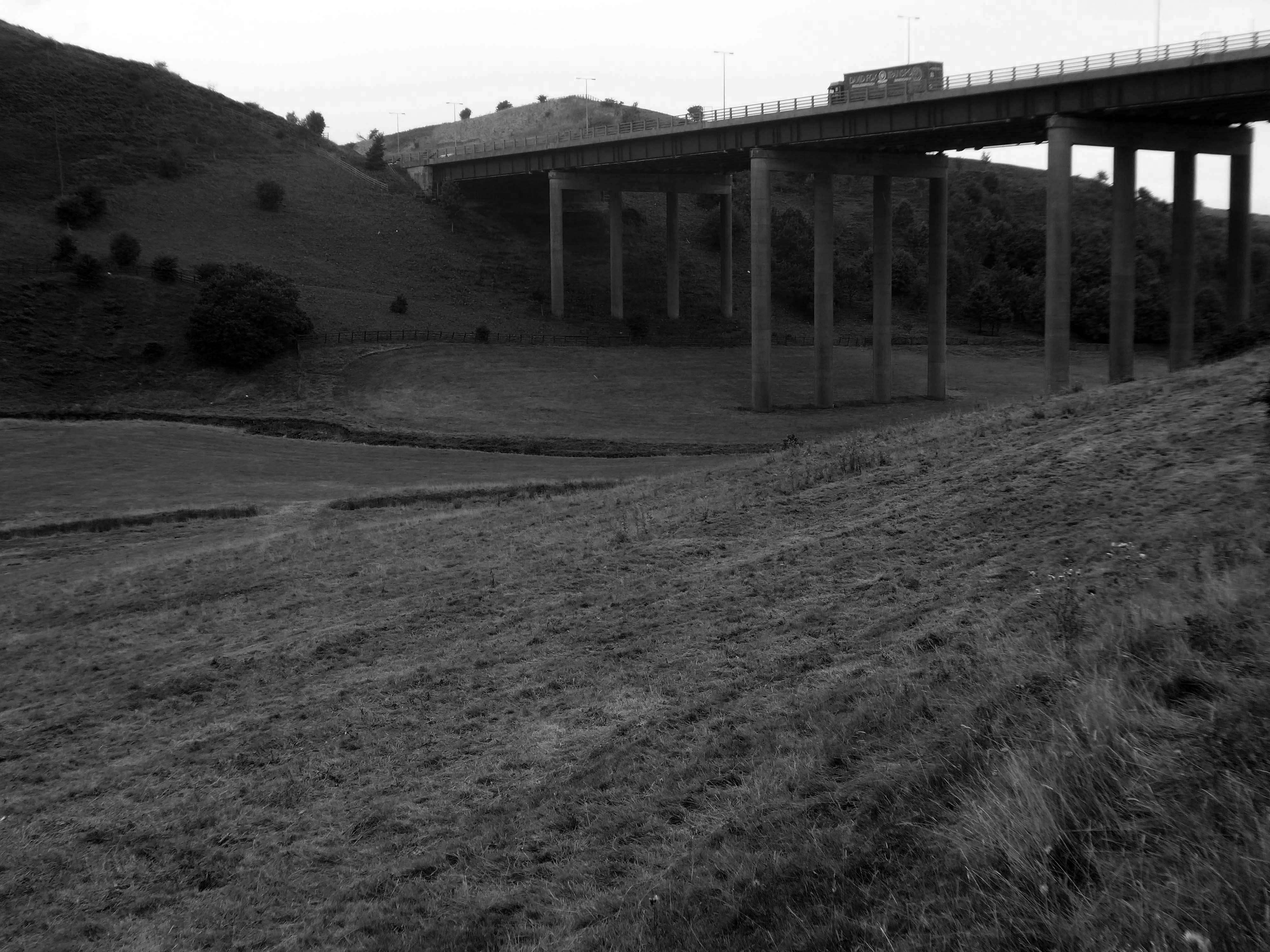
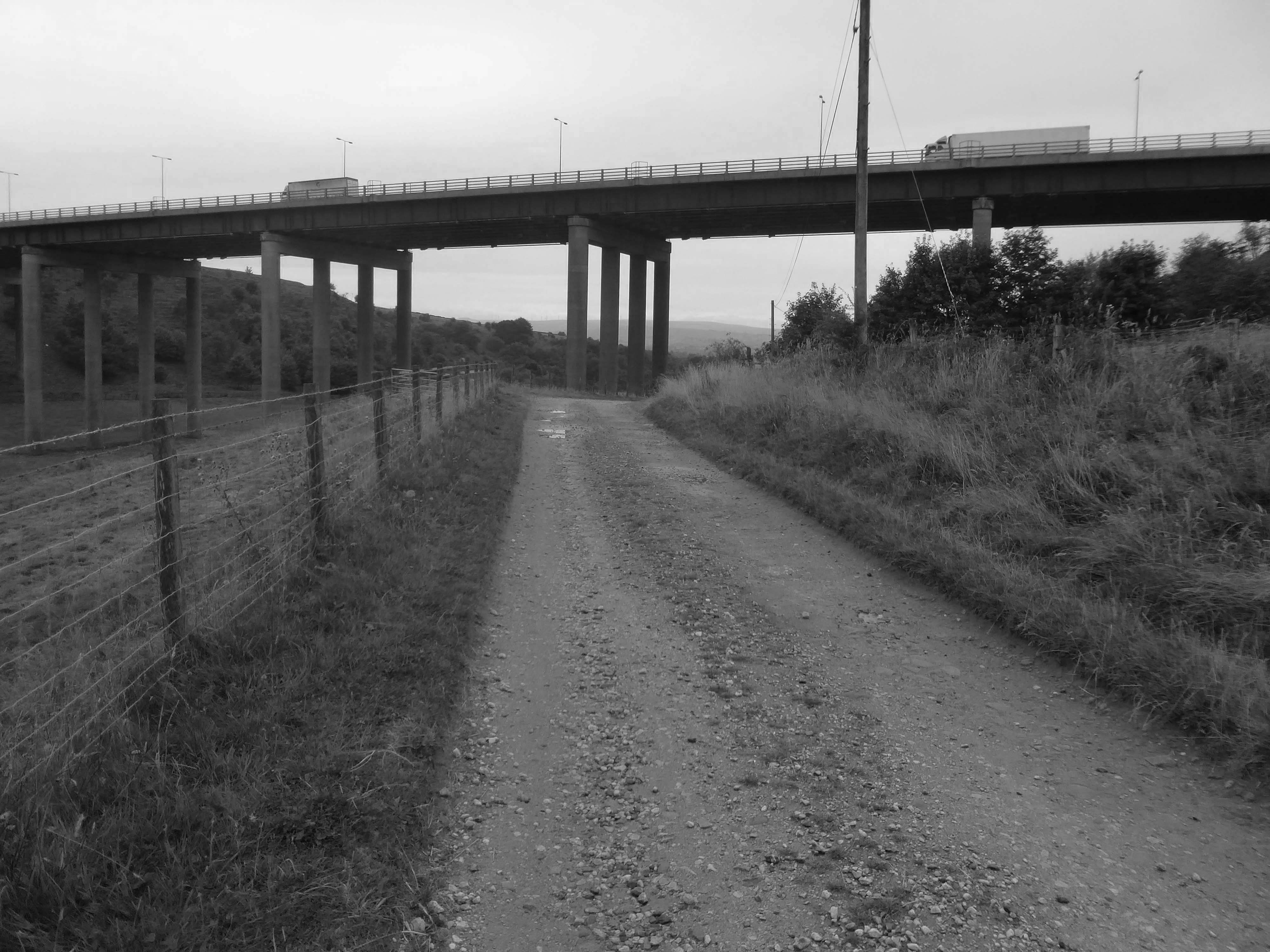
Further rural Modernism as we pass under and traverse the M62, whilst walking around the Piethorn Valley
The newest of the Modernist Mooches was to Burnley where we visited the Keirby Hotel.
The former GUS Offices with a mural by Diane and William Morris.
Plus the Charles Anderson concrete relief at the Crow Wood Hotel.
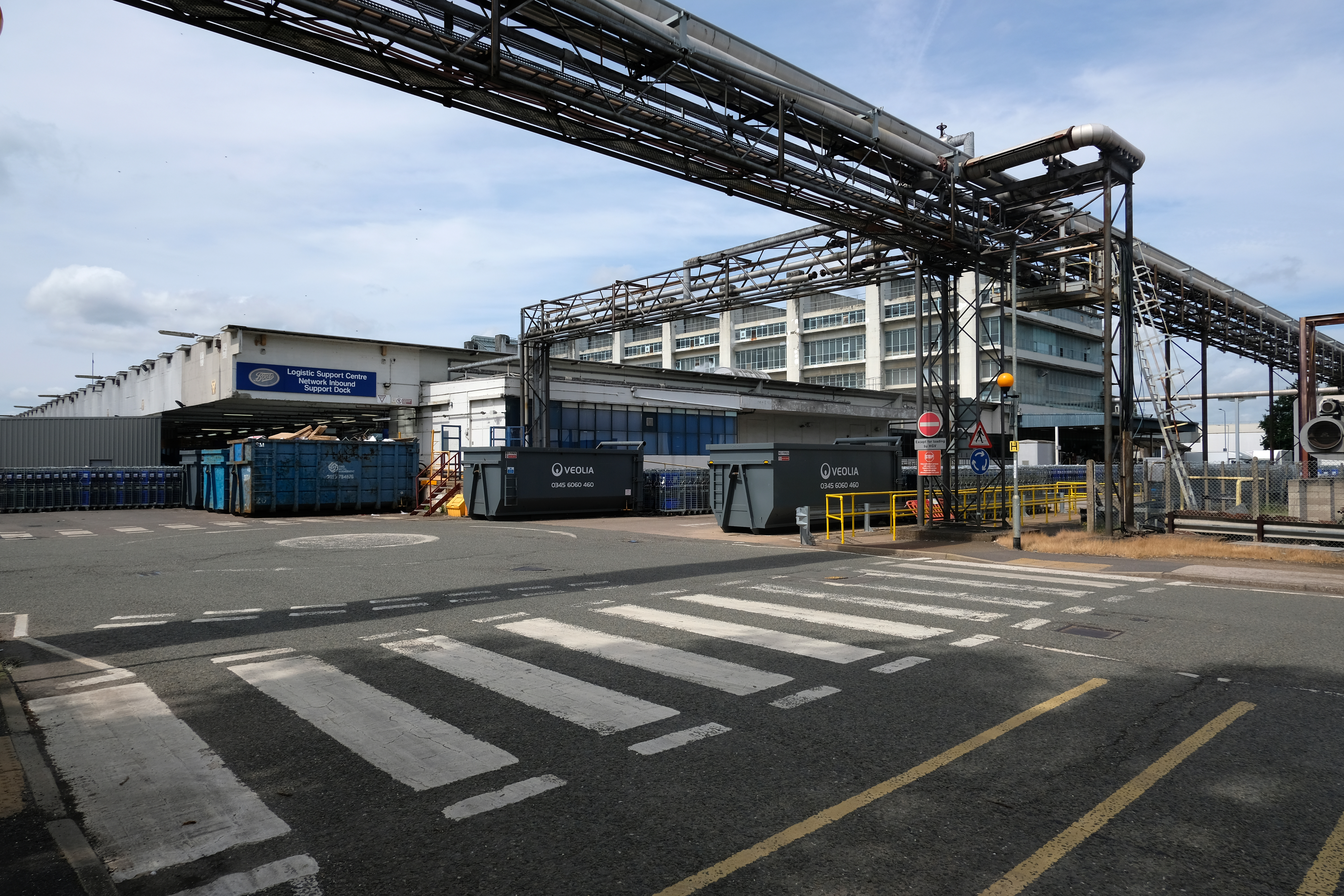
Finally a little light relief – a visit to the Boots factory in Nottingham.
Having innocently board a bus outside the station with a Boots head code , I alighted within the factory gates. Then innocently walking around taking snaps, unheeded until the men in the van stopped me in my tracks.
Who are you, what are you doing?
I am the Modern Moocher going about my business – well it turns out this was not permitted and I was red carded by the earnest security guards and asked to leave forthwith. Suitably rebuked, I politely bade them farewell and headed for the gates.
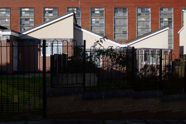
The masterplan states that Radcliffe has many unattractive buildings and few architectural assets. But this could work to its advantage as a lack of protected or noteworthy buildings makes it easier to replace them with contemporary structures.
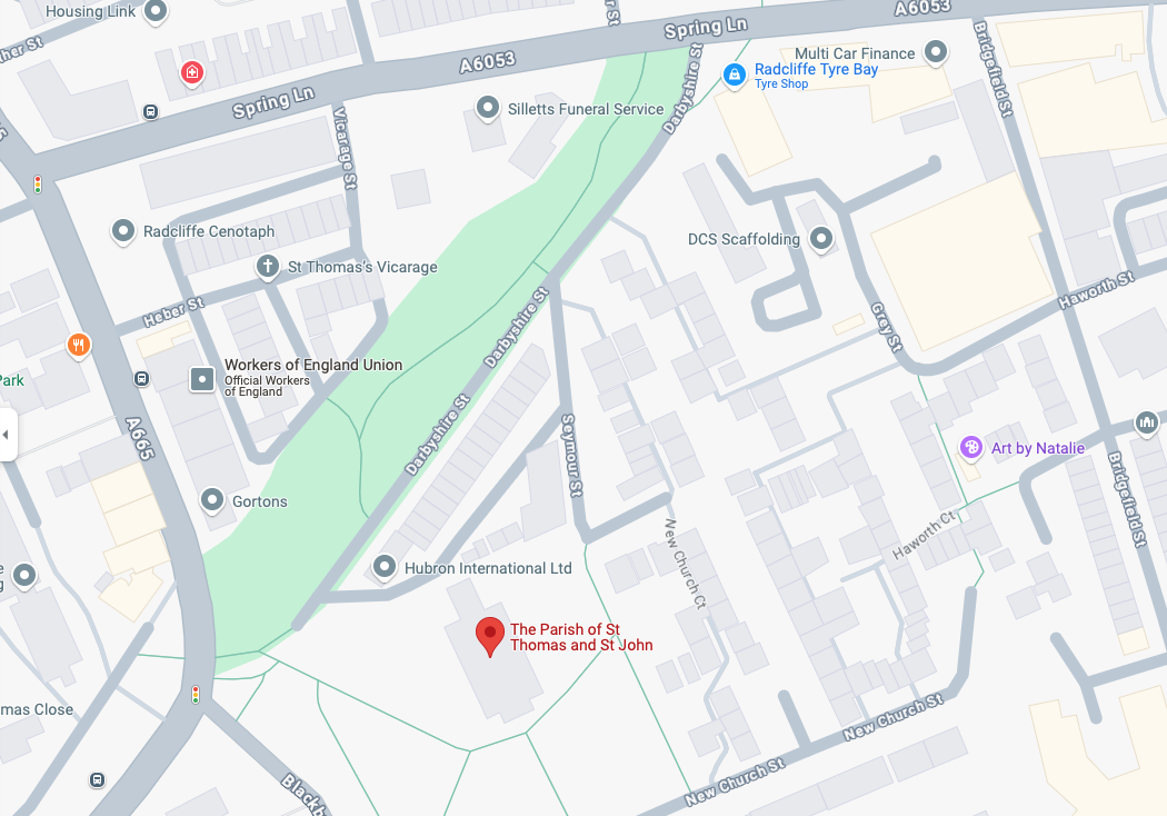
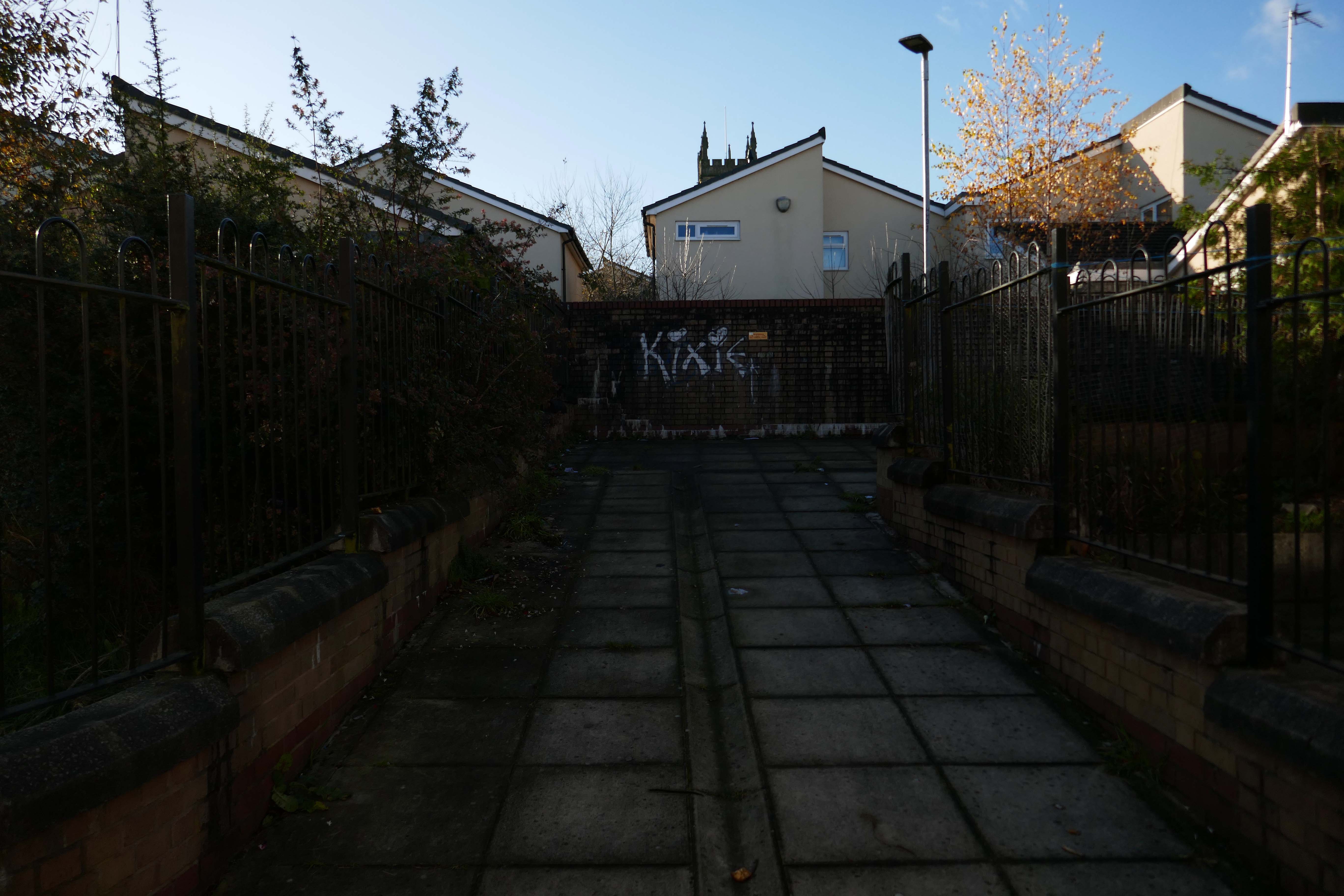
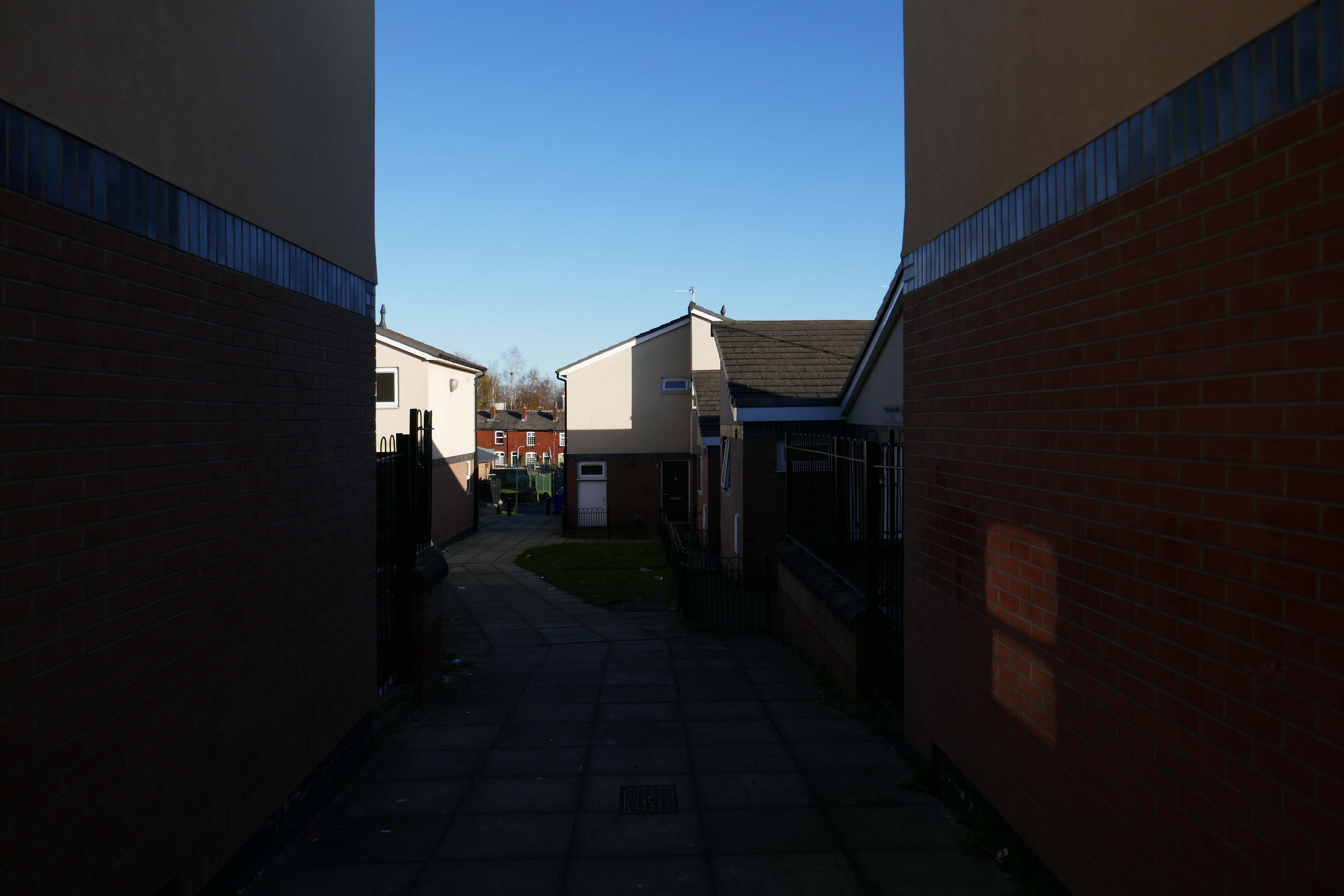
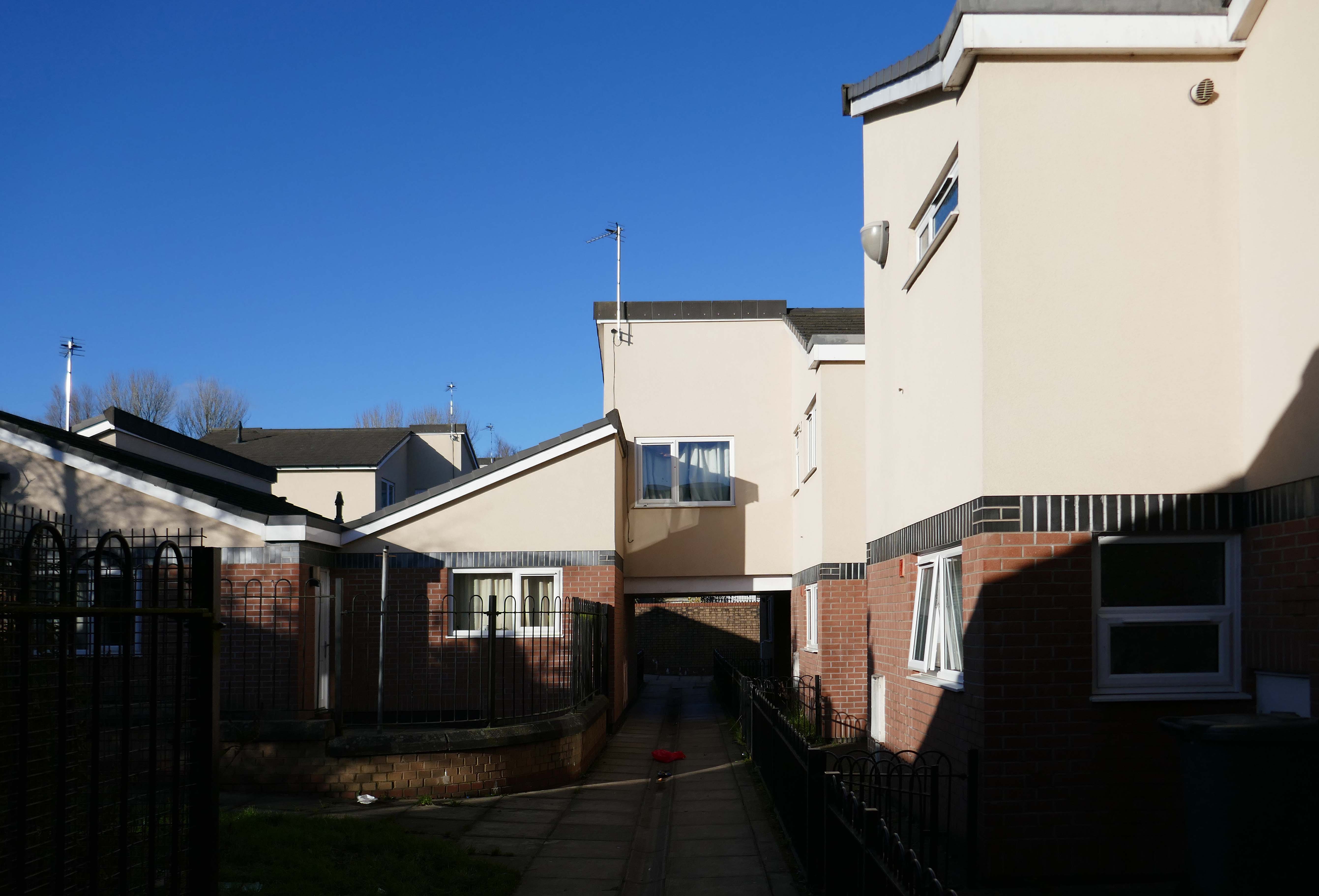
This could include demolishing the “unwelcoming” St Thomas Estate and replacing it with a mix of private and social housing on the old street layout. Existing tenants would be rehoused in the new houses so that the community would not be broken up.
During his term, Sheffield’s housing grew upwards with multi-storey flats constructed at Low Edges, Park Hill, Hyde Park, Netherthorpe and Woodside. It was Womersley’s response to 13,000 families on the council’s waiting list and 10,000 condemned properties waiting to be demolished.
In the space of a decade they shaped Manchester’s urban fabric, leaving a questionable legacy. The technical quality of their buildings was undoubtedly poor, but their qualities – bold forms, monolithic materiality and streets-in-the-sky – were of the moment, and captured a particular brand of urban renewal, imported from North America and inflected through British post-war planning.
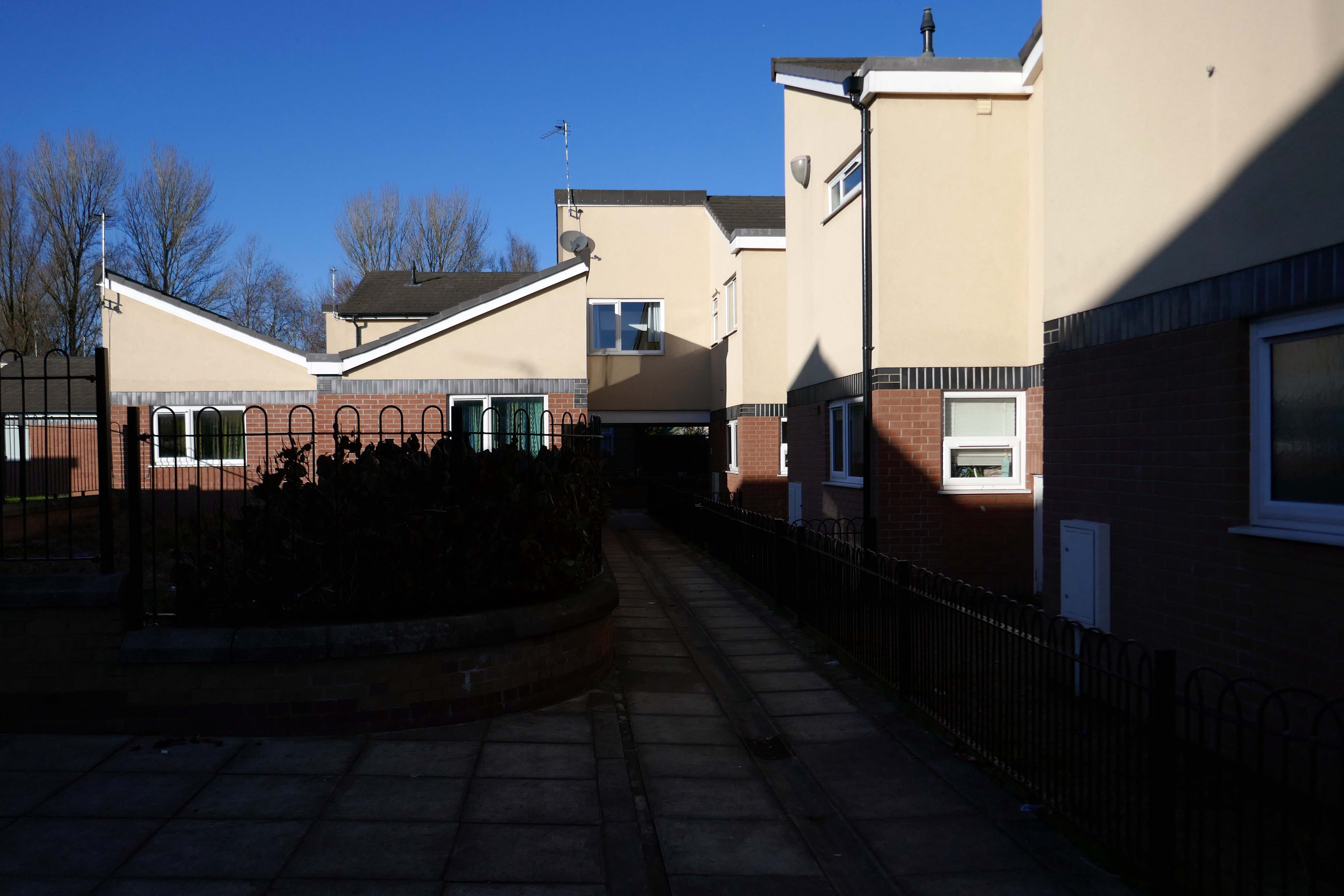
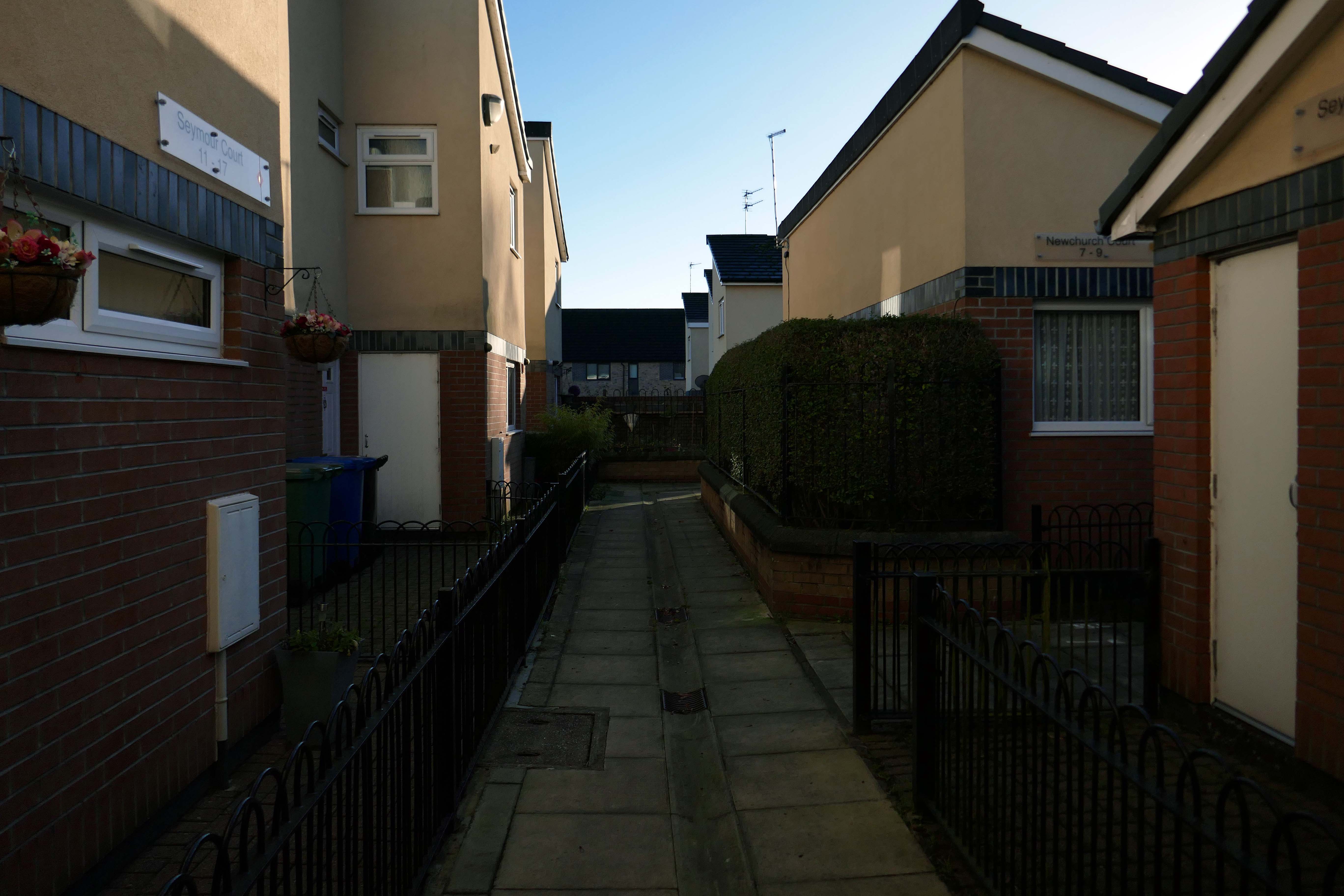
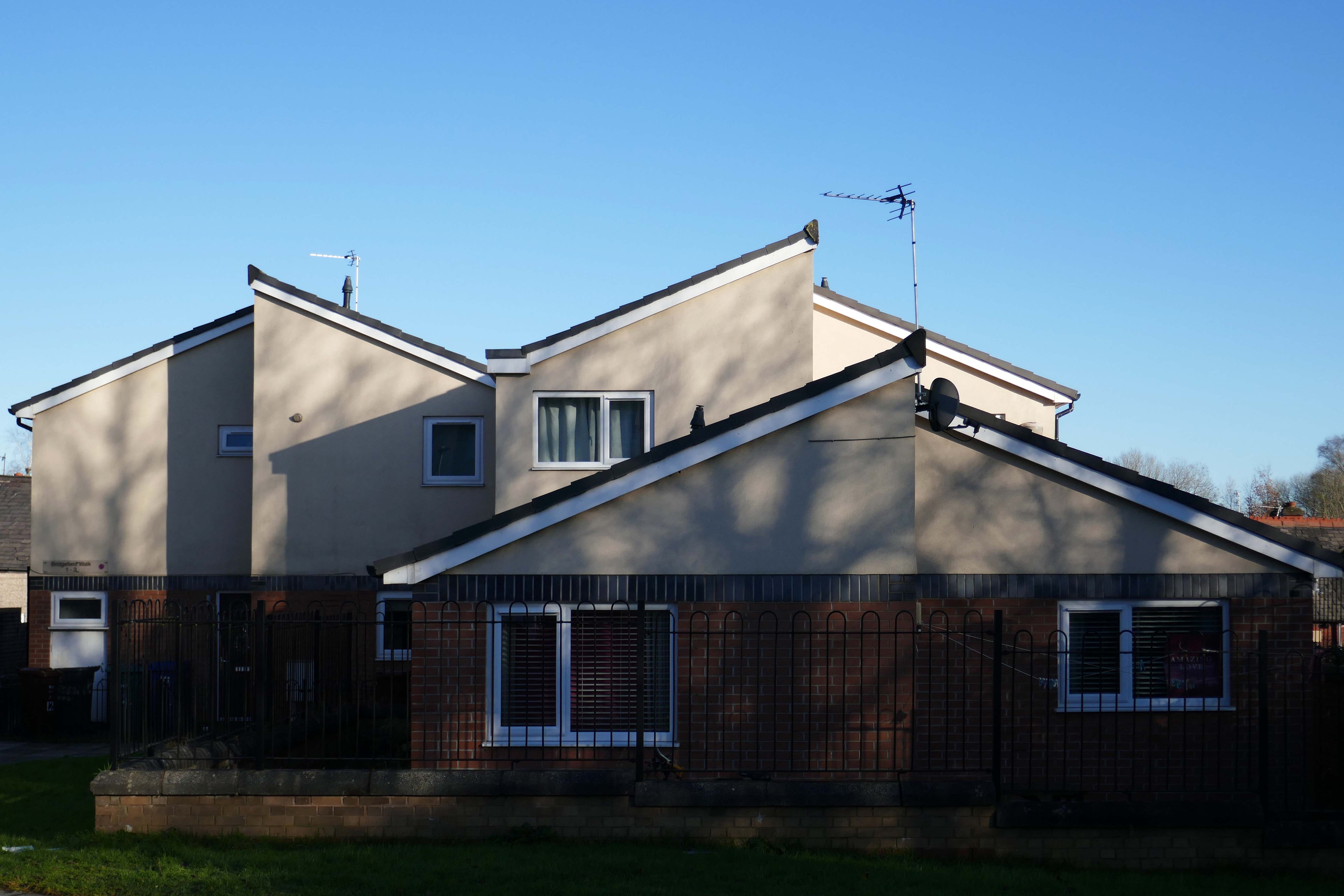
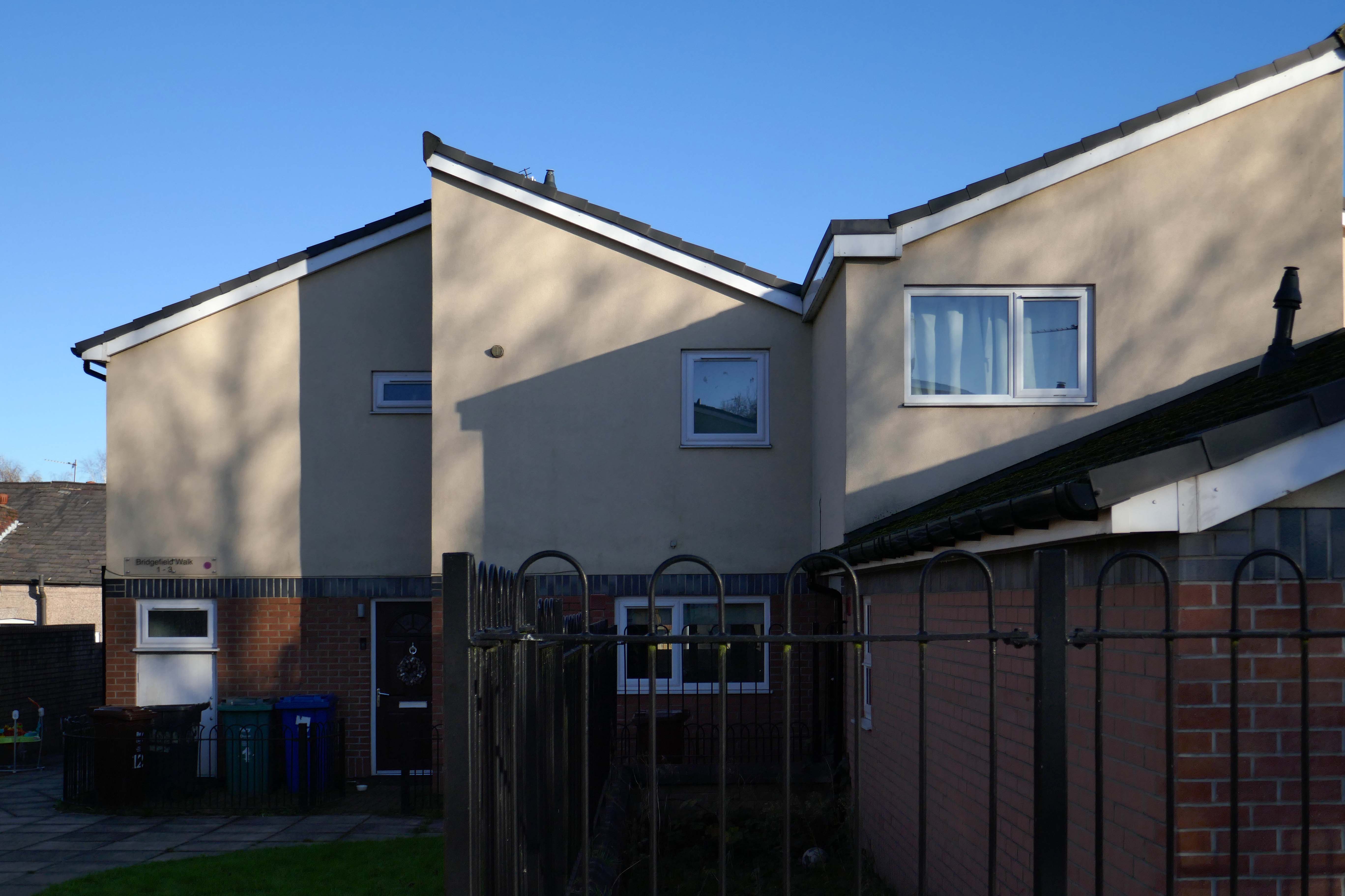
Social housing has been, and continues to be, a contentious arena. This seemingly well-constructed estate was once deemed unfit for habitation by its residents.
Tenants of the St Thomas’ Estate in the town centre allege they have been forgotten by Six Town Housing, which manages the properties.
Magda Csatlos, former chairman of the now disbanded Tenants and Residents Association said rotten bricks with visible gaps between them, badly-designed leaking roofs and damp and mouldy conditions plague many of the 90 homes.
Happily the Local Authority are able to remedy the problem.
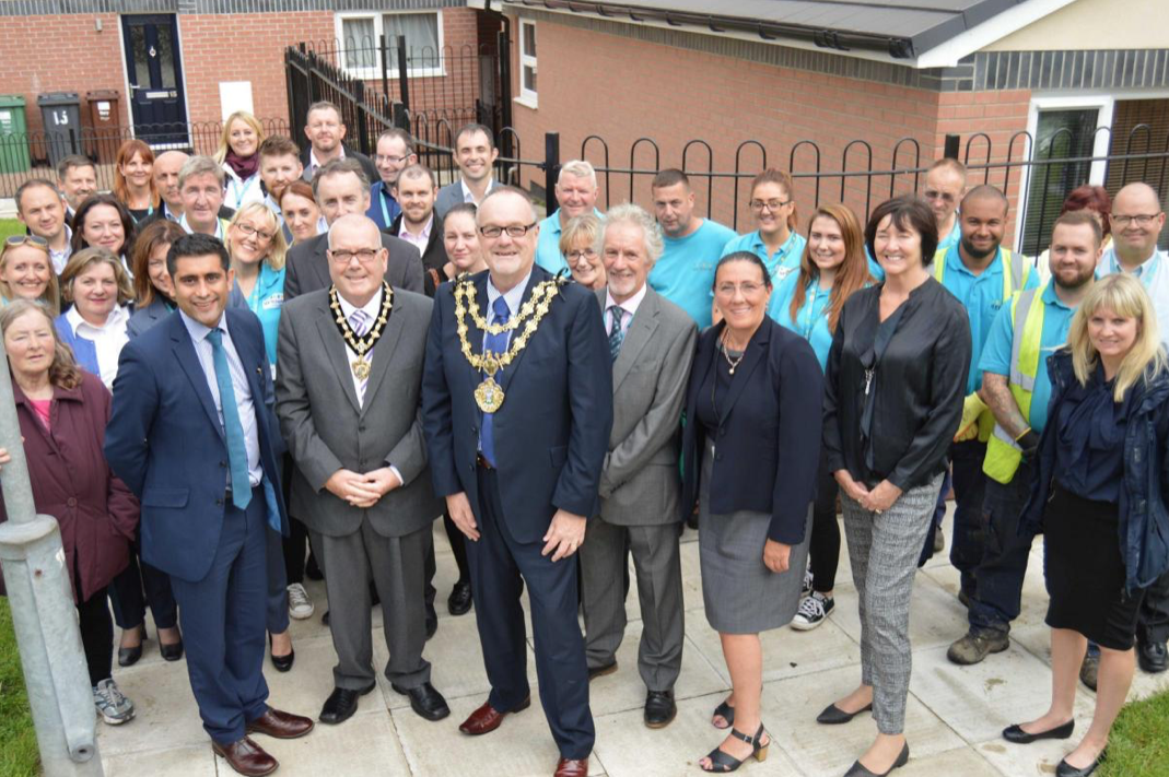
After some residents on the estate, who were visited by Bury South MP Ivan Lewis, called for the properties to be “condemned”, the Council agreed to invest £2 million to bring the homes up to standard.
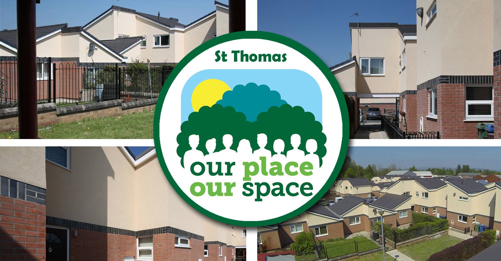
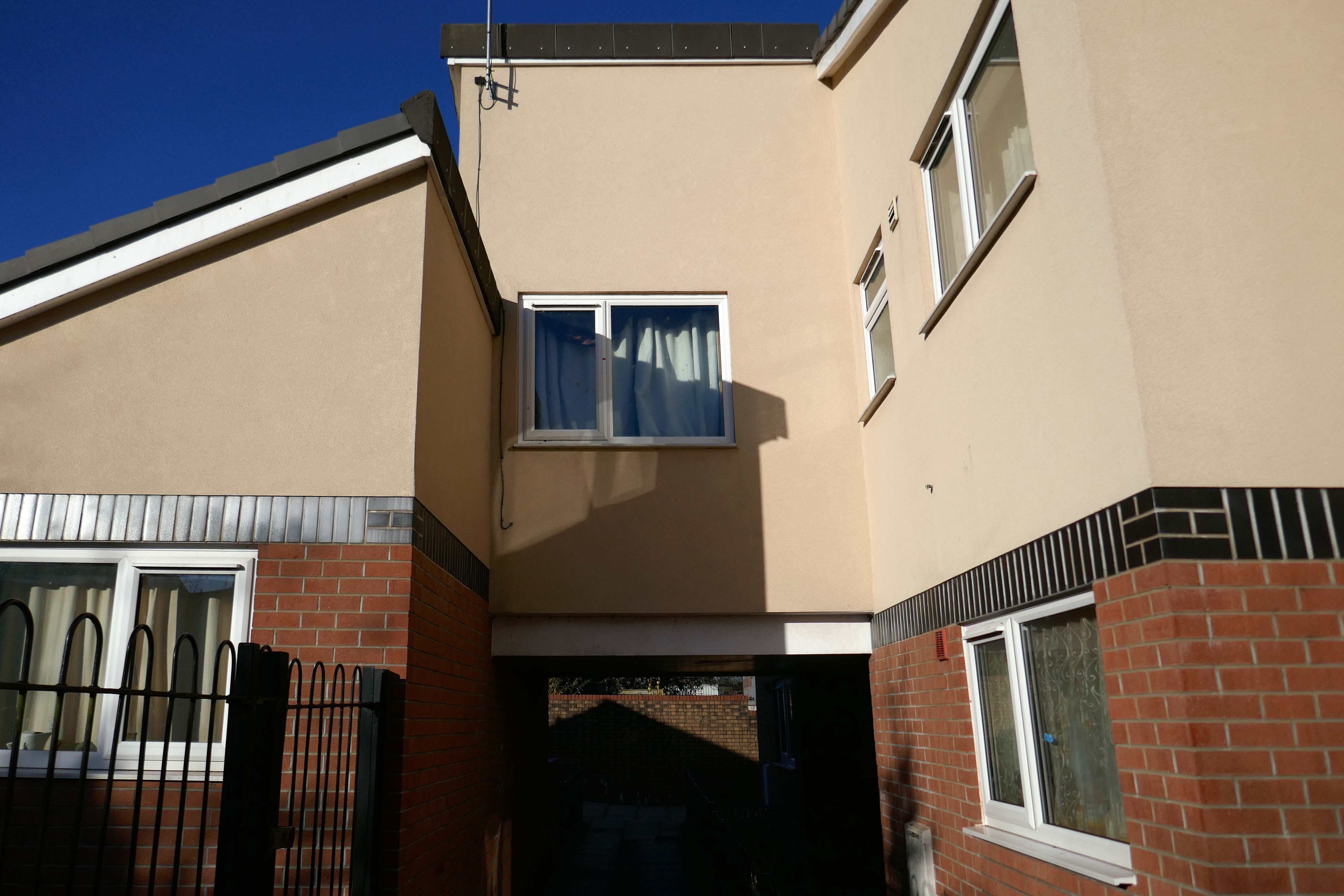
A total of 90 social housing properties on St Thomas Estate have been provided with new external rendering, roofing, windows, doors, insulation and brick cladding.
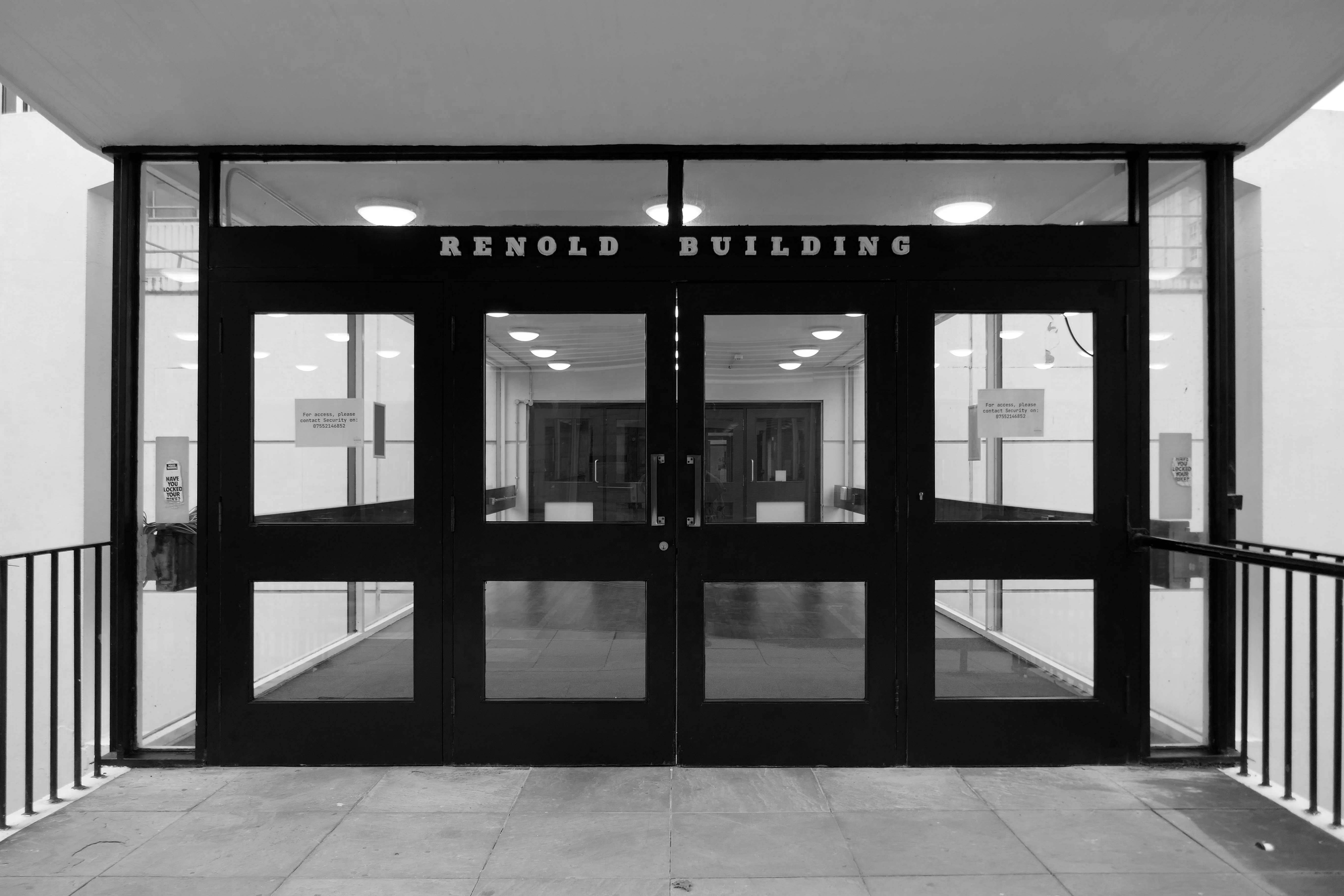
Along with the Renold Building– which is already home to start up tech businesses.
The city council has approved Bruntwood SciTech’s change of use bid to transform the 110,000 sq ft Renold building into a tech and science hub.
In a joint venture with the University of Manchester, Bruntwood will create 42,000 sq ft coworking and business incubator spaces for businesses in the sector at the Altrincham Street building.
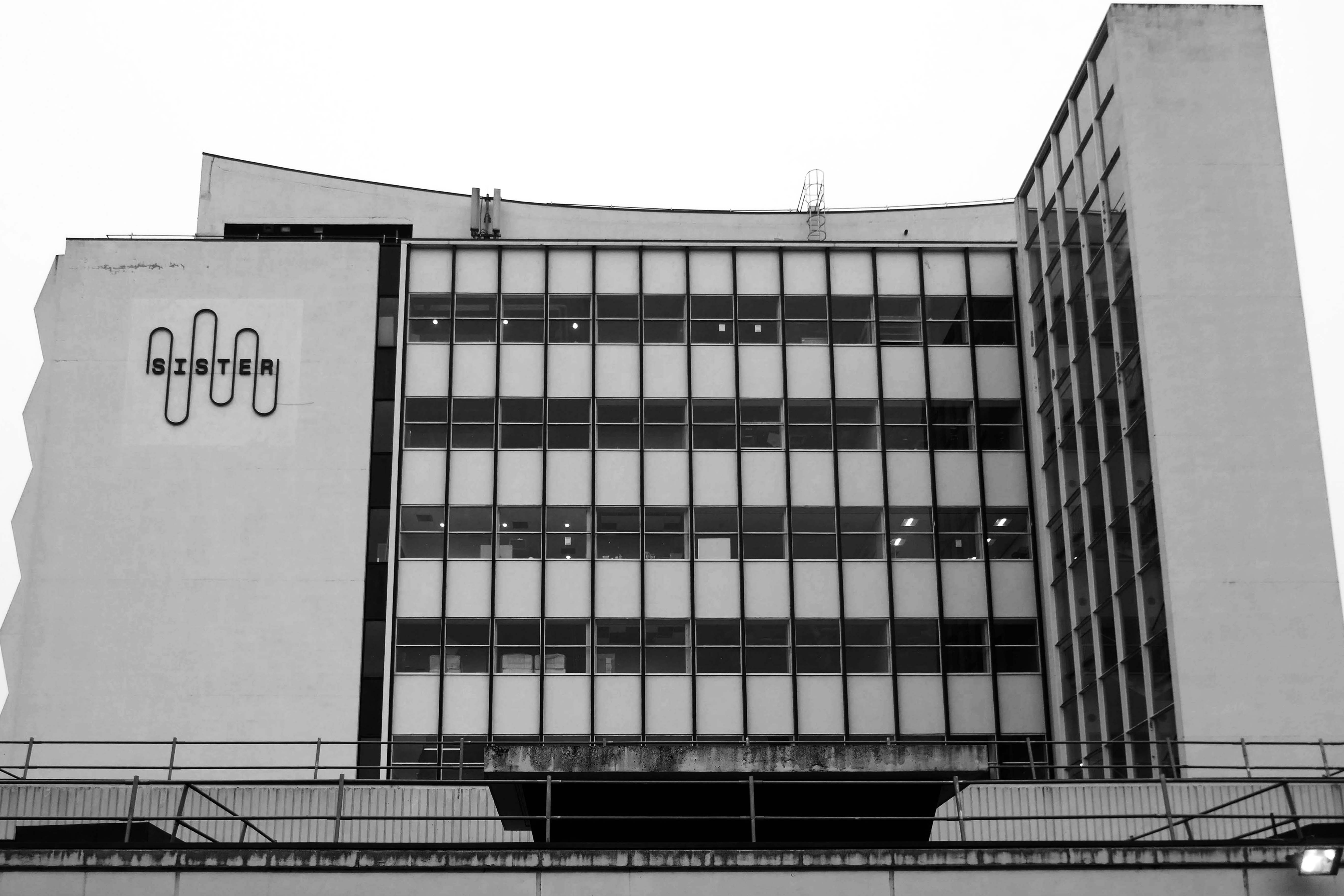
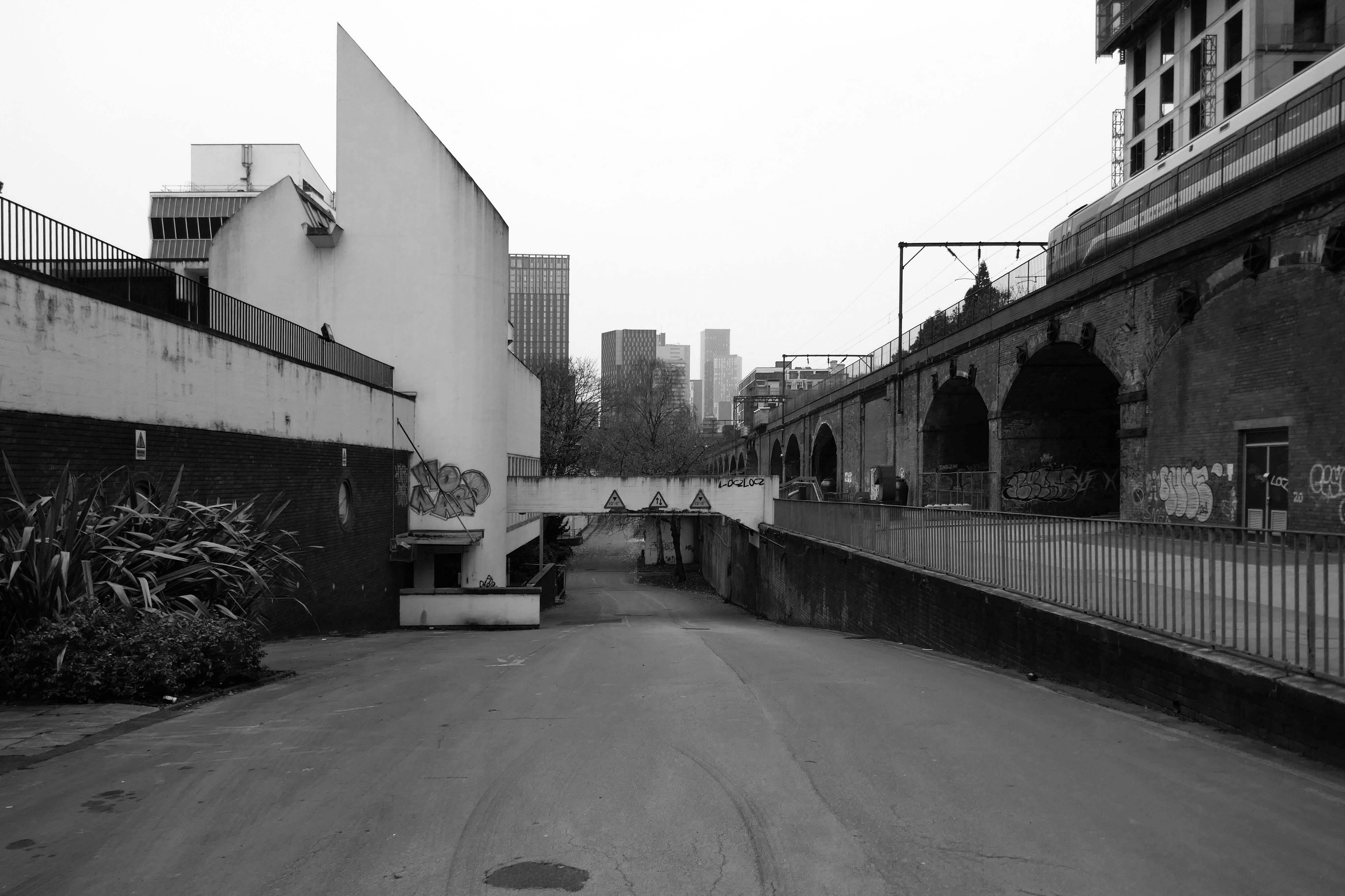
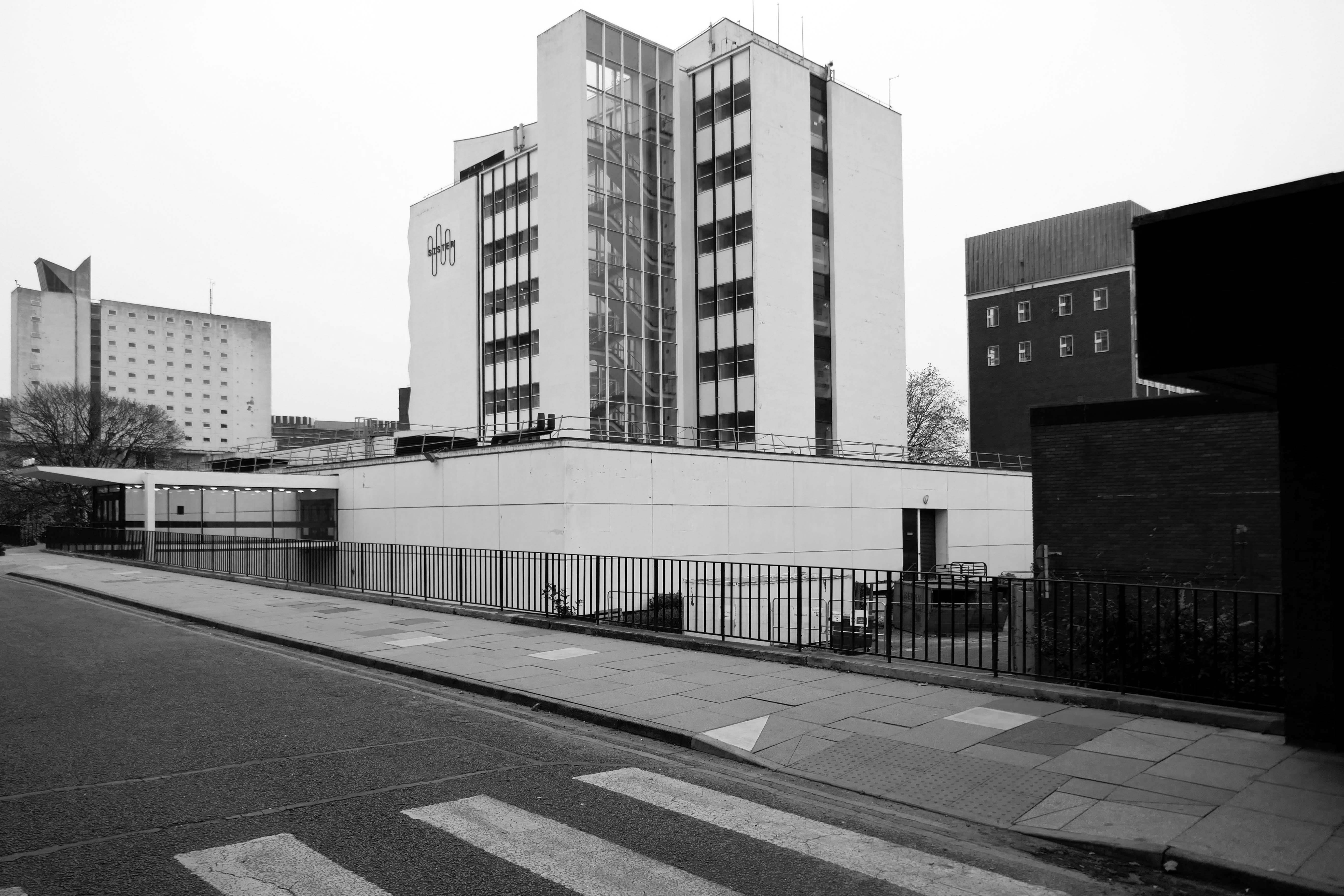
Sister is Manchester’s new innovation district. A £1.7bn investment into the city, its setting – the former University of Manchester North Campus and UMIST site – is steeped in science and engineering history. Home to the UK’s most exciting new ideas and disruptive technologies, Sister is a worldclass innovation platform in the heart of one of the most exciting global cities. It stands as the city’s symbol of a new era of discovery that promises progress against humanity’s greatest challenges.
So it is with a bitter sweet feeling that I took a group of Modernist Moochers around the site this Saturday – a number of whom had been students there.
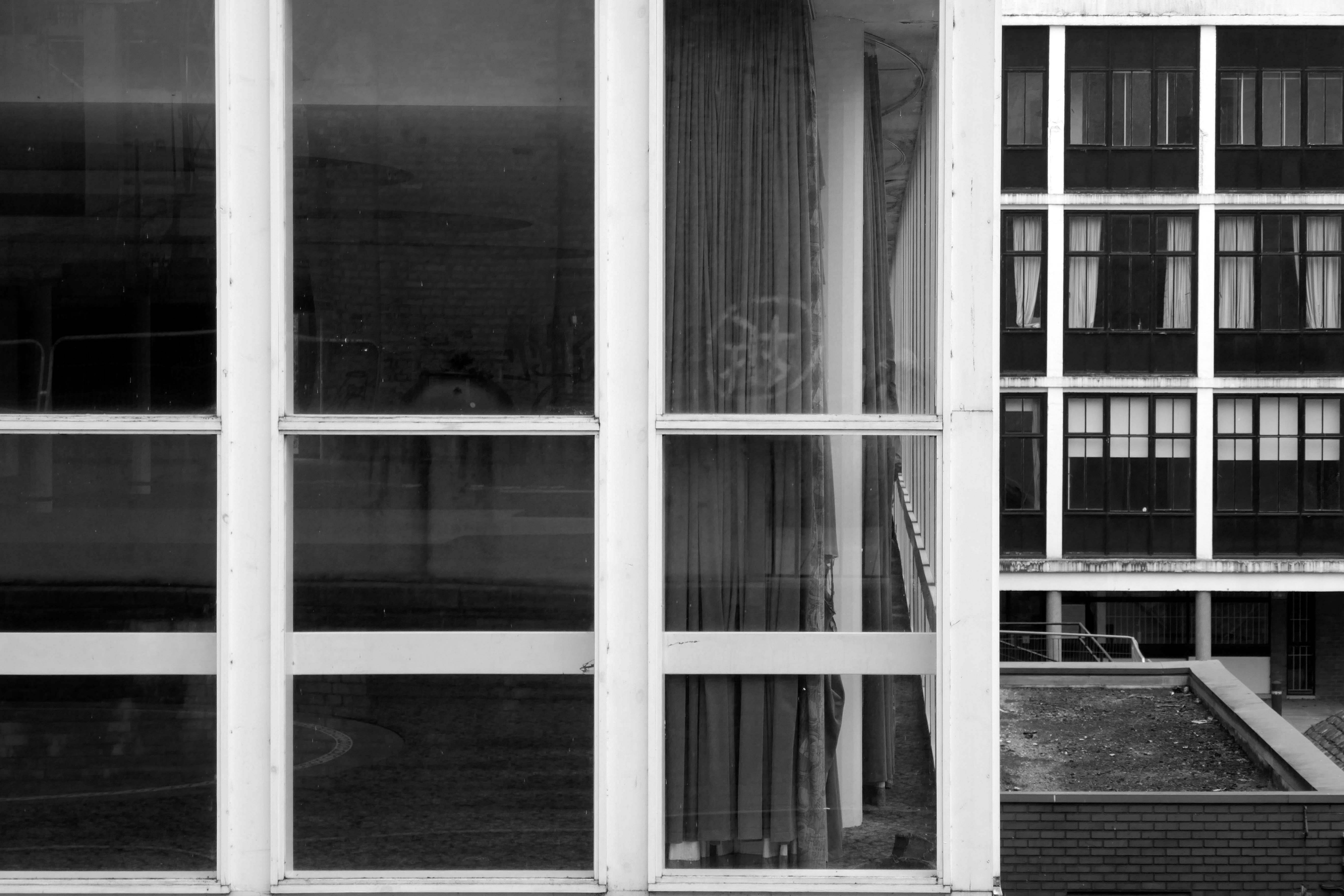
As a former UMIST student 1990-1997, I had a wander round the old site recently, sad to see it so empty and run-down.
So let’s take a look at the current state of affairs.
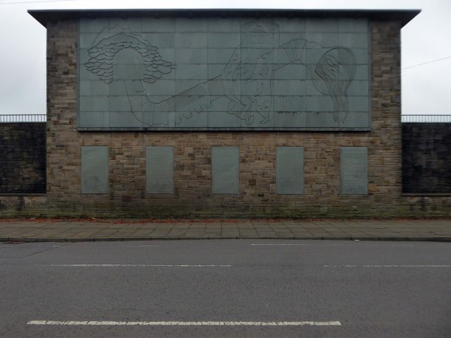
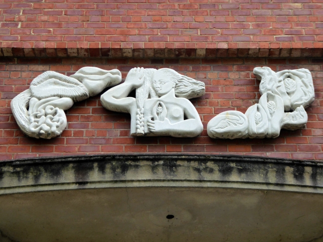
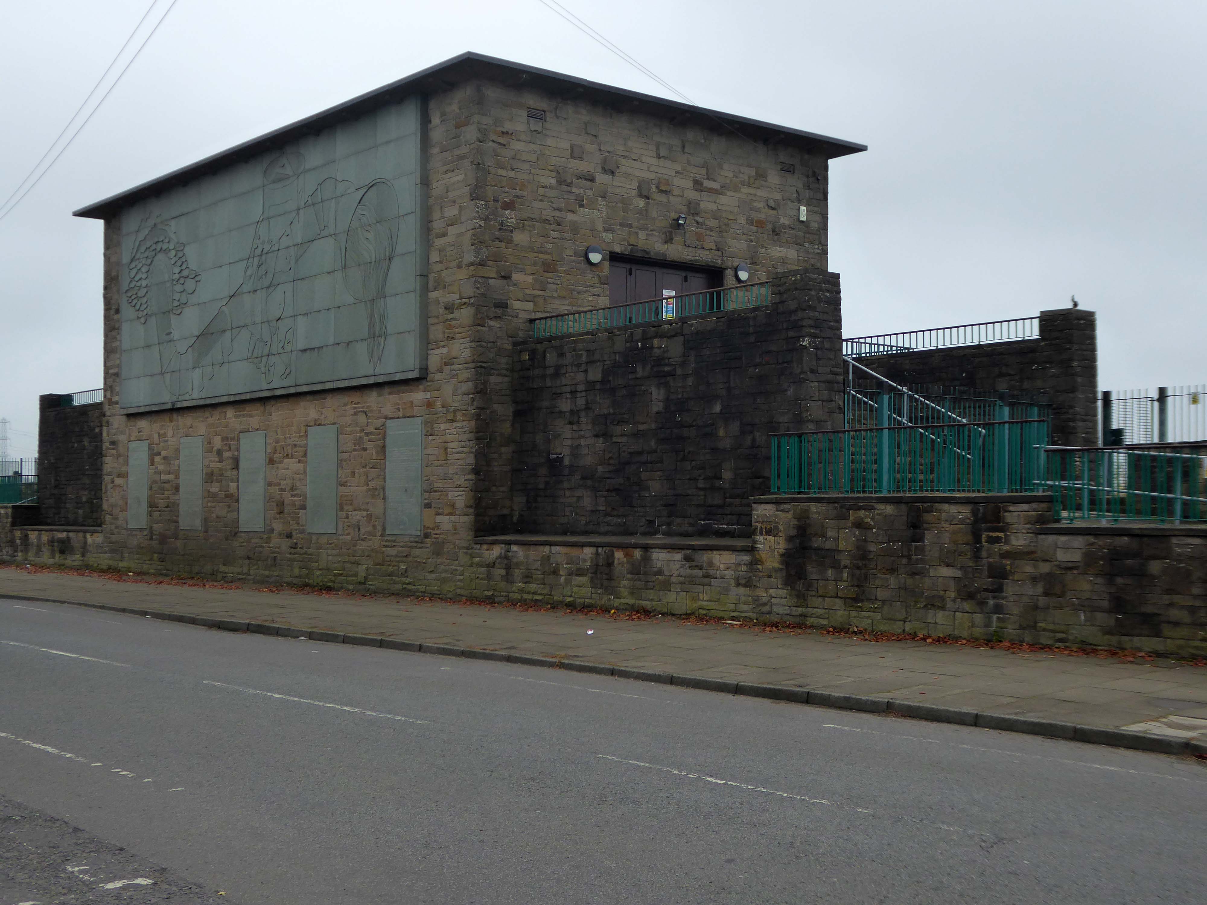
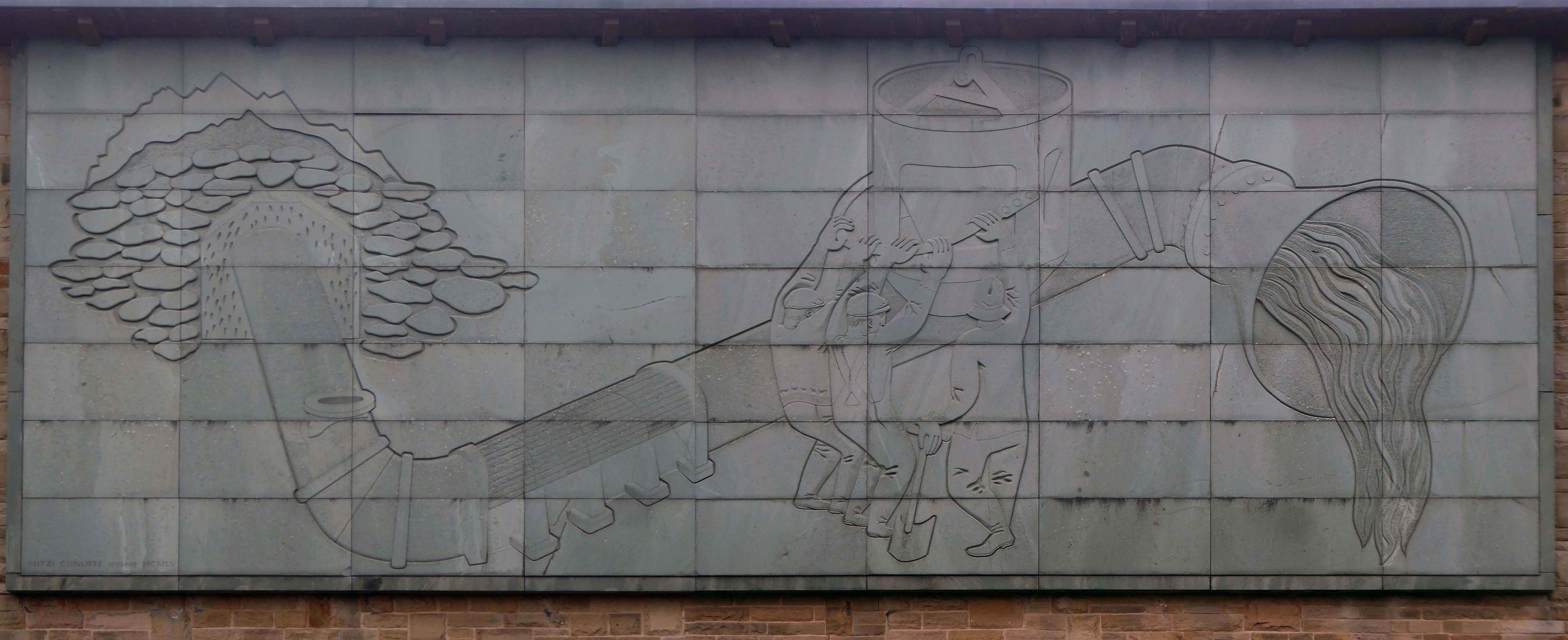
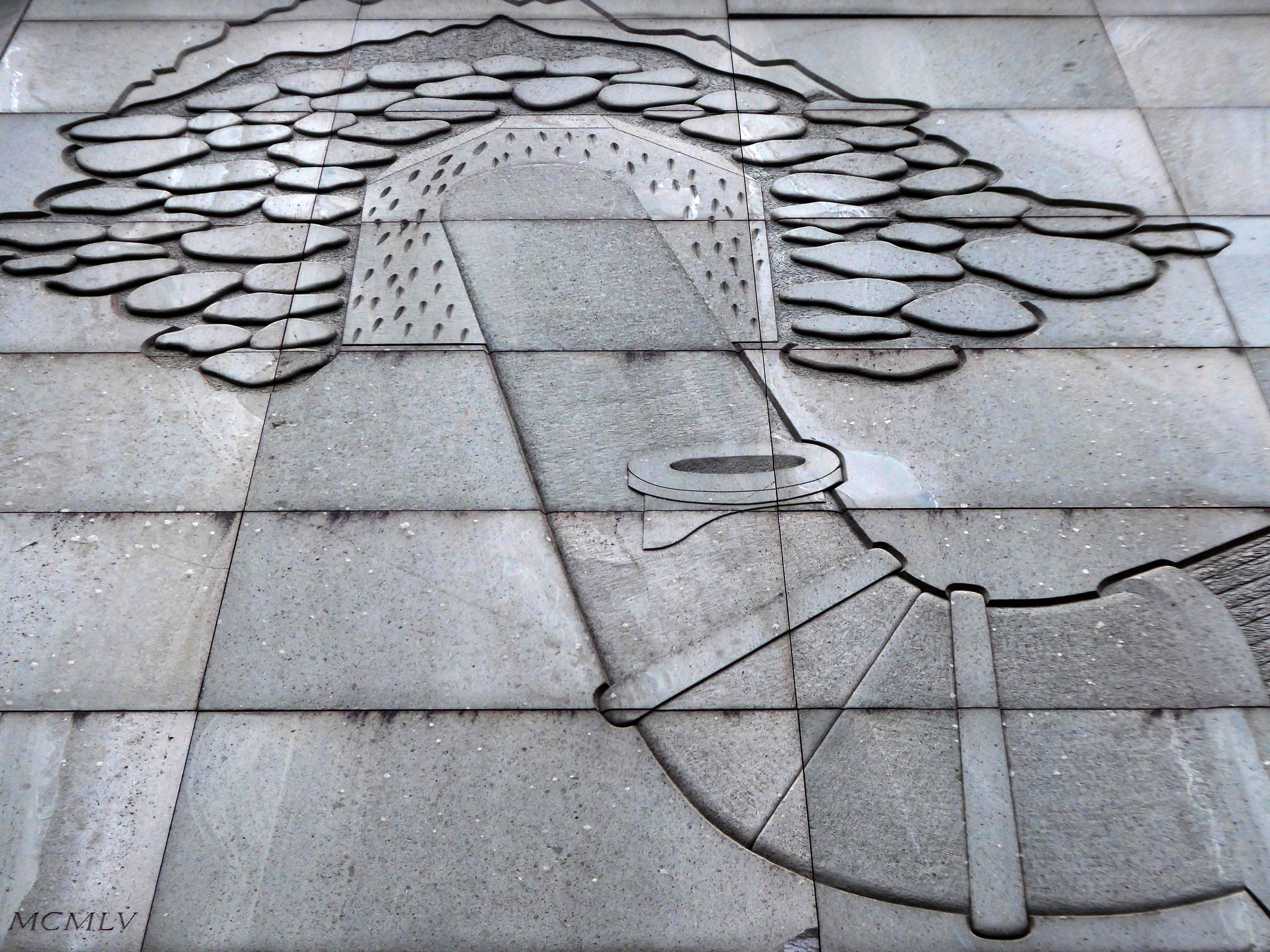
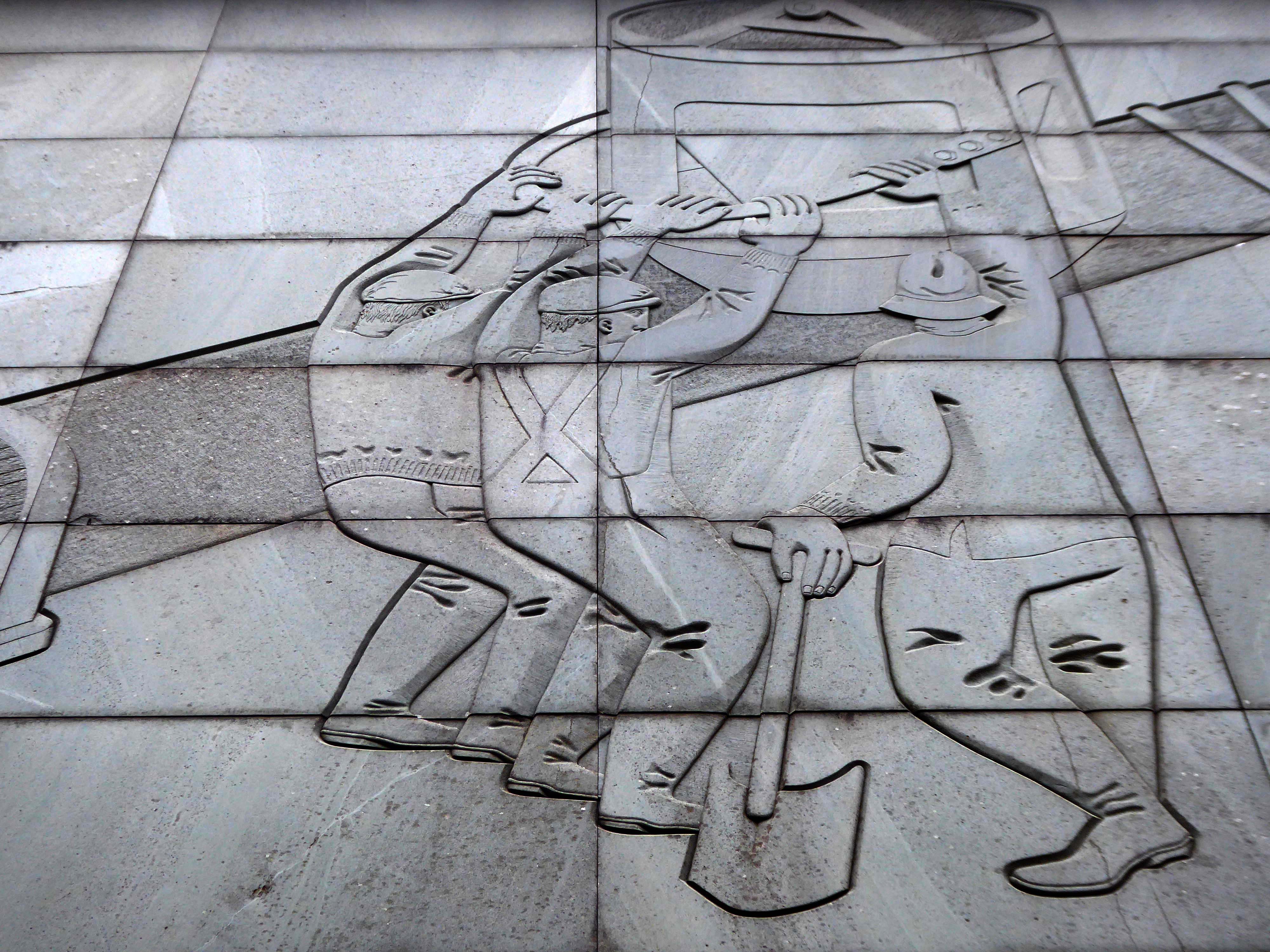
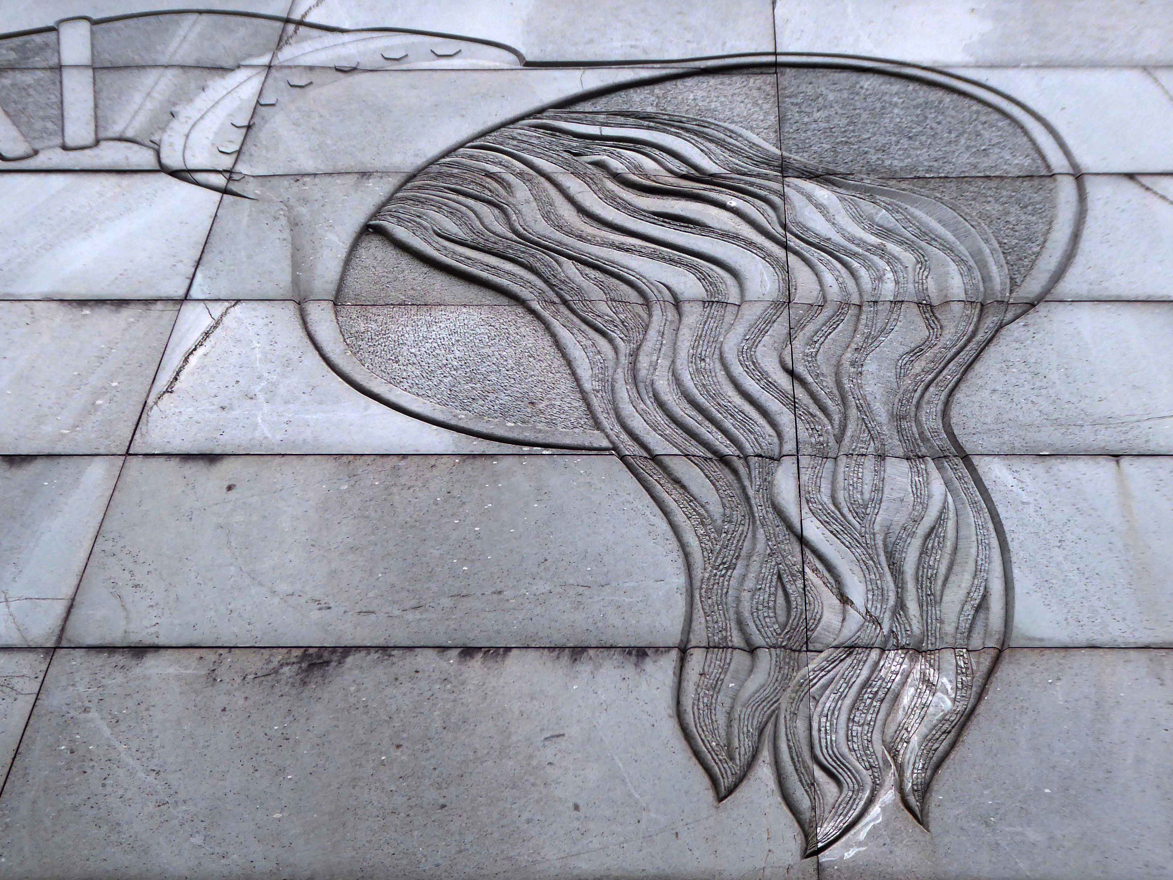
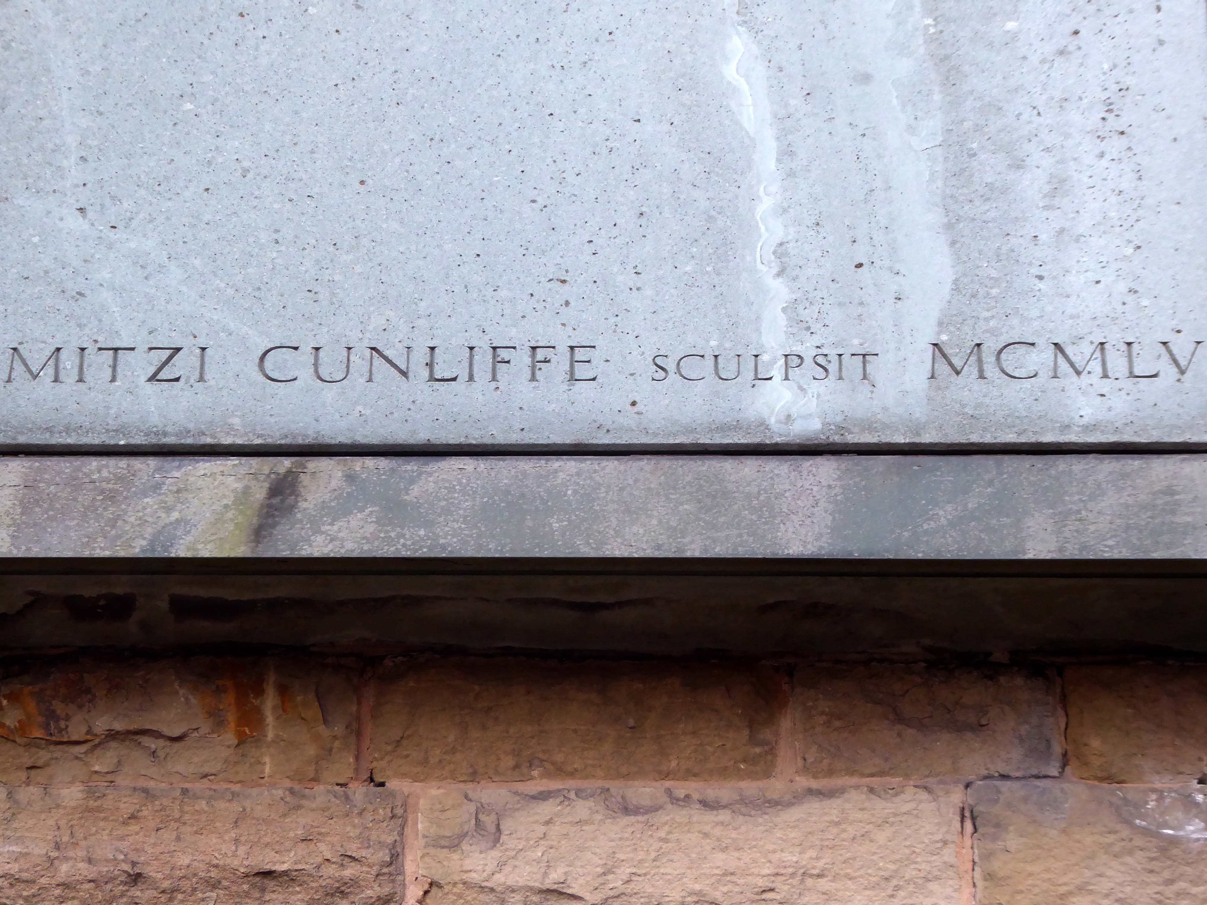
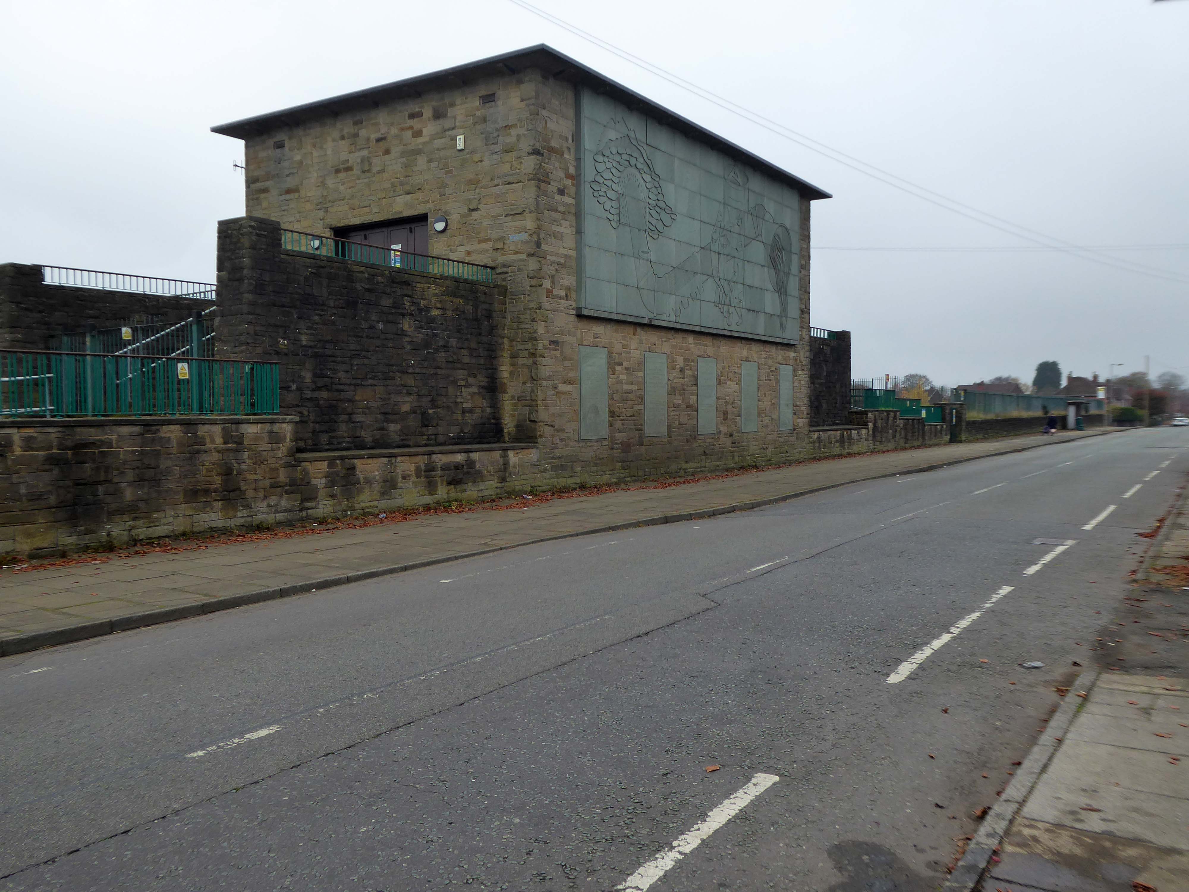
Built between1954-5 by the Manchester City Architect’s Department, Chief Architect Leonard C Howitt, for the Manchester Corporation Waterworks. Alan Atkinson, engineer. Incorporates large relief by Mitzi Cunliffe, signed and dated 1955. Yorkshire sandstone, with Westmorland greenstone from Broughton Moor used as relief. Roof not seen above dentiled overhang.
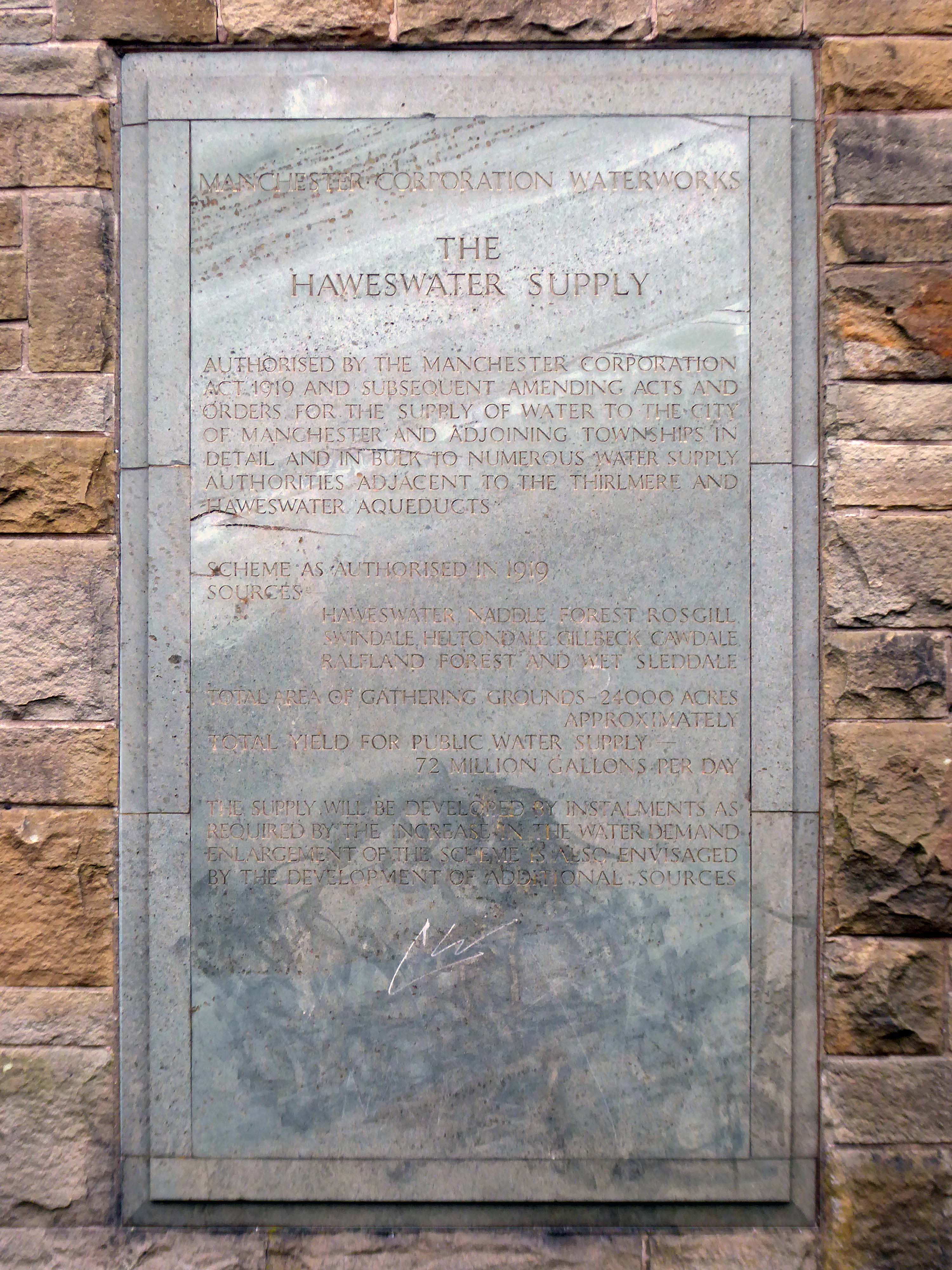
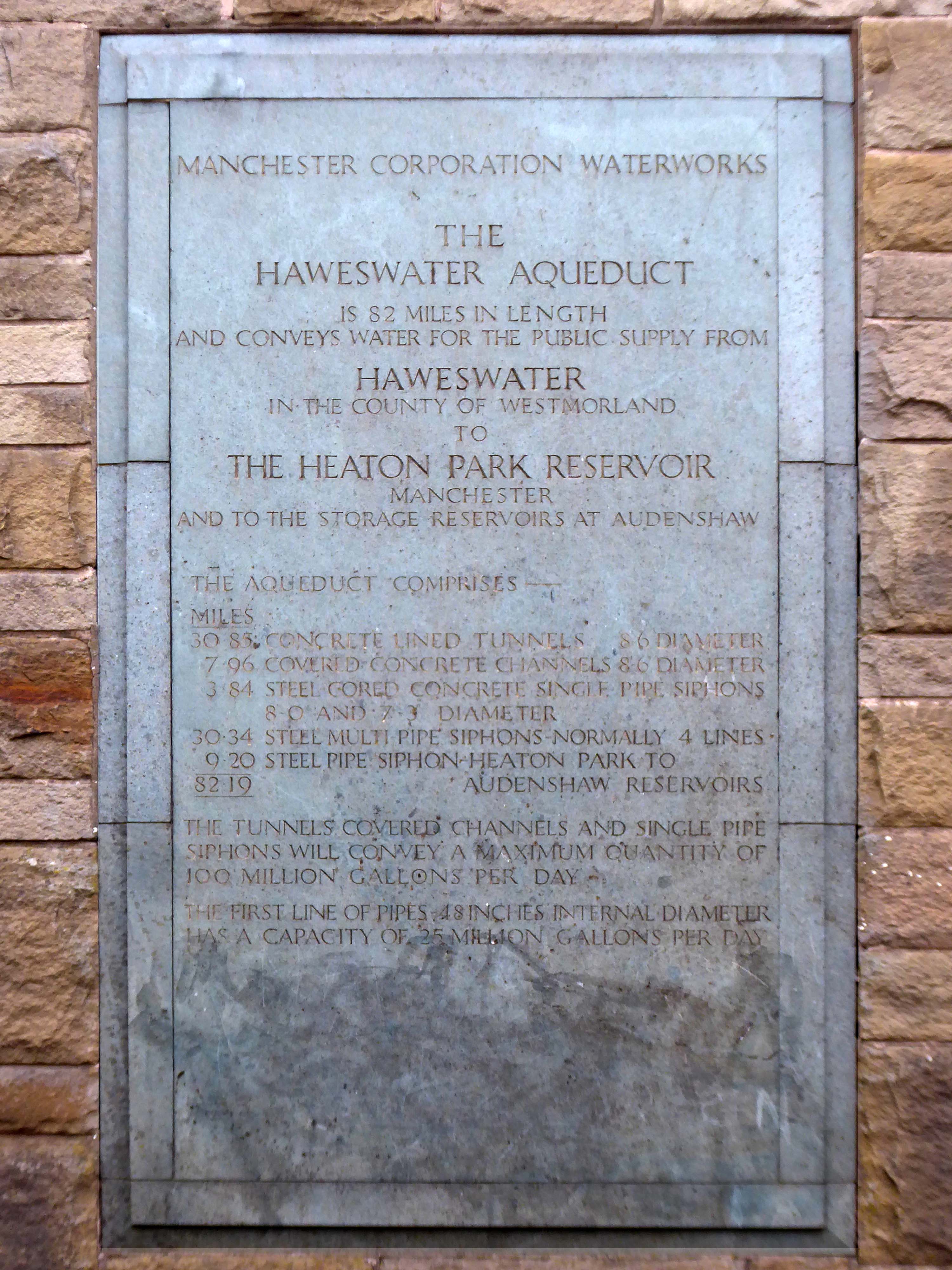
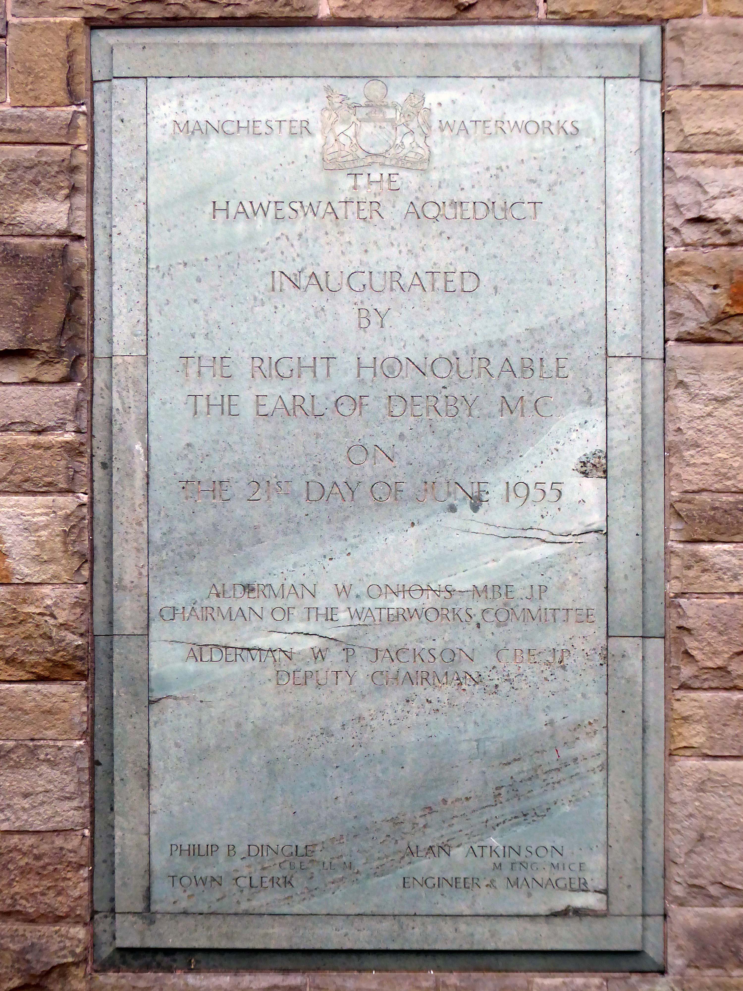
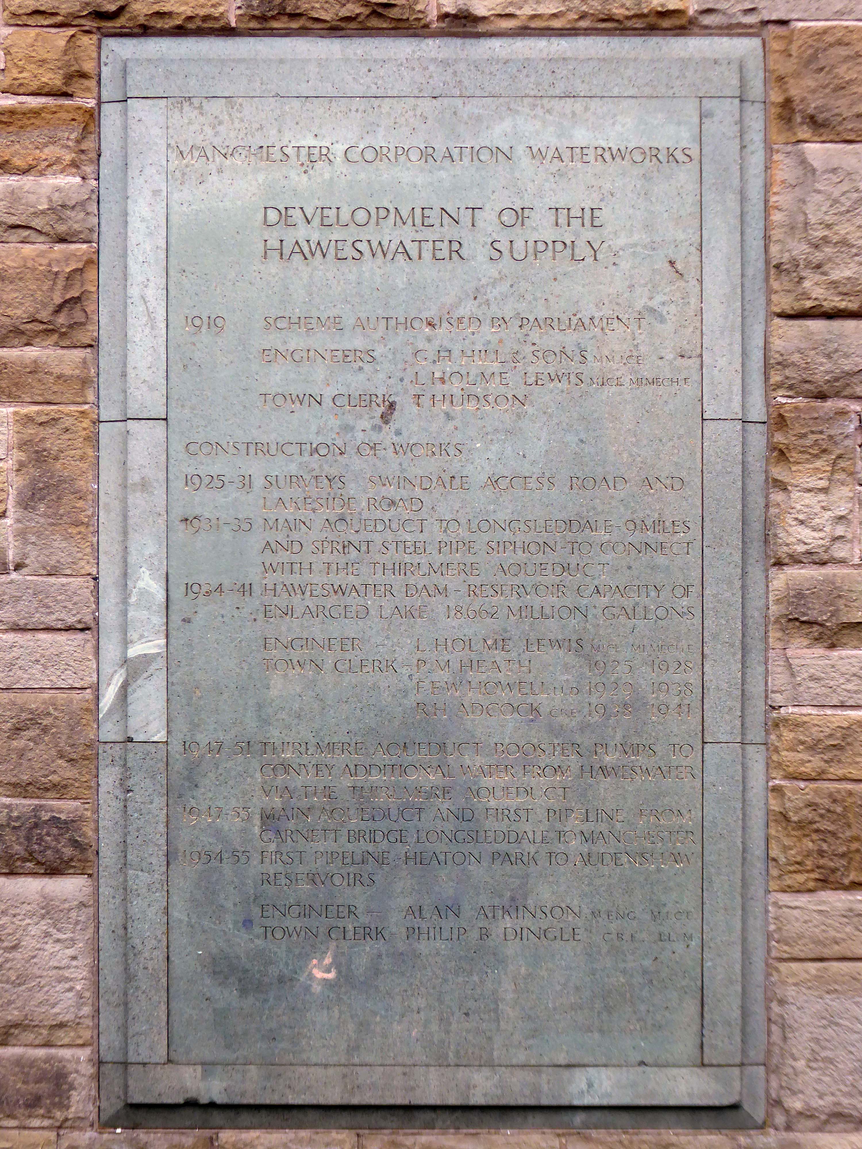
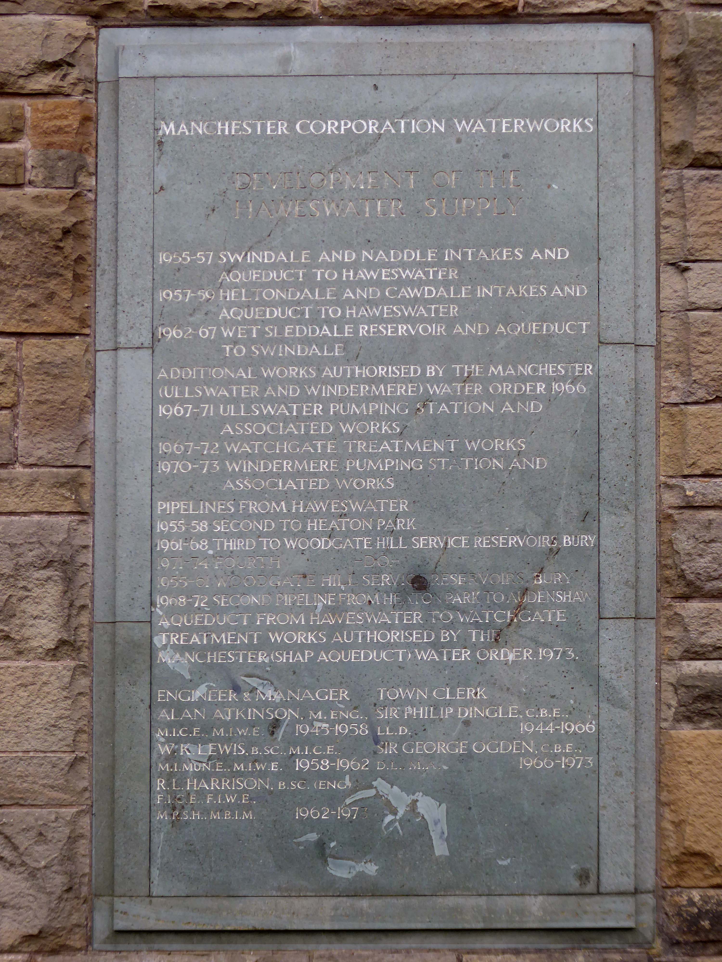
Carved relief is a highly stylised depiction of the bringing of water from Haweswater to Manchester with contemporary figures supporting the pipeline and a curious flat relief designed to be seen from below. It was designed to commemorate those who constructed it as well as the origin and course of the aqueduct. Beneath it five plaques tell the history of the Haweswater supply.
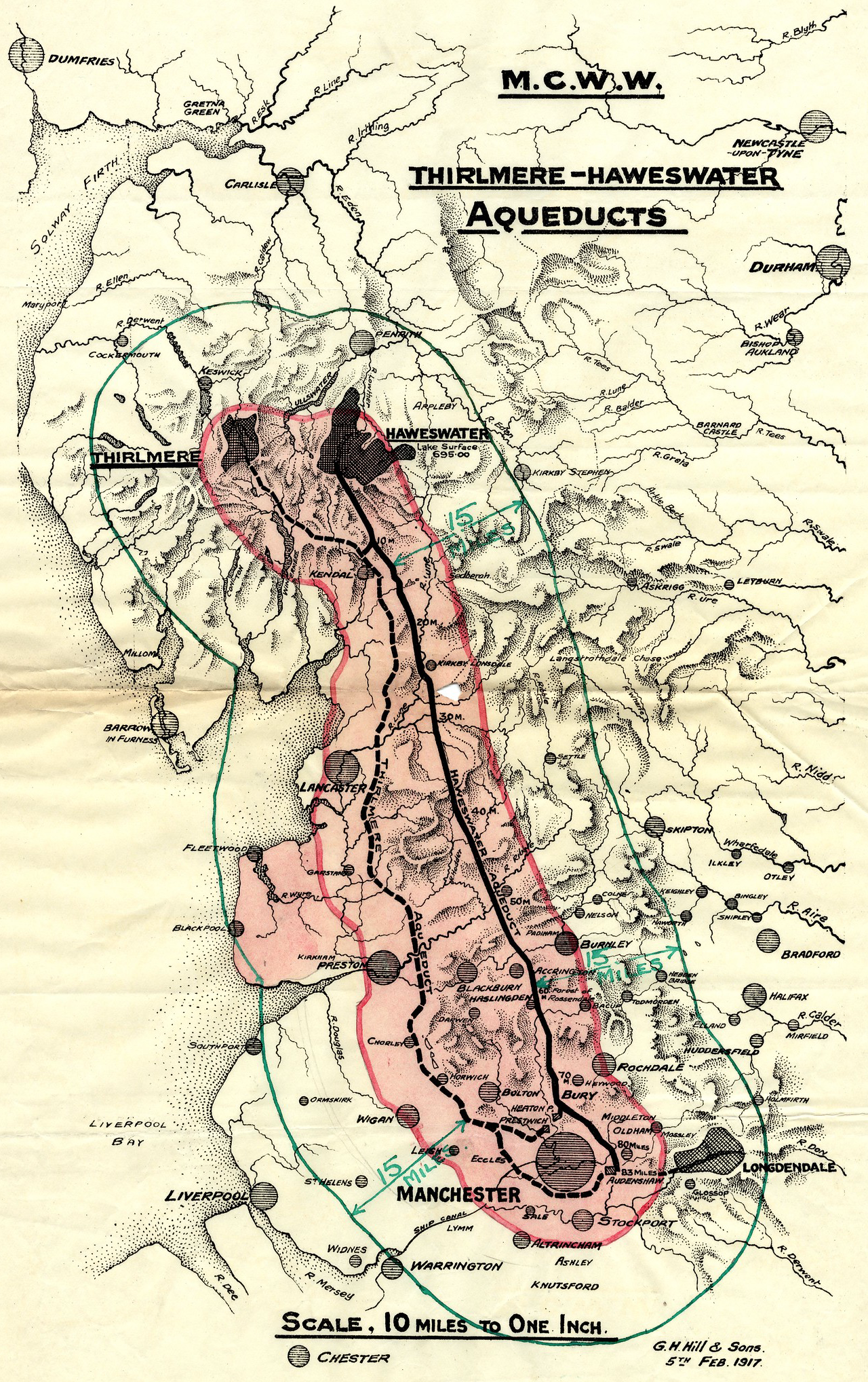
Completely preserved interior fully lined in beige marble, with contrasting green marble skirting continued as door surround. Behind the Cunliffe mural is a wood relief section in sycamore depicting the 82 mile route of the pipe.
The bringing of water to Manchester from a new reservoir at Haweswater was a major undertaking which cost £14,000,000. The sectional relief plan and the mural were conceived as part of the original brief to give a ‘monumental’ character to the city’s remarkable achievement. Included as a remarkable synthesis of architectural design and fine sculpture, with the dominance of the latter in this tiny building. The building materials and the reliefs are all symbolic of the achievement in bringing of water from the Lake District to Manchester.
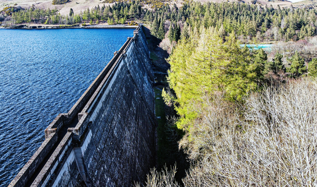
In 1929 work started to build the dam wall across the valley floor. At the time of construction, its design was considered to be at the forefront of civil engineering technology because it was the world’s first hollow buttress dam.
Before the valley was flooded in 1935, all the farms and dwellings of the villages of Mardale Green and Measand were demolished, as well as the centuries-old Dun Bull Inn at Mardale Green. The village church was dismantled and the stone used in constructing the dam; all the bodies in the churchyard were exhumed and re-buried at Shap.
I have previously led Mitzi Cunliffe walks in south Manchester – taking in her works at Owens Park and Manchester High School for Girls.
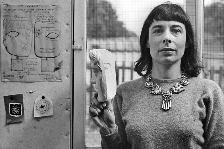
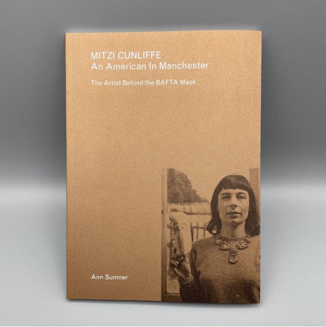
Mitzi Cunliffe is primarily known as the designer of the BAFTA Award, but her work encompasses both ceramics and textiles, in addition to her extensive public art works – as illustrated here.
Mitzi Cunliffe – An American in Manchester is available from the Modernist Shop.
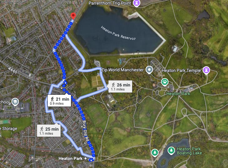
I took the tram to Heaton Park Station and walked the rest of the way.
The imposing structure, clad in the dramatic relief dominates this domesticated street of well behaved semis. As I stood admiring the work, a passerby joined me in a mutual appreciation of its beauty and significance.
Do yourself a favour – take a trip, take a look for yourself.
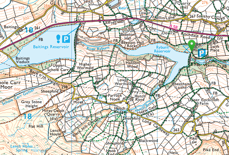
To begin at the beginning, to begin at Baitings Reservoir.
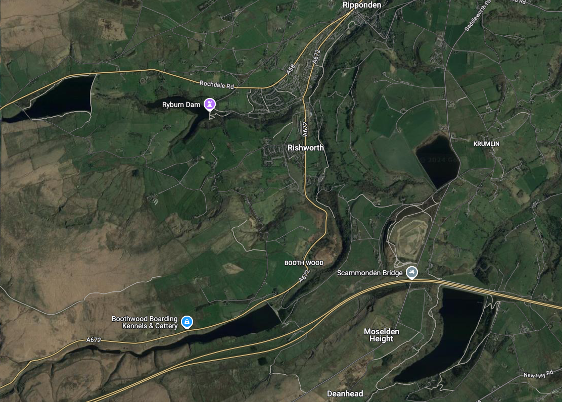
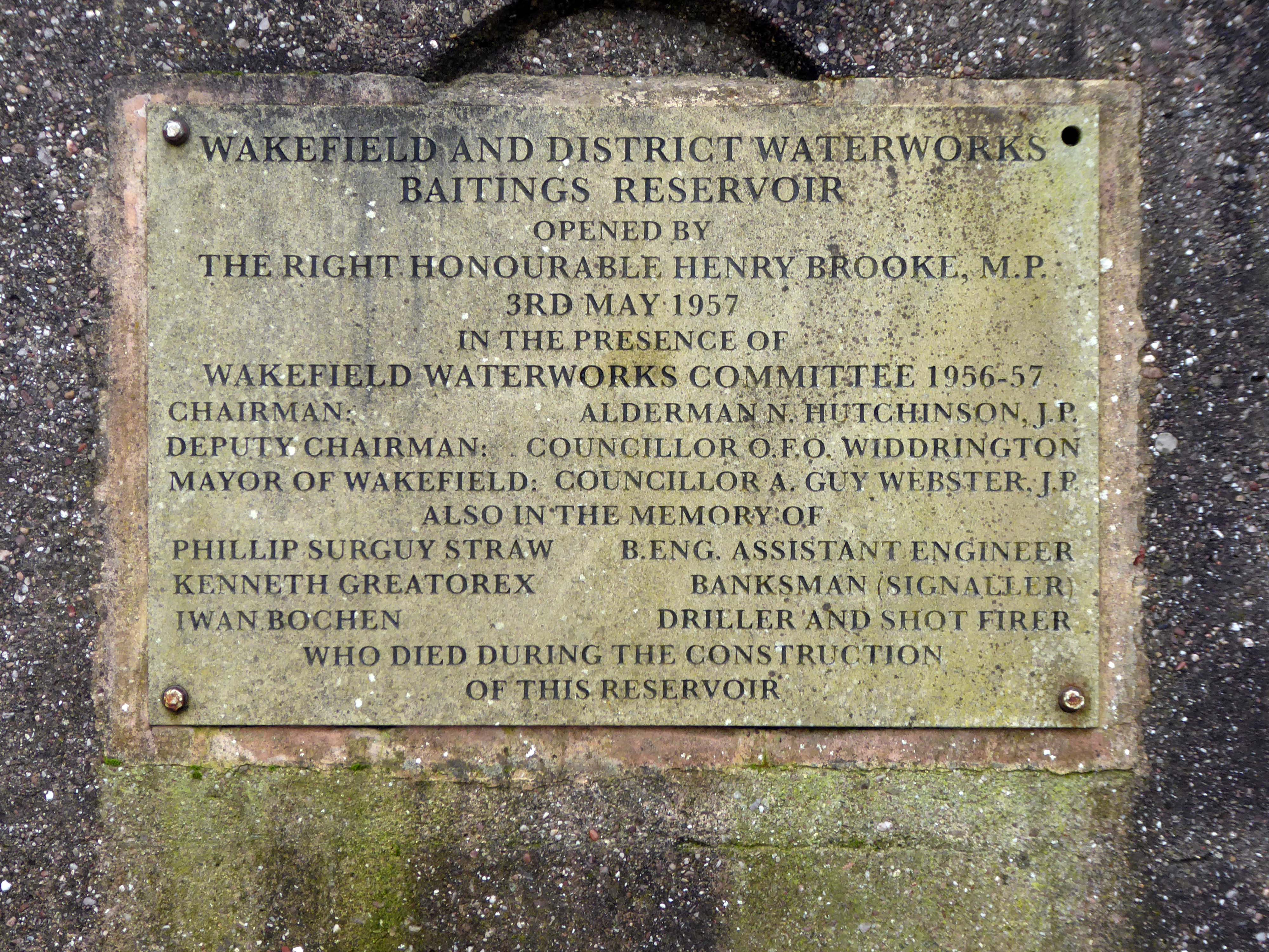
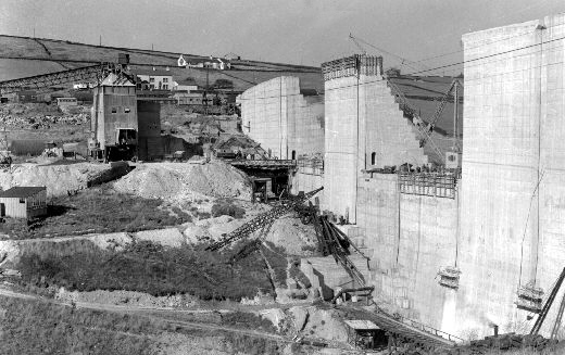
Wakefield Corporation Waterworks started impounding the valley of the River Ryburn in the 1930s, with Ryburn Reservoir being completed in 1933. Construction on Baitings took place 20 years later with completion in 1956. Baitings Bridge, on an old road linking Yorkshire and Lancashire, was to be flooded under the reservoir so a concrete viaduct was built. During spells of very hot weather and drought conditions, the old packhorse bridge is revealed.
Wakefield Express: 31st August 1955
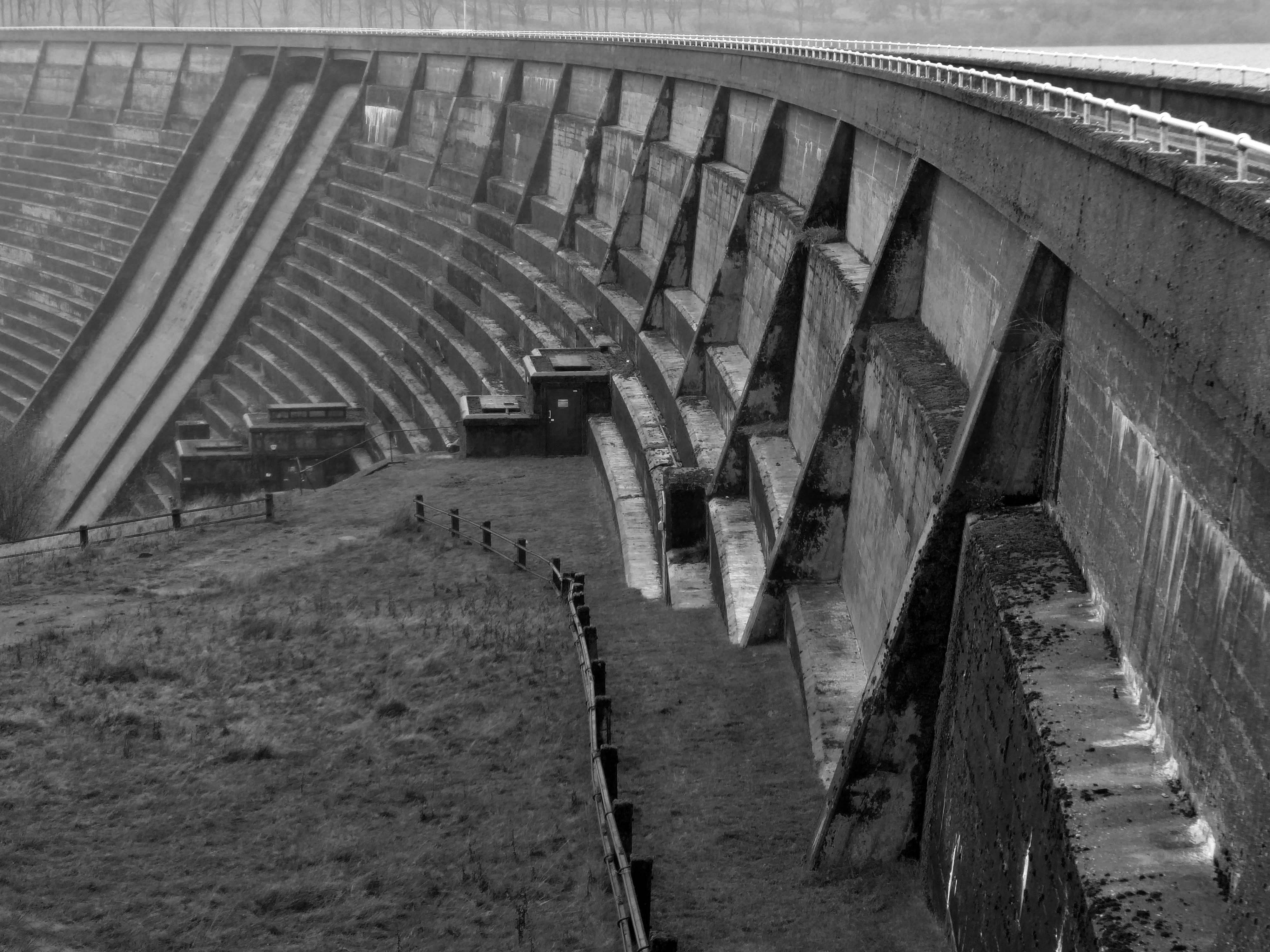
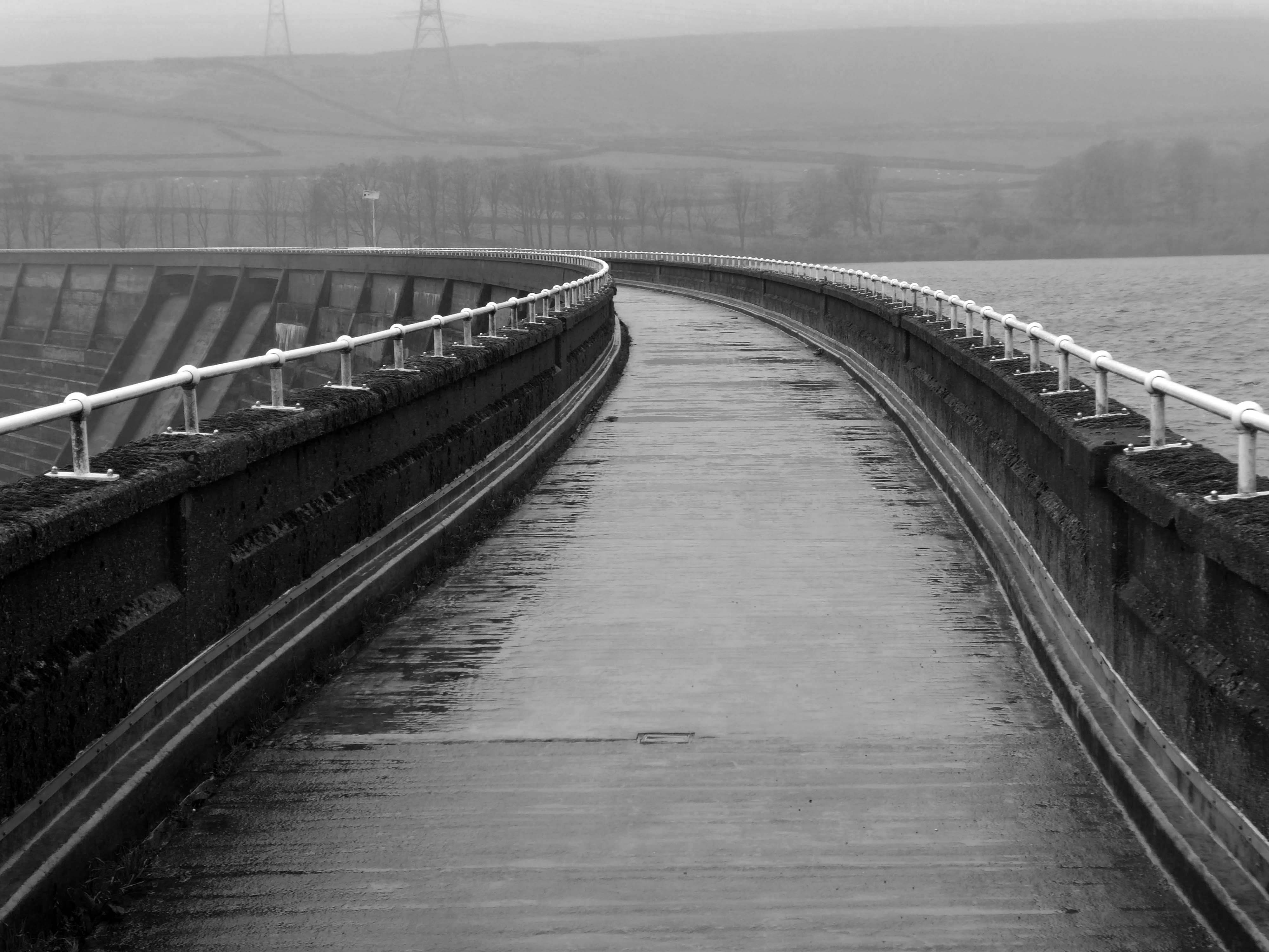
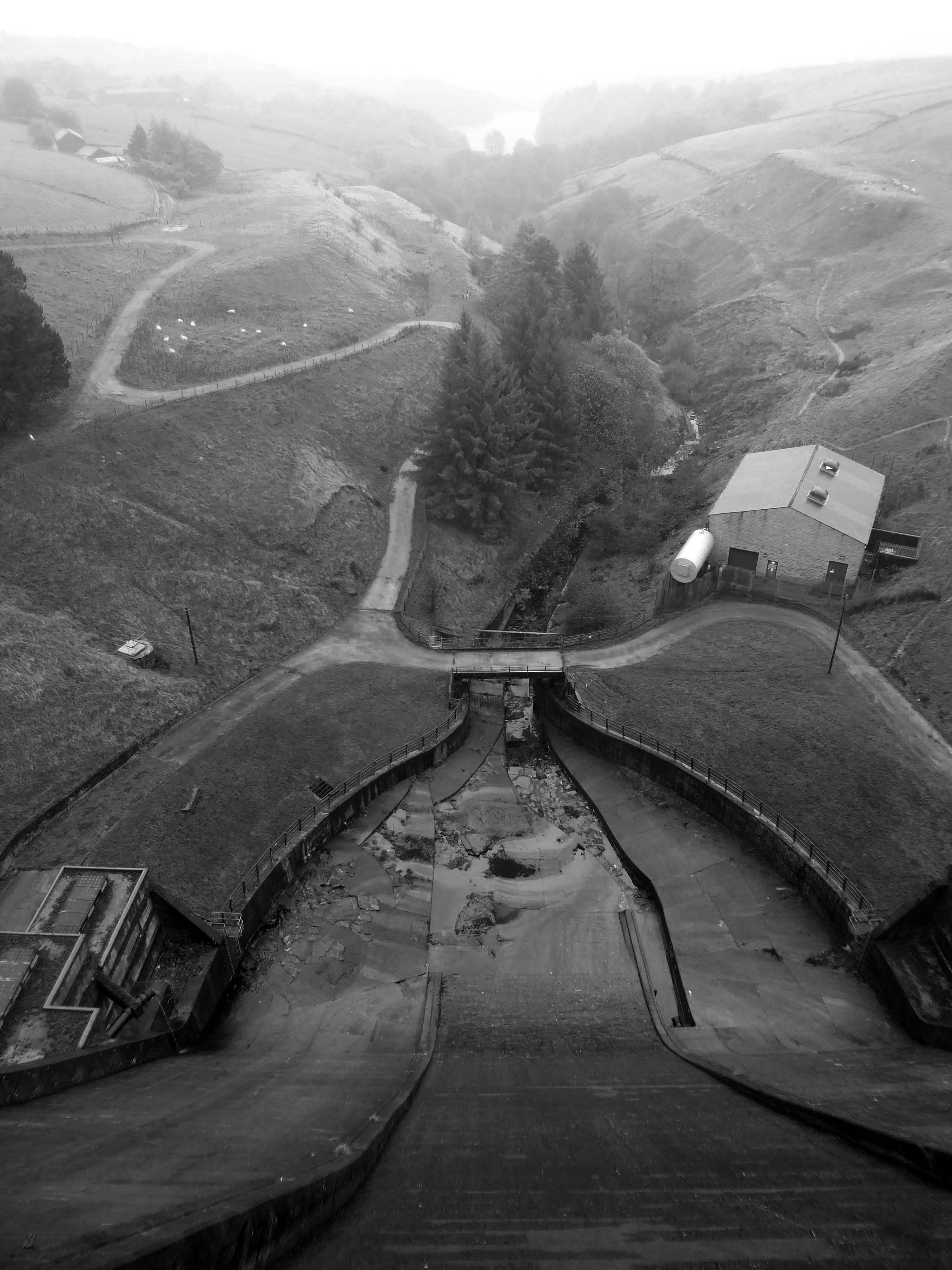
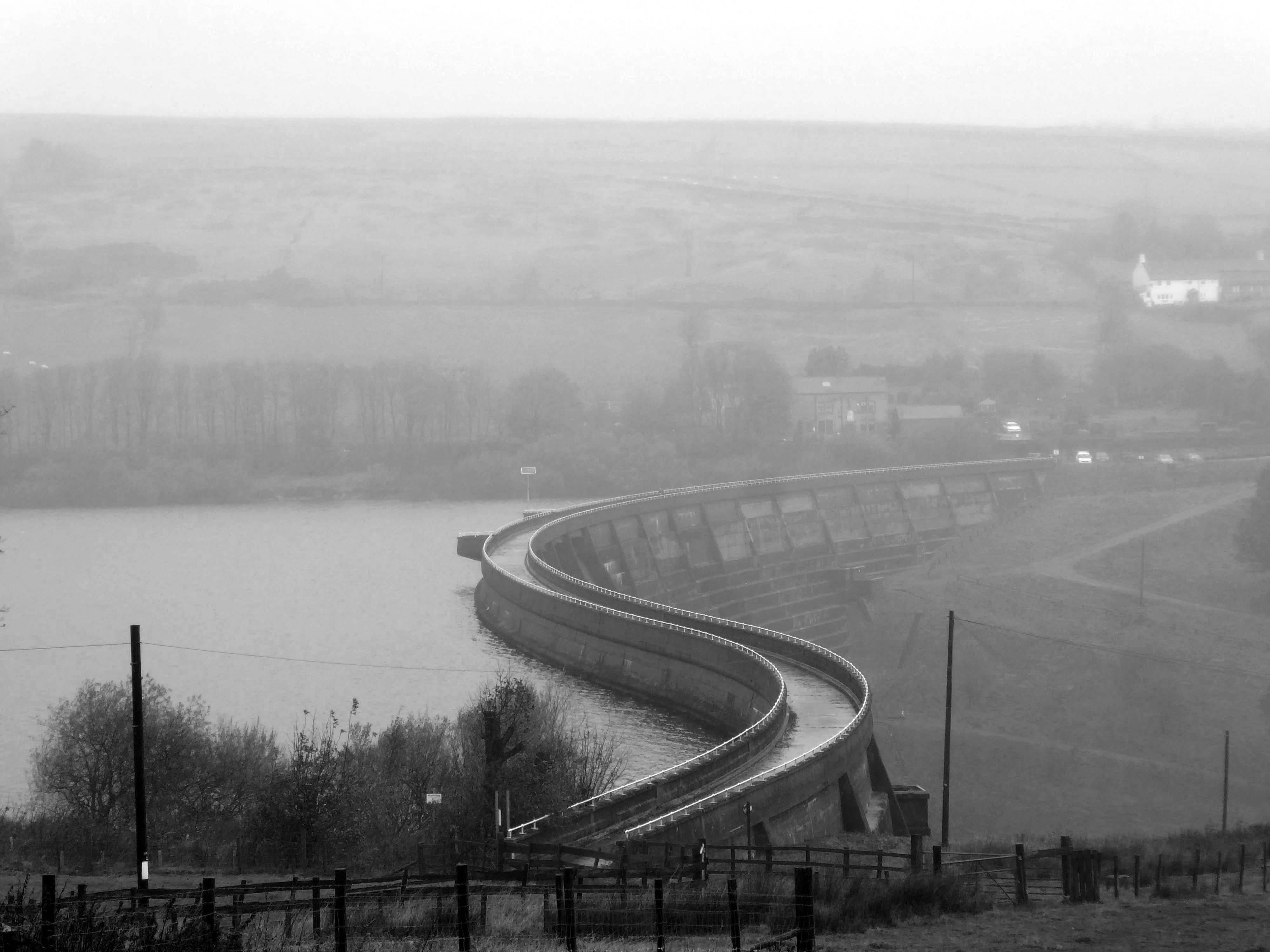
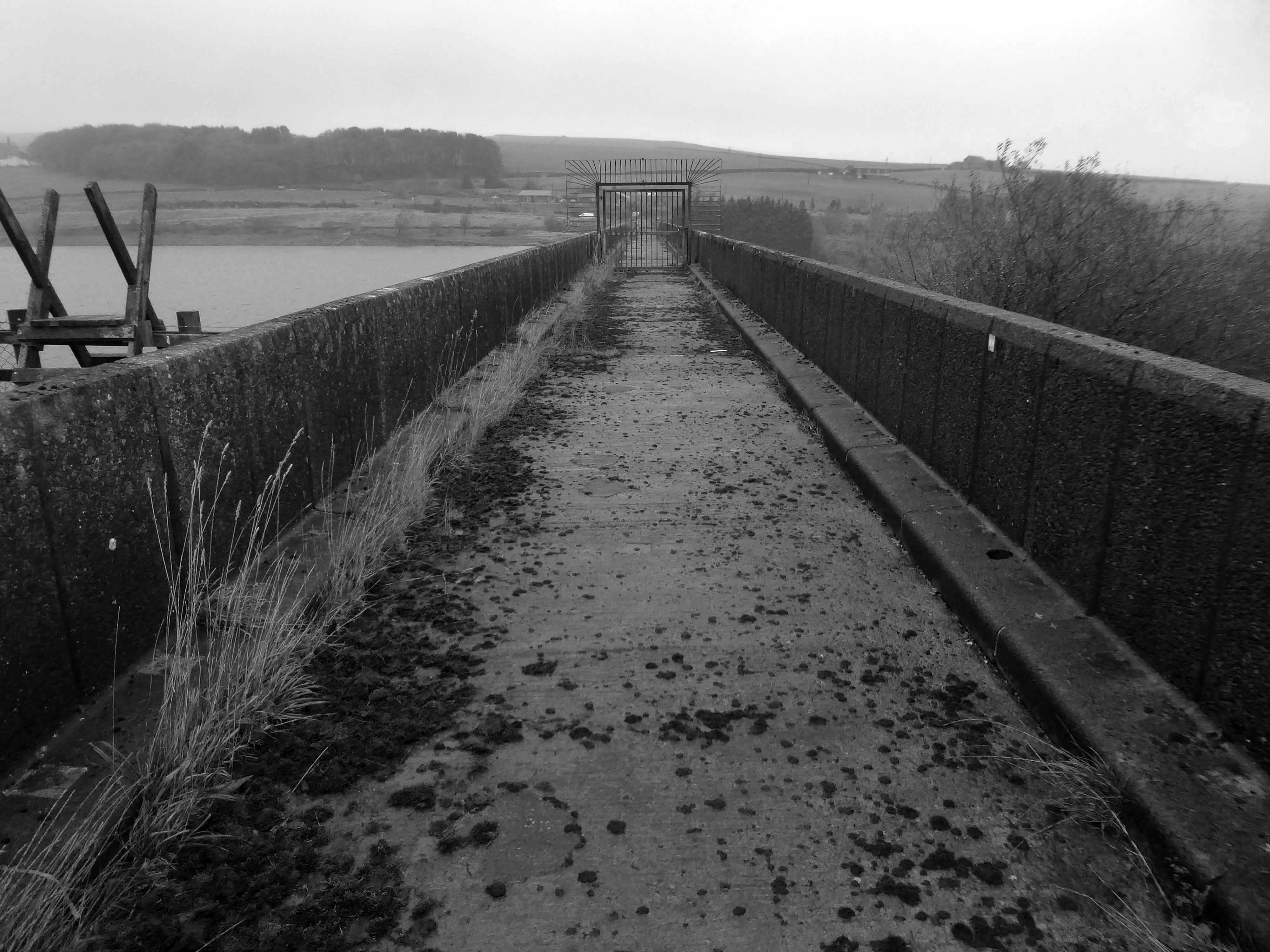
The dam head is a curved structure that is 1,540 feet long and over 160 feet high. The reservoir covers 59 acres and has a catchment of 1,830 acres , and when it is full, it holds over 113,000,000 cubic feet of water. The dam took eight years to complete at a cost of £1.4 million, and is located at 840 feet above sea level. A tunnel connects reservoirs in valleys to the north with Baitings to allow for the transfer of water. Manshead Tunnel is 8,000 feet long and was opened in 1962.
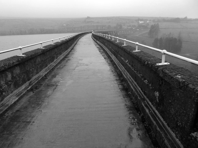
Inconveniently, the footpath to the lower Ryburn Reservoir was closed – we were diverted over the dam.
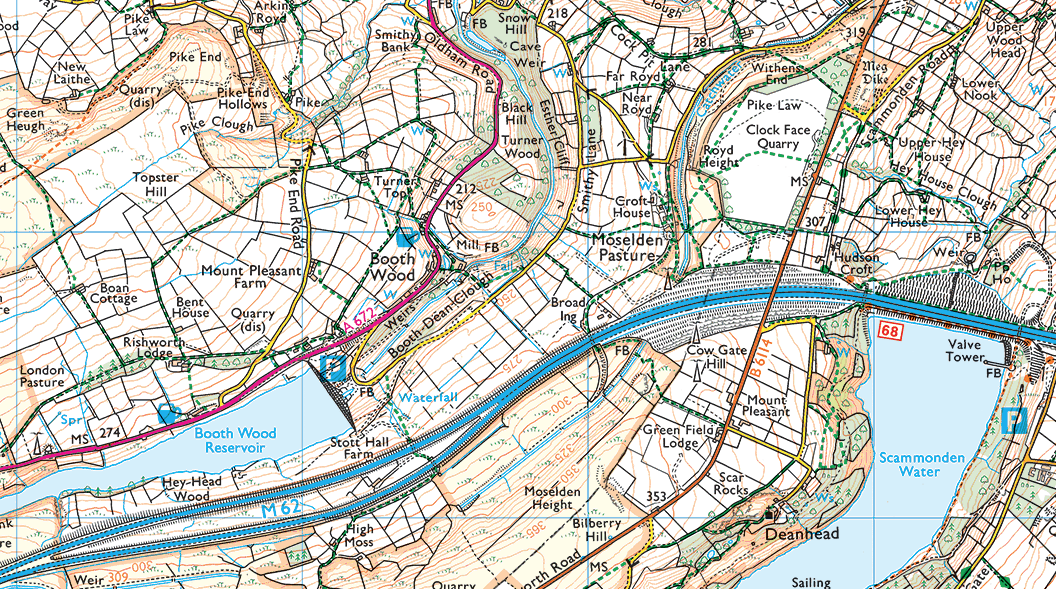
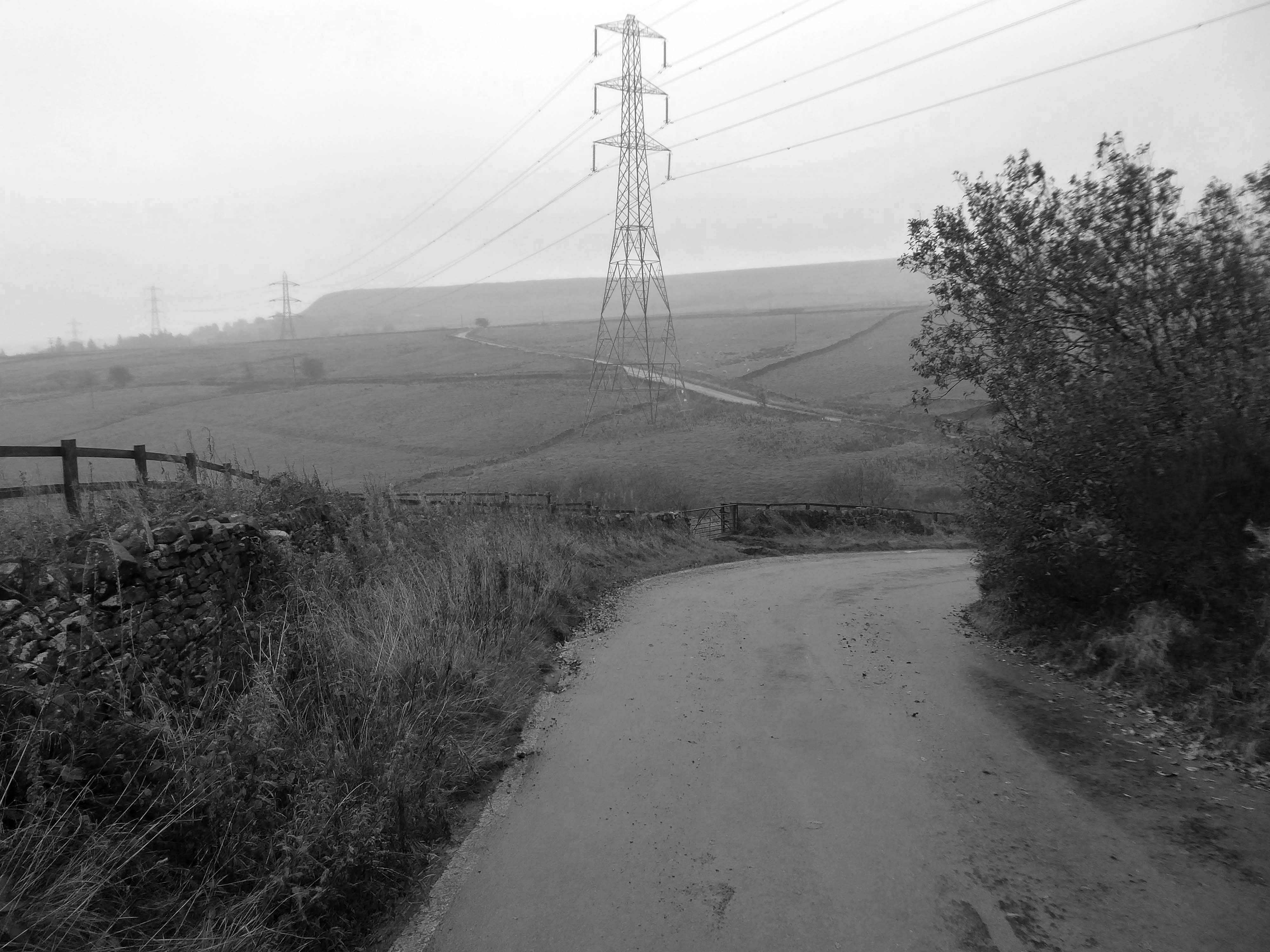
We took the pathway to Booth Wood Reservoir – over Pike End and beyond.
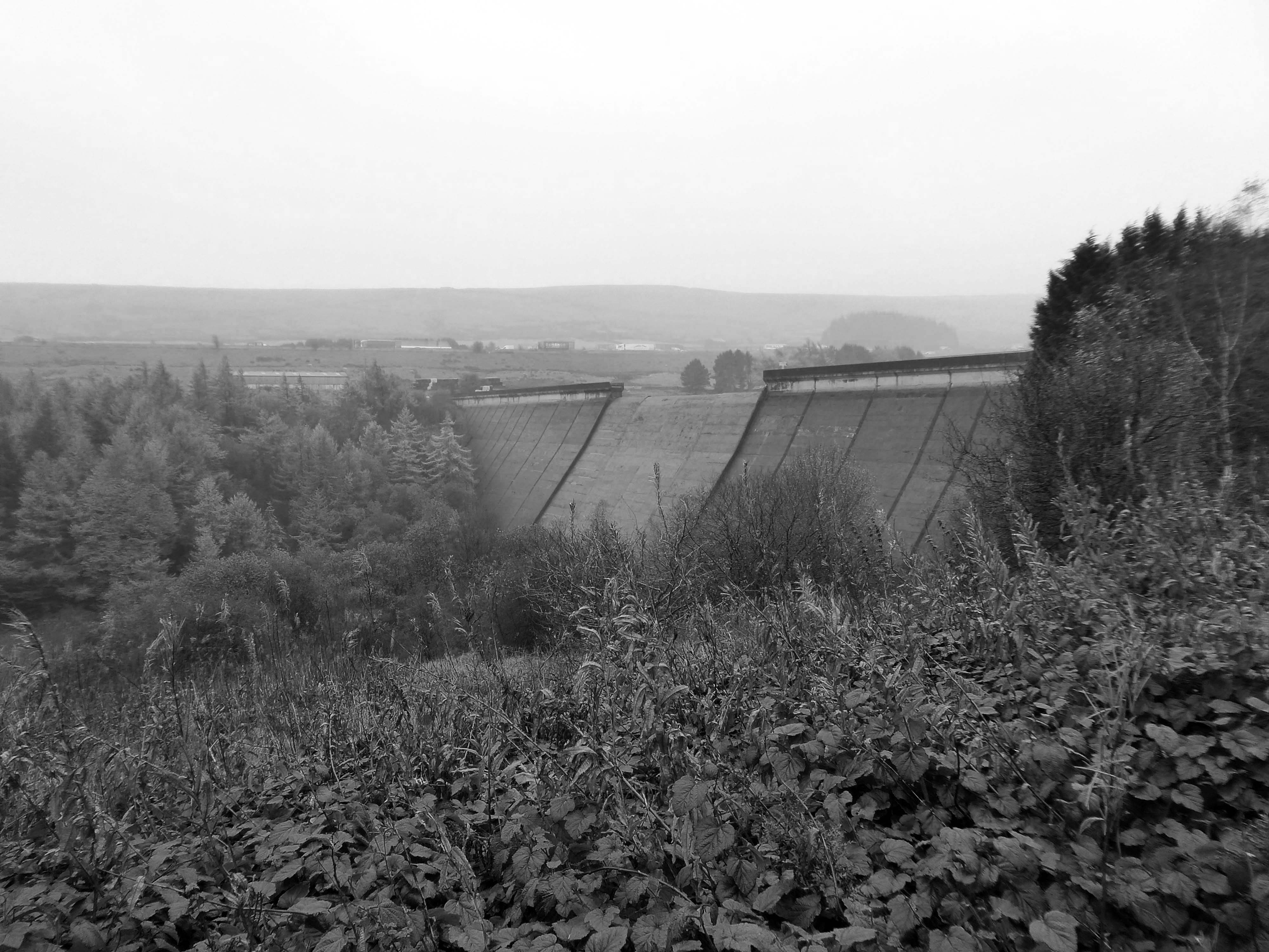
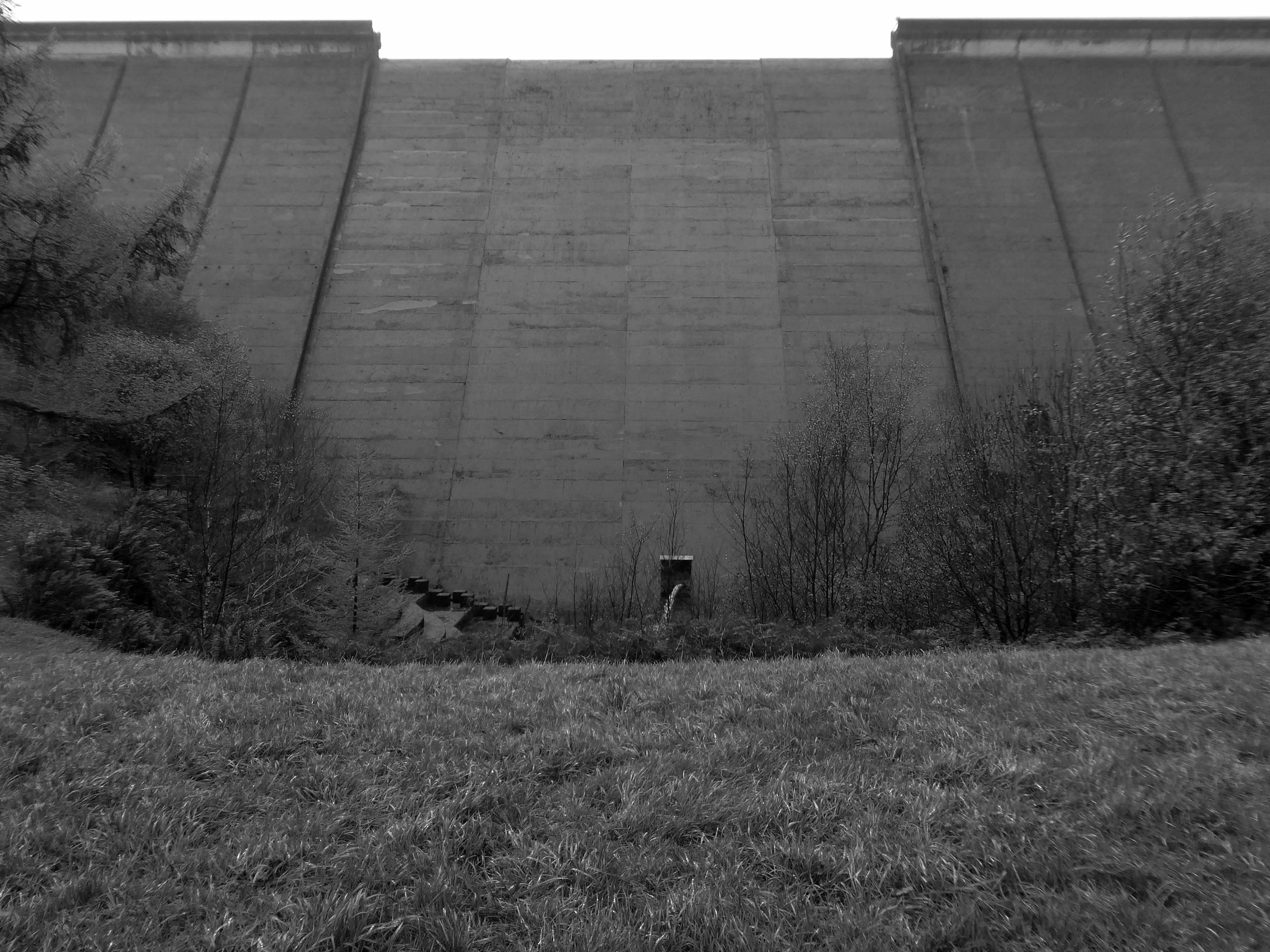
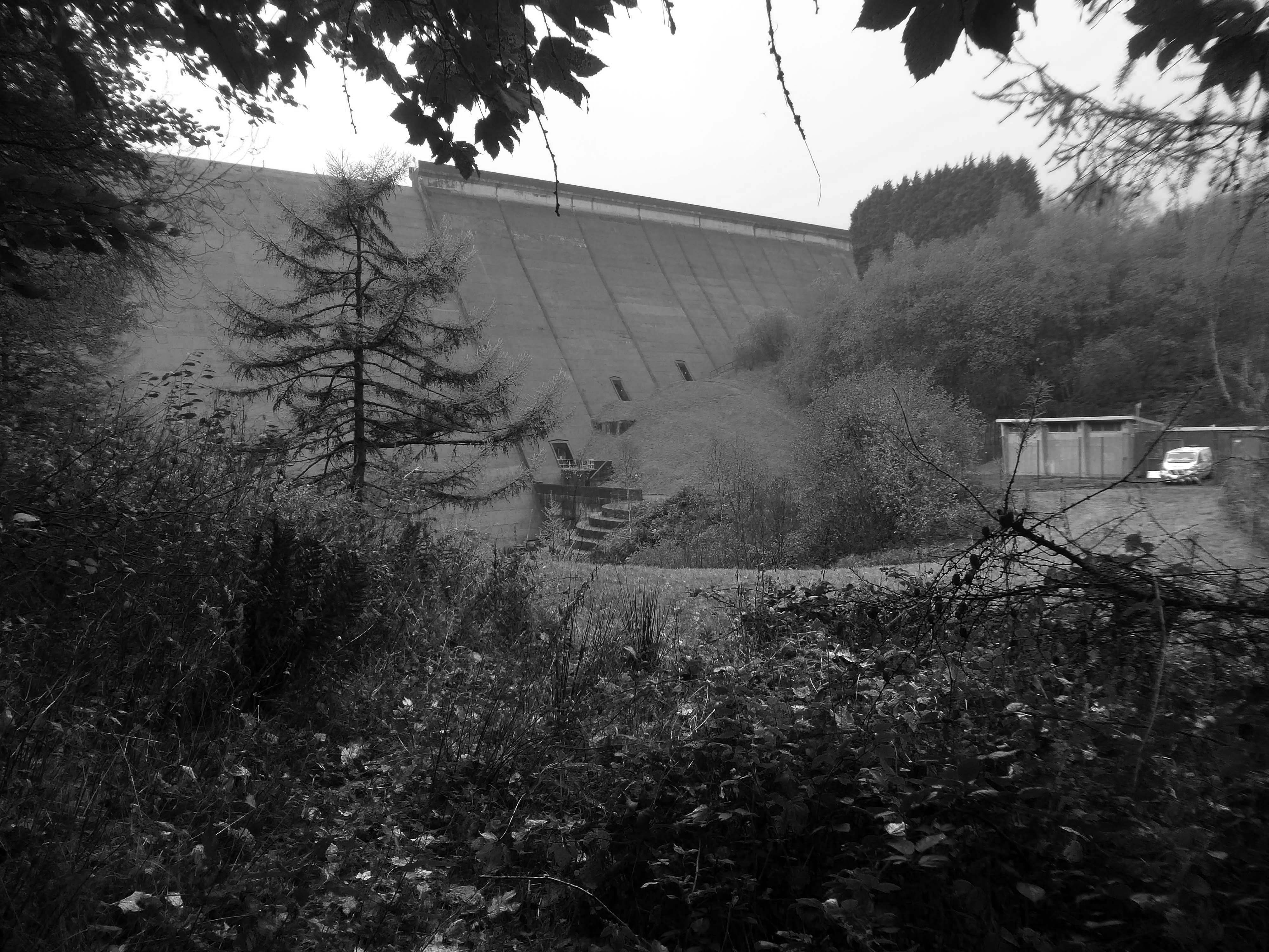
We dropped down beneath the Booth WoodDam.
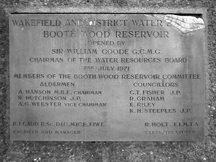
Booth Wood Reservoir is a man-made upland reservoir that lies north of the M62 motorway and south of the A672 road near to Rishworth and Ripponden in Calderdale, West Yorkshire. The reservoir was approved for construction in 1966 and completed in 1971.
It supplies water to Wakefield.
The reservoir dams the Booth Dean Clough watercourse and takes water directly from the surrounding moorland. It has a plain concrete crest on the dam head which is straight and extends to a length of 1,150 feet and a height of 157 feet.
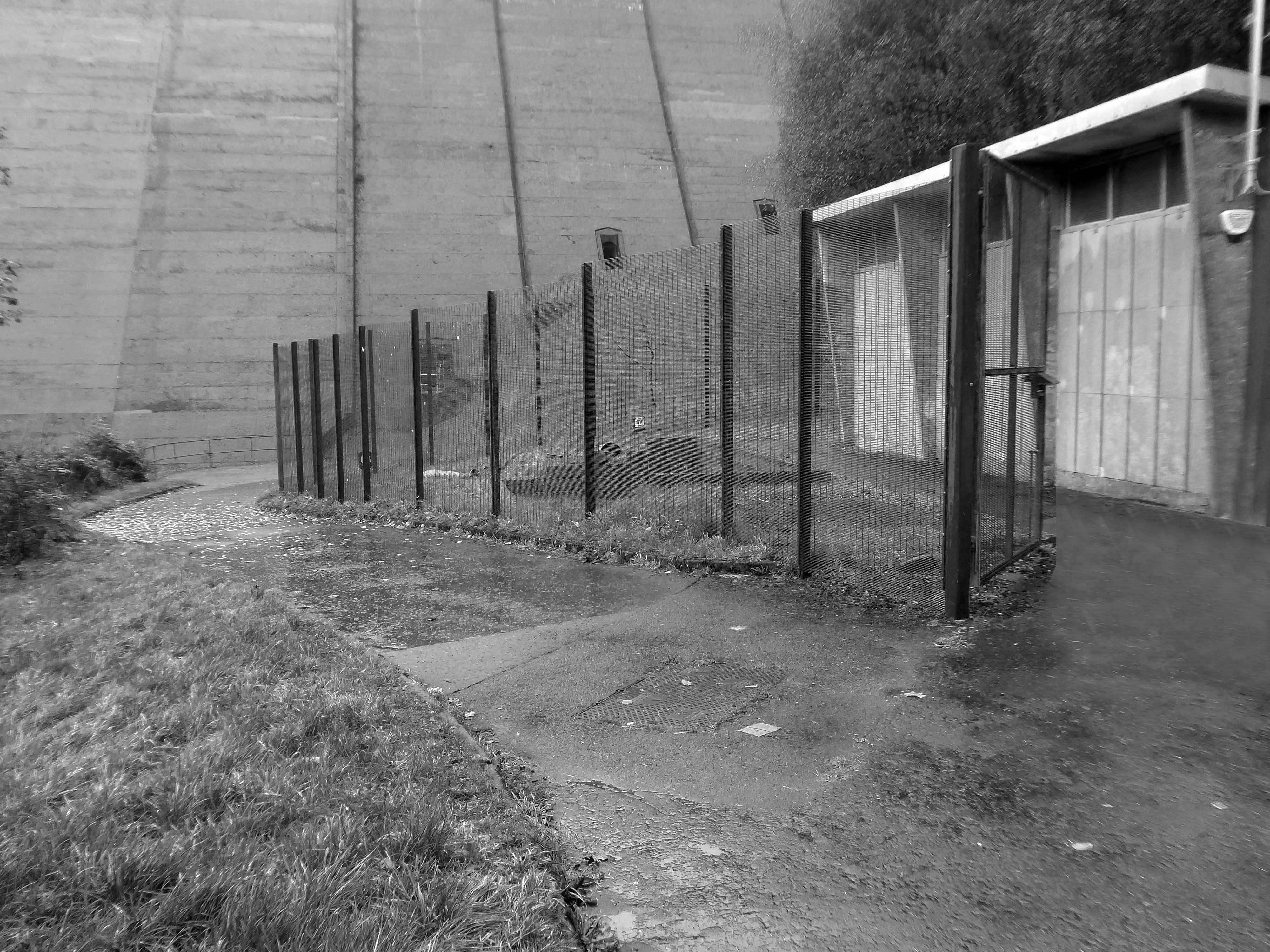
Below is a dinky pumping station, tucked beneath the dam.
We took a precipitous path through the wood – up to the level of the reservoir.
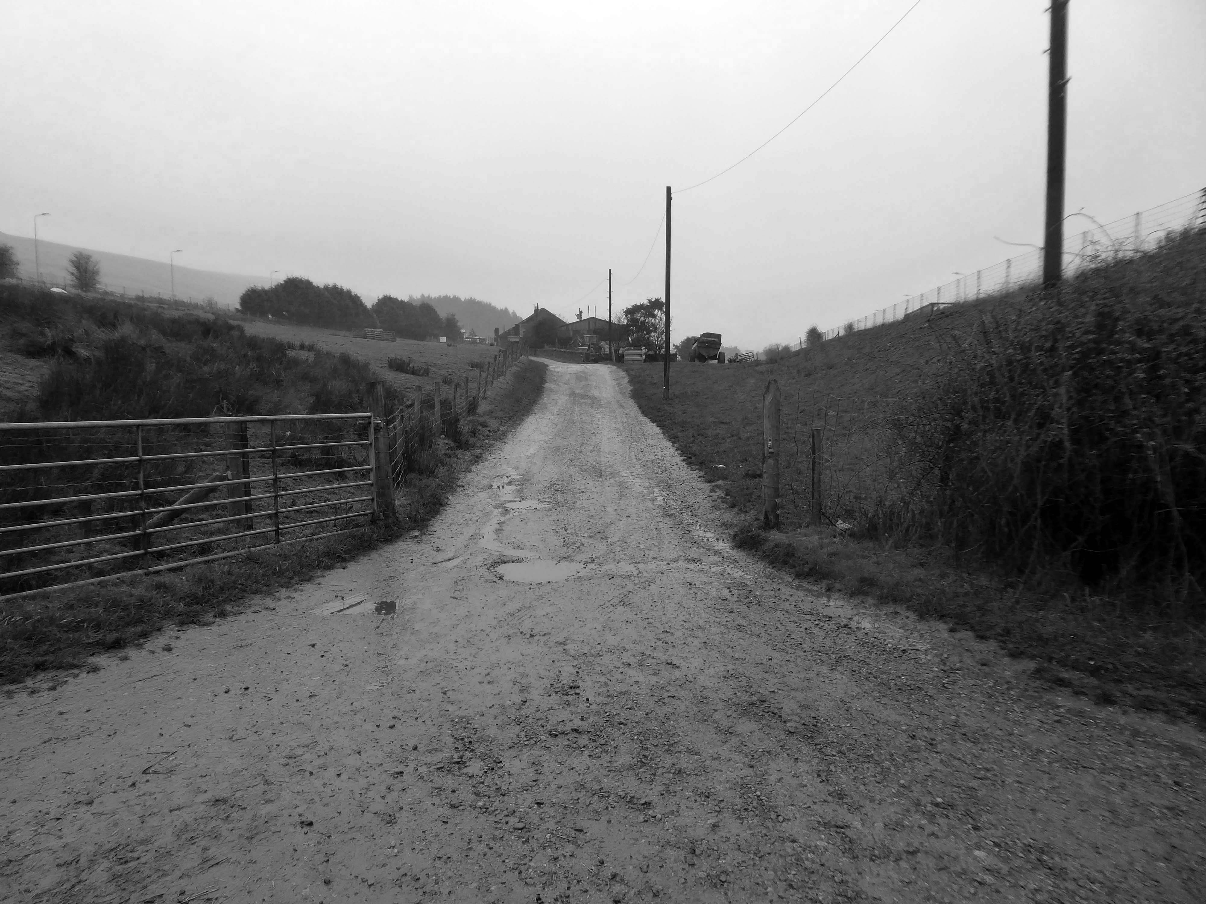
Under the the M62 and past the infamous Stott Hall Farm.
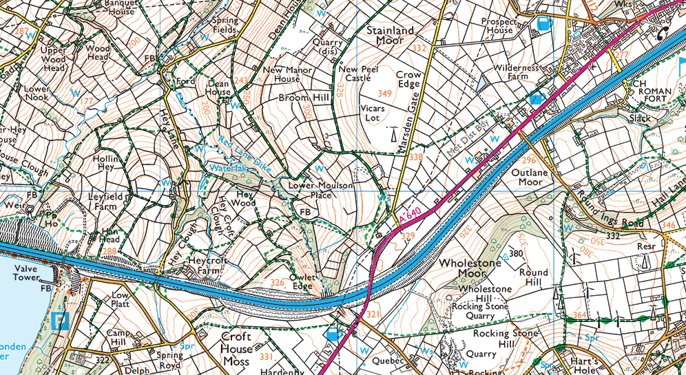
Stott Hall Farm is a farm located between the eastbound and westbound carriageways of the M62 motorway in Calderdale. It is the only farm in the UK situated in the middle of a motorway and was built in the 18th century on Moss Moor. It lies south of Booth Wood Reservoir where the carriageways are separated between junctions 22 and 23. The road divides for much of its length between the Windy Hill and Deanhead cuttings because of the surrounding geography; but a myth persists that it was split because Ken and Beth Wild refused to sell. However, the farm was actually owned by Yorkshire Water at the time the M62 was built.
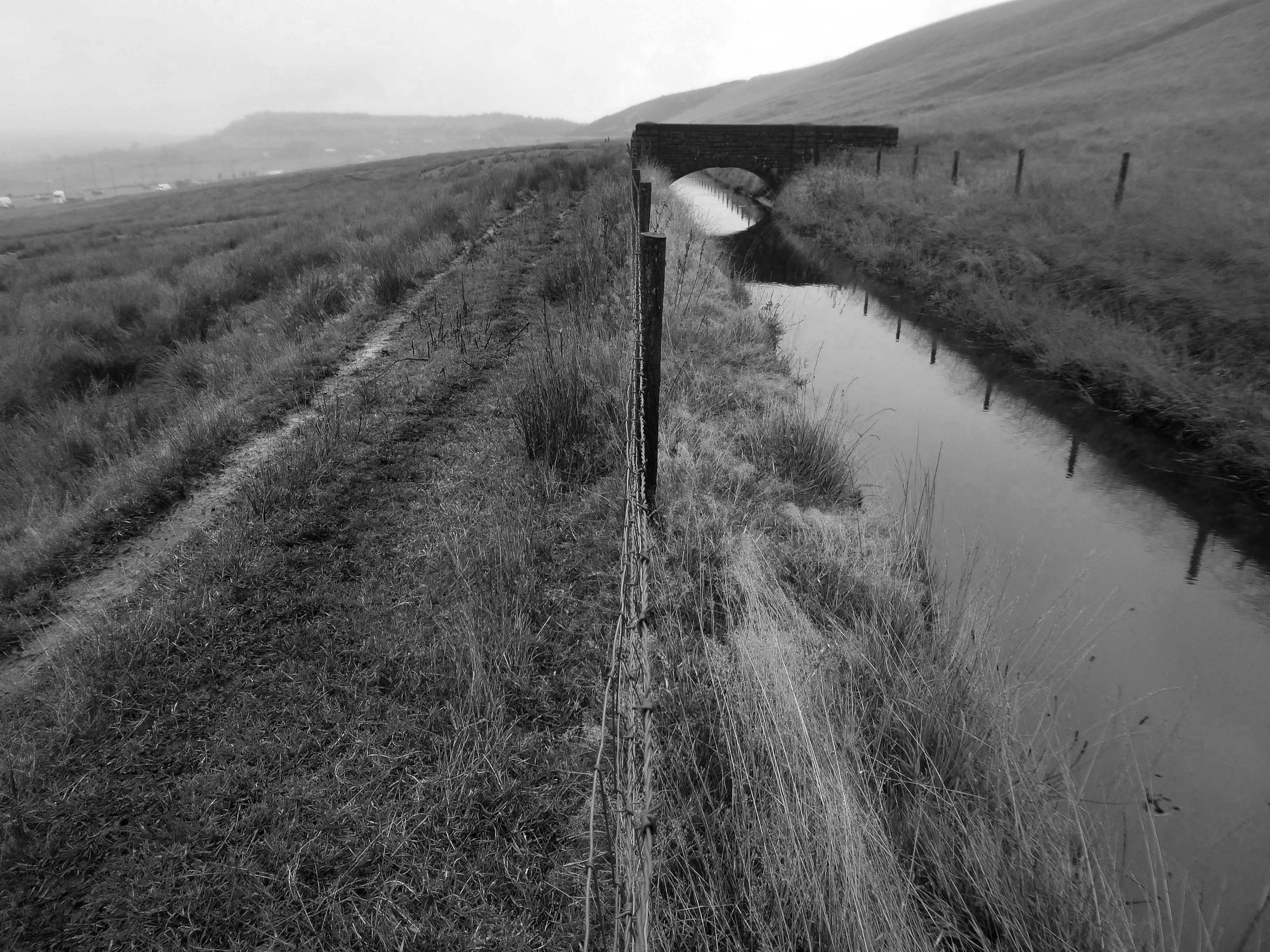
We walked over the upland moors to meet with the Catchwater, which formerly fed the Ringstone Edge Reservoir, prior to the construction of the motorway cutting.
Climbing again over Cow Gate Hill to meet the Saddleworth Road.
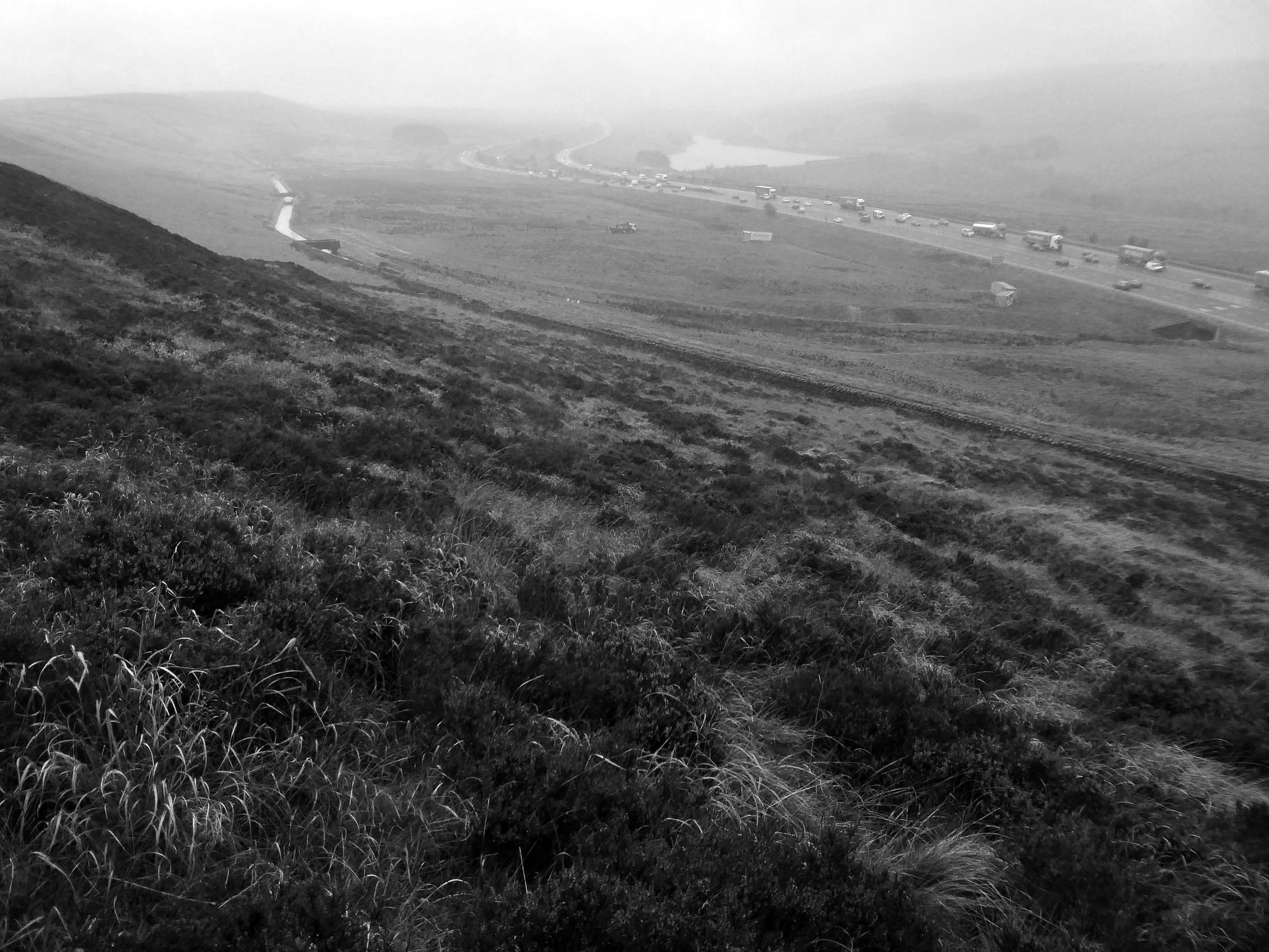
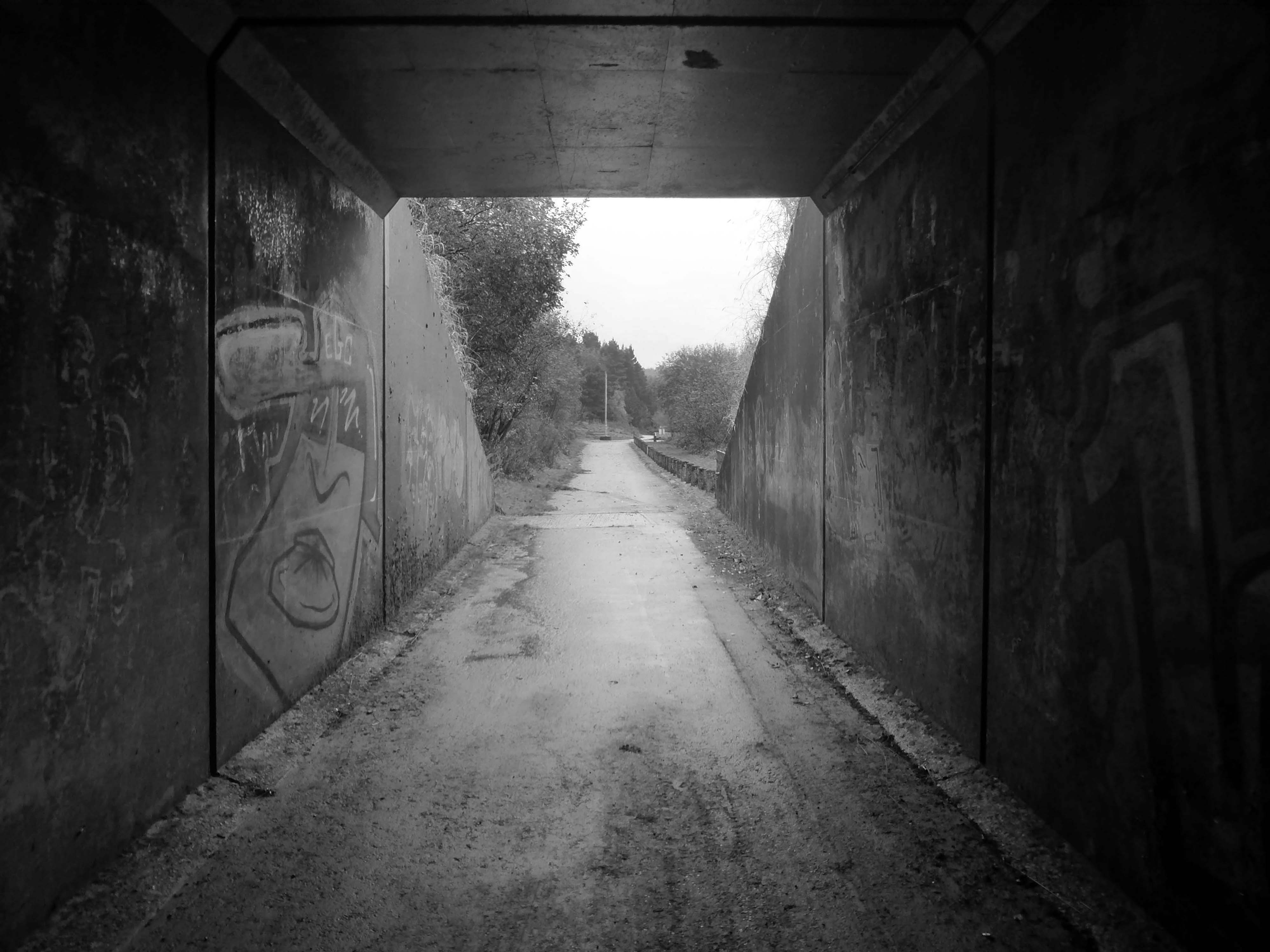
Crossing the motorway and dropping down to meet the Scammonden Dam.
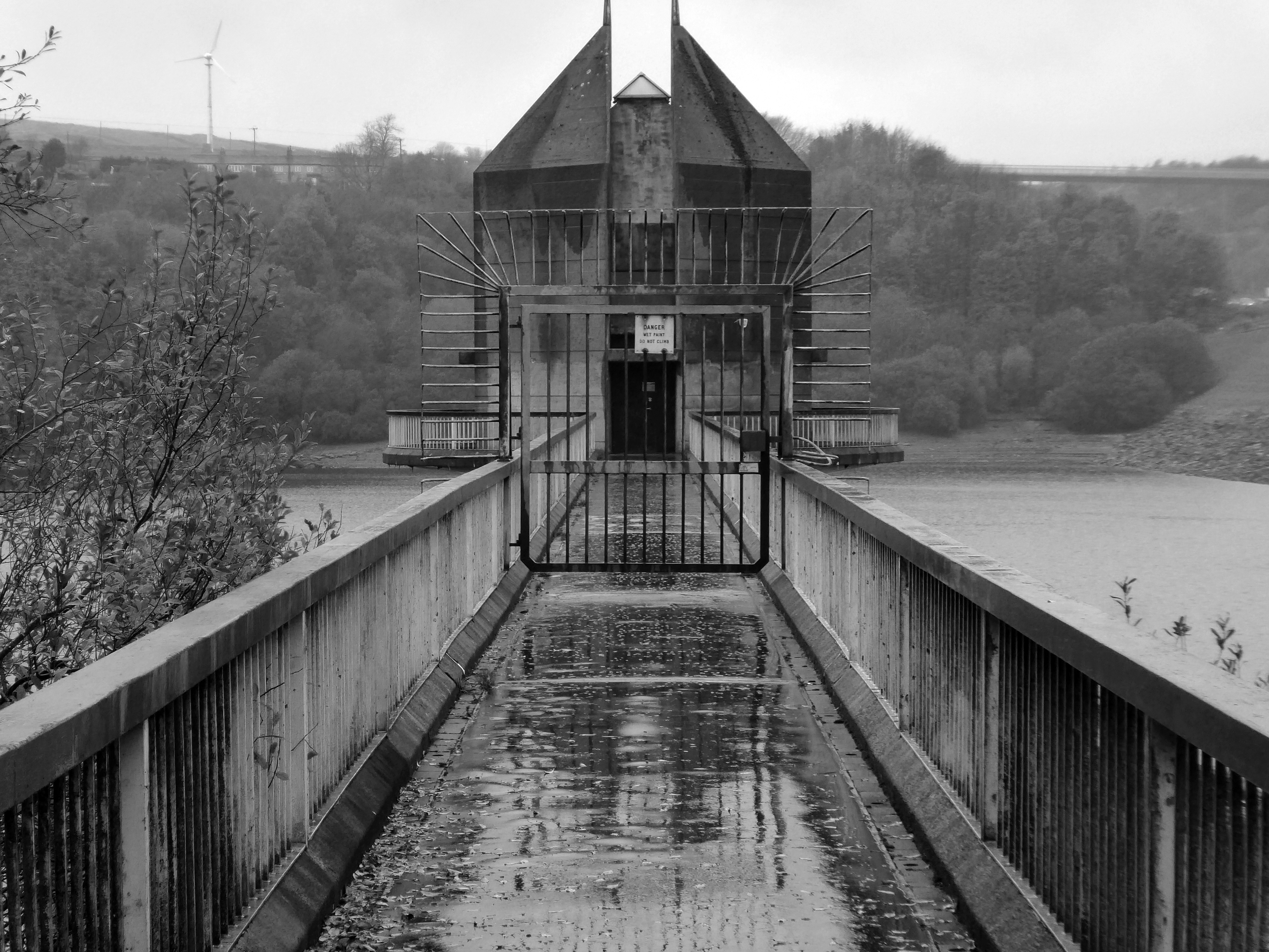
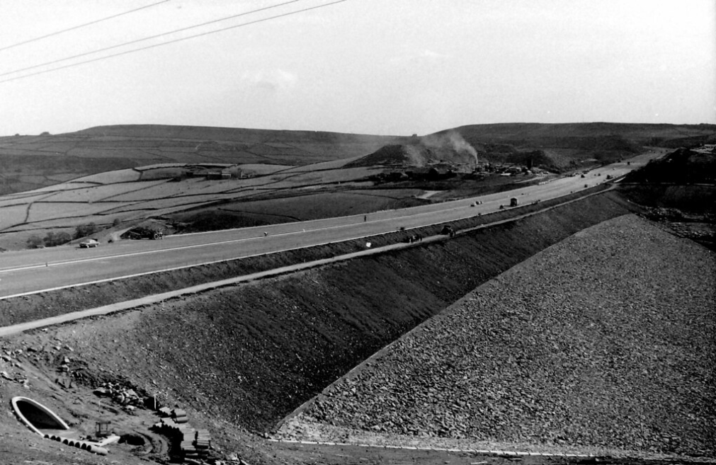
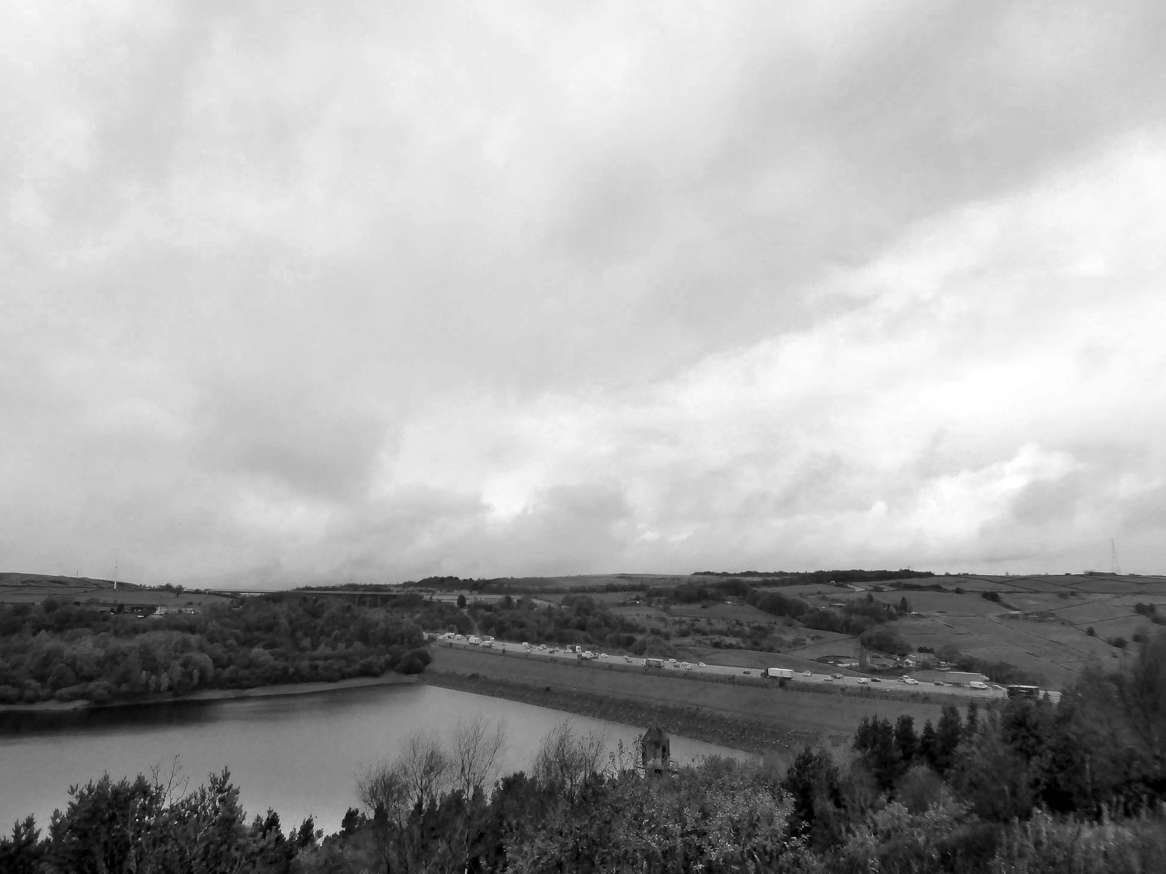
Scammonden Dam is part of the M62 motorway between junctions 22 and 23, the only such structure in Britain. Its construction by the Ministry of Transport and Huddersfield Corporation Waterworks required the passing of the Huddersfield Corporation Act 1965. The motorway dam spans the Deanhead Valley in the Pennines between Huddersfield and Rochdale and the main contractor for the project was Sir Alfred McAlpine & Sons.
It was designed by Rofe, Kennard and Lapworth
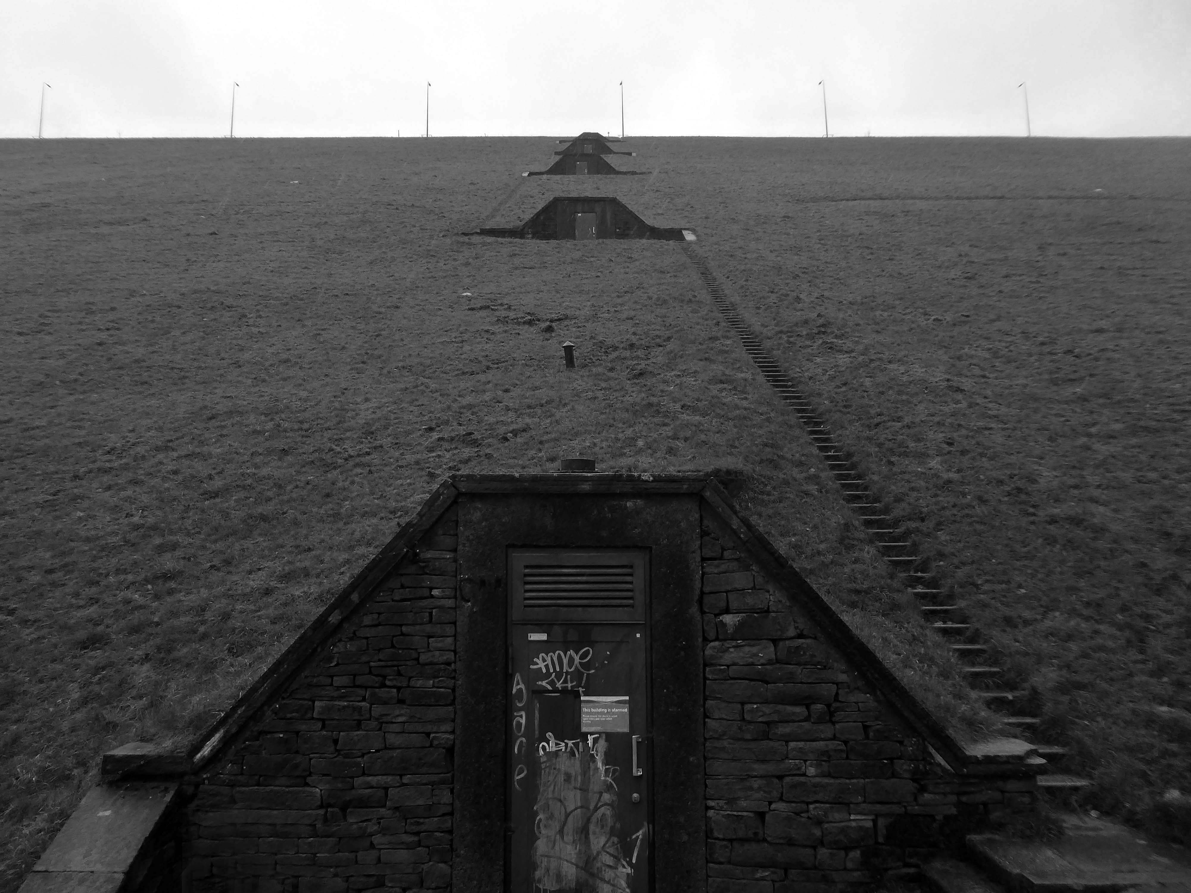
Surveying began in November 1961 and the route of the carriageway was determined in mid 1963. Excavation in the Deanhead Valley commenced the following year and for the dam in 1966. This required the removal of 25,200,000 cu ft of peat bog to reach the solid rock base nearly 43 ft below ground level. Material excavated elsewhere on the line of the motorway, clay from cuttings between Lofthouse and Gildersome, and 3.4 million cubic metres from the Deanhead excavations was used to build the dam’s embankment which is 2,051 ft in length and 207 ft above the original valley floor. The embankment is 1,427 ft wide at its base and 180 ft at road level.
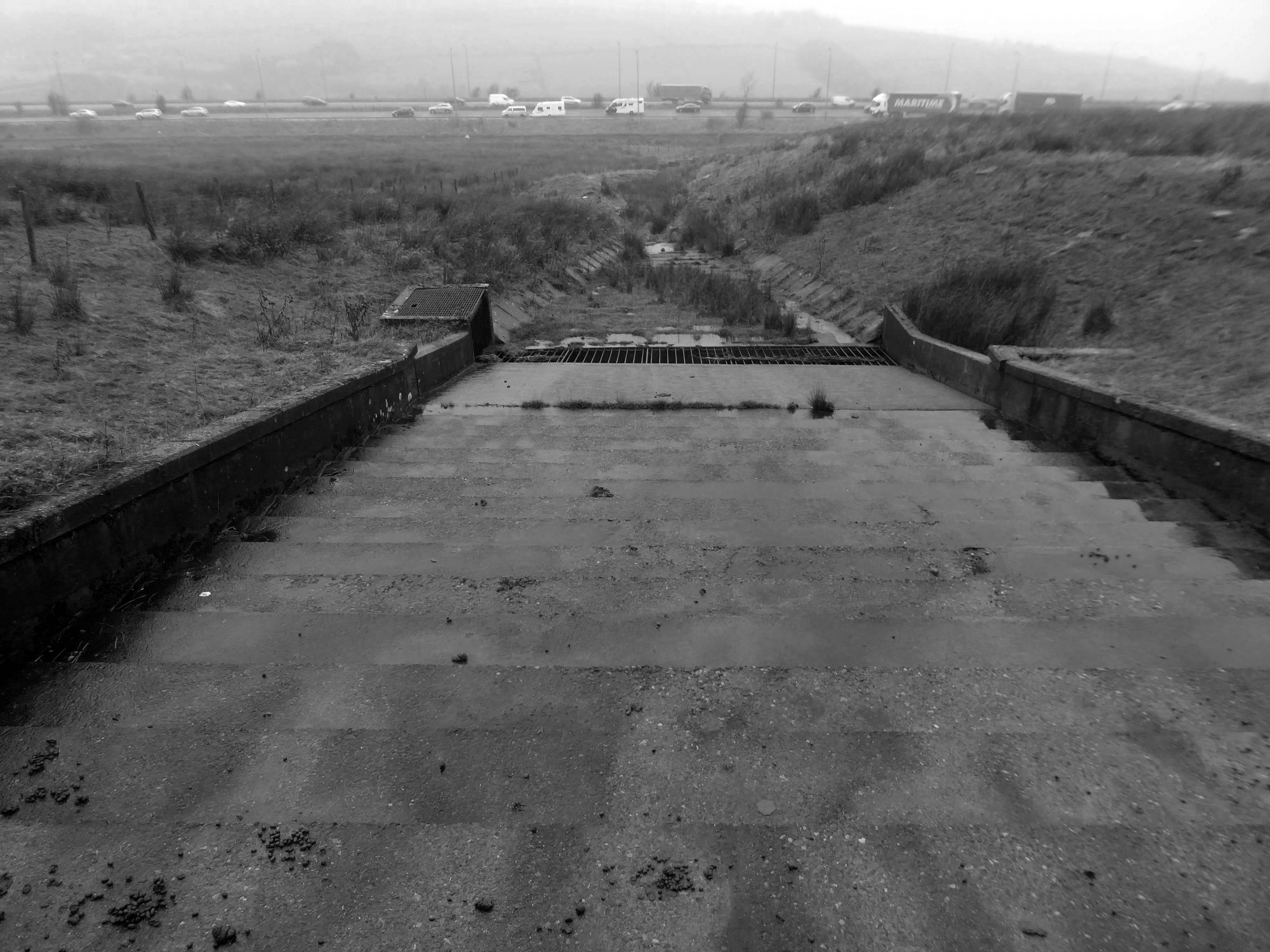
Scammonden steps comprises five flights of steps up the hillside from the valley below. Totaling 458 steps, the cumulative step count when ascending each of the five flights is 95, 200, 287, 363 then 458.
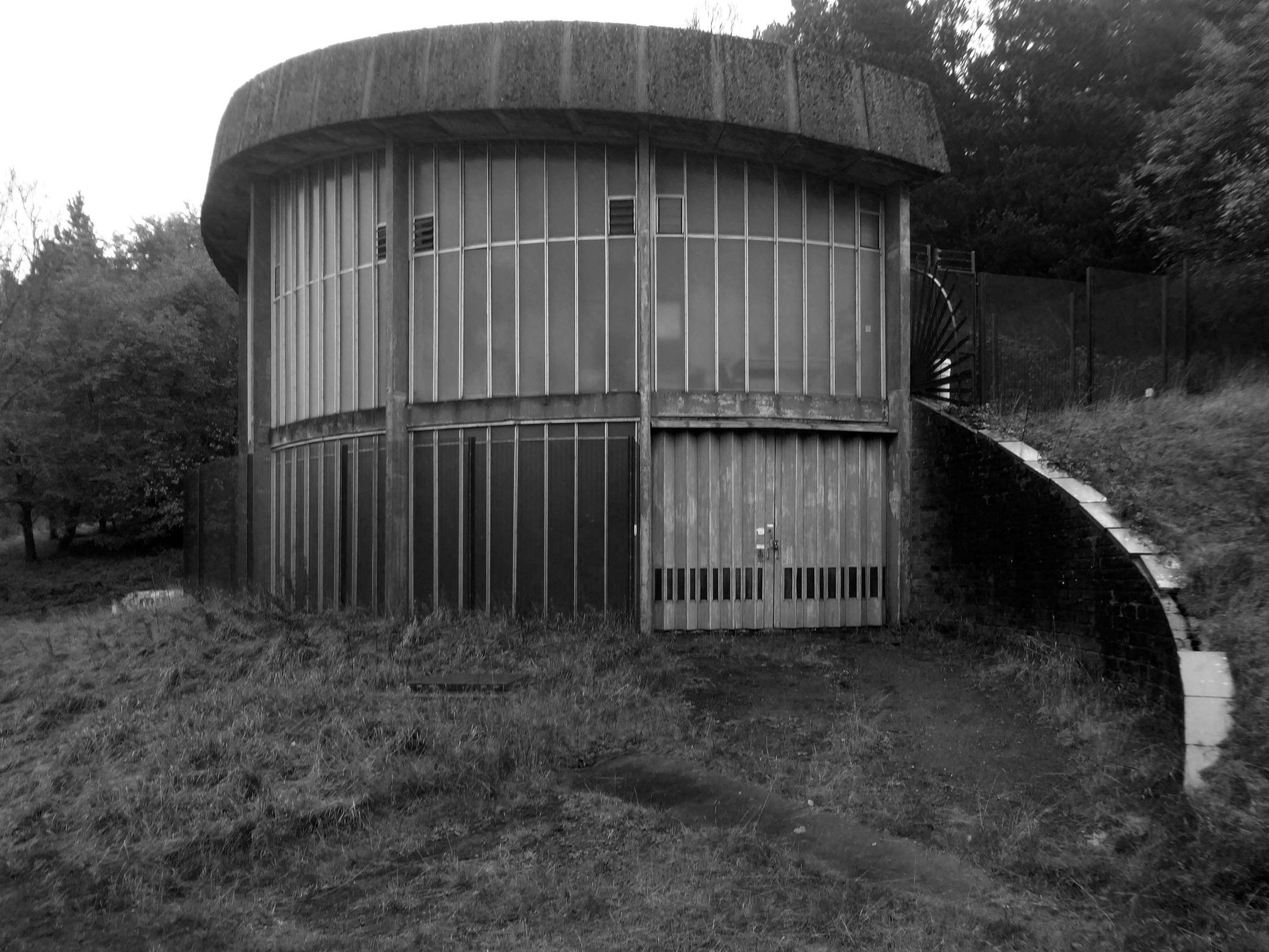
At the base of the dam is this delightful Pumping House.
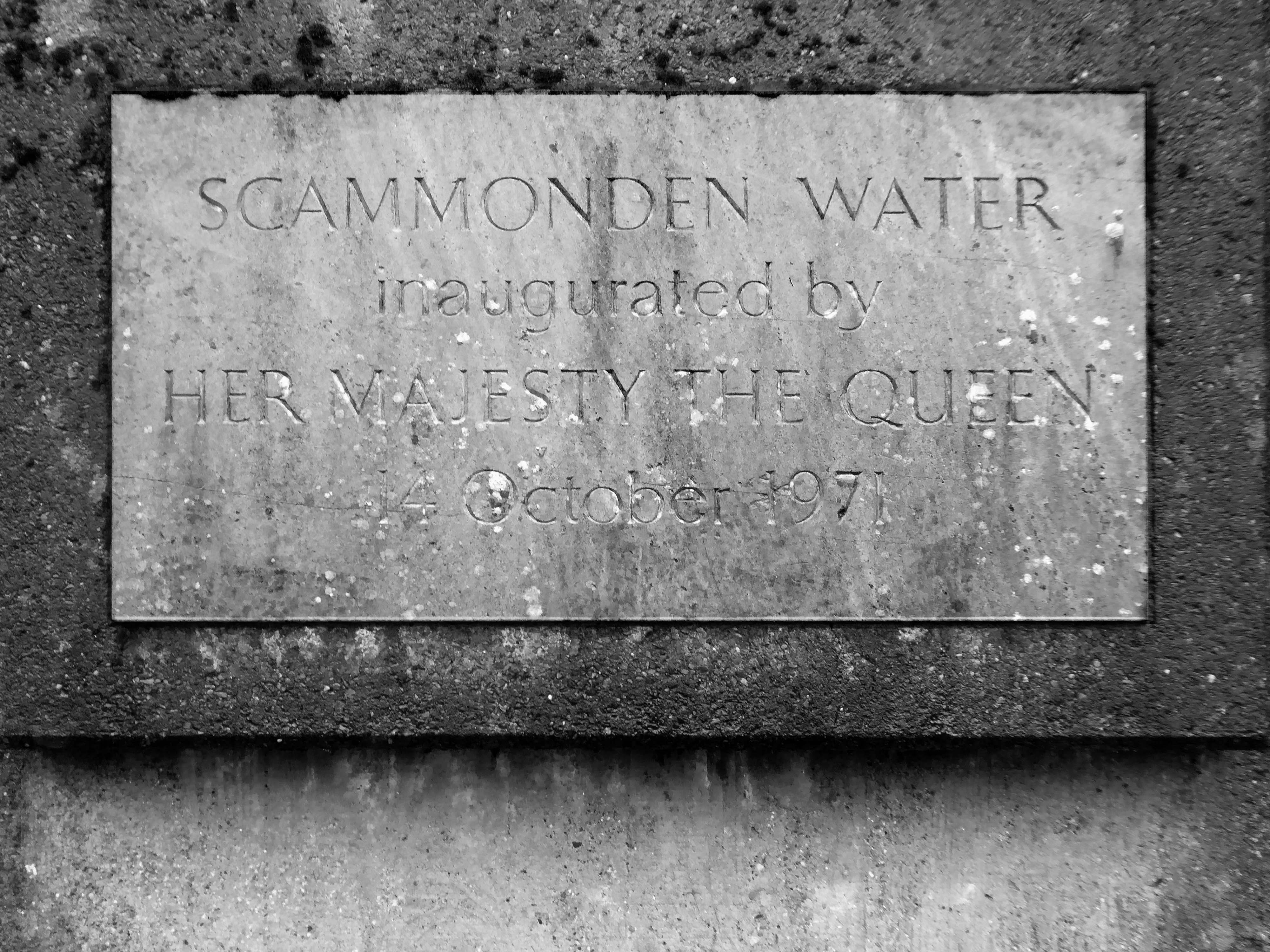
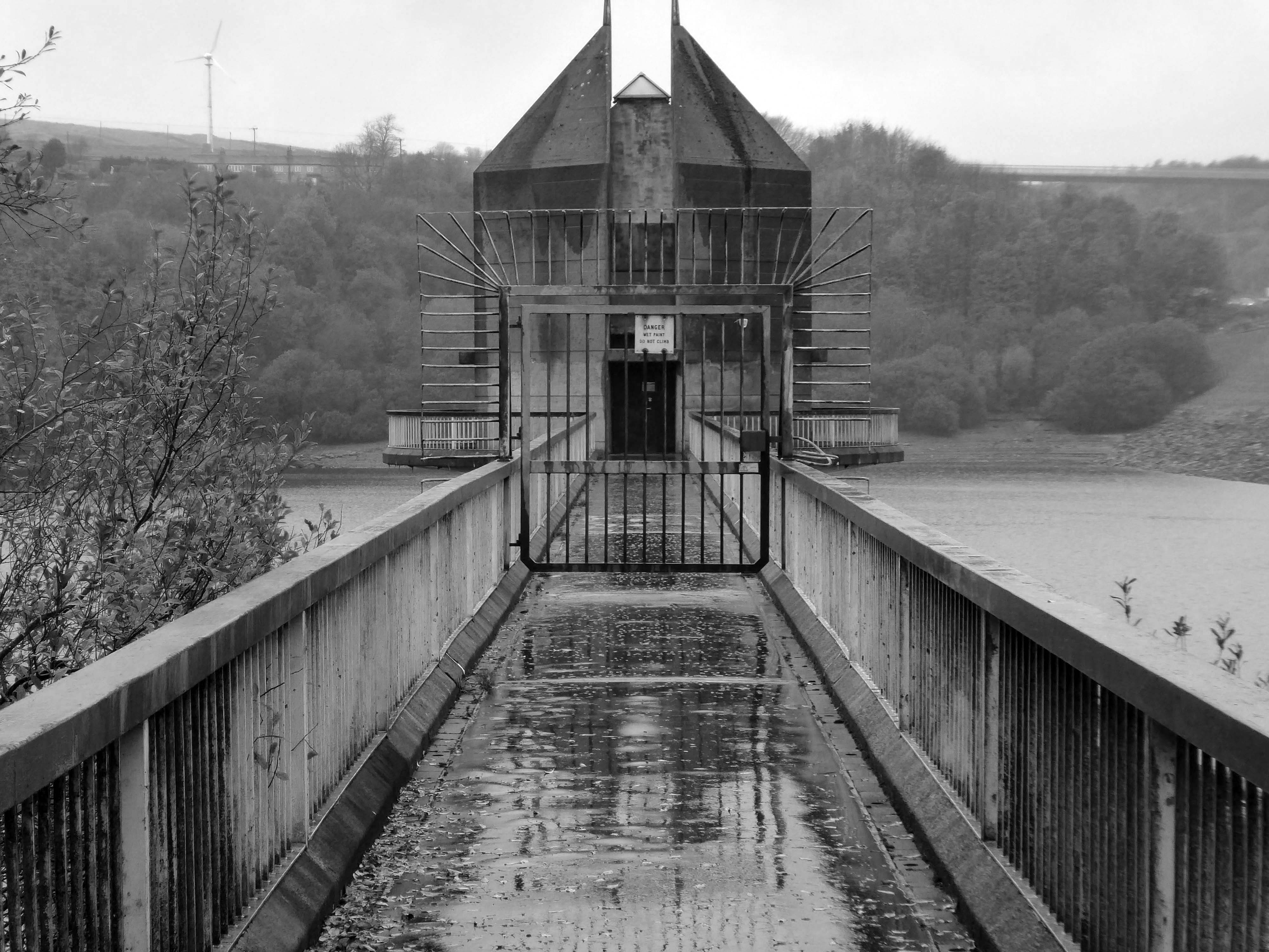
The motorway, which was dependent on the completion of the dam, was opened to traffic on 20th December 1970 and officially opened by Queen Elizabeth II who unveiled a plaque near the valve tower of Scammonden Water on 14 October 1971.
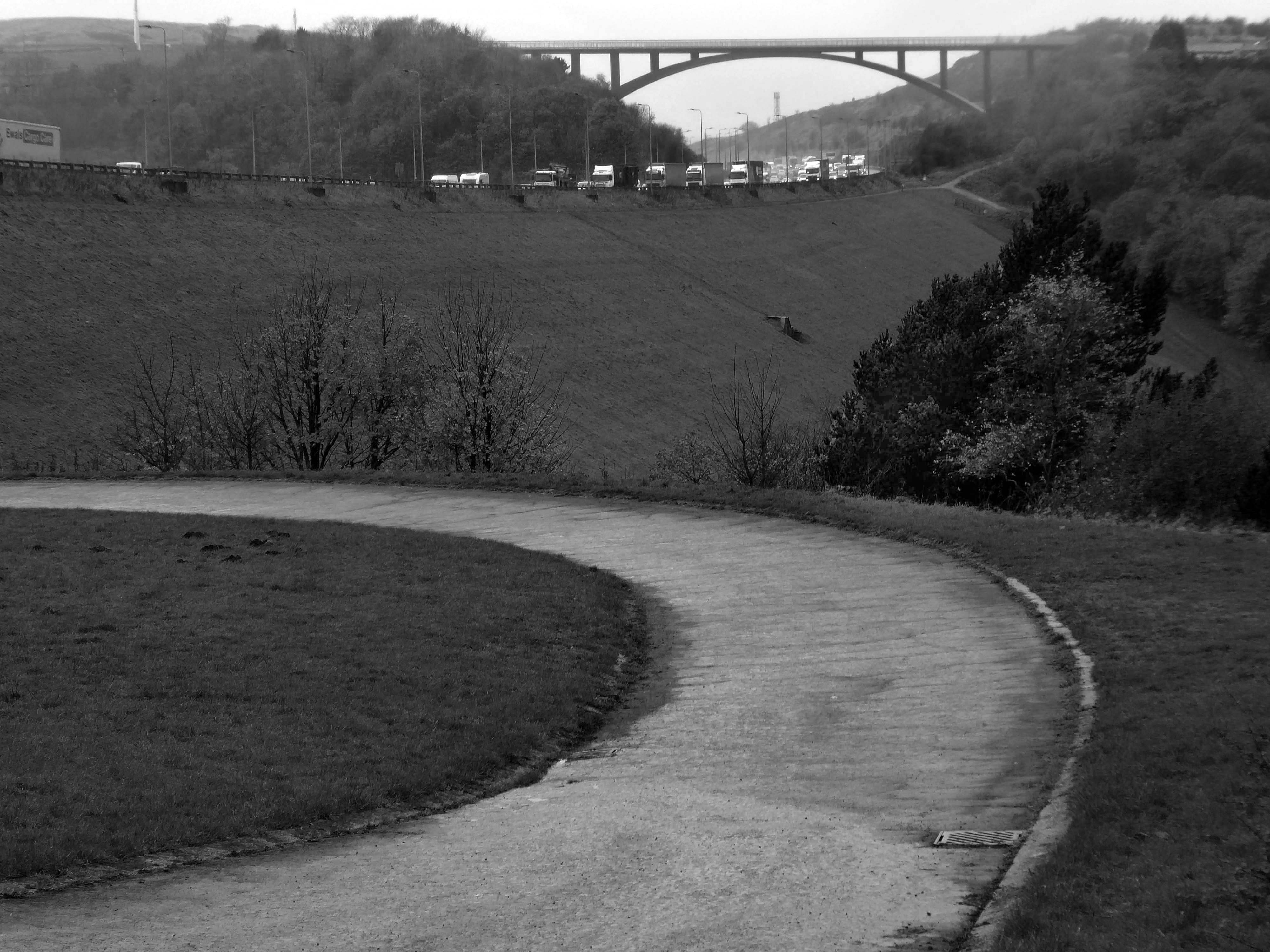
Ascending and looking back toward Scammonden Bridge also known locally as the Brown Cow Bridge – after the nearby Brown Cow Inn, now closed, spans the Deanhead cutting carrying the B6114.
The bridge was built for the West Riding County Council to the designs of the county surveyor, Colonel S Maynard Lovell.
It opened to traffic on Monday 18 May 1970 by Major Bruce Eccles – Huddersfield Transport ran buses to see the bridge.
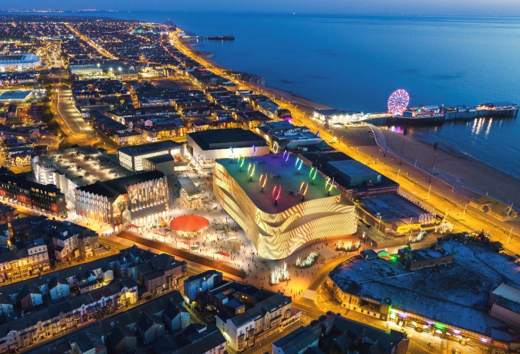
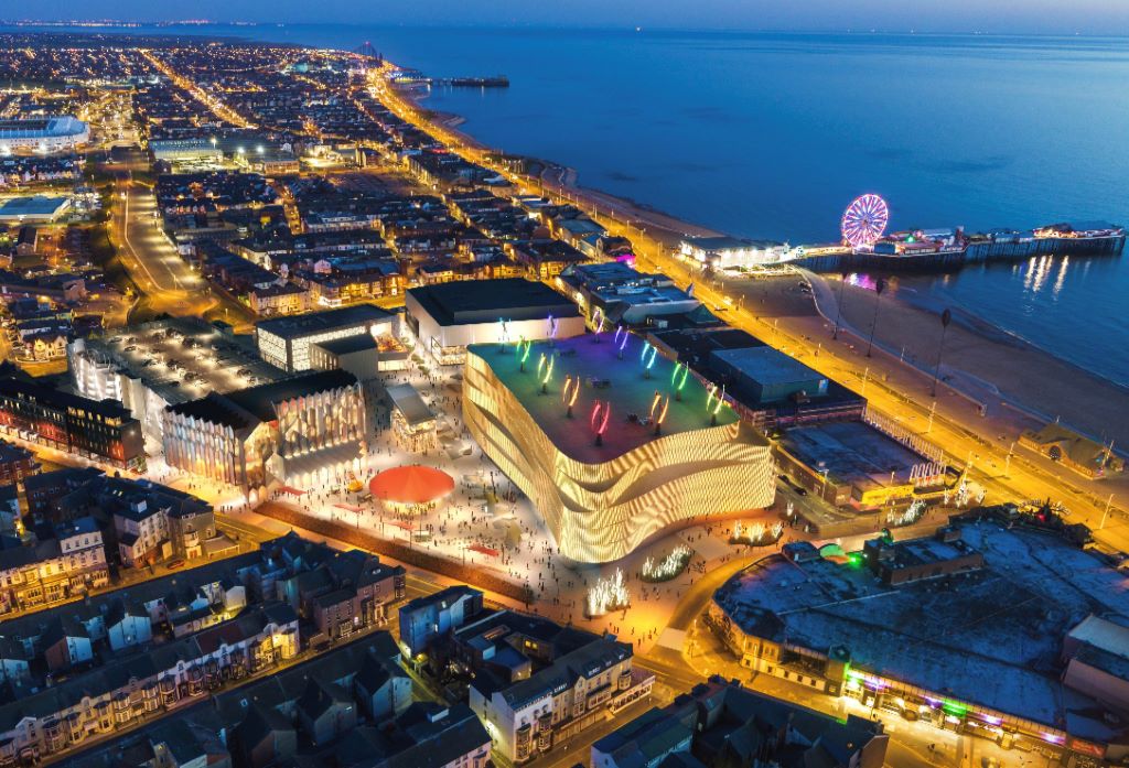
Blackpool Council says it remains committed to the Blackpool Central project amid the potential collapse of the developer leading the works.
But warning alarms sounded this week when Nikal – which was hired to oversee the project – filed a notice of intent to appoint administrators.
The £300m Blackpool Central development is billed as the biggest single investment in the town in more than a century and is planned to involve a “world-class leisure development” which would create 1,000 new jobs, bring an extra 600,000 visitors per year, and boost annual spend in the town by around £75m.
A spokesperson for Blackpool Council told the Blackpool Lead:
We have been working on the enabling phase of Blackpool Central over the last few years. The new multi-storey car park opened earlier this summer and we are currently completing preparations to demolish the old police station and courts building early in the New Year.
The proposals for the Bonny Street area can be seen here.
Plans for the area have hit further problems.
A new £40m magistrates courthouse is facing building delays after the project’s main contractor collapsed.Blackpool’s magistrates court was one of twenty two projects belonging to construction giant ISG, which was working on the scheme for the Ministry of Justice.
But the firm went into administration in September, leaving two thousand two hundred workers at risk of redundancy, the Local Democracy Reporting Service said.
Work was due to start early next year with a completion date expected in 2026.
The town needs all the help it can get, time has not been too kind, whilst efforts have been made to invigorate the area around Blackpool North and the promenade, the back streets reflect the legacy of years of deprivation.
Blackpool ranks as one of the most deprived areas in the UK. Many people were already in poverty, and the cost of living pressures are having the biggest impact on this group, who need to spend a greater proportion of their incomes on household essentials. It is also affecting people on low and middle incomes, often surviving by having several jobs, who are being pushed into poverty. More people are turning to services for support, and as the winter progresses this is a serious concern.
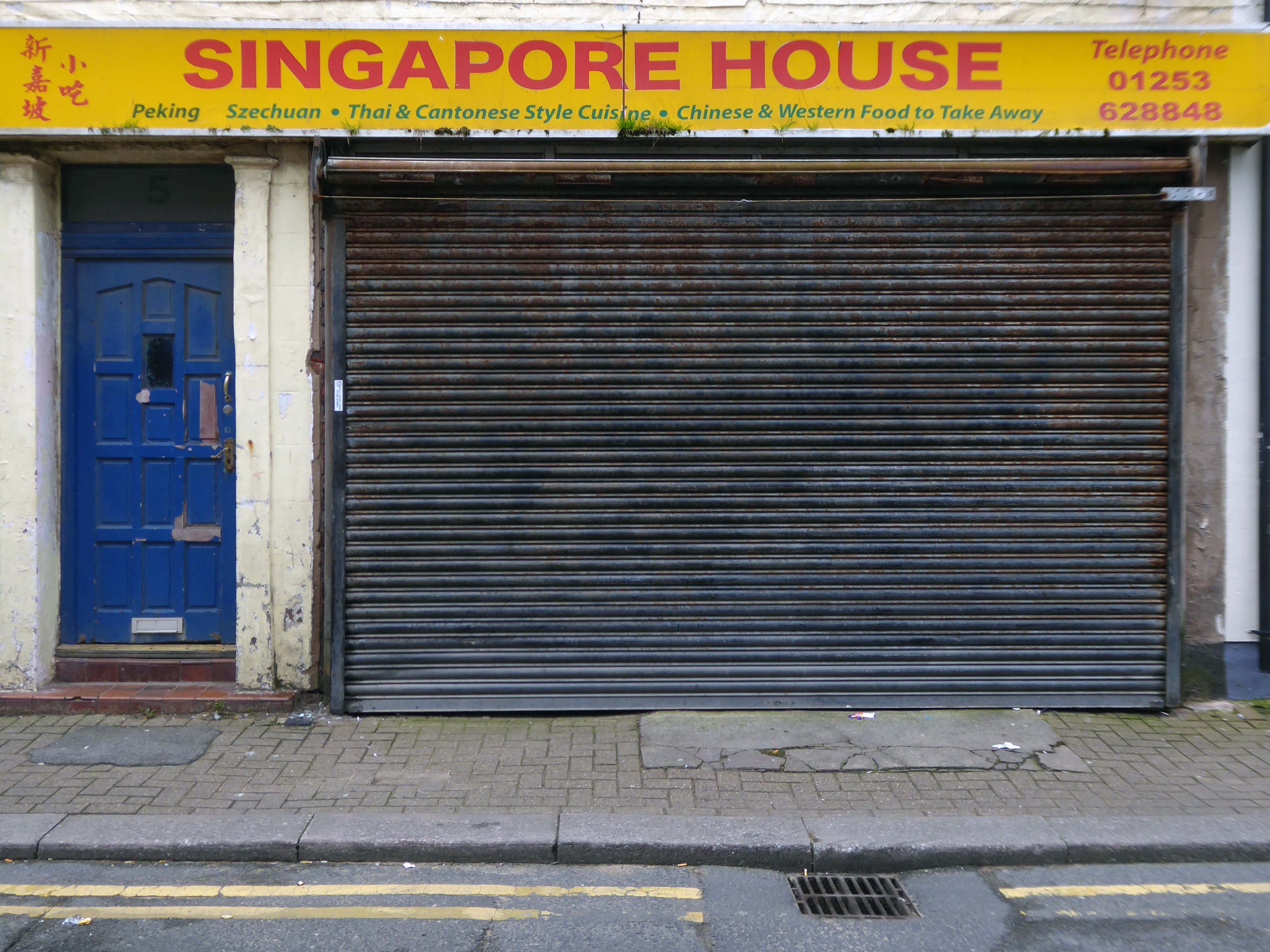
I have no wish to poor scorn on the area – but a short walk around the streets approximate to the coast tells a tale of failed businesses, decay and decline.
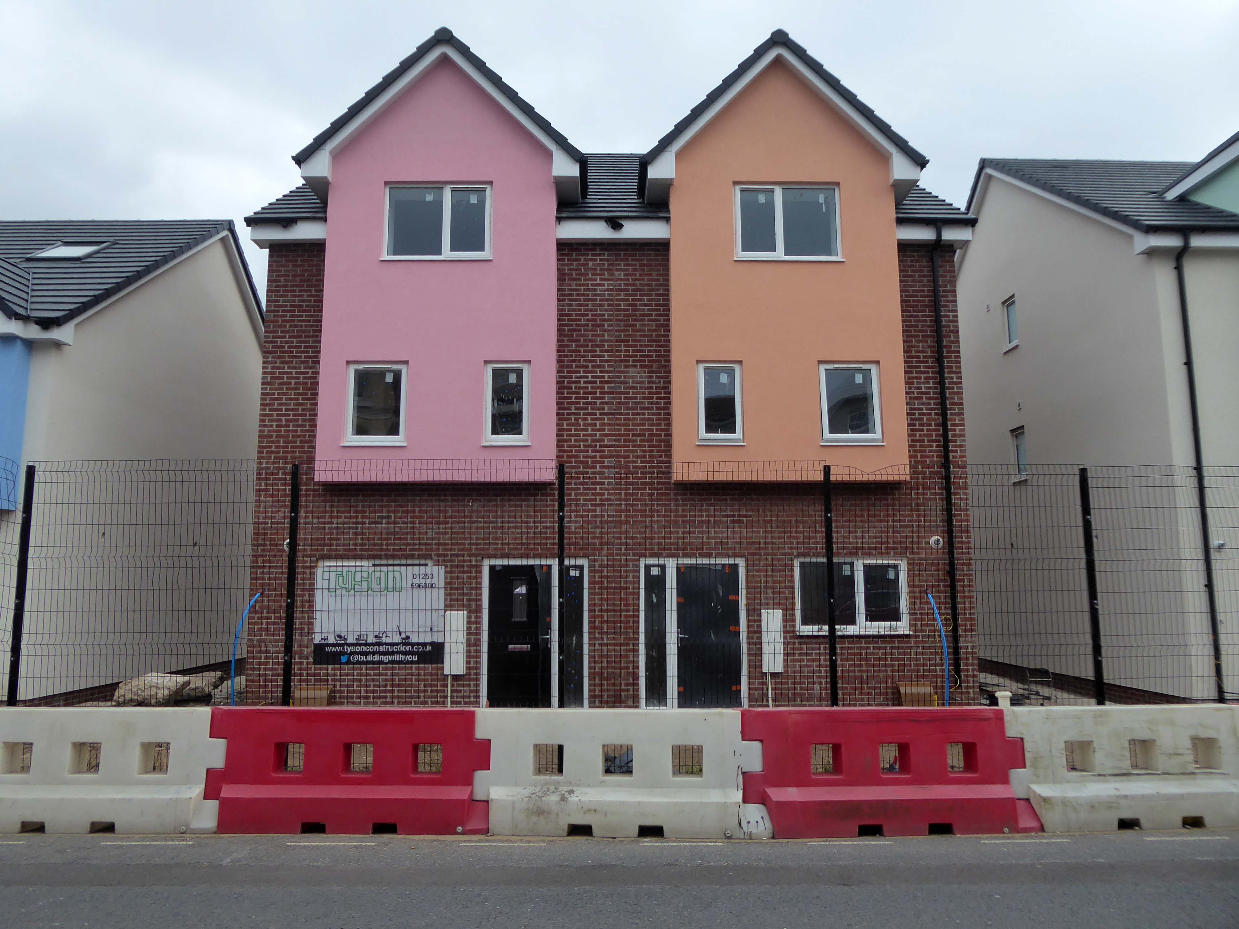
Happily there are the seeds of recovery in evidence, in the form of newly built housing.
The executive report outlines an area of regeneration to the South of the town centre. It lies broadly between Chapel Street and Rigby Road, and the Promenade and Central Drive. These have been identified as the initial areas of focus for detailed scheme development, community engagement and property acquisitions in preparation for future development.
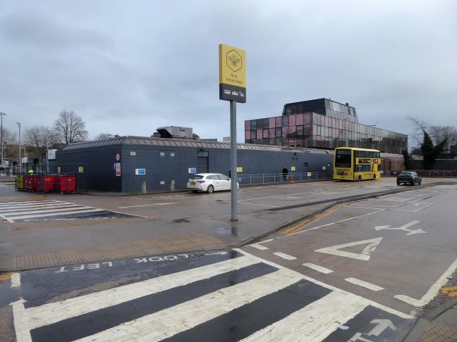
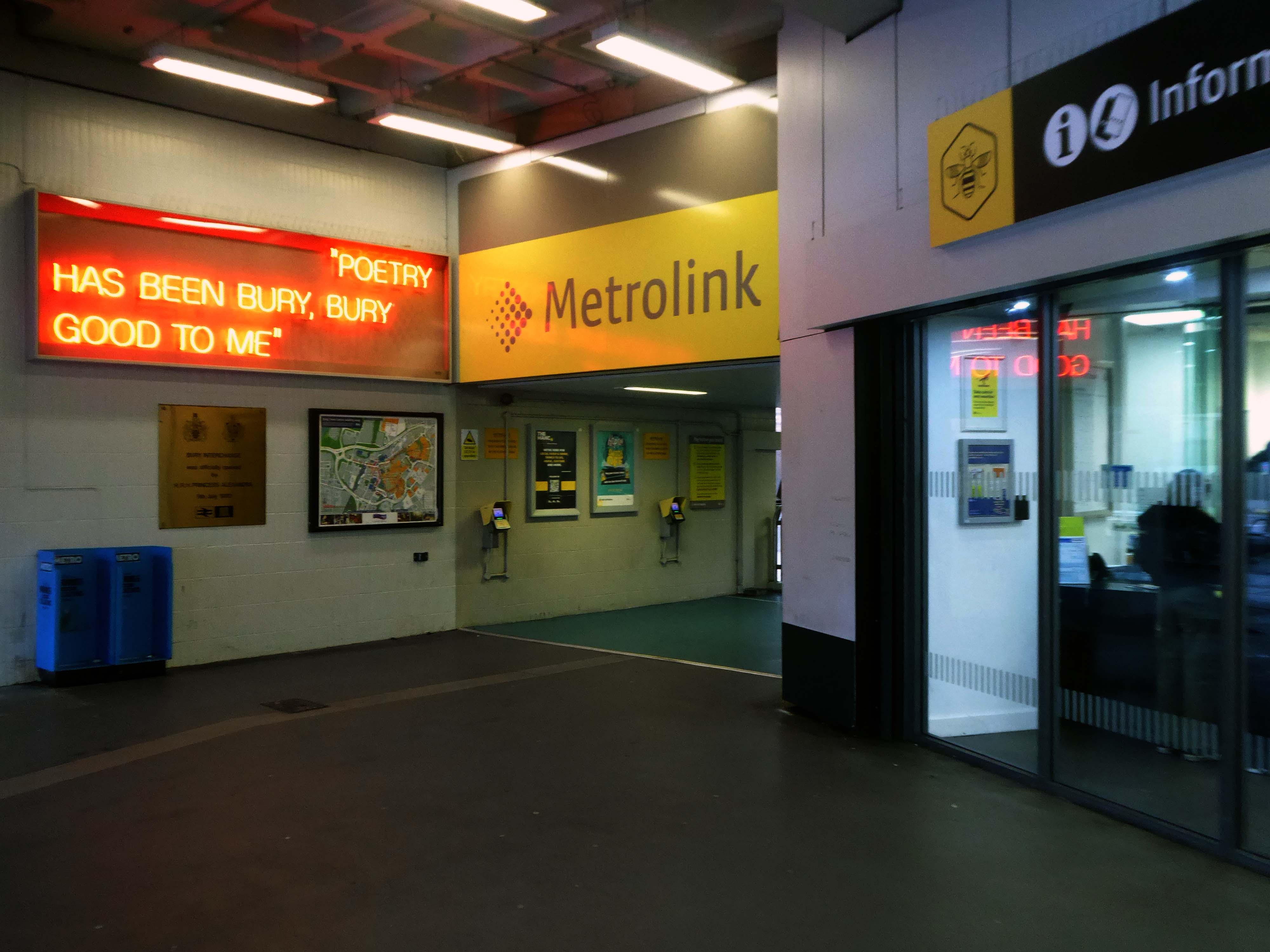
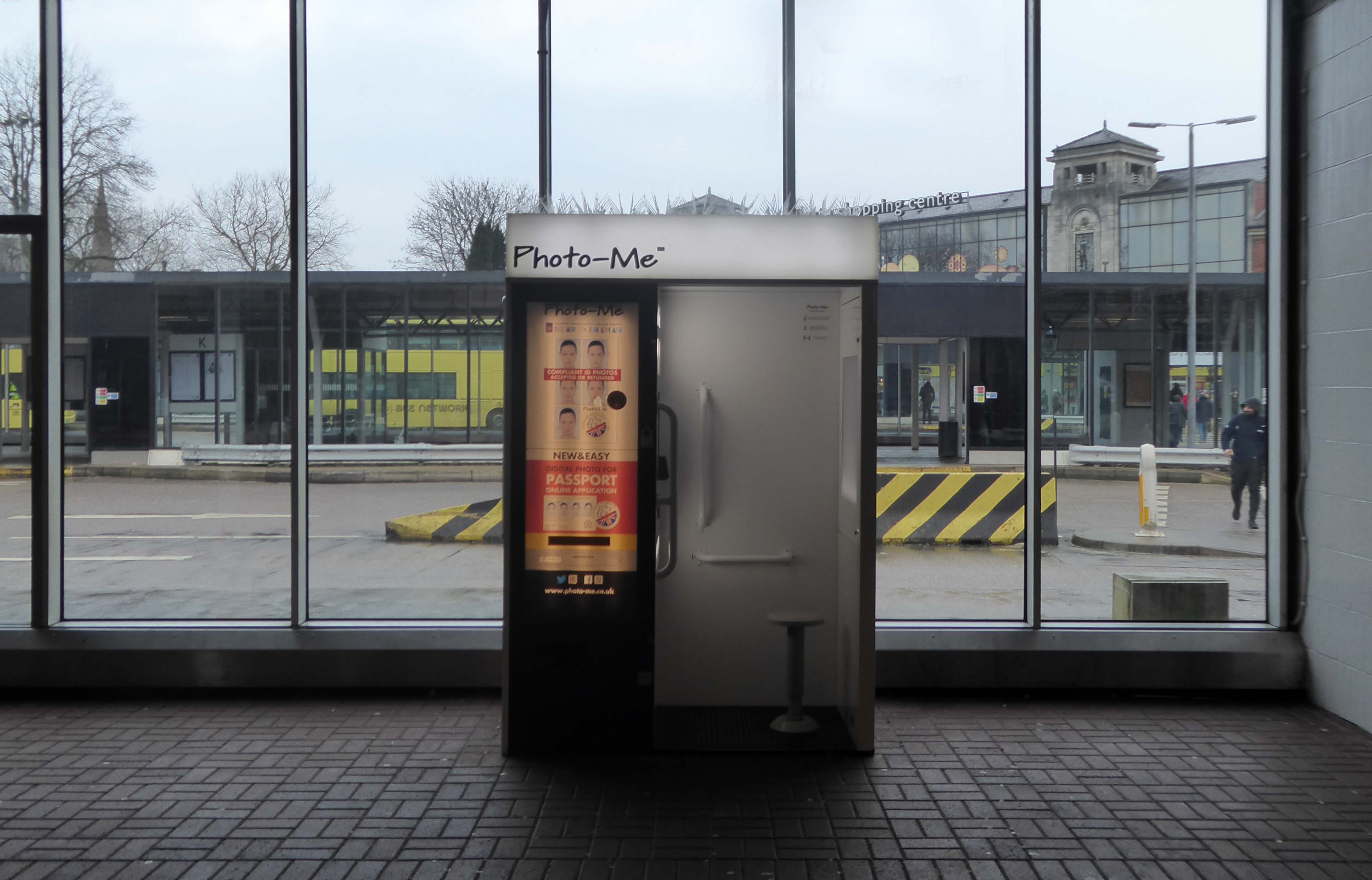
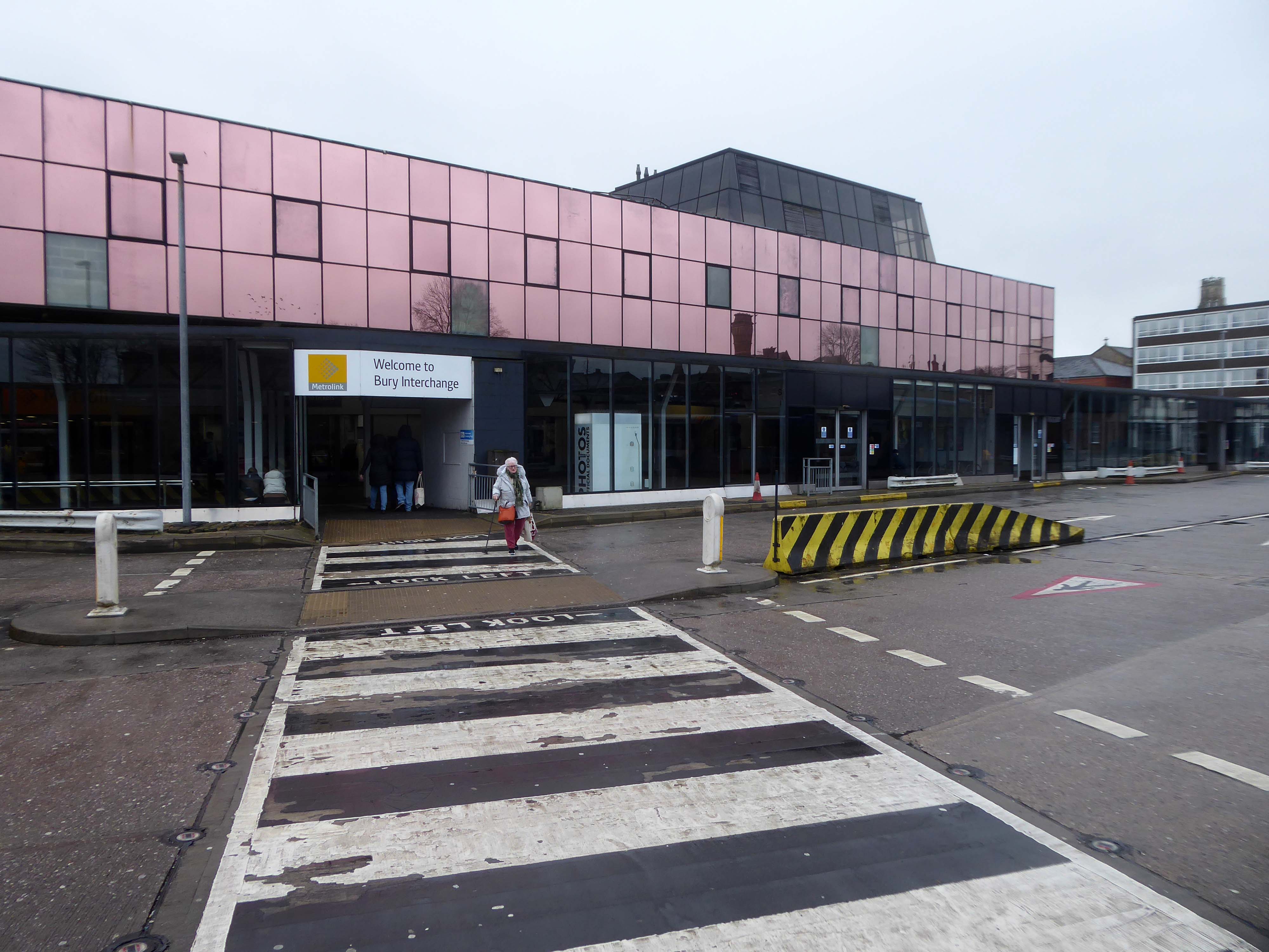
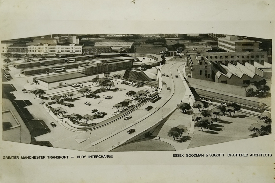
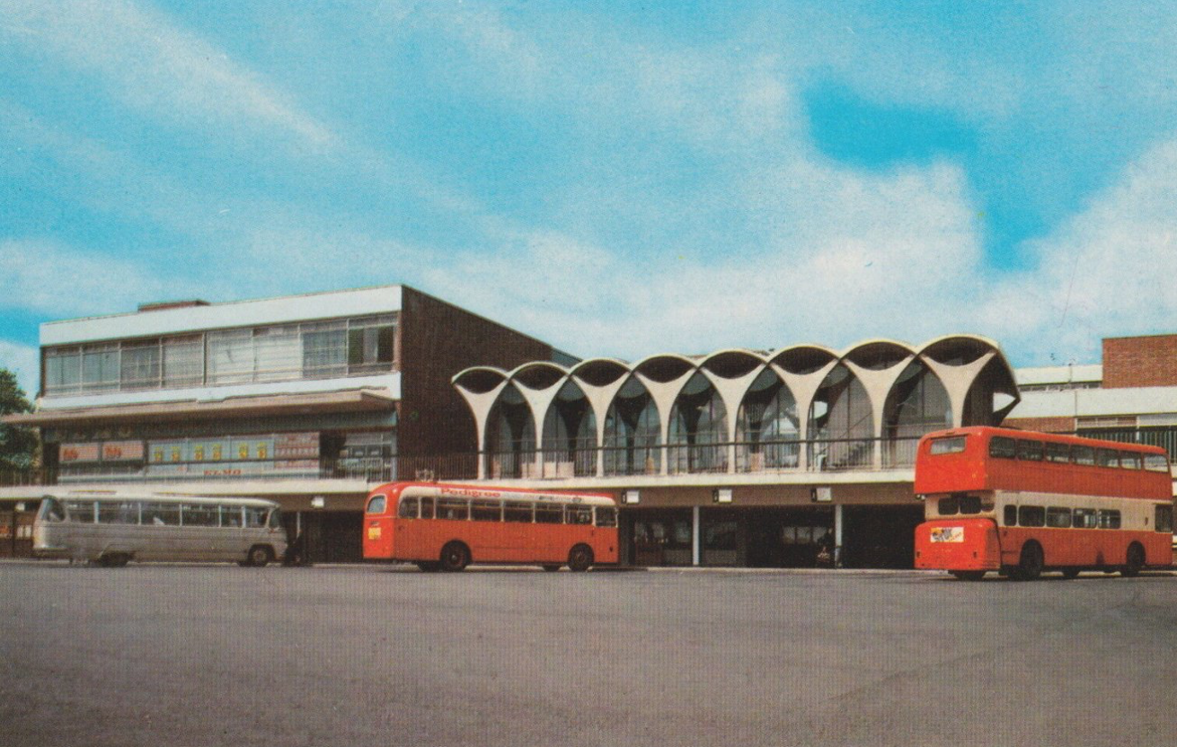
Arriving at and looking around the Interchange – 1980 architects: Essex Goodman & Suggitt
It is the northern terminus of the Manchester Metrolink’s Bury Line, which prior to 1992 was a heavy-rail line.
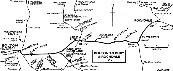
A new short spur line was constructed to connect the new station. The railway had originally run into Bury Bolton Street which was further away from the town centre, and was closed by British Rail on the same day that Bury Interchange opened.
It also incorporates a bus station.
Bury Interchange replaced the bus termini scattered around Bury town centre, notably around Kay Gardens.
An £80m transformation is coming to the Bury Interchange, which will see step-free access at the Metrolink, a “vertical circulation core” to better connect the Metrolink with the bus facility, and an integrated travel hub with spaces for cycle storage.
The work is much-needed, explained Transport for Greater Manchester’s Alan Lowe, he said that the interchange was built in the 1980s and very much is of its time.
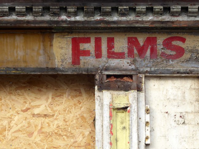
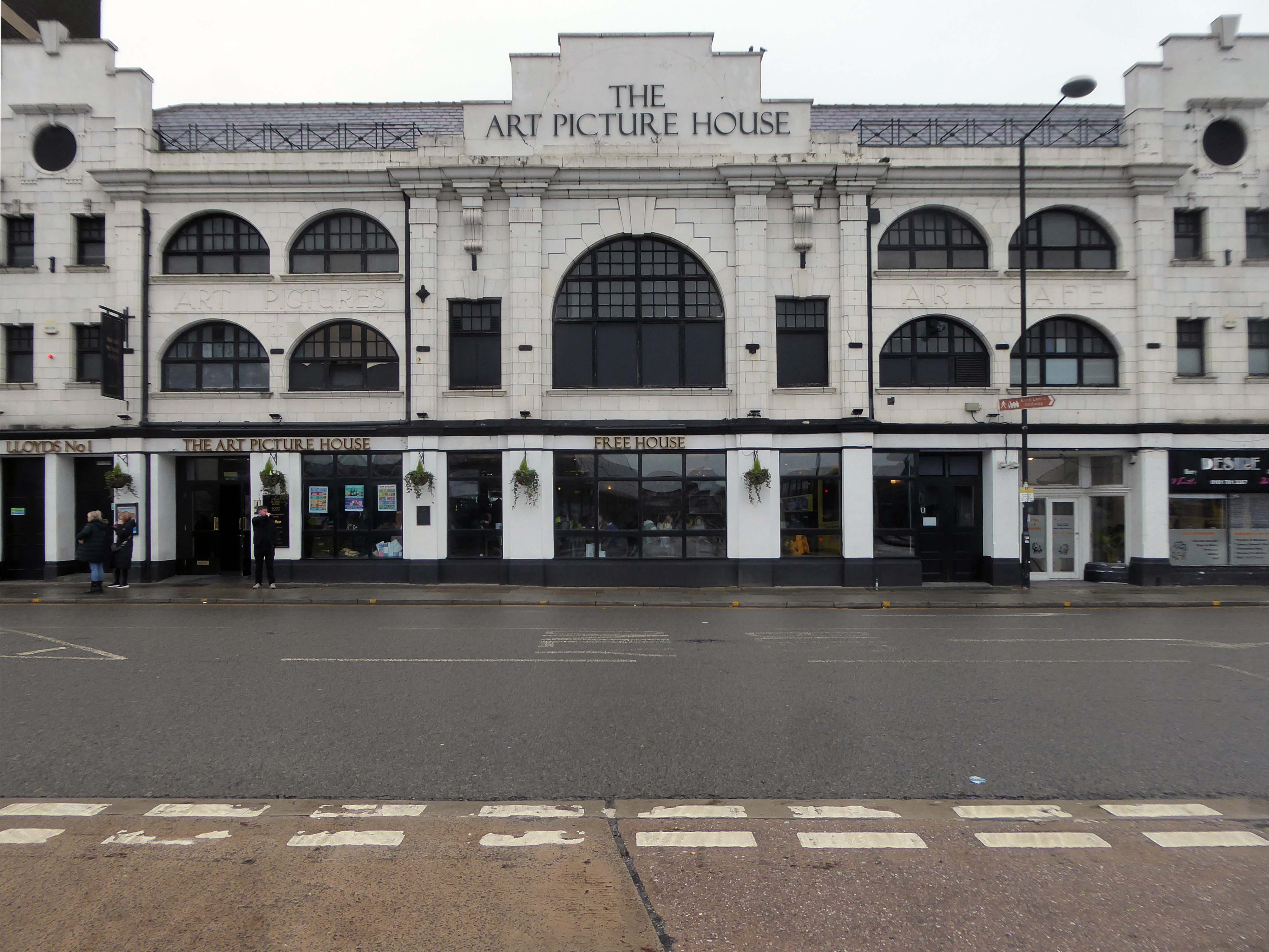
The Art Picture Palace was a 1923 rebuild of the earlier Art Picture Hall both designed by architect Albert Winstanley. The Art Picture Palace was opened on 26th January 1923. A remarkably complete survivor of a 1920’s cine-variety house executed in an elaborate style.
Films ceased in February 1965 and it became a bingo club. Later converted into a billiard hall until 19th May 1991 when it became a bingo club again, it later became a Chicago Rock Cafe.
Cinema Treasures
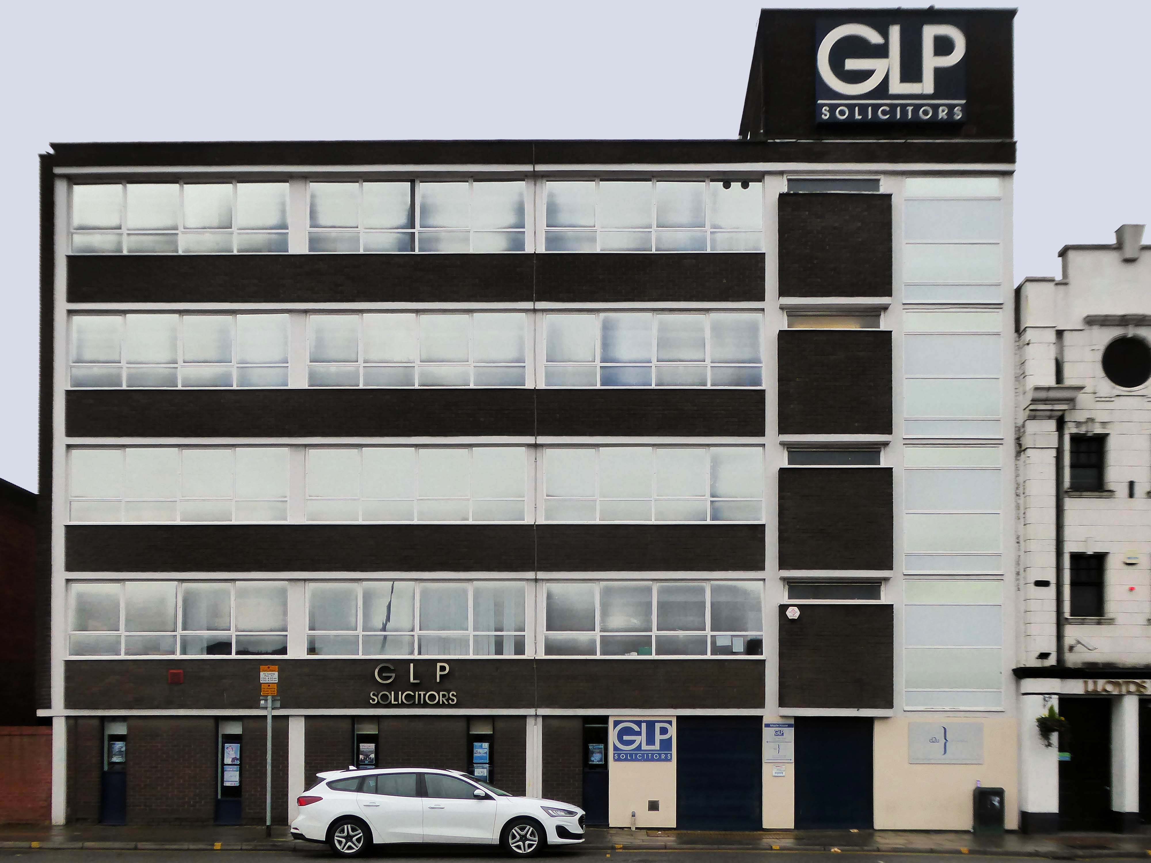
Next door a typical steel glass and brick banded office block Maple House.
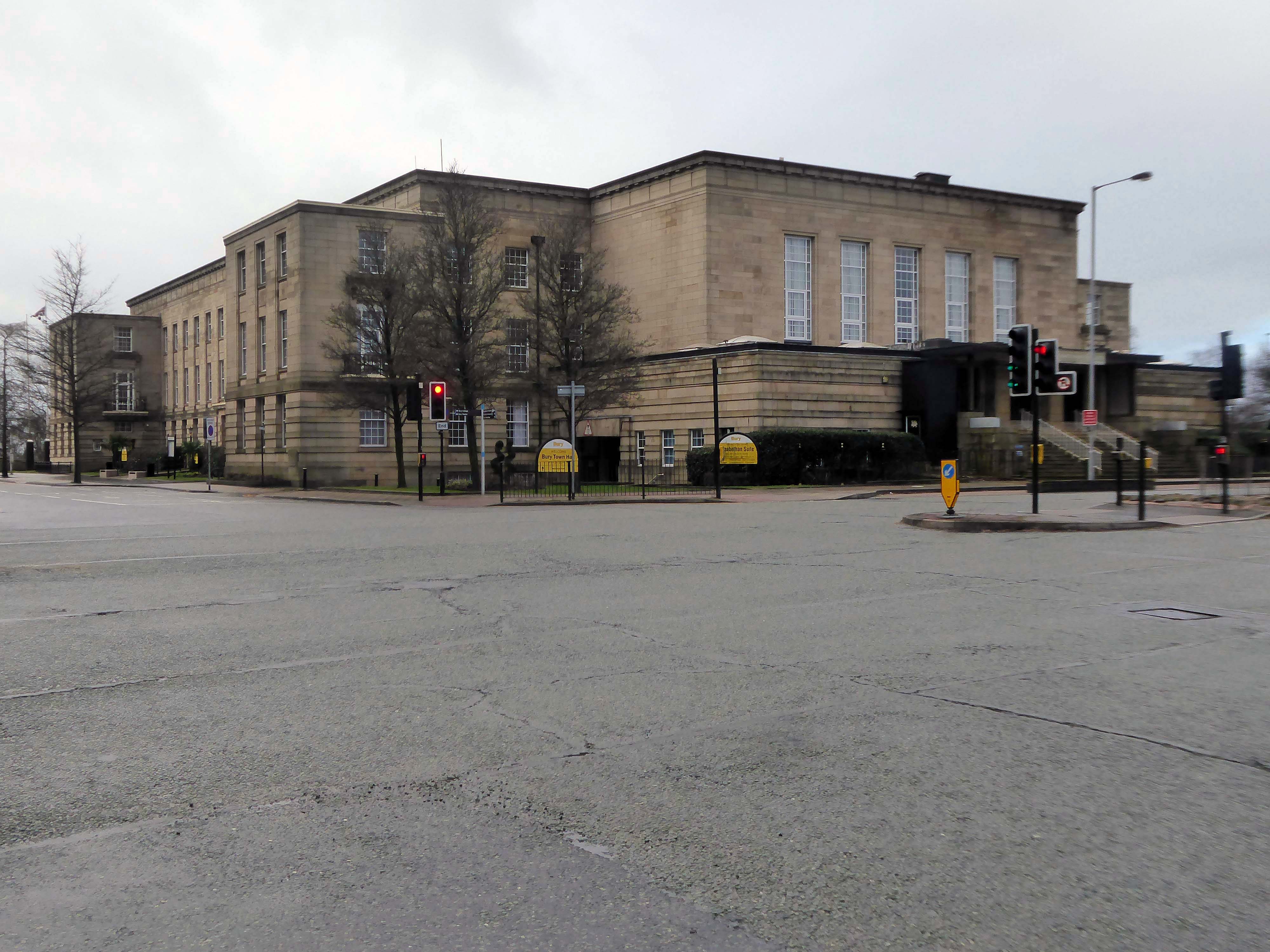
Around the corner and over the road to the Town Hall 1939-40 architects: Reginald Edmonds of Jackson & Edmonds then 1947-54.
Large and Dull – Niklaus Pevsner.
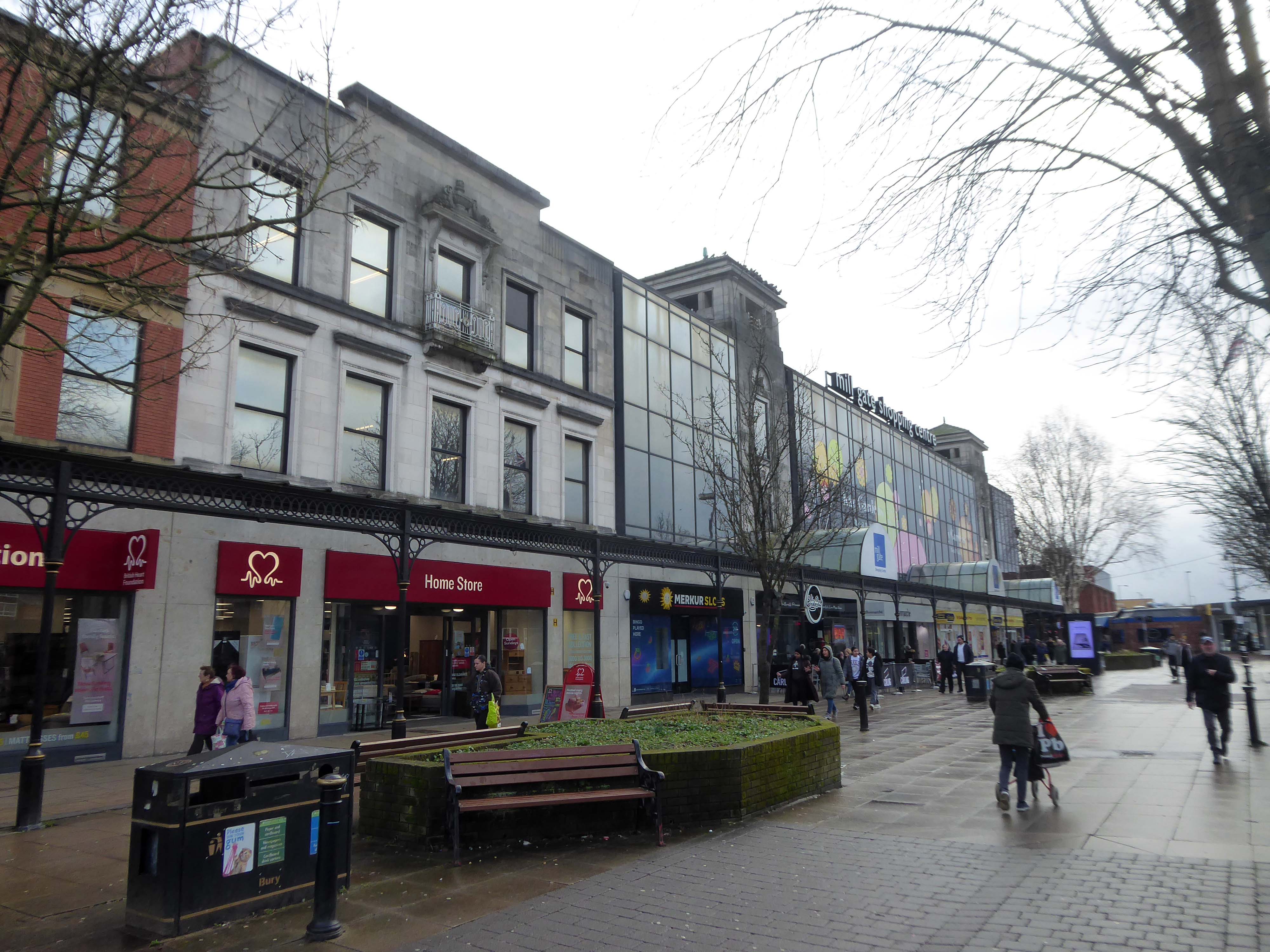
Back through the Interchange to the former Cooperative Store of the 1930’s.
The Portland Stone towers still visible – the elevation largely retro-clad in glass.
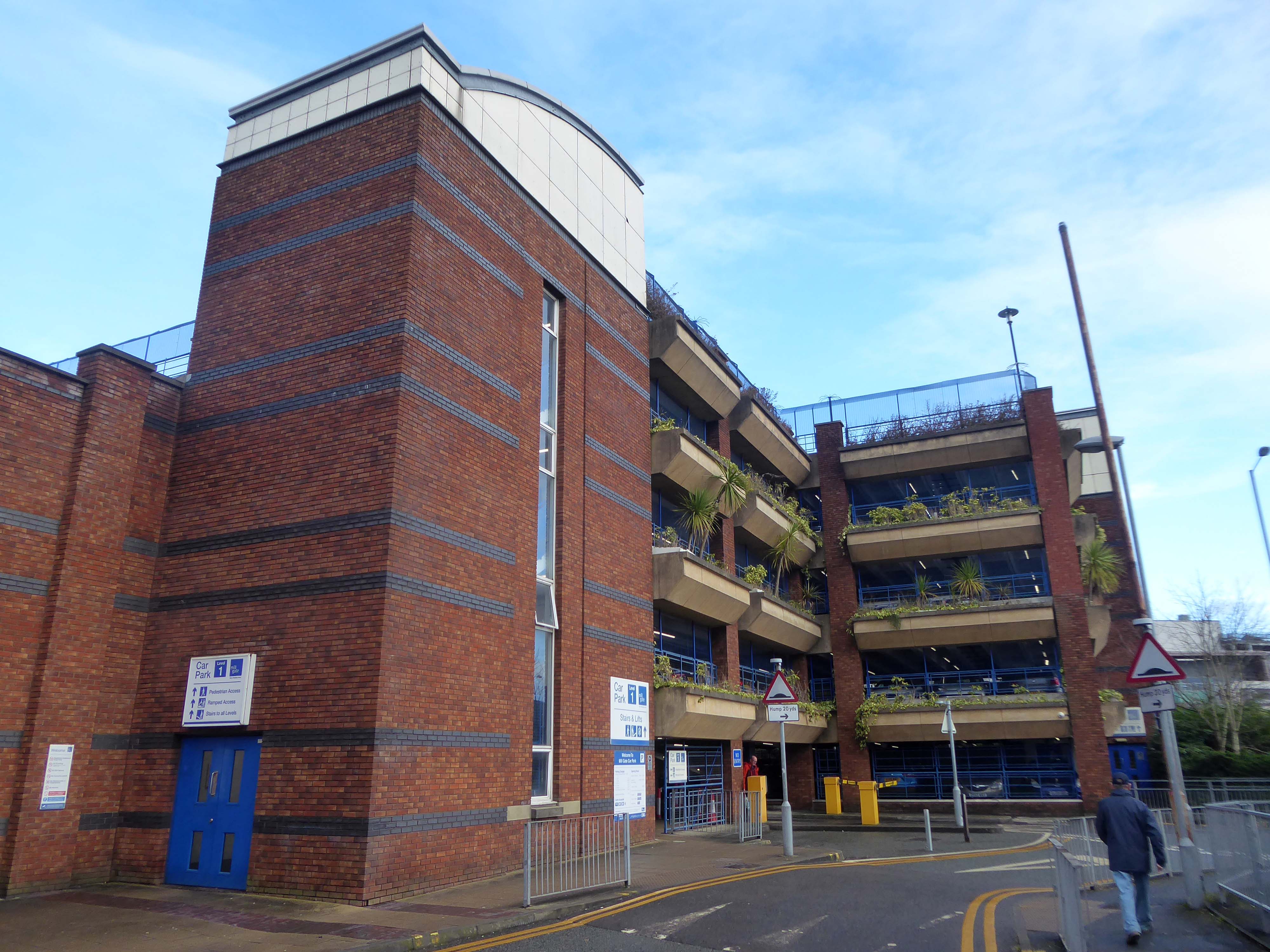
Passing through the Millgate Shopping Centre of the 1980’s.
Unambitious but successful, the floors cheerfully tiled – Niklaus Pevsner.
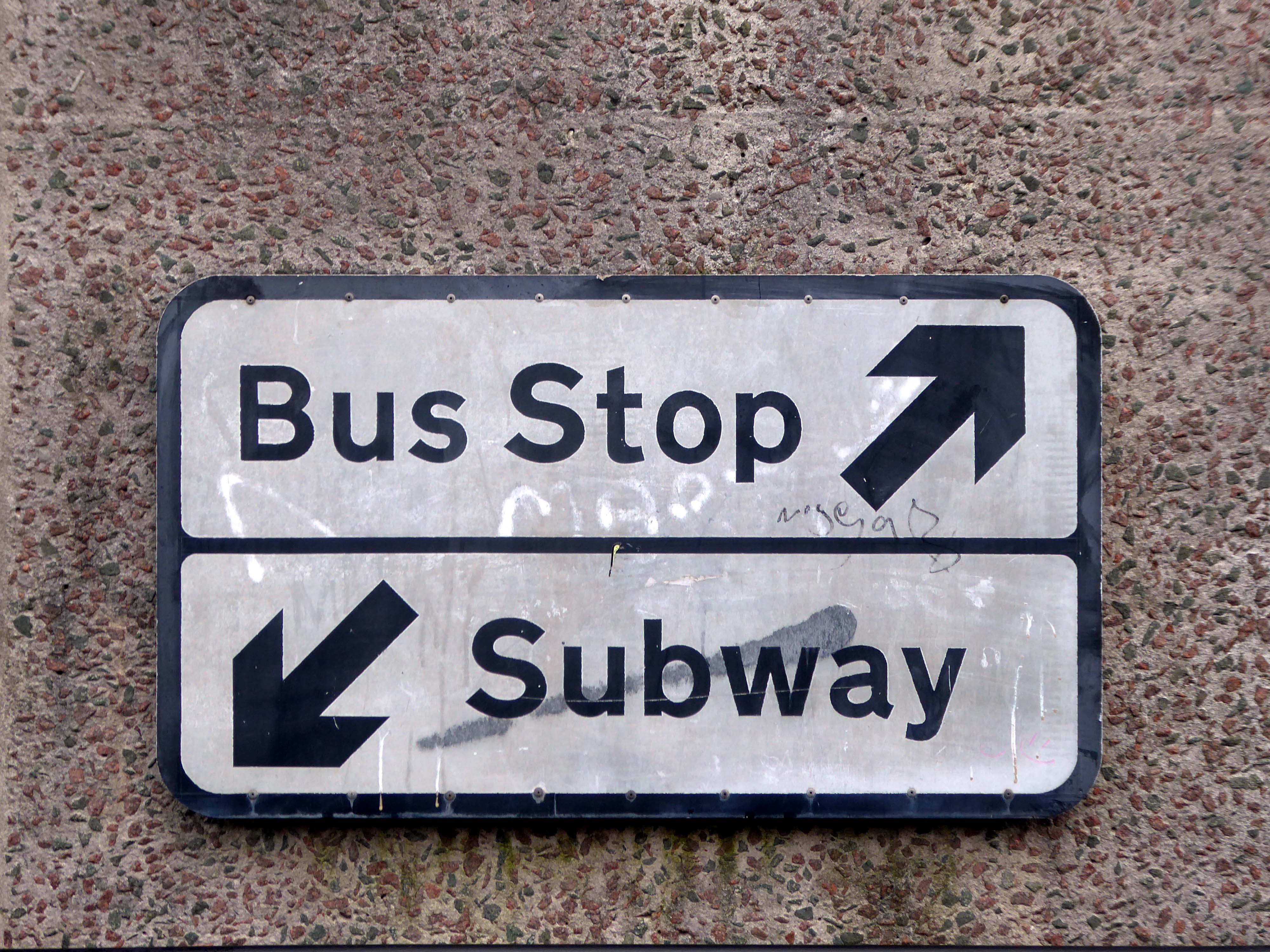
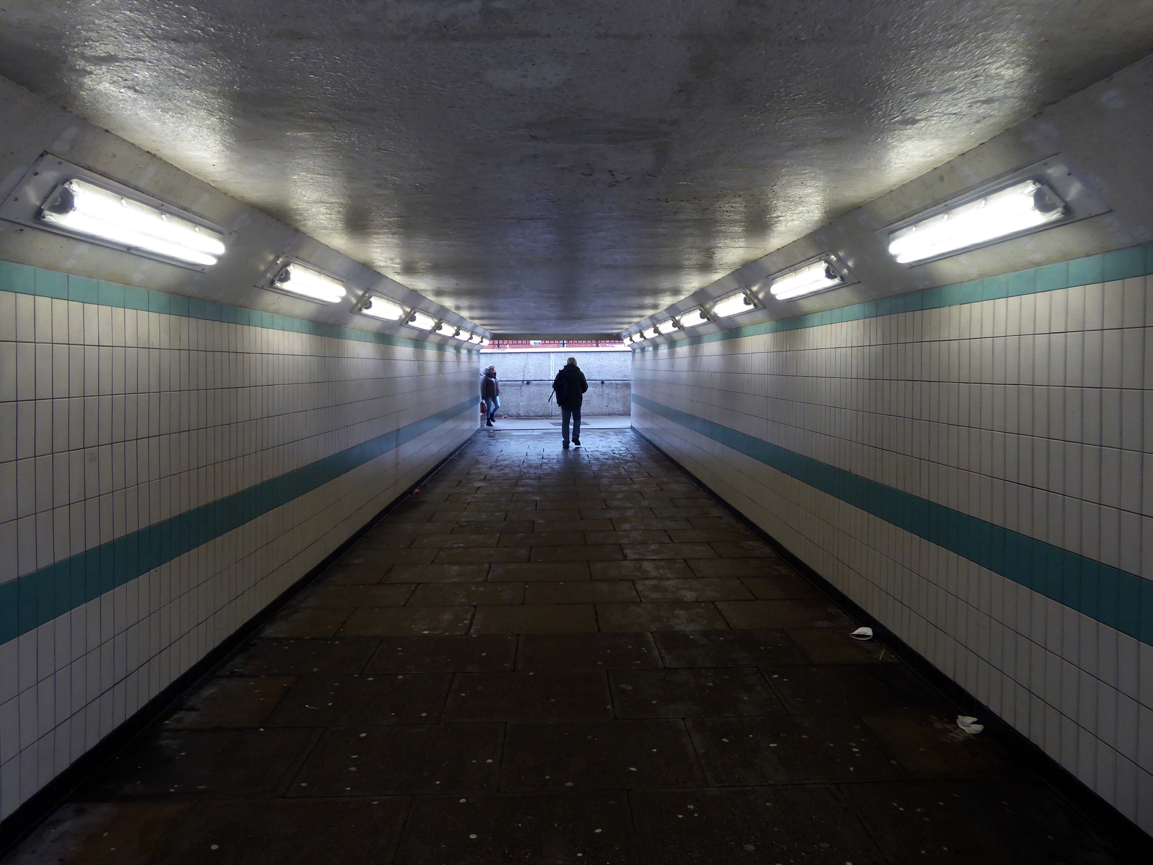
Down in the subway at midday.
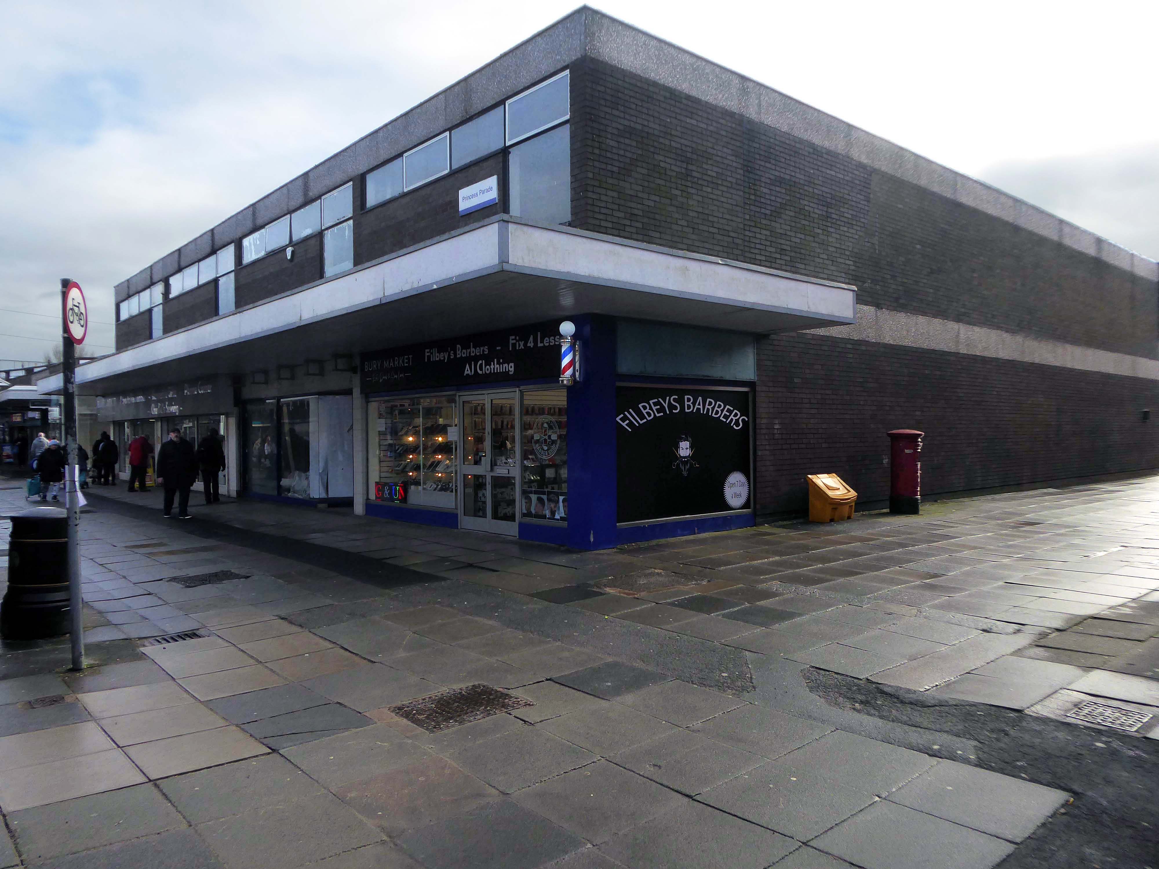
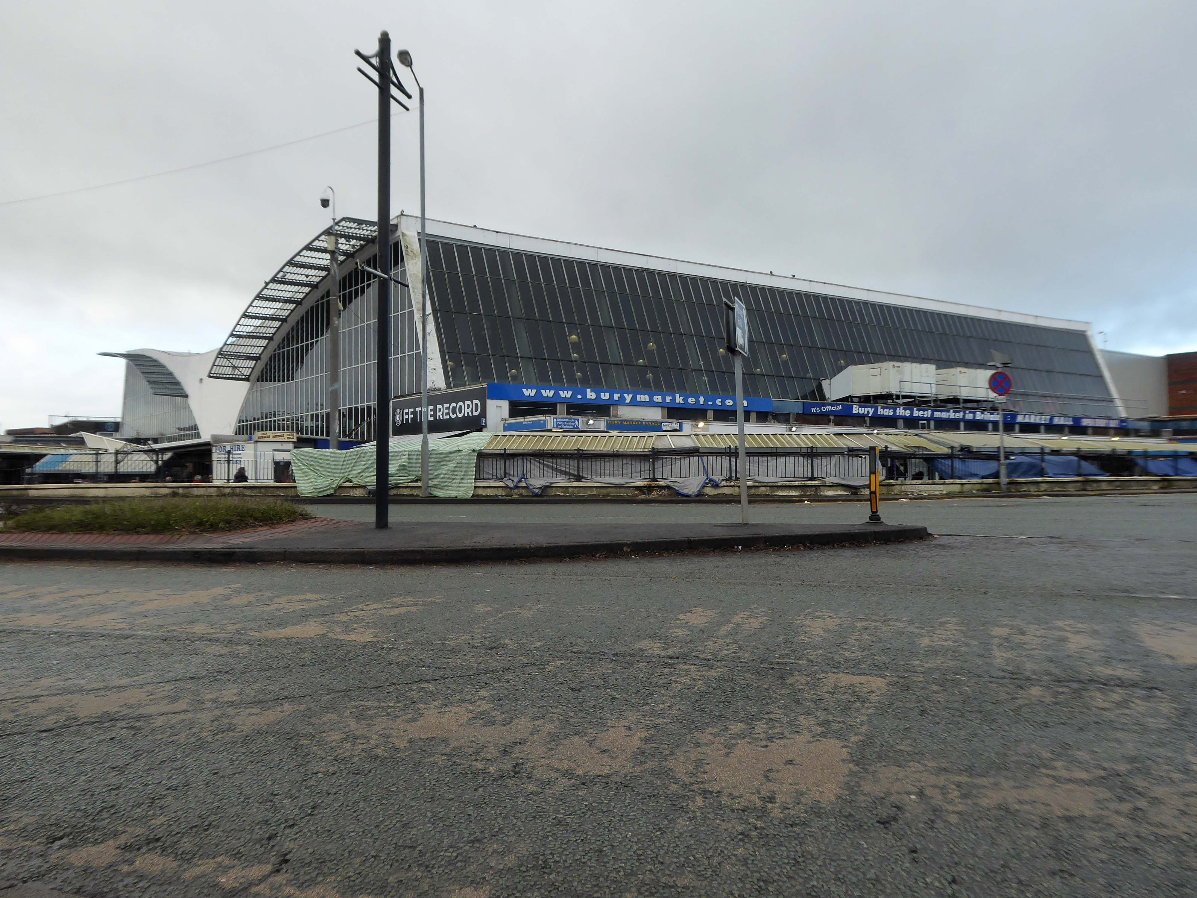
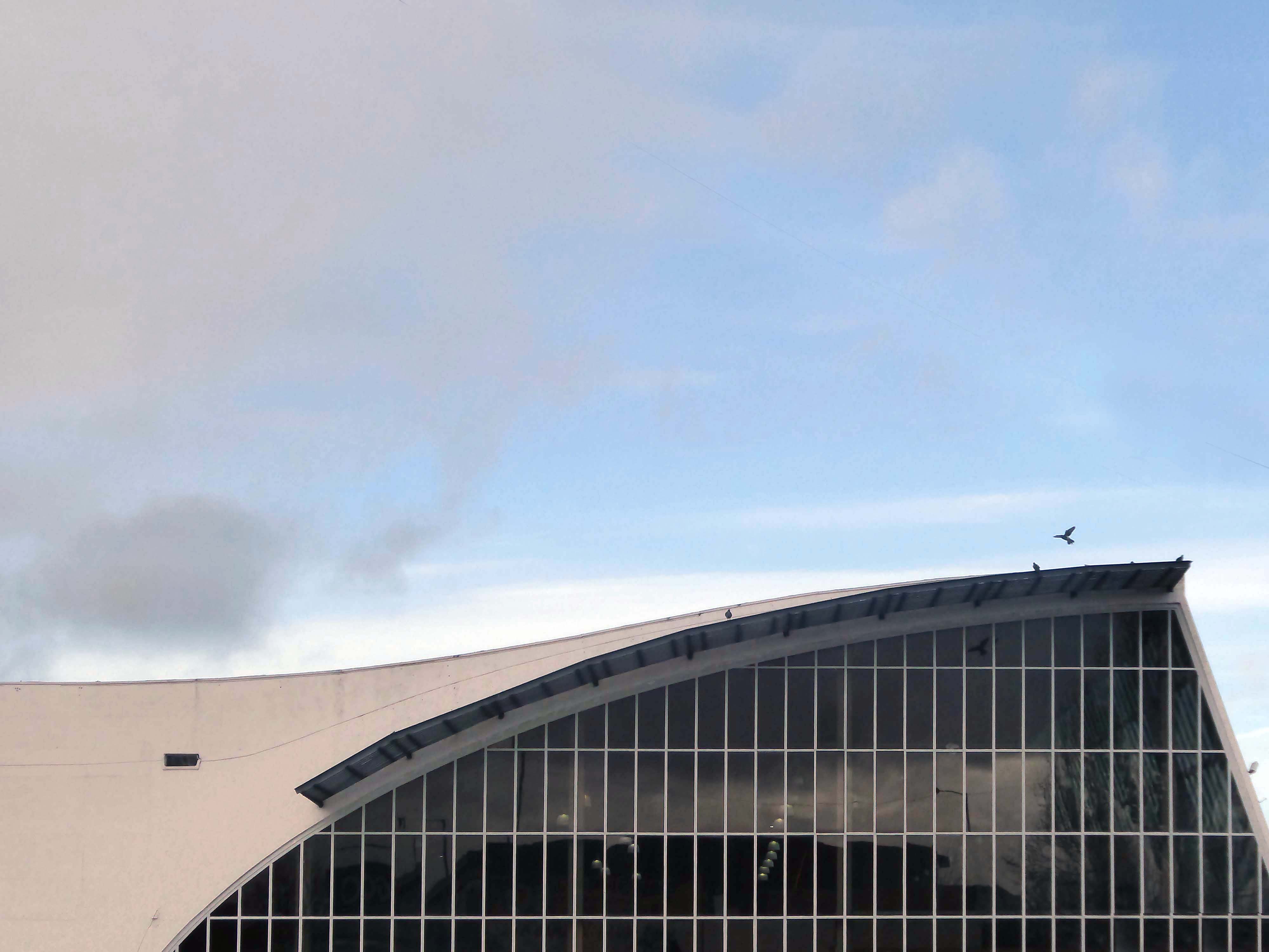
The better to get a view of the Market Hall 1971 – architects: Harry S Fairhurst.
The Indoor Market Hall is currently closed due to the discovery of Reinforced Autoclaved Aerated Concrete – within the building structure. RAAC is a lightweight type of building material that was used between the 1950s and 1990s.
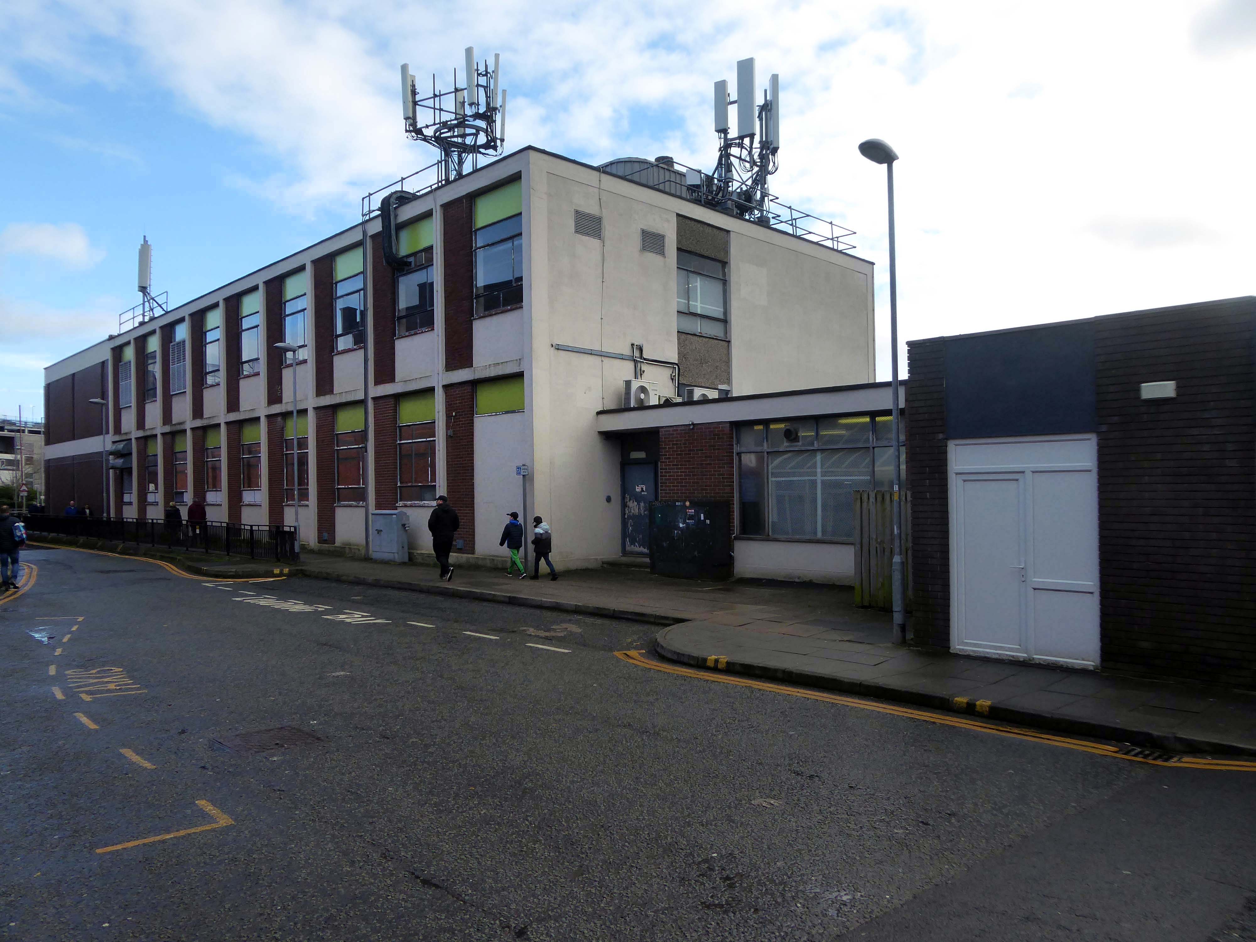
Back under the road – where we find a delightful Telephone Exchange.
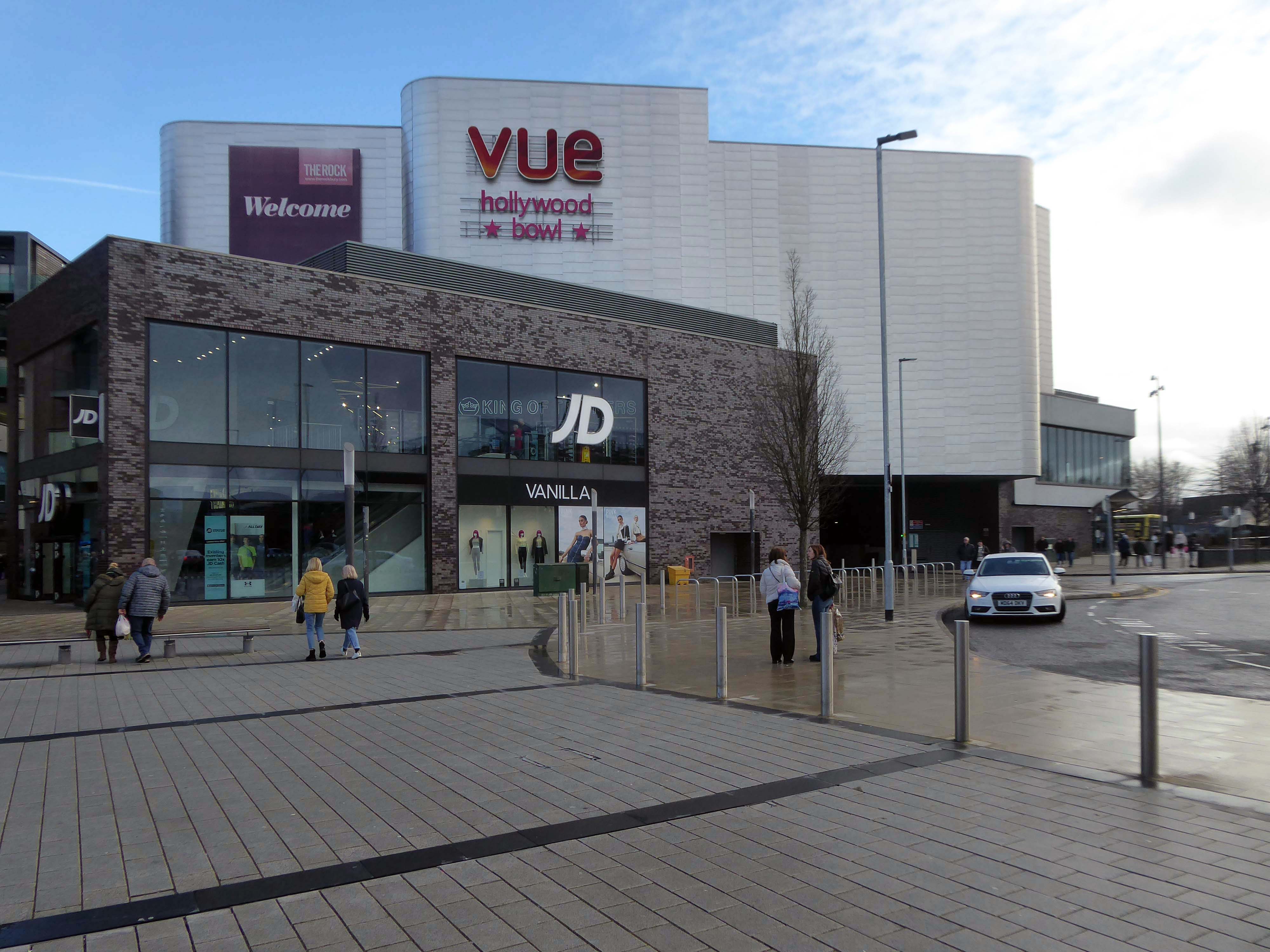
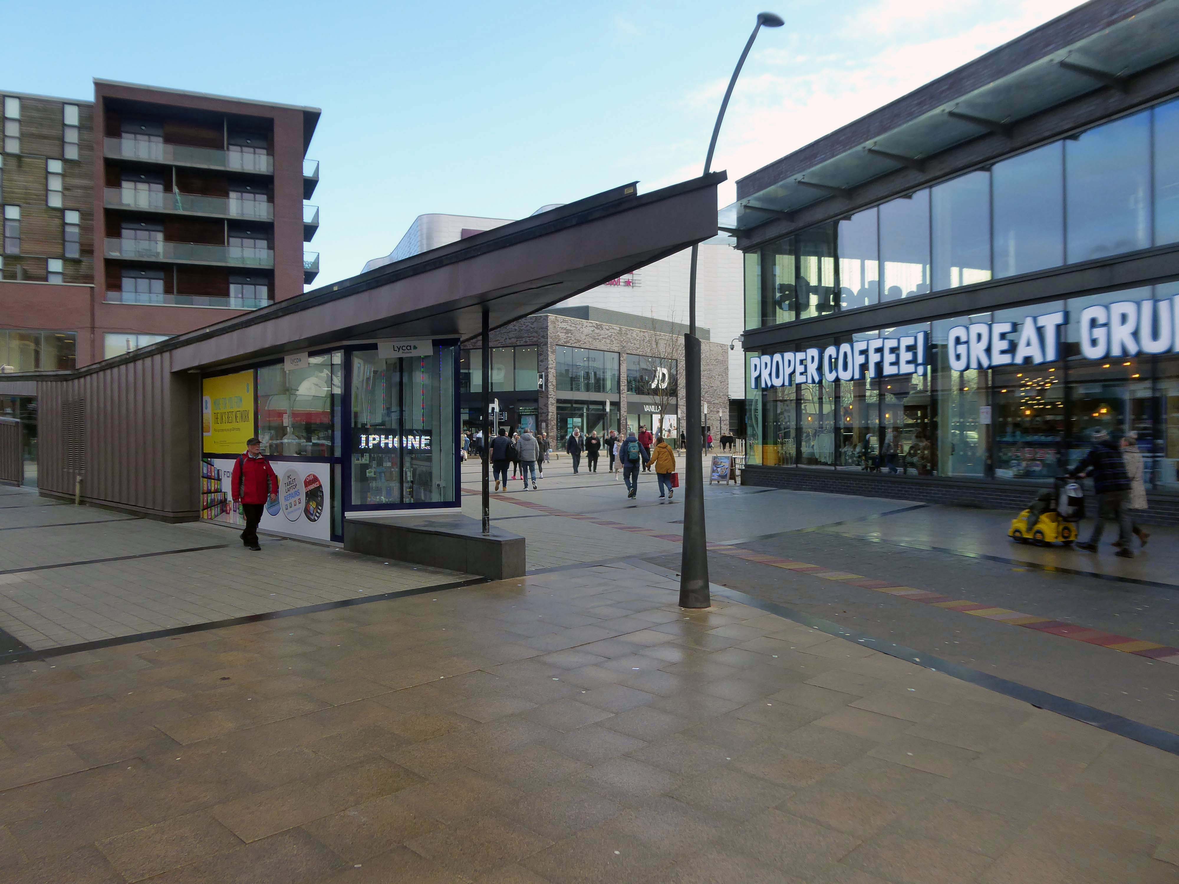
The Rock is a vibrant retail and leisure centre which is home to a range of high street fashion brands, independent retailers, tantalising eateries and fantastic entertainment – it’s the perfect place to visit any day of the week.
It is the work of architects BDP – completed in 2010 at a cost of £350 million.
Our masterplan for The Rock took into account the historical street pattern and public realm context to give the scheme its own identity, and make visual connections to local landmarks.
The retail and leisure scheme brings many exciting brands to Bury for the first time.
New pedestrian streets rejuvenate and improve connections to adjacent areas stitching the town back together.
The development will also contain 408 one and two-bedroom apartments.
Back to basics at a former Burton’s hiding its faience facade.
Typical inter-war infill on our crazy mixed up mongrel high streets.
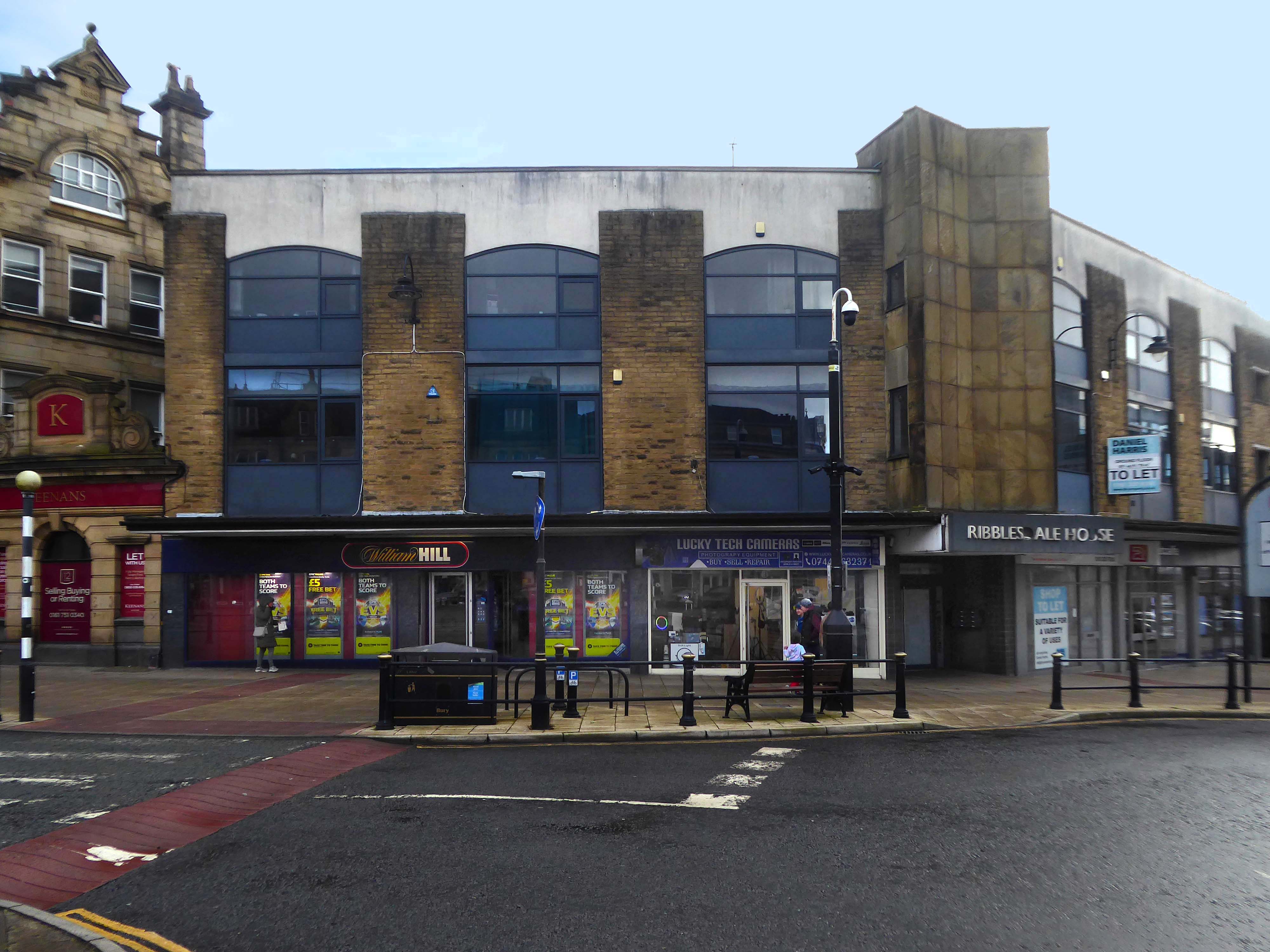
Ribblesdale House
Application by Shop and Store Developments Ltd submitted August 1965. Architect on application was Samuel Jackson and Son of Ocean Chambers in Bradford but during the application process this changed to John Brunton & Partners – Brunton was a partner in Jackson’s firm, at the same address. It had a restaurant and shops on the first floor.
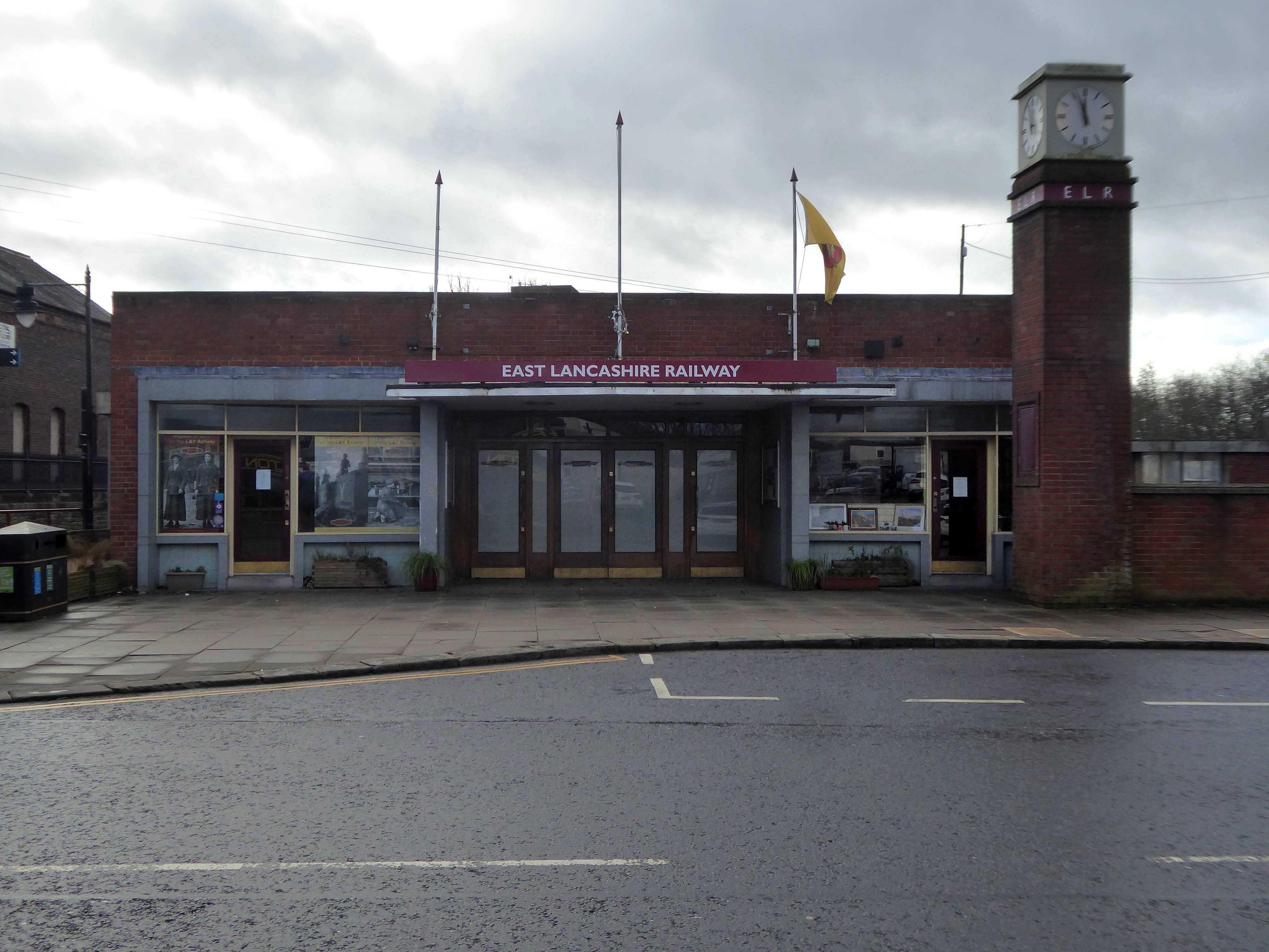
The street level buildings were destroyed by fire on 14 May 1947 and were replaced with a new brick and concrete entrance and footbridge in 1952.
British Rail closed the station on 17 March 1980, when it was replaced by a new bus/rail interchange station further east into the town centre. Bury Interchange railway station served up until 1991 before the entire Bury Line was converted to light rail operation. It reopened in 1992 for Metrolink operation.
Bury was once the centre of multiple train links and the lost station of Knowsley Street.
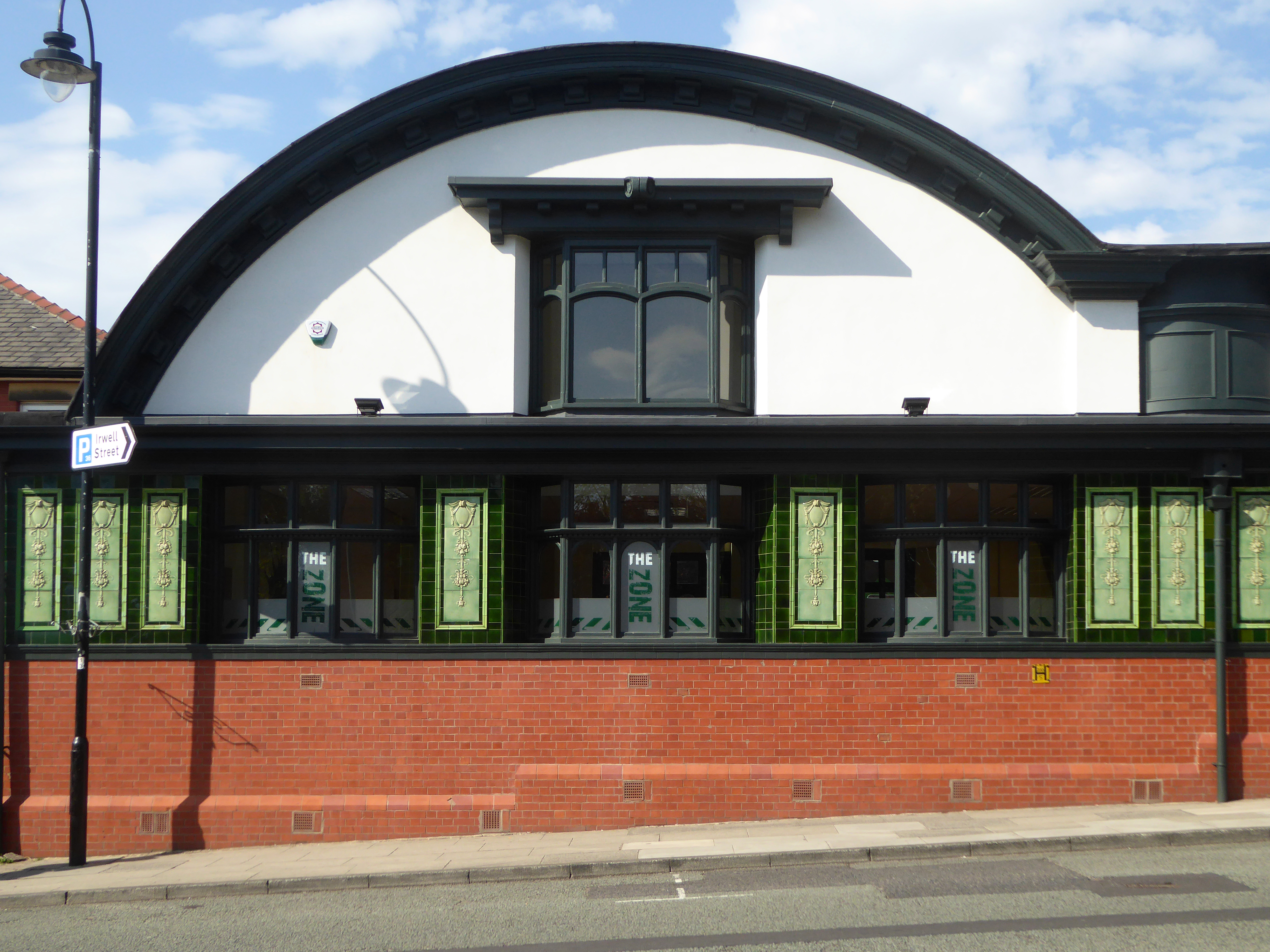
Over the road the former Temperance Billiard Hall 1910 architect Norman Evans.
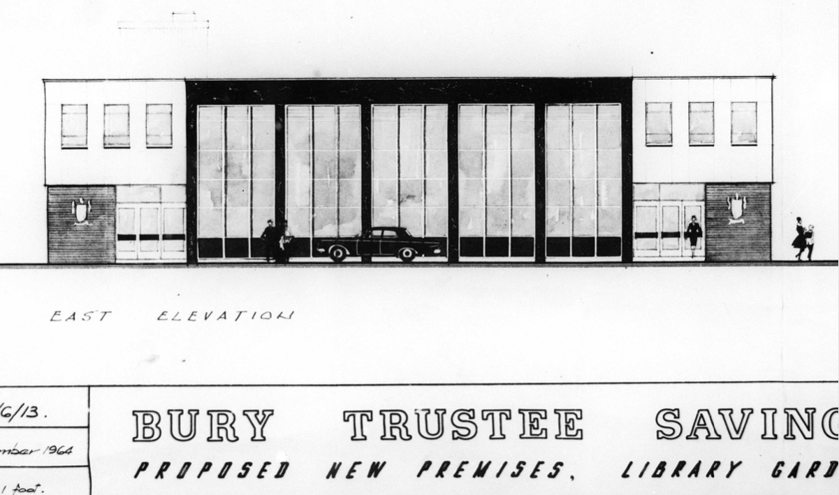
Planning application January 1965 – work started in June 1965. The architectural firm was Richard Byrom, Hill and partners. Richard Byrom was submitting building applications in the 1930s in Bury and locally.
The rendering on the building is original but the windows have been changed. The Job Centre took over the building in 1993. It is in a conservation area and the Civic Trust had some concerns!
Many thanks to David French for the above information.
The concrete and the clay beneath my feet Begins to crumble But love will never die
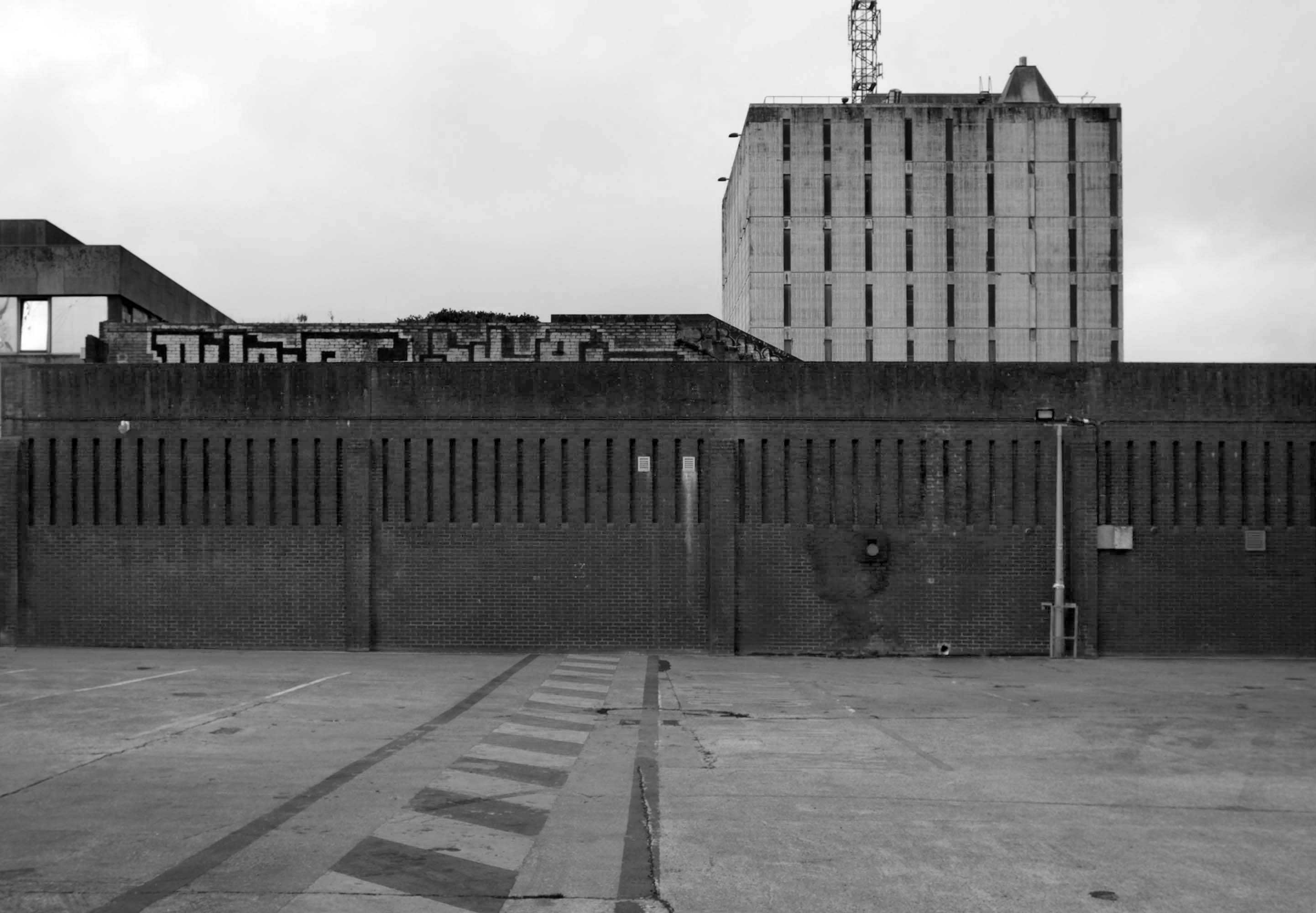
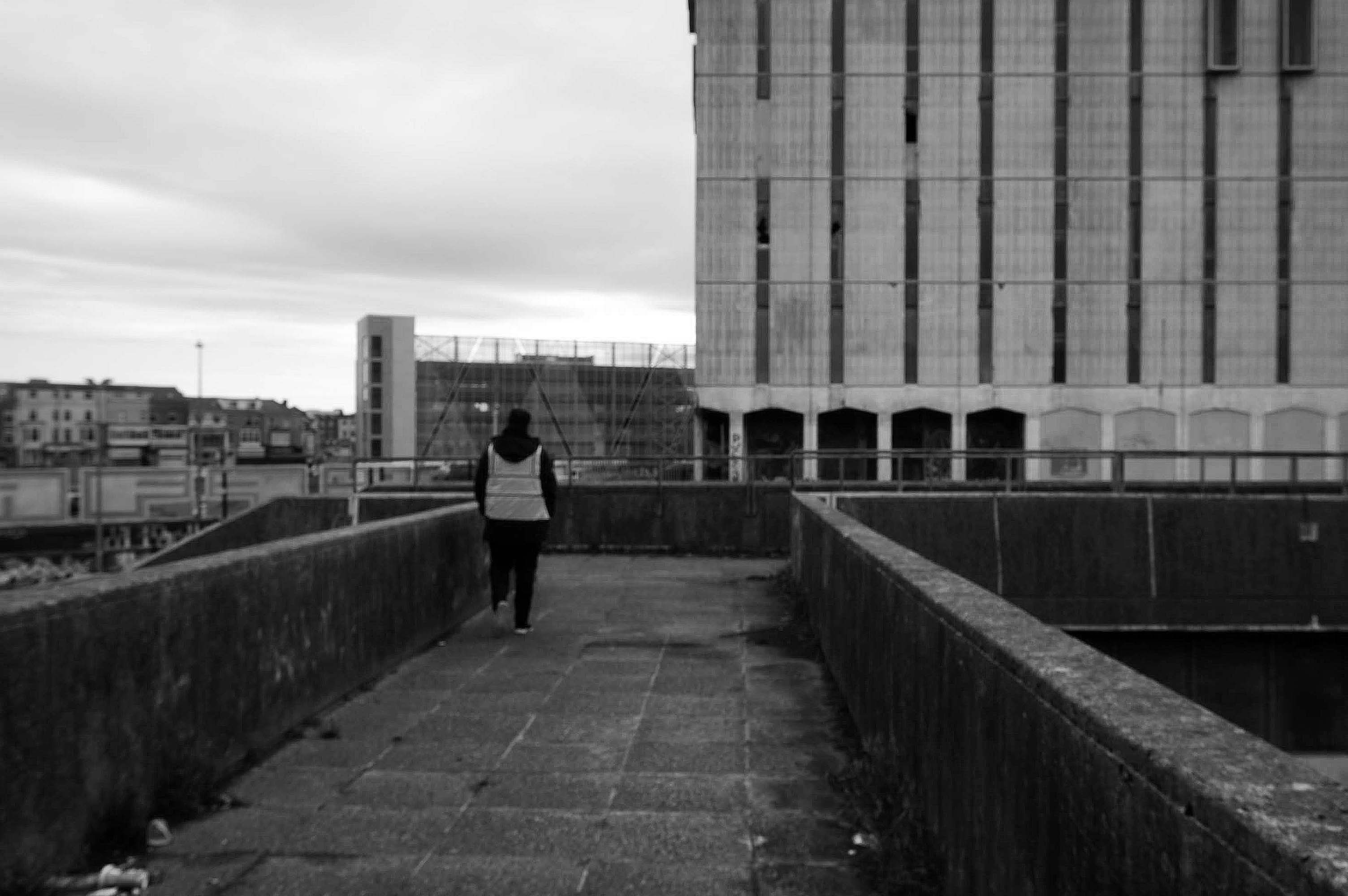
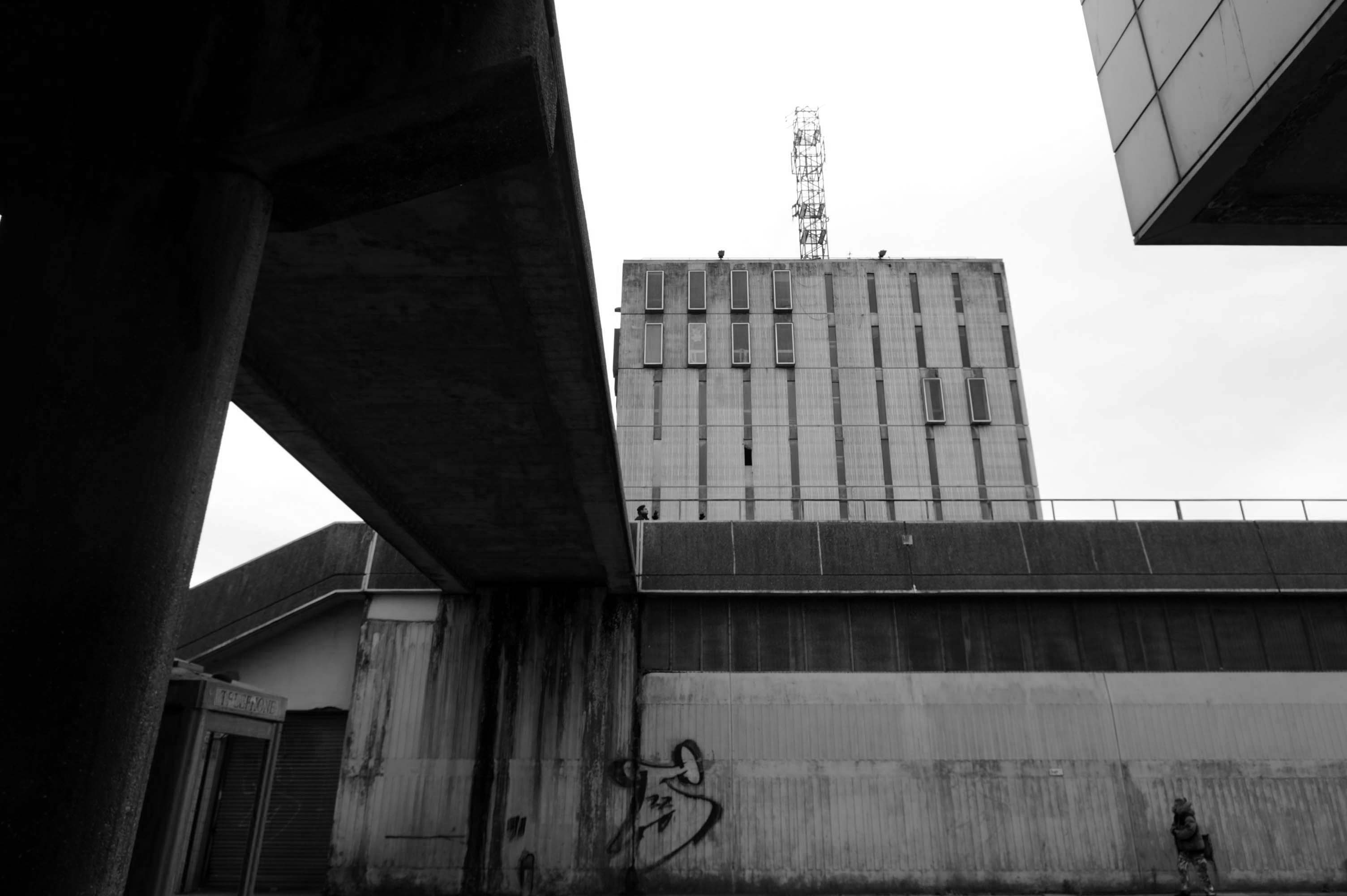
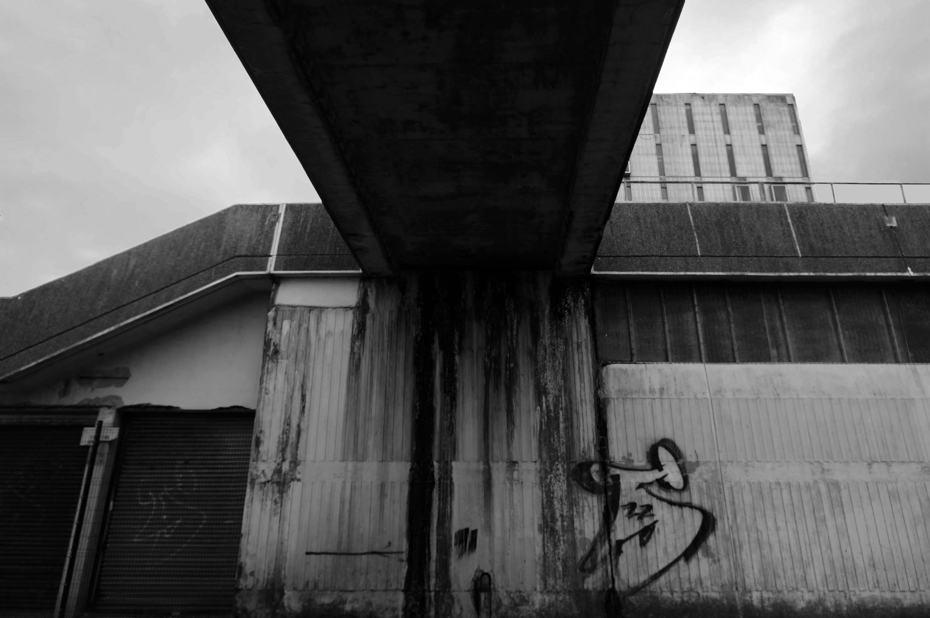
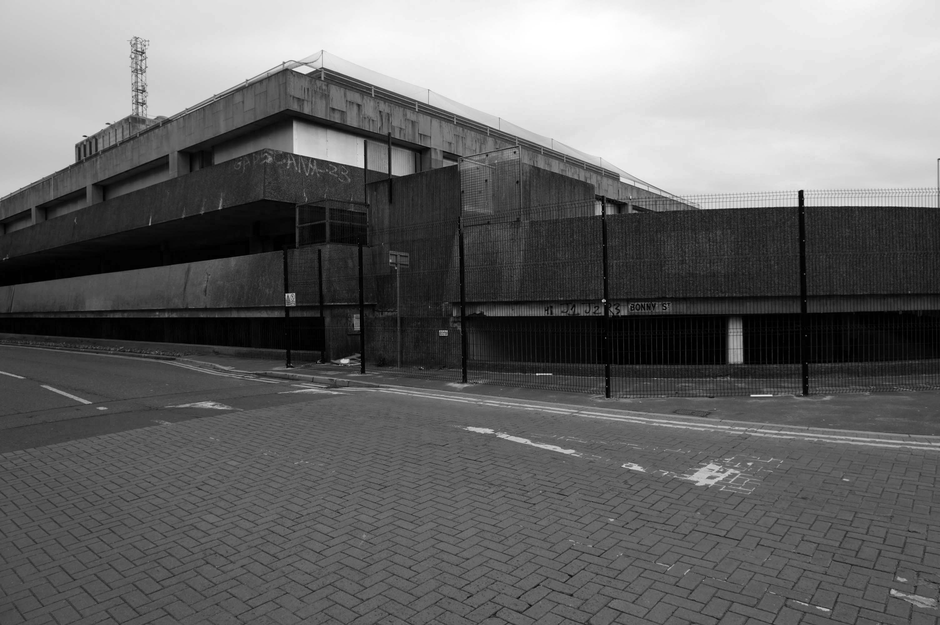
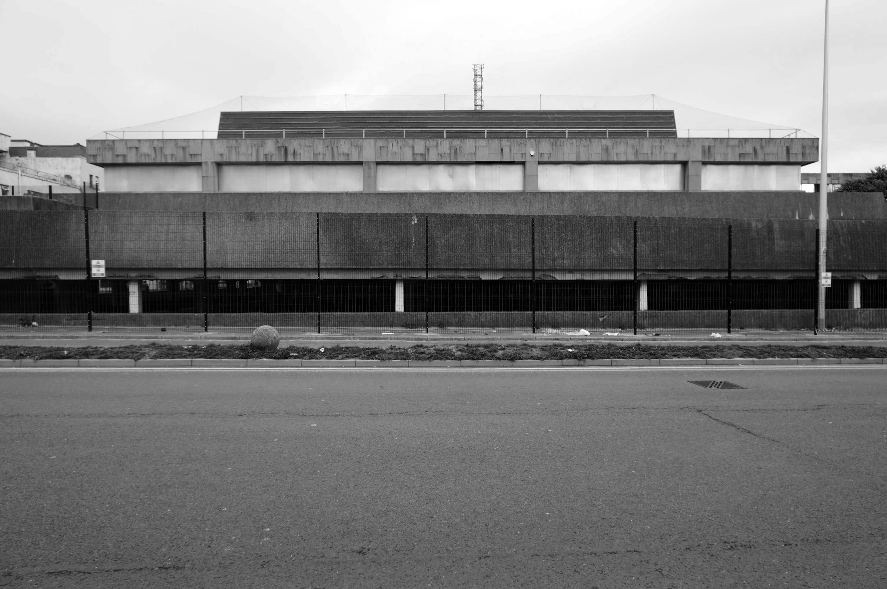
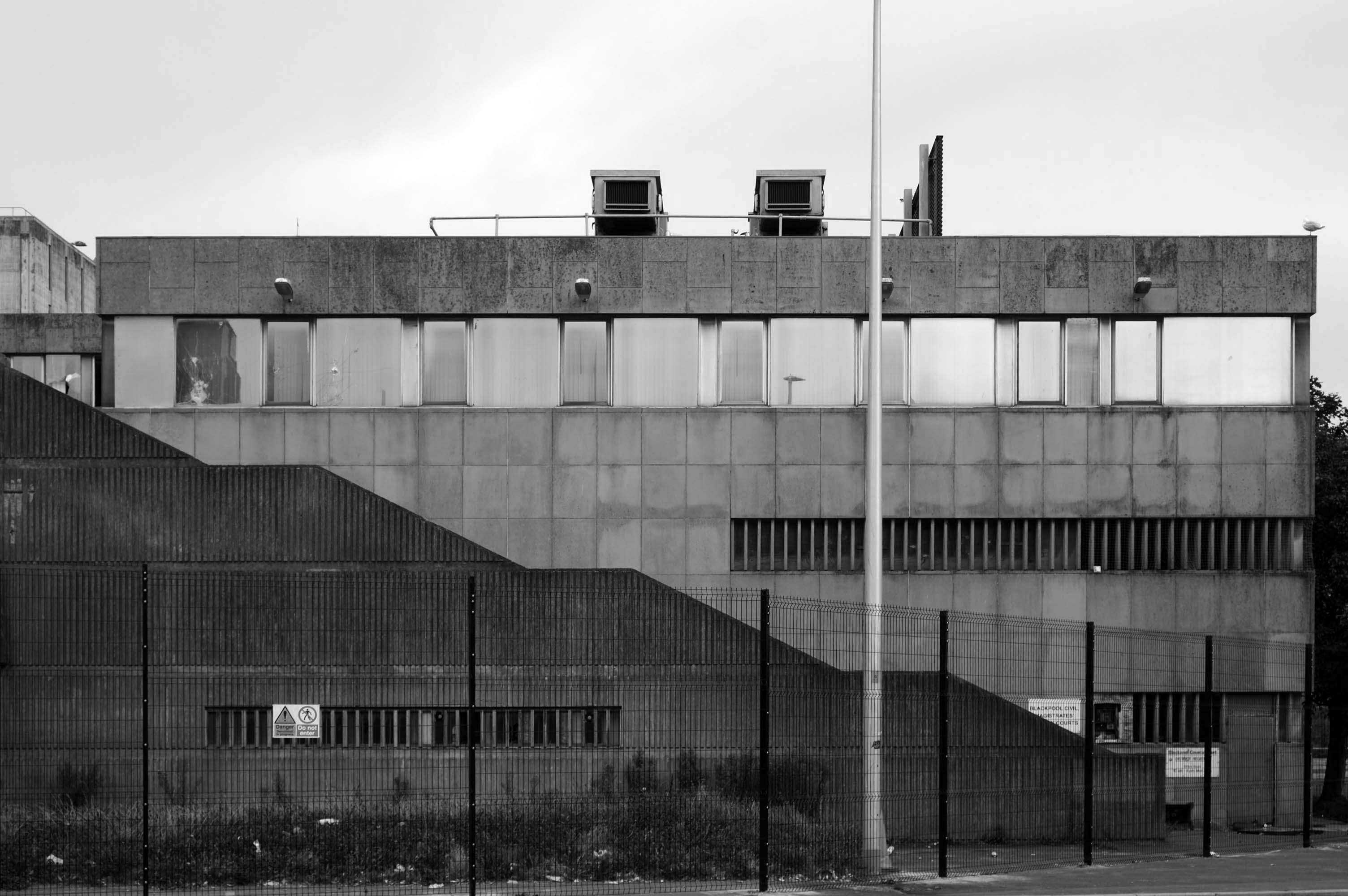
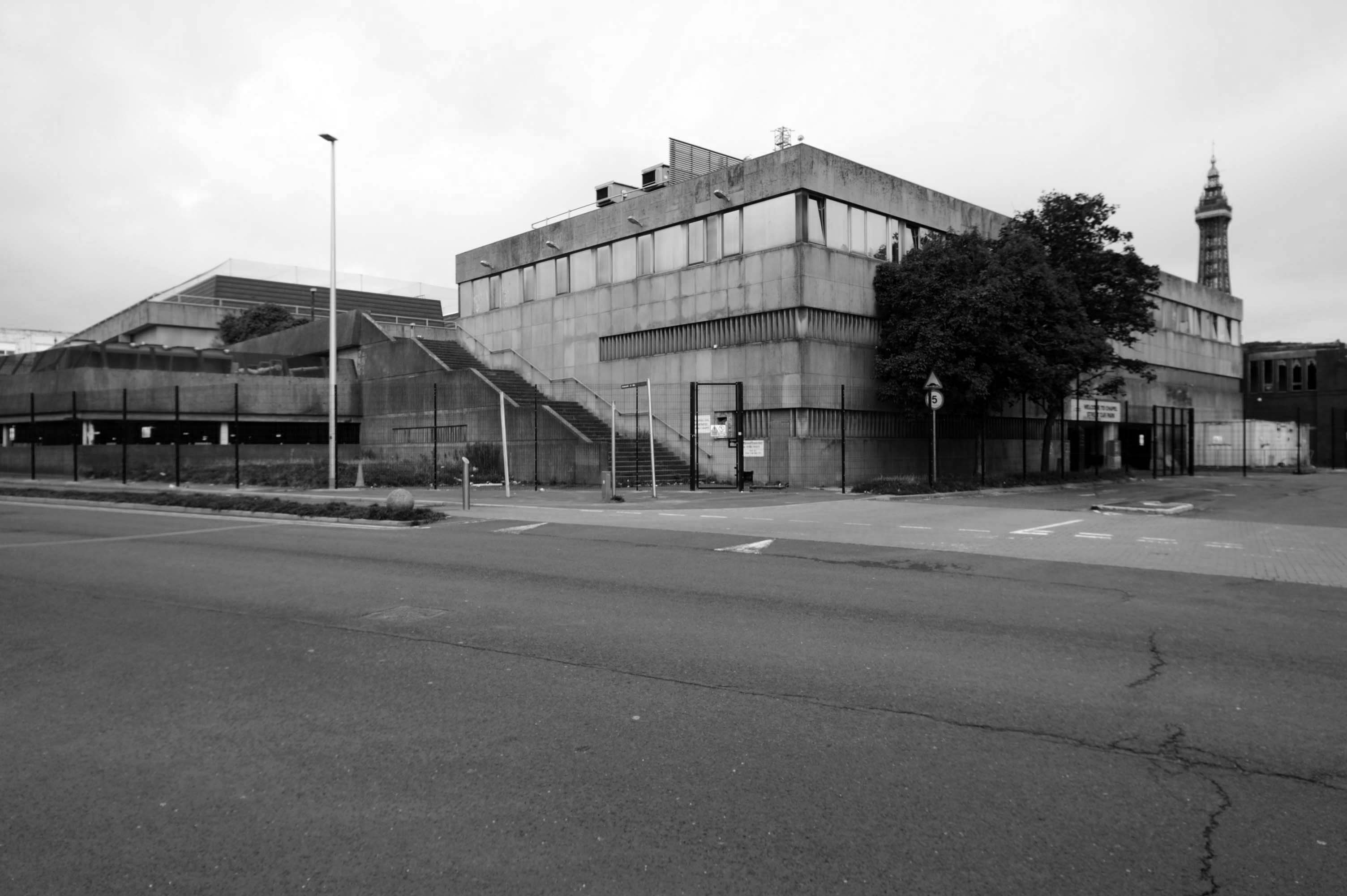
Doomed to face the demolition crew – the anti-social intrusions and falling masonry have enforced a fence, an impenetrable fence.
My requests for unforced entry were politely rebuffed by the hi-vis vest security guards.
A former police station could finally be demolished this autumn after closing six years ago when officers moved to new headquarters.
Blackpool Magistrates’ Court, which is part of the same complex, will also be bulldozed after crumbling concrete was discovered in the building in January.
In recent months, the empty Bonny Street police station has become a target for anti-social behaviour.
Clearance of the site will pave the way for investment in leisure facilities including hotels and indoor theme parks by developer Nikal.
Far, far away from the mad, rushing crowd, Please carry me with you. Again I would wander where memories enfold me, There on the beautiful Island of Dreams.
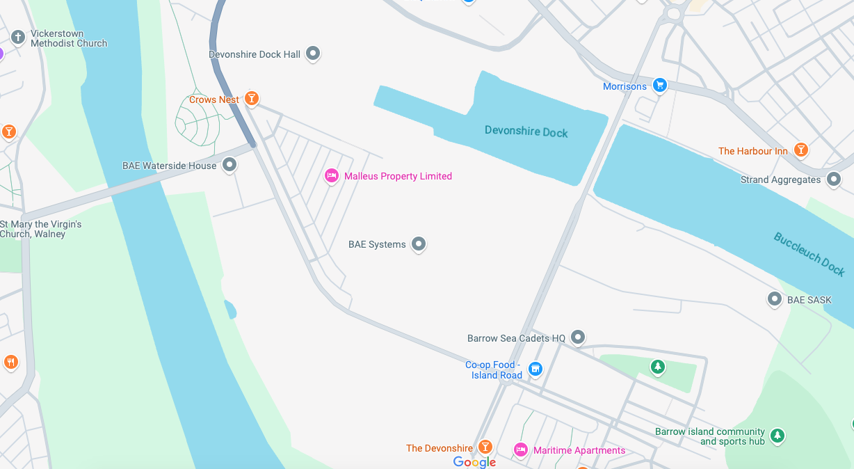
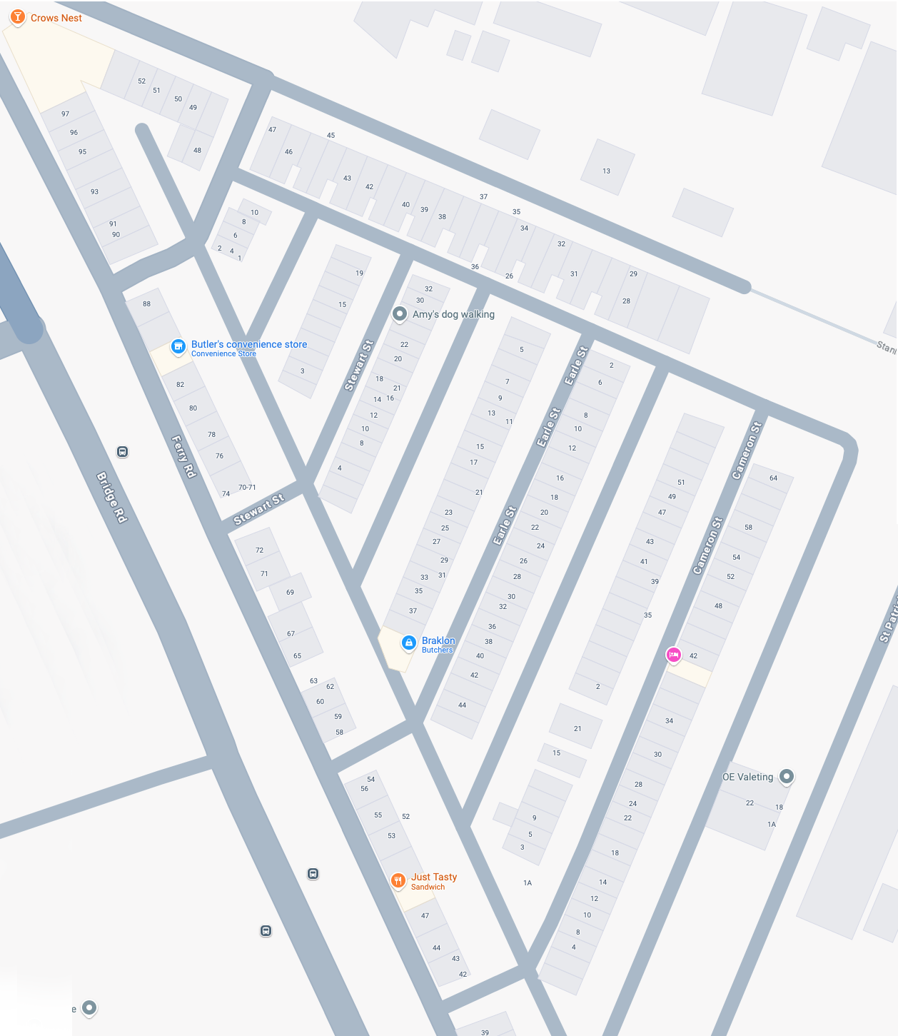
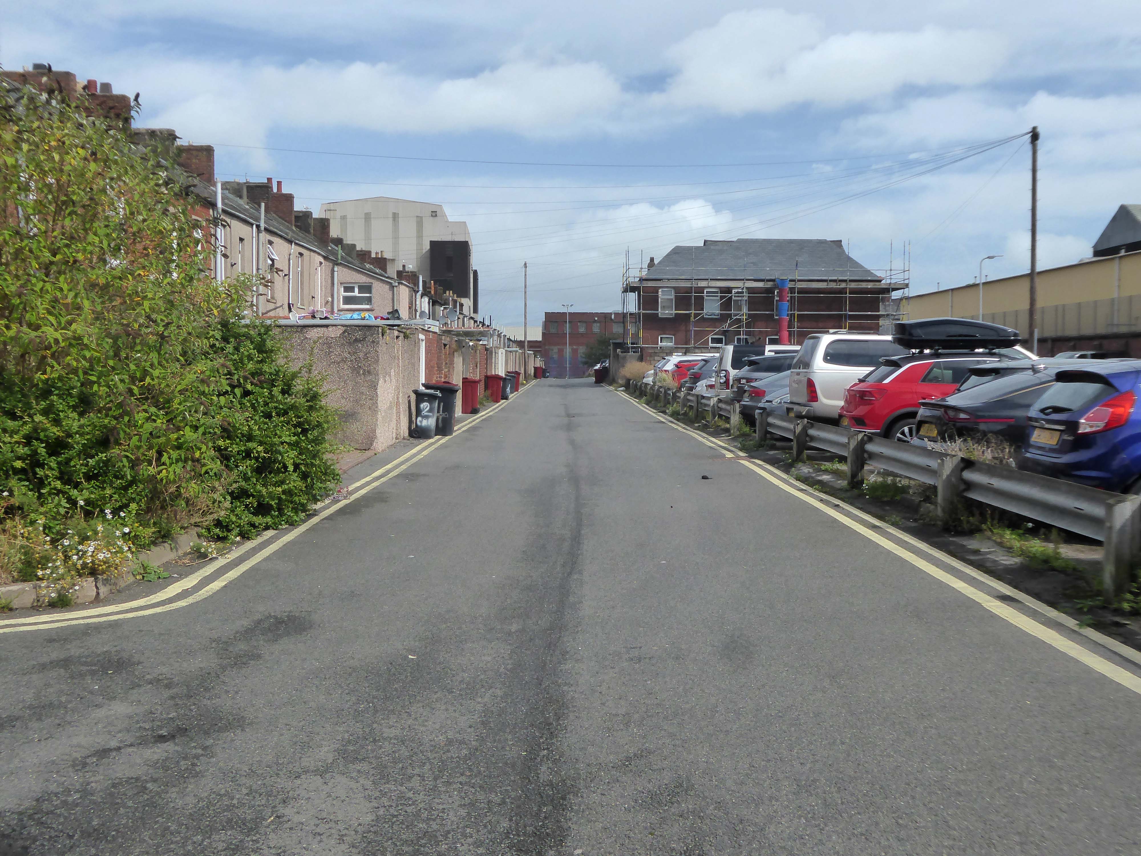
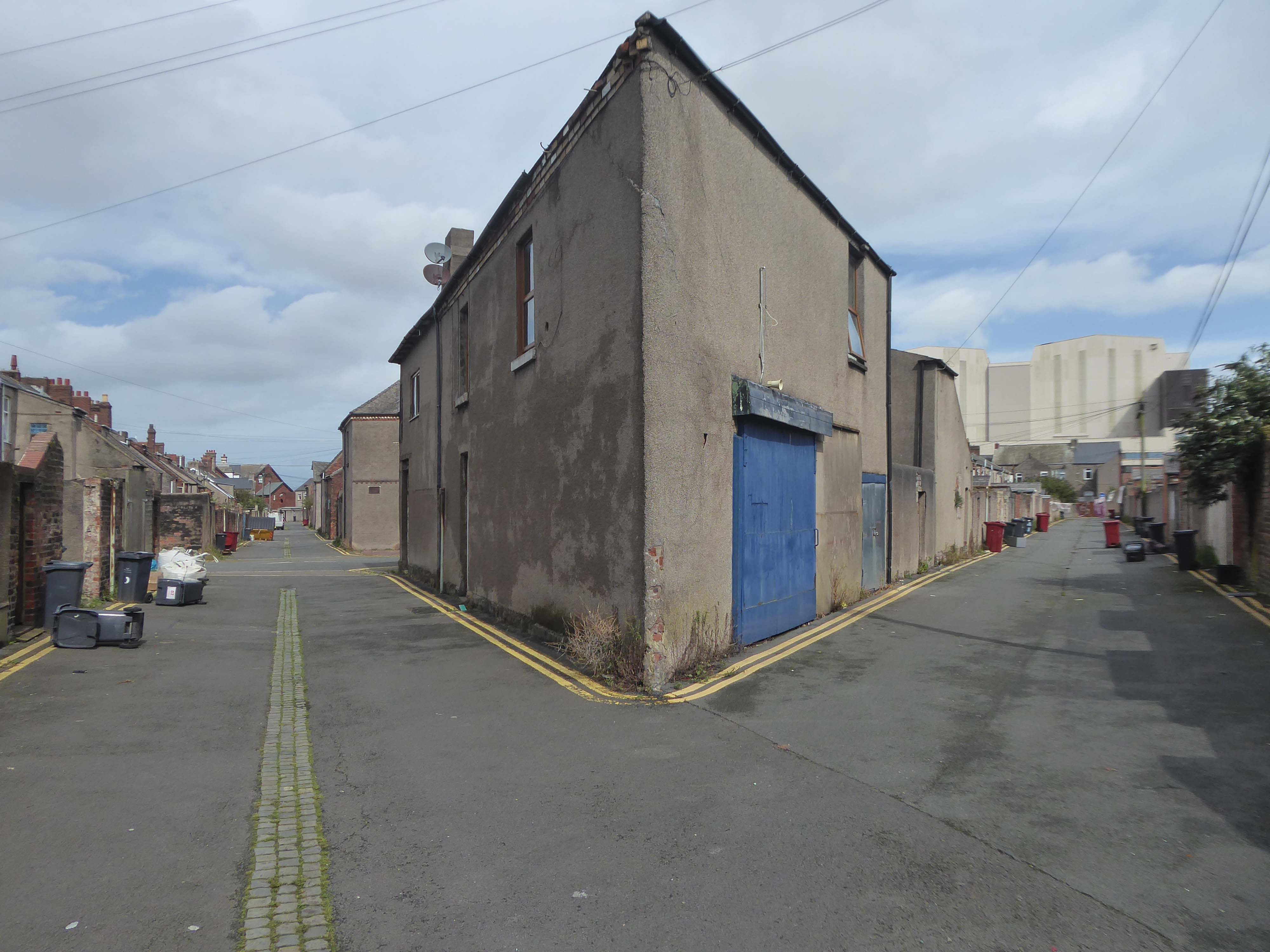
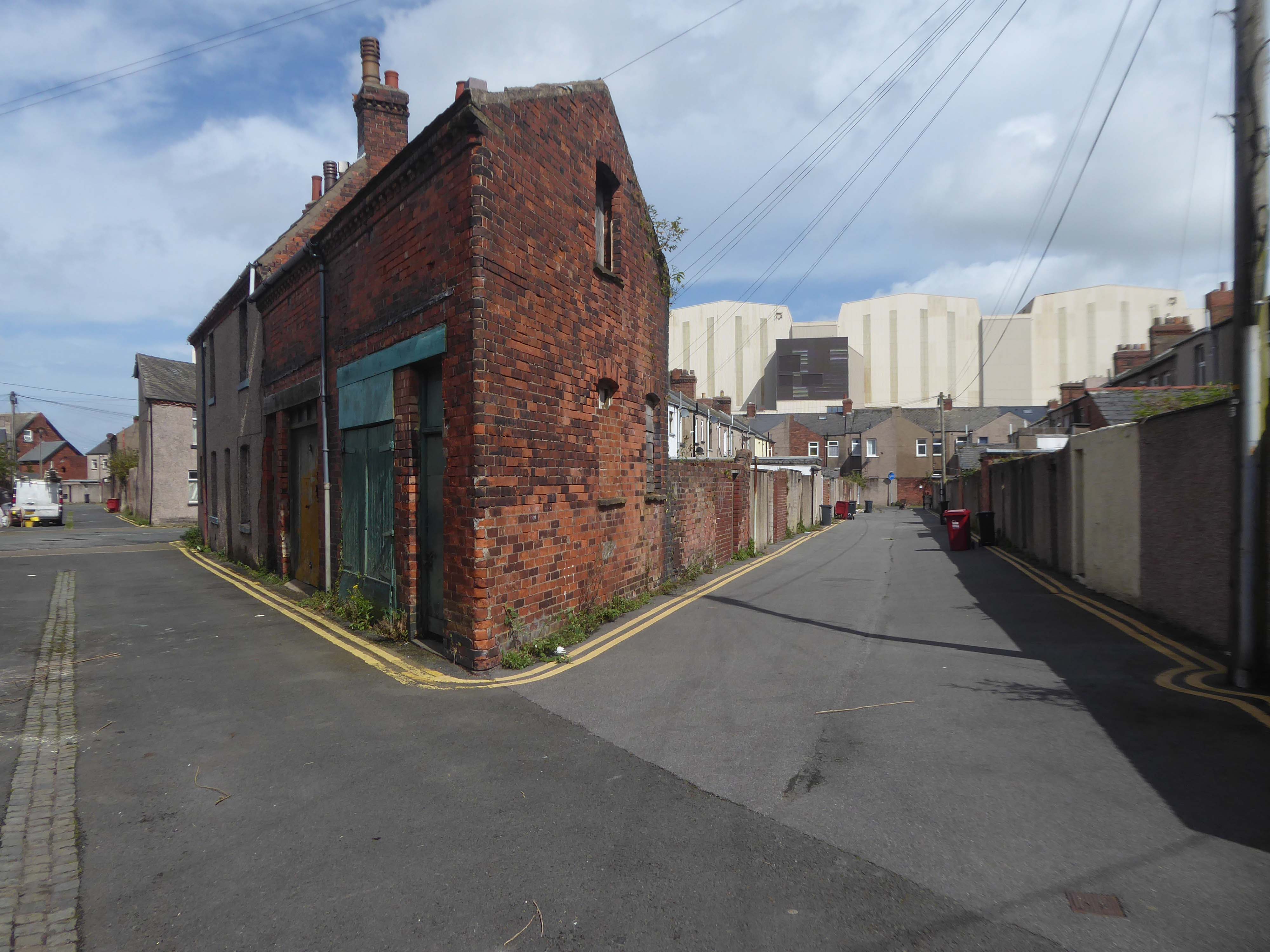
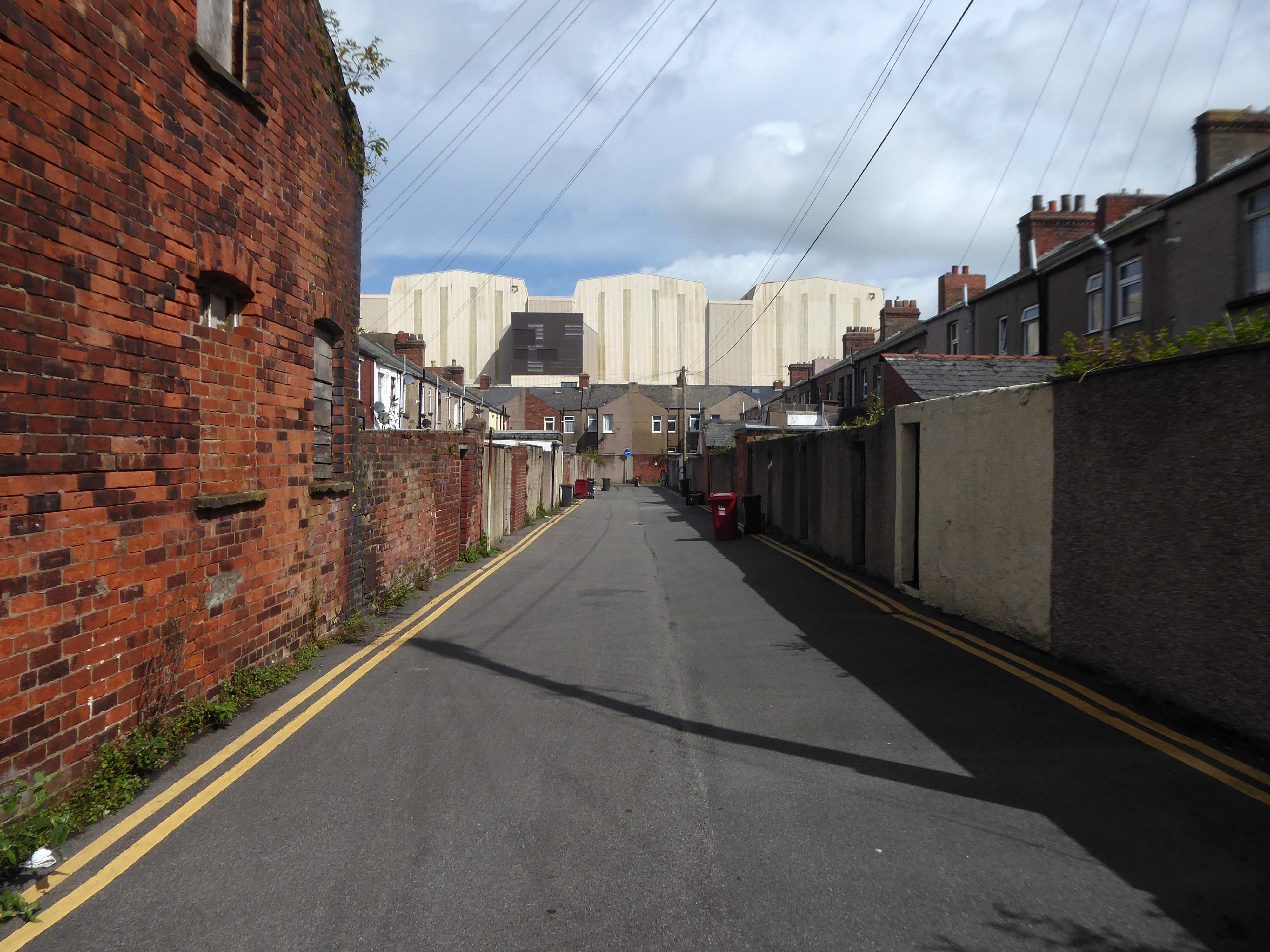
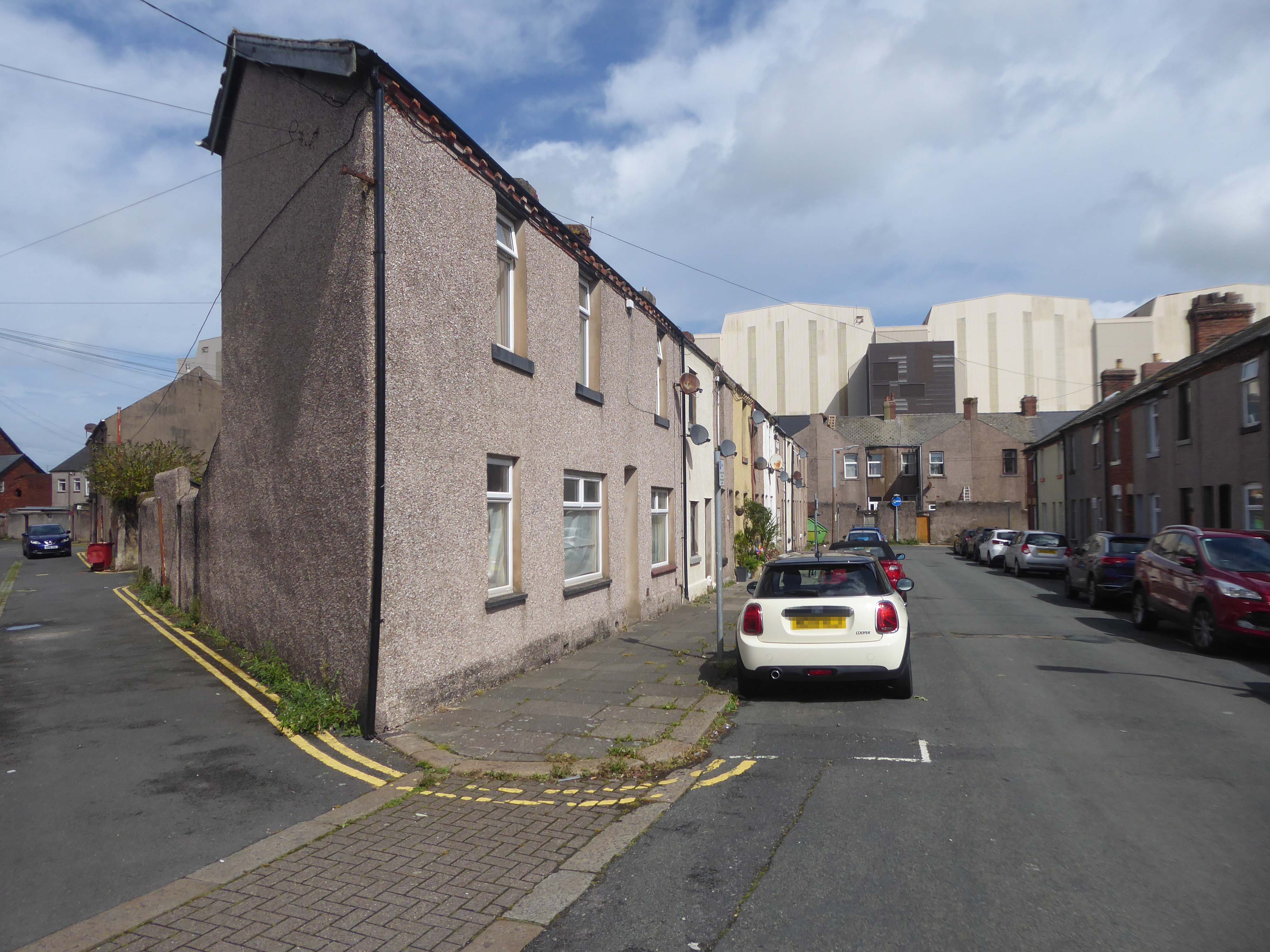
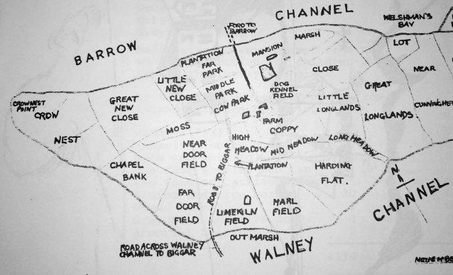
At the northern end of Barrow Island lies the Ferry Road Triangle. Covering an area formerly known by the field names, Crow Nest, Great New Close, Little New Close, Moss, Cow Park and Middle Park; the Ferry Road area has always been known as the Triangle, because the shape of the estate is truly a triangle.
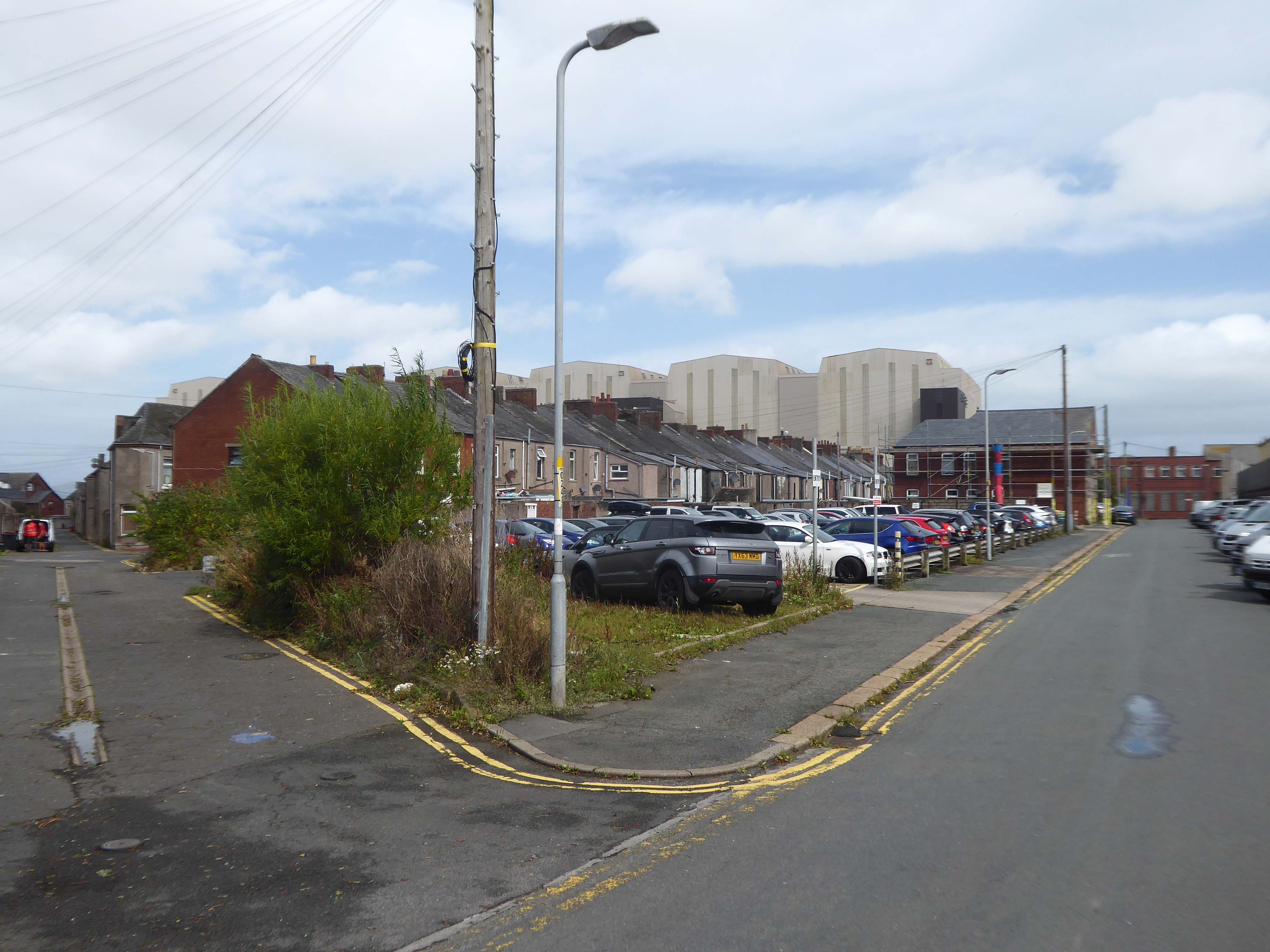
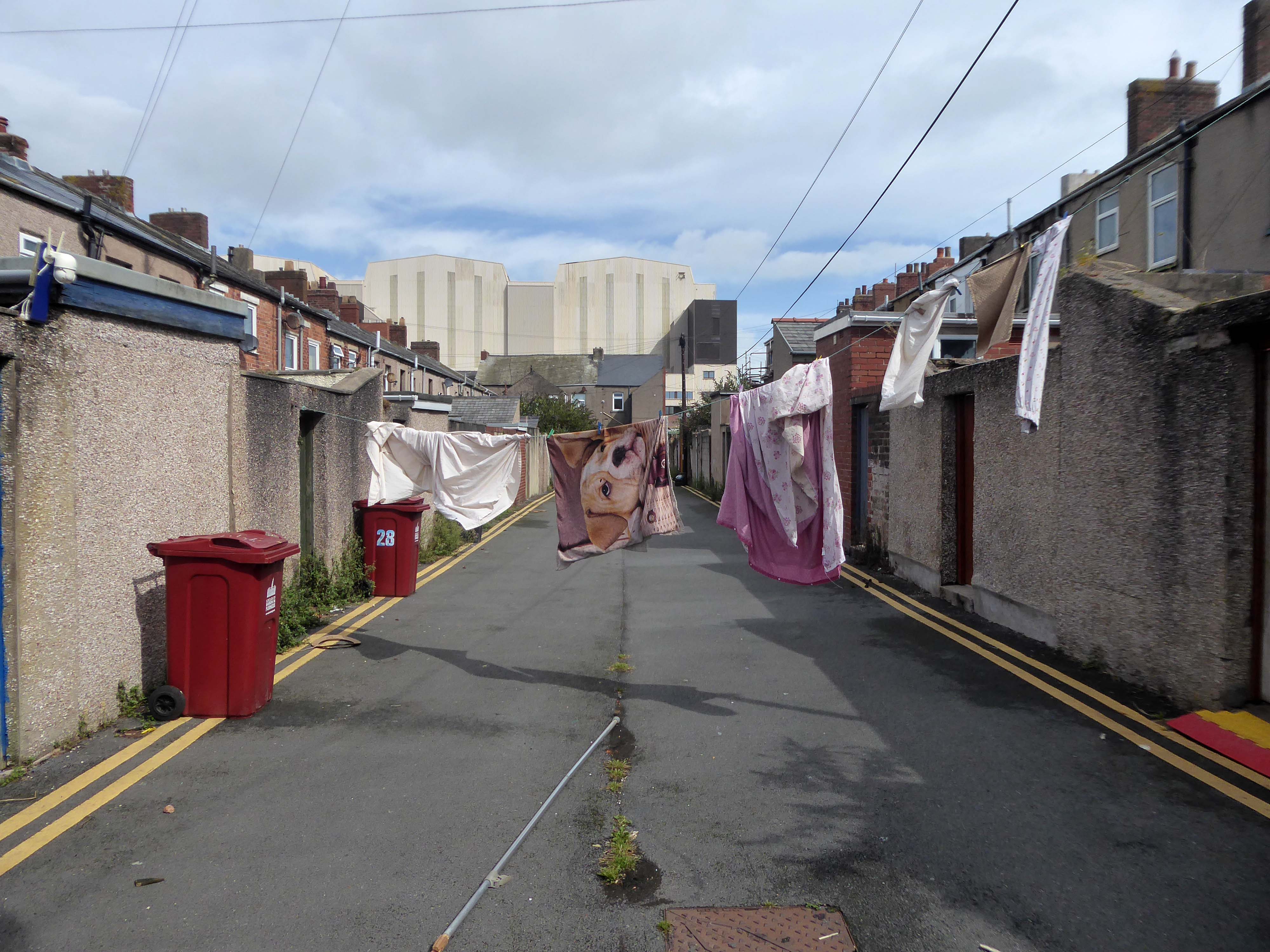
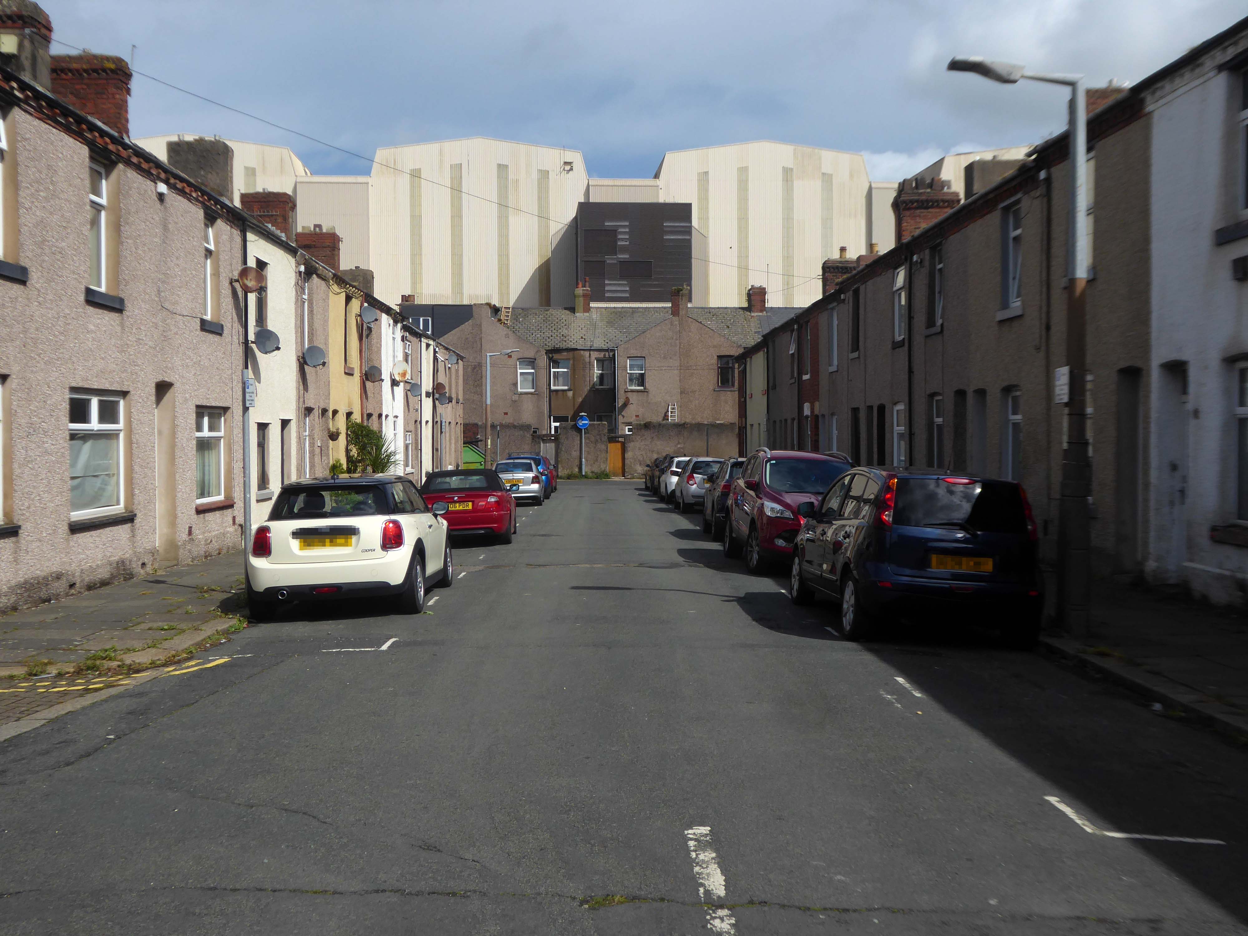
I had arrived in Barrow in Furness and taken to wandering the streets, hastily in search of nothing in particular.
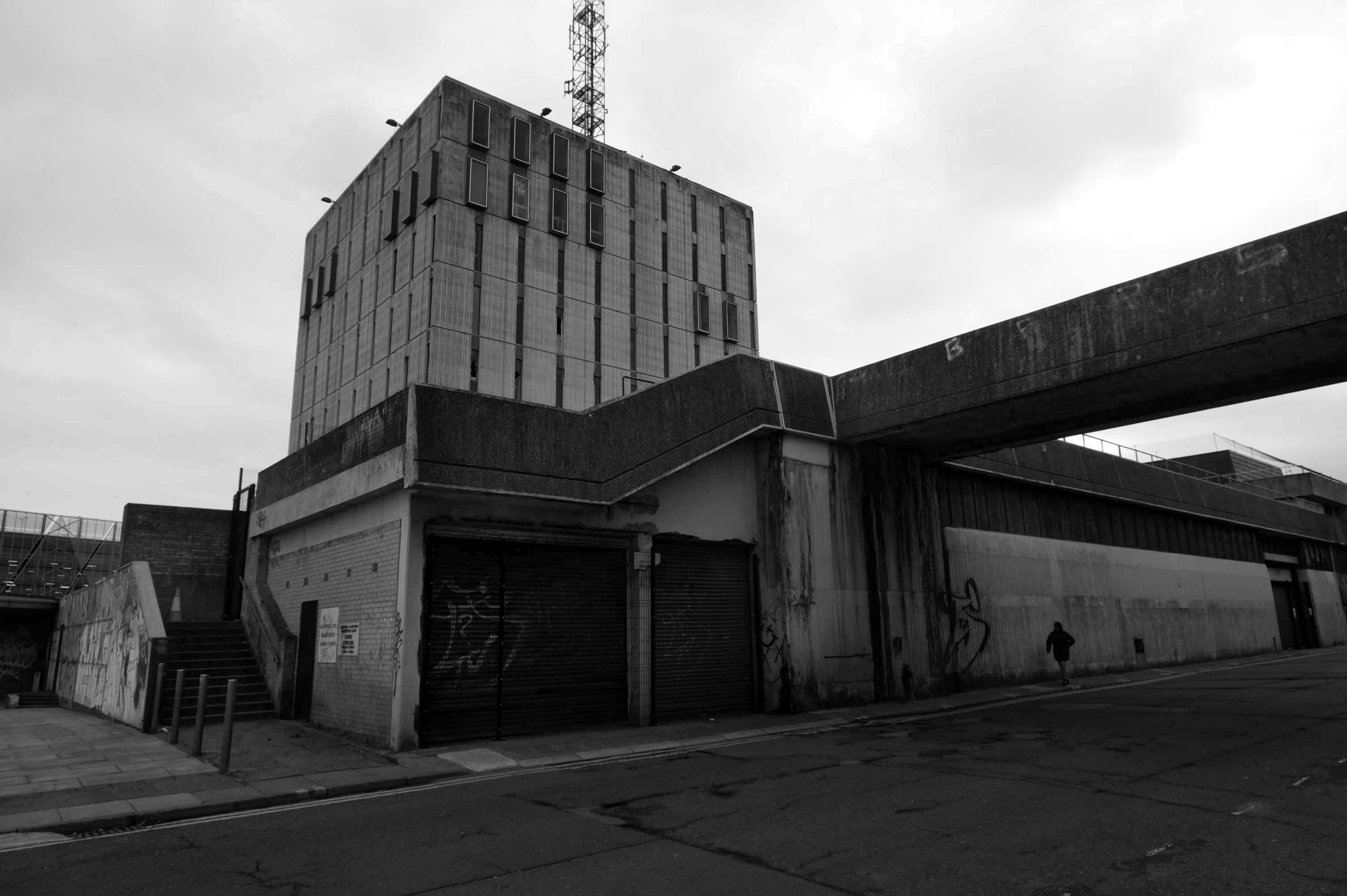
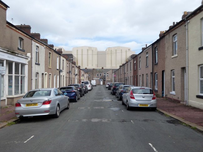
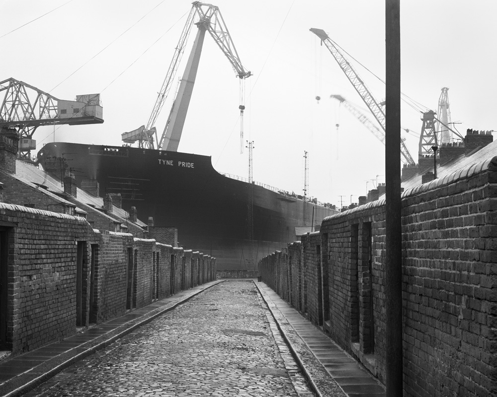
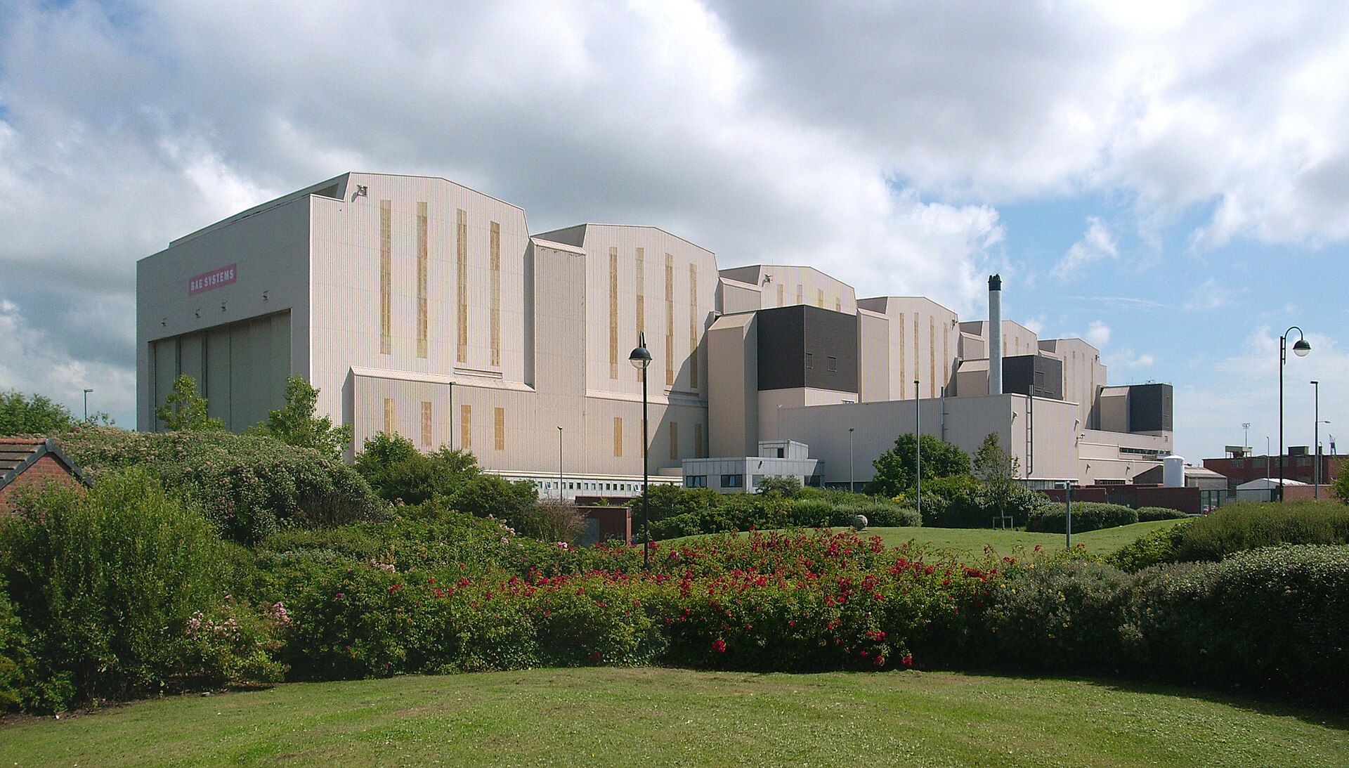
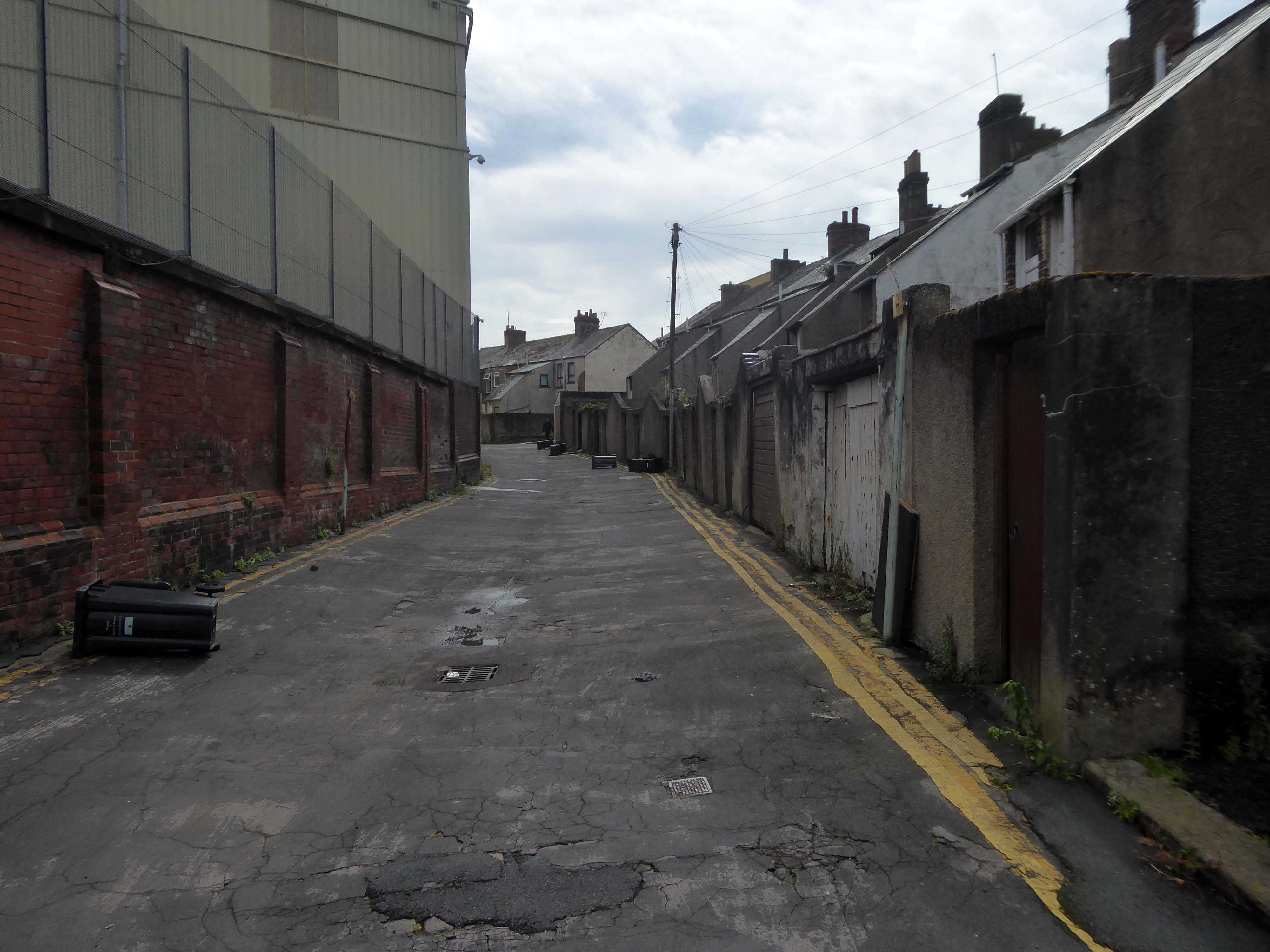
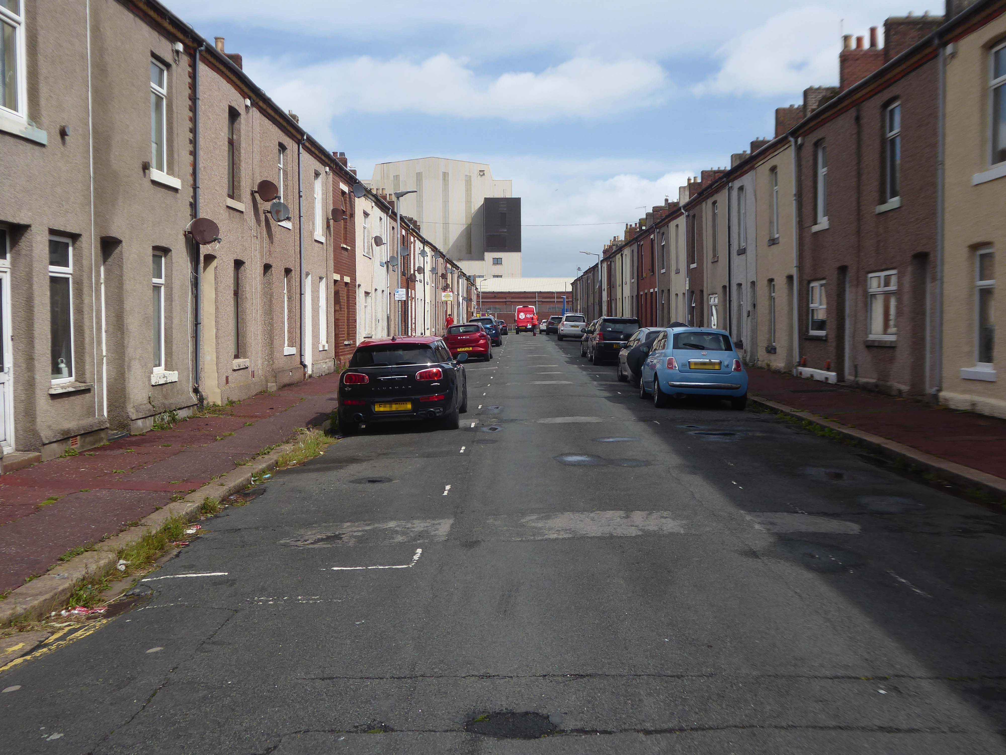
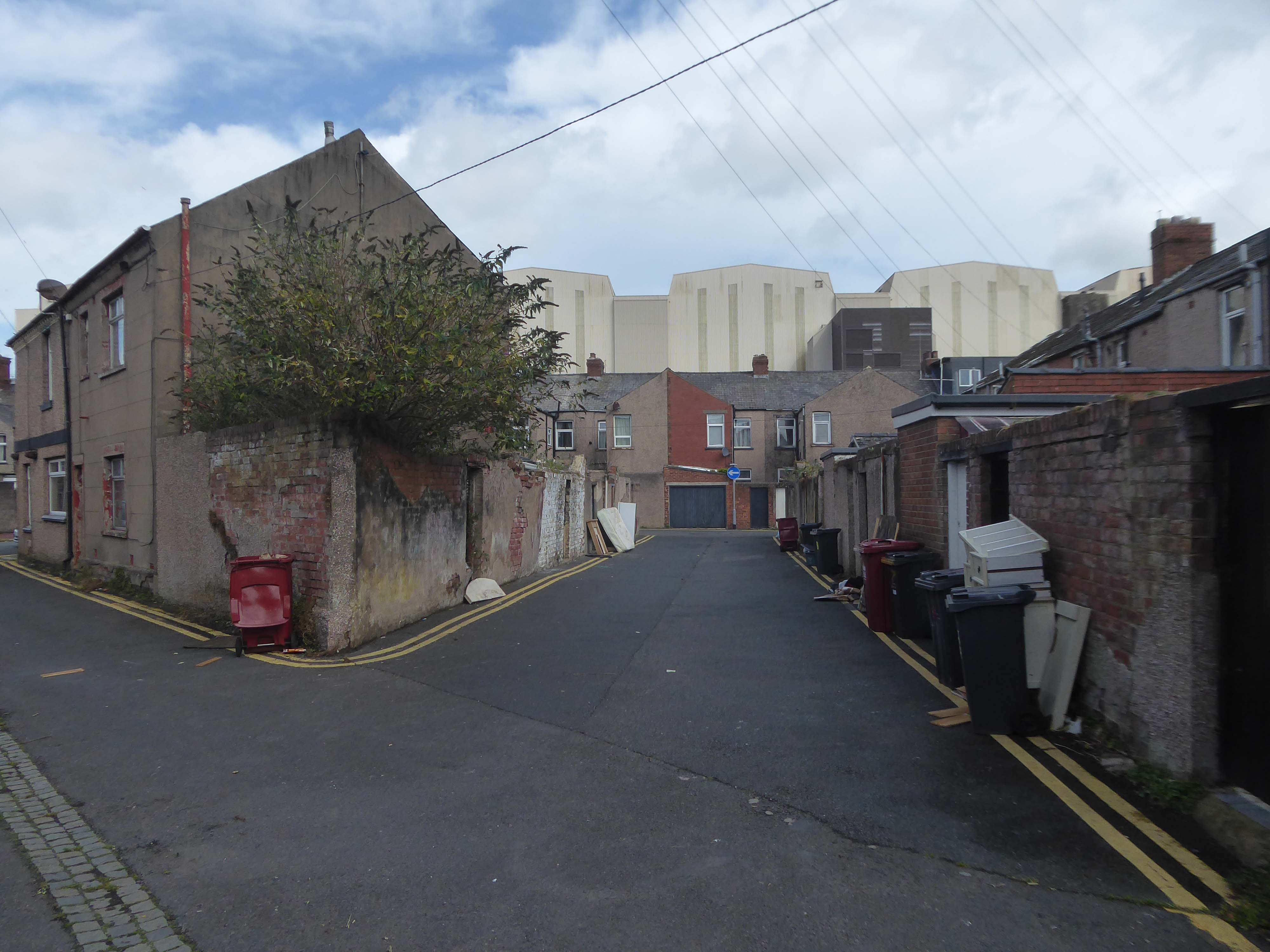
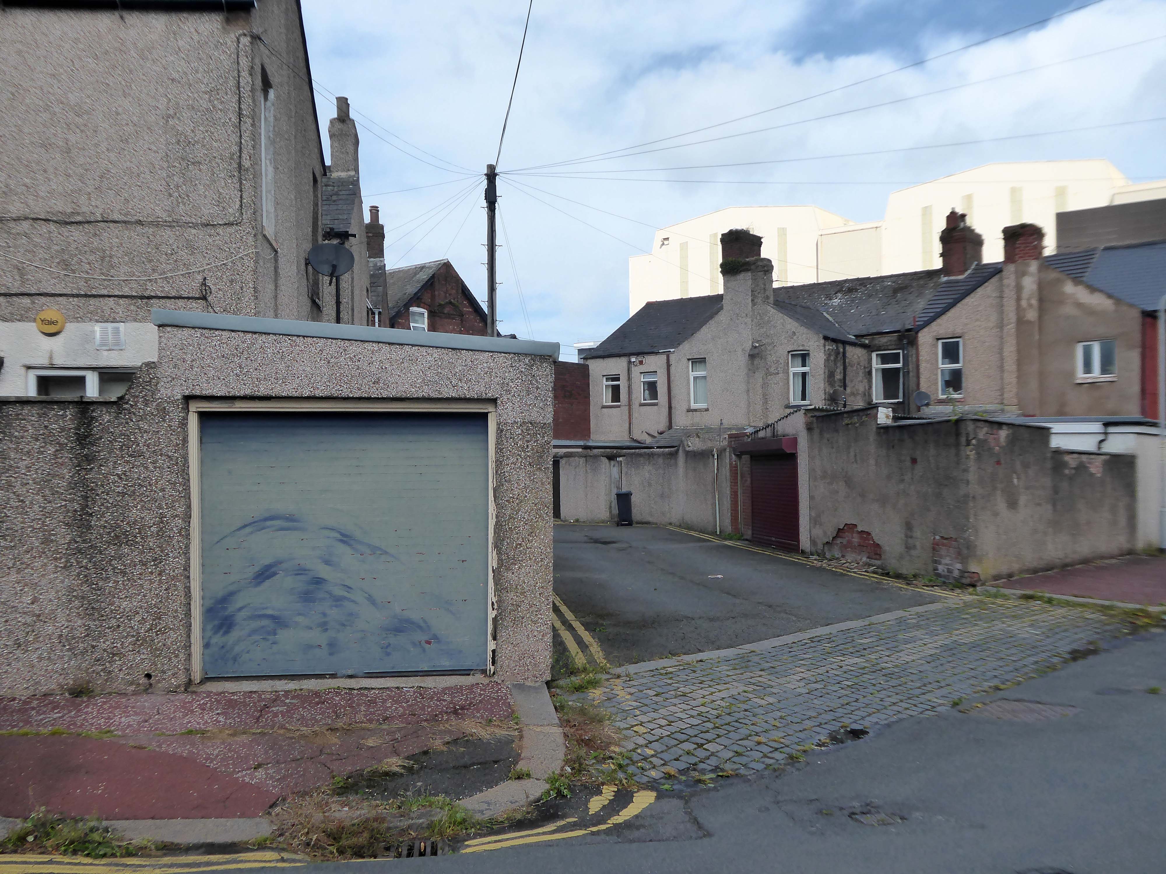
I came upon a neat triangle of terraced housing, which abutted the huge BAE Systems sheds.
The collision of scale created by the low lying domestic buildings, and the gargantuan industrial nuclear submarine homes, immediately put me in mind of Chris Killip’s photographs.
He had recorded the last days of a dying industry, whilst the BAE contracts represent a long term lifeline to a once dying town.
The Ministry of Defence has awarded £3.95 billion of funding to BAE Systems for the next phase of the UK’s next-generation nuclear-powered attack submarine programme, known as SSN-AUKUS.
The funding follows the AUKUS announcement in March by the leaders of Australia, the UK and the United States. This will eventually see Australia and the UK operate SSN-AUKUS submarines, which will be based on the UK’s next generation design, incorporating technology from all three nations, including cutting-edge US submarine technologies.
Having started early design work in 2021, the £3.95bn funding will cover development work to 2028, enabling BAE Systems to move into the detailed design phase of the programme and begin to procure long-lead items. Manufacture will start towards the end of the decade with the first SSN-AUKUS boat due to be delivered in the late 2030s.
It has been said of Barrow: A rich mineral district was the cause, a railway was the effect, and an important manufacturing town the result.
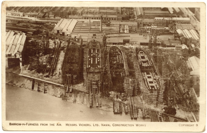
The dramatic growth of Barrow-in-Furness in the late 19th and early 20th Centuries was fuelled by the ready availability of Furness iron ore. Significant investments were made in developing the town to exploit this resource. The various ironworks, steelworks, foundries, shipyards and docks required a huge influx of population to support them. This in turn led to the rapid building of rows of good quality mass-produced terraced housing for the workers, and substantial sandstone villas for the management.
I stopped to chat with a local lad – I had thought Barrow to be a hard town, he thought not.
There’s not much trouble, though we have hard times – how so?
The Tories – now my kids have all got jobs for the next twenty years.
There were no reported crimes in June 2024
Devonshire Dock Hall is a large indoor shipbuilding and assembly complex that forms part of the BAE Systems shipyard.
Constructed between 1982 and 1986 by Alfred McAlpine plc for Vickers Shipbuilding and Engineering, DDH was built on land that was created by infilling part of Devonshire Dock with 2.4 million tonnes of sand pumped from nearby Roosecote Sands.
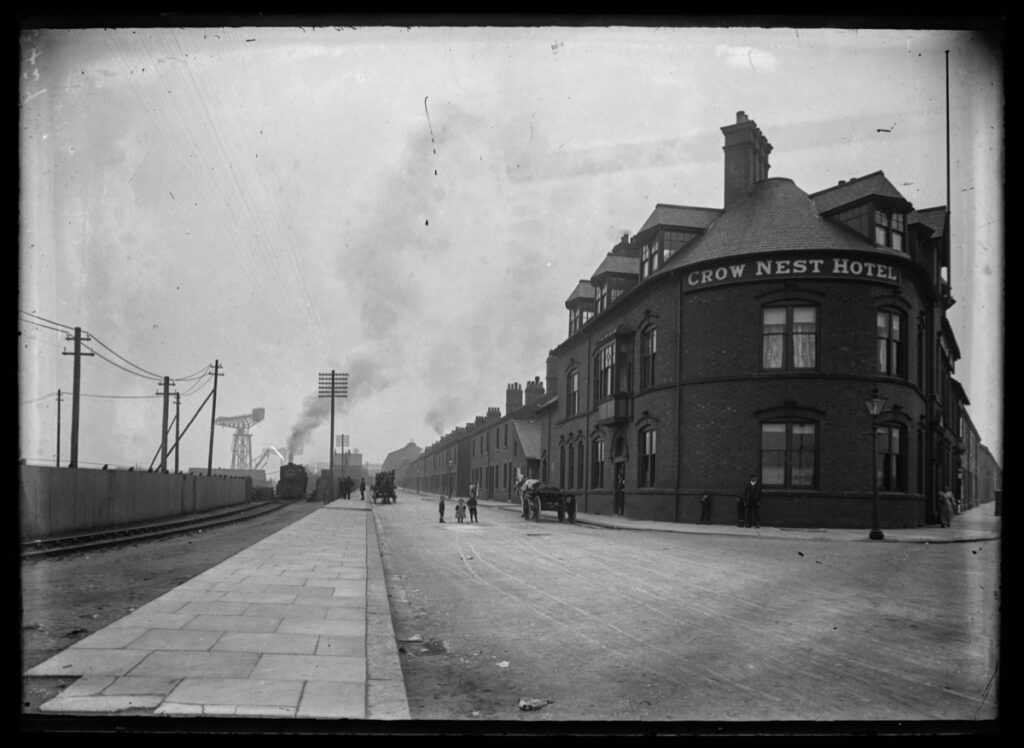
Opened in May 1888 it was described by the Barrow News as one of the best-appointed hotels in Barrow. From this start, Walton Lee, elected Town Councillor in 1886 envisaged an estate for the workers literally within spitting distance of their workplace.
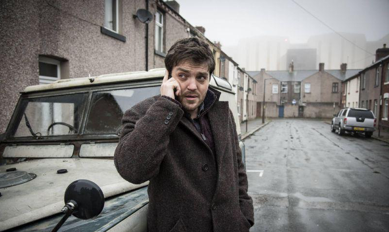
A section of Career of Evil was filmed at The Crow’s Nest.
Barrow shipyard’s Devonshire Dock Hall, The Crow’s Nest pub, Barrow Island streets, including Stanley Road and Stewart Street, and Michaelson Road Bridge, all featured in episode one of Career of Evil on Sunday night.
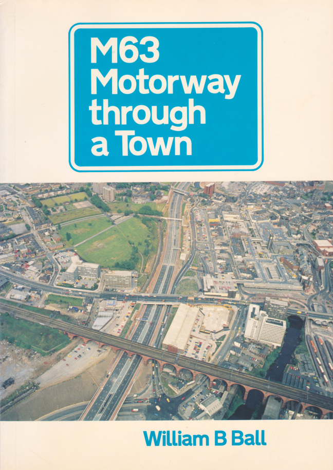
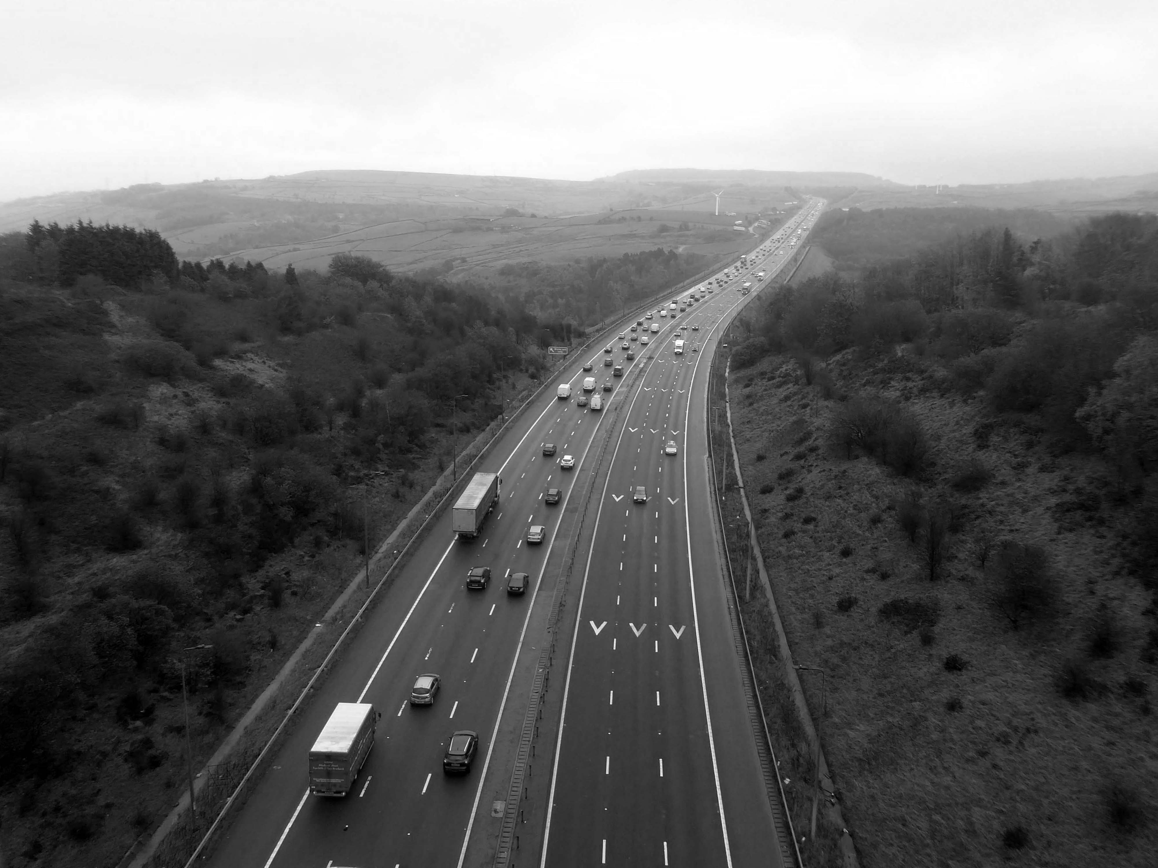
The M62 is a 107-mile-long west–east trans-Pennine motorway, connecting Liverpool and Hull via Manchester, Bradford, Leeds and Wakefield; 7 miles of the route is shared with the M60 orbital motorway around Manchester.
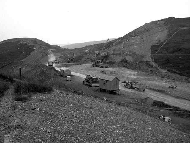
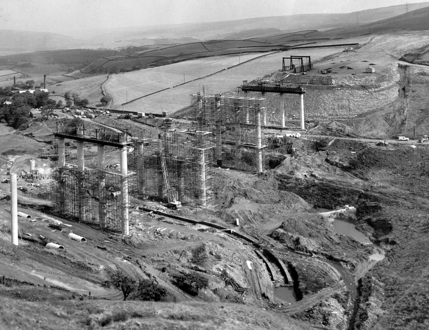
The motorway, which was first proposed in the 1930s, and conceived as two separate routes, was opened in stages between 1971 and 1976, with construction beginning at Pole Moor near Huddersfield and finishing at that time in Tarbock on the outskirts of Liverpool. The motorway absorbed the northern end of the Stretford-Eccles bypass, which was built between 1957 and 1960. Adjusted for inflation to 2007, its construction cost approximately £765 million. The motorway has an average daily traffic flow of 144,000 vehicles in West Yorkshire, and has several sections prone to gridlock, in particular, between Leeds and Huddersfield and the M60 section around Eccles.
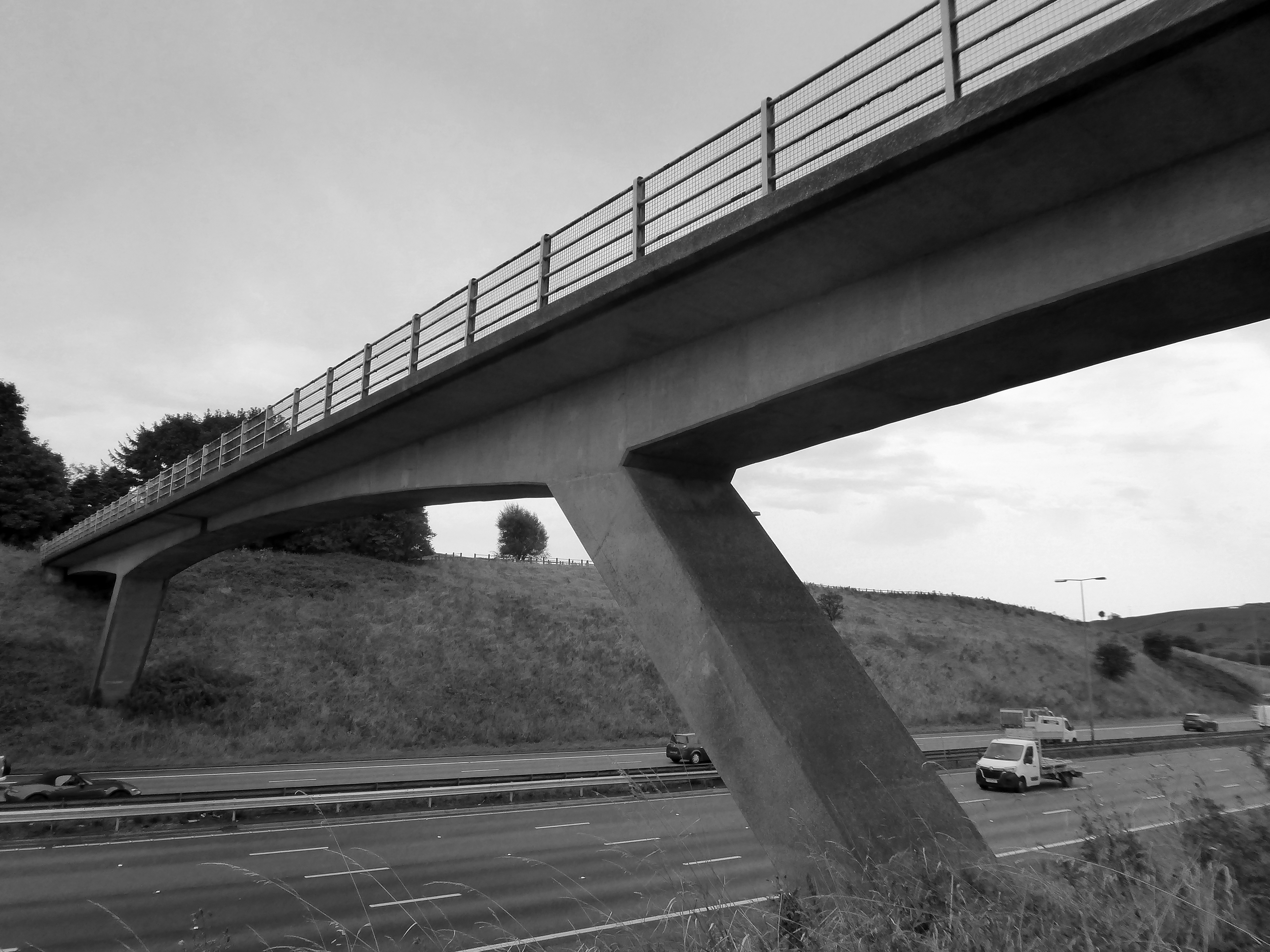
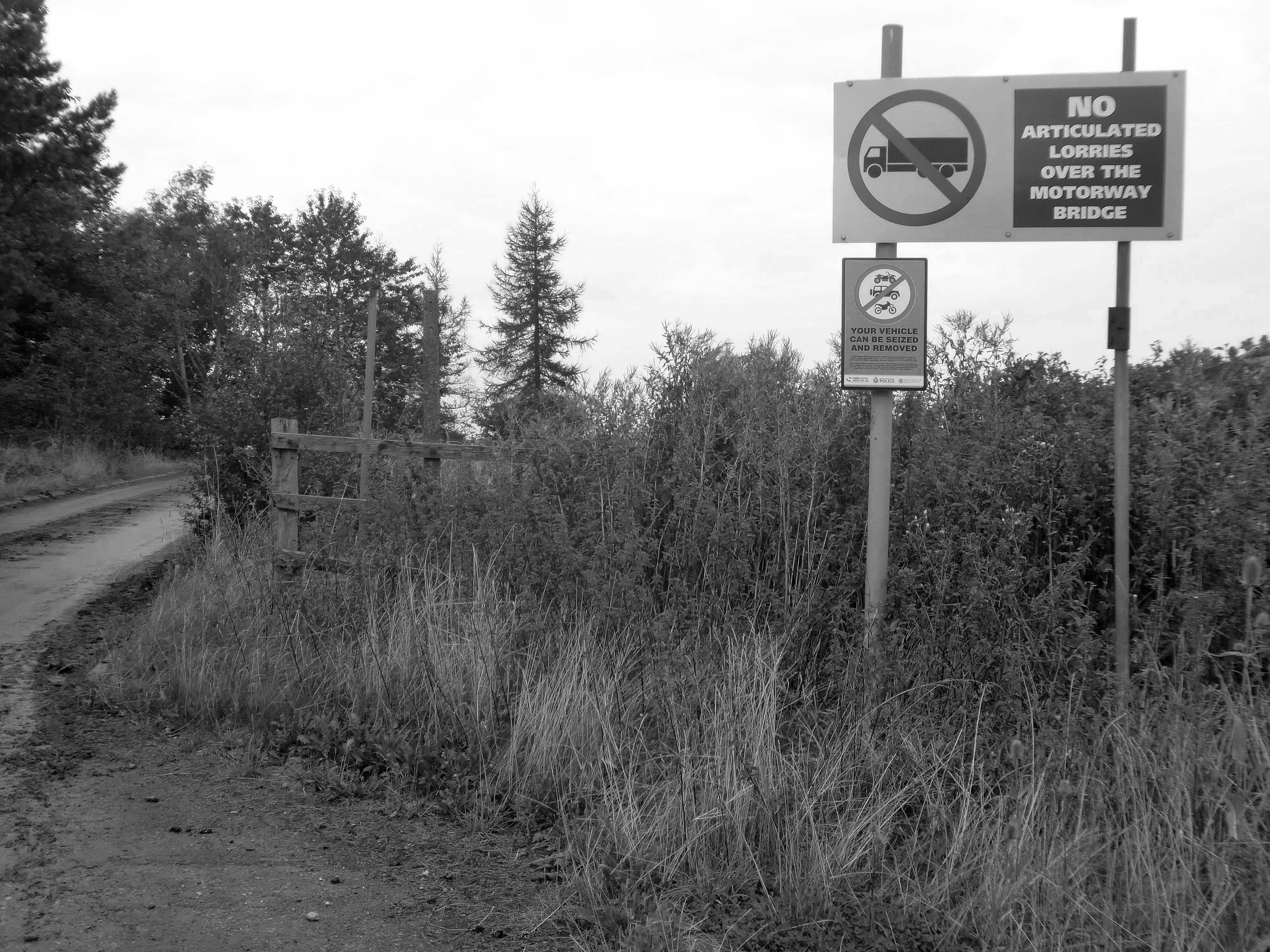
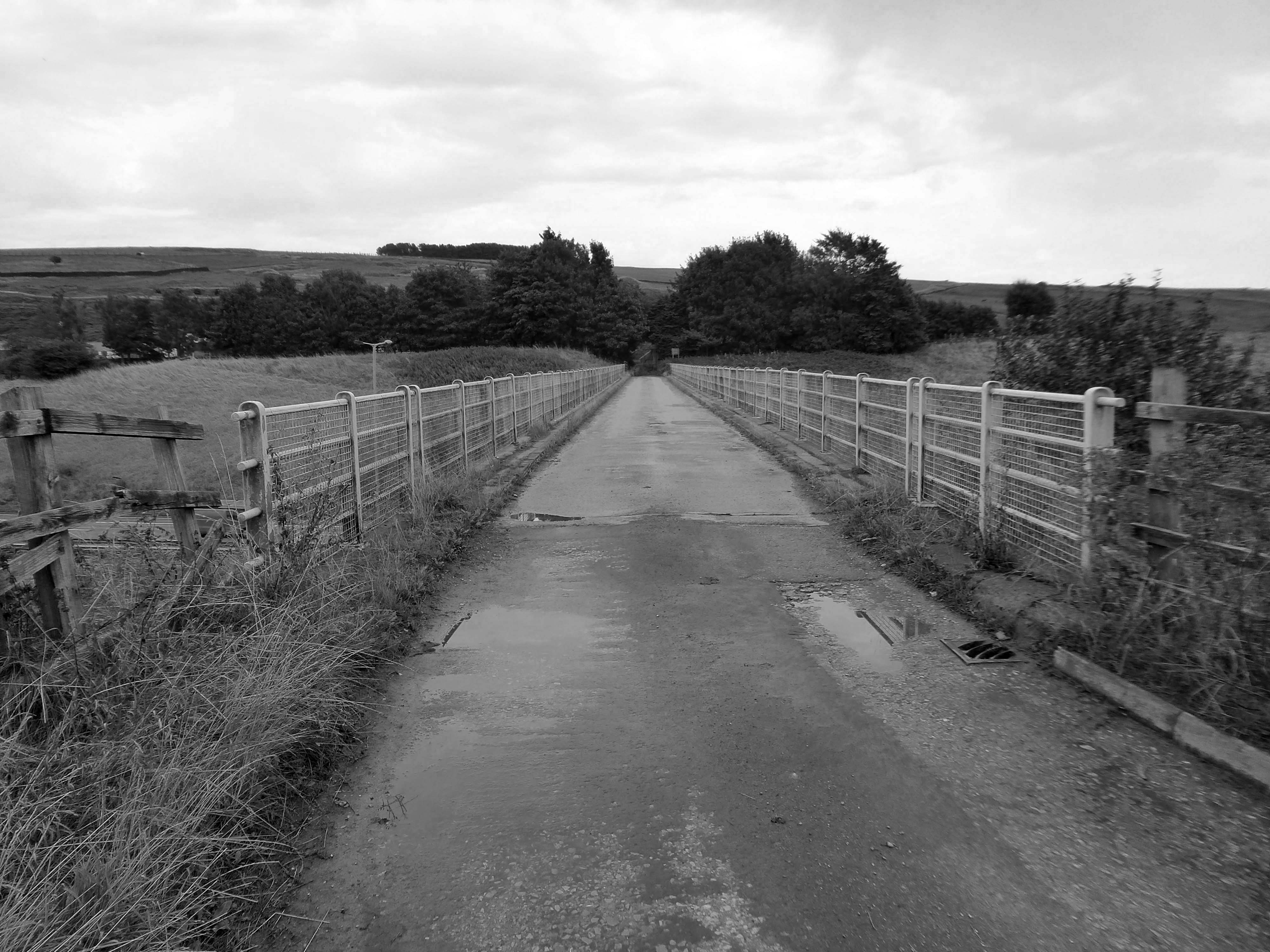
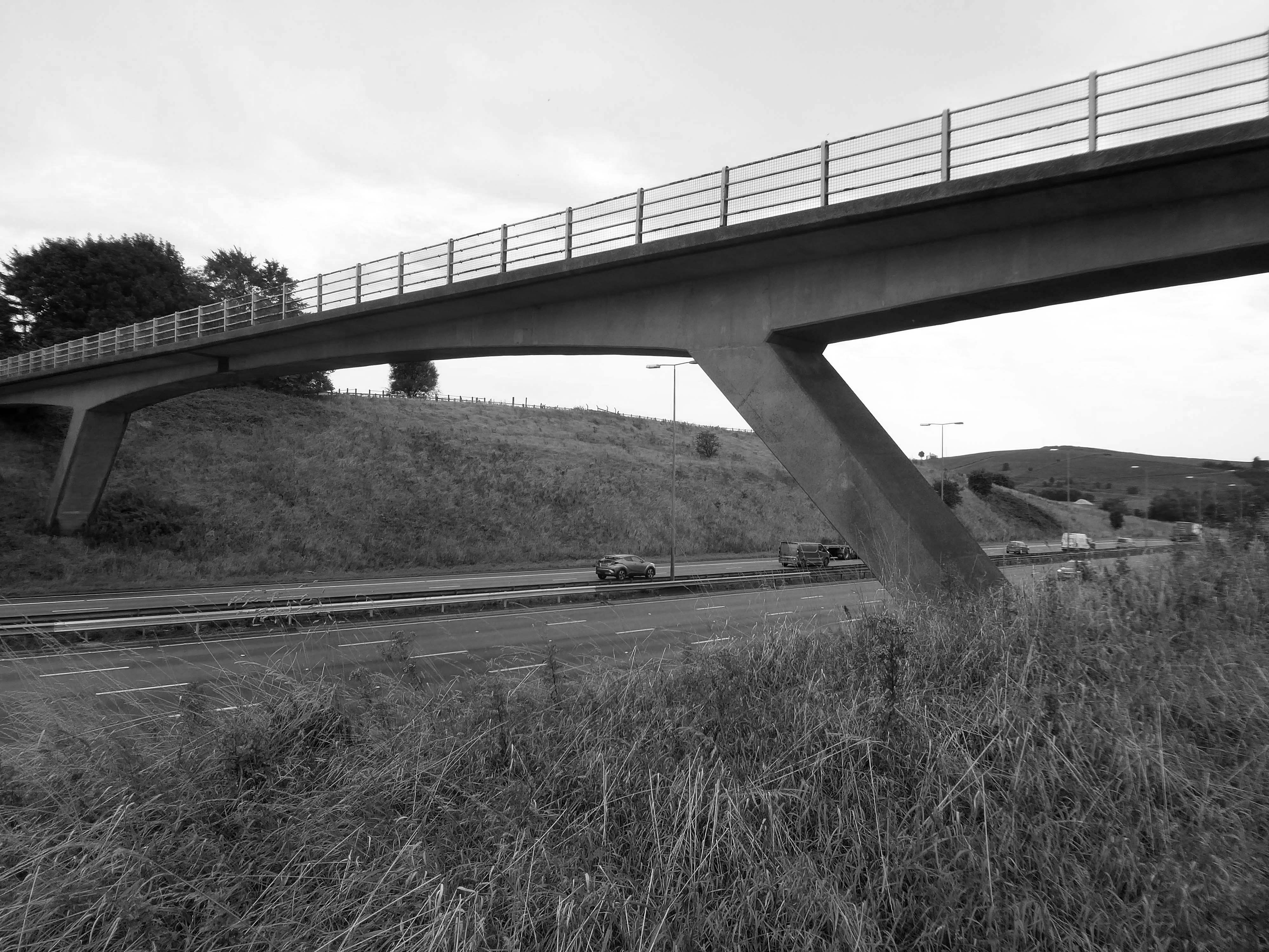
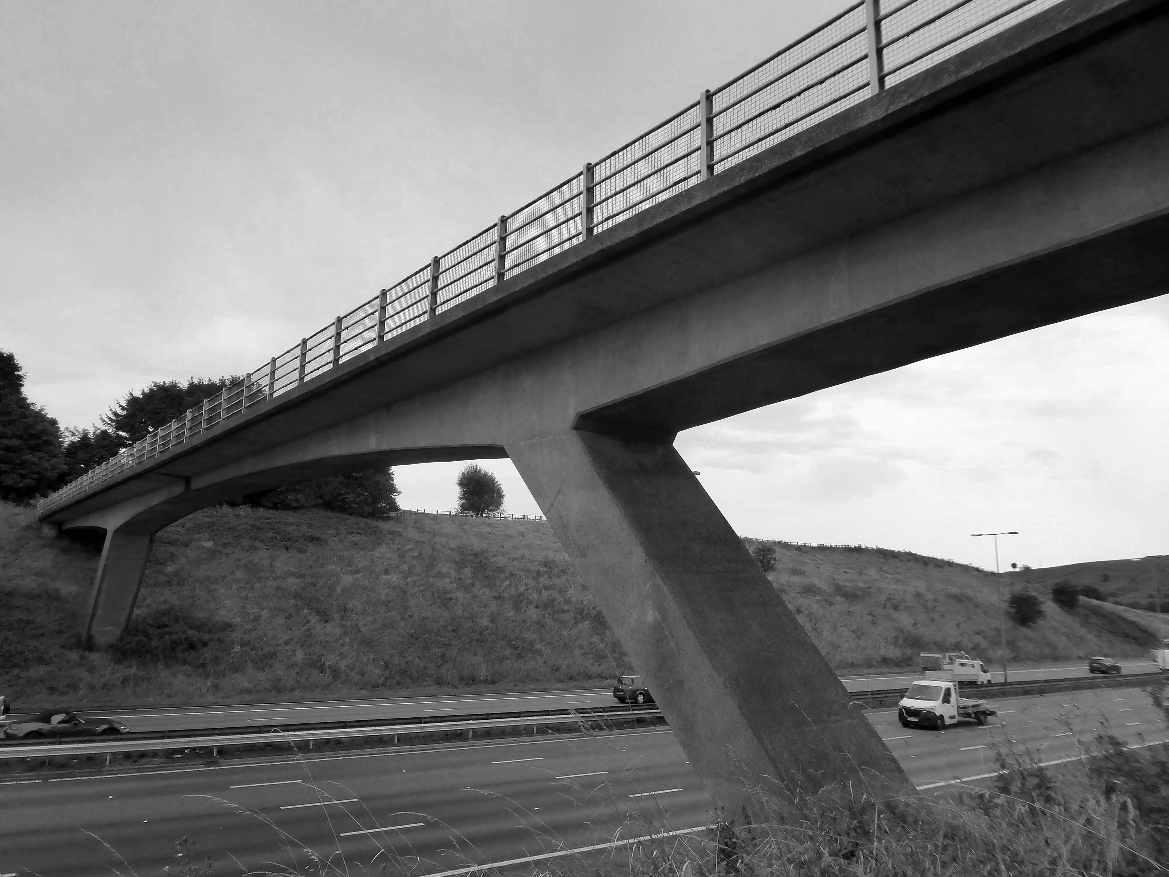
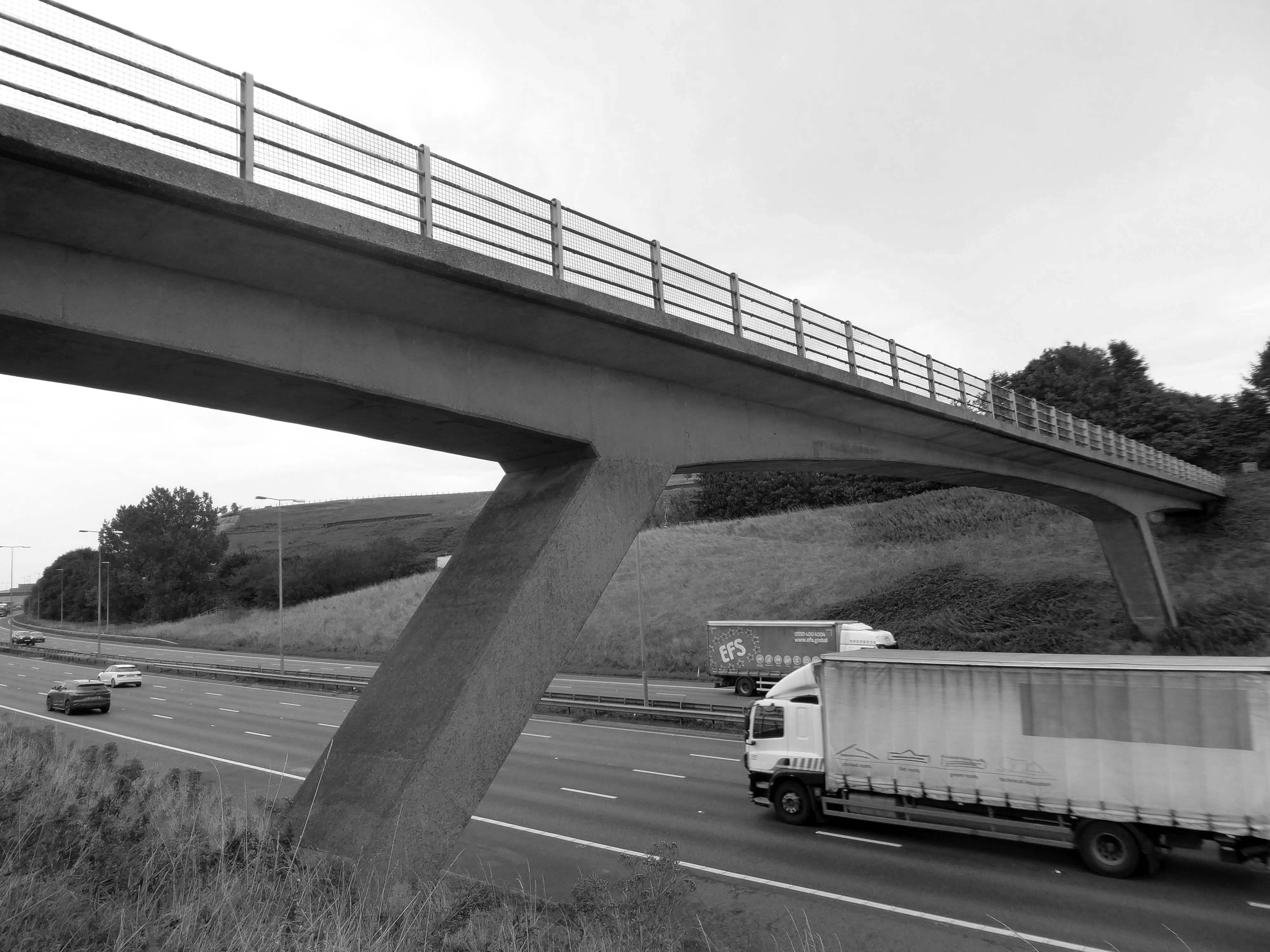
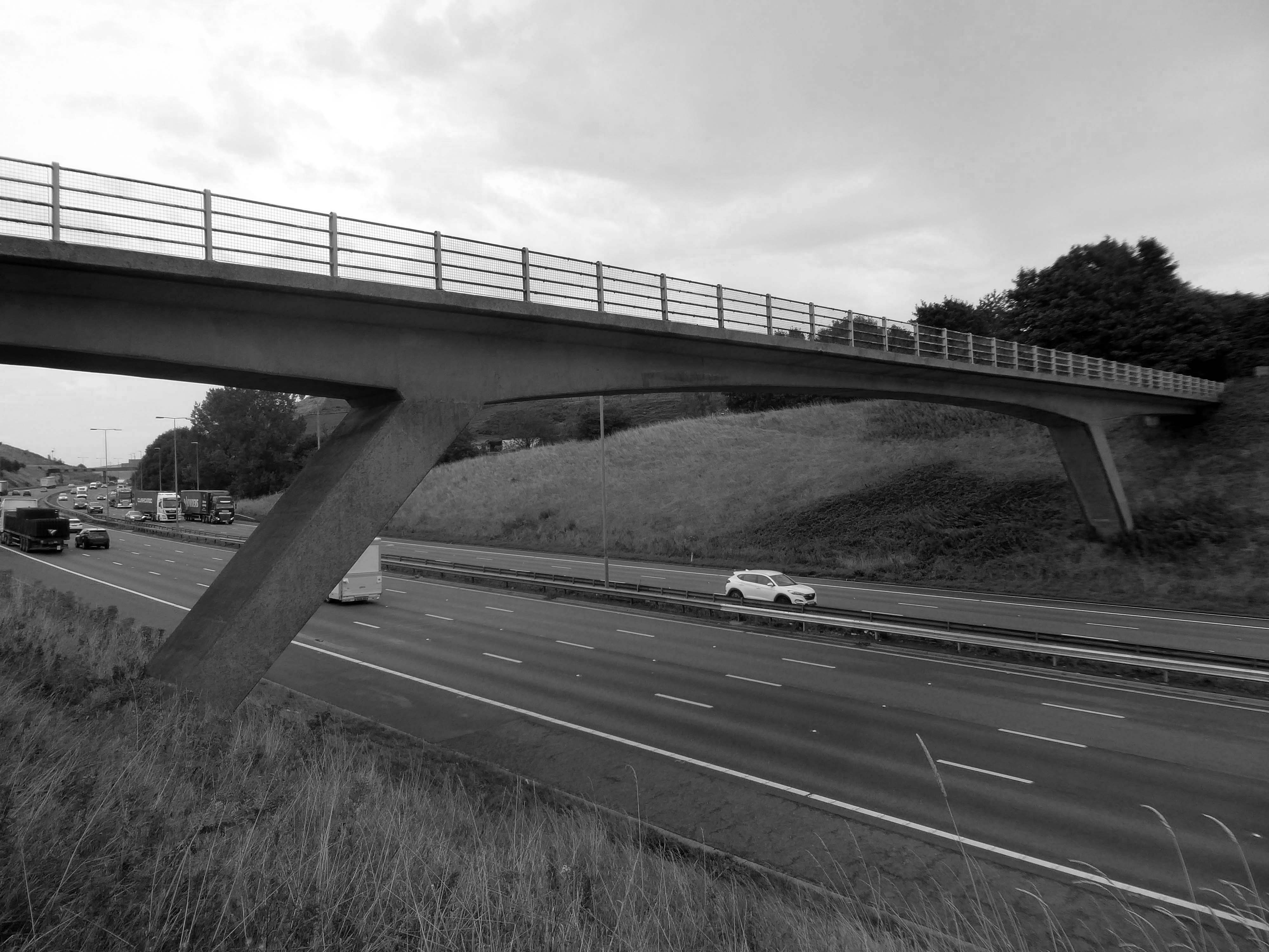
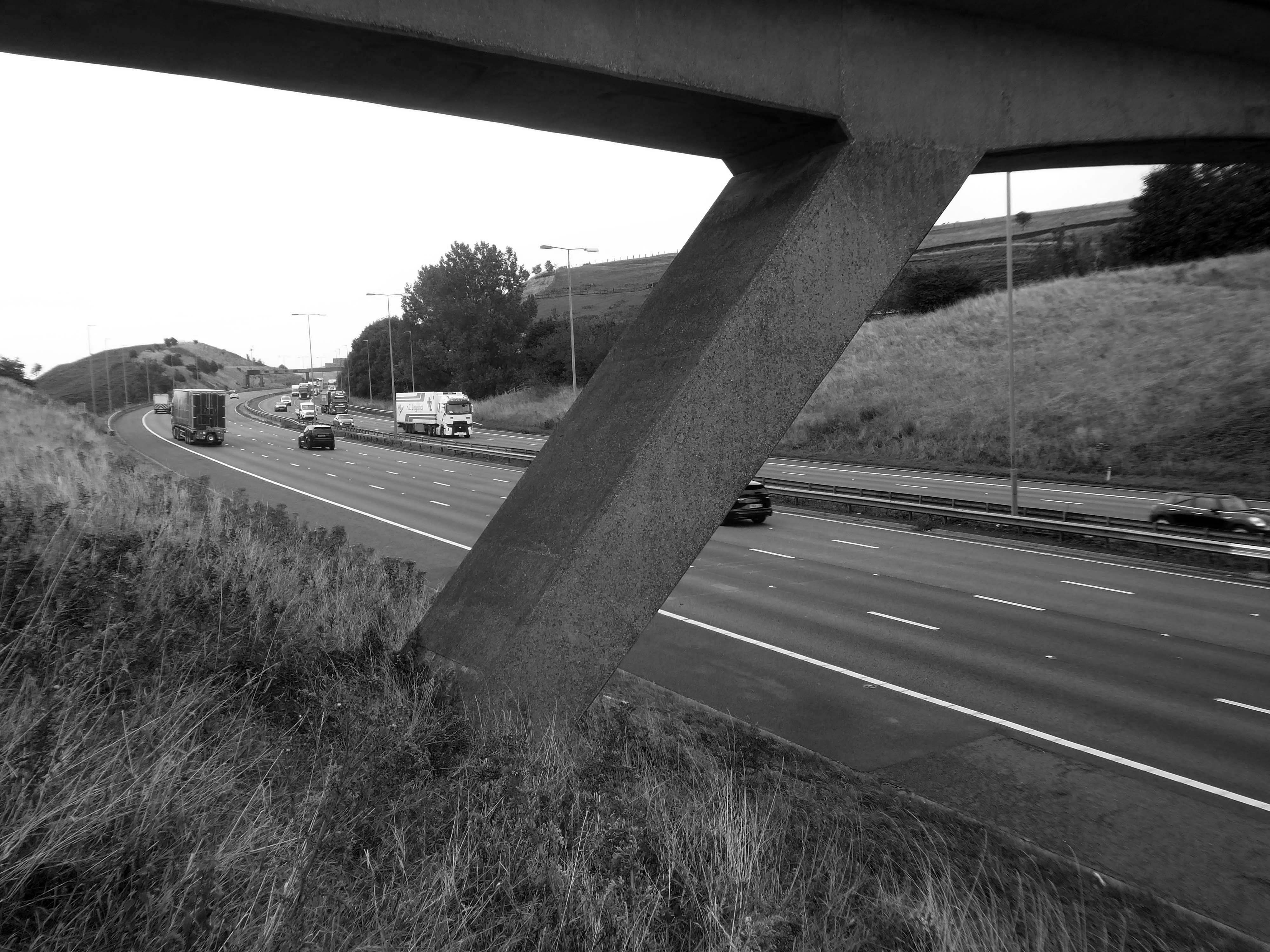
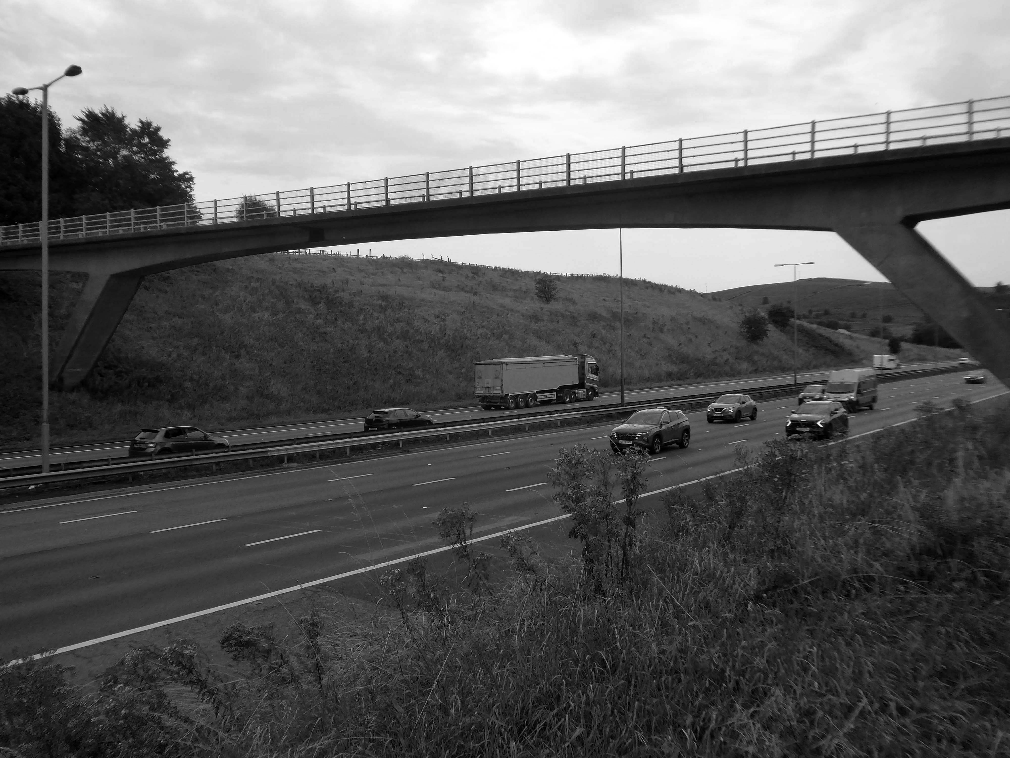
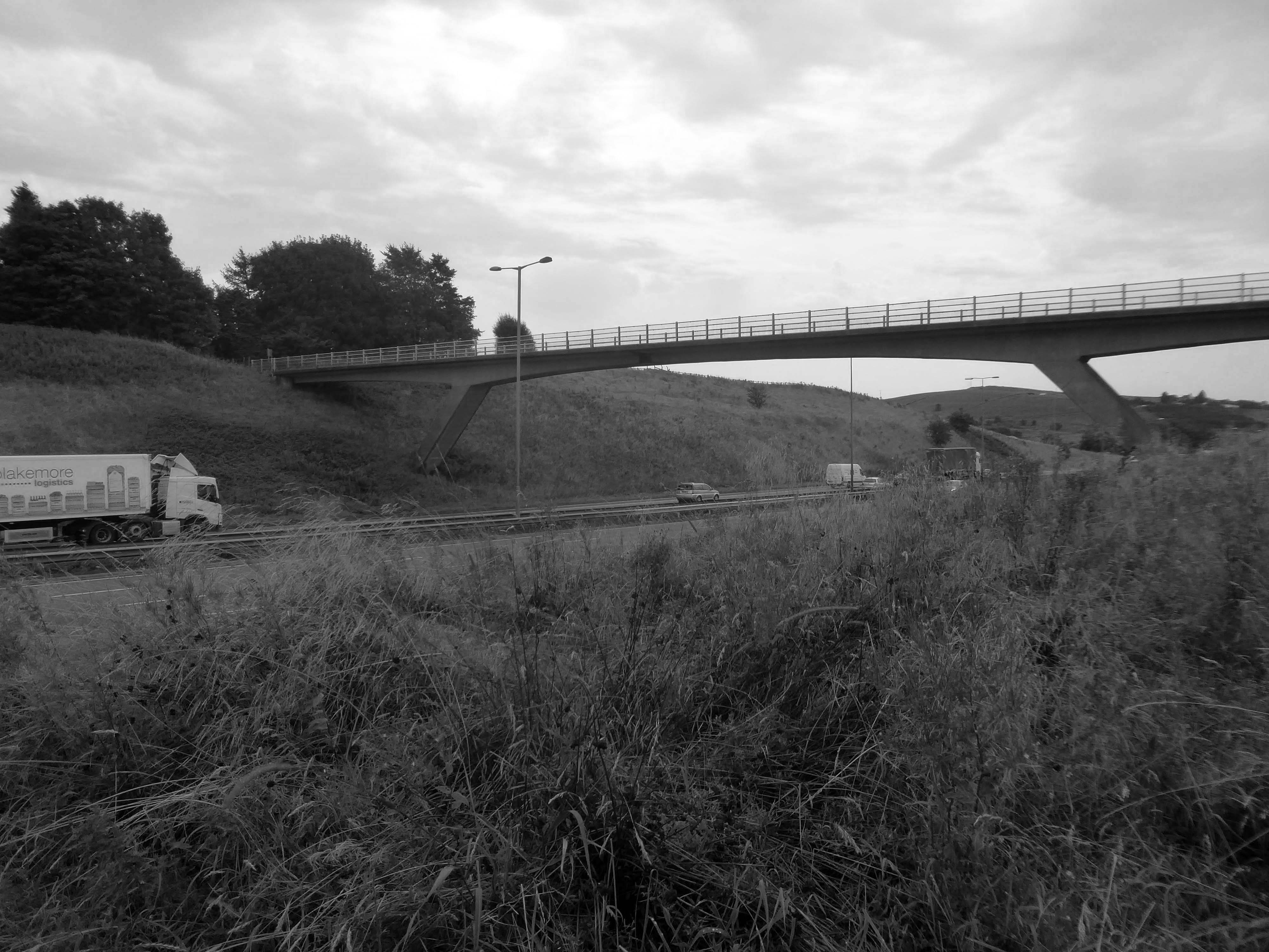
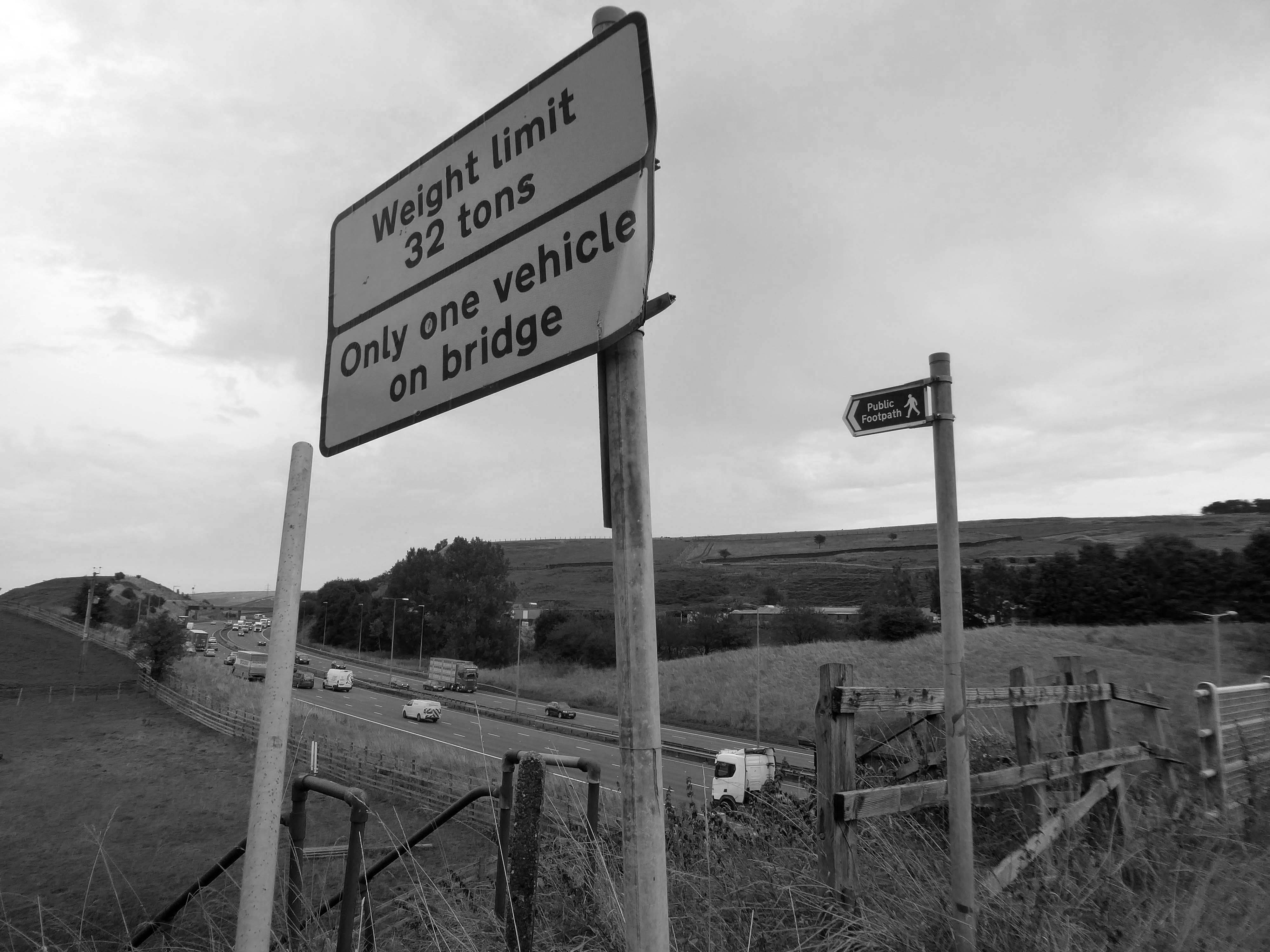
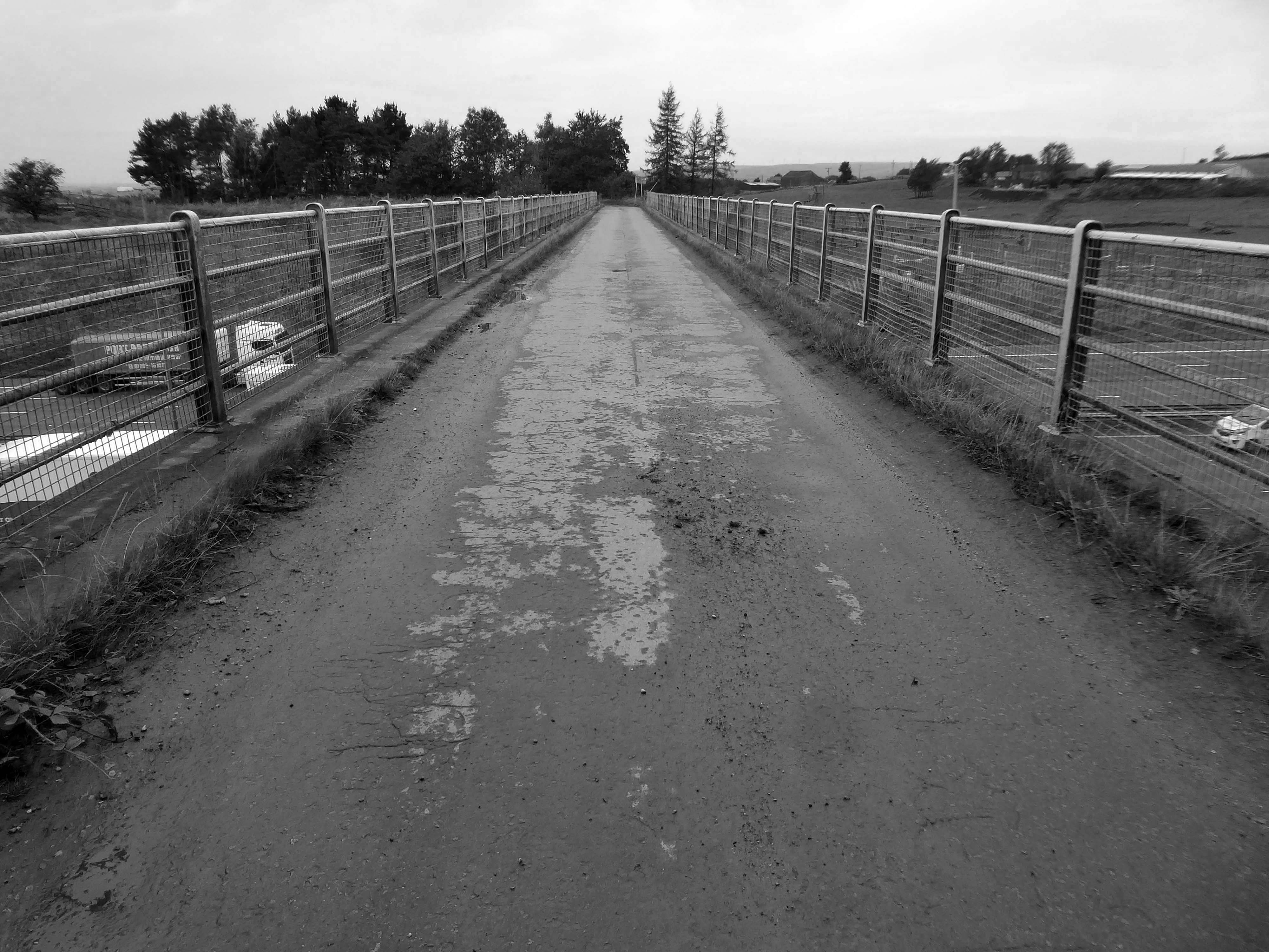
We were walking along Tunshill Lane on our way to the Piethorn Valley, our crossing of the M62 facilitated by this elegant road bridge.
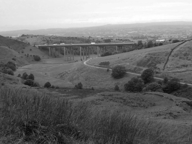
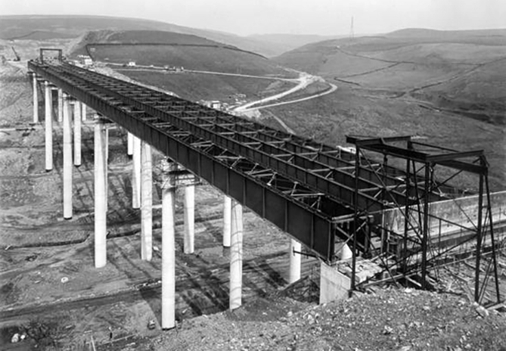
A notable structure between junctions 21 and 22 on the uphill section towards Windy Hill is the Rakewood Viaduct which carries the road over the Longden End Brook.
The viaduct is 280 yards long and 140 ft above the valley floor. It was built in 1966 by Reed & Mallik and opened to motorway traffic in October 1971. It has a sister bridge, the Gathurst Viaduct in Wigan, which carries the M6 motorway over the Leeds & Liverpool Canal, the Manchester-Southport line and the River Douglas and was constructed before the Rakewood Viaduct.
The steelwork deck was subcontracted to Robert Watson Steelwork of Bolton.
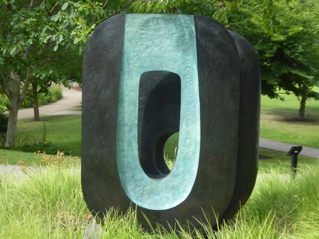
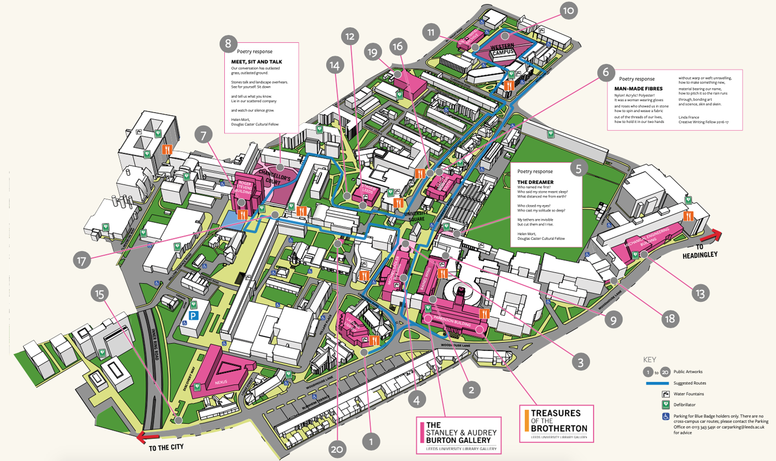
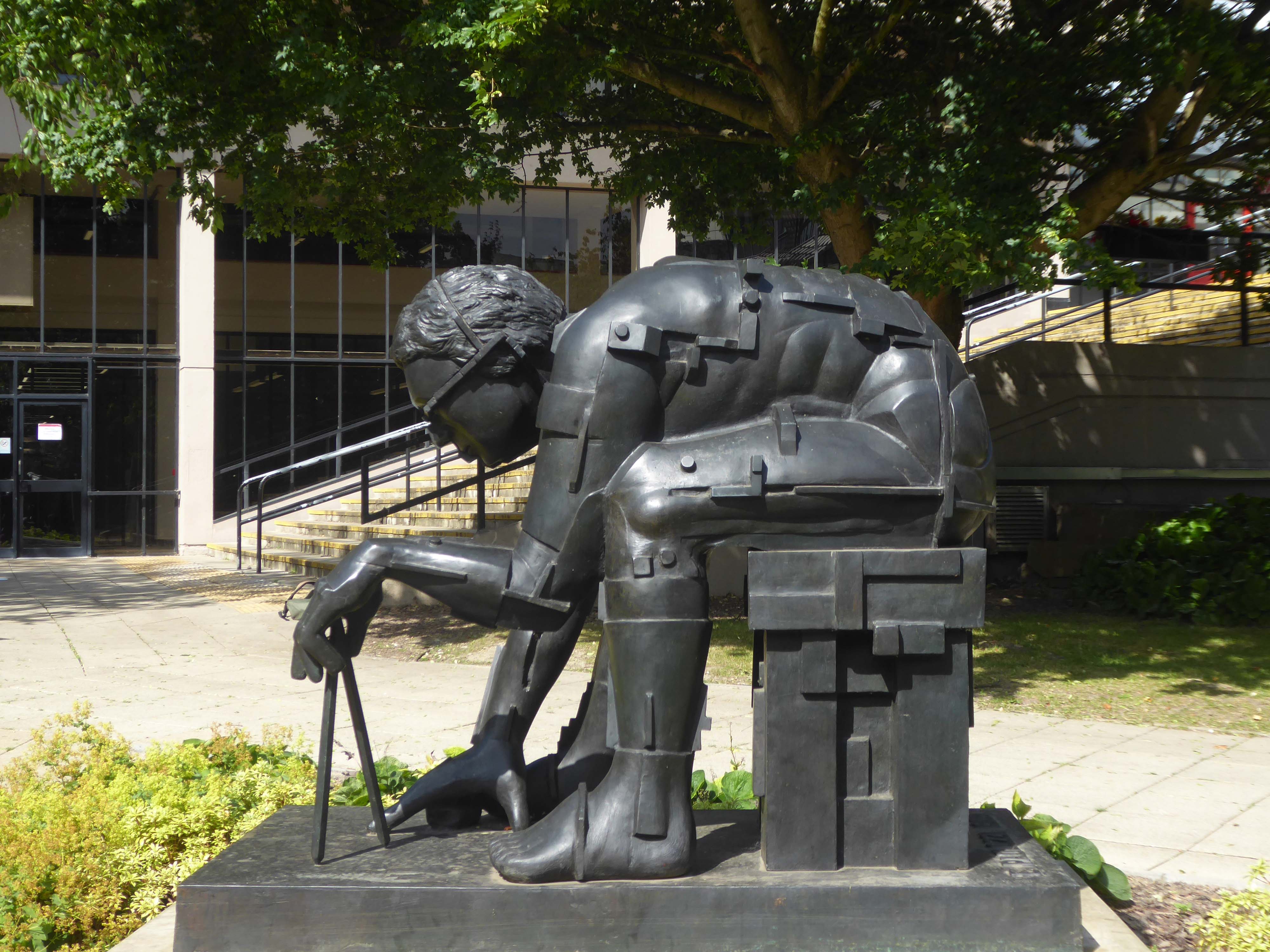
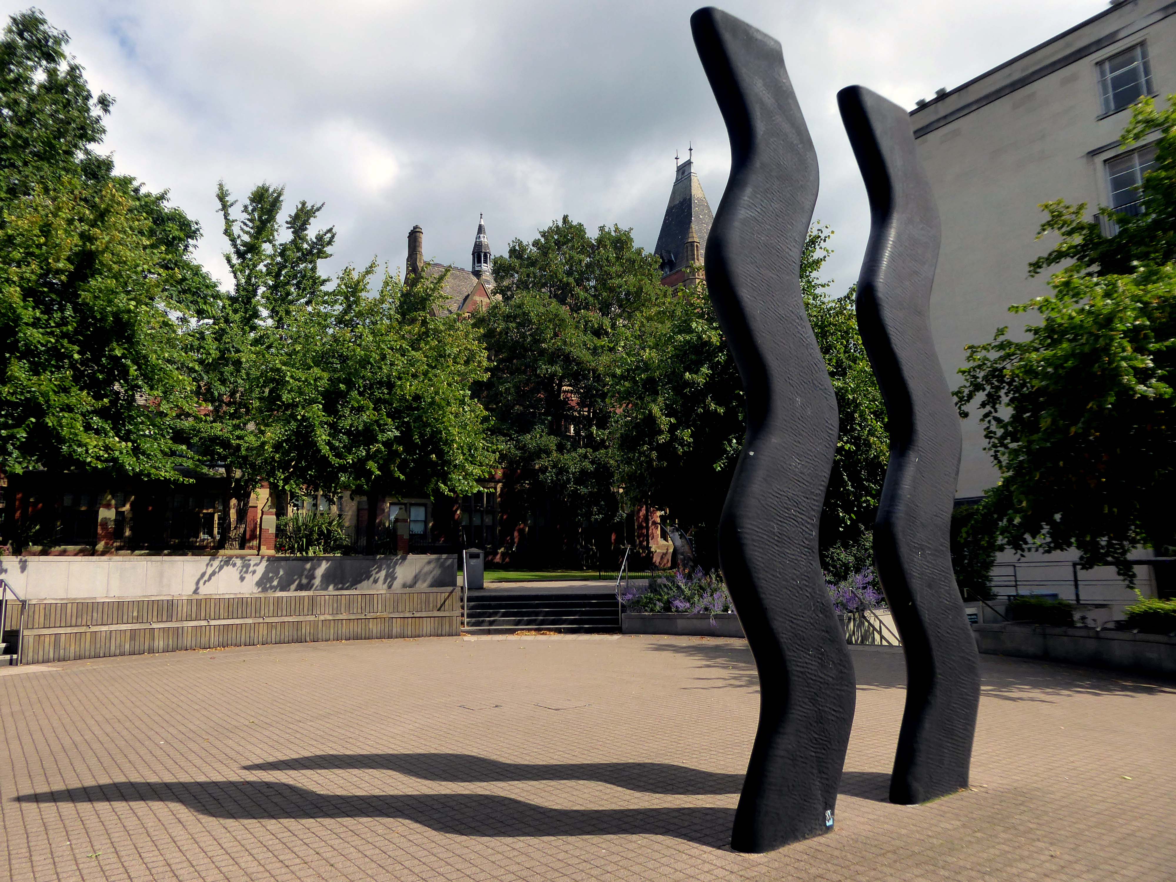
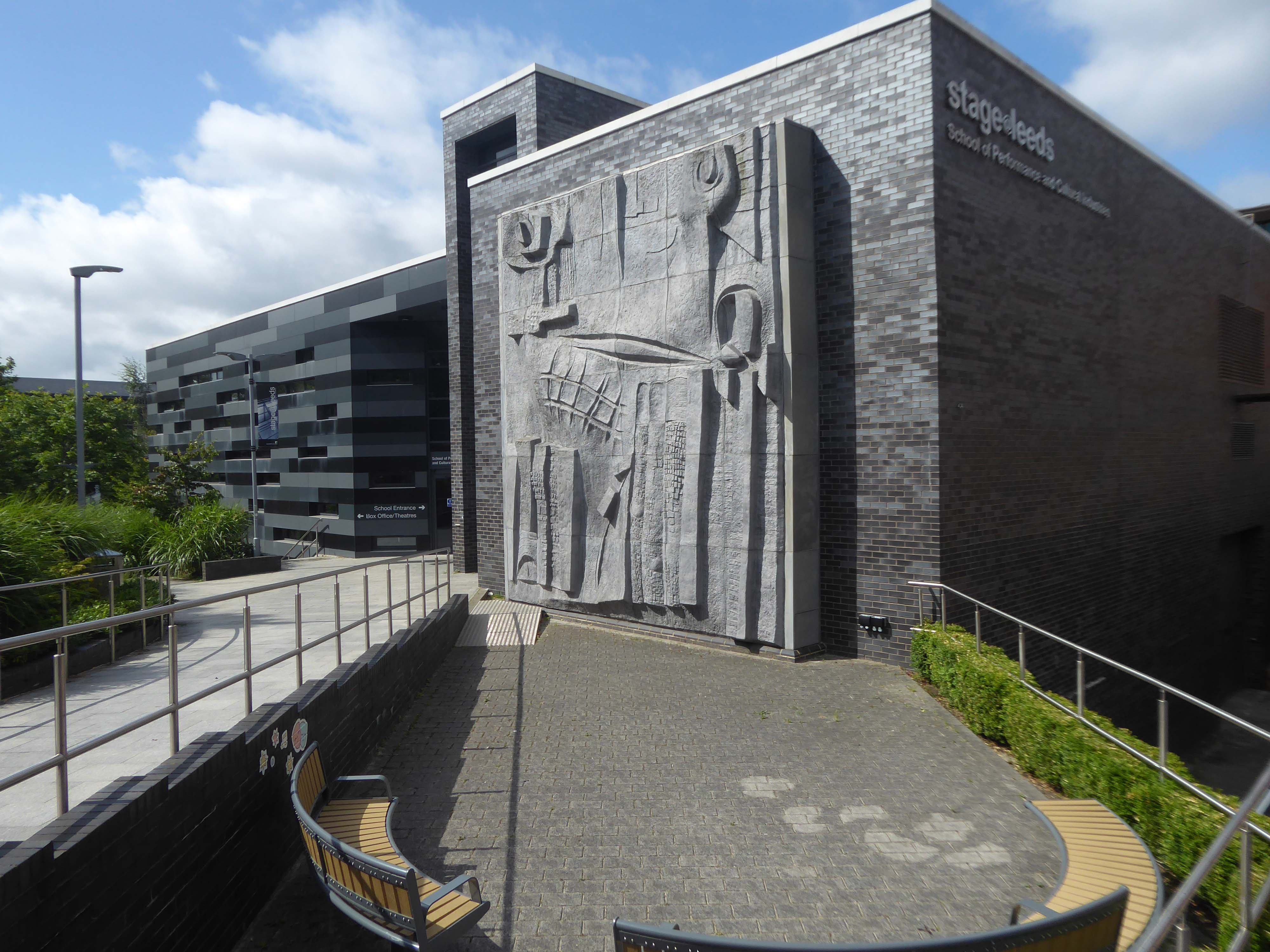
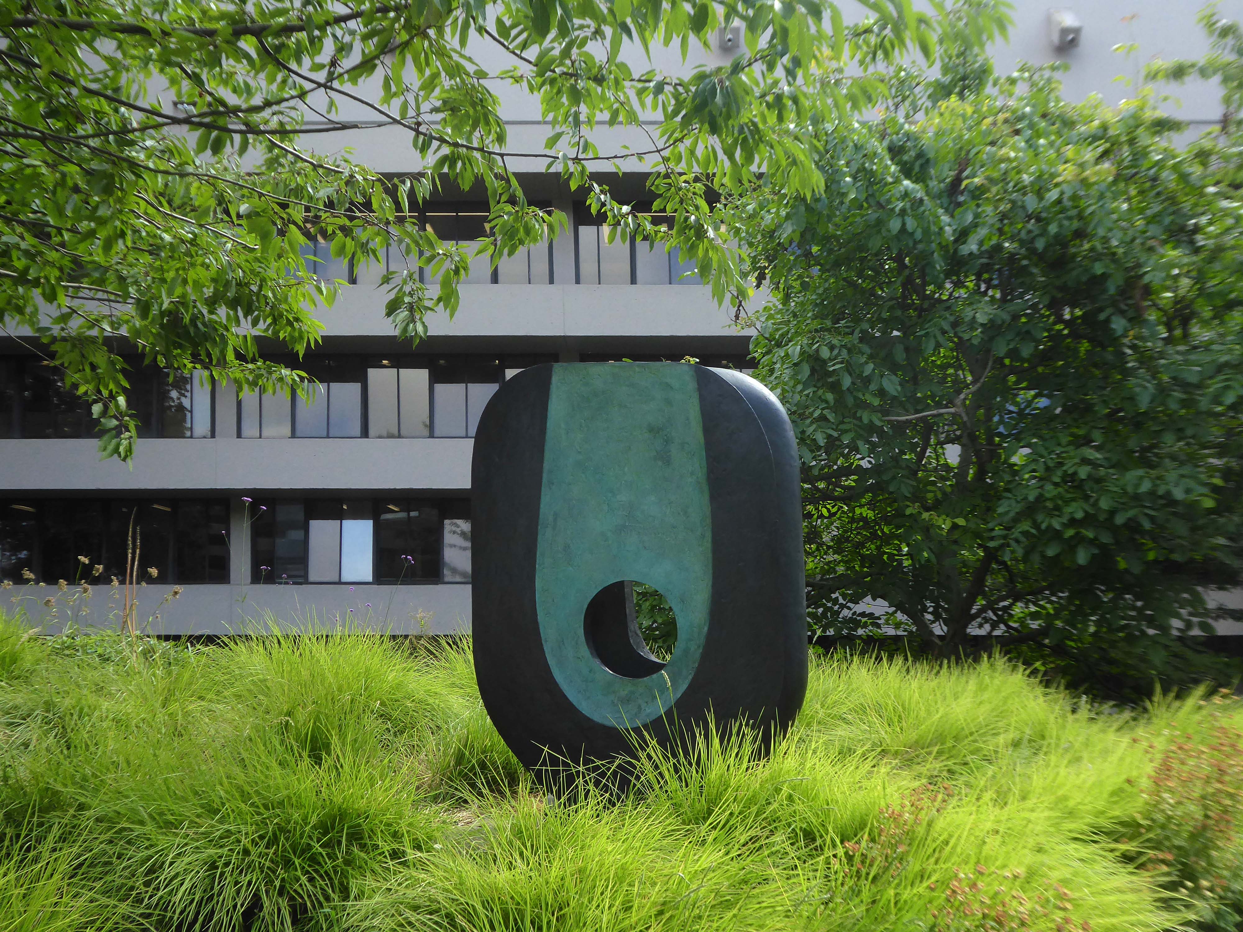
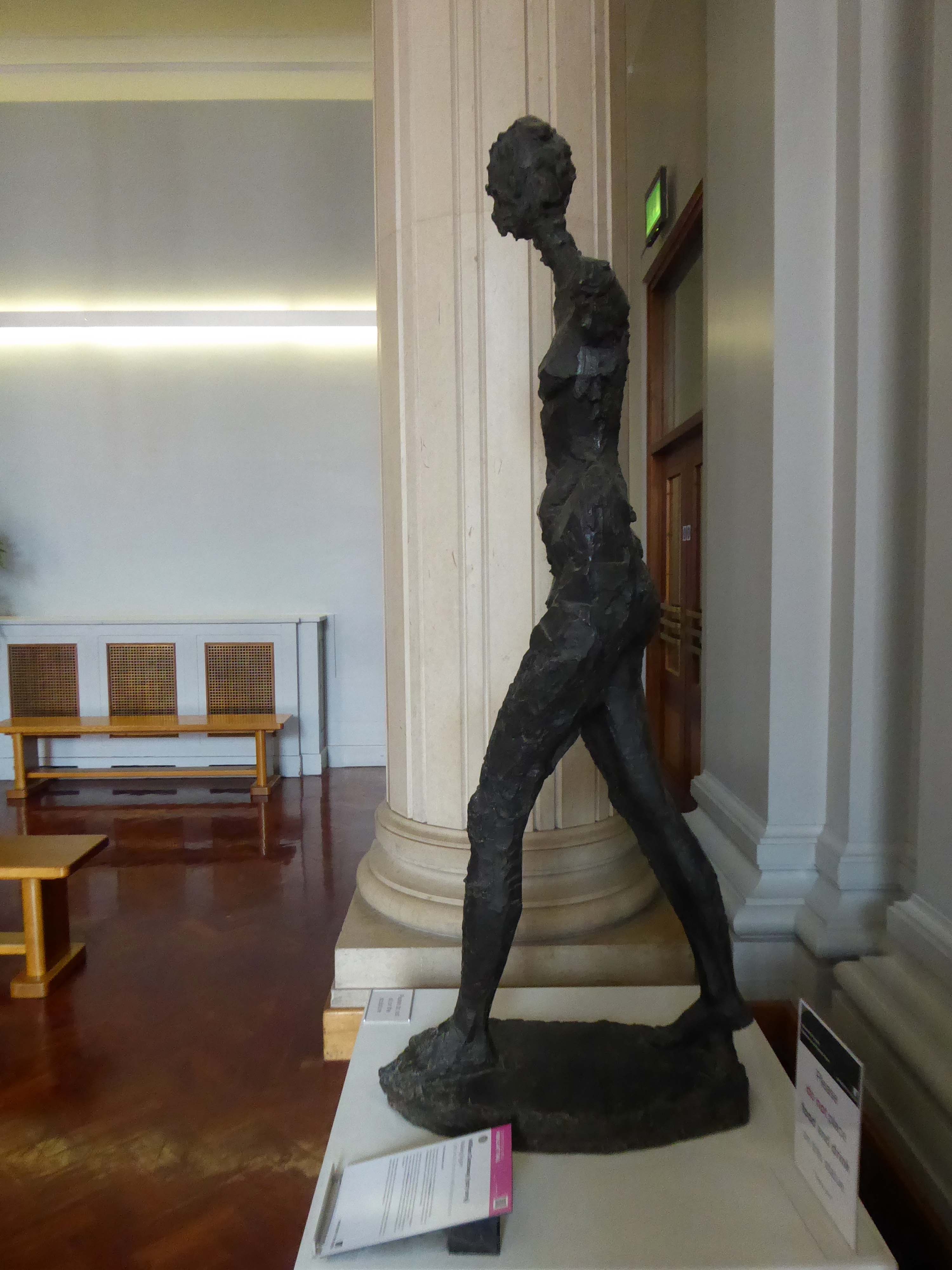
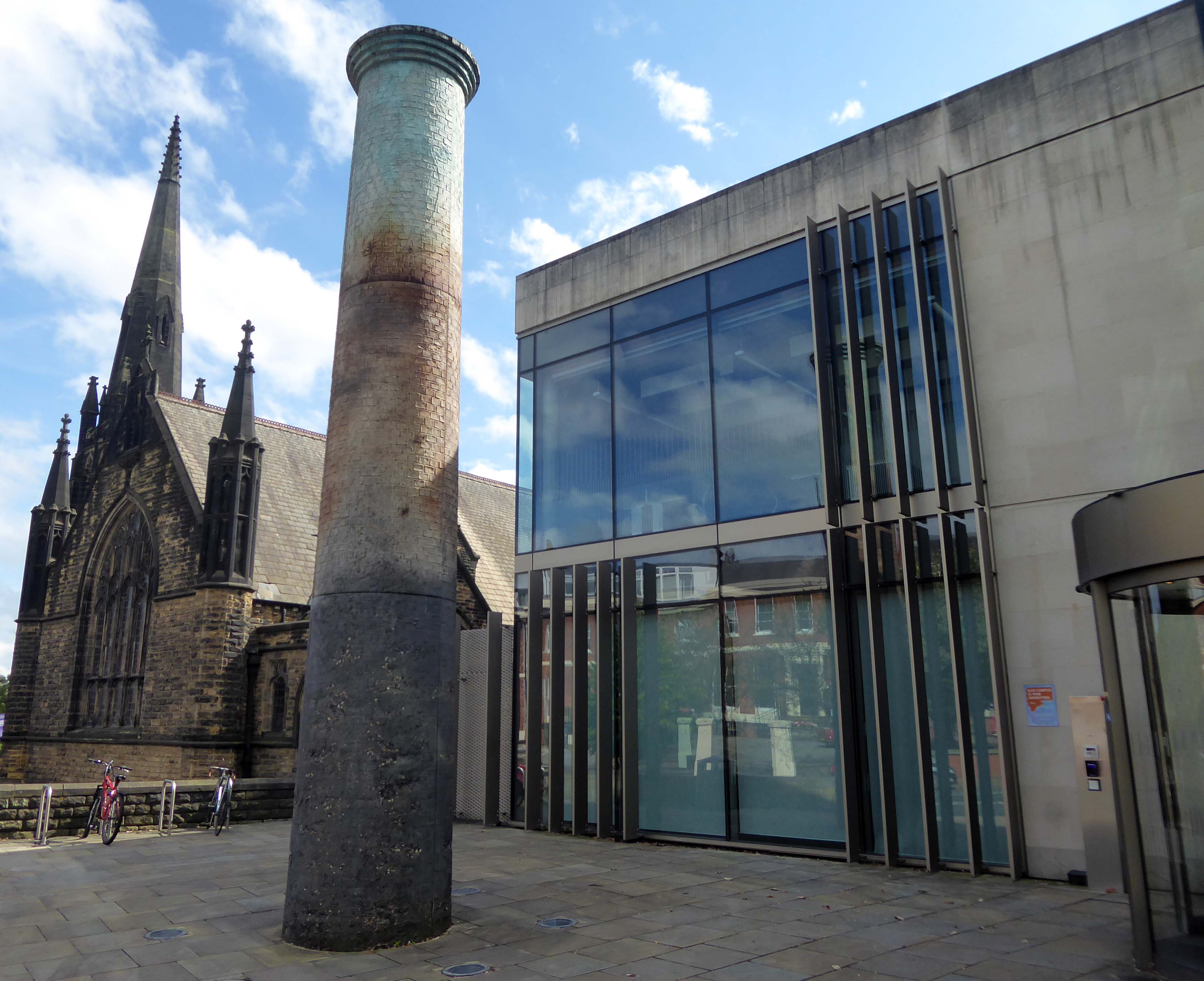
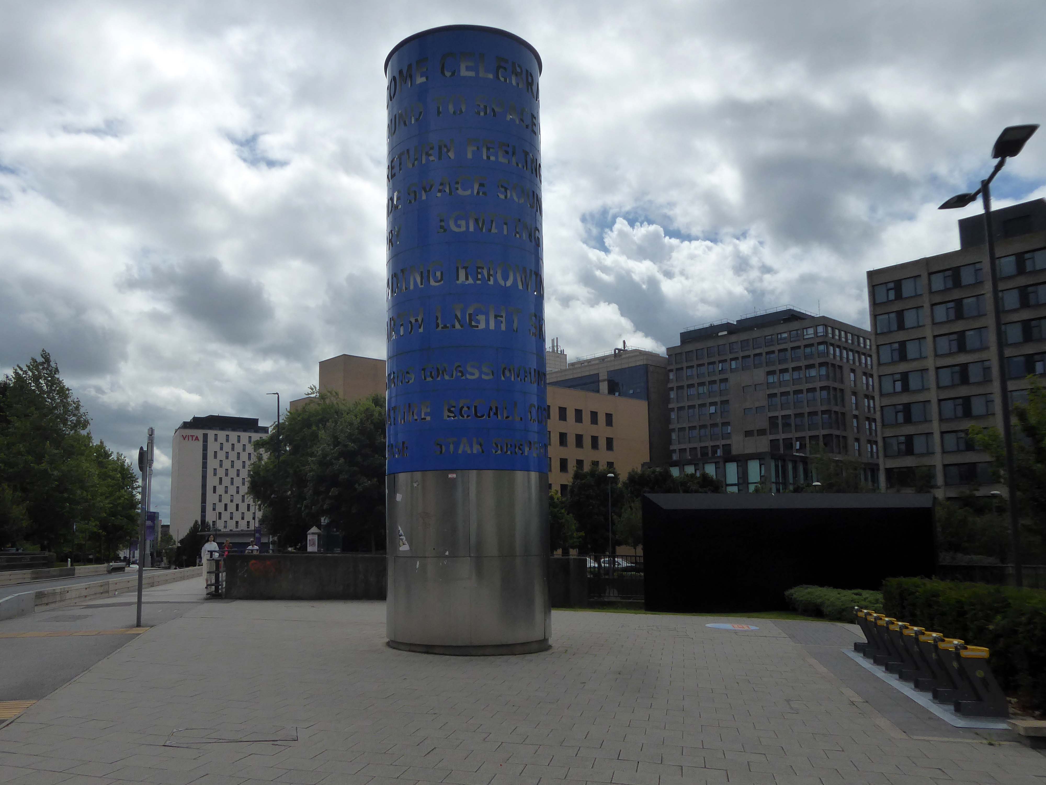
The University of Leeds has a long established collection of public art, this has now been formalised into an Art Trail around the campus. Each of the pieces on this largely accessible display, has a QR code with a supporting audio tour, along with an information panel.
Printed guides are also available from the Stanley & Audrey Burton Gallery, or online here.
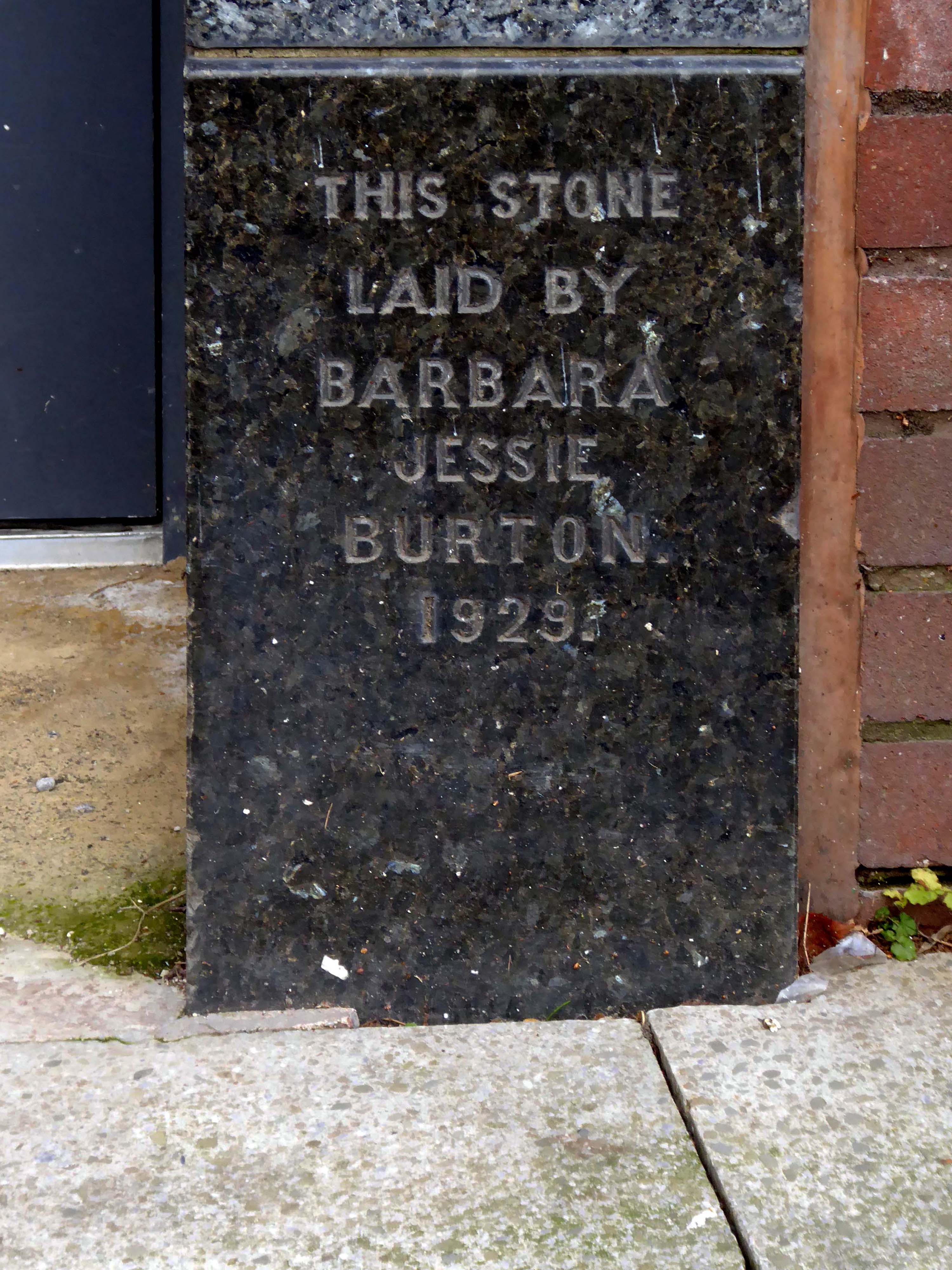
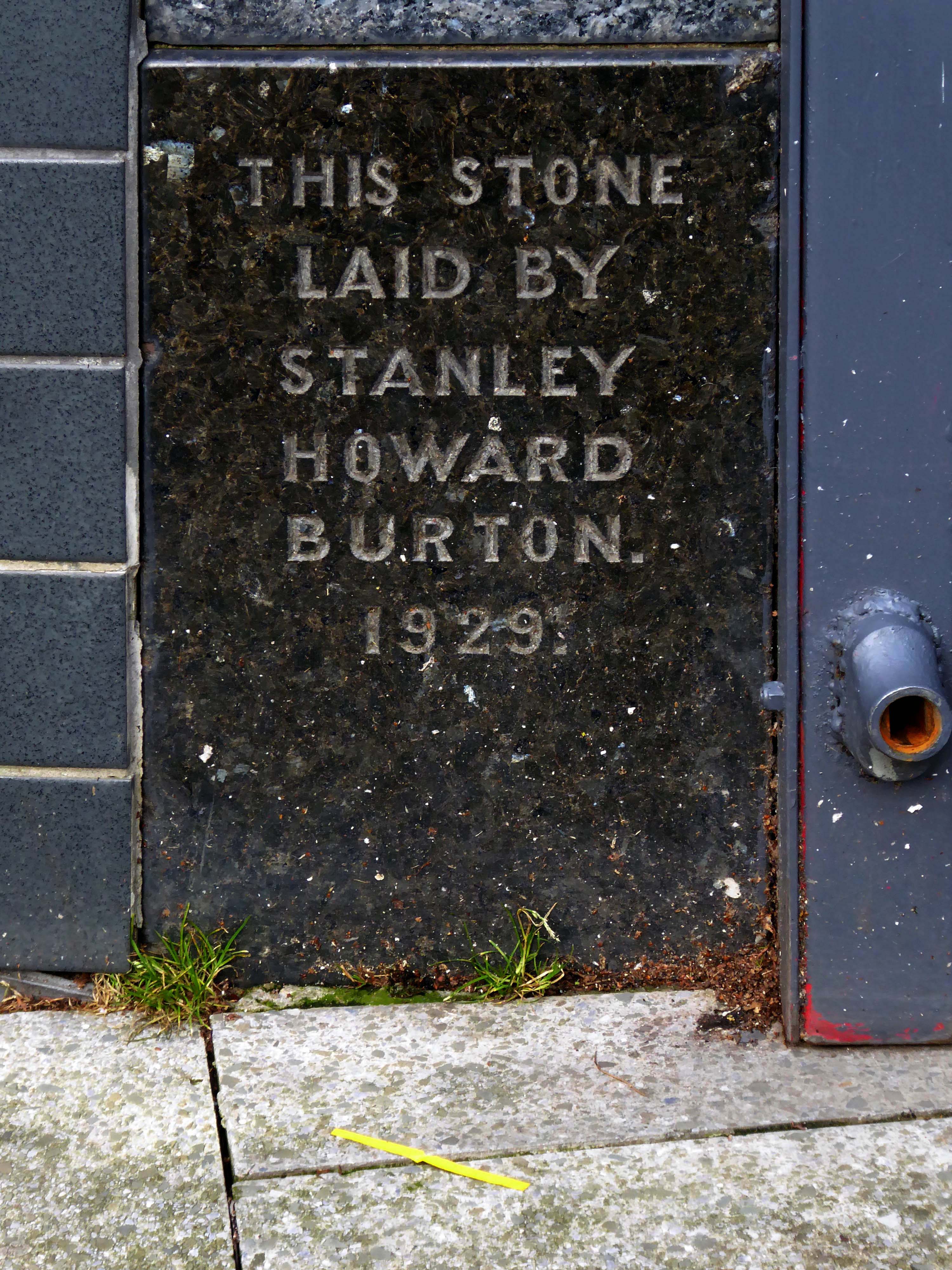
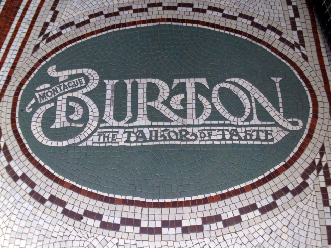
Burton’s – The Tailor of Taste, have long been benefactors of the collection – here’s a little of the company’s history.
Sir Michael Sadler, University Vice Chancellor 1911-1923, was instrumental in developing an interest in Modernist art, through his own collection.
Sadler felt that a student’s education was greatly enhanced by a cultured and harmonious environment. He set about creating such an environment through the public display of pictures from his collection.
Take some time to wander around and consider the works in context, set against two centuries of architectural style and fashion, along with generous open and green spaces.
You can devise your own route around the trail, this is mine.
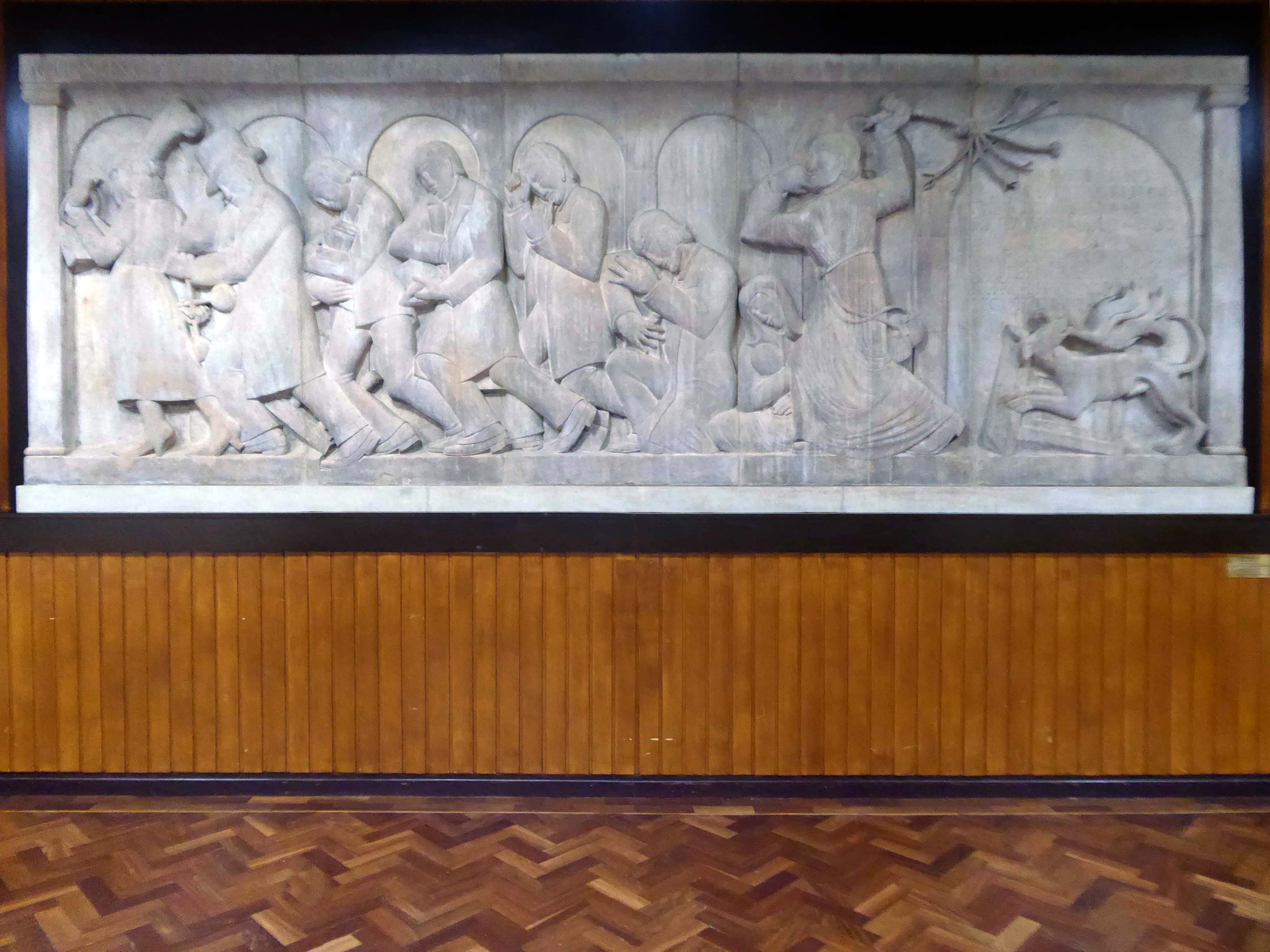
#4 Christ Driving The Moneylenders From the Temple – Eric Gill
The trustees operate within these two positions: we absolutely condemn Eric Gill’s abuse of his daughters with no attempt to hide, excuse, normalise or minimise, yet we also have a duty to protect, display and interpret the art work we hold in our collections.
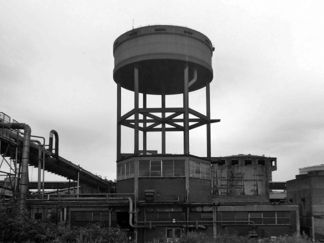
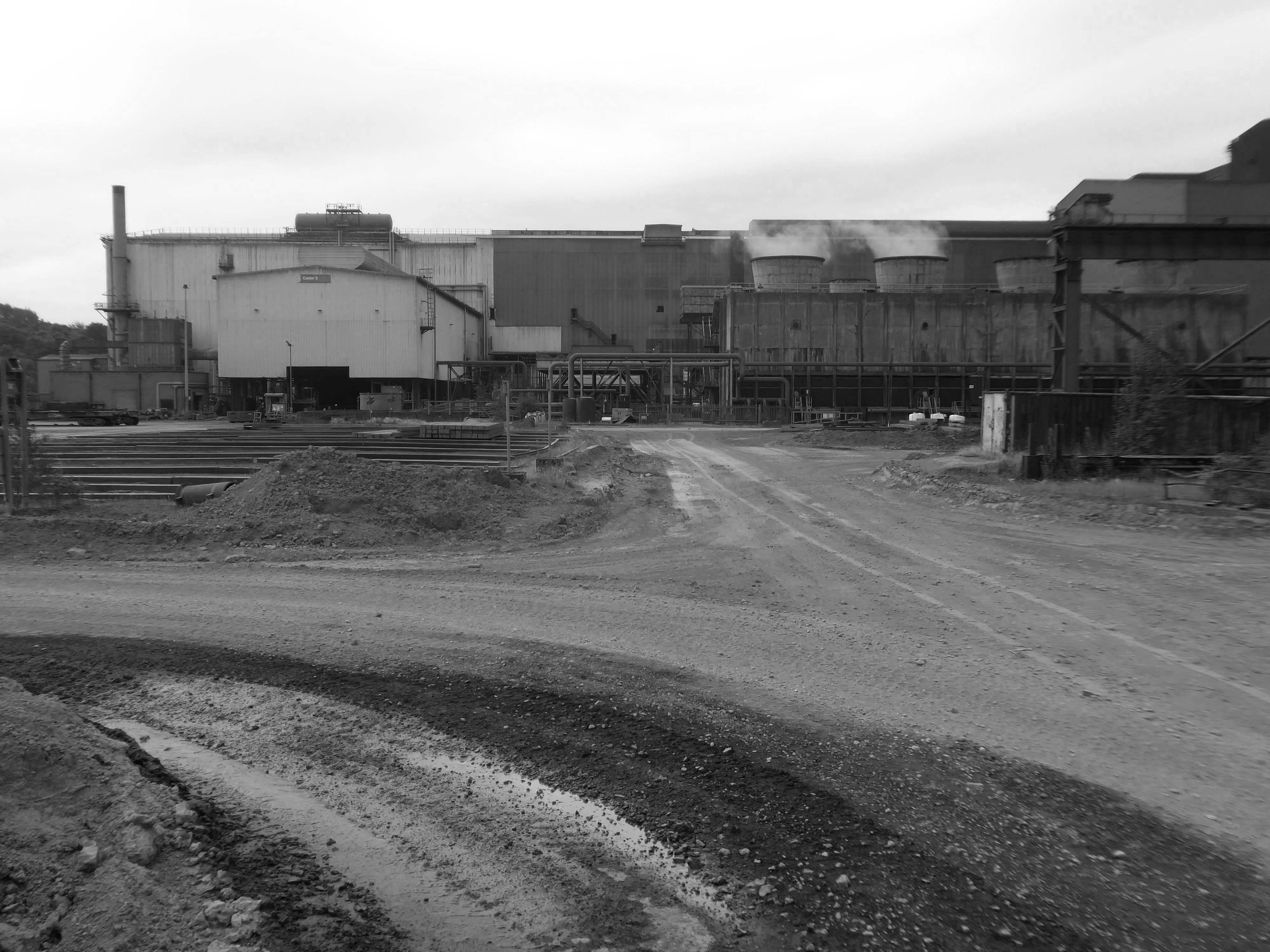
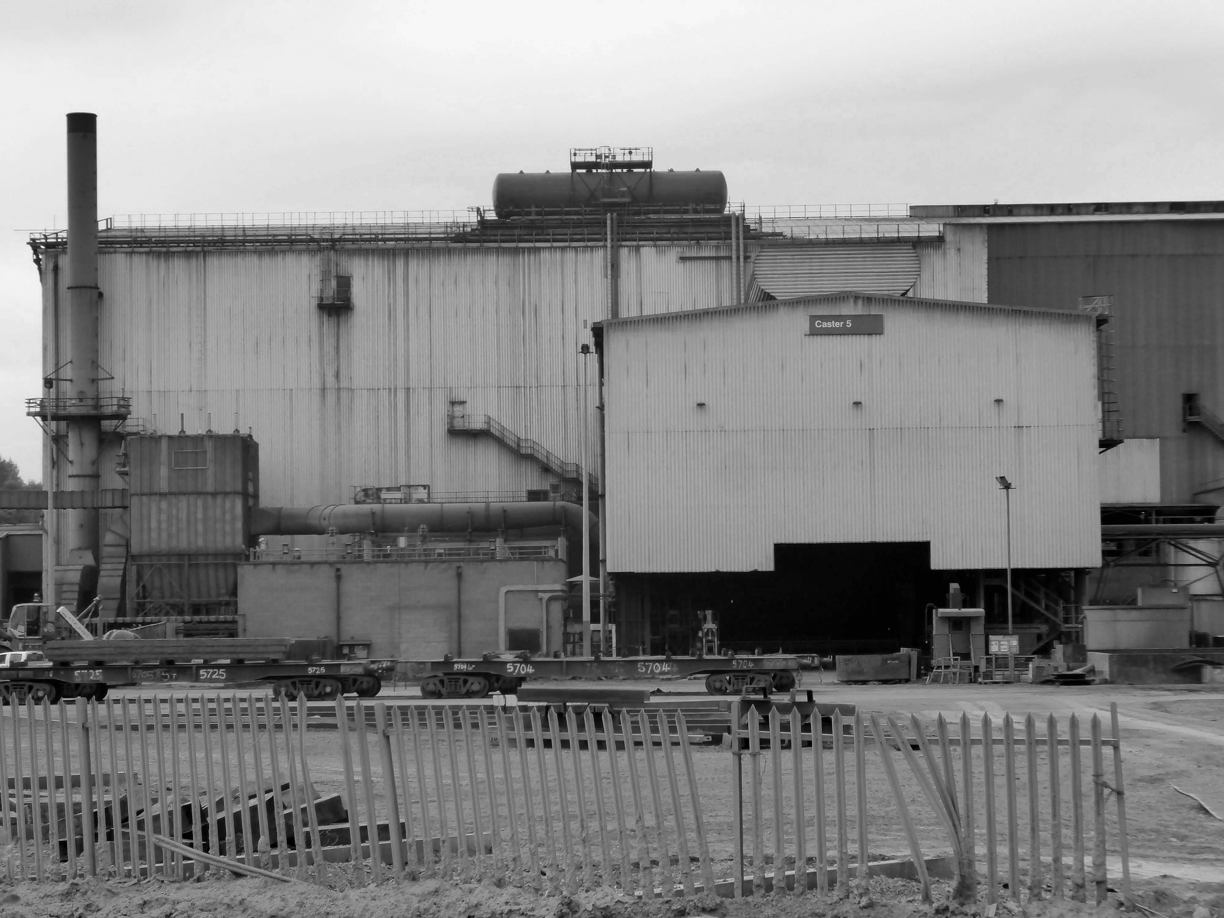
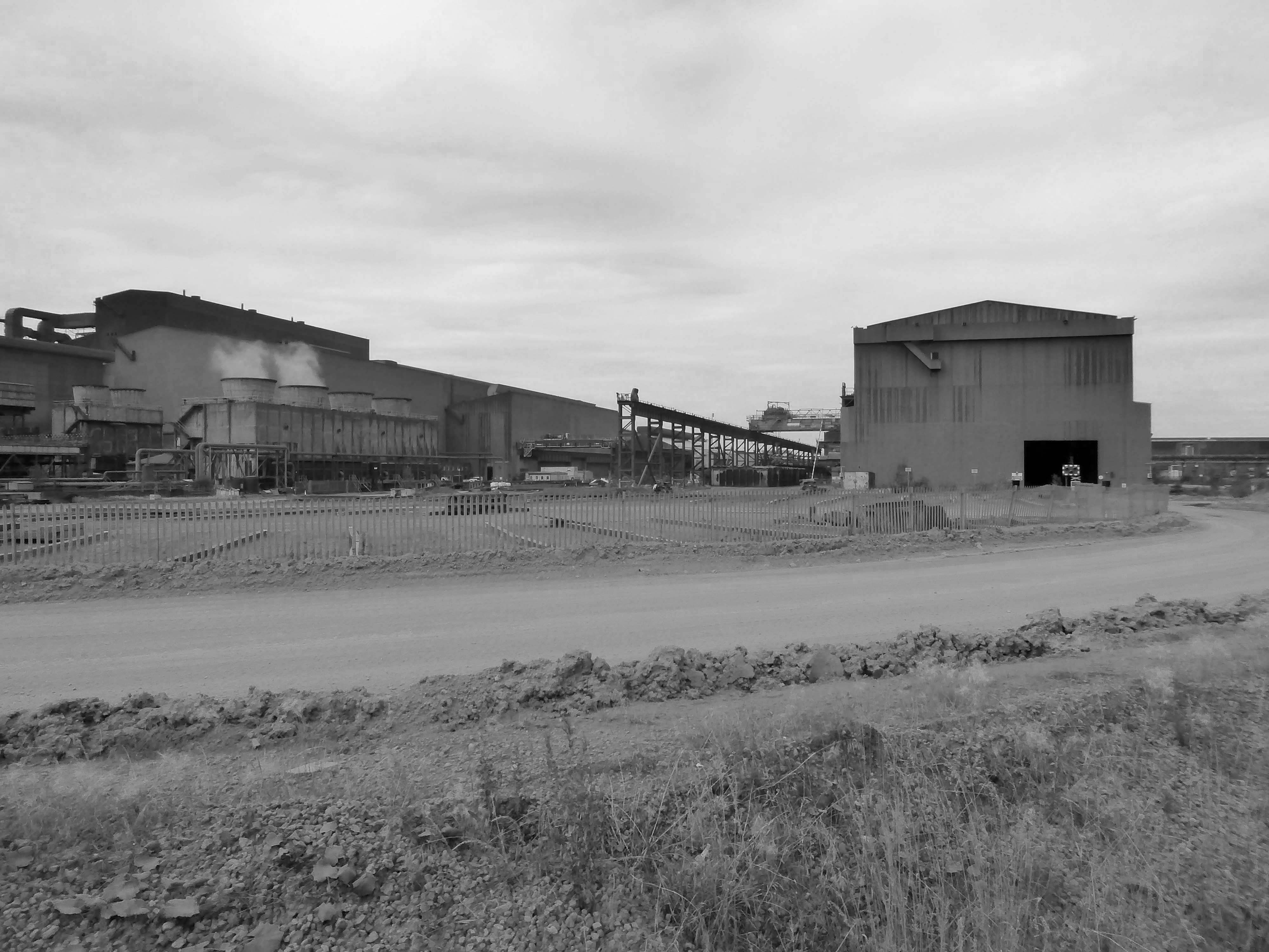
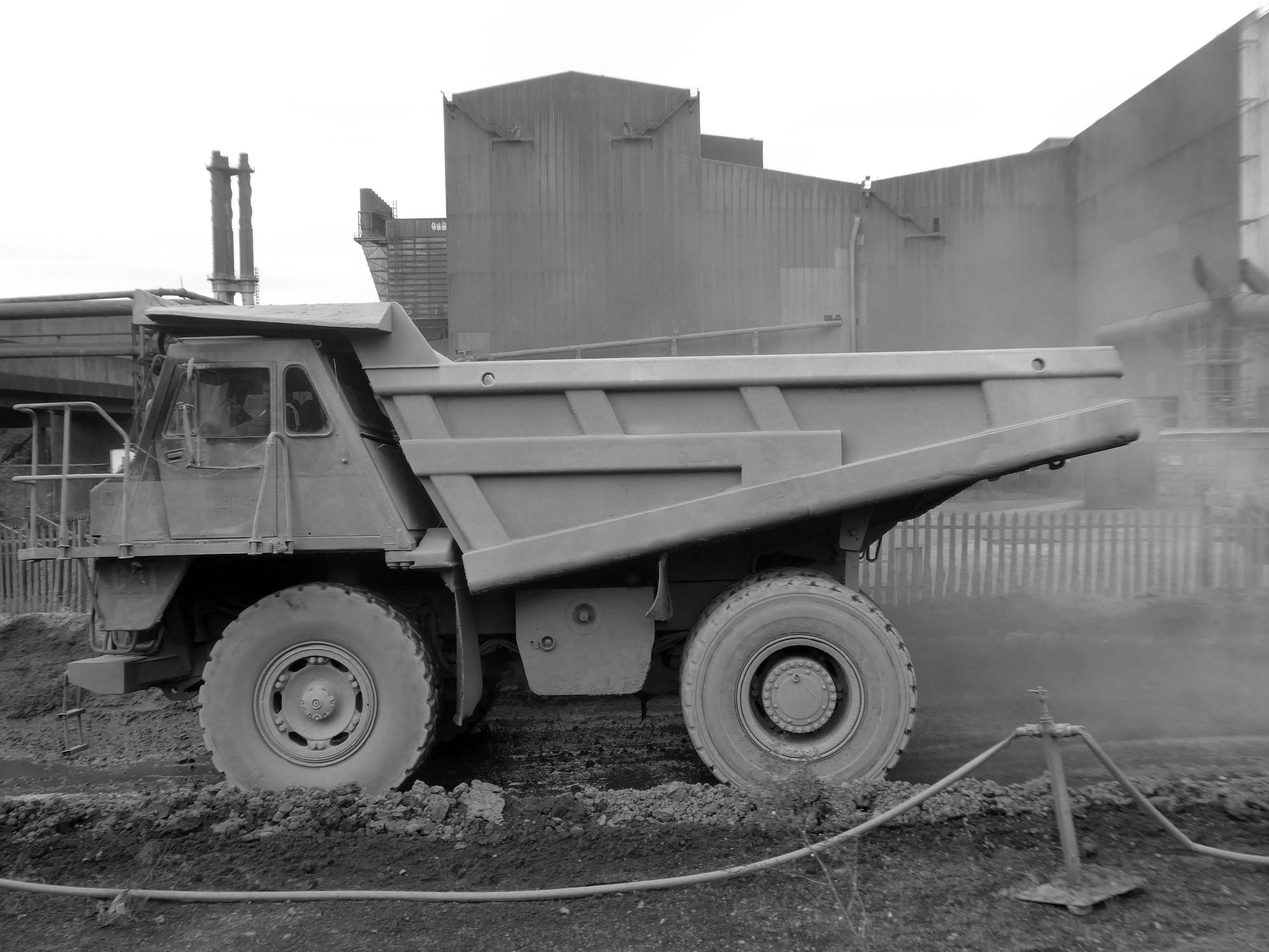
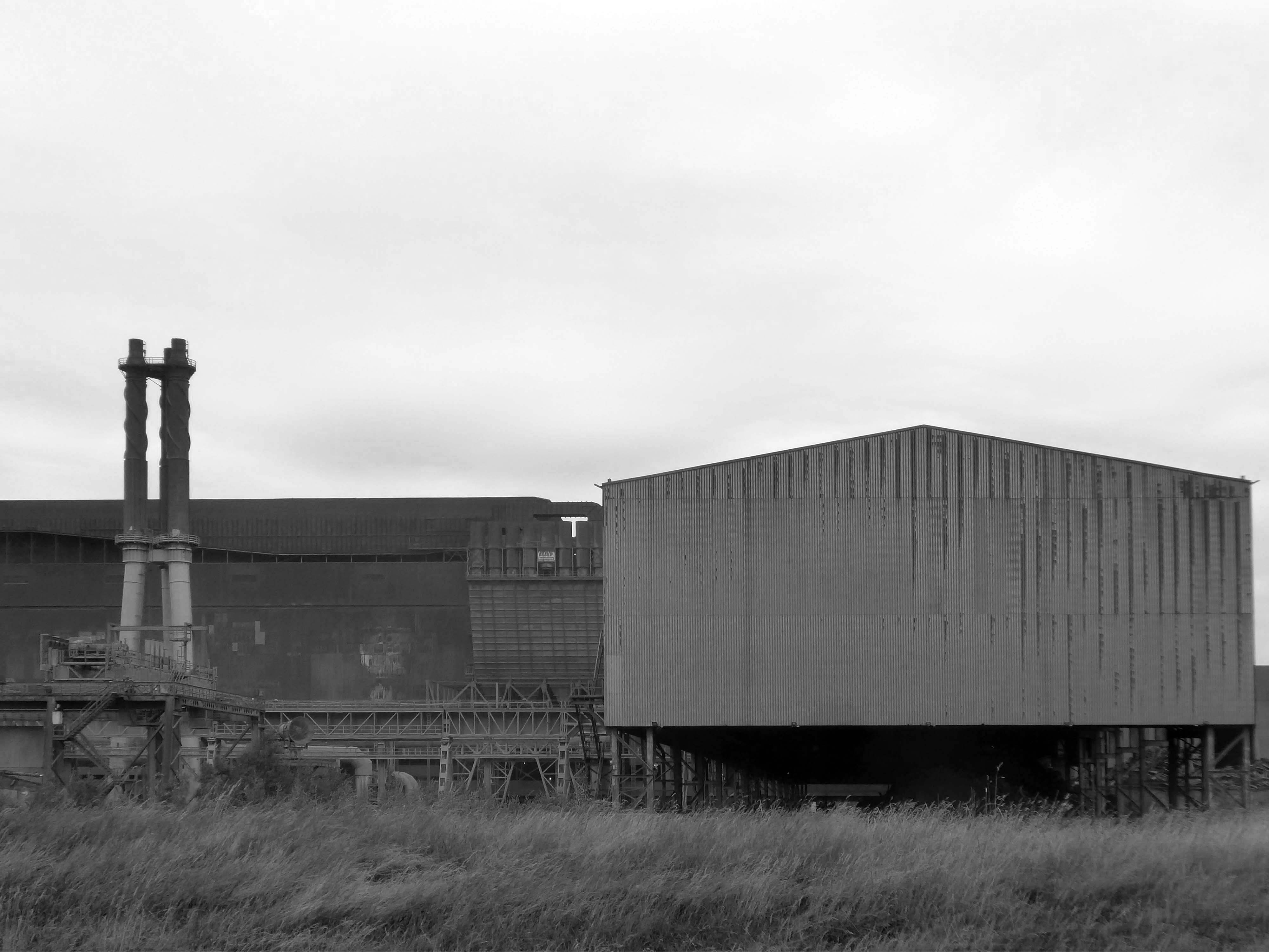
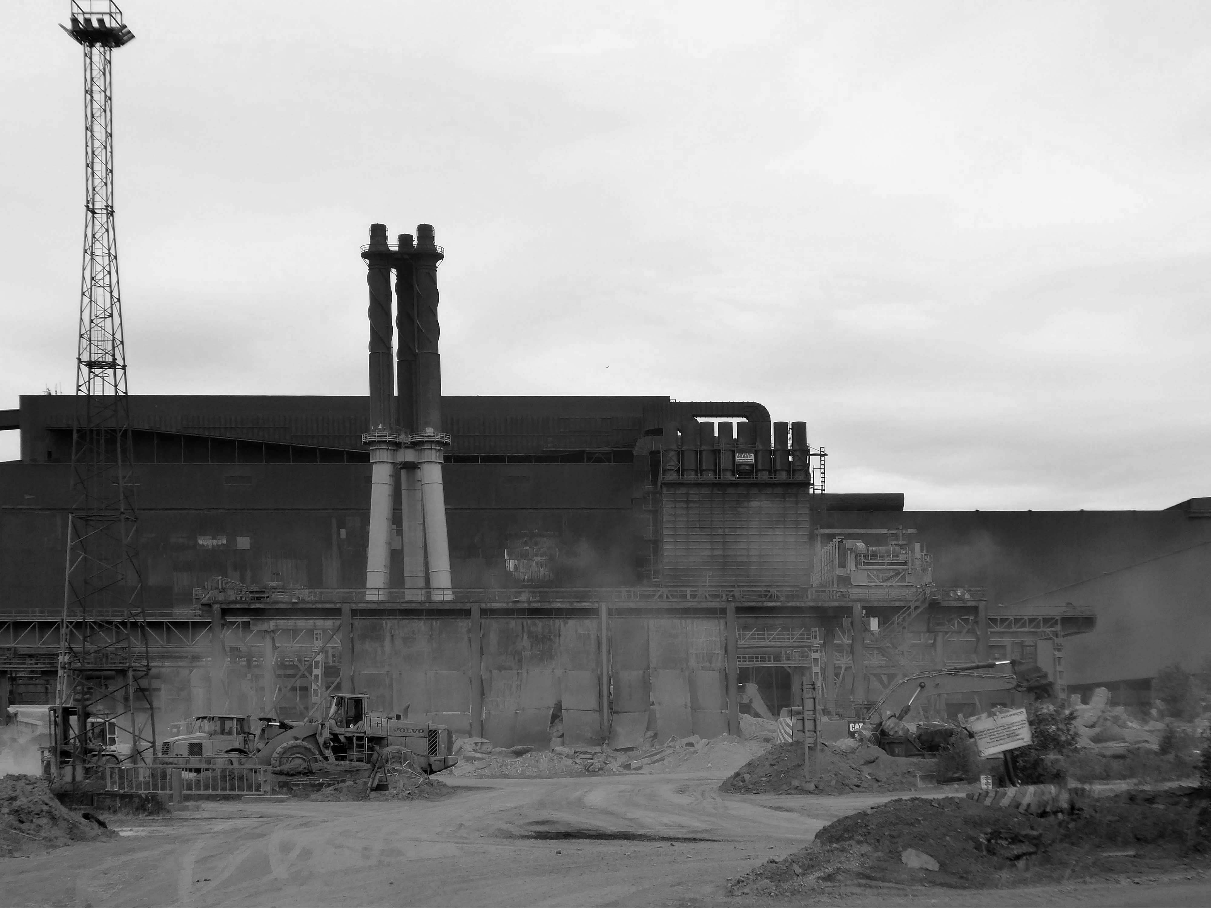
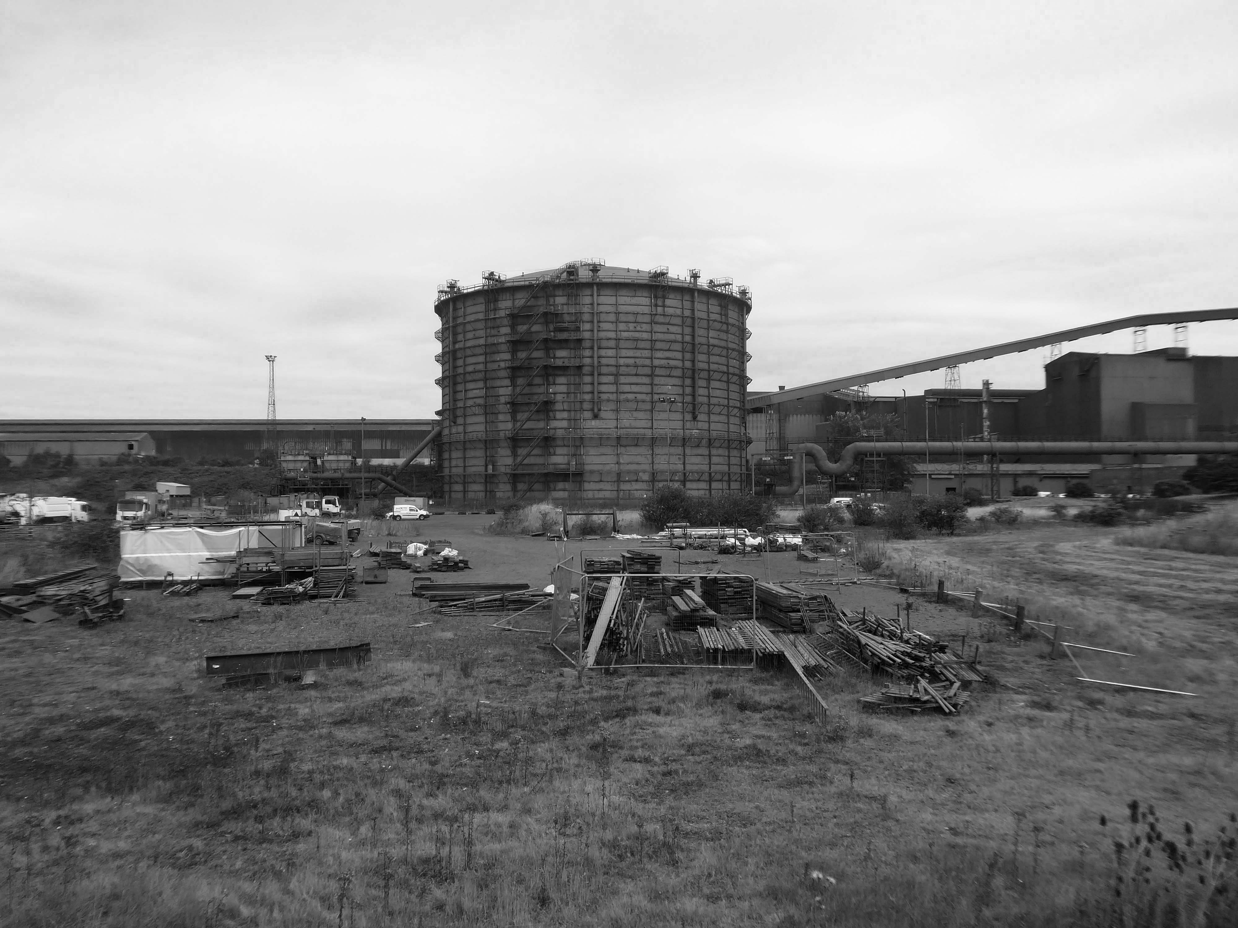
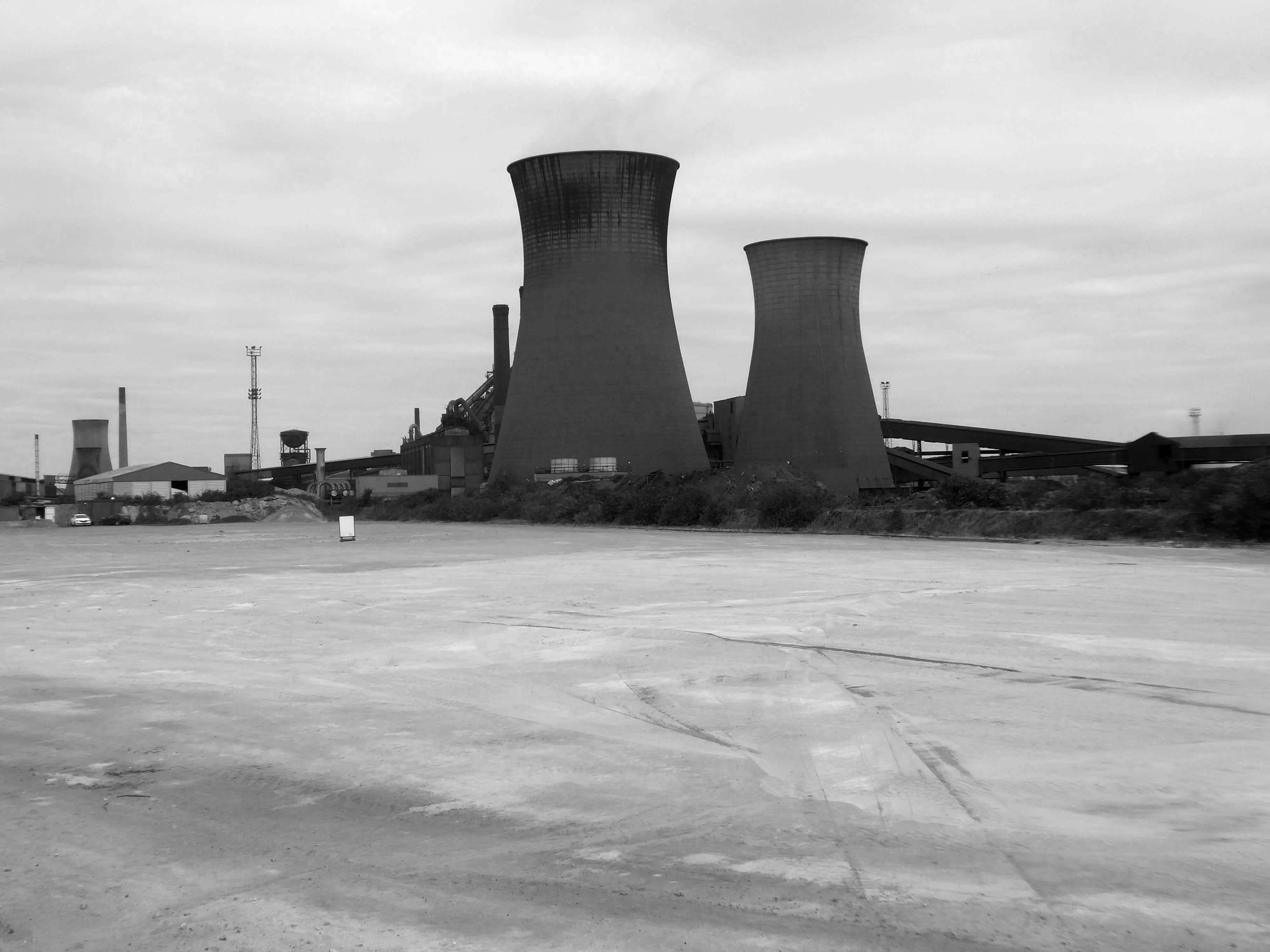
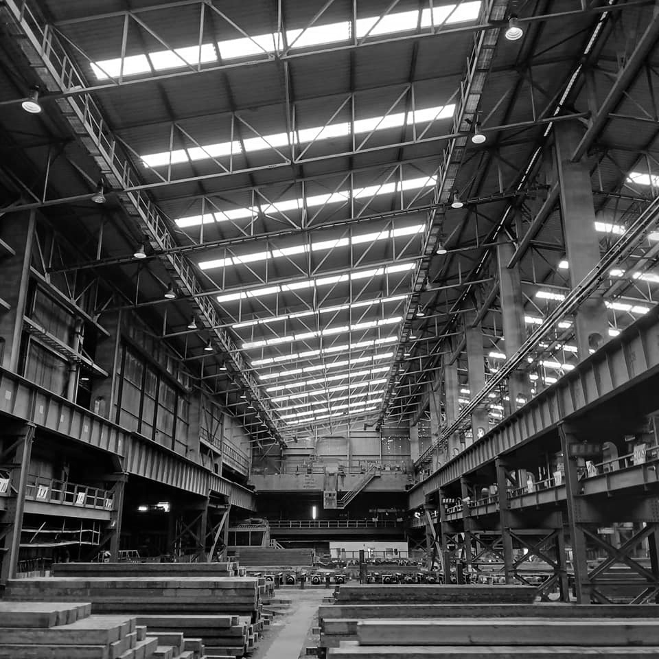
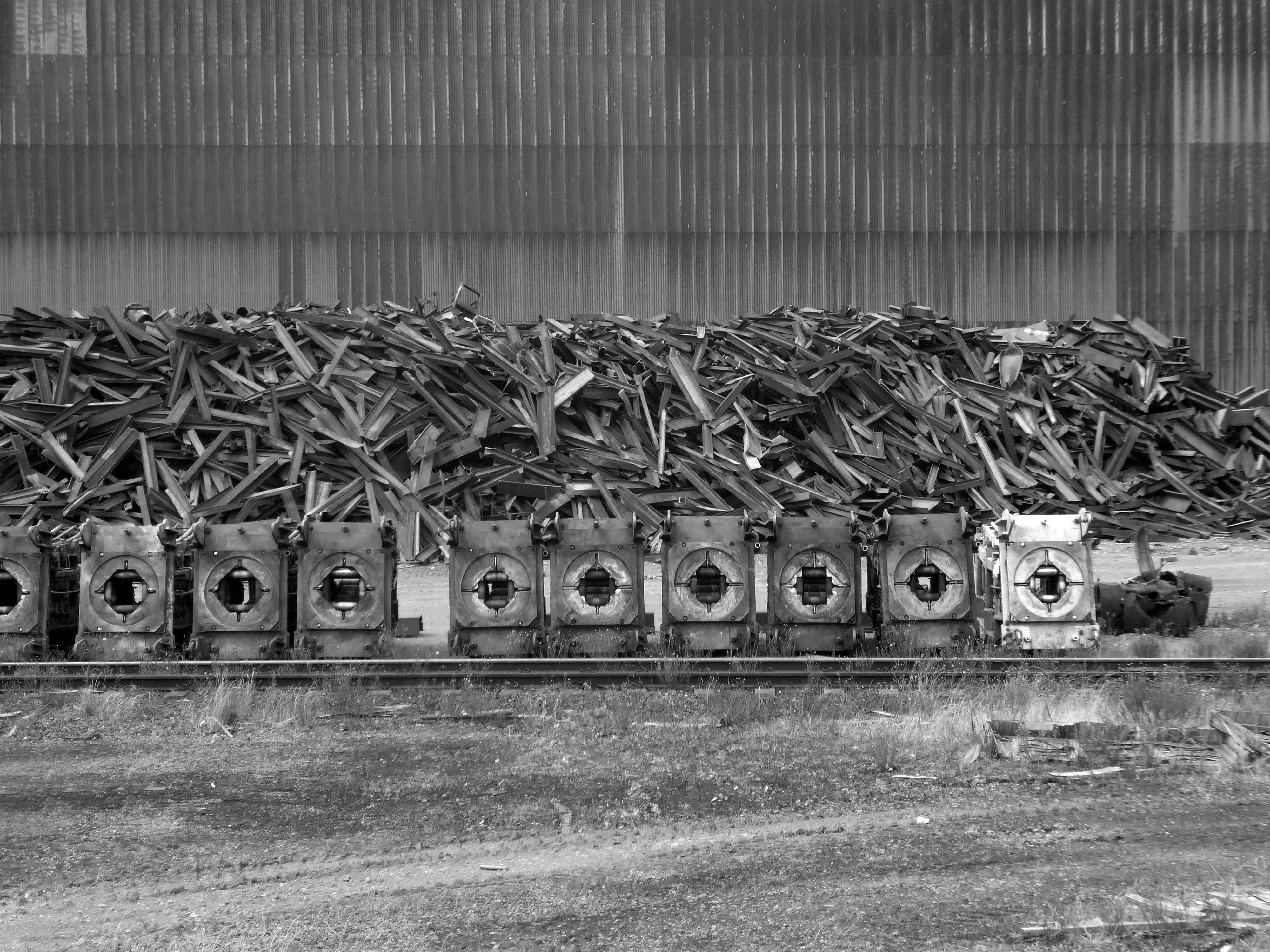
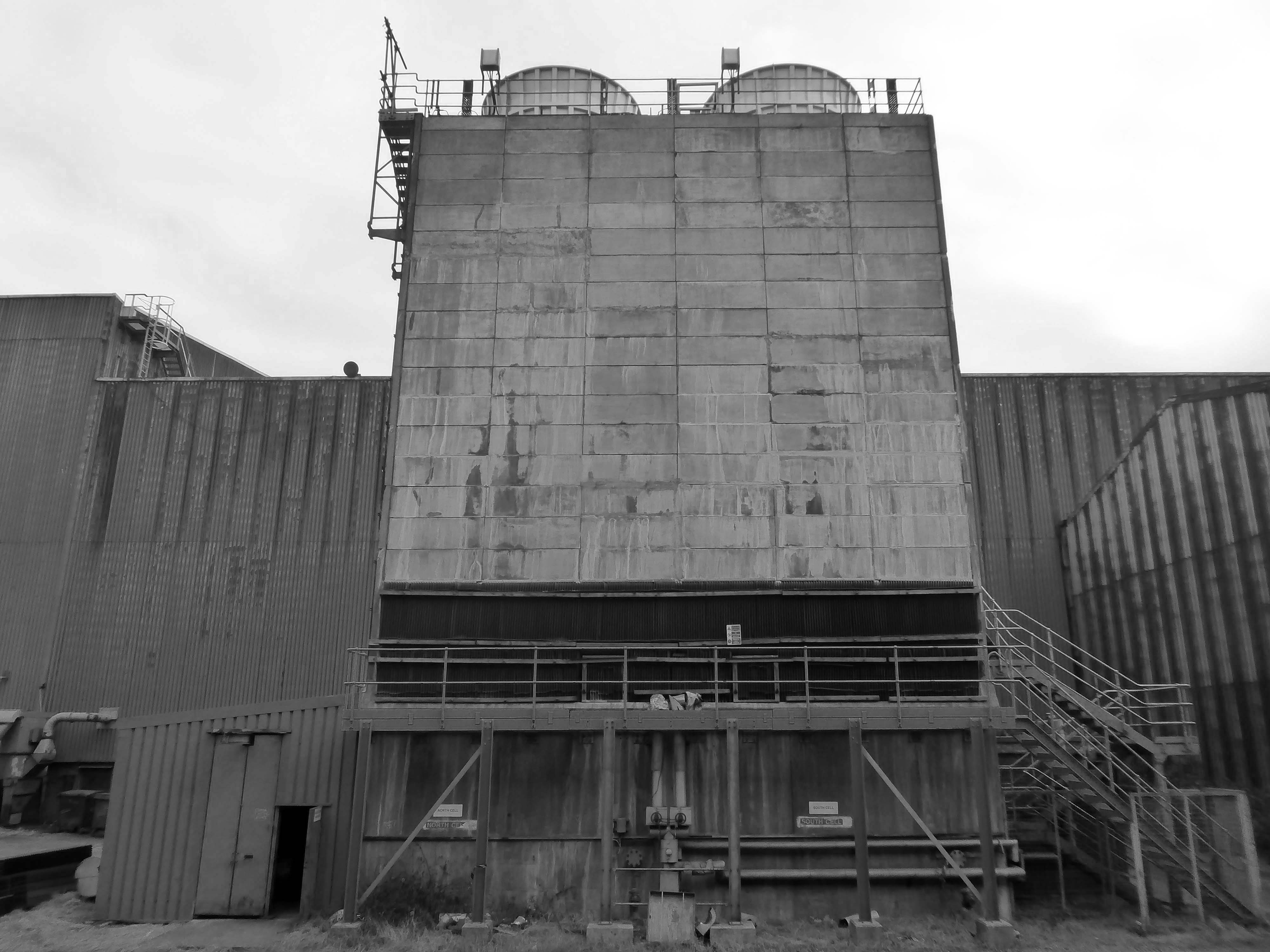
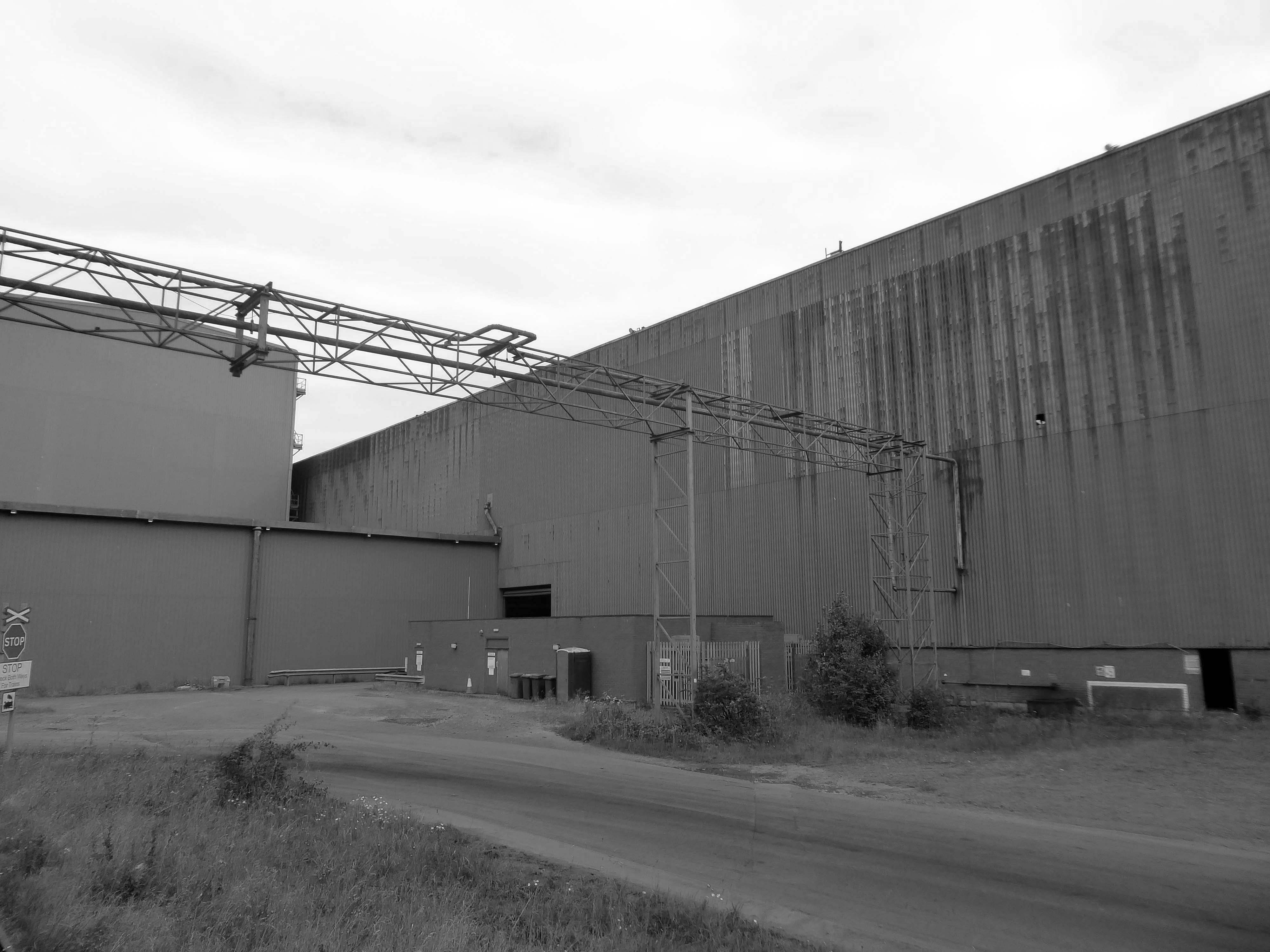
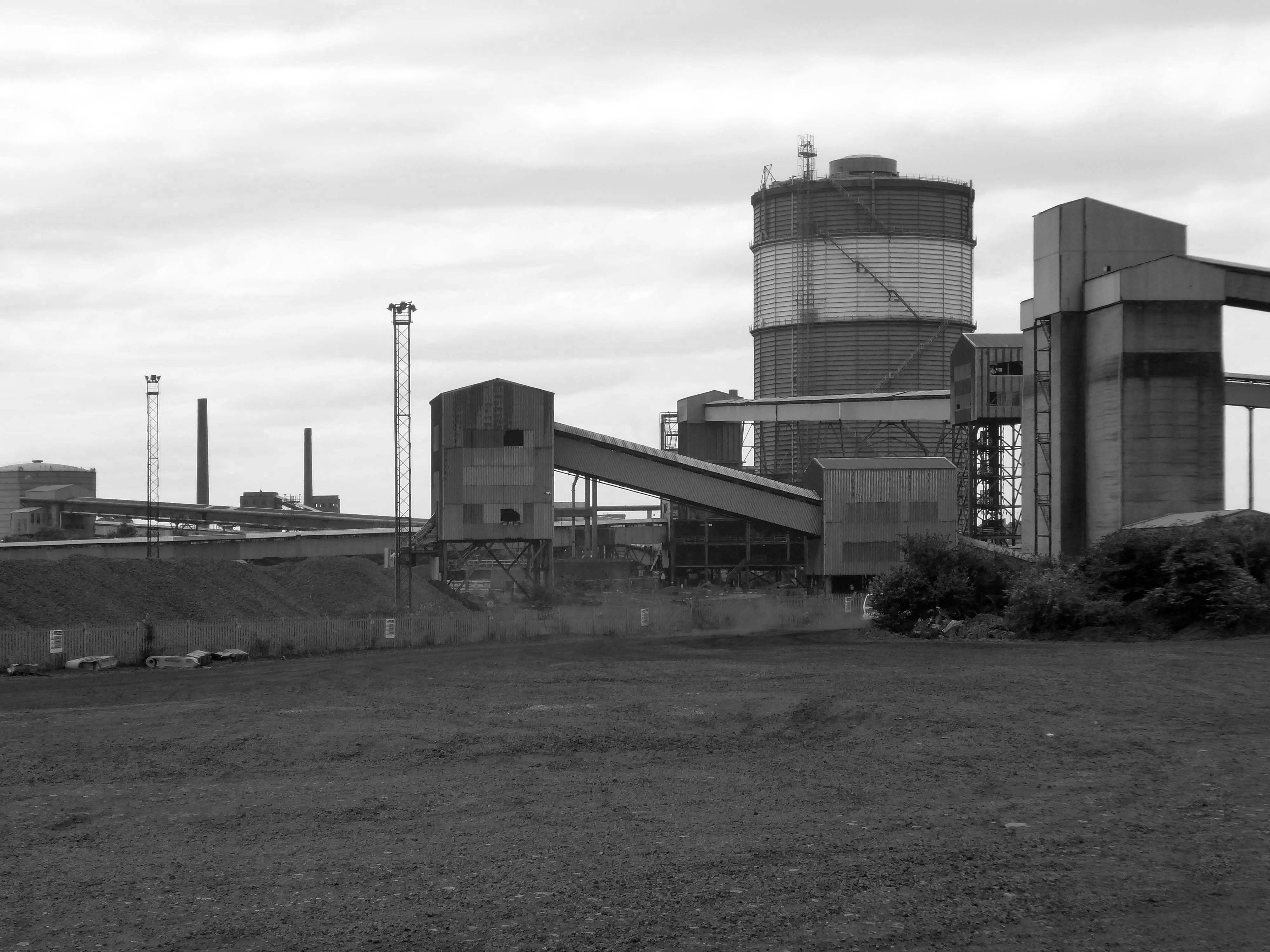
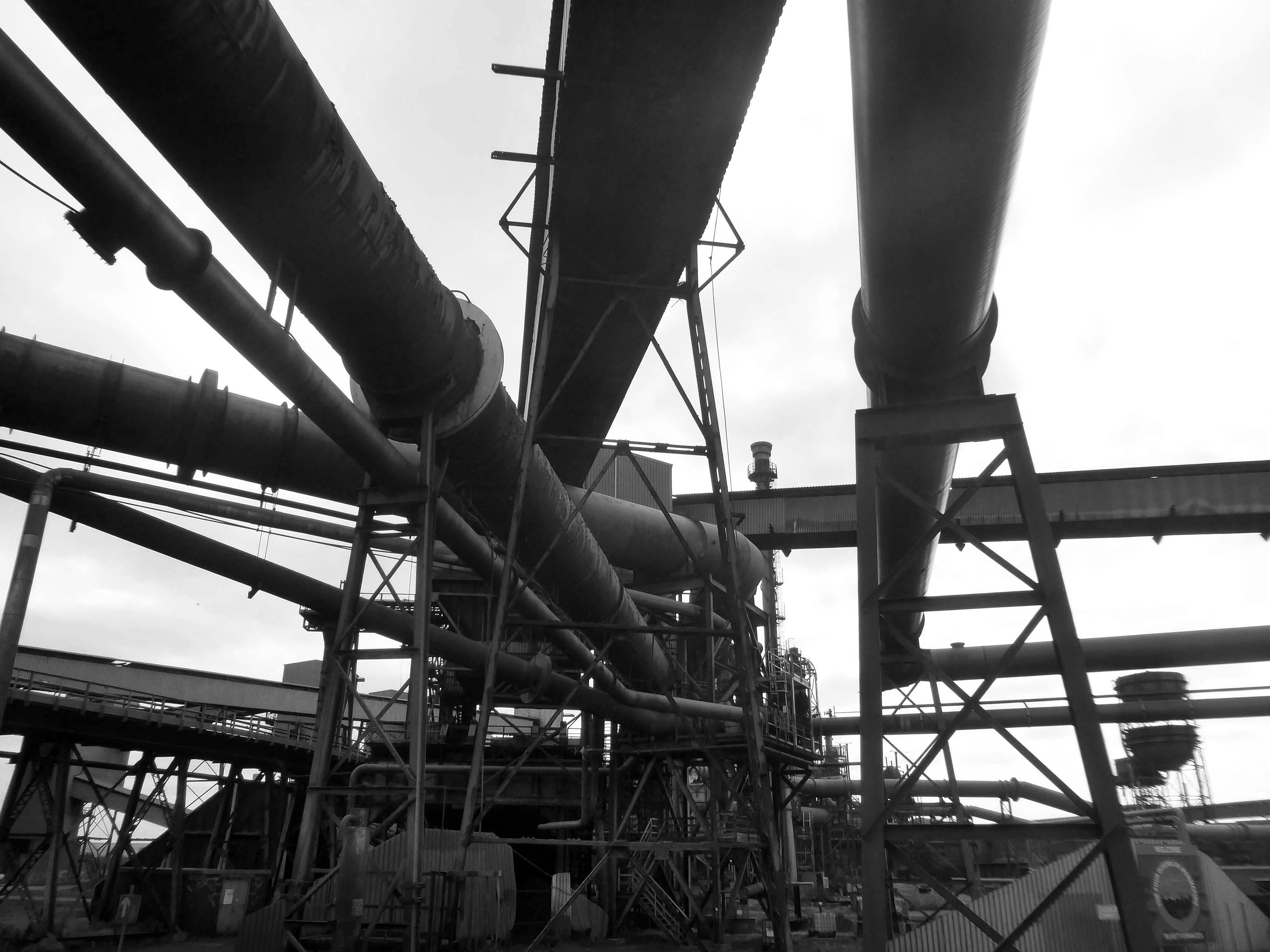
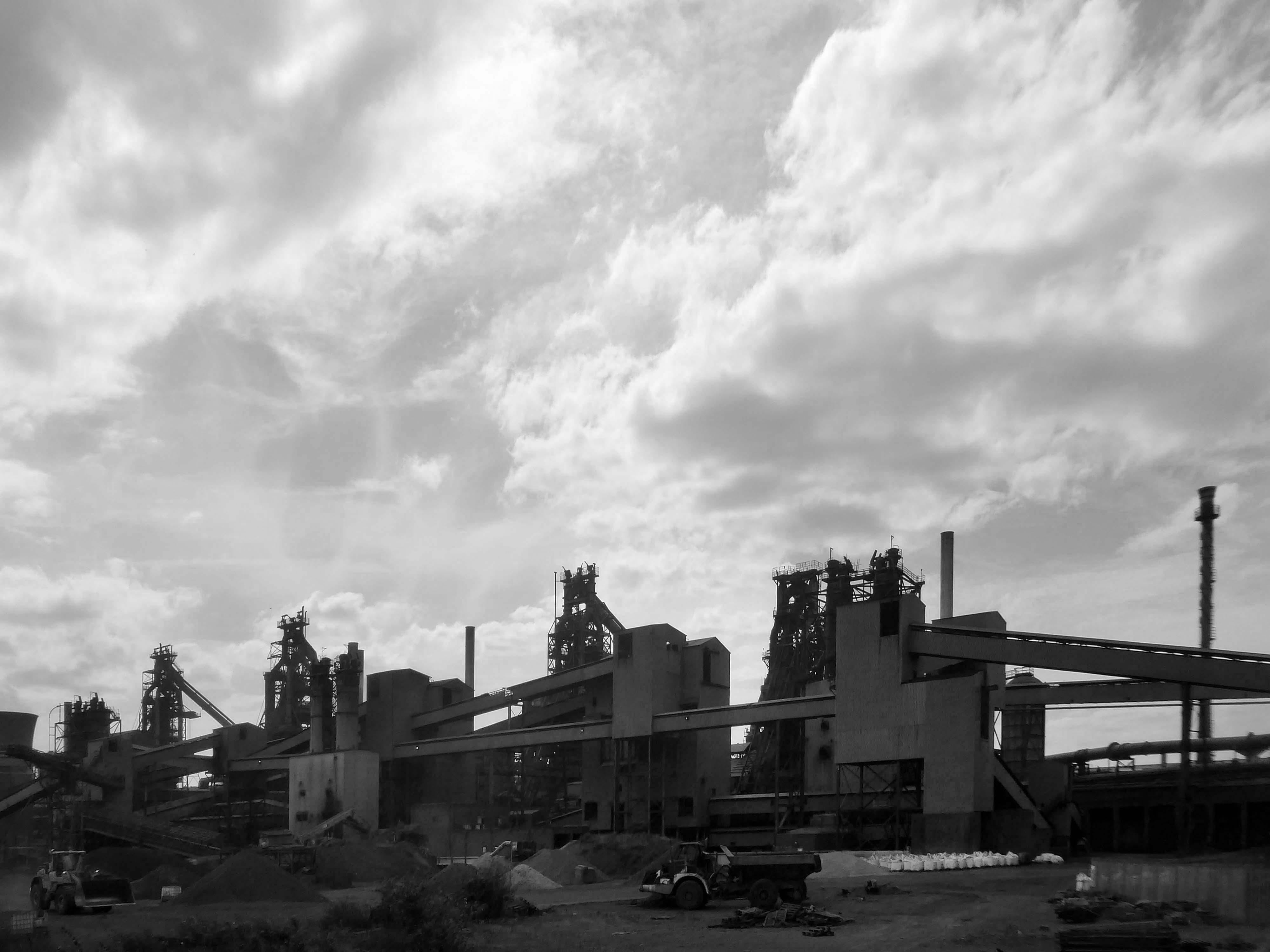
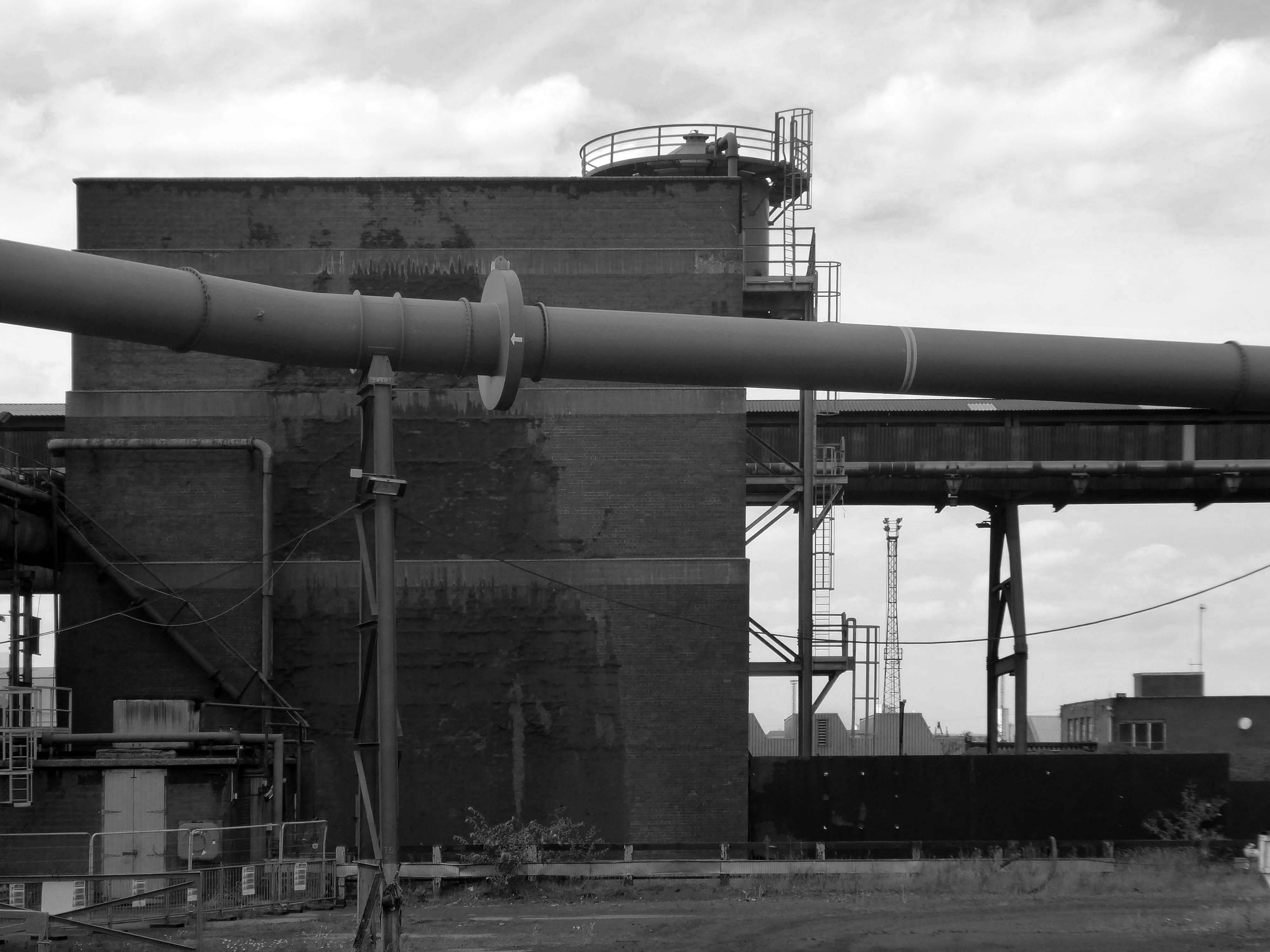
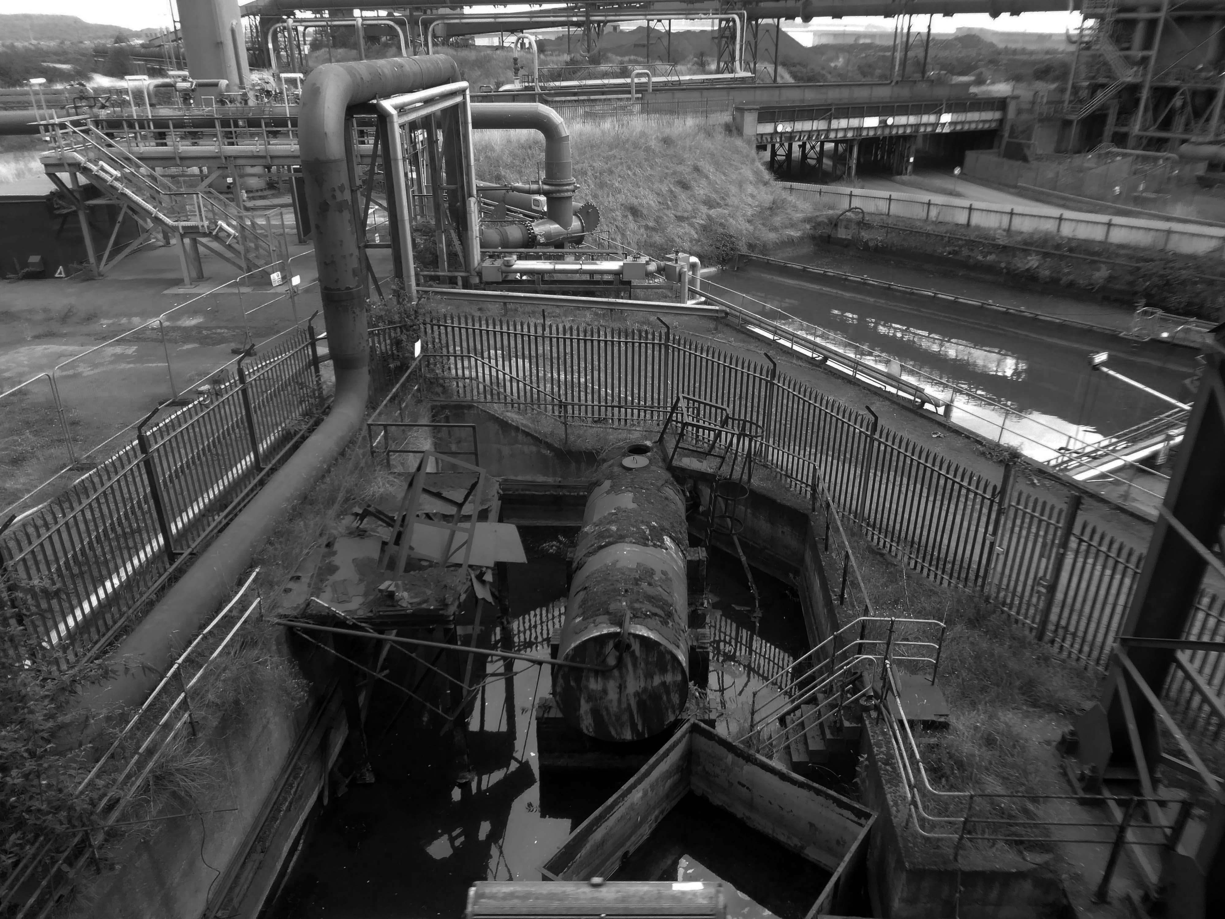
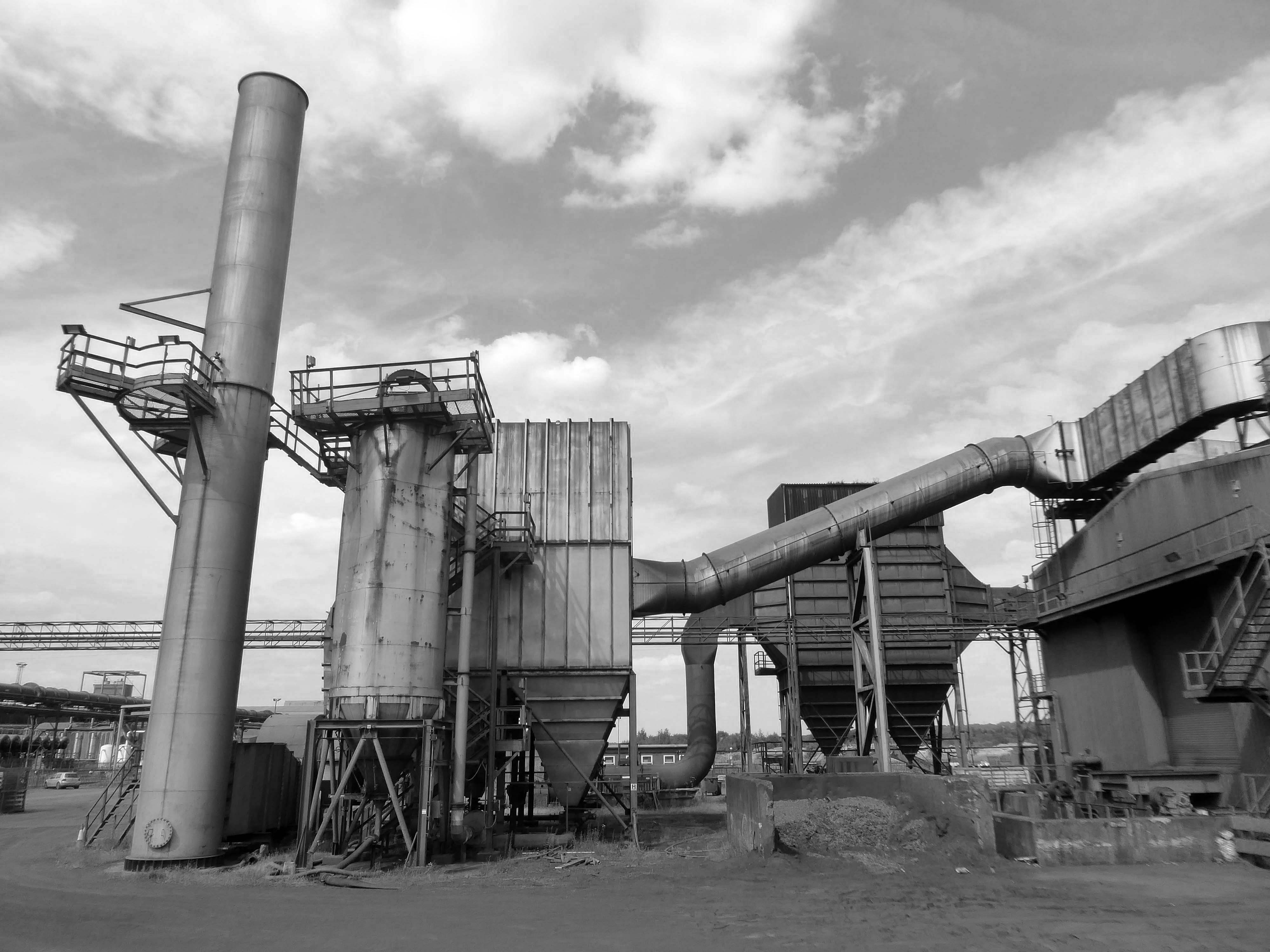
This video provides a refreshing and inspiring insight into the steel manufacturing industry and the people who make it happen.
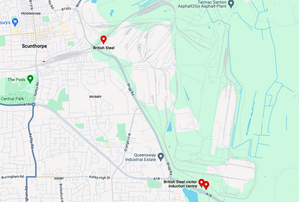
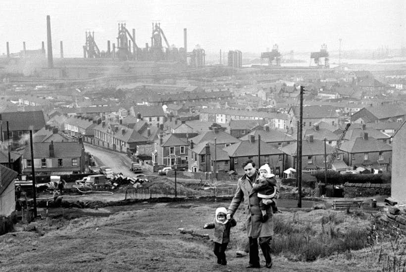
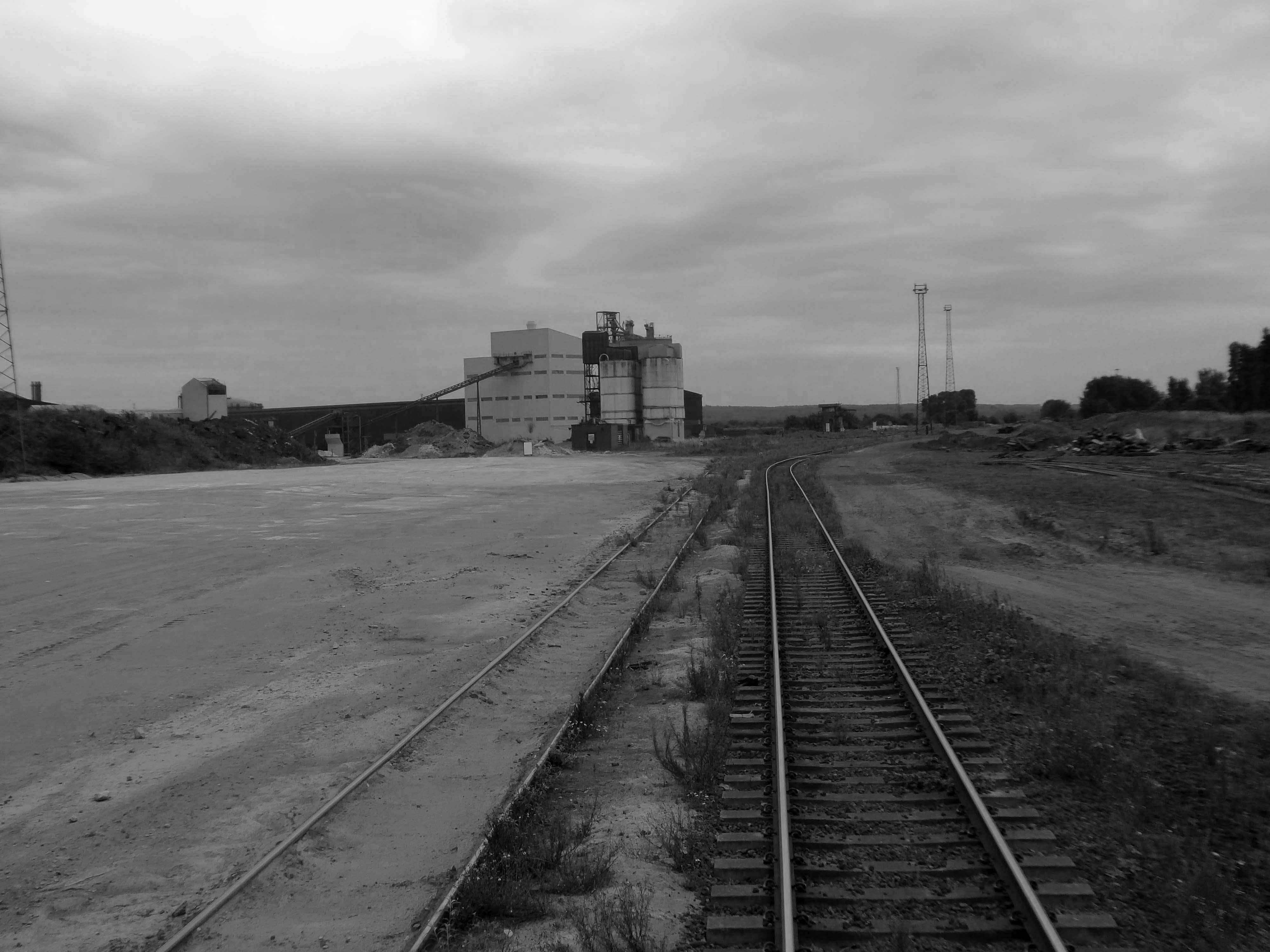
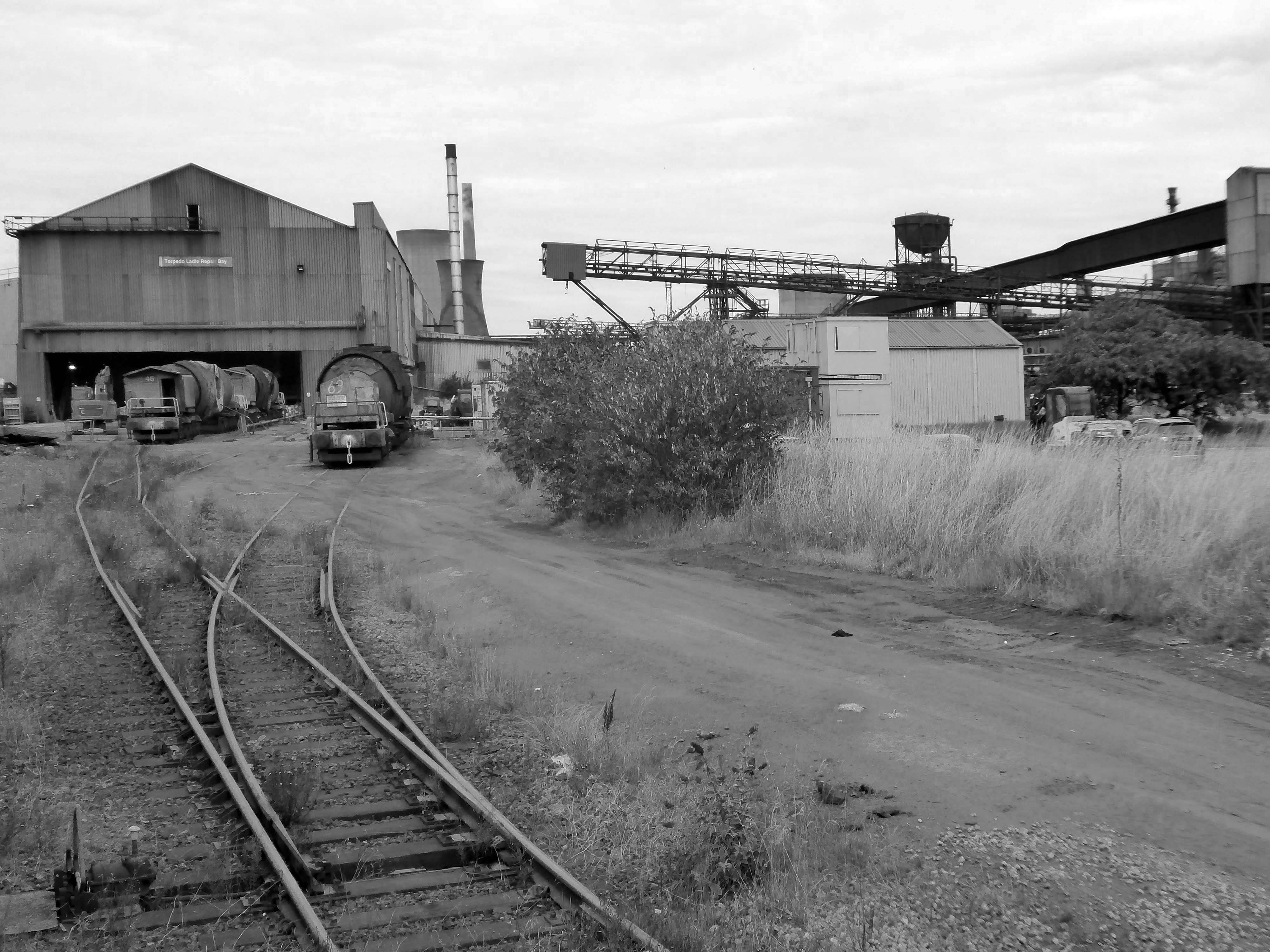
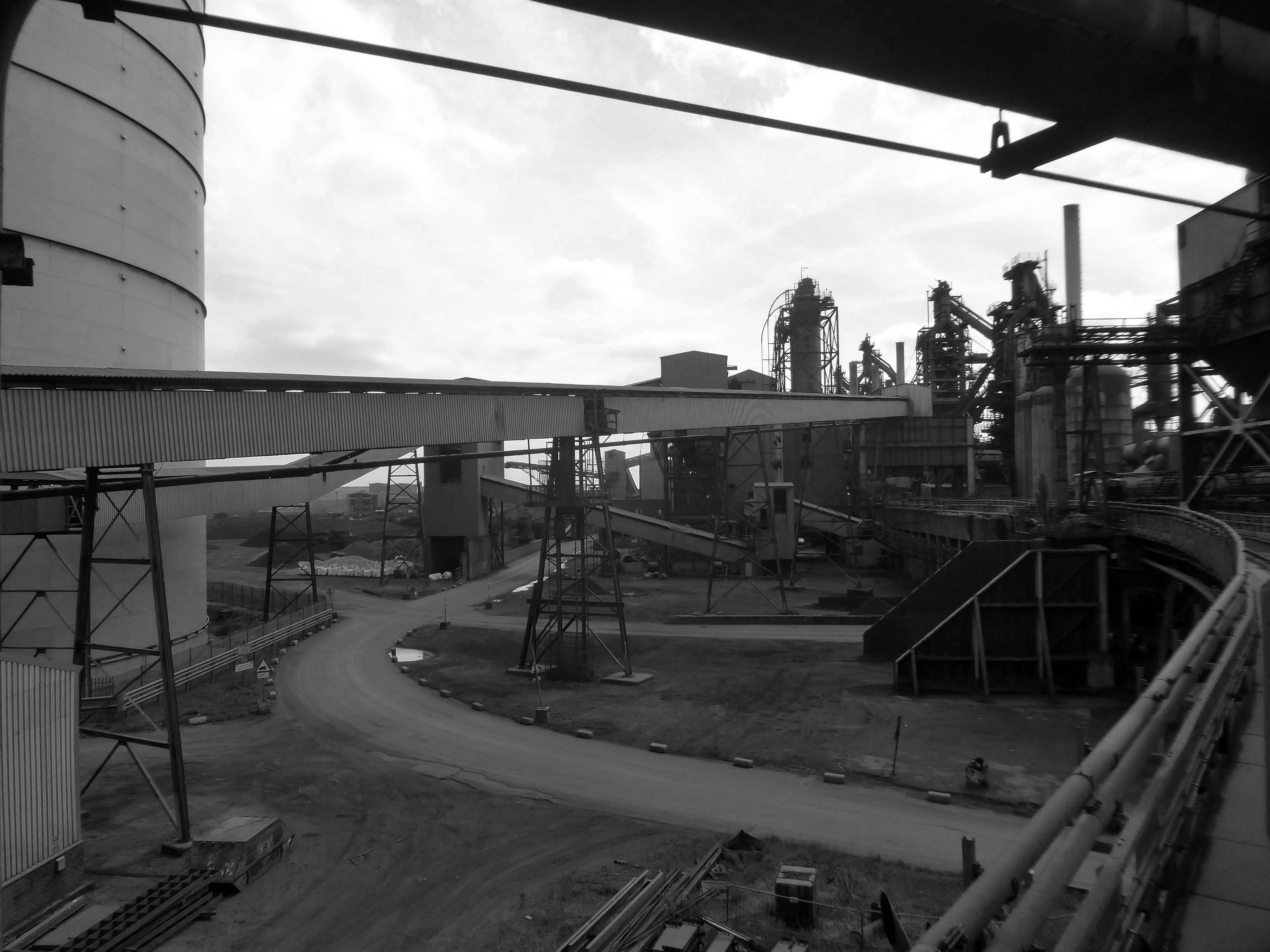
The Iron and Steel Industry in Scunthorpe was established in the mid 19th century, following the discovery and exploitation of middle Lias ironstone east of Scunthorpe.
In 1967 three works became part of the nationalised British Steel Corporation.
Following privatisation in 1988, the company together with the rest of BSC became part of Corus in 1999, in 2007 becoming Tata Steel Europe. In 2016 the long products division of Tata Steel Europe was sold to Greybull Capital with Scunthorpe as the primary steel production site.
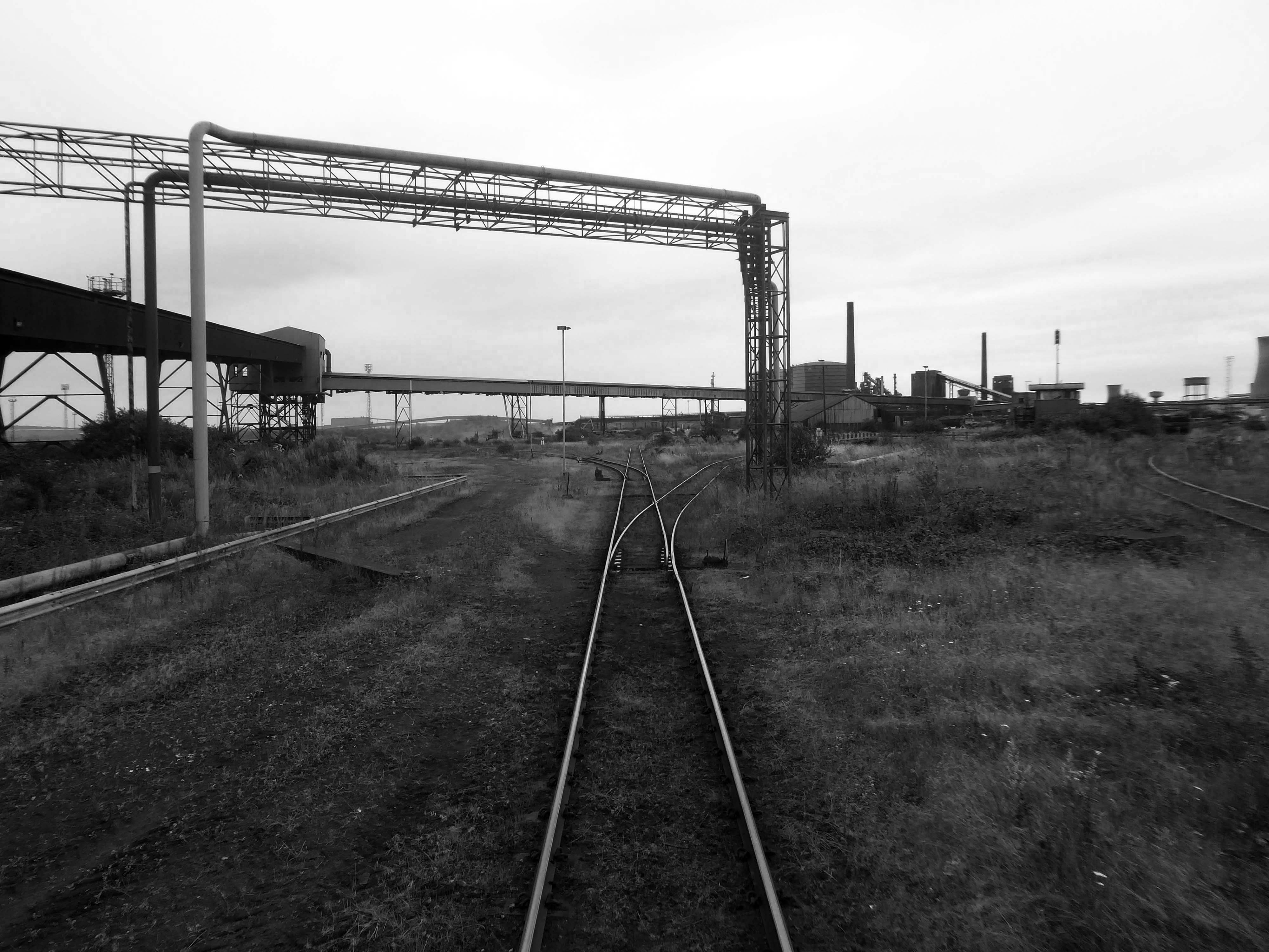
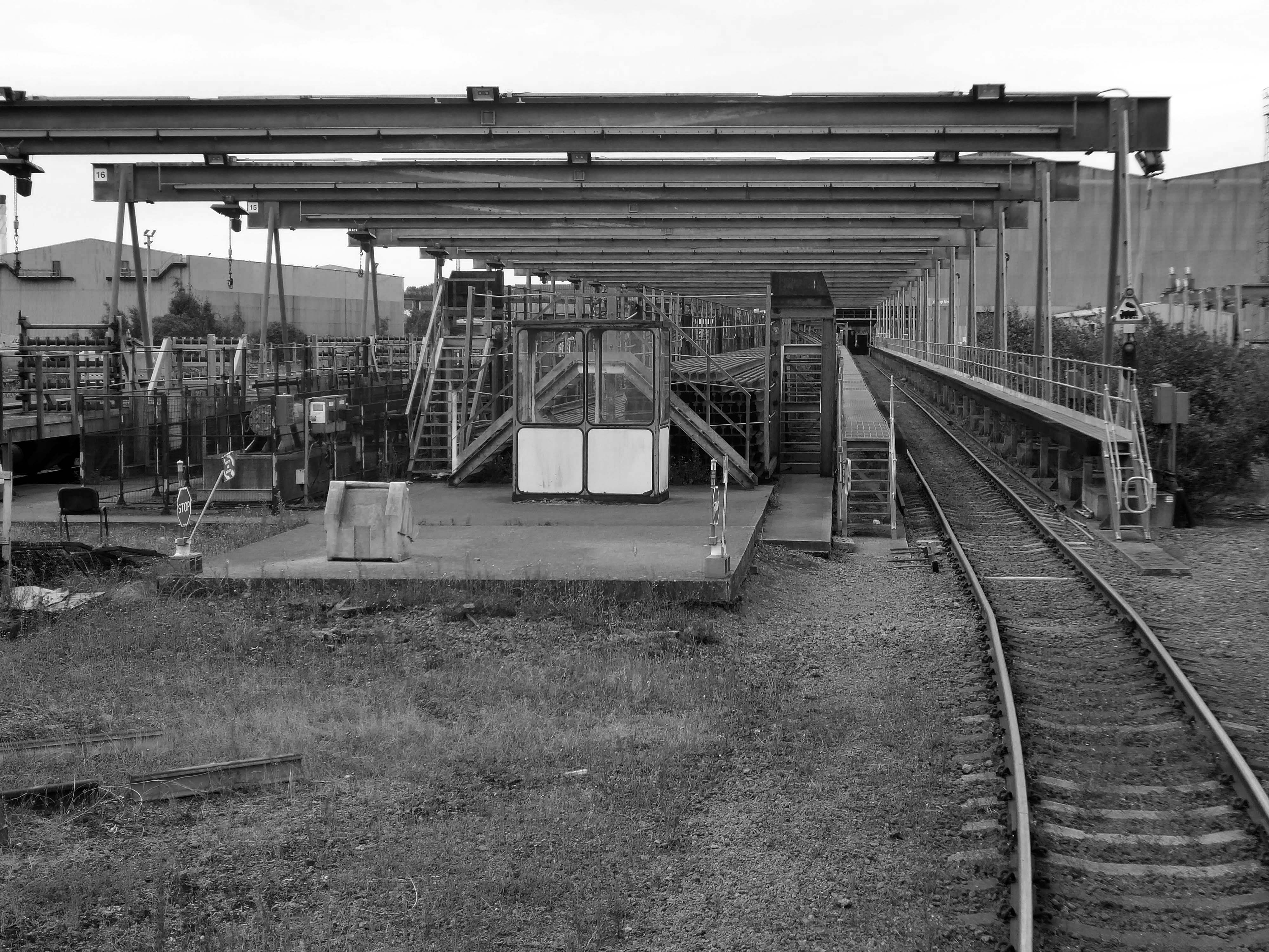
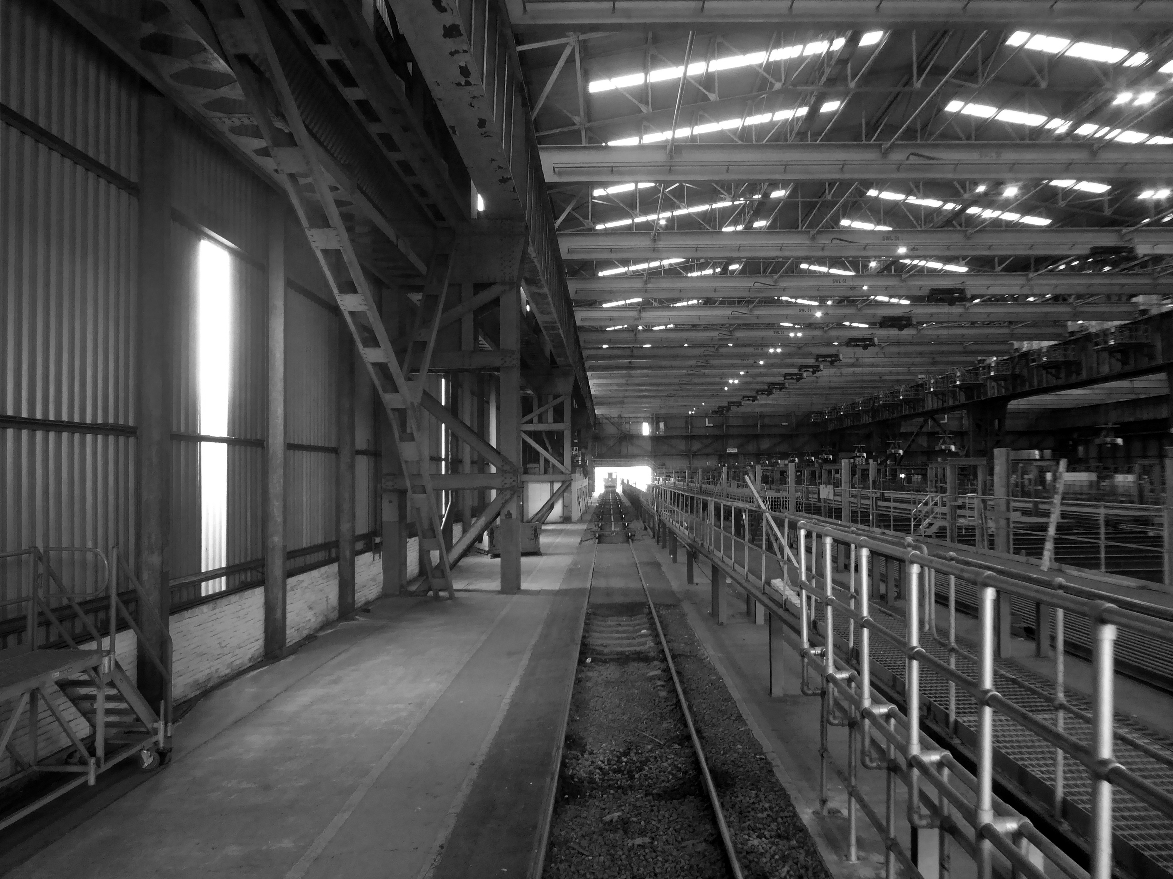
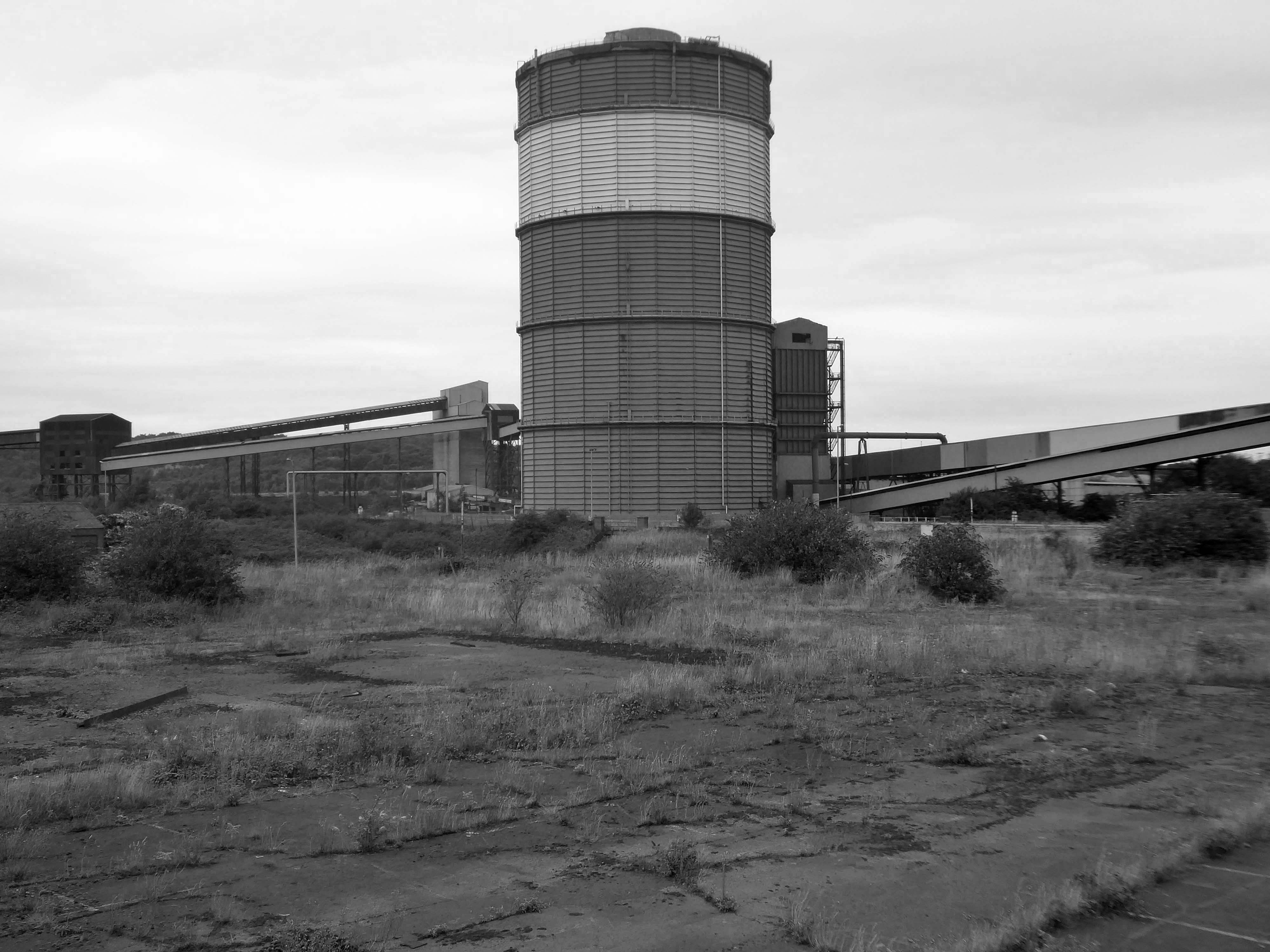
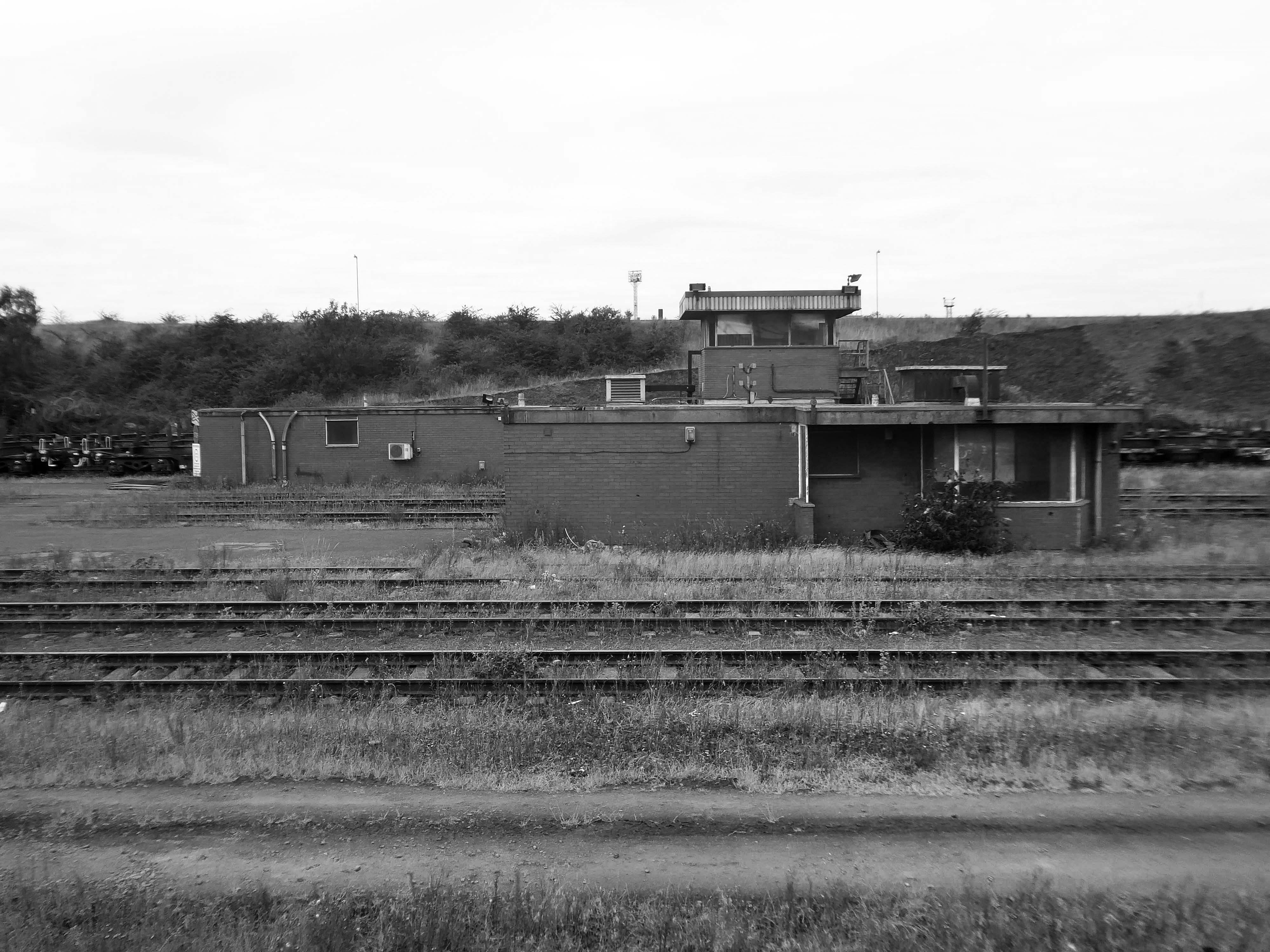
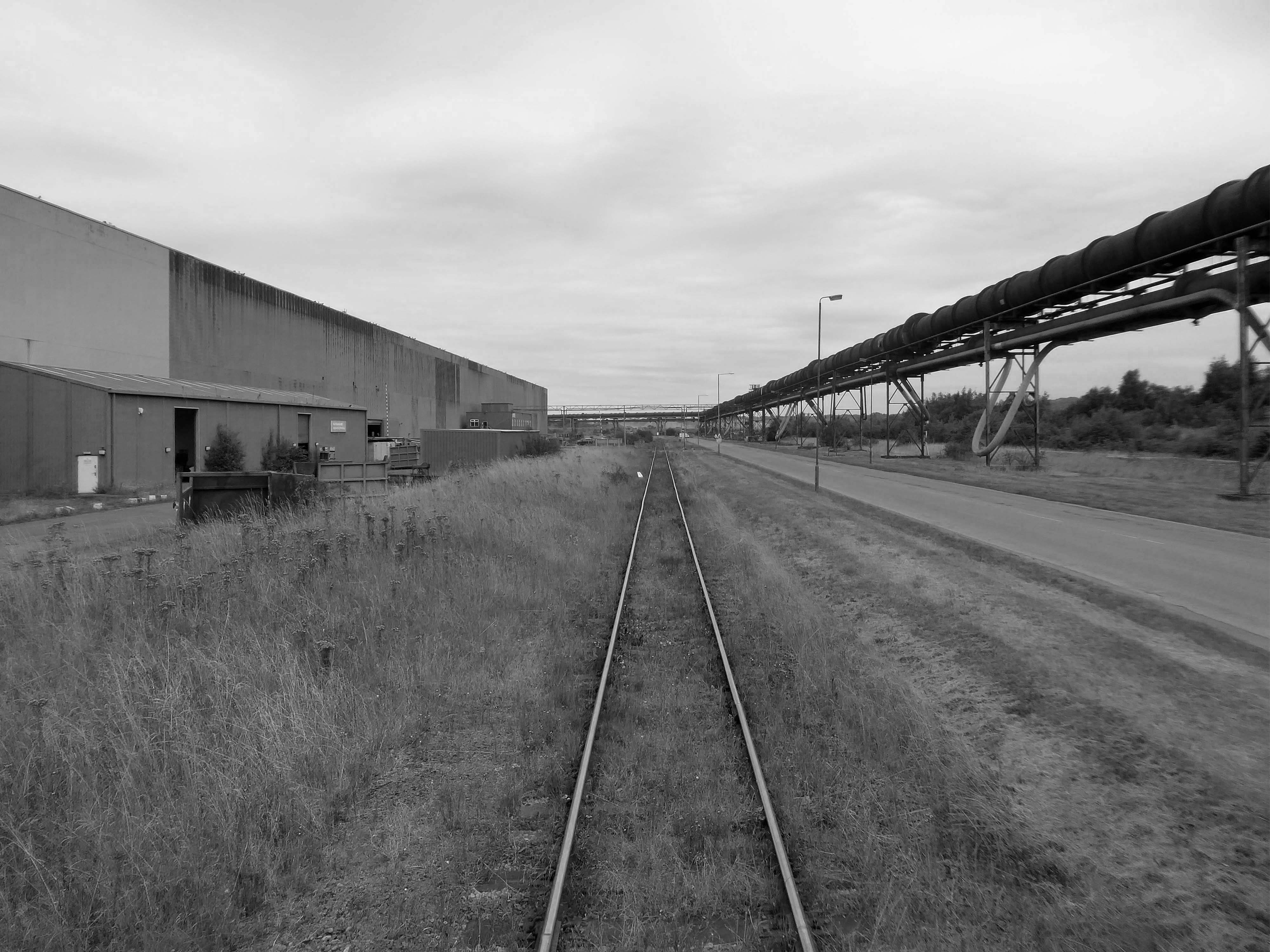
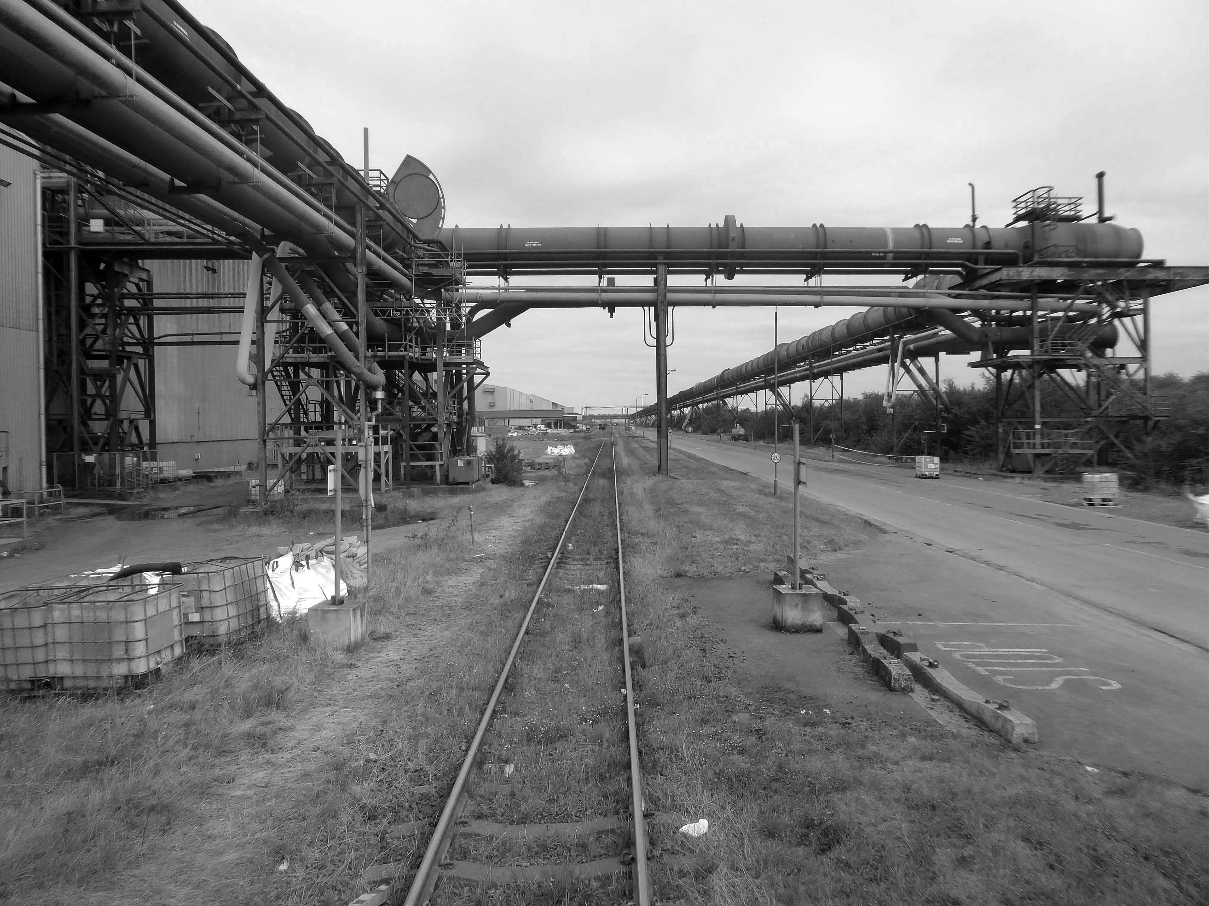
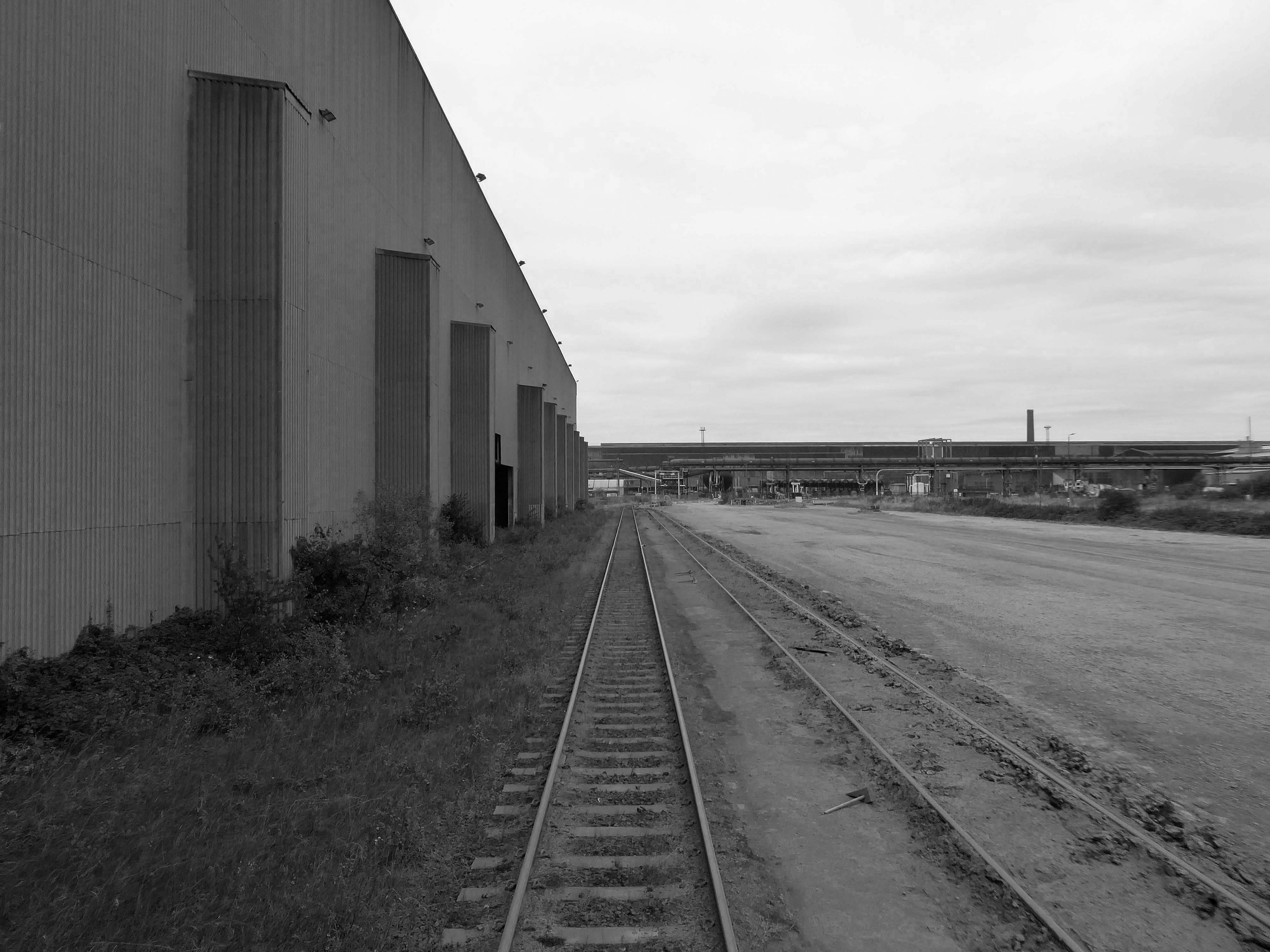
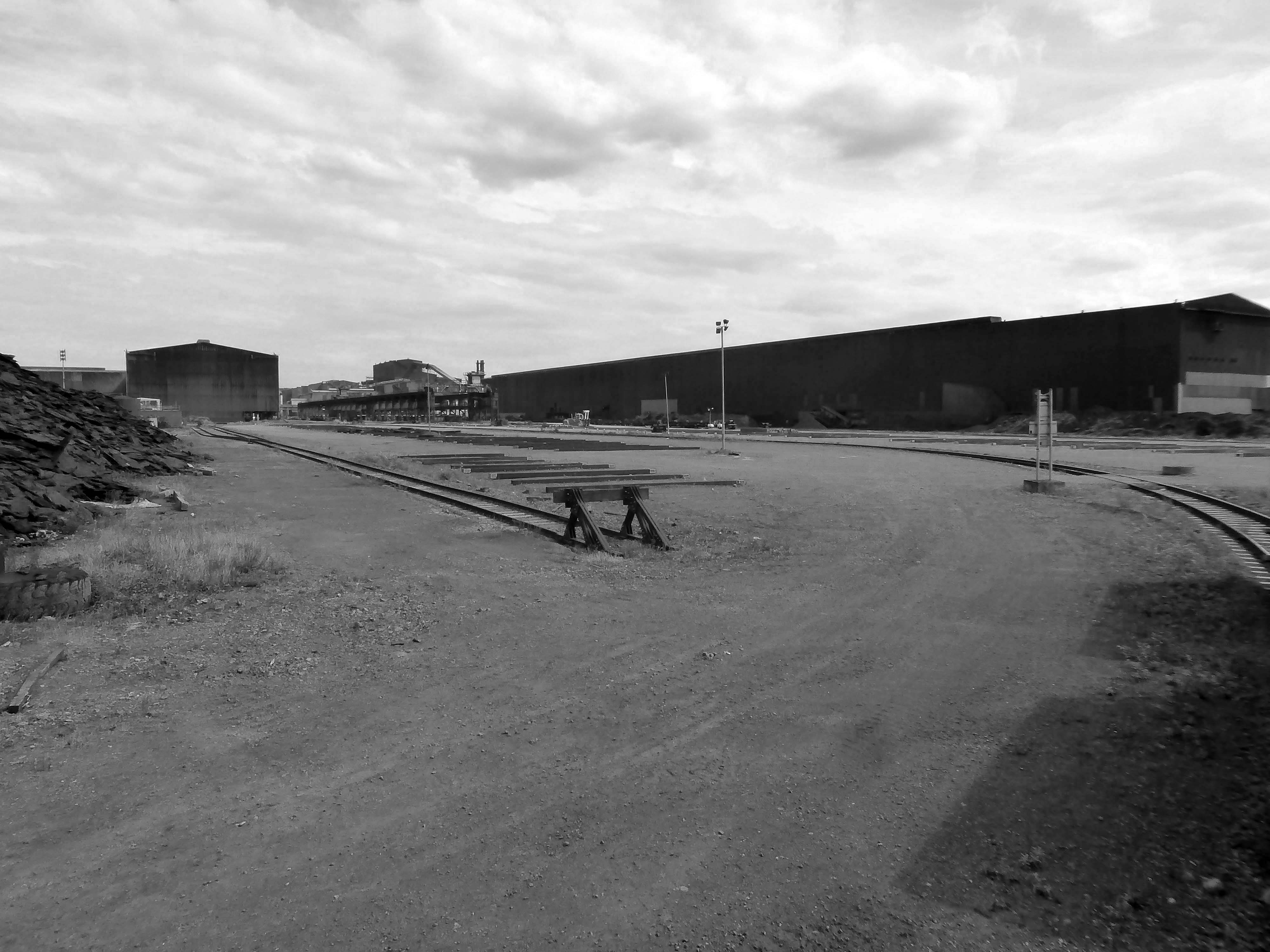
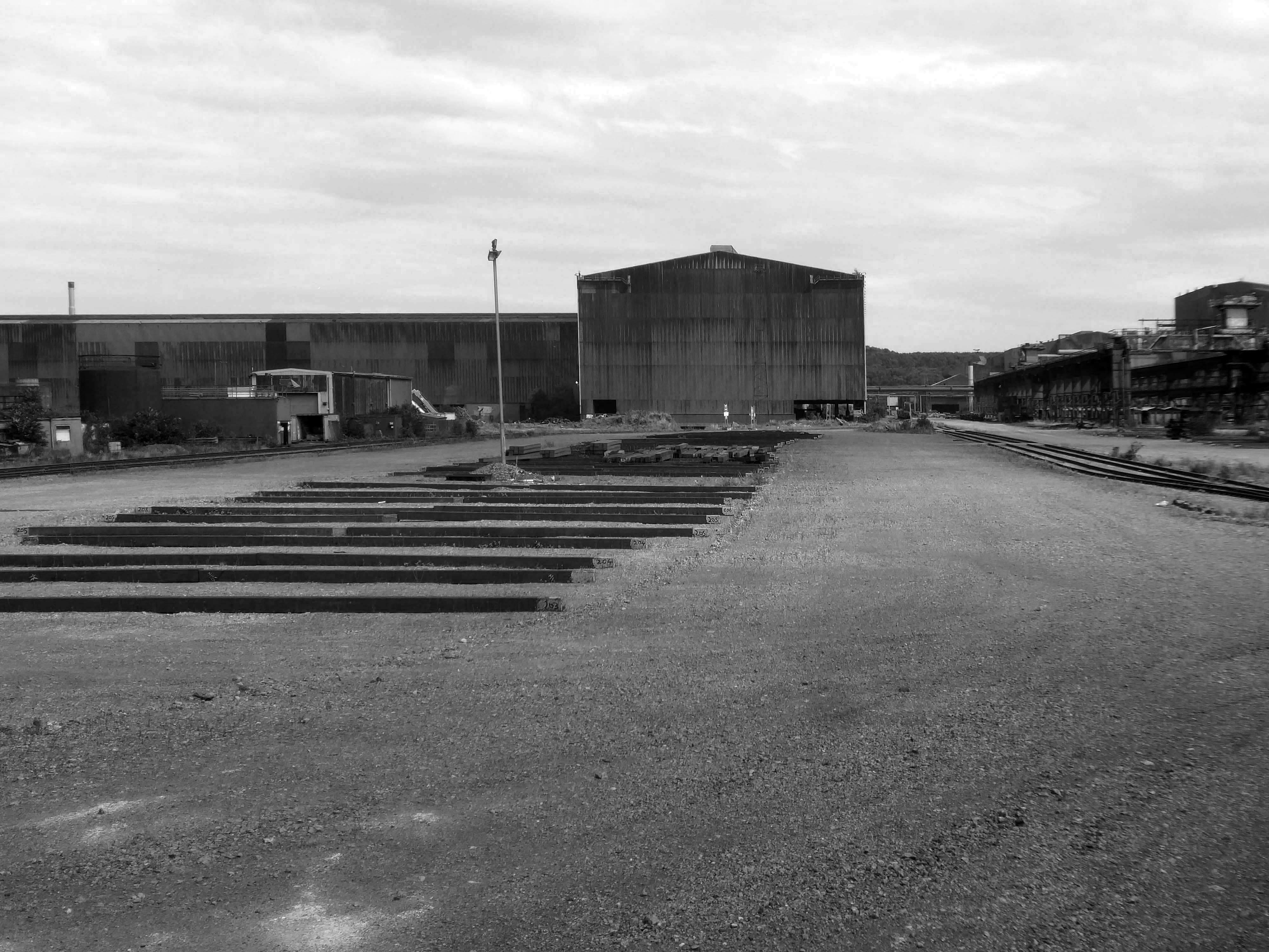
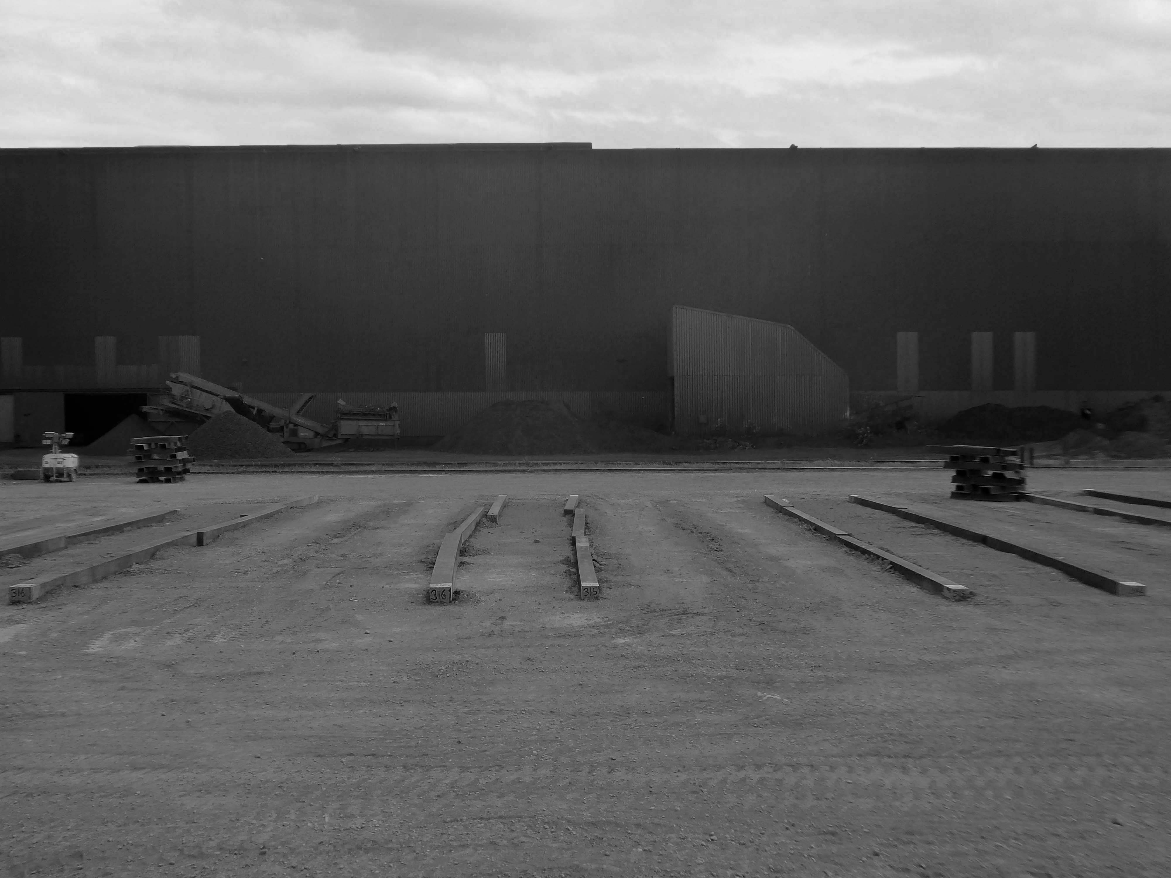
I took a brake van trip on the Appleby Frodingham Railway, touring the site’s network of working rail which encircles the works.
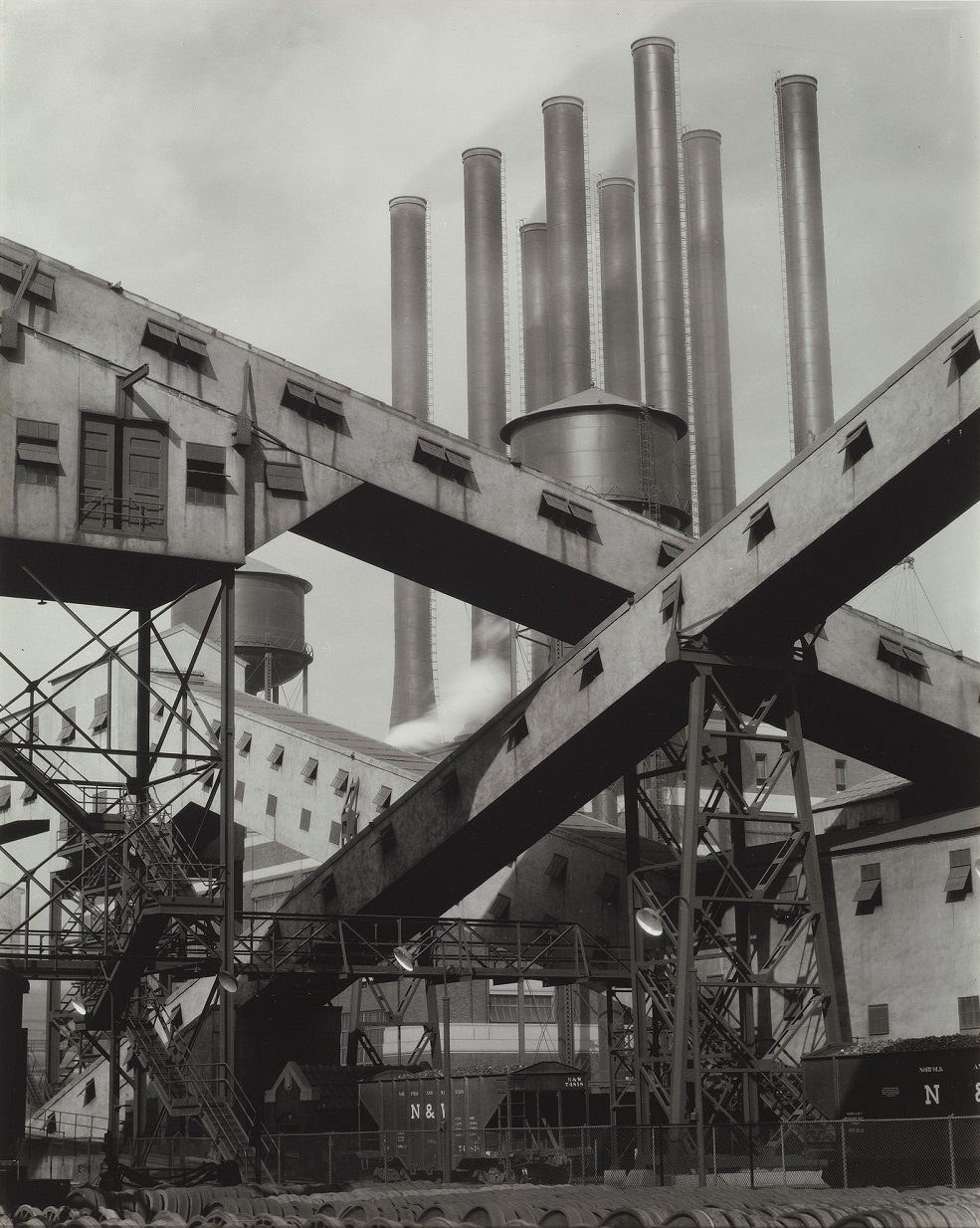
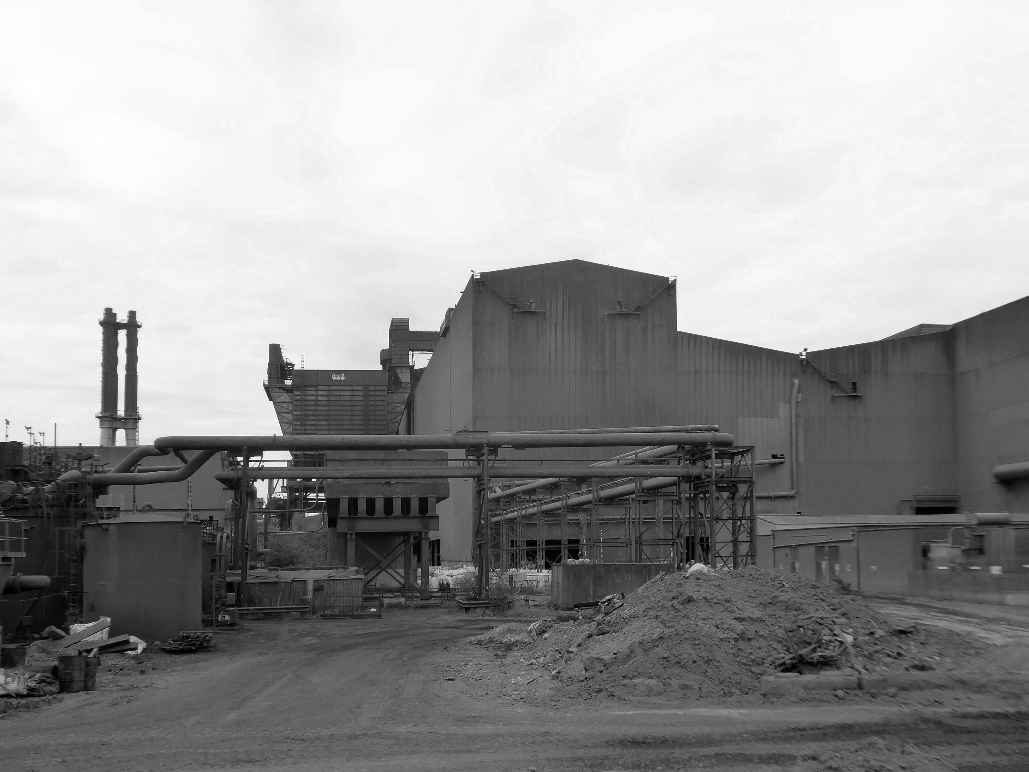
Very much in the spirit of Charles Sheeler’s Ford River Rouge Plant photographs, I was enthralled by the mass of massive buildings and their attendant infrastructure.
This is architecture on the grandest scale, the main furnace house being higher than St Pauls Cathedral.
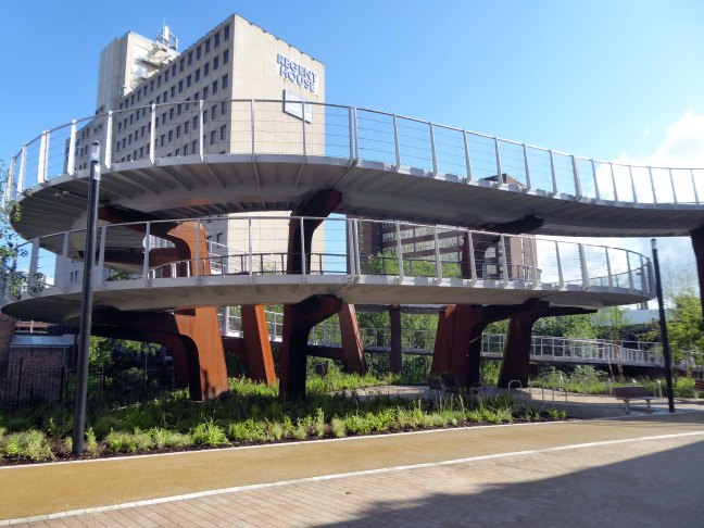
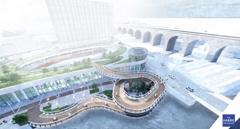
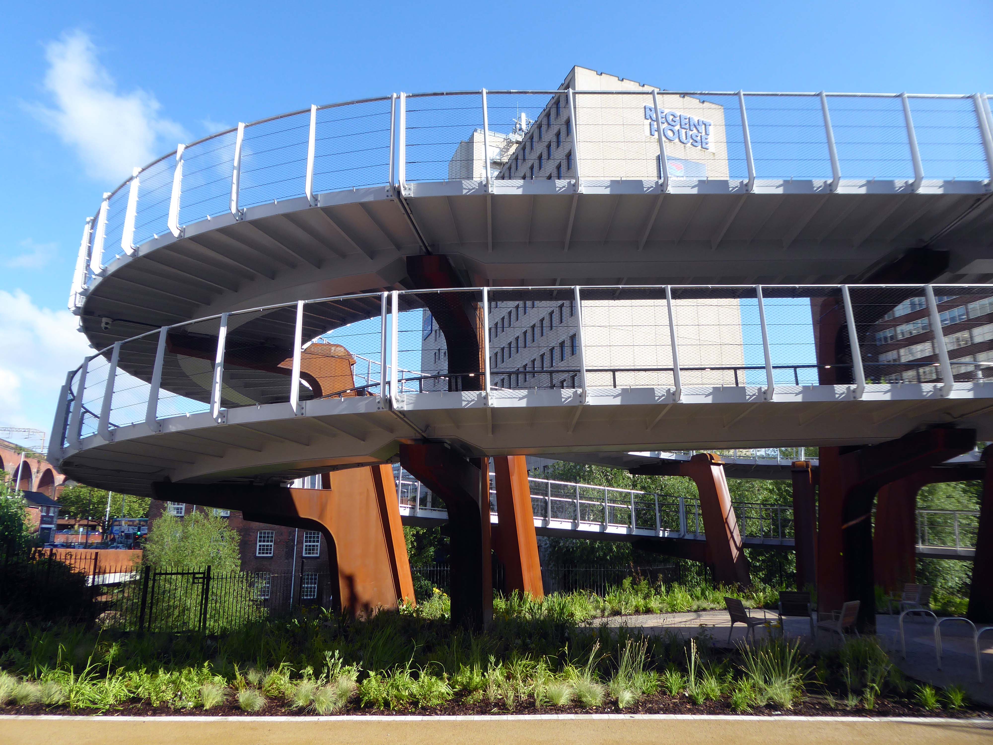
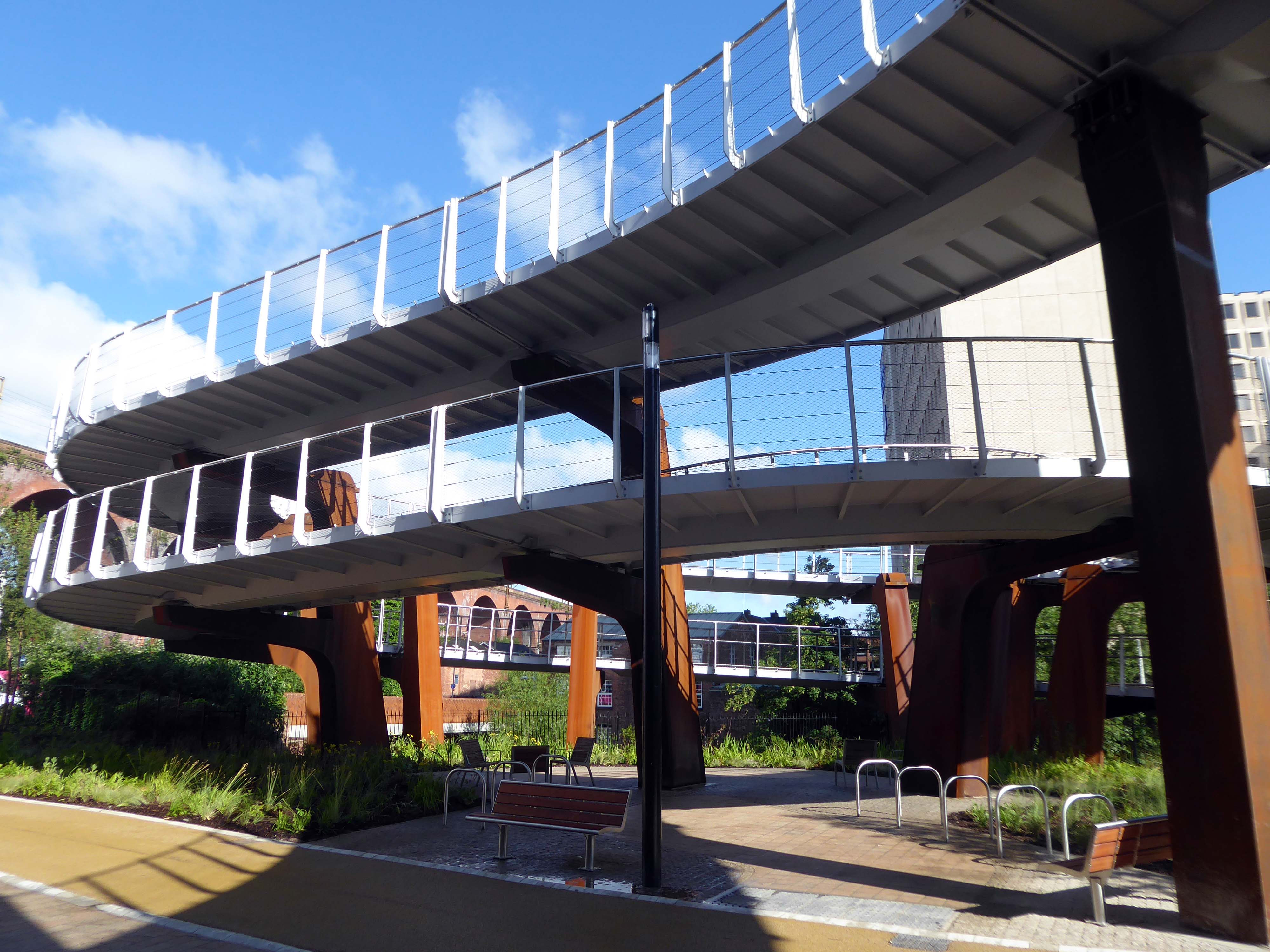
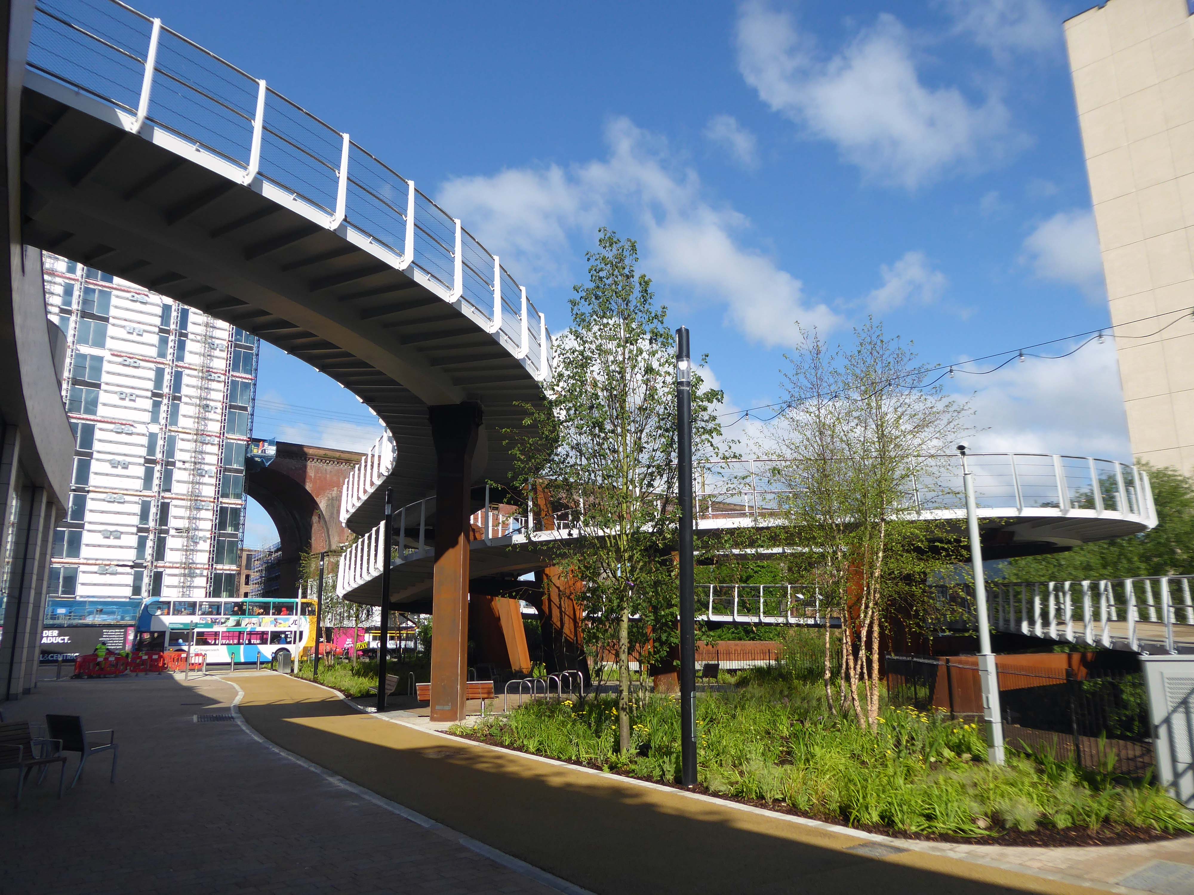
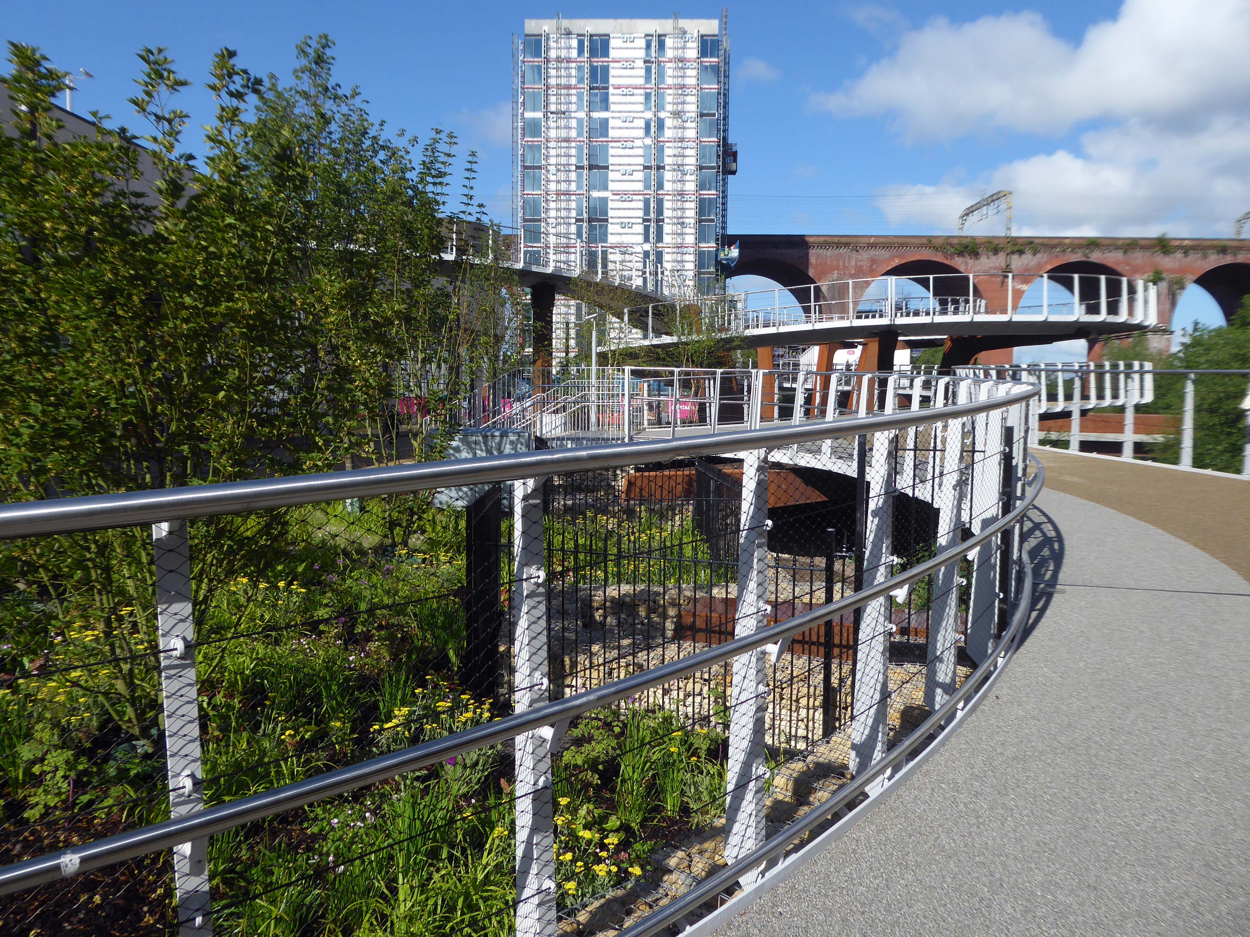
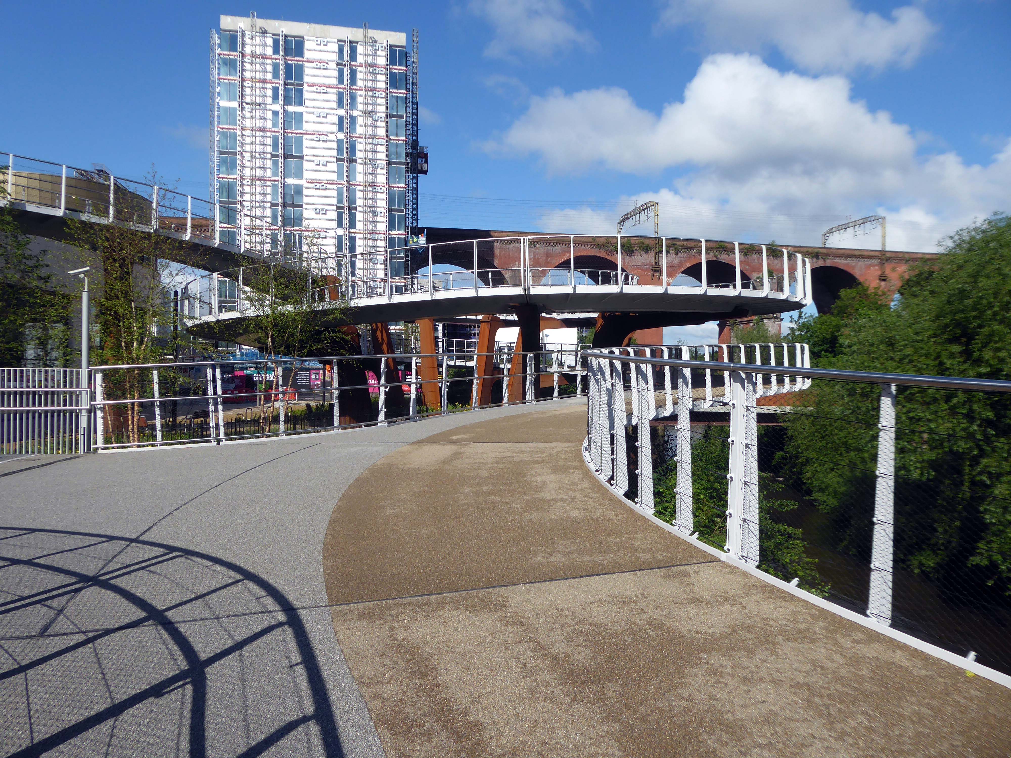
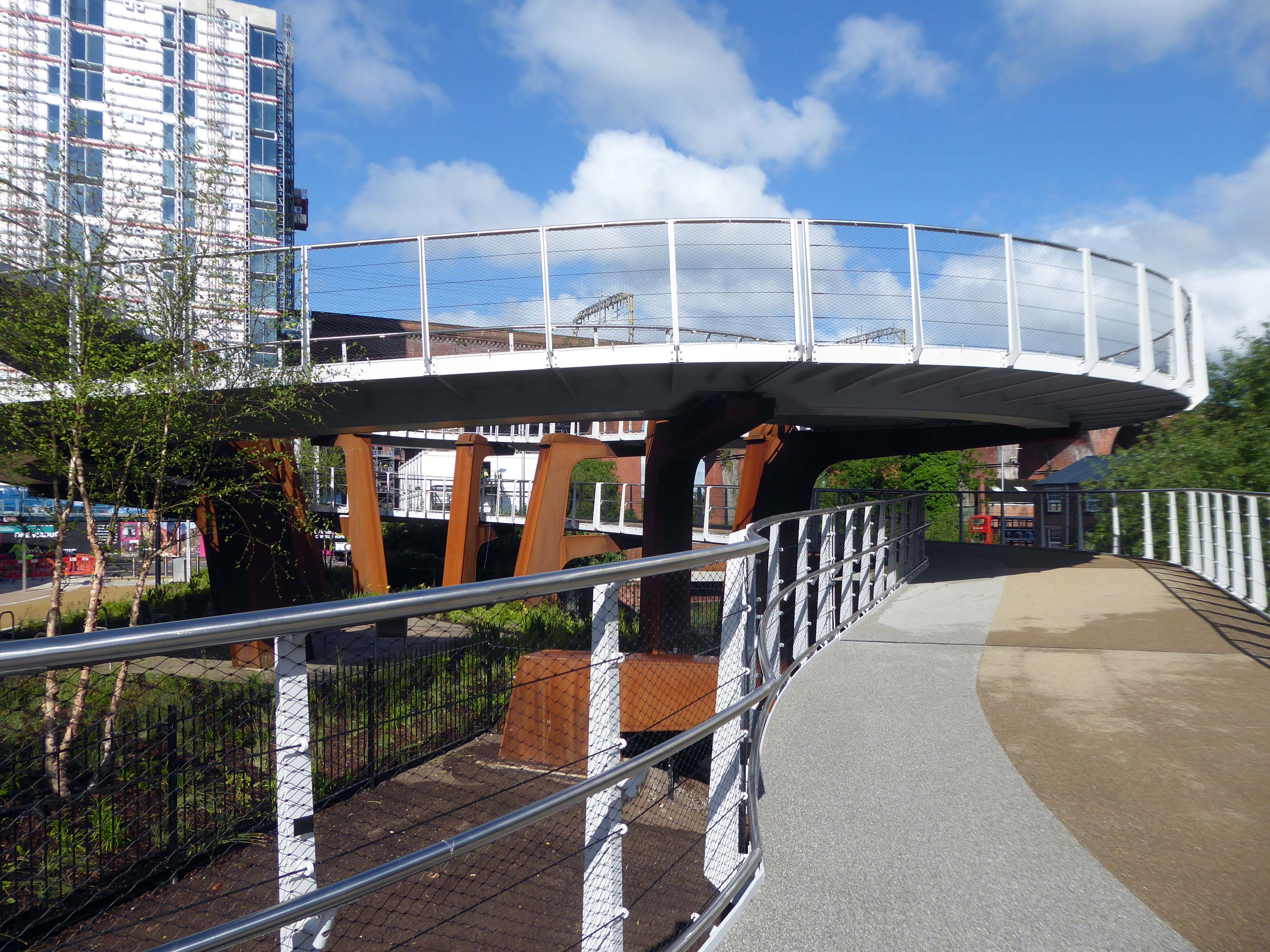
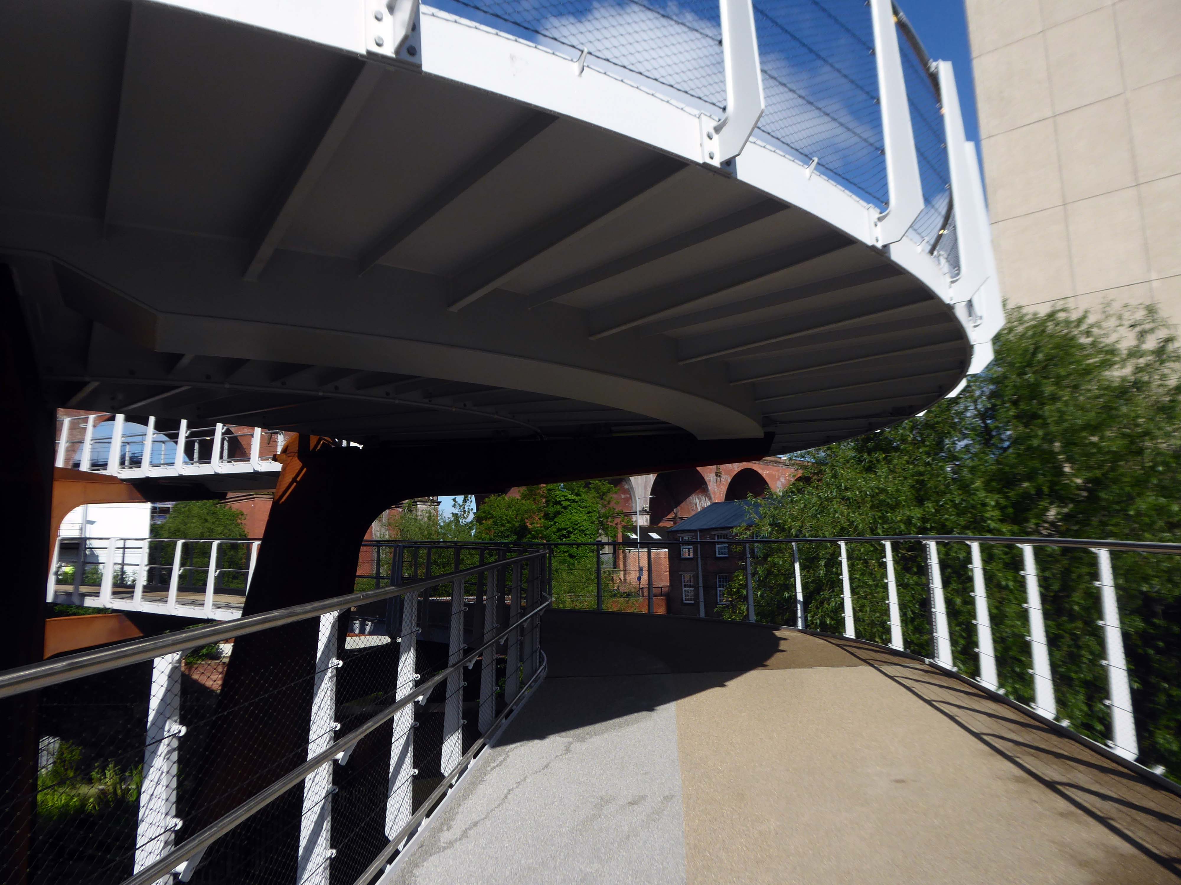
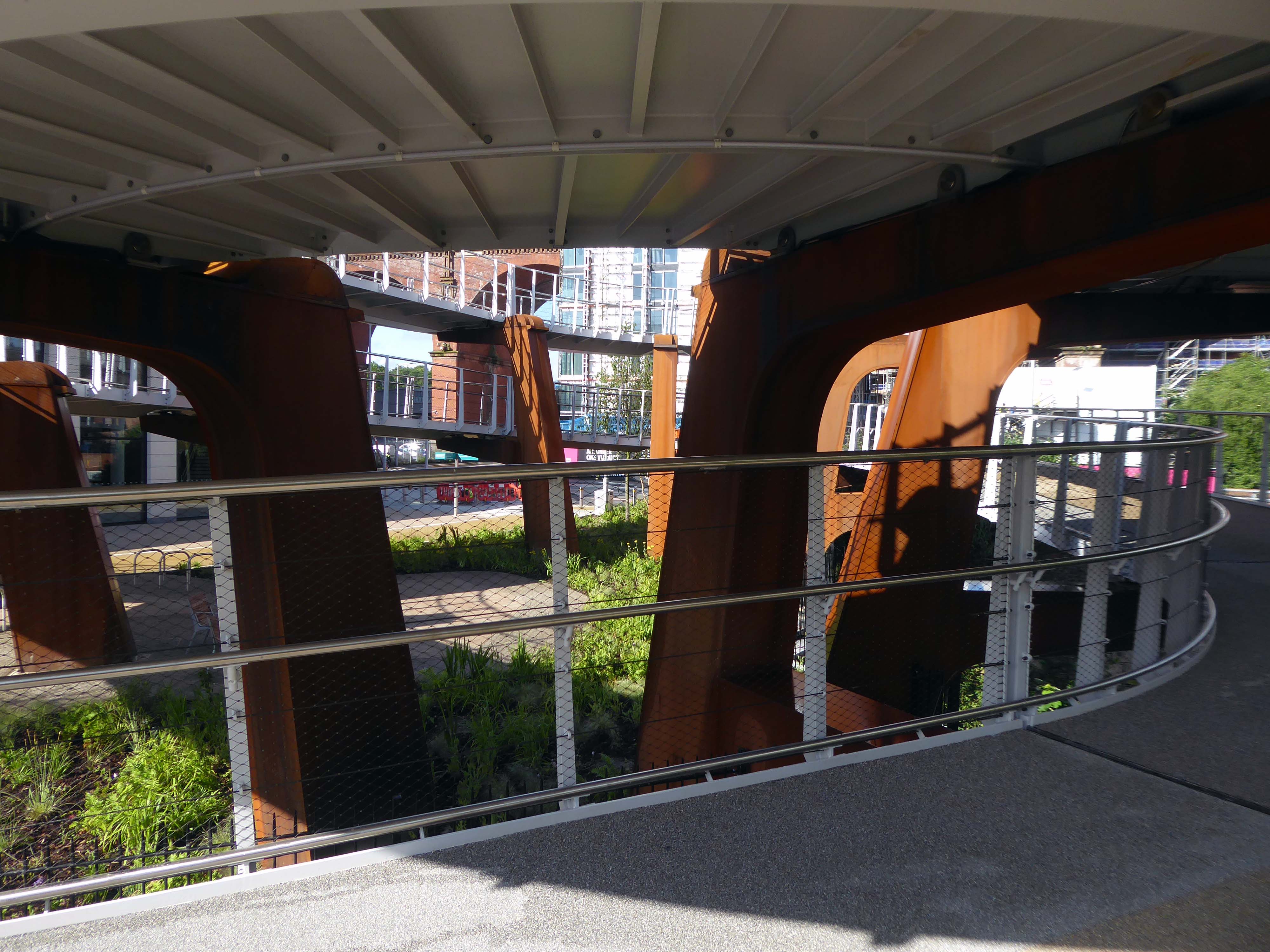
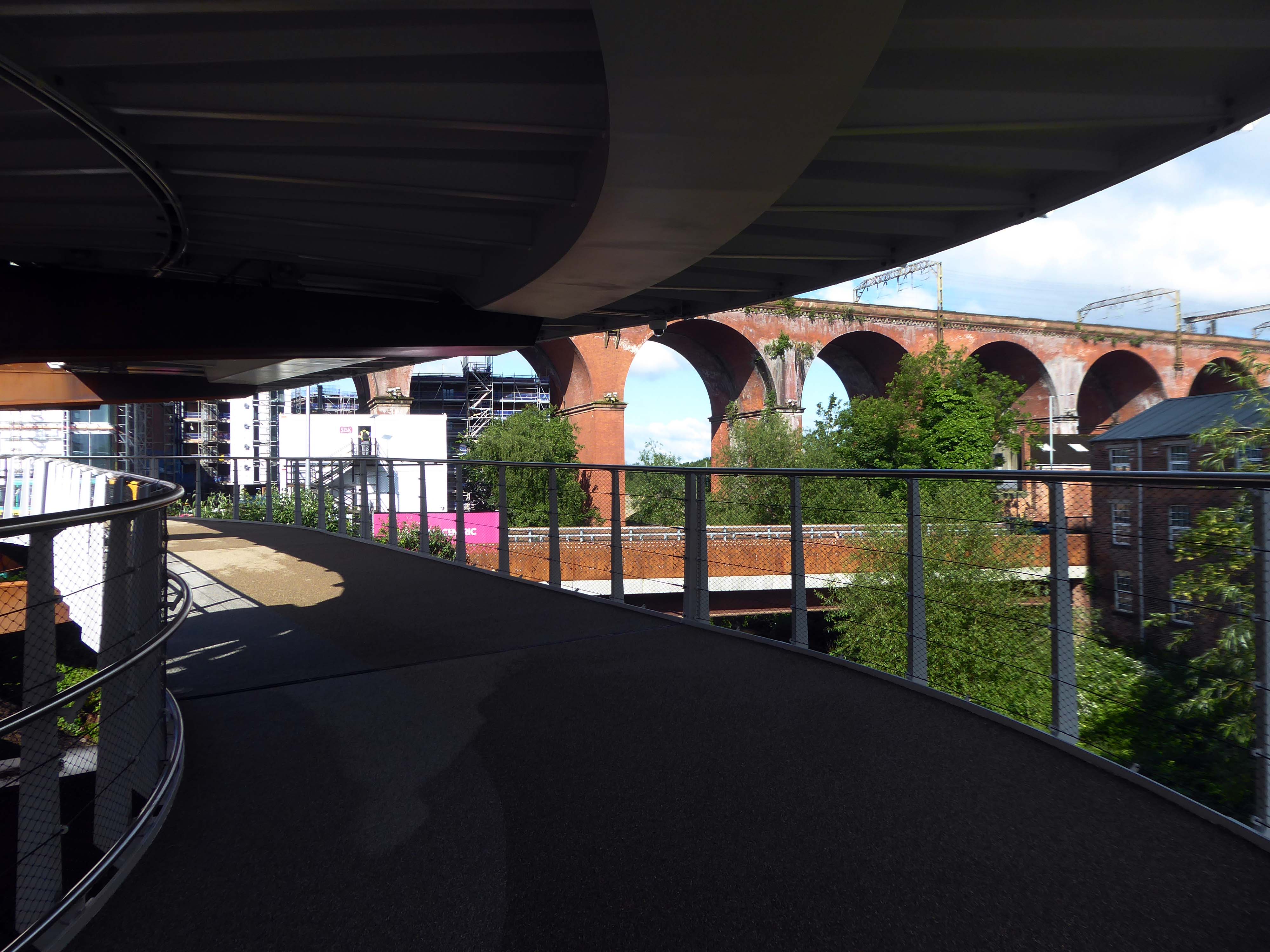
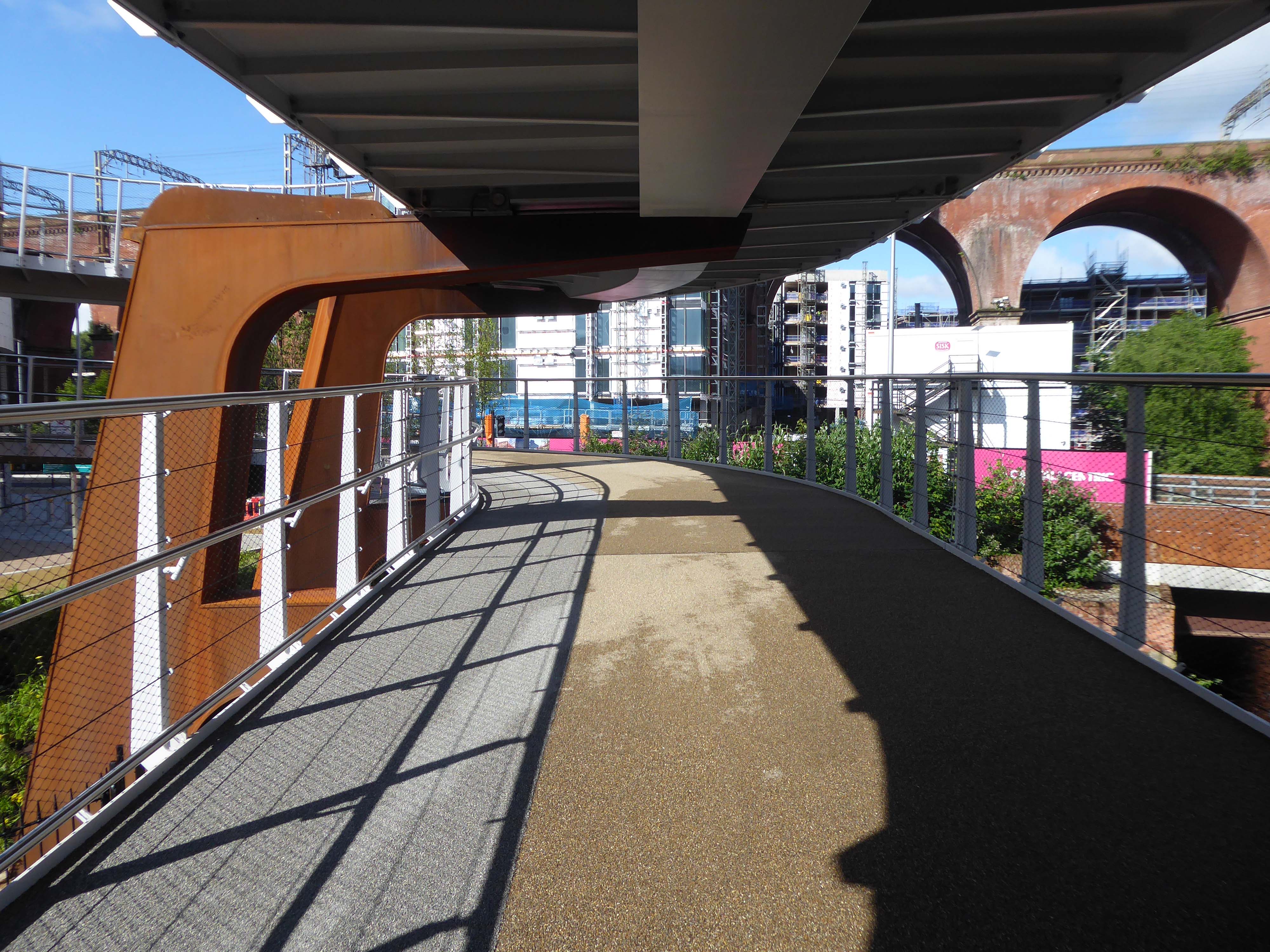
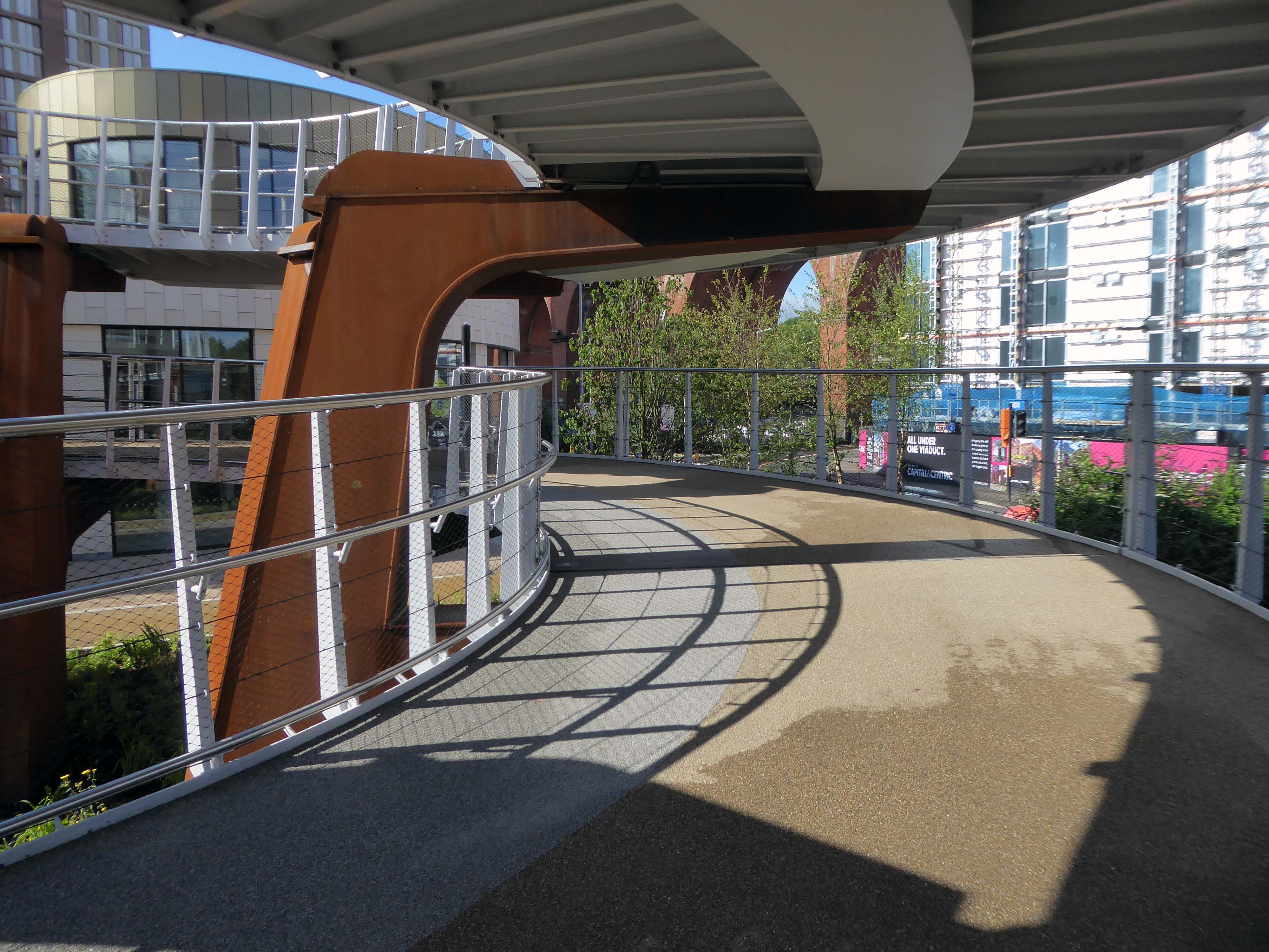
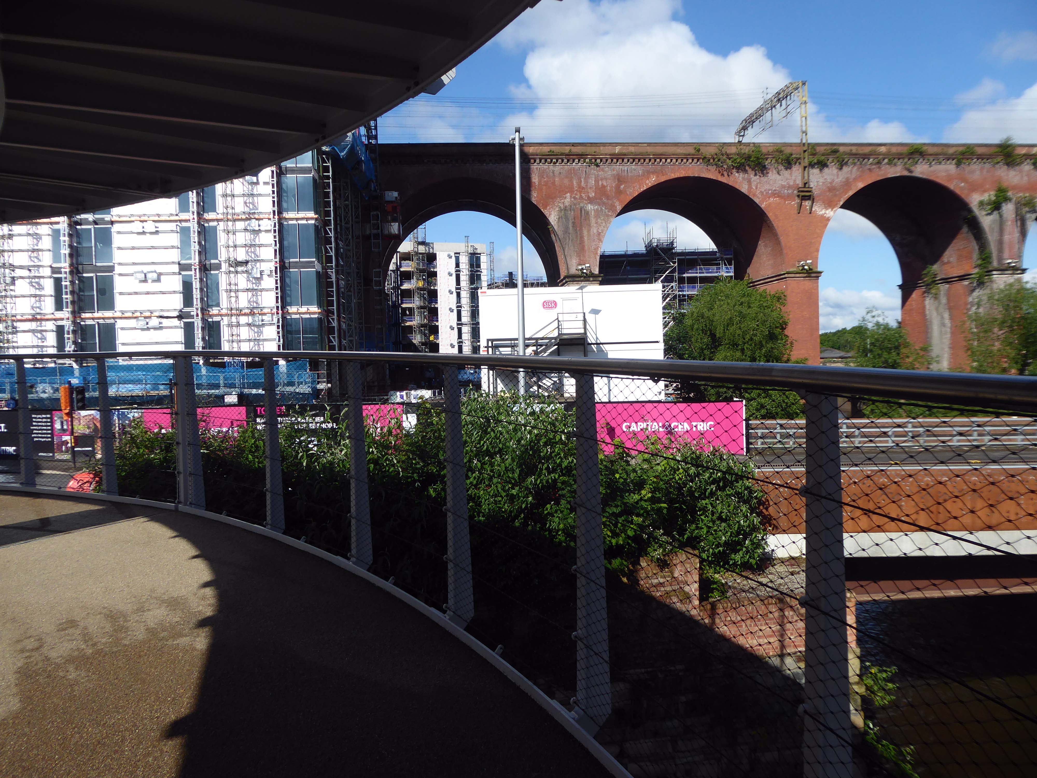
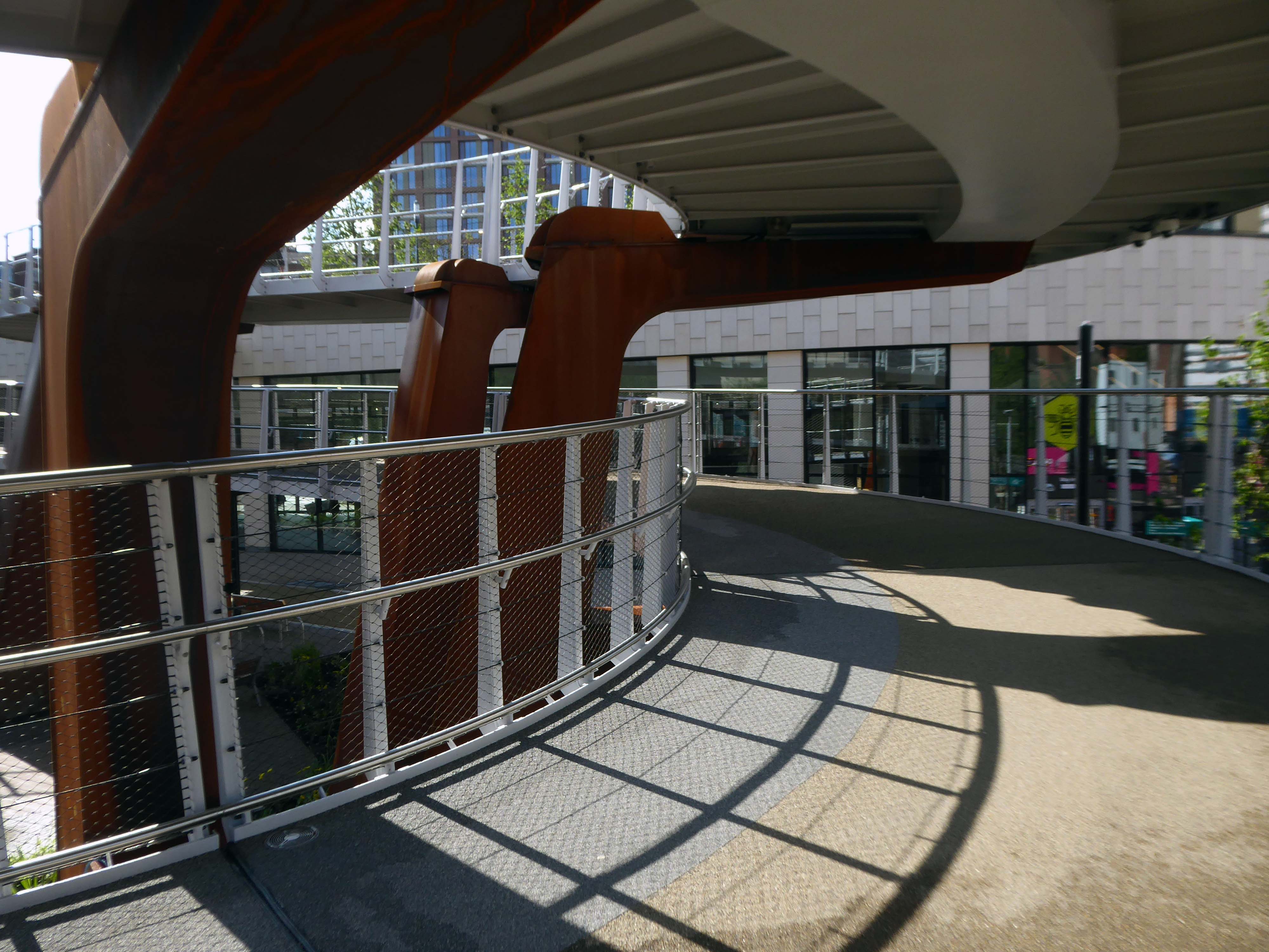
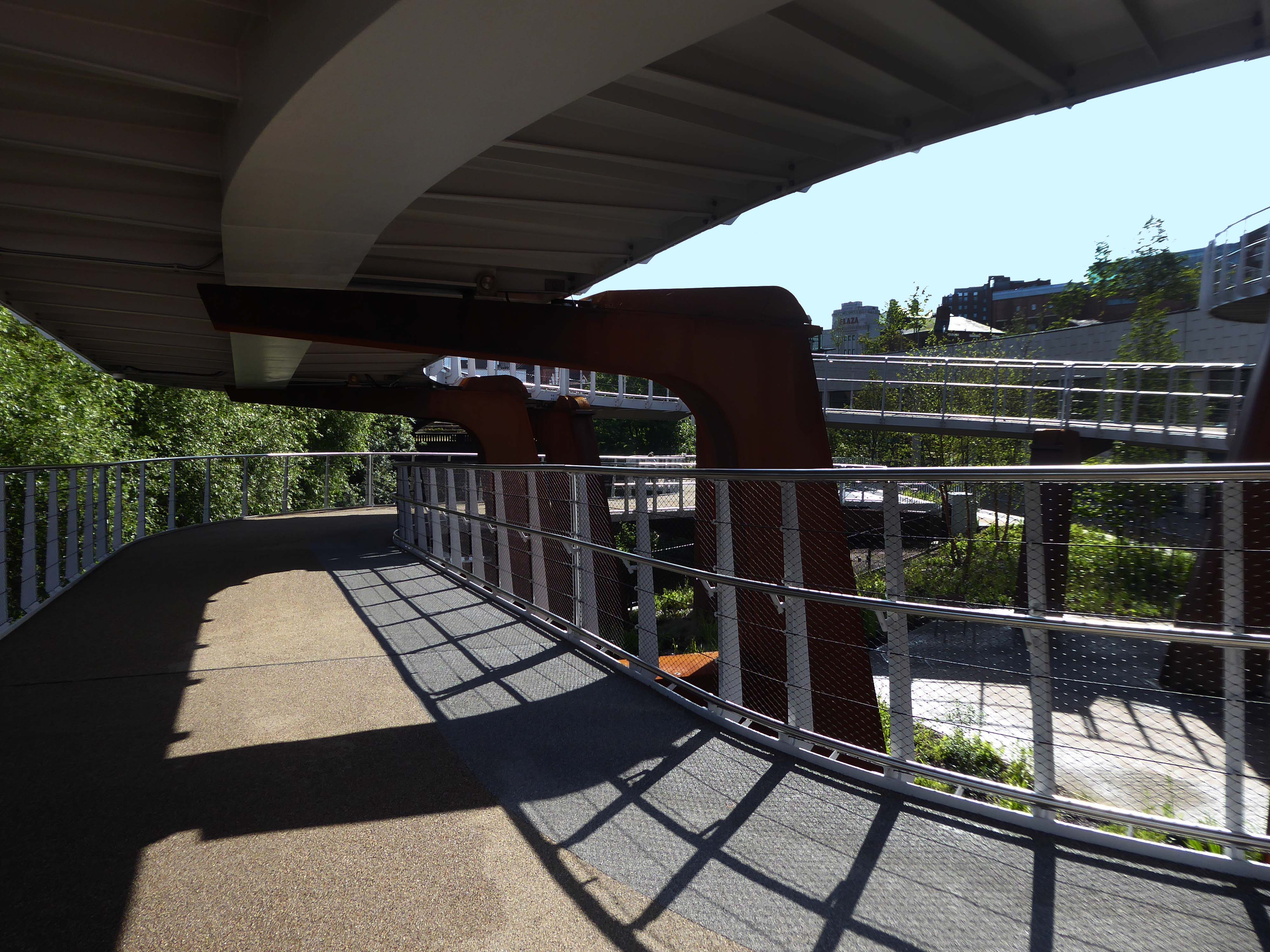
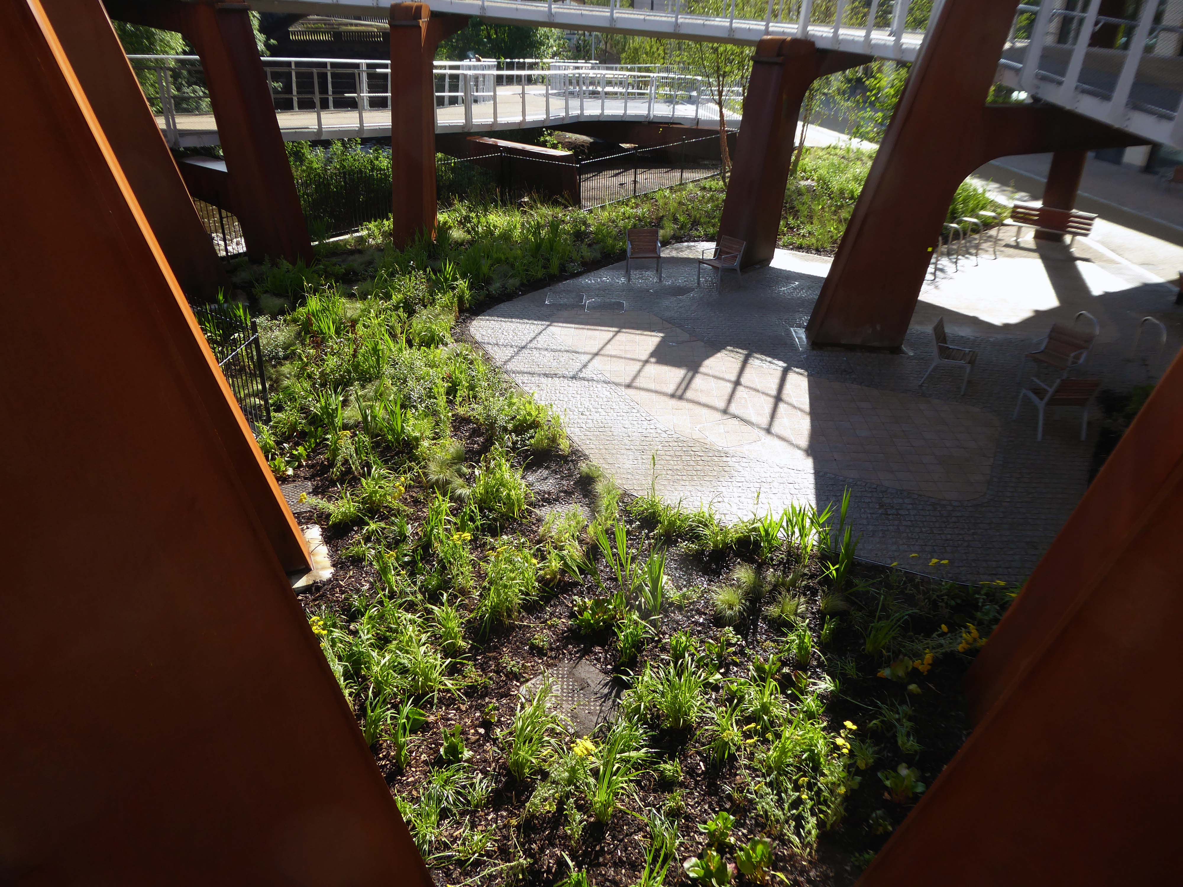
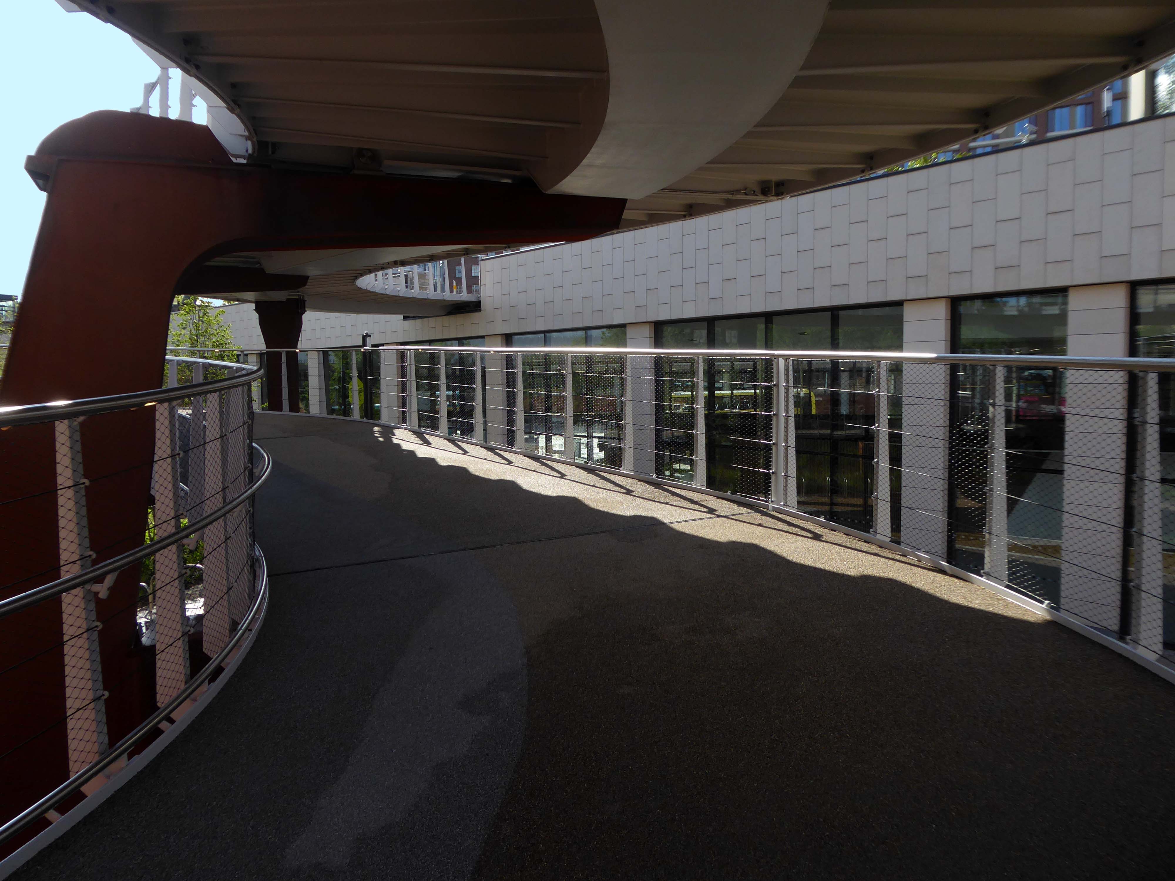
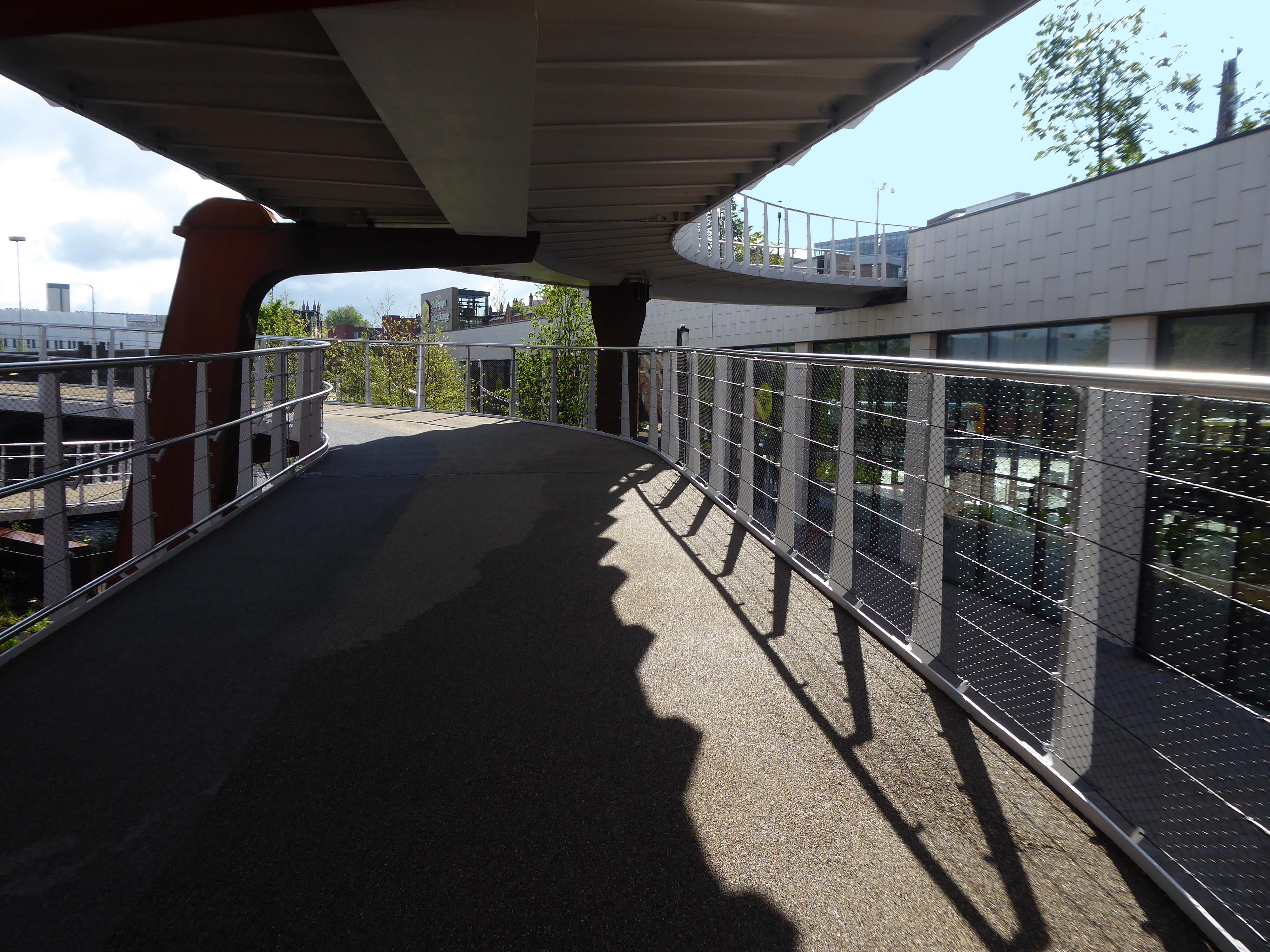
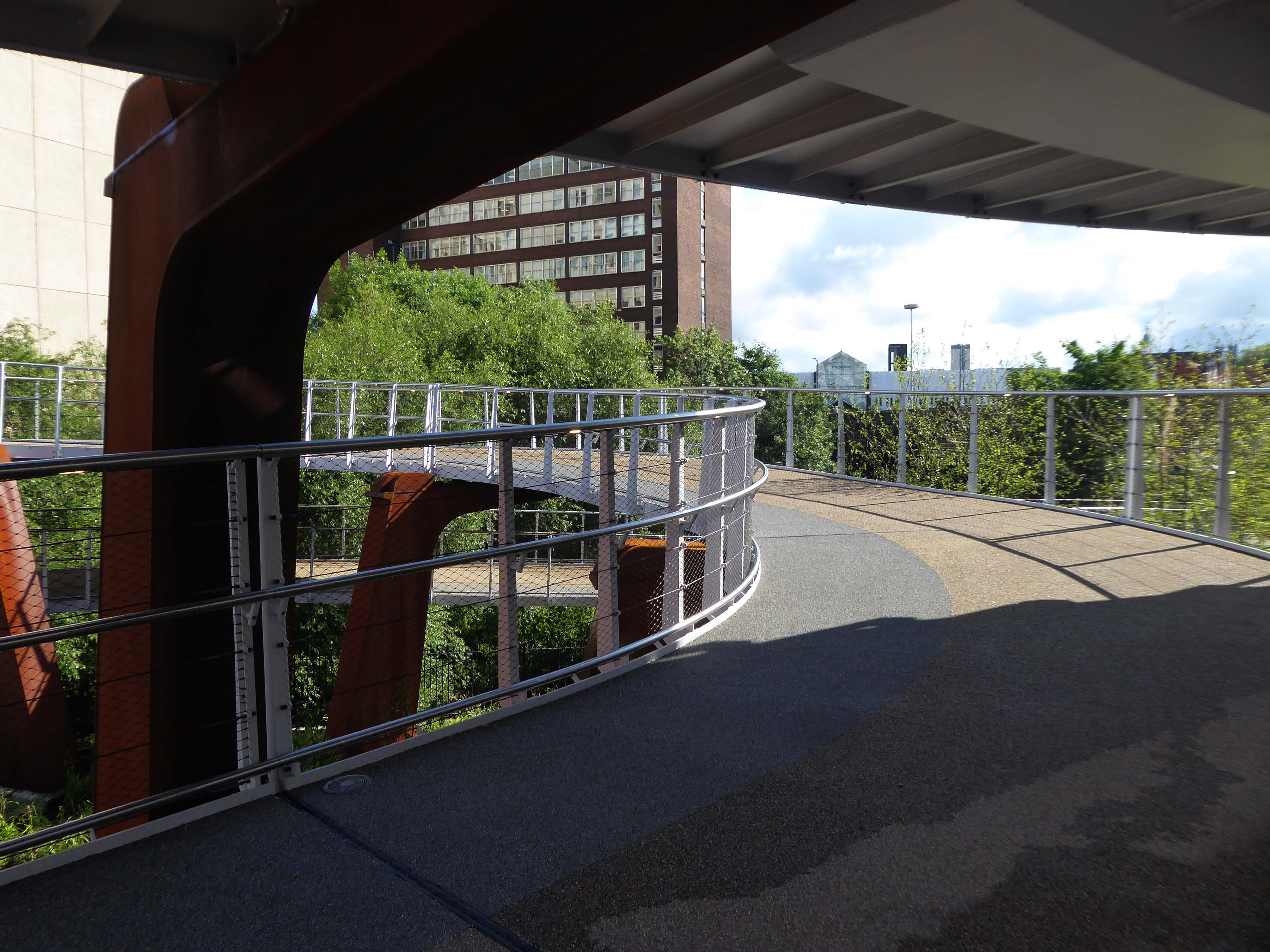
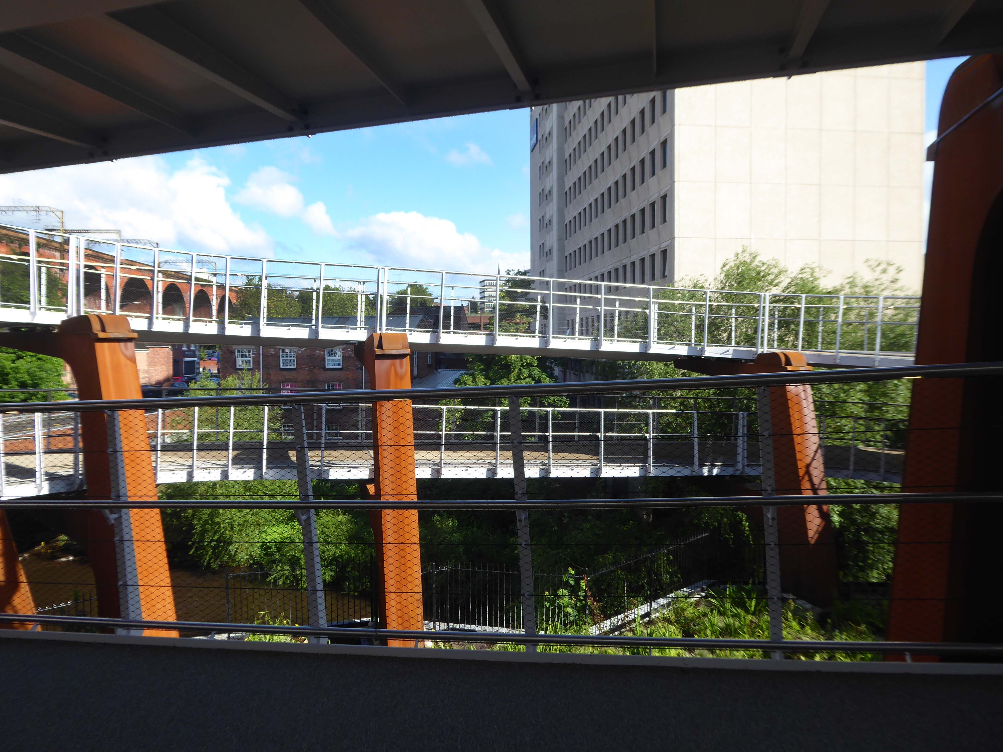
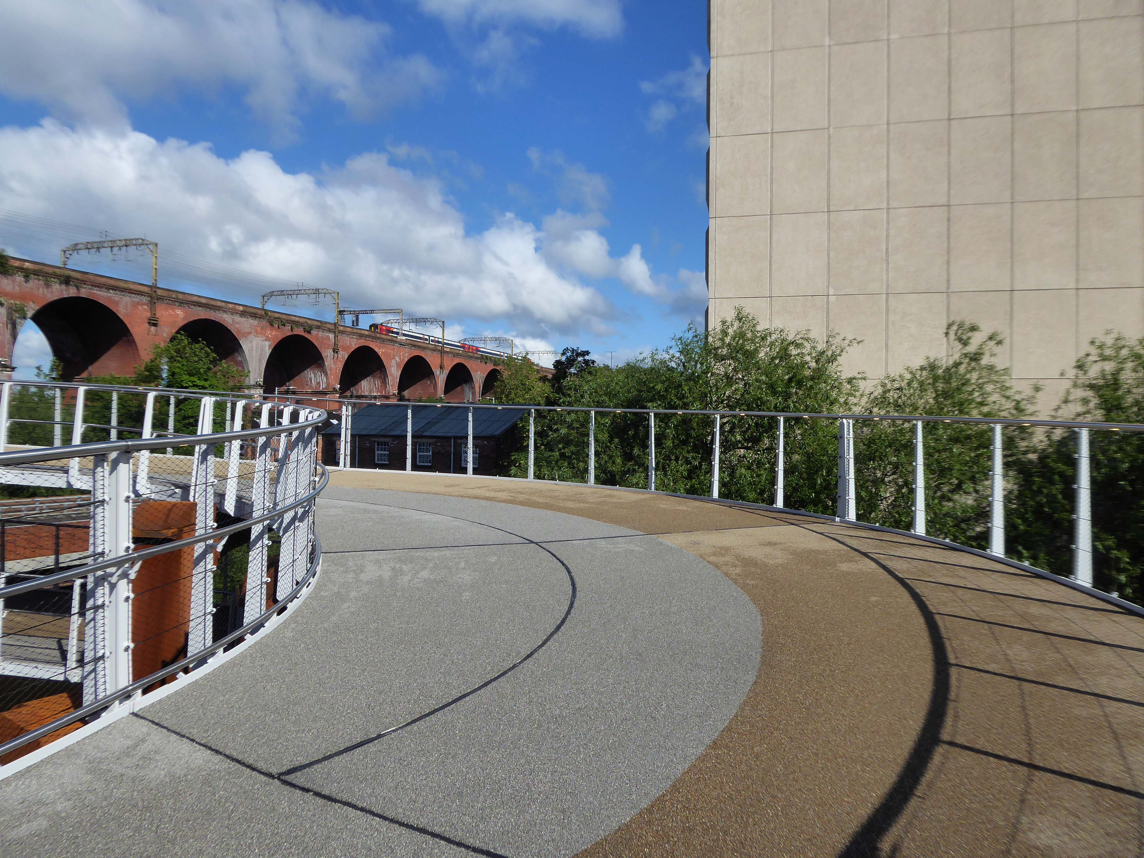
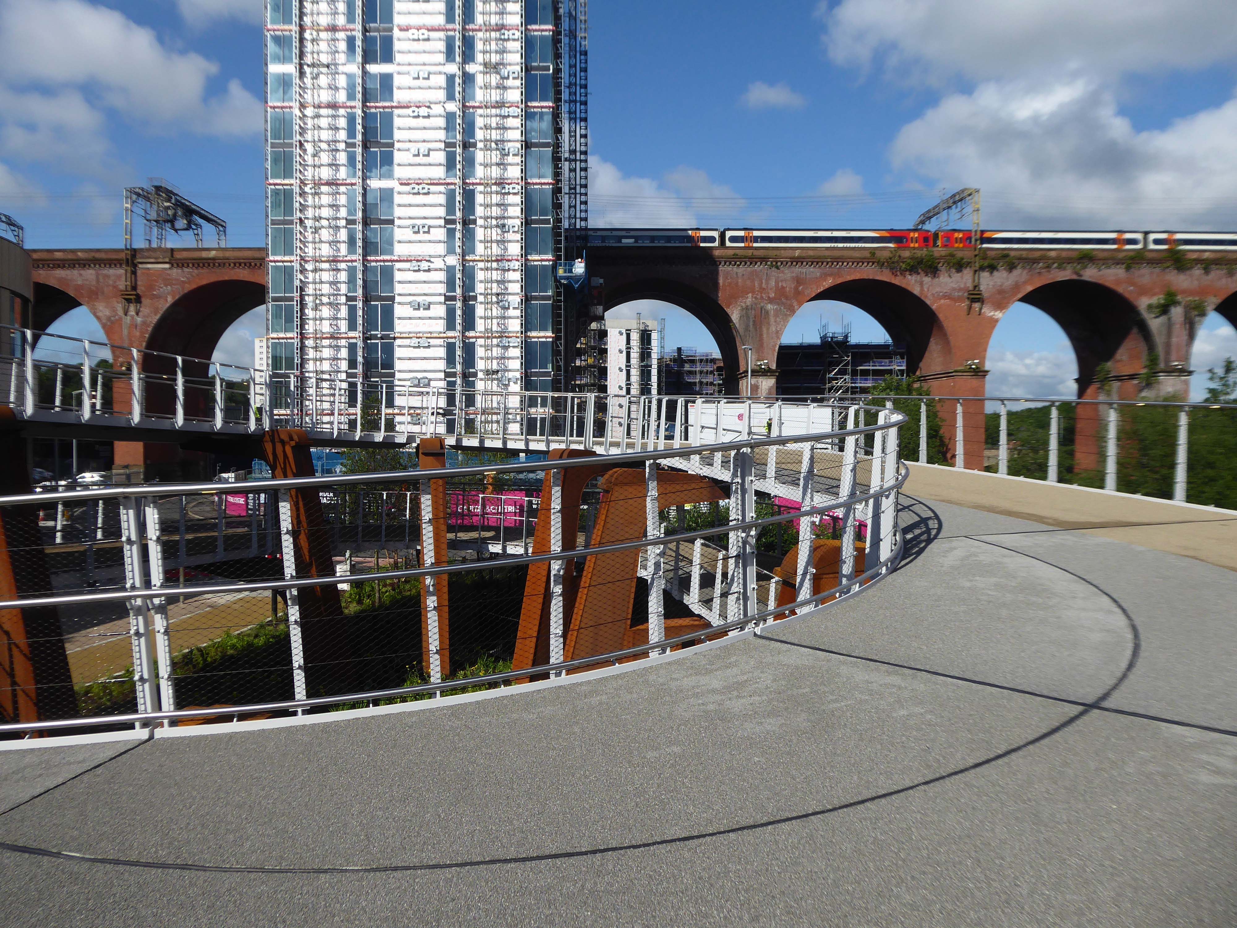
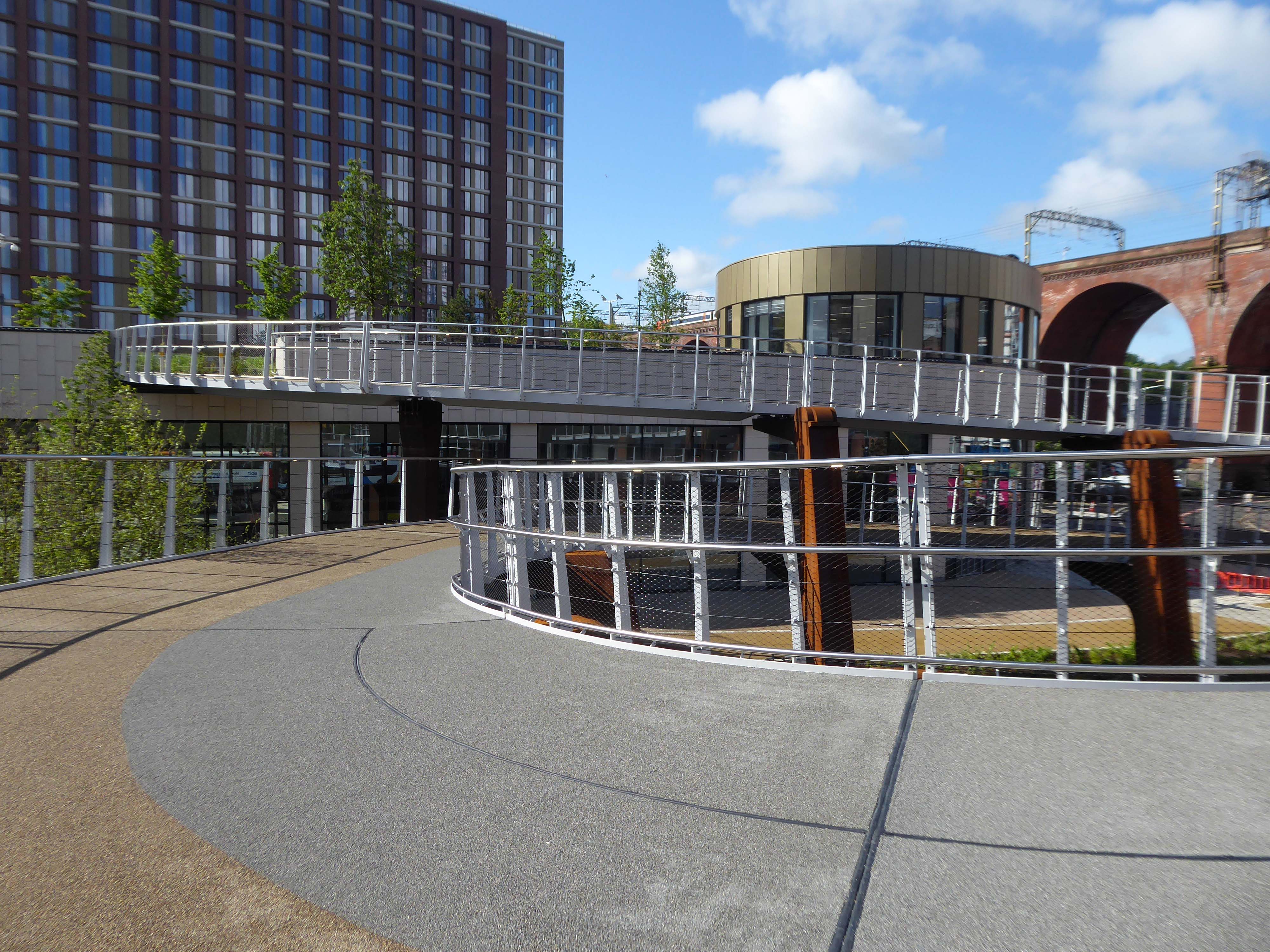
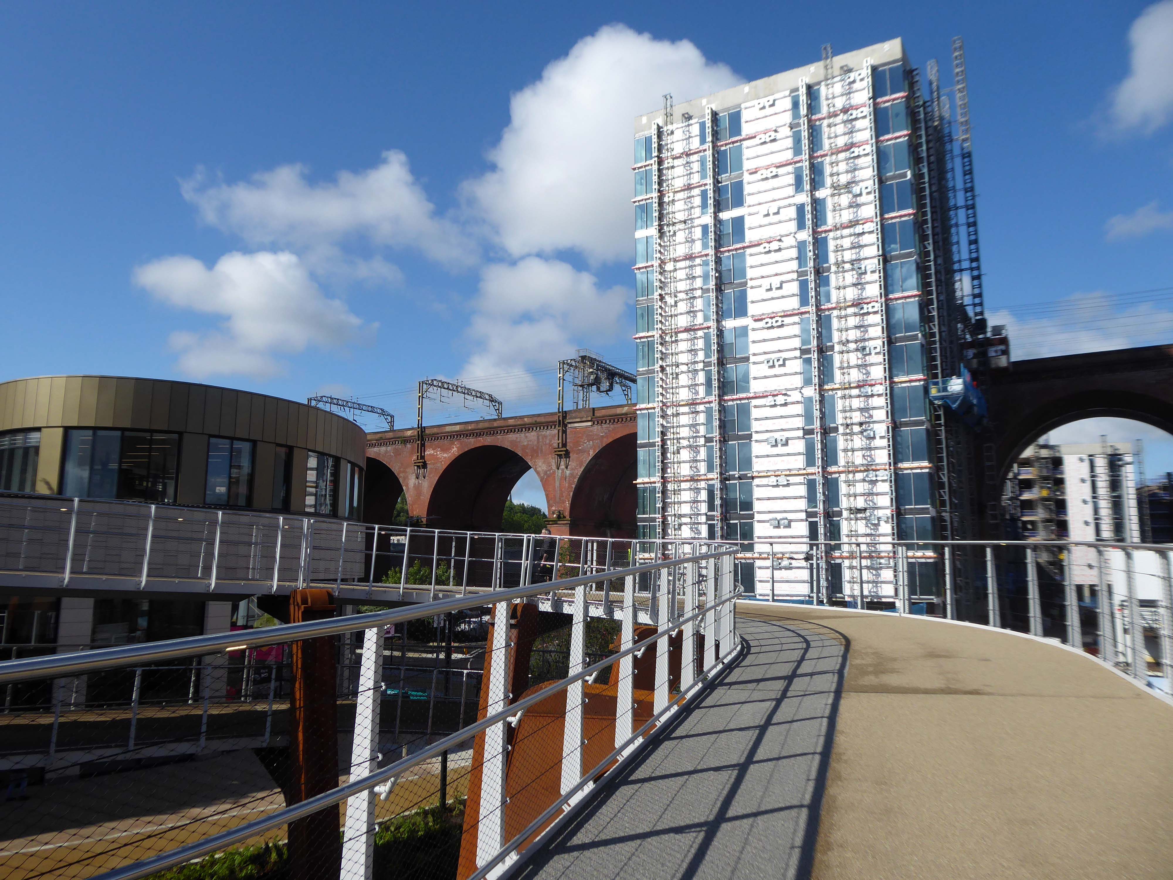
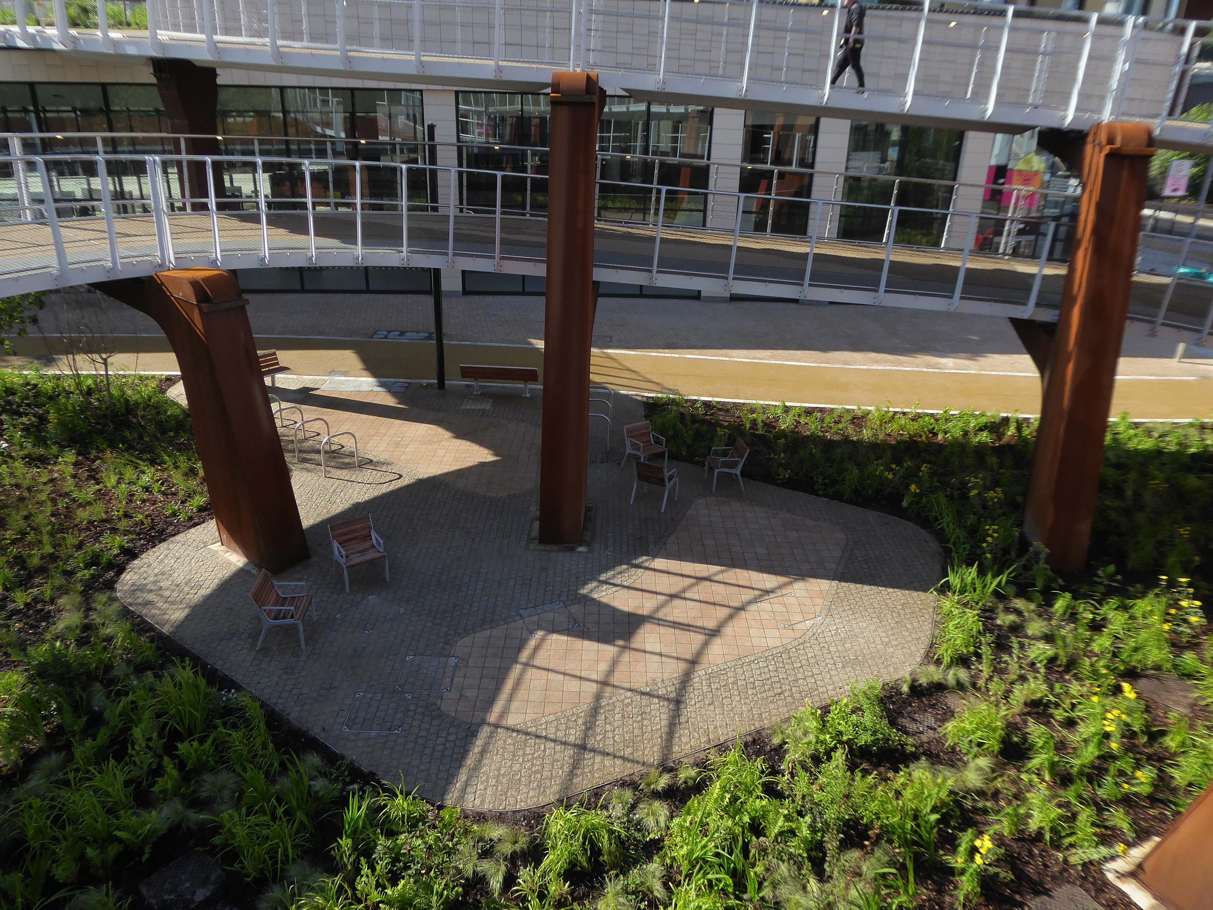
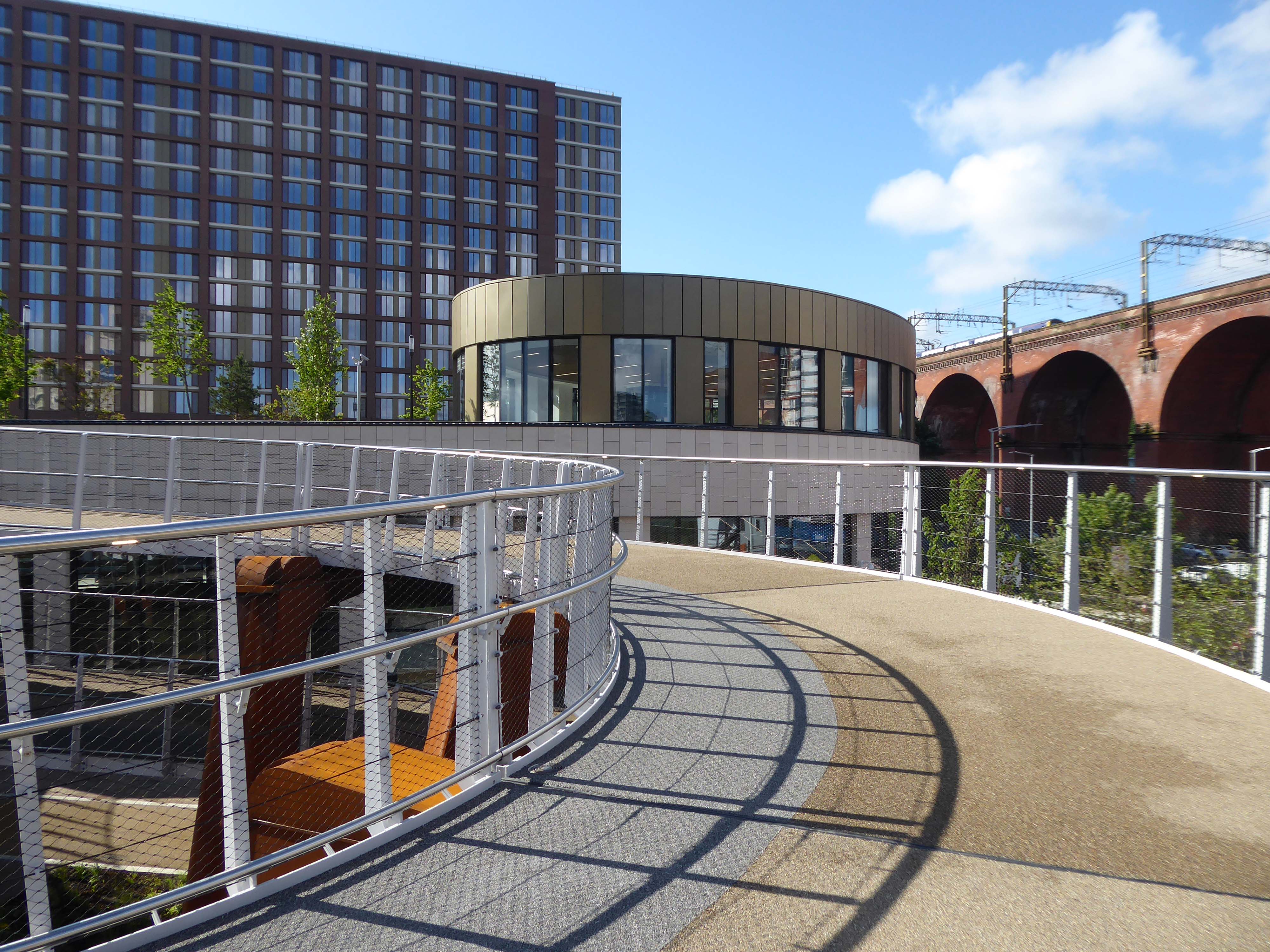
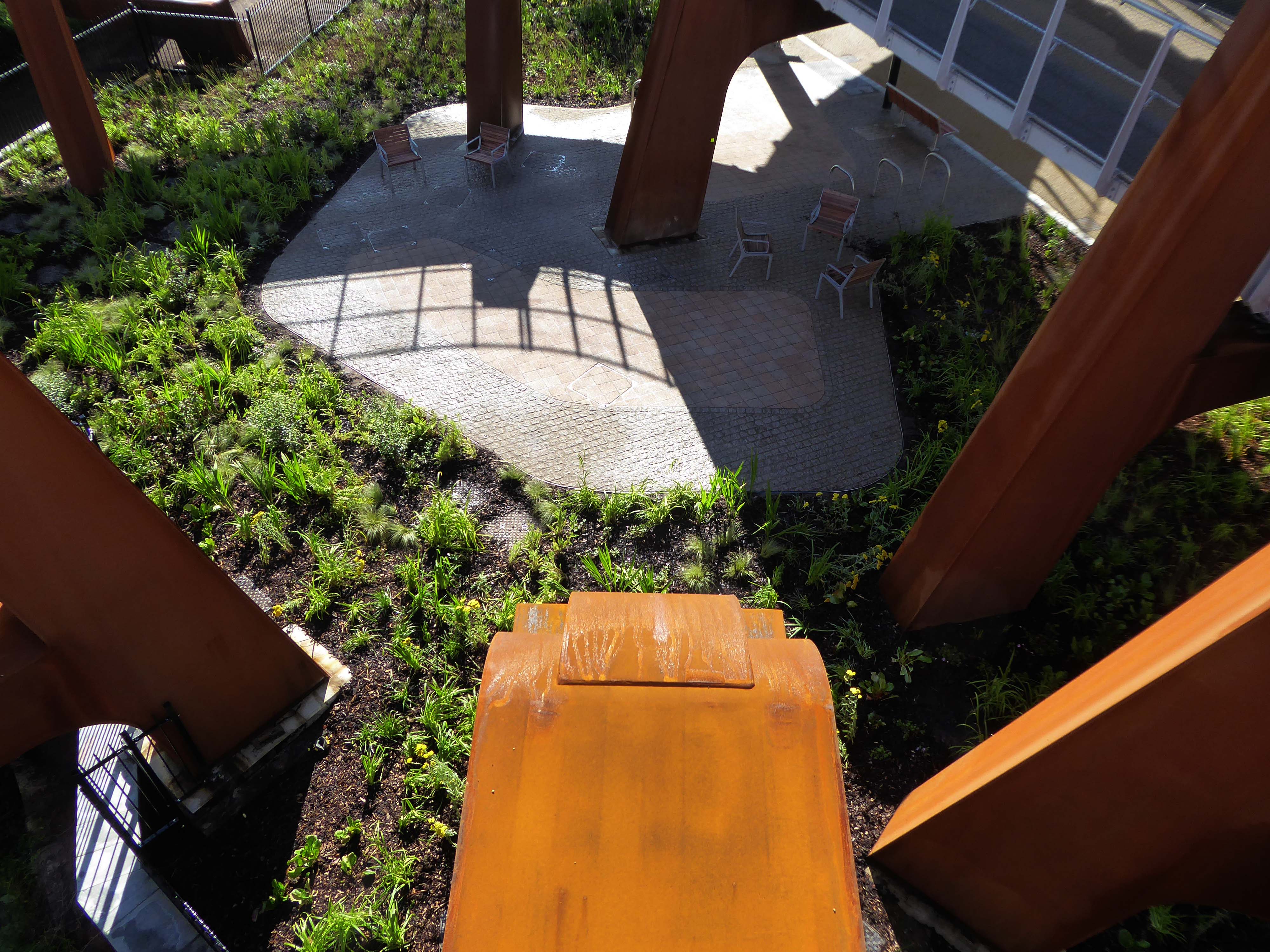
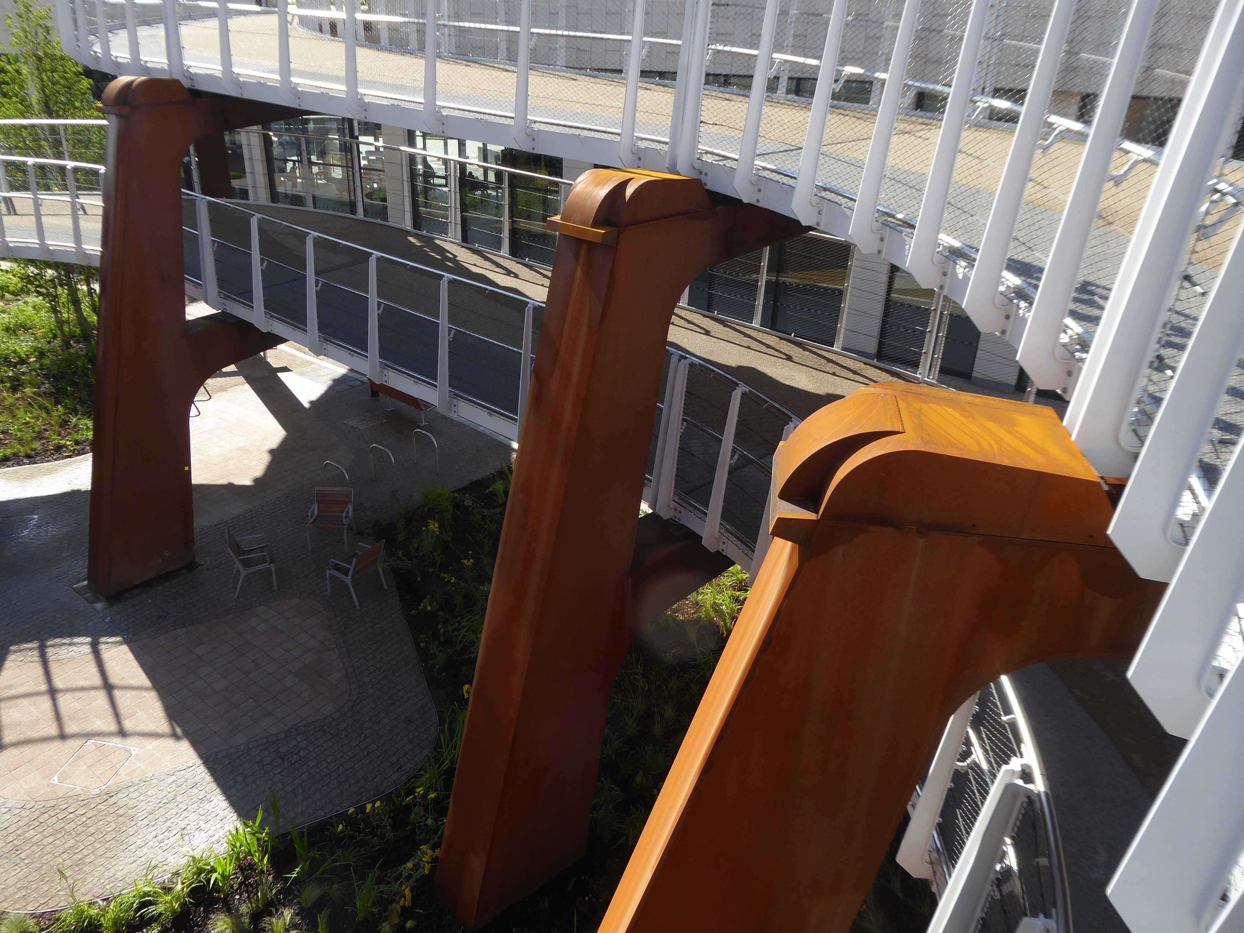
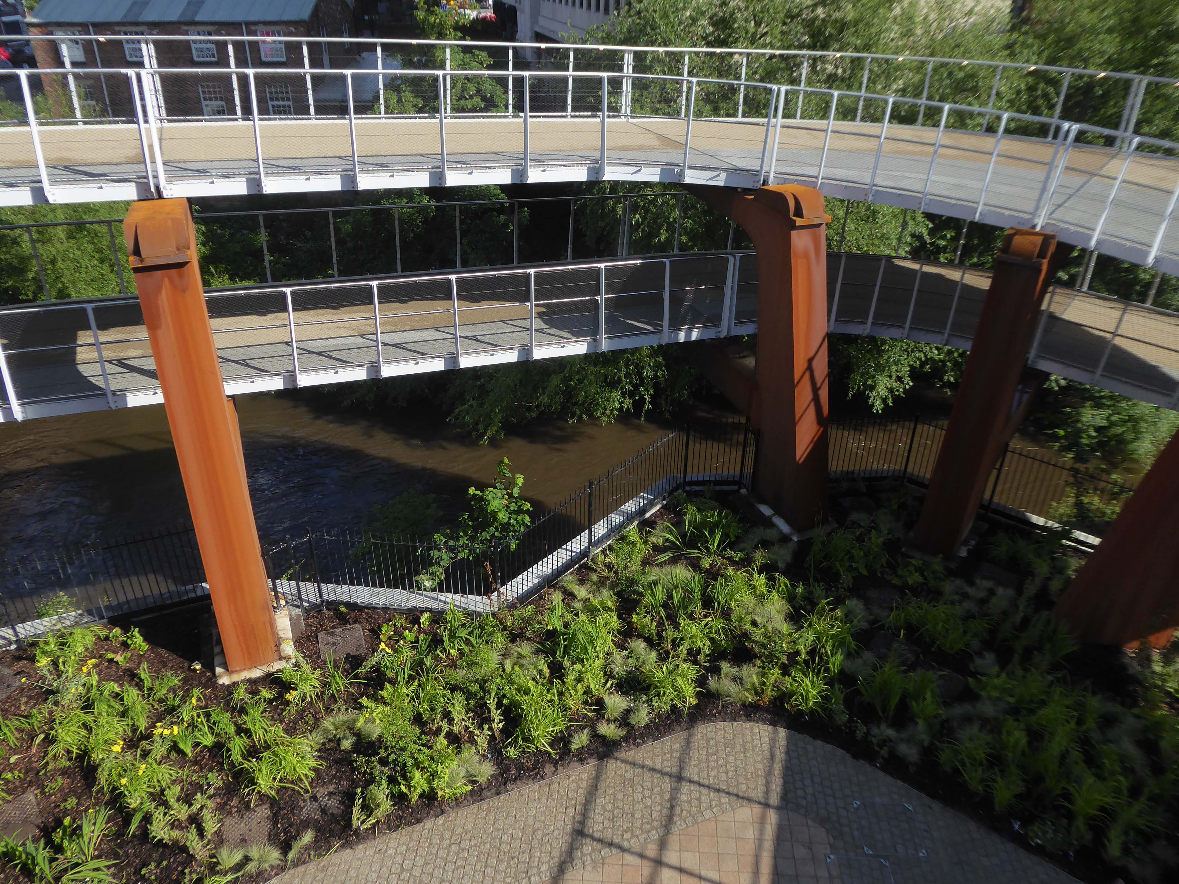
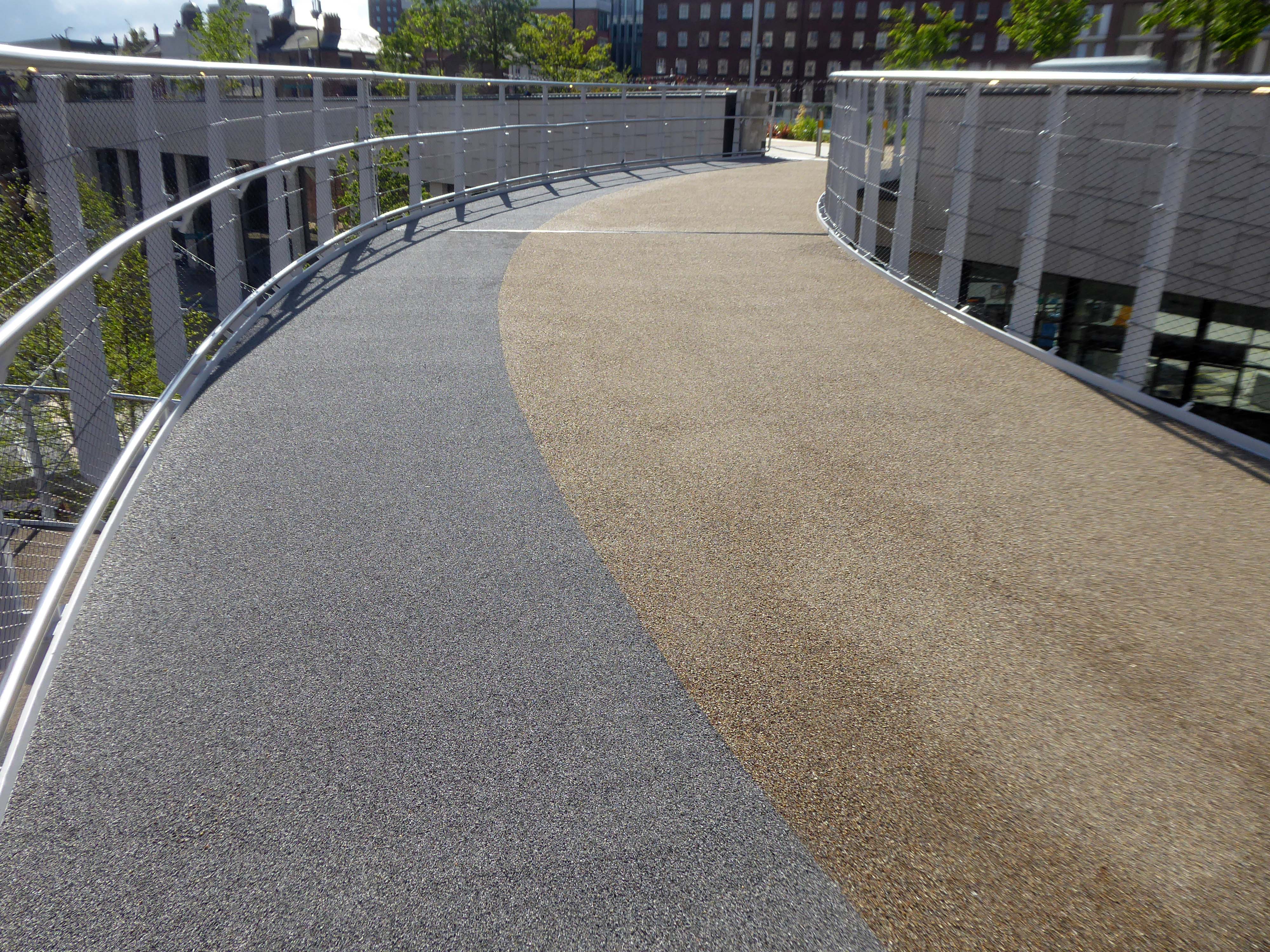
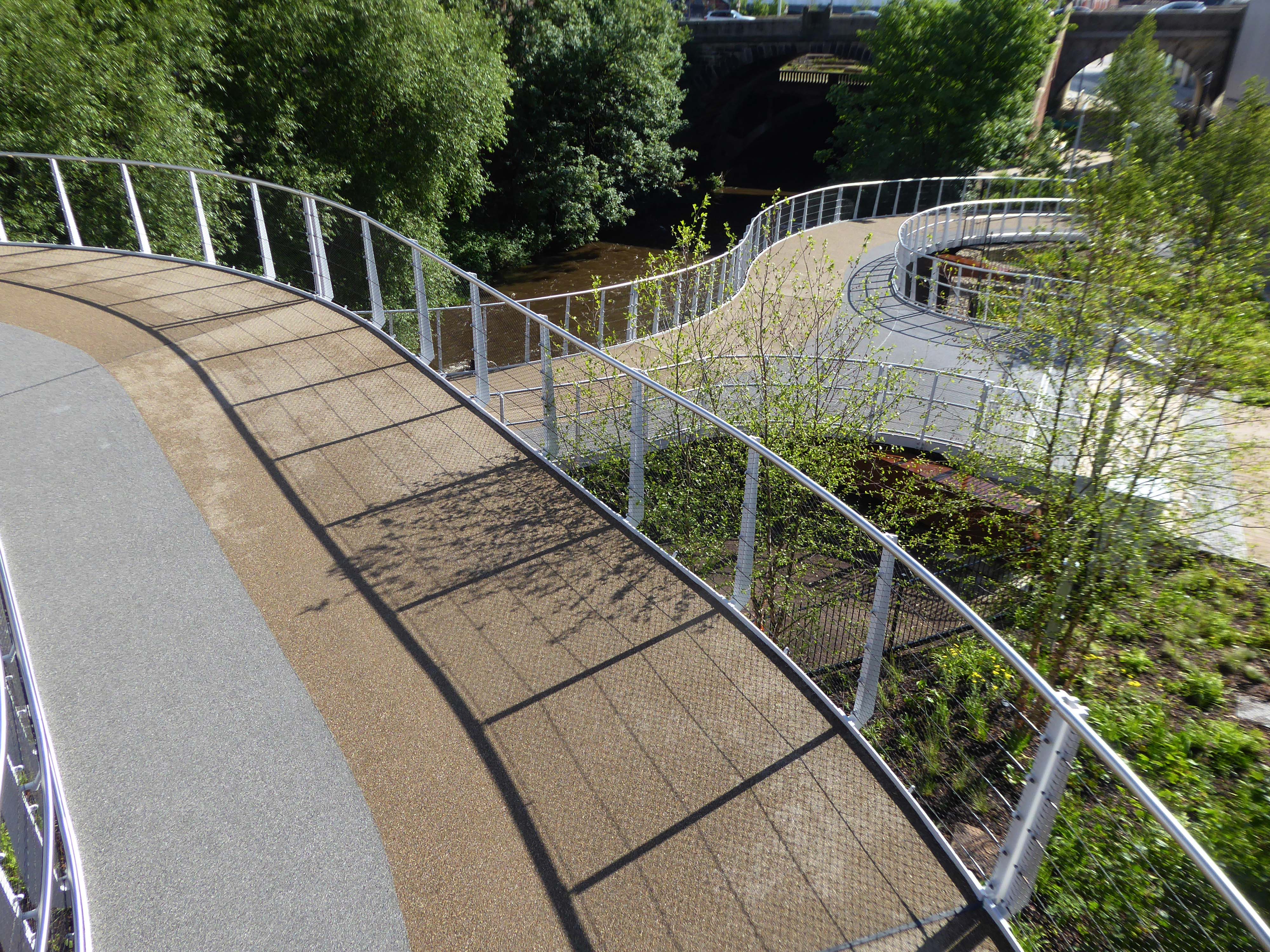
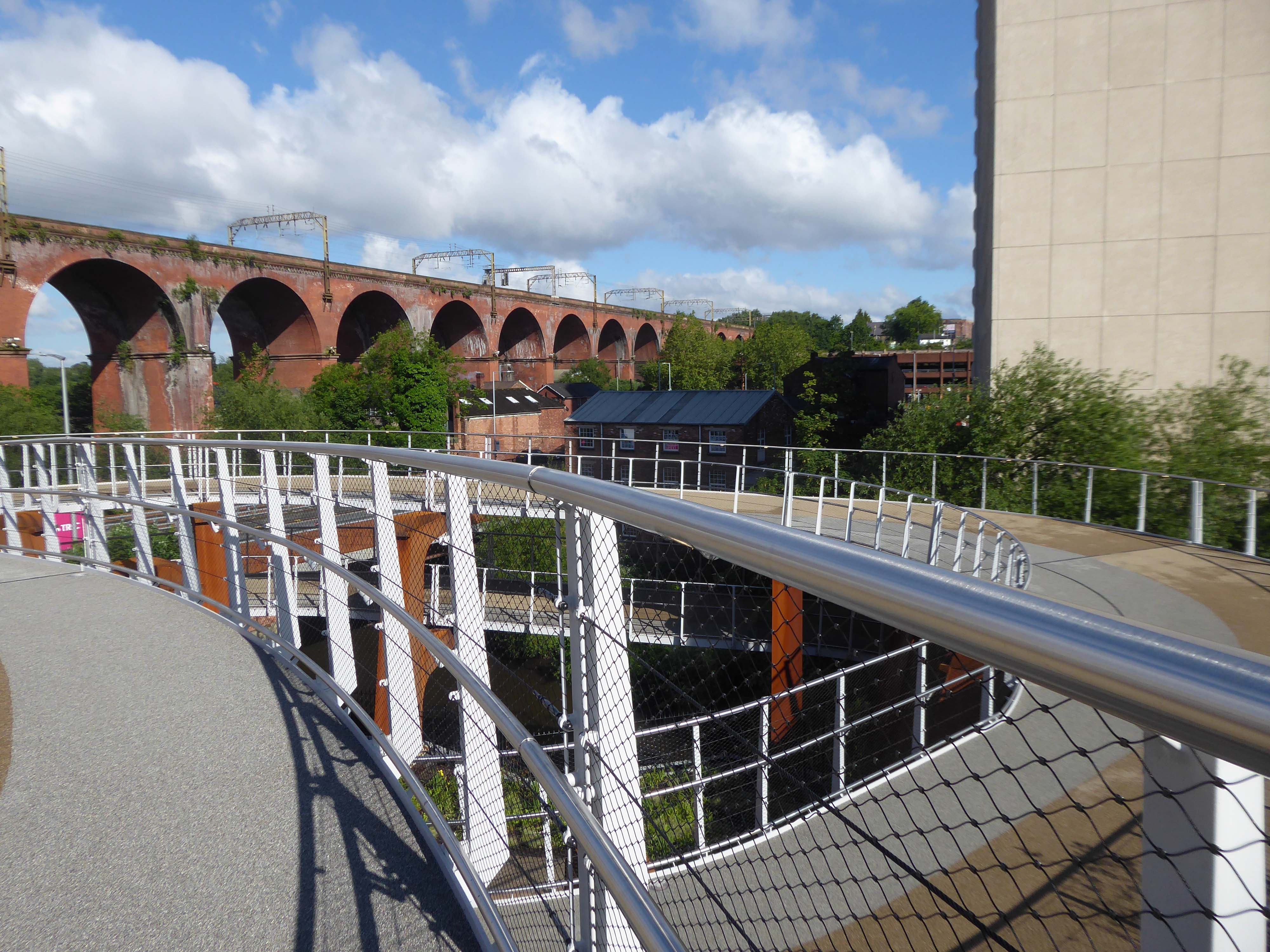
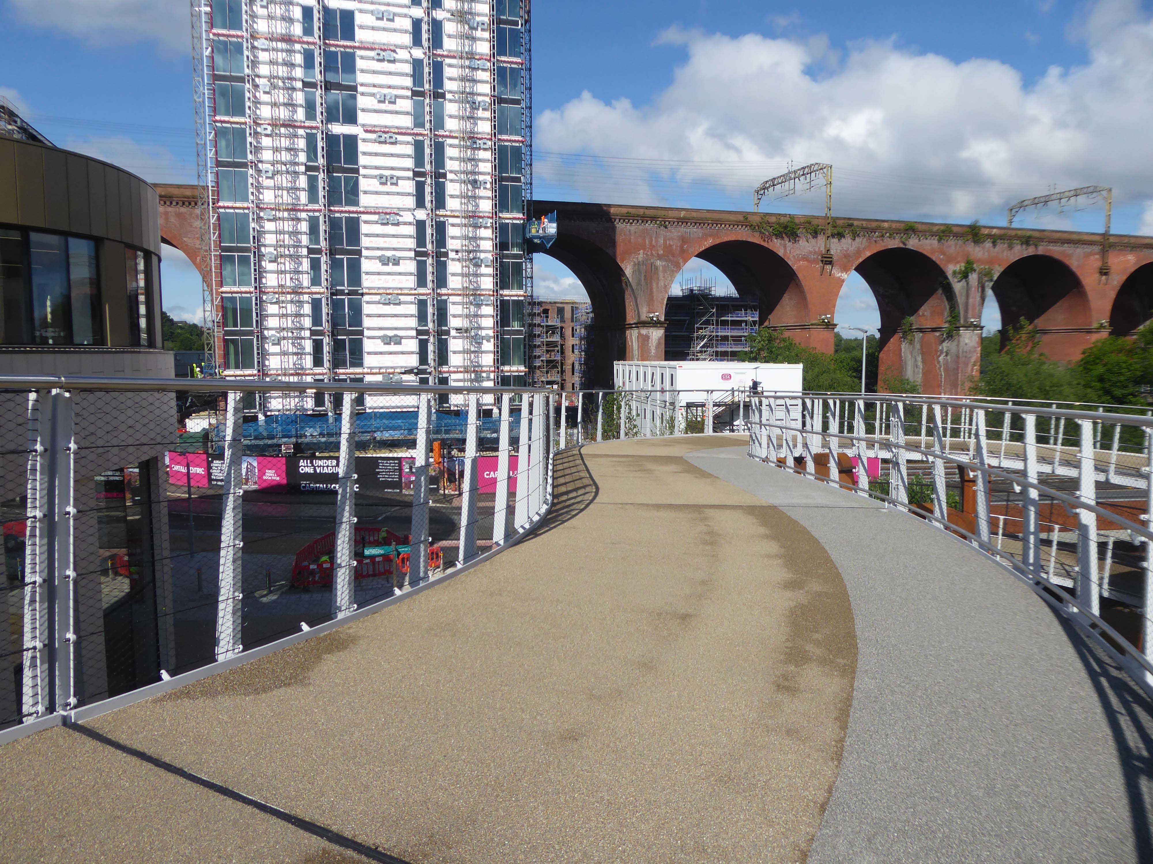
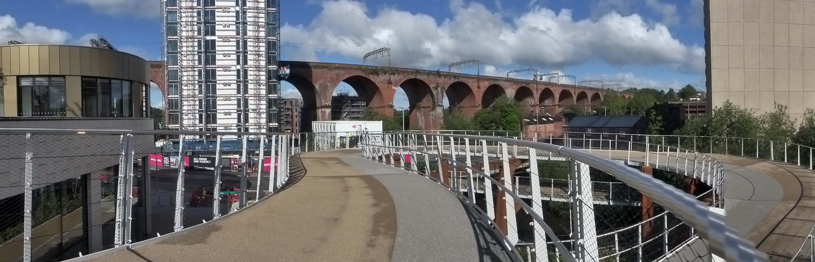
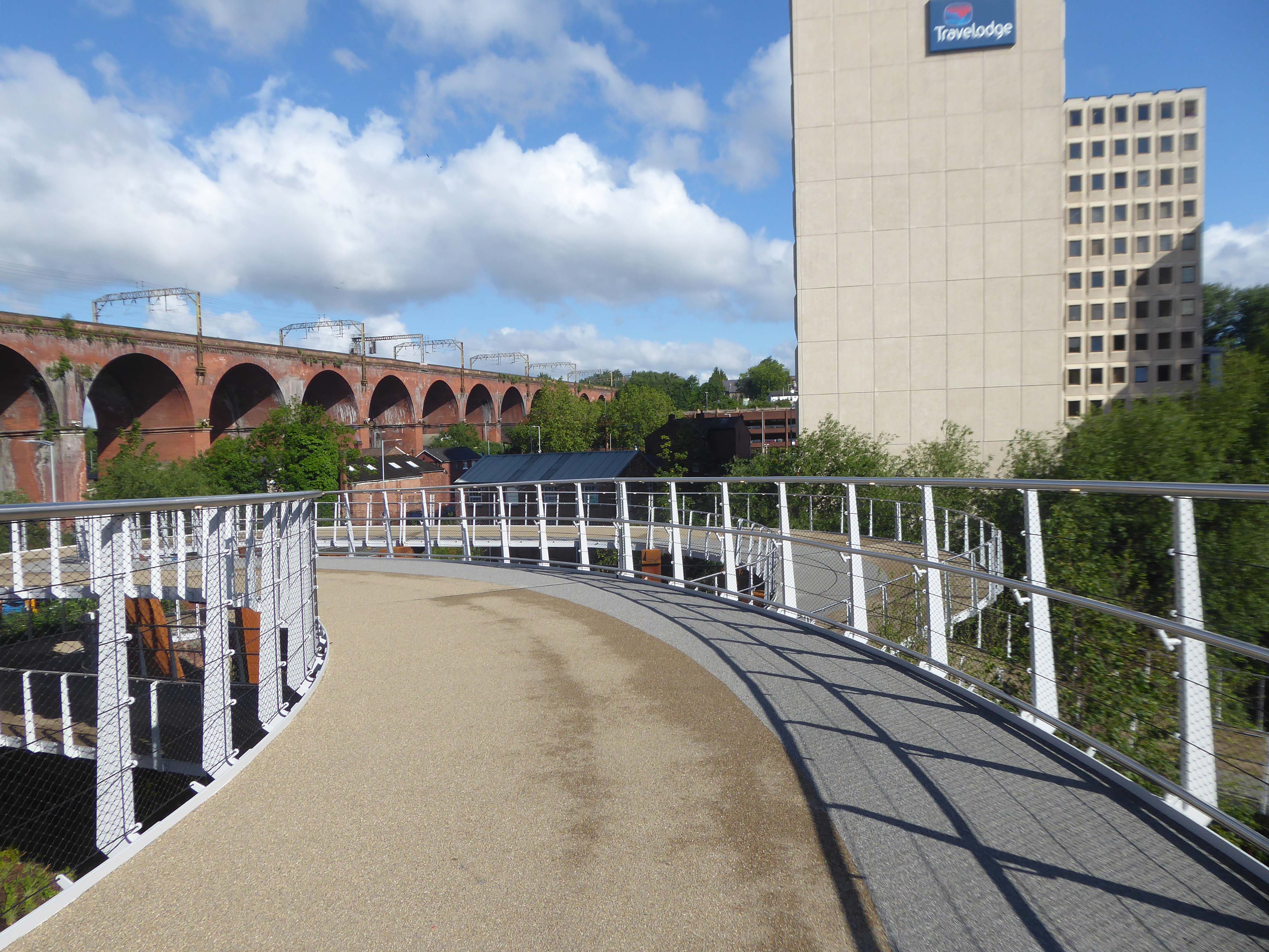
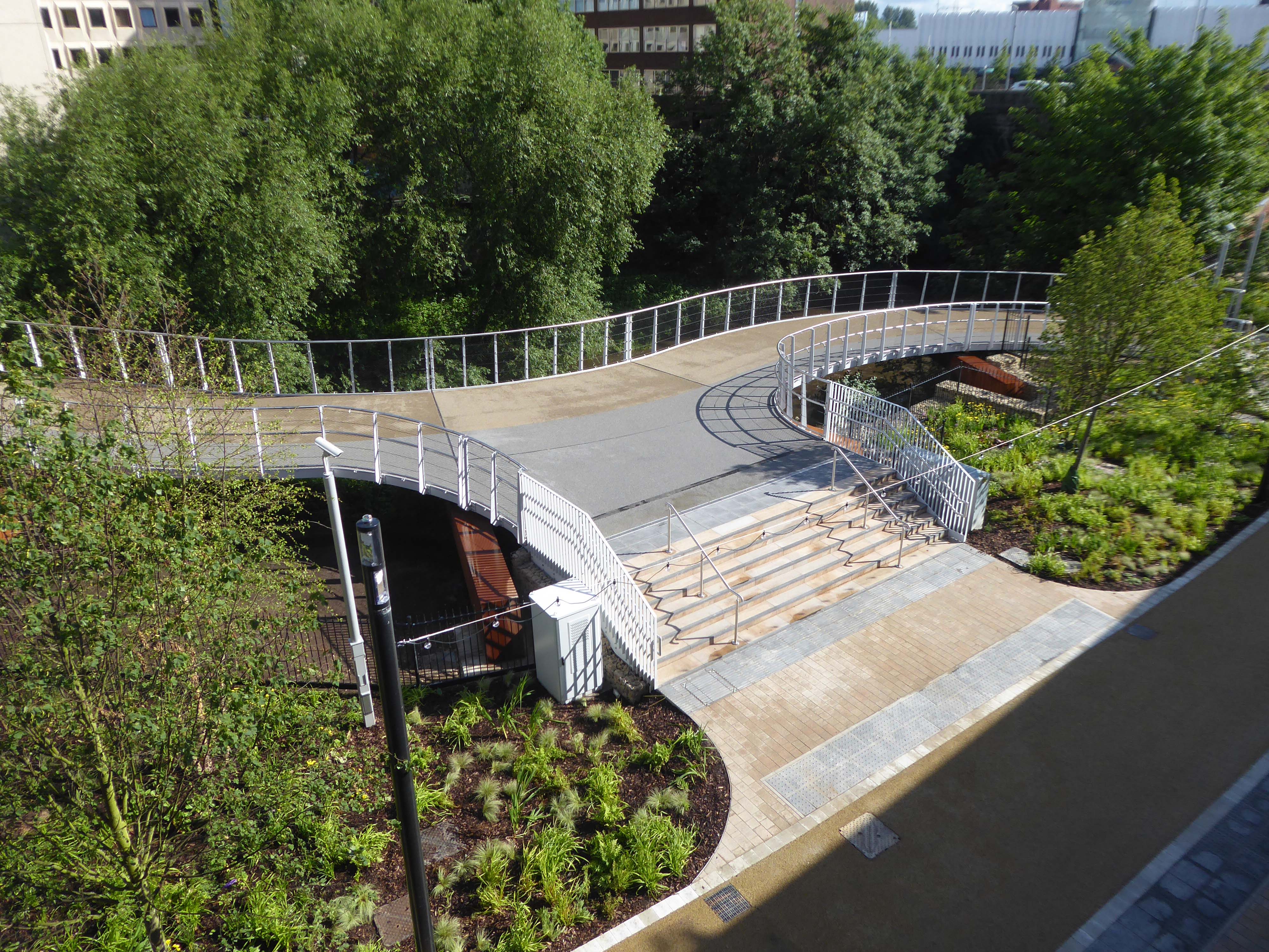
It’s now all grown up into a fully fledged transport interchange – with its very own pedestrian and cycling ramp.
The 189-metre ramp provides a seamless and accessible route to navigate the level change from the rooftop park to the river Mersey frontage, leading to the Trans Pennine Trail route.
Forming part of the Stockport Interchange Mixed Use development scheme, and which also includes a new cycle and pedestrian link from Stockport rail station to the new park, as well as connecting the new facility to the wider Bee Network cycling and walking infrastructure, which is designed to encourage more people to make journeys on foot or by bike.
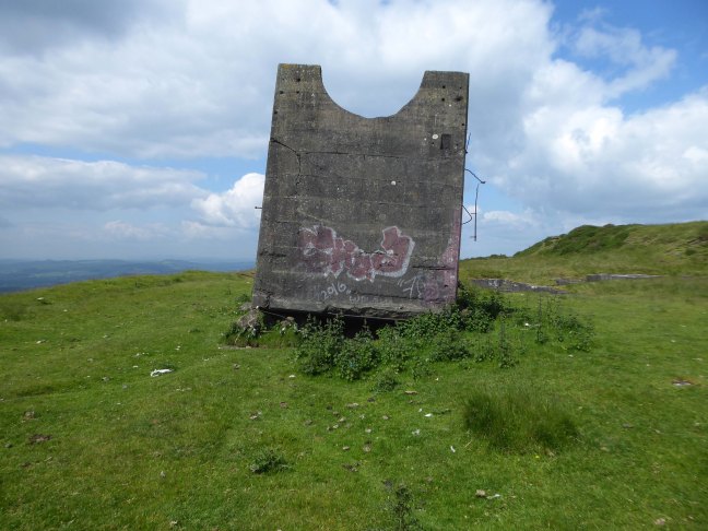
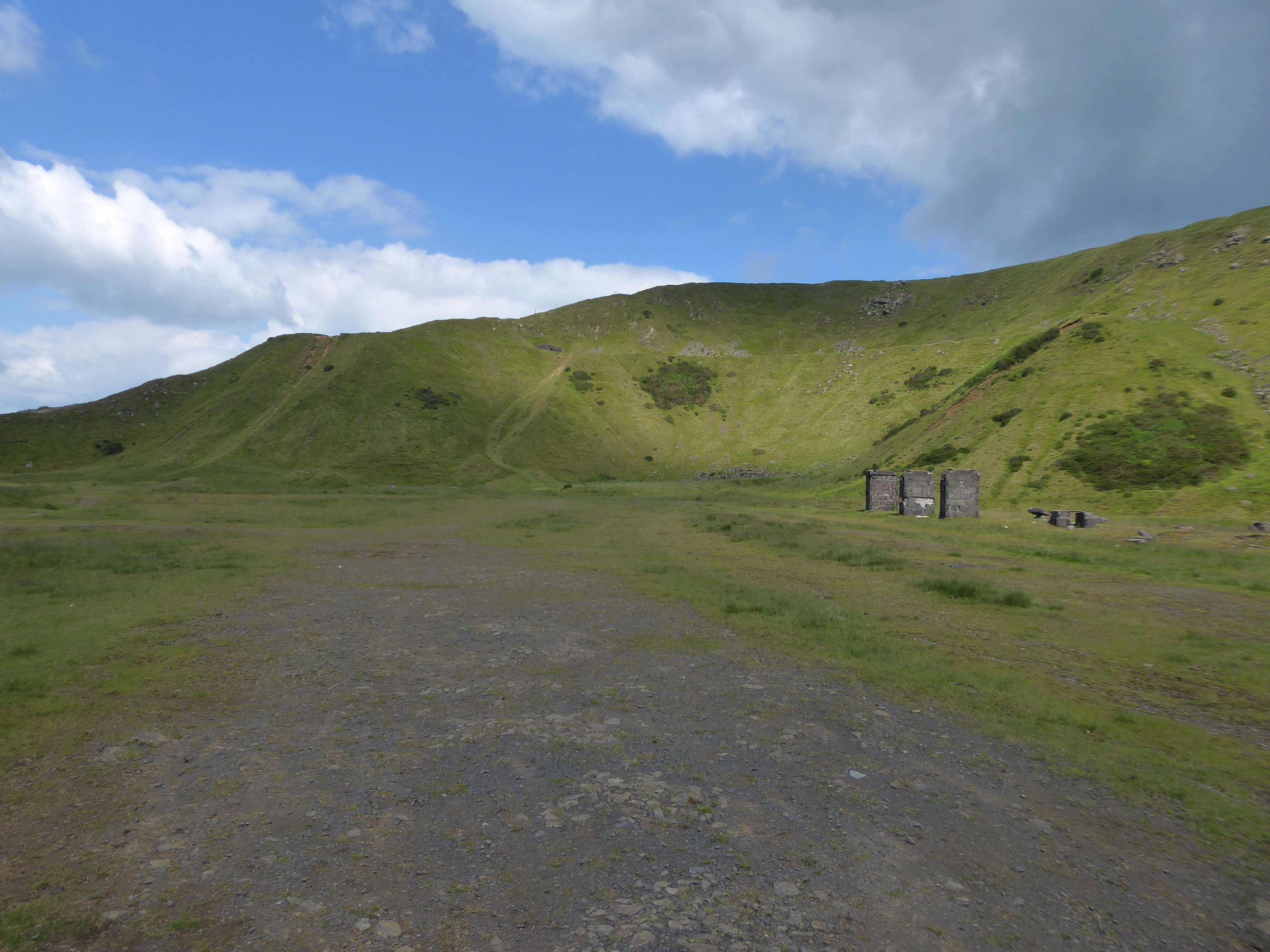
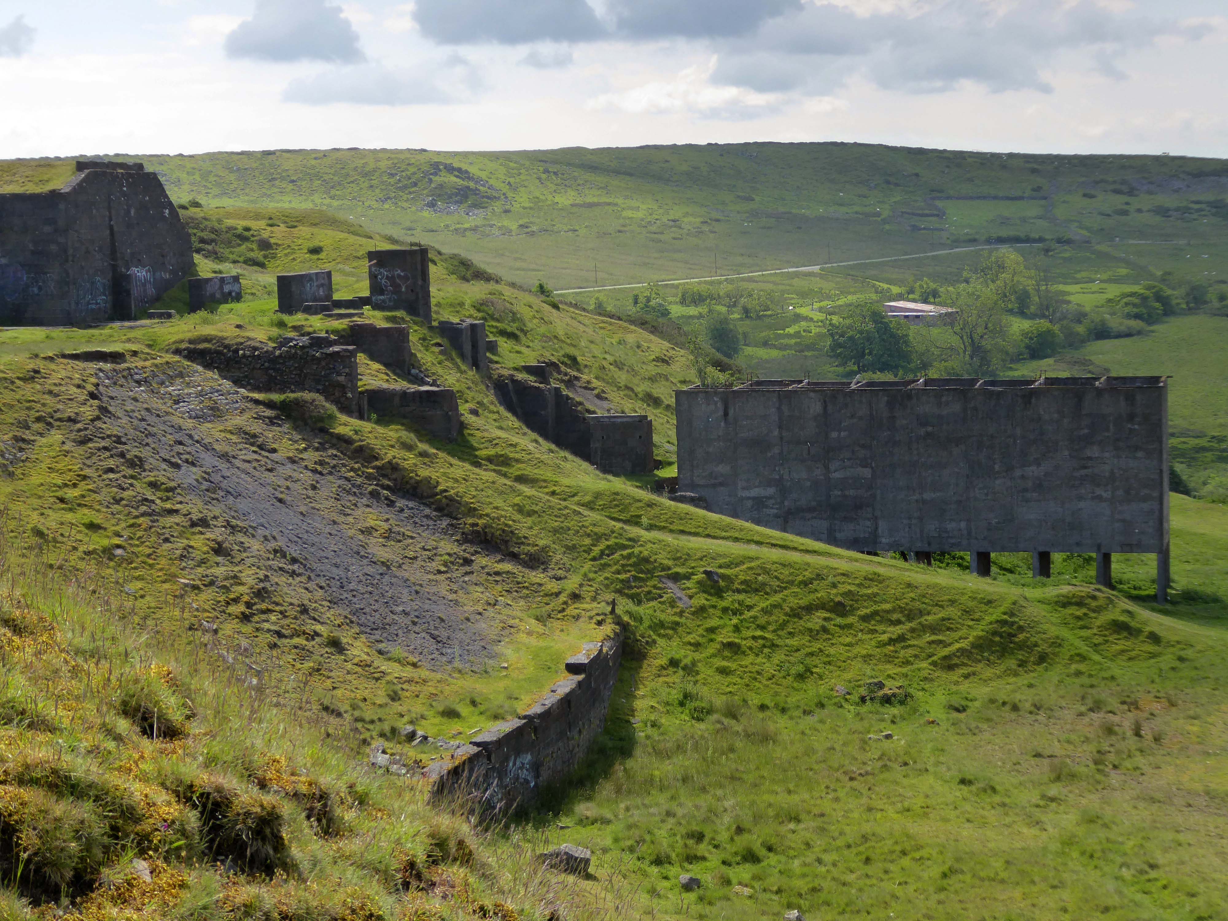
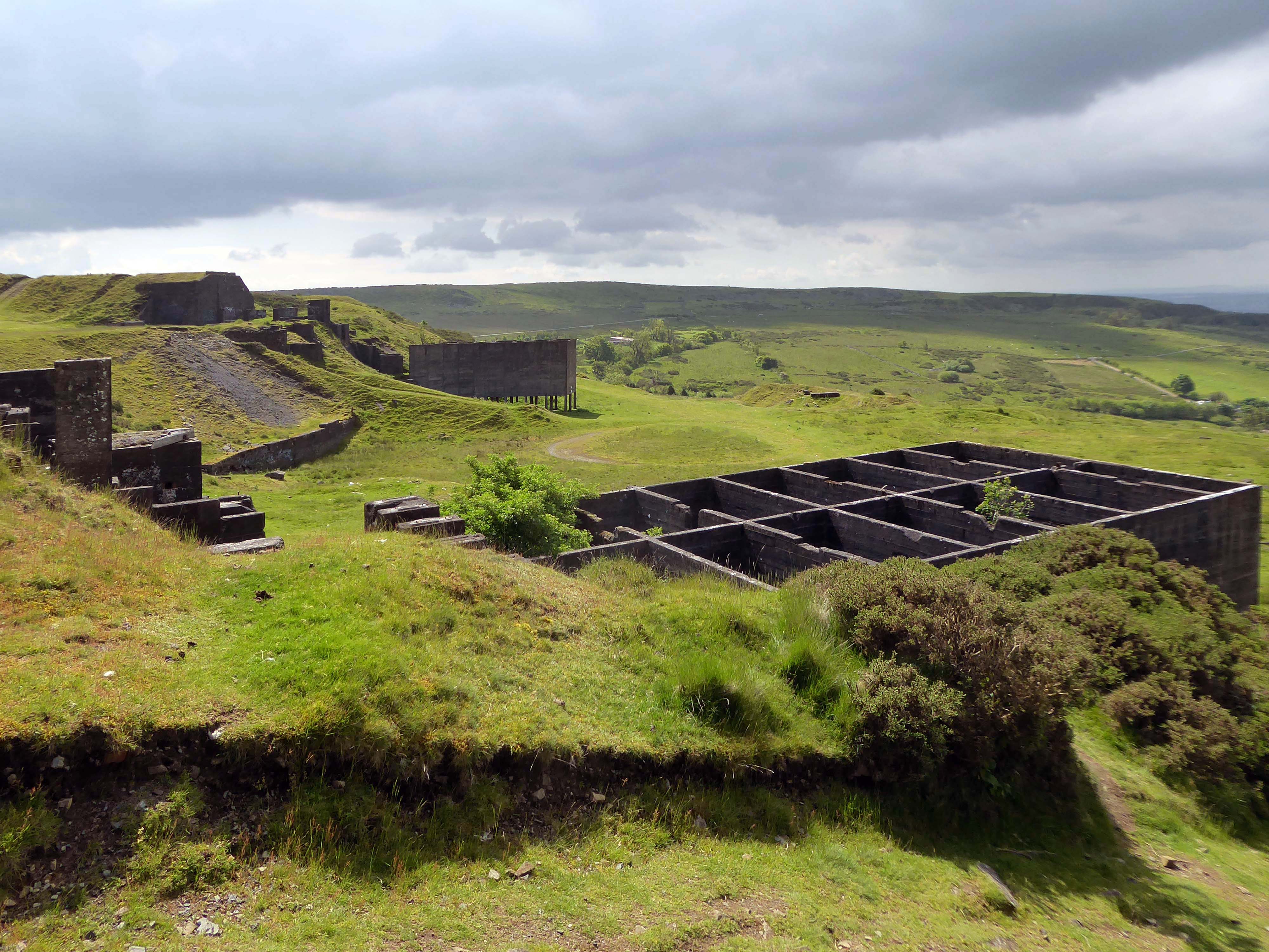
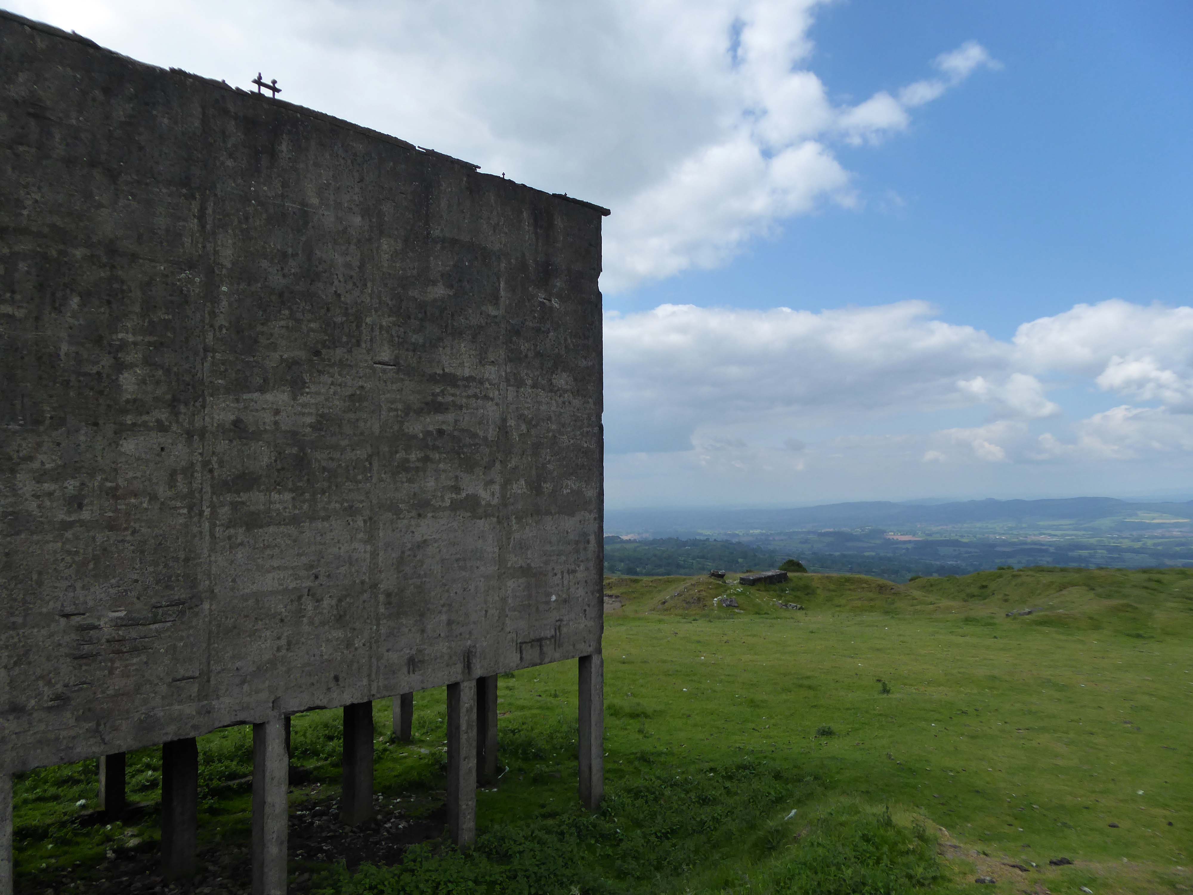
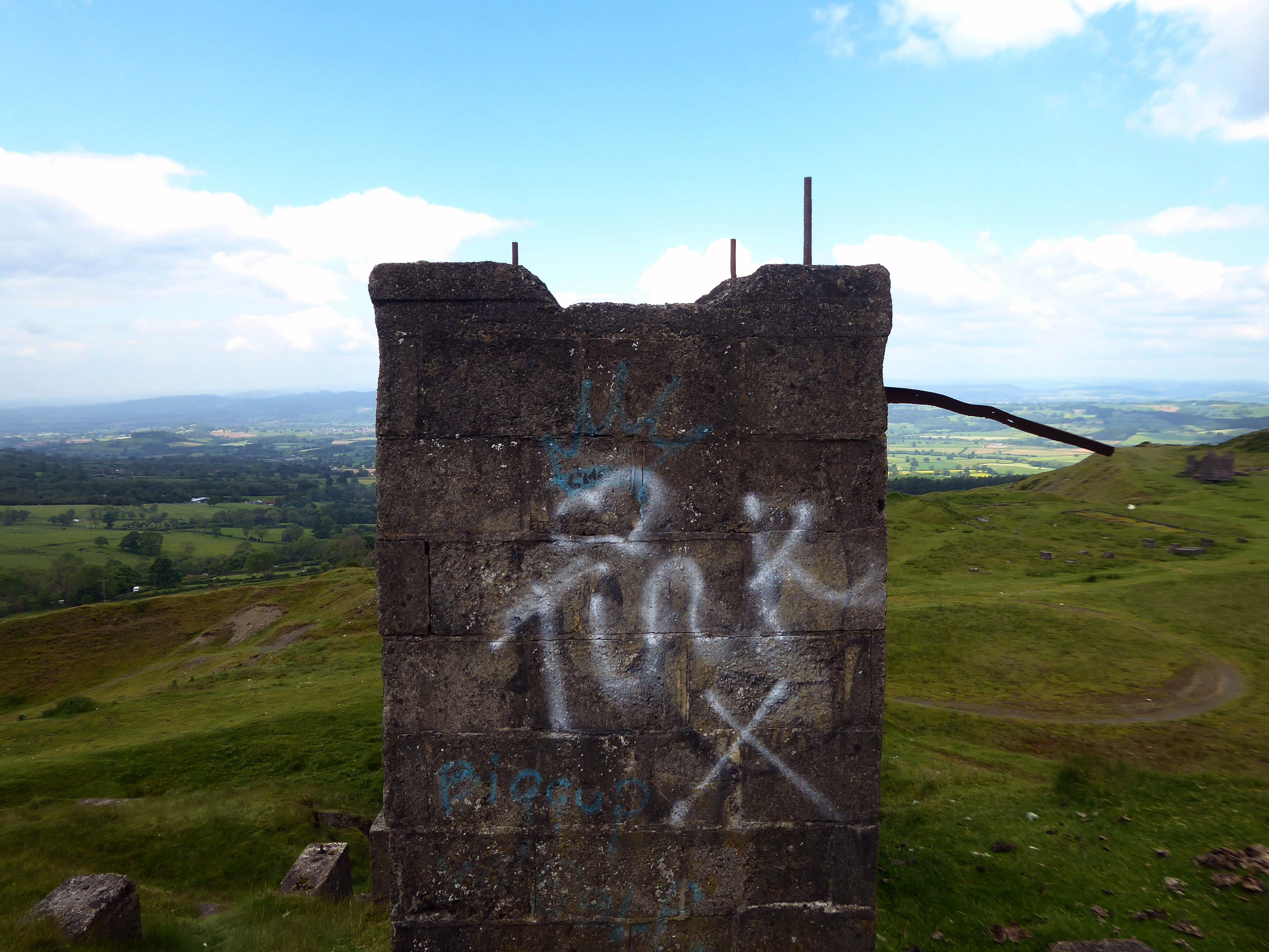
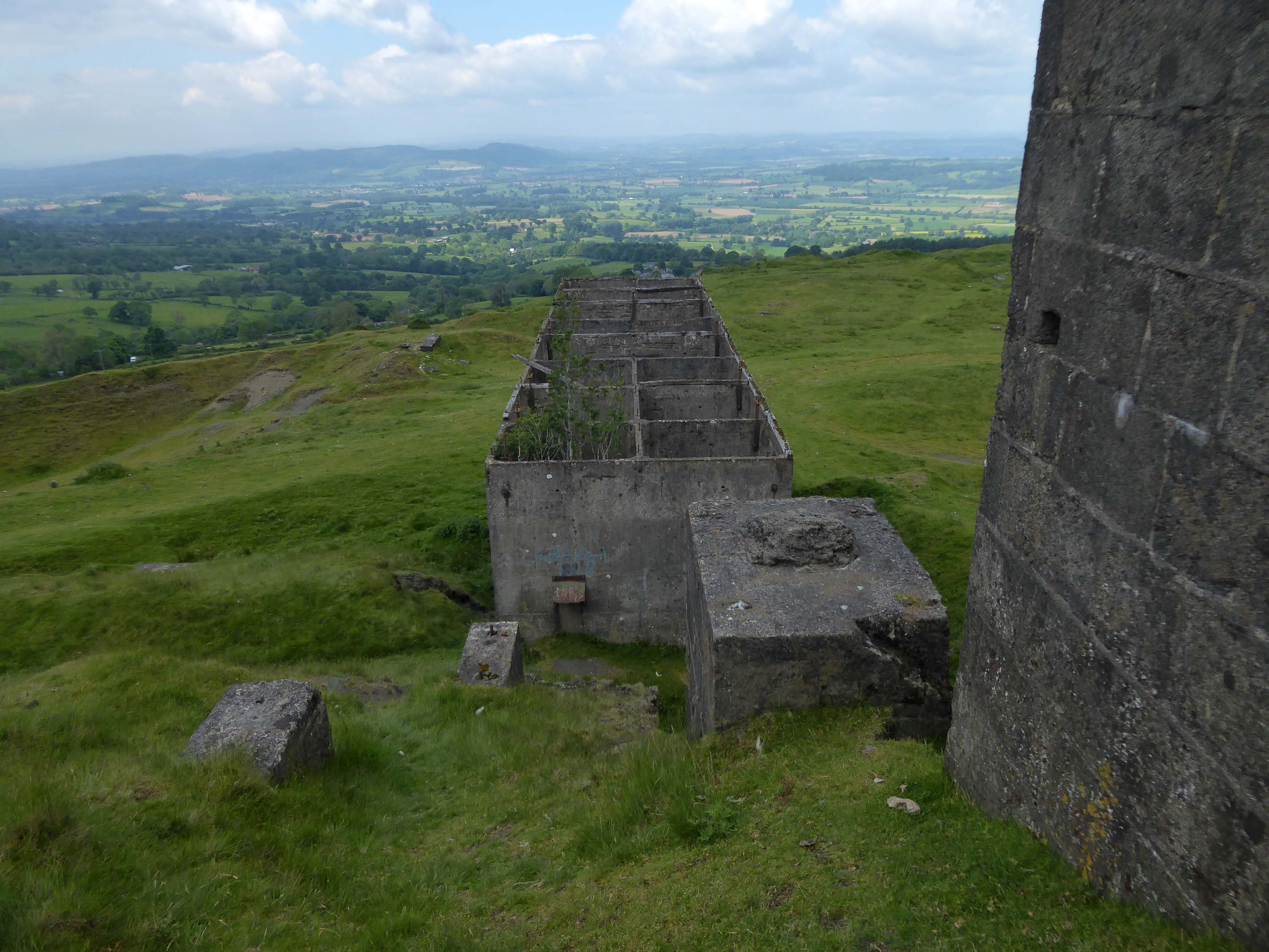
Titterstone Clee is the third-highest hill in Shropshire rising at the summit to 533 metres – 1,749 ft above sea level.
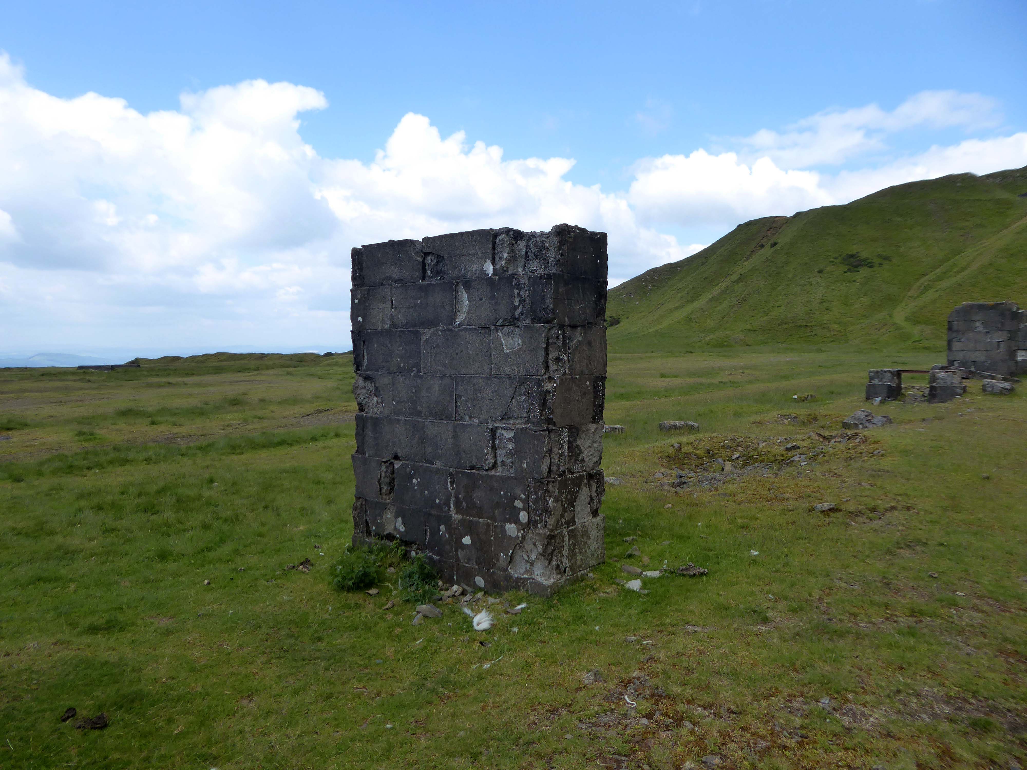
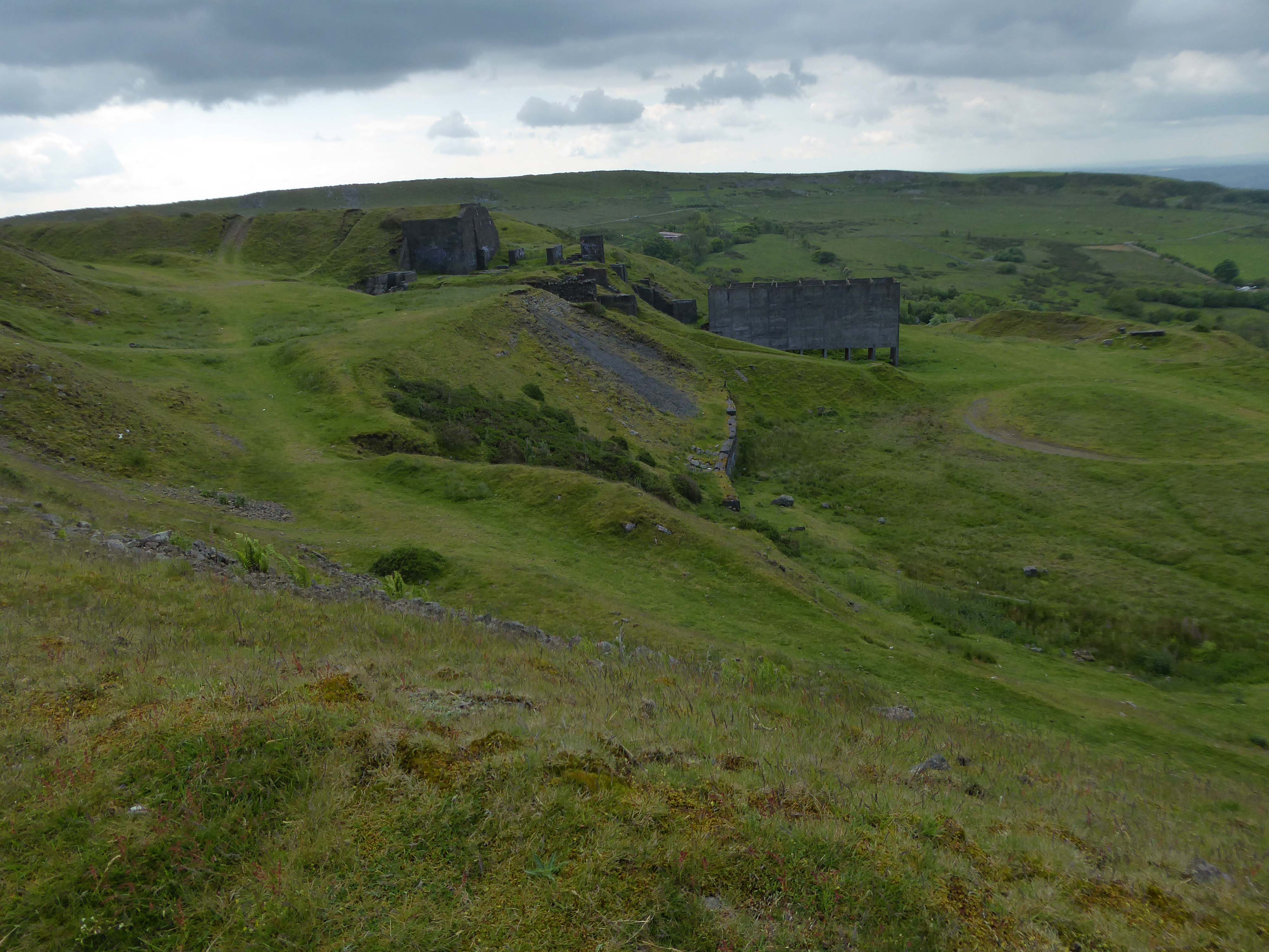
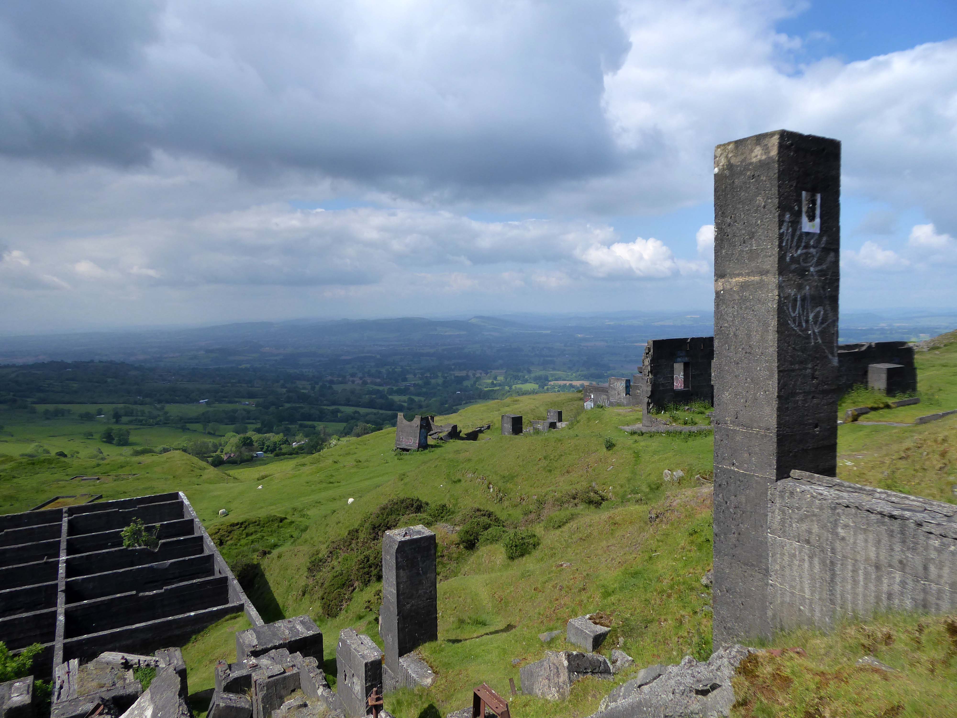
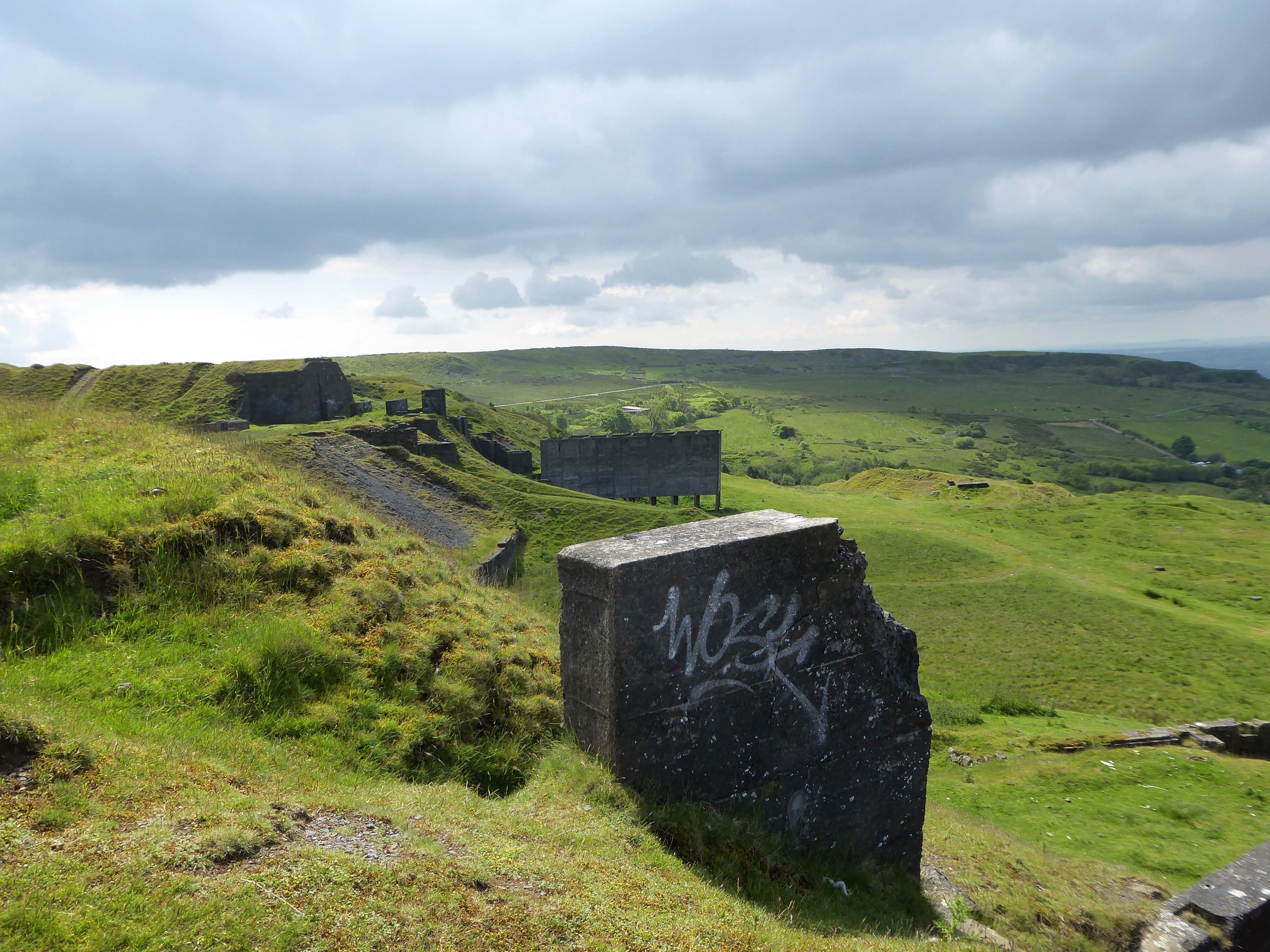
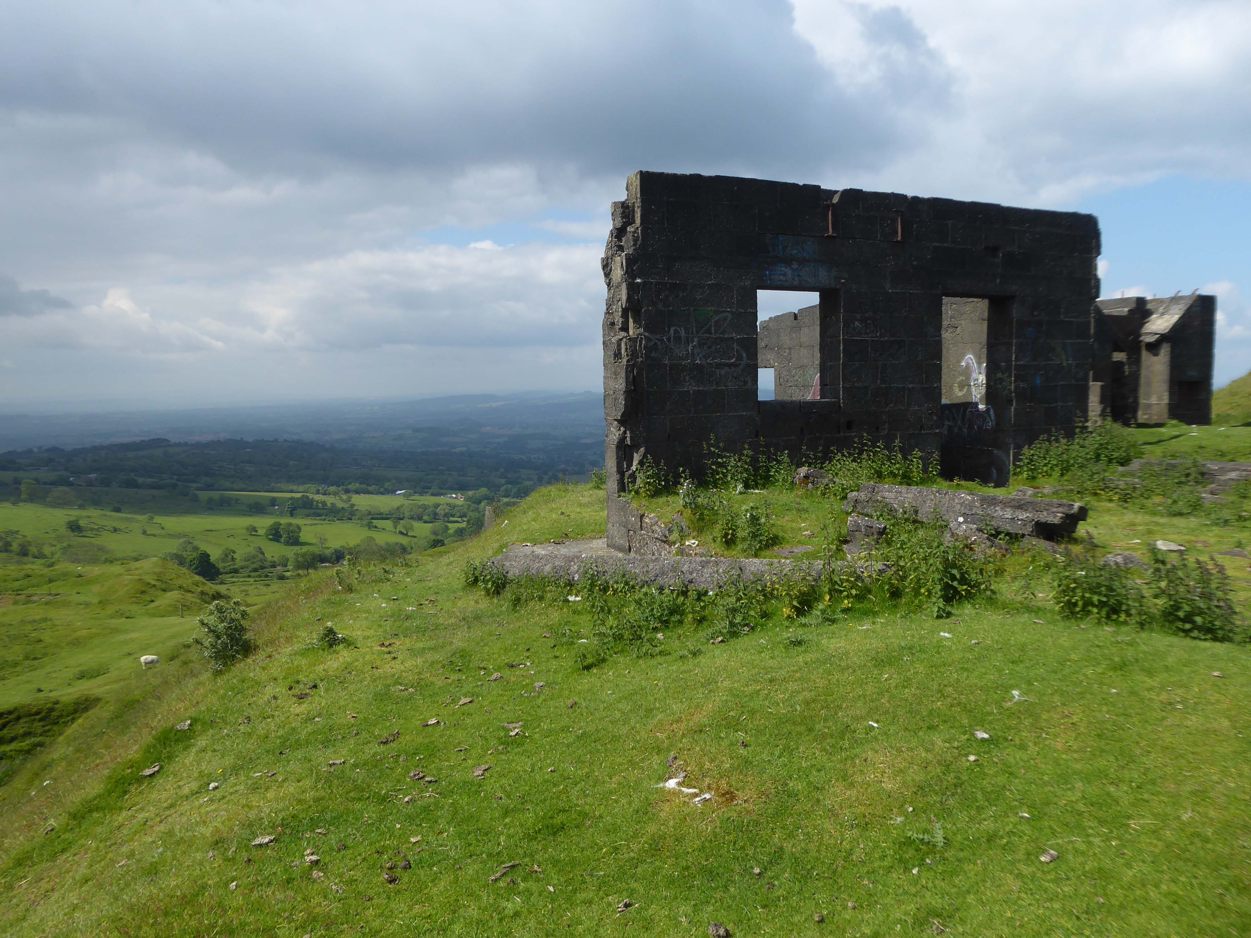
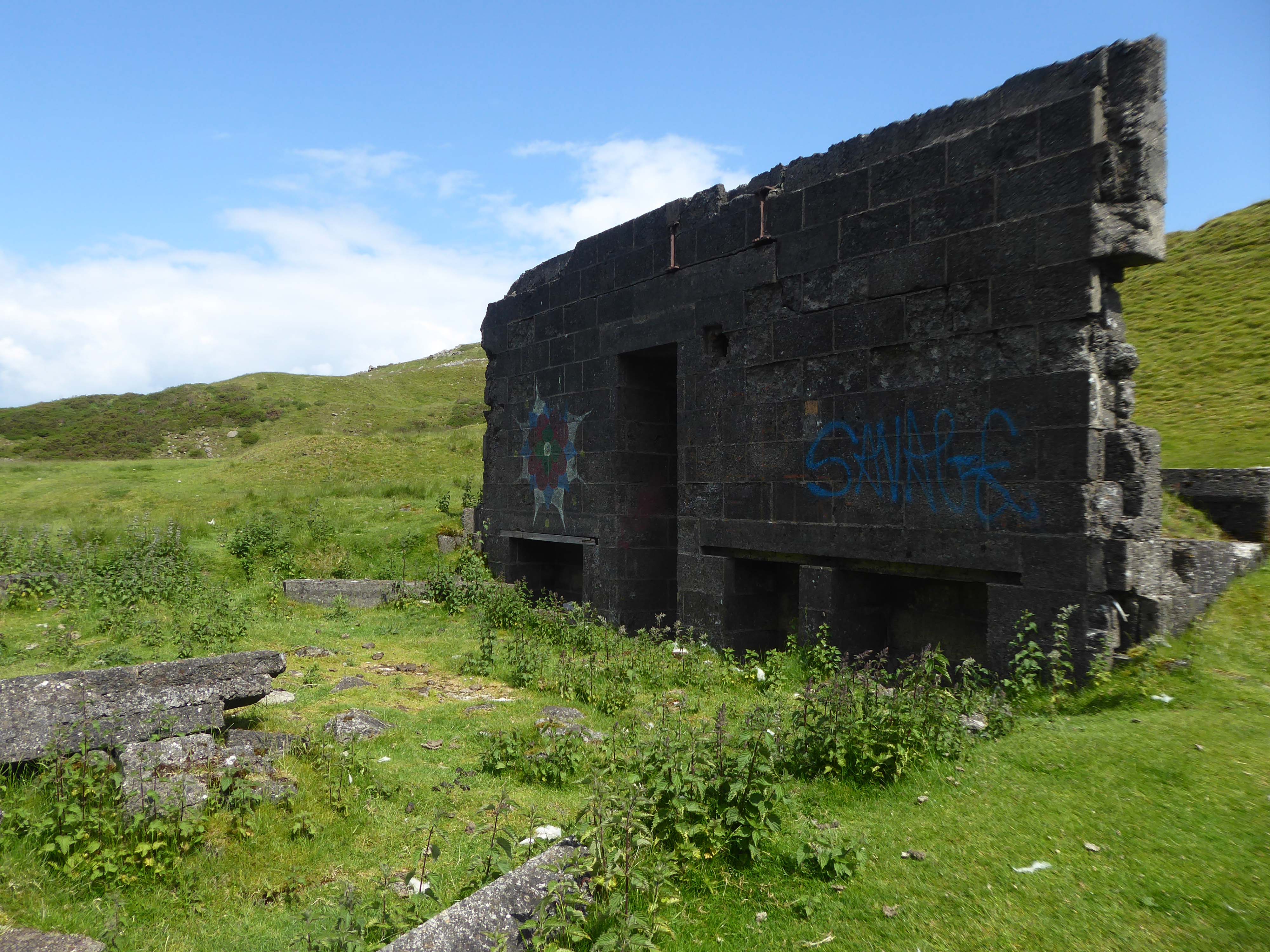
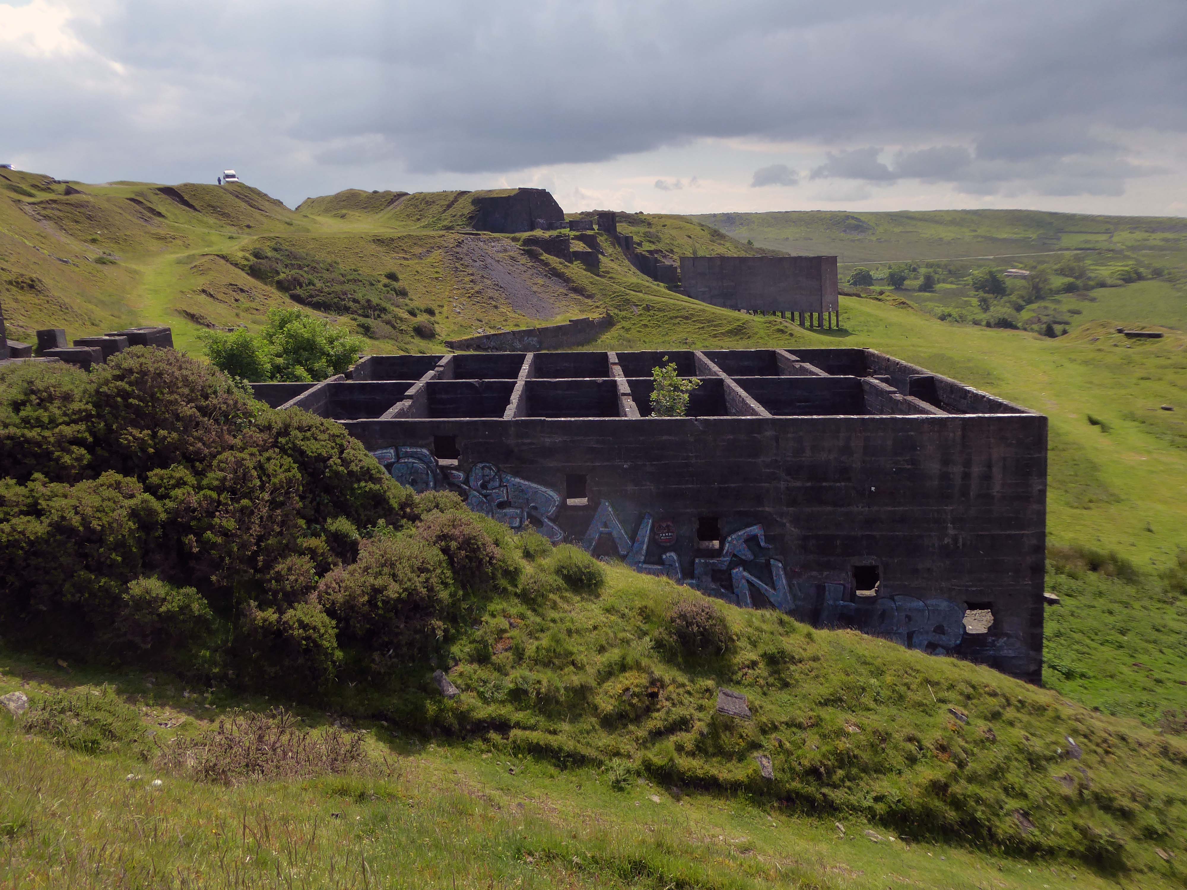
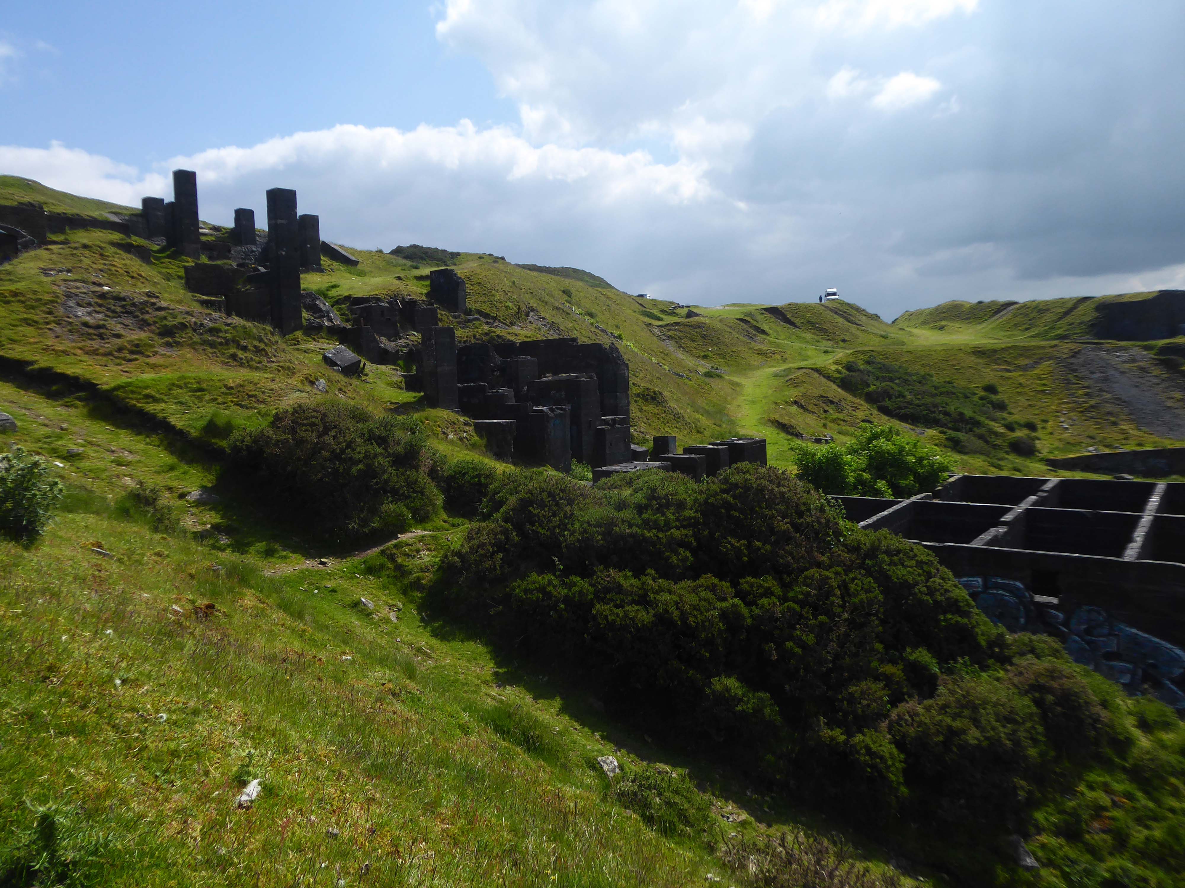
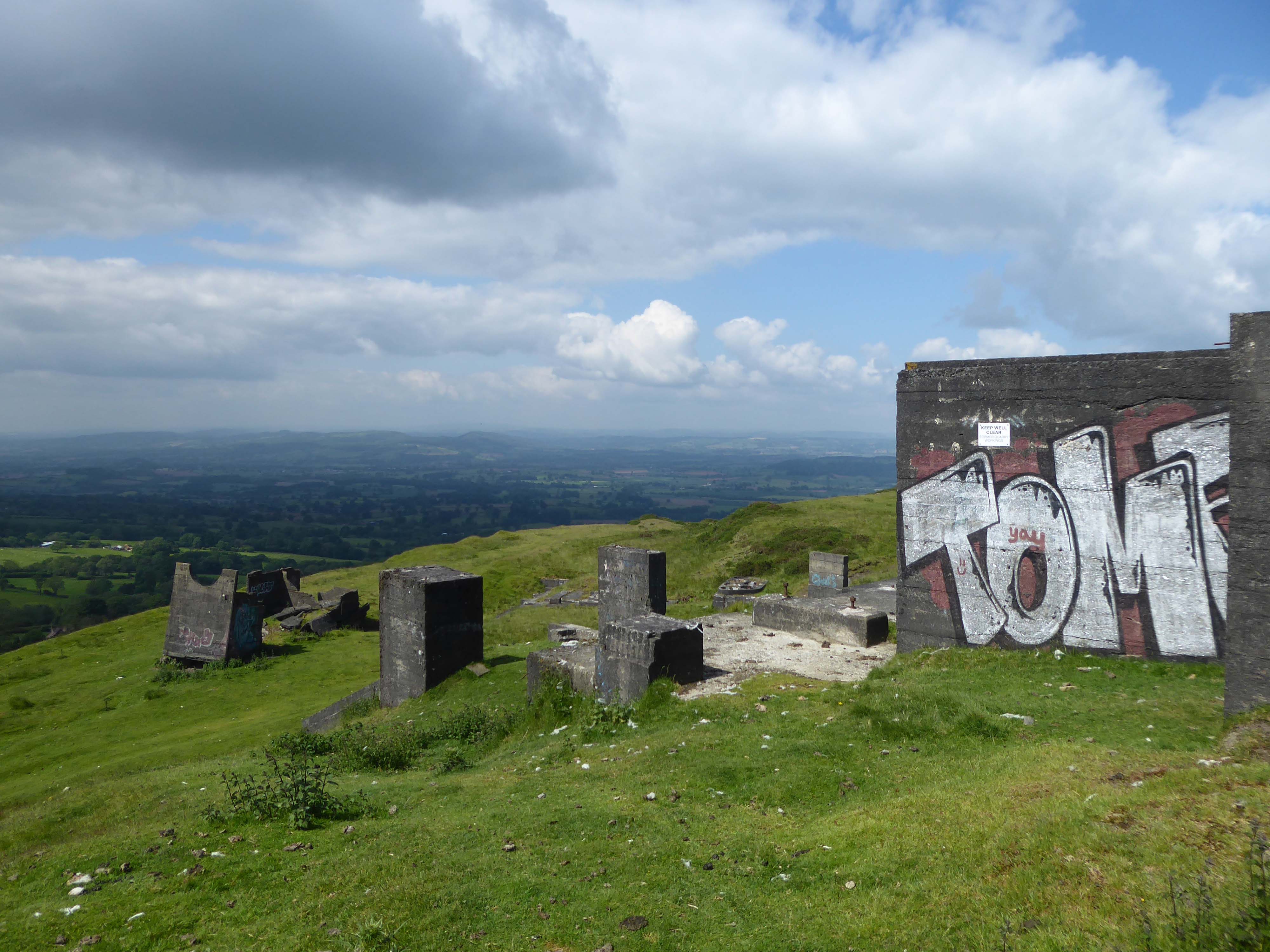
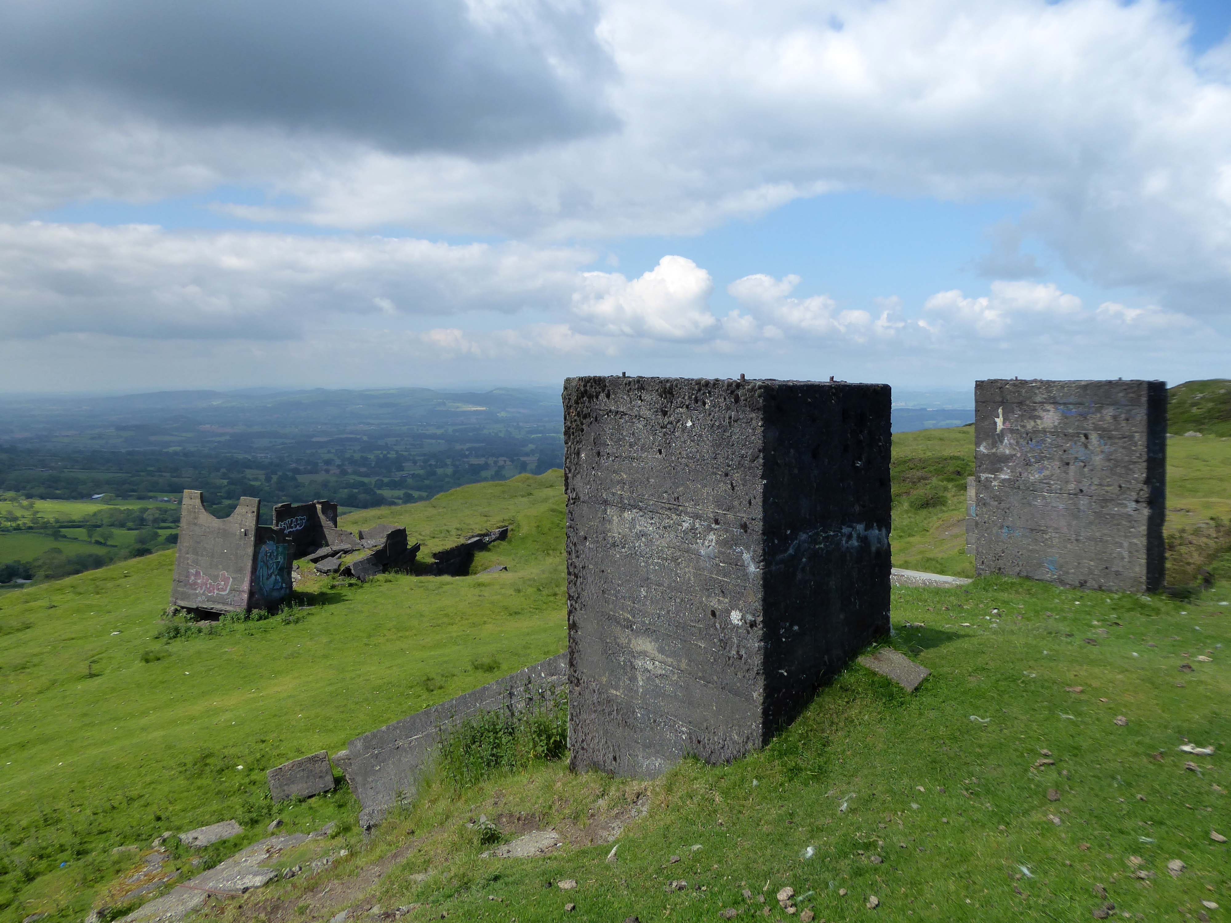
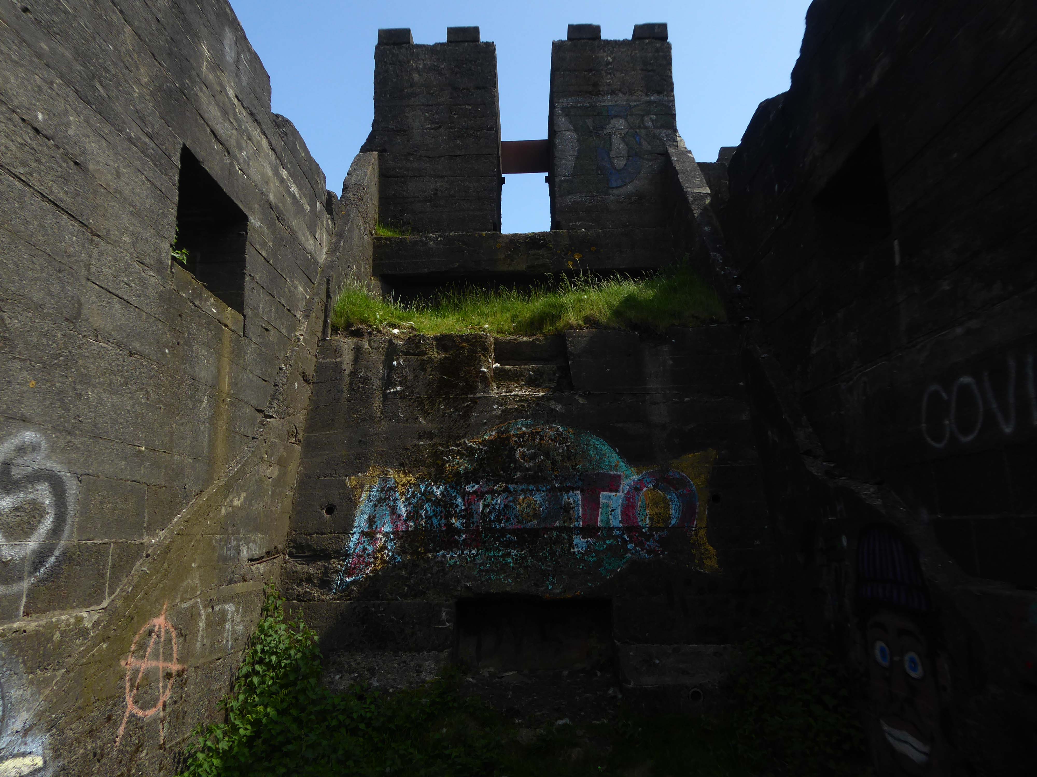
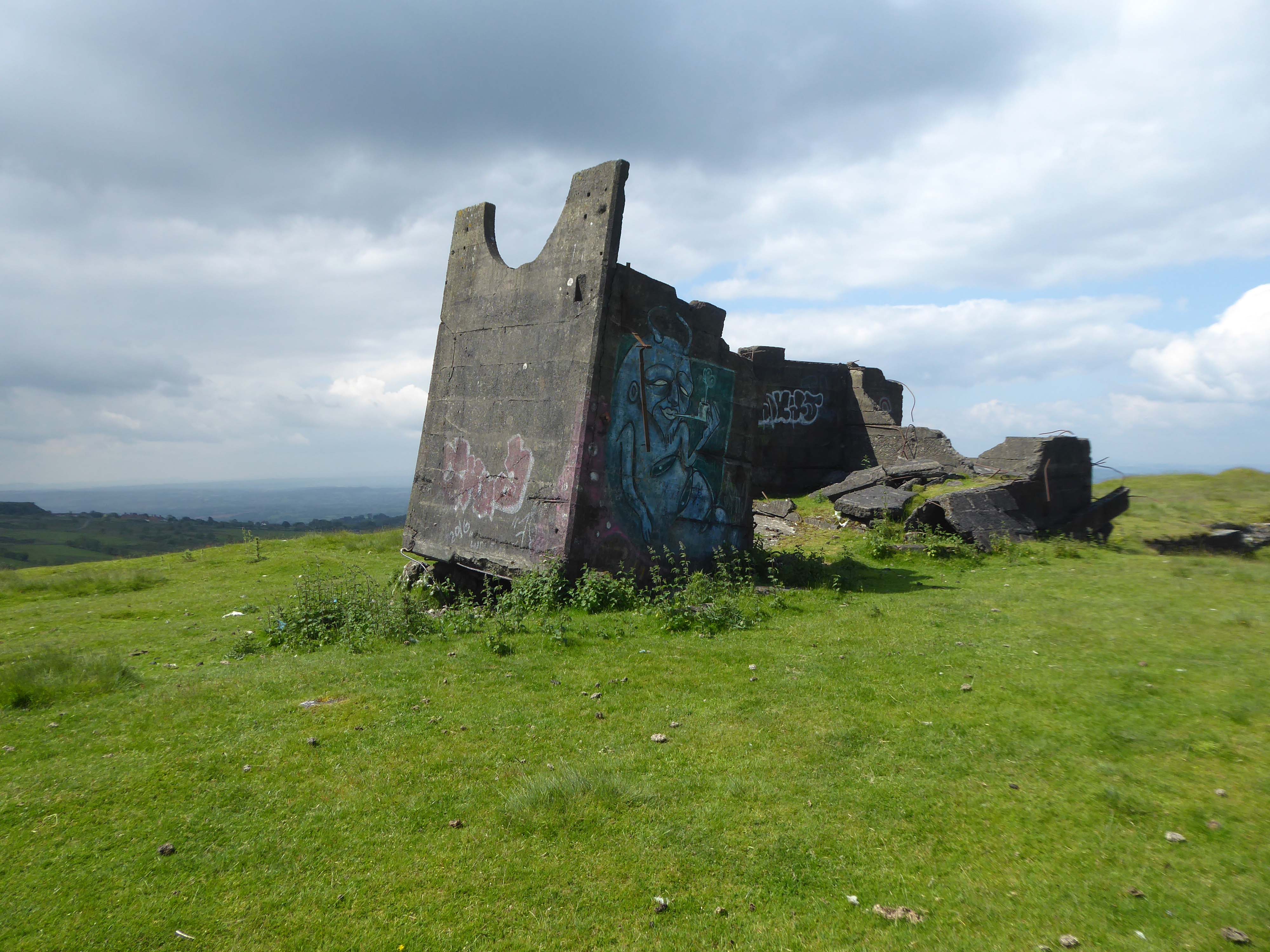
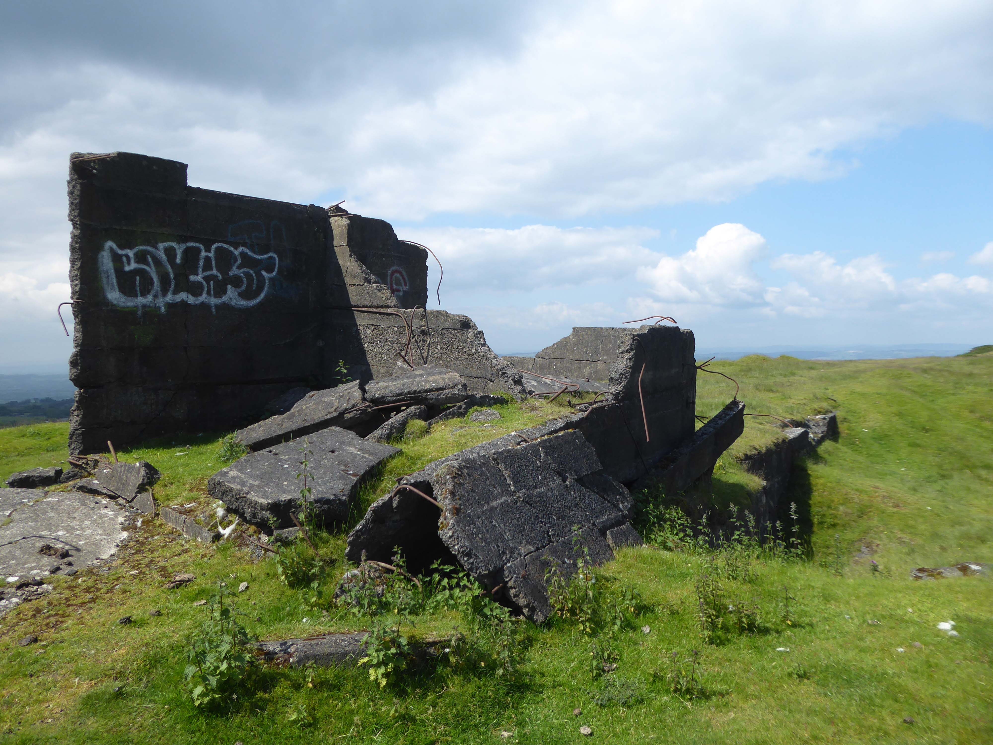
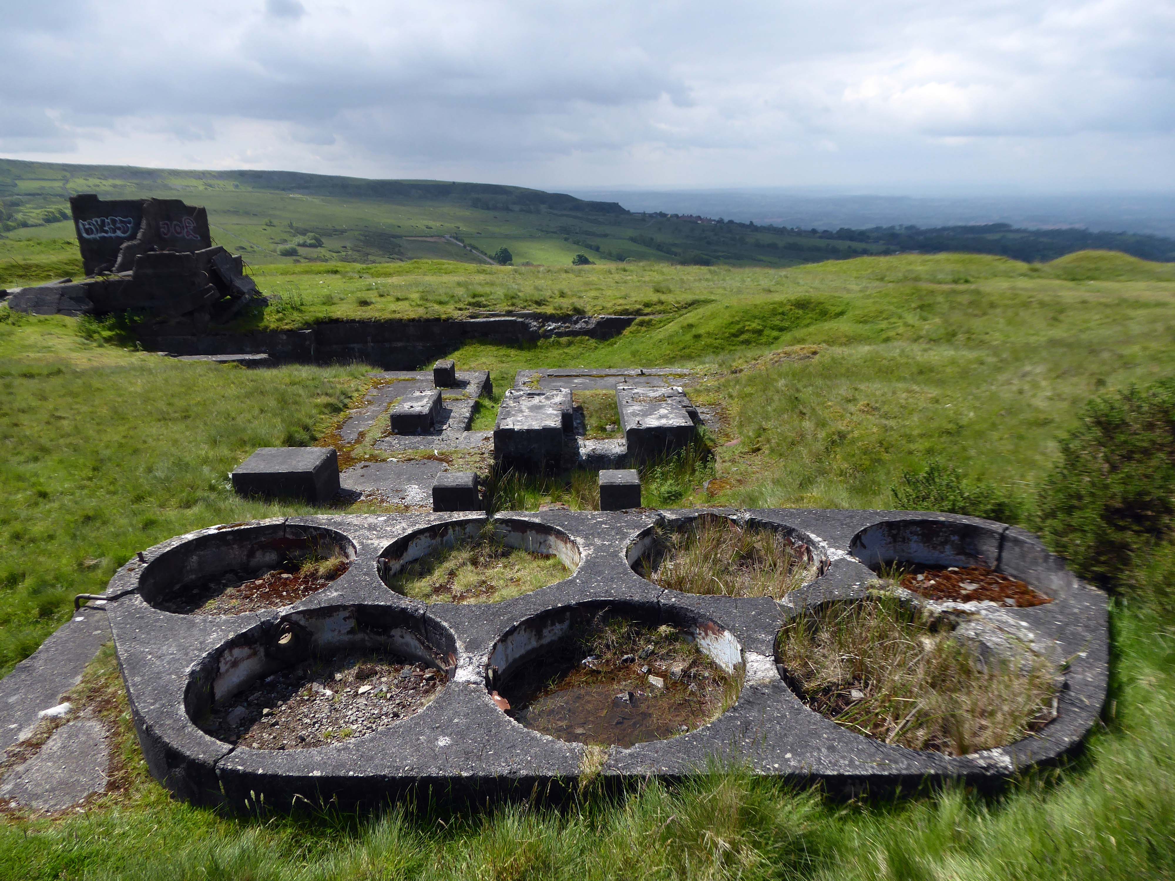
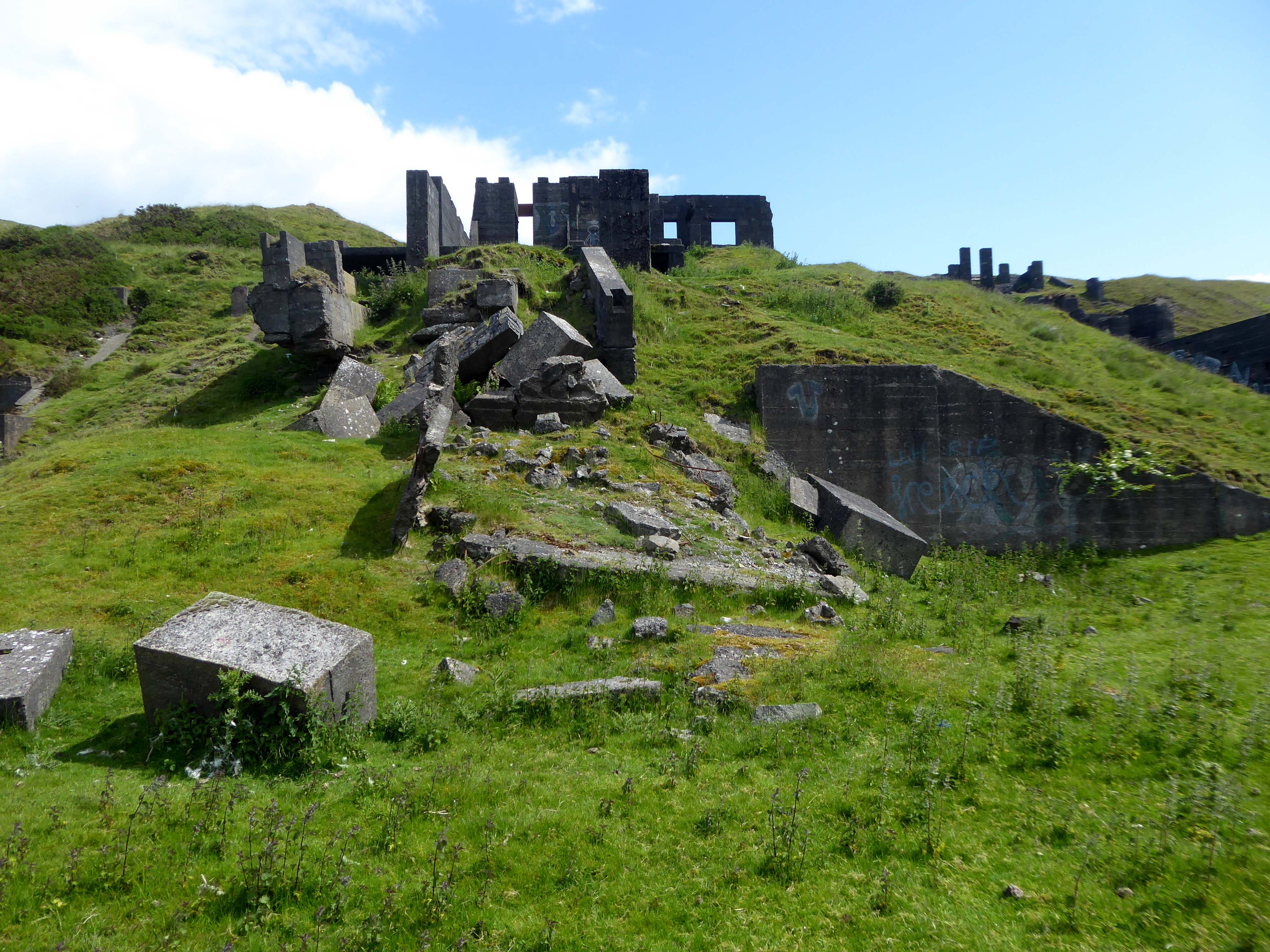
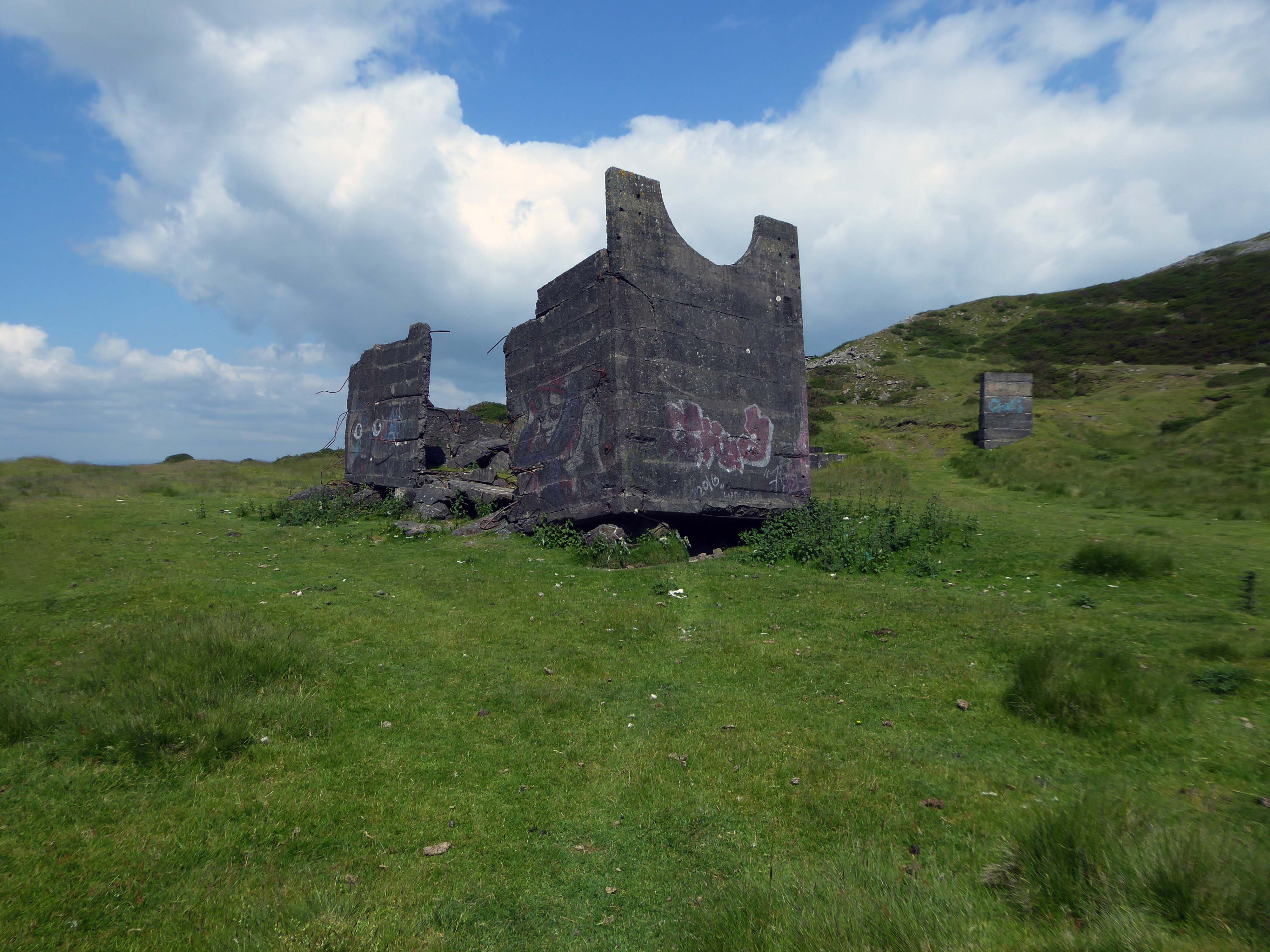
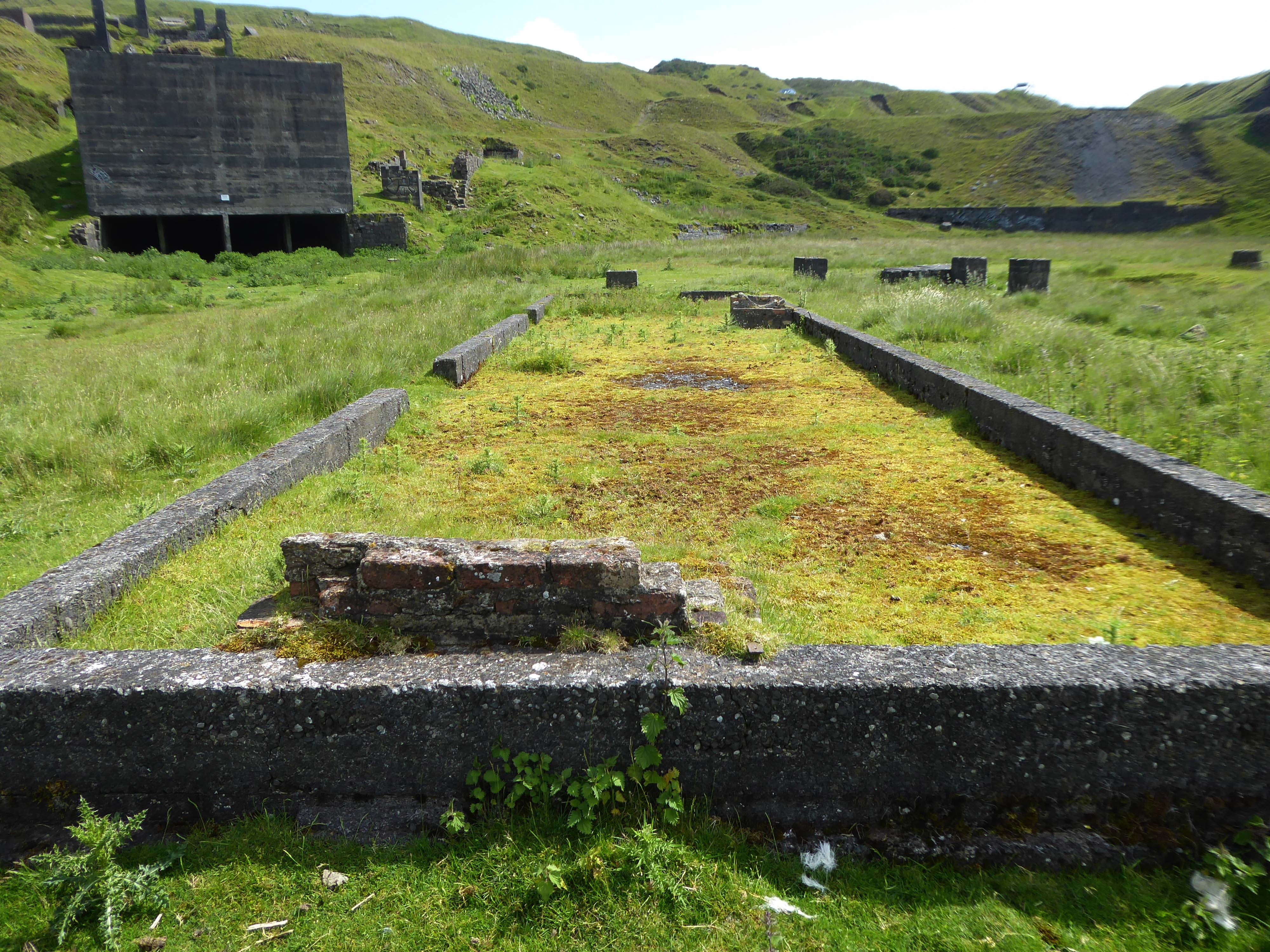
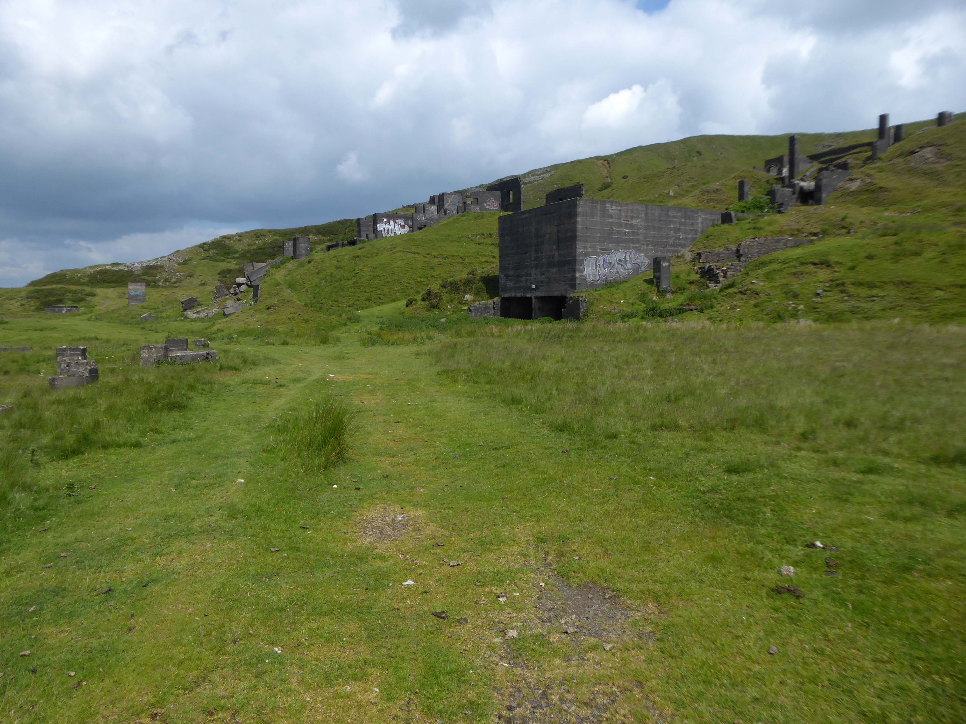
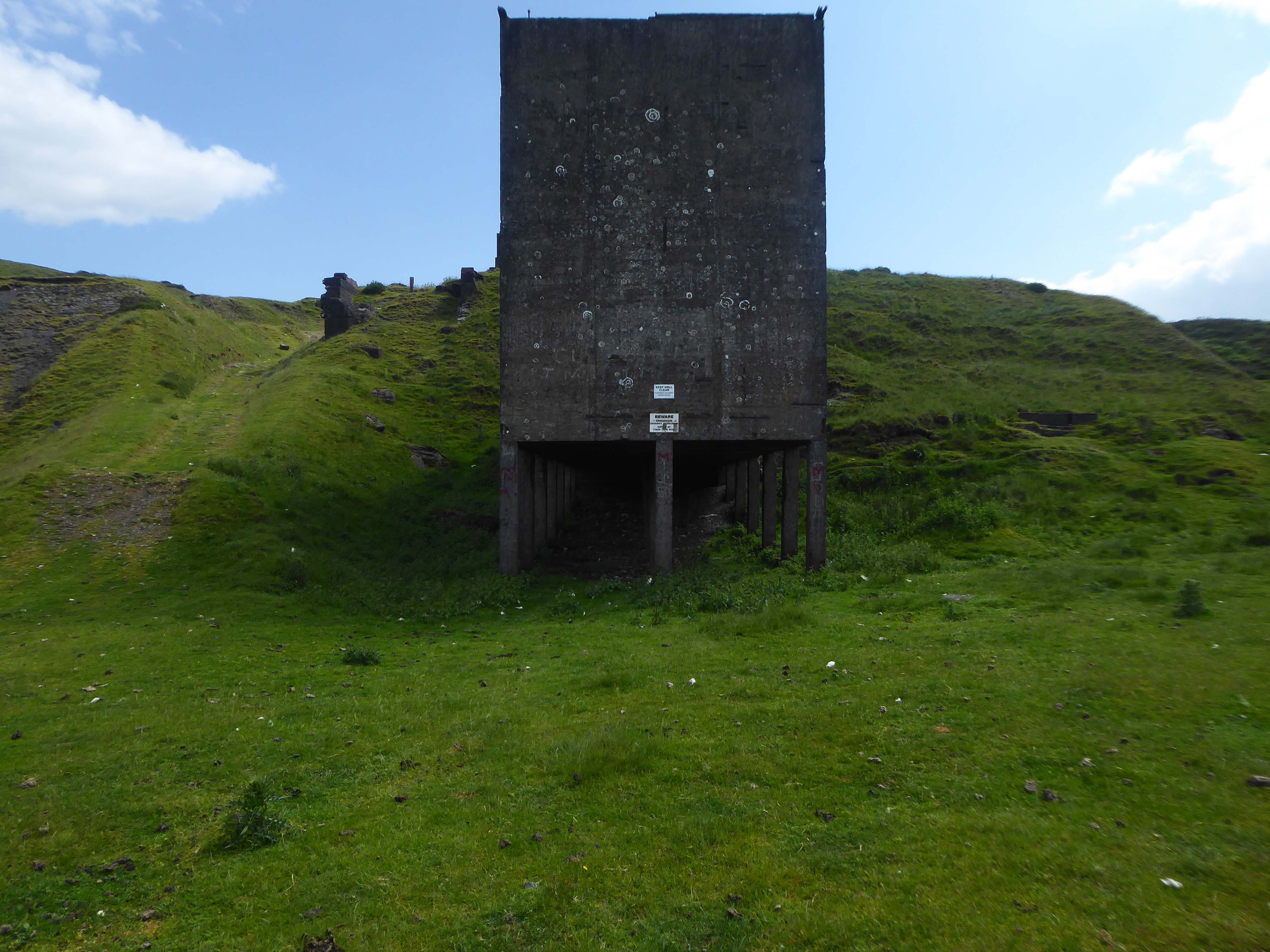
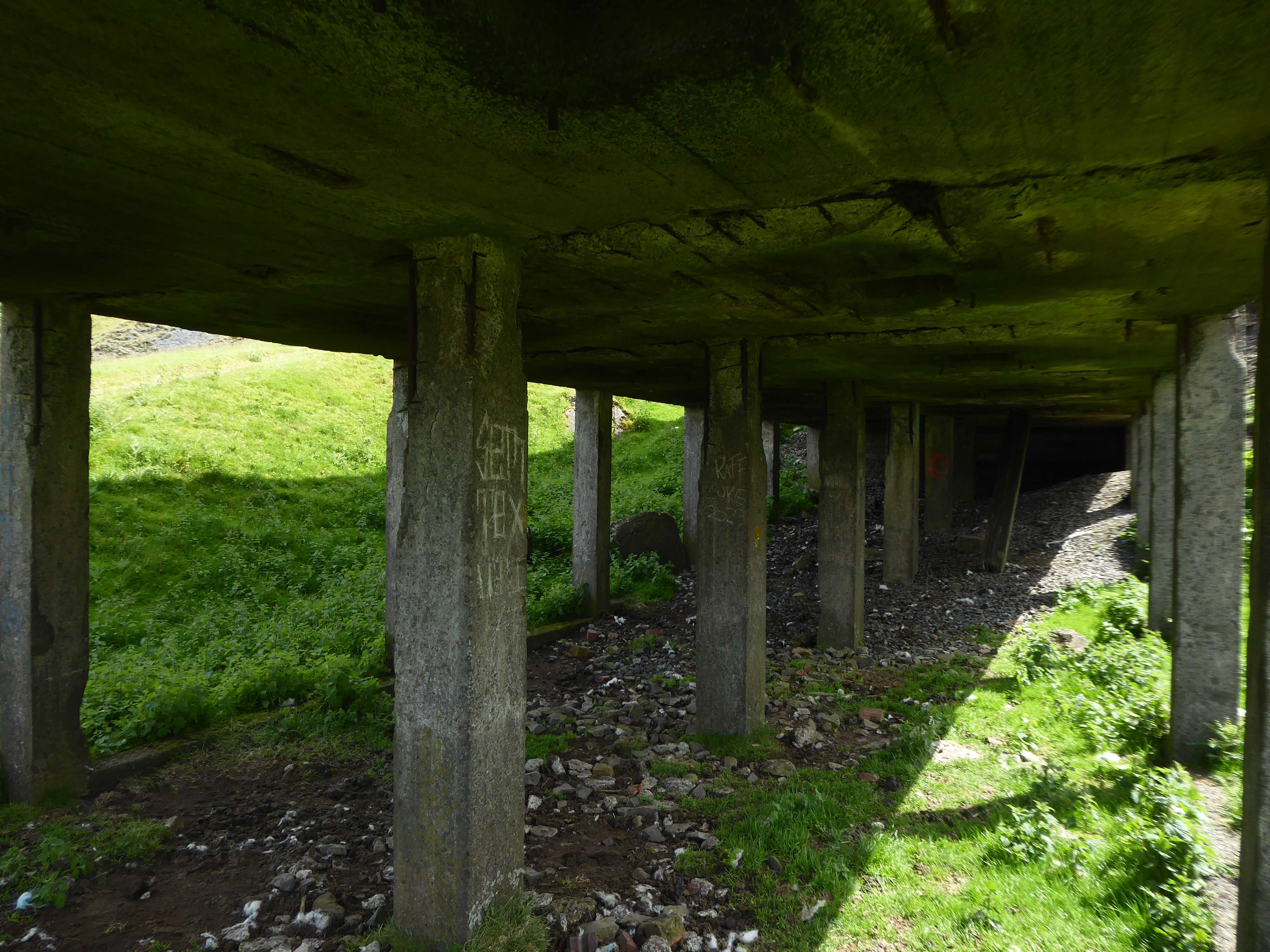
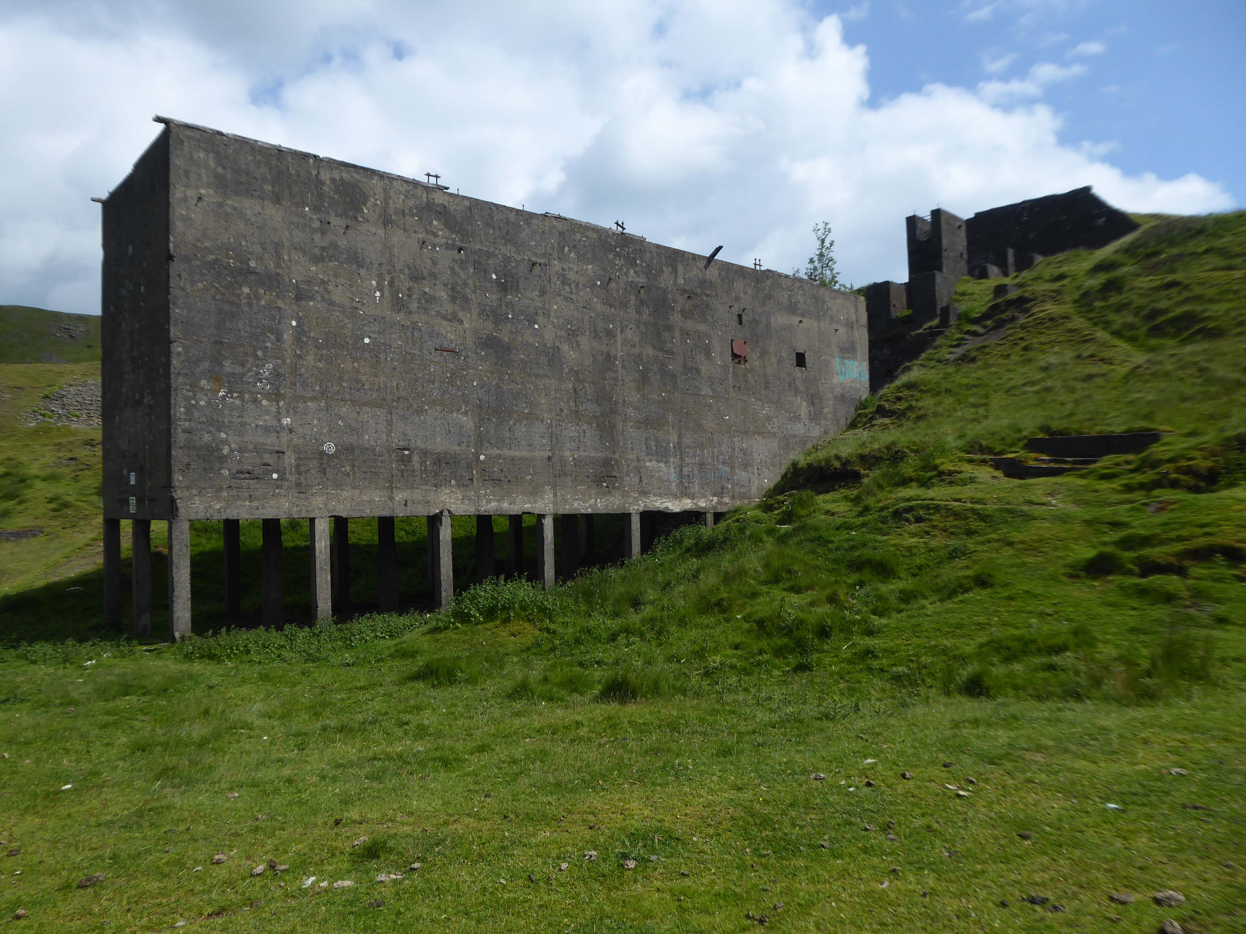
Most of the summit of the hill is affected by man-made activity, the result of hill fort construction during the Bronze and Iron Ages and, more recently, by years of mining for coal and quarrying for dolerite, known locally as dhustone, for use in road-building. Many derelict quarry buildings scattered over the hill are of industrial archaeological interest as very early examples of the use of reinforced concrete.
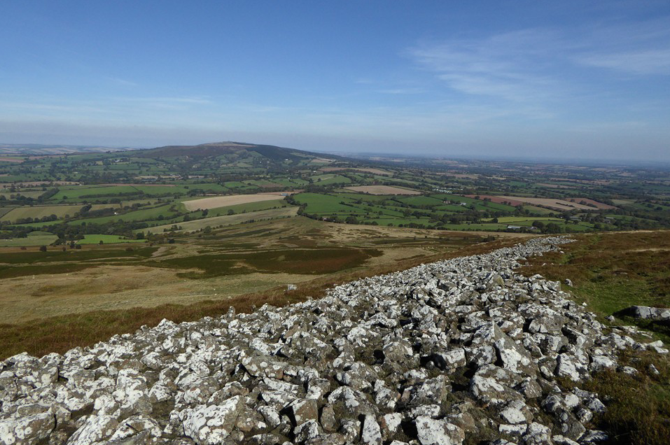
Near the summit trig point are the remains of a Bronze Age cairn, dating back up to 4,000 years and indicating that the summit was a likely ceremonial site. Although partly destroyed by quarrying, Titterstone Clee’s Iron Age hill fort is enclosed by a huge boundary earthworks.
It is of note that the walls of the fort are made up of stone blocks, instead of earth banks.
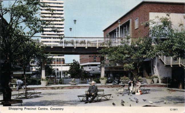
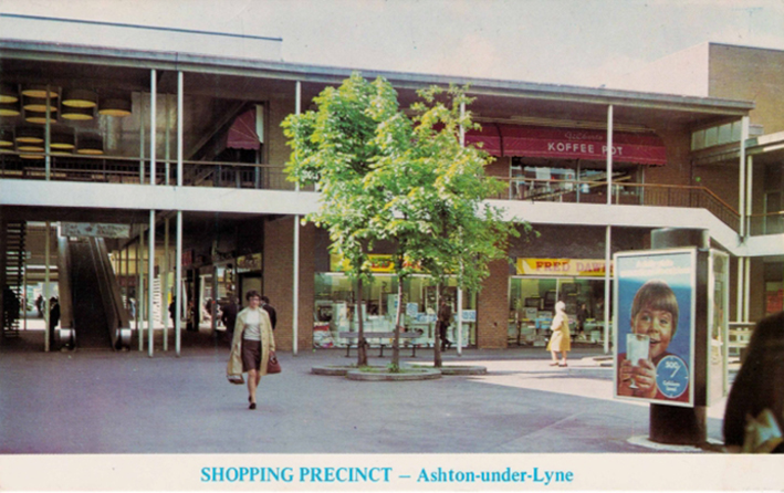
It all began way back when I was a raw youth living in Ashton under Lyne – the precinct was our playground, cycling and running, often against the grain, up and down the travelator.
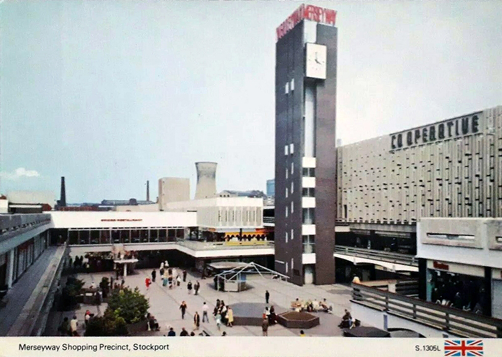
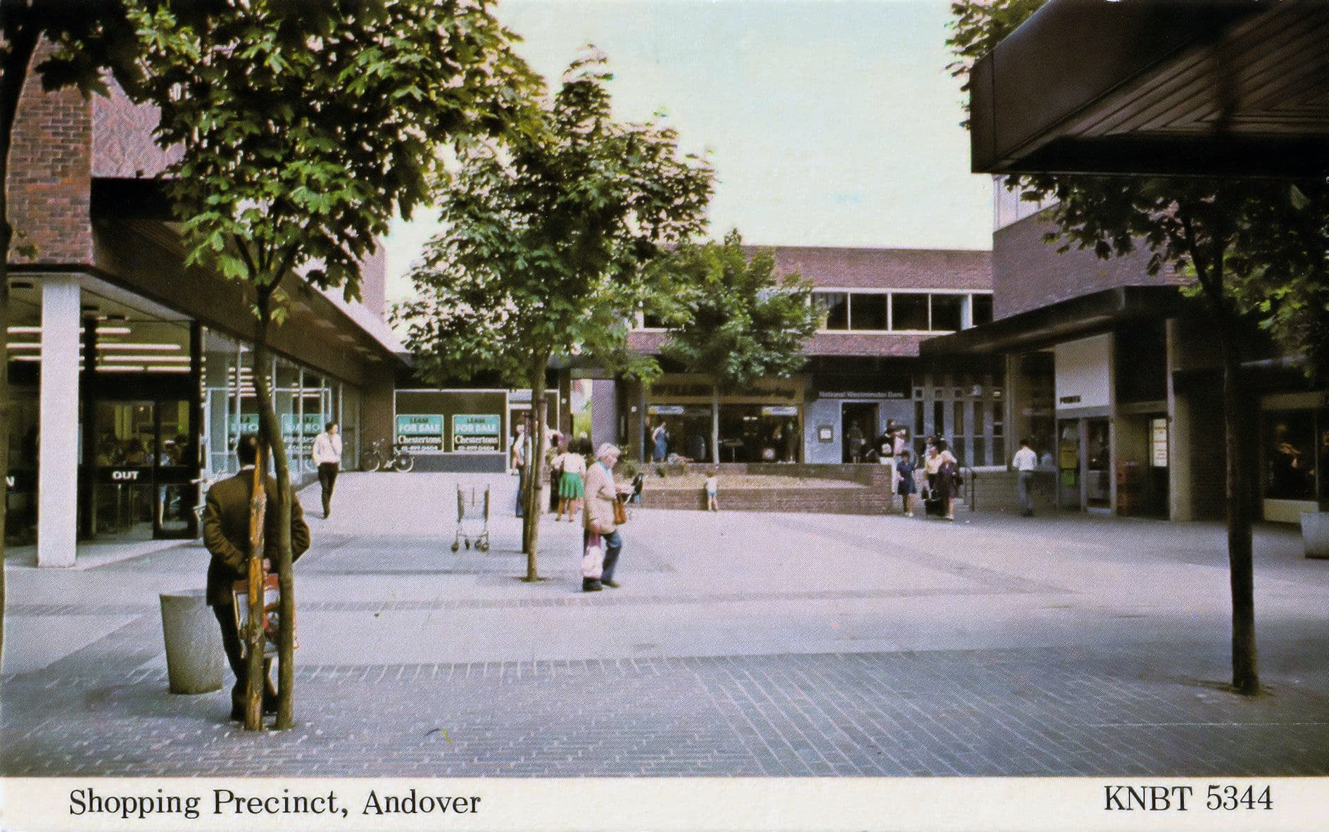
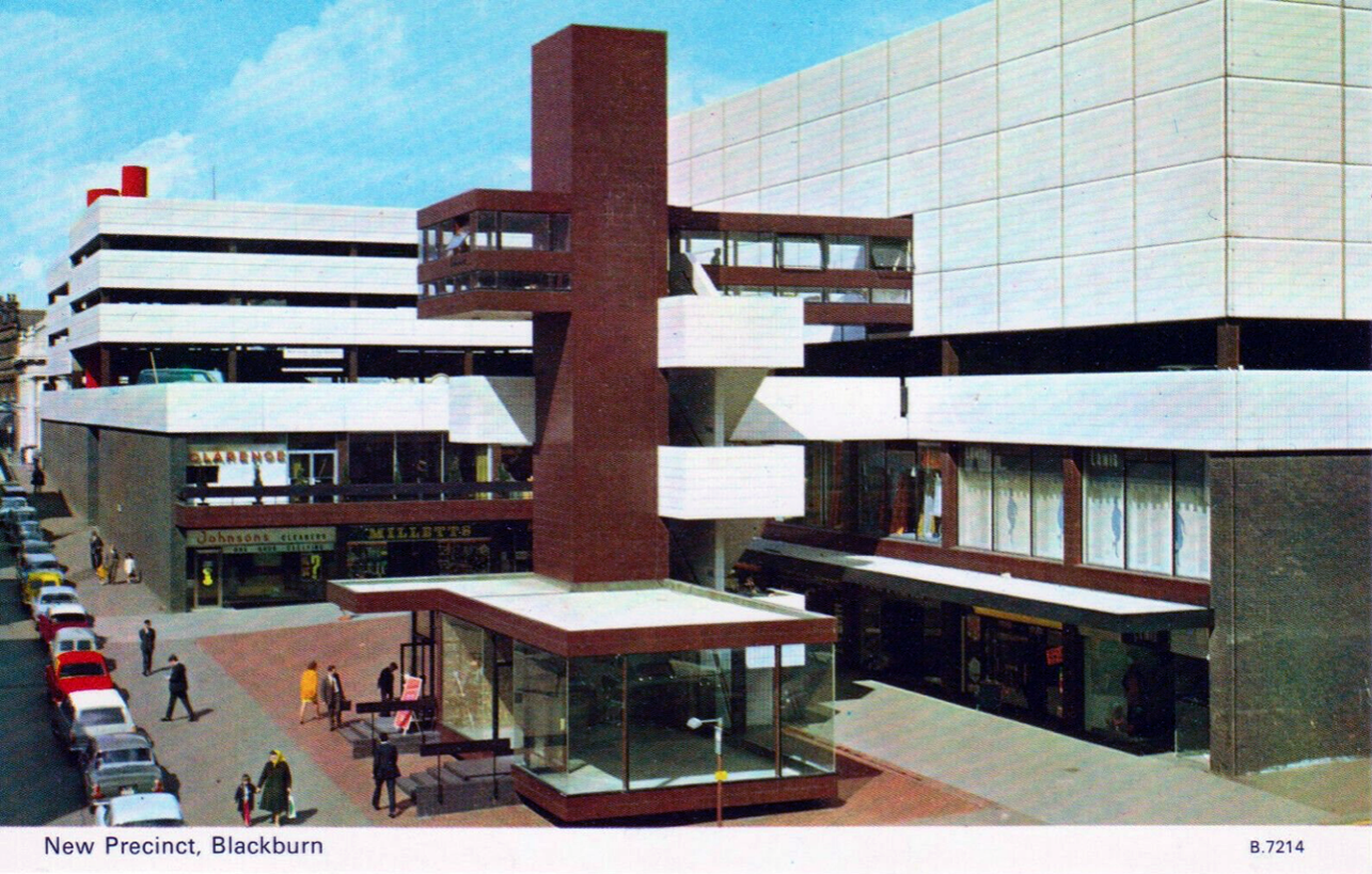
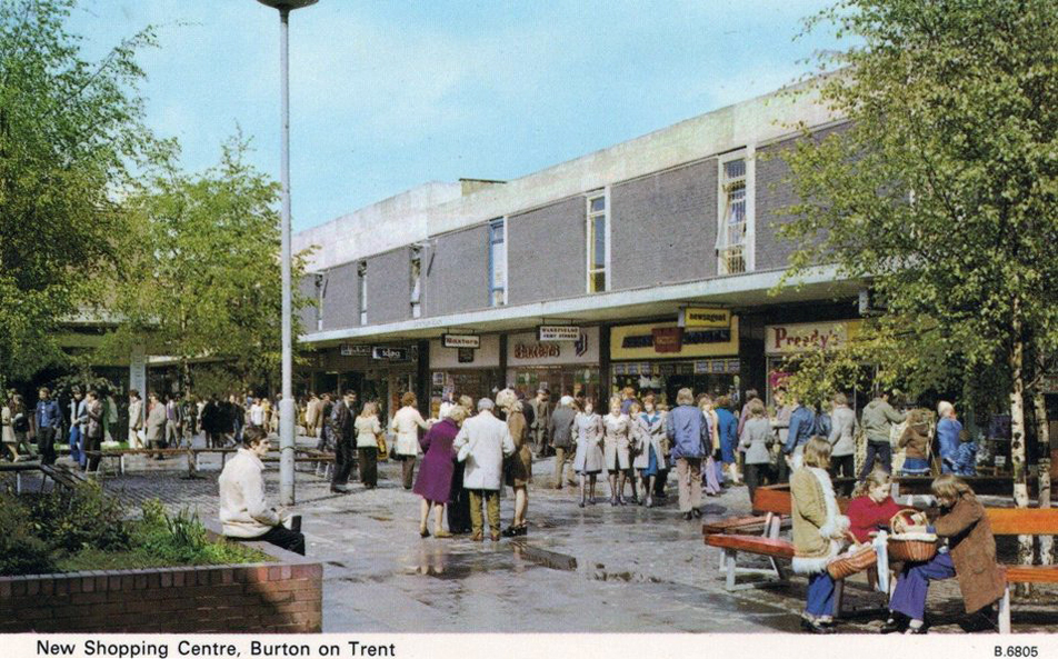
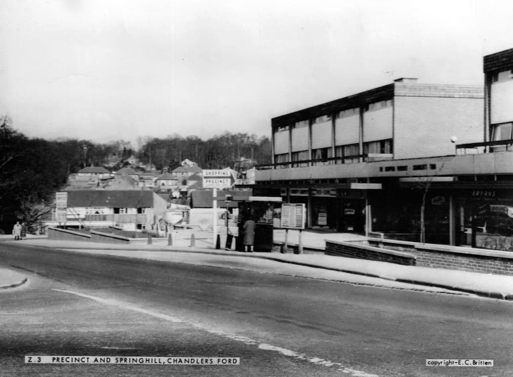
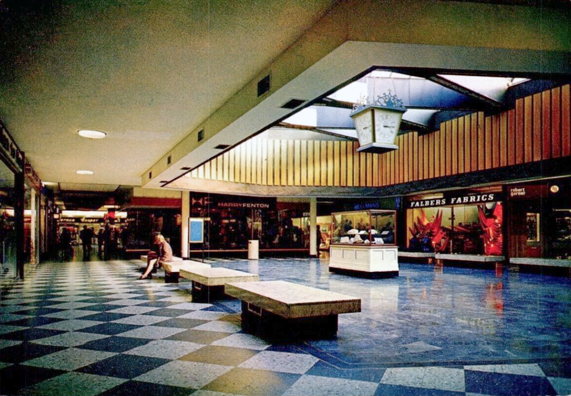
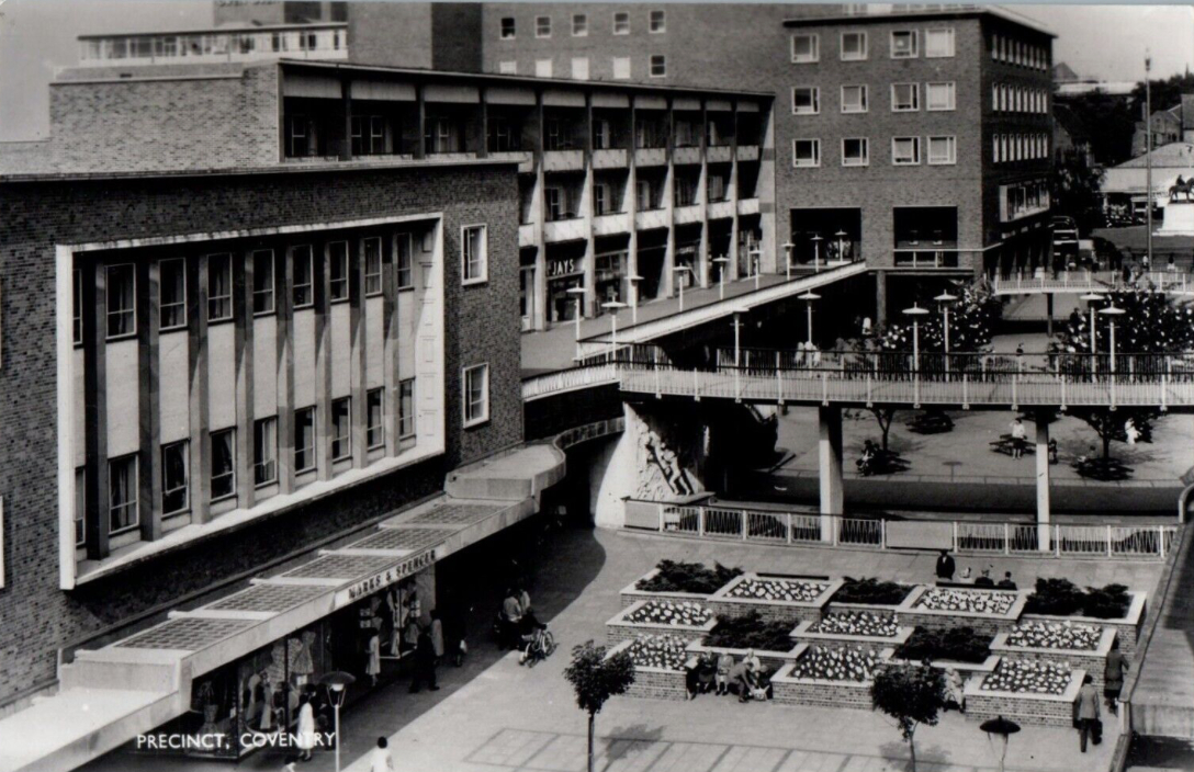
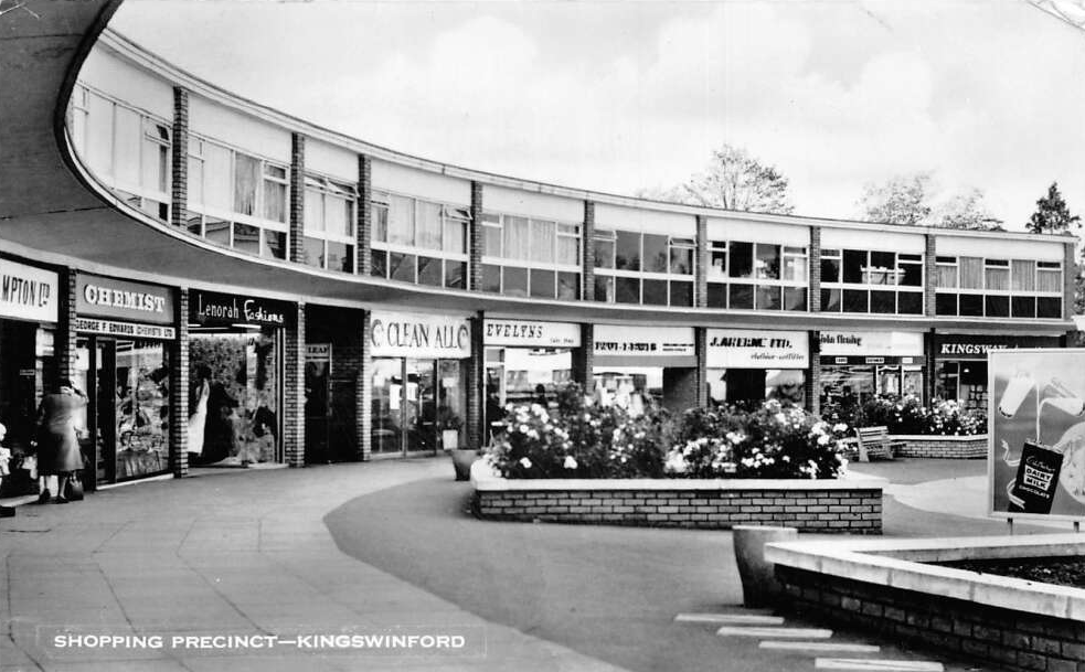
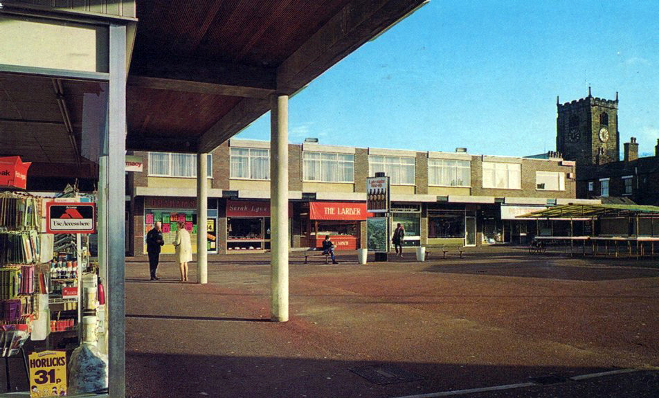
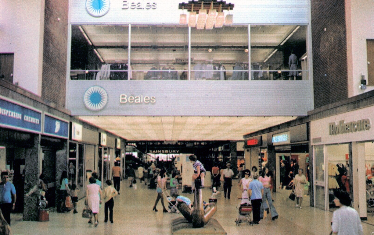
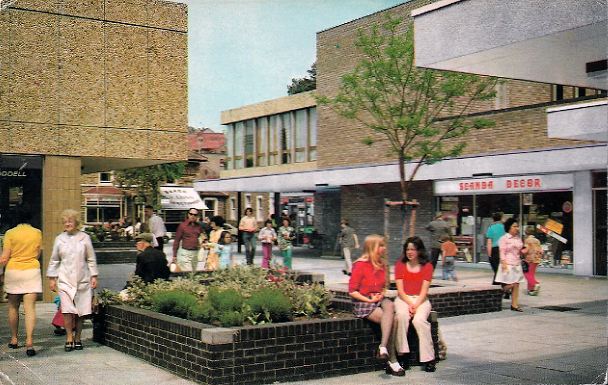
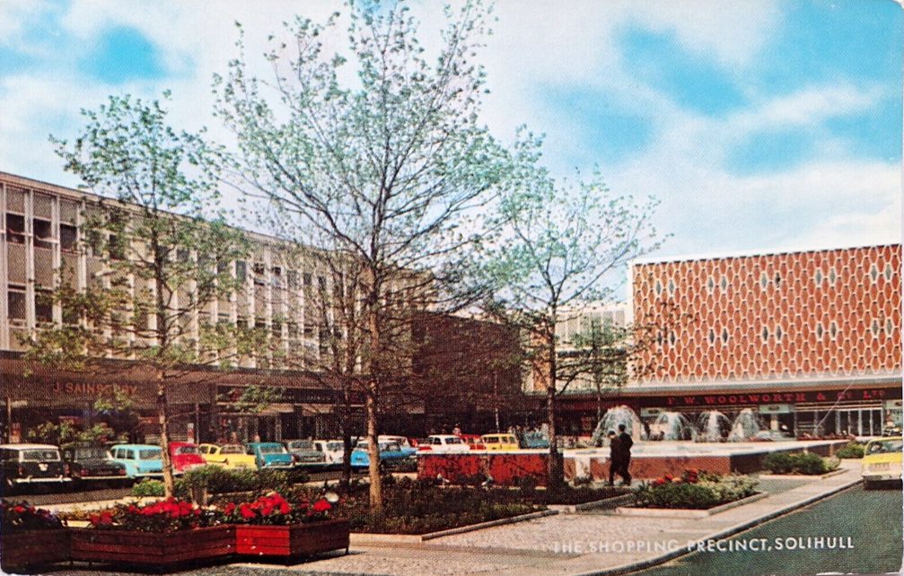
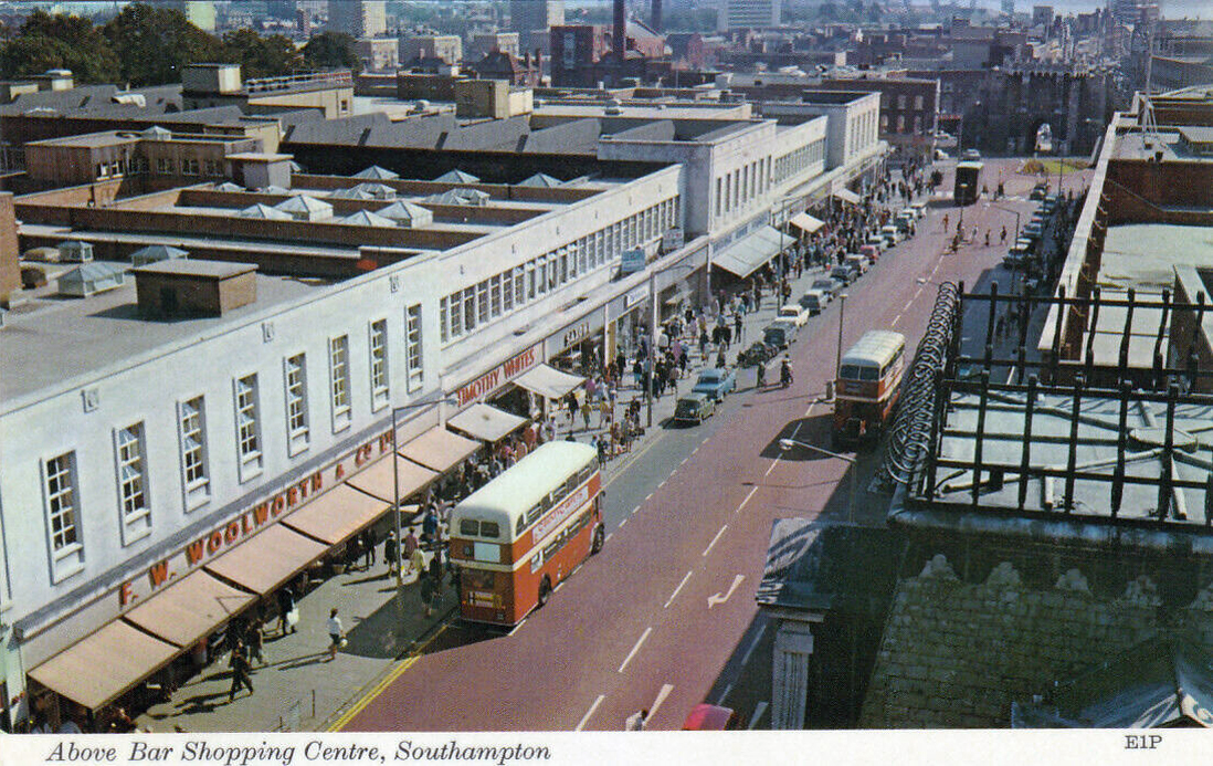
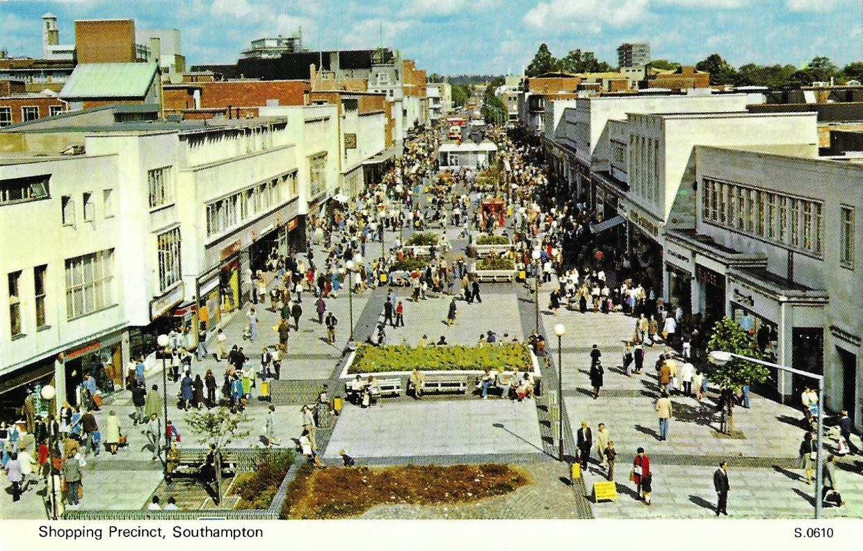
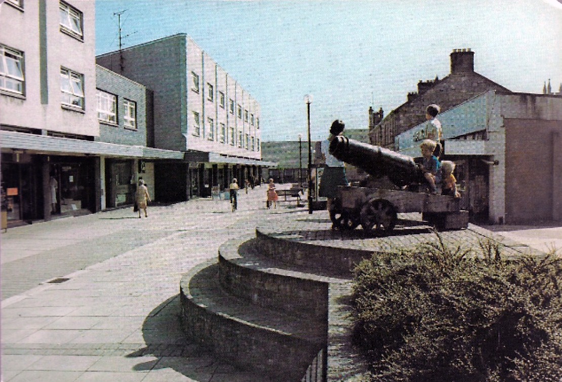
Some sixty years later I am still enthralled by the nation’s shopping precincts – including the very local Merseyway.