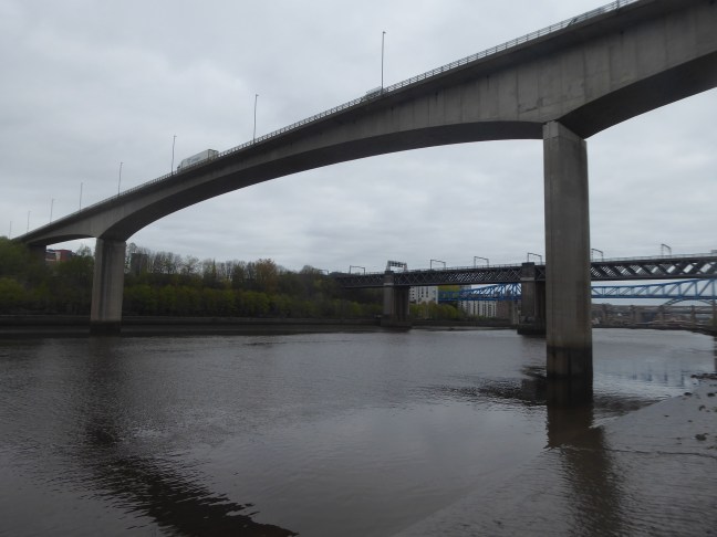
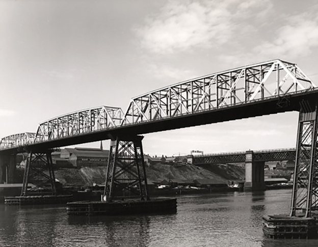
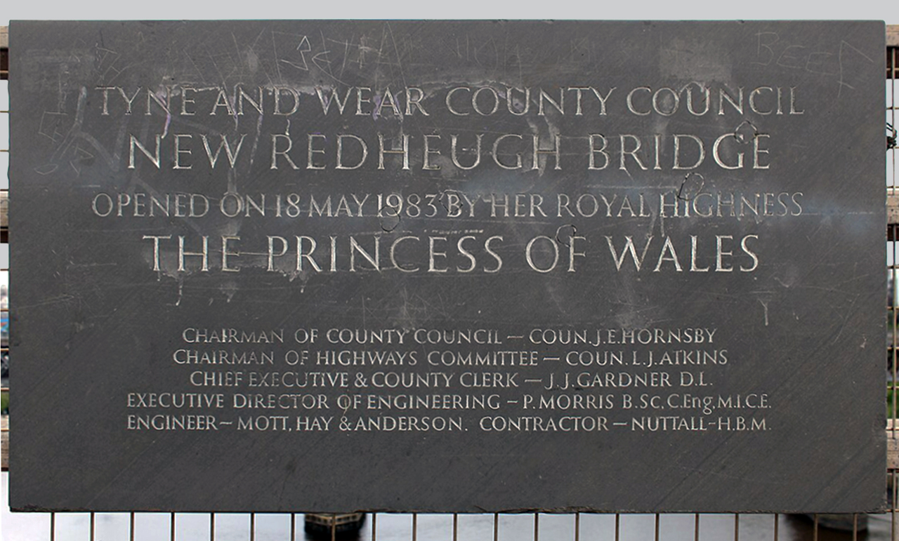
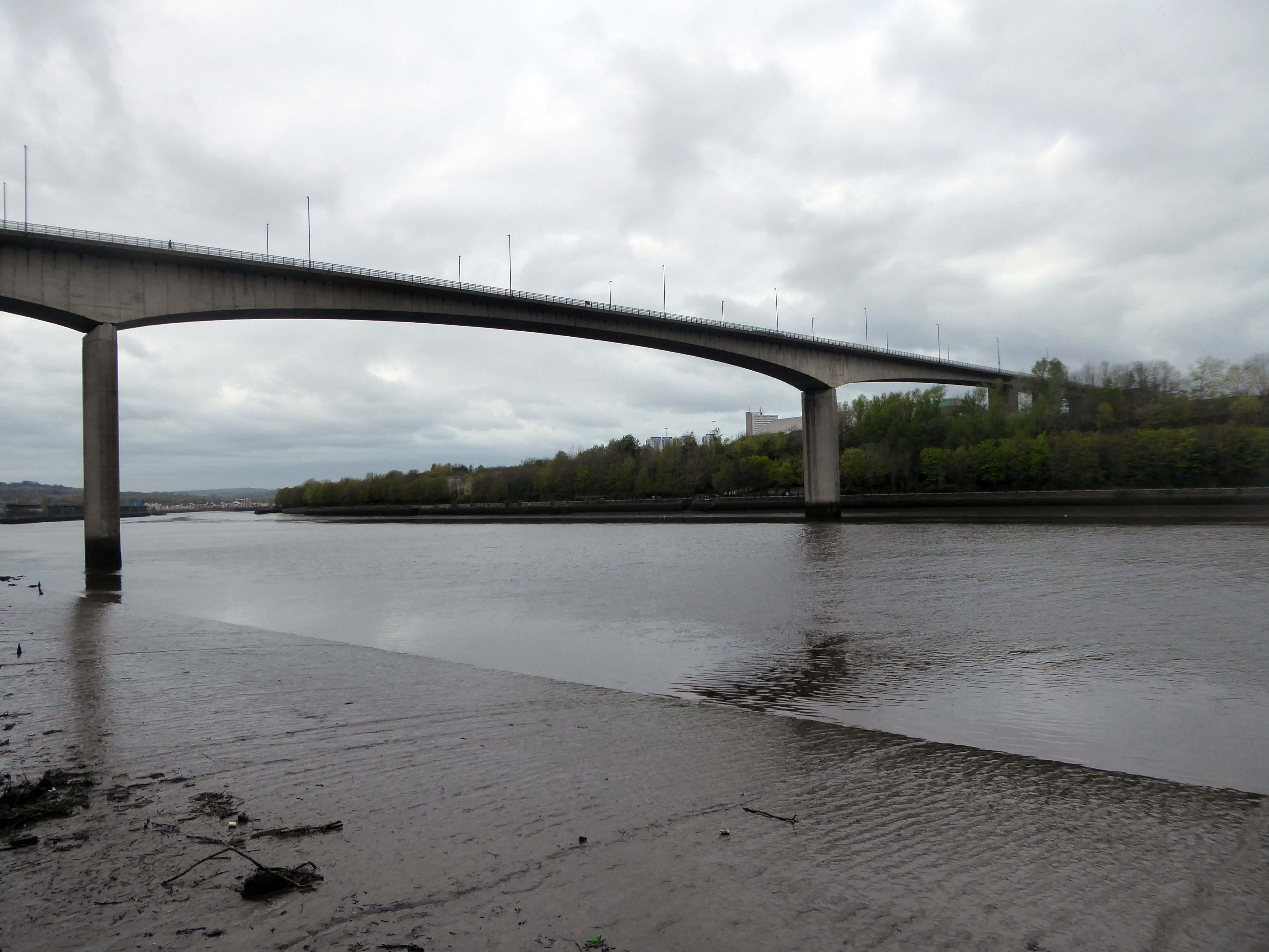
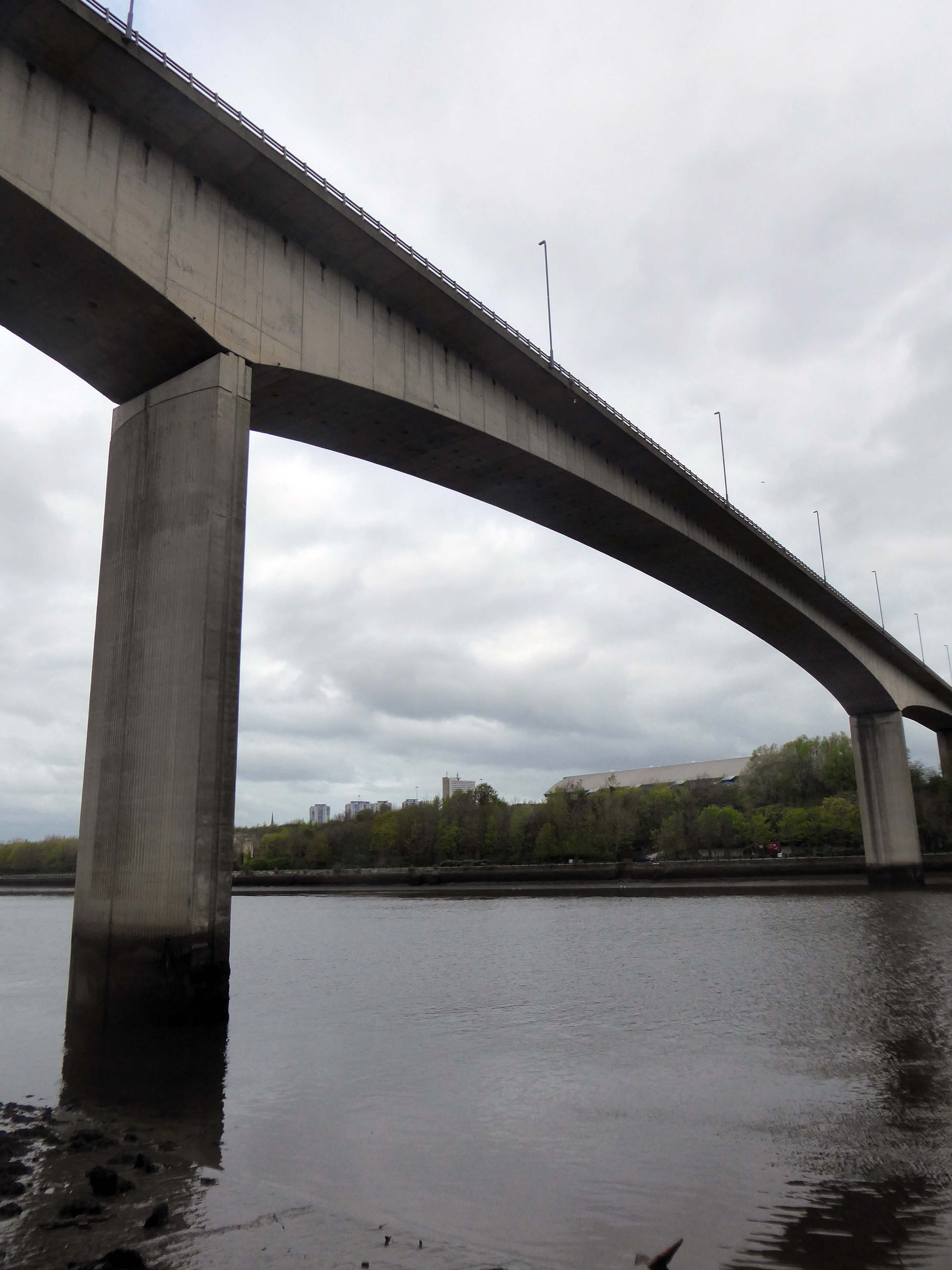
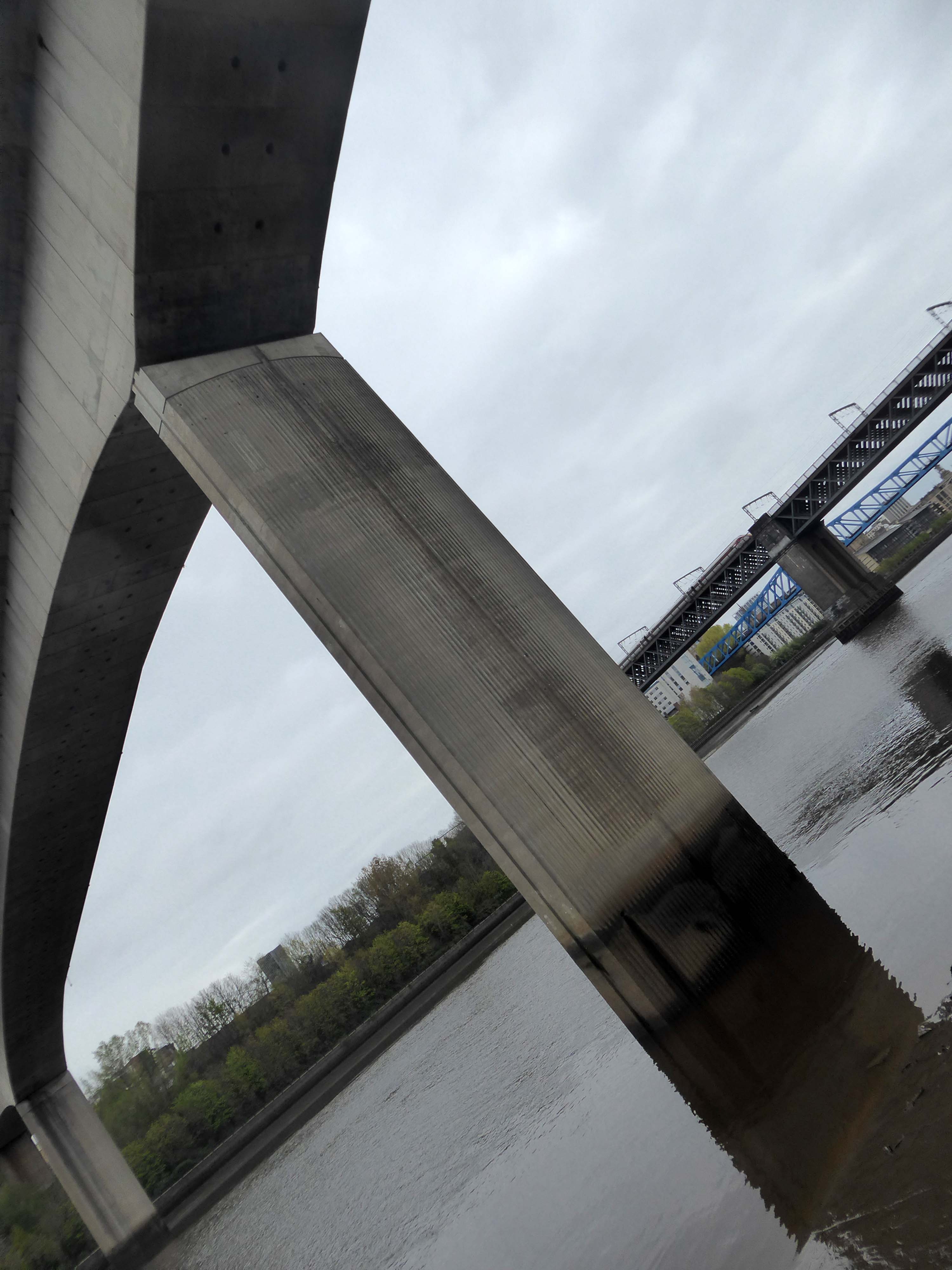
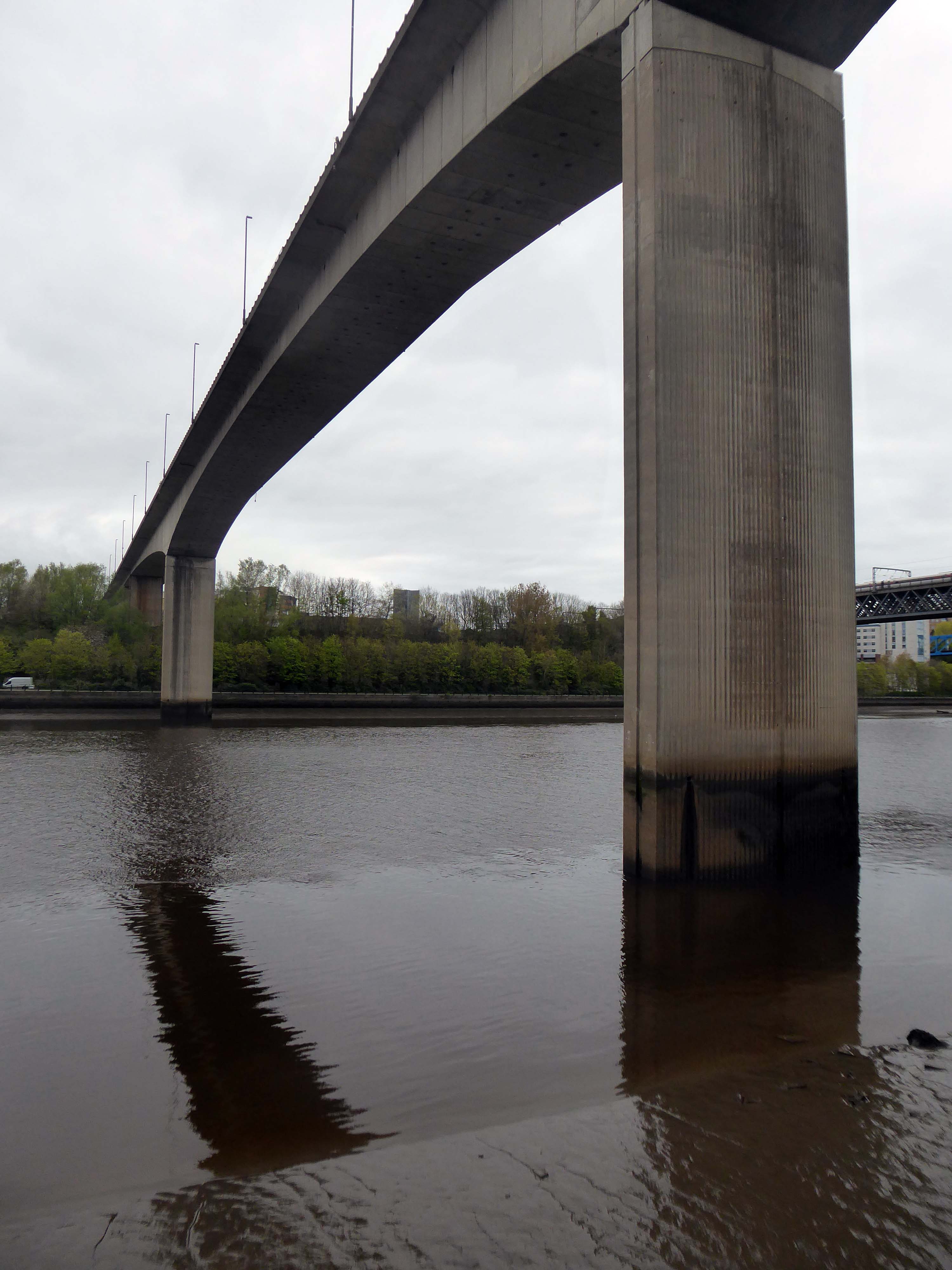
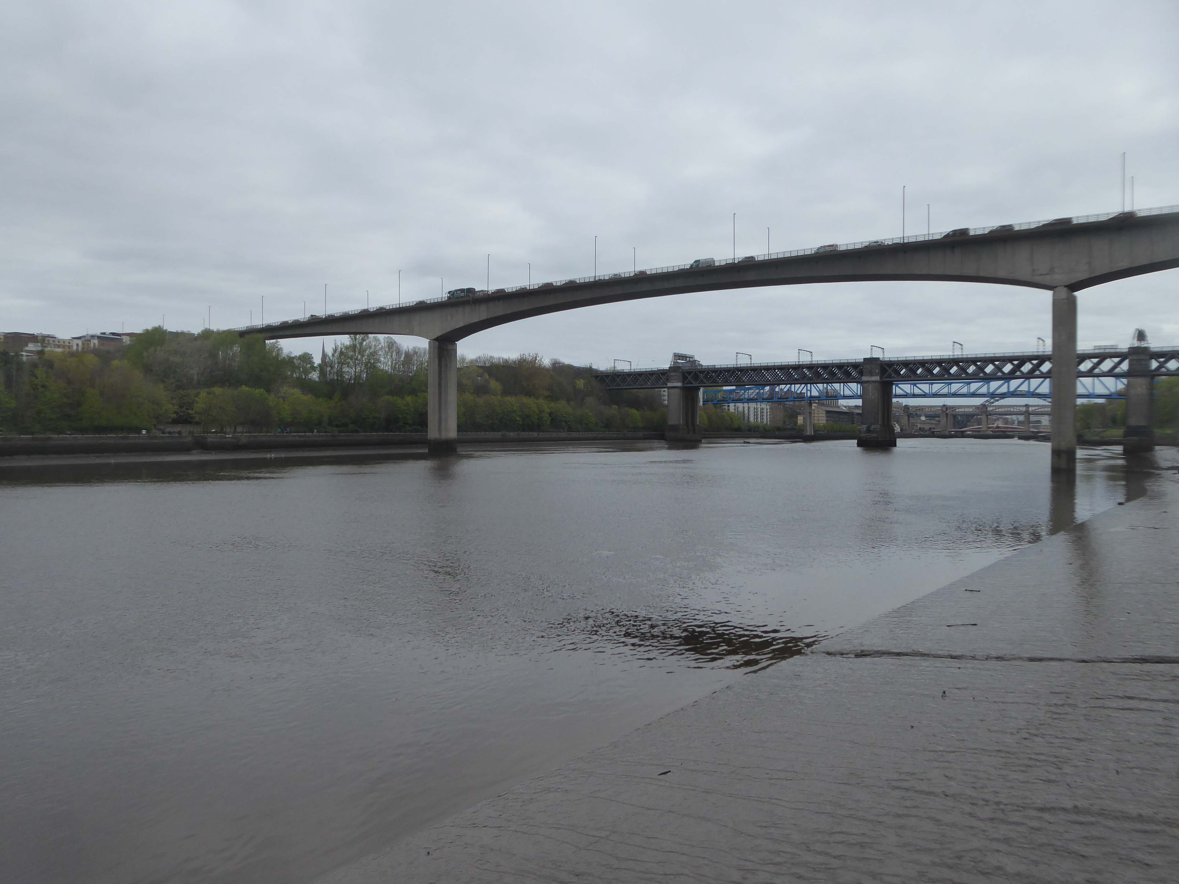
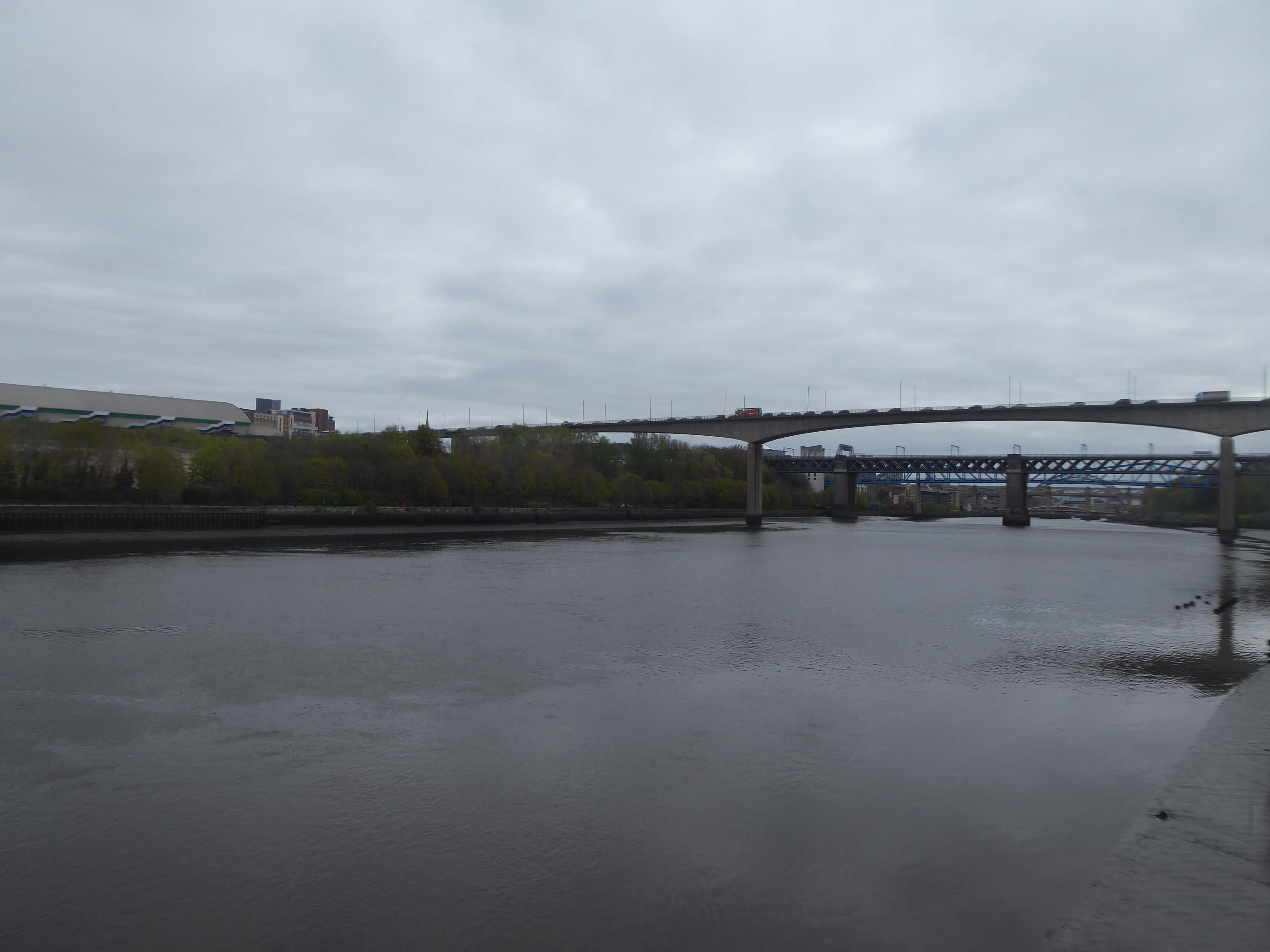
Work to replace the second crossing began in 1980.[The third bridge is very different from its two predecessors. It is a pre-stressed concrete structure with a central span of 160 m, 26 m above the river, and two side spans of 100 m each – including the approaches, it is a total of 897 m long and 15.8 m wide. It can carry abnormal loads of up to 400 tonnes, and has a life expectancy of 120 years.
It was constructed by Edmund Nuttall Ltd to a design by Mott, Hay and Anderson’s young engineer, Alan Yiu Lun Wan.
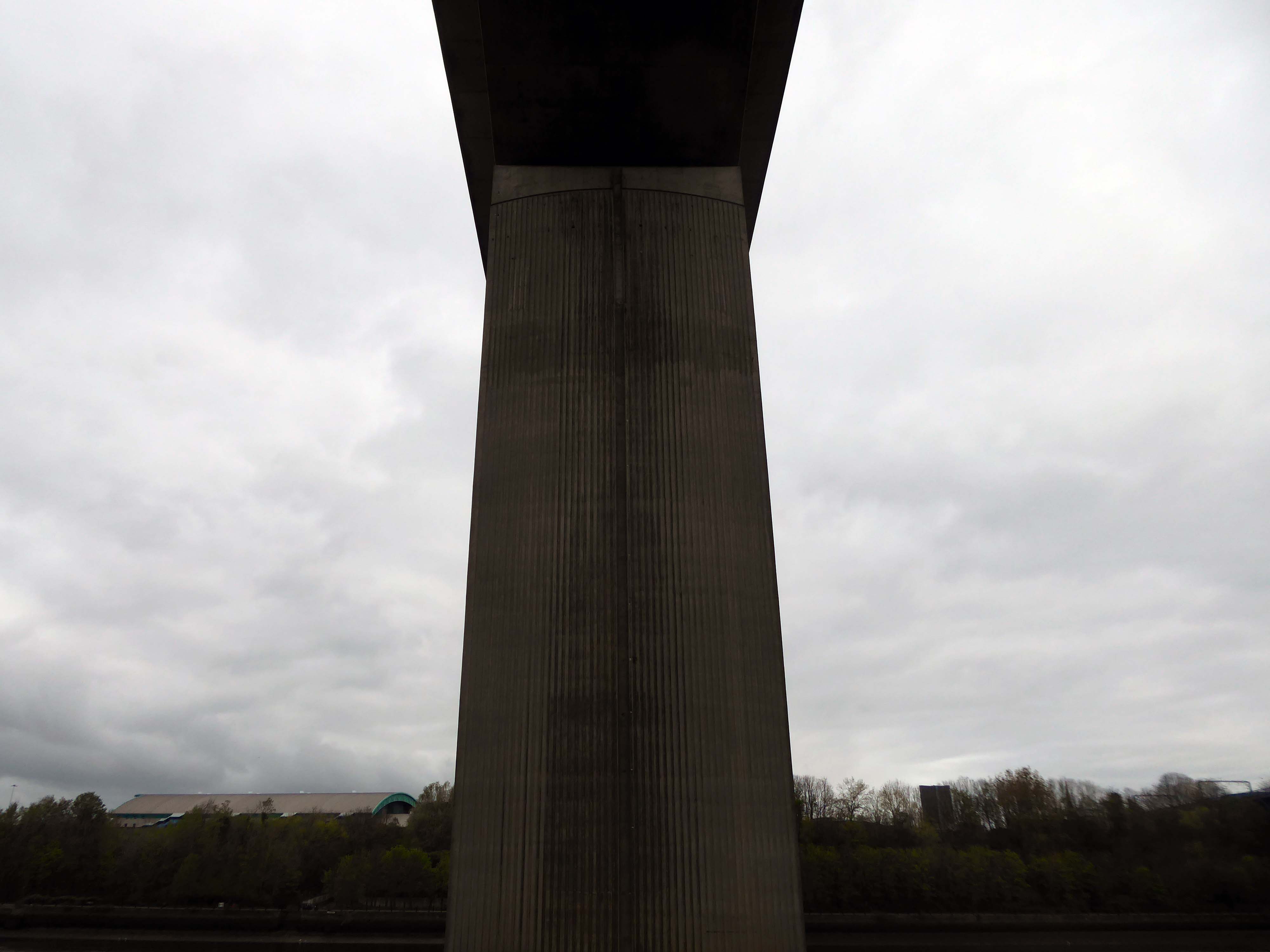
The two supporting concrete piers were fluted to create an impression of lightness and were designed to withstand the impact from a vessel of ten thousand tonnes travelling at a speed of five knots, although this is highly unlikely as large ships rarely come this far up the Tyne and the shipping lane has now effectively been blocked by the Gateshead Millennium Bridge. Due to the exposed location, strong winds can cause problems for high-sided vehicles. Early in the bridge’s life, a double-decker bus was nearly blown over the side.
The total cost of construction amounted to £15,350,000.
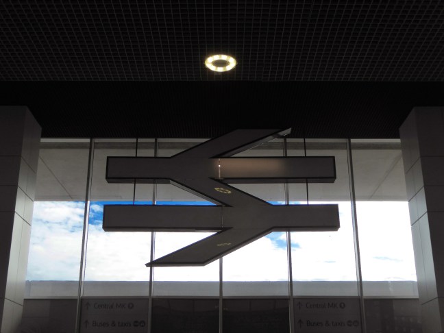
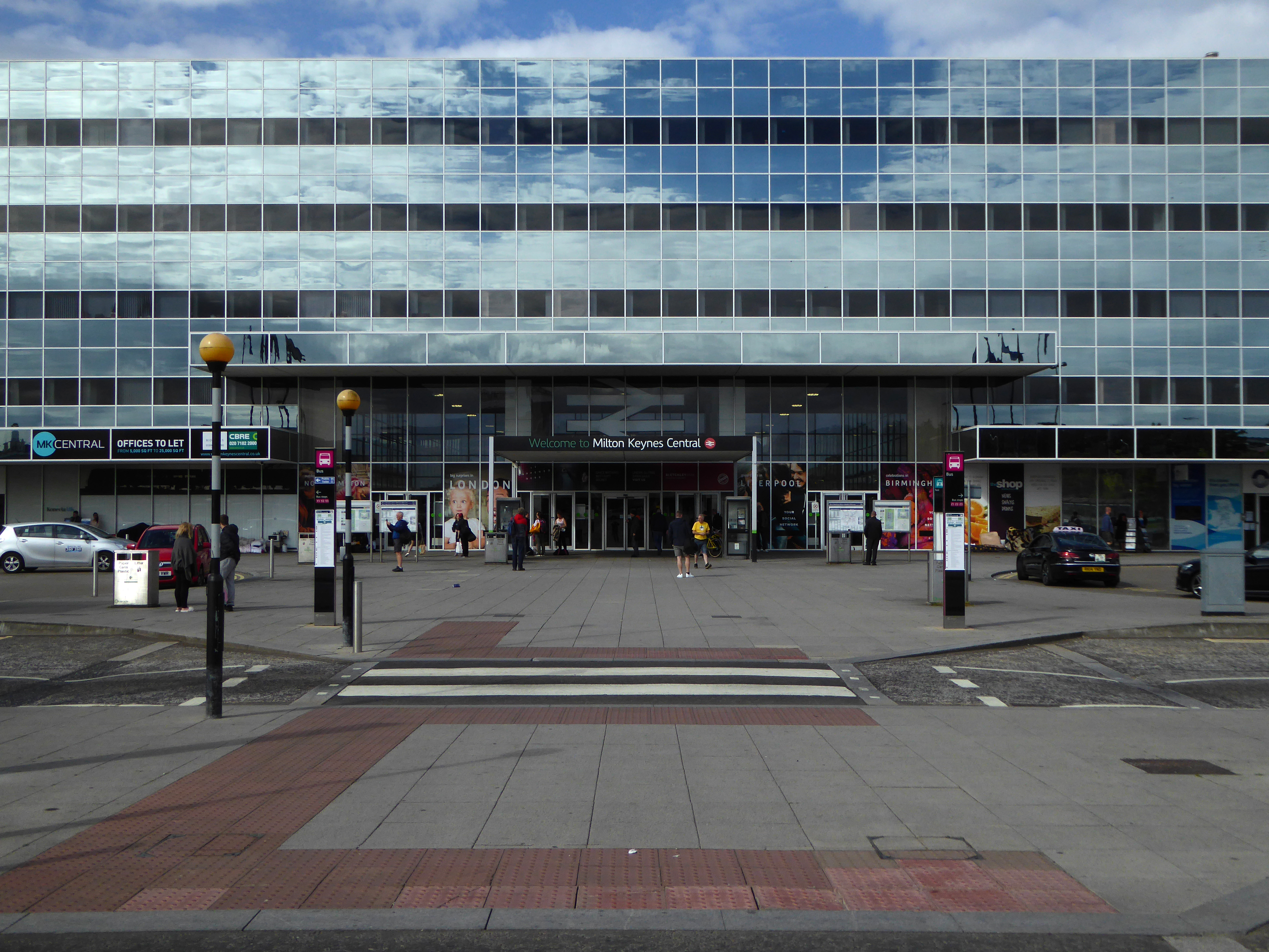
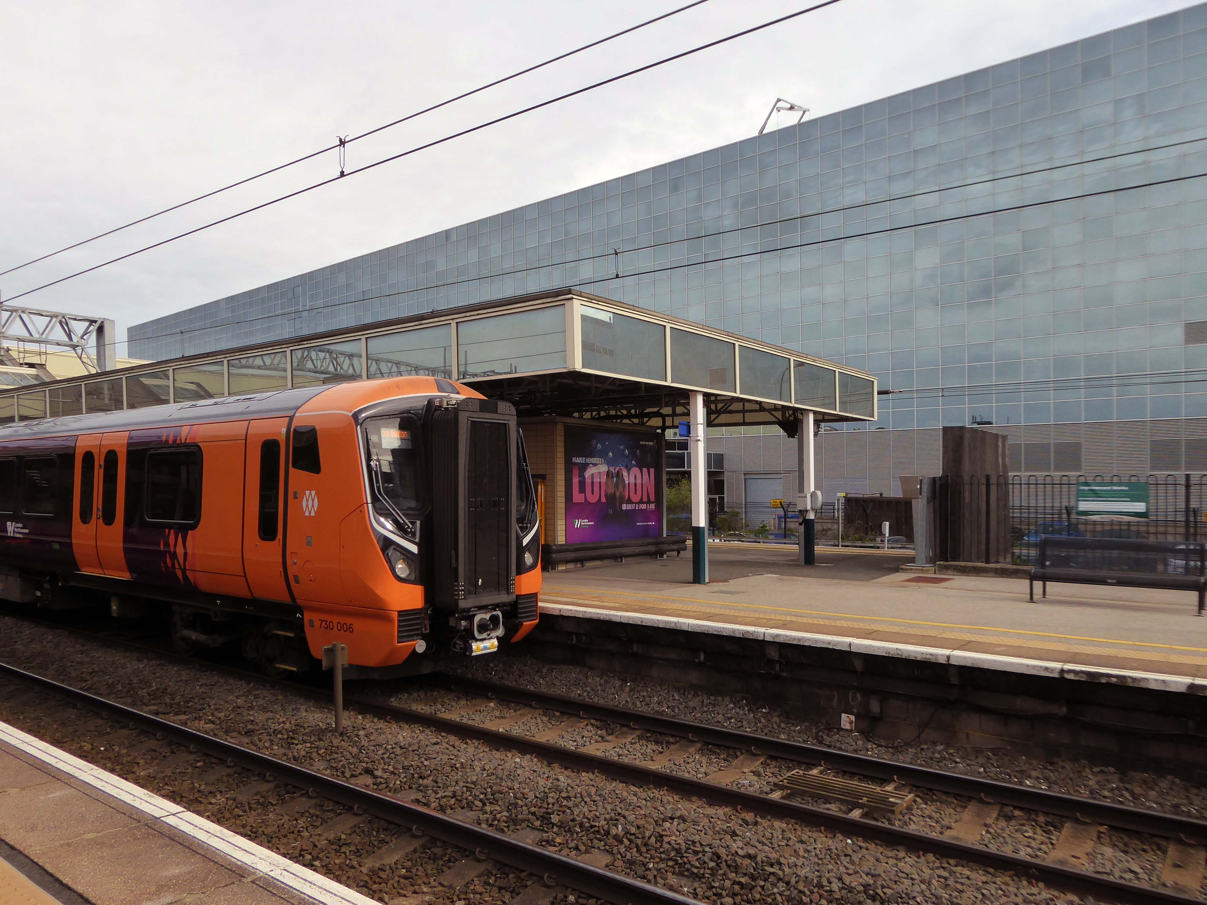
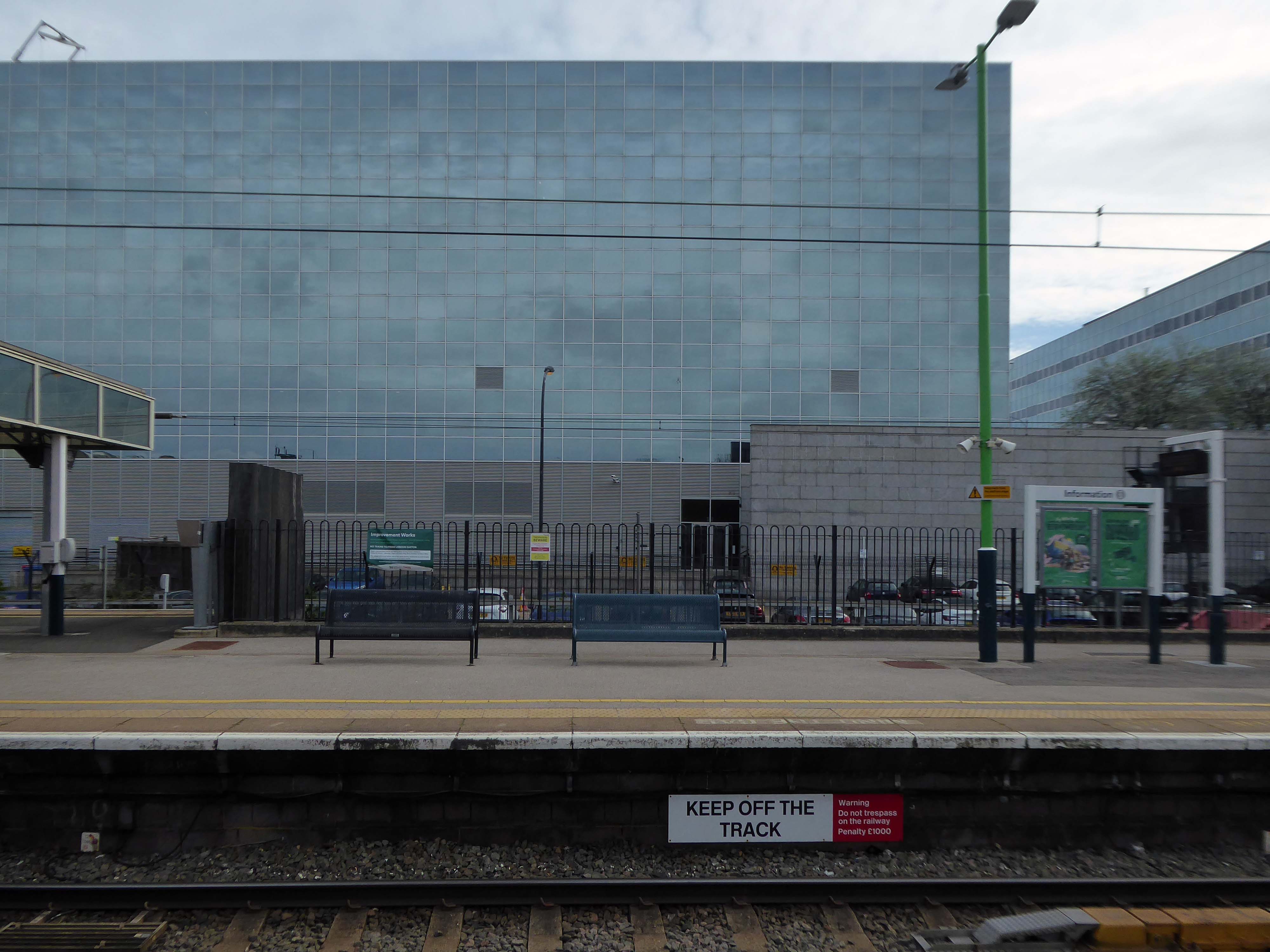
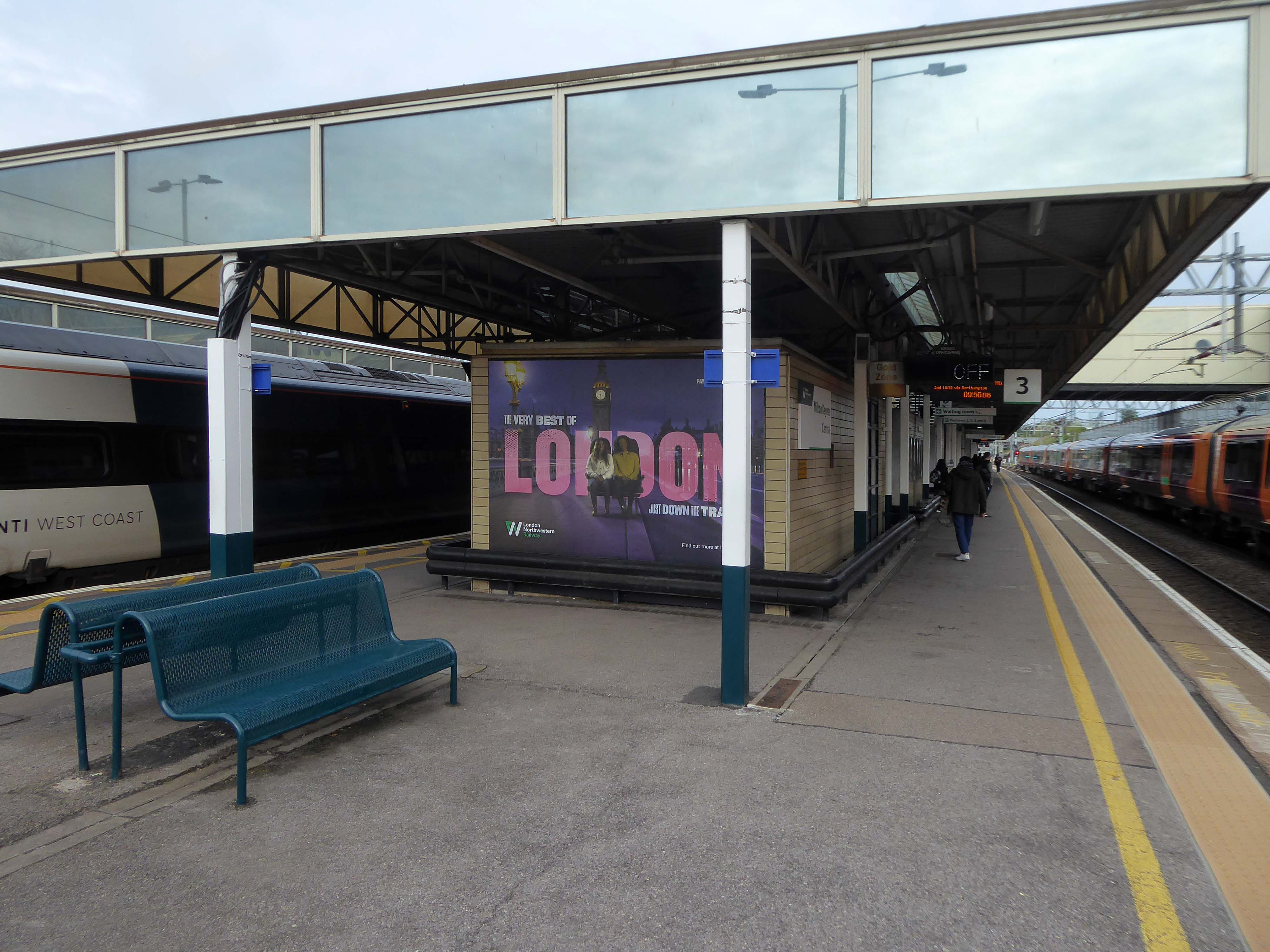
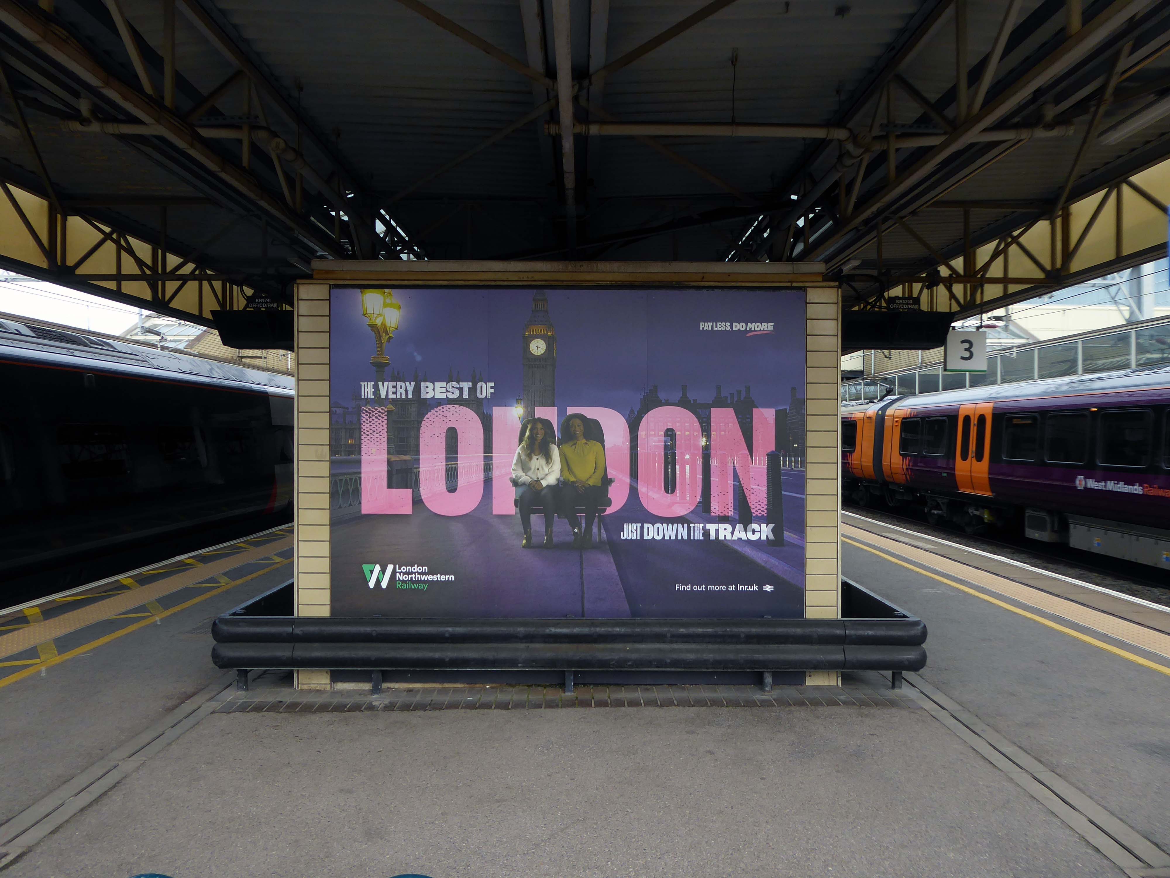
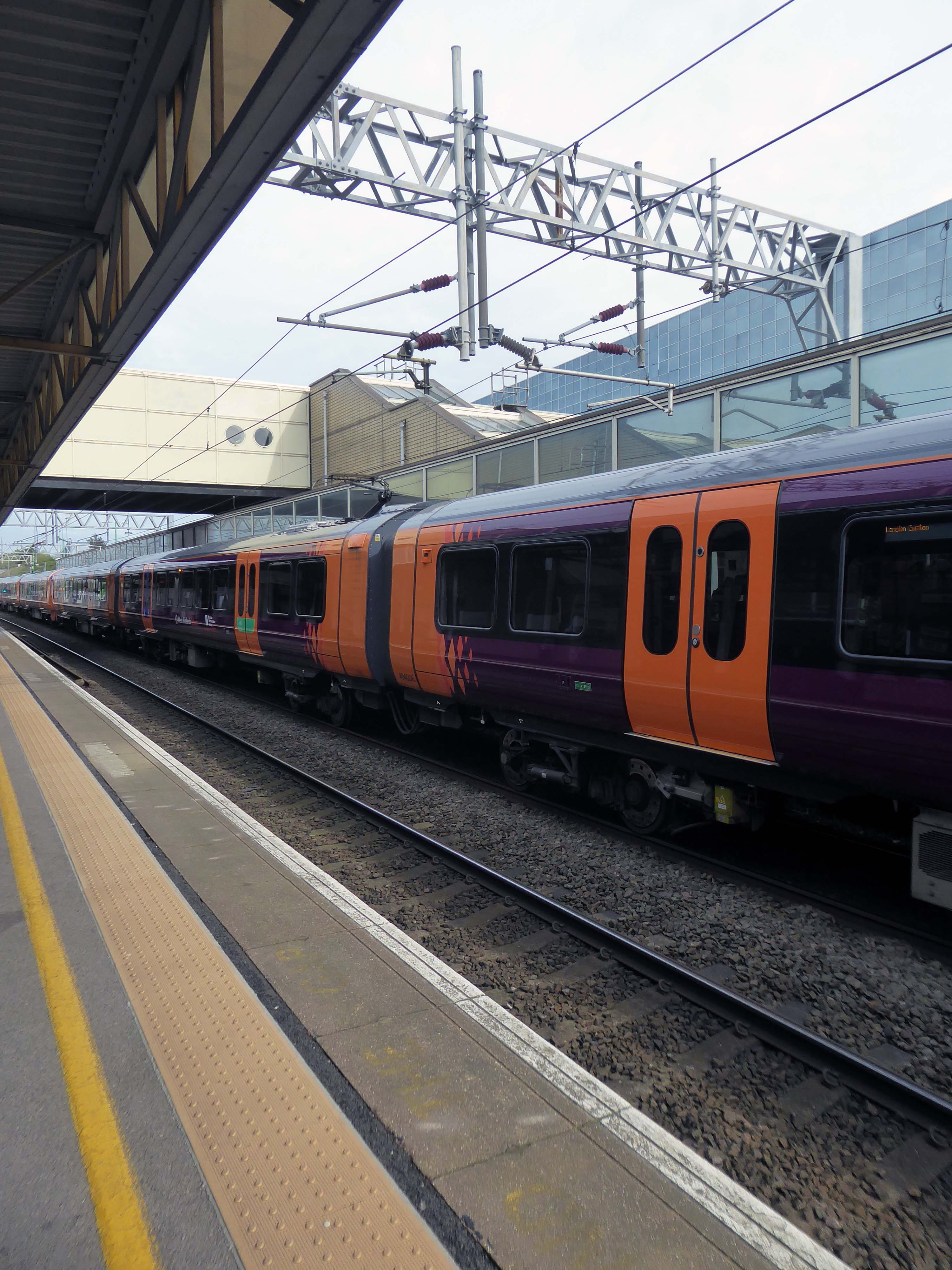
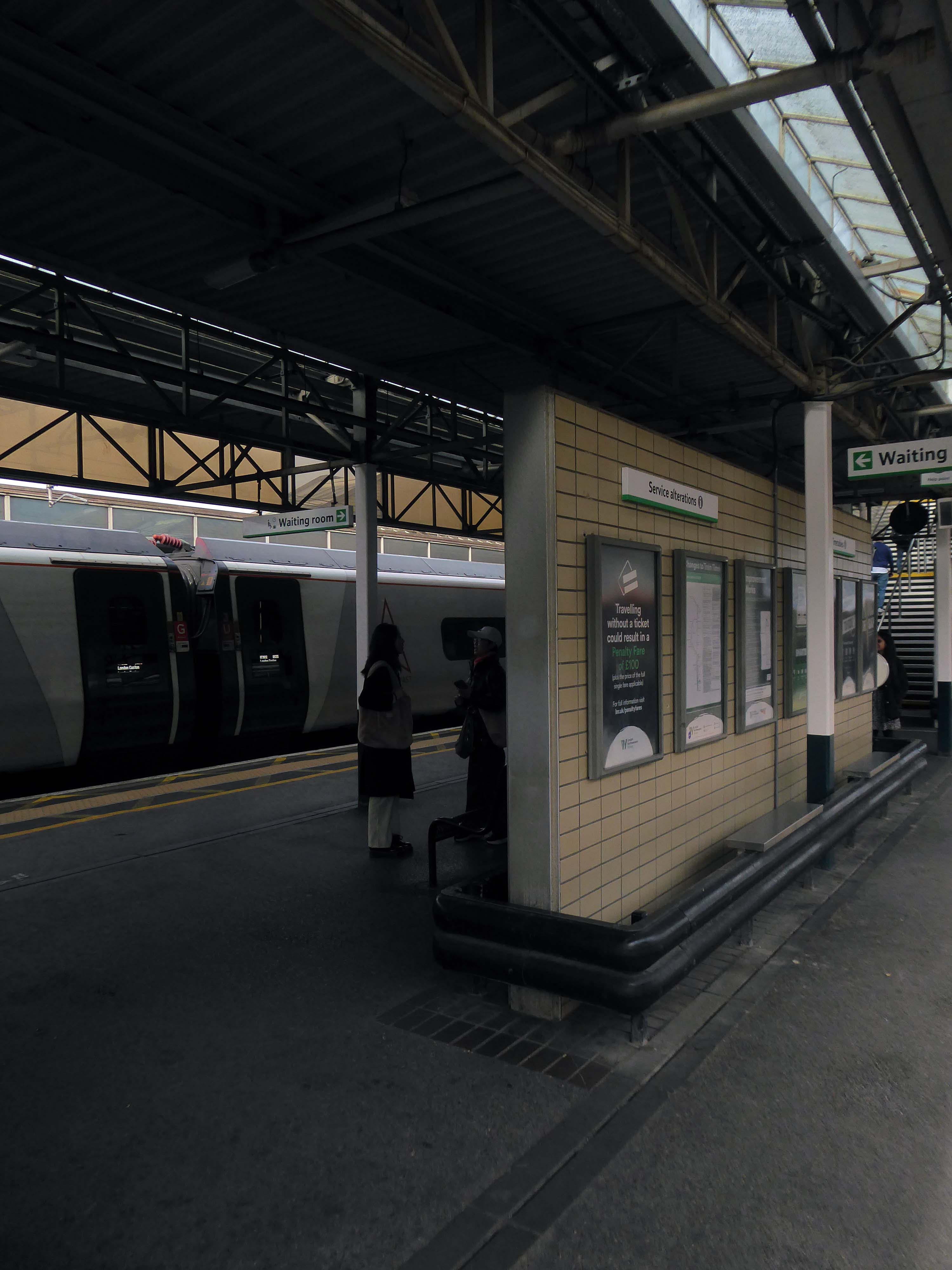
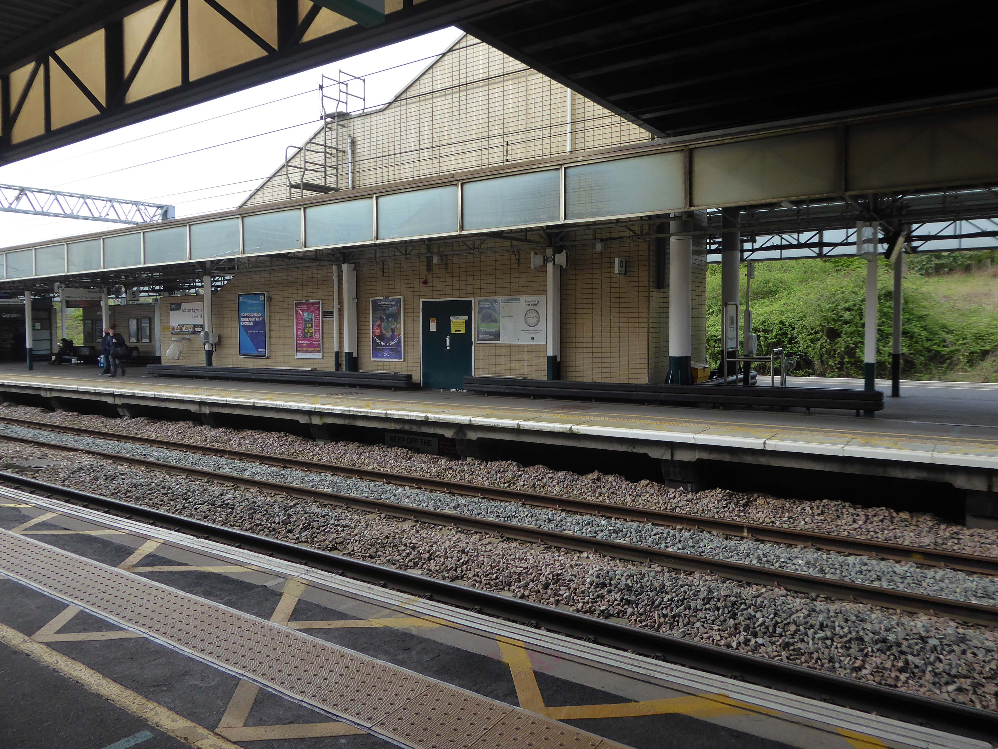
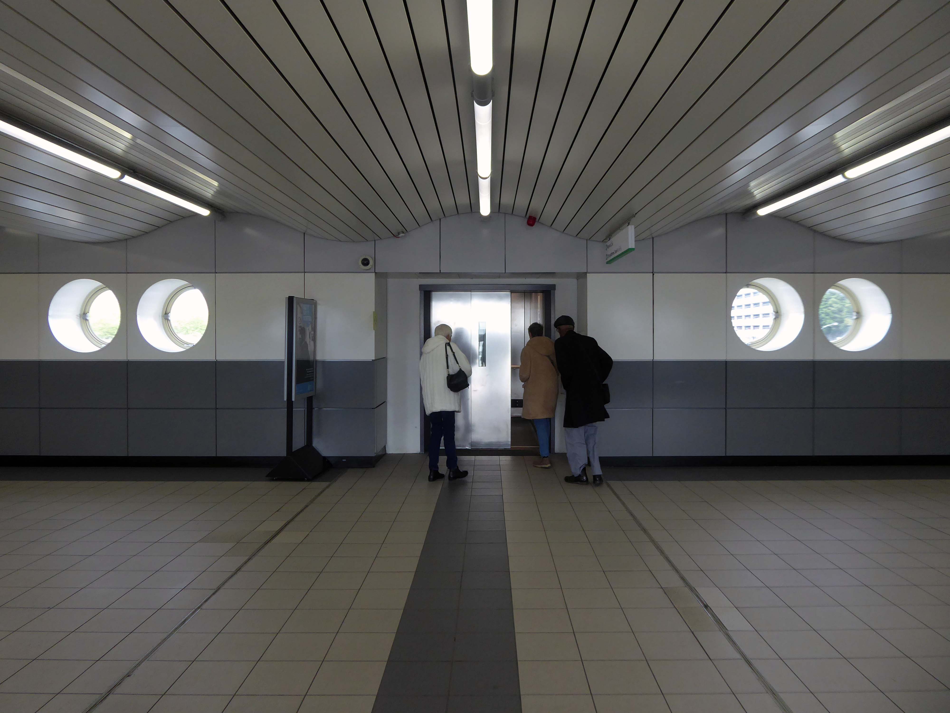
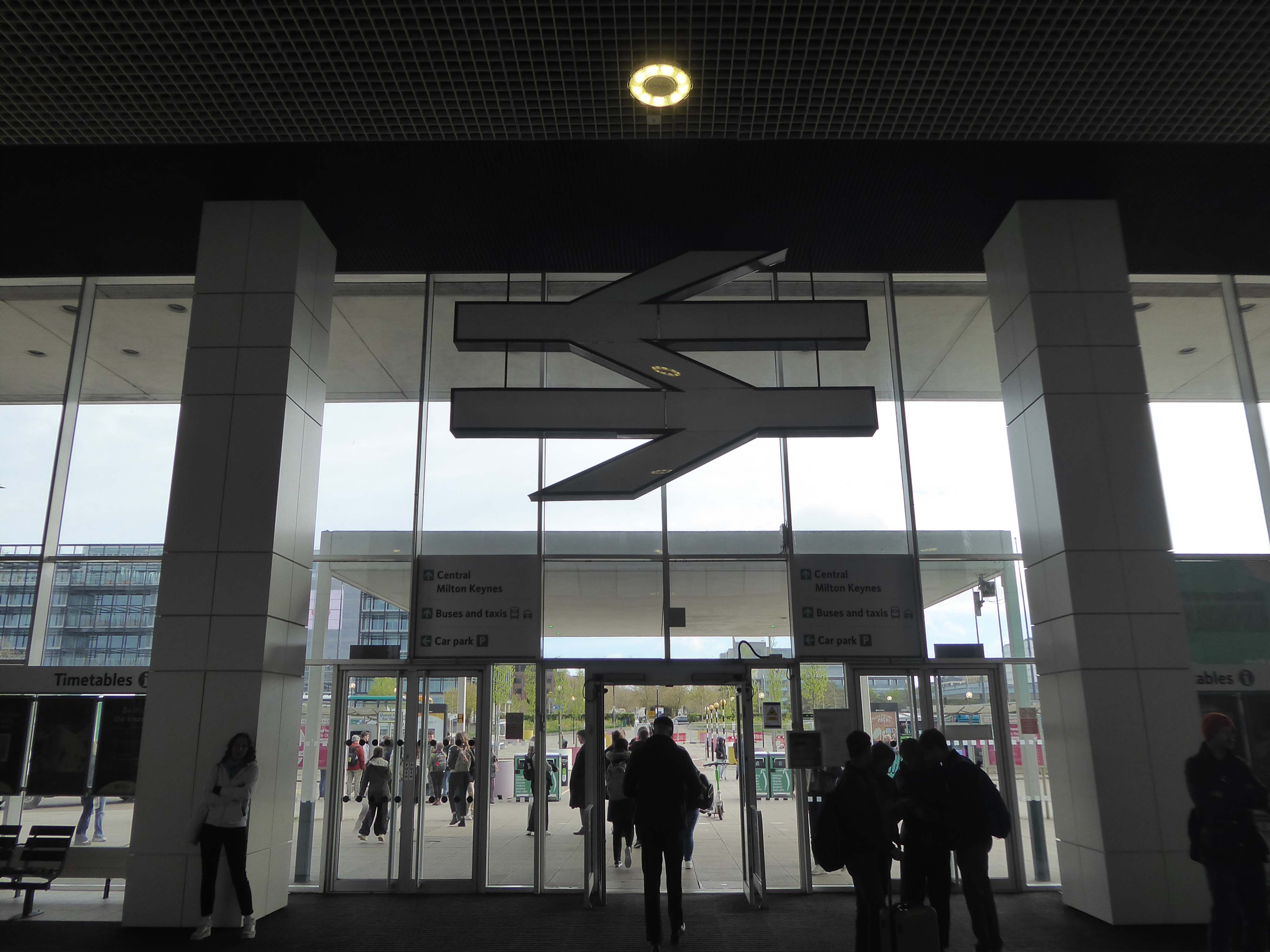
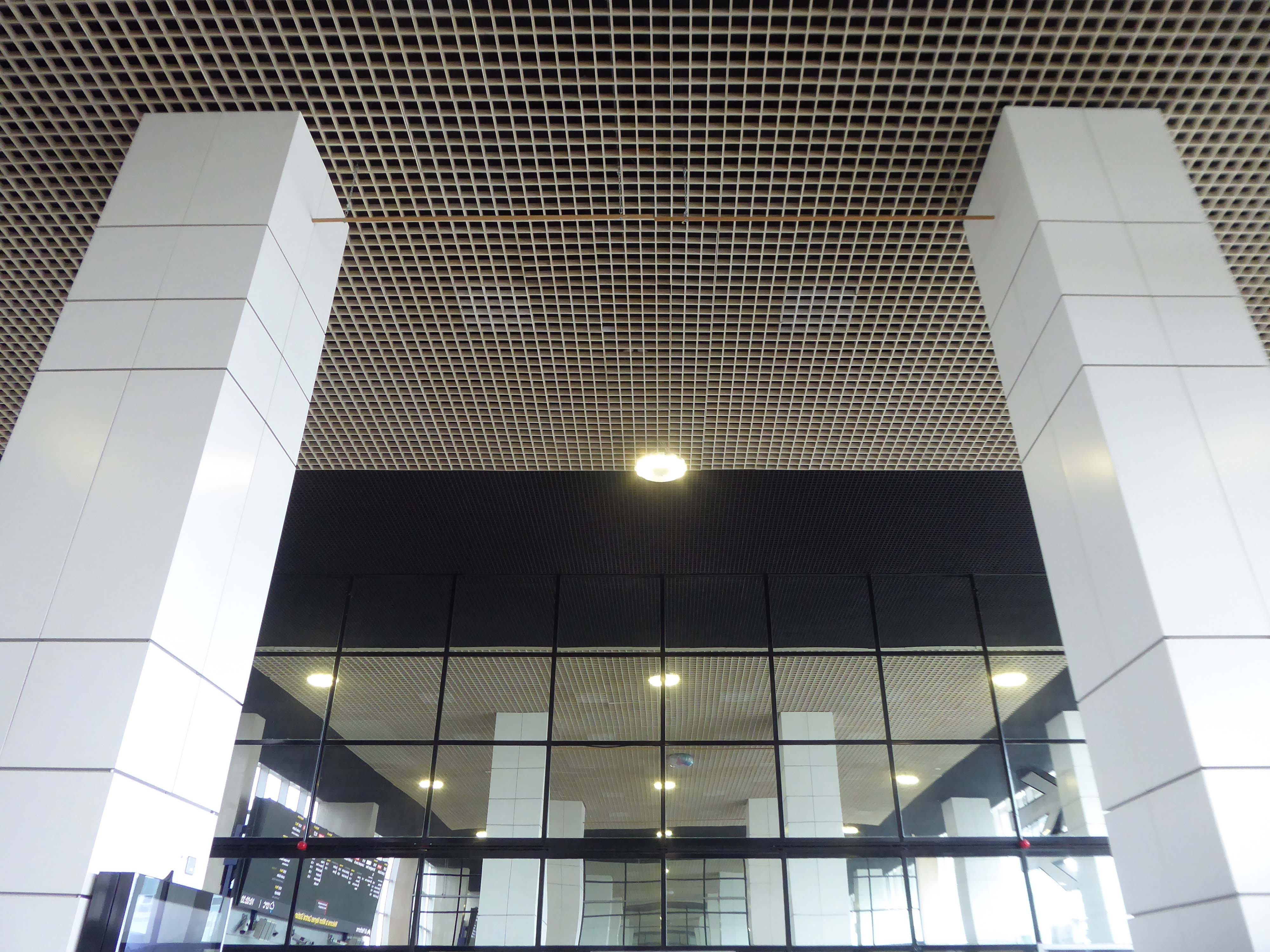
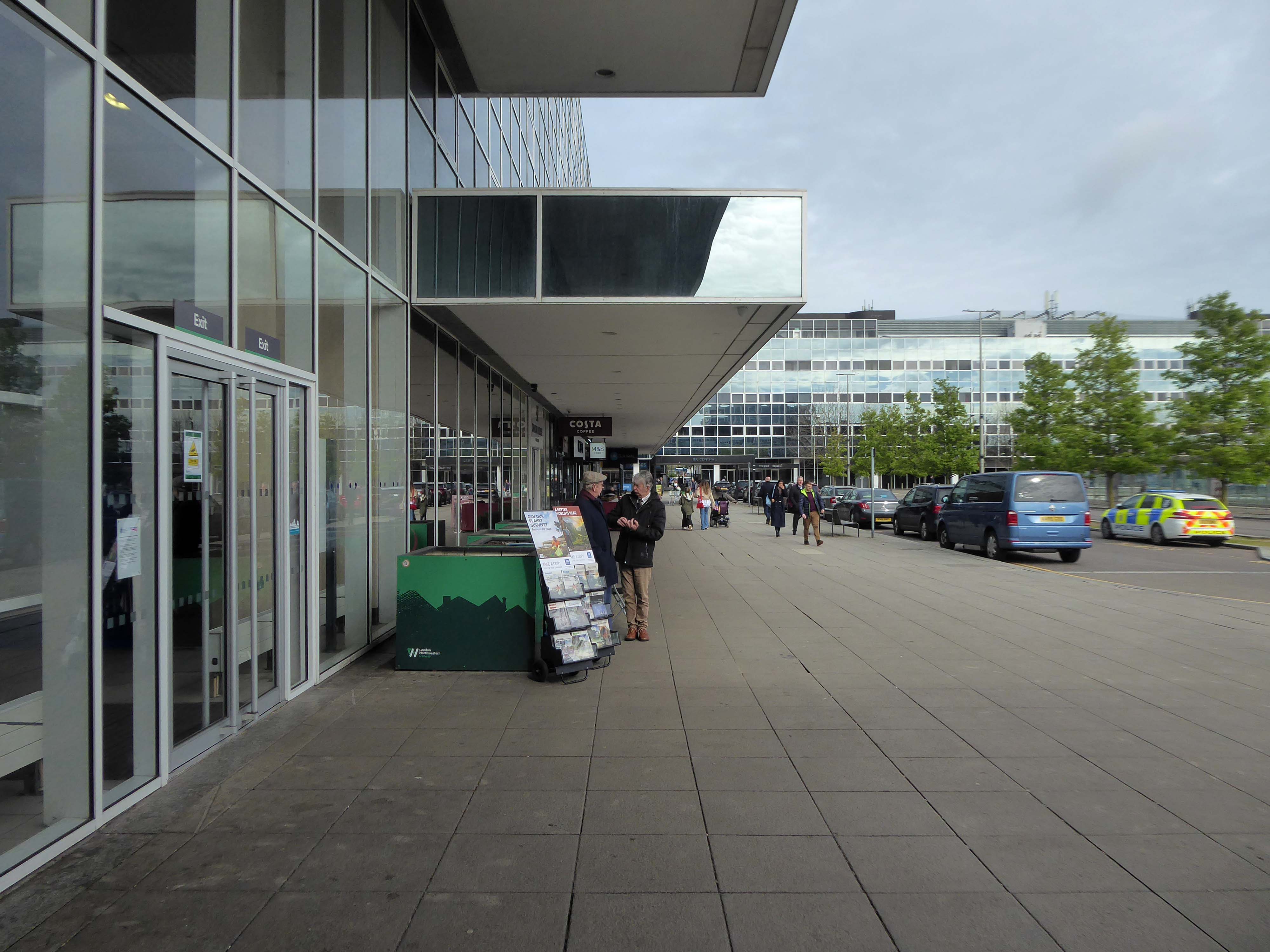
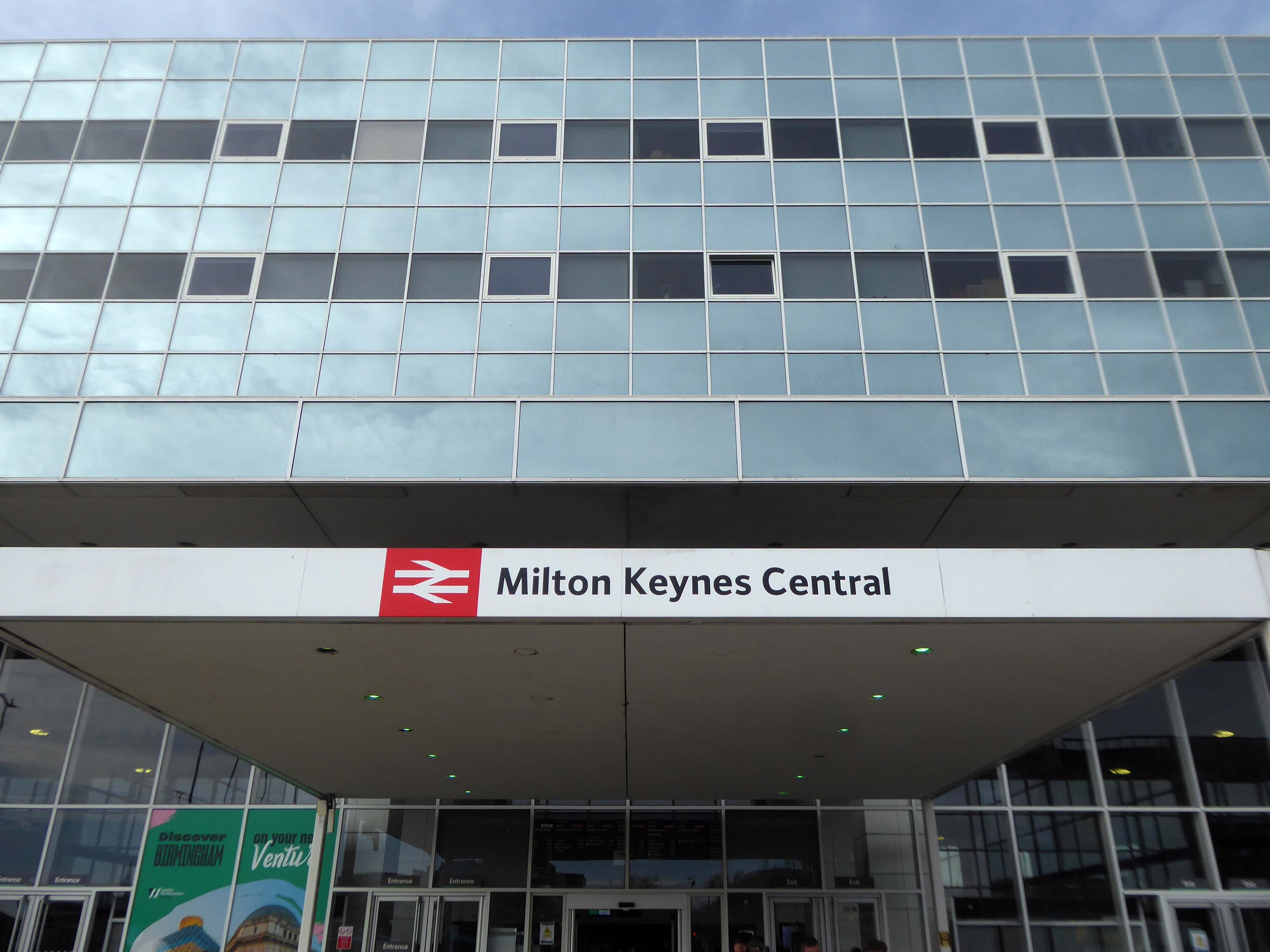
Milton Keynes Central railway station serves Milton Keynes and surrounding parts of Bedfordshire, Buckinghamshire and Northamptonshire. The station is located on the West Coast Main Line about 50 miles northwest of London. The station is served by Avanti West Coast intercity services, and by West Midlands Trains regional services.
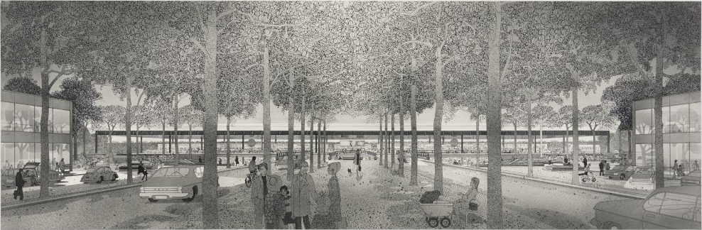
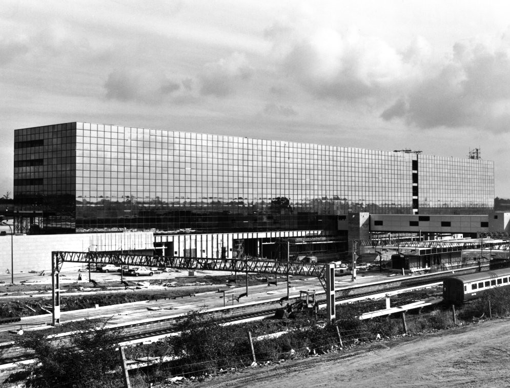
A new station to delimit the western end of the new central business district of Milton Keynes was a key objective for Milton Keynes Development Corporation. In the cash-strapped circumstances of the 1960s and 1970s, British Rail was unenthusiastic but eventually came round after a deal was done in 1978 on cost sharing. In 1979, MKDC architect Stuart Mosscrop designed the station building and office blocks to either side, framing a new Station Square and the vista uphill along Midsummer Boulevard – and the midsummer sunrise.
The Station Square and Station Building were designed by MKDC, the Station fitting out including the platforms, was designed by British Rail Architects, one third of the costs met by BR and two thirds by MKDC. For MKDC, the scheme was designed by MKDC architects Stuart Mosscrop, Derek Walker and Christopher Woodward; project architect David Hartley, assisted by Barry Steadman and Christopher Moxham; structural engineers Felix J Samuely. British Rail was responsible for the station concourse, footbridge and platform structures, the team comprising Jim S Wyatt, BR regional architect, and project architect John H Kitcher, assisted by Colin Eades.
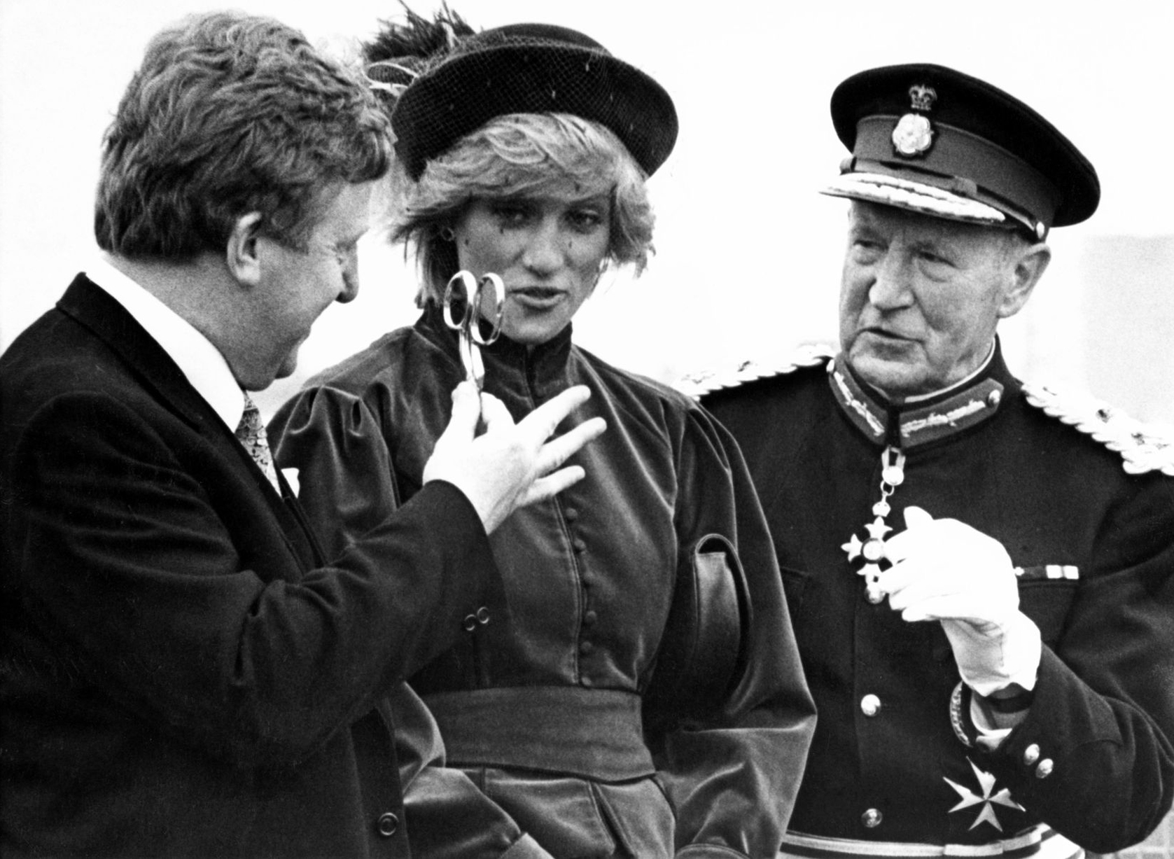
The station opened on 14 May 1982, with an official opening by Charles, then Prince of Wales, conducted three days later.
Mother of two Jo Francis leans in for a kiss.
Older people are remembering when he previously came to Milton Keynes:
Crowds stood around the forecourt of the Tickford Street factory to watch, cheer and wave flags. Then suddenly, a five year old boy called Matthew Turvey reached into his mum’s shopping basket, took out a tin of baked beans and held them out to the young Prince.
Proposed designs for architecture and town planning of Milton Keynes: boulevard and railway station – 1970 Derek Walker Associates
1981 – Built using a high performance reflective solar control glass called Vari-Tran, creating a complete curtain wall to cover the whole construction.
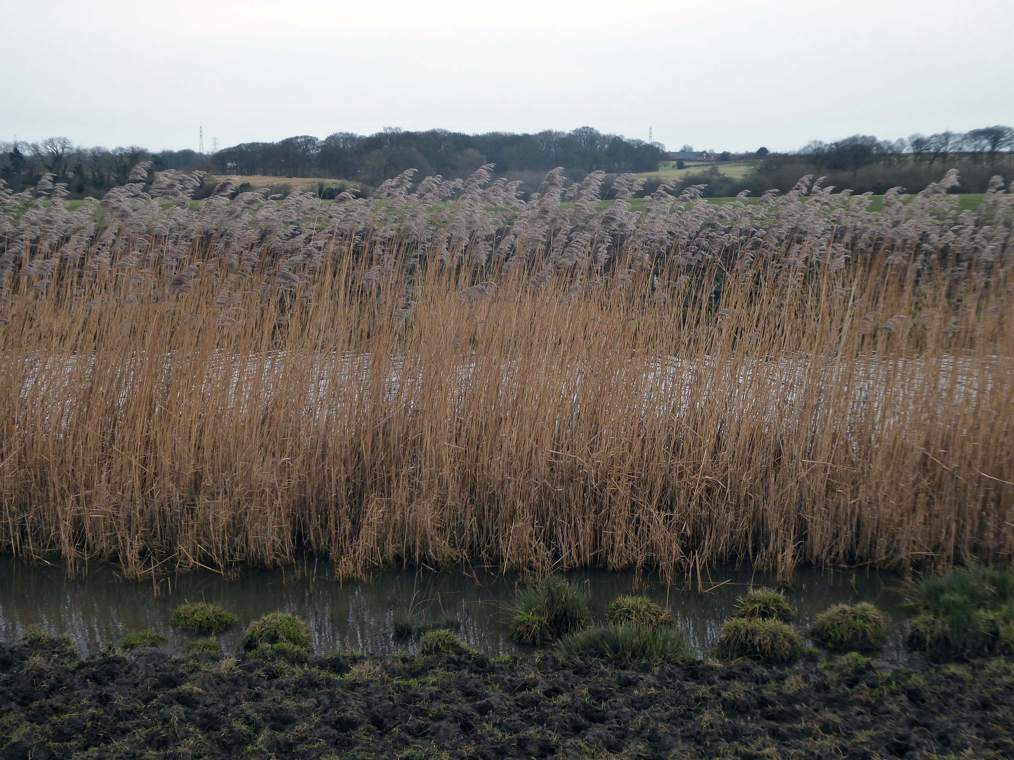
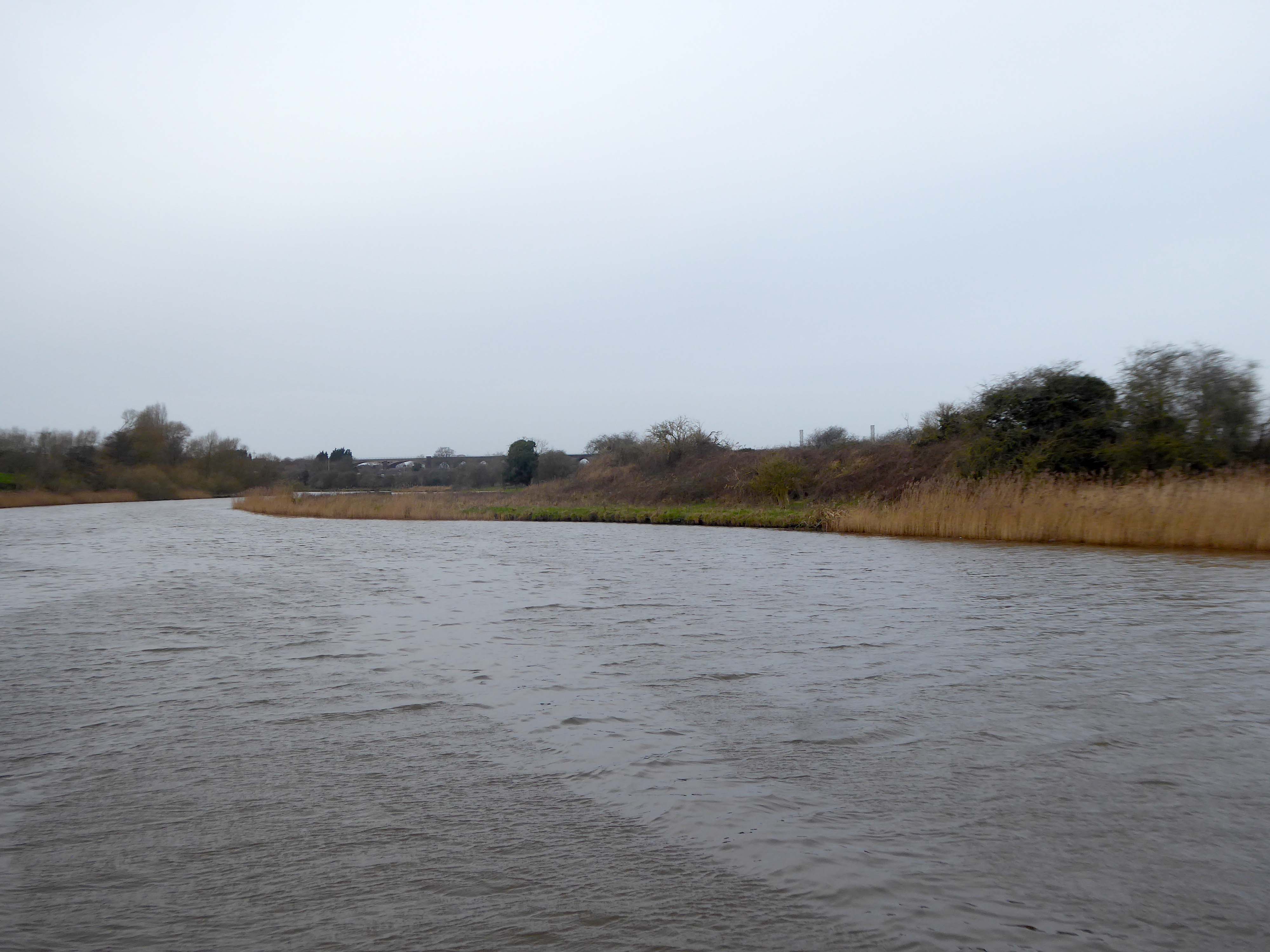
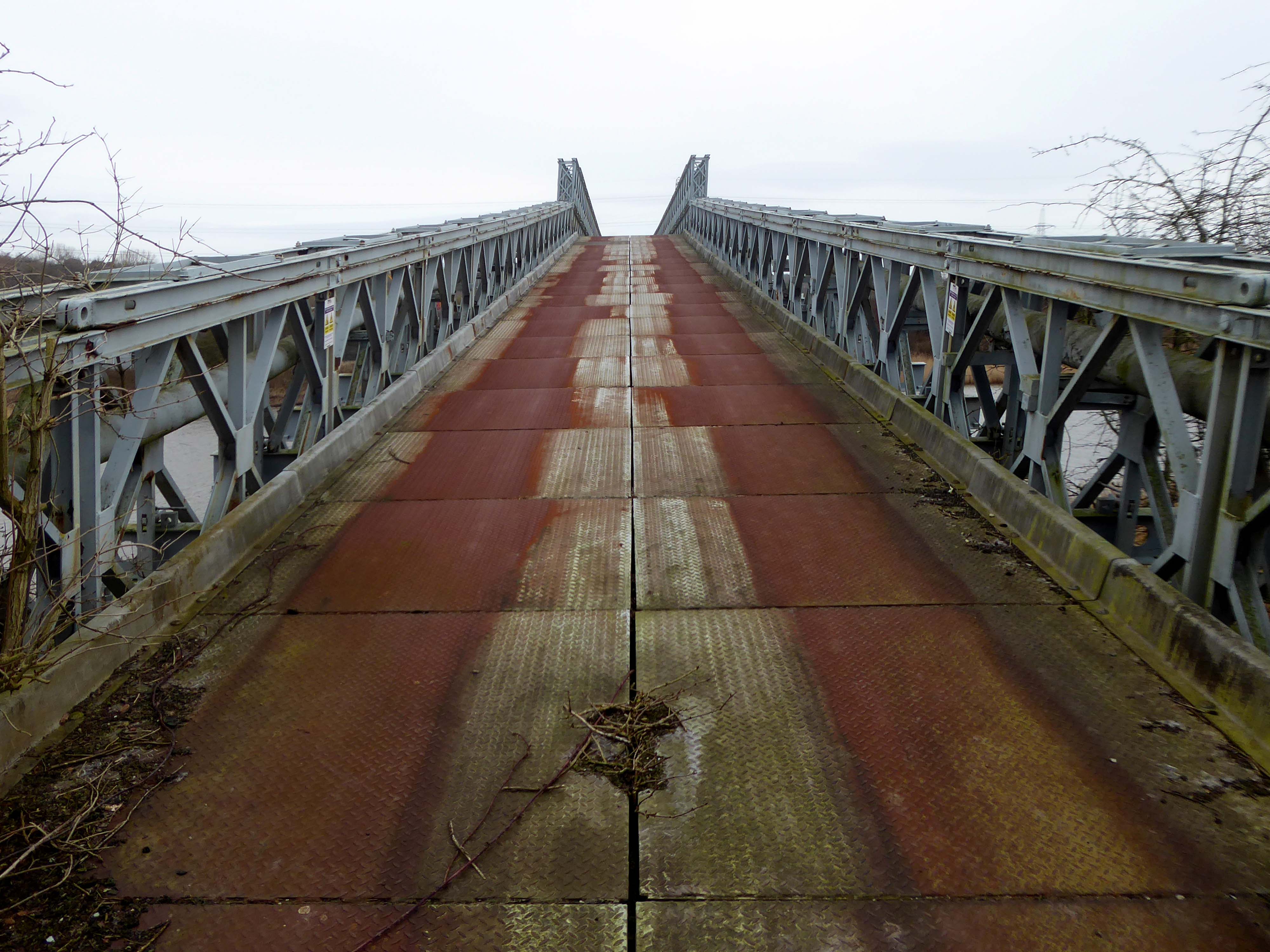
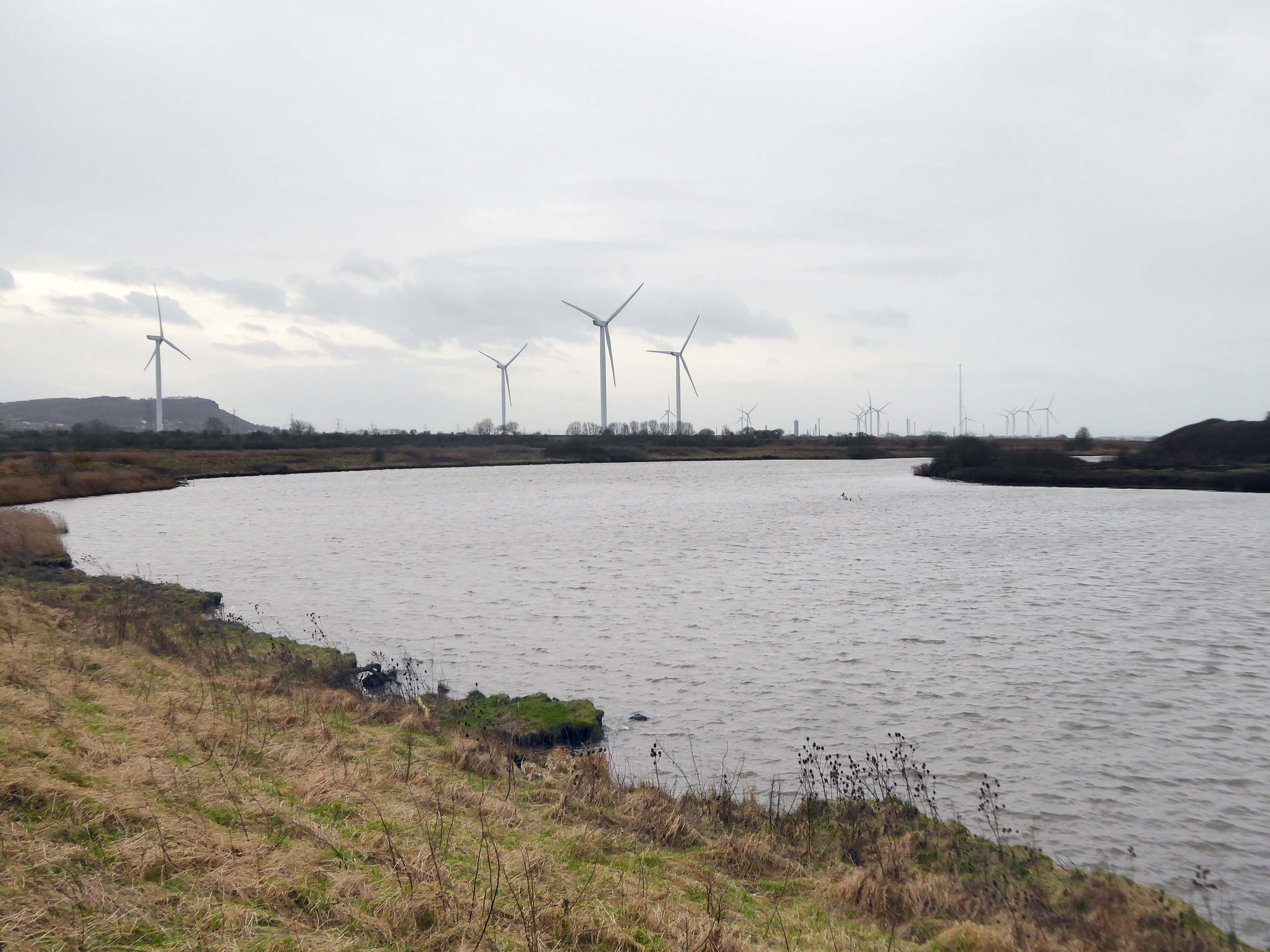
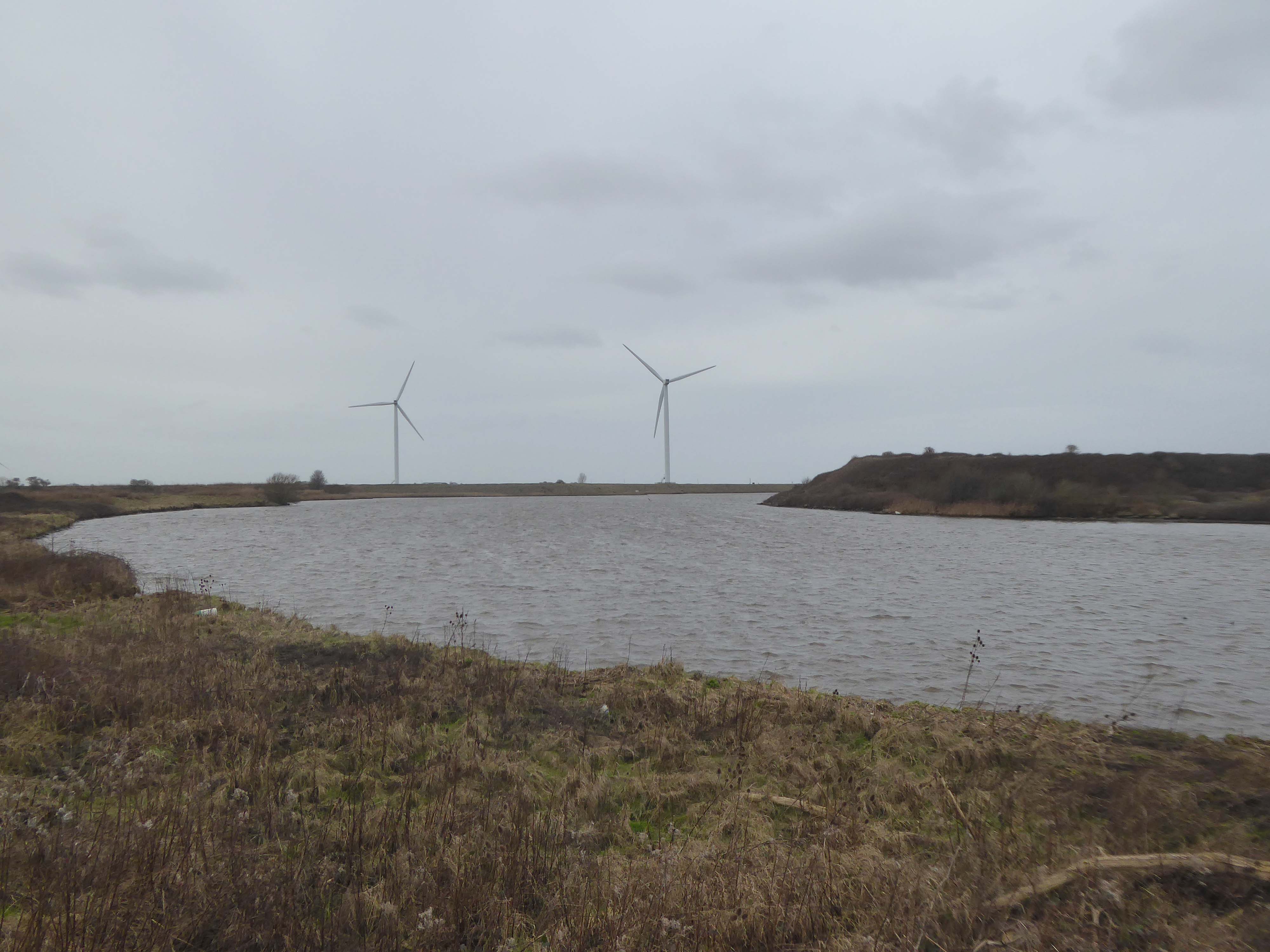
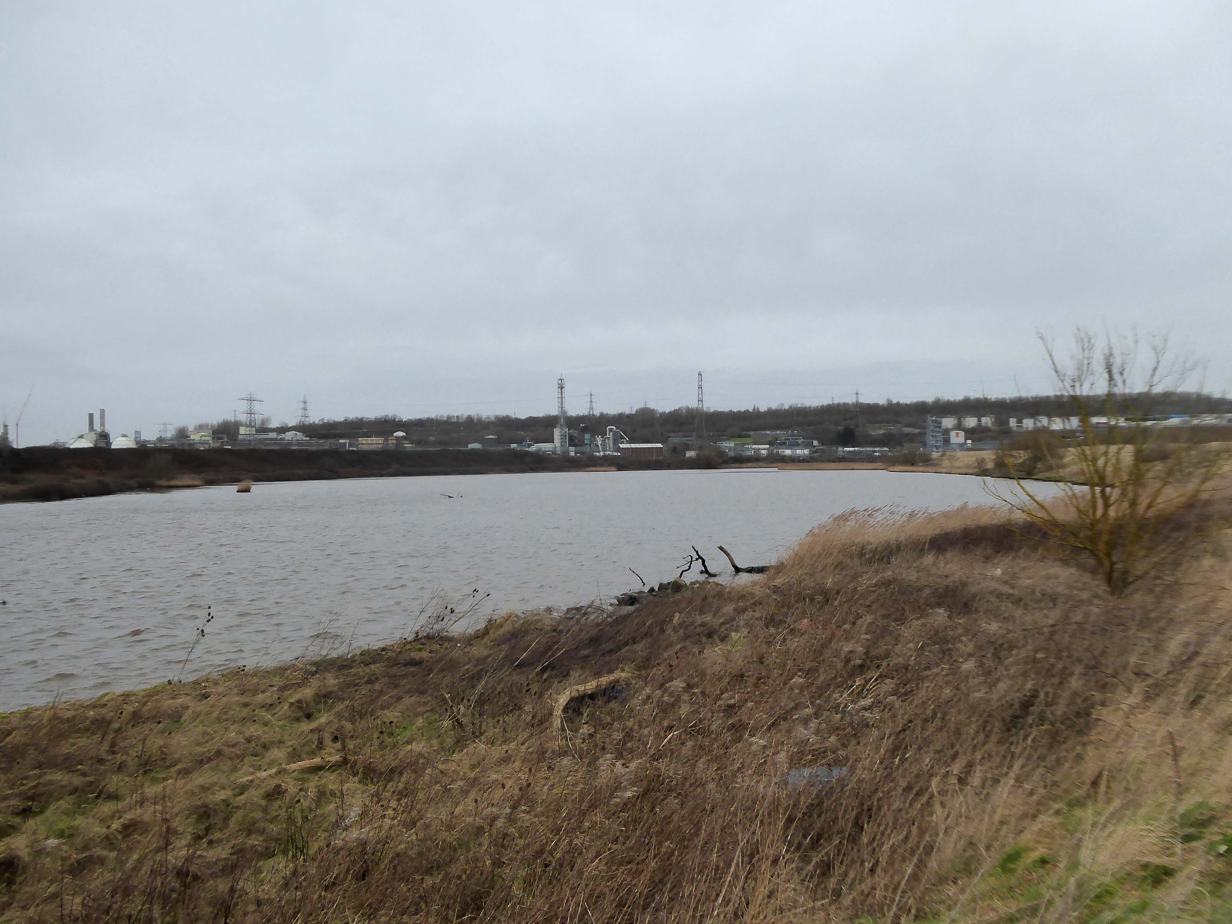
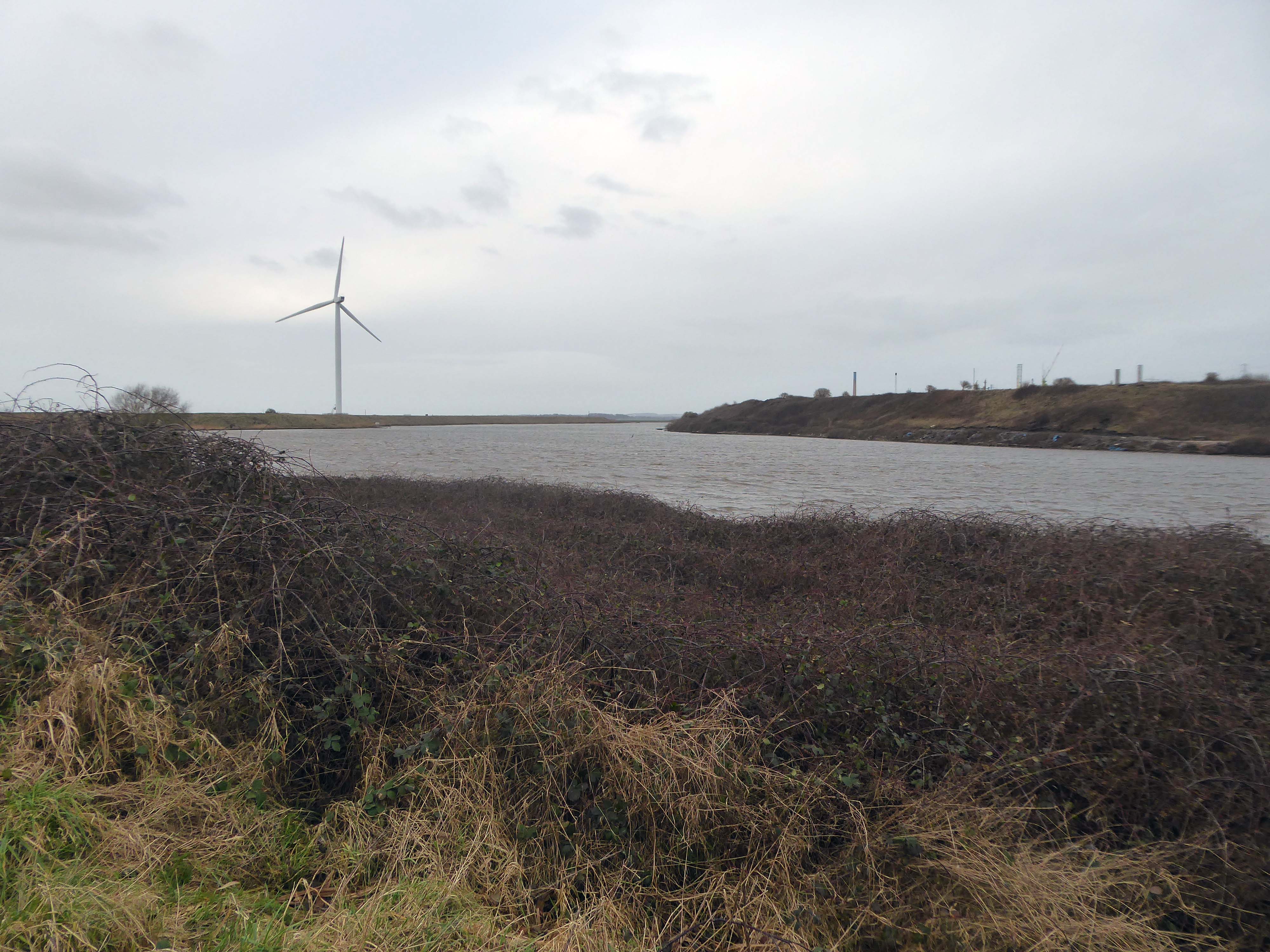
Along with my almost lifelong friend Mr Tim Rushton – I took a trip along a short stretch of the River Weaver, walking from east to west.
River Weaver – rising on the boundary between the counties of Shropshire and Cheshire and then flowing 45 miles north to reach the Irish Sea estuary of the River Mersey to the west of Runcorn.
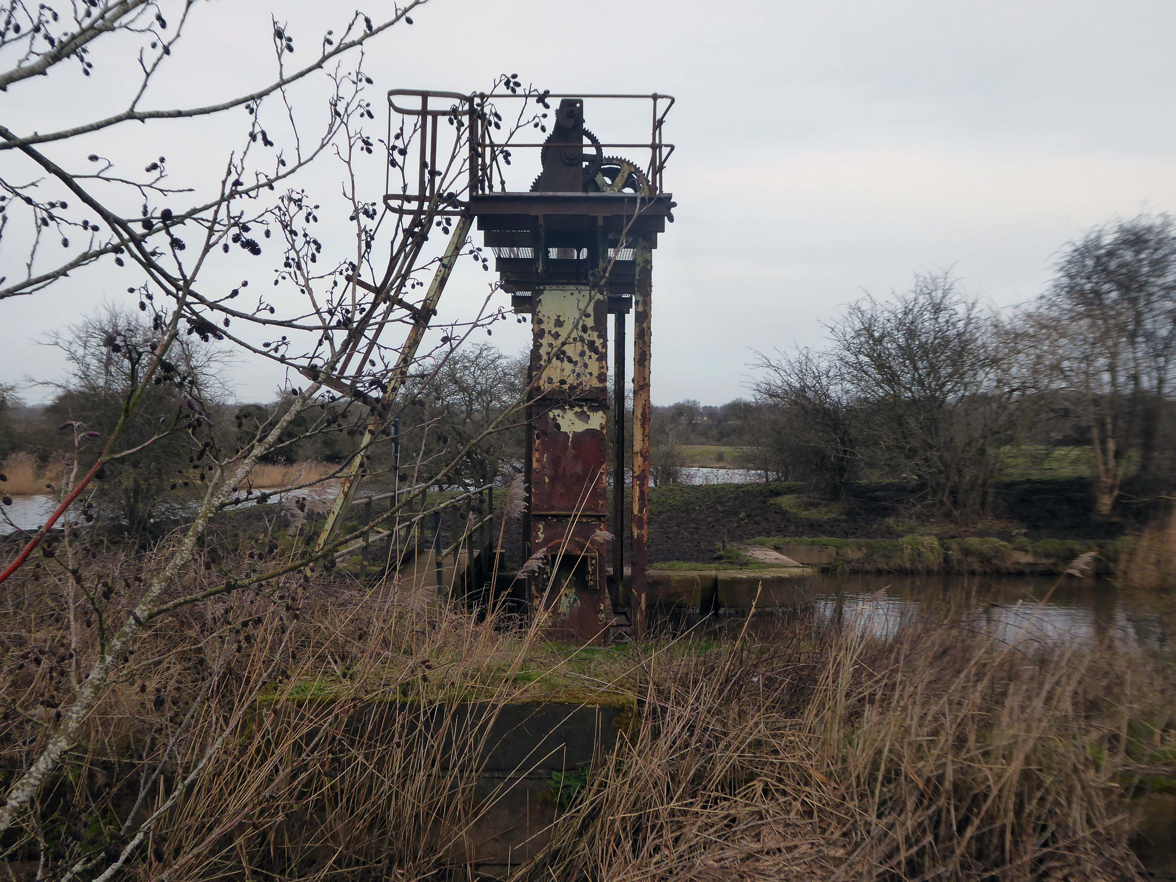
Below Winsford, the course of the river has been altered several times, by the construction of cuts and locks, to enable small ships to trade on it. The river formerly joined the River Mersey at Weston Marsh, but since the construction of the Manchester Ship Canal, begun in 1887, it has flowed into the canal, from where surplus water enters the Mersey by the Weaver sluices, just upstream of the junction. The tidal river section below Frodsham has been bypassed by the Weston Canal since 1810 and is no longer navigable, as Frodsham Lock is derelict.
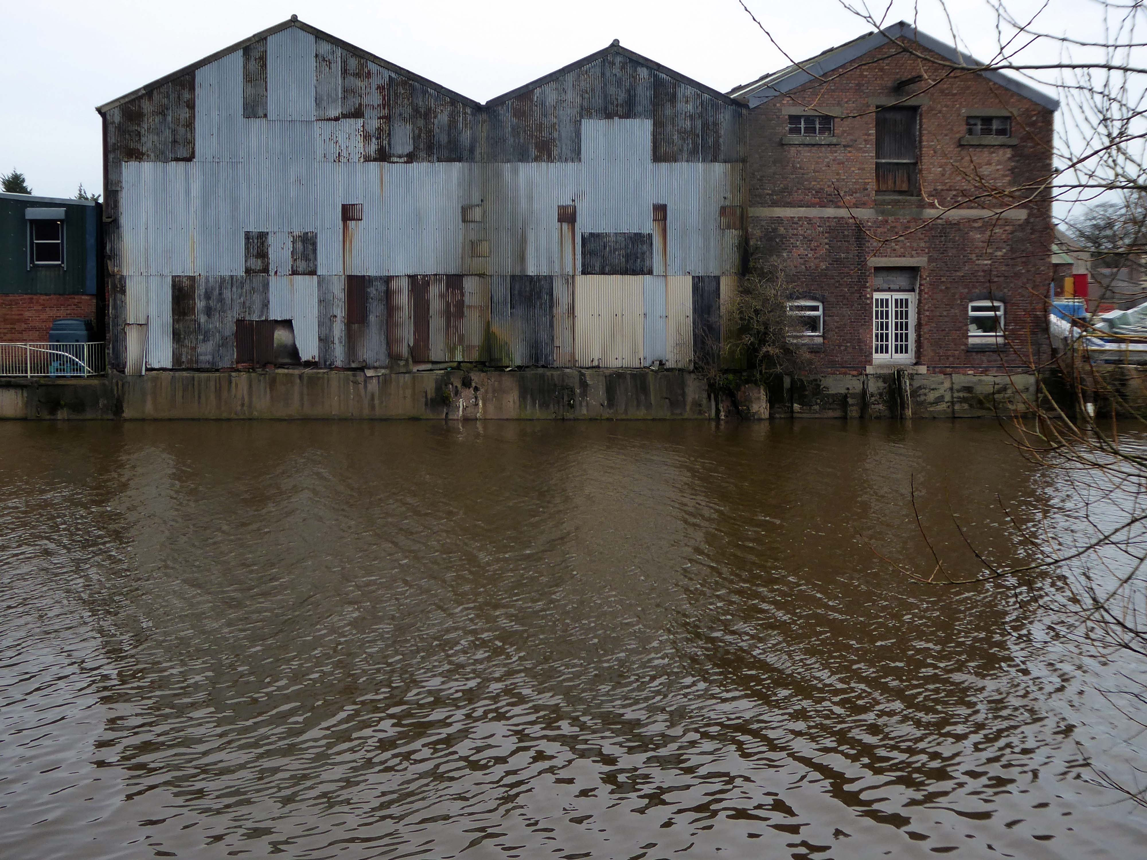
Railway viaduct over River Weaver and adjoining land by A Rendel Engineer and Thomas Brassey, contractor 1848-1850 – for Birkenhead Lancs & Cheshire Junction Railway Co.
Red sandstone, brown brick and cast iron, two segmental-arched iron spans of circa thirty metres over river; two round arches on west bank and twenty one on east bank. Piers to iron spans are rusticated tooled ashlar; the other spans have rusticated voussoirs, pier faces and quoins and rock-faced spandrels with brick reveals, cornice to iron-span piers, plainer imposts to others.
Top of central pier to river modified to take mid C20 concrete track bed.
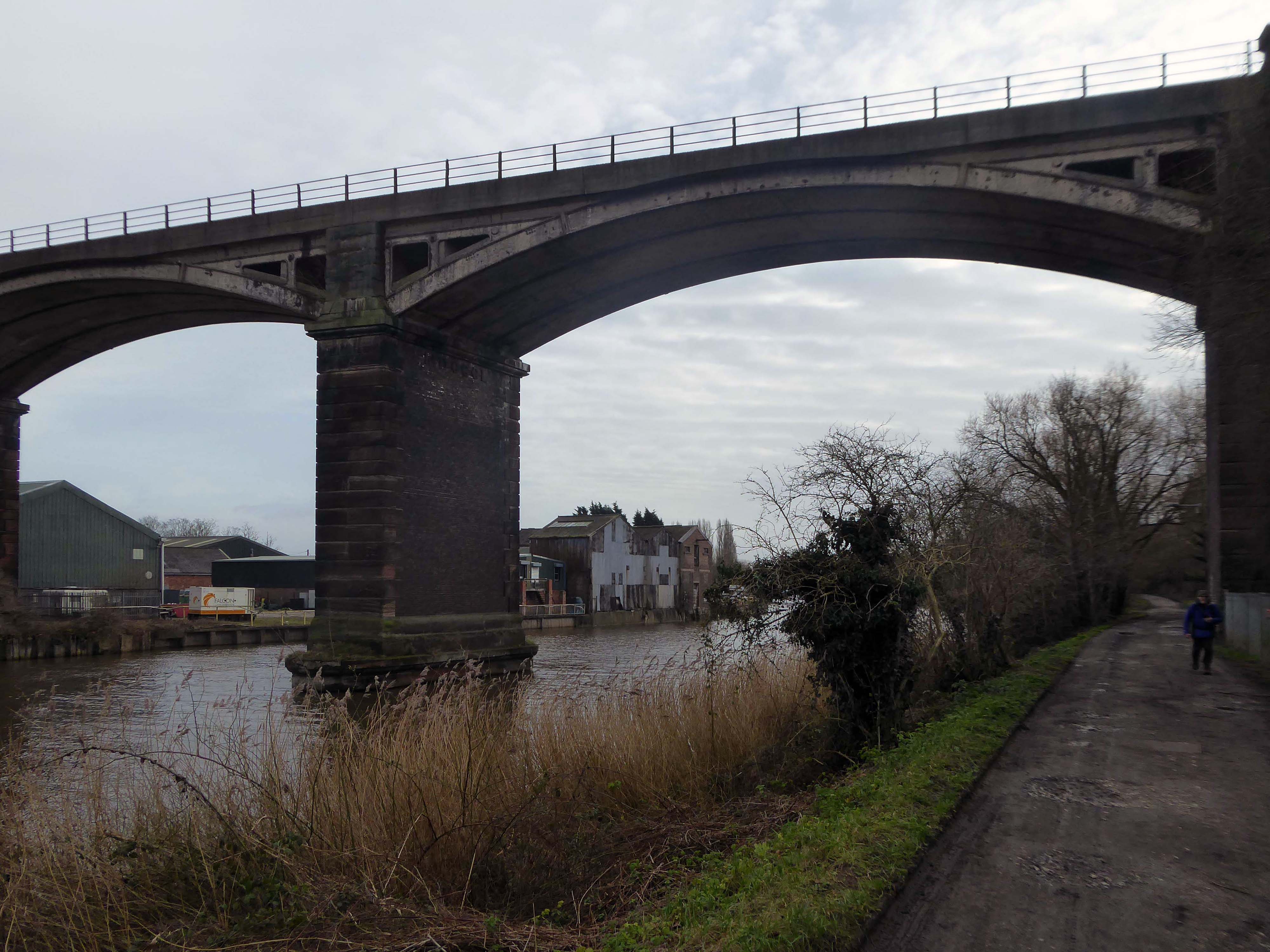
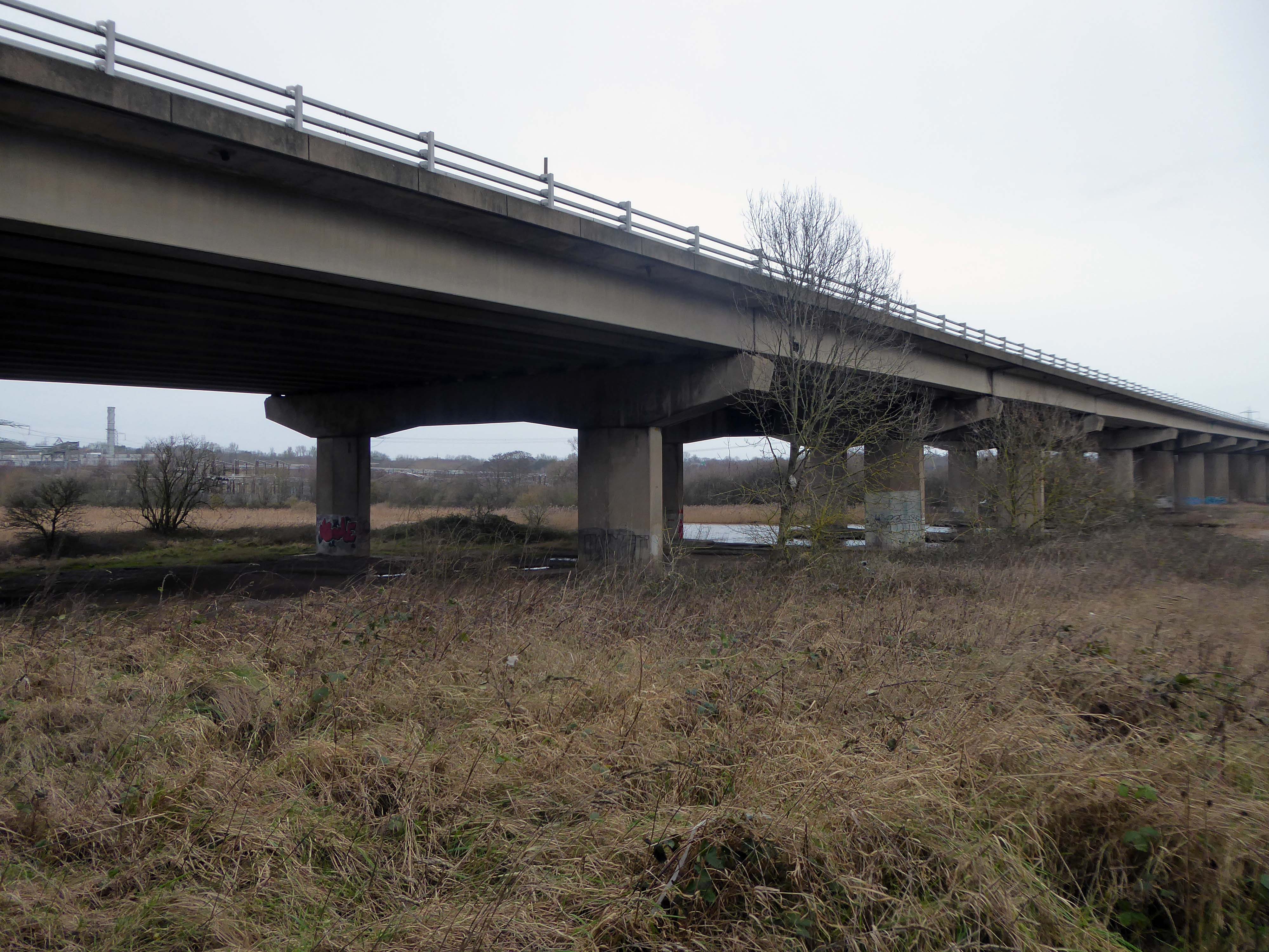
Weaver Viaduct is one of the outstanding features of M56 and its design was approved by the Royal Fine Arts Commission. The three-quarter mile of elevated motorway and approach embankments over the River Weaver and Weaver Navigation Canal opened on 21 February 1971.
Design was by Husband and Co of Sheffield – acting for Department of Environment, who also supervised the project.The contractor was Christiani Shand with a tender price of £3,146,387 in March 1968.
Work began in April 1968 – the eventual cost was put at £3.5 million.
Thirty two 125-foot concrete 100-tonne beams were put into place in July 1970; the concrete beams were made by Matthews & Mumby of Windmill Lane Denton.
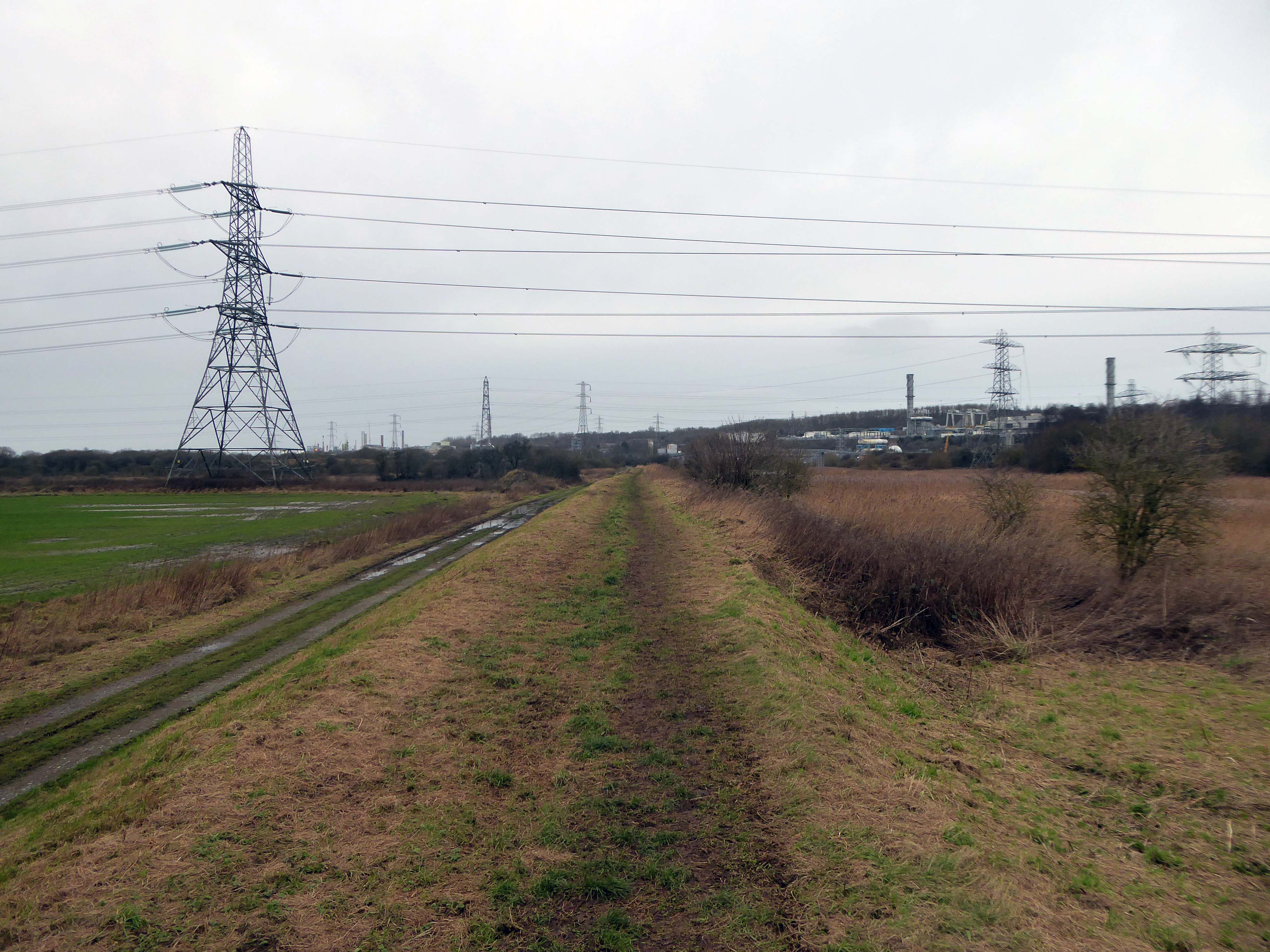
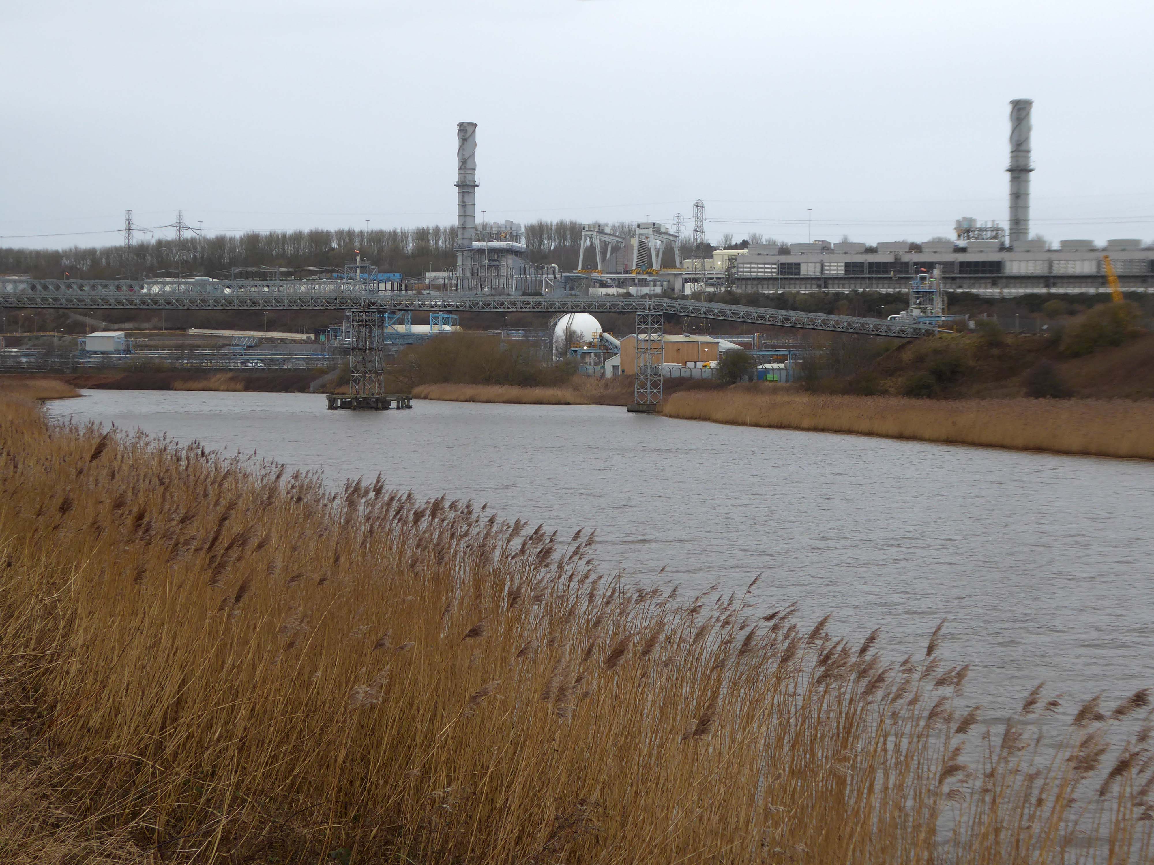
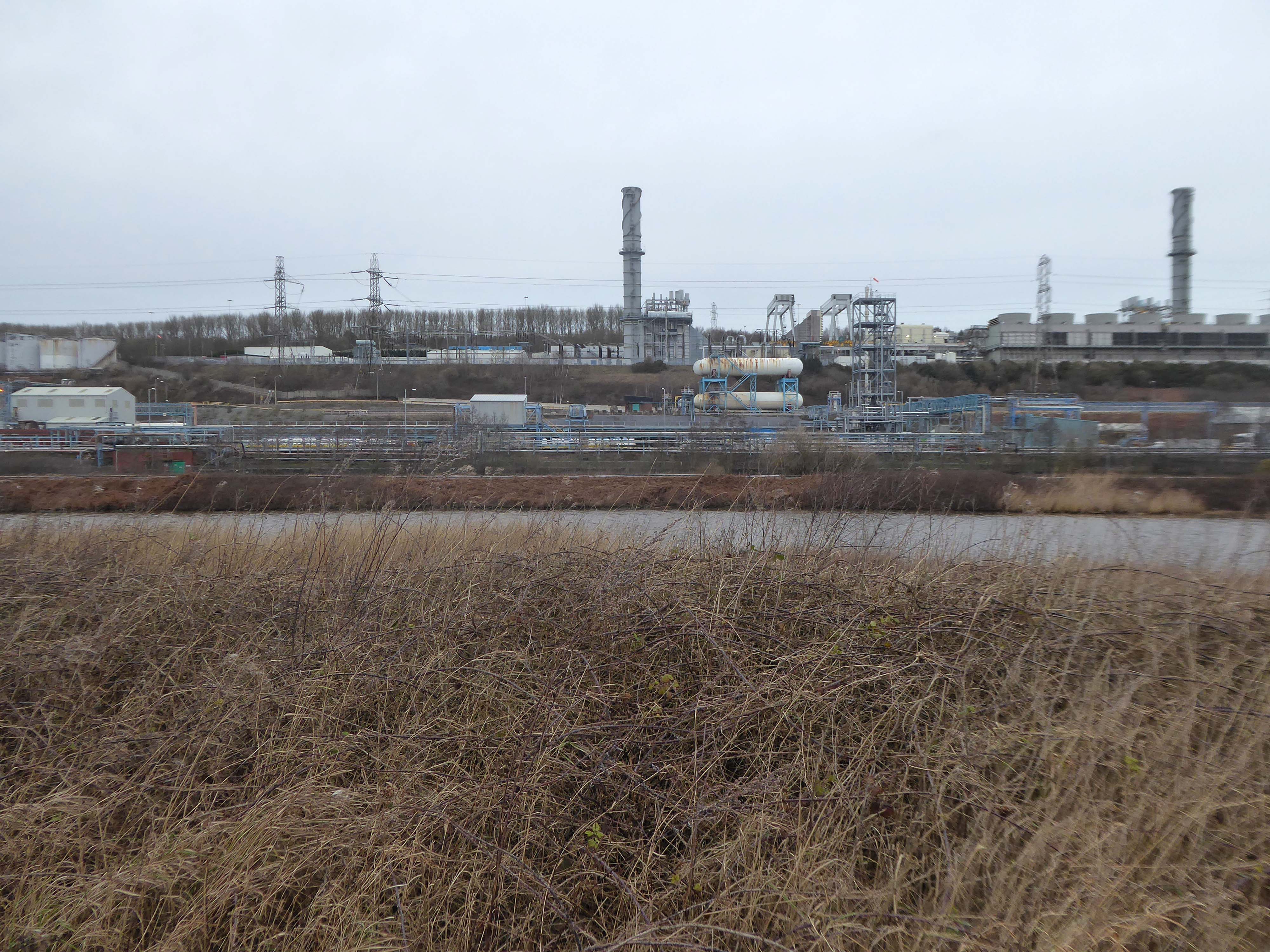
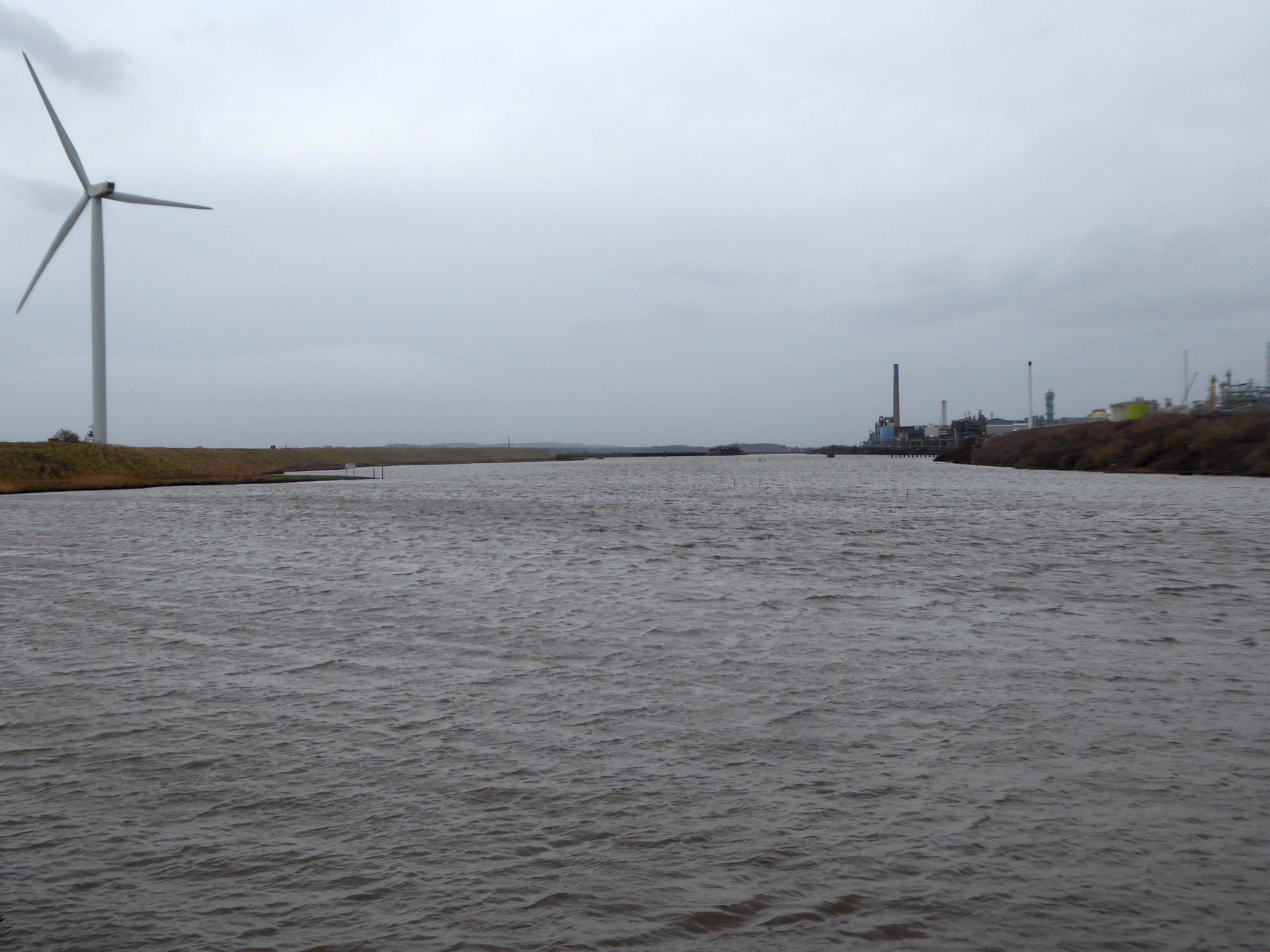
High-VoltageFrodsham Substation – Rock Savagepower station
Rock Savage Power Station is an 800 MWe gas-fired power station.
It was opened by Queen Elizabeth II on 31 July 1998, and owned by InterGen, a company that is now jointly owned by Ontario Teachers’ Pension Plan and China Huaneng Group, it cost £375m.
It sponsors the Runcorn Jets baseball club, the Highfield Male Voice Choir and the Weston Angling Club.
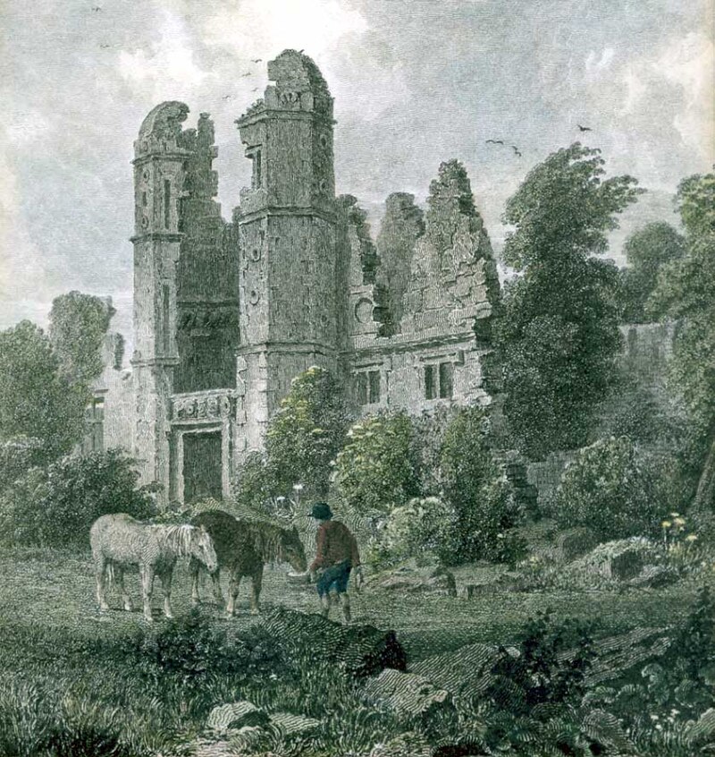
The name comes from the nearby ruined Elizabethan mansion – Rocksavage.
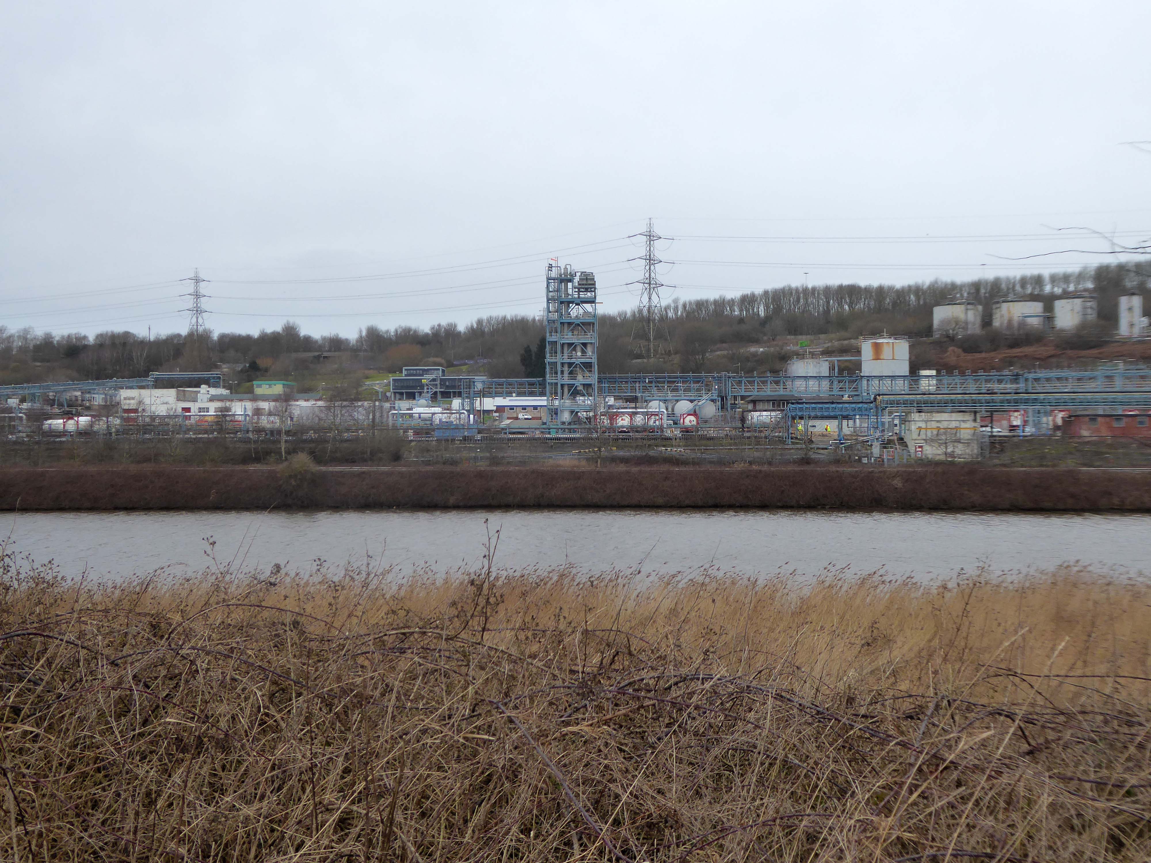
KouraGlobal – leader in the development, manufacture, and supply of fluoro products and technologies, opened a new HFA 152a production facility at their Runcorn site in the UK.
Chiesi, the international research-focused pharmaceuticals and healthcare group, signed a commercial agreement to use the new low carbon footprint medical propellant for inhalation product development and clinical trials in 2019.
Britain from Above 1948
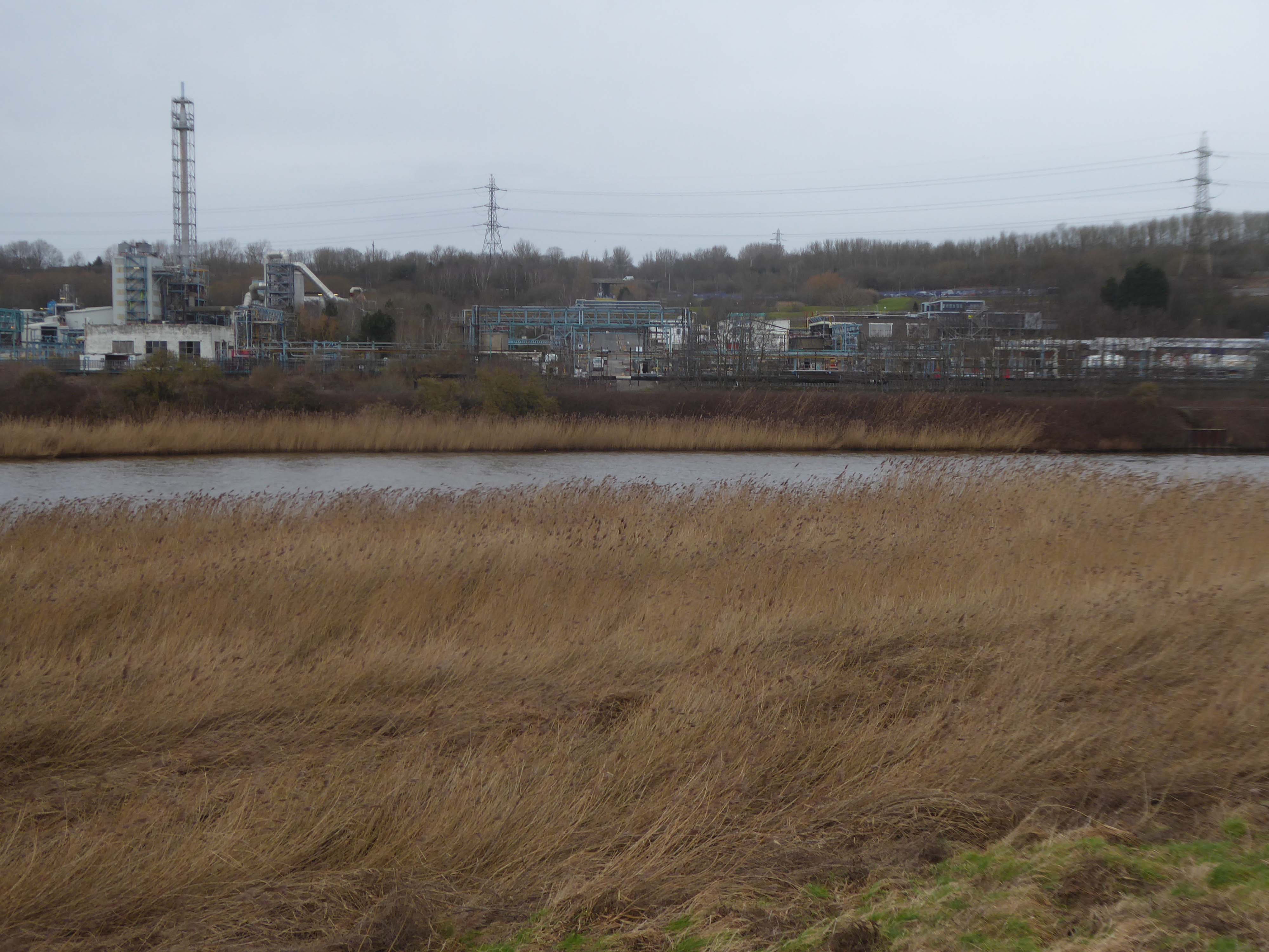
Ineos Chemical Complex formerly ICI Rocksavage Works on the banks of the River Mersey River Weaver and Manchester Ship Canal in Runcorn formerly ICI works of Rocksavage and Castner Kelner Works which produced fluorcarbons such as aerosol propellants dry cleaning solvents and chlorine UK January 2007
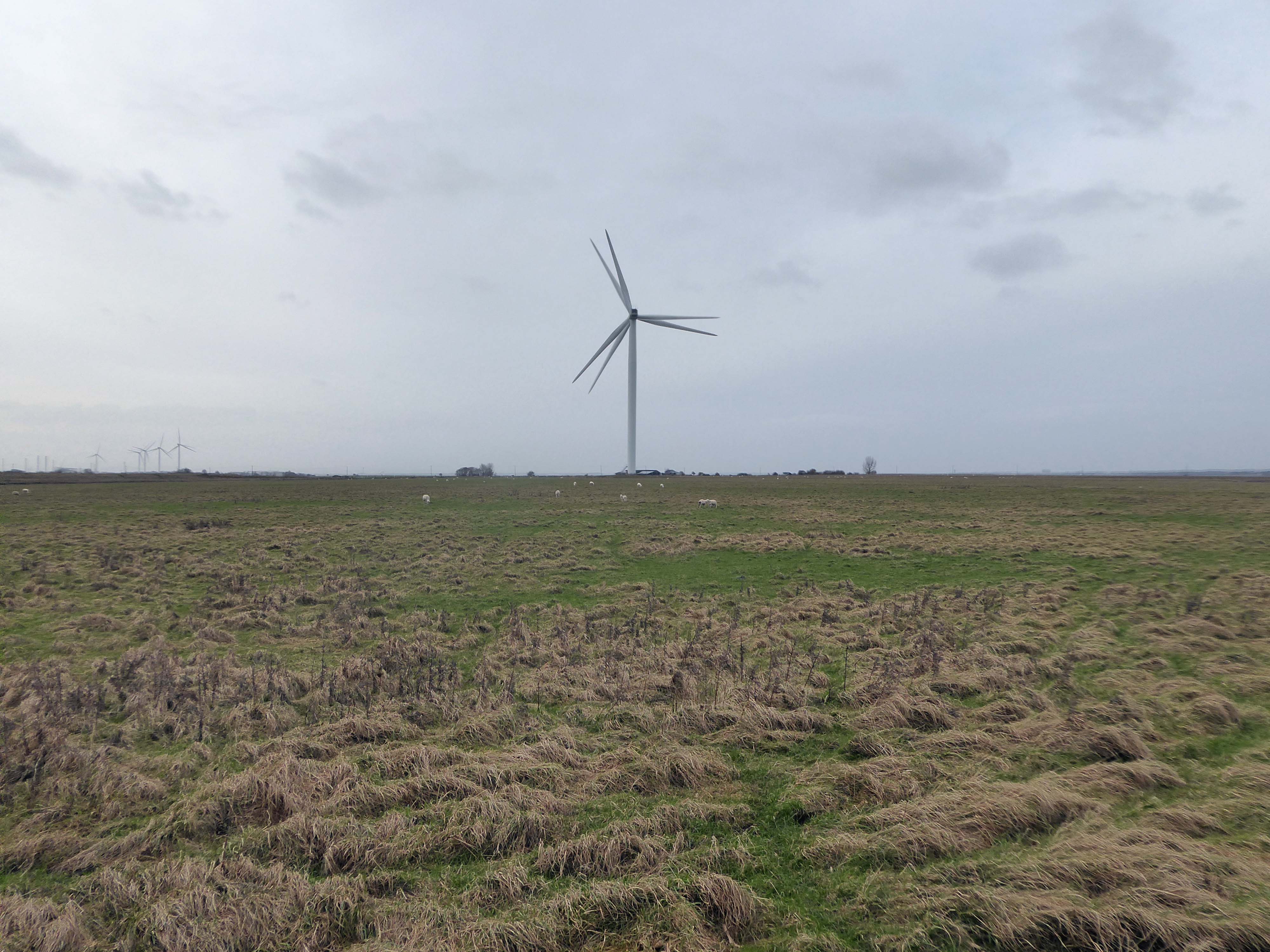
Frodsham Wind Farm is one of England’s largest onshore generating stations, and the largest in the Cheshire region, with an installed capacity of more than 50 MW. Construction of the wind farm began in March 2015 and became fully operational in February 2017.
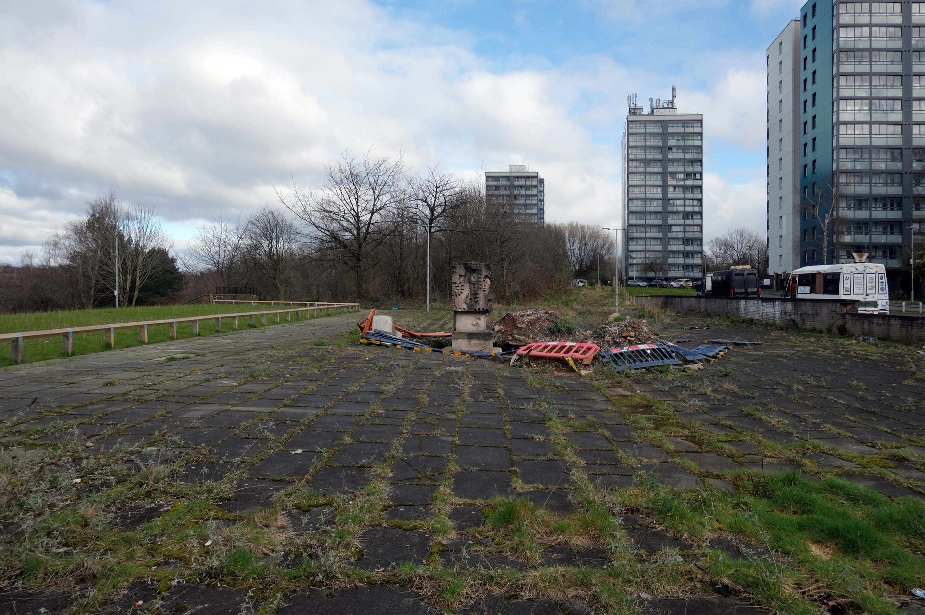
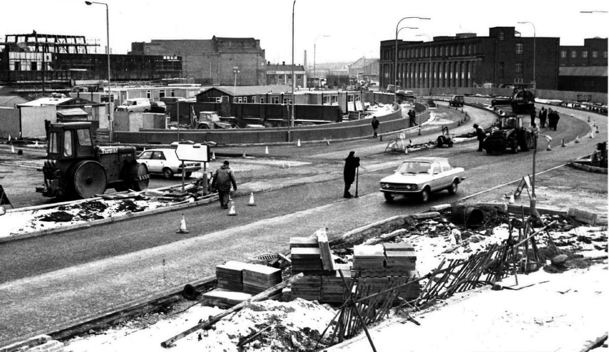
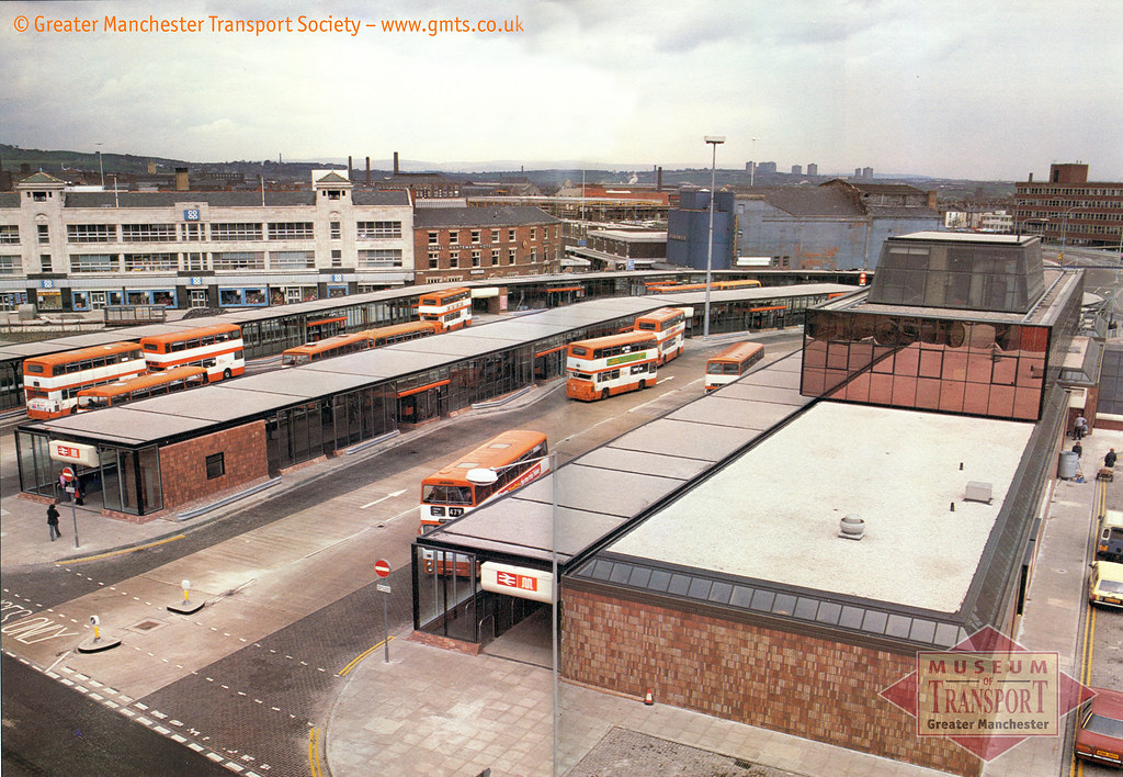
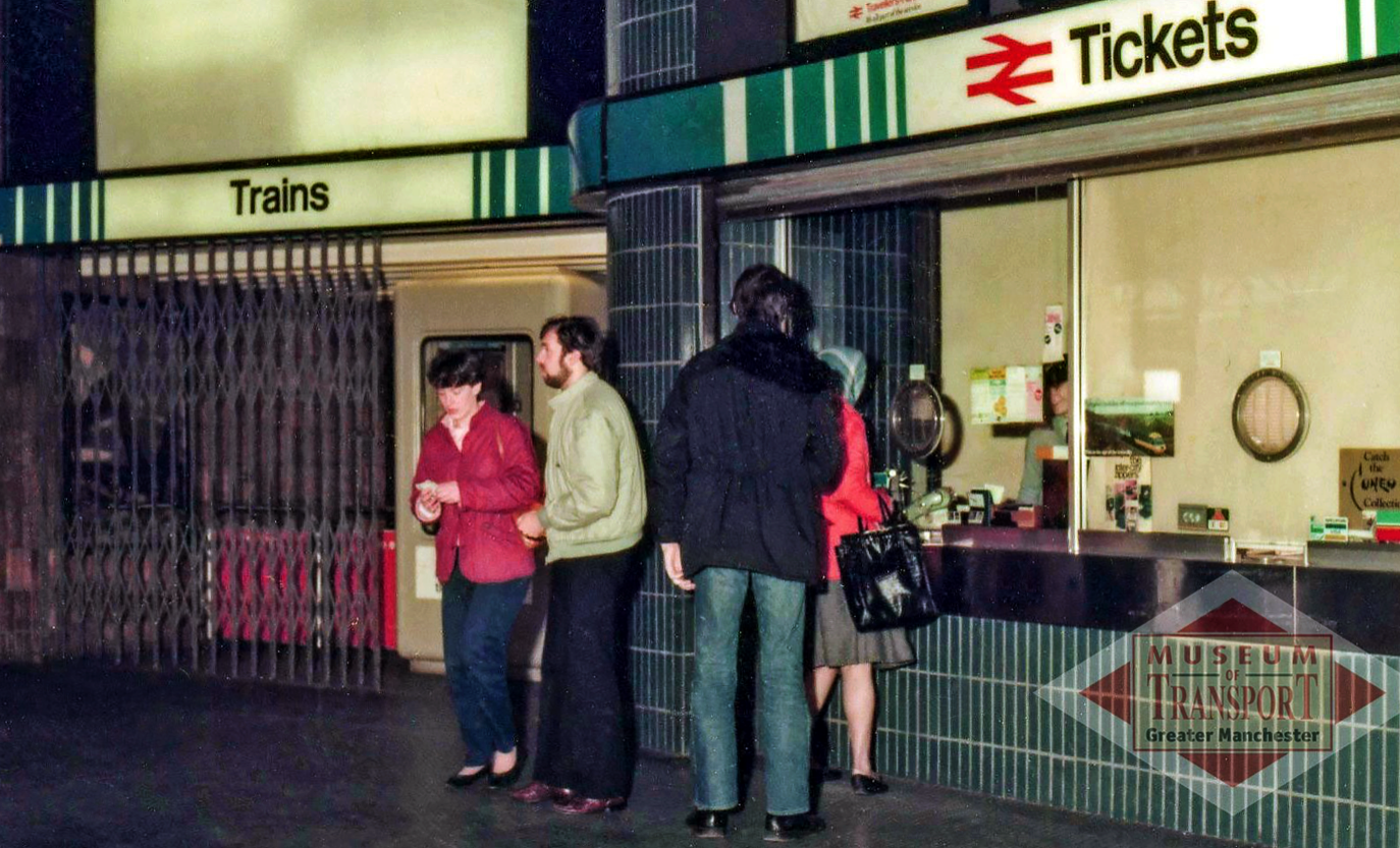
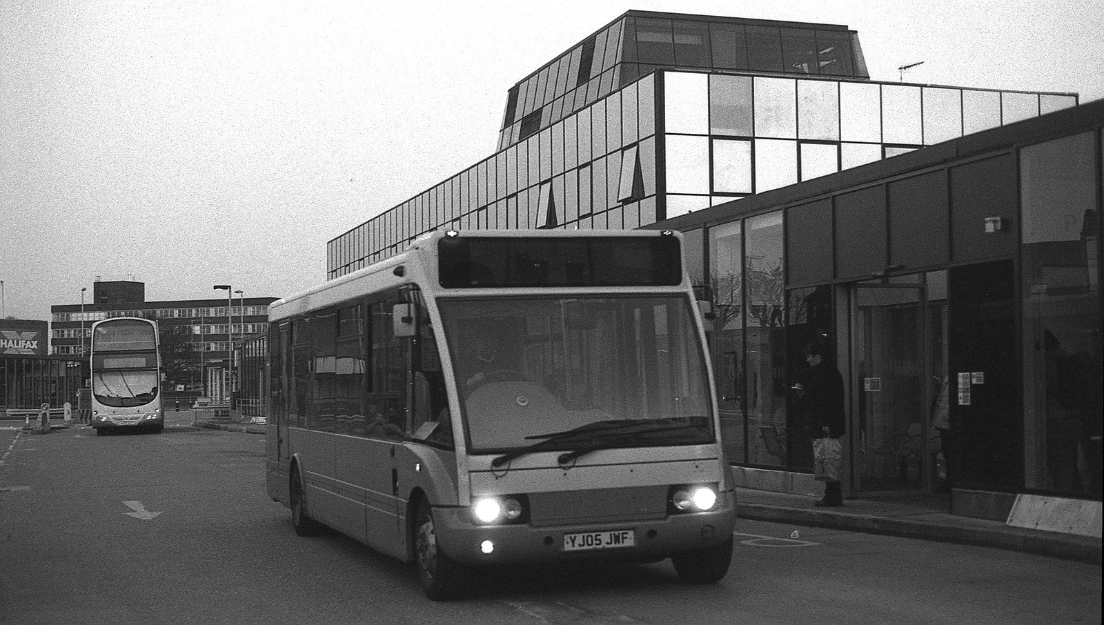
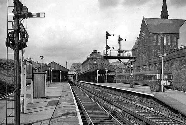
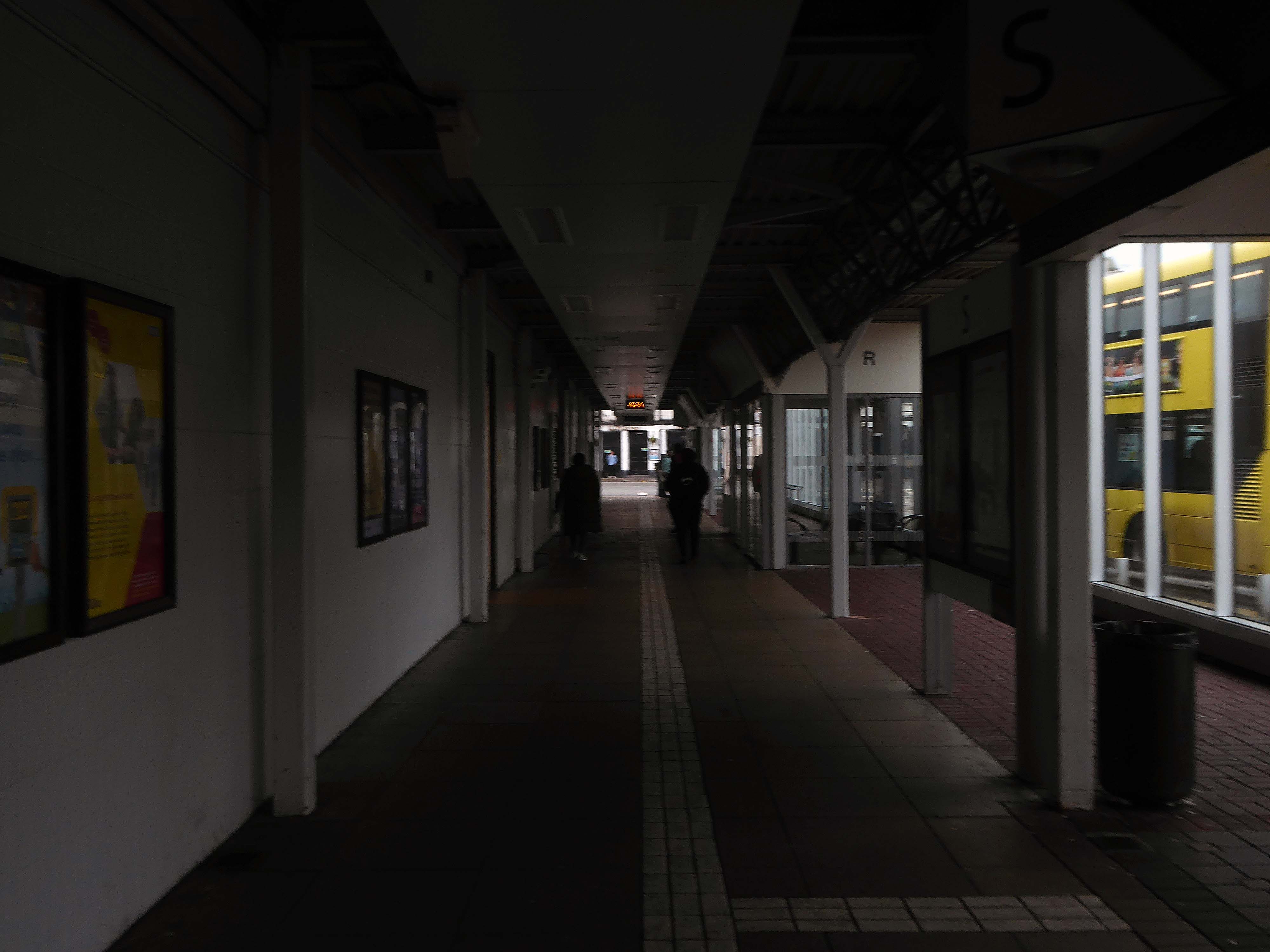
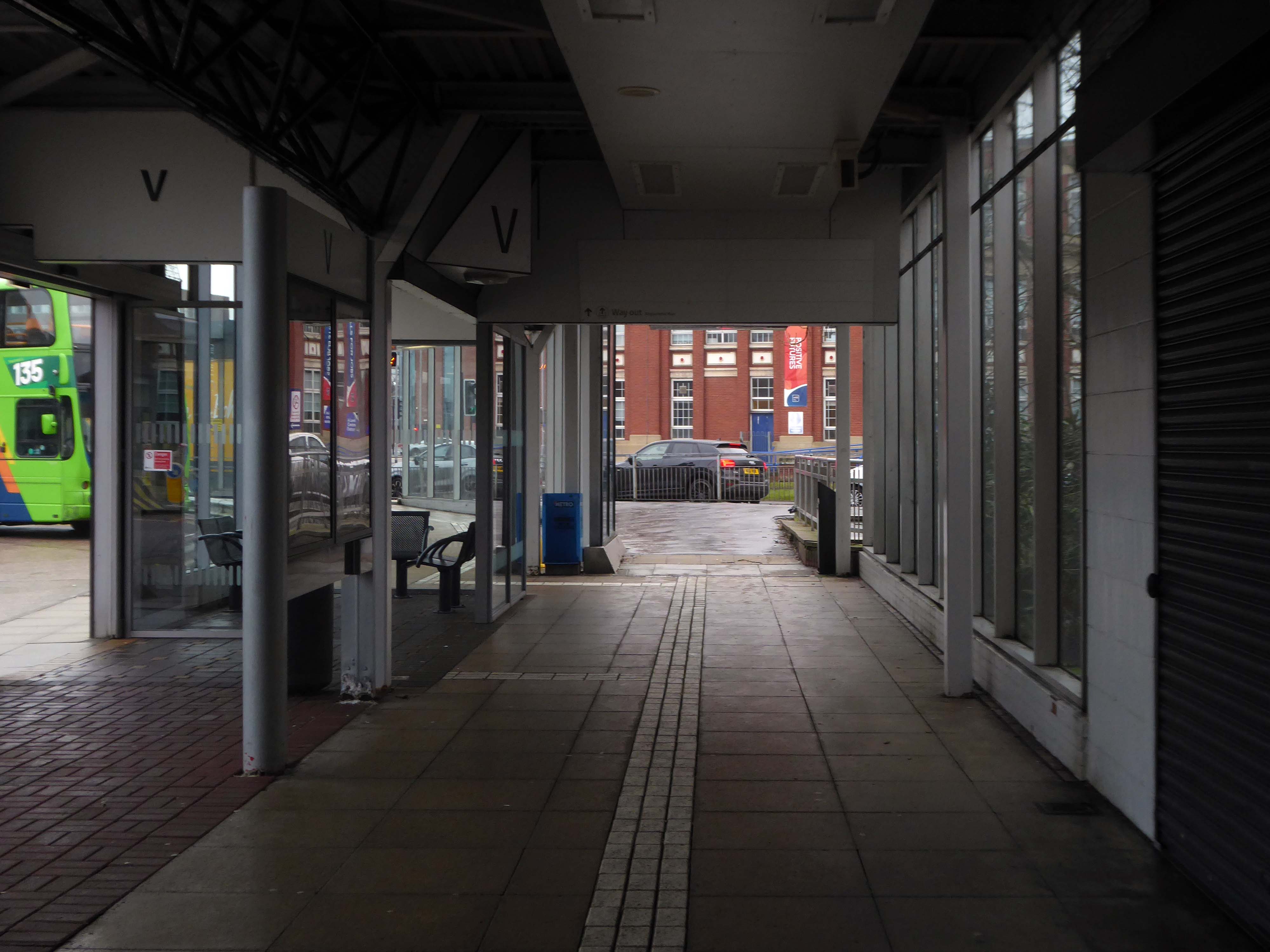
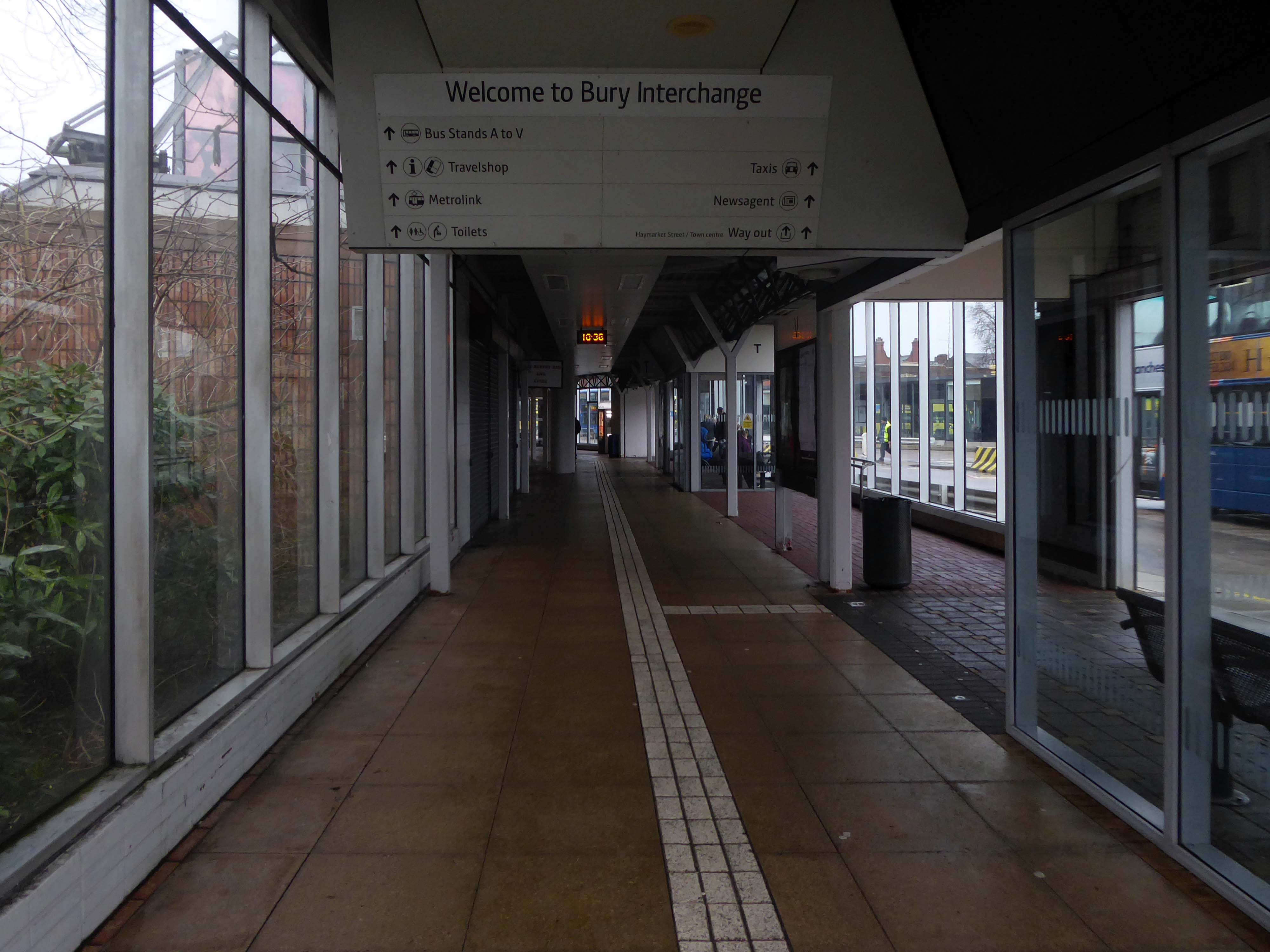
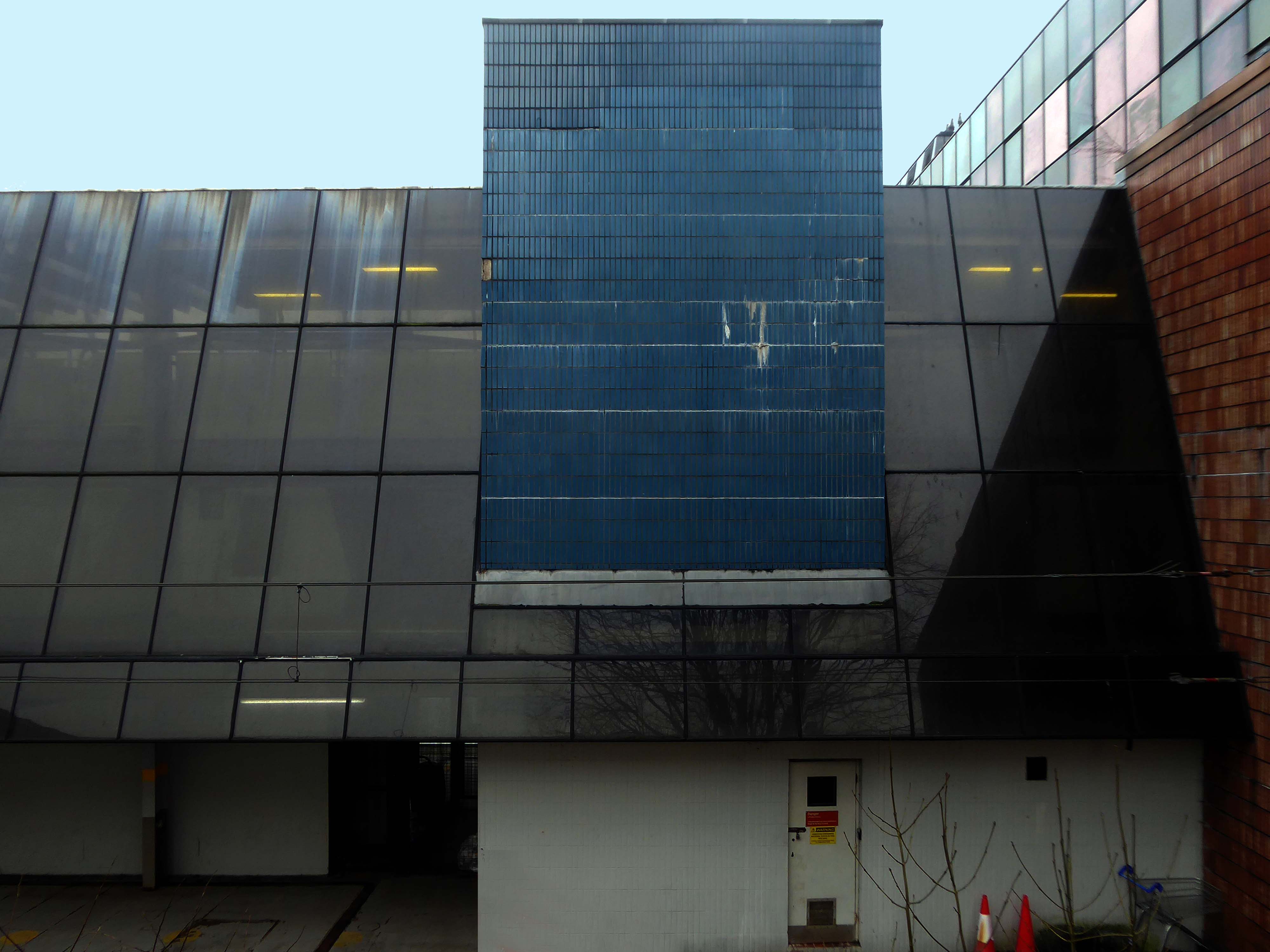
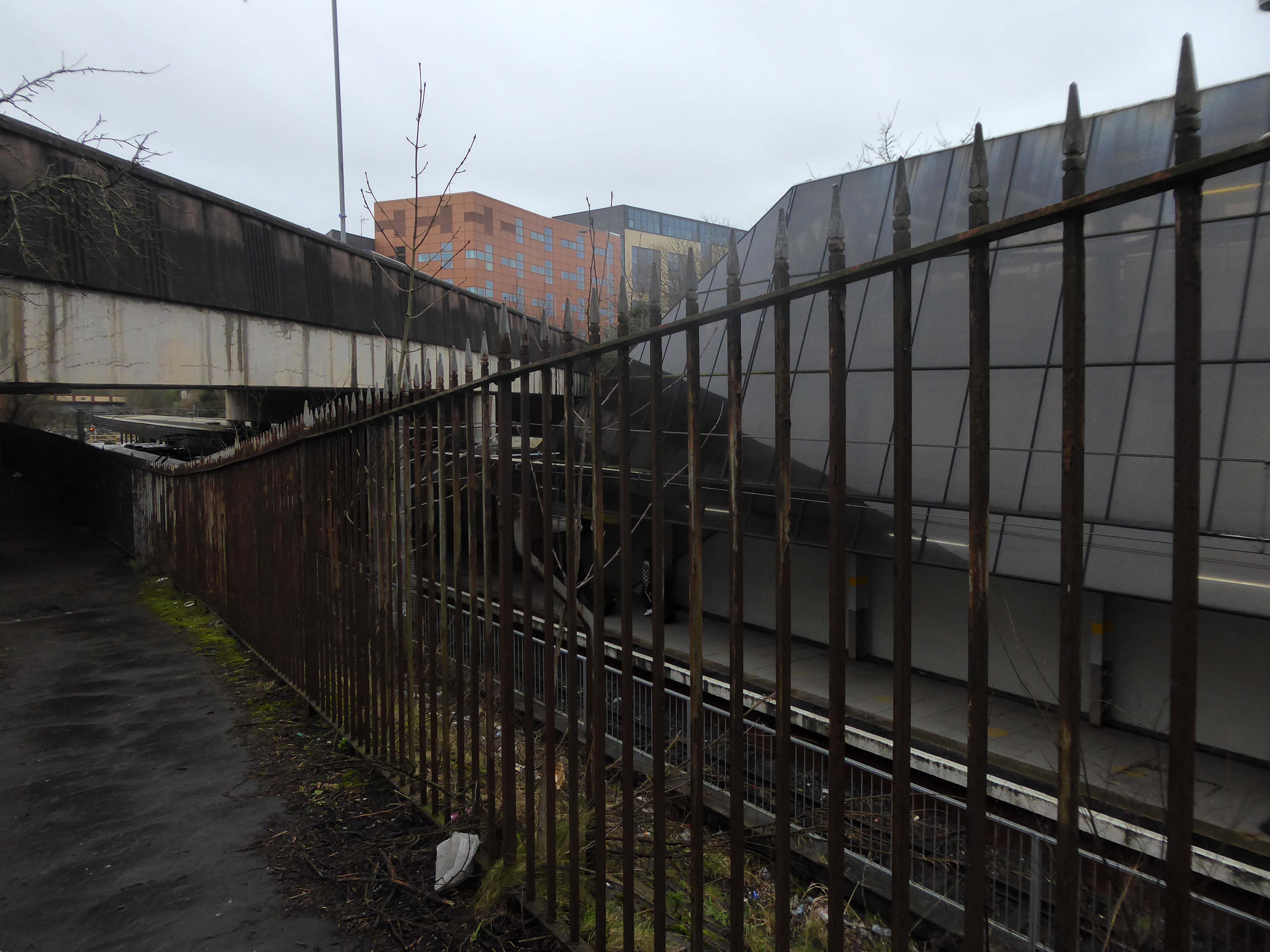
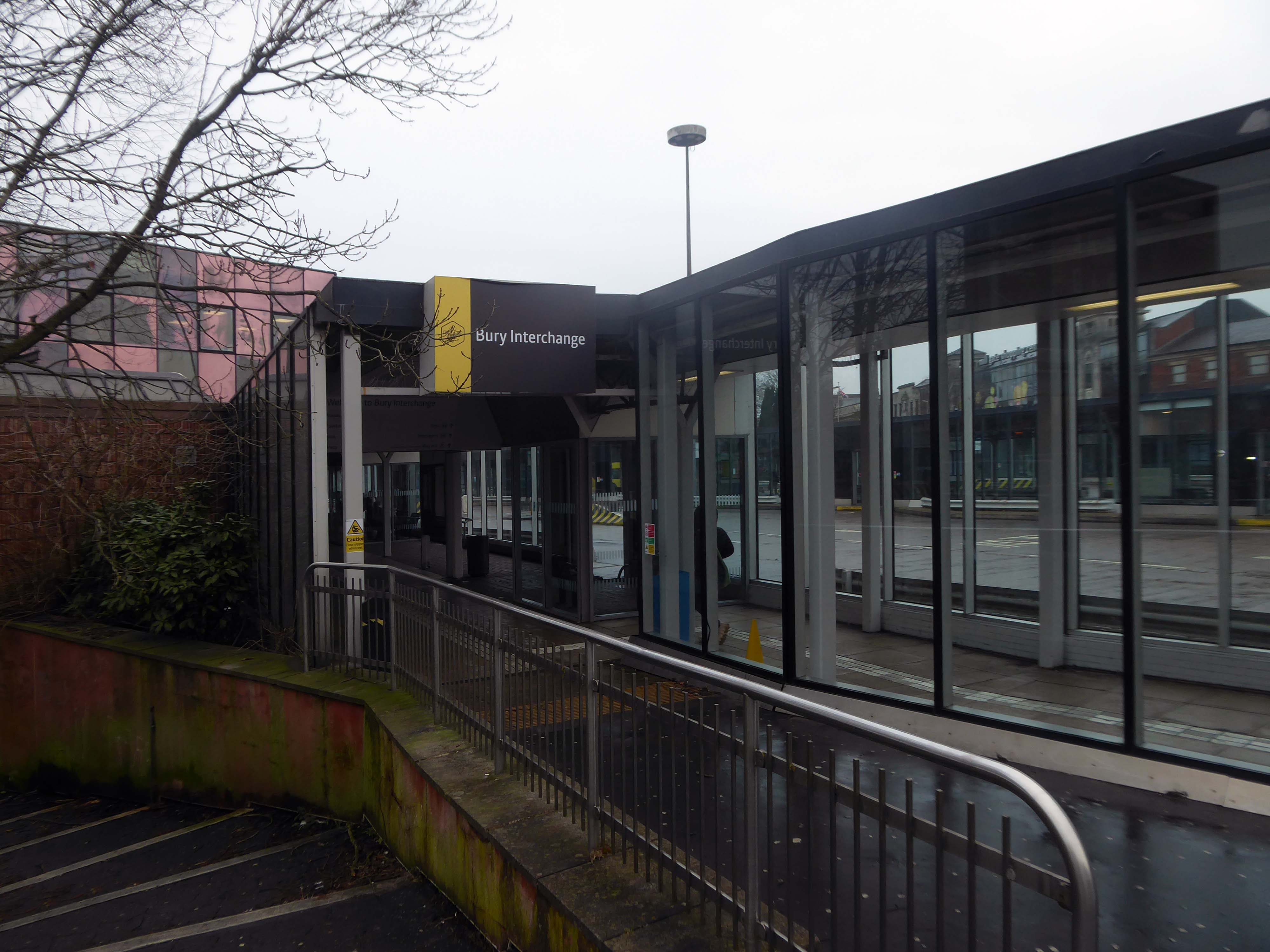
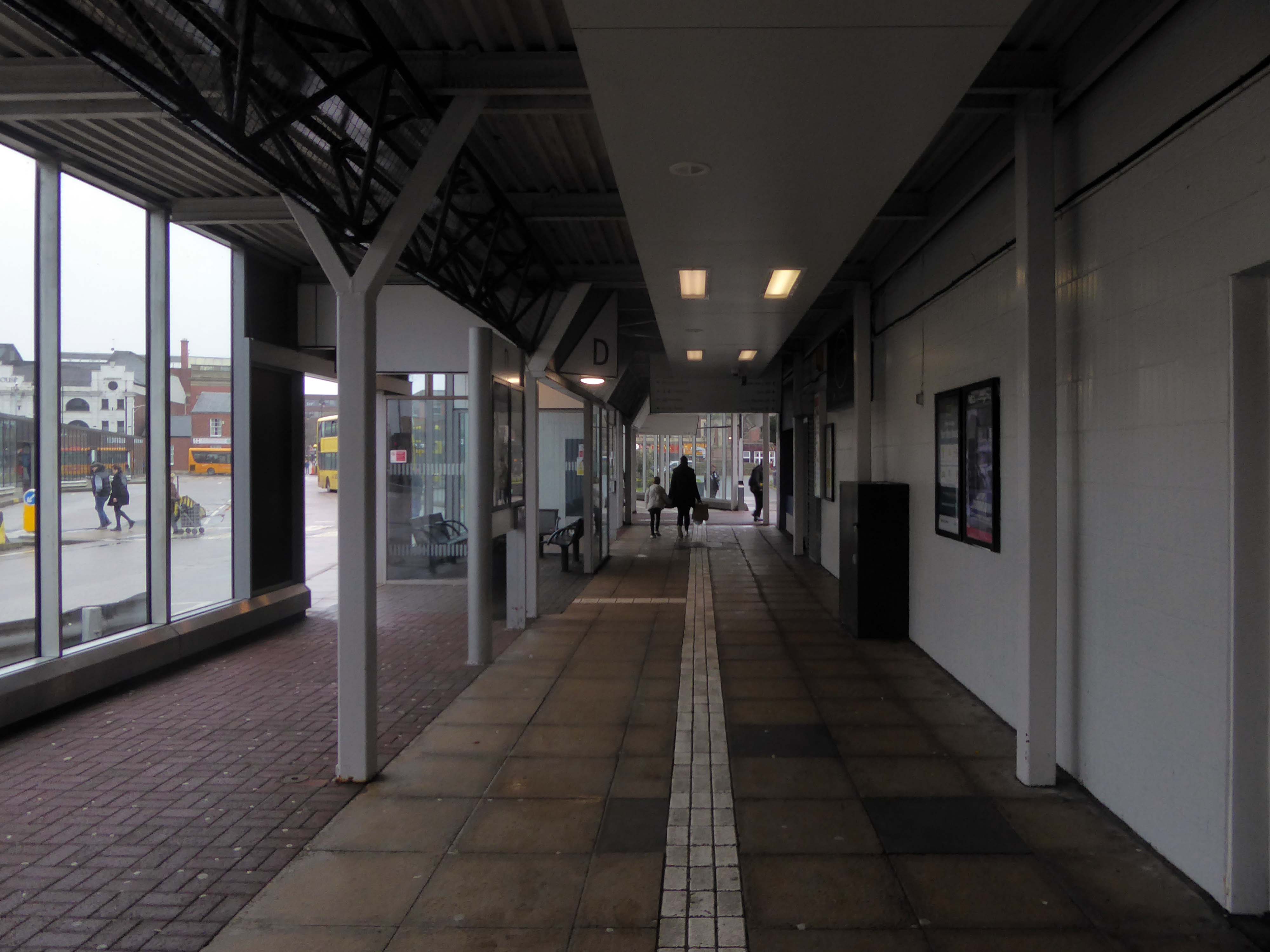
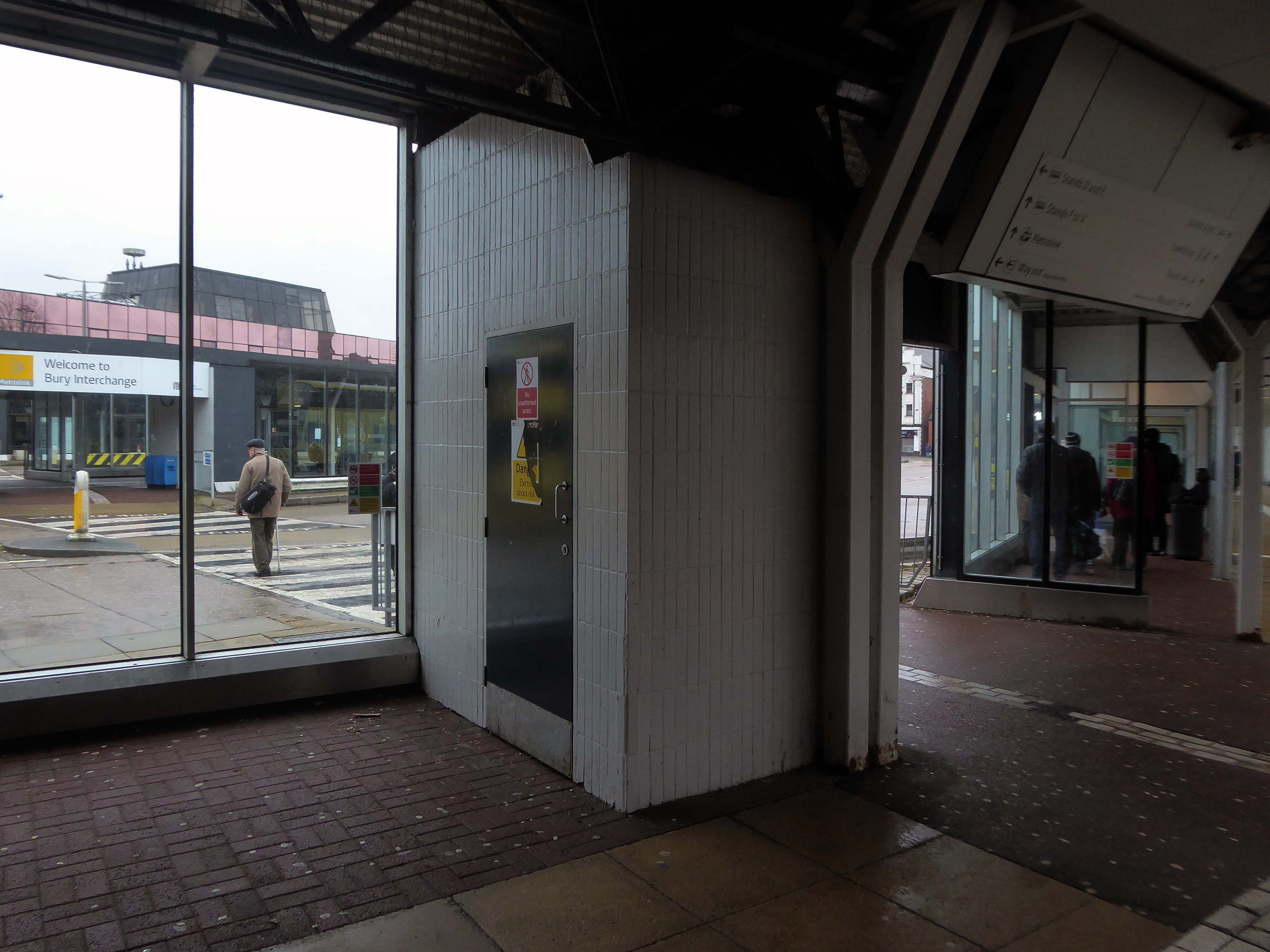
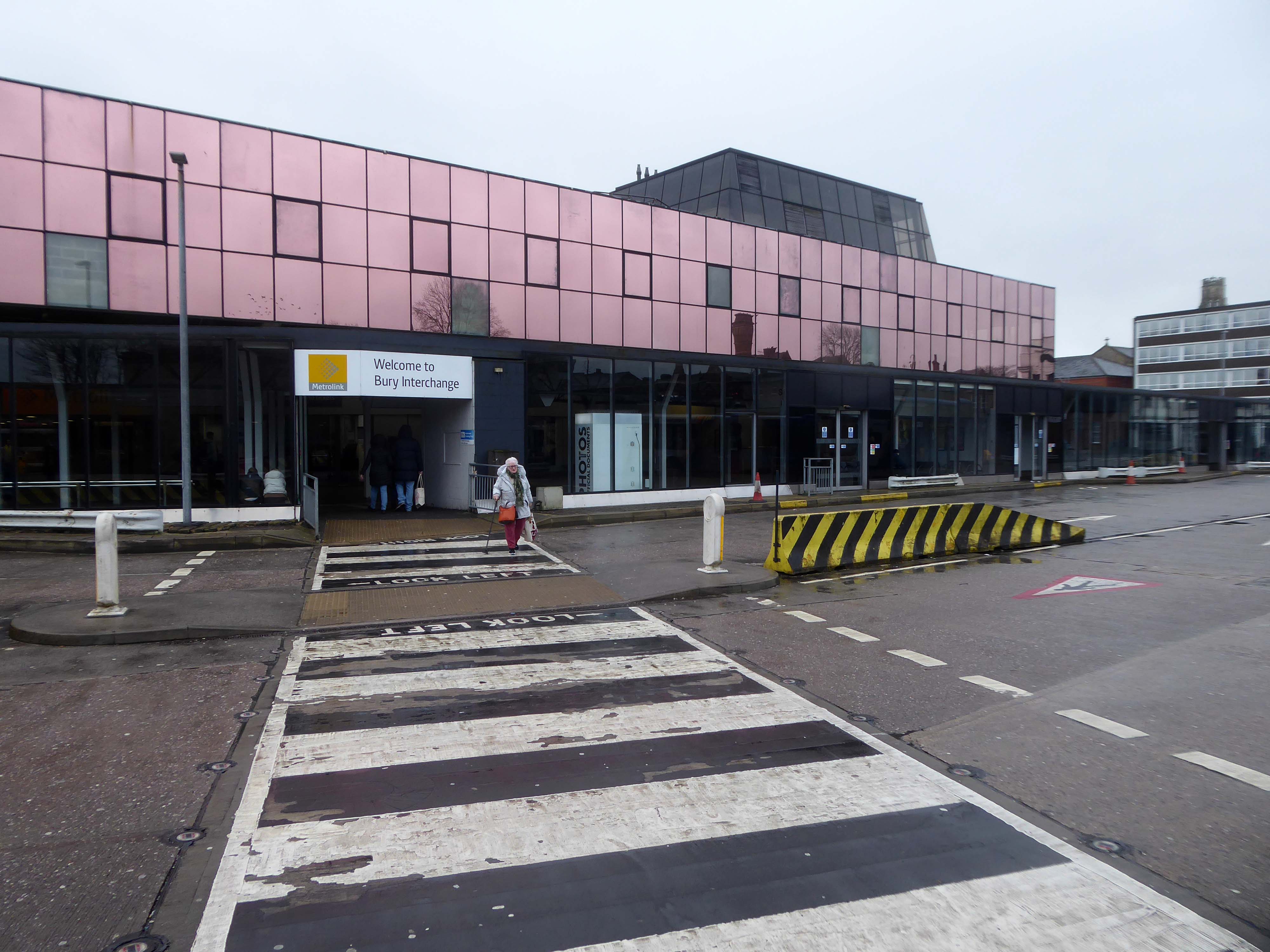
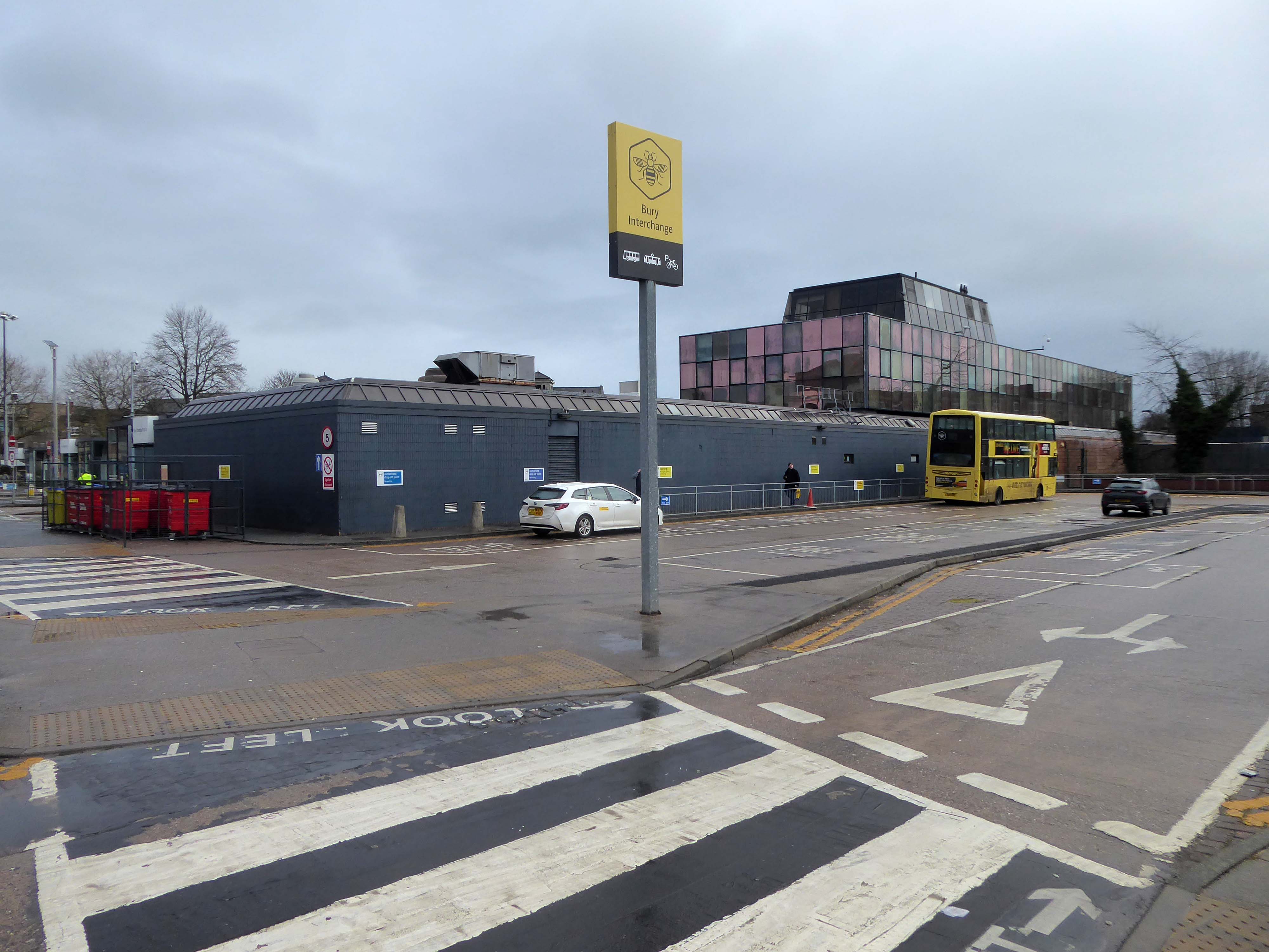
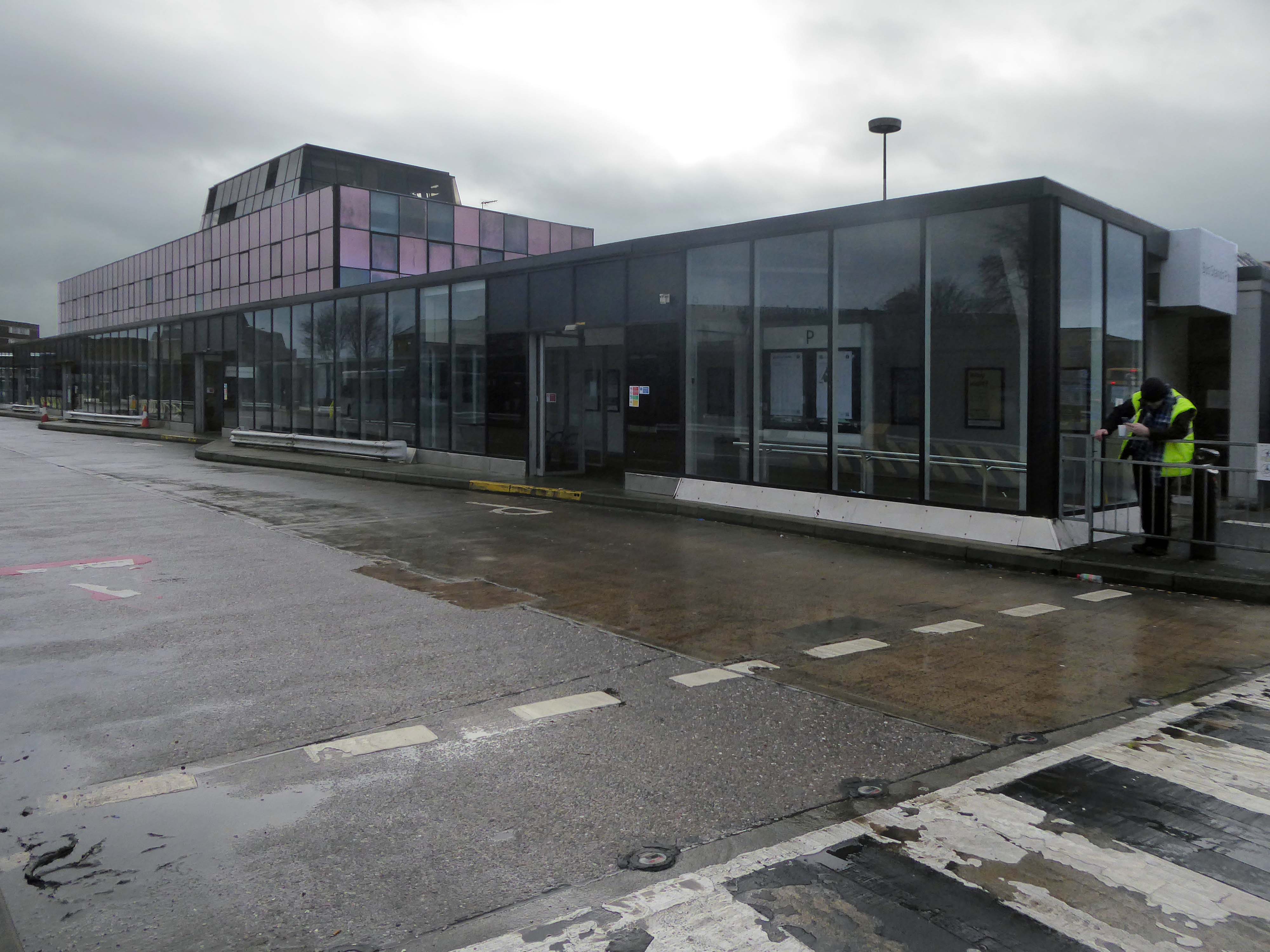
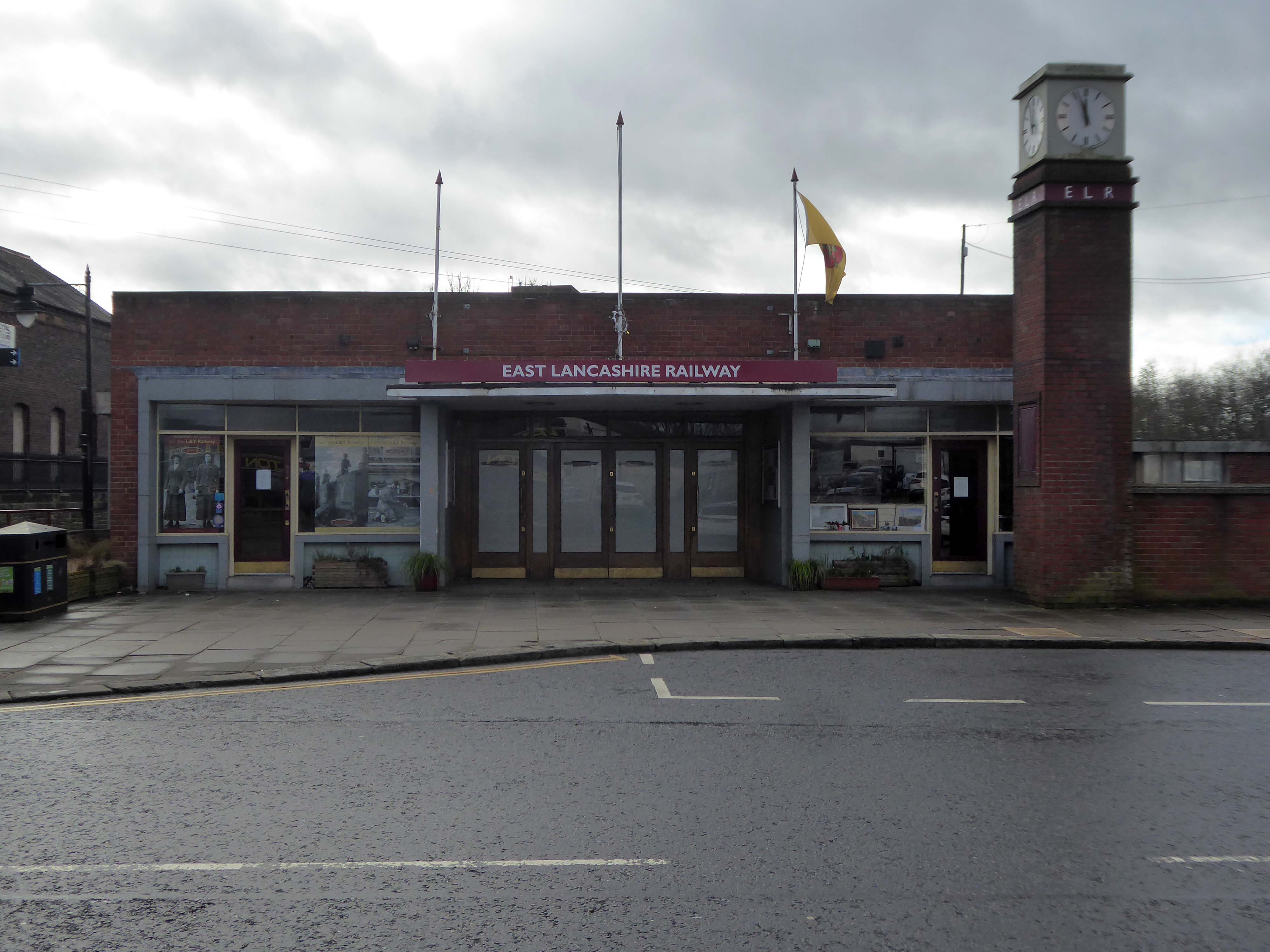
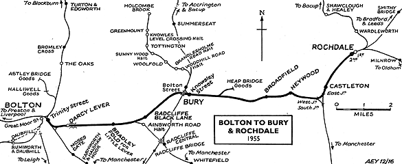
Bury Interchange is a transport hub opened in 1980, it is the northern terminus of the Manchester Metrolink’s Bury Line, which prior to 1992 was a heavy-rail line.
It also incorporates a bus station.
Bury Interchange replaced the bus termini scattered around Bury town centre, notably around Kay Gardens.
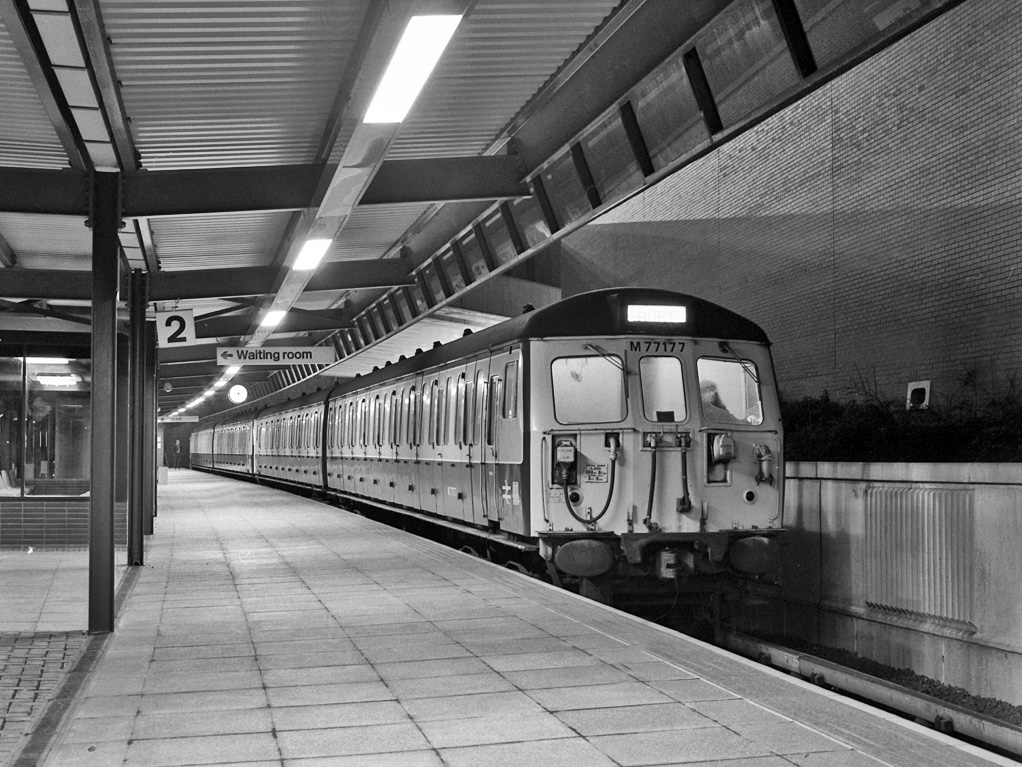
Bury Interchange was opened by British Rail in March 1980, integrating a new bus station with the northern terminus of the Bury-to-Manchester heavy railway line, a new short spur line was constructed to connect the new station.
The railway had originally run into Bury Bolton Street which was further away from the town centre, and was closed by British Rail on the same day that Bury Interchange opened.
An £80m transformation is coming to the Bury Interchange, which will see step-free access at the Metrolink, a “vertical circulation core” to better connect the Metrolink with the bus facility, and an integrated travel hub with spaces for cycle storage.
The work is much-needed, explained Transport for Greater Manchester’s Alan Lowe, he said that the interchange was built in the 1980s and very much is of its time.
It’s not what we need for our customers need.
The new Bury Interchange project is expected to complete at the end of the decade.
The line and station were closed on 5 October 1970 as part of continuing cutbacks in British Rail services and the line west to Bolton subsequently dismantled.
The A5103 is a major thoroughfare running south from Piccadilly Gardens in Manchester city centre to the M56 in Northenden. The road is two-lane dual carriageway with a few grade-separated junctions. It is used by many as a link to the airport and to the motorway network south.
The road starts at Piccadilly Gardens where it meets the A6. It heads along Portland Street – at one time it ran along the parallel Mosley Street, past fast-food outlets and off-licences and then meets the A34 Oxford Street. It multiplexes with that road north for 200 yards into St Peter’s Square and then turns left into Lower Mosley Street, initially alongside the tramlines and then past the former Manchester Central station, now a conference centre with the same name. The road becomes Albion Street and goes over the Bridgewater Canal and under the railway line east of Deansgate station. The road then meets the A57(M) Mancunian Way at a roundabout interchange. This is where most of the traffic joins and leaves.
The road is now 2×2 dual carriageway with the name Princess Road. It passes under the Hulme Arch, a grade-separated junction with the A5067, with an unusually large central reservation. This is presumably because of the proposed plans from the 1960s of a motorway. However, after passing under the junction, there are innumerate sets of traffic lights, with the B5219, the A6010 and the A5145, as well as many other unsigned roads. There are also many speed cameras set at 30 mph.
The road picks up pace as we exit the sprawl of South Manchester and the road becomes Princess Parkway, with a 50 mph speed limit. We cross the River Mersey and almost immediately hit the M60 at J5.
Except for the Manchester City Centre section – which was numbered A5068, this road did not exist on classification in 1922. Princess Road was built in 1932 to serve the new southwestern suburbs; initially it ran between the B5219 and A560 and was numbered B5290, with the road later extended north into the A5068 on the southern edge of the city centre and renumbered A5103.
The northern extension through Hulme initially followed previously existing roads, so followed a zigzag route. As part of the road’s upgrade and the reconstruction of Hulme in the 1970s the road was straightened and the original route can no longer be seen. The A5068 was severed around this time with the construction of the A57(M) and the A5103 took on its city-centre section, taking it to the A6.
The A34 is a major route from the ports on the South Coast of England to the Midlands and the North West, with the standard varying from rural dual carriageway sections in the south to urban single carriageway in the north, and everything else in between.
Slade Lane junction, Rushford Park to Parr’s Wood, East Didsbury – to connect to Manchester Road to Cheadle. It continued on to Laneside Road as a residential road. Opened on 11 April 1923 by Mary Cundiff, Lady Mayoress, and Margaret Turnbull, daughter of Alderman Turnbull, Chairman of Manchester Town Planning Committee. Width was 100 feet and it was designed for tram tracks in the central reservation. The dual road carriageways were 20 feet wide. Manchester’s tram system was closed in 1949. The carriageways were widened and central reservation grassed over. Originally opened as A5079.
Laneside Road, East Didsbury to Schools Hill/ Wilmslow Road junction, Cheadle. Opened on 12 October 1959. The official opening was on 15 October 1959. Planning for the bypass had been halted by the war. In December 1949 Manchester Corporation stated that it was not a priority since the Corporation was only responsible for the 200 yards to the proposed bridge over the River Mersey and Cheshire County Council had not asked for a joint approach to Ministry of Transport to build it. Work was finally authorised in January 1957 and started in the June. Width was 90 feet with dual 24 foot carriageways. Expected cost was £600,000 to £700,000.
The A6 is Britain’s fourth longest road. Its route varies greatly from the lower lands of the South East, though the Peak District, right though the heart of Manchester city centre, then onwards towards Preston. It then goes though the historic city of Lancaster before skirting the Eastern fringe of the Lake District before ending in Carlisle, bang on the start of the A7.
North from Stockport towards Manchester, the A6 was a wide, four lane road, but still 30 mph, which usually flowed pretty well. According to Mudge, it looks like it has now been massacred by bus lanes and red paint. Shame. We meet the A57 from the east, just south of the city centre, and multiplex until we reach Mancunian Way, the A57 heading off as a short urban motorway, the A6 heading into the city centre via London Road/Piccadily, where it loses its number and vanishes. It would have gone straight down Piccadily/Market Street to meet Deansgate, and then across the River Irwell into Salford, and up Chapel Street, where the number reappears. Market Street has been pedestrianised for years, so the A6 has long ceased to be a through route.
The A57 was nearly a coast to coast route. It passes through three major city centres (Liverpool, Manchester, and Sheffield – with elevated sections in each) and several smaller ones, multiplexes with the A6 and the A1, follows the banks of two canals and negotiates the remotest part of the Peak District. In one city it part of it is a tram route, whilst in another its former route is also a tram route. After all these adventures, it sadly gives up just 40 miles short of the east coast, Lincoln apparently proving too big an obstacle.
The A57 crosses the River Irwell at Regent Bridge before entering its moment of motorway glory as the A57(M) Mancunian Way skirting the south of Manchester’s city centre on an elevated section and crossing the A56 and A34. This includes a half-completed exit that goes the wrong way up Brook Street – a one way street. The original A57 ran further north through the city centre along Liverpool Road (now the A6143) and Whitworth Street – B6469 as far as the A6 London Road which marked the start of a multiplex.
At the end of Mancunian Way, we reach a TOTSO, straight on being the short unsigned A635(M) and thence the A635 – for Saddleworth Moor, Barnsley and Doncaster whilst the A57 turns south, briefly multiplexing with the A6, and then branching off along Hyde Road. This section of road was extensively cleared for the westward extension for the M67, and consequently has seen a lot of redevelopment.
The road now begins slightly further south than it used to. Instead of starting on Fairfield Street in Manchester city centre, it begins immediately as the Mancunian Way ends, which at this point is the unsigned A635(M). The motorway flows directly into our route. There’s a TOTSO right at a set of lights, and we pick up the old alignment, which now starts as the B6469.
We can see the new City of Manchester Stadium on the left, site of the 2002 Commonwealth Games and now home to Manchester City FC. The road switches between S2 and S4 as it passes through the rather run-down urban areas of Ardwick and Gorton. A short one-way system at a triangular-shaped junction with the A662 leads onto a wider stretch as we near the M60 junction. This area is set to see significant industrial growth, with whole swathes of land either side of the now D3 road cleared and ready for development.
Starting at traffic lights on the A665 the road heads northeastwards, initially with the Metrolink on the left and a factory building on the right. The road then bears right at traffic lights marking the first section of on-street running for the trams, which lasts until just before a bridge over the River Medlock, after which the road passes to the south of the Sportcity complex whilst the tram line runs through the middle.
The A6010 is crossed at traffic lights, after which we see the tram lines on the left once more. We go over the Ashton Canal, then the tram lines at grade before bearing to the right to pass Clayton Park before another section of on-street running for the Metrolink begins, which continues for some distance. Just after crossing the Manchester city limit there is a set of traffic lights, after which the road becomes D2 for a short distance to allow a tram stop – Edge Lane, to be located in the central reservation. The tram leaves the road to the right for the next stop – Cemetery Road, and the stop in Droylsden town centre is once again in the central reservation. In all three cases the street running recommences after the stop.
The obvious place for the A664 to start is on the A665 Manchester & Salford Inner Relief Route, which at this point is actually two parallel one-way streets. However, many maps show the road continuing a short distance into the city centre to end at traffic lights by the Shudehill Interchange – this is presumably for historic reasons: the road originally continued along the High Street to its terminus on the A6 Market Street.
The road heads northeastwards through the suburbs, the street name Rochdale Road, already emphasising its destination. Initially dual, the road narrows just before crossing the bridge over the railway line east of Victoria station. It continues through Collyhurst and widens again just before crossing the A6010 Intermediate Ring Road, which here is made up of two parallel one-way streets, requiring two separate sets of traffic lights to cross.
Now non-primary – but still dual for a short distance more, the road runs in a more northerly direction through Blackley, where it becomes wooded for a short distance as it passes the Boggart Hole Clough park. Slightly further on the road has been straightened, after which it bears right to widen considerably and cross the A6104 at traffic lights just before M60 J20, which only has west-facing sliproads. The road narrows again on the far side of the motorway and leaves Manchester for Rochdale at the same point.
Cheetham Hill Road is part of the designated A665. Cheetham Hill Road starts at the junction of the A6042 Corporation Street and the A665 Miller Street. It crosses the culverted River Irk to the east of Victoria Station. At its junction with New Bridge Street, it turns north-northeast and is straight for 1 km, to the A6010 Queen’s Road . This stretch was called York Street until about 1900. Cheetham Hill Road leads from here to the community of Cheetham Hill, where at Bourget Street and Crescent Road – formerly Sandy Lane, Cheetham Hill Road becomes Bury Old Road.
The Cornbrook drains the urban area South of the River Medlock, it rises in Gorton and follows a tortous path through Manchester’s Southern ‘inner city’ suburbs and empties itself into the Manchester Ship Canal at the Pomona Docks.
It’s a tram stop – primarily an interchange, though the brand new shiny residential new build has produced a brave band of brand new shiny residents in transit. Slipping and sliding ‘neath the bridge, skating over the age old accretion of filth, oil, diesel and detritus produced by the surrounding scrap yards.
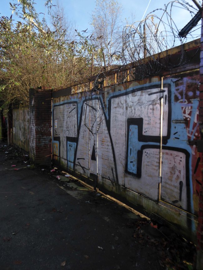
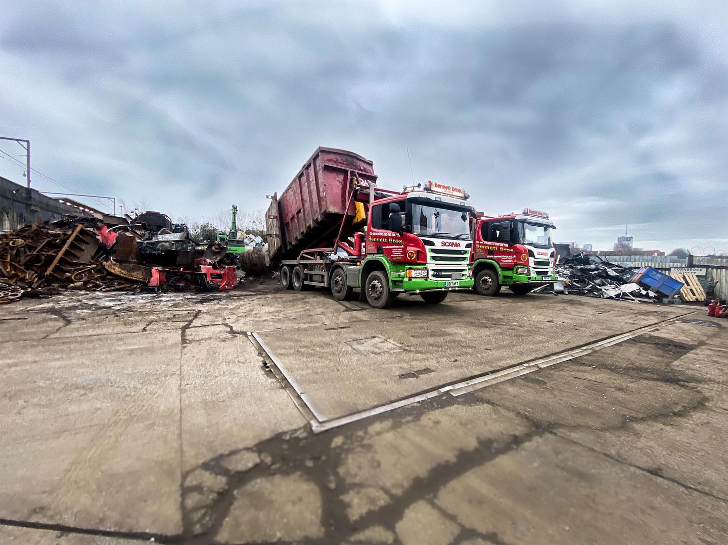
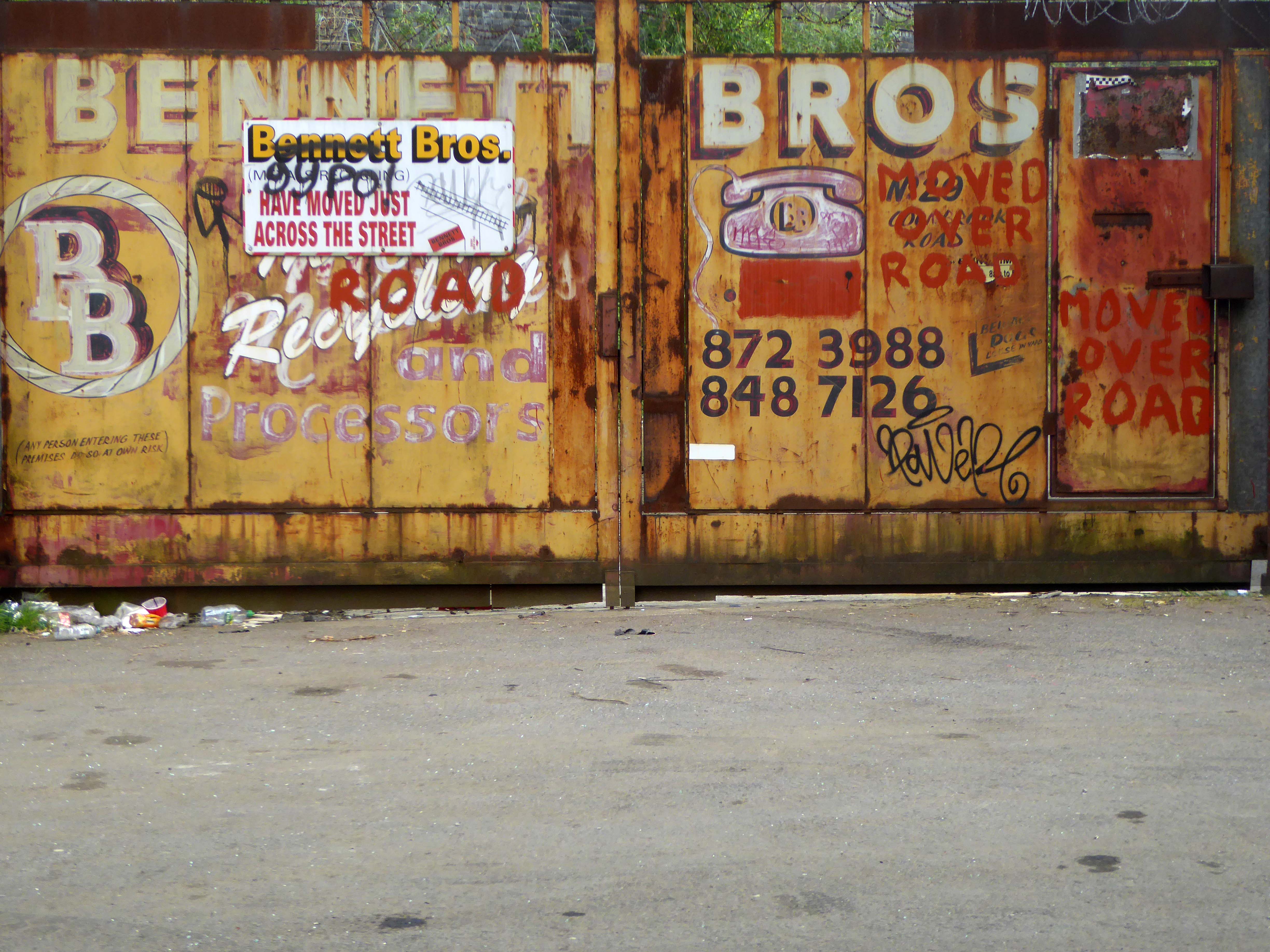
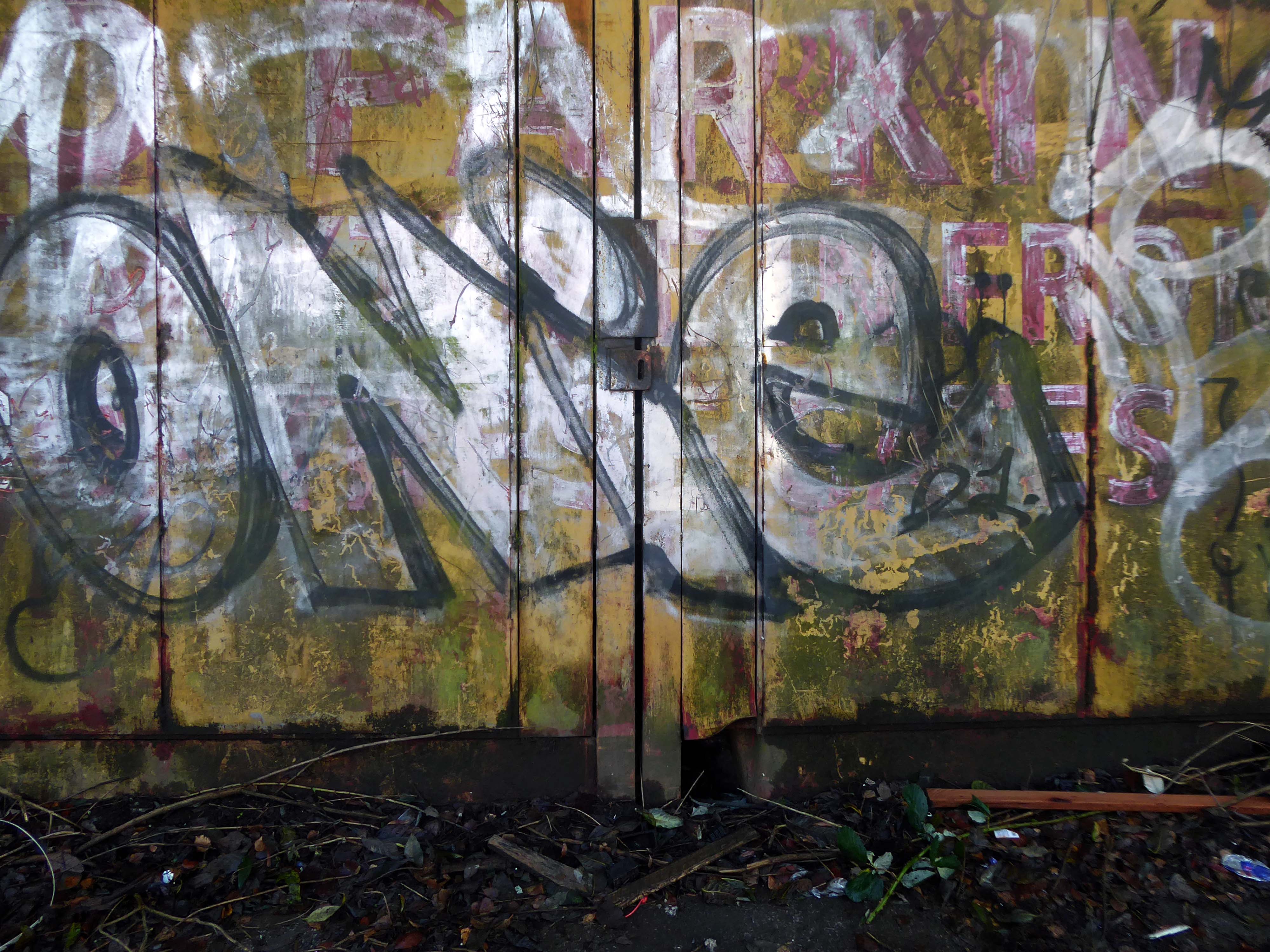
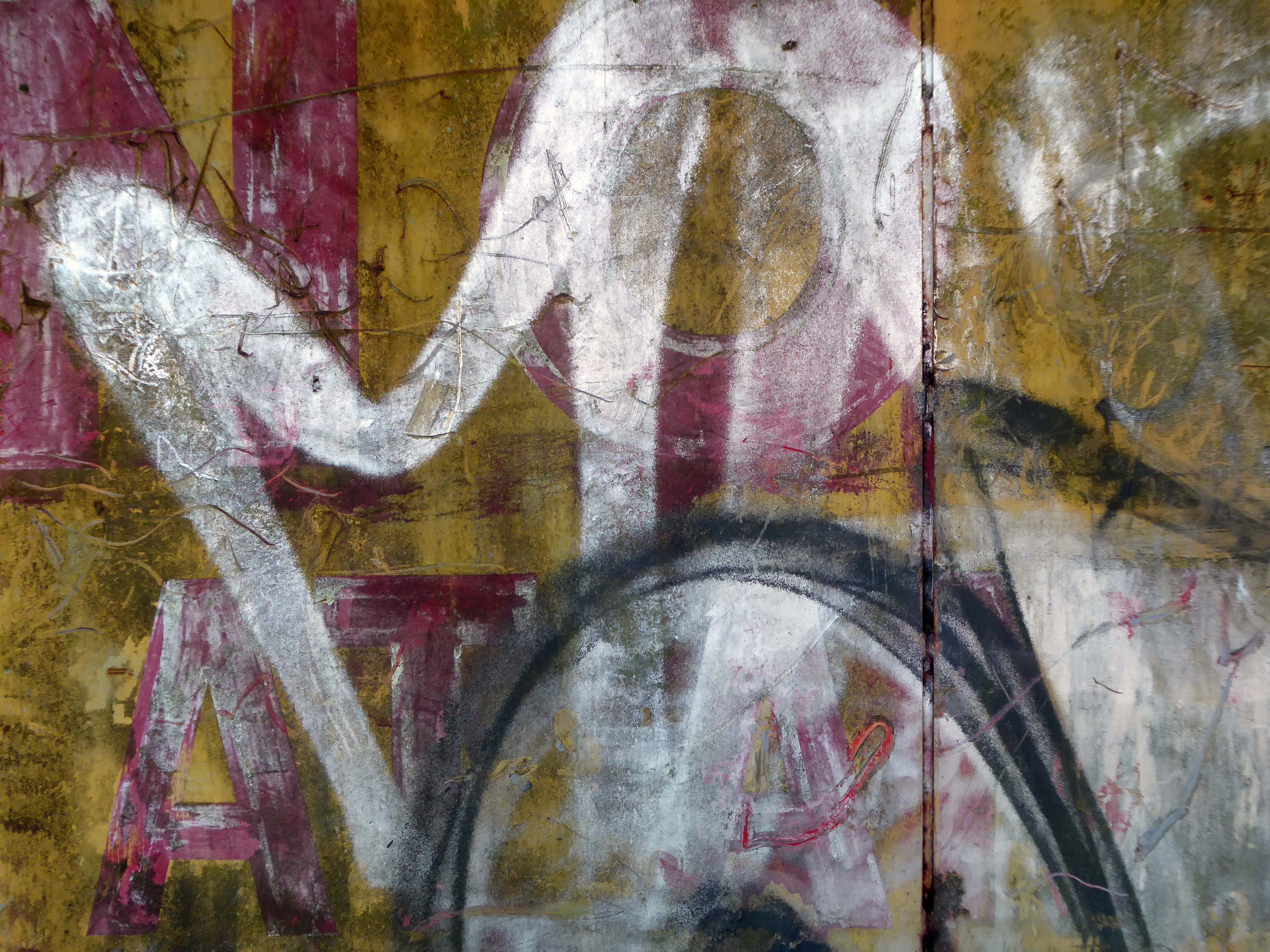
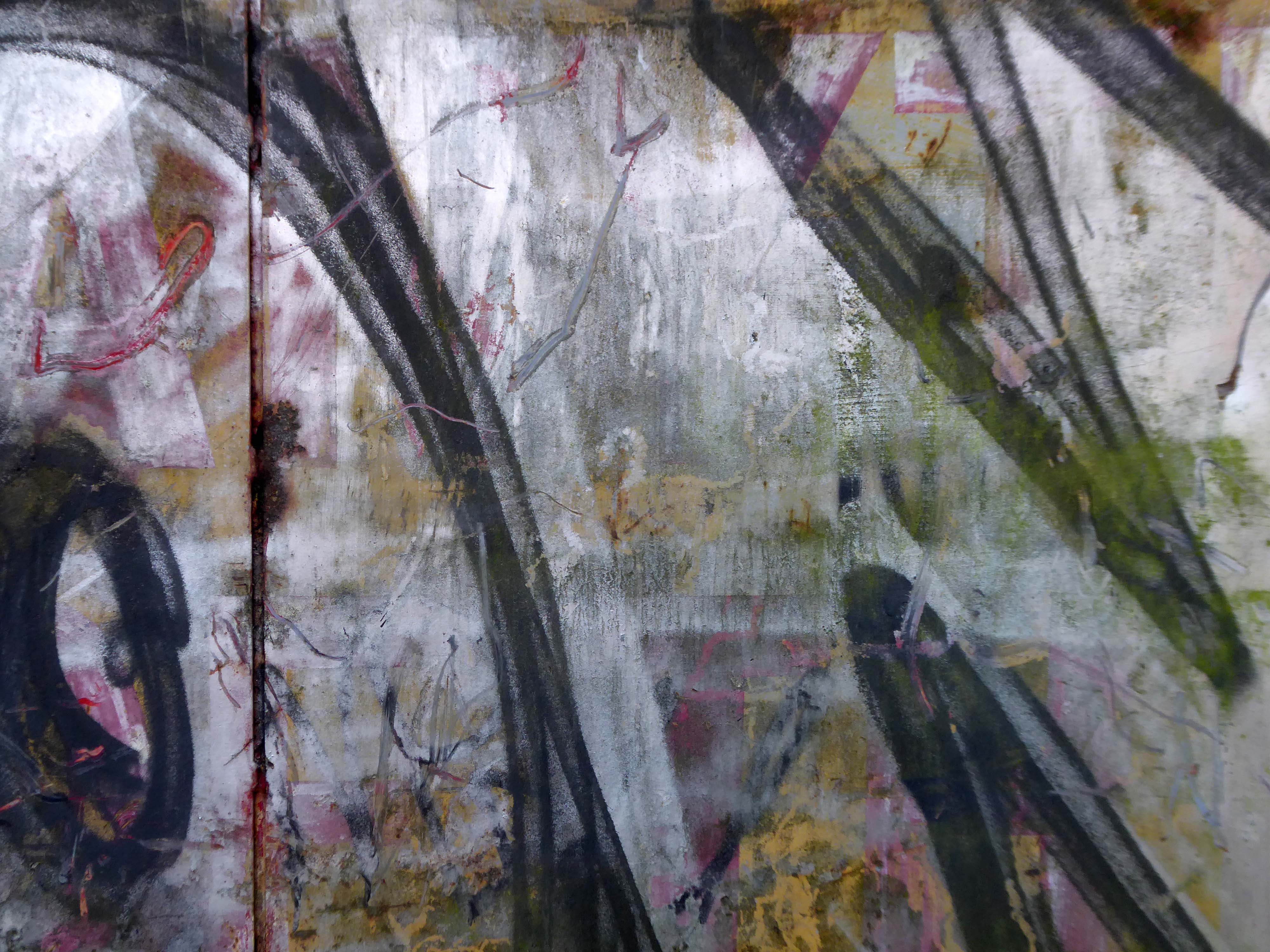
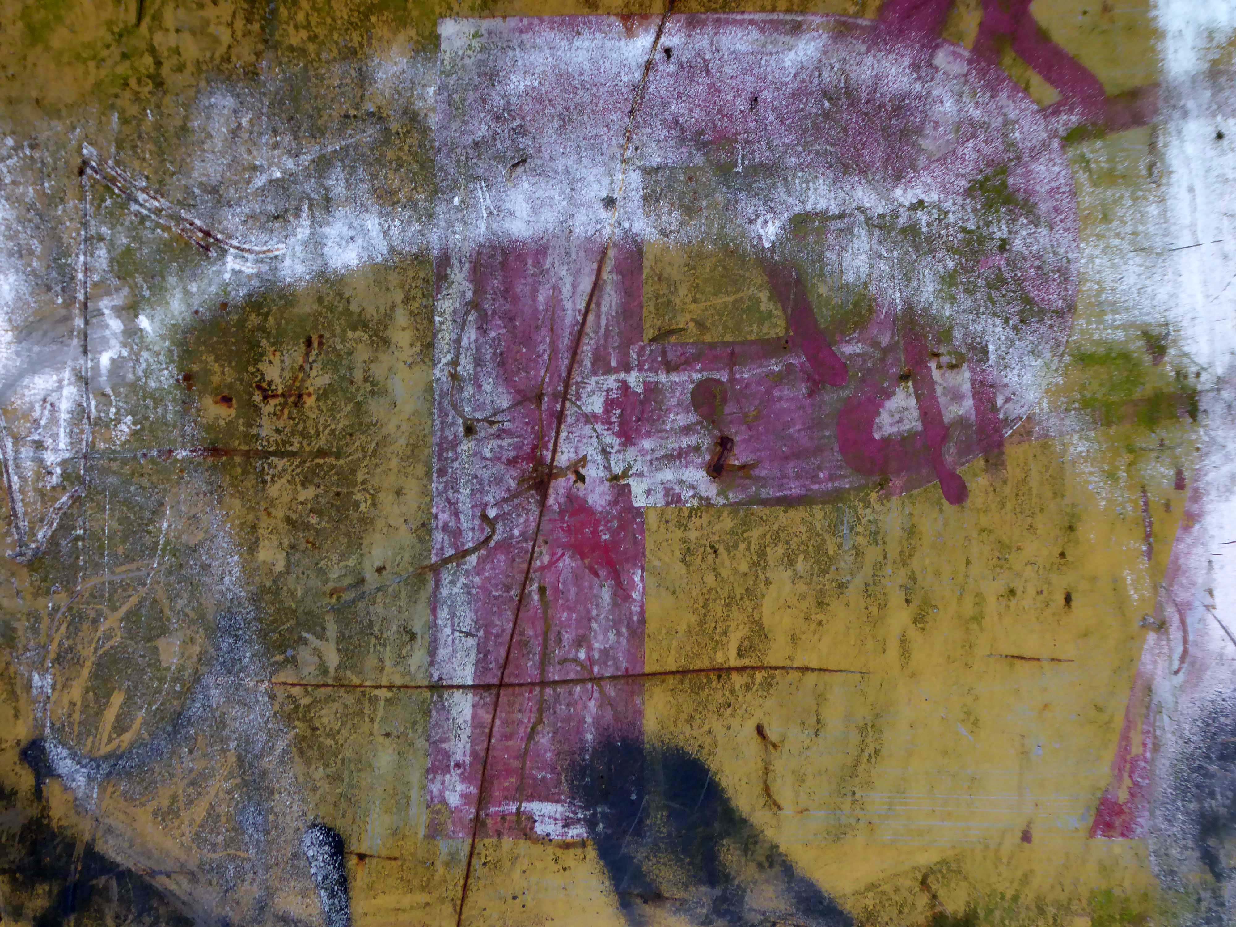
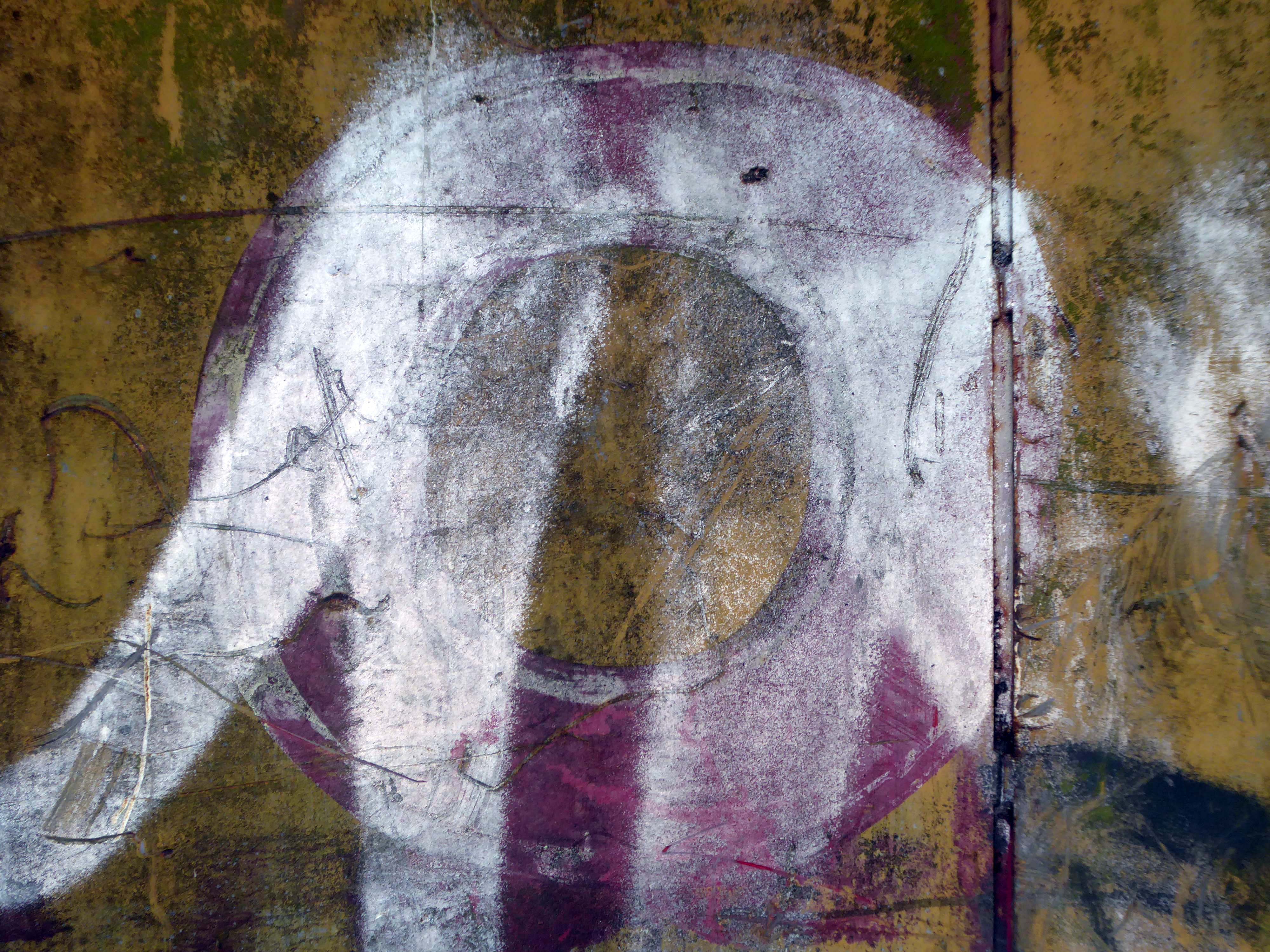
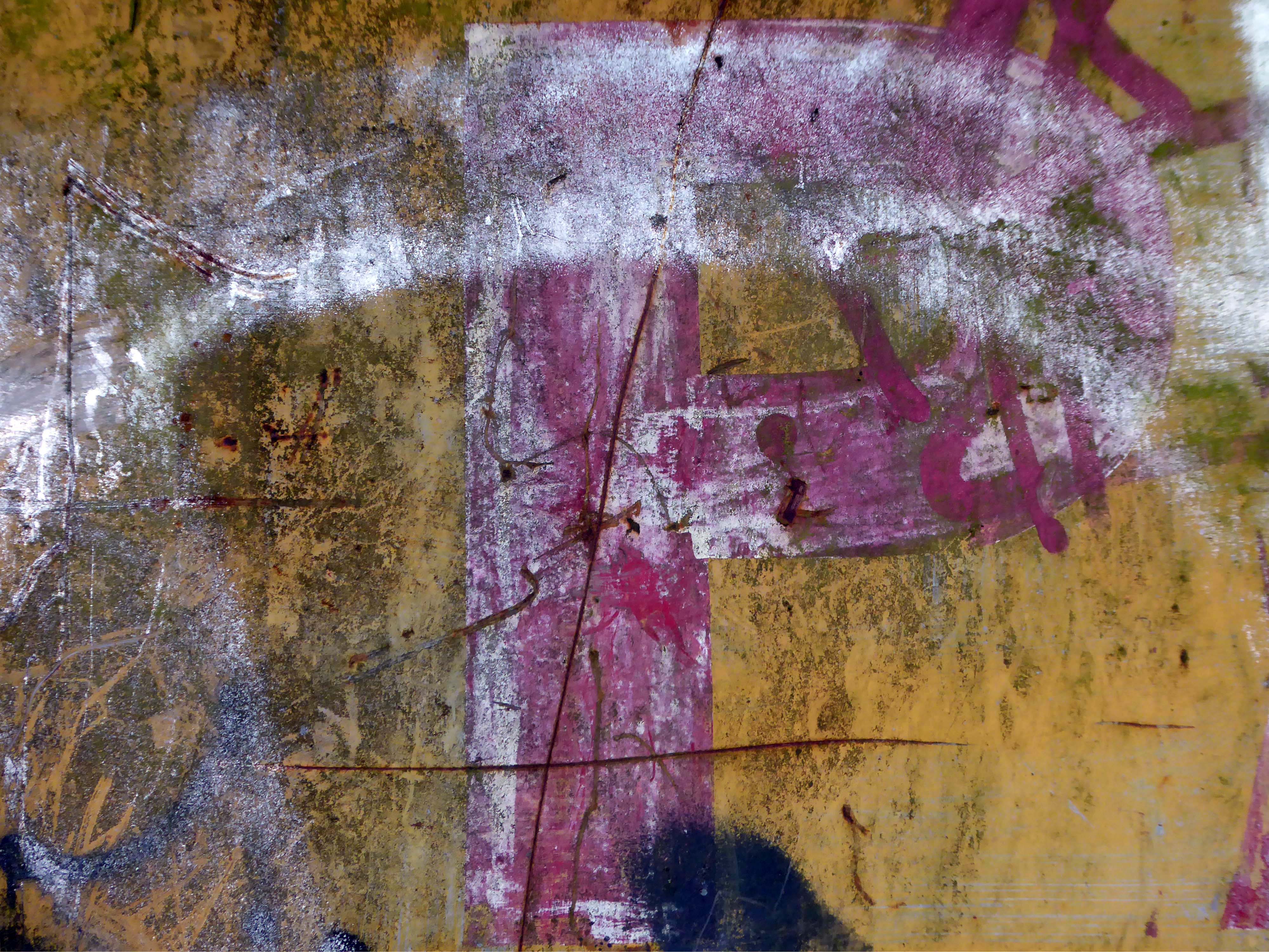
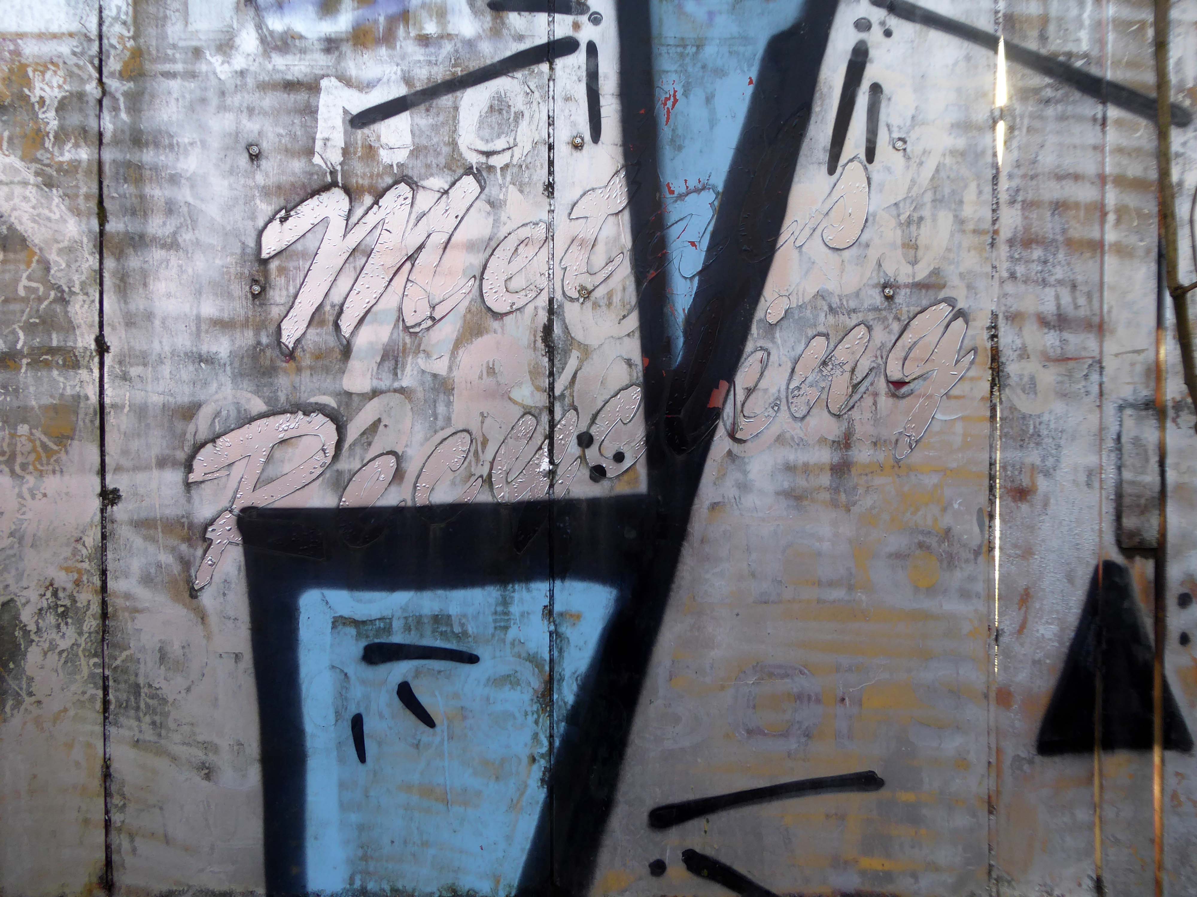
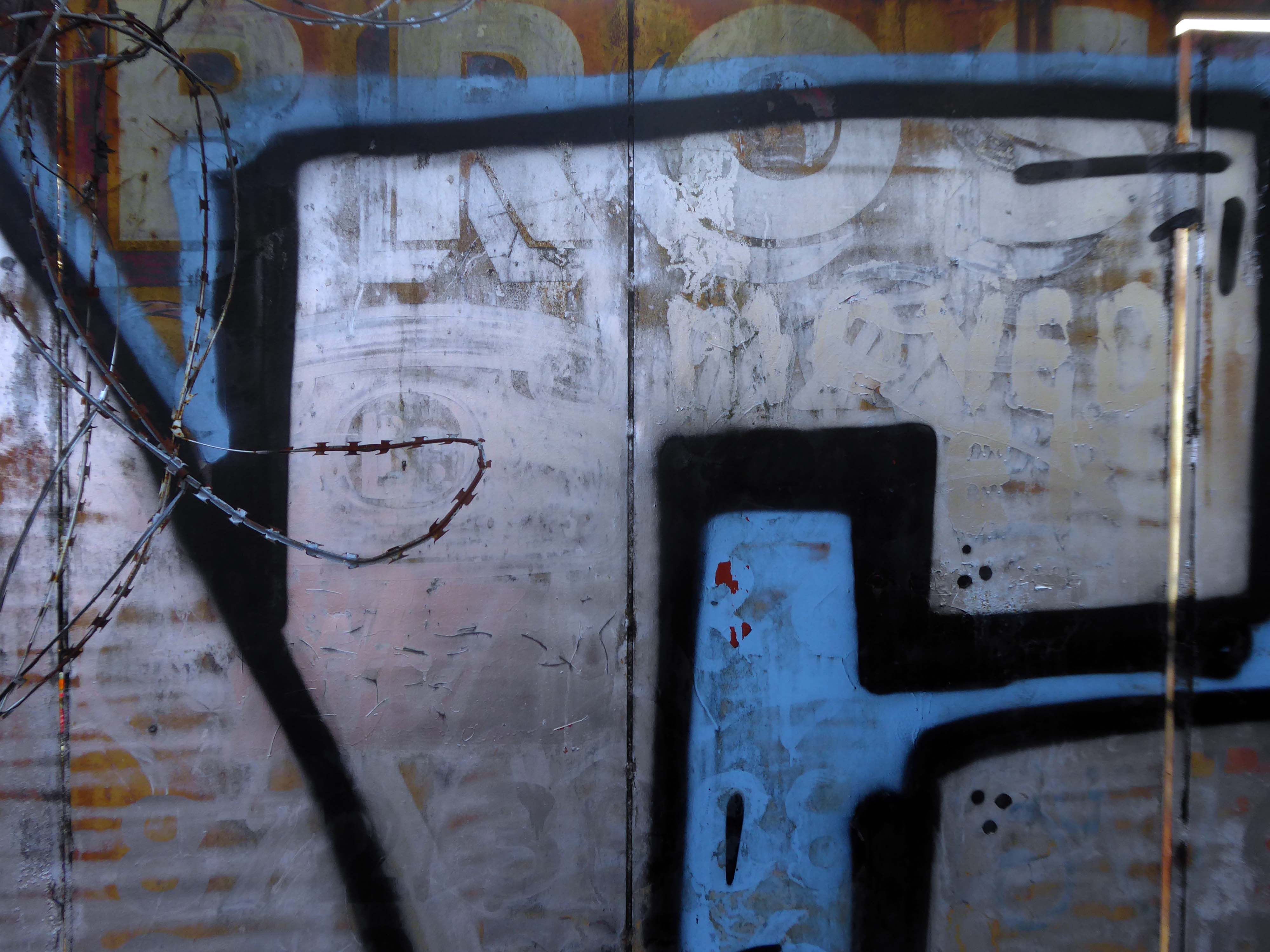
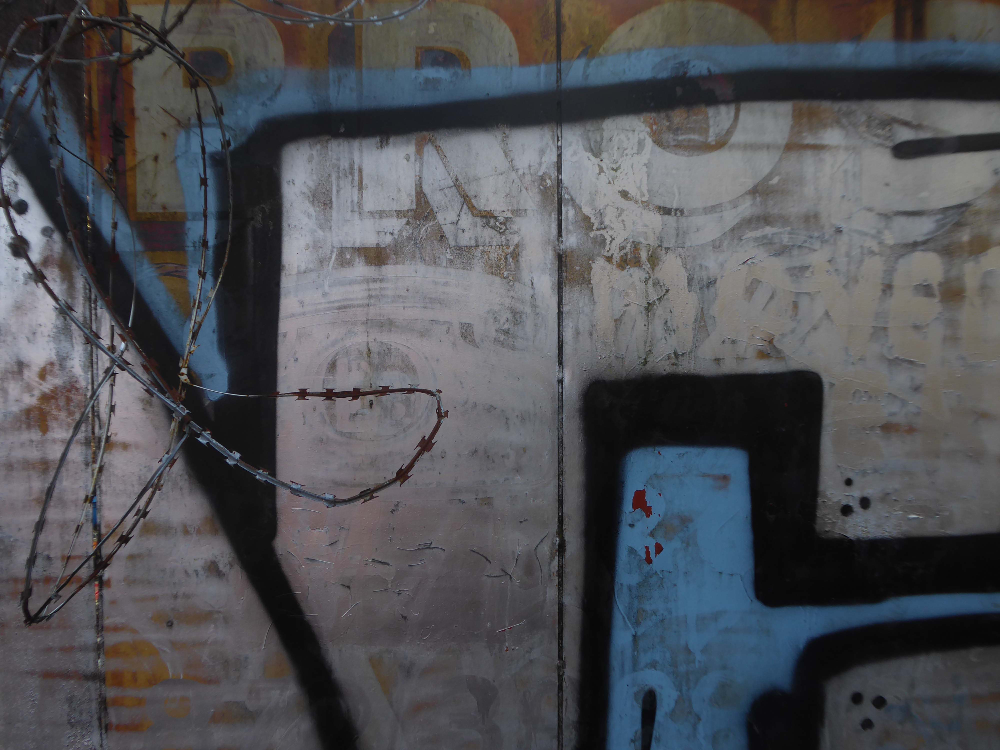
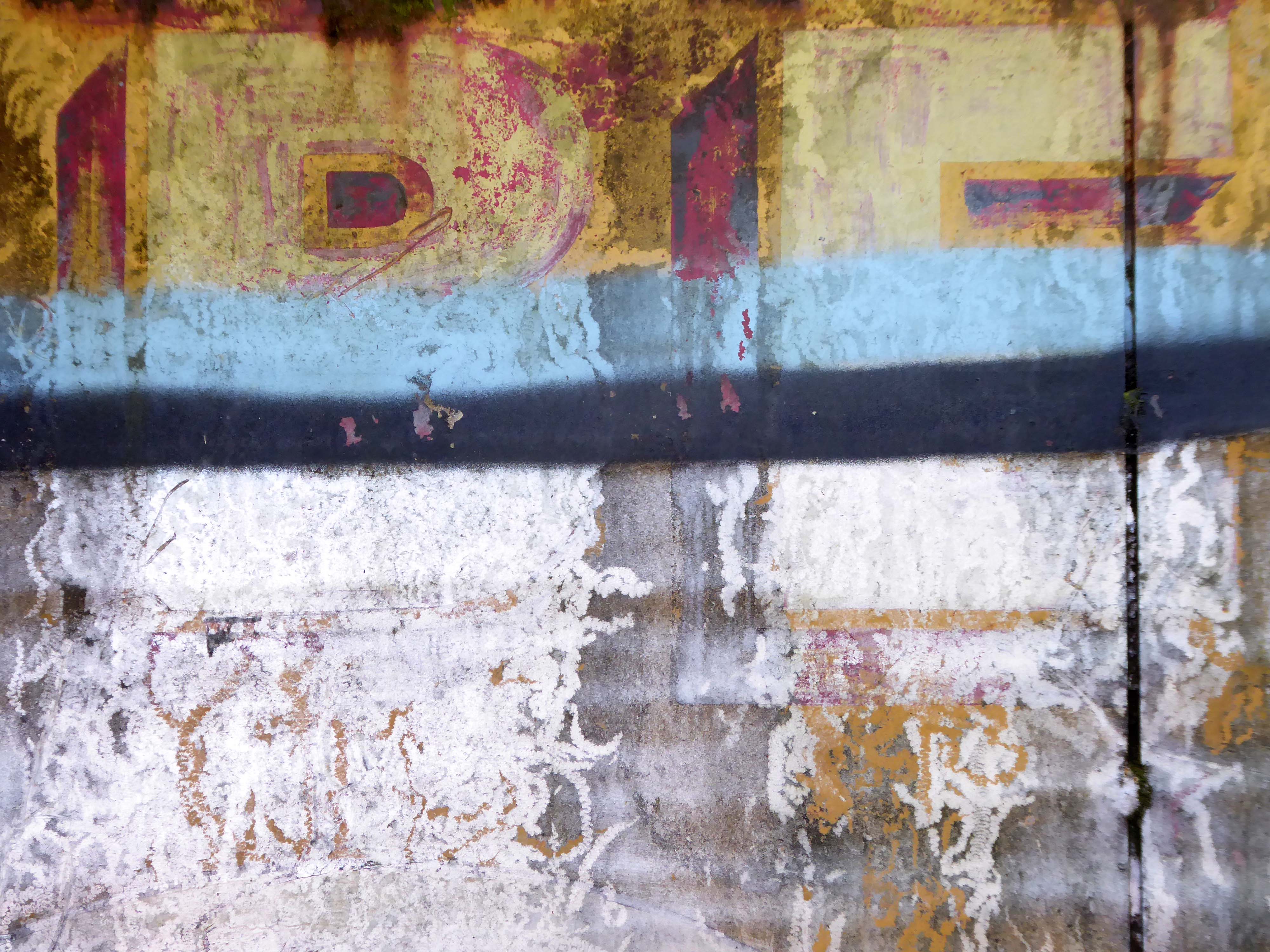
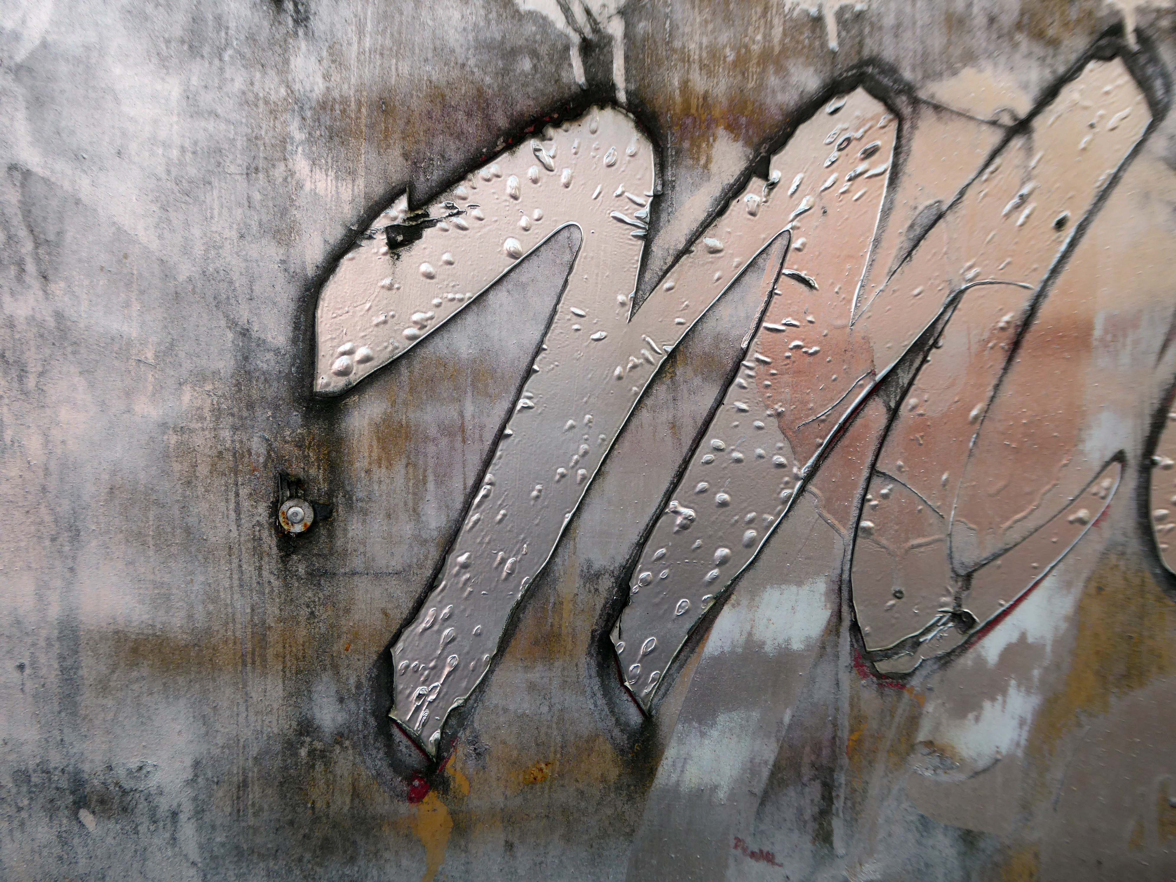
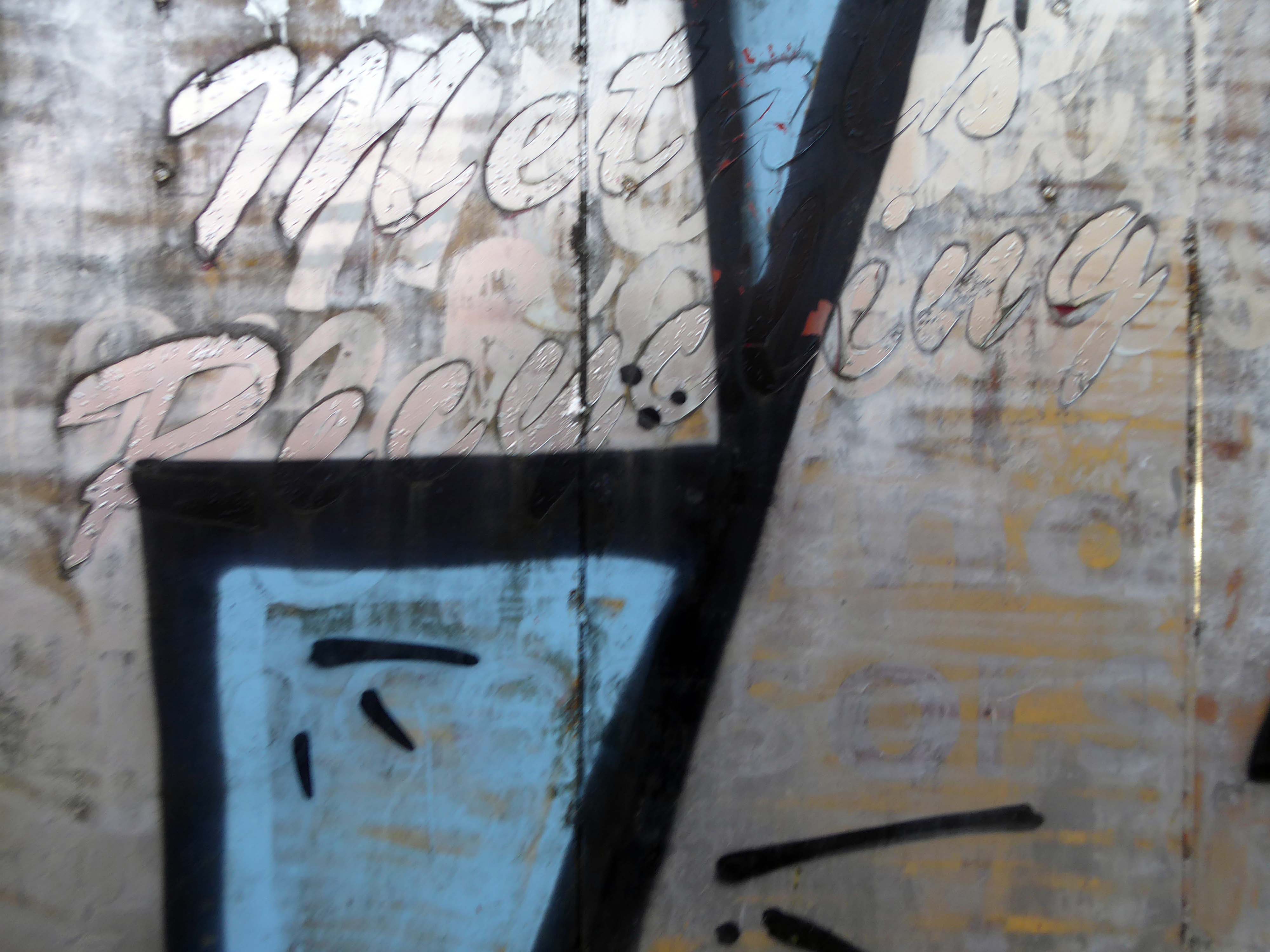
We are one of the first recycling companies operating in the North West, Bennett Bros was founded in 1948 by Francis William Bennett and Bernard Bennett, and remains a family-run business to this day. Bennett Bros was originally involved in loaning ponies to the many rag and bone men who collected unwanted household items and sold them to merchants, and while the recycling industry has now embraced modern technology, we are very proud of our heritage as innovators in what was then a new industry.
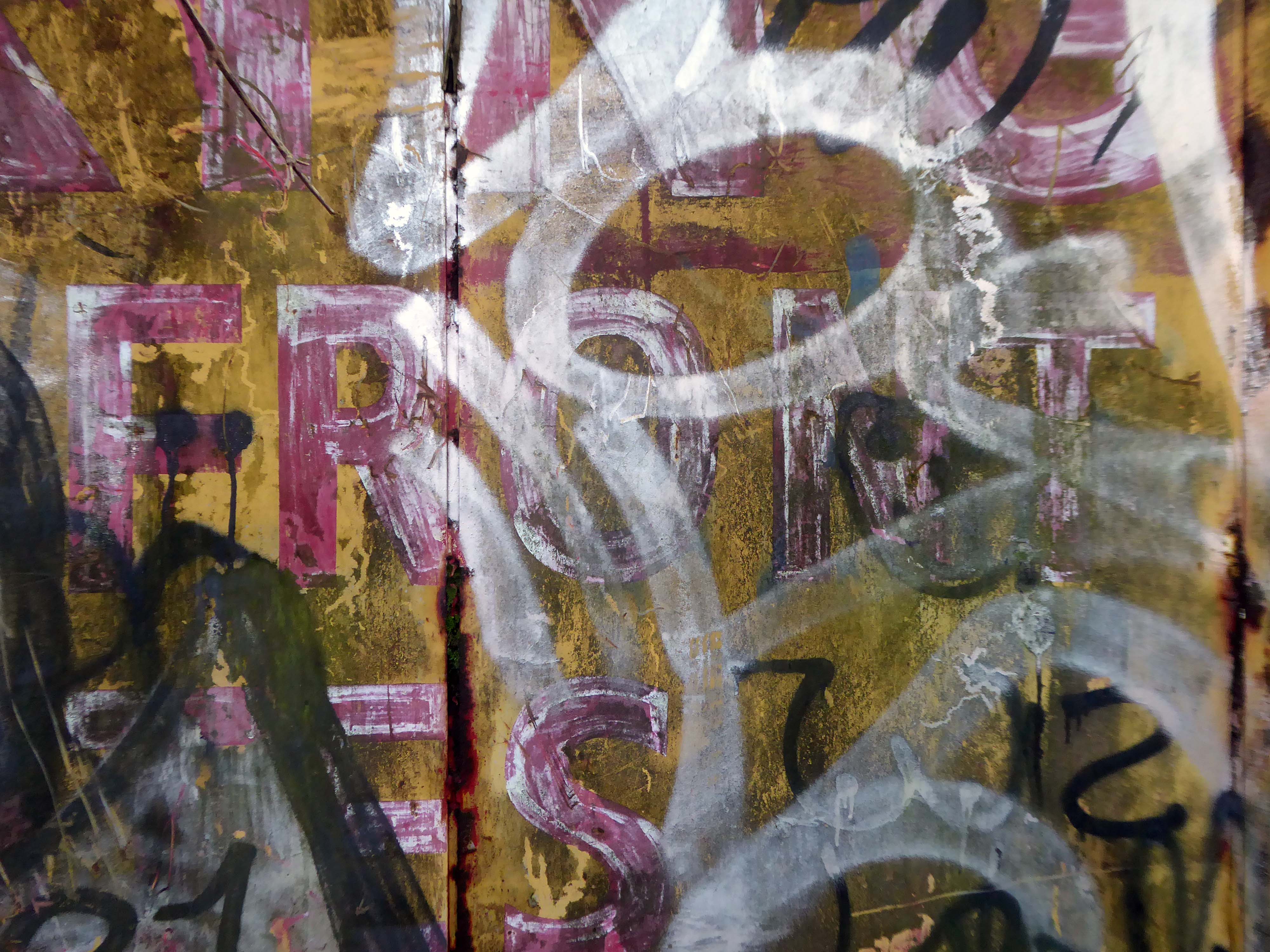
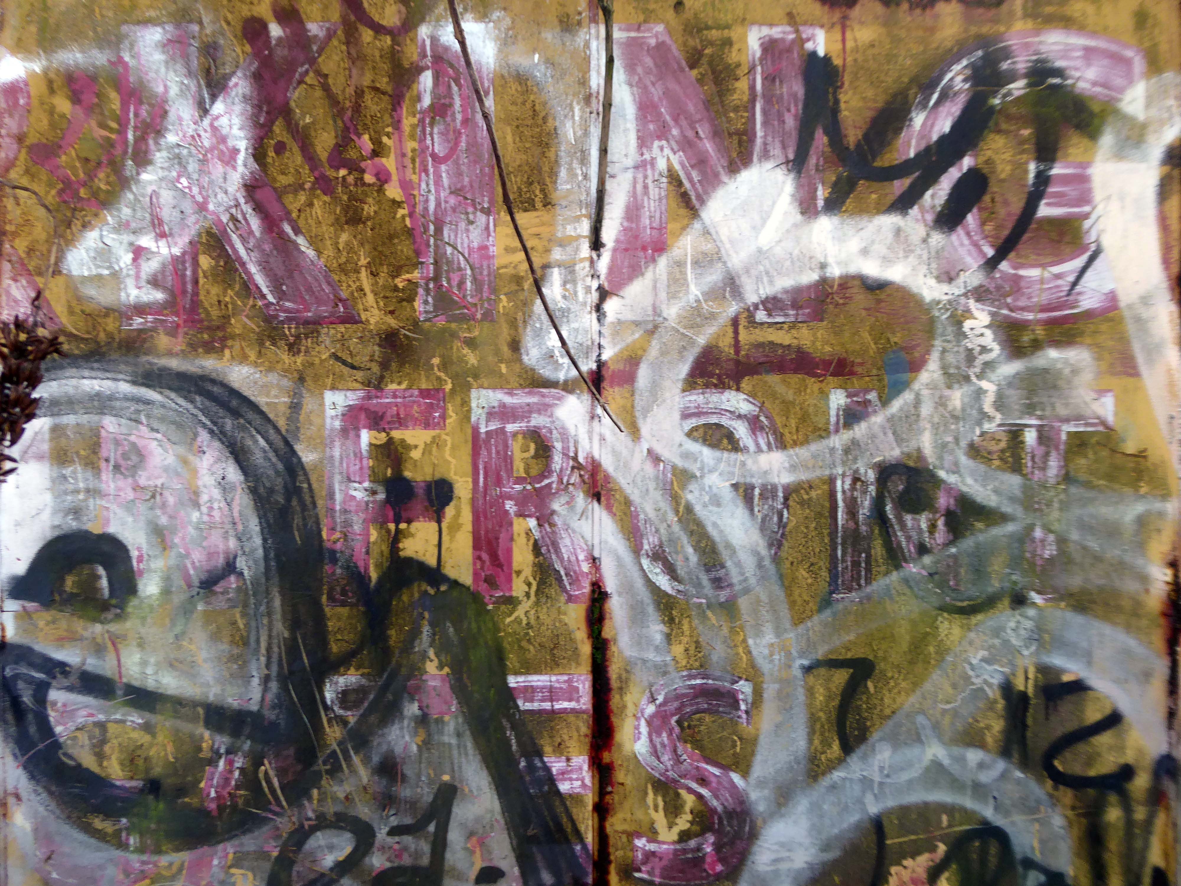
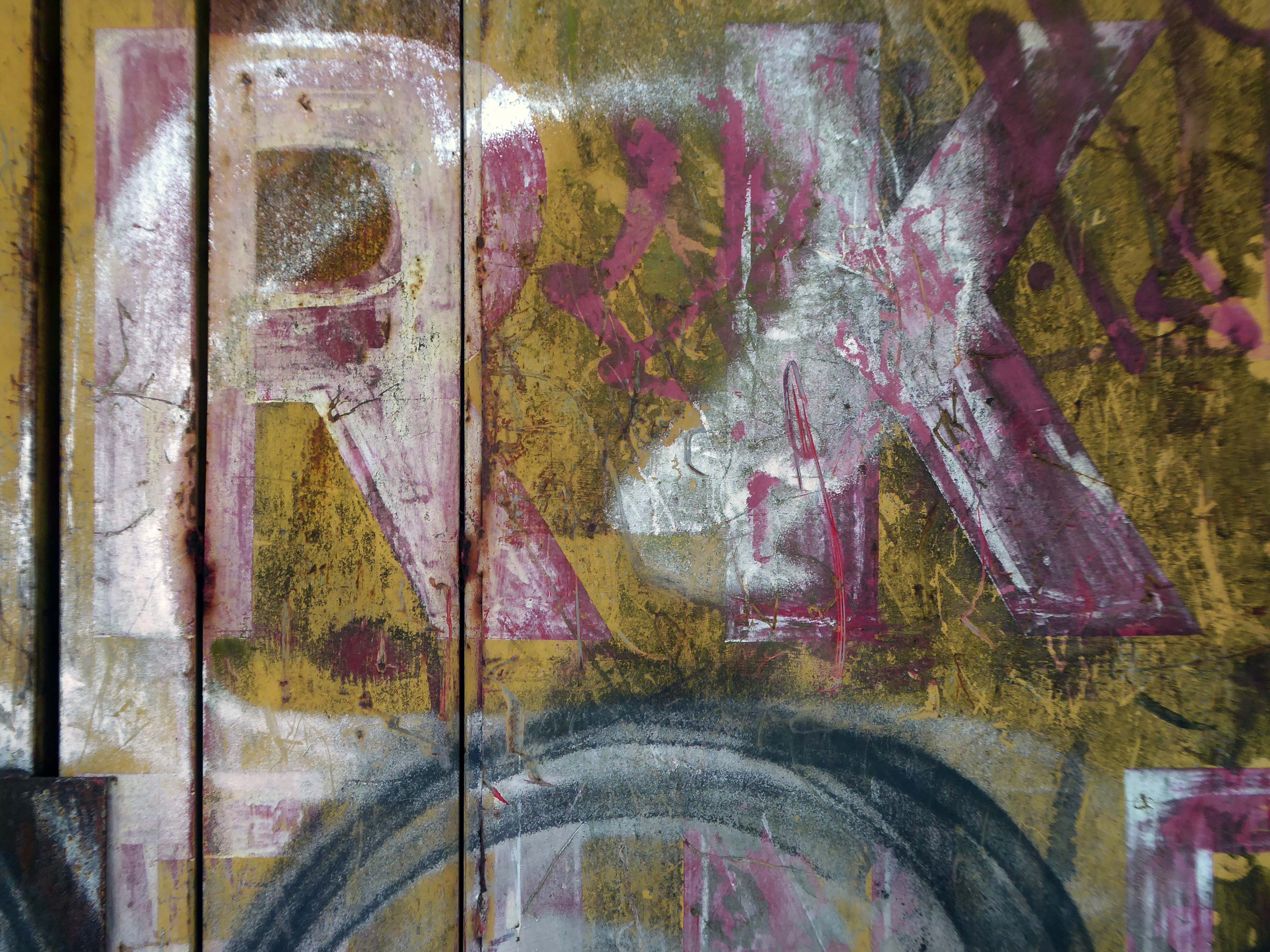
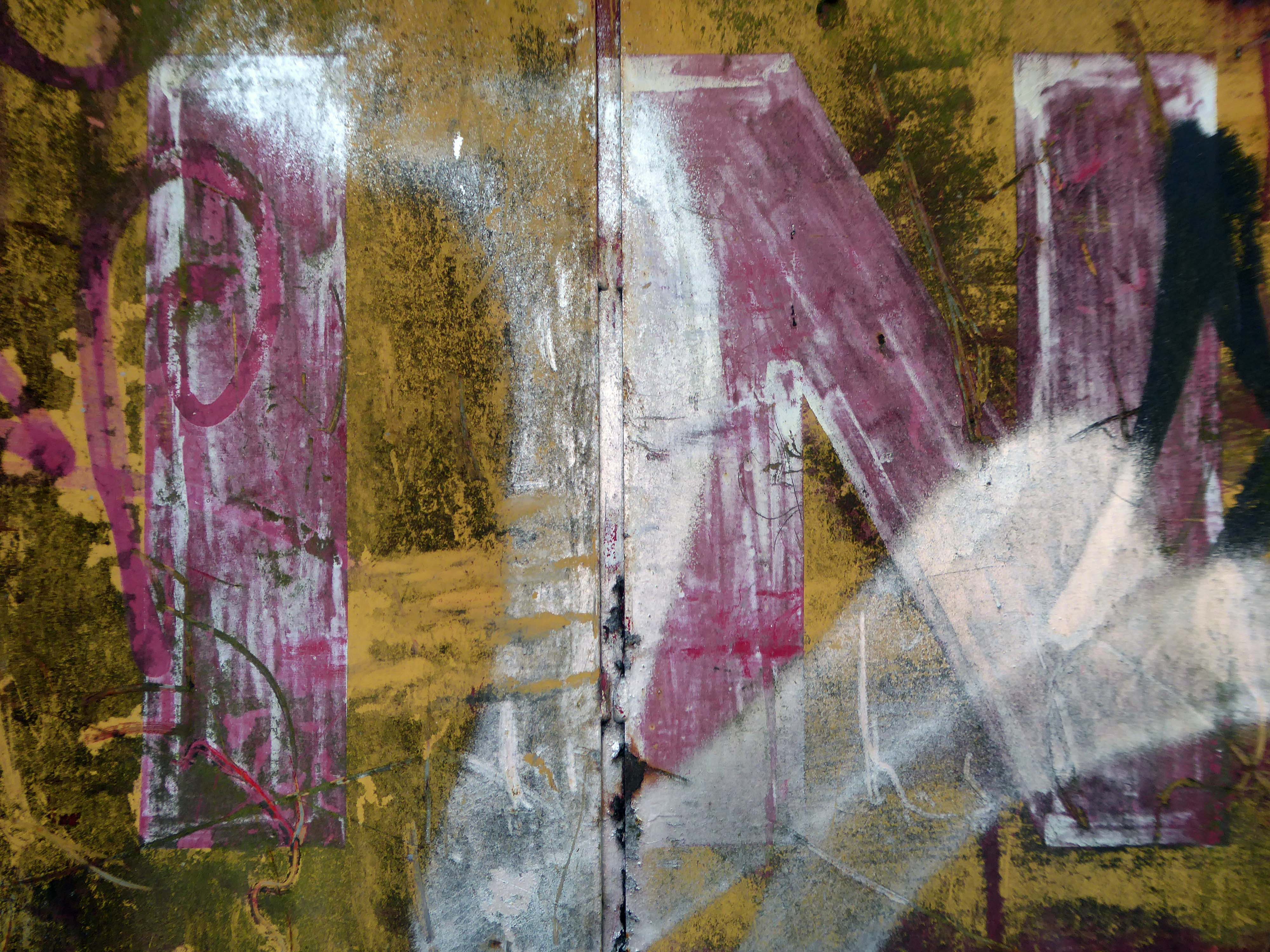
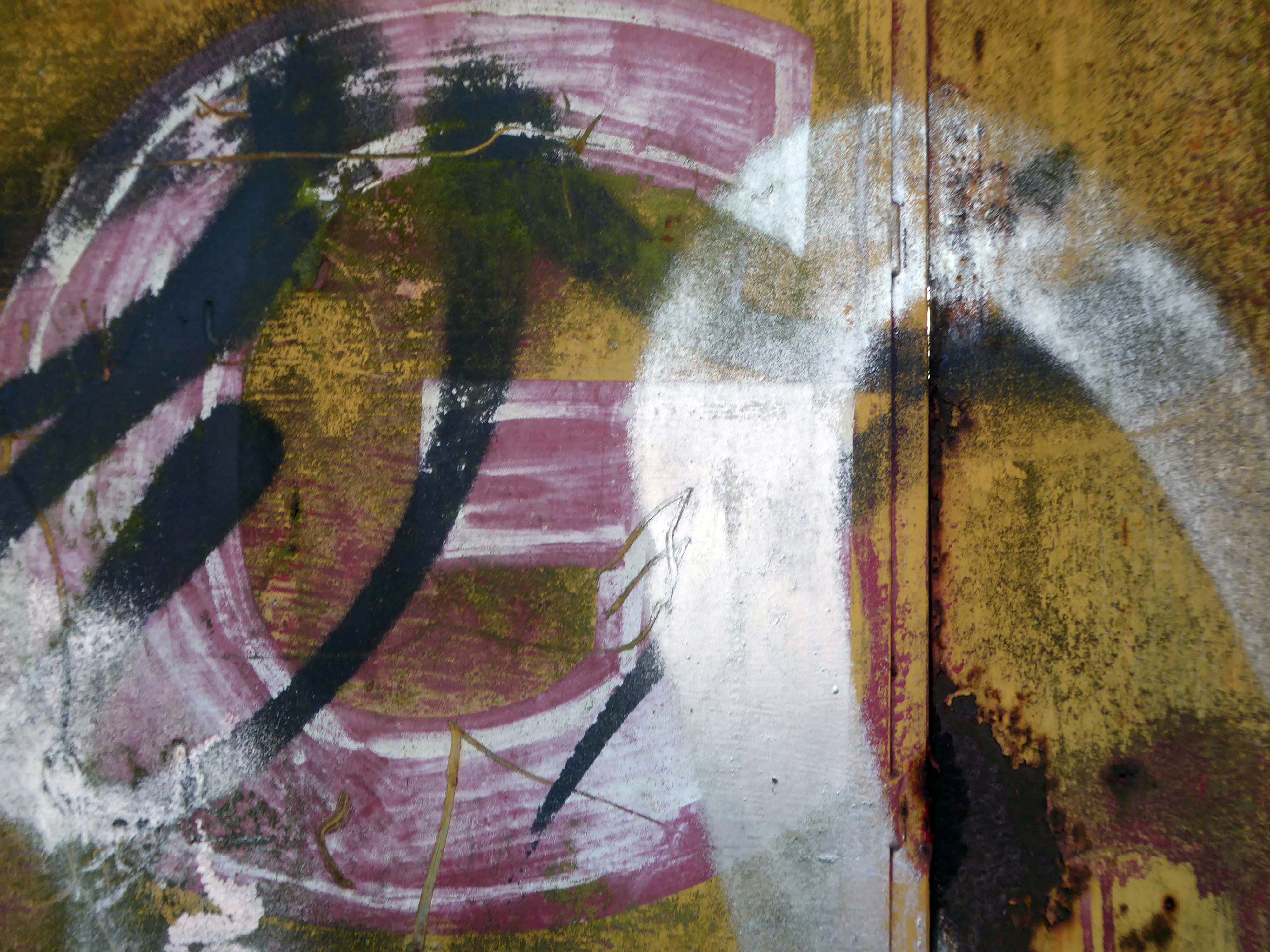
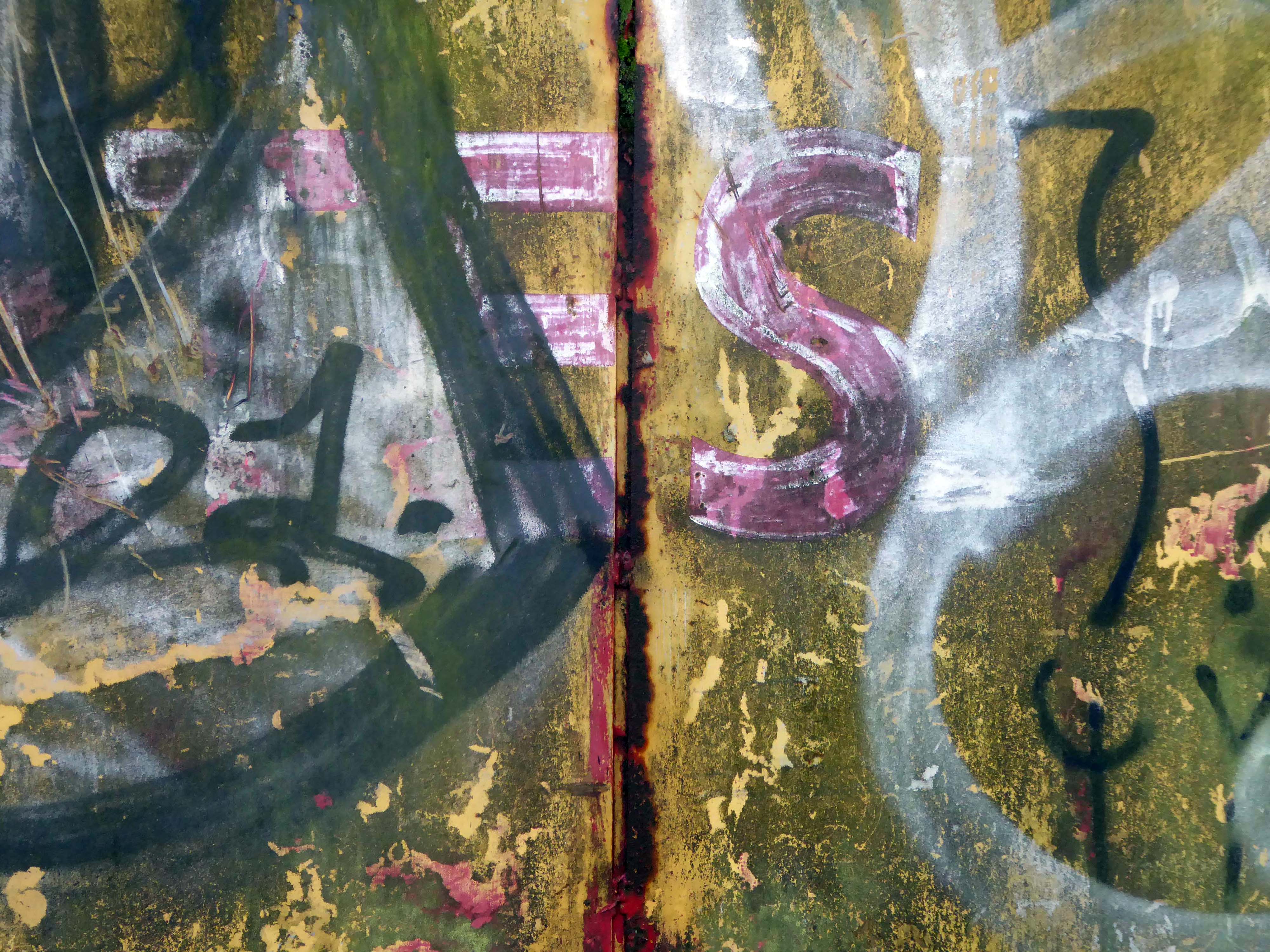
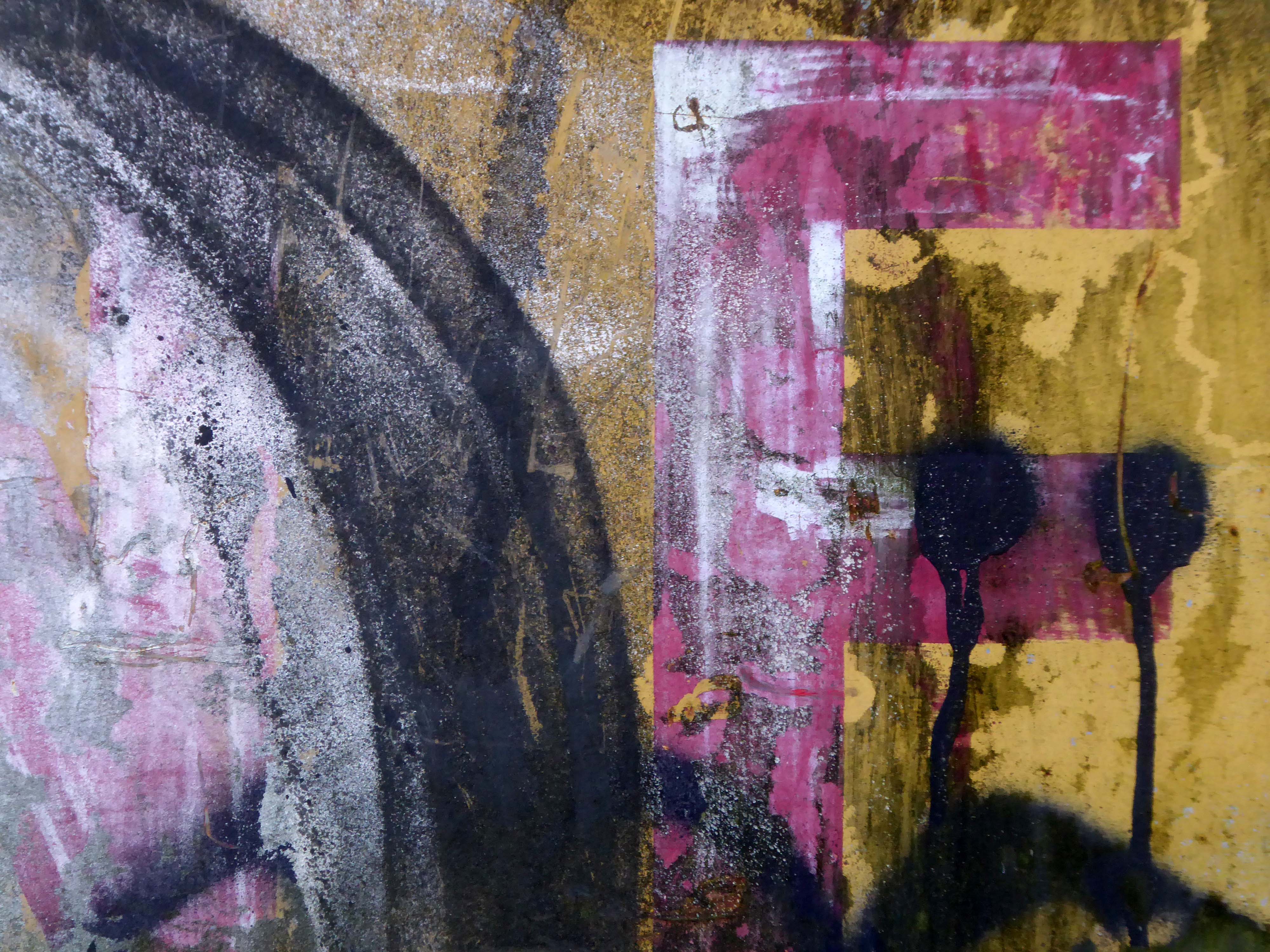
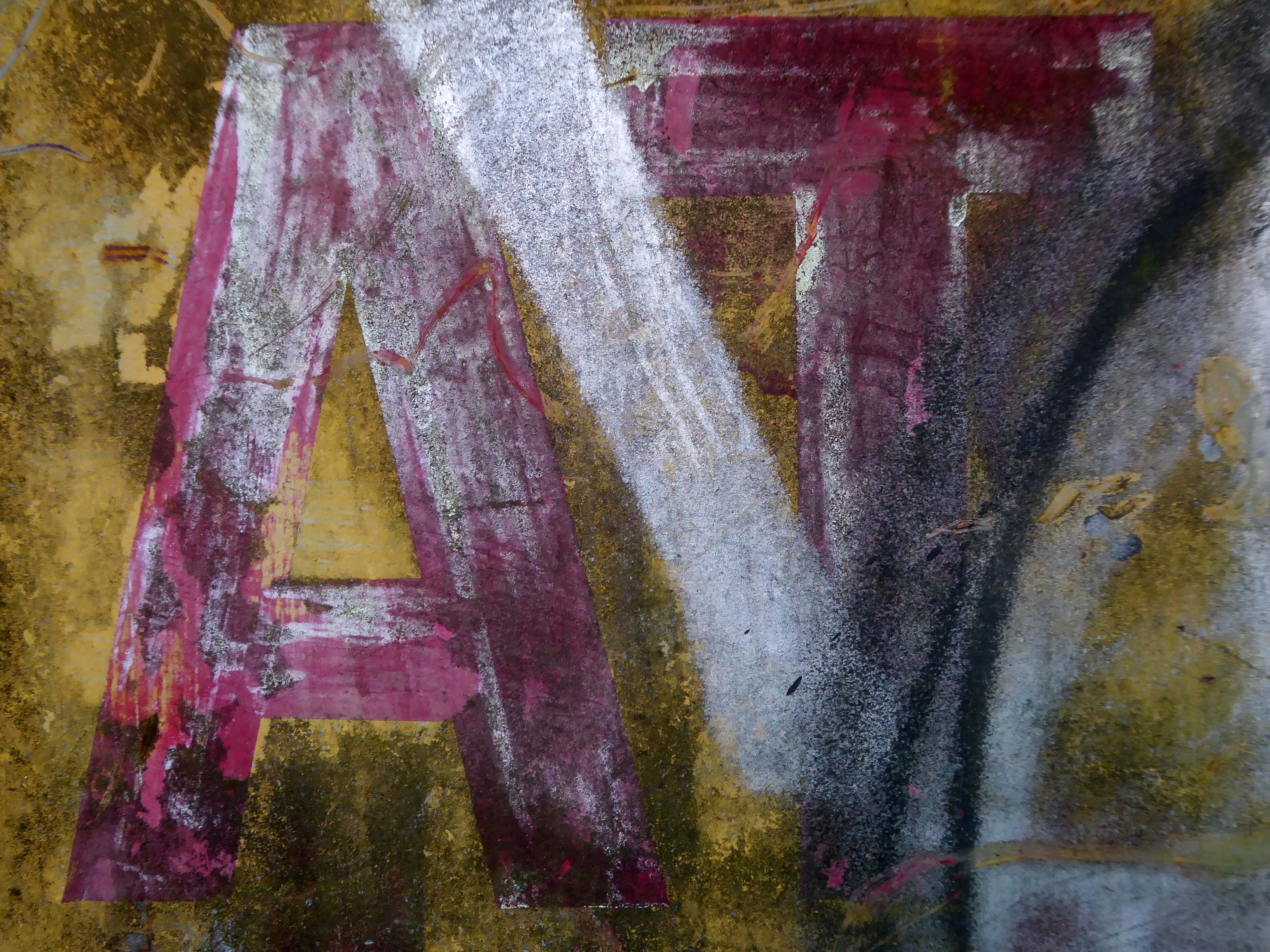
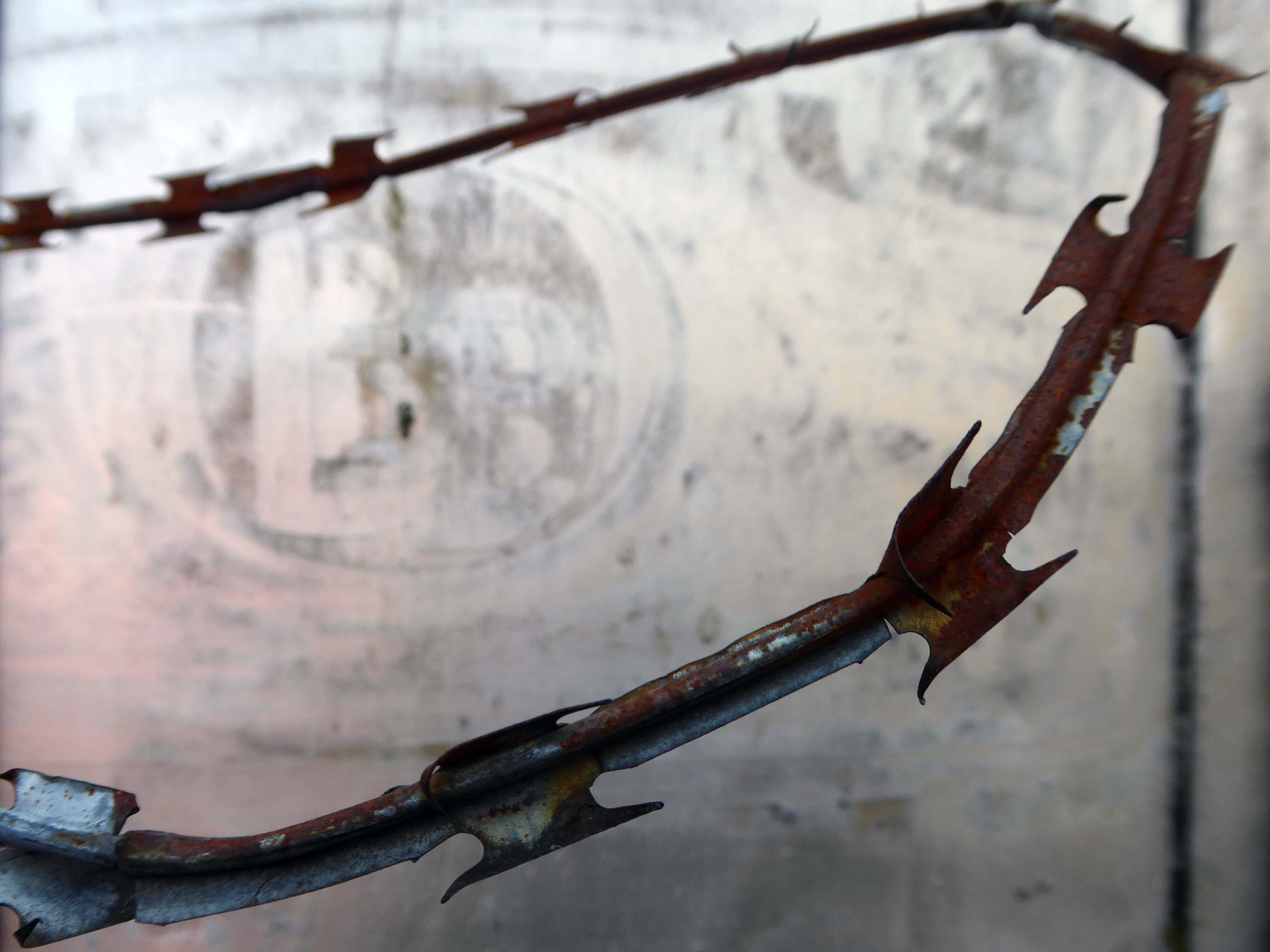
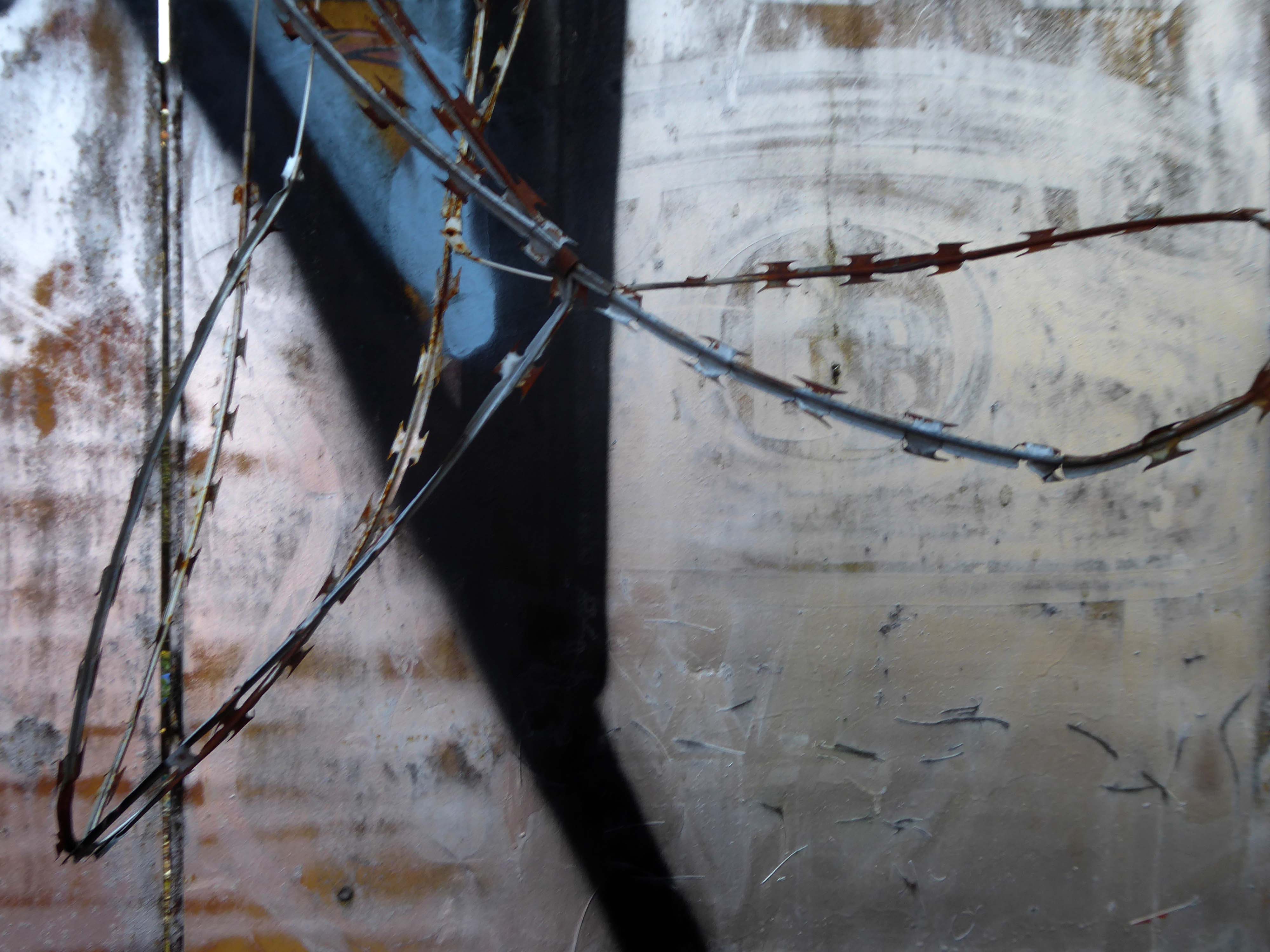
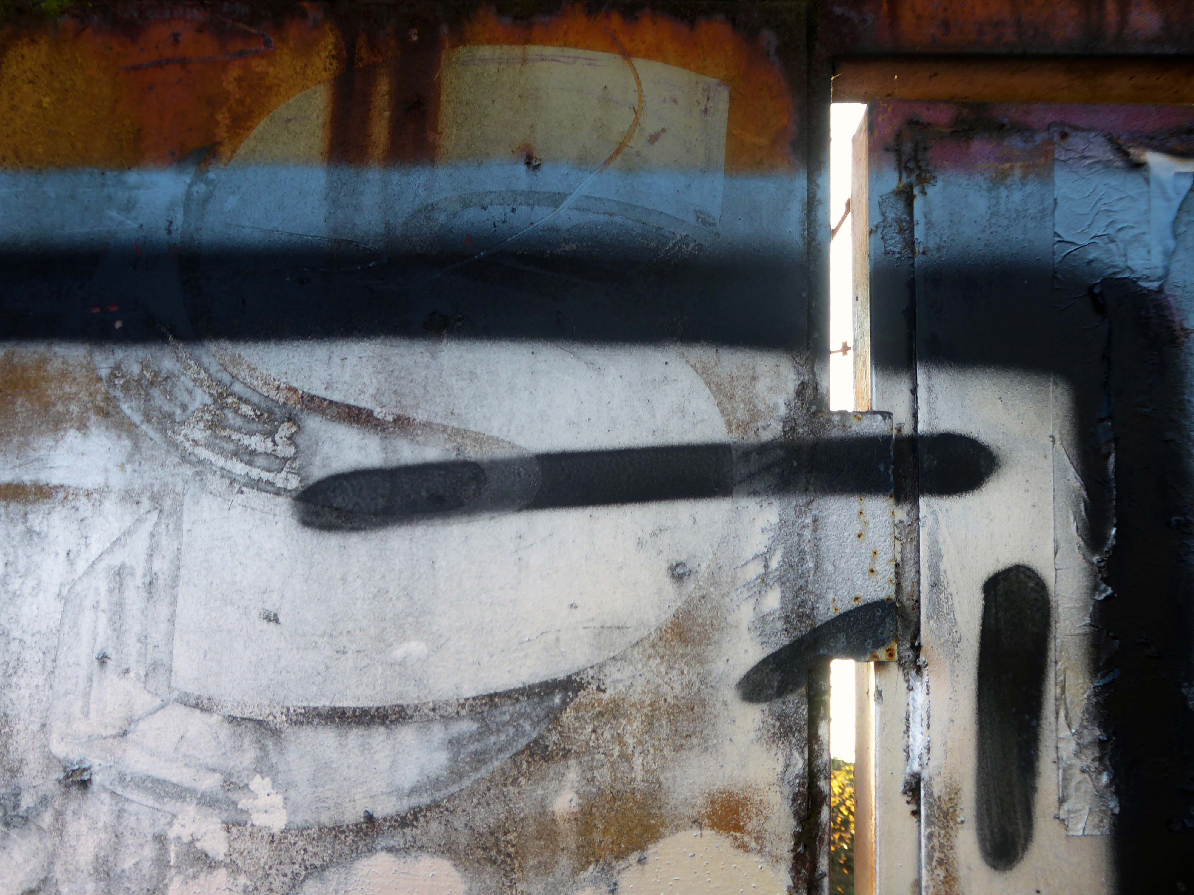
In 2017 I visited the area to snap the gates of their older site – as they had moved the business just across the street.
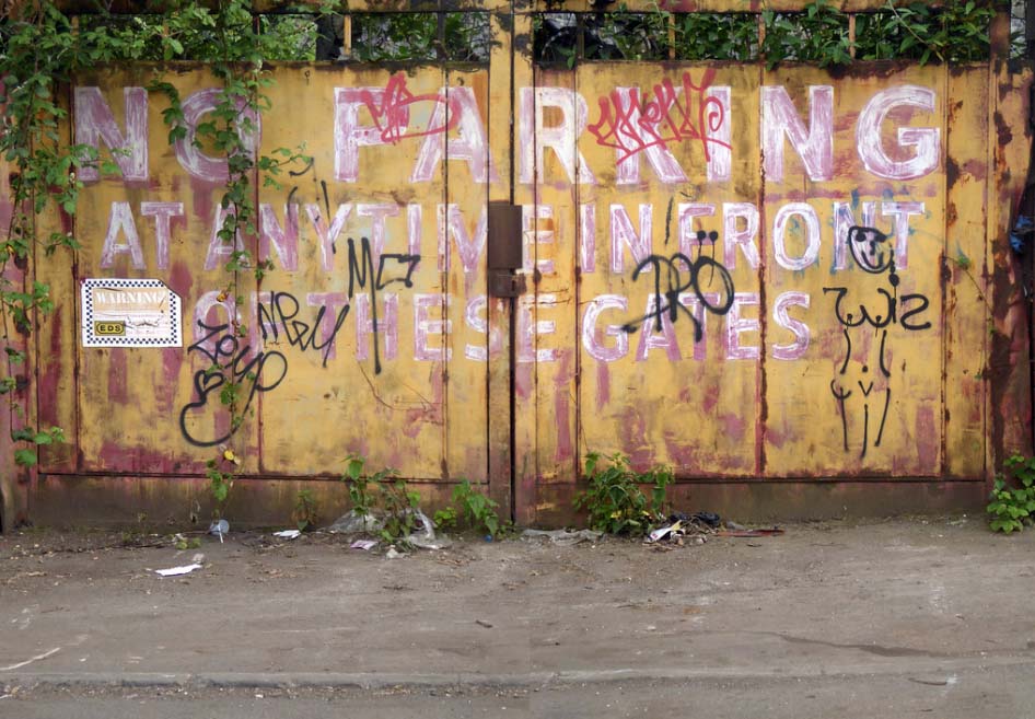
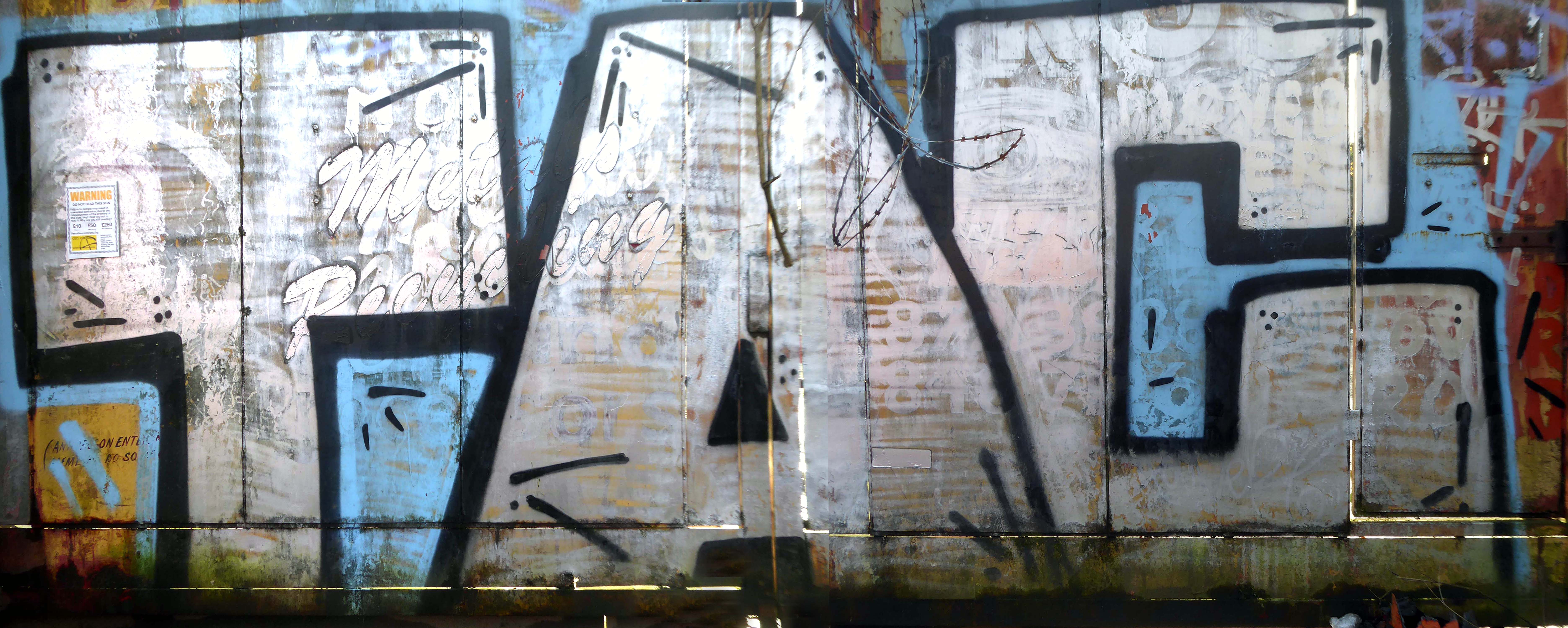
I returned in December 2023 to discover what had become of the gates.
Remnants of the drop shadow block lettering remain, beneath a palimpsest of tags and grime.
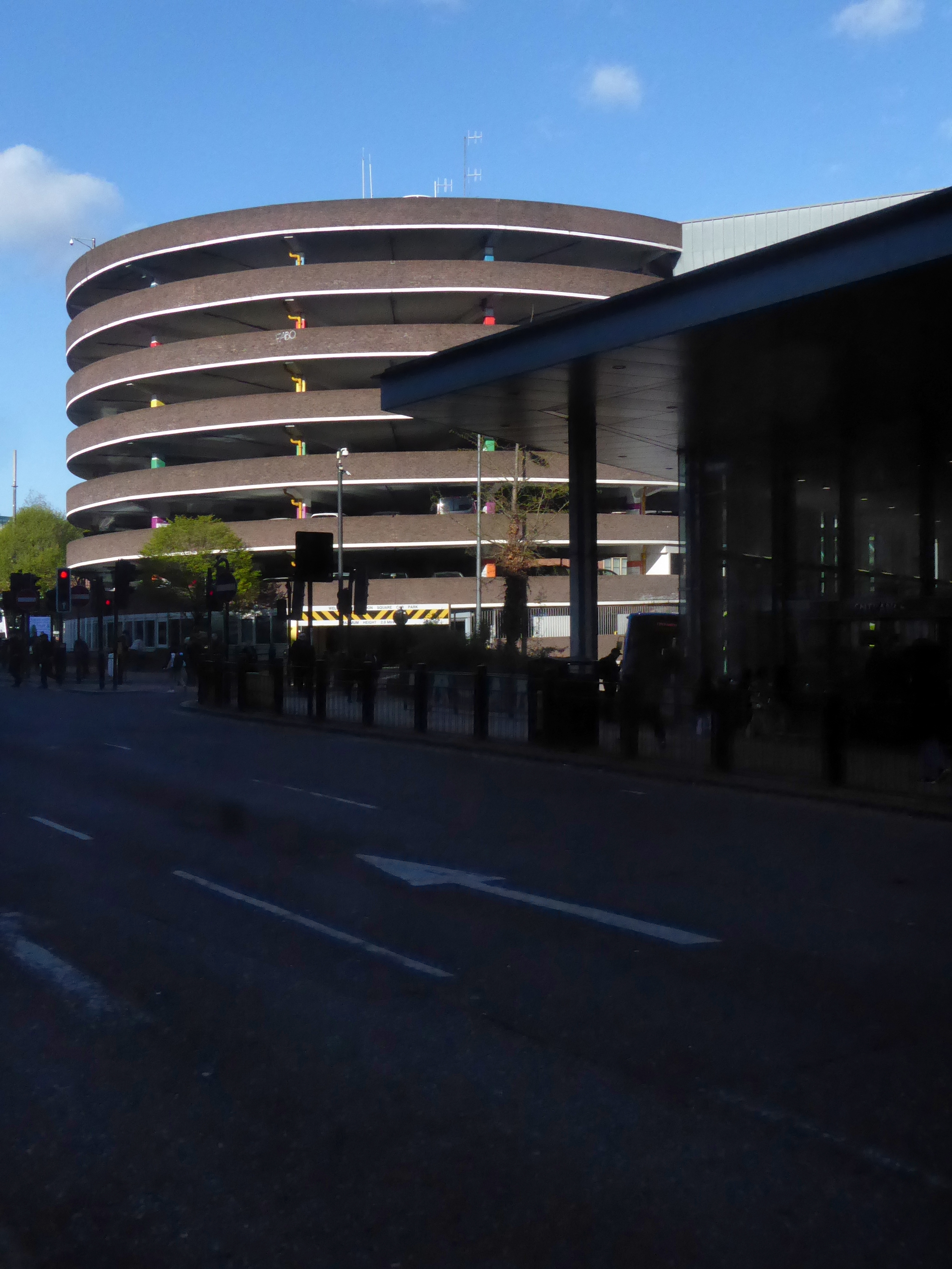
The earliest known multi-story car park in the UK was opened in May 1901 by City & Suburban Electric Carriage Company at 6 Denman Street, central London. The location had space for 100 vehicles over seven floors, totaling 19,000 square feet.
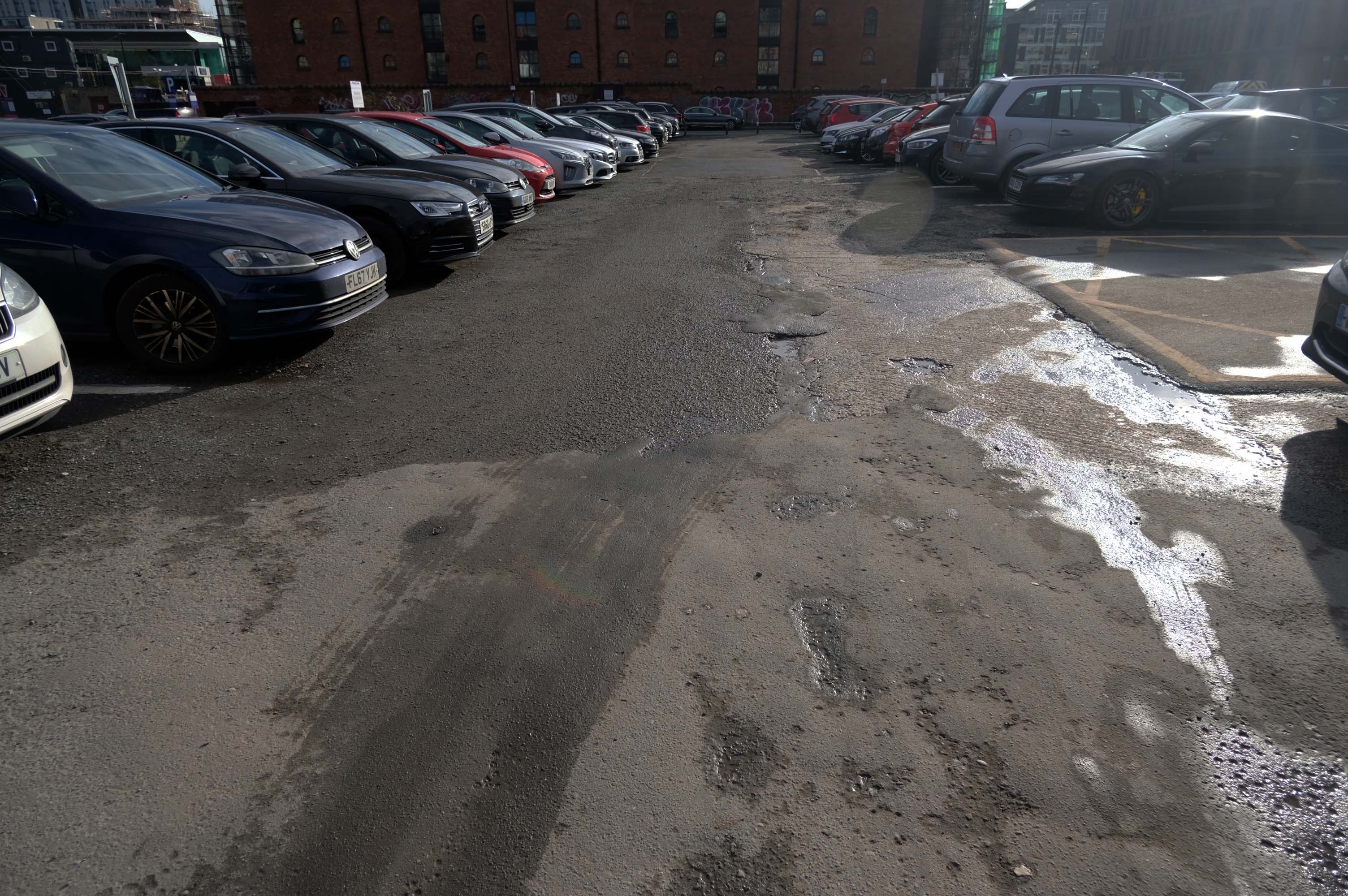
It is estimated that there are between 17,000 and 20,000 non- residential car parks in Great Britain, including those run by councils, commercial parking companies, shops, hospitals, businesses, railway stations and airports, providing between 3 and 4 million spaces.
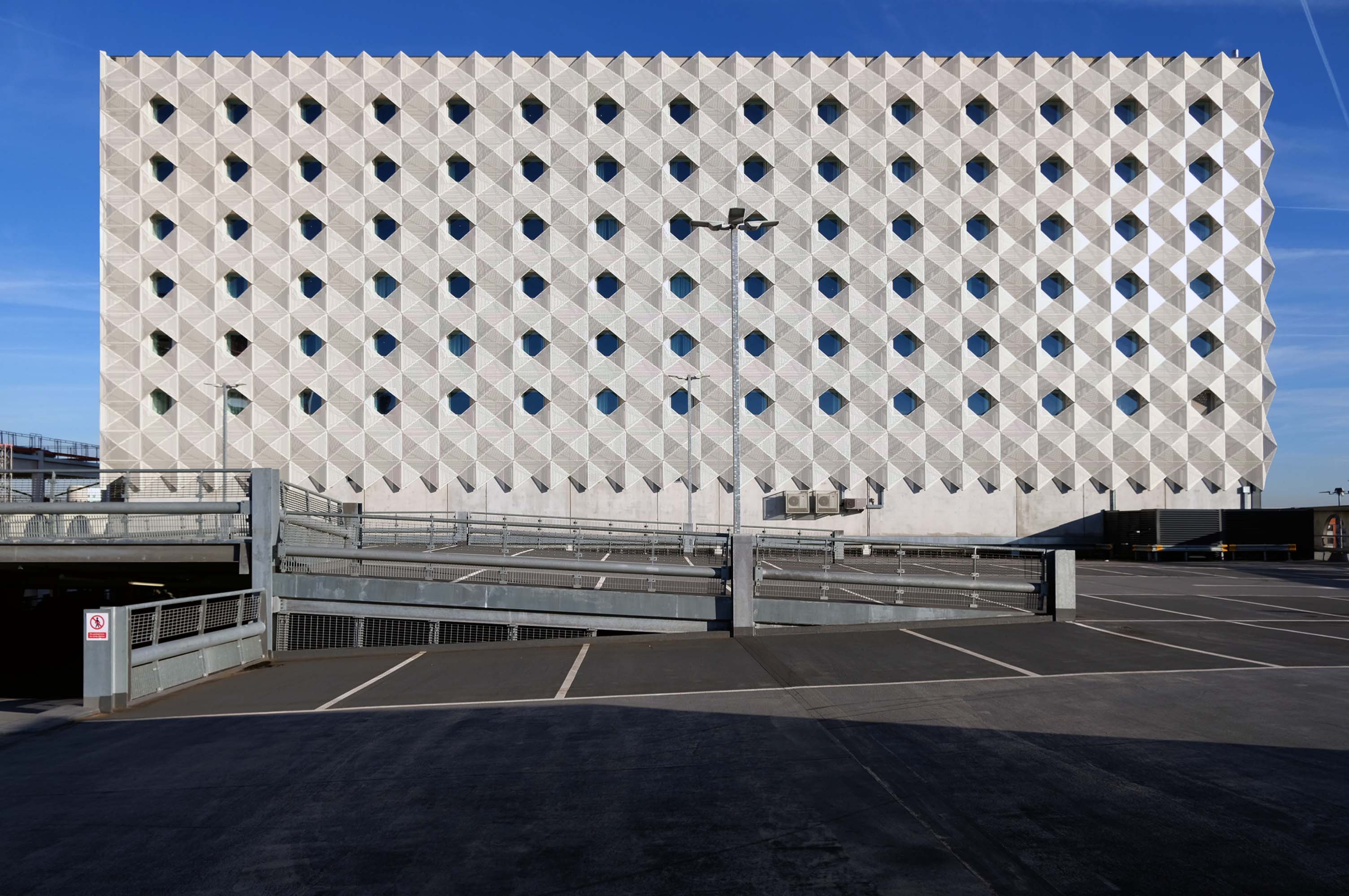
The Manchester Airport multi-storey car park is one of the largest car parks ever built; in fact, it’s the second largest in Europe. This mega-park was designed to house a staggering 8,000 cars, split over a six-level facility that stretches out over 330 metres.
In the city centre NCP has over 13,000 car parking spaces across 43 sites
Good location but the access to the shopping centre is dirty. Lifts dirty – discarded soiled underwear, urine, spit and rubbish in the lifts. Car park also full of litter.
The most unnecessarily complicated ticketing system I have ever seen for a car park. Designed to fail so that the system can fine you. Beware. Better avoided for overseas visitors
Immerse yourself in the eclectic vibe of the Northern Quarter, the heartbeat of art, culture, and urban lifestyle. Whether you’re heading to its vintage shops, art studios, or chic cafes, finding the cheapest, best parking is paramount.
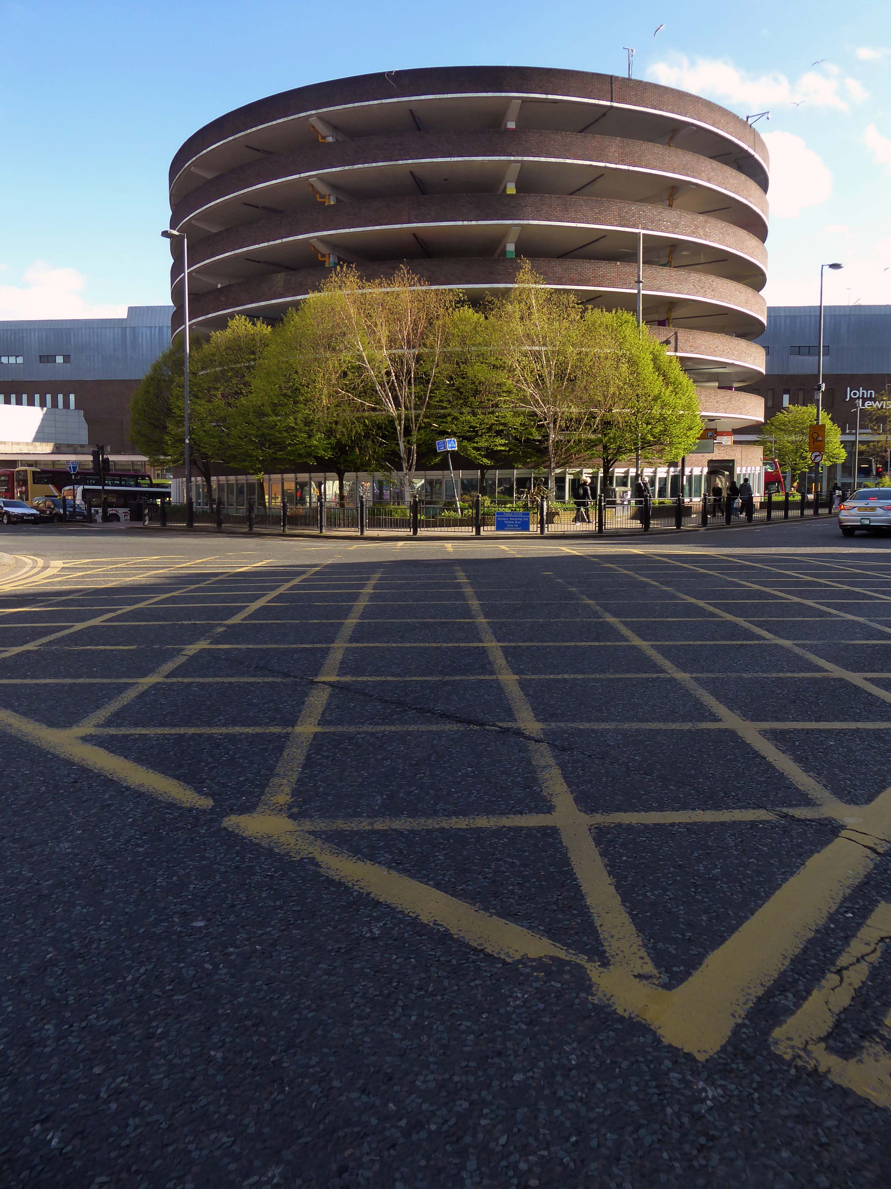
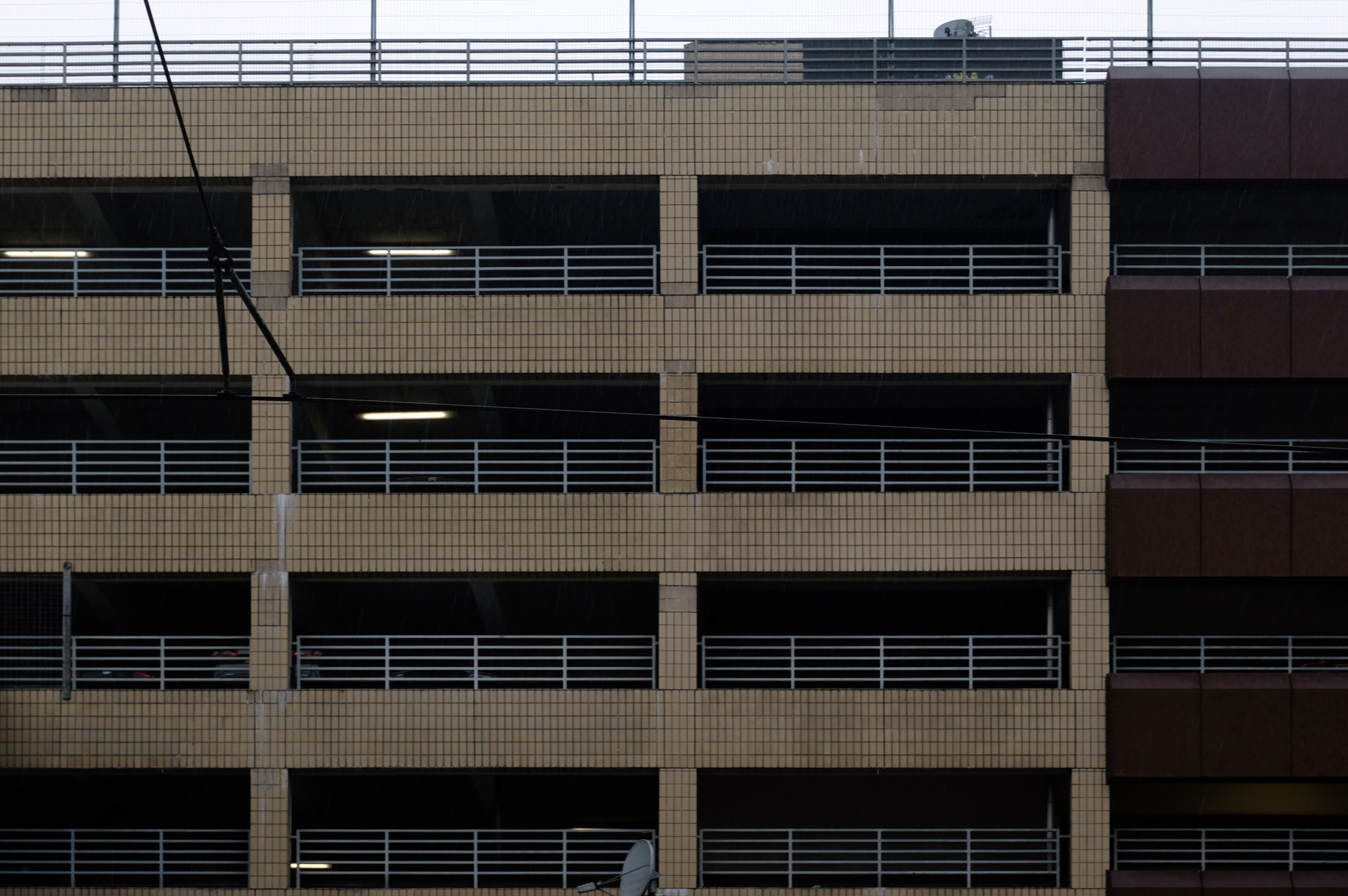
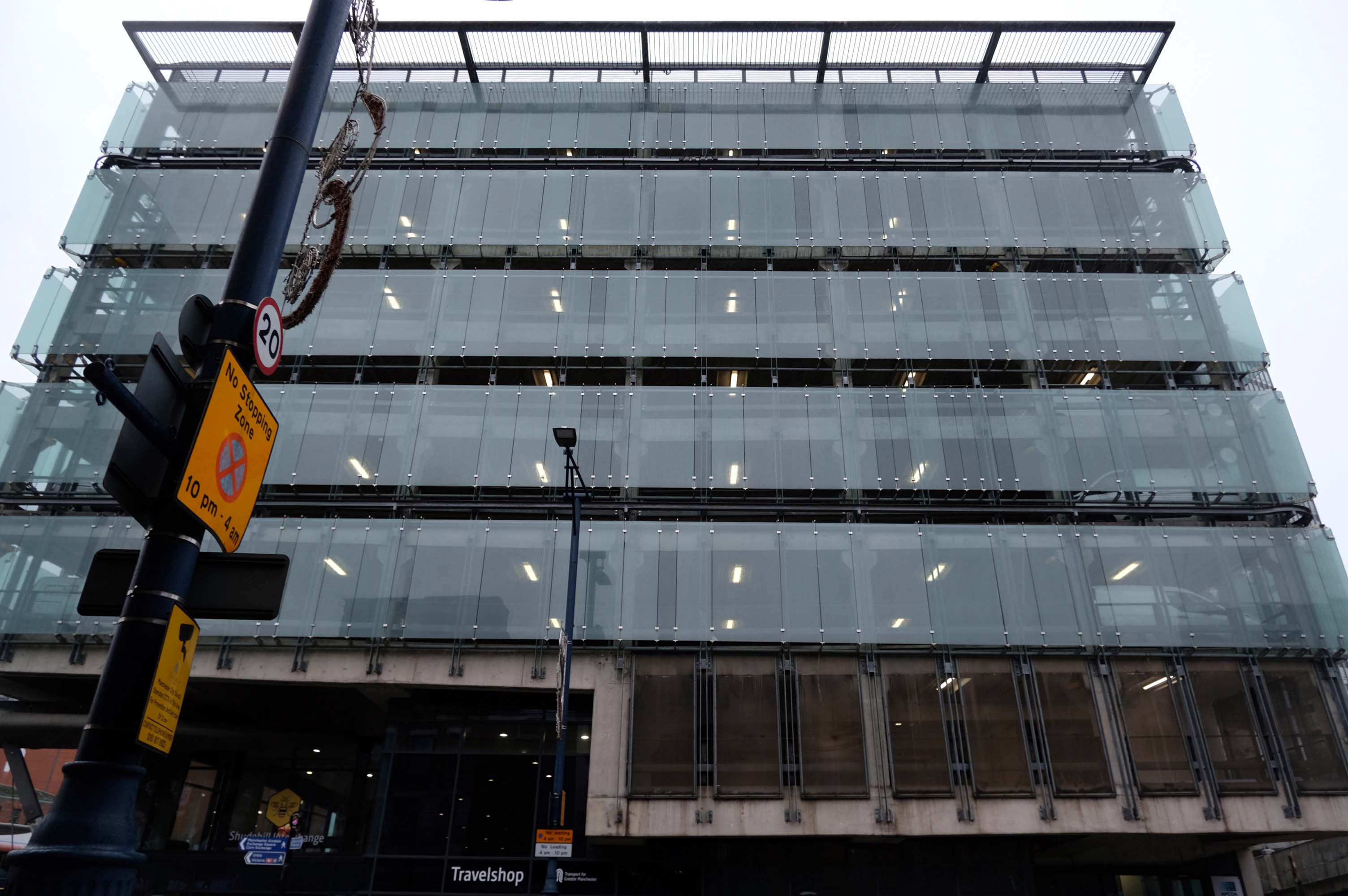
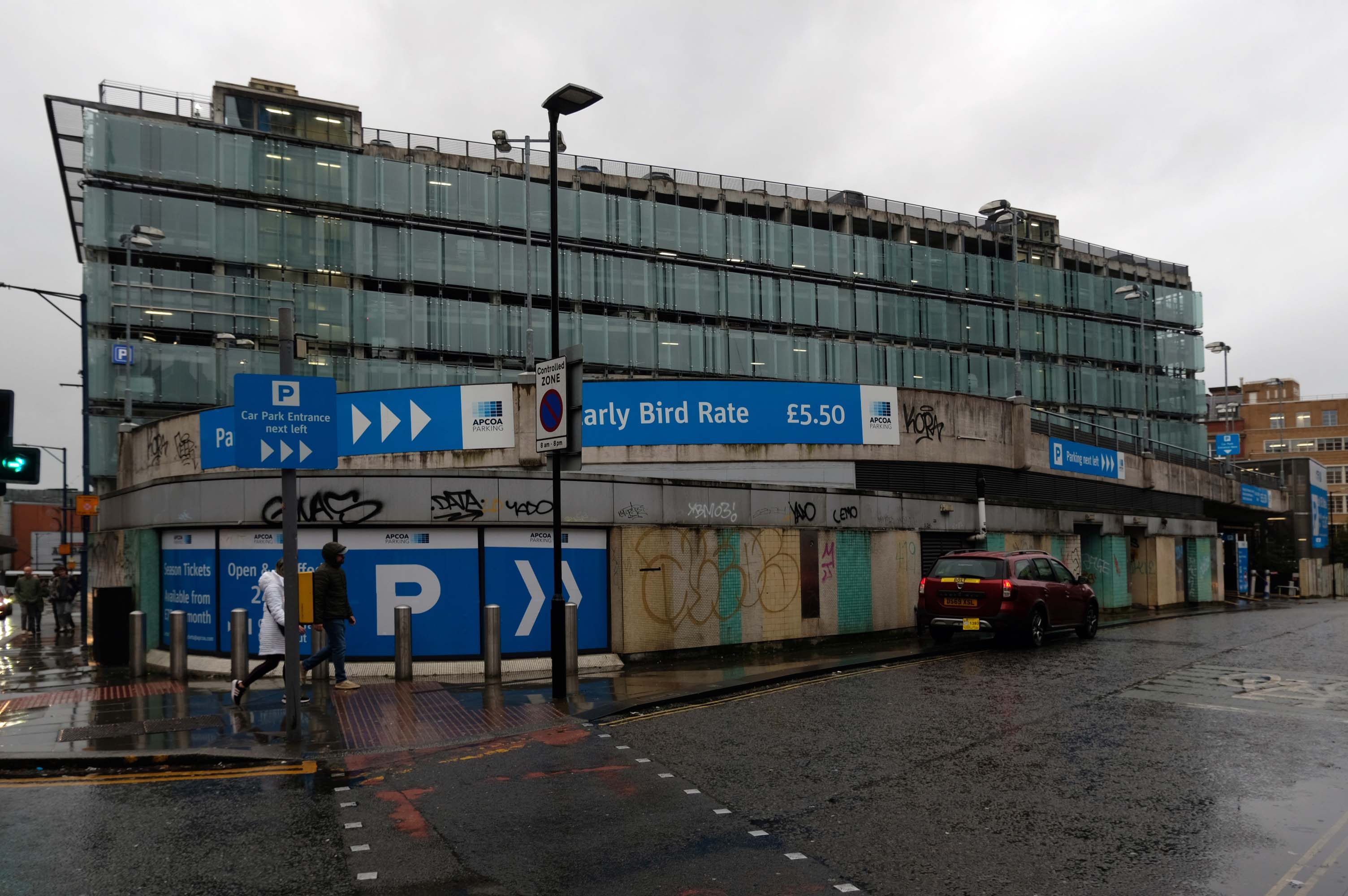
The Shudehill Interchange car park and bus station, designed by Jefferson Sheard Architects working with Ian Simpson, replaced the former Cannon Street bus station, under the Manchester Arndale; since the redevelopment of Manchester city centre, the latter has disappeared along with Cannon Street itself.
Great location but narrow roadway between floors. Pay in advance so you need to know how long you’re staying for.
£20.40 for 4 hours is expensive but you are minutes from Deansgate shops.
Only given one star because there wasn’t an option for zero. Not secure, car broken into theft of personal effects, pedestrian gate was un locked, no CCTV that I could see anywhere. Cost me over £25 to park for 6 hrs and lost over £200 of personal effects, complained to council, no response. Wouldn’t park here ever again.
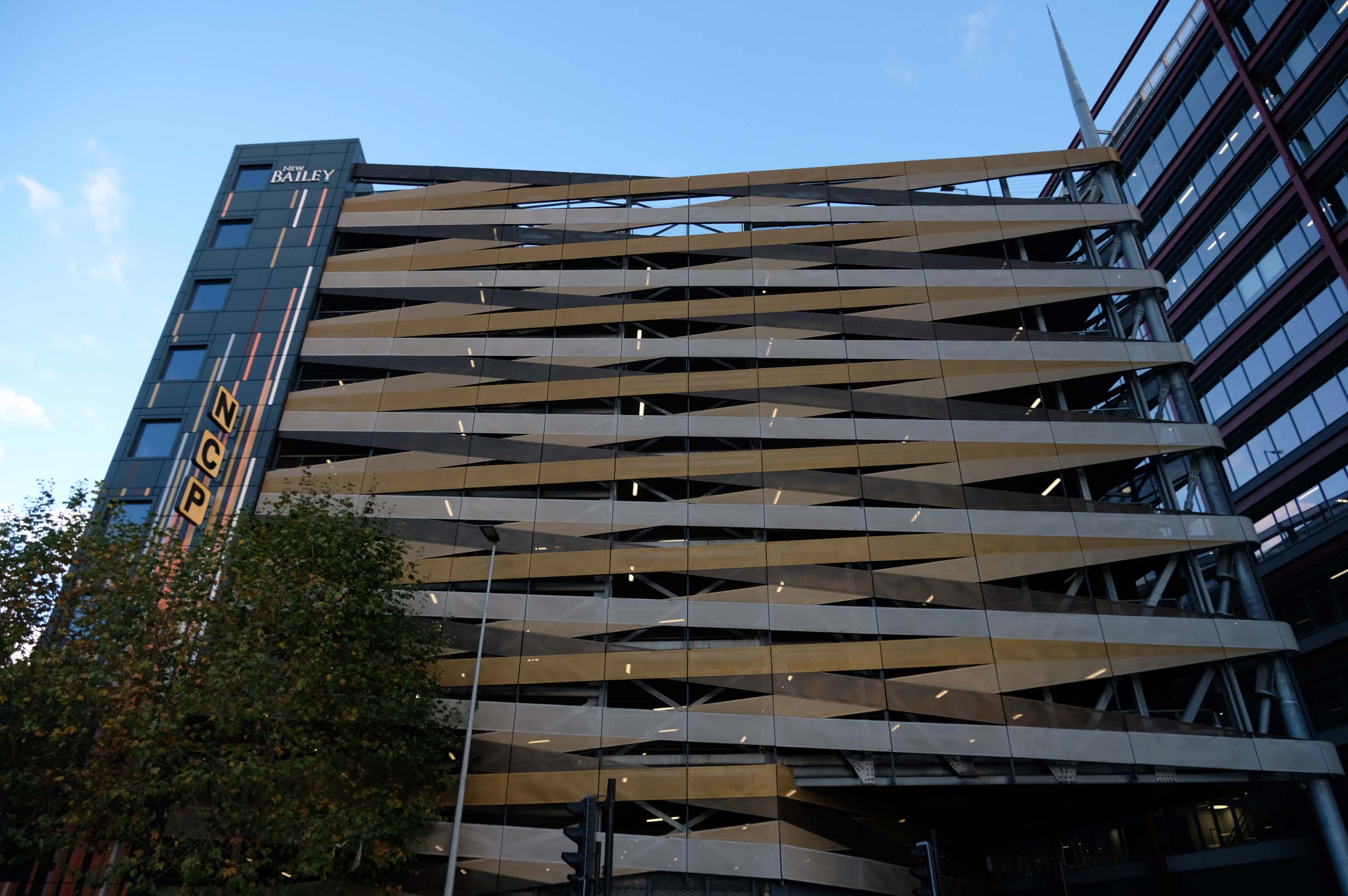
Maple gave architects Aedas RHWL the freedom to express themselves on a prominent multi-storey car park development in Salford. Their imaginative design created a great concept – the nine storey New Bailey car park appearing to be wrapped in ribbons that echo the lattice patterns and intersections in the ironwork of nearby Victorian bridges.
A good, clean and modern carpark. Easy to navigate and sensibly sized spaces. The only downsides are that it’s not cheap and getting into it from Trinity way is hard, as the traffic blocks the junction meaning it takes may cycles of the traffic lights to get across the junction.
Part of the Piccadilly Plaza development of 1965 by Covell Matthews and Partners
Nice central location with a large entrance so you dont have to risk scratching your car as you pull in. Found there was a lack of signage to direct to nearest pay machine or walkway exit. Also had trouble when it was time to pay. I typed in my registration and yet it wasnt recognised and so I had to estimate my time of arrival. I ended up paying £10.50 for around 3 hours, which probably is the going rate for city centre parking.
Sadly after seeing several reviews that cars were broken in to, I would certainly reconsider parking here in future. I got lucky here, I had suitcases locked in the car, with several hundreds of pounds worth of travel money.
Worst place to park on earth, we had our car broken int0, everything stolen, it’s common knowledge that the drunks in the town hang around the car park to steal and then use your cards to buy their booze
Secure and easy to find while driving, struggled to get back in through side door, had to walk up the ramp.
Expensive.
Stairwell stinks like piss and I’ve seen homeless people sitting in there. Doesnt feel safe.
Great car park, security is great, right in the city centre above the bus station that goes Scotland to Cornwall, Wales to Norwich and many more, Manchester city centre literally with Piccadilly Gardens around the corner.
Great car park we use all the time in Manchester, easy to book online, no messing with cash machines. Takes your car reg by camera for easy access in and out. Plenty of spaces mainly upper floors, just tight around corners.
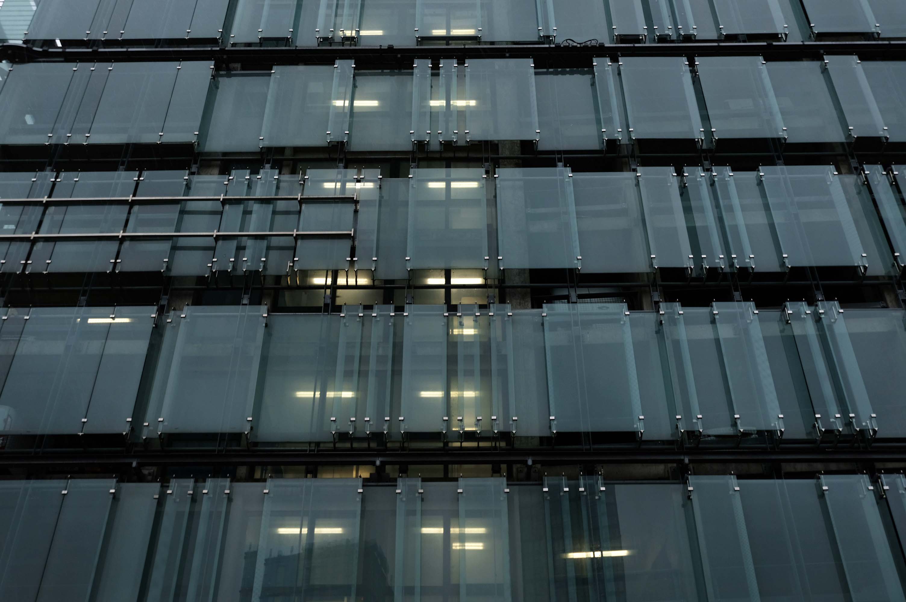
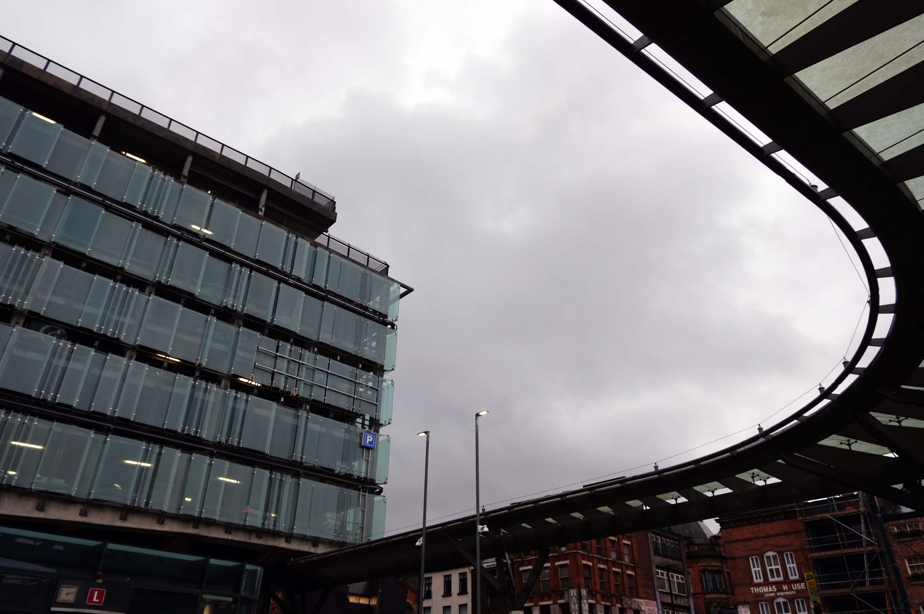
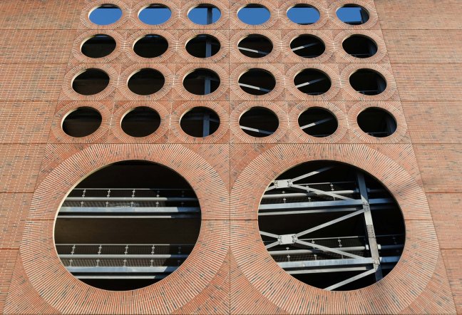
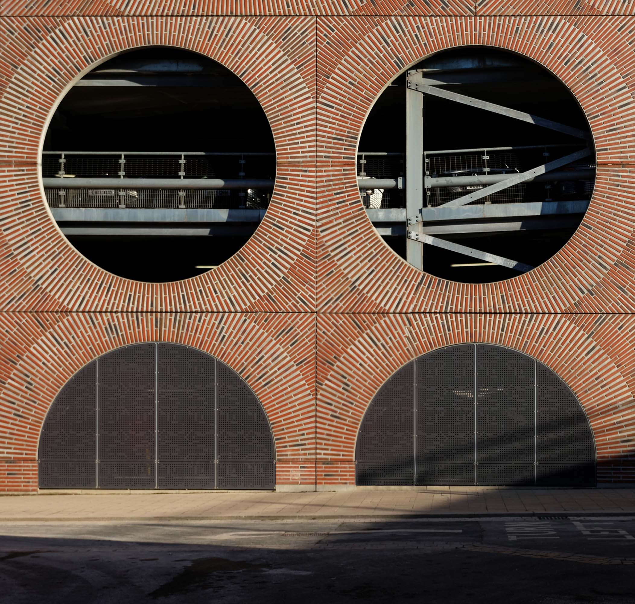
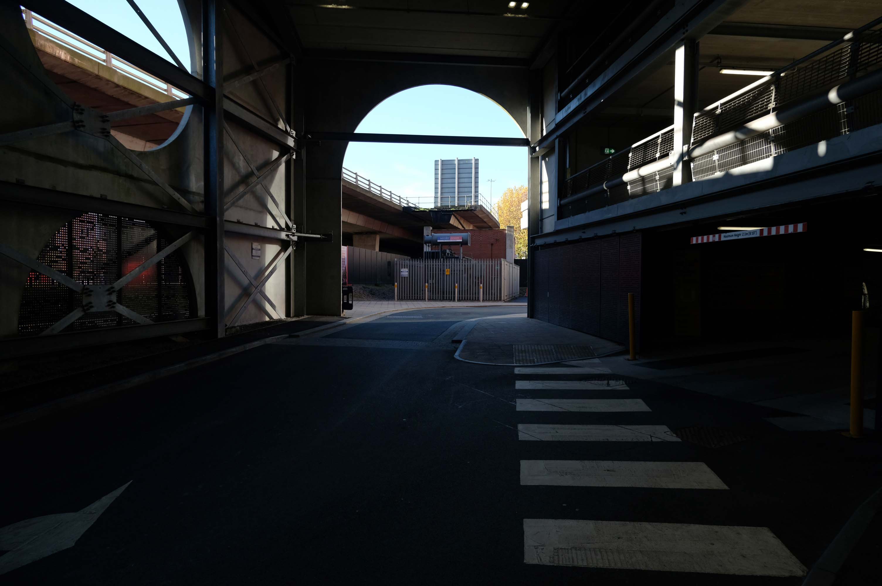
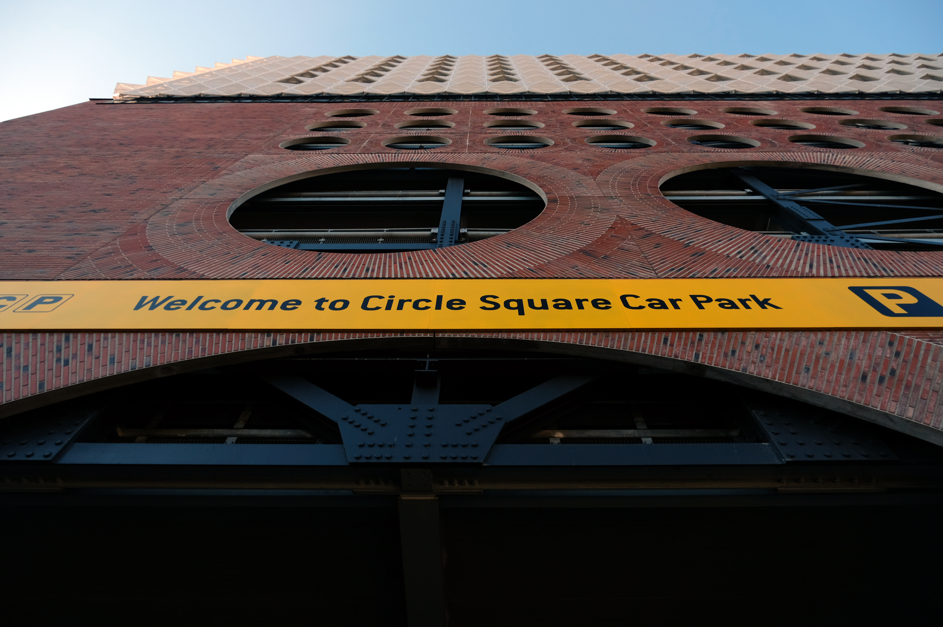
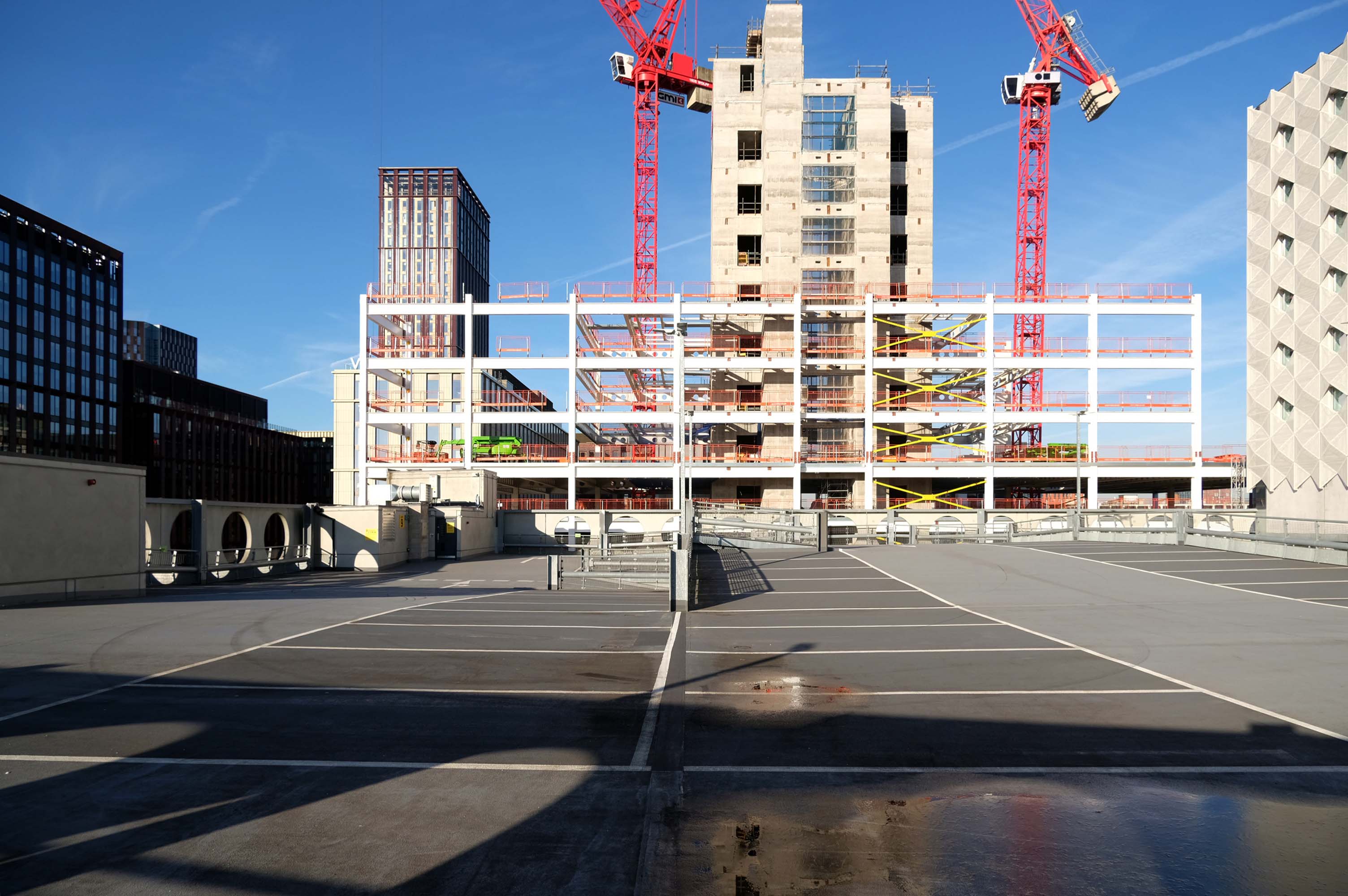
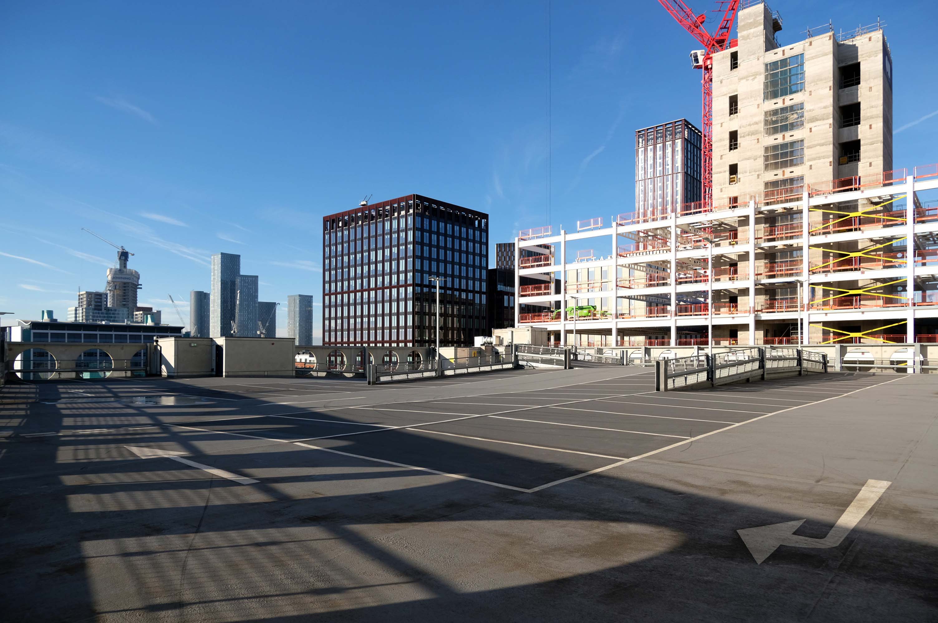
Fielden Clegg Bradley were concept architects while Leach Rhodes Walker were delivery architects.
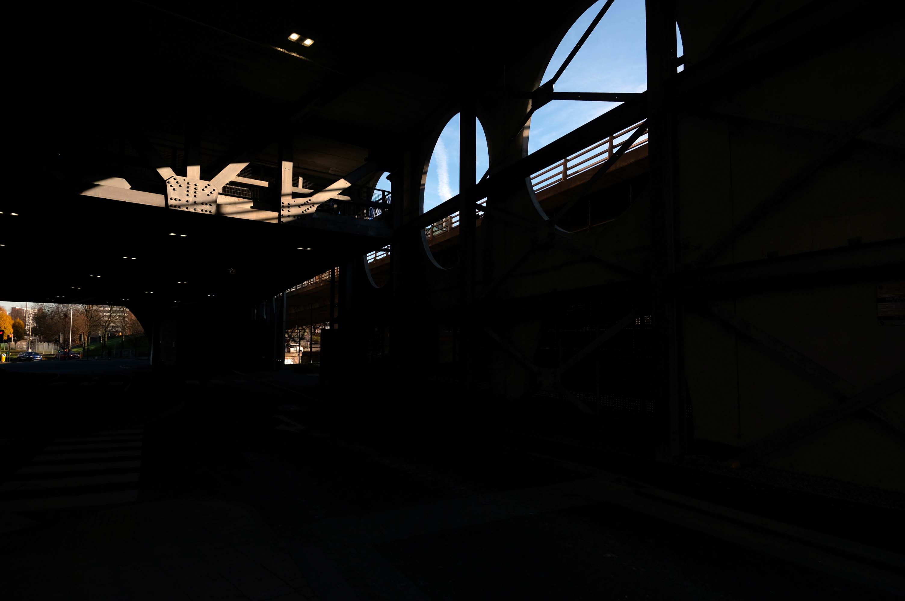
A series of four × two-storey-deep lattice girders and a single one-storey girder, all measuring up to 27m-long, span over the zone where the underground pipes are located. In these parts, the car park has no first-floor level as the local water board needed a 5m ground-to-ceiling clearance in case they had to undertake any maintenance works. Consequently, the first floor is only a partial level and is set within the depth of the larger lattice girders, as is the second floor, while the third level is supported on top of these members.
Supporting a hotel would be challenging enough, however the design has also had to incorporate large bridging elements as there are two subterranean 600mm-diameter water pipes crossing the site. “It’s a very unusual design and one that was originally designed as a concrete-framed structure,” says James Killelea Senior Structural Engineer Charlie Twist. “However, the bridging parts would have proven to be too difficult to build and consequently a steel-framed solution was chosen for the car park, which in turn supports a precast concrete hotel.”
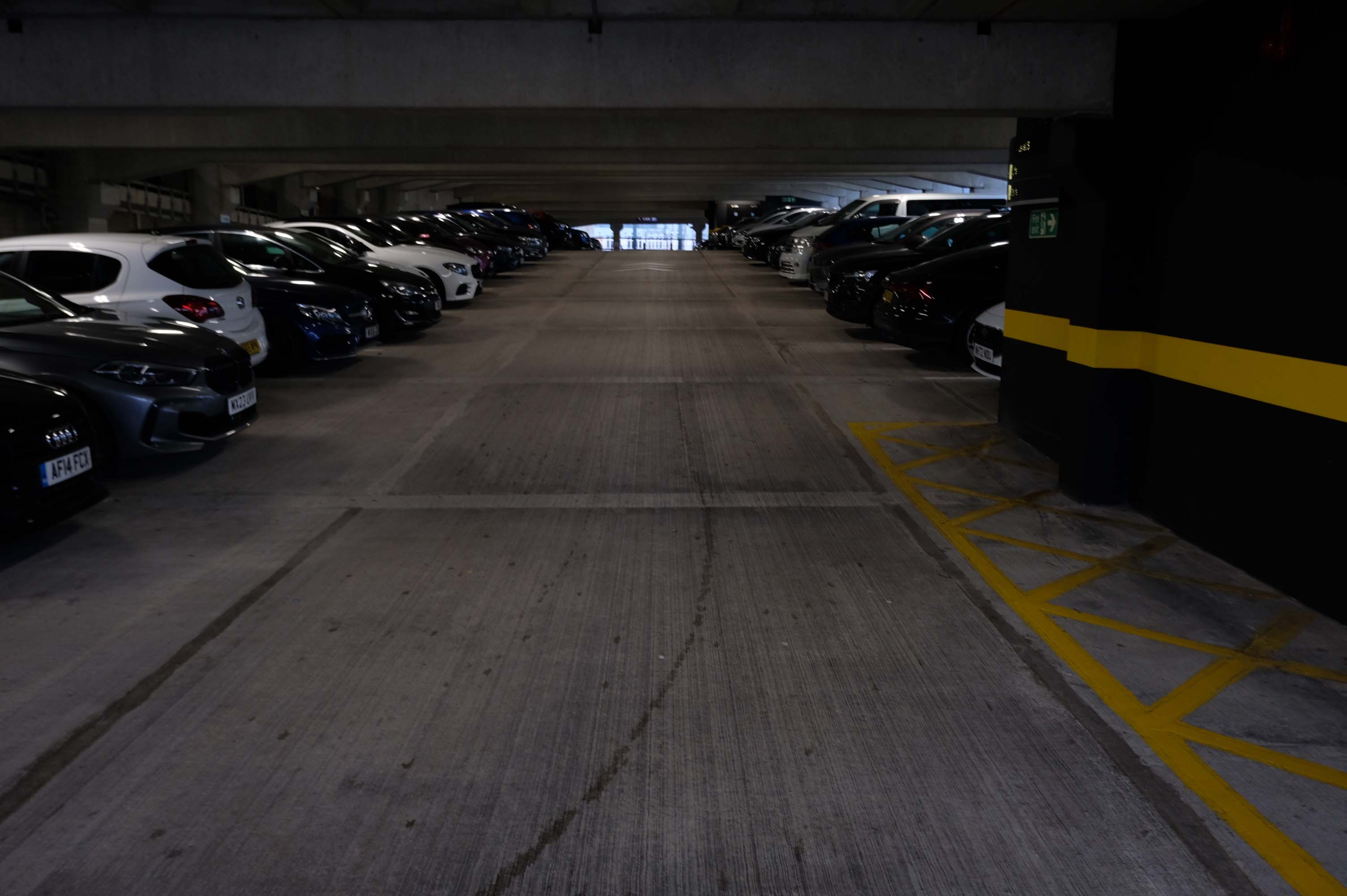
This car park is one of the cleanest and most well maintained in Manchester.
JHA Pulmannwere commissioned via network rail to deliver an extension to, and re-cladding of an existing 1970’s concrete frame carpark outside of Manchester Piccadilly station.
The carpark is fine but as a lone female arriving off the train in the early hours of the morning, I felt quite vulnerable getting back there. It’s in a very quiet dark place accessed by going through a tunnel going under a bridge.
Easy to find, plenty of spaces and only a short walk to Piccadilly station – great!
Itreplaced the former Cannon Street bus station, under the Manchester Arndale; since the redevelopment of Manchester city centre, the latter has disappeared along with Cannon Street itself.
The project realises a strategy for integrating city centre circulation comprising an interchange for public and private transportation. It unifies stands for buses, a tram stop and multi-level parking for cars, to provide a convenient, attractive and safe public concourse. The high-quality contemporary design establishes a new positive identity for a transport interchange that complements the heritage values of the Shudehill conservation area.
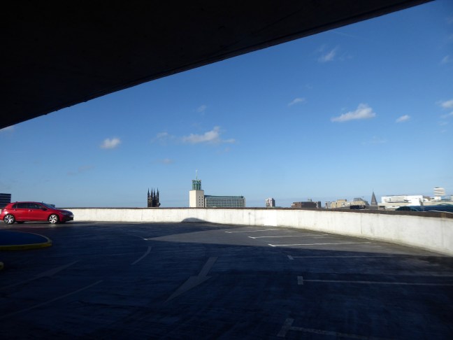
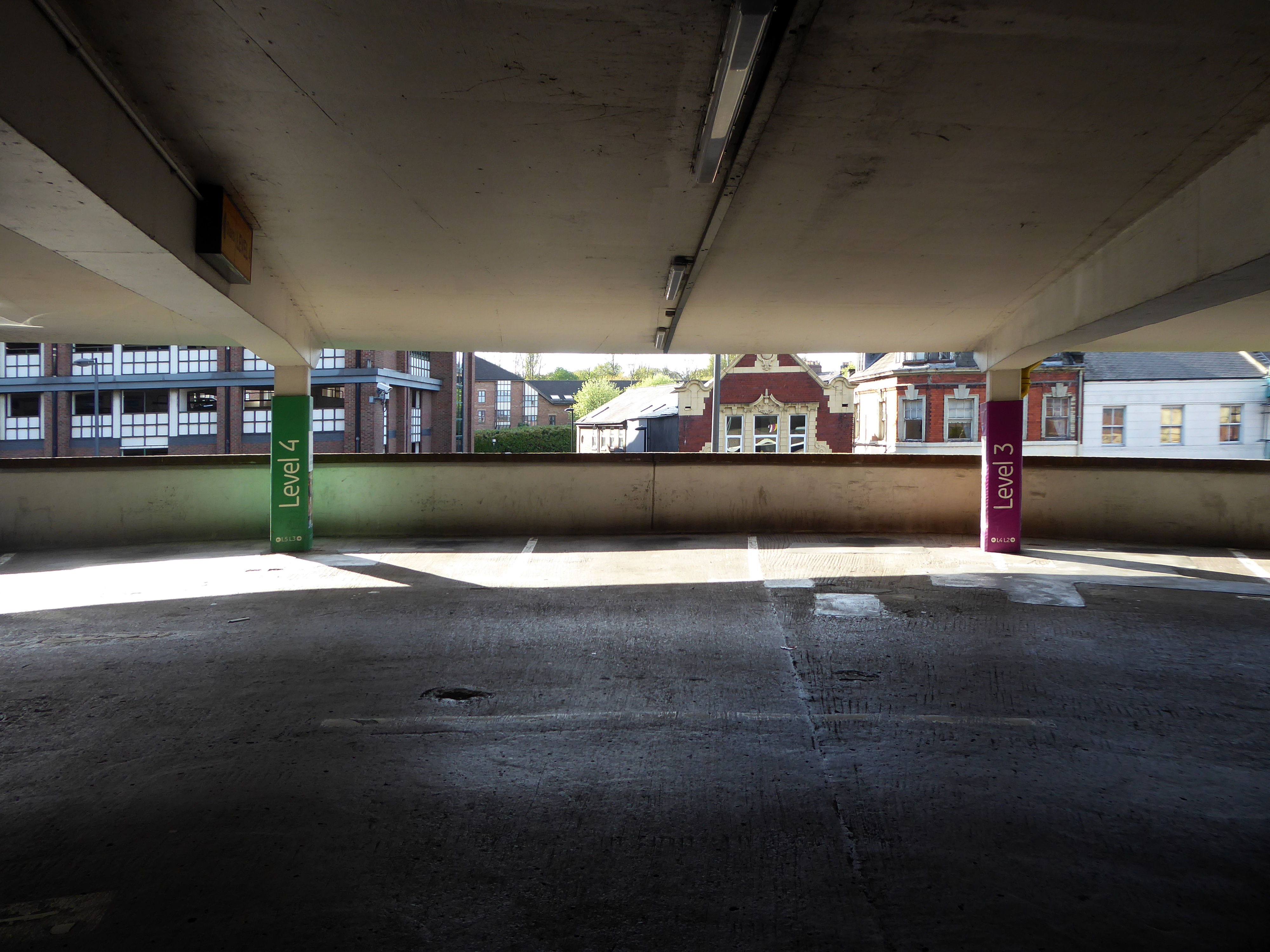
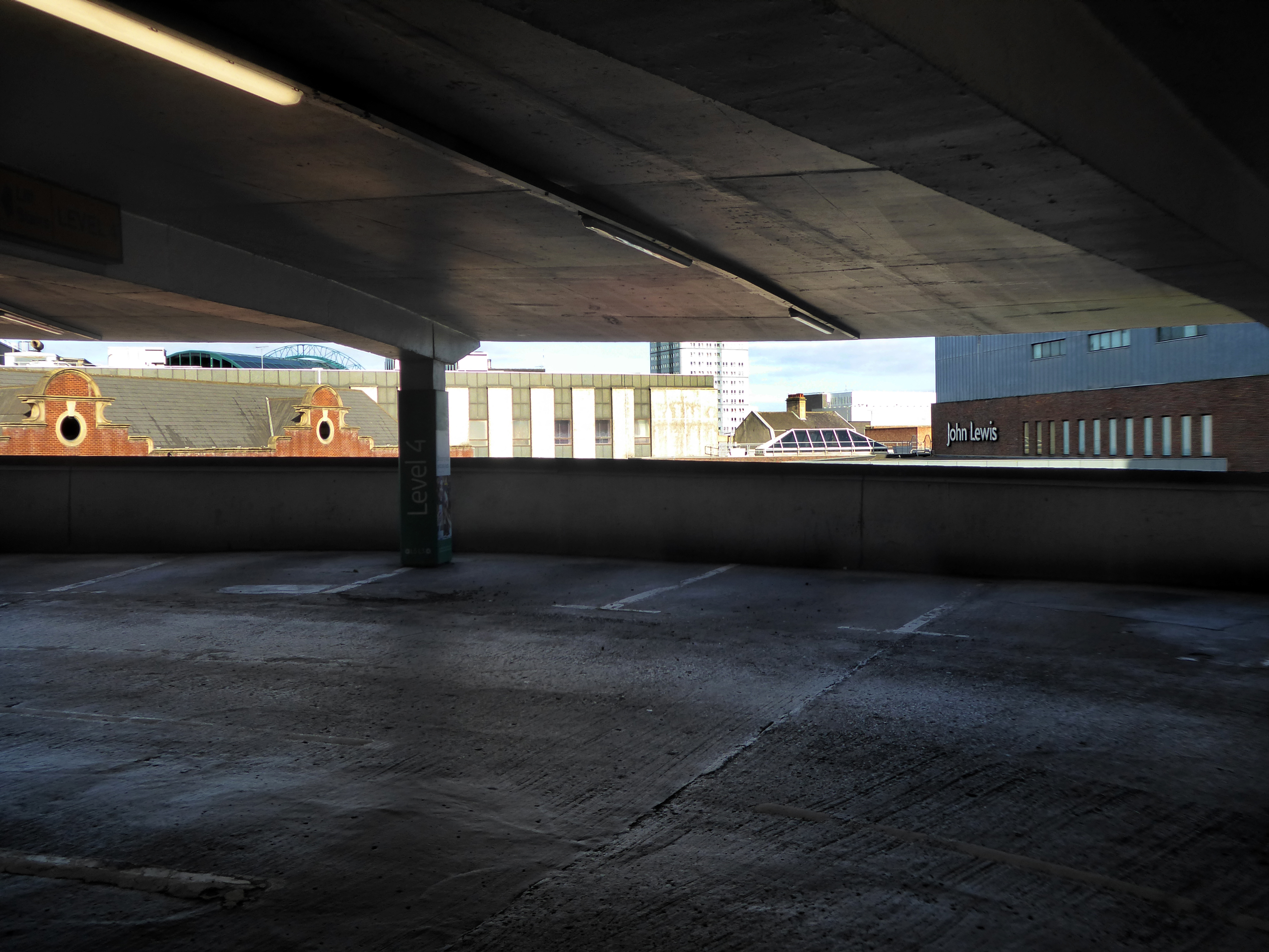
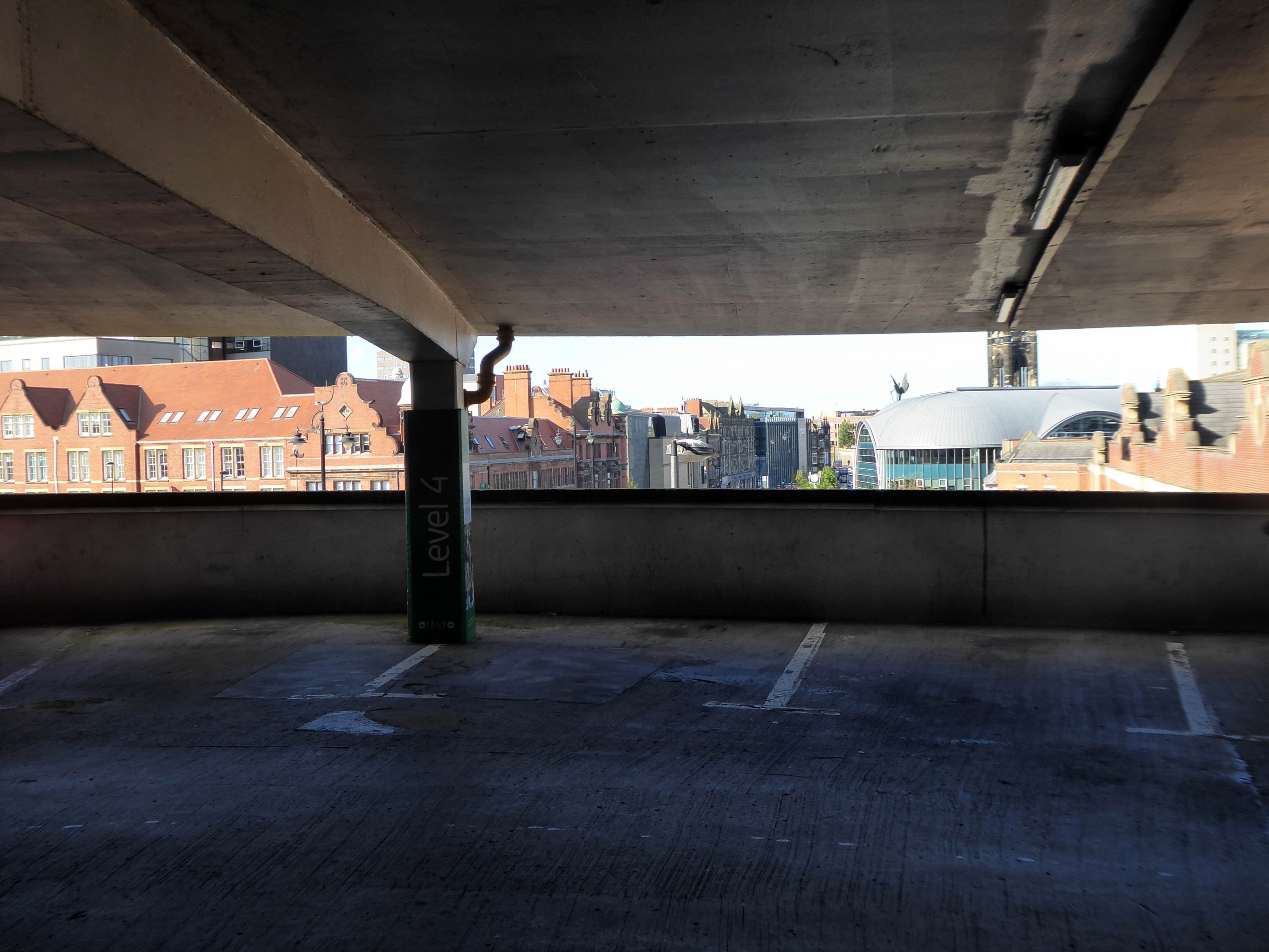
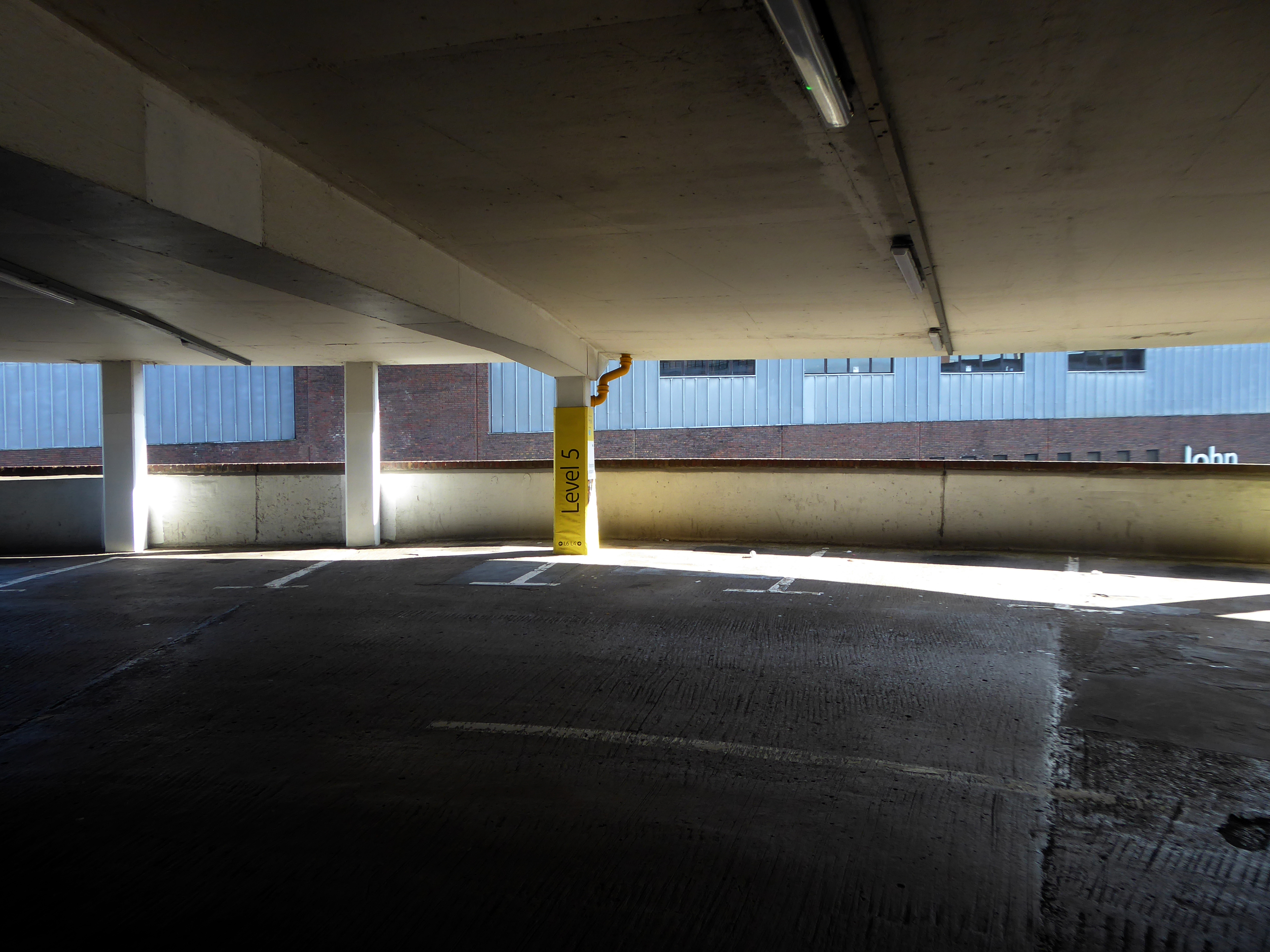
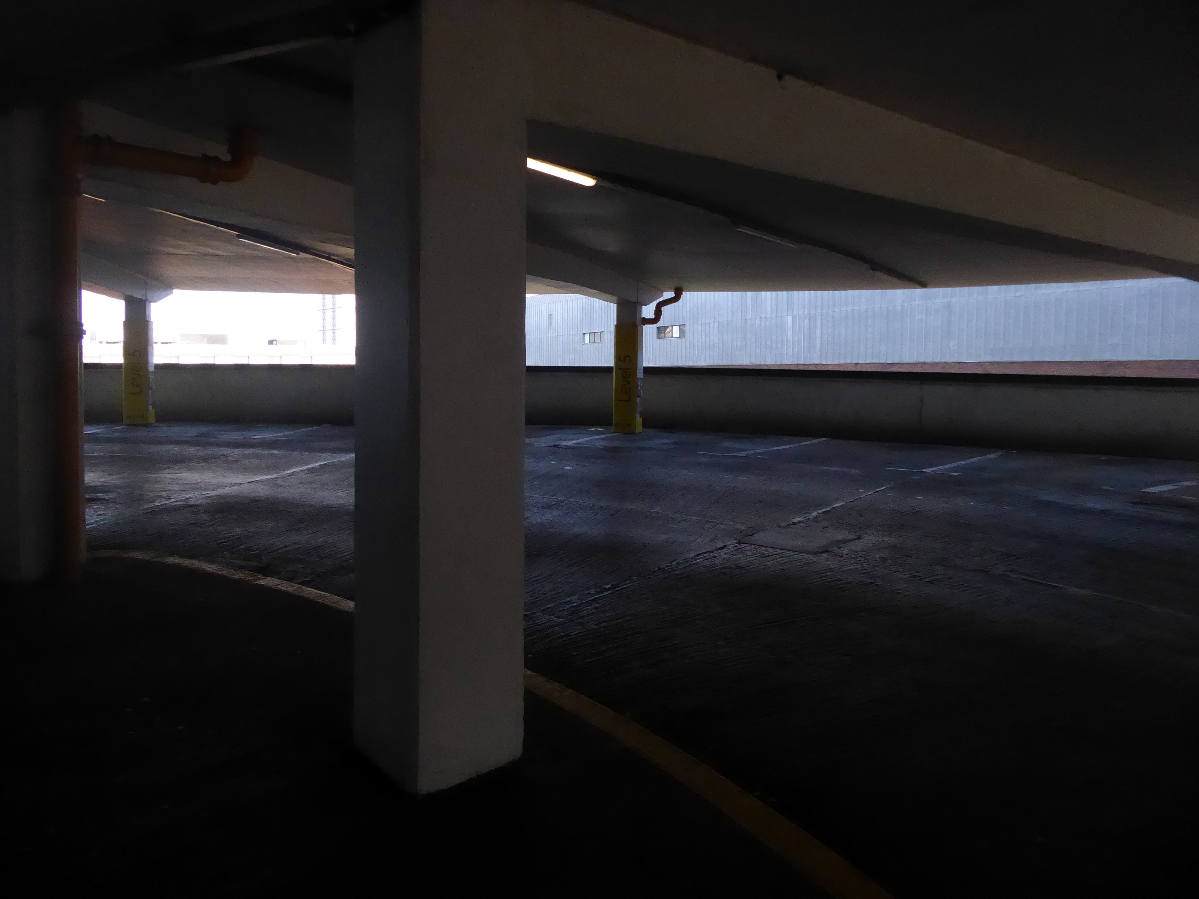
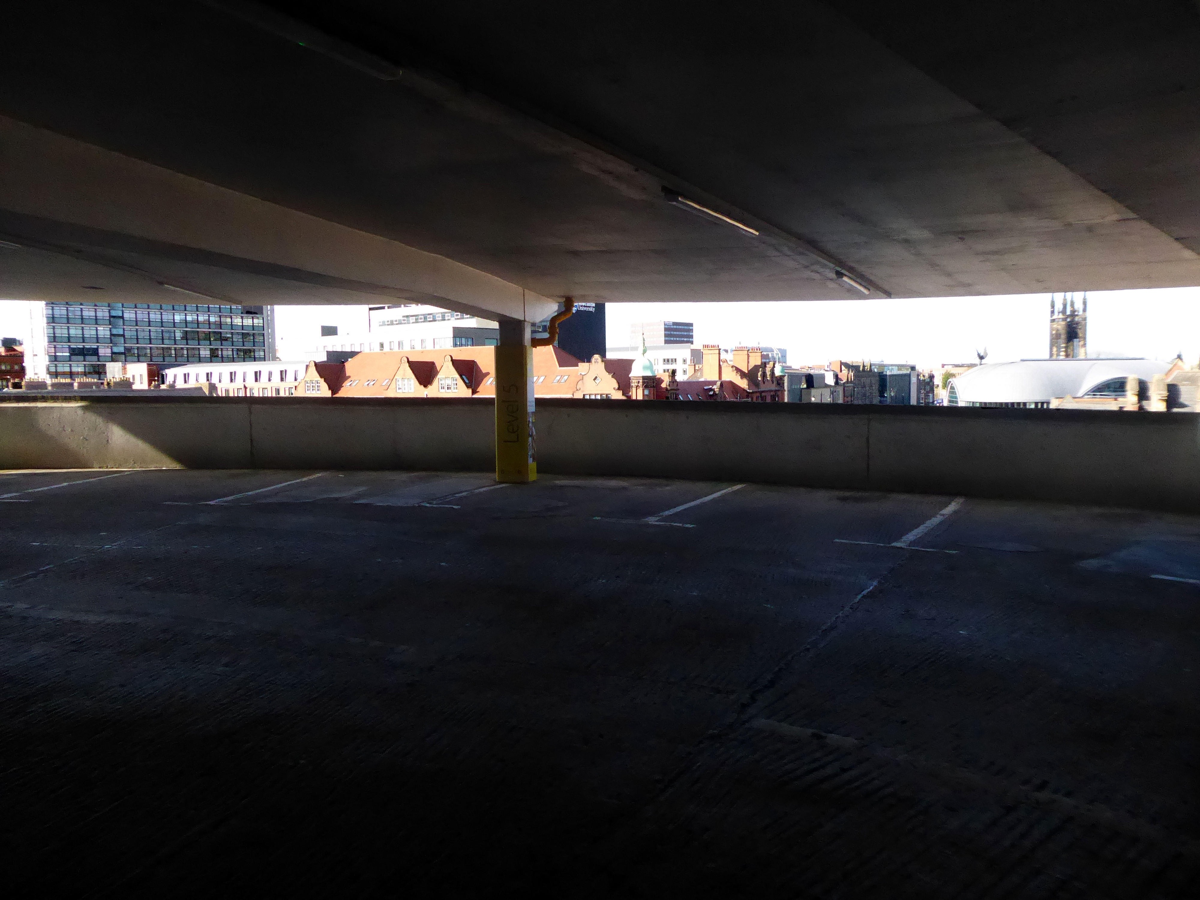
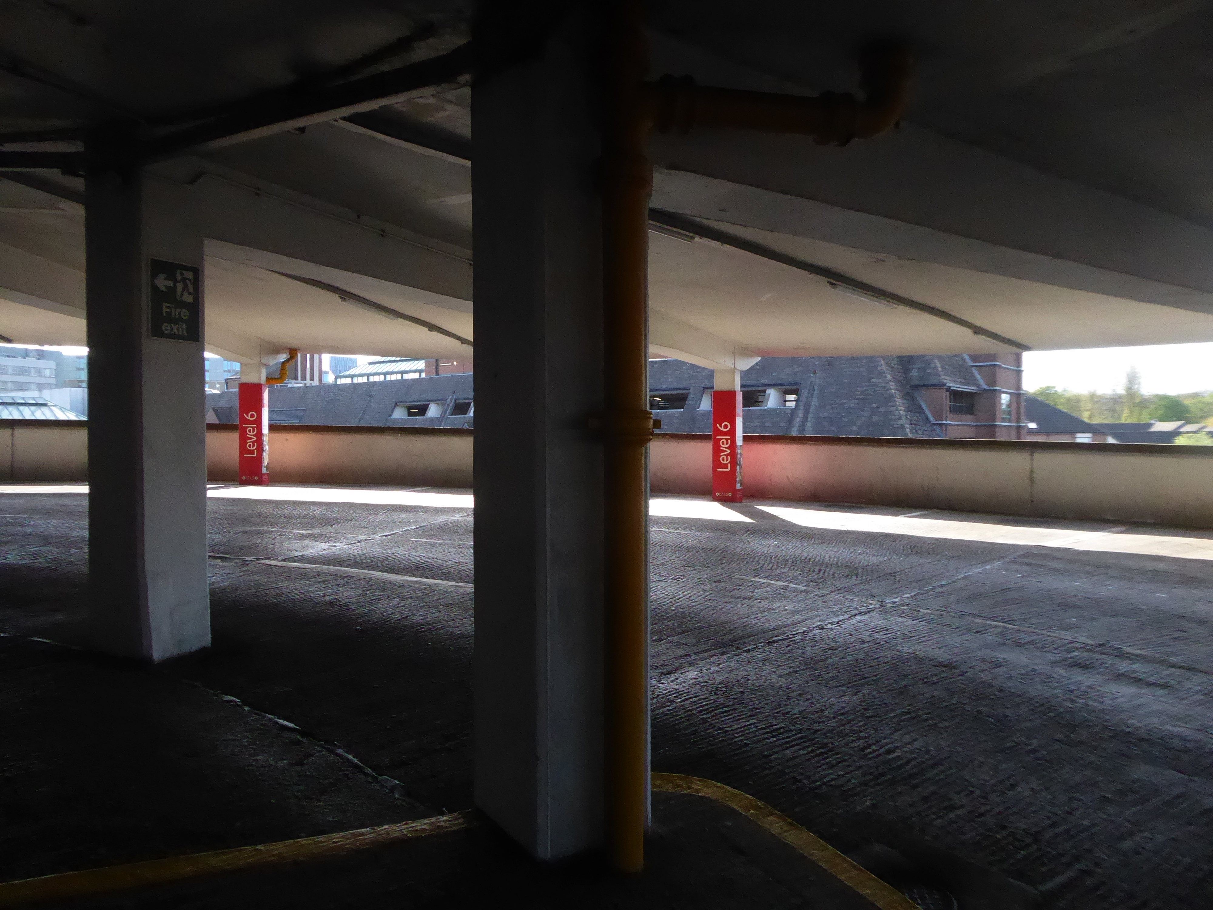
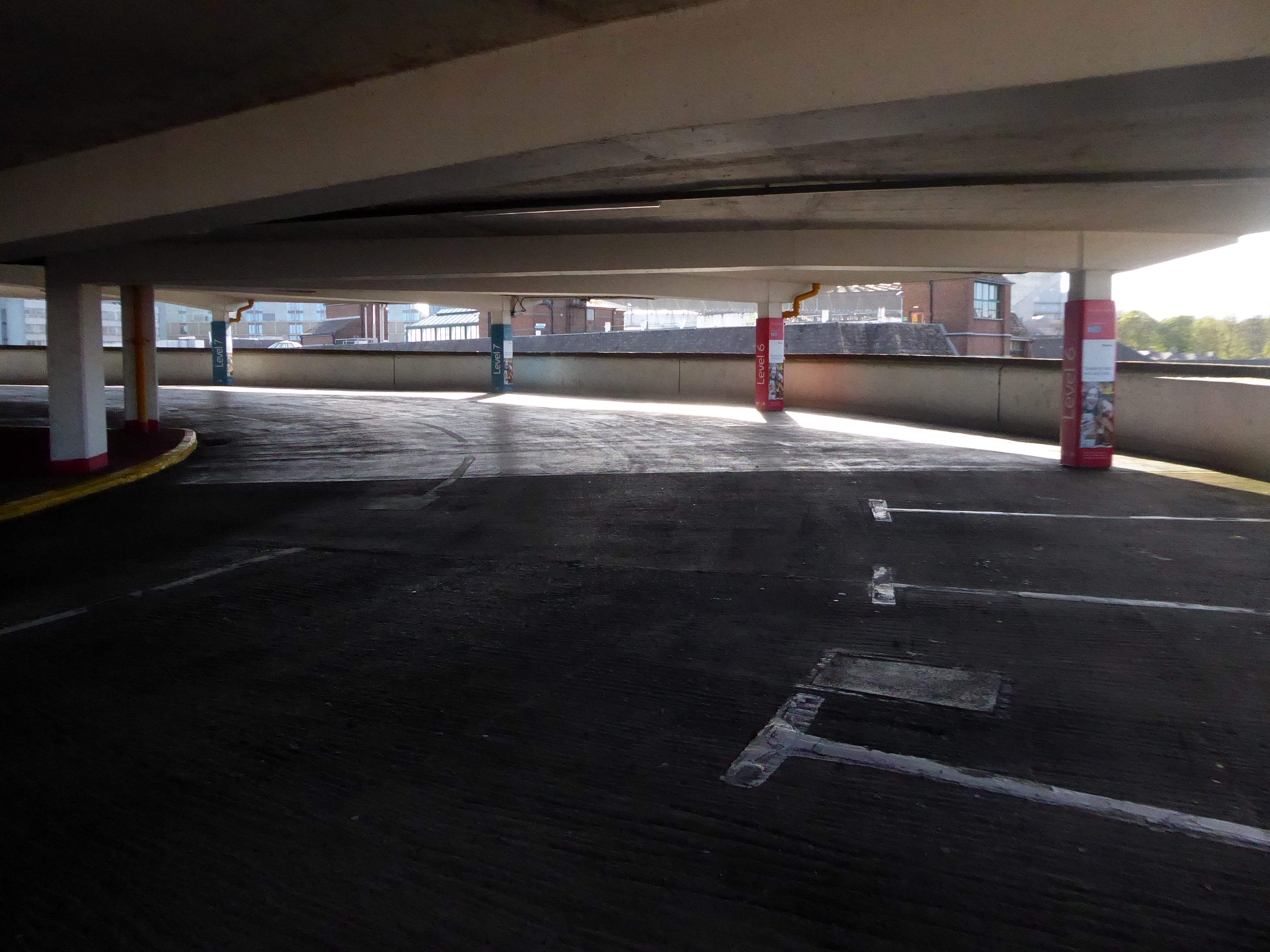
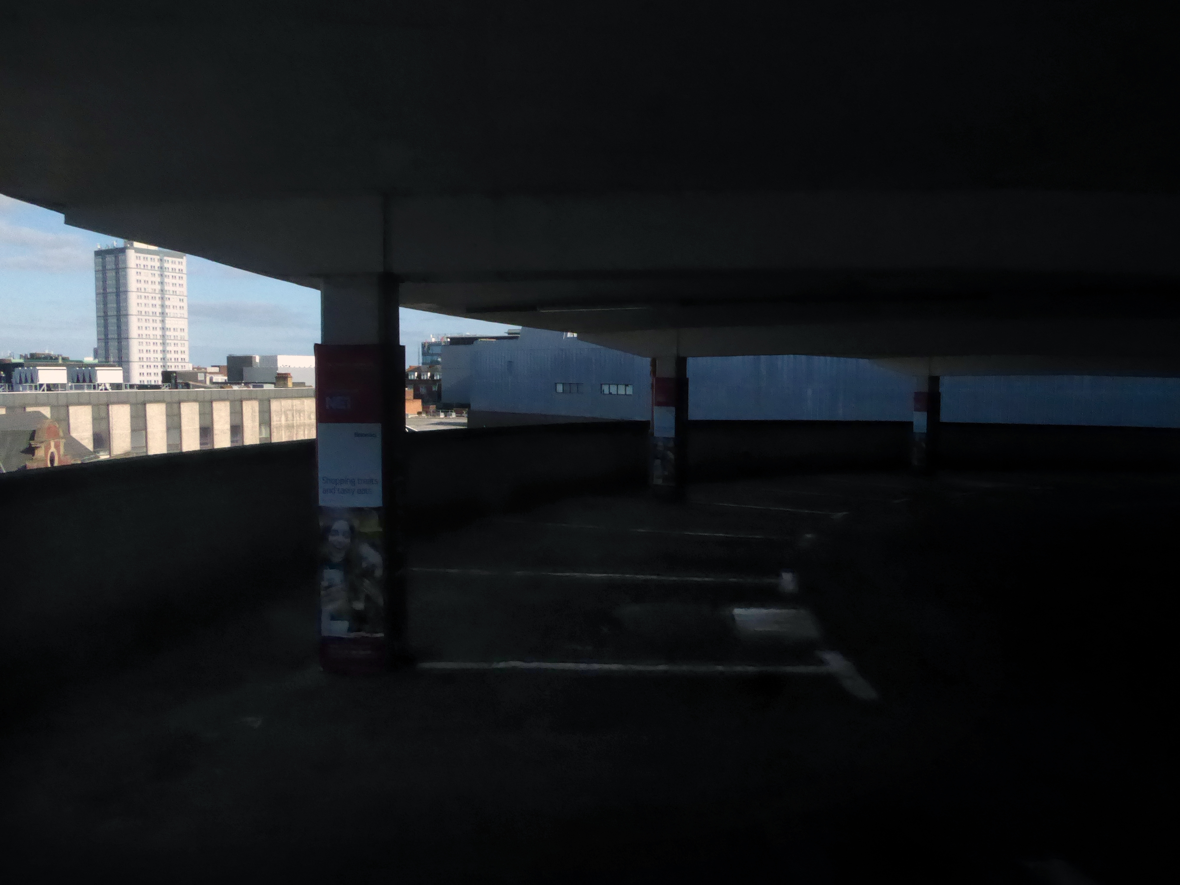
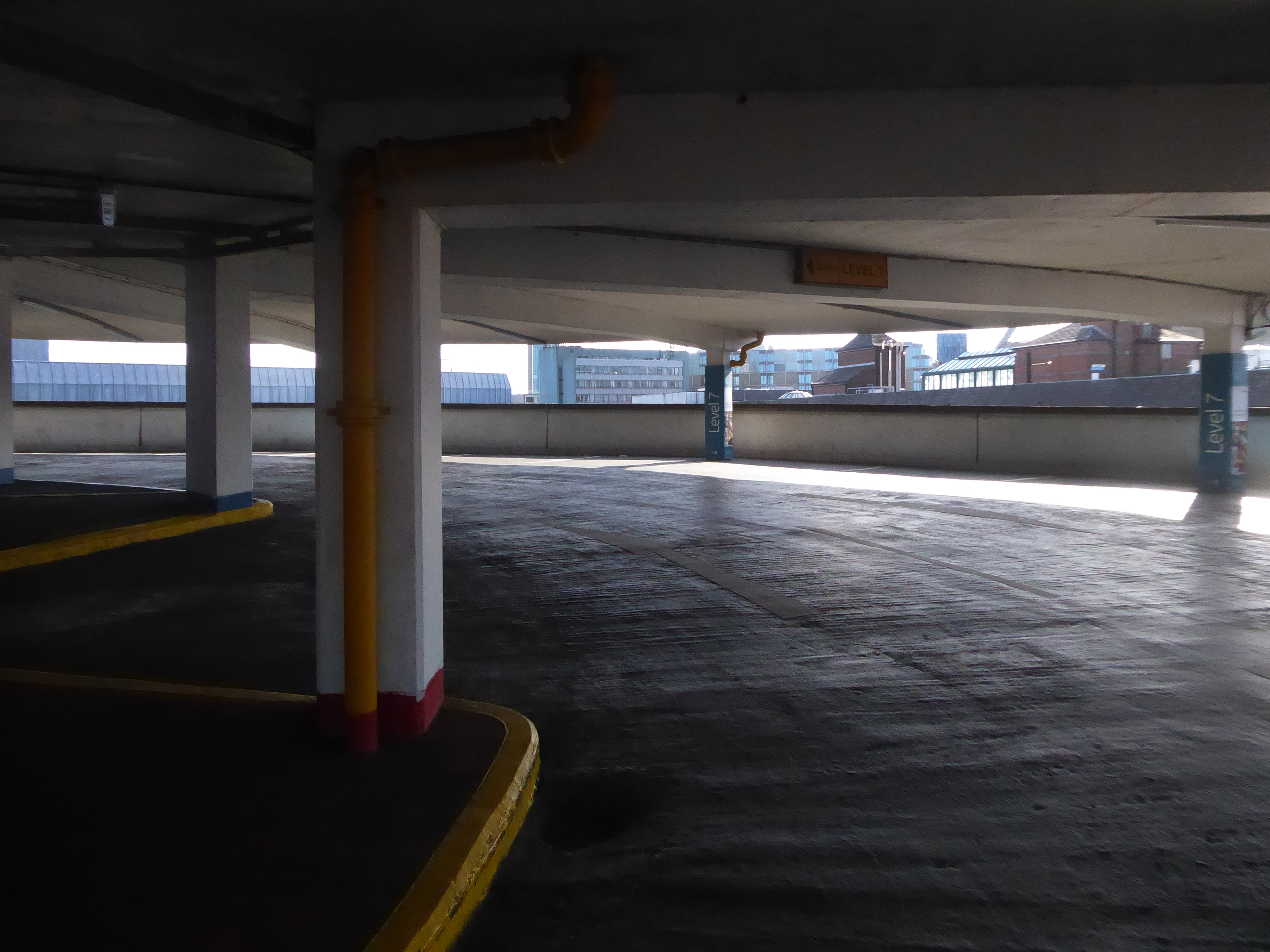
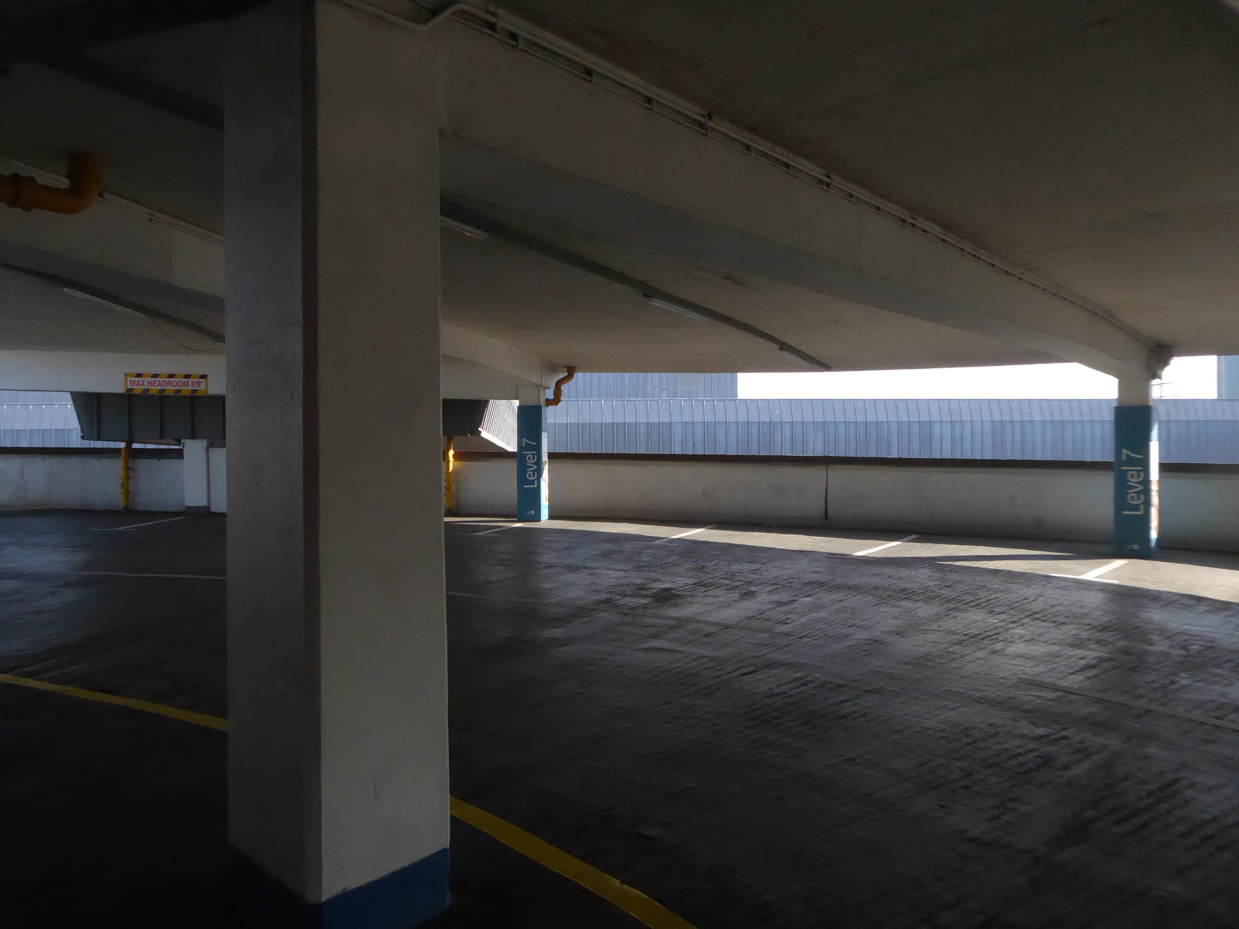
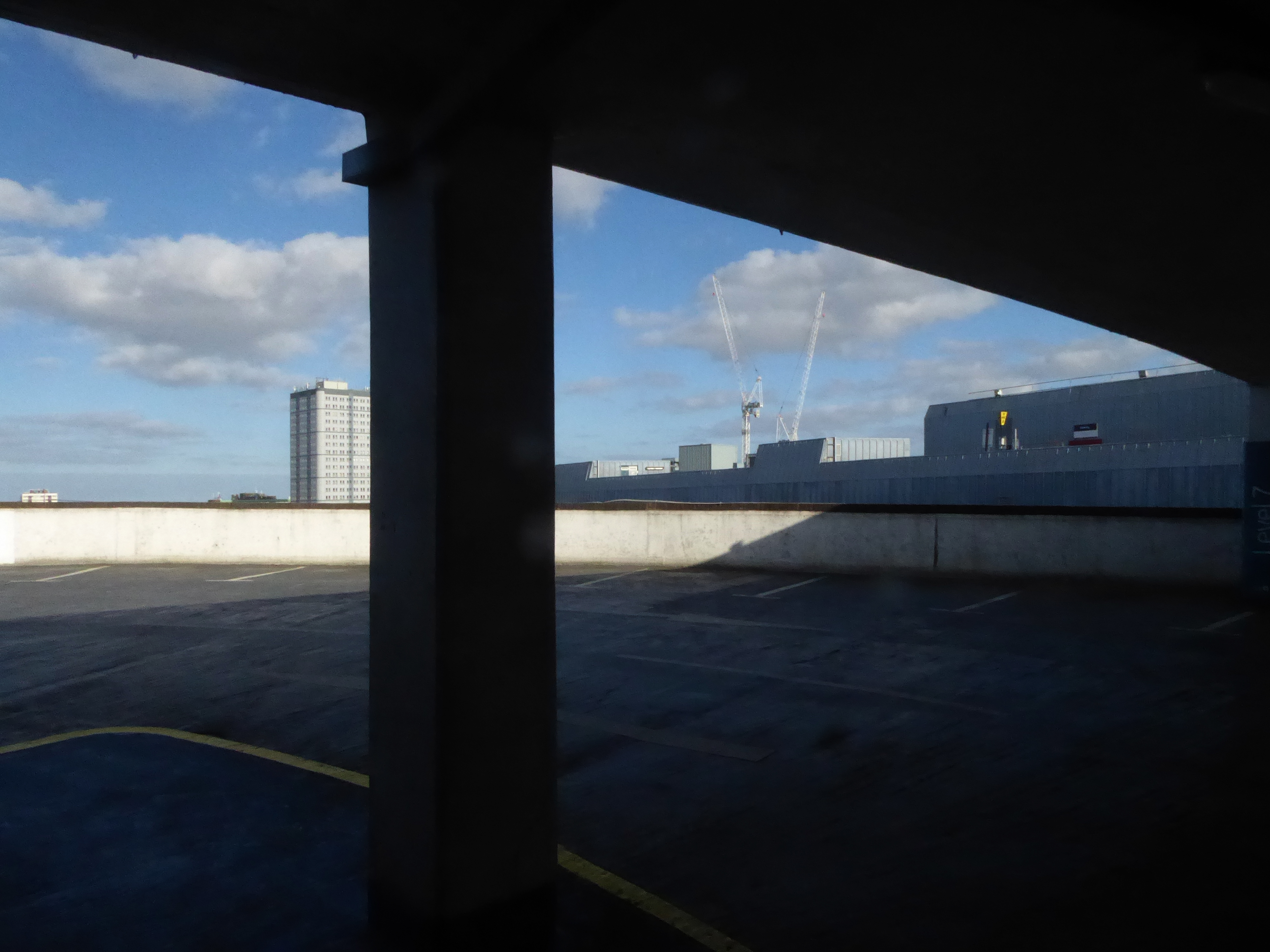
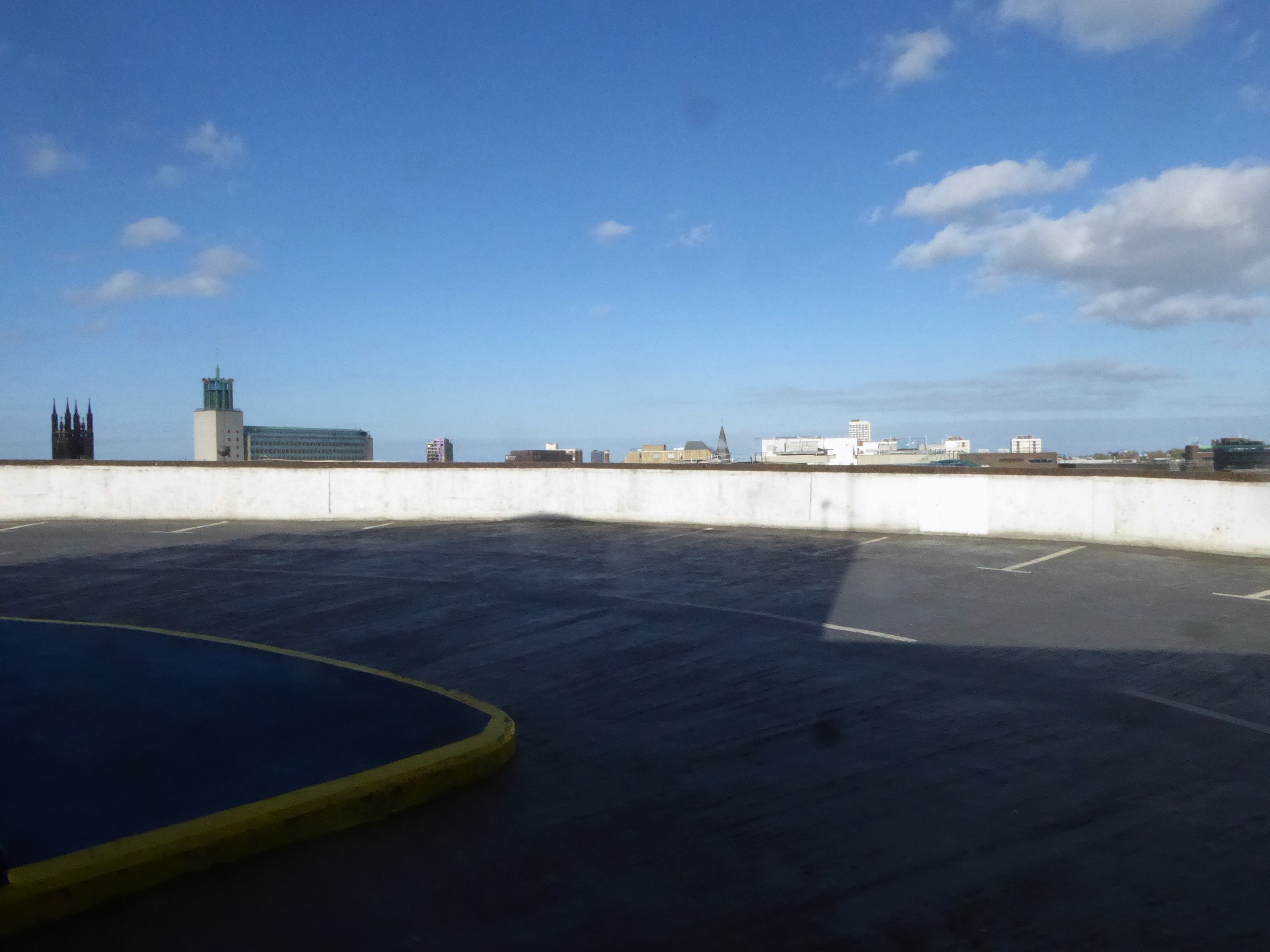
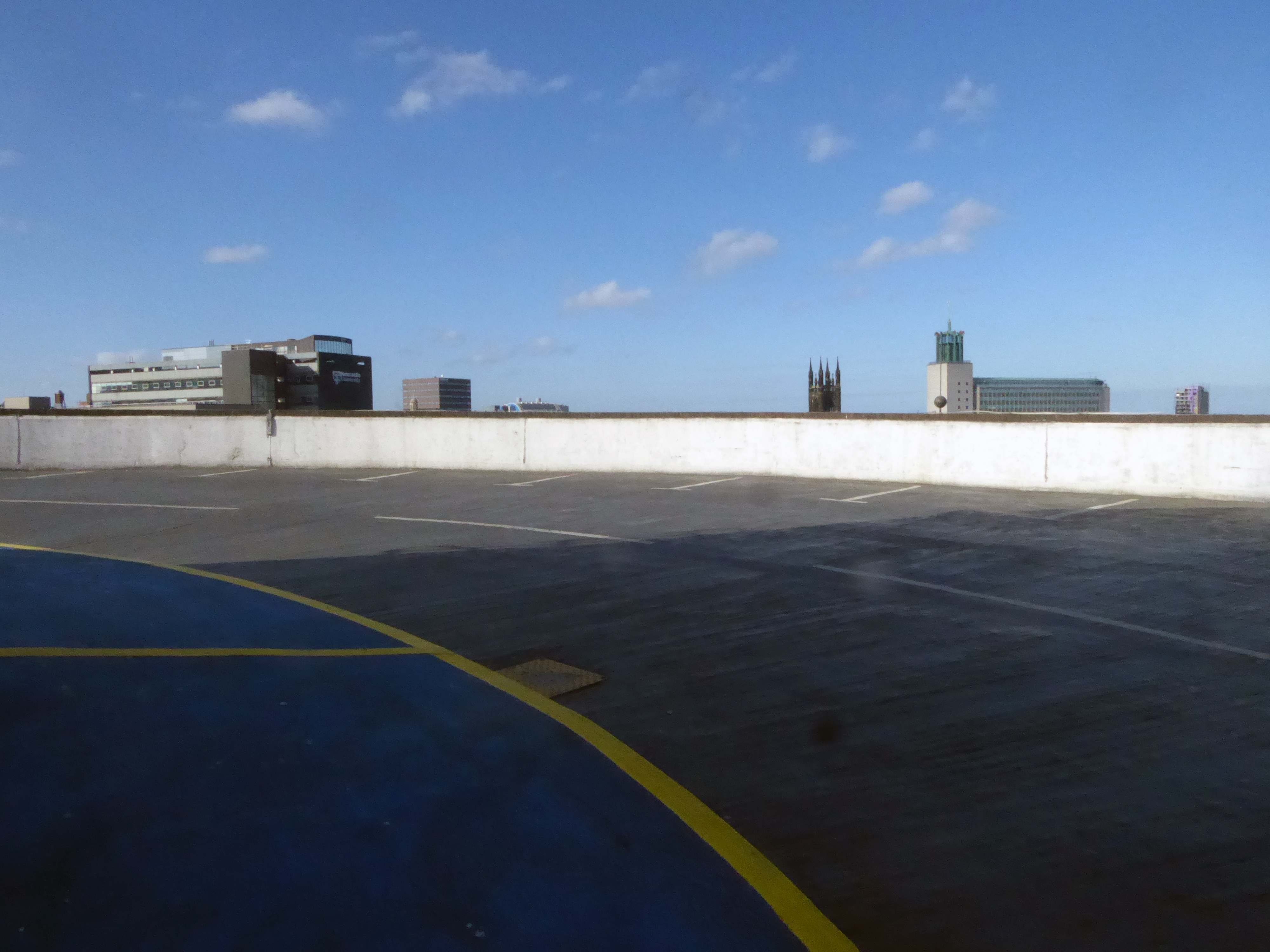
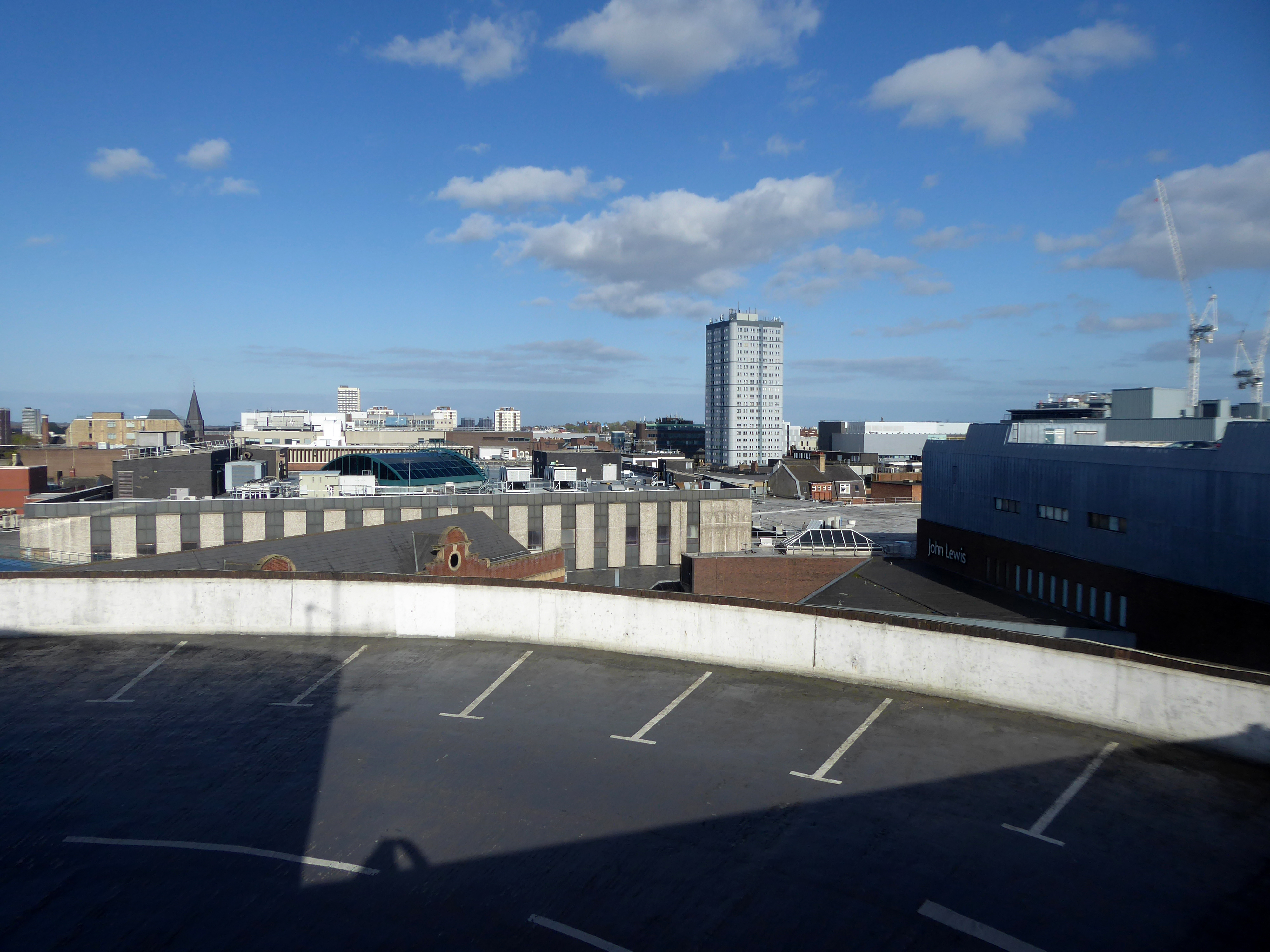
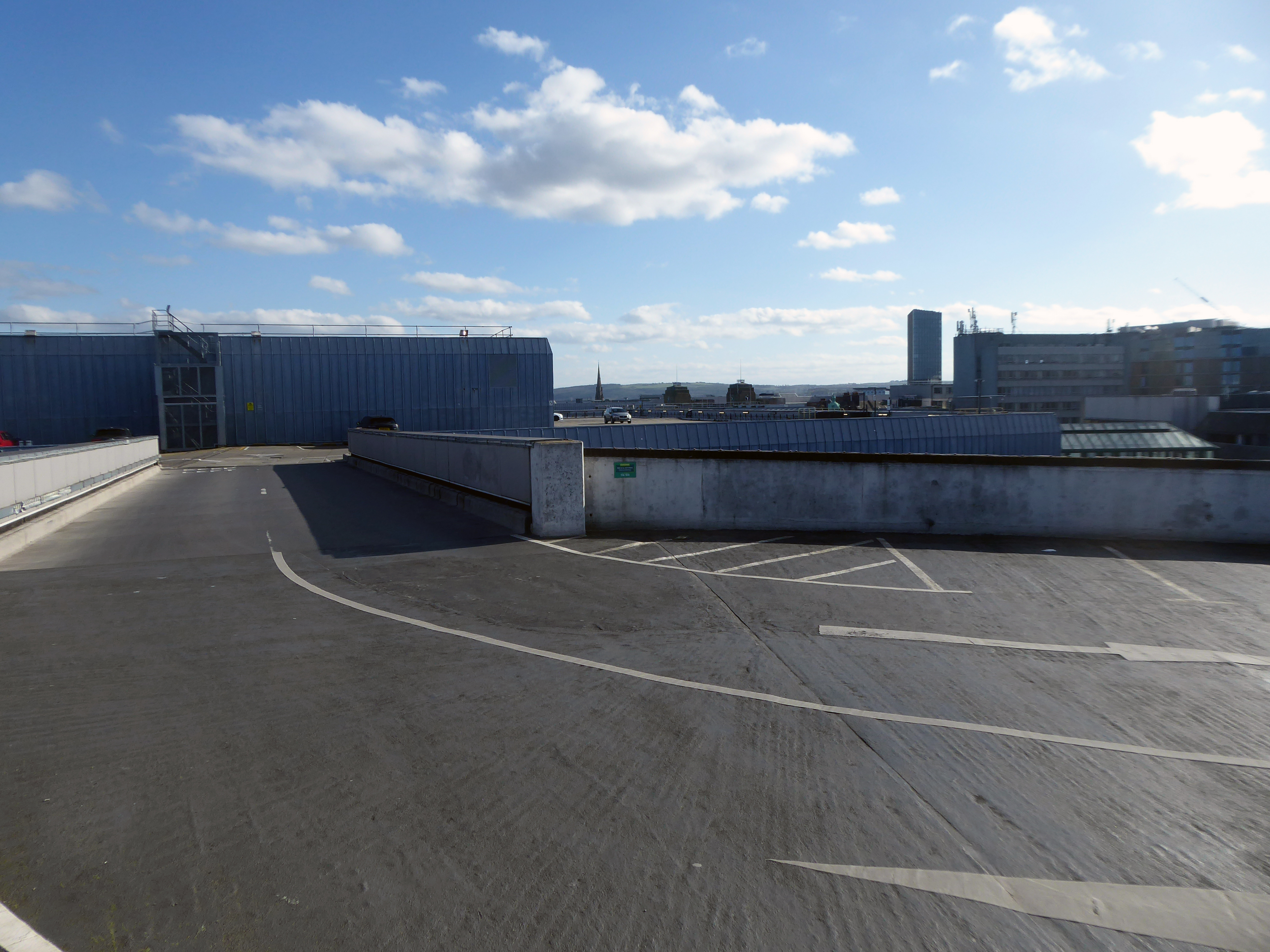
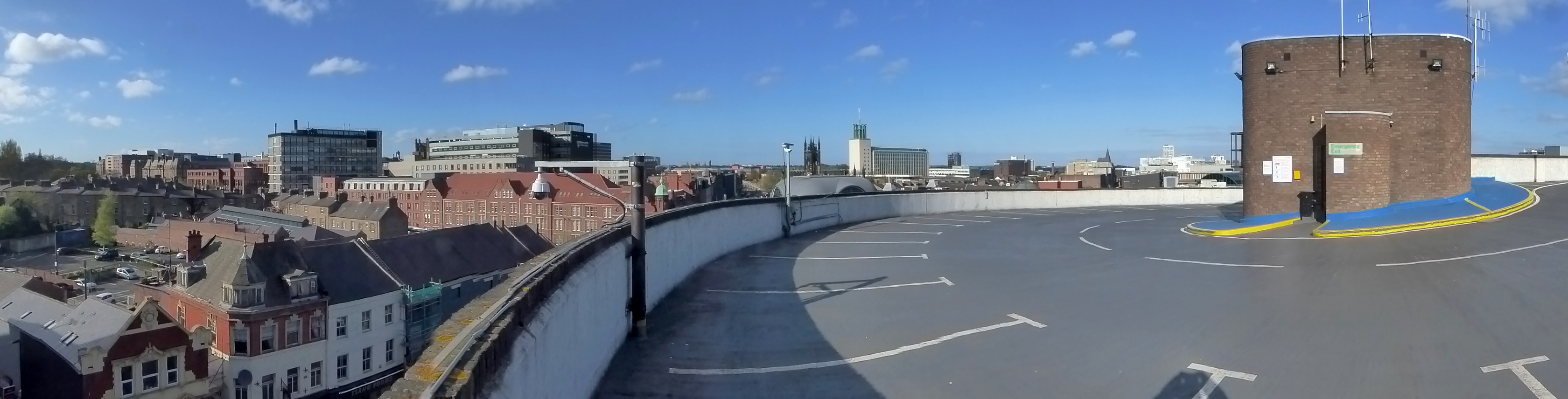
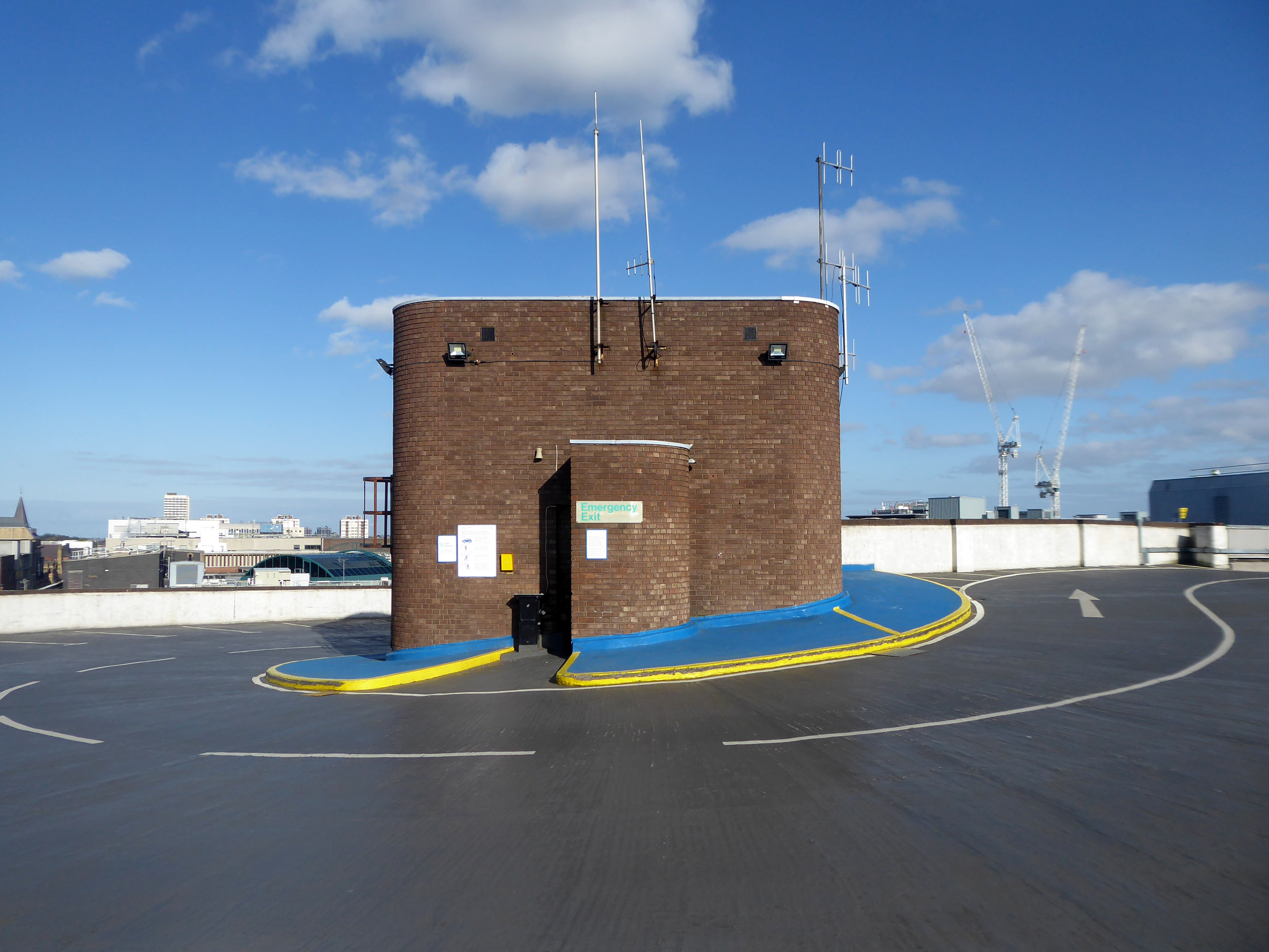
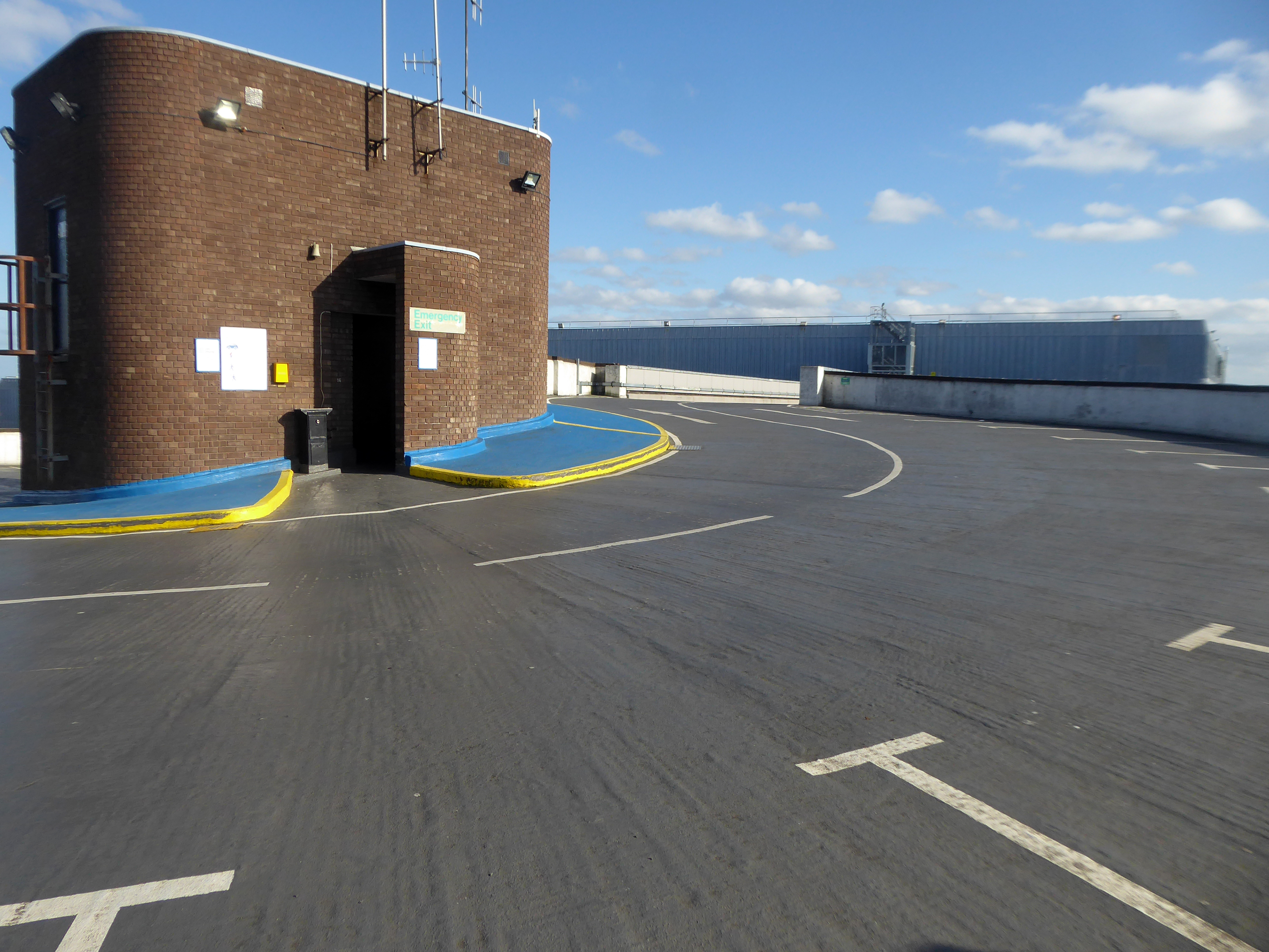
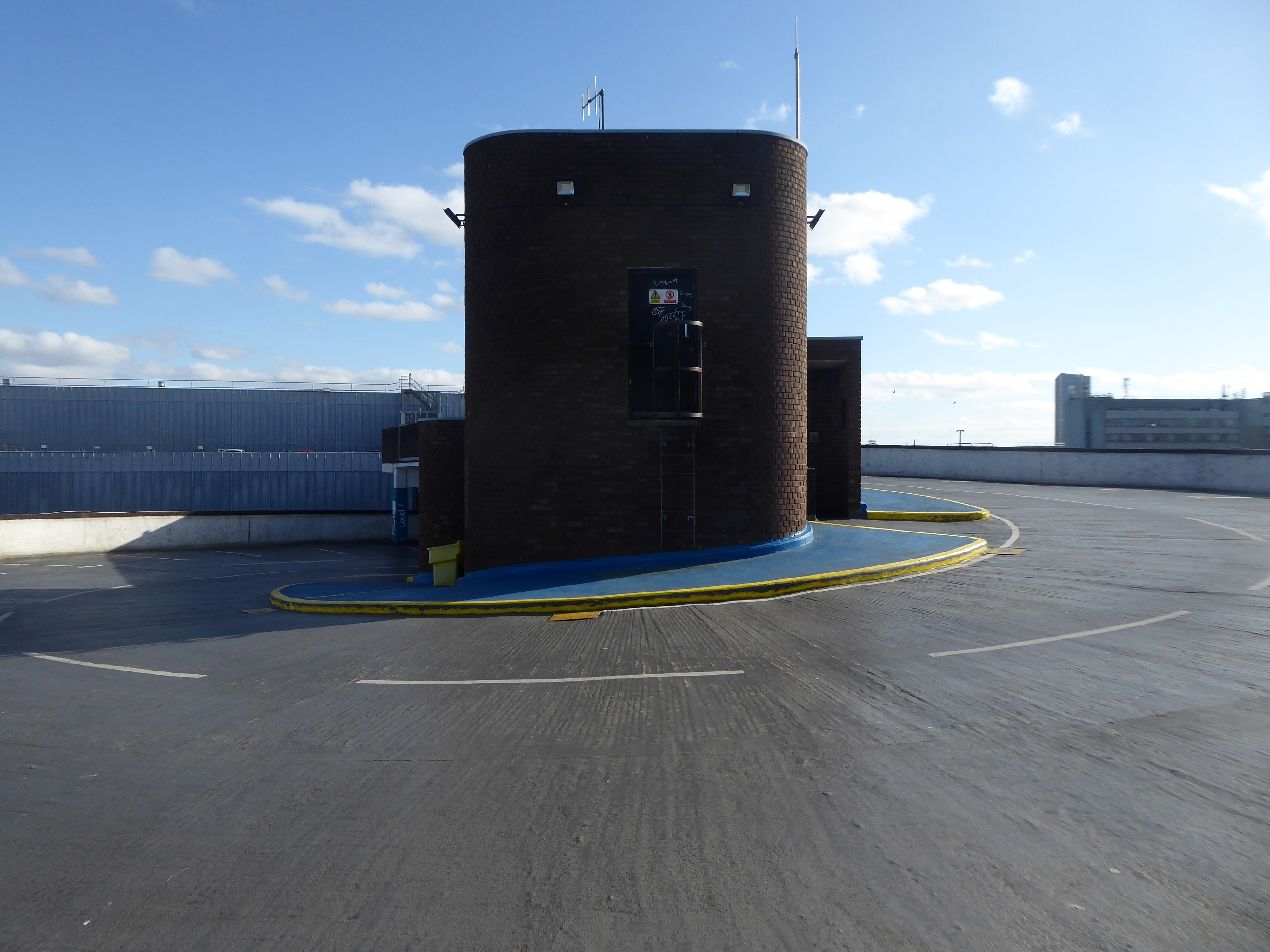
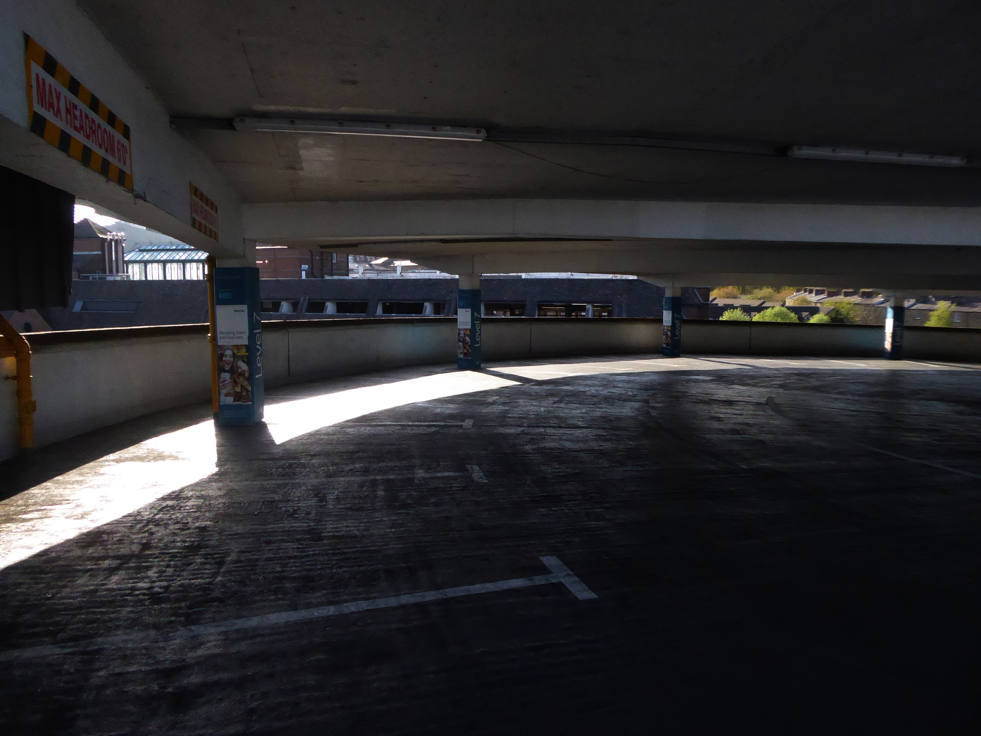
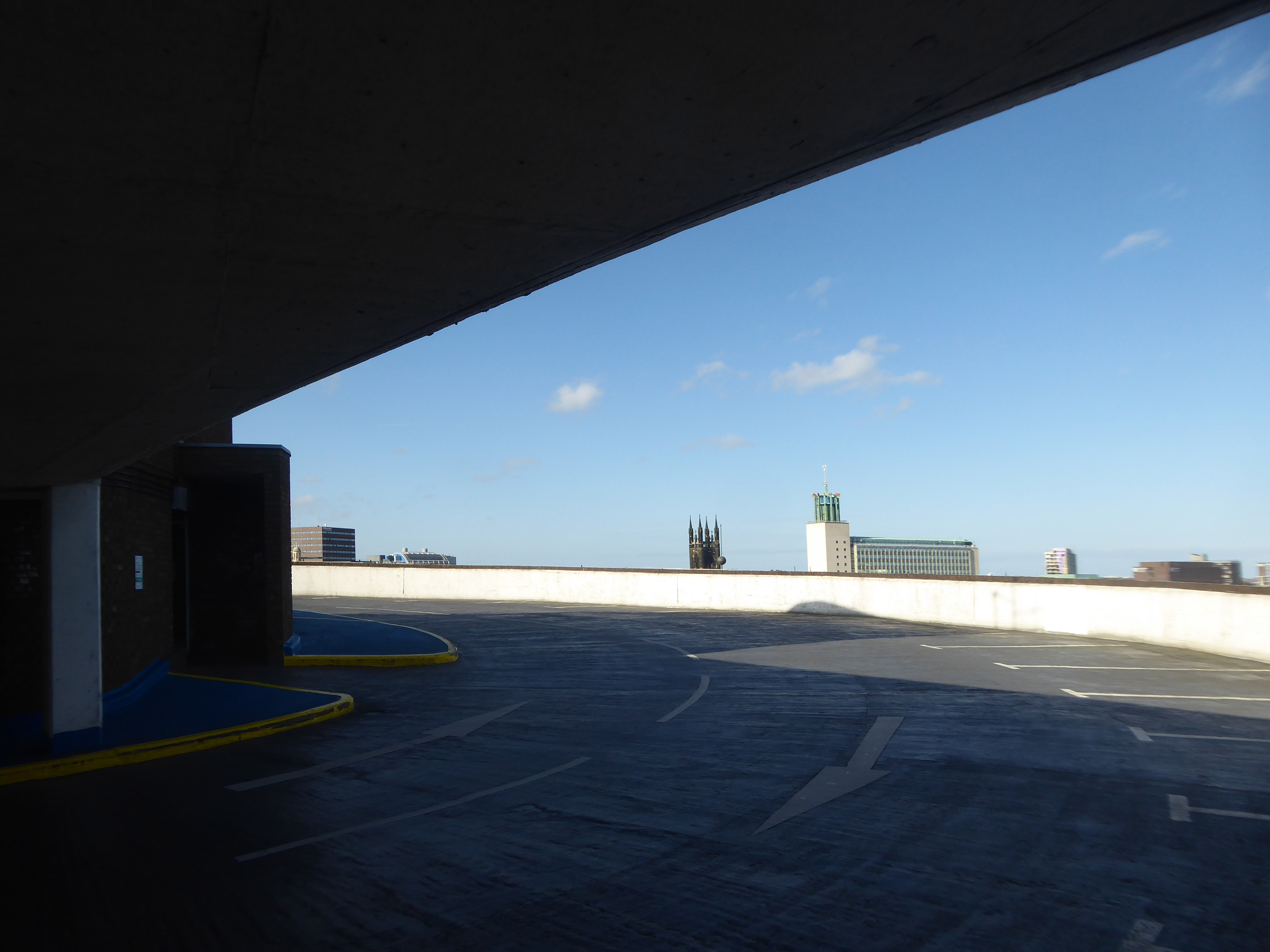
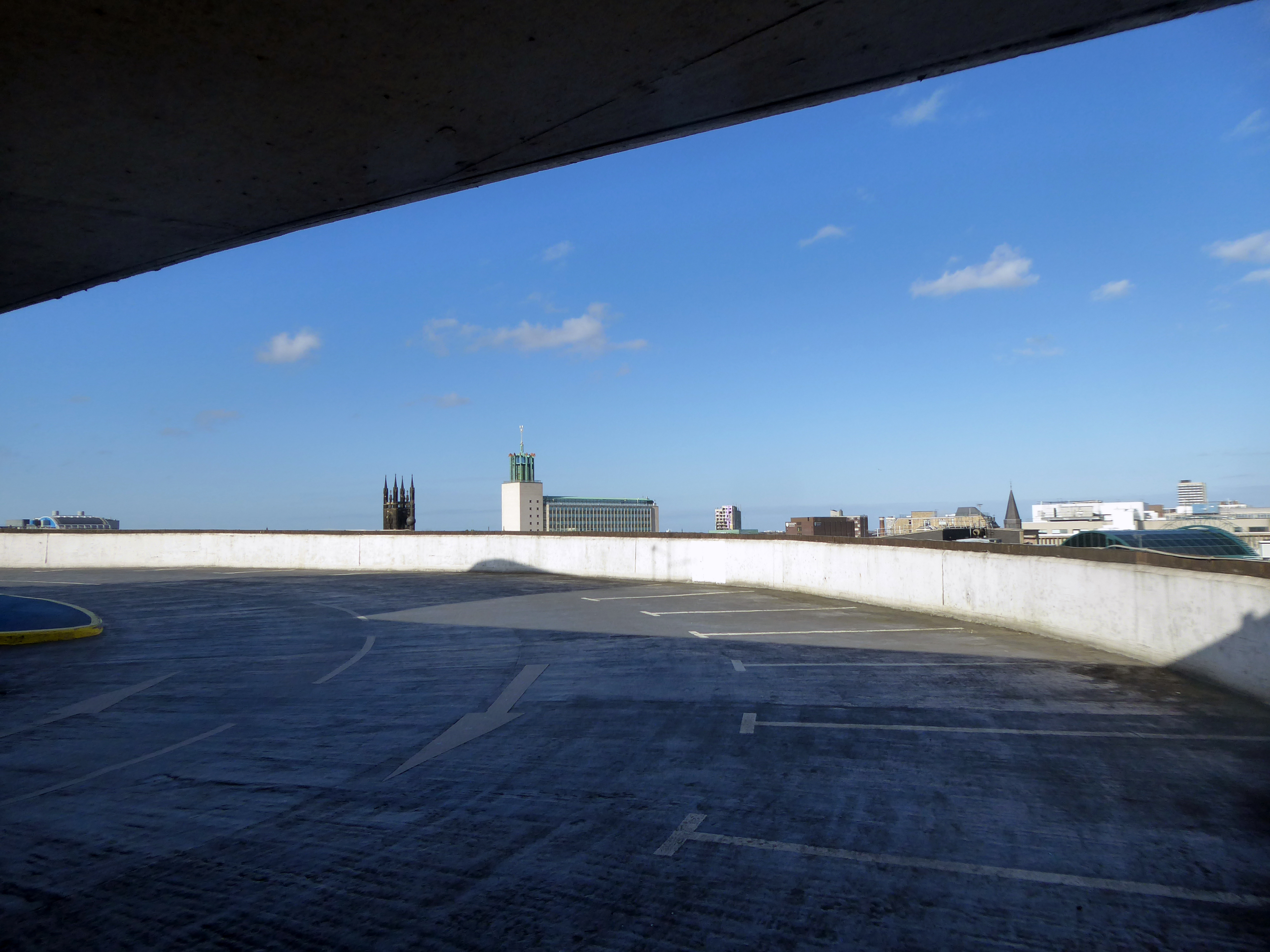
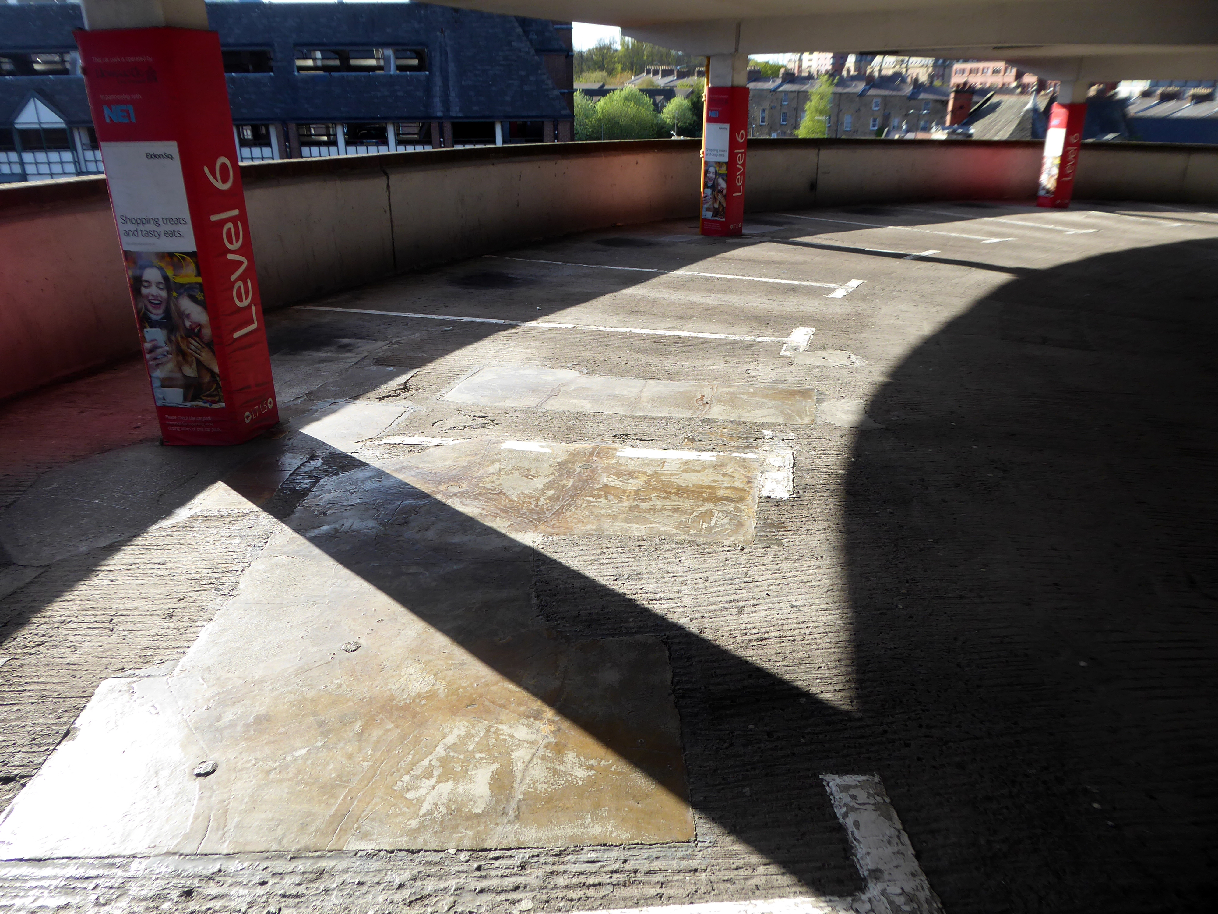
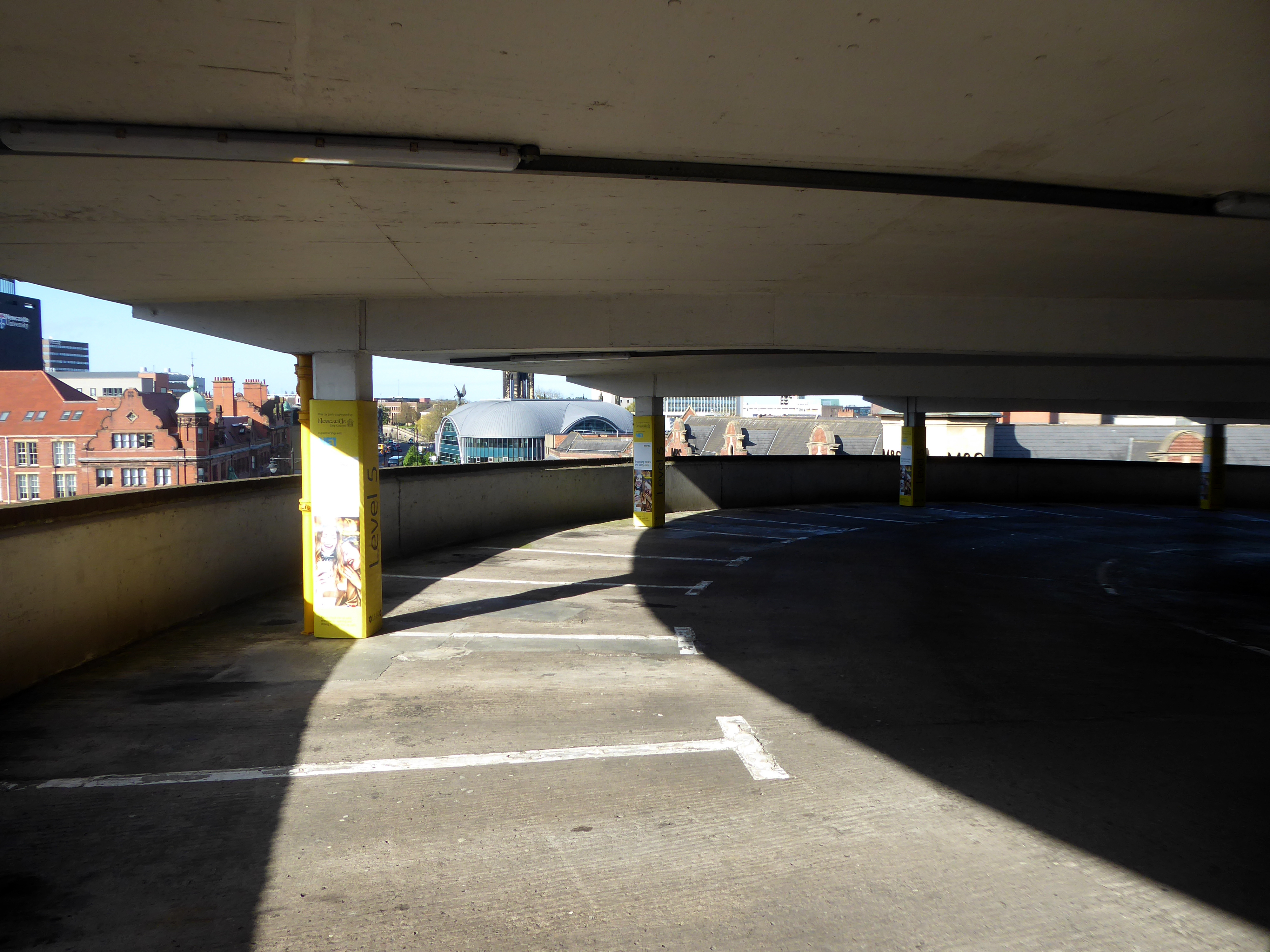
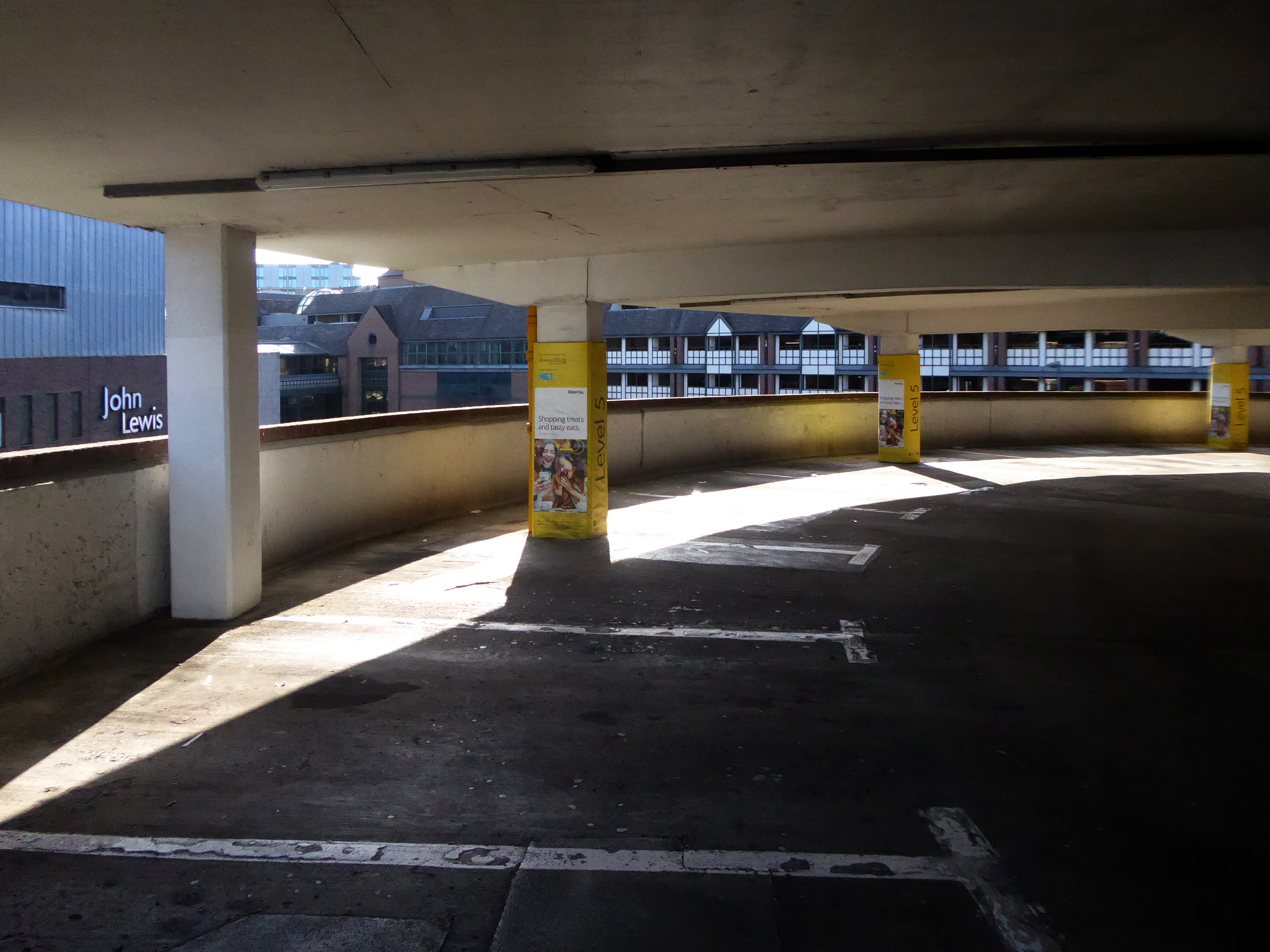
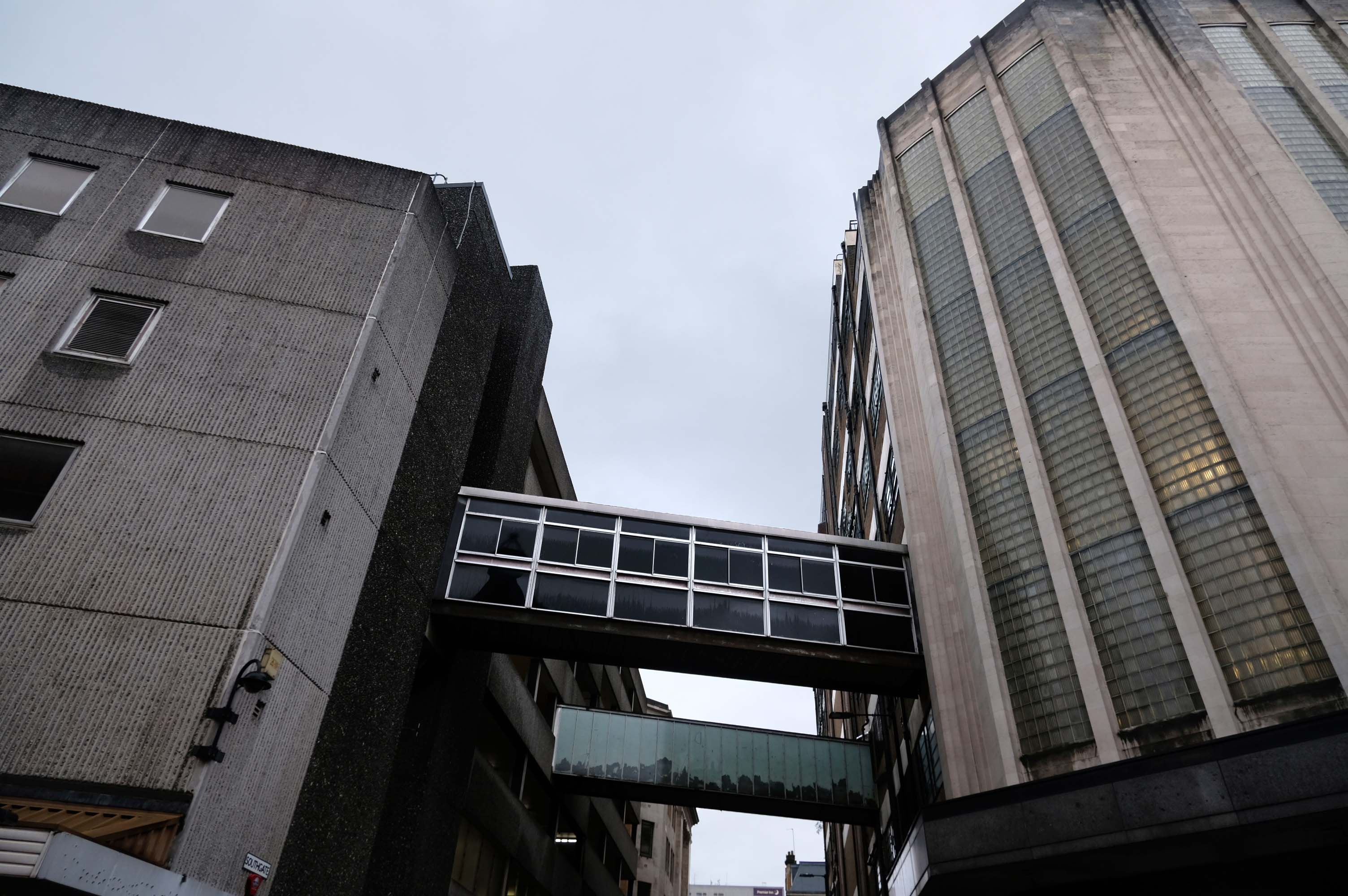
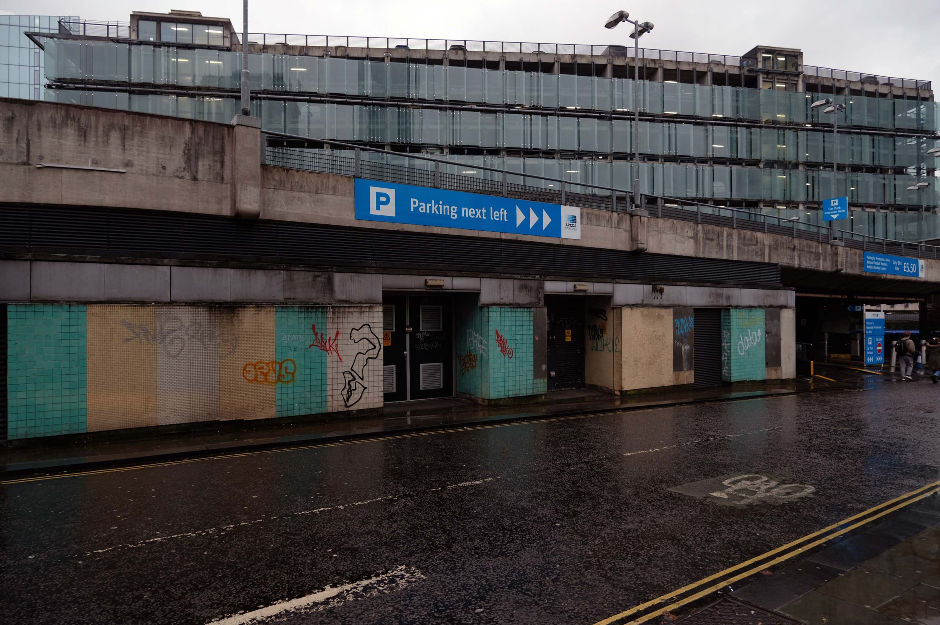
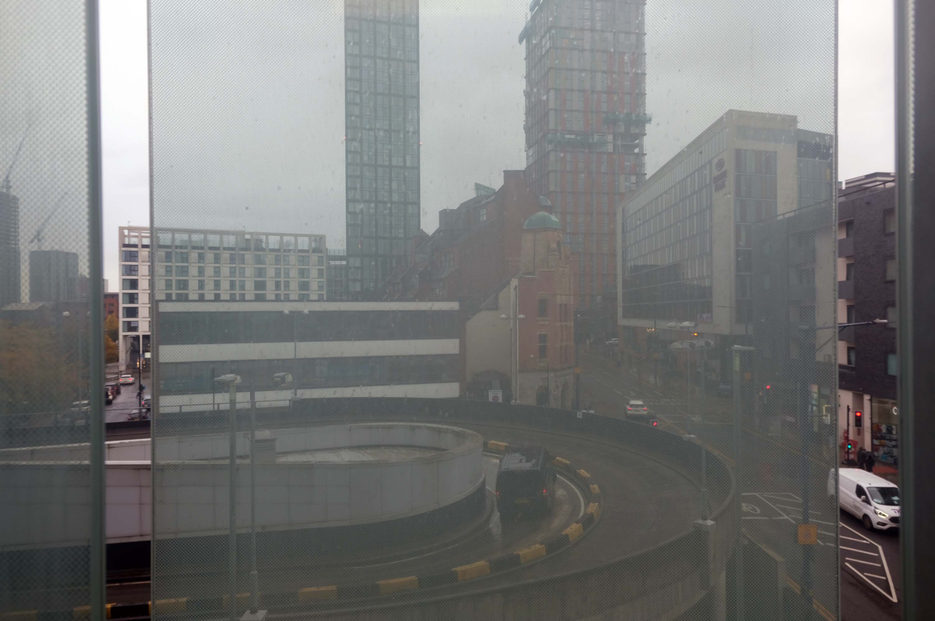
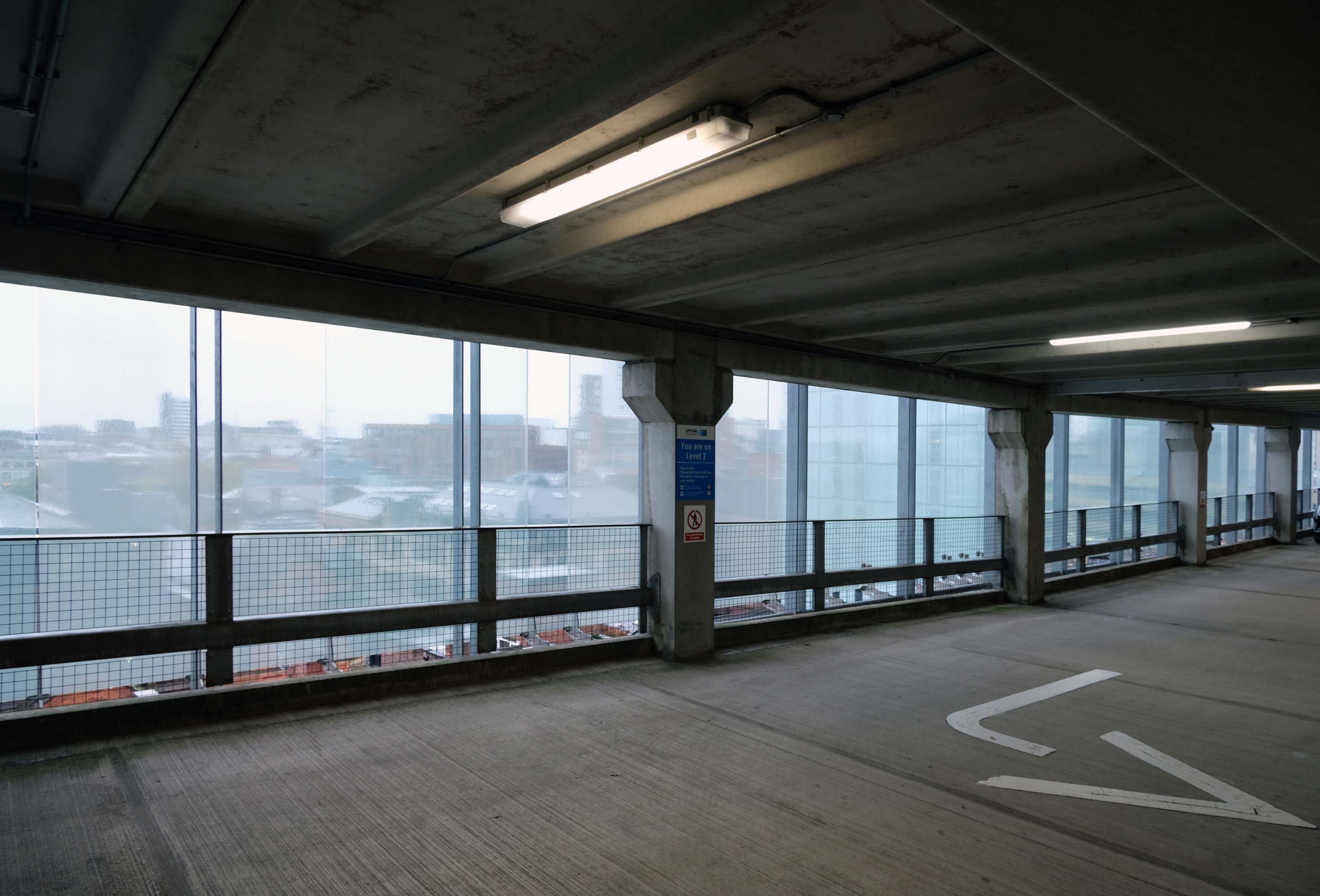
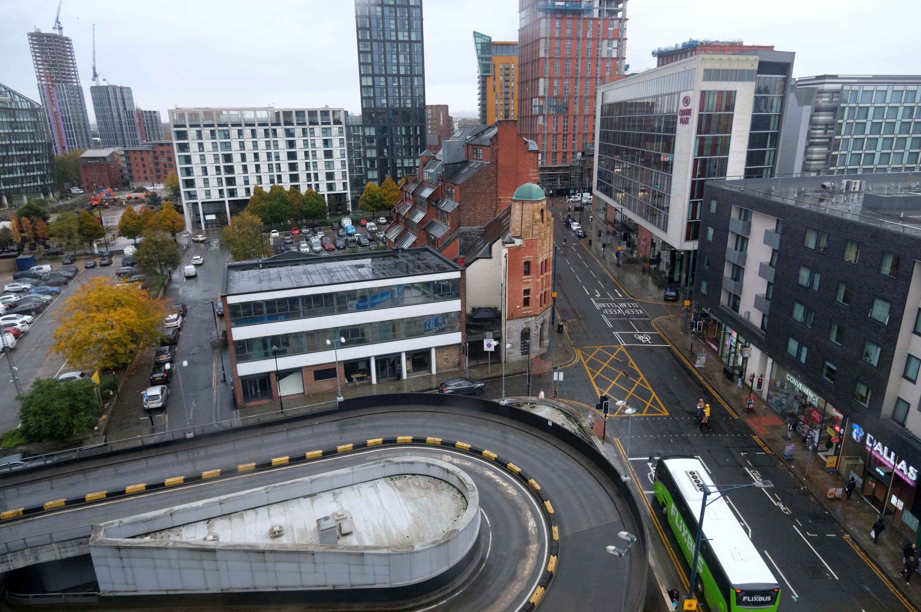
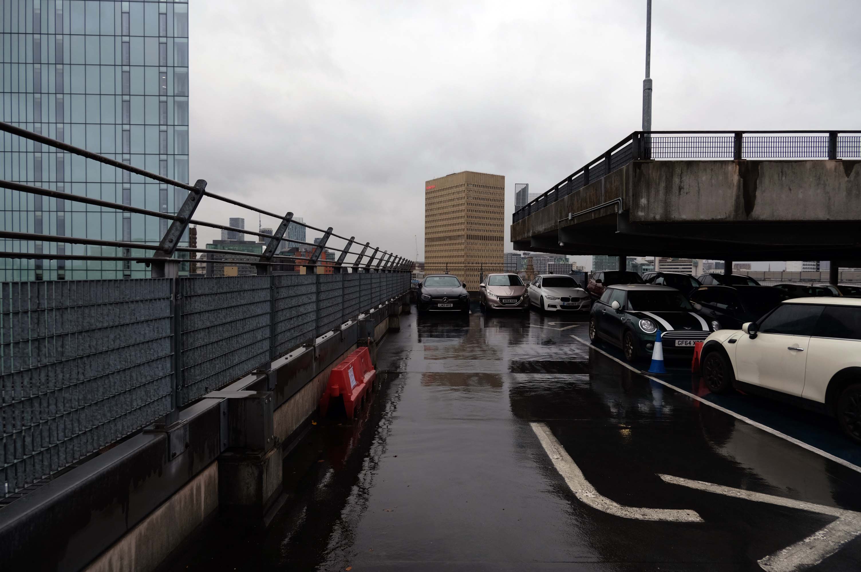
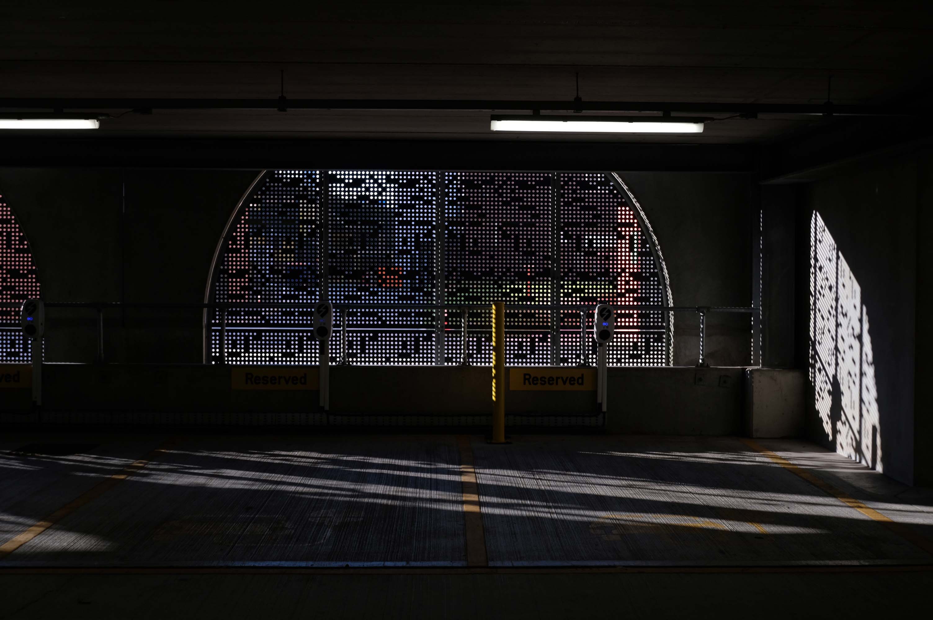
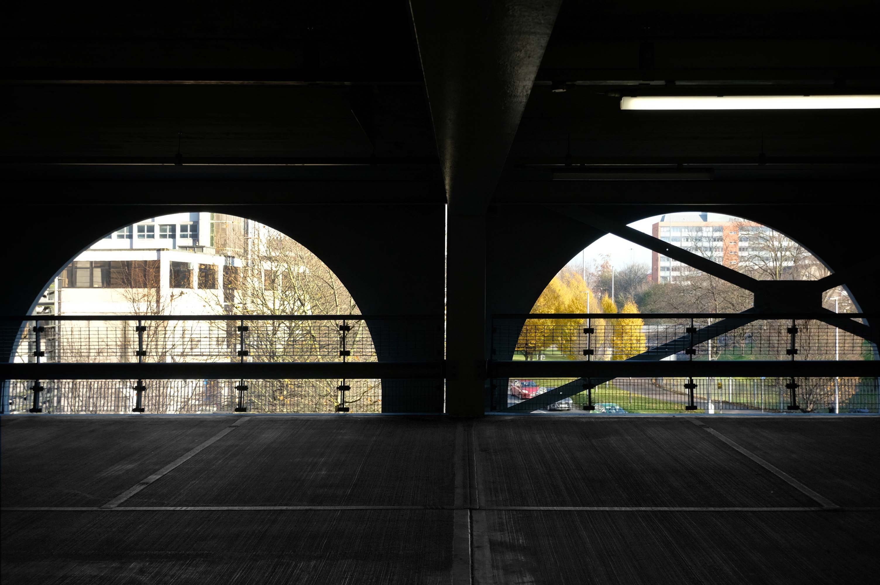
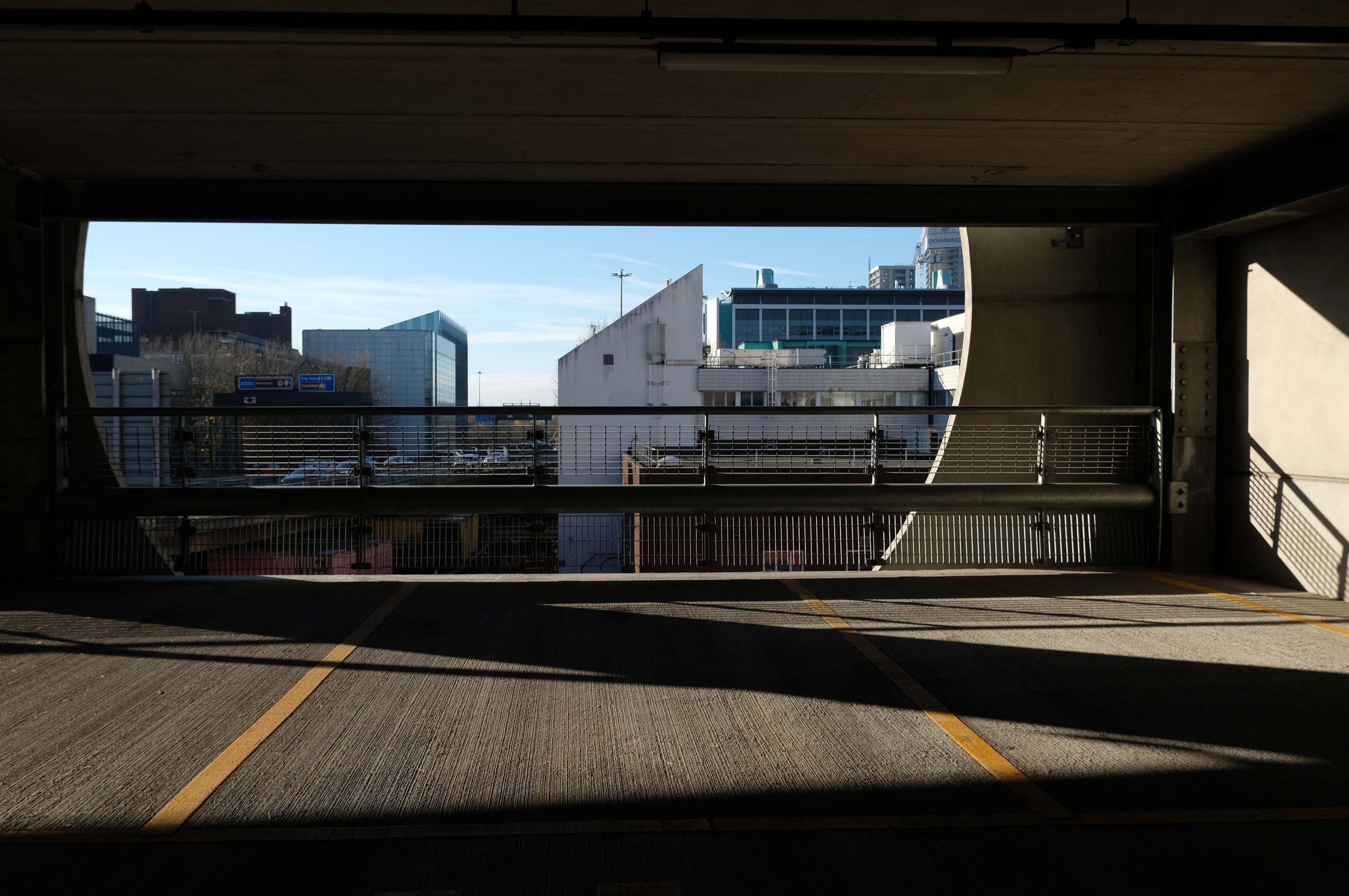
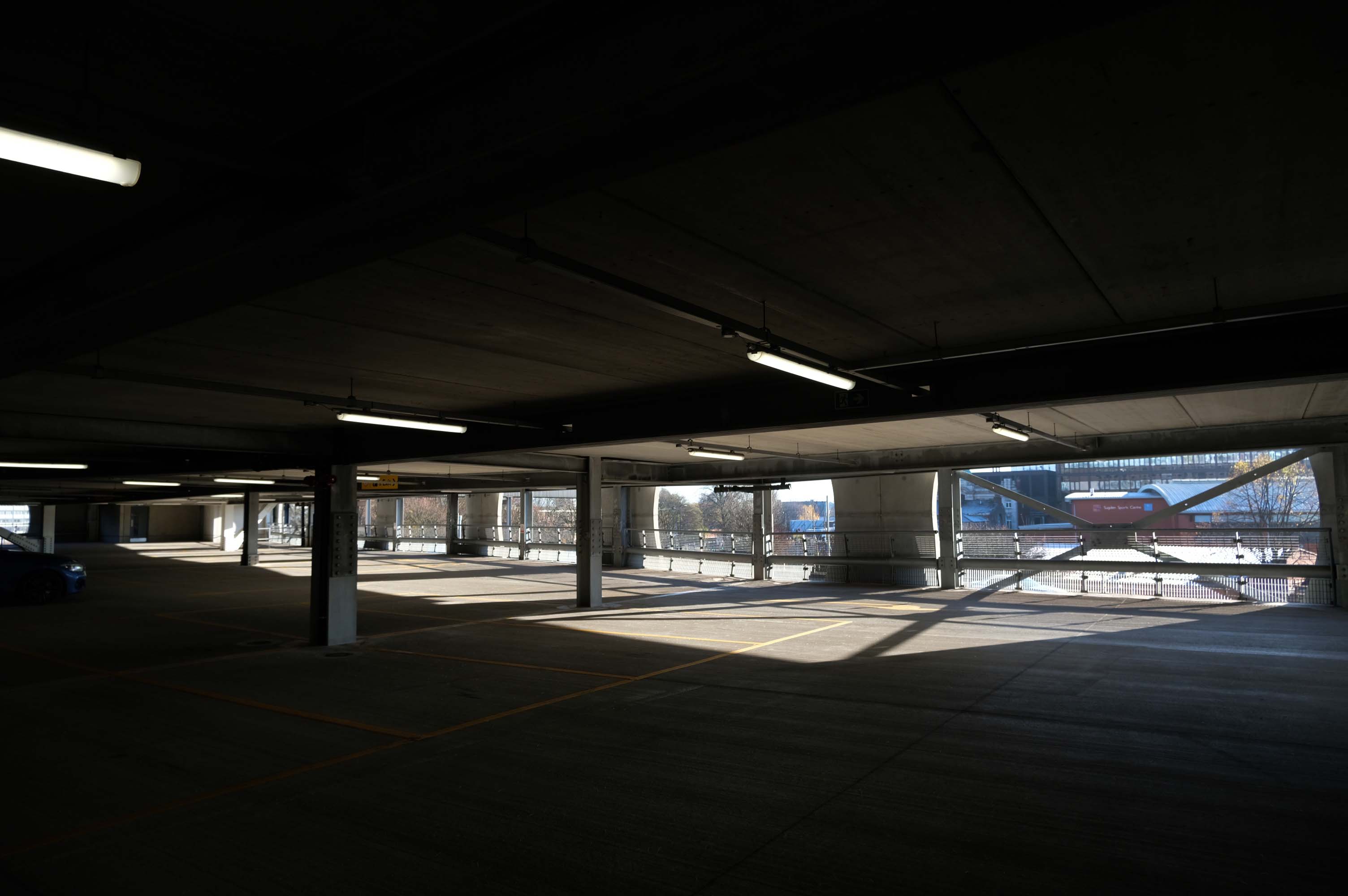
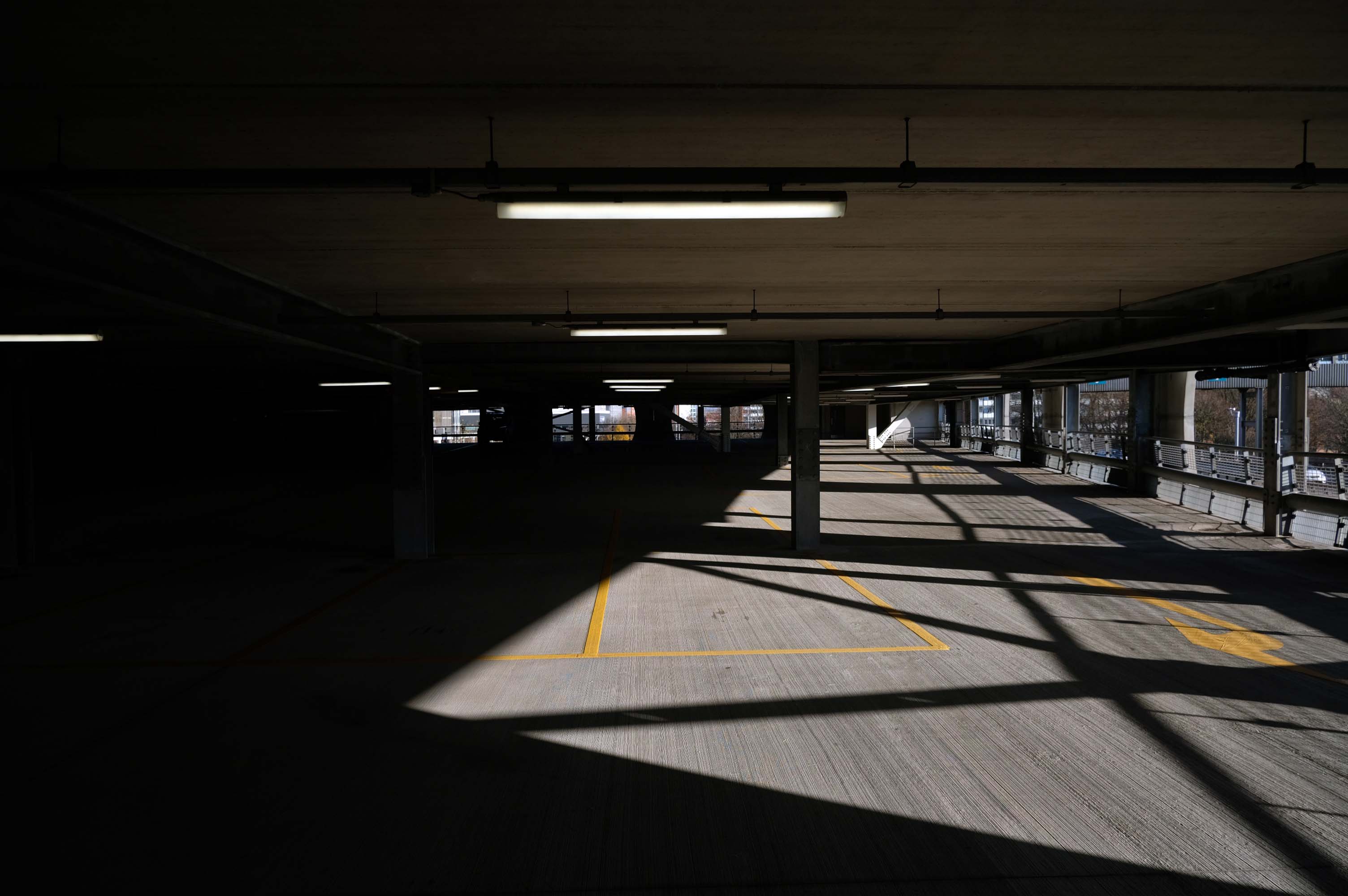
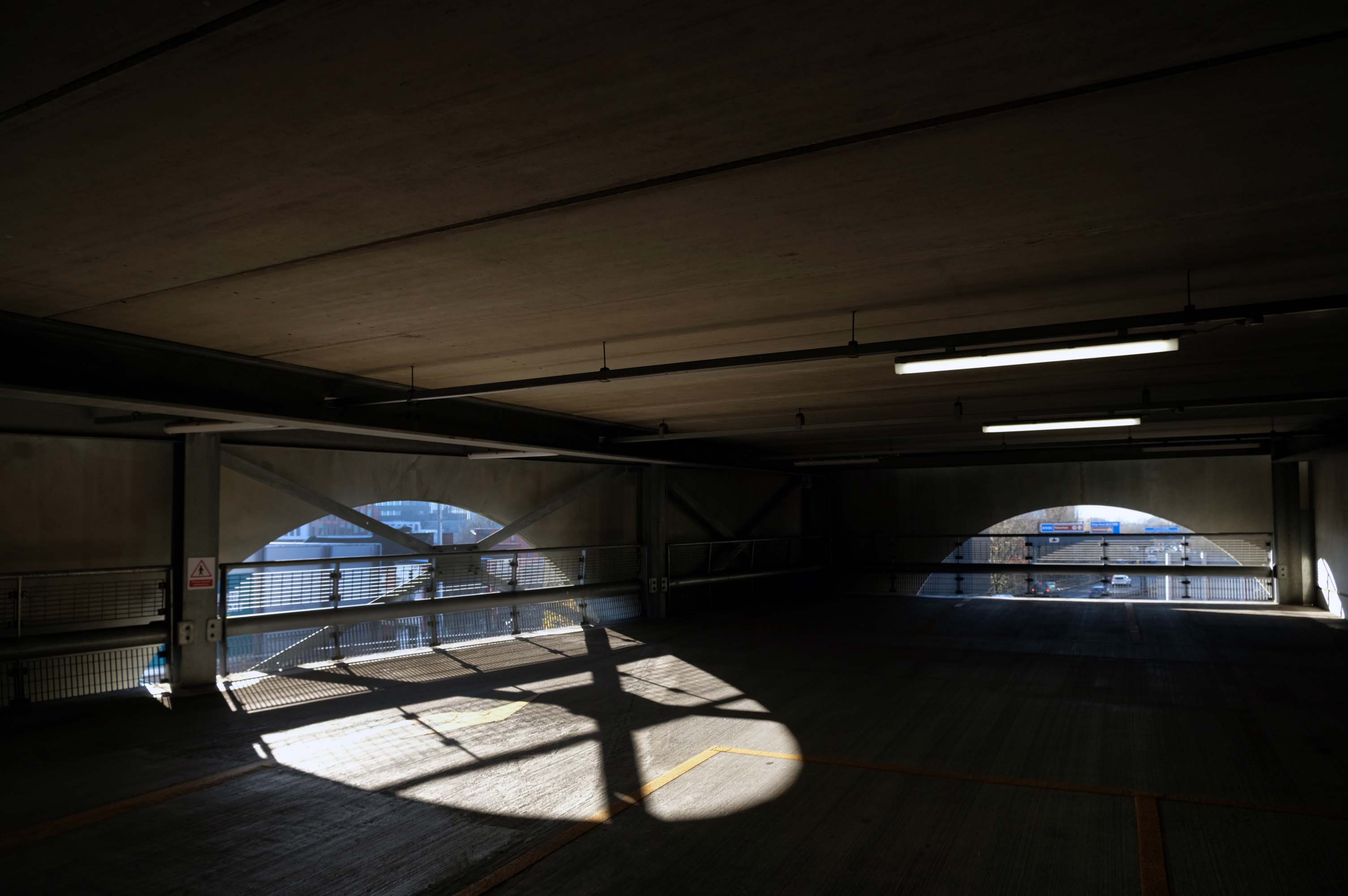
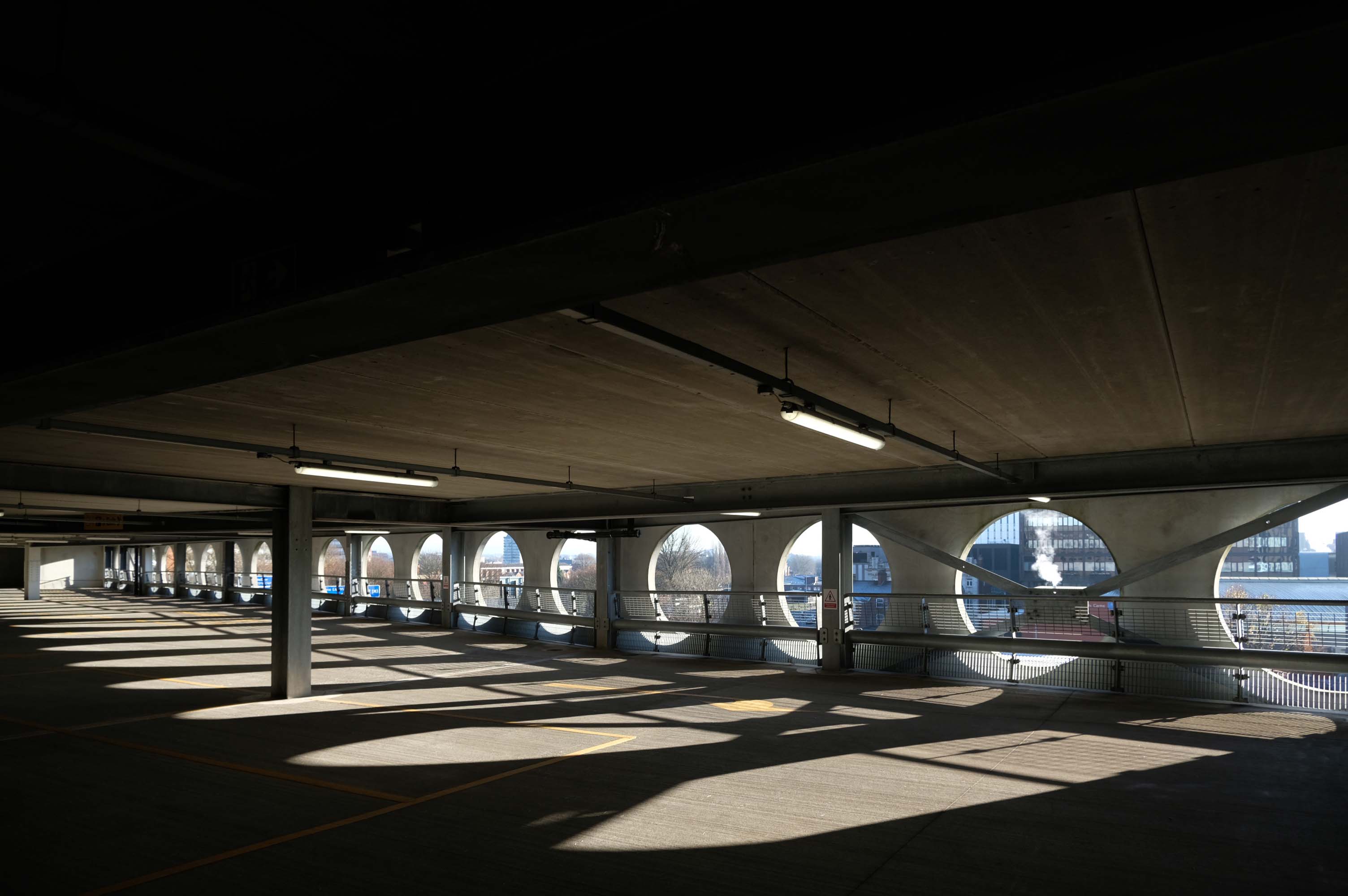
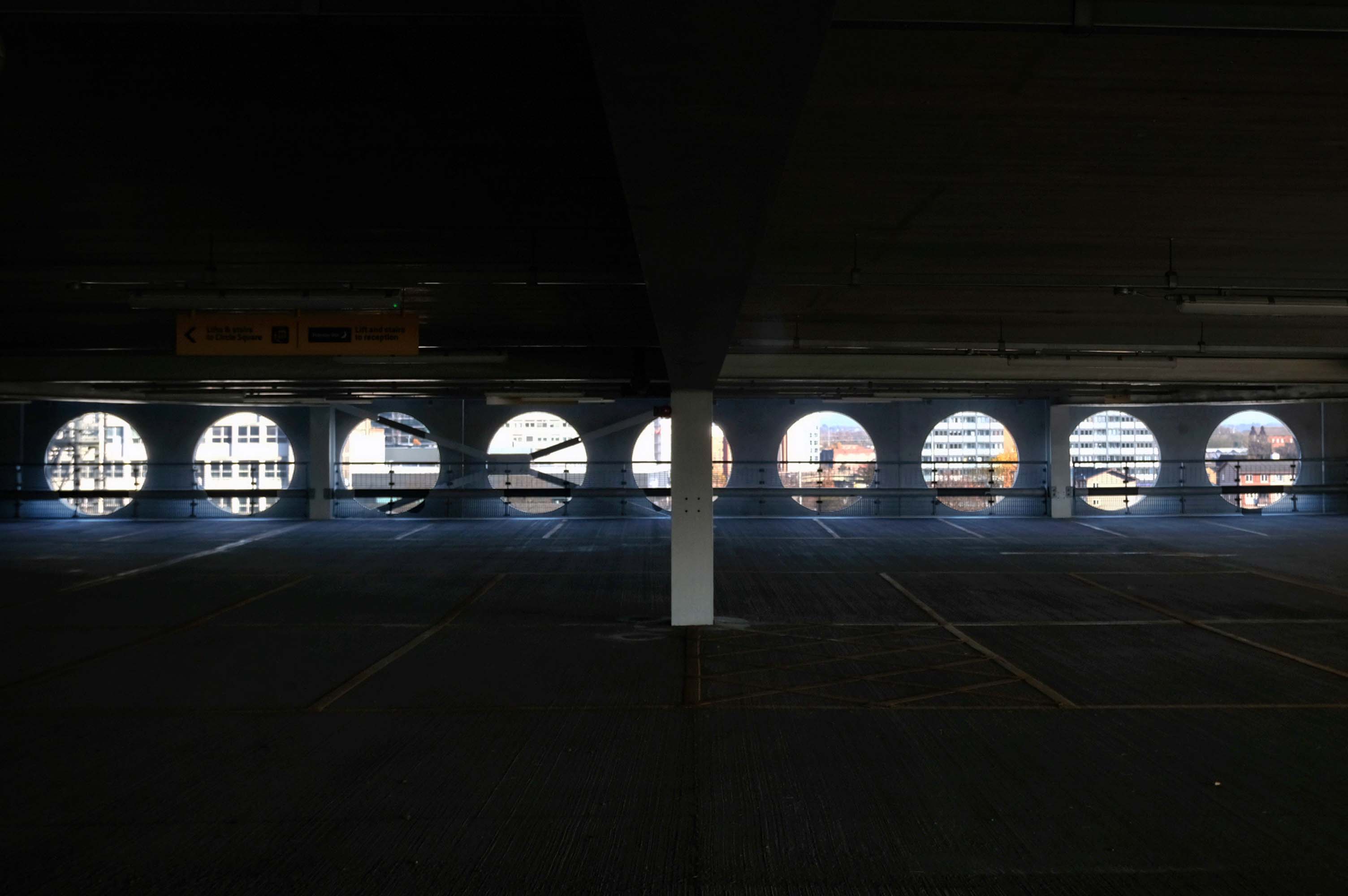
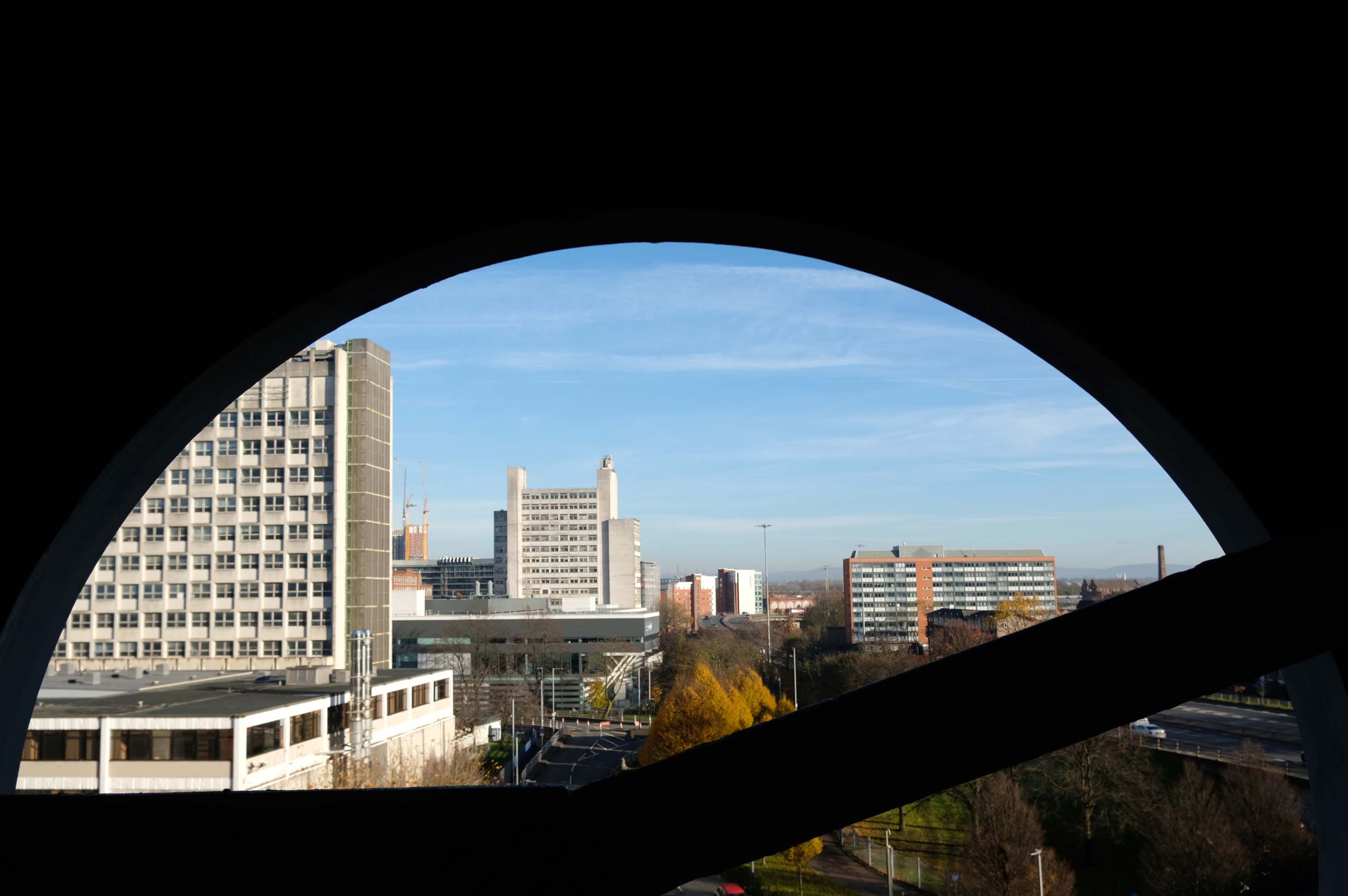
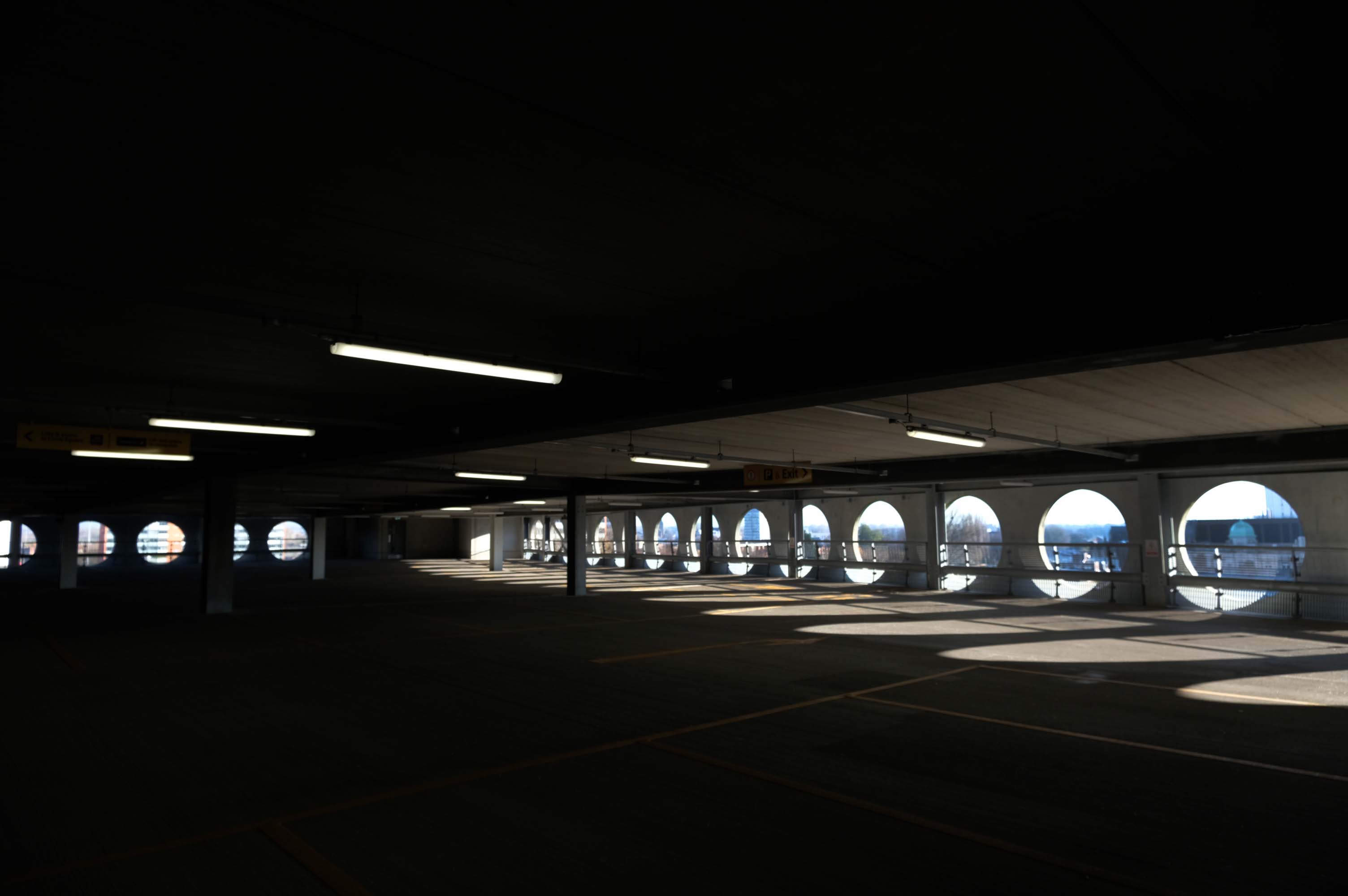
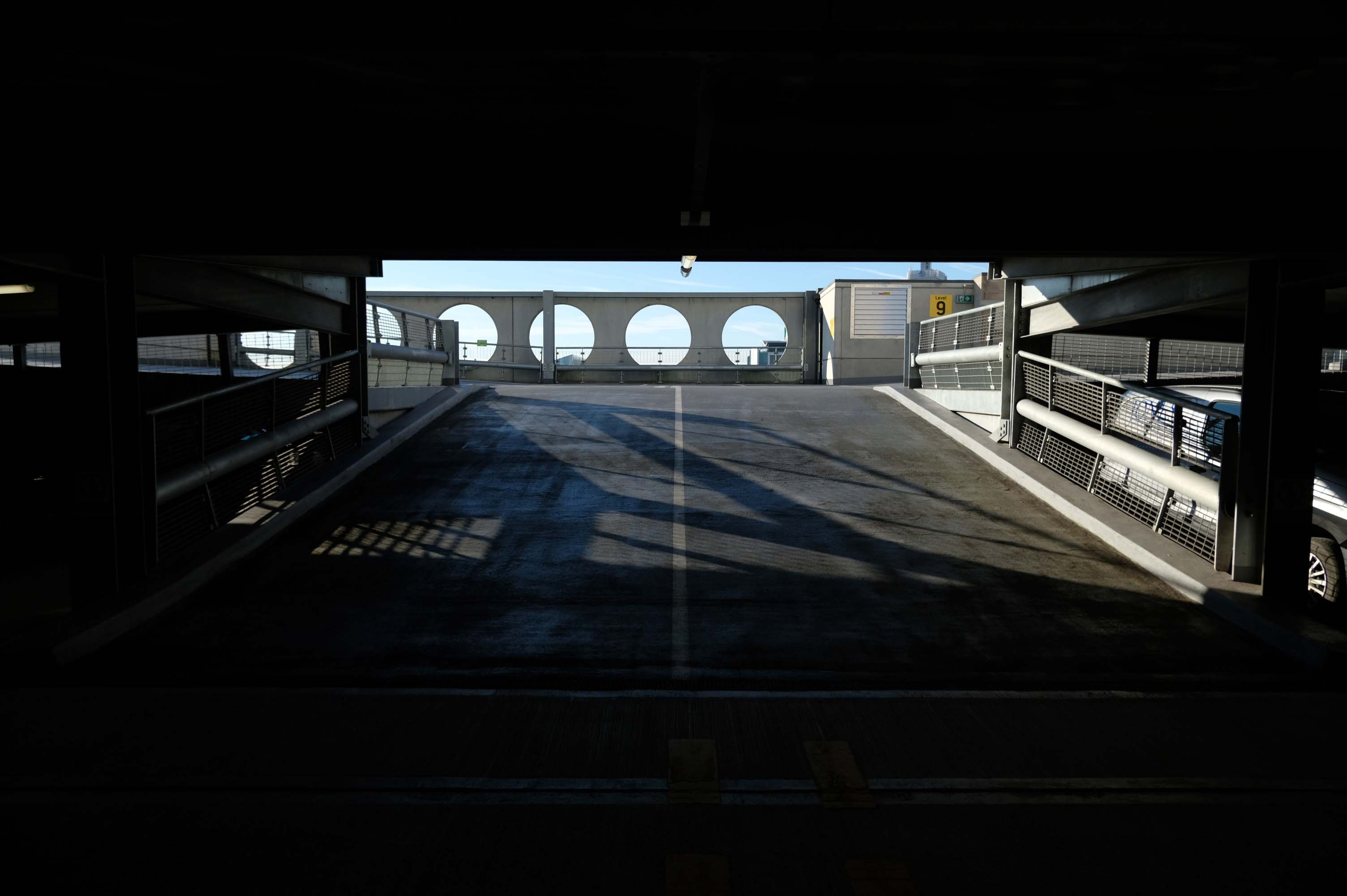
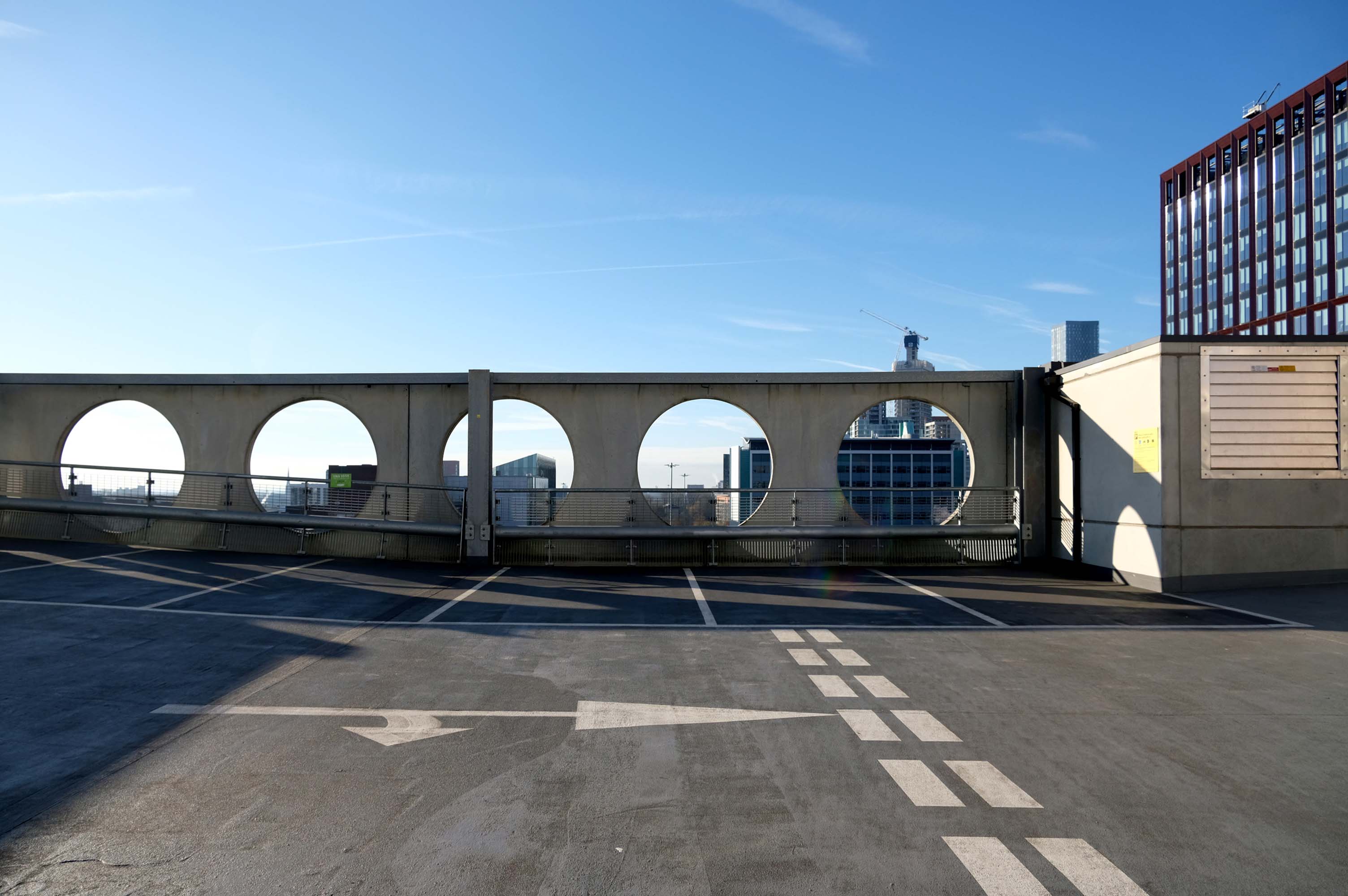
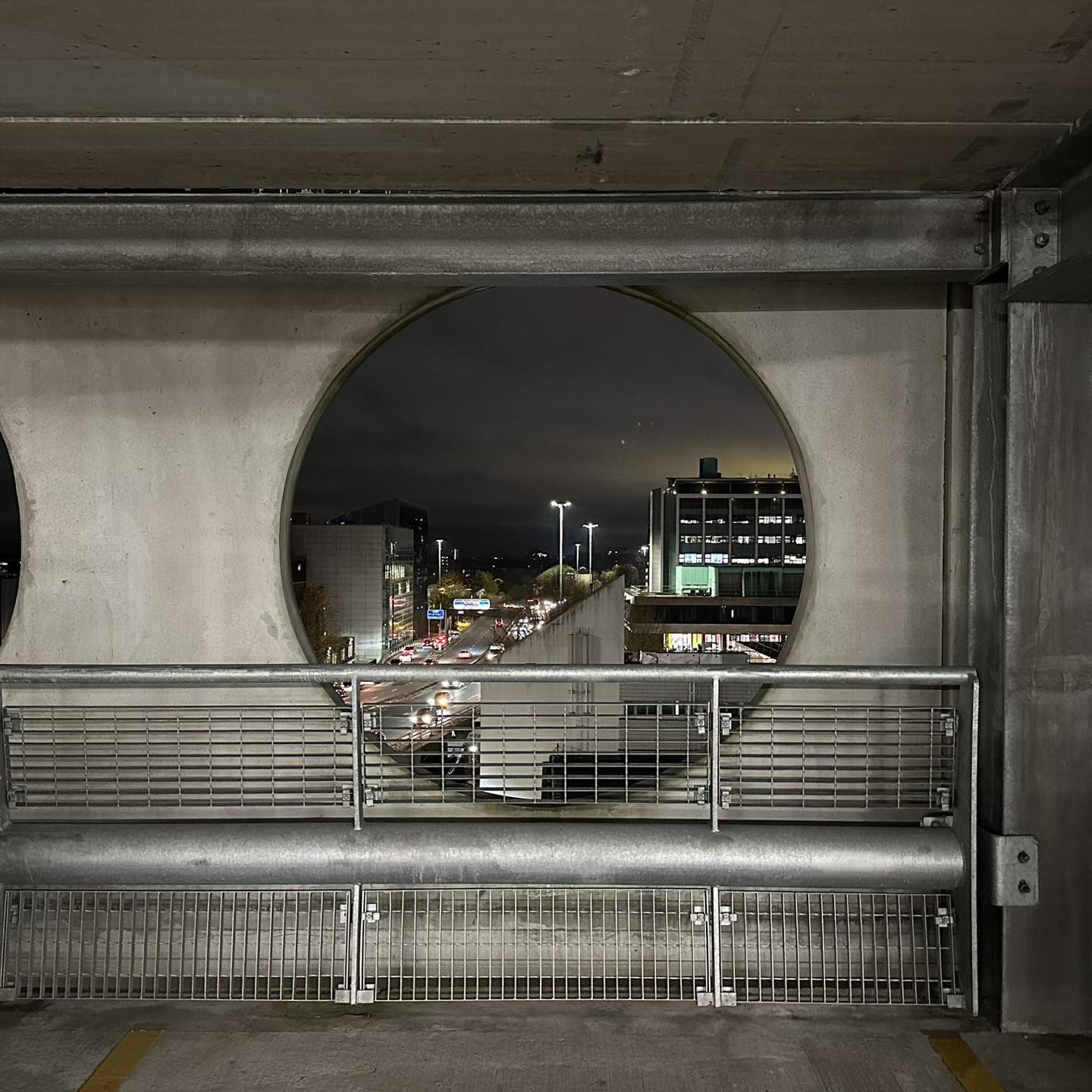
The pedestrian in a car park found it to be accessible and vaguely commodious – affording fine views across the city.
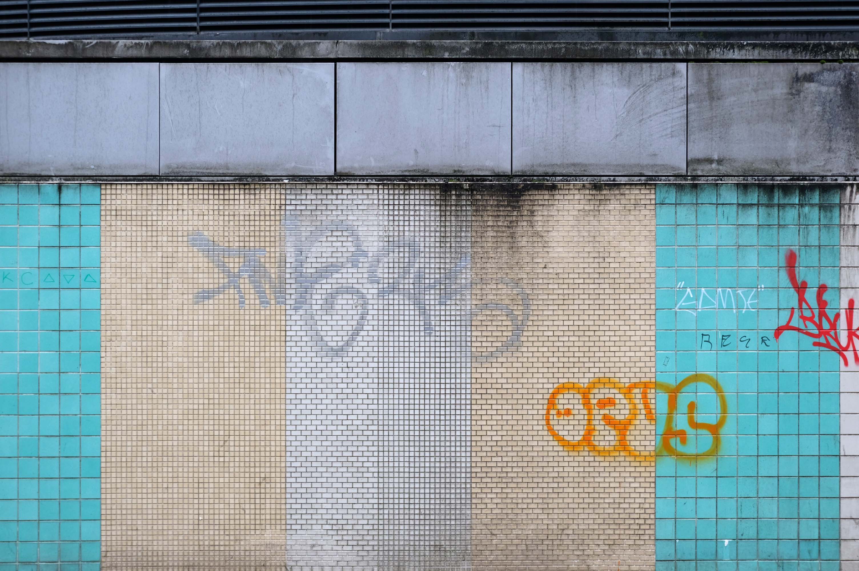
Sadly the decorative mosaic is woefully neglected, careworn and forlorn.
Fielden Clegg Bradley were concept architects while Leach Rhodes Walker were delivery architects.
A series of four × two-storey-deep lattice girders and a single one-storey girder, all measuring up to 27m-long, span over the zone where the underground pipes are located. In these parts, the car park has no first-floor level as the local water board needed a 5m ground-to-ceiling clearance in case they had to undertake any maintenance works. Consequently, the first floor is only a partial level and is set within the depth of the larger lattice girders, as is the second floor, while the third level is supported on top of these members.
Supporting a hotel would be challenging enough, however the design has also had to incorporate large bridging elements as there are two subterranean 600mm-diameter water pipes crossing the site. “It’s a very unusual design and one that was originally designed as a concrete-framed structure,” says James Killelea Senior Structural Engineer Charlie Twist. “However, the bridging parts would have proven to be too difficult to build and consequently a steel-framed solution was chosen for the car park, which in turn supports a precast concrete hotel.”
This car park is one of the cleanest and most well maintained in Manchester.
What a refreshing change for the pedestrian in a car park!
As a coda my hero Bob Mould late of Hüsker Dü posted this pic this week!
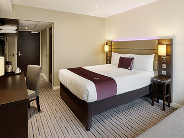
I assume that he was staying in the Premier Inn which sits atop the car park.