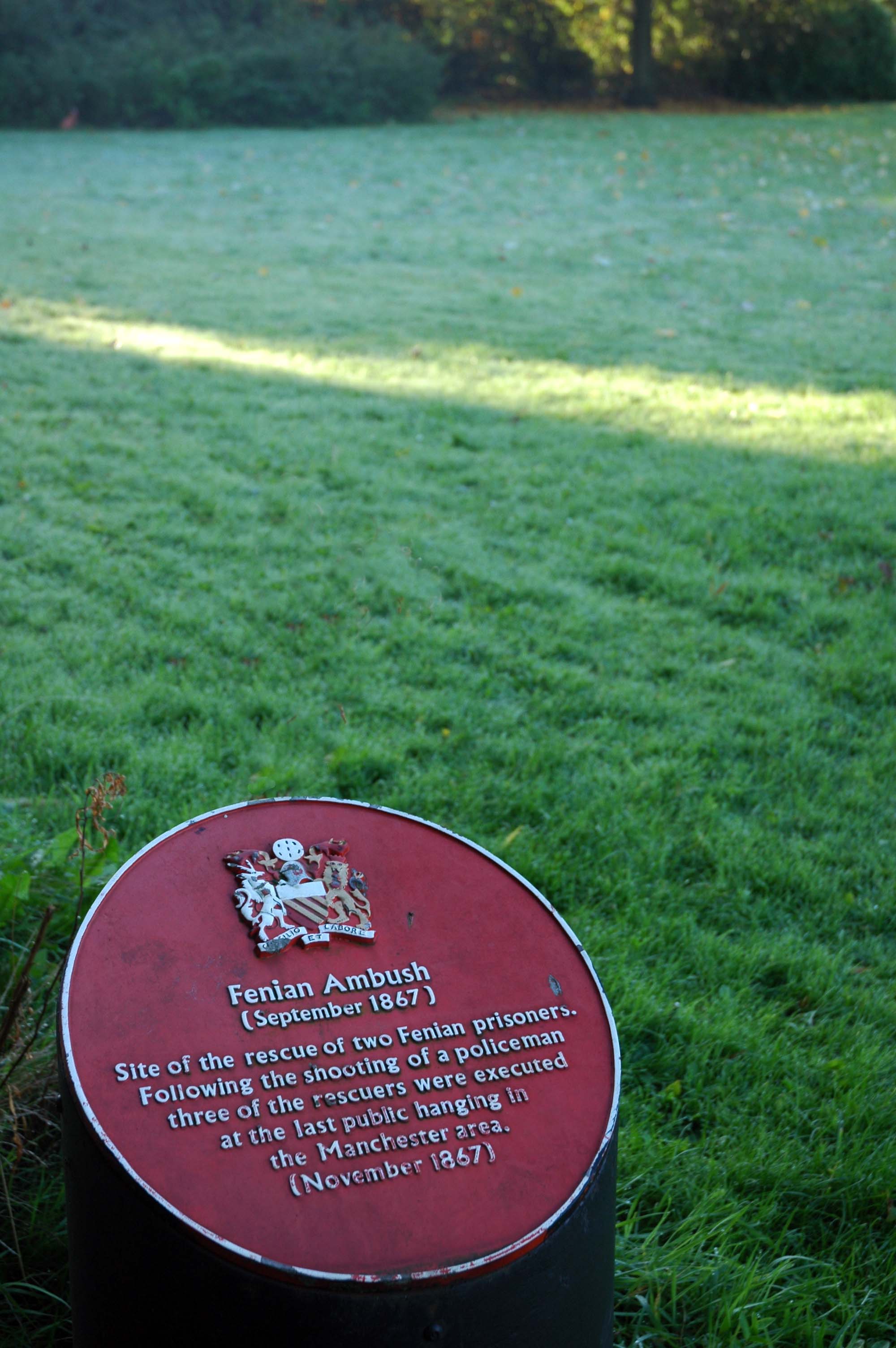
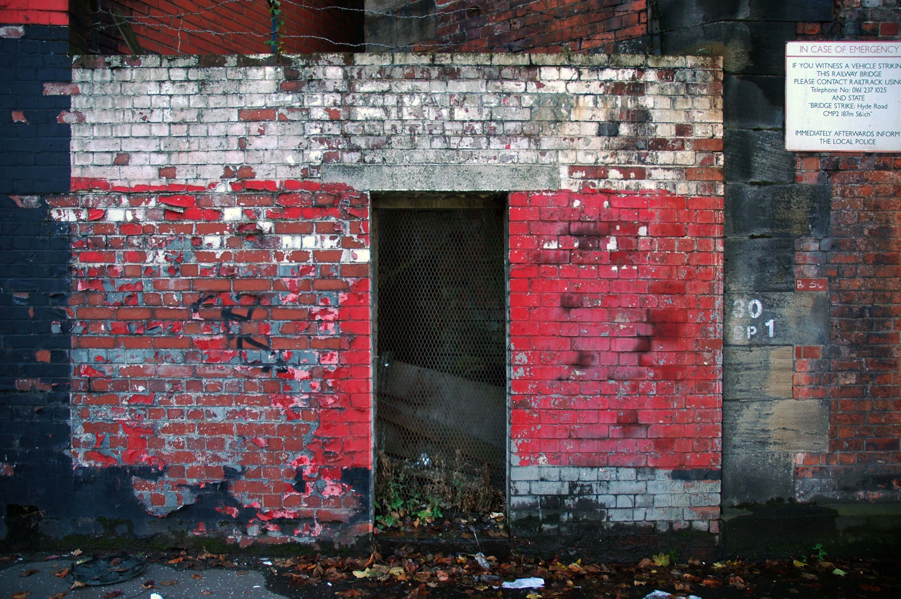
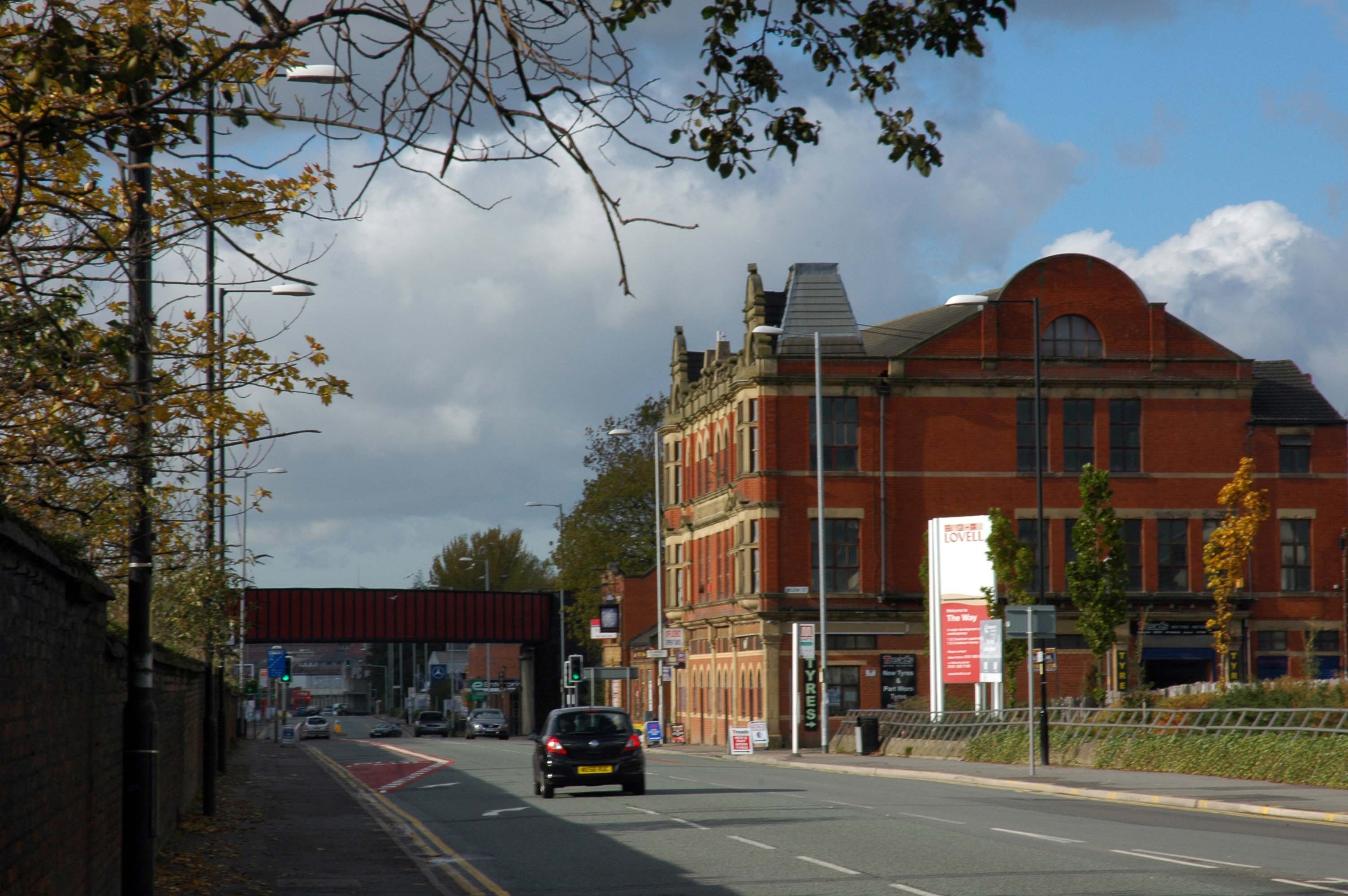
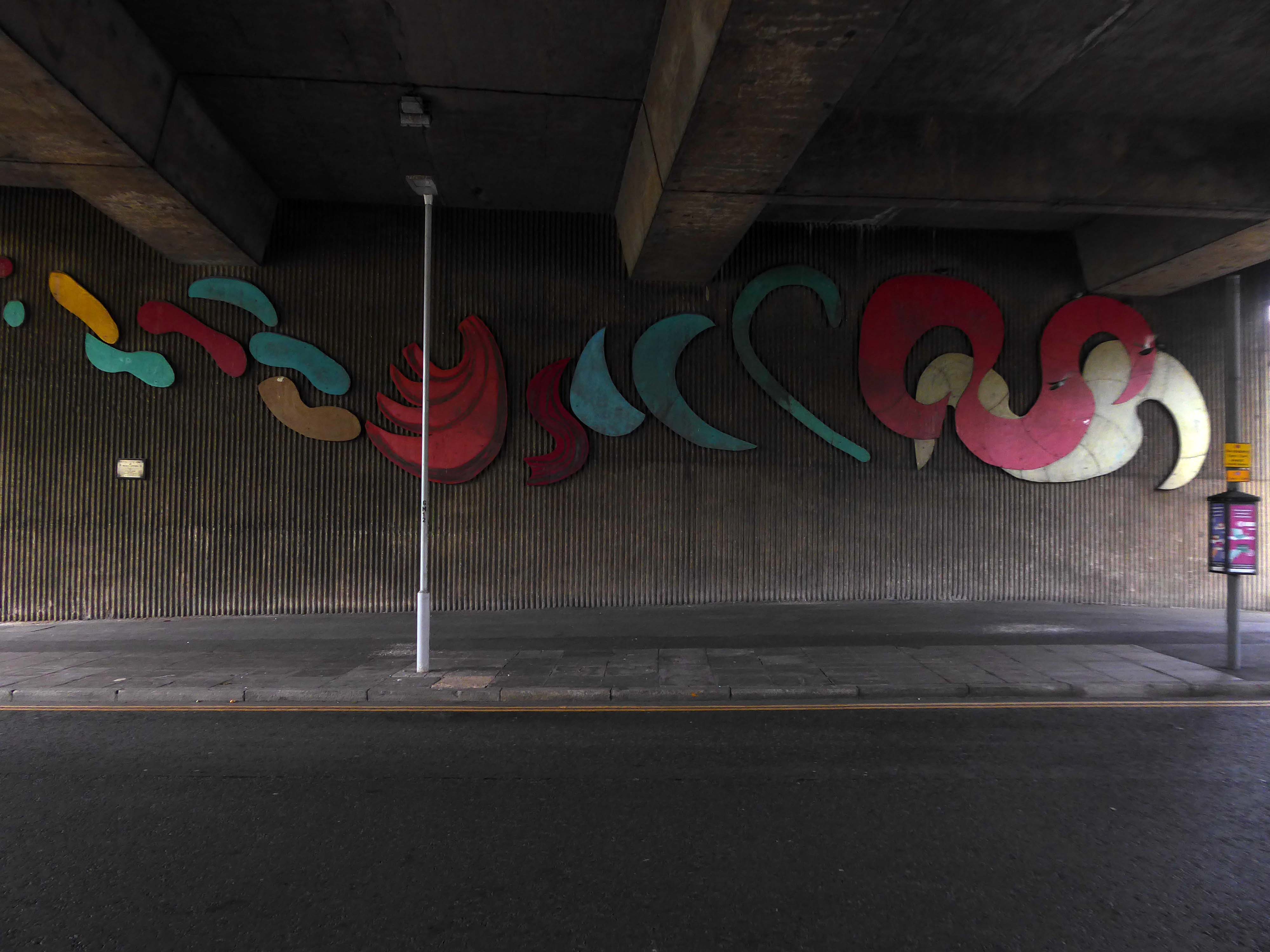
The A6 is Britain’s fourth longest road. Its route varies greatly from the lower lands of the South East, though the Peak District, right though the heart of Manchester city centre, then onwards towards Preston. It then goes though the historic city of Lancaster before skirting the Eastern fringe of the Lake District before ending in Carlisle, bang on the start of the A7.
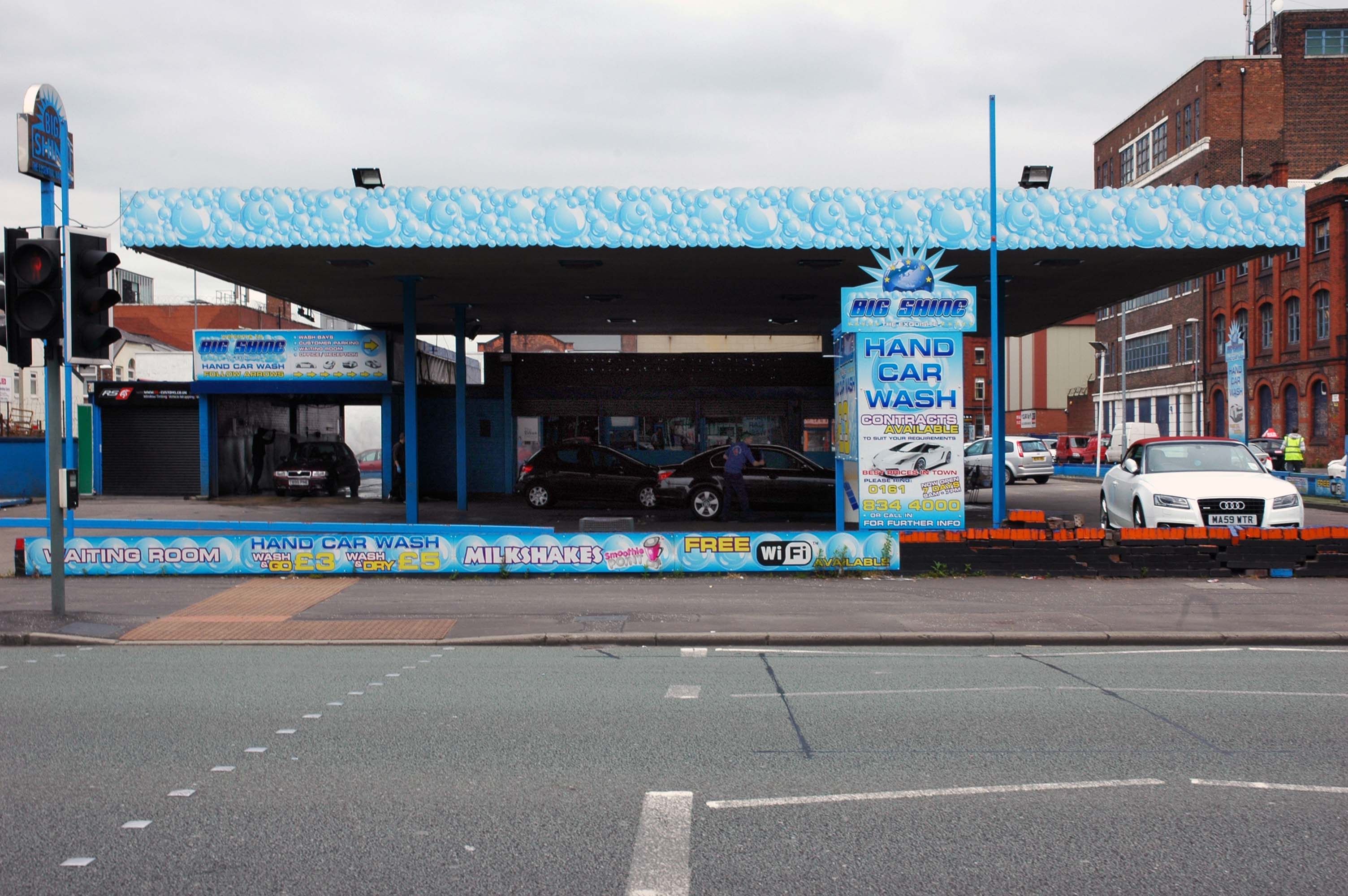
North from Stockport towards Manchester, the A6 was a wide, four lane road, but still 30 mph, which usually flowed pretty well. According to Mudge, it looks like it has now been massacred by bus lanes and red paint. Shame. We meet the A57 from the east, just south of the city centre, and multiplex until we reach Mancunian Way, the A57 heading off as a short urban motorway, the A6 heading into the city centre via London Road/Piccadily, where it loses its number and vanishes. It would have gone straight down Piccadily/Market Street to meet Deansgate, and then across the River Irwell into Salford, and up Chapel Street, where the number reappears. Market Street has been pedestrianised for years, so the A6 has long ceased to be a through route.
The A57 was nearly a coast to coast route. It passes through three major city centres (Liverpool, Manchester, and Sheffield – with elevated sections in each) and several smaller ones, multiplexes with the A6 and the A1, follows the banks of two canals and negotiates the remotest part of the Peak District. In one city it part of it is a tram route, whilst in another its former route is also a tram route. After all these adventures, it sadly gives up just 40 miles short of the east coast, Lincoln apparently proving too big an obstacle.
The A57 crosses the River Irwell at Regent Bridge before entering its moment of motorway glory as the A57(M) Mancunian Way skirting the south of Manchester’s city centre on an elevated section and crossing the A56 and A34. This includes a half-completed exit that goes the wrong way up Brook Street – a one way street. The original A57 ran further north through the city centre along Liverpool Road (now the A6143) and Whitworth Street – B6469 as far as the A6 London Road which marked the start of a multiplex.
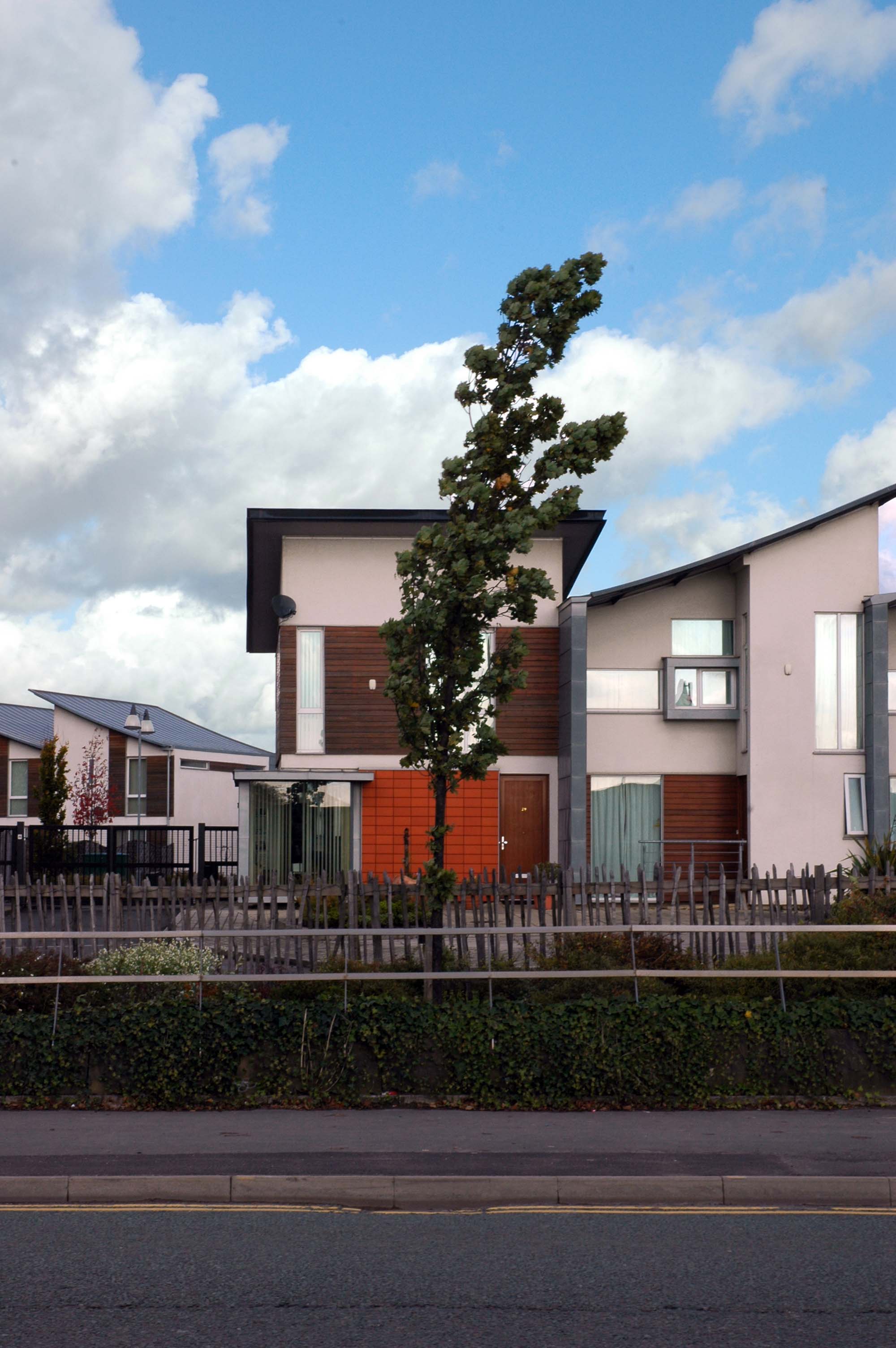
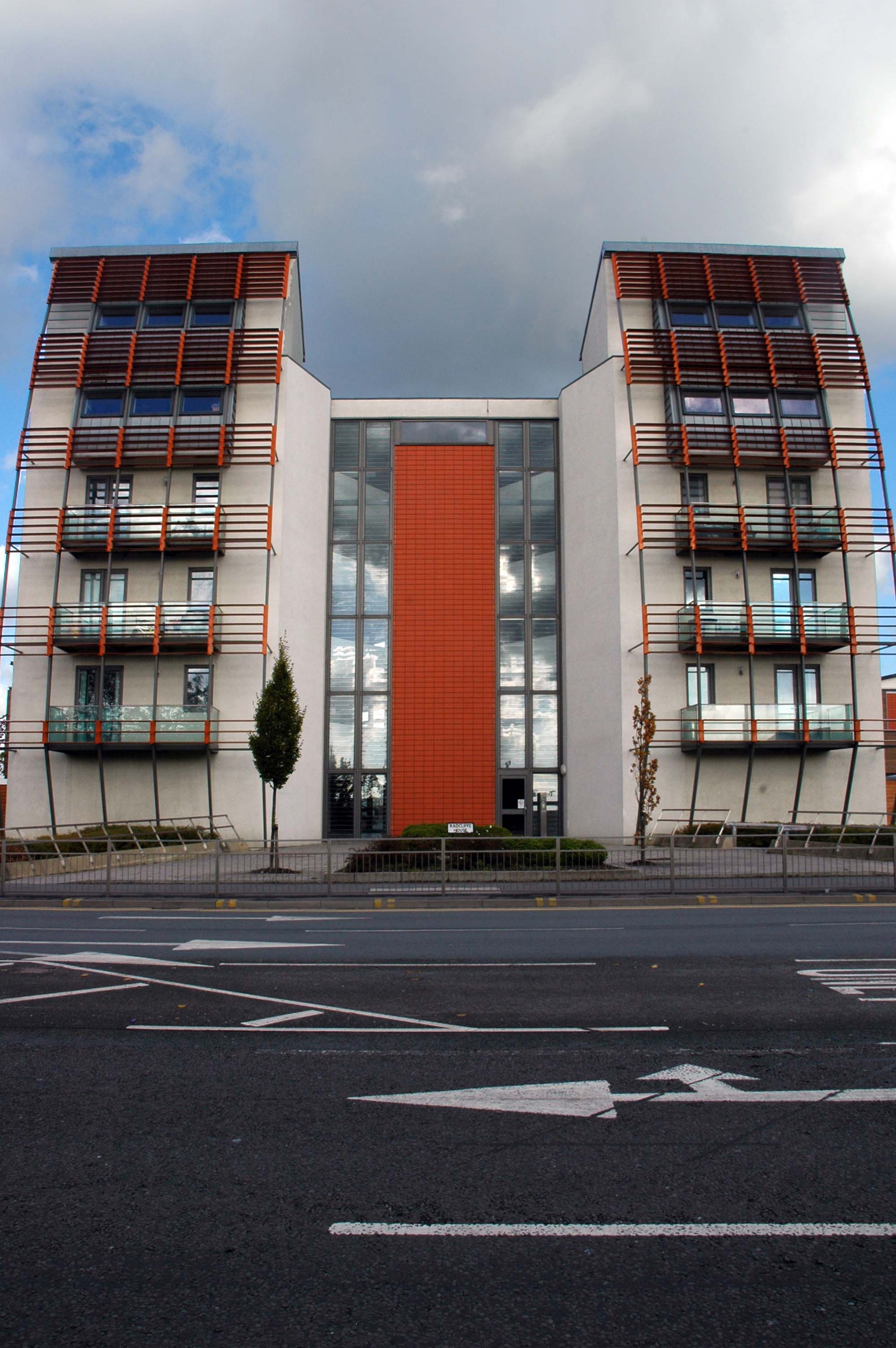
At the end of Mancunian Way, we reach a TOTSO, straight on being the short unsigned A635(M) and thence the A635 – for Saddleworth Moor, Barnsley and Doncaster whilst the A57 turns south, briefly multiplexing with the A6, and then branching off along Hyde Road. This section of road was extensively cleared for the westward extension for the M67, and consequently has seen a lot of redevelopment.
The road now begins slightly further south than it used to. Instead of starting on Fairfield Street in Manchester city centre, it begins immediately as the Mancunian Way ends, which at this point is the unsigned A635(M). The motorway flows directly into our route. There’s a TOTSO right at a set of lights, and we pick up the old alignment, which now starts as the B6469.
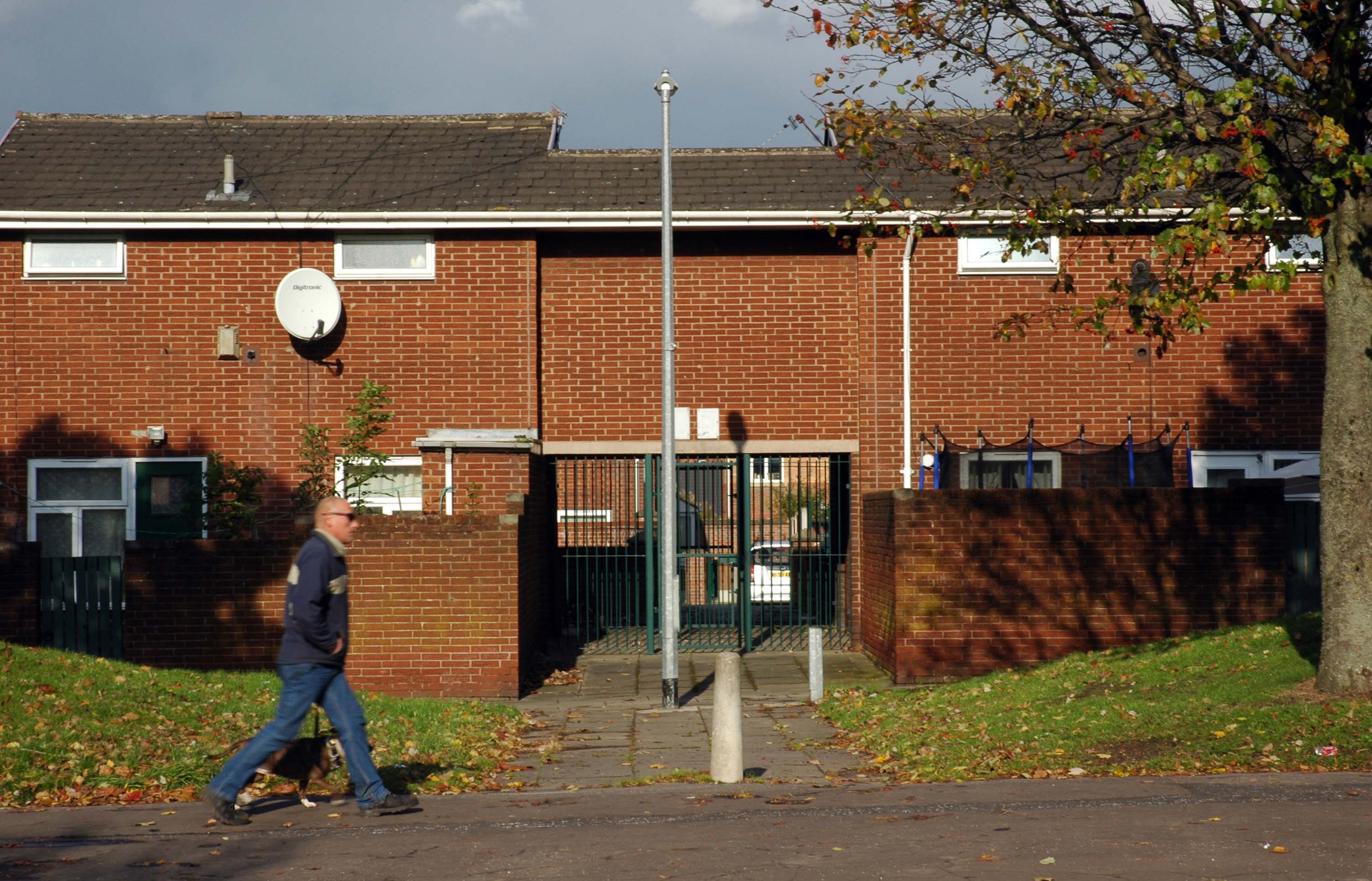
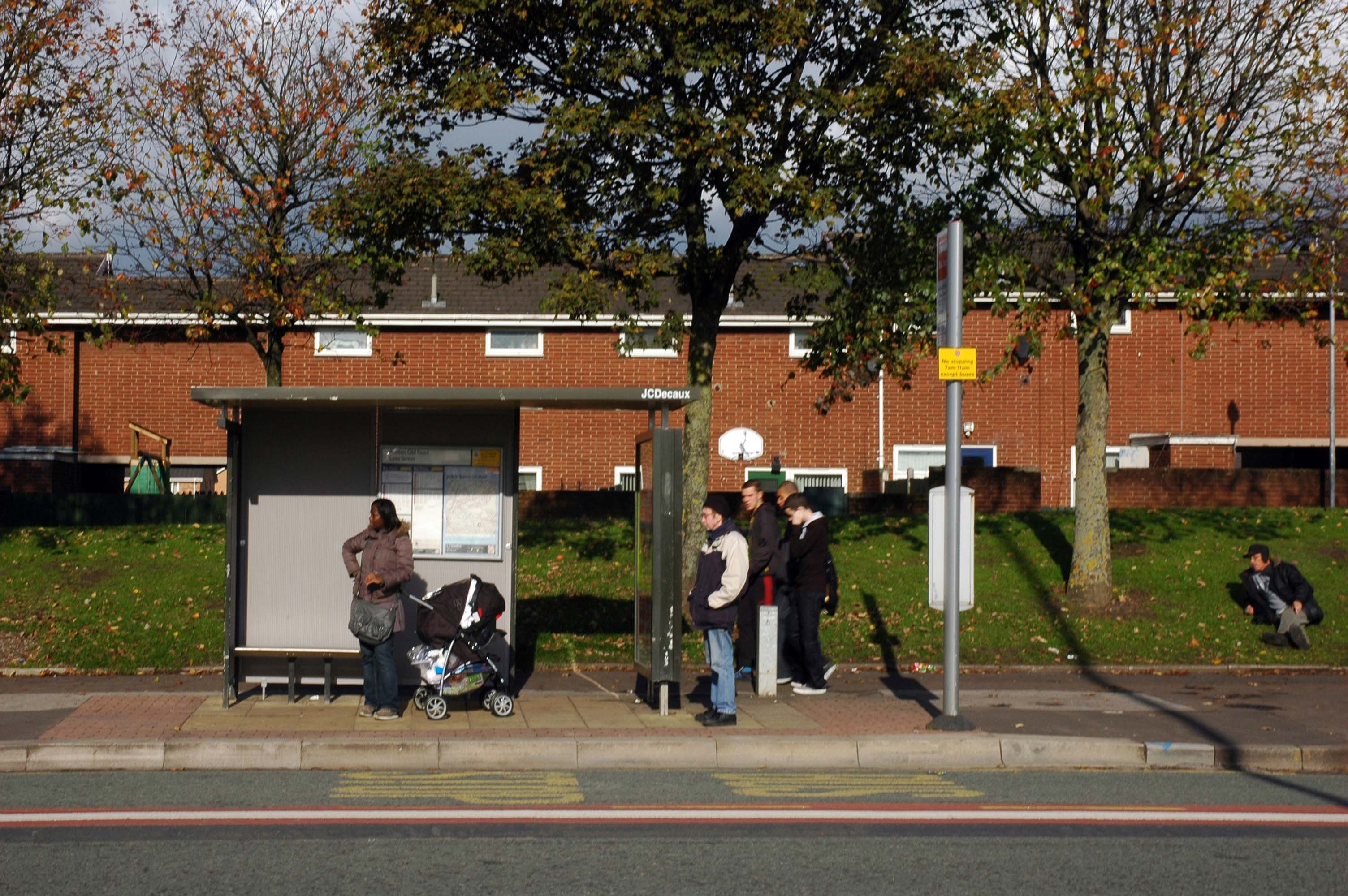
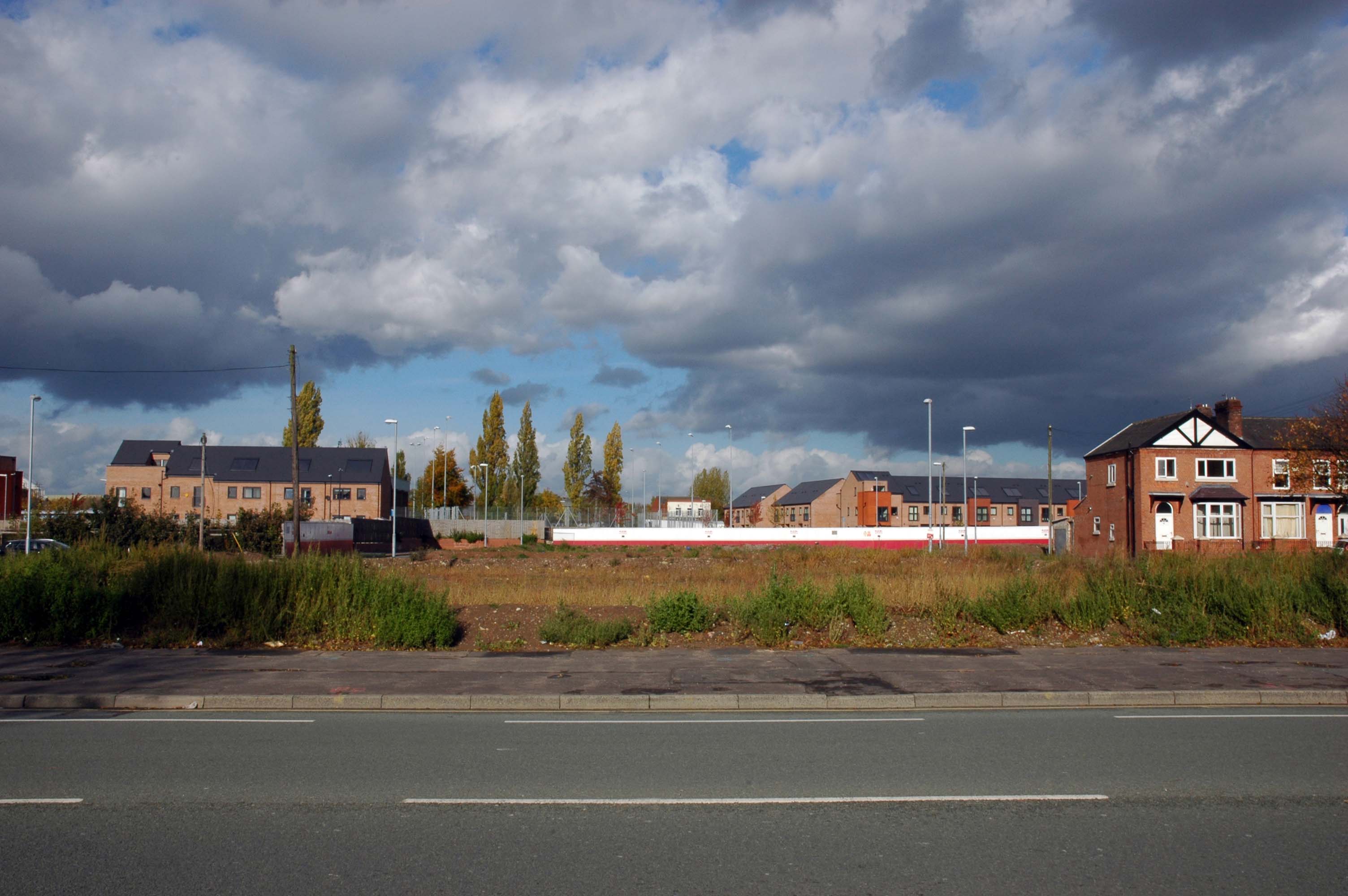
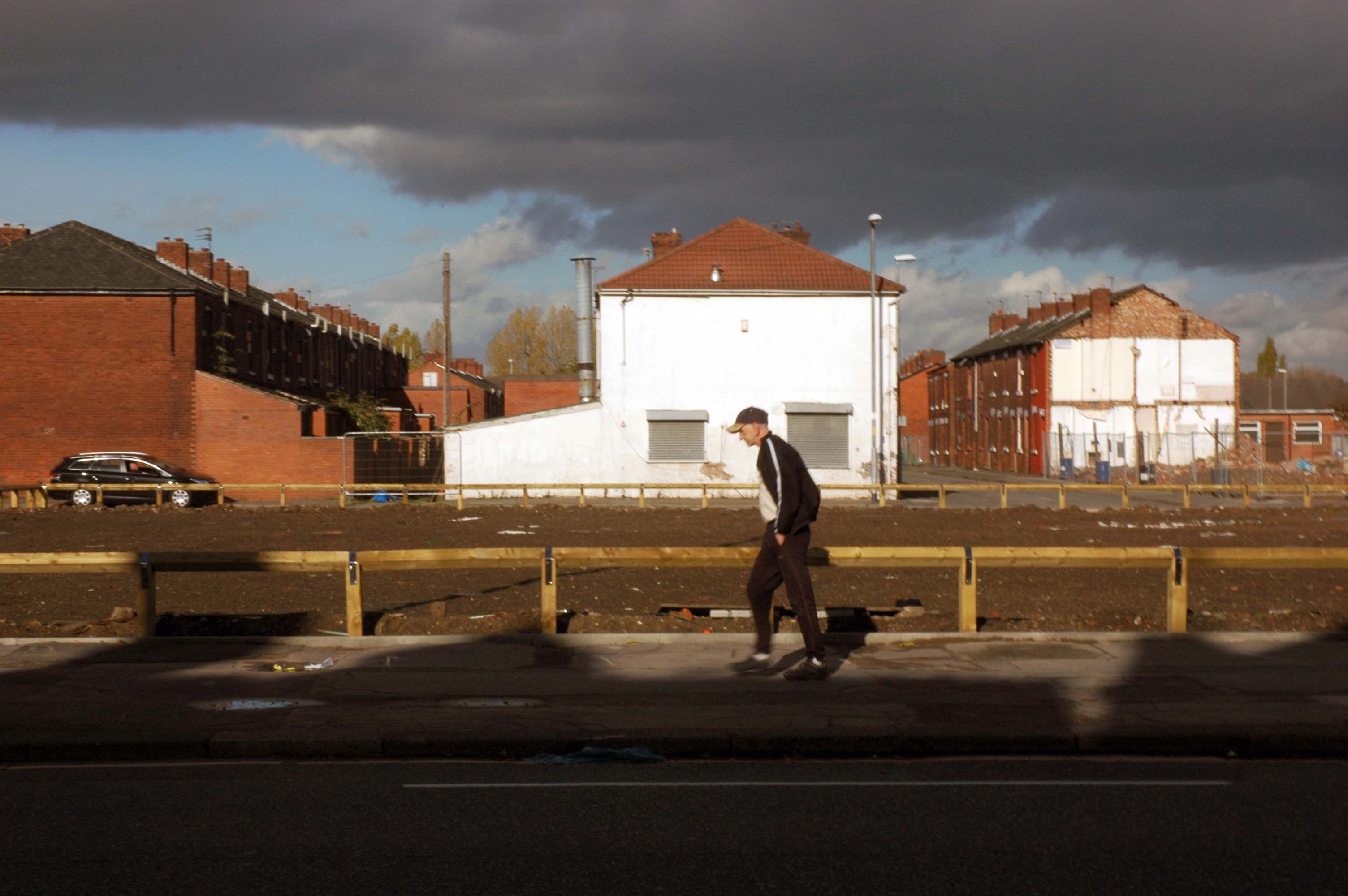
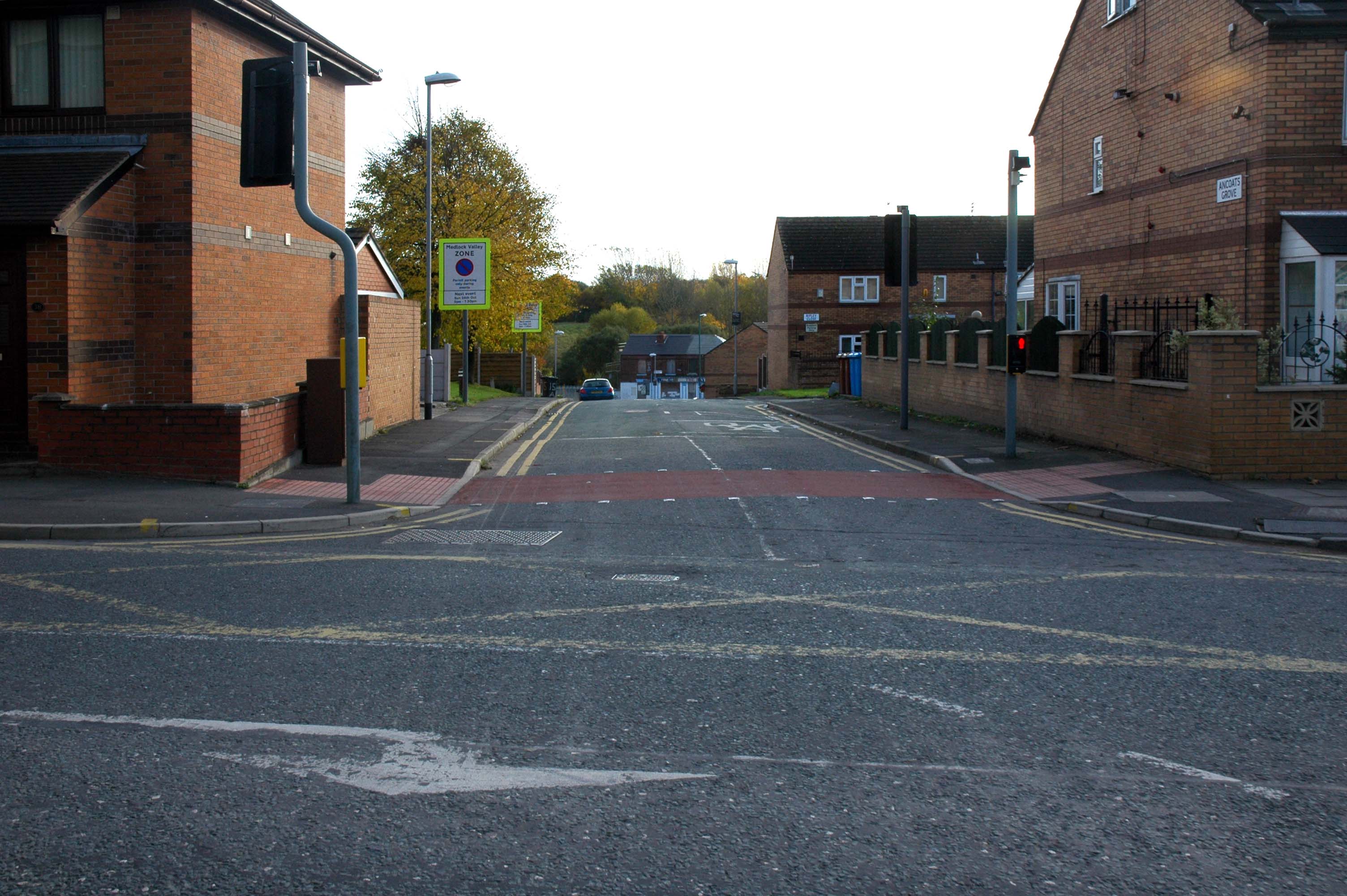
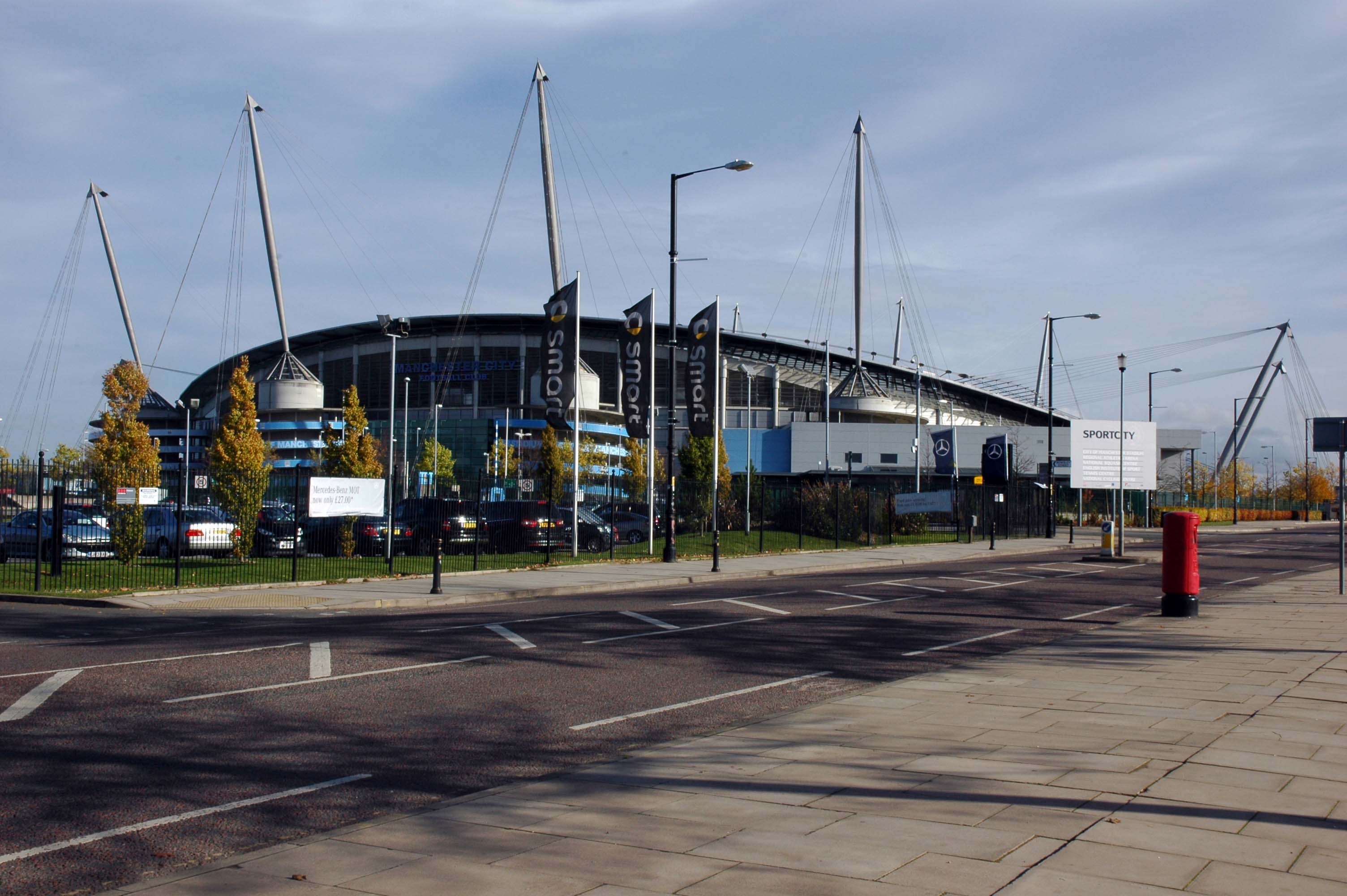
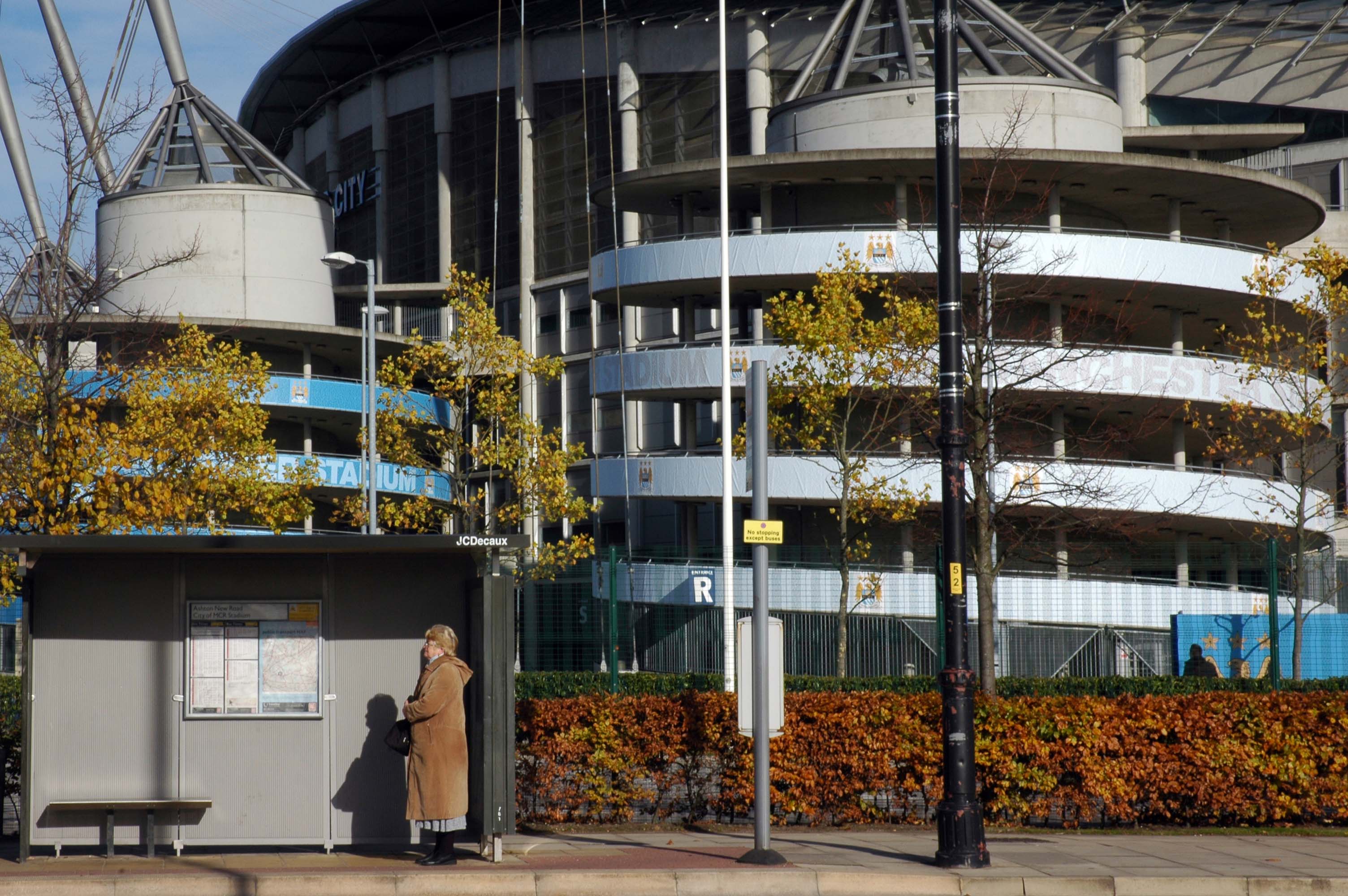
We can see the new City of Manchester Stadium on the left, site of the 2002 Commonwealth Games and now home to Manchester City FC. The road switches between S2 and S4 as it passes through the rather run-down urban areas of Ardwick and Gorton. A short one-way system at a triangular-shaped junction with the A662 leads onto a wider stretch as we near the M60 junction. This area is set to see significant industrial growth, with whole swathes of land either side of the now D3 road cleared and ready for development.
Starting at traffic lights on the A665 the road heads northeastwards, initially with the Metrolink on the left and a factory building on the right. The road then bears right at traffic lights marking the first section of on-street running for the trams, which lasts until just before a bridge over the River Medlock, after which the road passes to the south of the Sportcity complex whilst the tram line runs through the middle.
The A6010 is crossed at traffic lights, after which we see the tram lines on the left once more. We go over the Ashton Canal, then the tram lines at grade before bearing to the right to pass Clayton Park before another section of on-street running for the Metrolink begins, which continues for some distance. Just after crossing the Manchester city limit there is a set of traffic lights, after which the road becomes D2 for a short distance to allow a tram stop – Edge Lane, to be located in the central reservation. The tram leaves the road to the right for the next stop – Cemetery Road, and the stop in Droylsden town centre is once again in the central reservation. In all three cases the street running recommences after the stop.
The obvious place for the A664 to start is on the A665 Manchester & Salford Inner Relief Route, which at this point is actually two parallel one-way streets. However, many maps show the road continuing a short distance into the city centre to end at traffic lights by the Shudehill Interchange – this is presumably for historic reasons: the road originally continued along the High Street to its terminus on the A6 Market Street.
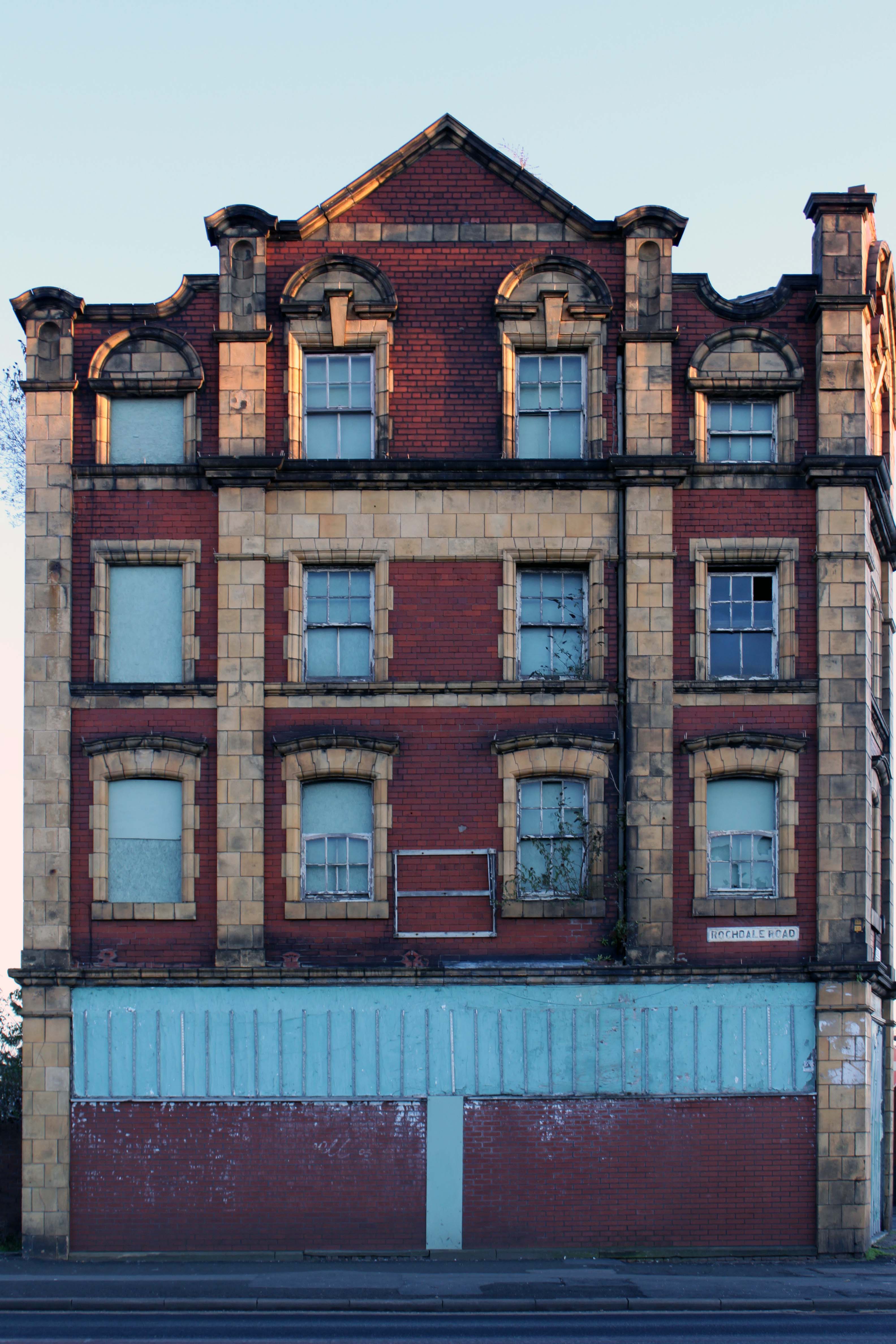
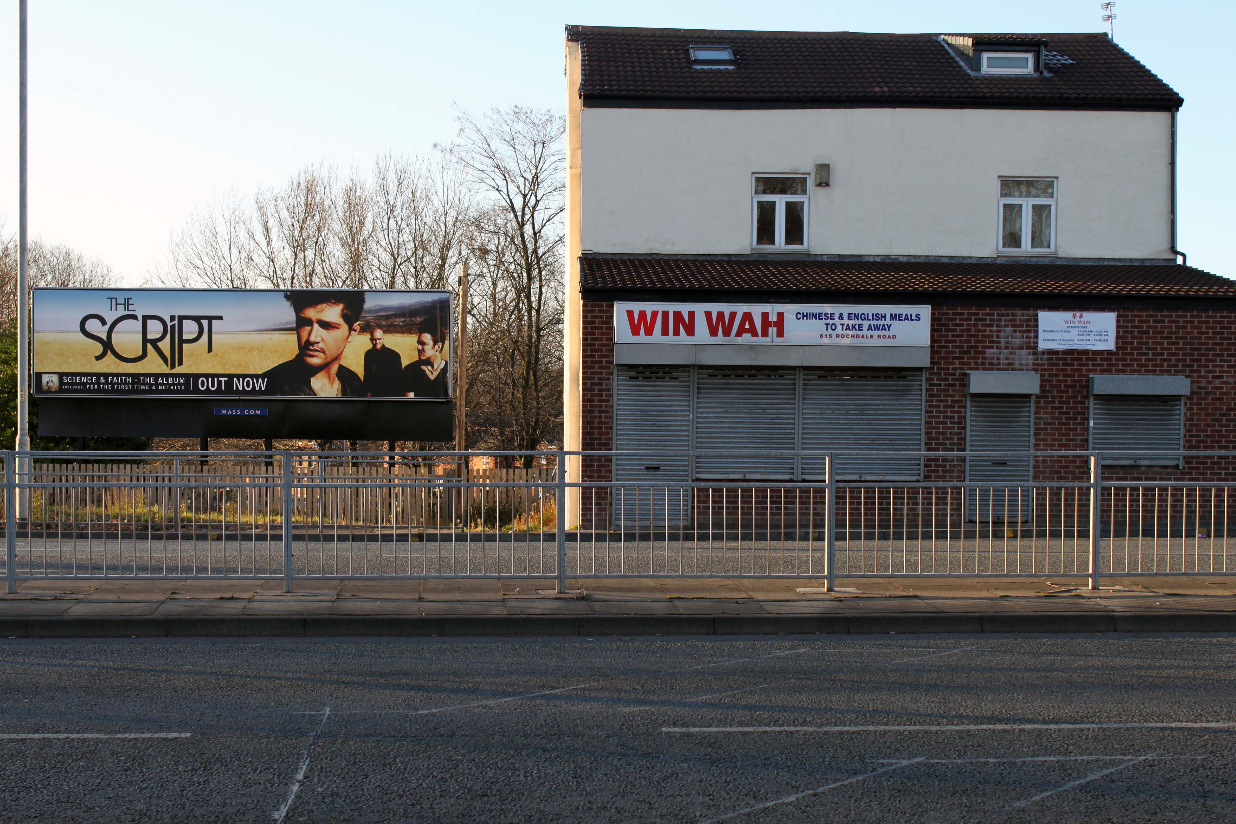
The road heads northeastwards through the suburbs, the street name Rochdale Road, already emphasising its destination. Initially dual, the road narrows just before crossing the bridge over the railway line east of Victoria station. It continues through Collyhurst and widens again just before crossing the A6010 Intermediate Ring Road, which here is made up of two parallel one-way streets, requiring two separate sets of traffic lights to cross.
Now non-primary – but still dual for a short distance more, the road runs in a more northerly direction through Blackley, where it becomes wooded for a short distance as it passes the Boggart Hole Clough park. Slightly further on the road has been straightened, after which it bears right to widen considerably and cross the A6104 at traffic lights just before M60 J20, which only has west-facing sliproads. The road narrows again on the far side of the motorway and leaves Manchester for Rochdale at the same point.
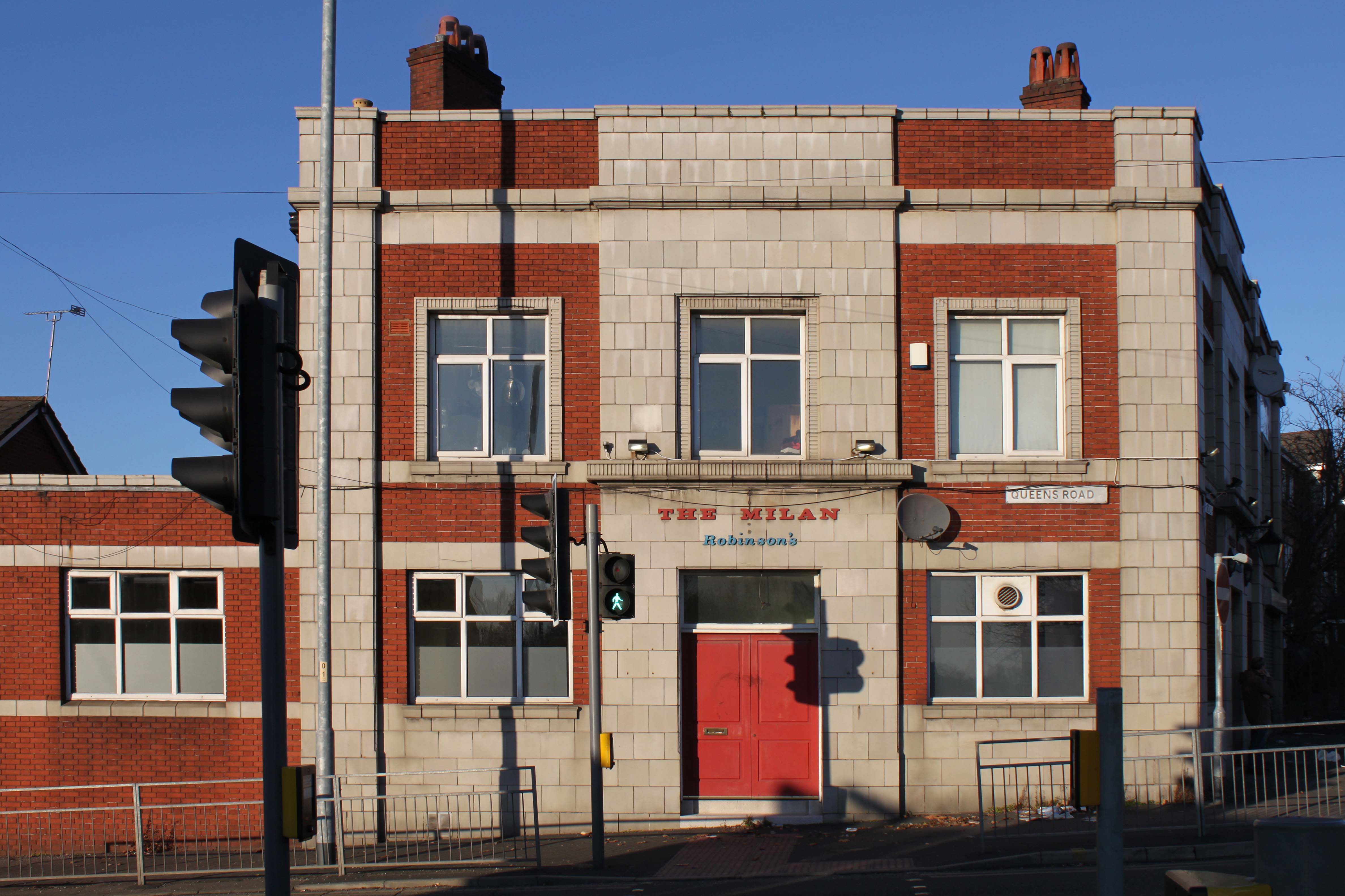
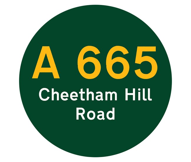
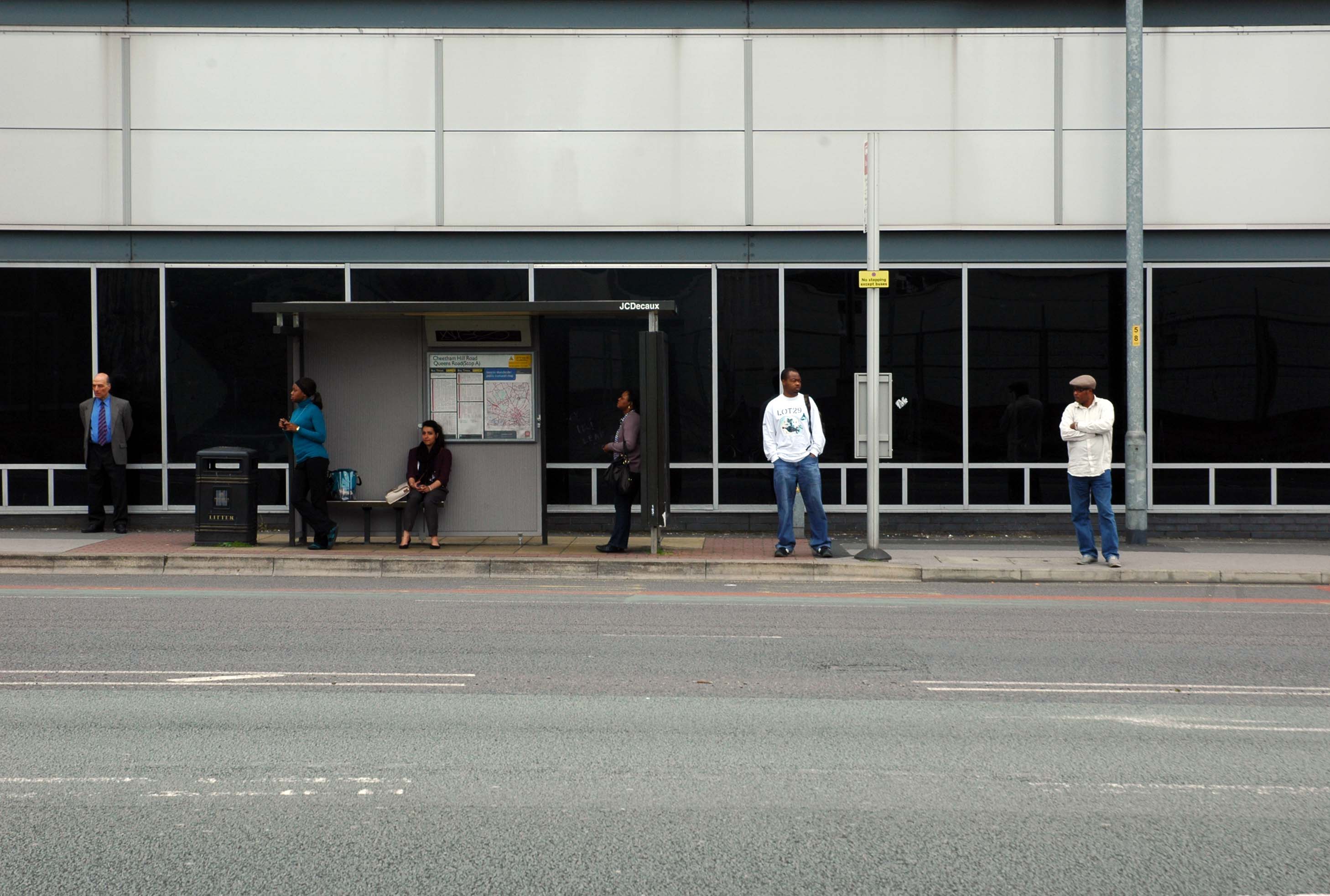
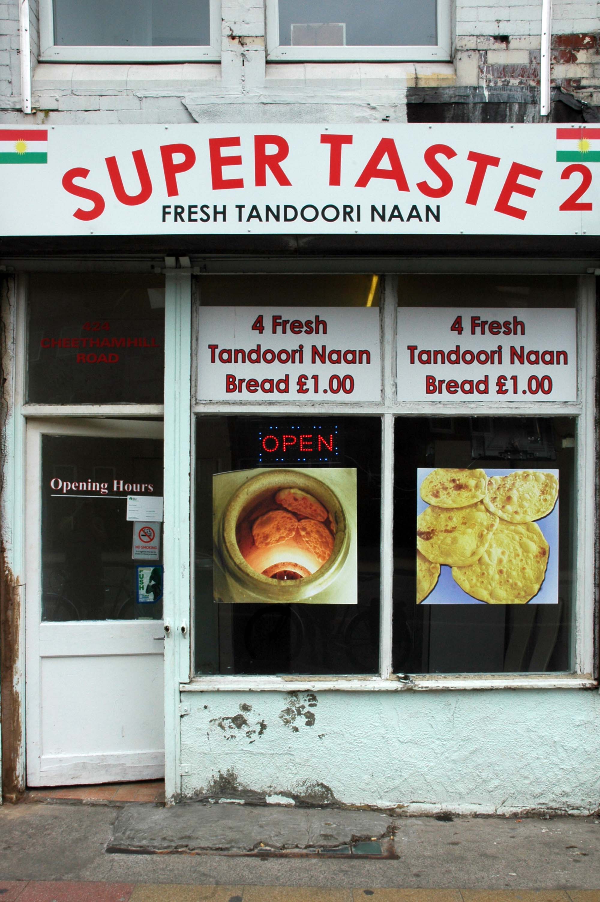
Cheetham Hill Road is part of the designated A665. Cheetham Hill Road starts at the junction of the A6042 Corporation Street and the A665 Miller Street. It crosses the culverted River Irk to the east of Victoria Station. At its junction with New Bridge Street, it turns north-northeast and is straight for 1 km, to the A6010 Queen’s Road . This stretch was called York Street until about 1900. Cheetham Hill Road leads from here to the community of Cheetham Hill, where at Bourget Street and Crescent Road – formerly Sandy Lane, Cheetham Hill Road becomes Bury Old Road.
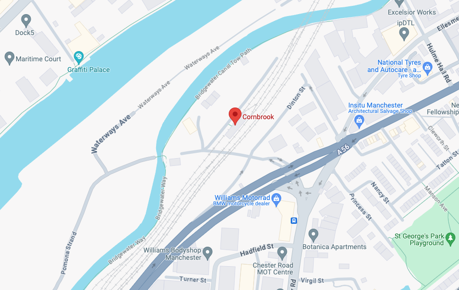
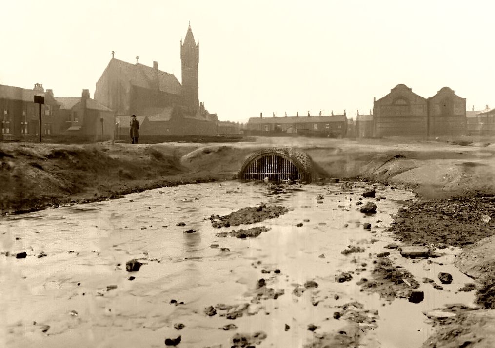
The Cornbrook drains the urban area South of the River Medlock, it rises in Gorton and follows a tortous path through Manchester’s Southern ‘inner city’ suburbs and empties itself into the Manchester Ship Canal at the Pomona Docks.
It’s a tram stop – primarily an interchange, though the brand new shiny residential new build has produced a brave band of brand new shiny residents in transit. Slipping and sliding ‘neath the bridge, skating over the age old accretion of filth, oil, diesel and detritus produced by the surrounding scrap yards.
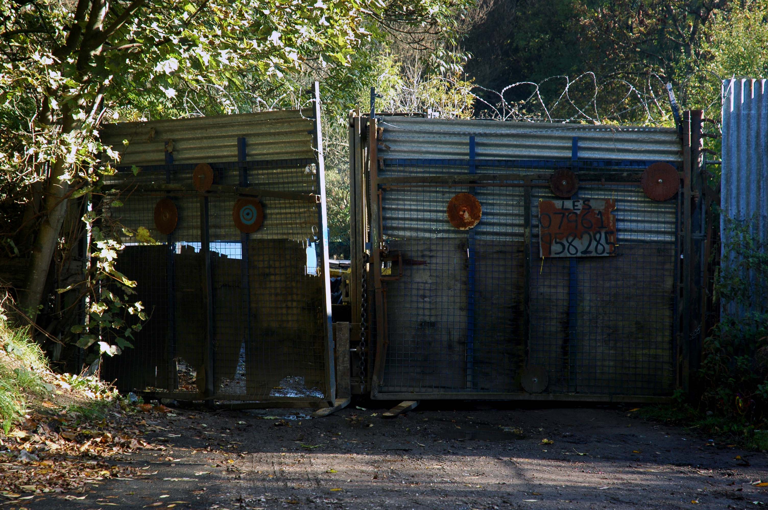
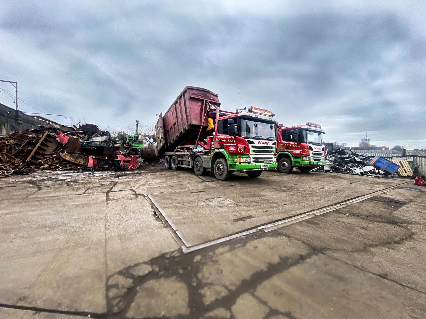
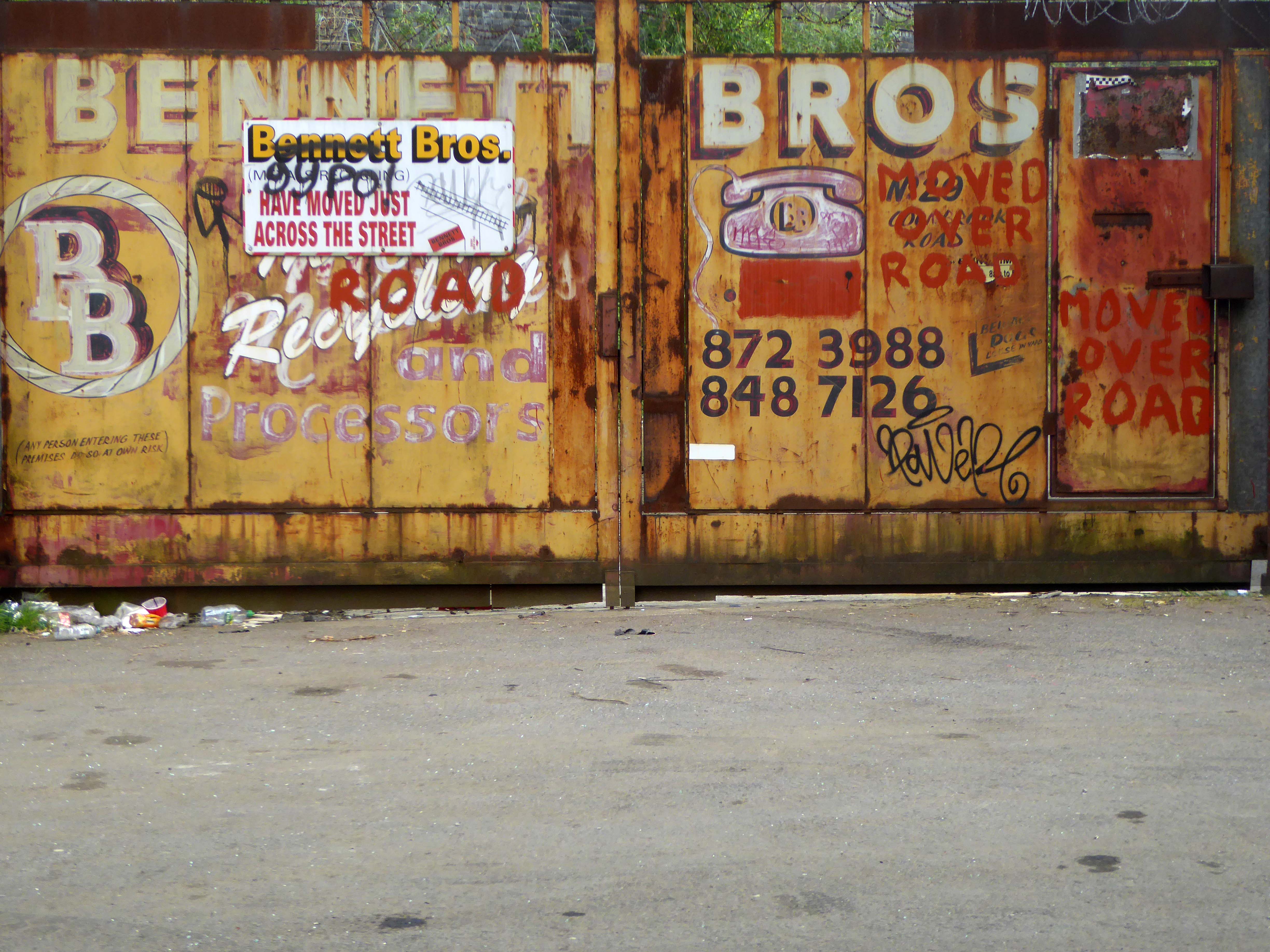
We are one of the first recycling companies operating in the North West, Bennett Bros was founded in 1948 by Francis William Bennett and Bernard Bennett, and remains a family-run business to this day. Bennett Bros was originally involved in loaning ponies to the many rag and bone men who collected unwanted household items and sold them to merchants, and while the recycling industry has now embraced modern technology, we are very proud of our heritage as innovators in what was then a new industry.
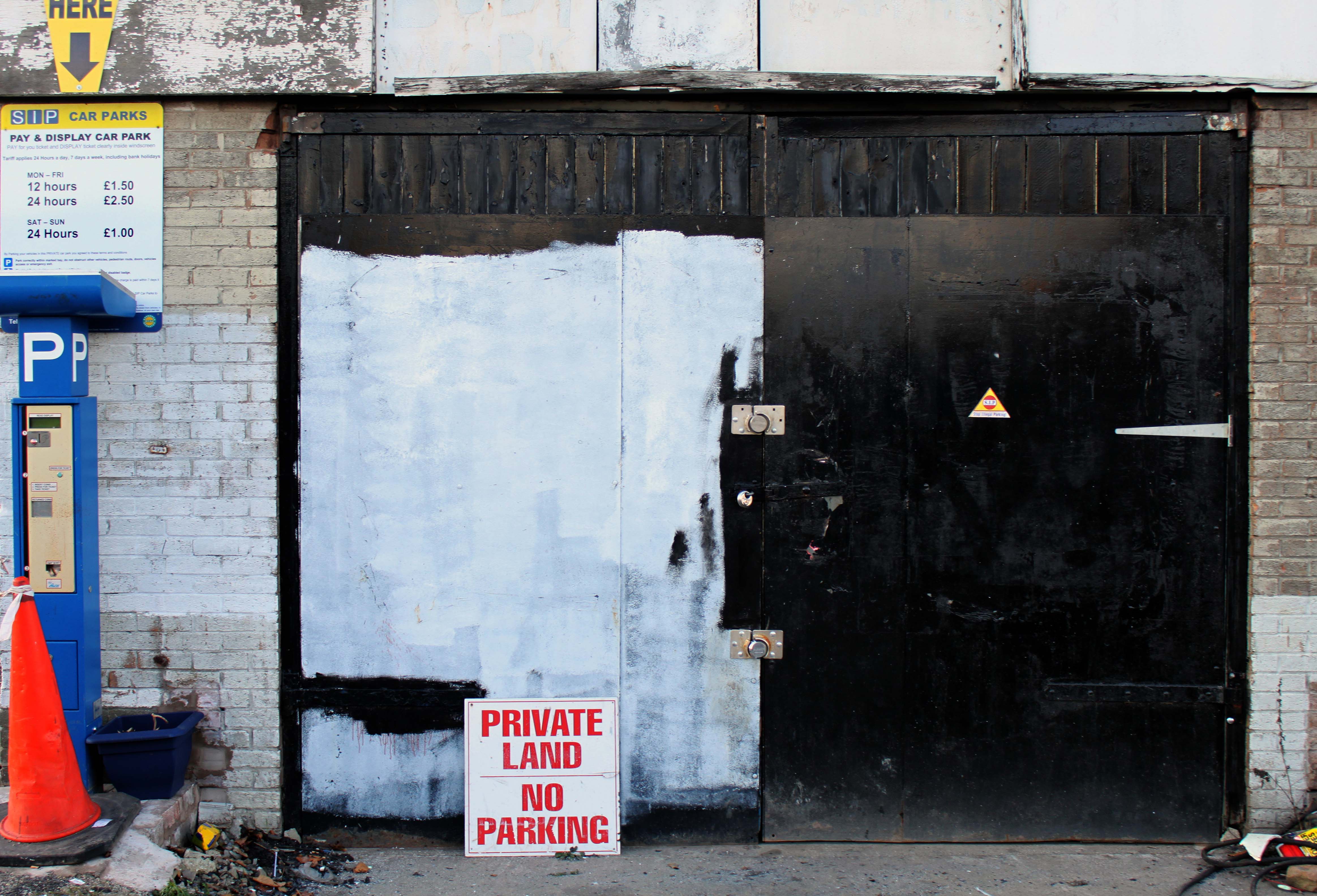
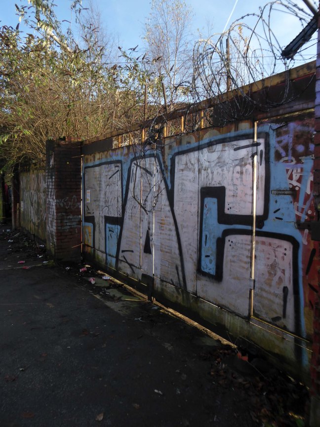
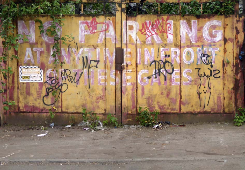
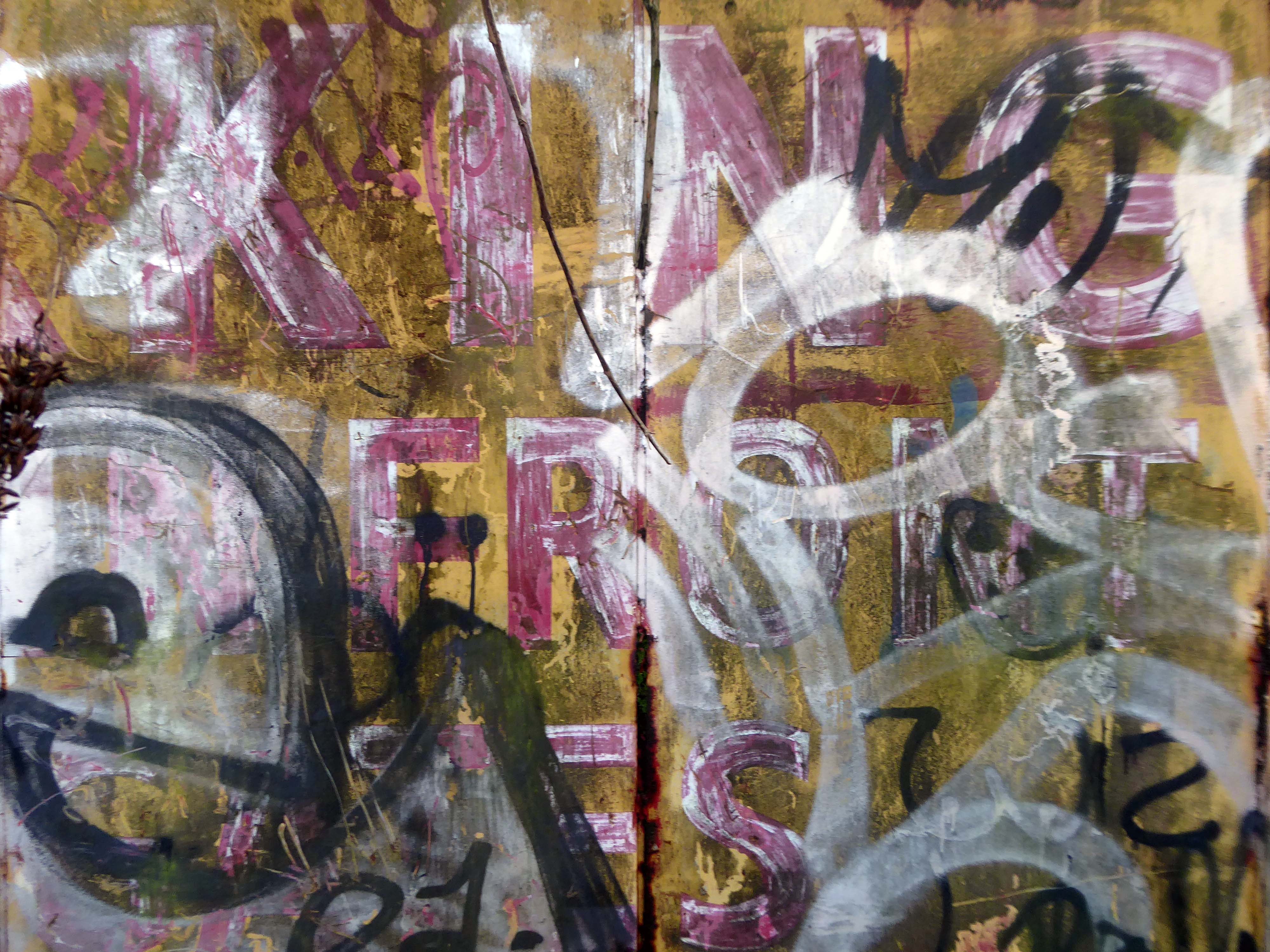
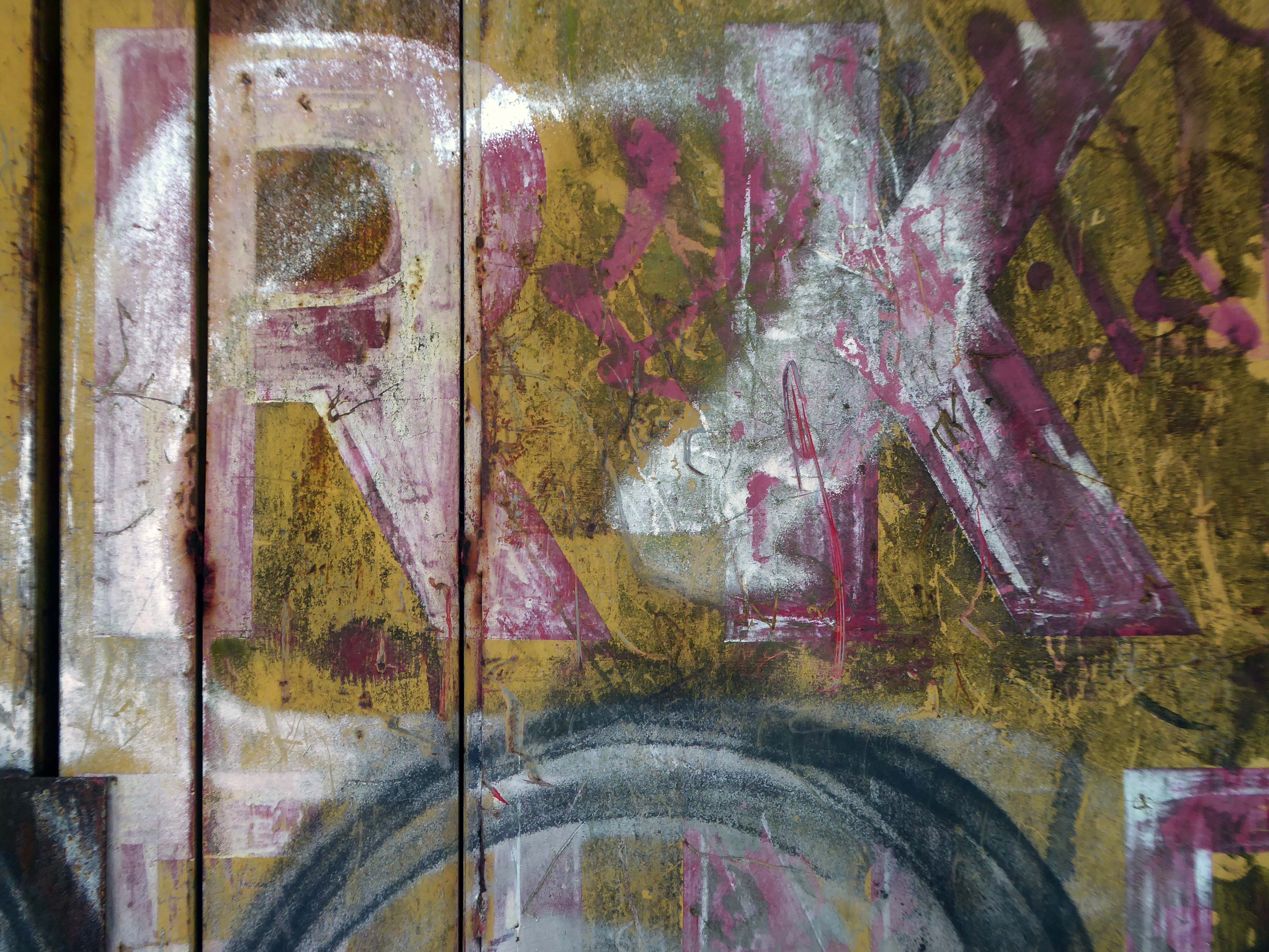
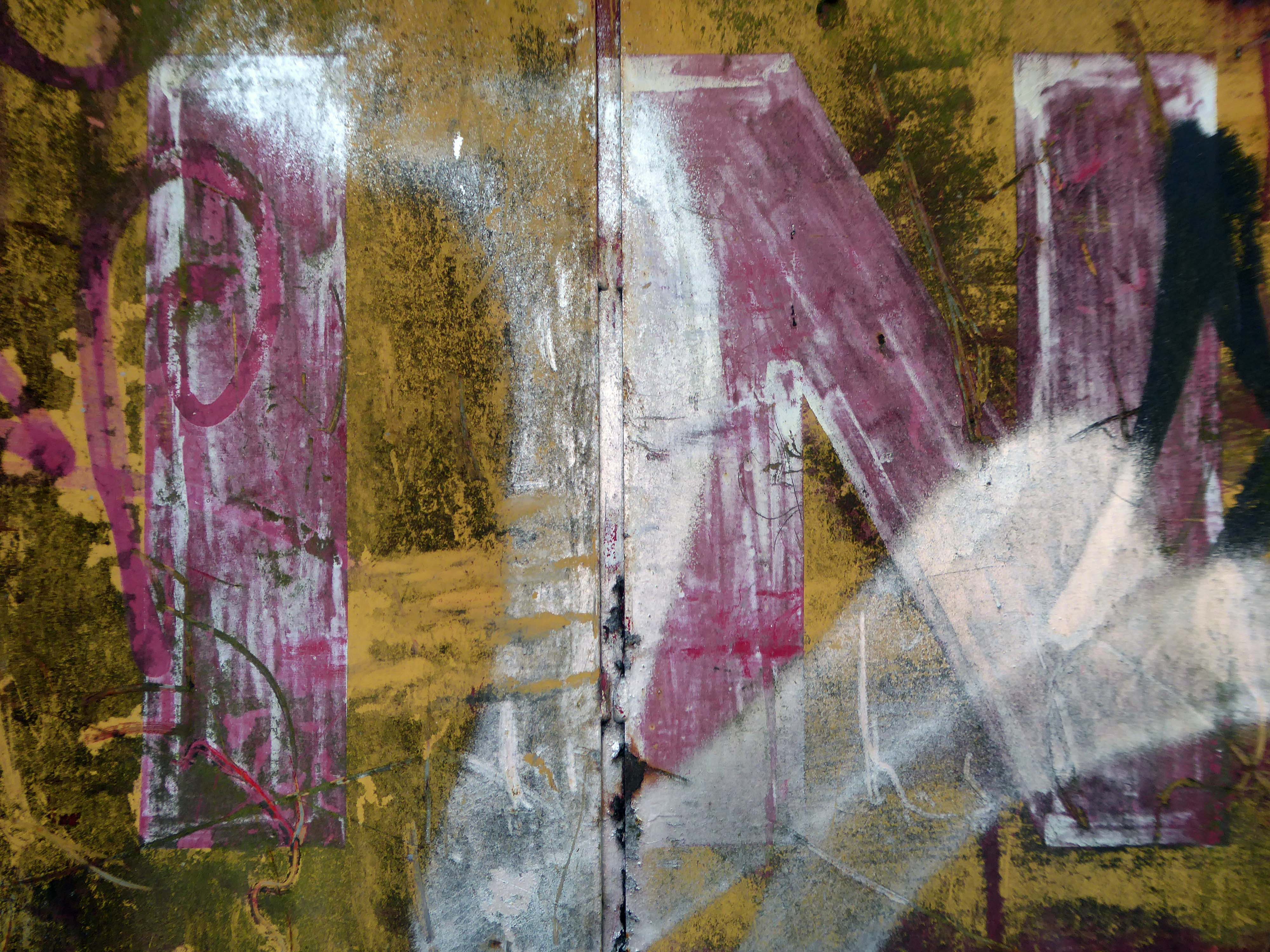
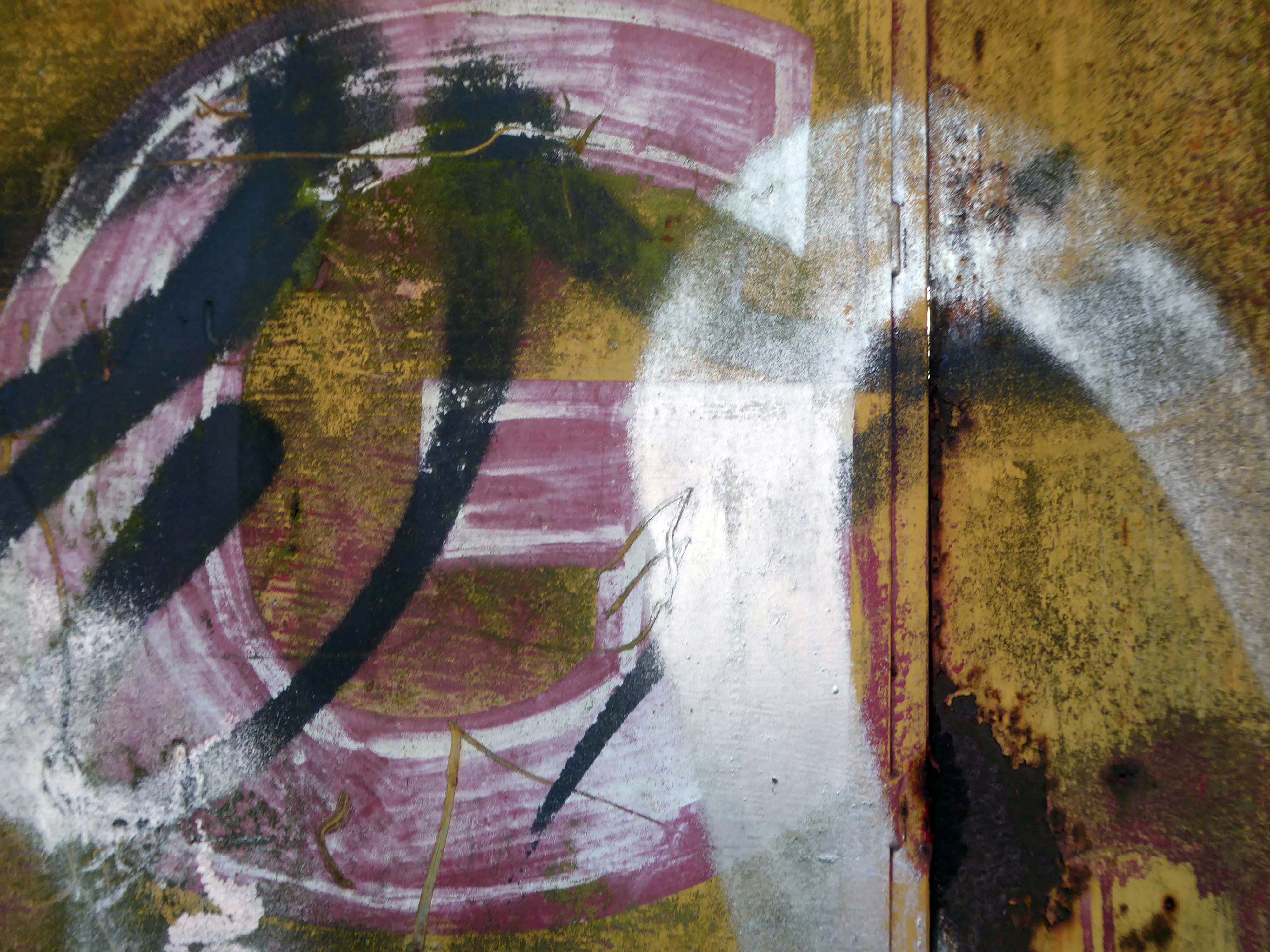
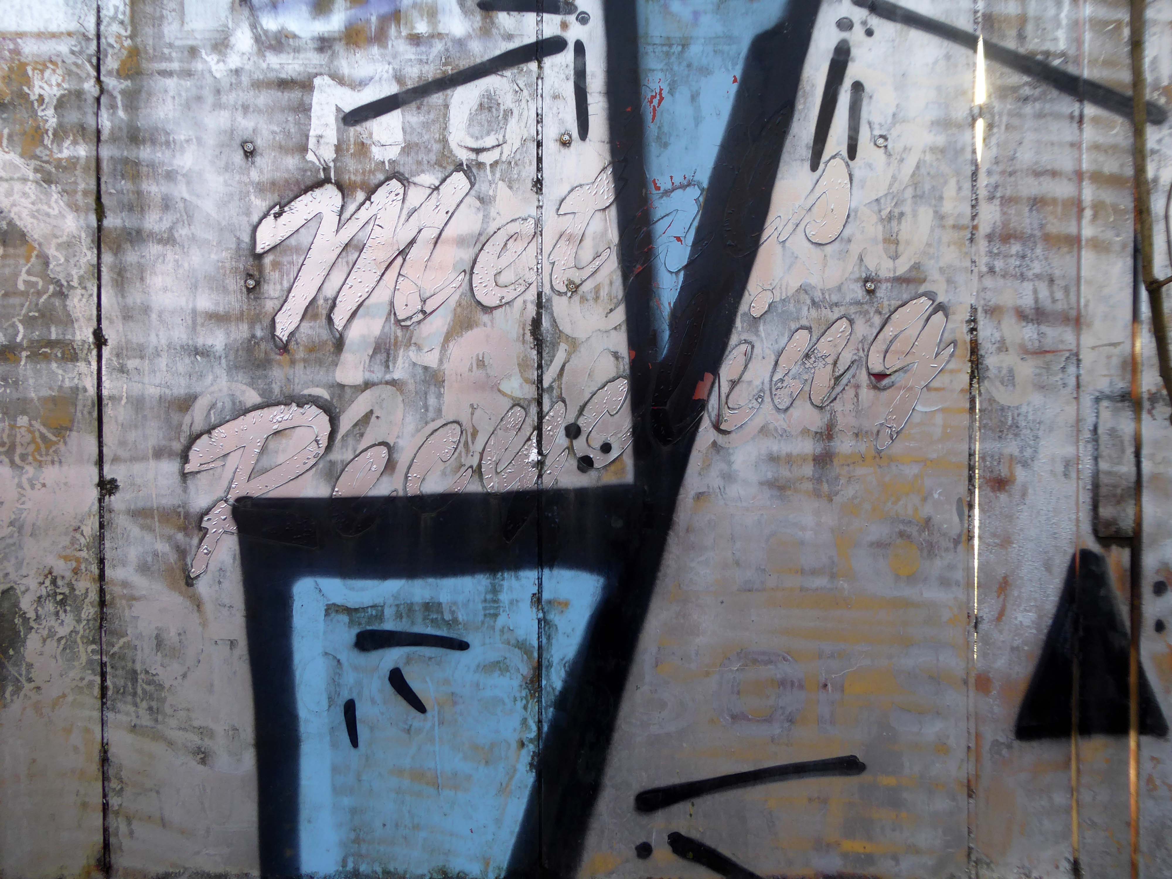
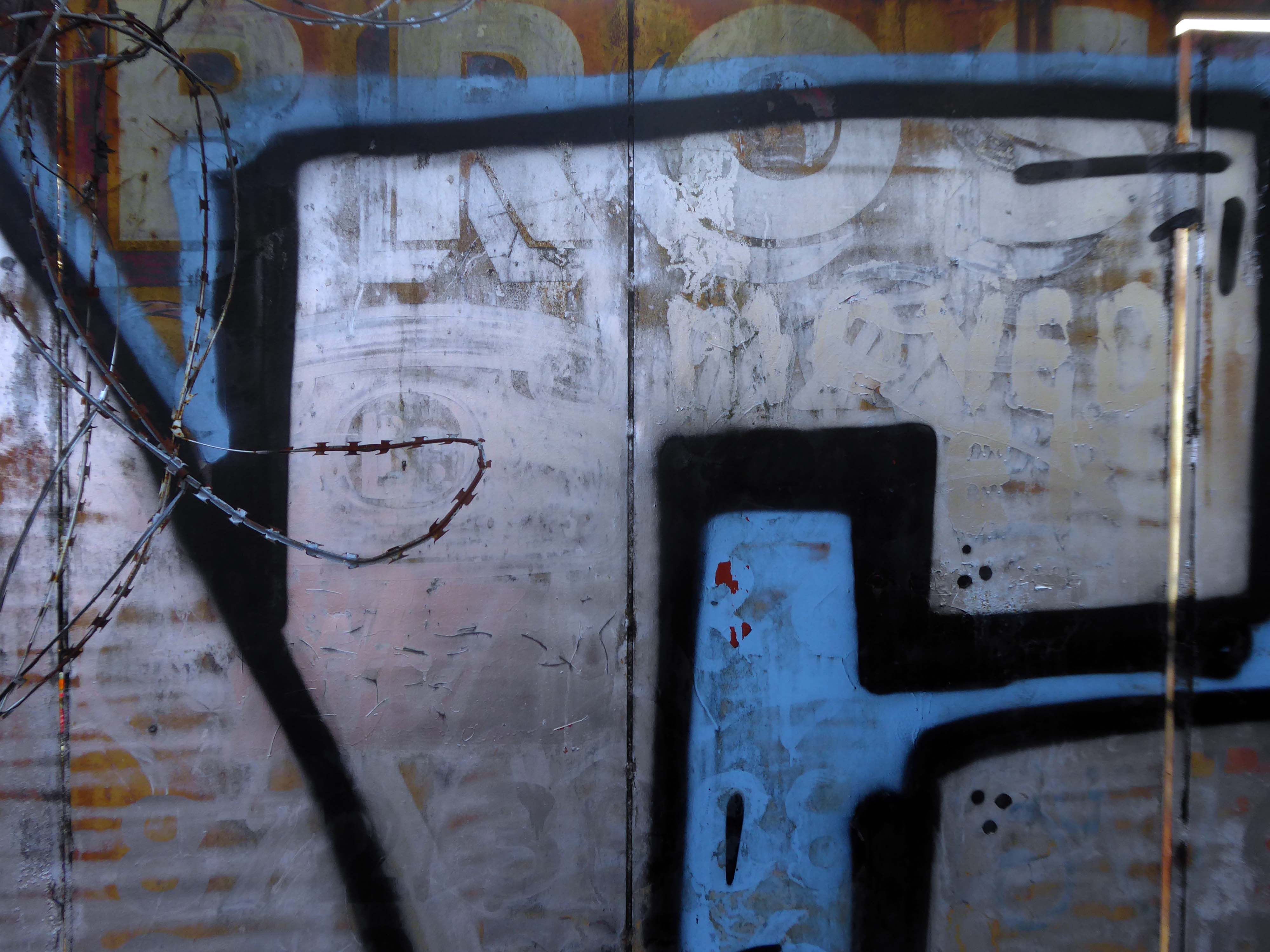
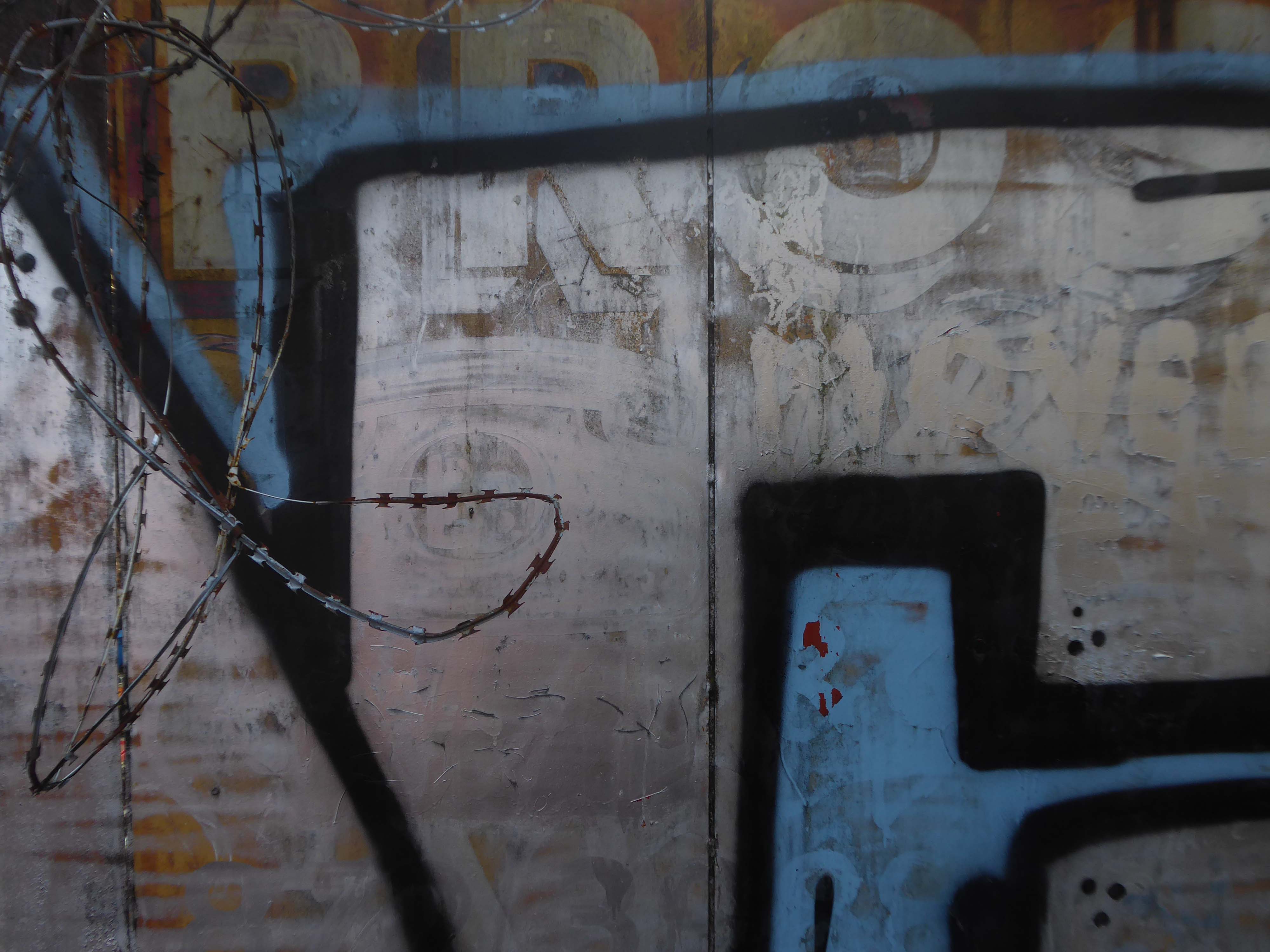
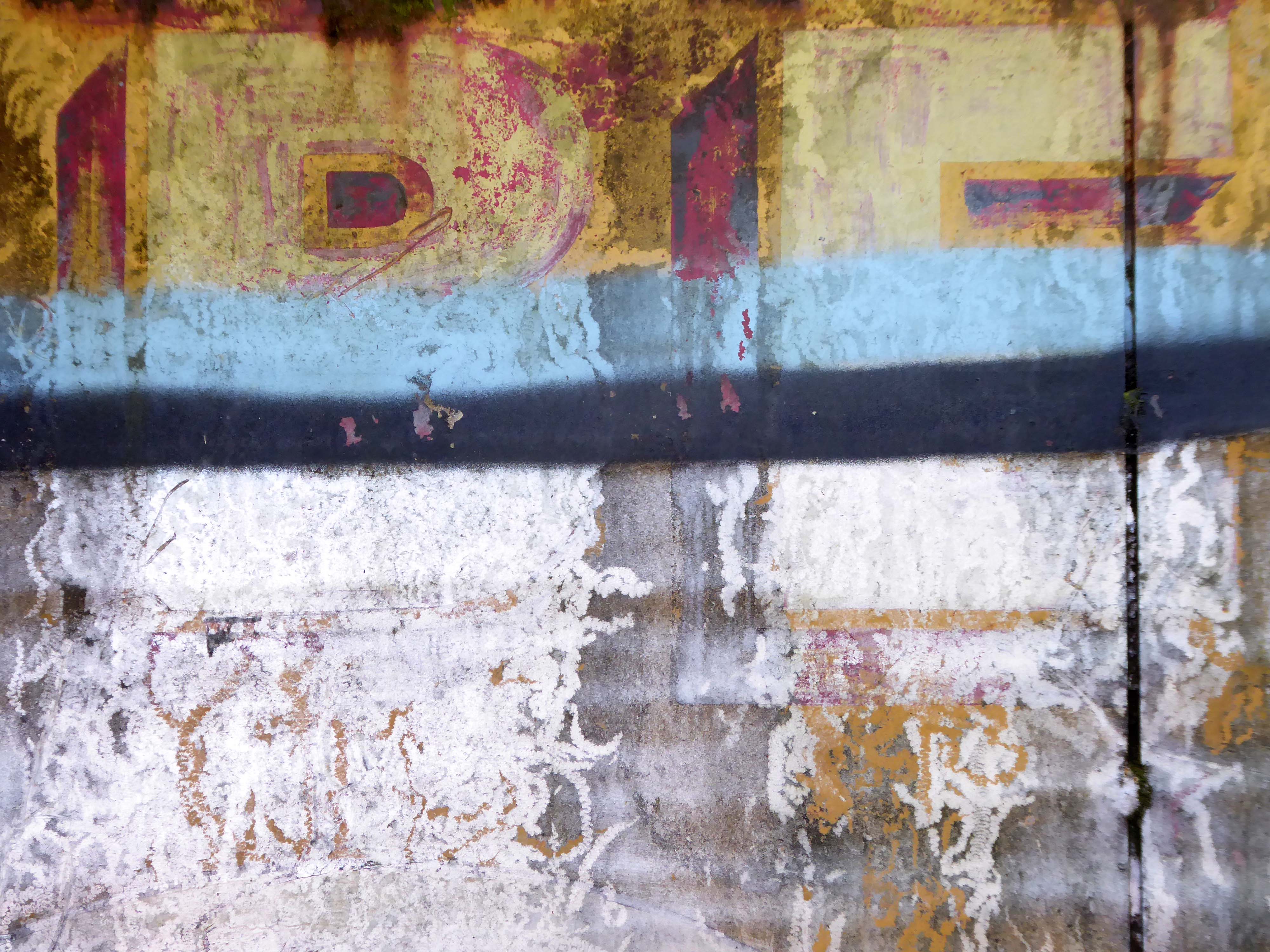
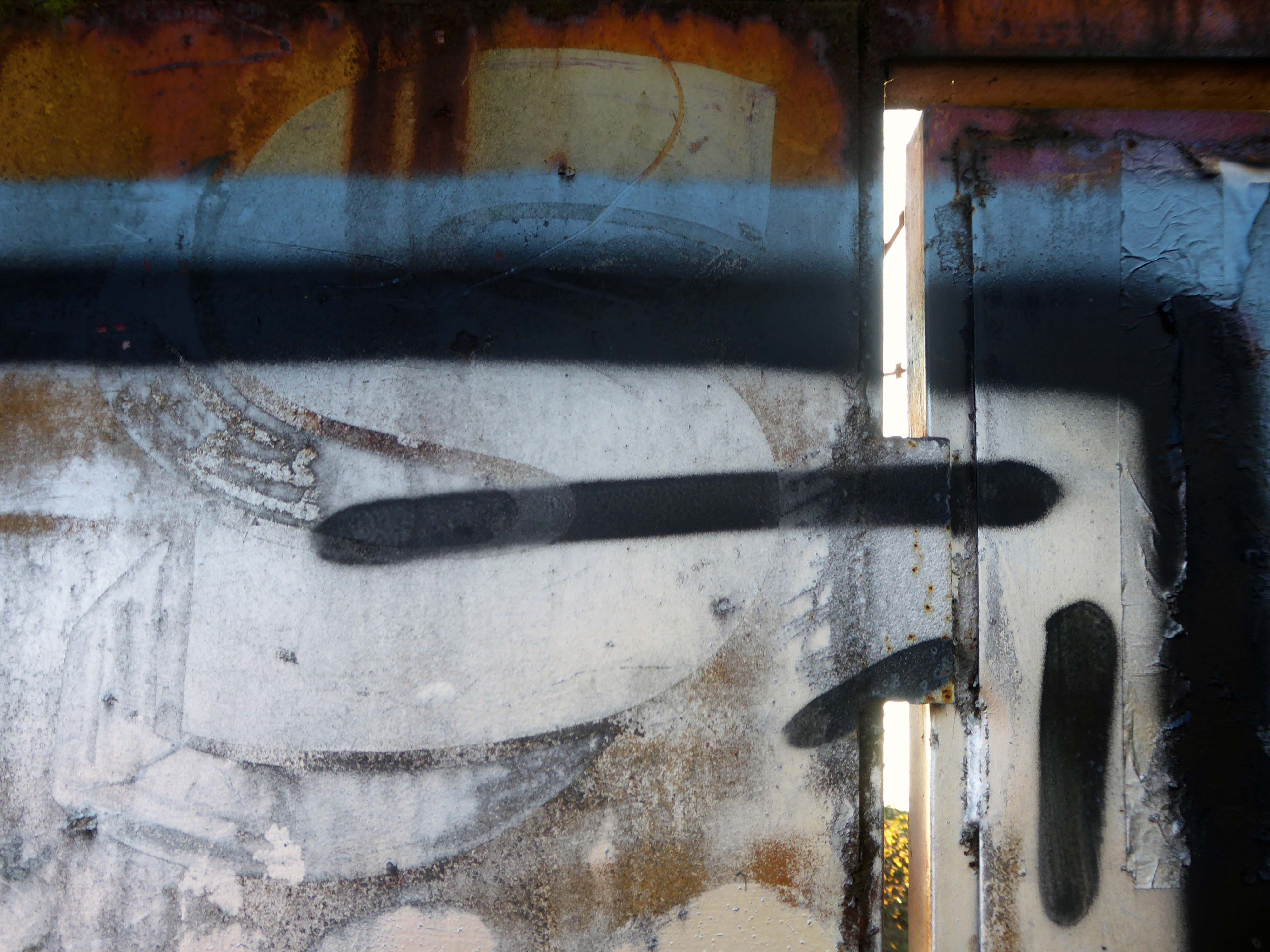
In 2017 I visited the area to snap the gates of their older site – as they had moved the business just across the street.
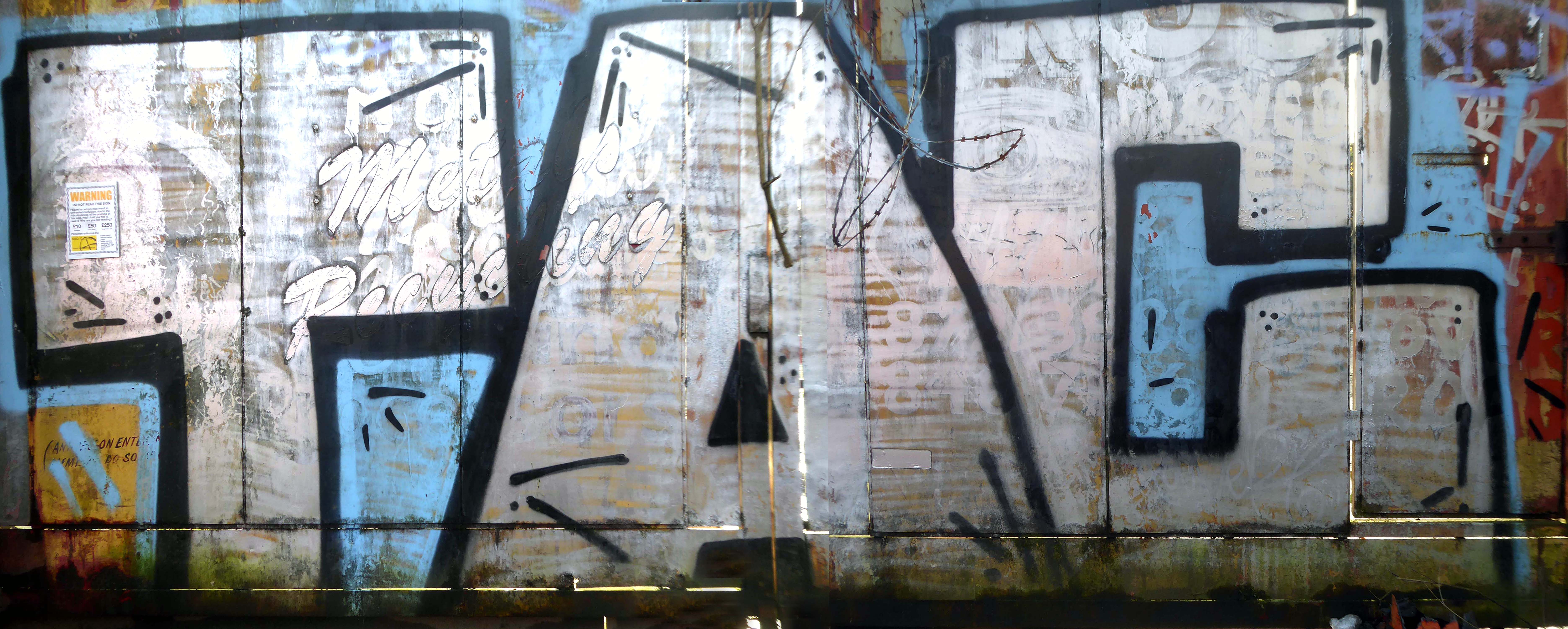
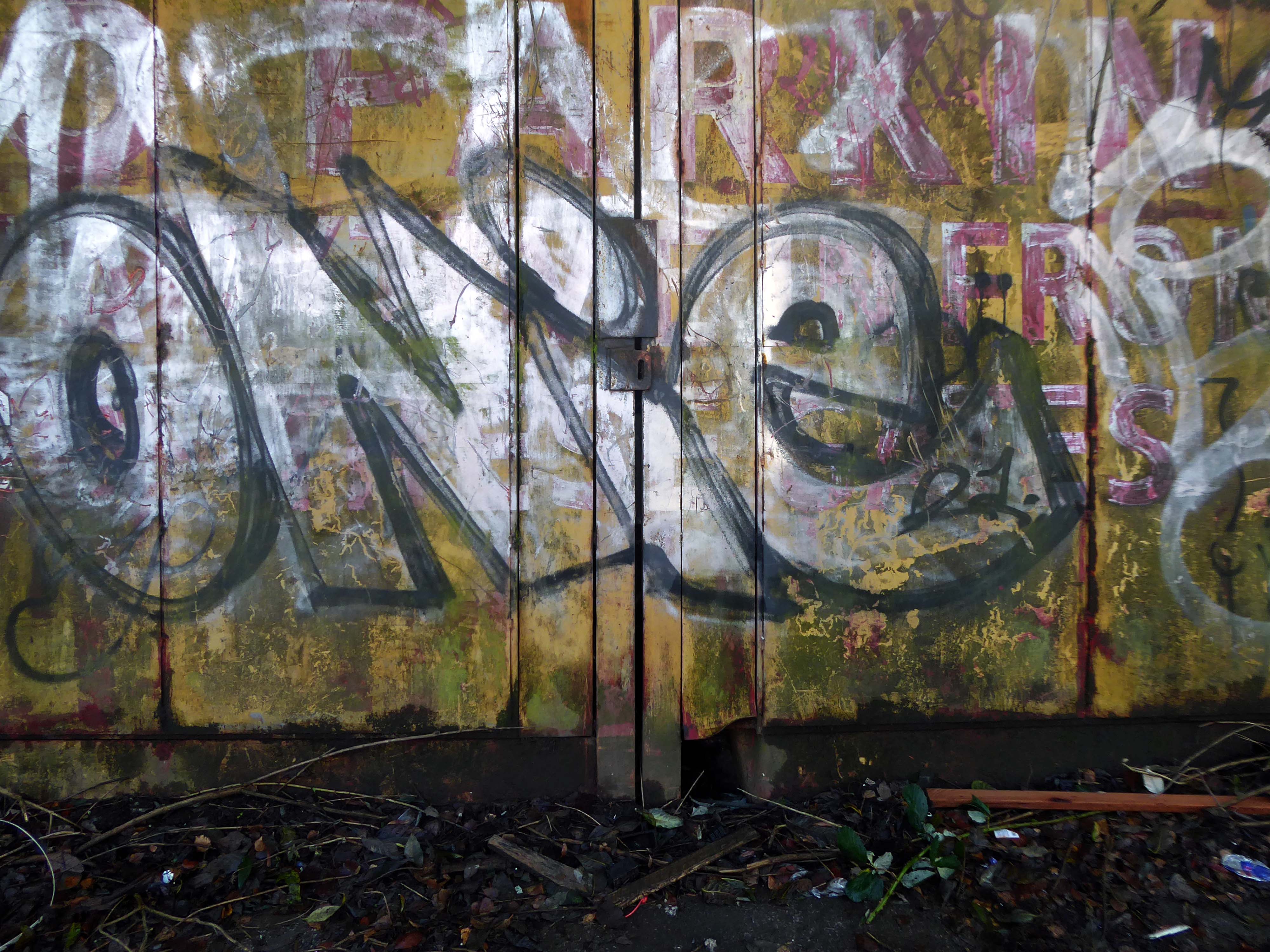
I returned in December 2023 to discover what had become of the gates.
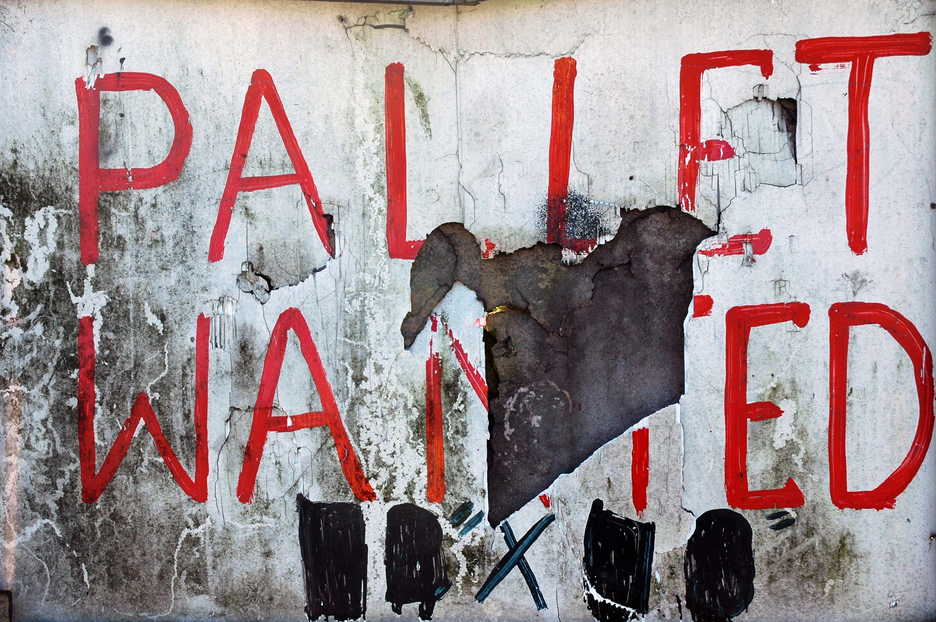
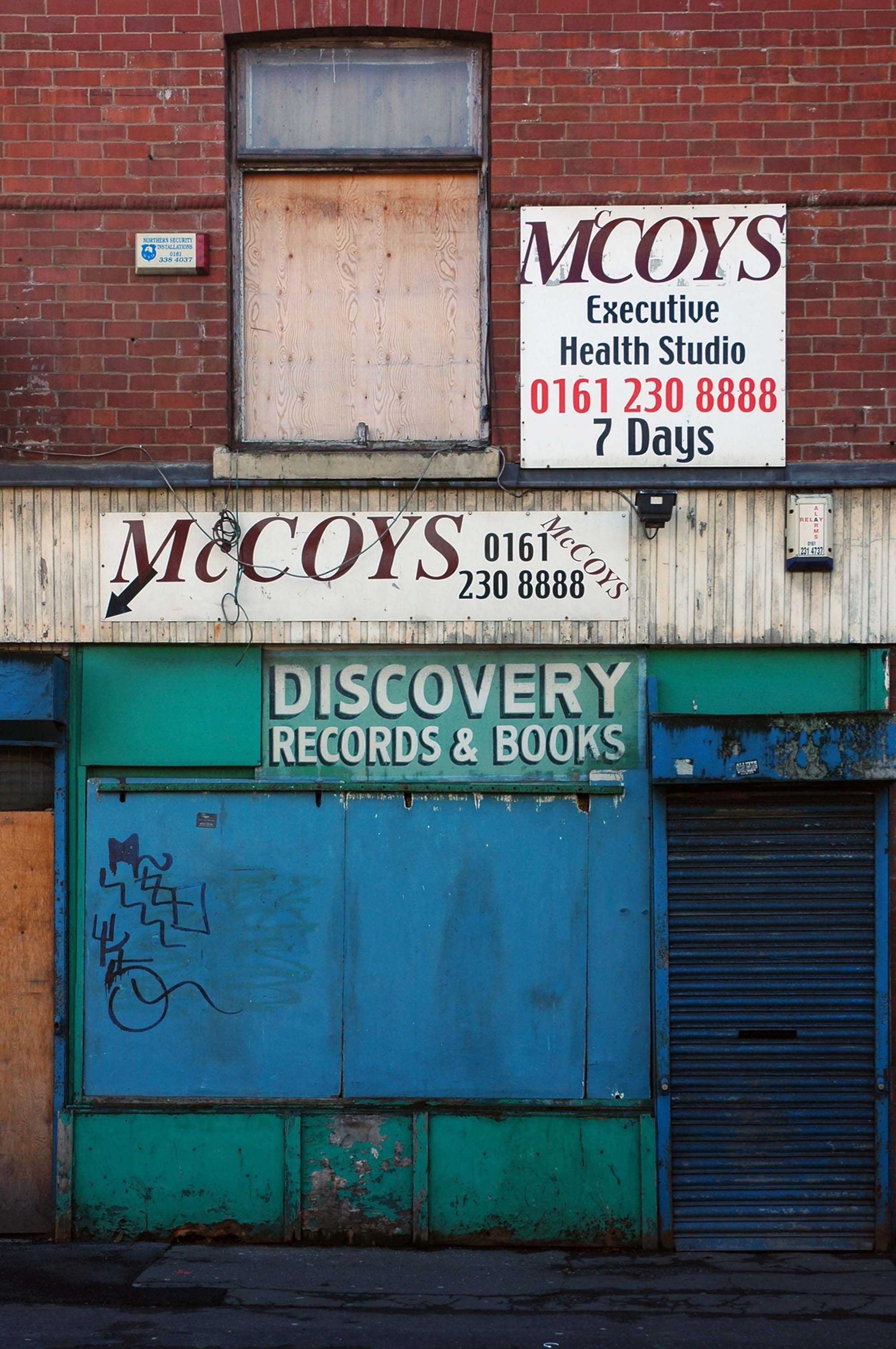
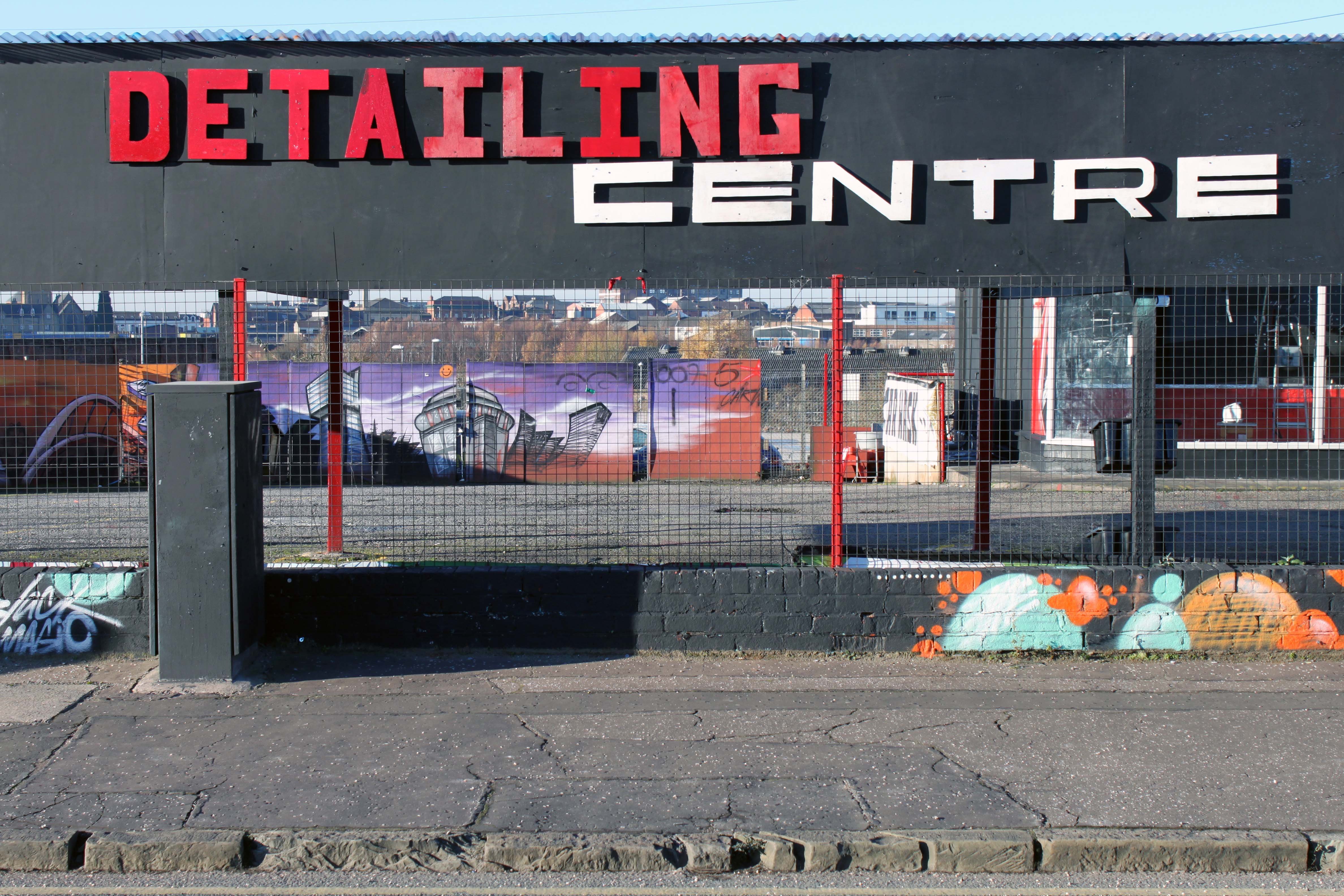
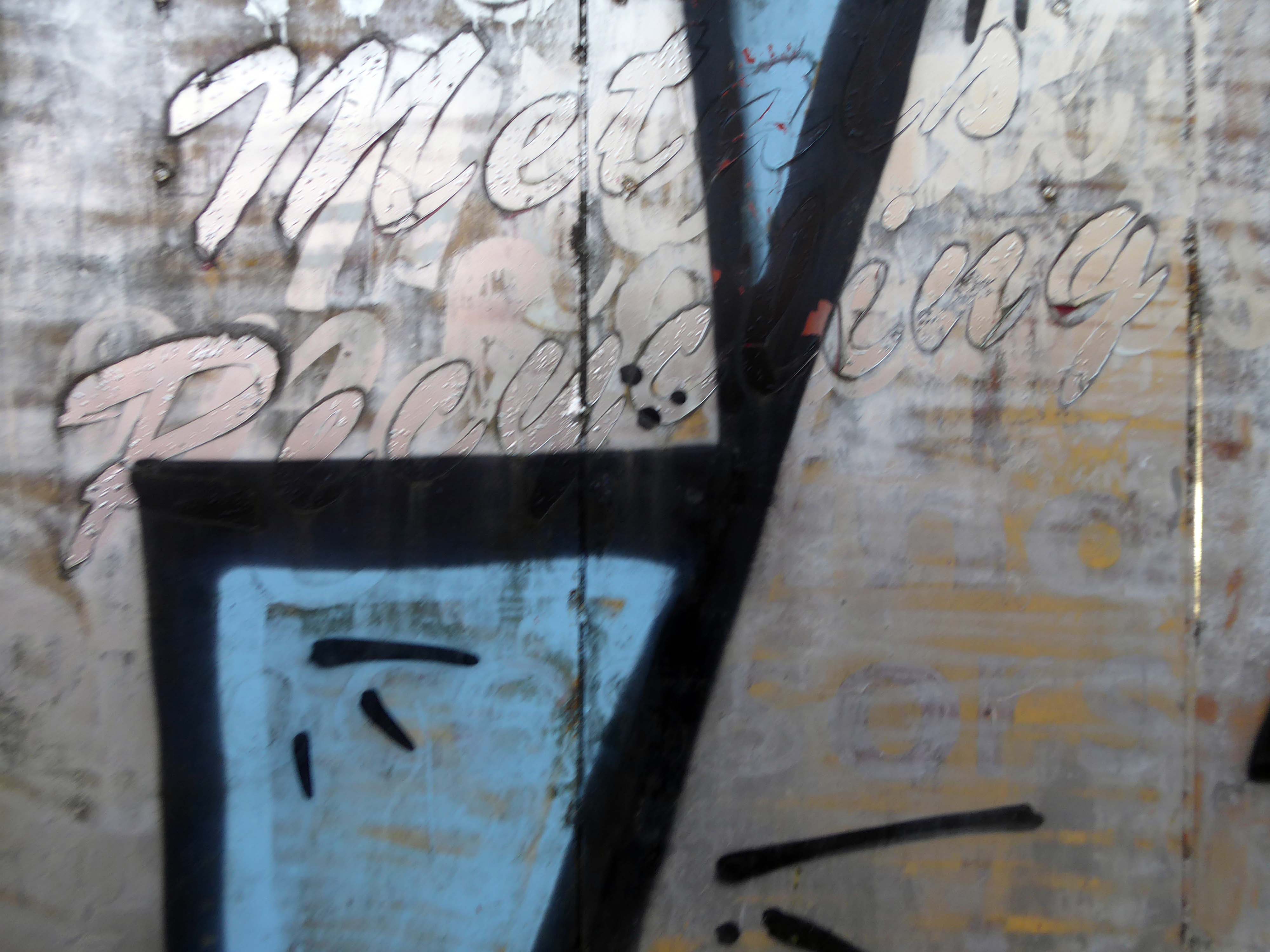
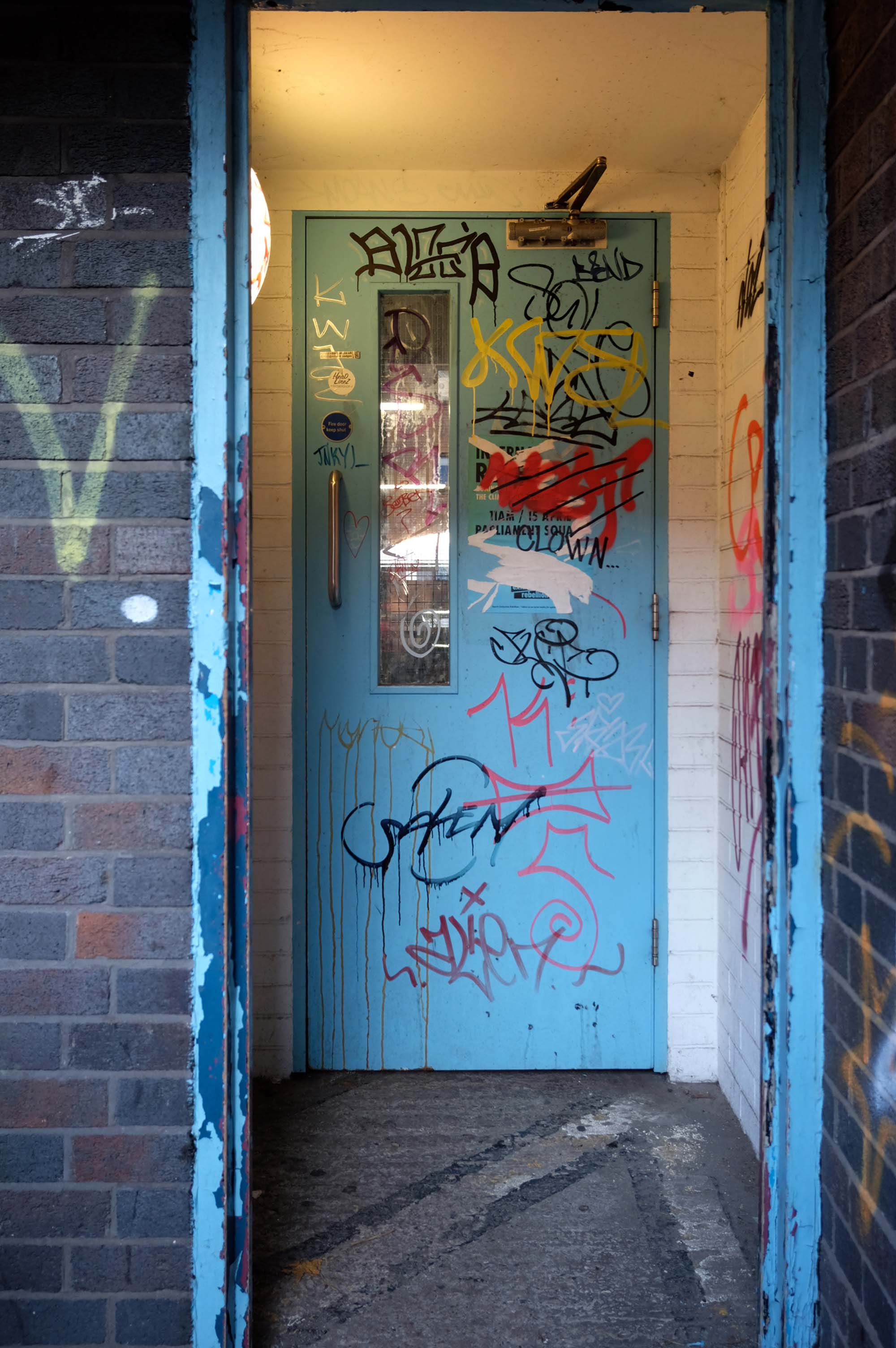
Remnants of the drop shadow block lettering remain, beneath a palimpsest of tags and grime.
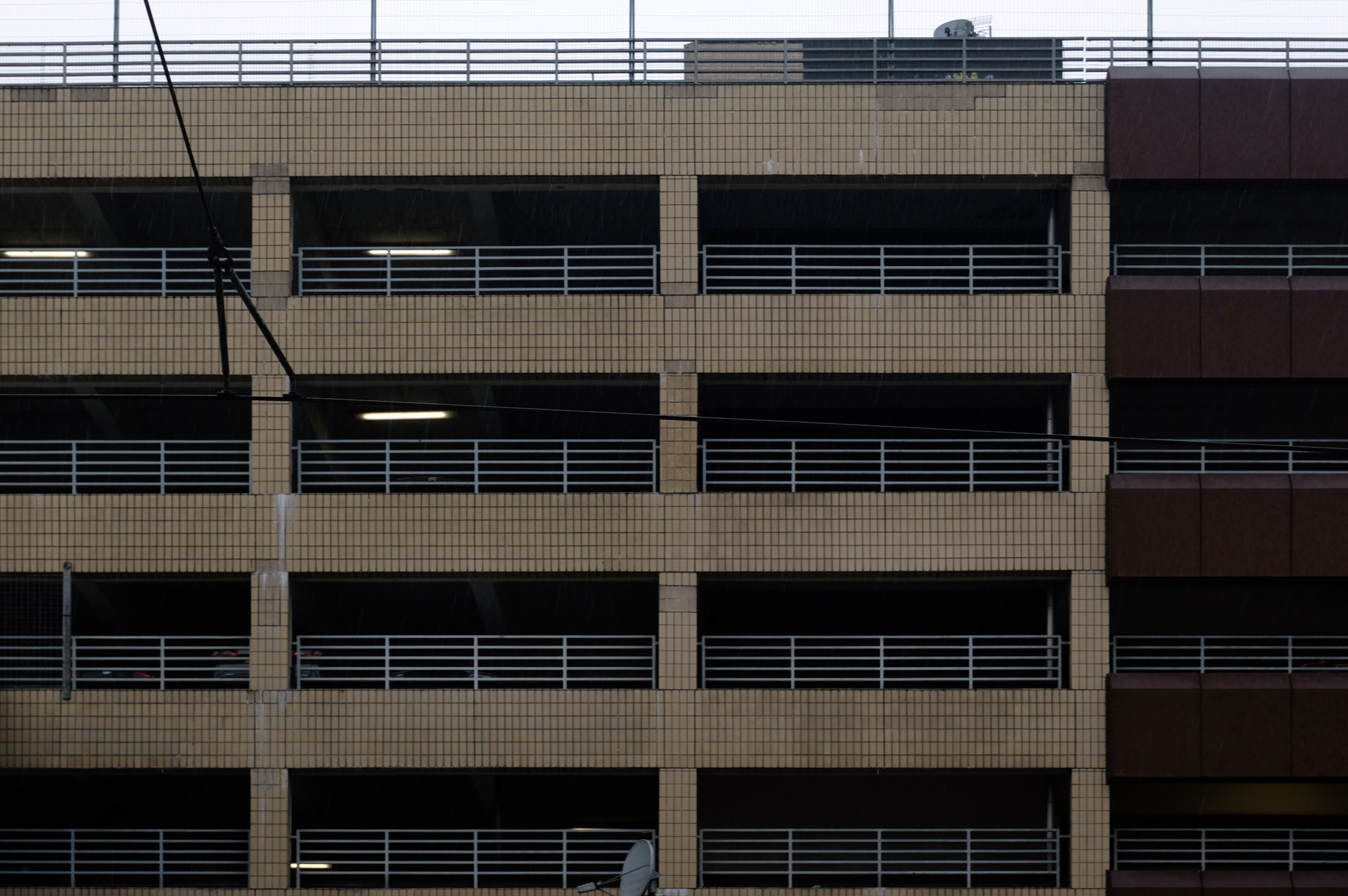
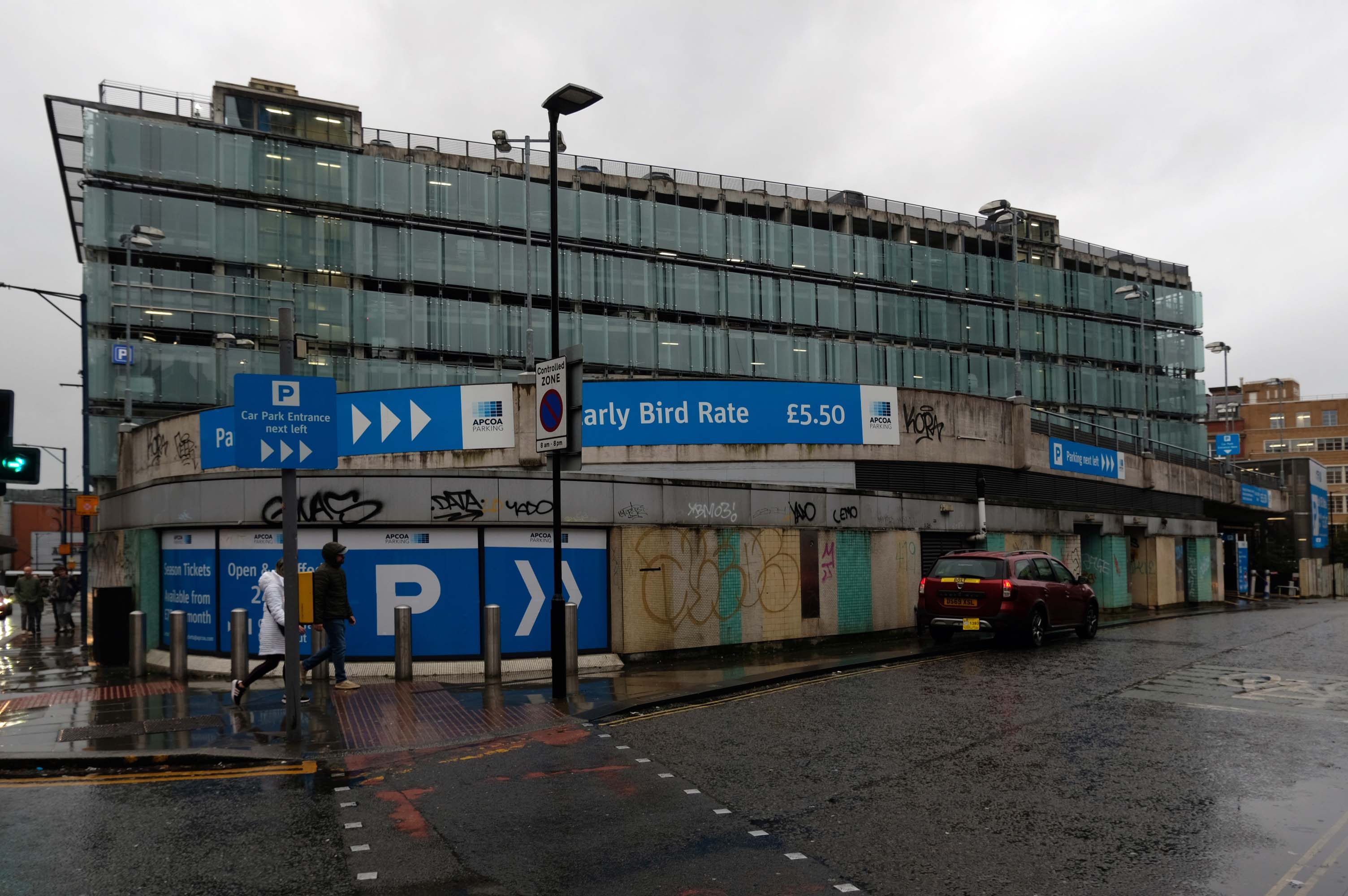
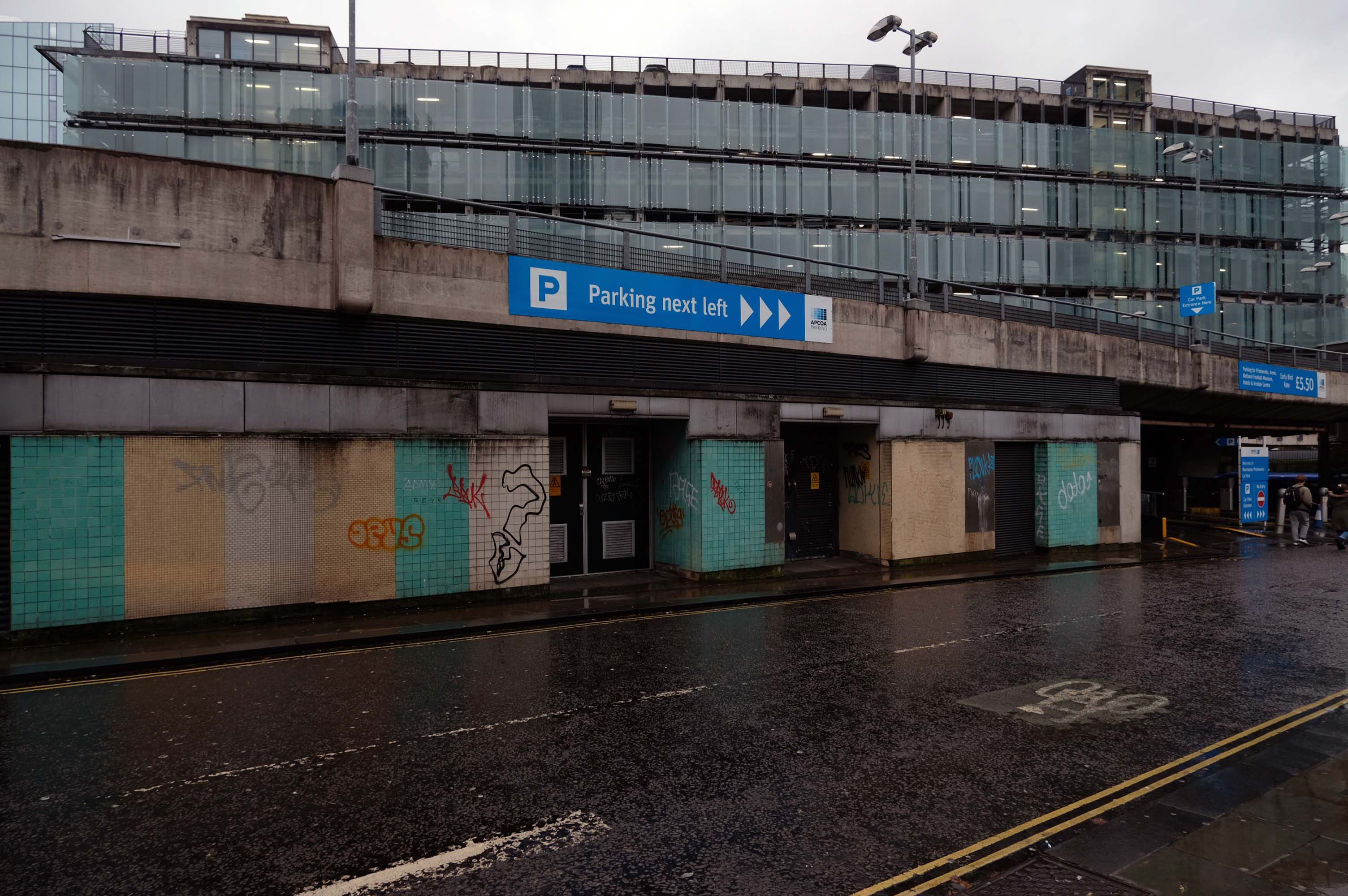
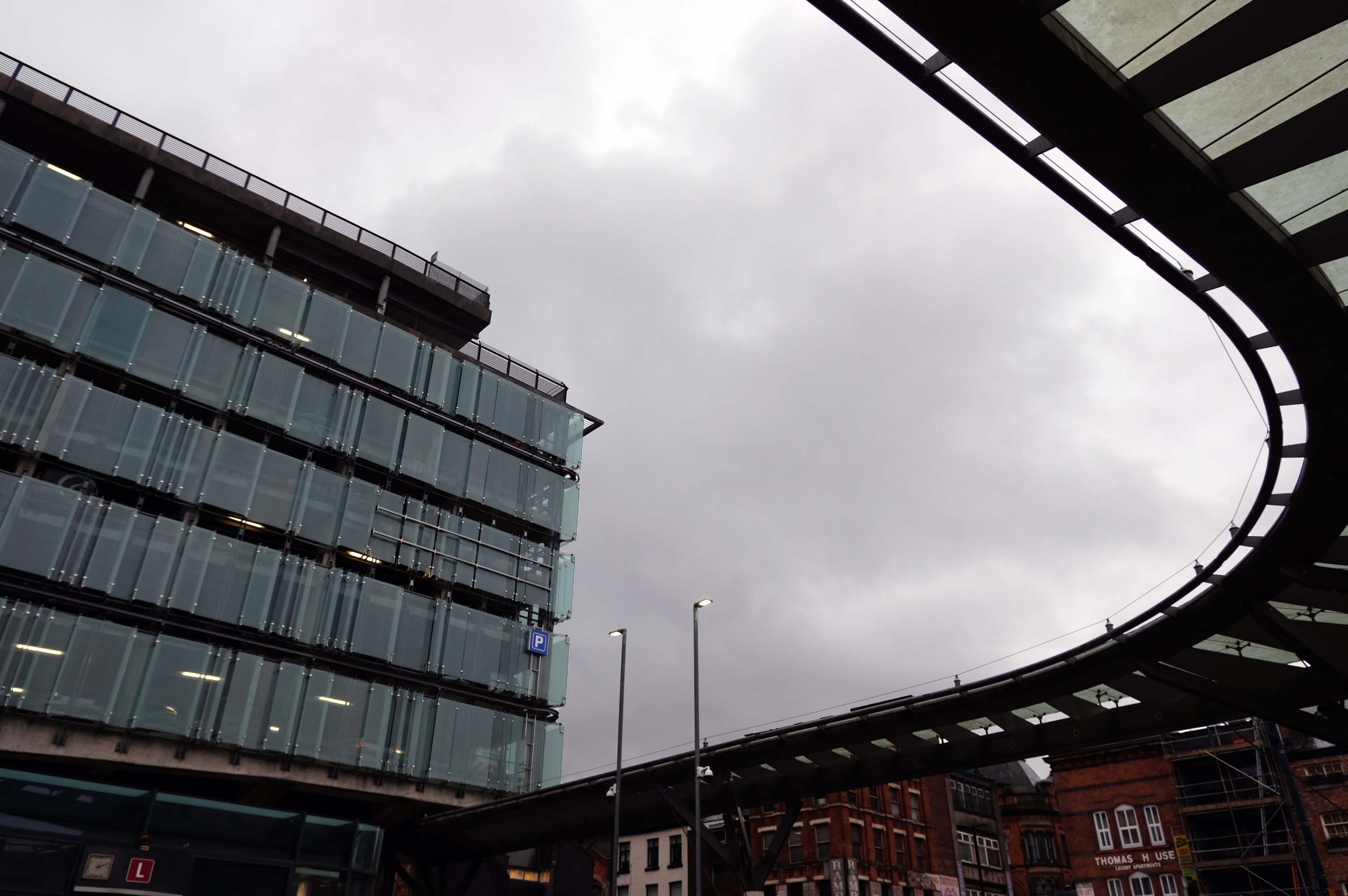
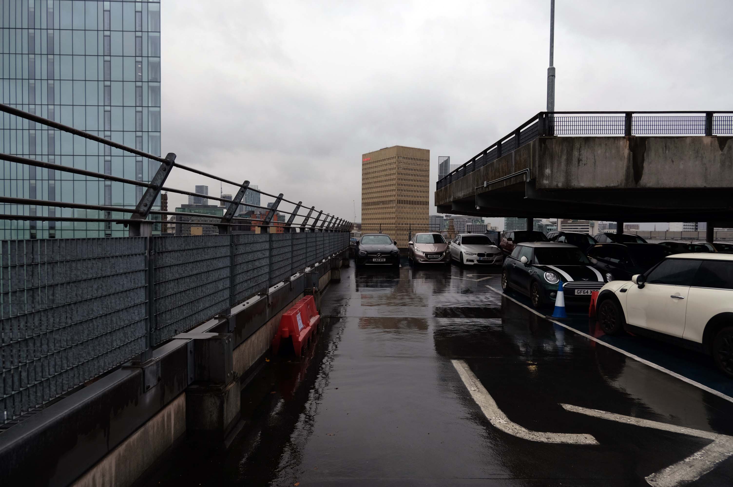
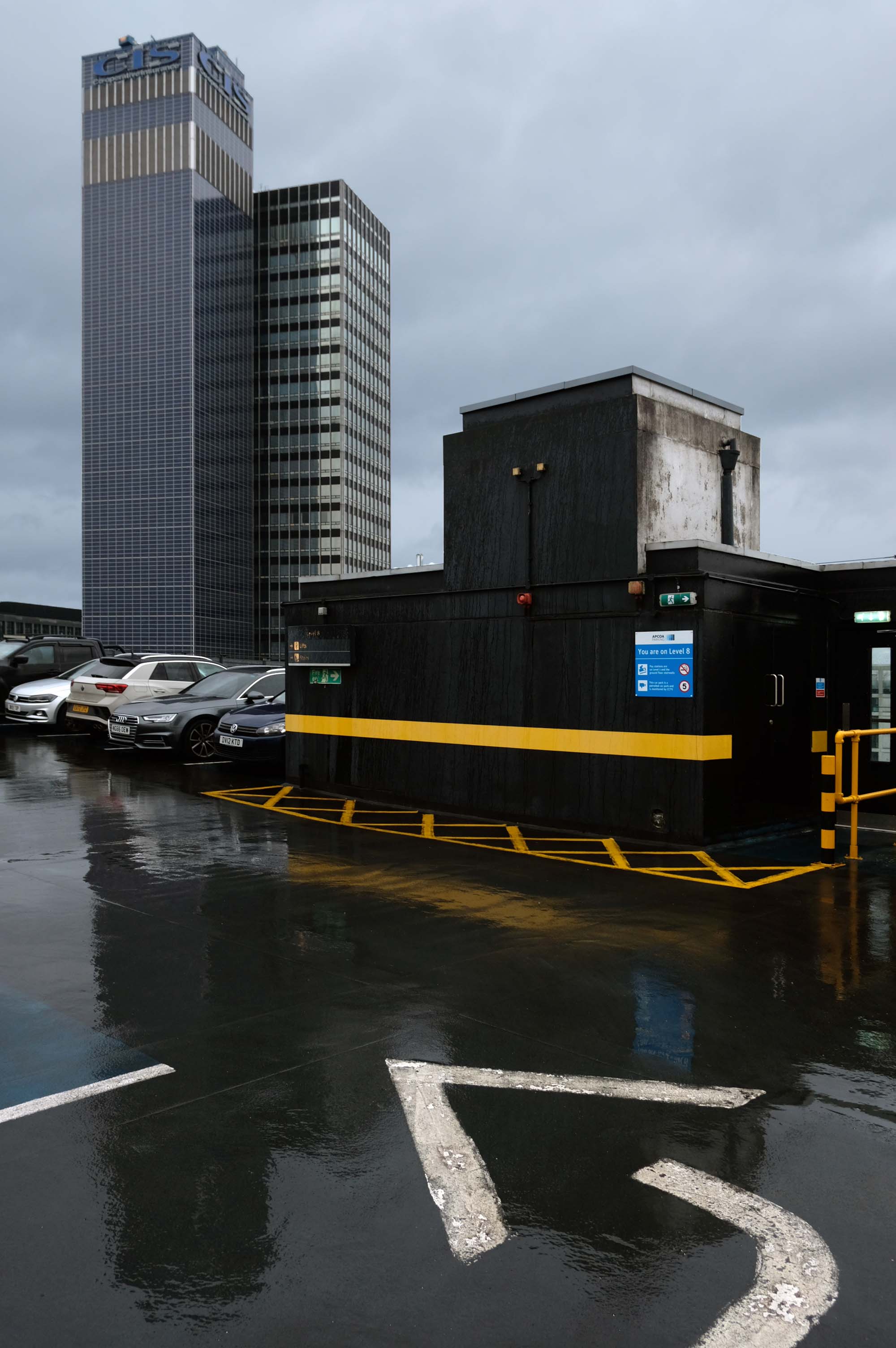
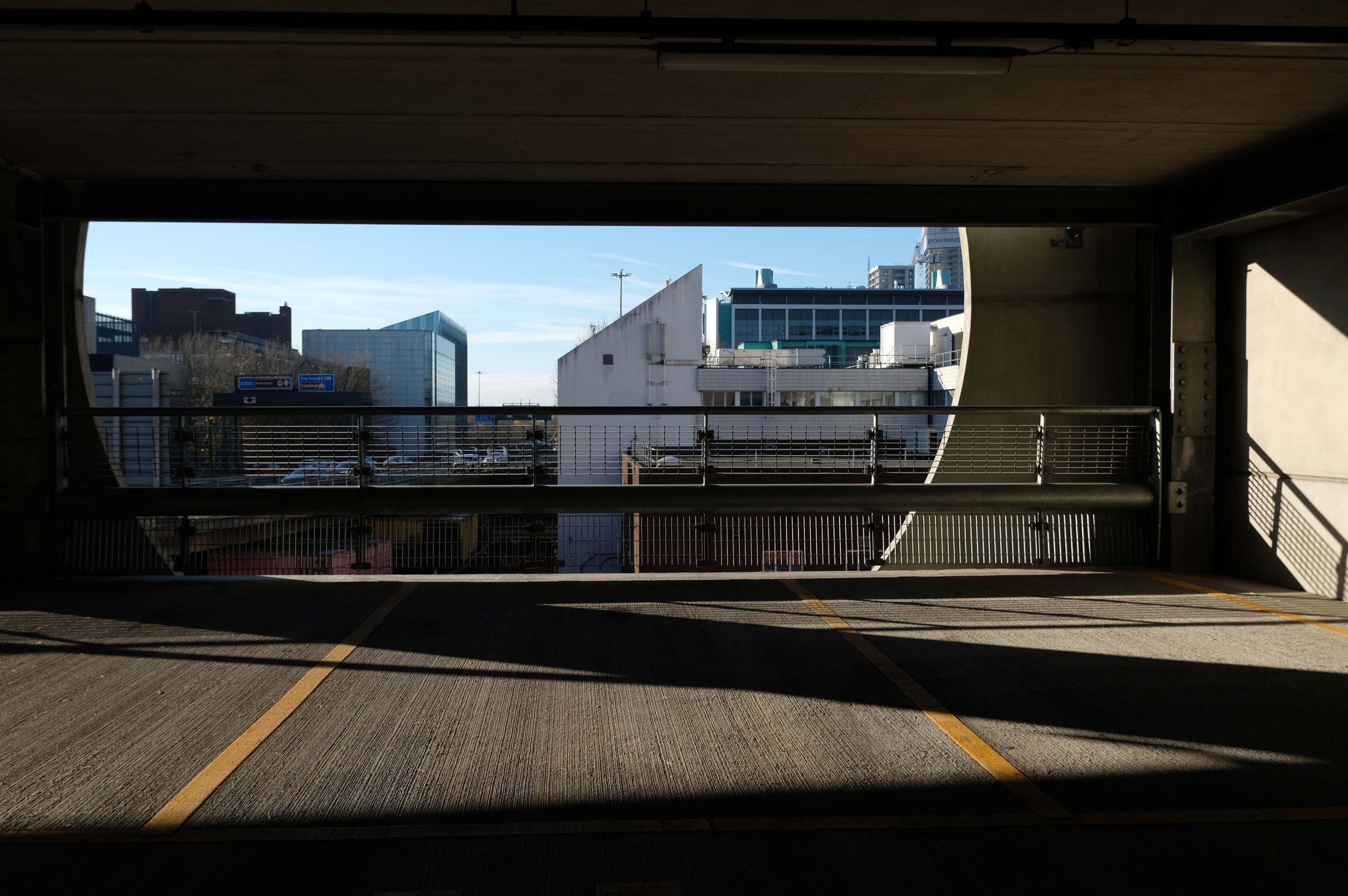
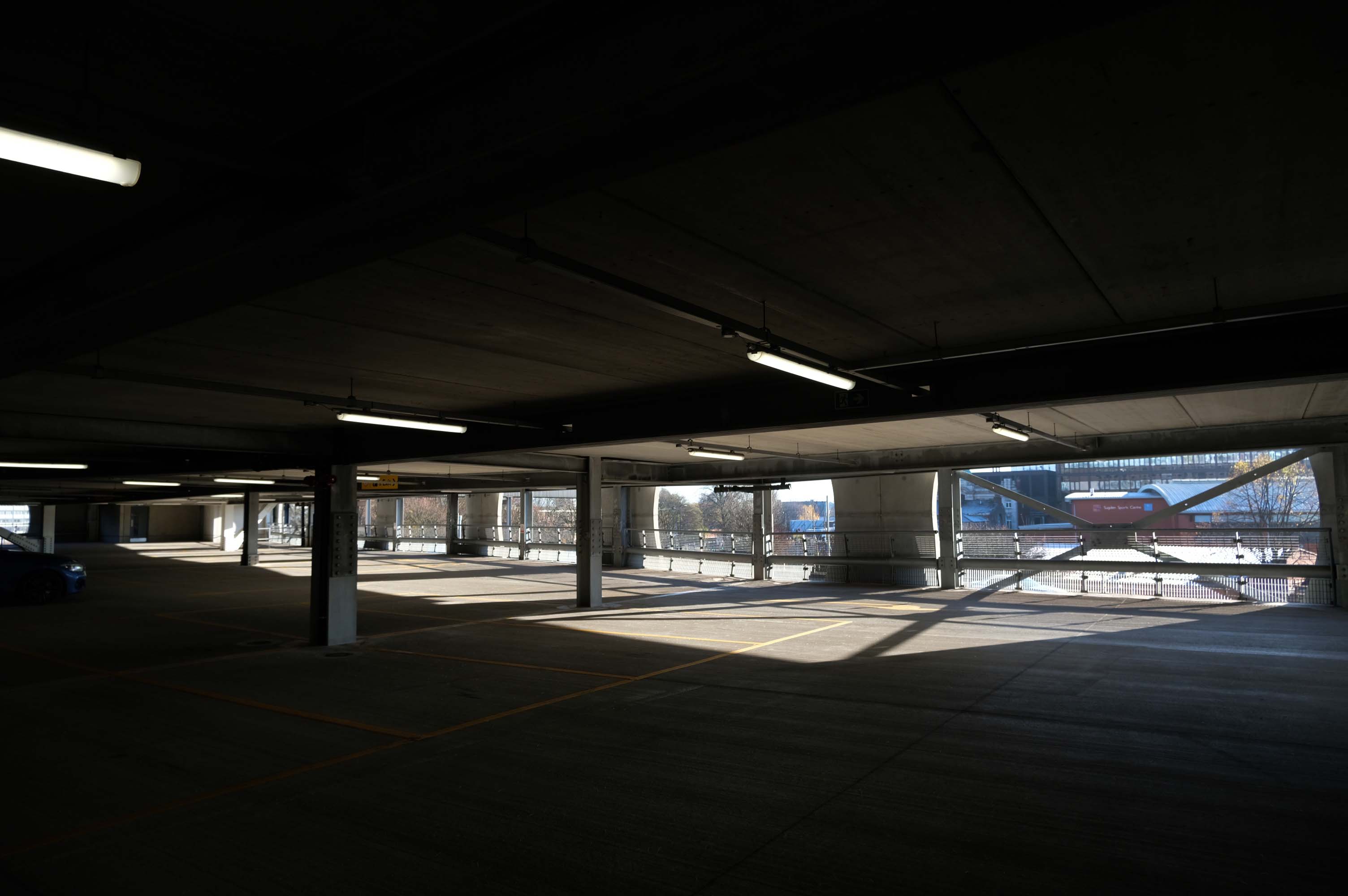
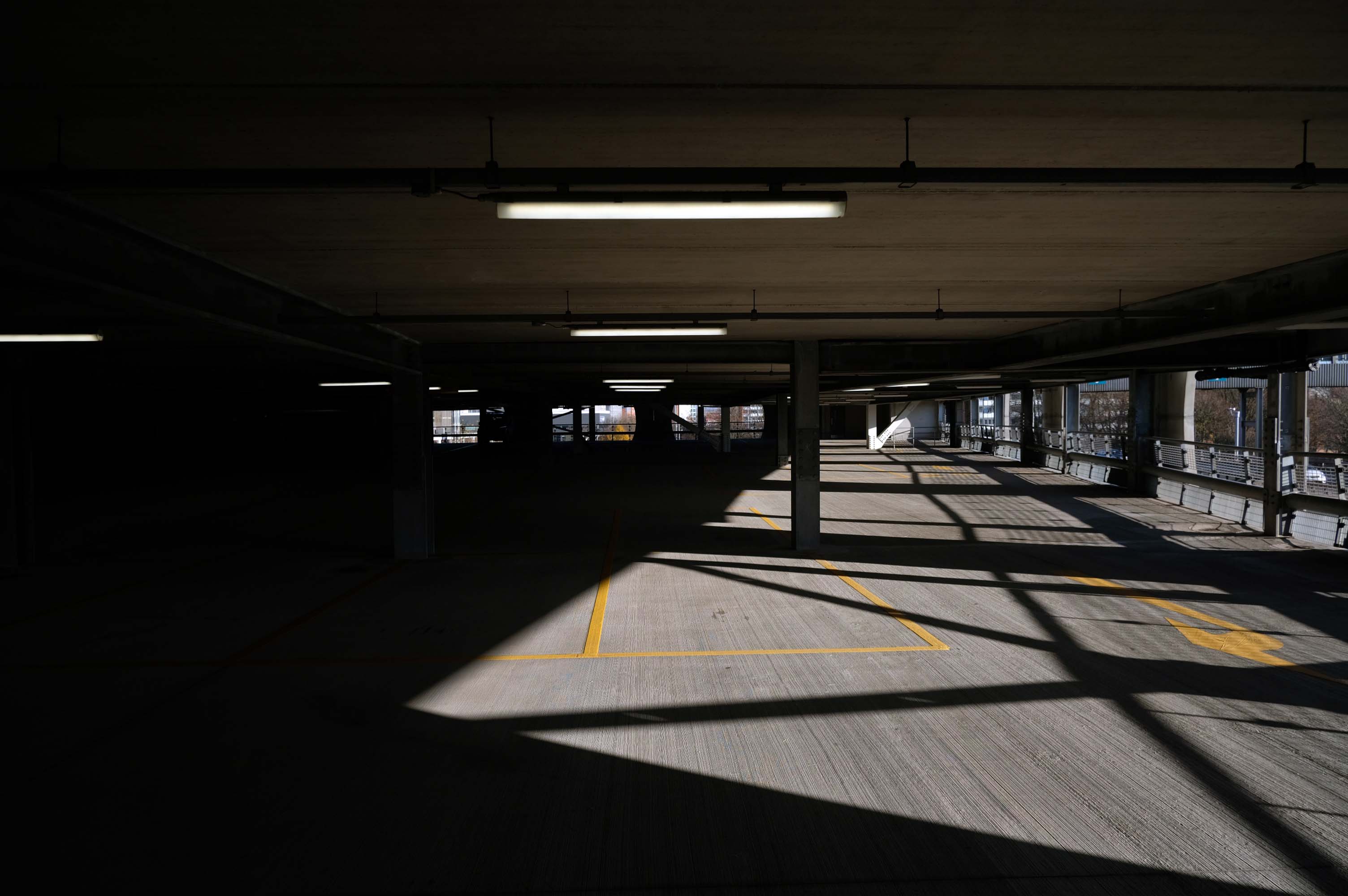
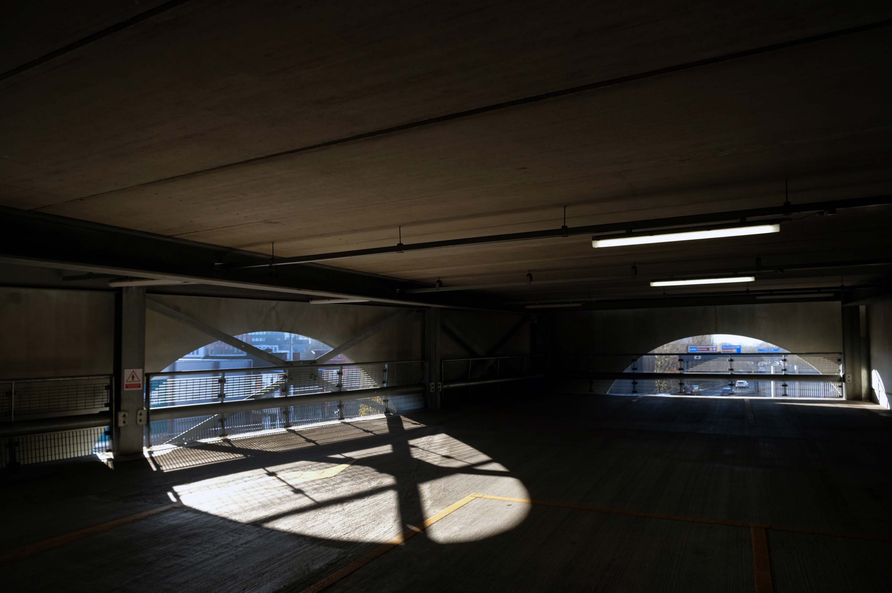
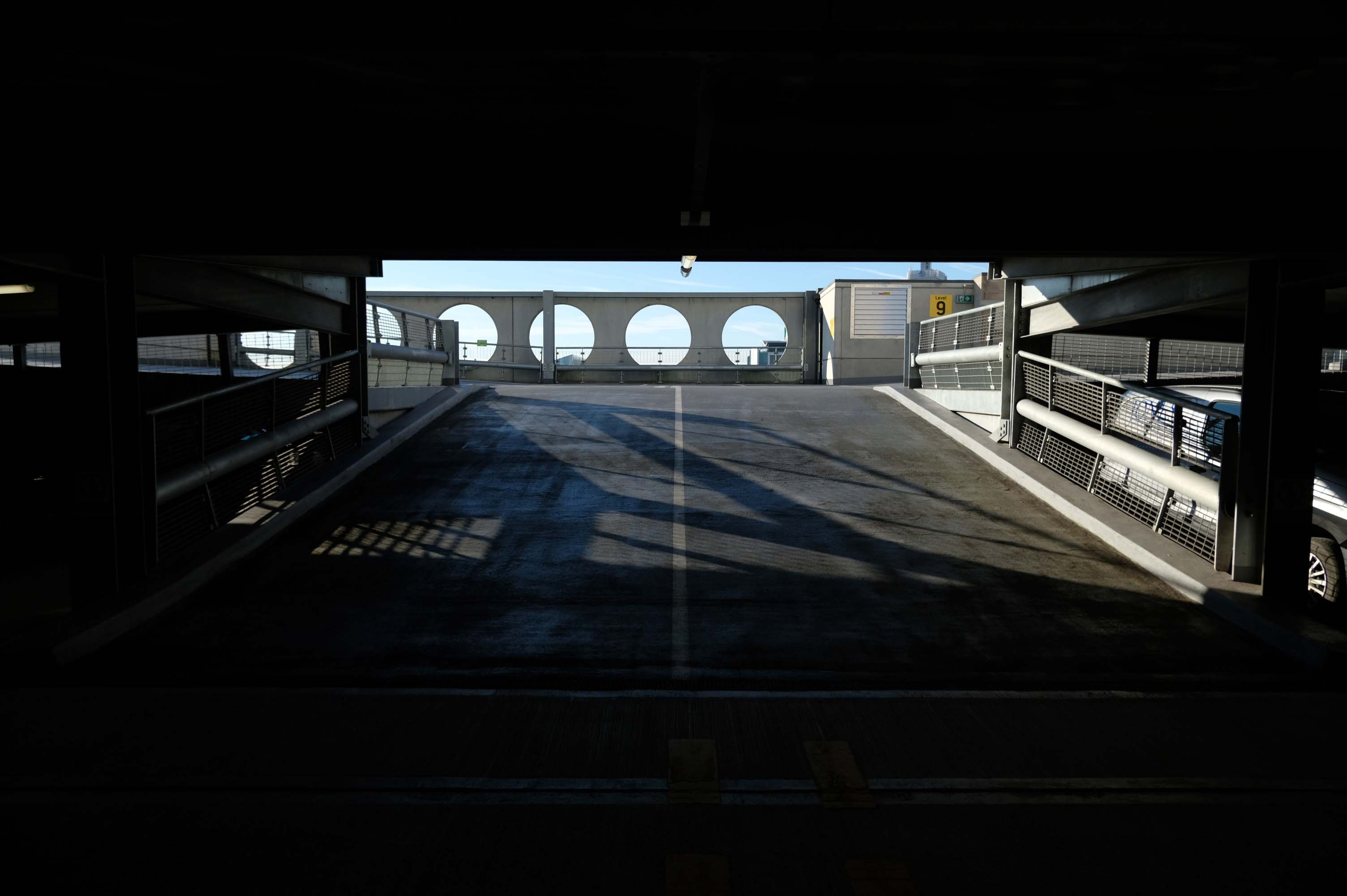
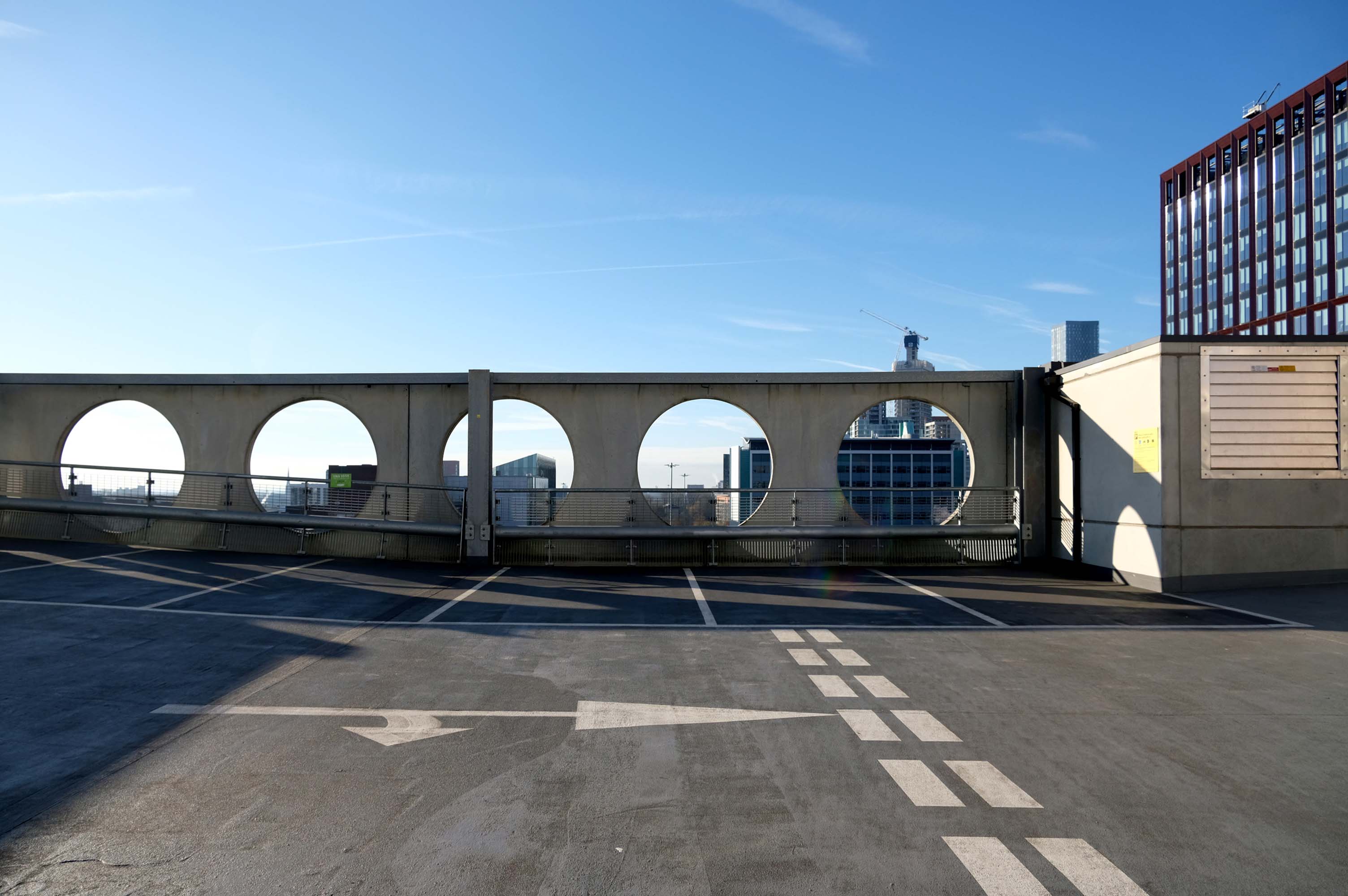
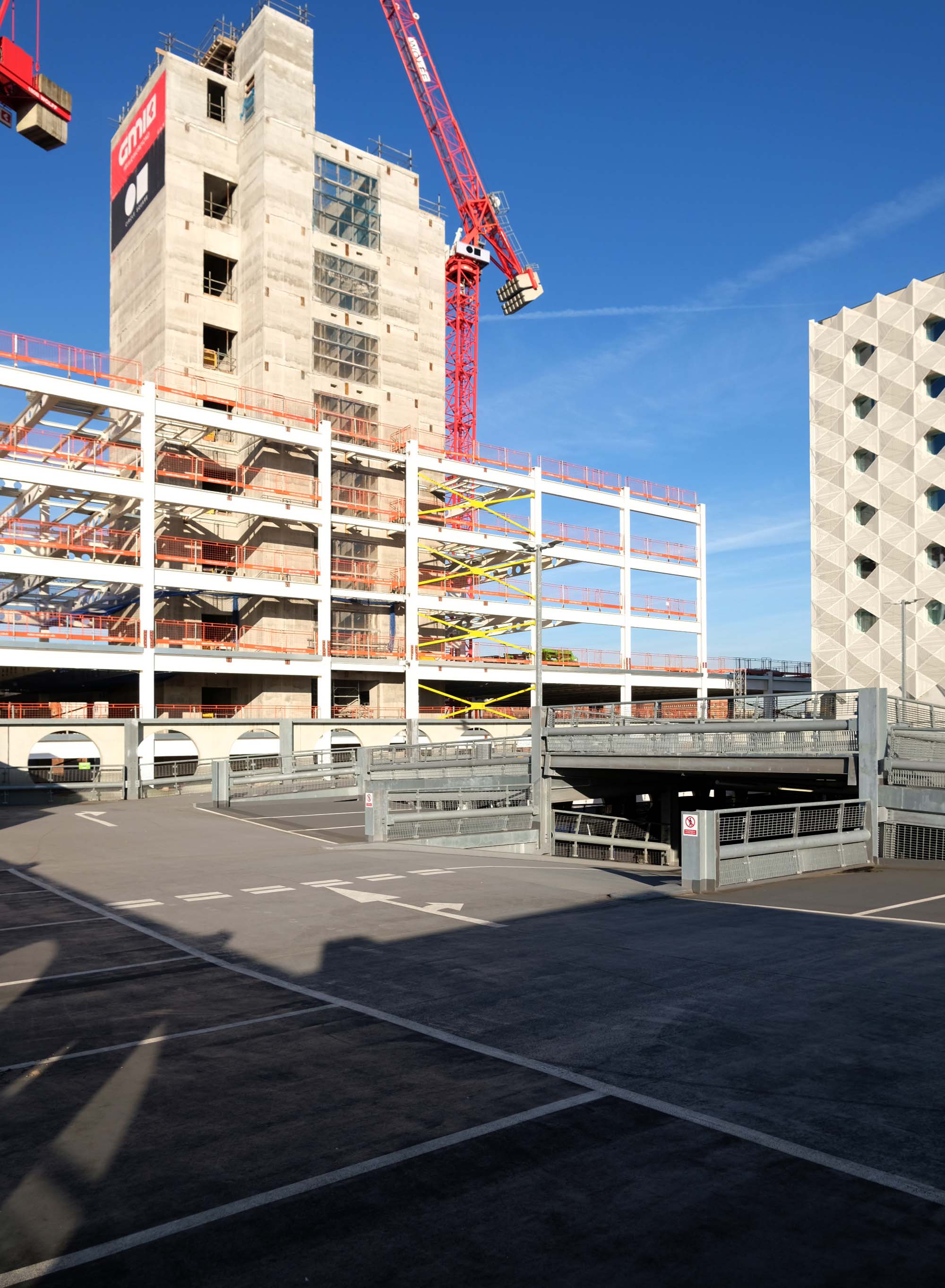
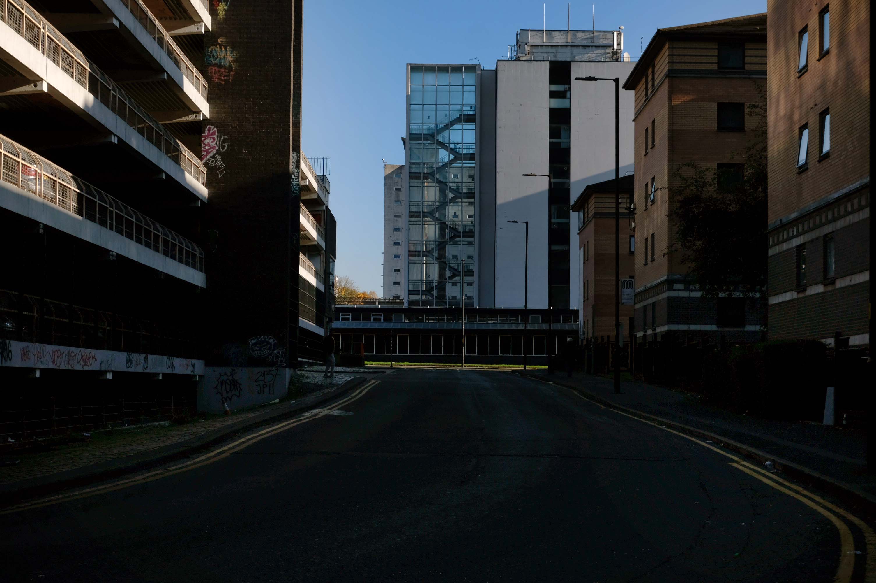
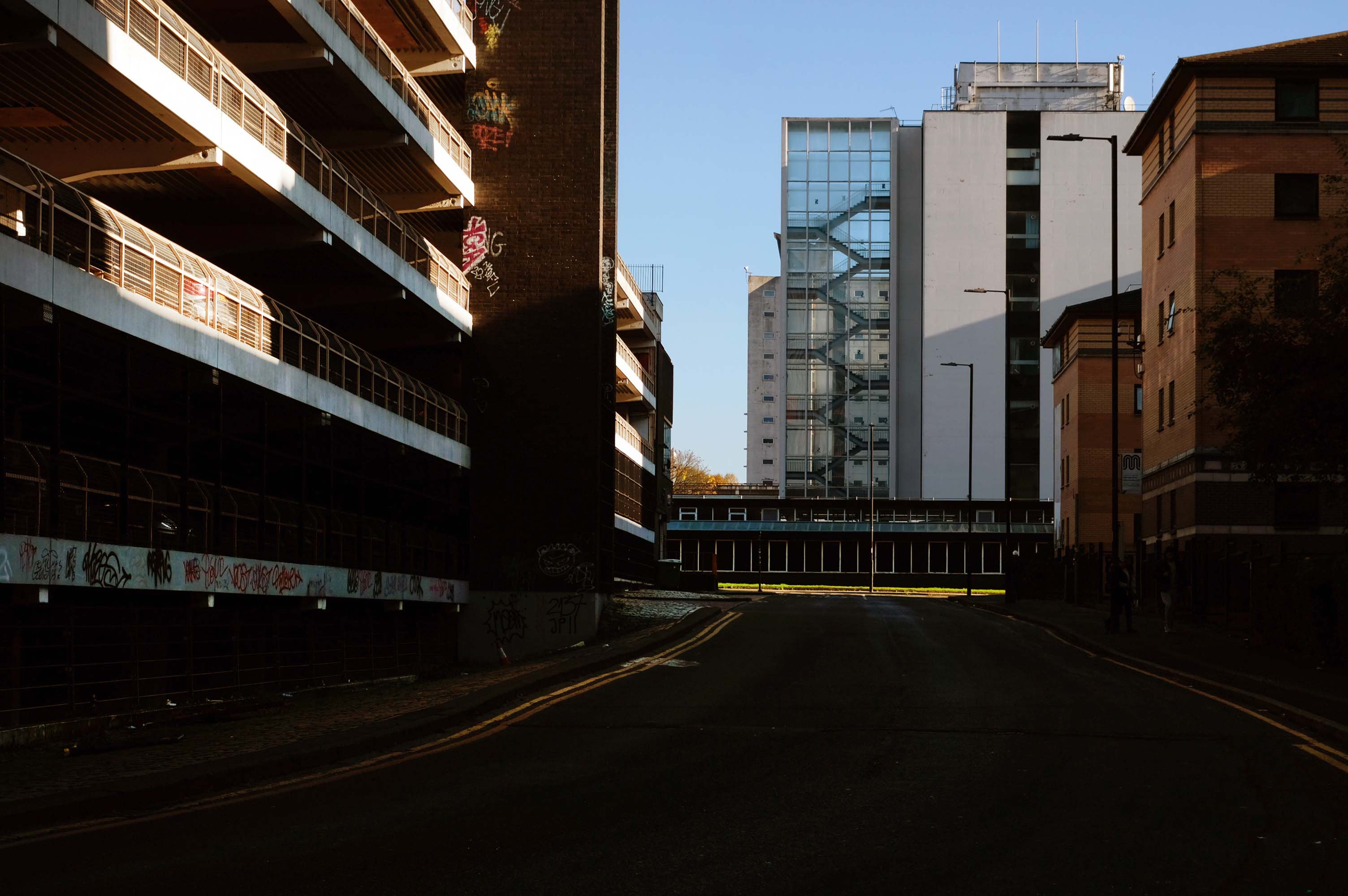
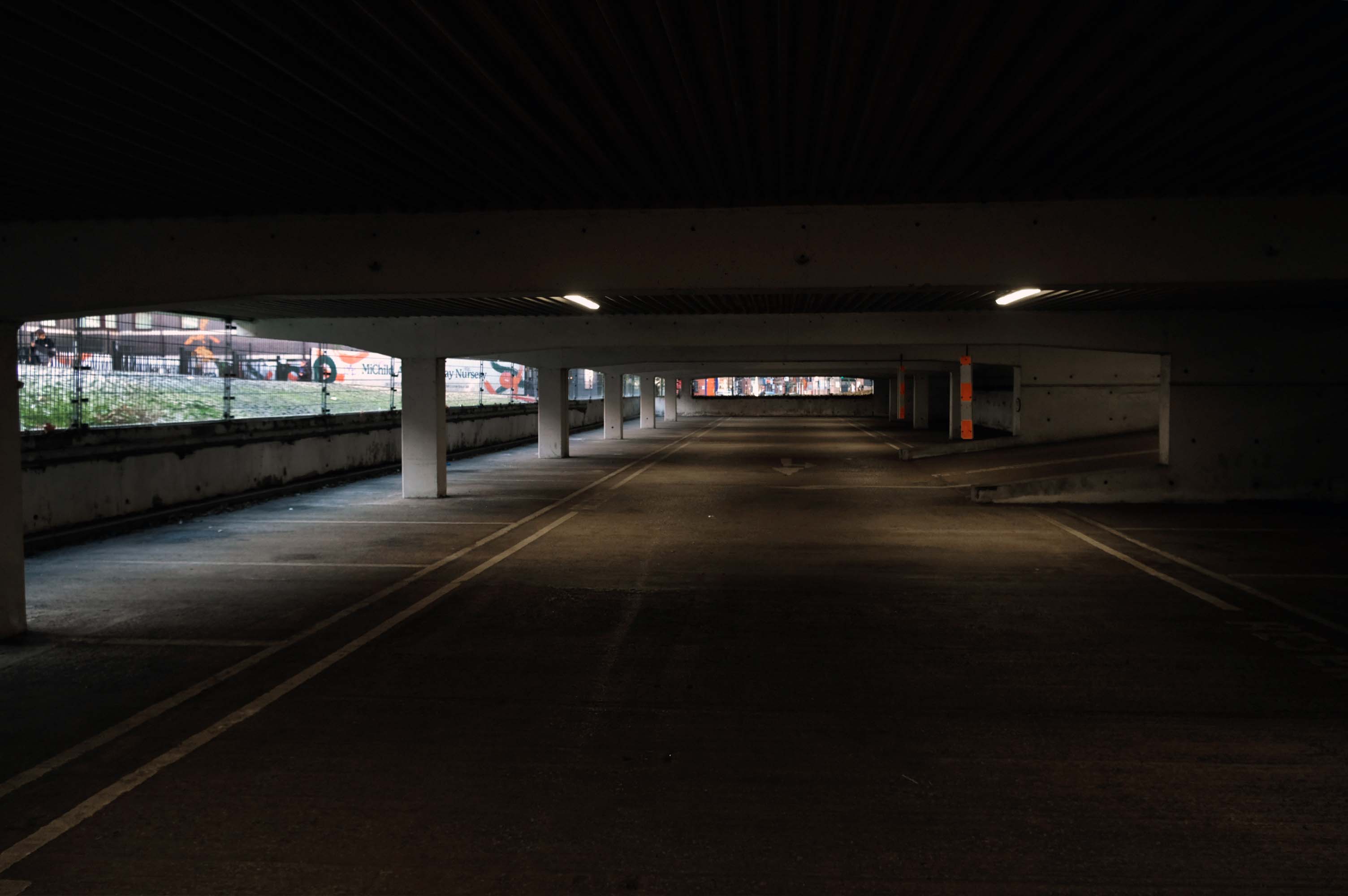
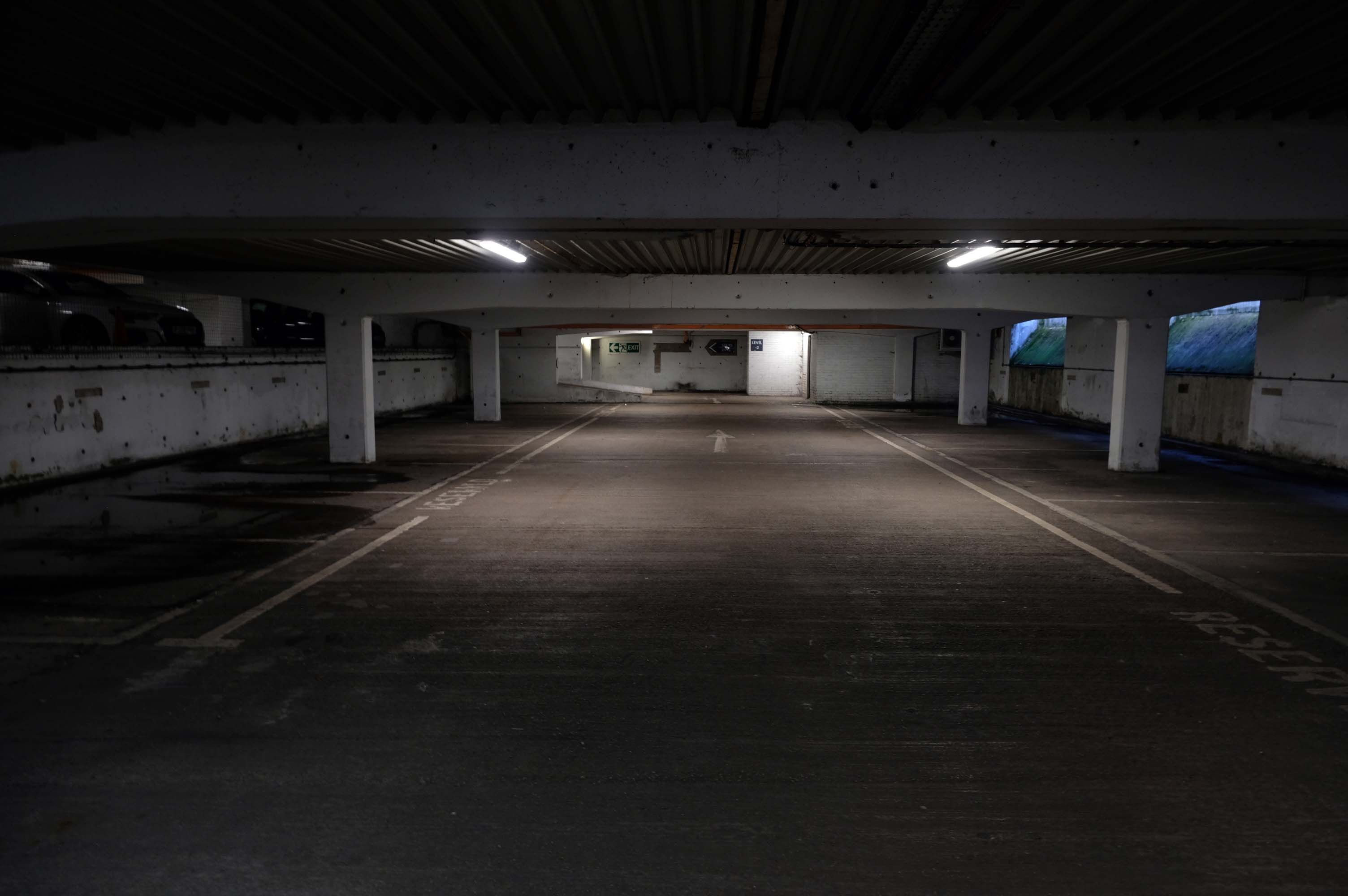
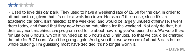
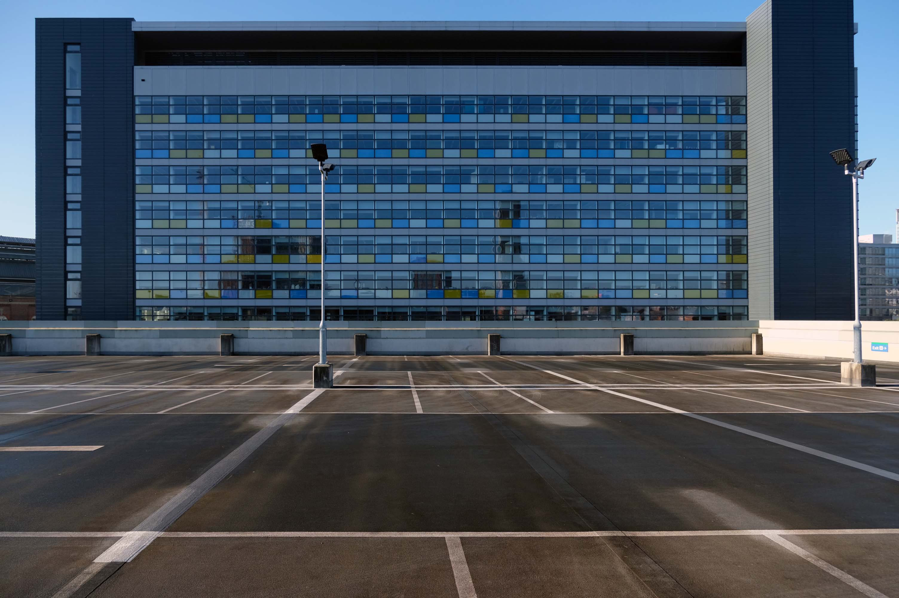
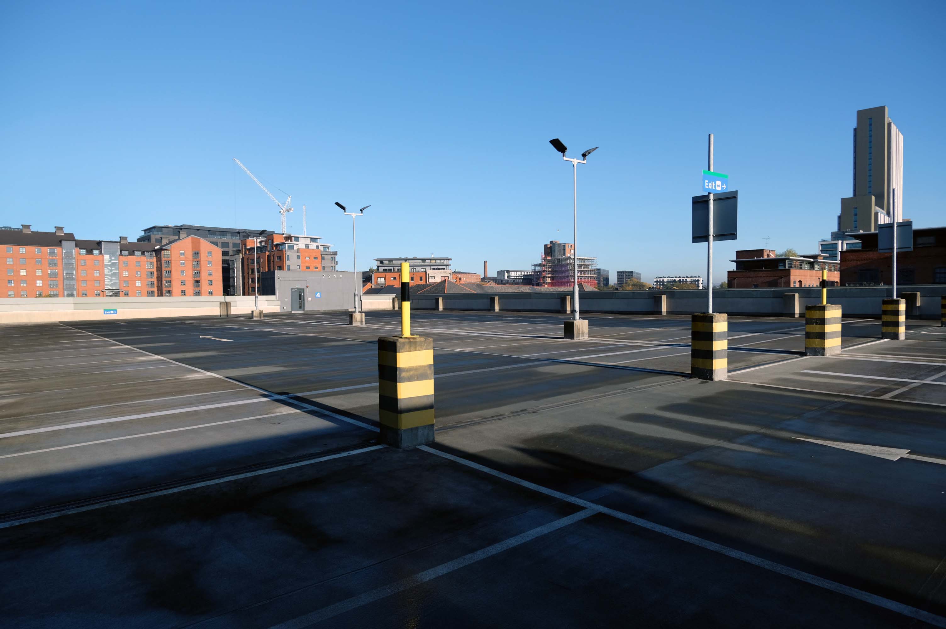
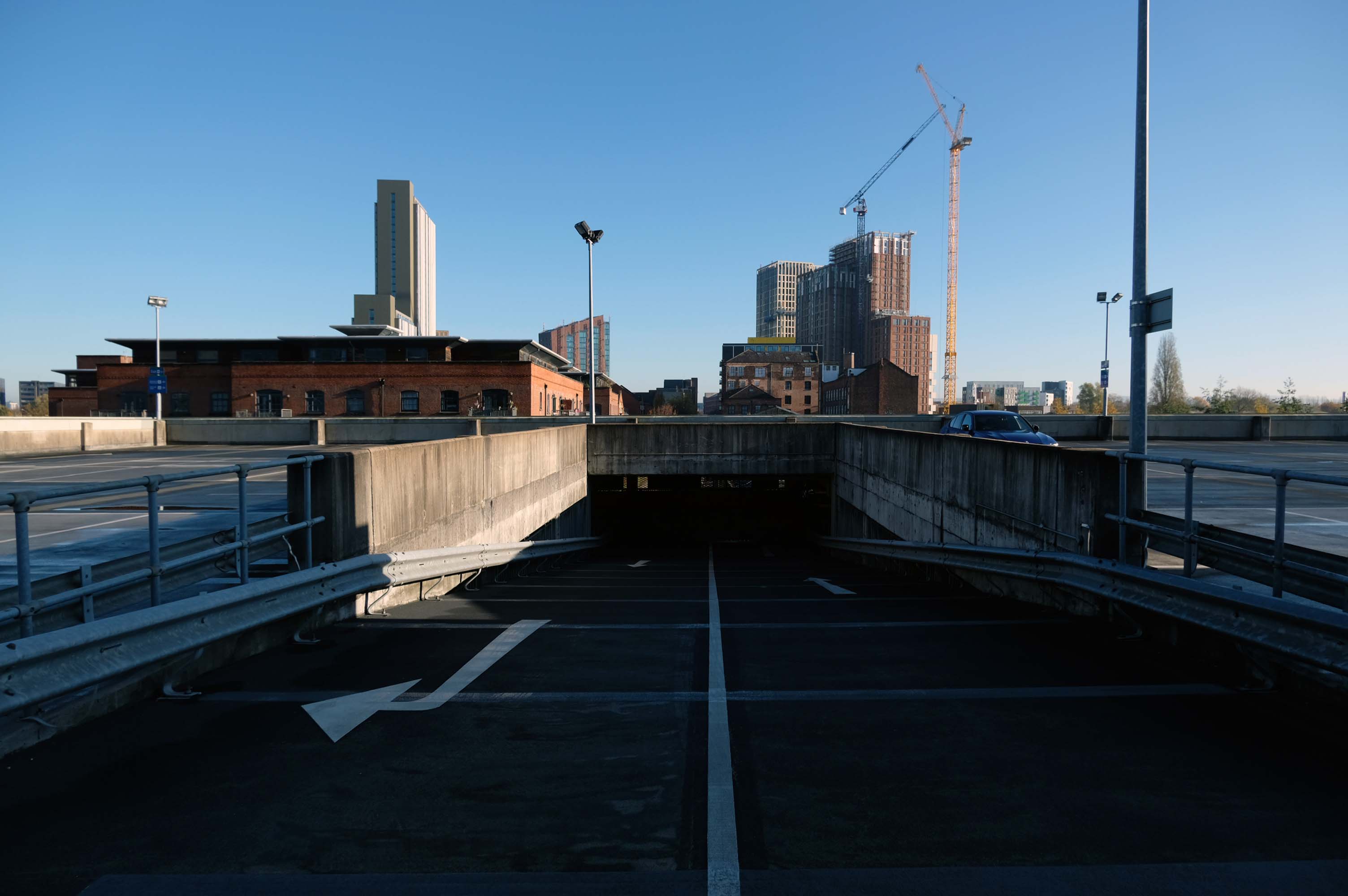
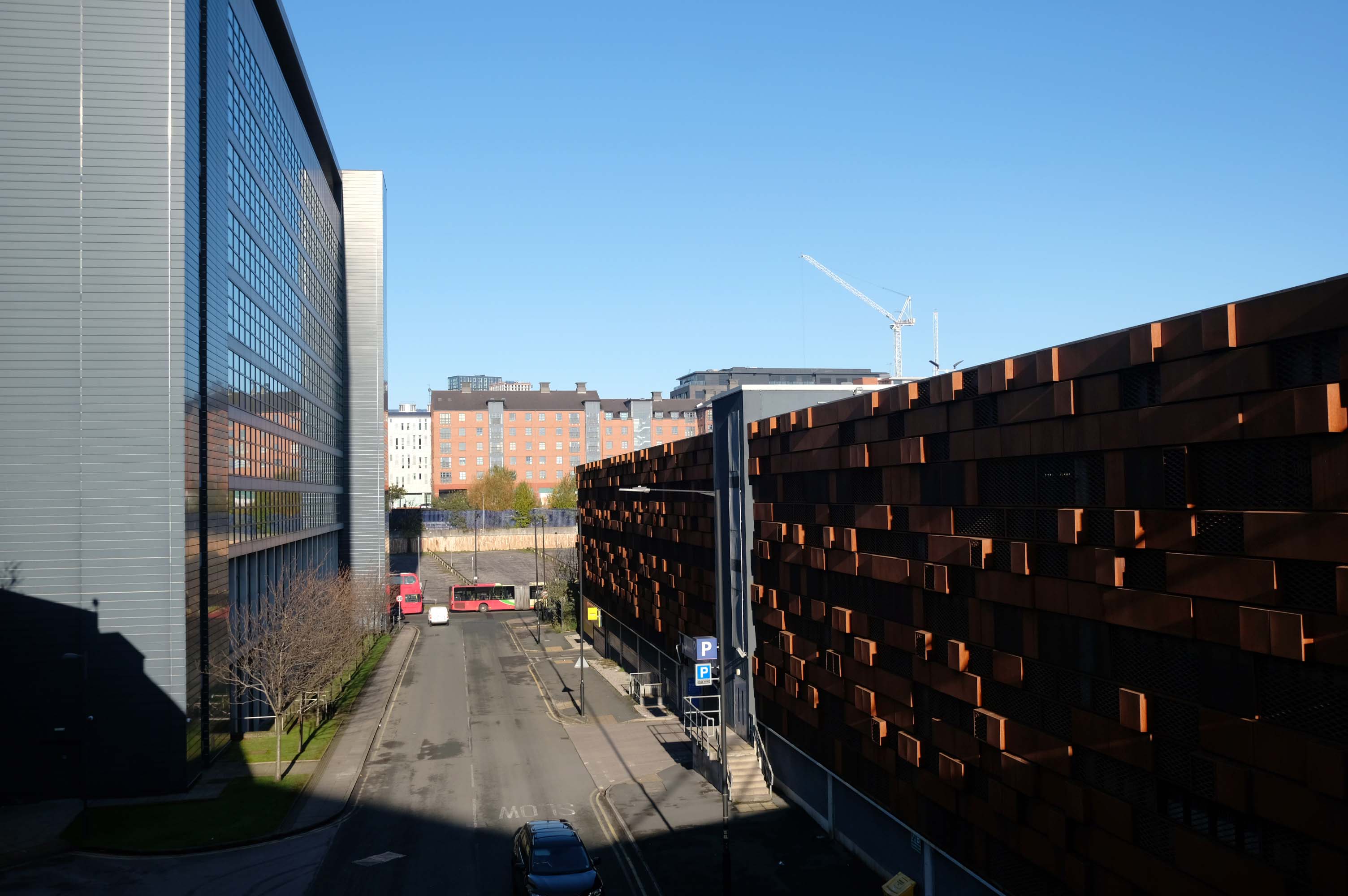
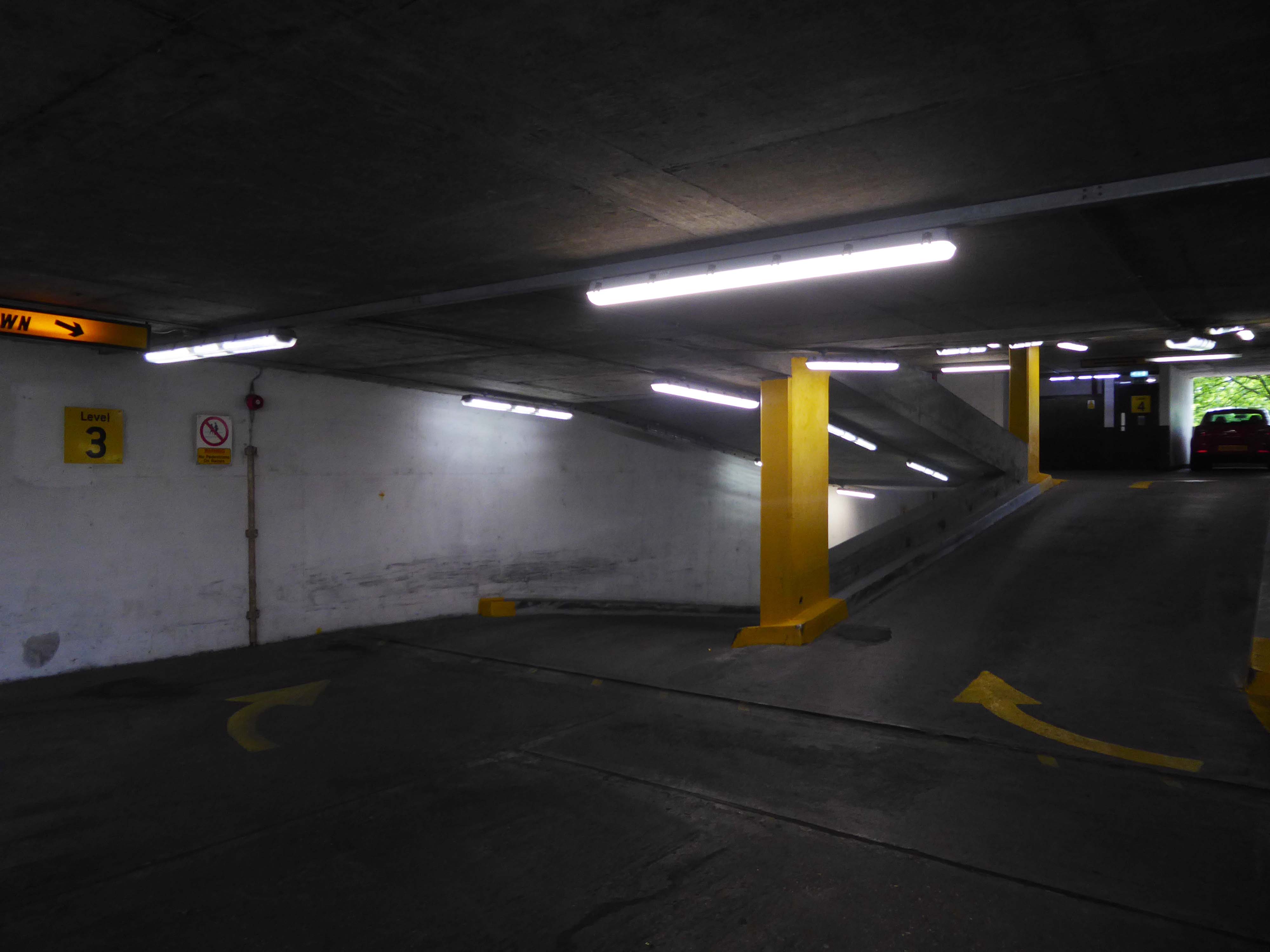
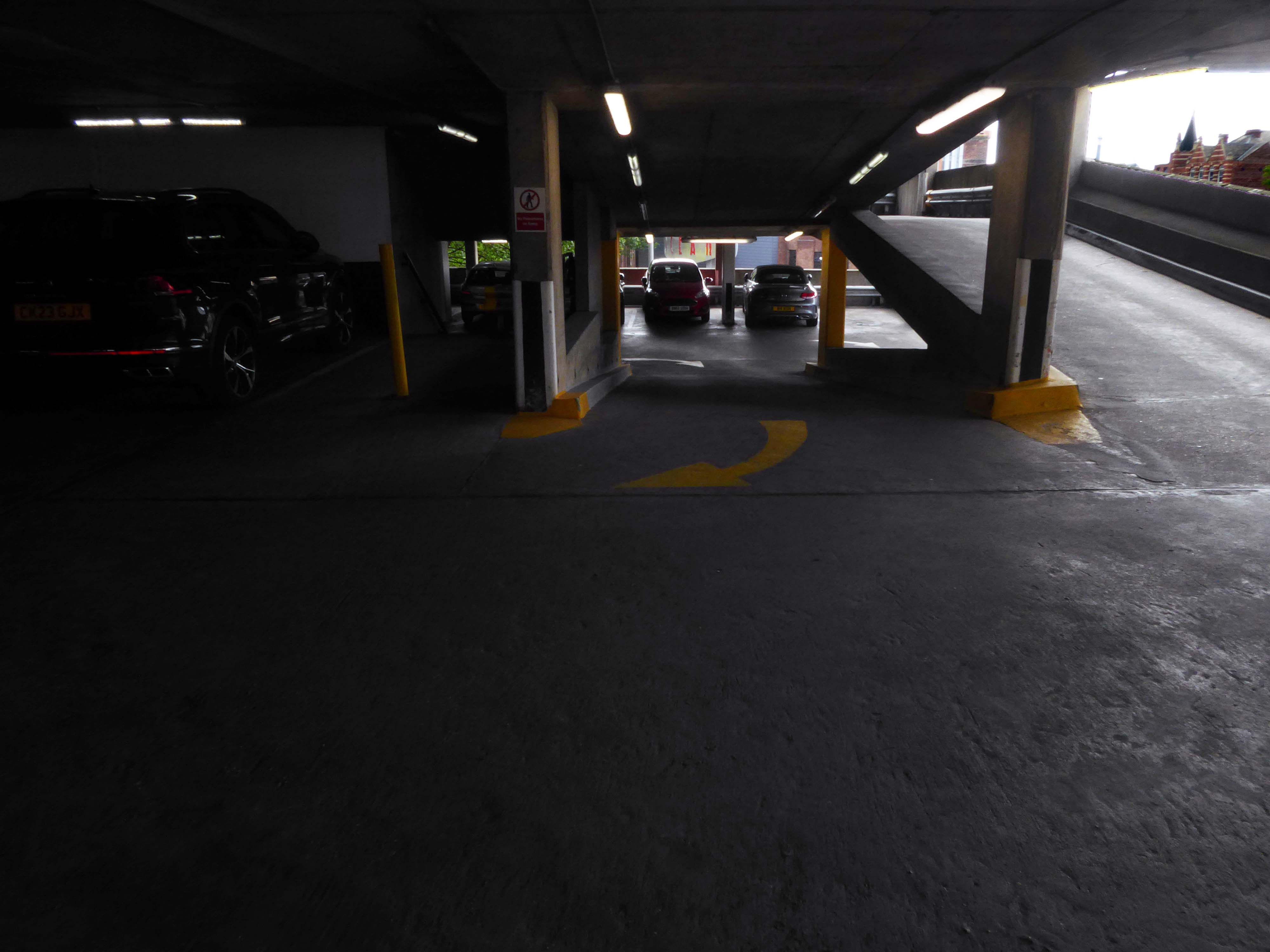
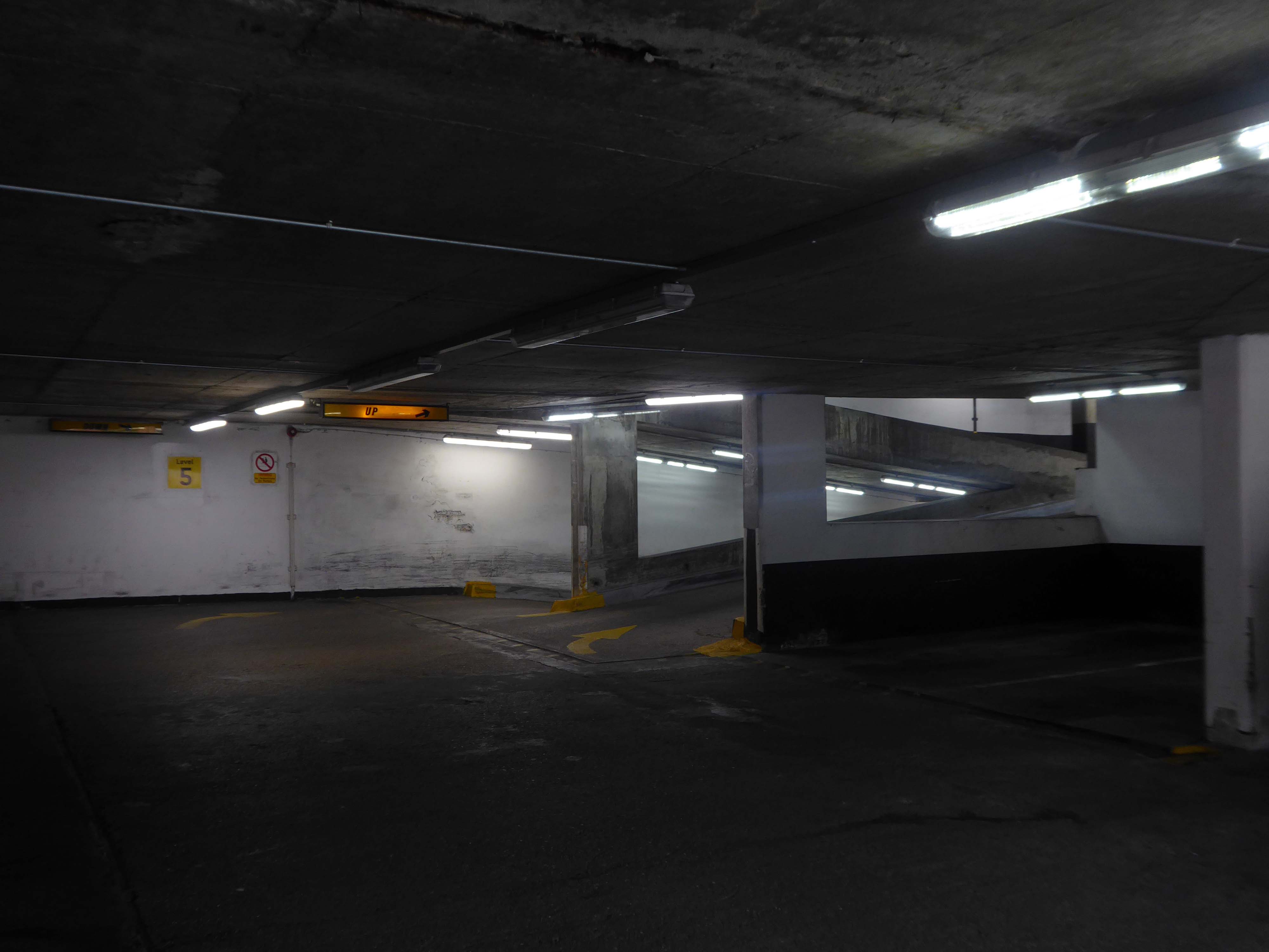
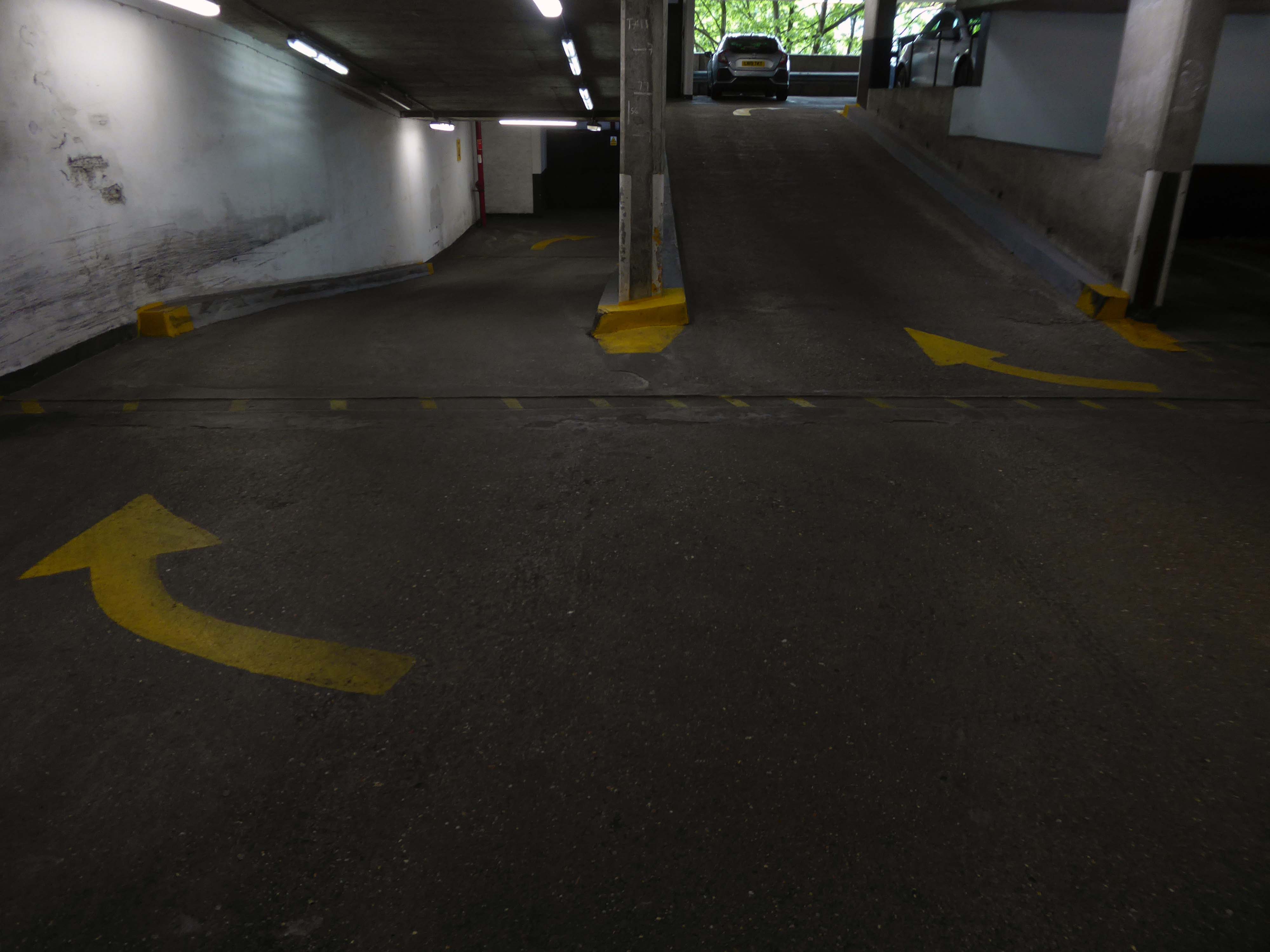
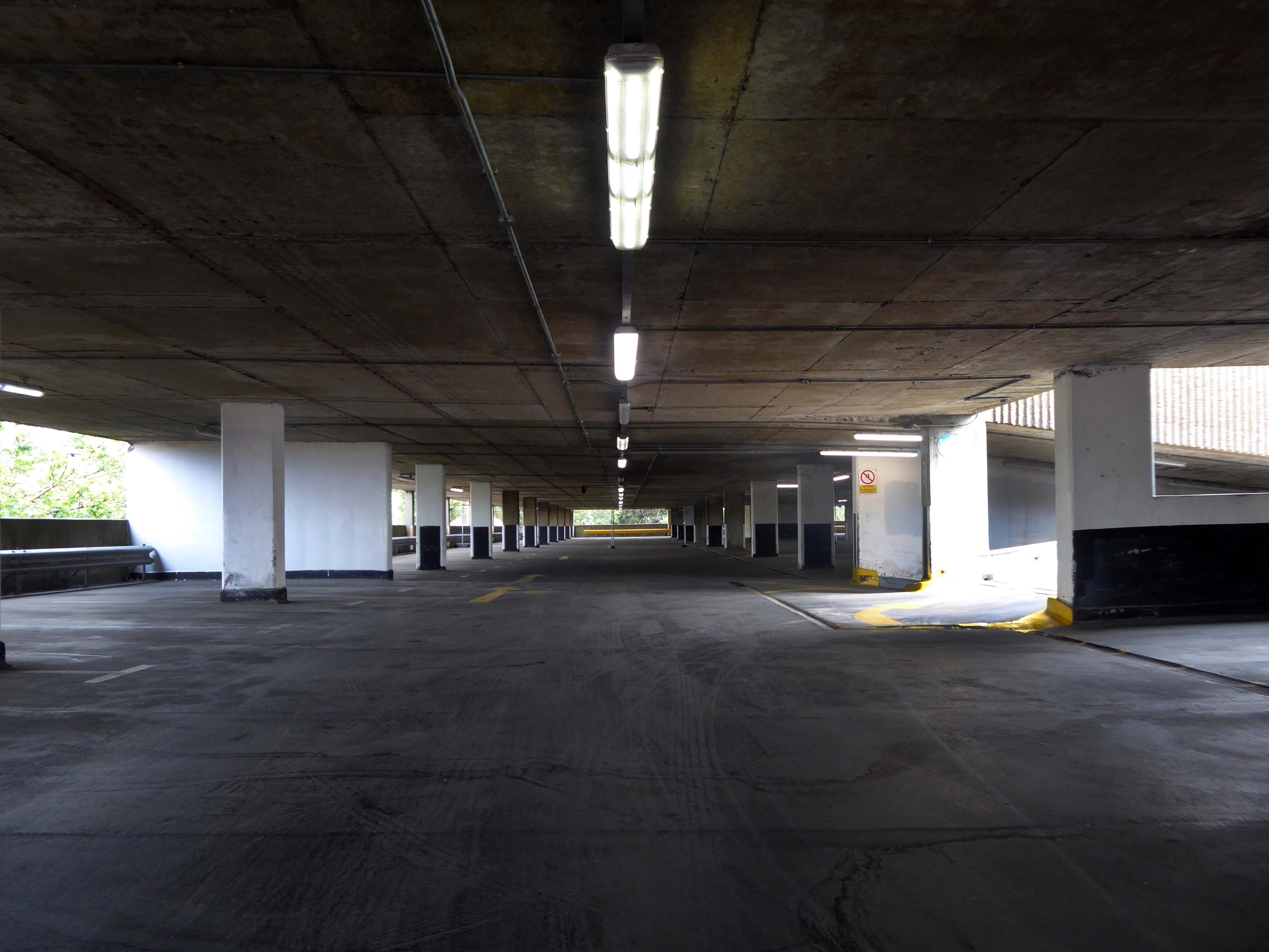
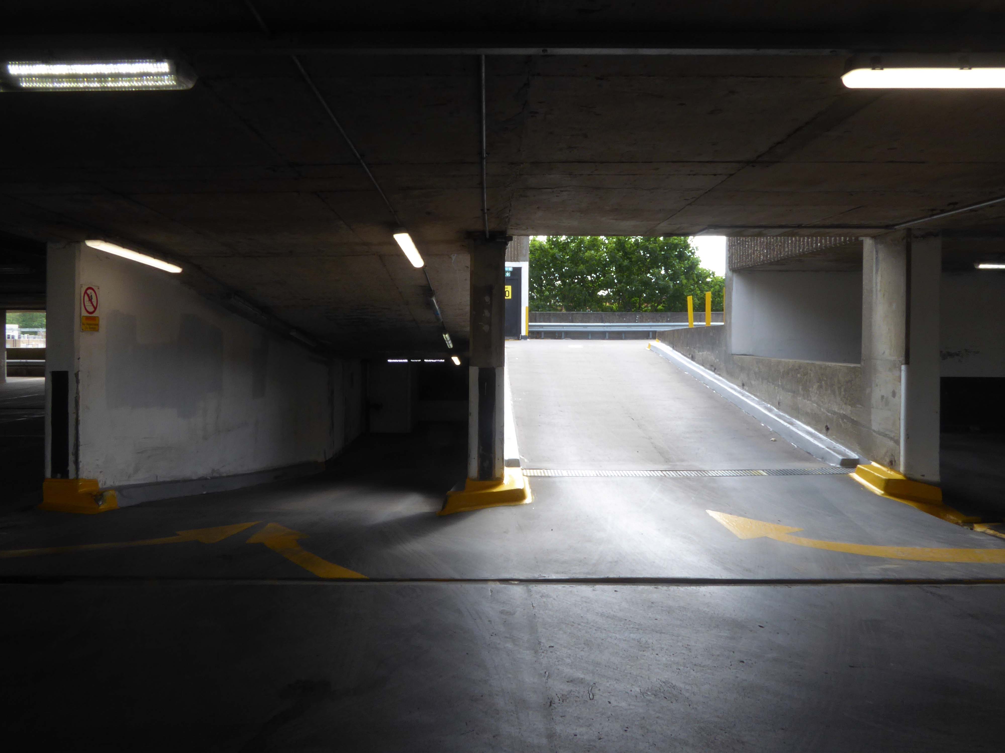
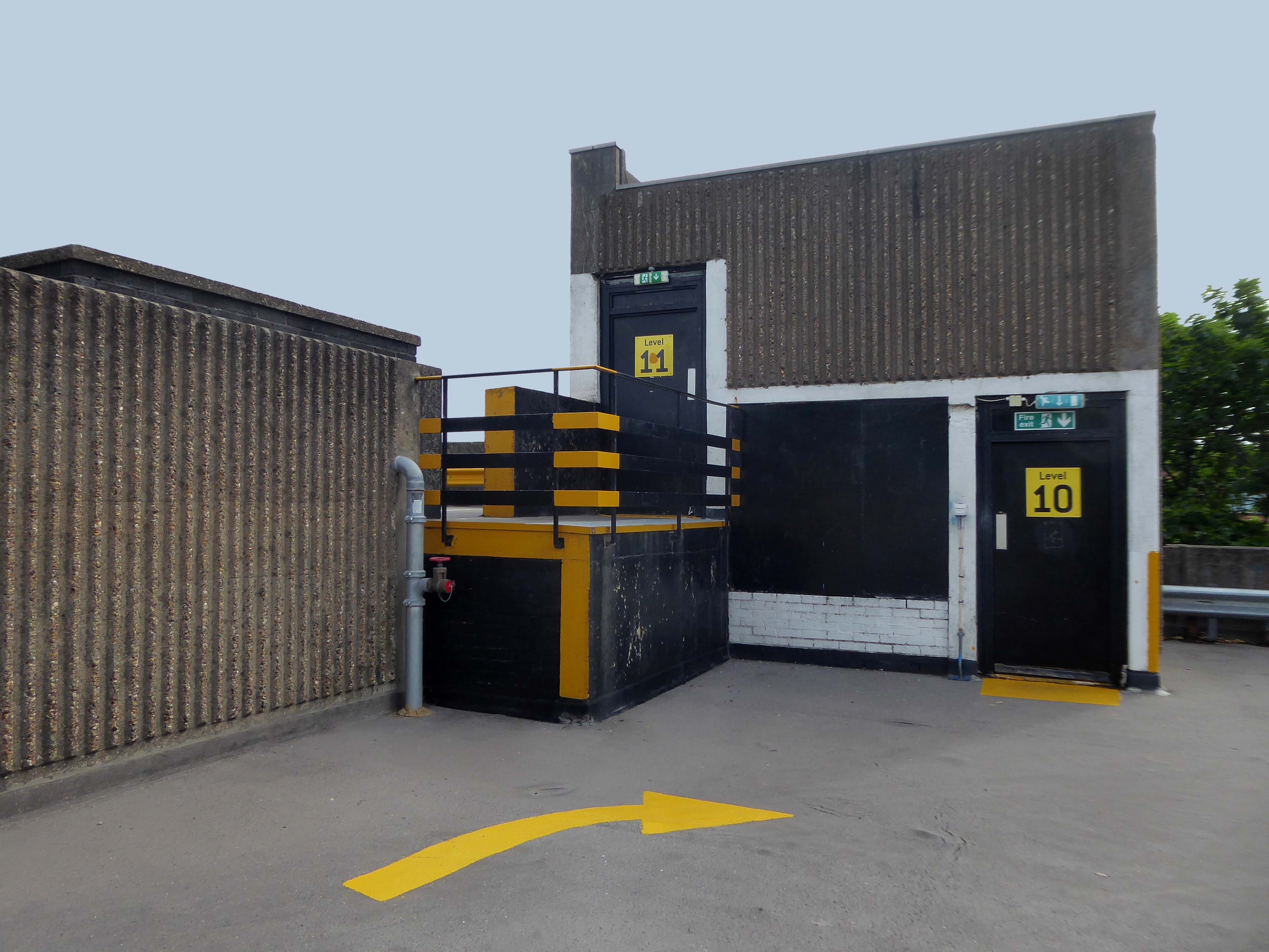
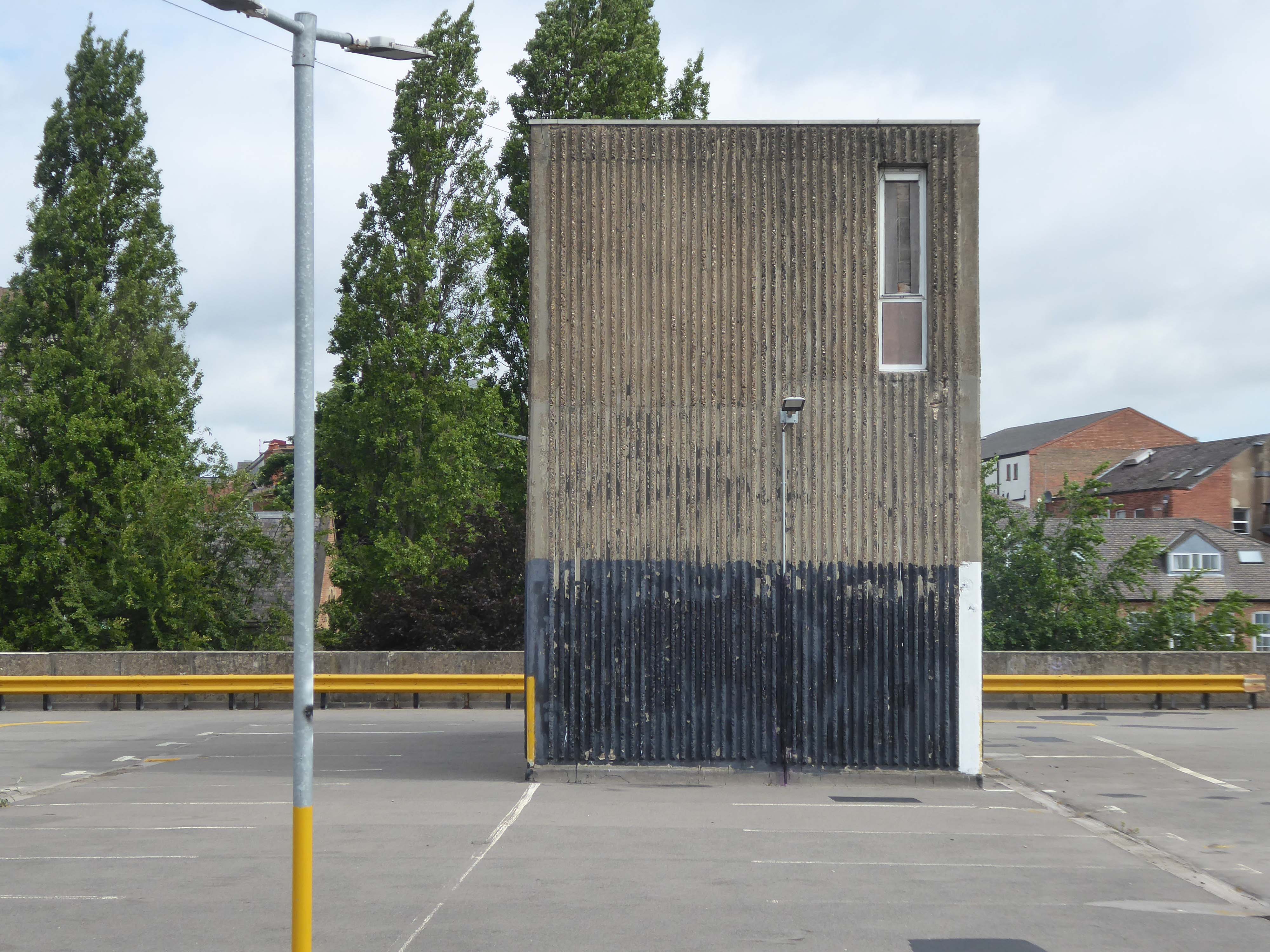
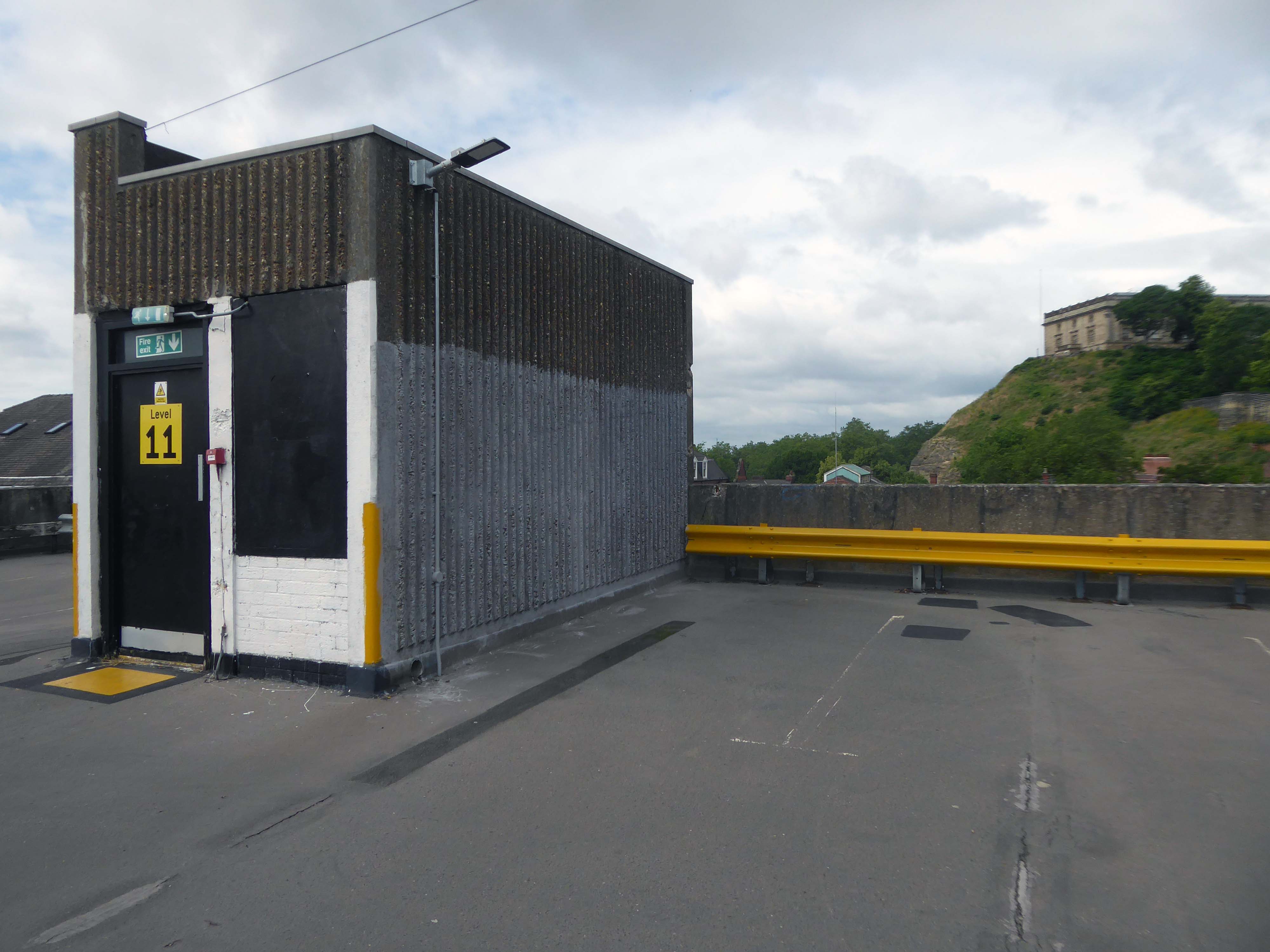
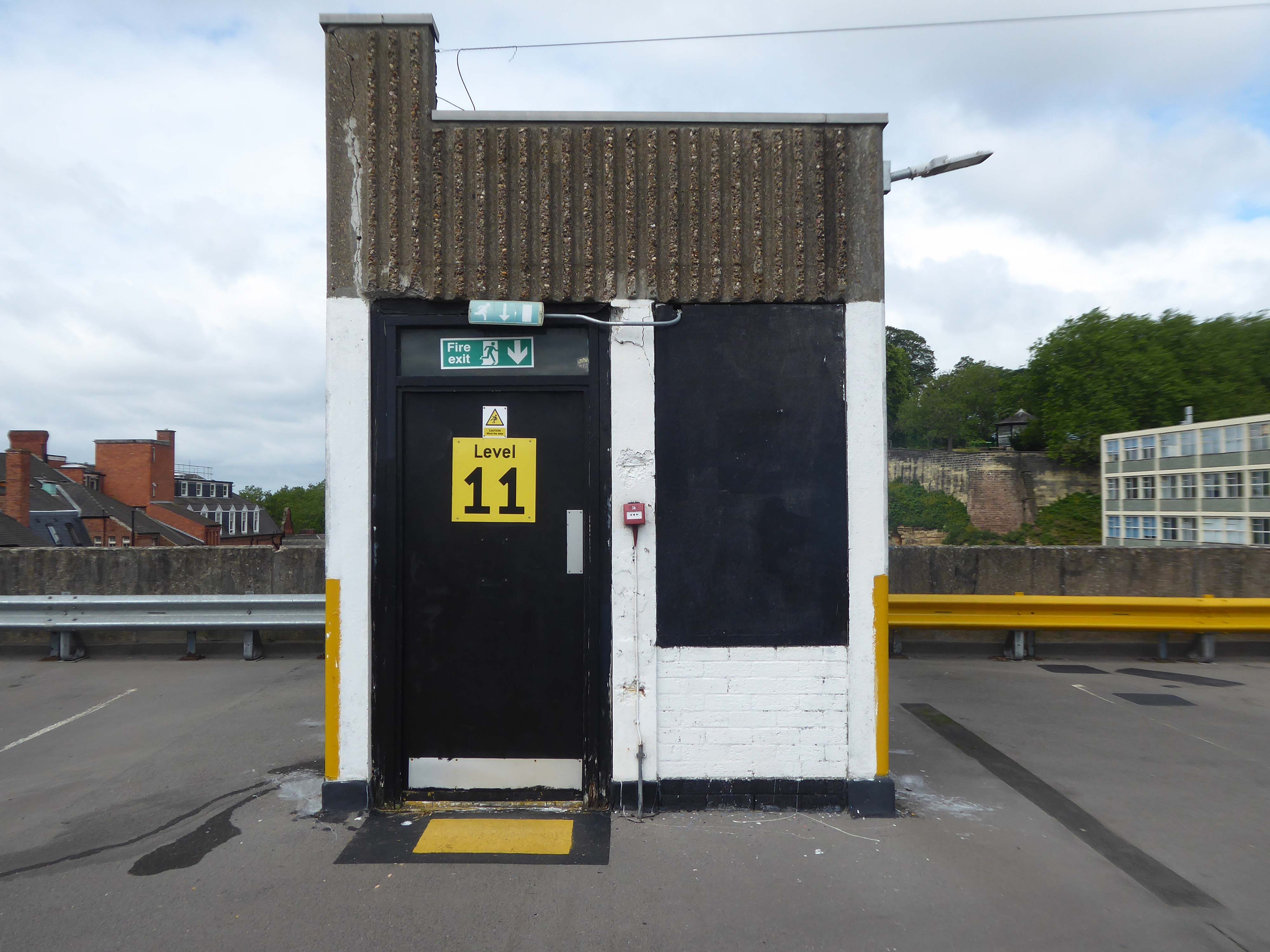
The earliest known multi-story car park in the UK was opened in May 1901 by City & Suburban Electric Carriage Company at 6 Denman Street, central London. The location had space for 100 vehicles over seven floors, totaling 19,000 square feet.
It is estimated that there are between 17,000 and 20,000 non- residential car parks in Great Britain, including those run by councils, commercial parking companies, shops, hospitals, businesses, railway stations and airports, providing between 3 and 4 million spaces.
The Manchester Airport multi-storey car park is one of the largest car parks ever built; in fact, it’s the second largest in Europe. This mega-park was designed to house a staggering 8,000 cars, split over a six-level facility that stretches out over 330 metres.
In the city centre NCP has over 13,000 car parking spaces across 43 sites
Good location but the access to the shopping centre is dirty. Lifts dirty – discarded soiled underwear, urine, spit and rubbish in the lifts. Car park also full of litter.
The most unnecessarily complicated ticketing system I have ever seen for a car park. Designed to fail so that the system can fine you. Beware. Better avoided for overseas visitors
Immerse yourself in the eclectic vibe of the Northern Quarter, the heartbeat of art, culture, and urban lifestyle. Whether you’re heading to its vintage shops, art studios, or chic cafes, finding the cheapest, best parking is paramount.
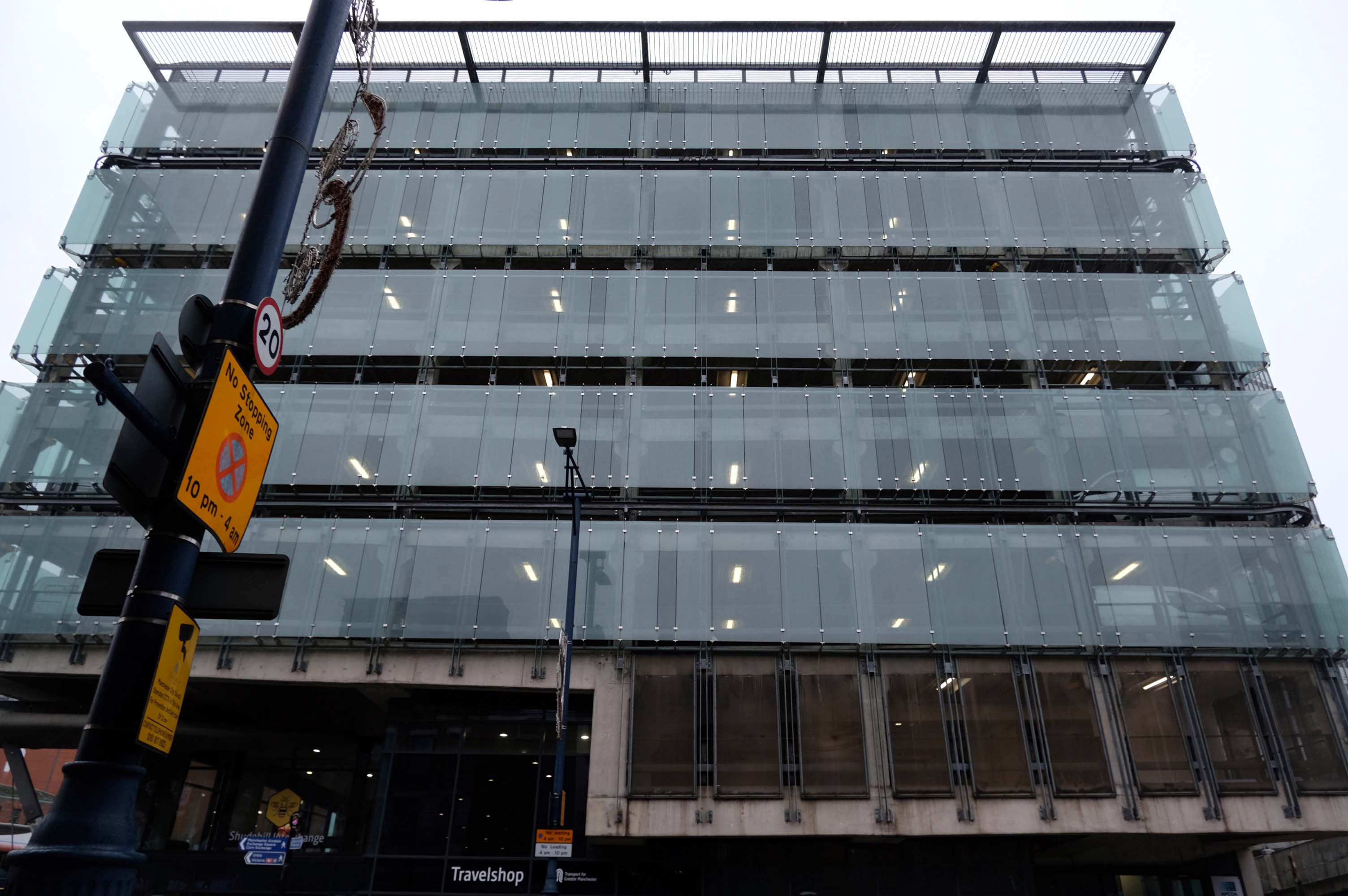
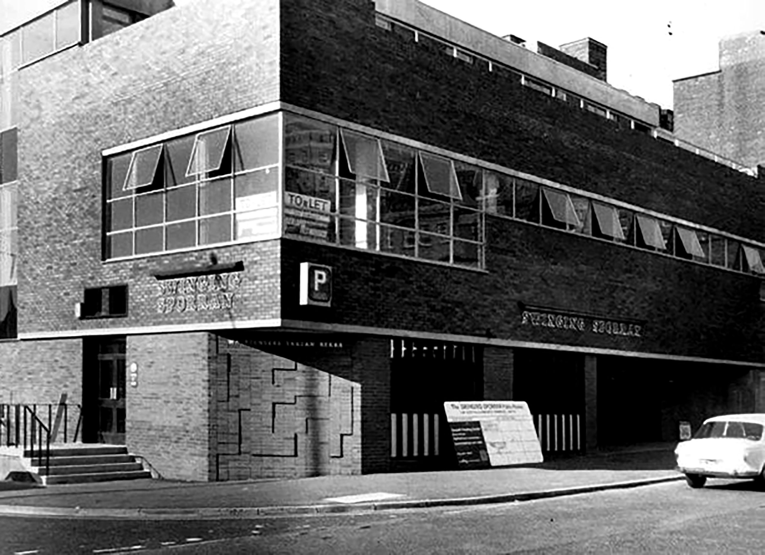
The Shudehill Interchange car park and bus station, designed by Jefferson Sheard Architects working with Ian Simpson, replaced the former Cannon Street bus station, under the Manchester Arndale; since the redevelopment of Manchester city centre, the latter has disappeared along with Cannon Street itself.
Great location but narrow roadway between floors. Pay in advance so you need to know how long you’re staying for.
£20.40 for 4 hours is expensive but you are minutes from Deansgate shops.
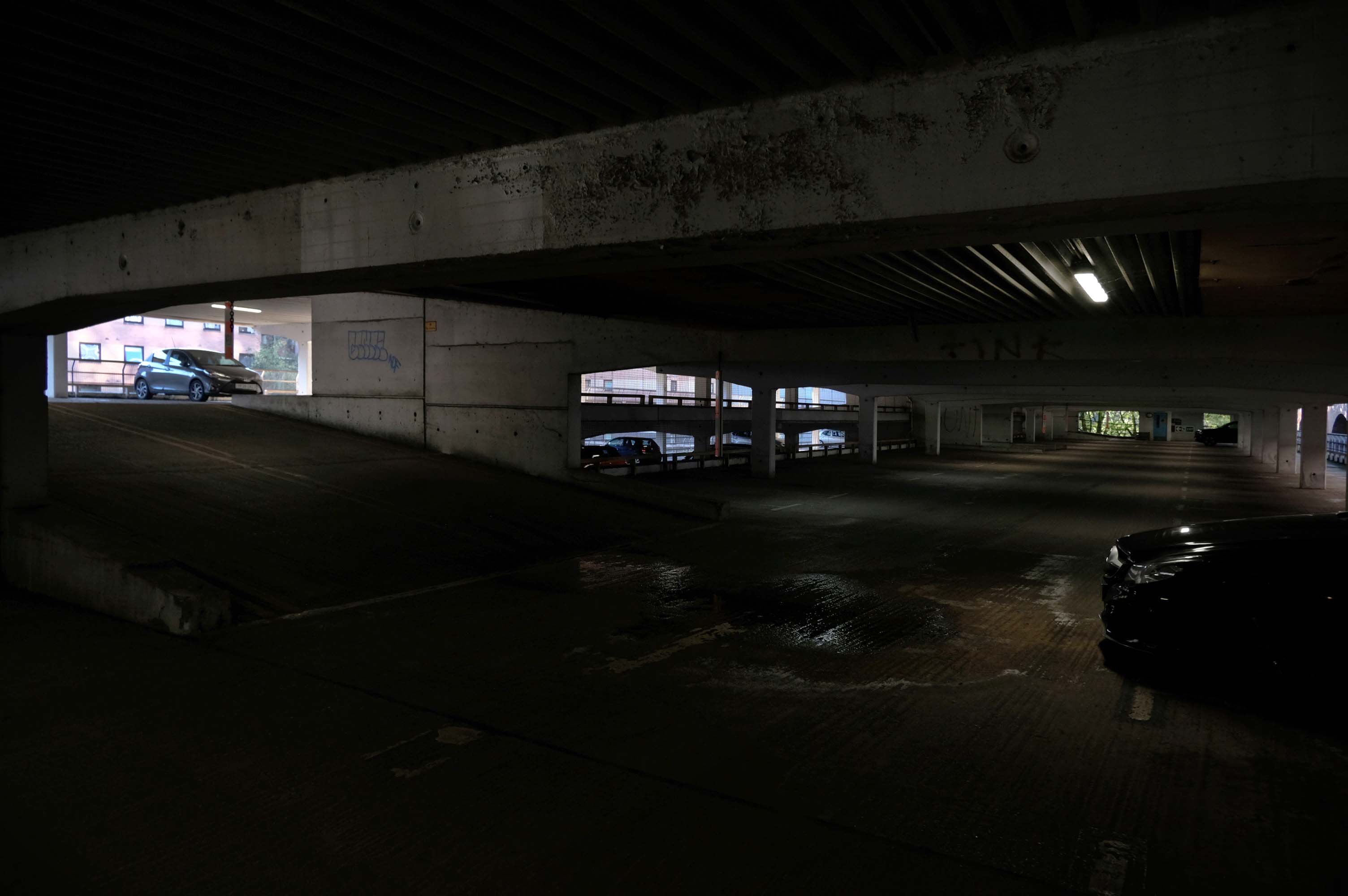
Only given one star because there wasn’t an option for zero. Not secure, car broken into theft of personal effects, pedestrian gate was un locked, no CCTV that I could see anywhere. Cost me over £25 to park for 6 hrs and lost over £200 of personal effects, complained to council, no response. Wouldn’t park here ever again.
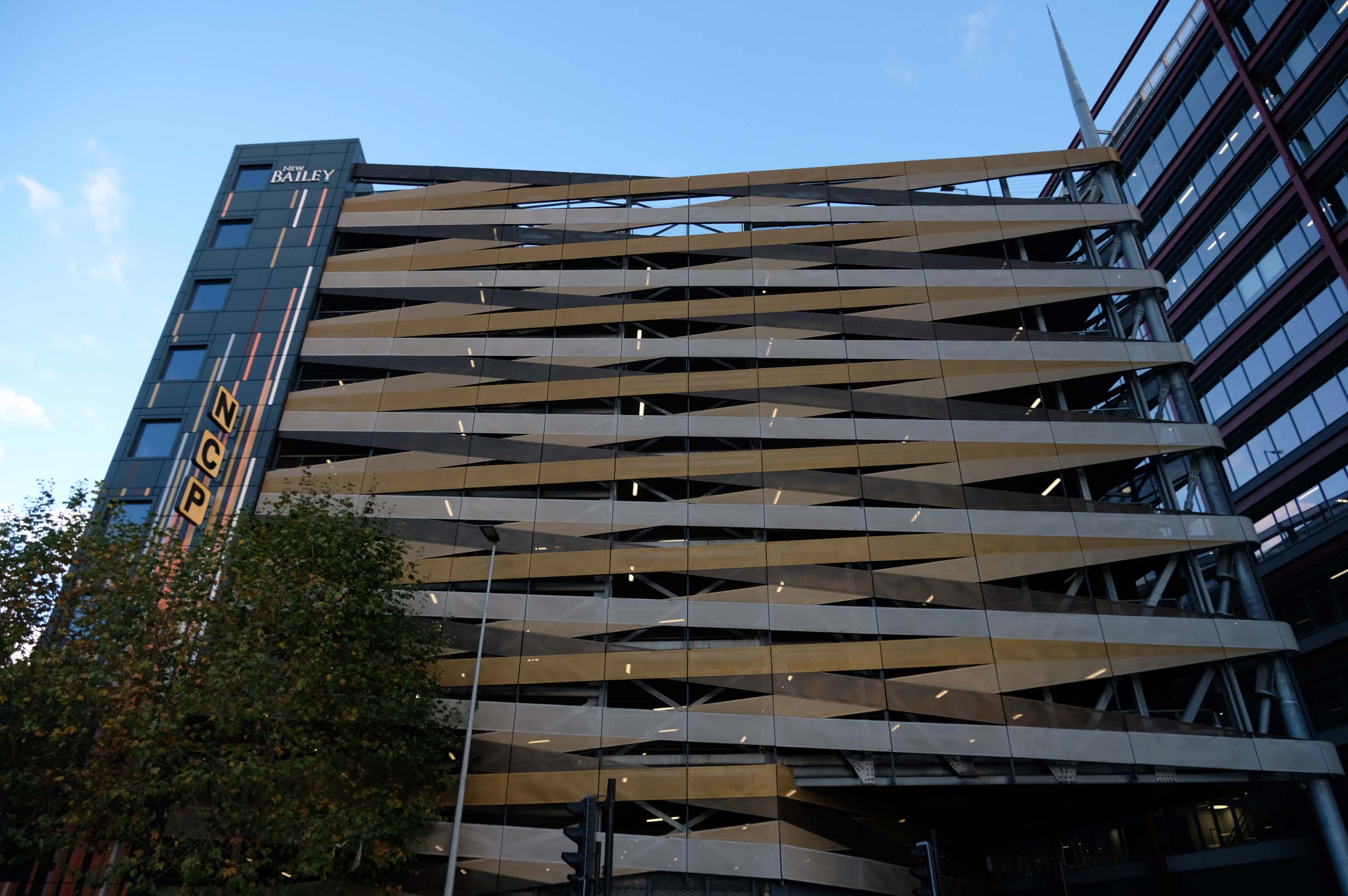
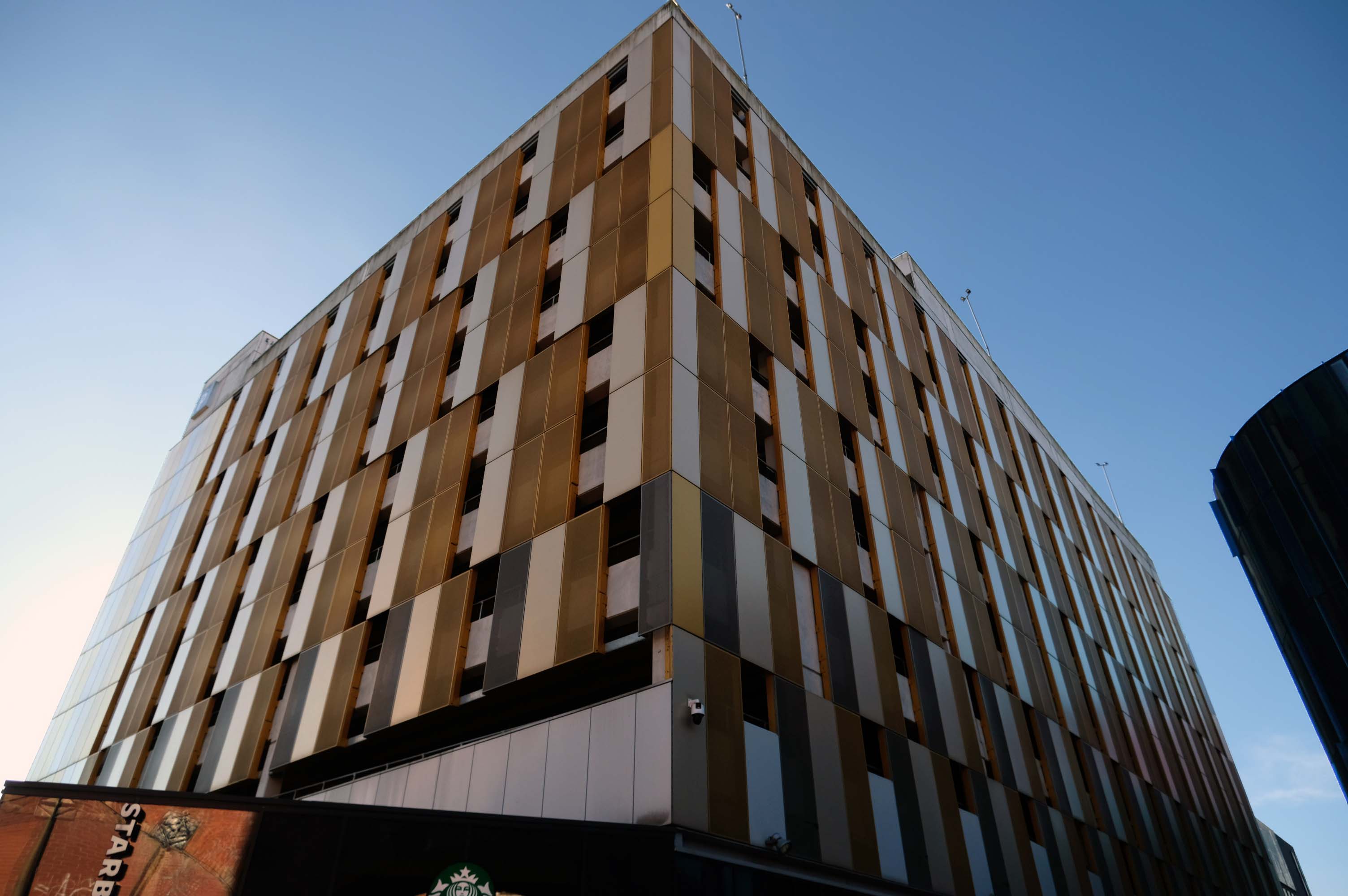
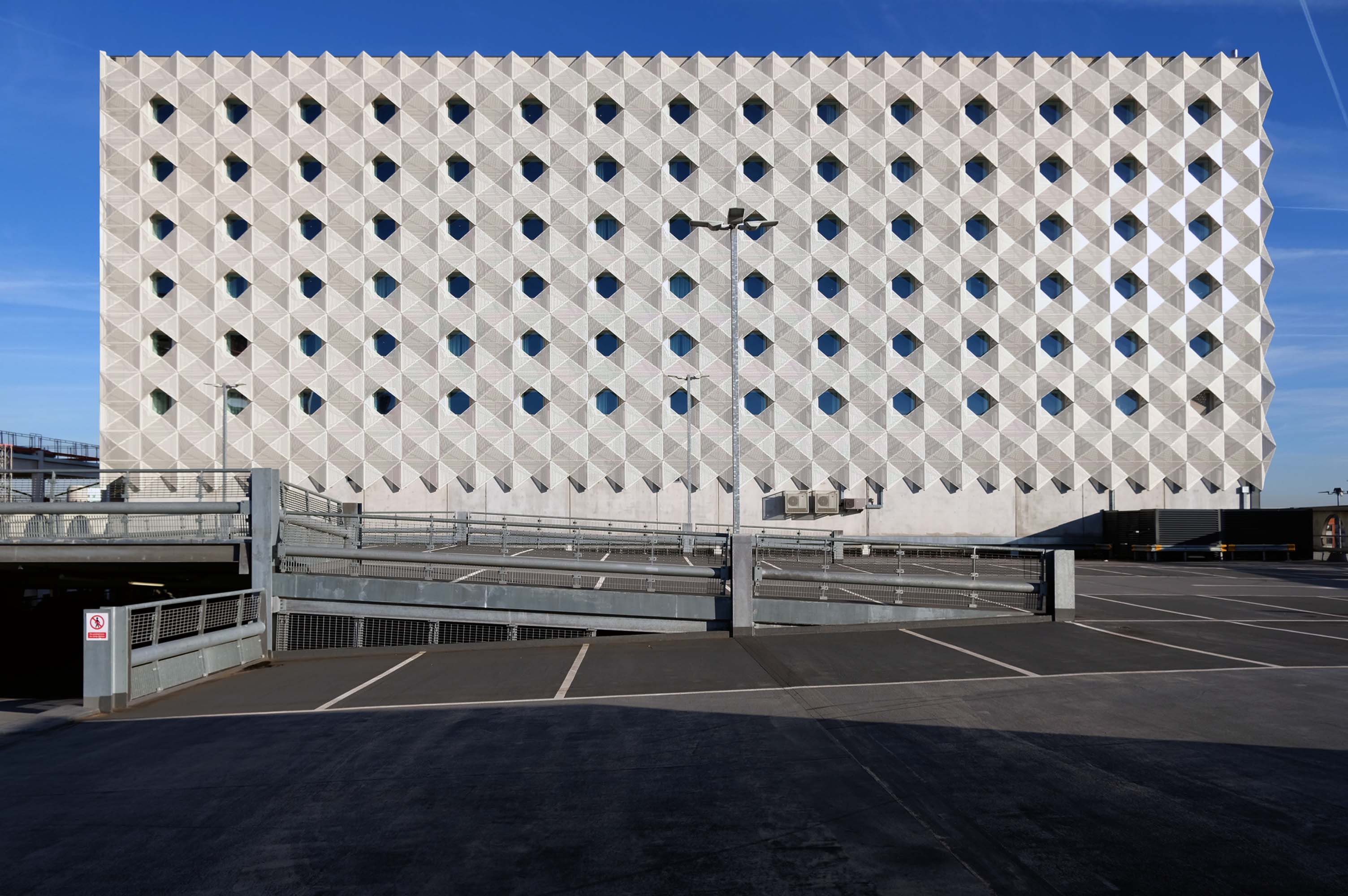
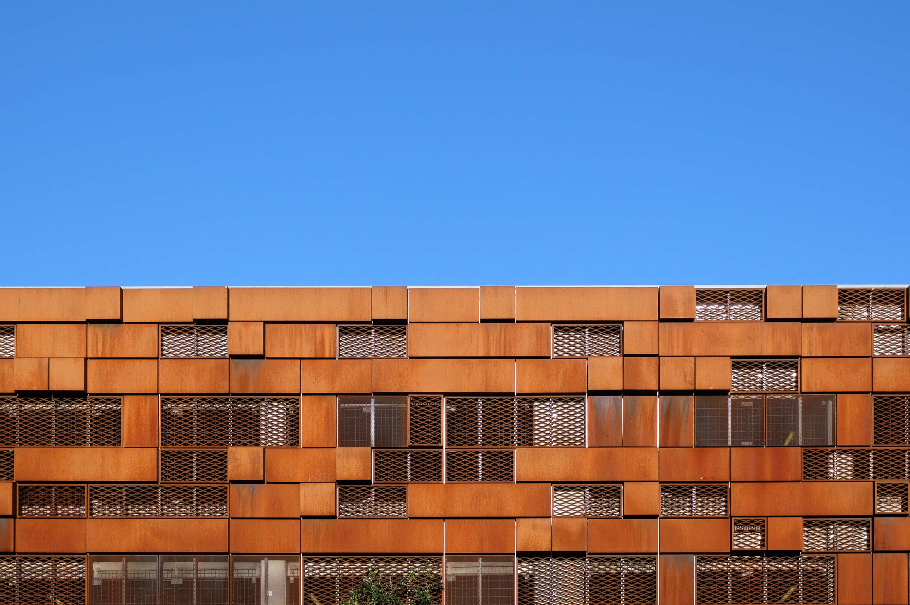
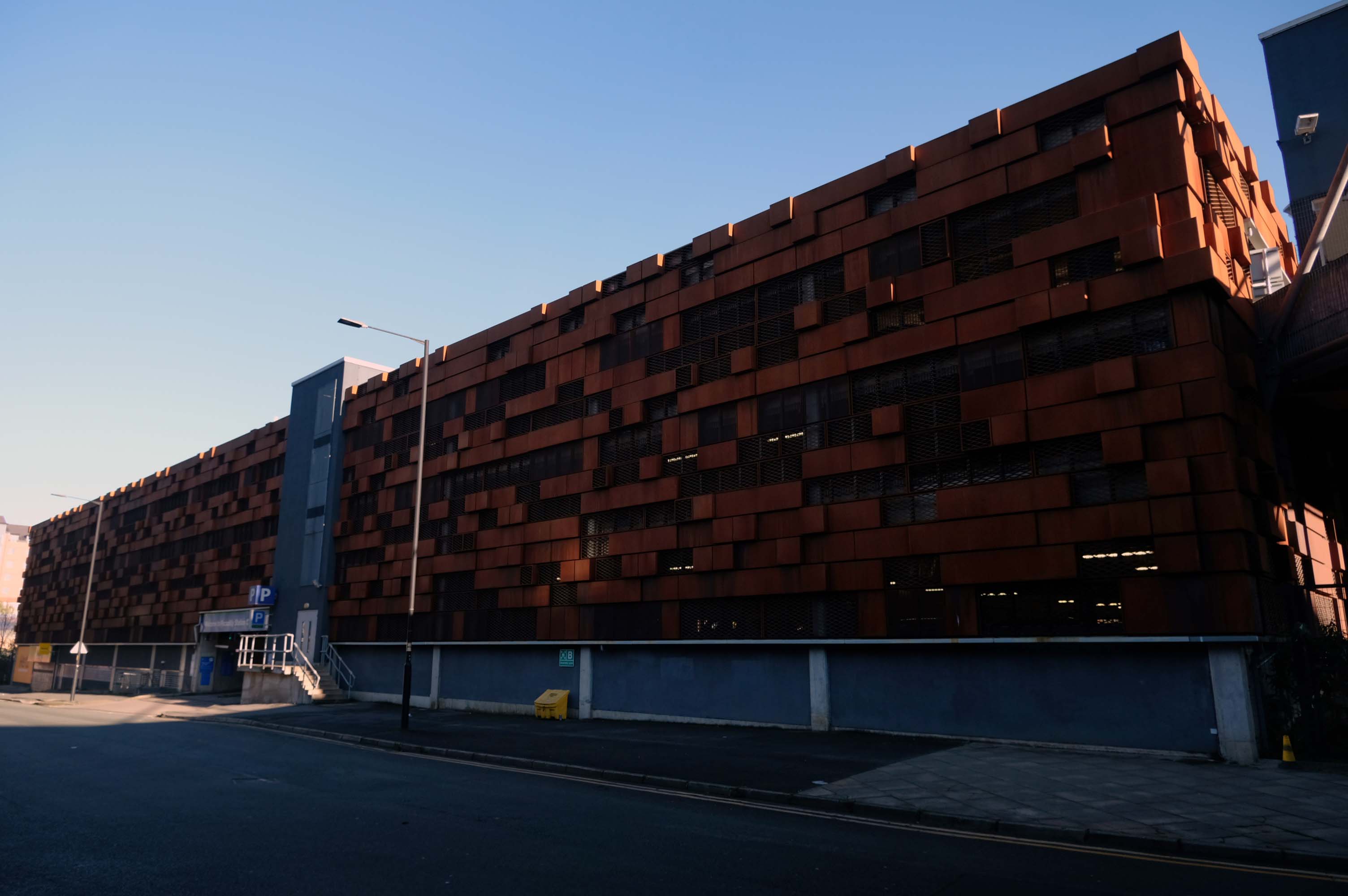
Maple gave architects Aedas RHWL the freedom to express themselves on a prominent multi-storey car park development in Salford. Their imaginative design created a great concept – the nine storey New Bailey car park appearing to be wrapped in ribbons that echo the lattice patterns and intersections in the ironwork of nearby Victorian bridges.
A good, clean and modern carpark. Easy to navigate and sensibly sized spaces. The only downsides are that it’s not cheap and getting into it from Trinity way is hard, as the traffic blocks the junction meaning it takes may cycles of the traffic lights to get across the junction.
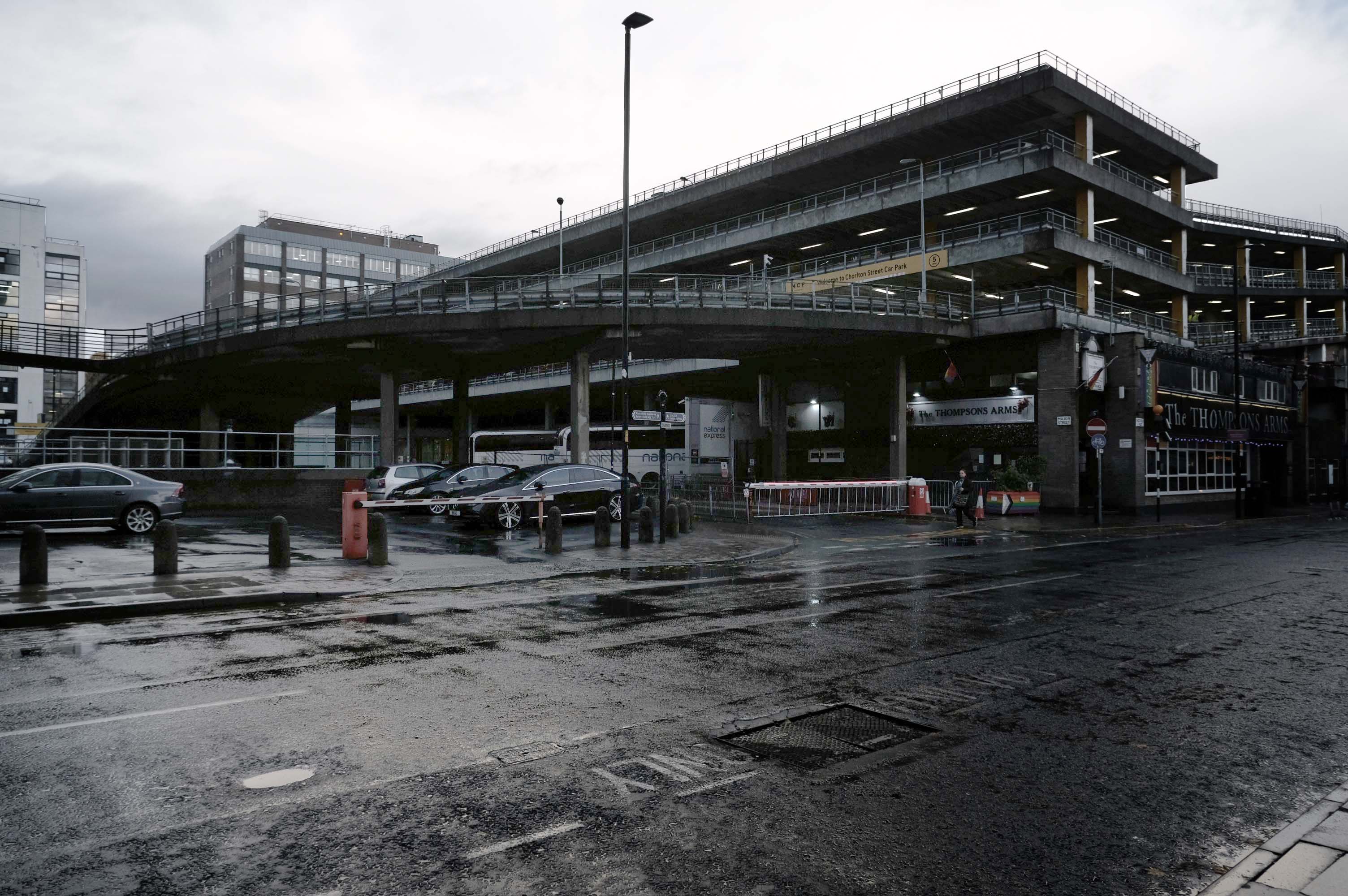
Part of the Piccadilly Plaza development of 1965 by Covell Matthews and Partners
Nice central location with a large entrance so you dont have to risk scratching your car as you pull in. Found there was a lack of signage to direct to nearest pay machine or walkway exit. Also had trouble when it was time to pay. I typed in my registration and yet it wasnt recognised and so I had to estimate my time of arrival. I ended up paying £10.50 for around 3 hours, which probably is the going rate for city centre parking.
Sadly after seeing several reviews that cars were broken in to, I would certainly reconsider parking here in future. I got lucky here, I had suitcases locked in the car, with several hundreds of pounds worth of travel money.
Worst place to park on earth, we had our car broken int0, everything stolen, it’s common knowledge that the drunks in the town hang around the car park to steal and then use your cards to buy their booze
Secure and easy to find while driving, struggled to get back in through side door, had to walk up the ramp.
Expensive.
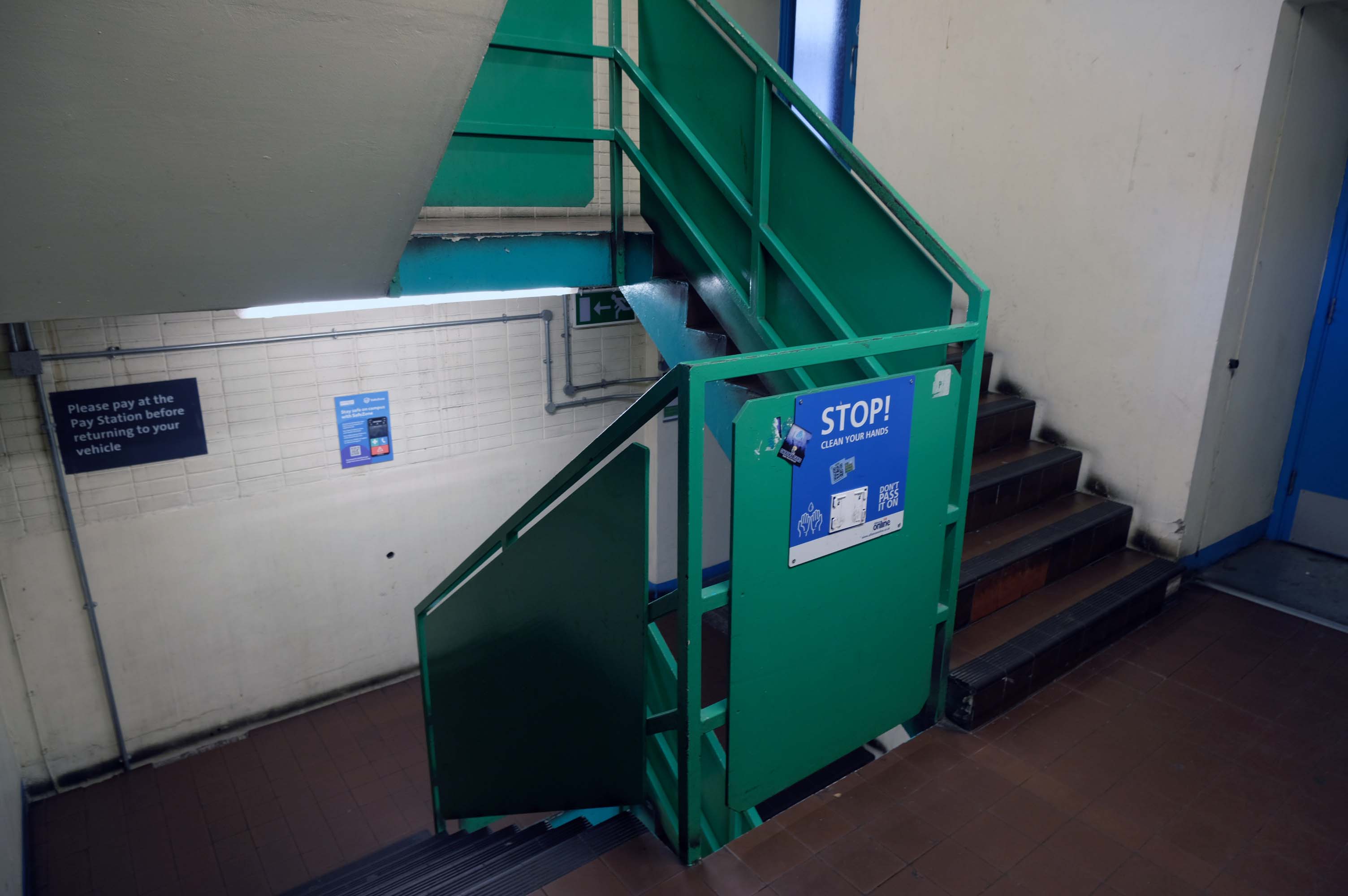
Stairwell stinks like piss and I’ve seen homeless people sitting in there. Doesnt feel safe.
Great car park, security is great, right in the city centre above the bus station that goes Scotland to Cornwall, Wales to Norwich and many more, Manchester city centre literally with Piccadilly Gardens around the corner.
Great car park we use all the time in Manchester, easy to book online, no messing with cash machines. Takes your car reg by camera for easy access in and out. Plenty of spaces mainly upper floors, just tight around corners.
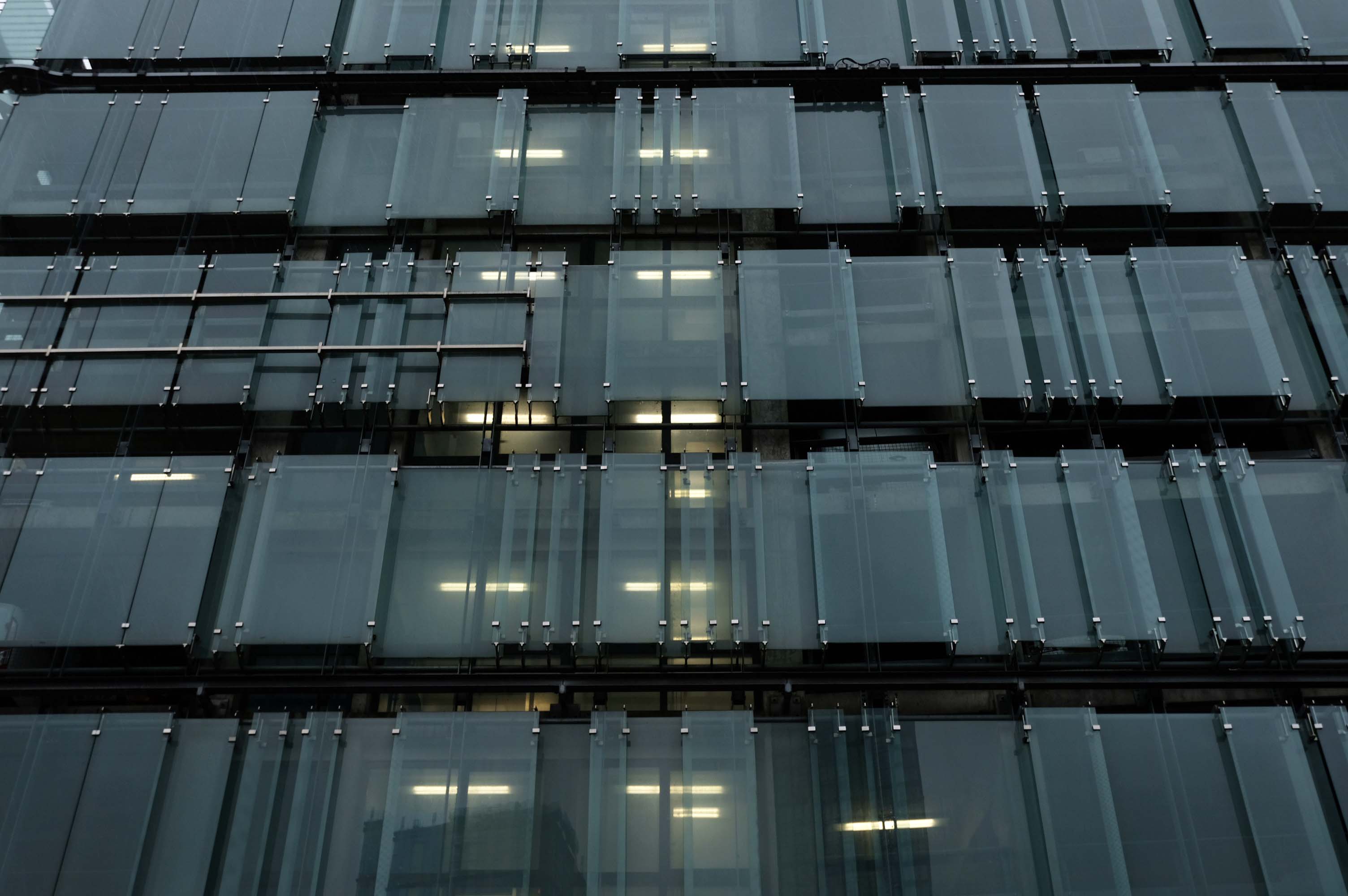
Fielden Clegg Bradley were concept architects while Leach Rhodes Walker were delivery architects.
A series of four × two-storey-deep lattice girders and a single one-storey girder, all measuring up to 27m-long, span over the zone where the underground pipes are located. In these parts, the car park has no first-floor level as the local water board needed a 5m ground-to-ceiling clearance in case they had to undertake any maintenance works. Consequently, the first floor is only a partial level and is set within the depth of the larger lattice girders, as is the second floor, while the third level is supported on top of these members.
Supporting a hotel would be challenging enough, however the design has also had to incorporate large bridging elements as there are two subterranean 600mm-diameter water pipes crossing the site. “It’s a very unusual design and one that was originally designed as a concrete-framed structure,” says James Killelea Senior Structural Engineer Charlie Twist. “However, the bridging parts would have proven to be too difficult to build and consequently a steel-framed solution was chosen for the car park, which in turn supports a precast concrete hotel.”
This car park is one of the cleanest and most well maintained in Manchester.
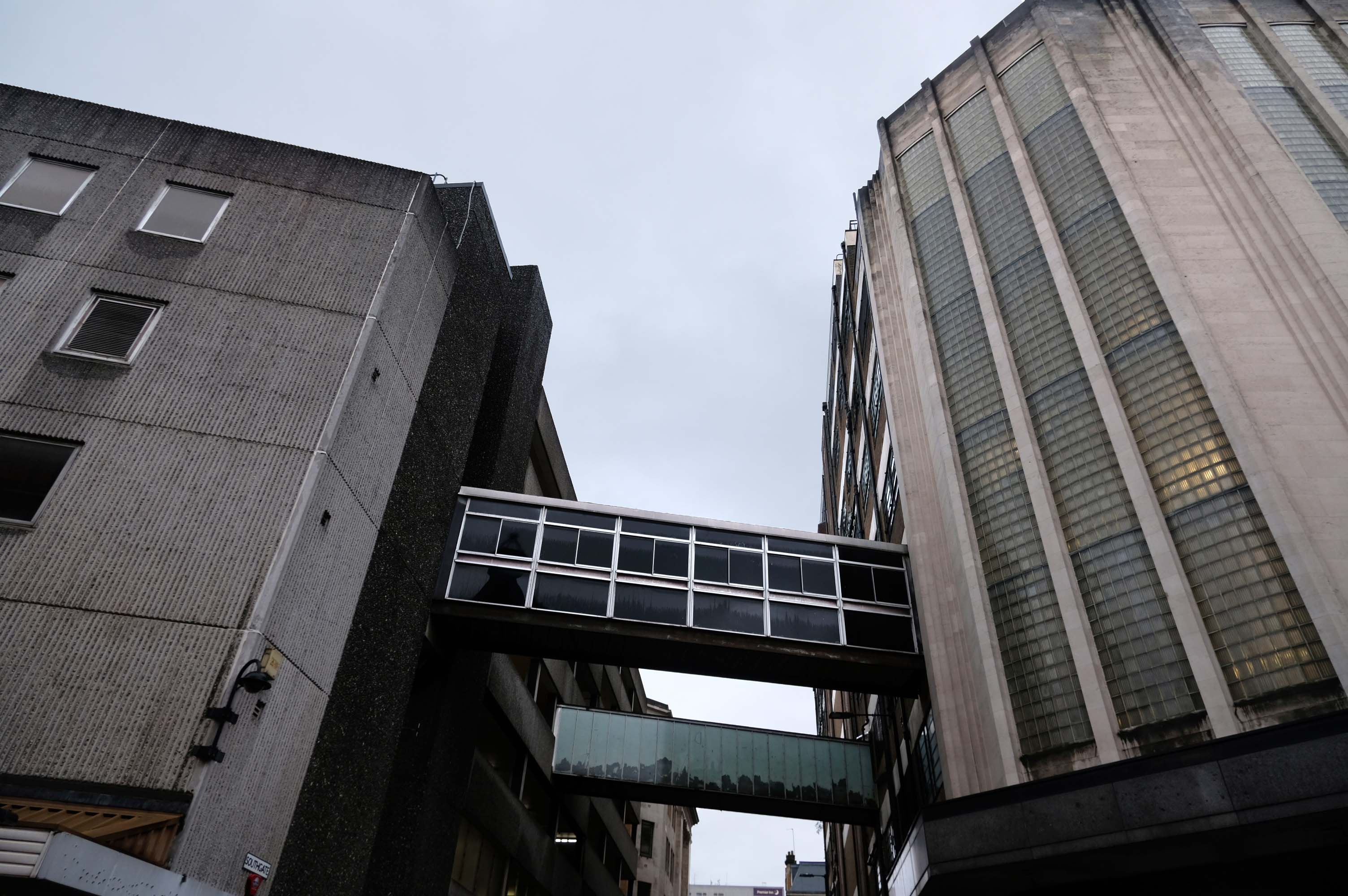
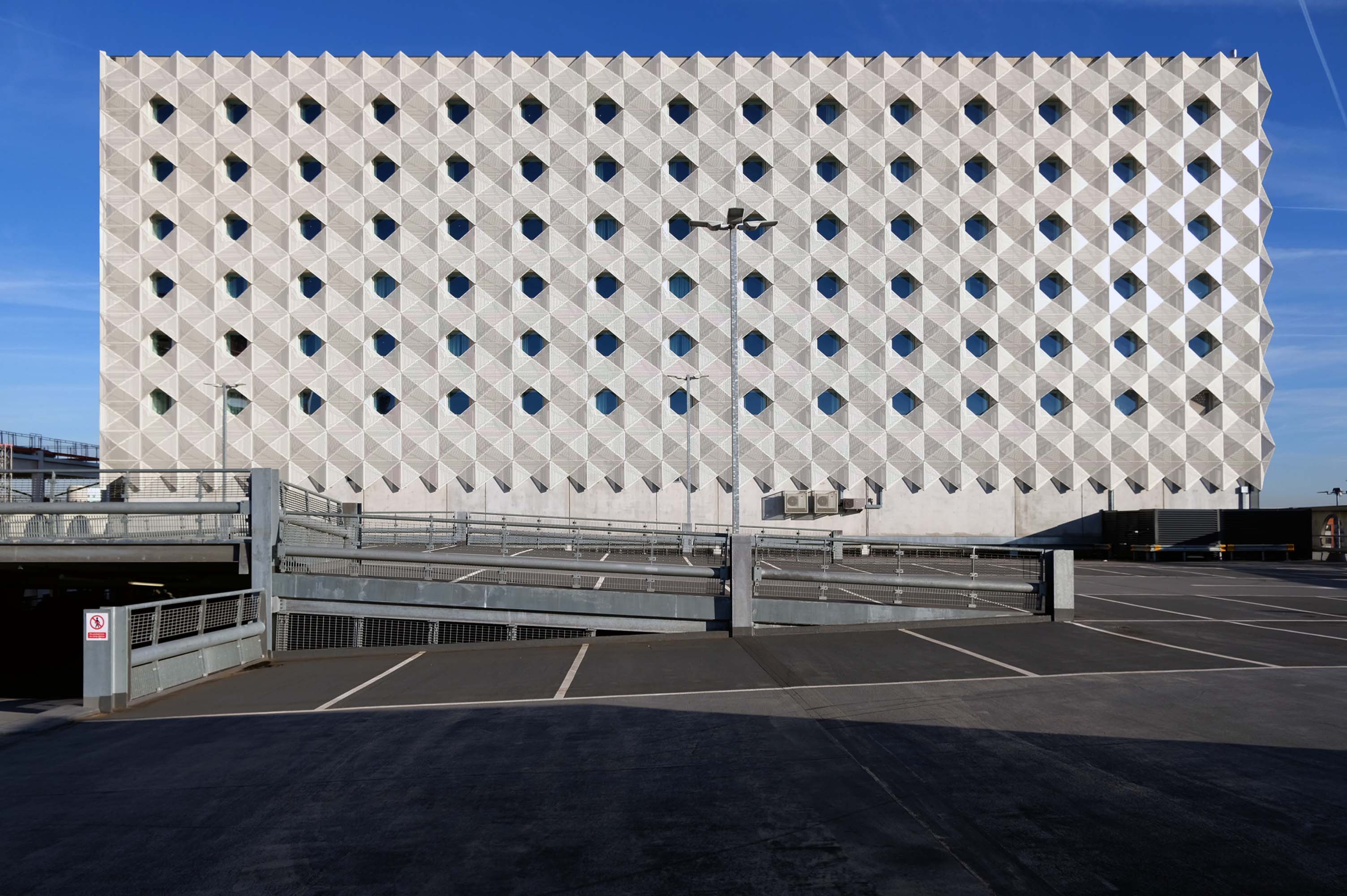
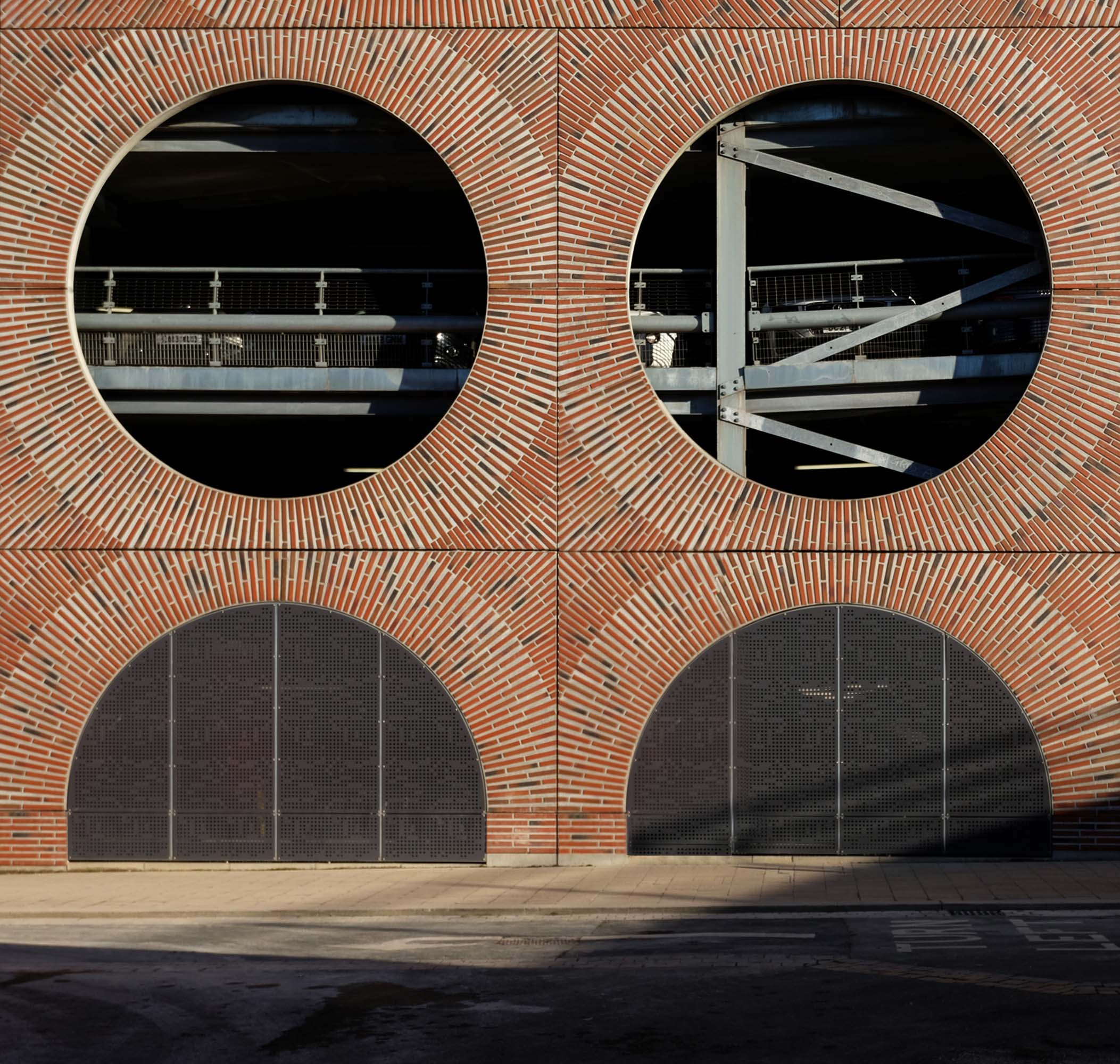
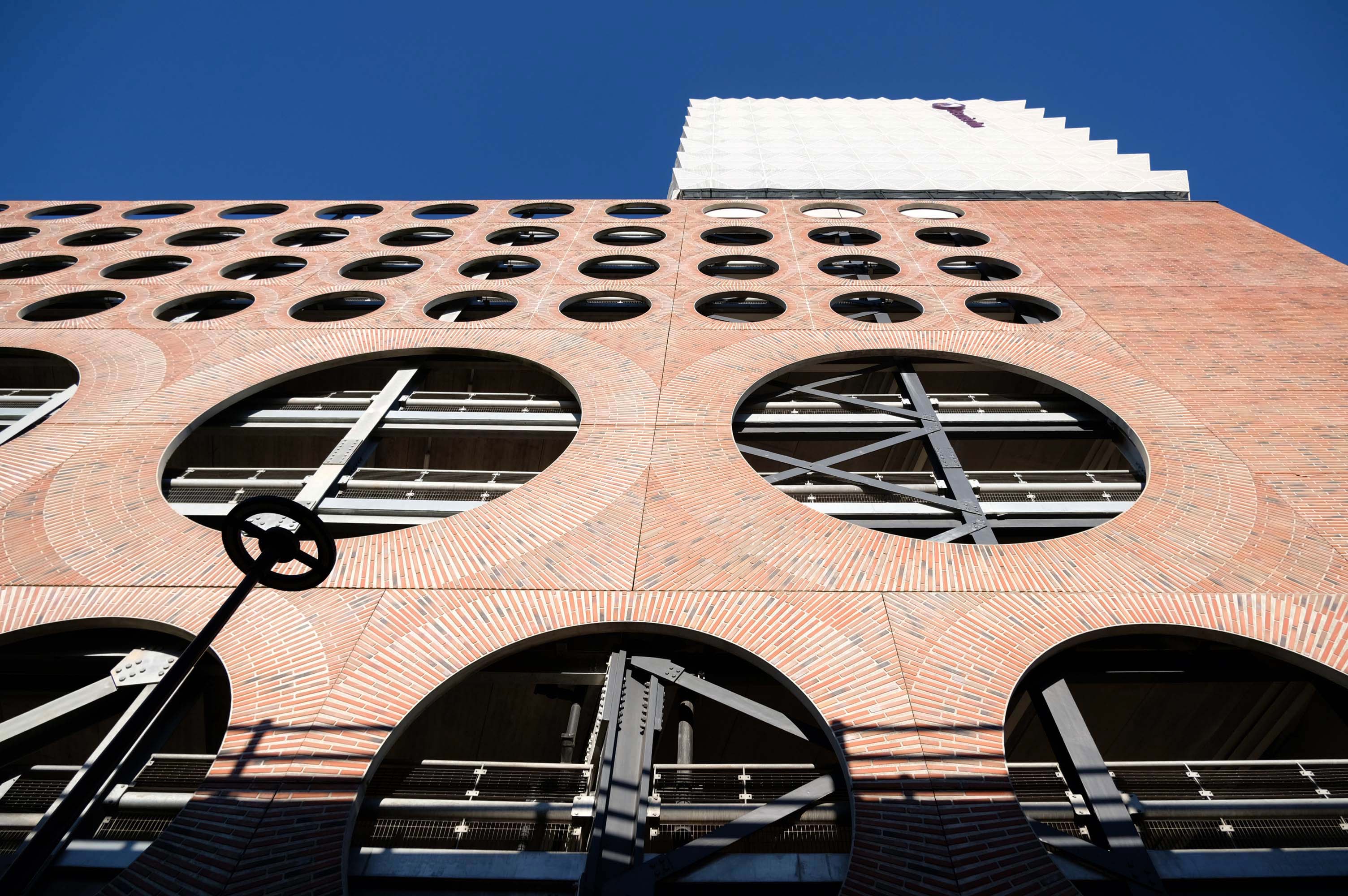
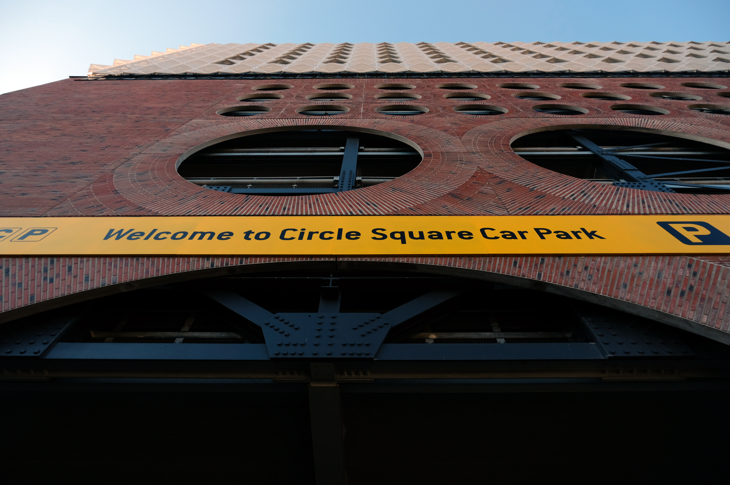
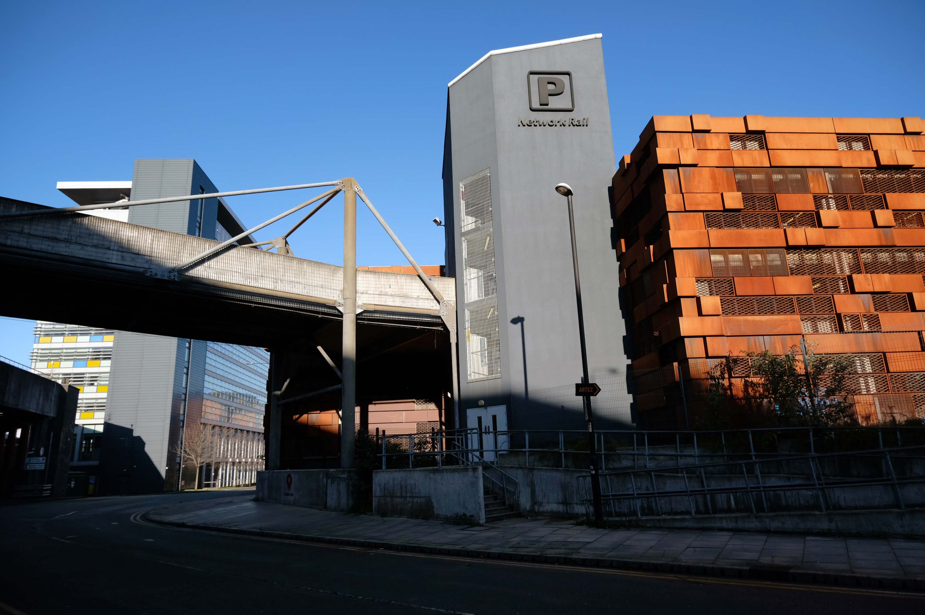
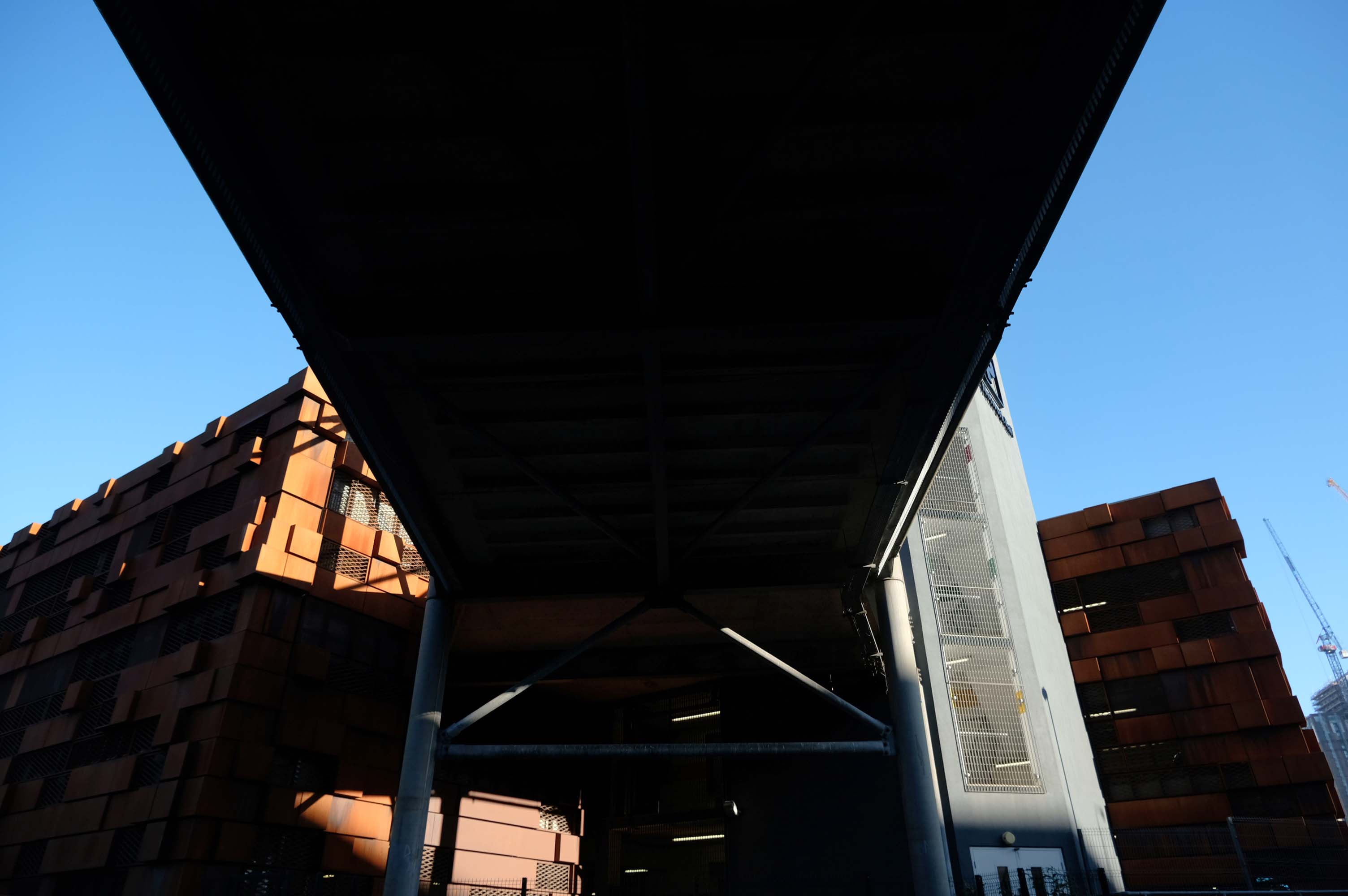
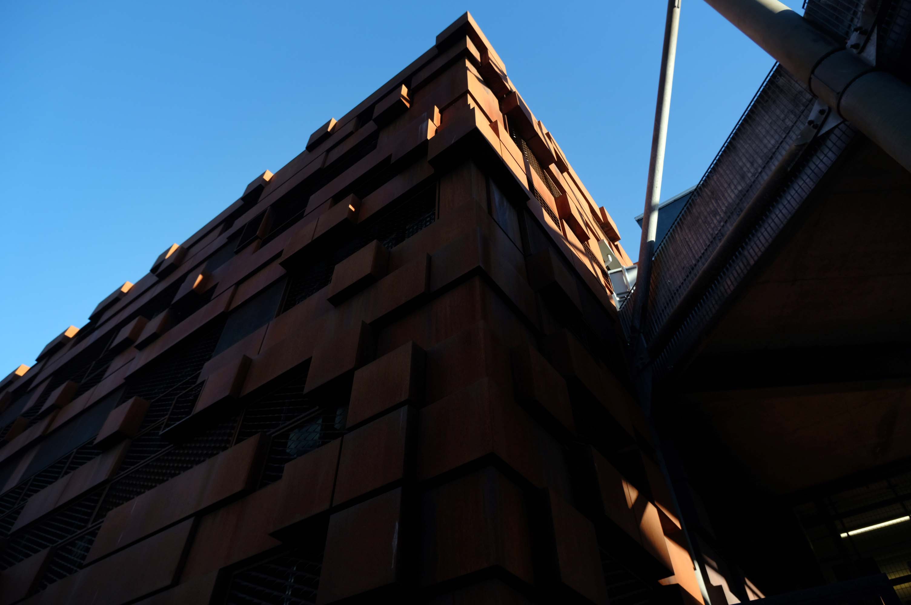
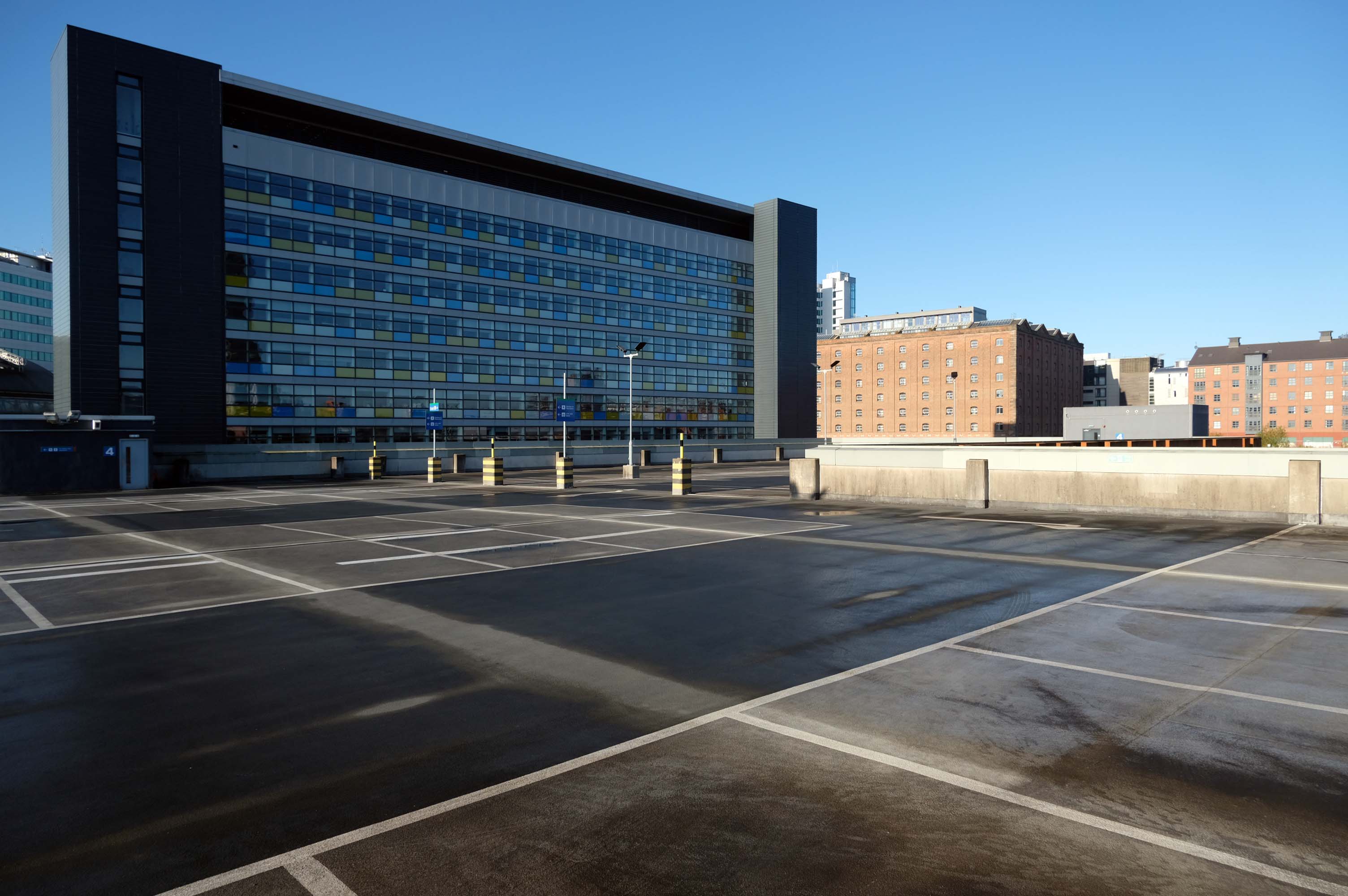
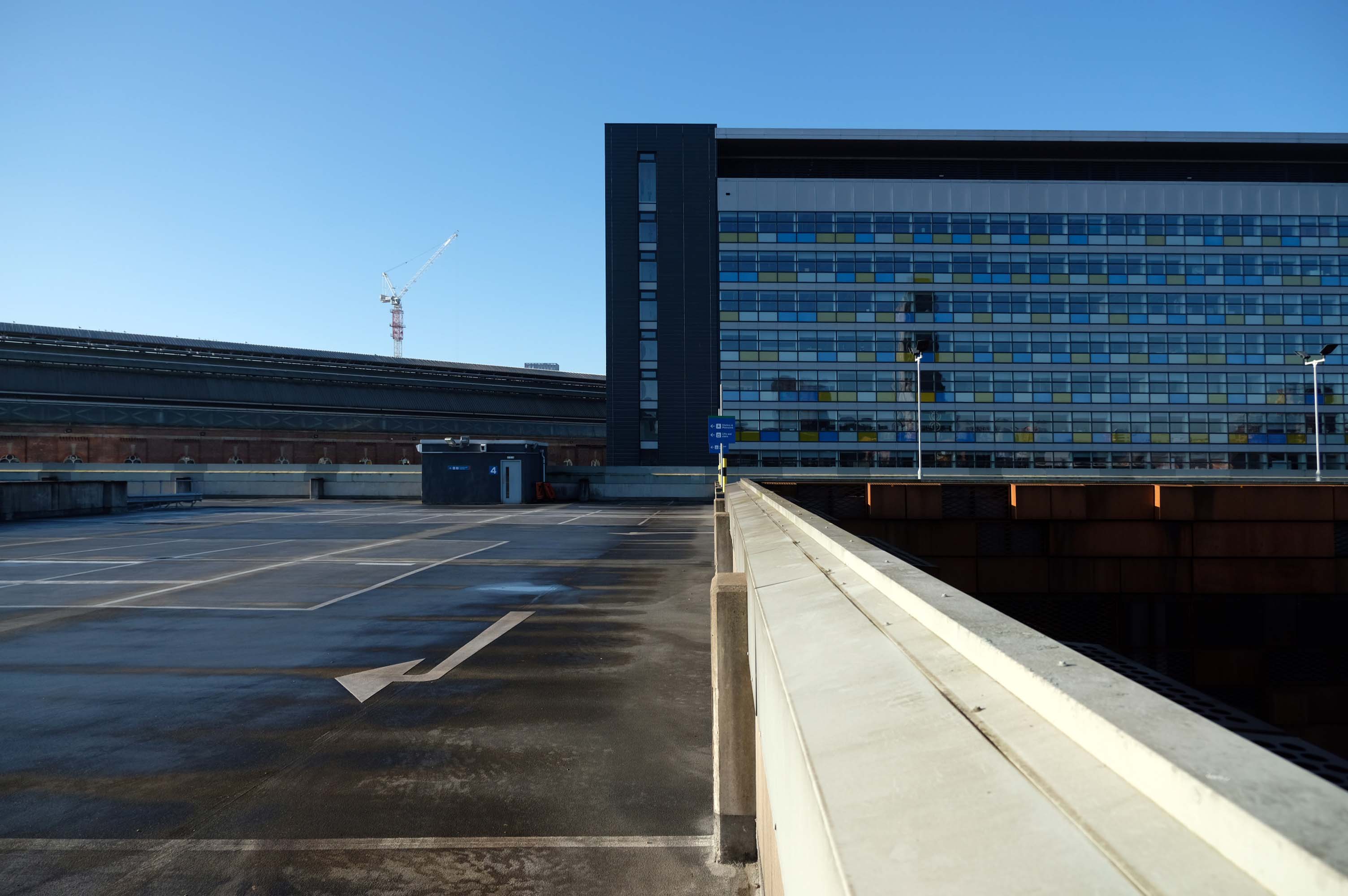
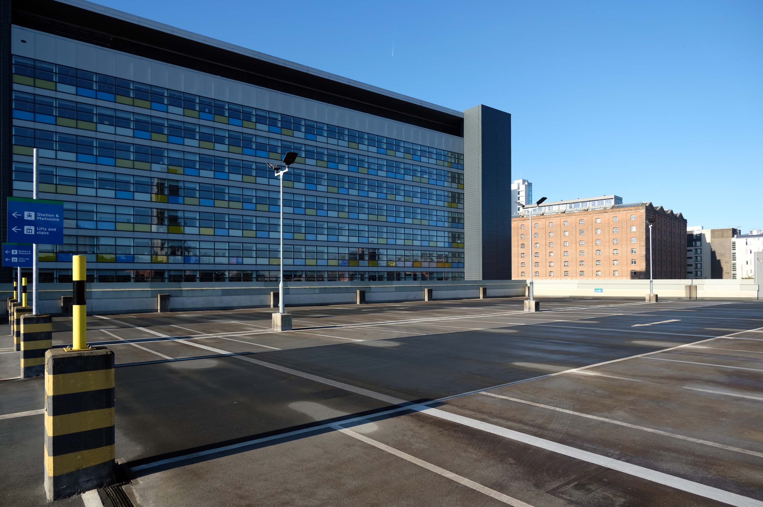
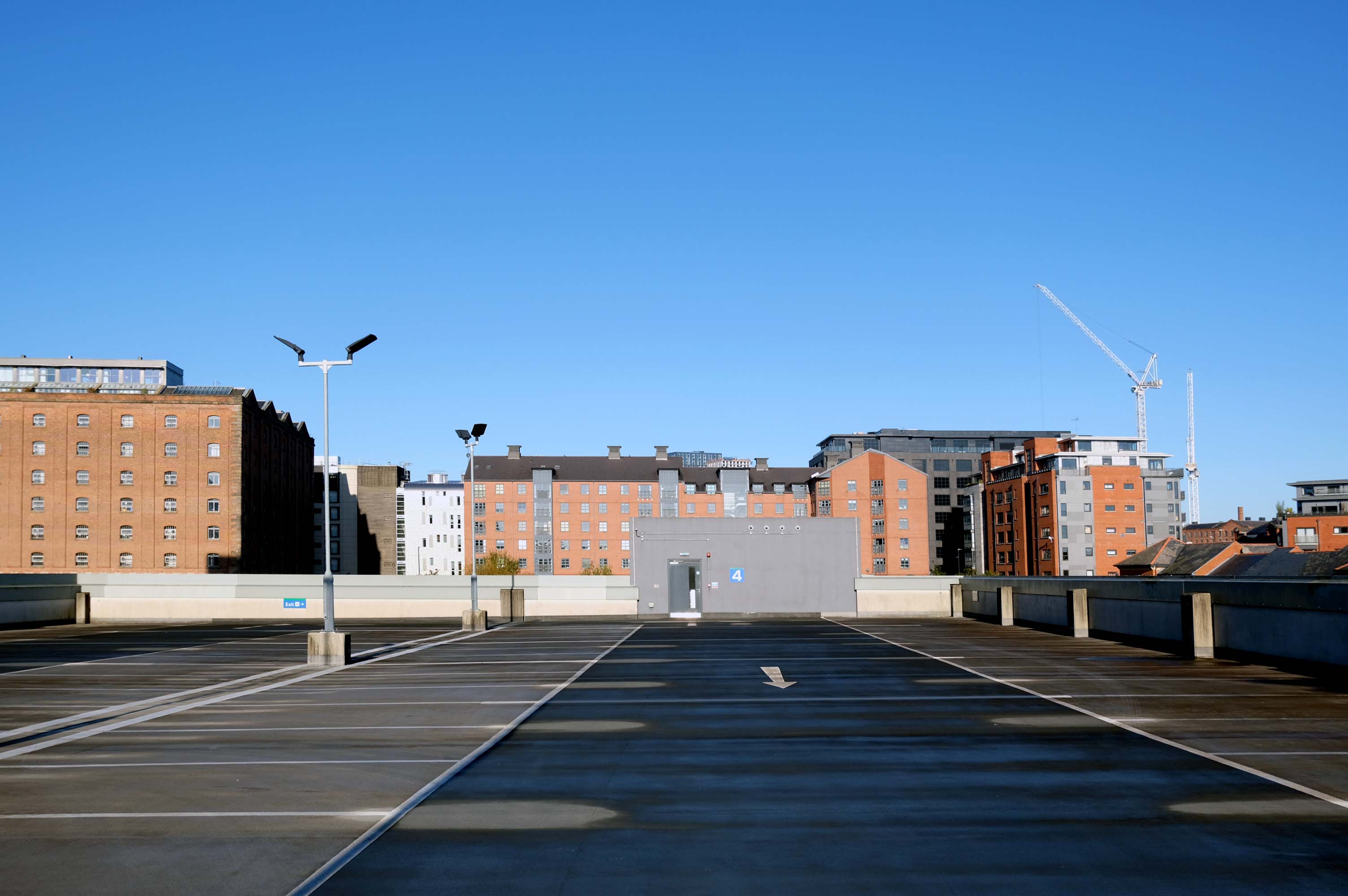
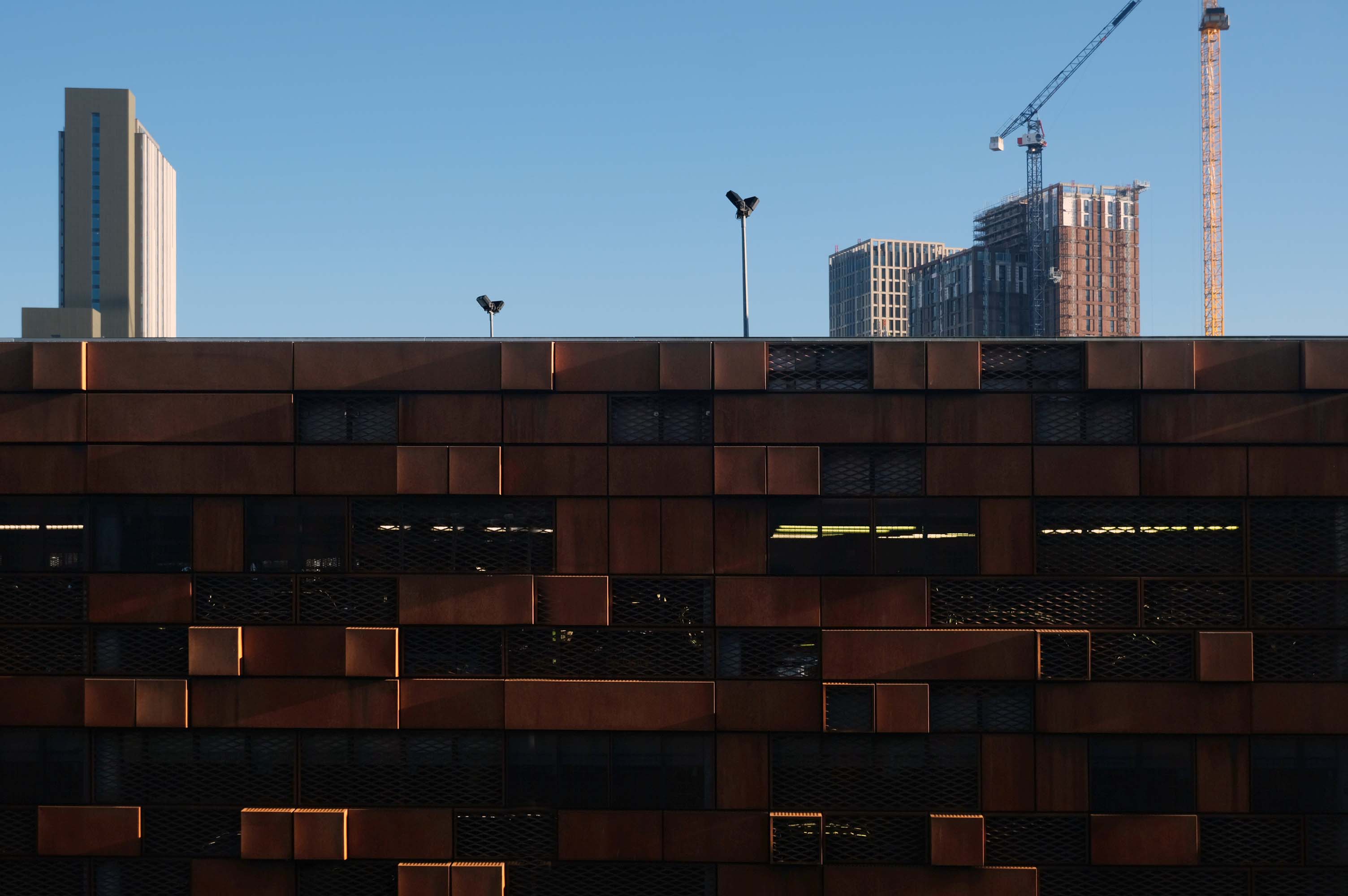
JHA Pulmannwere commissioned via network rail to deliver an extension to, and re-cladding of an existing 1970’s concrete frame carpark outside of Manchester Piccadilly station.
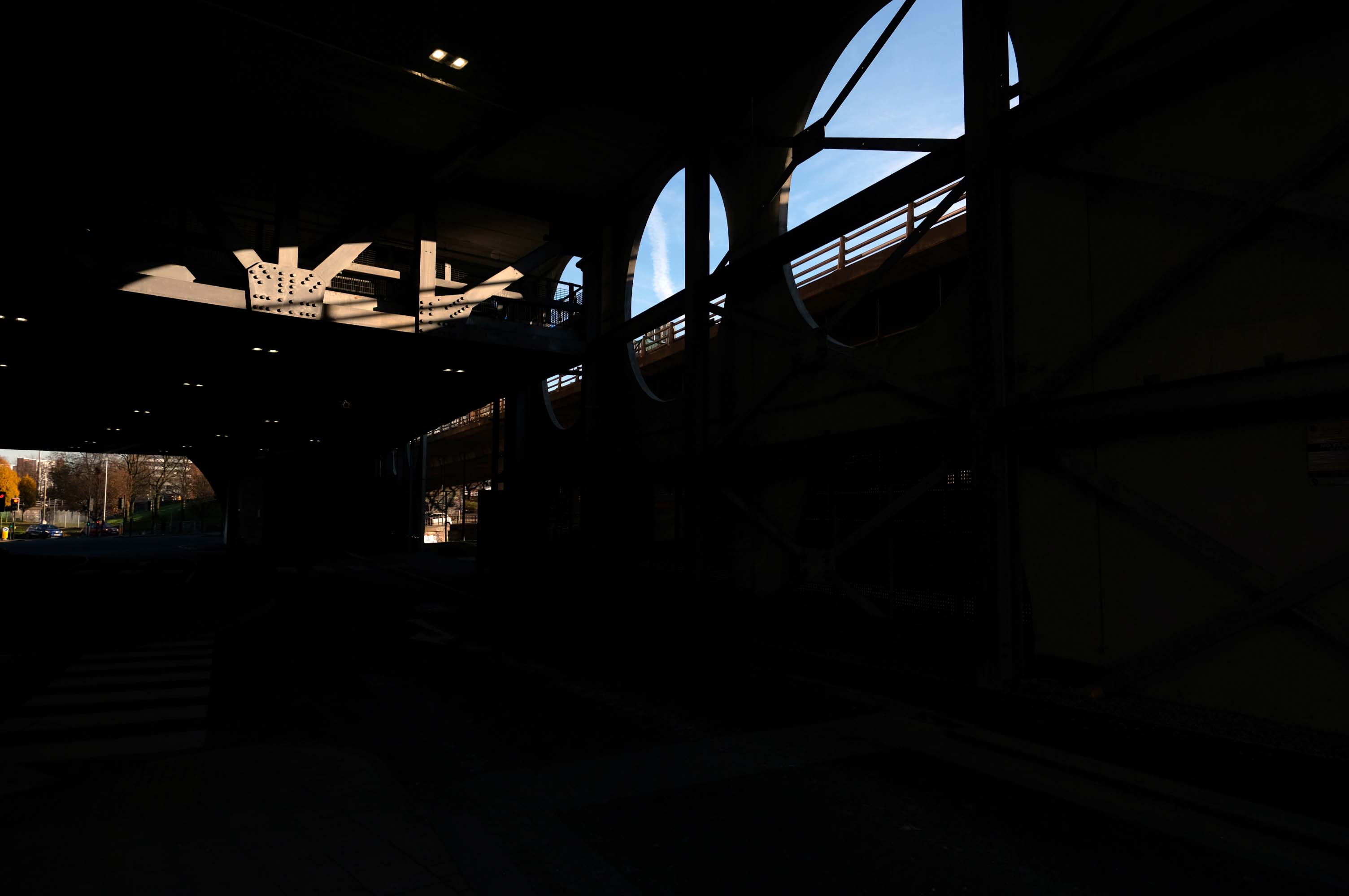
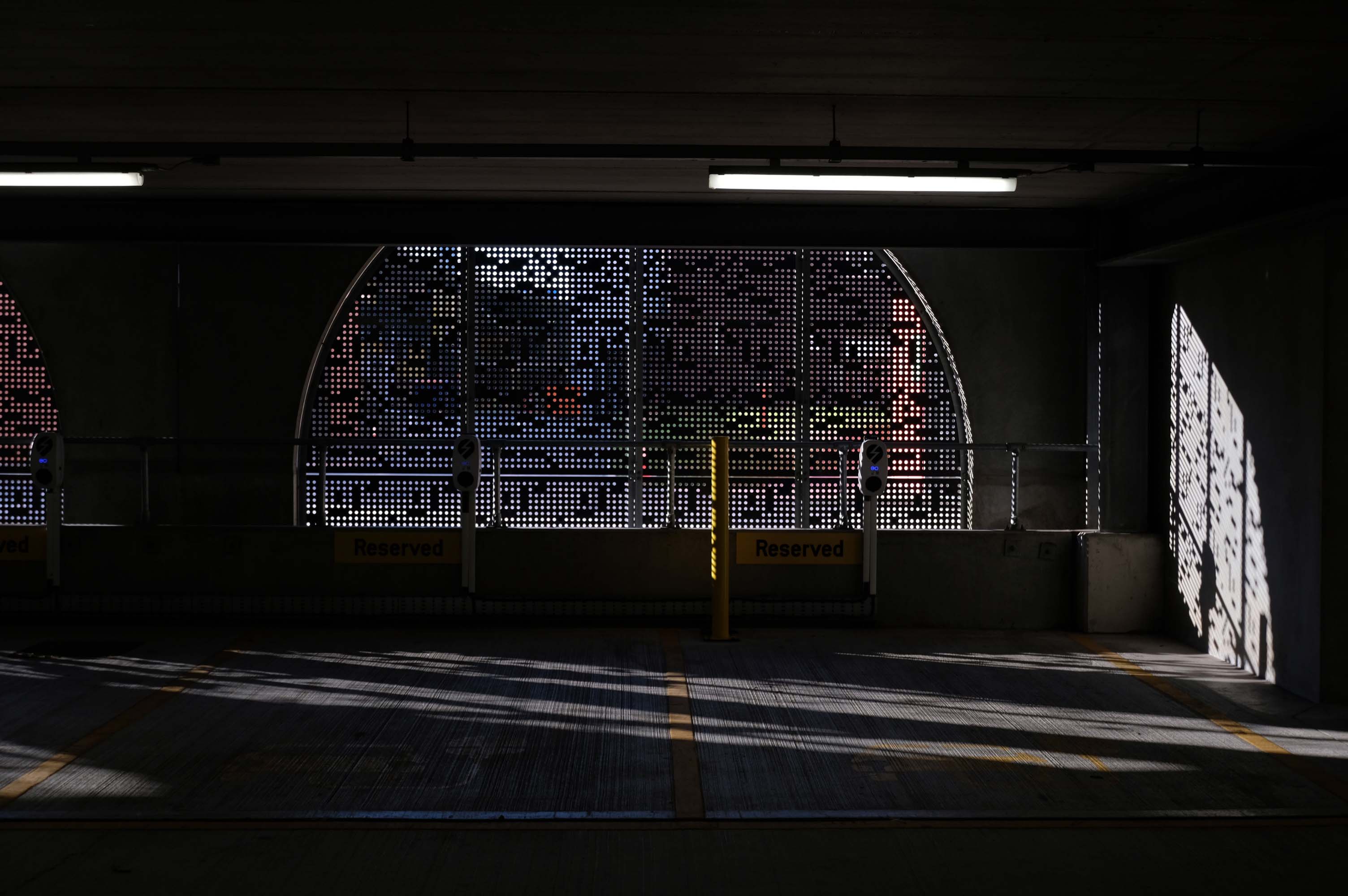
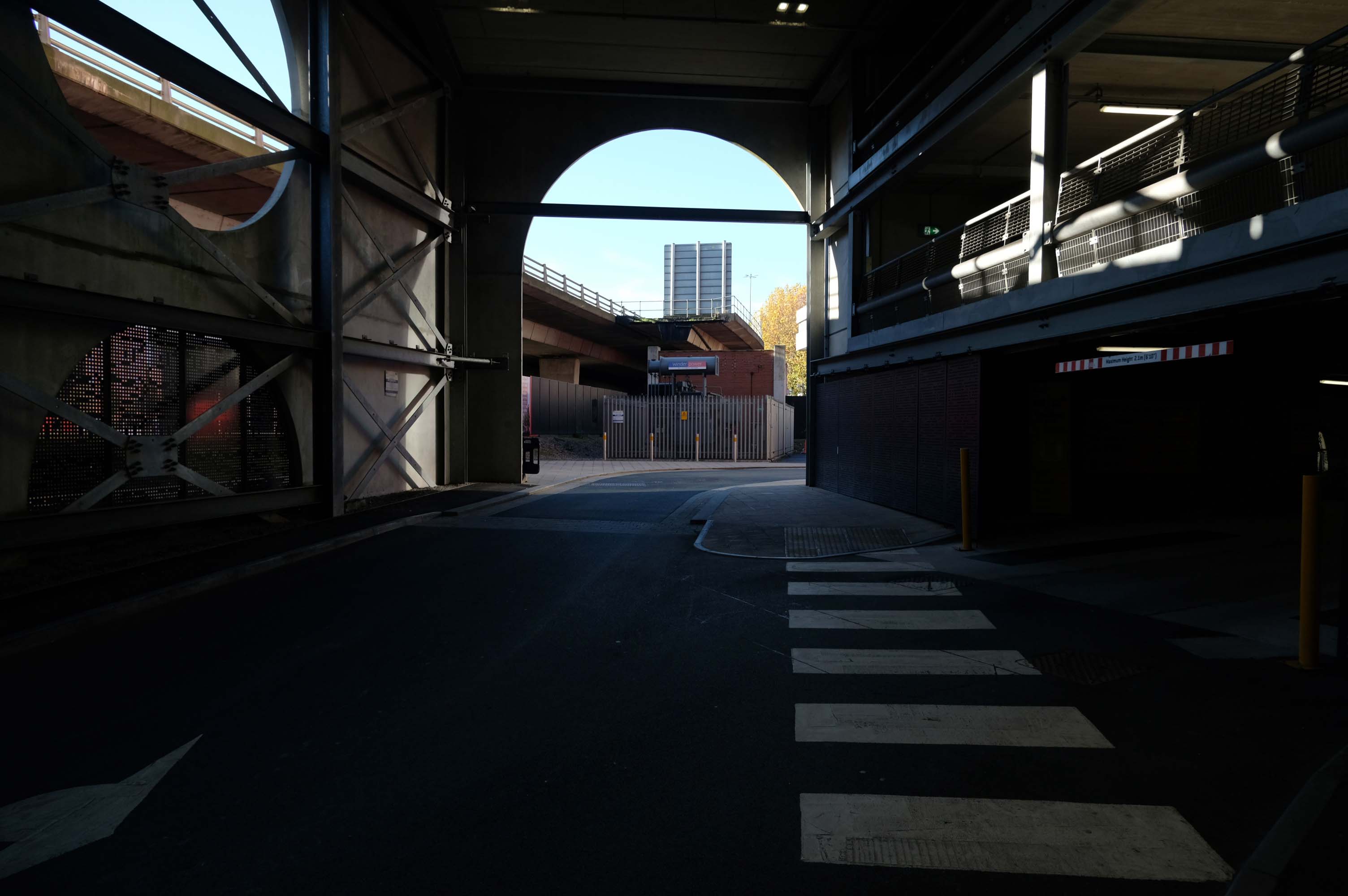
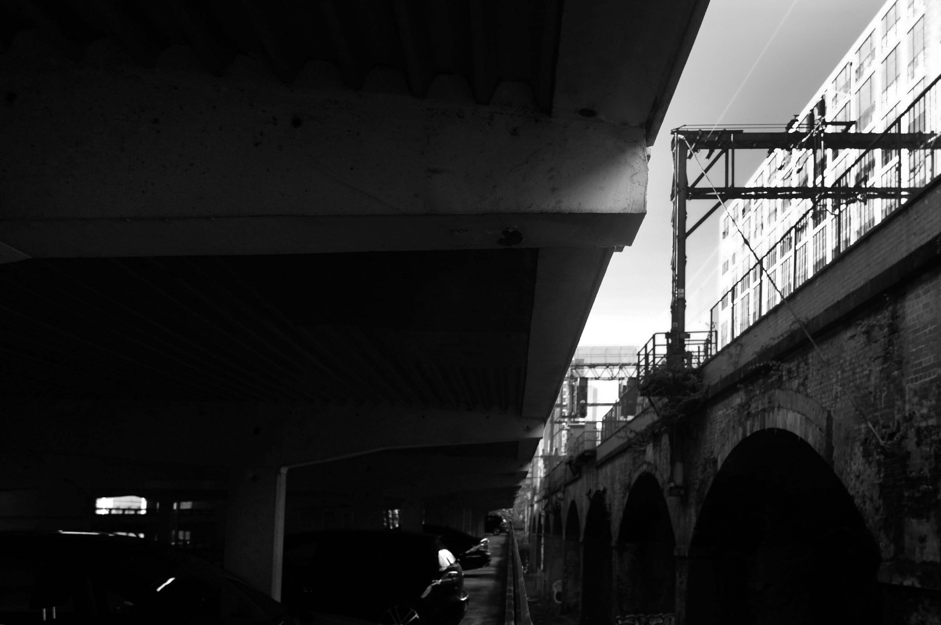
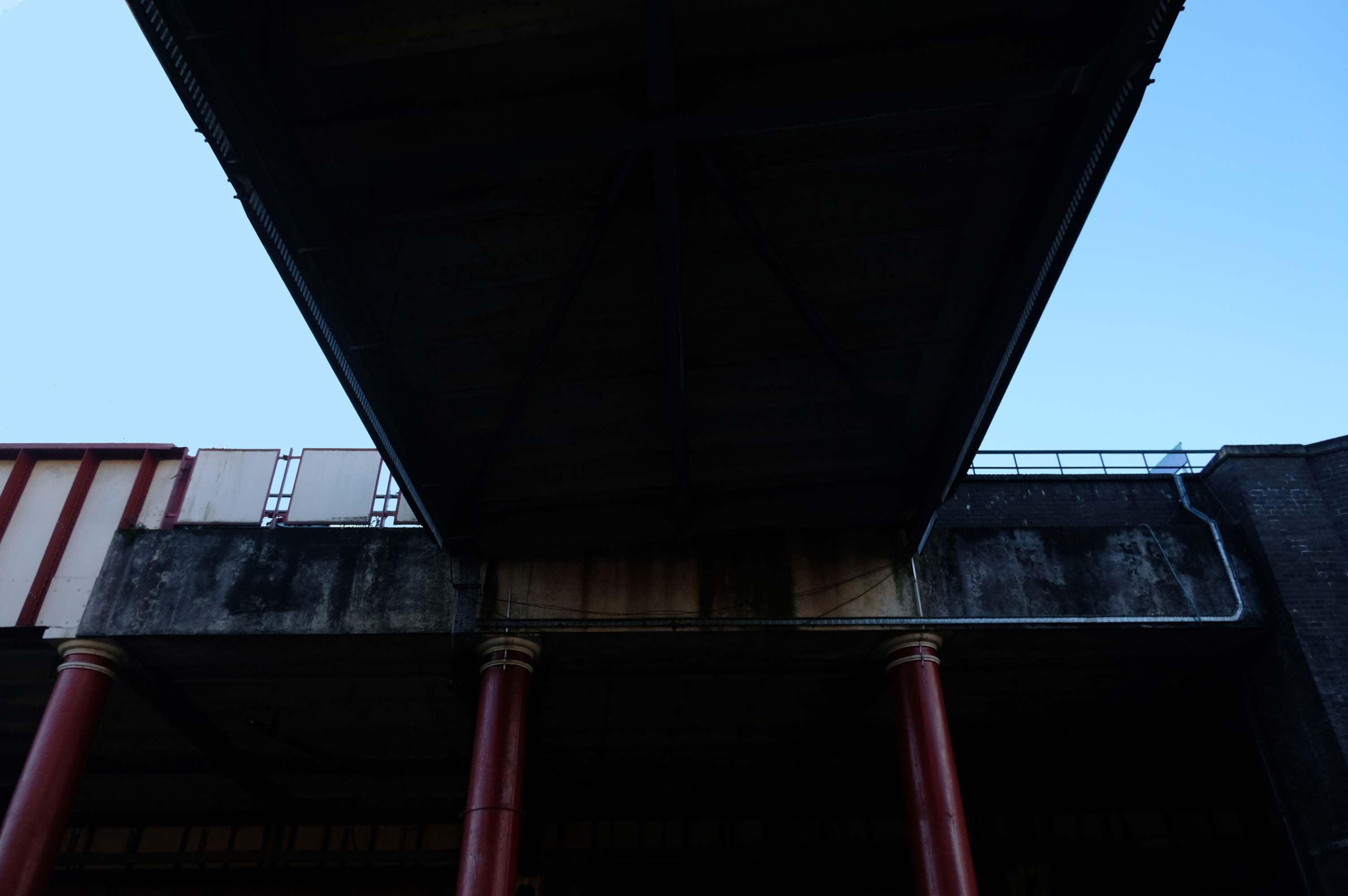
The carpark is fine but as a lone female arriving off the train in the early hours of the morning, I felt quite vulnerable getting back there. It’s in a very quiet dark place accessed by going through a tunnel going under a bridge.
Easy to find, plenty of spaces and only a short walk to Piccadilly station – great!
Itreplaced the former Cannon Street bus station, under the Manchester Arndale; since the redevelopment of Manchester city centre, the latter has disappeared along with Cannon Street itself.
The project realises a strategy for integrating city centre circulation comprising an interchange for public and private transportation. It unifies stands for buses, a tram stop and multi-level parking for cars, to provide a convenient, attractive and safe public concourse. The high-quality contemporary design establishes a new positive identity for a transport interchange that complements the heritage values of the Shudehill conservation area.
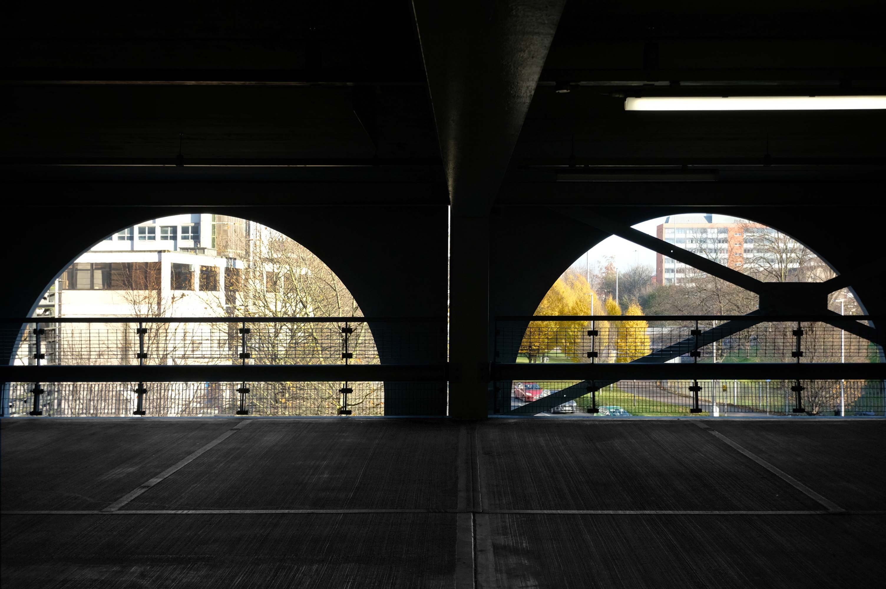
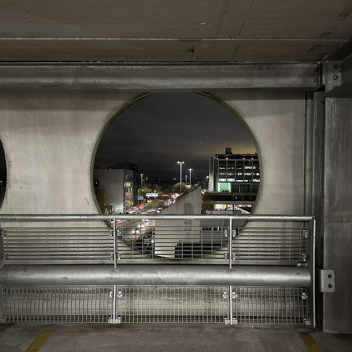
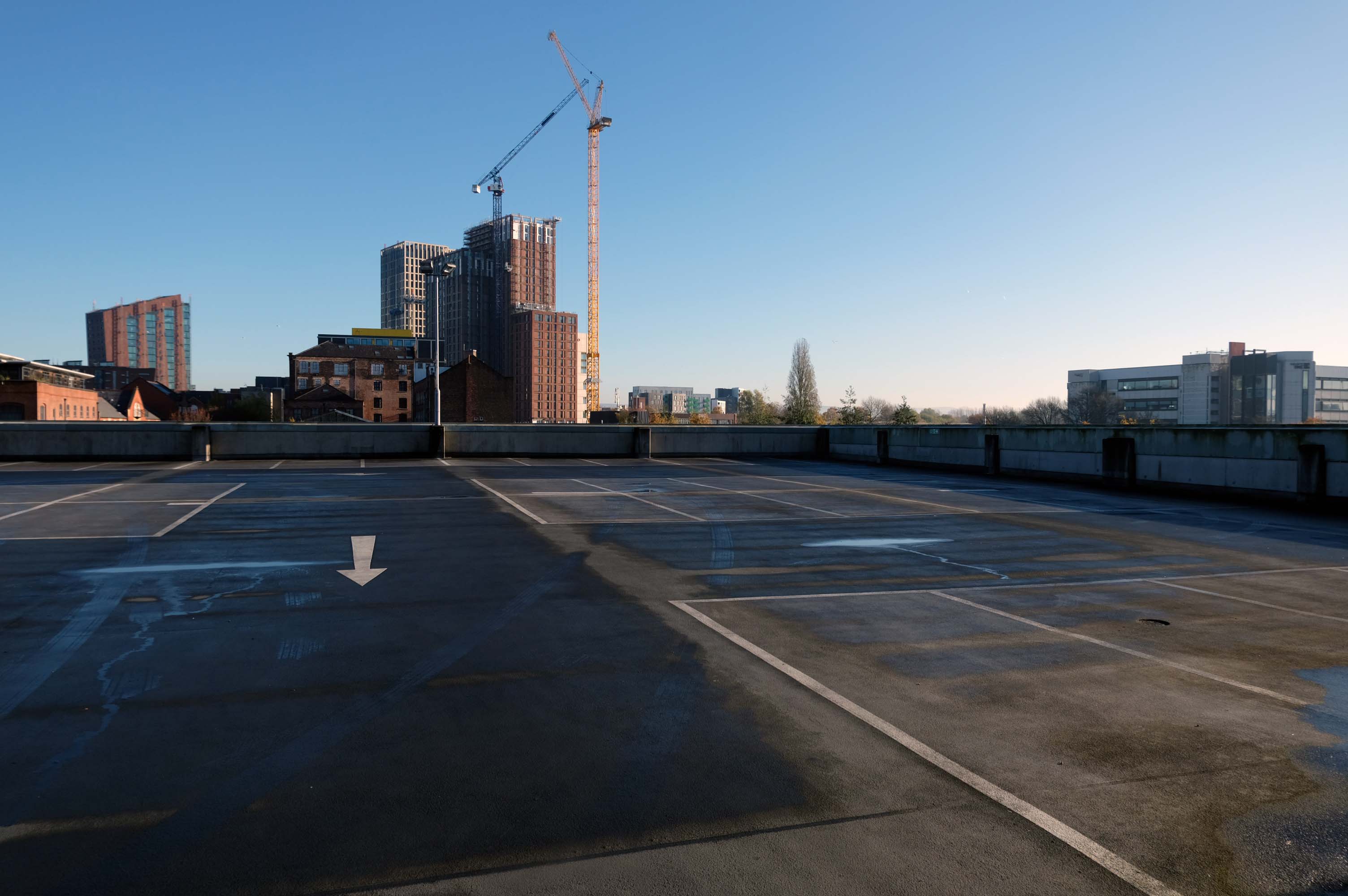
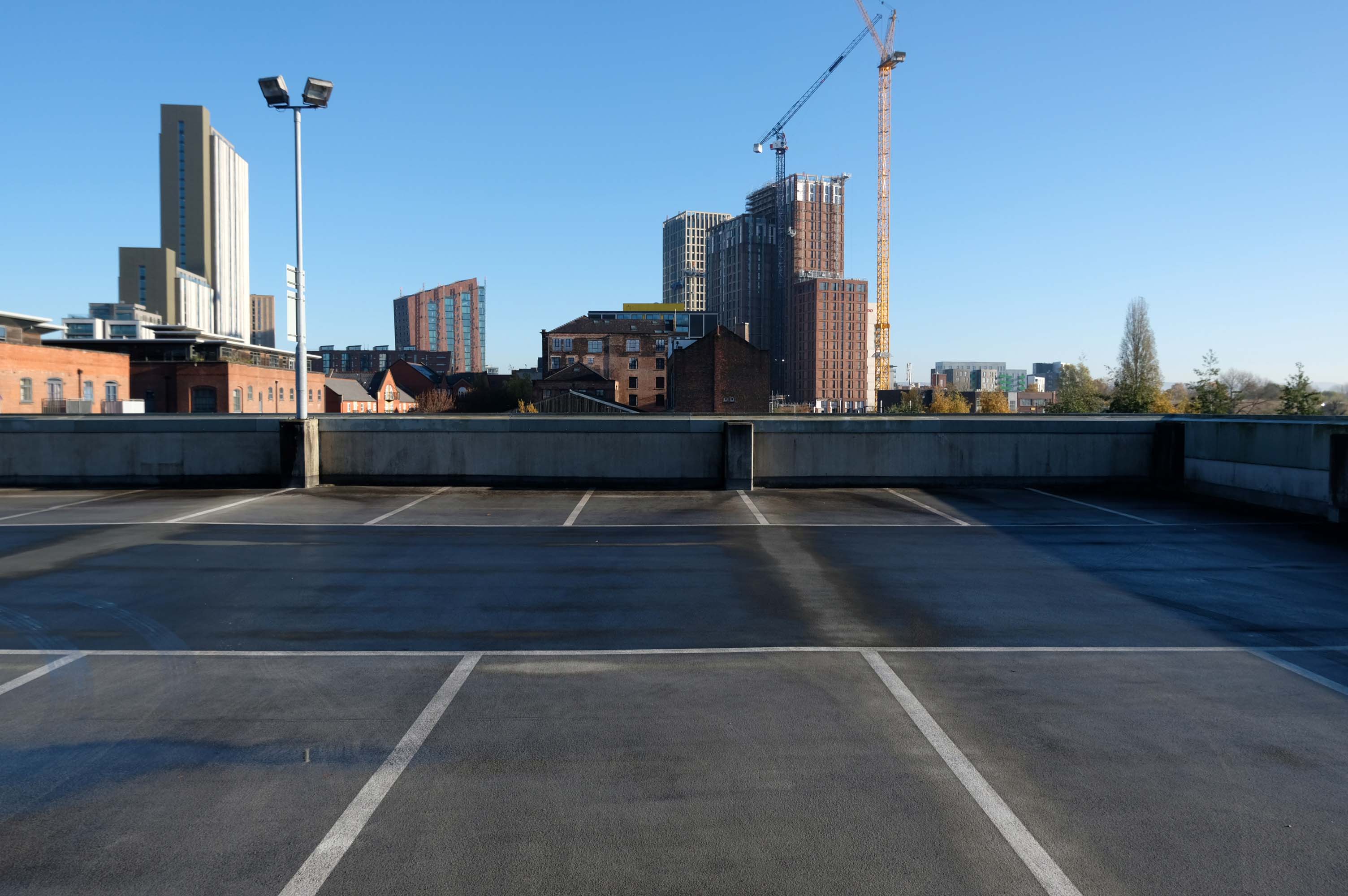
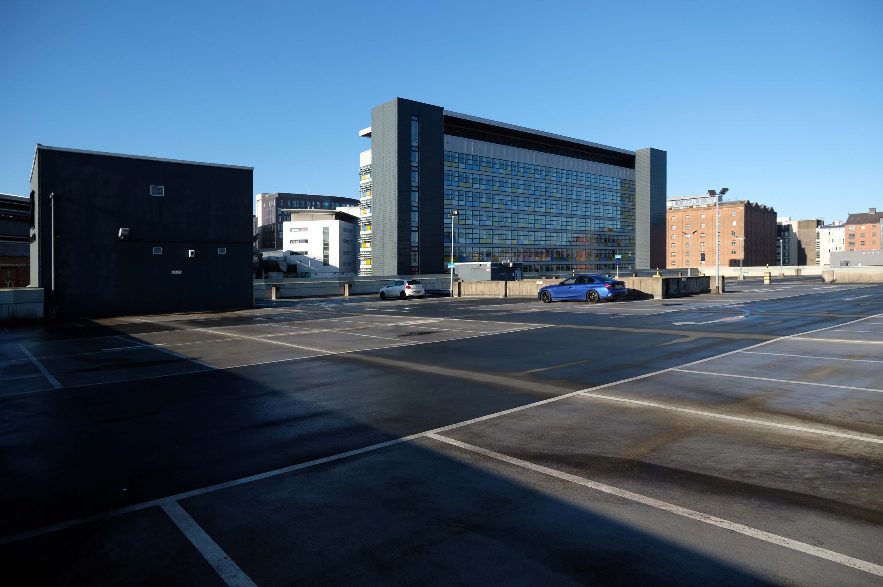
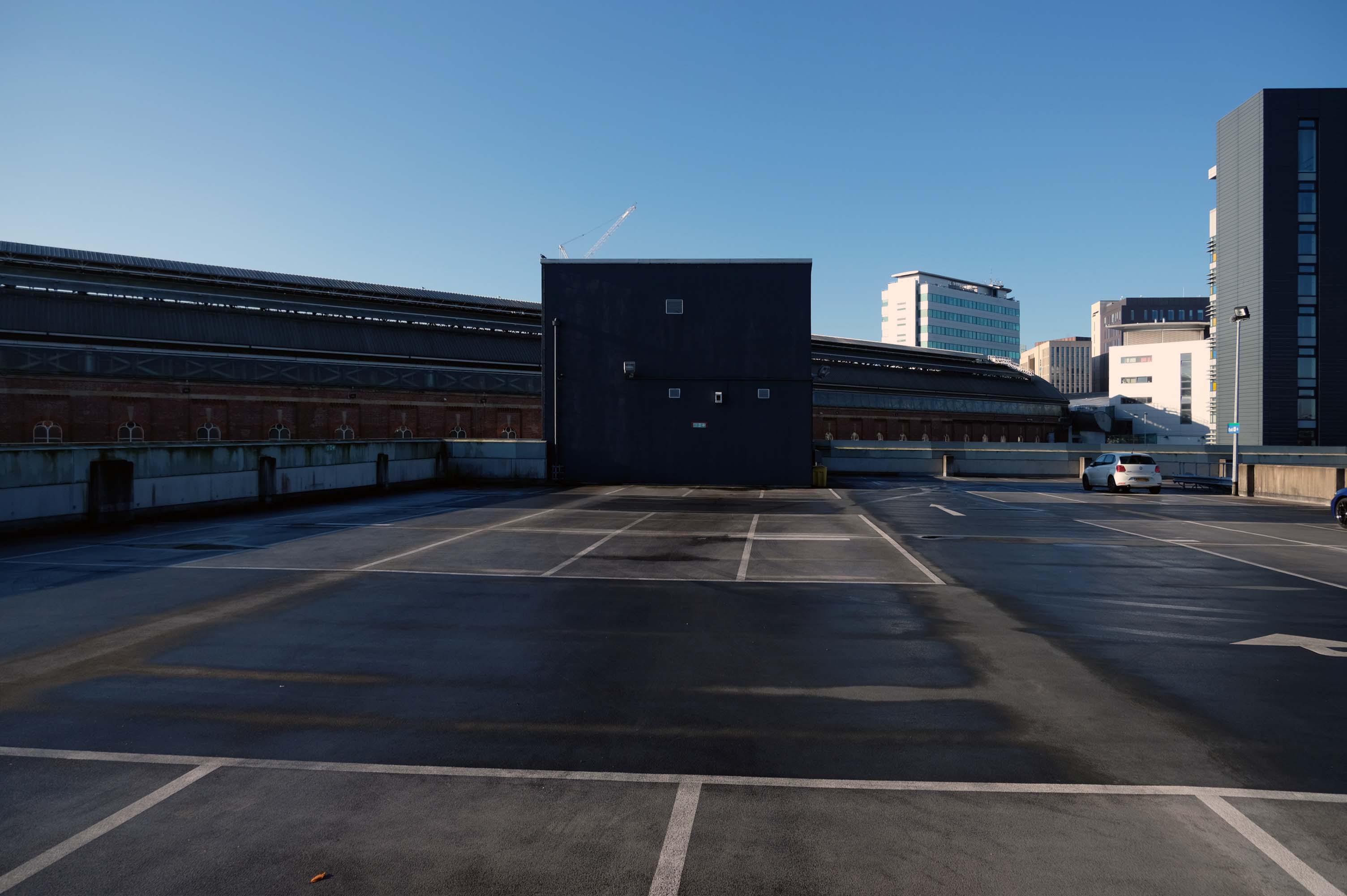
The pedestrian in a car park found it to be accessible and vaguely commodious – affording fine views across the city.
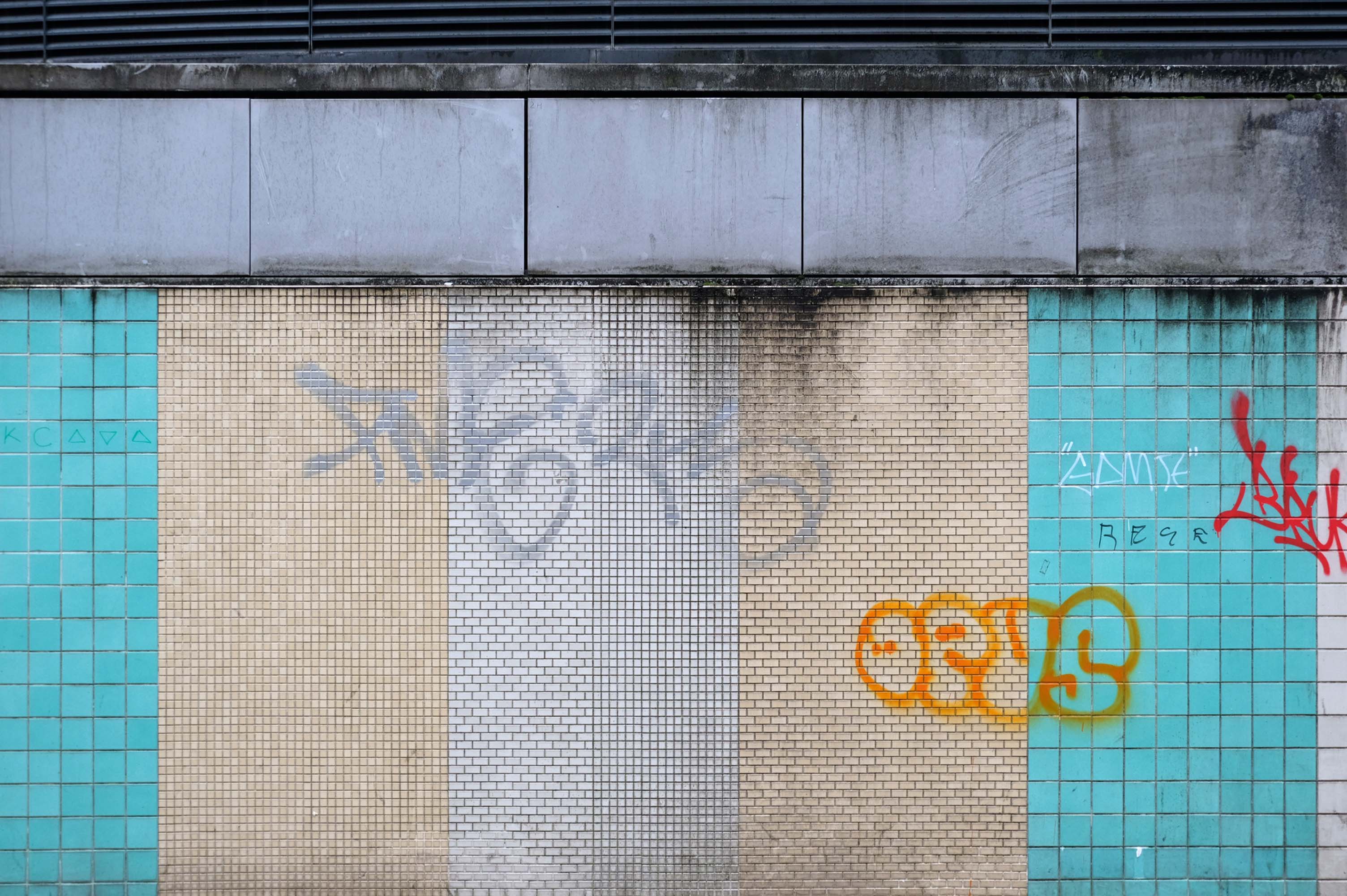
Sadly the decorative mosaic is woefully neglected, careworn and forlorn.
Fielden Clegg Bradley were concept architects while Leach Rhodes Walker were delivery architects.
A series of four × two-storey-deep lattice girders and a single one-storey girder, all measuring up to 27m-long, span over the zone where the underground pipes are located. In these parts, the car park has no first-floor level as the local water board needed a 5m ground-to-ceiling clearance in case they had to undertake any maintenance works. Consequently, the first floor is only a partial level and is set within the depth of the larger lattice girders, as is the second floor, while the third level is supported on top of these members.
Supporting a hotel would be challenging enough, however the design has also had to incorporate large bridging elements as there are two subterranean 600mm-diameter water pipes crossing the site. “It’s a very unusual design and one that was originally designed as a concrete-framed structure,” says James Killelea Senior Structural Engineer Charlie Twist. “However, the bridging parts would have proven to be too difficult to build and consequently a steel-framed solution was chosen for the car park, which in turn supports a precast concrete hotel.”
This car park is one of the cleanest and most well maintained in Manchester.
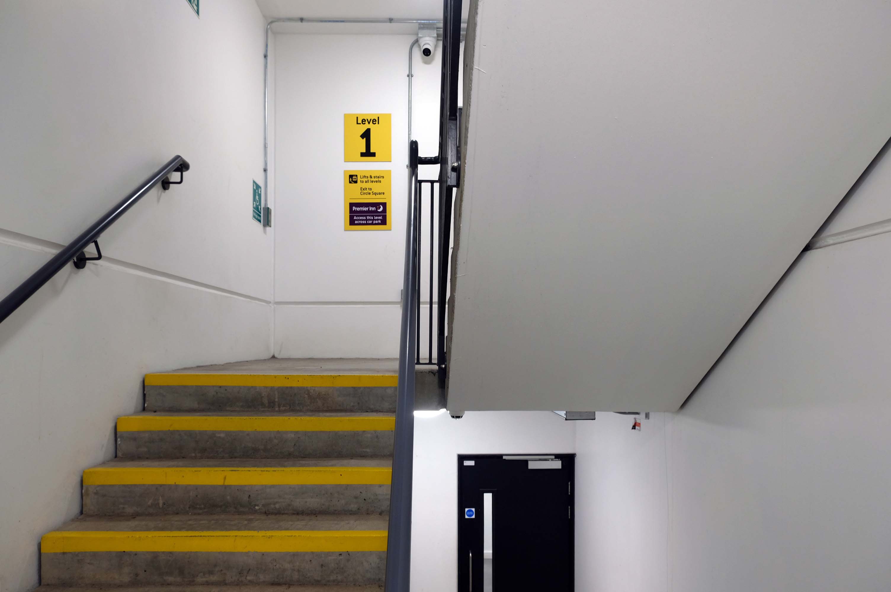
What a refreshing change for the pedestrian in a car park!
As a coda my hero Bob Mould late of Hüsker Dü posted this pic this week!
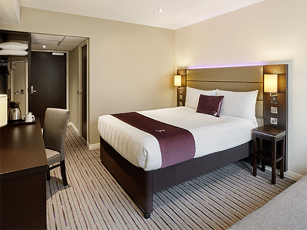
I assume that he was staying in the Premier Inn which sits atop the car park.
JHA Pulmannwere commissioned via network rail to deliver an extension to, and the re-cladding of an existing 1970’s concrete frame carpark, outside of Manchester Piccadilly station.
The carpark is fine but as a lone female arriving off the train in the early hours of the morning, I felt quite vulnerable getting back there. It’s in a very quiet dark place accessed by going through a tunnel going under a bridge.
Easy to find, plenty of spaces and only a short walk to Piccadilly station – great!
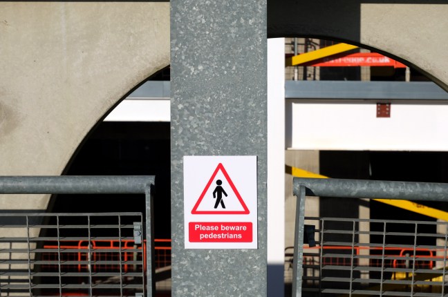
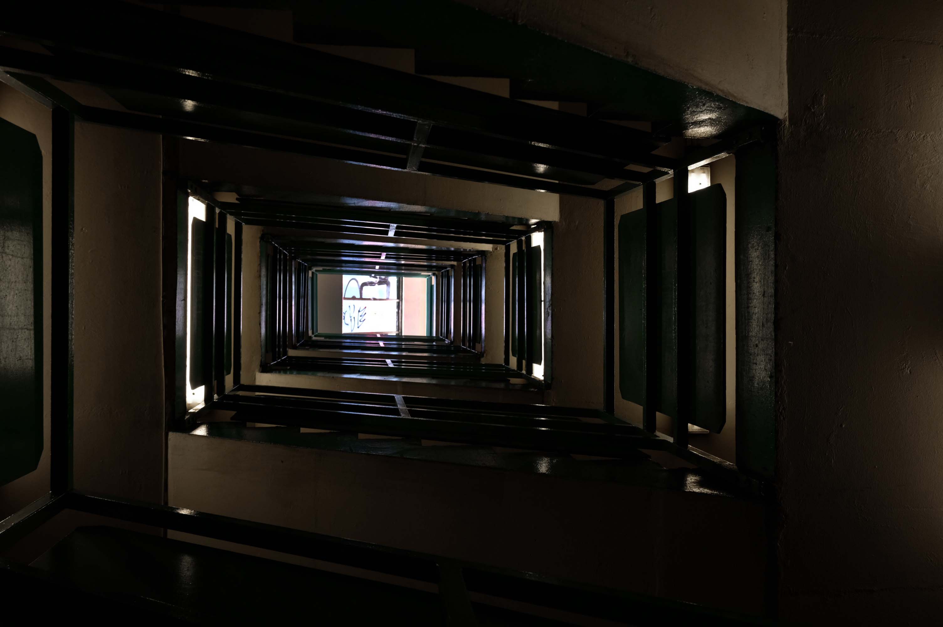
The pedestrian in a car park ventures beyond the train station, across a bridge and through a portal to another dimension.
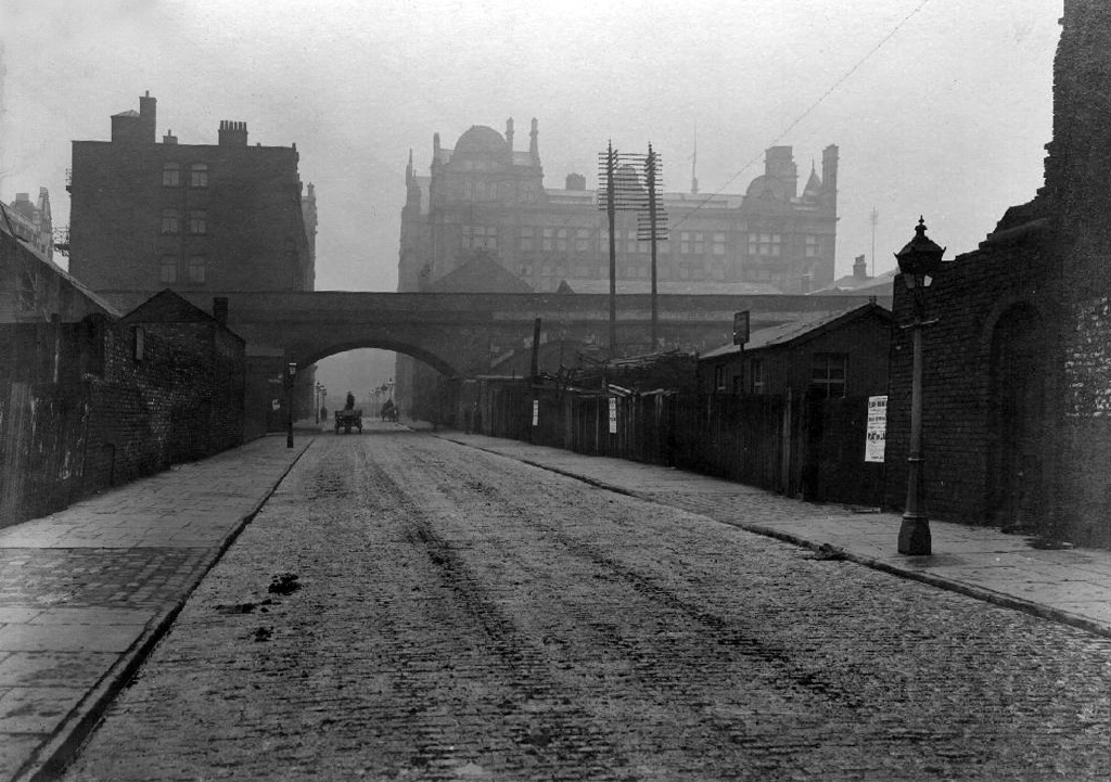
Where once the dank dark grey mists descended, we now see only light.
Tyne Mill is one of a trio of mills designed by Oscar Faber for Spillers Ltd – the others are in Cardiff and Avonmouth and led to subsequent commissions from the company. Spillers began with a single mill in Bridgwater in around 1833, and during the 20th centruy had mills all over Britain.
Spillers operations were flour milling and manufacturing animal feeds, and they came to Newcastle in 1896. Grinding grain to flour produces both heat and fine dust a combination guaranteed to be a fire hazard. The fire retardant properties of reinforced concrete, and its relative cost effectiveness, made it a popular choice for mills and other industrial buildings.
Construction took place during the winter and a warming plant heated the concrete constituents before and after mixing, to control the setting time which governs how soon the slip-form shuttering can be moved to the next lift. The concrete was usually kept at 15.6 deg C, though this could be varied to speed or delay setting times.
The mill building has the actual mill above a warehouse area. Its footprint is 88.4m by 27.4m with 12 storeys and a maximum height of 51.2m. It has reinforced concrete columns and beams, but timber floors of 100mm thick Columbian pine with a 25mm thick maple strip finish. The walls are of 280mm thick brickwork with flashing on each floor to drain the cavity.
When completed, Spillers Tyne Mill was the largest flour mill in Europe and apparently the tallest milling building in the world. It could process 254,000 tonnes of grain annually, brought to the mill by ship via Spillers Quay or by rail on the track extension along Quayside.
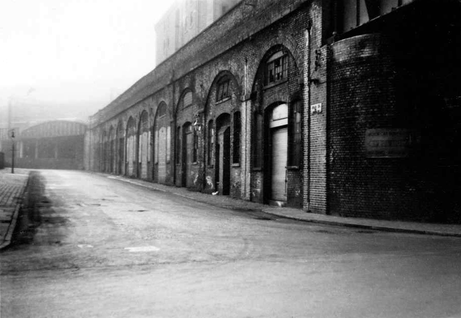
A goods line down to the Newcastle quayside from Manors Station was agreed in 1845, but not authorized until 28th June 1863 and opened on 1st June 1870.
The Quayside Branch Line closed on 16 June 1969. The railway was in use for ninety-nine years and its eventual demise reflects the changes in the Quayside and Ouseburn themselves from shipping and industrial use to one now of housing and leisure facilities. The northern portal of tunnel 2 was removed when the Metro system was constructed in the late 1970s. The cutting above Lime Street was filled in in 1977 and the tunnel at the quayside bricked up and landscaped over in the 1990s. Only the Red Barns tunnel remains as a metro overrun facility.
24/7, completely free and always spaces! A hidden parking gem of Newcastle! 10 minute walk to Millennium Bridge. Security is almost non-existent but busy enough that trouble should be deterred.
A popular Newcastle car park will be staying locked up overnight in an effort to crack down on boy racers. Council bosses have confirmed plans to permanently close the Spillers car park in Ouseburn at 10pm each night after it was plagued with – significant anti-social behaviour.
The future of the car park is uncertain, with major redevelopment plans having emerged for the area.
While planning permission has expired for the controversial Whey Aye Wheel project, which would have seen Europe’s biggest observation wheel built at Spillers Wharf, there remain proposals to build housing on the riverside plot.
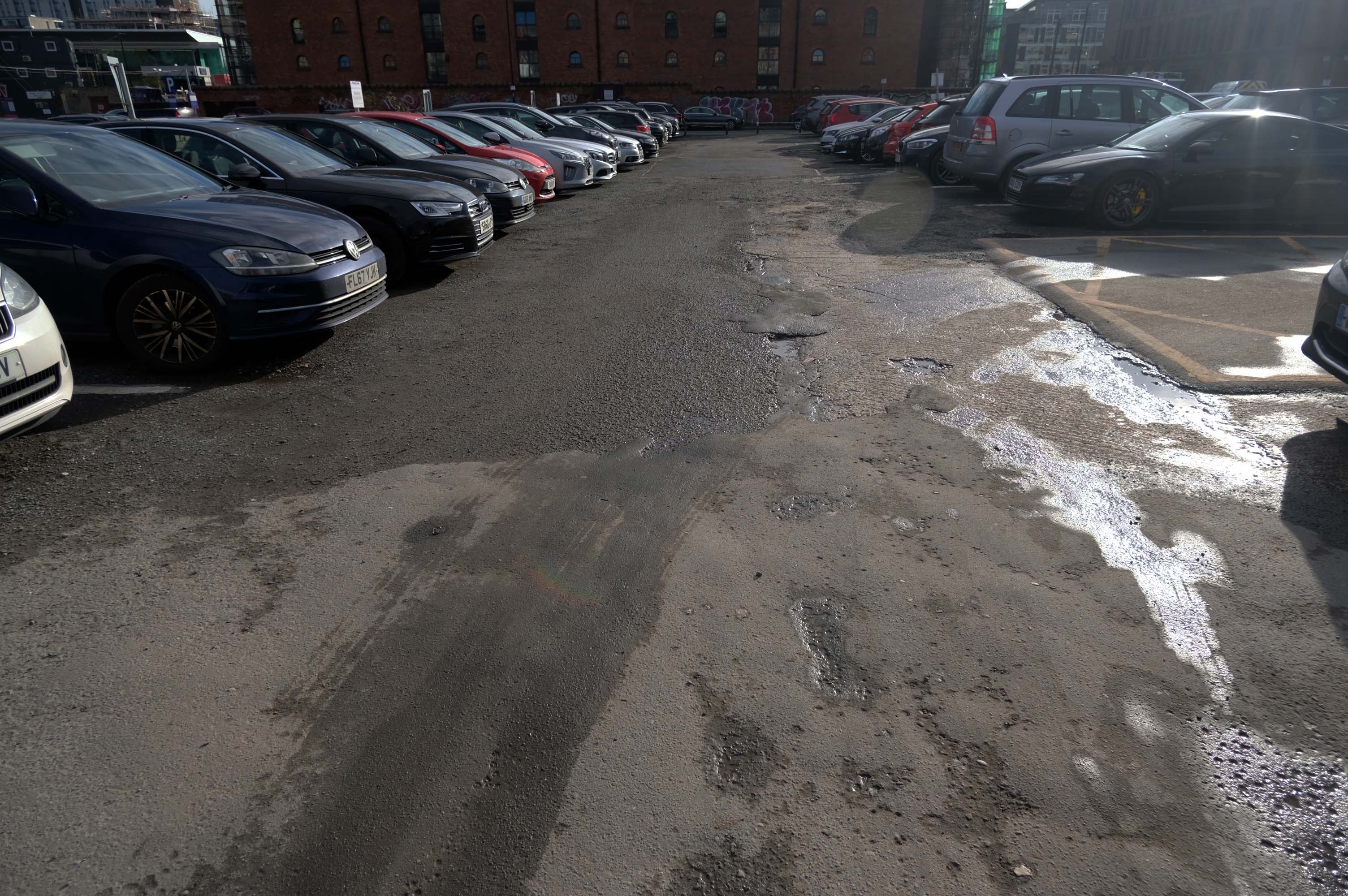
However as of September 2023 a car park is a car park – a car park with embedded remnants of the railway yard, interspersed with rapidly emergent plant life, and crumbling concrete obstacles.
The ingredients list of Wotsits Cheese reveals that cheese and dairy-derived components play a significant role in creating the mouthwatering flavor. The primary ingredients include corn and rapeseed oil, which form the base of the crunchy corn puffs. However, it is the cheese flavoring that truly brings the cheesy goodness to Wotsits cheese.
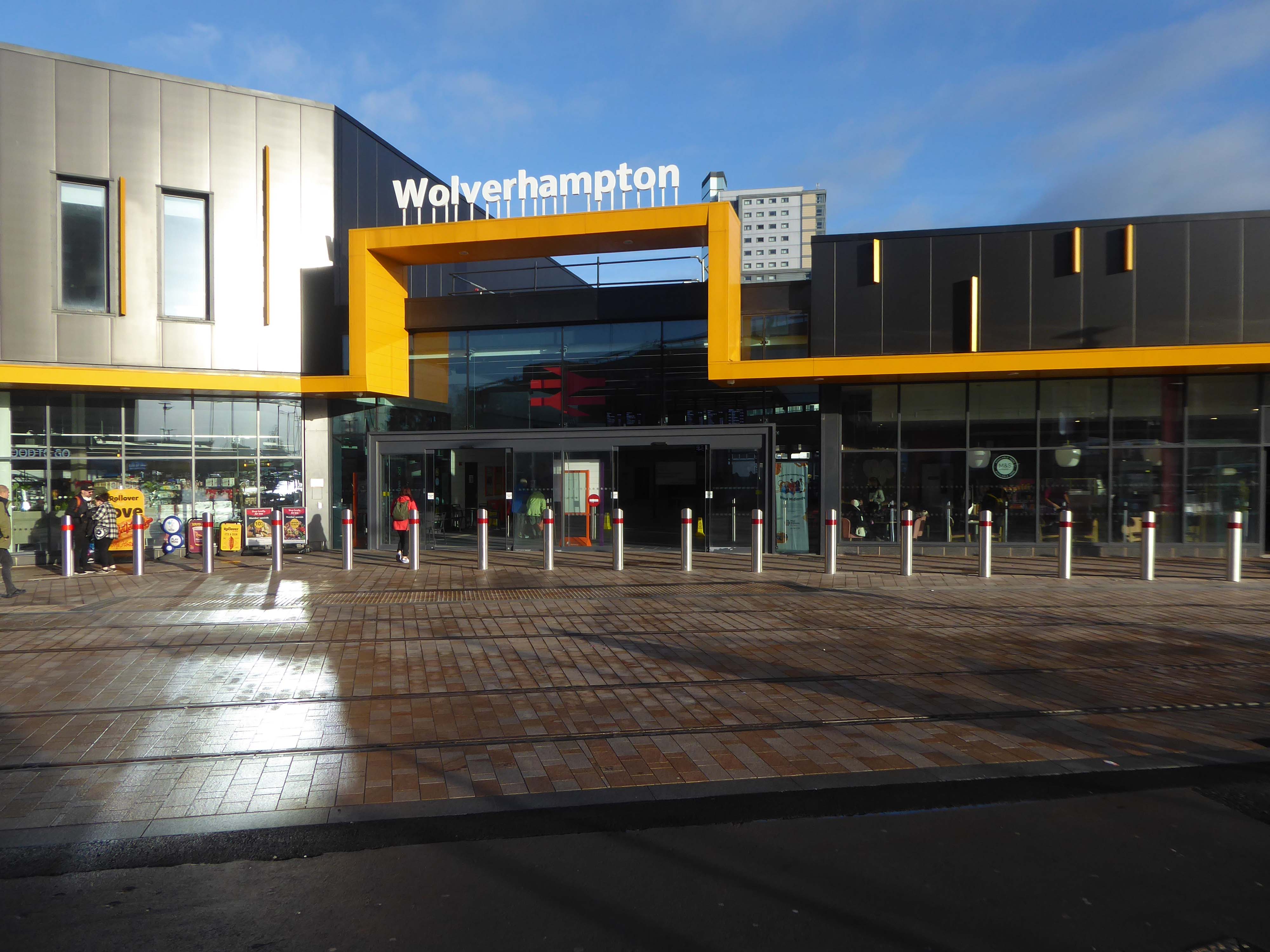
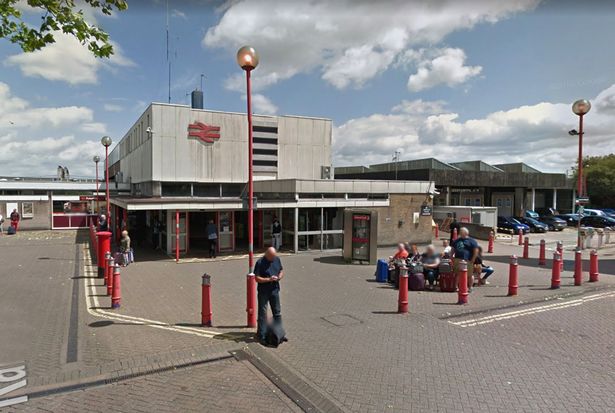
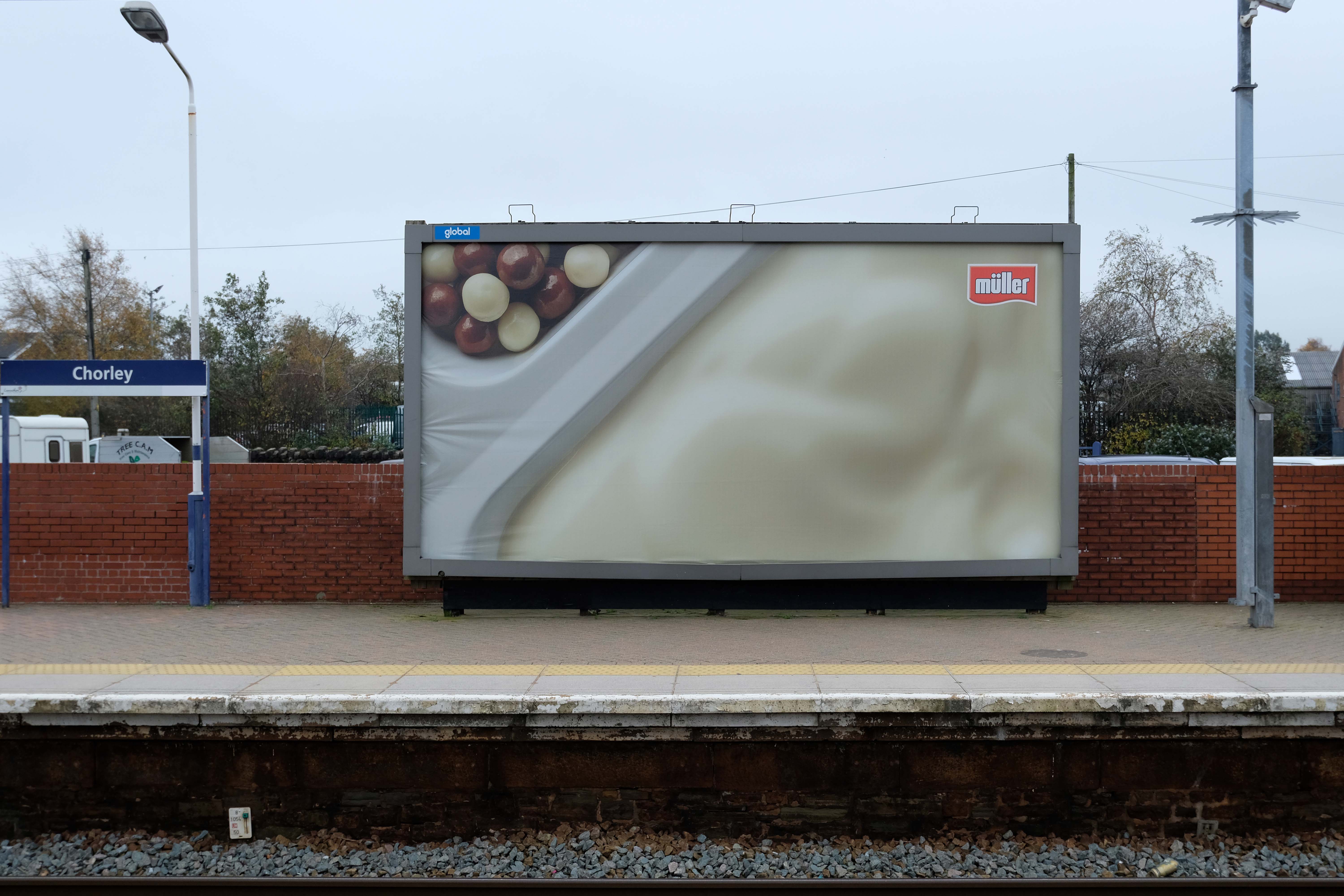
We begin at the Railway Station – recently refurbished, overwriting its 60s iteration – completely rebuilt by the architect Ray Moorcroft as part of the modernisation programme which saw the West Coast Main Line electrified.
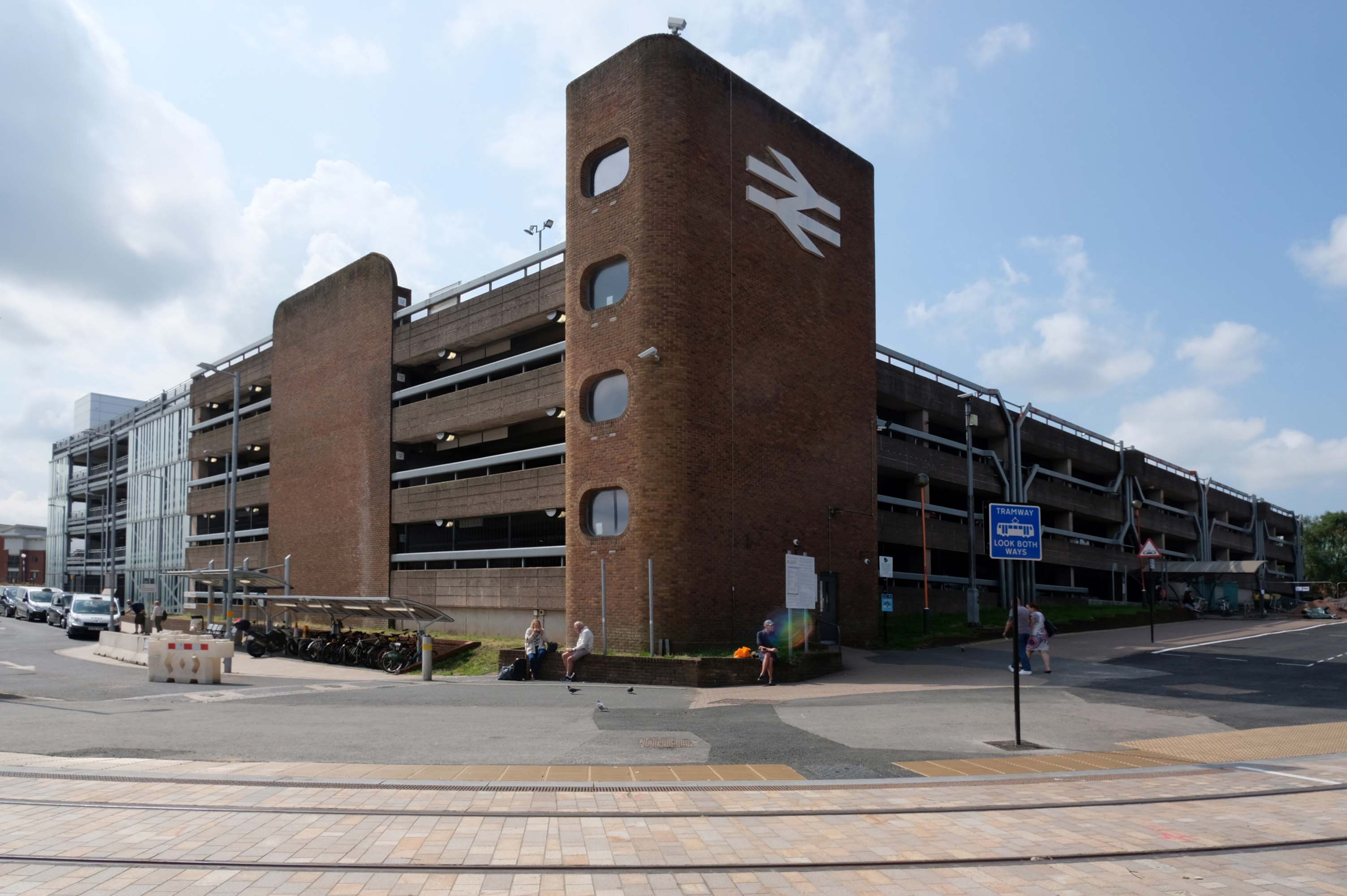
Across the way an enormous brick clad multi-storey car park – skirted by the lines for the tram, which travels to and from Birmingham.
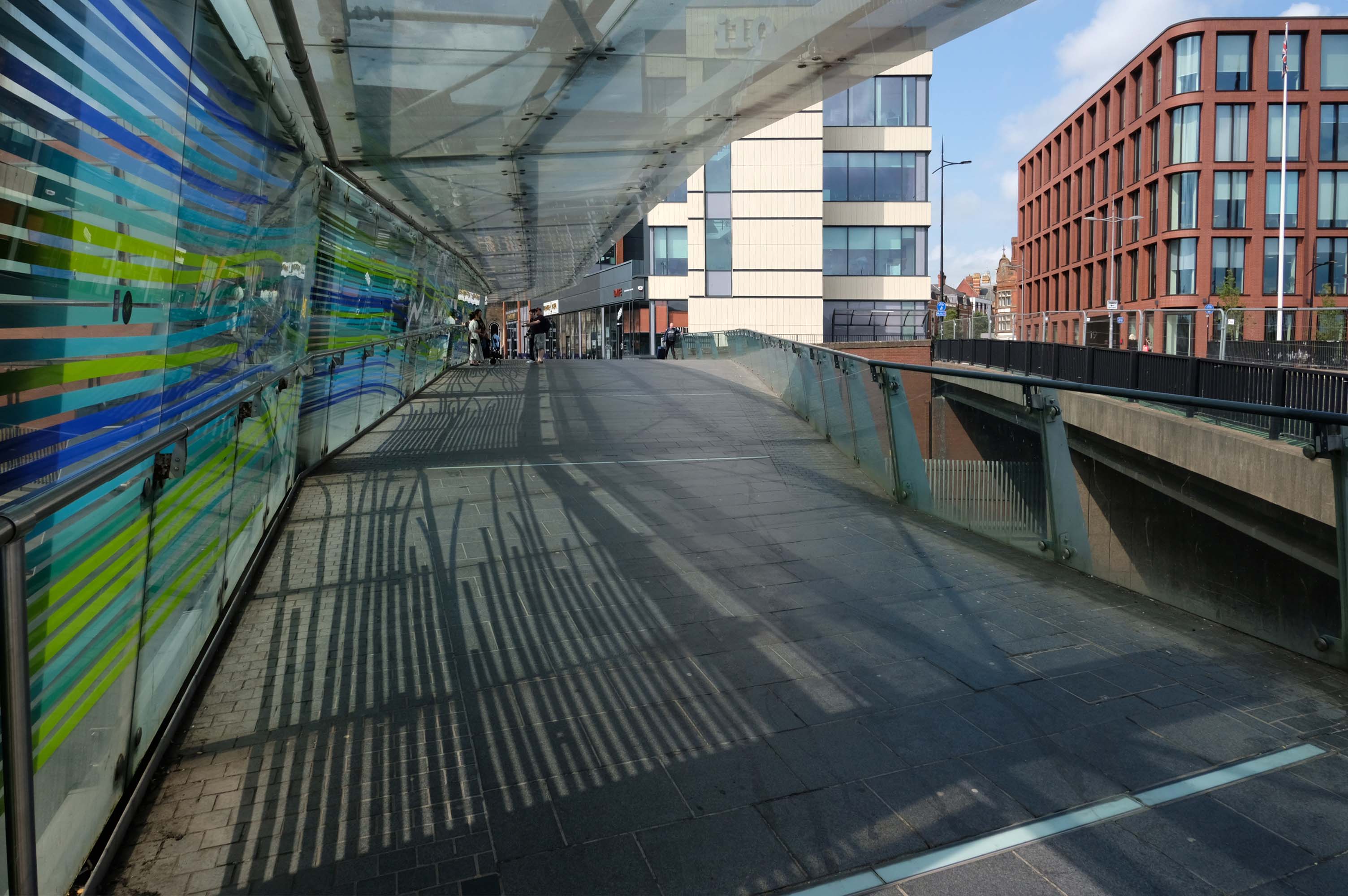
Walk across the brand new pedestrian footbridge over the ring road.
Architectural glass artist Kate Maestri was commissioned to produce the artwork design which features glass with blue and green strips of colour running through it.
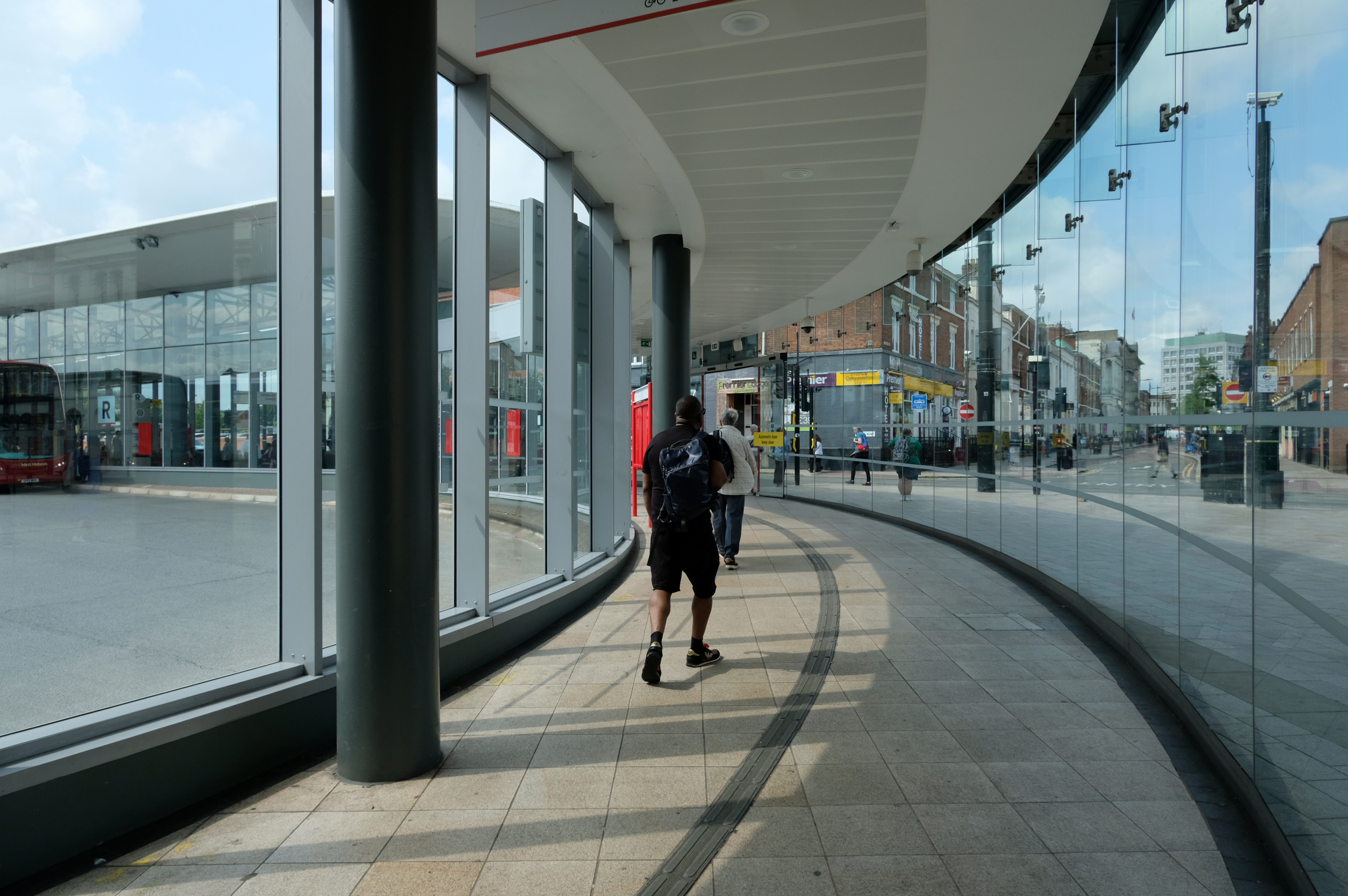
Linking the Rail Station with the brand new Bus Station.
The normal practice of the Wolverhampton Bus Service is to have dirty, smelly buses, that are cramped and extremely hot in the summer and freezing cold in winter. They offer no announcements apologizing for delays they know about and don’t appear to care how long passengers wait with no idea of how or when they’ll be getting a bus.
The best thing you can do is learn to drive as quickly as possible and get your own vehicle or car pool.
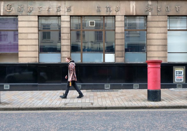
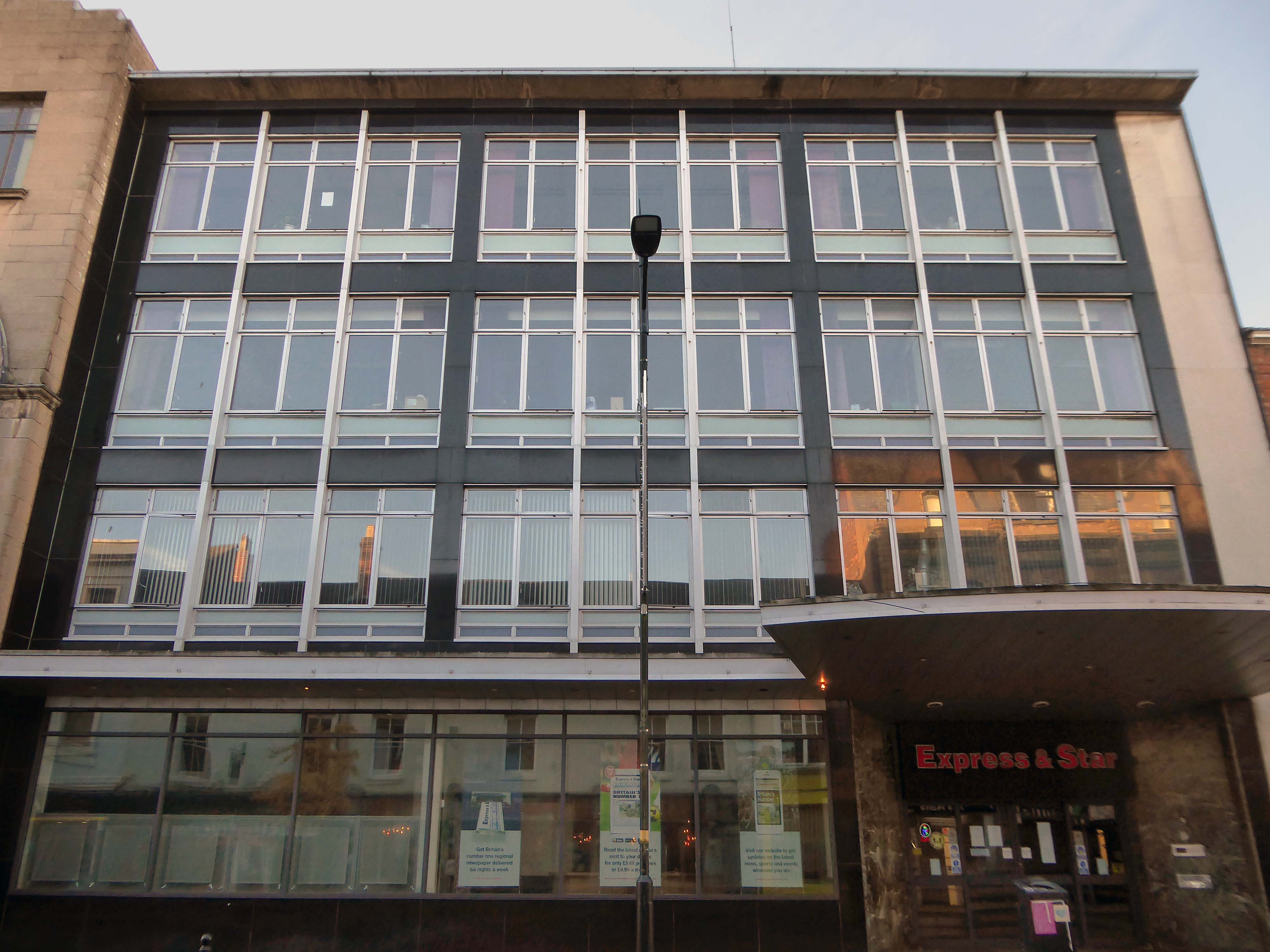
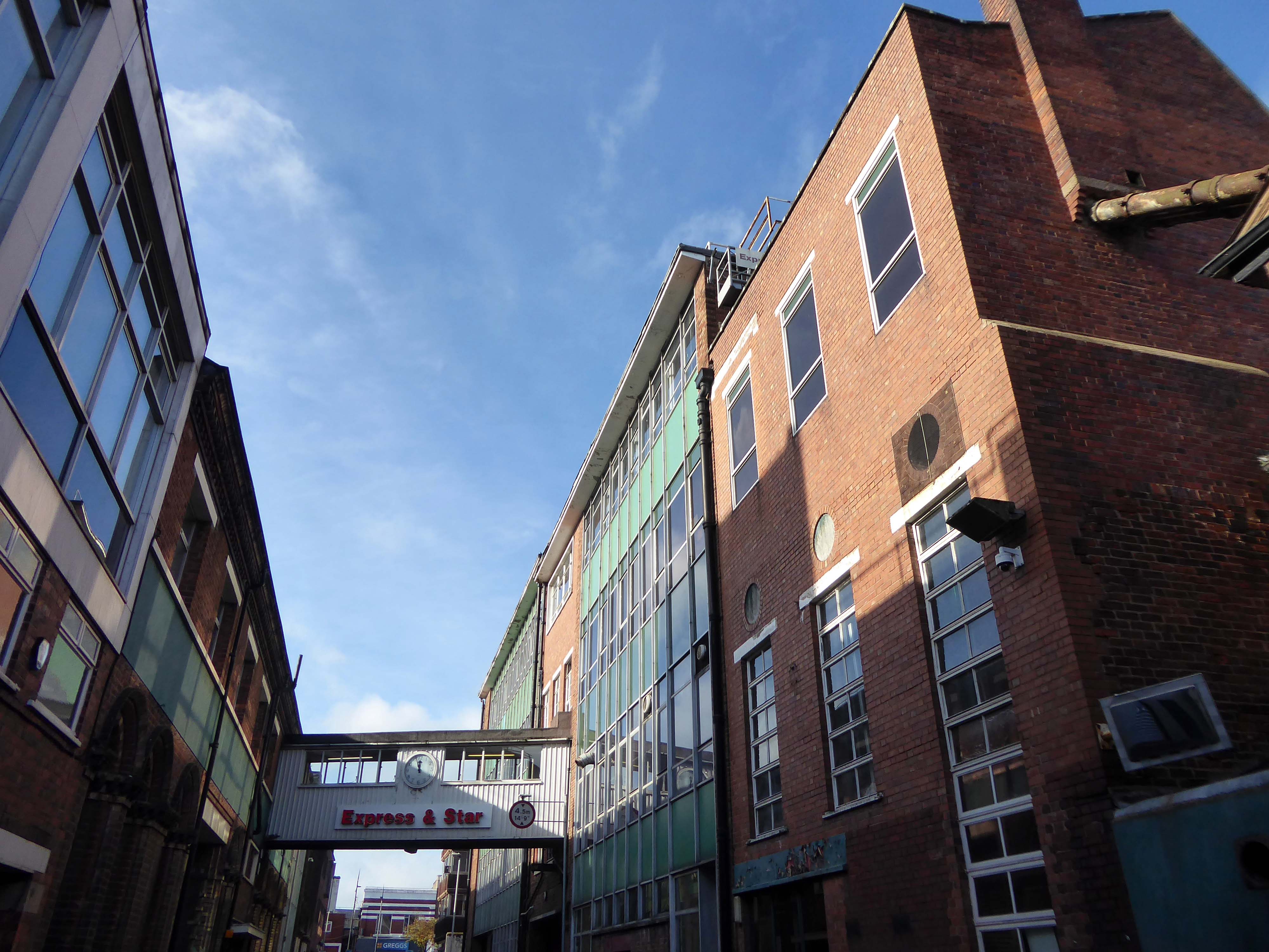
Midland News Association managing director Matt Ross confirmed the company is now looking at the building’s future.
For a number of years we have been exploring opportunities surrounding our historic Express & Star offices in the heart of Wolverhampton.
After removing the printing presses from the site and restructuring our departments we now have significant spare capacity available and so are looking at the various options available to us, be that redeveloping the current site or exiting the building altogether.
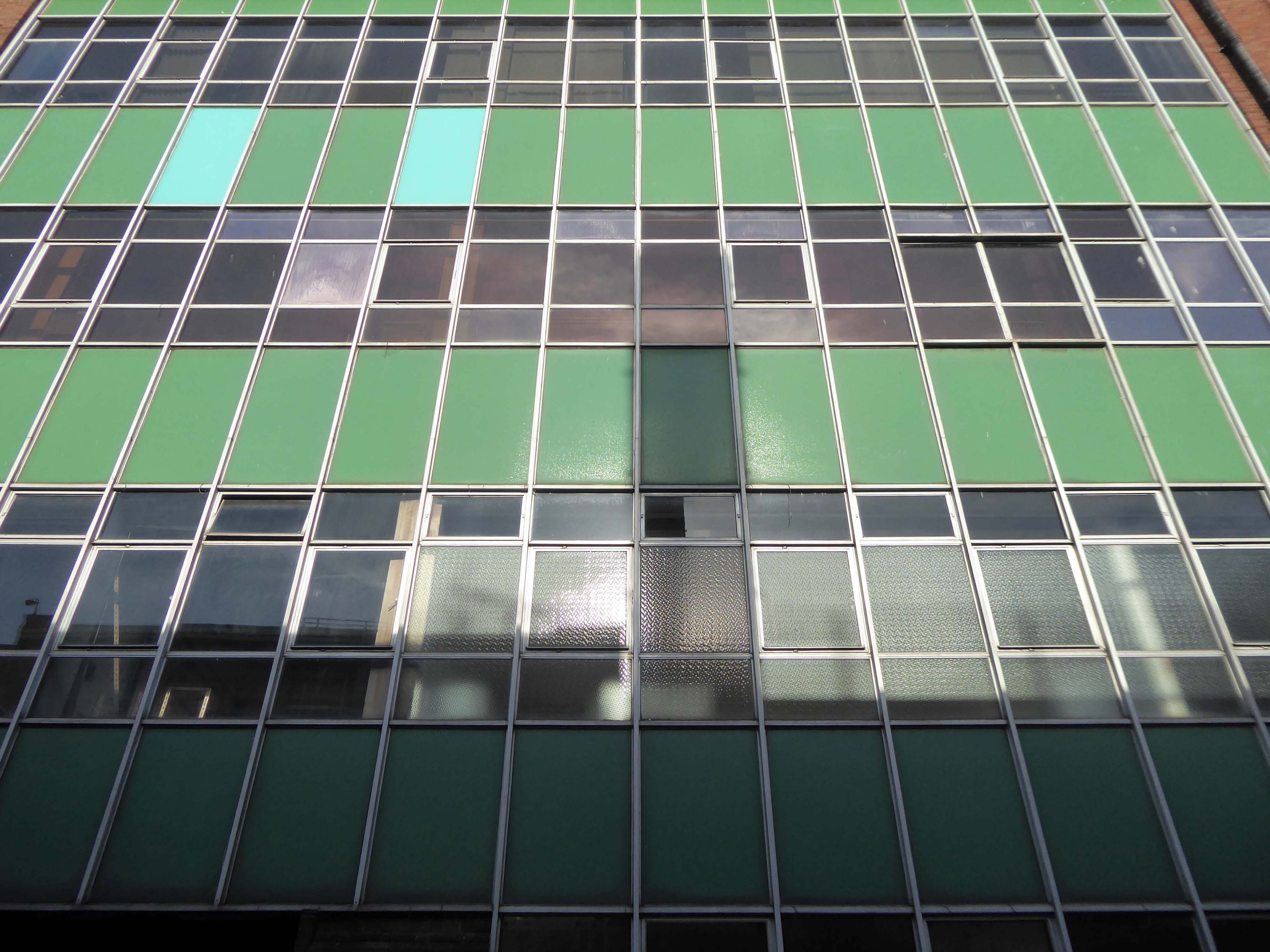
Extension is by architects: H Marcus Brown & Lewis 1965
With further work at the rear.
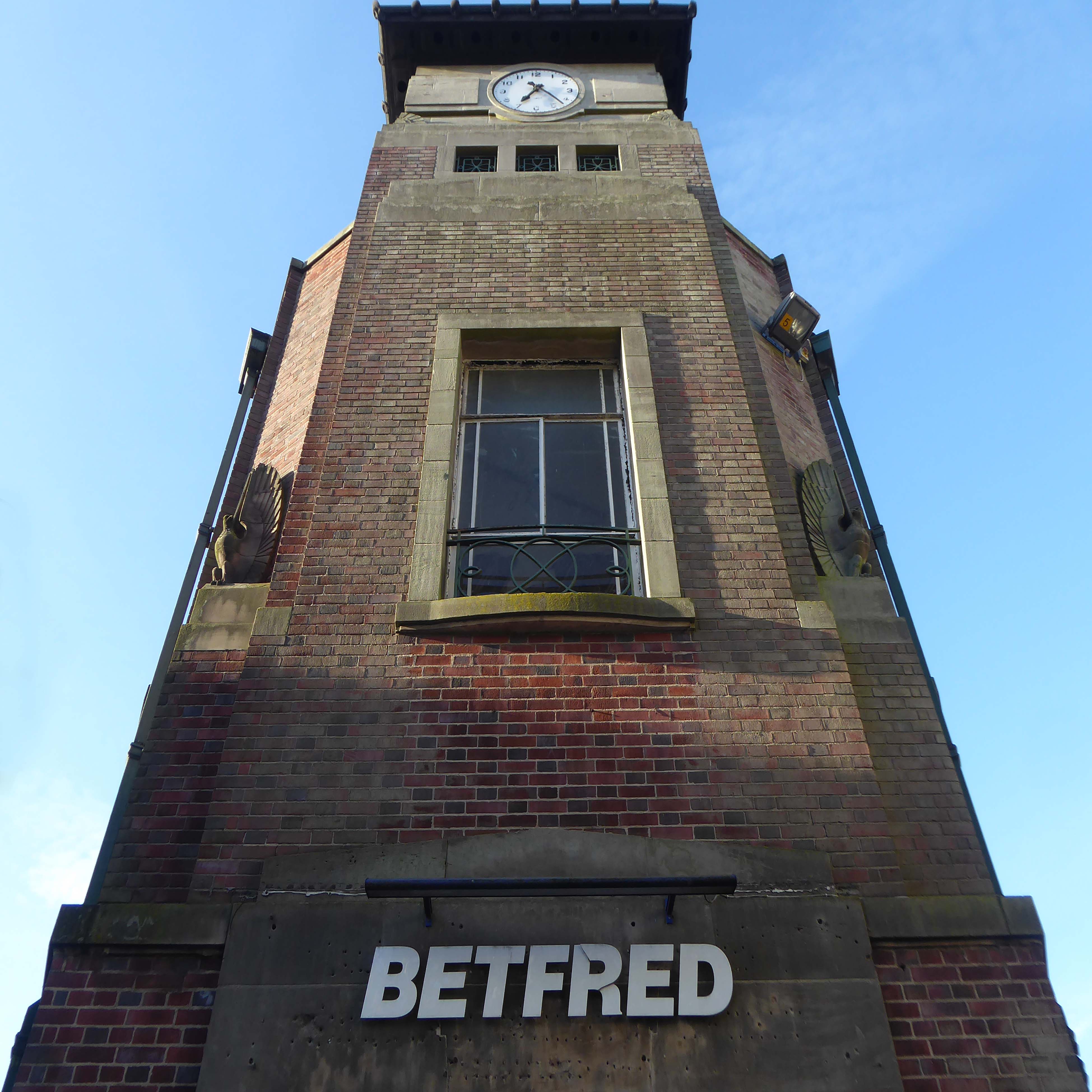
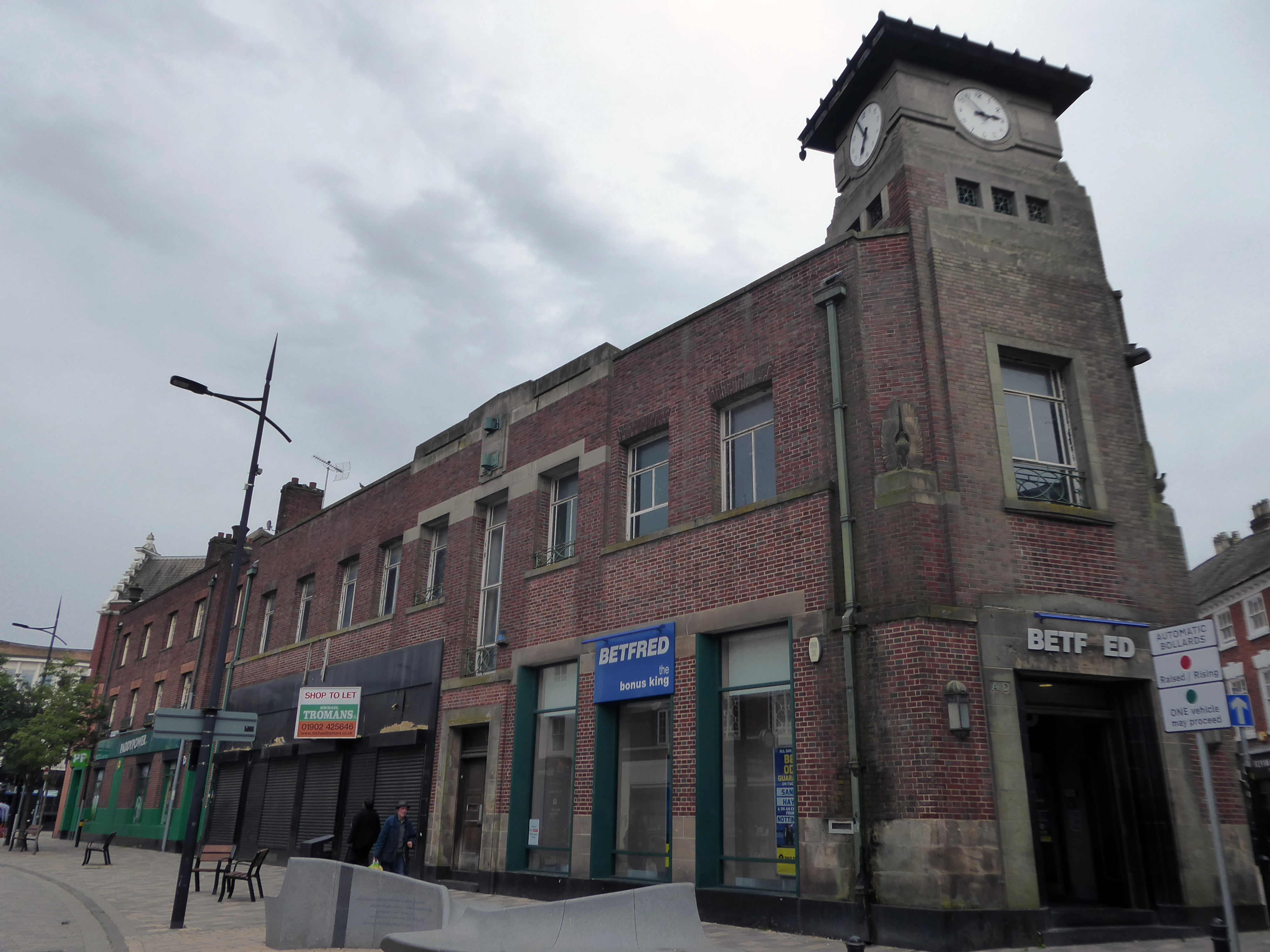
Along Princess Street this corner group, with an impressive clock tower – originally HQ for the South Staffordshire Building Society
Architects: George A Boswell of Glasgow 1932.
On to the Mander Centre – opened on 6th March 1968, refurbished 1987, 2003 and 2016-17.
The Mander Shopping Centre in the heart Wolverhampton is your one-stop shopping destination for all things fashion, home, beauty, food and technology.
Architects: James A Roberts principal architect Stanley Sellers.
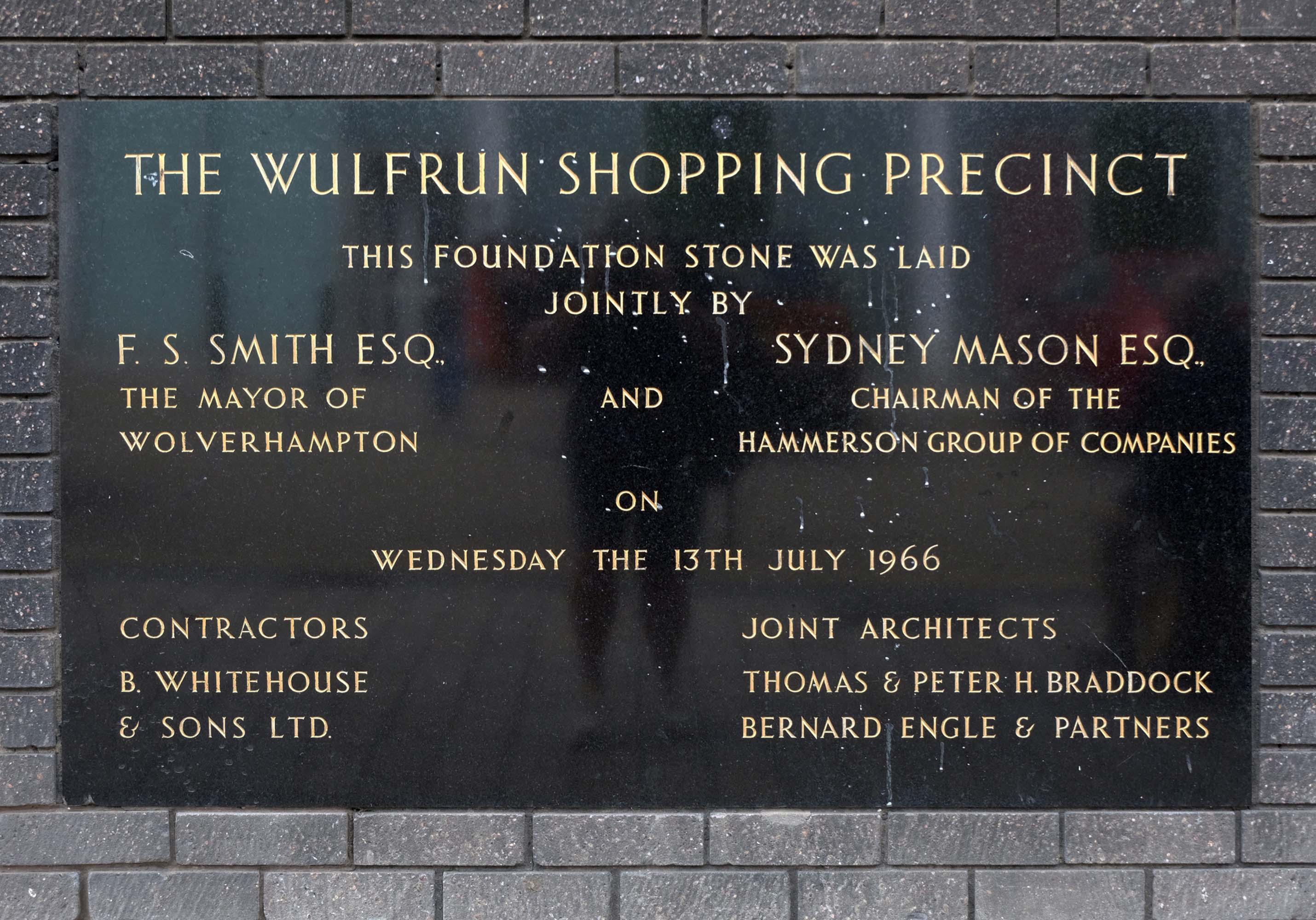
Developed by Manders Holdings Plc, the paint, inks and property conglomerate, between 1968 and 1974. The site occupies four and a half acres comprising the old Georgian works and offices of the Mander family firm, founded in 1773, as well as the site of the former Queens Arcade.
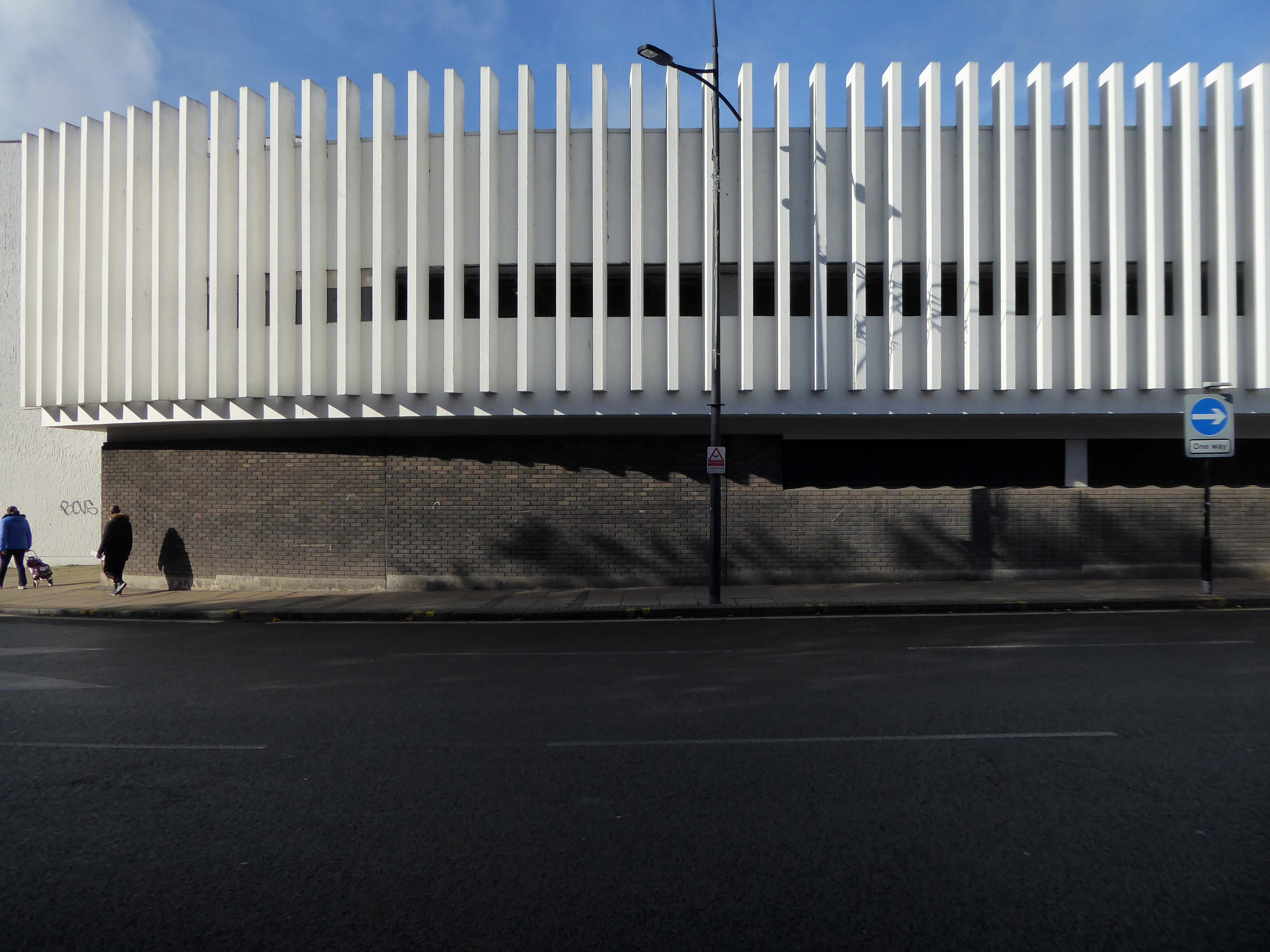
Architects: T & PH Braddock and also Bernard Engle & Partners.
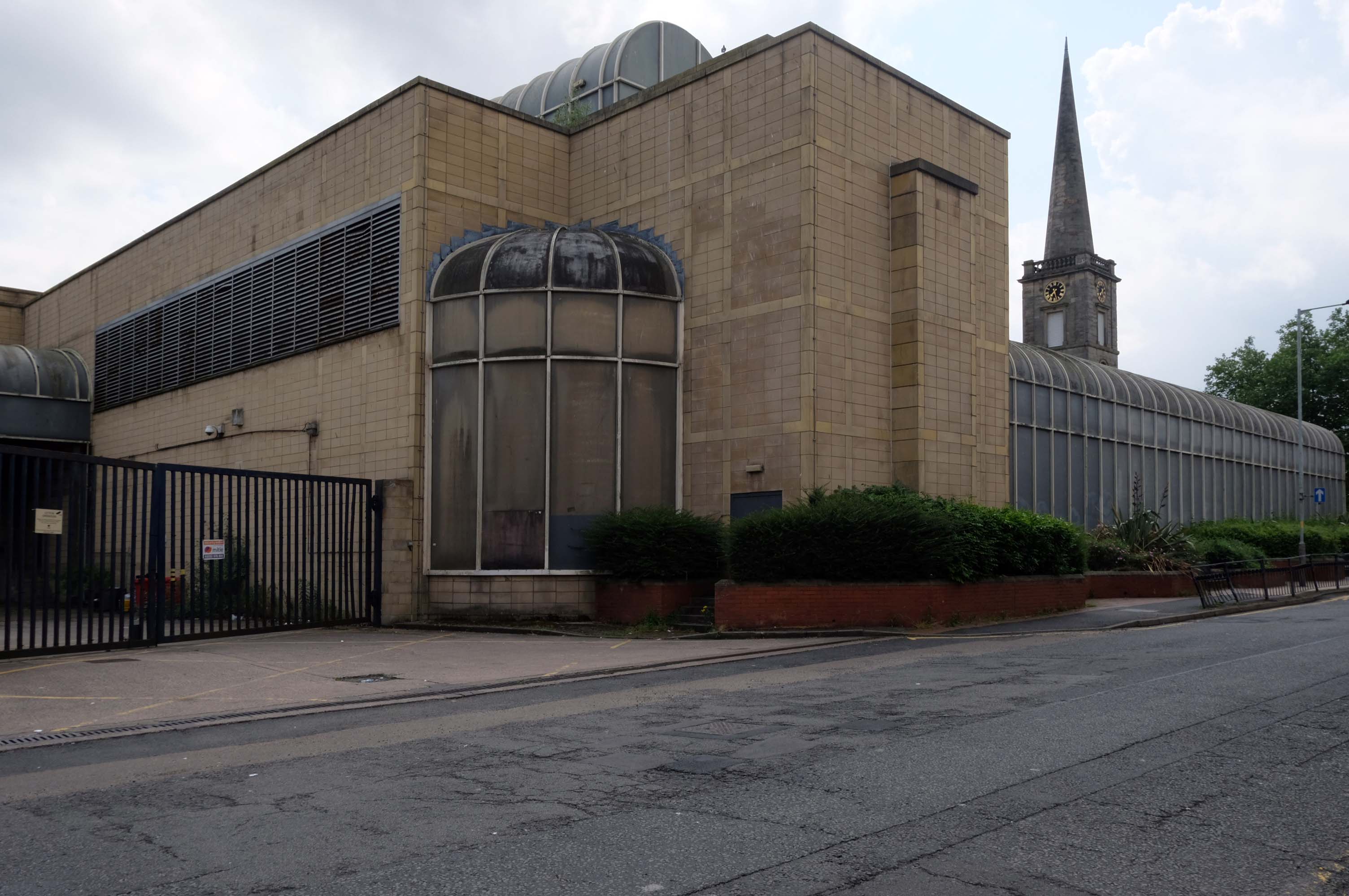
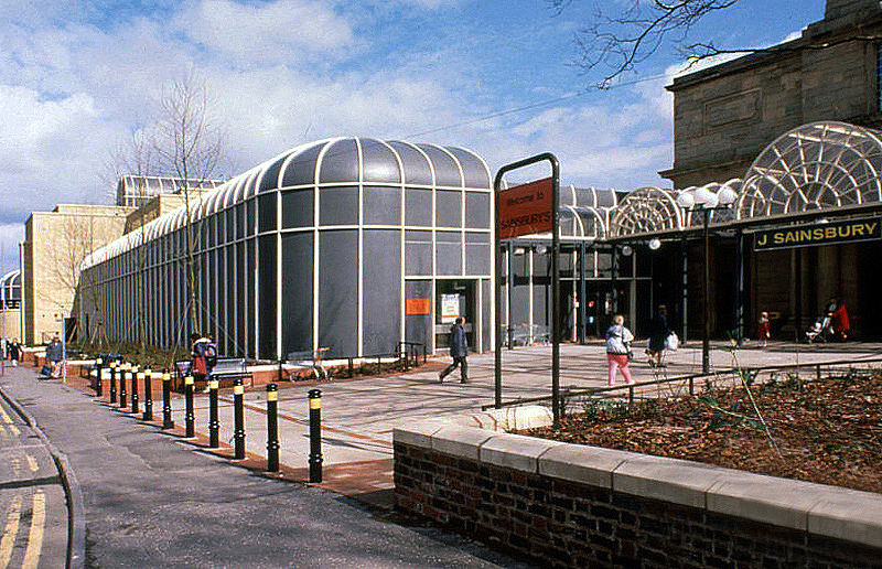
Along St Georges Parade, an abandoned Sainsbury’s church combo – store designed by J Sainsbury’s Architects Department opened 1988.
The church was built between 1828 and 1830 – architect: James Morgan, at a cost of £10,268. It was consecrated on Thursday 2 September 1830 by the Bishop of Lichfield, it was made redundant in 1978.
The site is currently under lease to Sainsbury’s for a further three years and will come forward on a phased basis subject to their lease concluding. The council is in active dialogue with prospective development partners on the redevelopment of this site and in wider consultation with Homes England.
Notable cases included trial and conviction of four members of The Stone Roses, in October 1990, for criminal damage to the offices of their former record company.
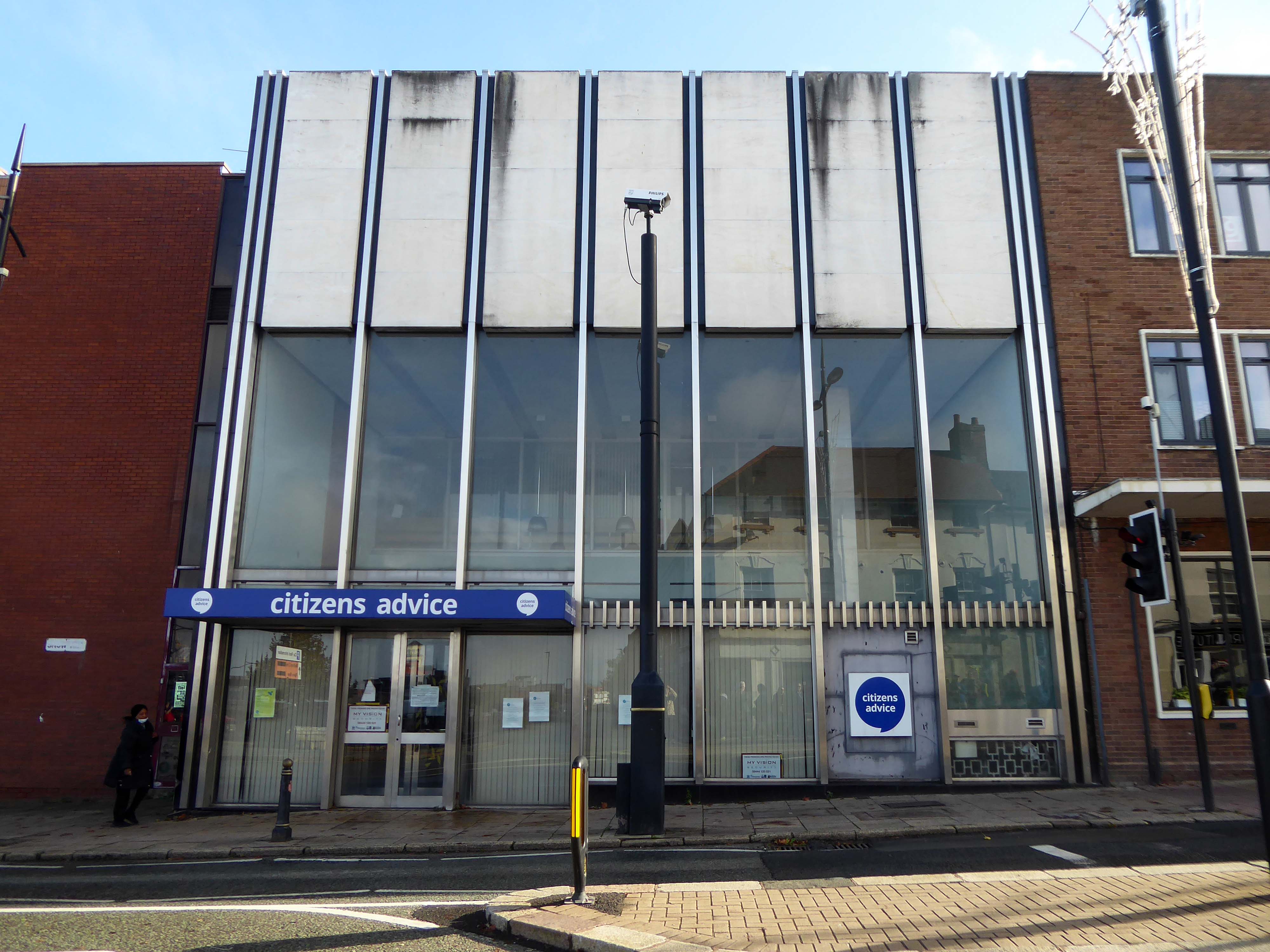
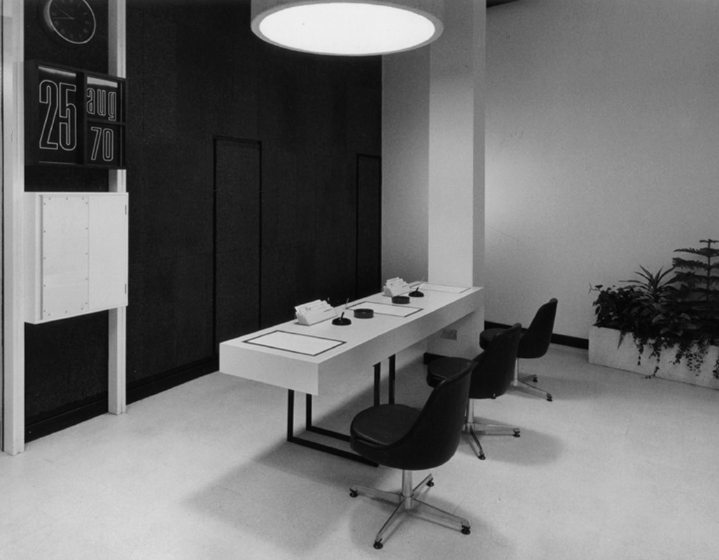
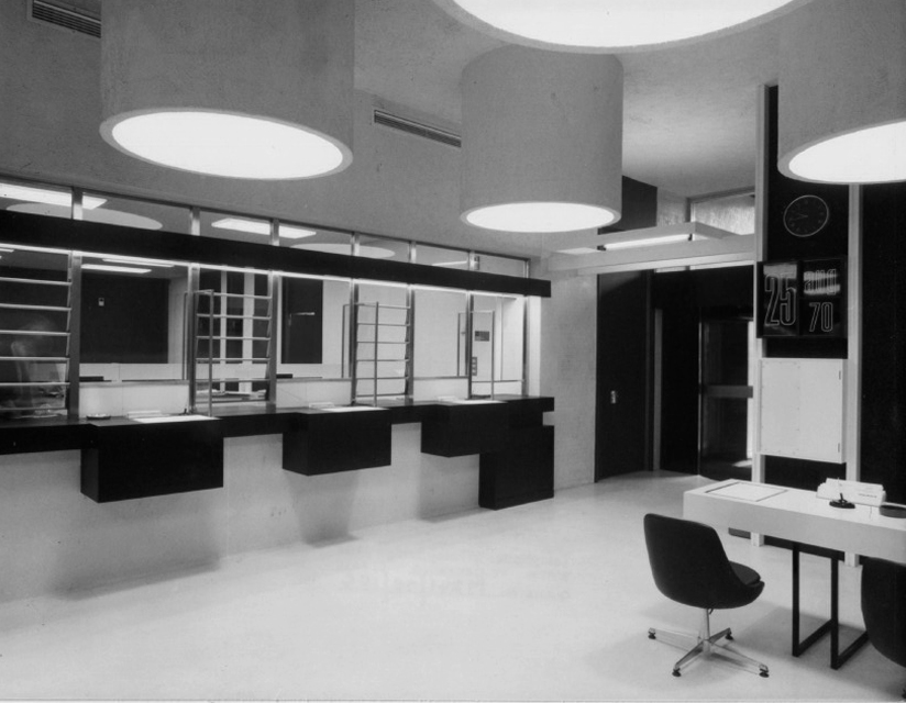
Thence up Snow Hill to the former Citizens Advice former Barclays Bank currently empty.
Architects: John HD Madin & Partners 1969
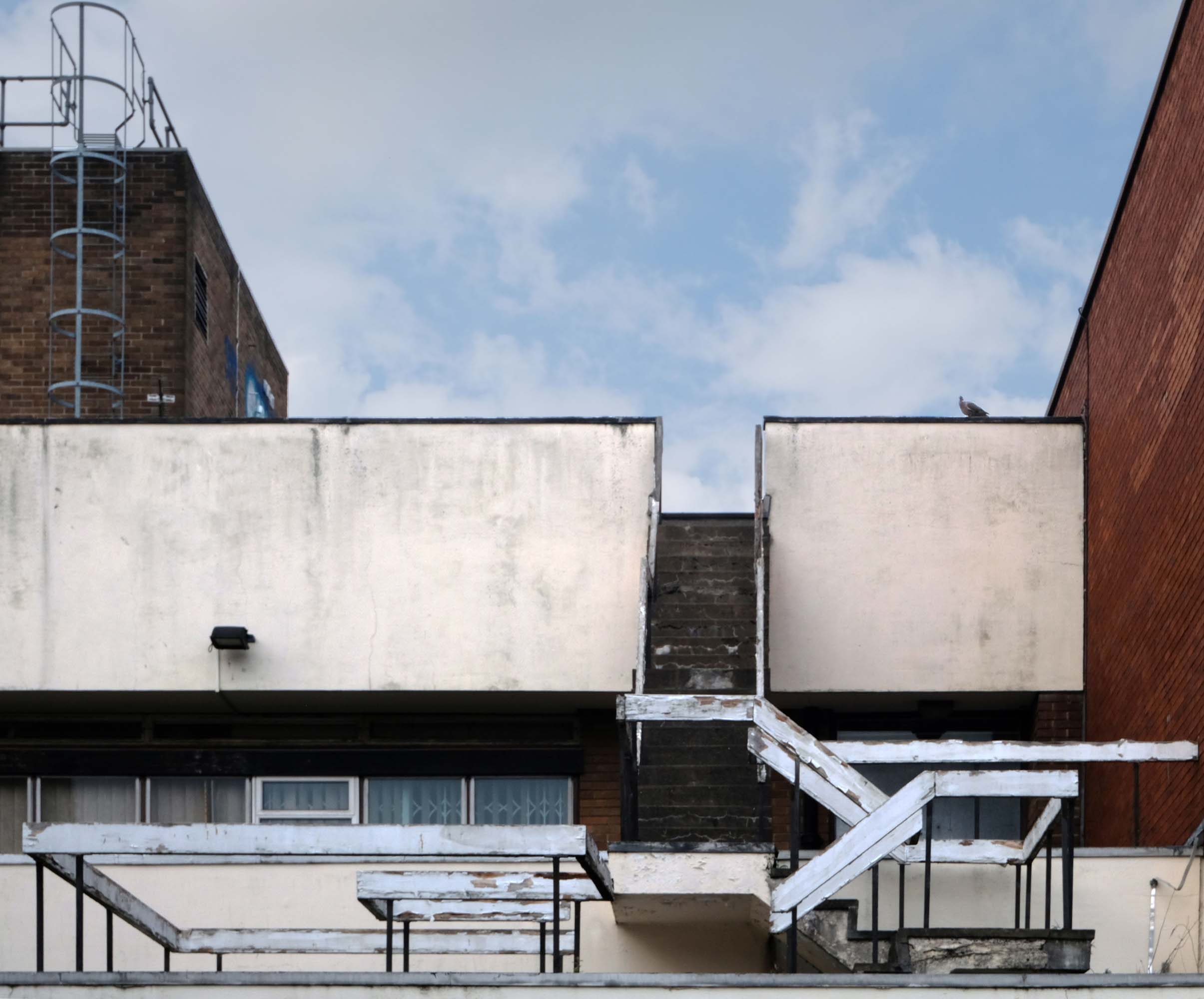
Take time to have a look around the back.
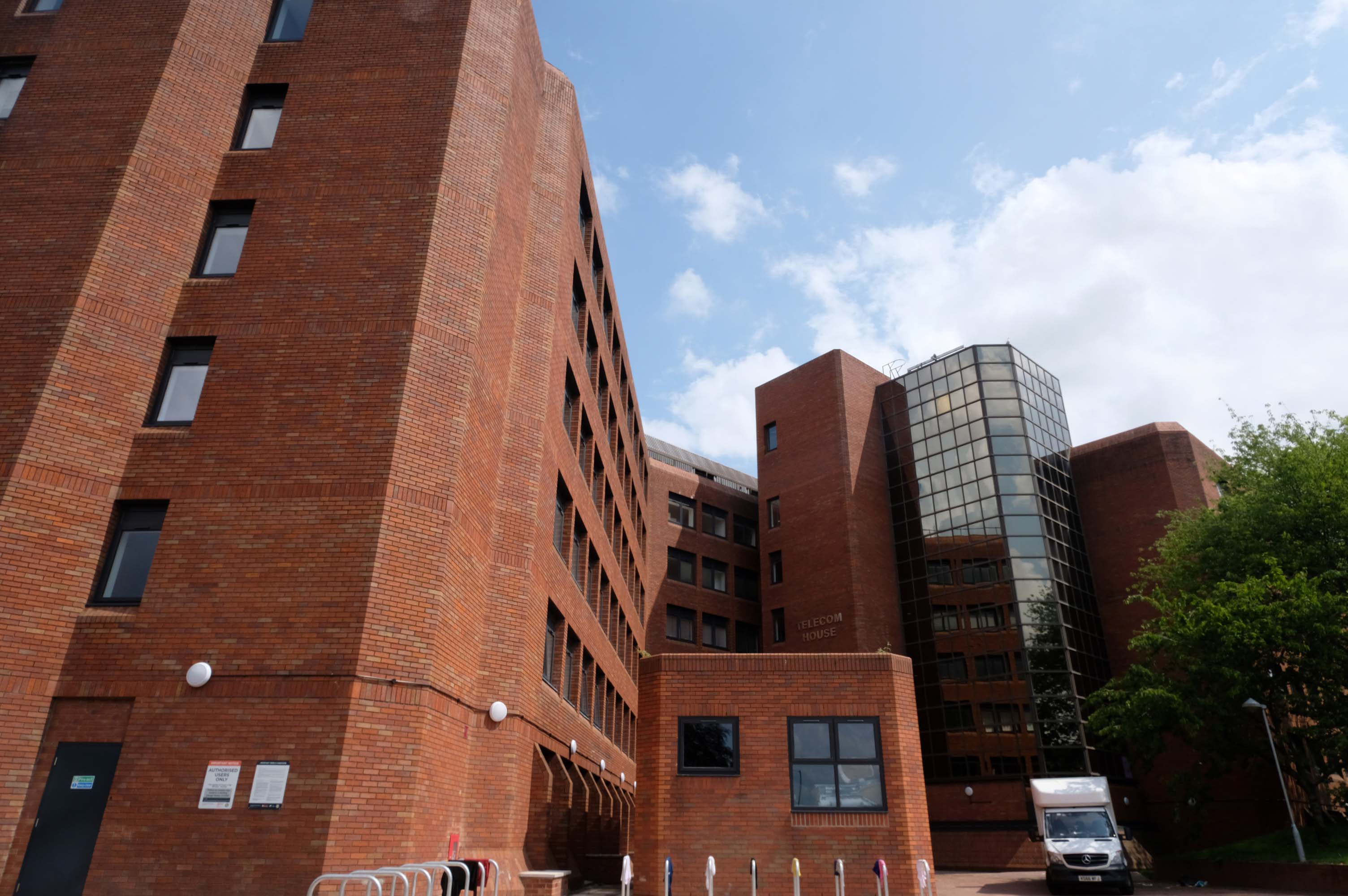
Off to Church Street and Telecom House
Sold for £4.25 million to Empire Property in 2022.
It had previously been sold for more than £3m in July 2018, also for use for apartments, to Inspired Asset Management which later went into receivership.
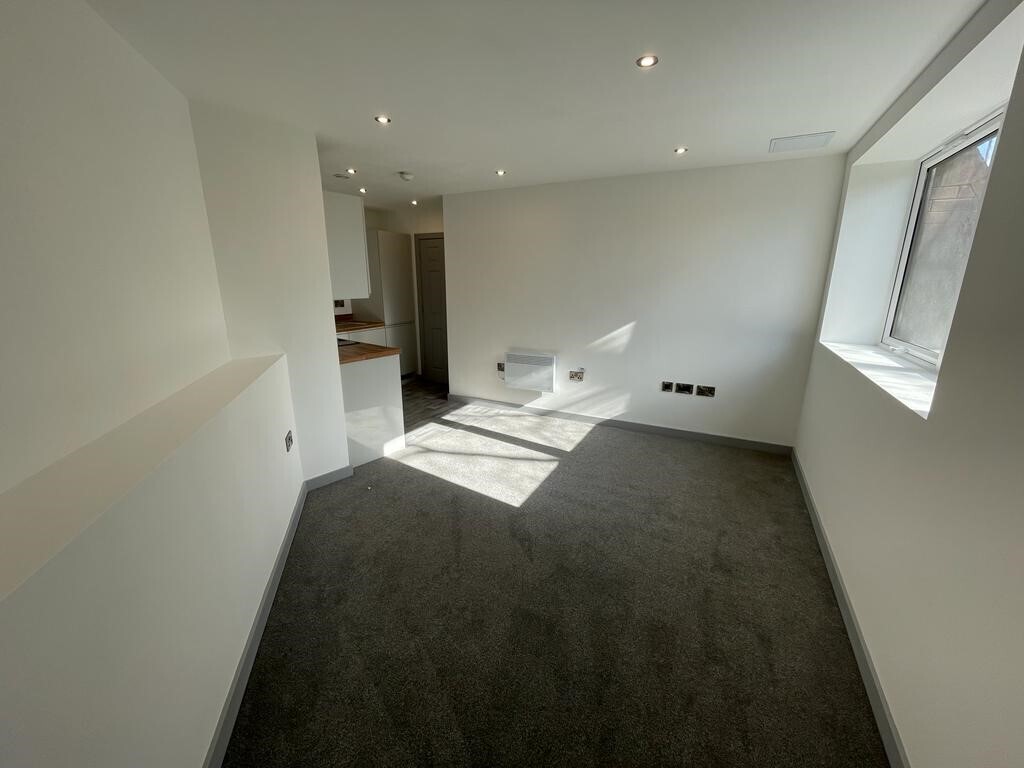
Located on a popular apartment block on Church street in the Wolverhampton centre, this 1 bedroom property has been newly renovated throughout and compromises an entrance hallway, open plan lounge/kitchen with in built appliances, shower room and double bedroom.
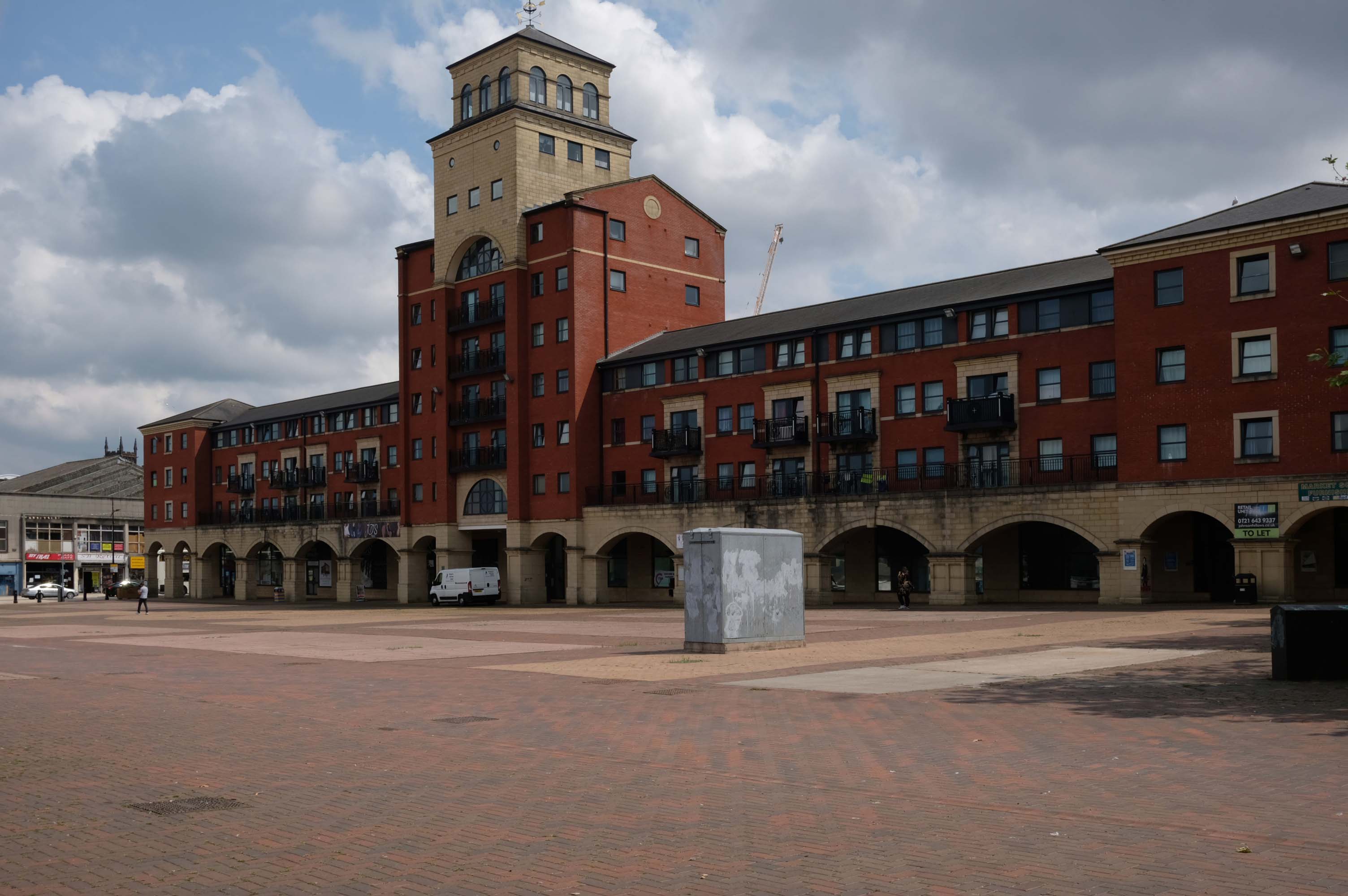
Next to this modern piazza New Market Square – Architects: Nicol Thomas from a concept by head of planning Costas Georghiou.
Formed from the former Market Square, a mix of flats and shops opened in 2004, in an Italianate version of the modish school of streaky bacon.
In 2021 the Coca-Cola Christmas Truck visit to the Midlands was cancelled.
It was meant to arrive at Market Square in Wolverhampton at 11am today but failed to show up.
One fan had waited since 7am this morning to see the Coca-Cola truck.
While schoolchildren were left gutted when the truck didn’t turn up – and one boy had been so excited his mother said he had been talking about the red truck all morning.
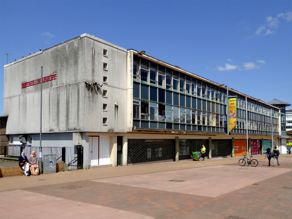
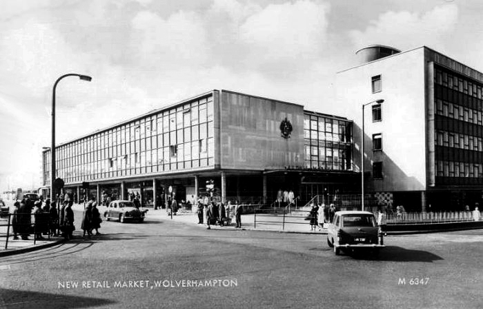
Retail Market – Late 1950s market hall and offices above.
Architects: Borough Surveyor.
Excellent example of the Festival of Britain style of architecture, won Civic Trust Award 1960.
Locally Listed March 2000.
demolished January 2017.
Photo: Roger Kidd
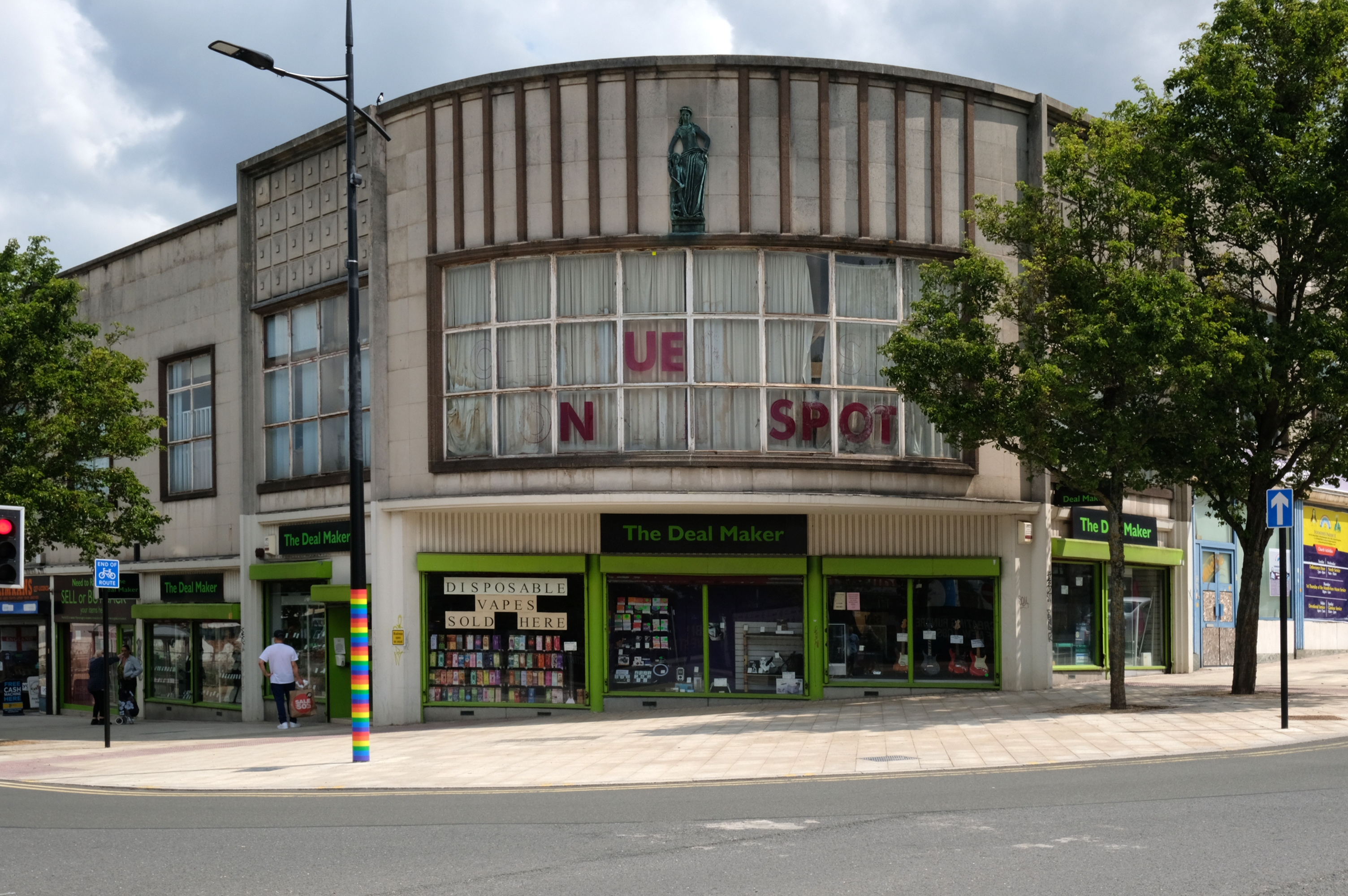
This development that wraps itself around Salop, Skinner and School Streets appears to be of a similar period to the Retail Market – and sports a Lady Wulfrun in relief.
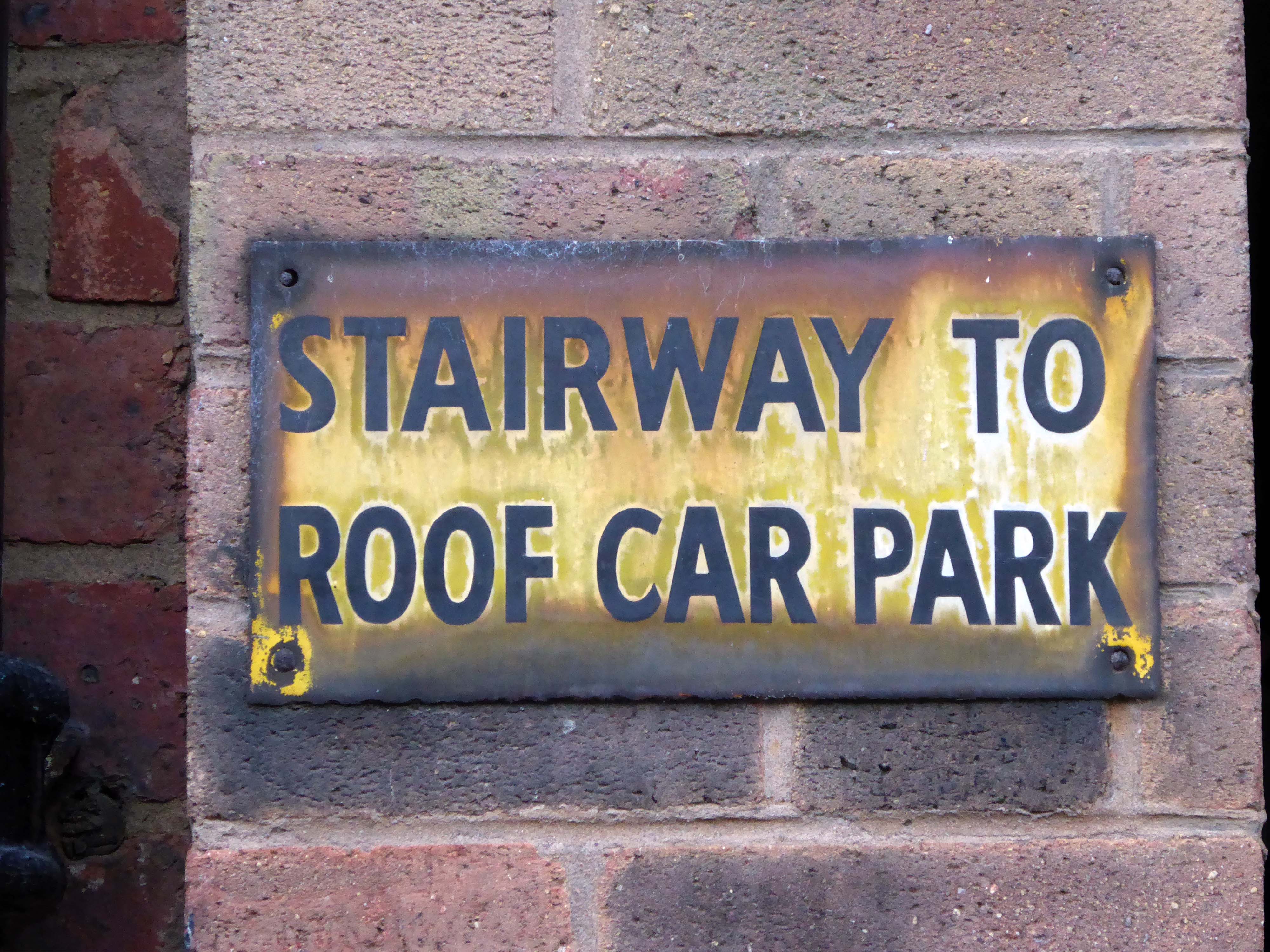
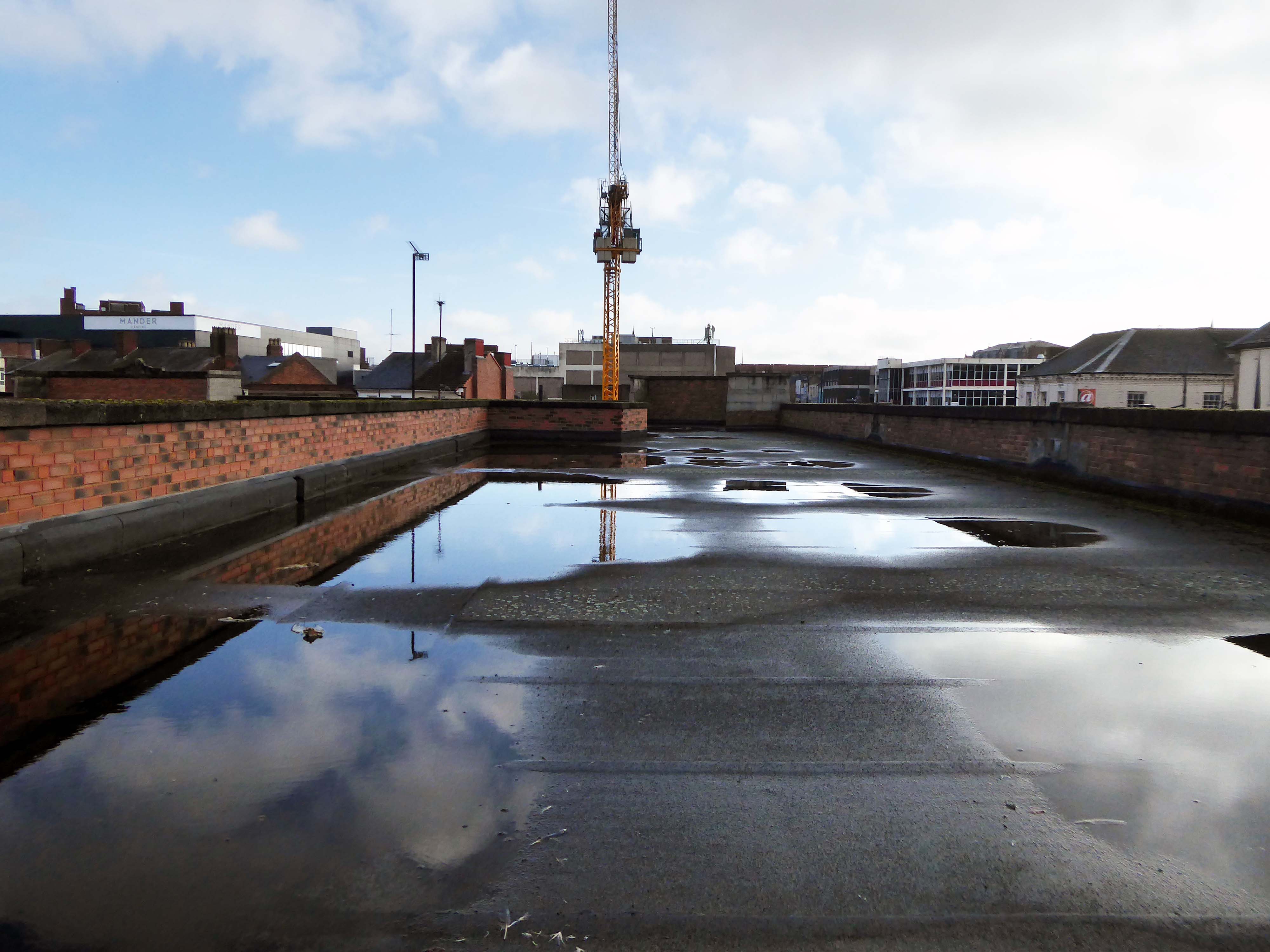
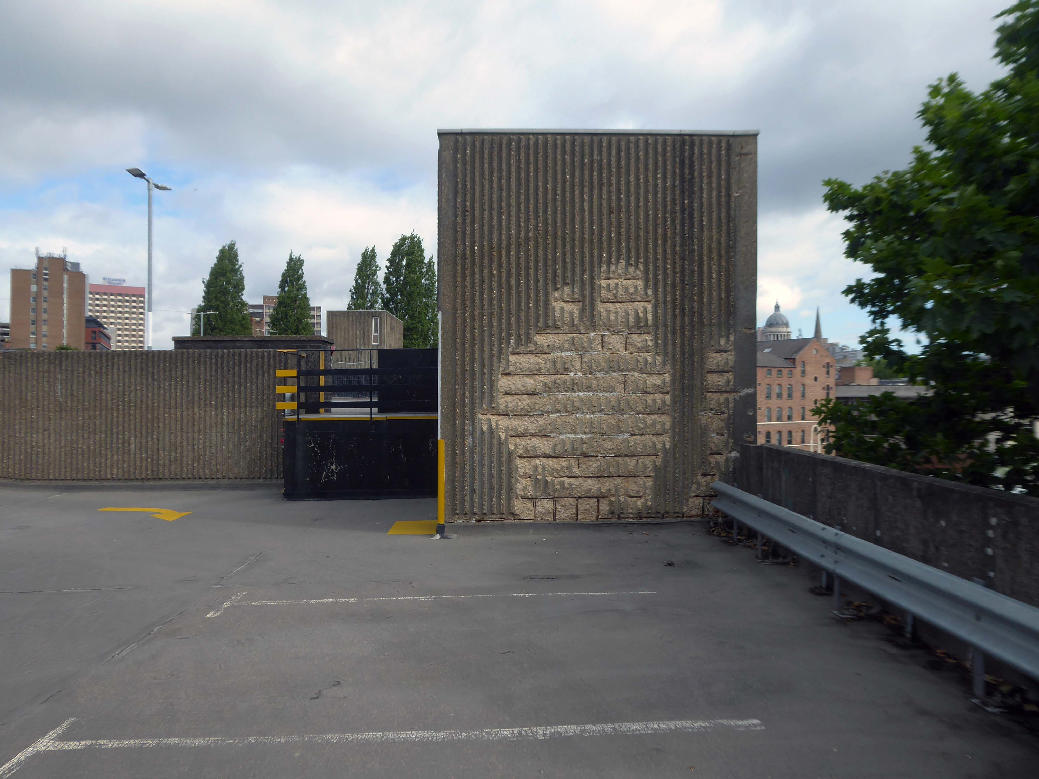
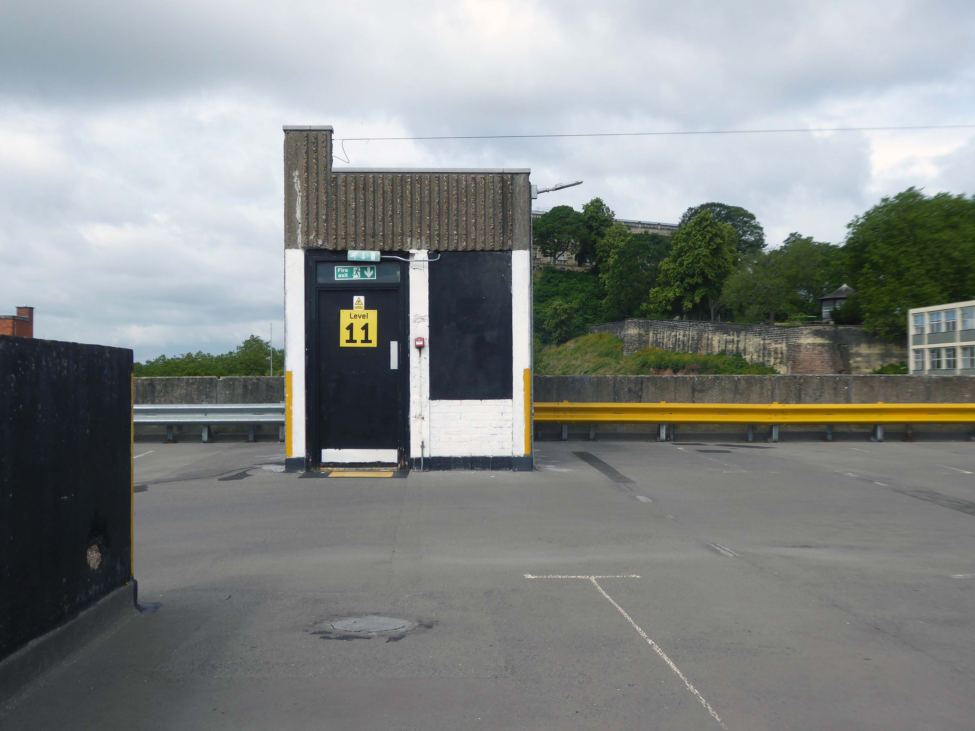
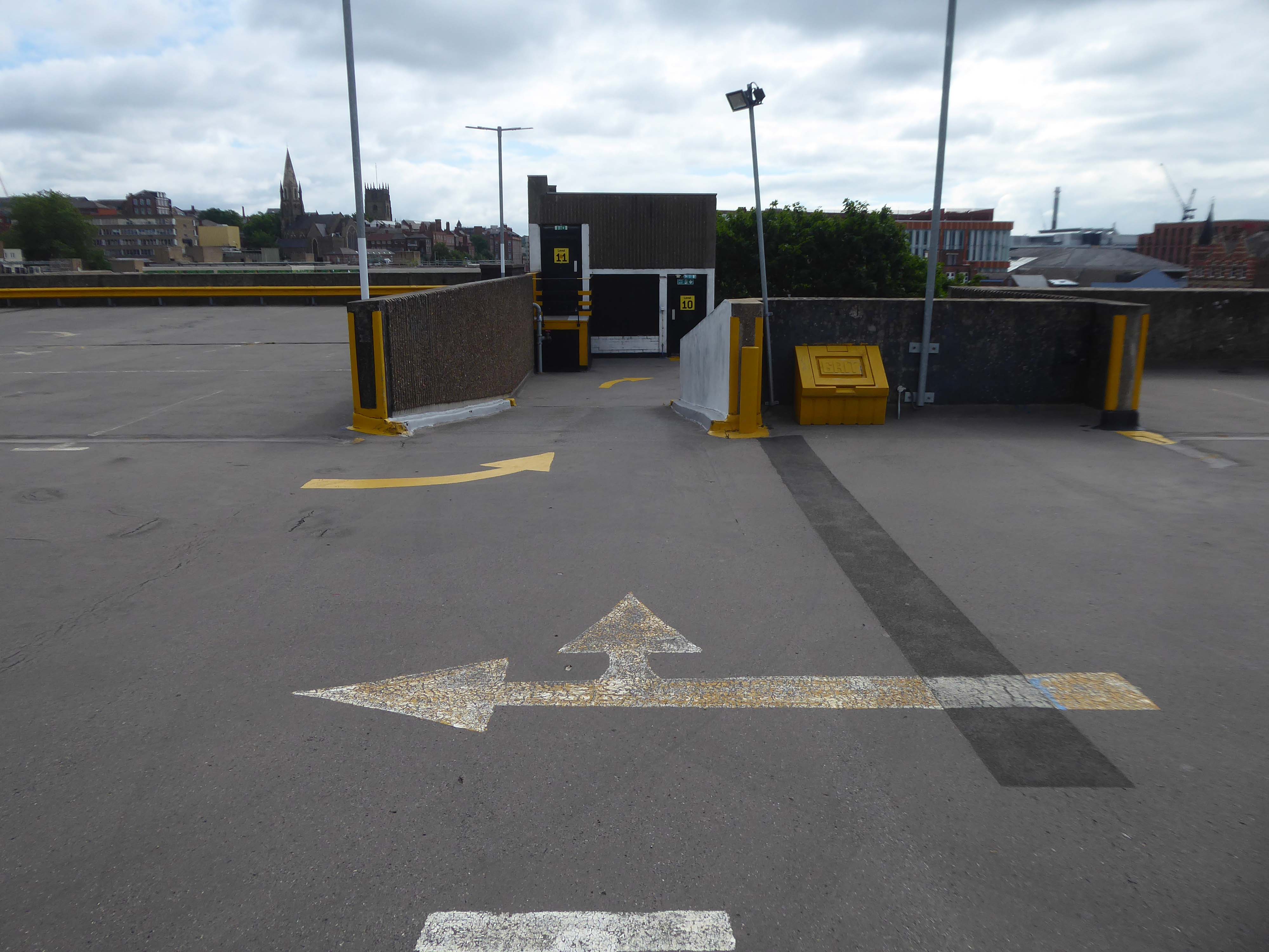
There is access to its roof top car park.
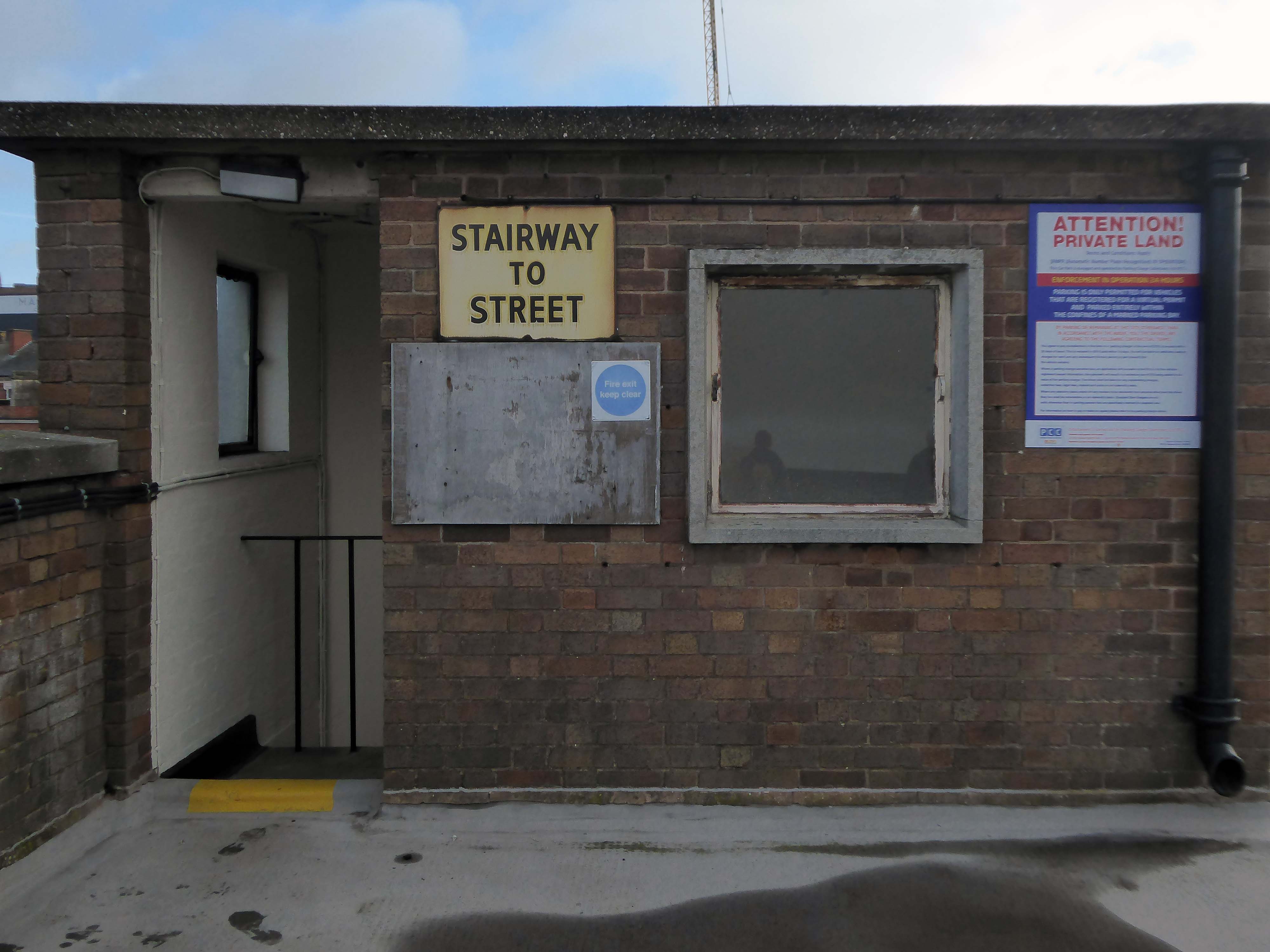
And also an exit back to street level.
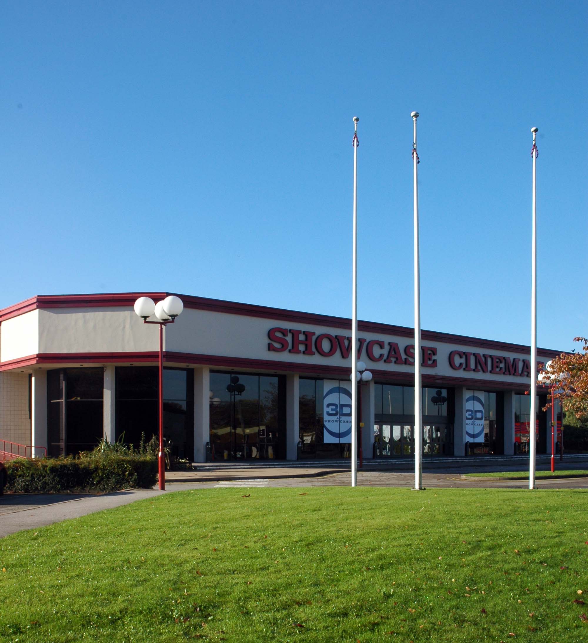
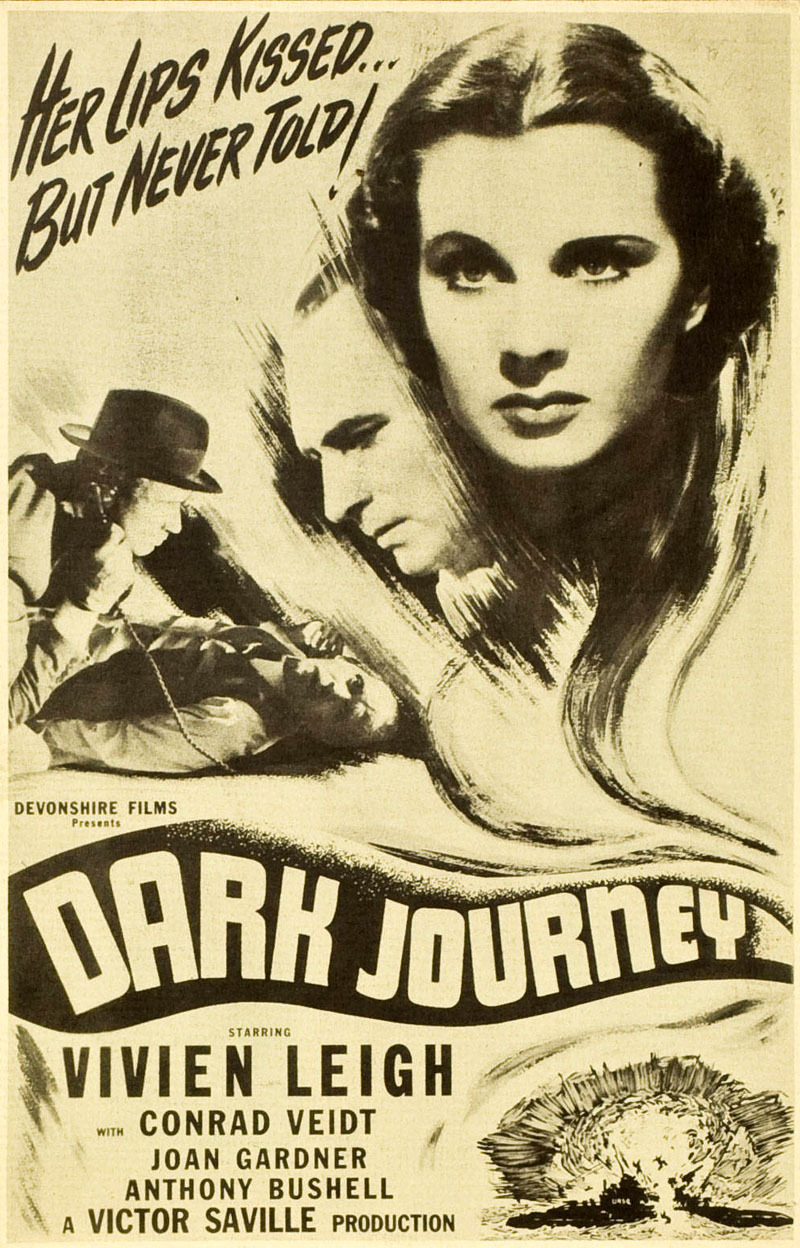
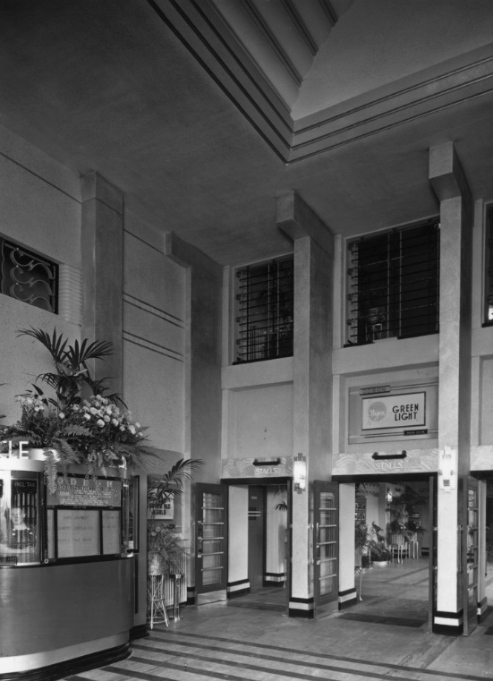
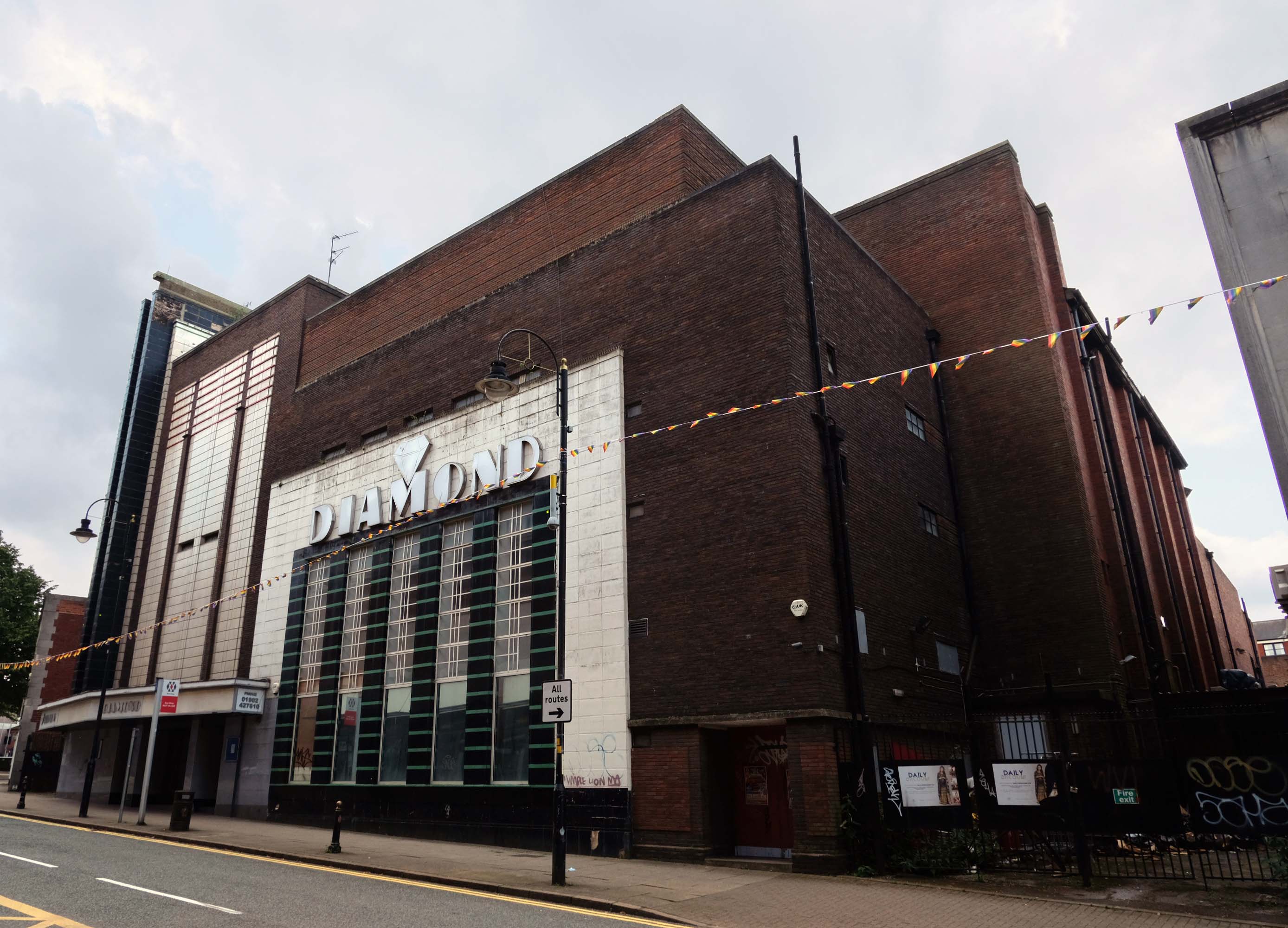
Where we find at street level the former Odeon Cinema, opened on 11th September 1937 with Conrad Veidt in Dark Journey.
In October 2000, the former Odeon was designated a Grade II Listed building by English Heritage.
RIBA pix
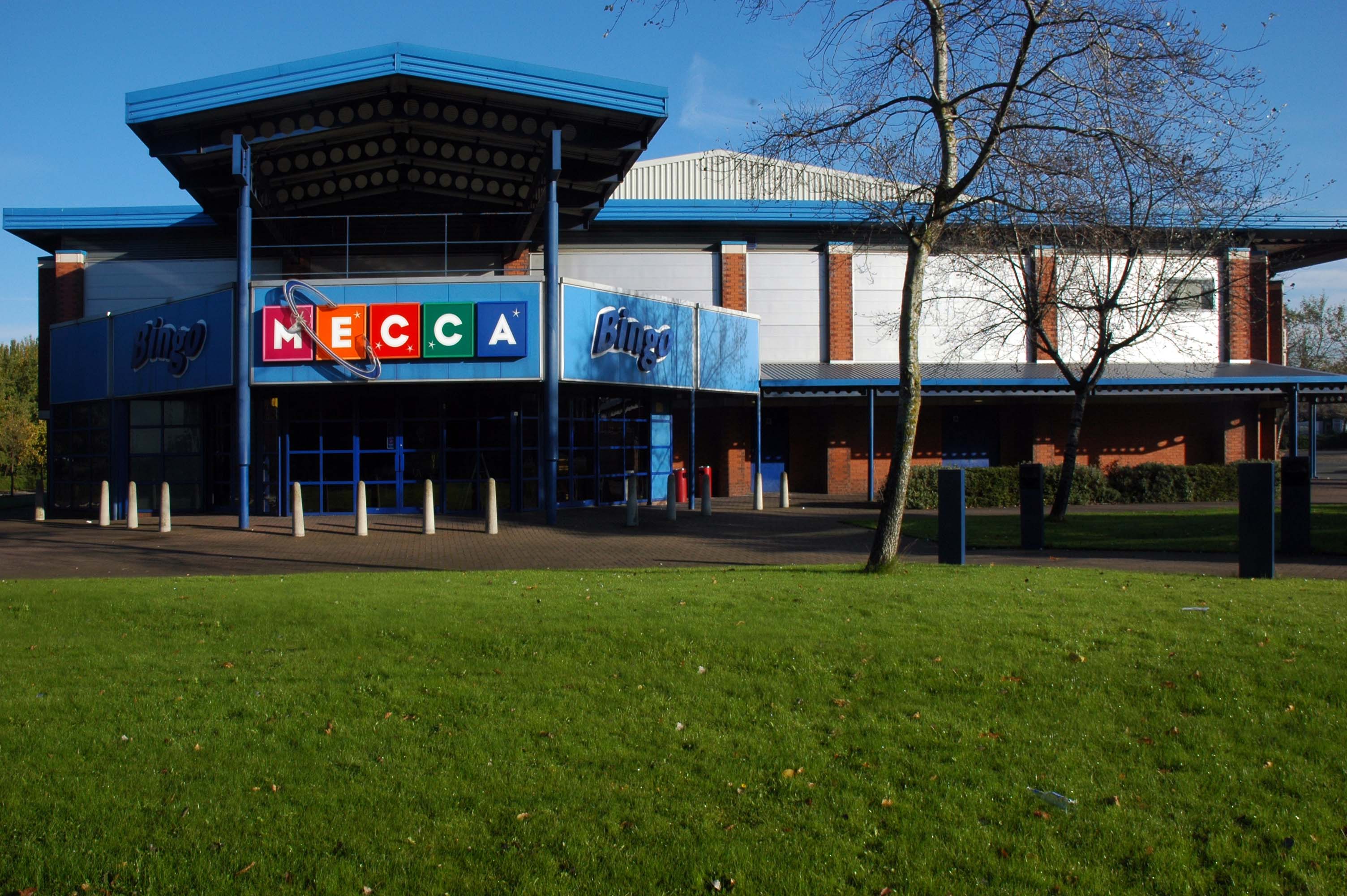
In recent years it was a Mecca Bingo Club, but this was closed in March 2007 In October 2009, it had been refurbished and re-opened as the Diamond Banqueting Suite. In April 2021 police raided the vacant building to discover an illegal cannabis farm operating in the building.
Four men were arrested.
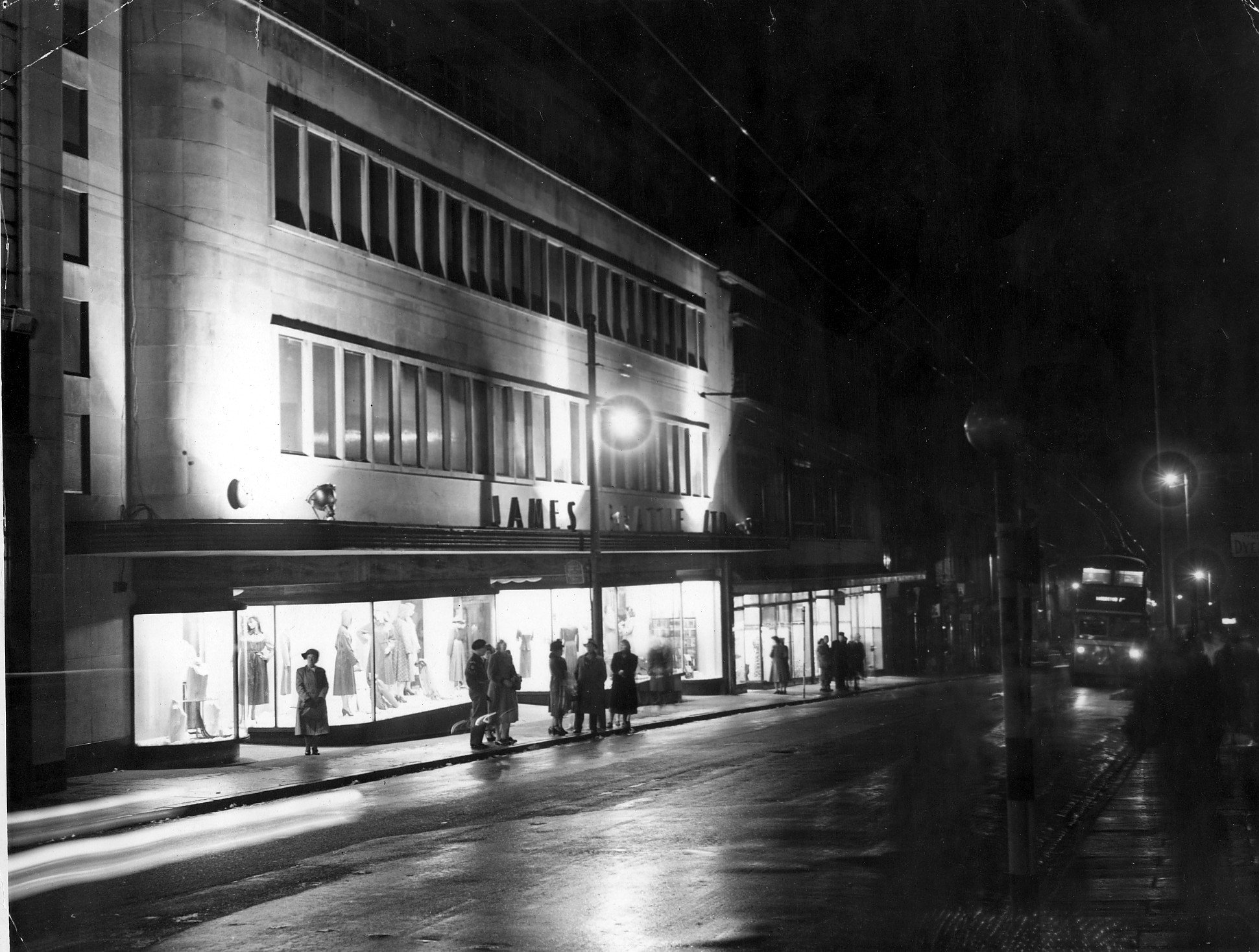
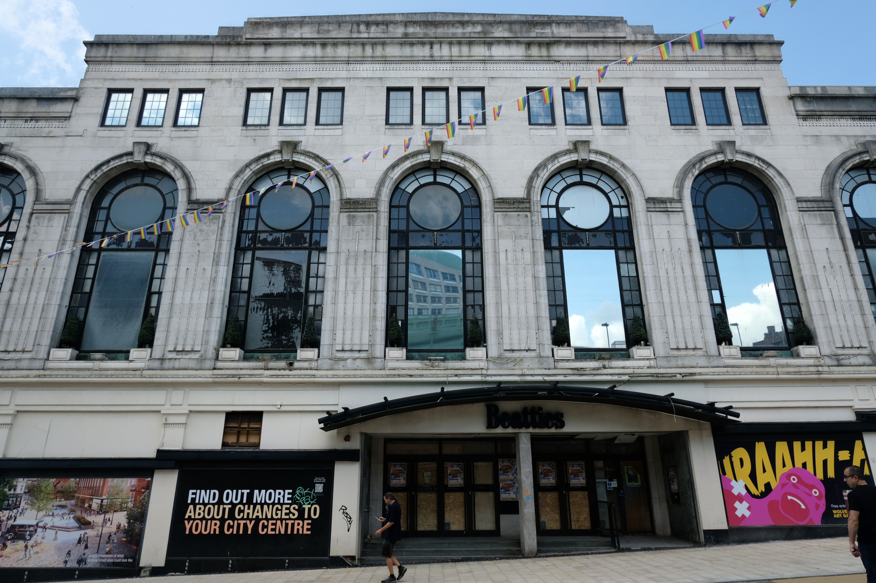
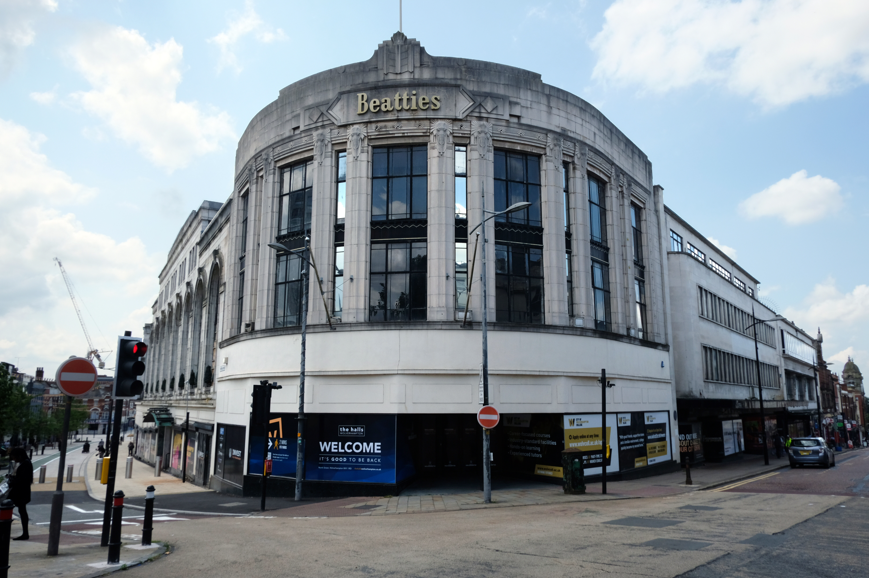
Let’s take a turn around the corner to Victoria Street where we find the complex of Beatties Buildings.
Architects: Lavender, Twentyman and Percy 1920’s – 30’s
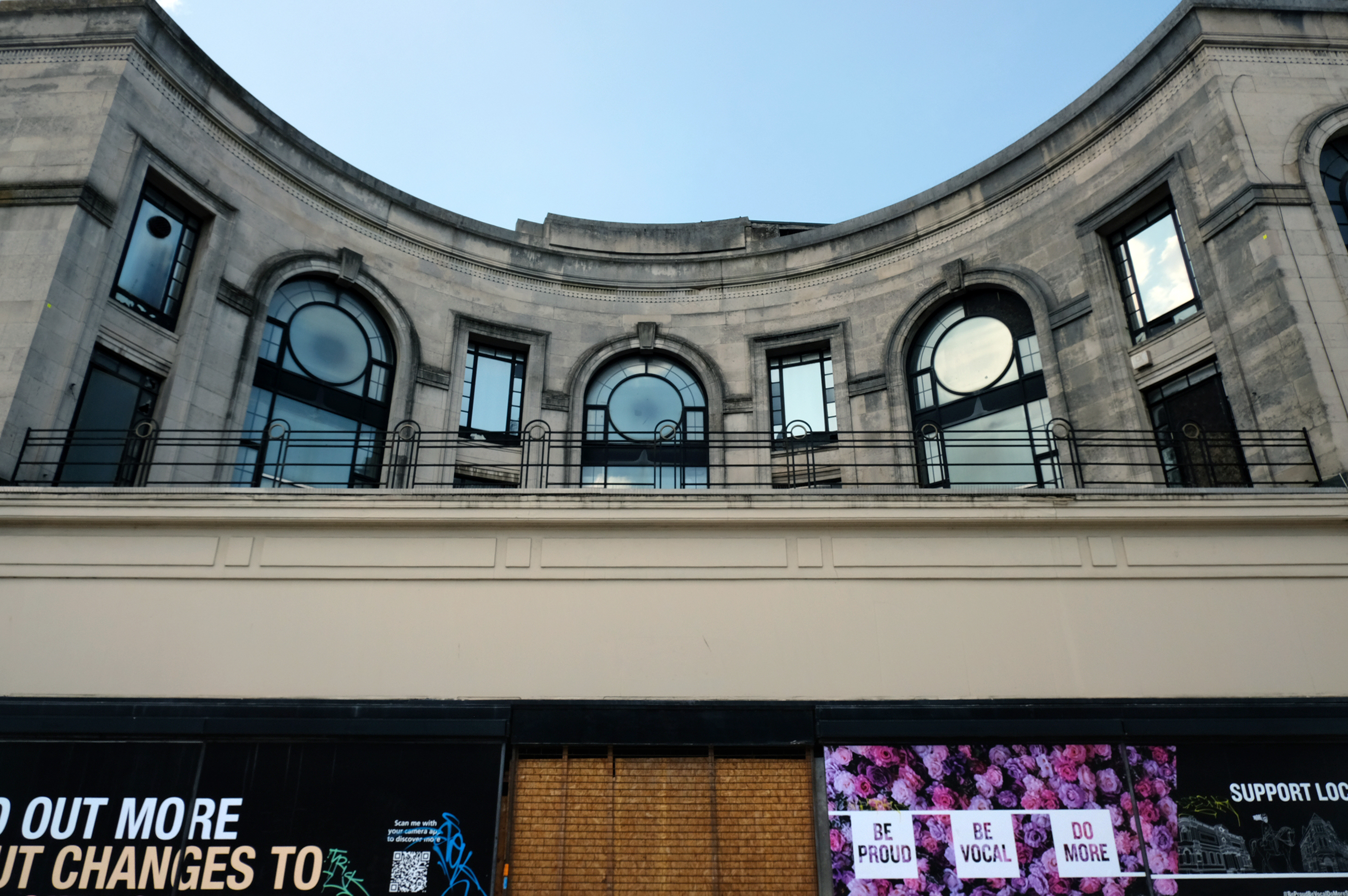
The C20 Beatties store is a multi-period site developed first in the 1920s-30s. A Burton’s men’s clothes shop was built on a curved corner site at Victoria St/Darlington St and Beatties themselves replaced their existing Victoria St store in the 1930s with a building by local architects Lavender, Twentyman and Percy. Beatties later acquired and incorporated the Burton’s shop into their store. These two buildings form the locally listed building to which were added a mid-C20 extension along Darlington St and a late-C20 development to the rear at Skinner St.
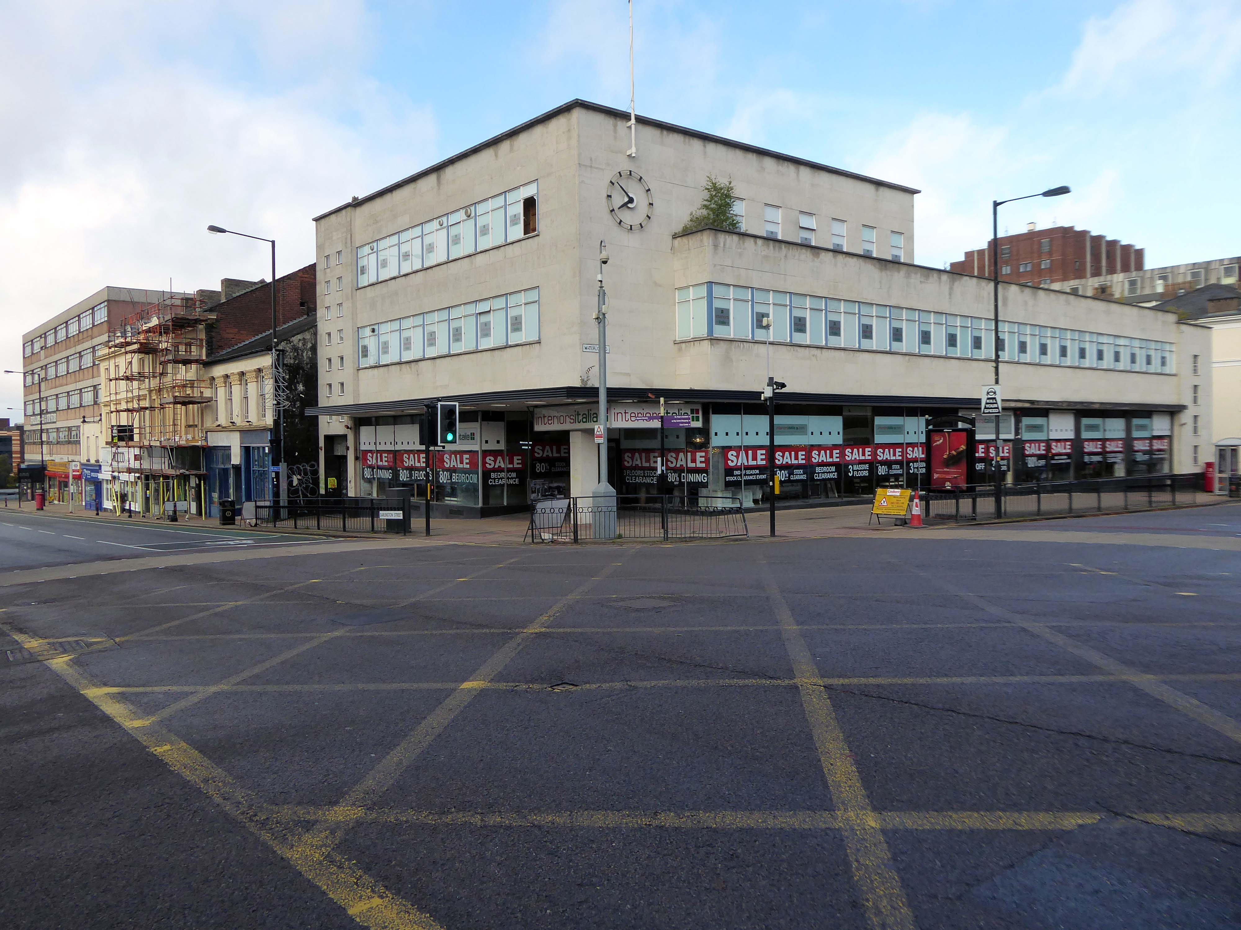
An imperious Portland stone clad mixed us block on Waterloo Road, with a delightful clock.
Formerly the Gas Showrooms then SunAlliance & LondonInsurance offices – aka Clock Chambers
The showroom in Darlington Street was also the centre of a radio network that controlled a fleet of service vans. This enabled customers to receive service within minutes of making a telephone call. Demonstrations of cookery, washing and refrigeration were given by the Gas Board’s Home Service Advisers and a number of the company’s engineers, who specialised in designing gas equipment for industrial processes operated an advisory service for manufacturers.
Architects: Richard Twentyman 1939.
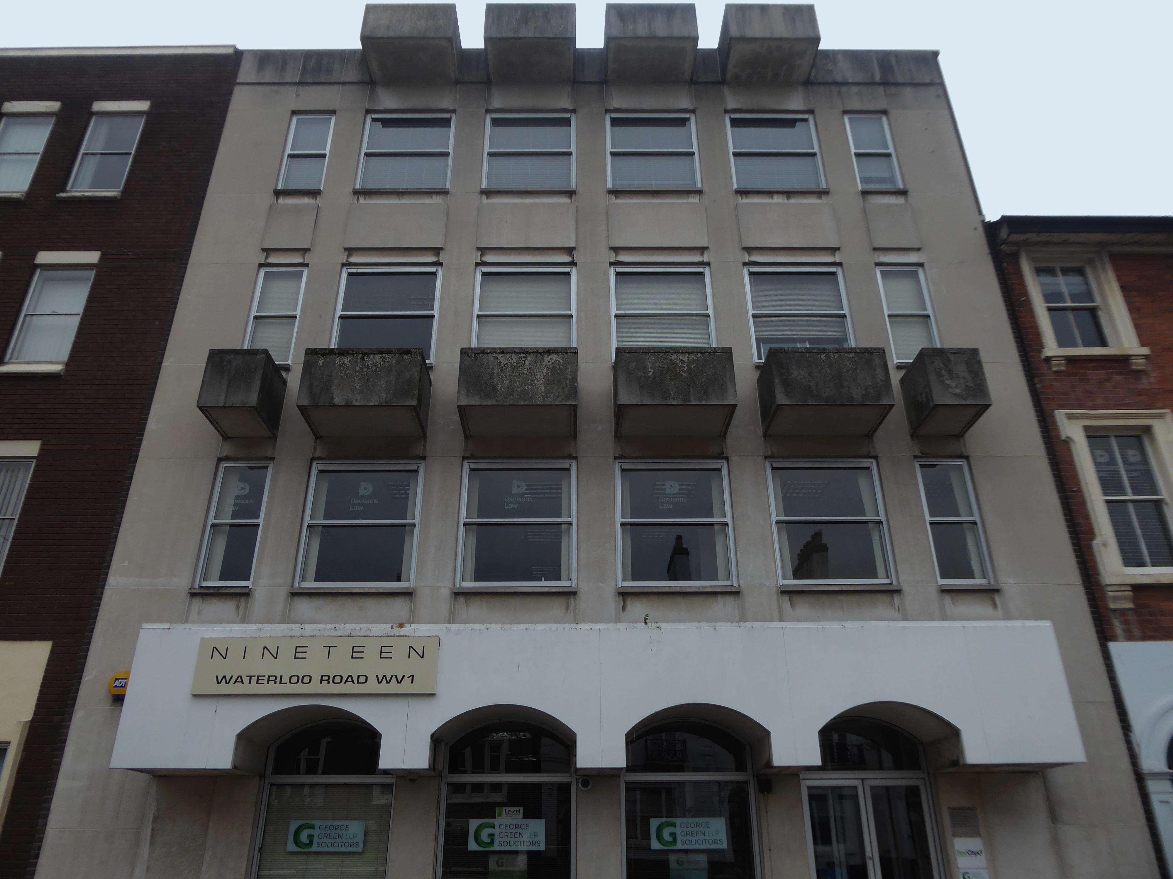
Nineteen Waterloo Road latterly First City House formerly home to Eagle Star Insurance 1970
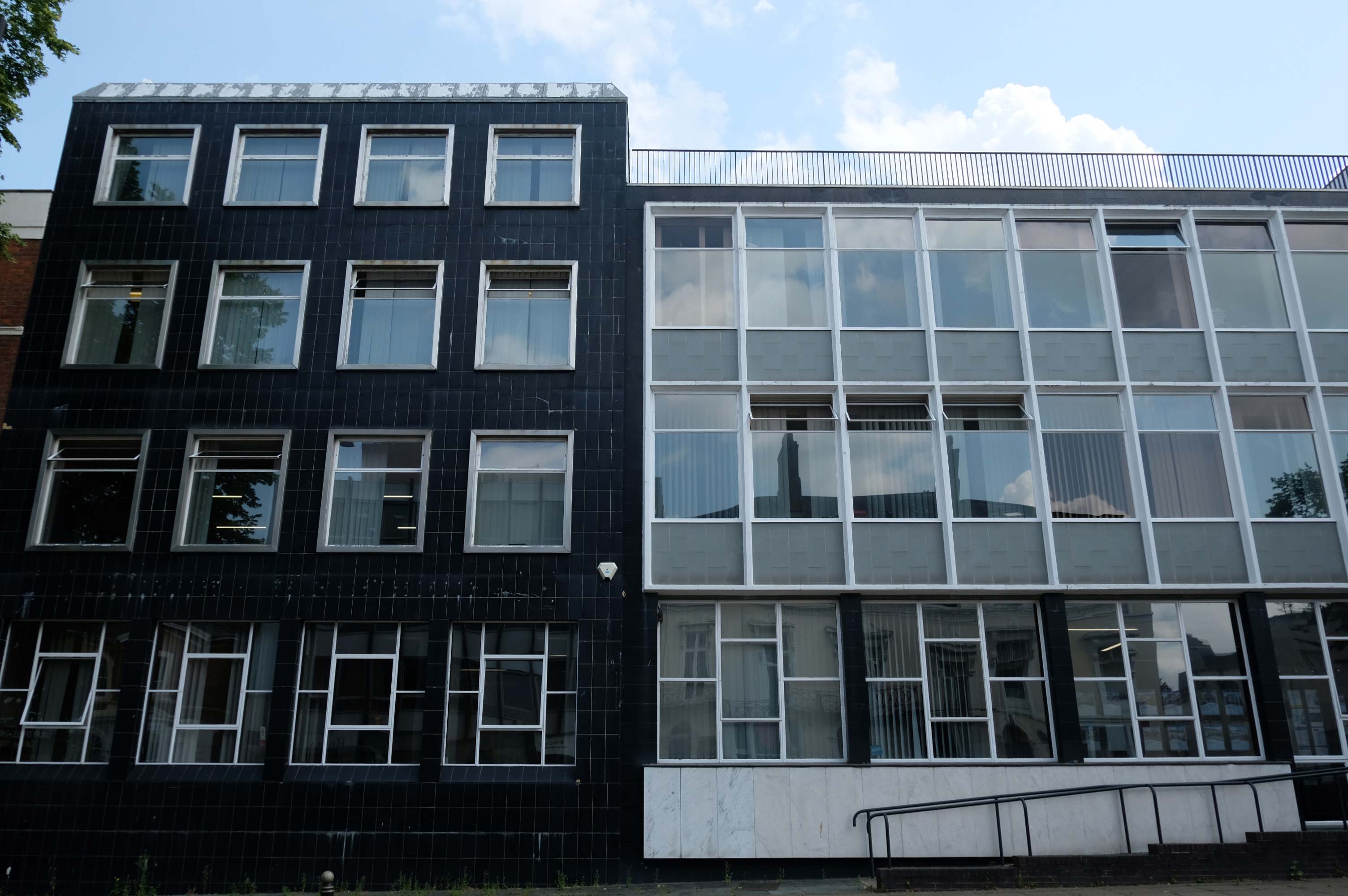
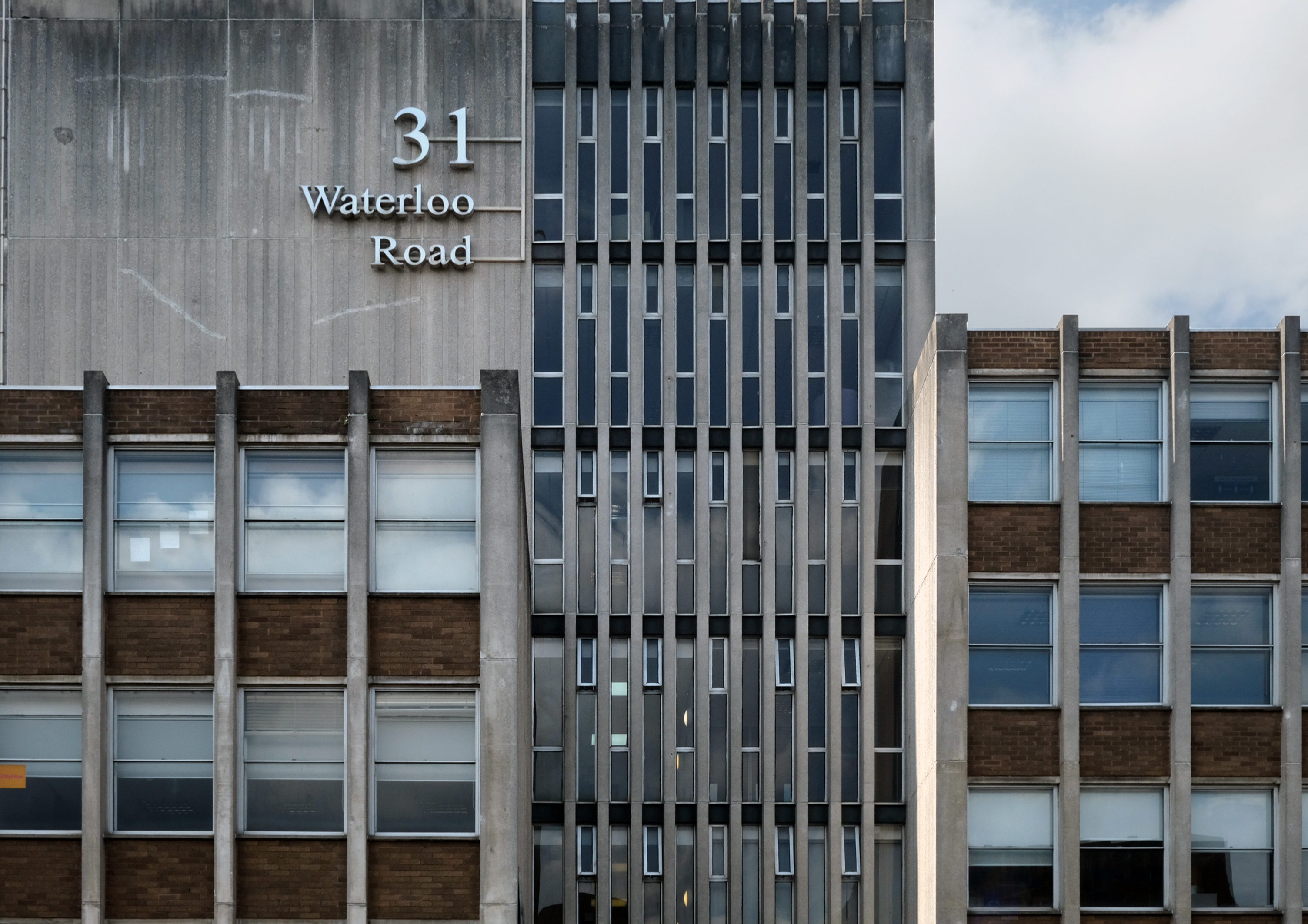
8-10 Waterloo Road architects: Richard Twentyman 1959 extended 1966.
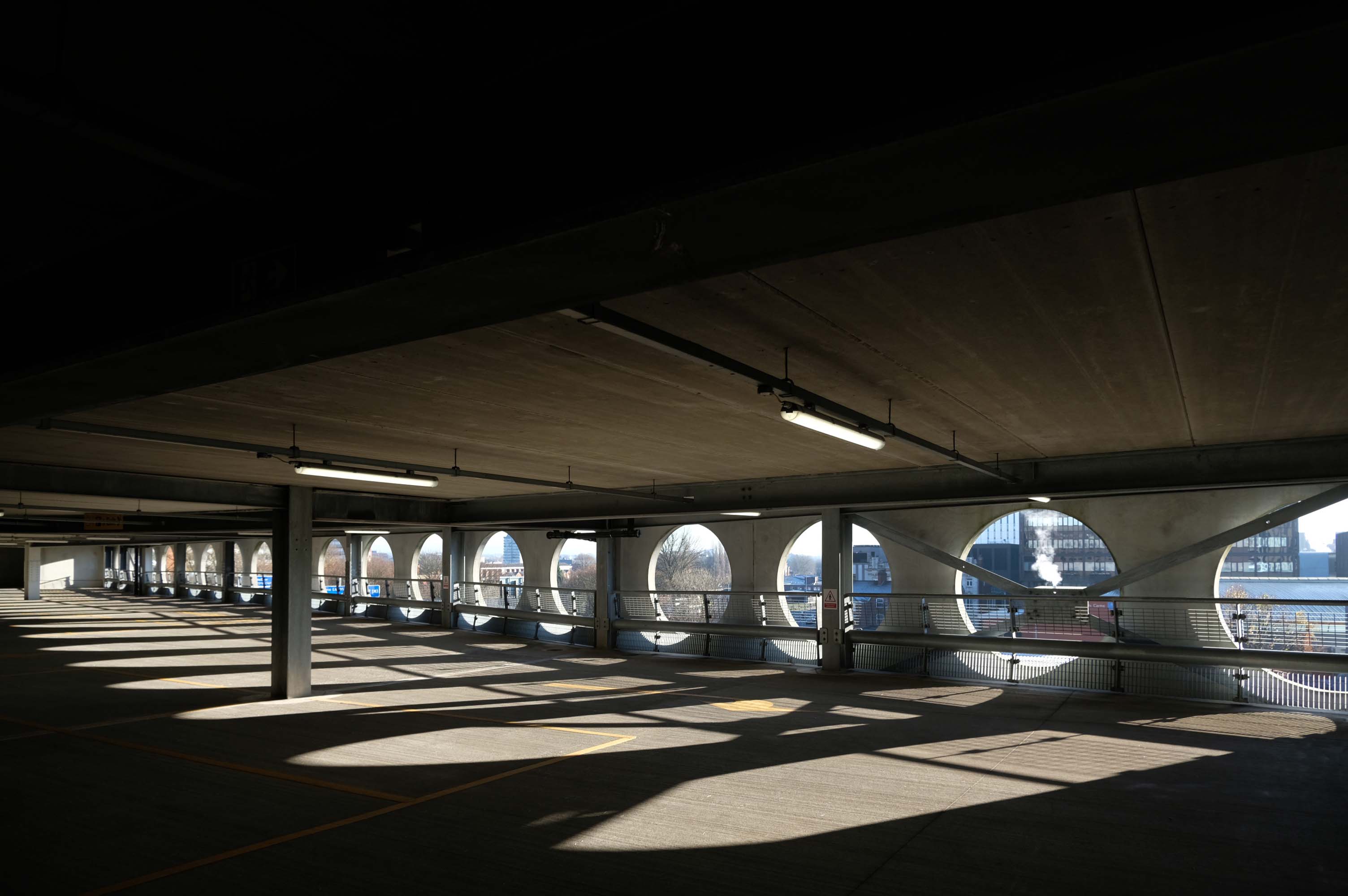
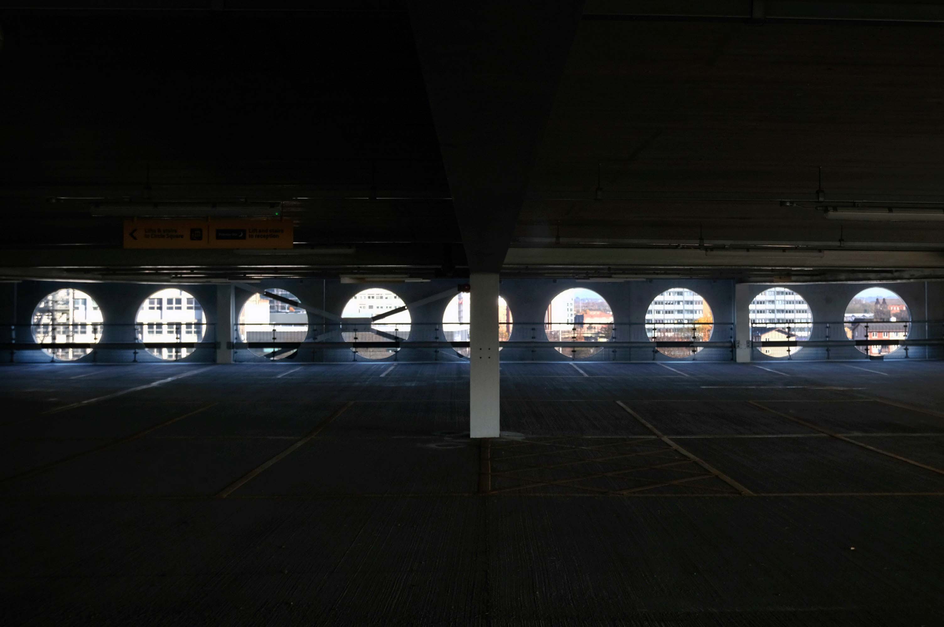
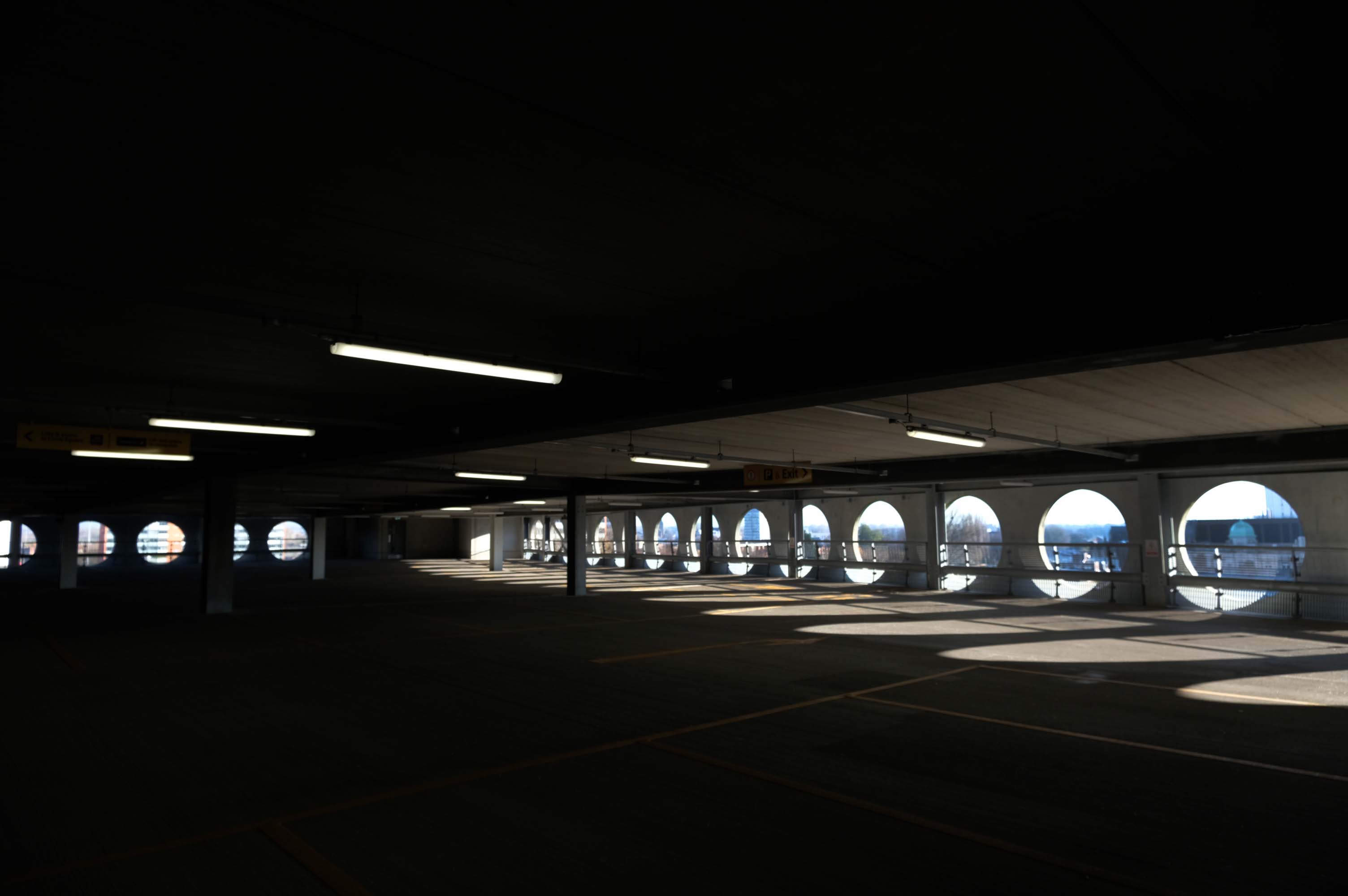
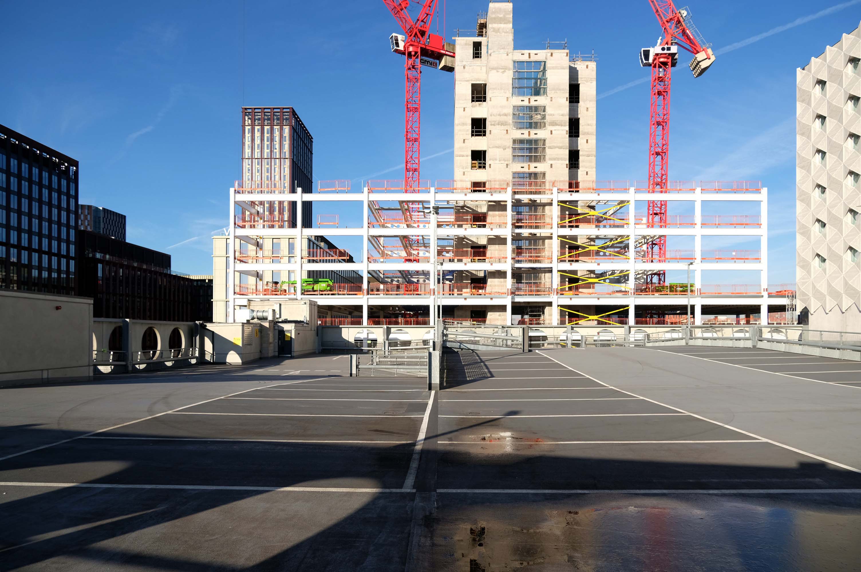
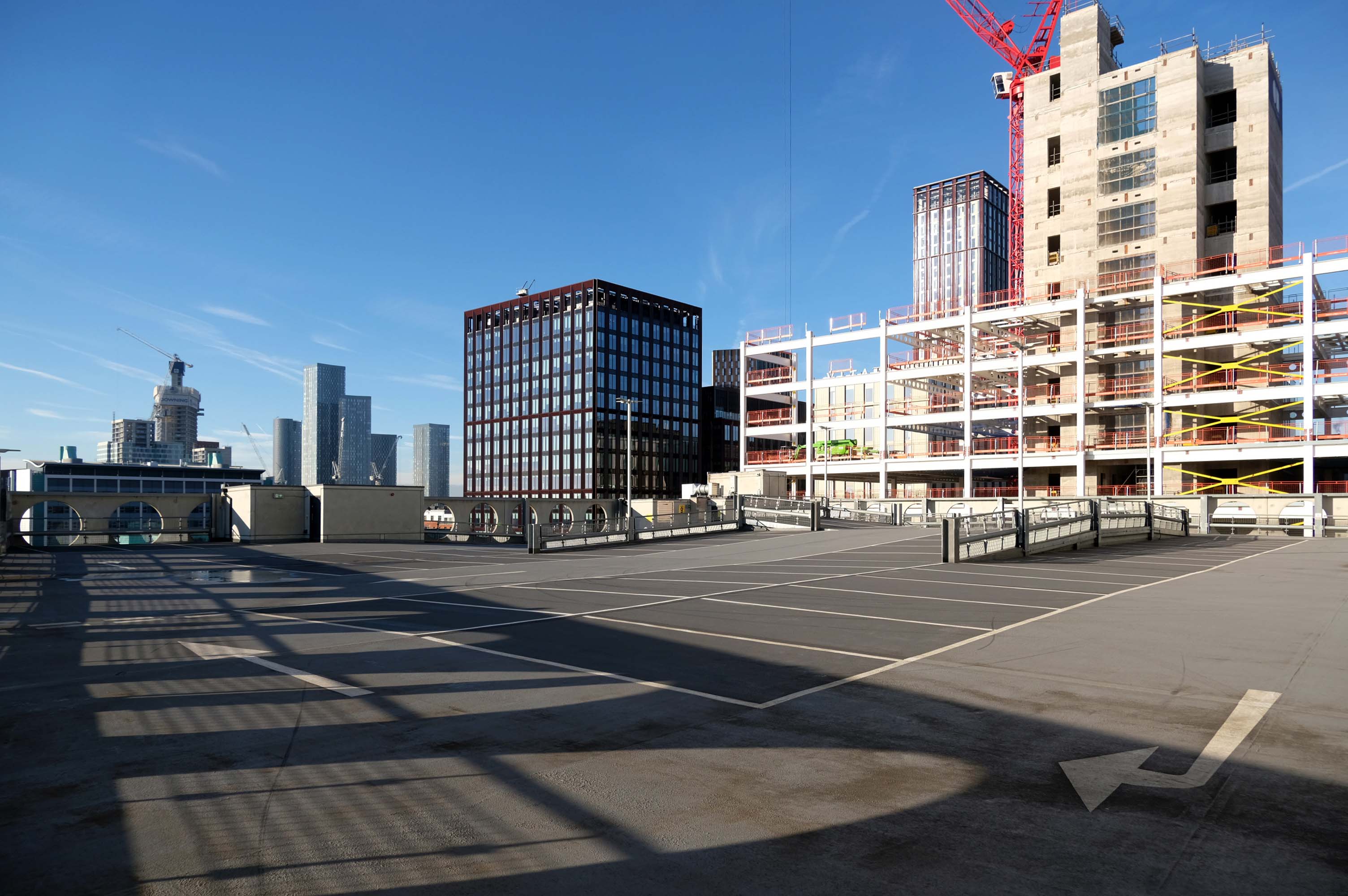
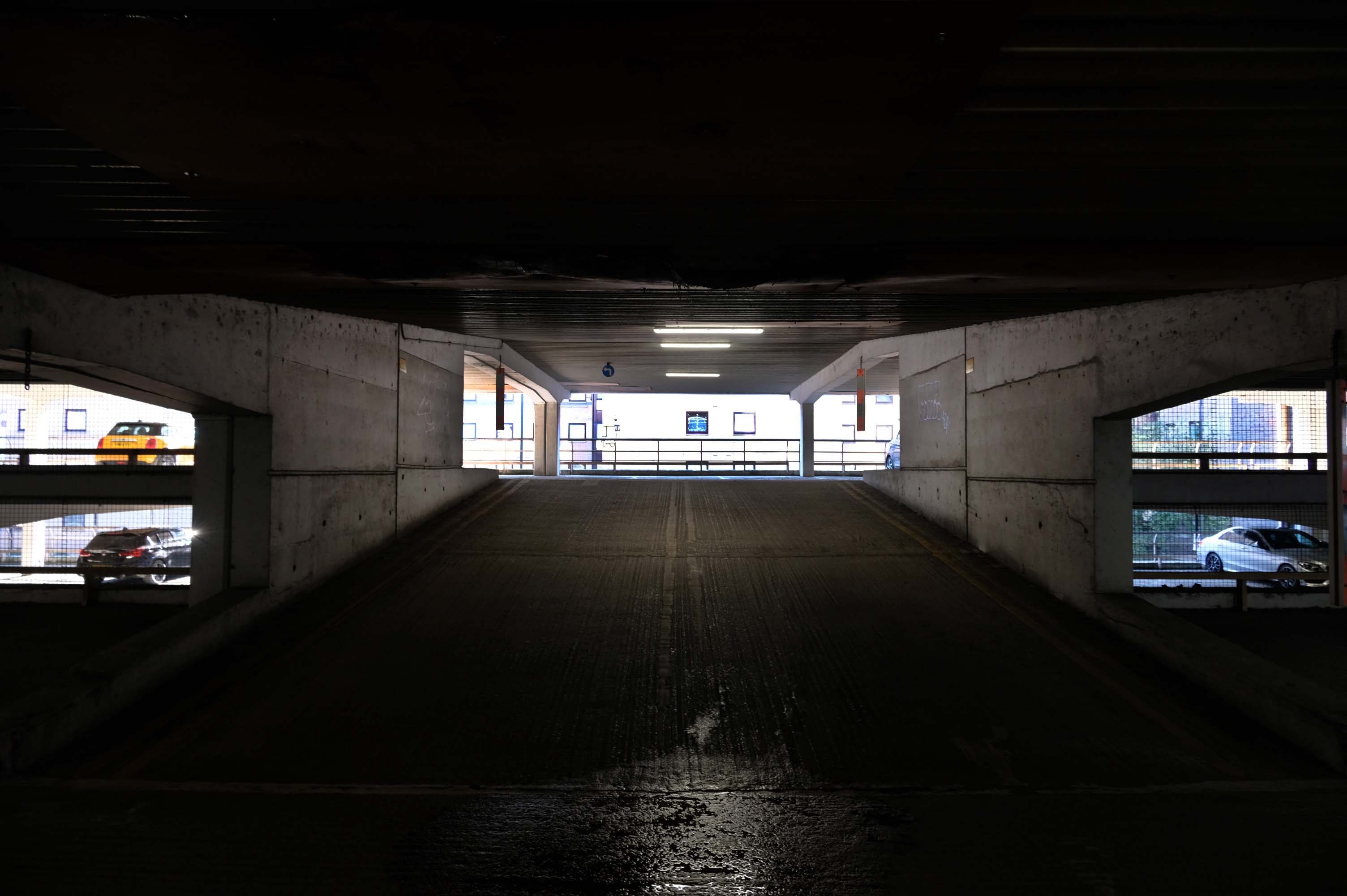
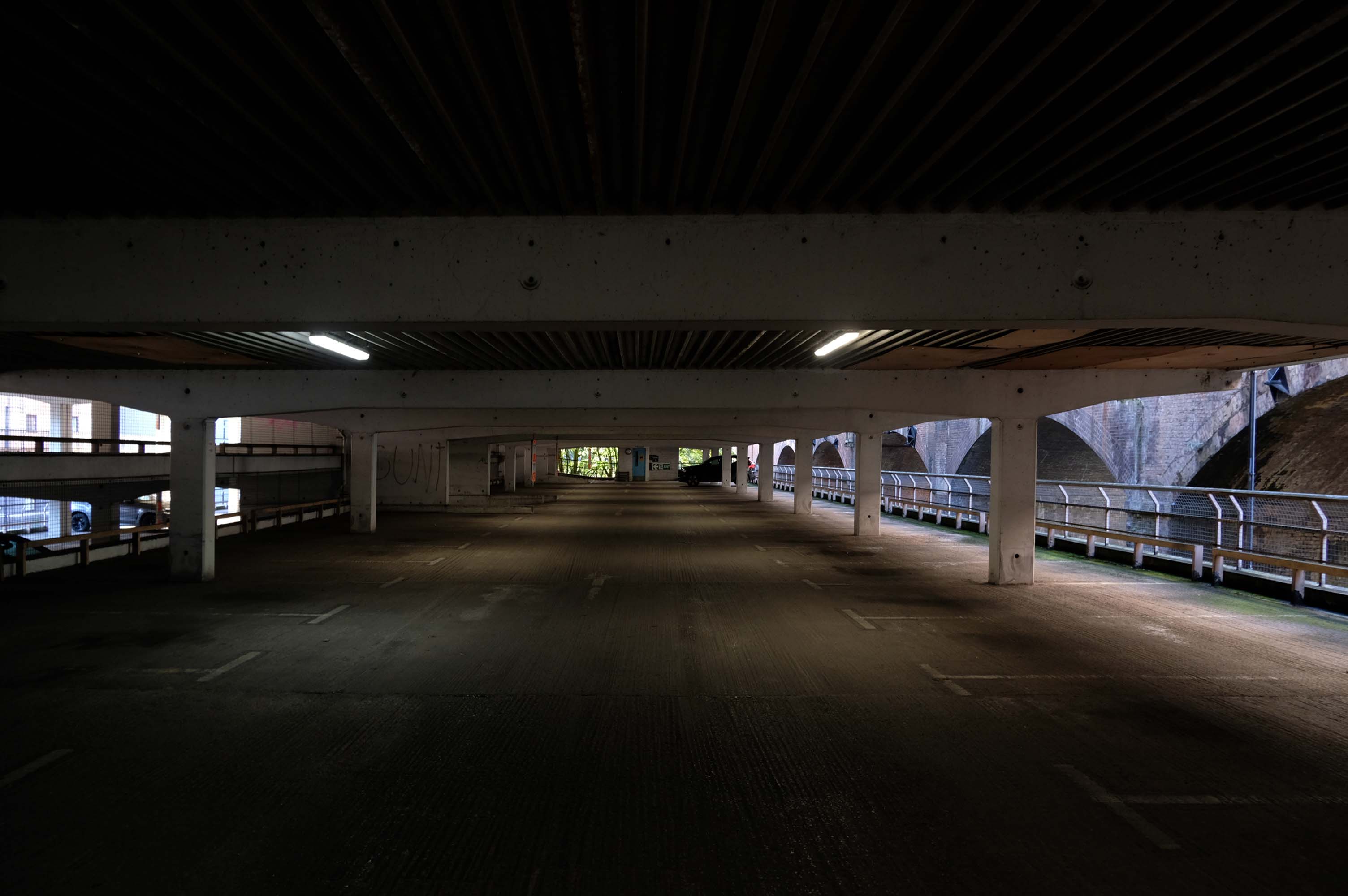
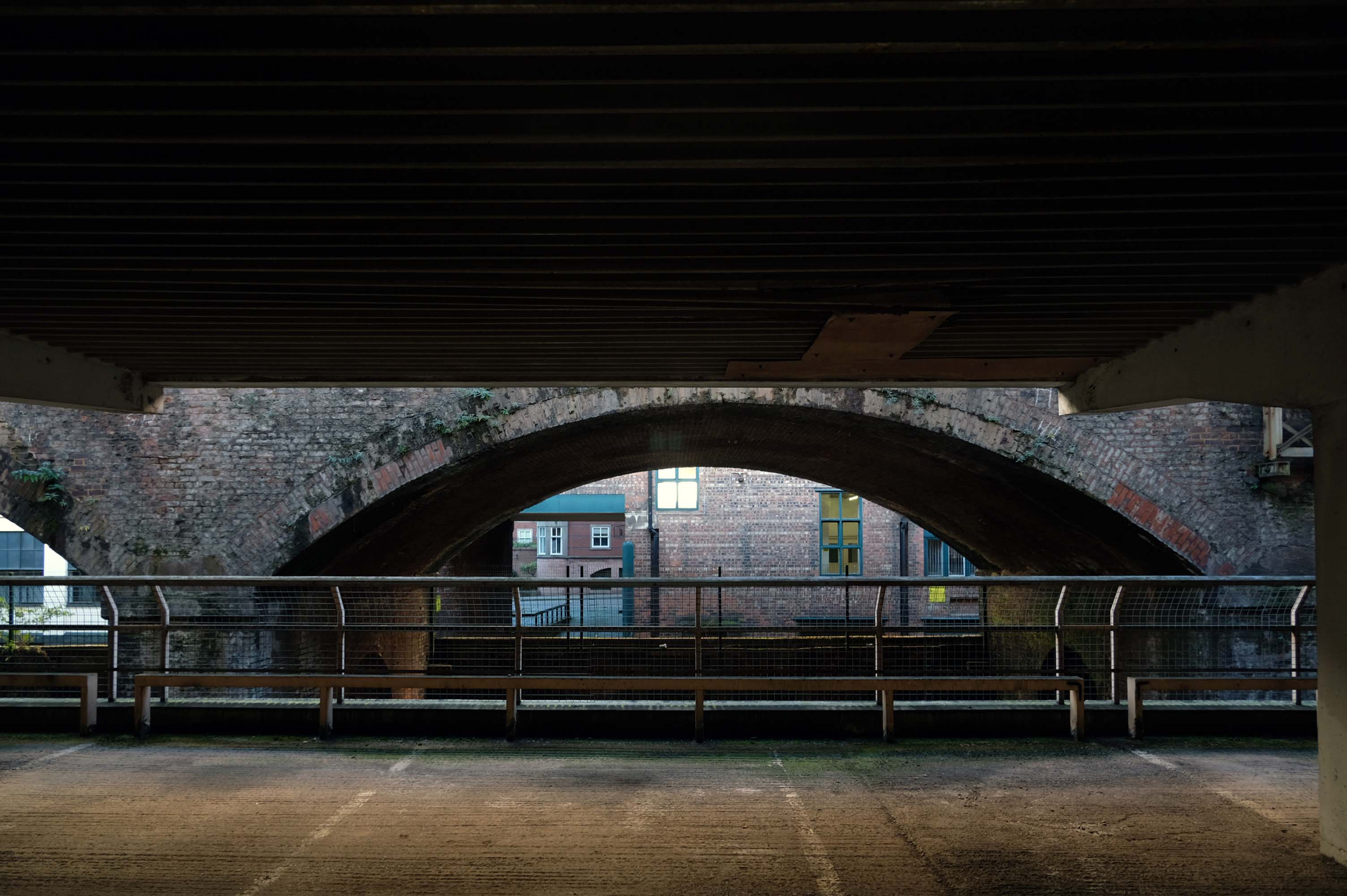
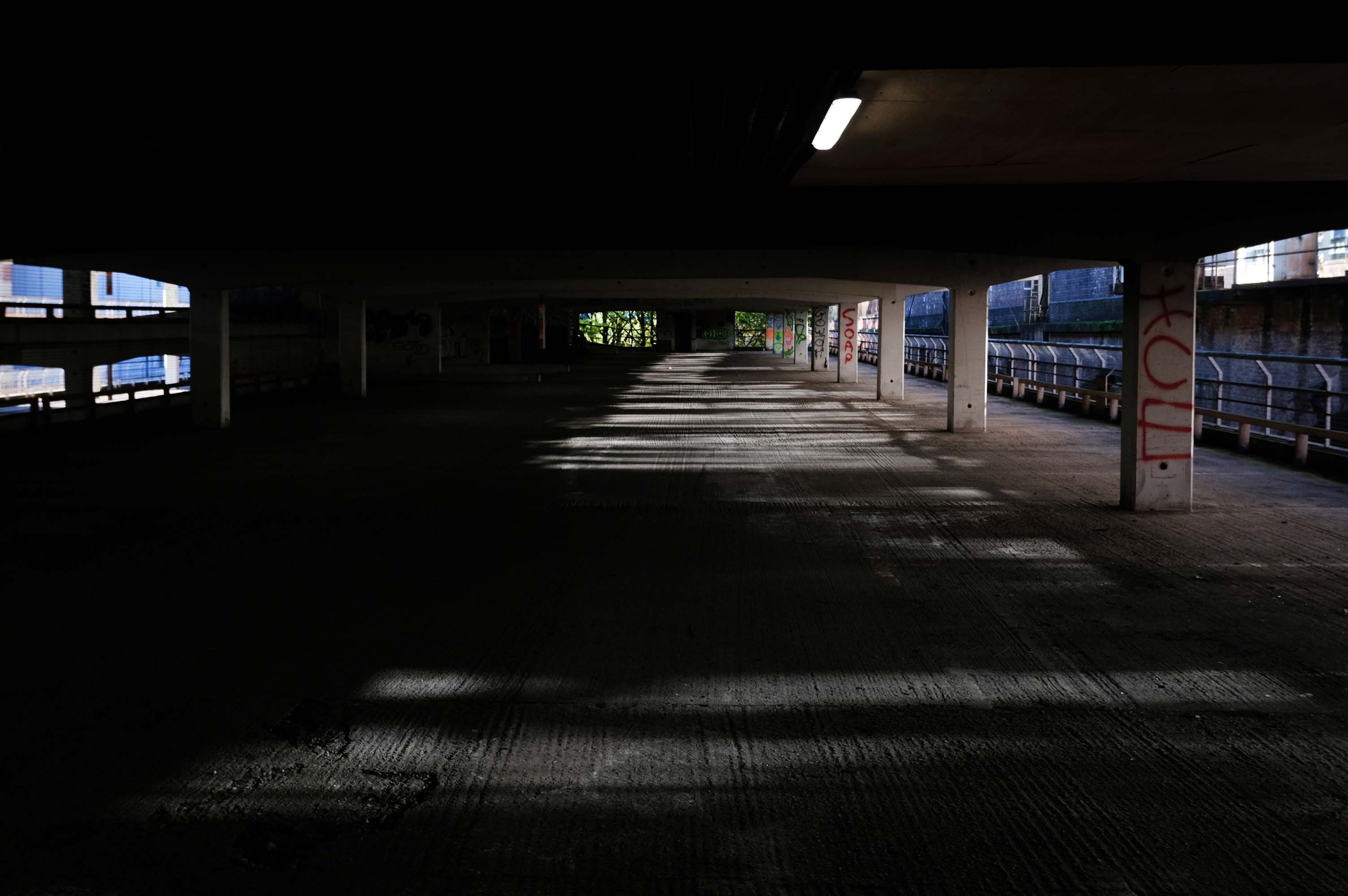
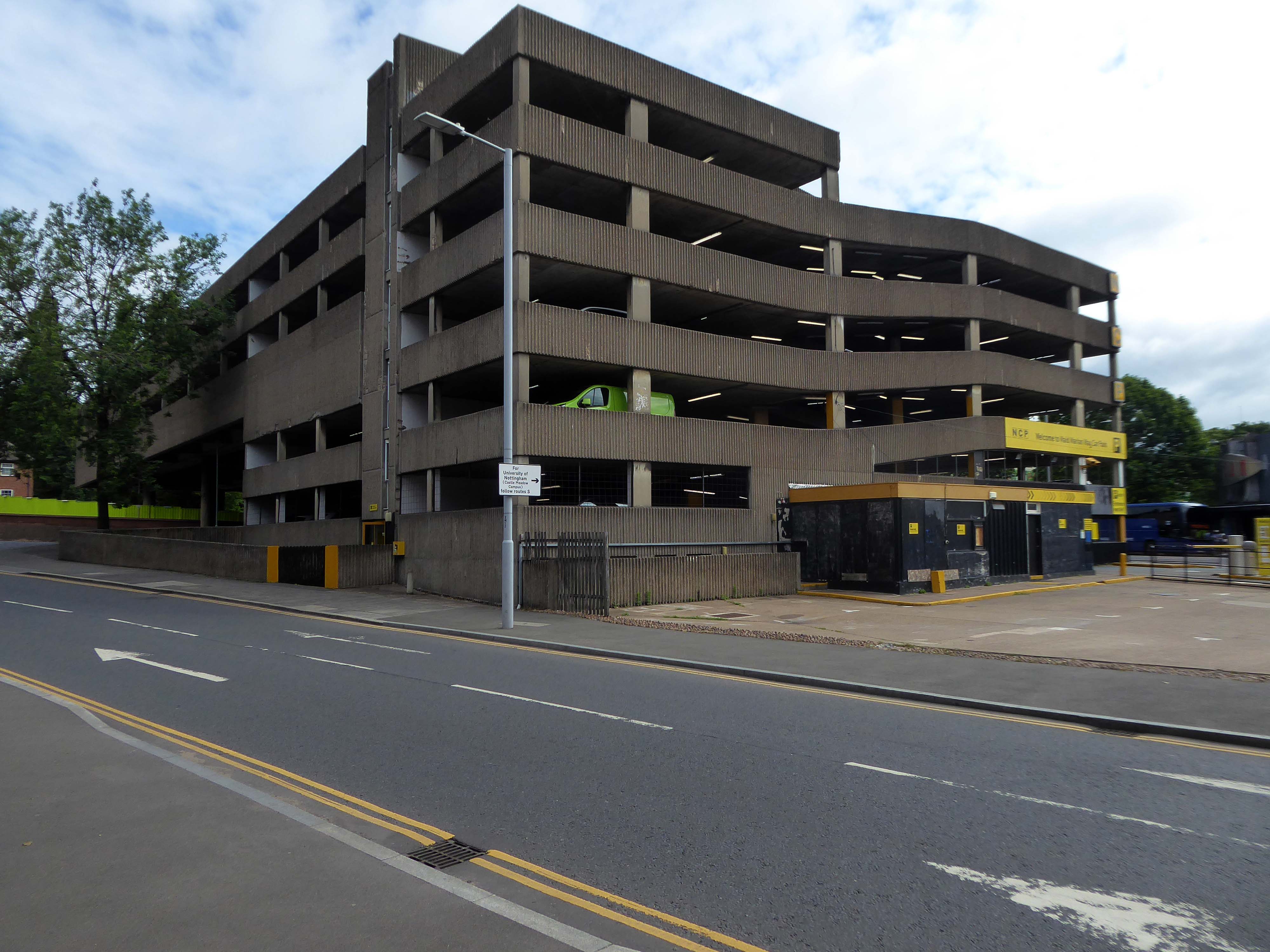
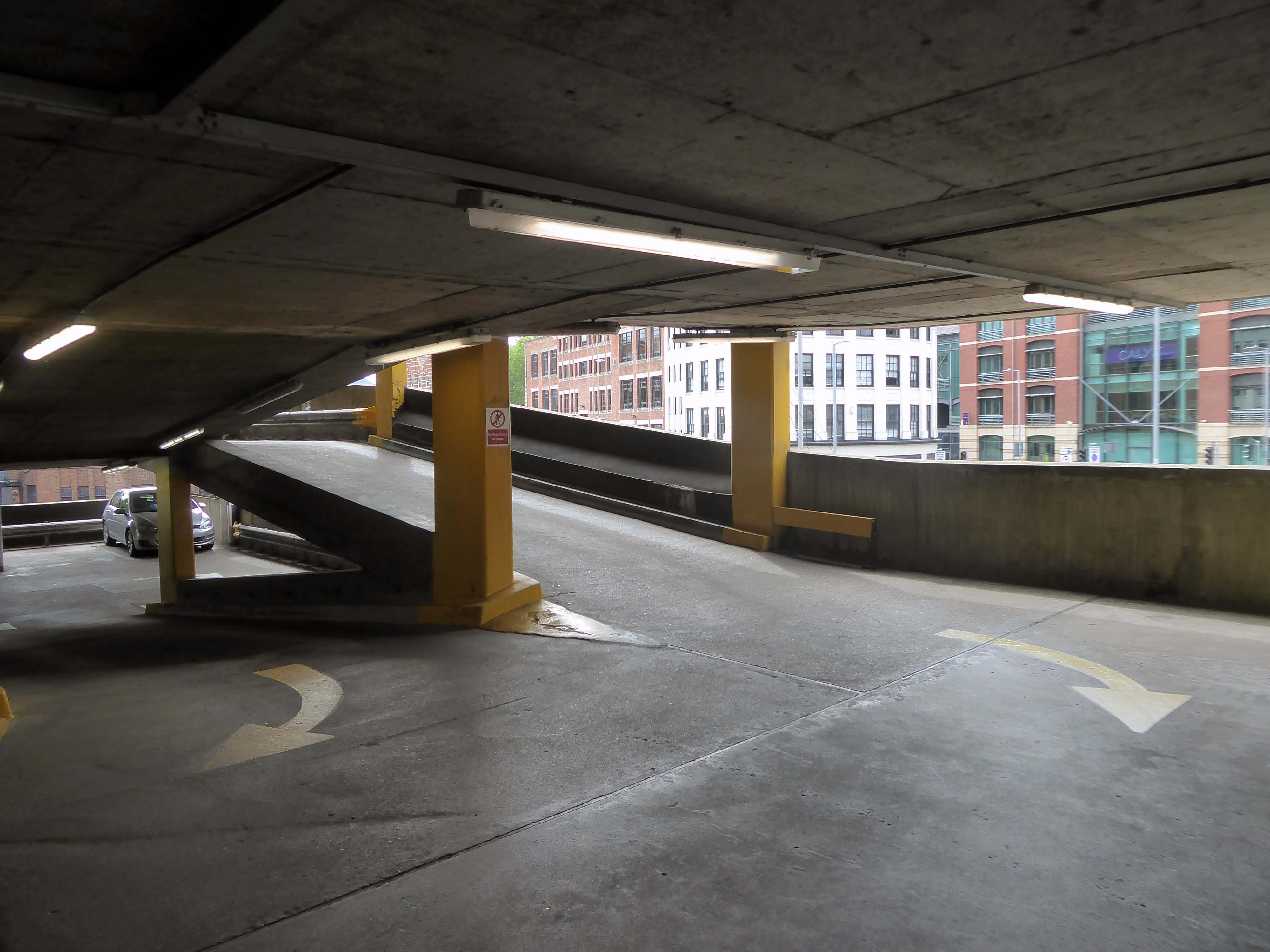
This has narrow ramps up and down, and narrow parking spots.
One ticket machine upon entry wouldn’t dispense – the other was covered with a bag but did work, very weird.
Becky T
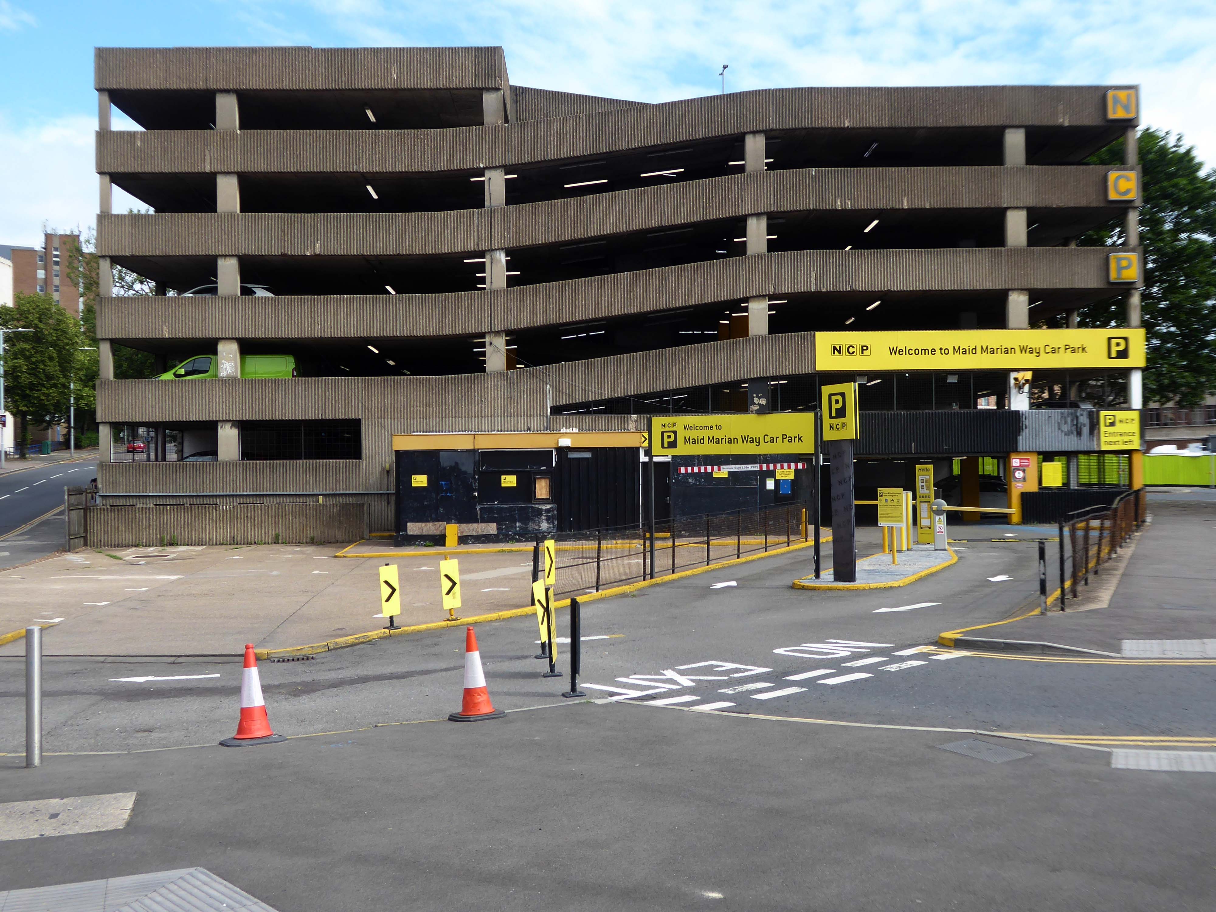
Anyway, a way must have a name, so why not Maid Marion?
Olivia De Havilland
Maid Marian is the heroine of the Robin Hood legend in English folklore, often taken to be his lover. She is not mentioned in the early, medieval versions of the legend, but was the subject of at least two plays by 1600. Her history and circumstances are obscure, but she commanded high respect in Robin’s circle for her courage and independence as well as her beauty and loyalty. For this reason, she is celebrated by feminist commentators as one of the early strong female characters in English literature.
Robin Hood and DH Lawrence apart it seems most apt – so Maid Marion Way it is then.
In November 1945, the city council decided to ask Parliament for the go ahead for a scheme likely to cost more than half a million pounds.
However, it would cut a swathe through medieval streets, wiping some from the map and spelling the end of a community life which had thrived for centuries.
The arguments, discussions and negotiations rumbled on for years. It would be 1963 before work finally got underway and the new road was built.
Less than two years after it was completed, it was given a label that has stuck over the past four decades — the ugliest street in Europe.
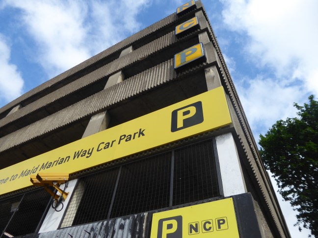
Dual carriageways mean cars, cars mean car parks and car parks mean business.
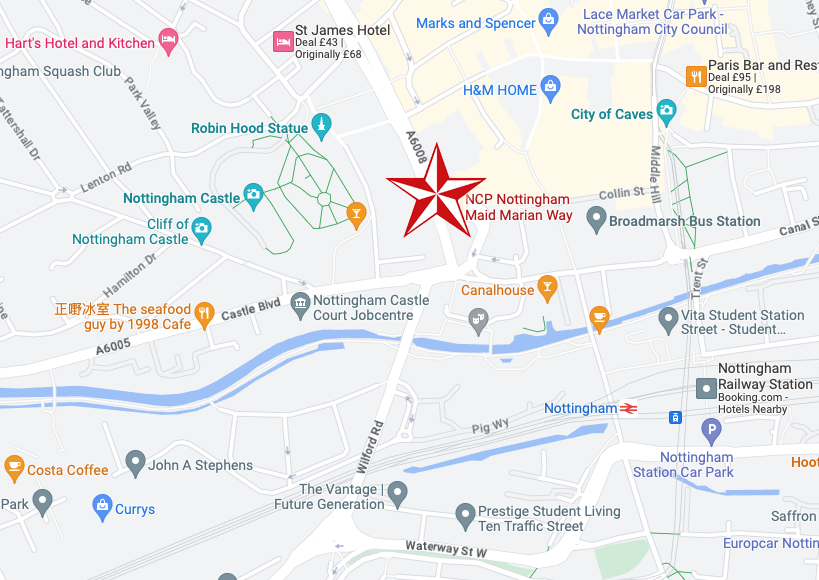
Whether you’re visiting a student or are one yourself, parking at our car park on Maid Marian Way gives you easy access to the University of Nottingham.
For those who want a bit of retail therapy, look no further than the Intu Victoria shopping centre. Located within easy walking distance of our Maid Marian car park and right in the heart of the city centre, you’ll have a choice of over fifty shops to browse.
If you’re a bit of a history buff then Nottingham Castle should definitely be on your ‘to do’ list. Park near the castle at Maid Marian Way, and you’re just minutes away from reliving tales of the past as you explore the original hidden caves equipped with a dungeon. Make sure you don’t leave without taking a picture with Nottingham’s most famous resident, Robin Hood, found just outside the castle.
Had a lovely conversation with a lady in the machine after my parking ticket was swallowed and learnt lots about the poor acoustic in car parks. They charged me twice to park my car which made me feel lots of negative emotions towards them. So all in all, a bit of rollercoaster. Highly recommend this experience for anyone looking for somewhere to park that enjoys conflict and has lots of money they don’t need.
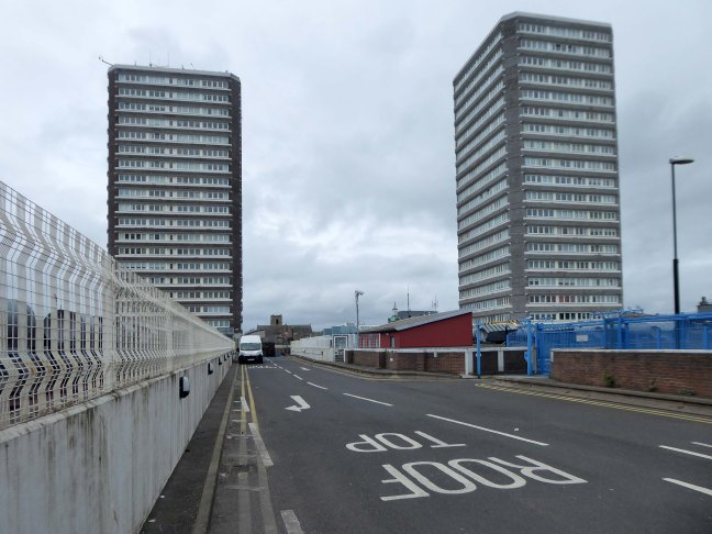
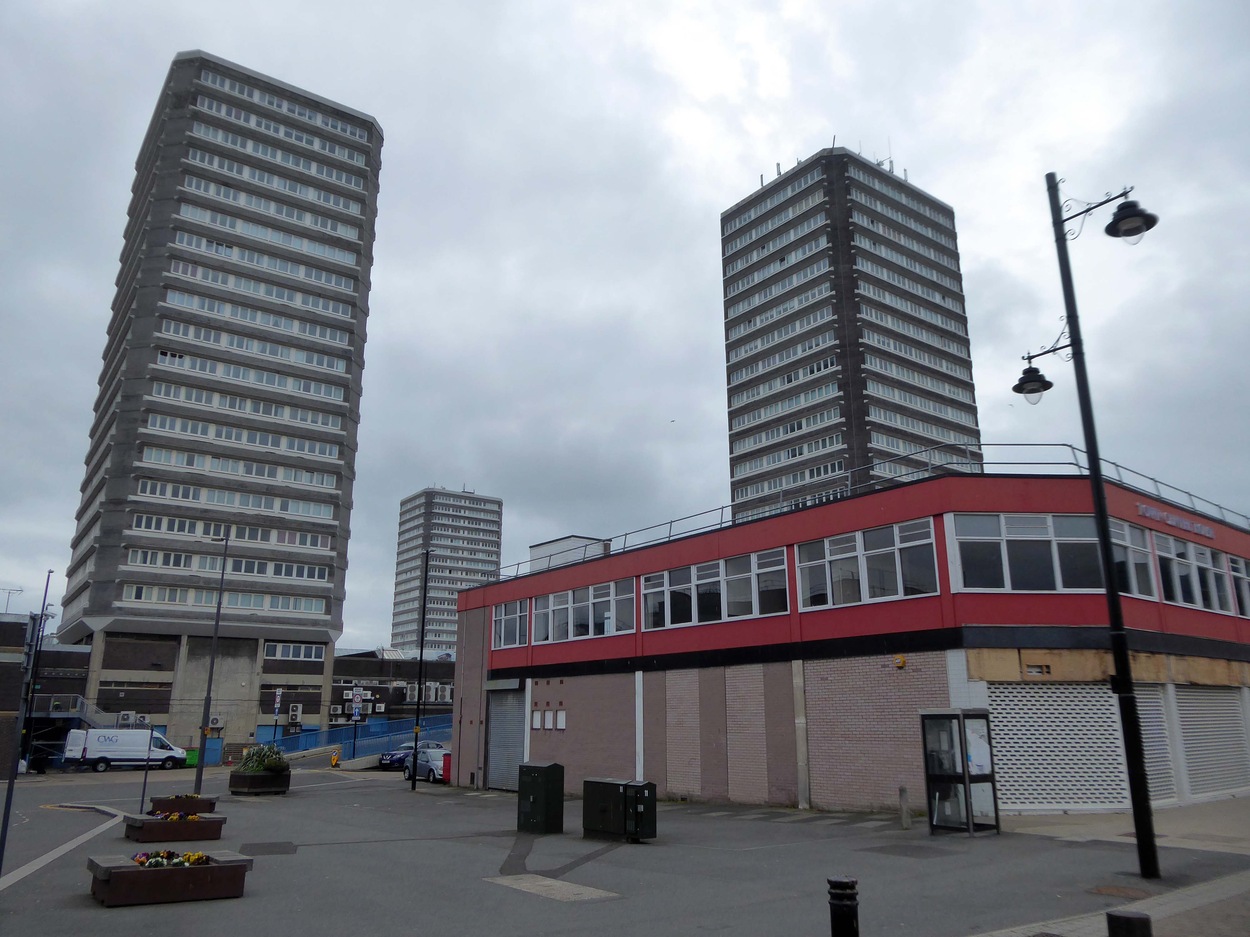
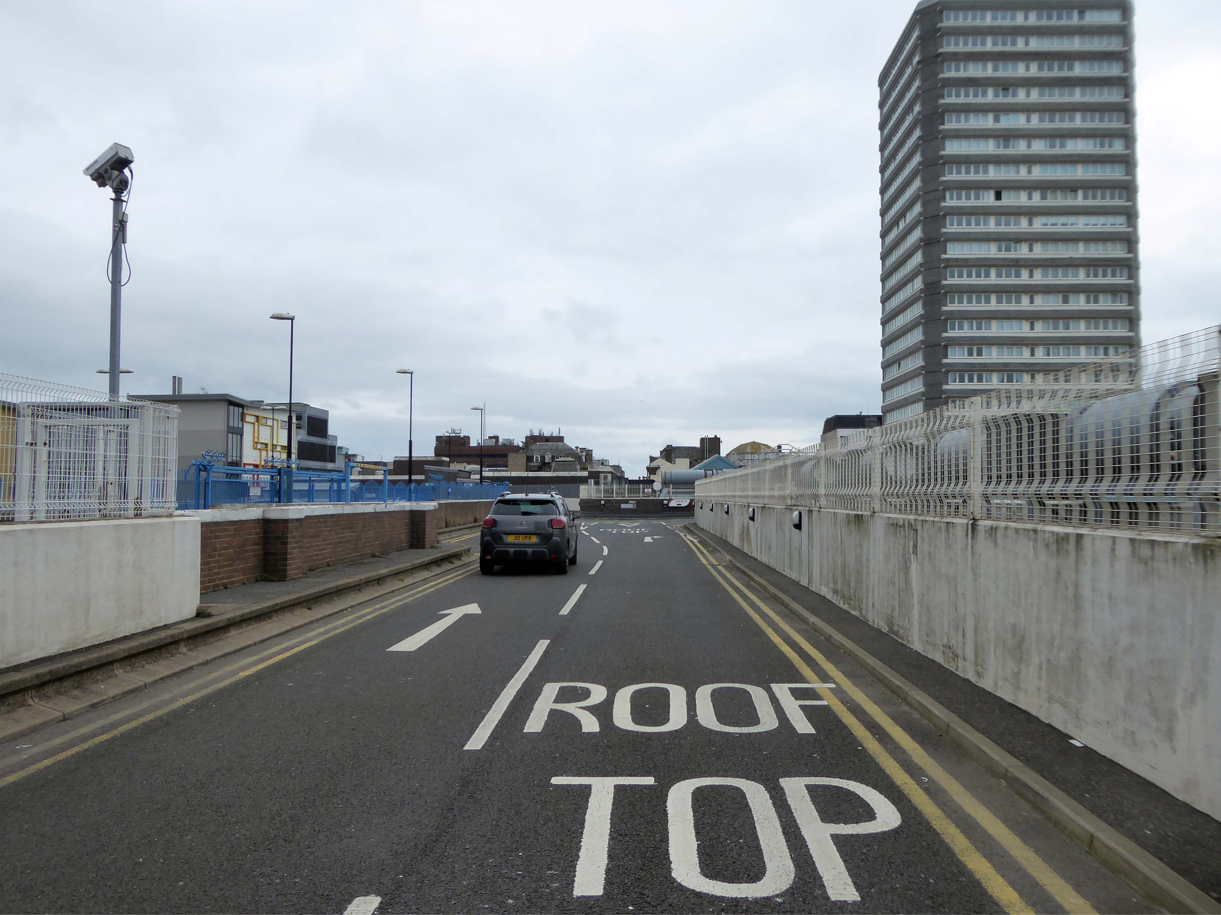
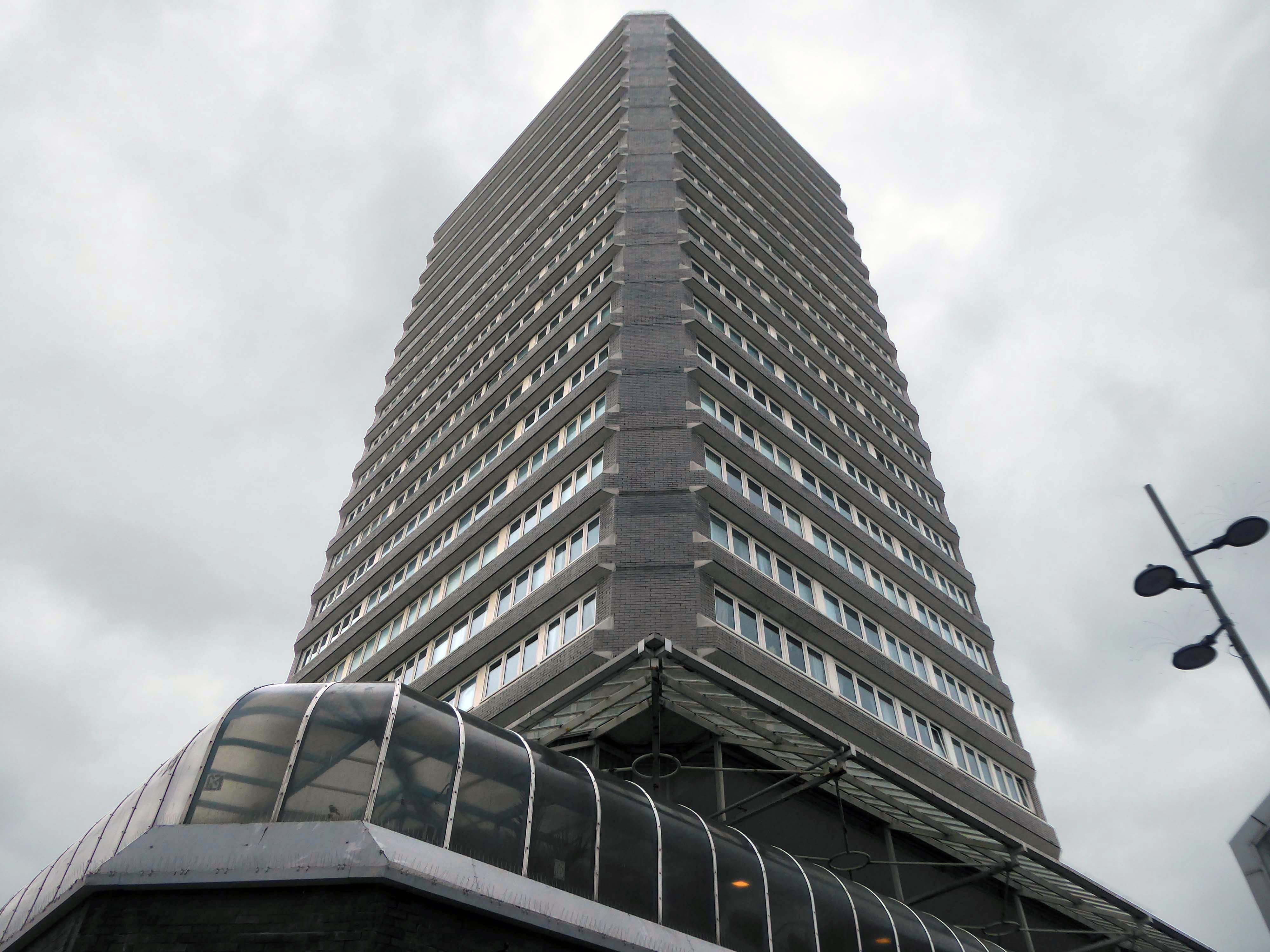
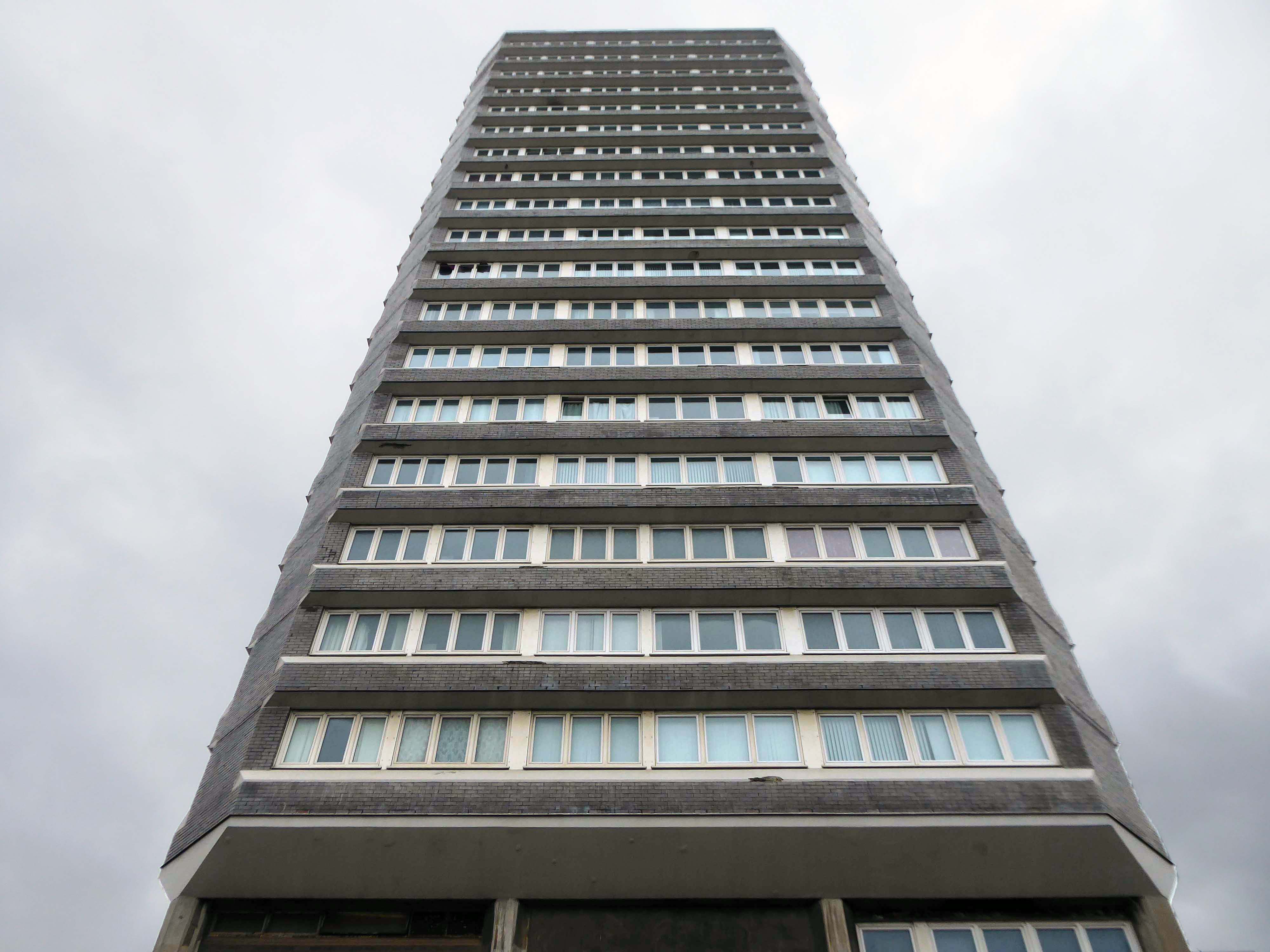
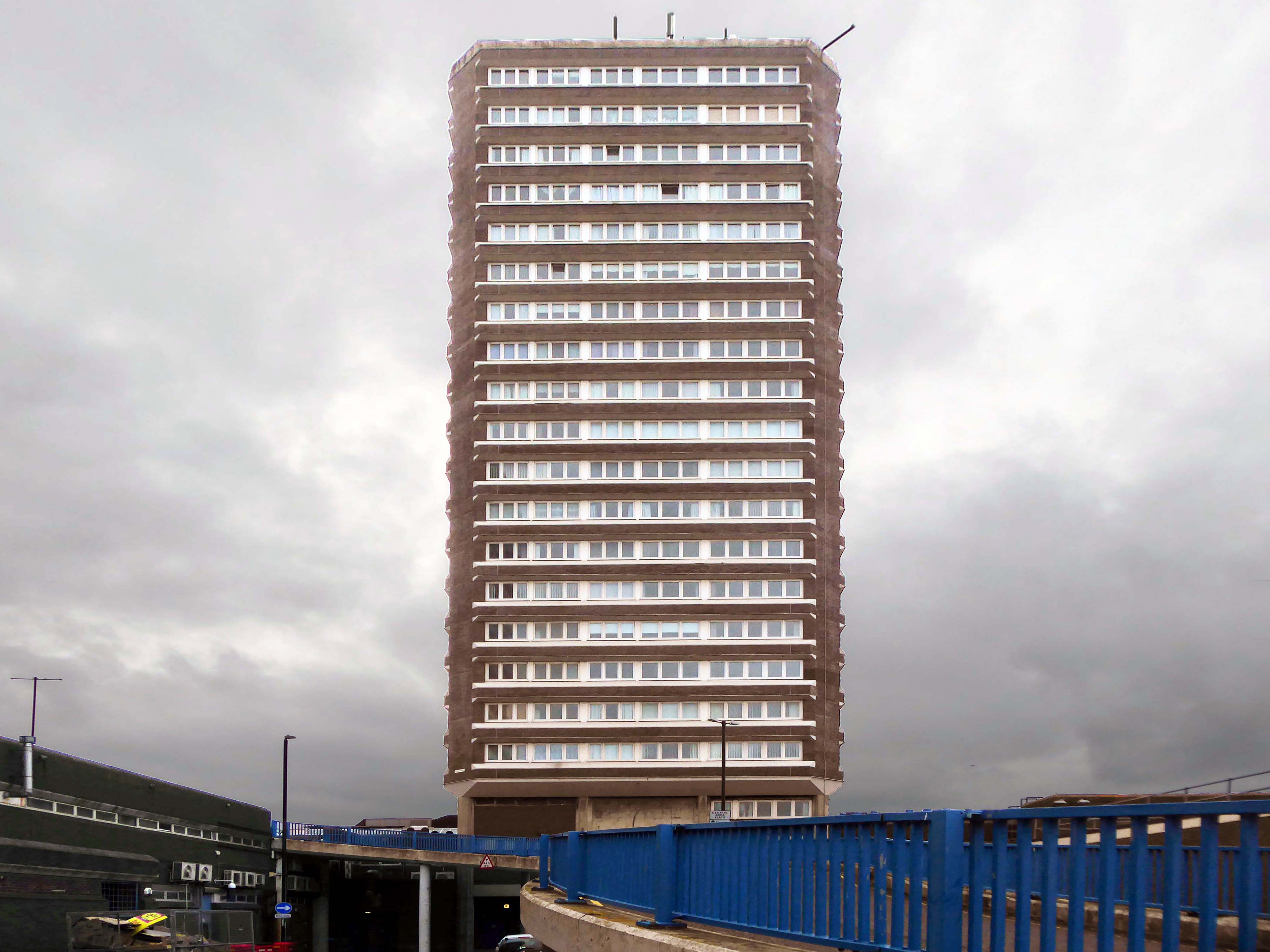
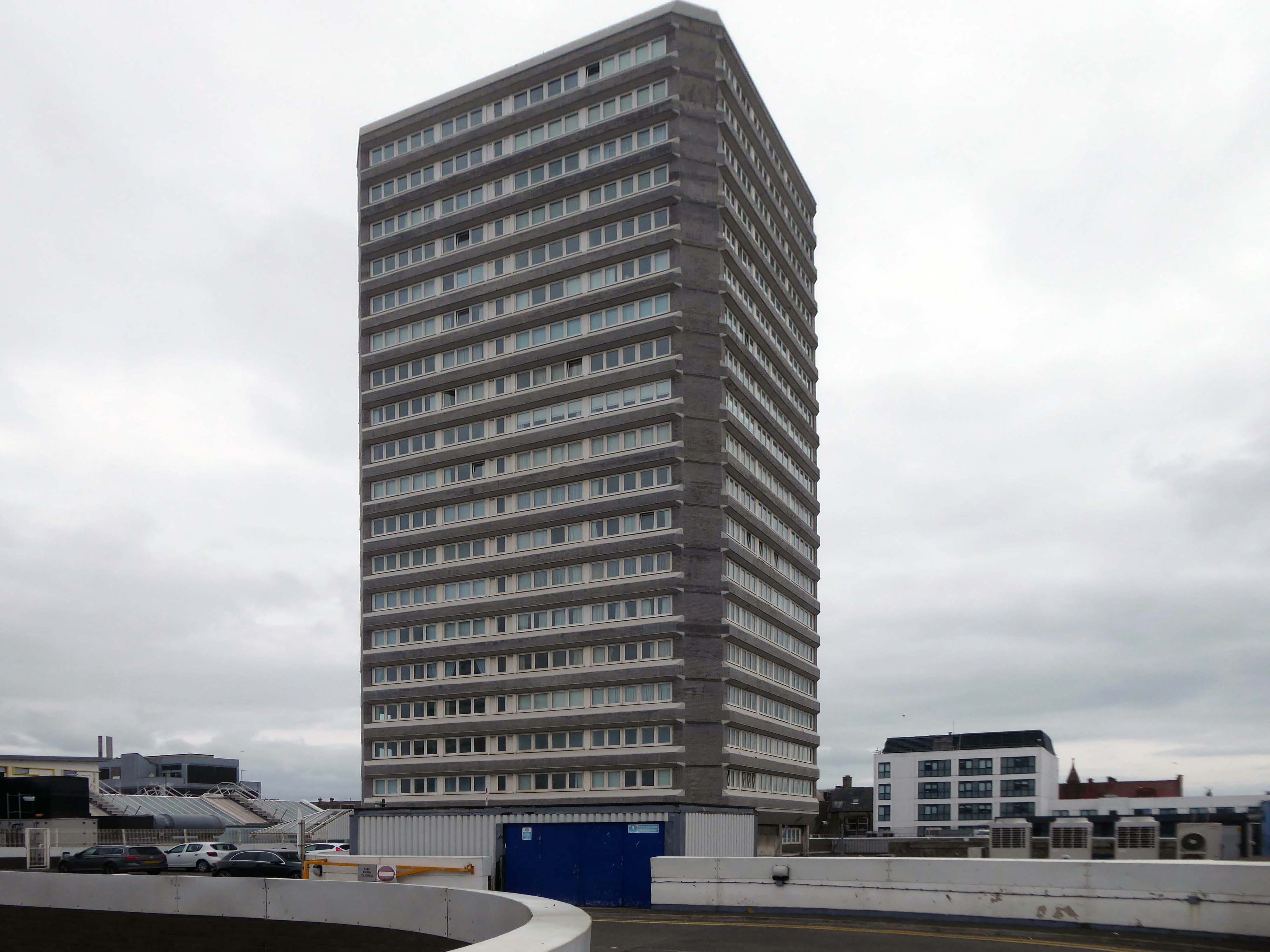
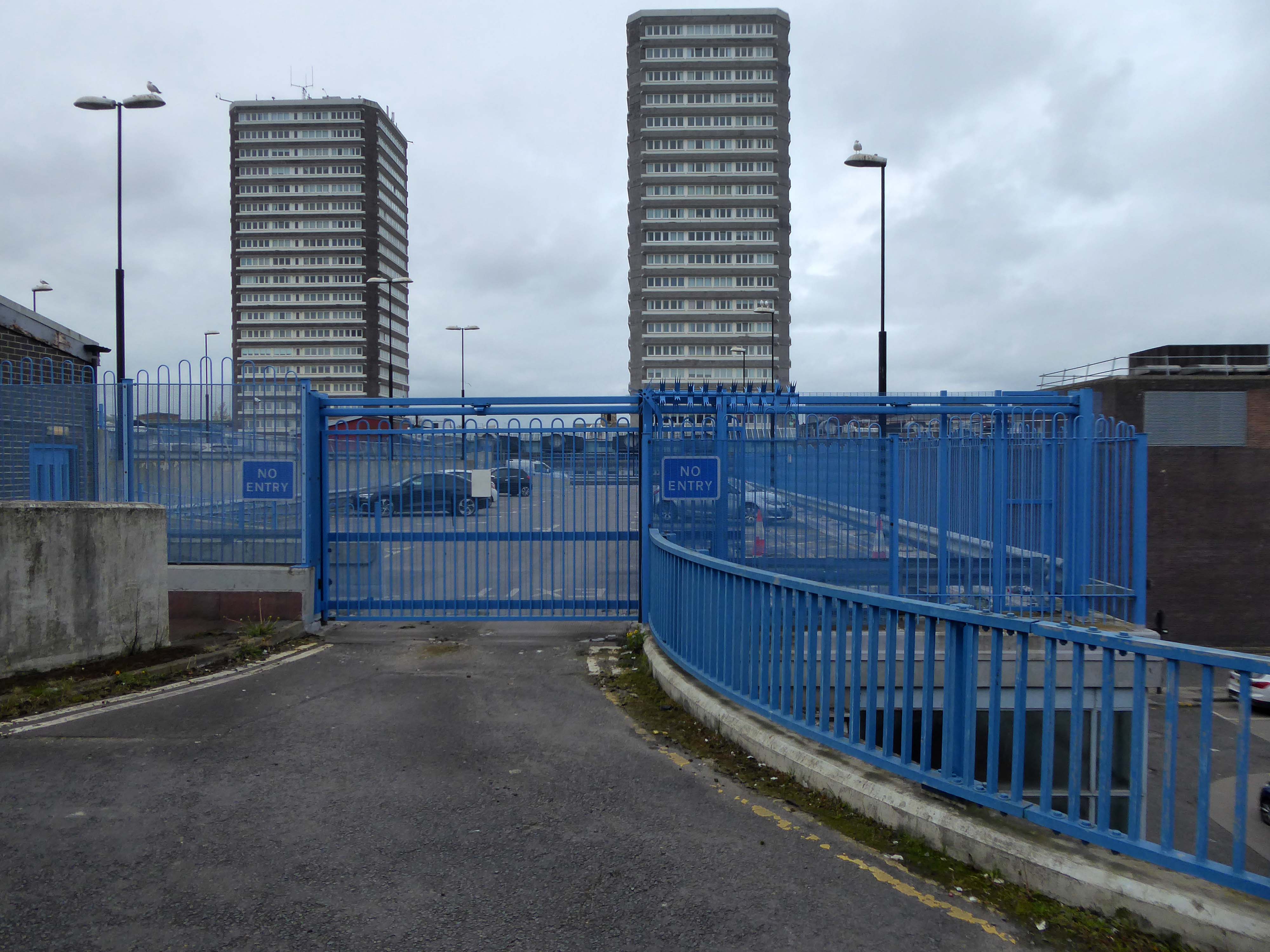
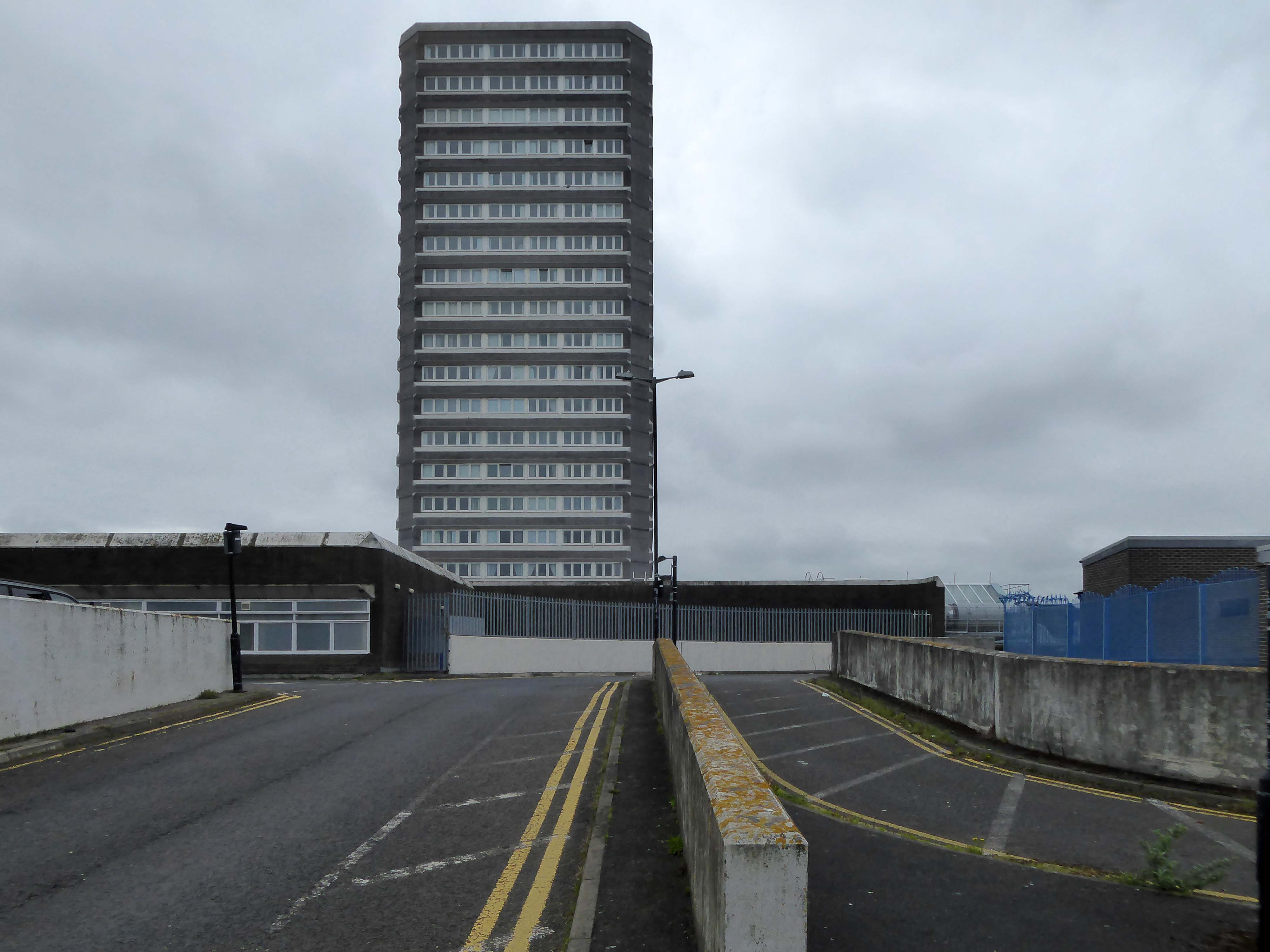
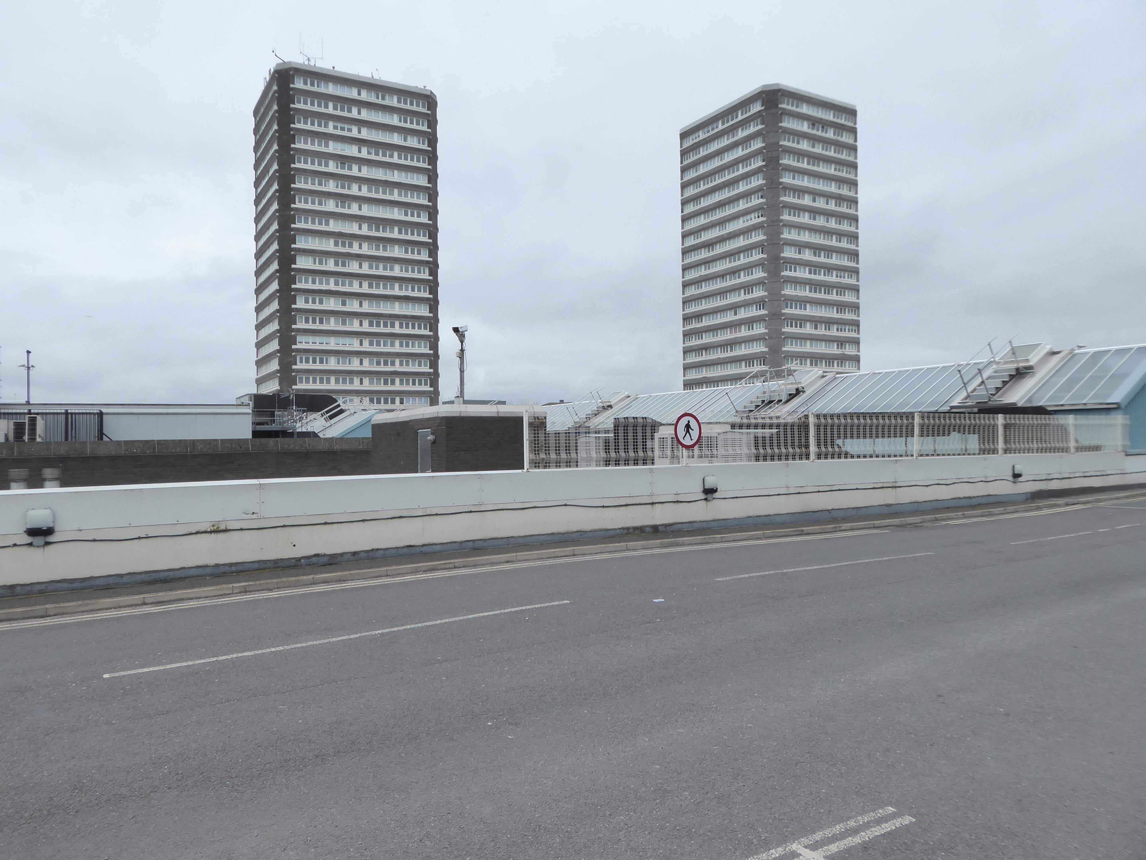
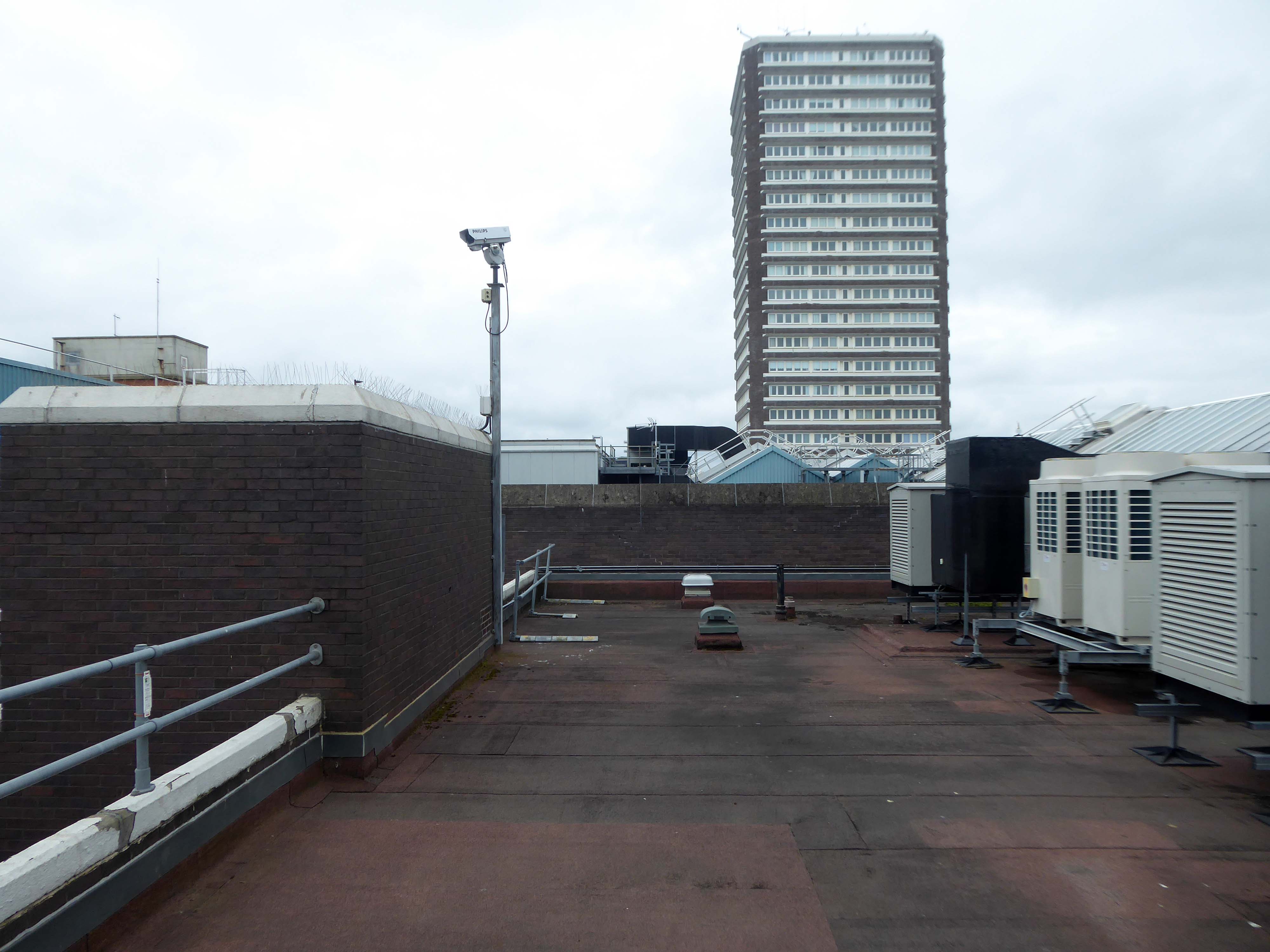
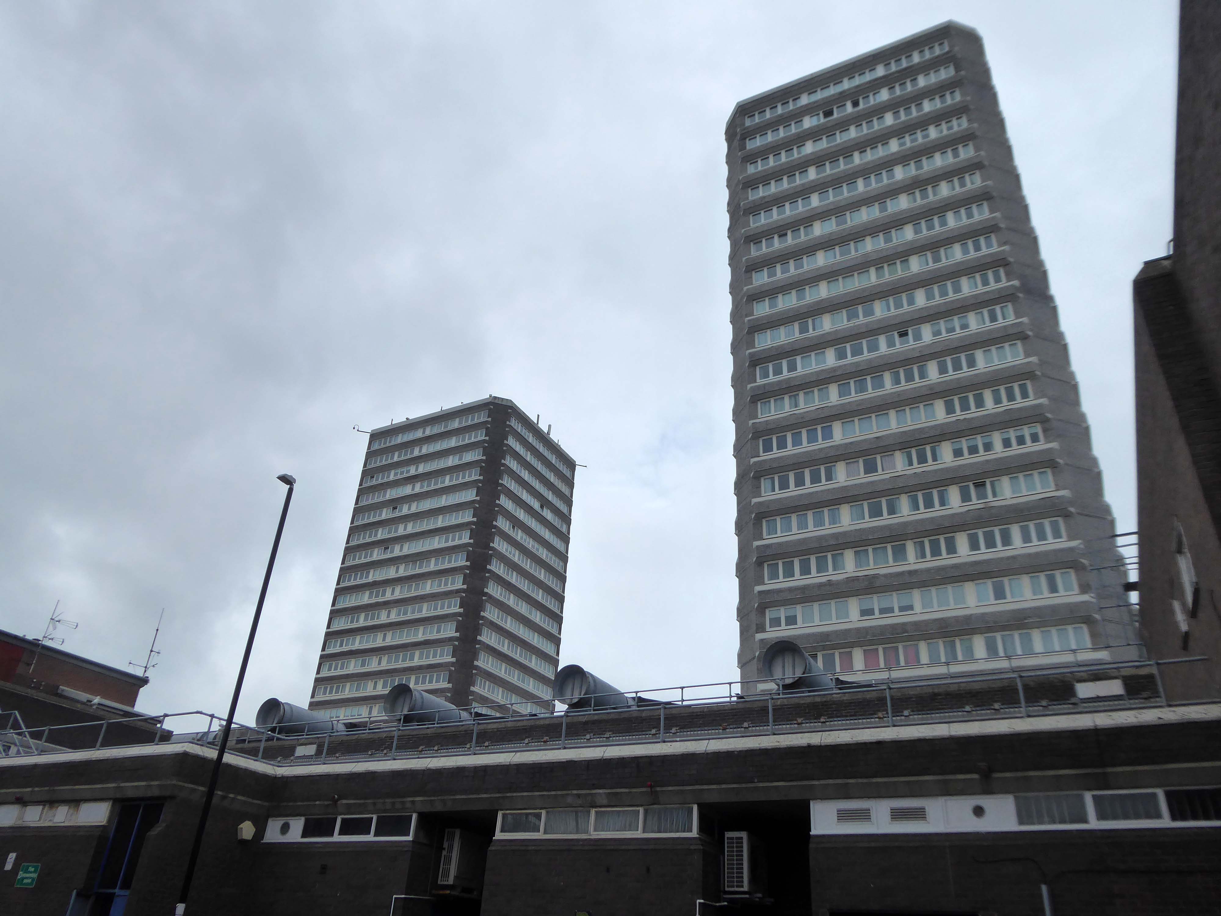
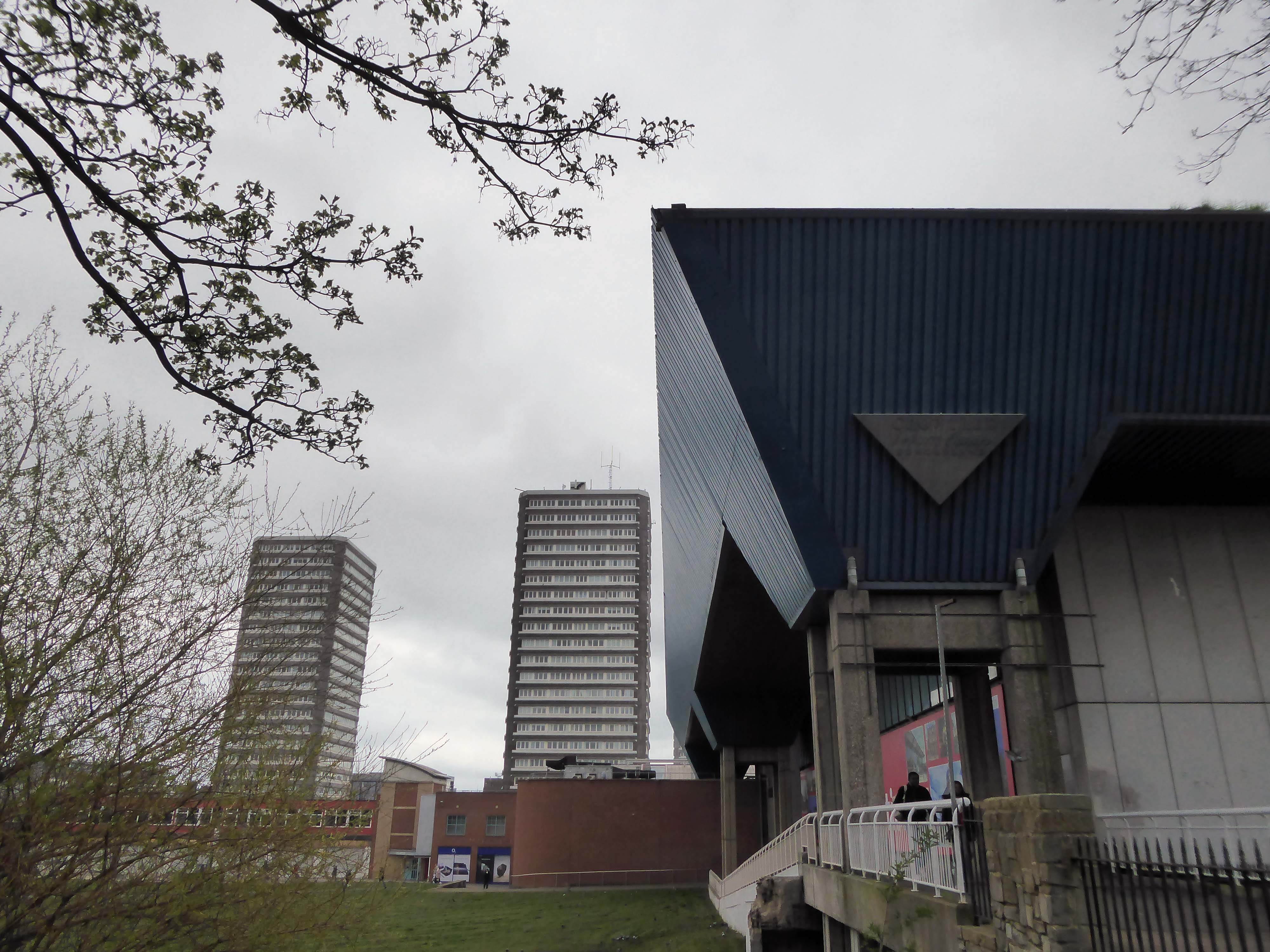
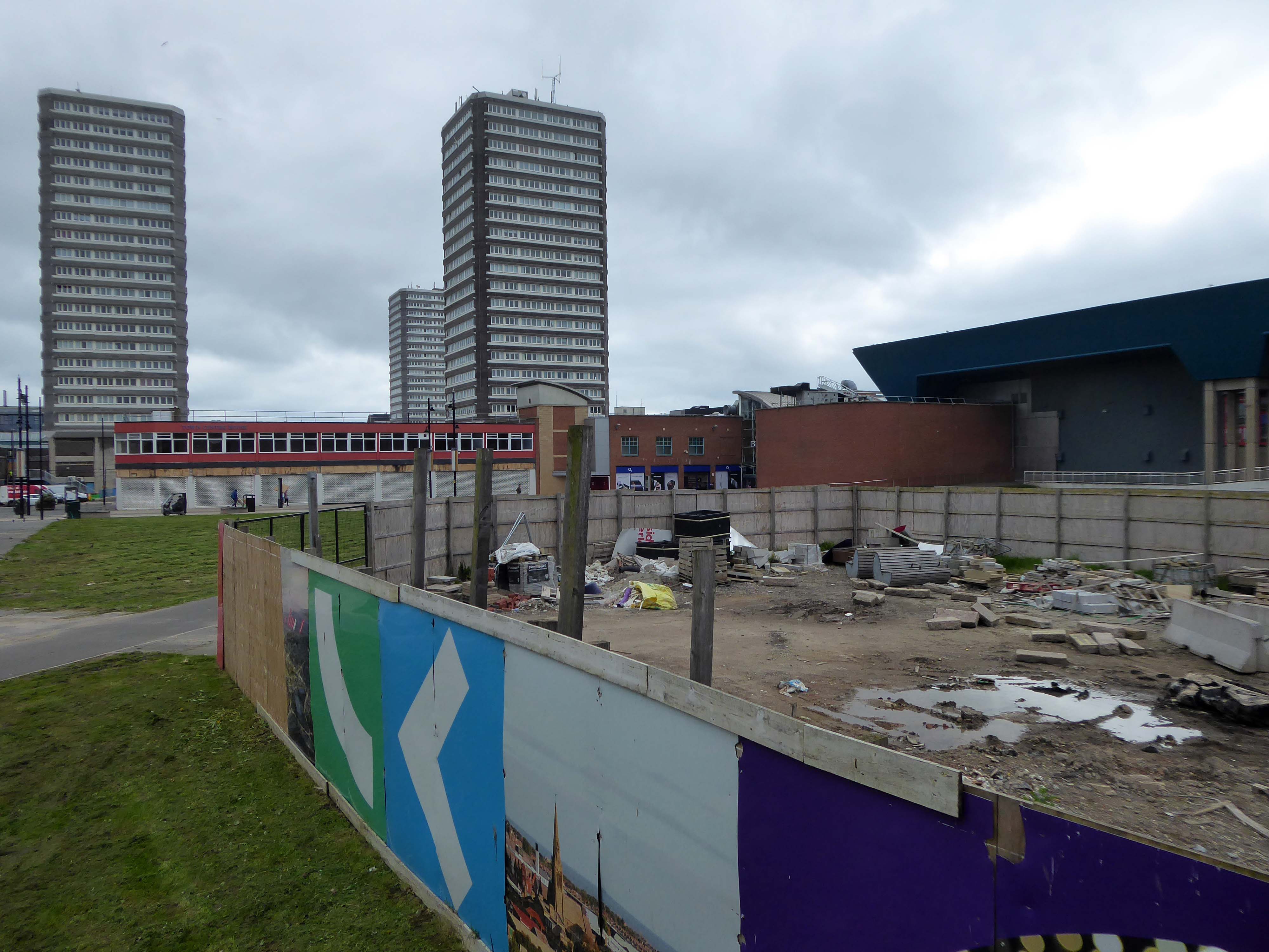
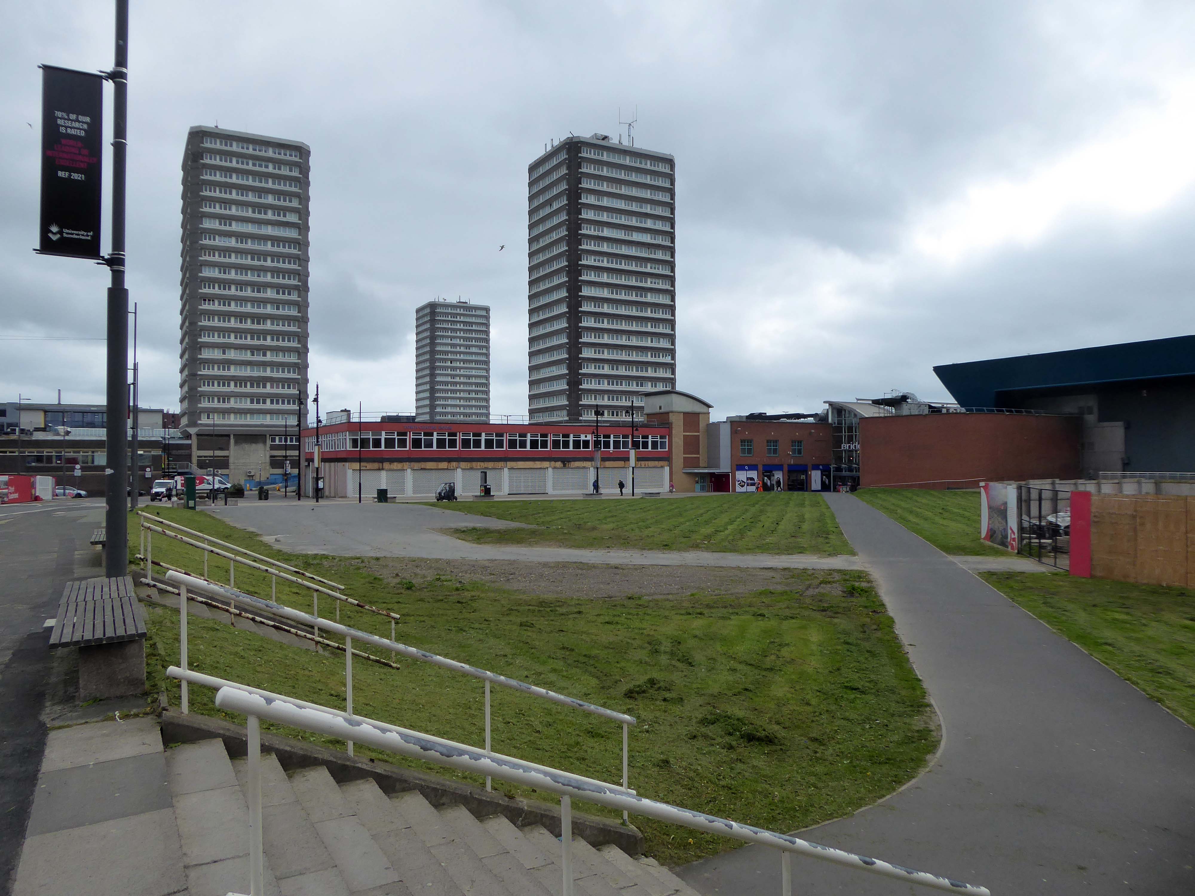
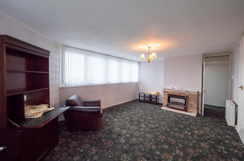
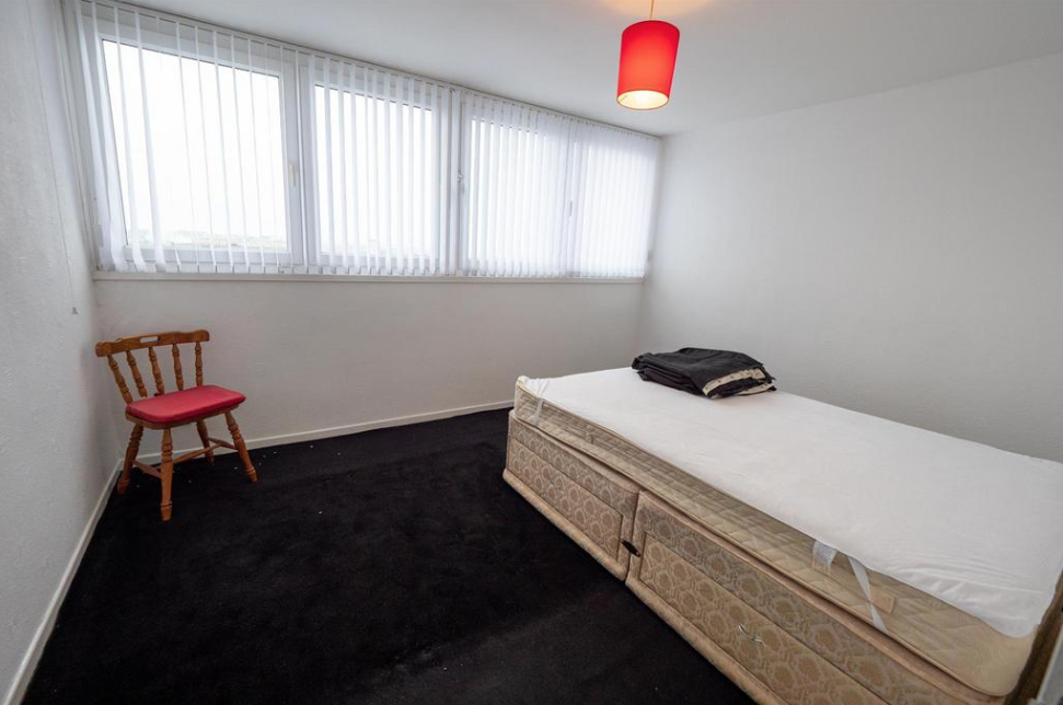
Three nineteen-storey point blocks built as public housing as part of the redevelopment of Sunderland town centre. The blocks contain 270 dwellings in total. Construction was approved by committee in 1967.
The blocks were constructed by Sunderland County Borough Council.
The developers of the Town Central Area were Town and City Properties Ltd. It is believed that they contributed £38,600 to the development of the blocks.
Ian Frazer and Associates were the architects for the sub-structural works only.
Llewelyn, Davies, Weeks and Partners were the structural and mechanical engineers in addition to being the architects for the tower blocks.
Gilbert-Ash Northern Ltd.’s tender for the contract was £959,258 – construction began in March 1967.
More than once, though that’s no reason not to do so again – so I did.
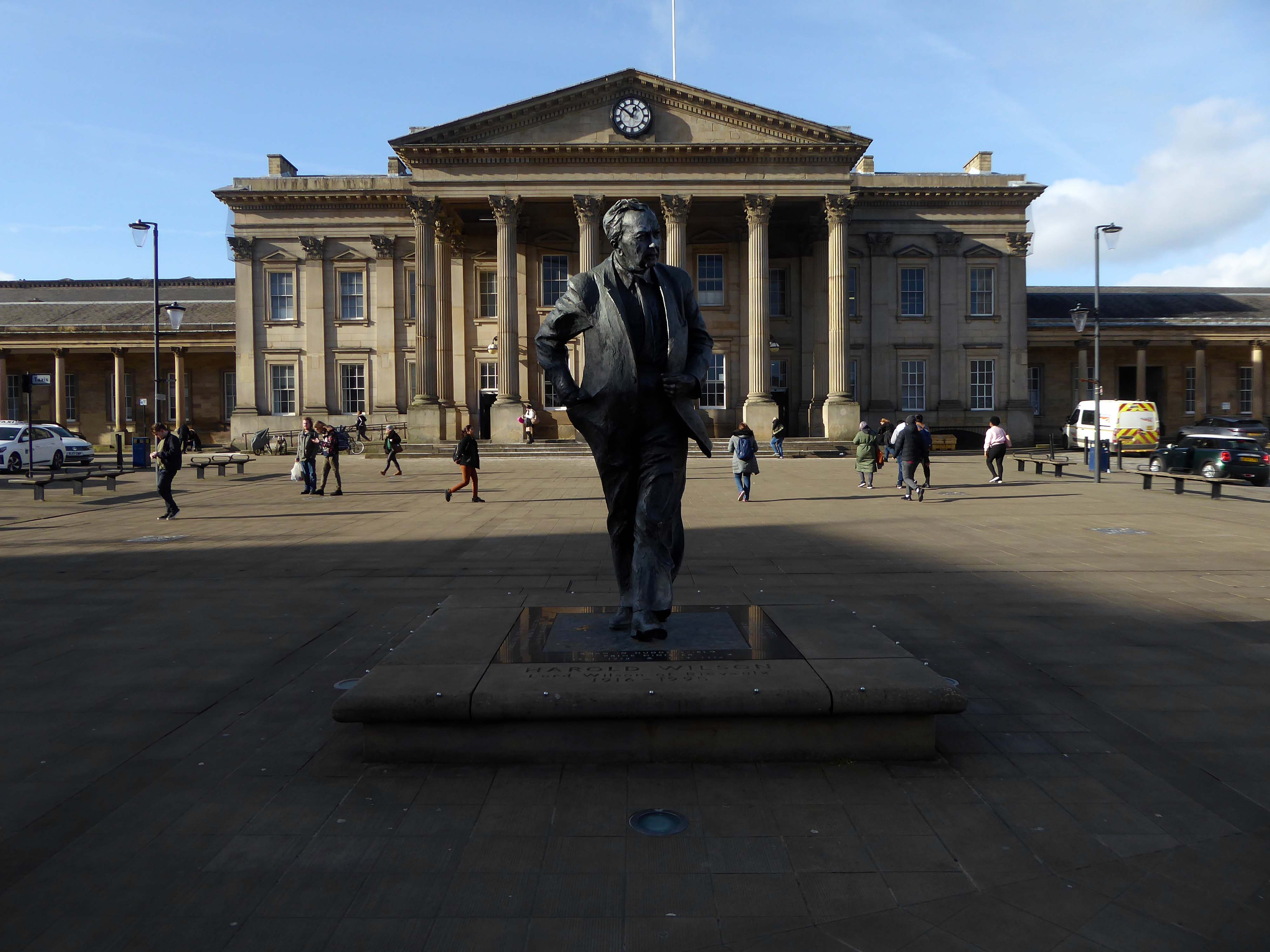
Saying hello to Harold.
Harold saying hello to us:
Nostalgia won’t pay the bills; the world doesn’t owe us a living; and we must harness the scientific revolution to win in the years to come. This scientific revolution is making it physically possible, for the first time in human history, to conquer poverty and disease, to move towards universal literacy, and to achieve for the whole people better living standards than those enjoyed by tiny privileged classes in previous epochs.
He warned change would have to reach every corner of the country; The Britain that is going to be formed in the white heat of this revolution will be no place for the restrictive practices or for outdated methods on either side of industry.
Standing sentinel over one of Nikolaus Pevsner and John Betjeman’s favourite railway station front elevations.
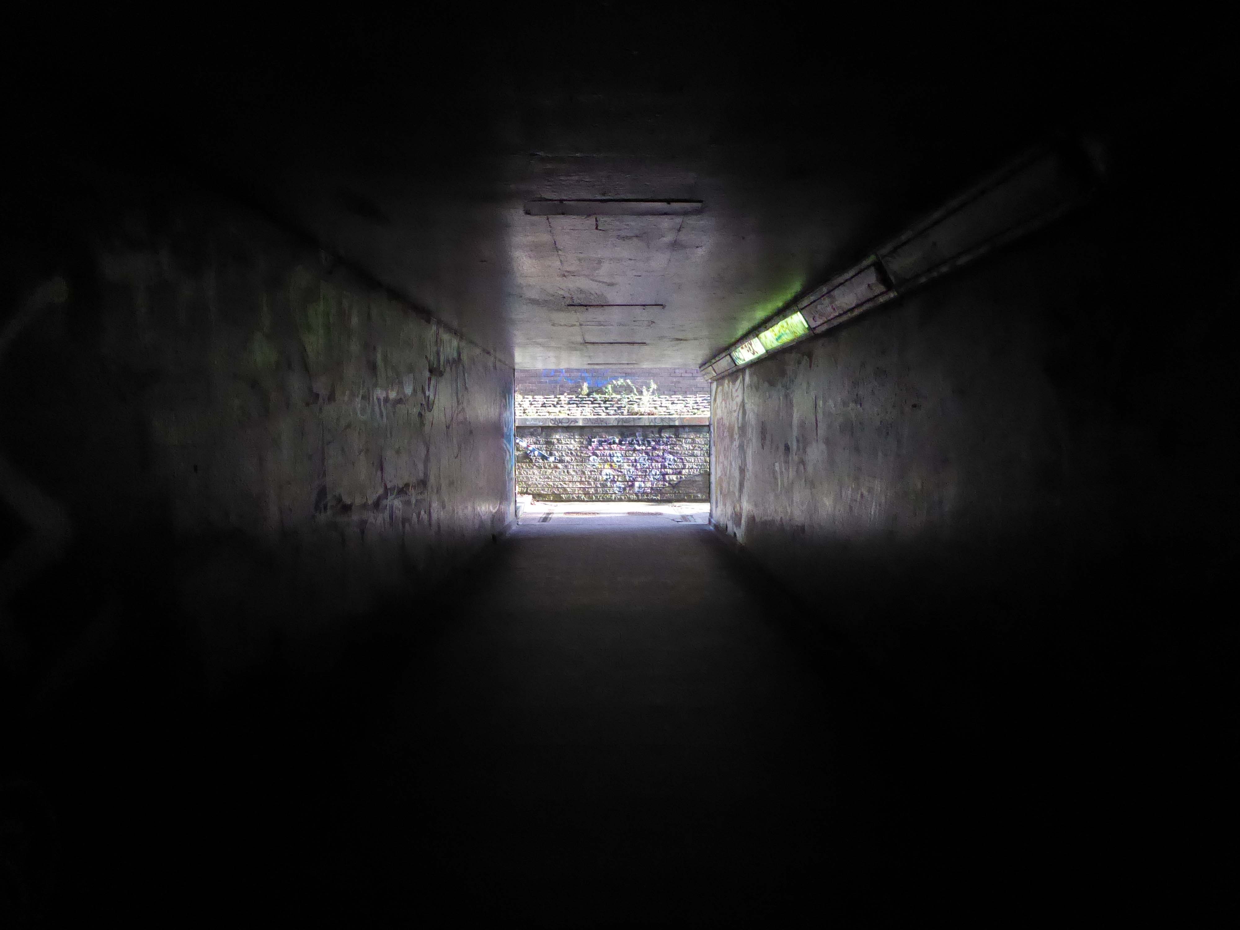
Through a passage darkly.
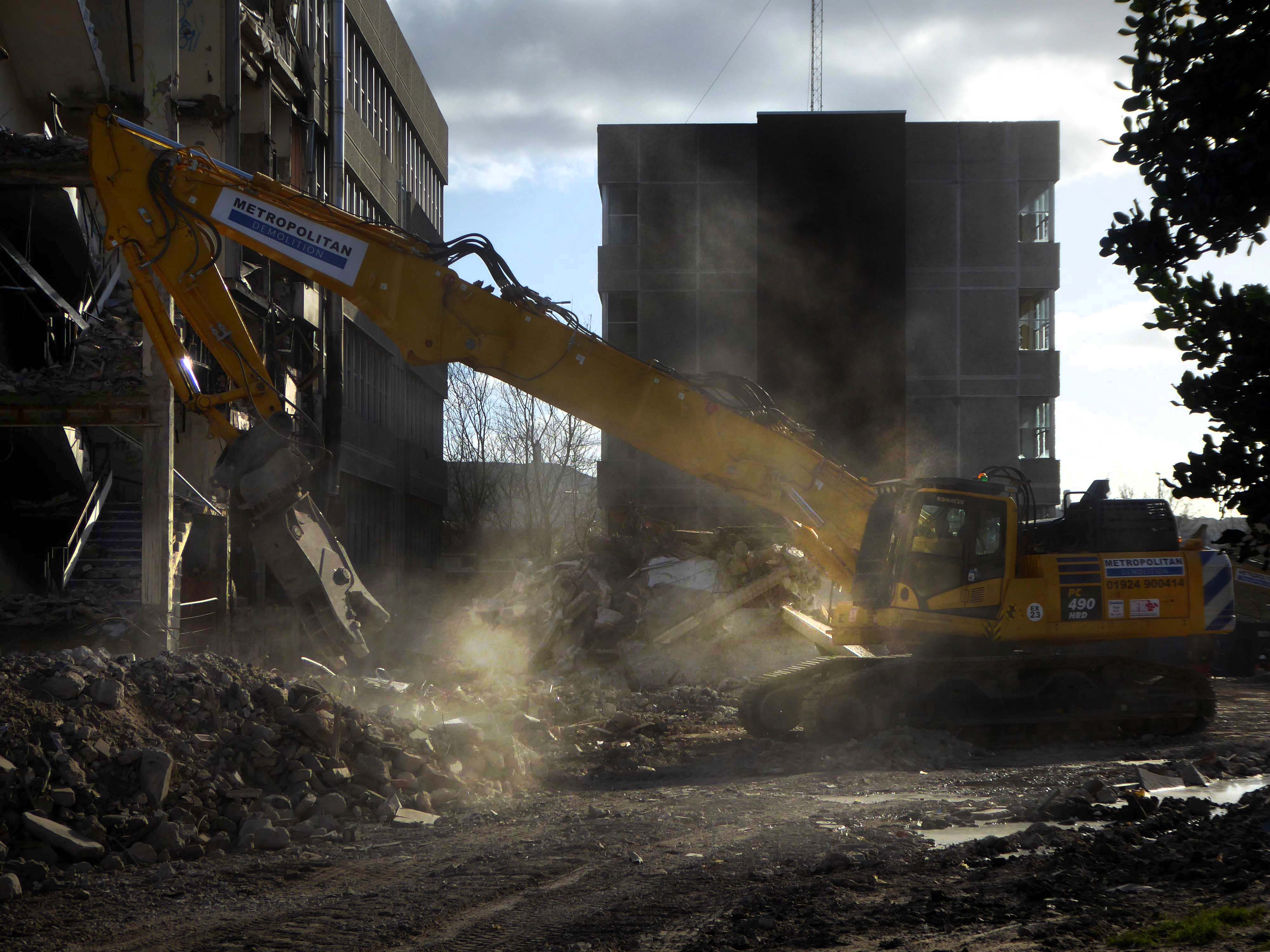
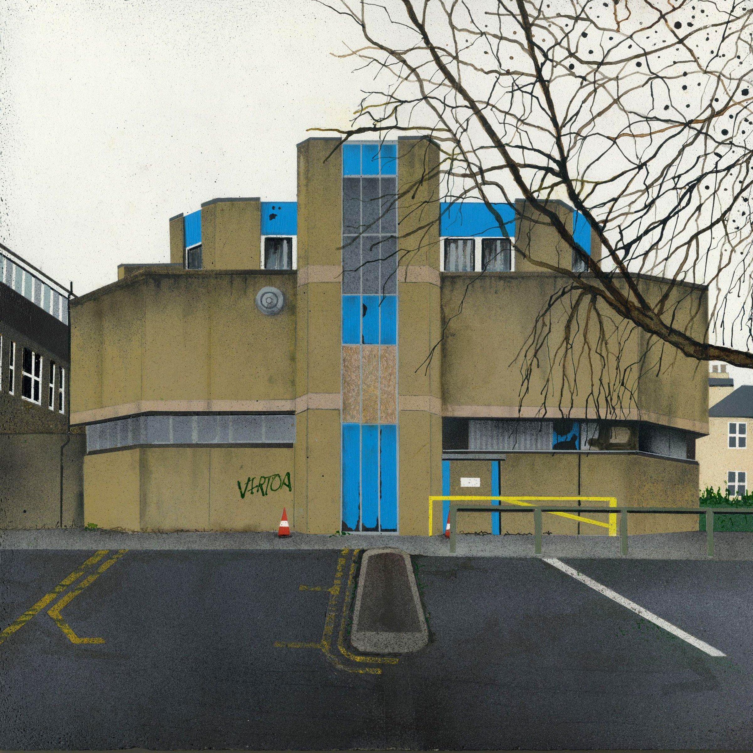
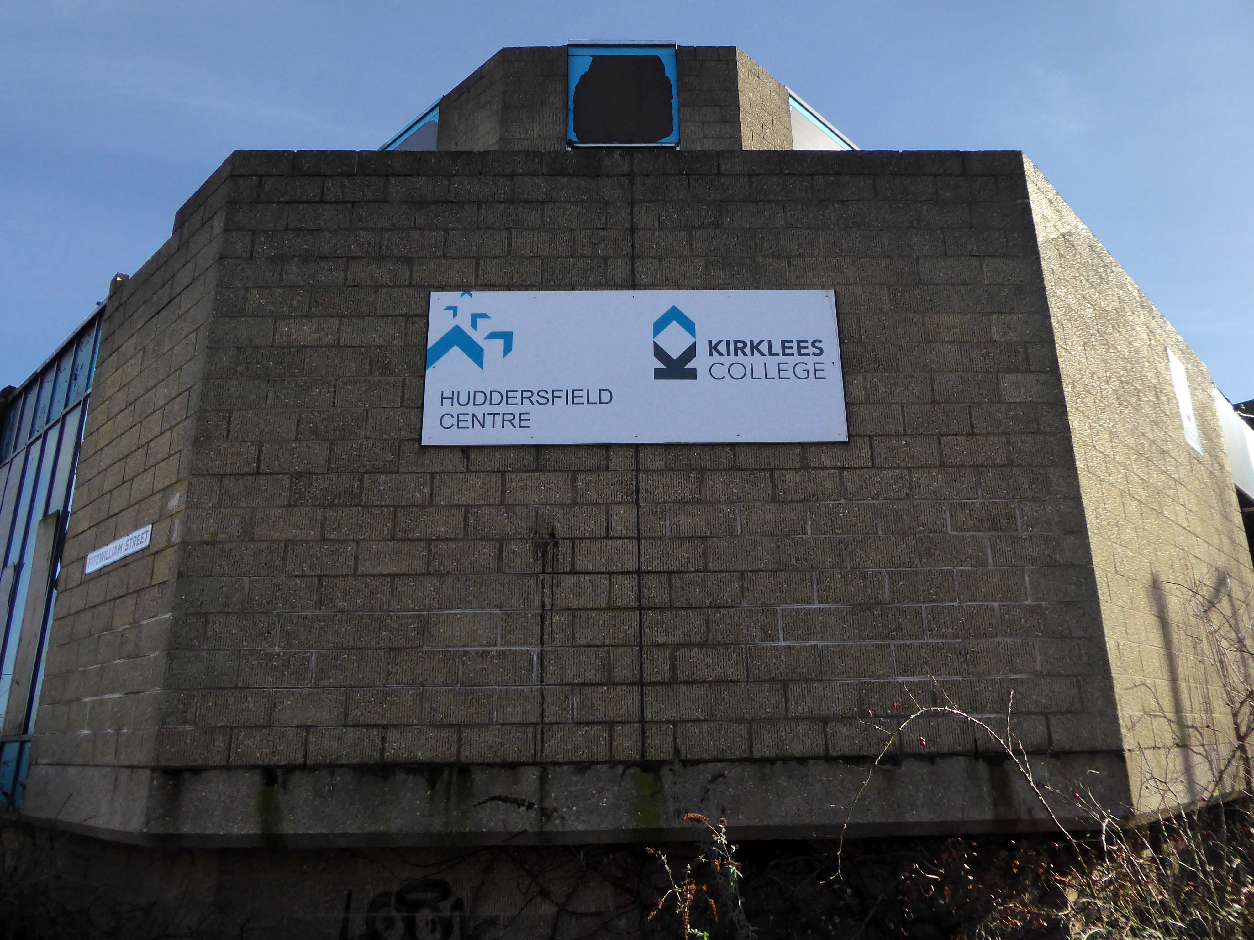
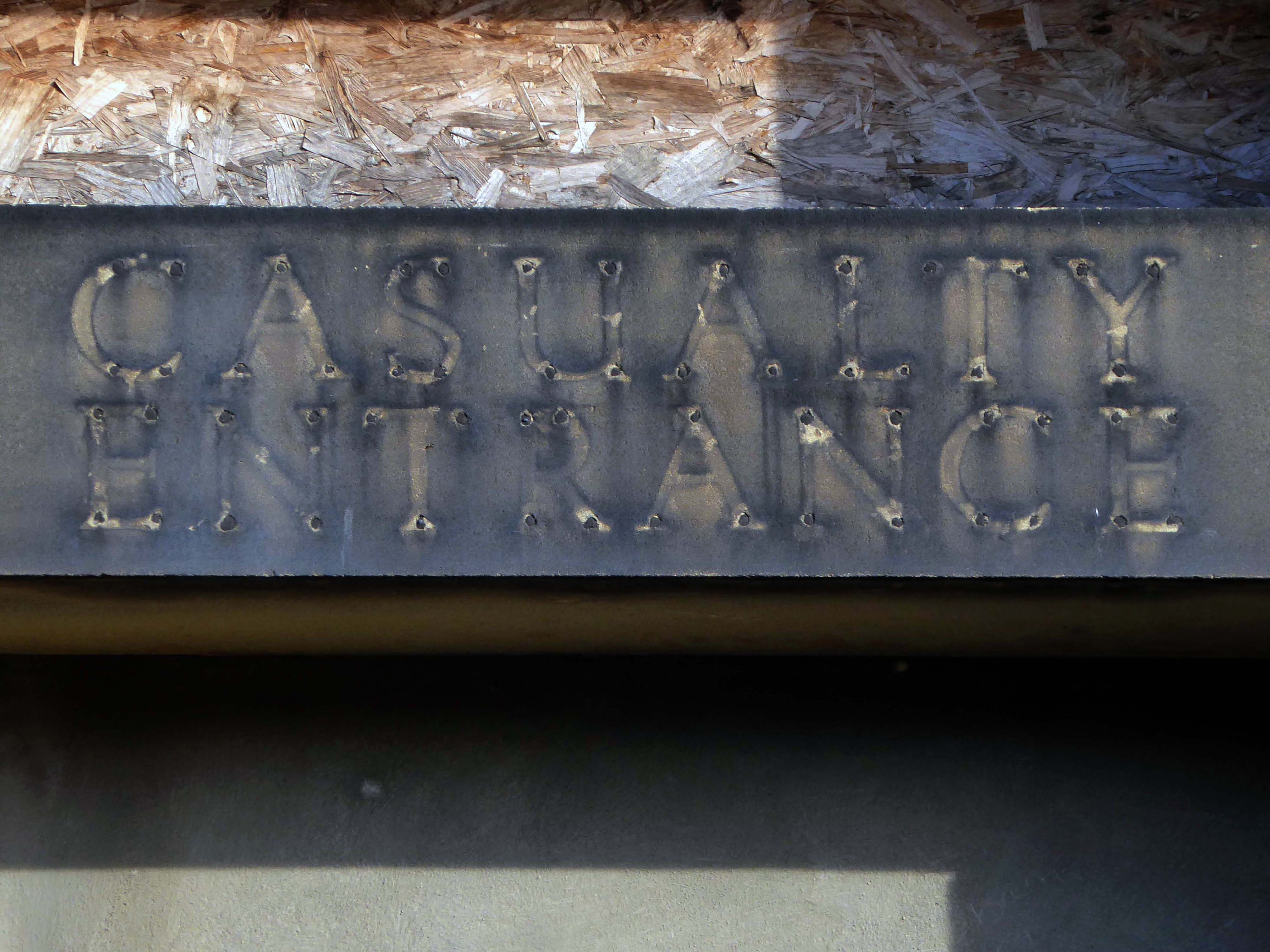
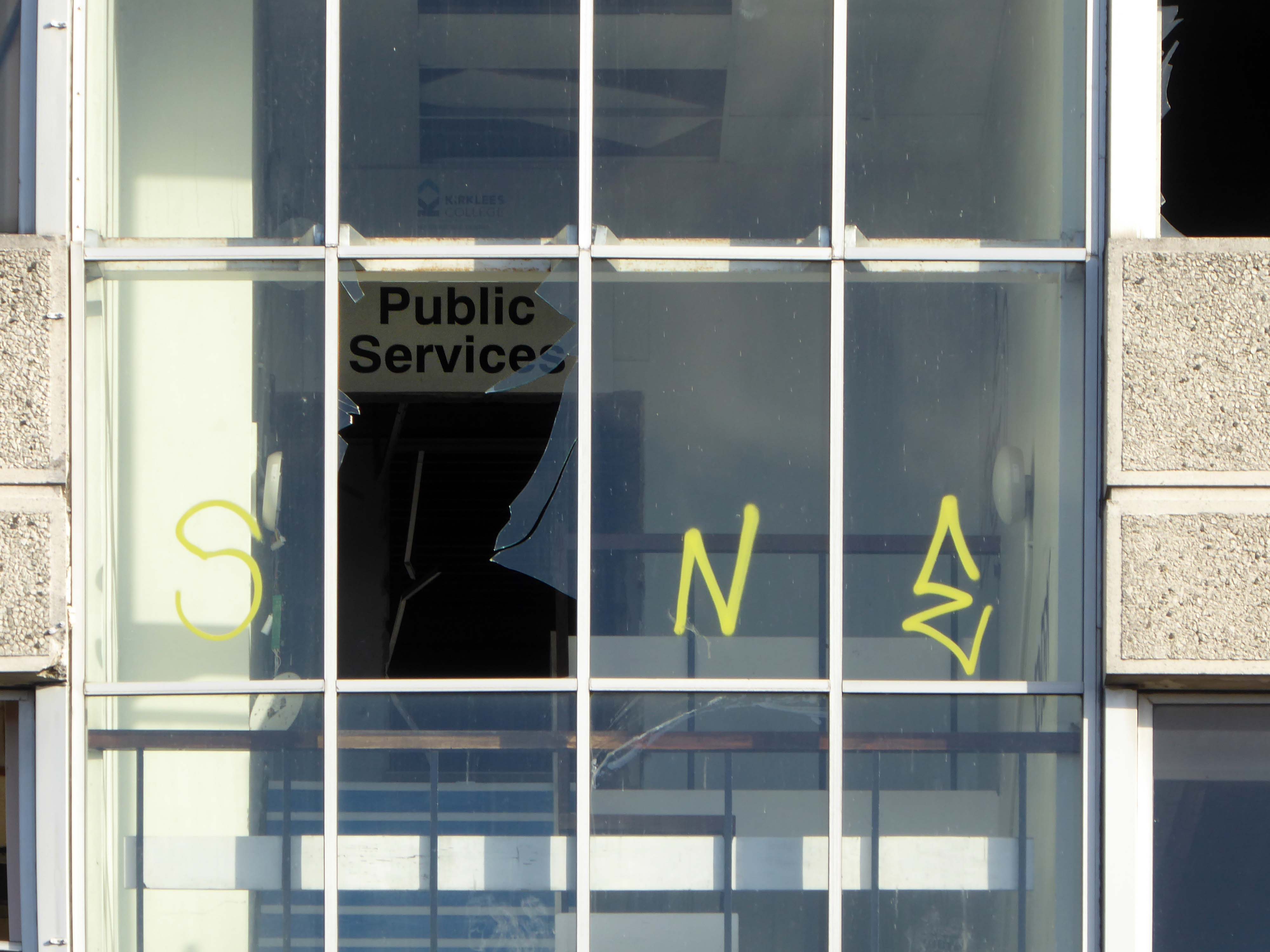
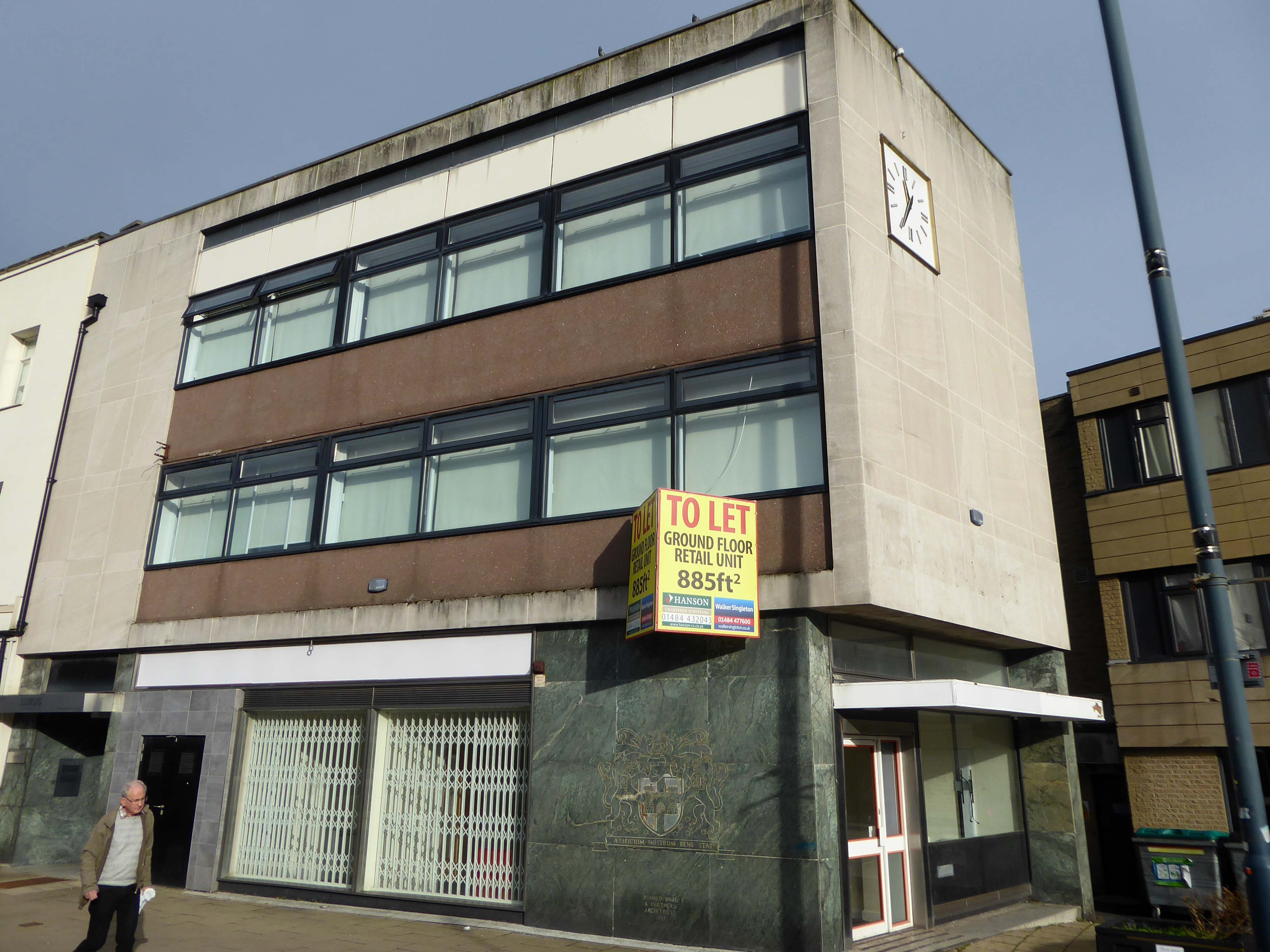
Emerging into the light of day and the demolition of the Kirklees College 1969-72 by Borough Architect Charles Edmund Aspinall.
My thanks to the Metropolitan team who invited me in beyond the barriers.
We provide safe and efficient demolition services across a broad range of projects, from the small domestic dwelling to large scale industrial units – we offer the complete solution. With excellent communication and impeccable health and safety standards, we can project manage the decommissioning a structure on time and on budget.
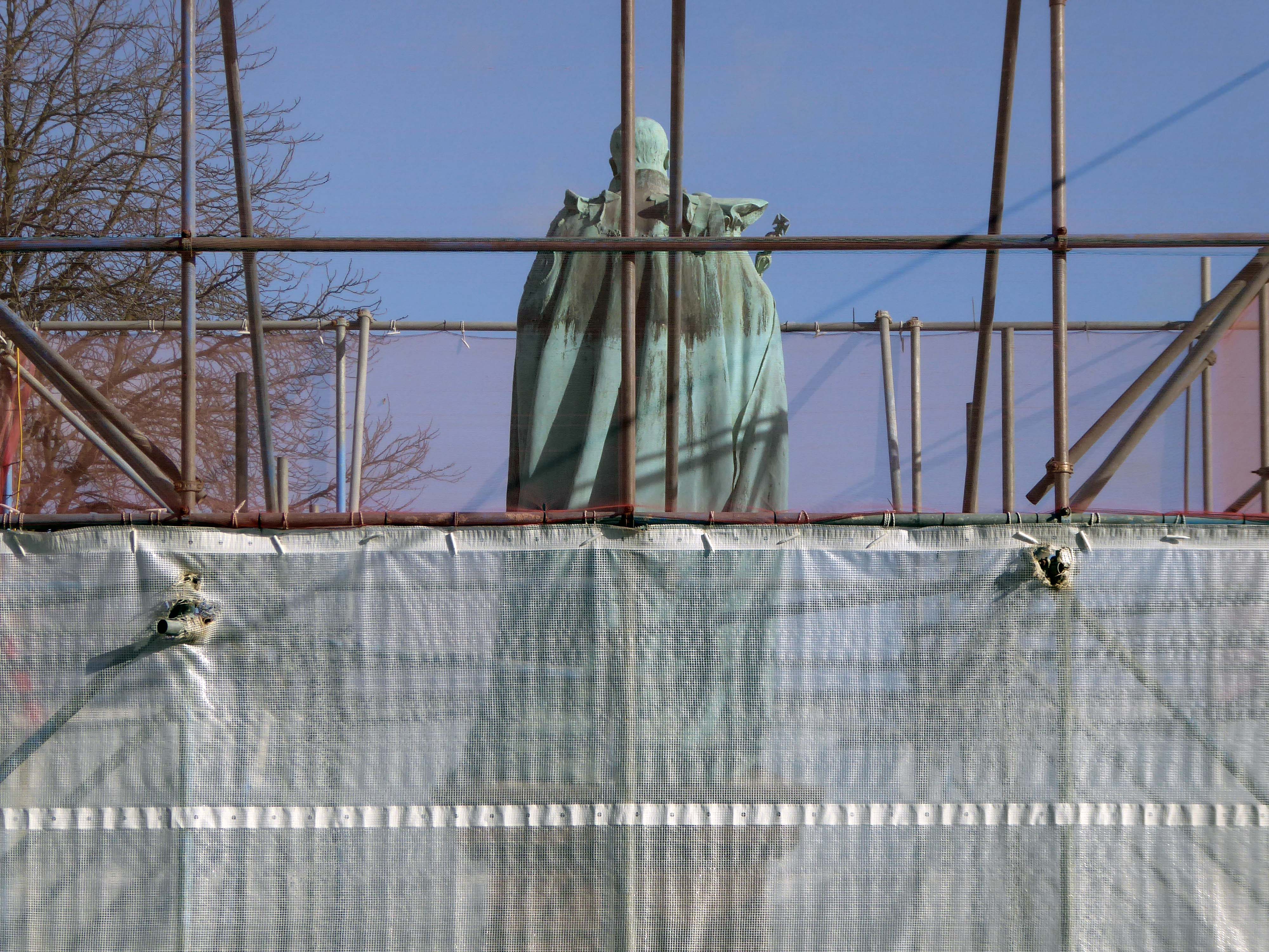
Edward VII is under wraps.
Everything else is up for smash and grab – including the later concrete block immortalised by Mandy Payne.
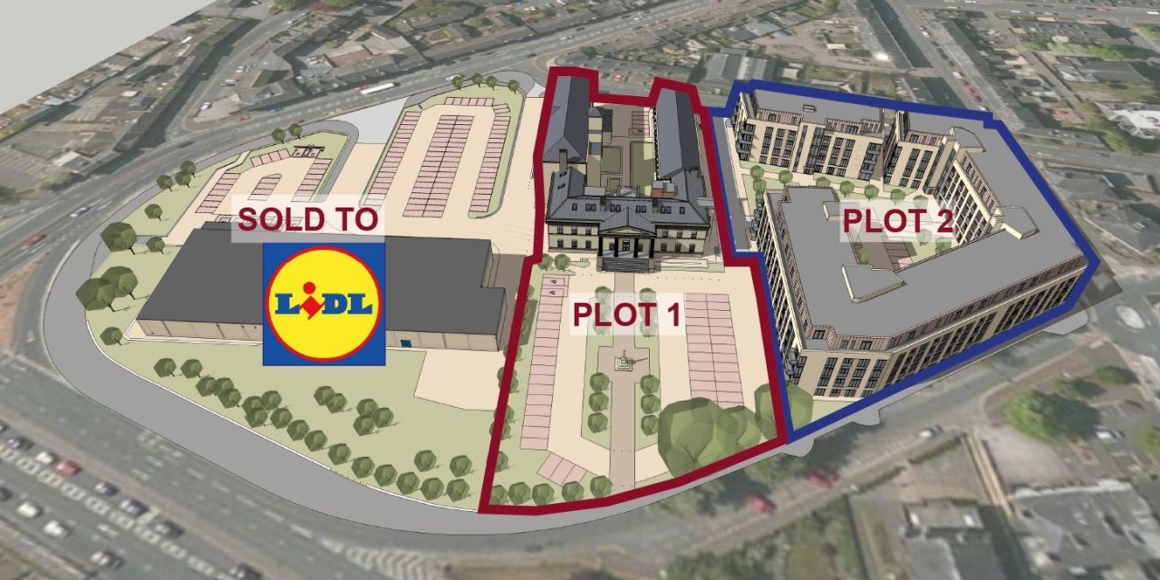
LIDL is coming – and some homes
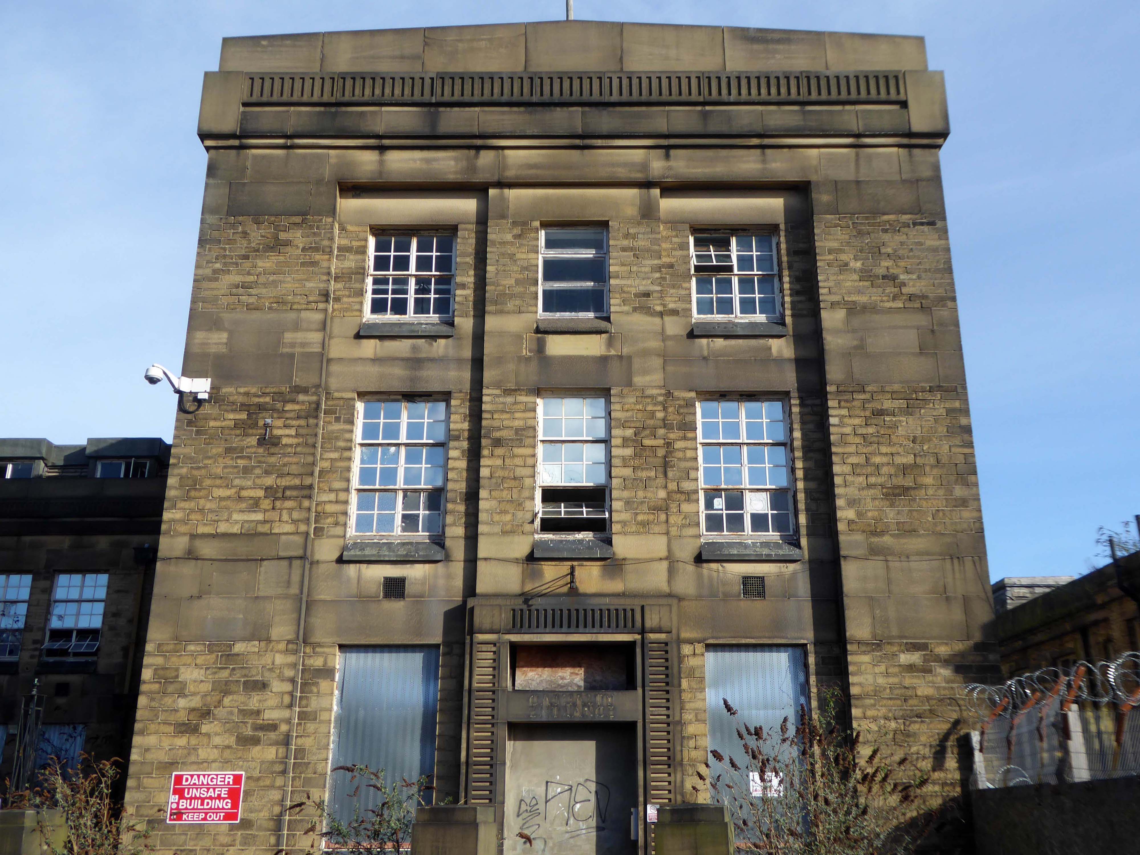
The final details have now been signed off by the council and work on the six-acre site – which includes the Grade II-listed original Huddersfield Royal Infirmary – can now begin.
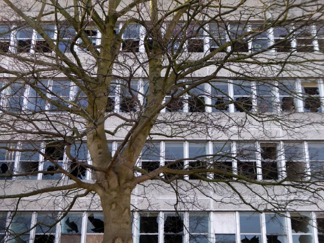
The vandal-hit and fire-damaged late 1960s and early 1970s college buildings are to be demolished and Lidl will build a new supermarket with a 127-space car park. The store will eventually replace the store on Castlegate.
The former hospital will be retained and the site will see 229 apartments and an office complex. The apartments are expected to be for older or retired people.
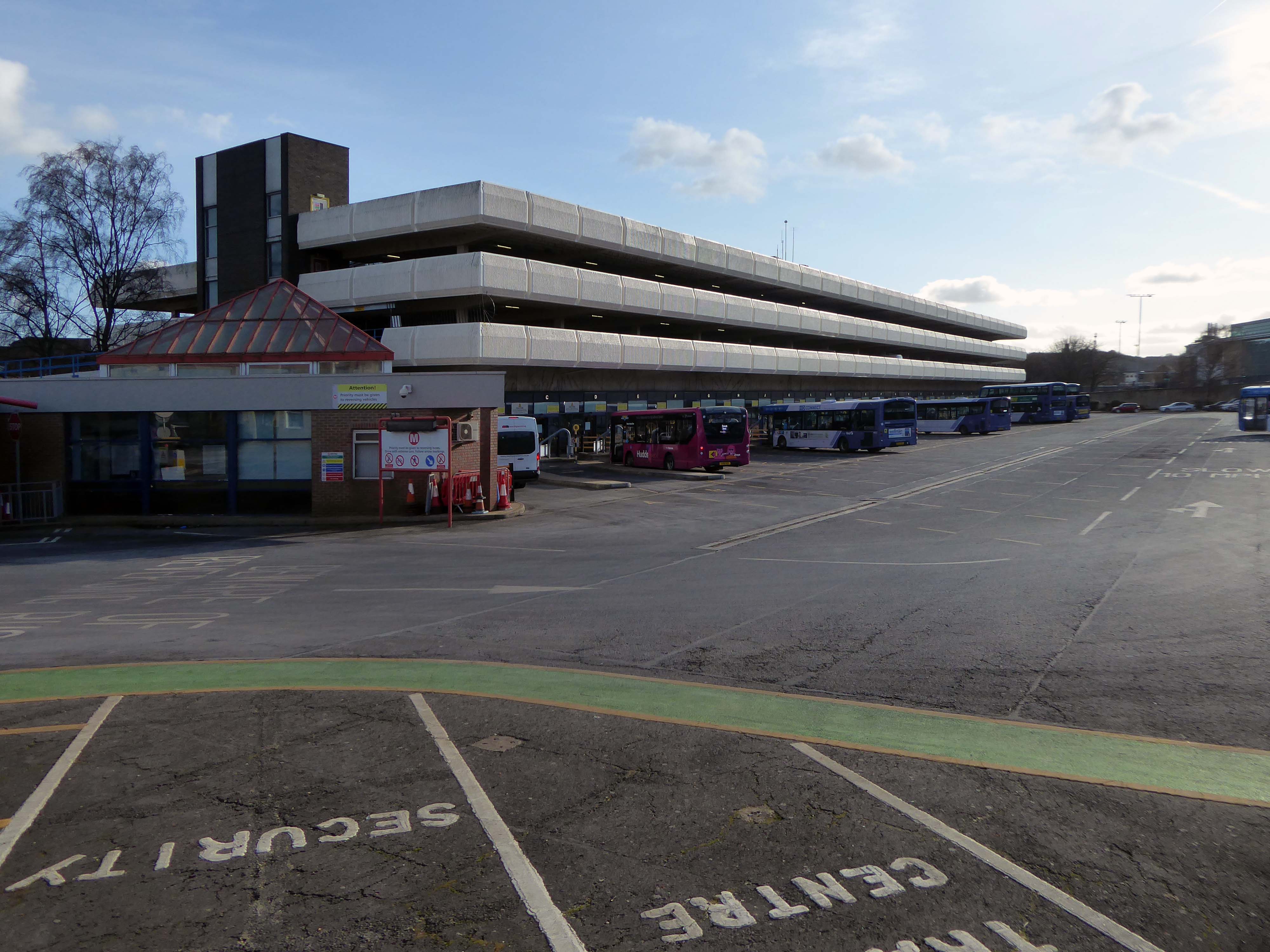
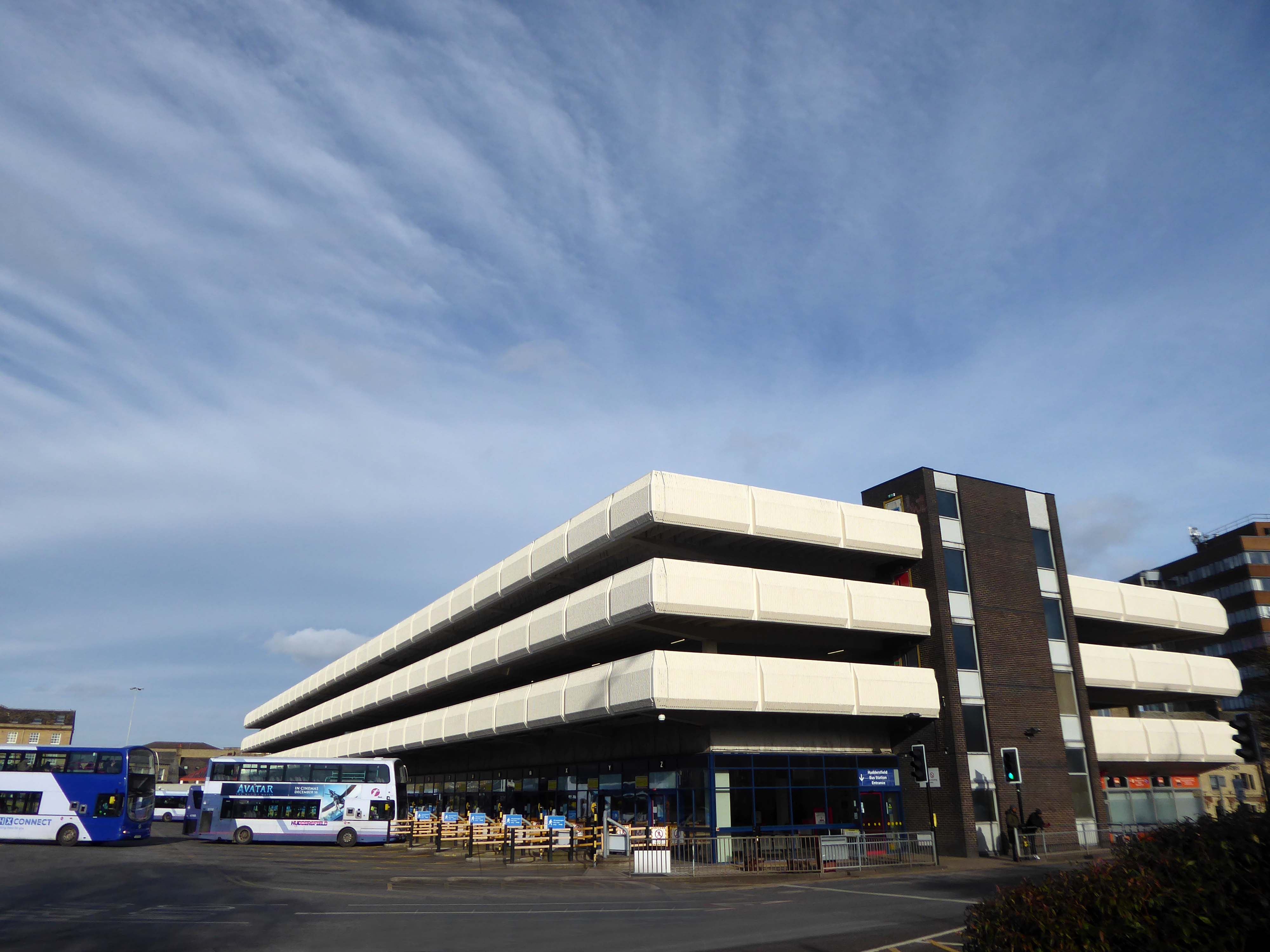
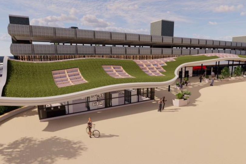
Huddersfield’s £20M game-changing bus station is set to be completed by the end of 2025 with a living grass roof, sixty bike cycle hub, upgraded shops and new facilities
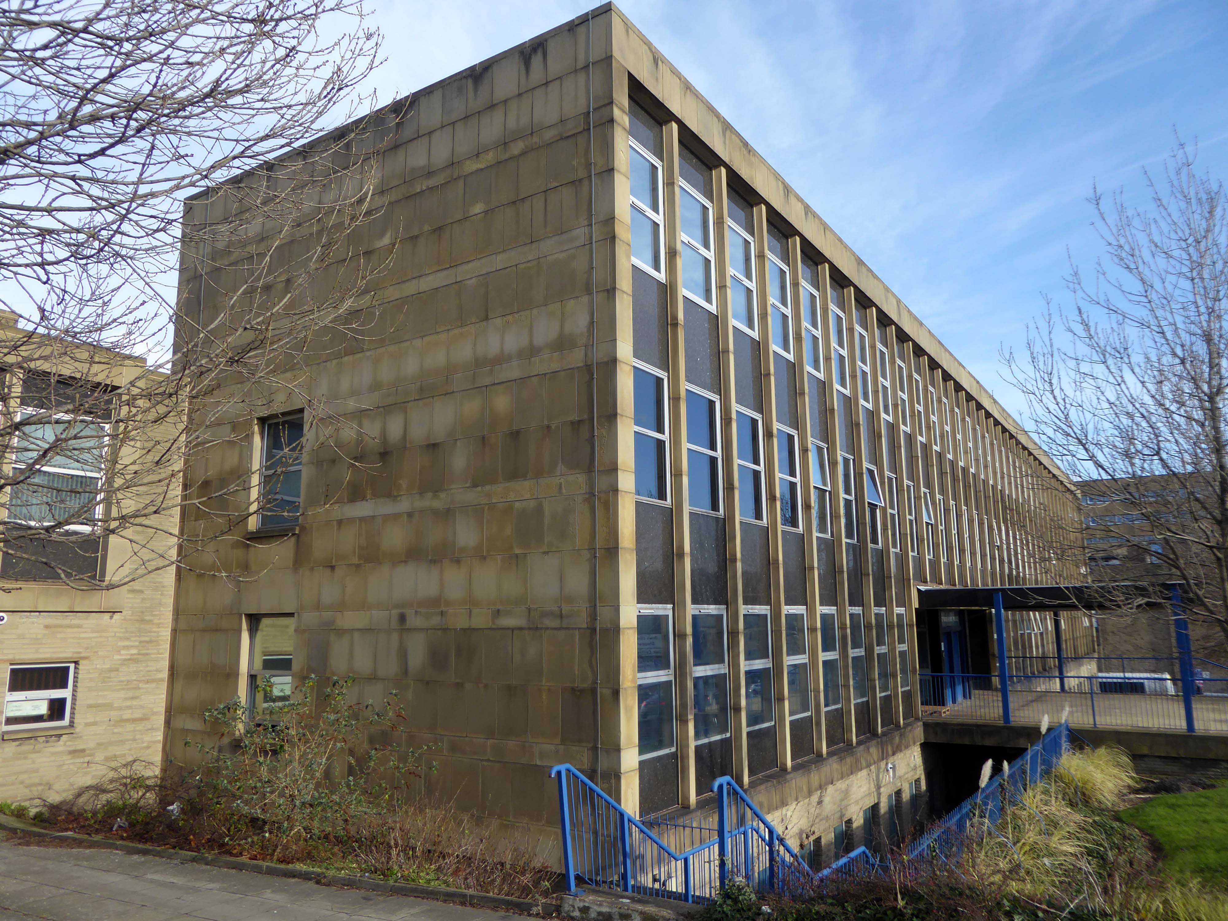
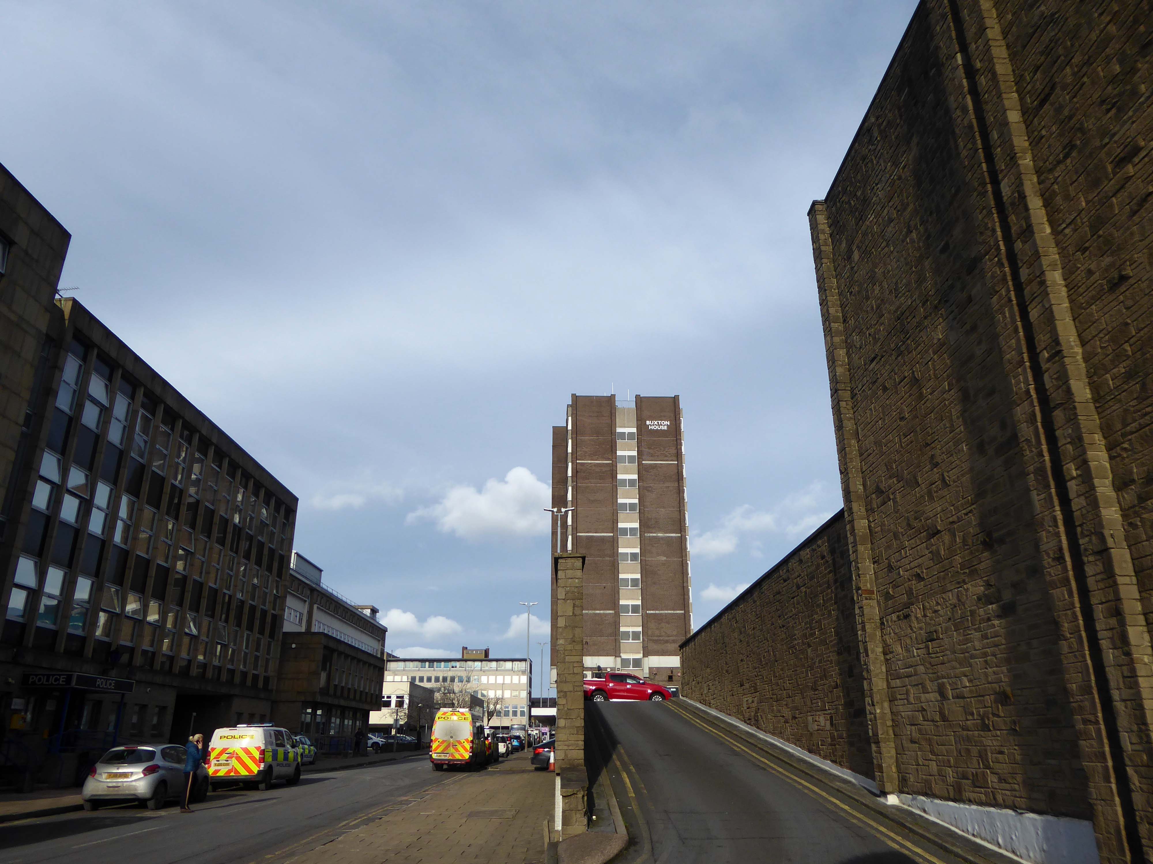
Crossing the road to the Civic Centre and the perennially empty piazza which along with the Magistrates Courts and Police Station was the work of the Borough Architects team – led by Charles Edmund Aspinall.
Walking excitedly toward the Exsilite panels set in the stone faced columns – a brand name for a synthetic, moulded, artificial marble.
Magistrates Courts
Police Station
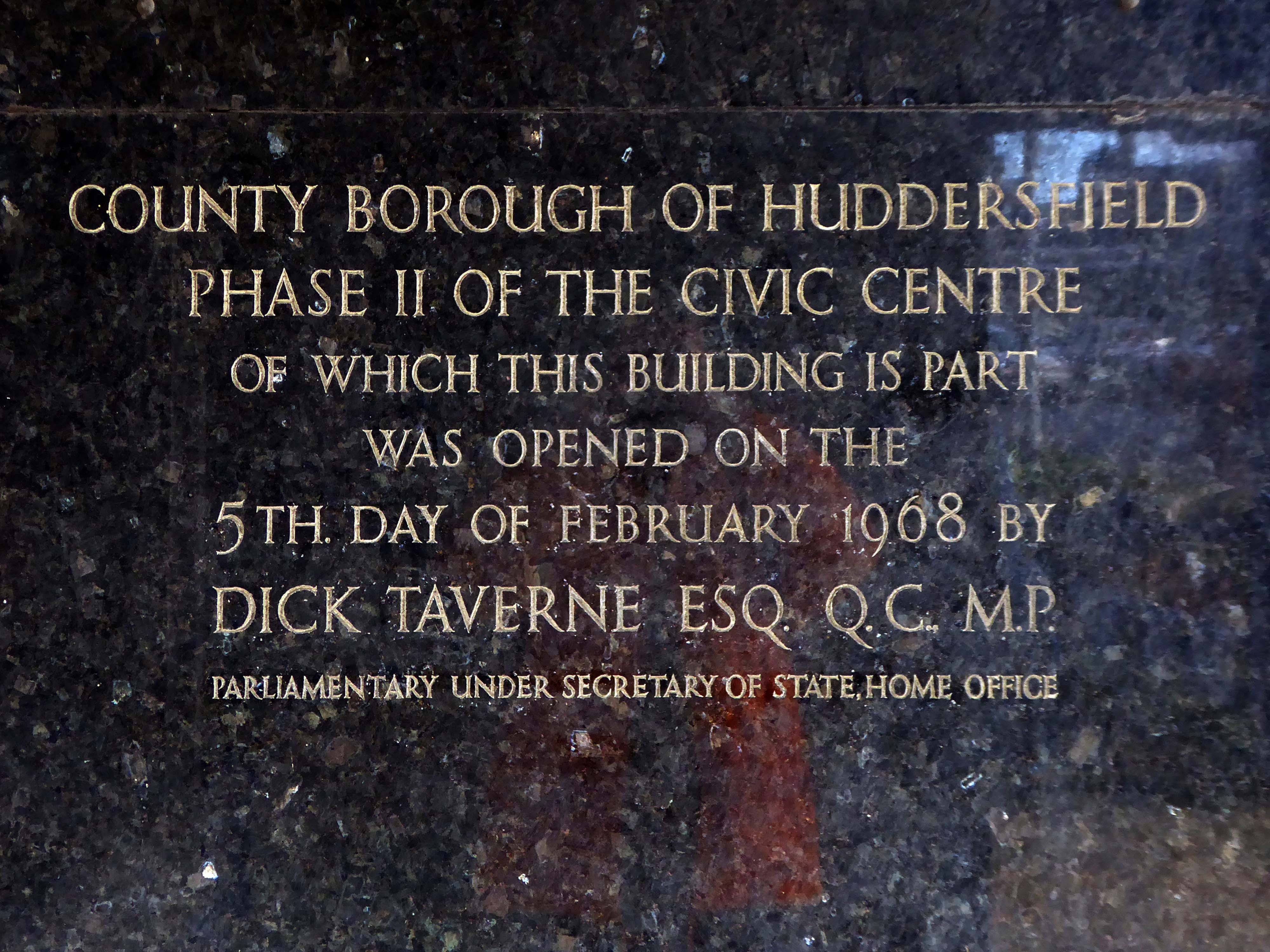
Dick Taverne served under Harold Wilson’s premiership in the 1960s, he served as a Home Office Minister from 1966 to 1968, Minister of State at the Treasury from 1968 to 1969 and then as Financial Secretary to the Treasury from 1969 to 1970.
In 1970, he helped to launch the Institute for Fiscal Studies, now an influential independent think tank and was the first Director, later chairman.
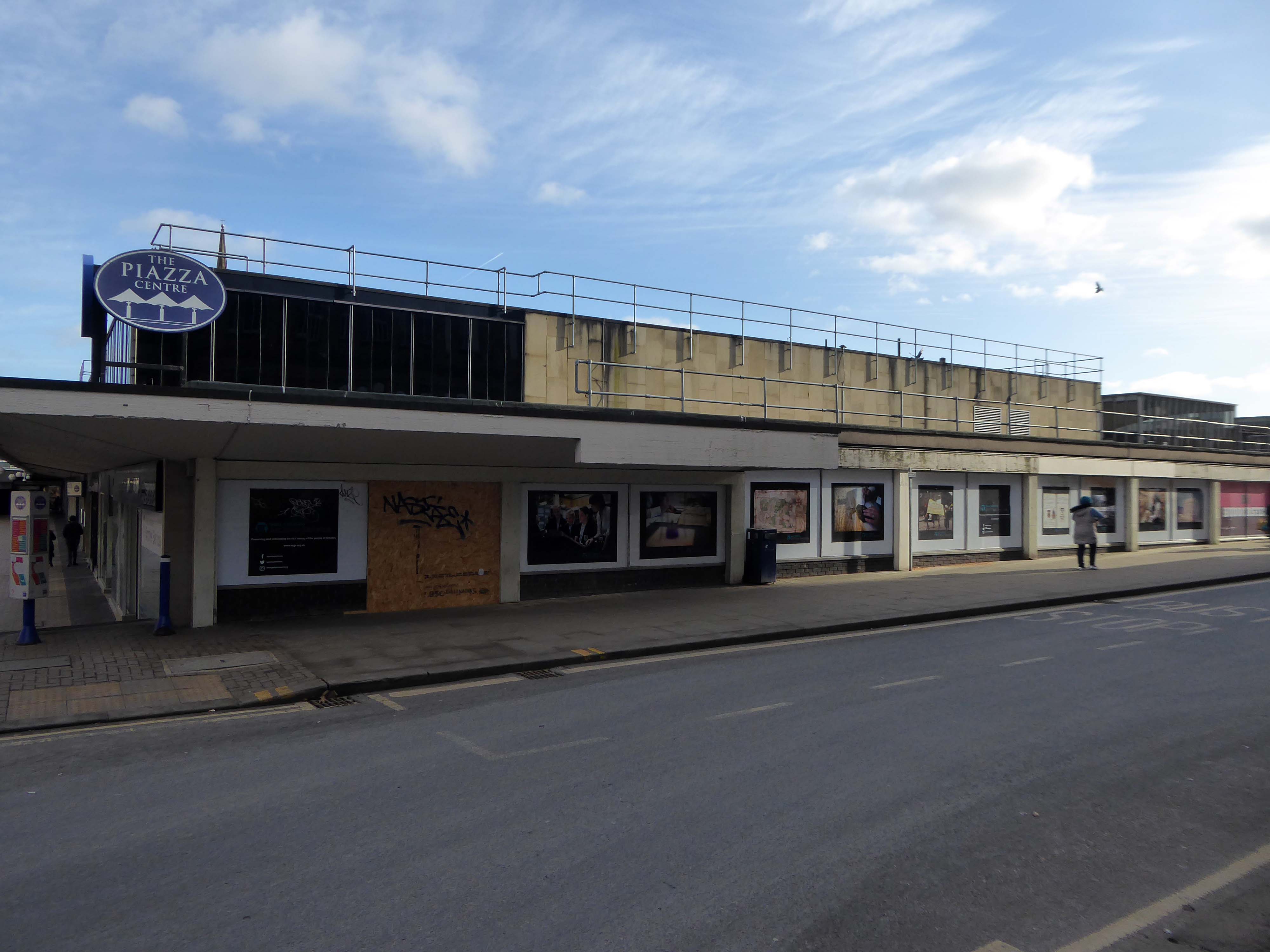
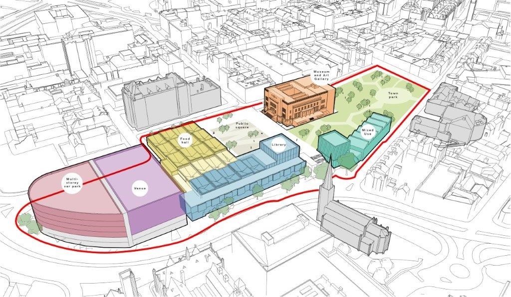
The vision is to create an inclusive space where families, residents and visitors can enjoy a vibrant mix of music, arts, food and more in one central area, overlooking a stunning new urban park.
The council plans to demolish the Piazza Centre and create a new events/live music venue, a food hall, a museum and art gallery, a new library and a new multi-storey car park, all centred around a new Town Park.
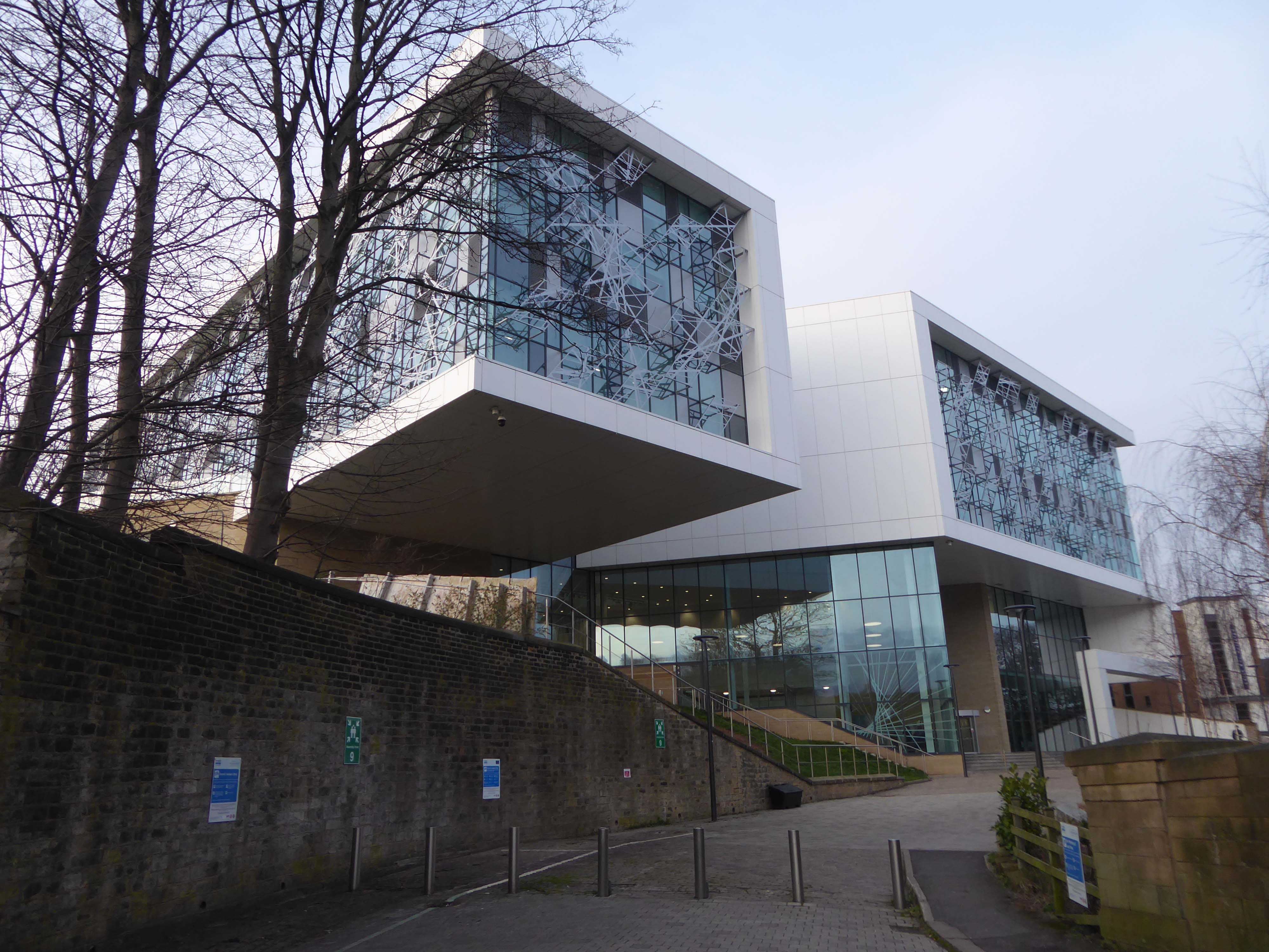
Named after one of the Twentieth Century’s finest artists, the space nurtures a new and inspired generation of designers. Through visual and physical connection, the environment encourages students to work together, stimulating communication and ingenuity, the ingredients of successful collaboration.
Take that to the bank/s
Keep savin’, keep buildin’ That interest for our love Take that to the bank Keep savin’, keep buildin’ That interest for our love Take that to the bank
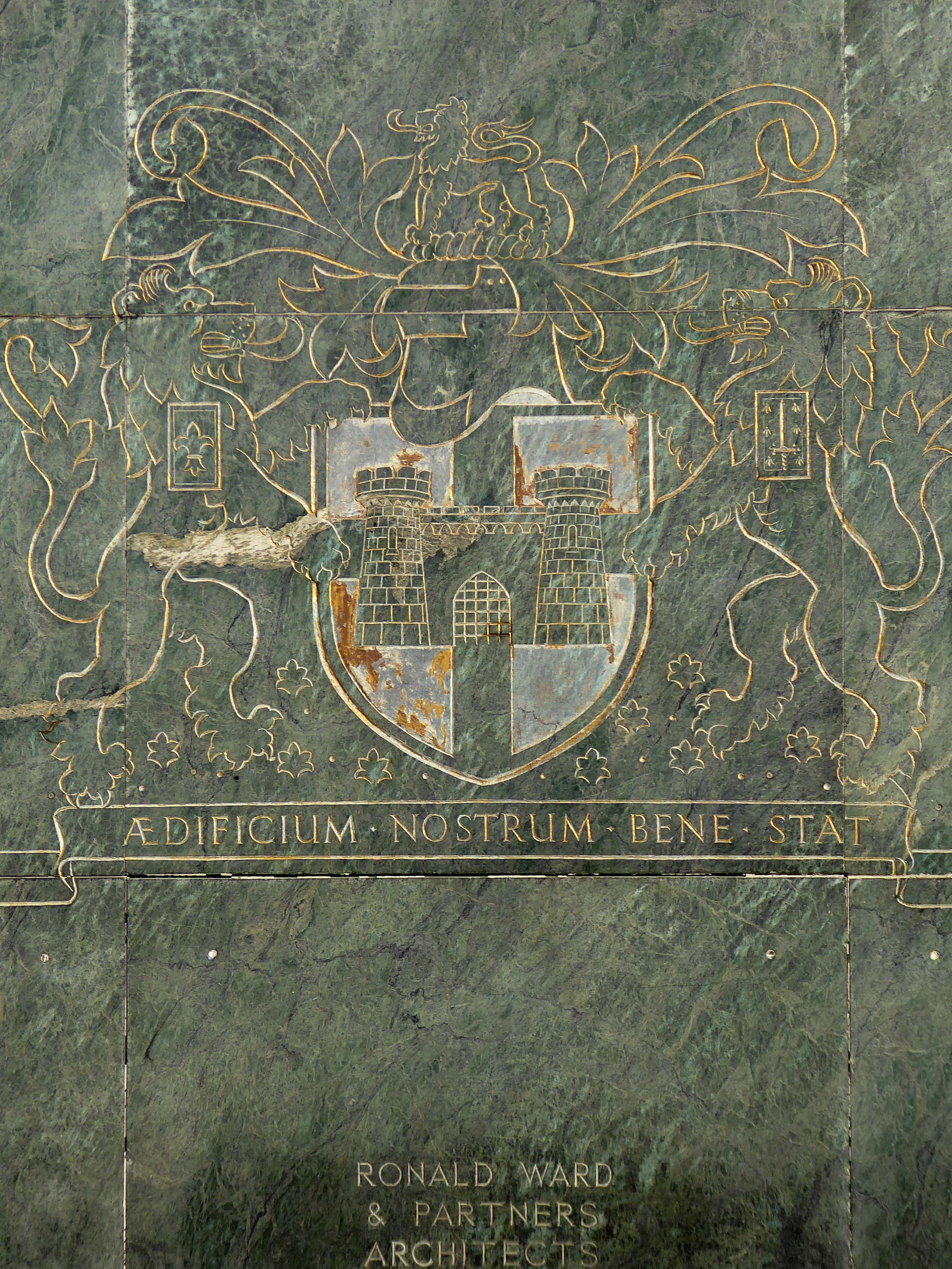
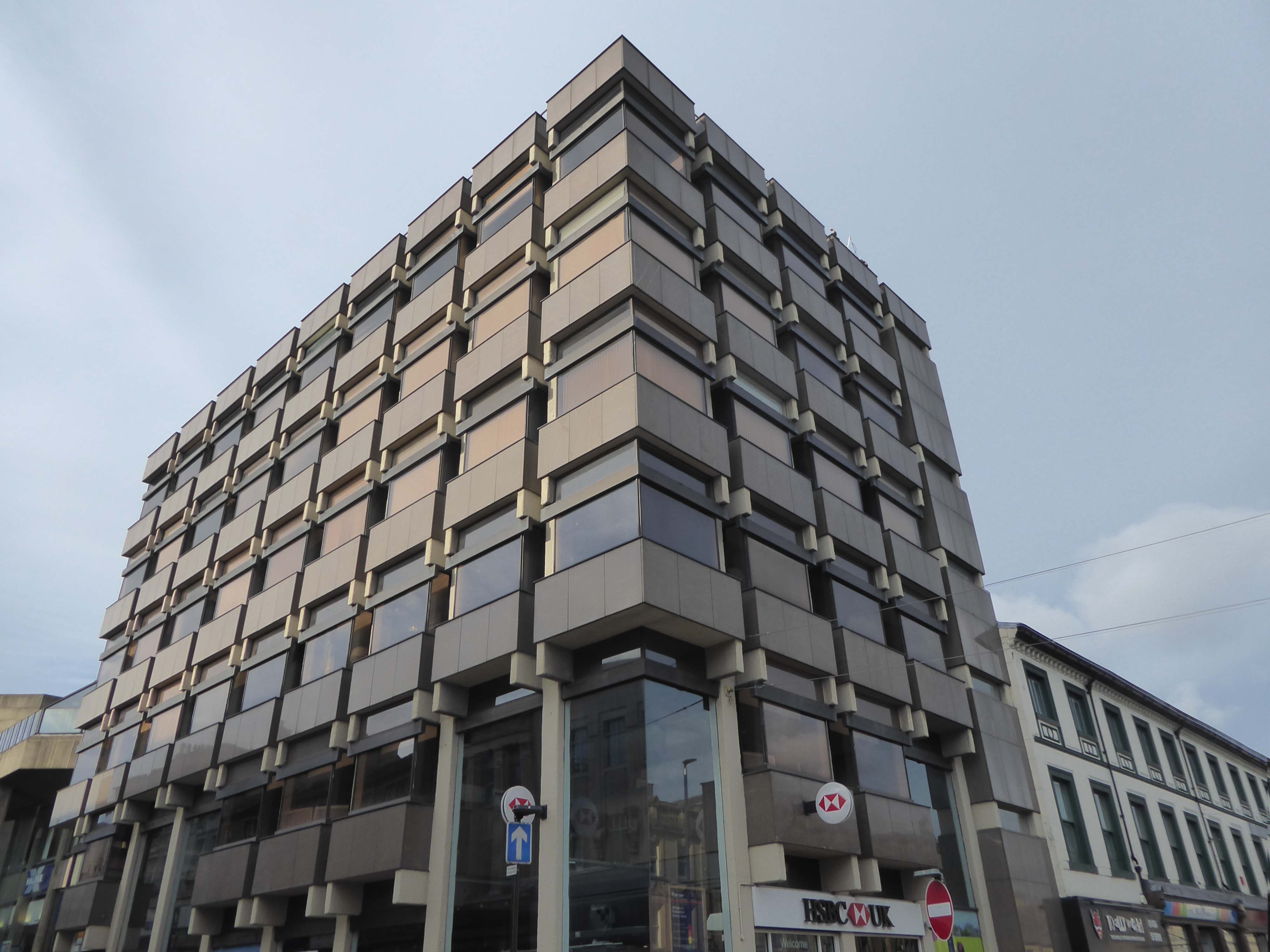
HSBC was designed by Peter Womersley, who also designed the thoroughly modern private house, Farnley Hey, near Castle Hill, which won the RIBA Bronze Medal in 1958.
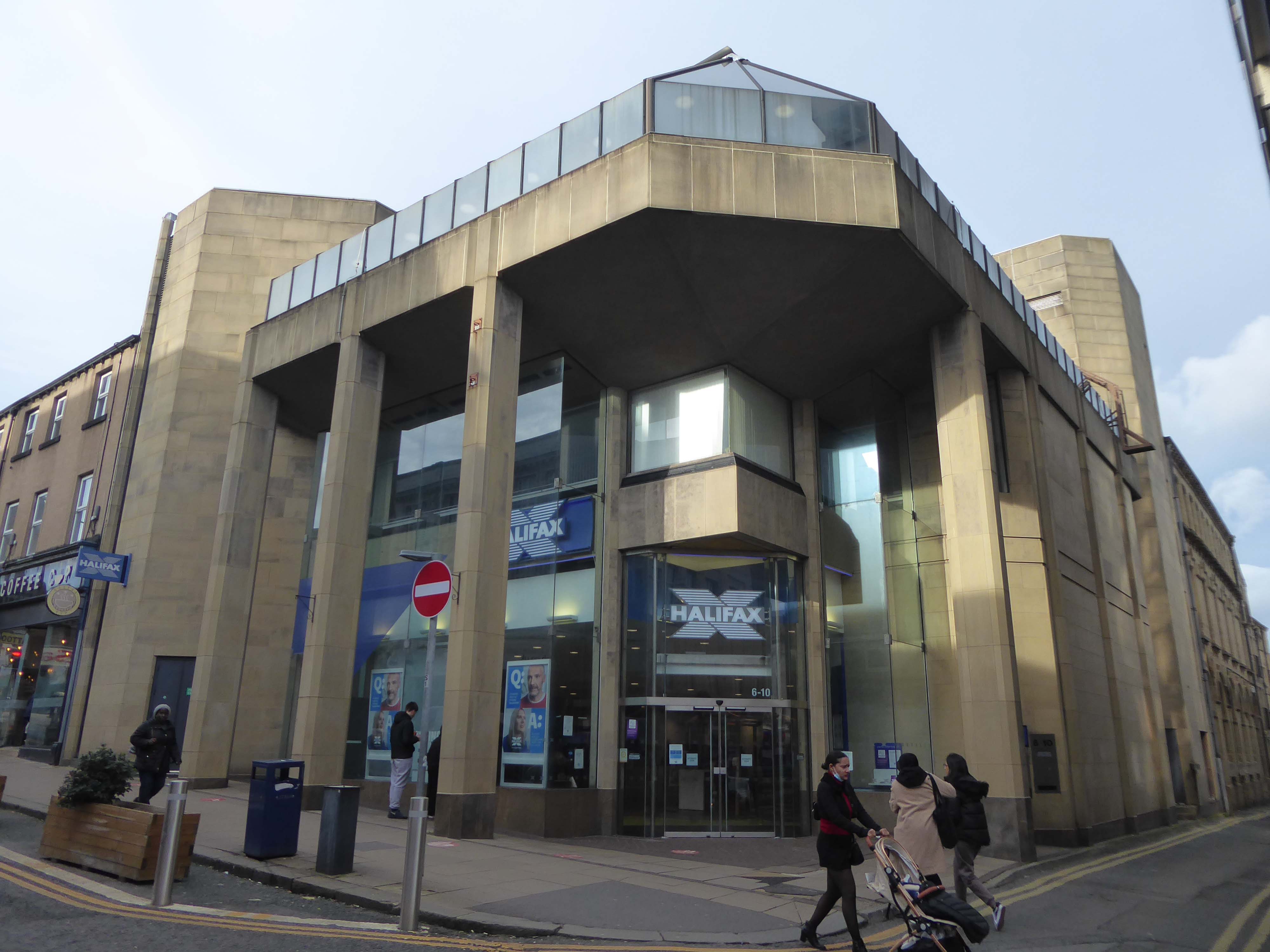
Halifax Building Society
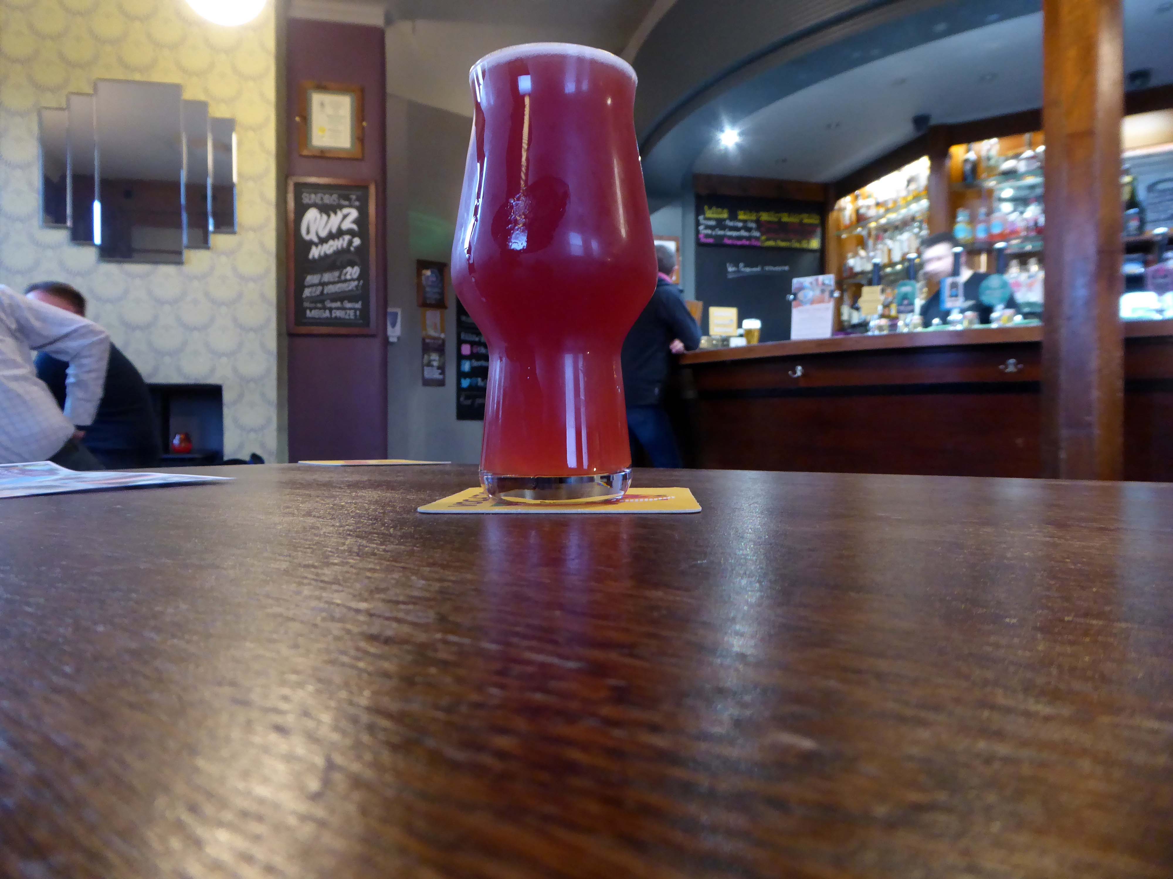
Having walked around town for more hours than enough I sought respite in The Sportsman and a glass of Squawk multi-berry fruited sour
Situated at the junction of Salkeld Street and Cook Street
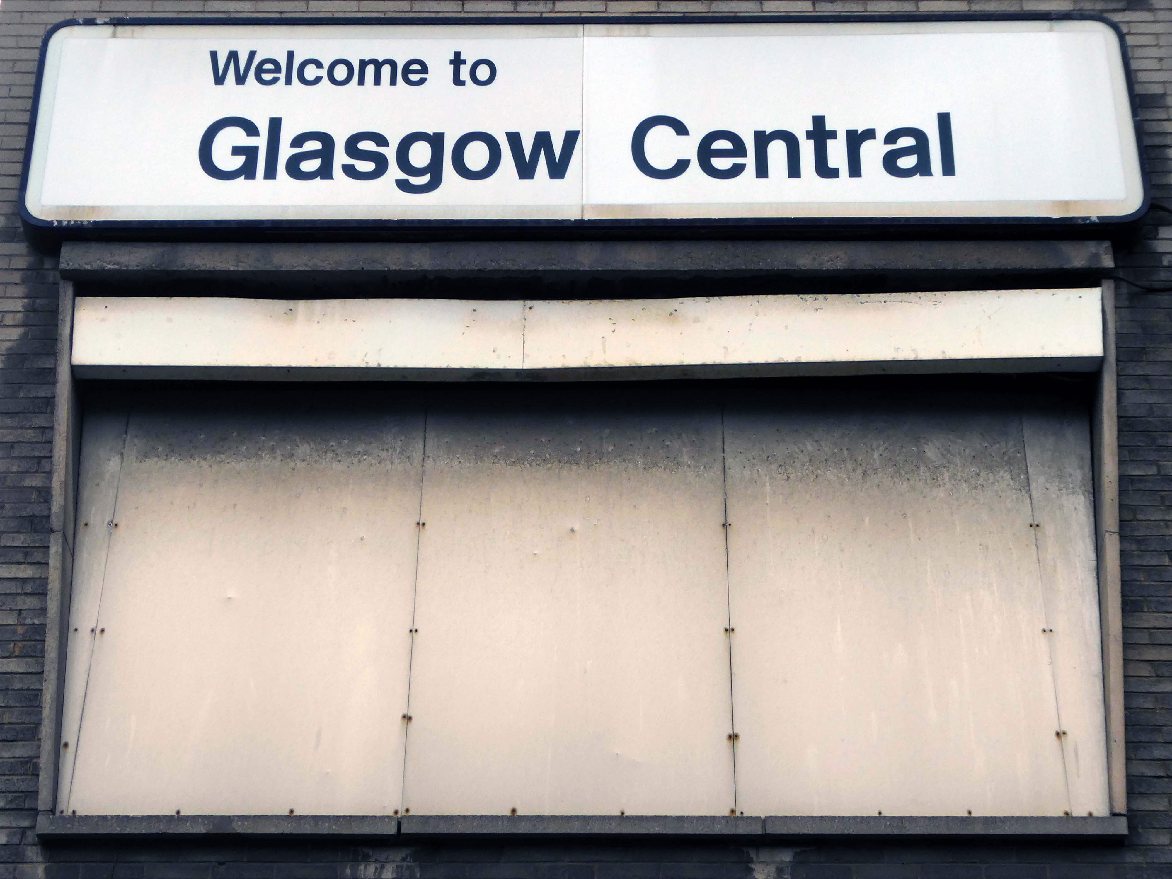
Glasgow Central Signalling Centre, located in the vee of Bridge Street Junction, opened on 2 January 1961. It replaced signal boxes at Central Station, Bridge Street Junction, Eglinton Street Junction and Eglinton Street Station. When initially opened it was capable of handling 1,000 routes.
Glasgow Central Signalling Centre closed on 27 December 2008, when its area of control was transferred to the new West of Scotland Signalling Centre – WSSC at Cowlairs. The NX panel is to be preserved. The station is currently signalled by two Westinghouse Westlock Interlockings which are controlled via an Alstom MCS control system.
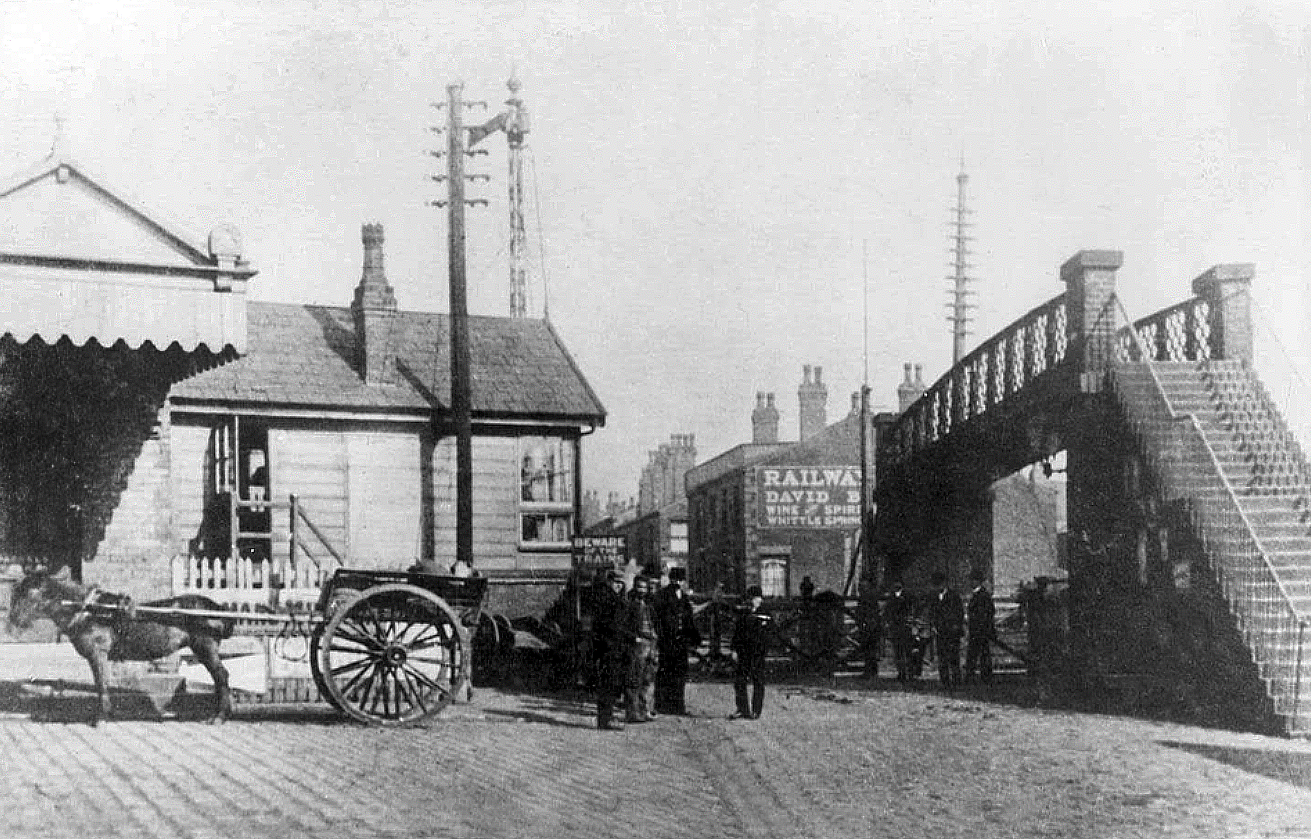
The current railway station is a modern version from the 1980s that was built on top of the original station. The level of the old platforms can be seen under the existing station’s two platforms which are connected by underpass. The initial station was opened on 22 December 1841 by the Bolton and Preston Railway – which later became part of the Lancashire and Yorkshire Railway and was subsequently served by the Lancashire Union Railway between St Helens, Wigan North Western and Blackburn from 1869.
Passenger trains over this route between Blackburn & Wigan were however withdrawn in January 1960. Further work was done in 2016 and 2017 in connection with the electrification of the line between Euxton Junction and Manchester.
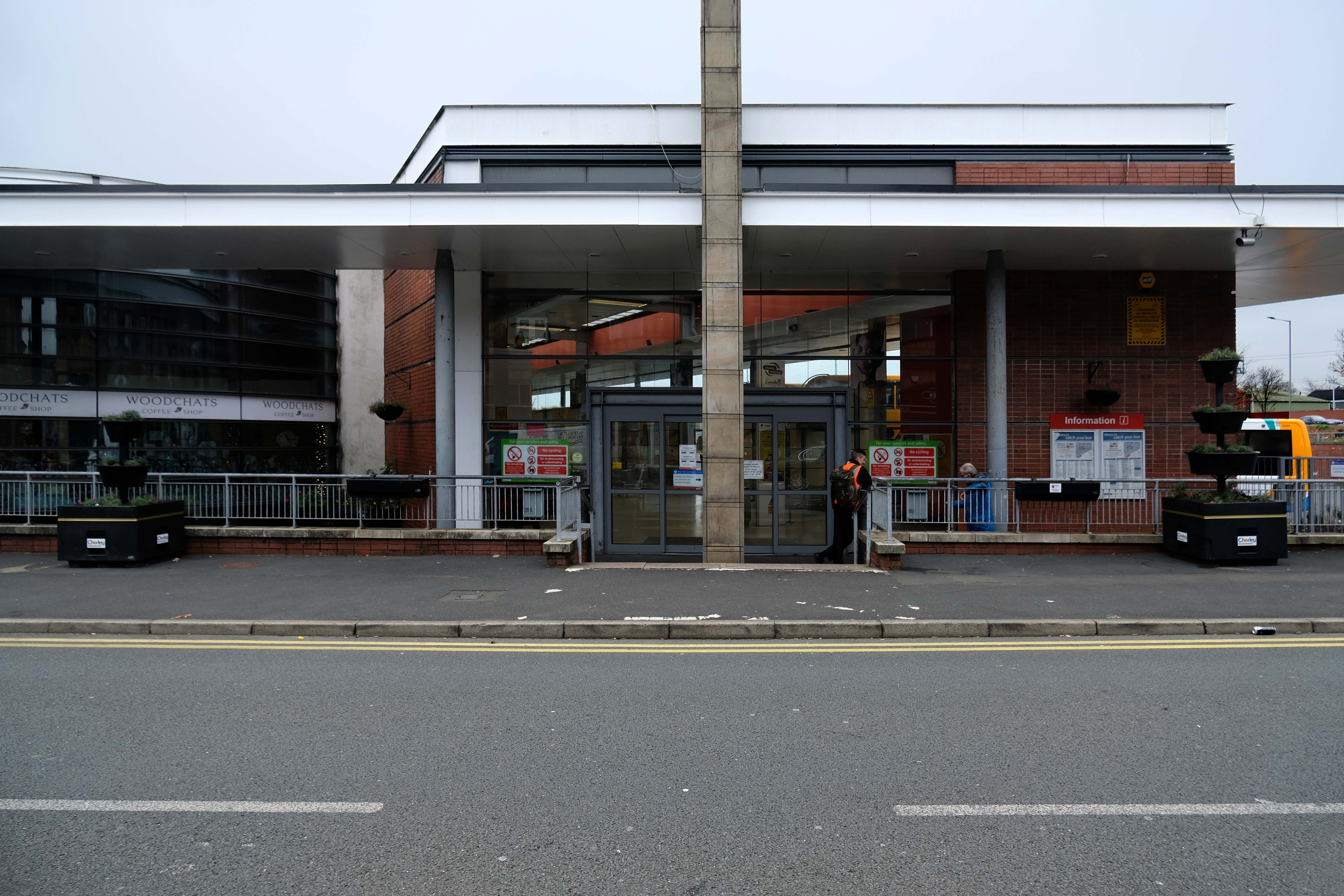
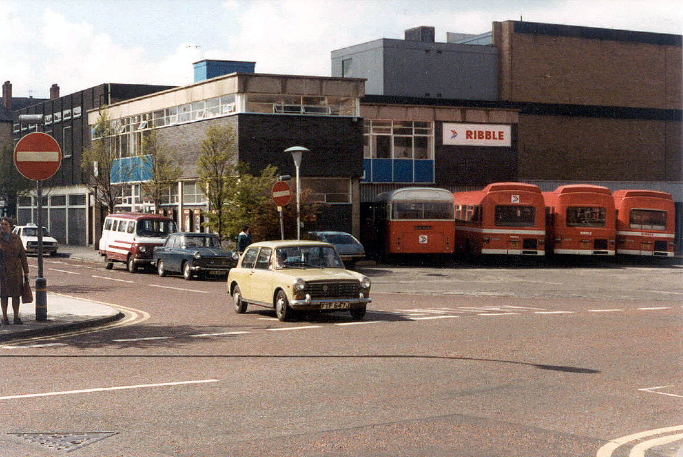
Crossed over to the Interchange – which was formerly a humble bus station, opened in February 2003 replacing the previous structure.
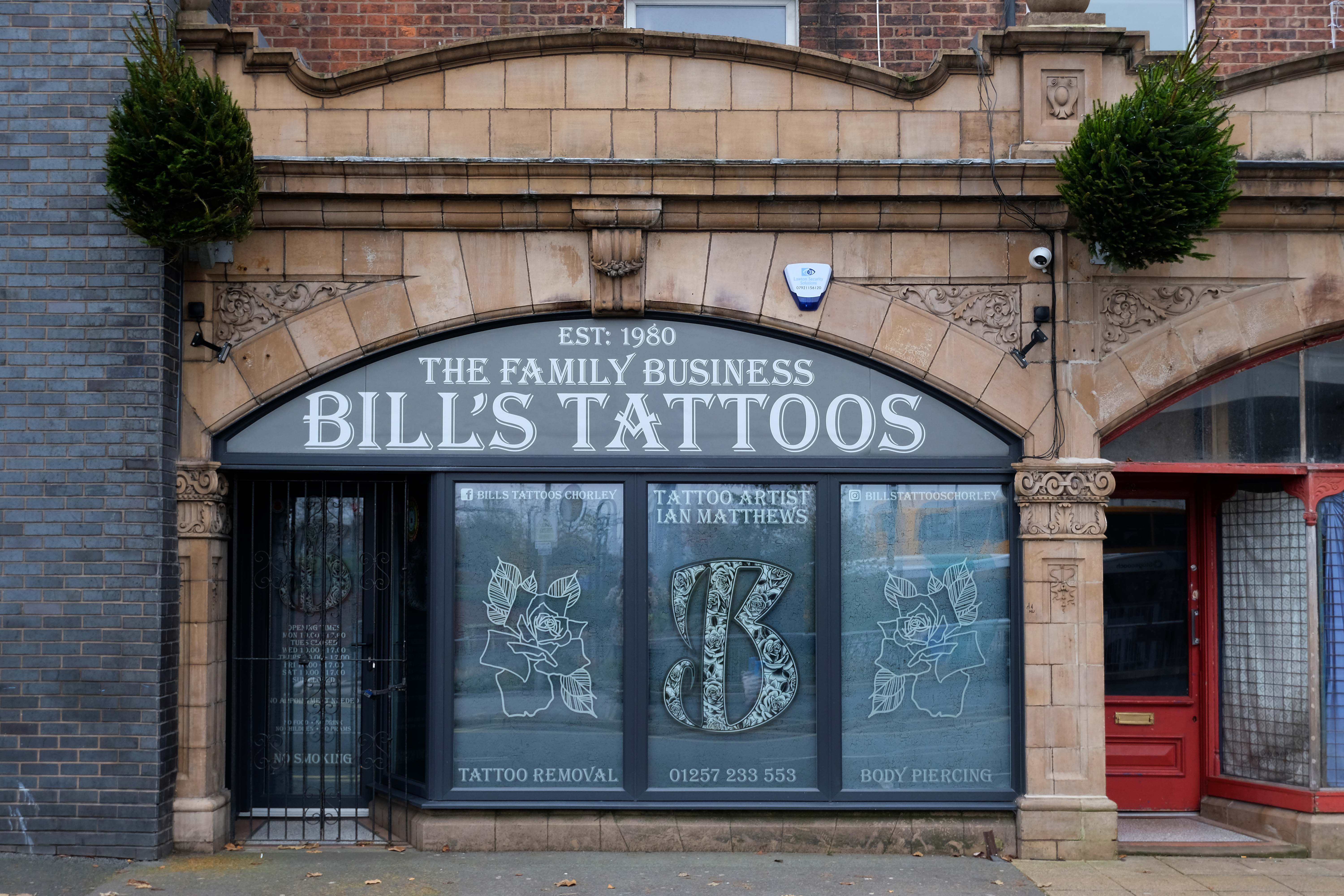
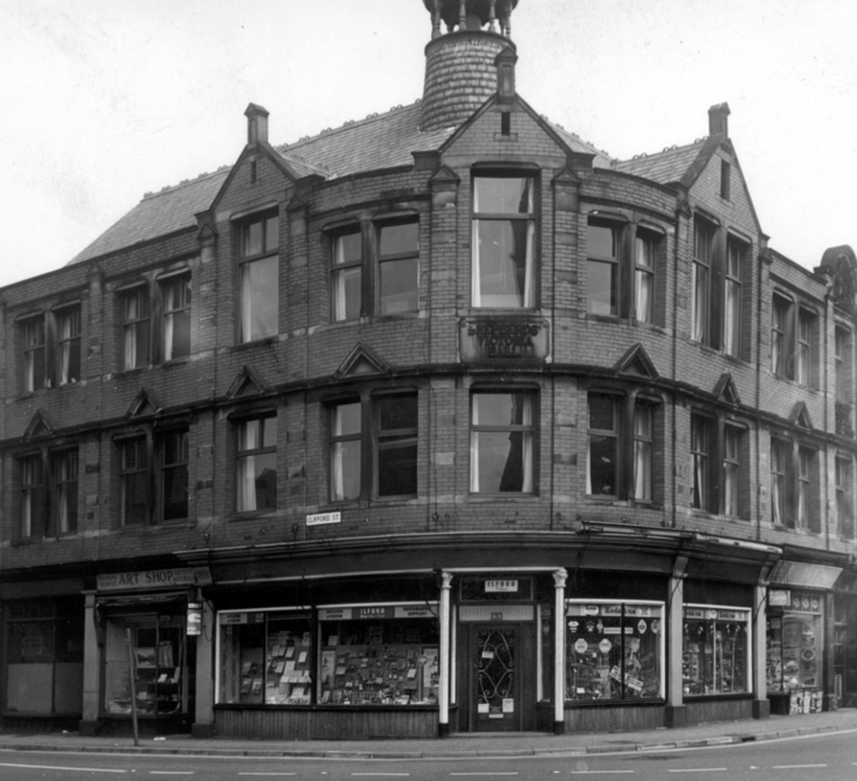
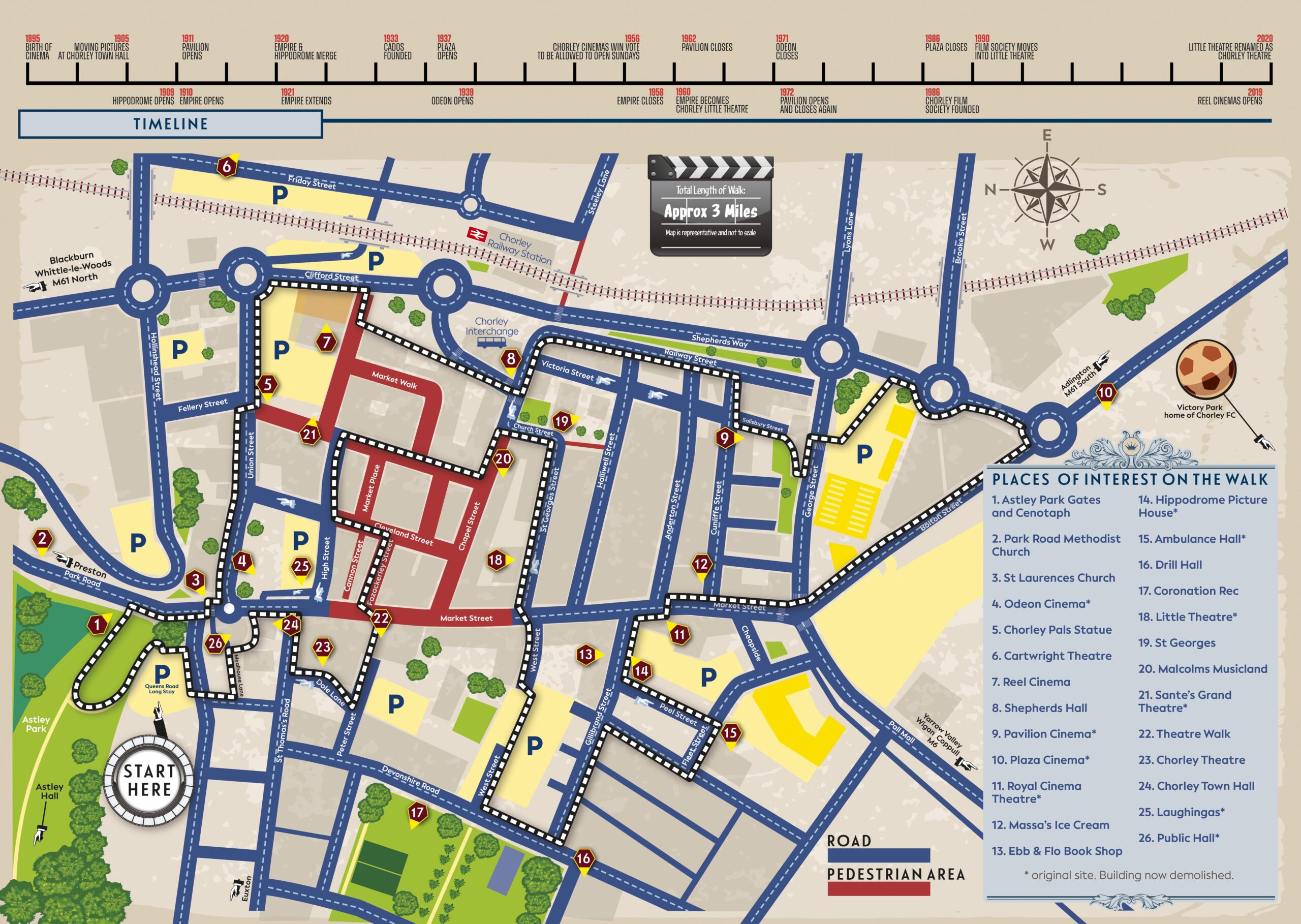
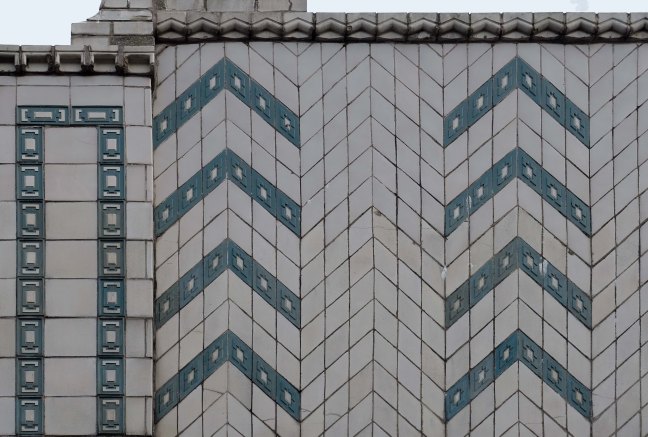
Across the way a stand of shops with distinctive faience fascias.
Further along the Shepherds’ Victoria Hall – once home to the Jubilee of the Ancient Order of Shepherds’ Friendly Society which was quite prominent in Chorley in the late 1800’s and early 1900’s
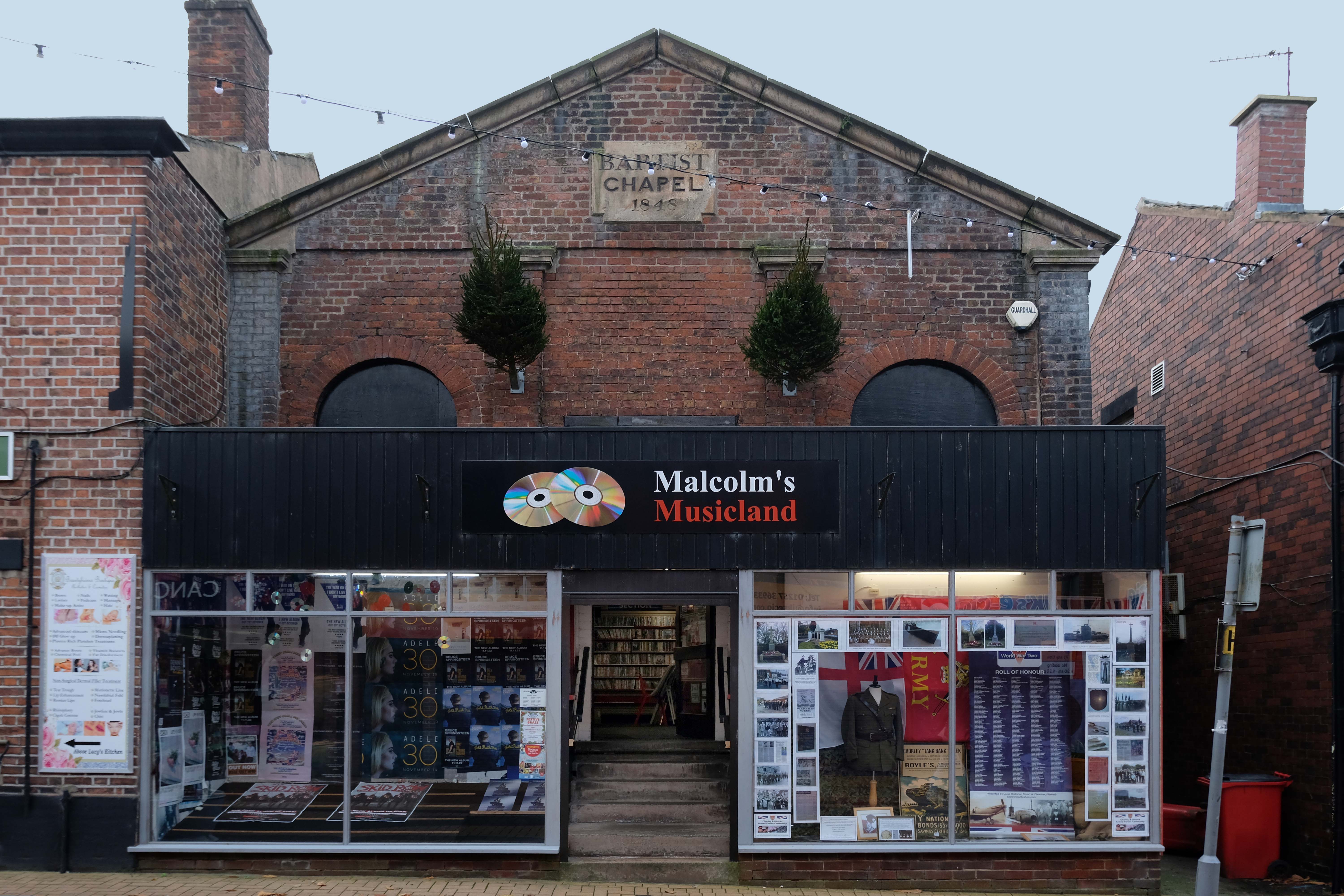
Down the way a ways a Baptist Chapel of 1845 on Chapel Street – currently trading as Malcolm’s Musicland.
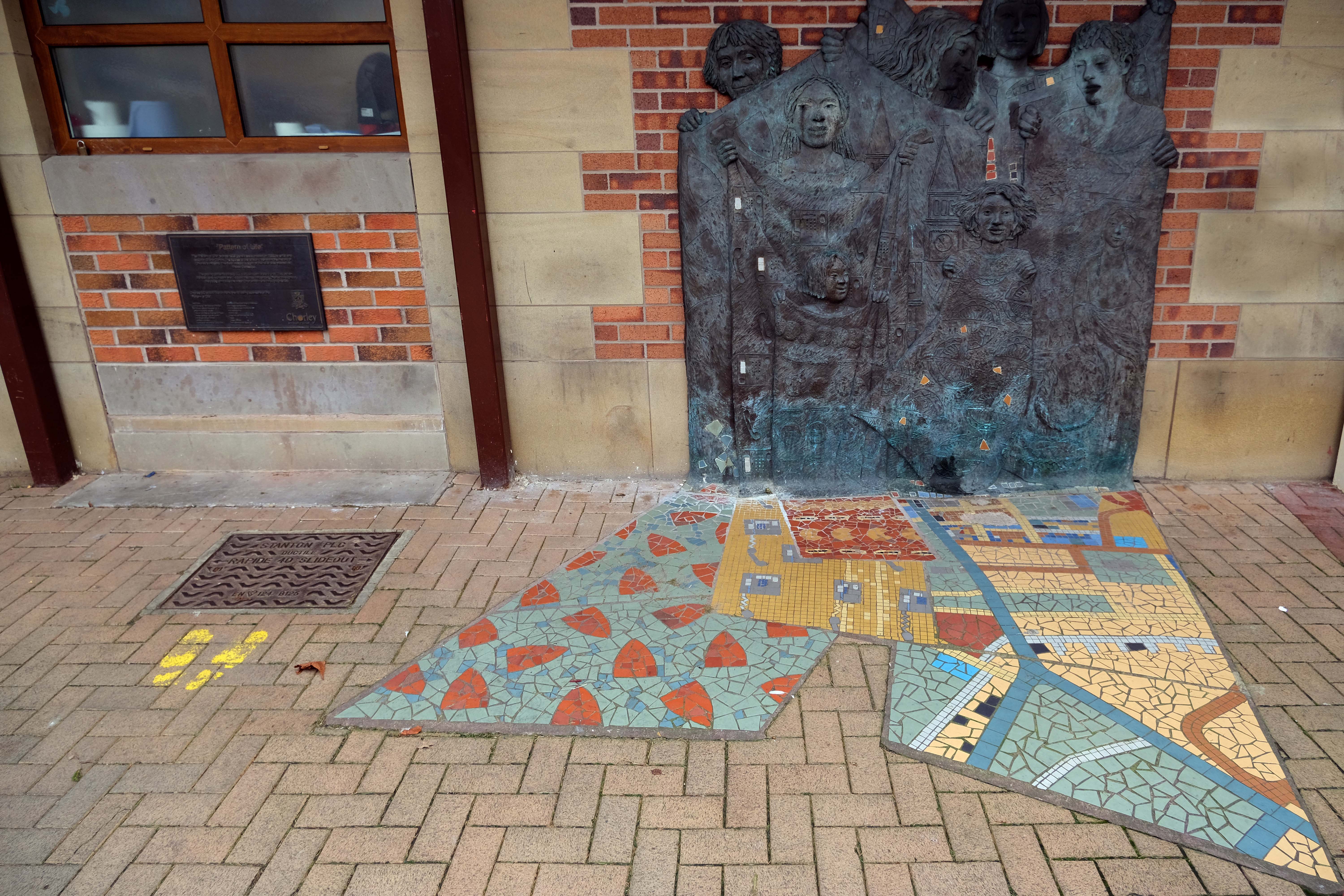
Hang a sharp right to the Market – where there is this newish piece of public art Pattern of Life a bronze relief by Diane Gorvin and mosaic work by Tracey Cartledge
This piece involves an innovative combination of cast bronze and ceramic mosaic. Two bronze relief panels display female figures holding out rolls of fabric, each decorated with patterns and images that are particular to the town of Chorley. Payphones, for example were invented and manufactured in Chorley, the crested newt is protected here and you might also notice the famous Chorley Cakes. As the fabrics tumble down, the designs are translated from bronze relief on the wall surface into 2D mosaic in the pavement.
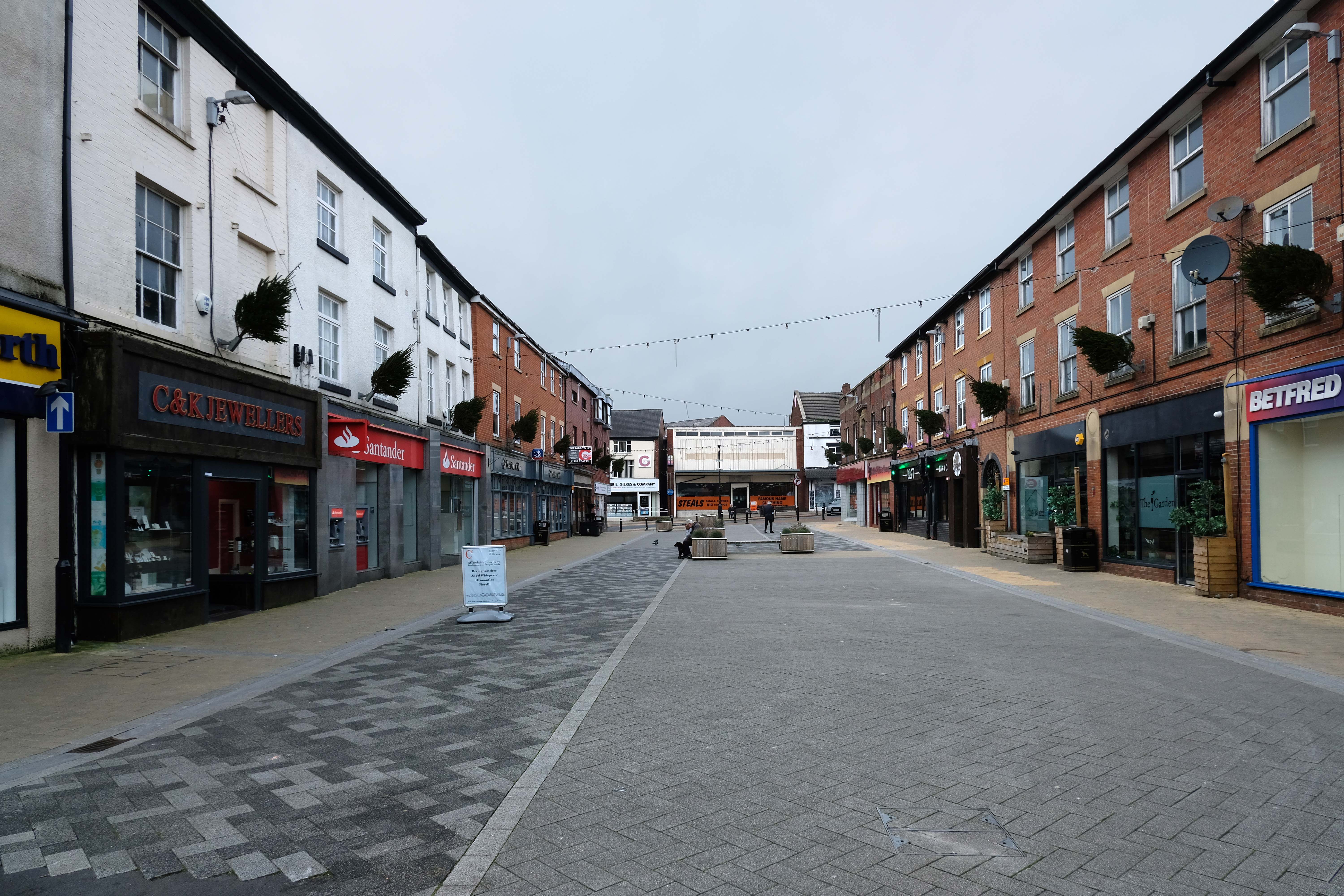
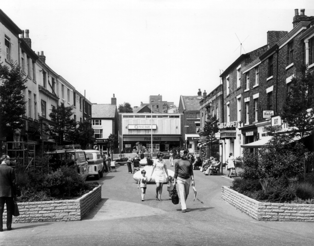
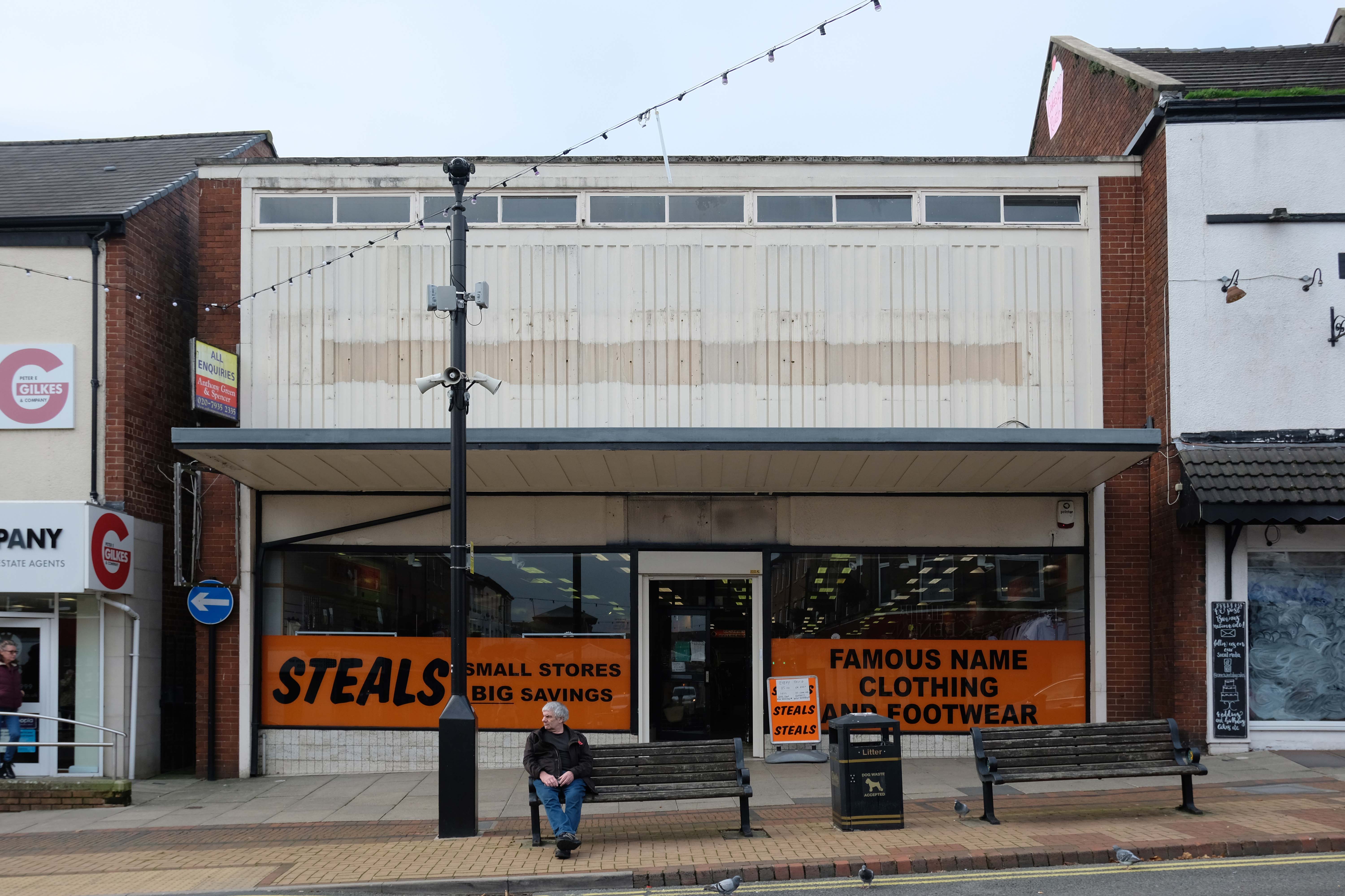
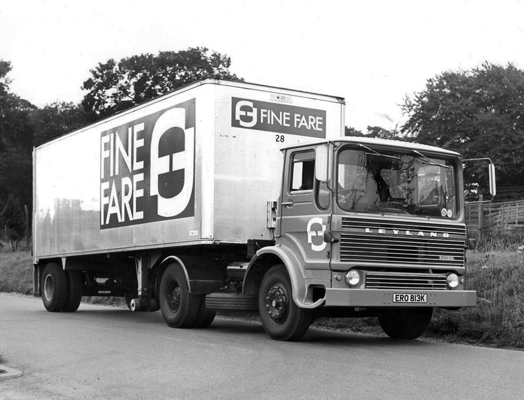
Looking down Fazakerley Street to where Fine Fare once was.
We’ll return to such matters in a moment – we have to get to the Post Office – which is no longer a Post Office.
It was a Post Office in 1935 – it also has a later extension.
The local list declares that the post office dates from 1935. This is almost certainly erroneous since the contract documents date from 1924, and from contract to completion the average construction and fitting-out time was about 18 months.
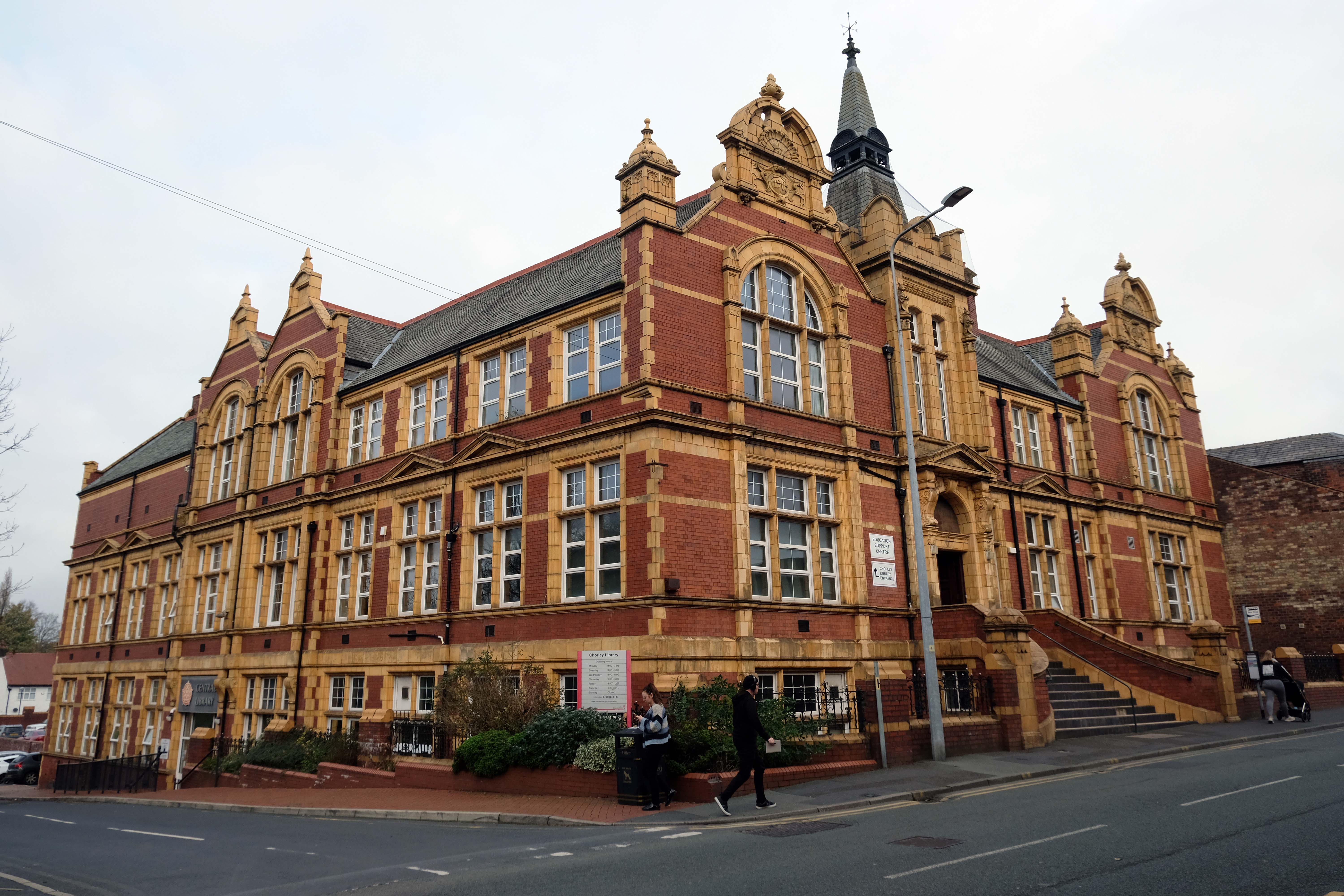
Plans supplied by the Architects Messrs. Cheers & Smith of Blackburn which were approved by the Education Committee on the 18th August 1904 – design proposals for the new Technical School entitled Light and Air.
The considerable task of erecting the school was given to the local builder Mr. William Hampson of Pall Mall.
Surely the envy of his trade, the total contract was worth a mouth- watering £10,041 15s. 9d. – approx. £720,000 today.
The building was officially opened by the 16th Earl of Derby on September 24th 1906.
Over the road the town’s newest retail development Market Walk – the work of AEW Architects.
Chorley Council bought the shopping centre from Orchard Street Investments for £23m in 2013 and commenced a large-scale regeneration scheme in 2018 involving a £15m, 79,000 sq ft retail and leisure extension led by main contractor Eric Wright Group and designed by AEW Architects. Here, Conrad Heald of Chorley Council tells his interviewer, AEW director Phil Hepworth, how the scheme came to fruition and has rejuvenated the town centre.
The memorial re-sited in 2018 commemorates the Chorley Pals.
In less than 20 minutes, 235 of the 720 men from the 11th East Lancs. were killed. Another 350 were wounded, of which 17 would eventually succumb to their wounds. Many of the Battalion died where they fell, in No Man’s Land.
As a result of the attack on the morning of the 1st July, the Chorley Pals – Y Company, had 31 men killed and three died within a month of their wounds received on that day. 21 have no known graves and their names are transcribed on the Thiepval memorial to the Missing on the Somme battlefield. A further 59 were wounded, making a total of 93 casualties out of approximately 175 men from Chorley who went over the top that morning.
Reversing now to the former Barclays Bank – which closed earlier in 2022.
We return now to the former Fine Fare.
The company began as one single supermarket in Welwyn Garden City in 1951, as an offshoot of the Welwyn Department Store, owned by Howardsgate Holdings, the company of Ebenezer Howard, the founder of the garden city movement.
Now here’s a thing a bank which is a bank NatWest not gone west.
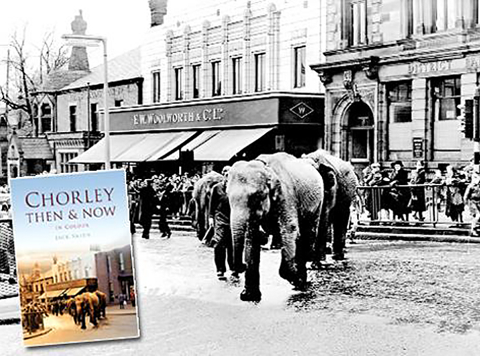
Next to the former Woolworths, opened in Chorley in 1930 on Market Street, with its pale Deco faience fascia.
They traded from this building for sixty five years, before closing in March 1995 in order to move to a new store on Market Walk – it became an Argos, then it didn’t.
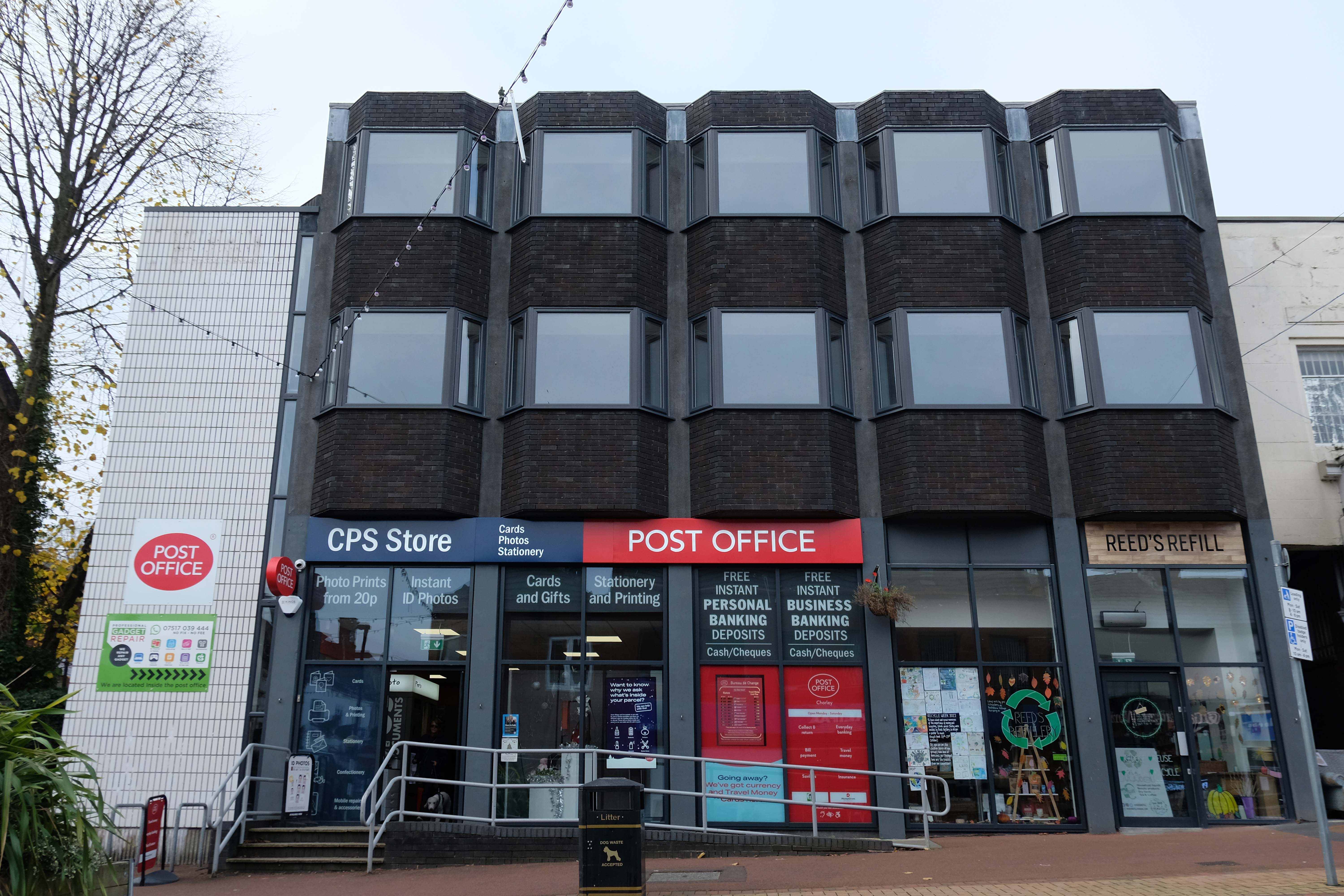
Here we are now at a Post Office that is a Post Office but was an RBS Bank.
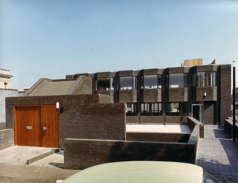
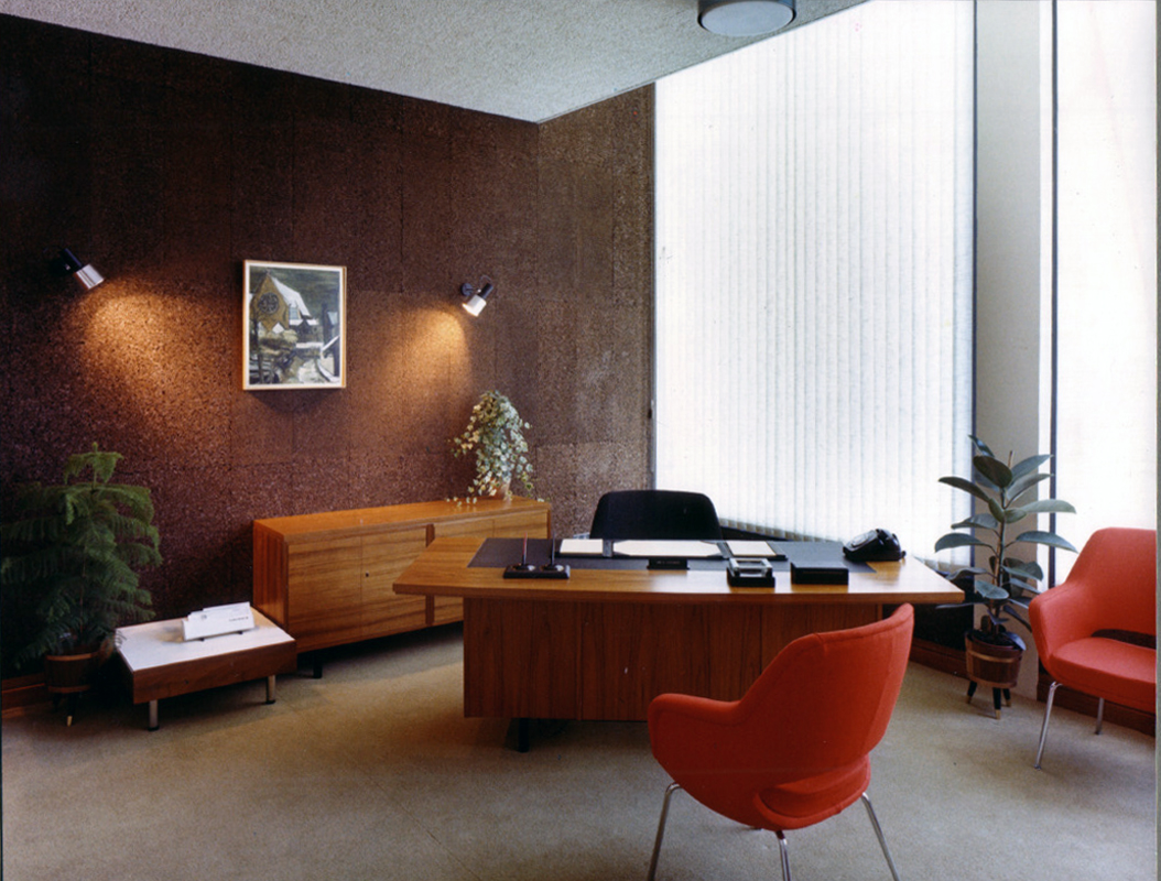
the Bank was the work of Cruickshank & Seward – thanks to Mainstream Modern for these archive images.
The new location is at the former Royal Bank of Scotland on Market Street in the town centre.
Since the Post Office that was based at WH Smith on New Market Street came to an end, when that store closed in January, it relocated to a temporary unit in Market Walk until a permanent solution could be found.
The unit, which had been provided by the postmaster from Burscough Bridge Post Office, closed on Tuesday.
Kenny Lamont, Post Office Network Provision Manager, said a Post Office is important to a community.
This had been a Methodist Church – then, it became the HQ of the Lancashire Electric Power Company.
The Lancashire Electric Power Company was one of the largest private electricity companies in the UK. It was established in 1900 and generated and supplied electricity to 1,200 squares miles of Lancashire from 1905 until its abolition under nationalisation in 1948.
Time to back track to the Cop Shop – the work of County Architect Roger Booth and crew.
The Magistrates’ Courts are closed and up for sale.
Next door the White Hart once upon a time the Snooty Fox, a pub with an up and down trajectory – currently open and described online as plush.
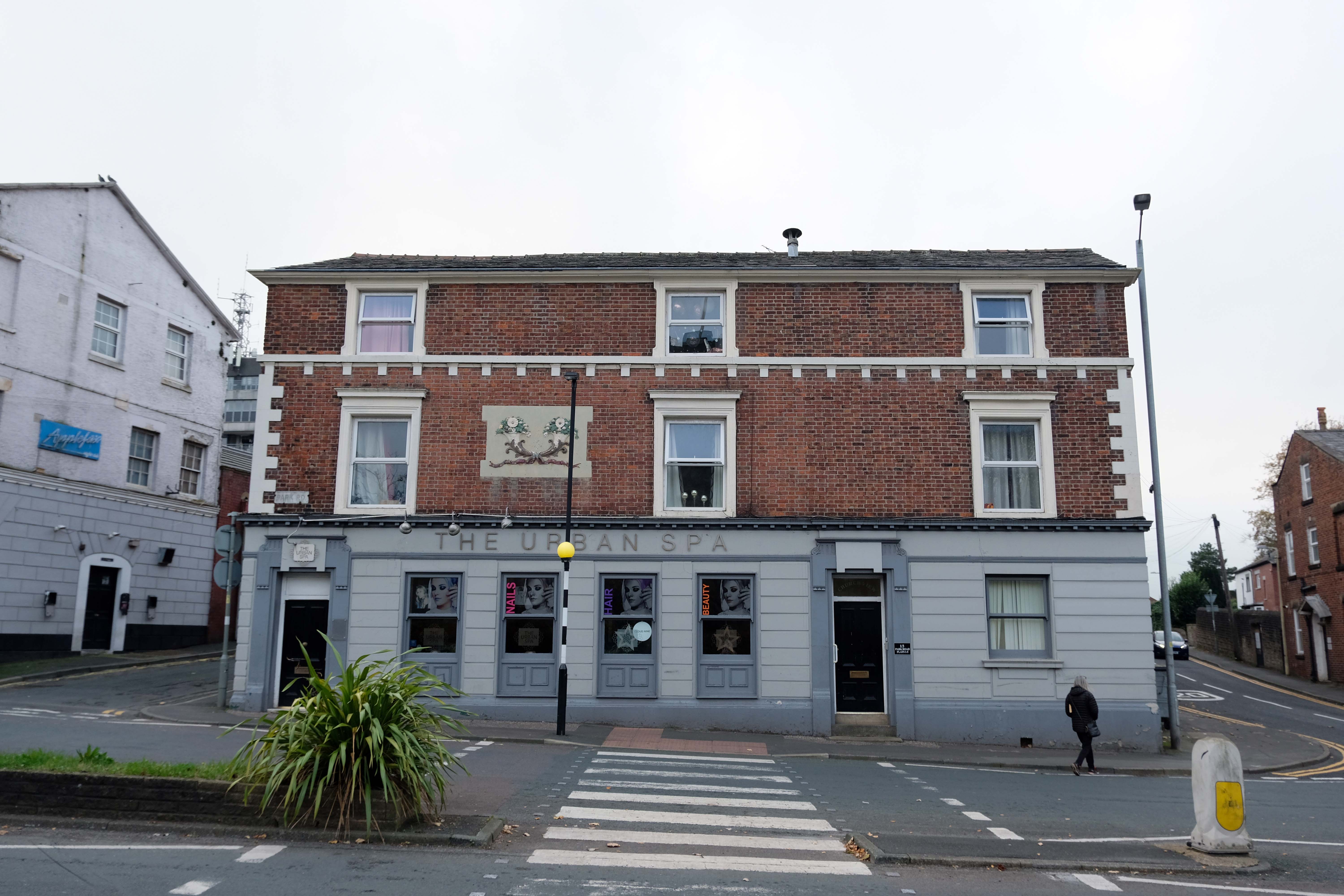
Down the road a pub no longer a pub but an Urban Spa.
We offer you a full range of professional treatments tailored to your own personal needs. We treat every client as an individual and offer an extensive range of treatments and professional products making your visit one to remember.
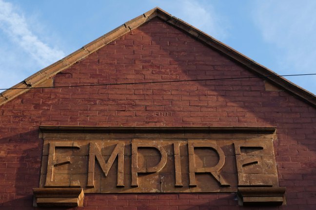
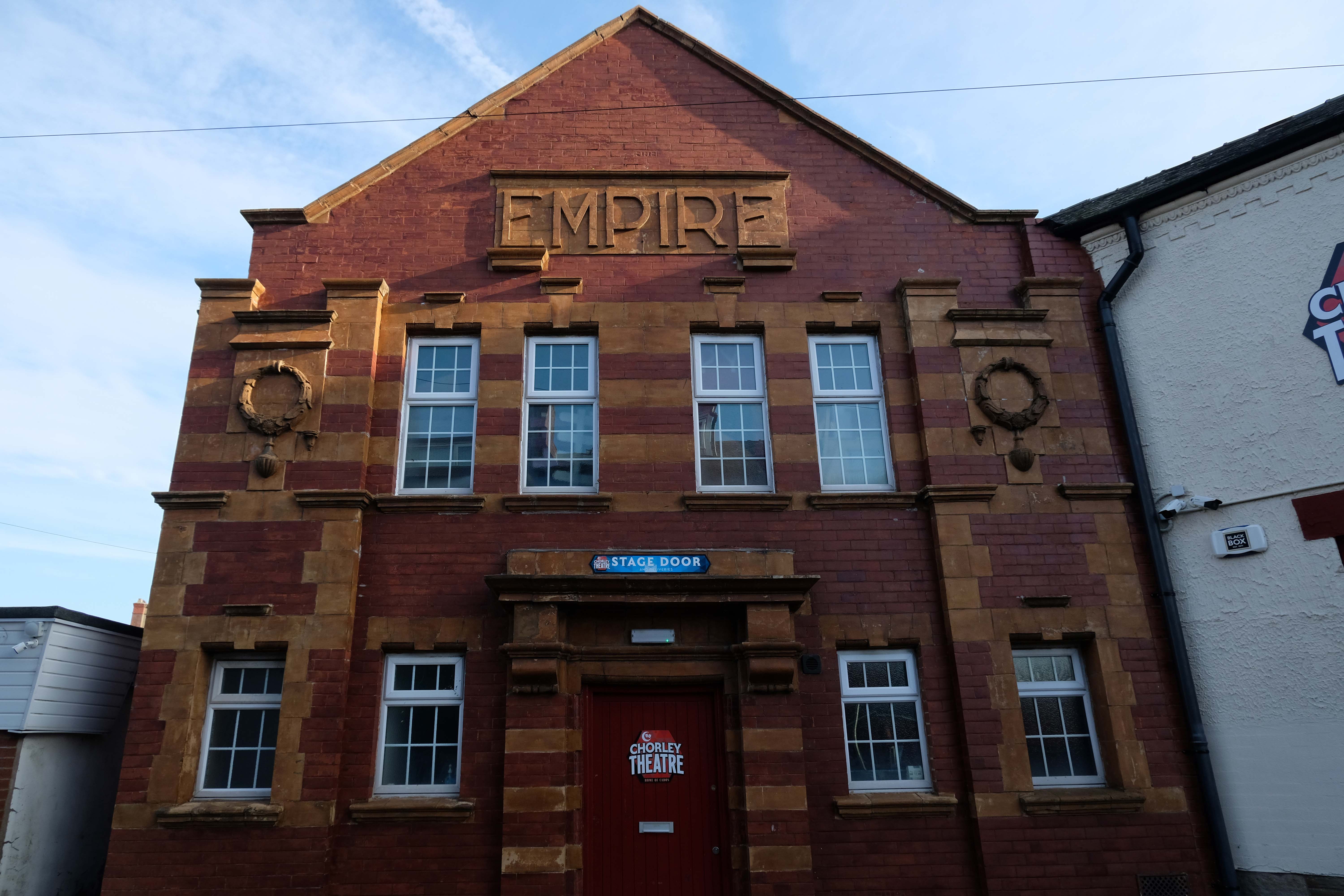
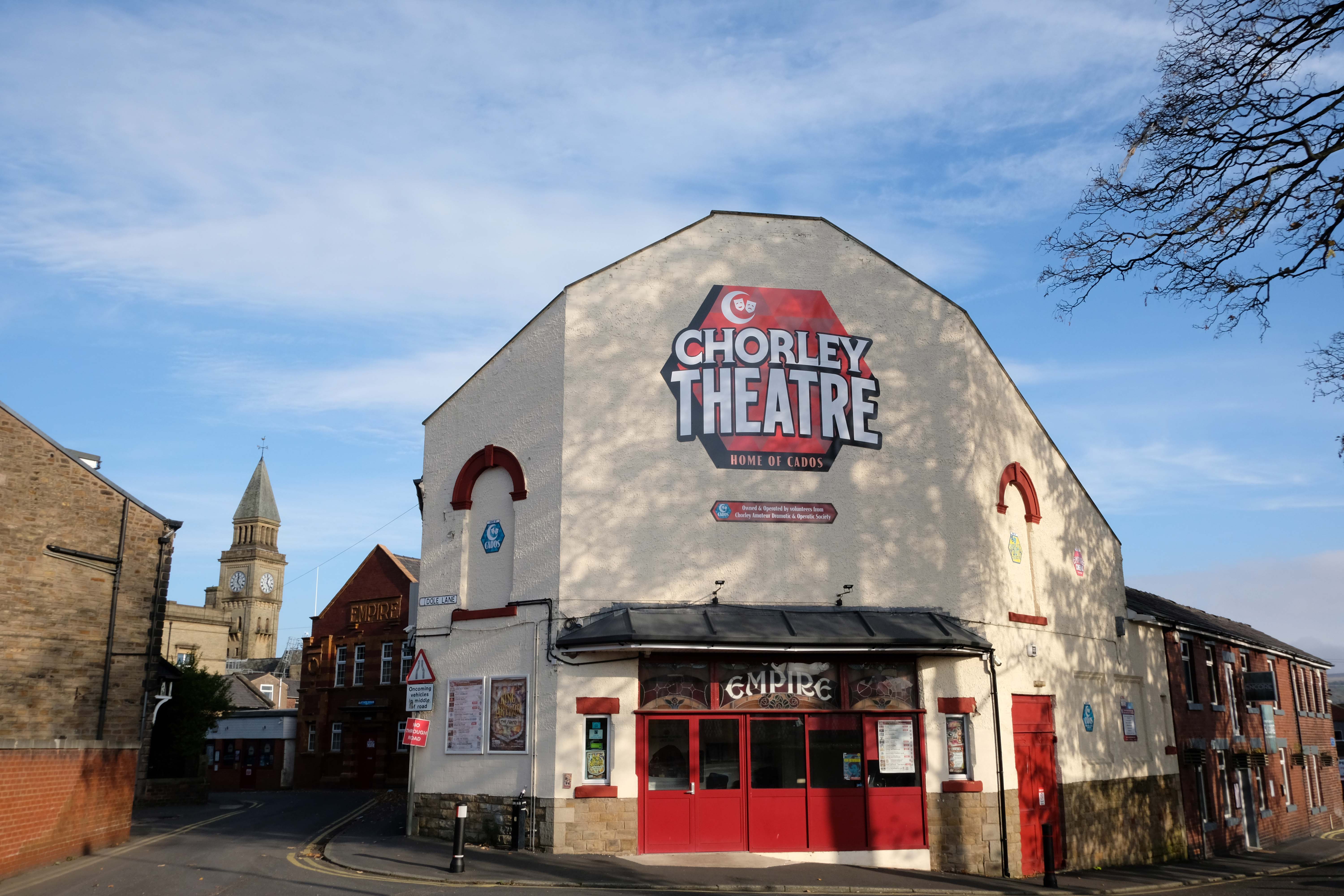
Let’s go to the theatre – The Empire tucked away at the back of town.
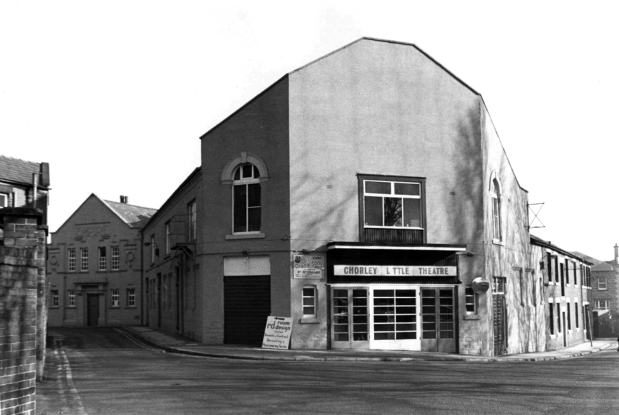
The Empire Electric Theatre opened, as the town’s first purpose-built cinema, on 3rd September 1910. In 1912 Archie Hooley began his connection with the cinema business at the Empire Electric Theatre. By 1927 it had been re-named Empire Cinema and by 1930 it was equipped with a Western Electricsound system and was operated by the Perfecto Filmograph Co. Ltd. By 1939 it was operated by the Snape & Ward chain. According to the Kine Year Books, in 1940 the seating was for 800, while by 1952 it had been reduced to 679 – still a far cry from today’s 236 seats. 3D films were shown in the early-1950’s. Archie had died in 1944; his son Selwyn closed the cinema in 1957, apparently “because of the taxes”.
1959
Wrestling took over for a while before Chorley Amateur Dramatic and Operatic Society – CADOS acquired the building and renamed it the Chorley Little Theatre. Since 1960 CADOS have been putting on high-quality productions, presenting at least six productions per season – from September to July. It is also the home of the award-winning Chorley Youth Theatre who meet every Saturday, putting on shows throughout the year; and Chorley Empire Community Cinema who present the cinema experience on their 21ft wide screen with 8-Speaker Surround Sound. Run entirely by volunteers the theatre has state-of-the-art sound systems and a full range of lighting equipment. There are two spacious dressing rooms, space for costumes and props and the Empire Bar. The building has disabled access throughout the public area, including a toilet, and the auditorium is fitted with a hearing loop. There are three spaces for wheelchairs in the auditorium. It was re-named Chorley Empire Cinema at Chorley Theatre in October 2019 and films are still part of the programming.
The Odeon Market Street was built for and operated by Oscar Deutsch’s Odeon Theatres Ltd. chain, it opened on 21st February 1938 with Jack Buchanan in The Sky’s the Limit.
Architect Harry Weedon was assisted by PJ Price.
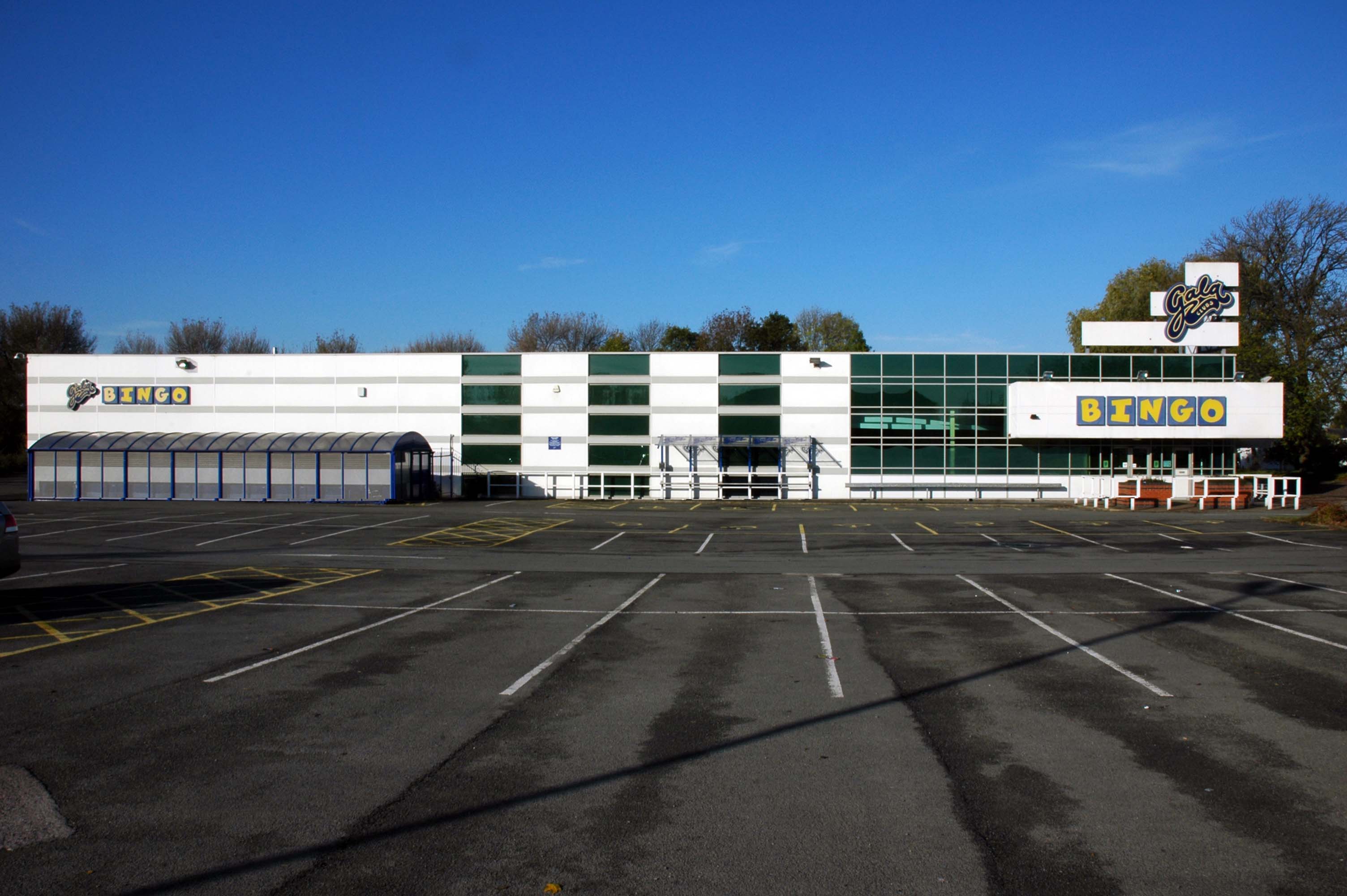
It was closed by the Rank Organisation on 6th February 1971 with George Lazenby in “On Her Majesty’s Secret Service”. After laying closed and un-used for over two years it was sold to an independent bingo operator and re-opened on 9th August 1973 as a Tudor Bingo Club. It later became a Gala Bingo Club which was renamed Buzz Bingo Club in June 2018. It was closed on March 21, 2020 due to the Covid-19 Pandemic. On 15th July 2020 it was announced that the closure would be permanent.
The building was handed over to Chorley Council who decided that asbestos removal would be too costly and the building was demolished in August 2021.
Located on Salisbury Street, off Cunliffe Street, built in 1888 as a military warehouse, it was converted into a roller skating rink around 1909. It opened as the Pavilion Picture Palace on 14th September 1911, operated by George Testo Sante, a music hall strong man, who also operated the Grand Theatre as a cinema. By 1915, music hall acts were also part of the programme. After the end of World War I, the flat floor of the cinema was raked, allowing for better viewing of the screen. The proscenium was 30ft wide, the stage was 16 feet deep and there were two dressing rooms.
The Pavilion Cinema was the first in town to screen ‘talkies, when an Electrochord sound system was installed in 1929. It was taken over by the J.F. Emery Circuit in 1932 and they operated it until the end of 1933. The sound system was upgraded to a British Talking Pictures sound system. In 1954 it was the first cinema in town to be fitted with CinemaScope and the proscenium was widened to 36 feet.
The Pavilion Cinema was closed by 1962 and converted into a bingo club. In 1972 it was re-opened as a cinema again, but due to Star Cinemas chain barring it from showing first run features – they operated the Plaza Cinema, it was closed after 5 months of operation. It was later demolished and the area was redeveloped for housing.
No trace of The Hippodrome Theatre on Gillibrand Street, which was built and opened in 1909, or the Theatre Royal, opened on 30th September 1911, It was demolished in 1959.
A supermarket was built on the site which later became a McDonalds, which is now a Pizza Hut.
Last but not least – located on the Flat Iron Parade, aka Cattle Market, The Grand Theatre was a wooden building built in 1885, which presented melodramas and plays. In June 1909 it was taken over by George Testo Santo, who had been a music hall strongman, and his family. It went over to operating as a Picture Palace for a short season.
By 1914 it was operating as a full time cinema, but was destroyed by fire in 1914.
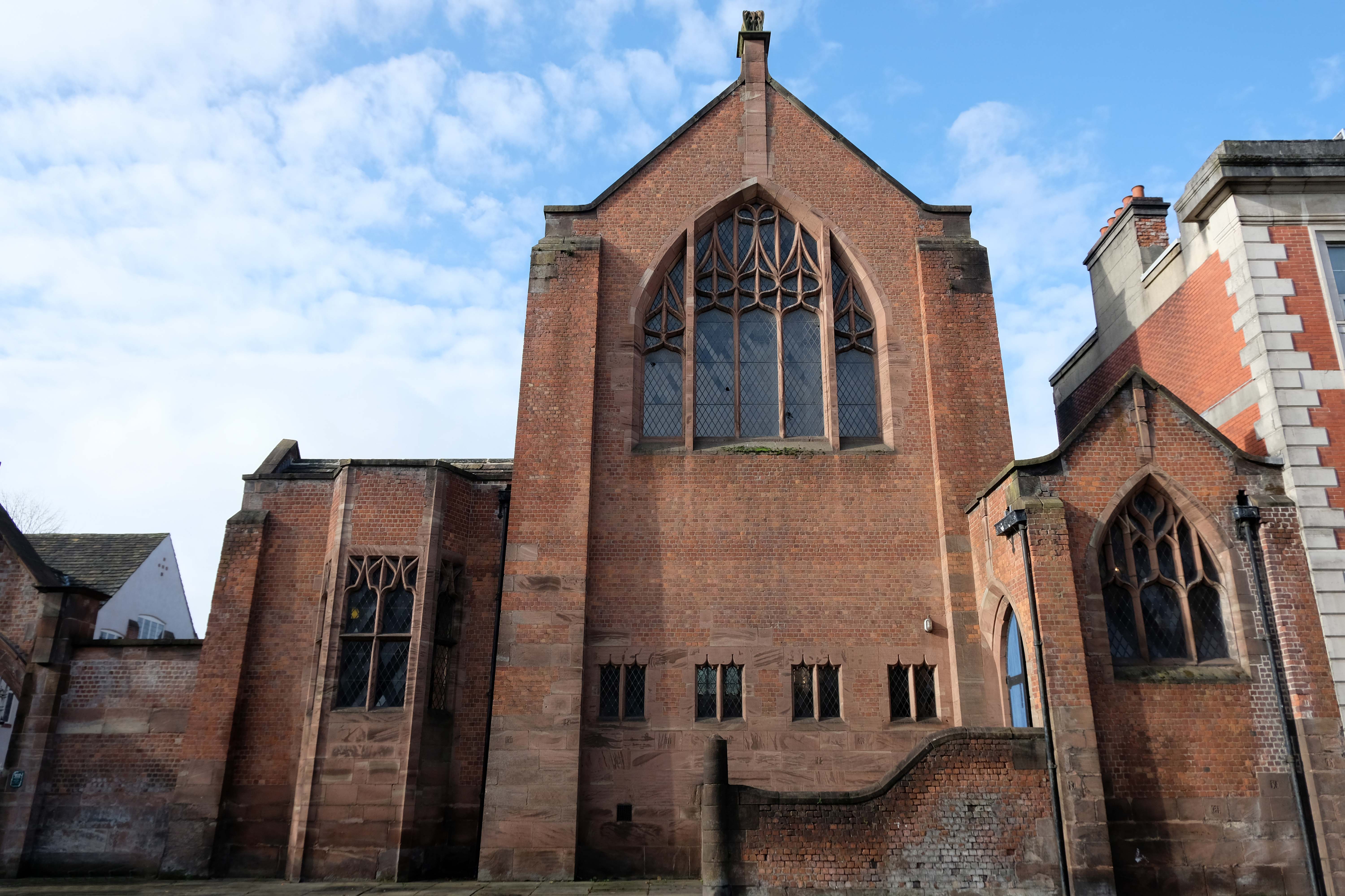
Middleton has not the gloom of so many South Lancashire towns its size. It benefits from its position close to the hills, but it has also the advantage of a large medieval church on a hill and of a number of buildings by one of England’s most original architects of the period around 1900.
He was the most advanced English architect of his generation, stylistically moving through through art nouveau, vernacular, expressionist and finally art deco phases a decade or more before other designers. He became England’s uncontested pioneer of flat roofed modern buildings. He worked more like an artist than an architect, designing buildings, furniture, stained glass, sculpture, metal and plaster work. His buildings are mostly clustered in the towns of Middleton, Rochdale, Oldham, Huddersfield and Hale. Influenced by the writings of William Morris, he saw himself as an artisan serving the people of these localities.
Sixty-seven sets of designs for the proposed free library at Middleton were received by the Corporation of that borough in response to their advertisement; and a joint committee comprising of six members of the Corporation and six non-members has awarded the premium to Mr Lawrence Booth, architect of this city.
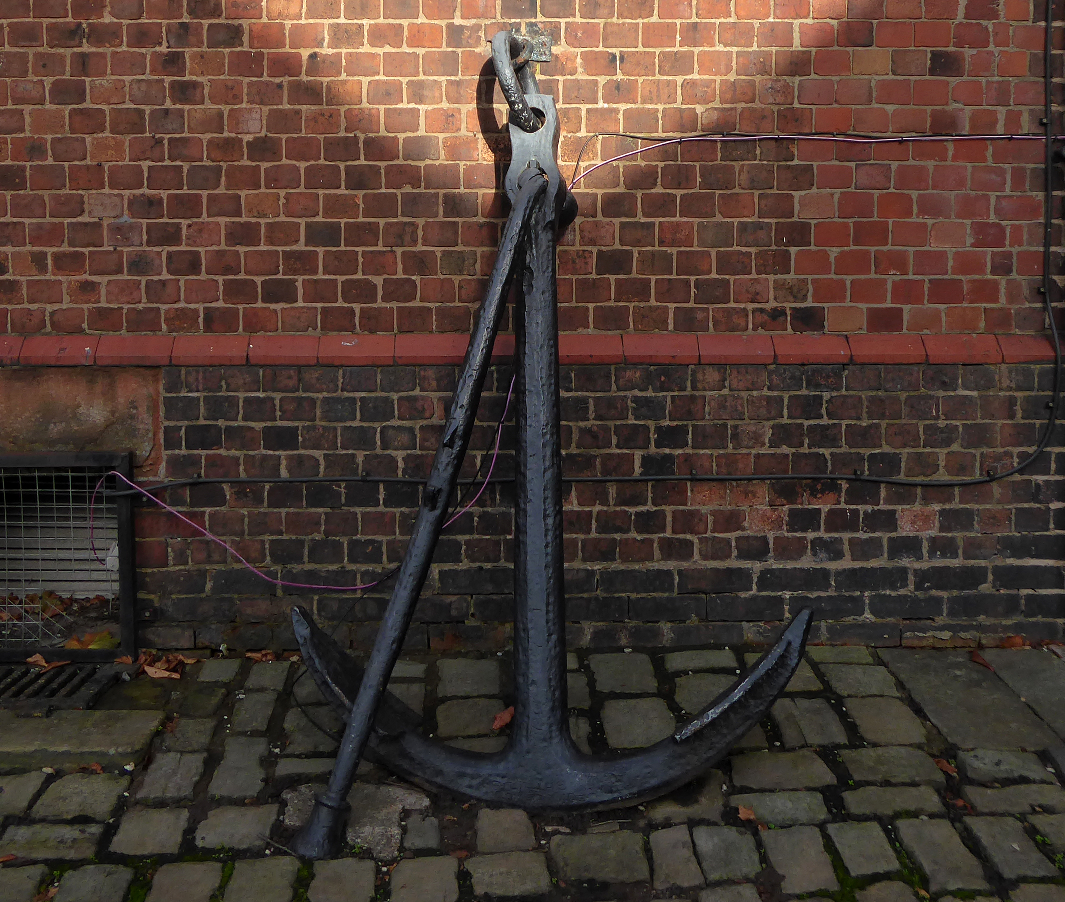
Curiously, we encounter an anchor.
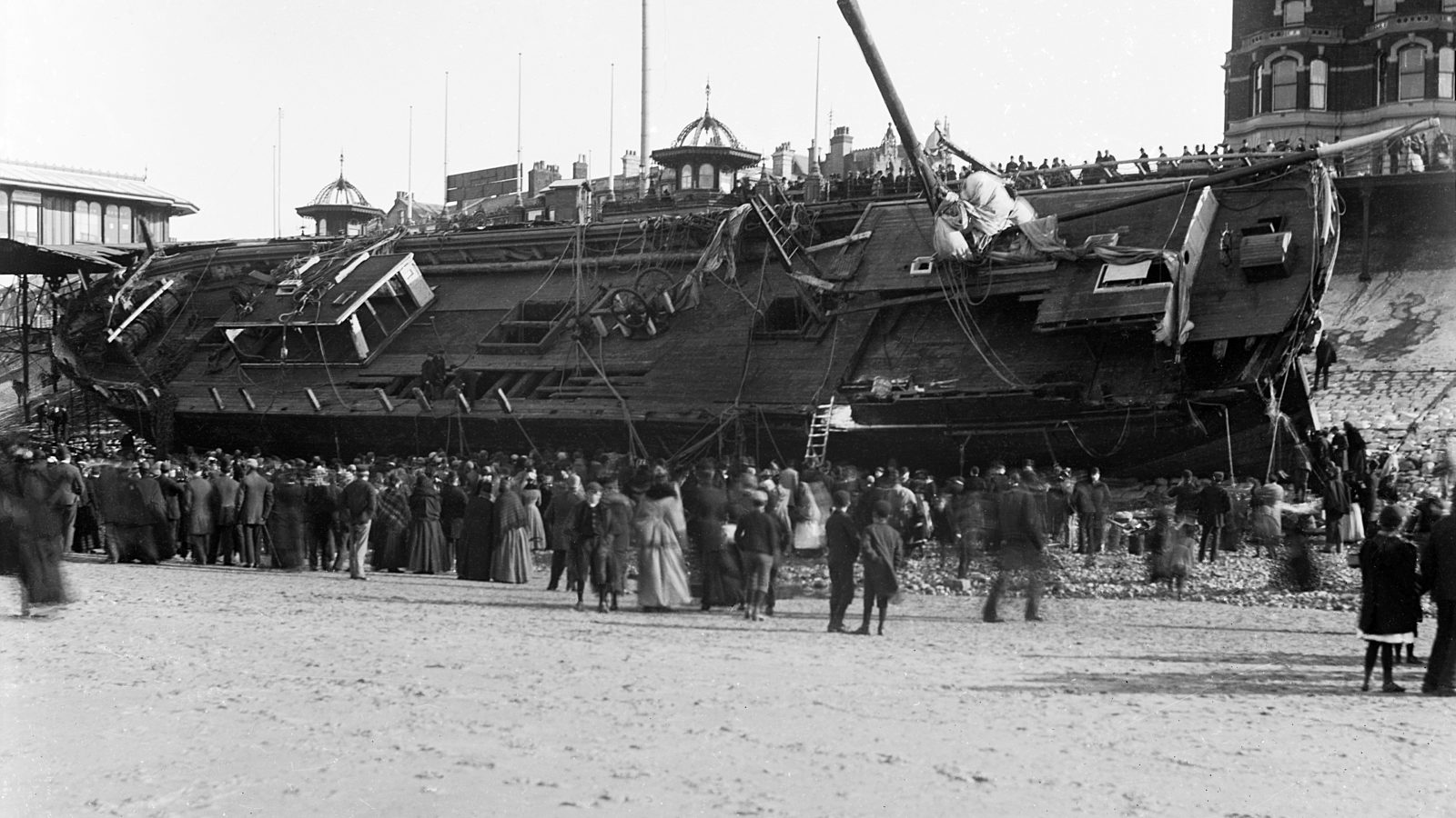
Around 10pm that evening when weather conditions deteriorated to near hurricane-force gales, with the Sirene making little headway despite tacking.
Losing her helm, her sails in tatters and within sight of the Great Orme, the gales drove her back through the night towards the Lancashire coast. Eventually, and with great difficulty, Captain Gjertsen and his crew managed to manoeuvre the stricken vessel between the Central and North Piers. Becoming increasingly unmanageable, and swept in by the rushing tide and gale force winds, the Sirene looked a doomed vessel. She was helpless in the close shore currents, and unable to drop anchor she was at the mercy of the waves. She was carried alongside the North Pier, tearing off a section of the pier superstructure and part of her own keel.
Thousands of people lined the Promenade to witness the spectacle as she came in on the south side of the pier; many more stood on the pier itself, but there was a mad rush for safety when the ship collided against the structure.
The captain and crew survived, including the ship’s cat, many offers were made for the cat, but the captain refused them.
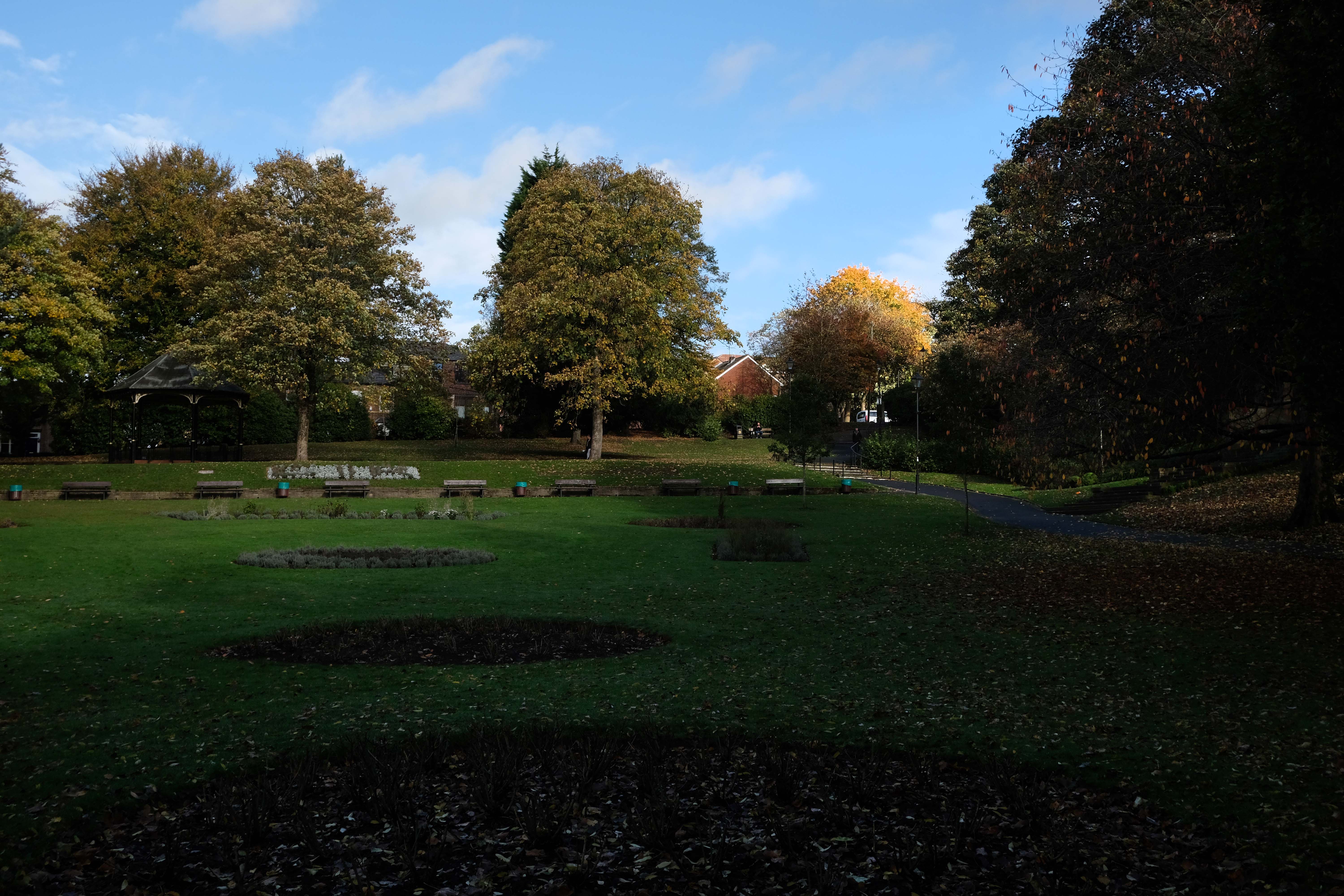
Onwards through Jubilee Park opened in 1889 to commemorate the Golden Jubilee of Queen Victoria.
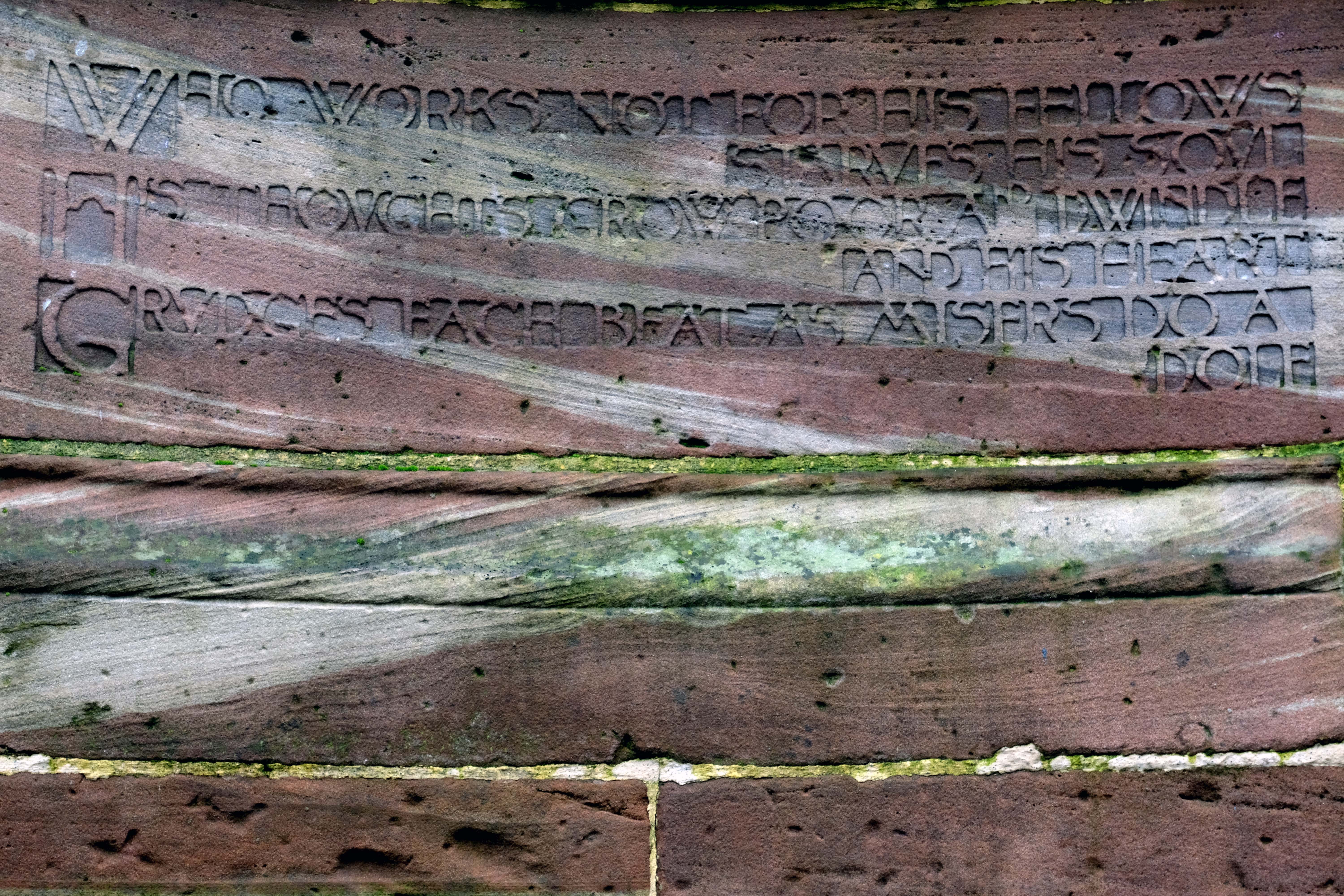
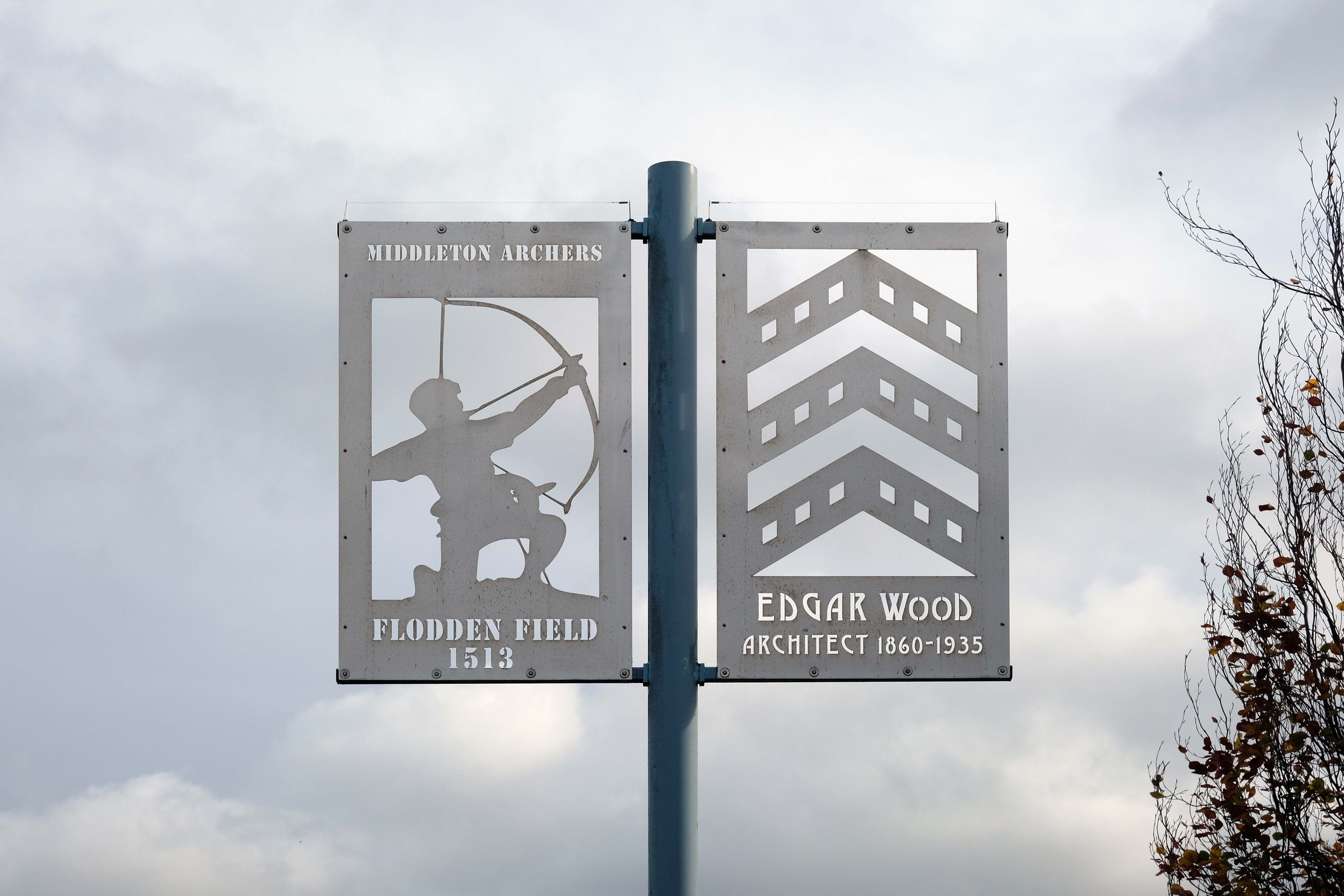
In 1906 Alderman Thomas Broadbent Wood commissioned his son, Edgar, to design a flight of steps to lead up to a contemplation spot in the park – the inscription reads:
Who works not for his fellows starves his soul.
His thoughts grow poor and dwindle and his heart grudges each beat, as misers do a dole.
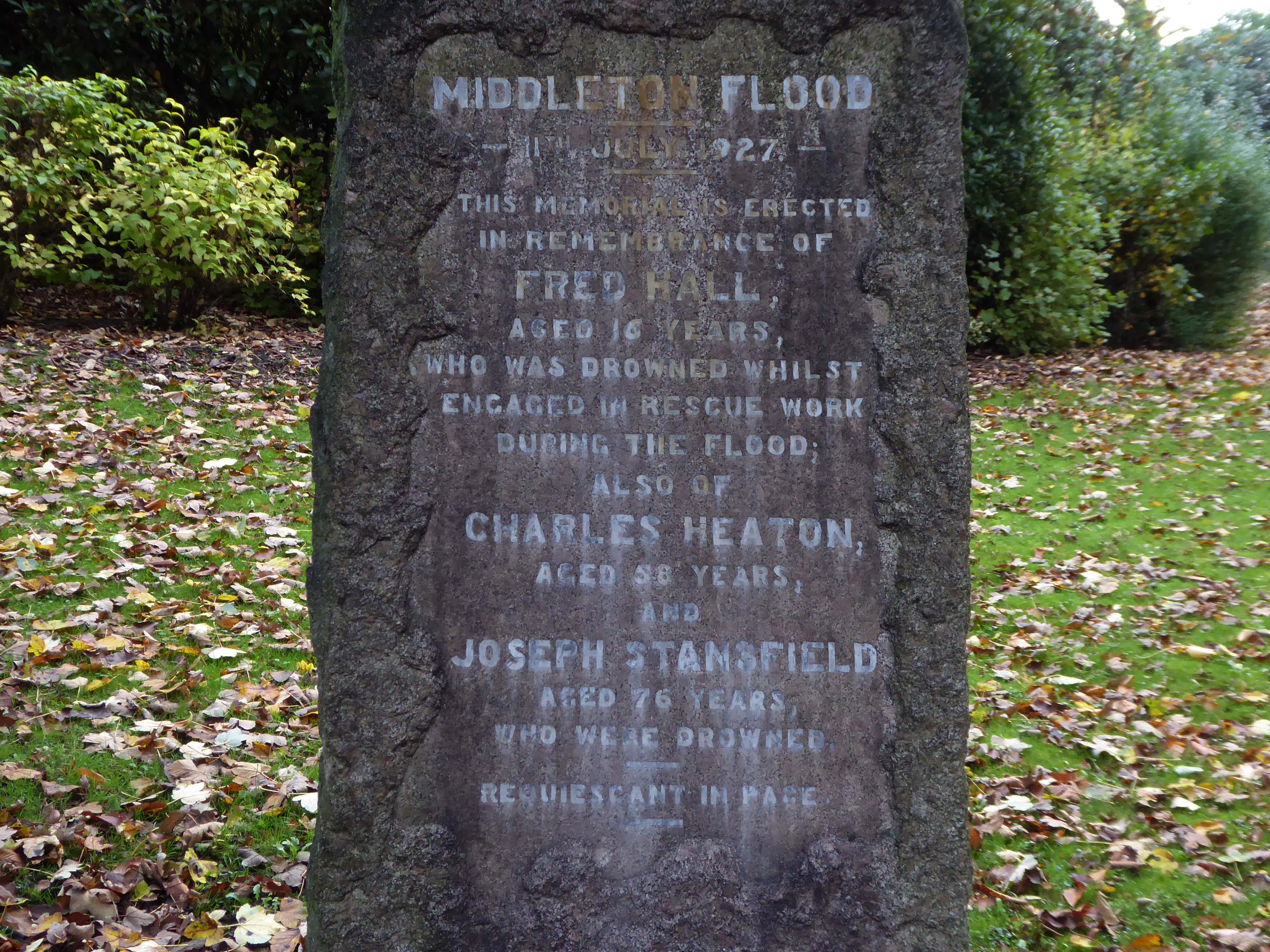
Nearby we find a memorial to the Middleton Flood – following torrential rain, the canal embankment at Mills Hill broke, flooding the already swollen River Irk, subsequently deluging the town.
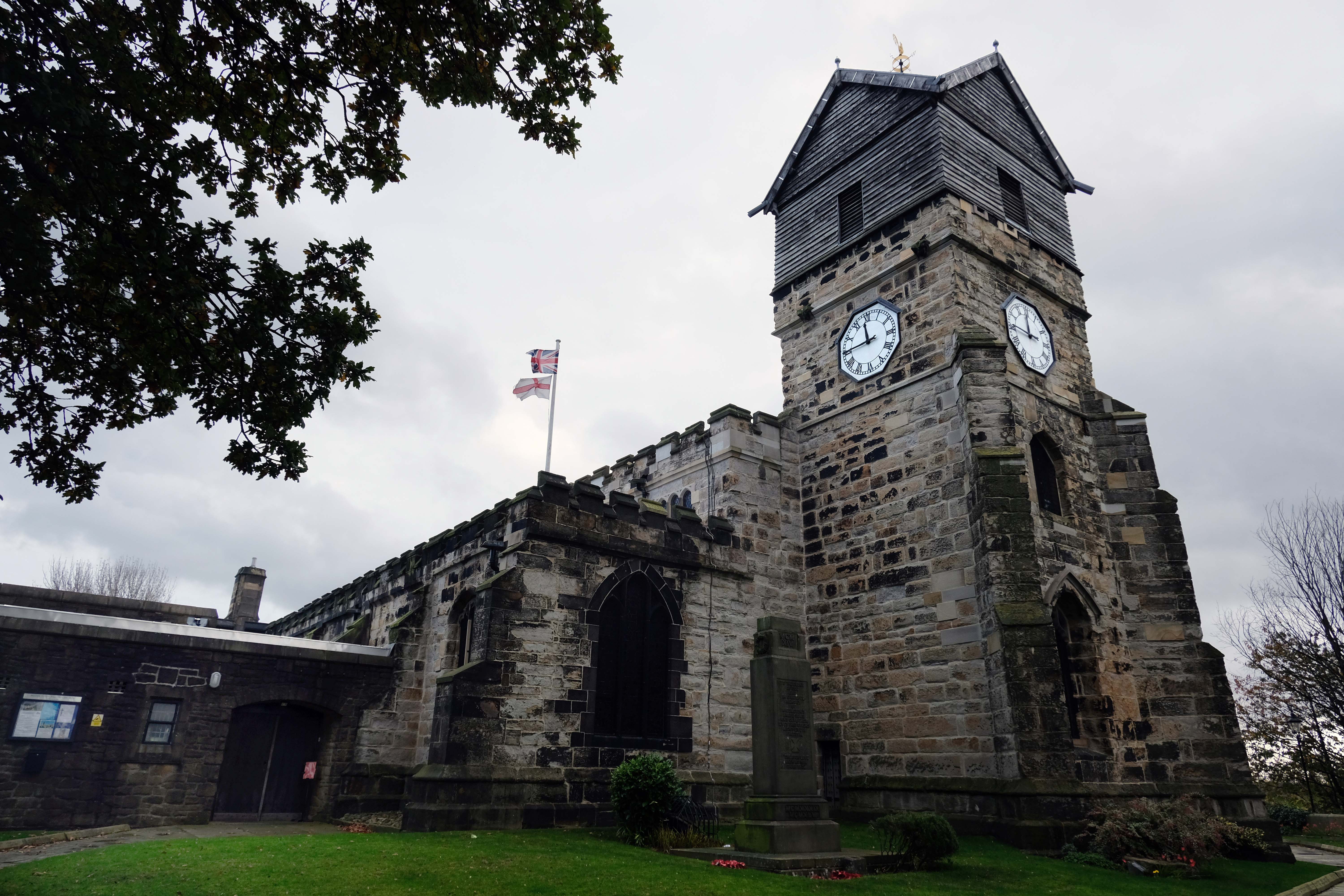
Much of the present building was erected in 1412 by Thomas Langley – born in Middleton in 1363, who was Bishop of Durham and Lord Chancellor of England. He re-used the Norman doorway from an earlier structure to create the tower arch. Also distinctive in this region is the weather-boarded top stage to the tower.
The church of St Leonard was enlarged in 1524 by Sir Richard Assheton, in celebration of the knighthood granted to him by Henry VIII of England for his part in the Battle of Flodden in 1513. The Flodden Window, in the sanctuary, is thought to be the oldest war memorial in the UK. It commemorates on it the names of the Middleton archers who fought at Flodden. The church also has one of the finest collections of monumental brasses in the north of England, including the only brass in the UK depicting an English Civil War officer in full armour, Major-General Ralph Assheton.
George Pace designed a war memorial and, in 1958, added a choir vestry and installed new lighting.
Wikipedia
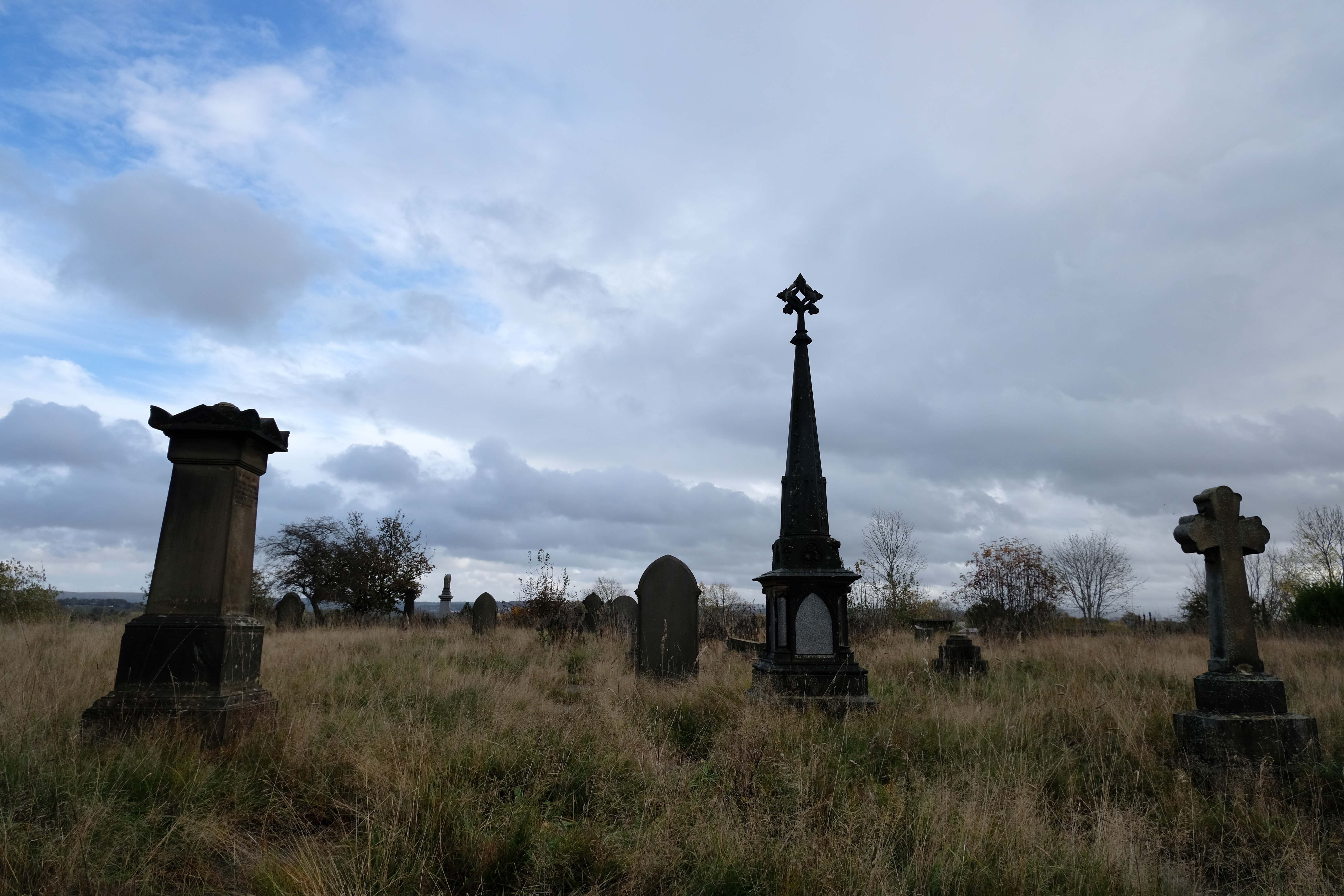
Middleton Old Cemetery once the Thornham and Middleton Burial Ground, which became the local authority cemetery in 1862.
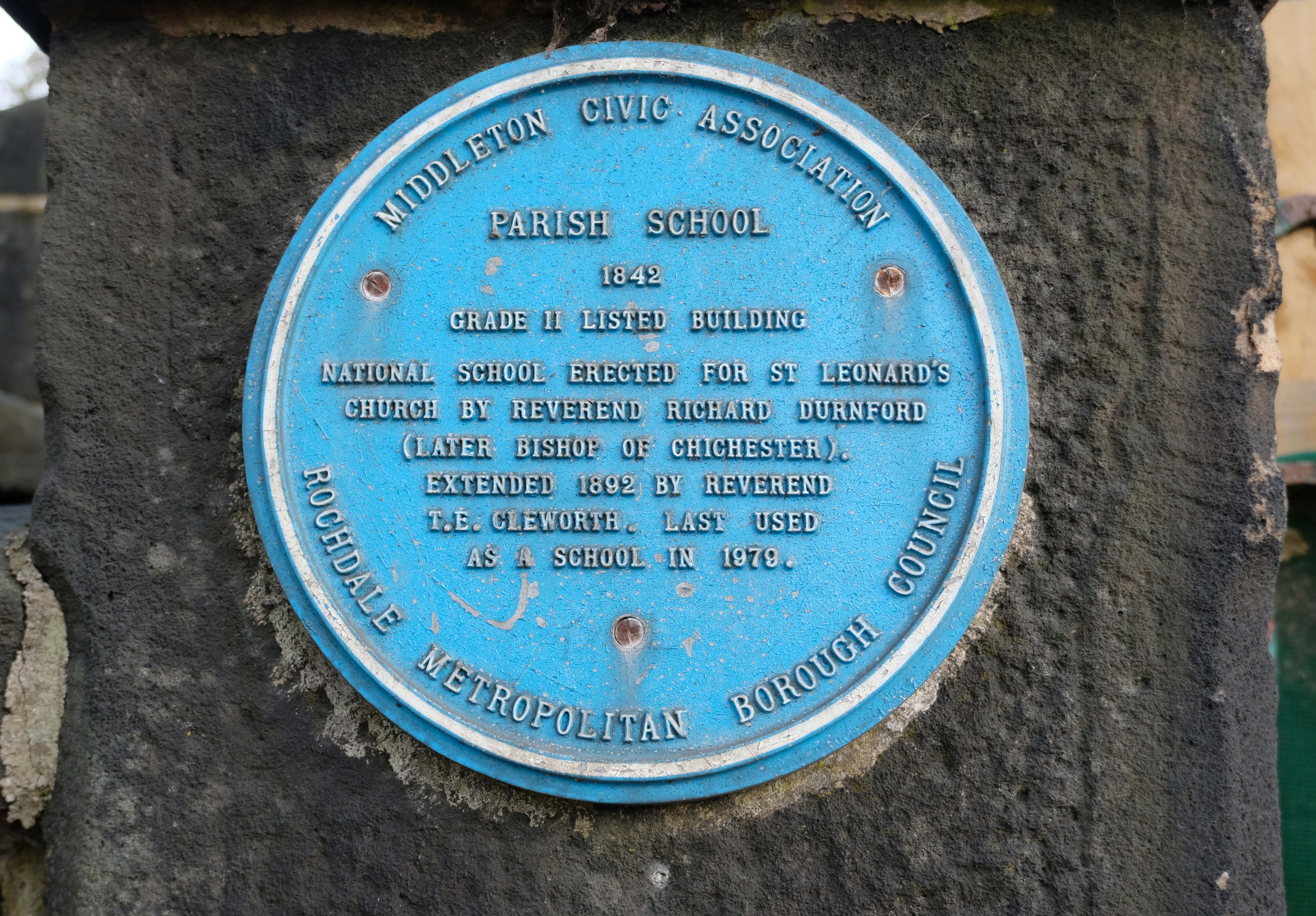
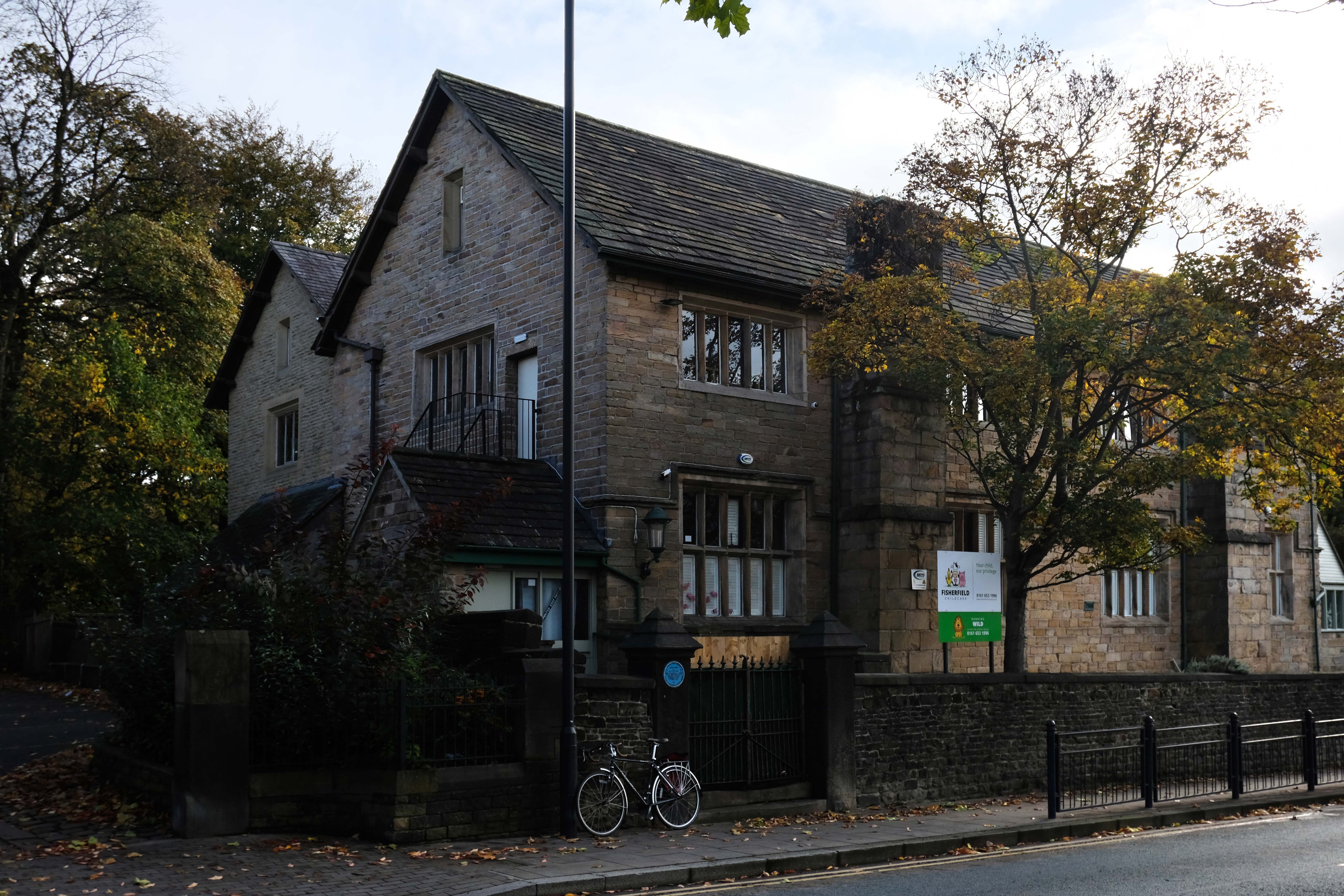
Retrace to the Library – adjacent is the Parish School 1842
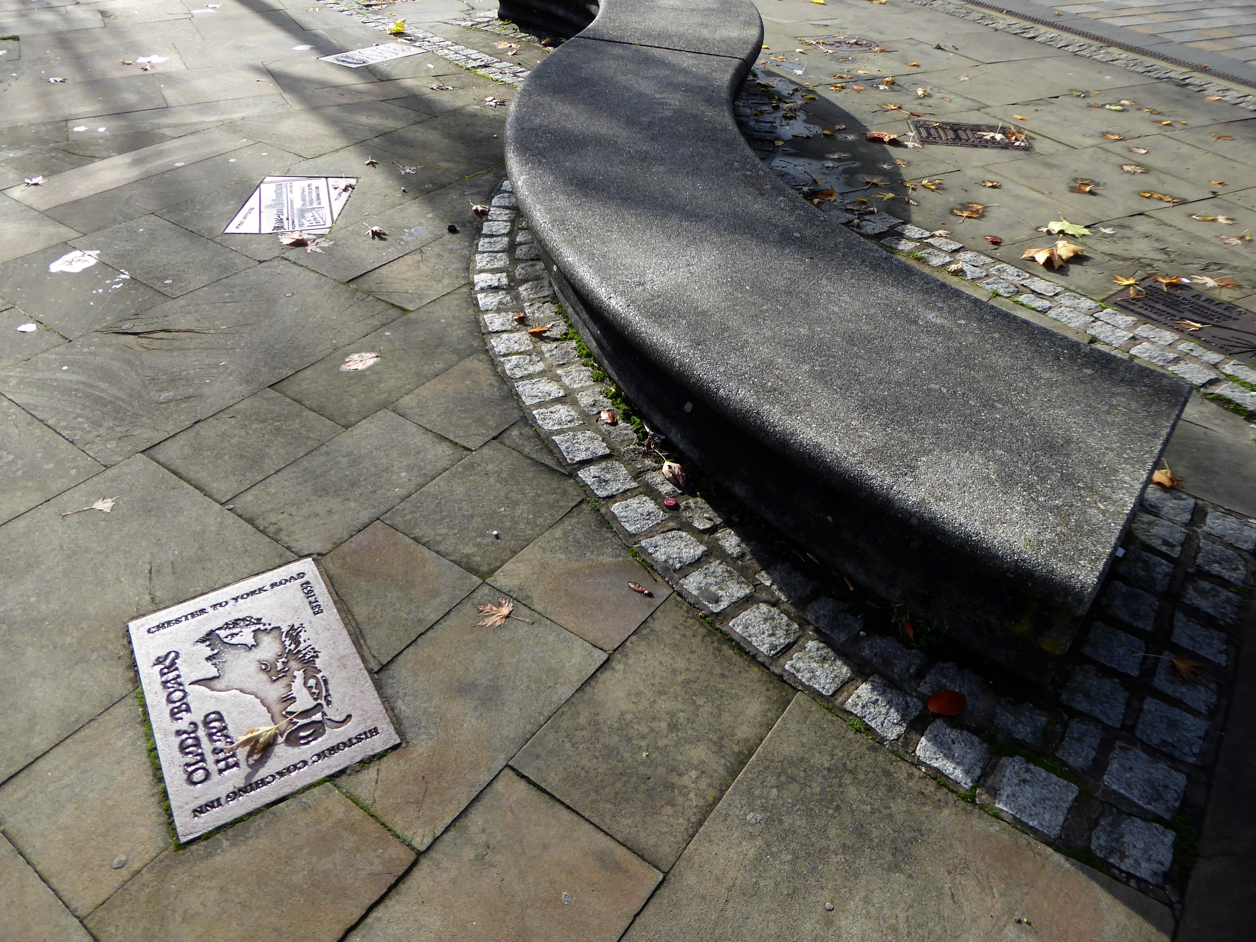
Part of the timber framing to the right of the front door has recently been tree-ring dated and confirms a building date of 1622. The first tenant was Isaac Walkden, son of Middleton schoolmaster, Robert Walkden. Isaac died during a typhus epidemic in the summer of 1623. His will, preserved at Lancashire Archives, includes an inventory of all his possessions listed on a room by room basis. There were a total of 9 beds and 20 chairs or stools in the 6 rooms. This, together with barrels, brewing vessels, pots, glasses, etc, strongly suggest the building was an inn. The Walkden family went on to run the Boar’s Head until the end of the 17th century. They also farmed nearby land including what is now Jubilee library and park.
In 1888, the fledgling Middleton Corporation purchased the building from the church with the intention of demolishing it to build a town hall. Discussions were held in 1914 but, thankfully, the plan was abandoned due to an outcry from the public spearheaded by architect Edgar Wood.
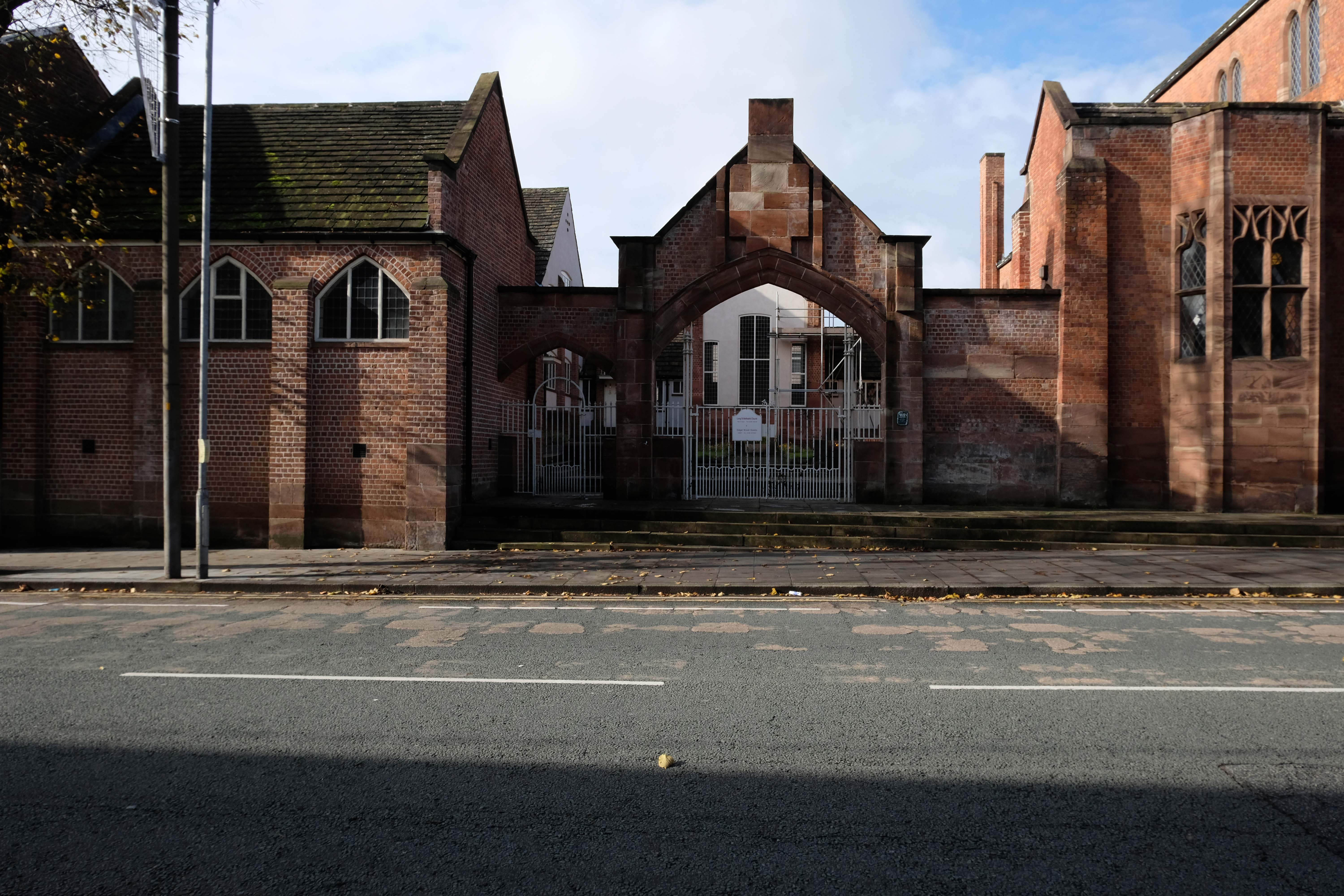
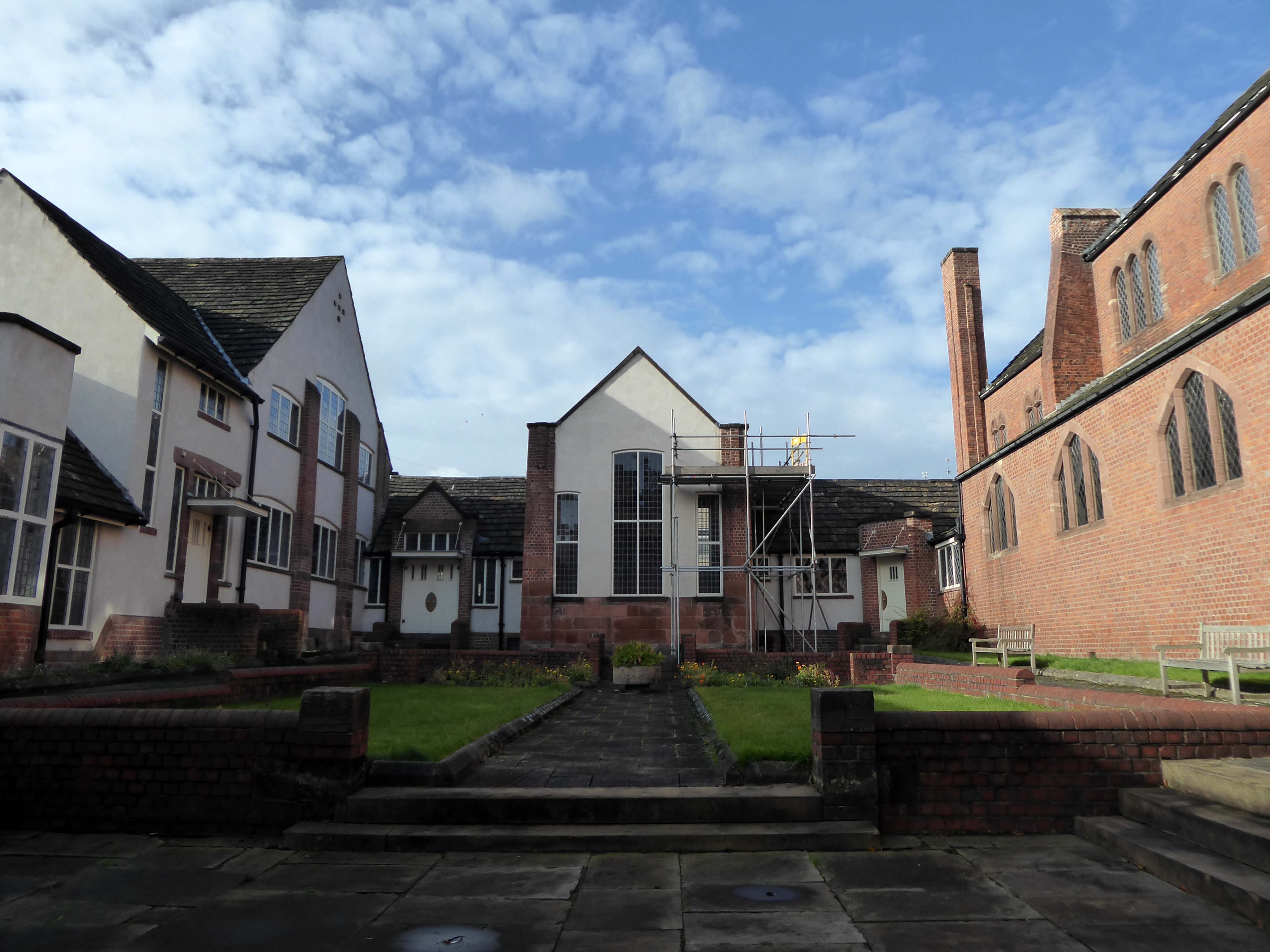
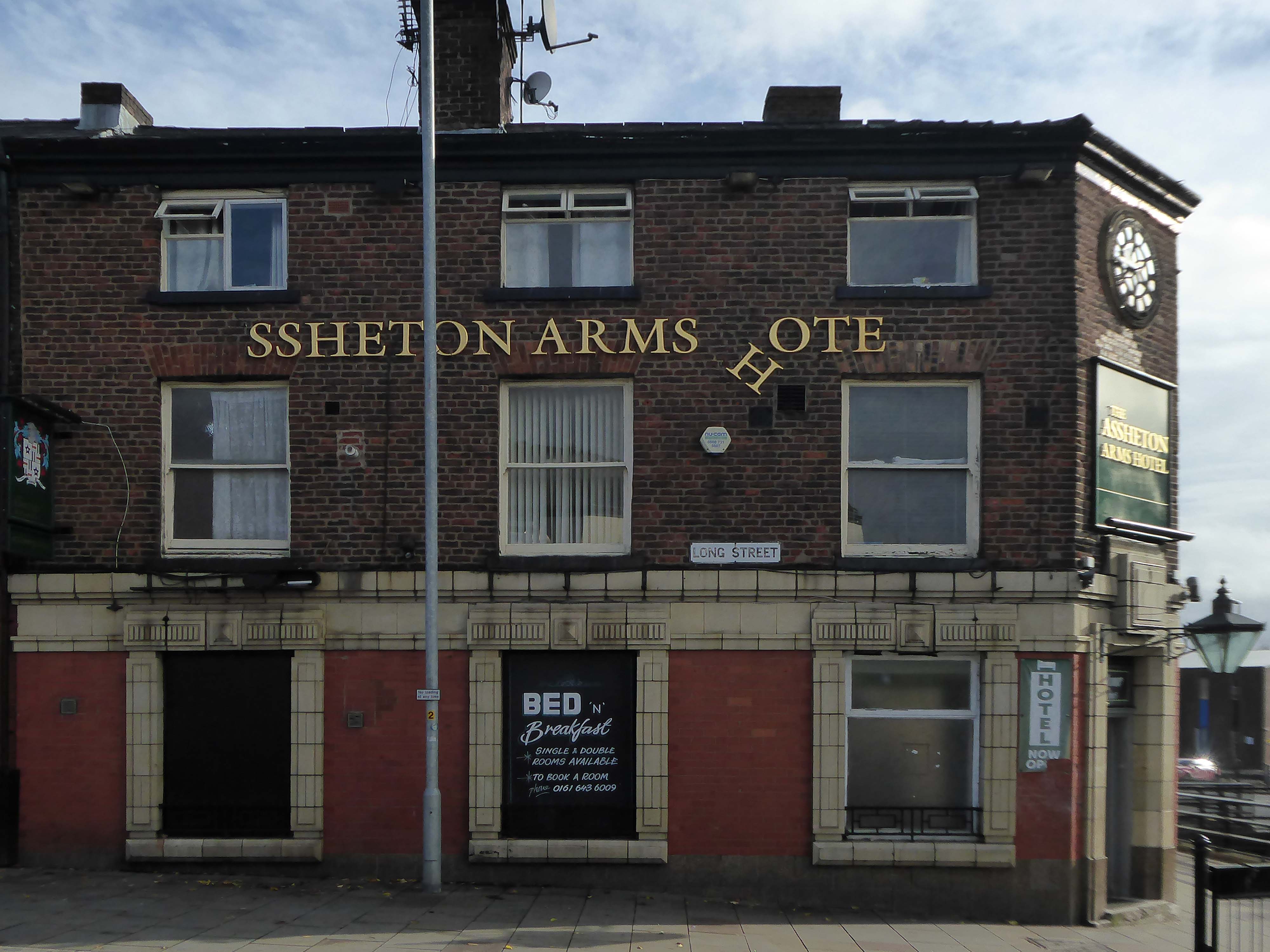
Further down Long Street to the Assheton Arms Hotel.
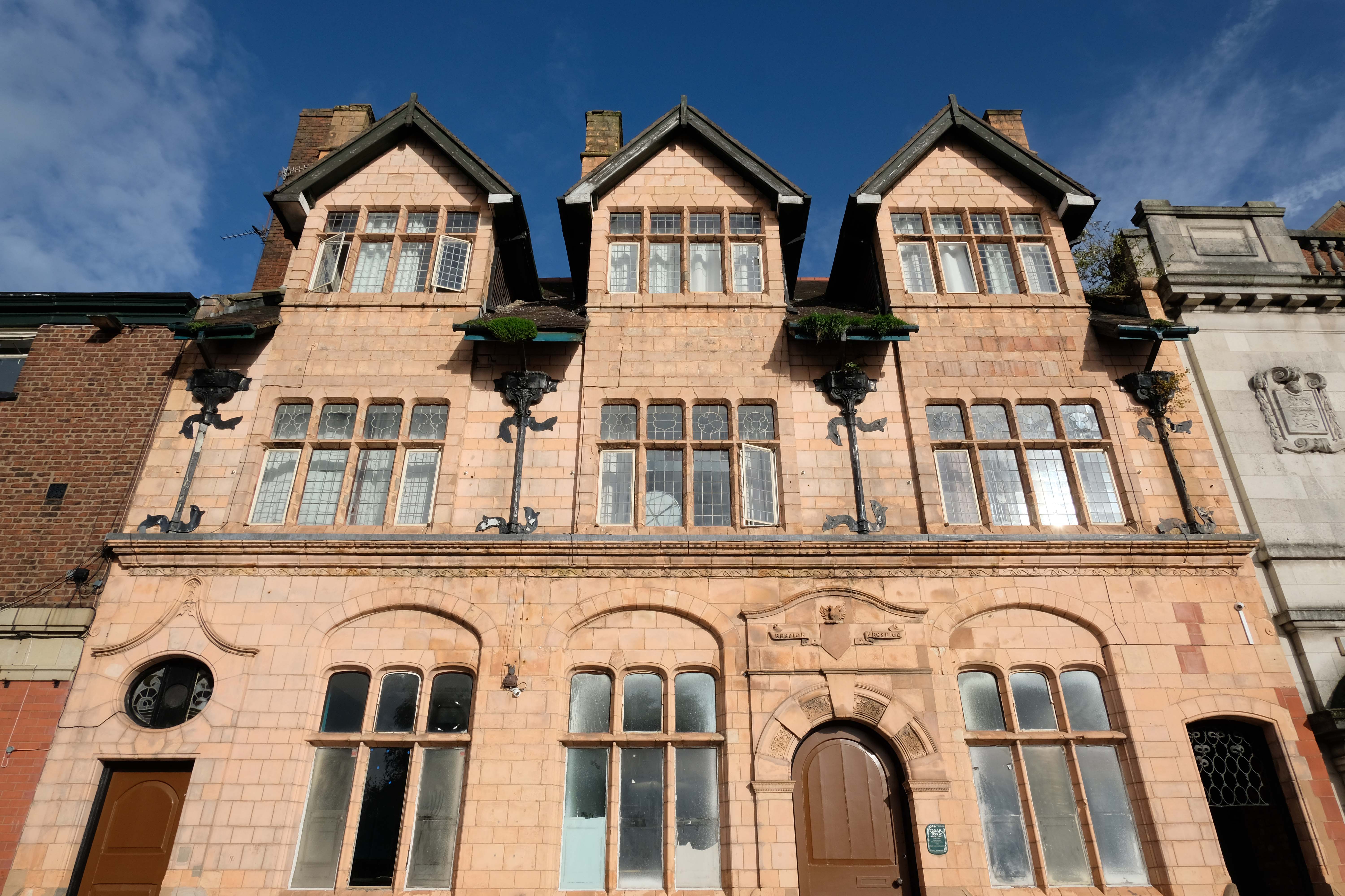
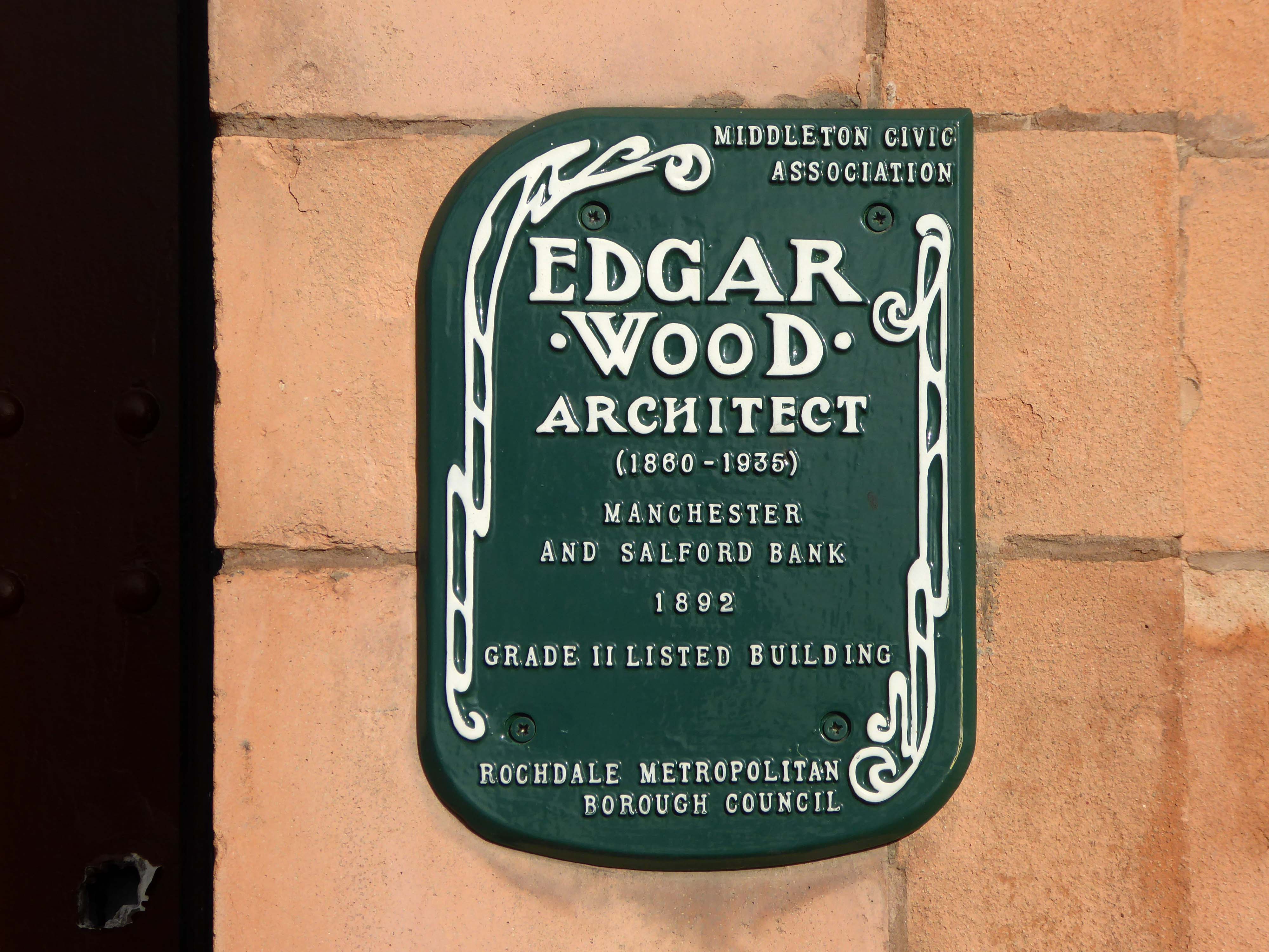
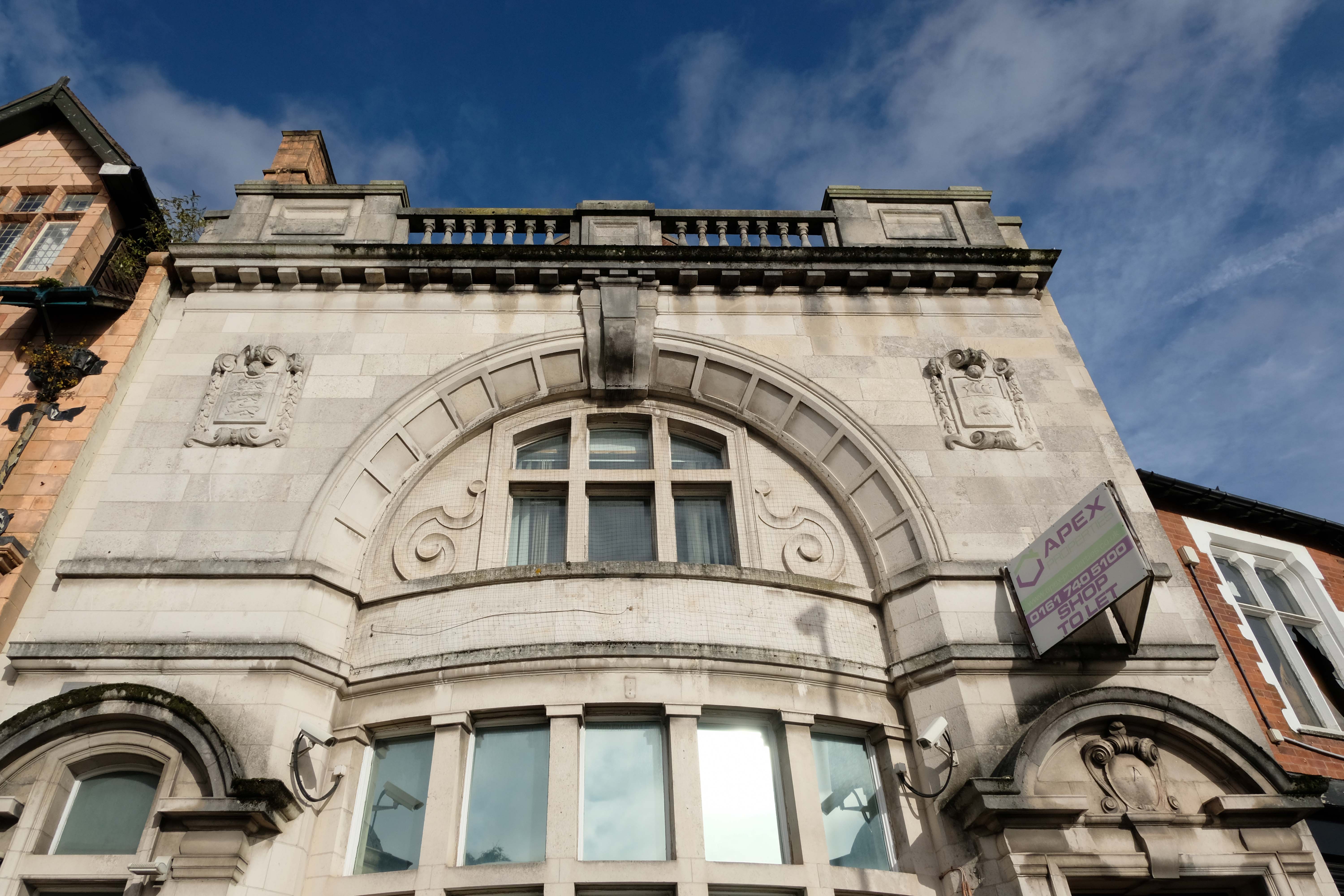
Then around the corner to the Manchester & Salford Bank again by Edgar Wood
Next door the former Market Place Bank latterly RBS.
Plans to convert a long-vacant town centre bank into a nightclub have been revived despite previously being rejected over anti-social behaviour concerns.
An application to change the use of the former Royal Bank of Scotland, in Middleton, was refused by Rochdale council’s planning committee eighteen months ago, with members citing a history of alcohol-fuelled trouble in the area.
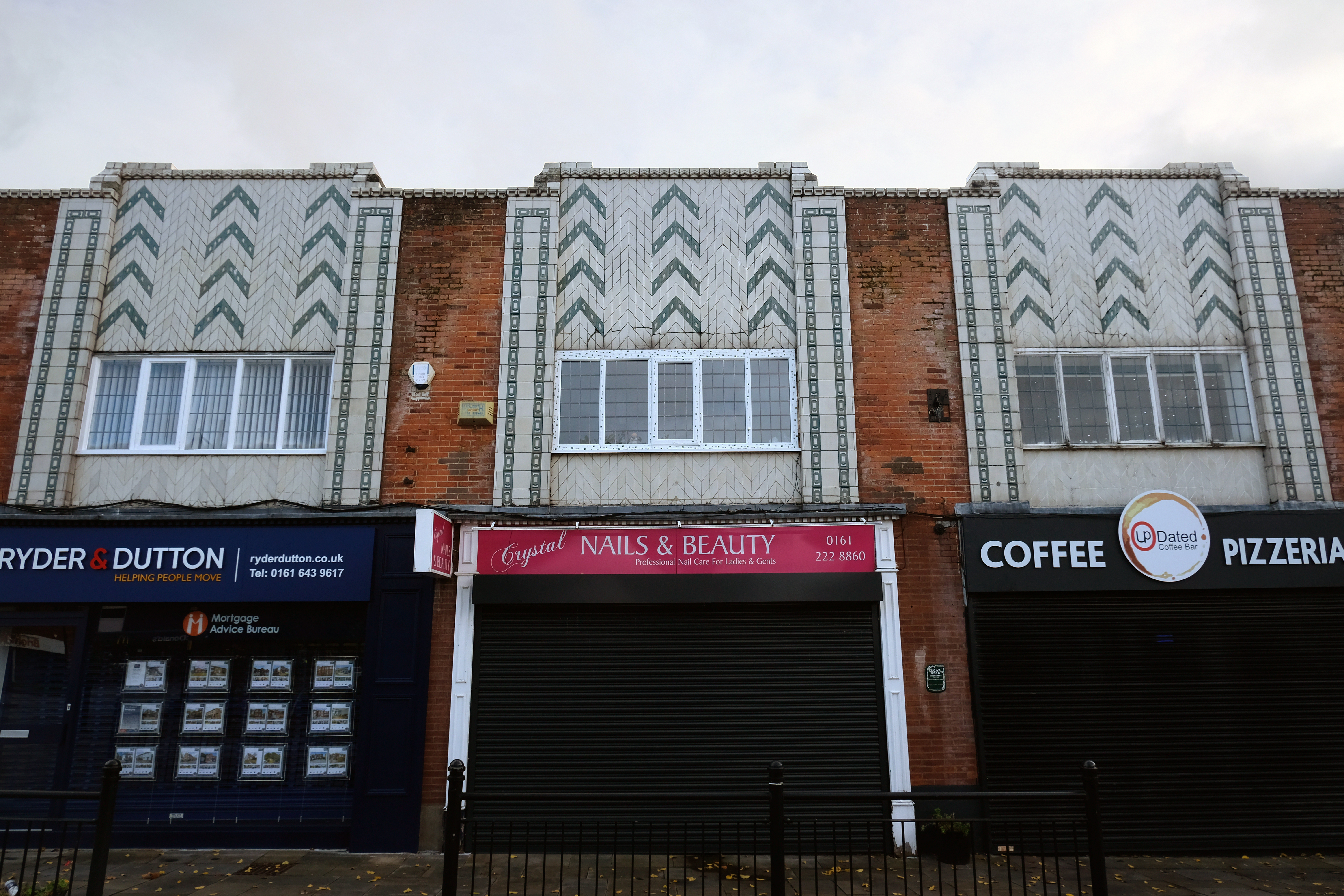
Further up Market Place the faience fronted Bricklayers Arms formerly a Bents and Gartsides boozer – delicensed in 2012 and Converted to a takeaway.
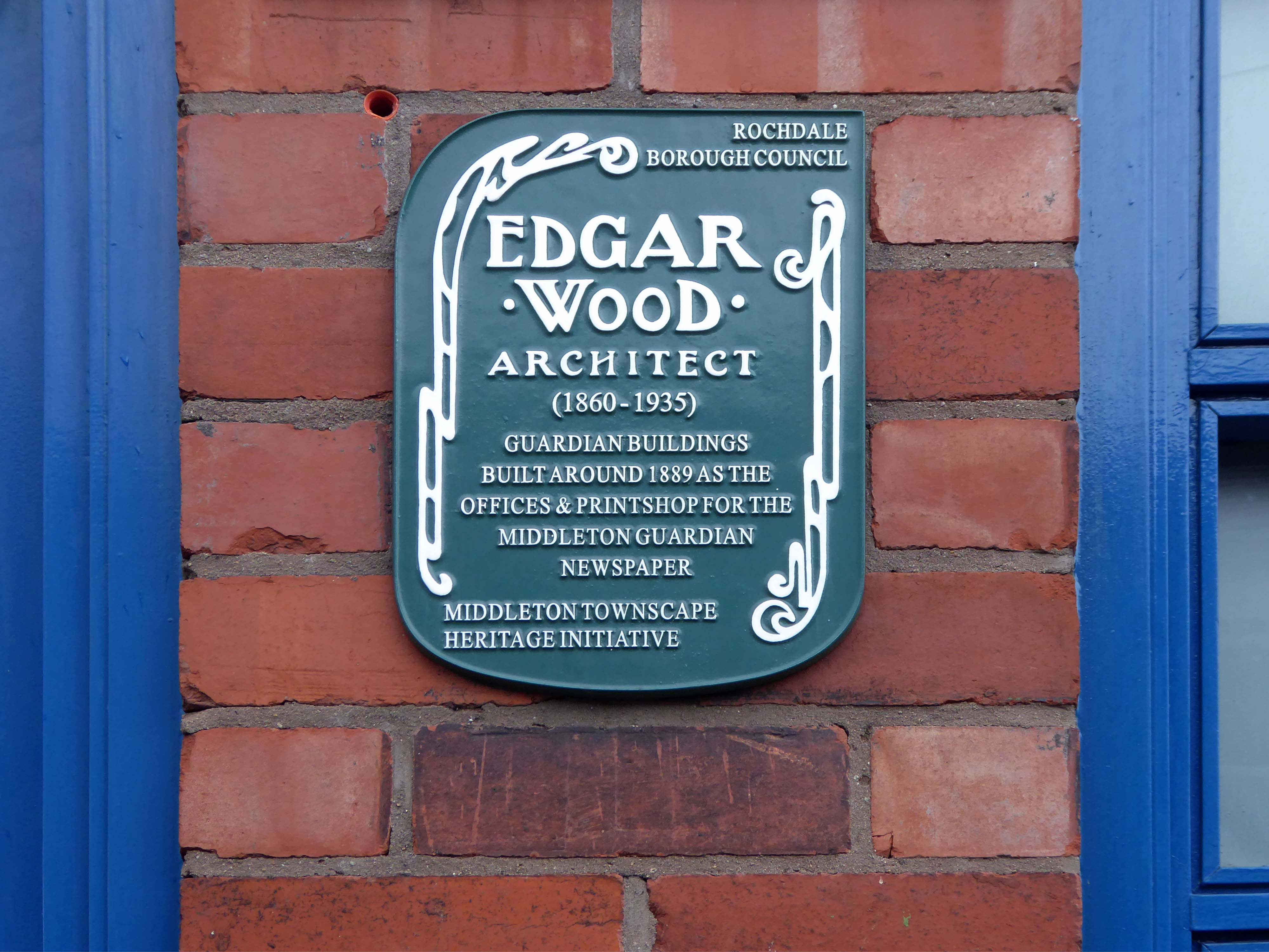
Moving along Wood’s much altered Guardian Buildings 1889.
The Guardian Buildings, were commissioned by Fred Bagot, the proprietor of the Middleton Guardian newspaper and a man with a reputation at the time for keeping a tight control of finances. In consequence, Guardian Buildings were one of Edgar Wood’s low budget buildings, of which there are several in and around Middleton. The building housed the operations of the newspaper with the cellar containing the printing machines and the tall ground floor housing a shop, office and more machines. The whole of the first floor, with its pair of oriel windows, was taken up by the composing room.
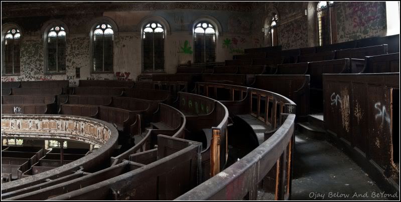
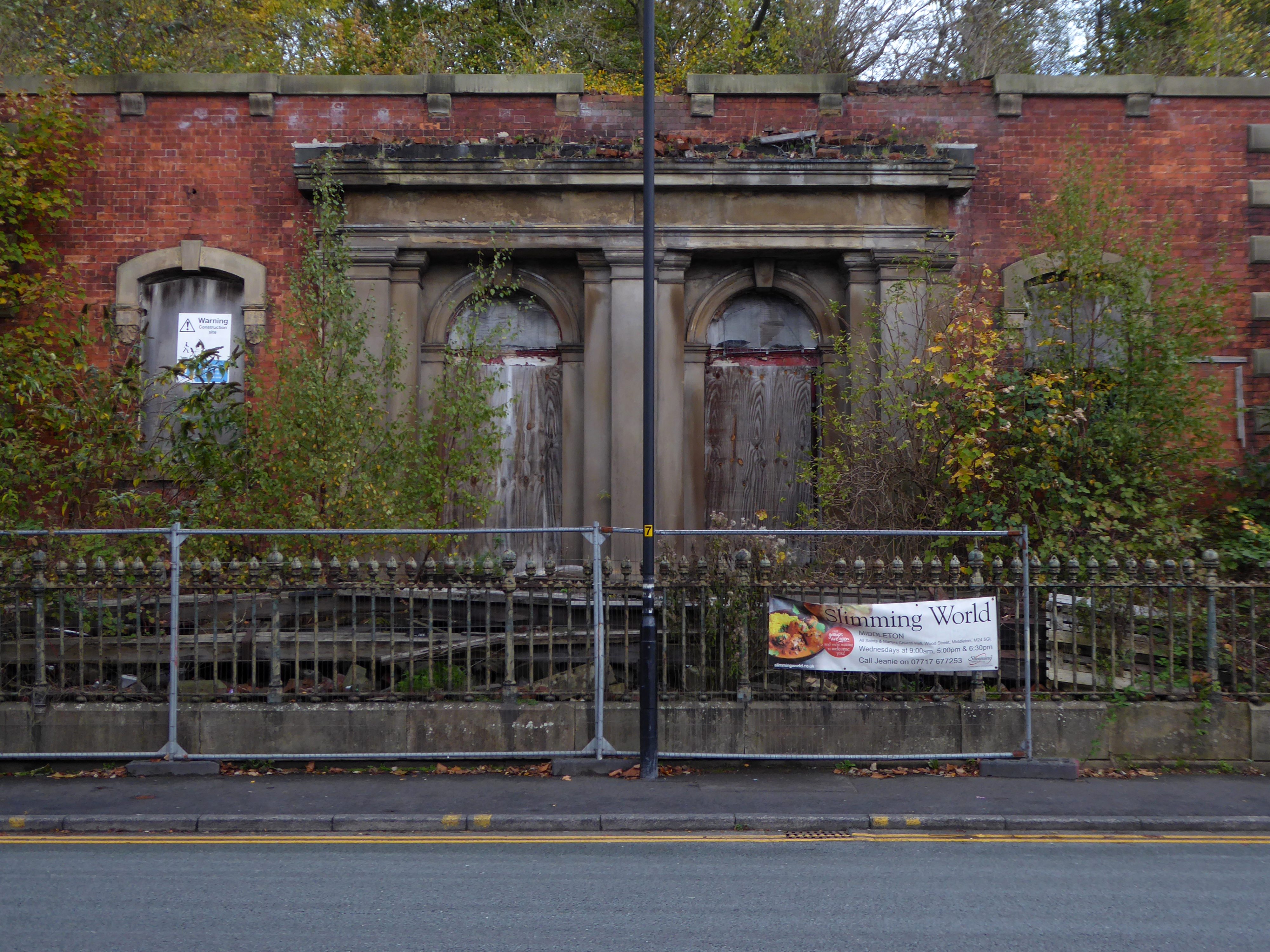
It fell into disrepair after the church moved to smaller premises in Alkrington in the 1960s.
The building collapsed in July 2012, when it was hit by a fire.
On Townley Street Lodge Mill built in1839 beside the River Irk battling on despite recent setbacks.
In August 2019, Martin Cove and Paula Hickey opened a small ice cream shop on the ground floor of the mill – named the Ice Cream Shop at Lodge – selling locally-made ice cream from Birch Farm, Heywood.
Across the way the magnificent Sub Station and Electrical Department Offices.
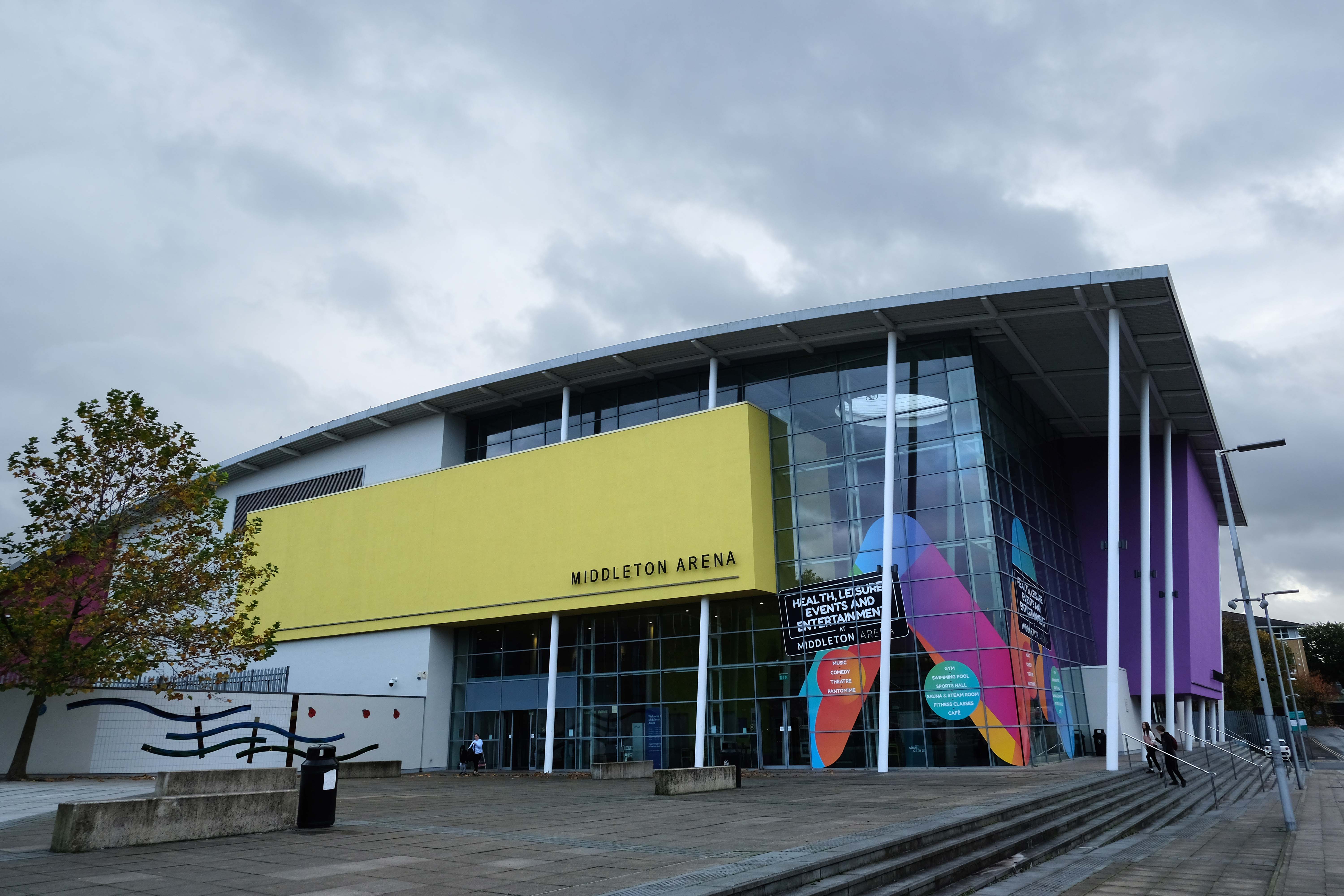
Then taking a turn around the banks of the Irk down Sharp Street onto Lance Corporal Joel Halliwell VC Way, where we find the Middleton Arena – BDP 2009
Then over the road to Oldham Road and Grade II ListedWarwick Mill 1907 G. Stott of J. Stott and Sons.
The mill recently changed ownership and new owner, Kam Lei Fong (UK) Ltd, has been working with Rochdale Borough Council over the past nine months on proposals to redevelop the site.
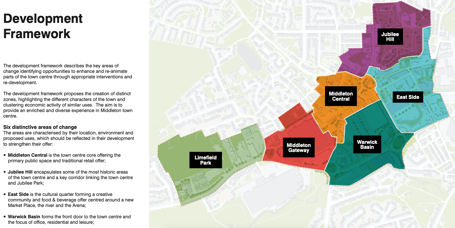
The plans will form the cornerstone of a new masterplan for Middleton town centre focusing on delivering new homes, business space, highway and environmental improvements, new walking and cycle routes to pave the way for the planned extension of the Metrolink into Middleton Town Centre.
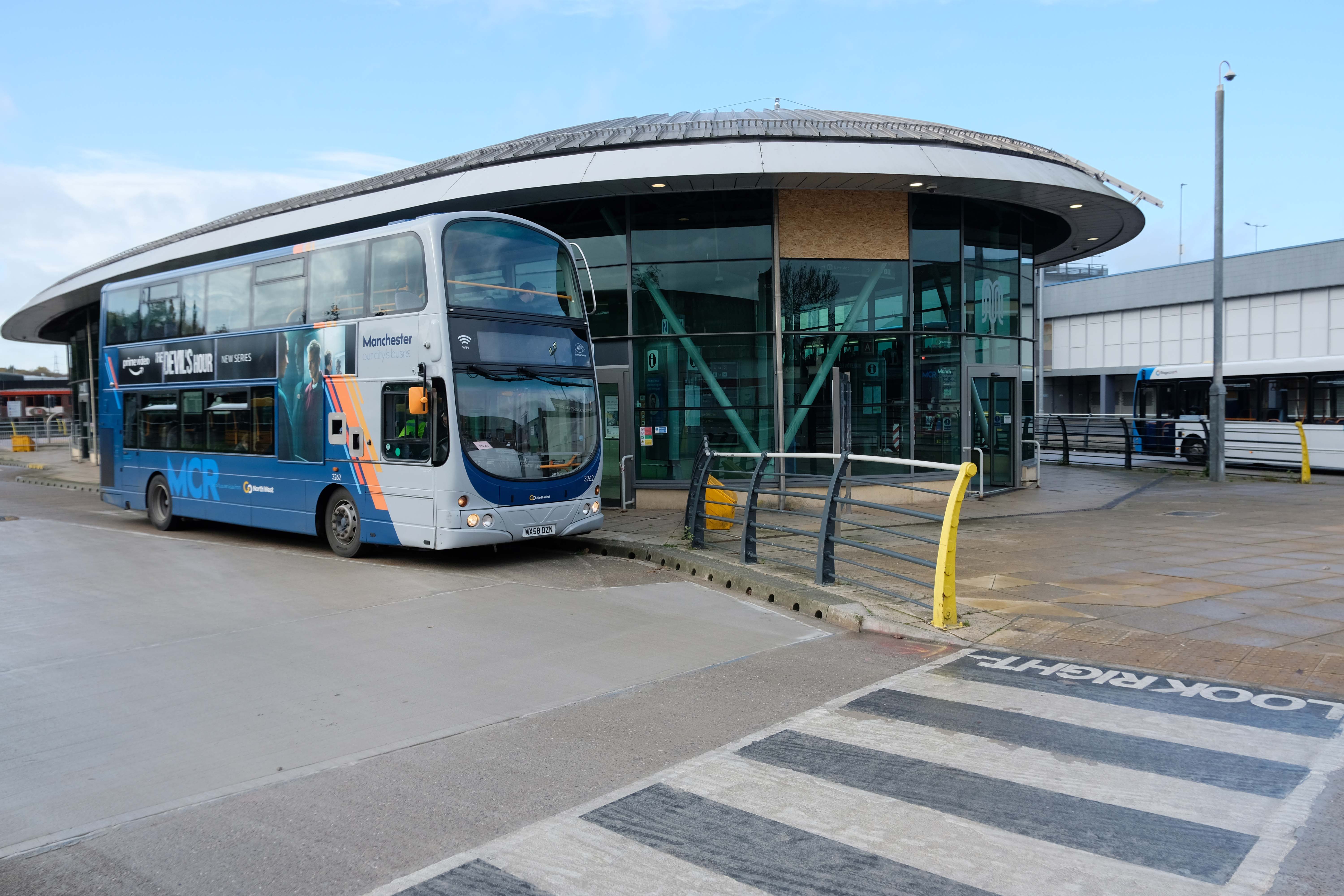
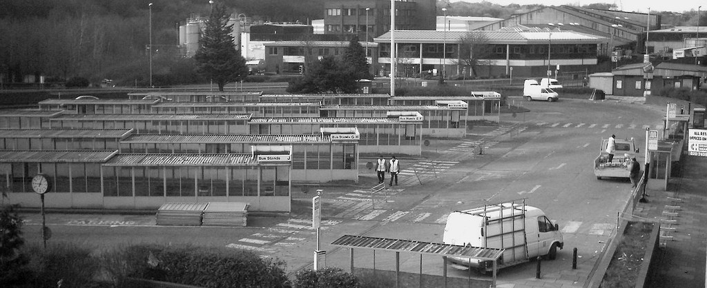
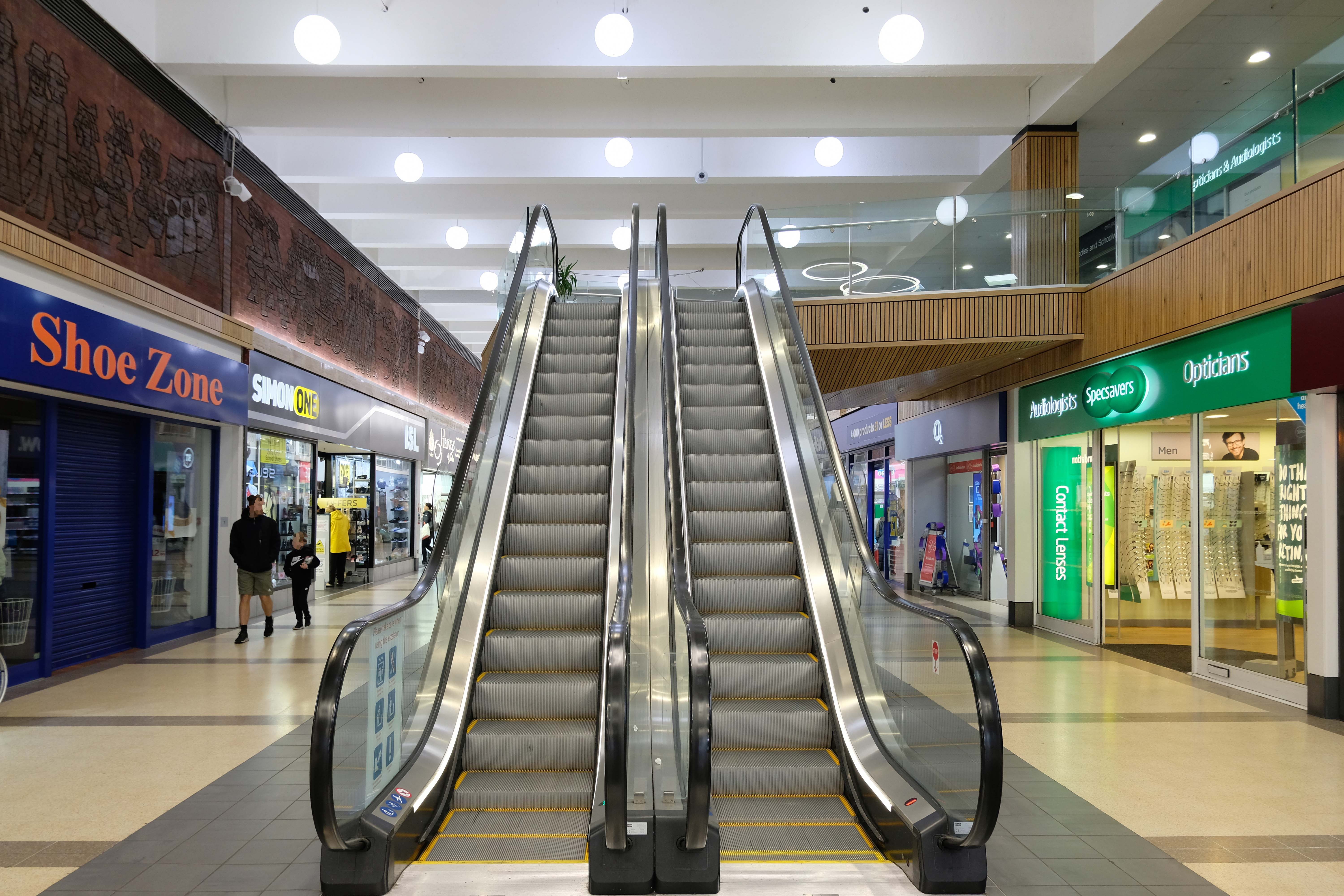
The station, with 13 stands, cost £4.5 million and replaced the previous station which dated to the 1970s.
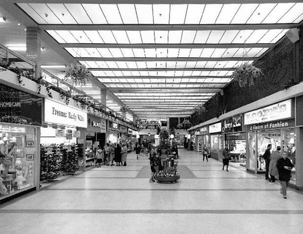
The Middleton Arndale Centre commenced trading in 1971, although it was officially opened by Her Royal Highness the Duchess of Kent in March 1972.
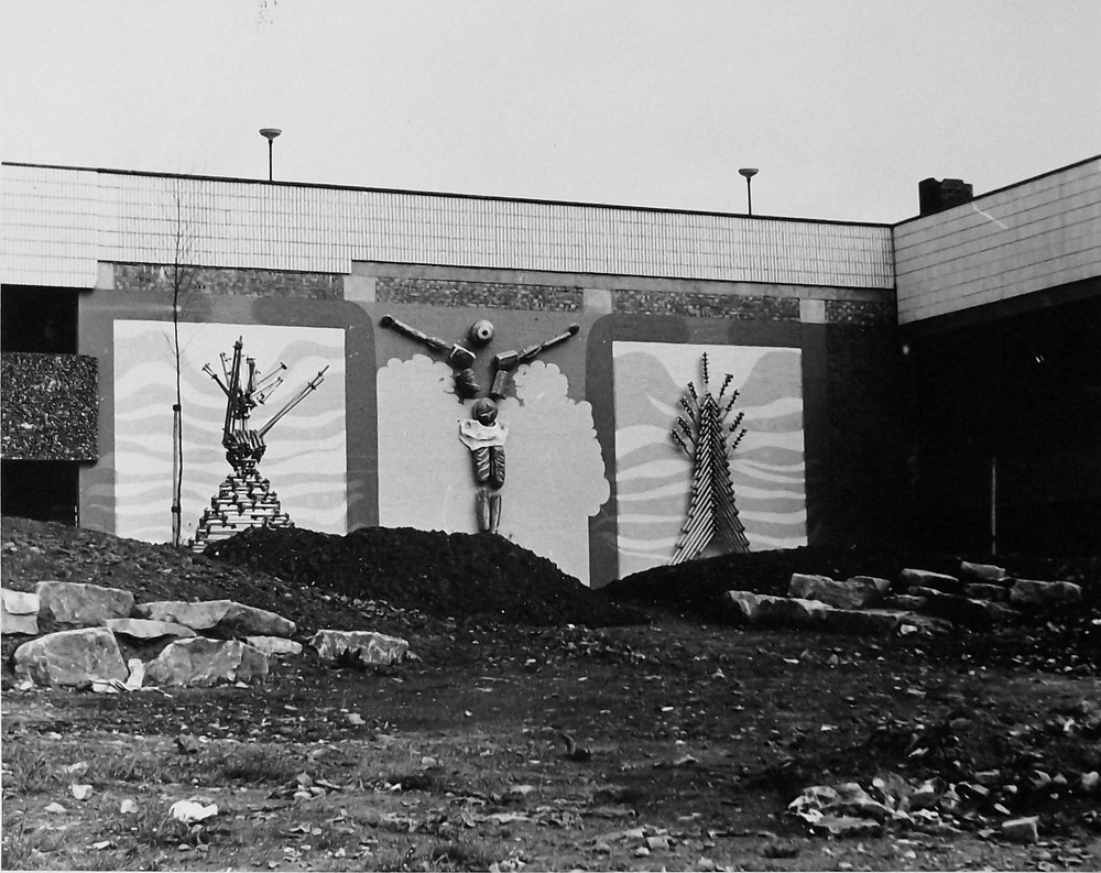
Once home to The Breadman designed by Rochdale’s town artist of the time, Michael Dames.
Photo: Local Image Collection – Touchstones
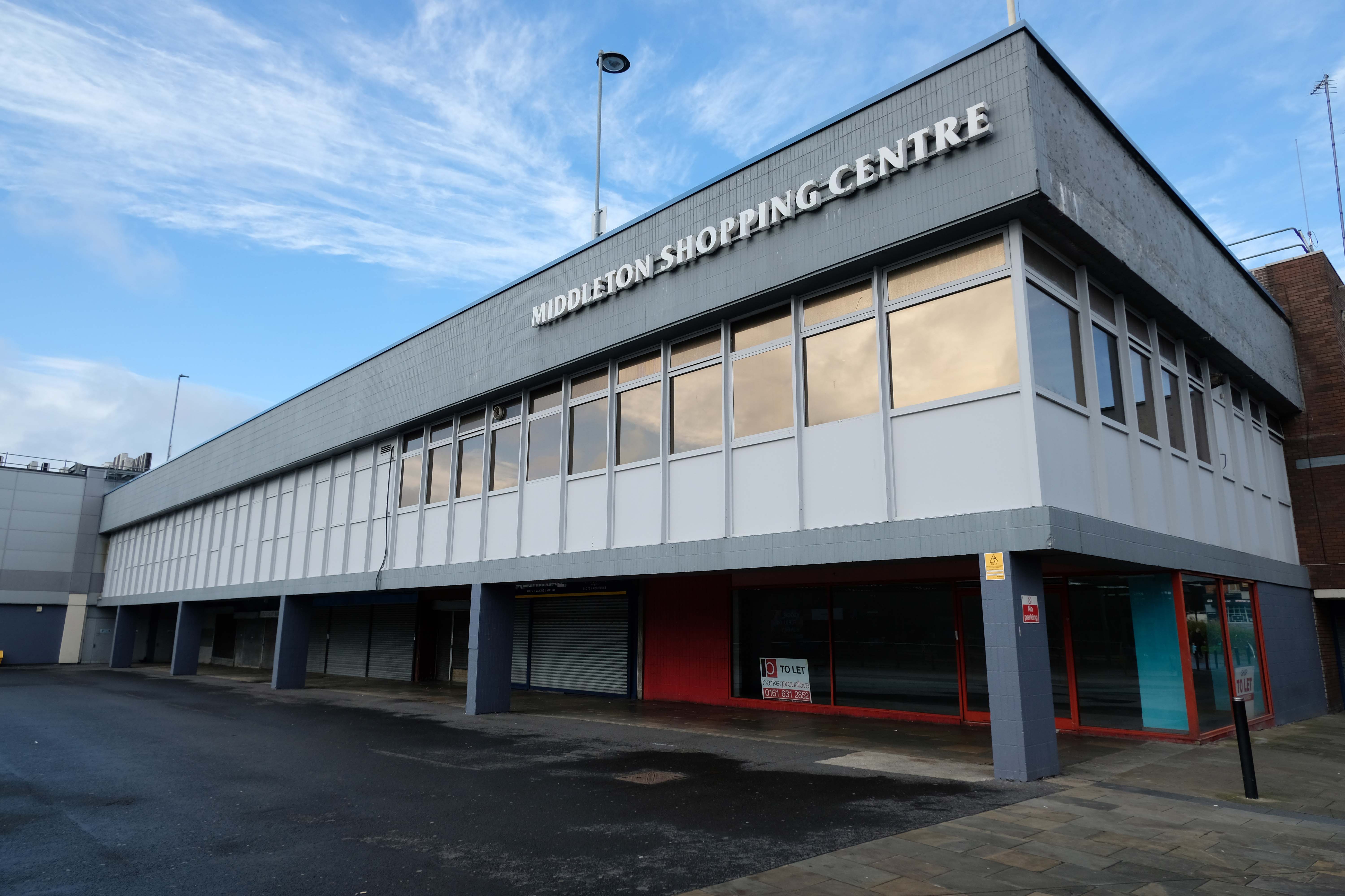
Now trading as the Middleton Shopping Centre
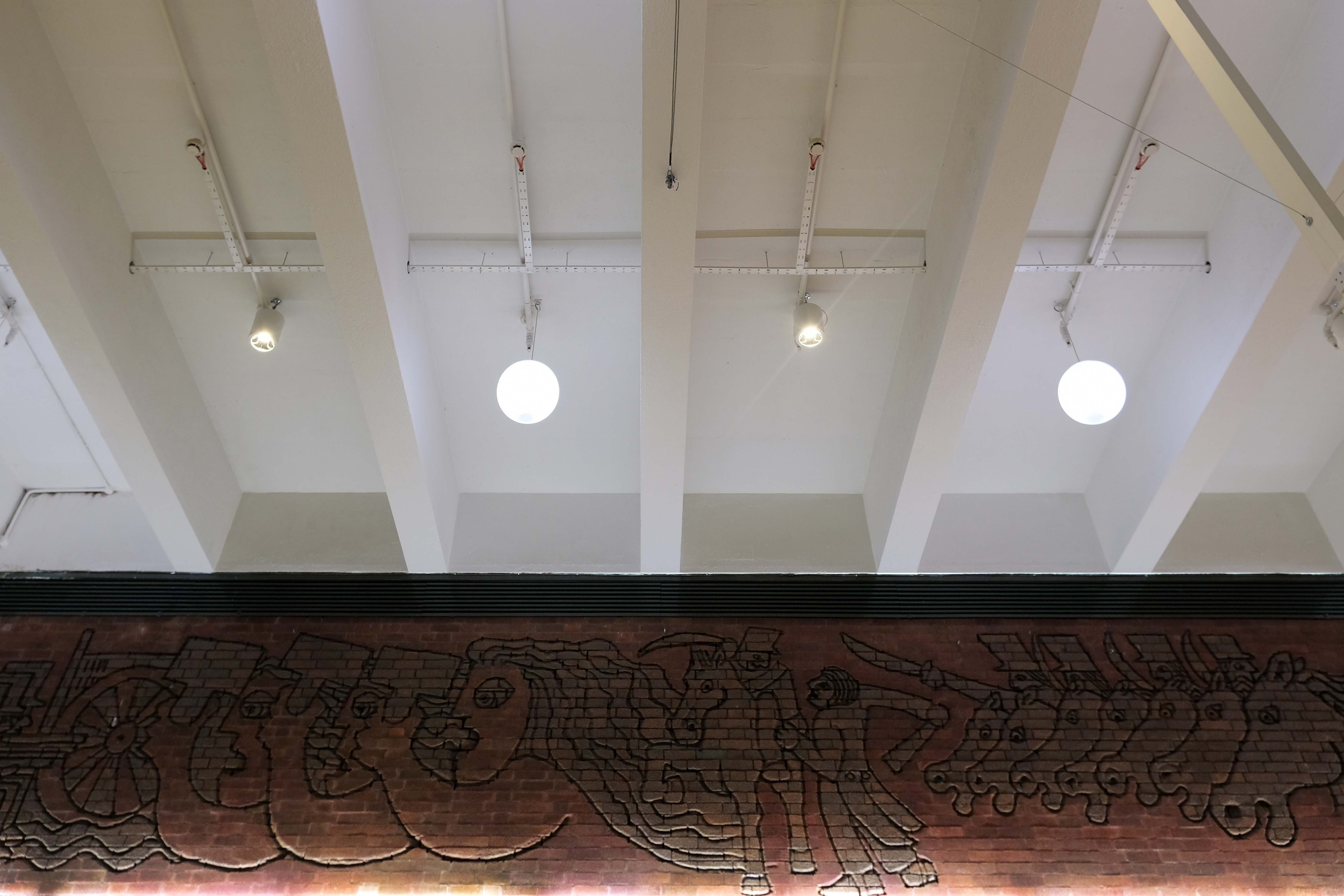
The brick reliefs illustrating the town’s history are by Fred Evans of Dunstable, who completed the work in one week during May 1972 using a high powered sandblasting blaster.
Thanks to Phil Machen for the top tip.
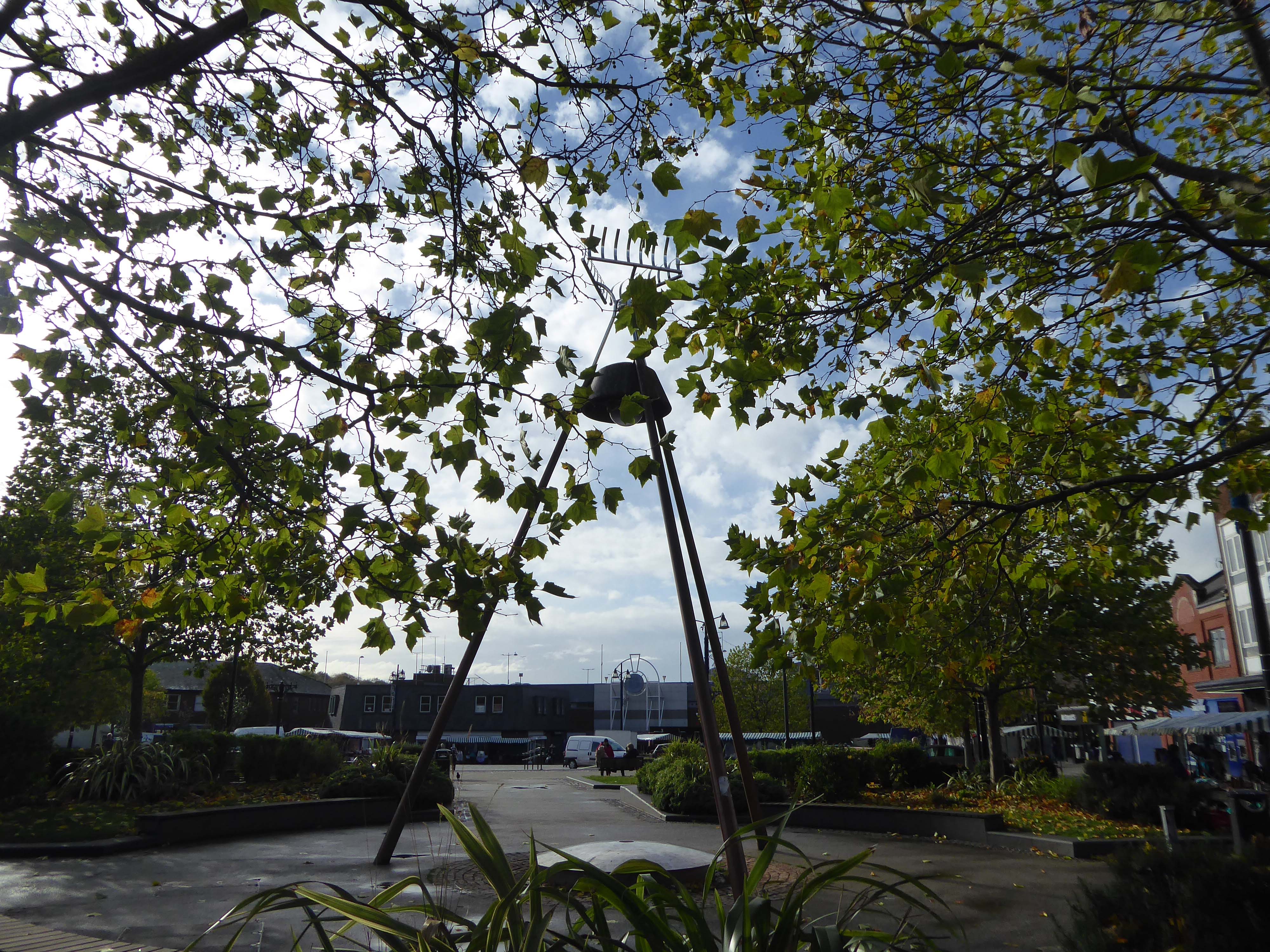
At the centre of the public domain the Middleton Moonraker 2001 by Terry Eaton
According to folklore, the legend has several different interpretations. One version is that a traveller came upon a drunken yokel trying to rake a reflection of the moon in a village pond, convinced it was cheese.
This version conveys the notion that the men were drunk and acting foolishly.
However, an alternative narrative – and perceived to be the most reliable version – tells a different story and dates back to the time when smuggling was a significant industry in rural England.
It appears that many residents wish to rid themselves of the Moon Raker moniker and presumably become Middletonians.
There’s so much more to Middleton’s history than the Moonraker. Why did they spend all that money on a fairytale?
There were 3,000 Lancaster bombers built in Middleton during World War Two, a magnificent contribution to the effort to beat Hitler.
The bulbs inside the moon which light it up at night haven’t worked for five years.
Bernard Wynne
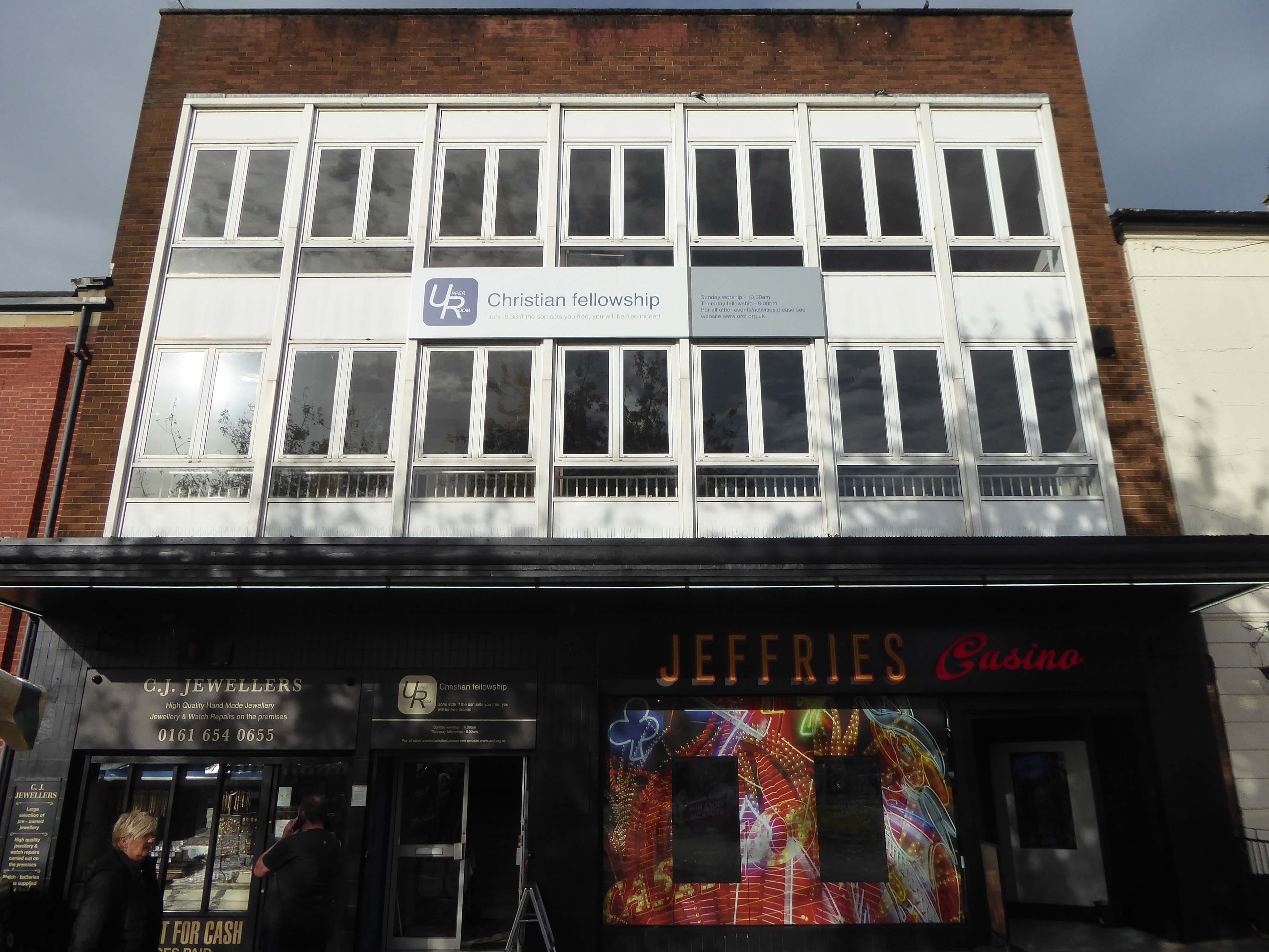
Along Long Street the Cooperative store what was – next door the long gone Palace Cinema demolished in 2001.