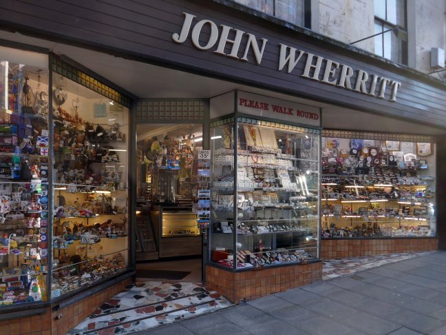
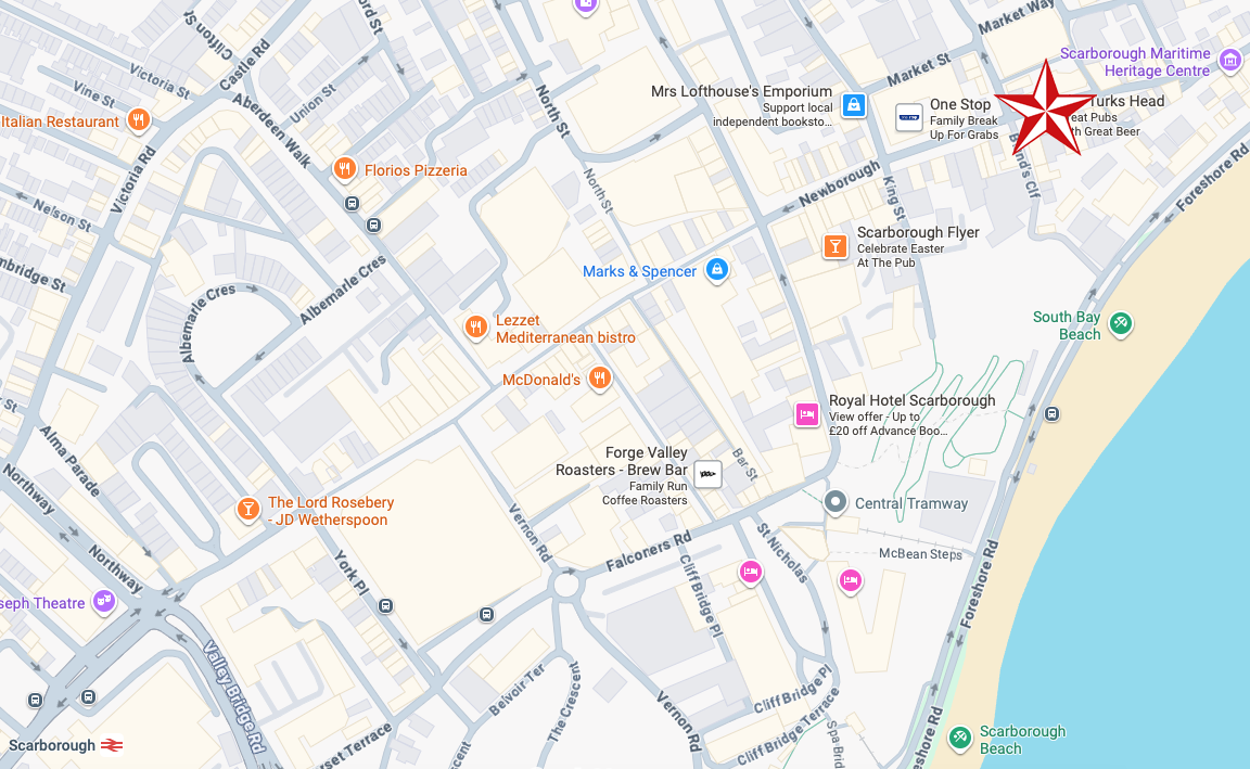
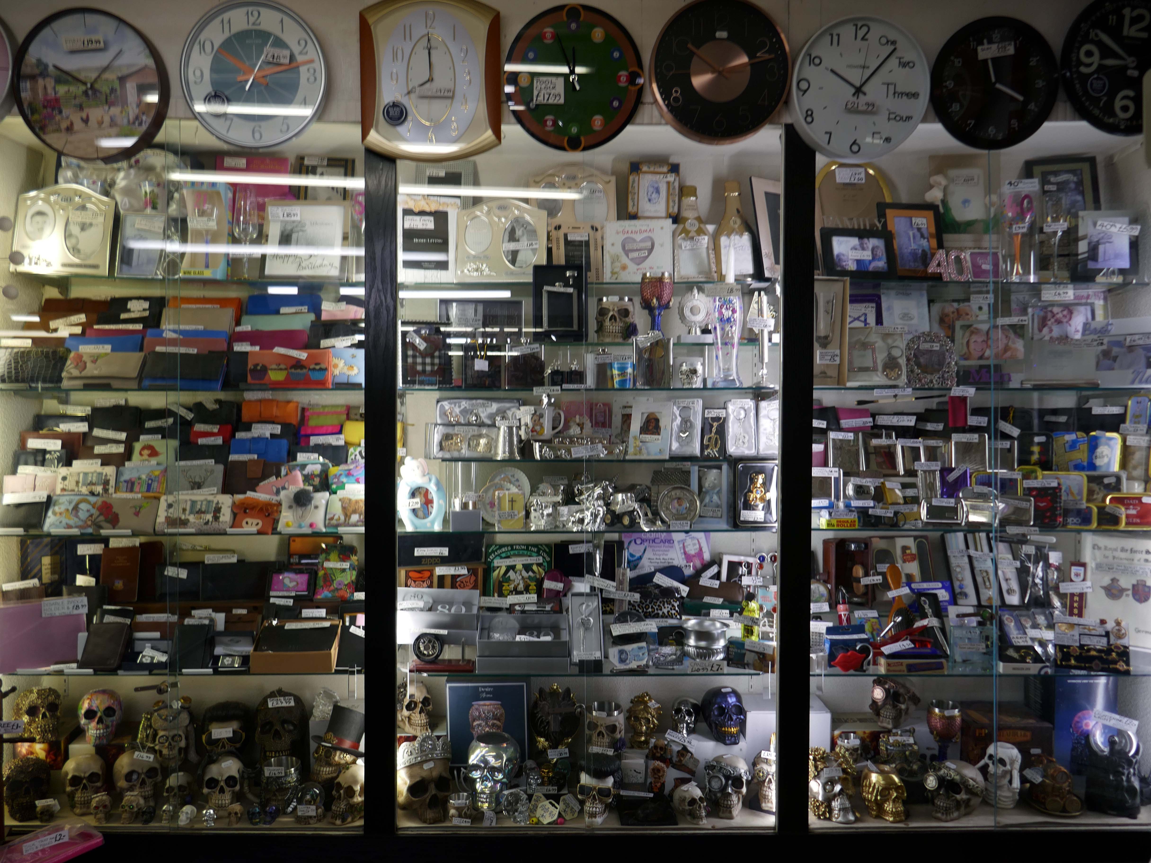
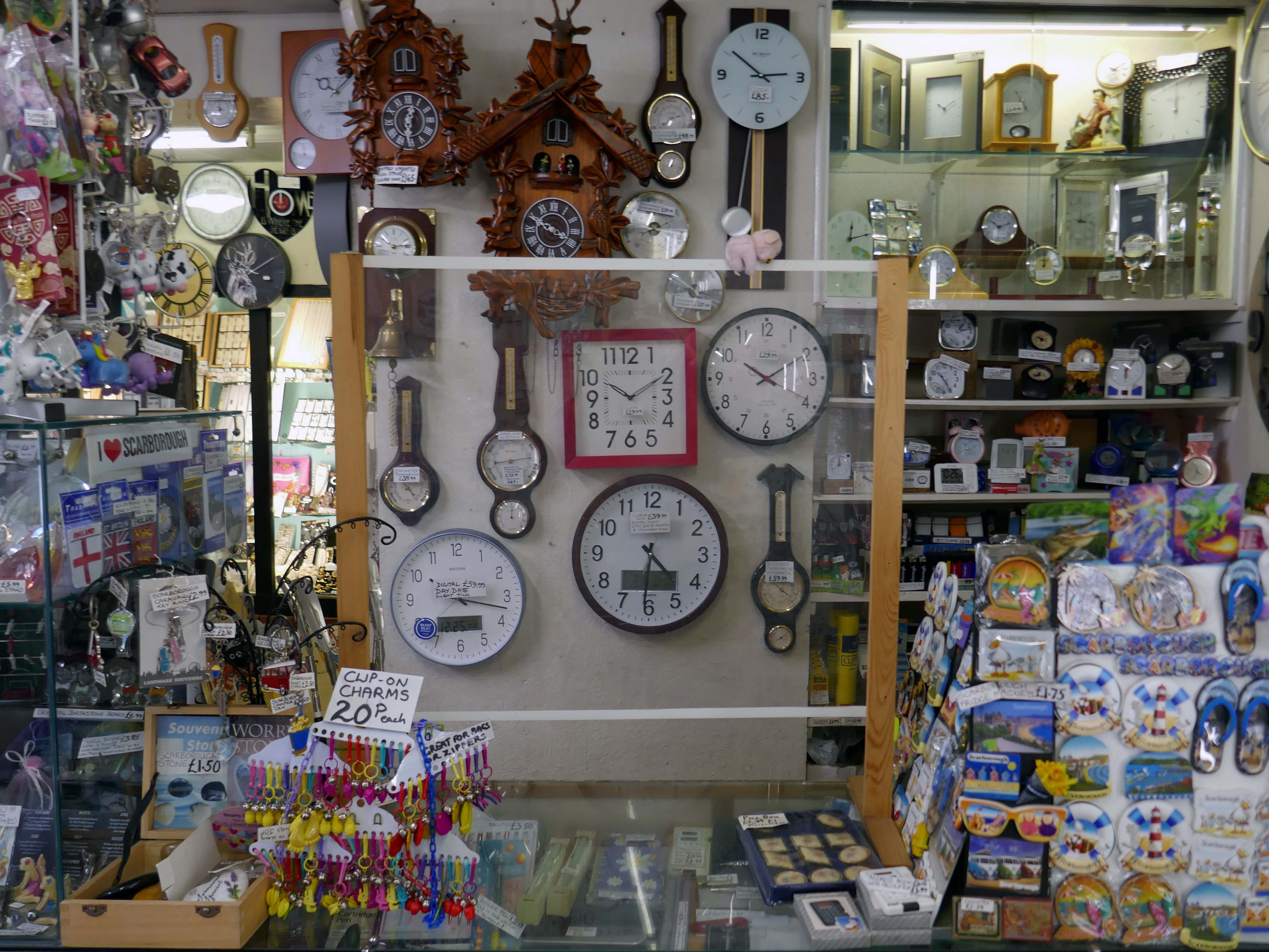
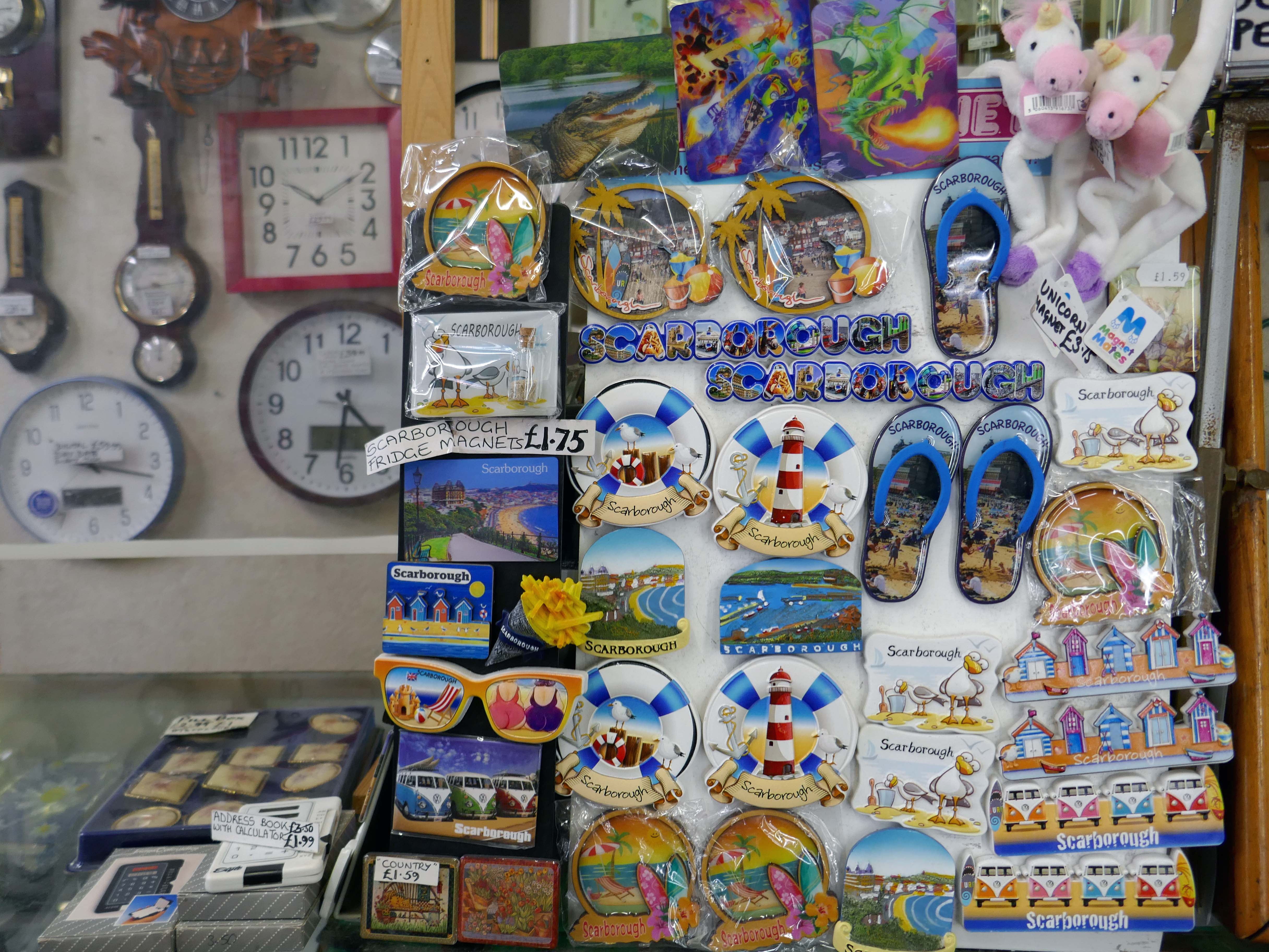
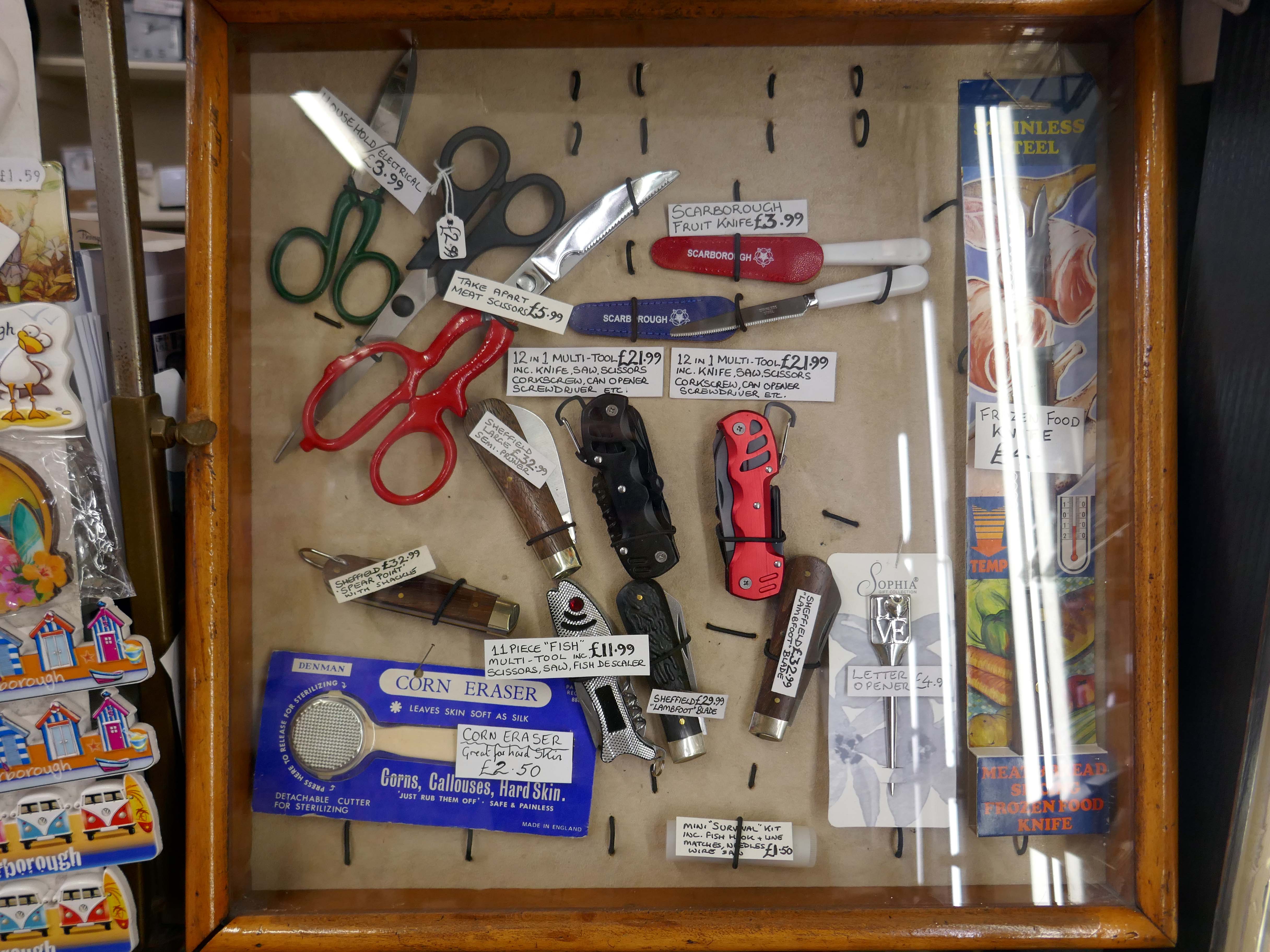
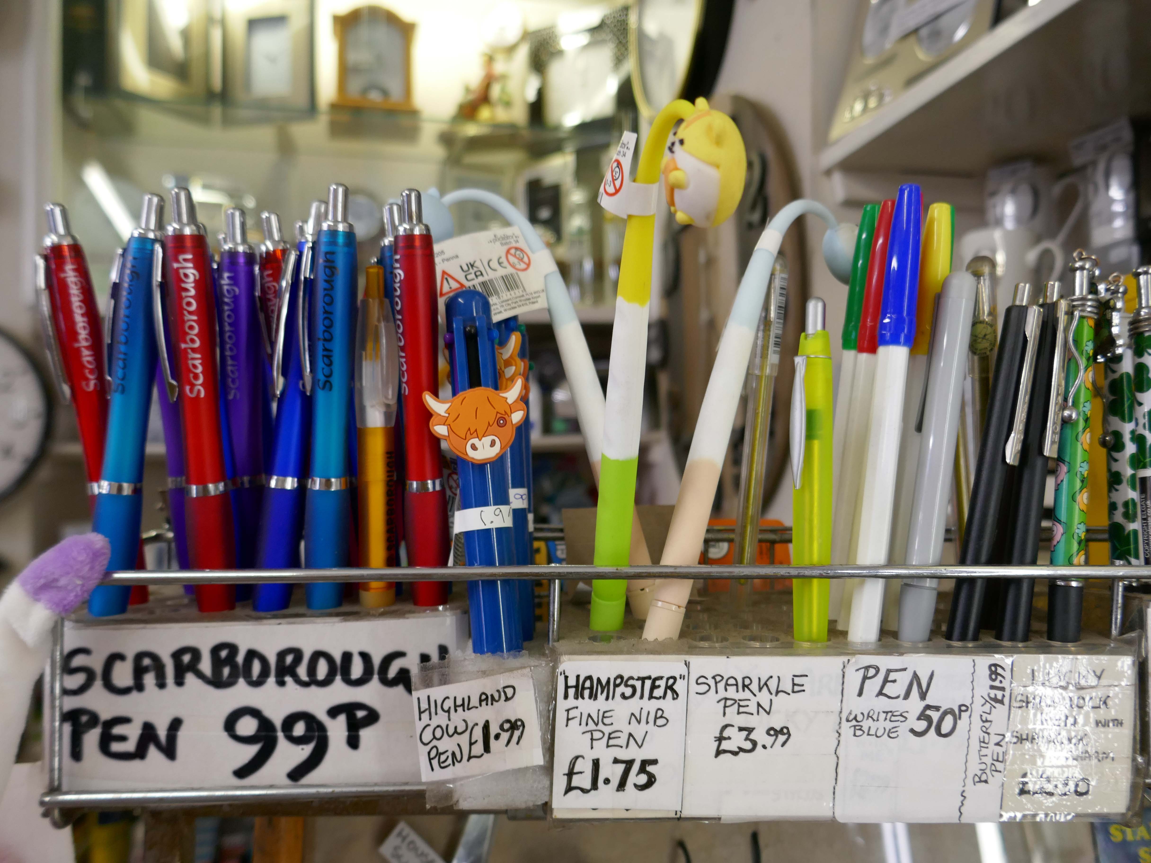
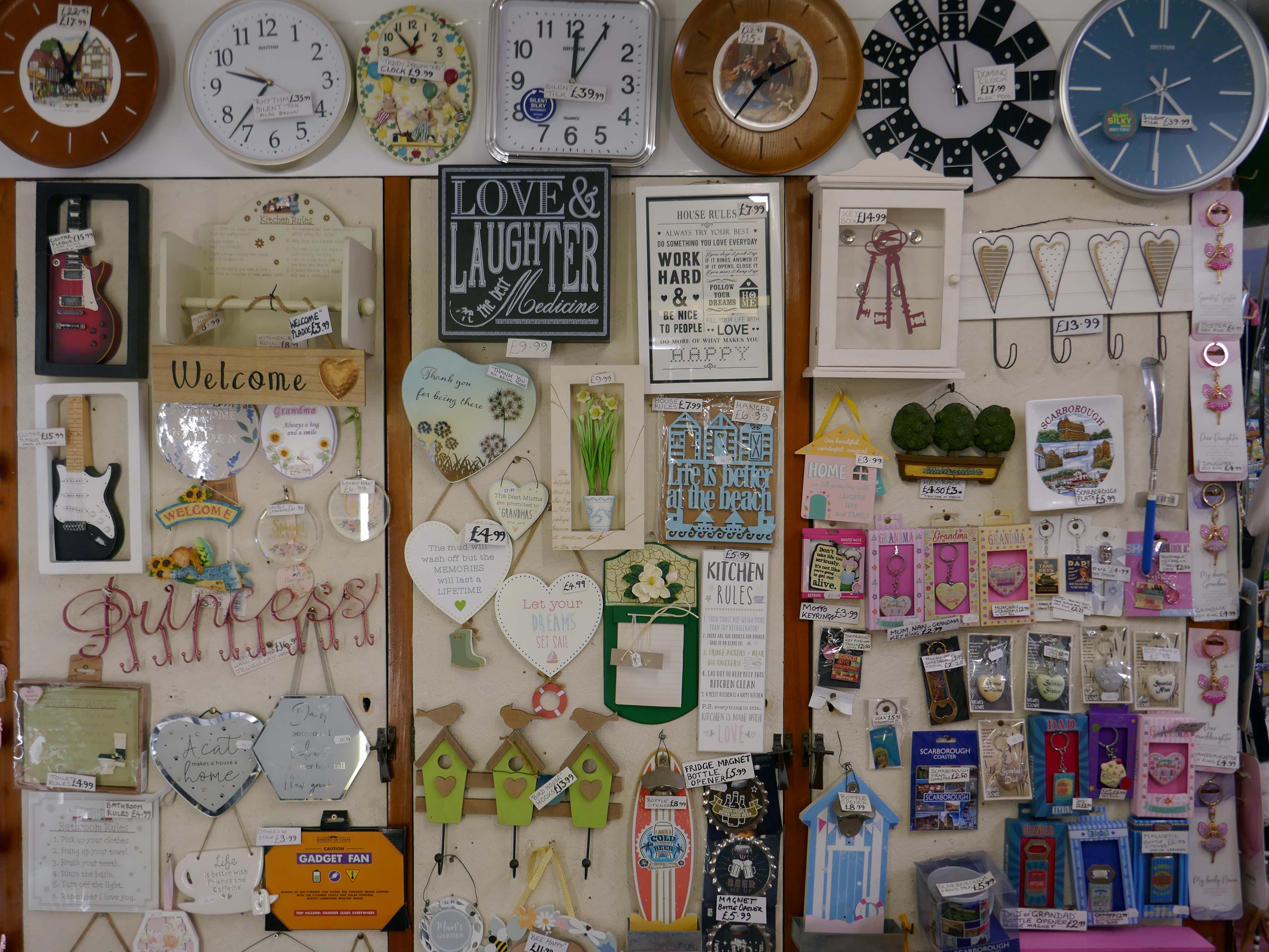
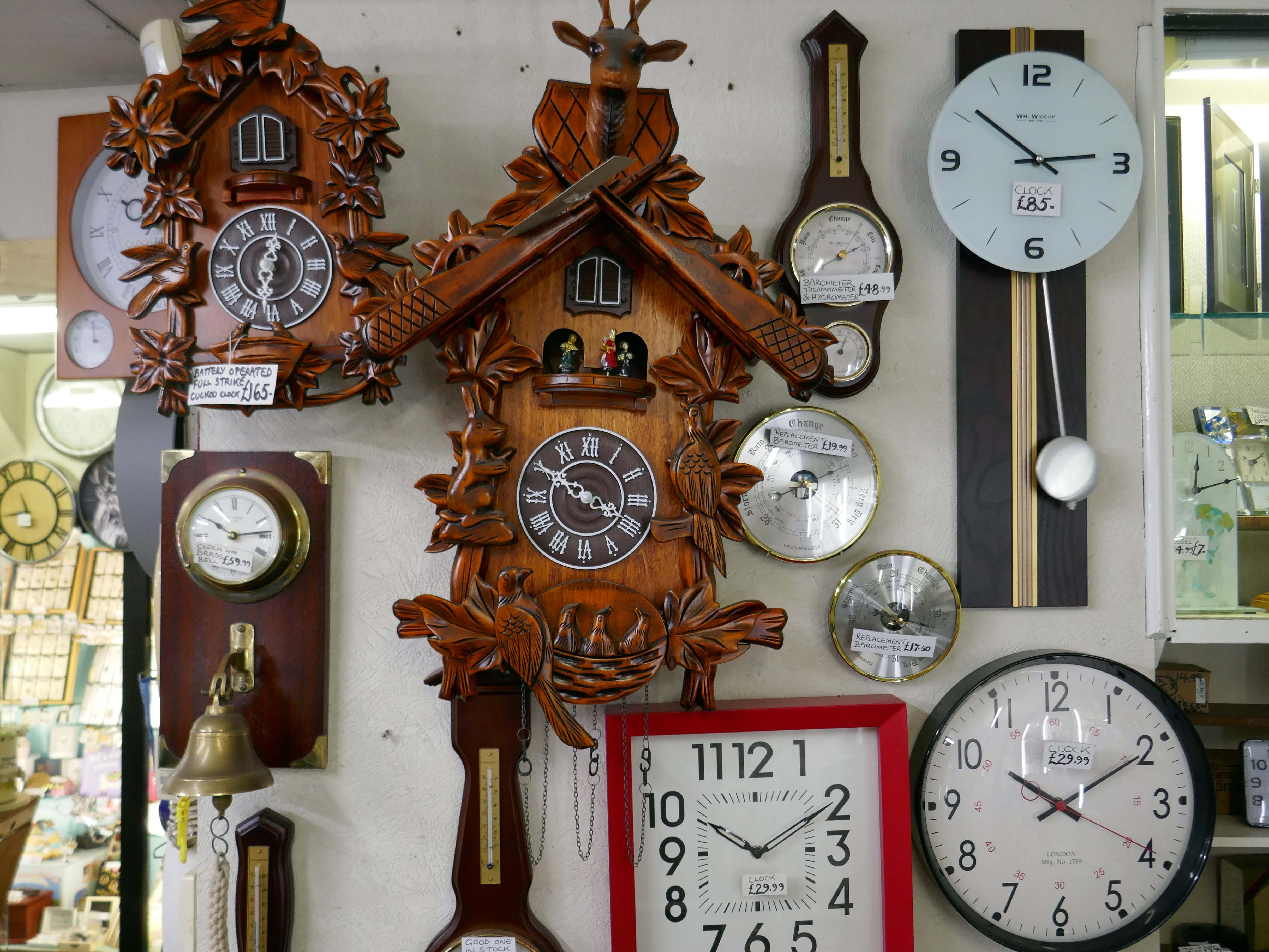
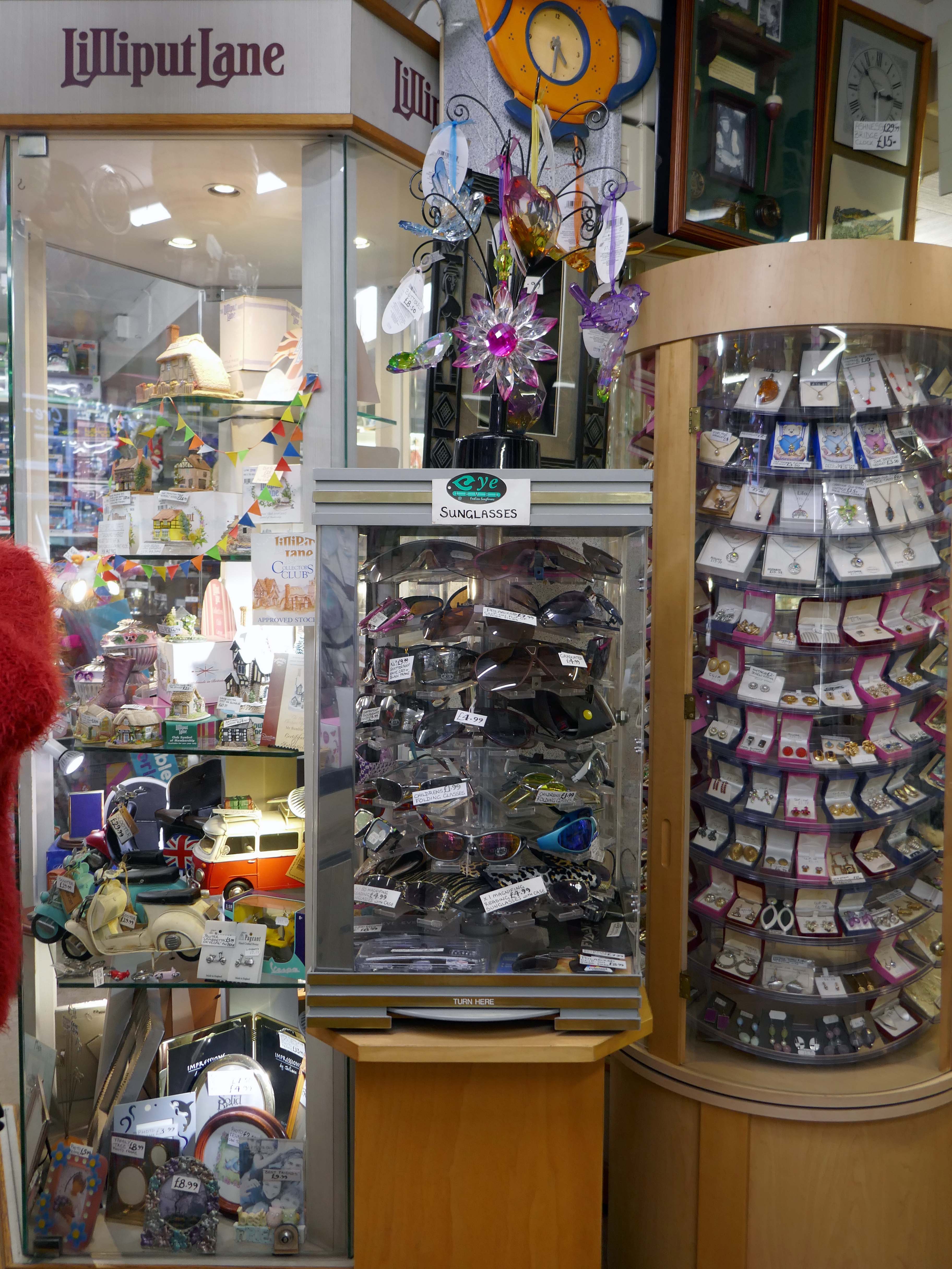
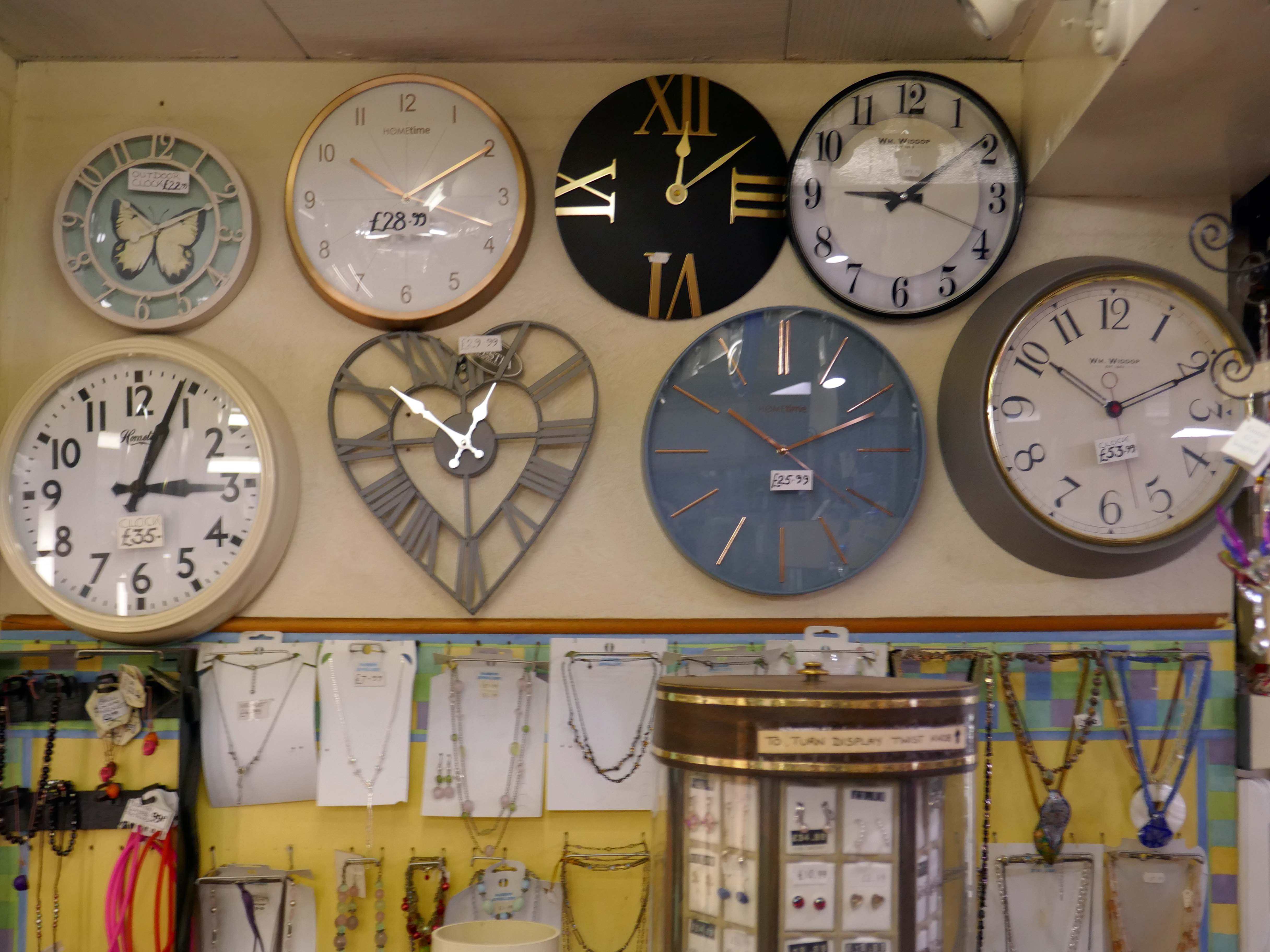
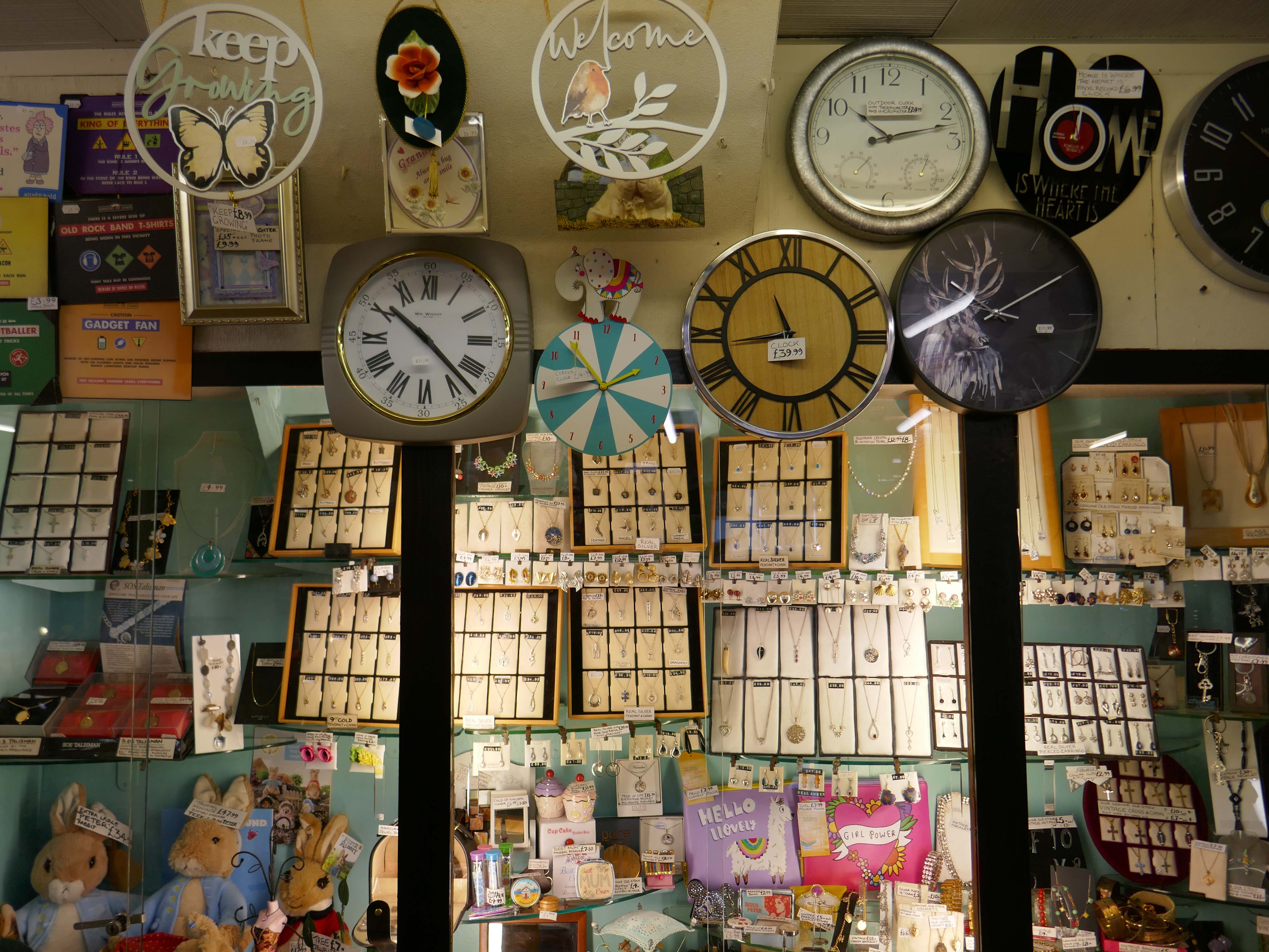
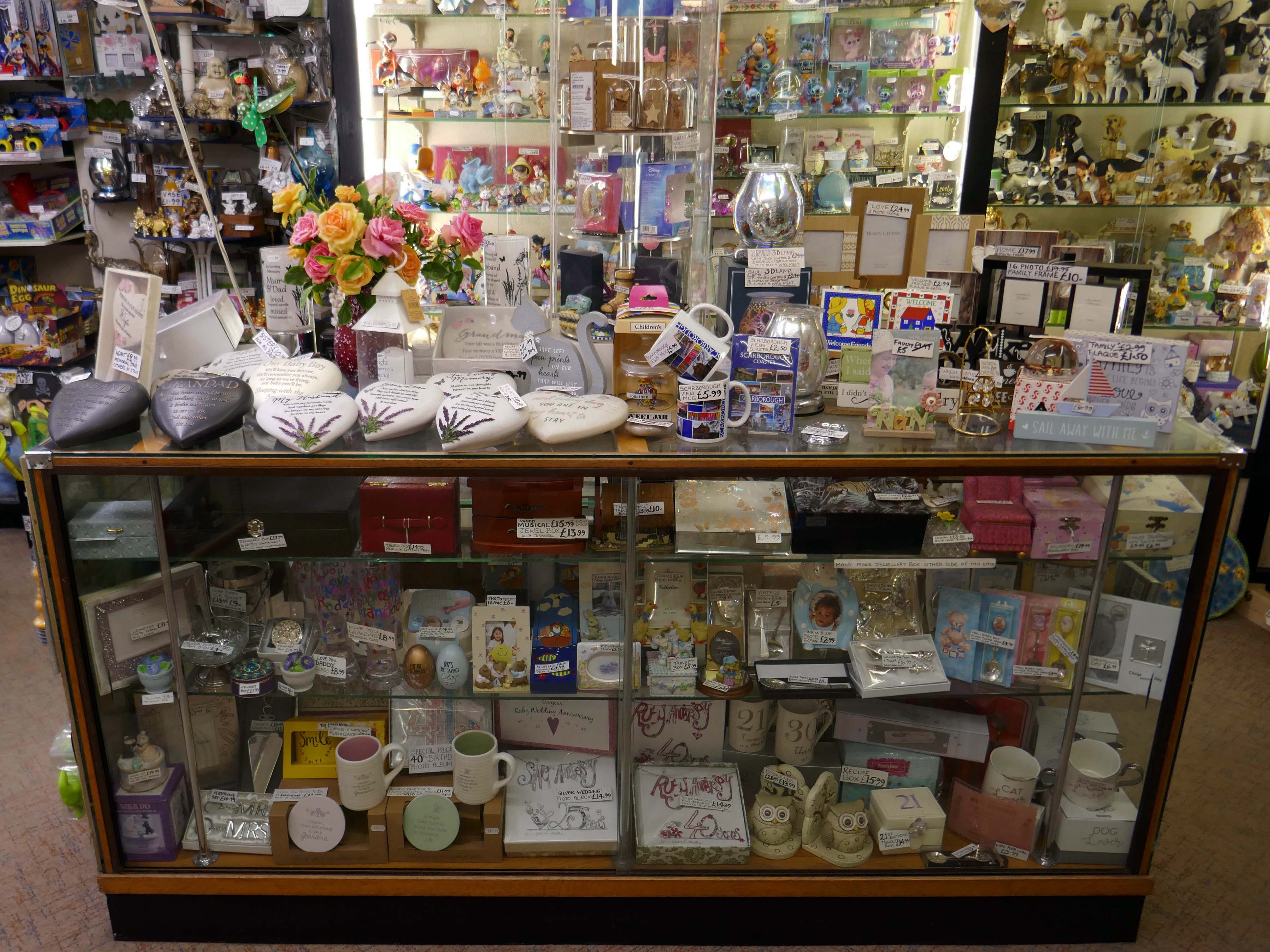
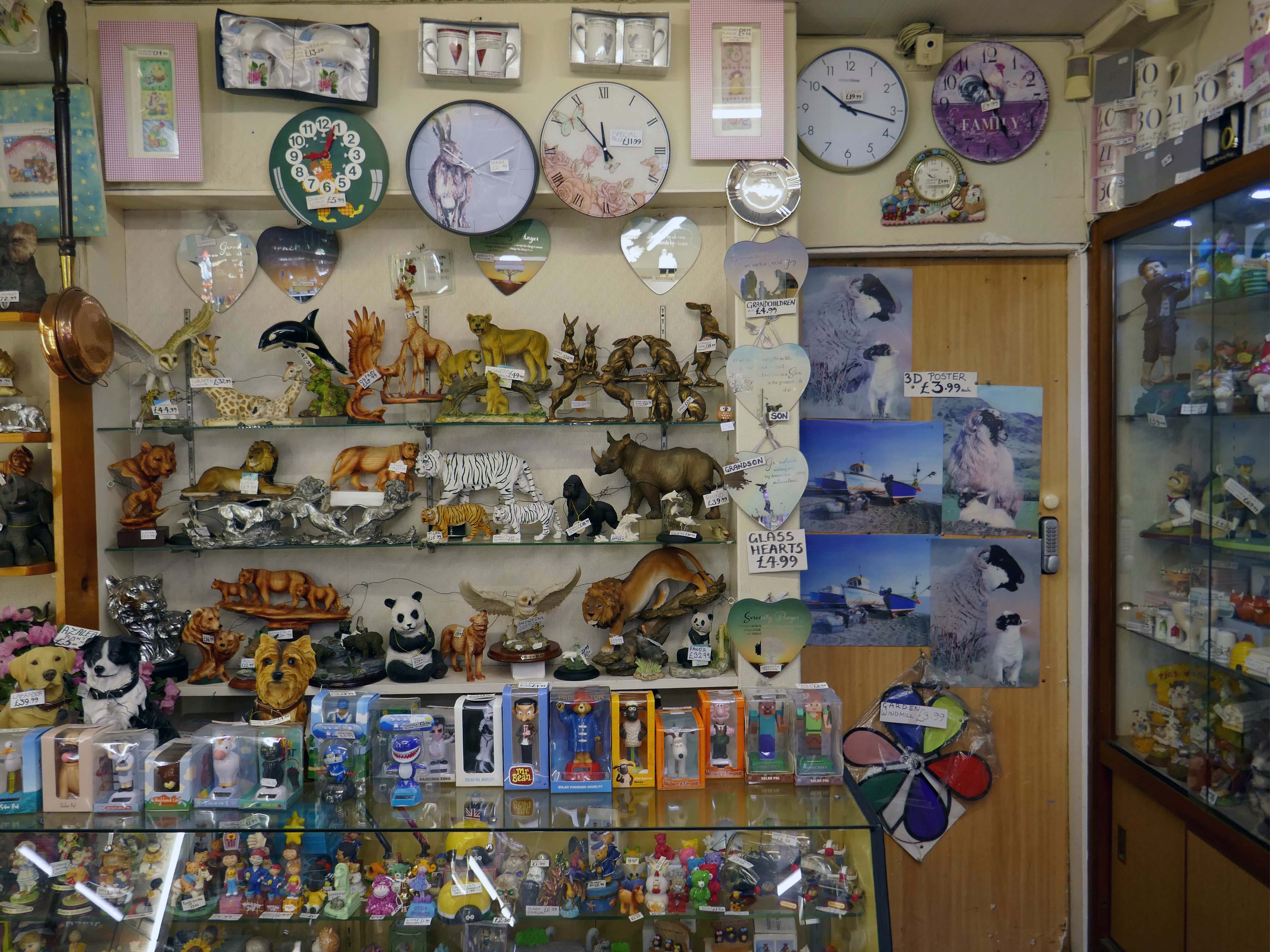
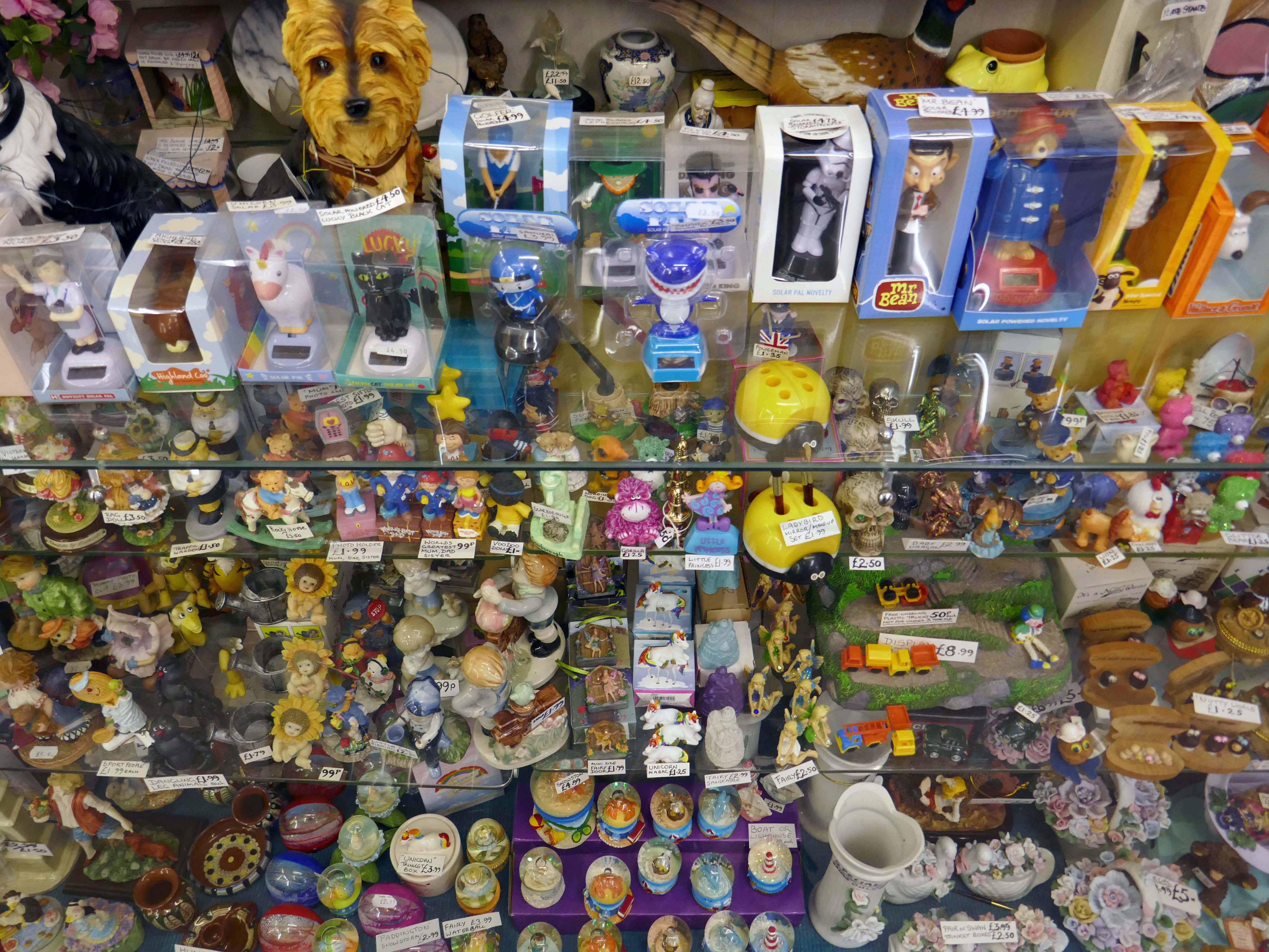
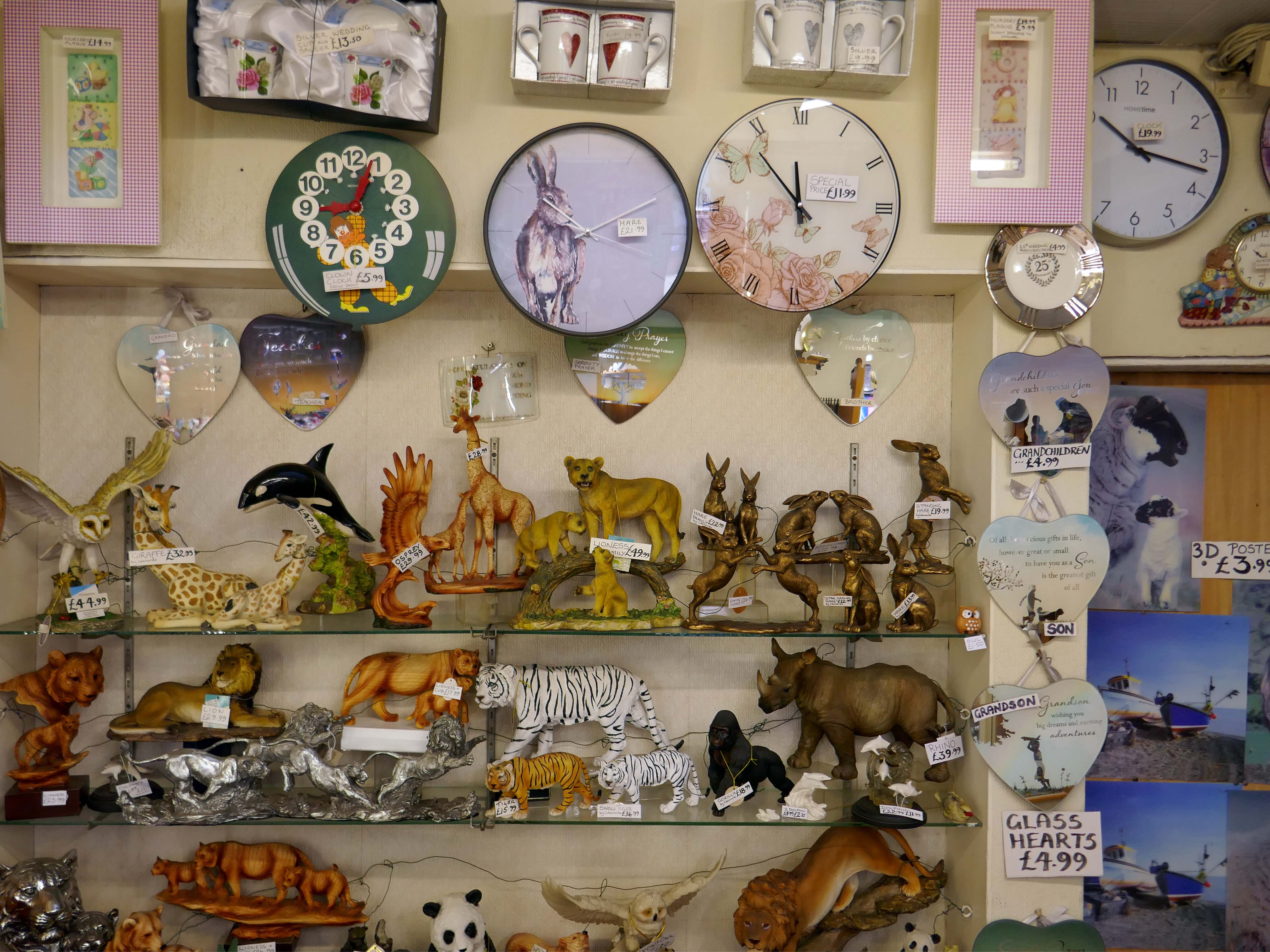
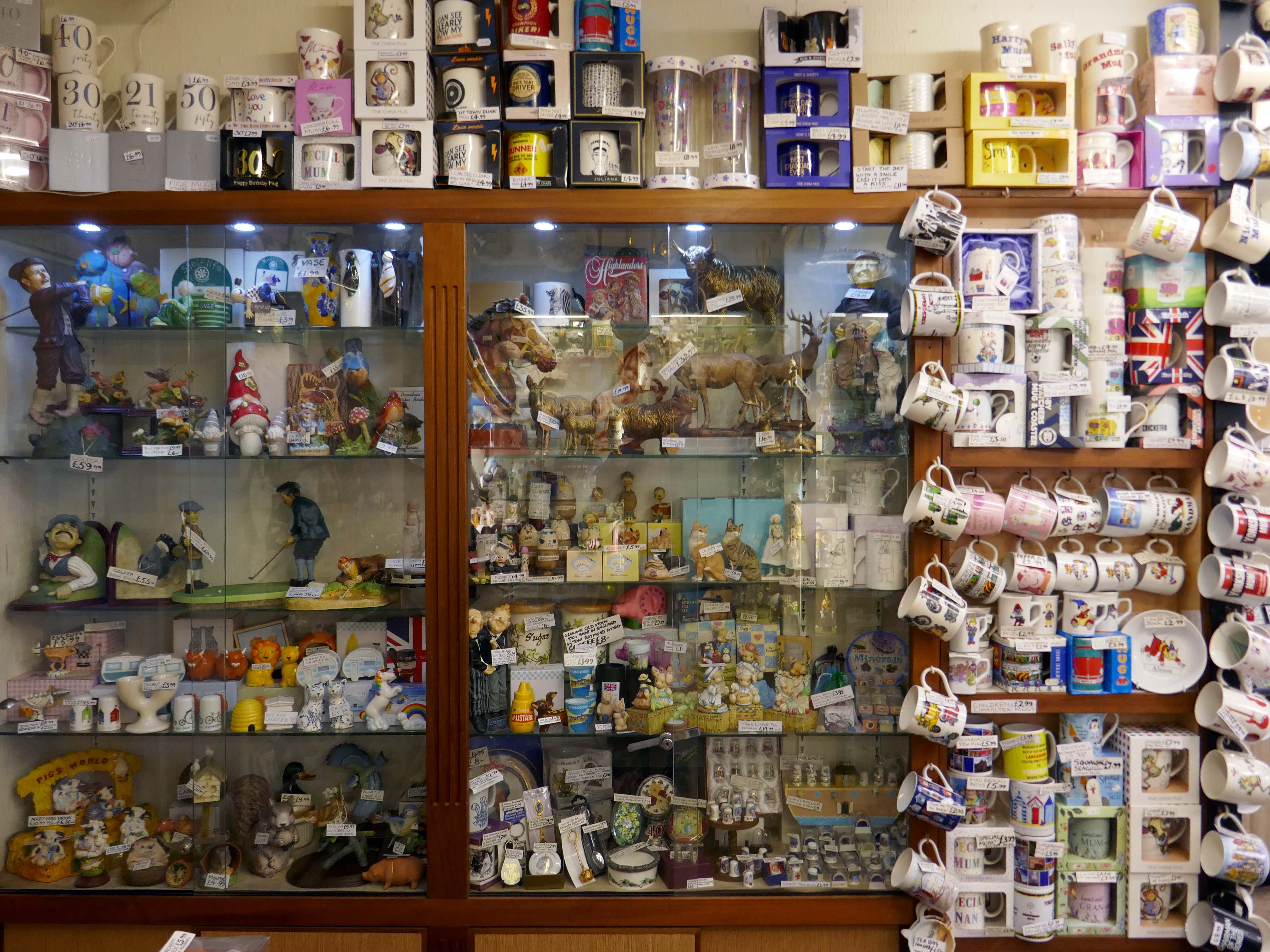
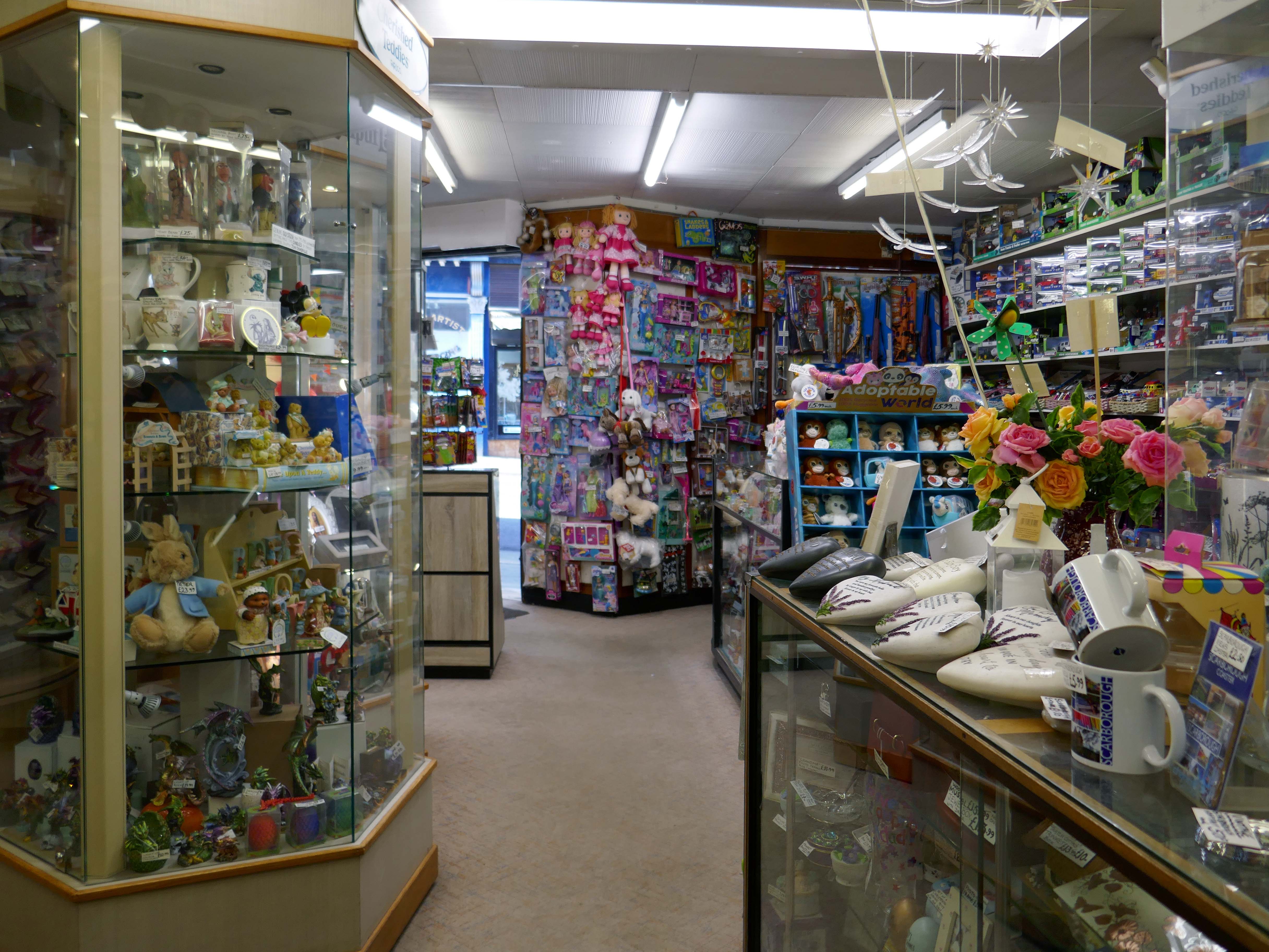
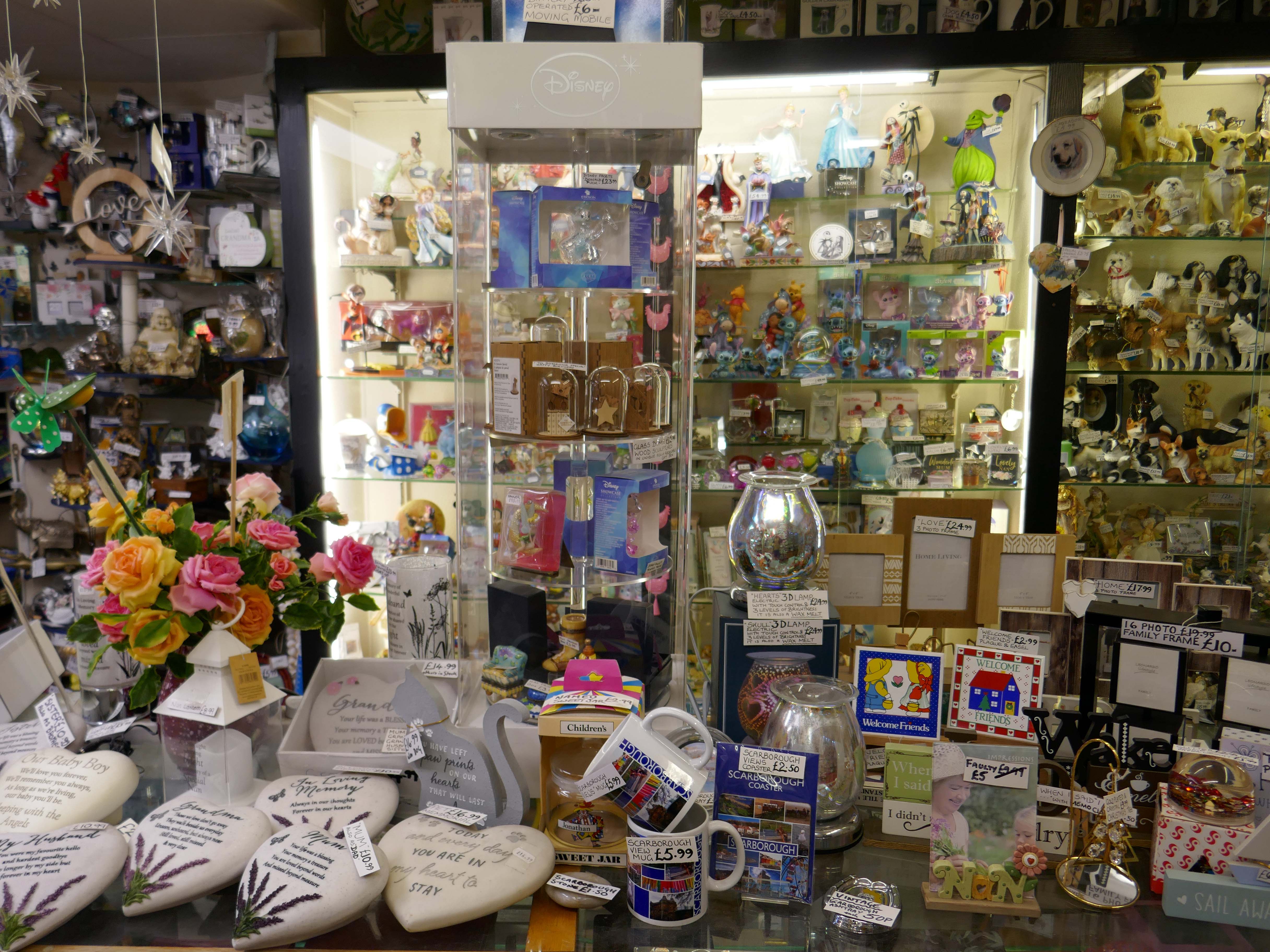
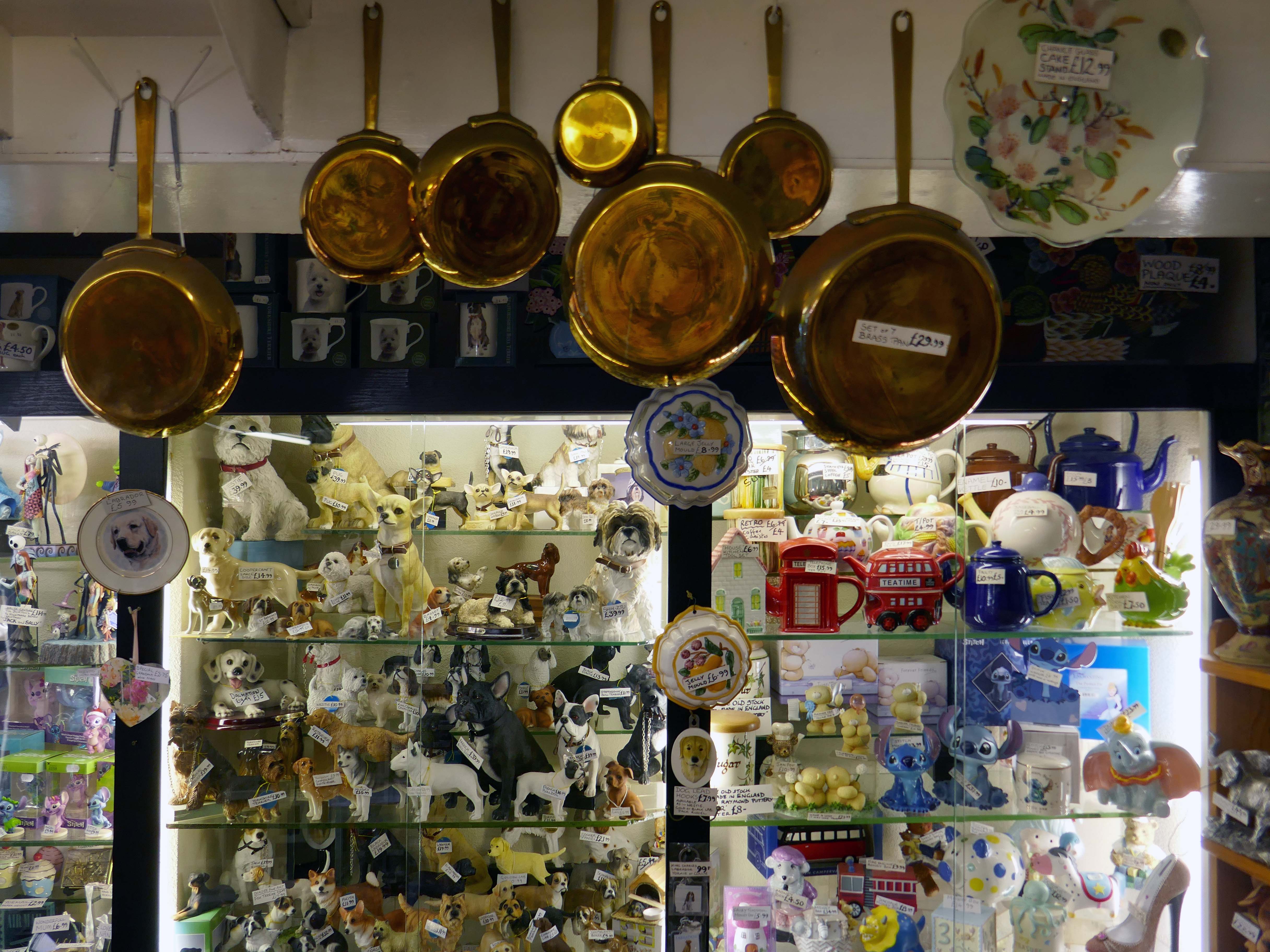
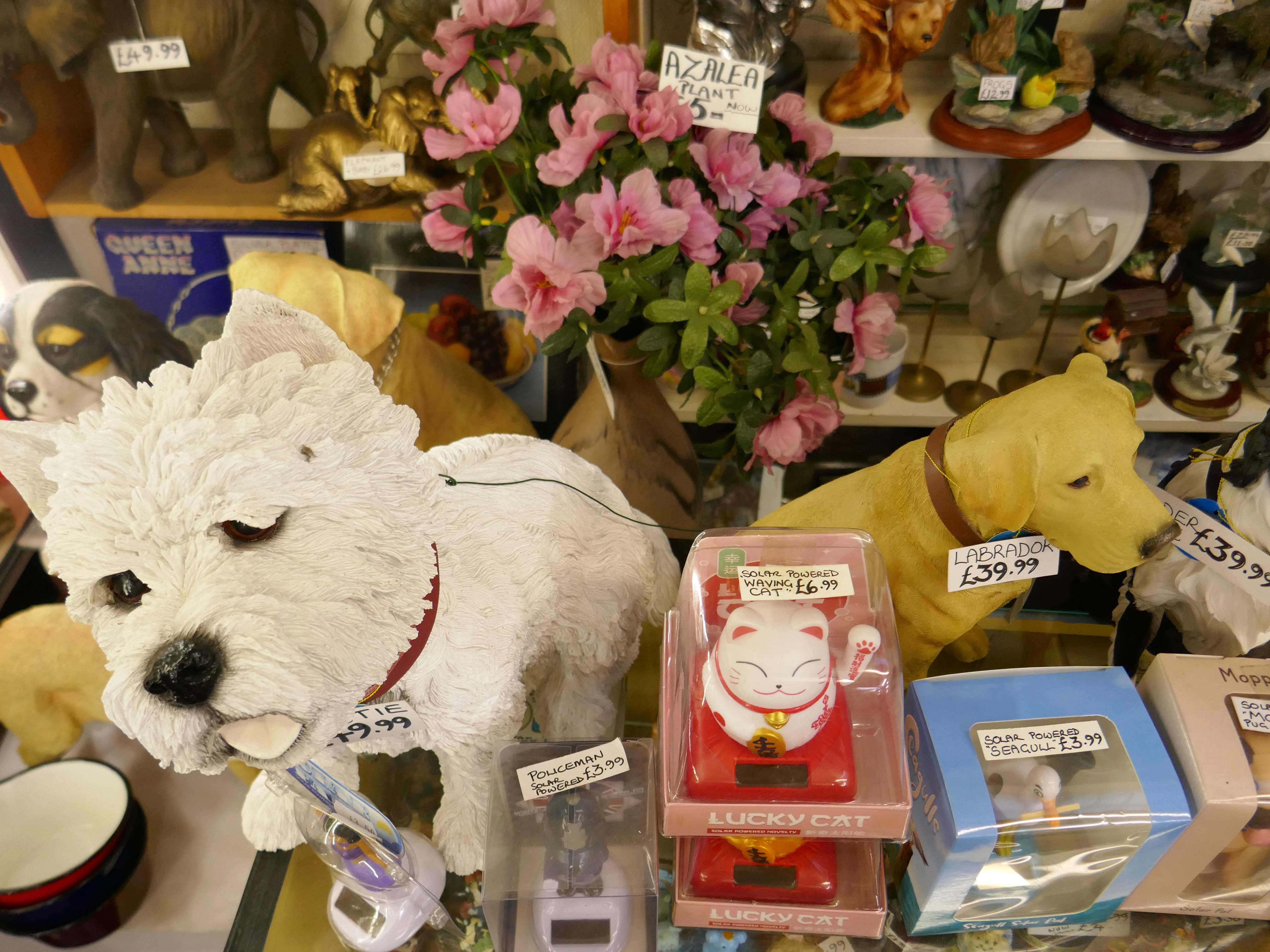
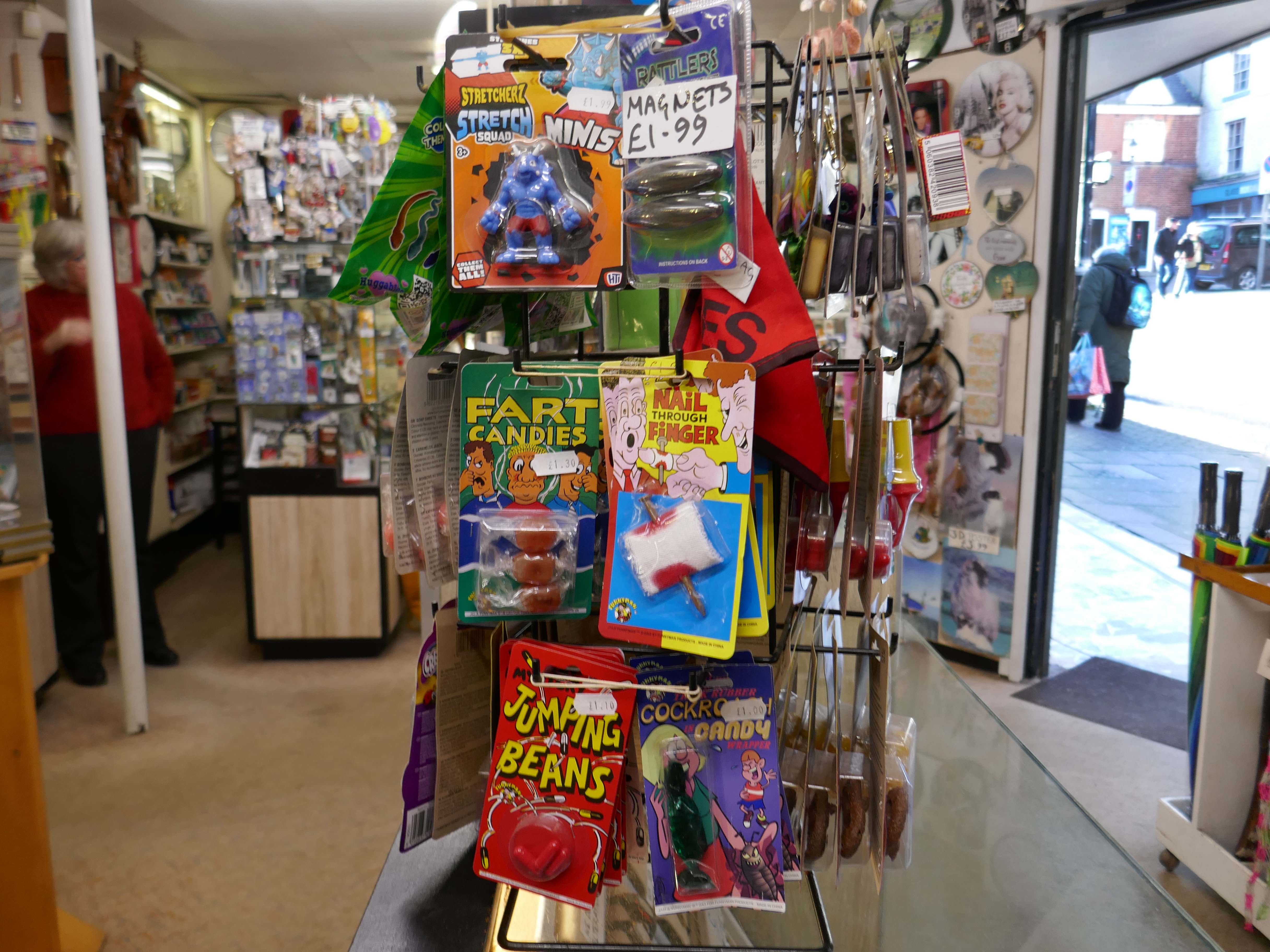
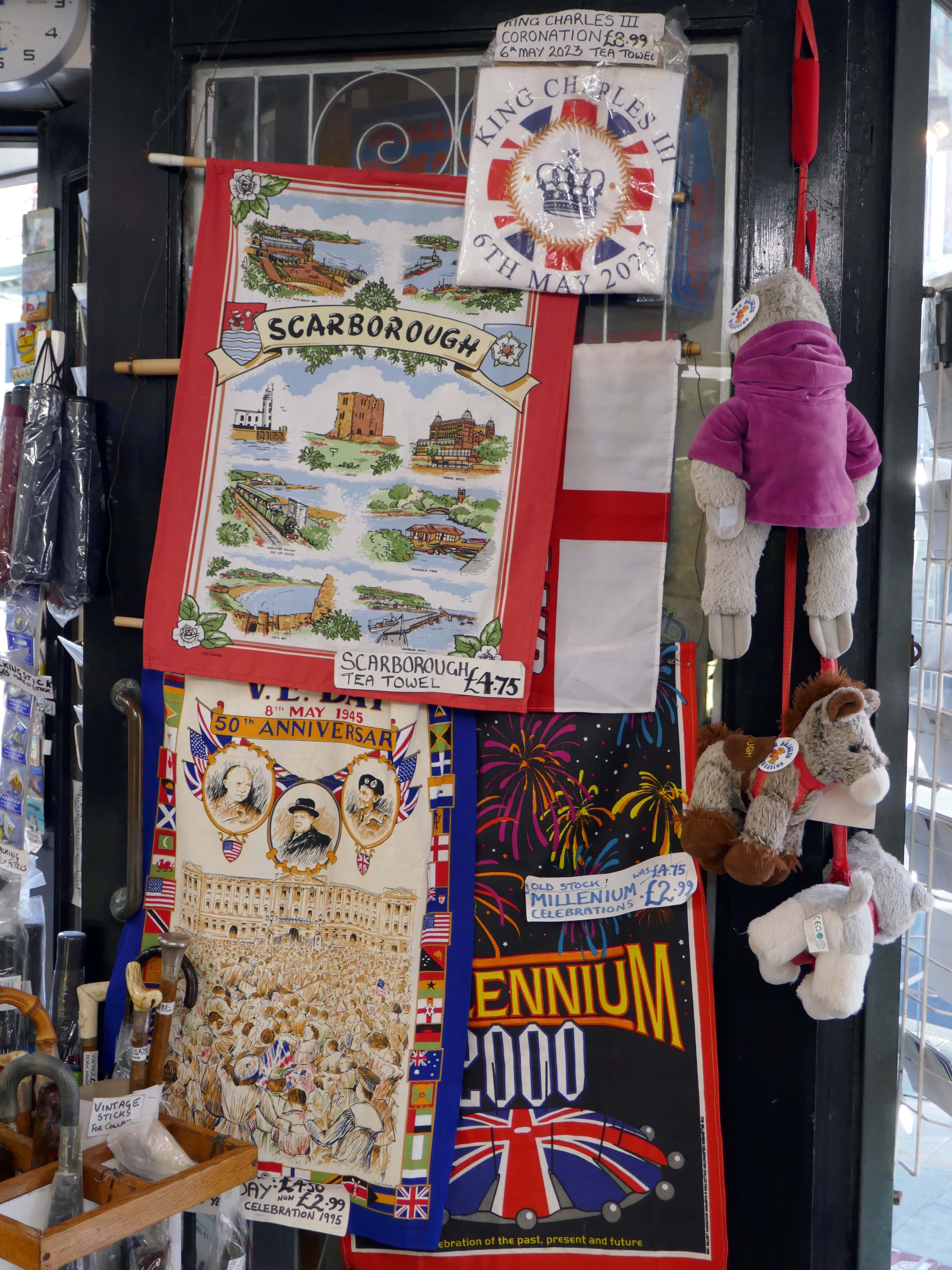
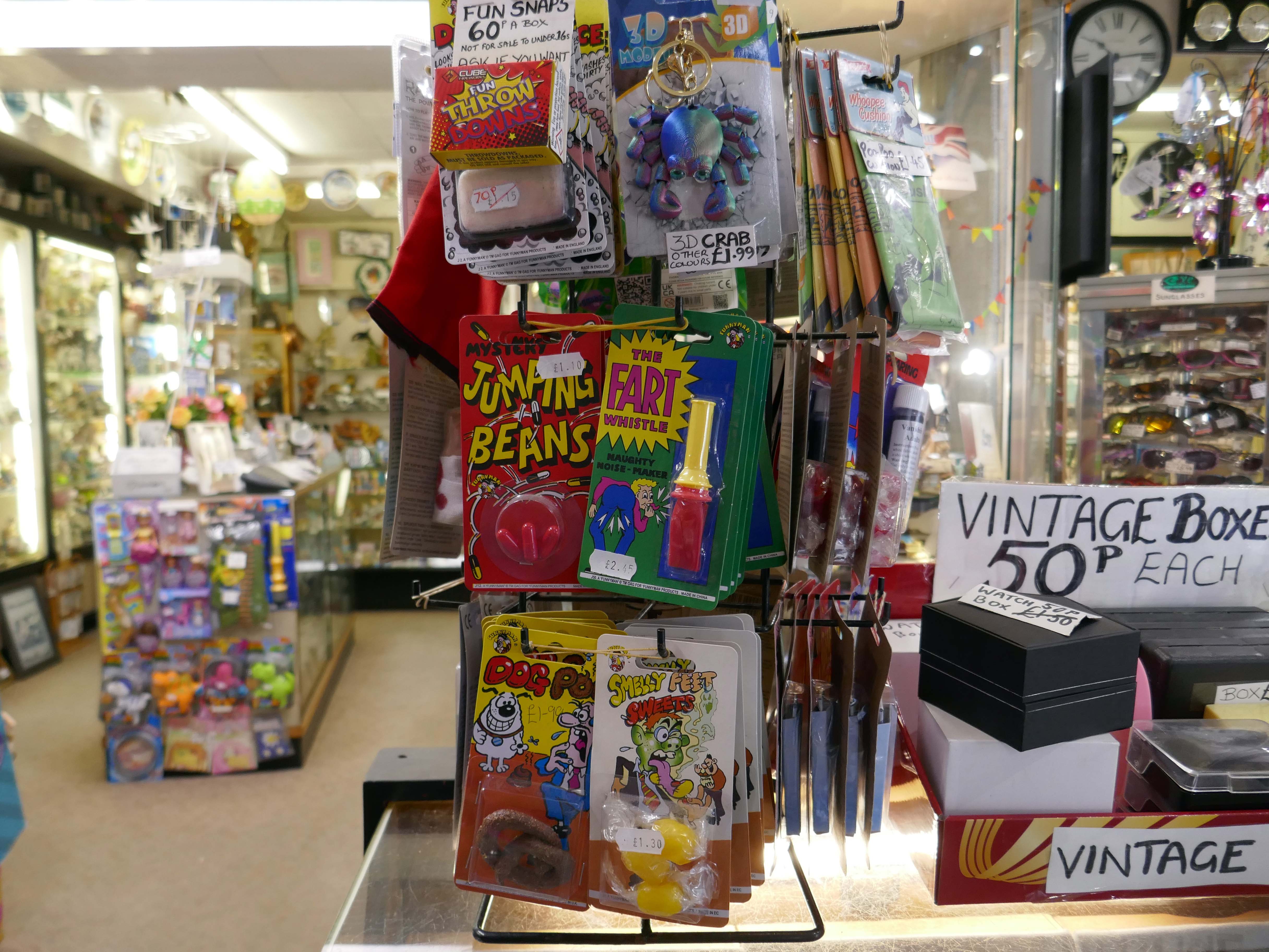
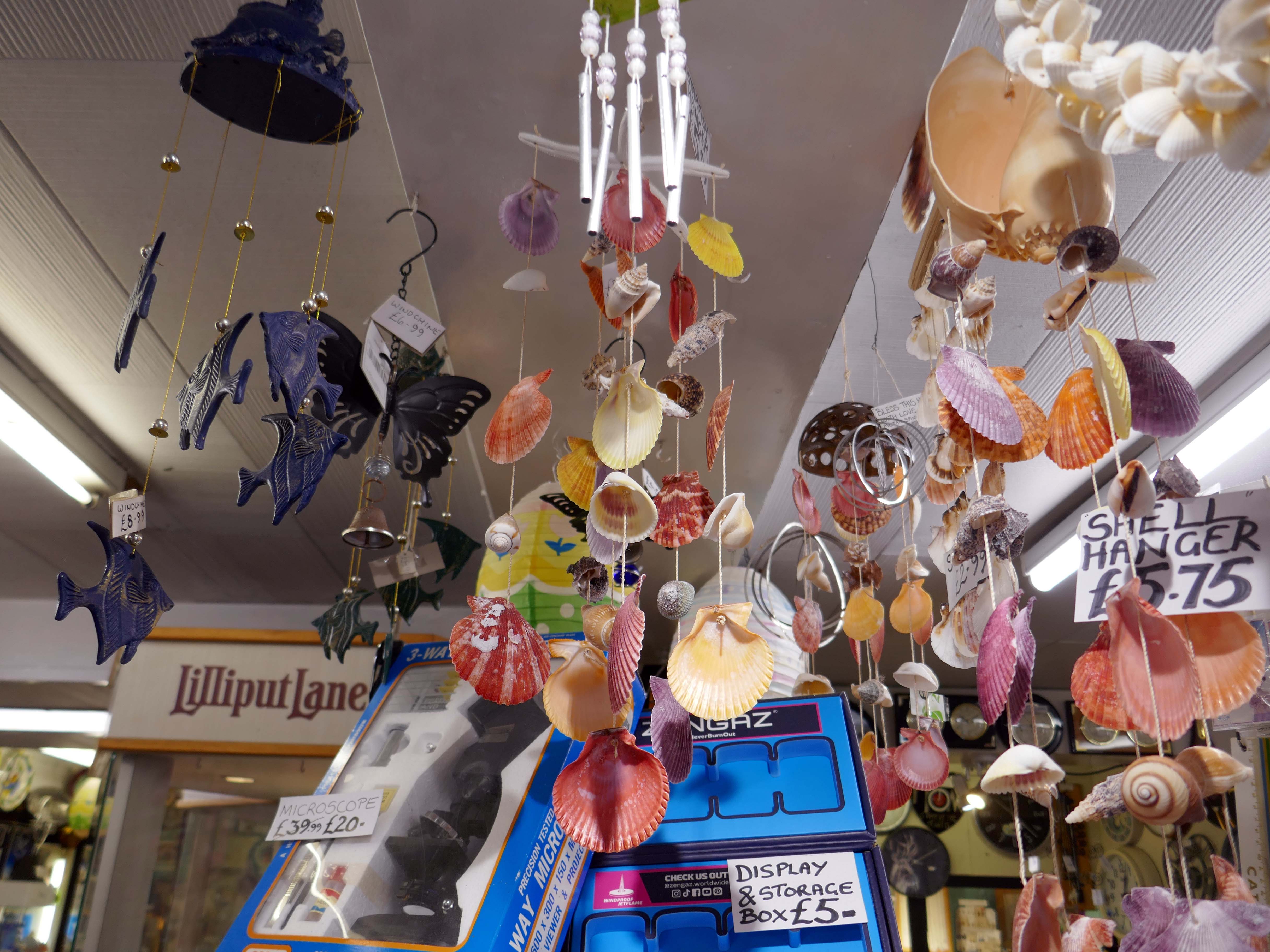
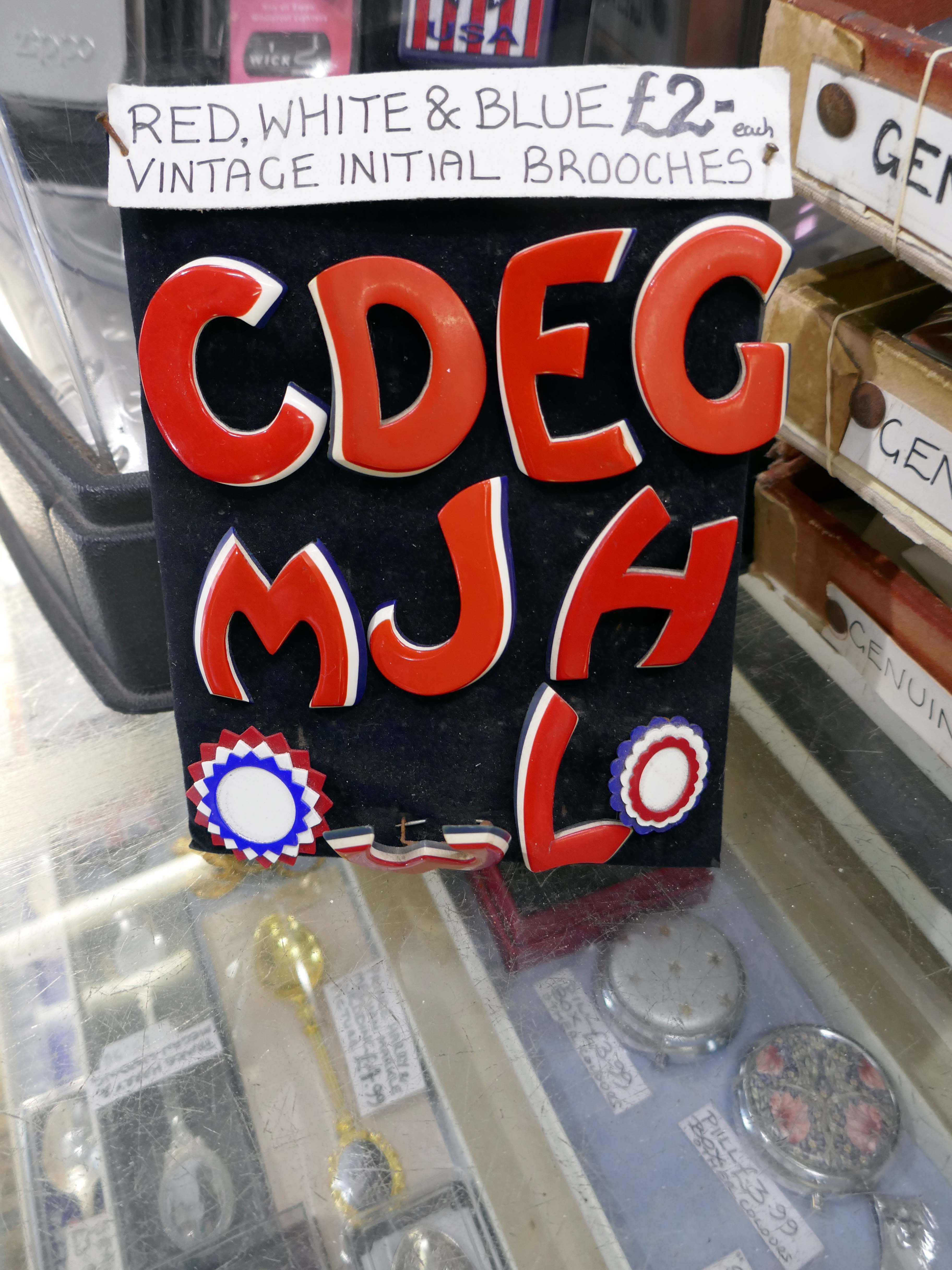
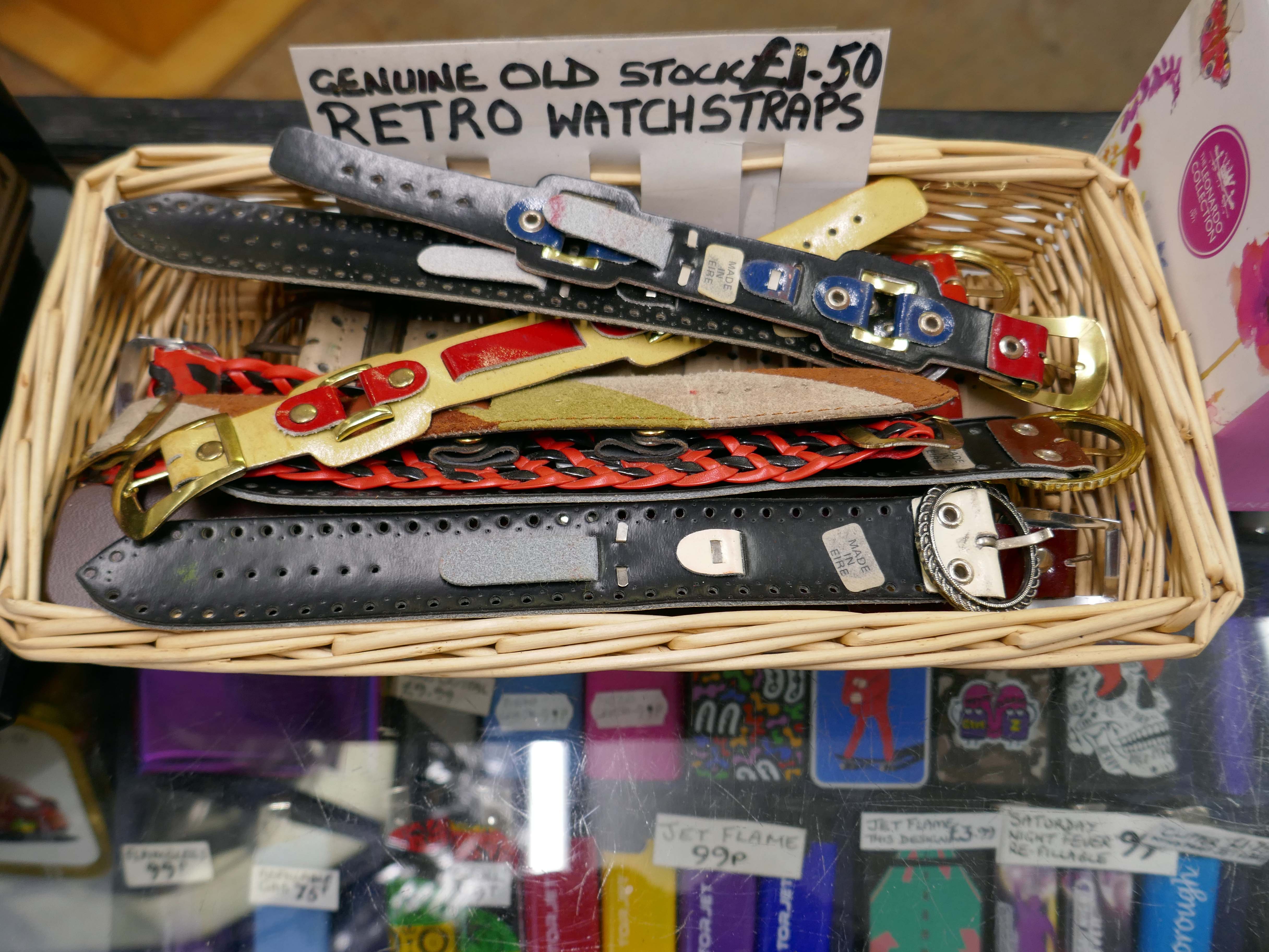
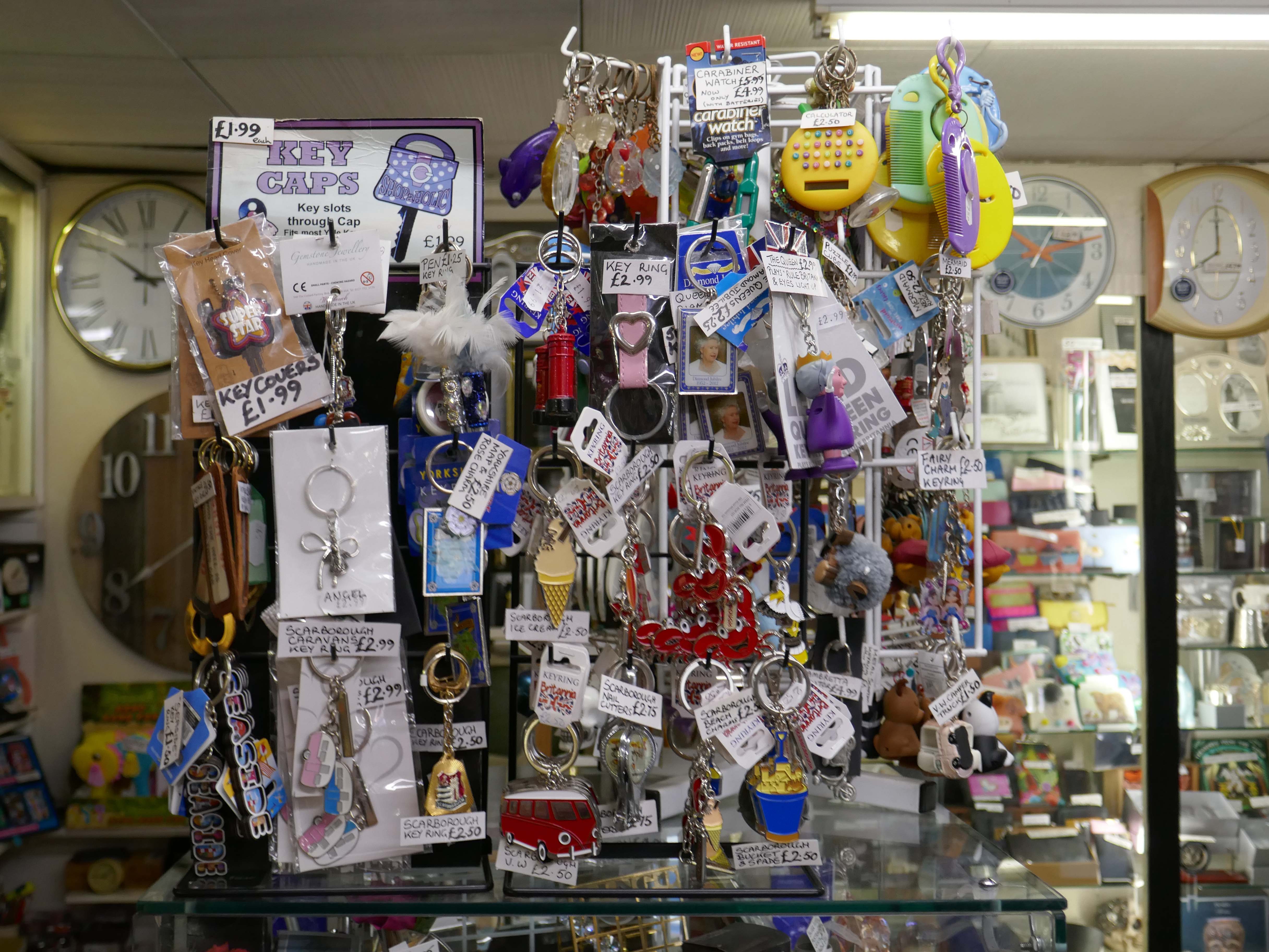
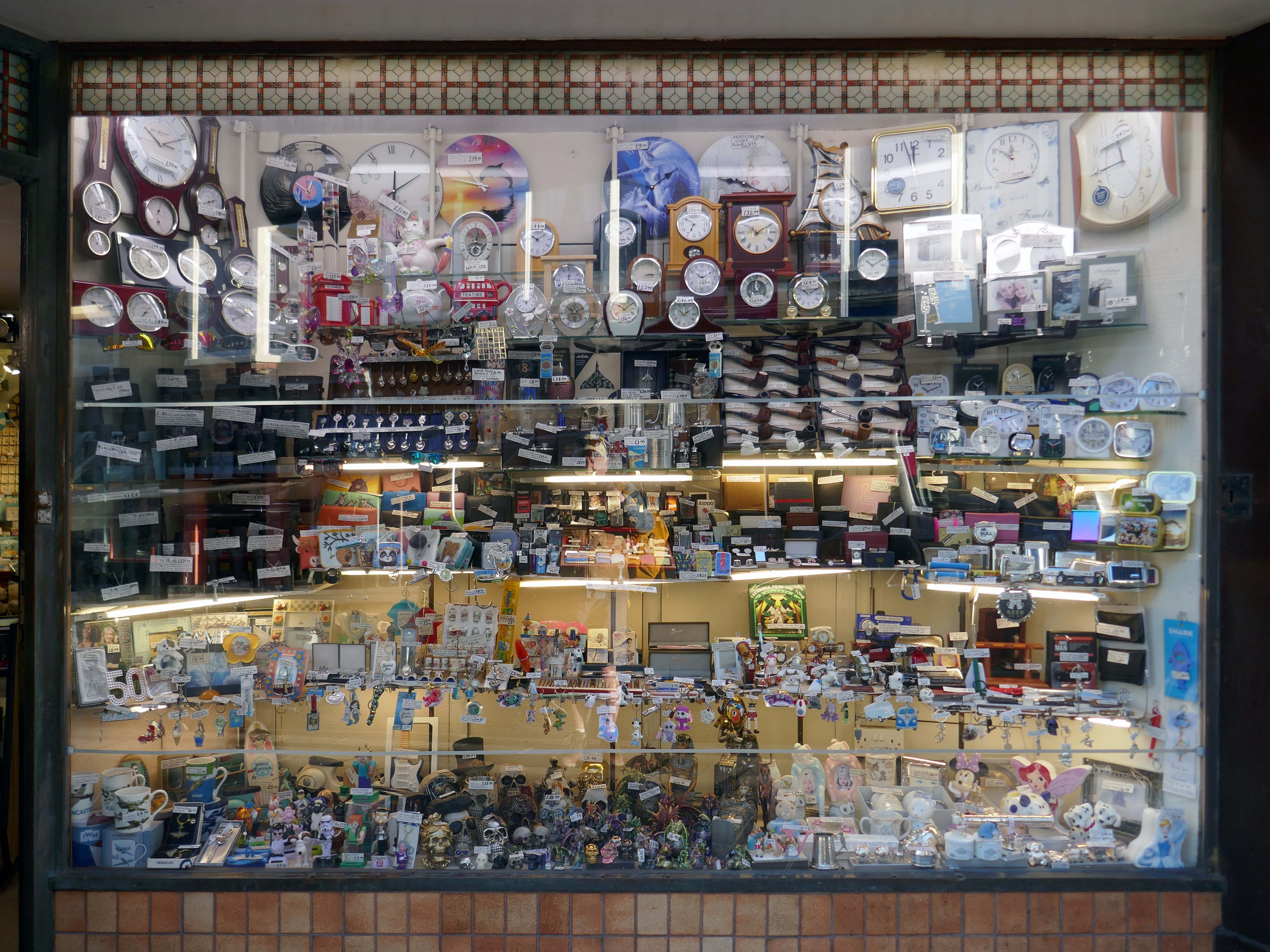
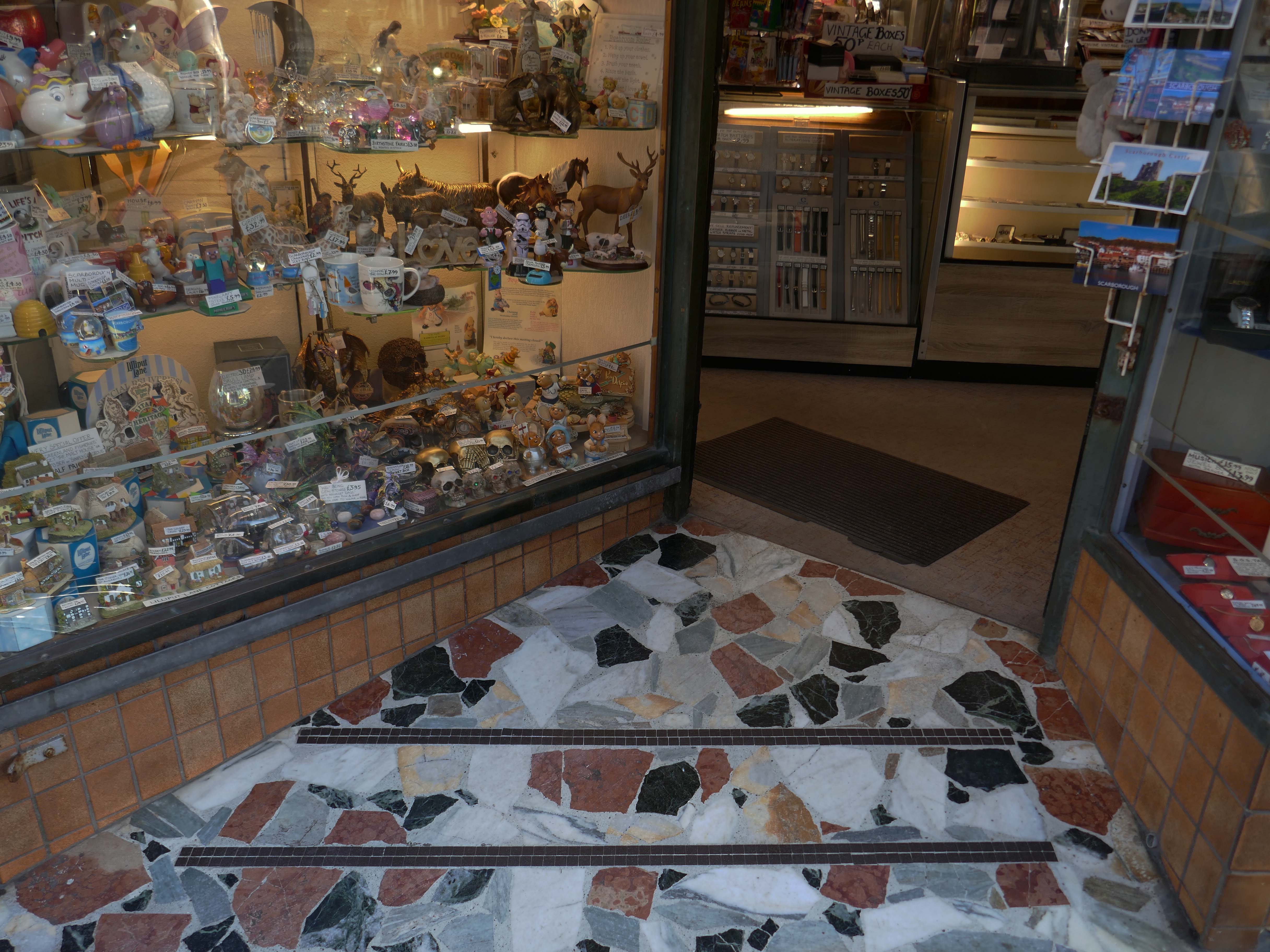
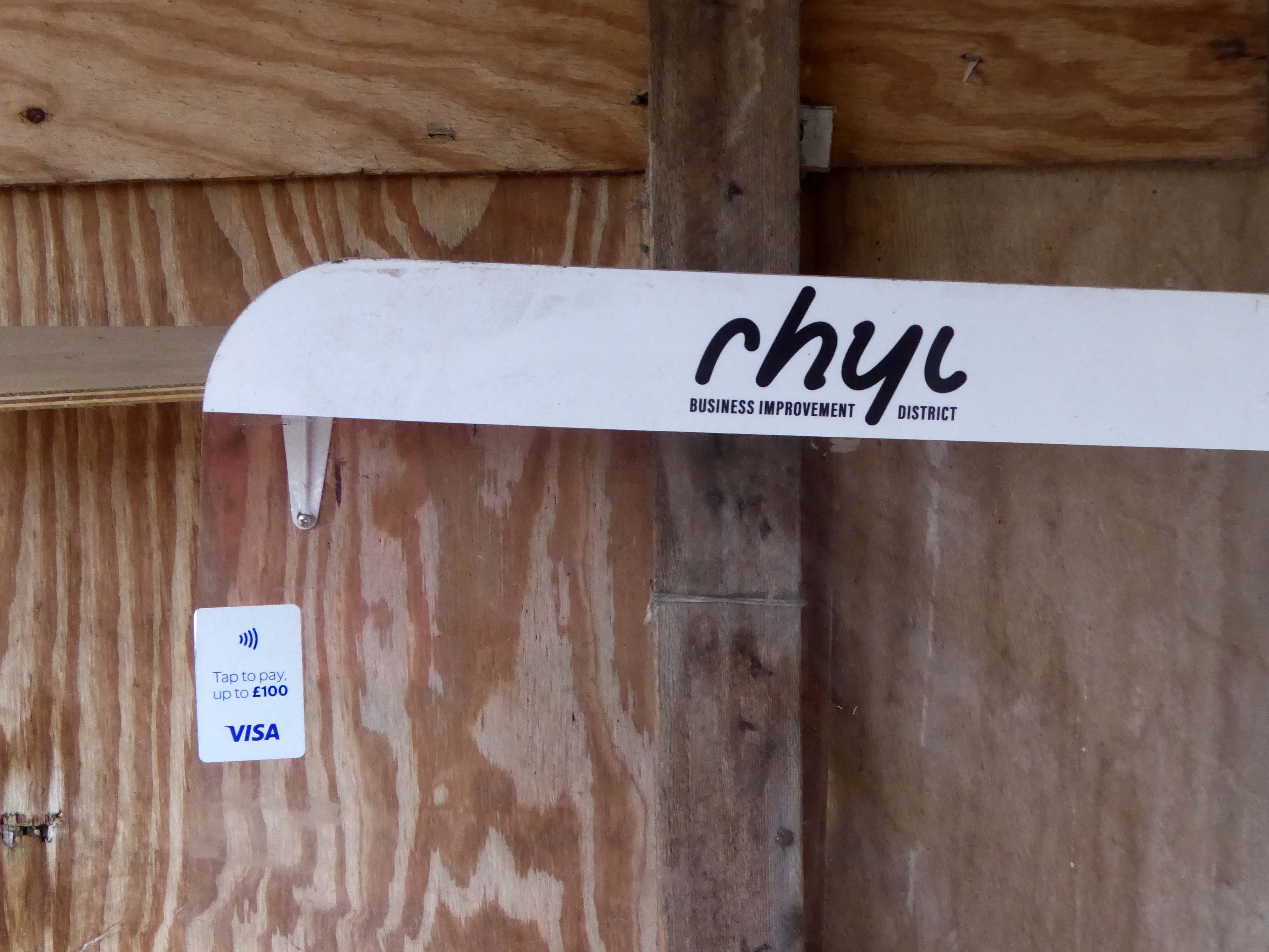
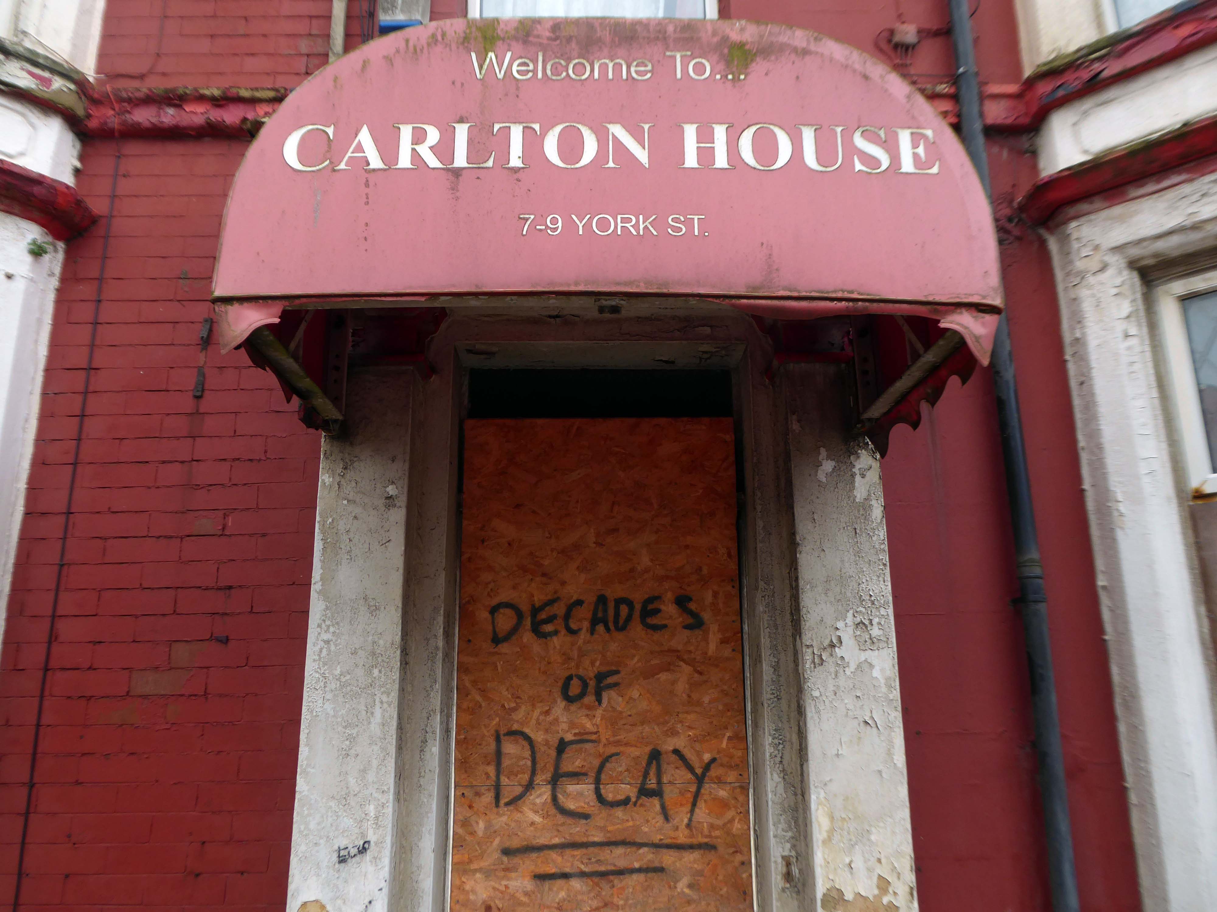
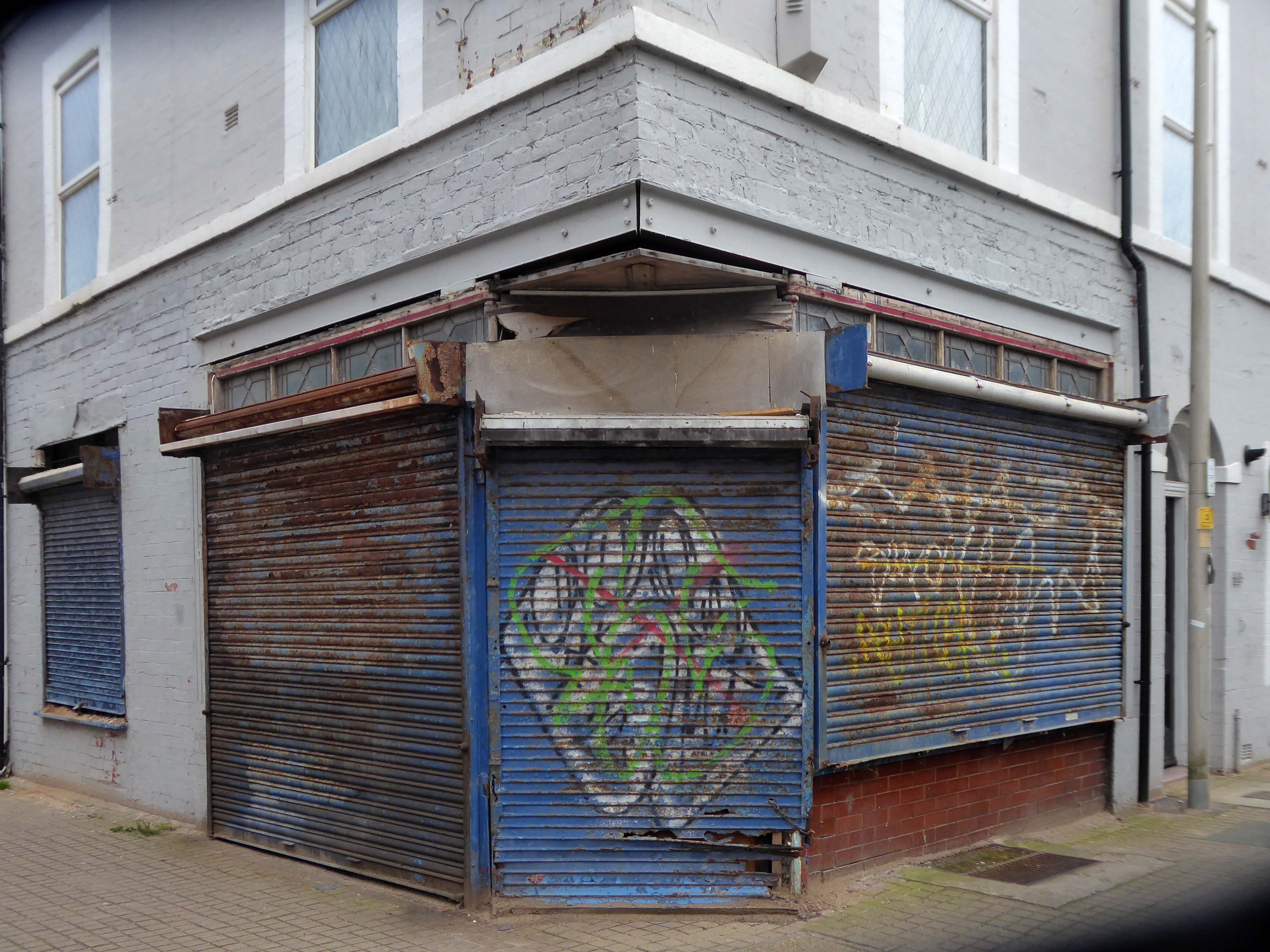
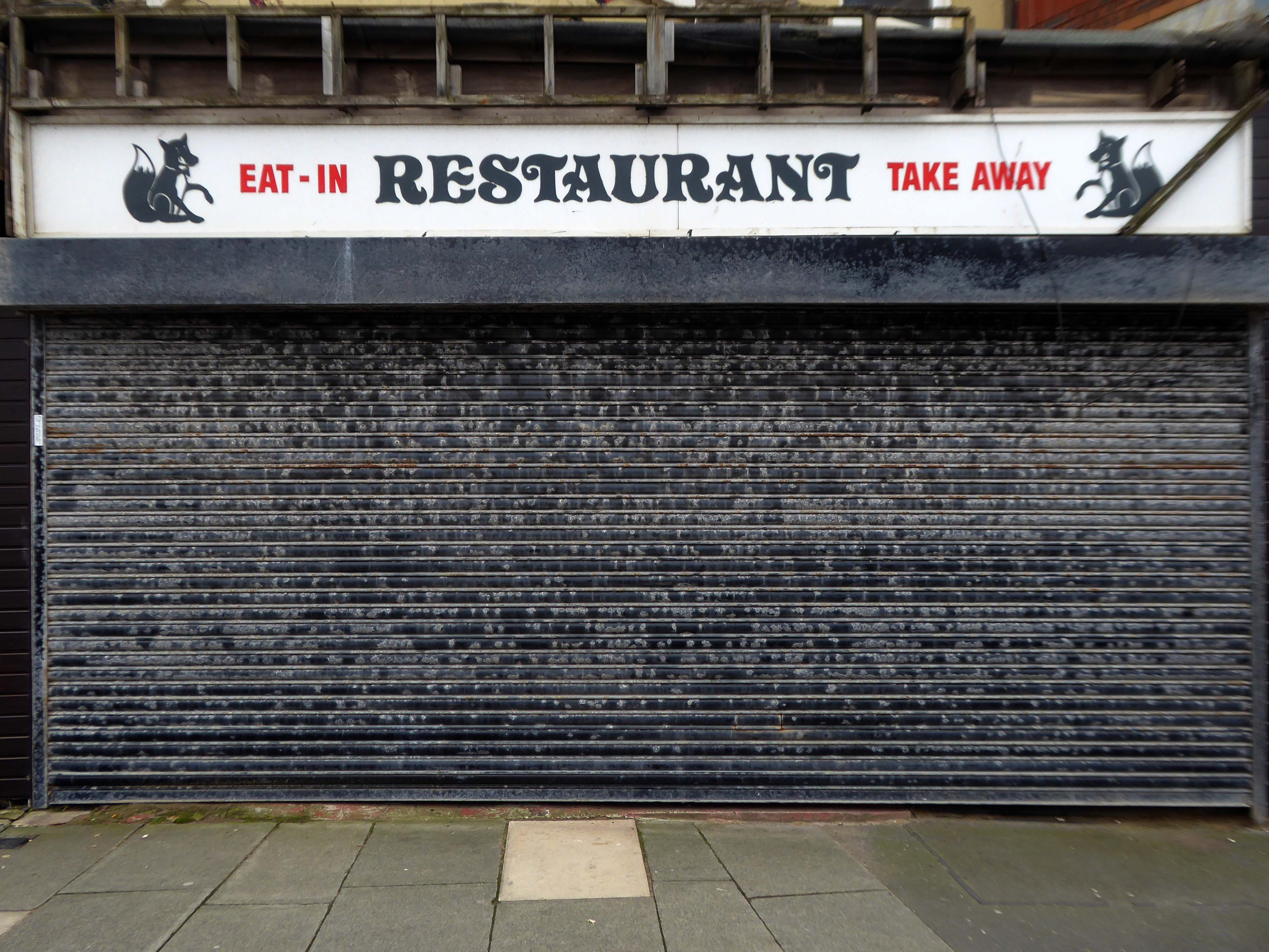
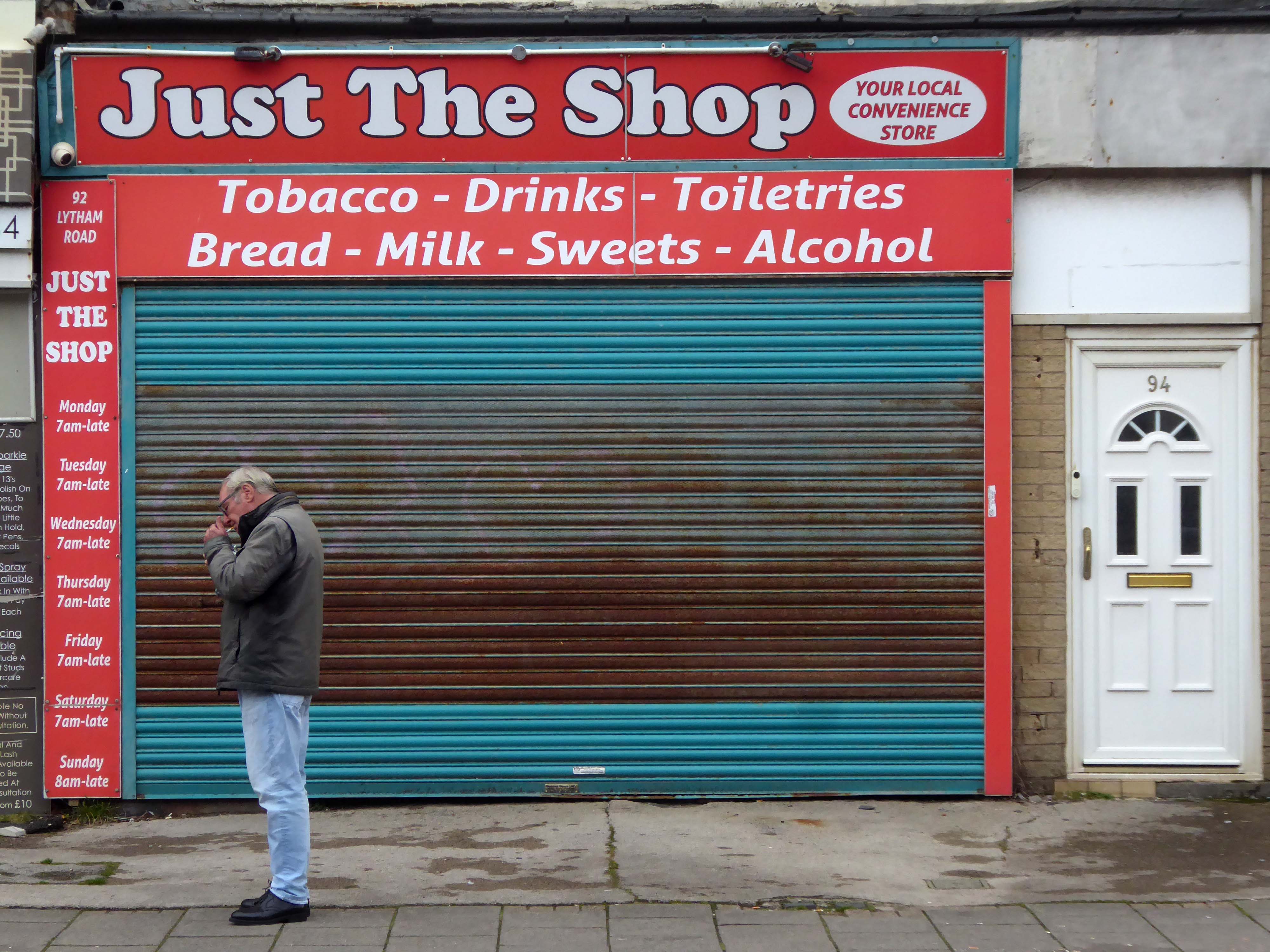
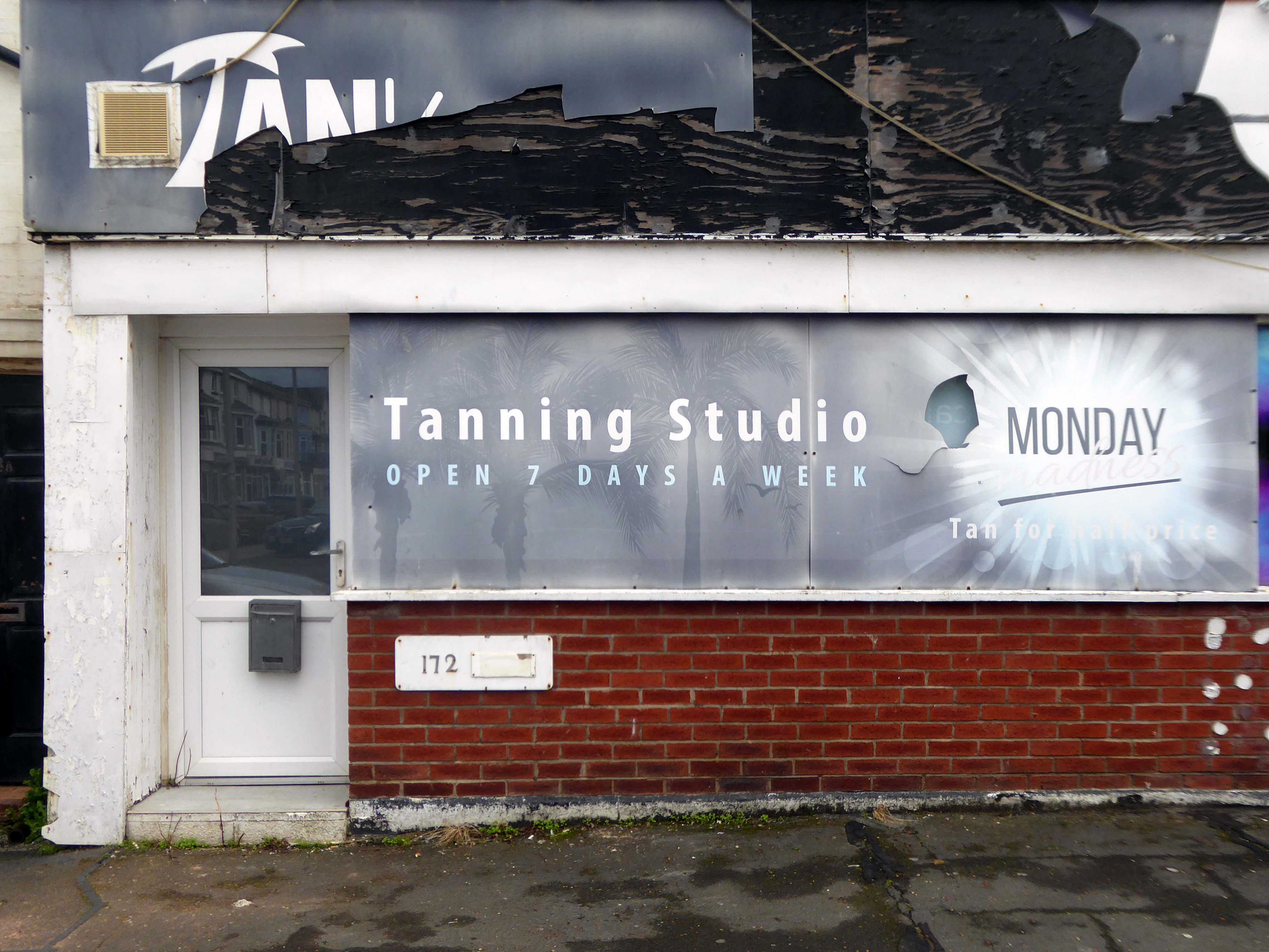
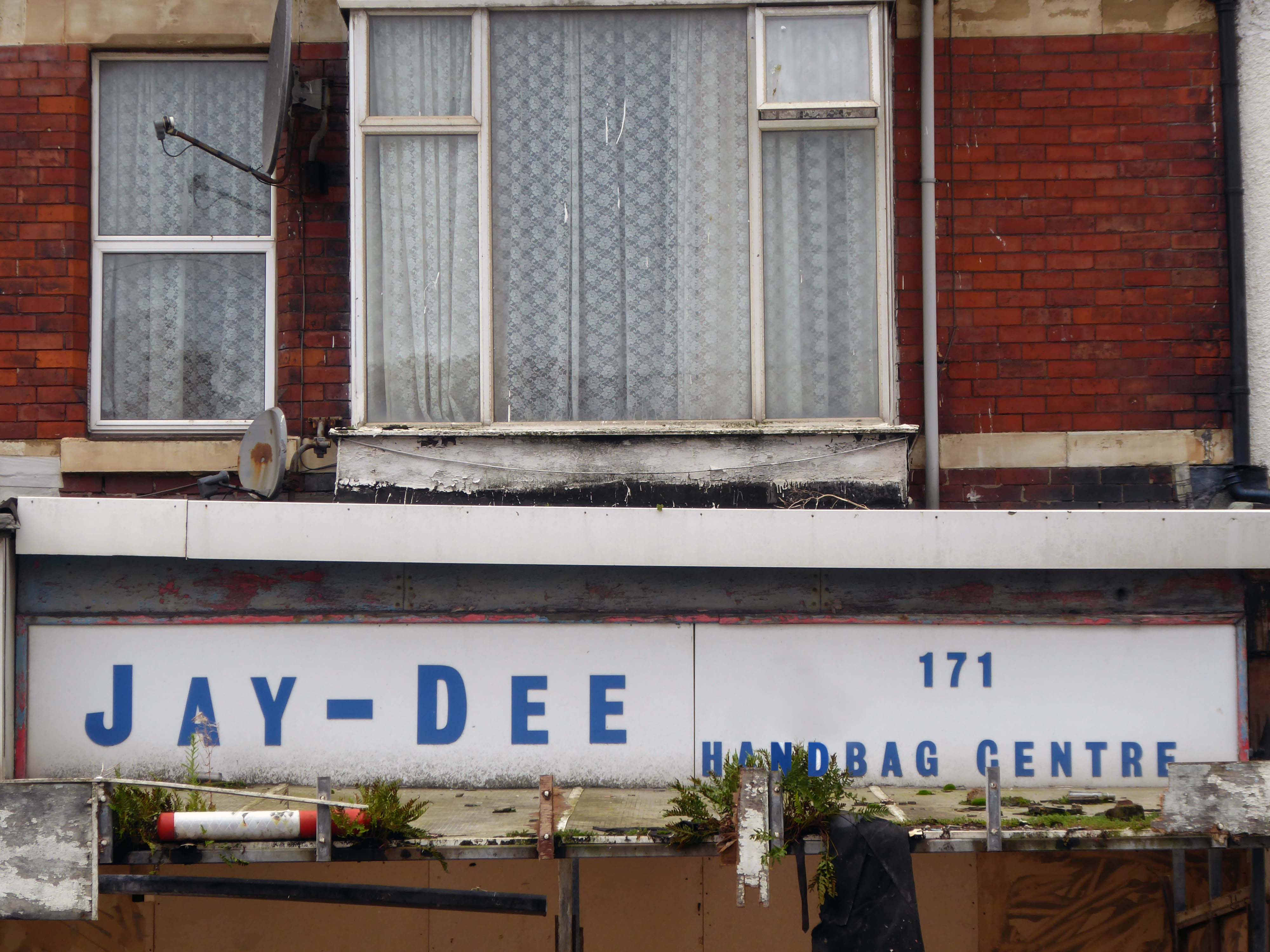
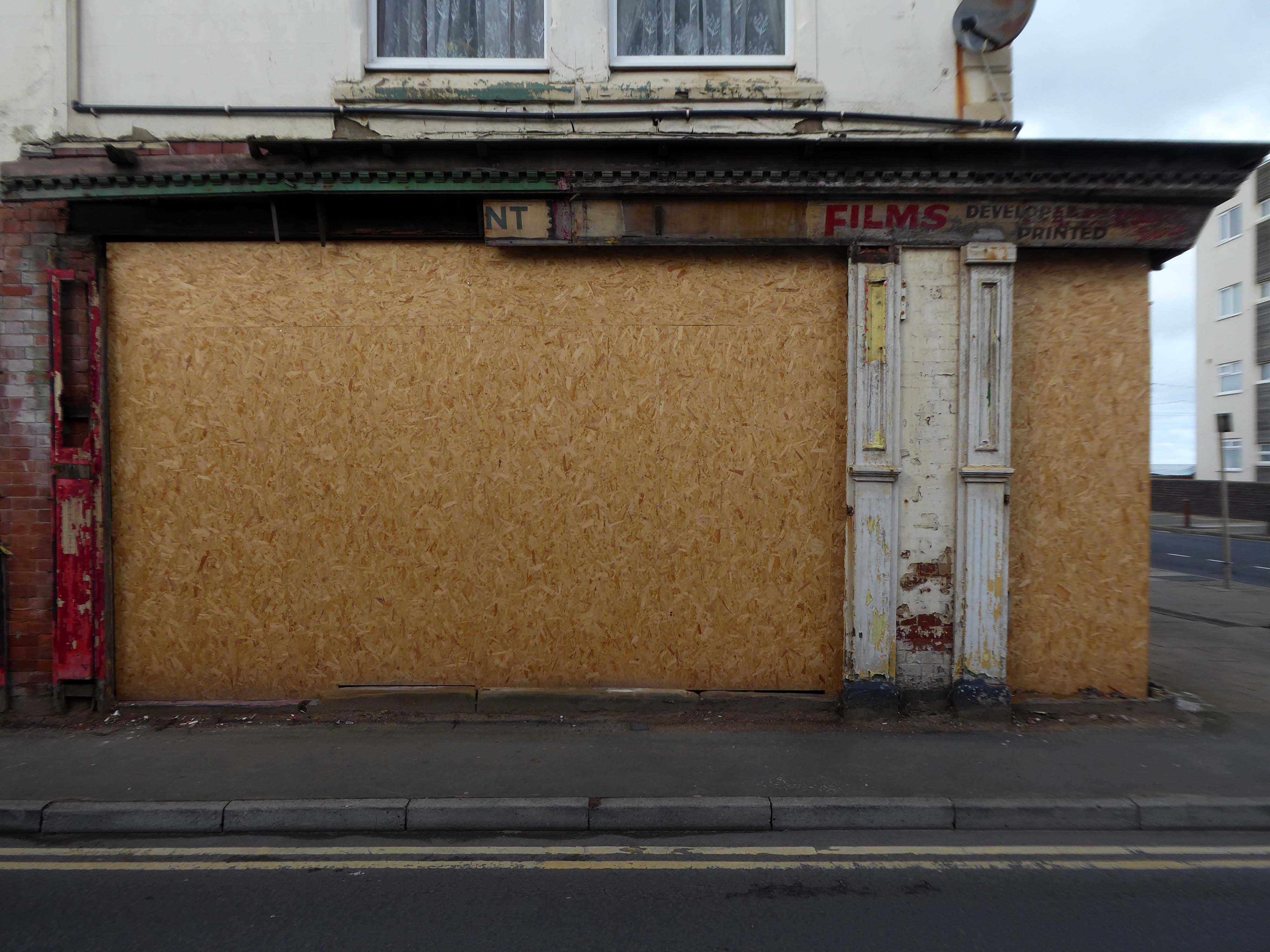
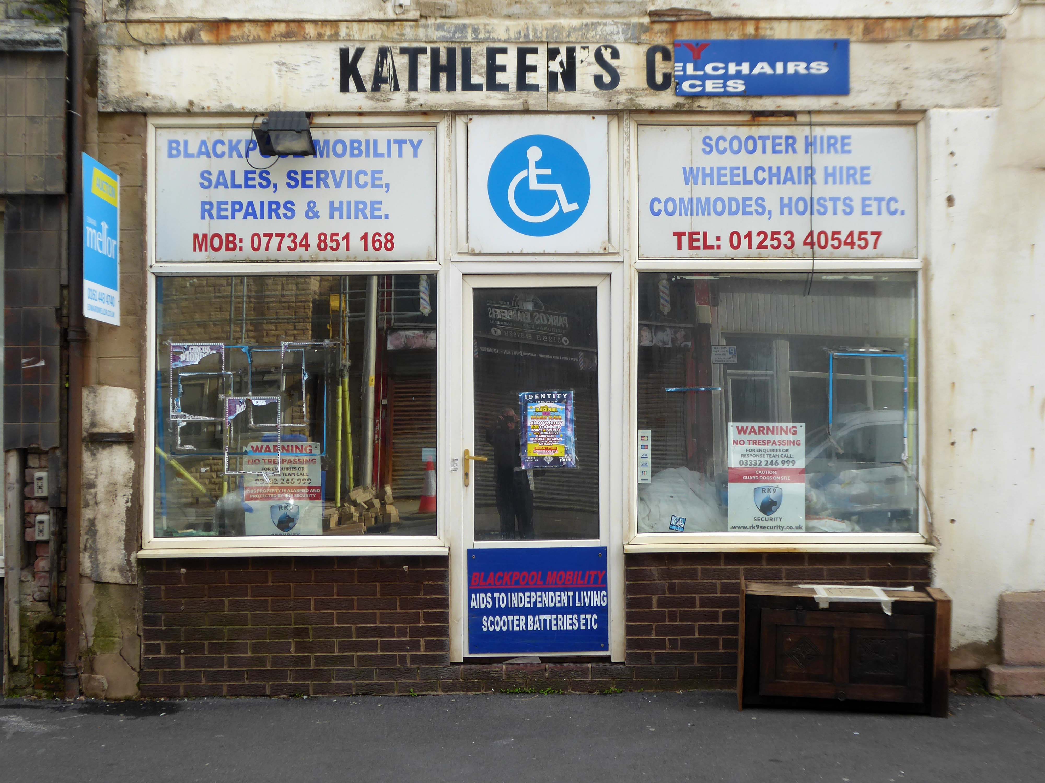
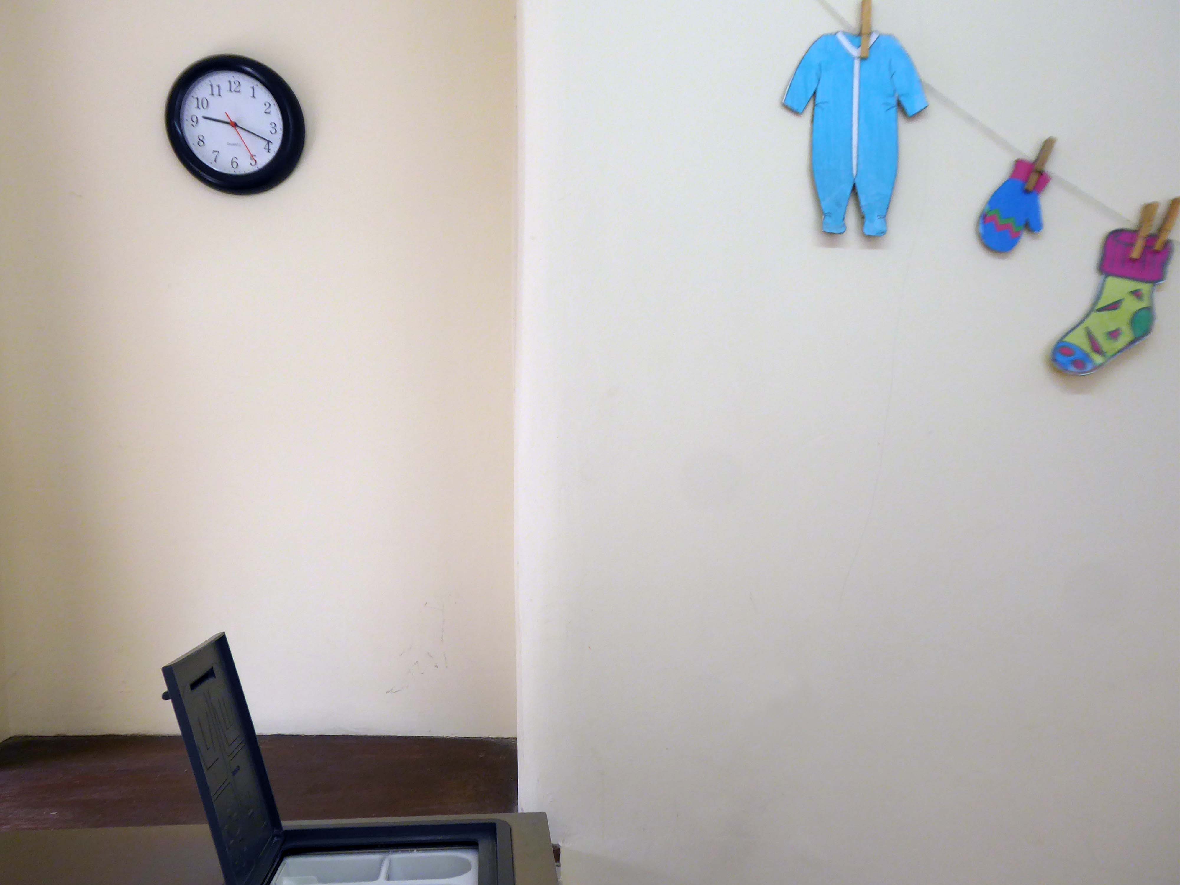
J H Wherritt is a cherished gift shop located at 5-7 Eastborough in the heart of Scarborough. Known as a hidden gem and a fantastic treasure trove by visitors, this highly-rated establishment boasts an impressive 5/5 stars from numerous positive reviews. It’s the perfect place to discover a diverse range of gifts, souvenirs, toys, watches, and clocks, catering to all tastes and ages.
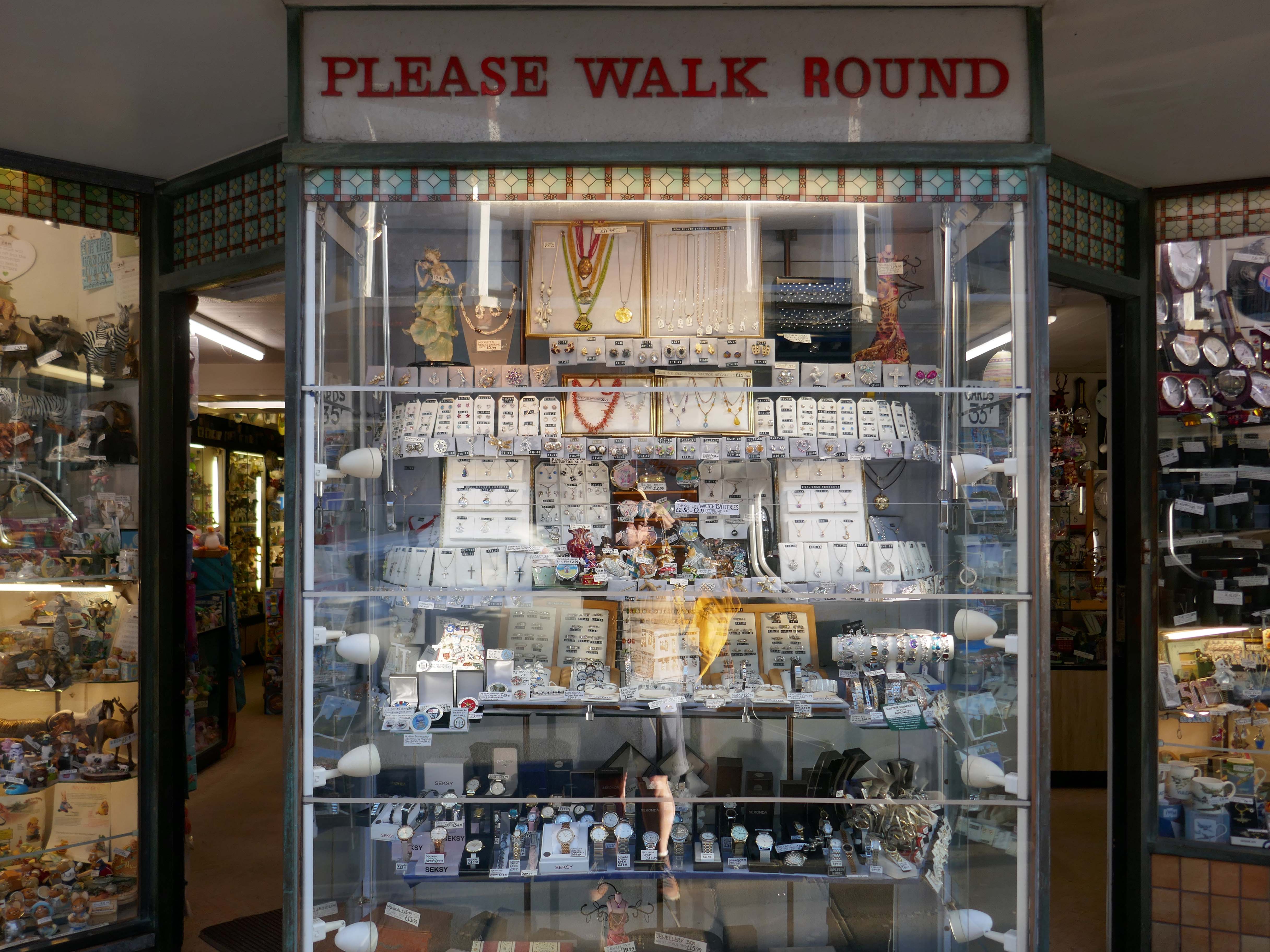
Customers consistently praise the shop for its extensive selection of goods, often finding unique items that are not widely available elsewhere. The dedicated team at J H Wherritt is renowned for being lovely, kind, helpful, and obliging, ensuring a pleasant and satisfying shopping experience for everyone. Visitors frequently highlight the reasonable prices and excellent value offered on all purchases.
Yorkshire.com
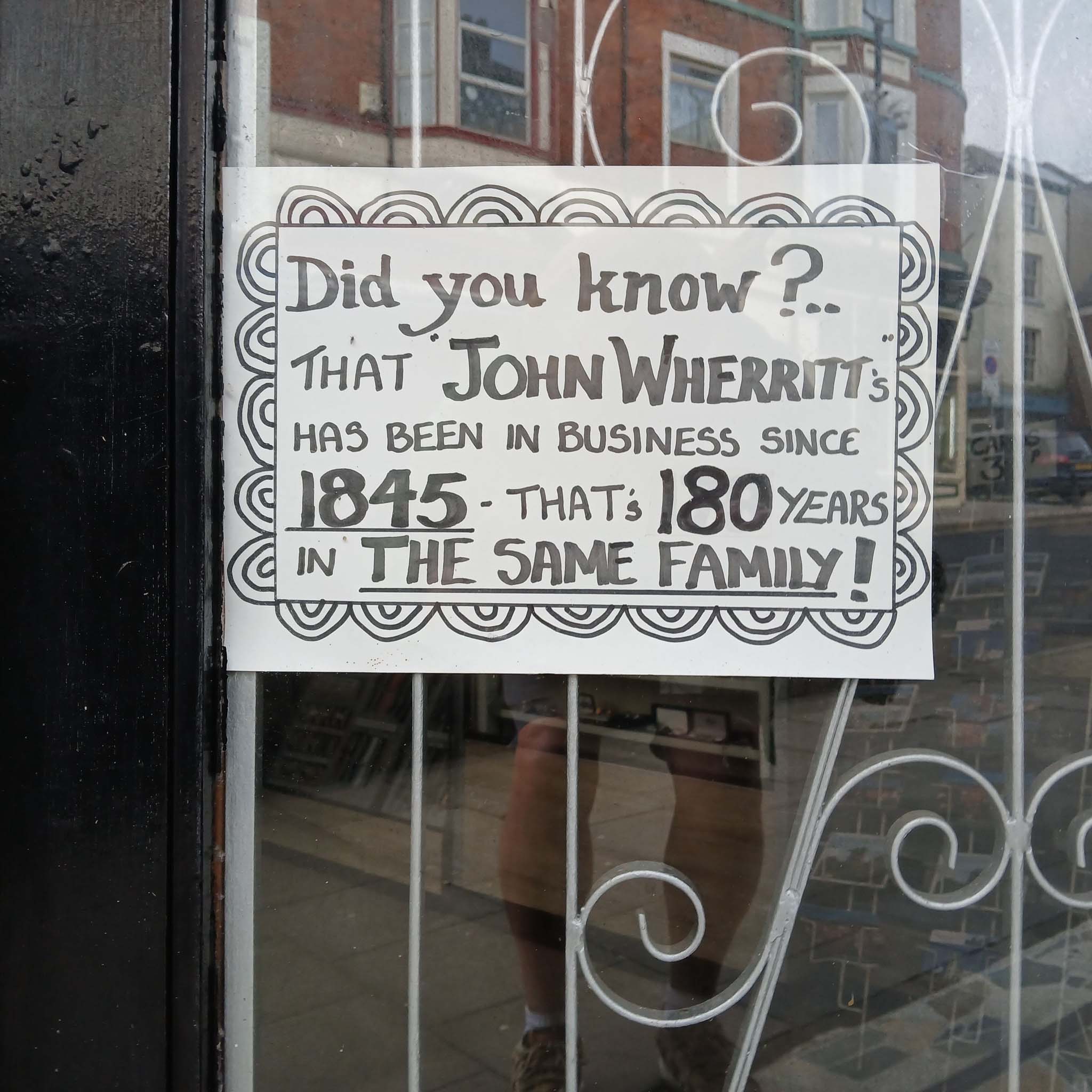
From being a very young youngster I have always adored the seaside souvenir shops. The dazzling array of knick-knacks and gee gaws, and Wherritt’s truly merits the sobriquet Aladdin’s Cave.
Sadly the shop is now for sale:
•Business & stock available by separate negotiation
•Upper floors in need of major refurbishment
• Very inviting shop frontage with 2 entrance doors
•Shop located on busy tourist route
Guide price £175,000
We can only hope that whosoever takes the business on will maintain the wide range of stock and friendly welcome.
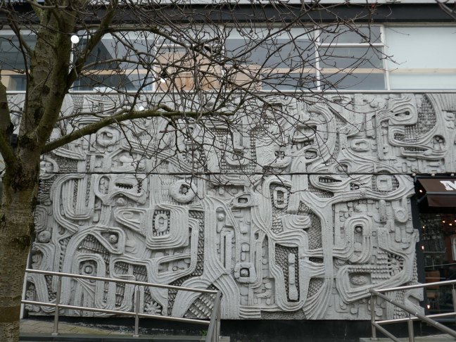
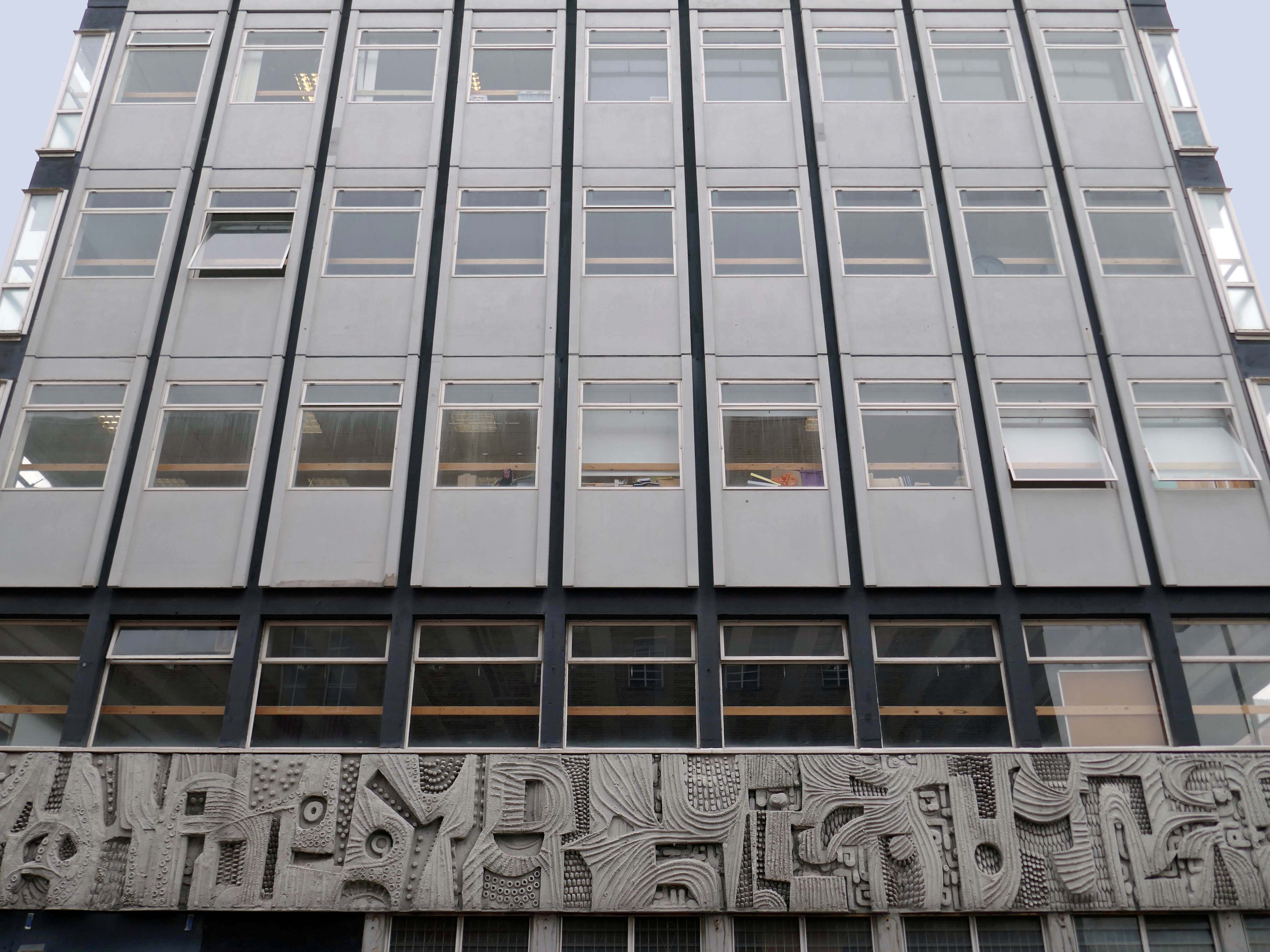
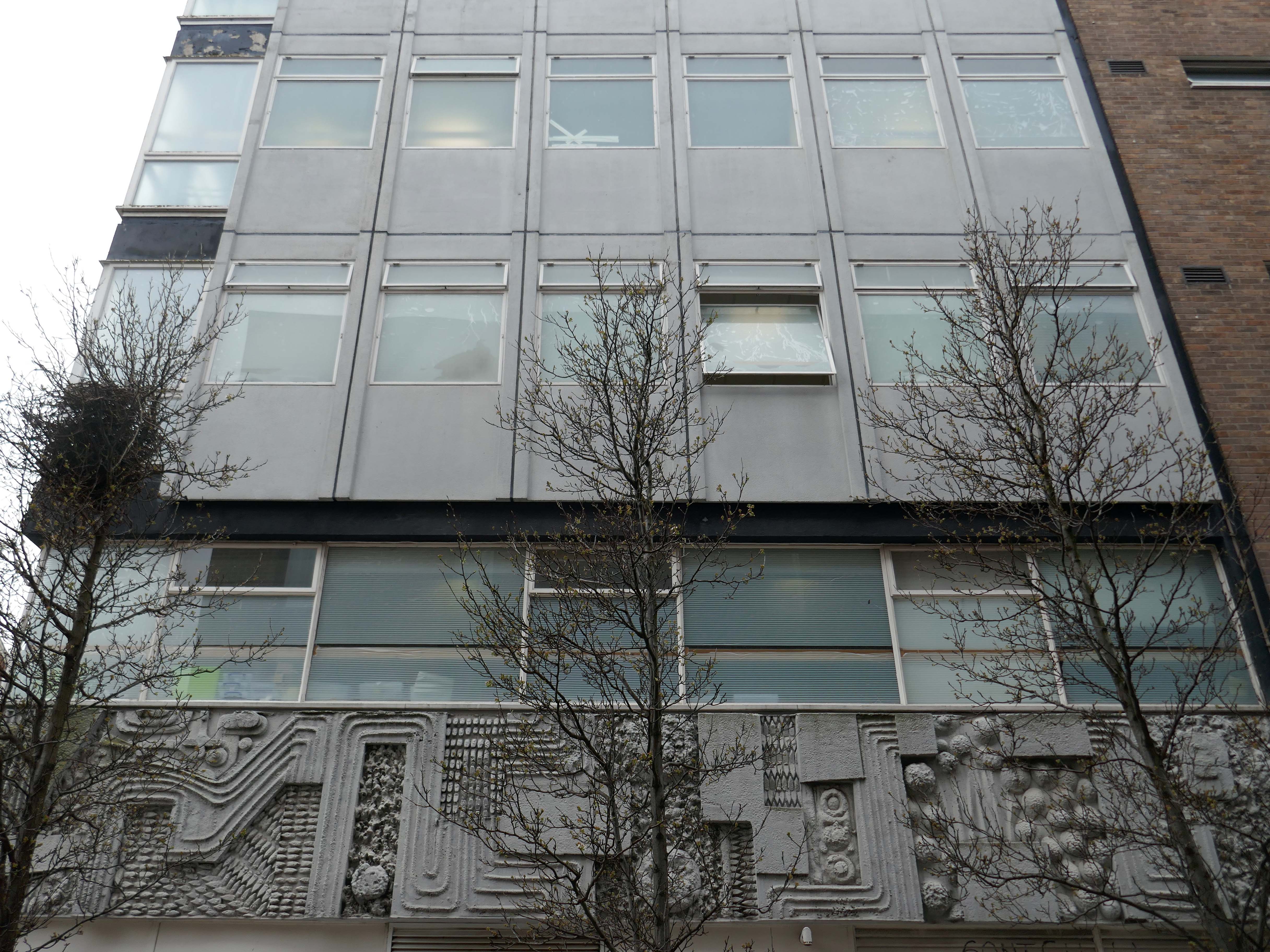
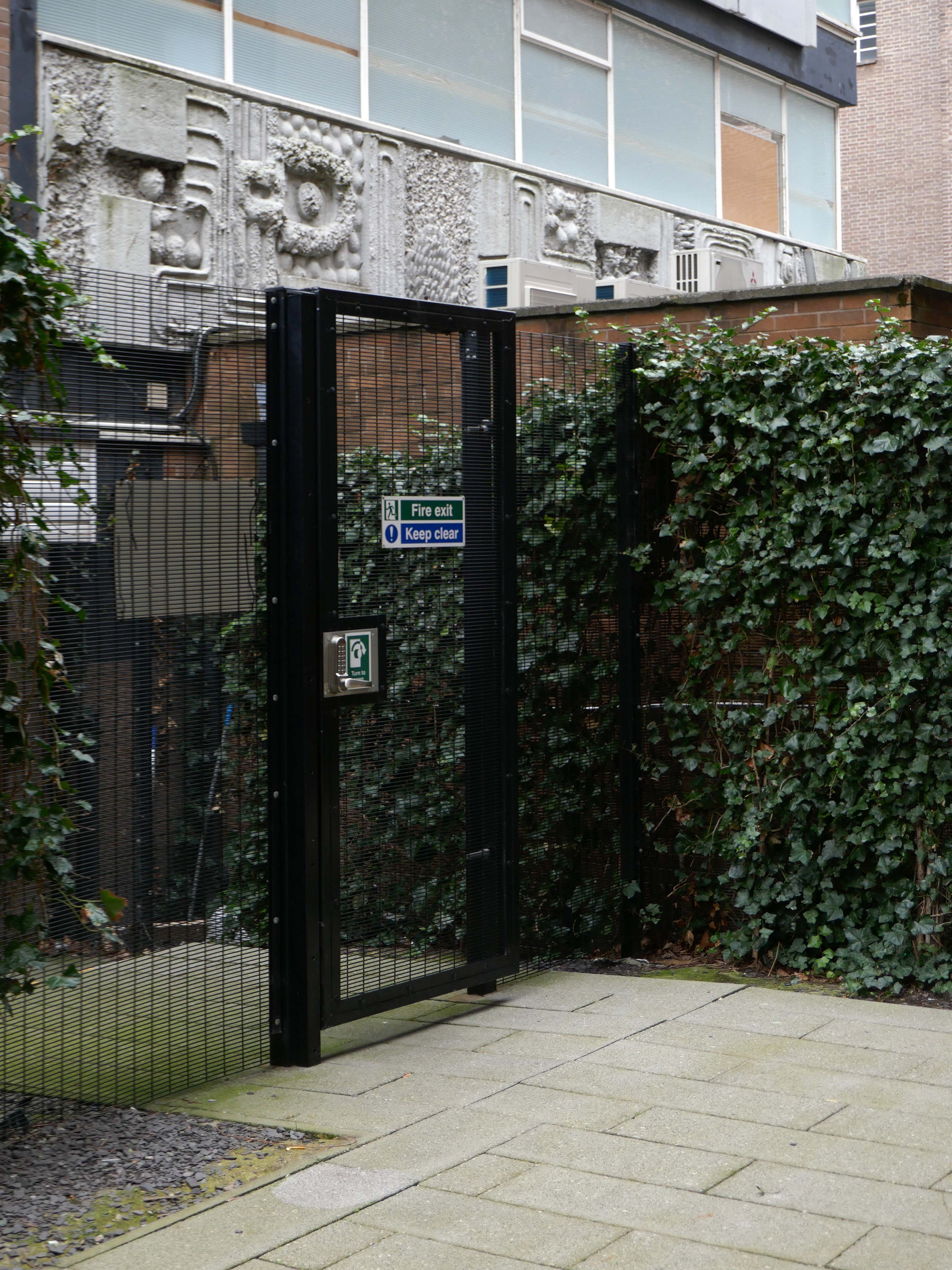
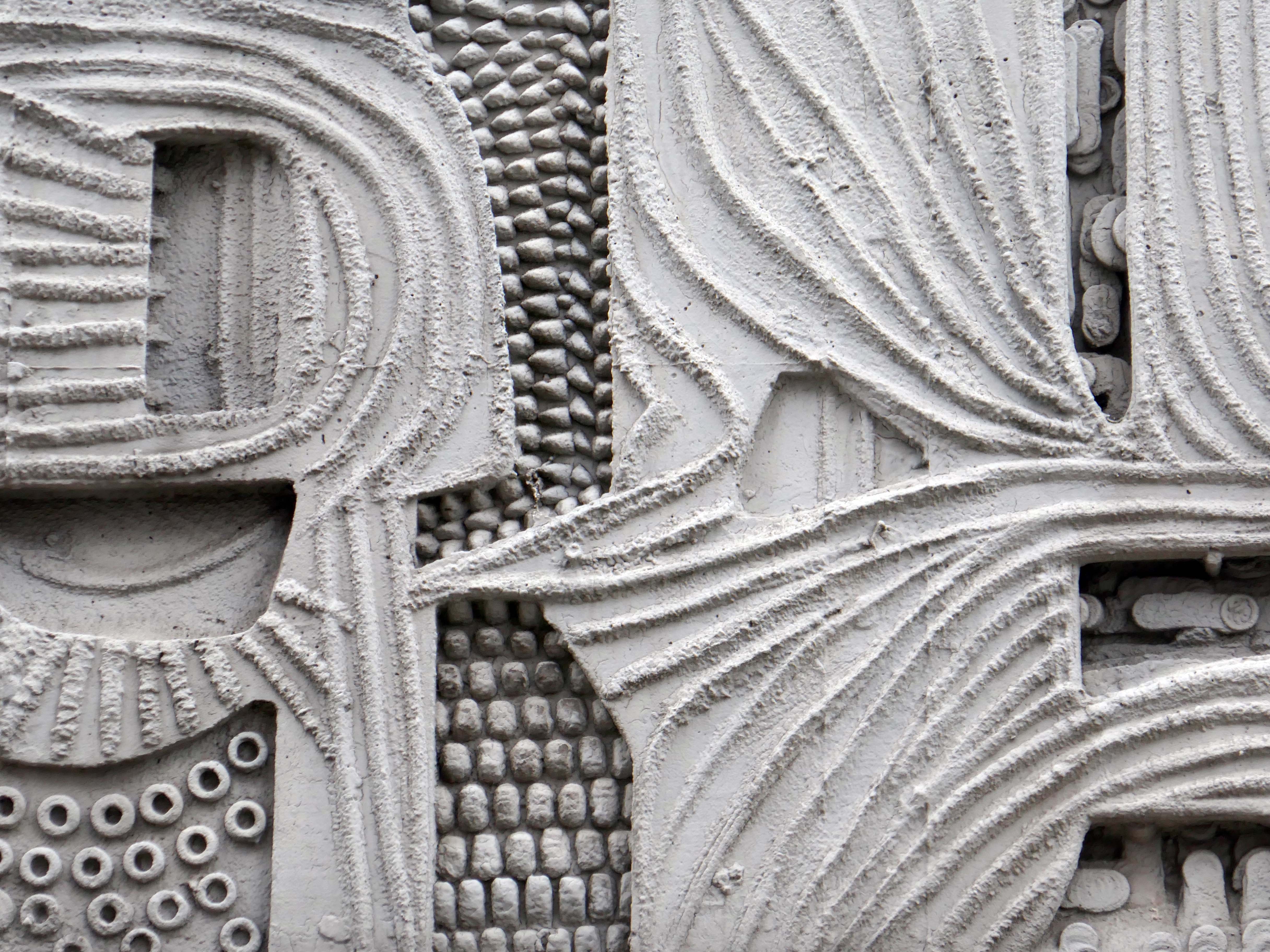
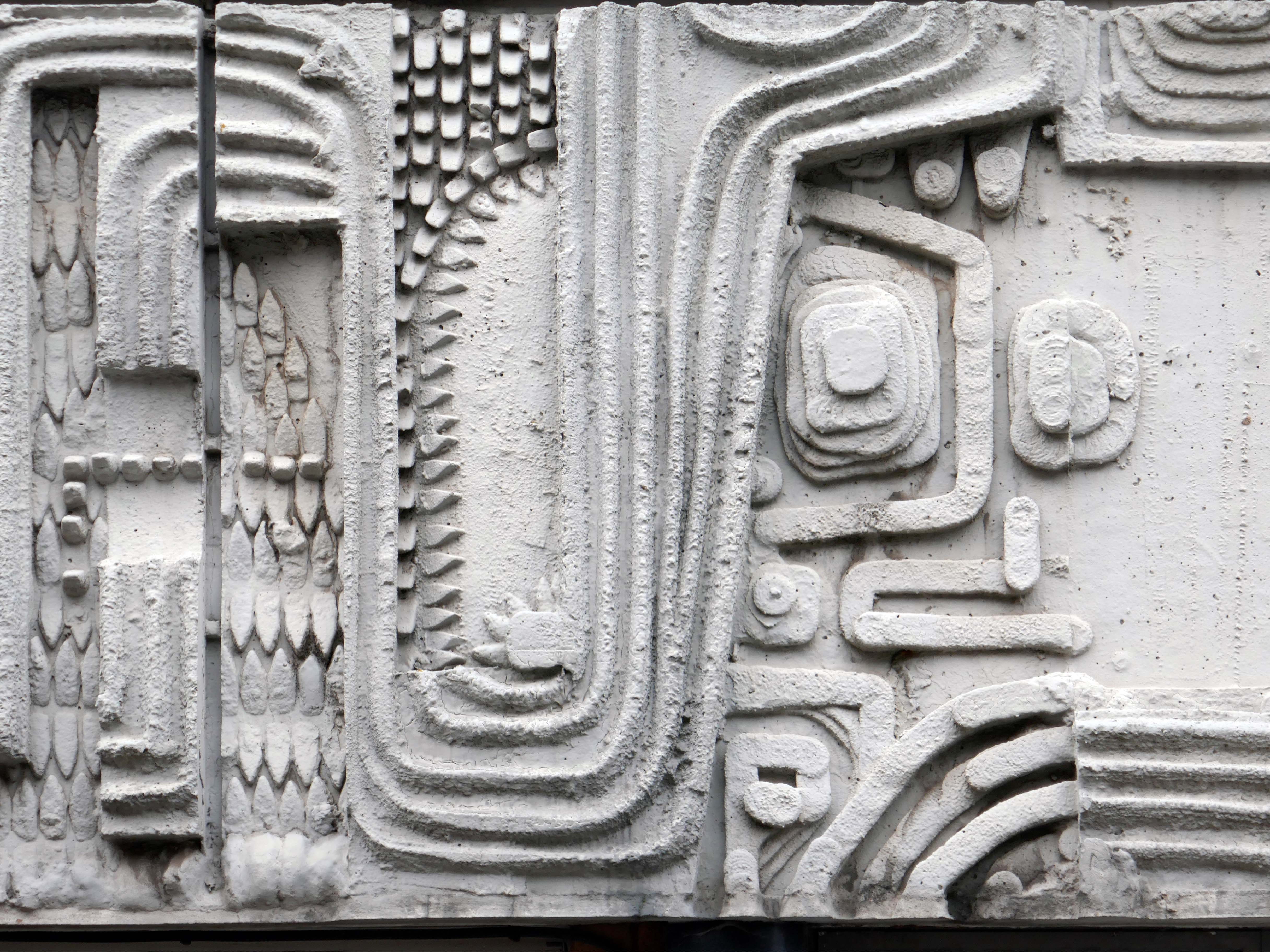
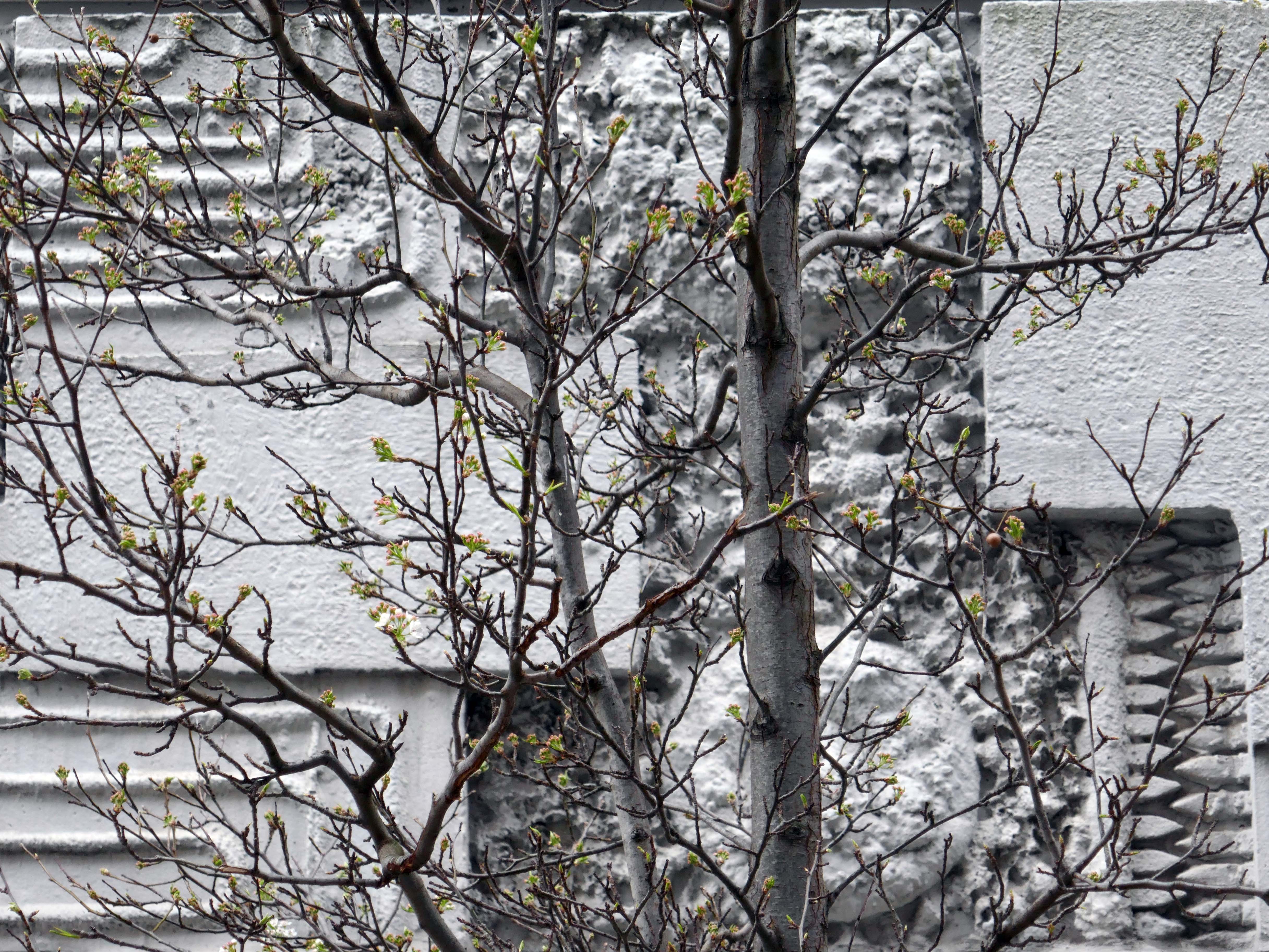
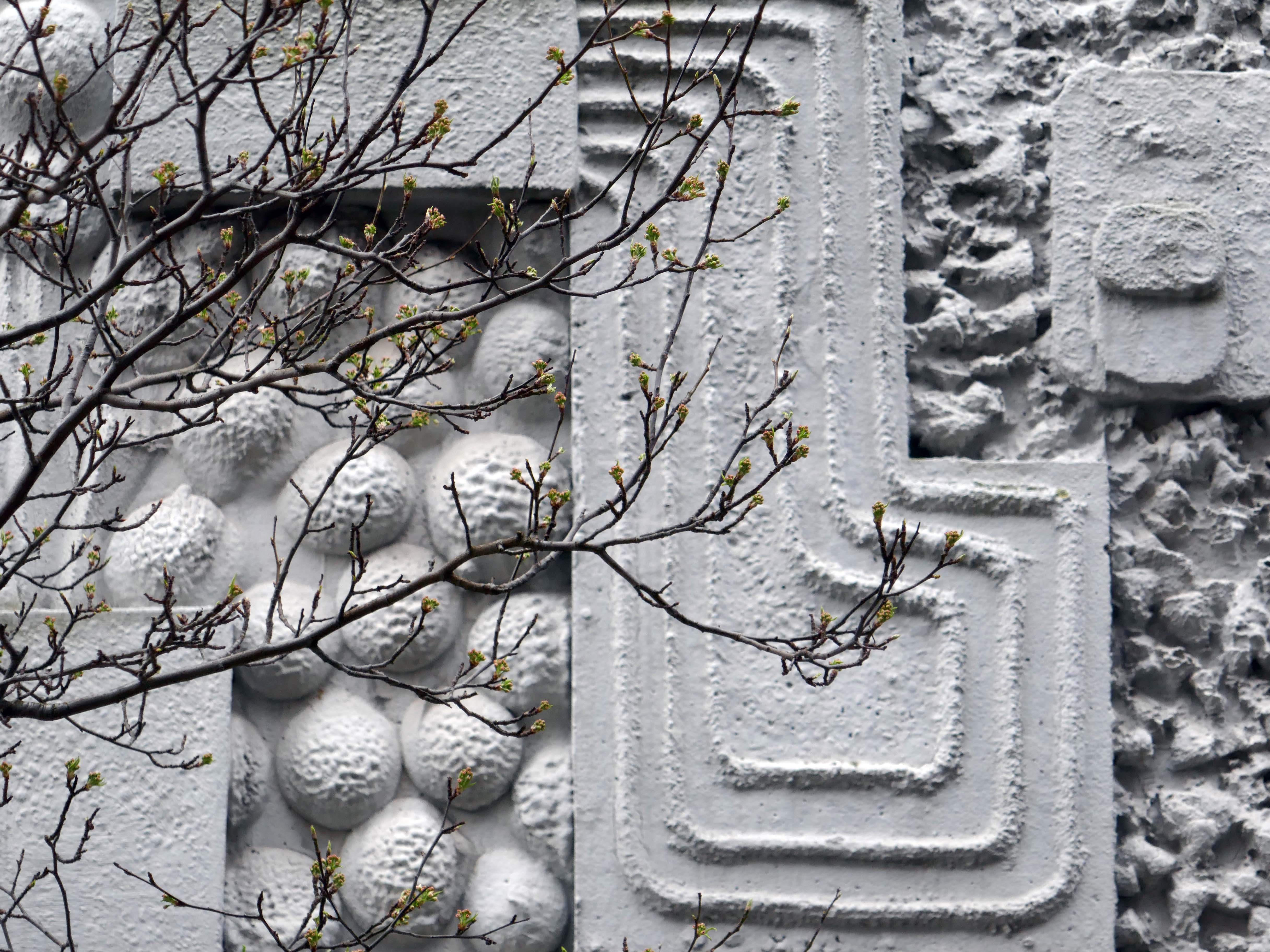
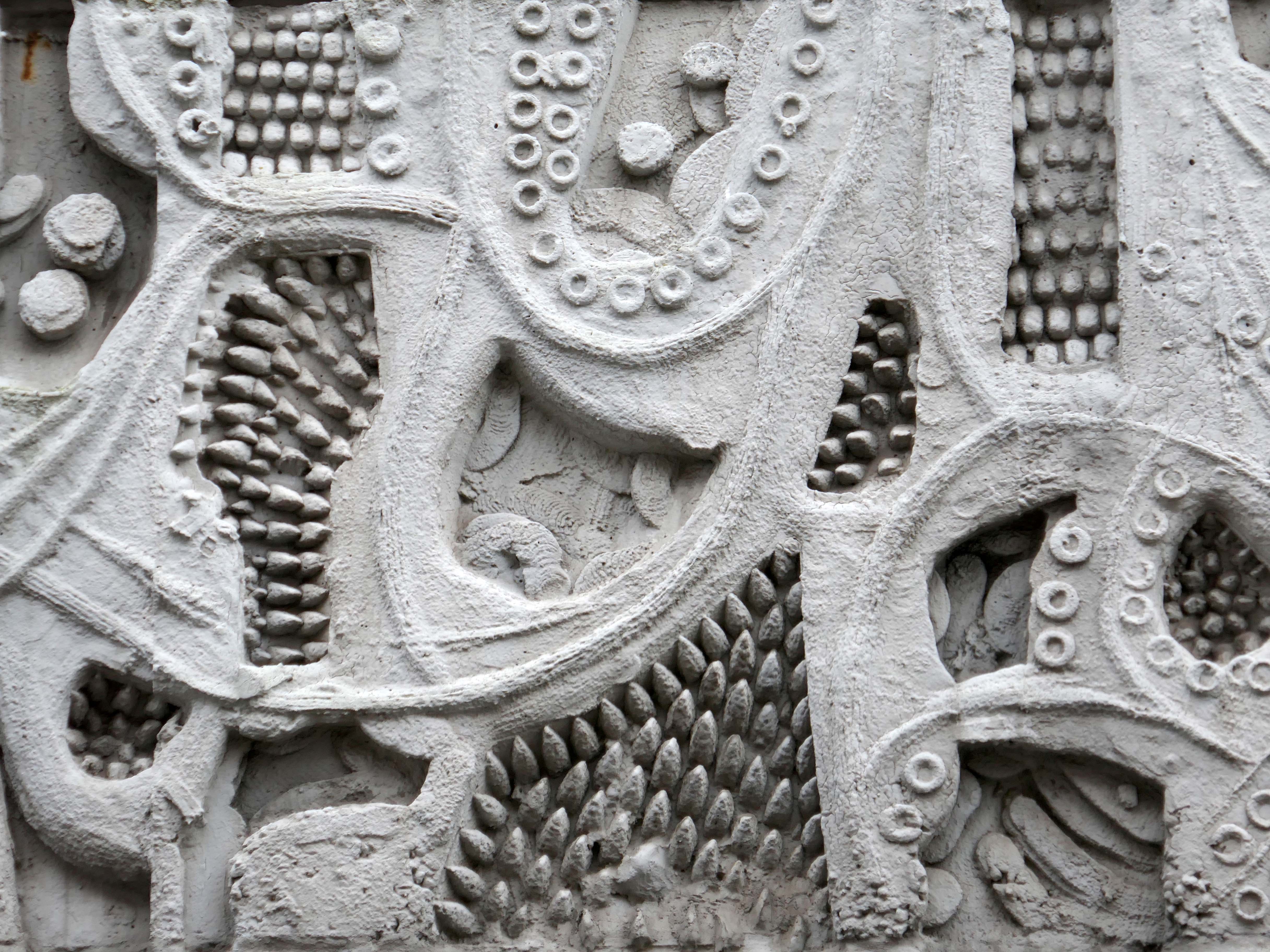
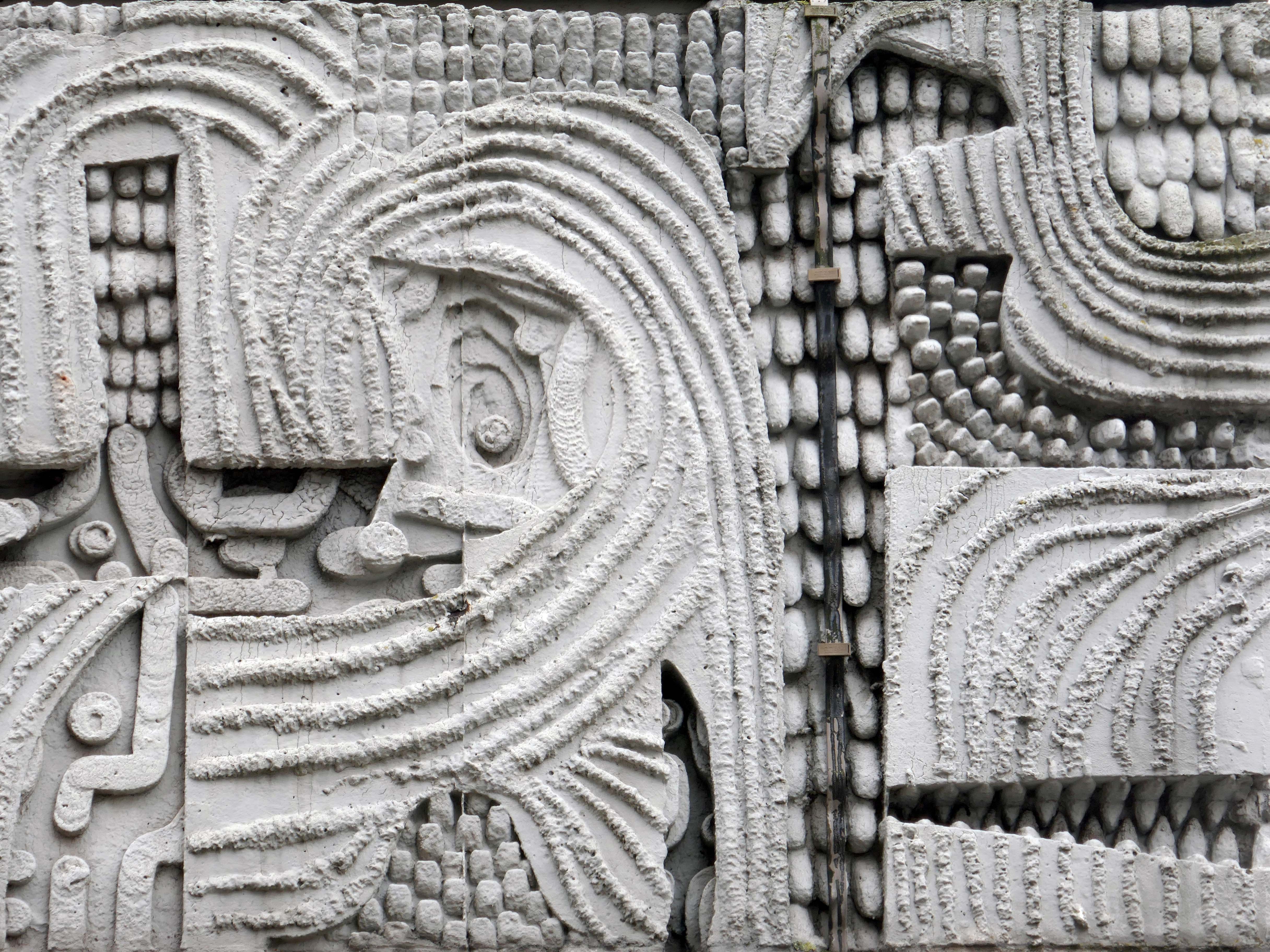
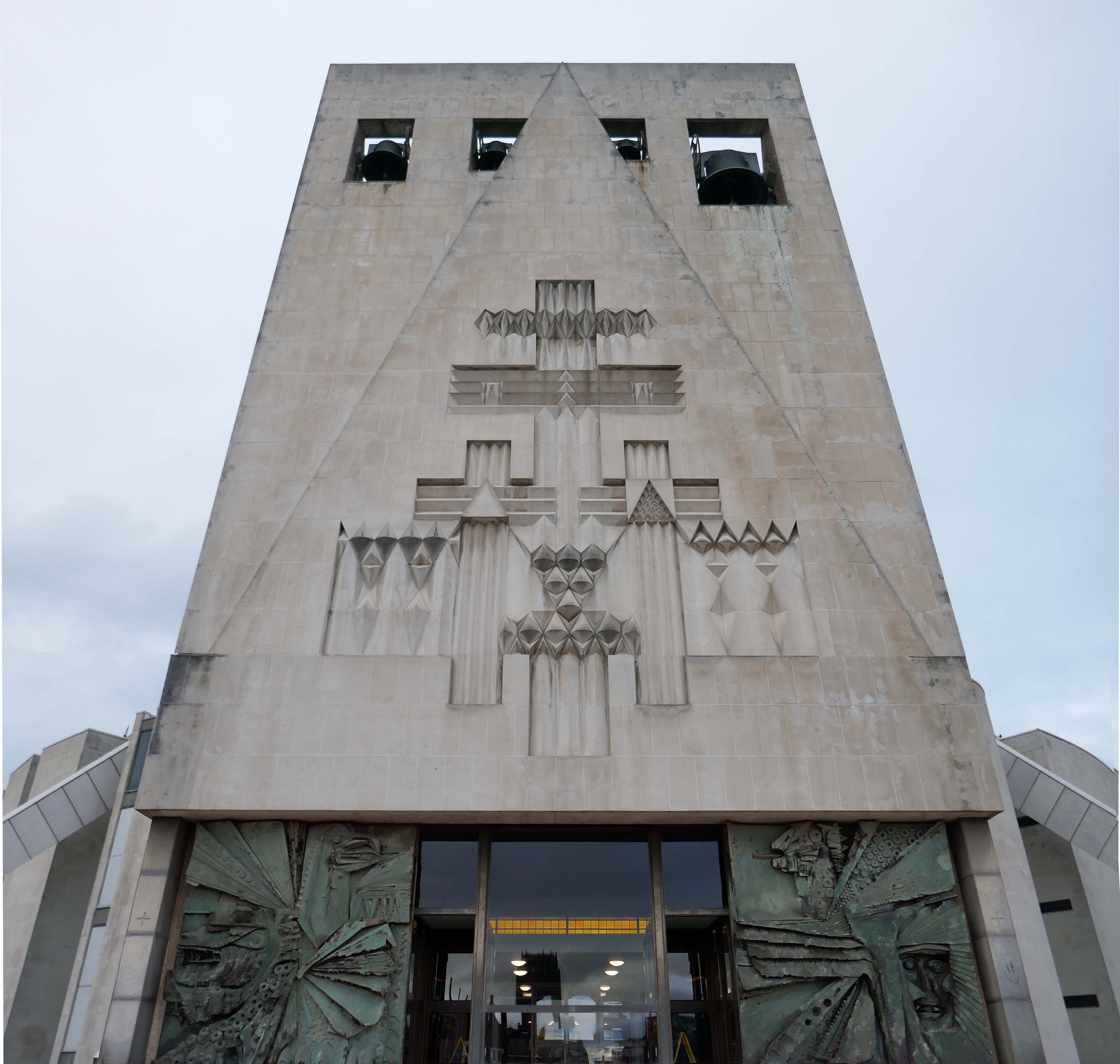
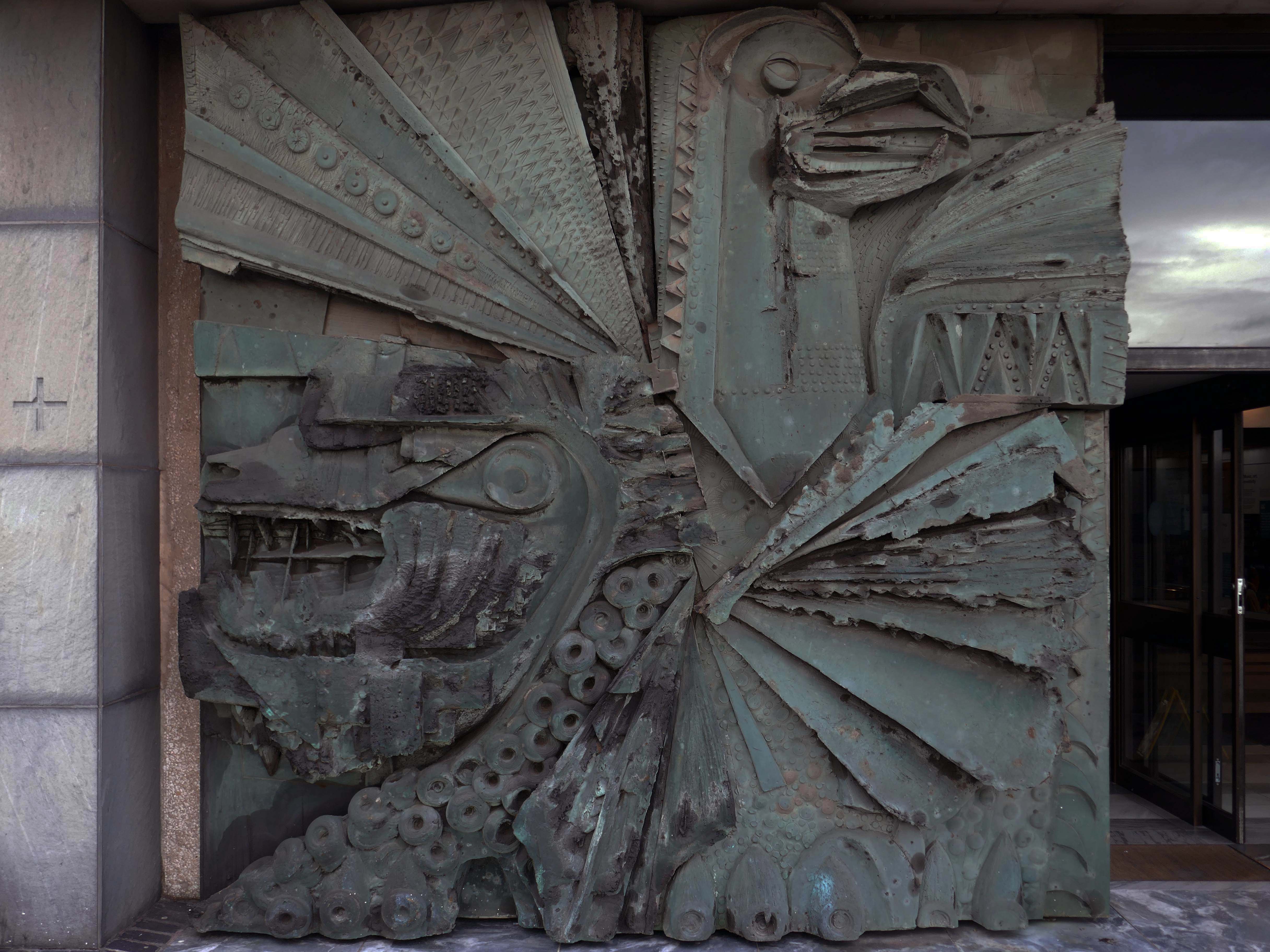
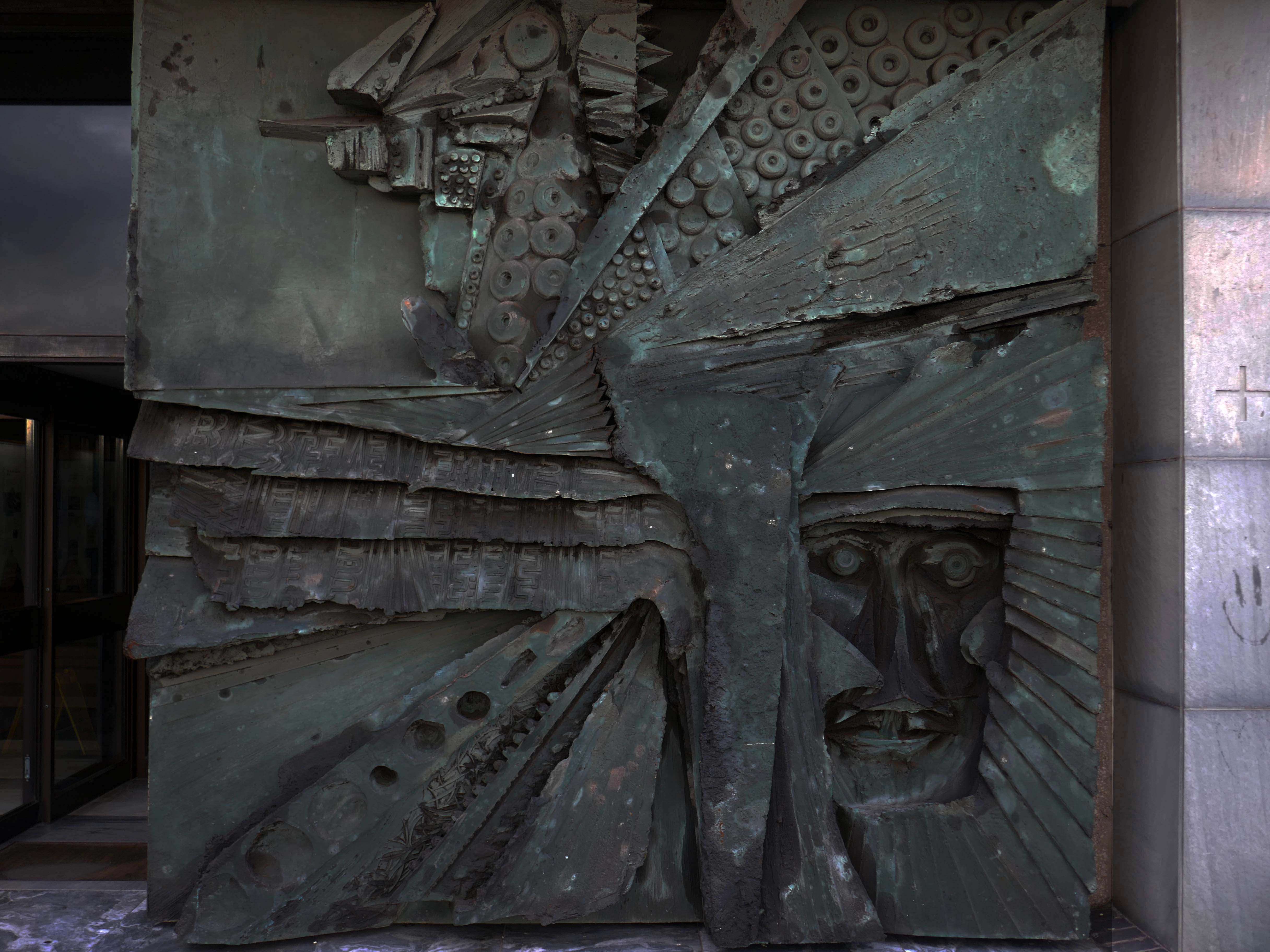
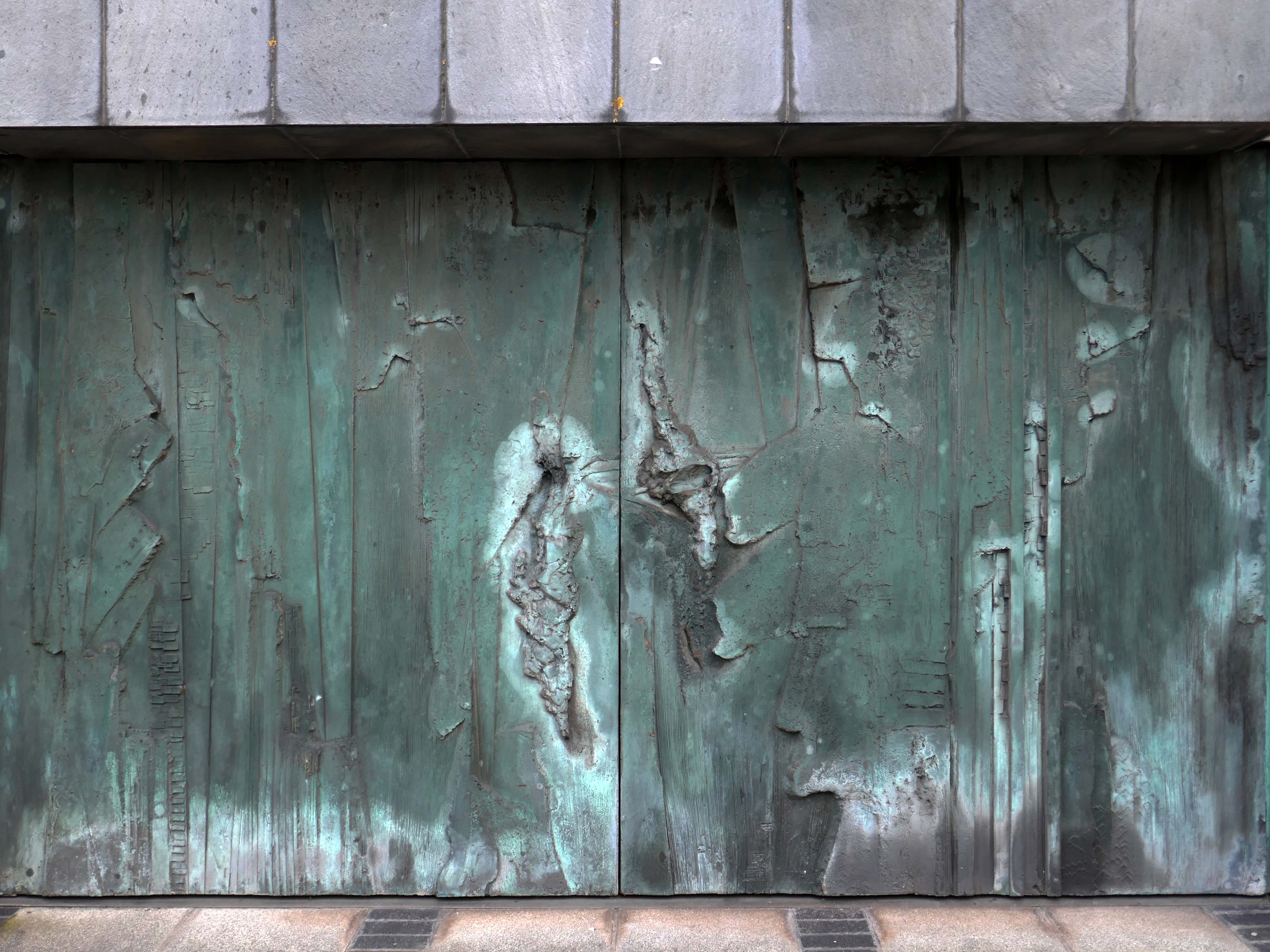
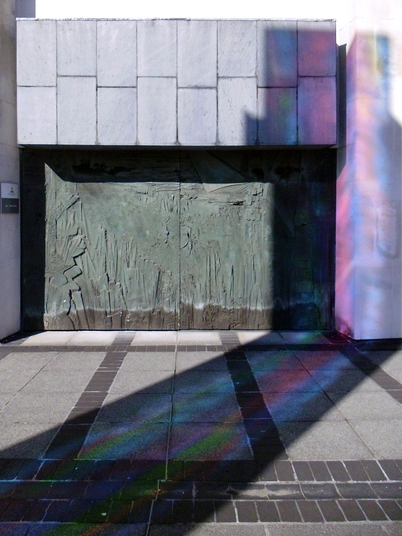
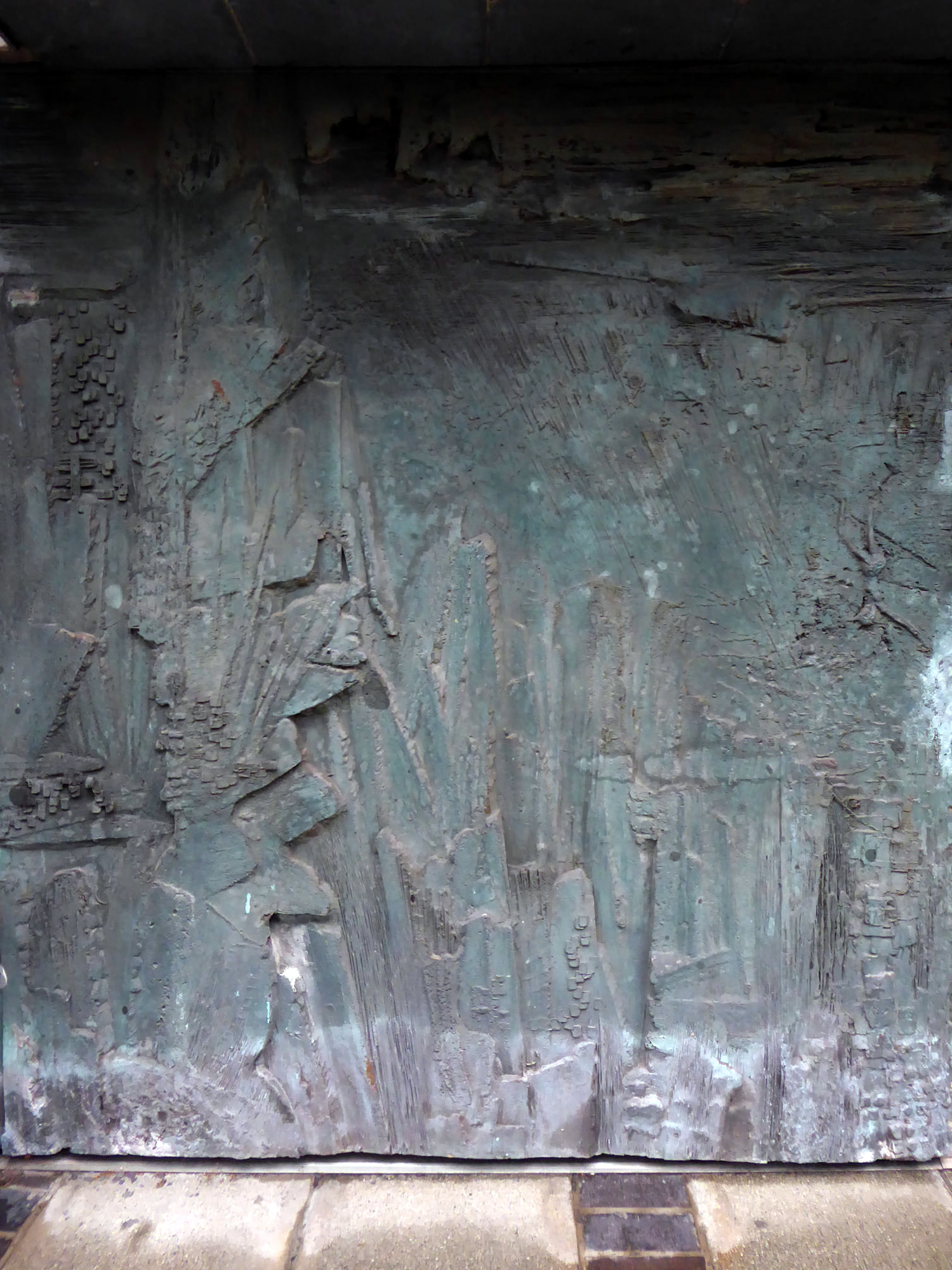
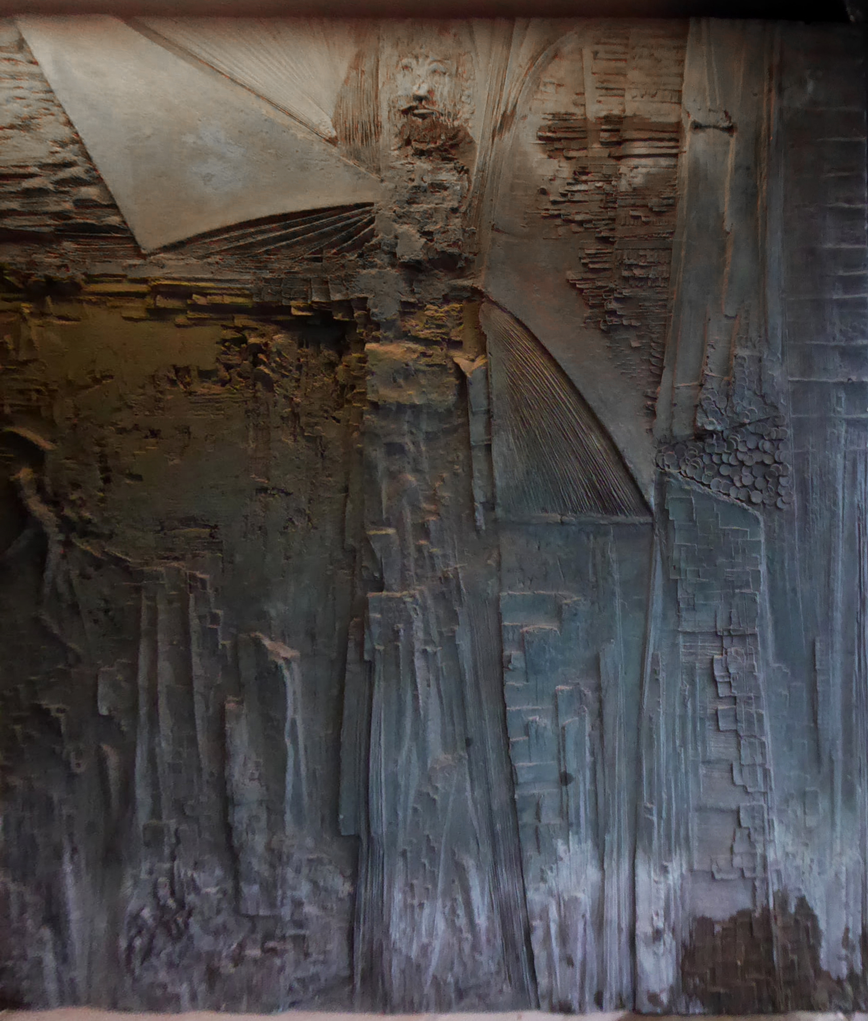
Sculptor and designer, born in London 1925, where he continued to live. Studied at Southern College of Art in Portsmouth, at Royal College of Art and at British School in Rome; was an Abbey Award-winner. Went on to lecture widely and was a member of the design advisory board, Hammersmith College of Art and Trent Polytechnic. Also did work for Concrete Society and completed a frieze for Swiss Cottage Library.
Federation House – 1965-66 Gilling Dodd & Partners
Originally home to the National Federation of Building Employees Investments.
Now how in part to The Shandon Bells – named for the chimes of St. Anne’s Church in Cork.
The church is noted for its eight bells, immortalised in the song The Bells of Shandon by Francis Sylvester Mahony. The largest weighs a little over one and a half tons and was originally cast by Abel Rudhall of Gloucester.
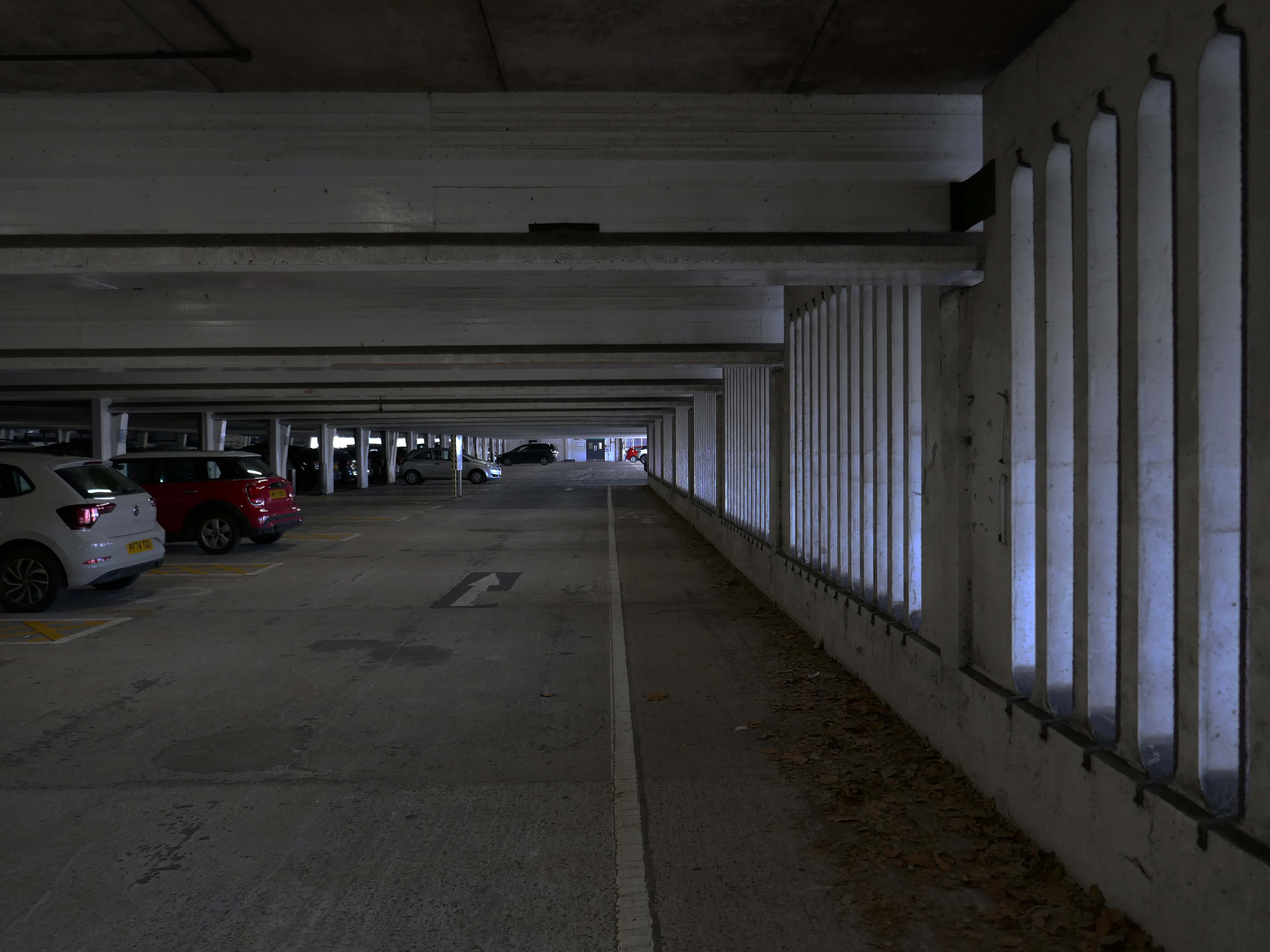
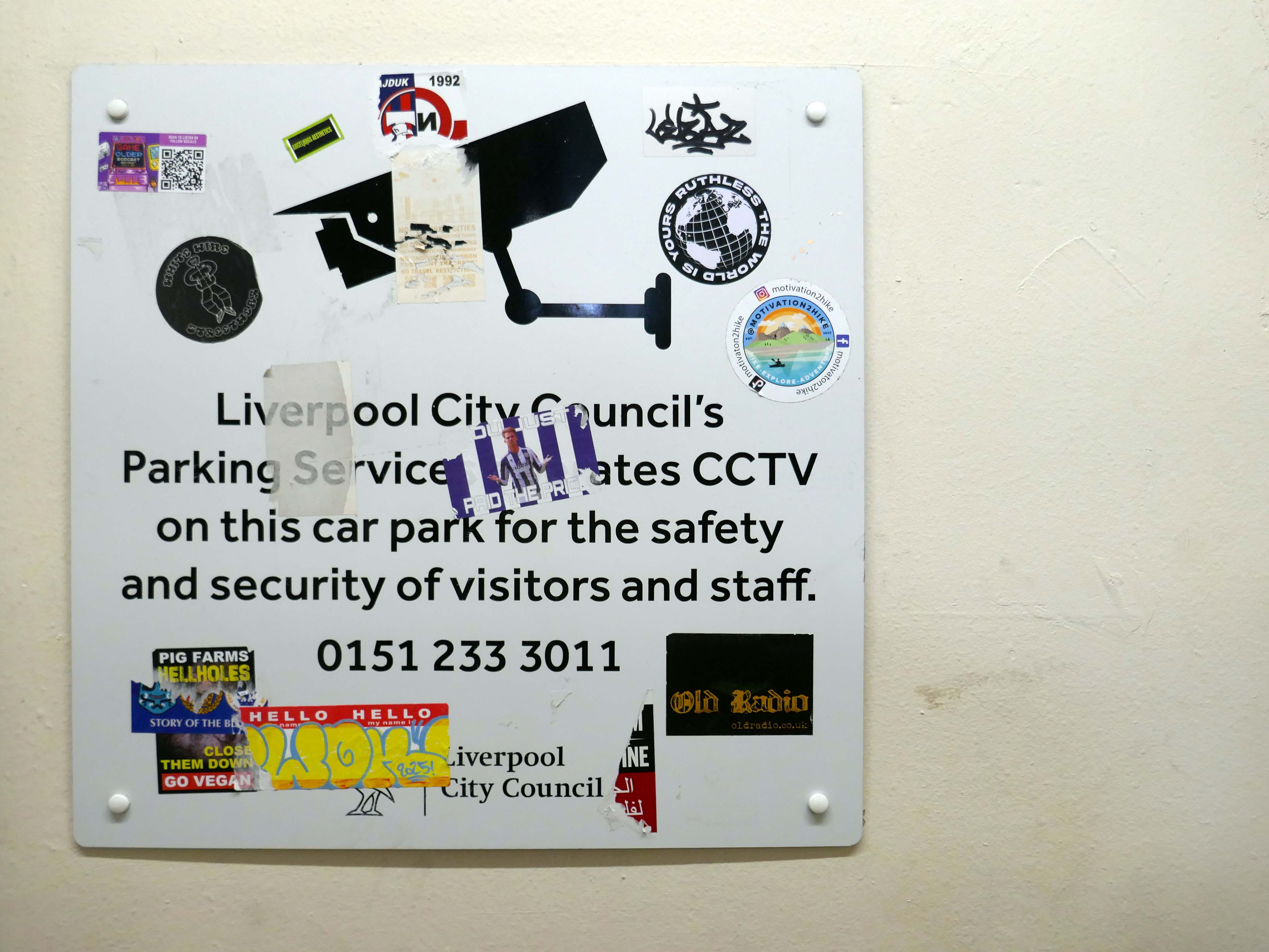
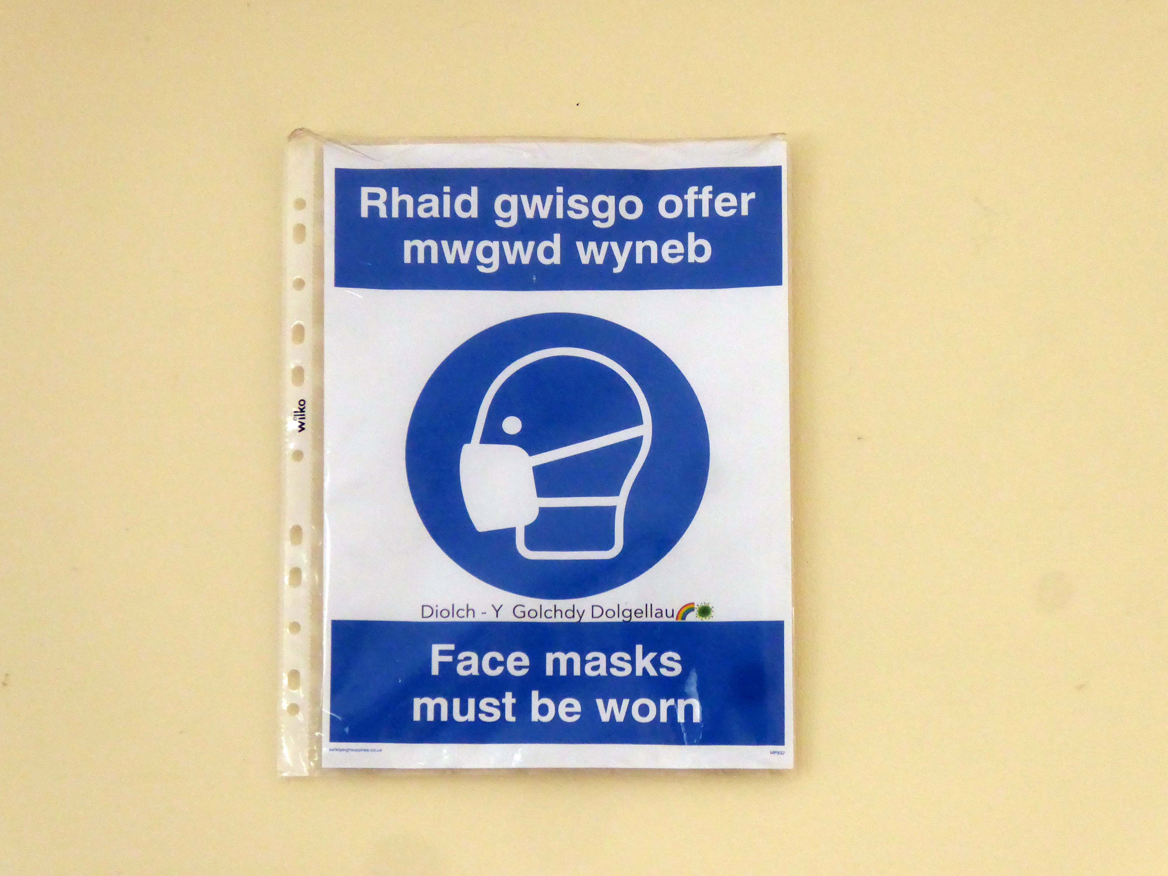
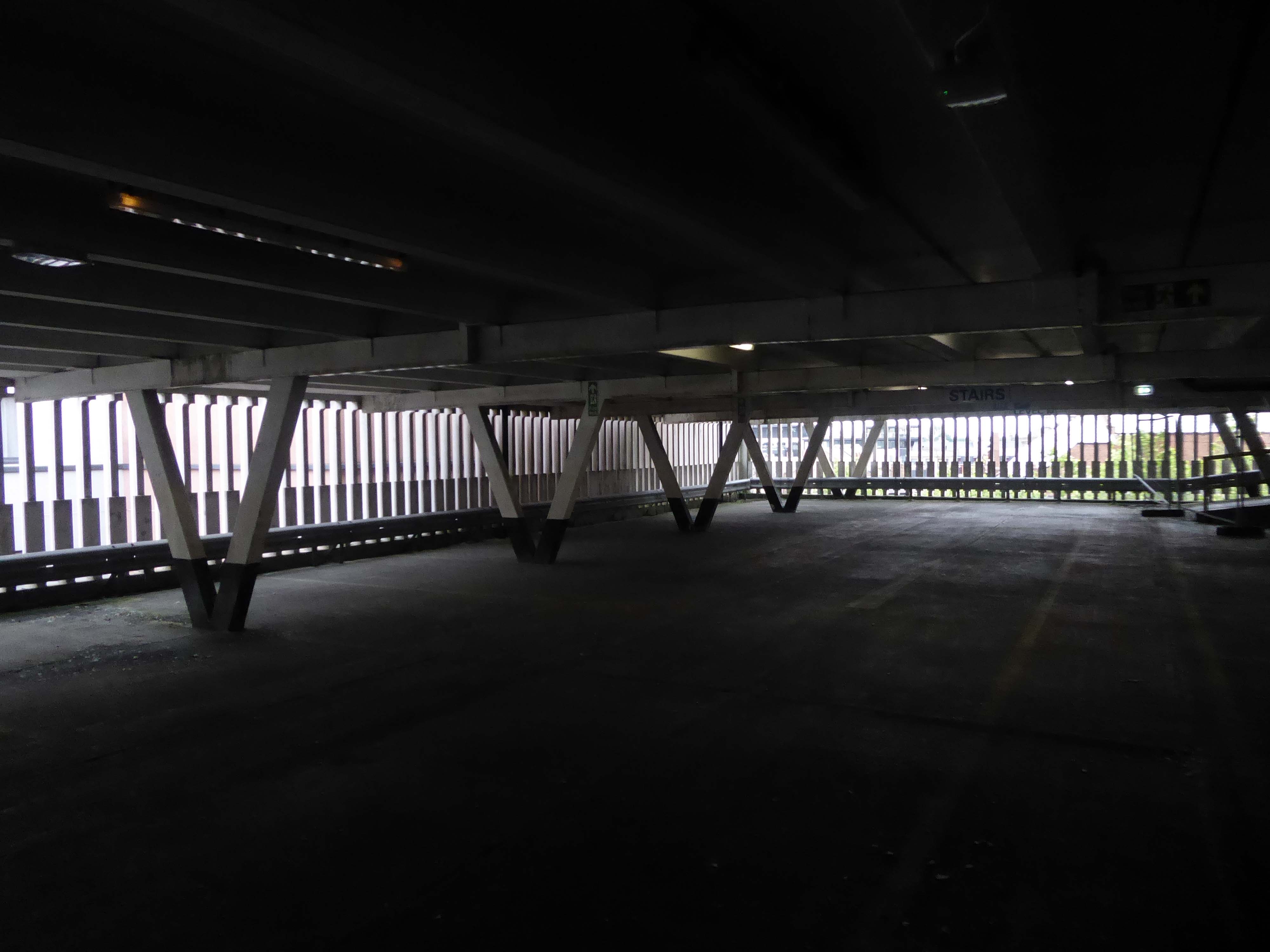
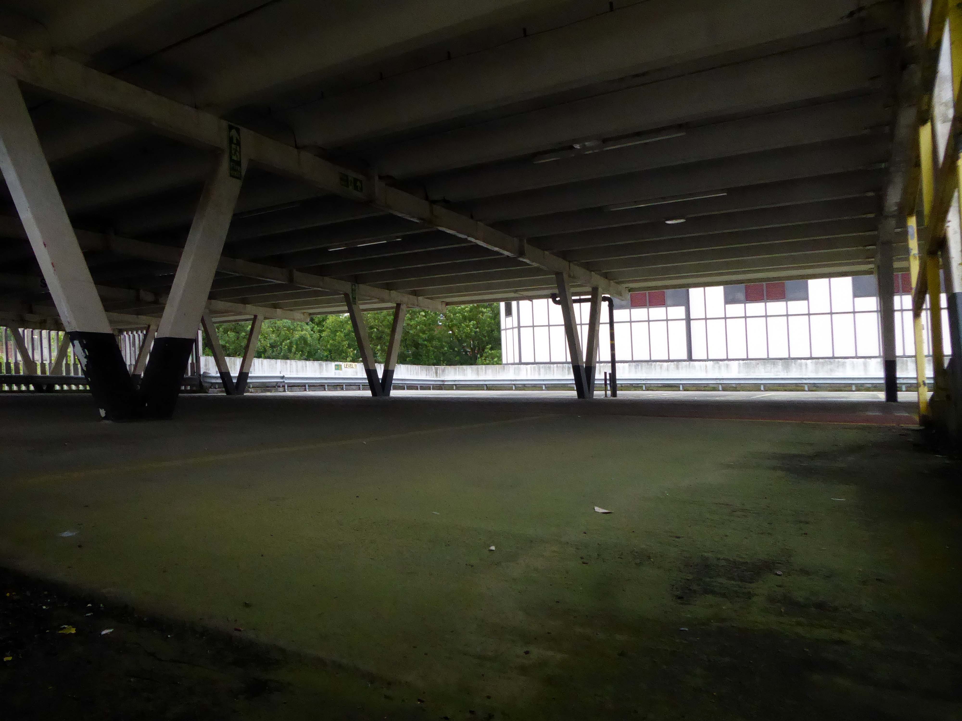
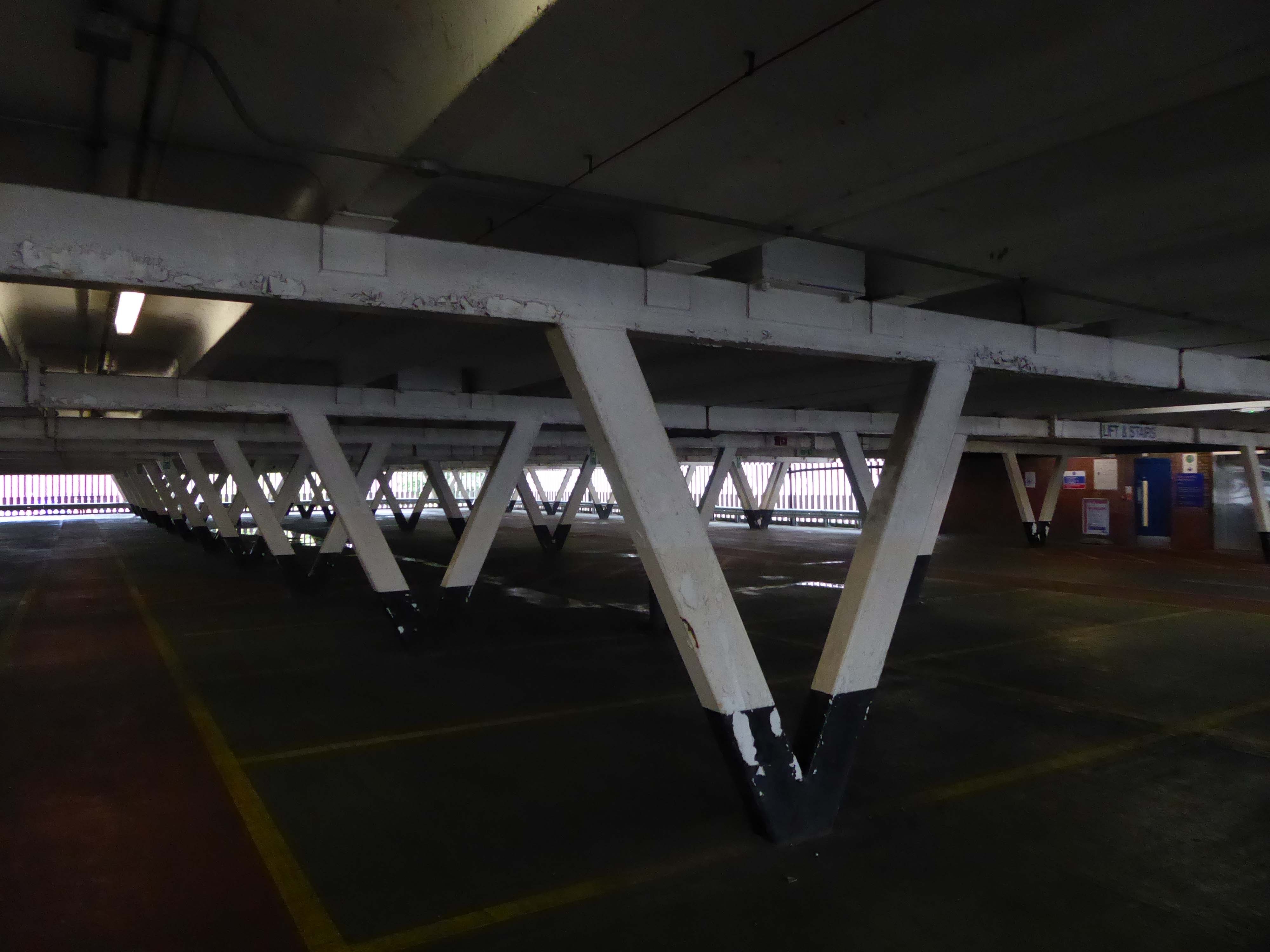
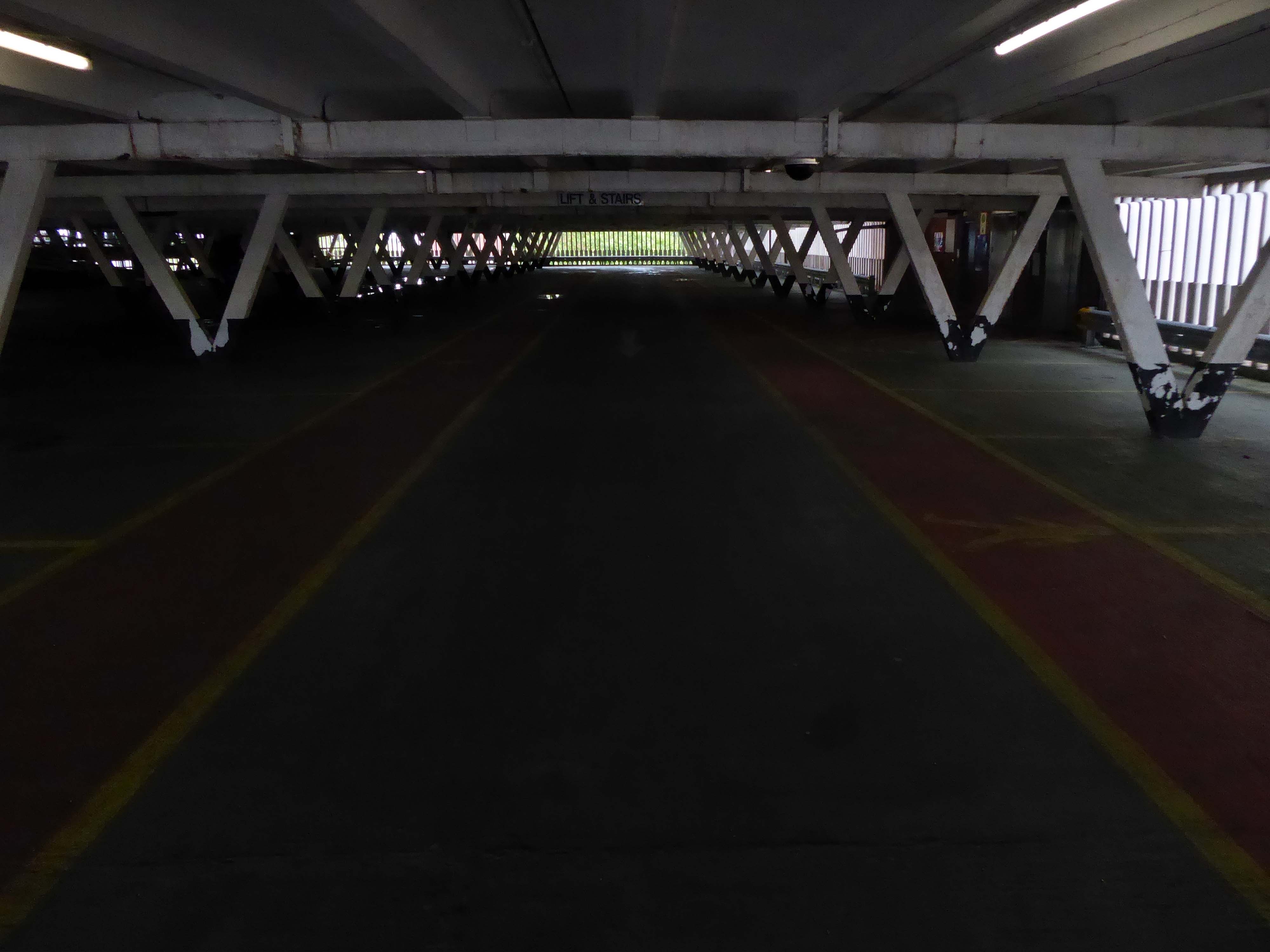
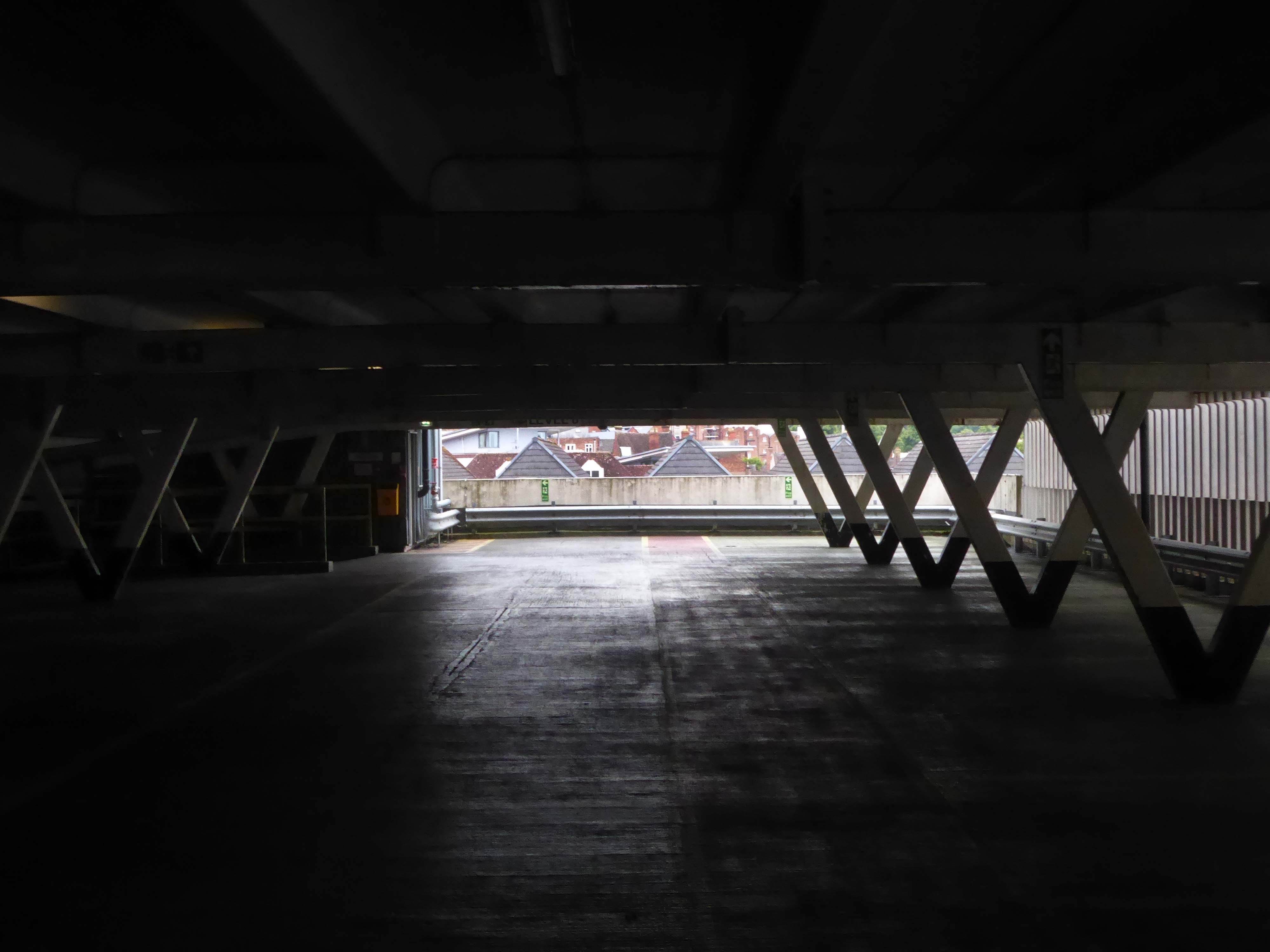
Excellent price – max £4 for whole day. Awkward to exit on foot, it needs more signage, but worth a bit of faffing around for the very reasonable cost. Really easy to pay by phone, although it costs an extra 20p to do this. As other have said, it closes at 8pm, but great for daytime adventures!
2017
Open 24 hours, no lifts but cheap. Always managed to find a space.
2023
Parkopedia
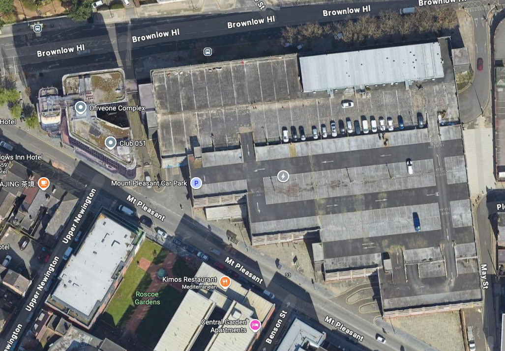
Crosville buses DVG279 and ENL826 head out of Liverpool past the multi-storey car park and AUEW offices in Mount Pleasant.
One of Liverpool’s traditional “Freddie Boswell” street sweepers is going down the hill with his dustcart.
Photo 1985 Chris Palmer
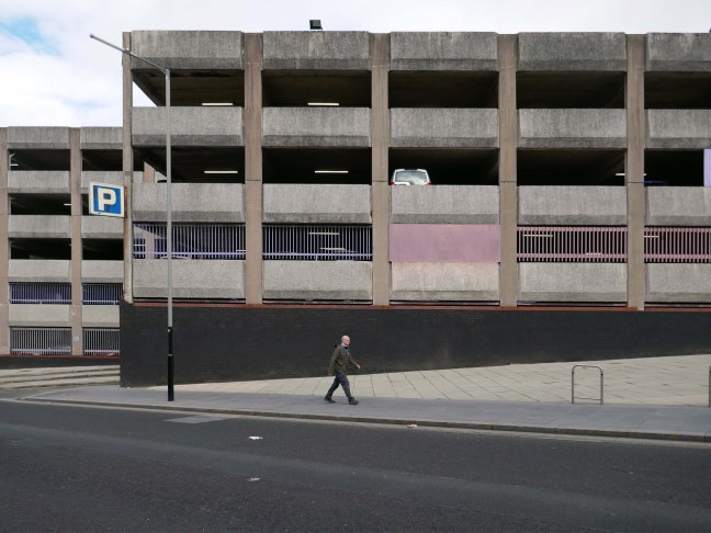
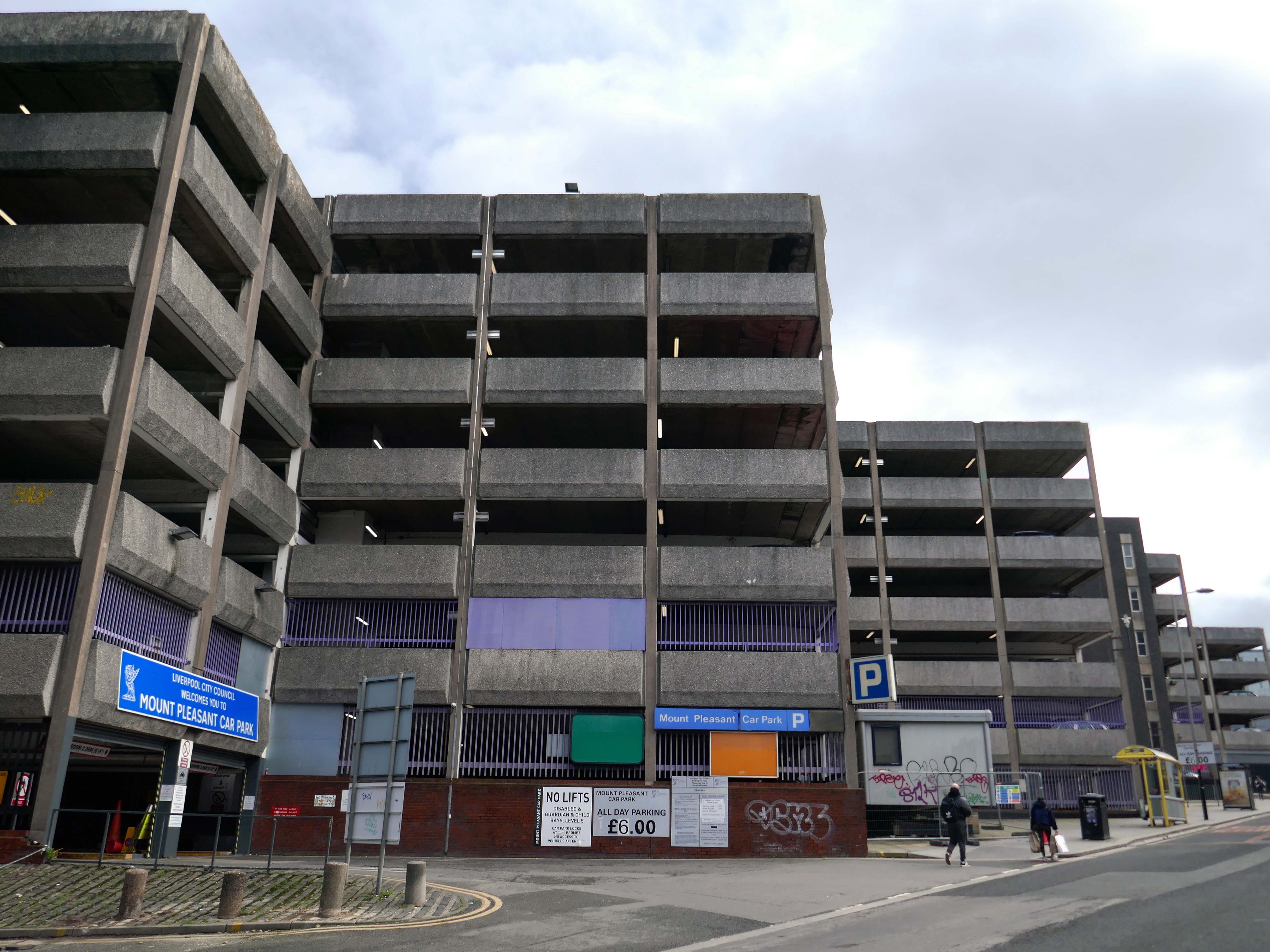
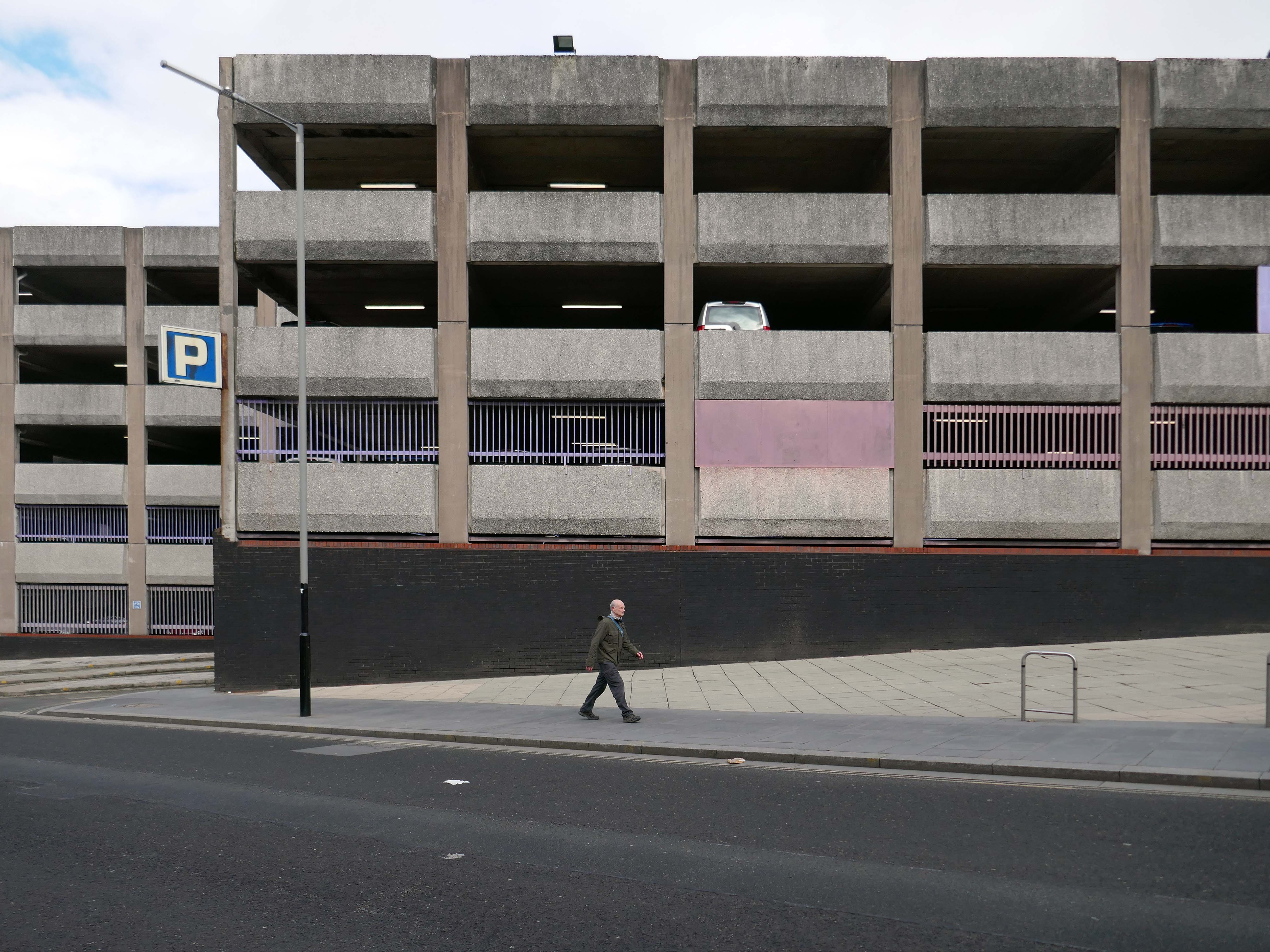
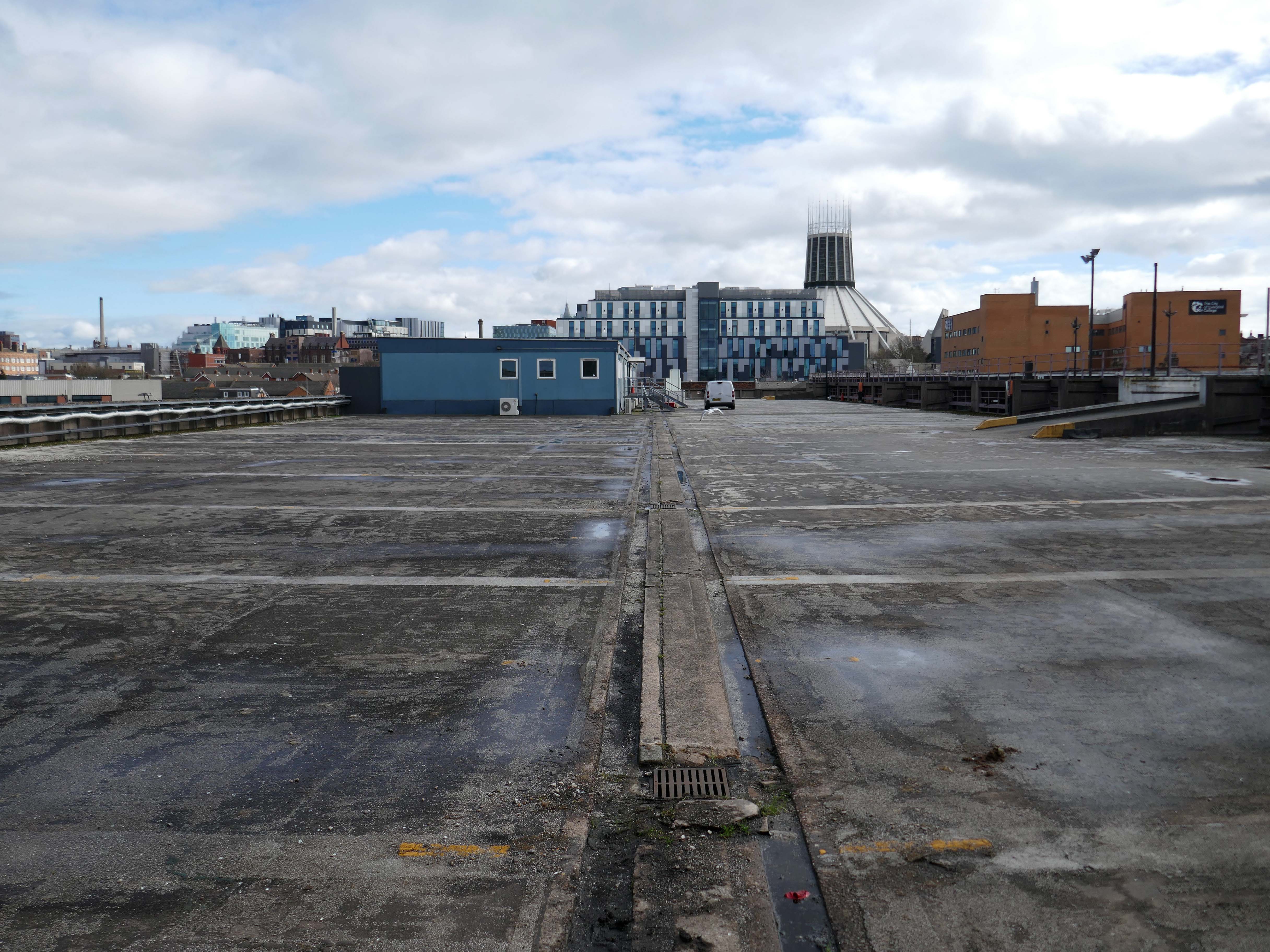
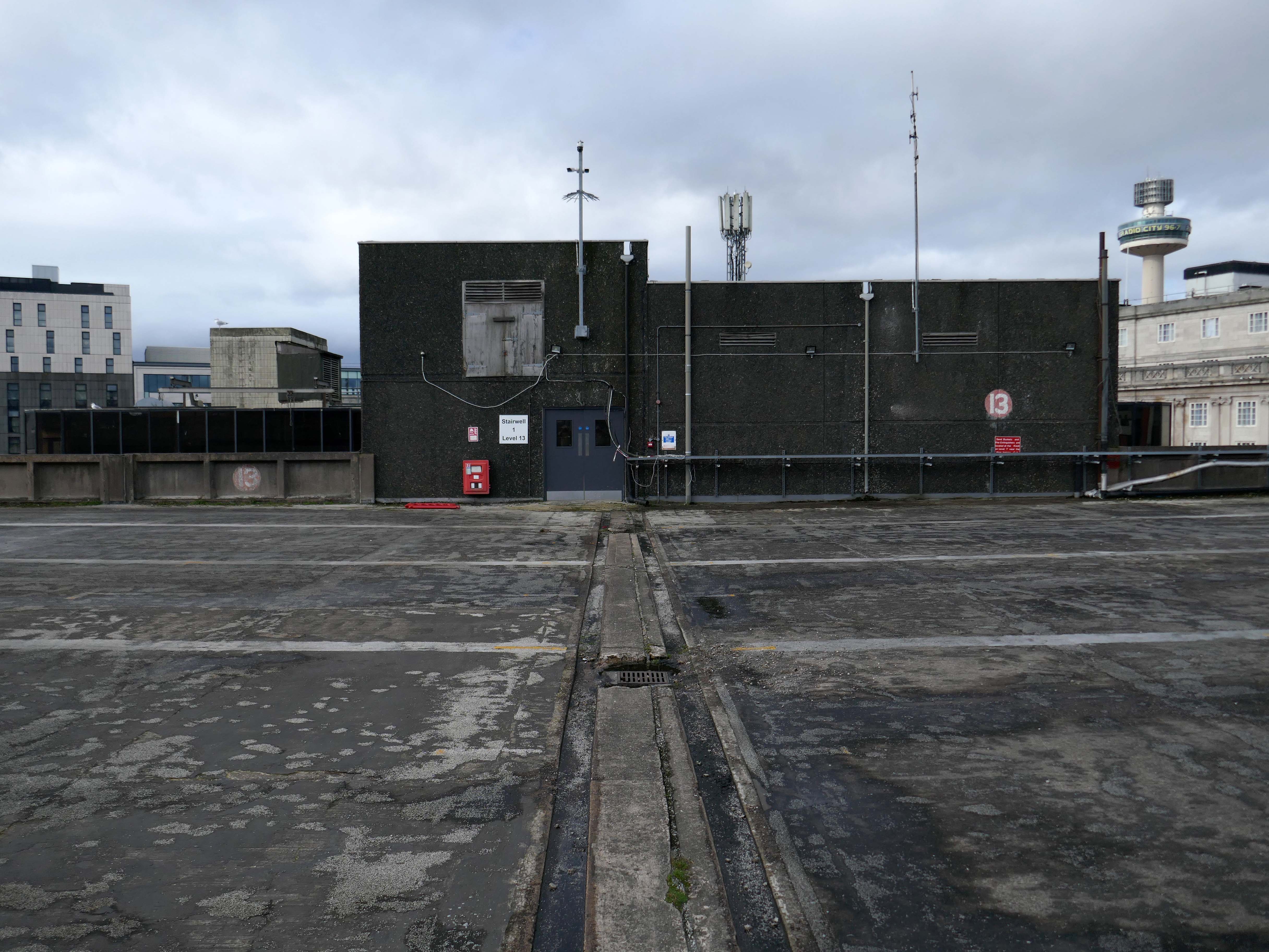
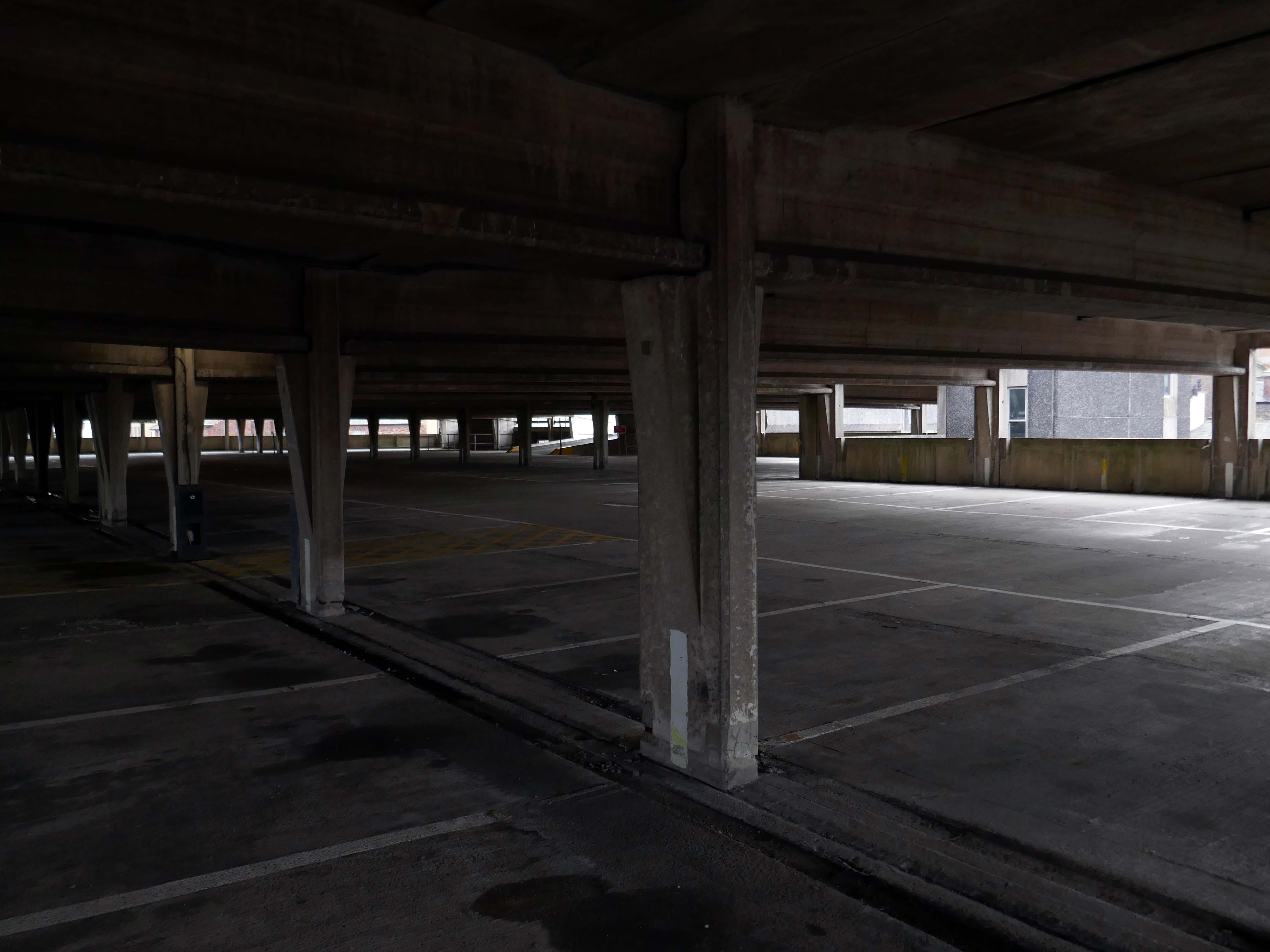
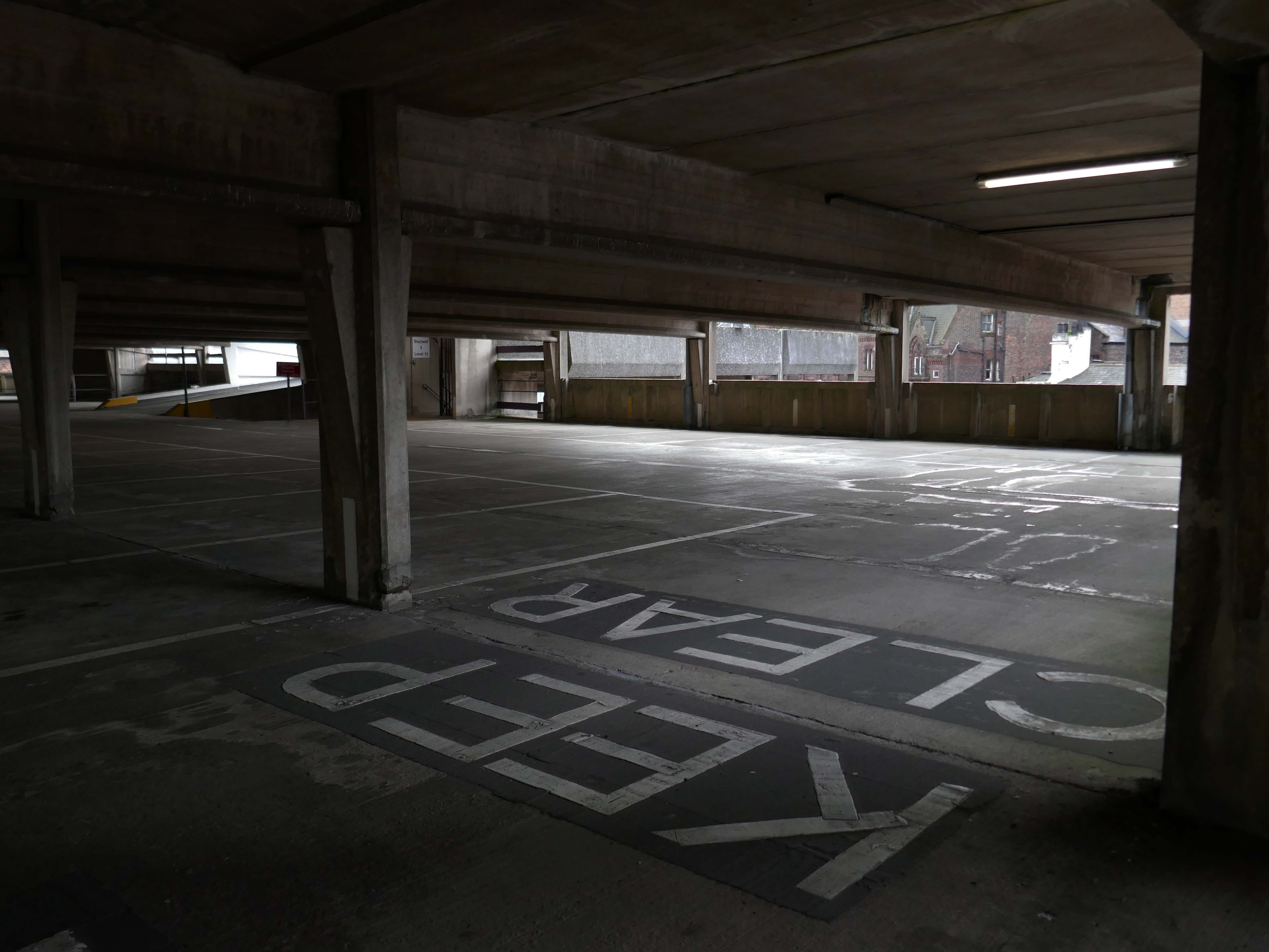
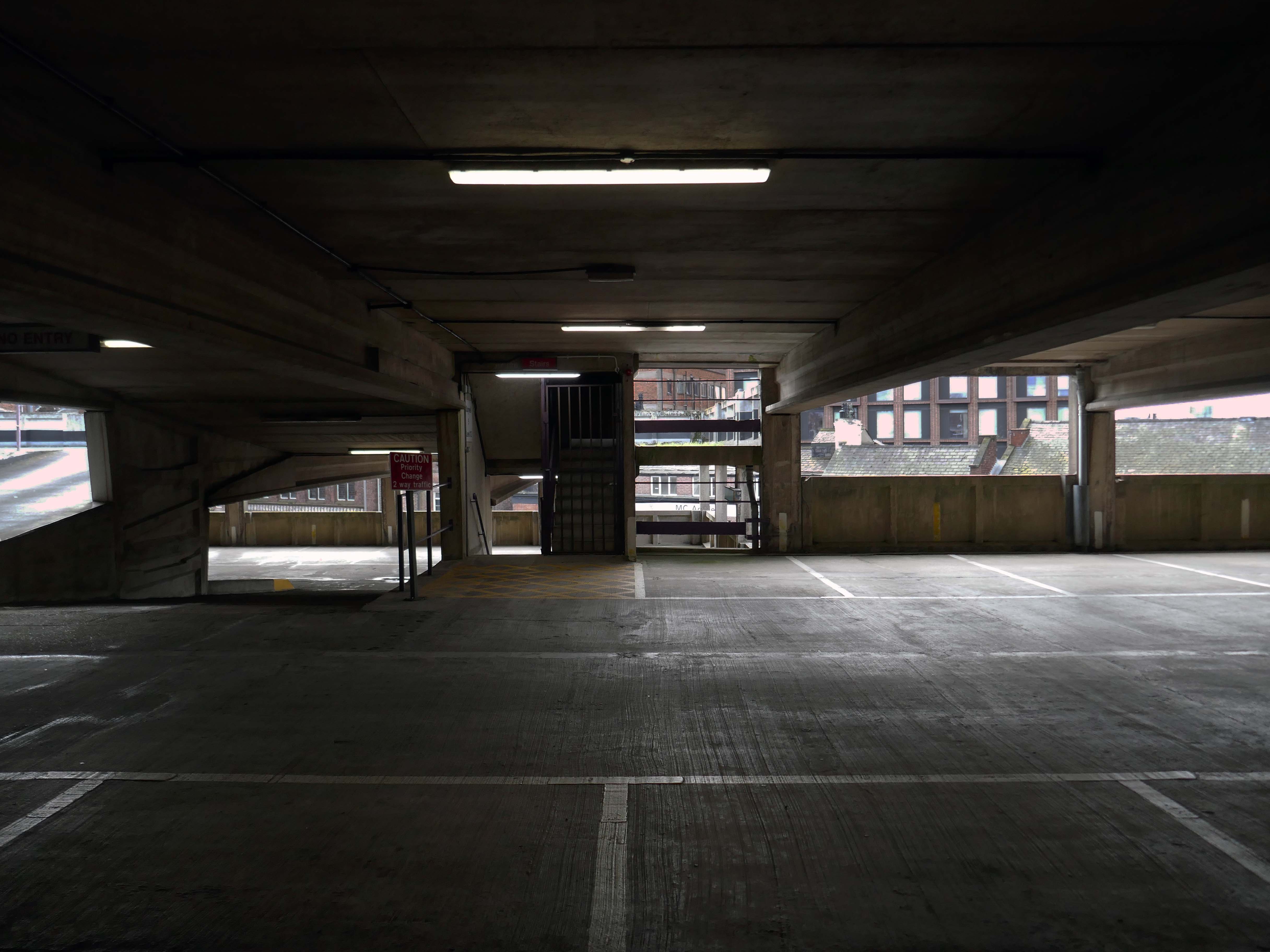
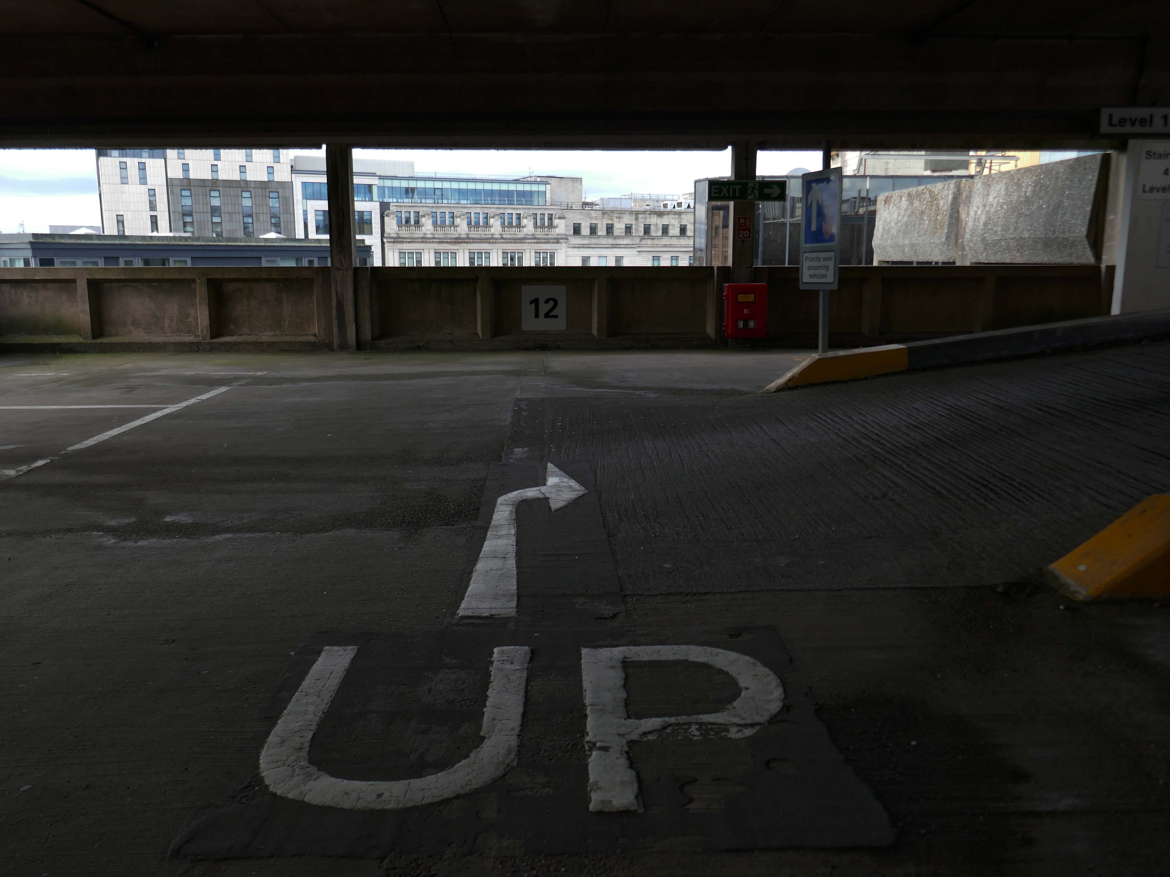
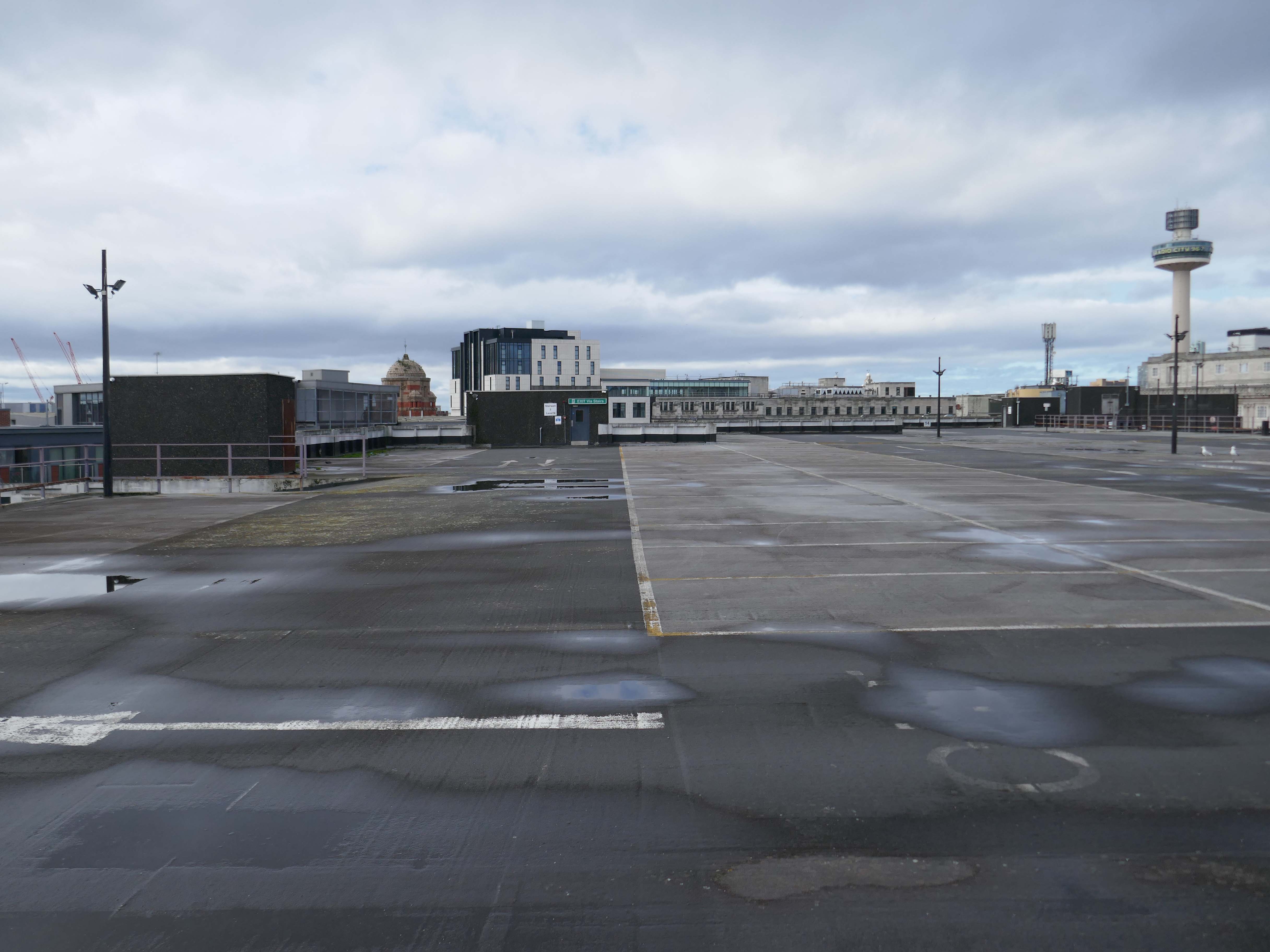
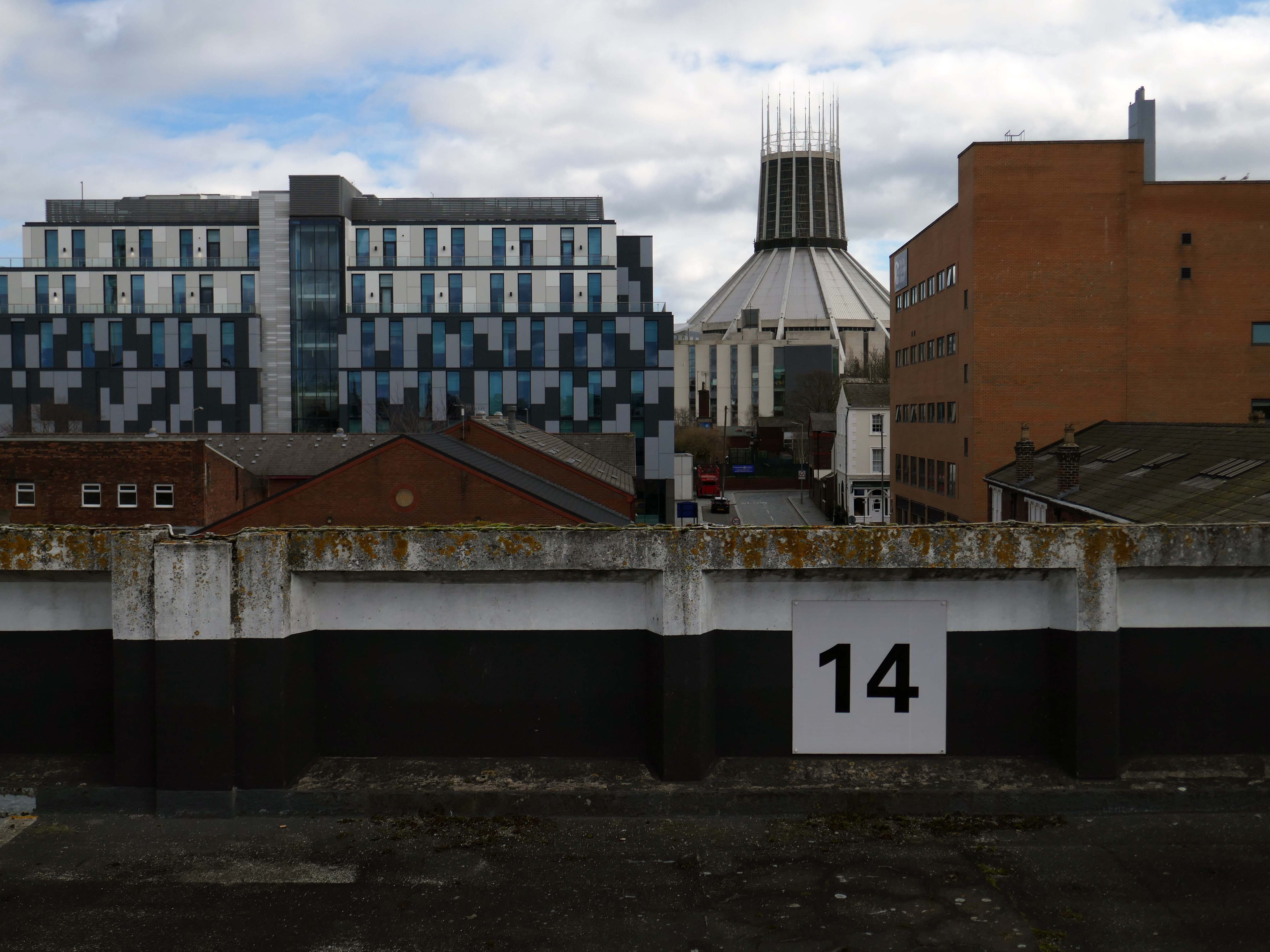
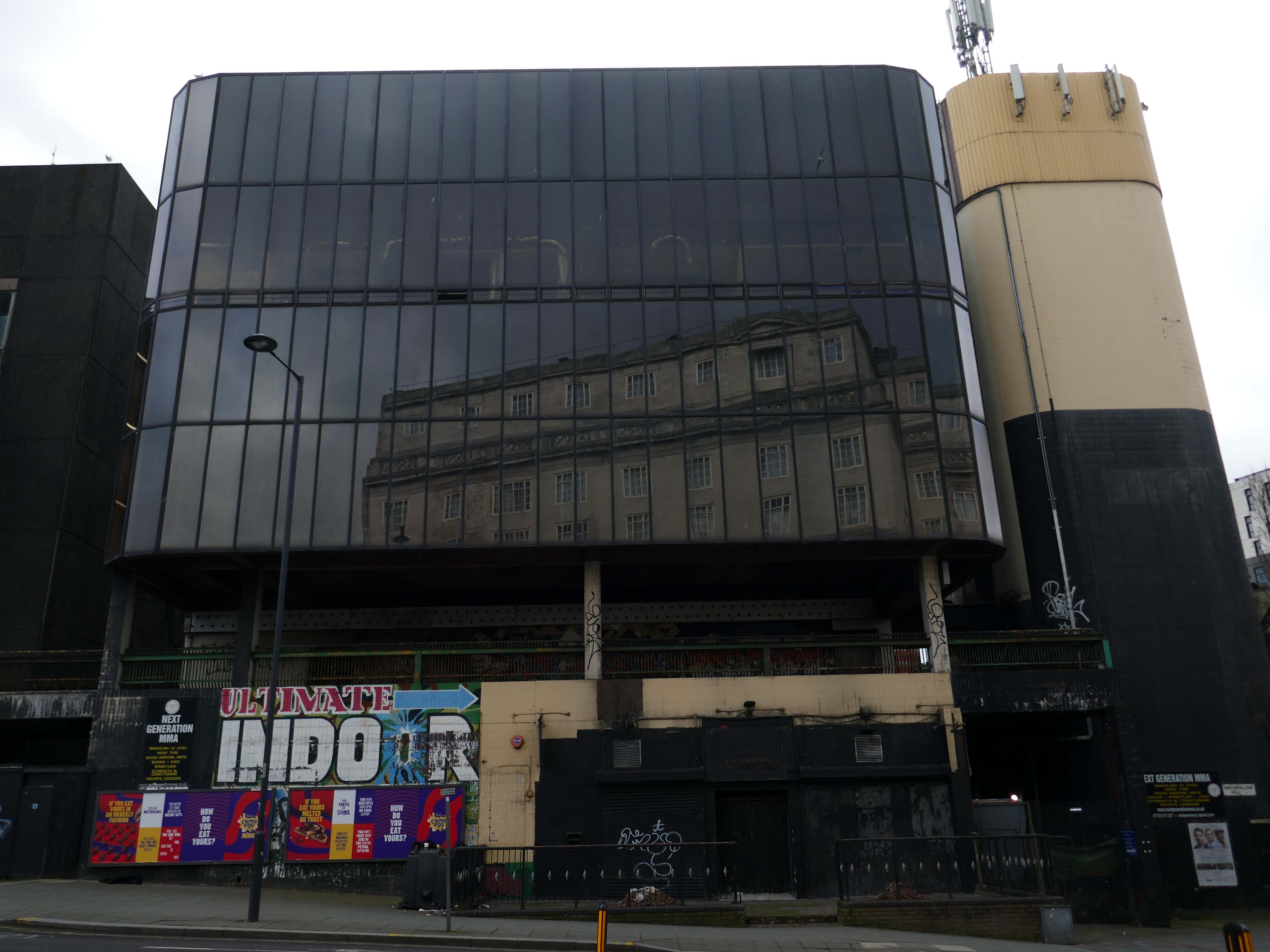
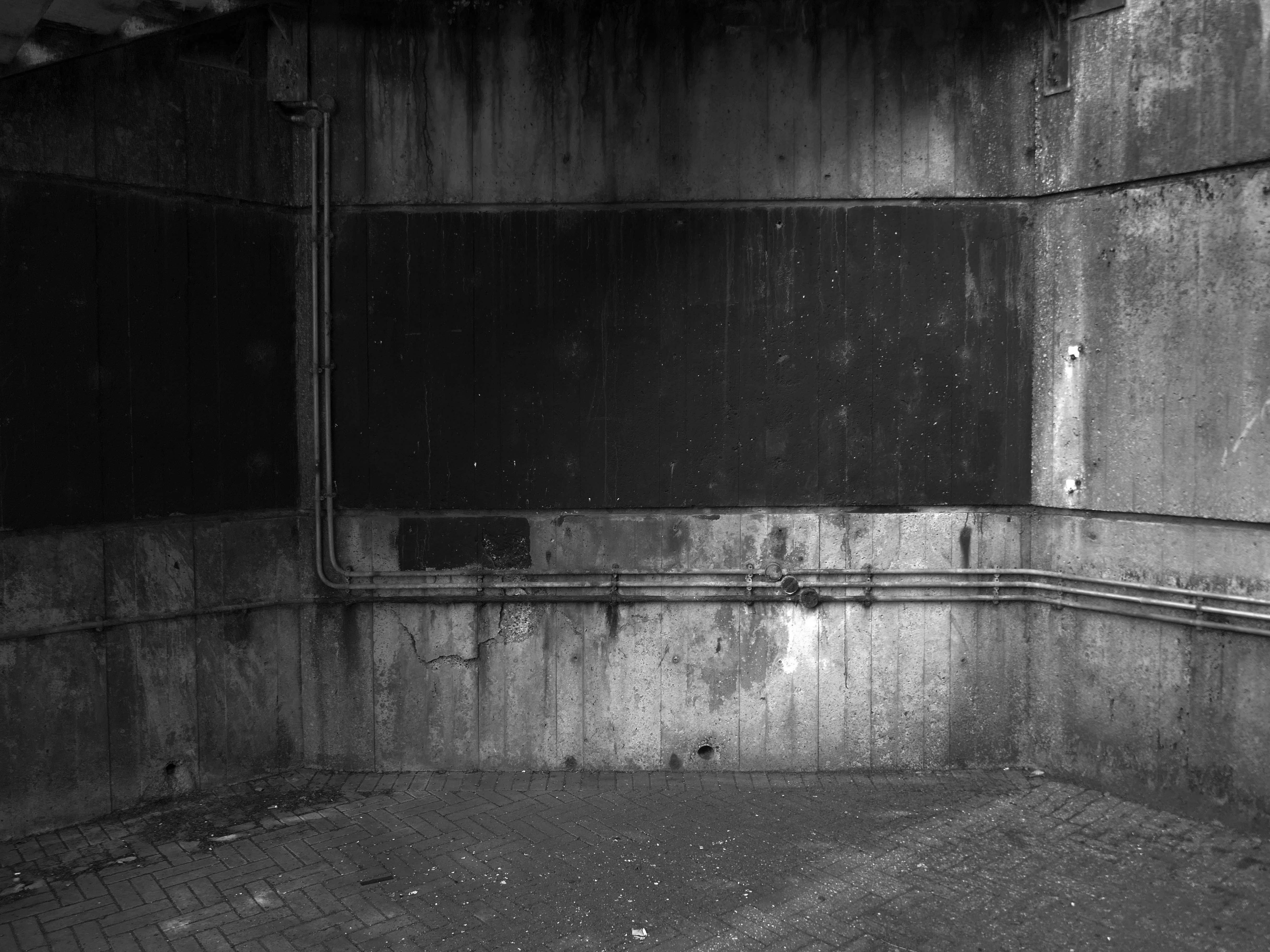
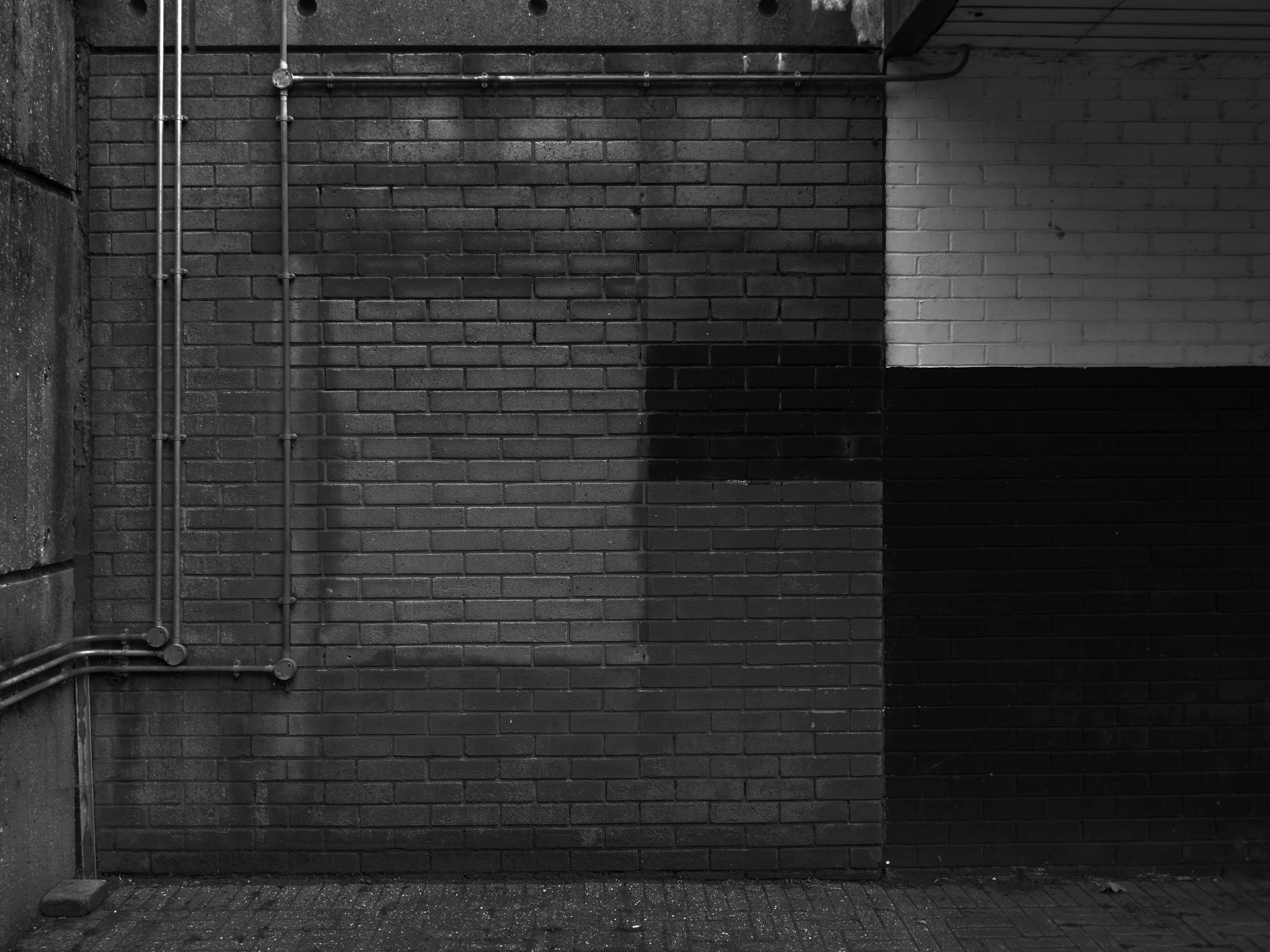
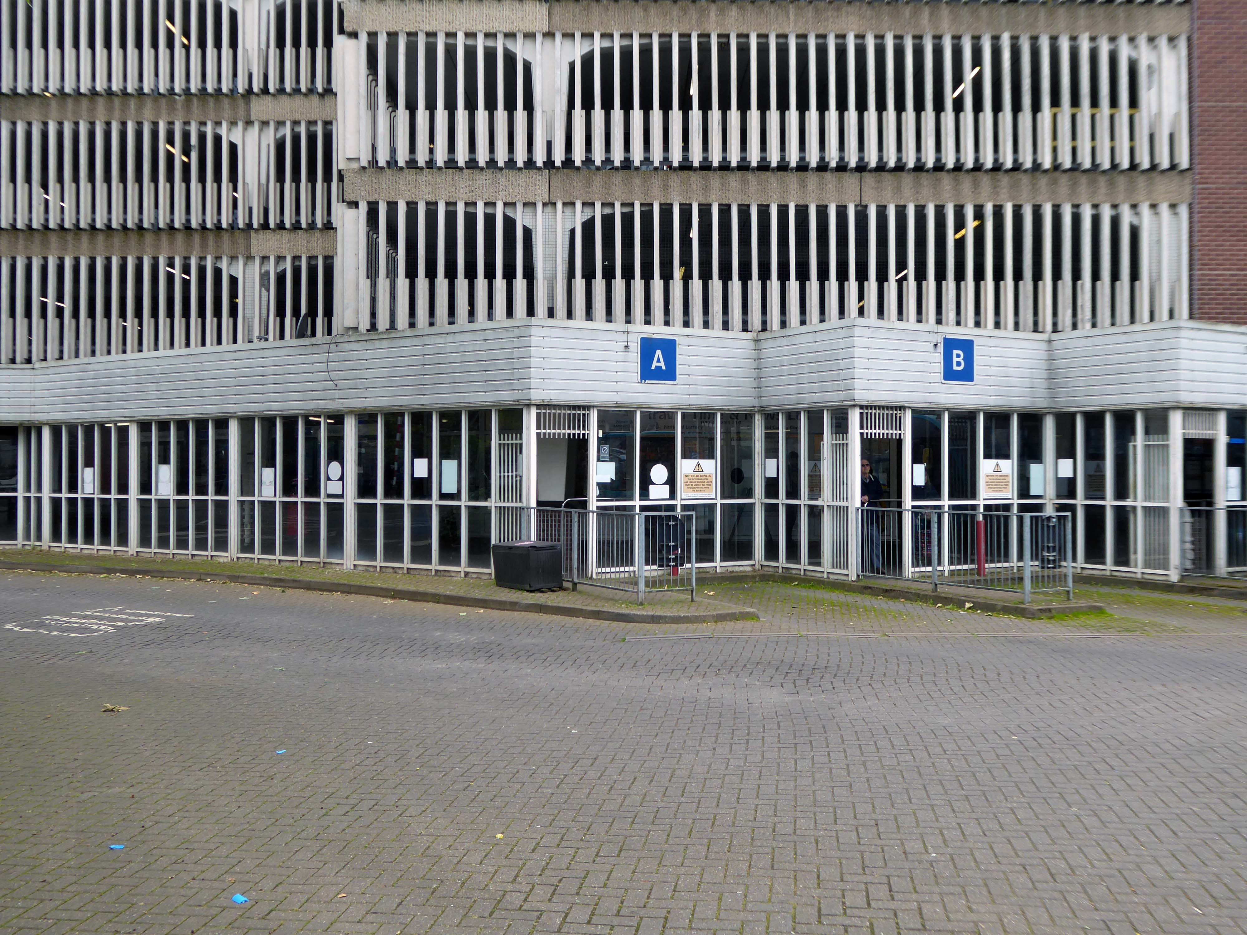
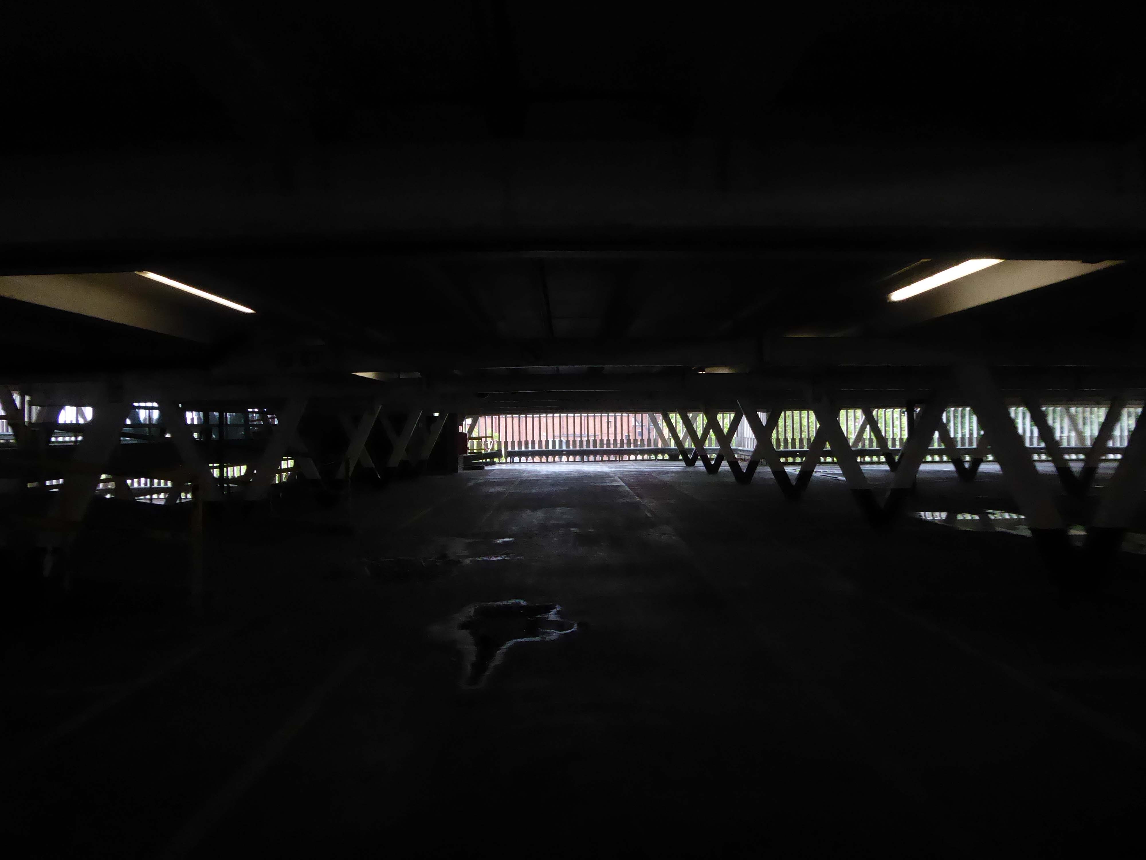
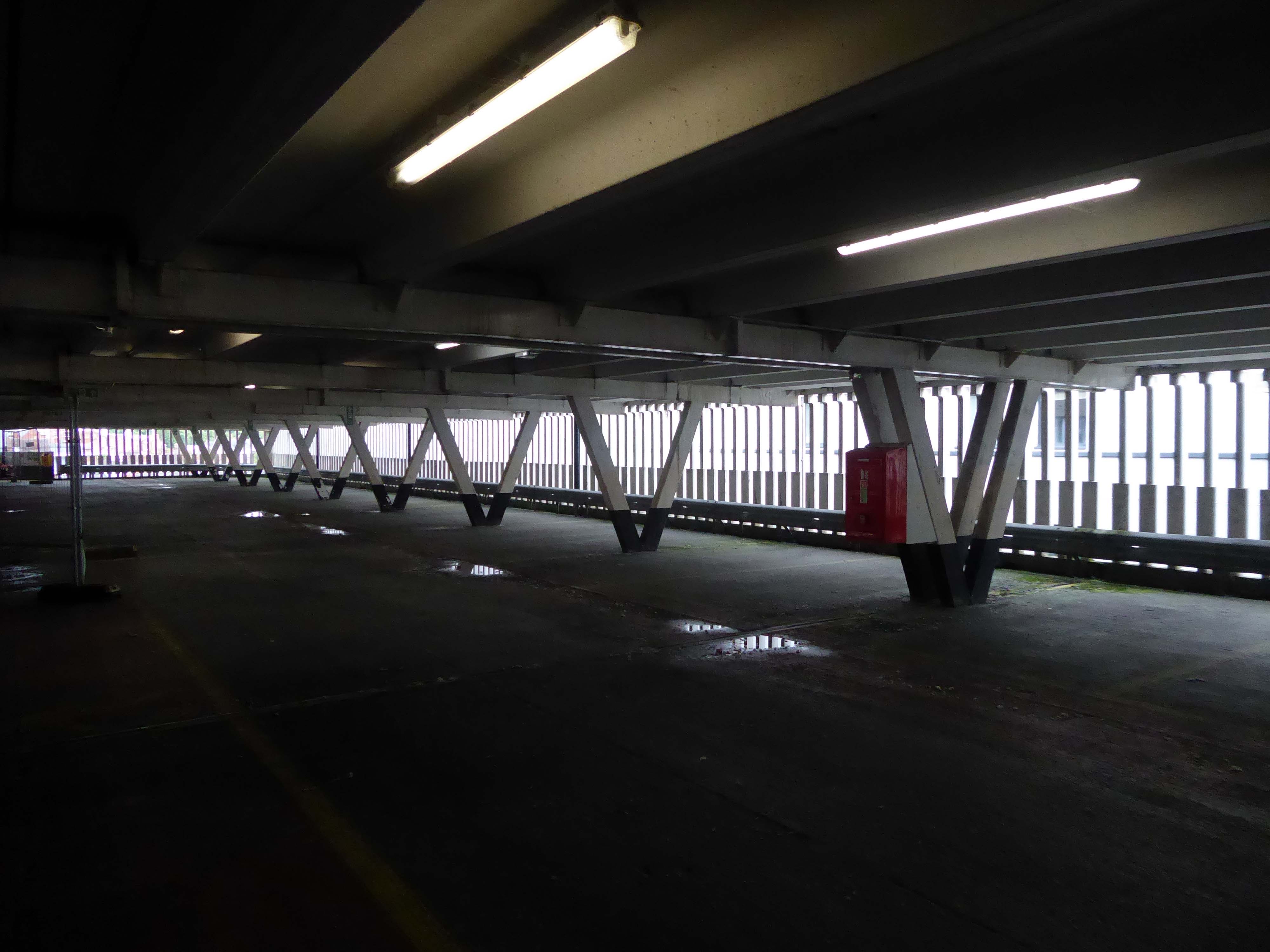
On my way somewhere else, took a left off Lime Street to walk around and about this monumental concrete car park.
I was on my way to see Ed Ruscha amongst other things.
Volare Digital Camera
I think he would have admired the view.
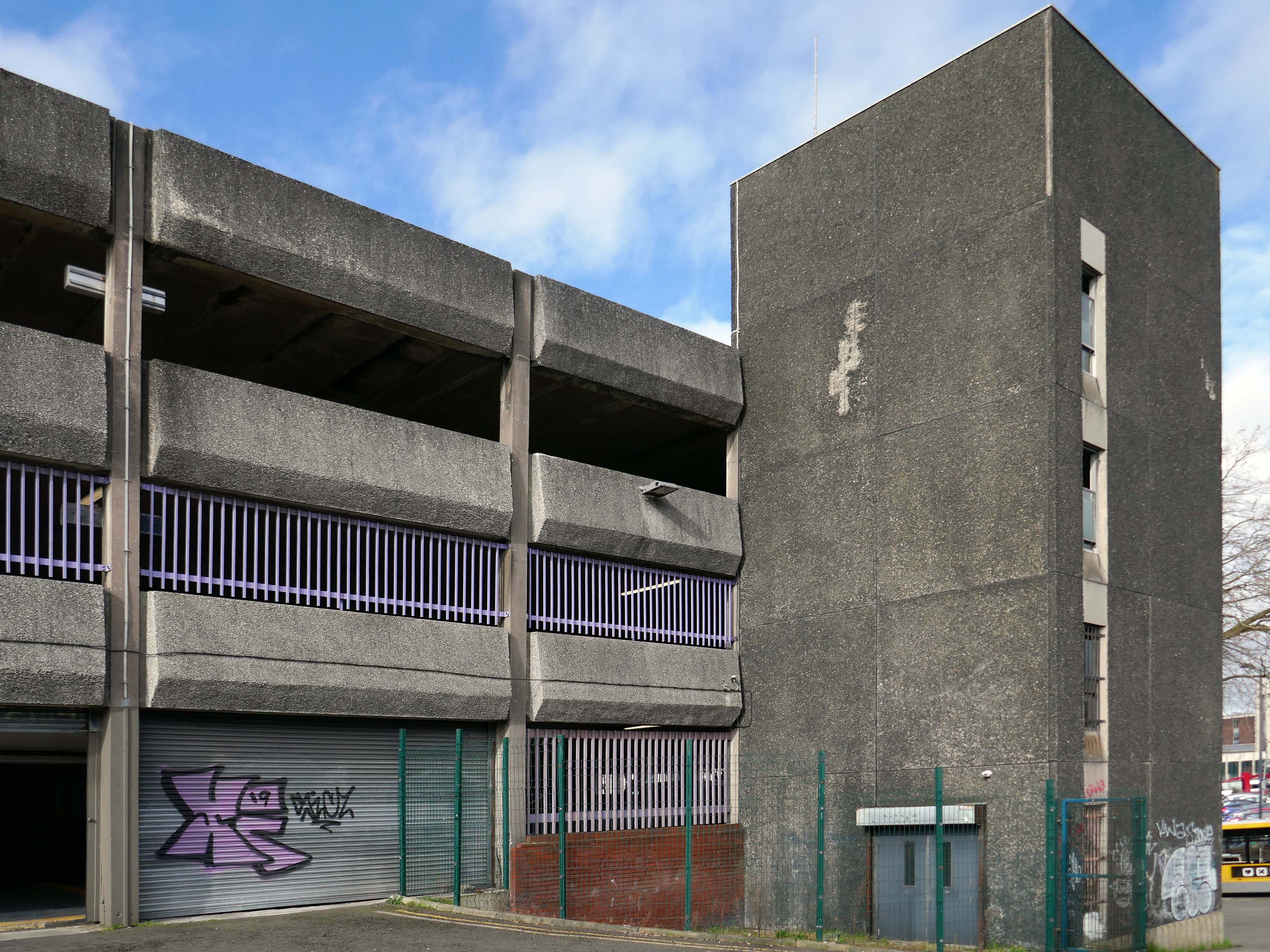
No fancy cladding and a limited pedestrian access, should you happen to be sans auto.
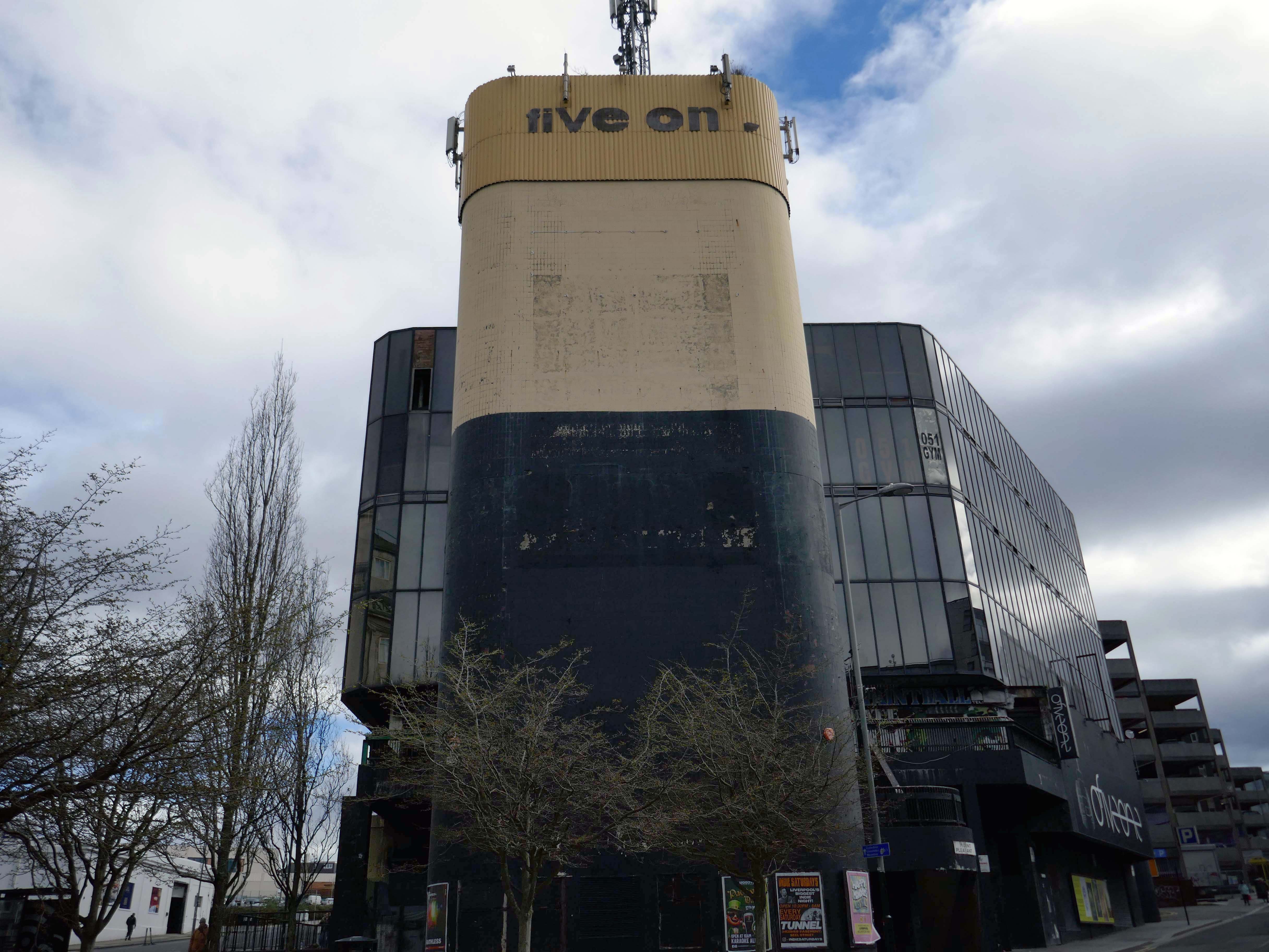
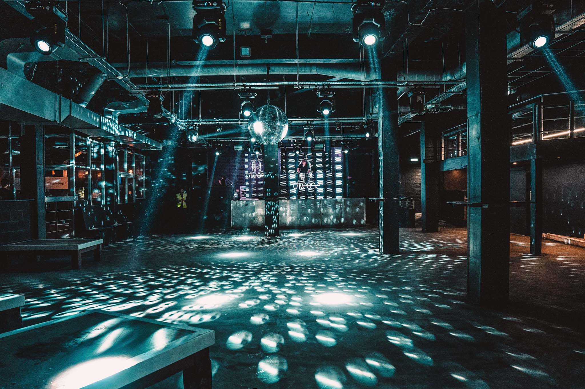
Attached to the car park is the 051 Complex – made for the Liverpool dialling code.
Club 051, ofiveone, The 05’…
Whatever you wish to call it, this iconic venue has touched the hearts of literally hundreds of thousands of clubbers spanning its illustrious history. Those infamous stairs down to the dance floor are truly part of clubbing folklore for those who have walked them, and now because of a team of people who dared to dream, you can once again enjoy the spine chilling ofiveone experience!
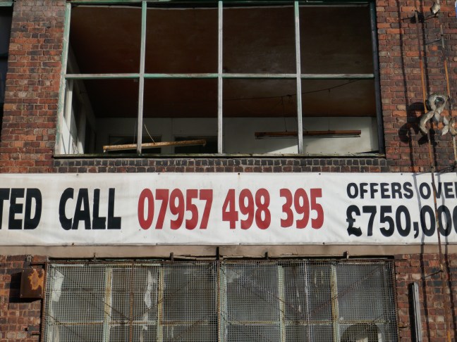
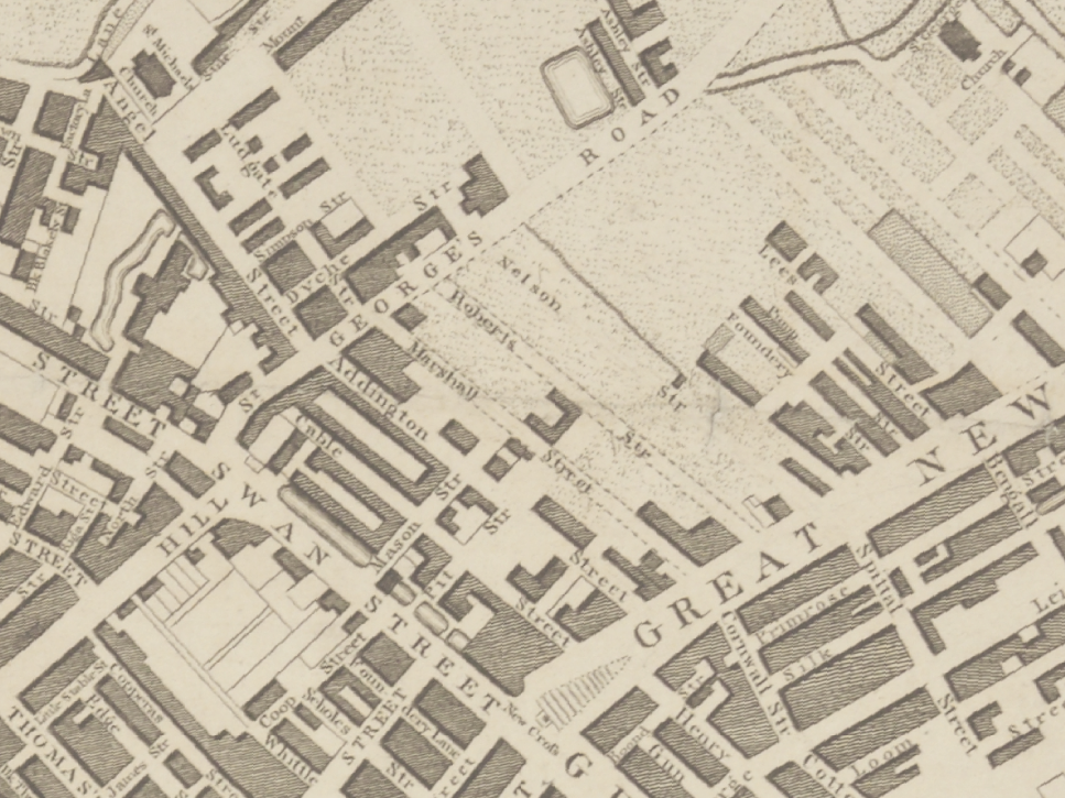
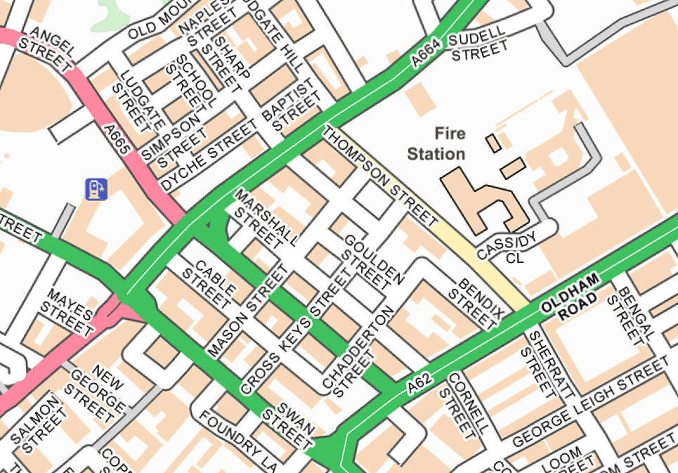
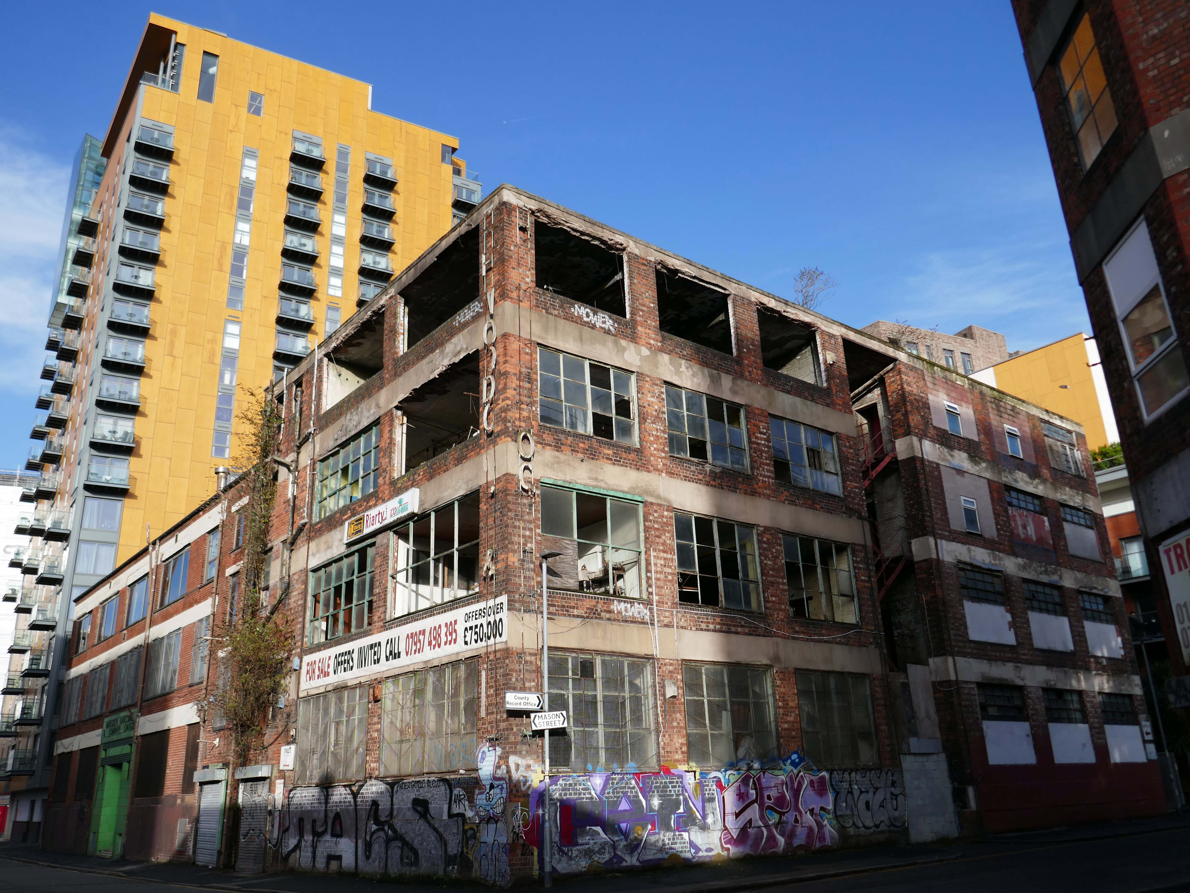
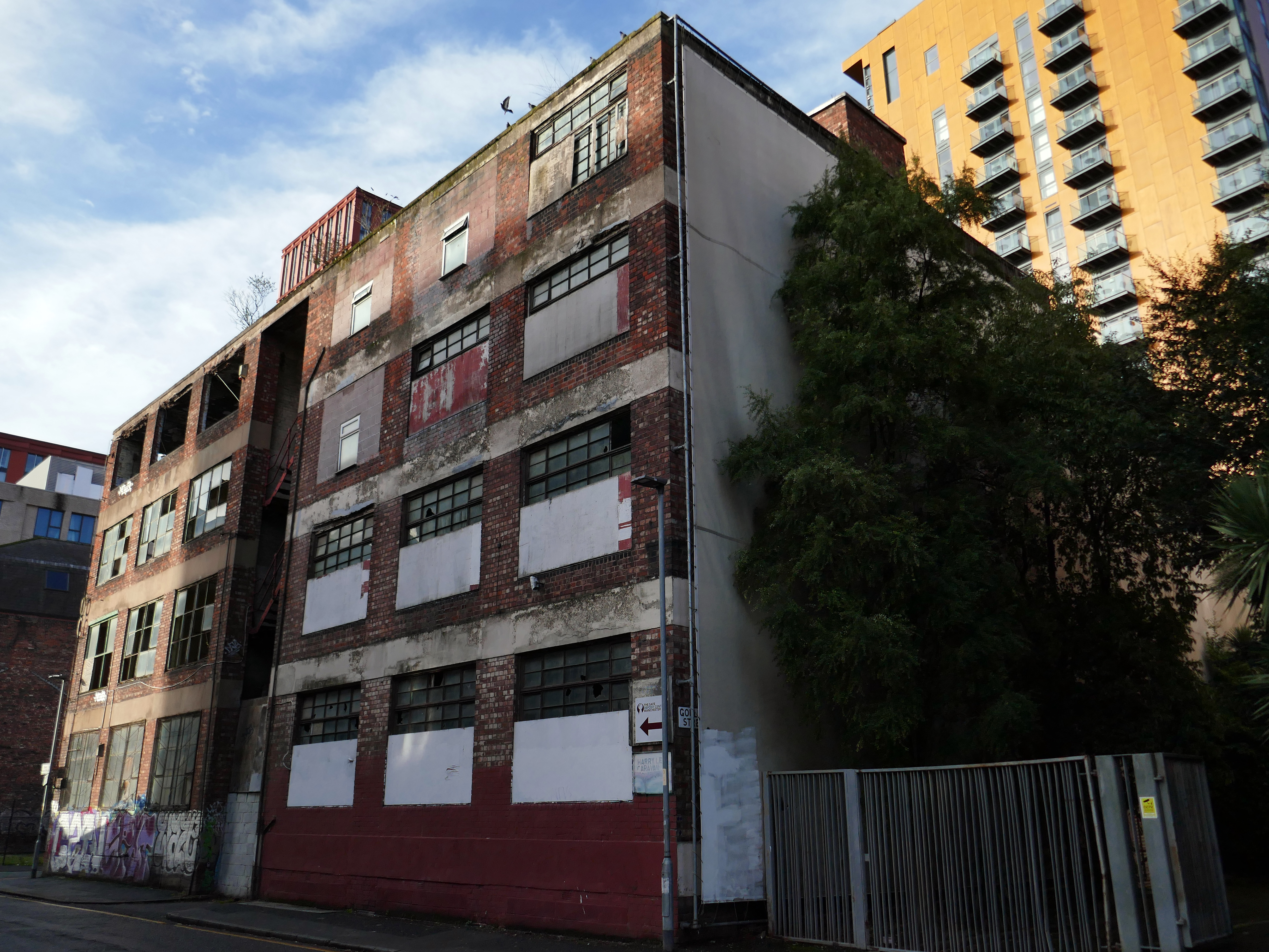
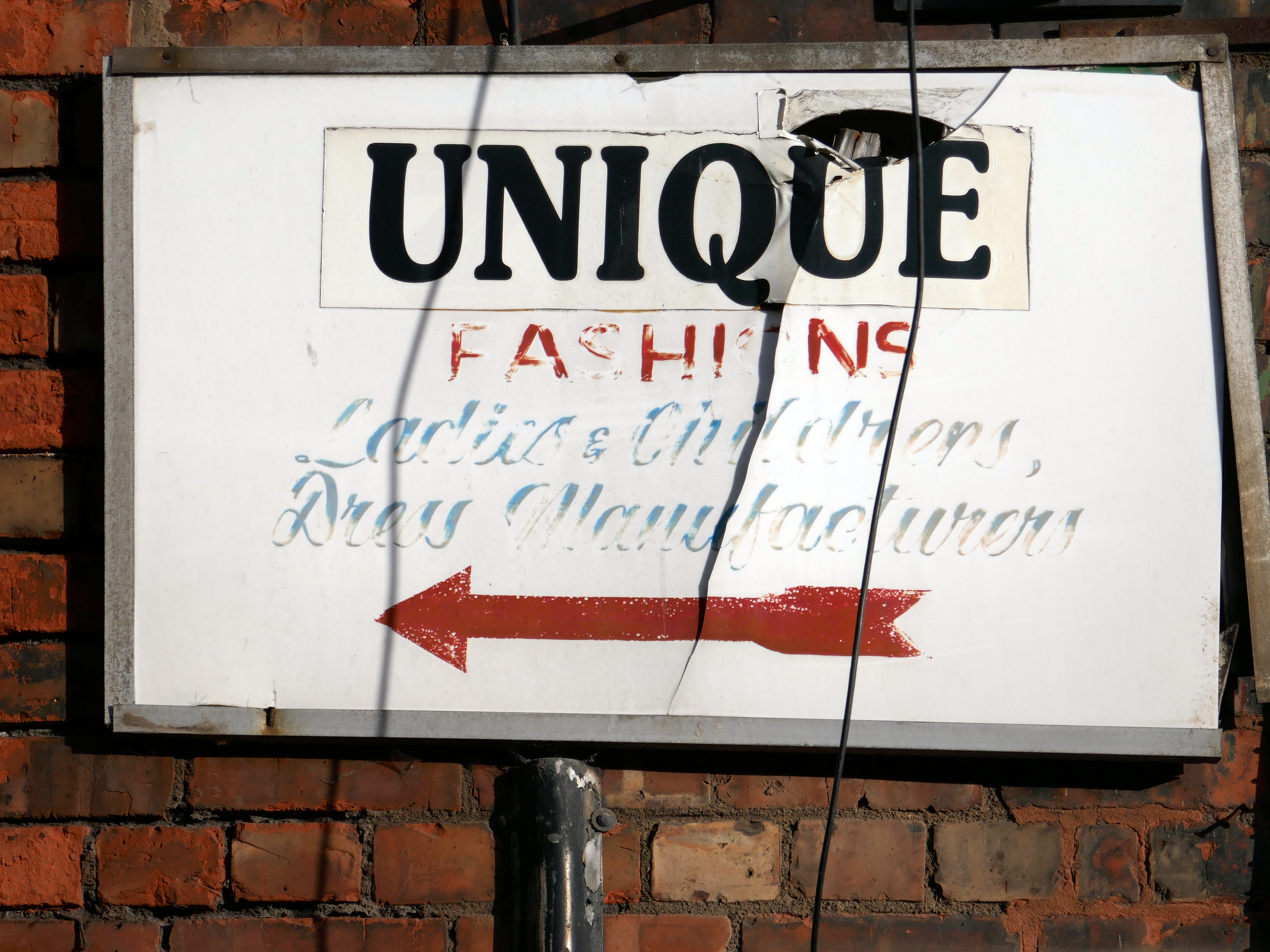
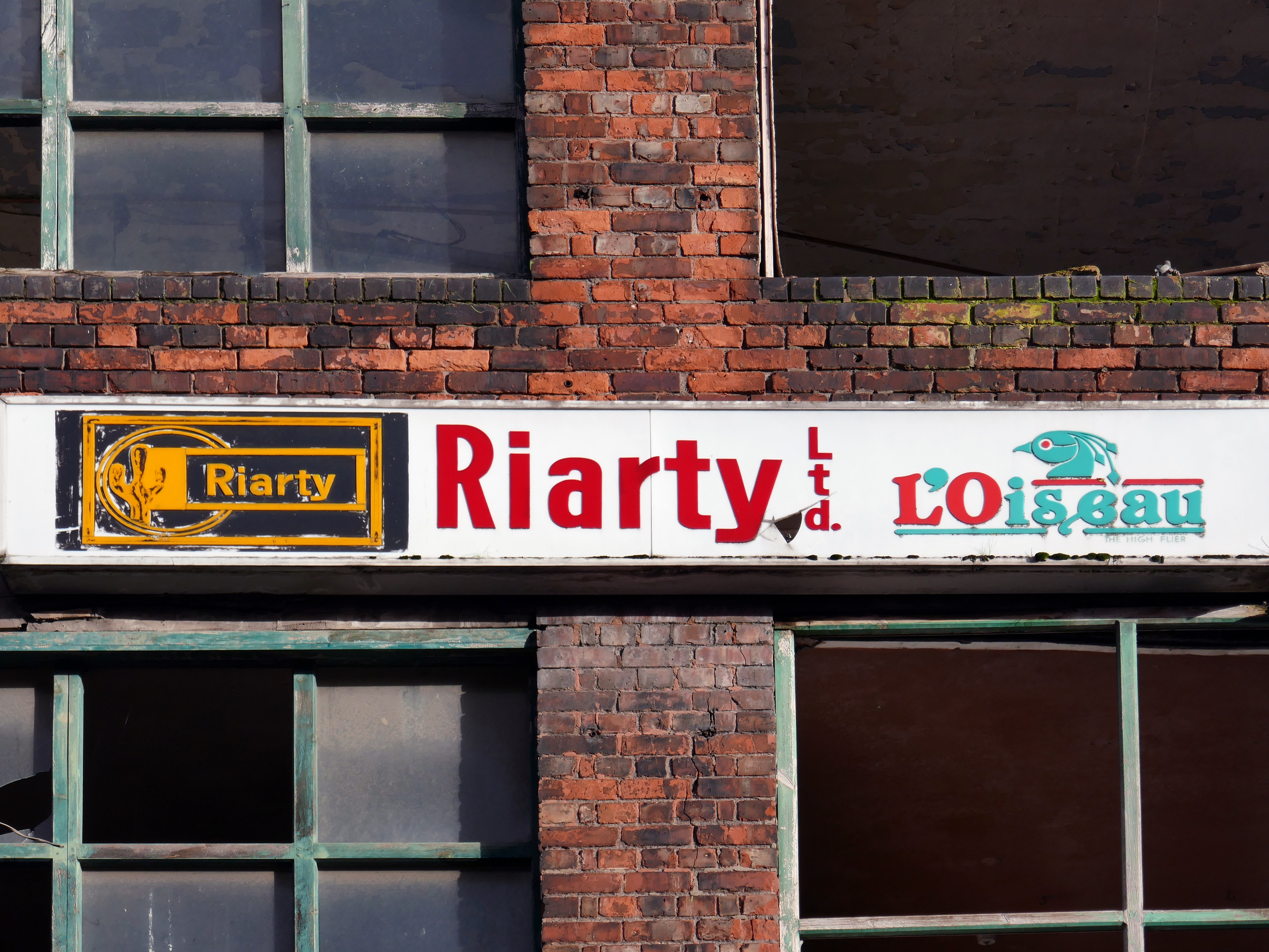
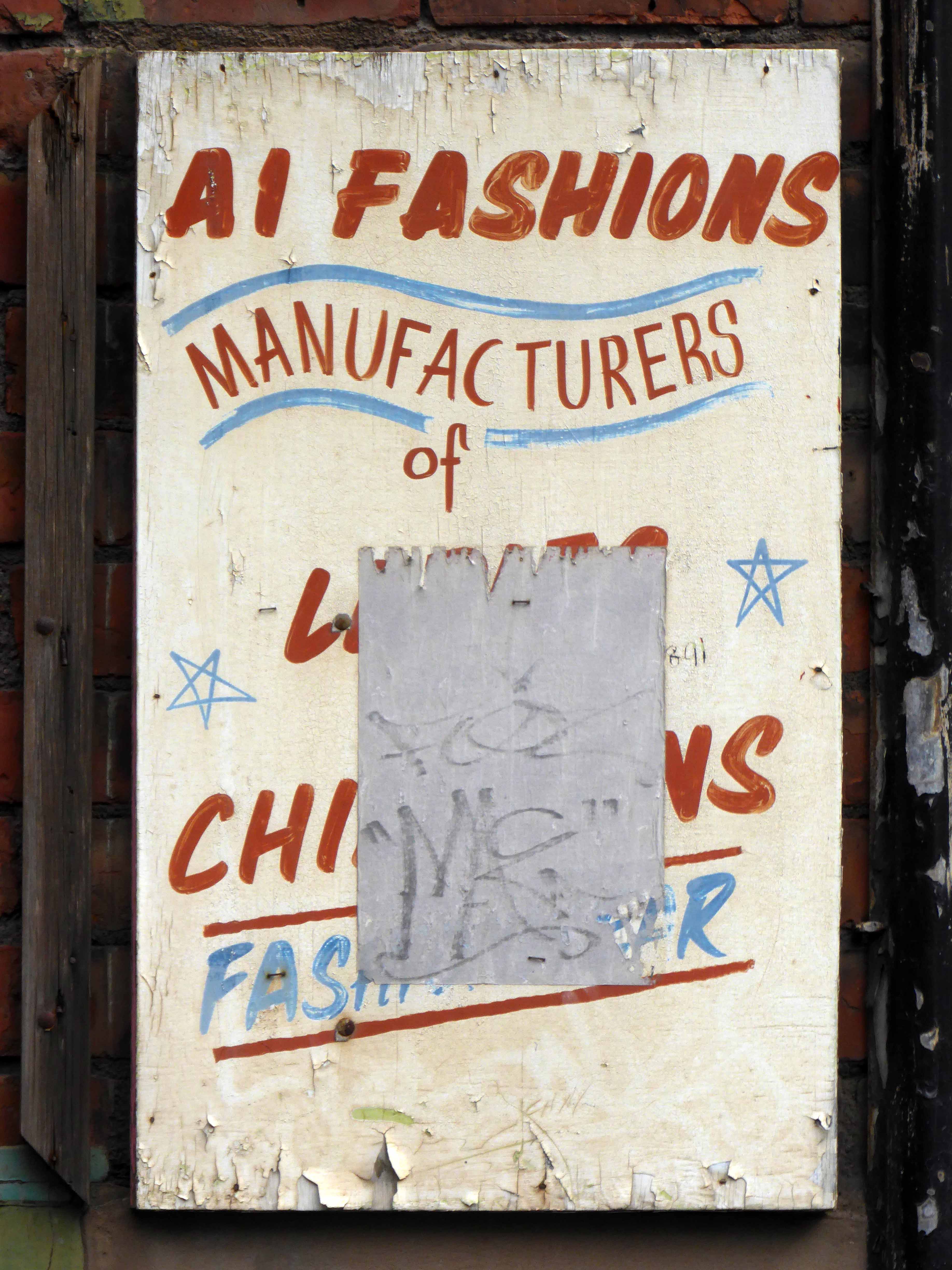
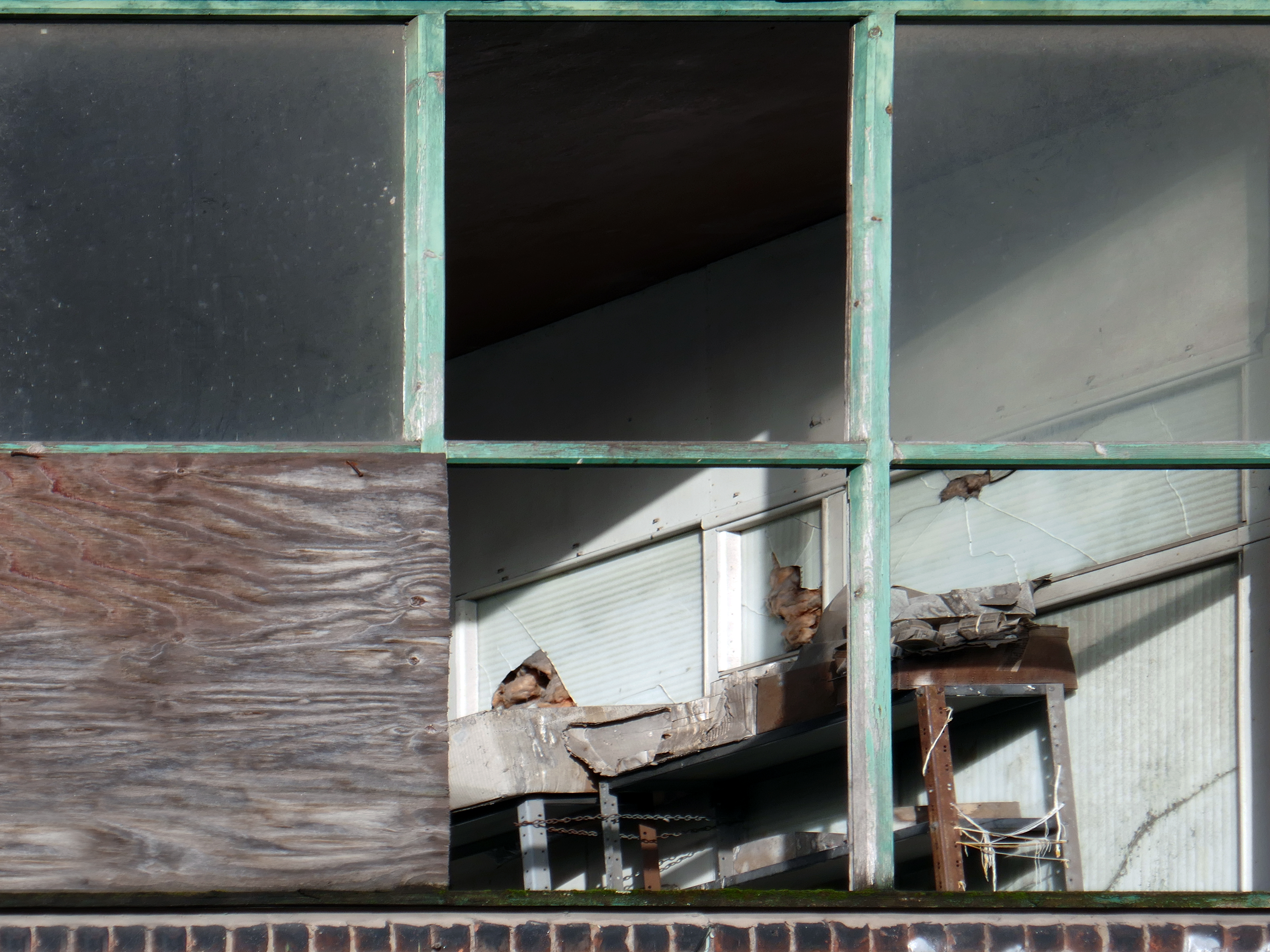
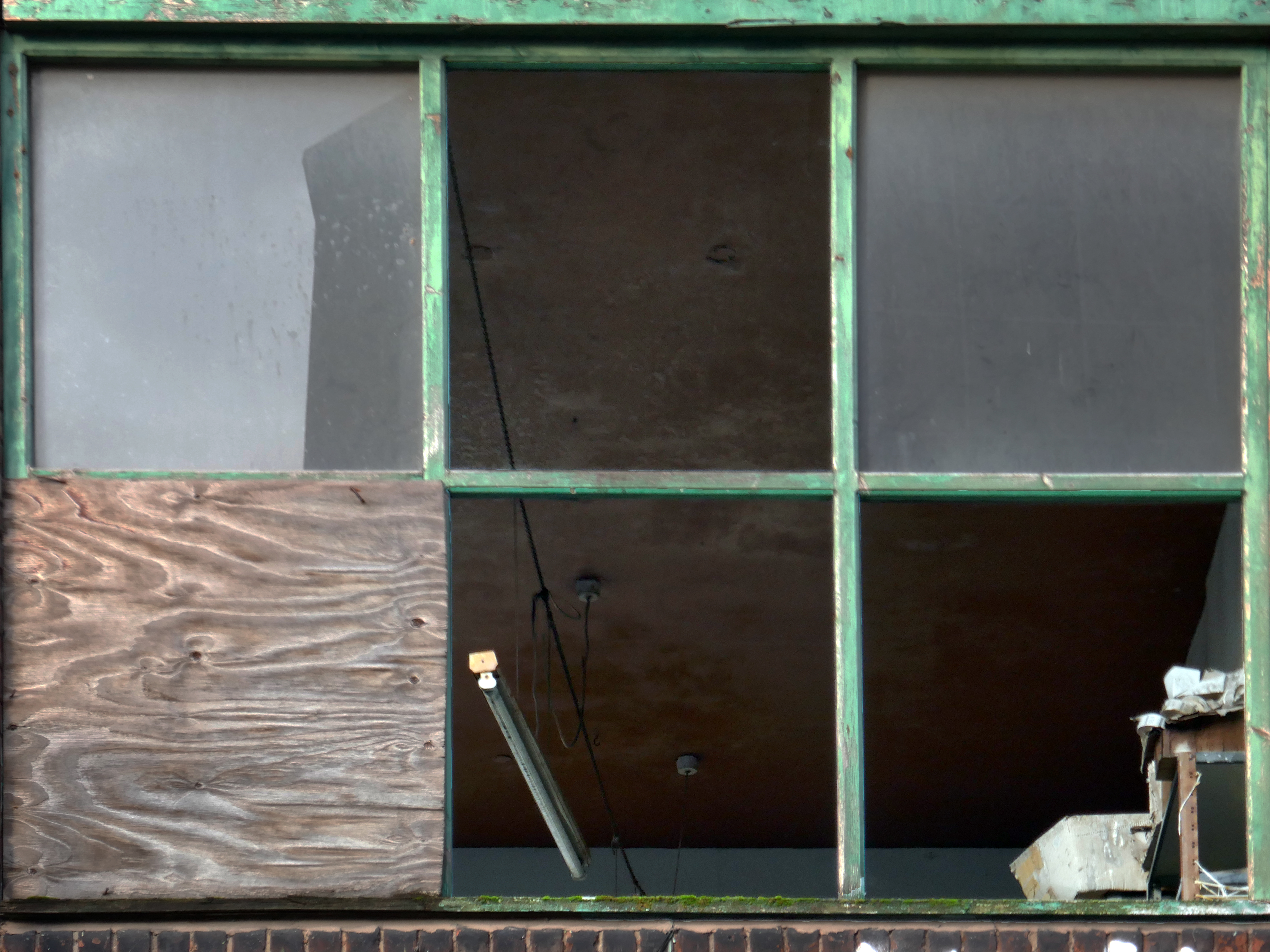
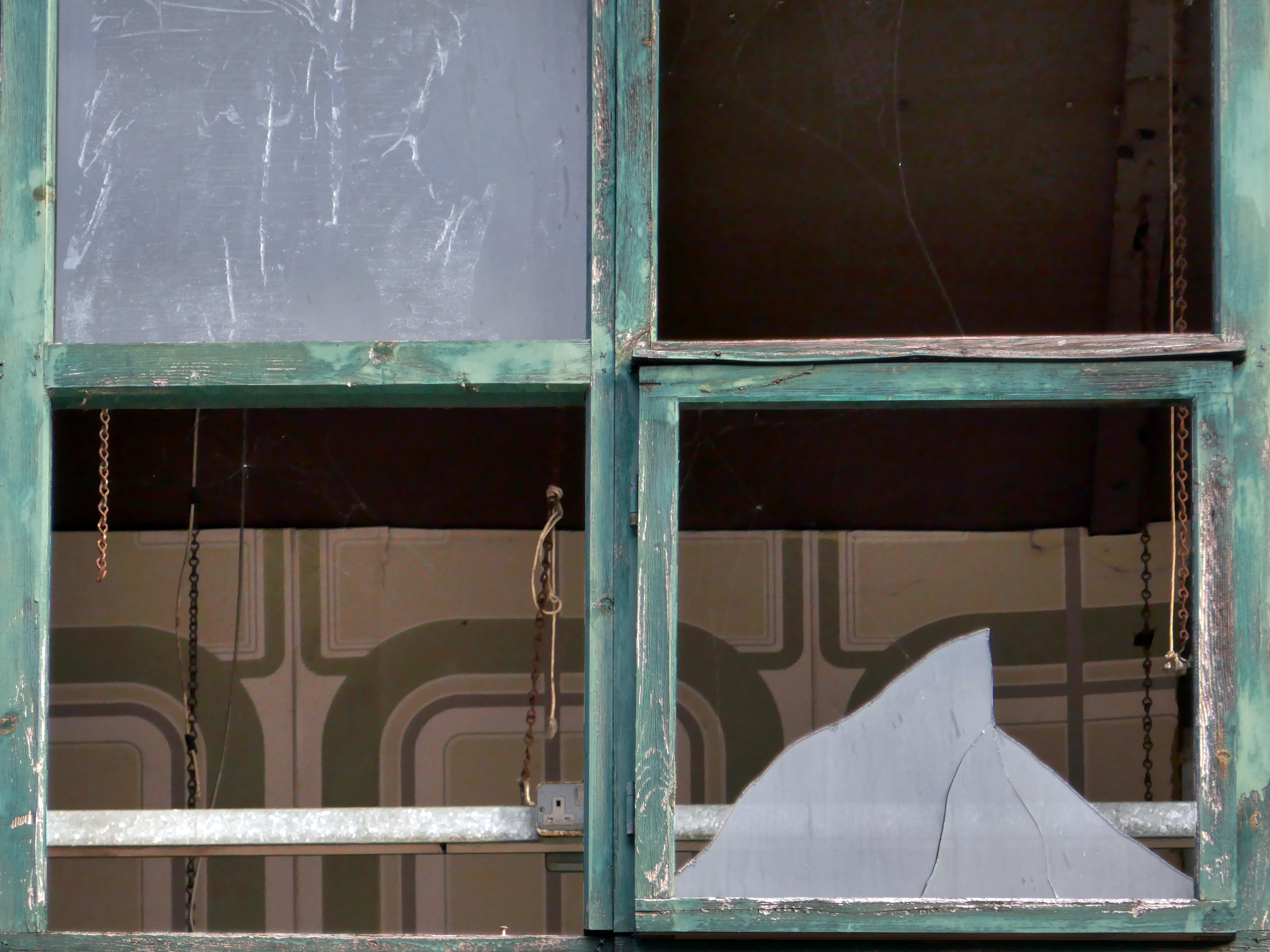
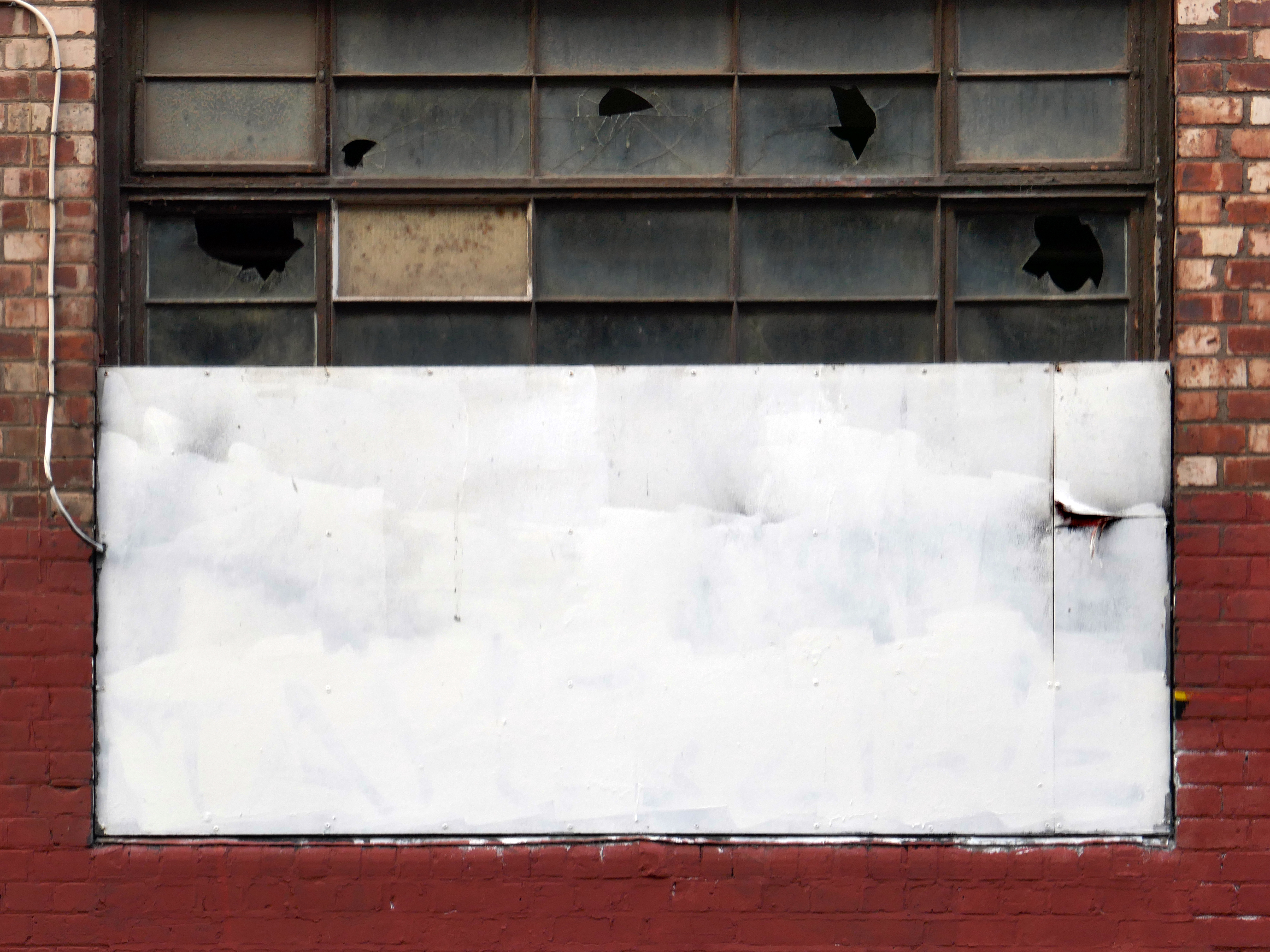
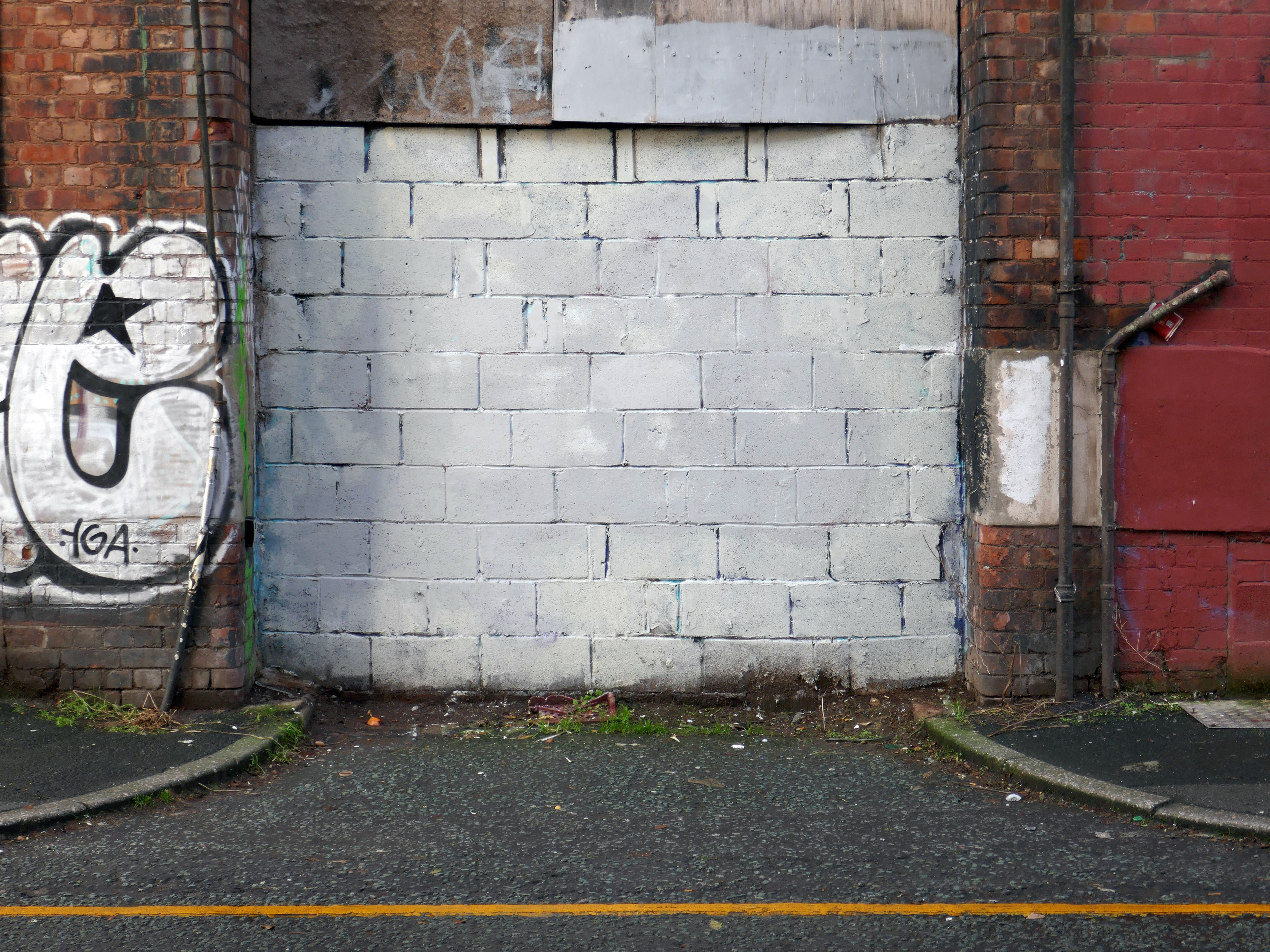
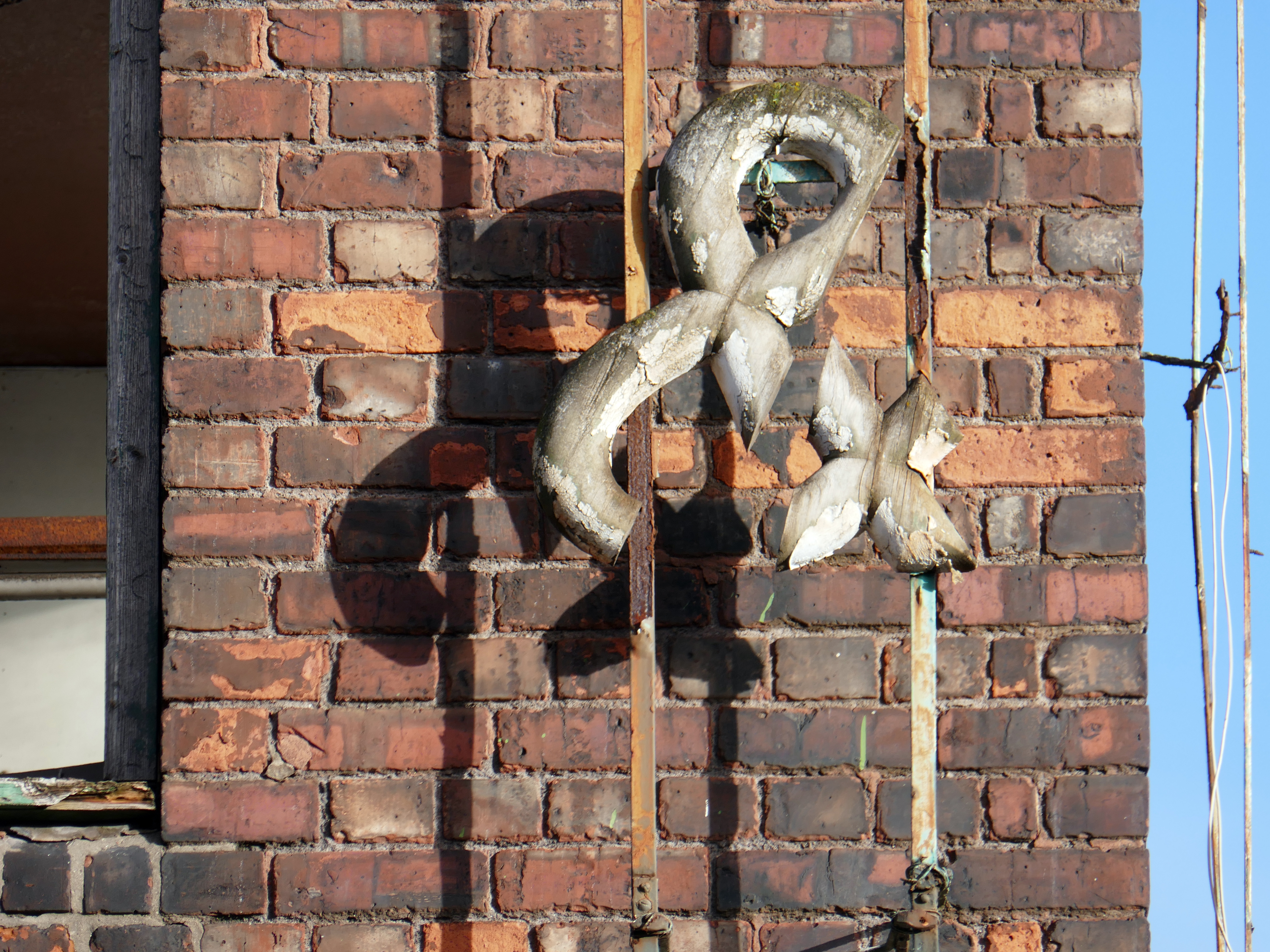
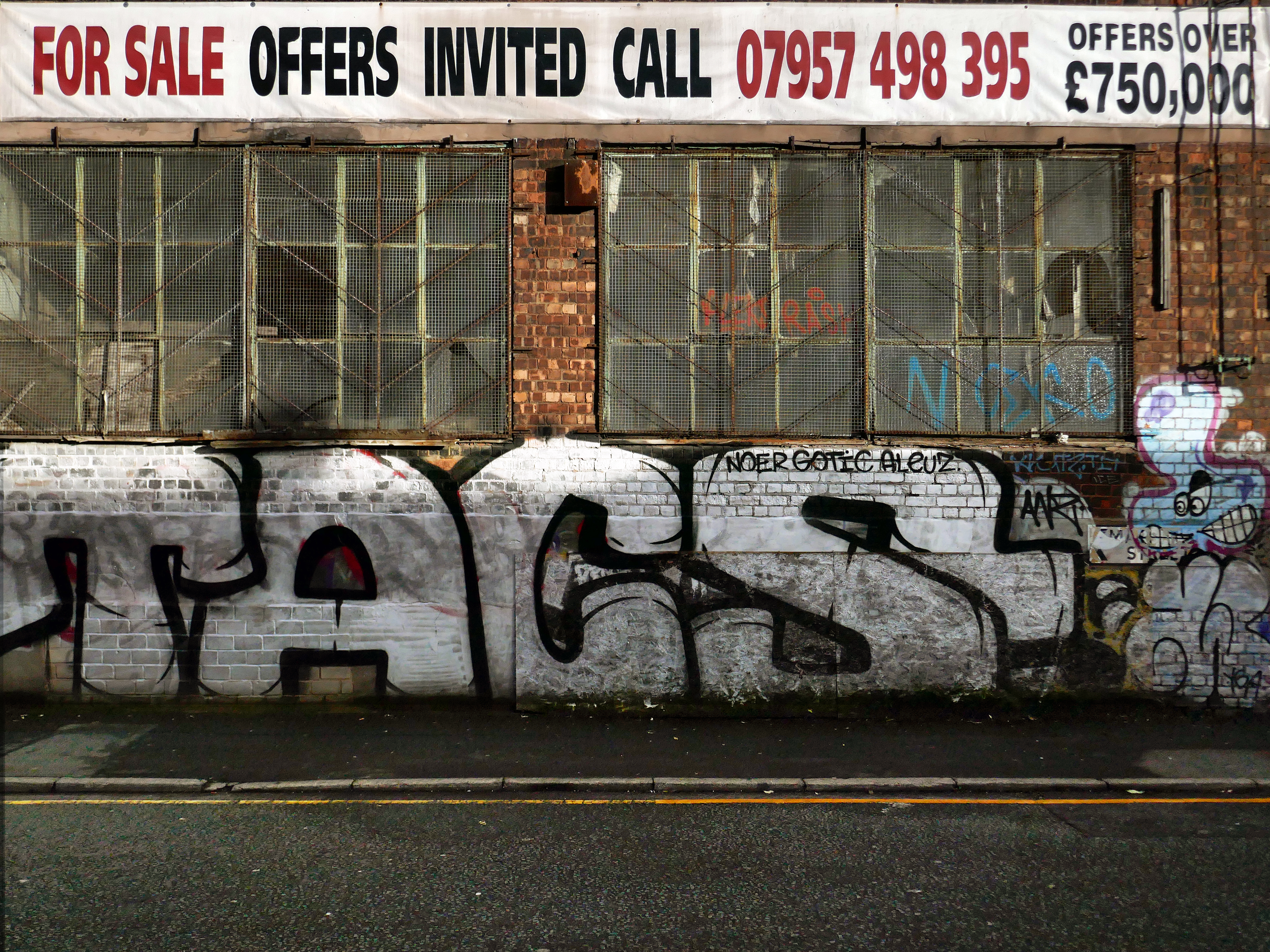
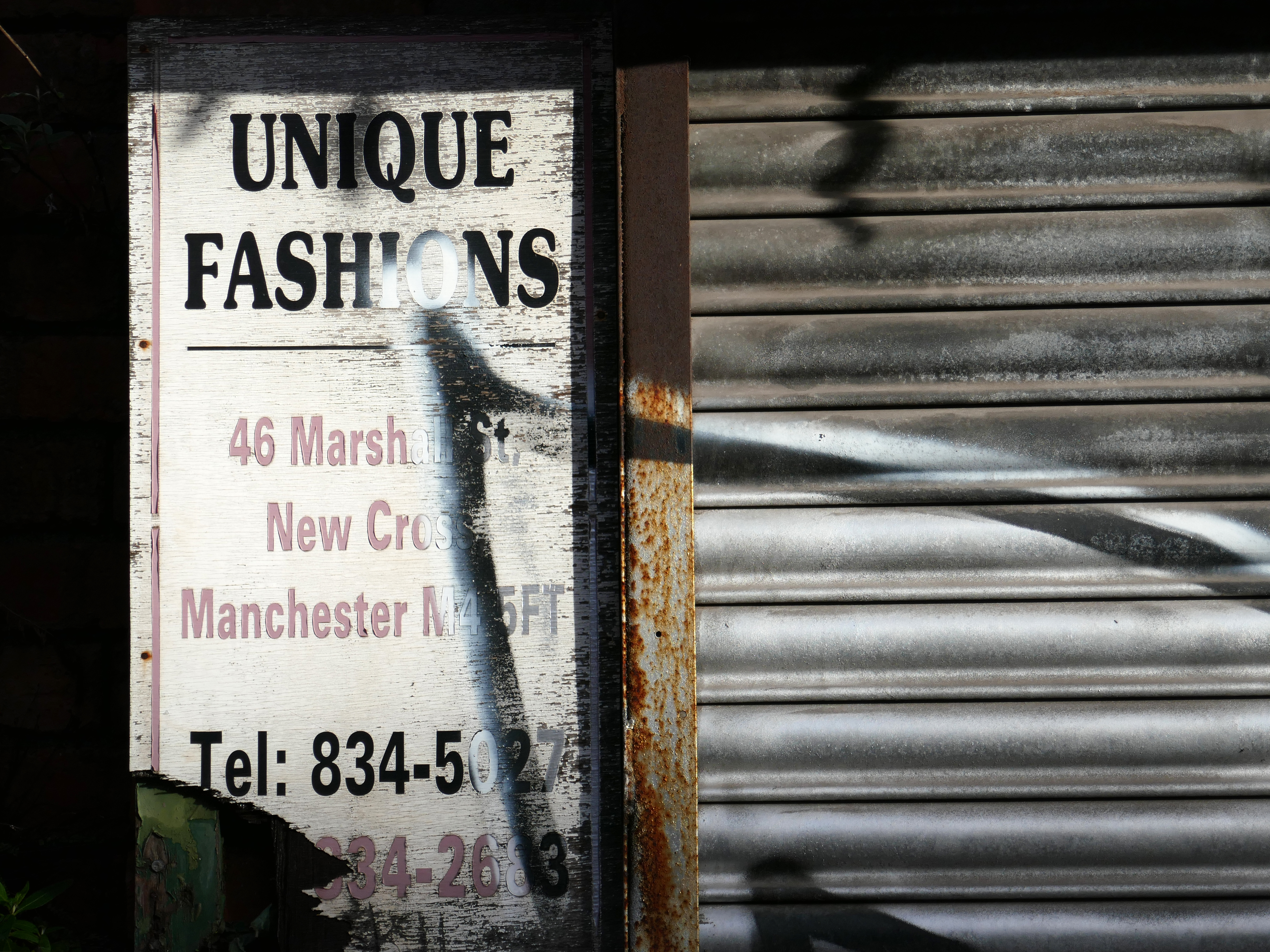
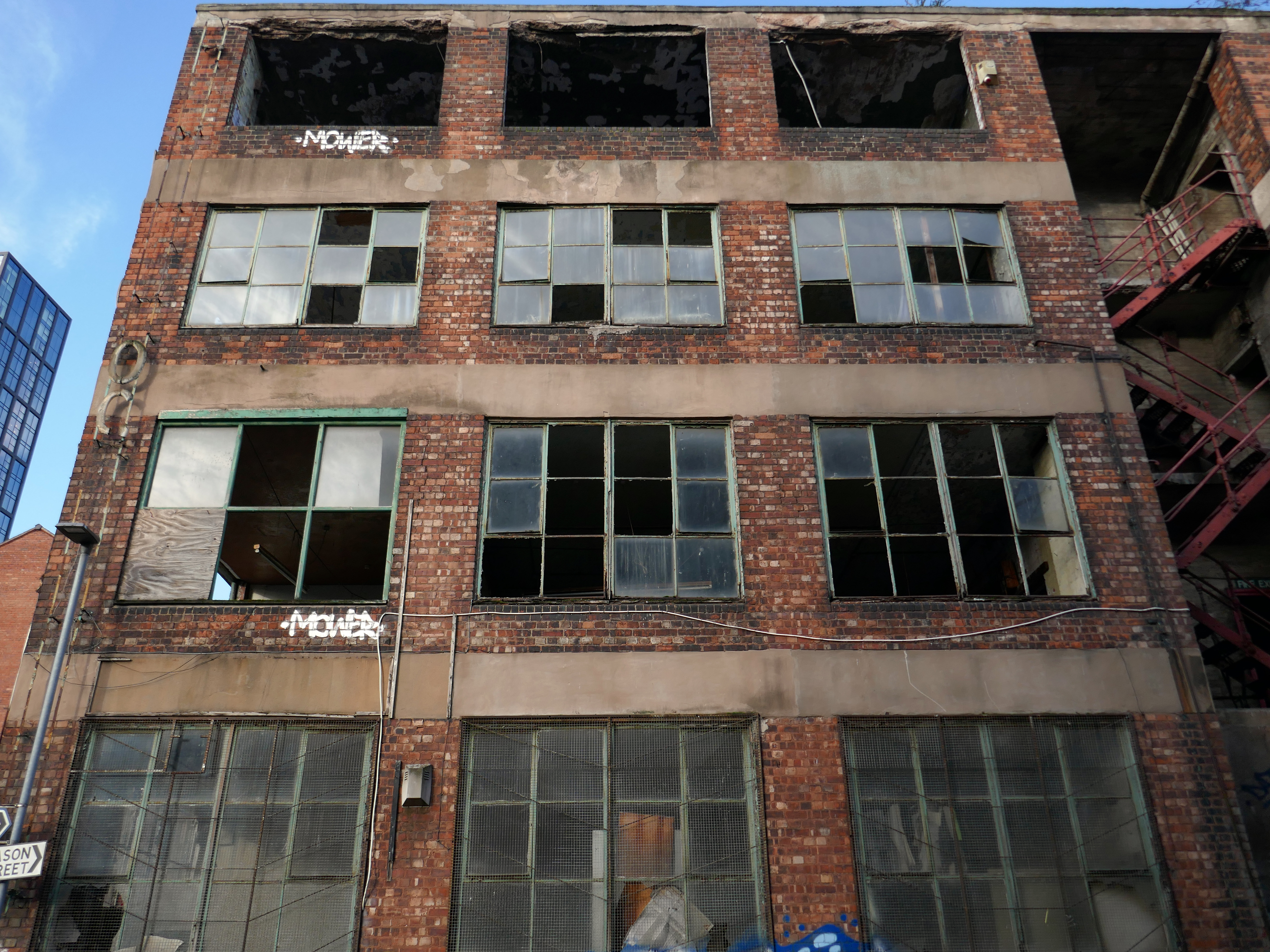
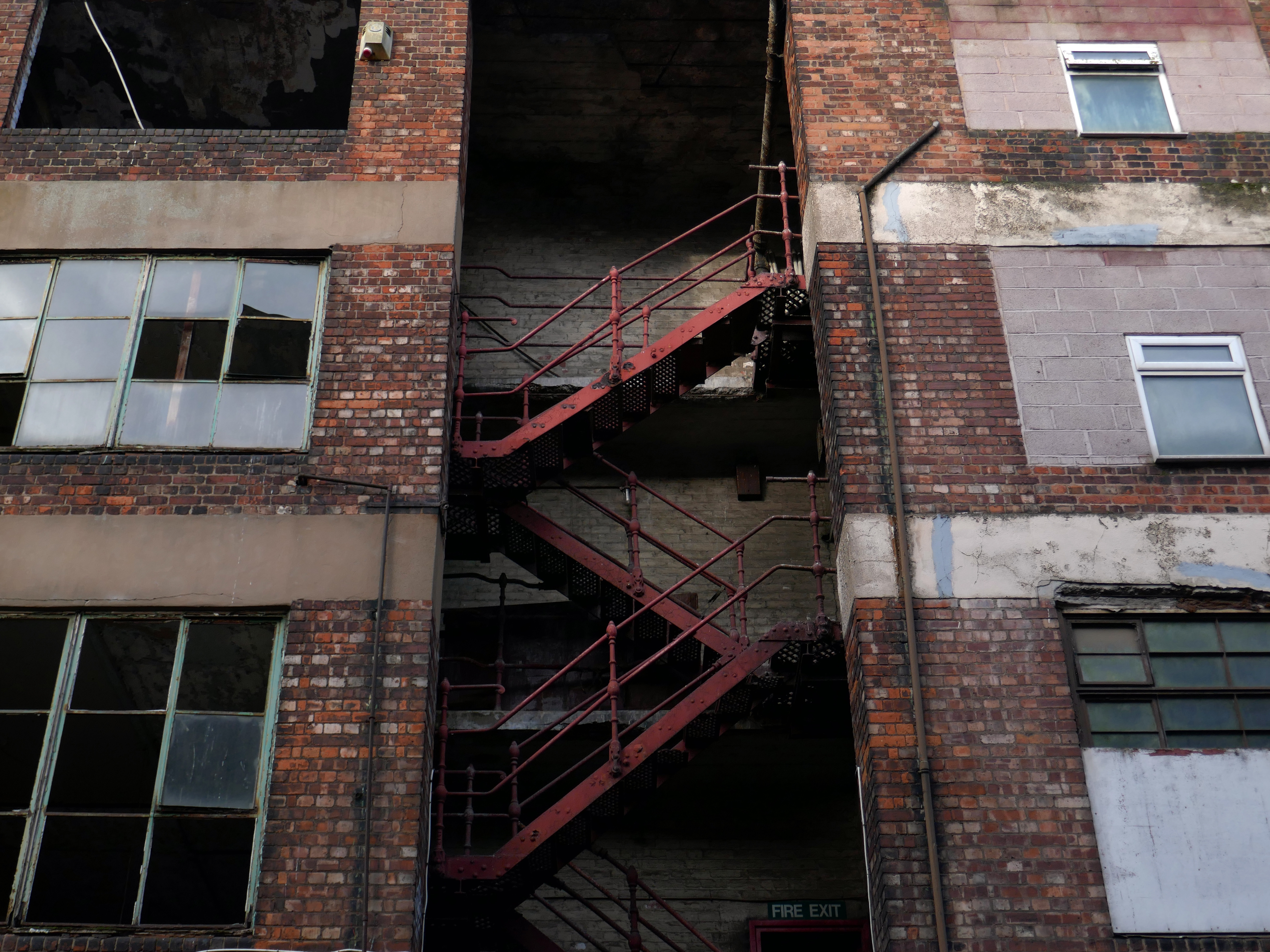
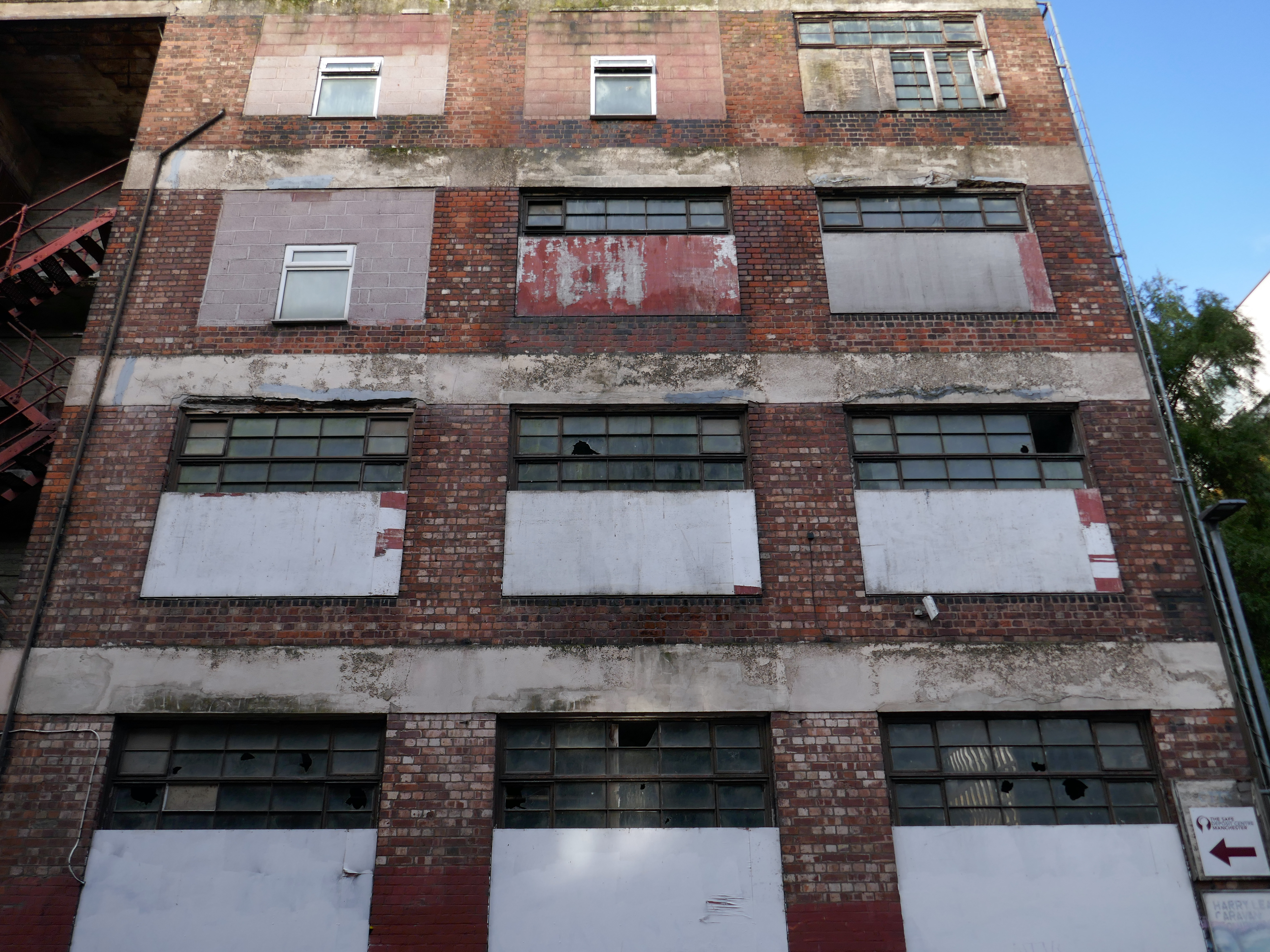
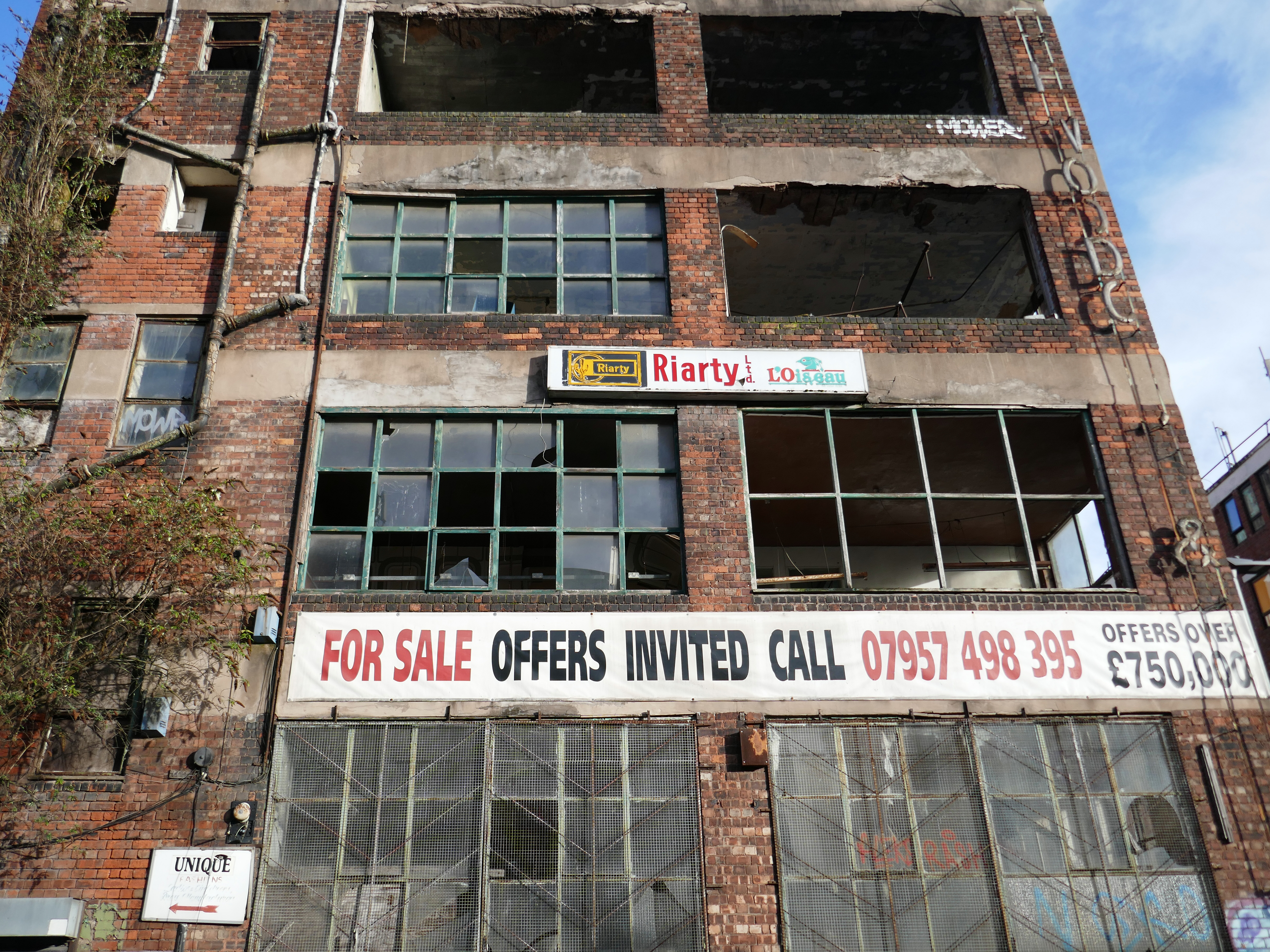
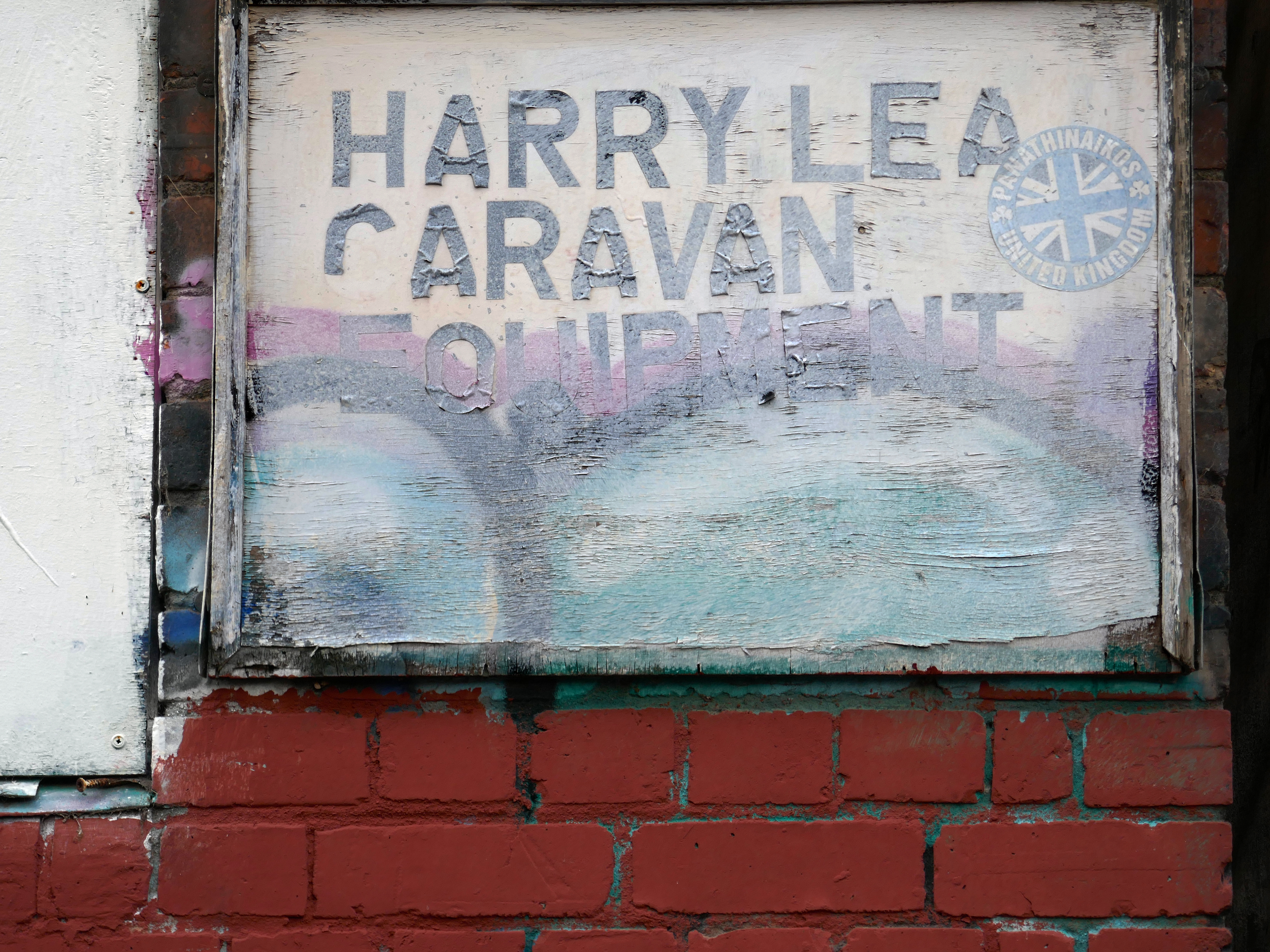
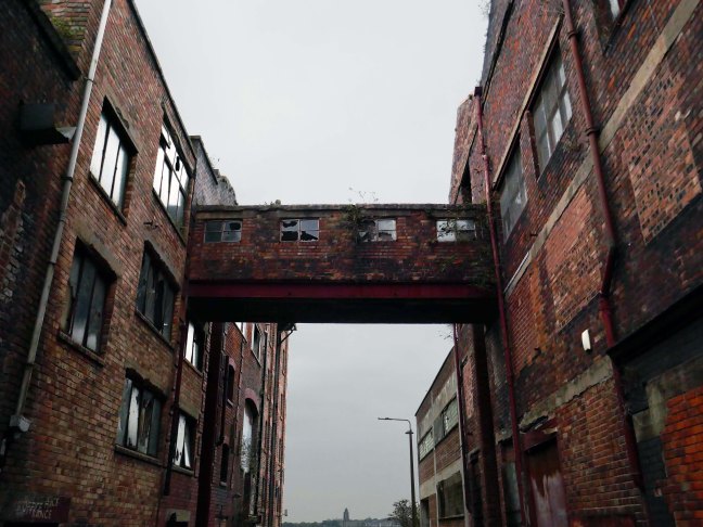
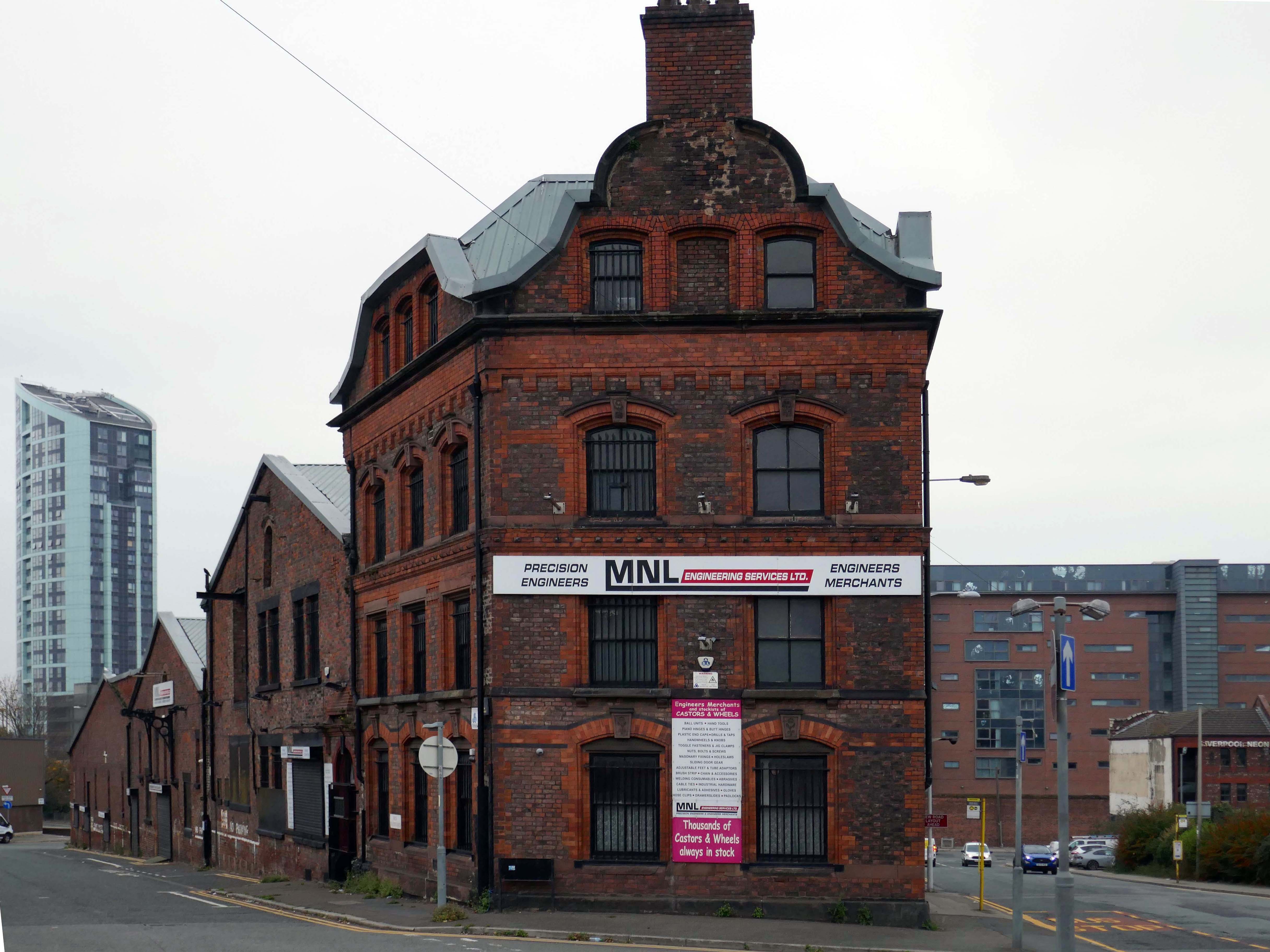
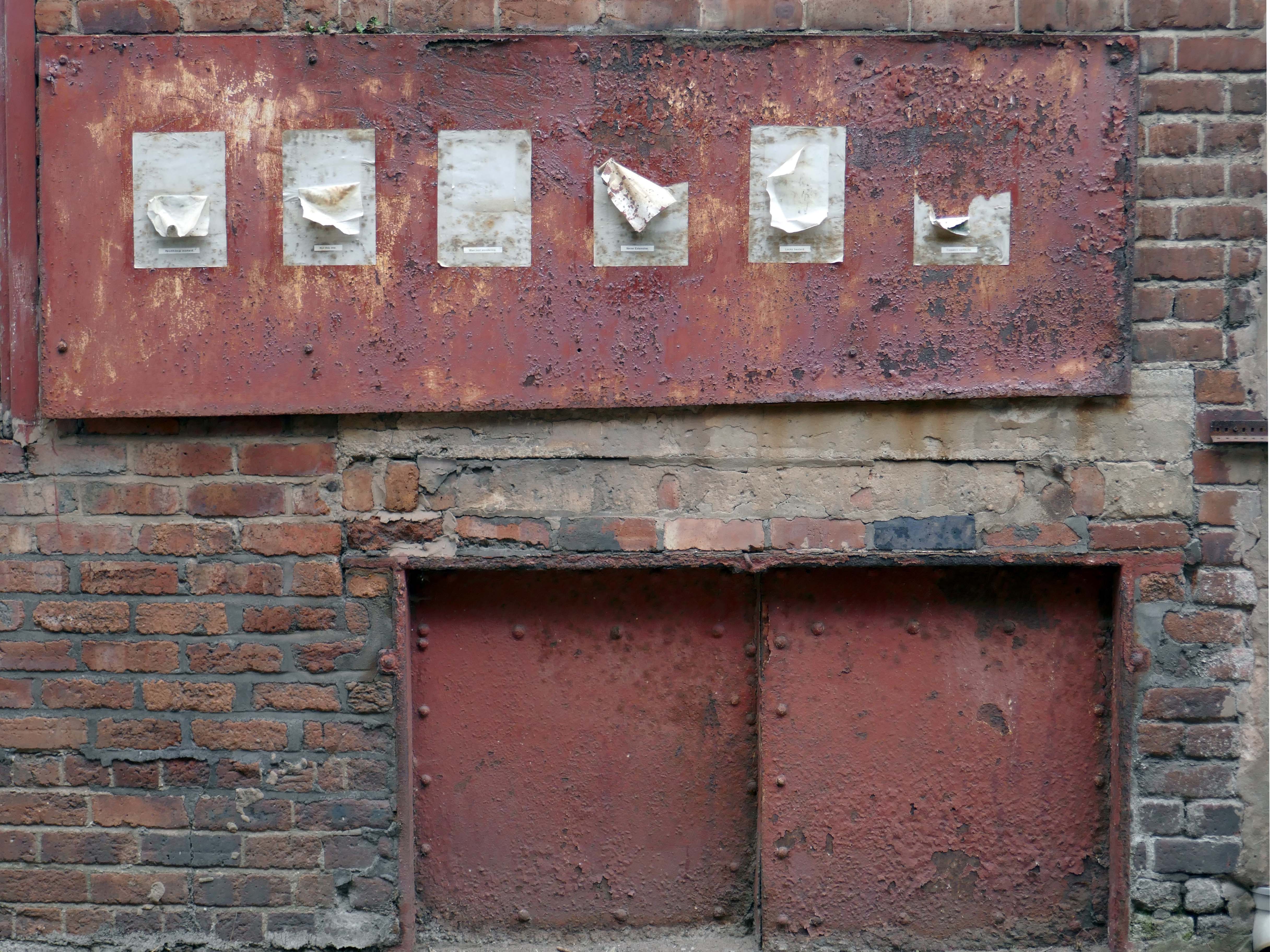
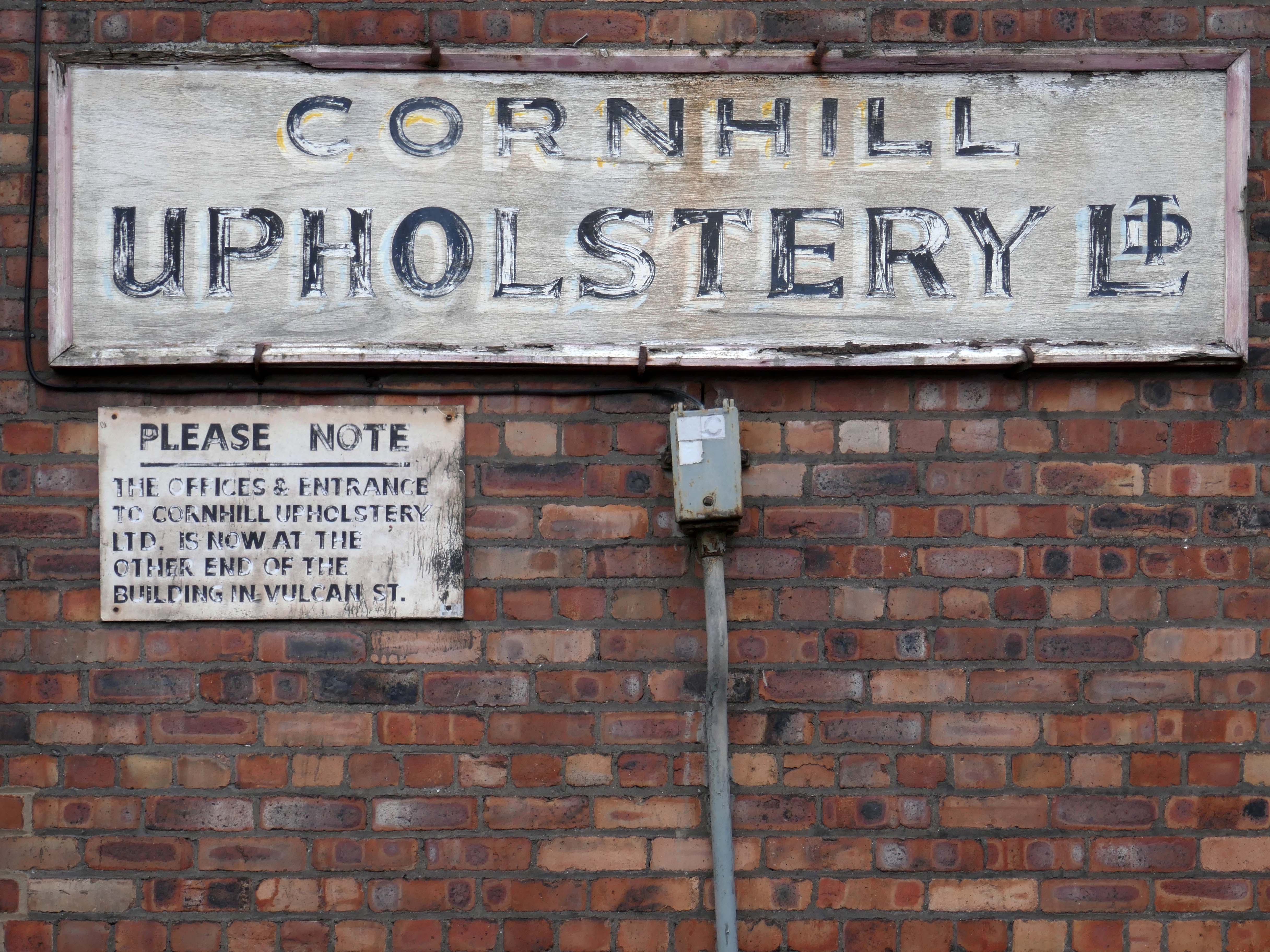
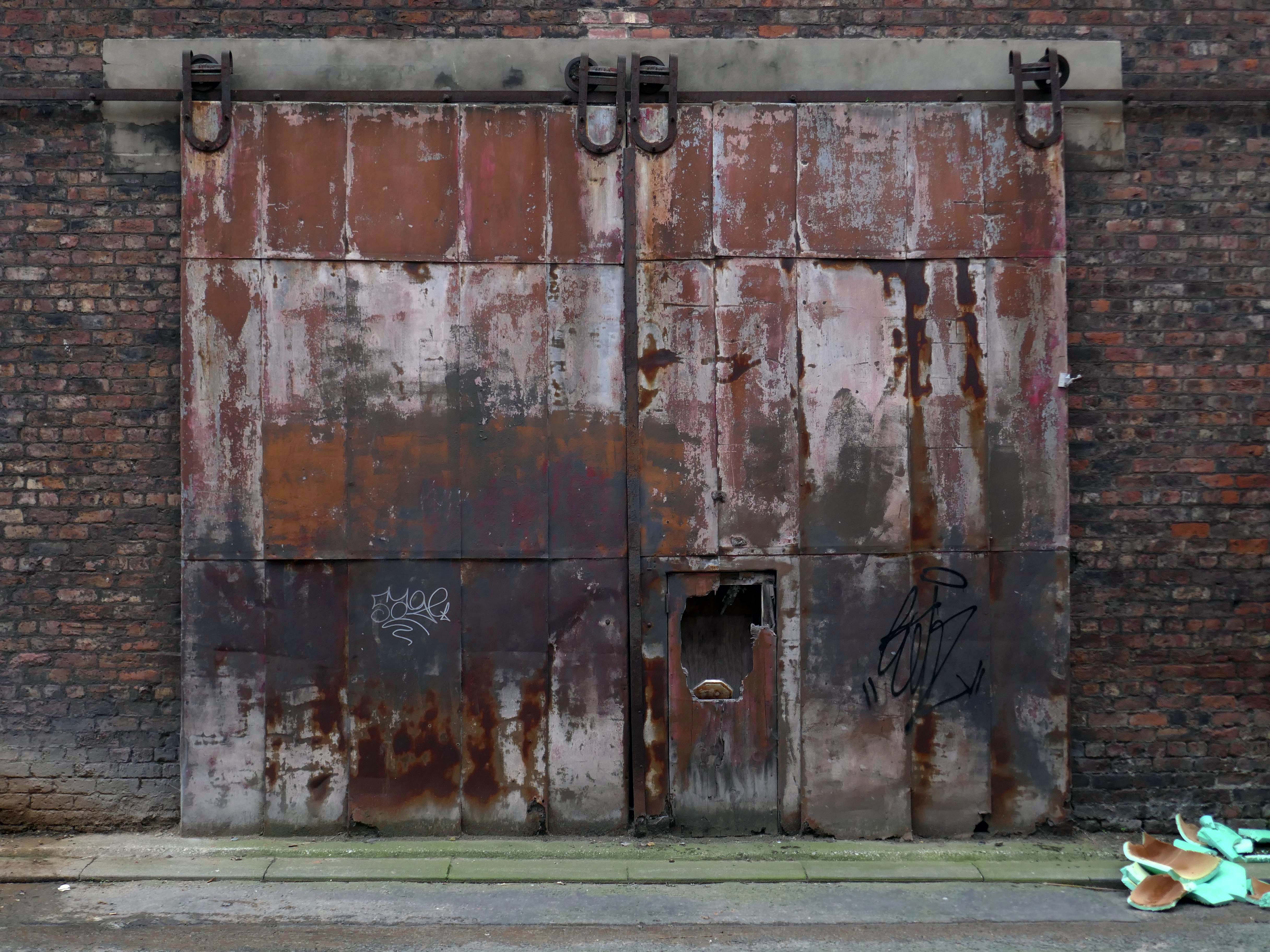
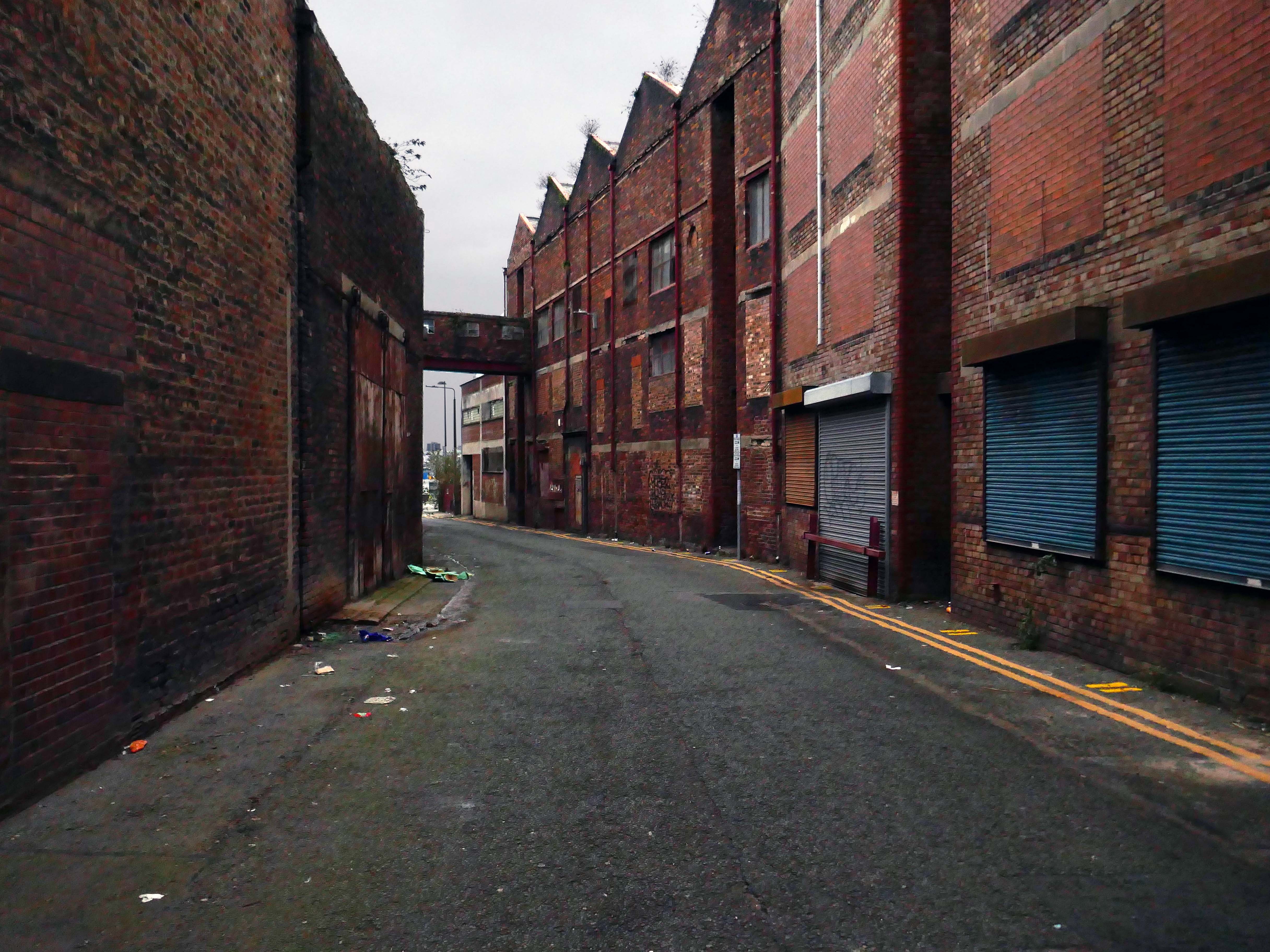
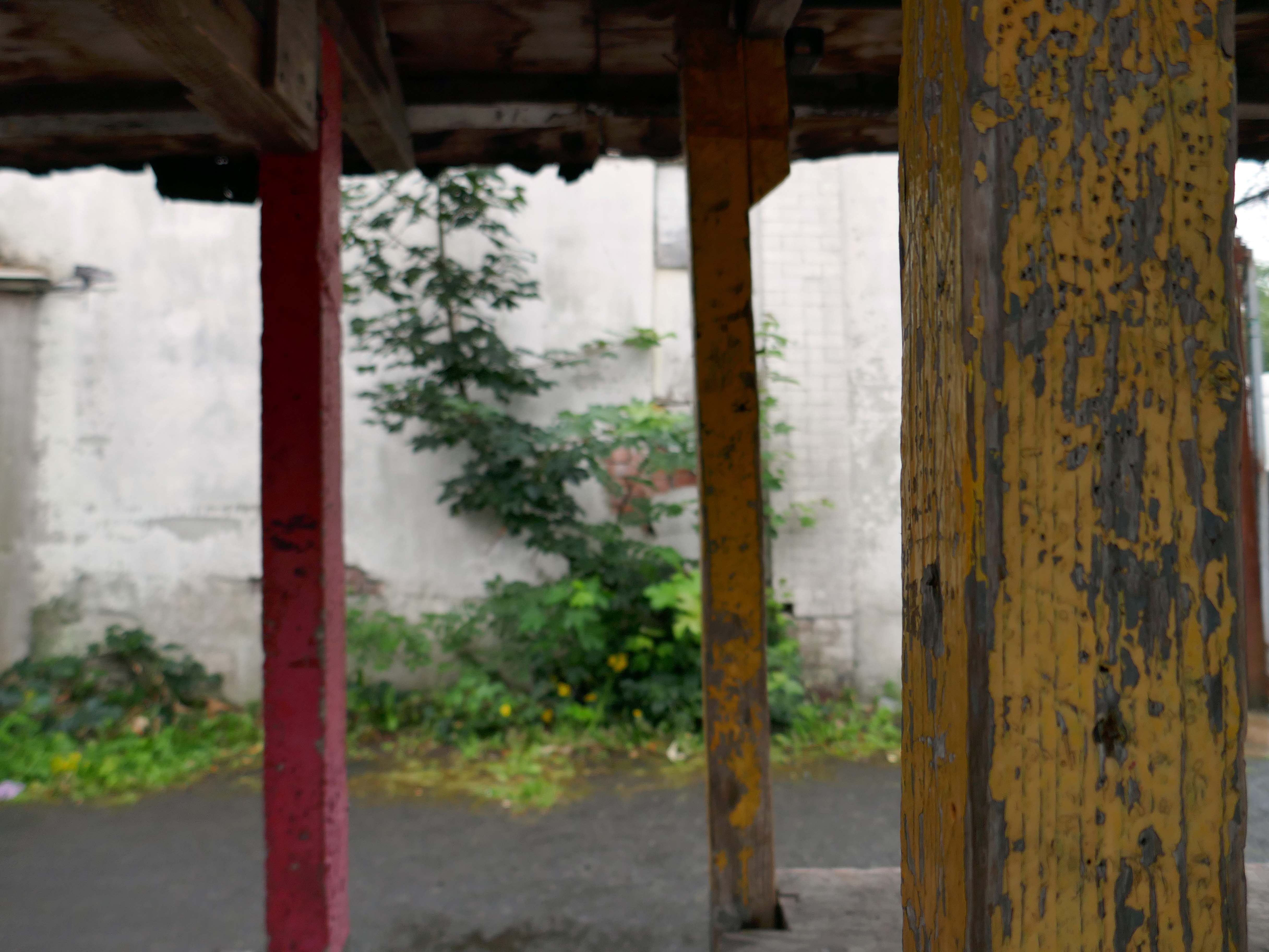
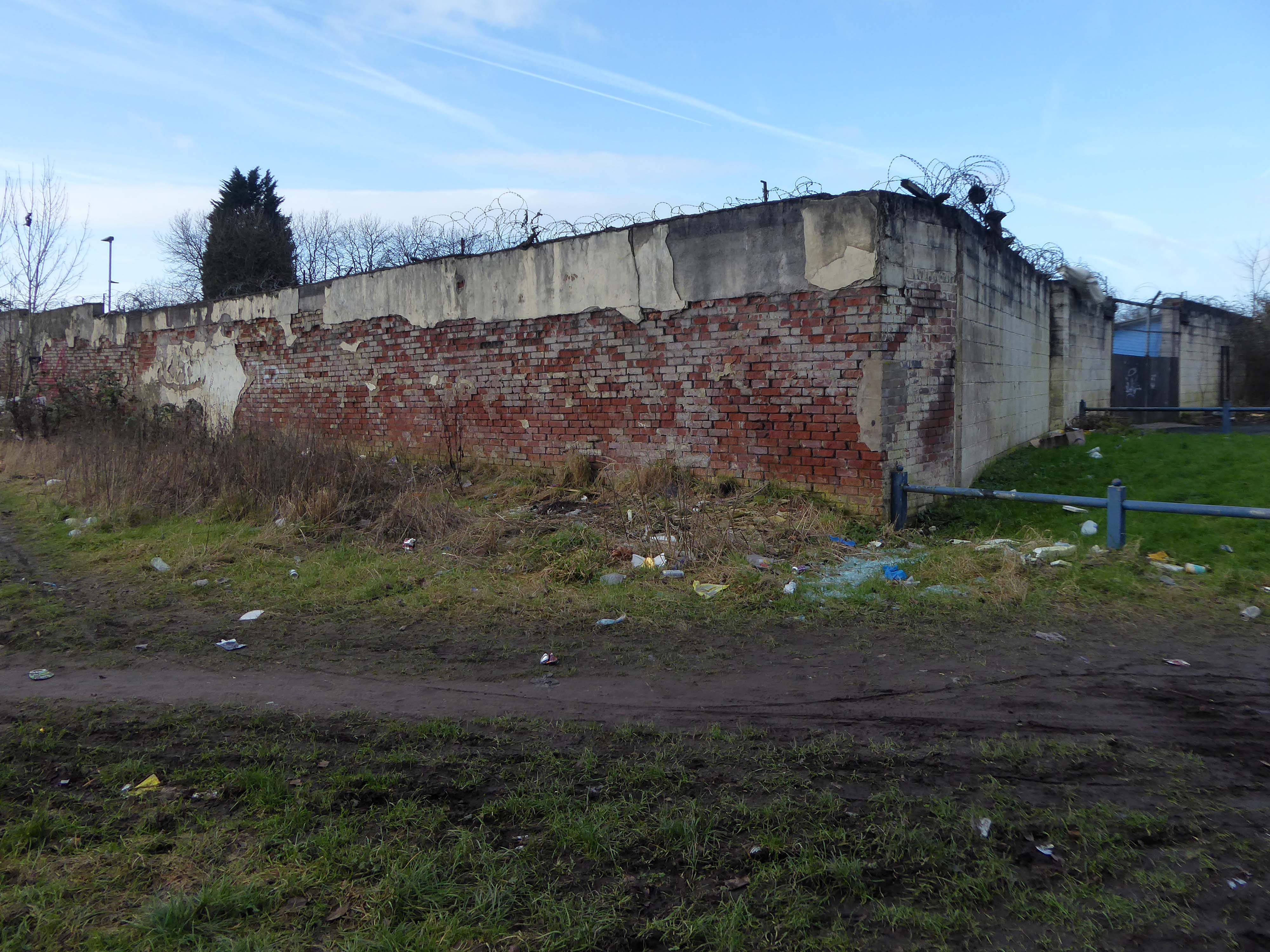
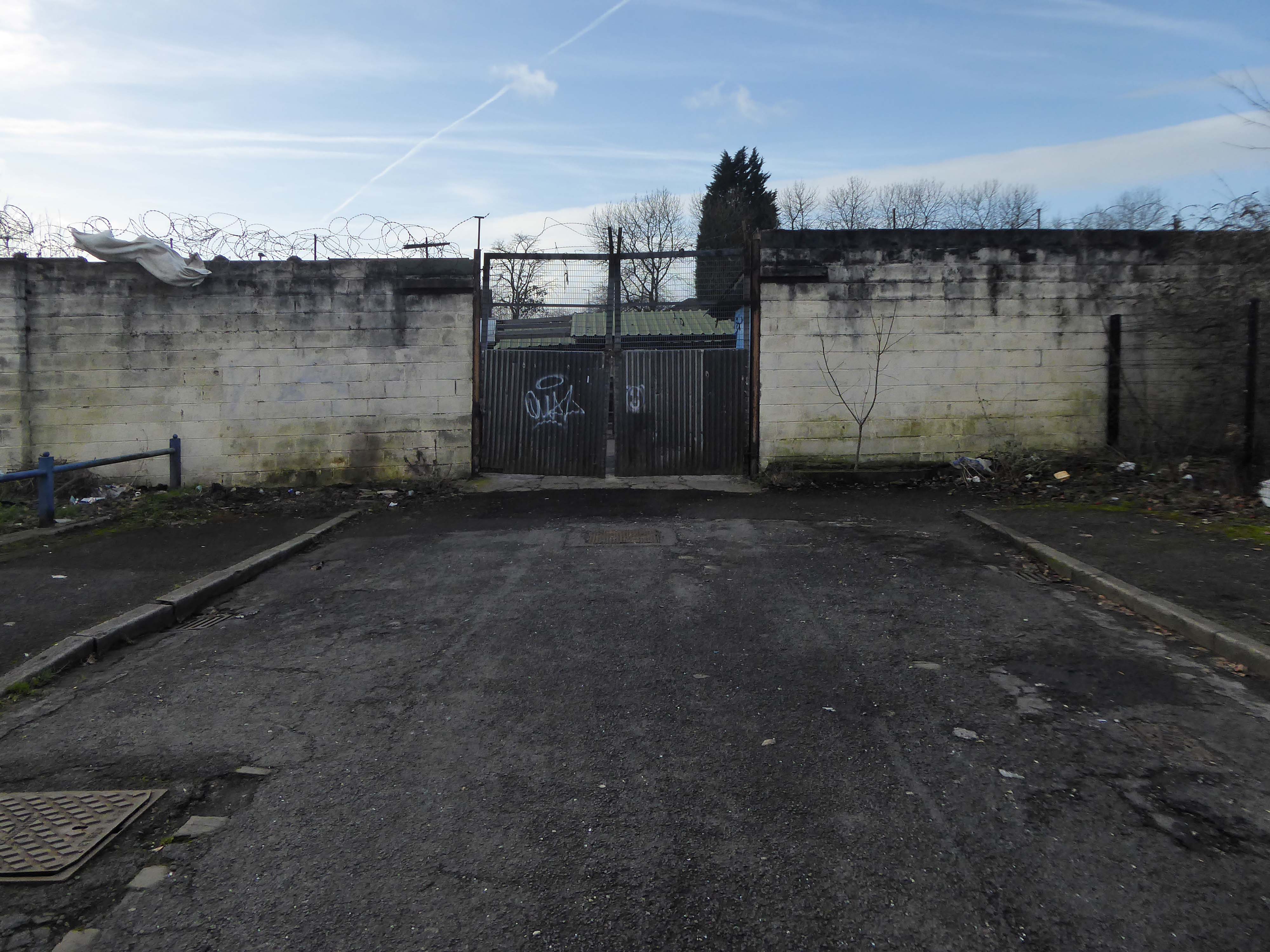
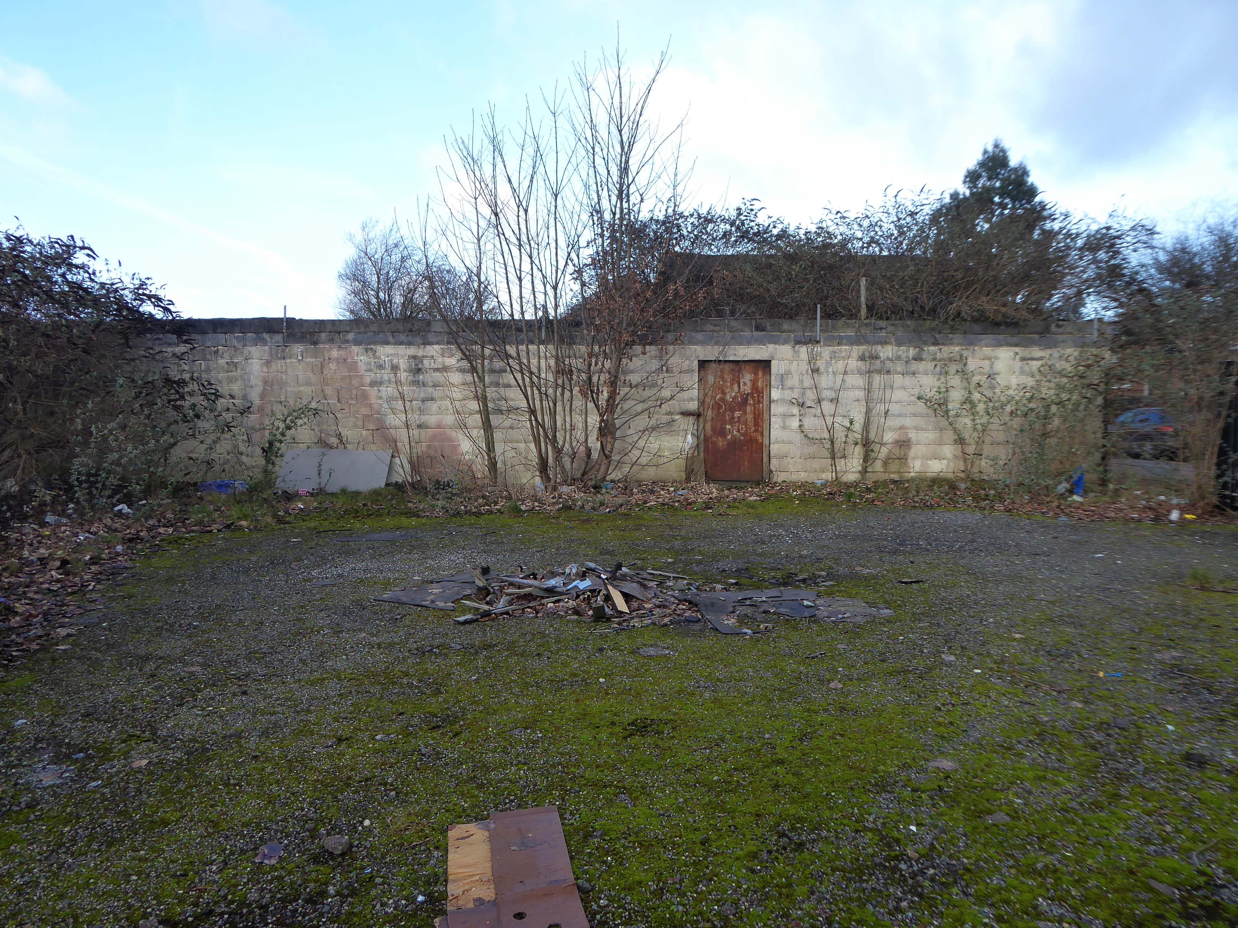
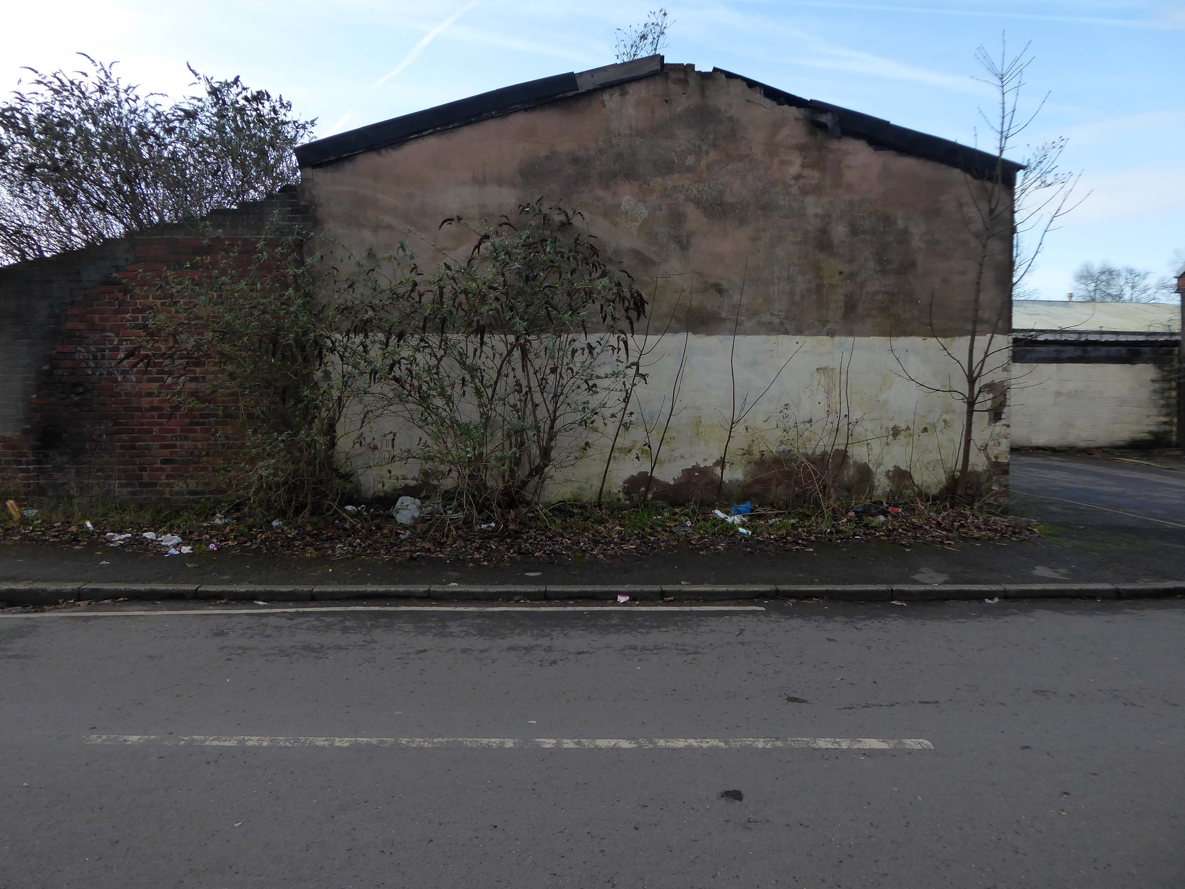
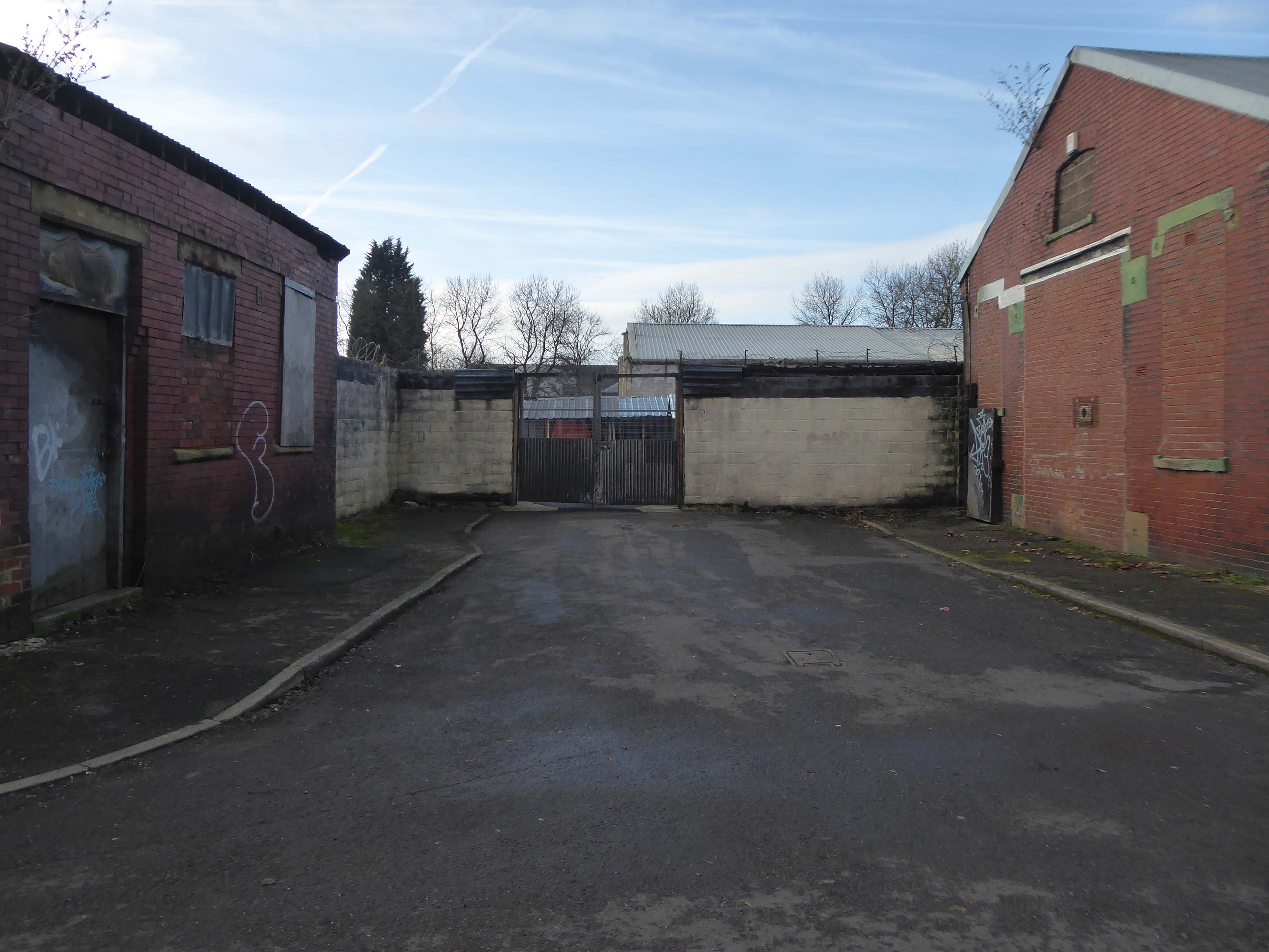
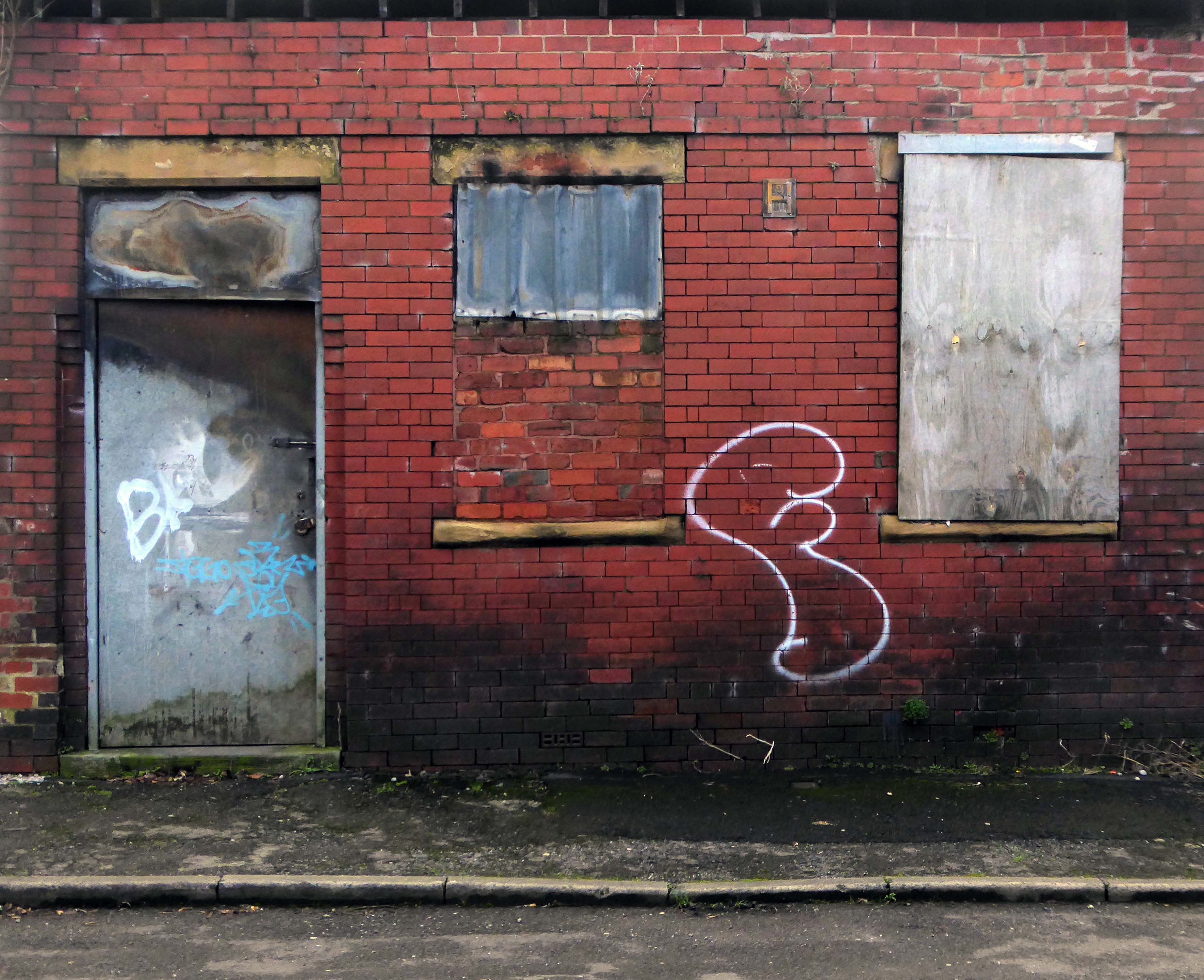
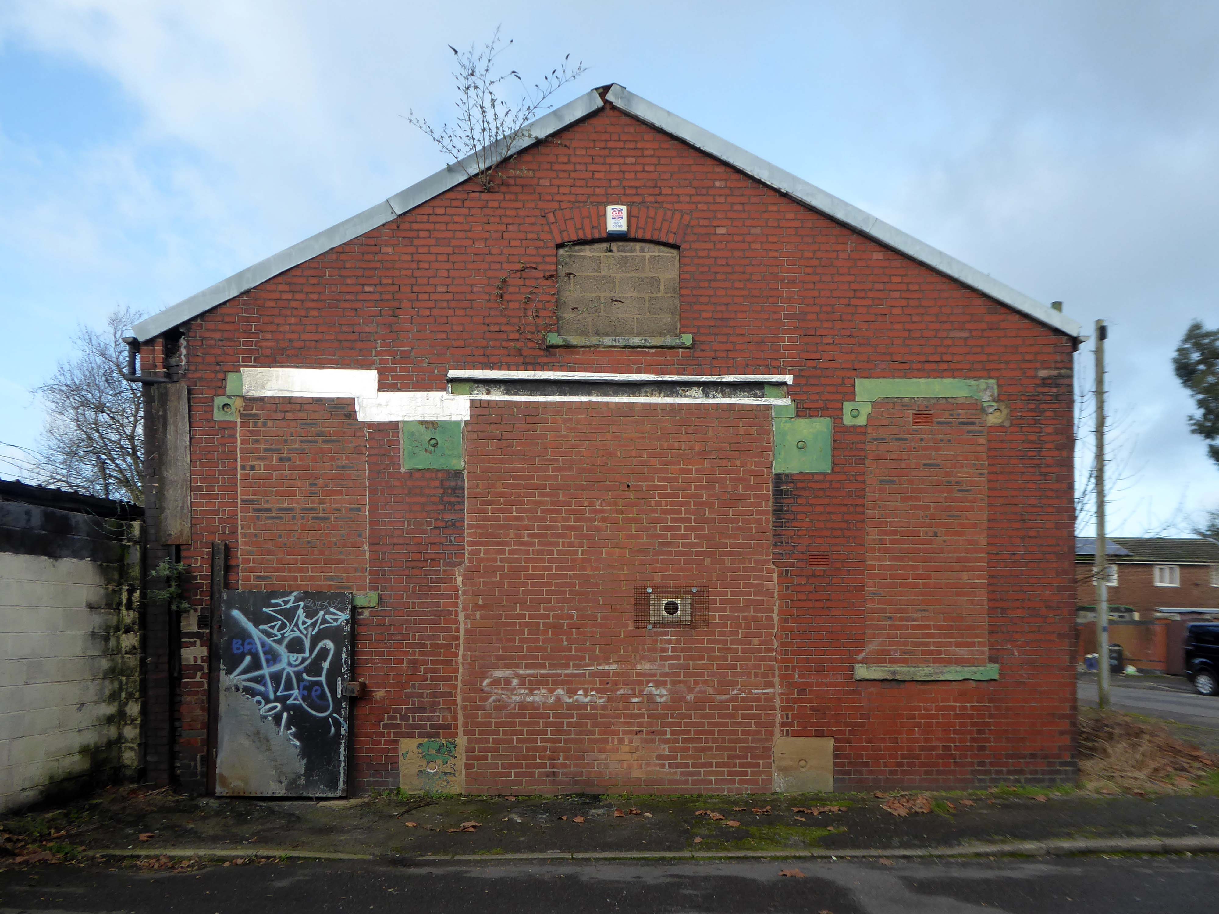
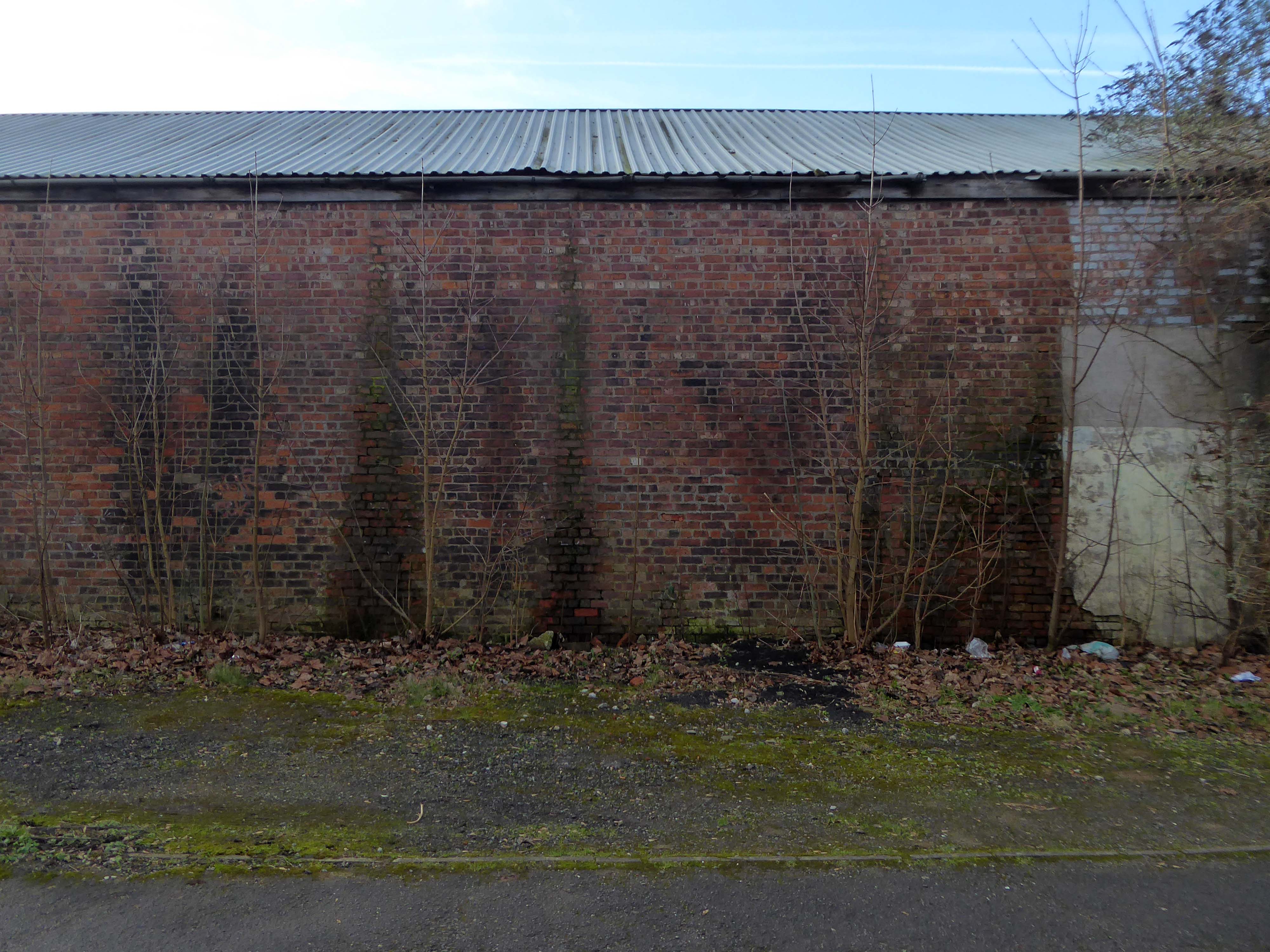
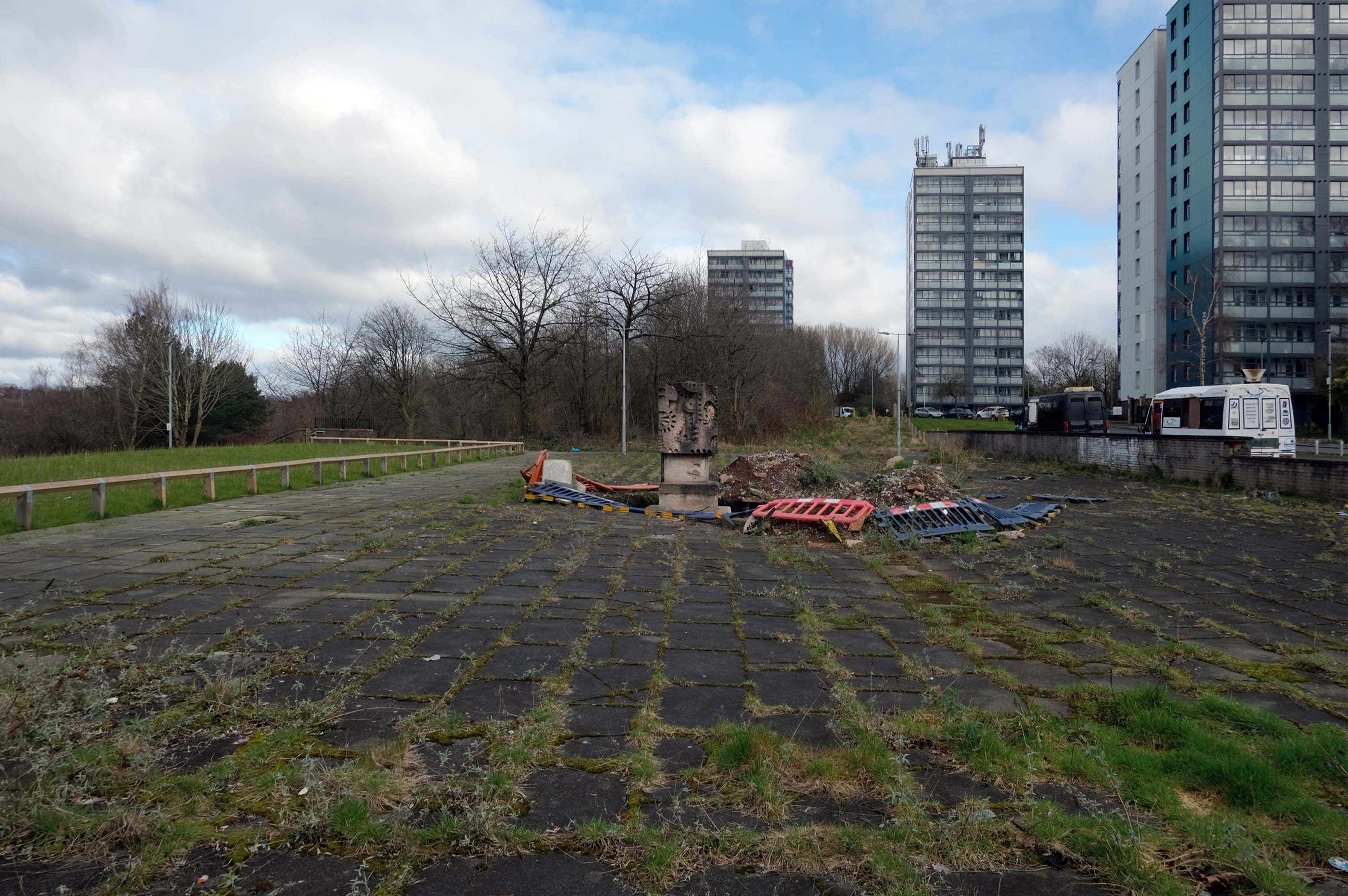
This building has always intrigued me, its sits amongst what was formerly the heart of Manchester’s Rag Trade. It is an area of signs and lost industry, the comings and goings having been and gone.
The surrounding buildings are gradually being refurbished or replaced, but somehow 46 Marshall Street is bucking the trend, though at some point someone somewhere will find over £750,000.
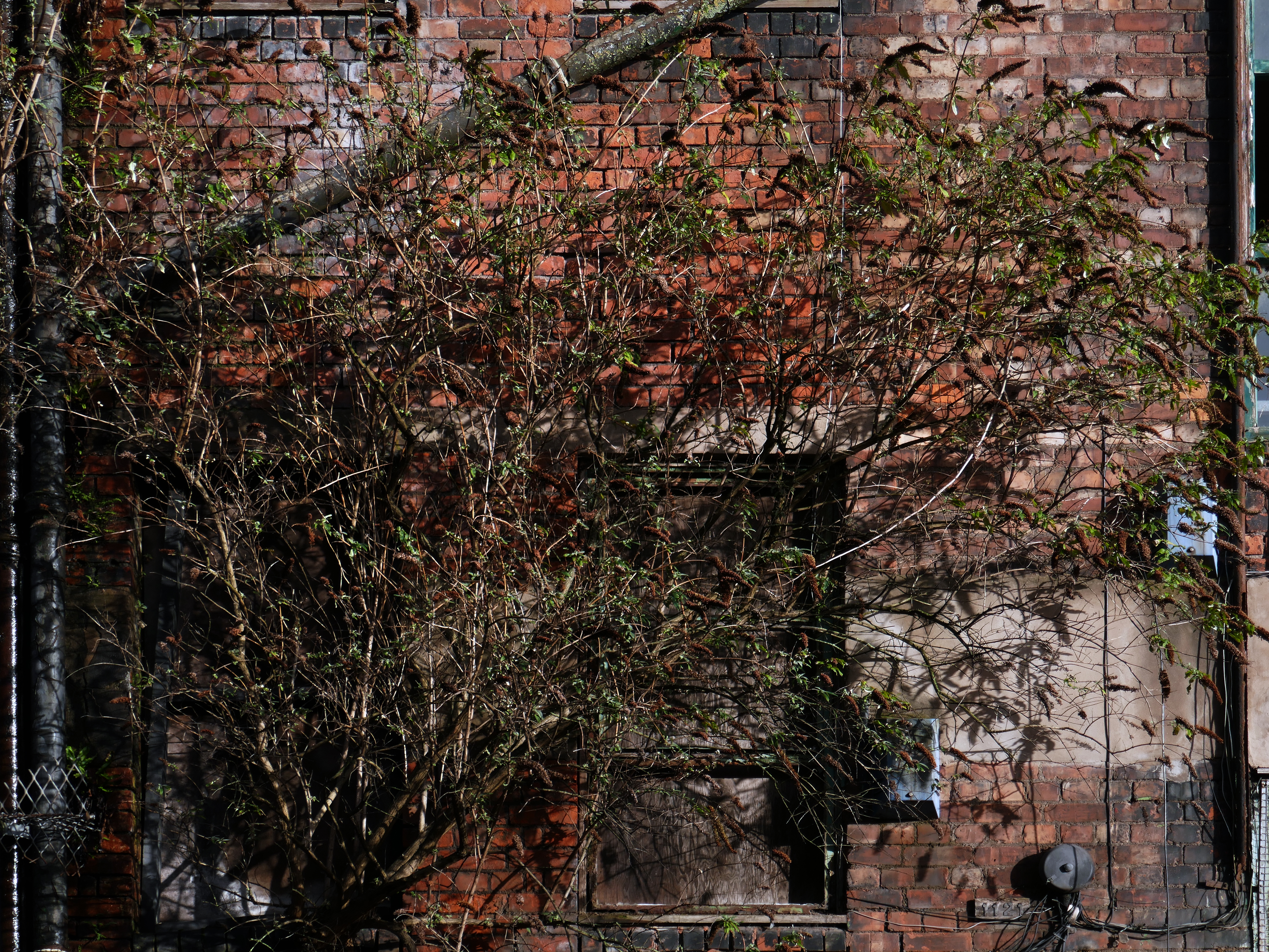
Gradually its wooden framed windows become the poked out eyes of its soul.
Light fittings hang limp and unlit, as the interior decor deteriorates.
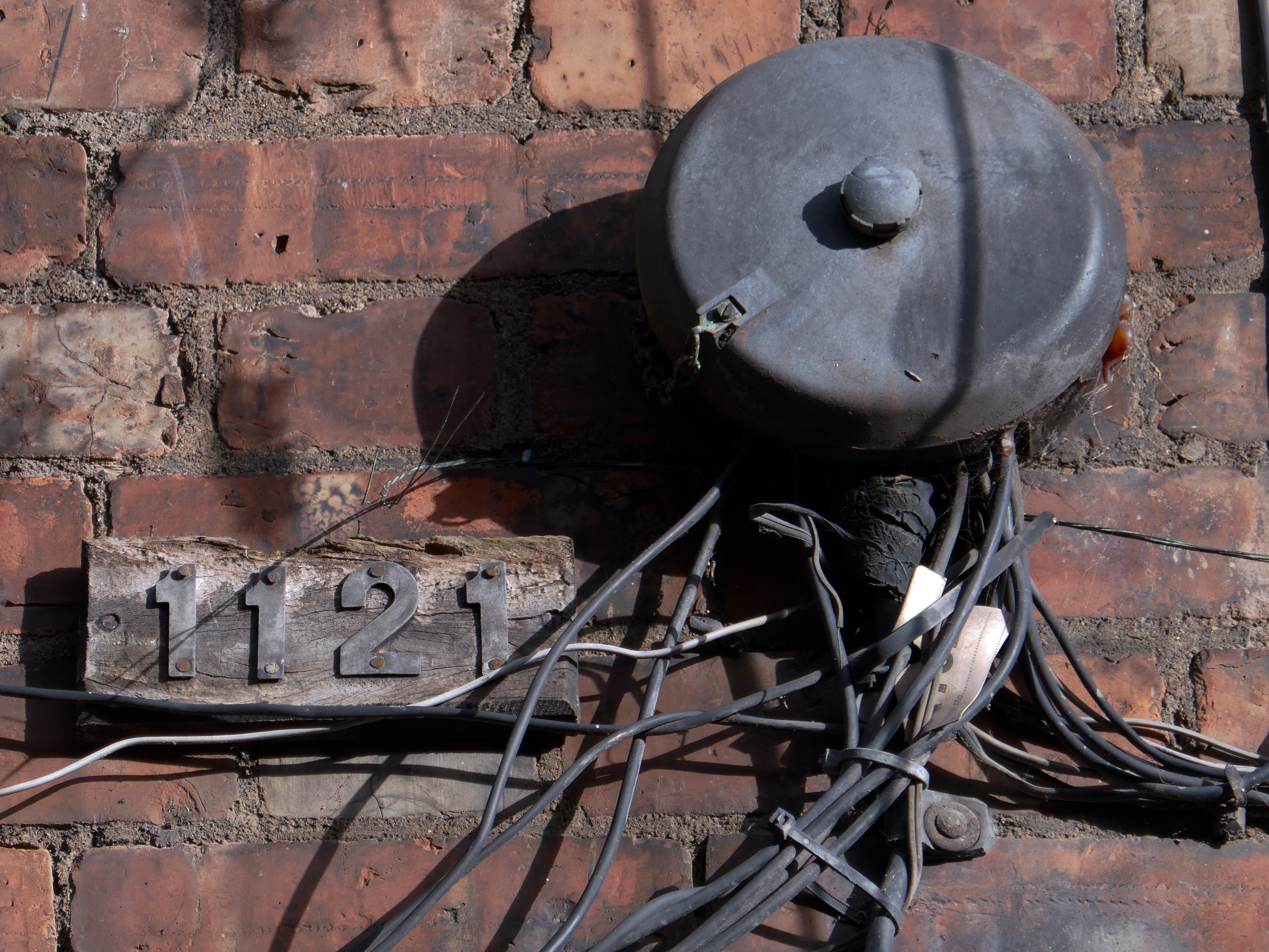
The restless rust inhabits the lower metallic fenestration.
Block work blocks the blocked up entrances.
The ampersand can be traced back to the 1st century AD and the old Roman cursive, in which the letters E and T occasionally were written together to form a ligature.
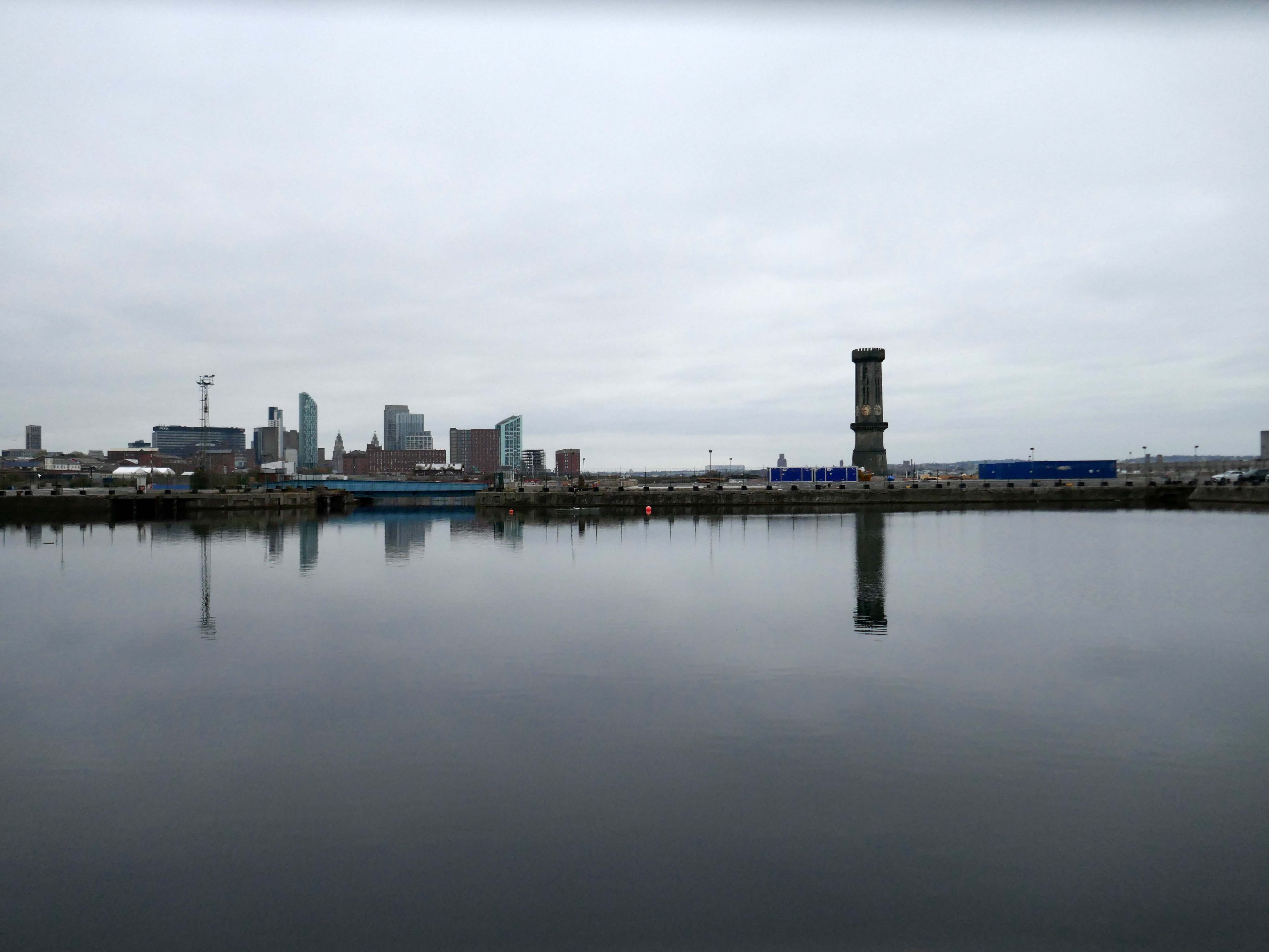
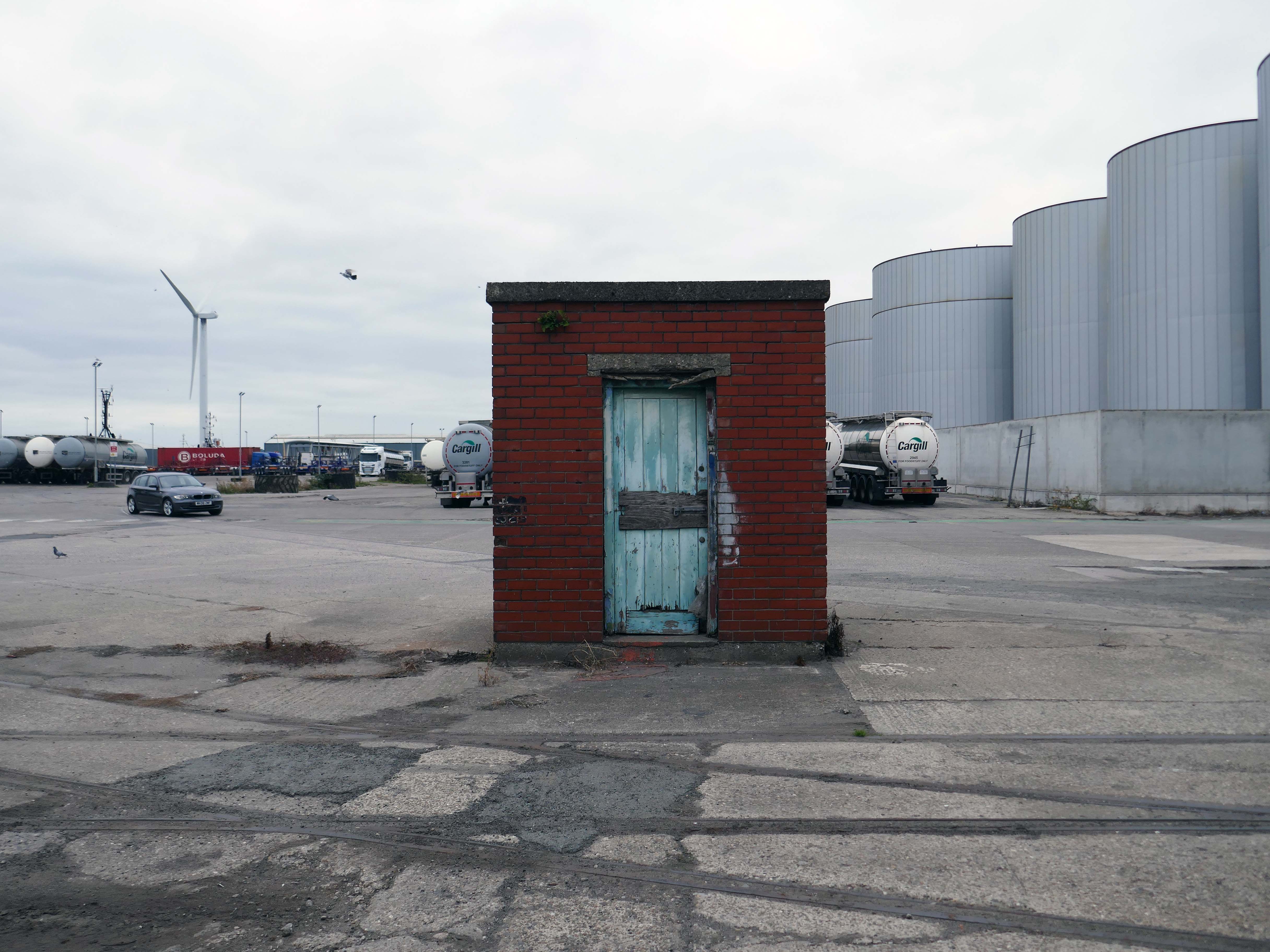
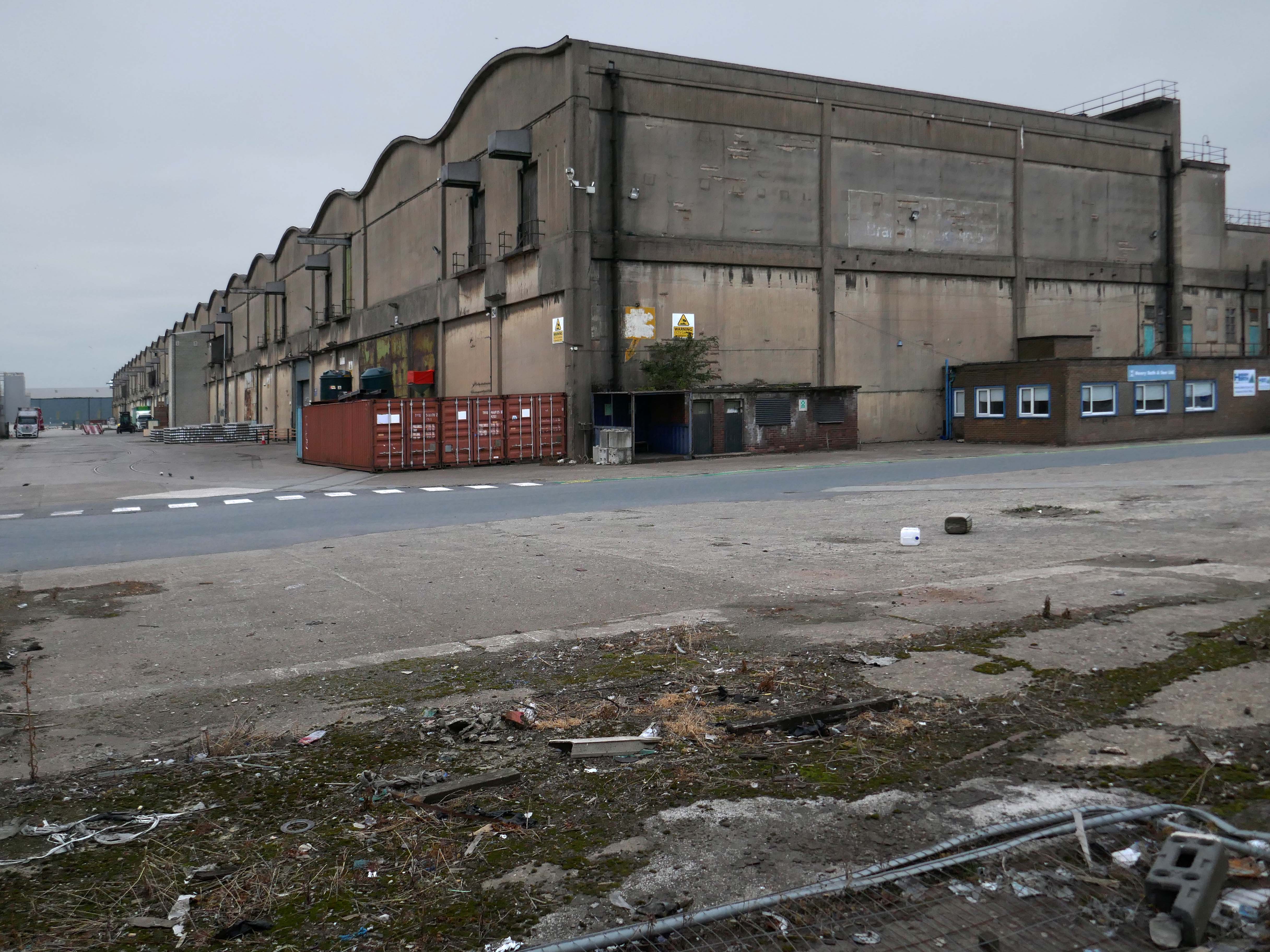
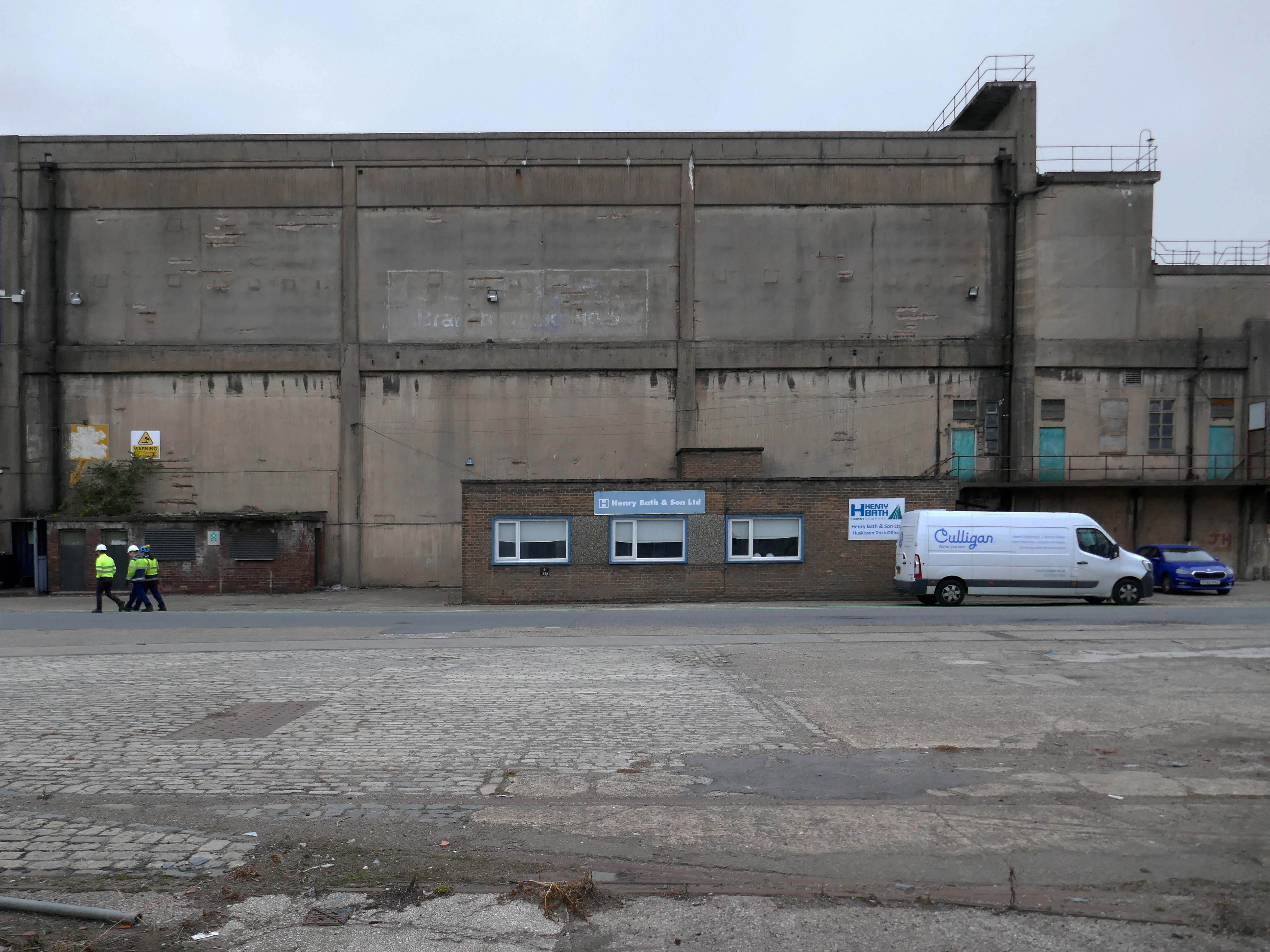
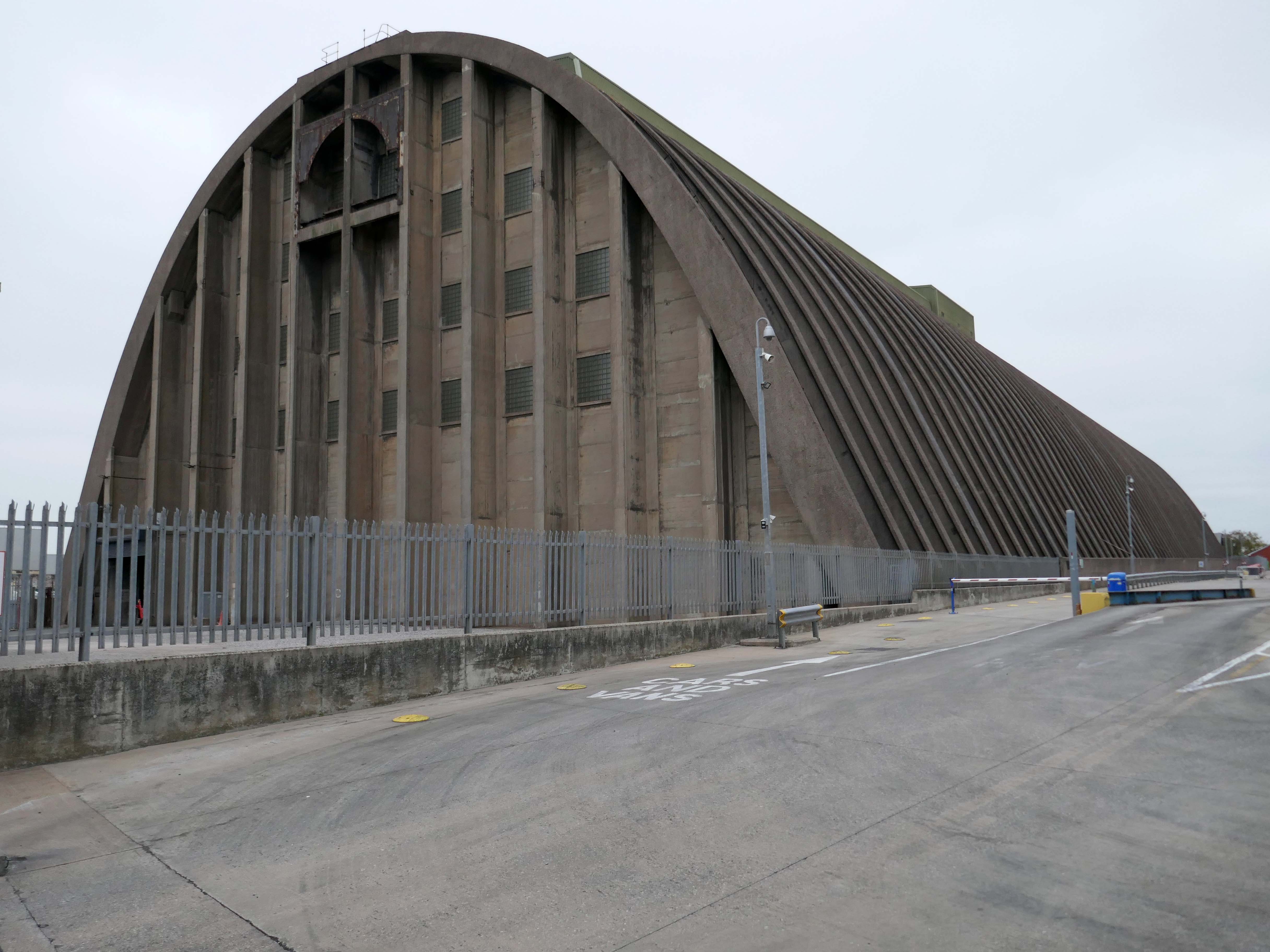
The days when a vast multitude of things came and went have been and gone.
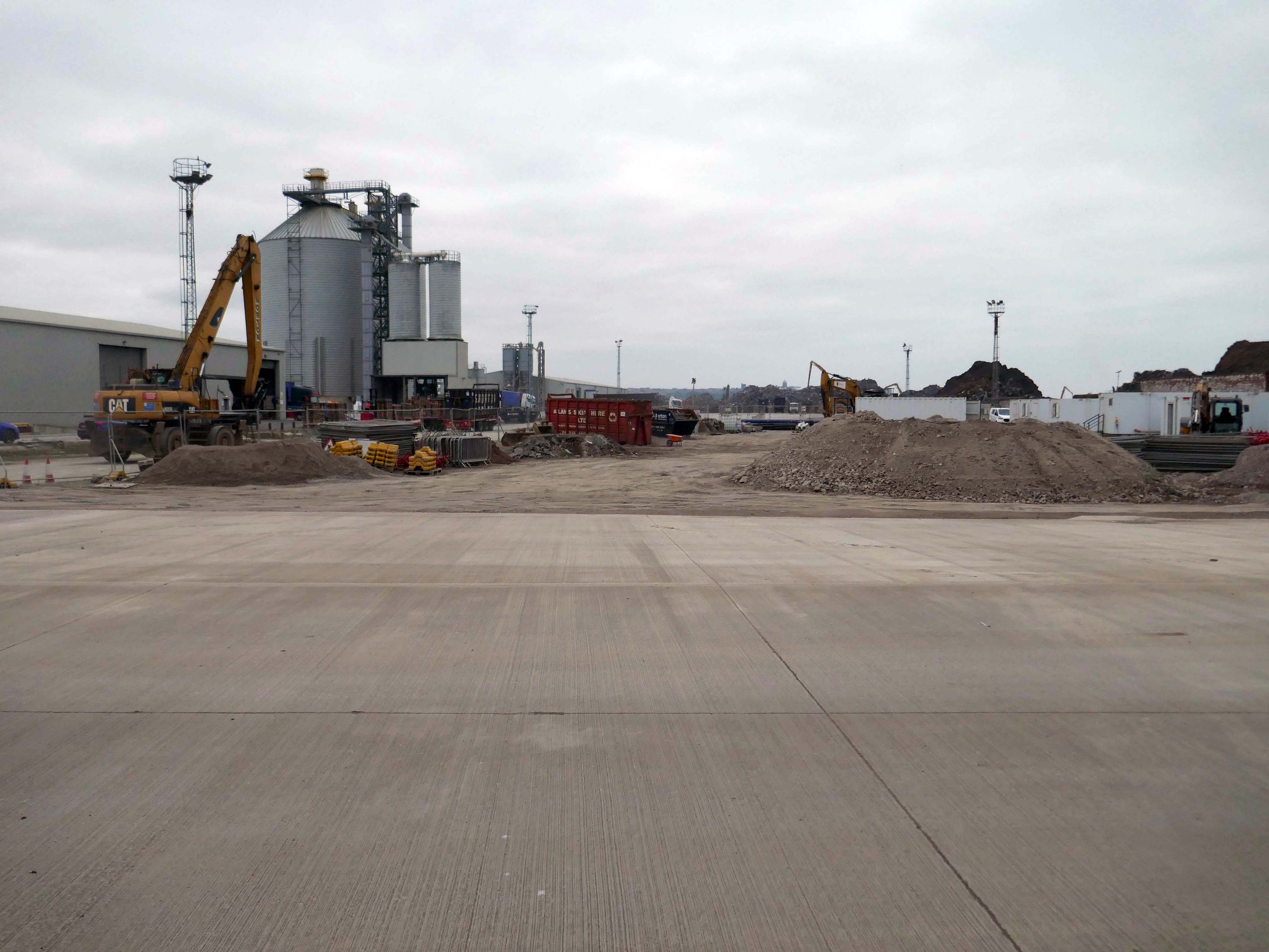
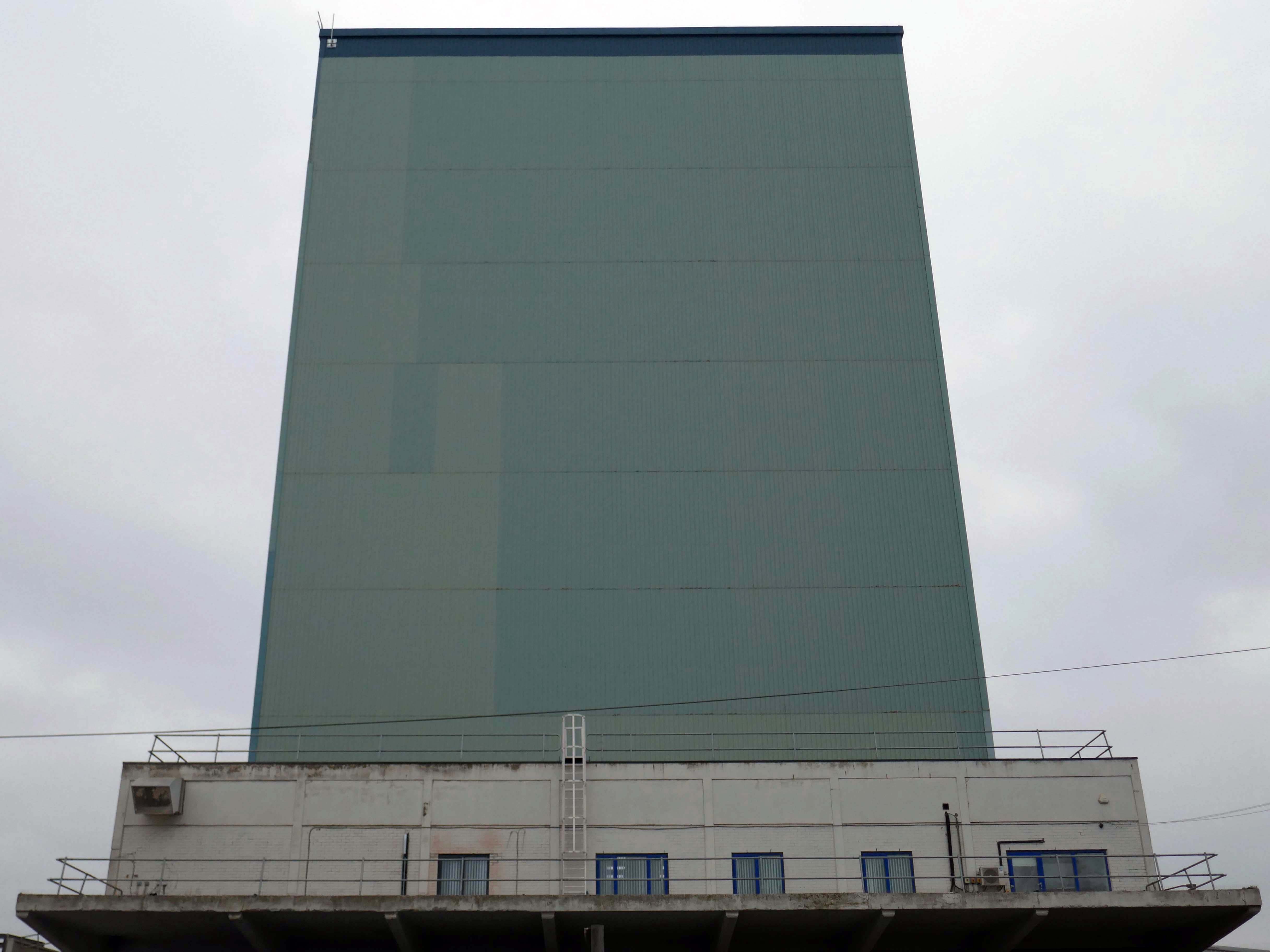
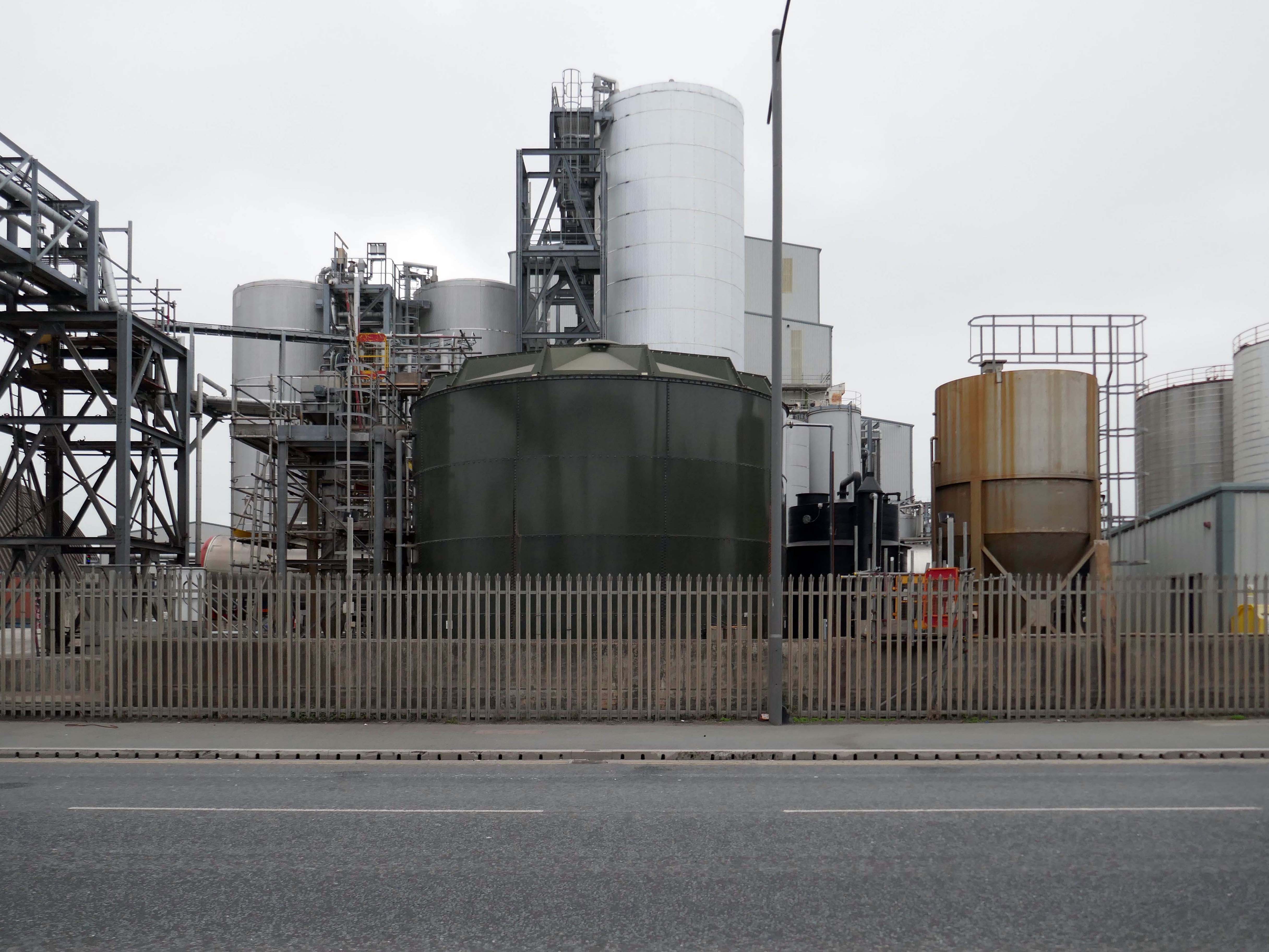
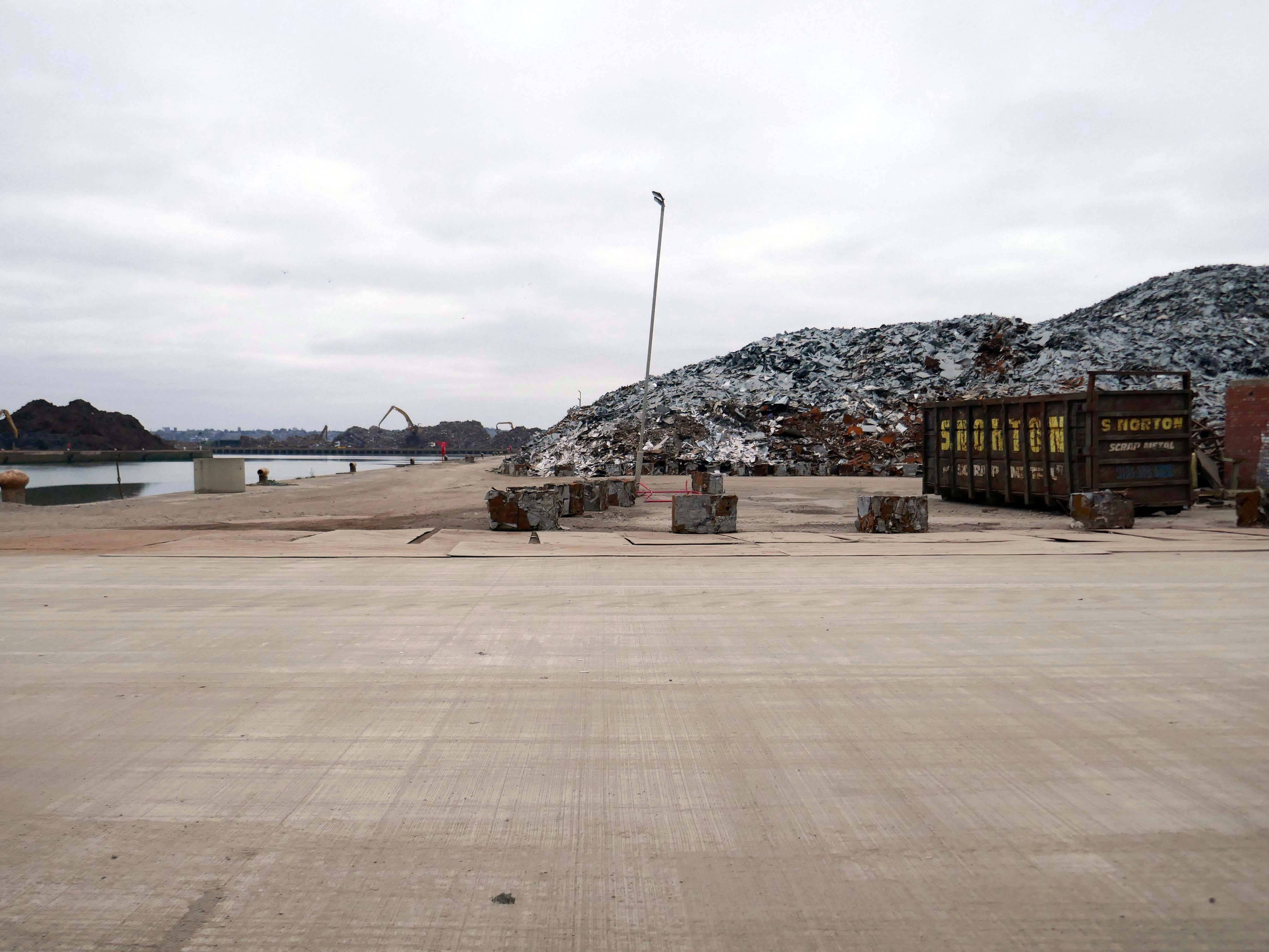
The docks as they were are no more.
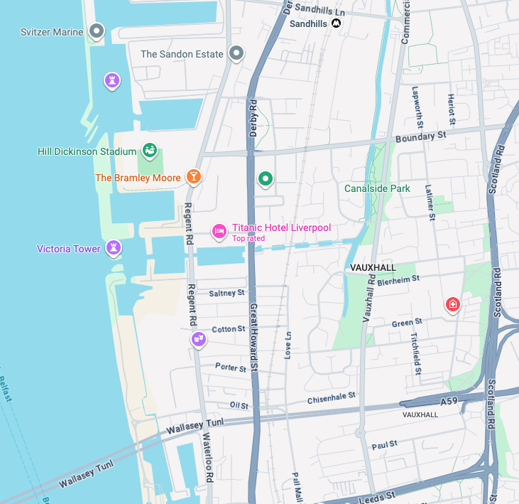
Yet in 2023, the Port of Liverpool was the UK’s fourth busiest container port, handling over 30 million tonnes of freight per annum. It handles a wide variety of cargo, including containers, bulk cargoes such as coal, grain and animal feed, and roll-on/roll-off cargoes such as cars, trucks and recycled metals. The port is also home to one of the largest cruise terminals in the UK which handles approximately 200,000 passengers and over 100 cruise ships each year.
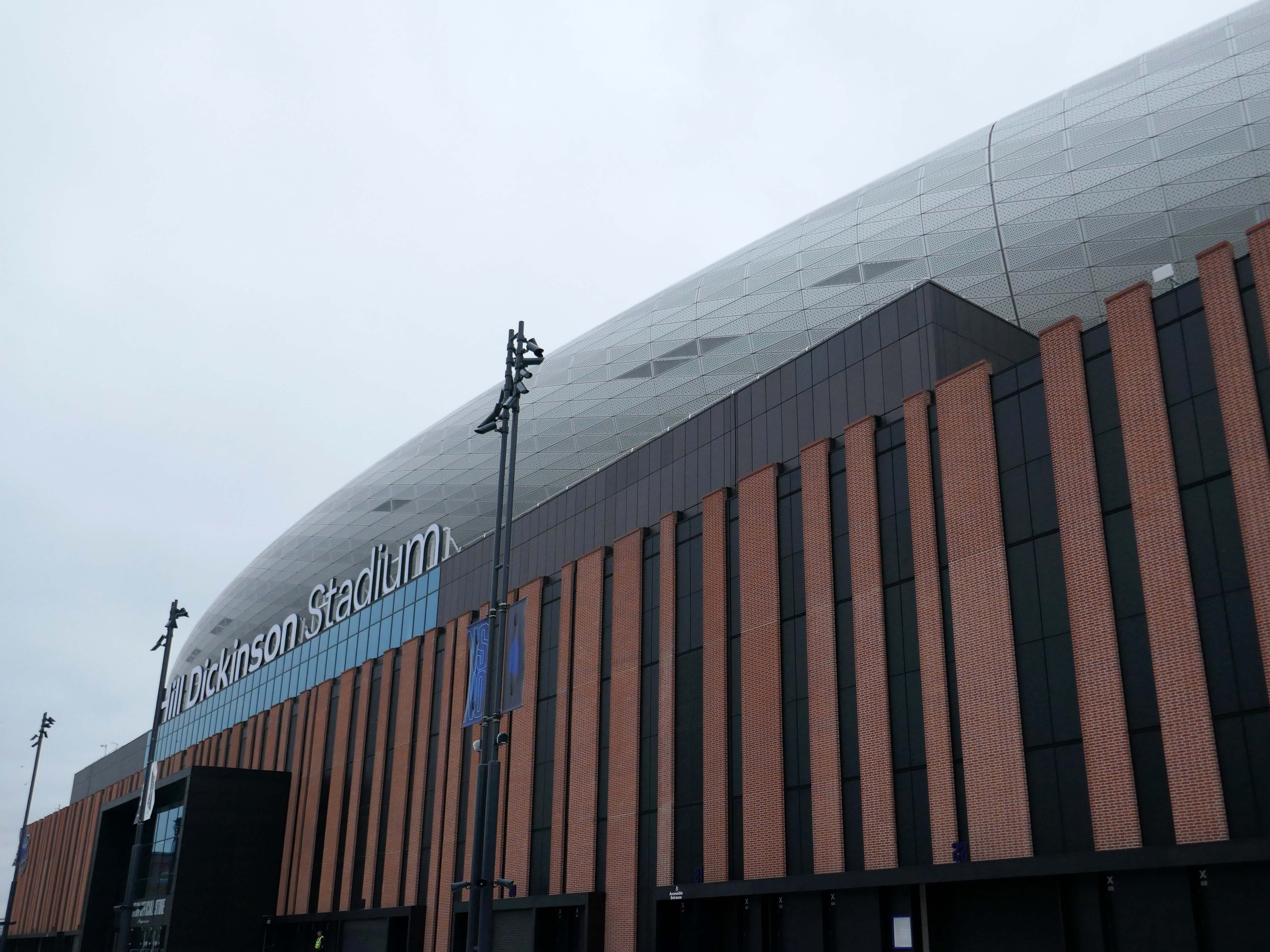
Now with the opening of the Titanic Hotel in the Stanley Dock and the arrival of the Toffees just up the road at the Hill Dickinson Stadium, the whole area is slowly being transformed into a destination, as they say in modern parlance.
However much of the Industrial heritage remains in various states of disarray, used and possibly disabused, but hanging on in there.
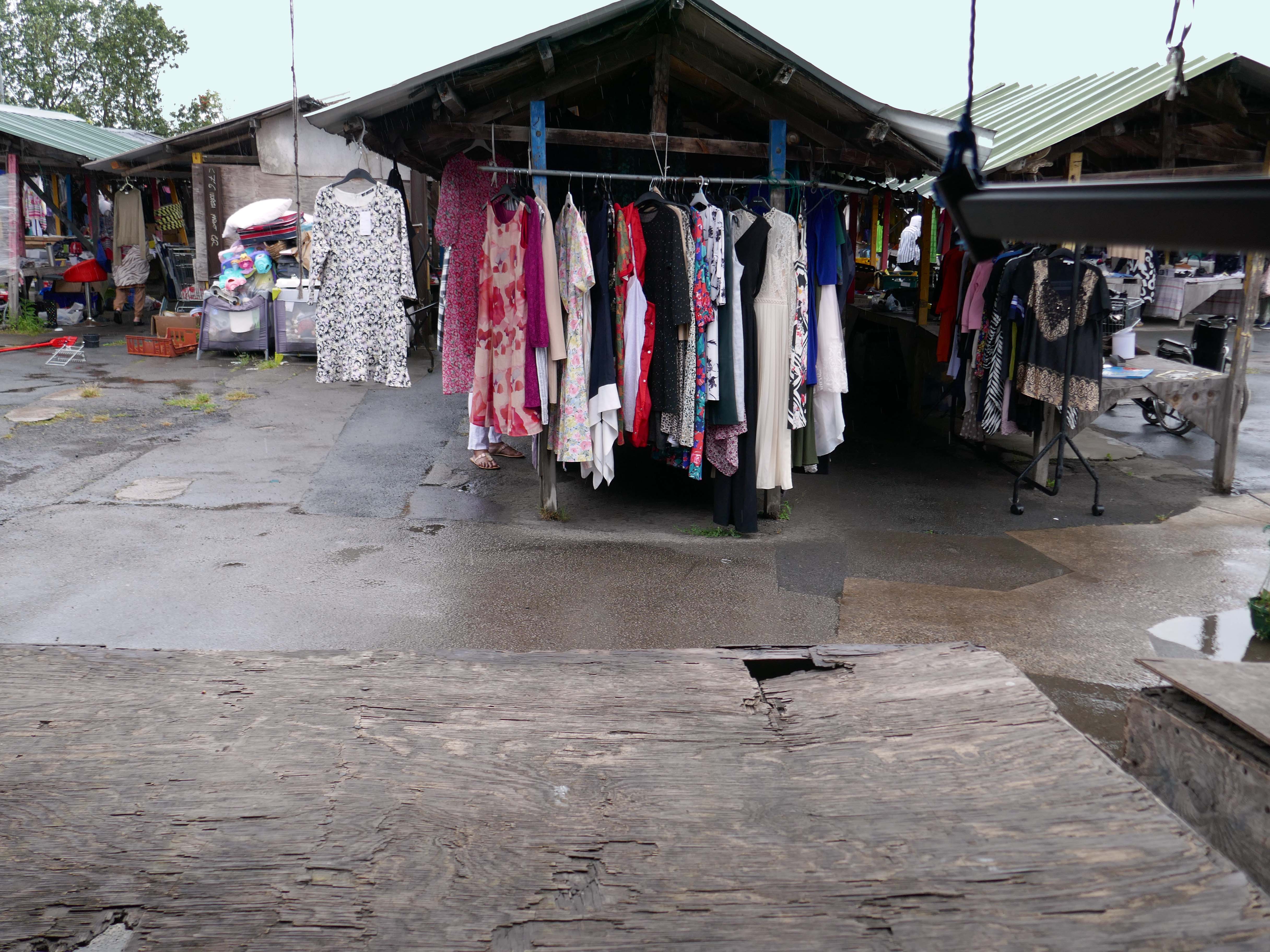
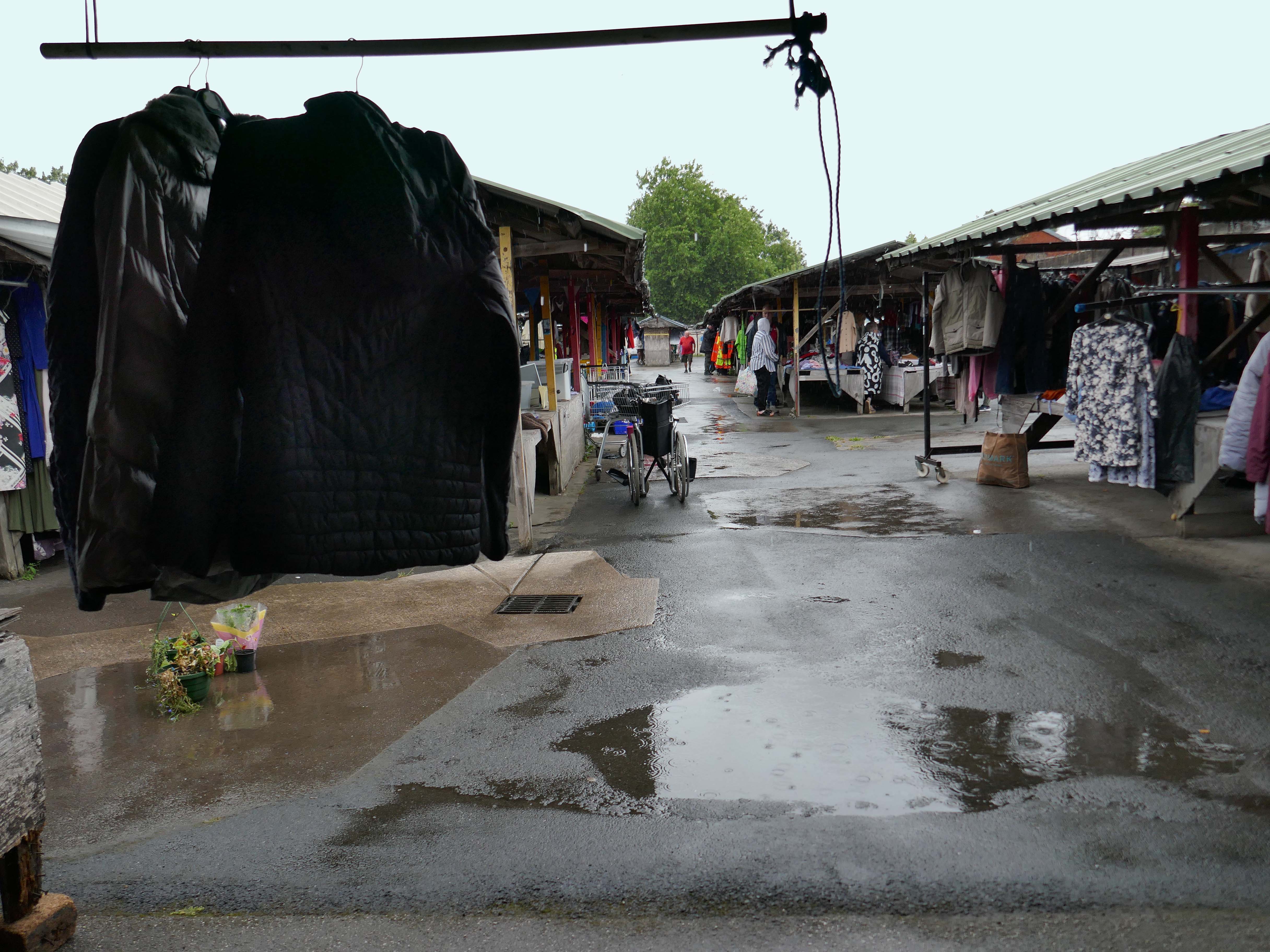
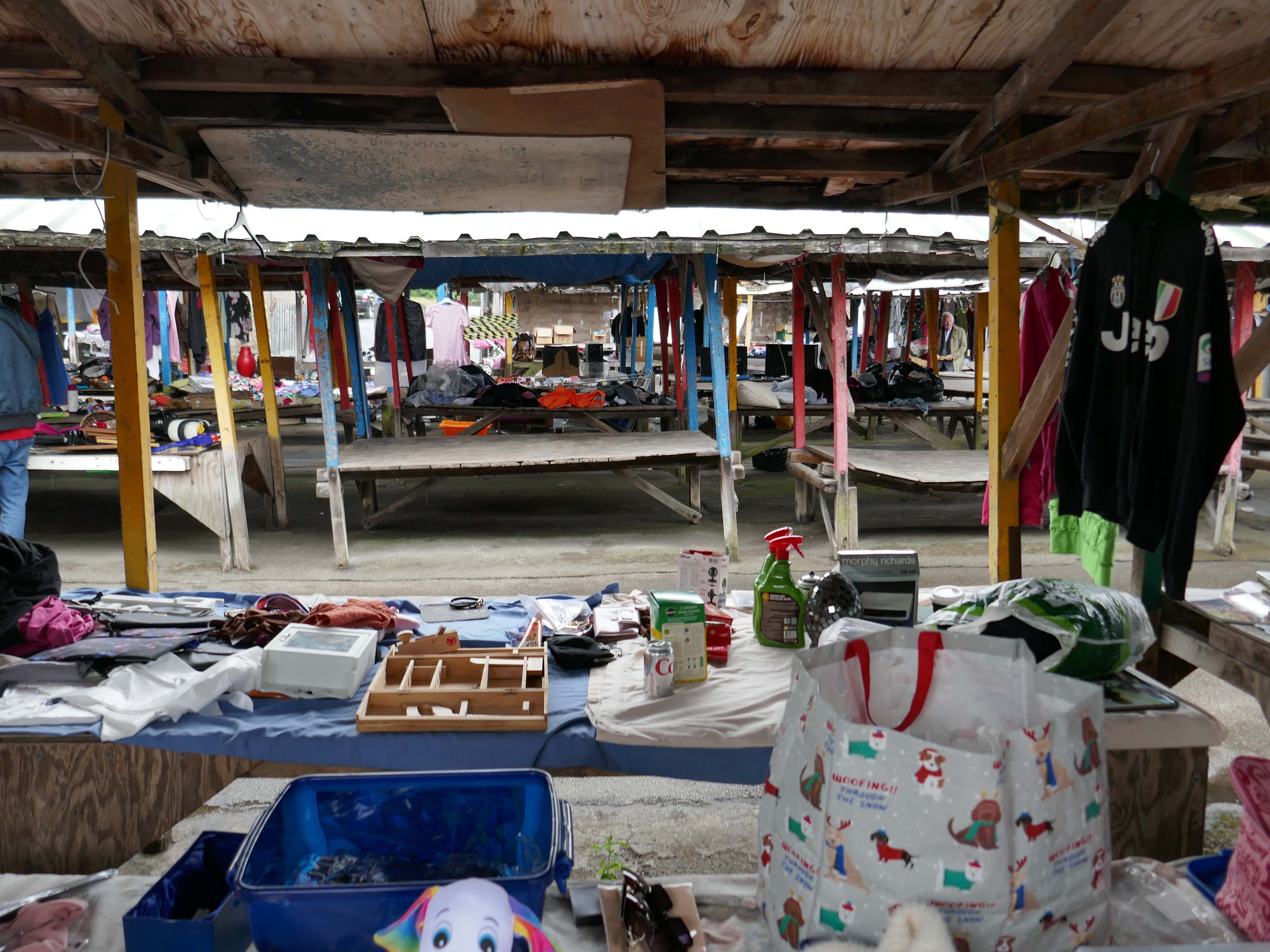
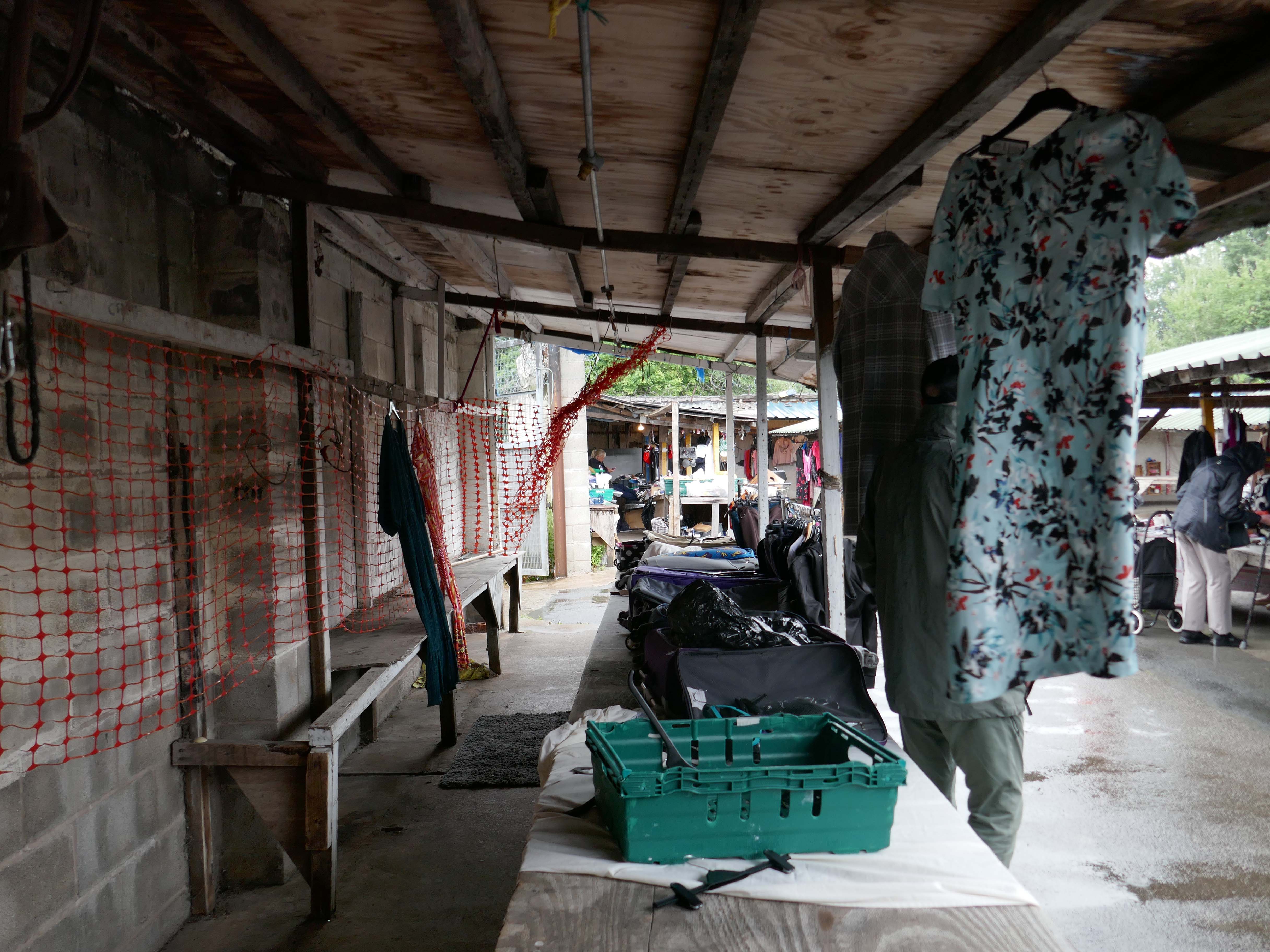
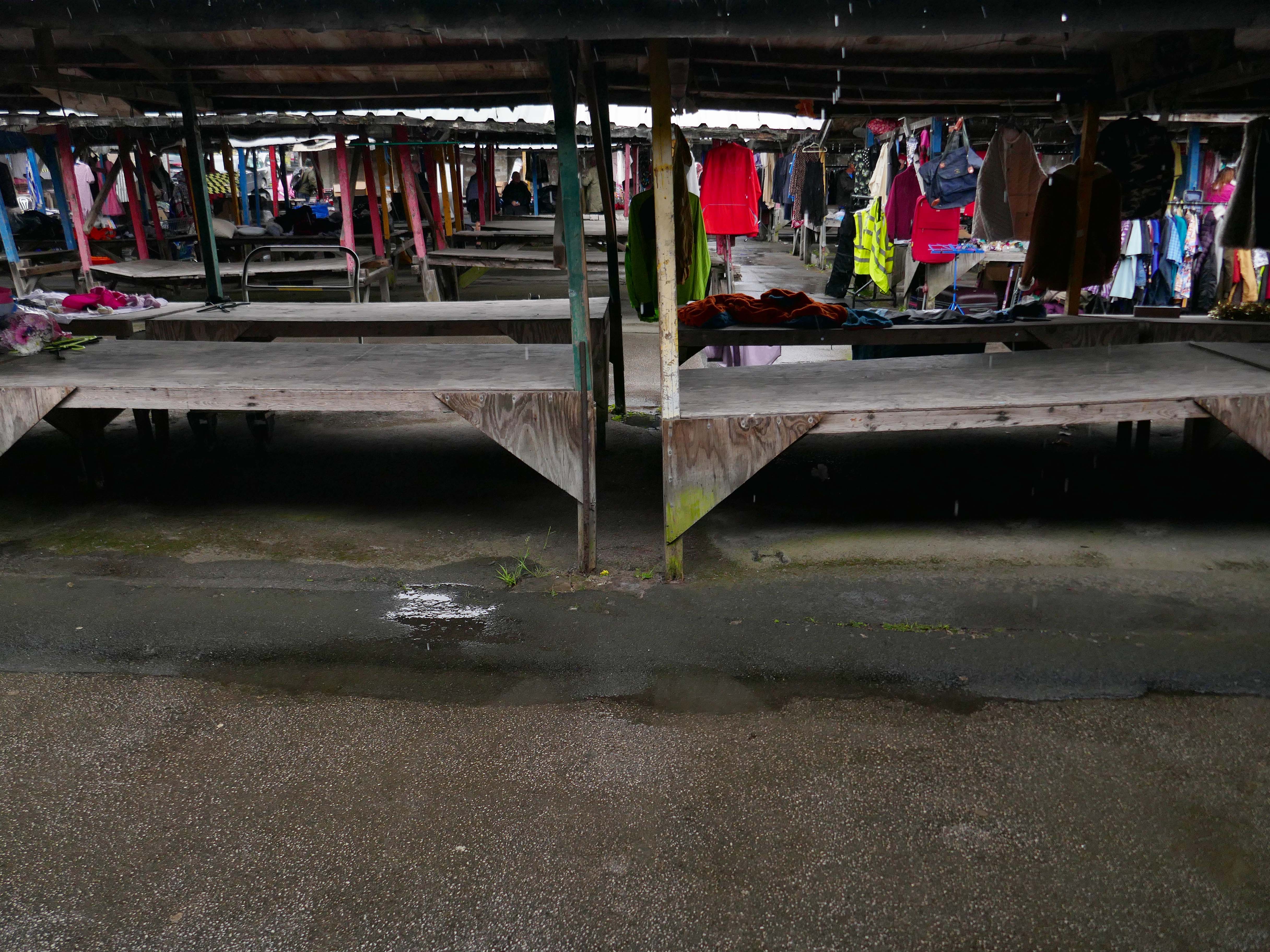
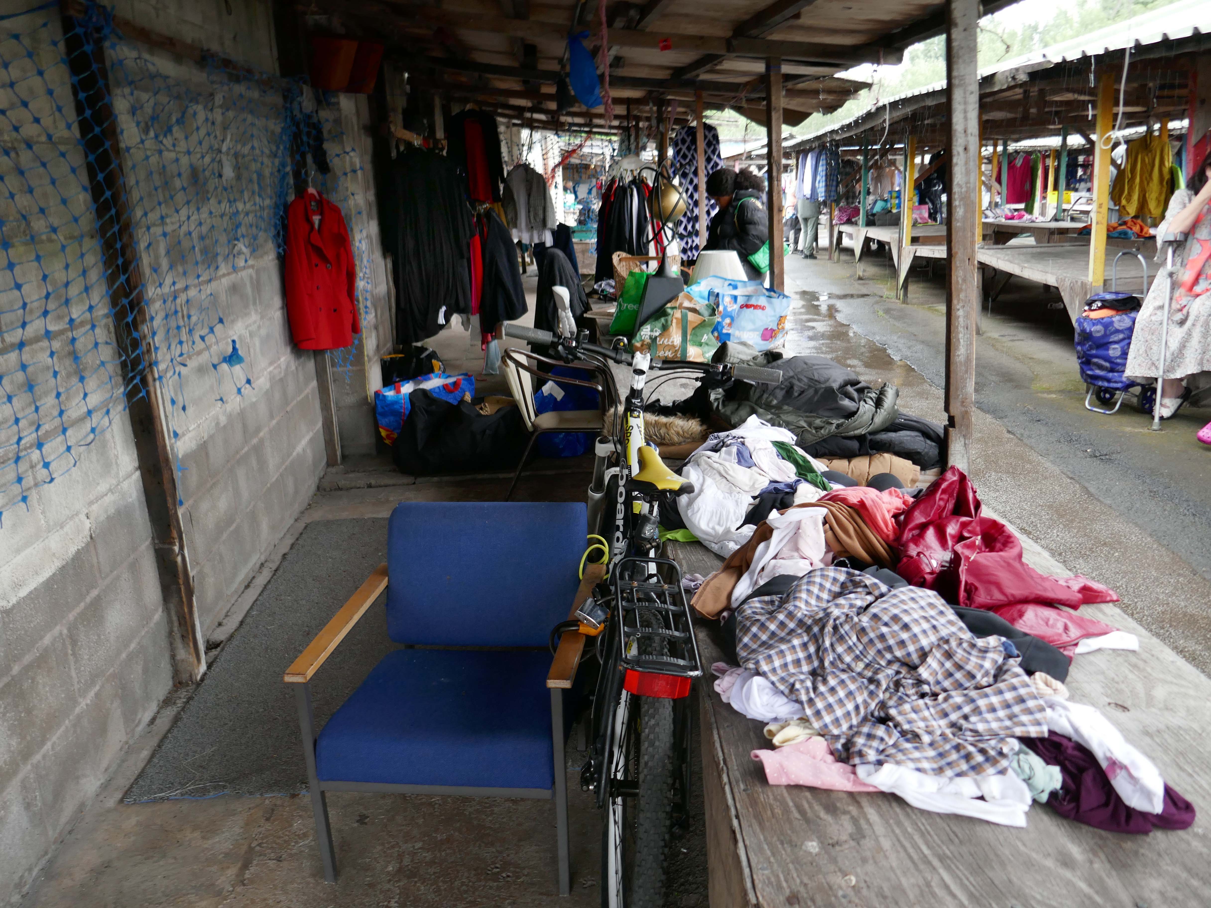
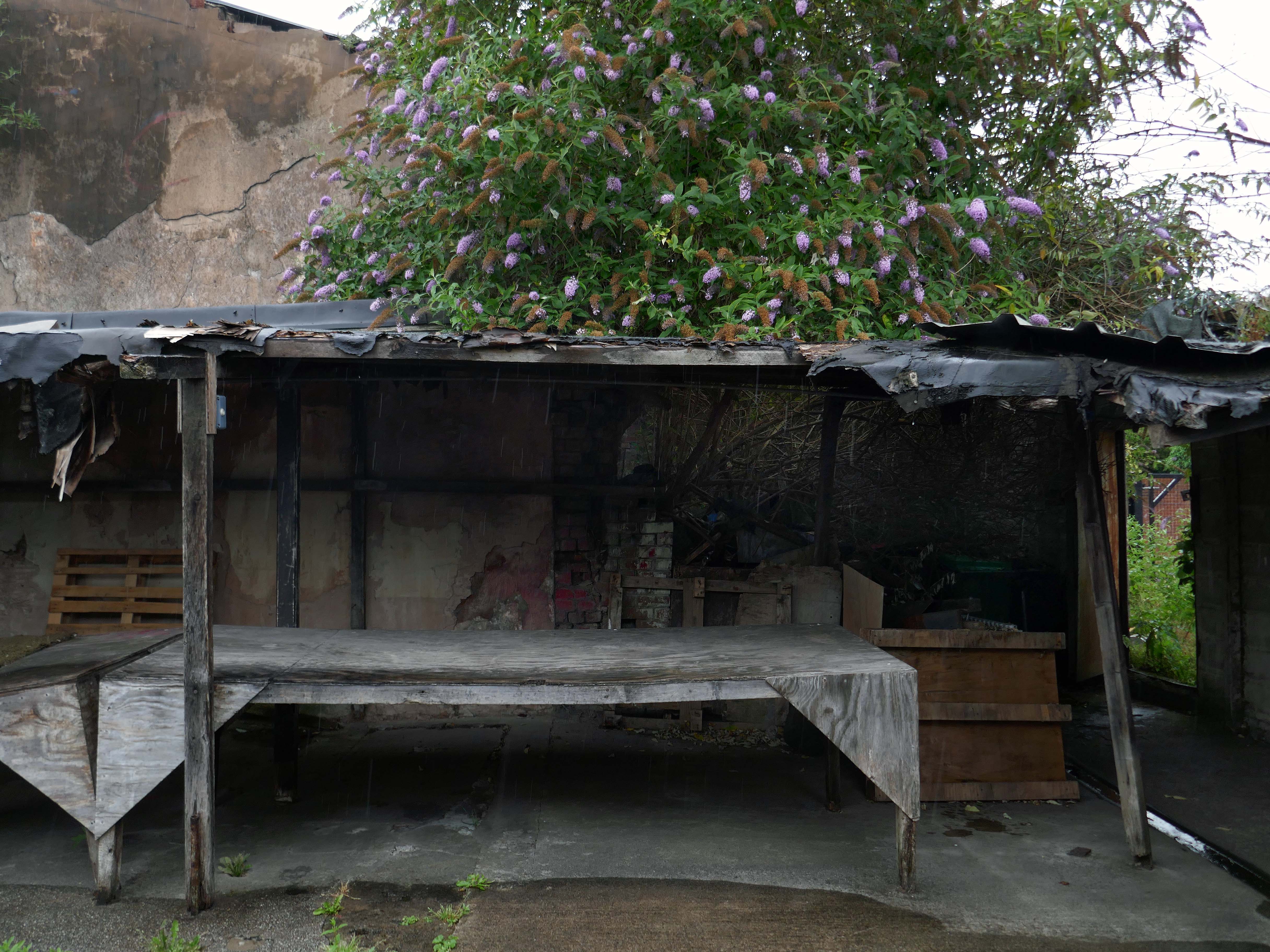
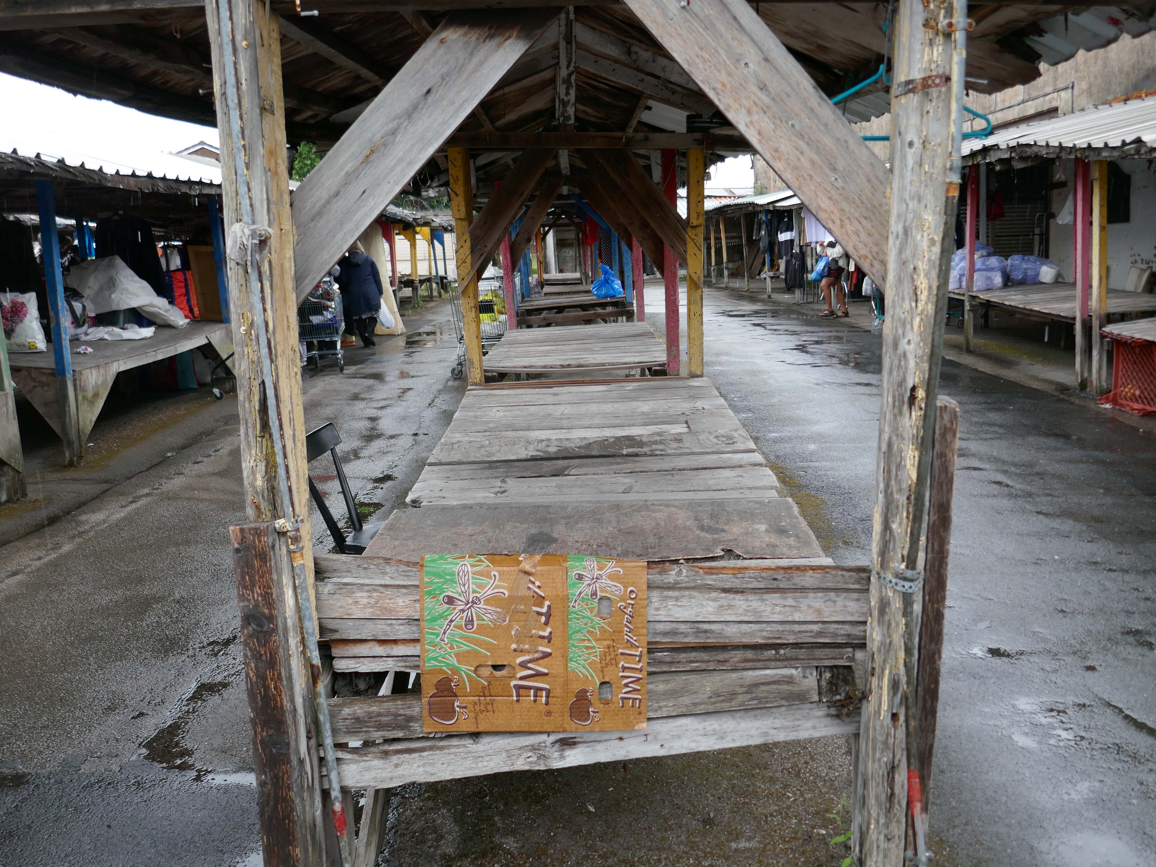
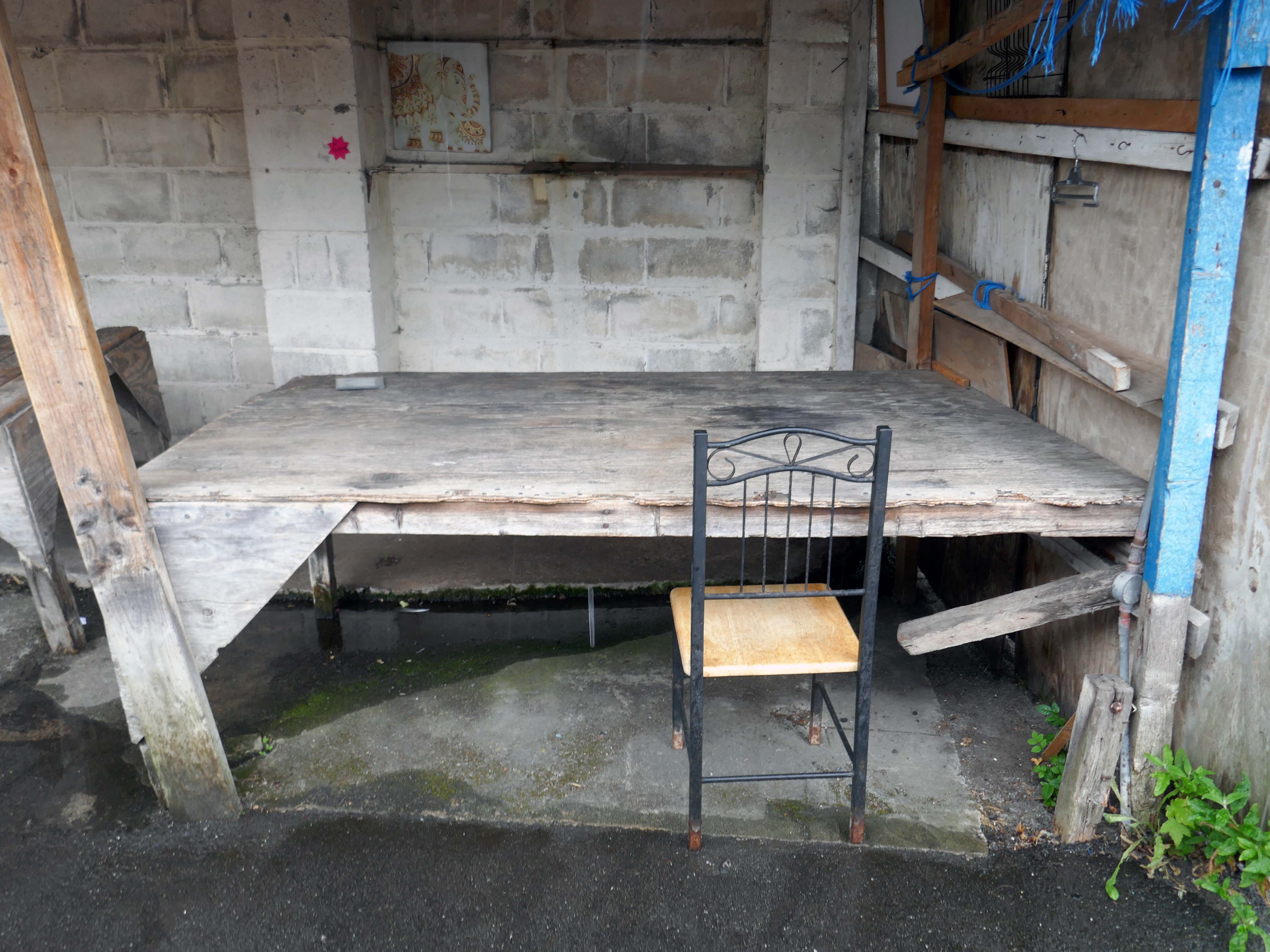
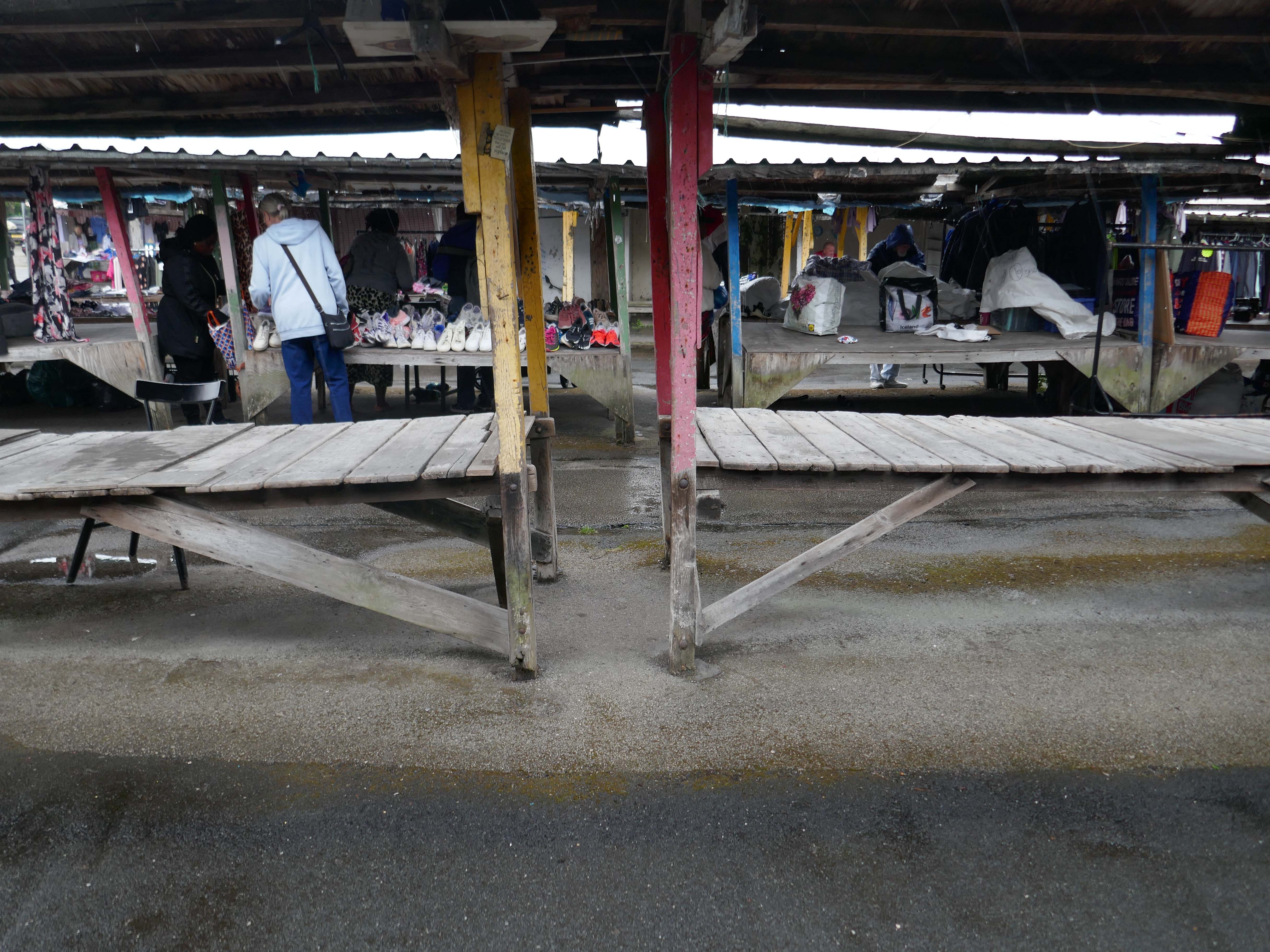
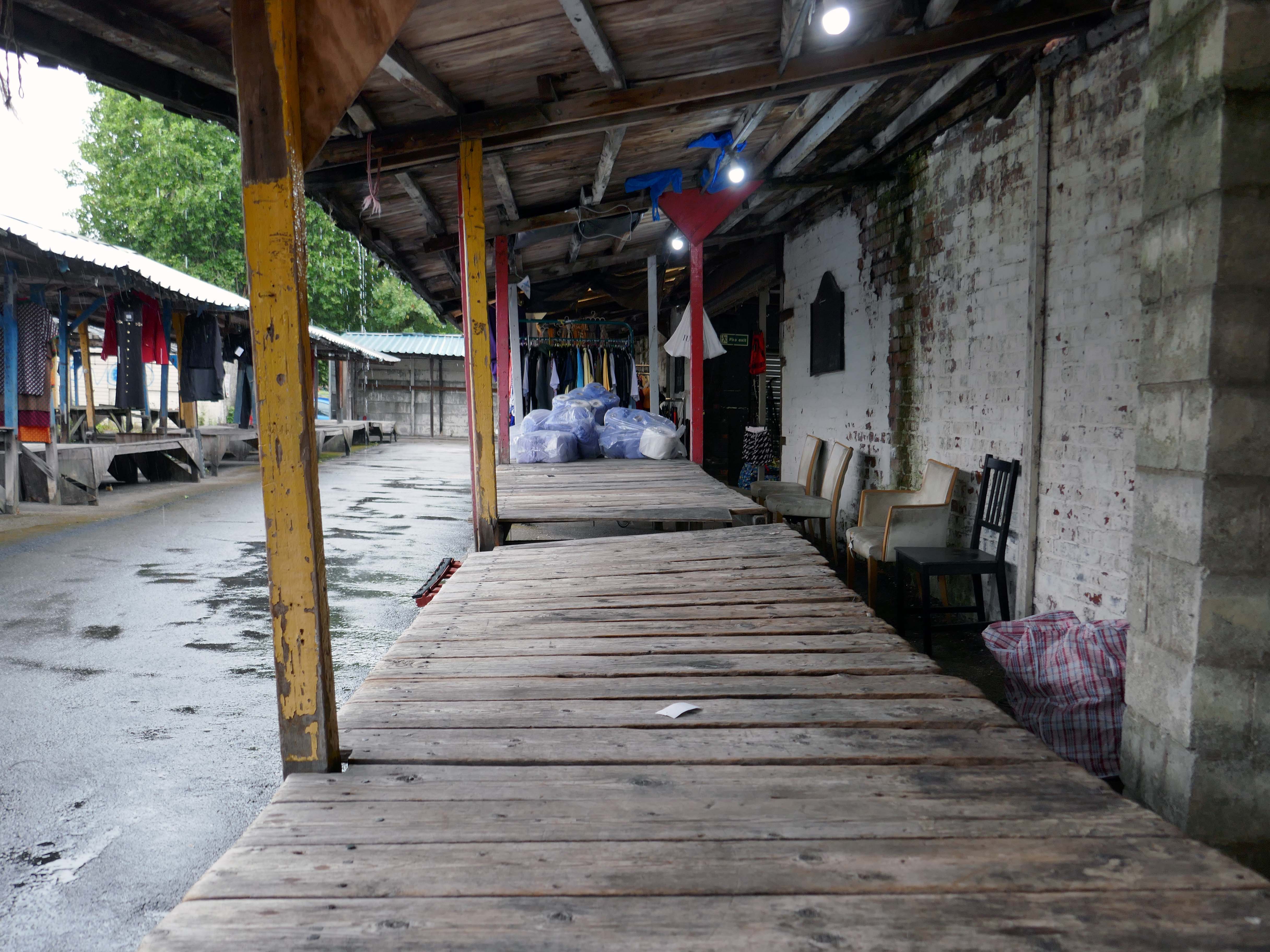
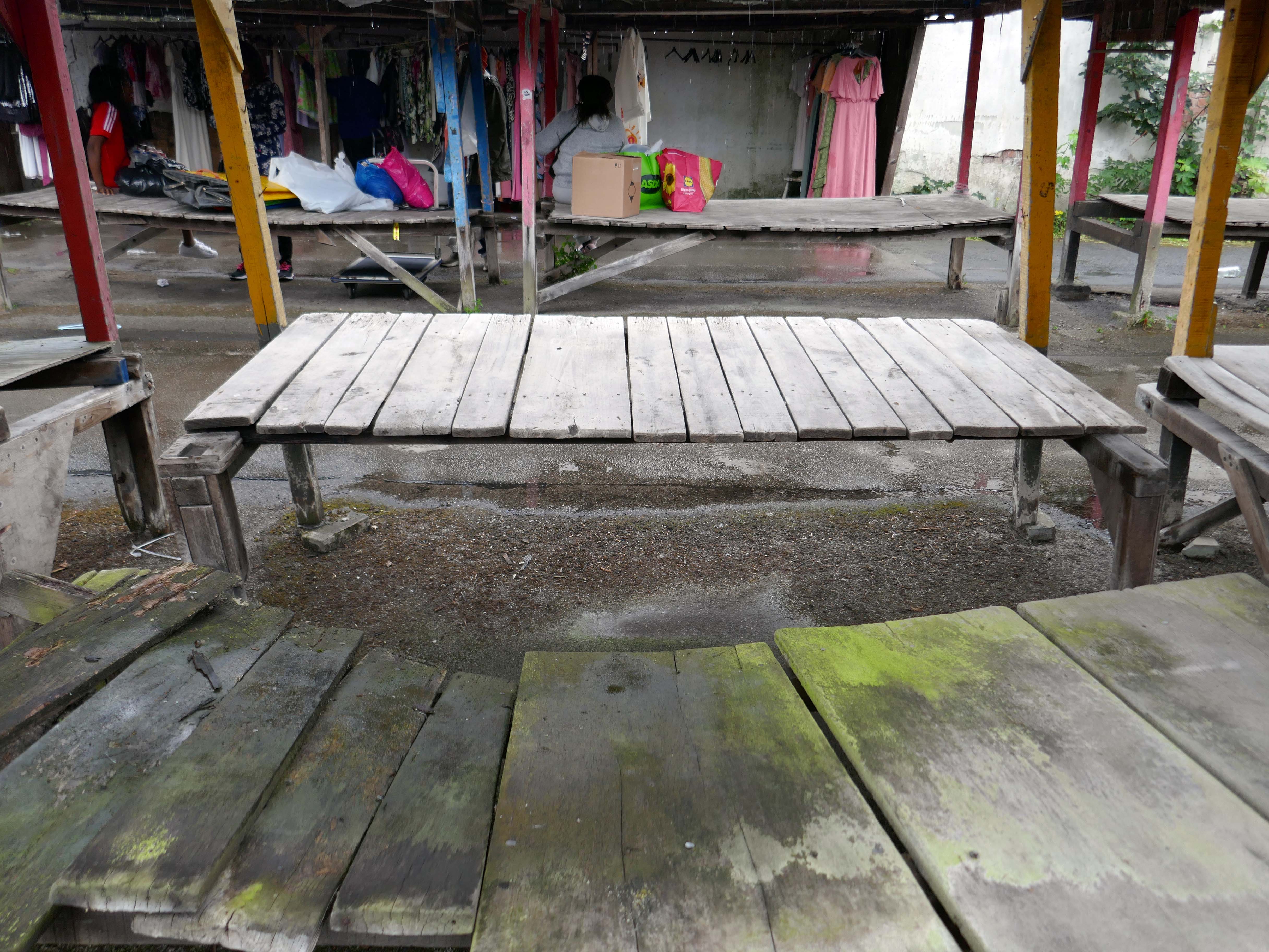
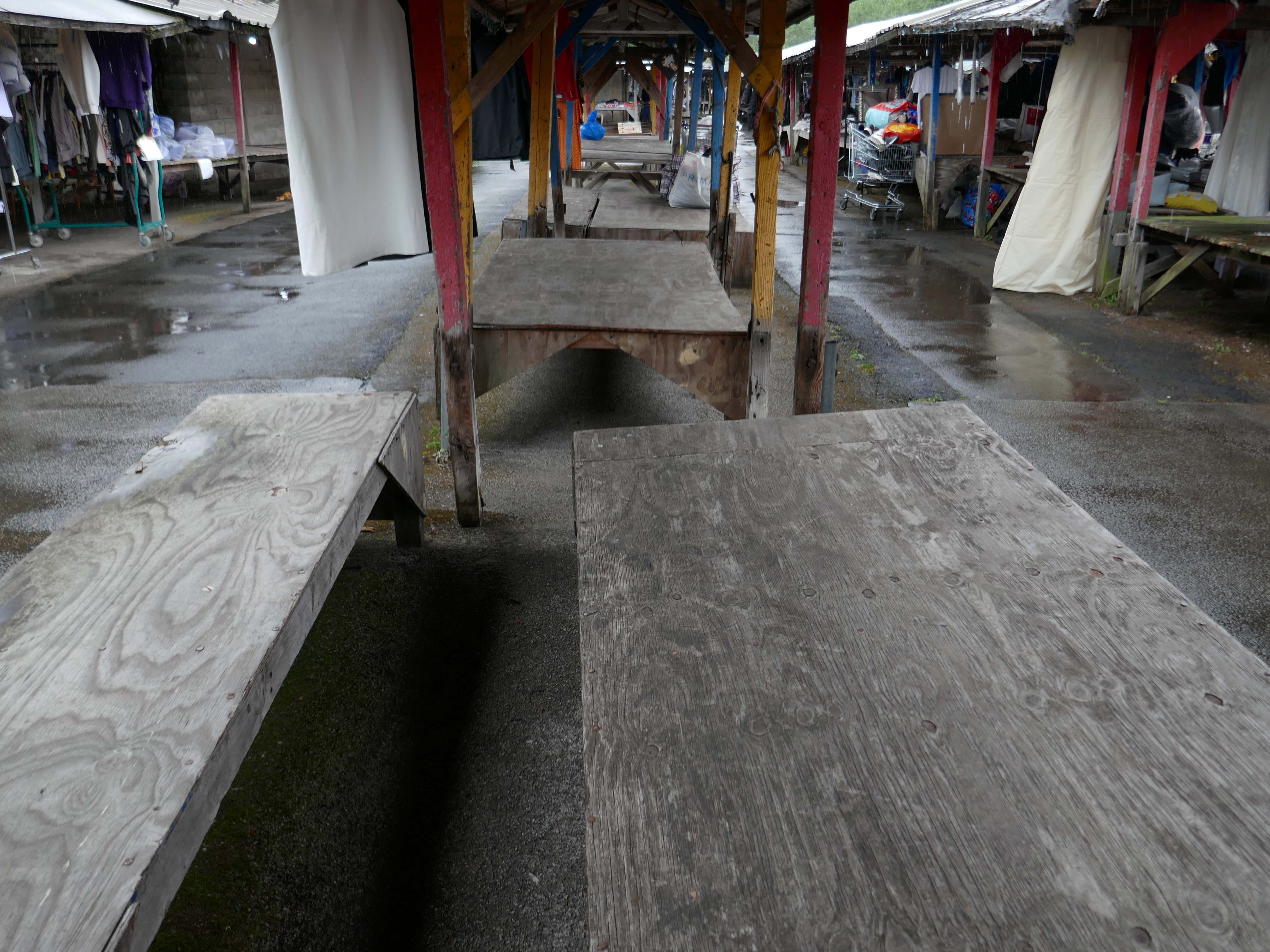
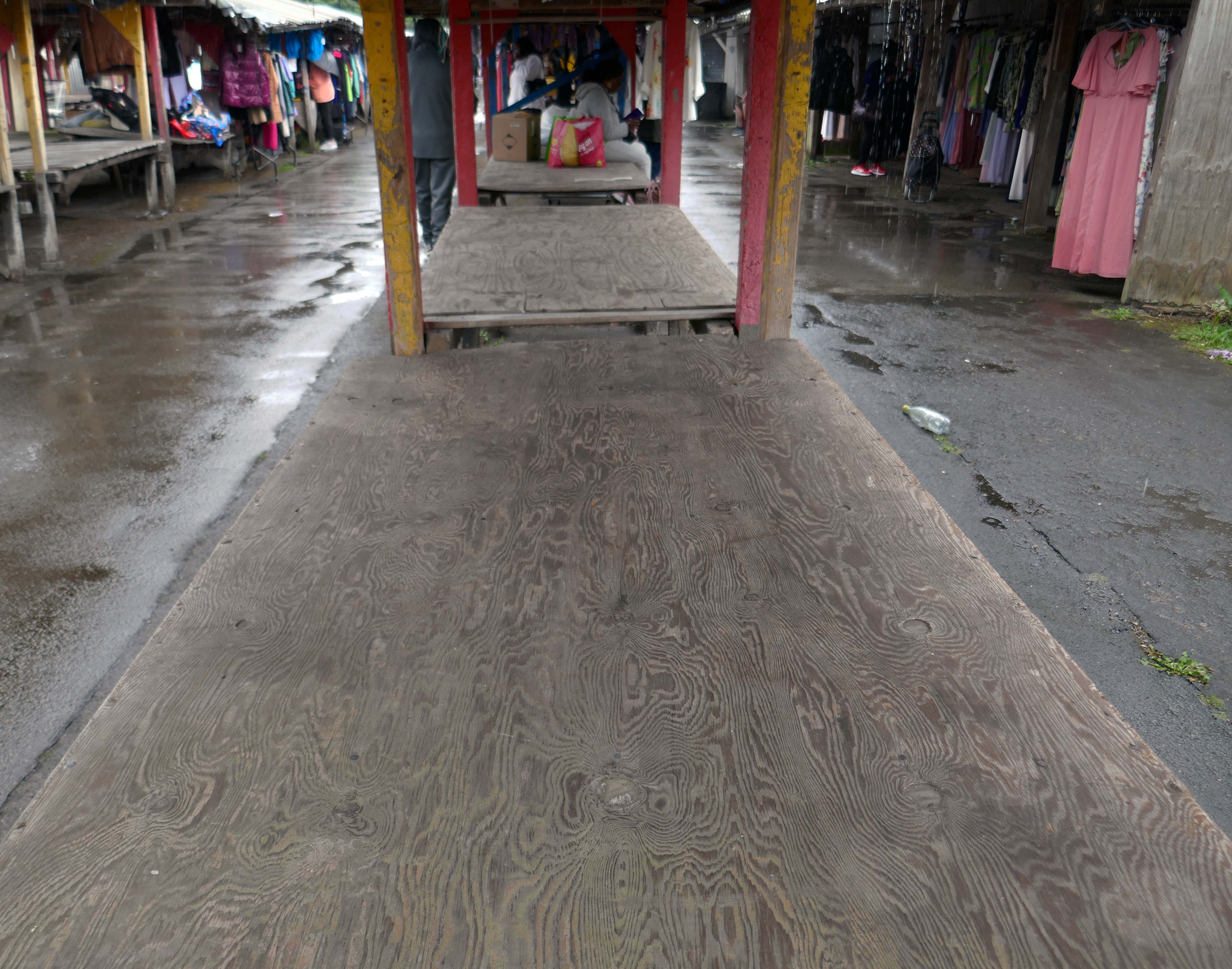
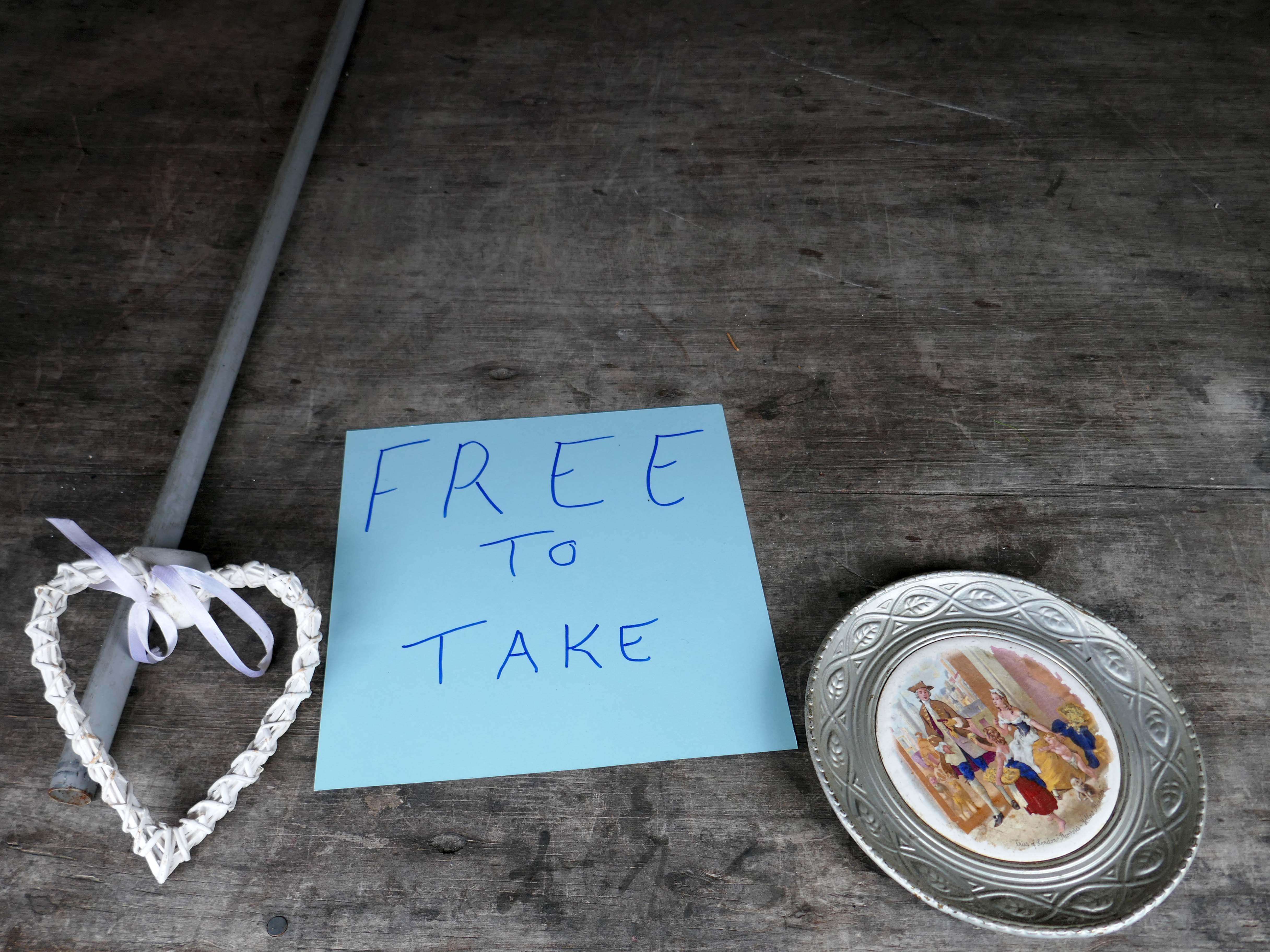
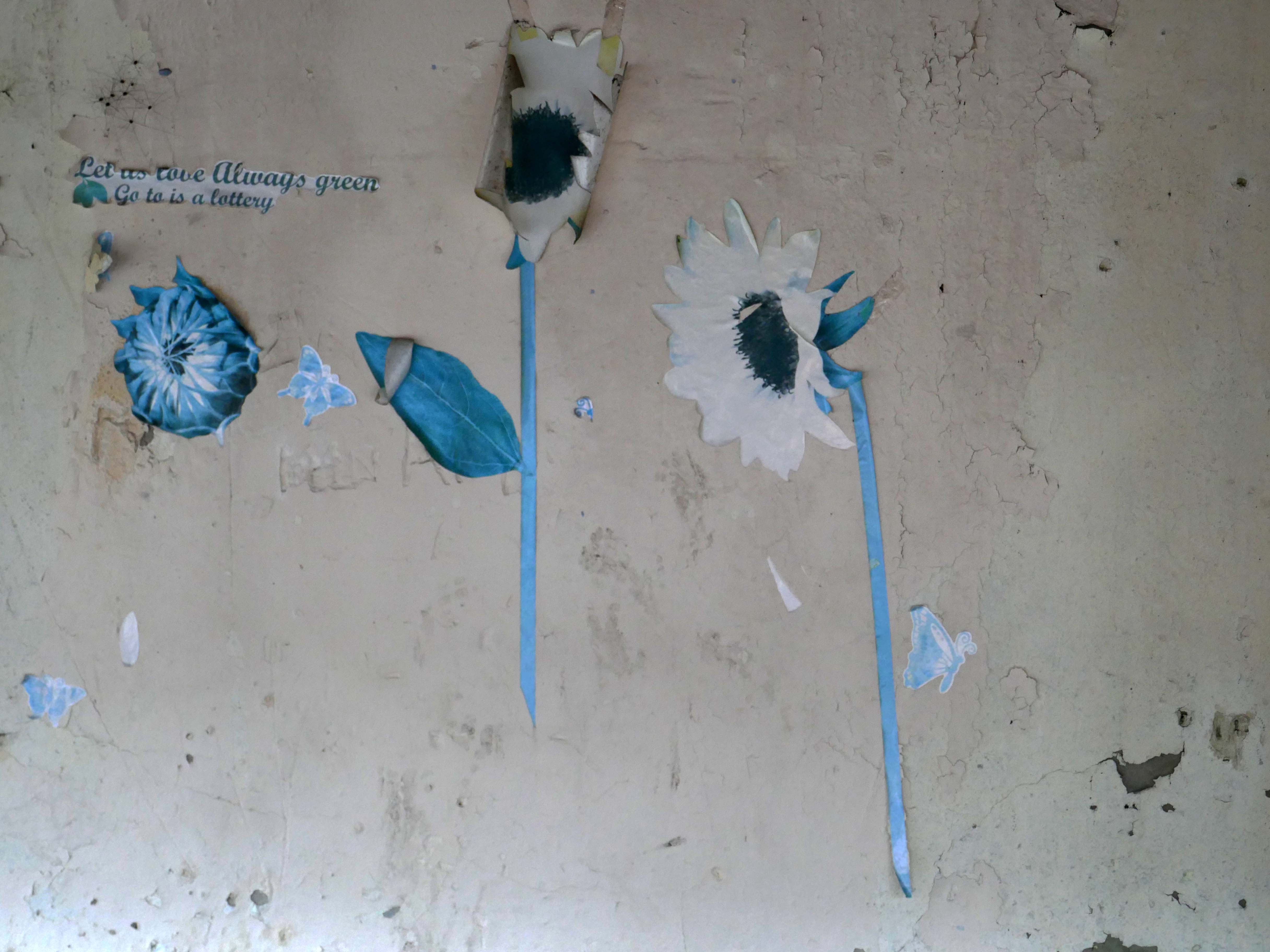
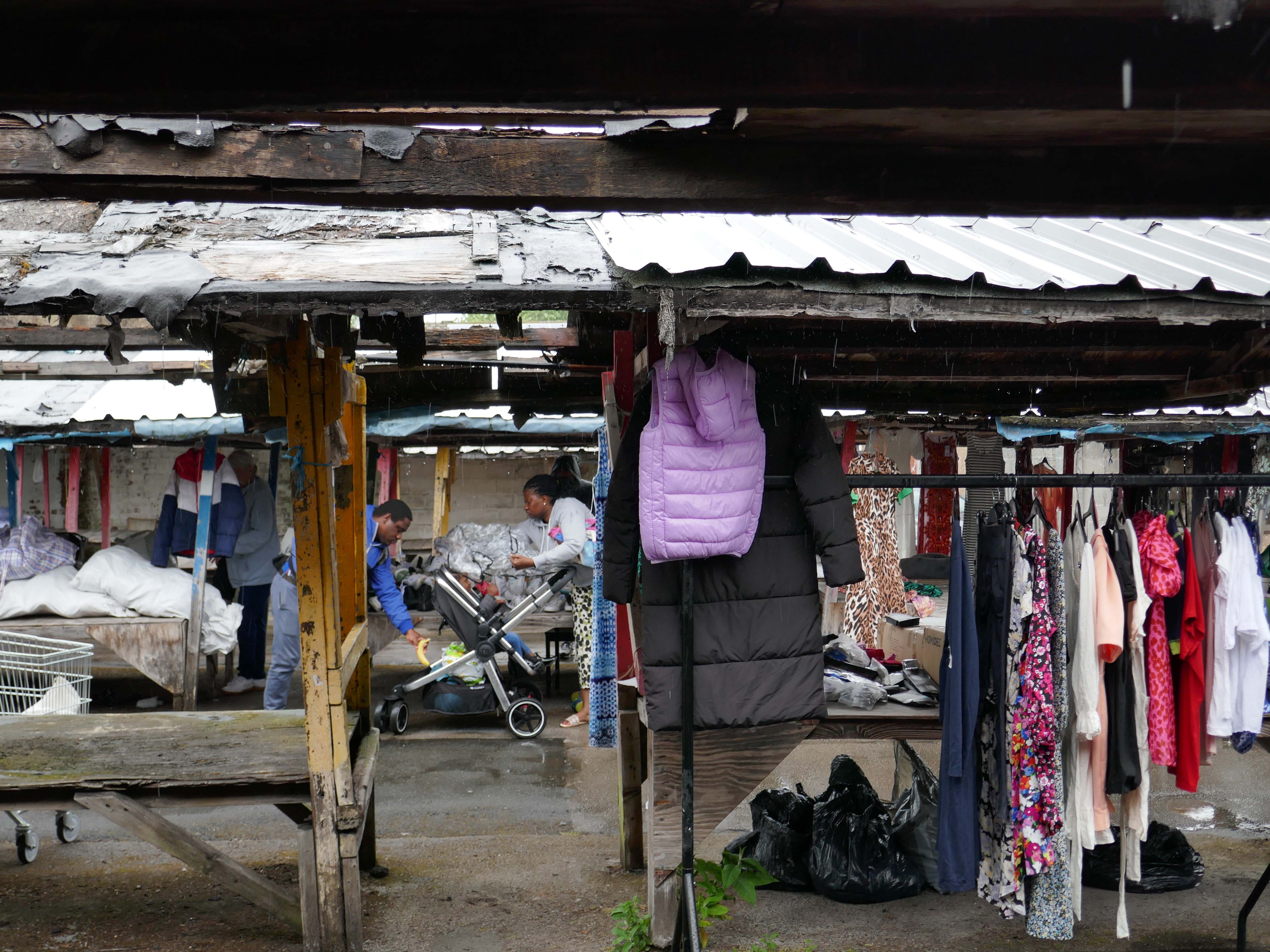
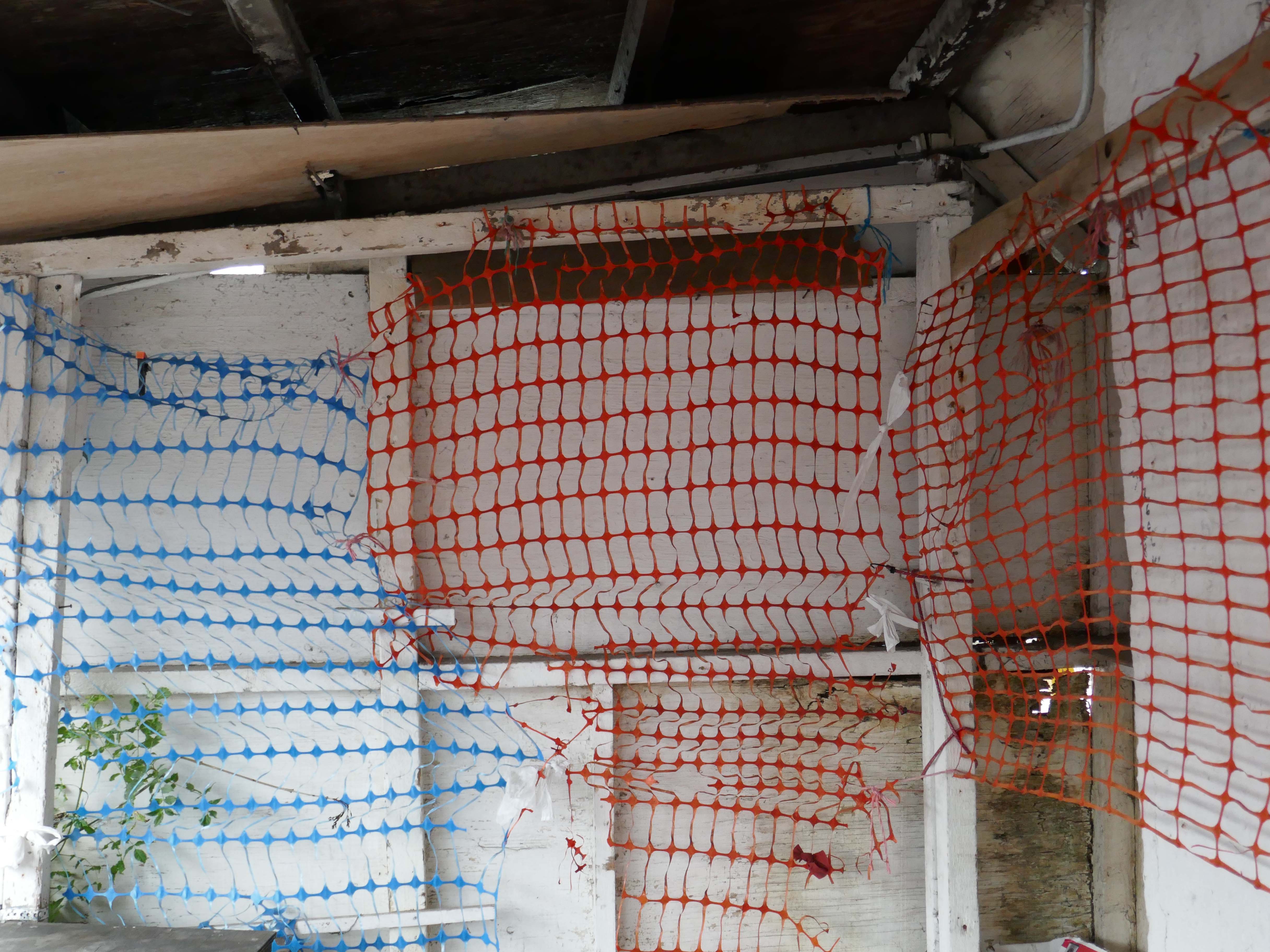
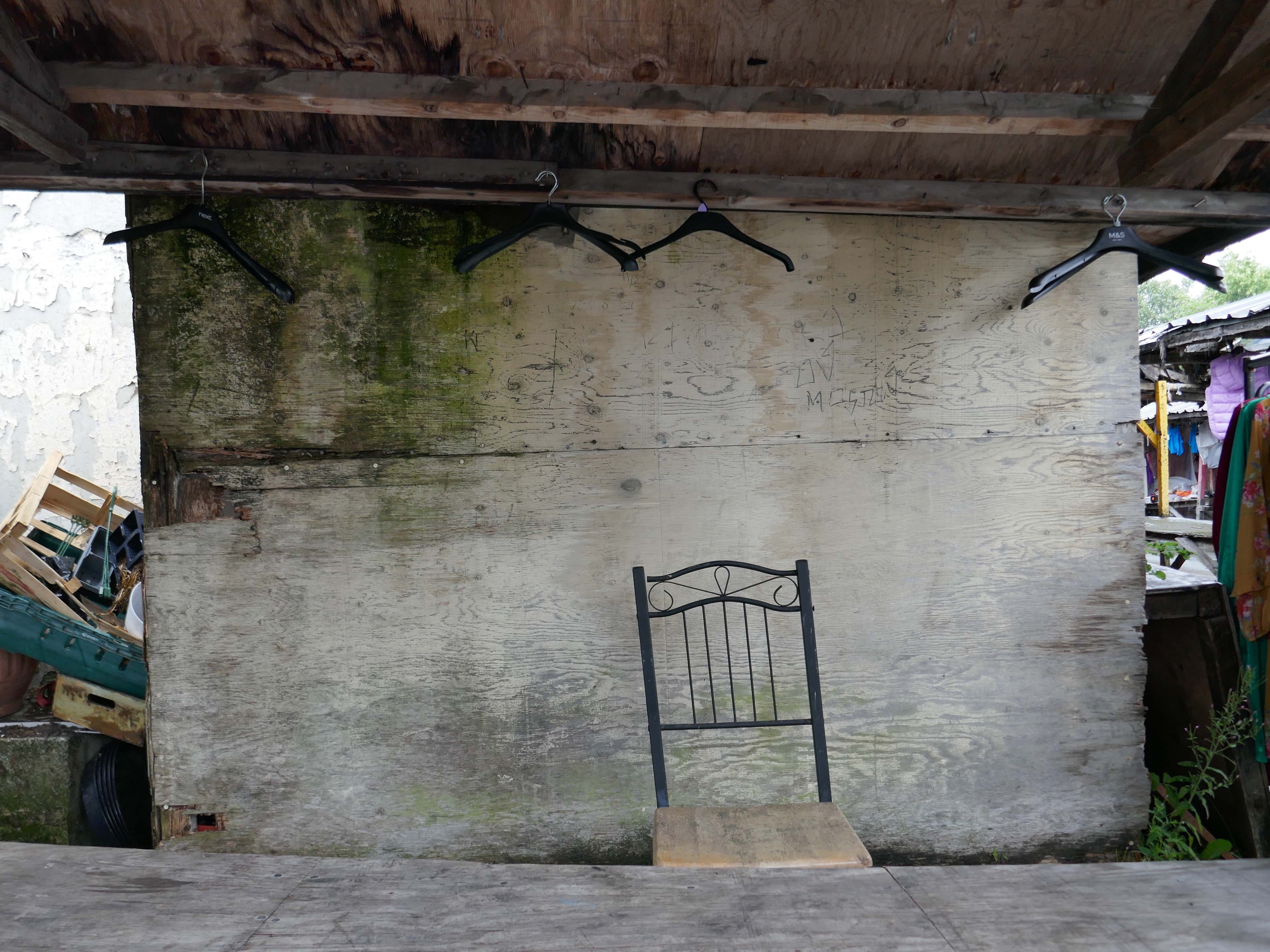
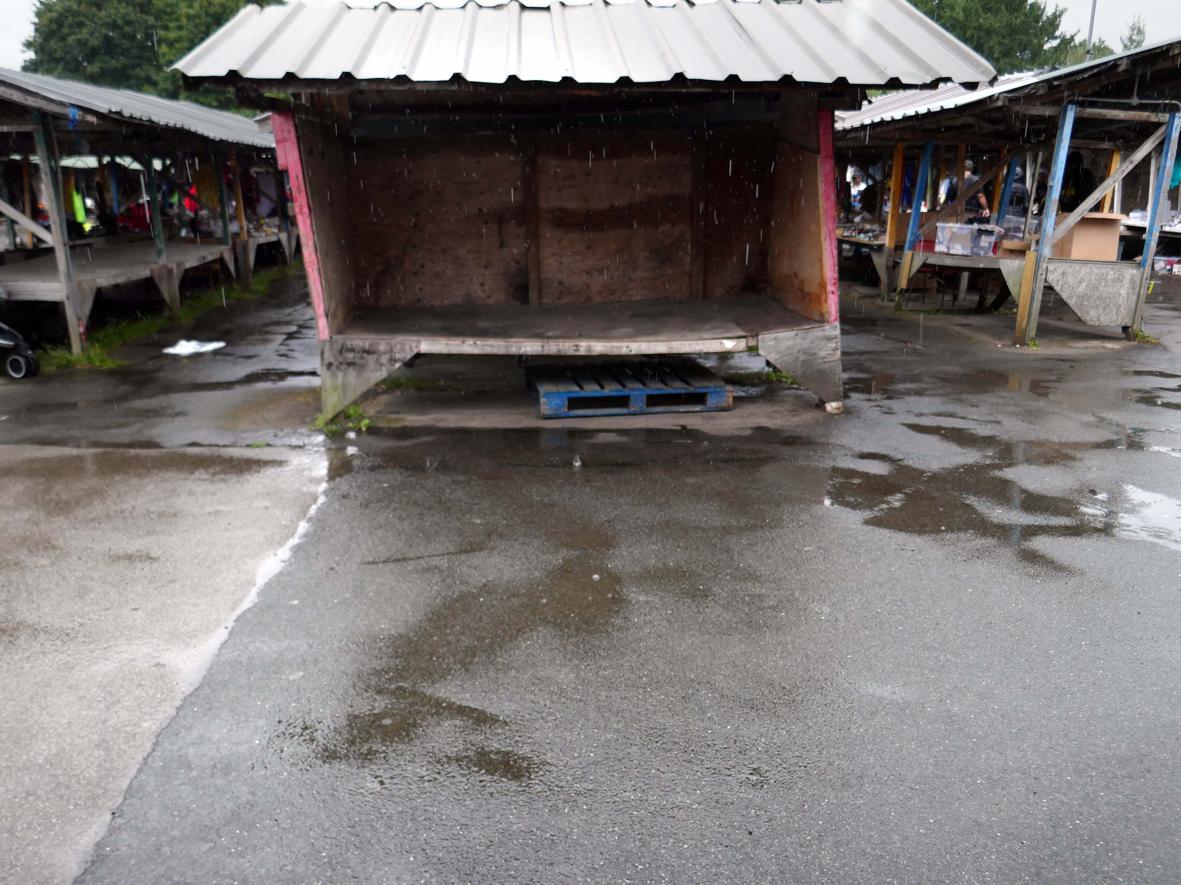
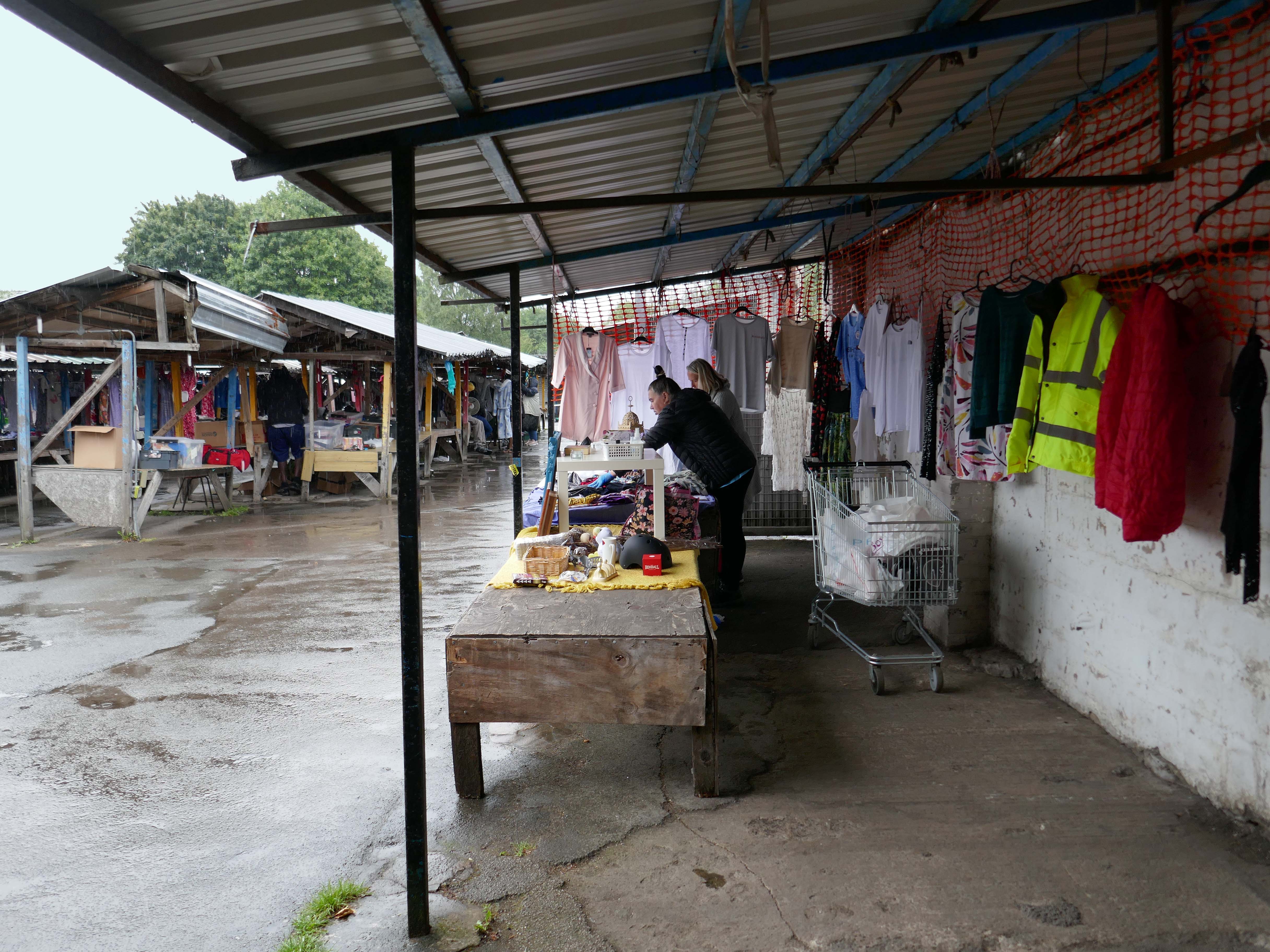
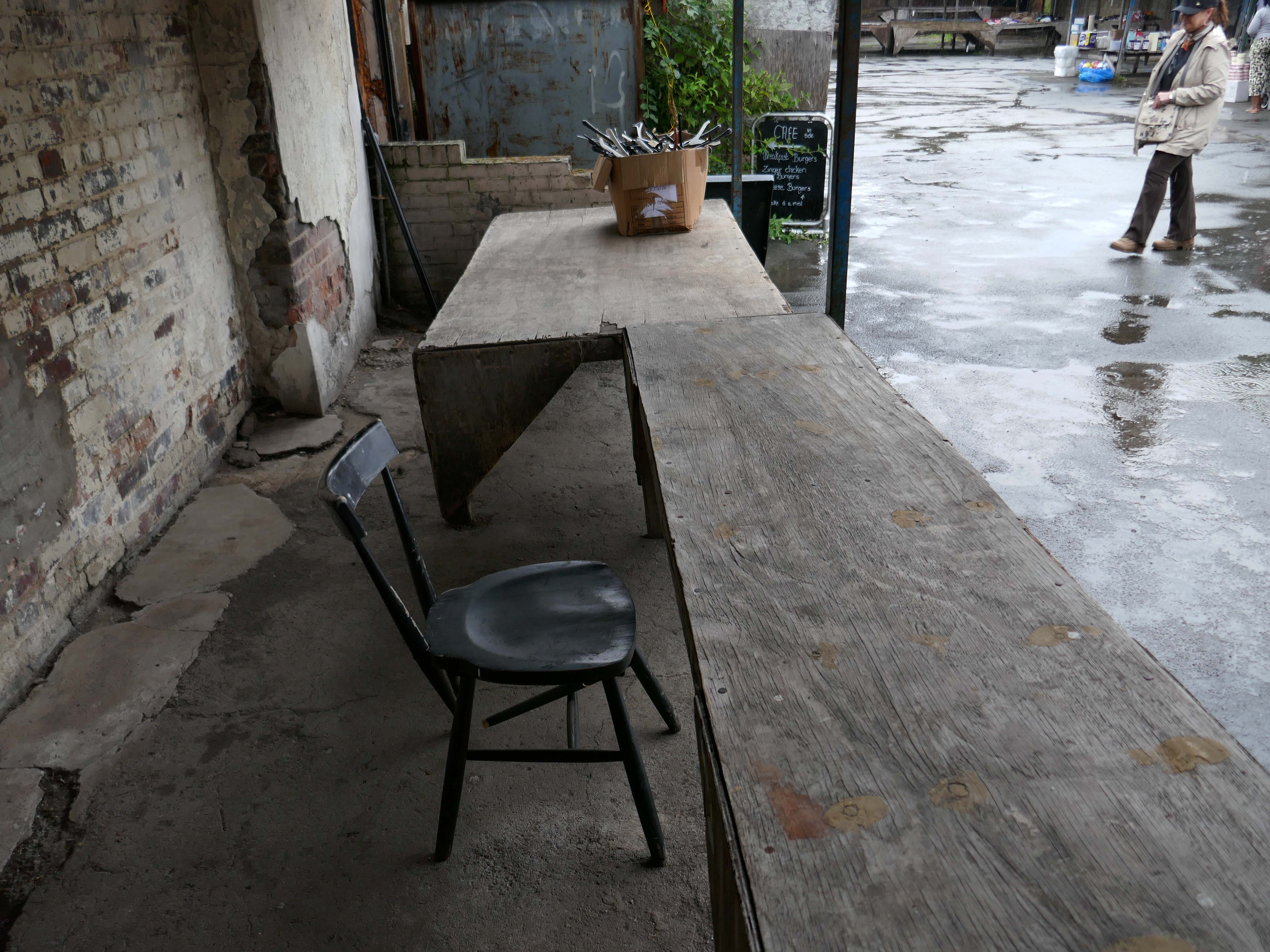
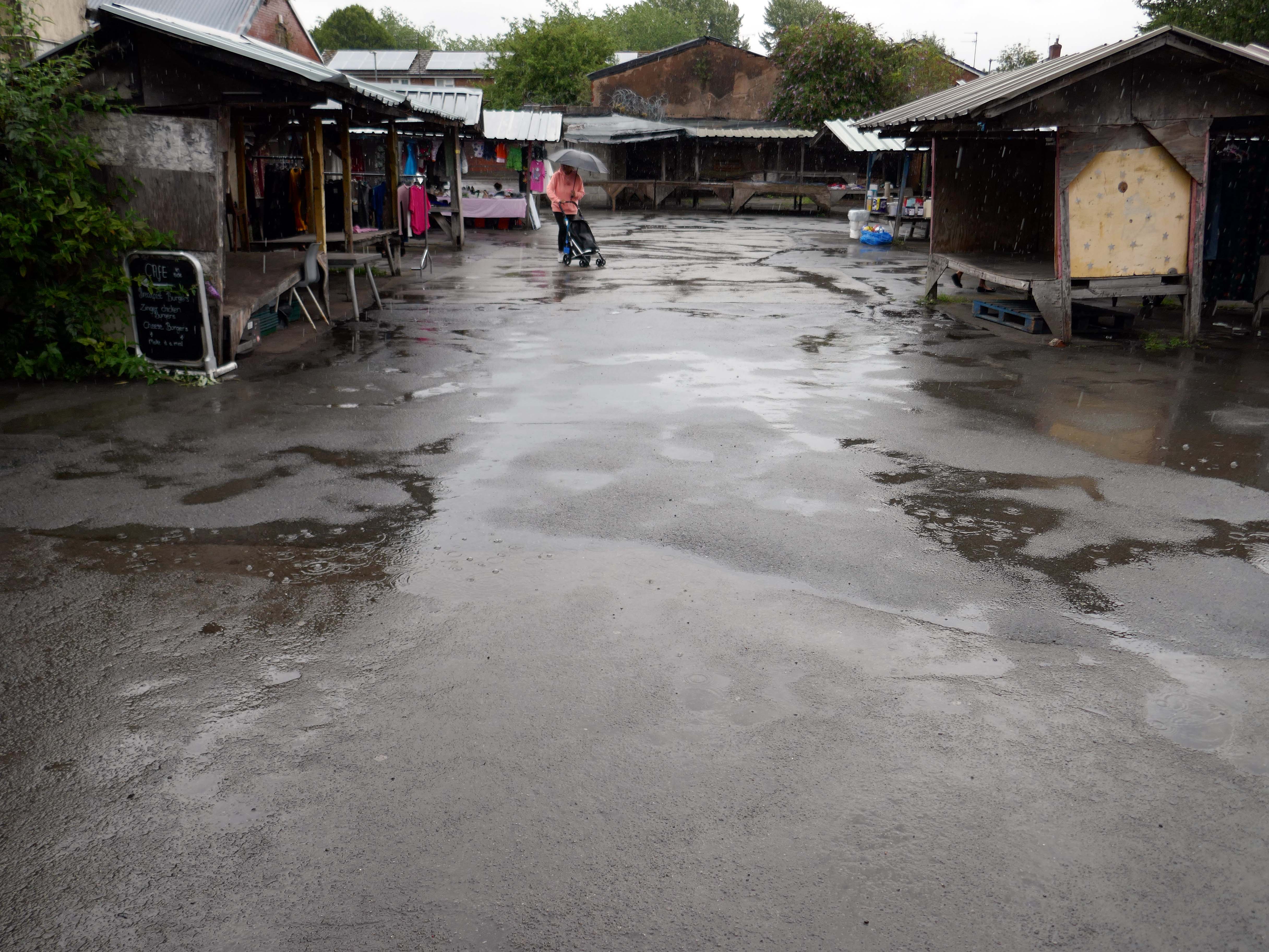
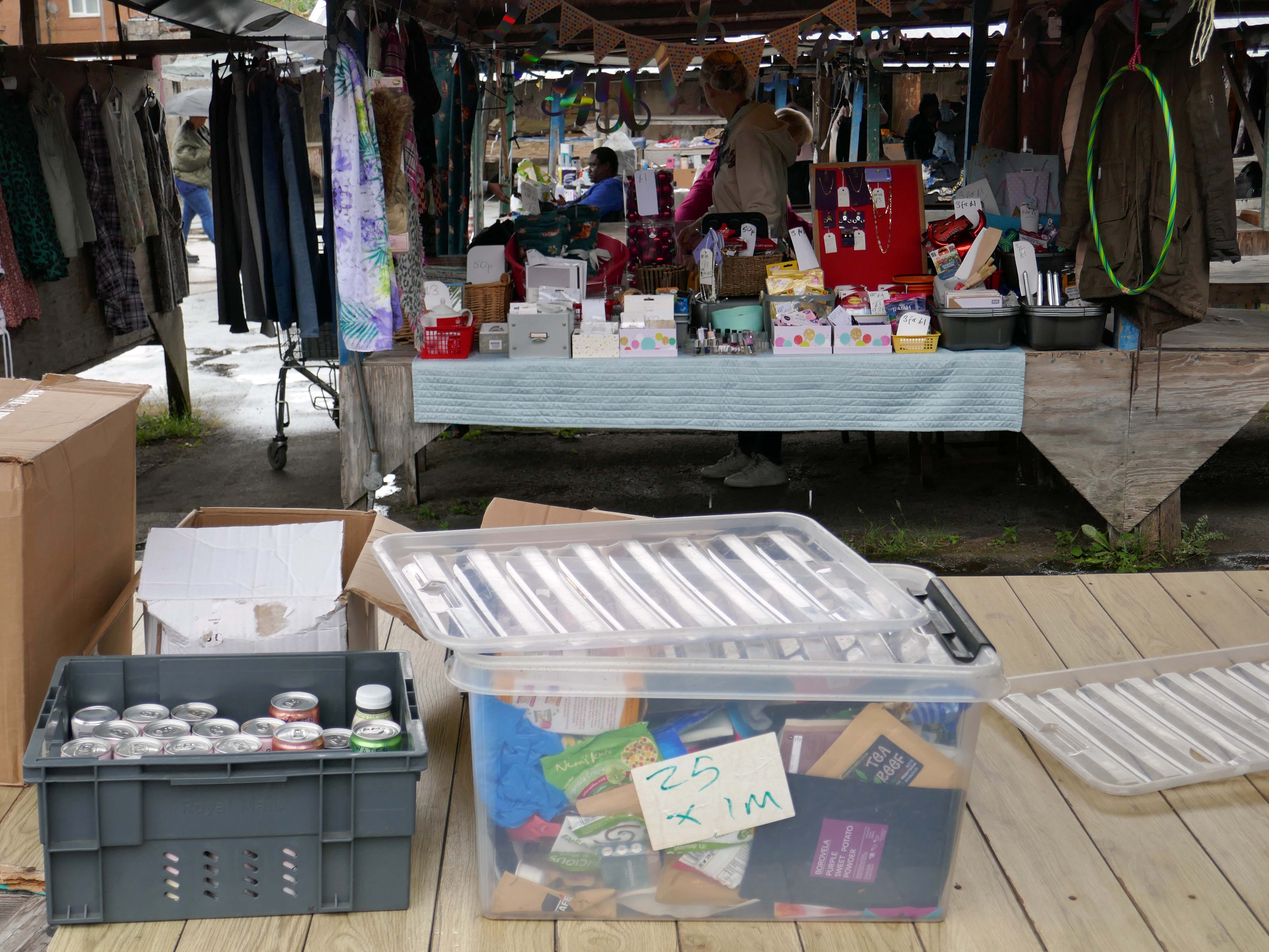
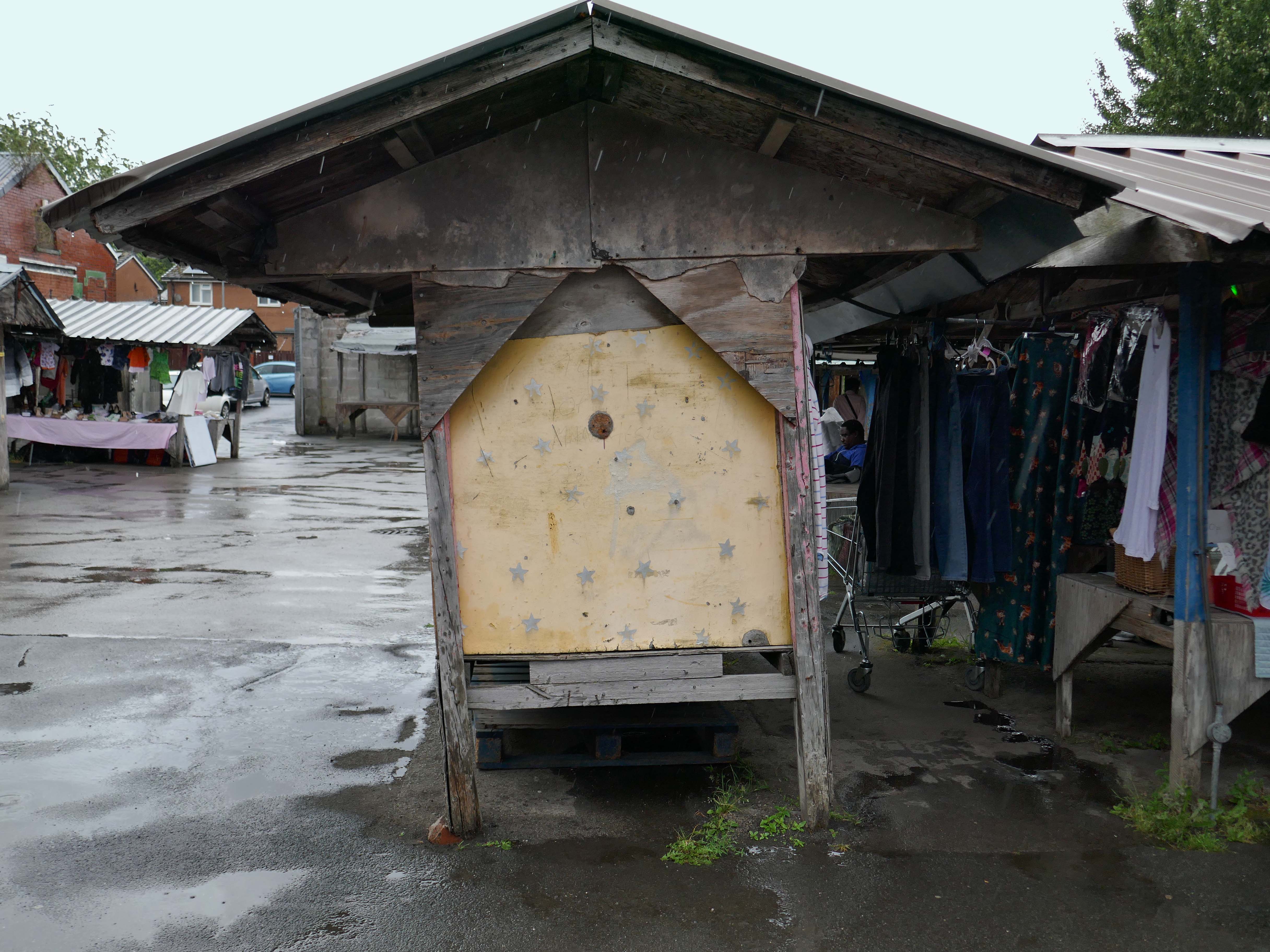
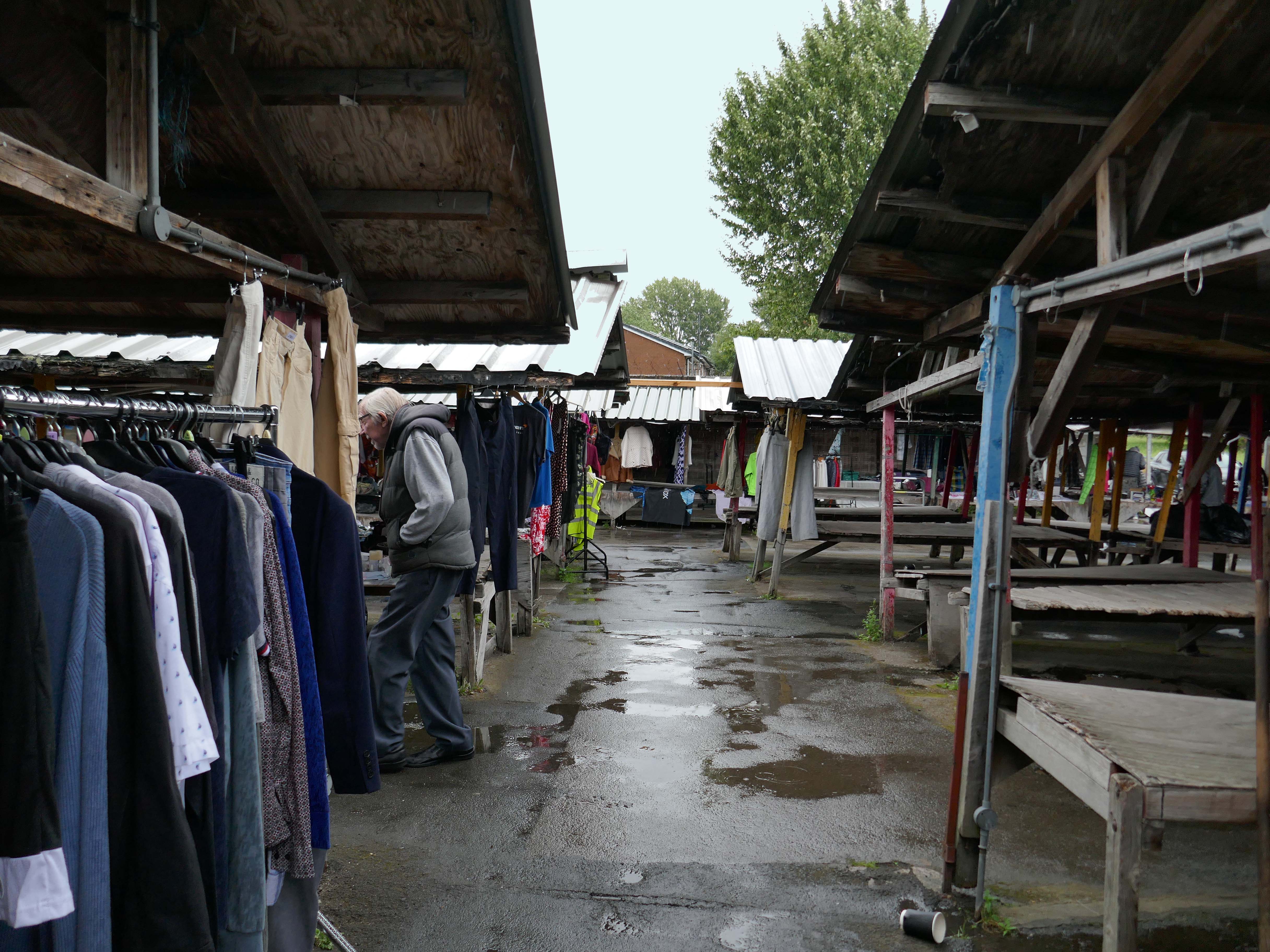
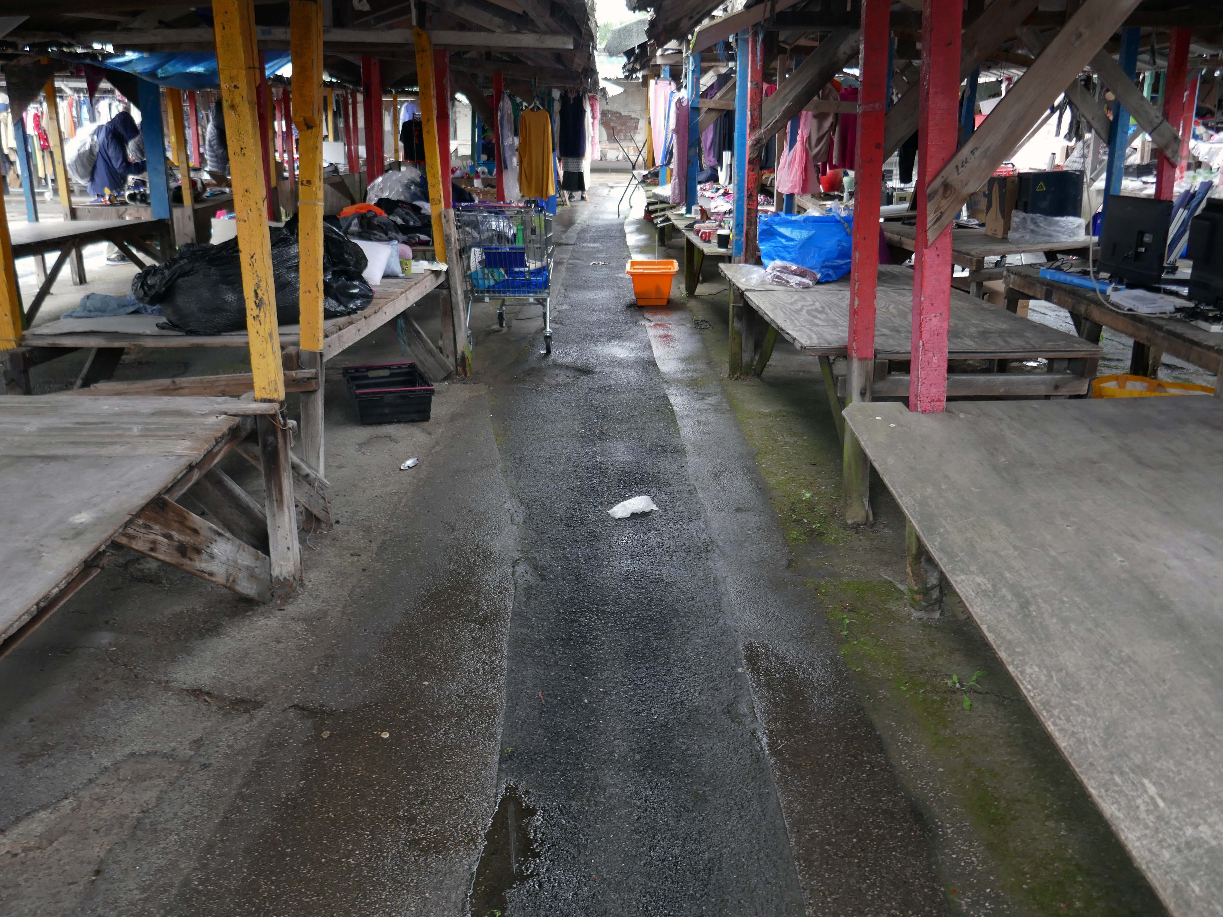
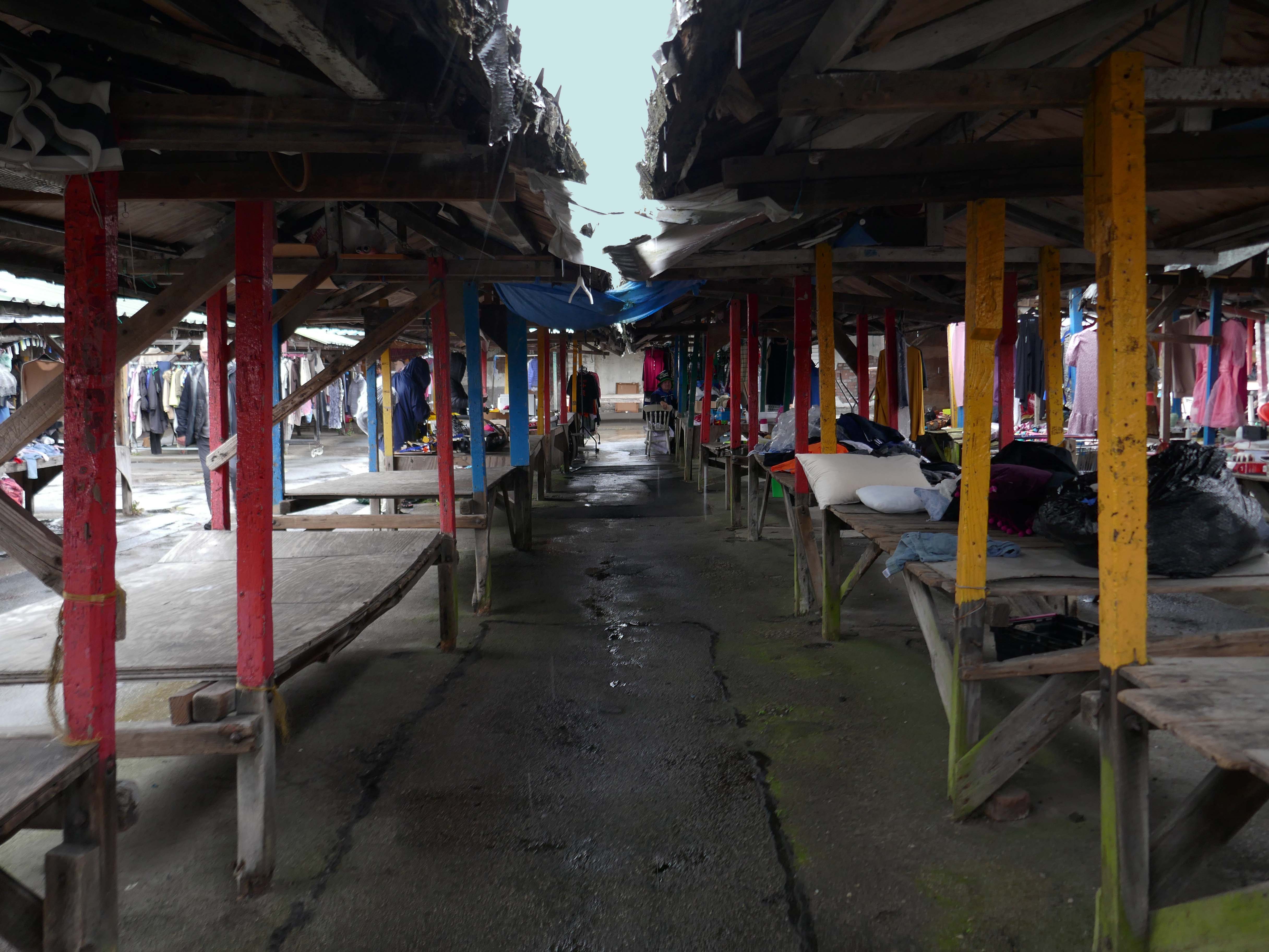
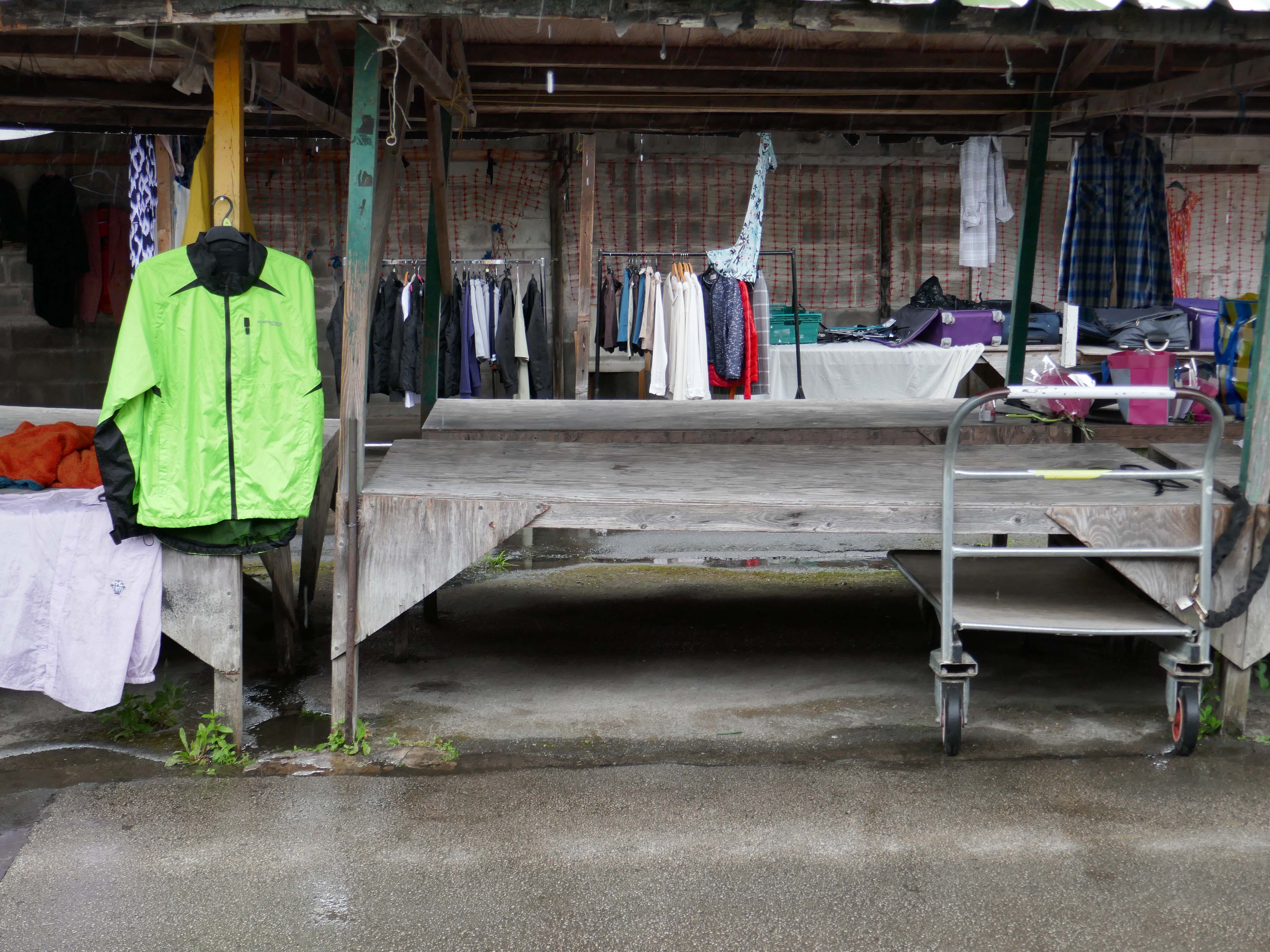
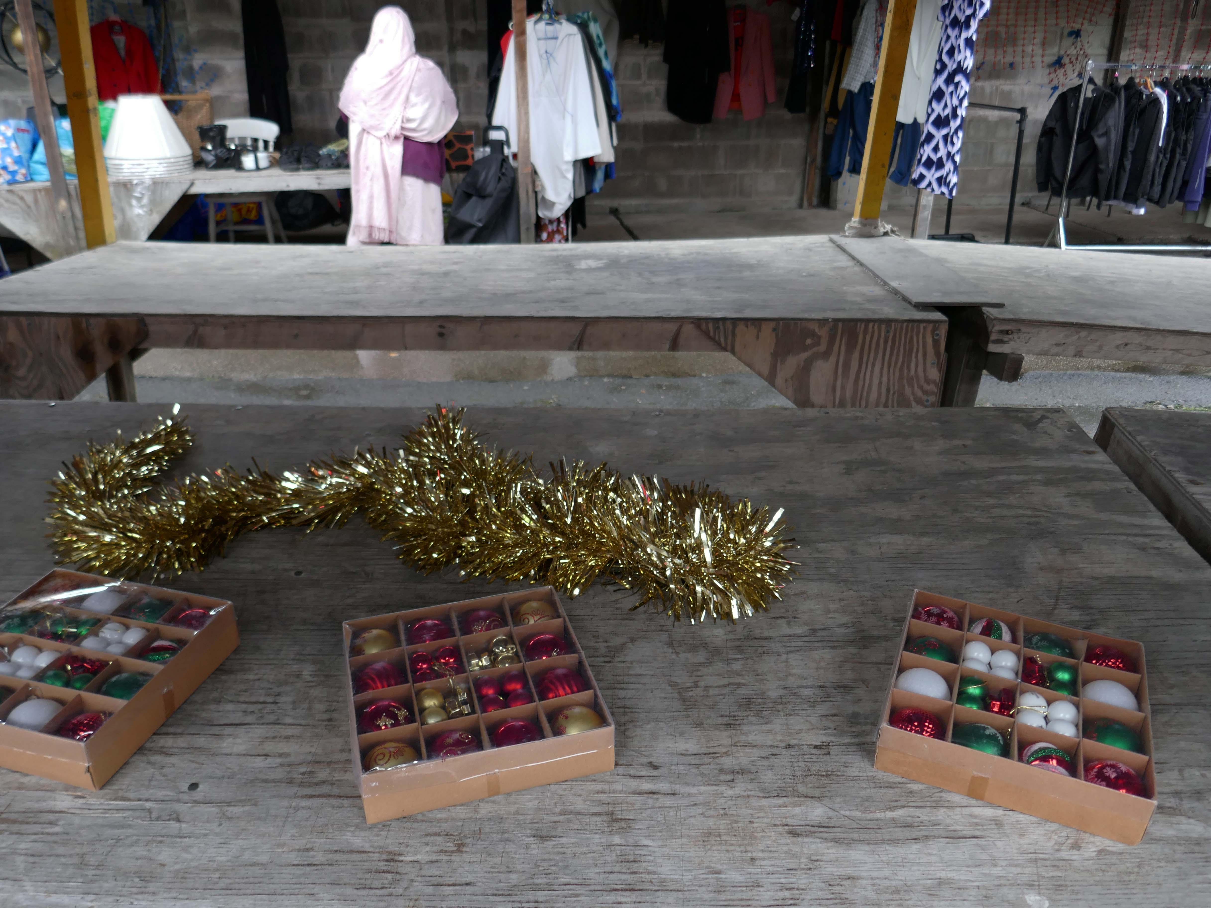
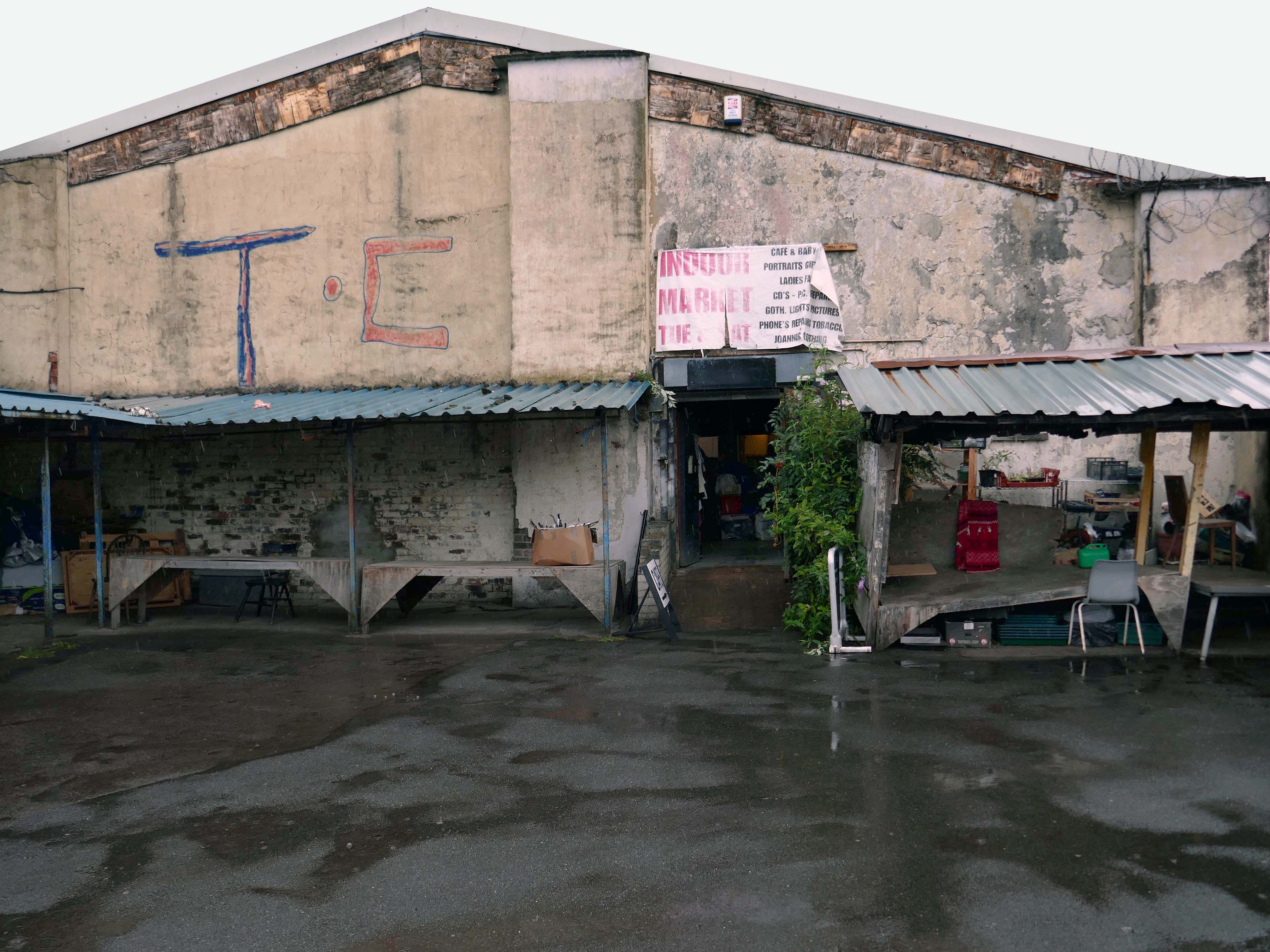
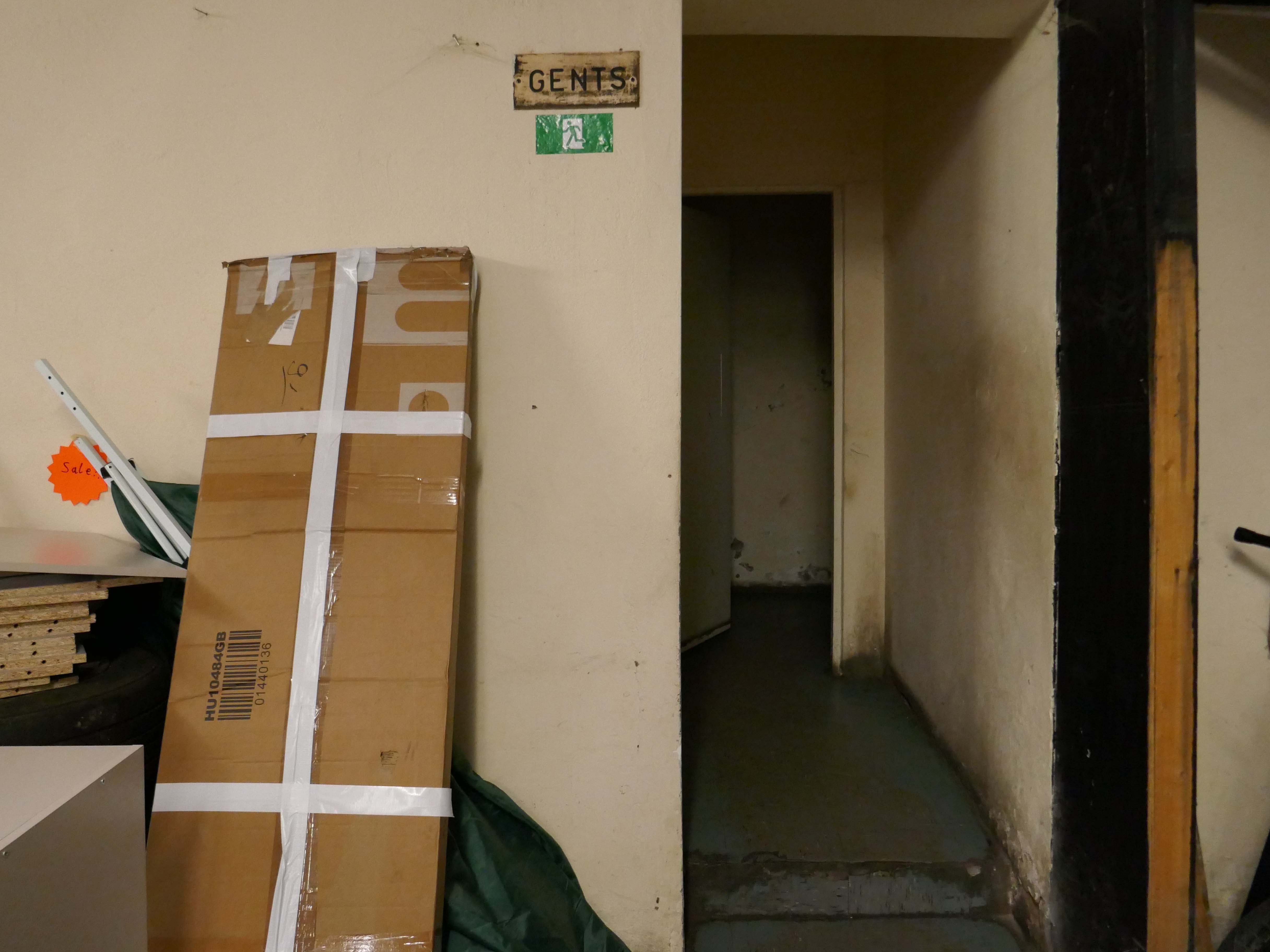
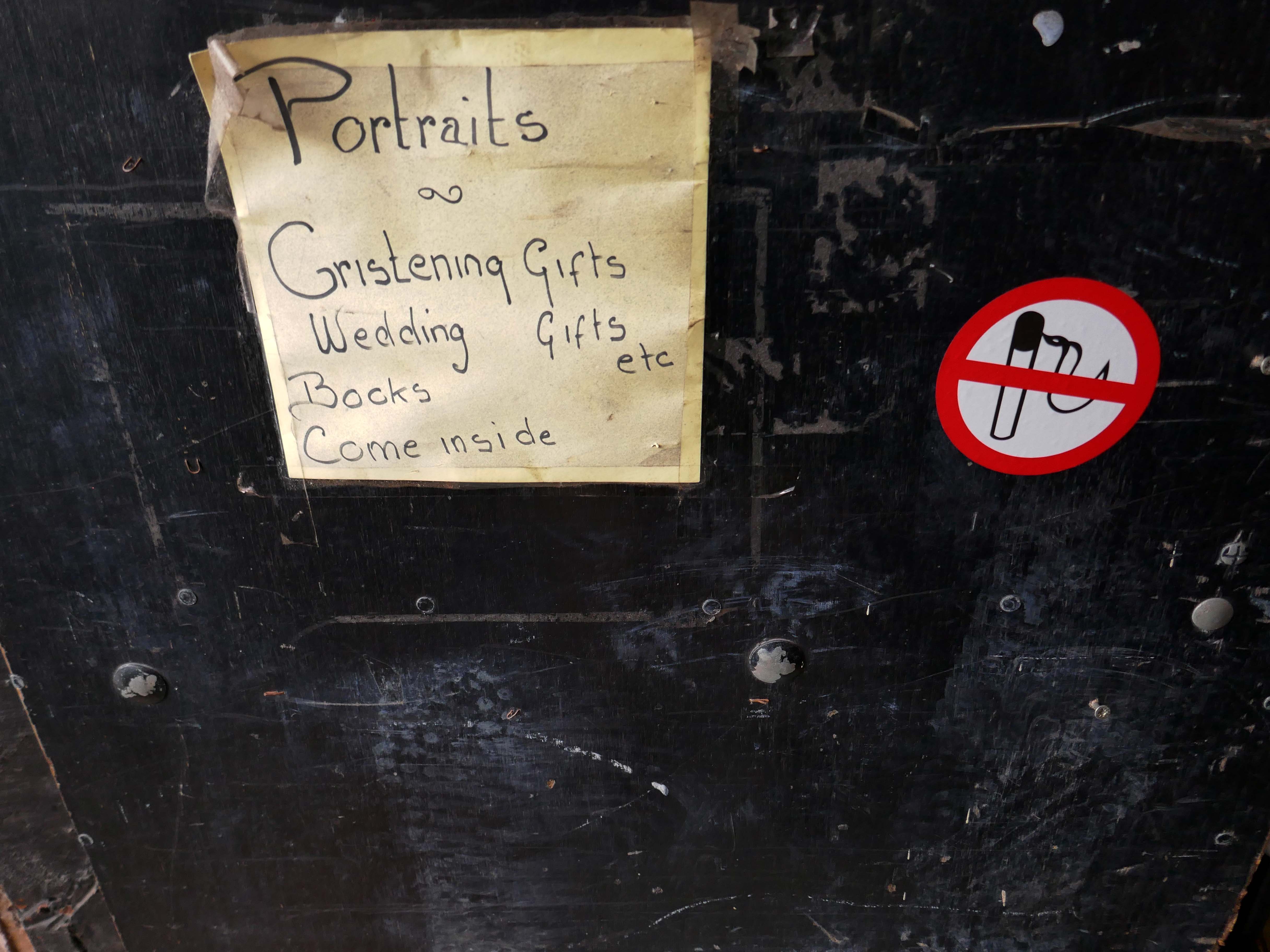
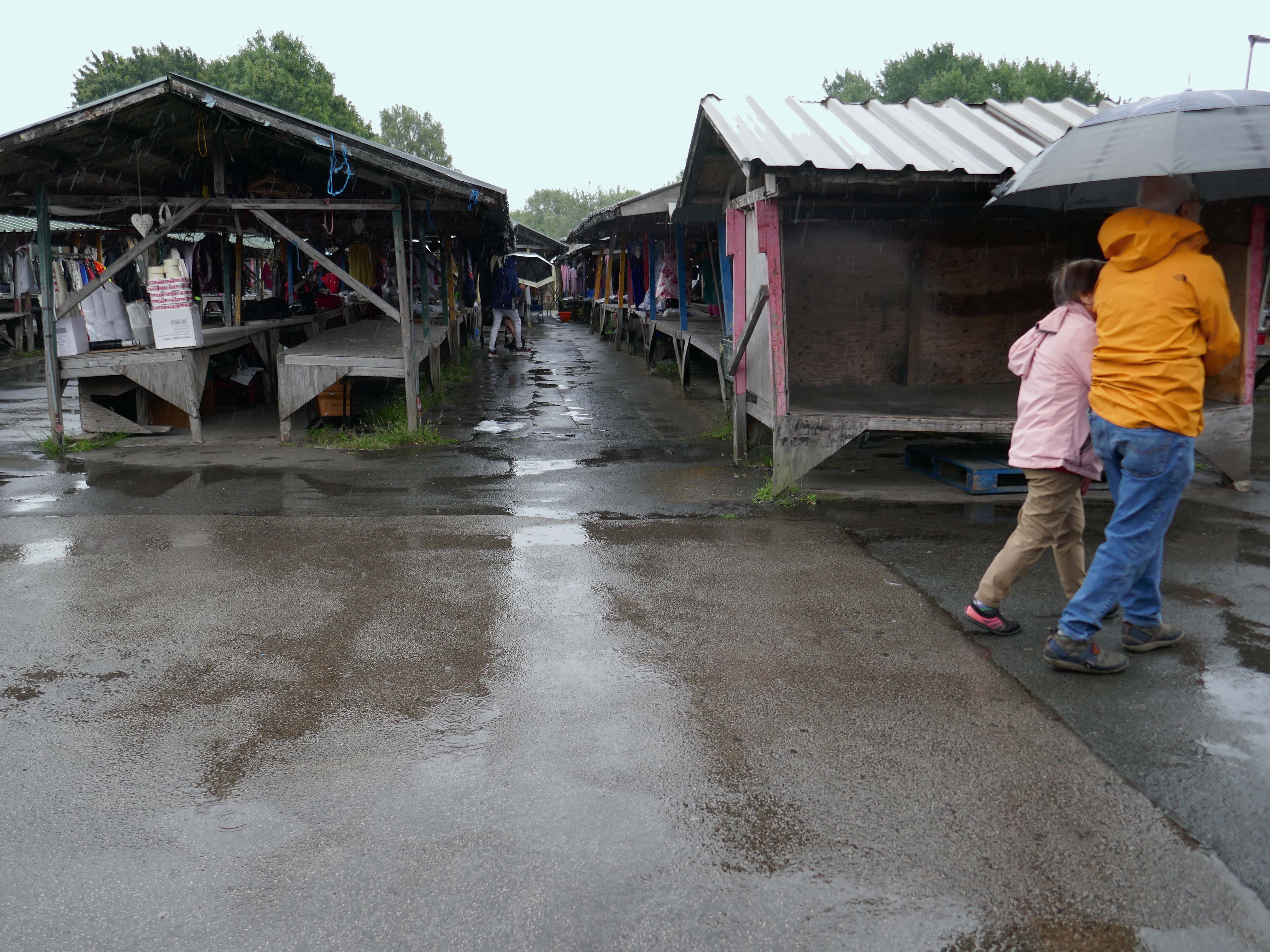
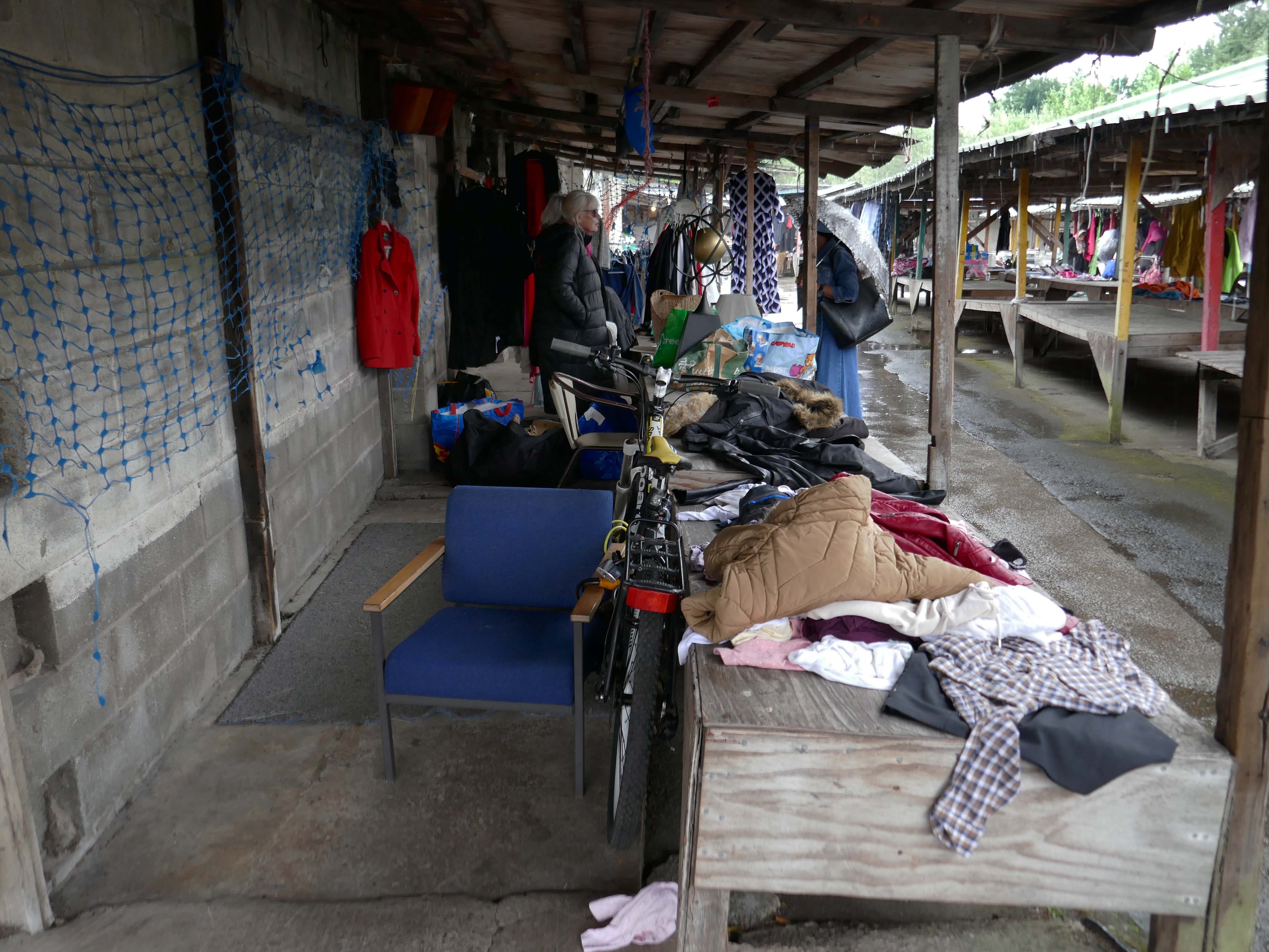
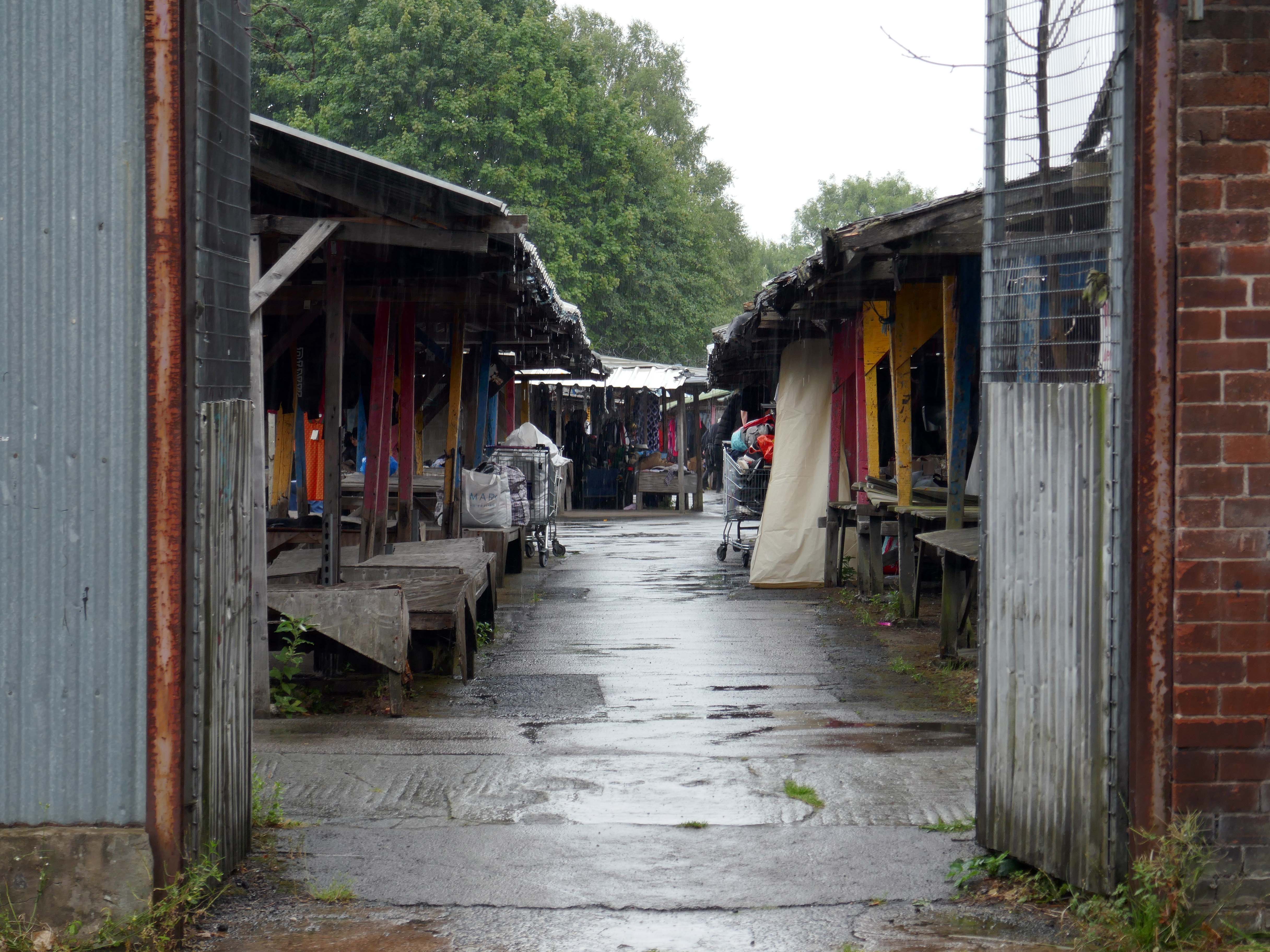
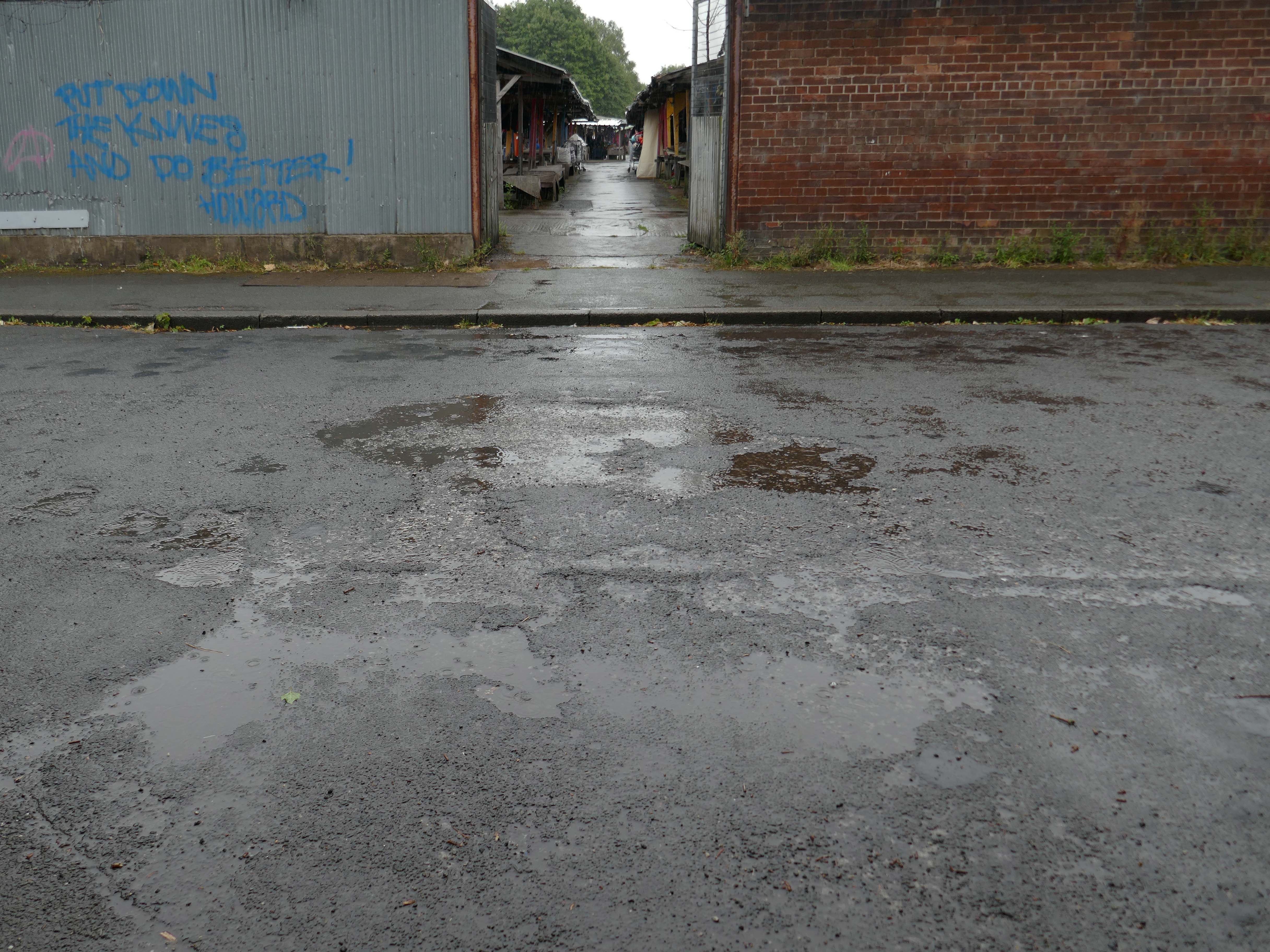
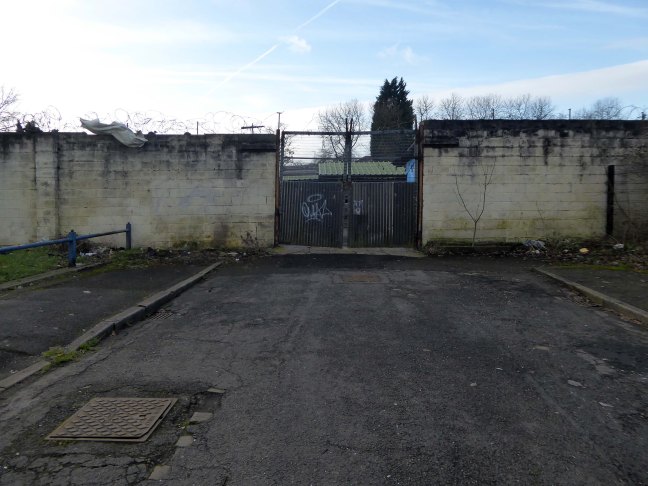
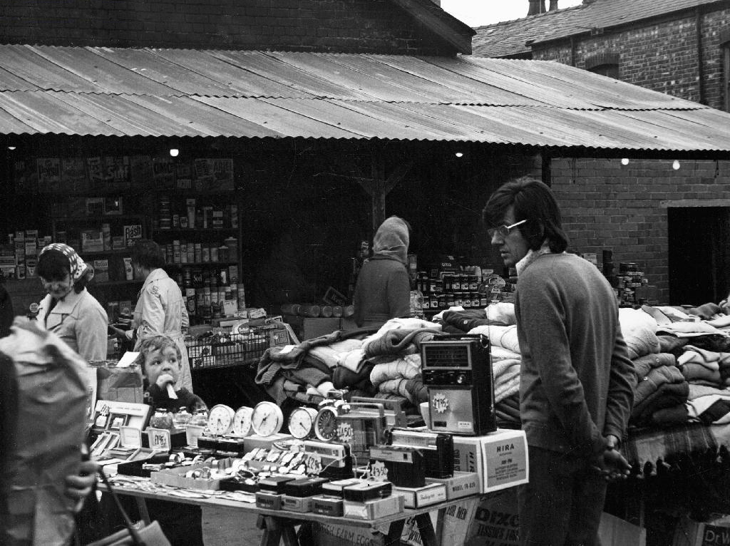
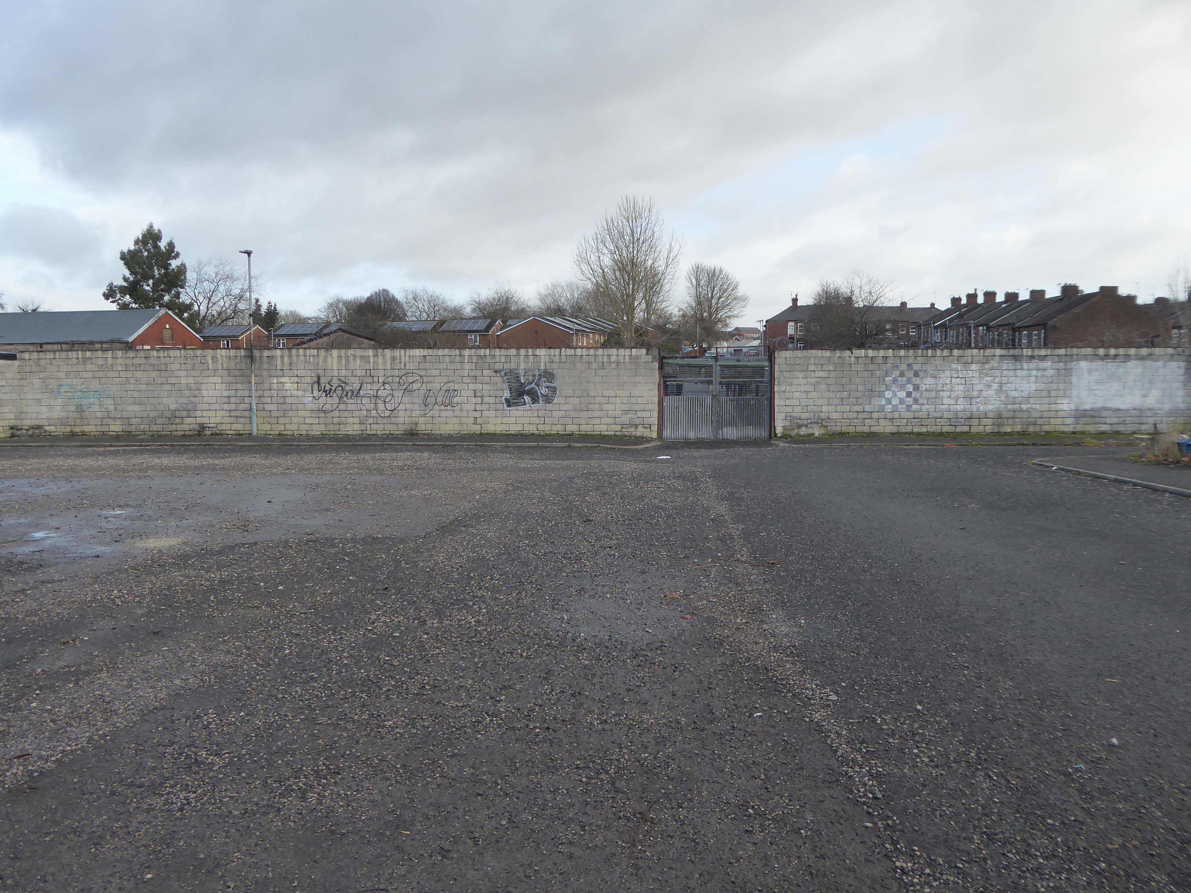
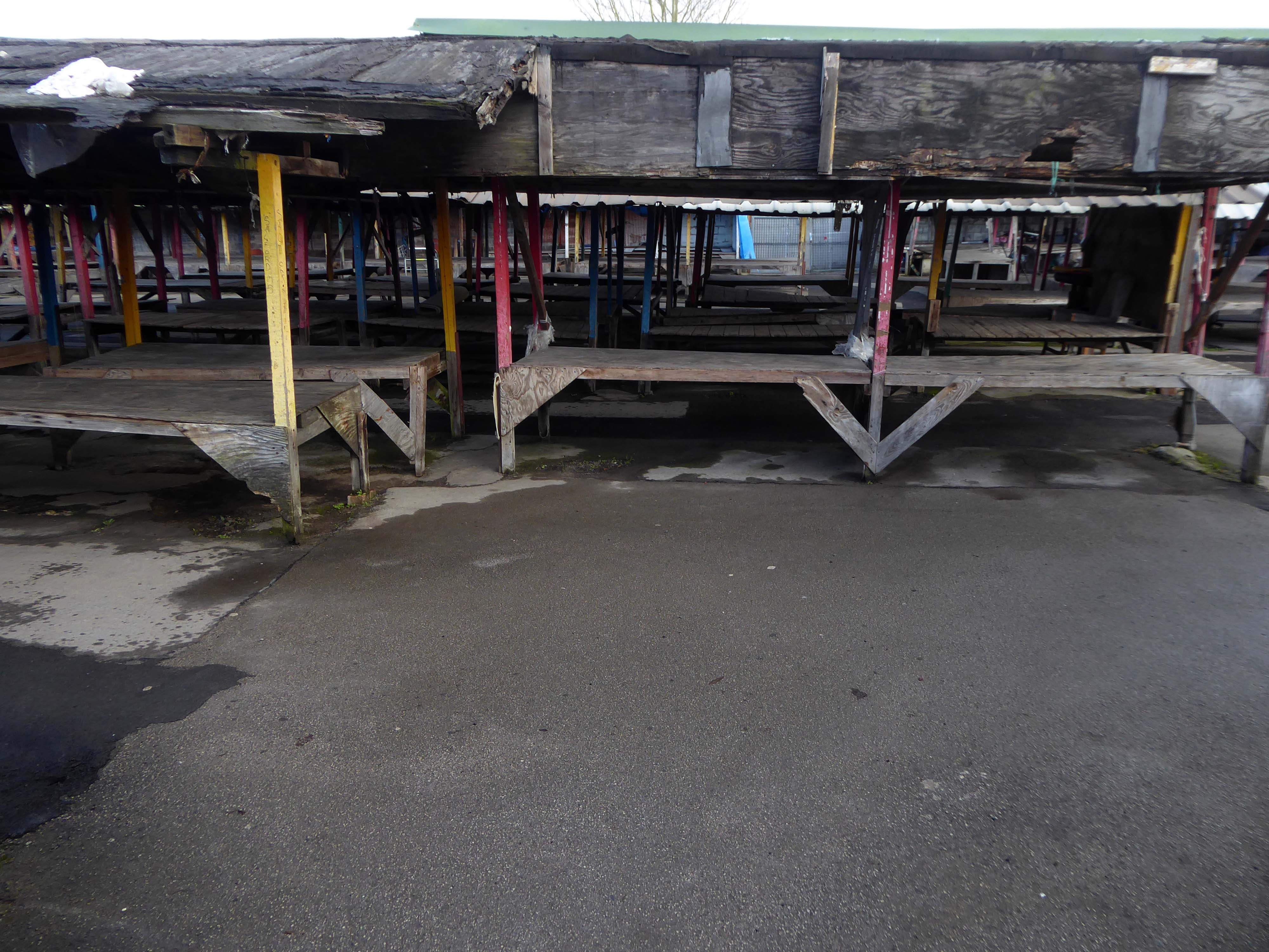
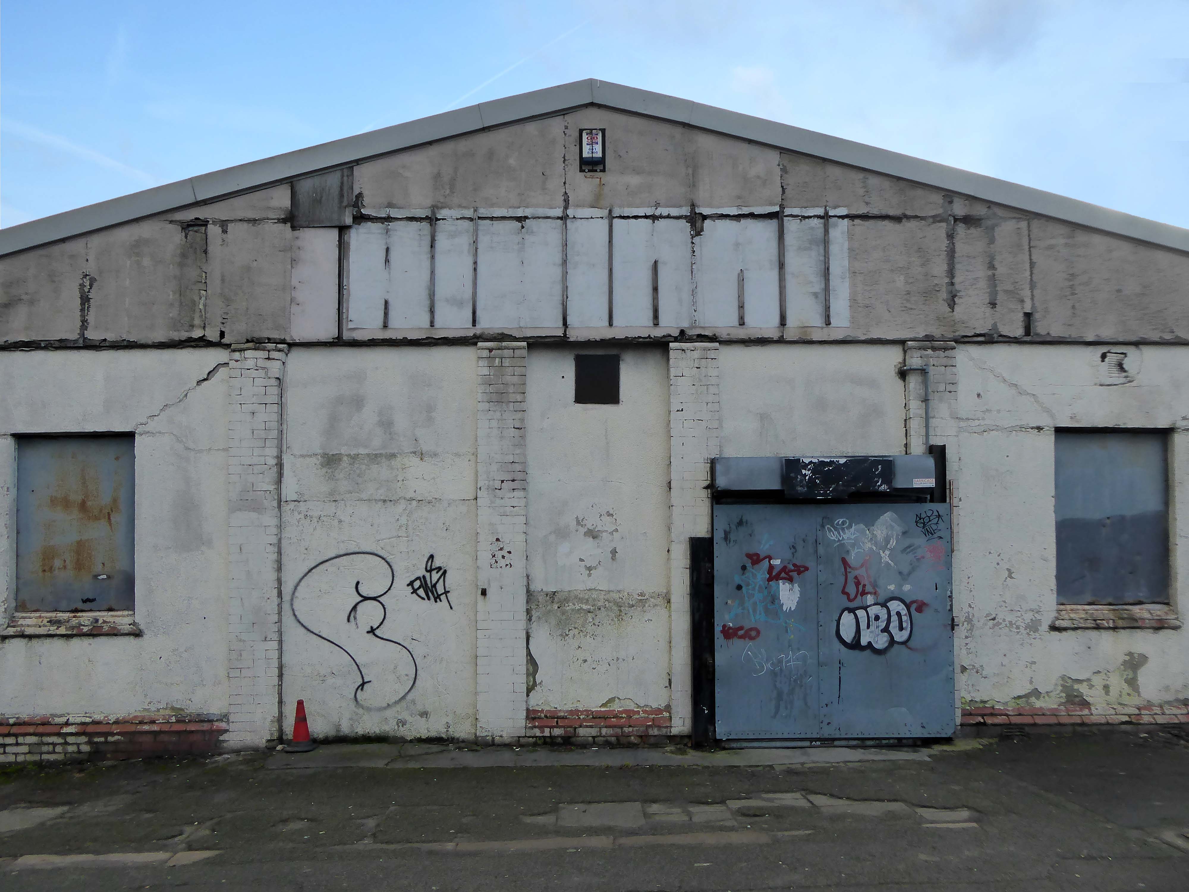
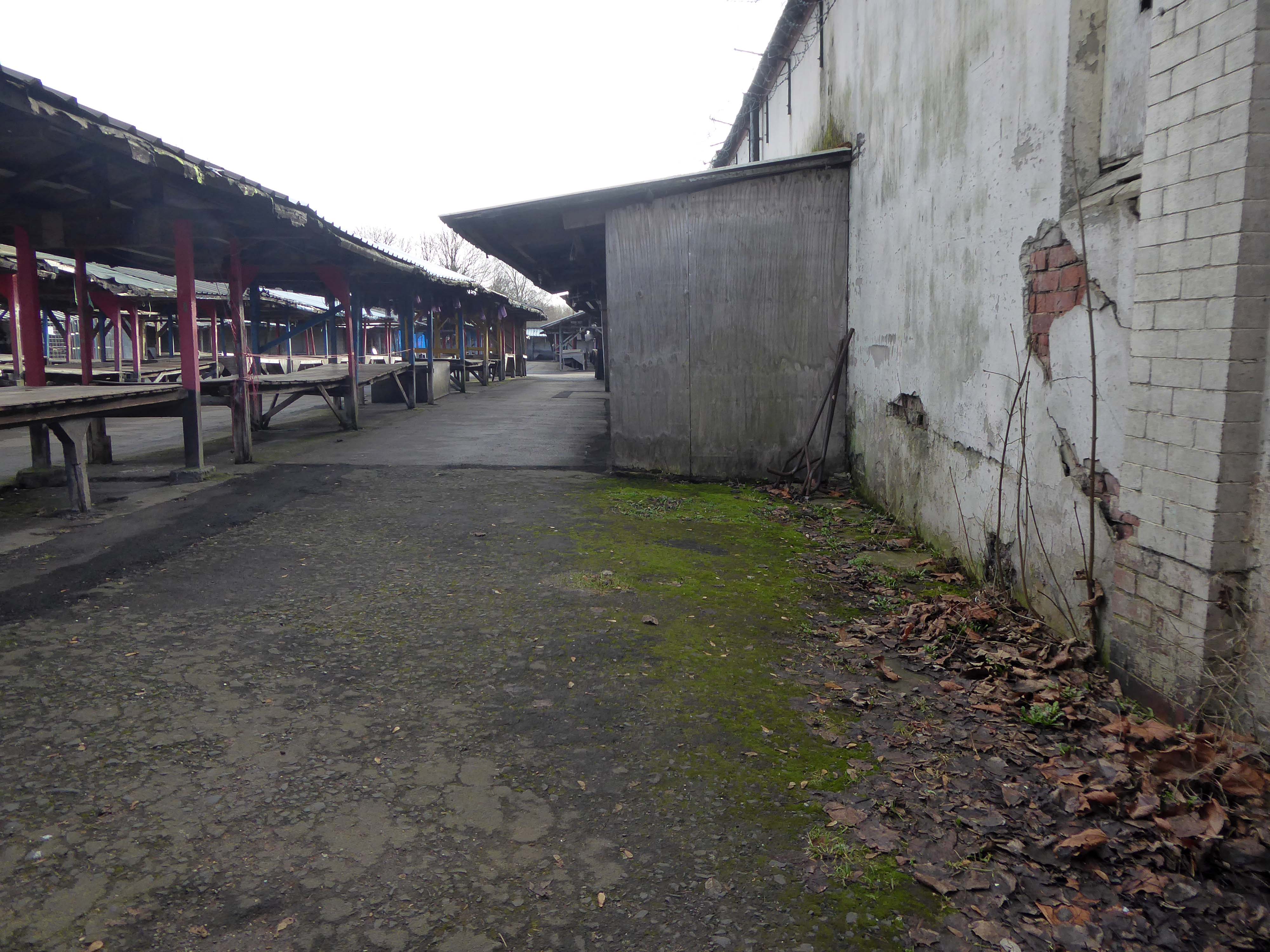
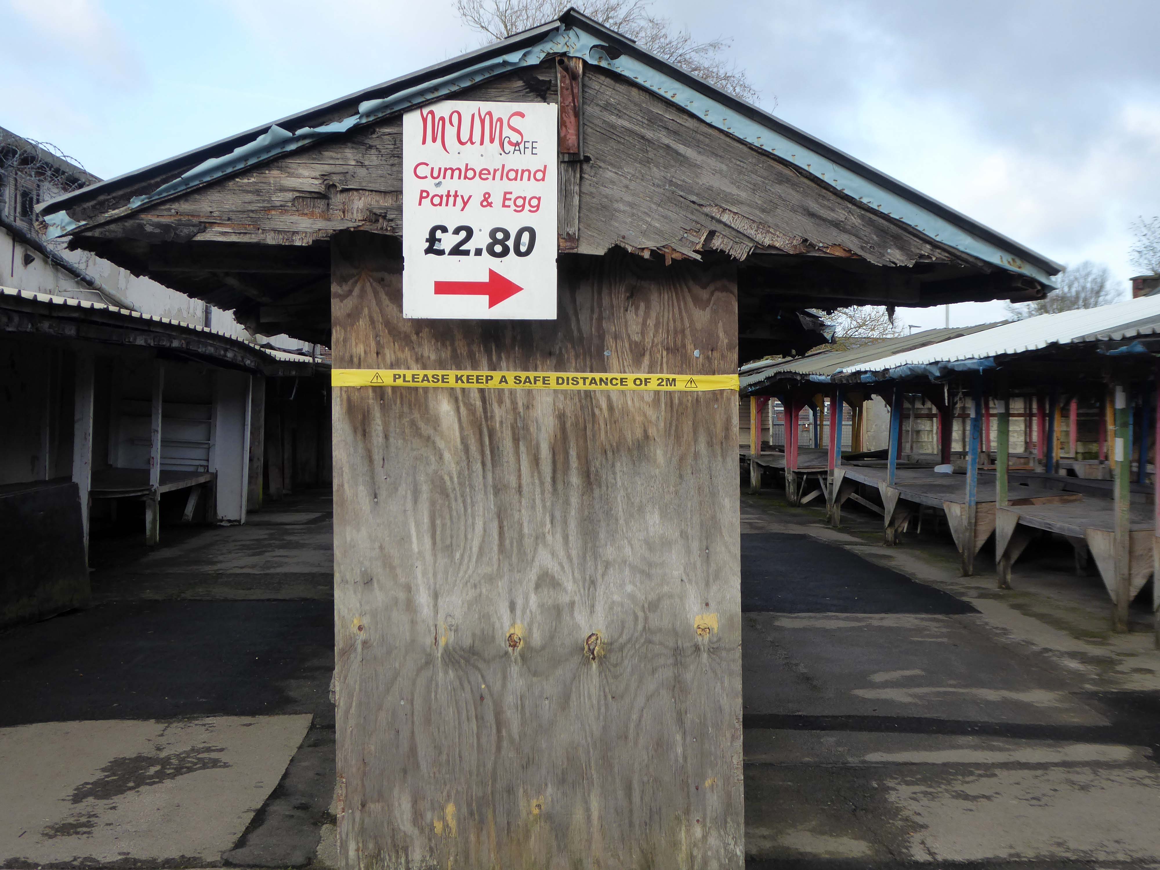
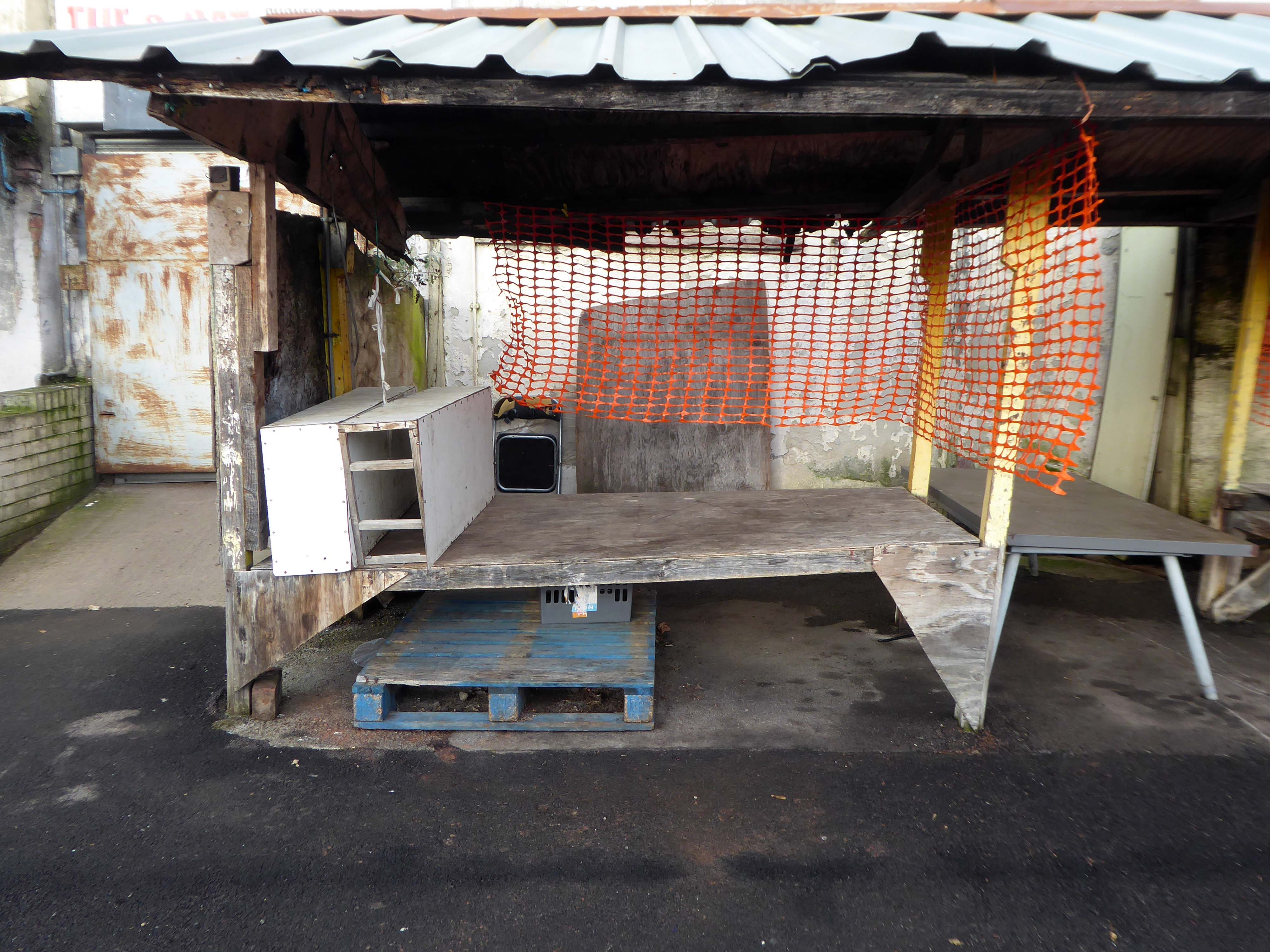
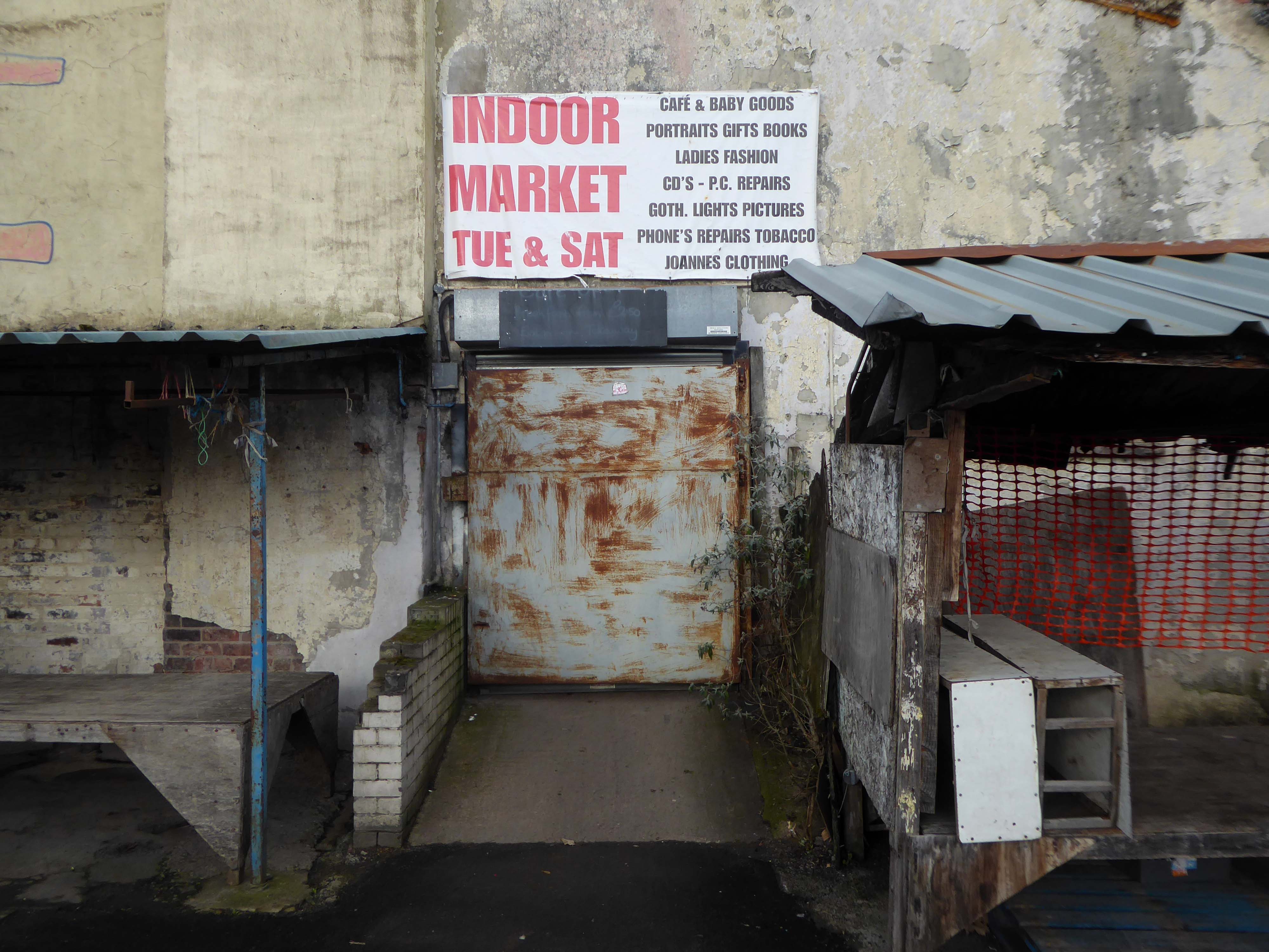
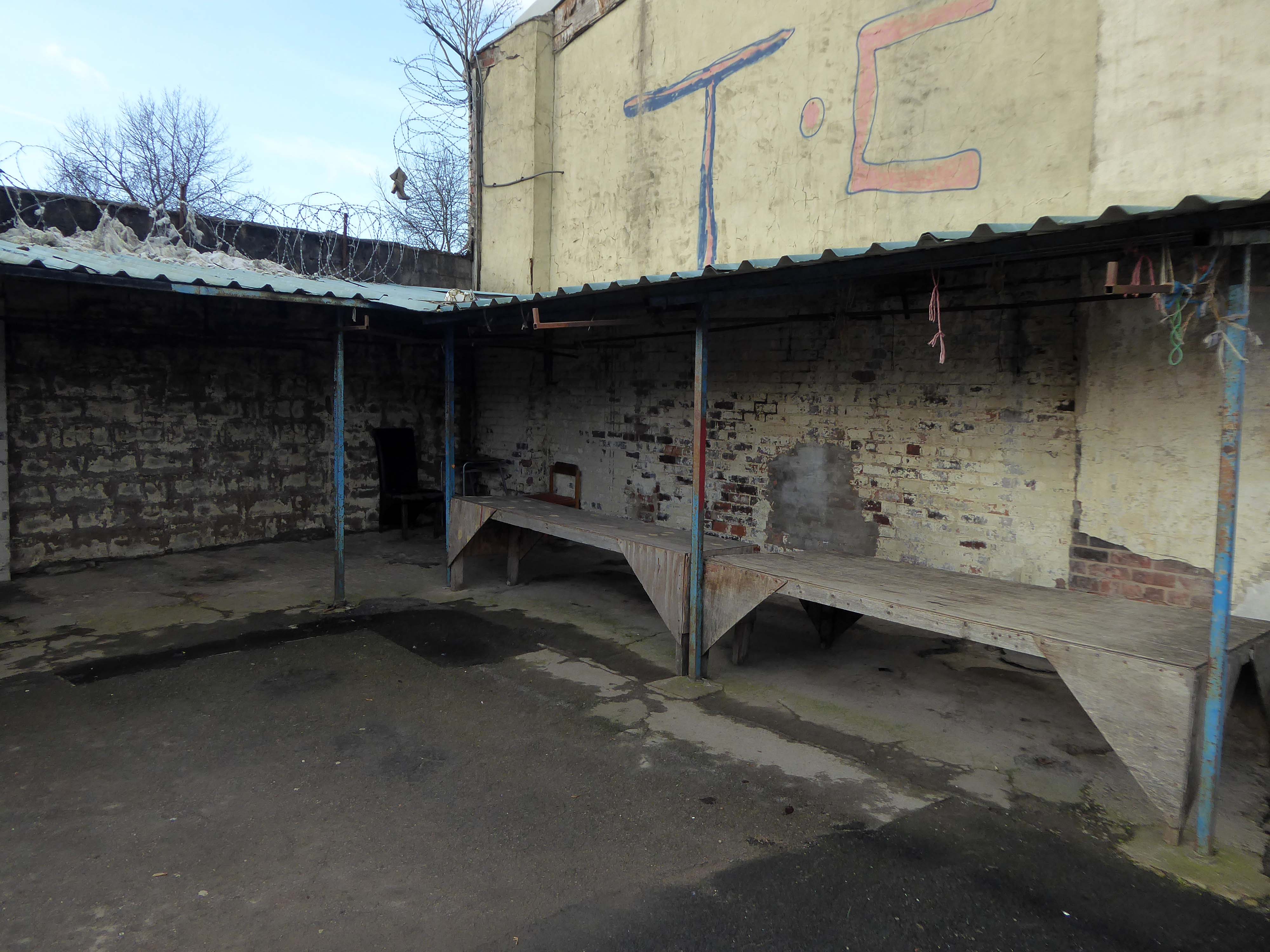
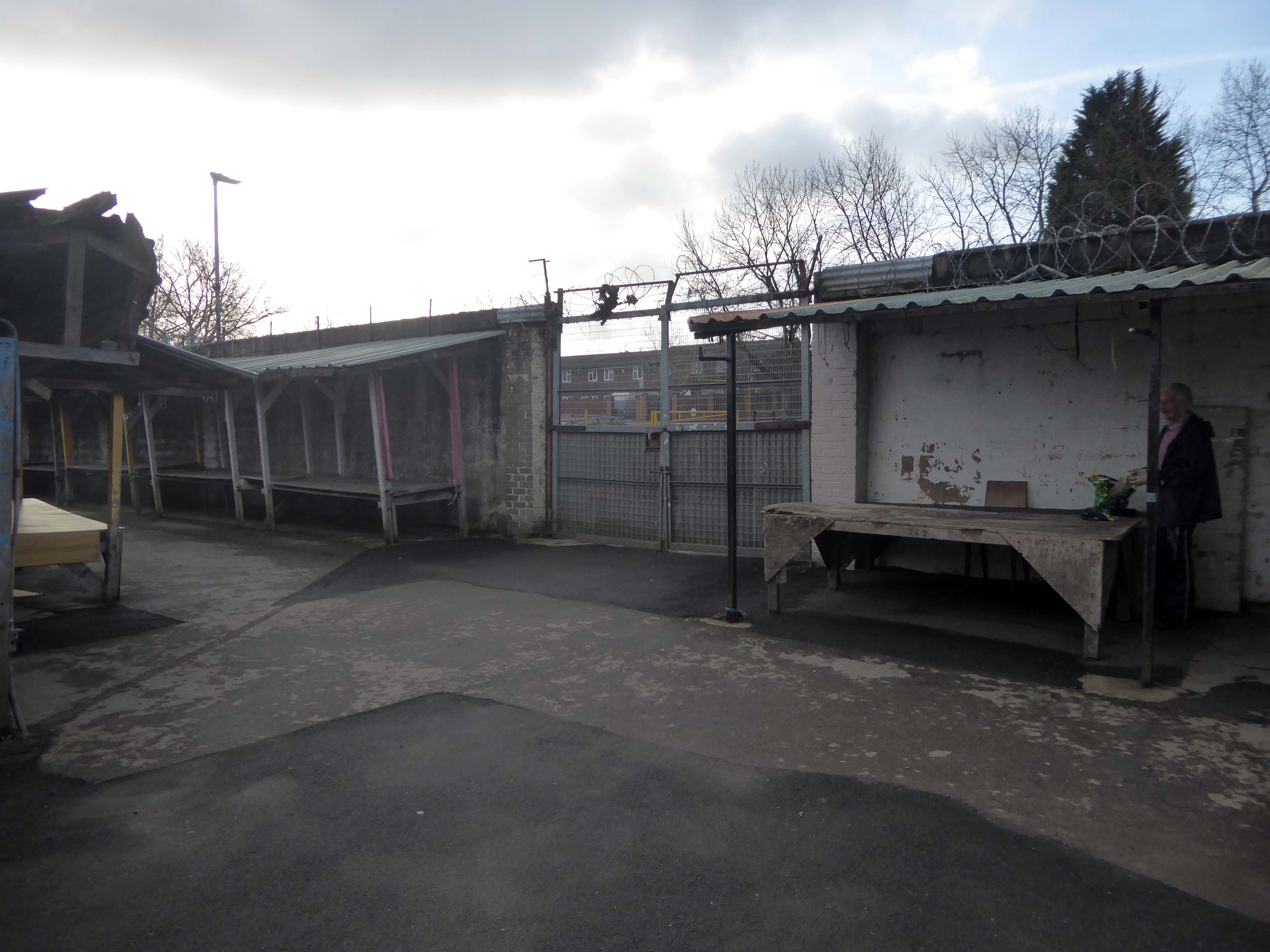
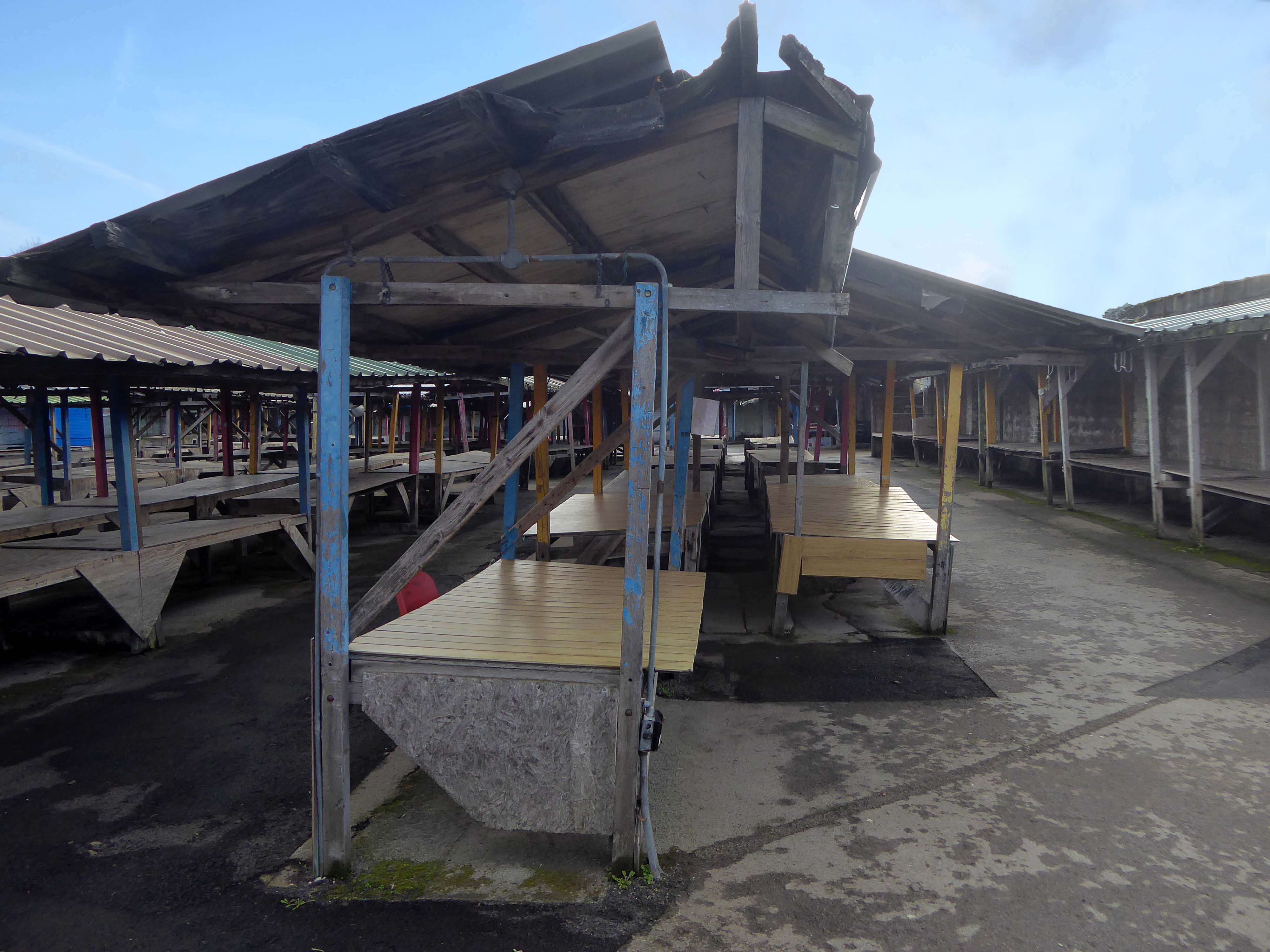
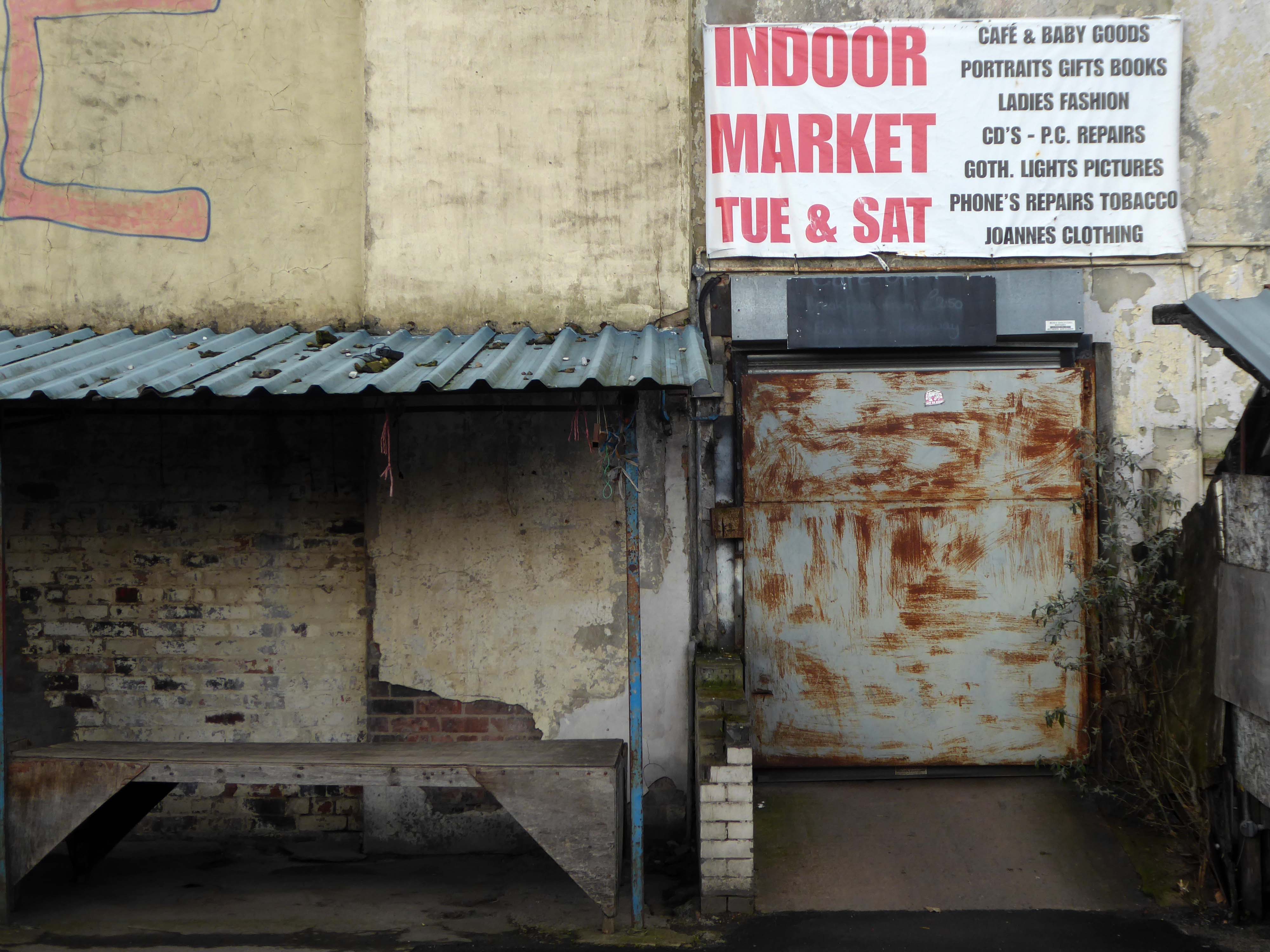
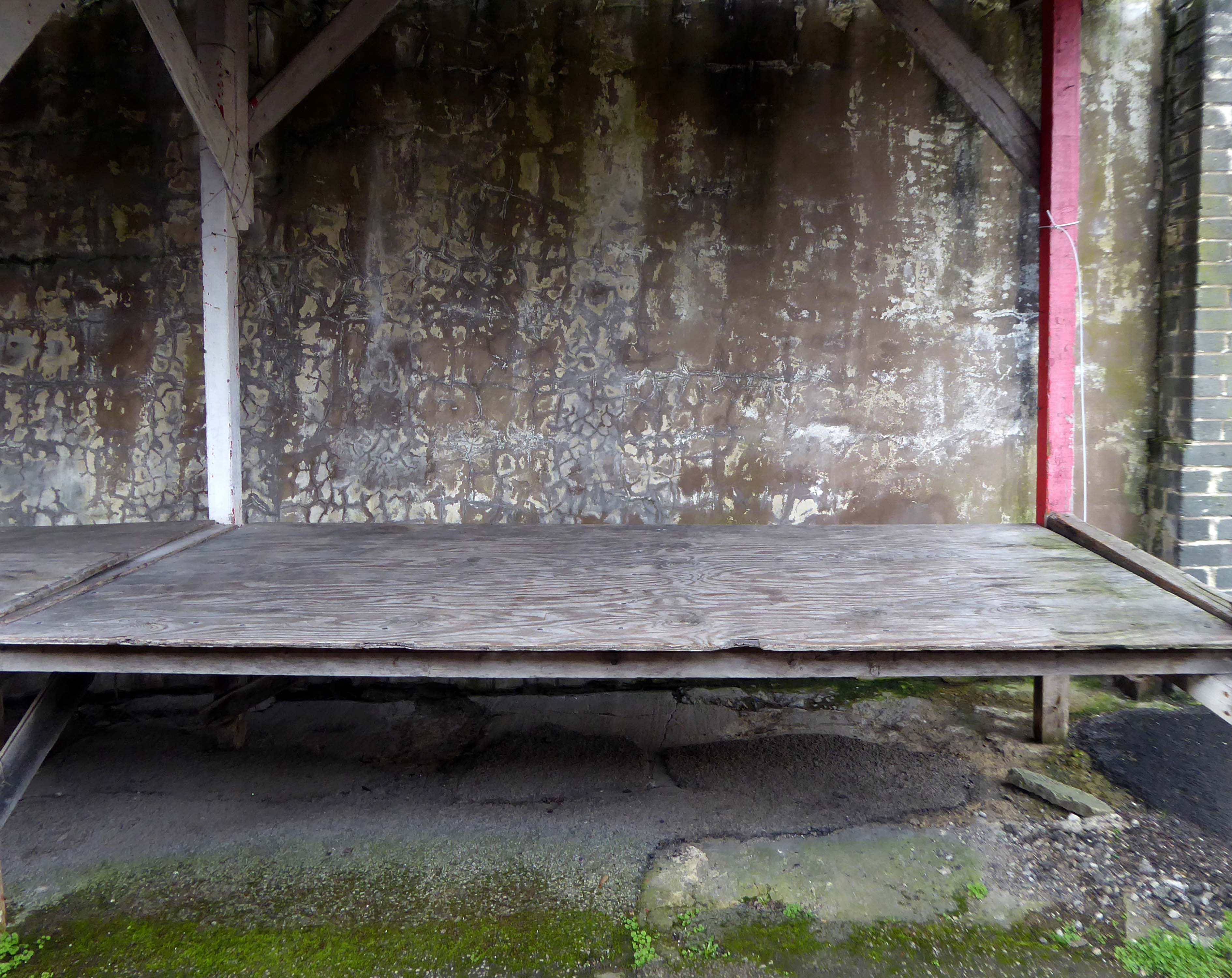
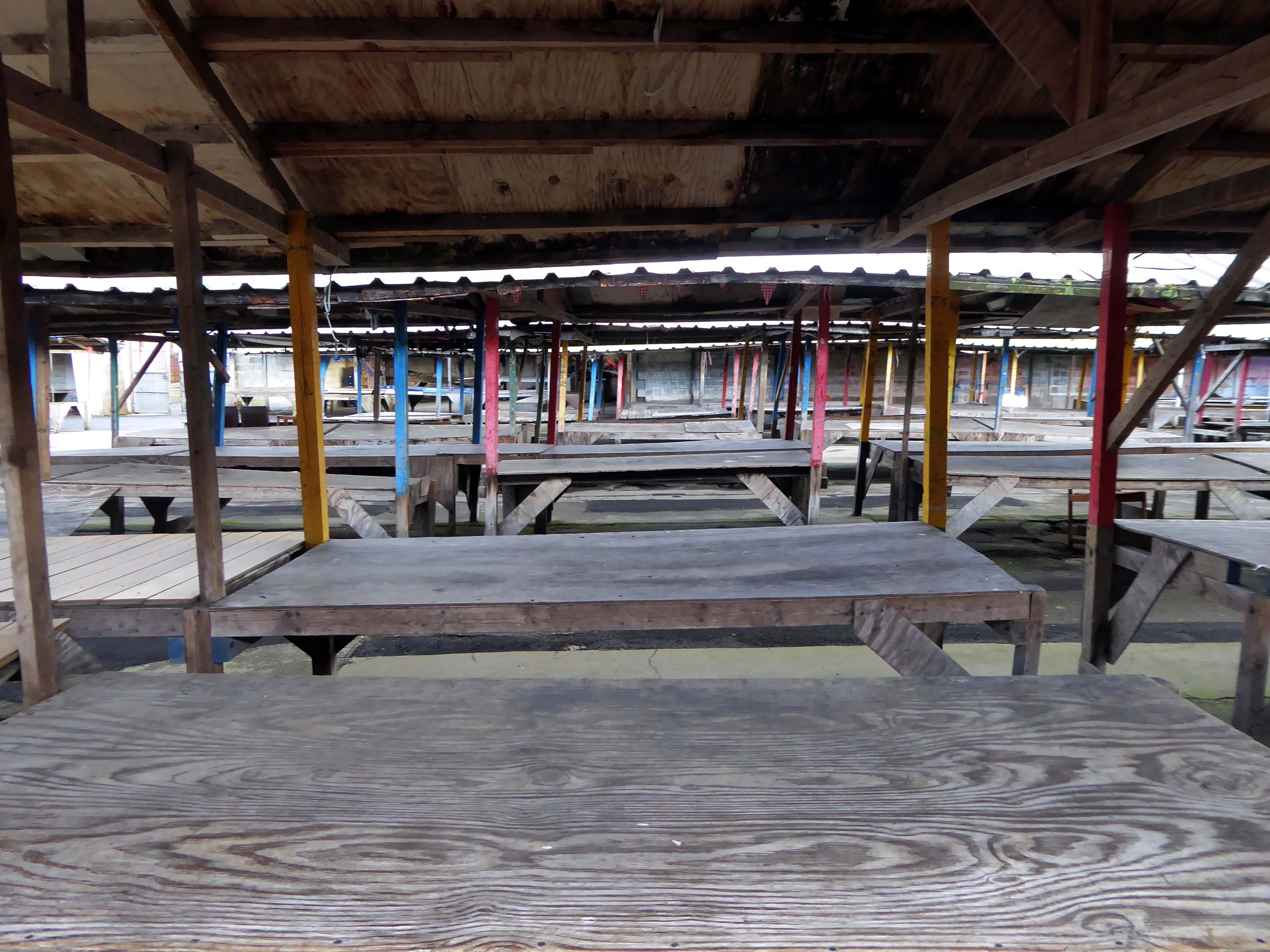
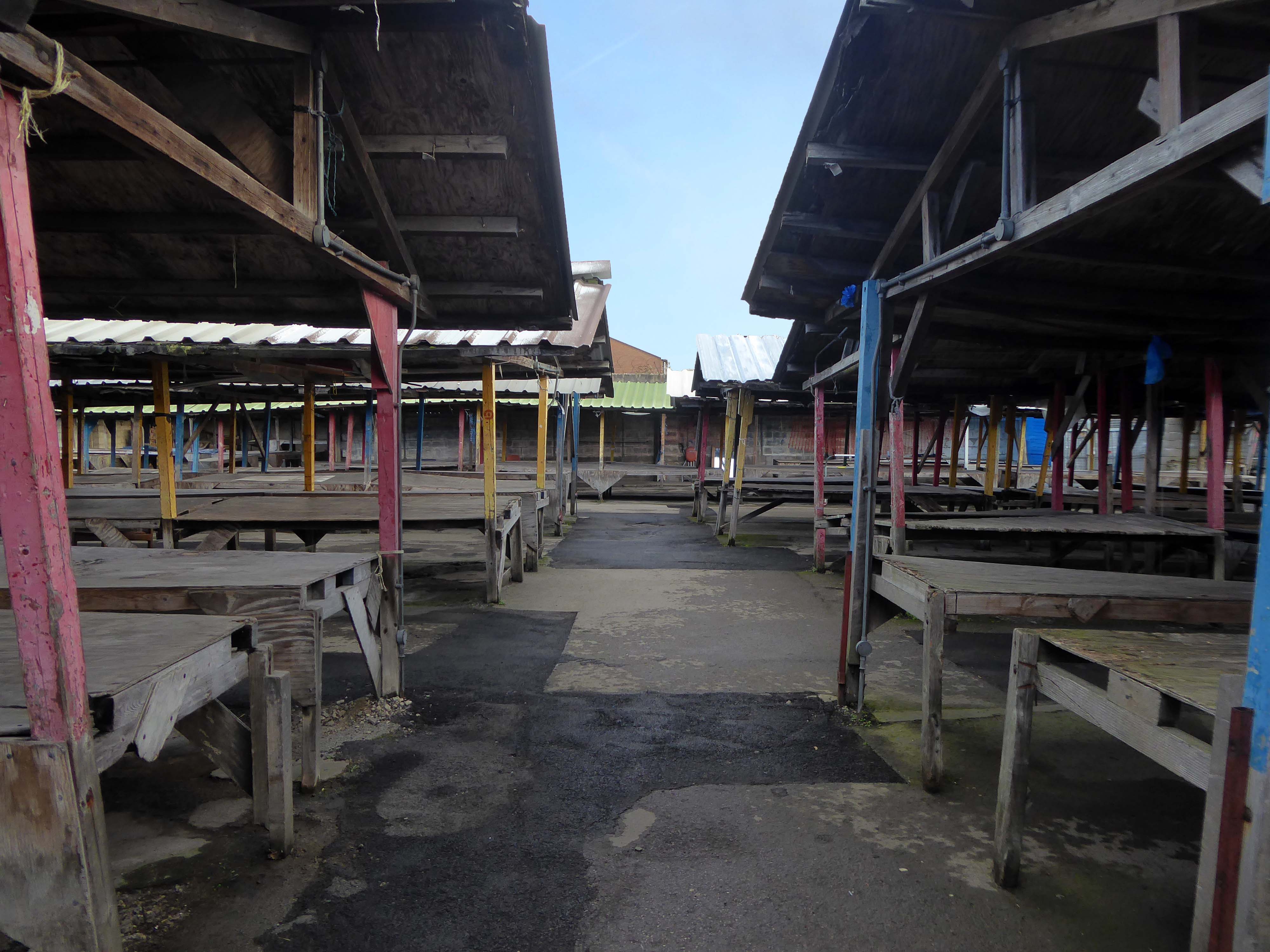
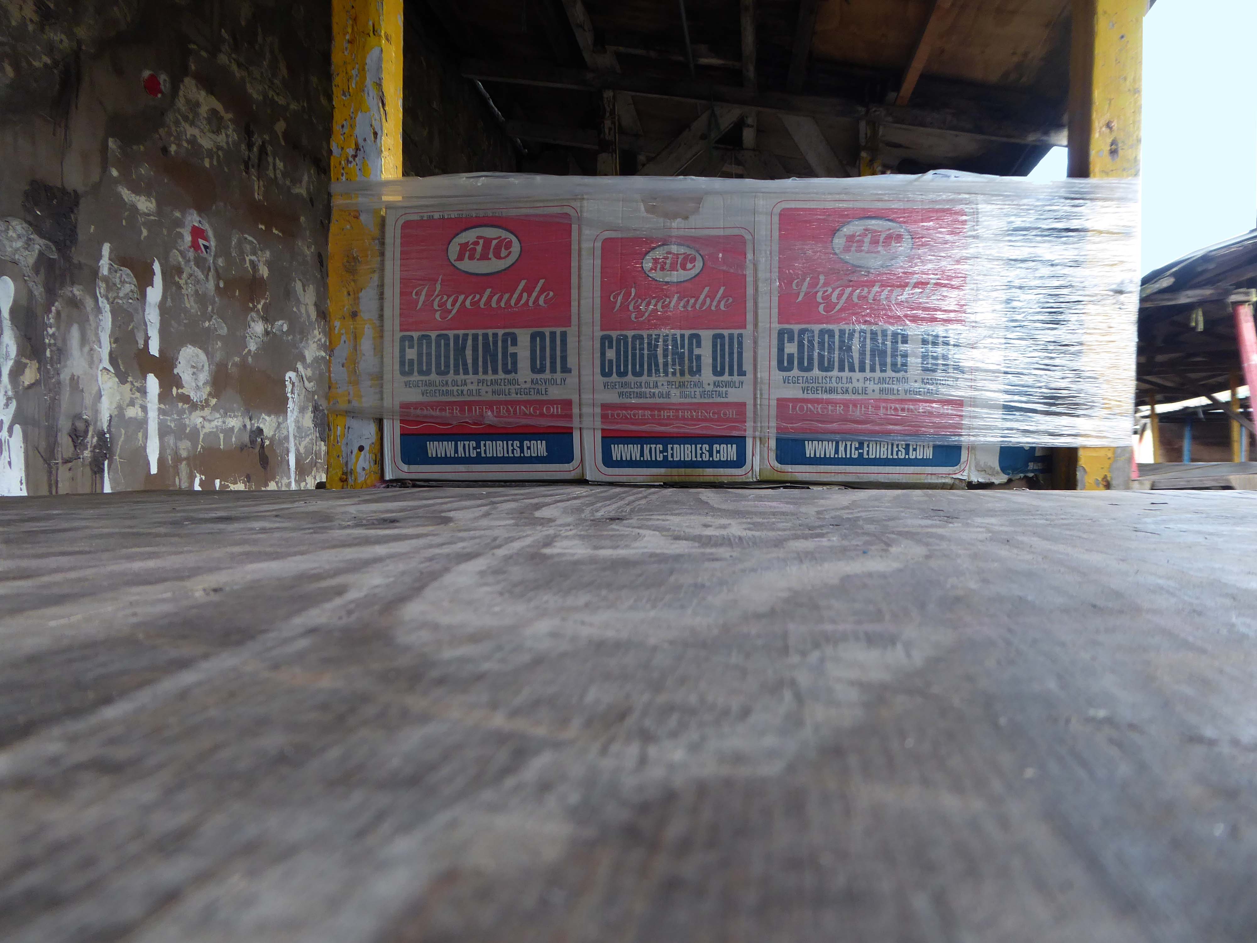
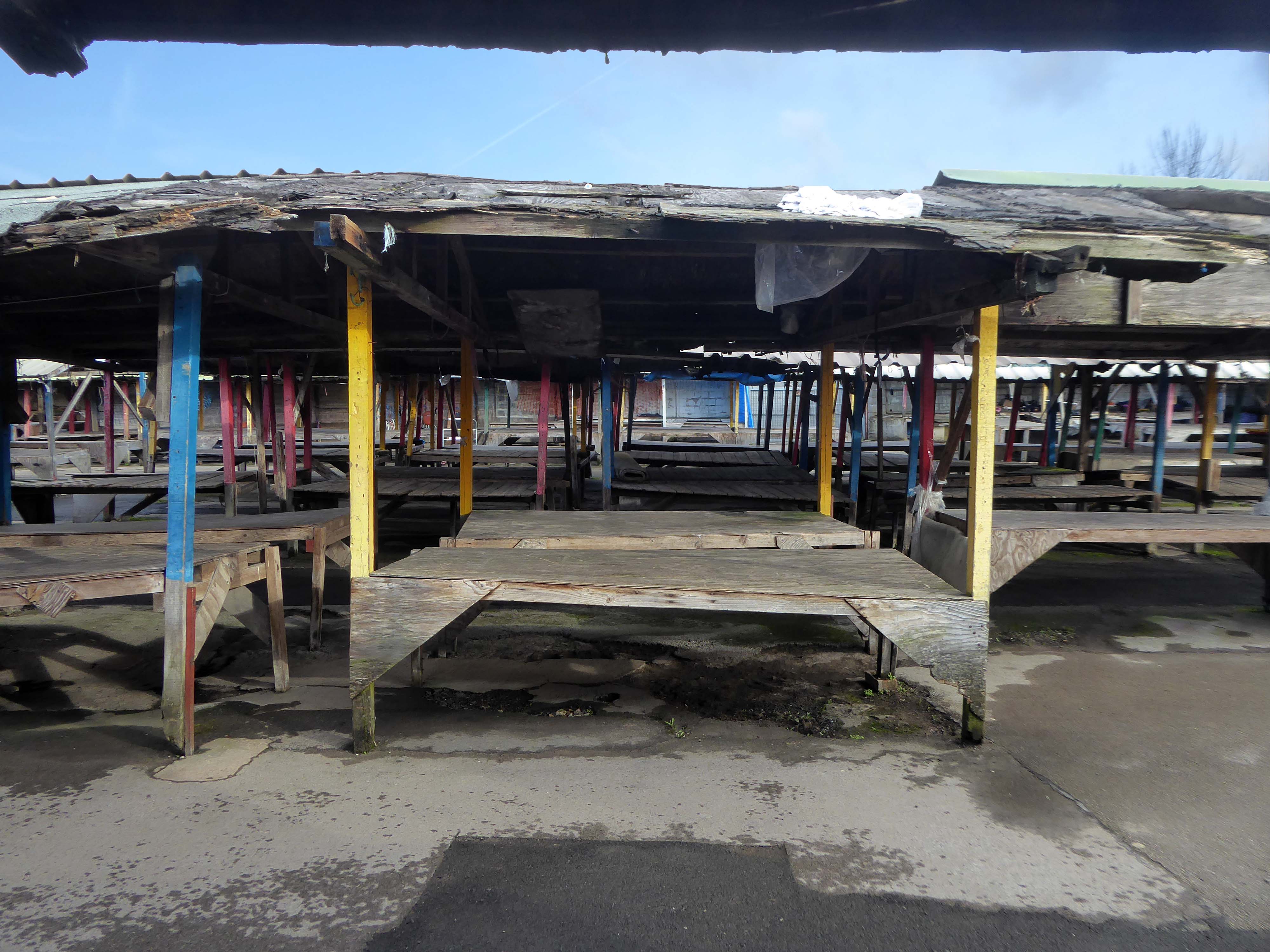
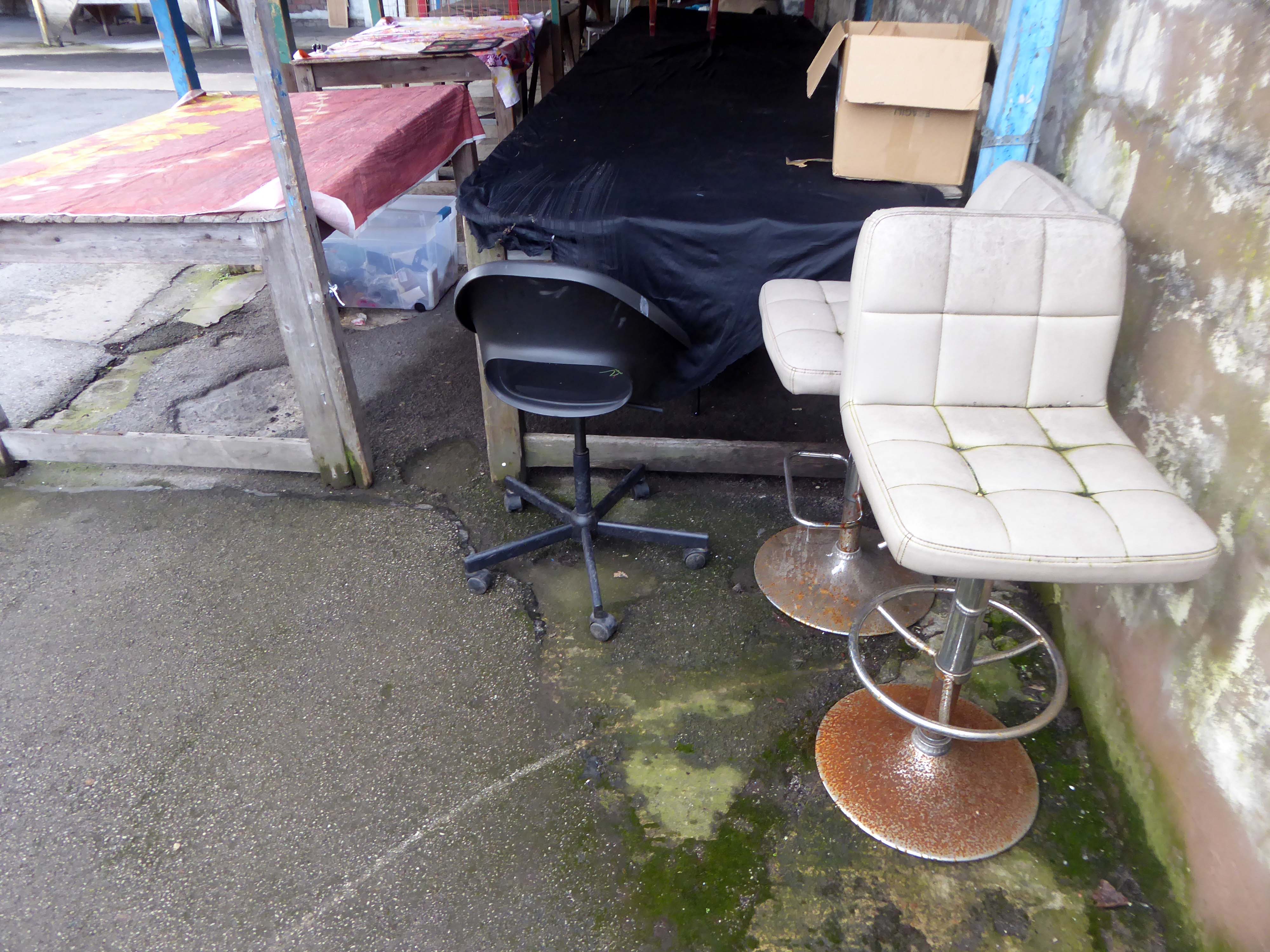
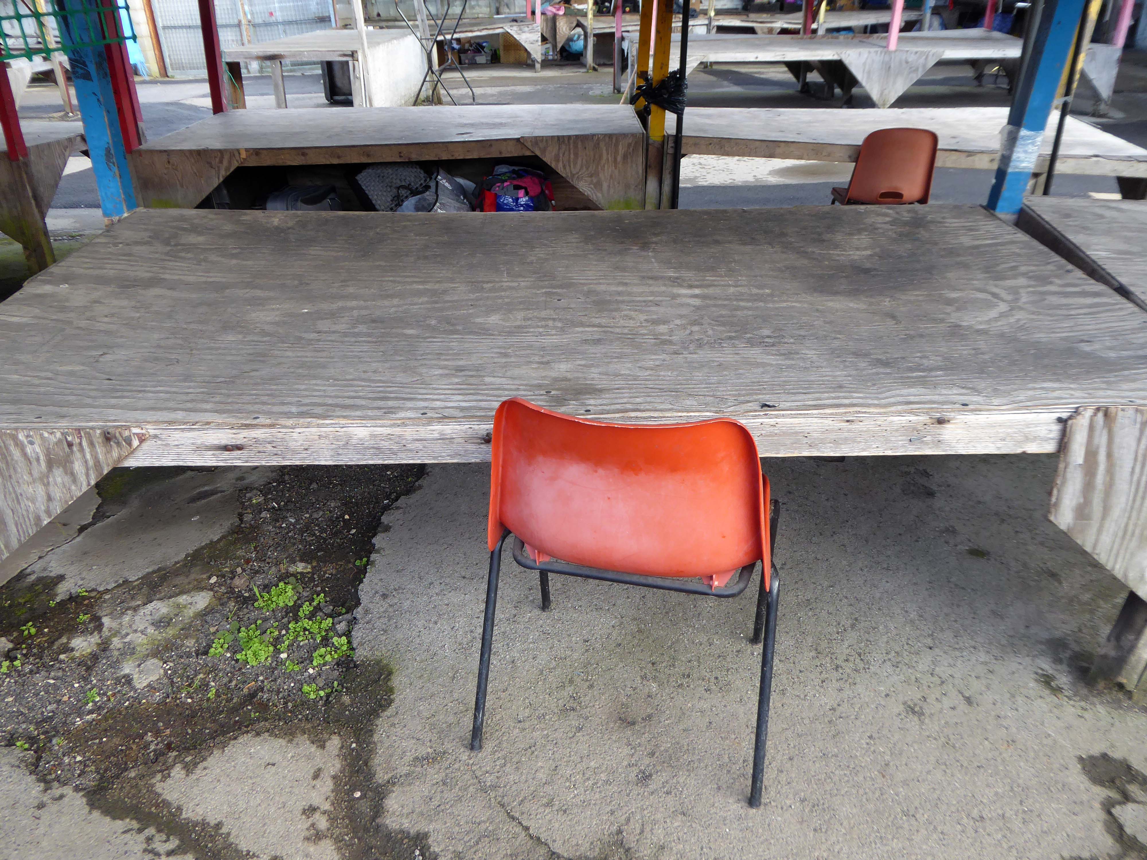
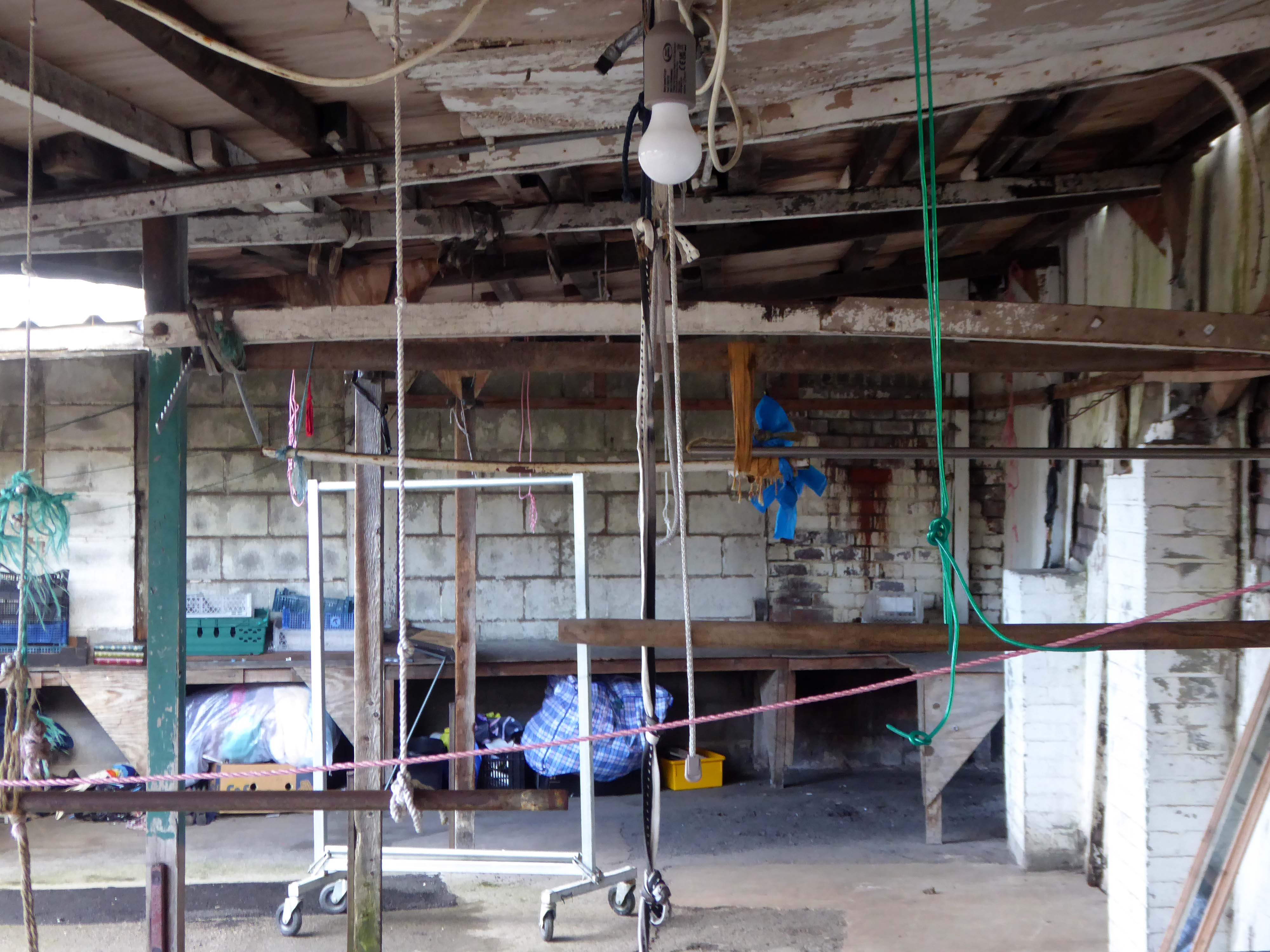
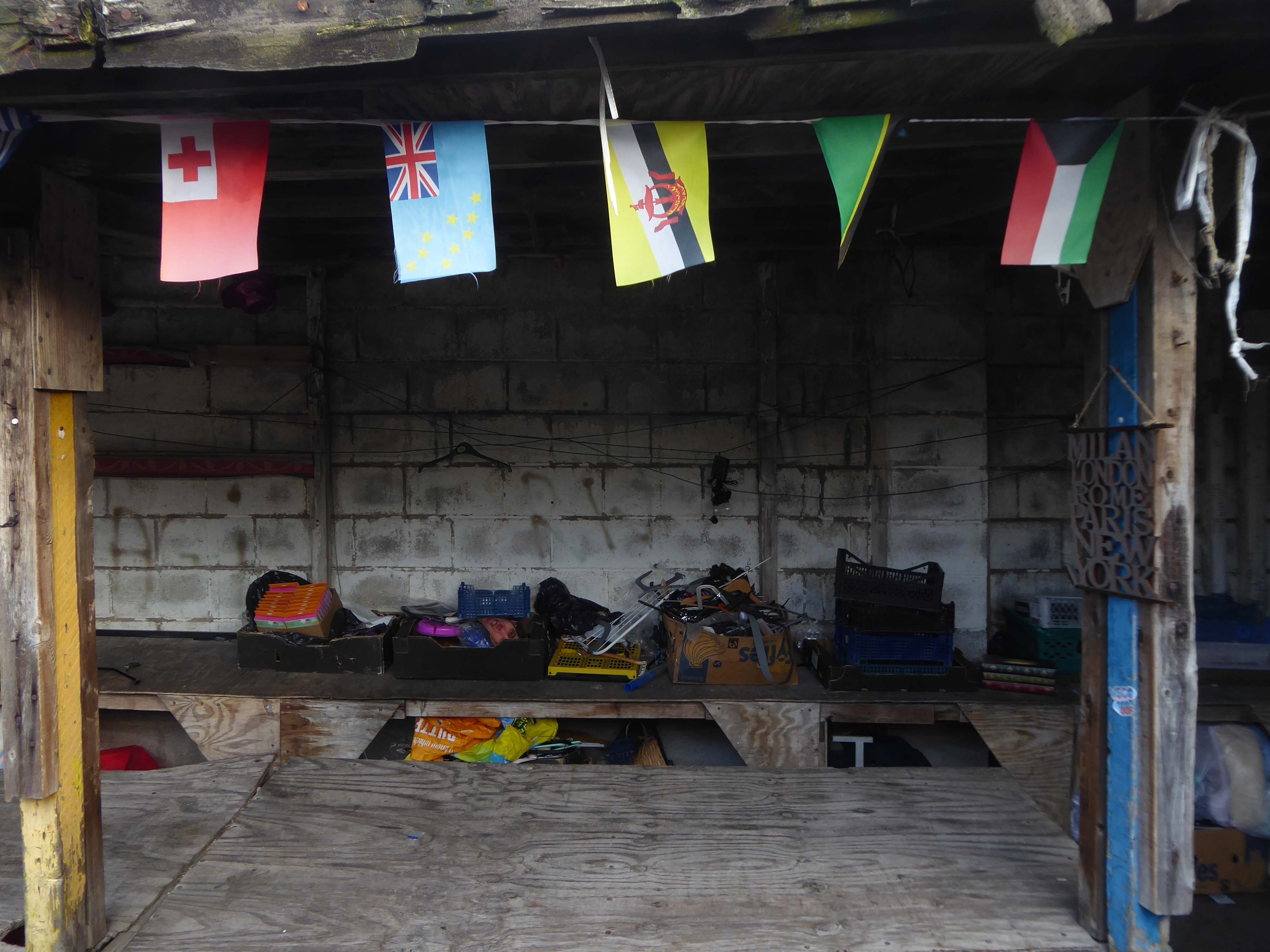
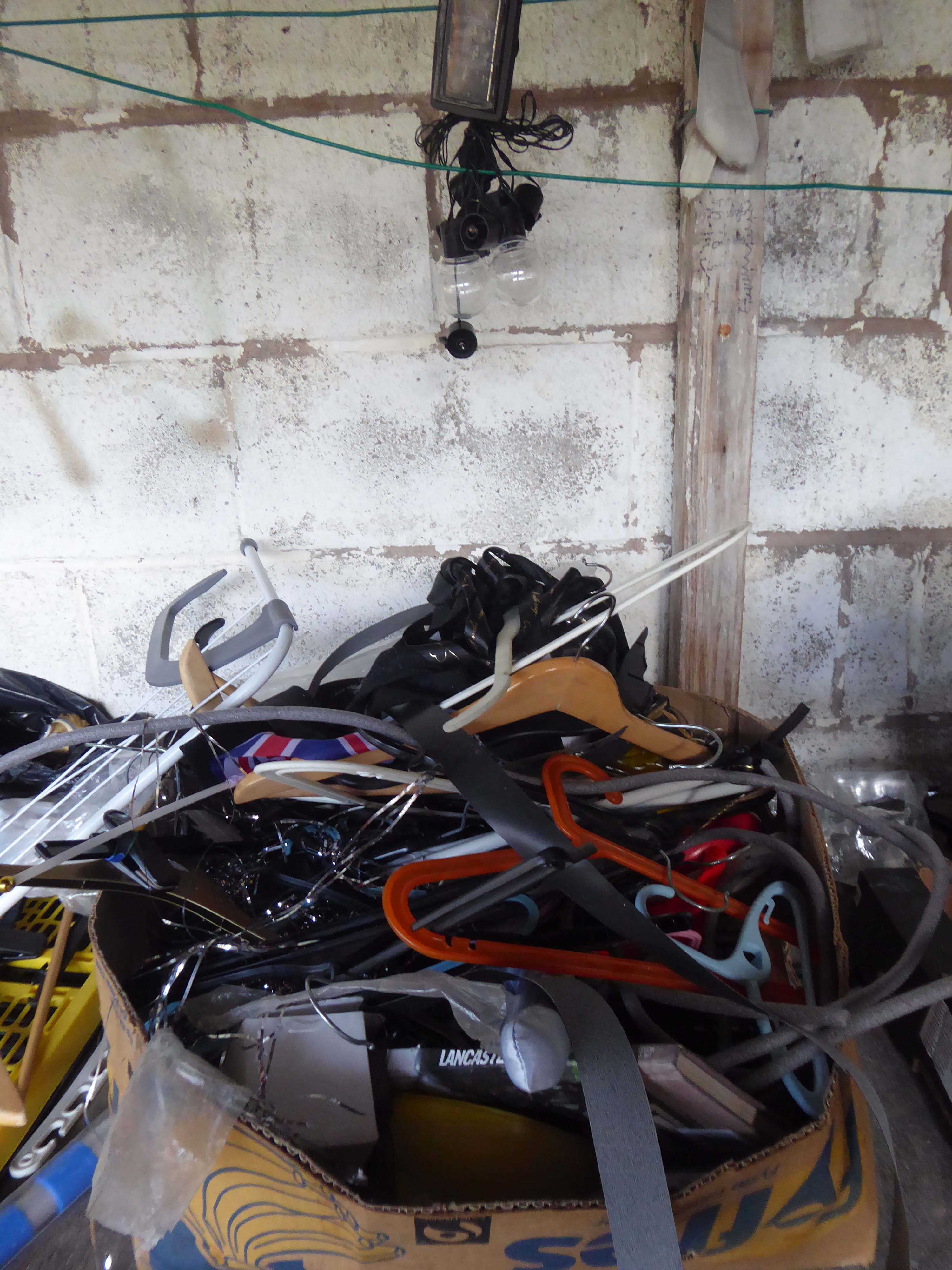
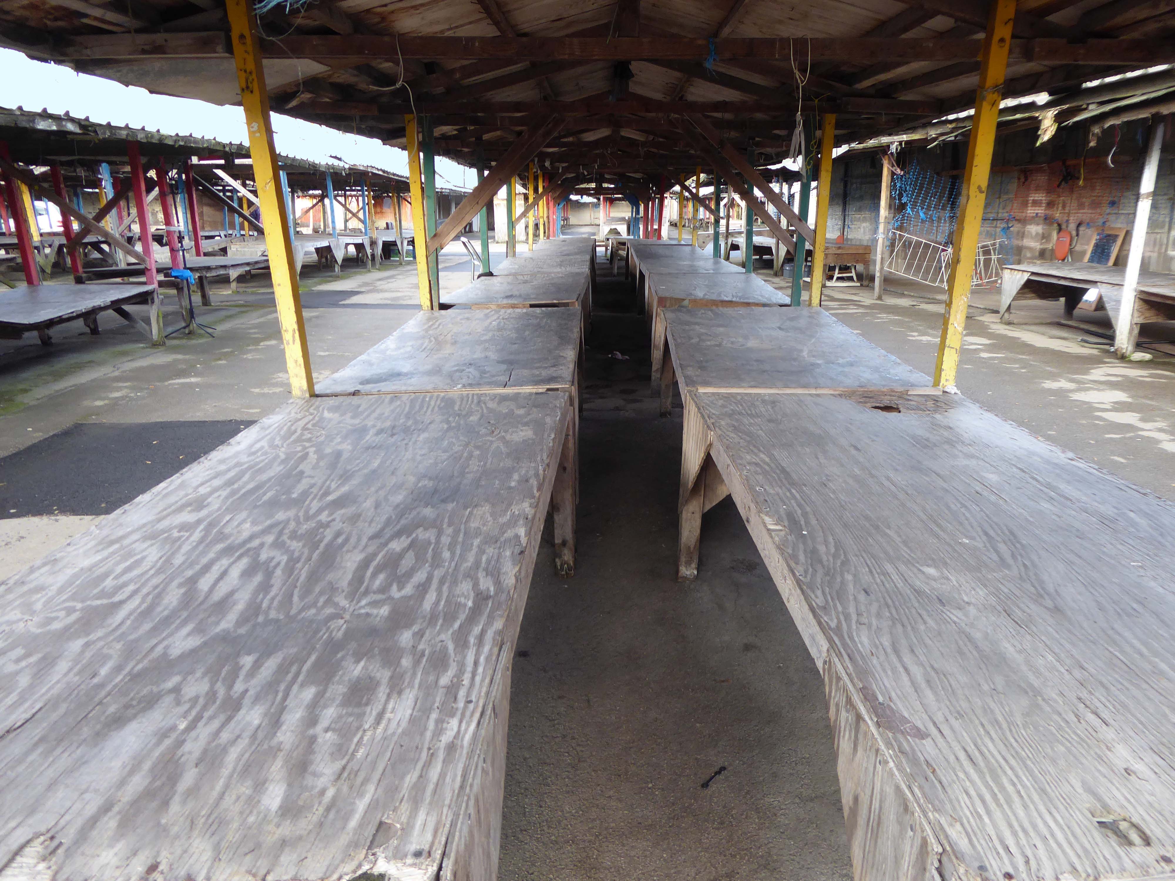
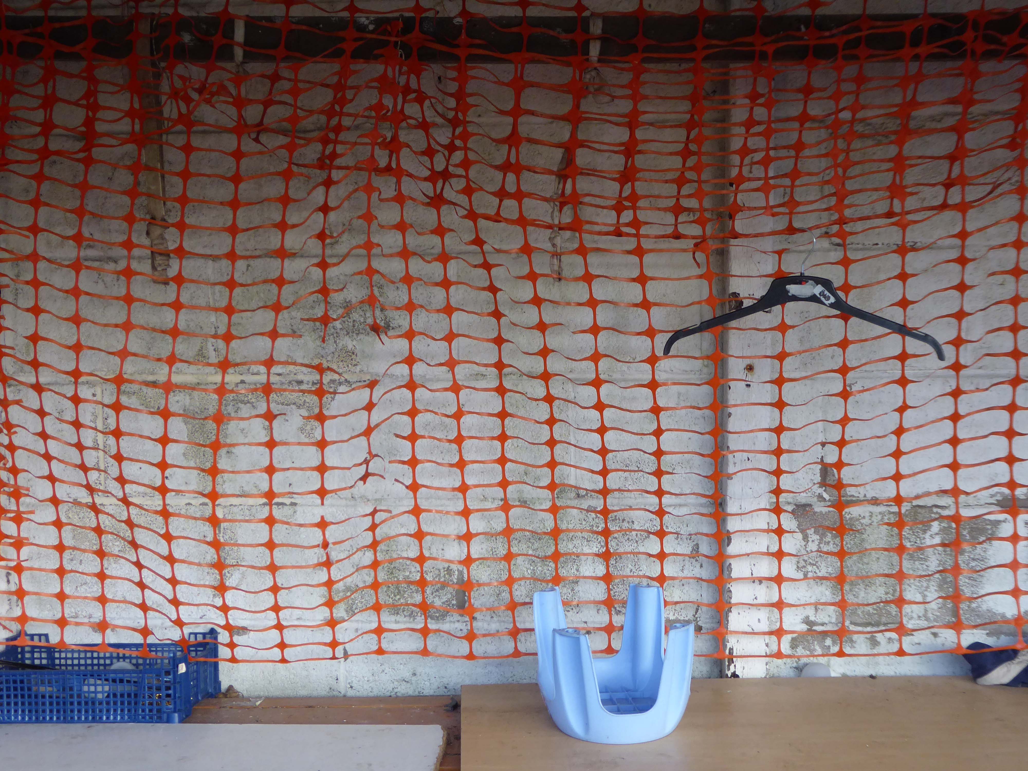
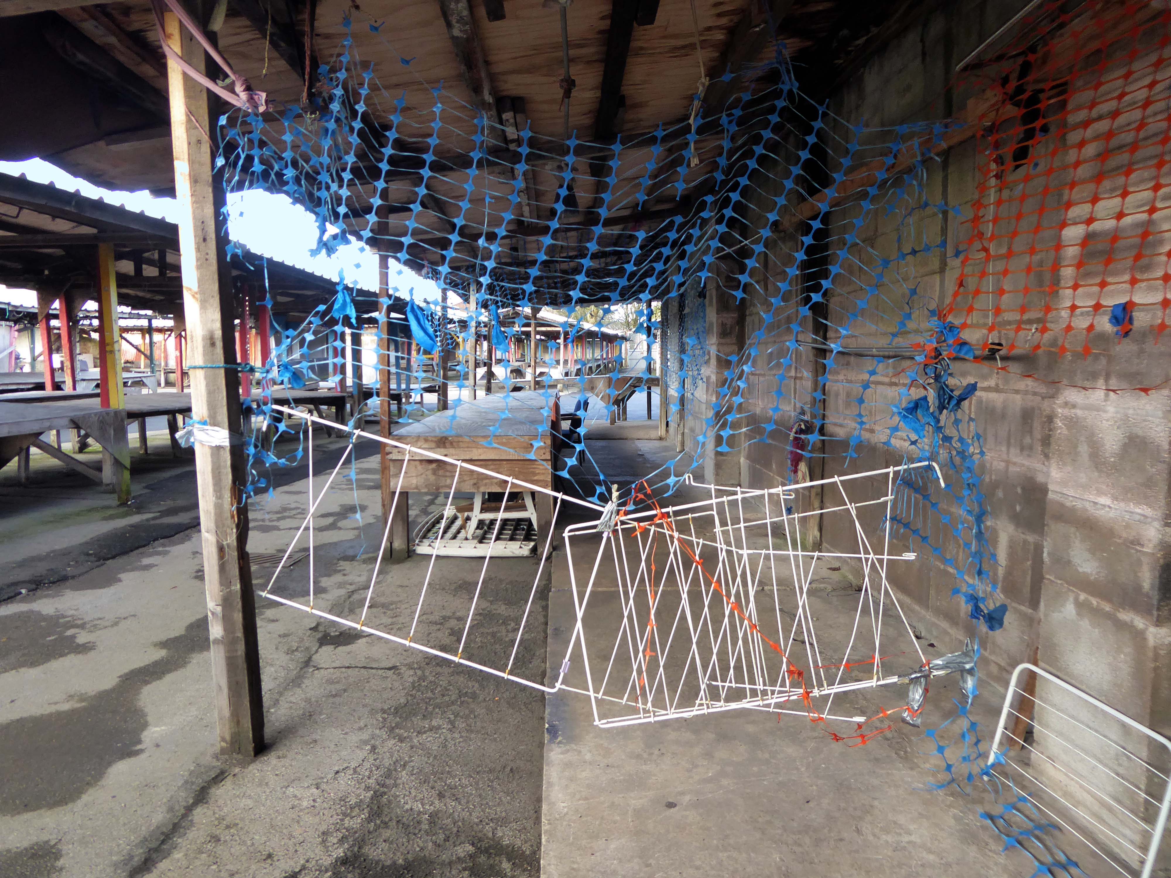
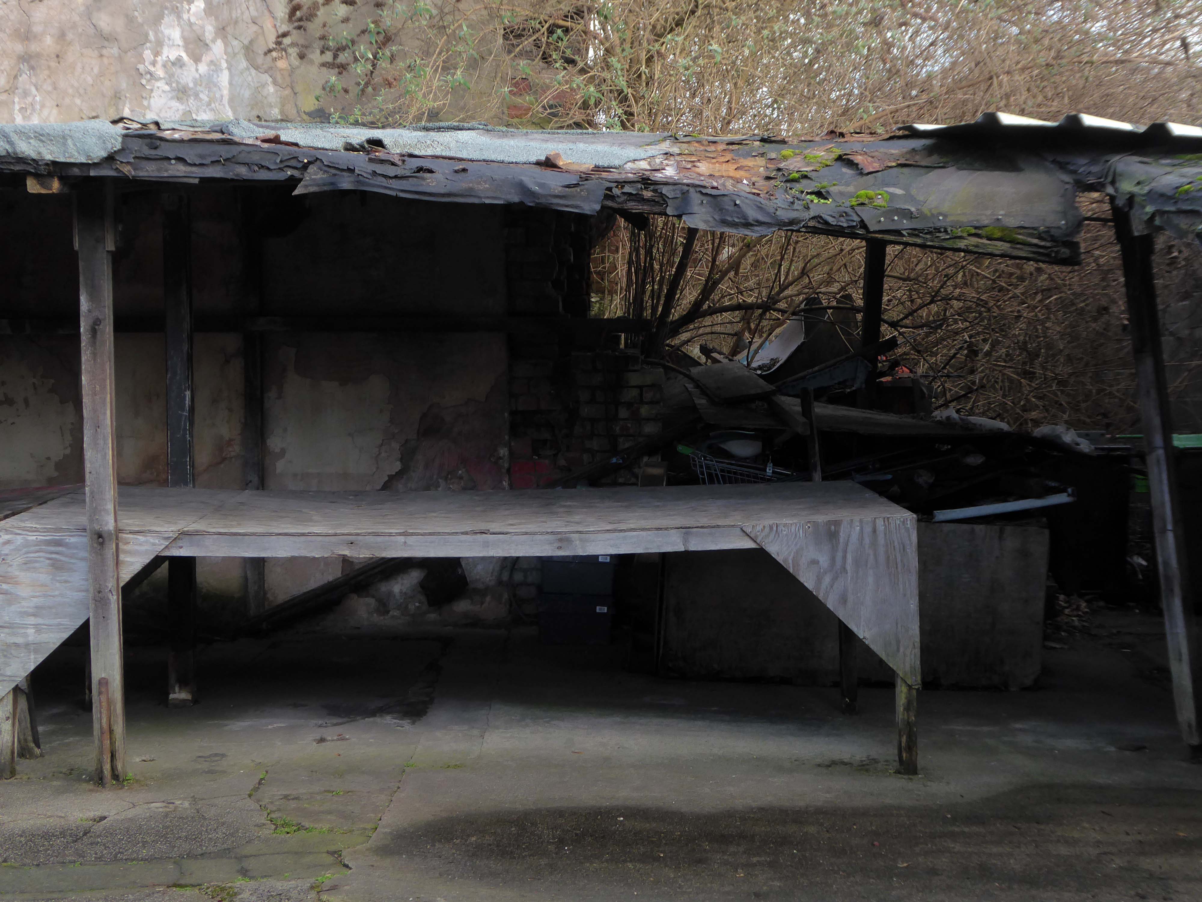
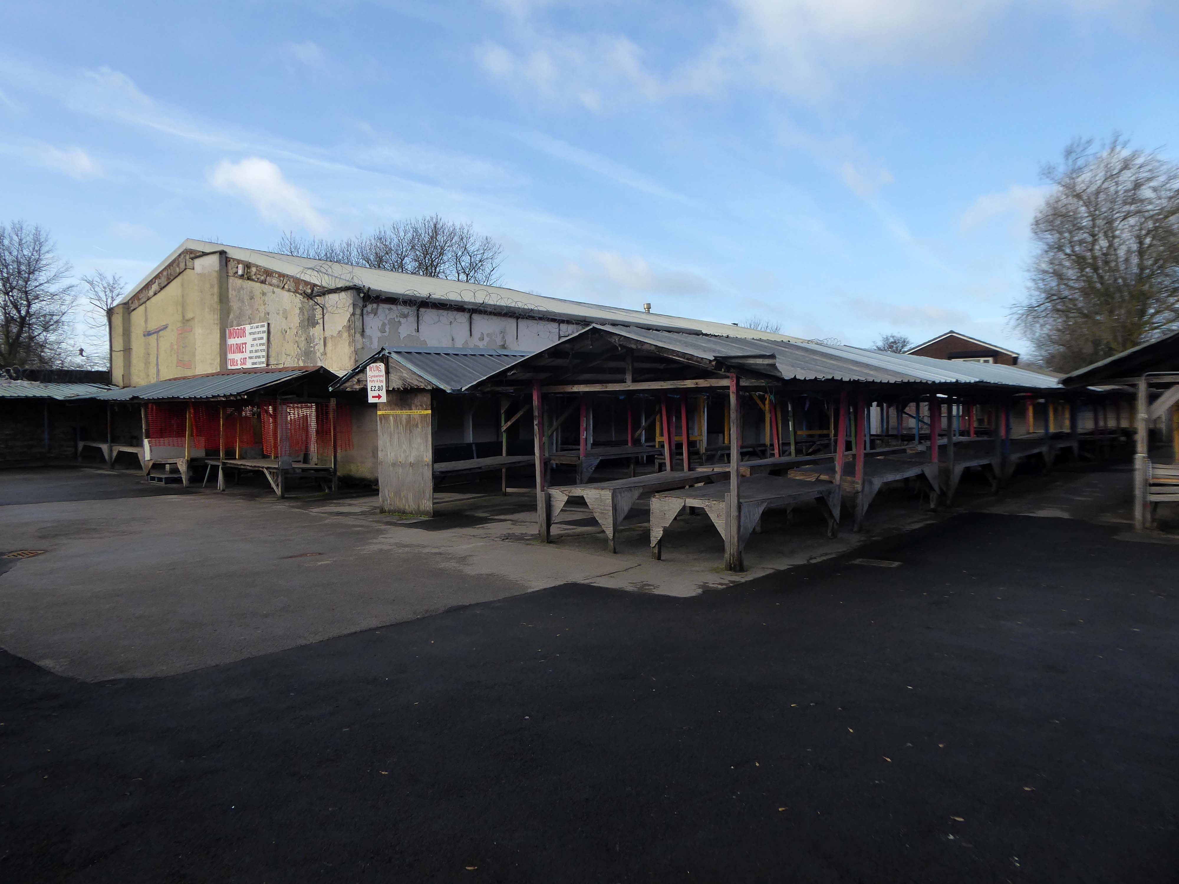
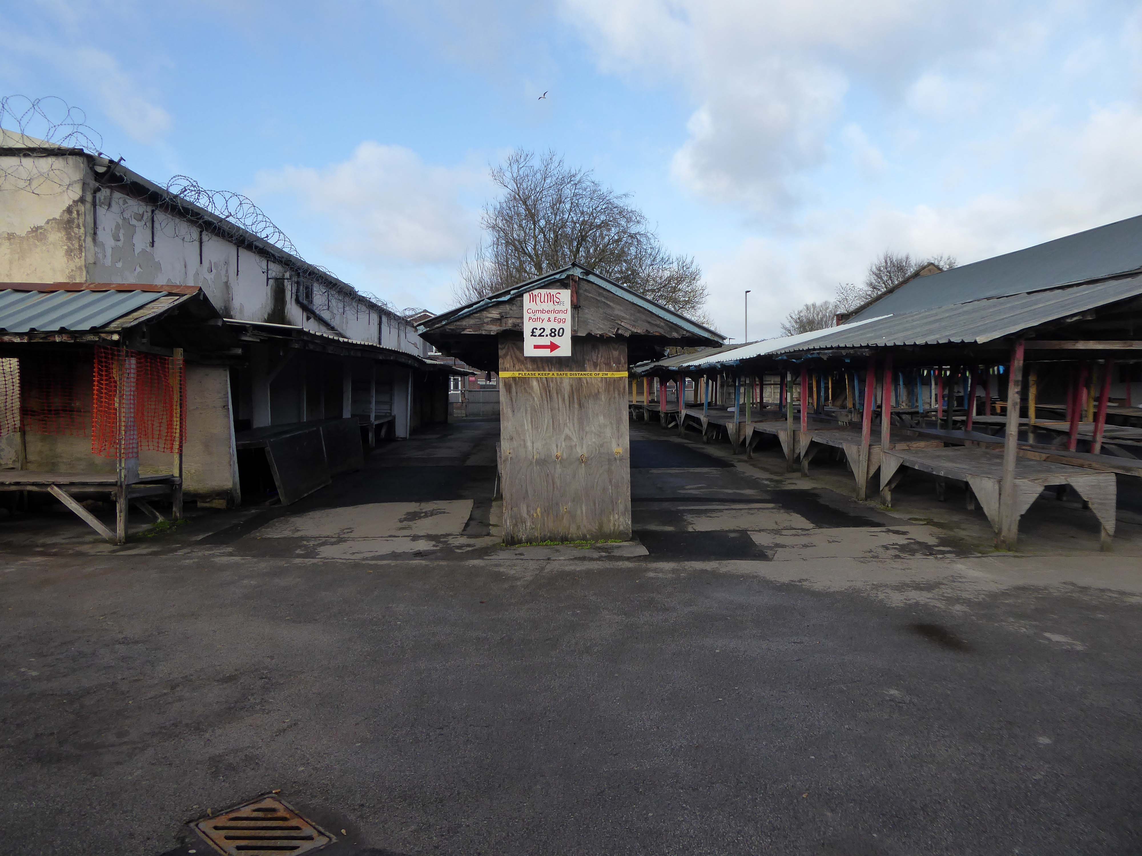
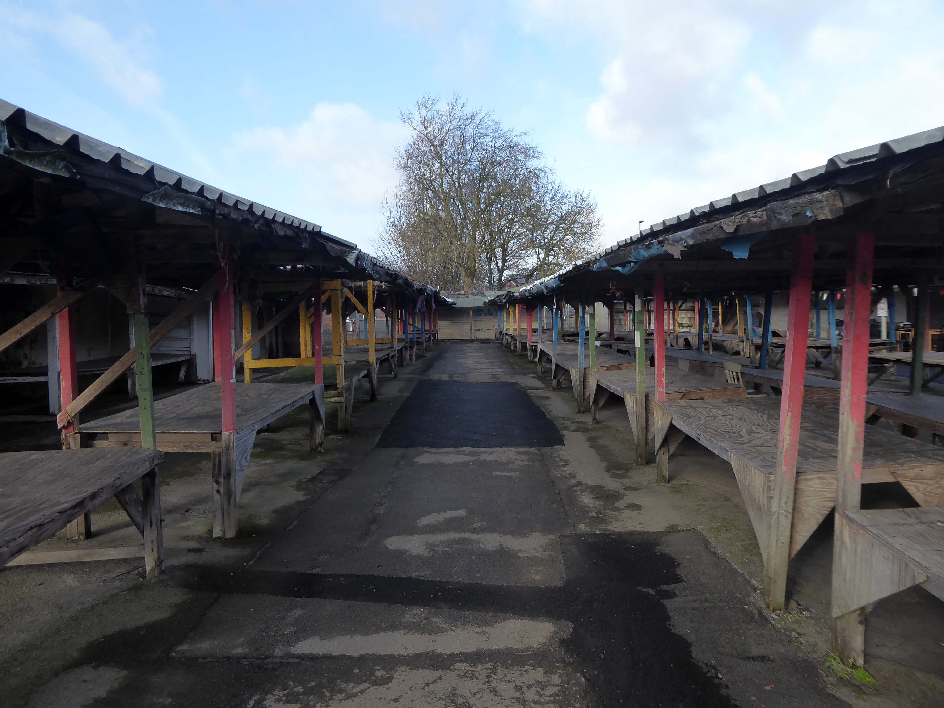
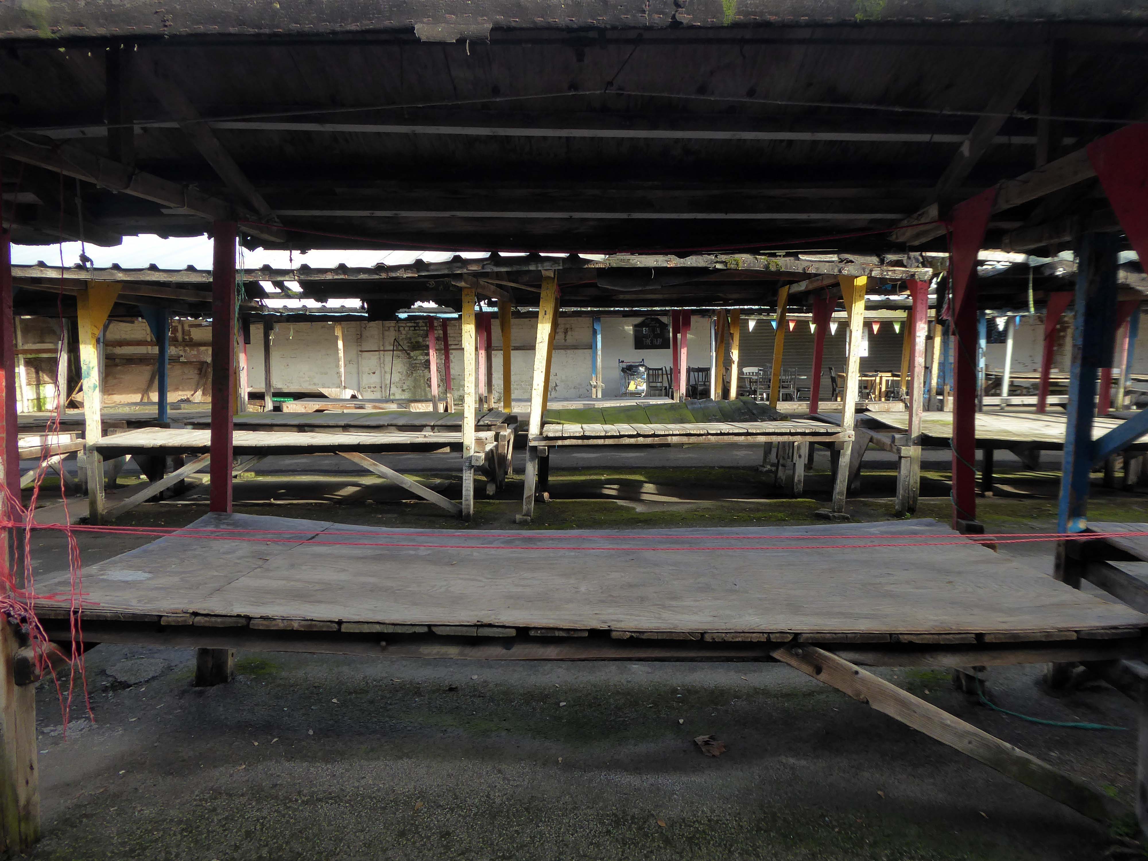
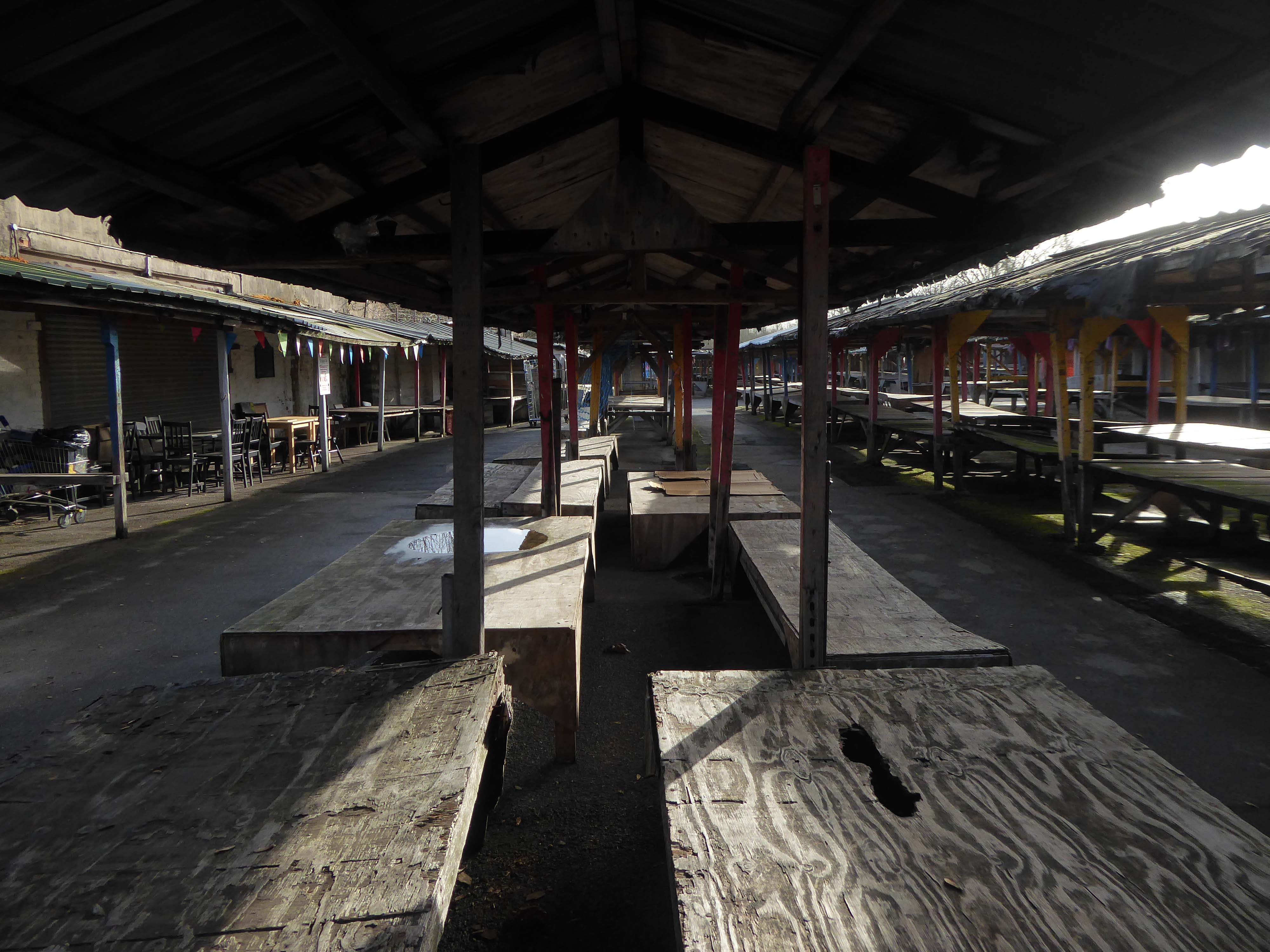
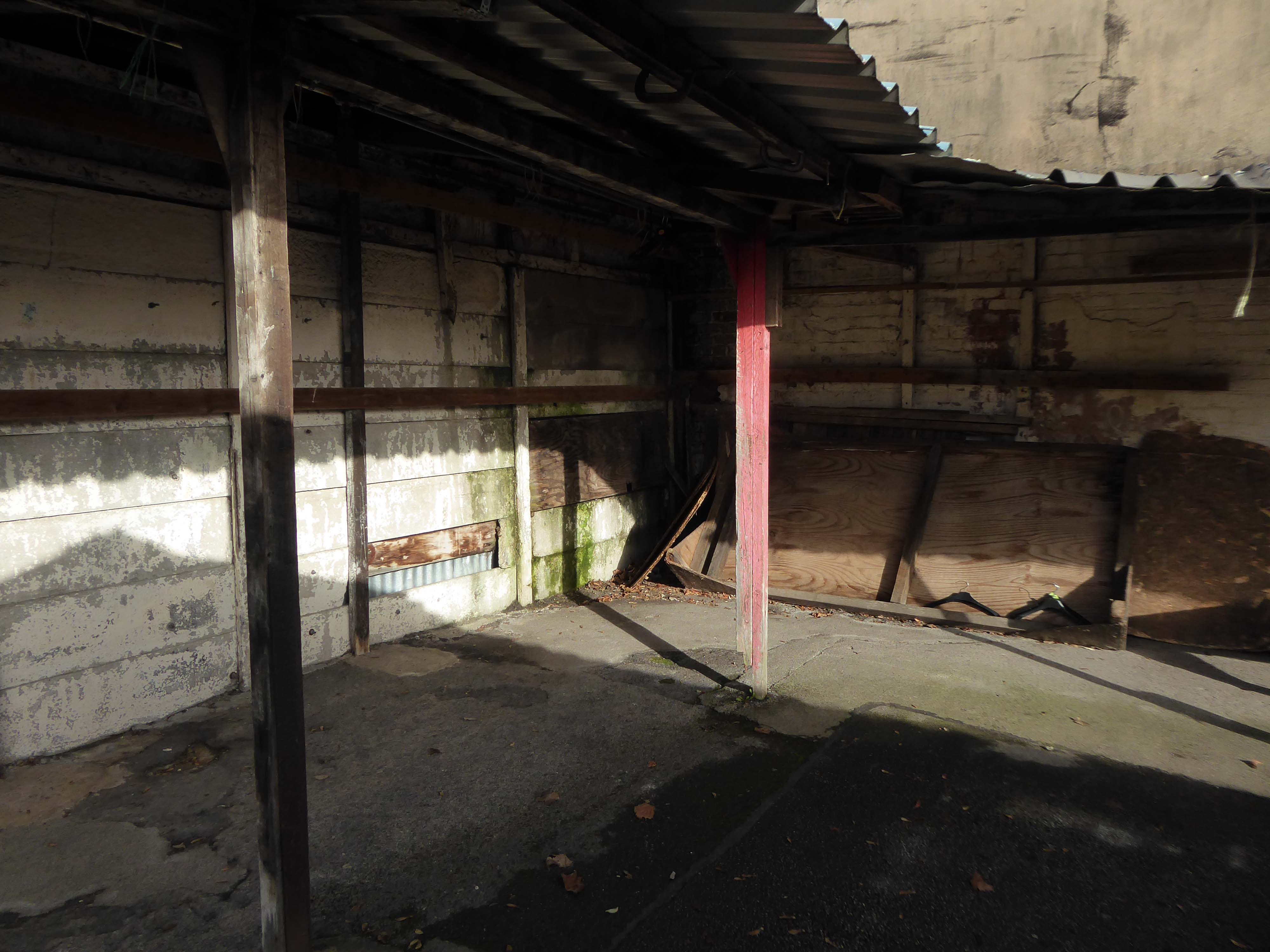
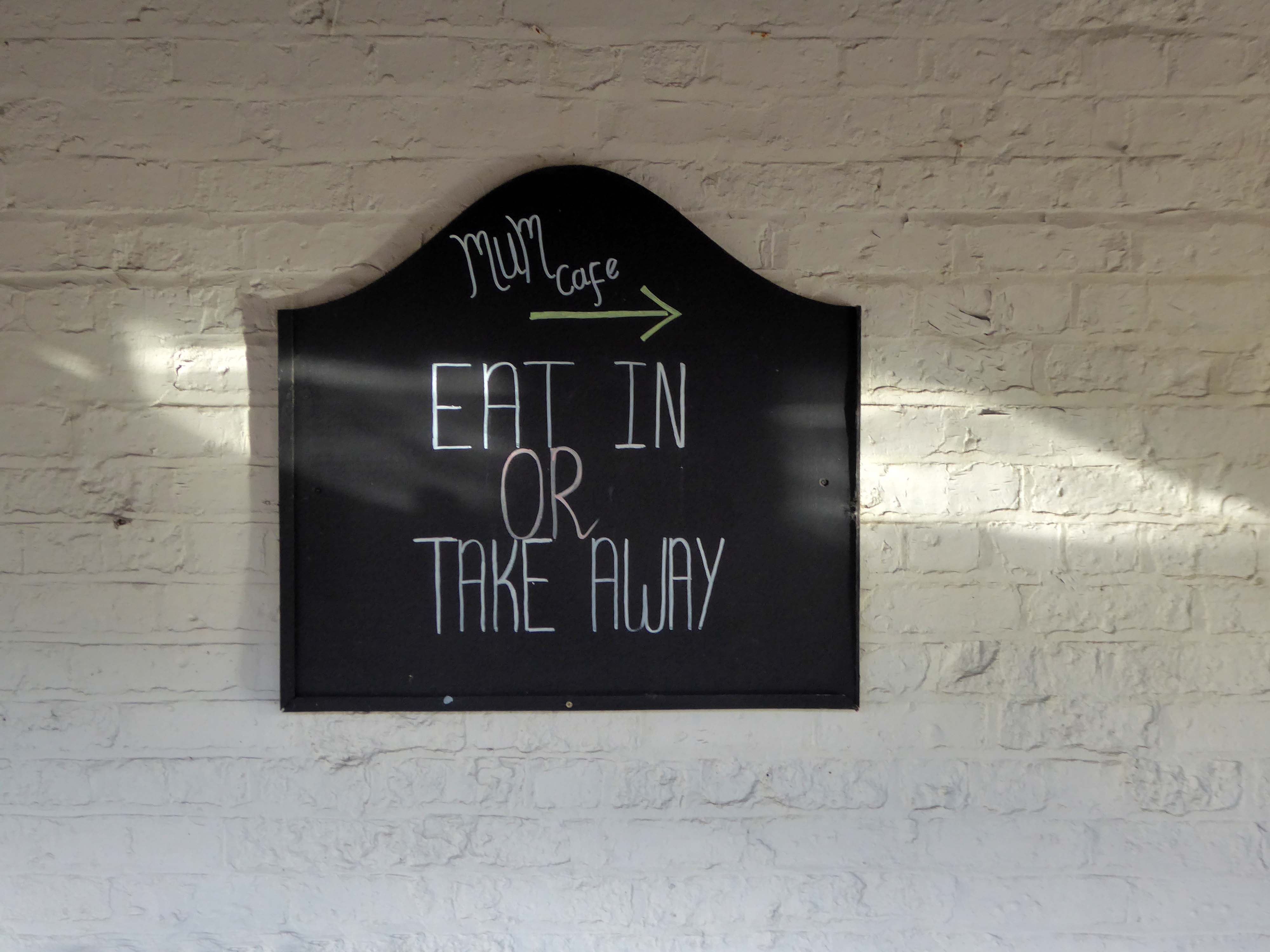
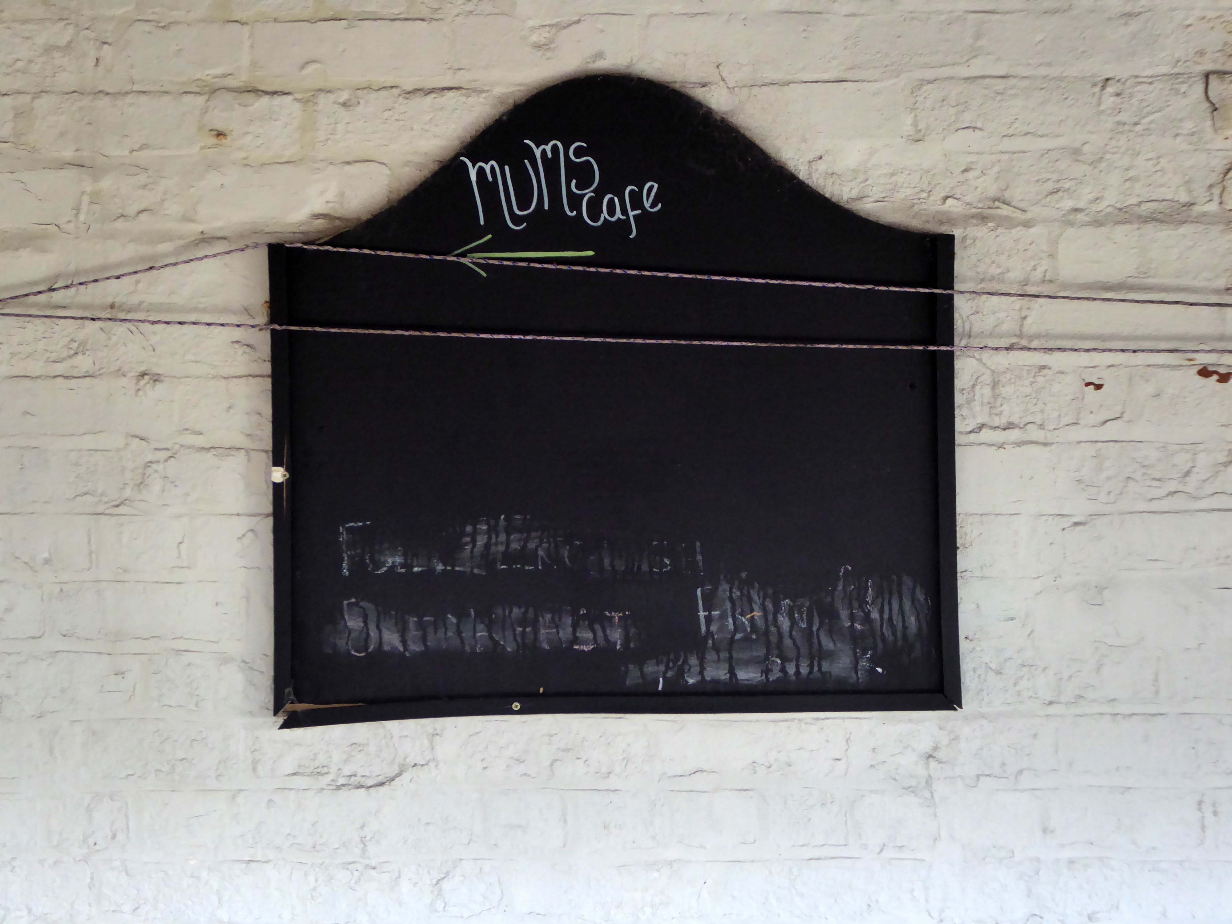
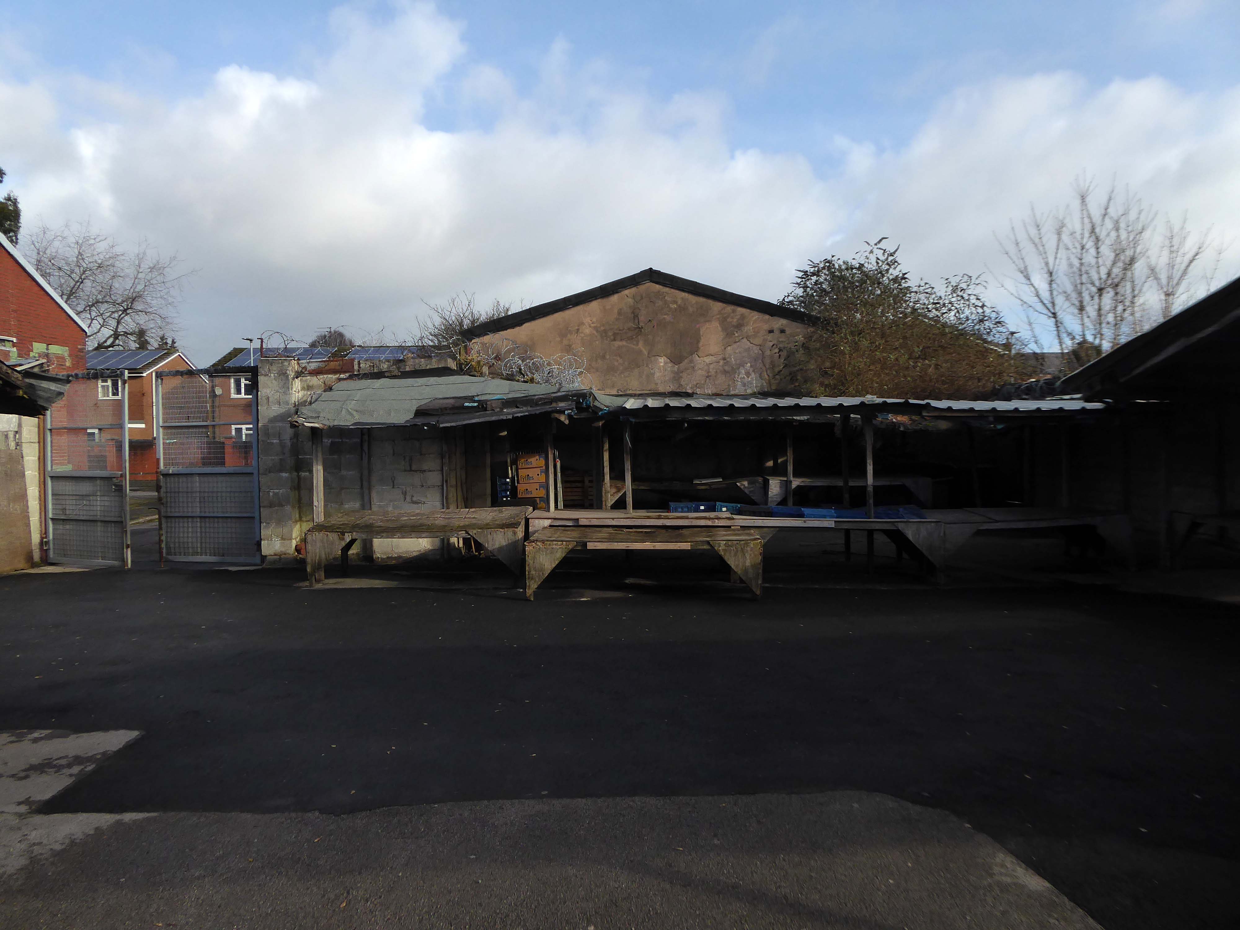
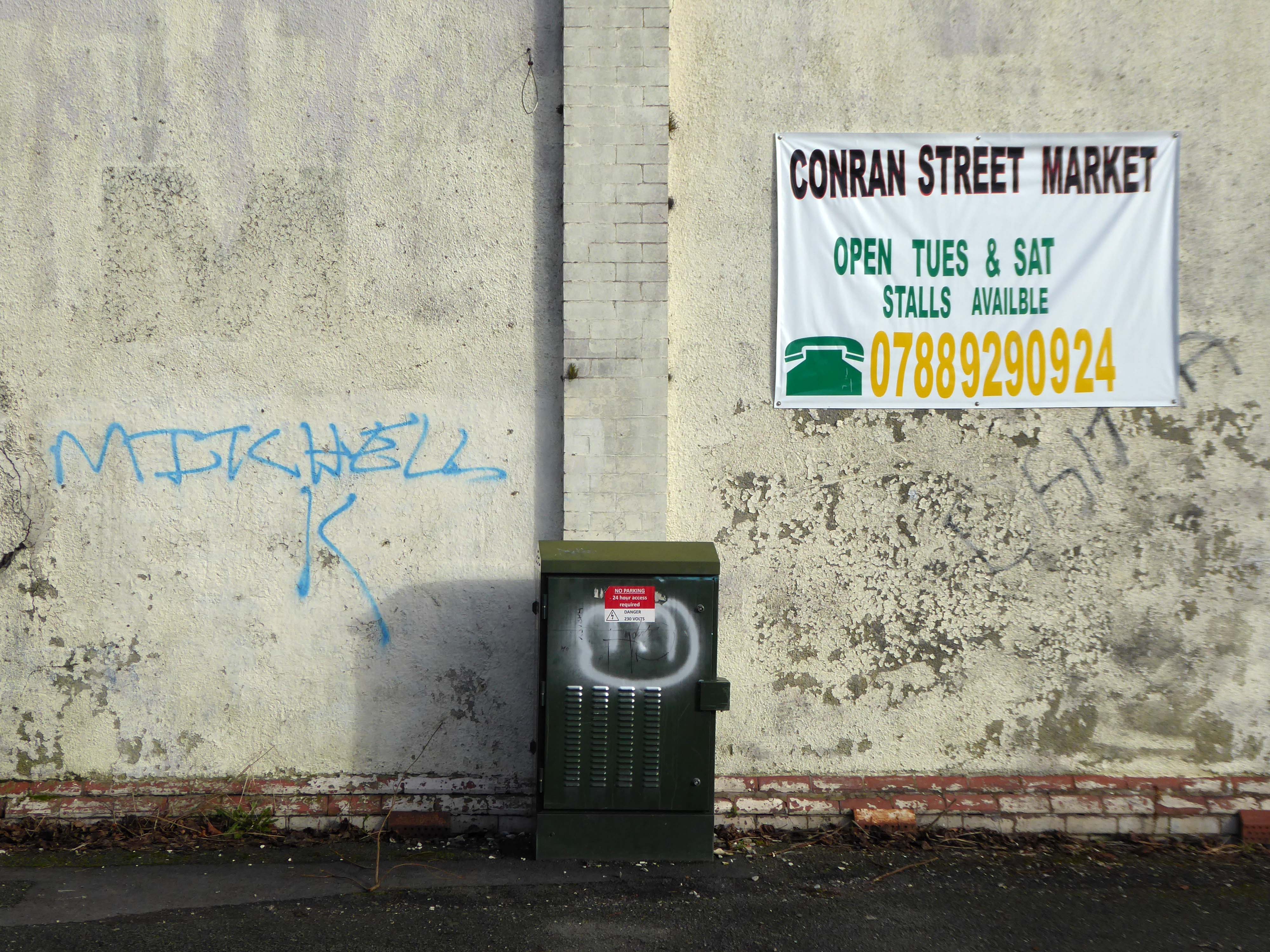
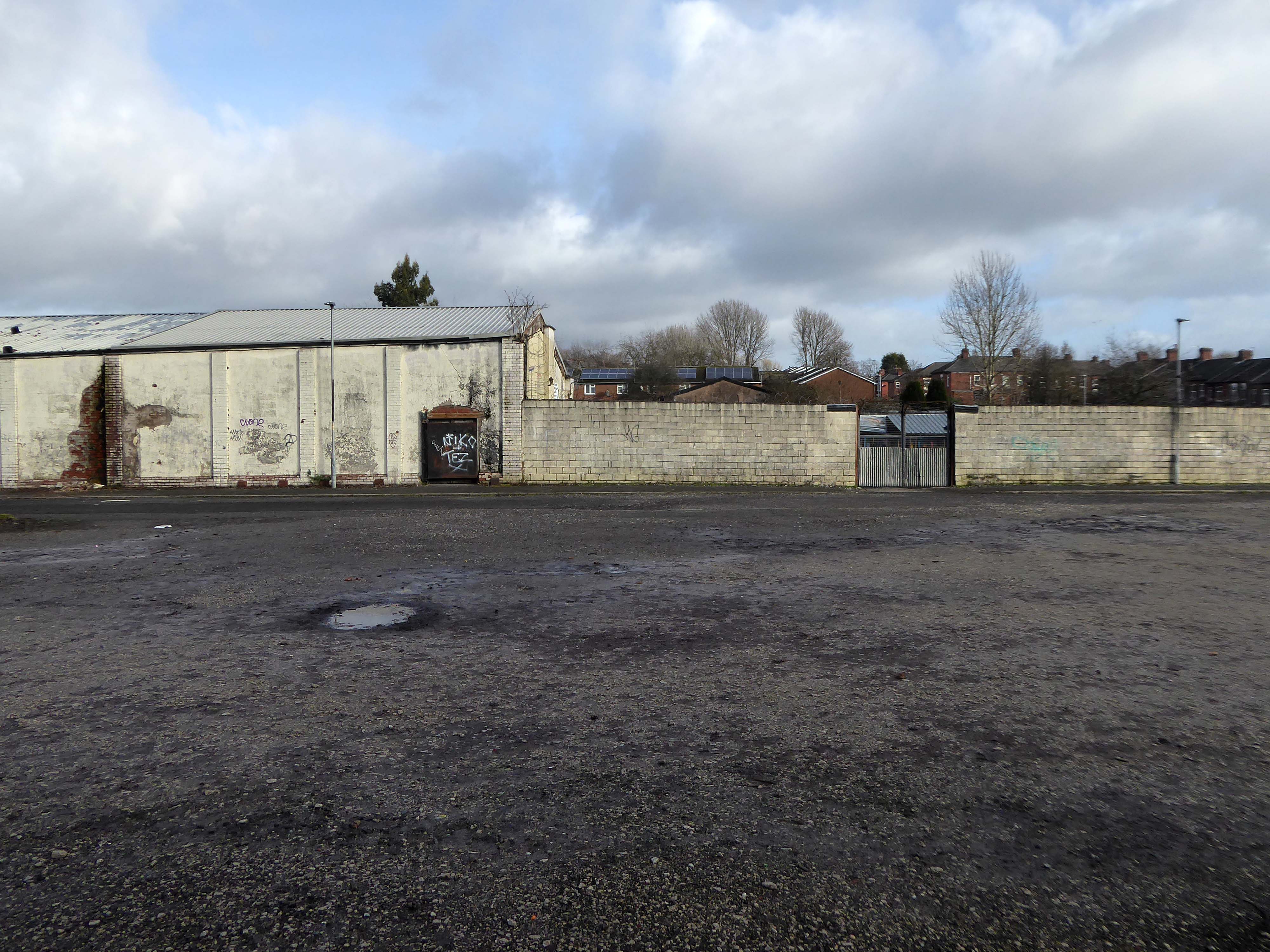
On my previous photographic visit to Conran Street Market the place was deserted, the cleaner had kindly let me in to take some snaps.
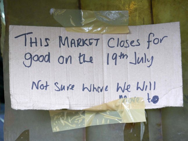
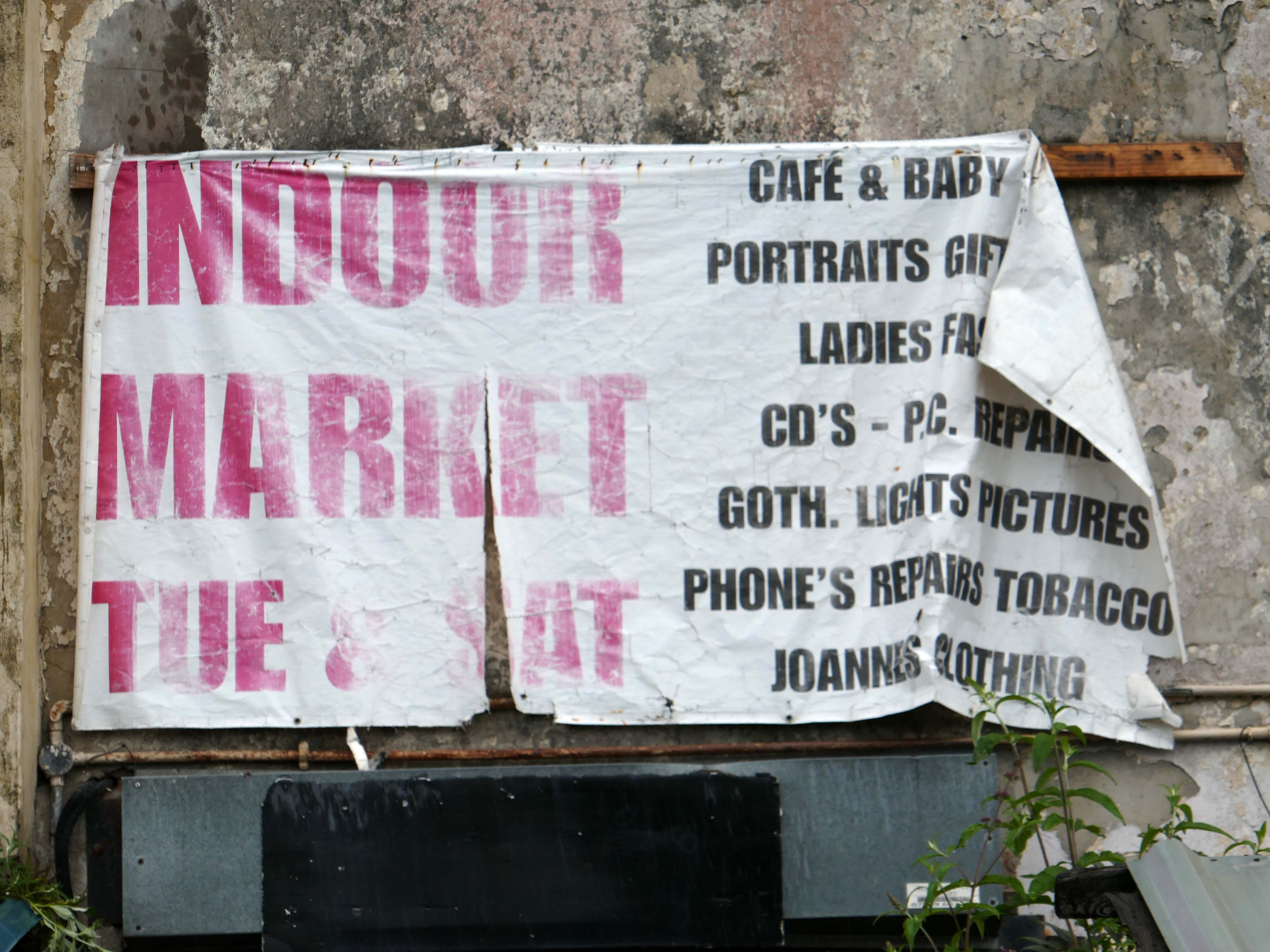
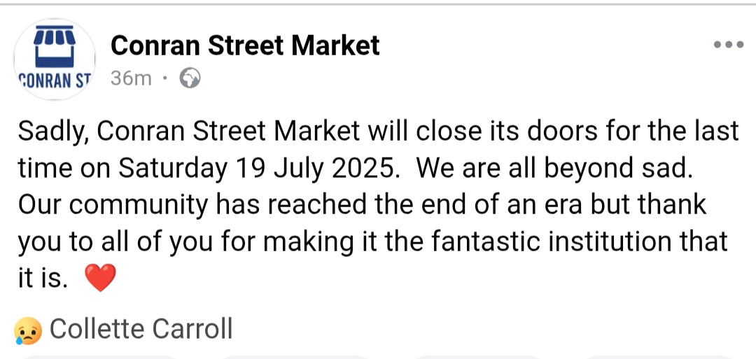
It is due to close this coming Saturday 19th July, after more than a century of trading.
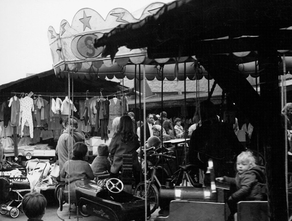
Archives+ 1972
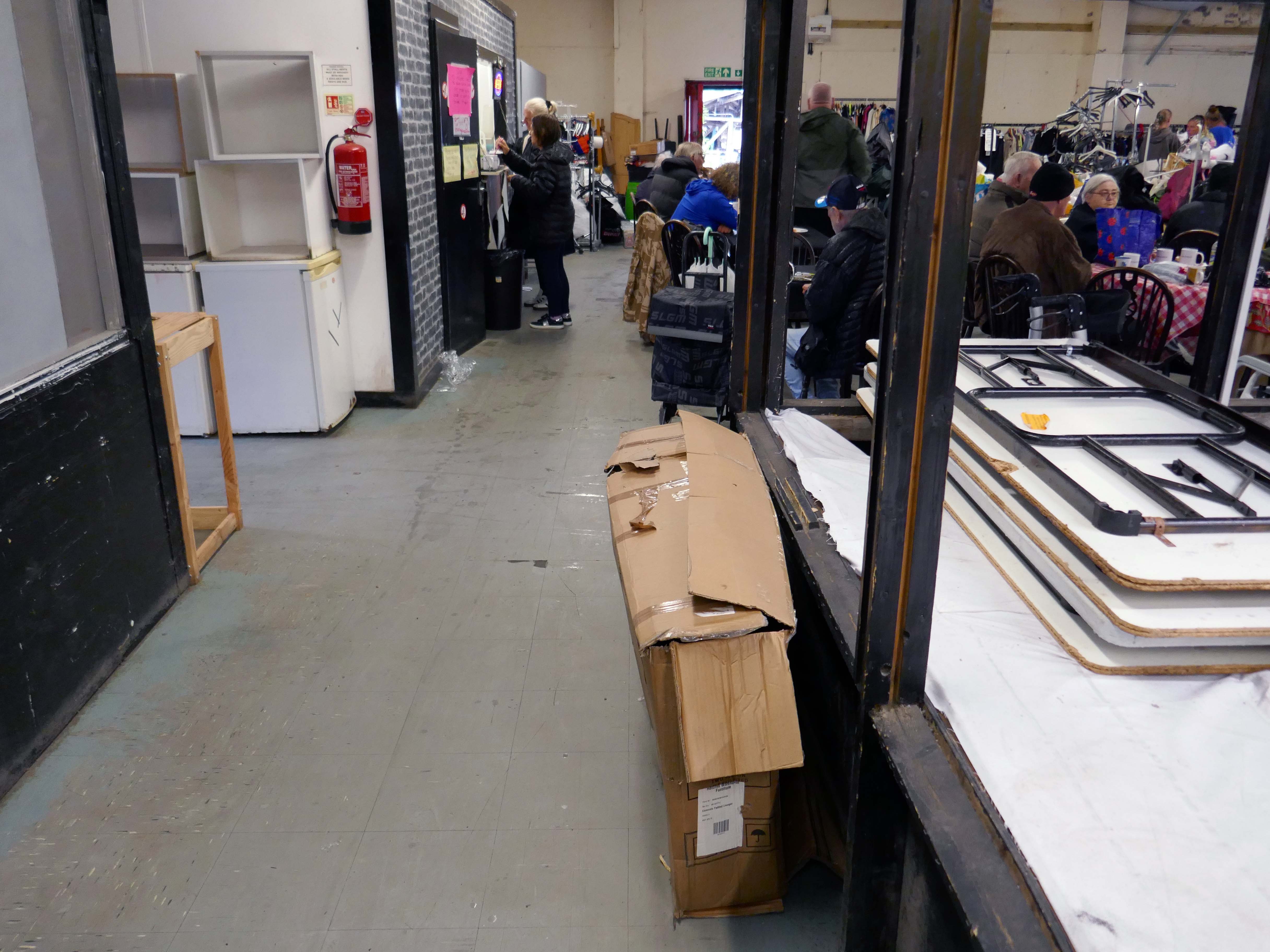
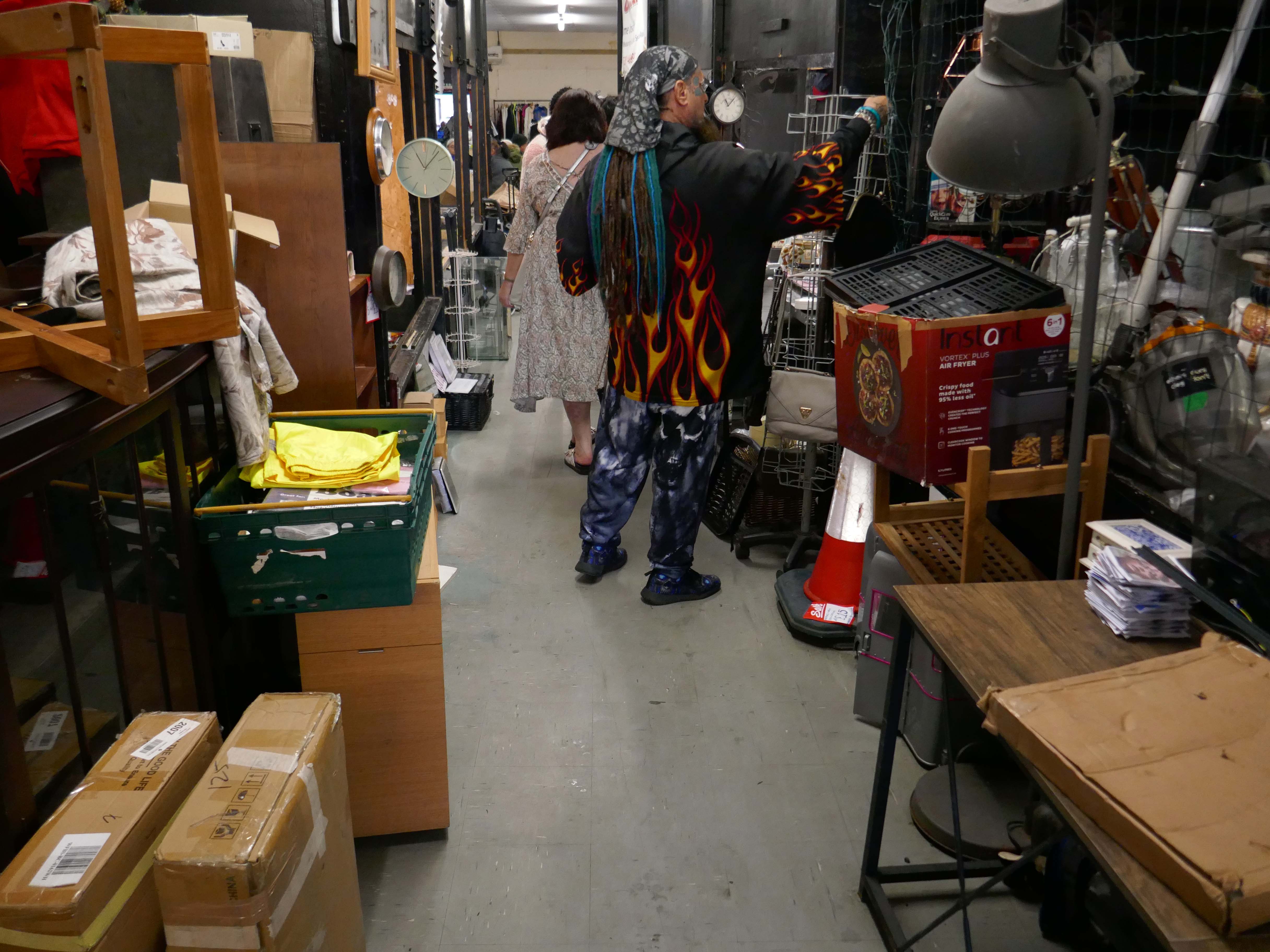
I absolutely love Conran Street Market. I have been going for years, I honestly wished I would have taken a photograph on every visit. It’s my feel good place that brings back so many memories, friendly, funny, a look at life in every visit. What an absolute pleasure to have experienced it as long as I can remember.
Mo A
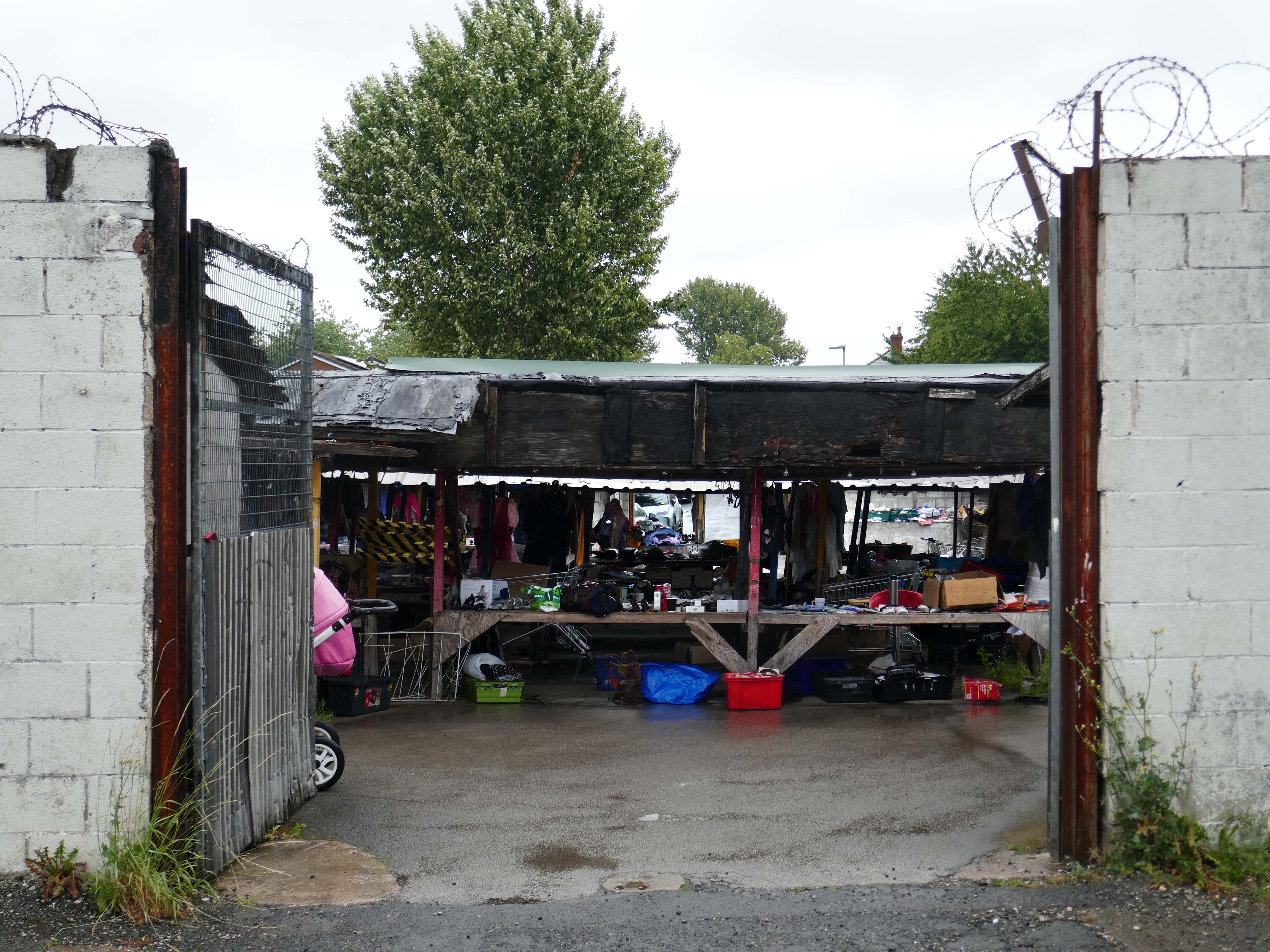
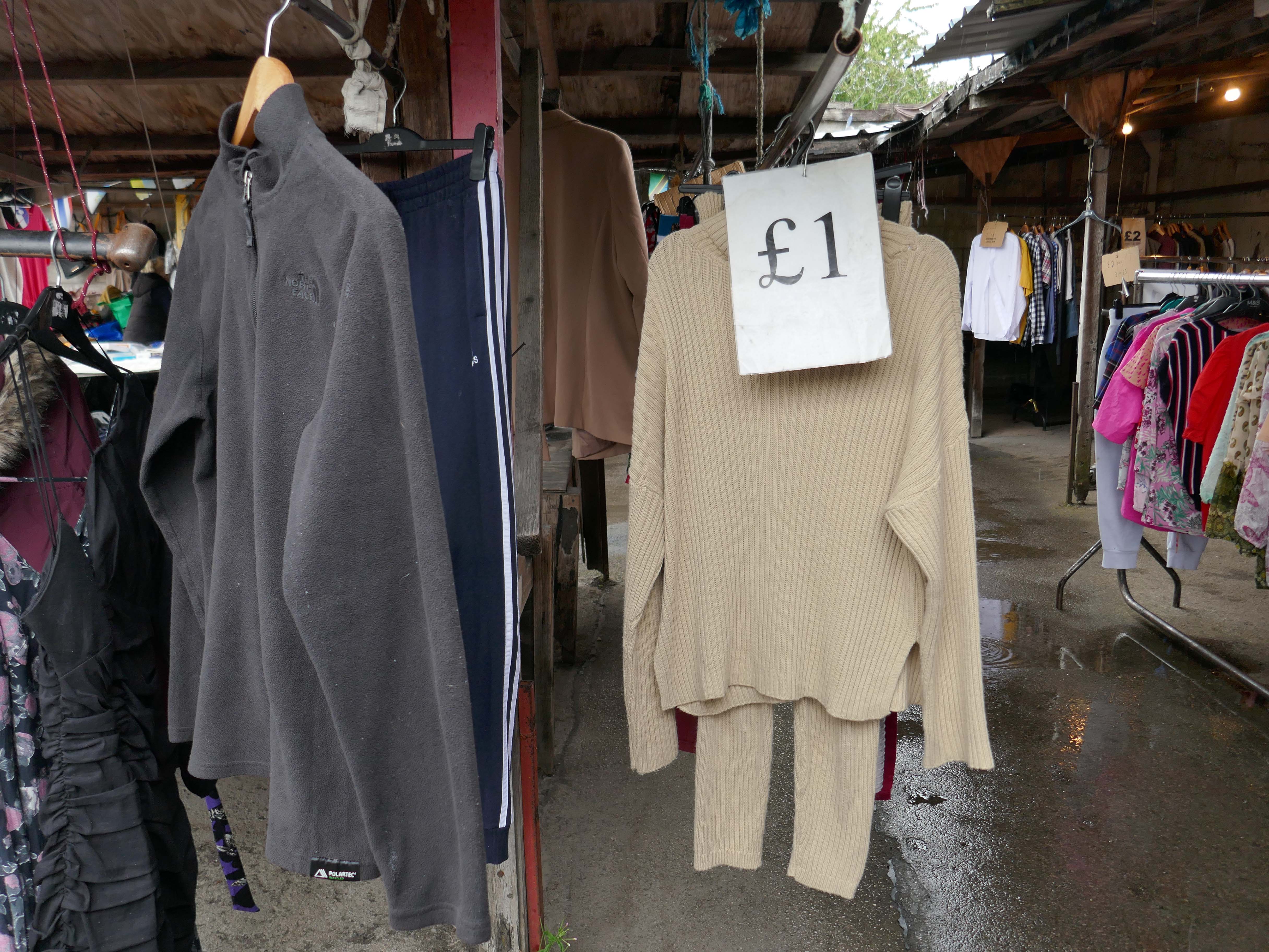
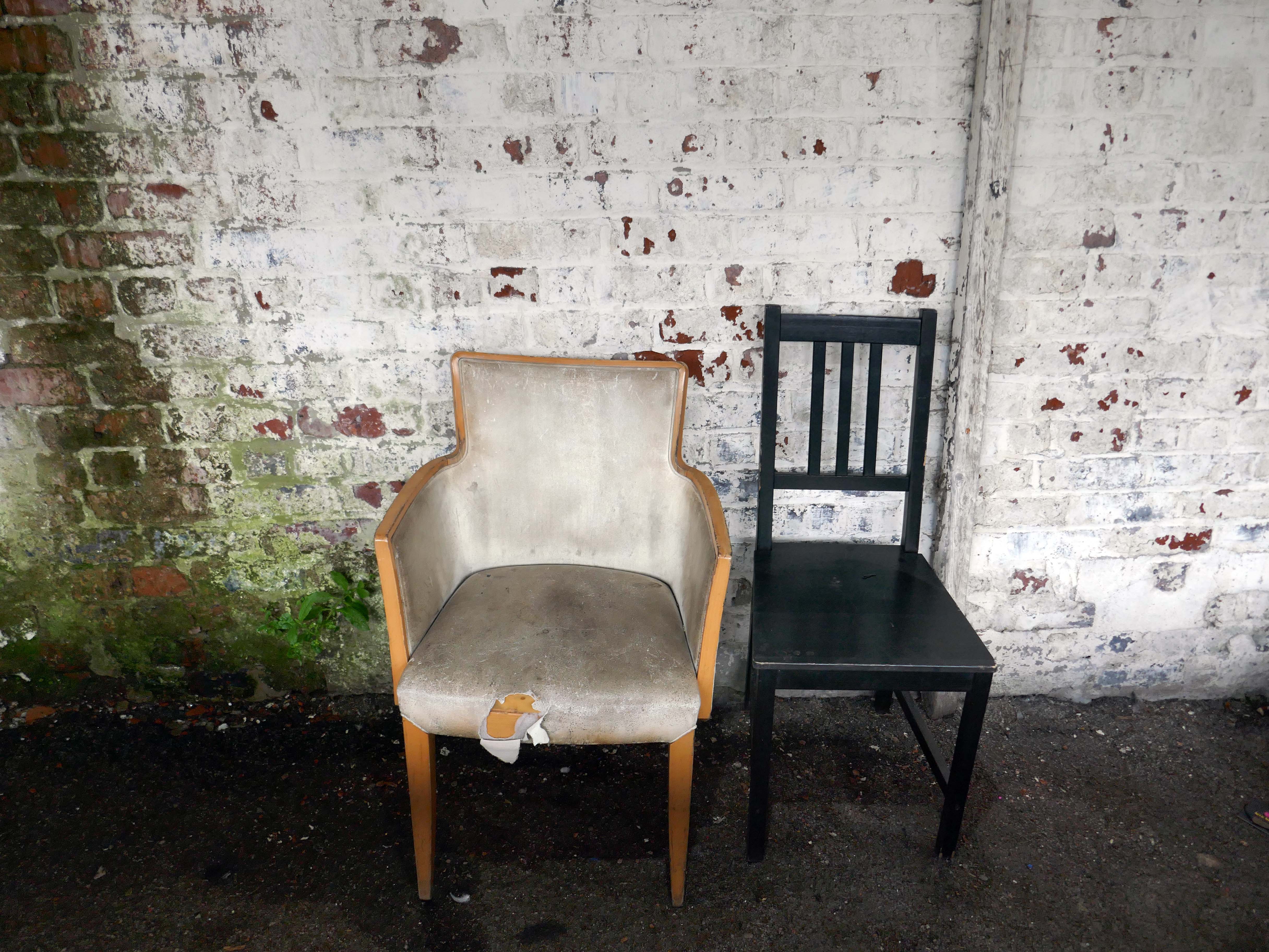
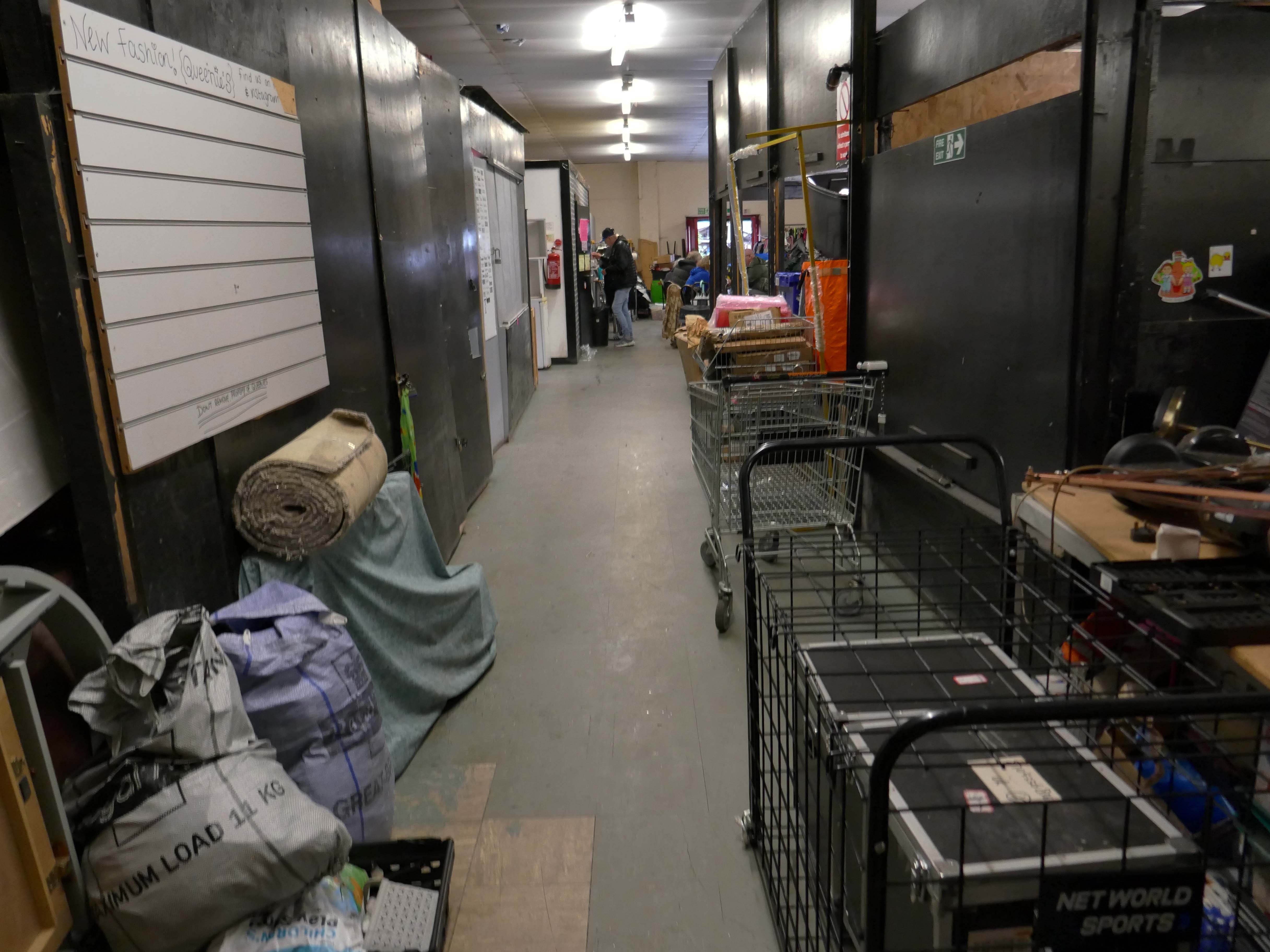
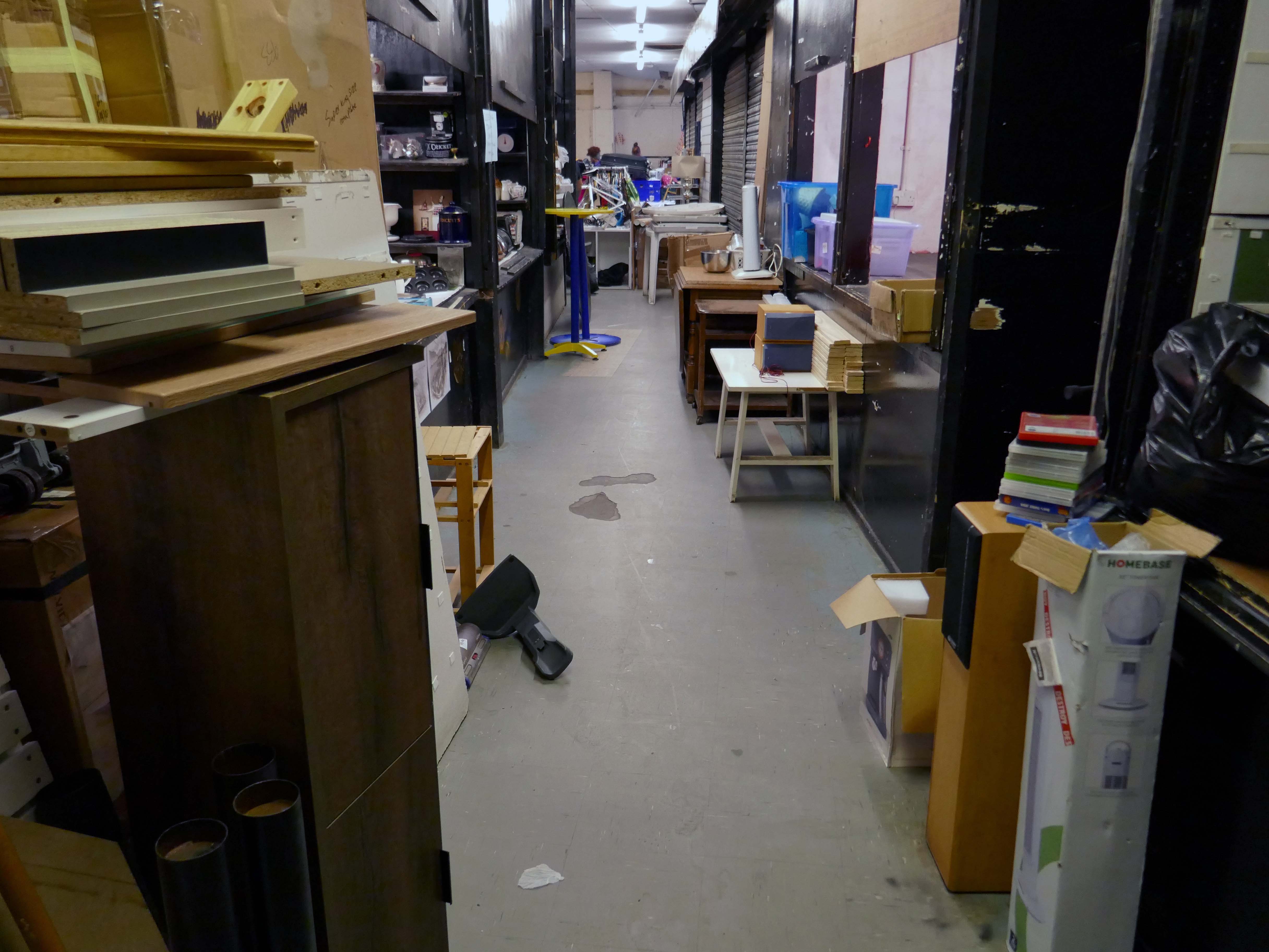
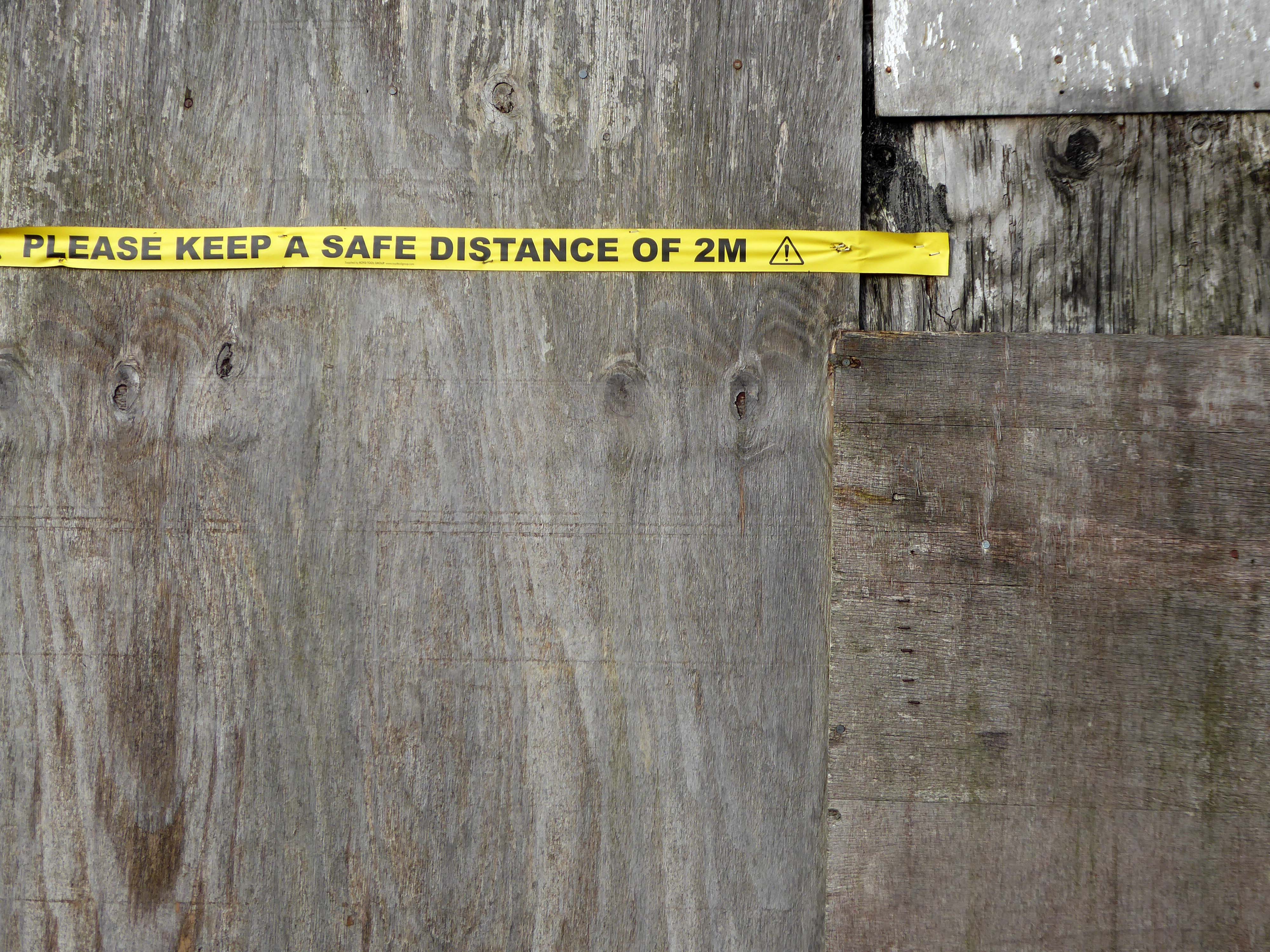
This is a local basic market with few modern amenities and no access considerations. You may find some bargains on a good day but many of the stalls stand empty, and the general disrepair all around is grim. One word about the toilets: don’t.
Judy S
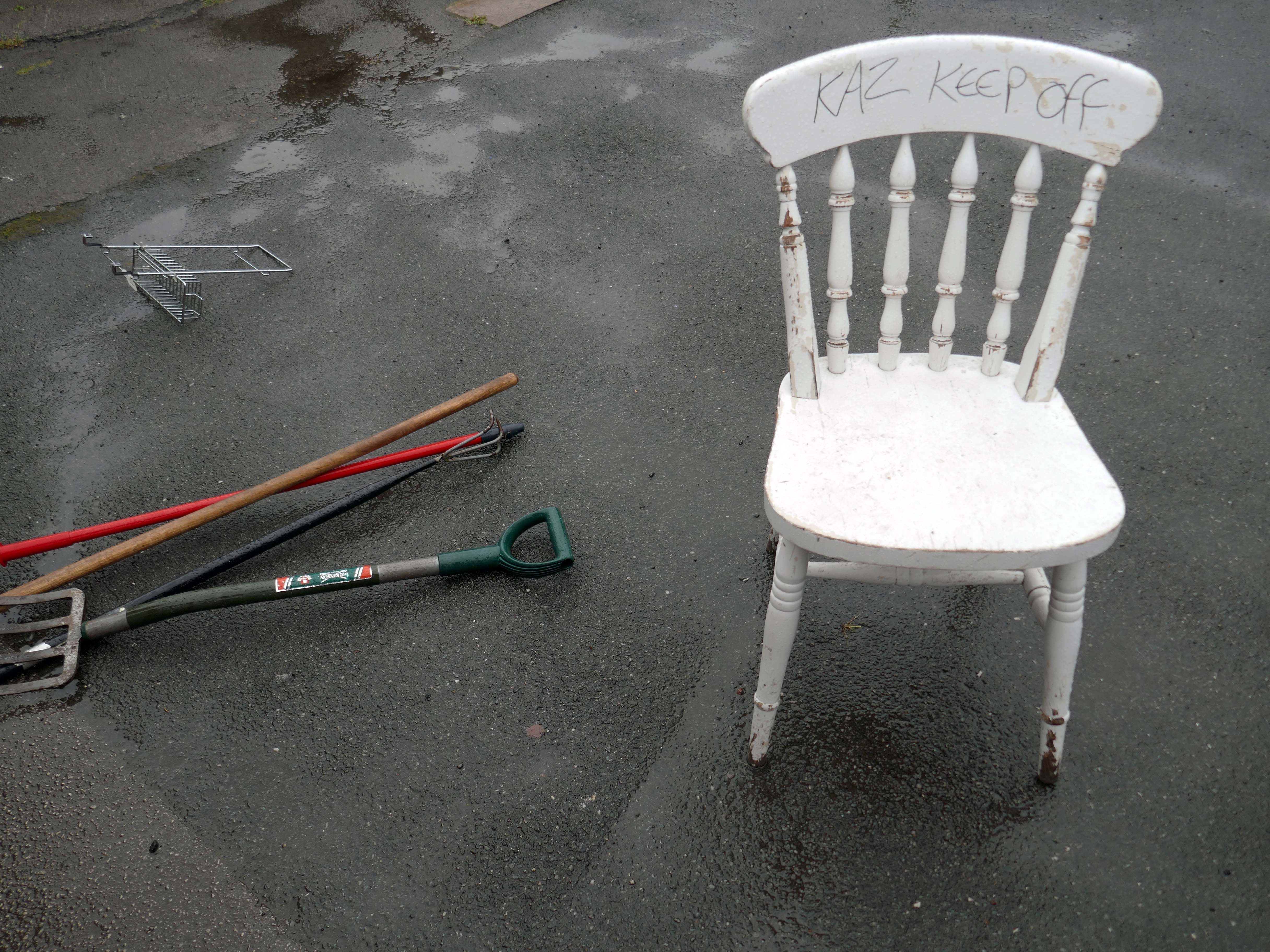
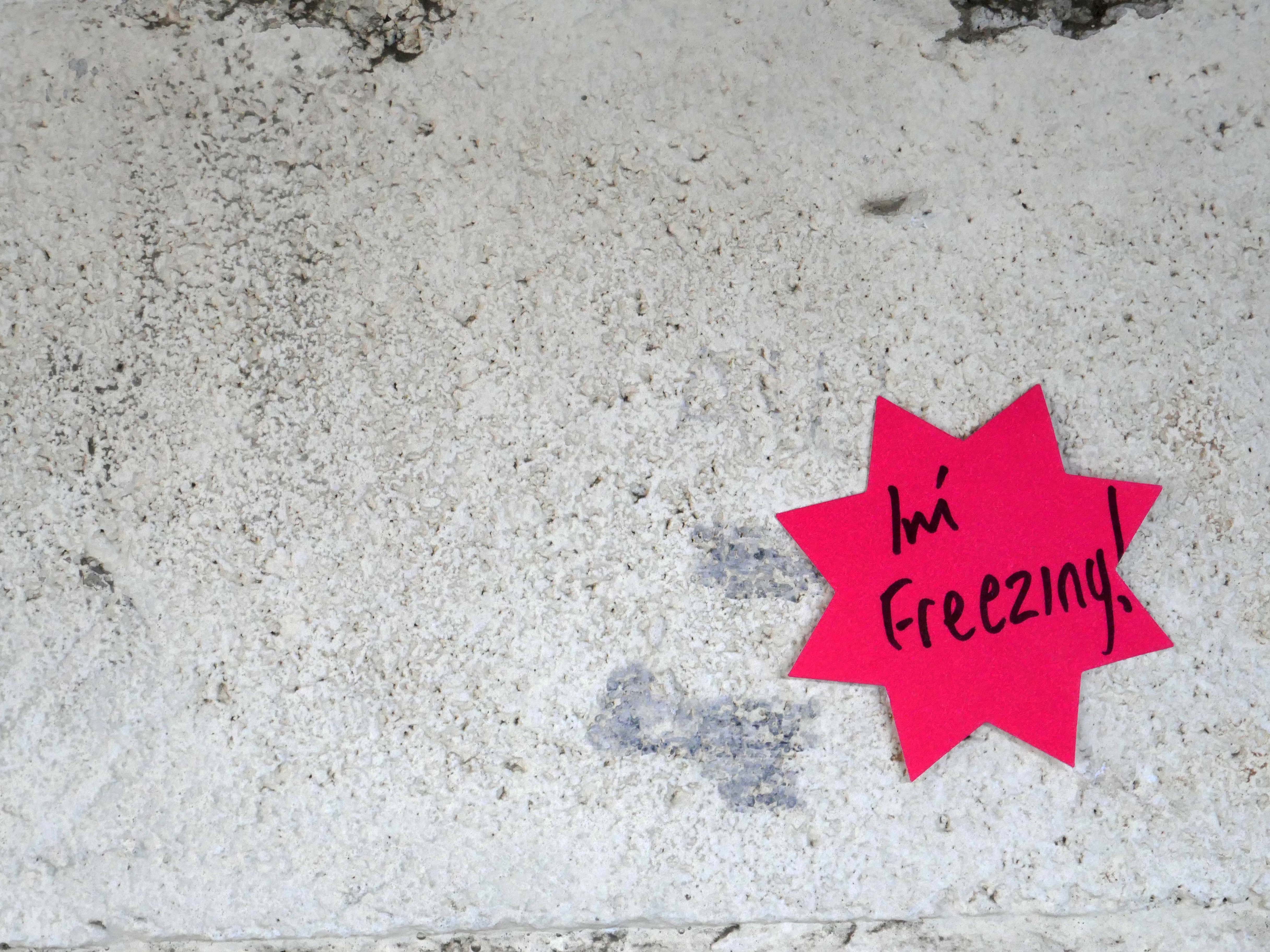
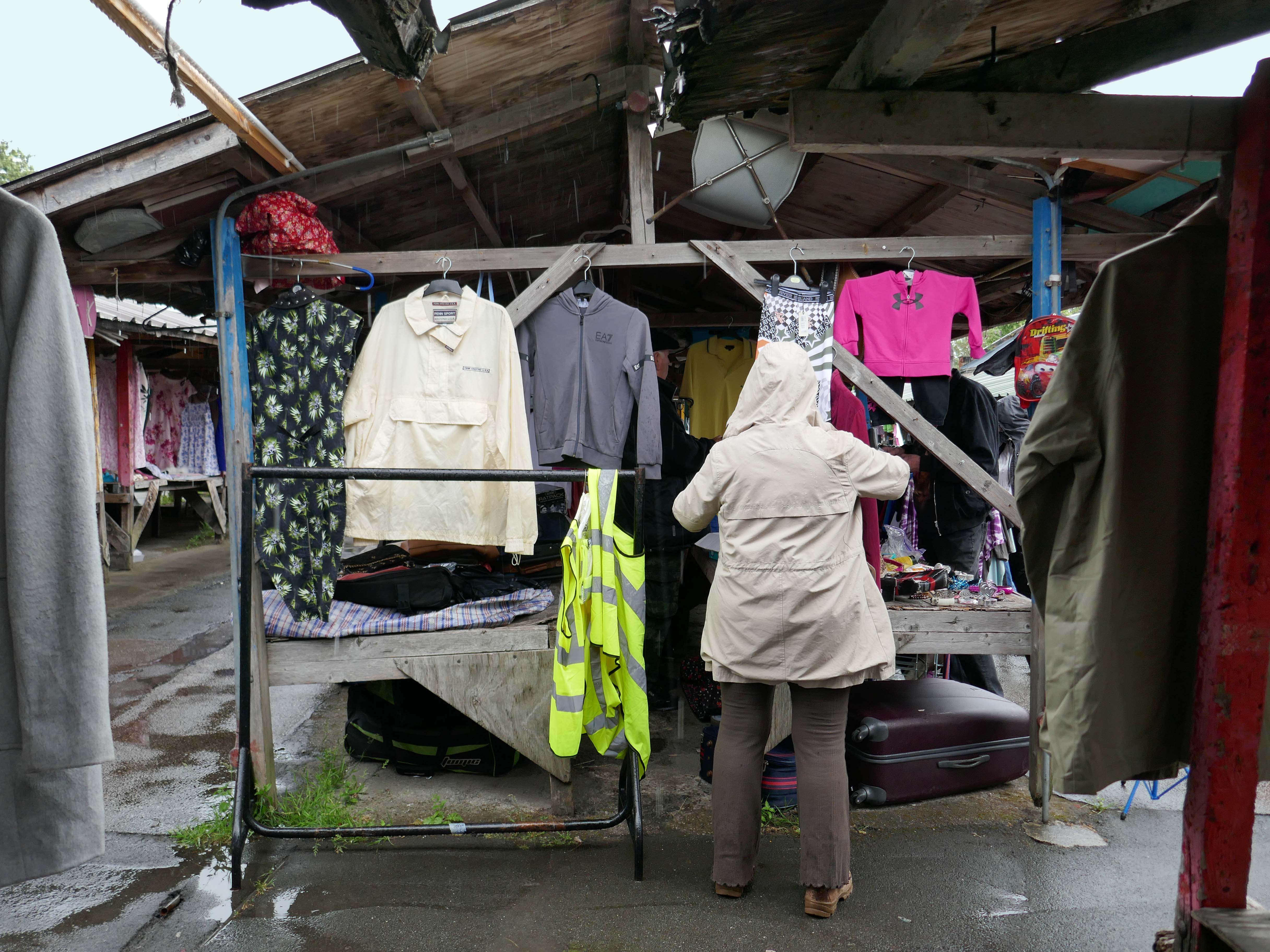
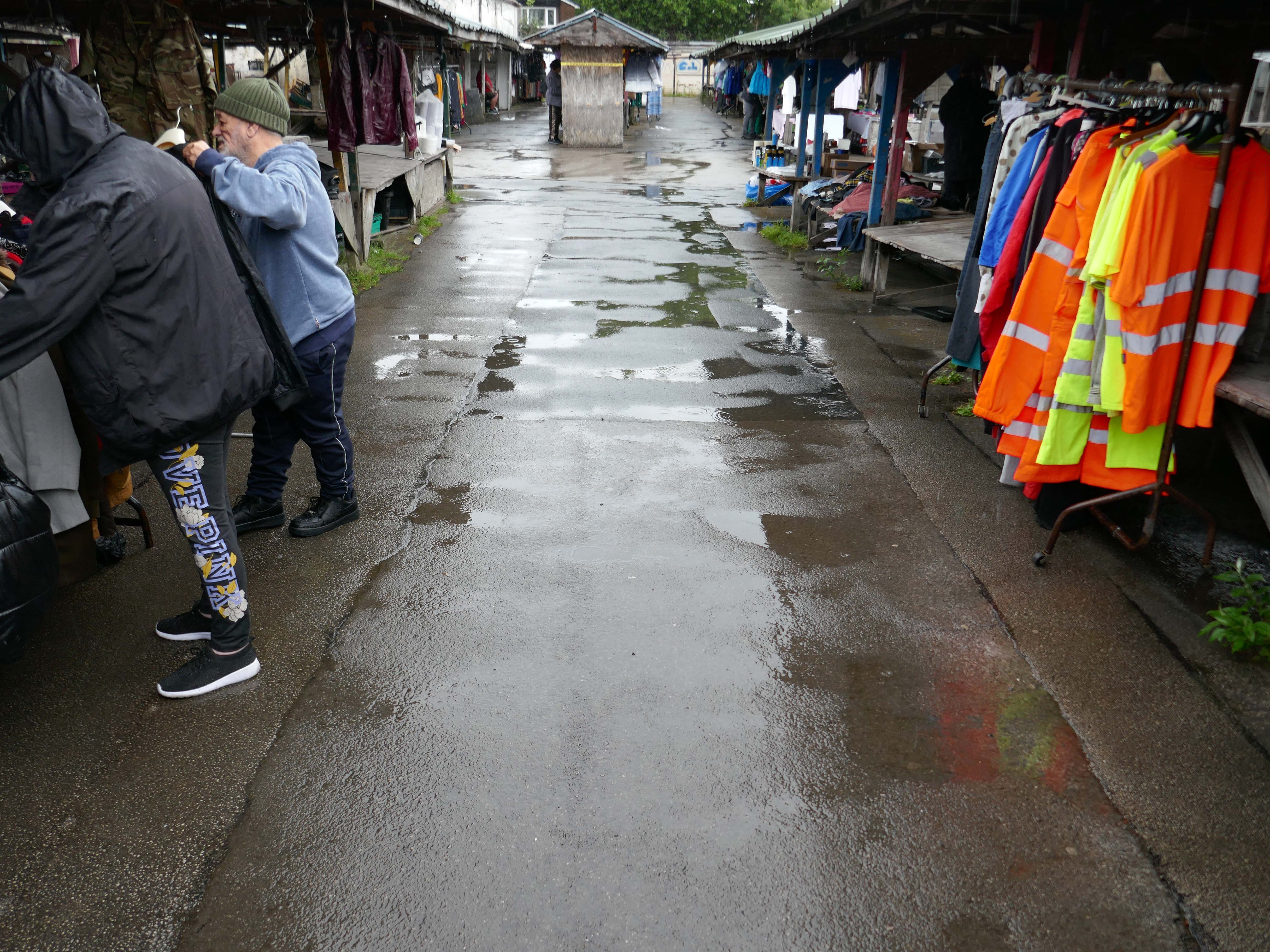
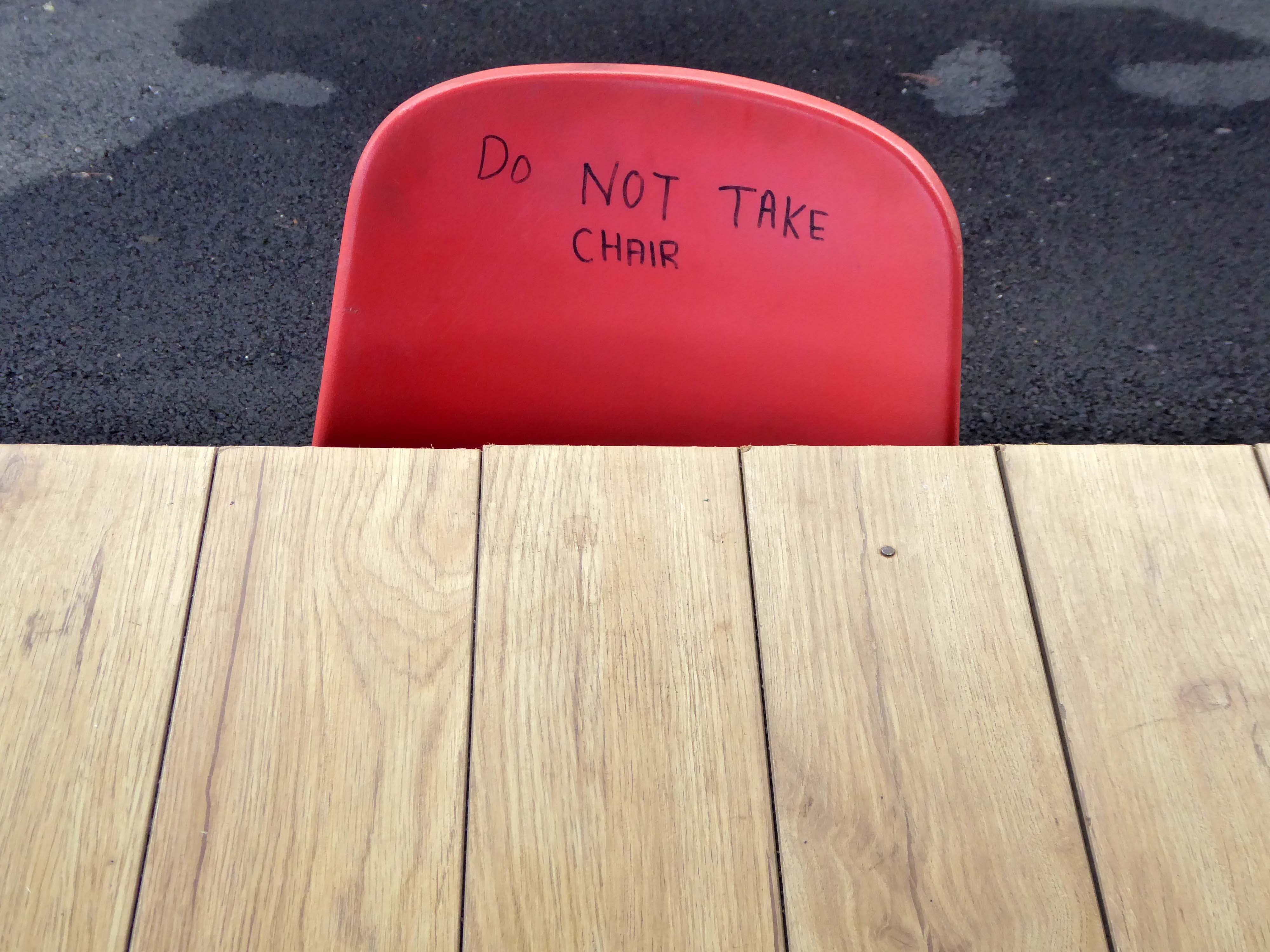
So it goes – a rainy Tuesday, following days of summer sunshine, paddling in puddles, as the drips dripped off the stalls’ sagging roofs, some empty some laden, with this that and the other.
Upright citizens at large in a skewed world, hi vis, low cost goods with nowhere else to go.
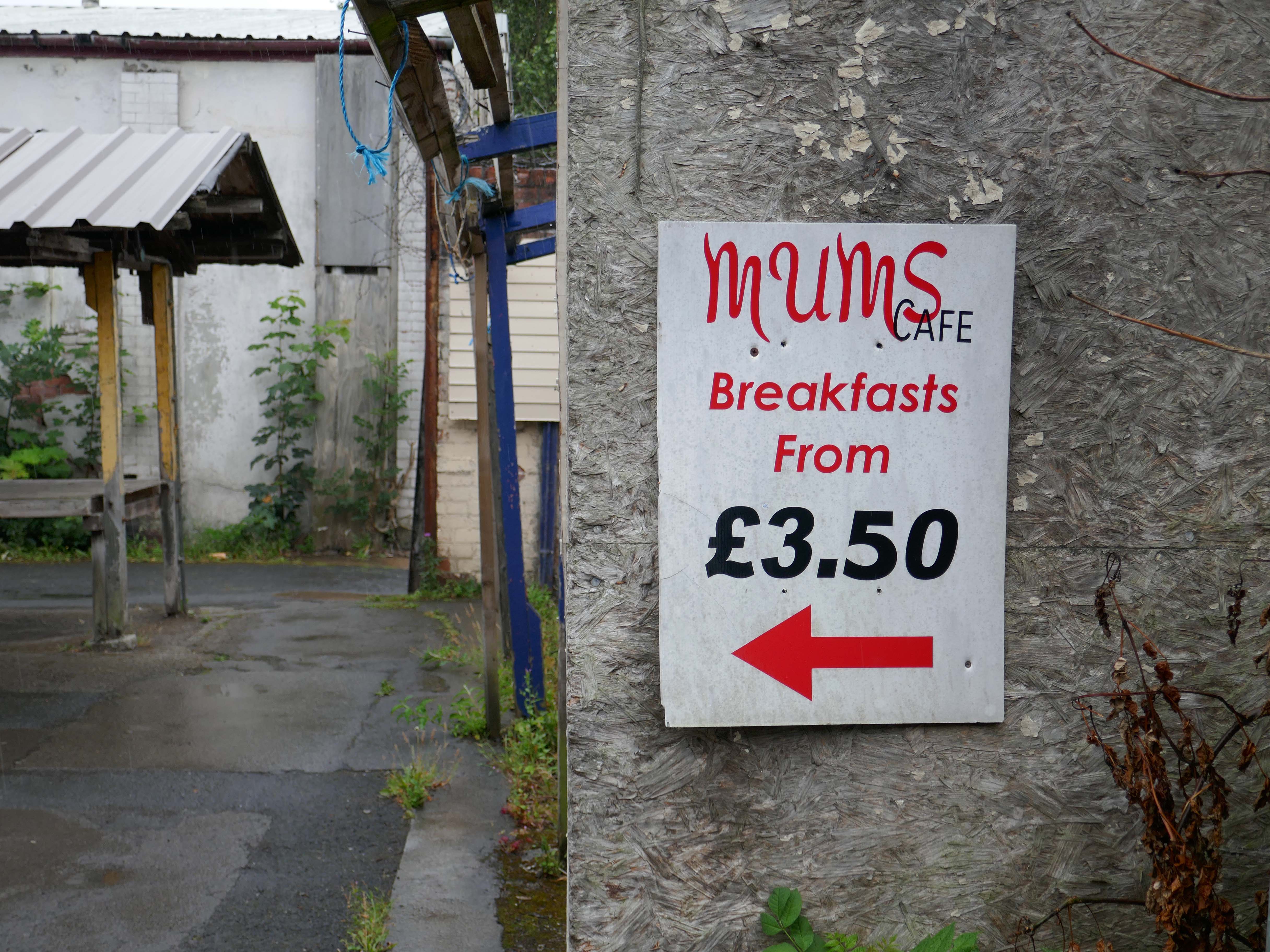
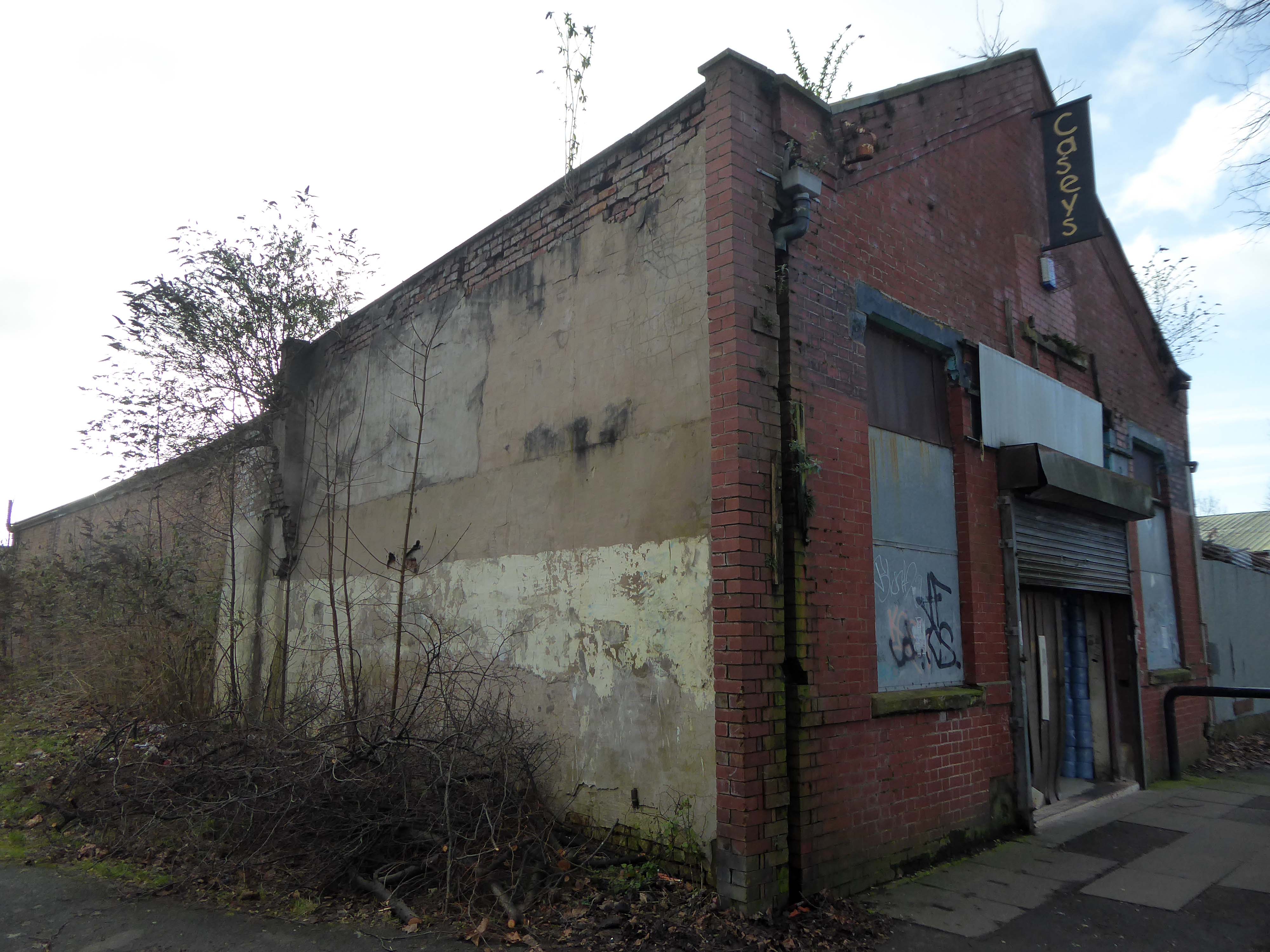
One of the last privately owned markets in the city, is to close on July 19th 2025, after serving the area for over a century.
The family which owns the Harpurhey site has decided to put the acre of land and its existing redbrick buildings up for sale. It will be auctioned off with a guide price of £450,000.
It’s so sad the stall holders, and the community that surrounds the market, have lost their place to go on weekly basis, meeting friends for brew and bacon butty, chats and last minute buys, rummaging around in boxes finding treasures. The previous owner Mike, would have fought tooth and nail to keep this beloved market open, he would be turning in his grave.
I visited on 30th January 2023 – the gate was open there was nobody home, except the cleaner and me.
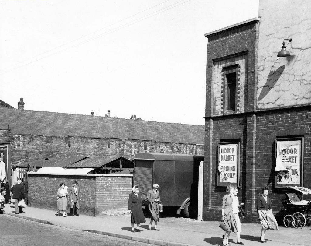
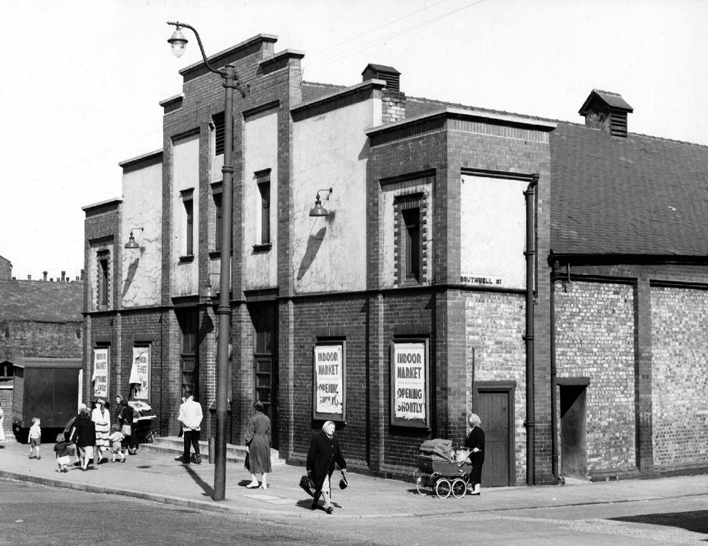
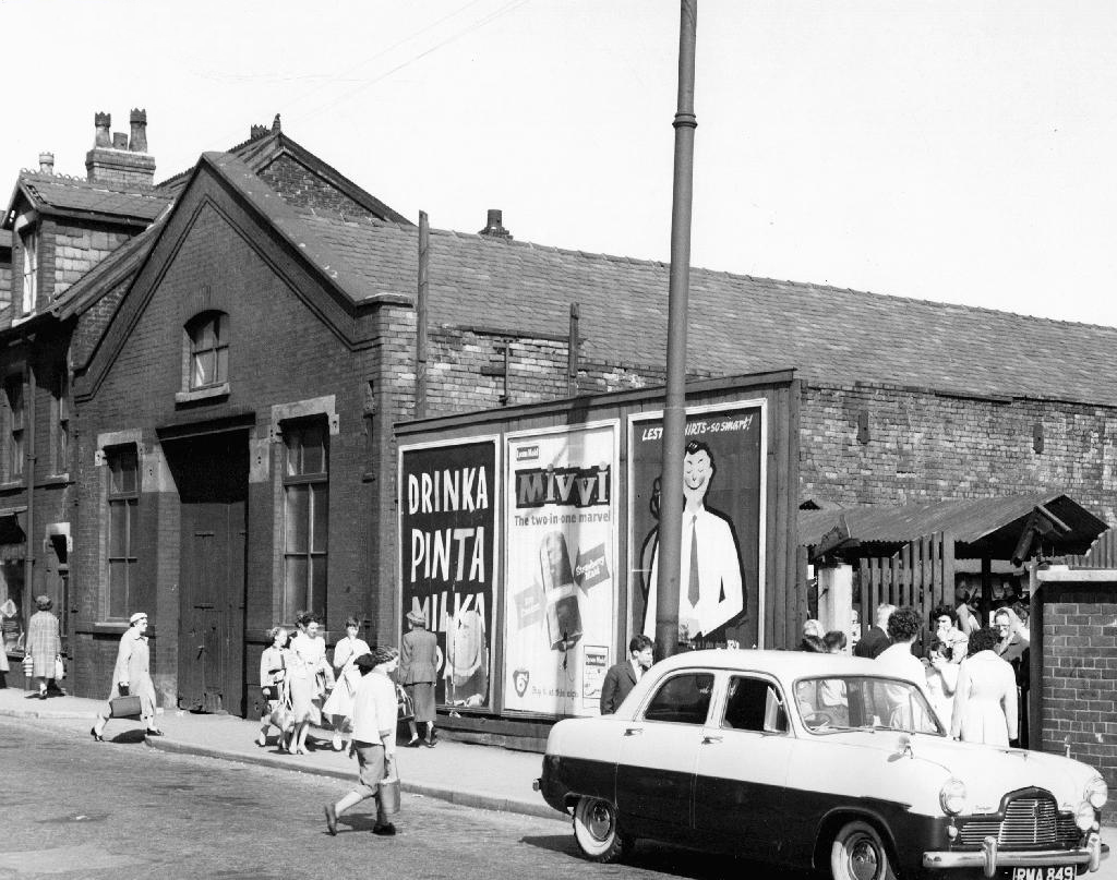
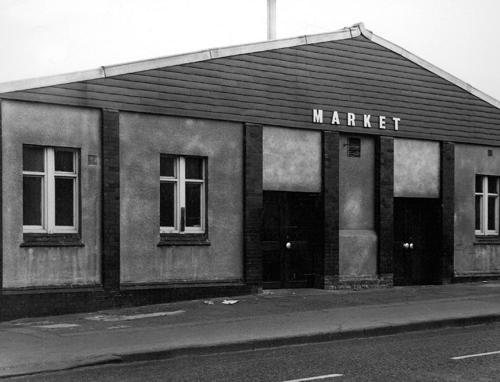
Princess Cinema It is listed in Kinematograph Year Books from 1927 to 1954, but had gone from listings by 1962. It had a Western Electricsound system. The upper part was later removed after a serious fire and the remainder became an indoor market.
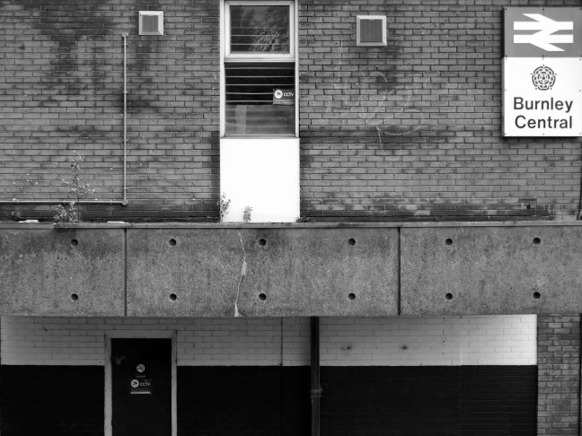
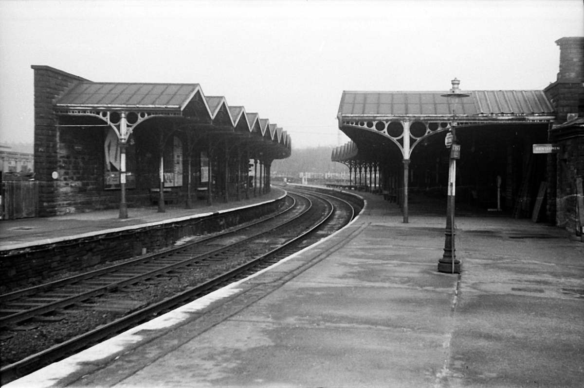
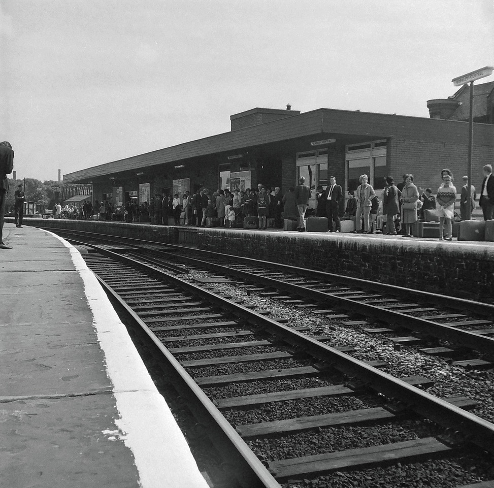
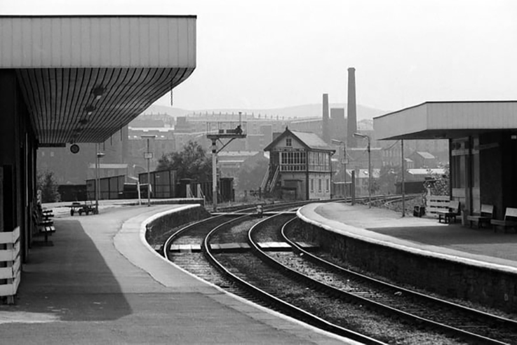
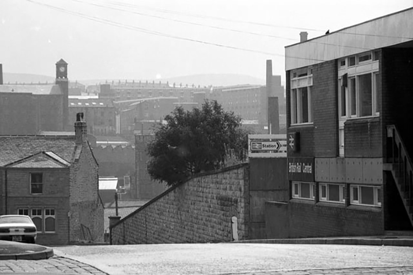
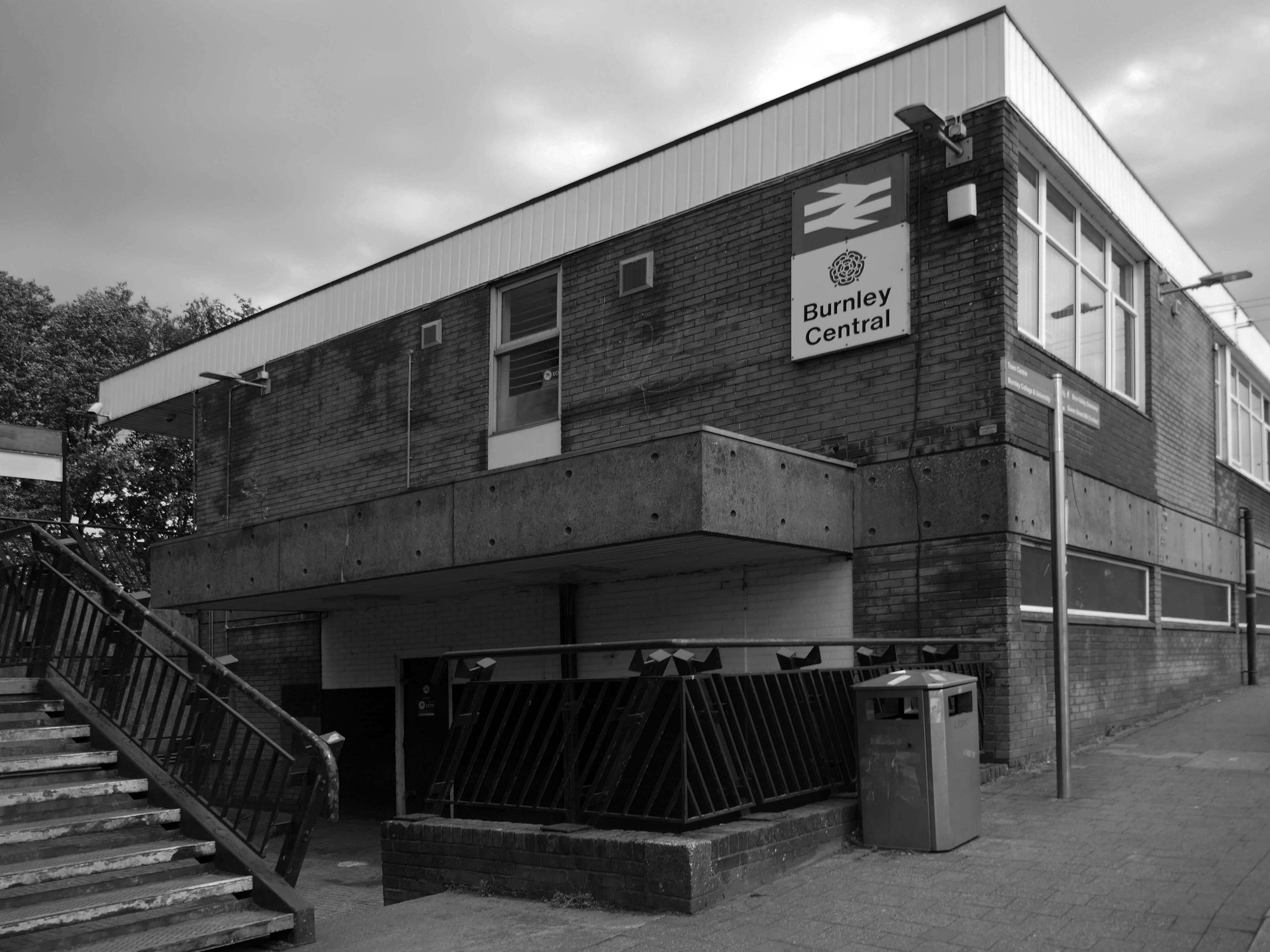
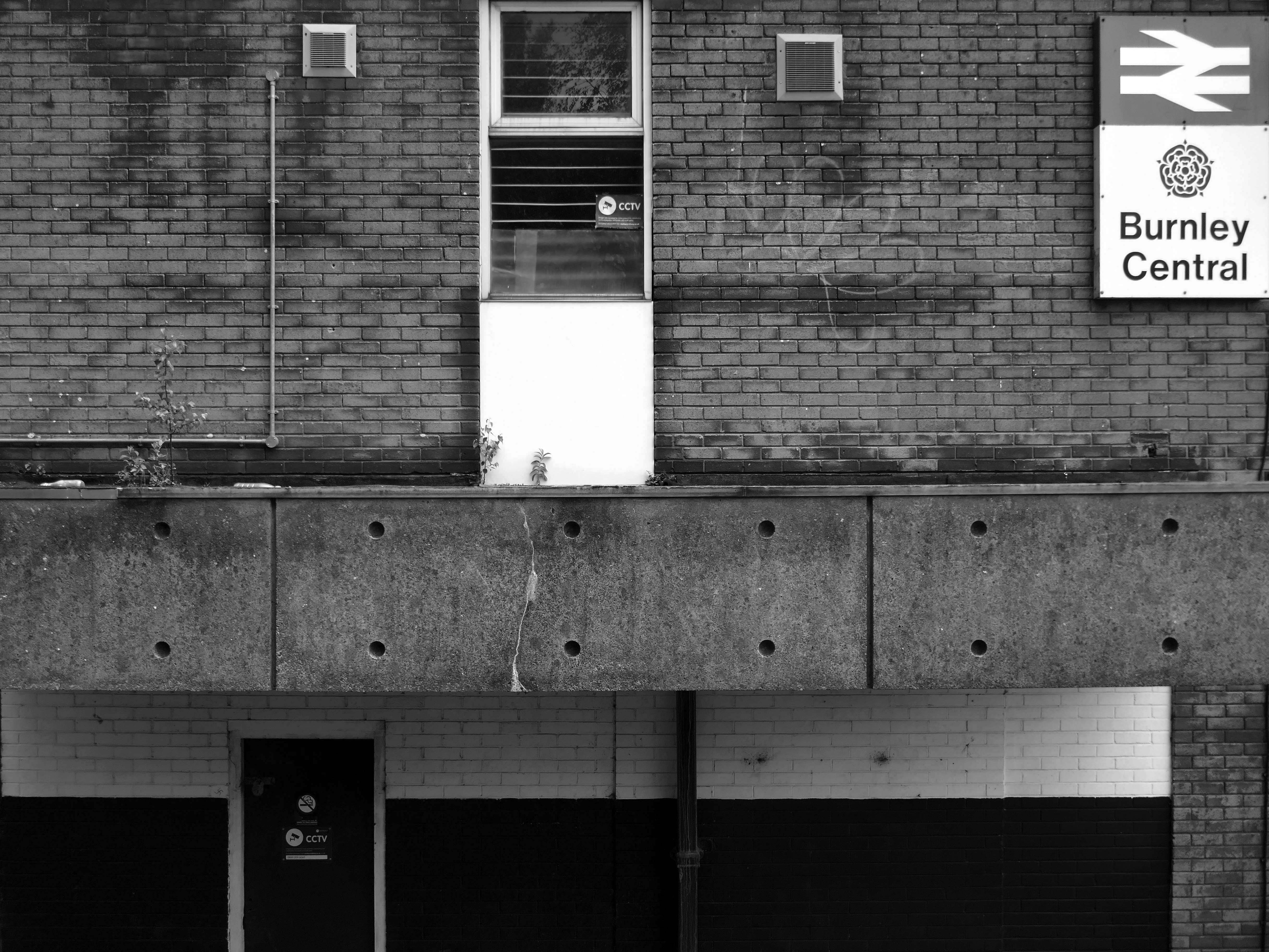
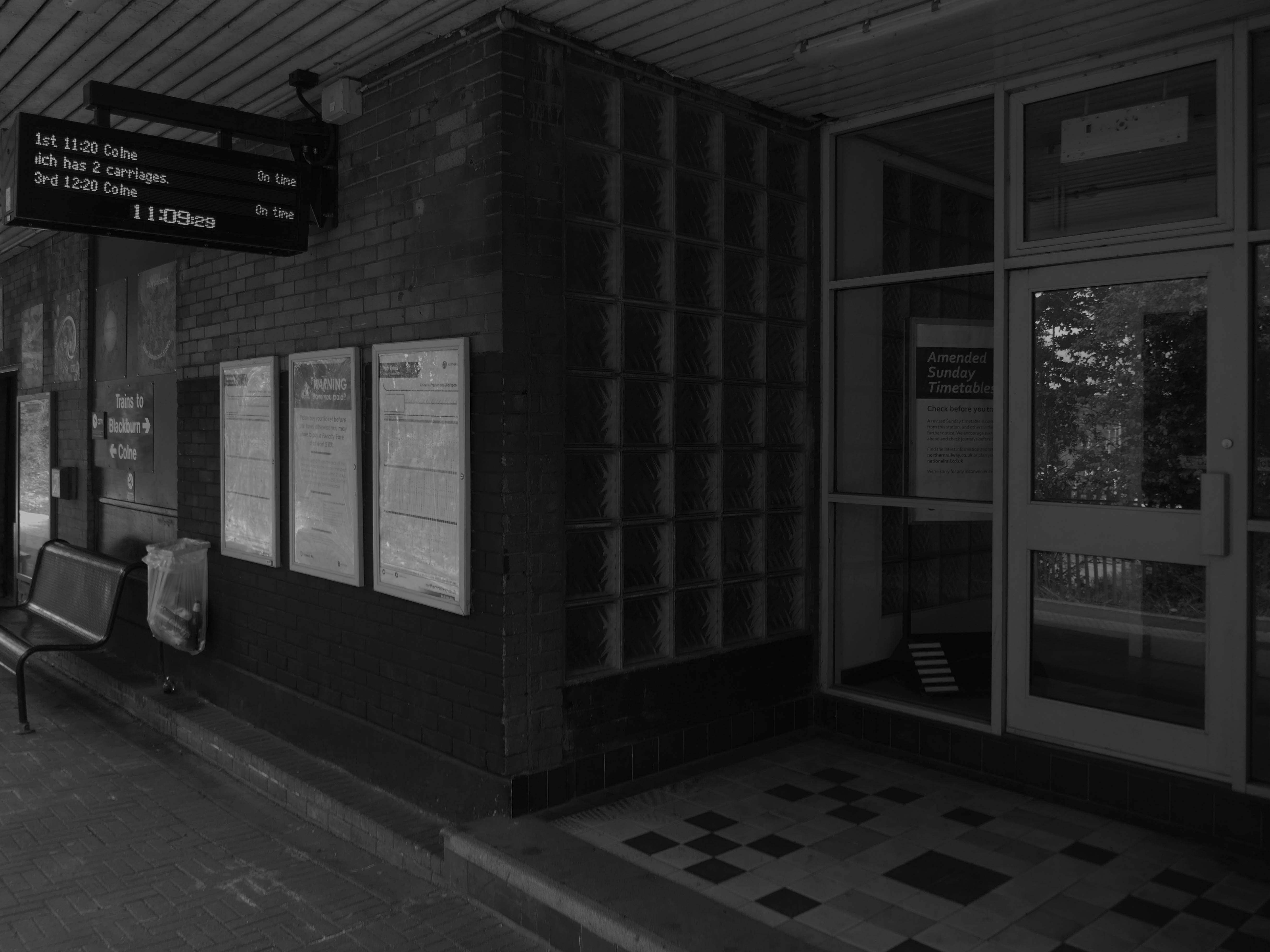
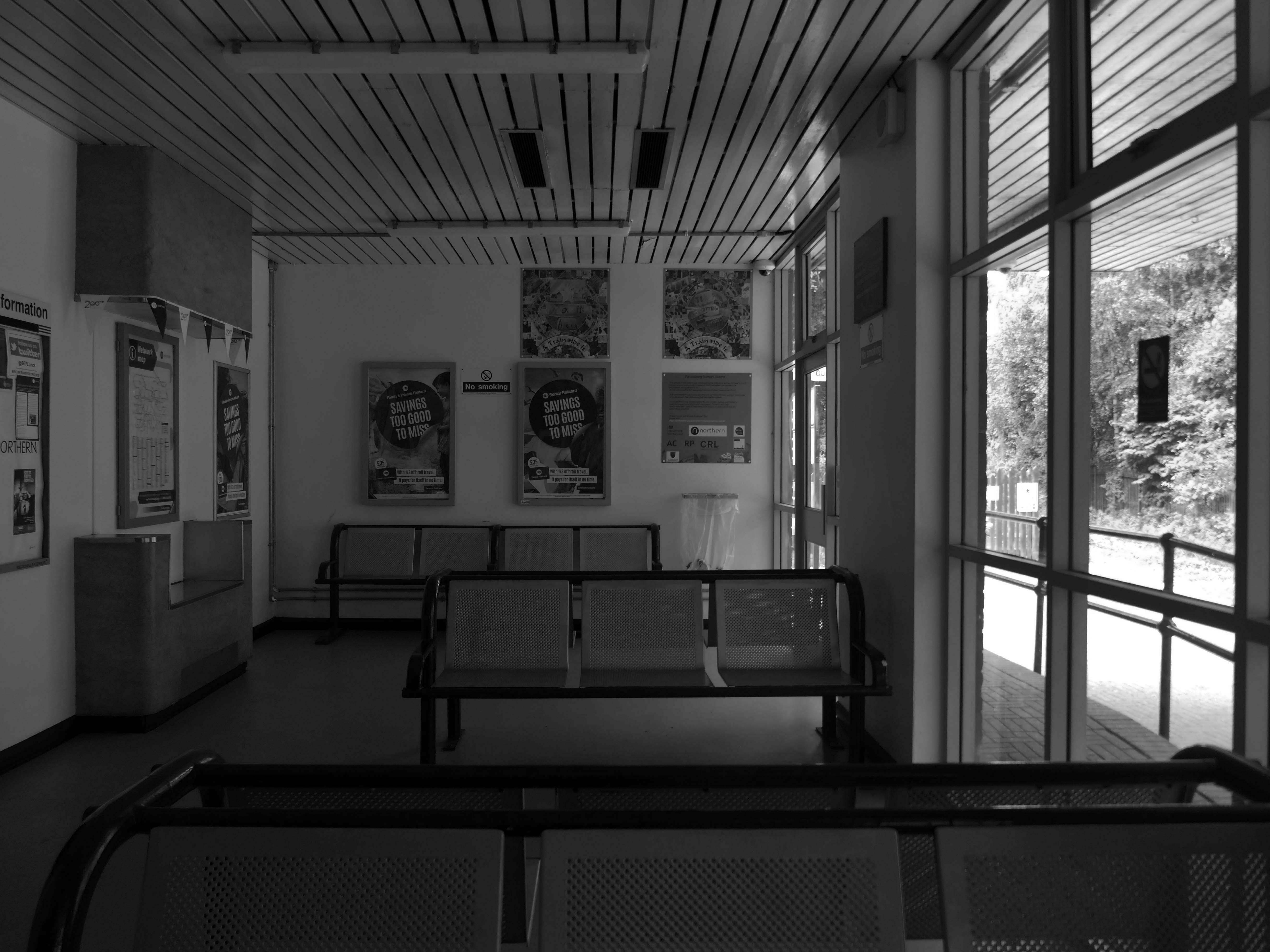
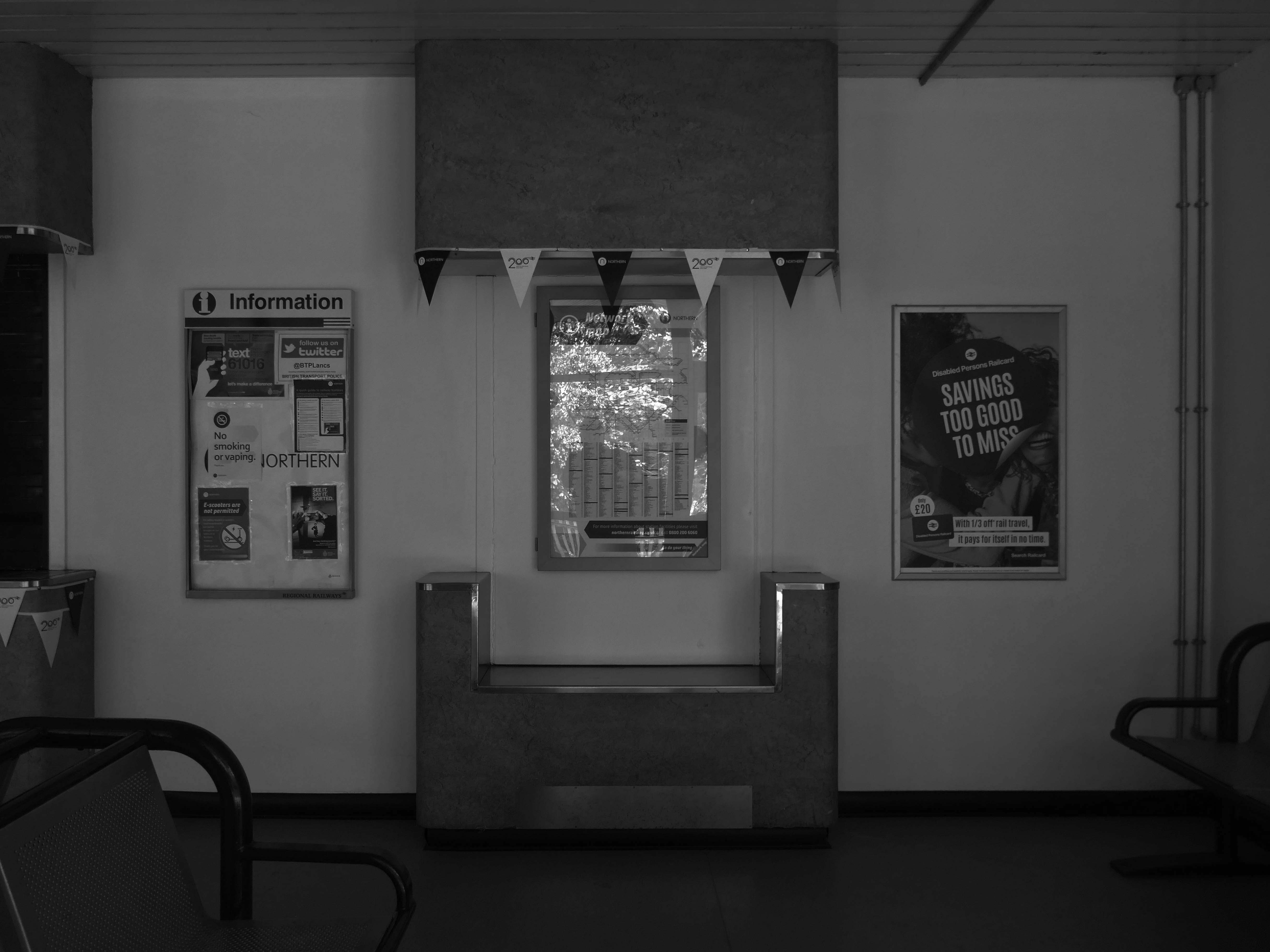
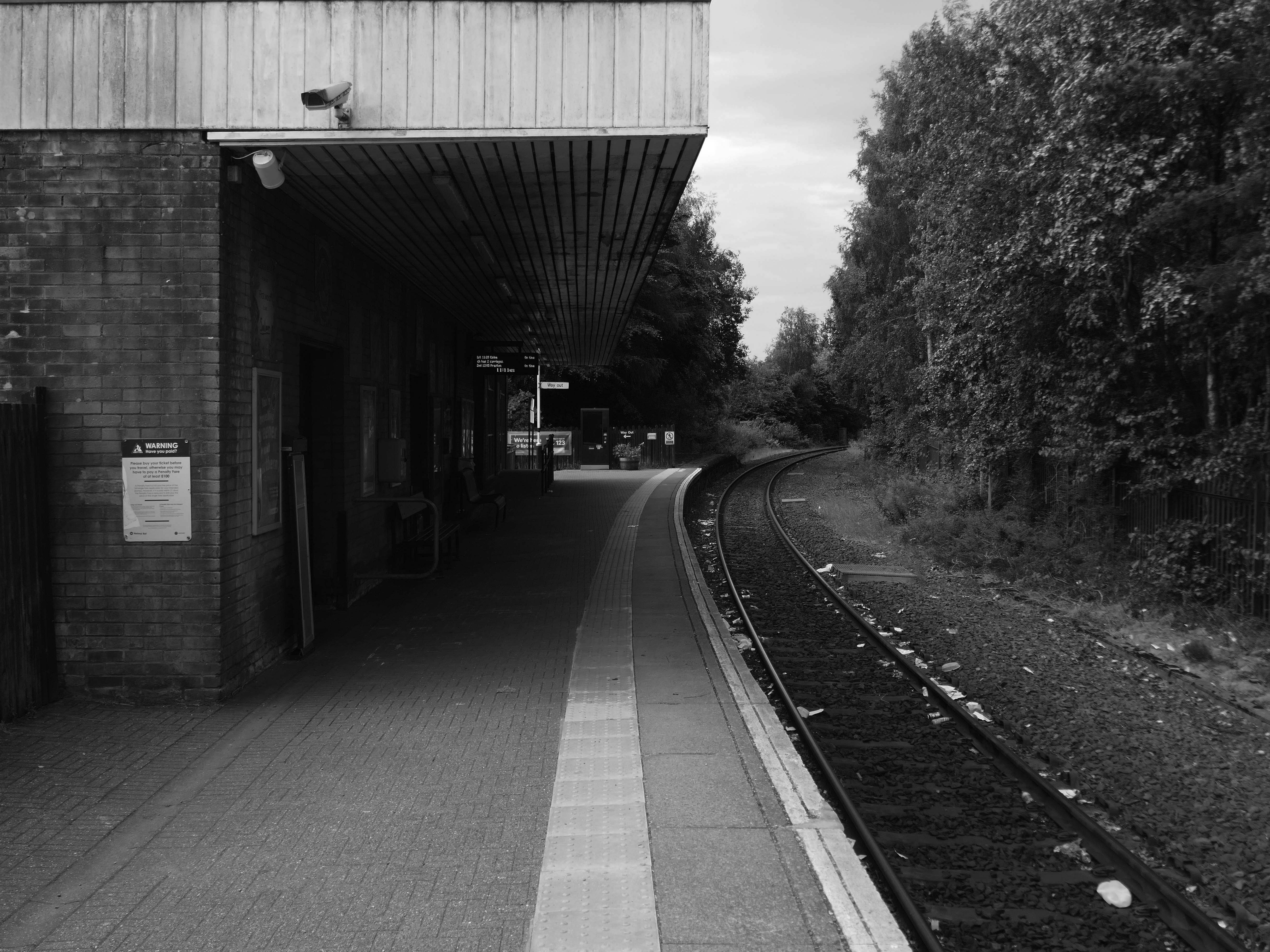
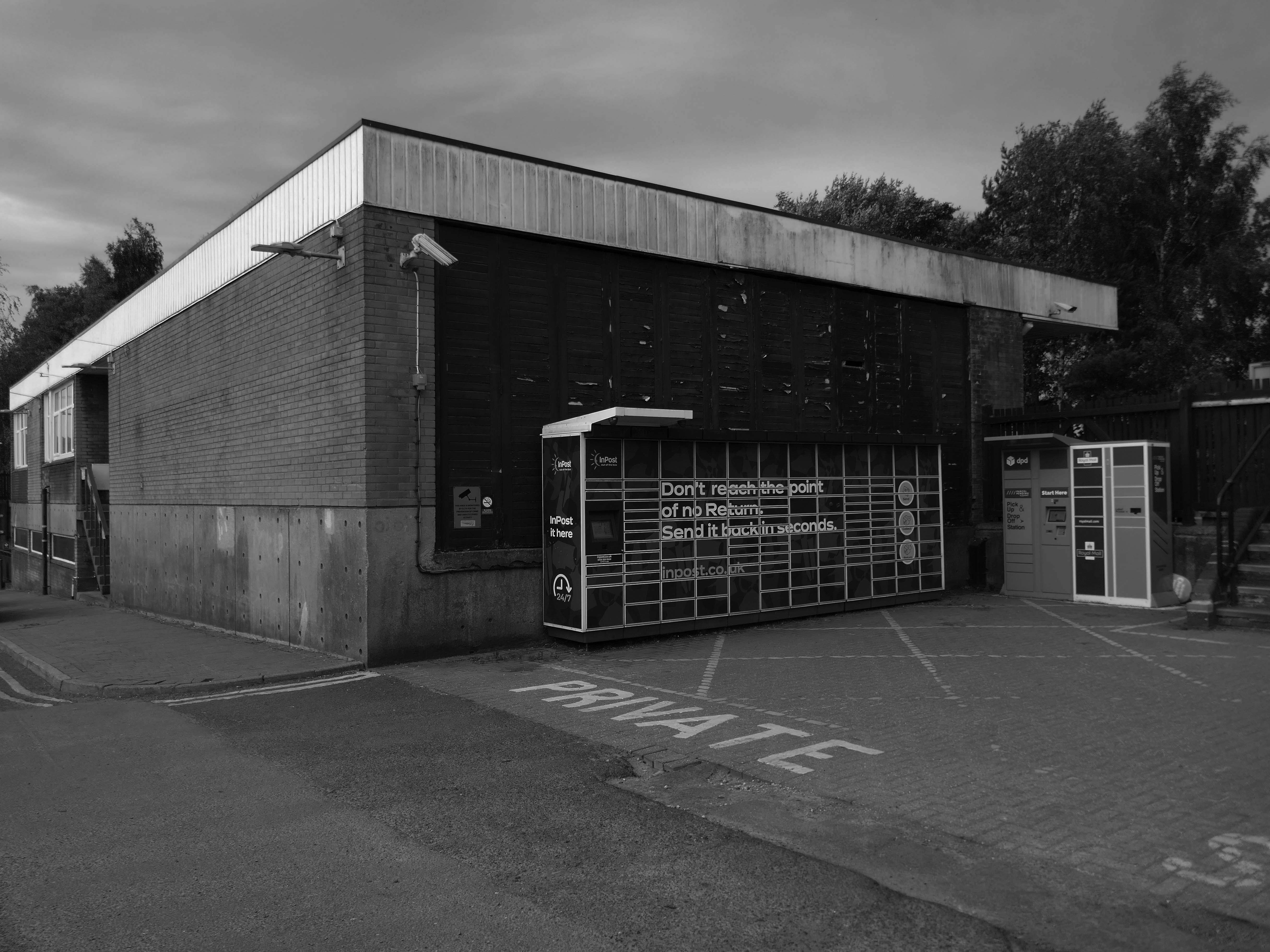
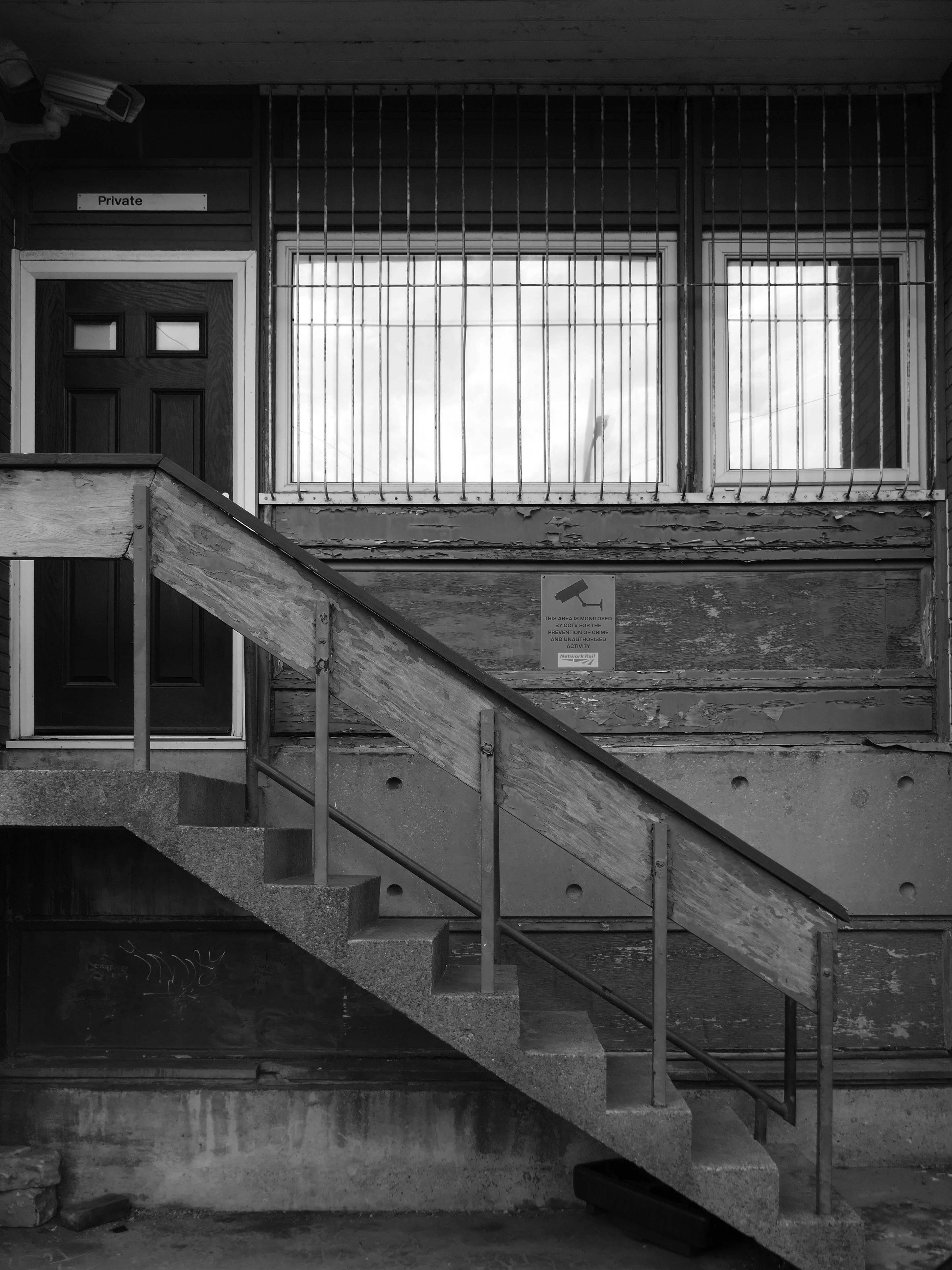
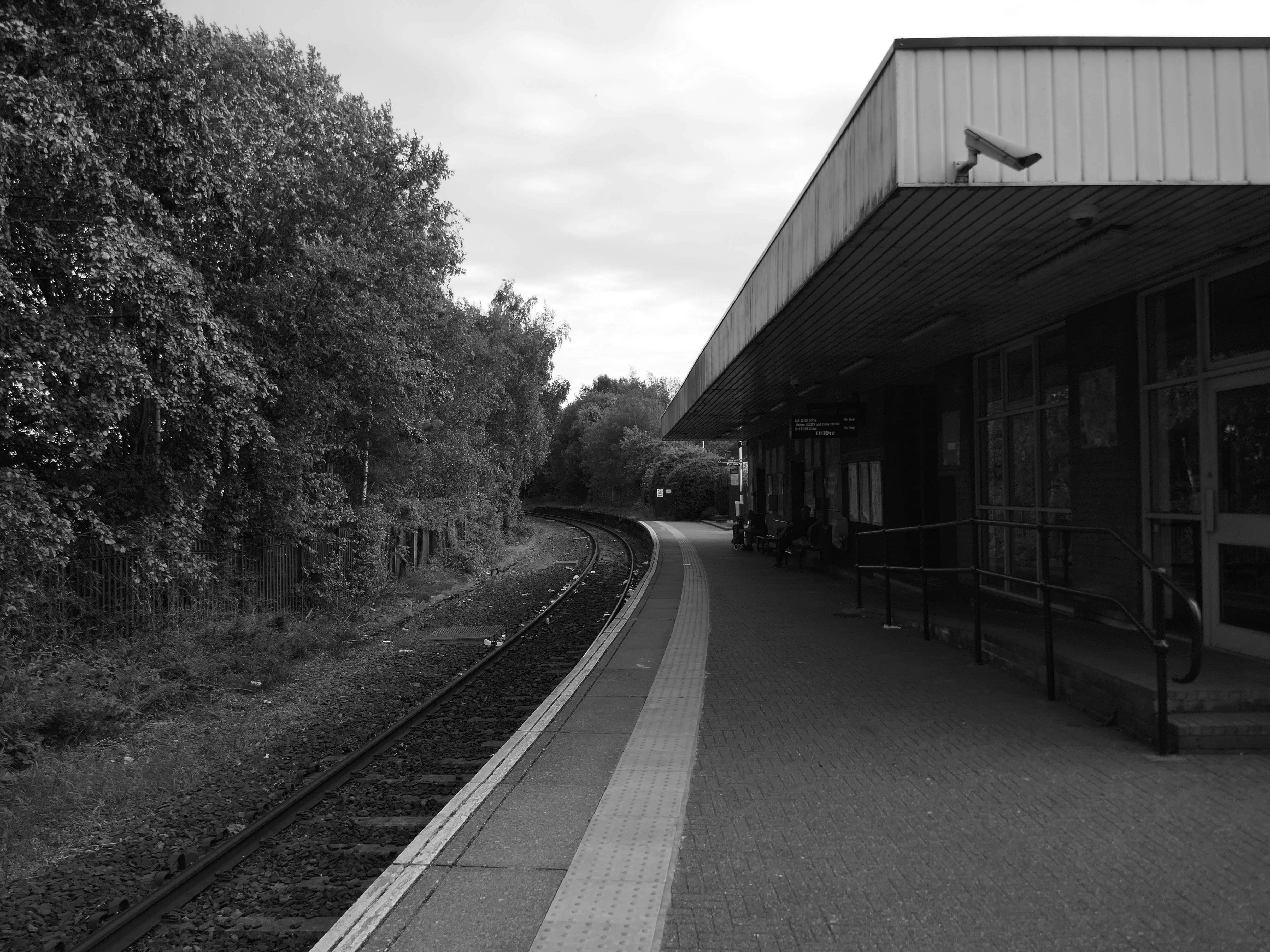
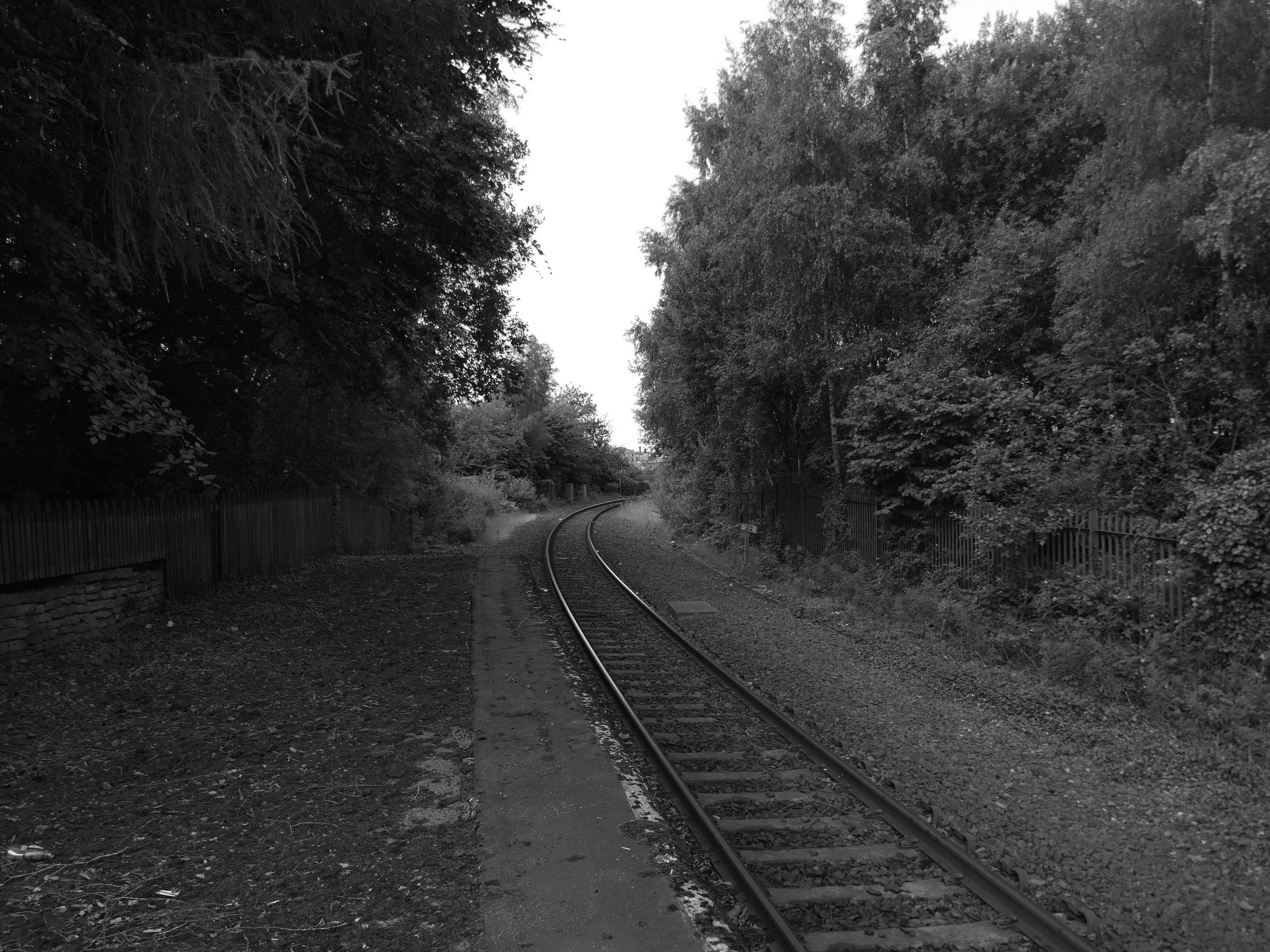
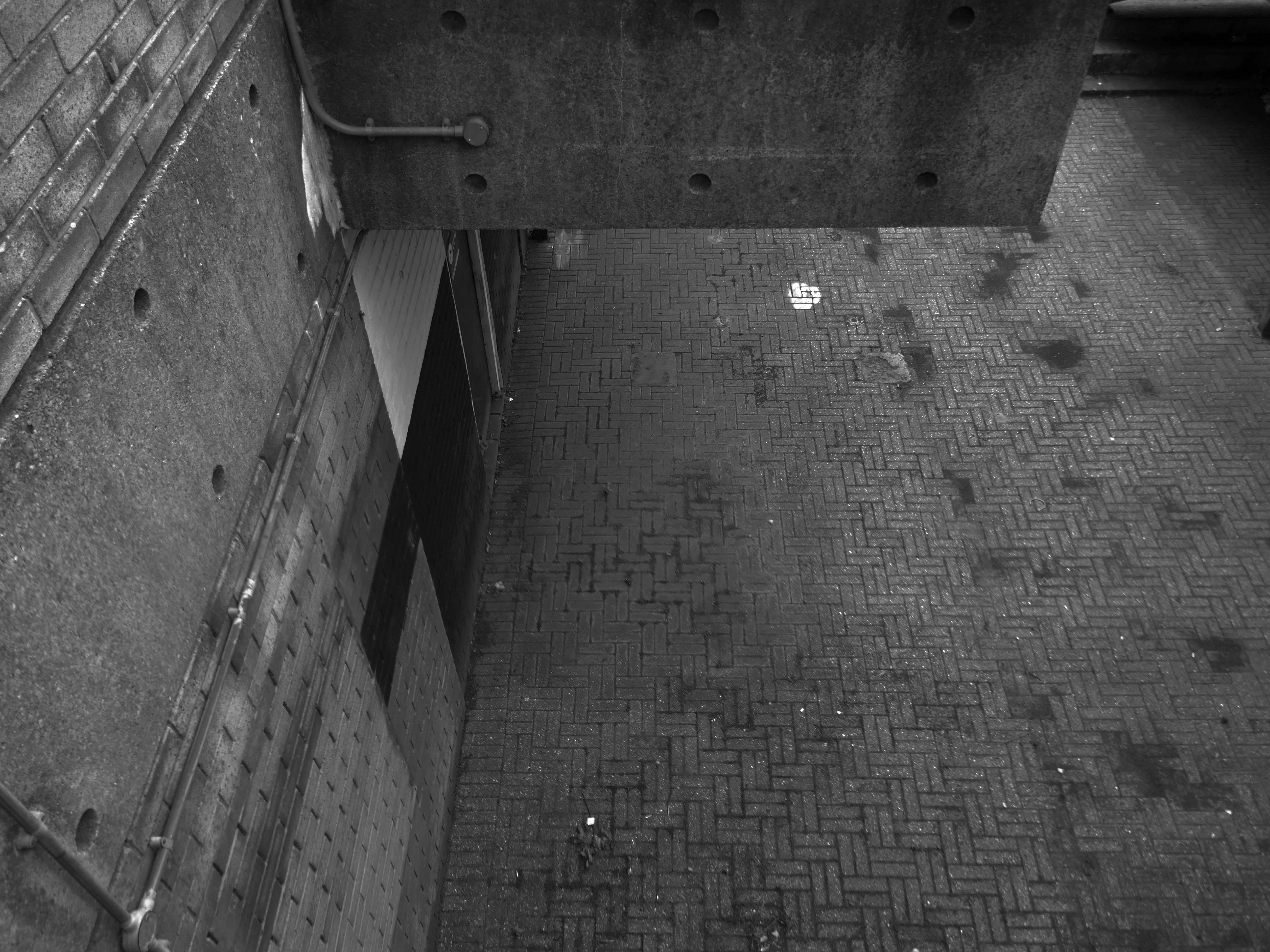
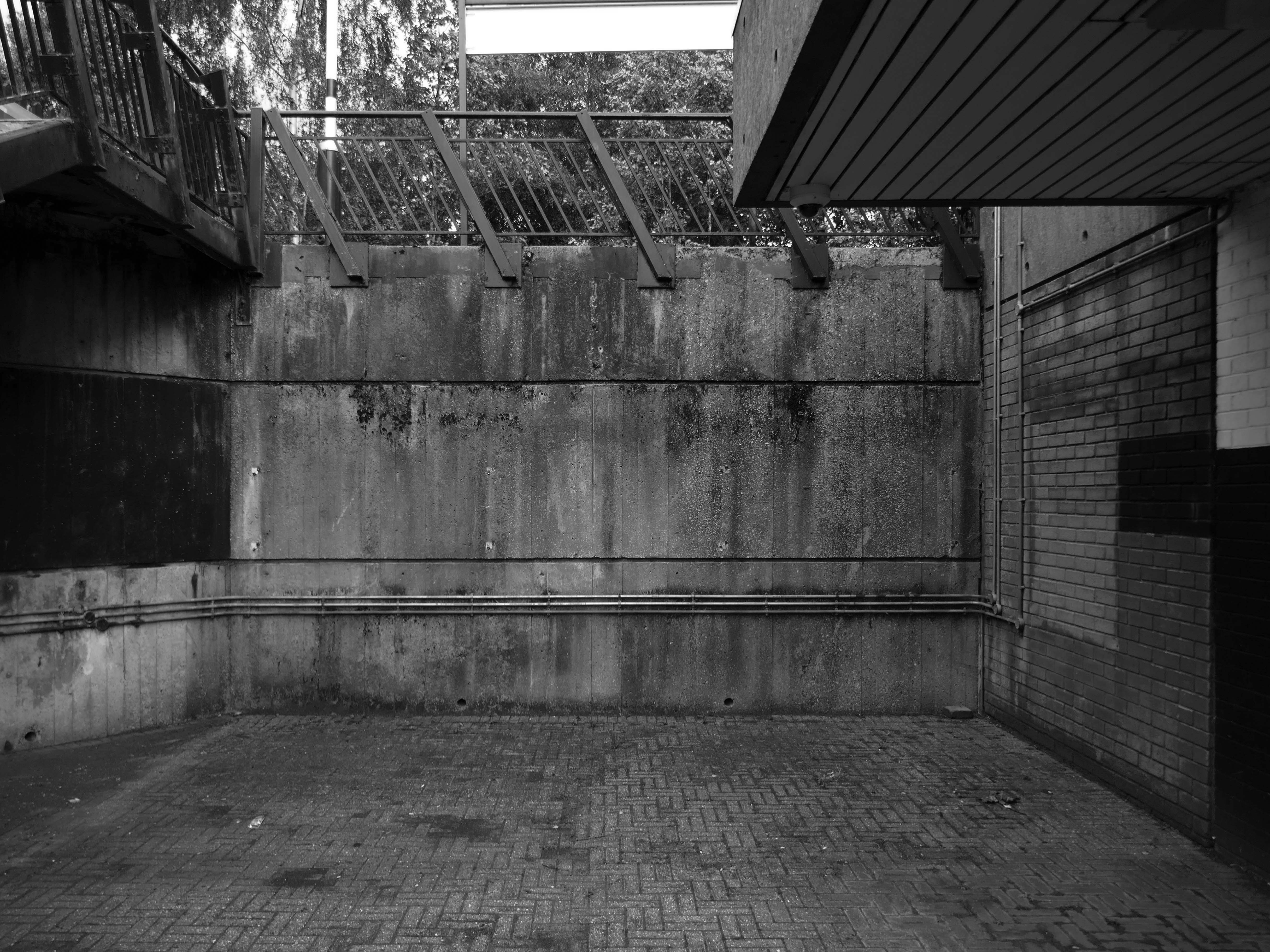
Burnley Central railway station is a stop on the East Lancashire Line, it is managed by Northern Trains, which also provides its passenger service.
Architect: RL Moorcroft of British Rail 1964-1966
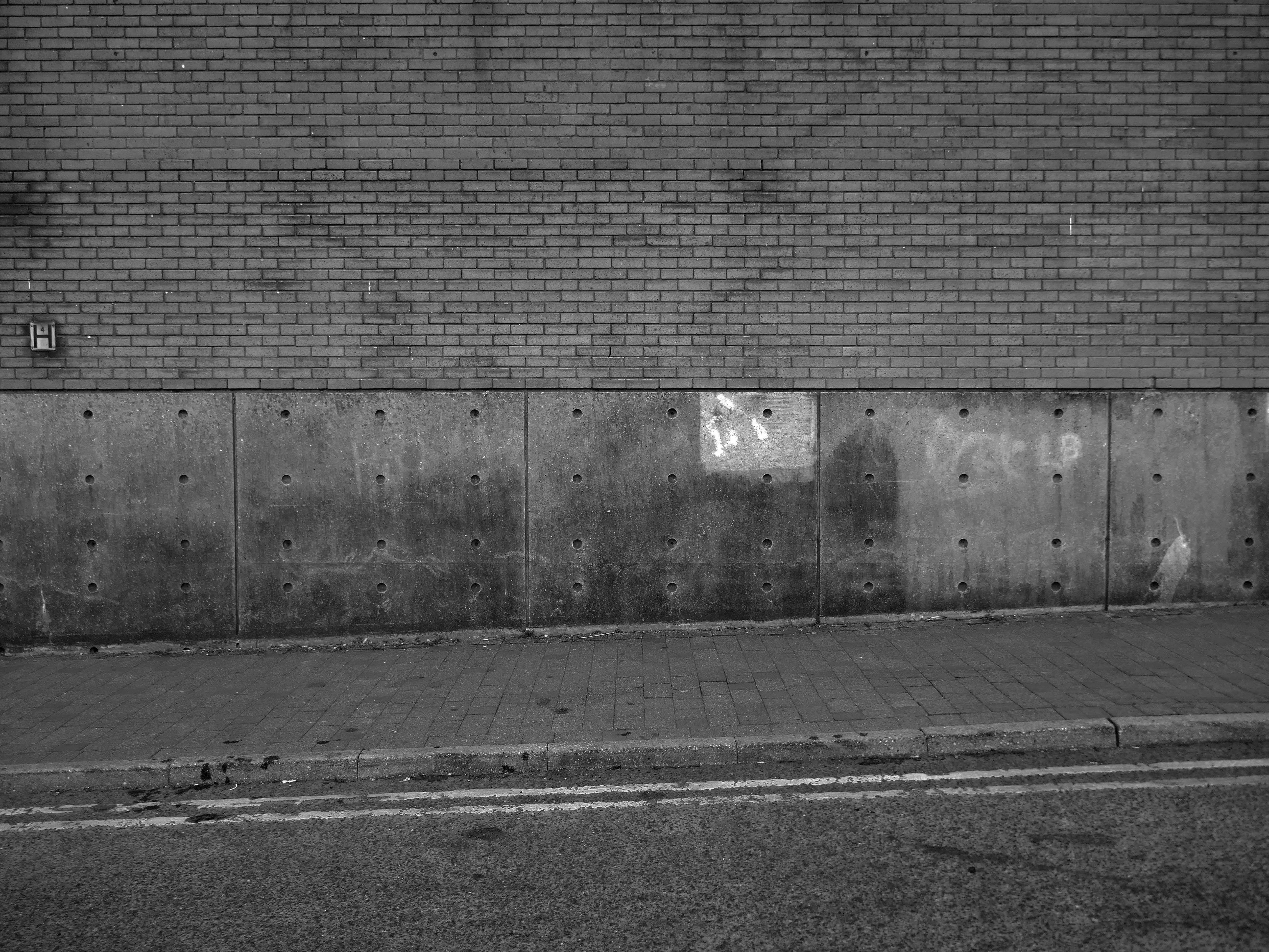
Described by Claire Hartwell in the Buildings of England Lancashire: North as – of blue brick, bleak.
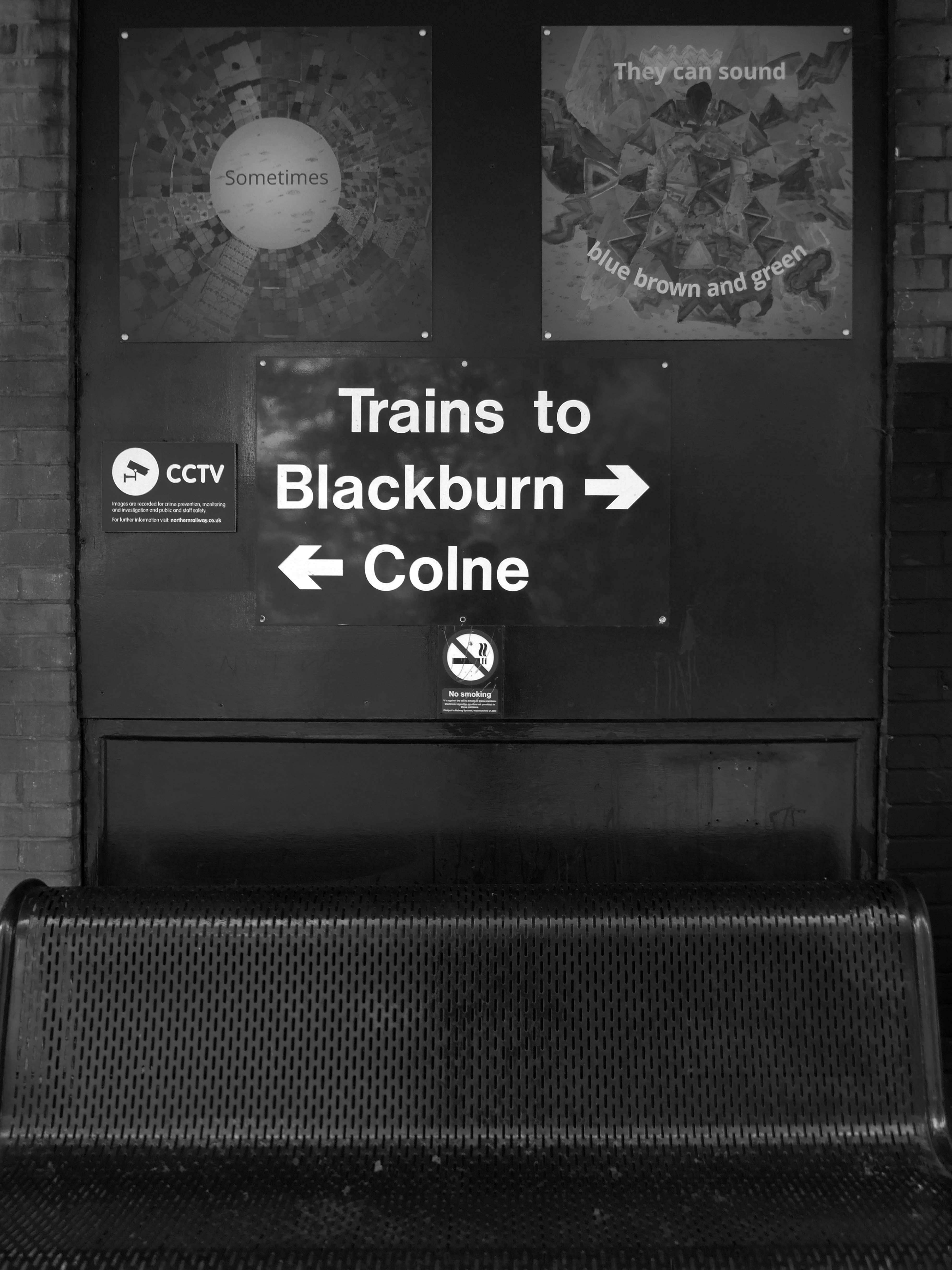
The station was opened by the East Lancashire Railway in 1848, as part of its route from Bury and Blackburn to Colne; here, an end-on junction was made with the Leeds and Bradford Extension Railway line from Skipton that had been completed several months earlier. The service from Colne through the station to Manchester Victoria, via Accrington and Bury, was well used from the outset by the owners of the local cotton mills, who travelled from their homes in the area to make their purchases of raw cotton at the Royal Exchange several times each week. It was also possible to travel from the station by direct train to Blackpool, Liverpool and Skipton and even through to London Euston, via Blackburn, Manchester Victoria and Stockport.
1964 Red Rose Collections.
However, the cutbacks of the 1960s affected the station badly, with through trains to Manchester via Bury ending in 1964 (two years before the withdrawal of the Accrington to Bury service) and those to Liverpool in 1969 whilst the line to Skipton was closed to all traffic in 1970. This left the station on a 10.5 km long dead-end branch line from Rose Grove to Colne.
The station was rebuilt in 1965, its ground floor is at street level and the first floor at platform level.
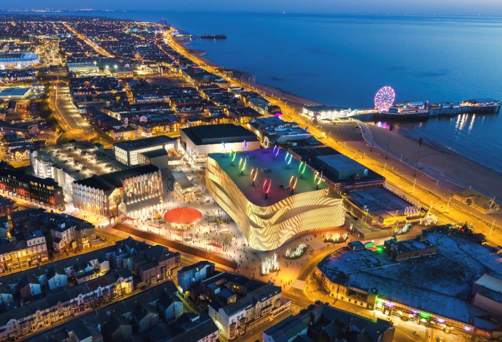
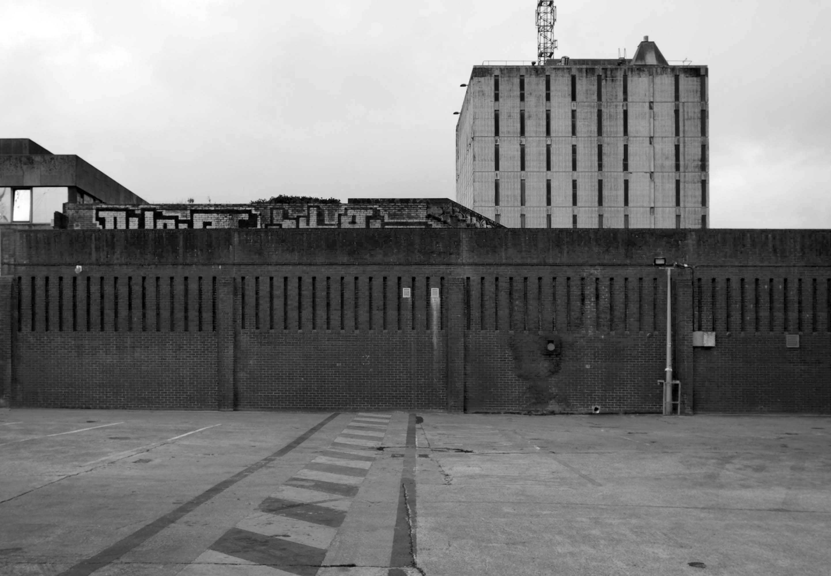
Blackpool Council says it remains committed to the Blackpool Central project amid the potential collapse of the developer leading the works.
But warning alarms sounded this week when Nikal – which was hired to oversee the project – filed a notice of intent to appoint administrators.
The £300m Blackpool Central development is billed as the biggest single investment in the town in more than a century and is planned to involve a “world-class leisure development” which would create 1,000 new jobs, bring an extra 600,000 visitors per year, and boost annual spend in the town by around £75m.
A spokesperson for Blackpool Council told the Blackpool Lead:
We have been working on the enabling phase of Blackpool Central over the last few years. The new multi-storey car park opened earlier this summer and we are currently completing preparations to demolish the old police station and courts building early in the New Year.
The proposals for the Bonny Street area can be seen here.
Plans for the area have hit further problems.
A new £40m magistrates courthouse is facing building delays after the project’s main contractor collapsed.Blackpool’s magistrates court was one of twenty two projects belonging to construction giant ISG, which was working on the scheme for the Ministry of Justice.
But the firm went into administration in September, leaving two thousand two hundred workers at risk of redundancy, the Local Democracy Reporting Service said.
Work was due to start early next year with a completion date expected in 2026.
The town needs all the help it can get, time has not been too kind, whilst efforts have been made to invigorate the area around Blackpool North and the promenade, the back streets reflect the legacy of years of deprivation.
Blackpool ranks as one of the most deprived areas in the UK. Many people were already in poverty, and the cost of living pressures are having the biggest impact on this group, who need to spend a greater proportion of their incomes on household essentials. It is also affecting people on low and middle incomes, often surviving by having several jobs, who are being pushed into poverty. More people are turning to services for support, and as the winter progresses this is a serious concern.
I have no wish to poor scorn on the area – but a short walk around the streets approximate to the coast tells a tale of failed businesses, decay and decline.
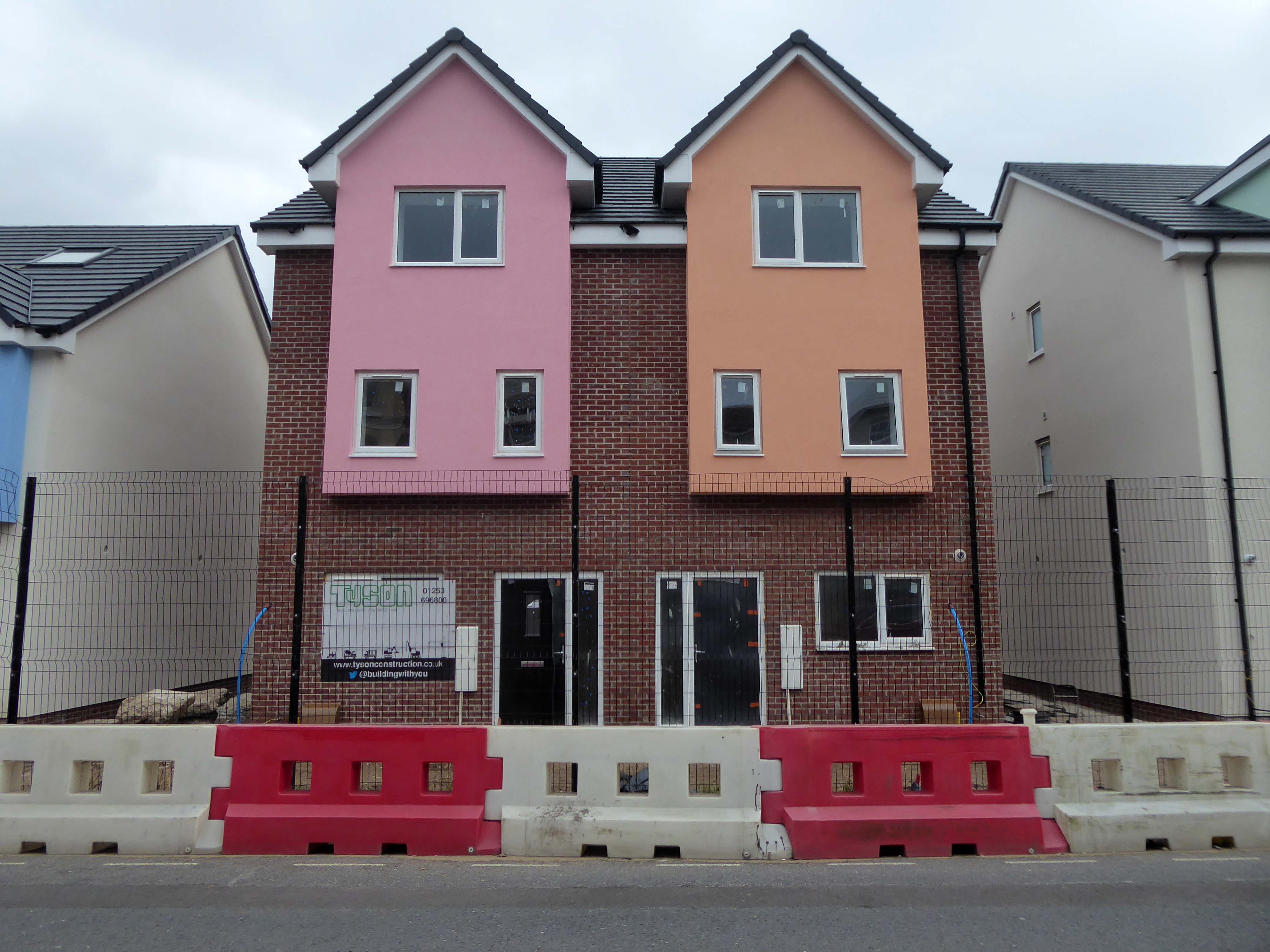
Happily there are the seeds of recovery in evidence, in the form of newly built housing.
The executive report outlines an area of regeneration to the South of the town centre. It lies broadly between Chapel Street and Rigby Road, and the Promenade and Central Drive. These have been identified as the initial areas of focus for detailed scheme development, community engagement and property acquisitions in preparation for future development.
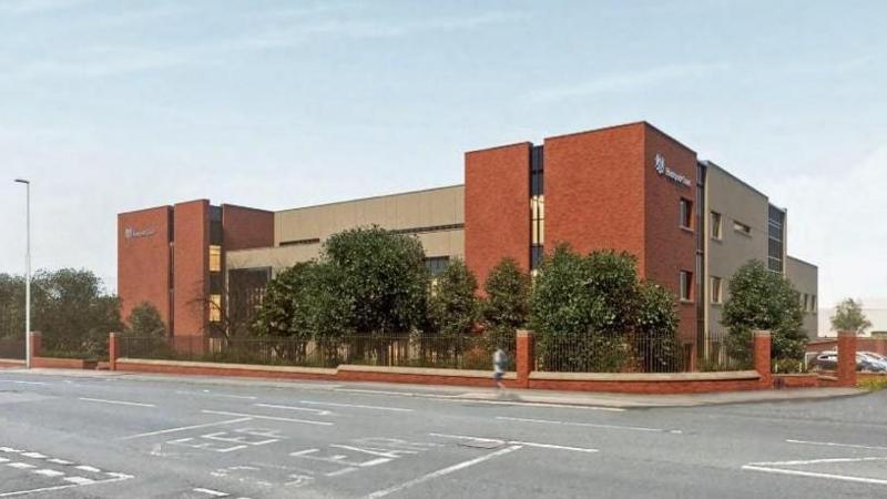
Shropshire Council Raven Meadows Shrewsbury SY1 1PL
Built by Truscon Ltd. – 1969
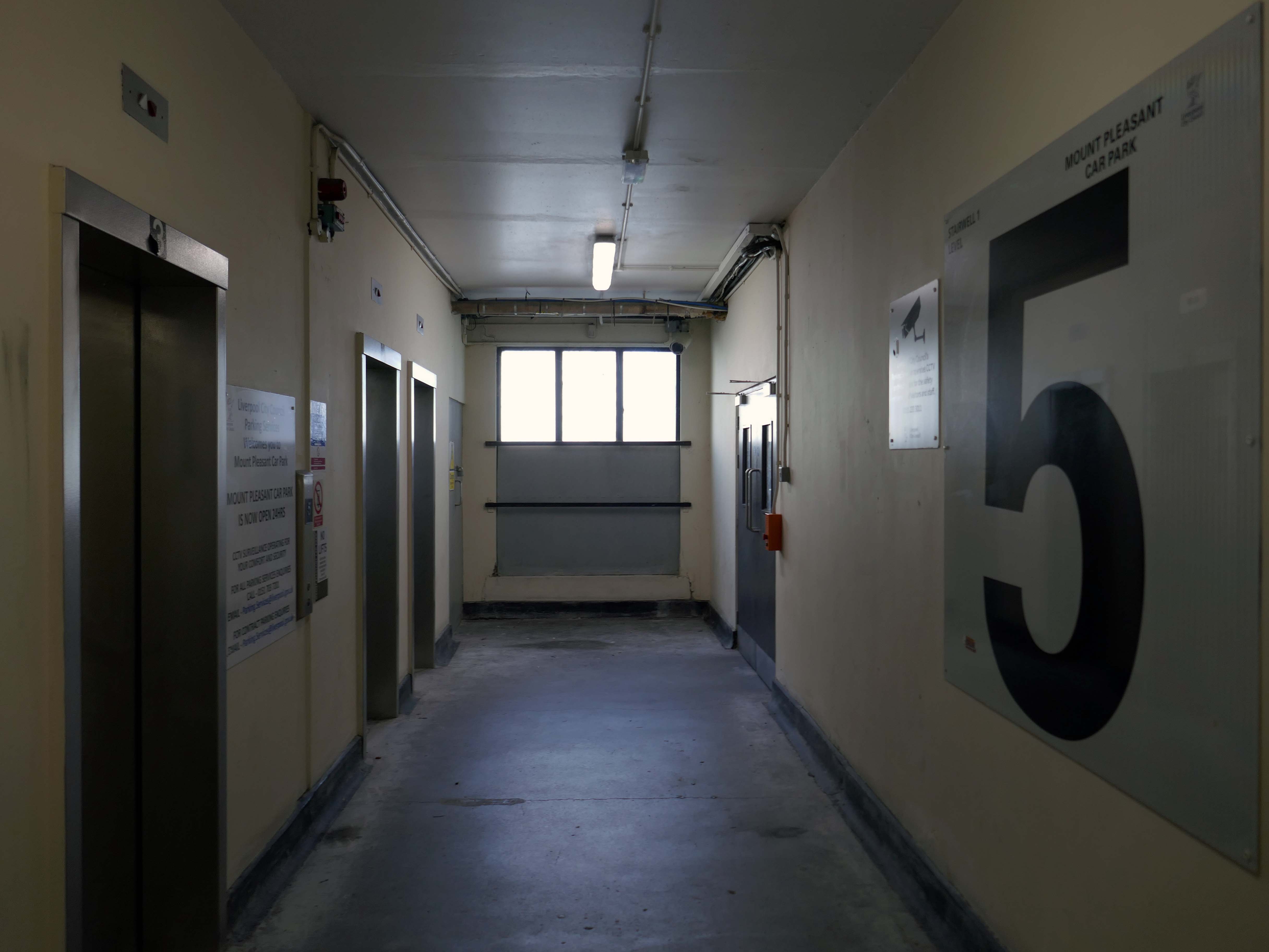
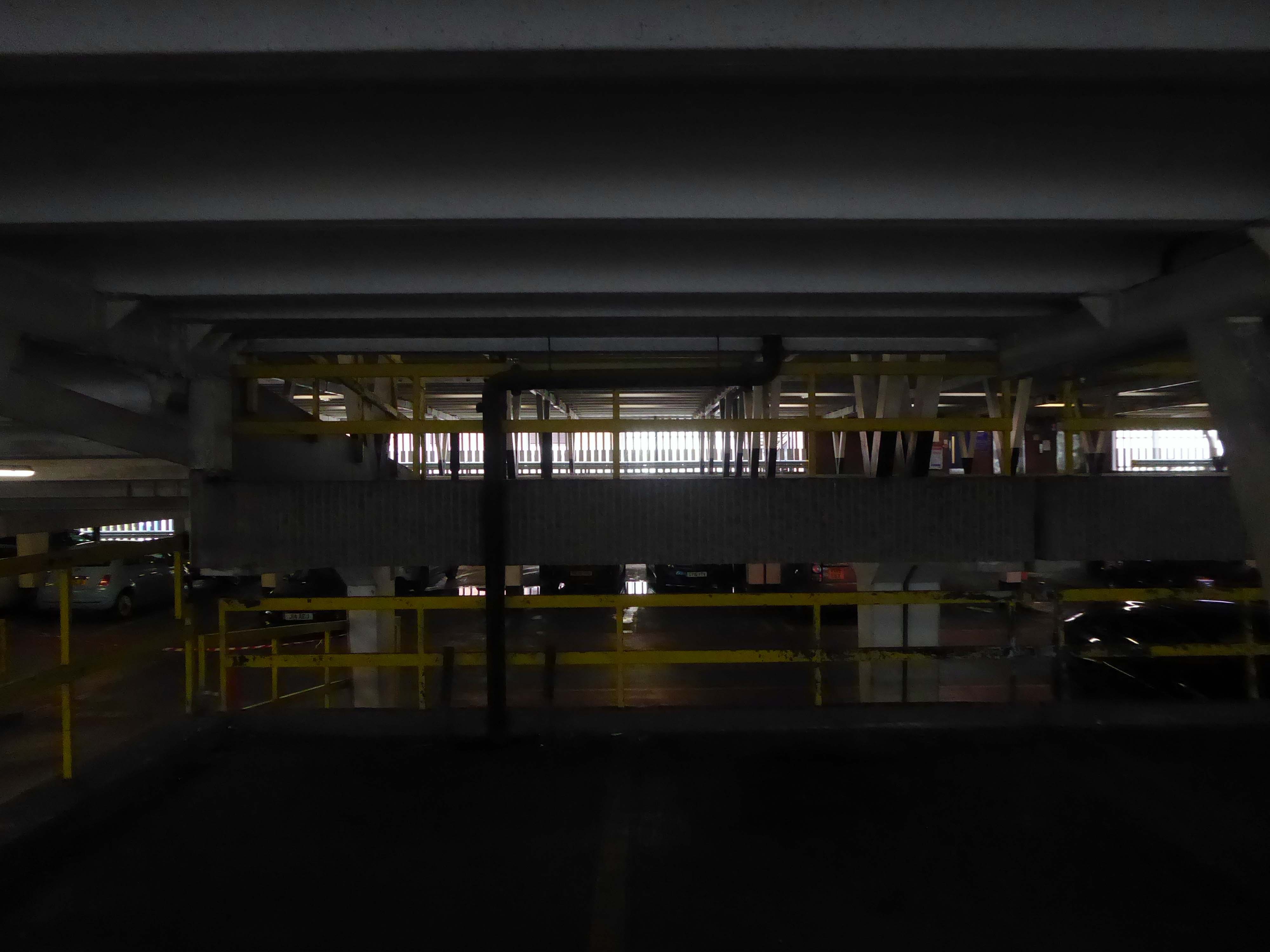
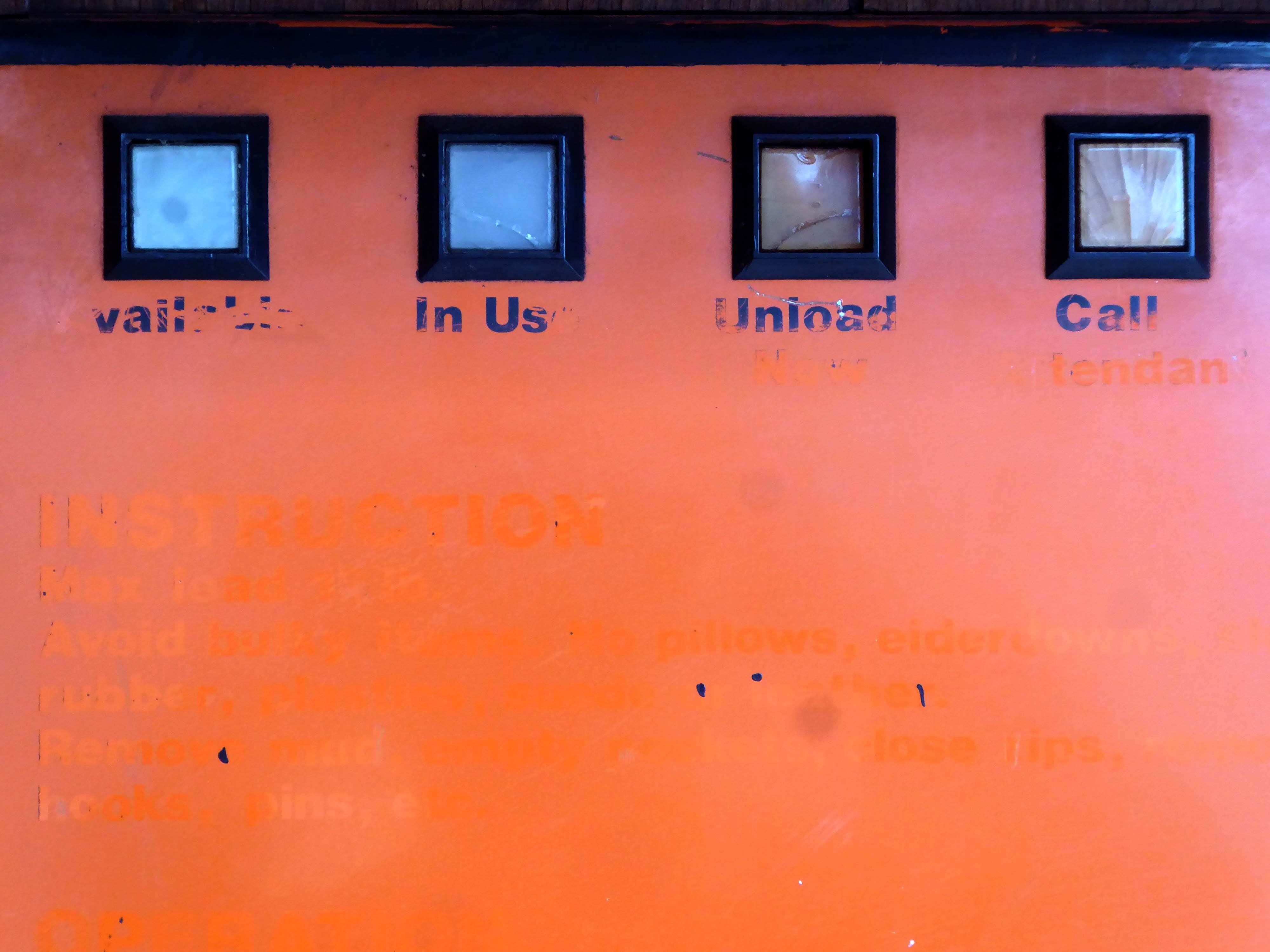
I am a disabled driver and found a lot of the direction signs worn away. When I came to leave I wanted to use the machine on the ground floor. This was out of order, as a lot of other people found. The office was empty as the staff were outside smoking. I then had to negotiate stars back to the 7th floor where the next machine was located. There was no sign on the ground floor machine telling it was out of use and where the next machine was located.
If staff want to have a smoke they should at least leave someone in the office.
Most of the parking spaces are very tight and I would not recommend the use of this car park unless you have a small car and a crystal ball to find the disabled parking and the payment meters.
The rudest man at the kiosk, that I have ever had an encounter with, over a ticket that was blurred. He had a go at me for not going to him straight away – I went when I went to leave and it wouldn’t work. He also had a go at me because I pressed the buzzer on the intercom. Very strange unhelpful man. Made an issue for no reason! Awful to deal with I never write reviews, but I hope this gets back to him and with hope he will gain some manners.
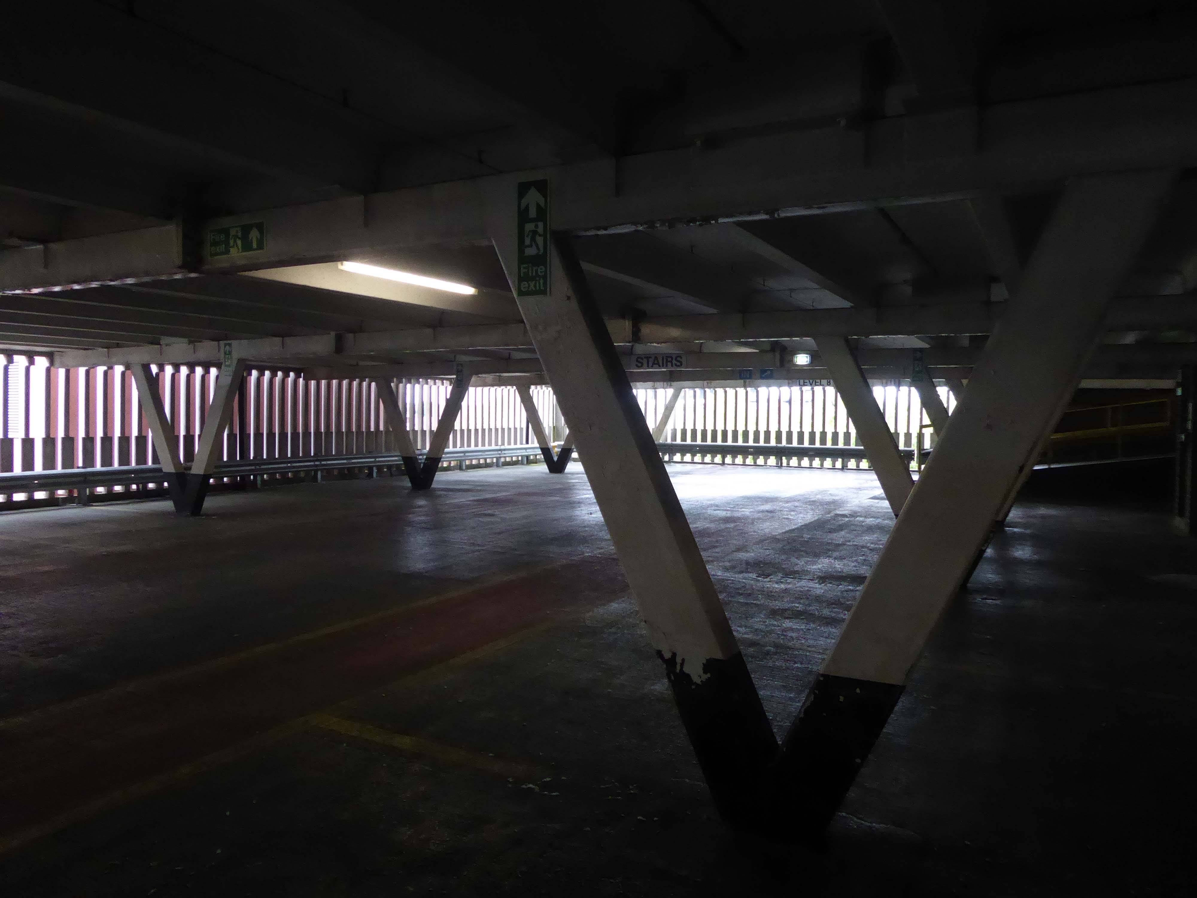
Being a pedestrian, I entered through the bus station on foot.
The station is considered to be dated due to its 1980s architecture partially under a 1960s multi-storey car park. There have been plans for the station to be modernised and rebuilt, or even demolished completely, as part of the town’s Big Town Plan. The demolition of the station would mean the town would not have a central bus terminus and would instead use smaller sites on the town’s Park and Ride routes.
Shrewsbury Bus Station is a disgrace. I am embarrassed to use it. I don’t feel comfortable with using it. Yet, it is the bus hub for our county. It is one of the main gateways into Shrewsbury and Shropshire for those travelling by public transport.
New bus hubs and interchanges have been developed around the country. Shropshire Council meanwhile ignores Shrewsbury Bus Station. It promises a new bus interchange, but that is in Phase 4 of its plans to redevelop Shrewsbury town centre between Pride Hill and the riverfront. In the current financial climate and with the council stretched to the limit on existing funding, Phase 4 is probably more than a decade away.
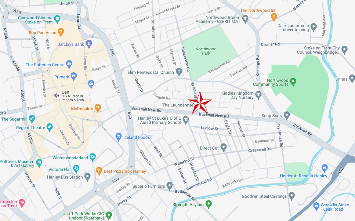
Yesterday, Saturday 6th April I was leading a Modernist Mooch around Stoke and Hanley – I arrived five hours before the 1.00 start time and went off to explore nowhere in particular.
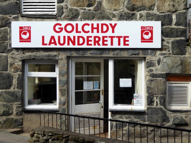
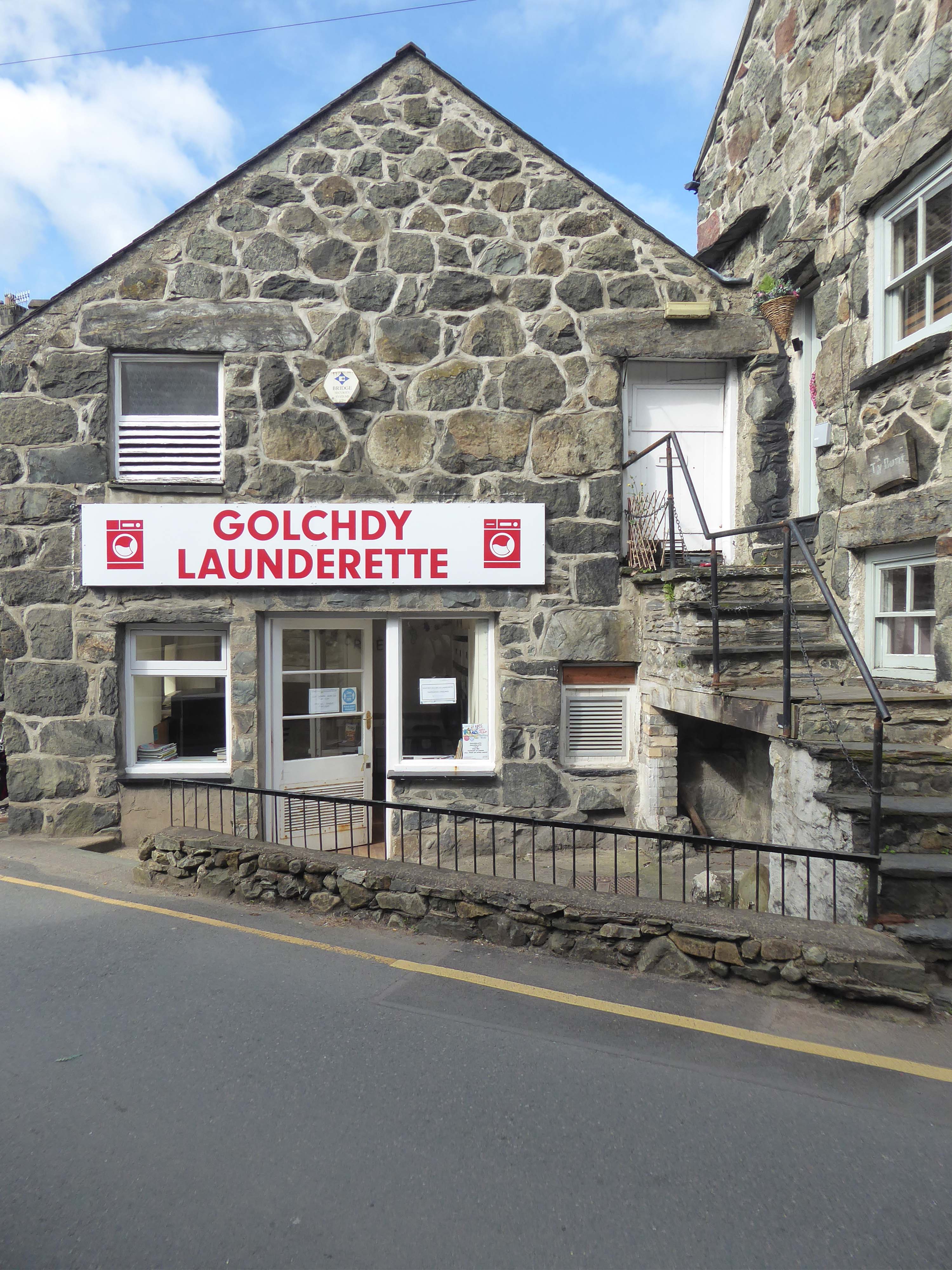
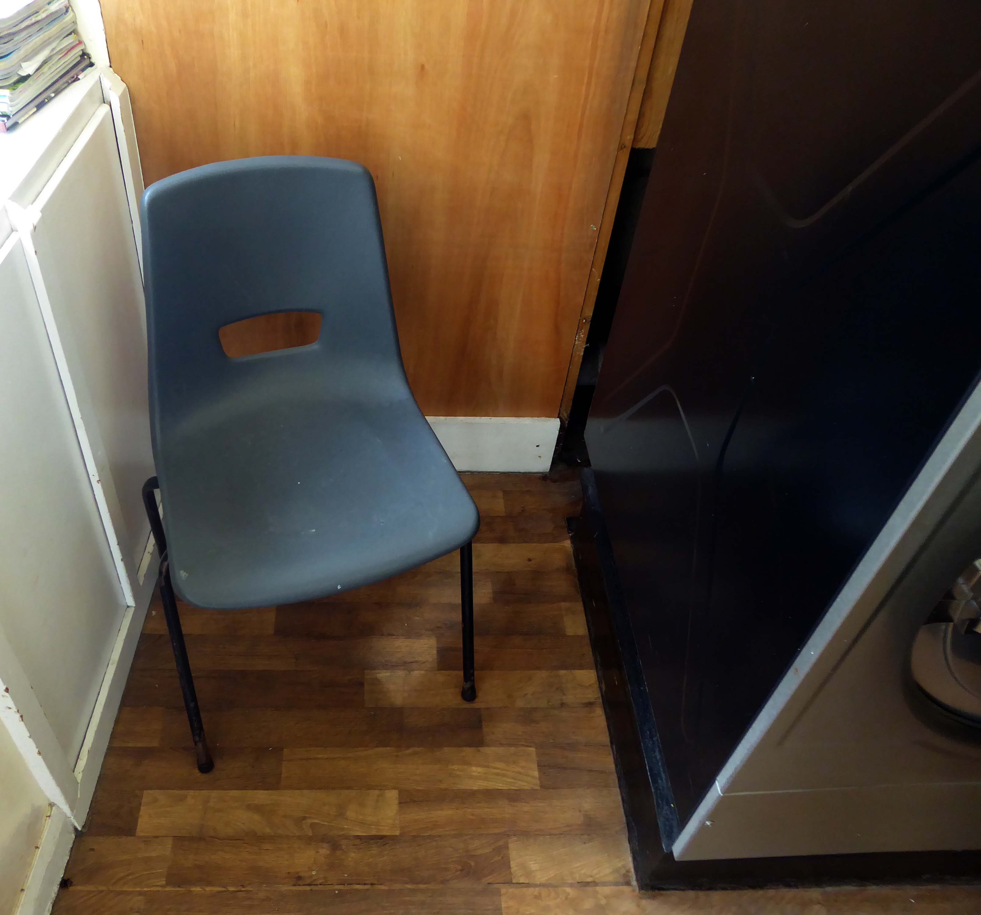
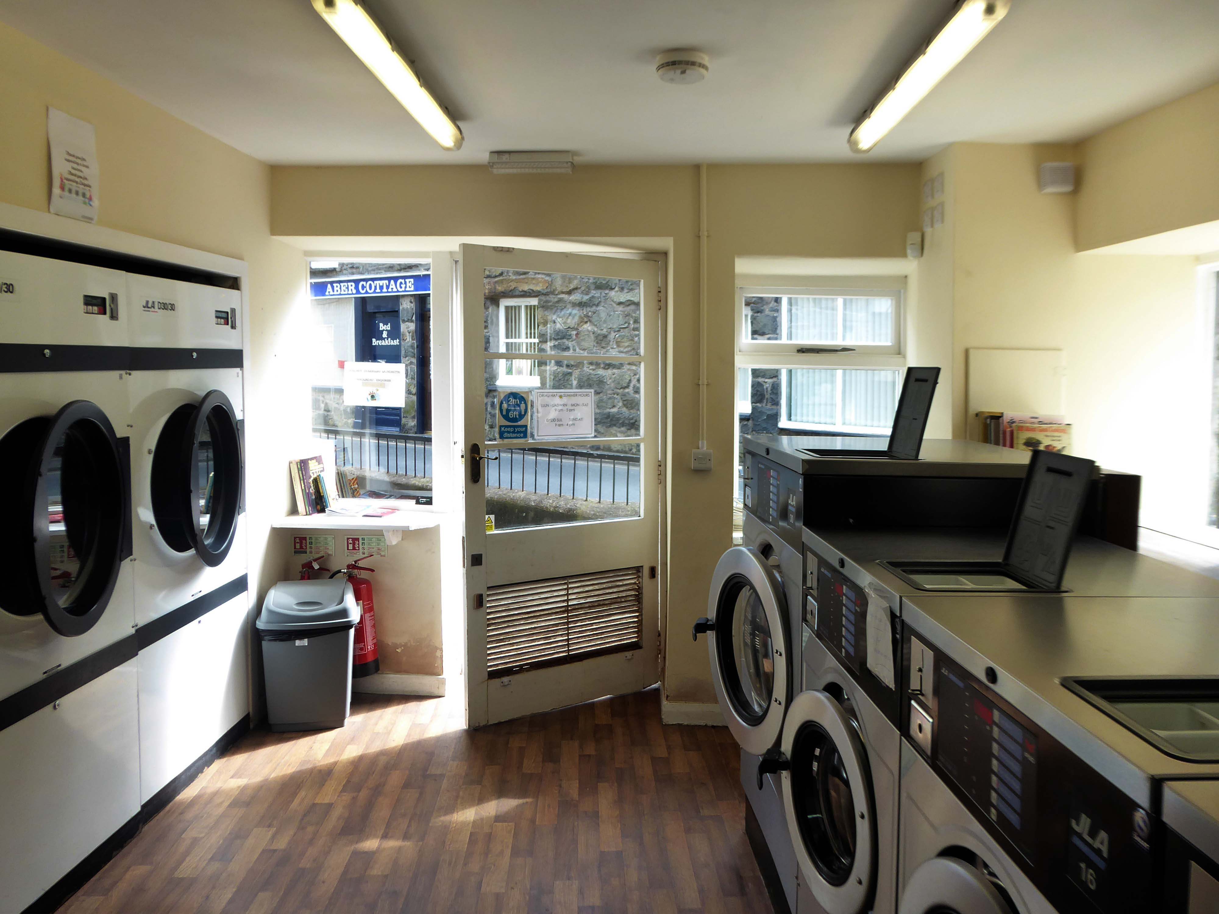
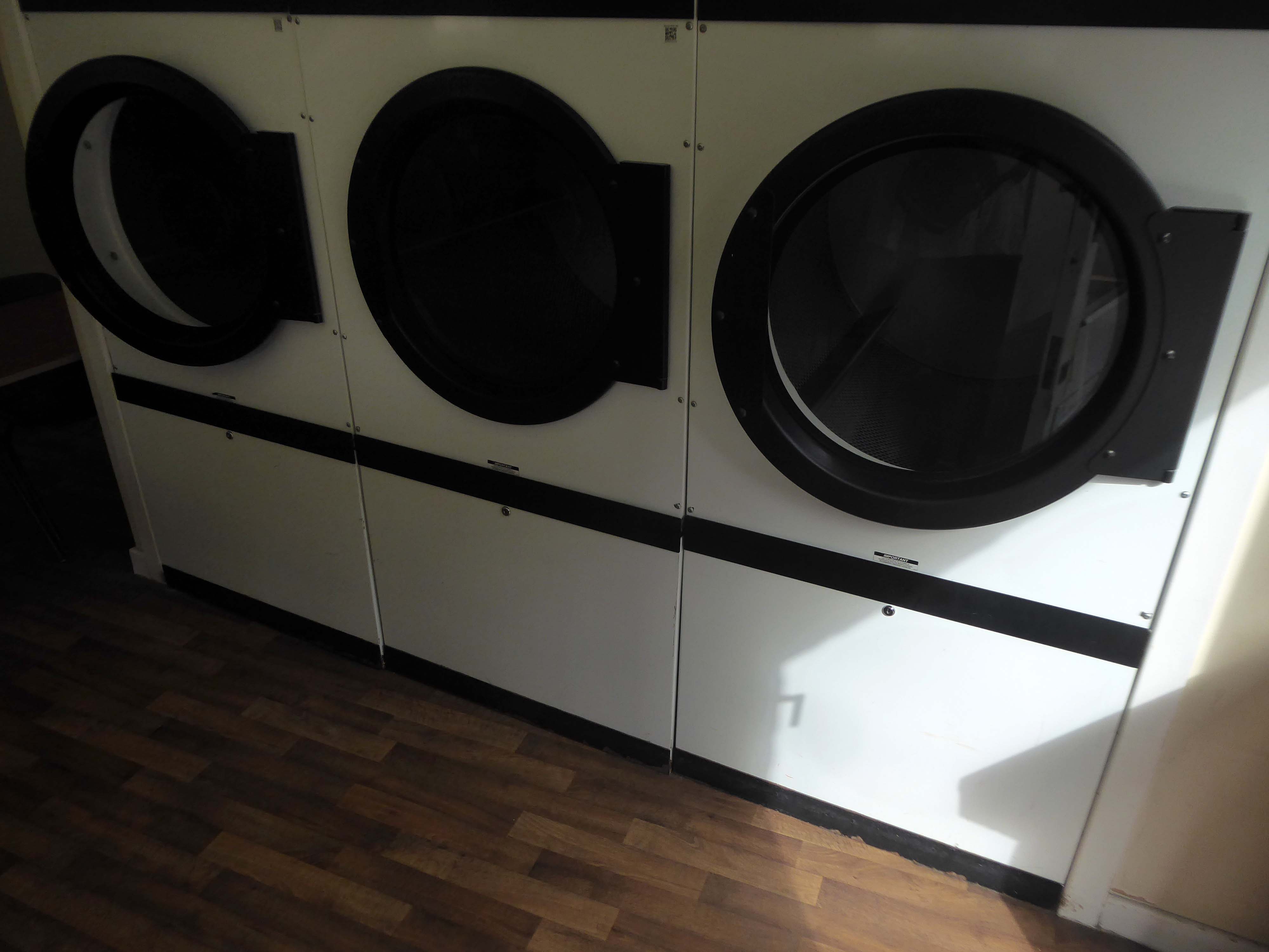
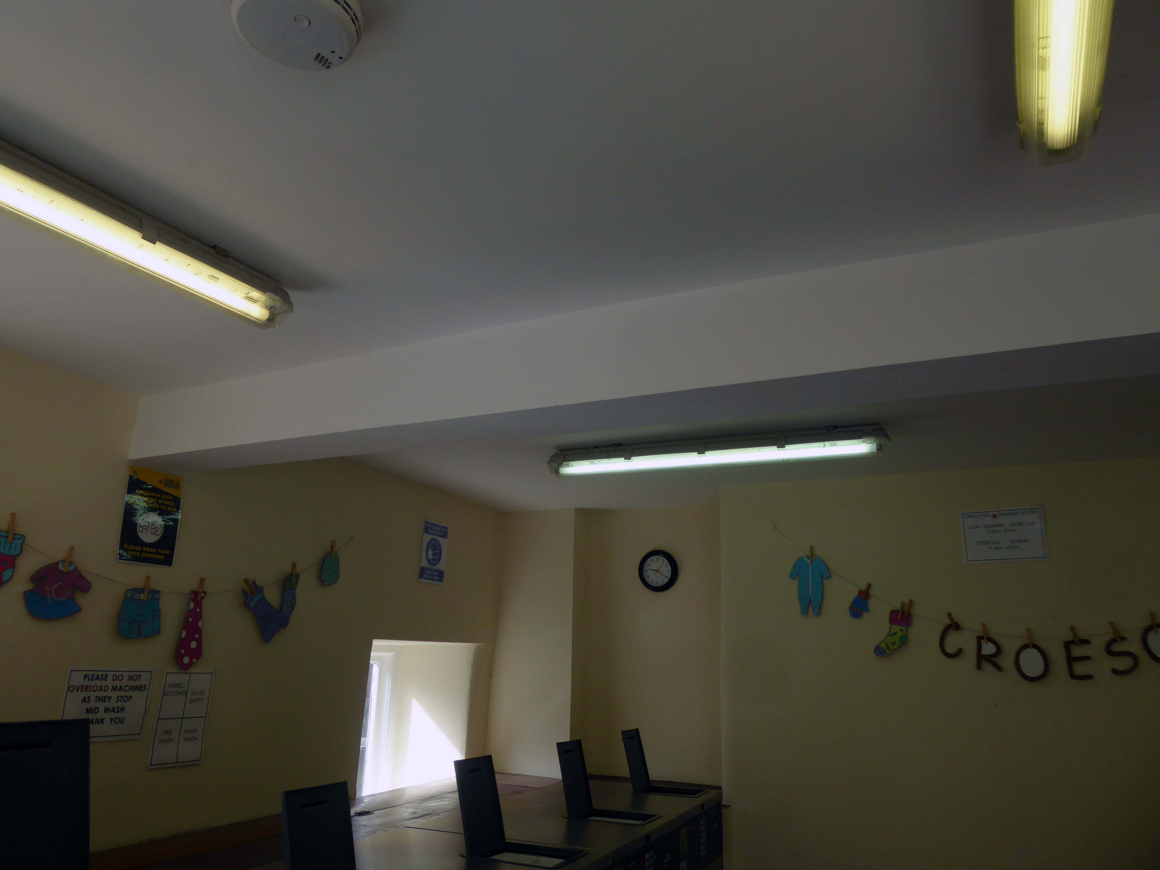
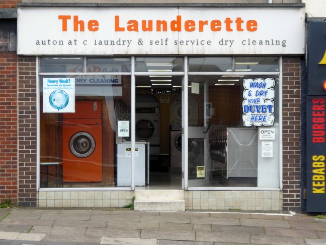
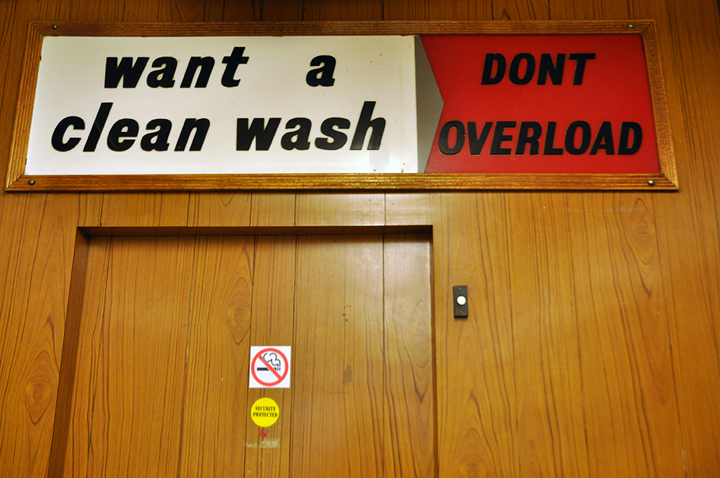
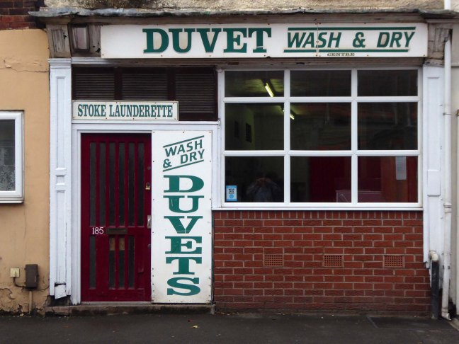
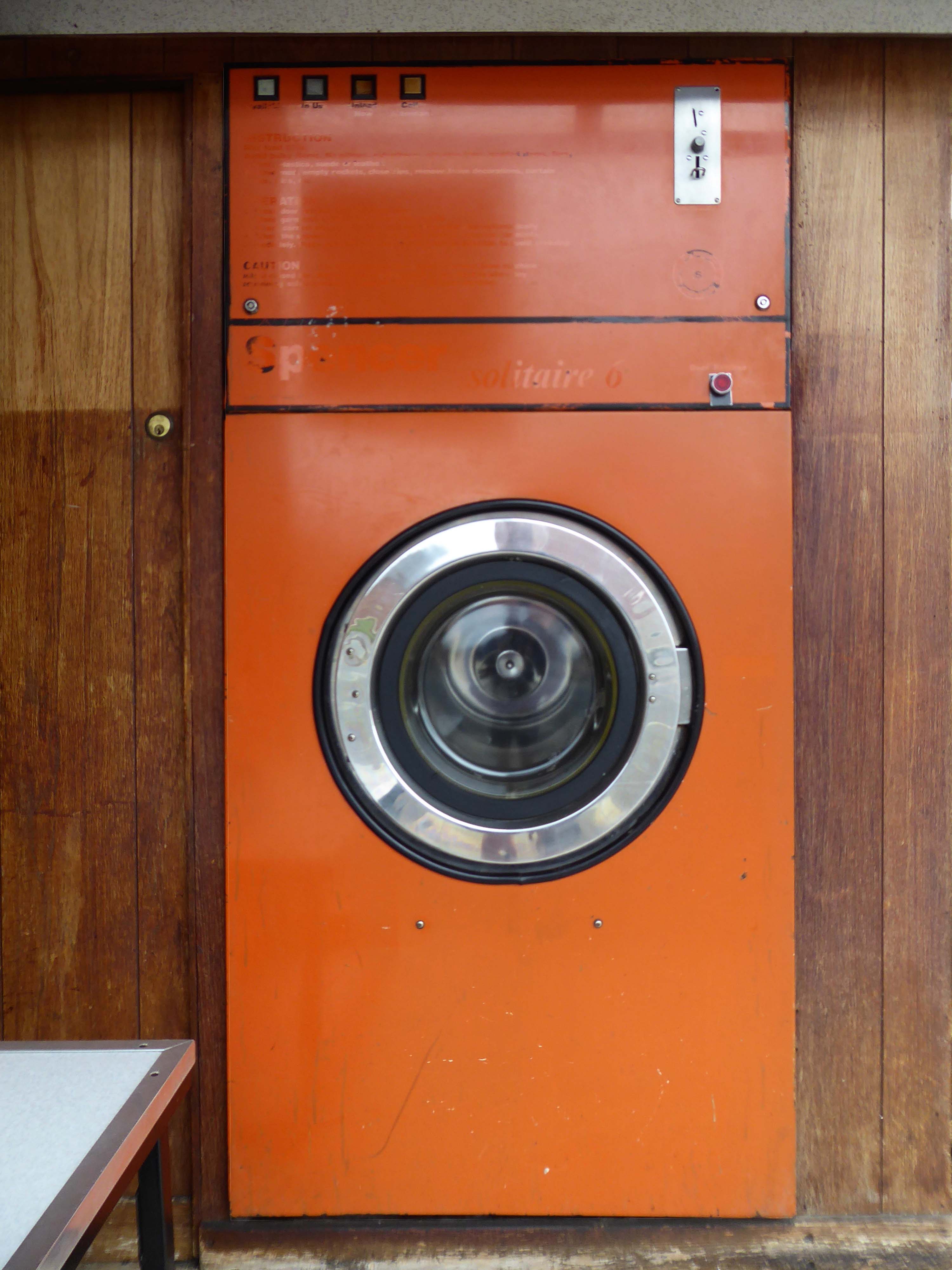
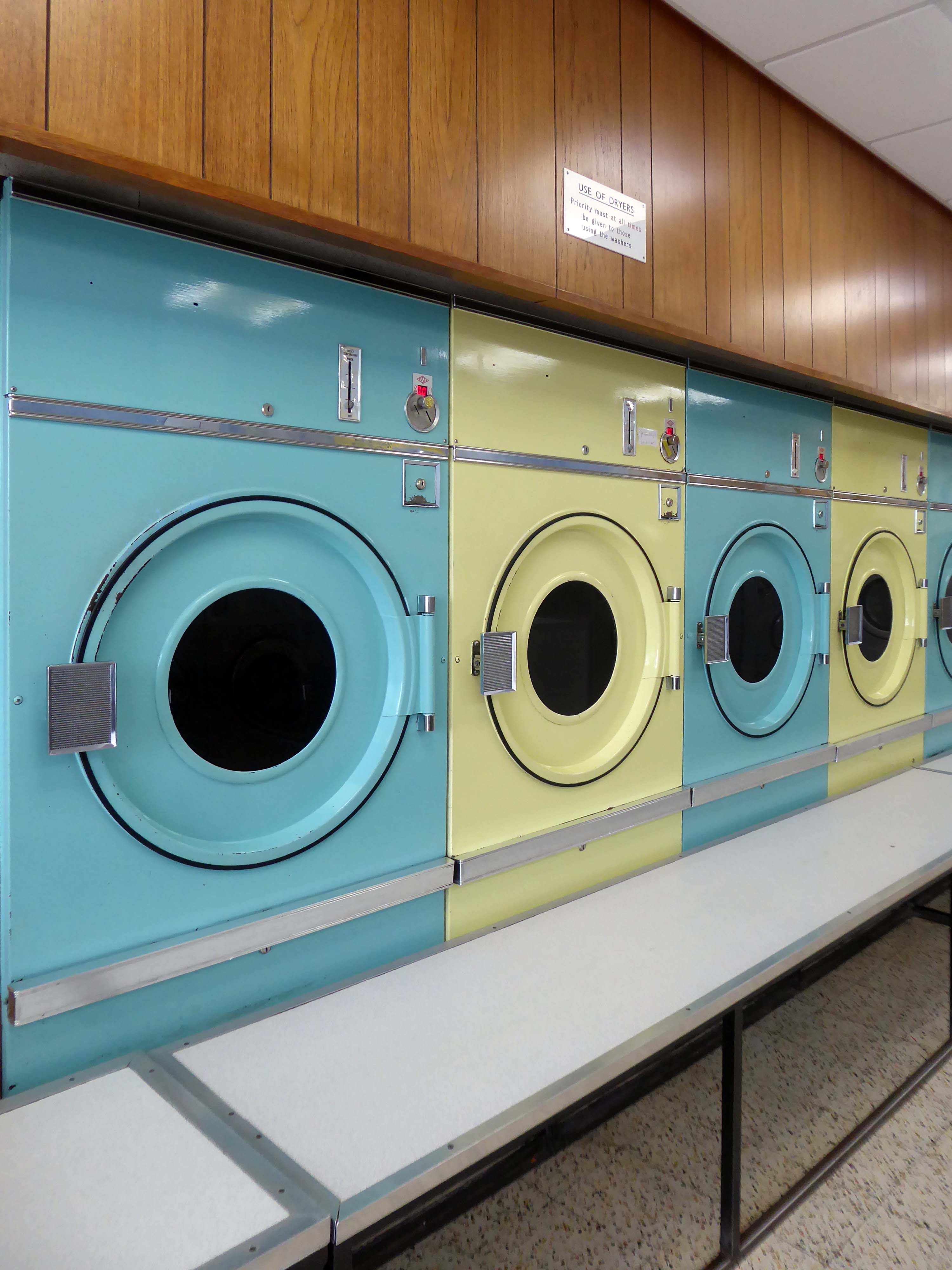
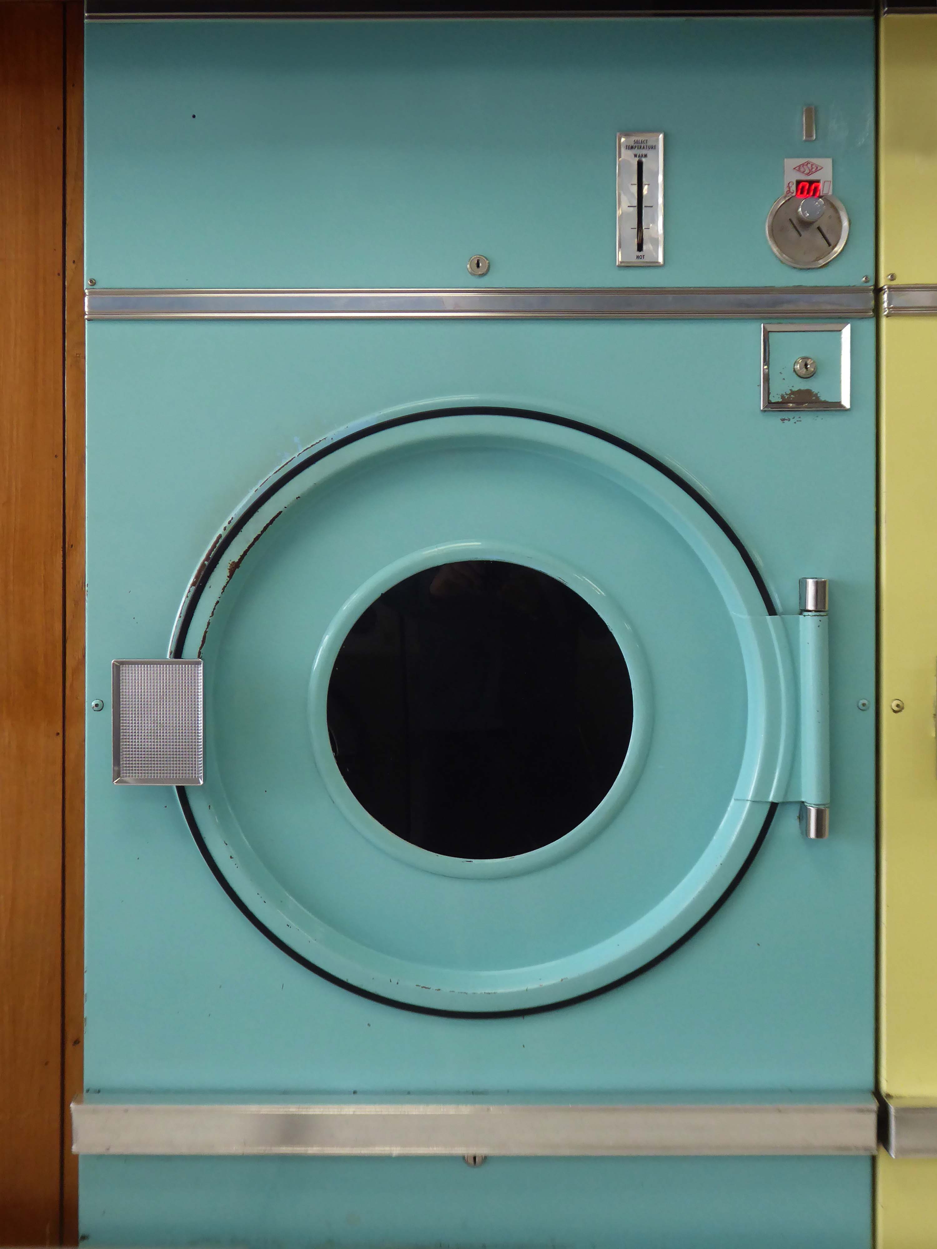
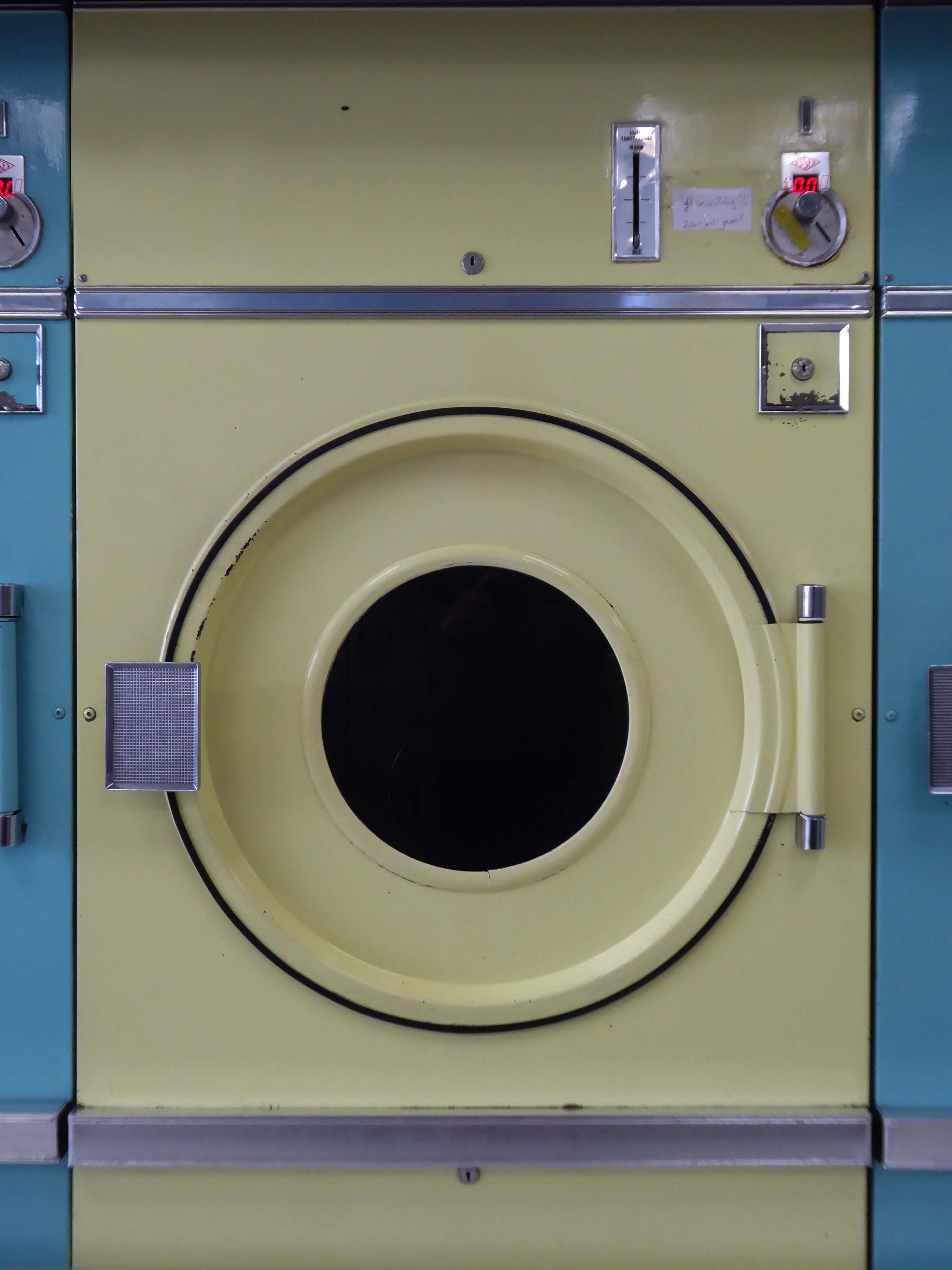
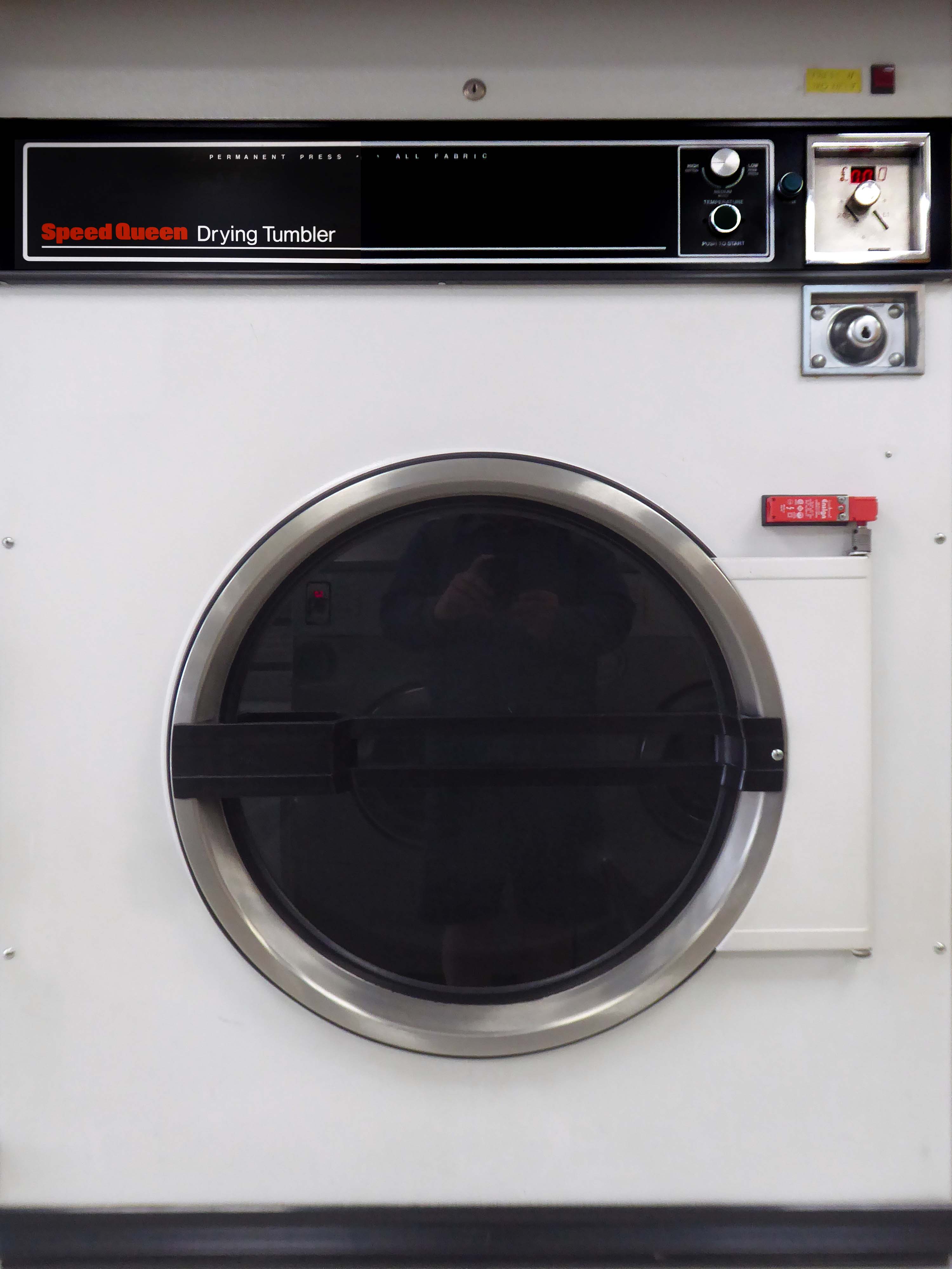
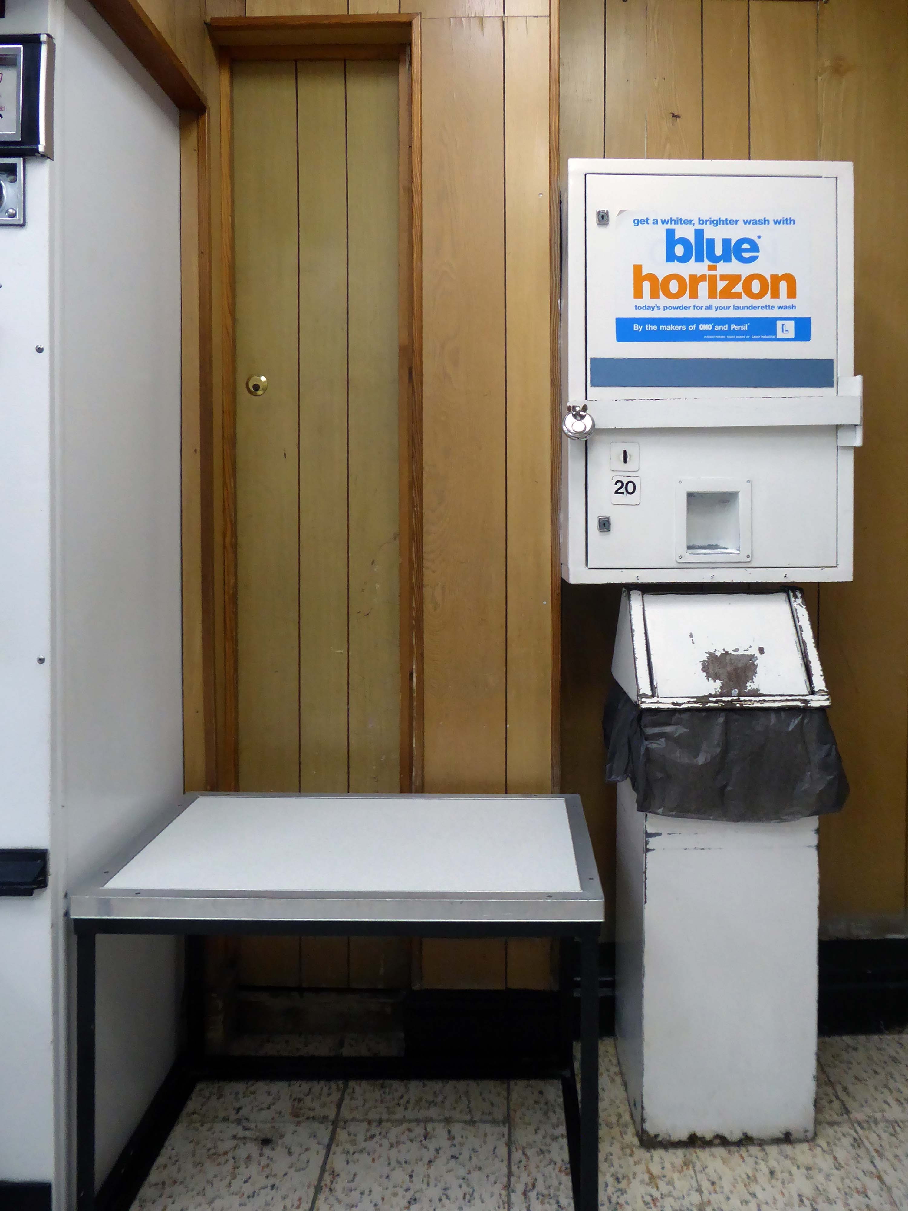
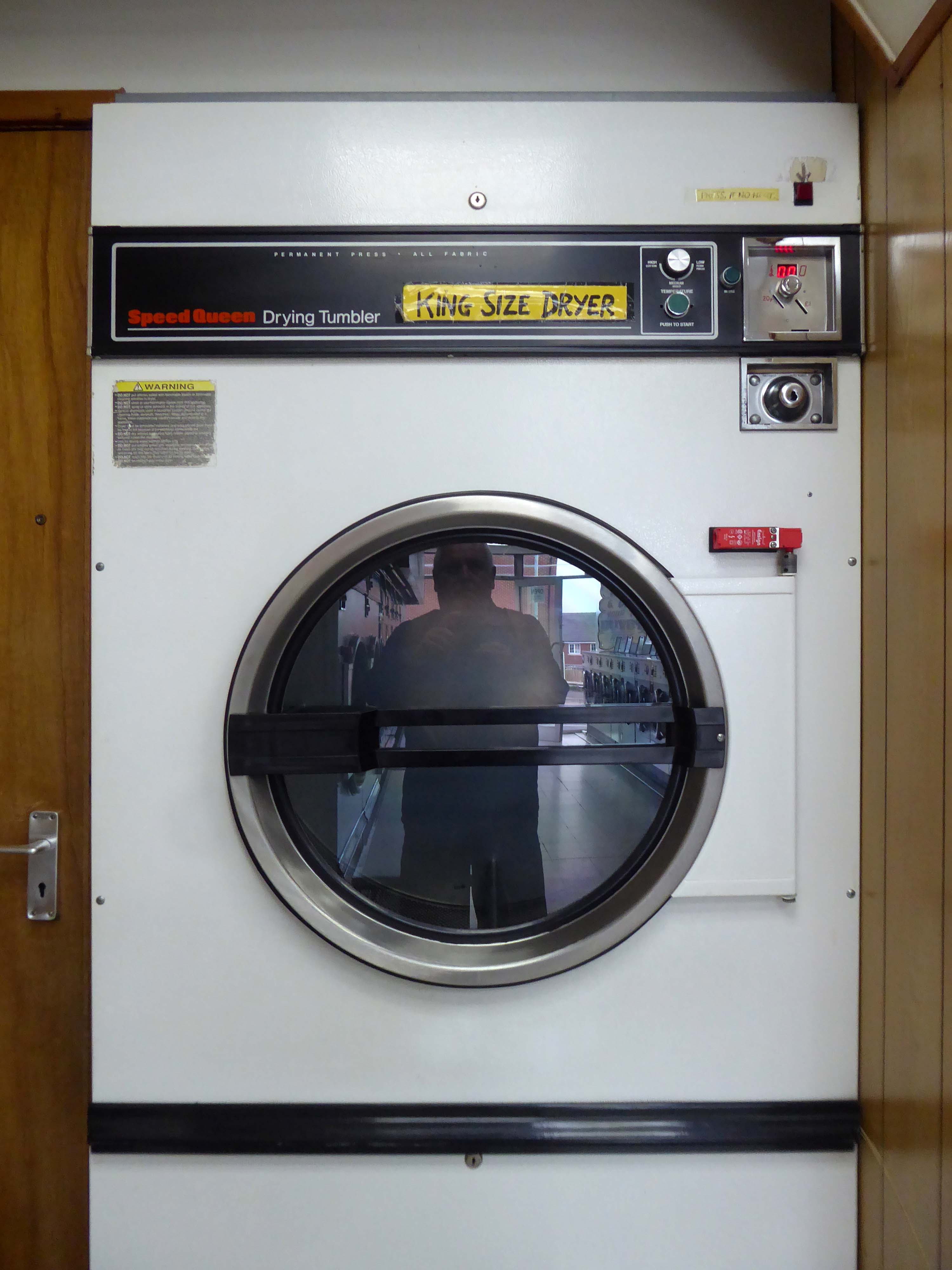
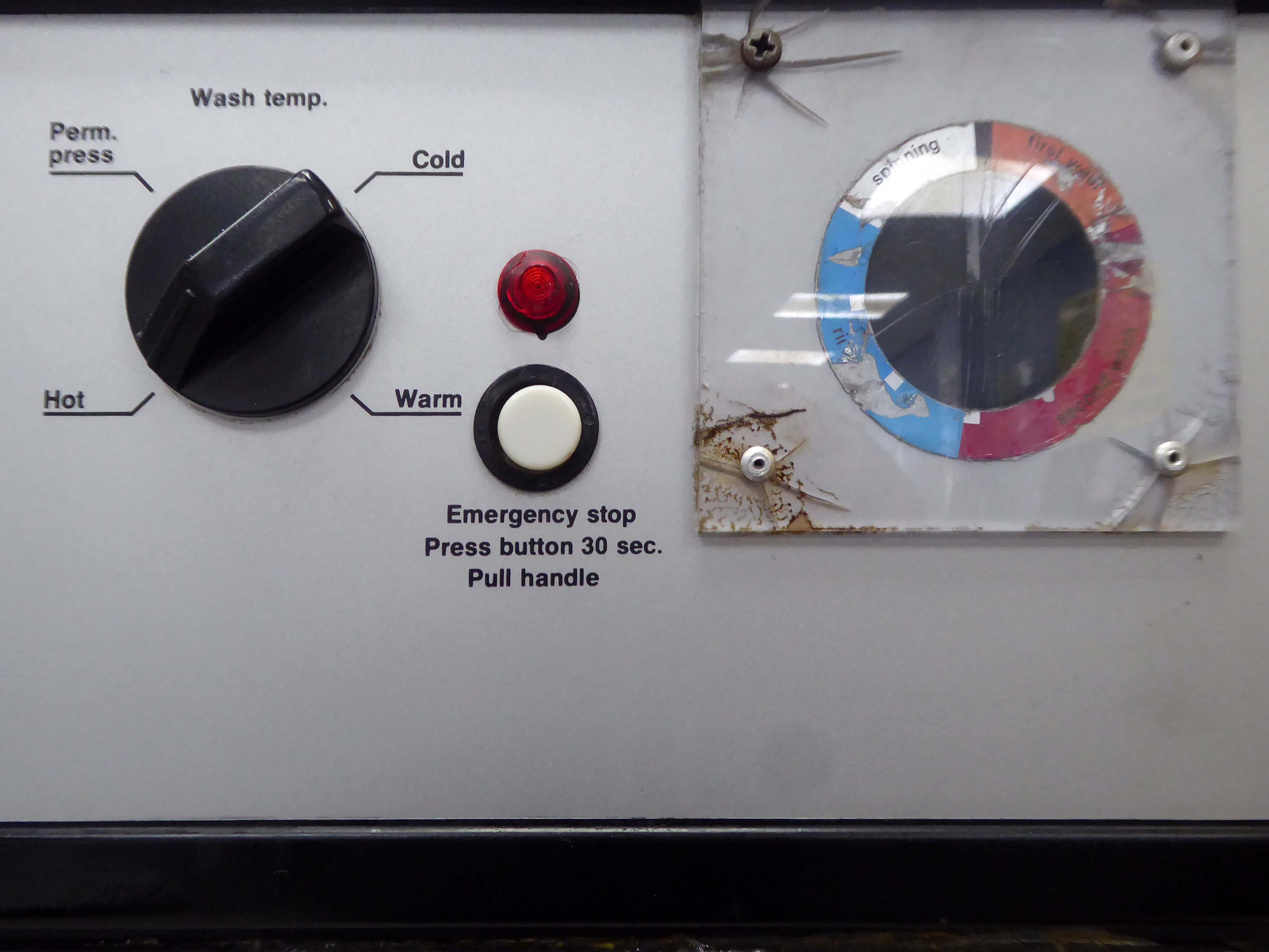
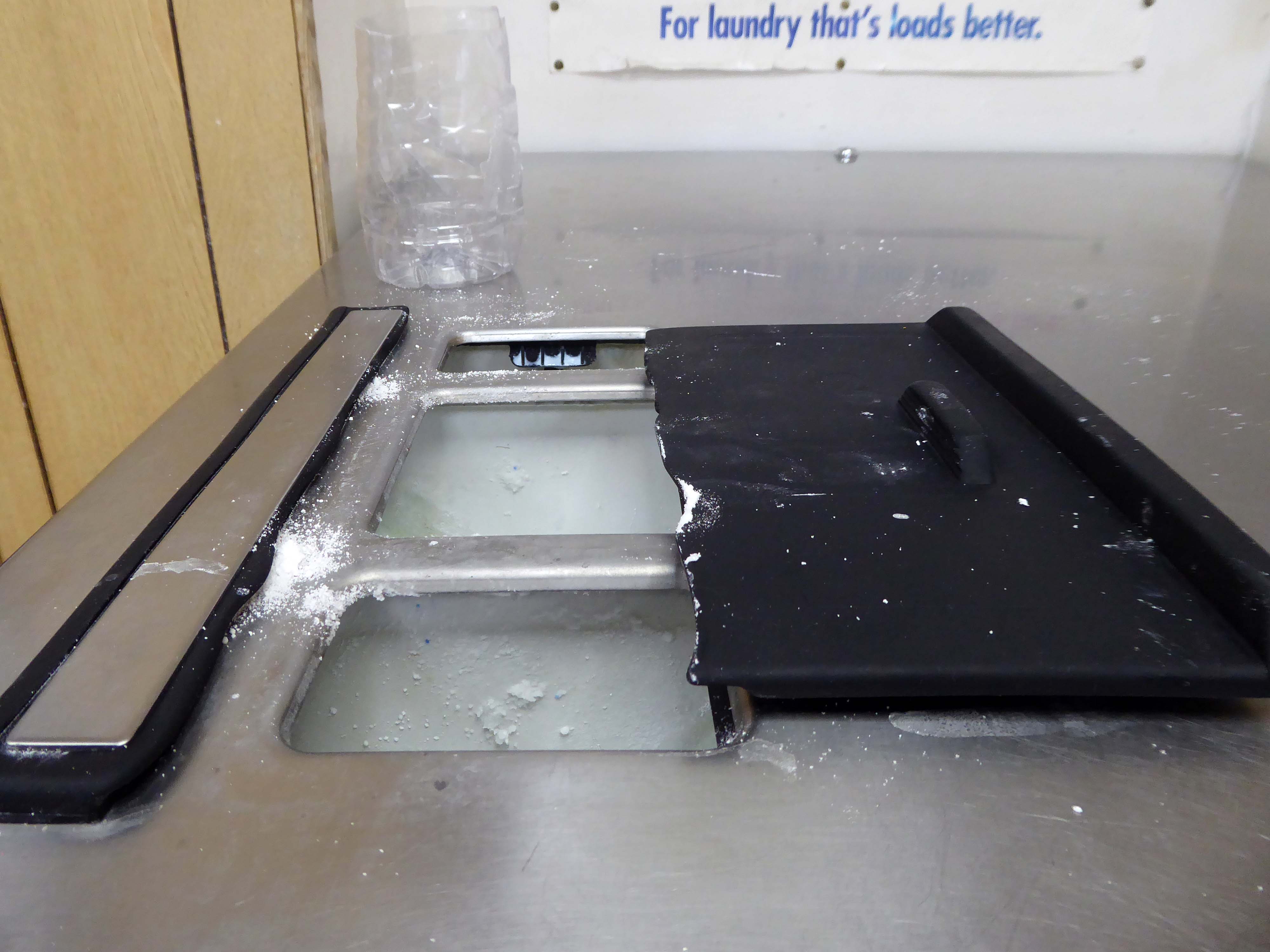
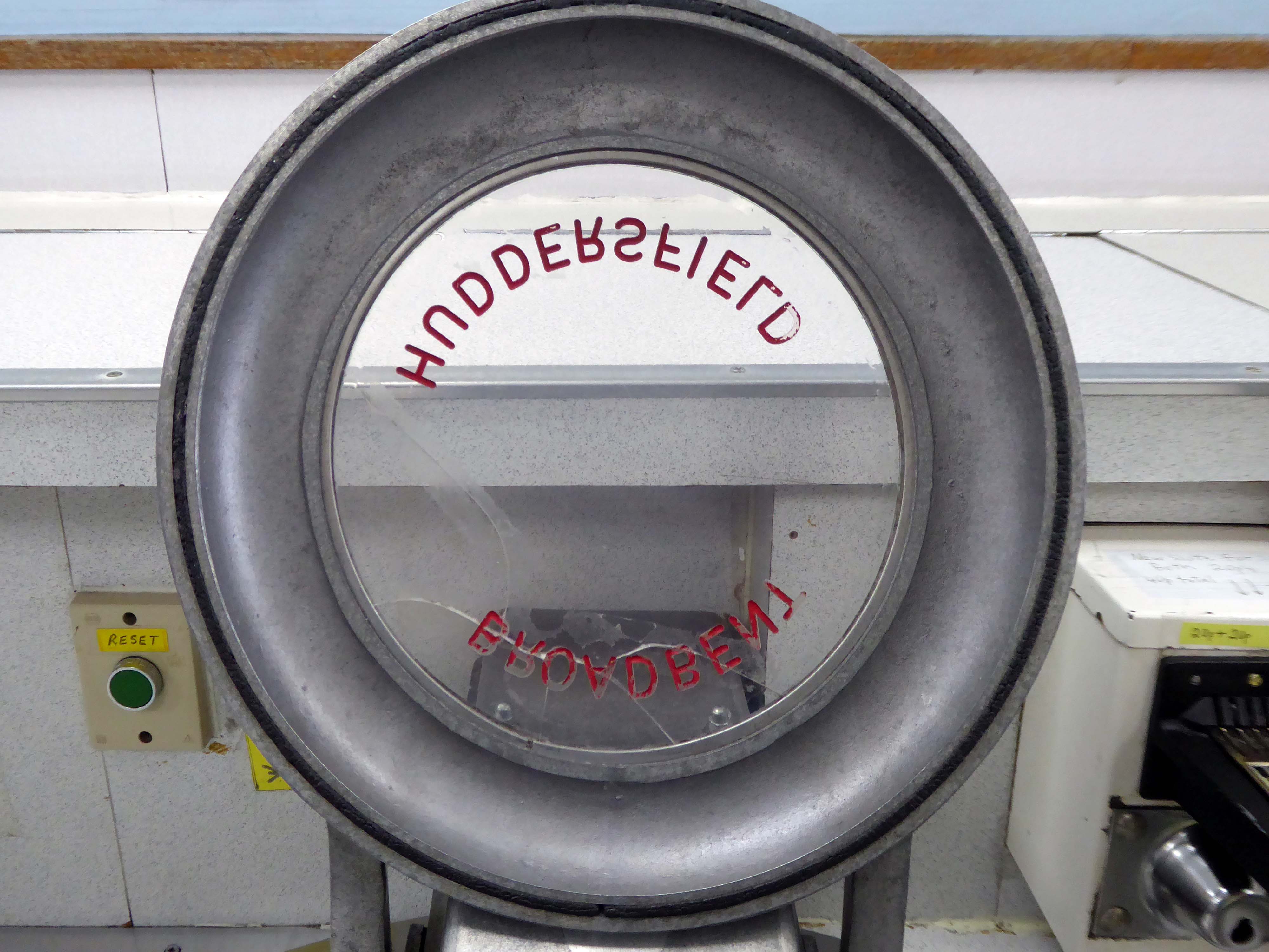
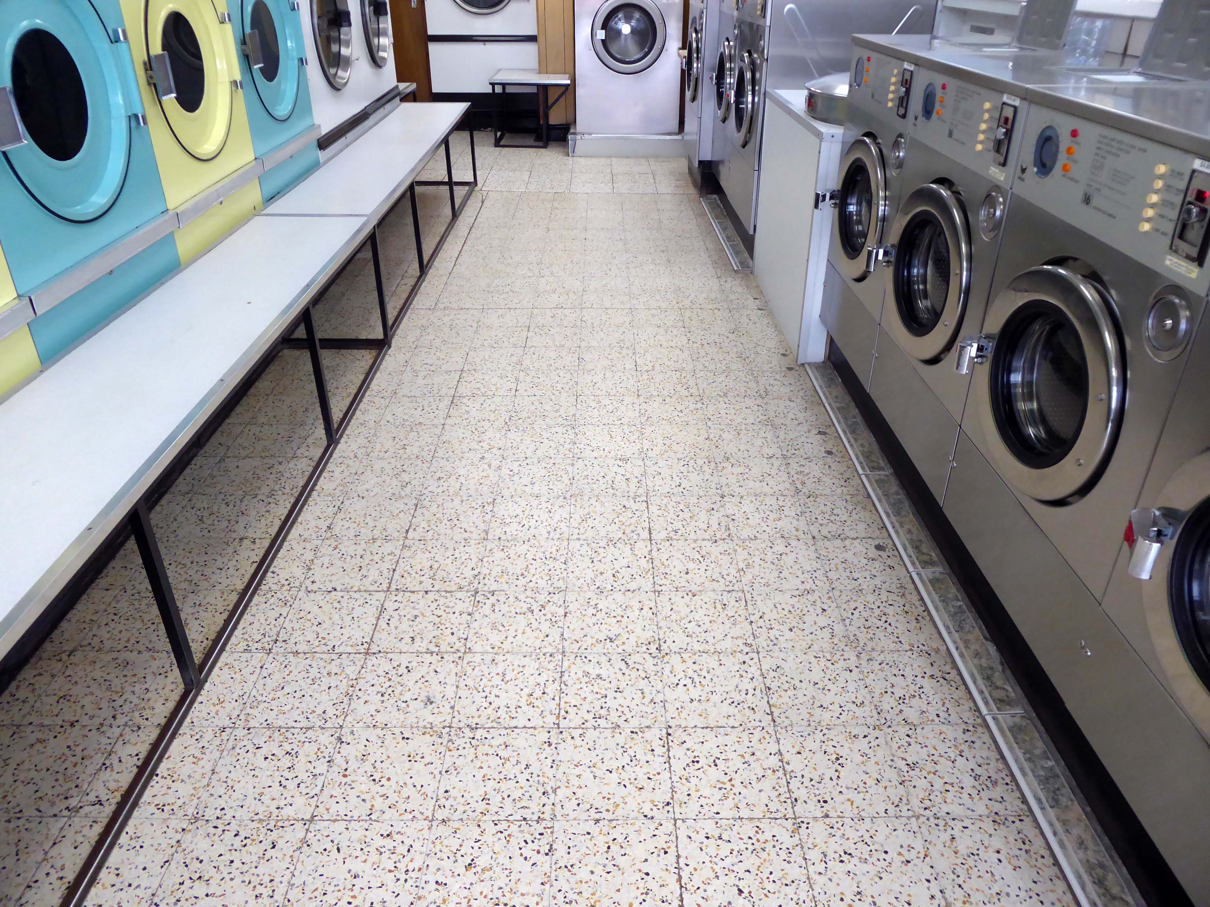
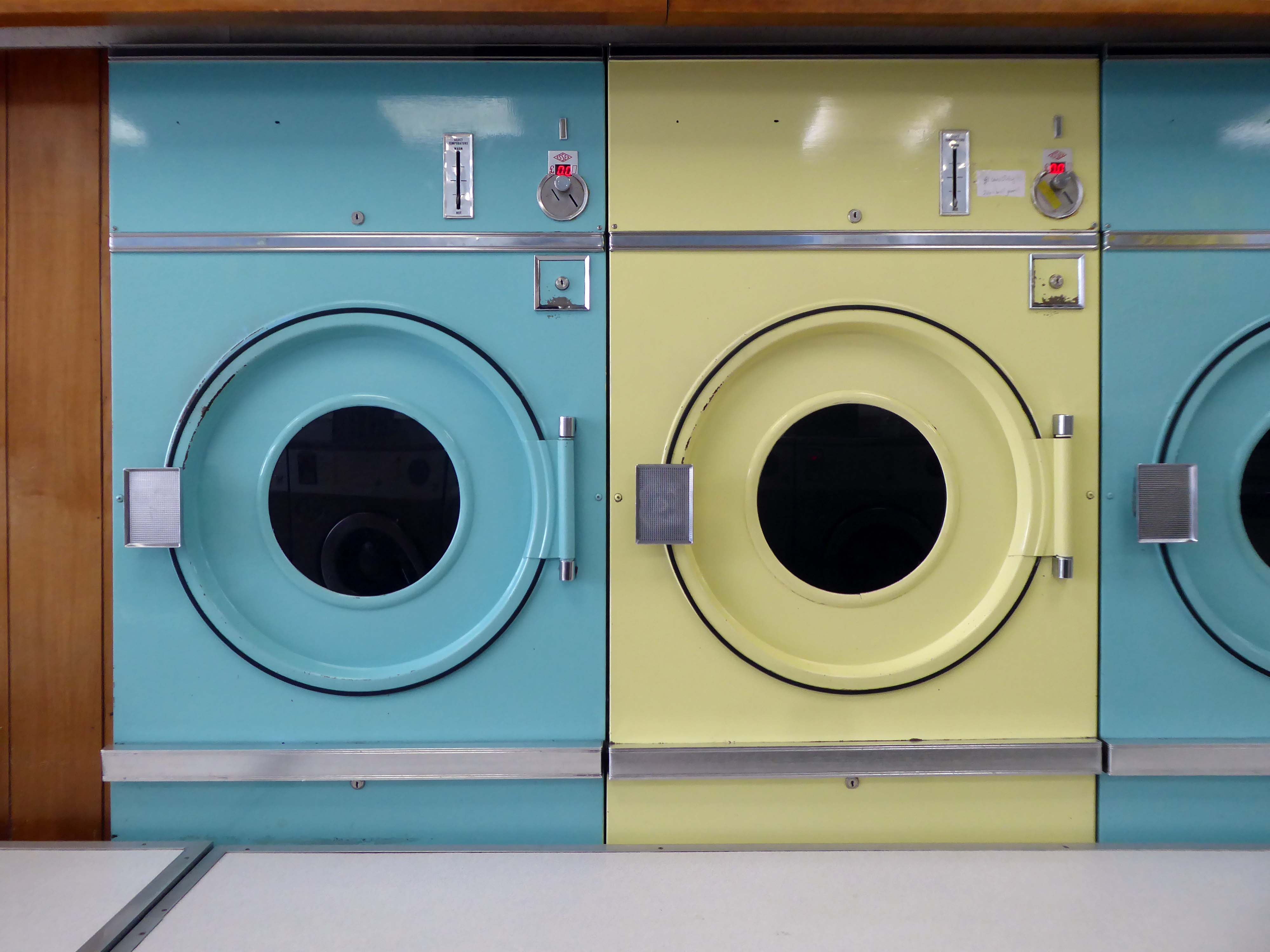
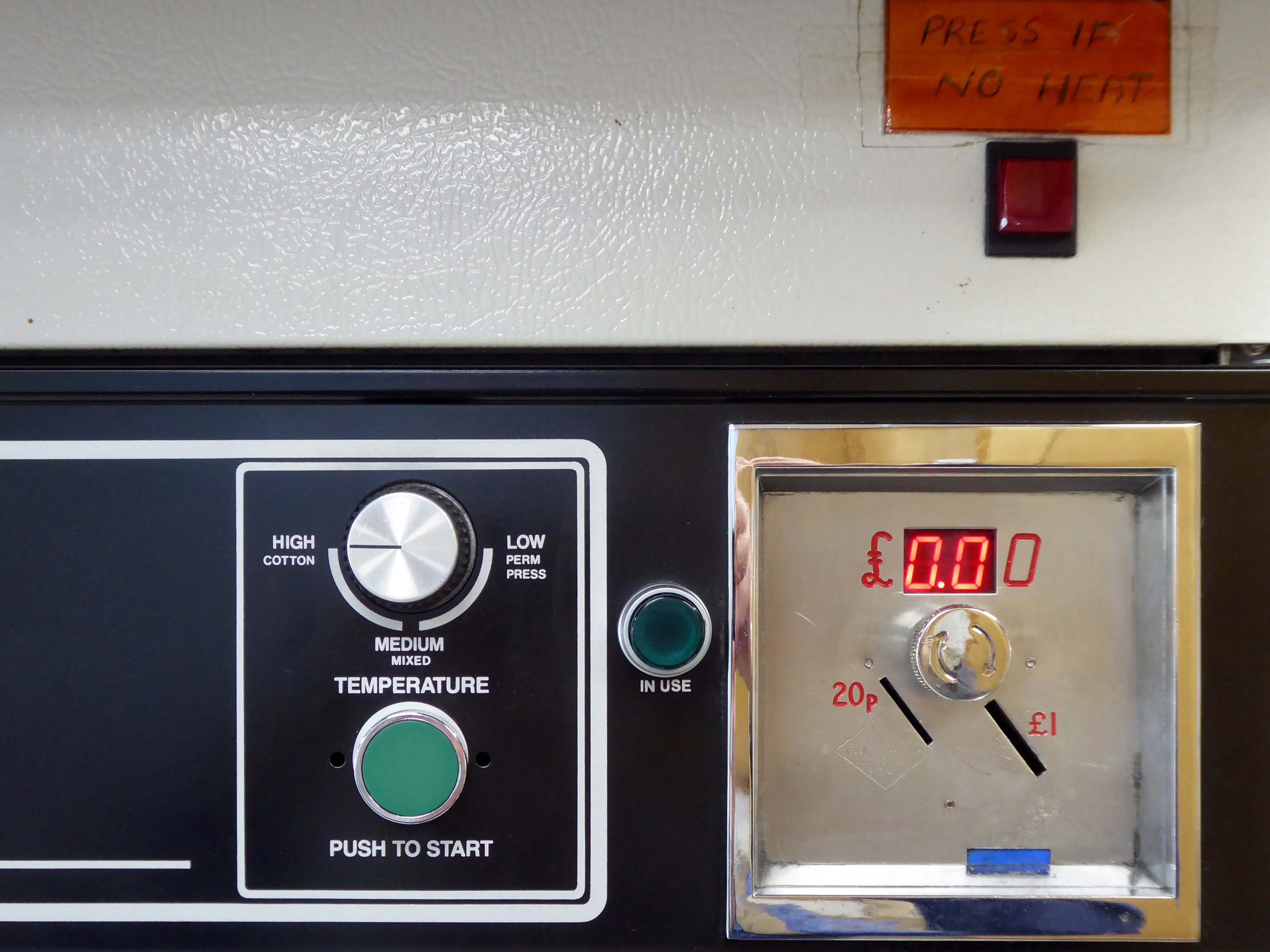
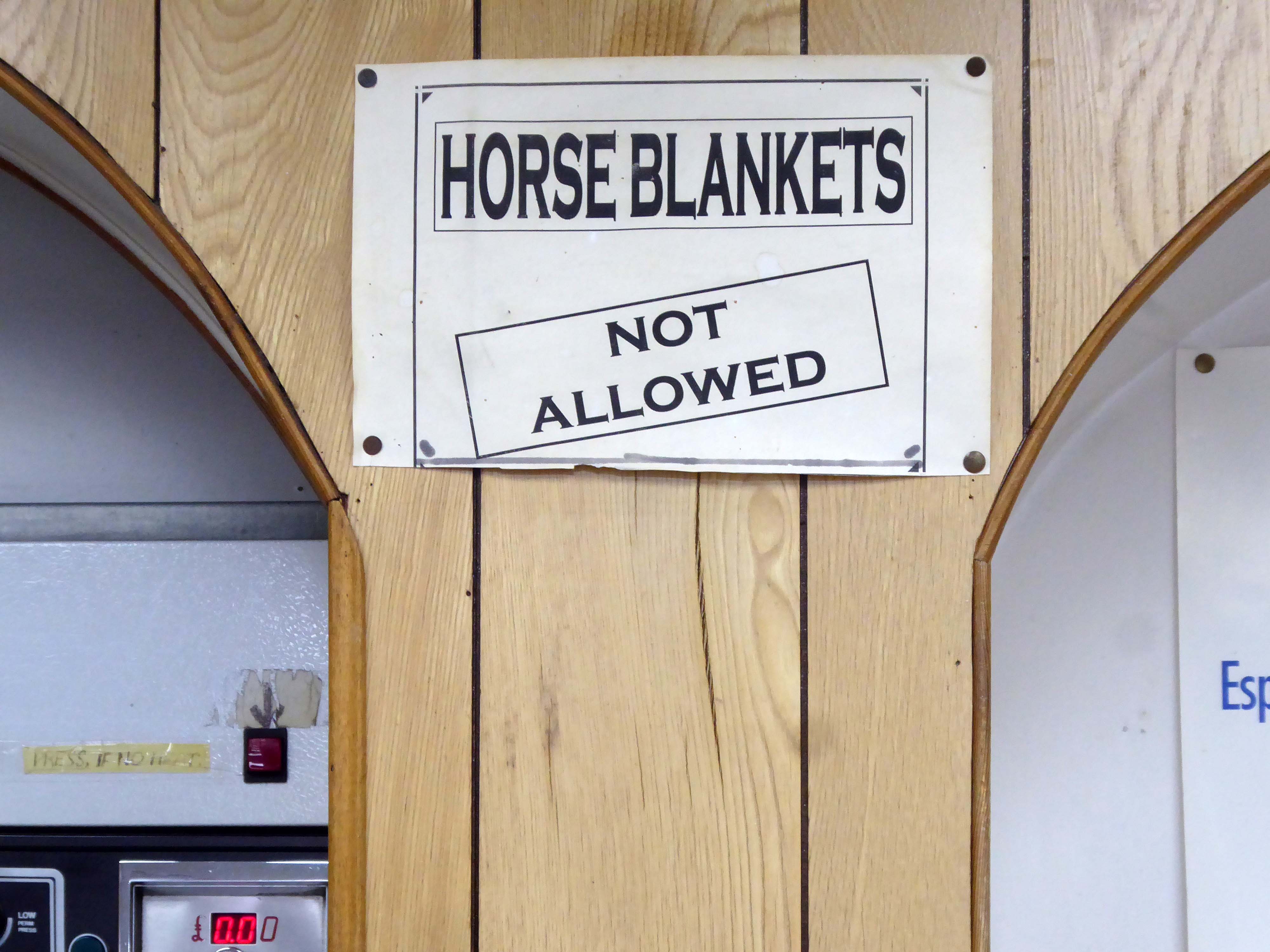
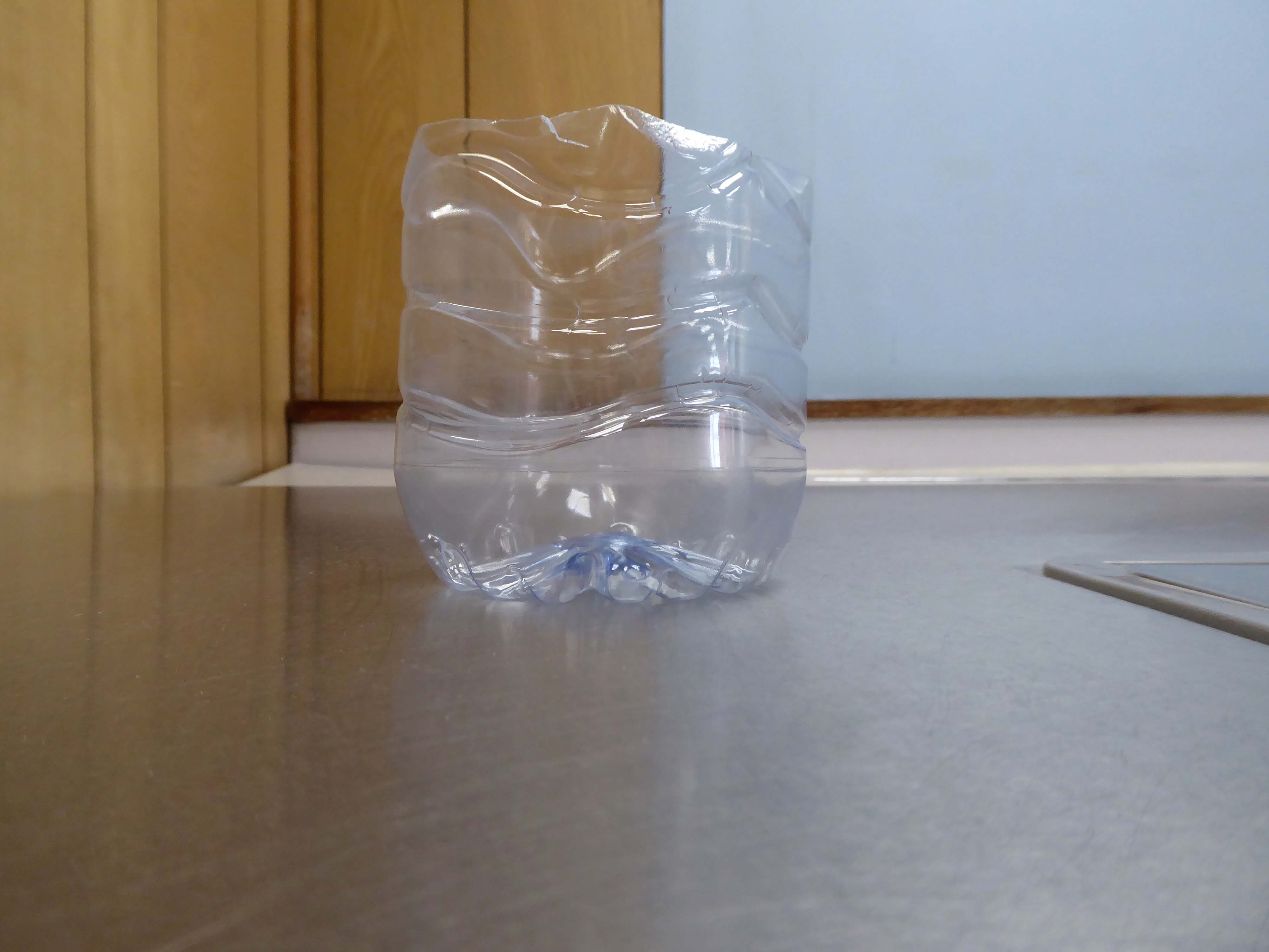
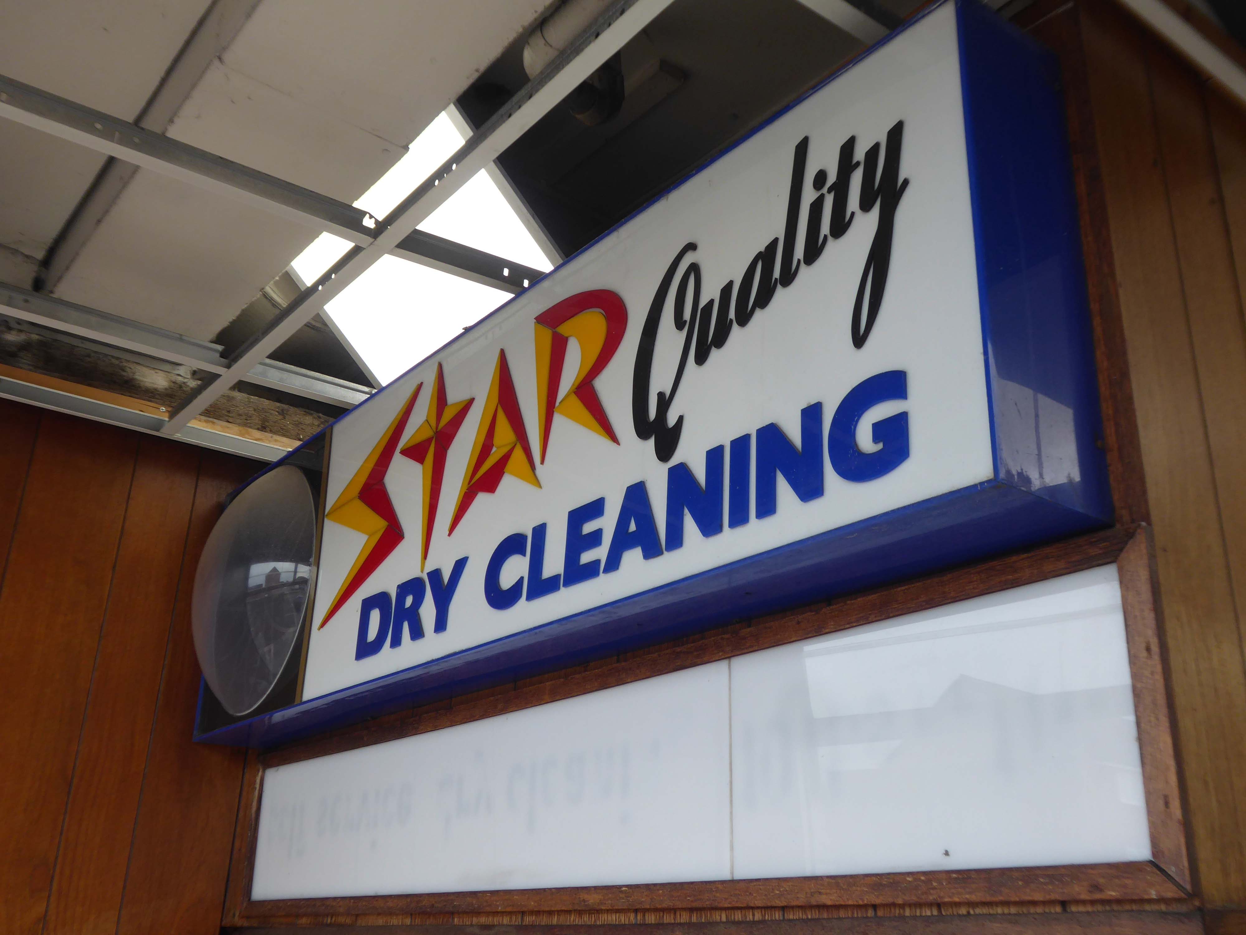
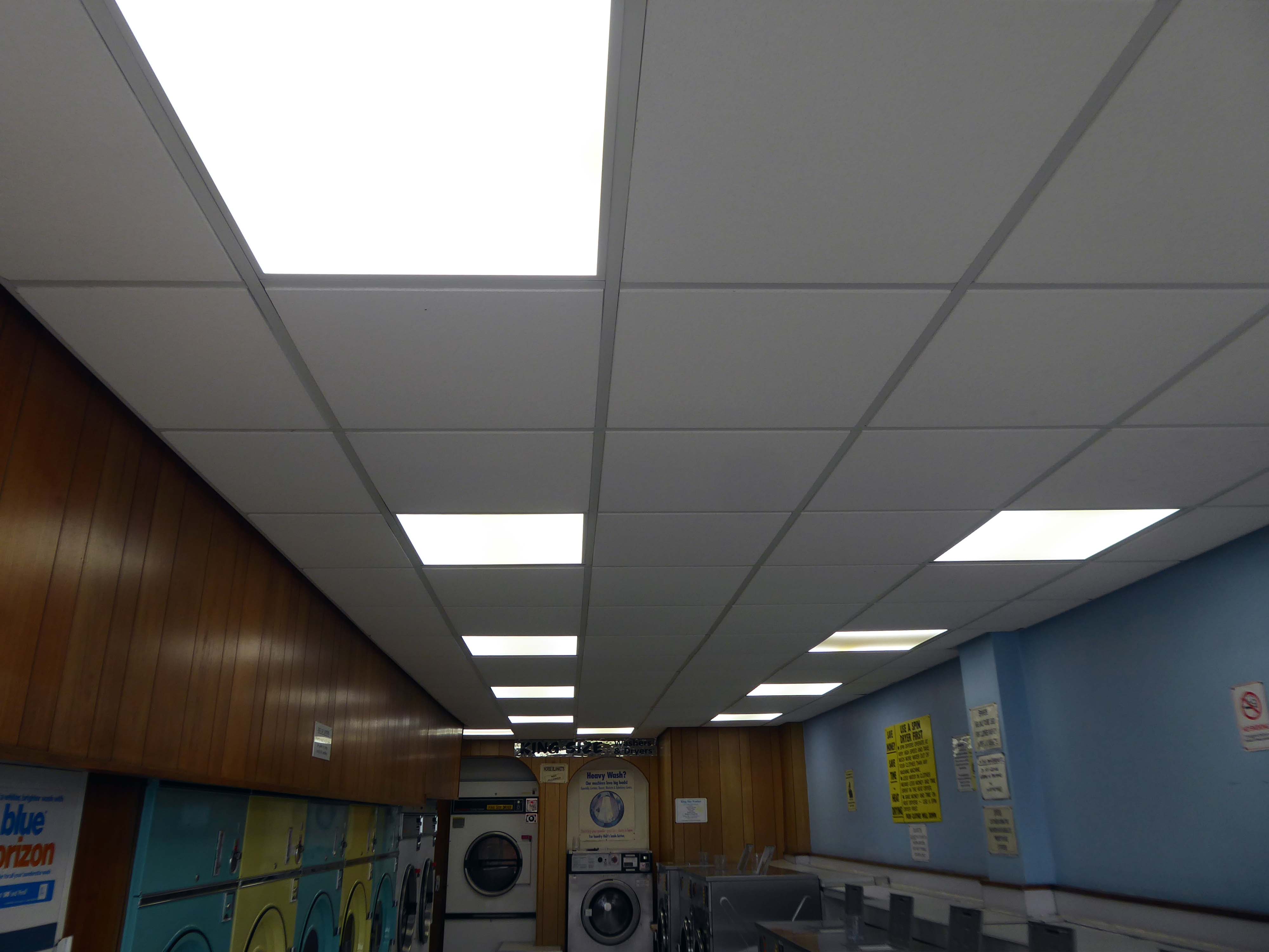
I found myself in the Northwood area of Hanley – ascending the long drag of Bucknall New Road, where I espied a launderette, imaginatively named The Launderette.
Early morning and short of the odd customer or two, I seized that moment in time to record this lonely public place – seeking that suspense picture with a surprise finish.
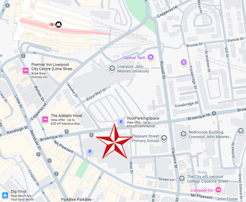
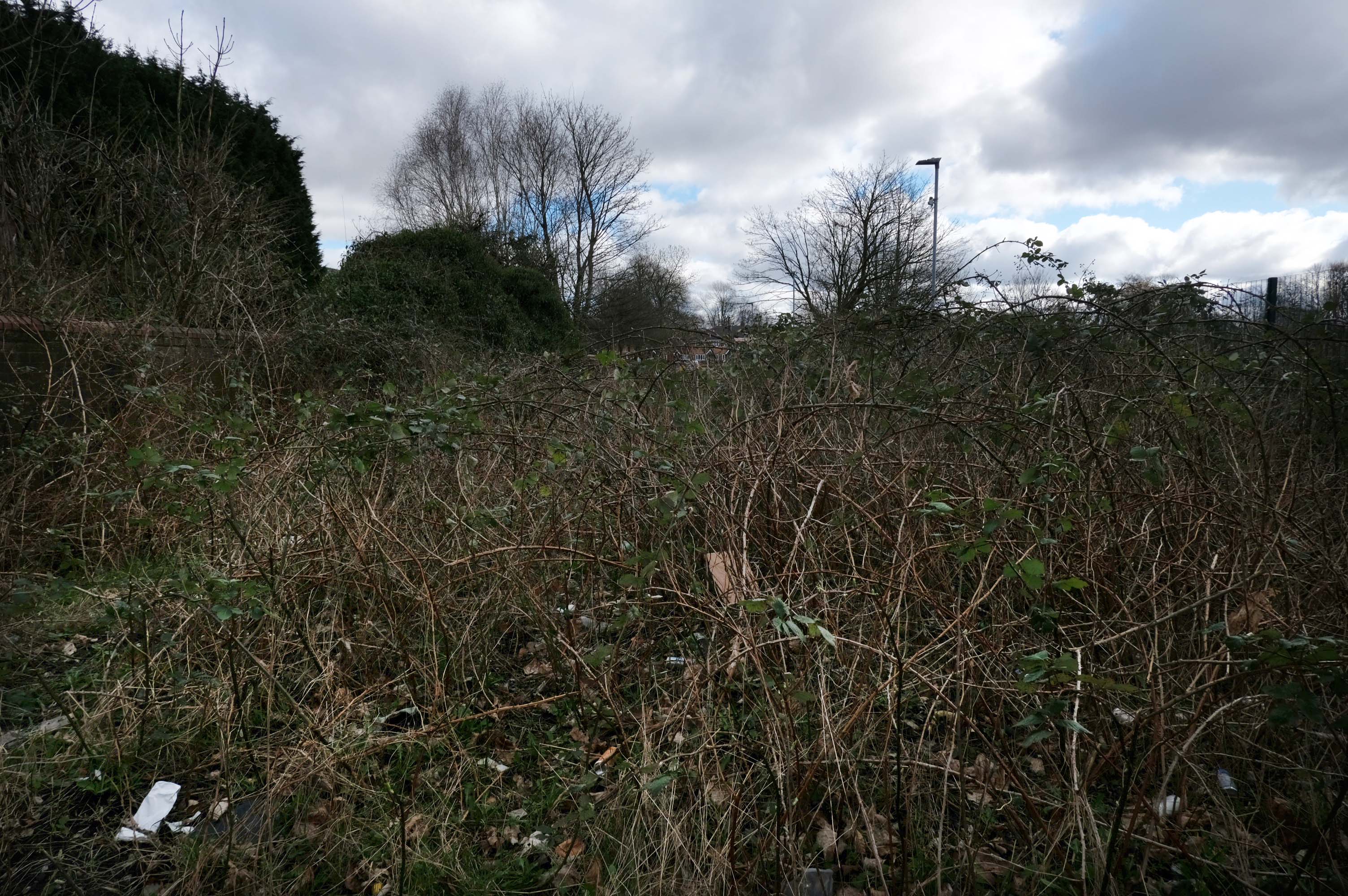
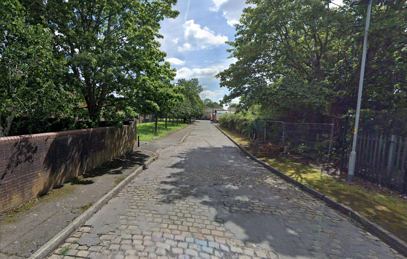
Walking along Rochdale Road yesterday, I was suddenly arrested by the Pleasant Street street sign.
Having already been suddenly arrested last week, by the Bland Close street sign.
With my expectations defined by the above definition, I ventured along the street in search of happy satisfaction.
Coincidentally – The 18th century entrepreneur Josiah Wedgwood pioneered many of the marketing strategies used today, including the satisfaction or you money back guarantee, on the entire range of his pottery products. The money-back guarantee was also a major tool of early US mail order sales pioneers in the United States such as Richard Sears and Powel Crosley Jr. to win the confidence of consumers.
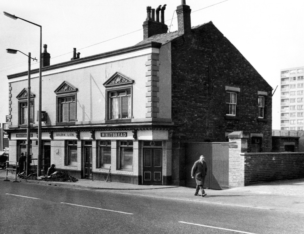
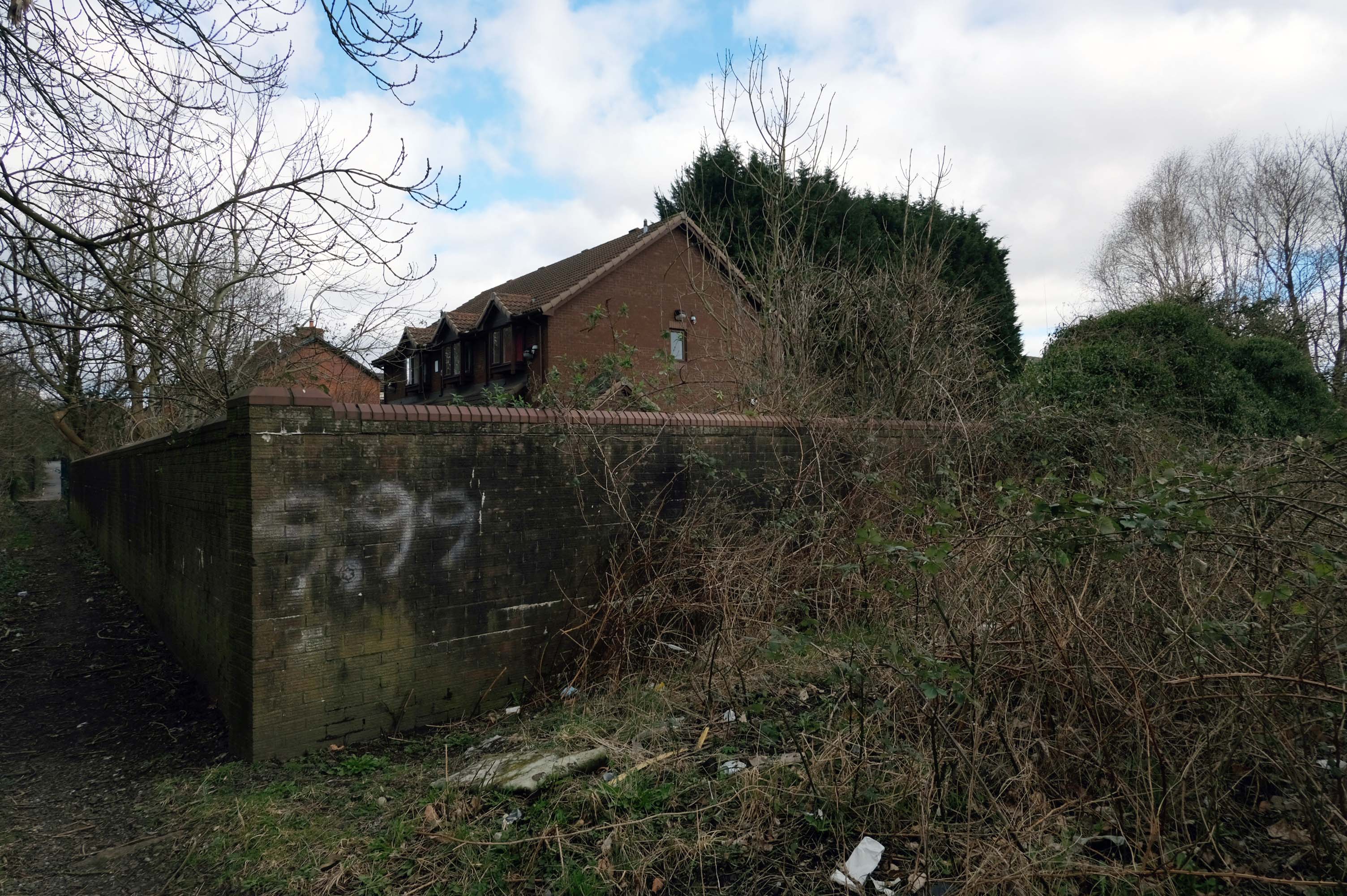
However at someone between 1968 and 2024 the housing had been cleared away – also missing in action is the Golden Lion pub adjoining Pleasant Street on Rochdale Road.
The Golden Lion was a proper old pub on the very busy rochdale road in the Harpurhey area of Manchester. Once inside there was a decent lounge and a basic bar i had a drink in the lounge and this was quite a comfy room.
This pub was a Whitbread tied house and there were two real ales on the bar I had a drink of Chesters bitter and this was a nice drink the other beer was Chesters mild. I thought this was quite a nice pub but sadly this pub has now been pulled down in the name of progress.
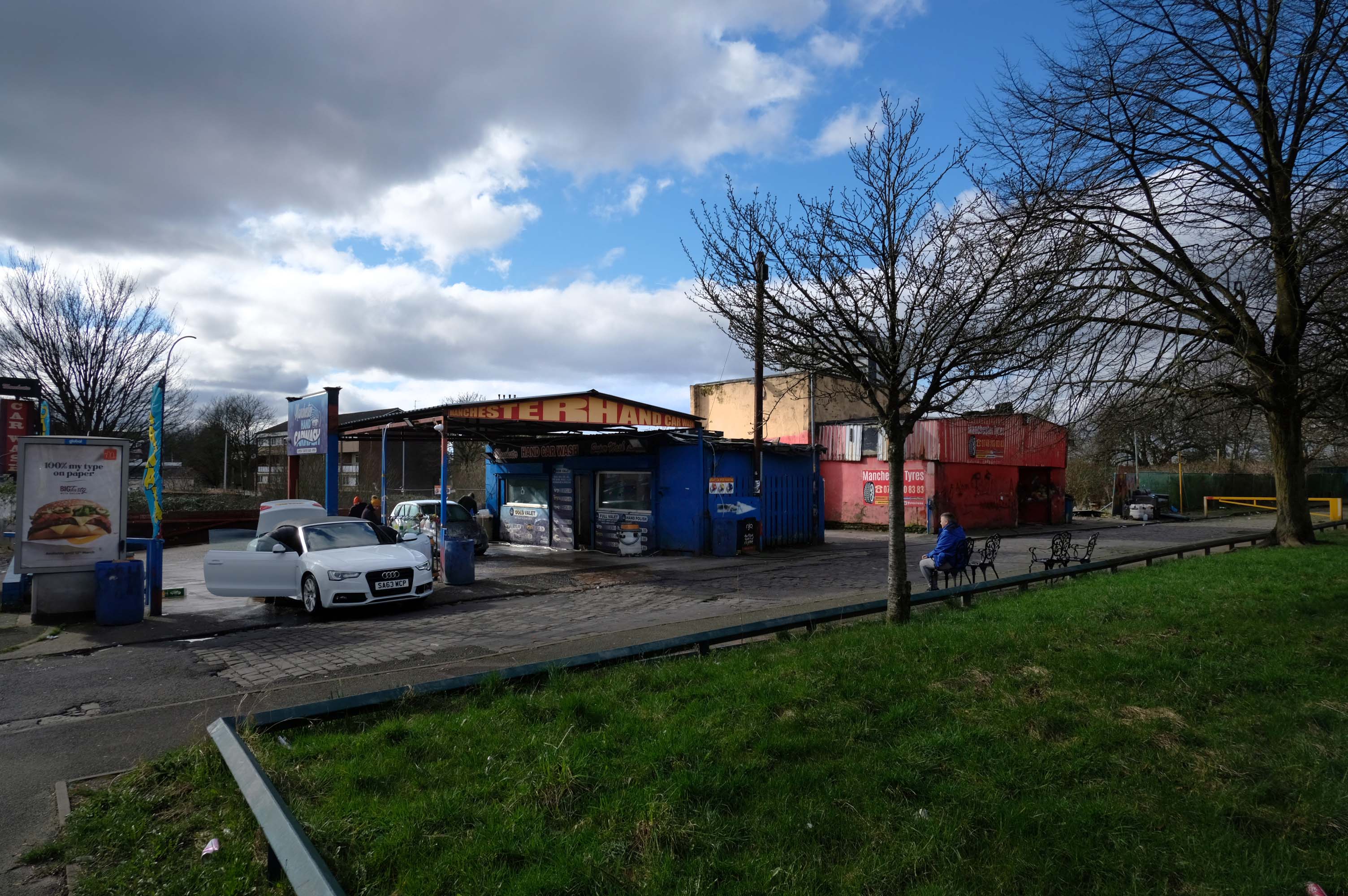
So here we are here today – yesterday has long gone and tomorrow never knows no how.
What’s left to see?
Manchester Hand Car Wash
Manchester Tyres
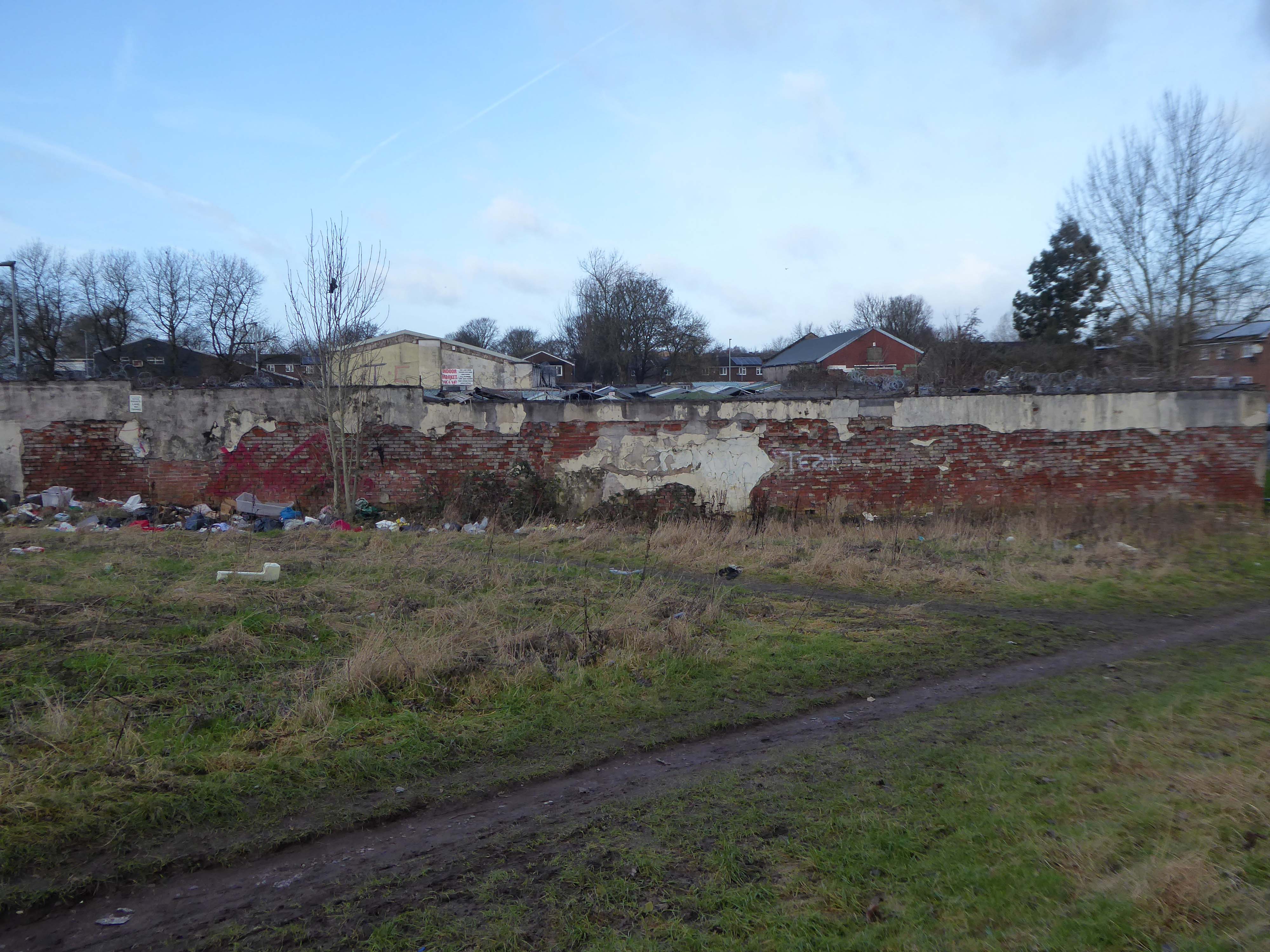
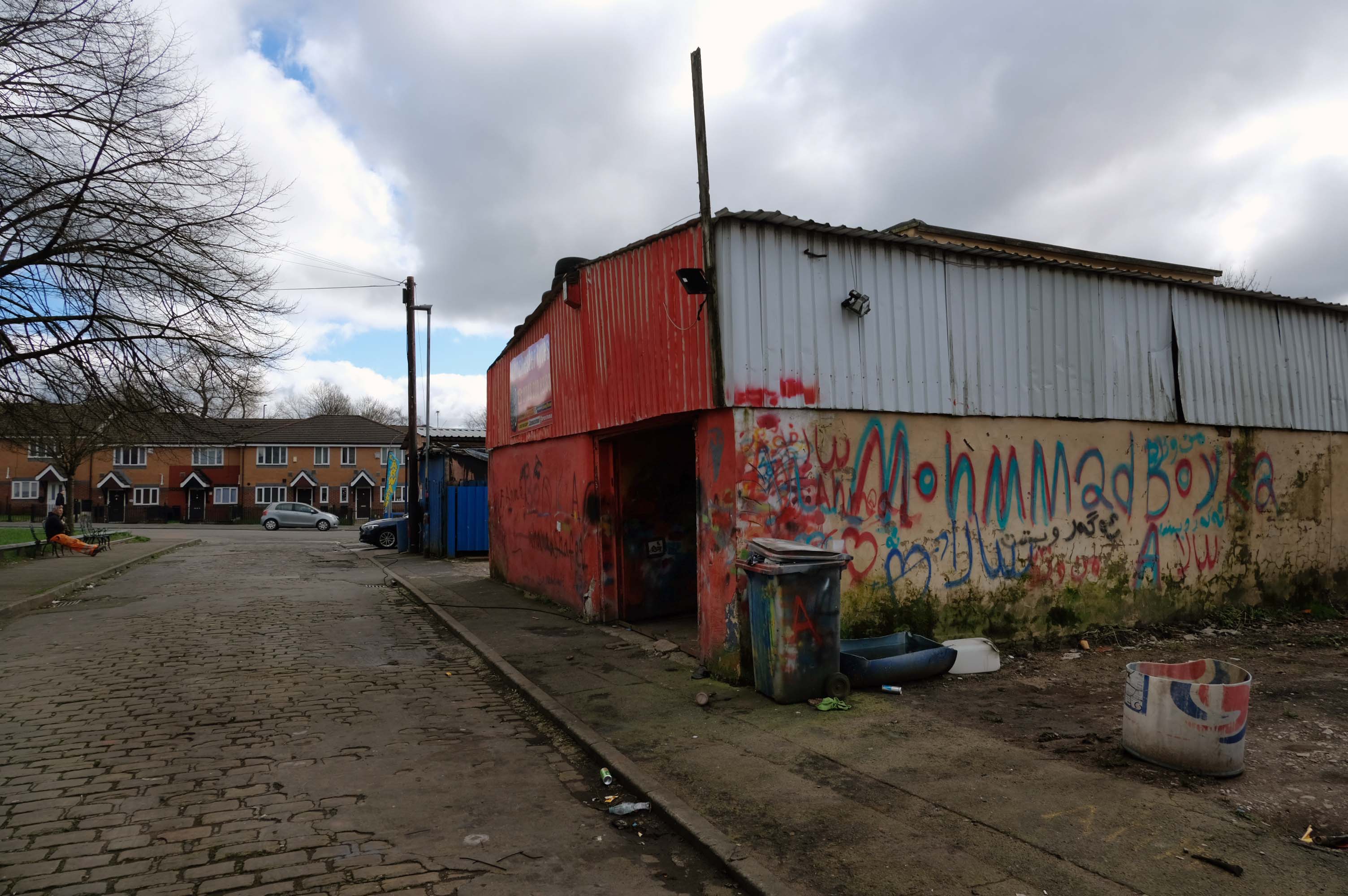
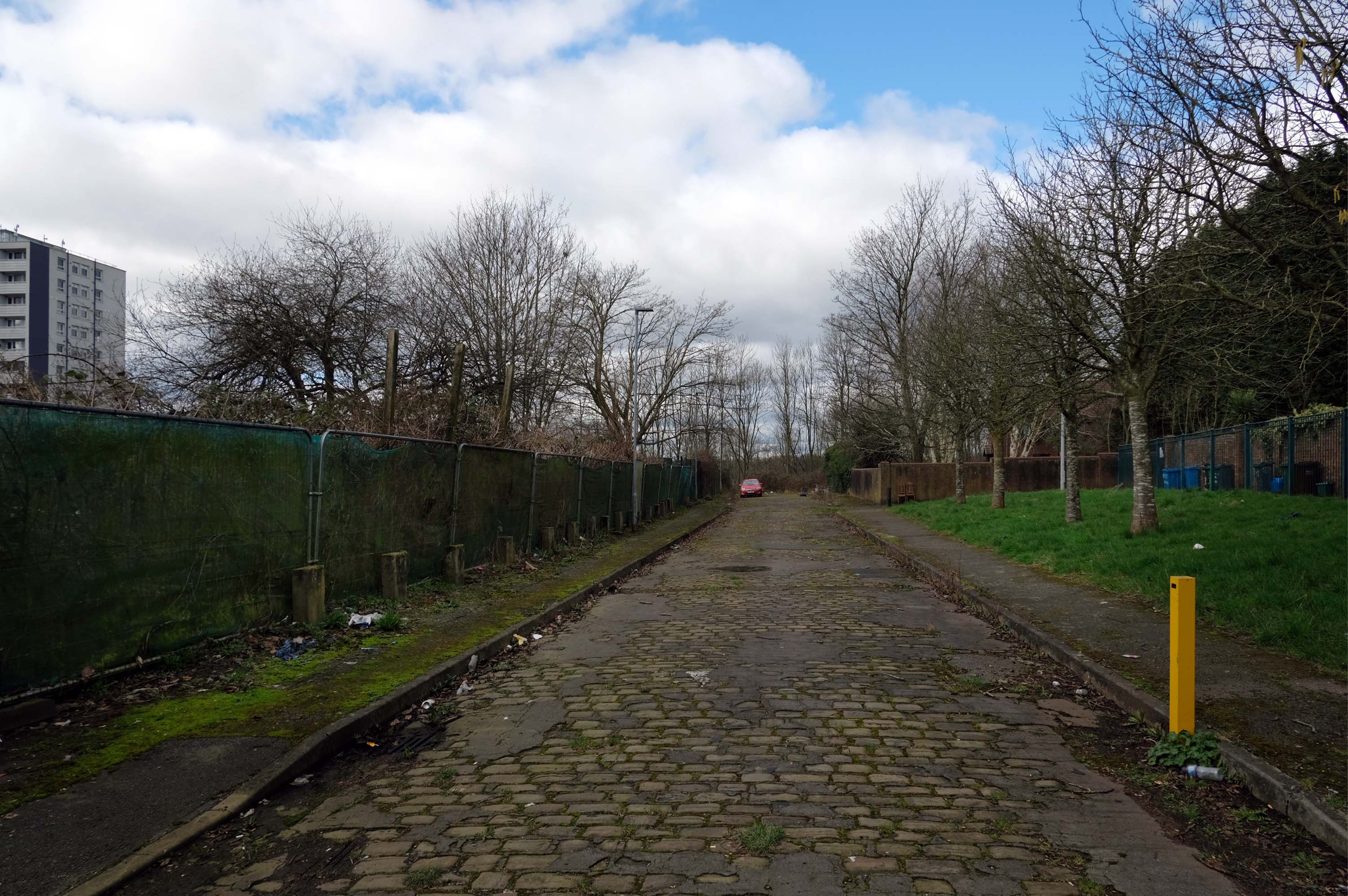
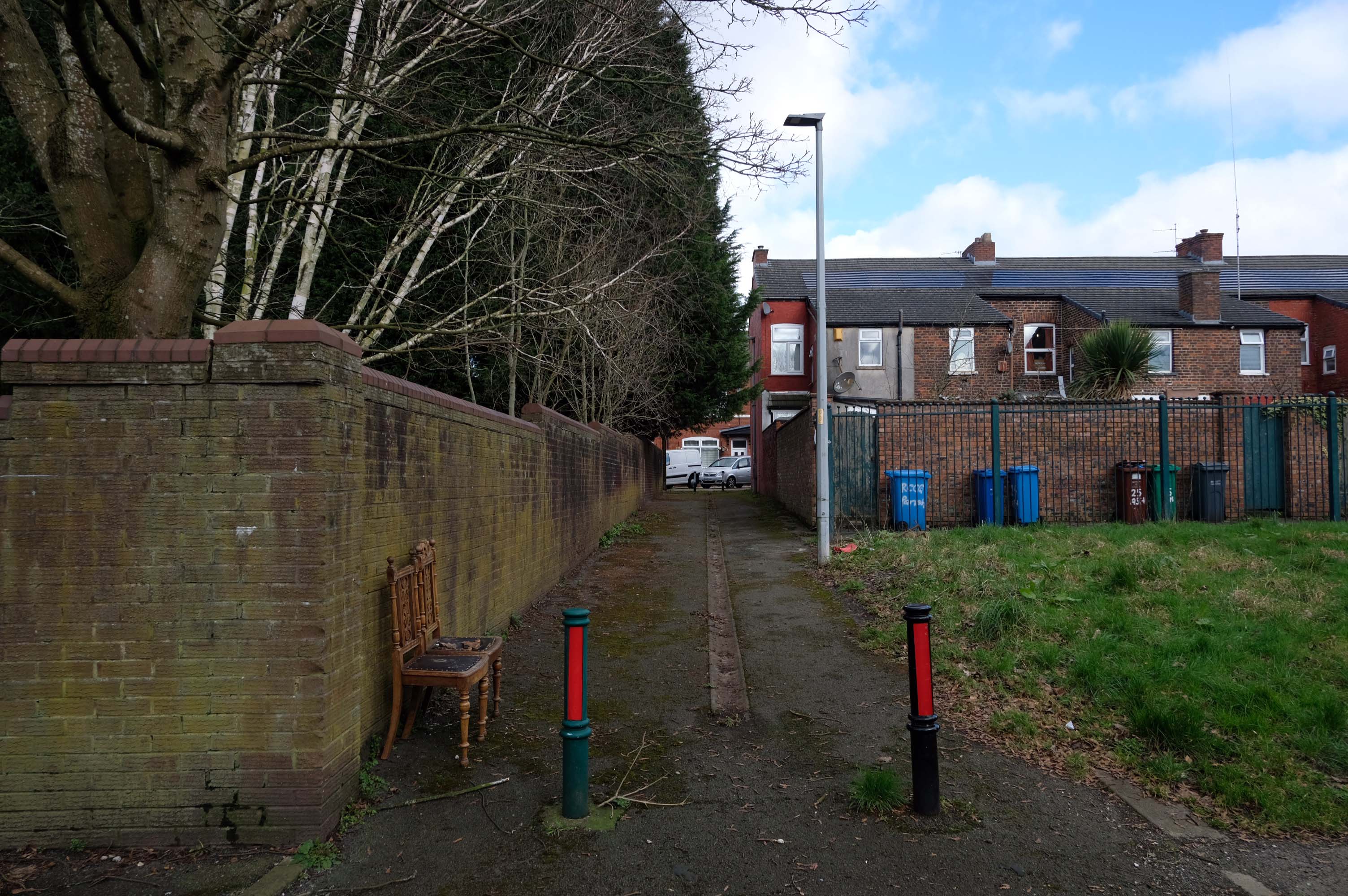
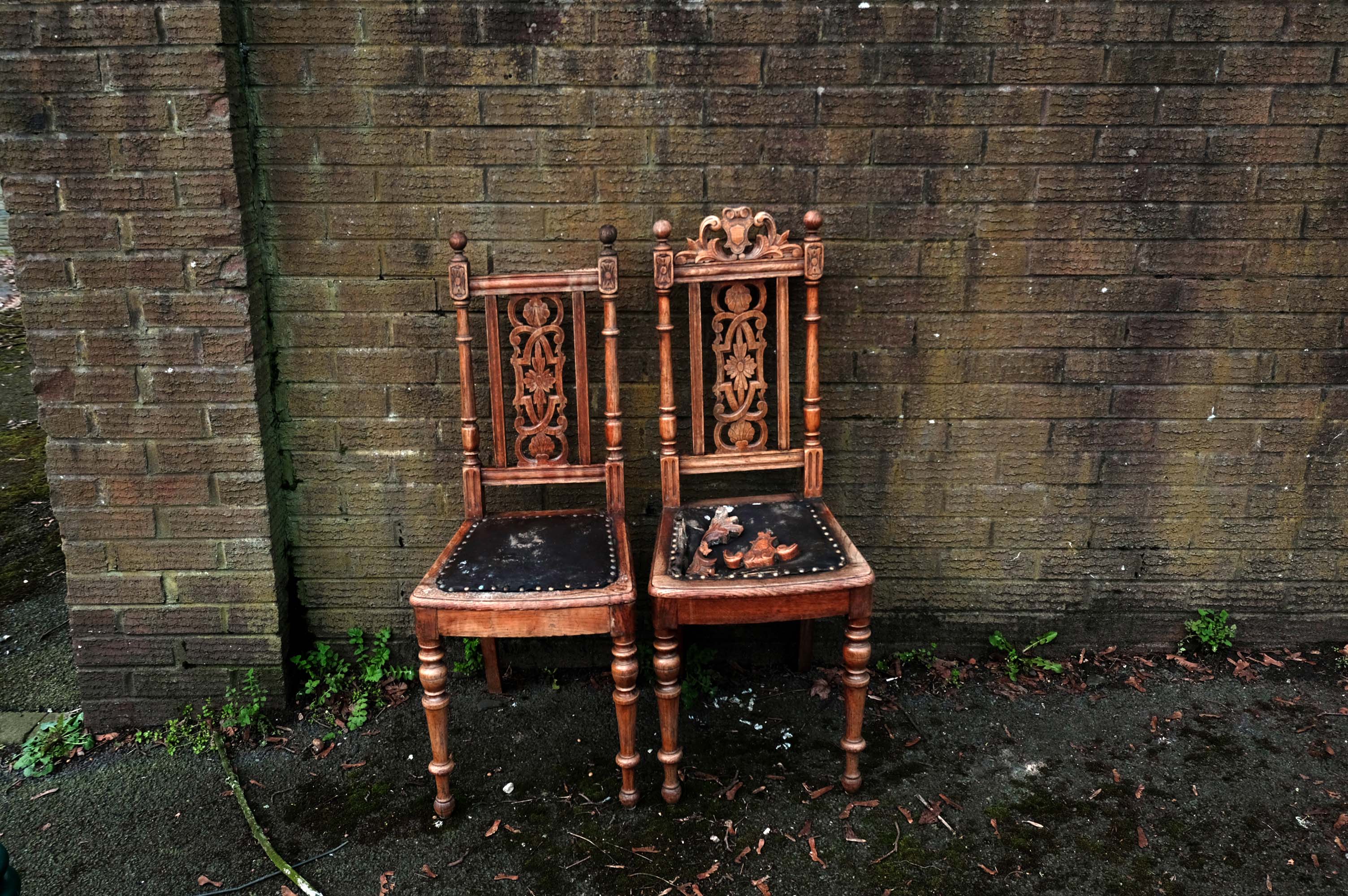
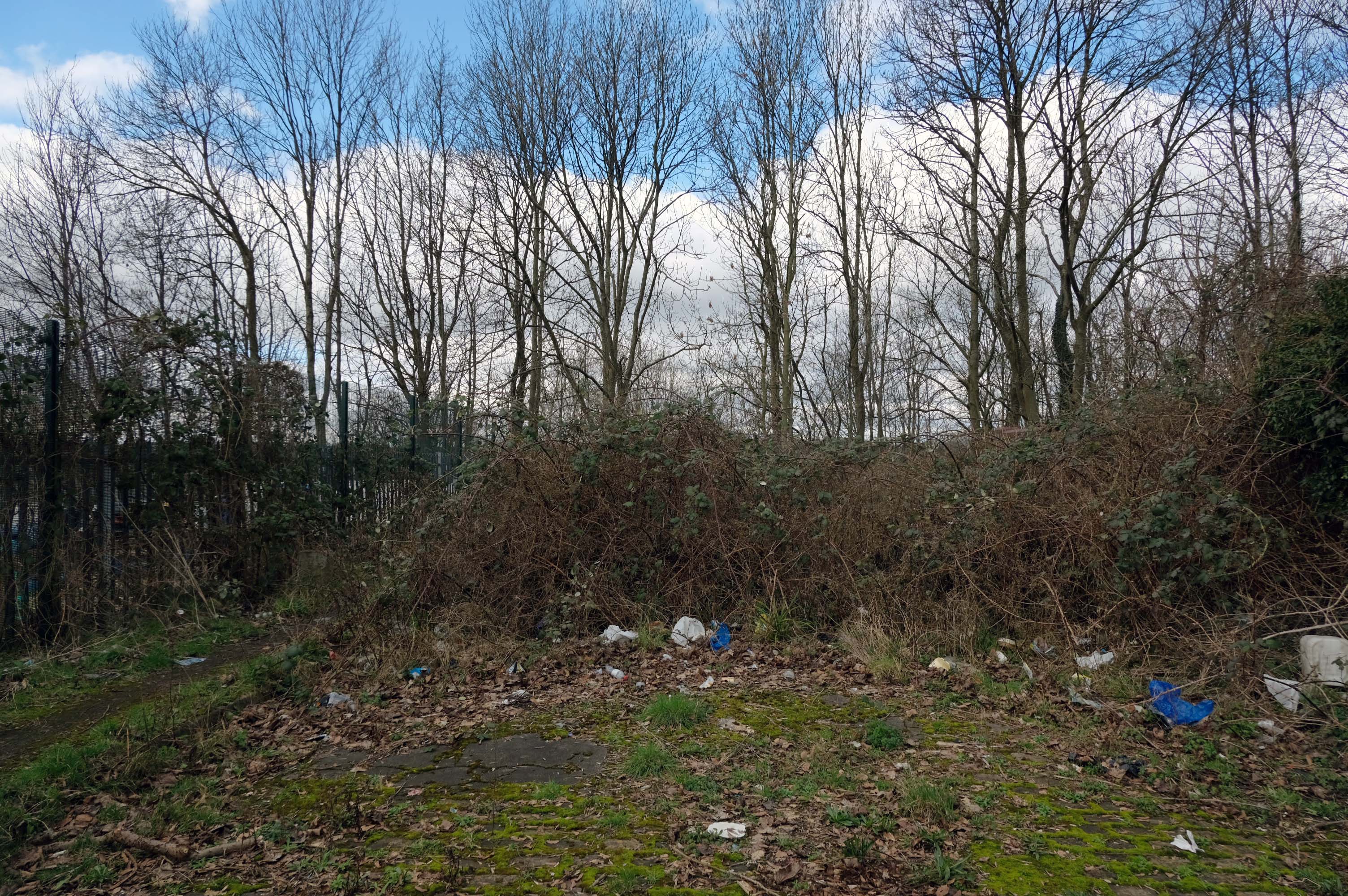
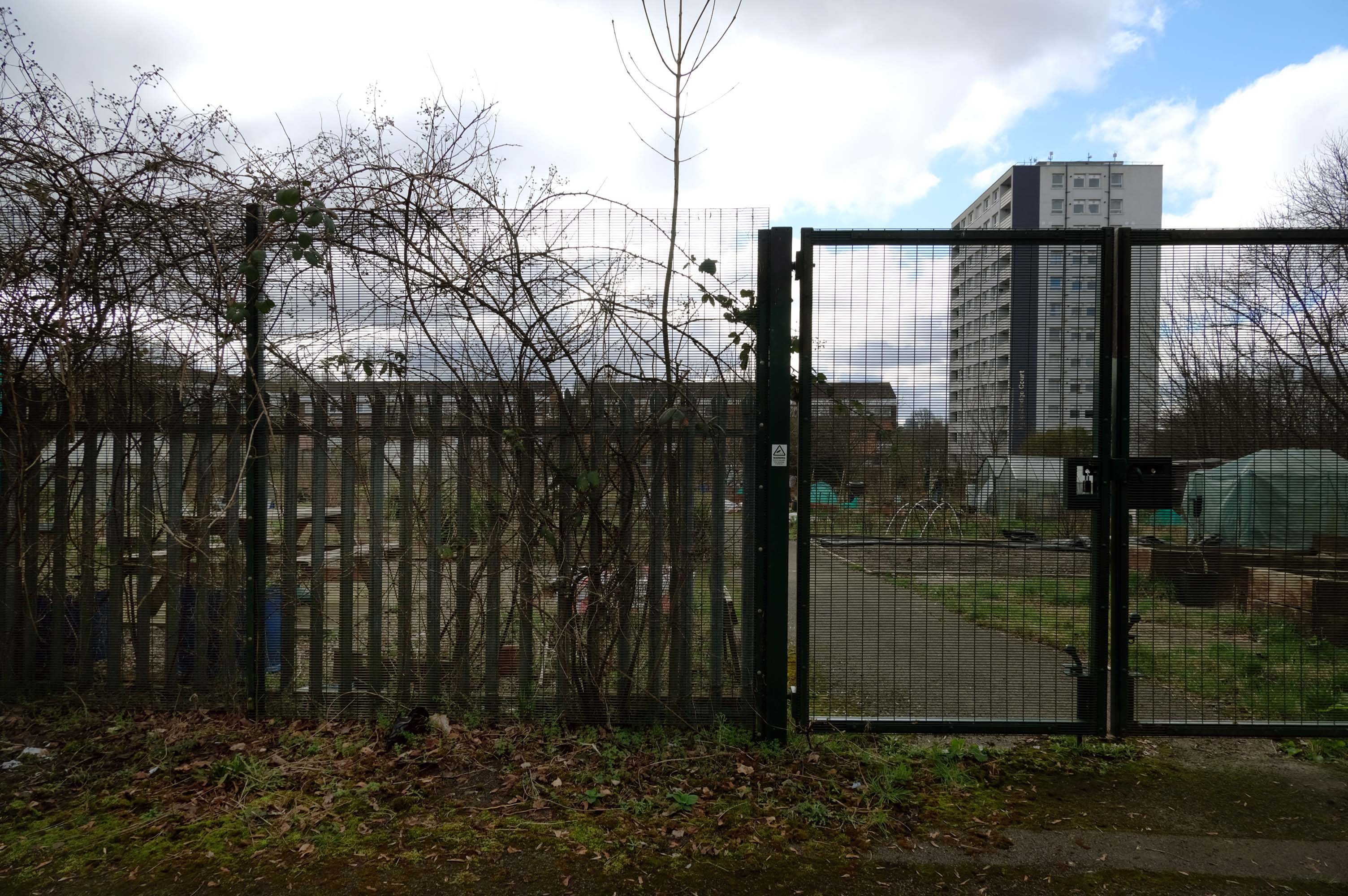
Pleasant Street Allotments
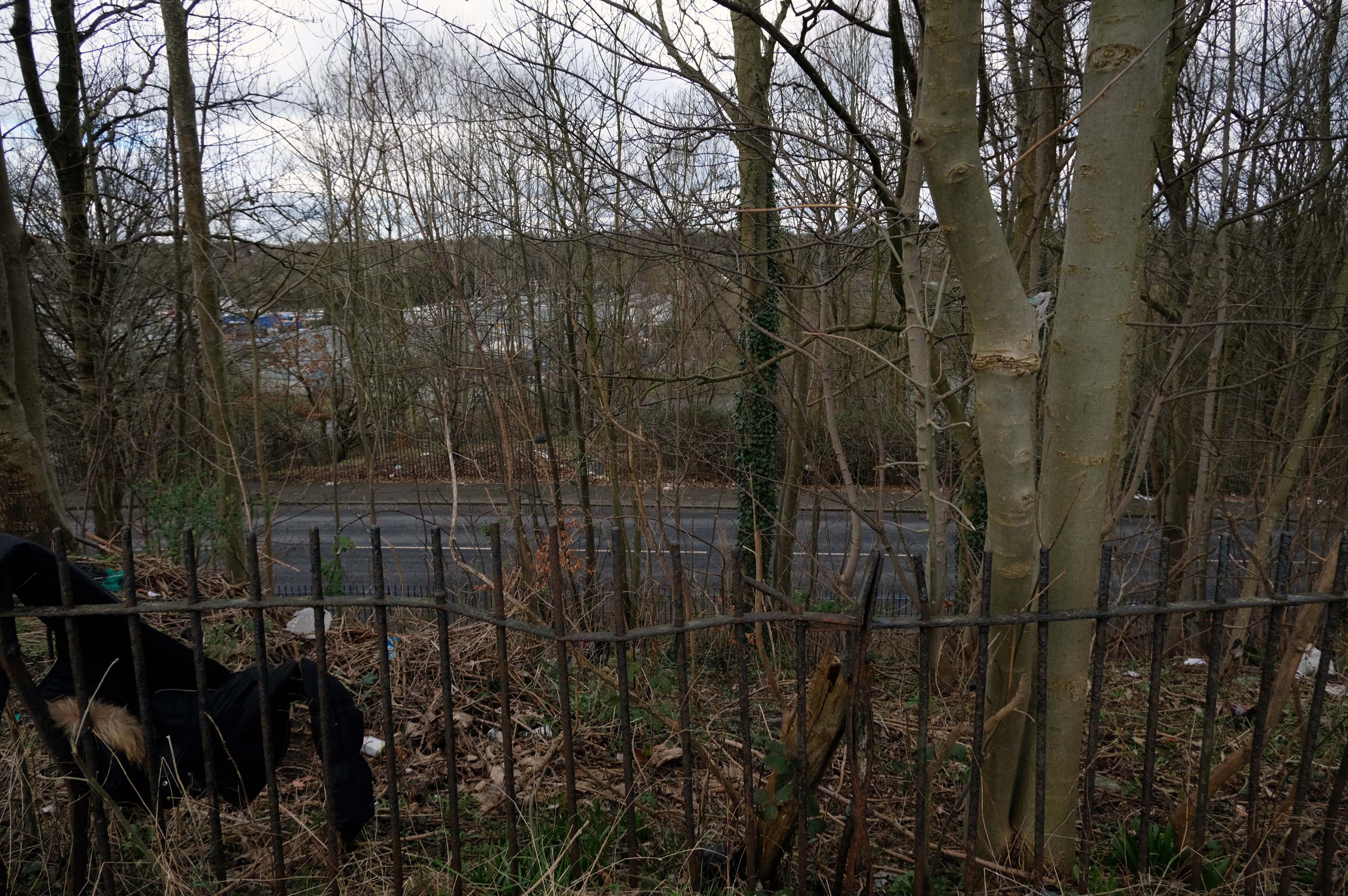
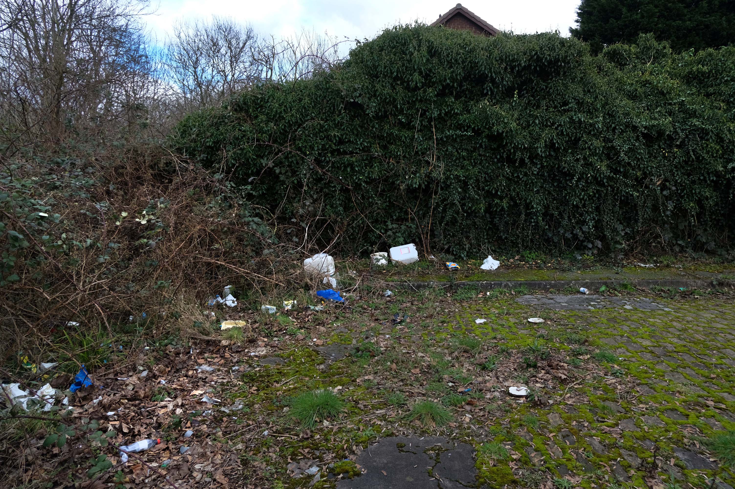
The allotments have had issues with fly tipping back in 2021.
There is now a lockable barrier in place on the cobbled cul-de-sac.
Photo – Howard Bristol
It is understood that the heaps of rubbish, including bin bags full of waste and unwanted wood and cardboard, have been growing in recent weeks.
Howard Bristol, the Secretary of the Pleasant Street allotments committee, said the situation has been ongoing for some time but has worsened since the removal of nearby CCTV cameras.
He told the Evening News that the road has been – piling high with rubbish, and that the area also had issues with the woodland behind the allotments being used for drug dealing during summer.
Pat Karney, councillor for Harpurhey tweeted about the flytipping on Sunday, calling it – unbelievable and disgraceful.
He added that those responsible should be – locked up in Strangeways for a long time, before adding that the council will – get it cleared.
The A5103 is a major thoroughfare running south from Piccadilly Gardens in Manchester city centre to the M56 in Northenden. The road is two-lane dual carriageway with a few grade-separated junctions. It is used by many as a link to the airport and to the motorway network south.
The road starts at Piccadilly Gardens where it meets the A6. It heads along Portland Street – at one time it ran along the parallel Mosley Street, past fast-food outlets and off-licences and then meets the A34 Oxford Street. It multiplexes with that road north for 200 yards into St Peter’s Square and then turns left into Lower Mosley Street, initially alongside the tramlines and then past the former Manchester Central station, now a conference centre with the same name. The road becomes Albion Street and goes over the Bridgewater Canal and under the railway line east of Deansgate station. The road then meets the A57(M) Mancunian Way at a roundabout interchange. This is where most of the traffic joins and leaves.
The road is now 2×2 dual carriageway with the name Princess Road. It passes under the Hulme Arch, a grade-separated junction with the A5067, with an unusually large central reservation. This is presumably because of the proposed plans from the 1960s of a motorway. However, after passing under the junction, there are innumerate sets of traffic lights, with the B5219, the A6010 and the A5145, as well as many other unsigned roads. There are also many speed cameras set at 30 mph.
The road picks up pace as we exit the sprawl of South Manchester and the road becomes Princess Parkway, with a 50 mph speed limit. We cross the River Mersey and almost immediately hit the M60 at J5.
Except for the Manchester City Centre section – which was numbered A5068, this road did not exist on classification in 1922. Princess Road was built in 1932 to serve the new southwestern suburbs; initially it ran between the B5219 and A560 and was numbered B5290, with the road later extended north into the A5068 on the southern edge of the city centre and renumbered A5103.
The northern extension through Hulme initially followed previously existing roads, so followed a zigzag route. As part of the road’s upgrade and the reconstruction of Hulme in the 1970s the road was straightened and the original route can no longer be seen. The A5068 was severed around this time with the construction of the A57(M) and the A5103 took on its city-centre section, taking it to the A6.
The A34 is a major route from the ports on the South Coast of England to the Midlands and the North West, with the standard varying from rural dual carriageway sections in the south to urban single carriageway in the north, and everything else in between.
Slade Lane junction, Rushford Park to Parr’s Wood, East Didsbury – to connect to Manchester Road to Cheadle. It continued on to Laneside Road as a residential road. Opened on 11 April 1923 by Mary Cundiff, Lady Mayoress, and Margaret Turnbull, daughter of Alderman Turnbull, Chairman of Manchester Town Planning Committee. Width was 100 feet and it was designed for tram tracks in the central reservation. The dual road carriageways were 20 feet wide. Manchester’s tram system was closed in 1949. The carriageways were widened and central reservation grassed over. Originally opened as A5079.
Laneside Road, East Didsbury to Schools Hill/ Wilmslow Road junction, Cheadle. Opened on 12 October 1959. The official opening was on 15 October 1959. Planning for the bypass had been halted by the war. In December 1949 Manchester Corporation stated that it was not a priority since the Corporation was only responsible for the 200 yards to the proposed bridge over the River Mersey and Cheshire County Council had not asked for a joint approach to Ministry of Transport to build it. Work was finally authorised in January 1957 and started in the June. Width was 90 feet with dual 24 foot carriageways. Expected cost was £600,000 to £700,000.