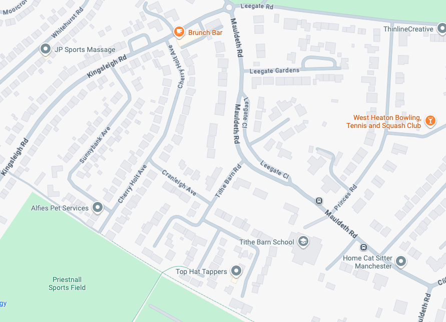
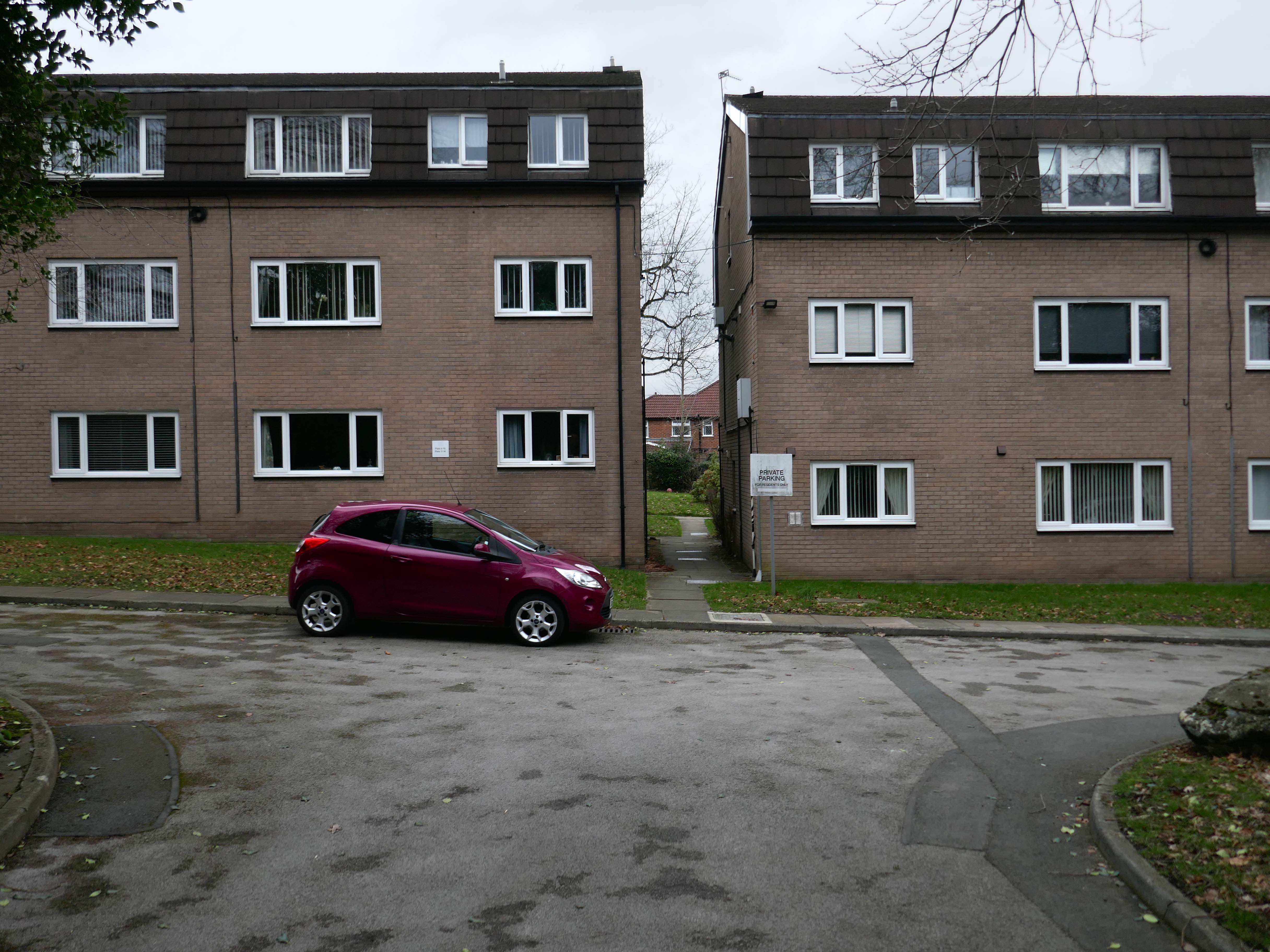
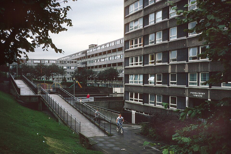
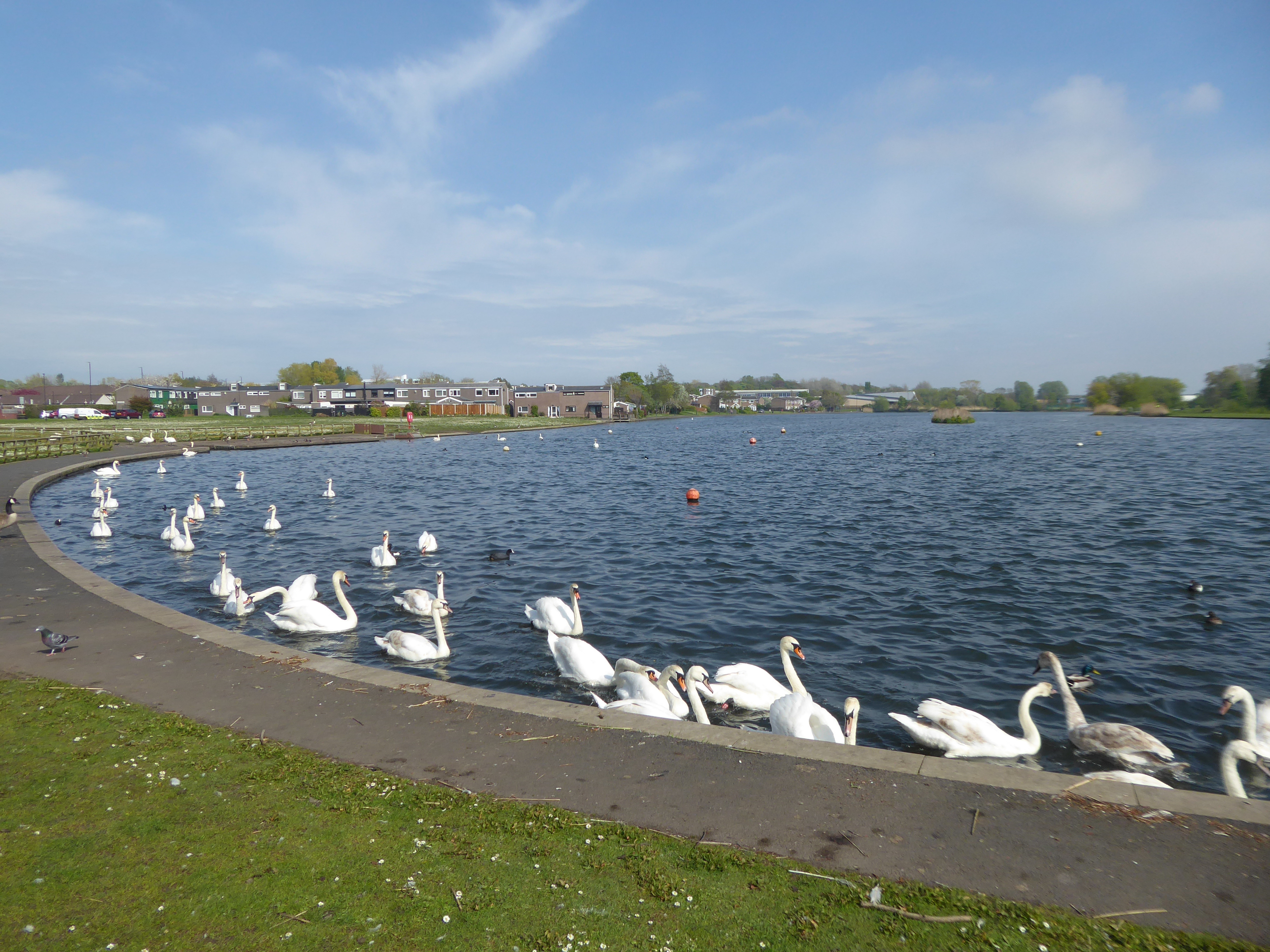
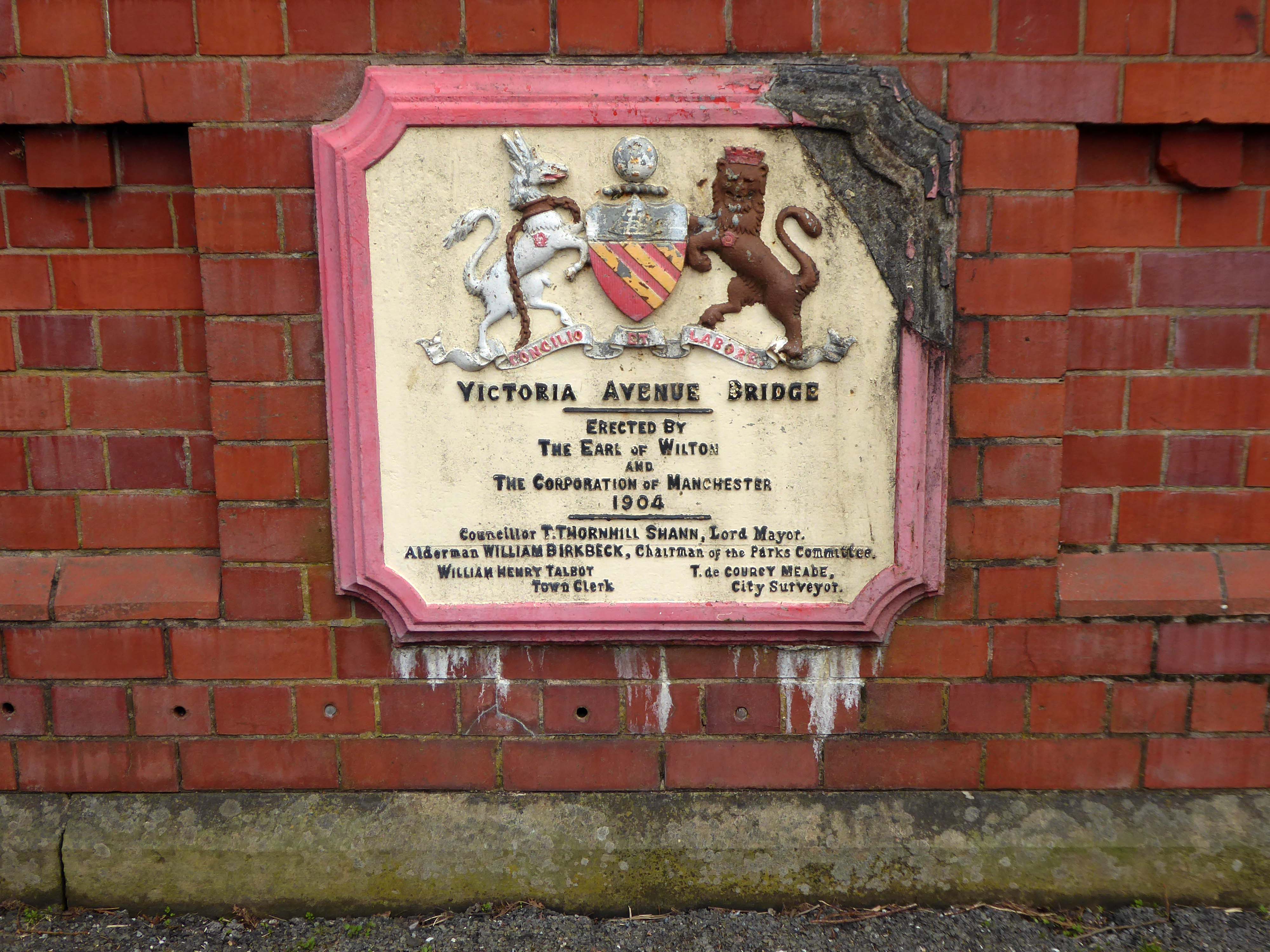
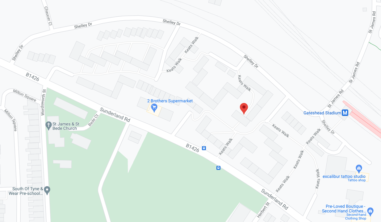
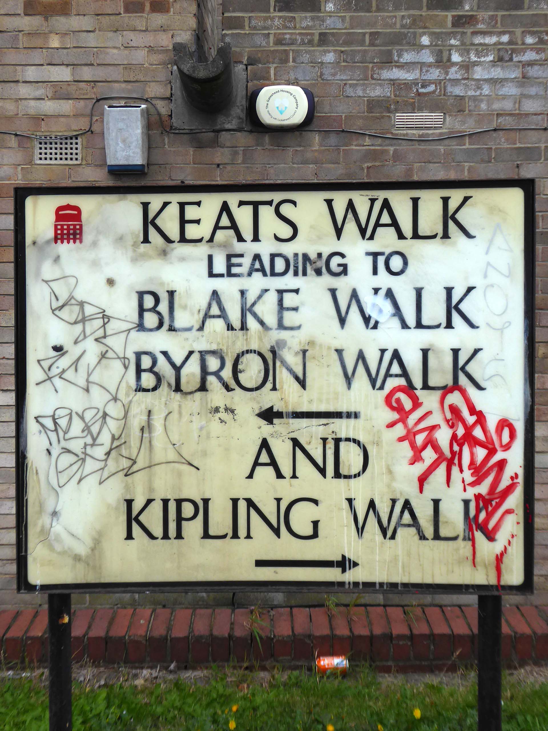
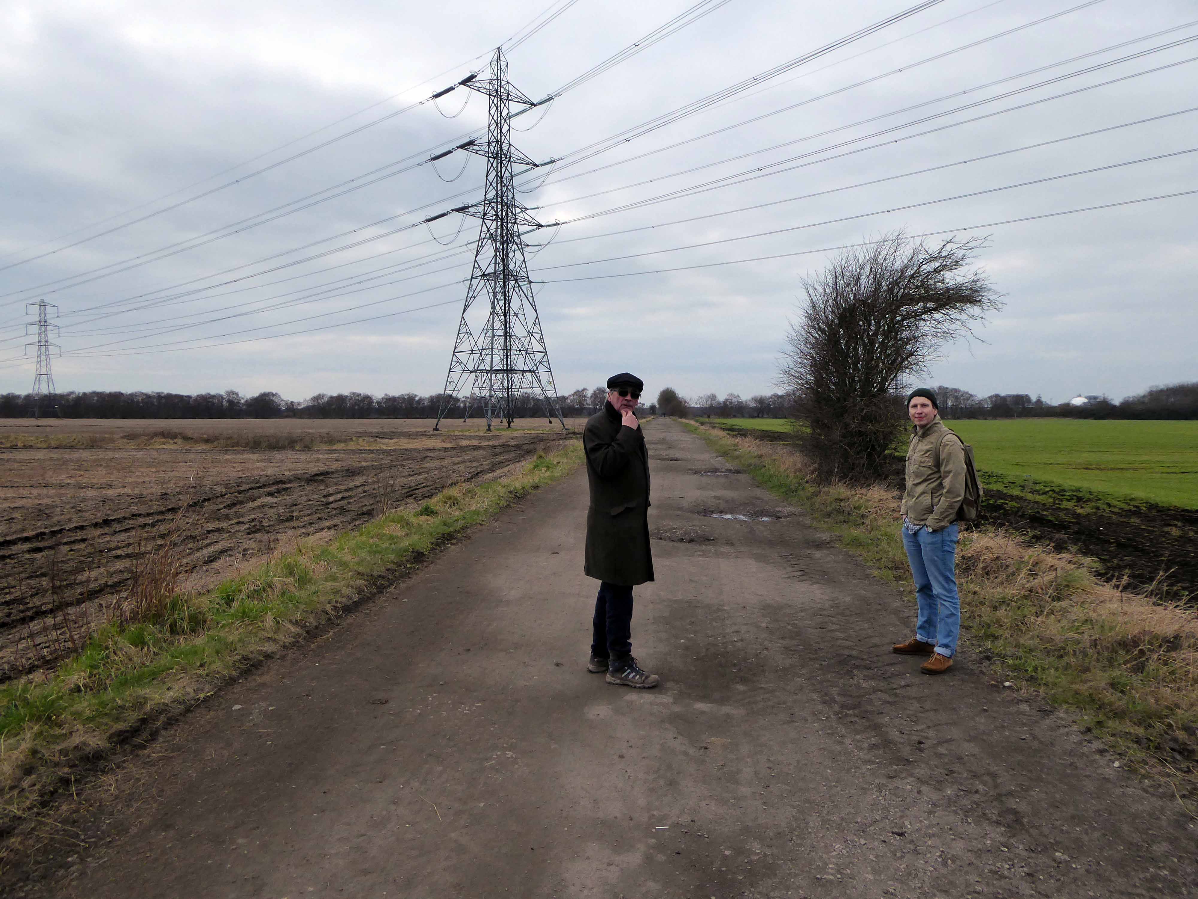
Taking in Mauldeth Road, Pinewood Close and Leegate Gardens
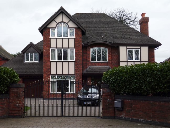
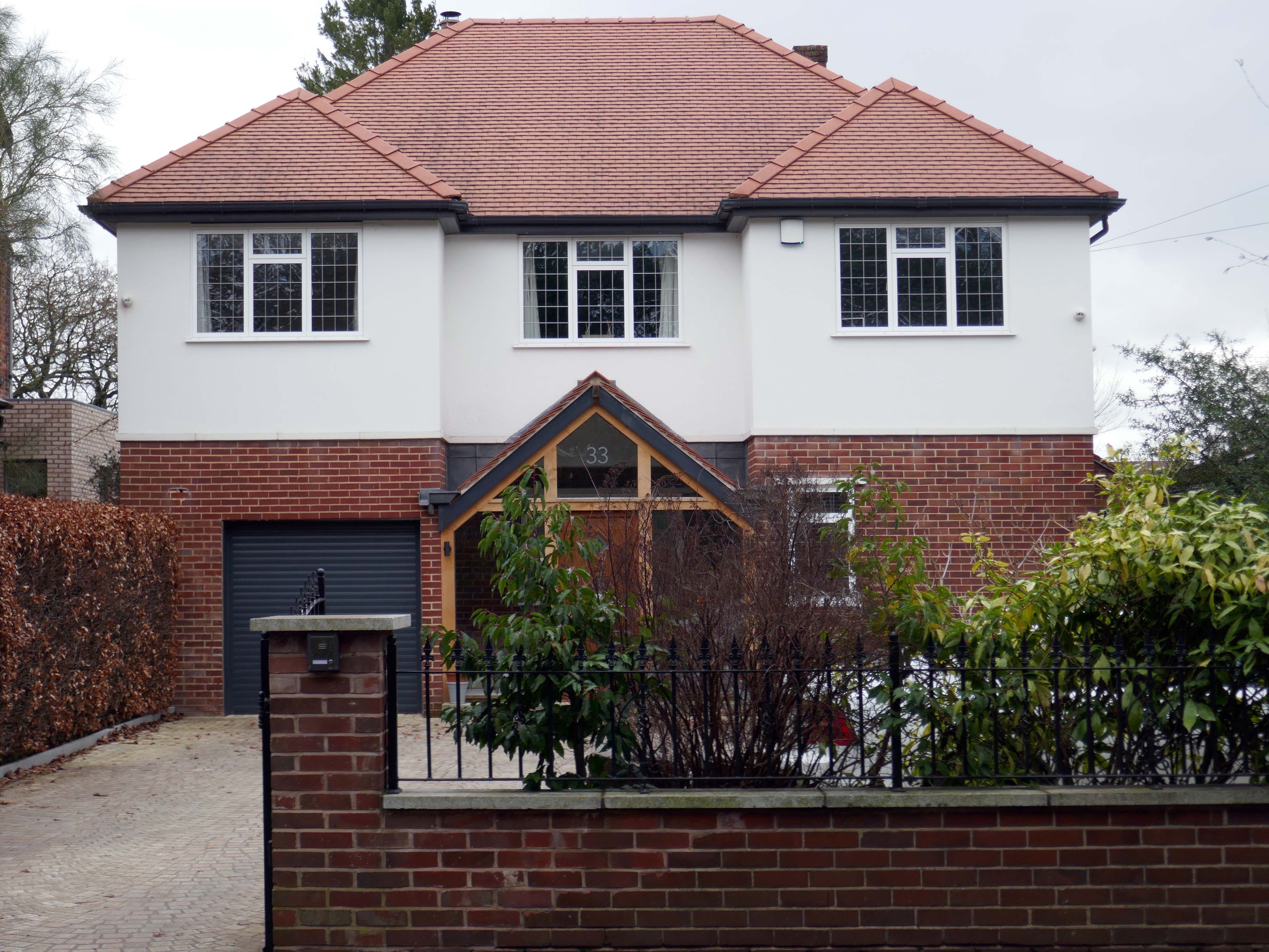
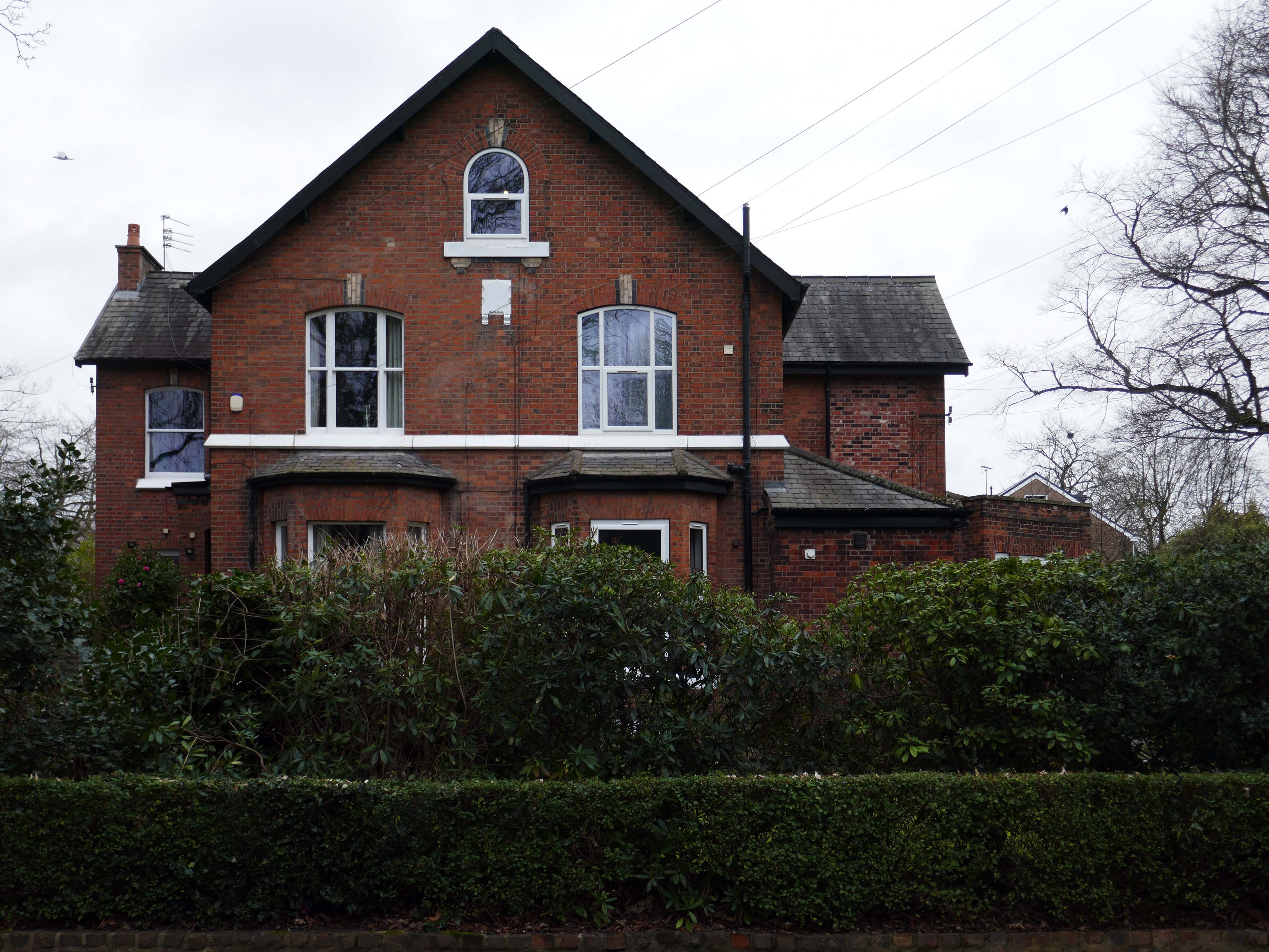
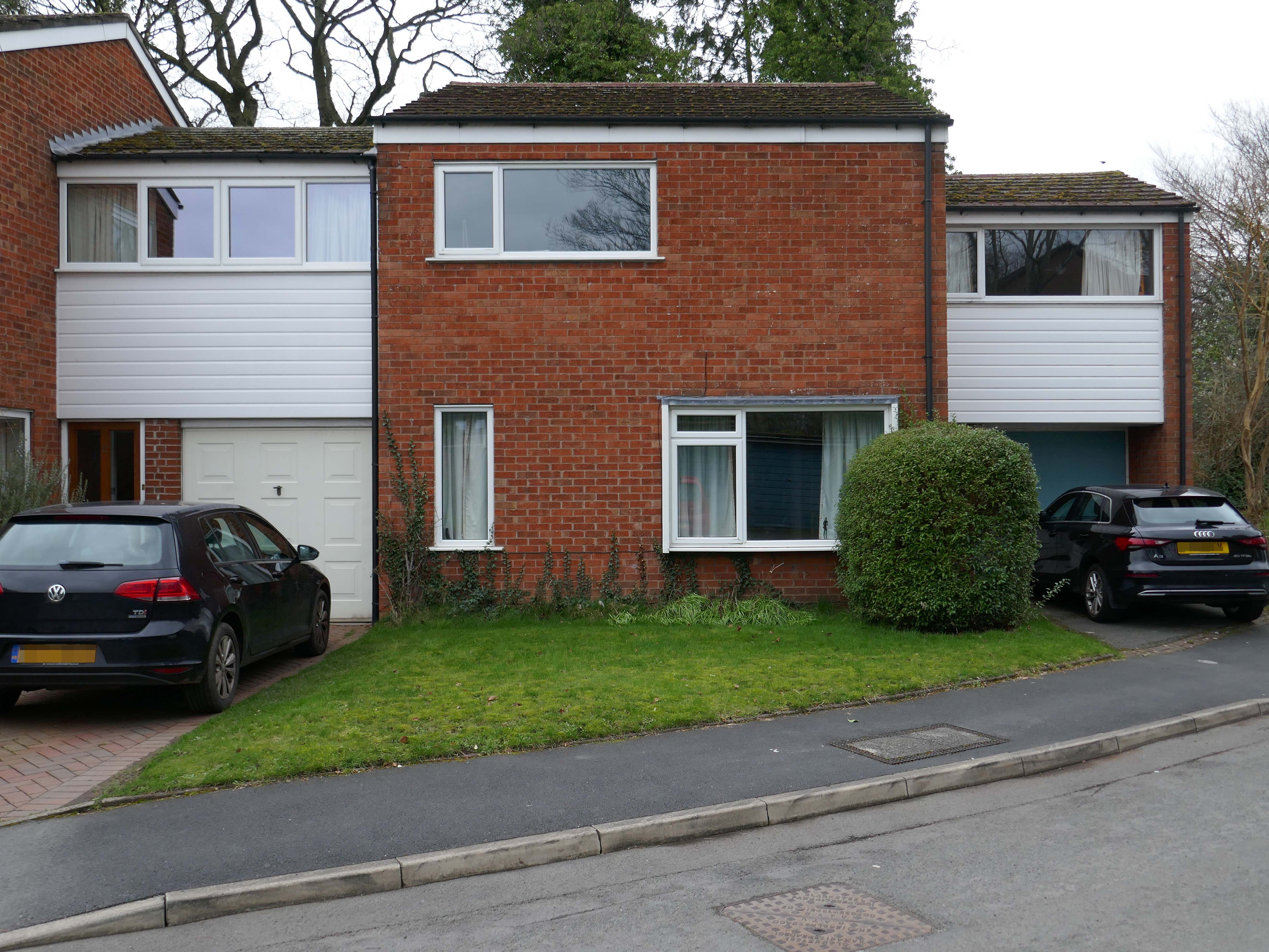
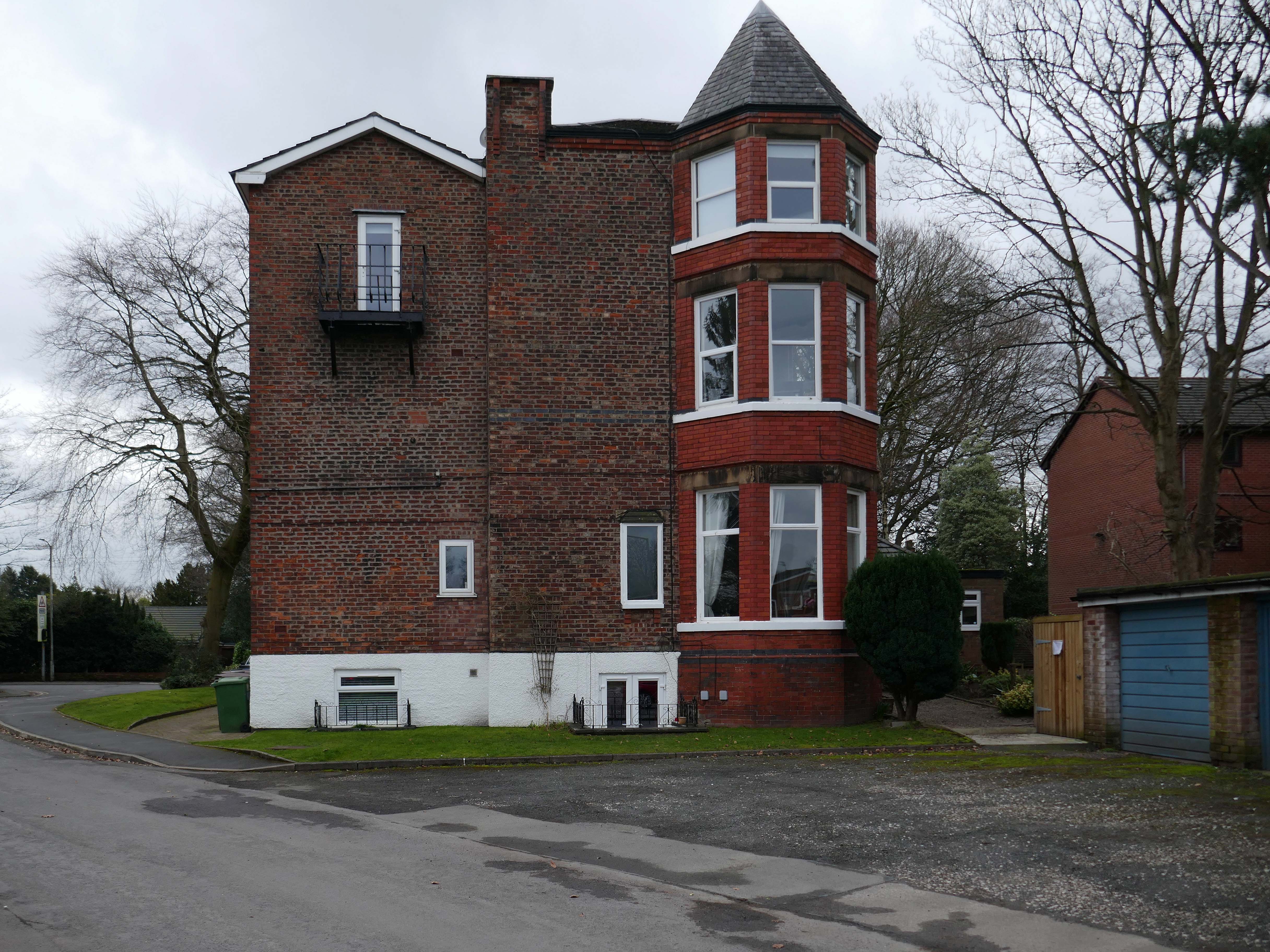
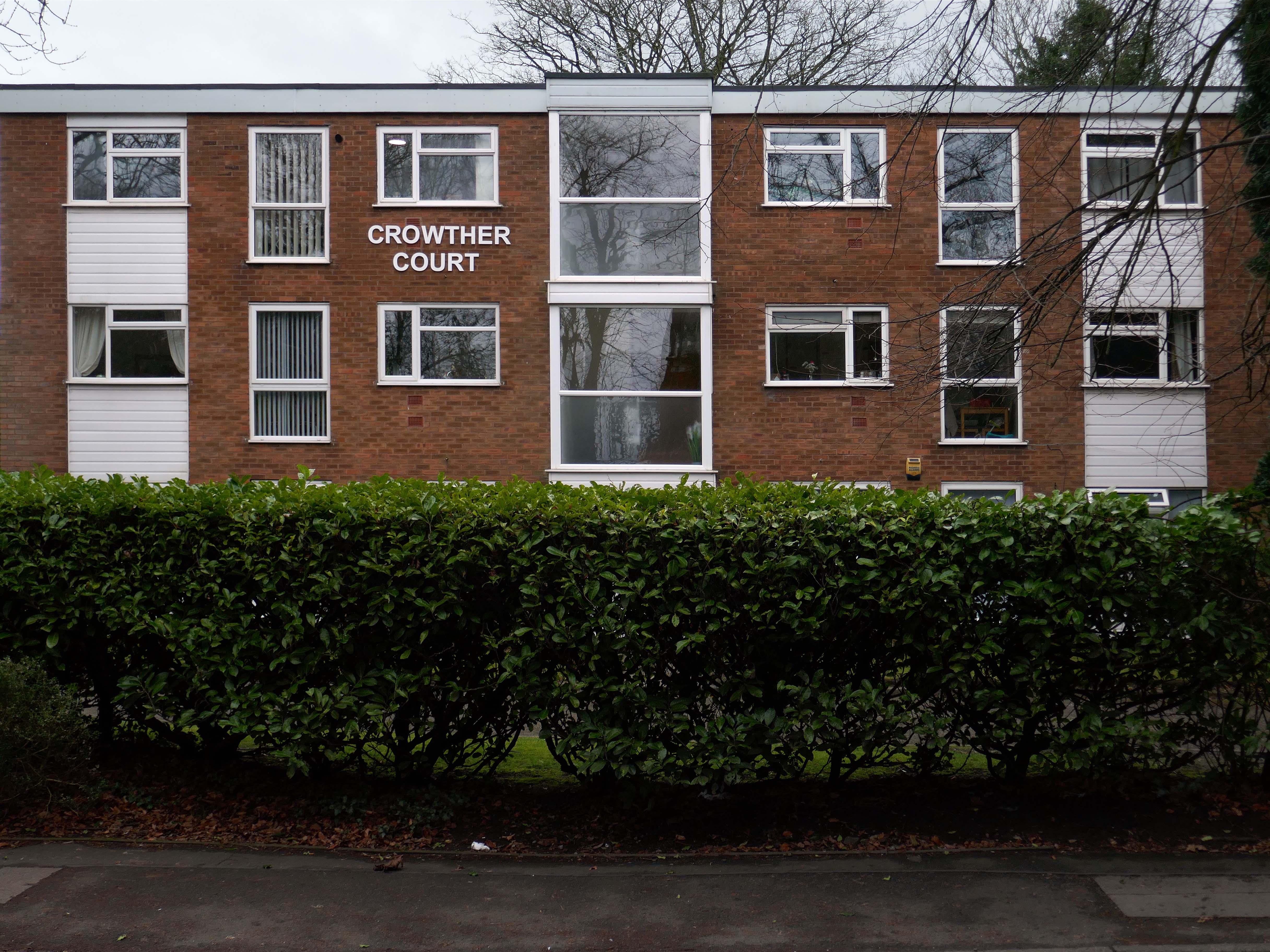
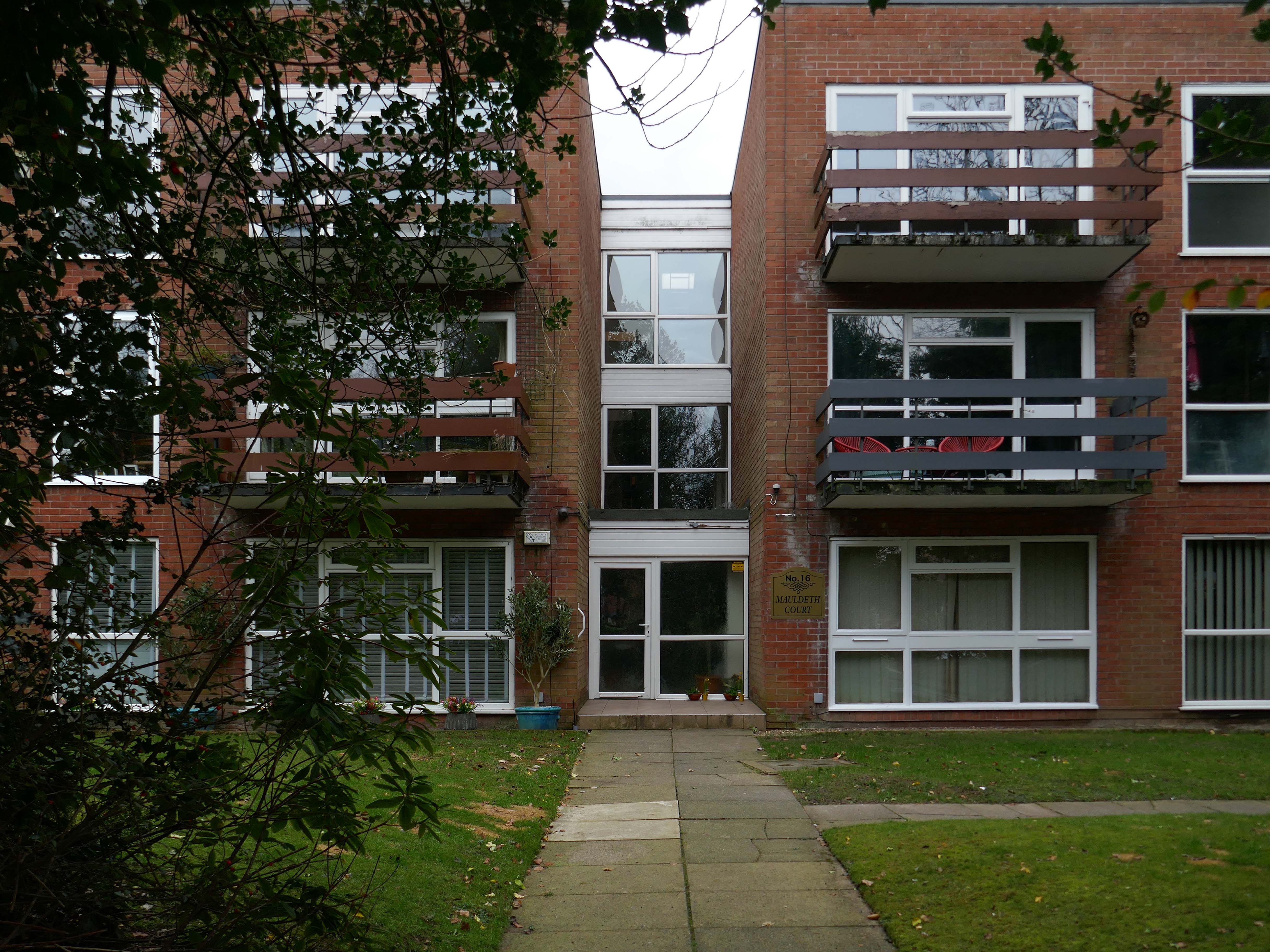
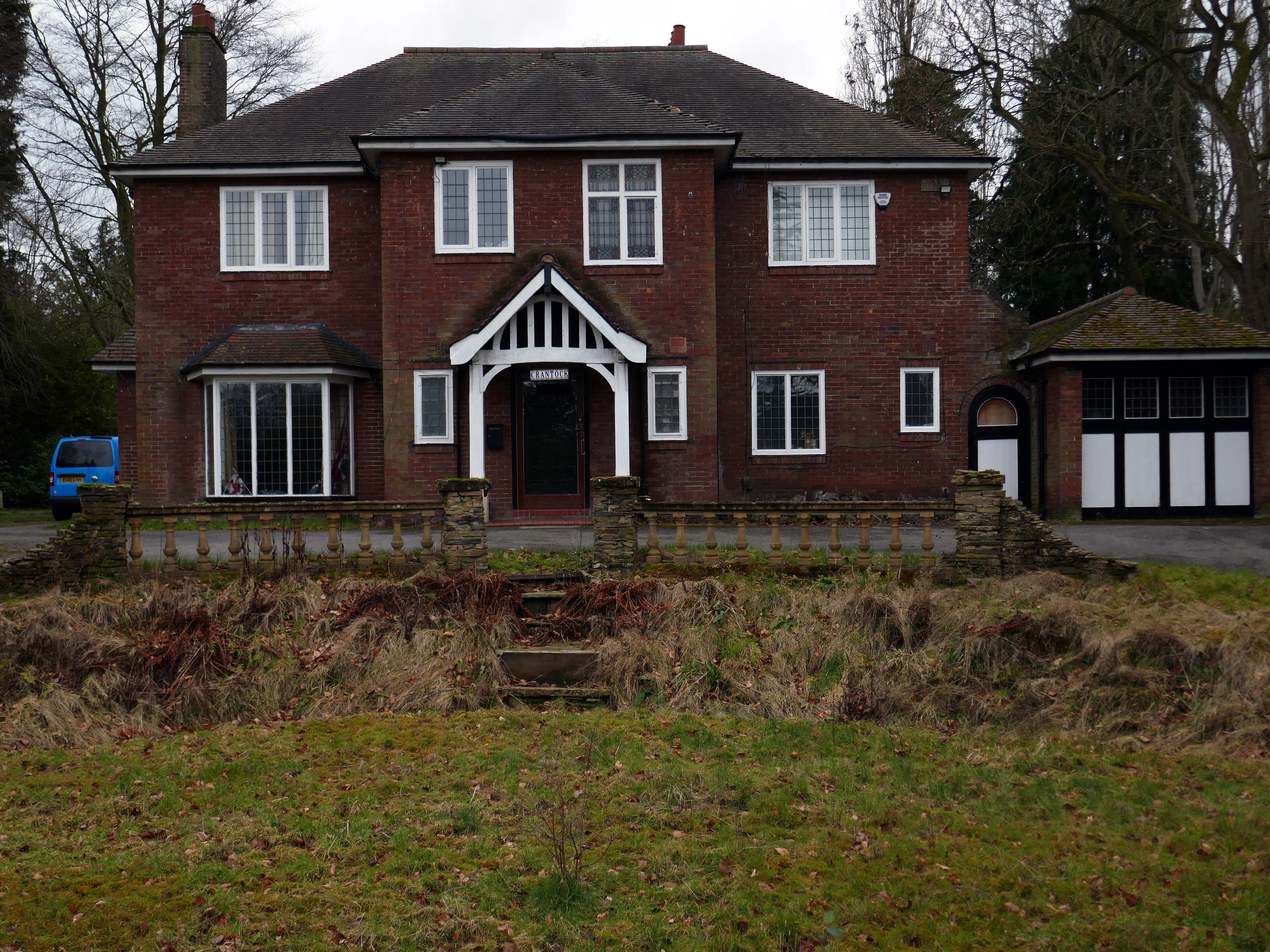
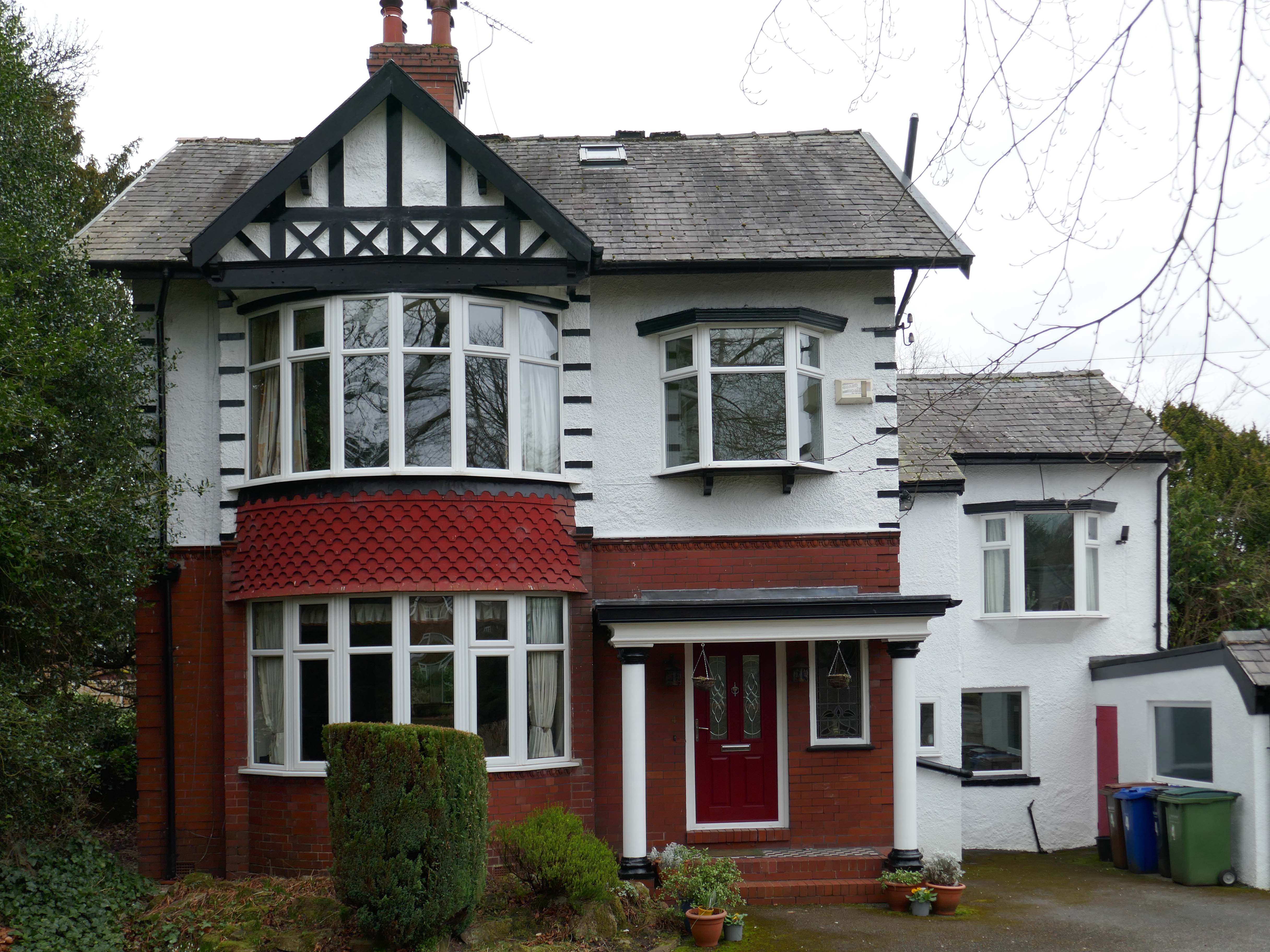
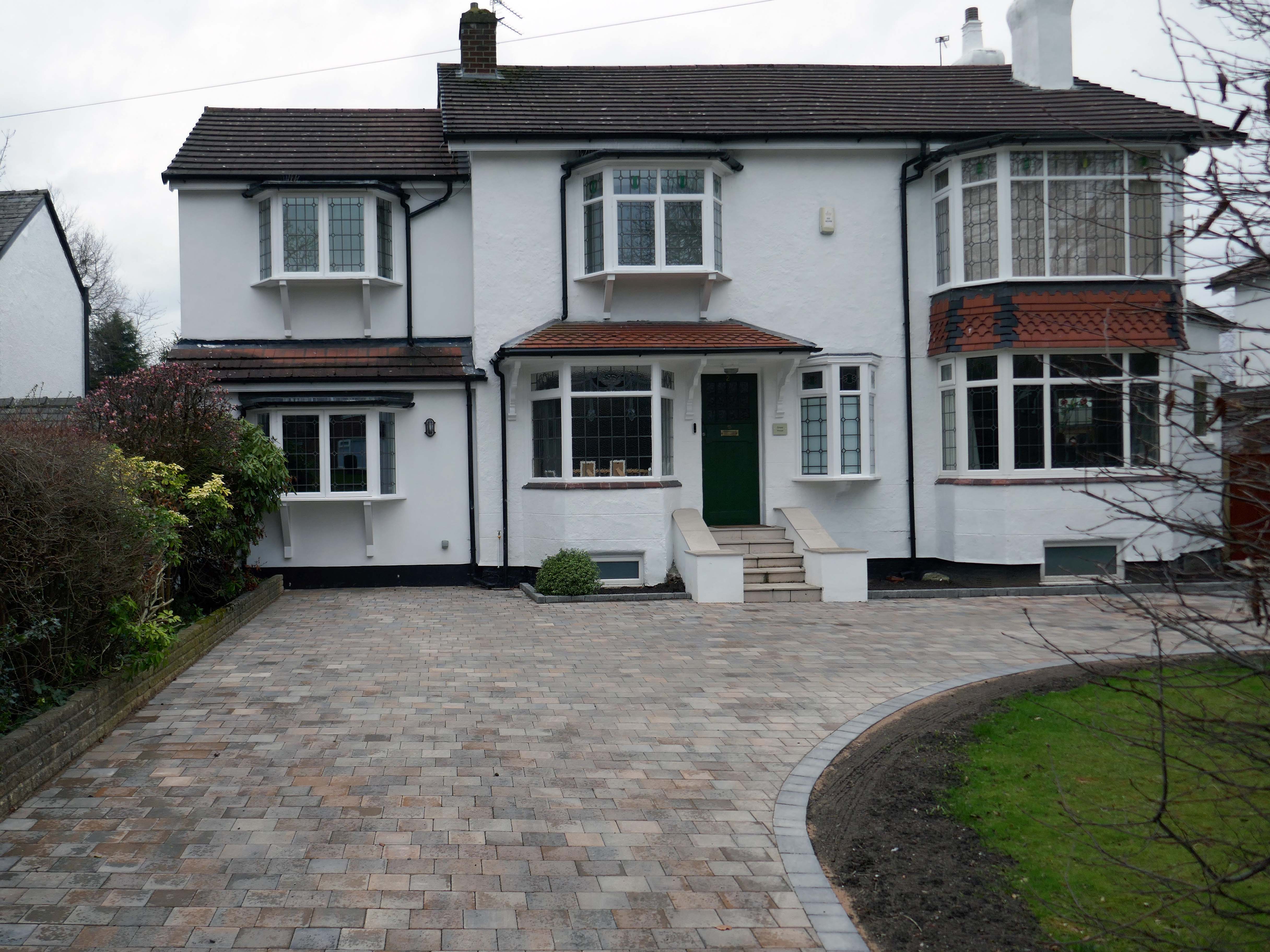
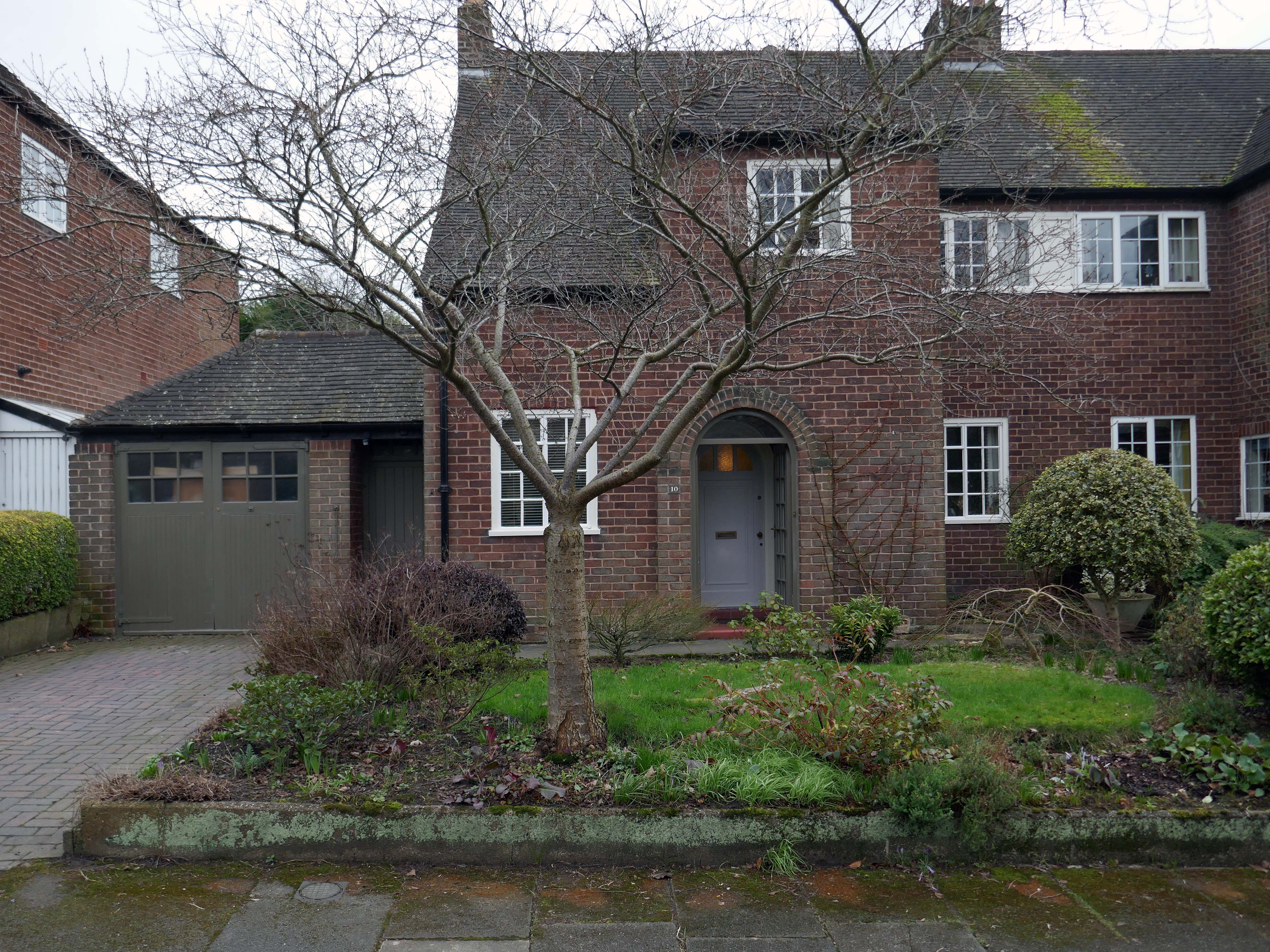
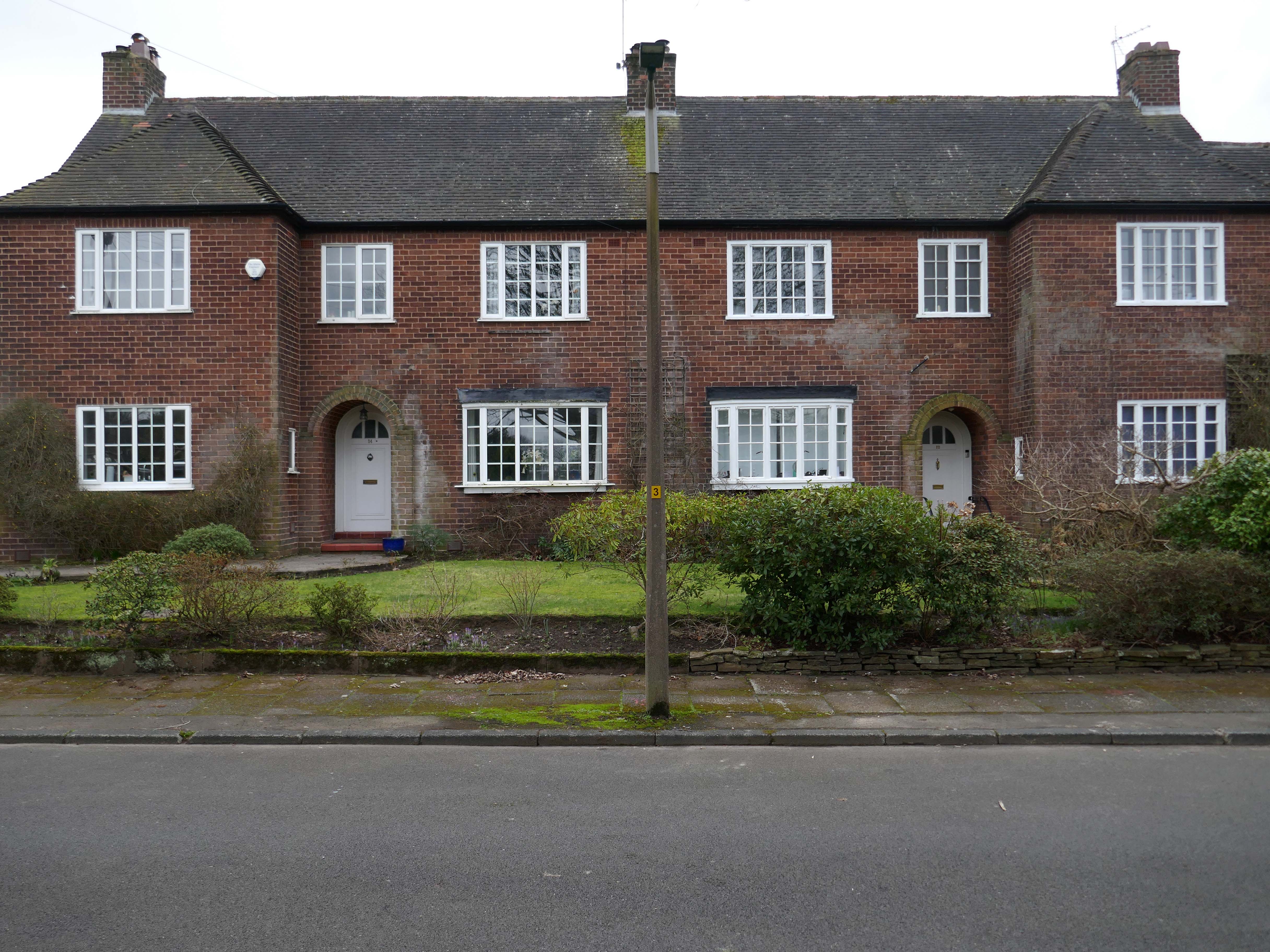
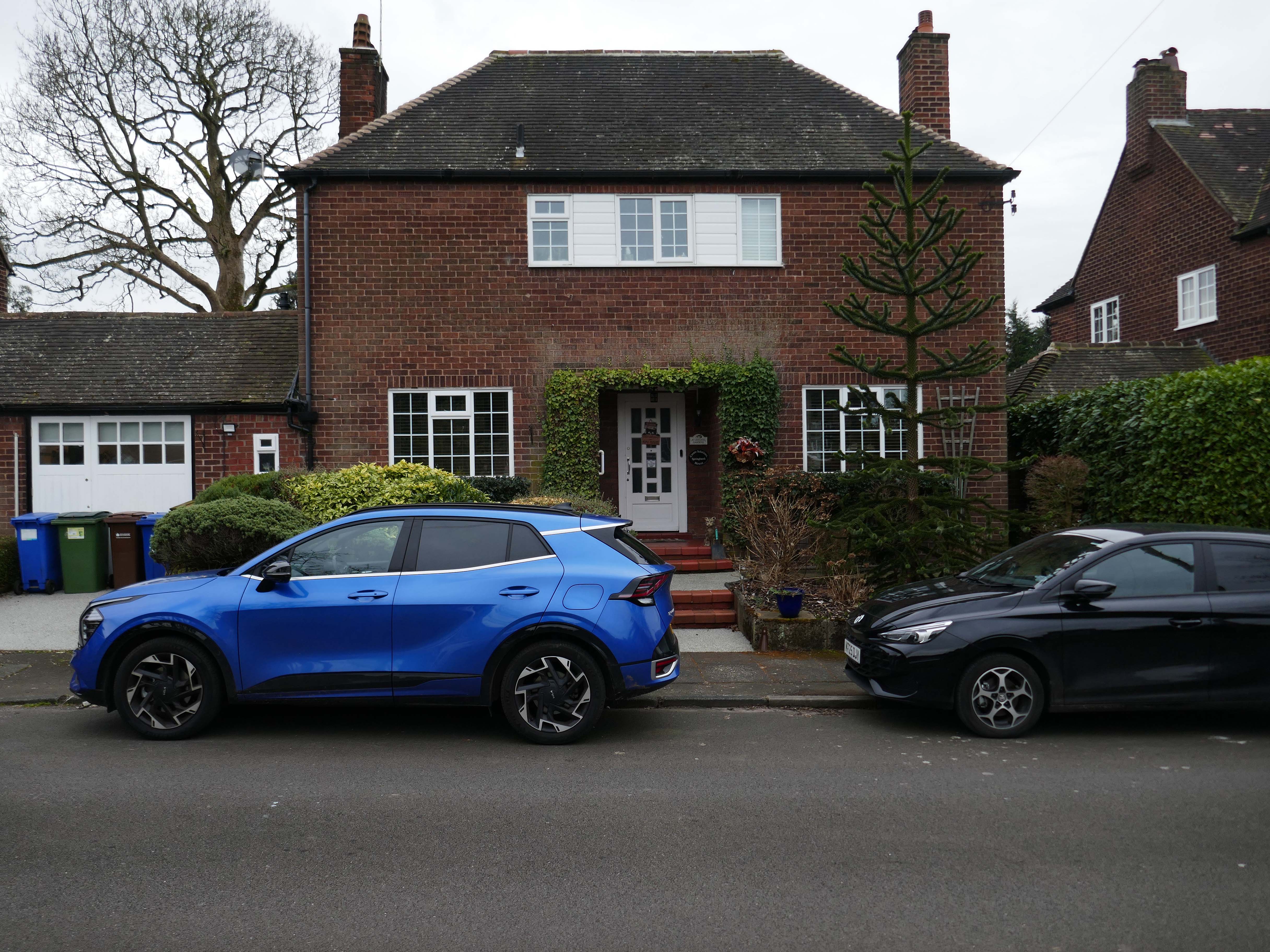
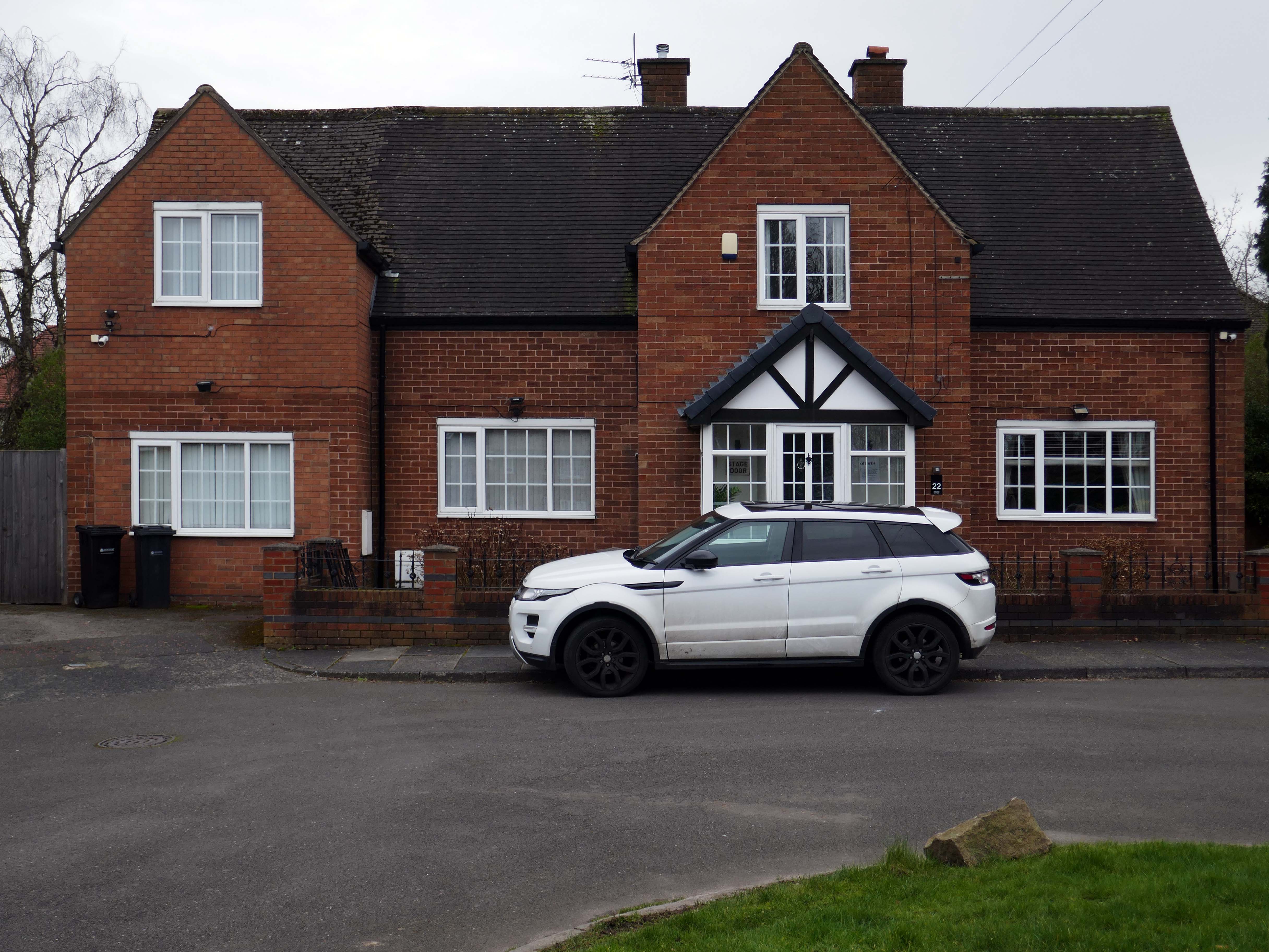
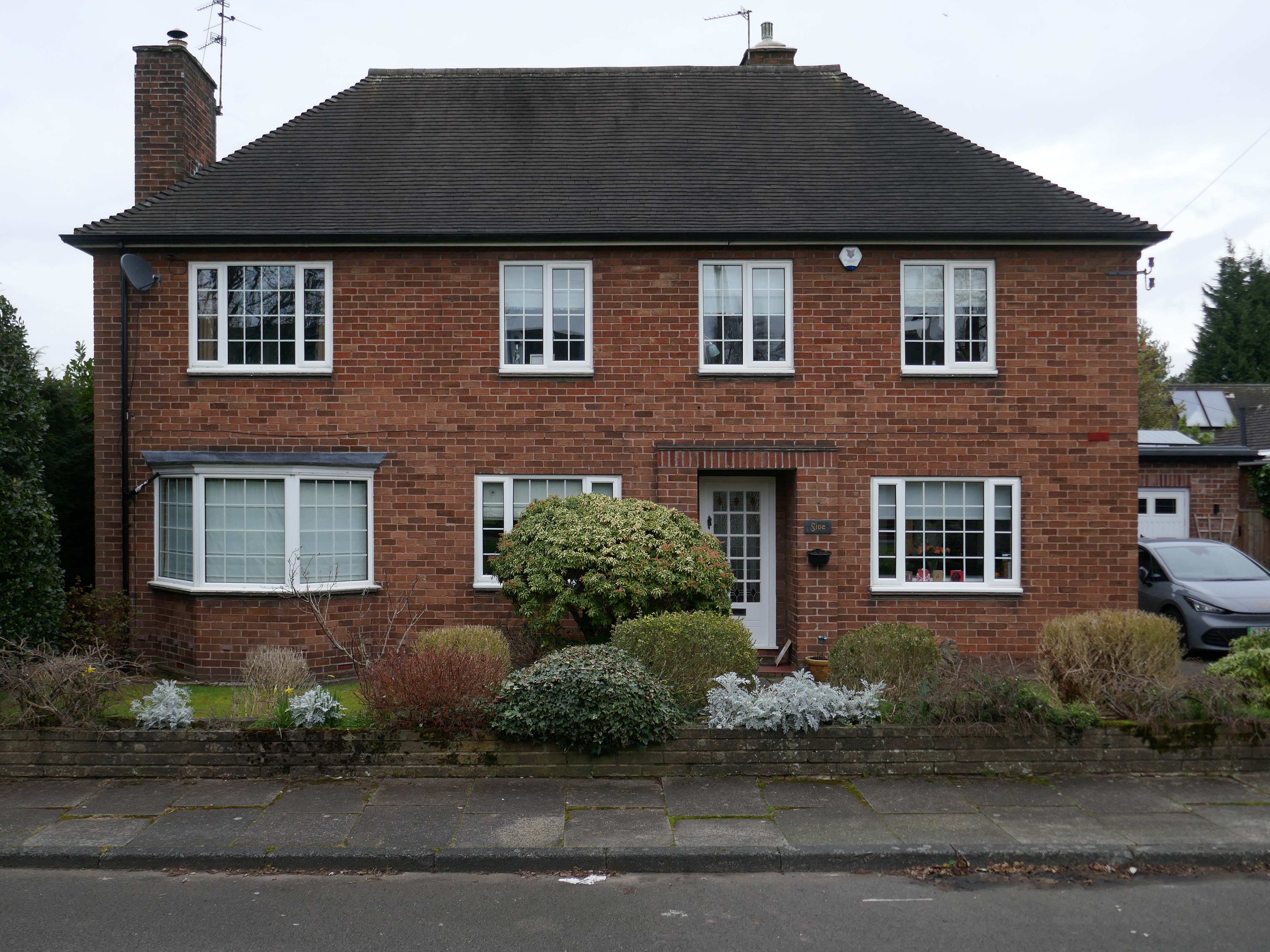
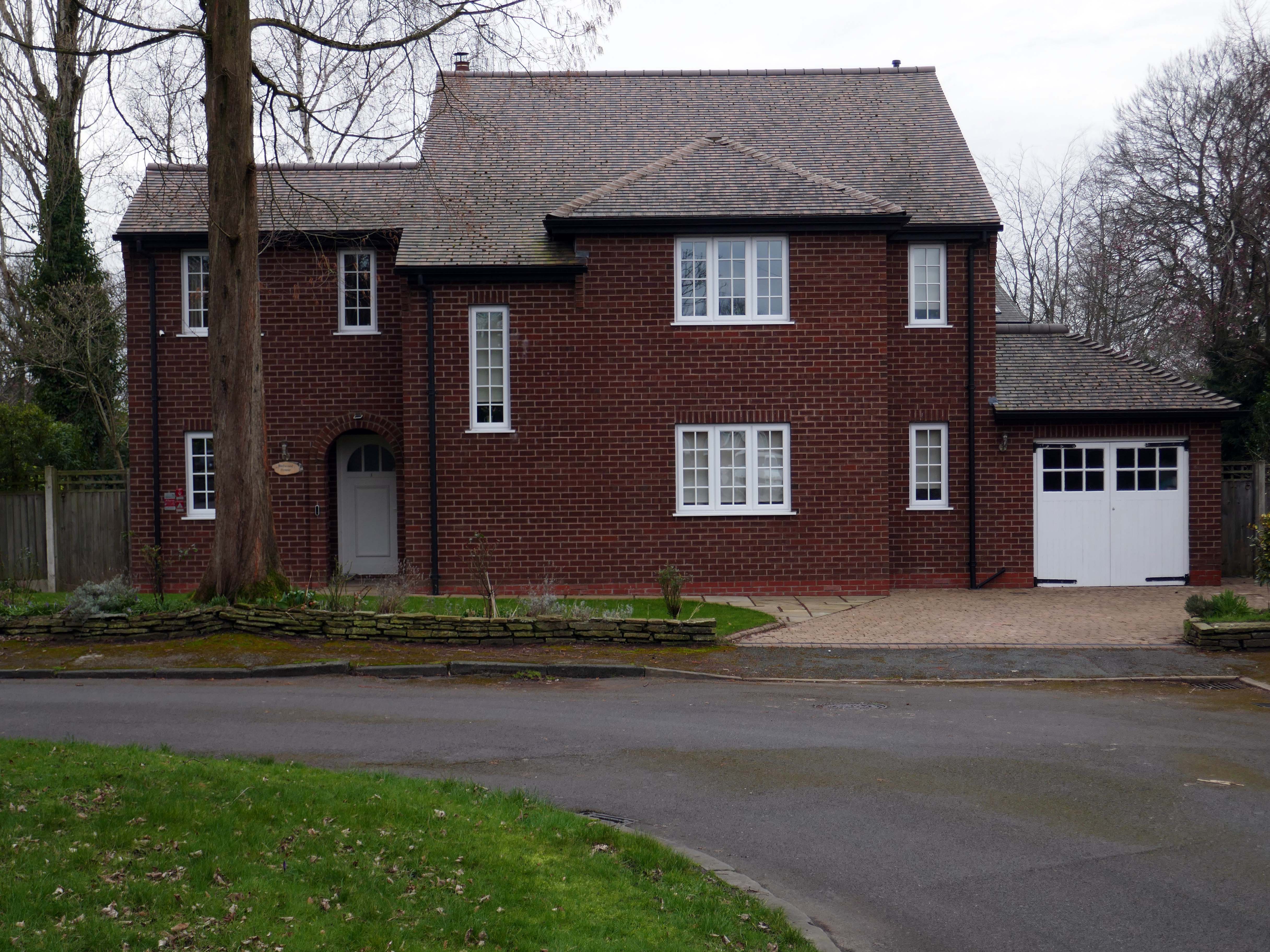
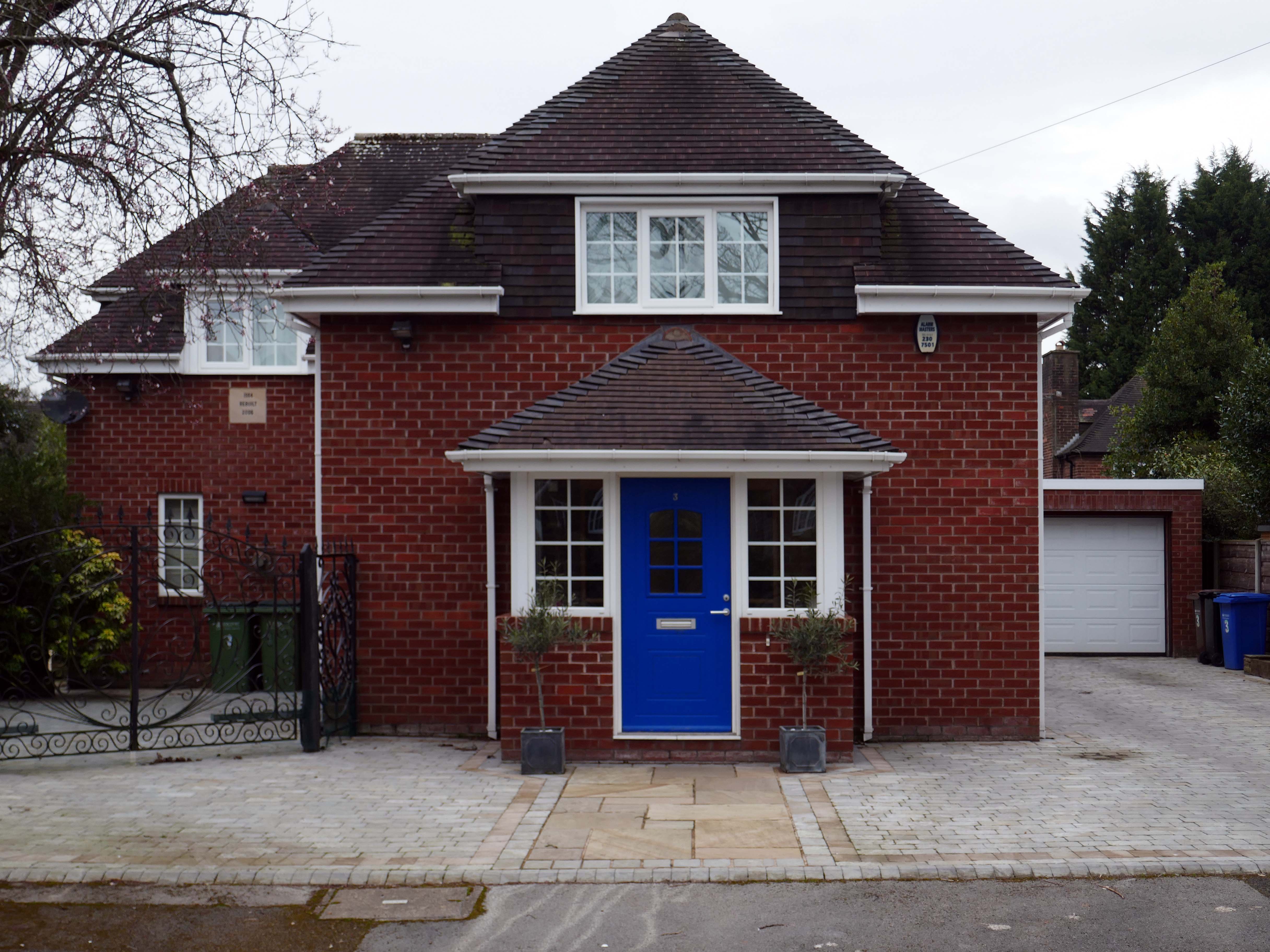
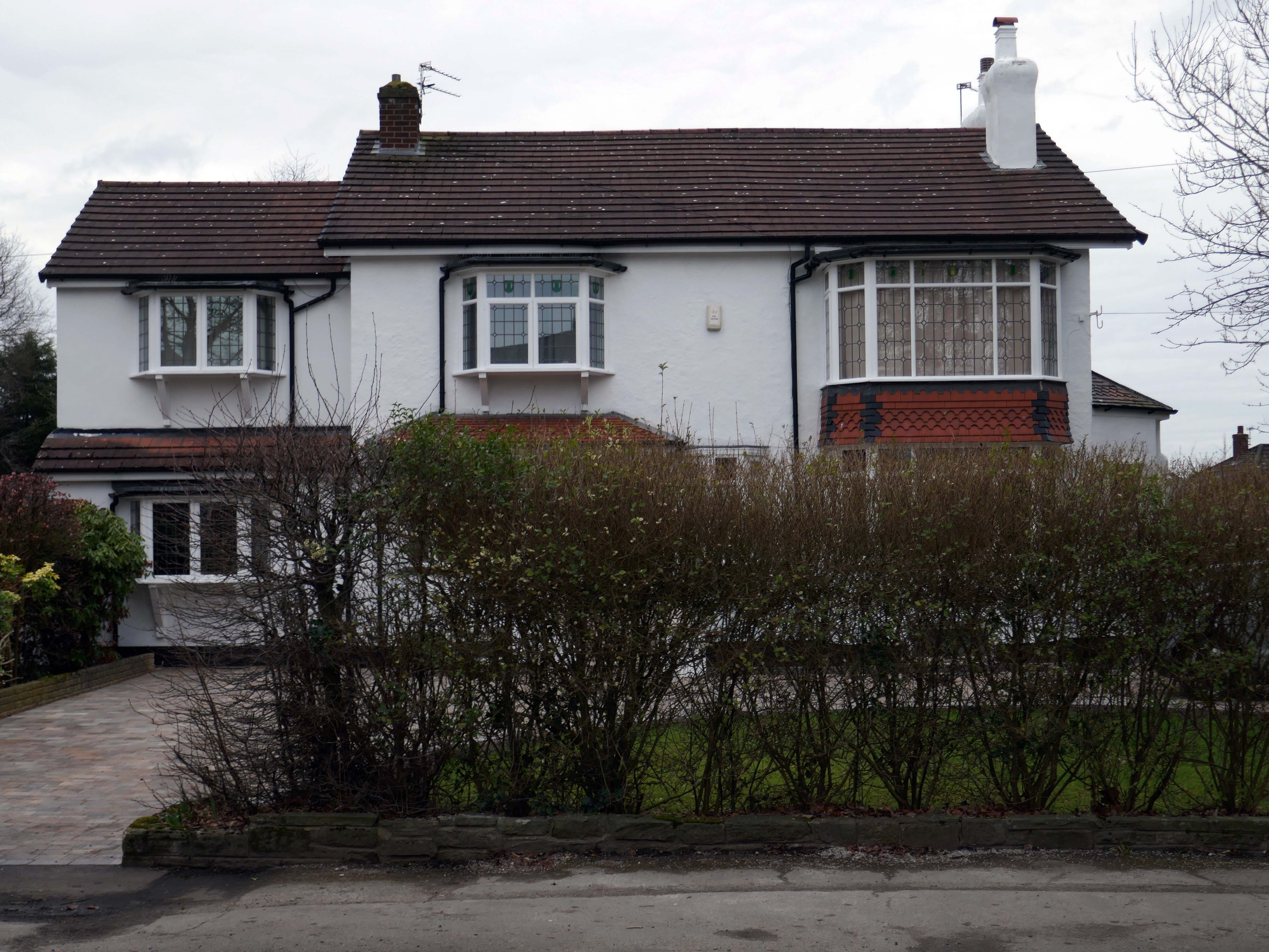
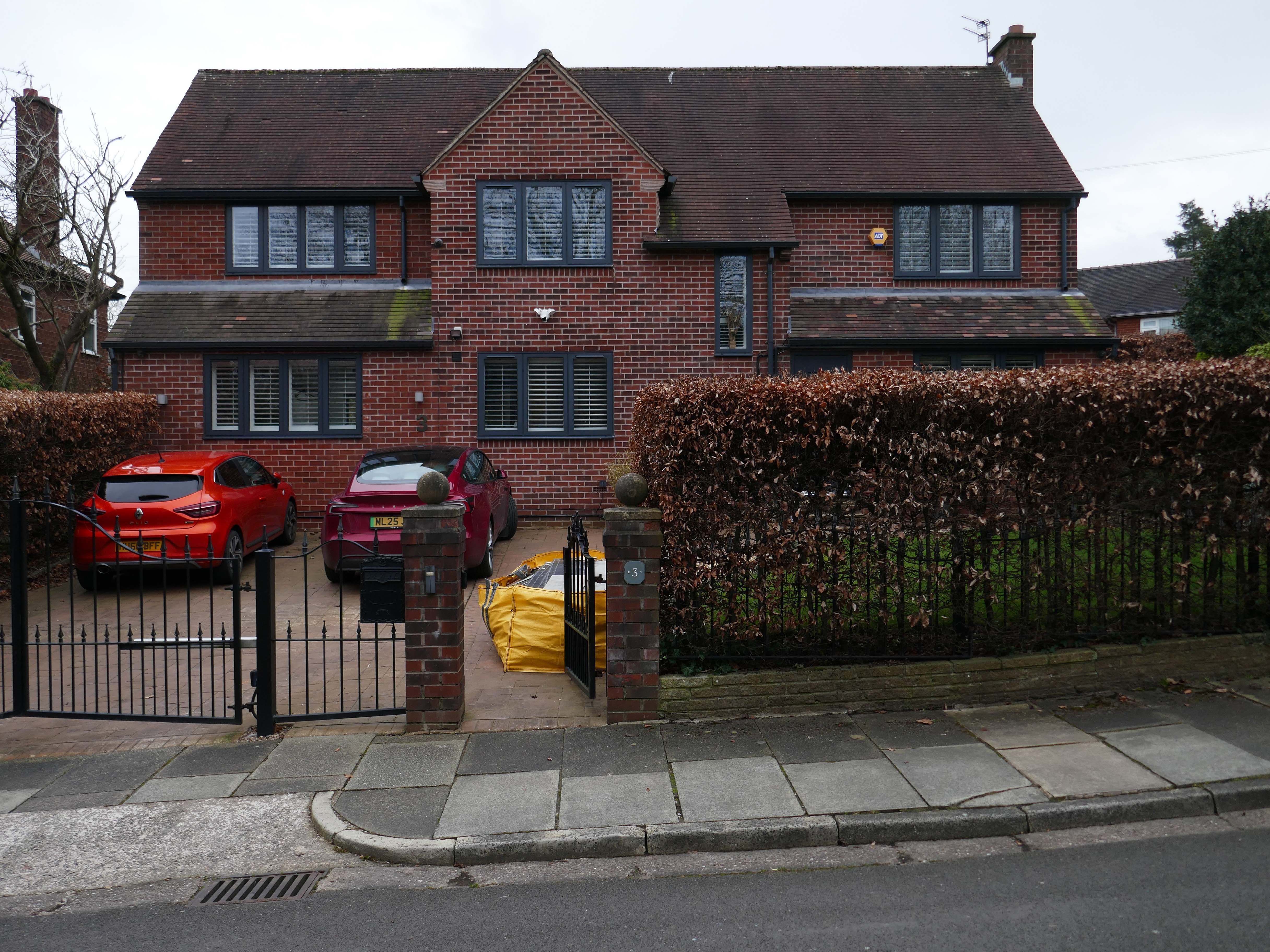
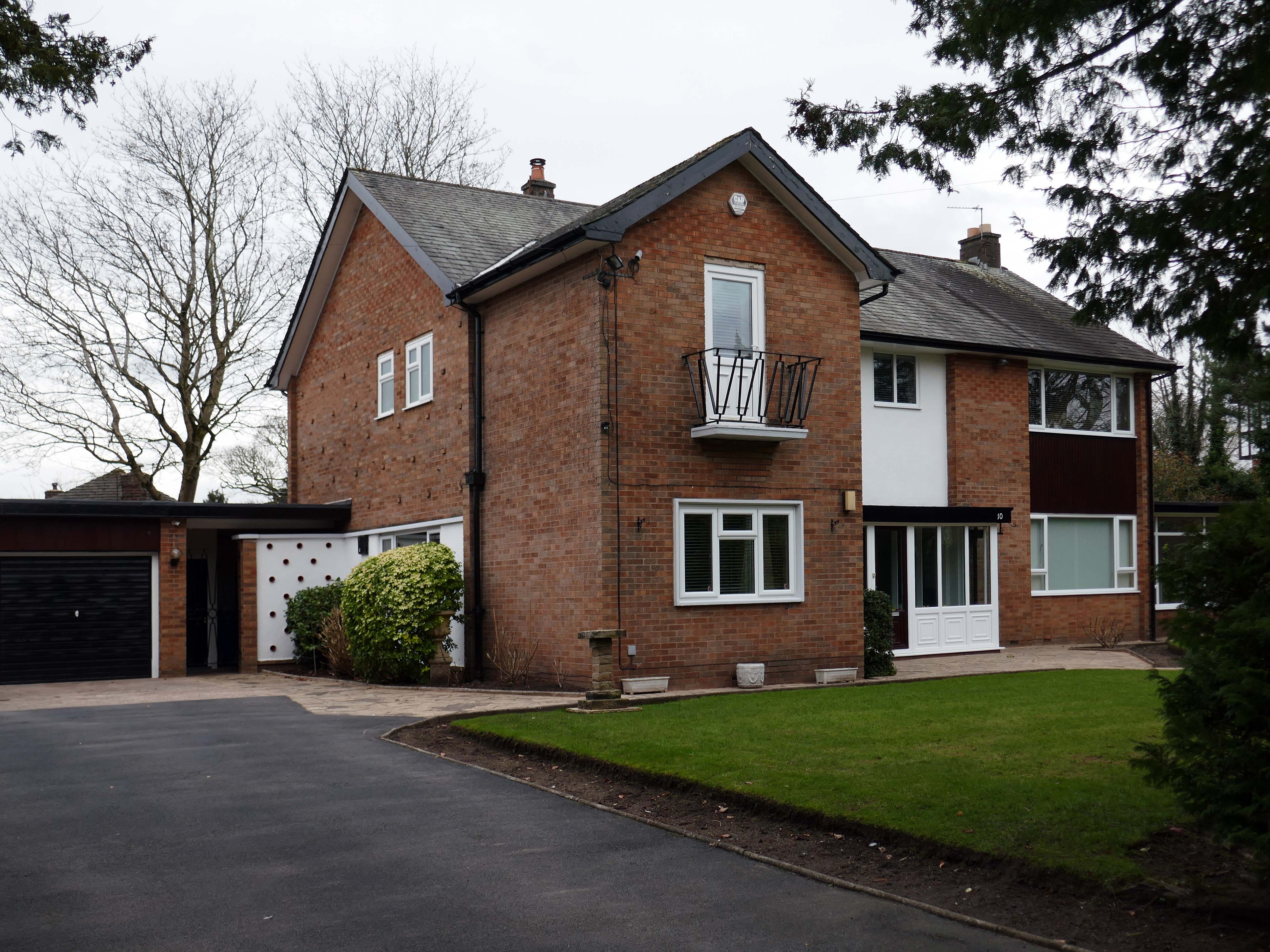
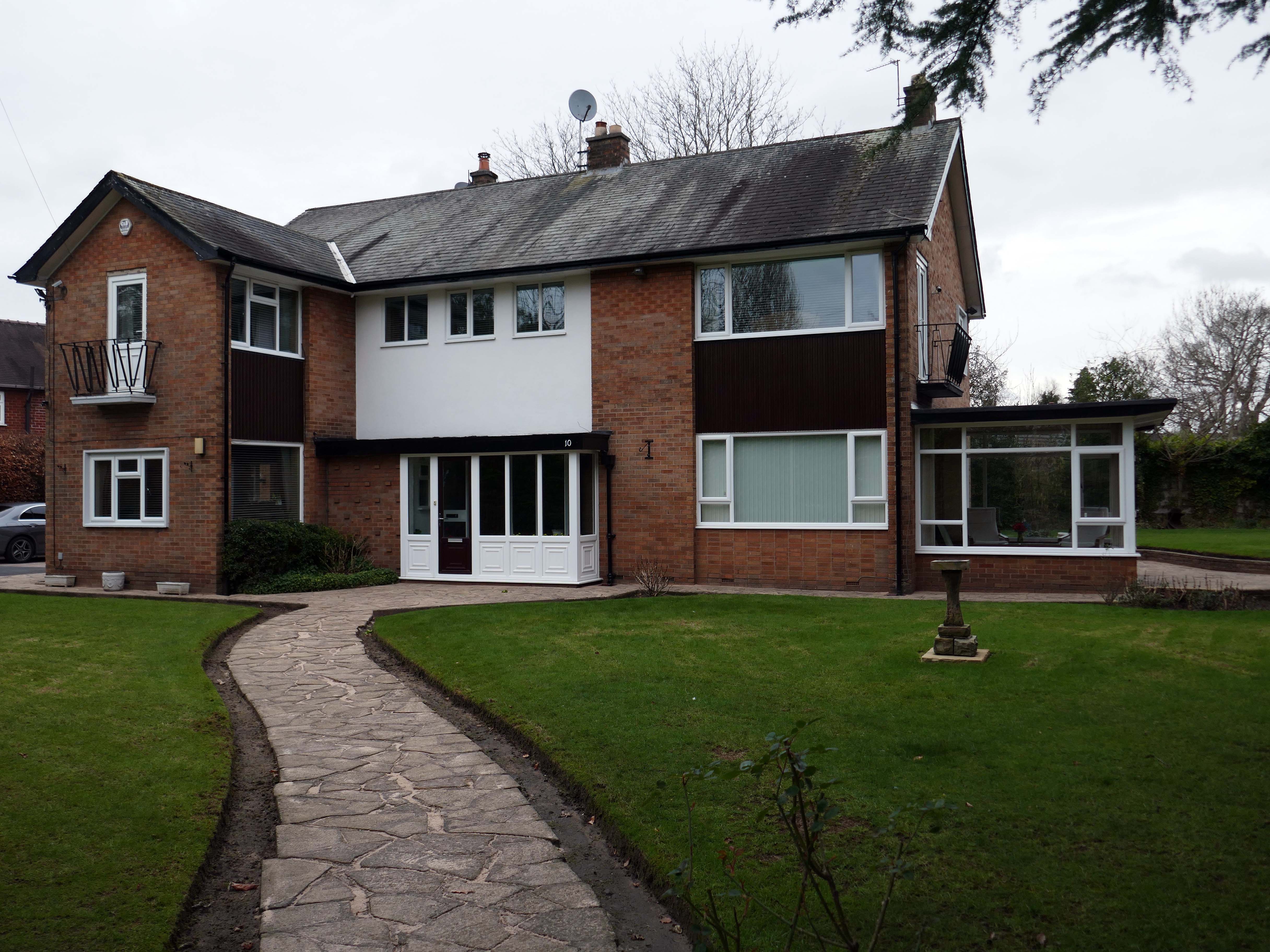
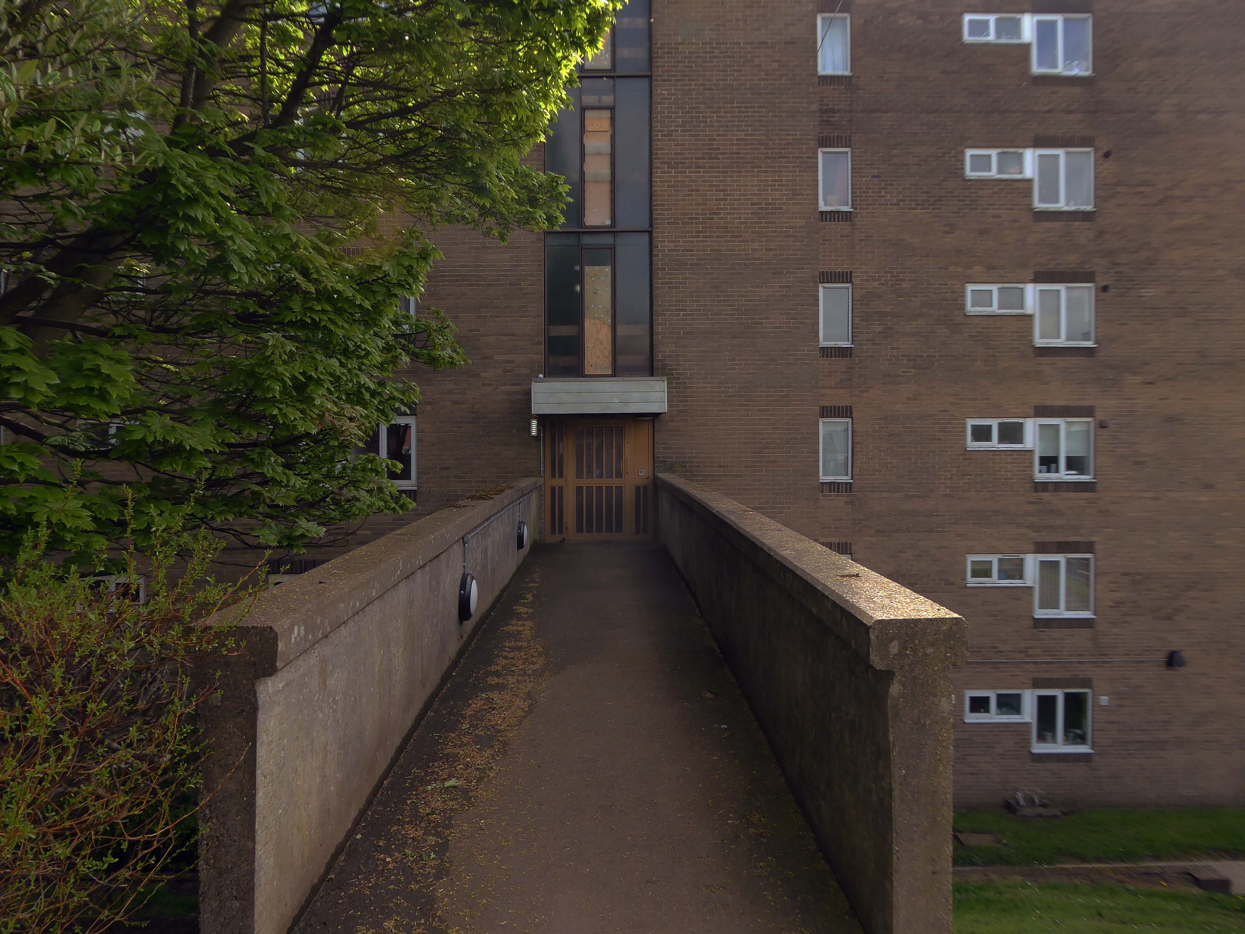
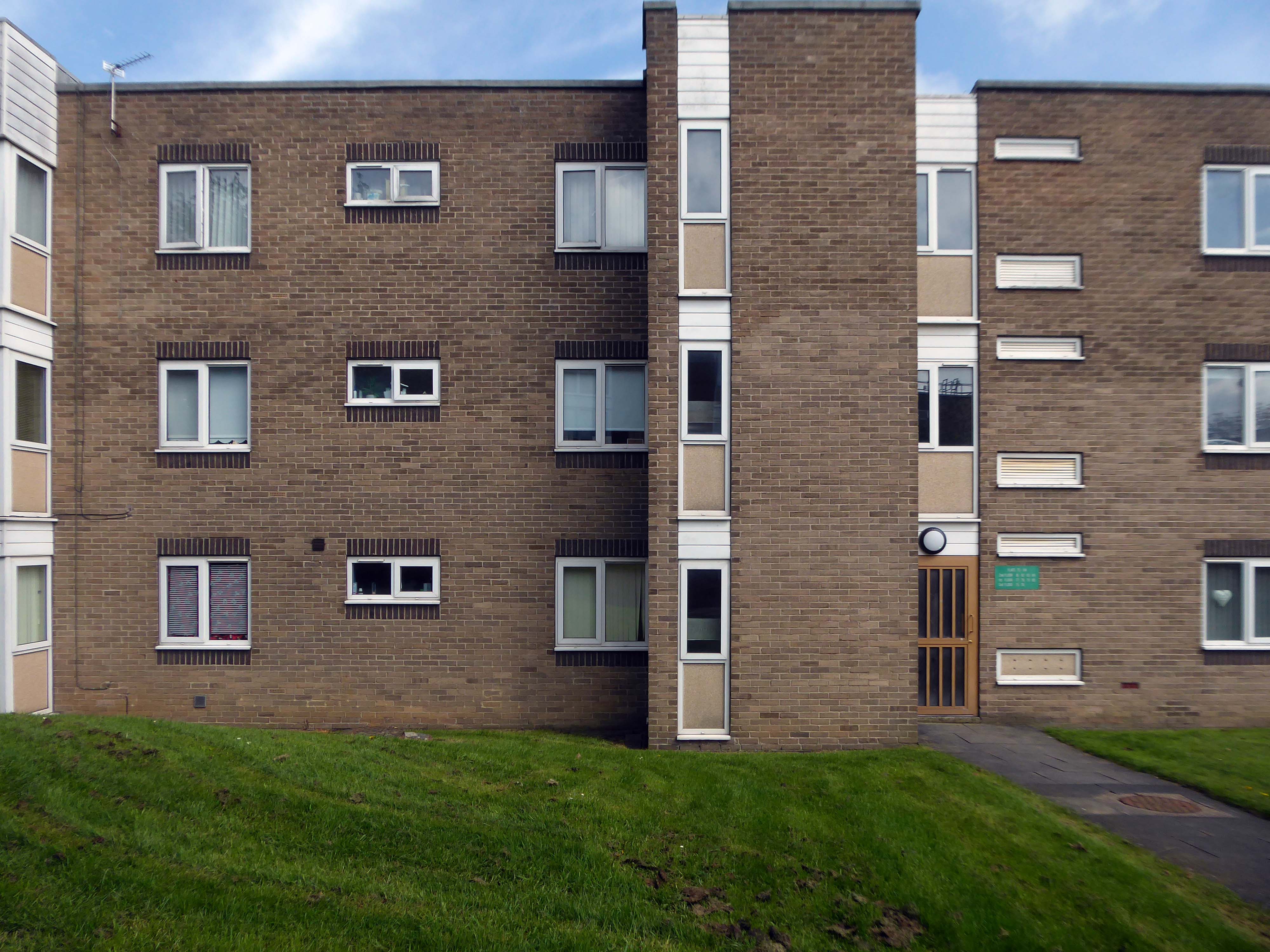
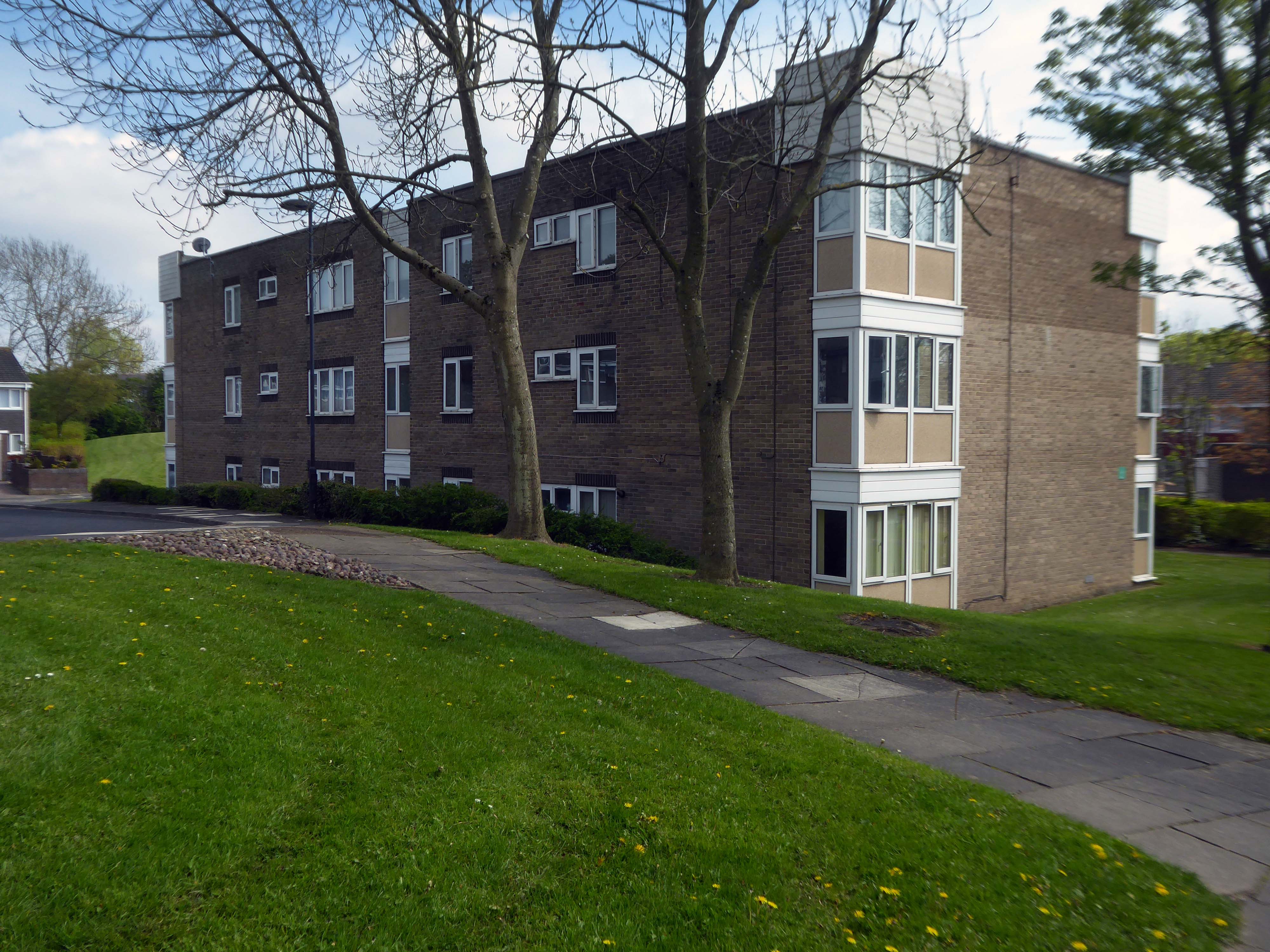
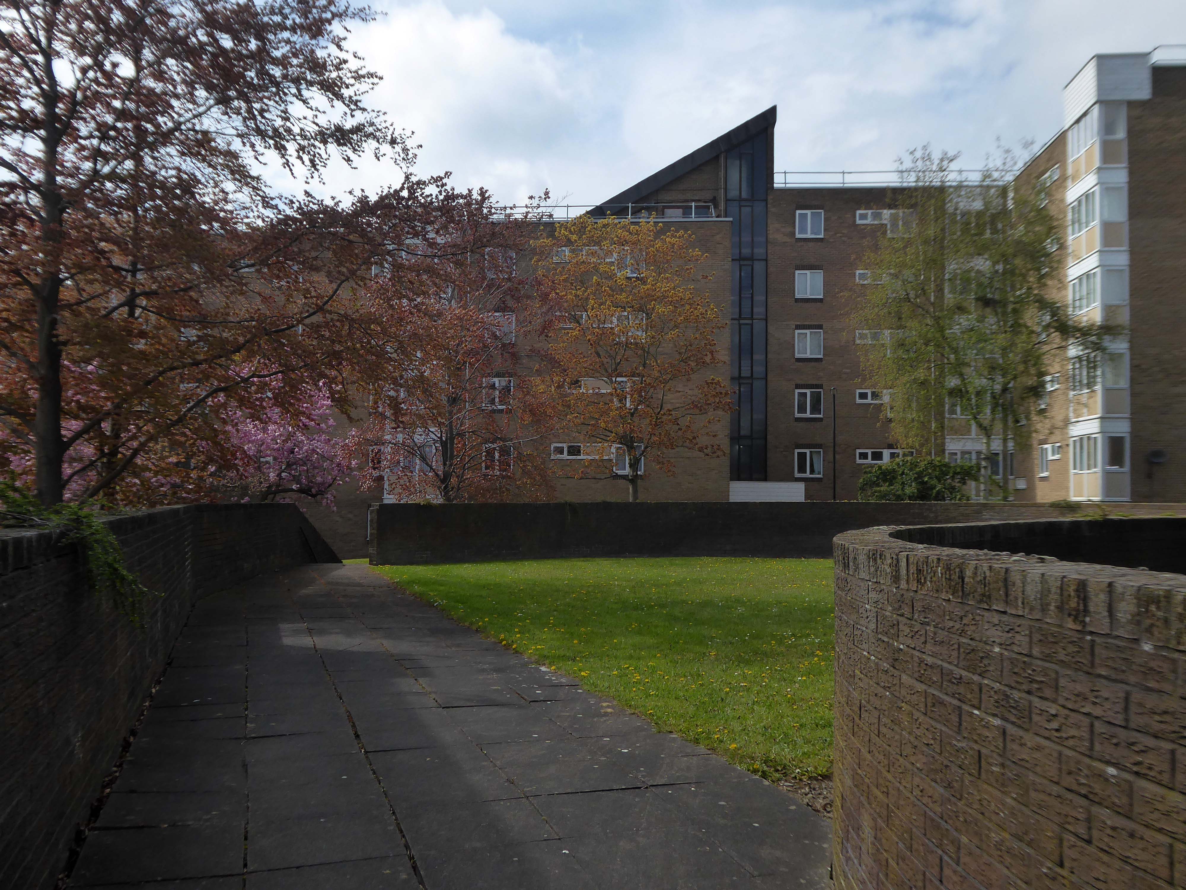
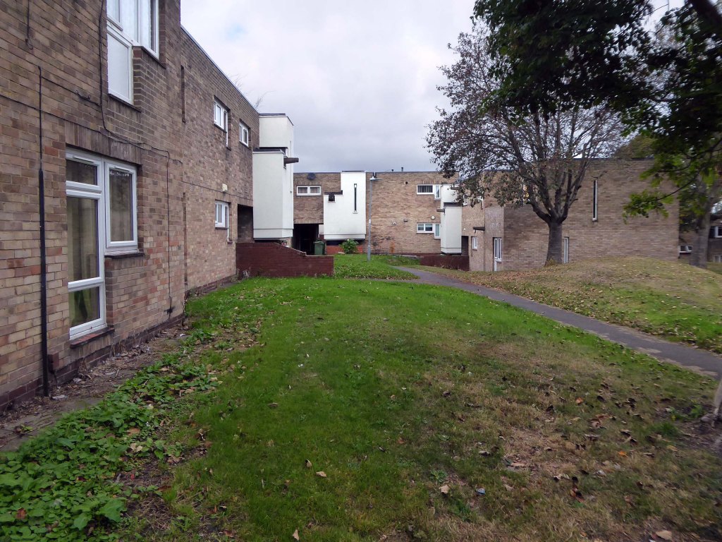
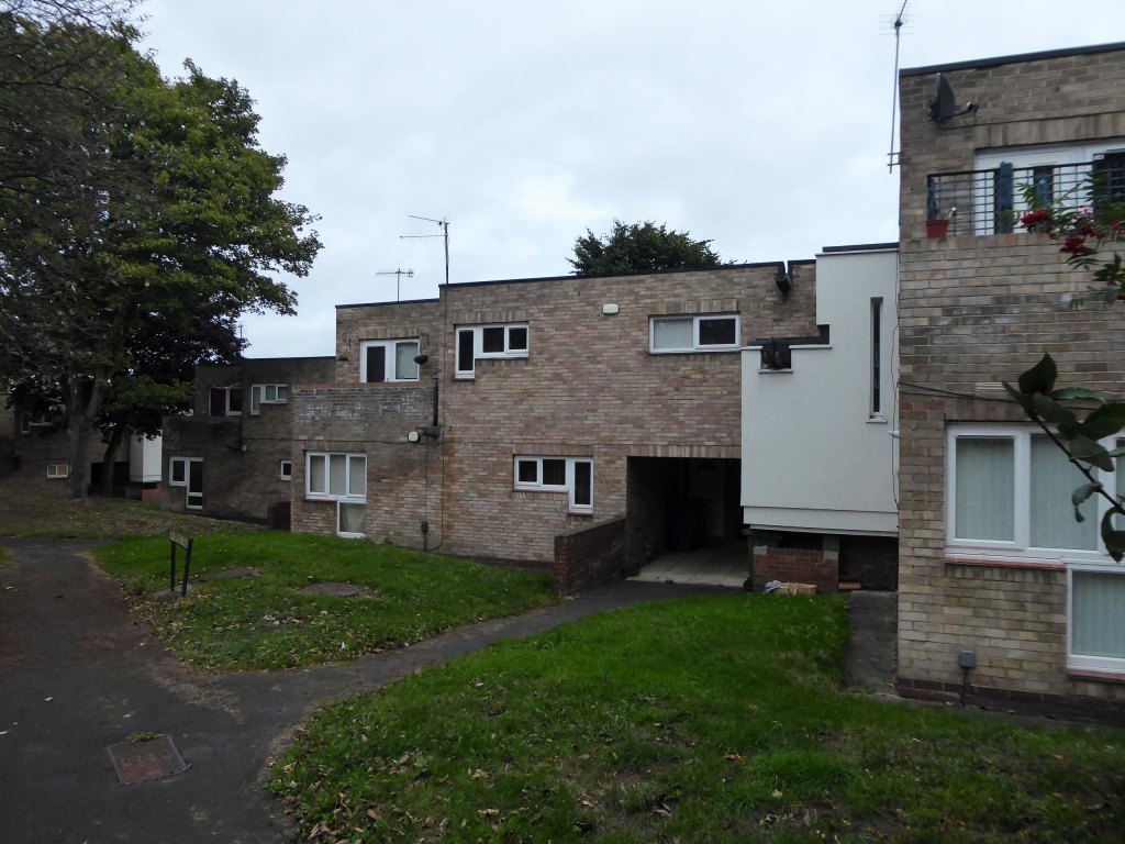
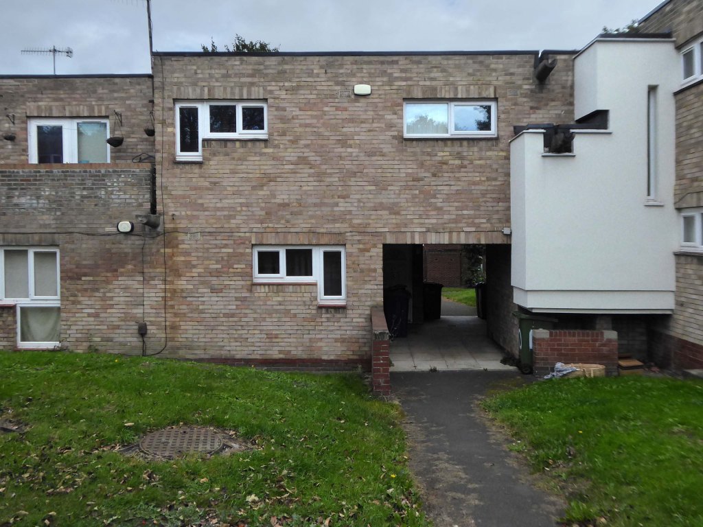
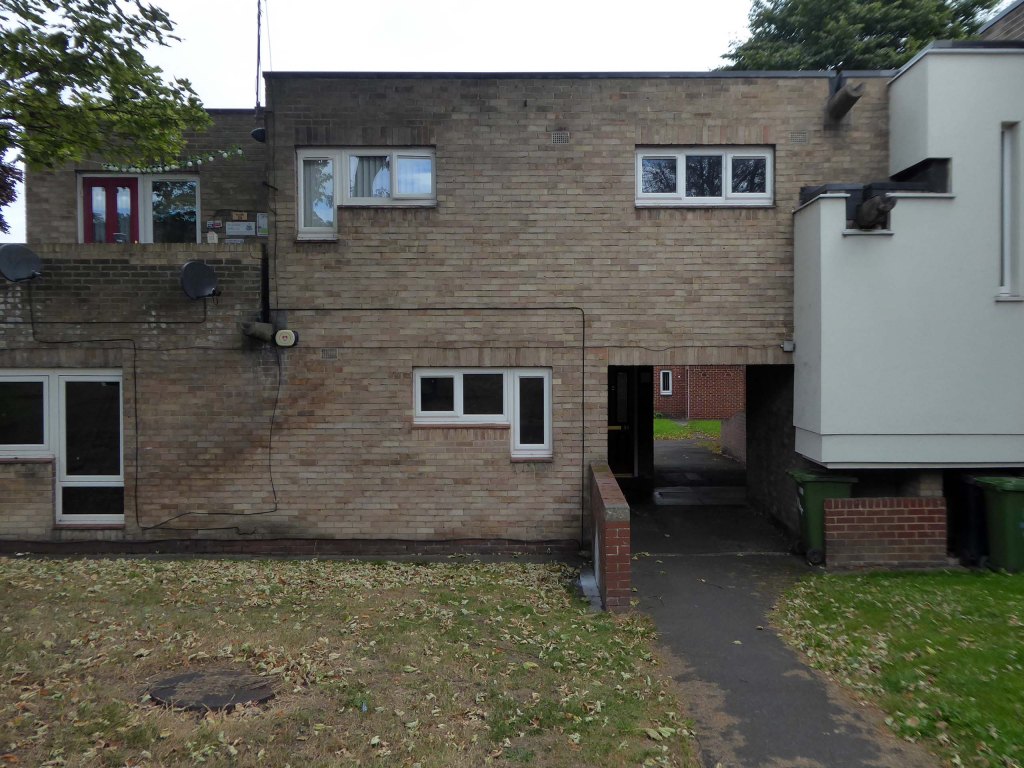
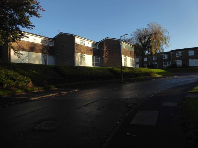
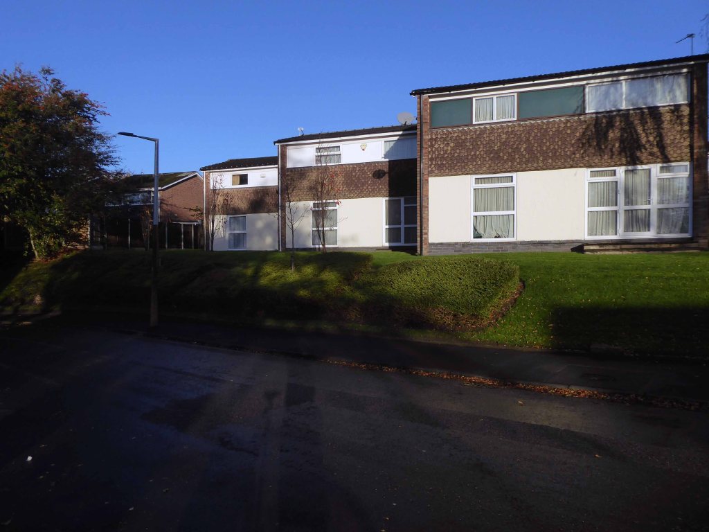
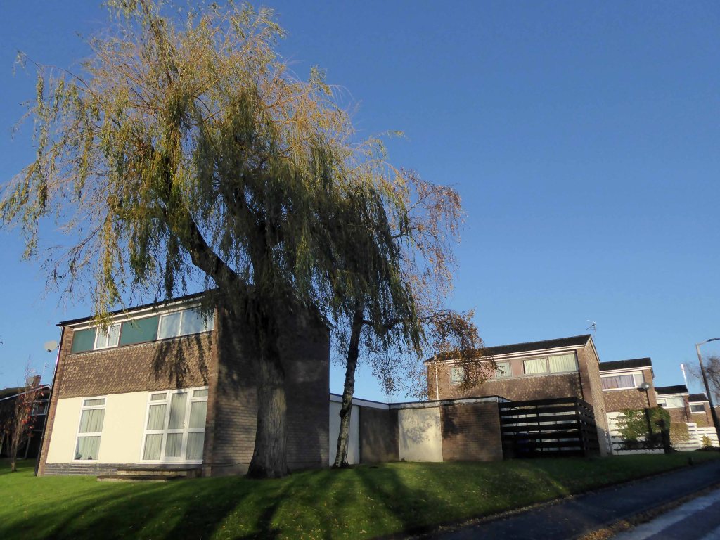
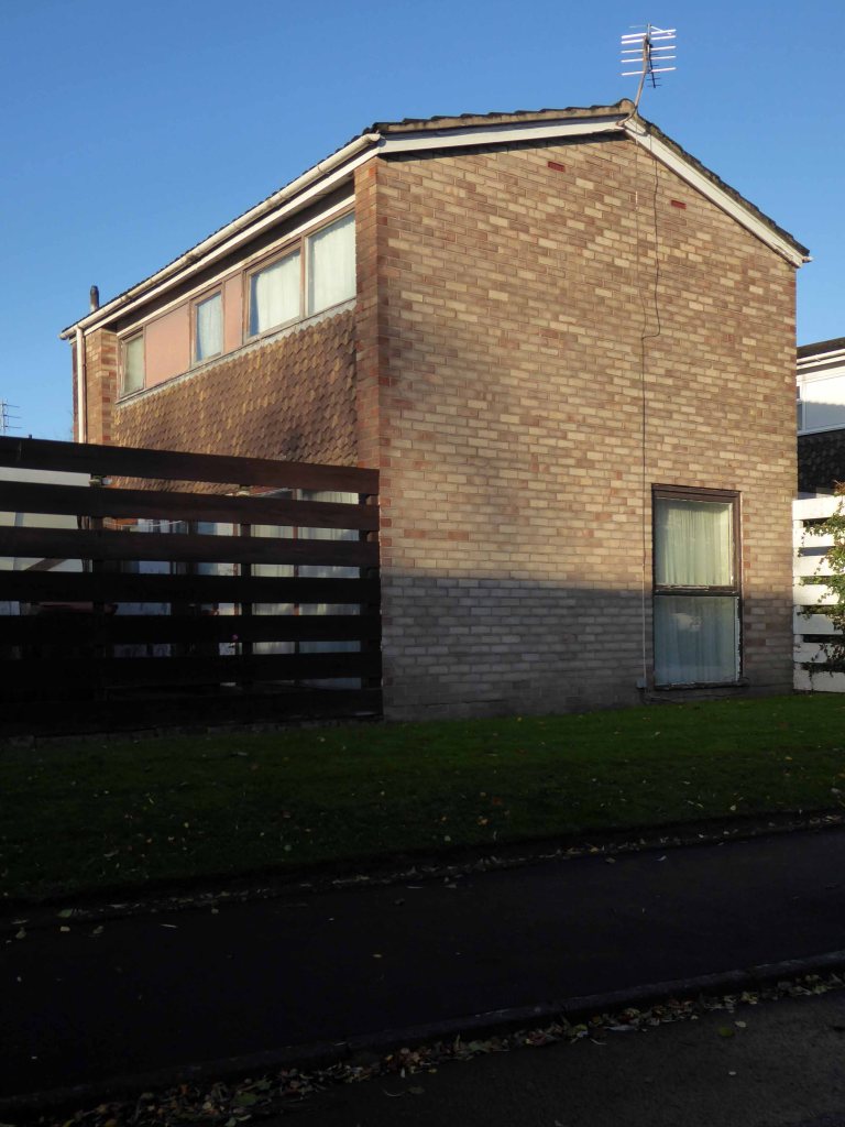
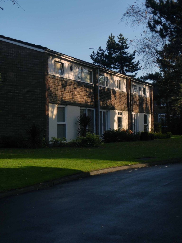
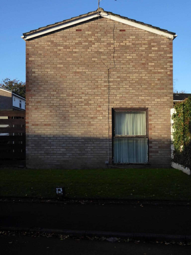
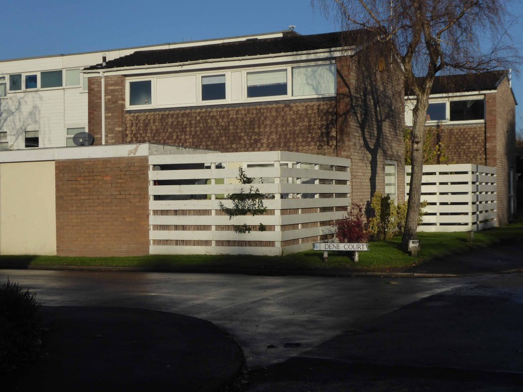
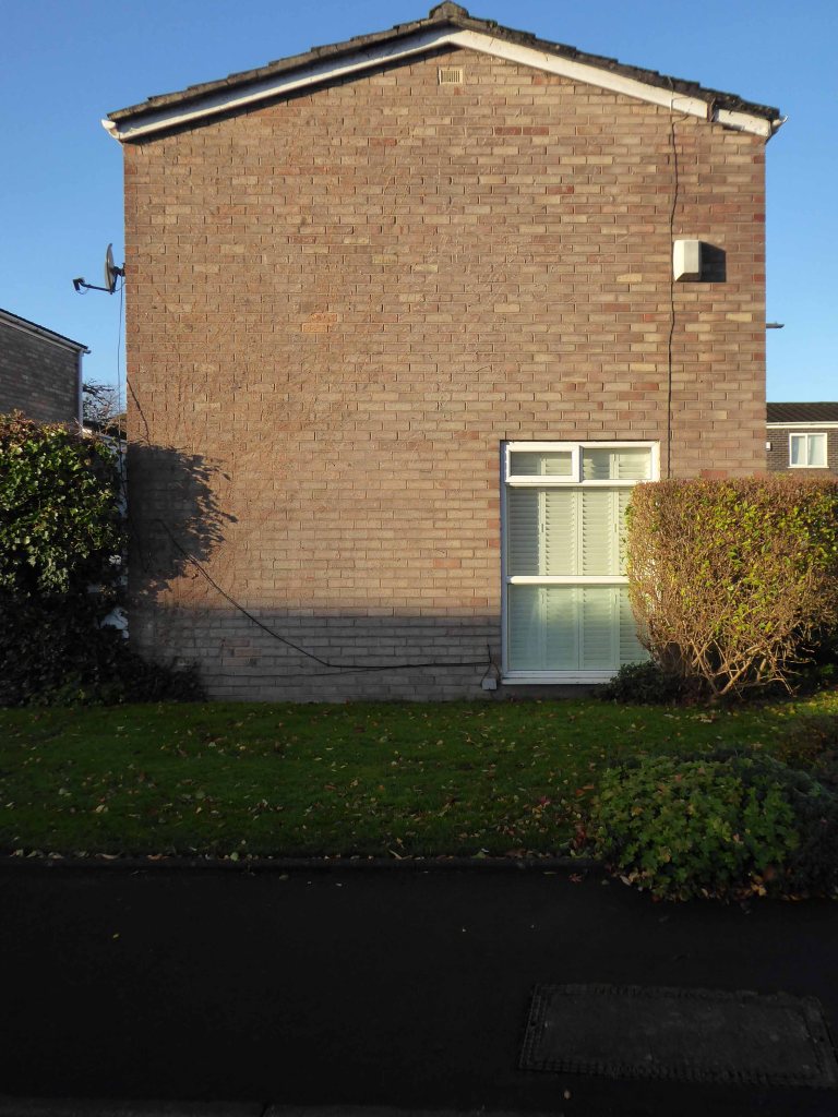
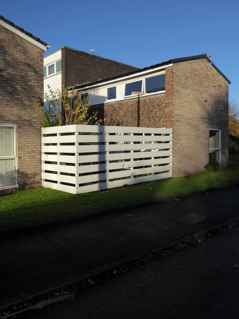
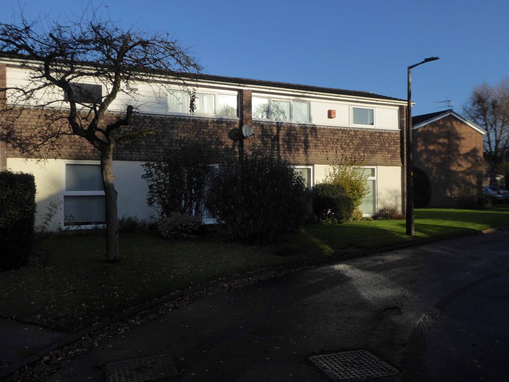
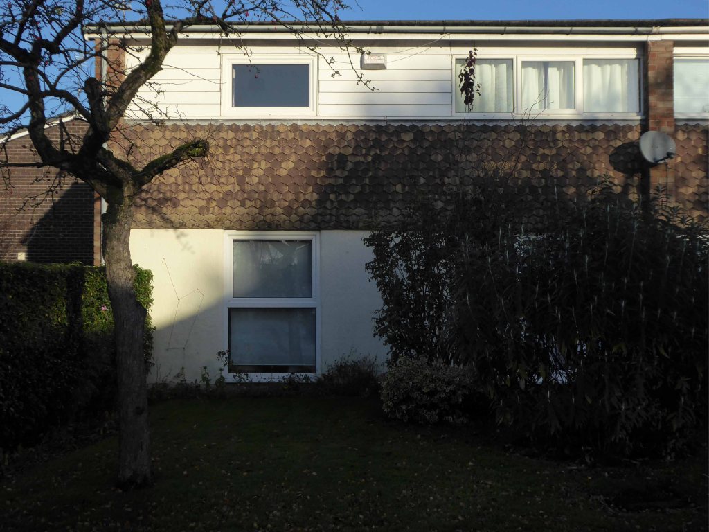
Mauldeth Road is lined with larger houses, Victorian and interwar villas, bijou apartments and the odd Modernist interloper.
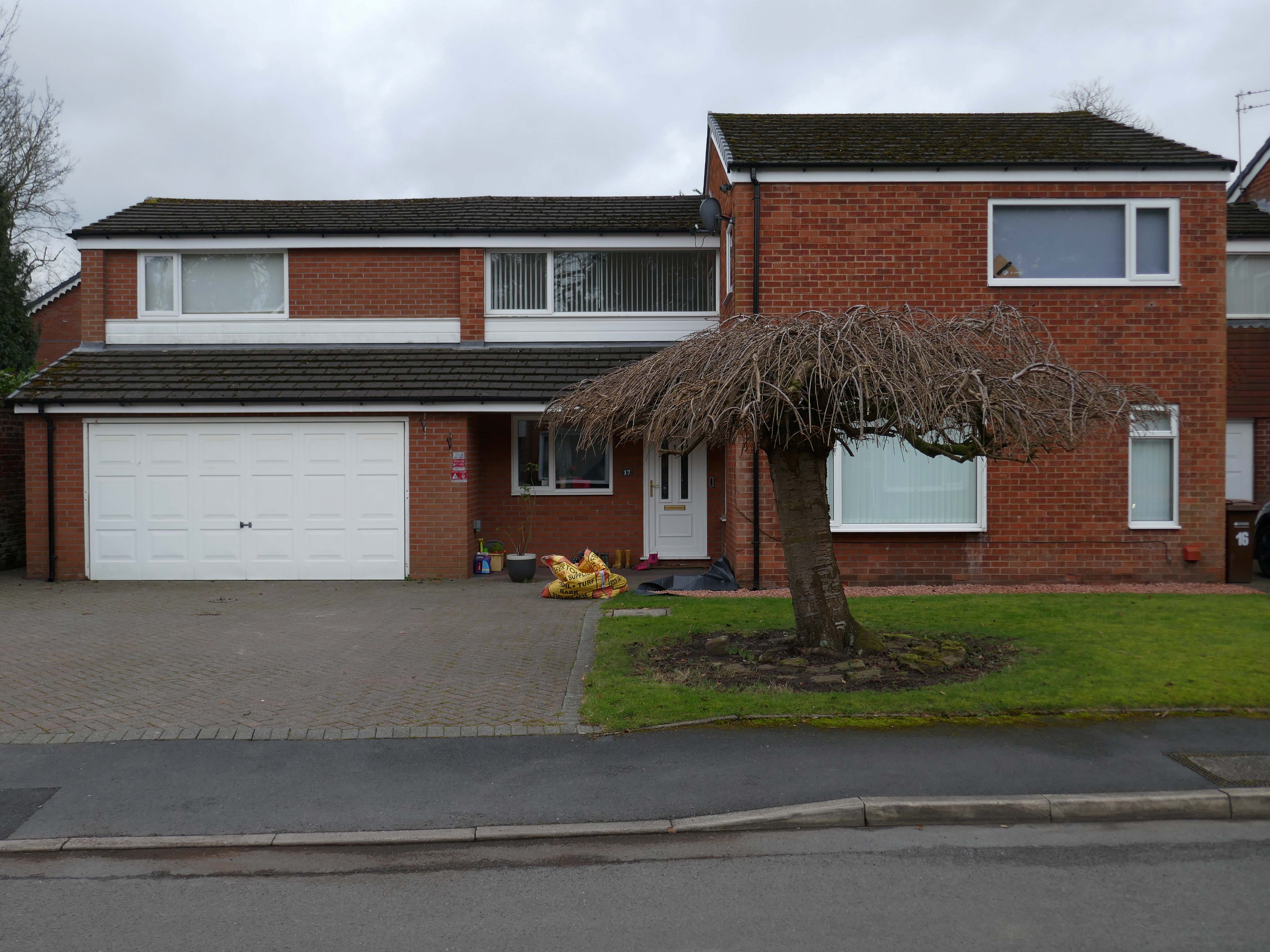
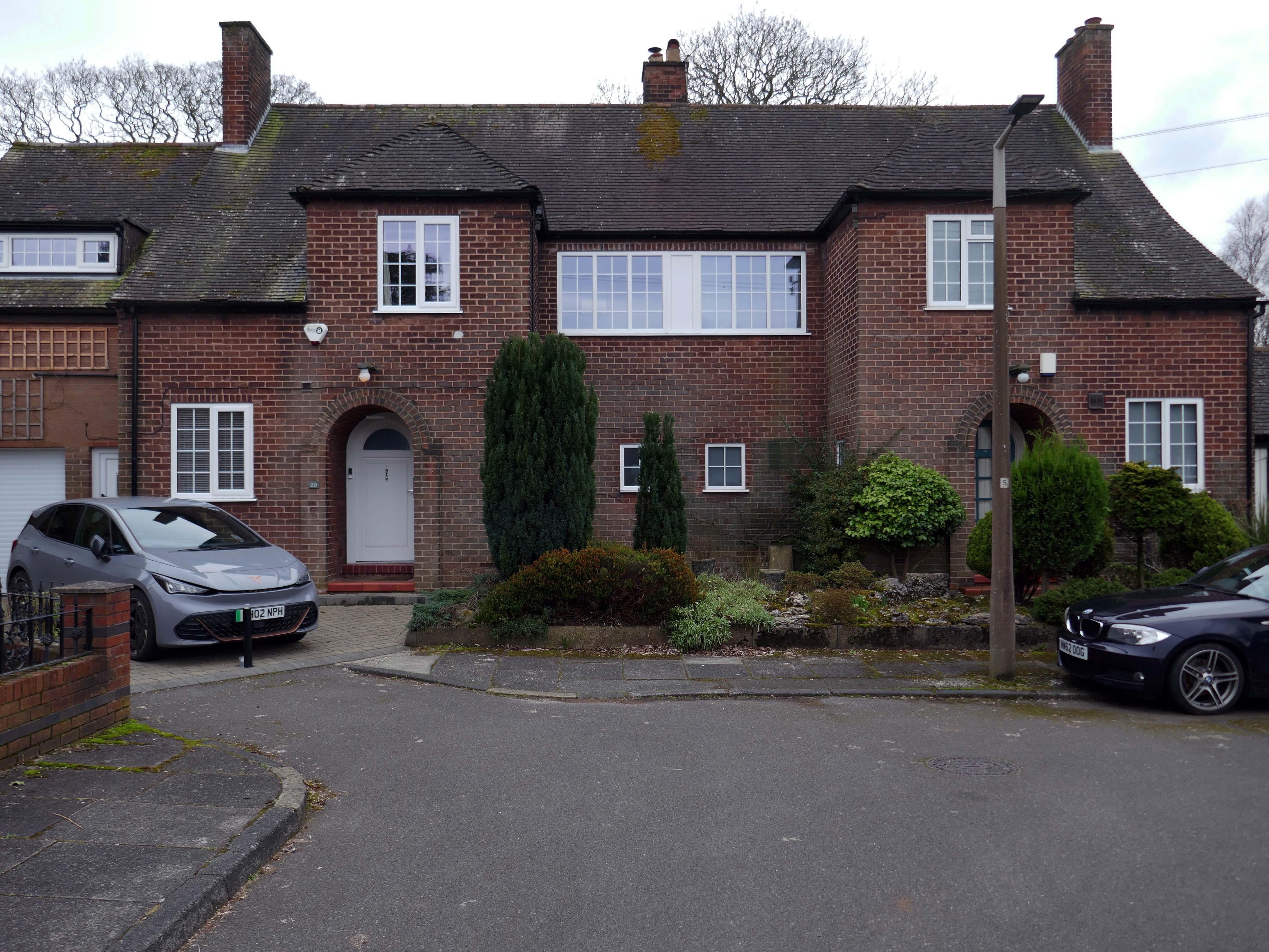
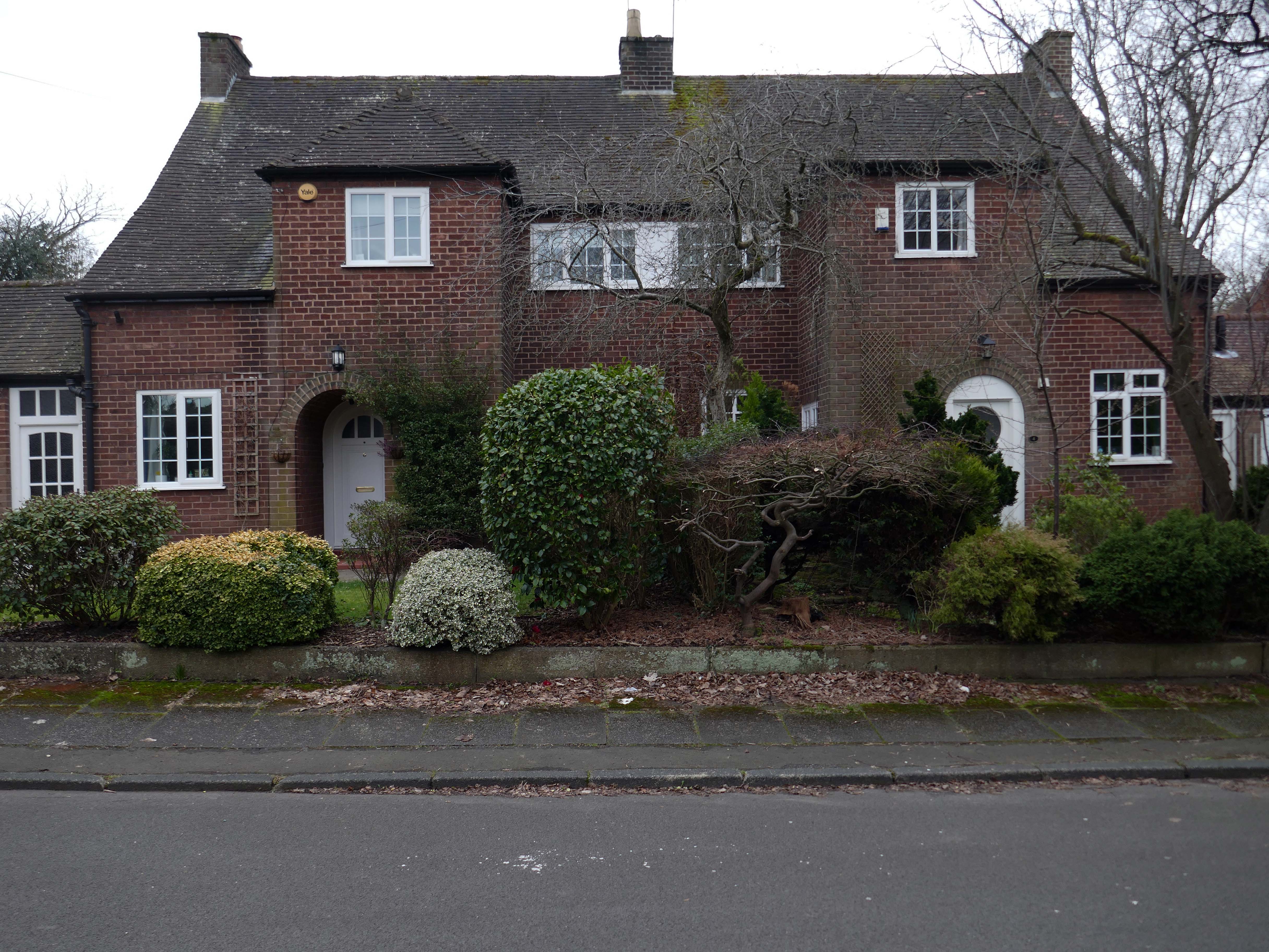
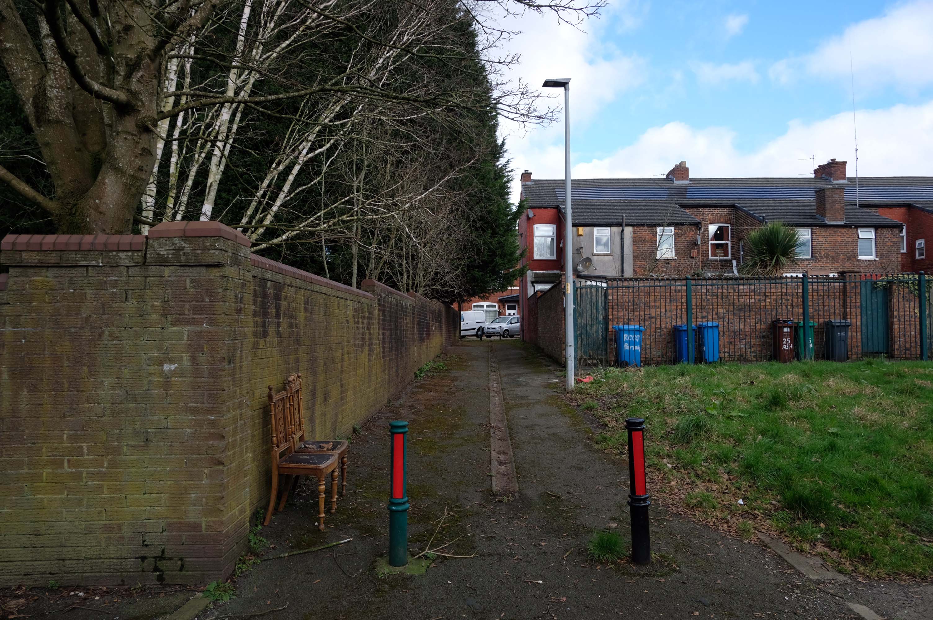
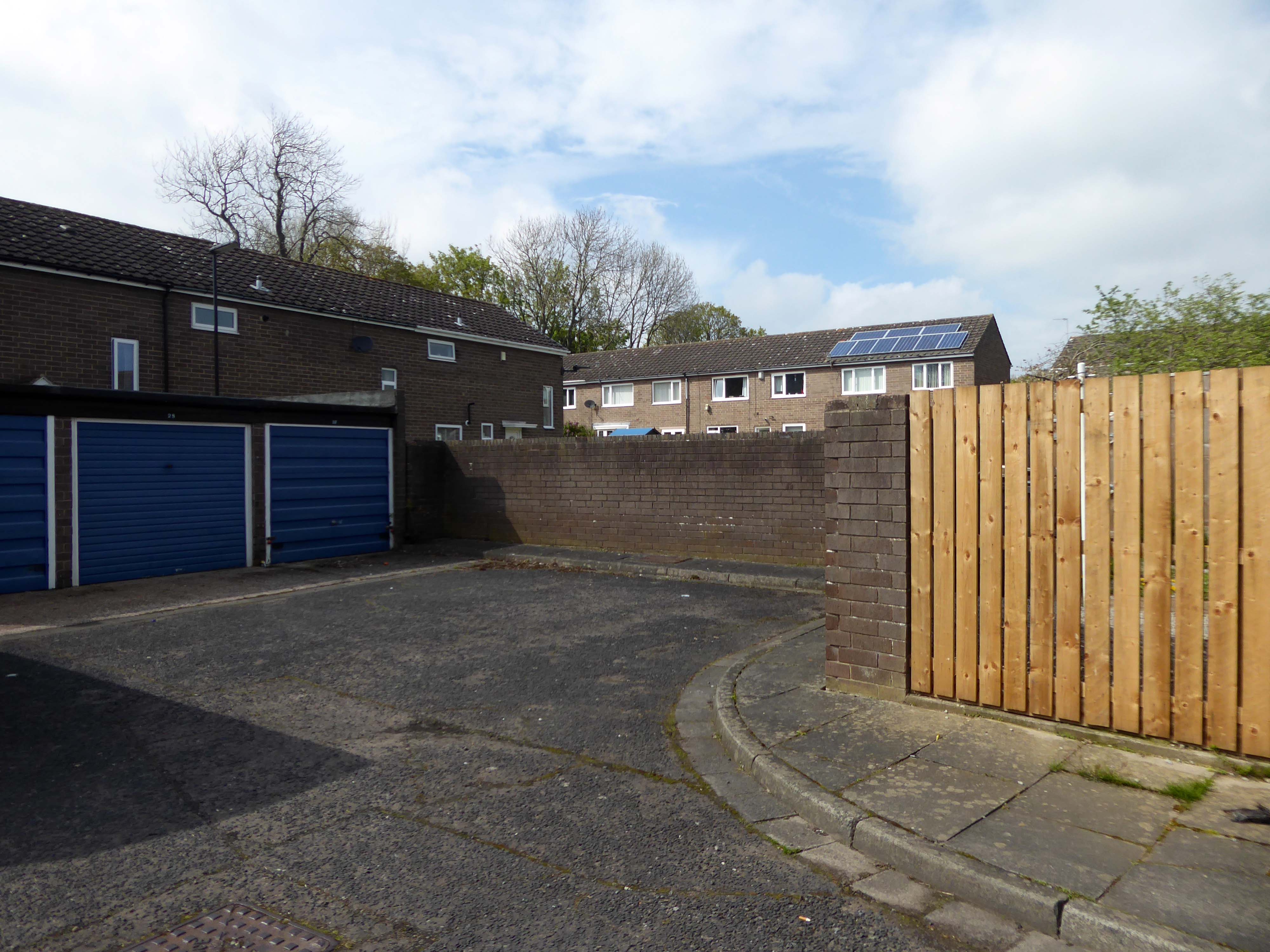
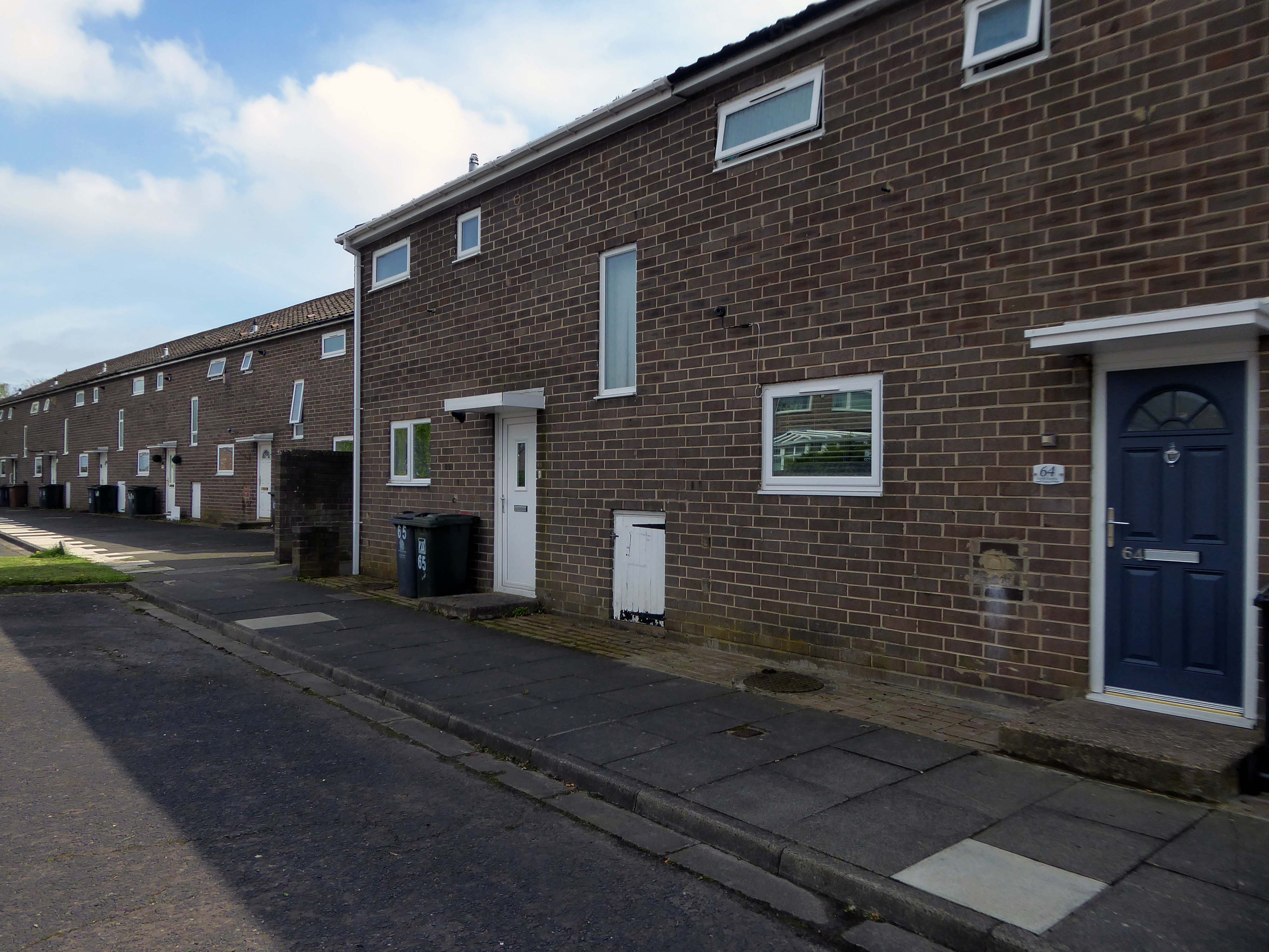
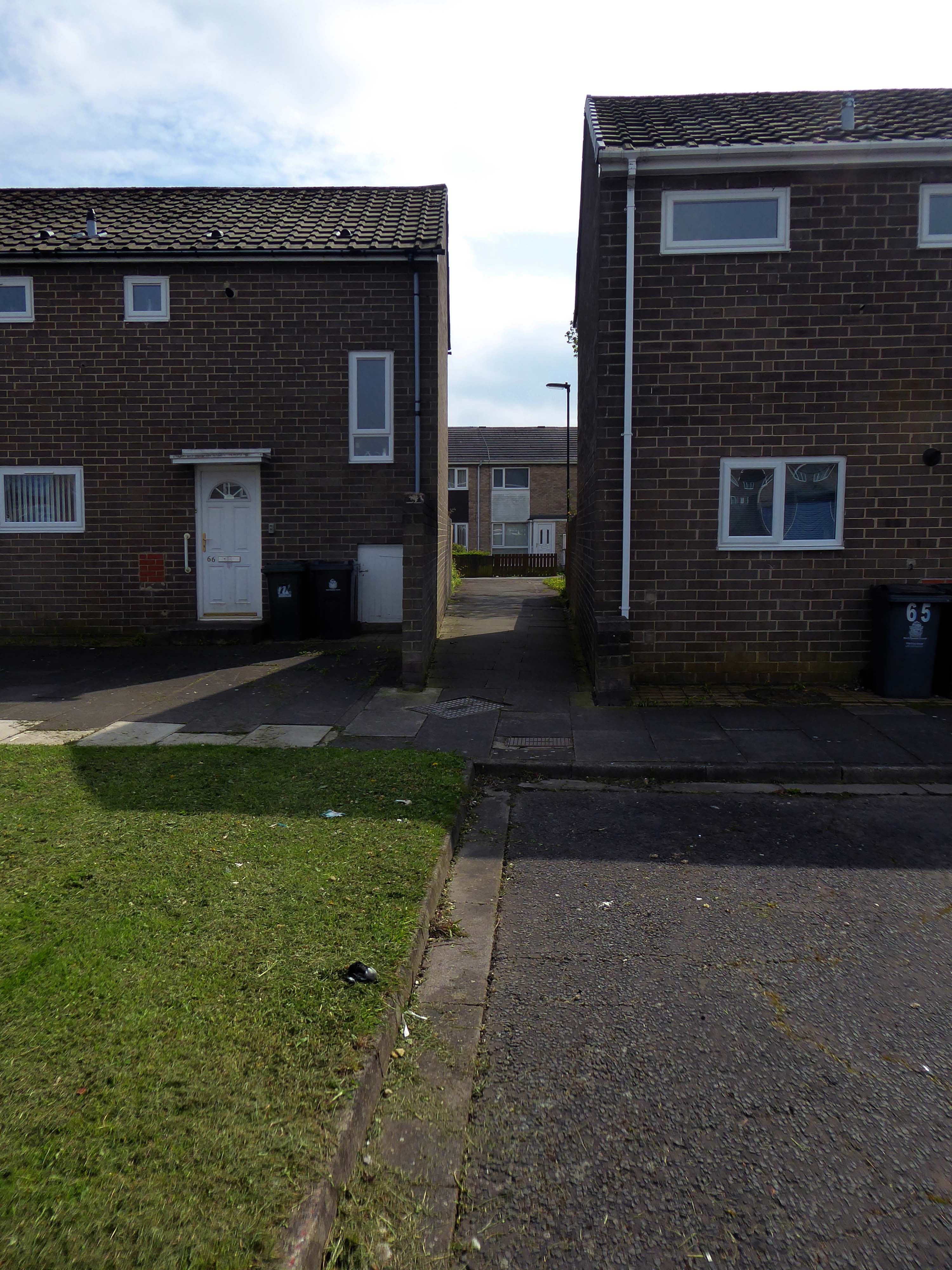
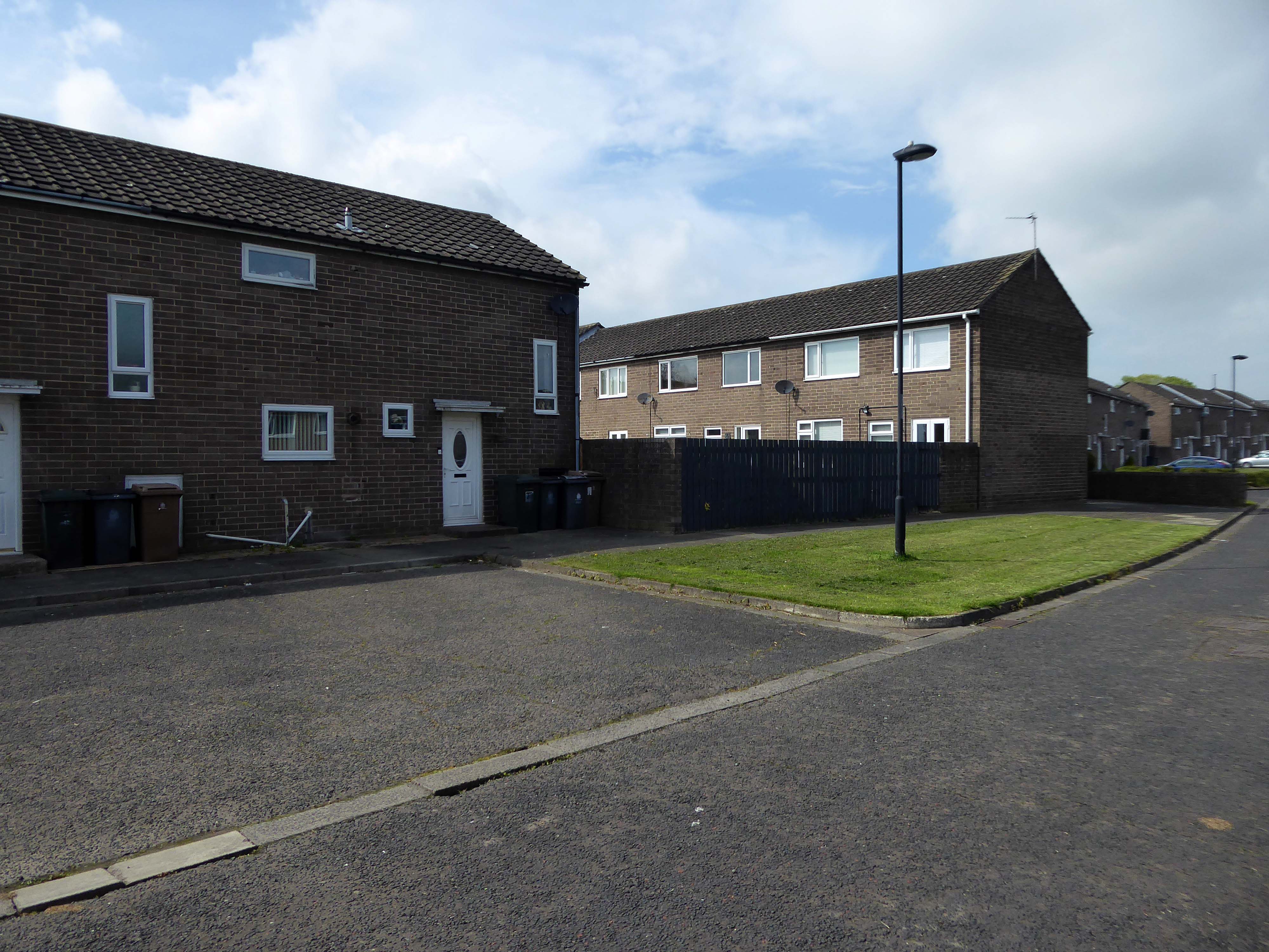
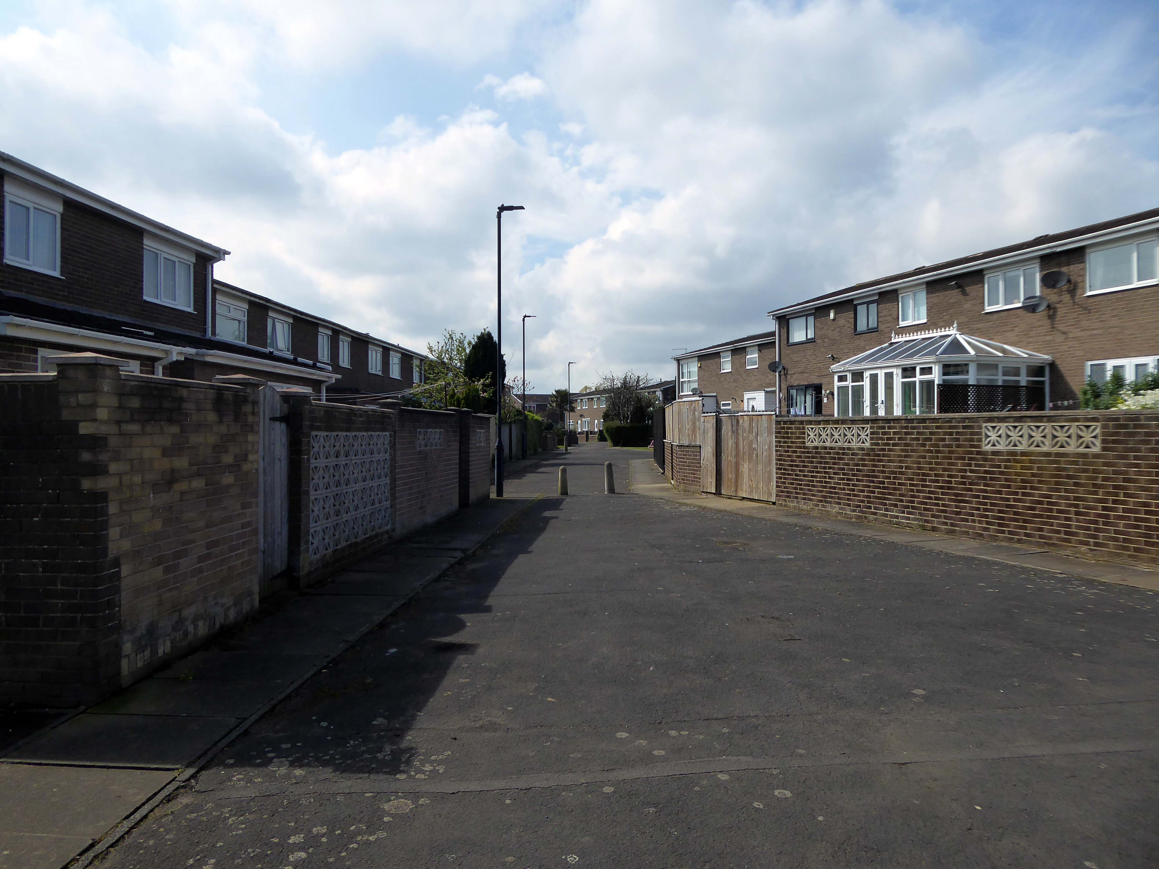
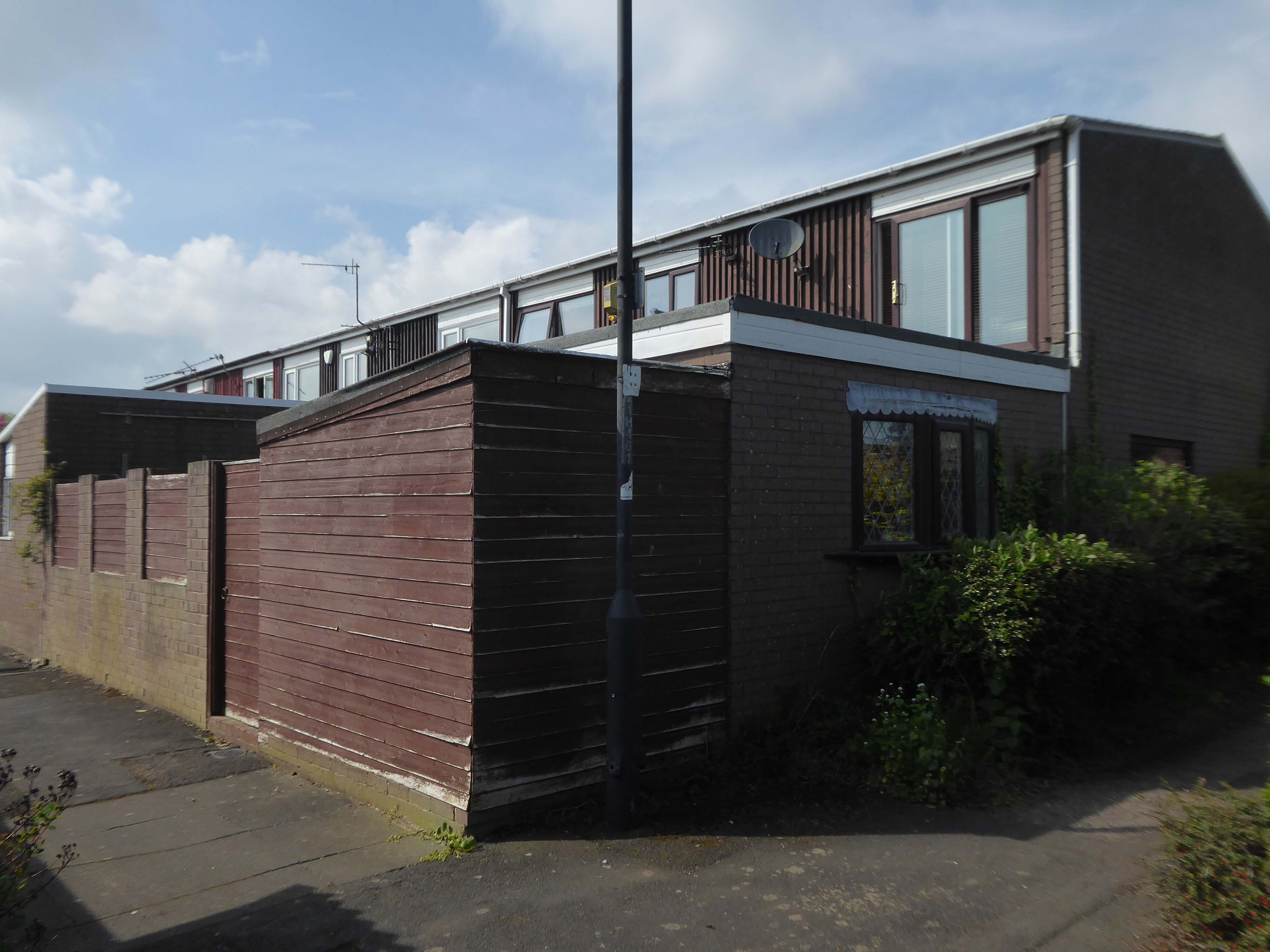
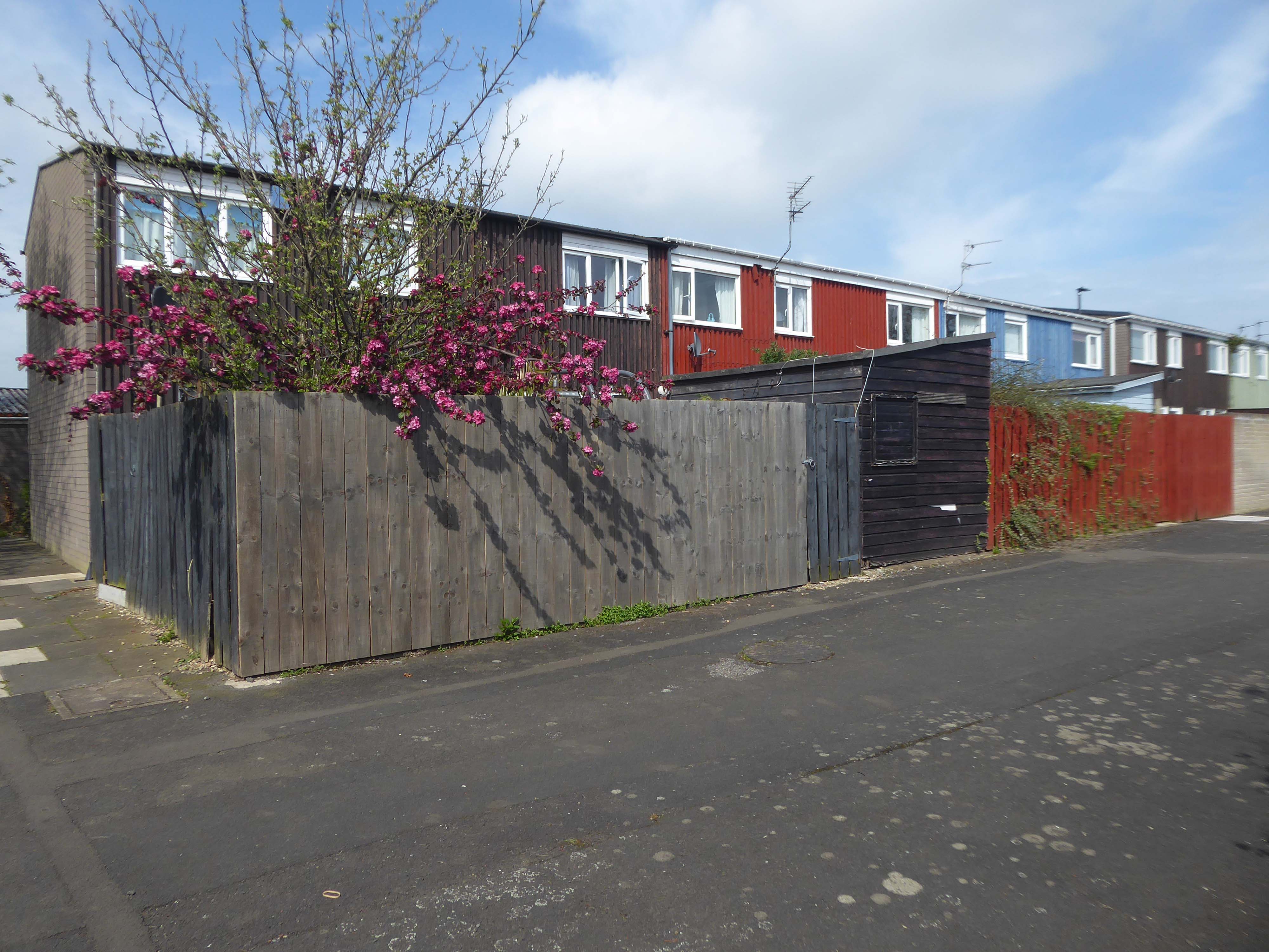
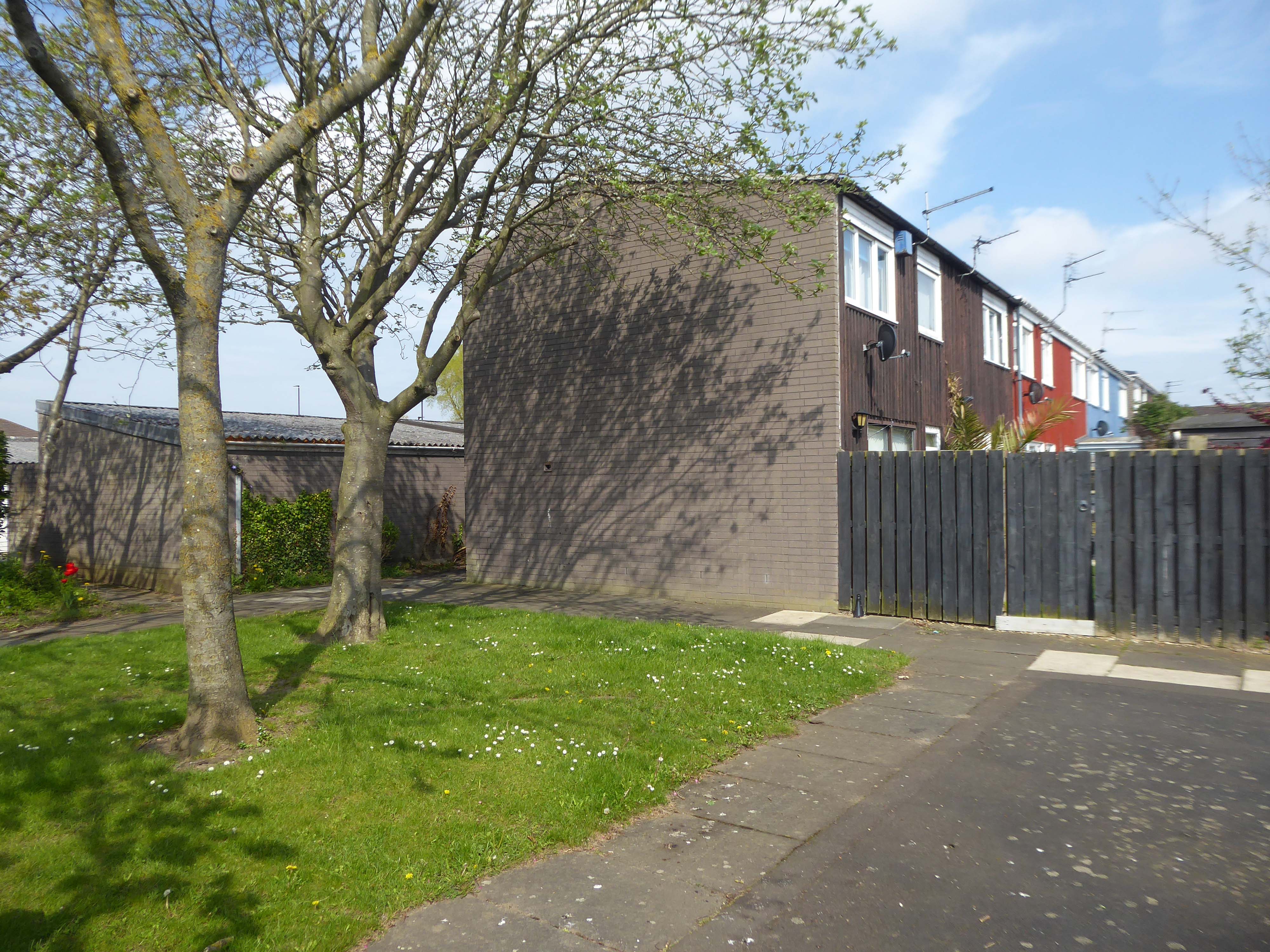
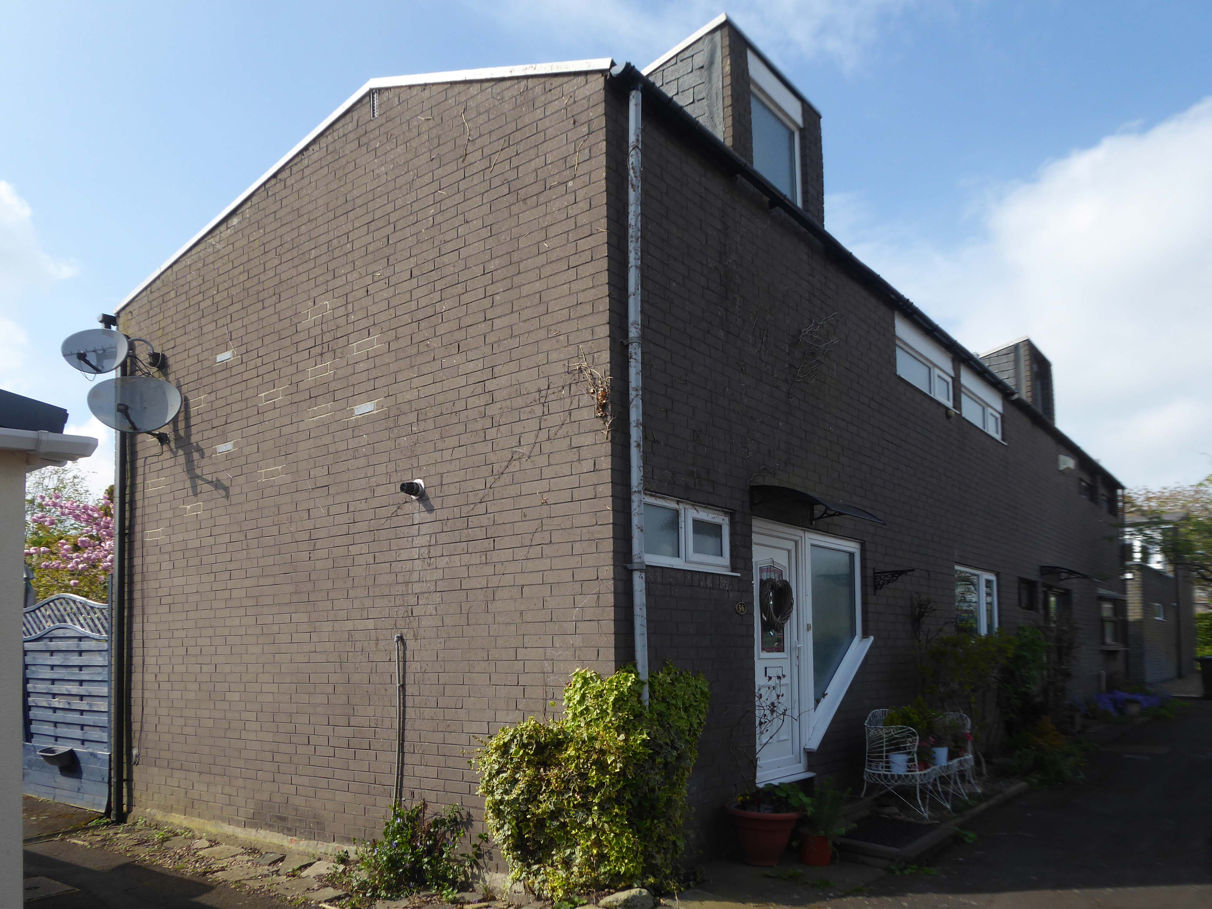
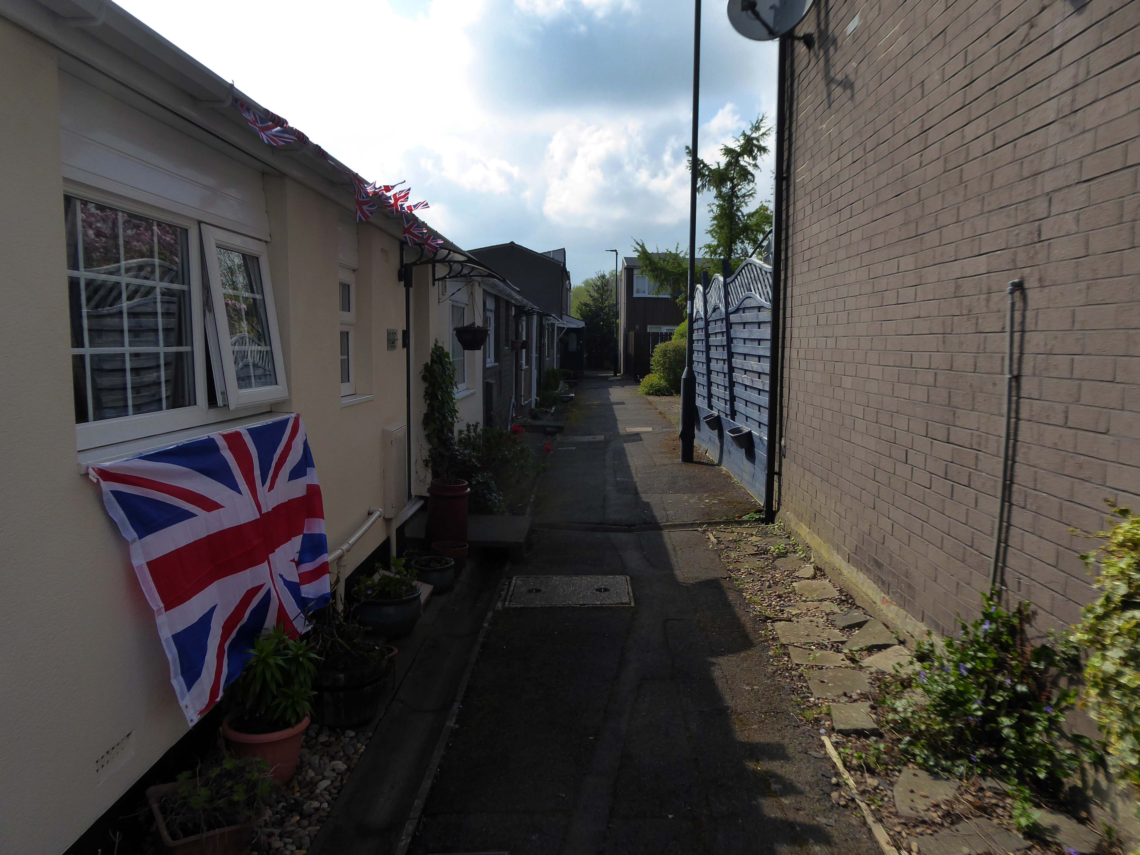
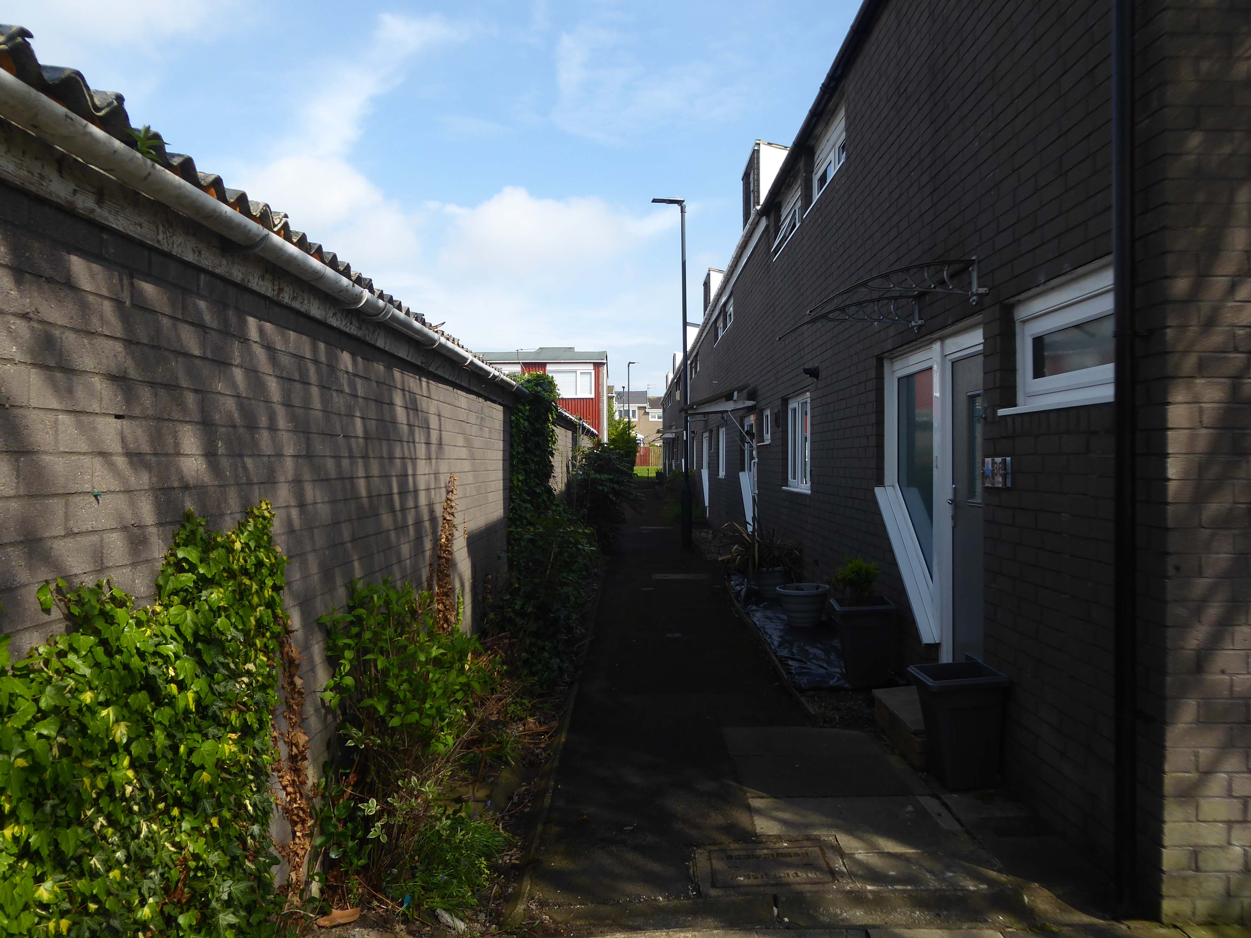
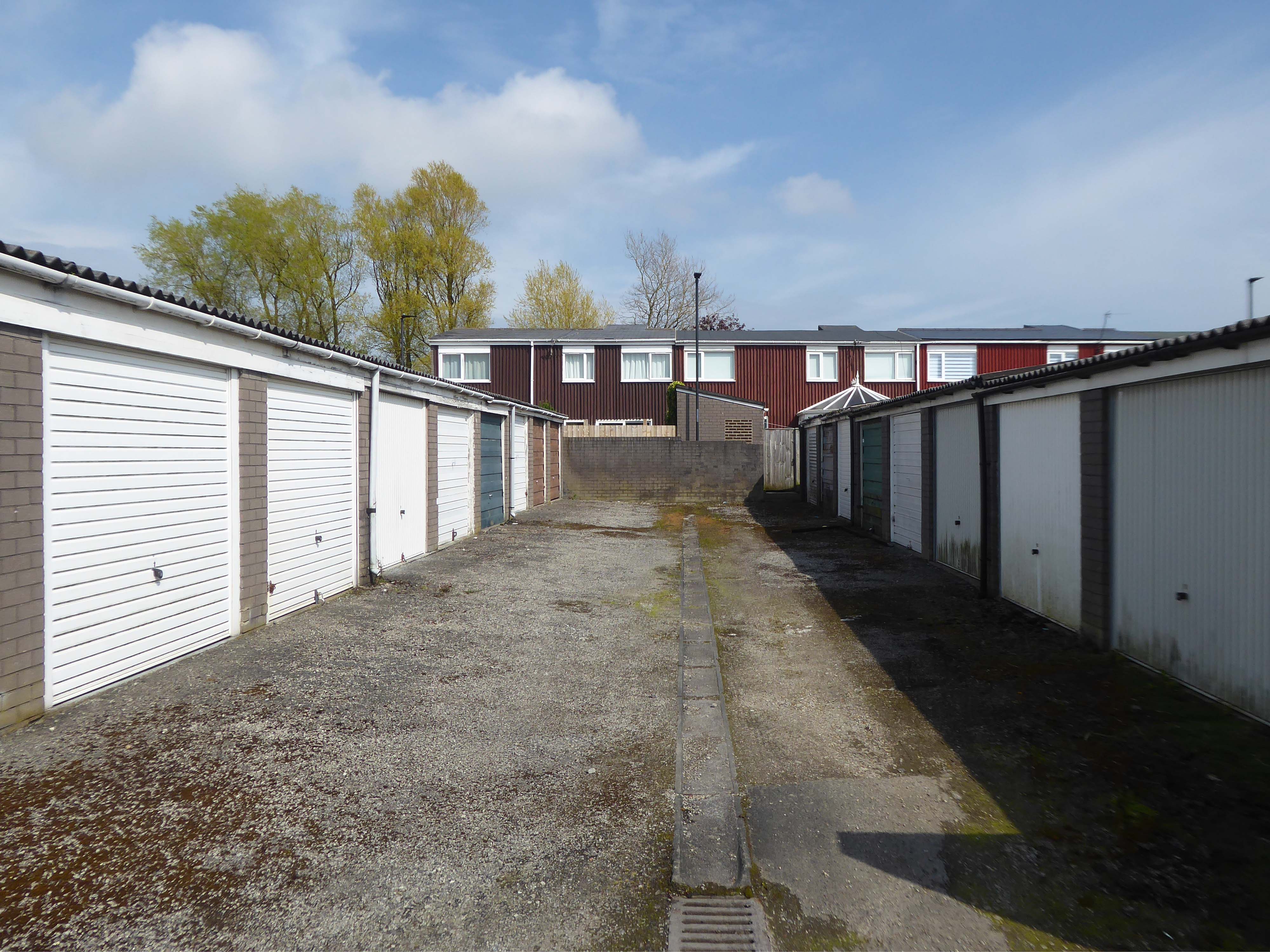
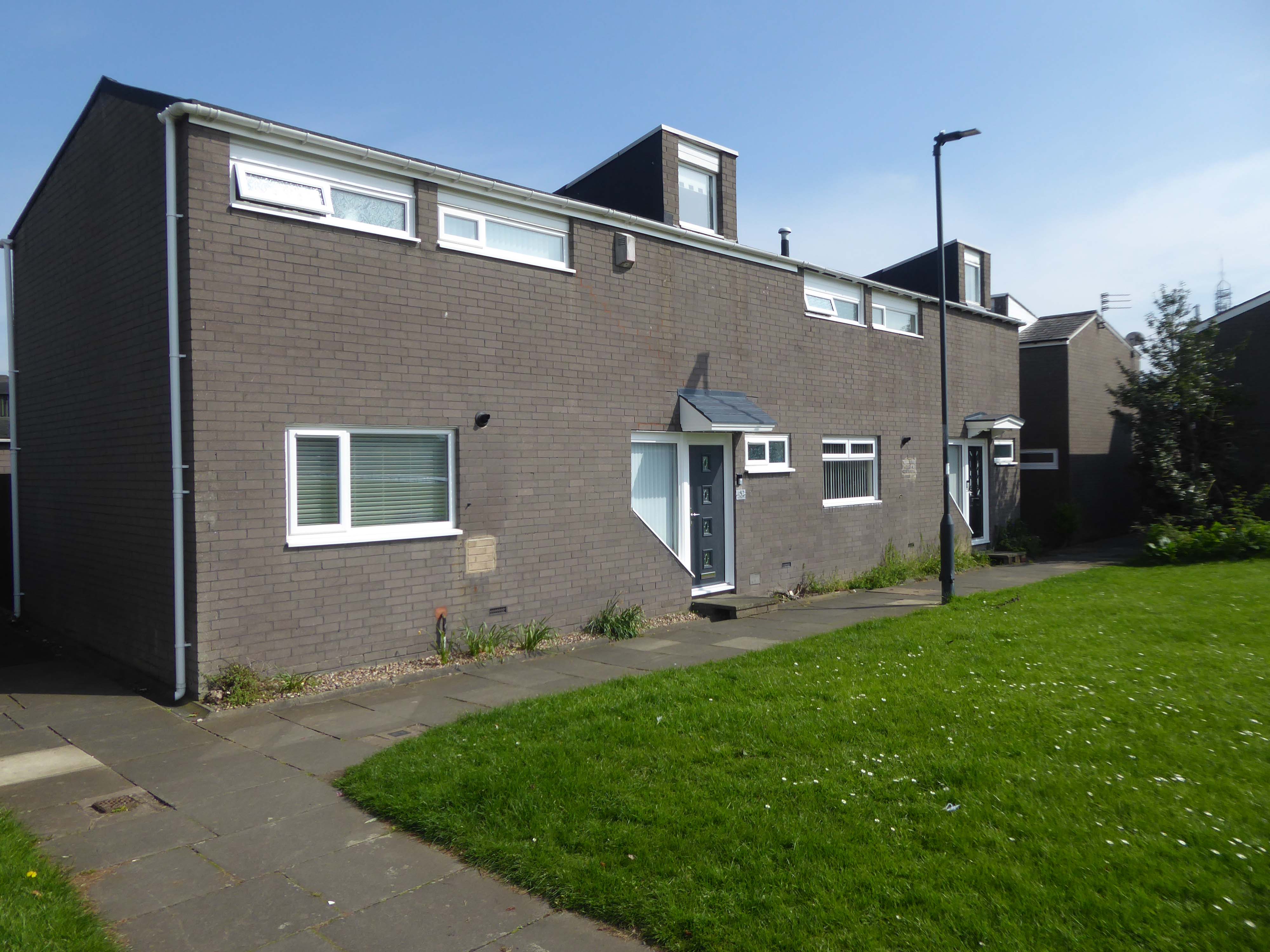
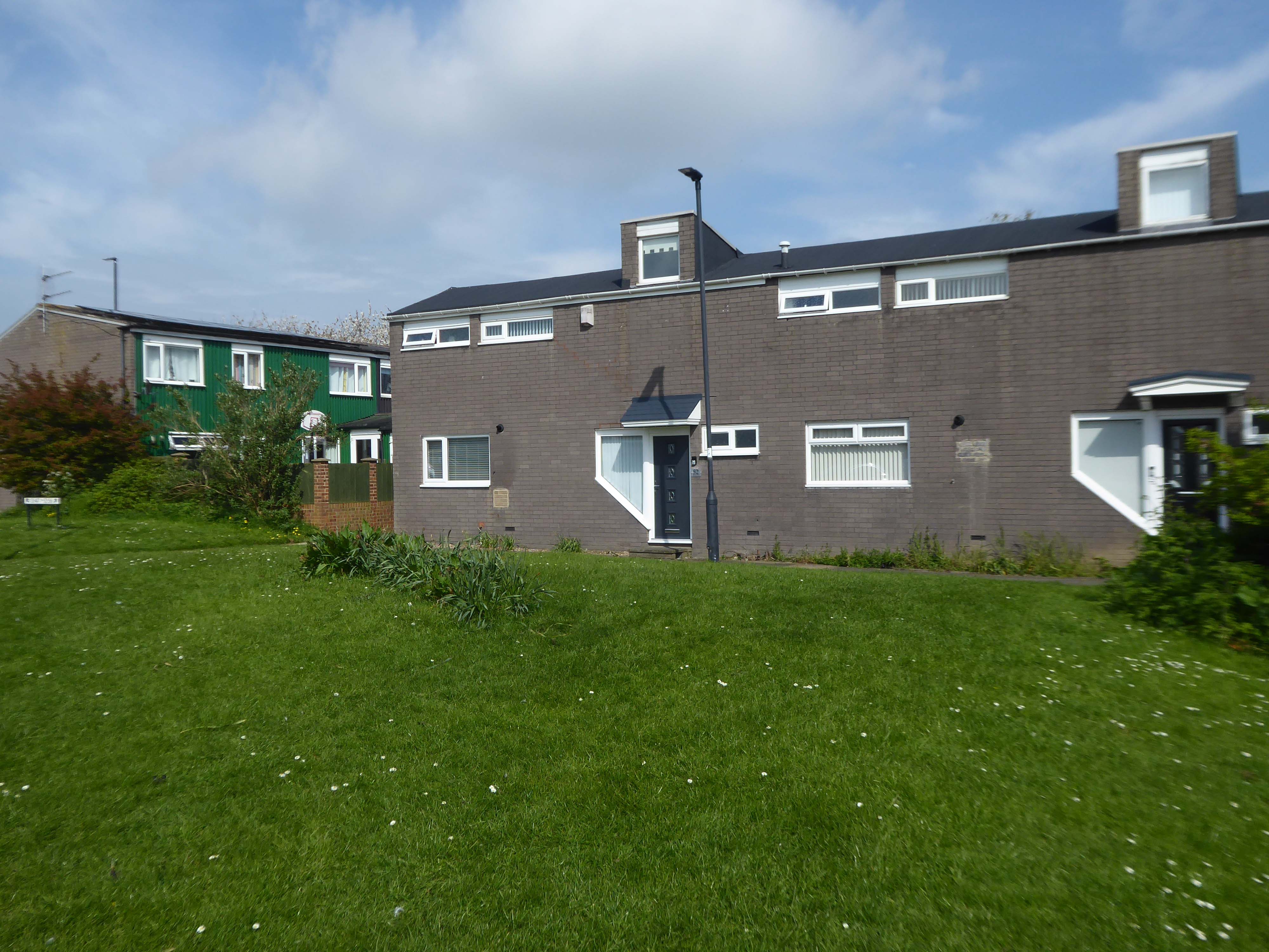
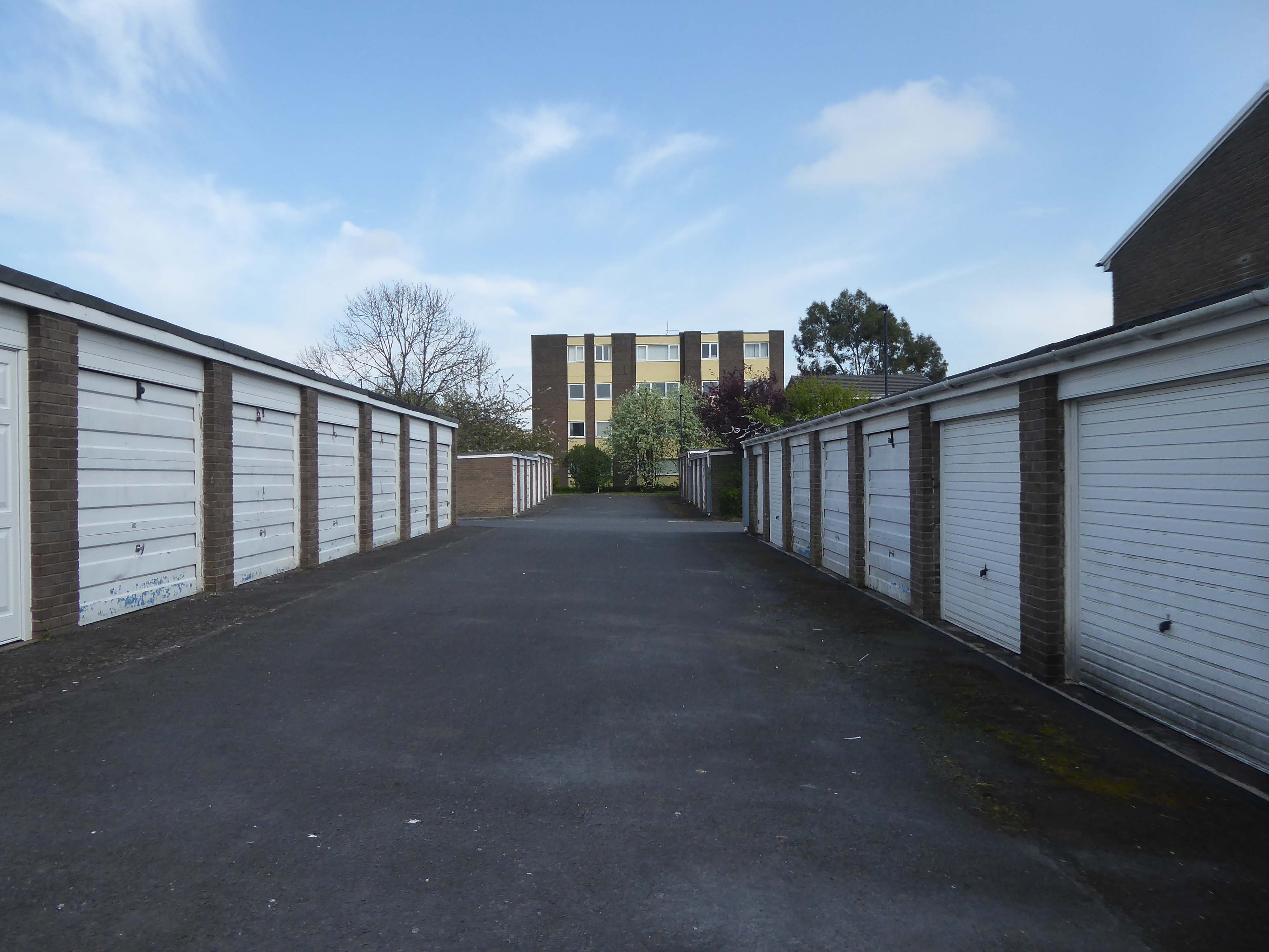
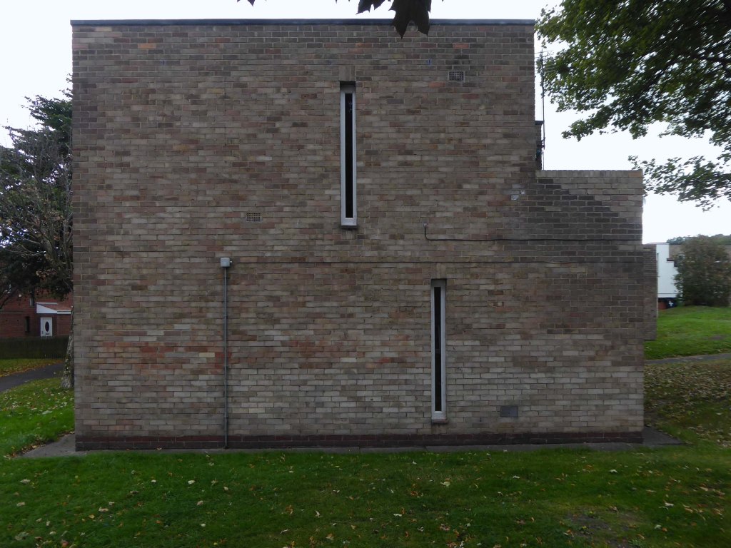
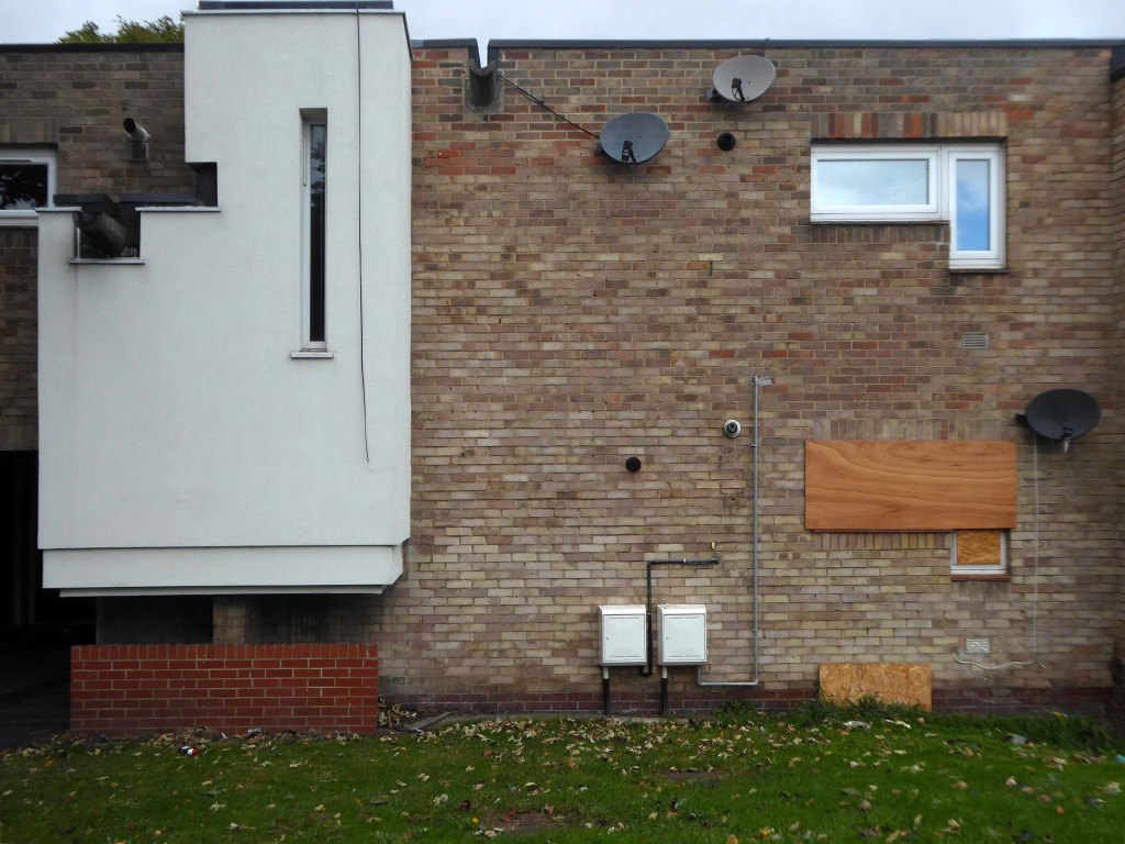
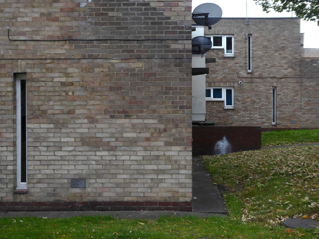
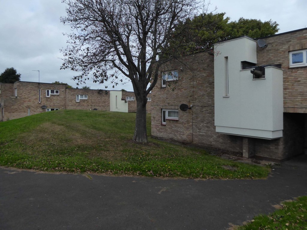
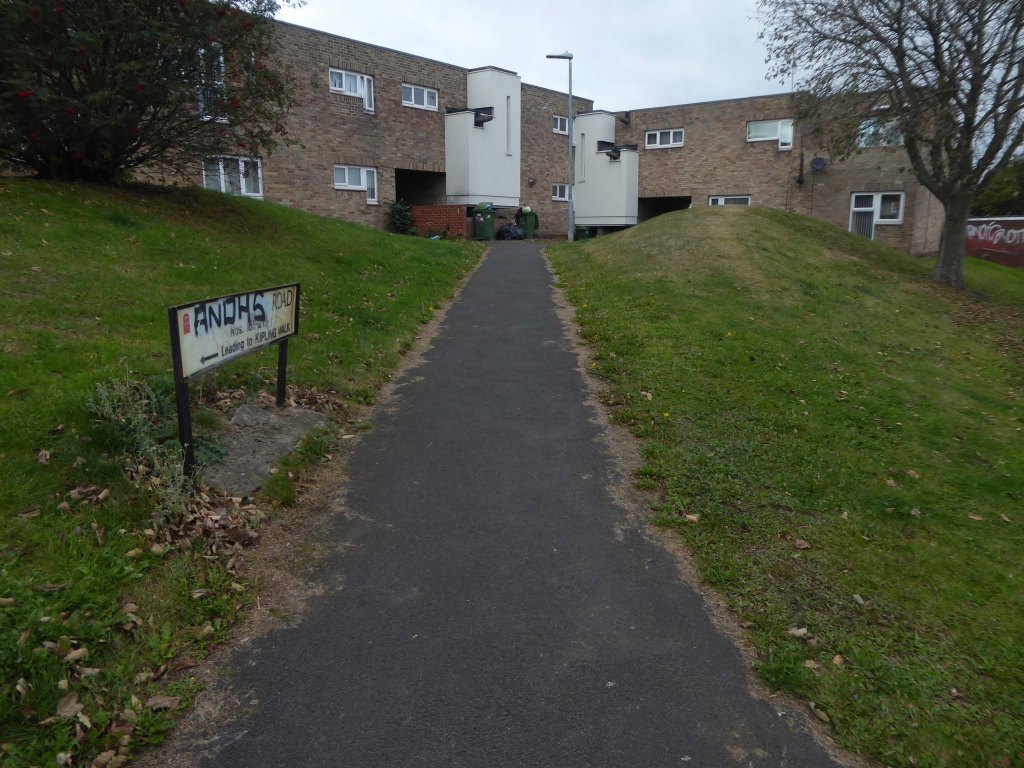
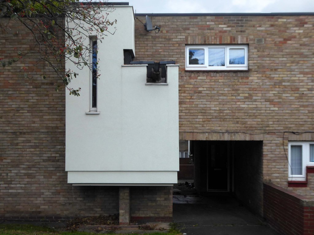
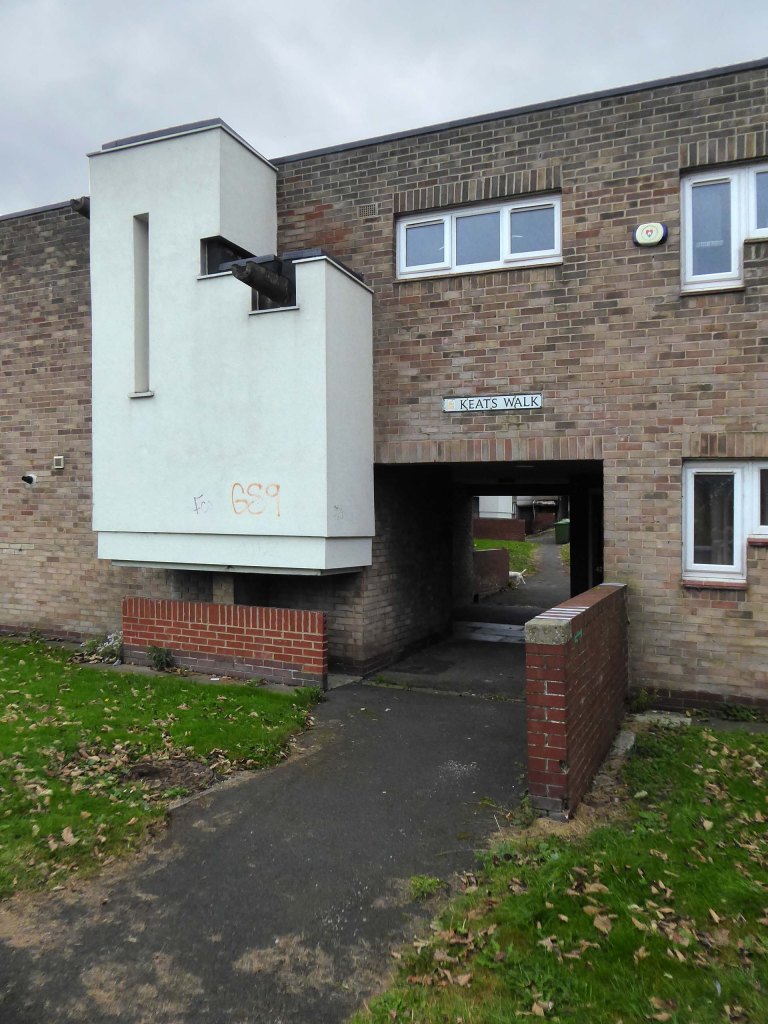
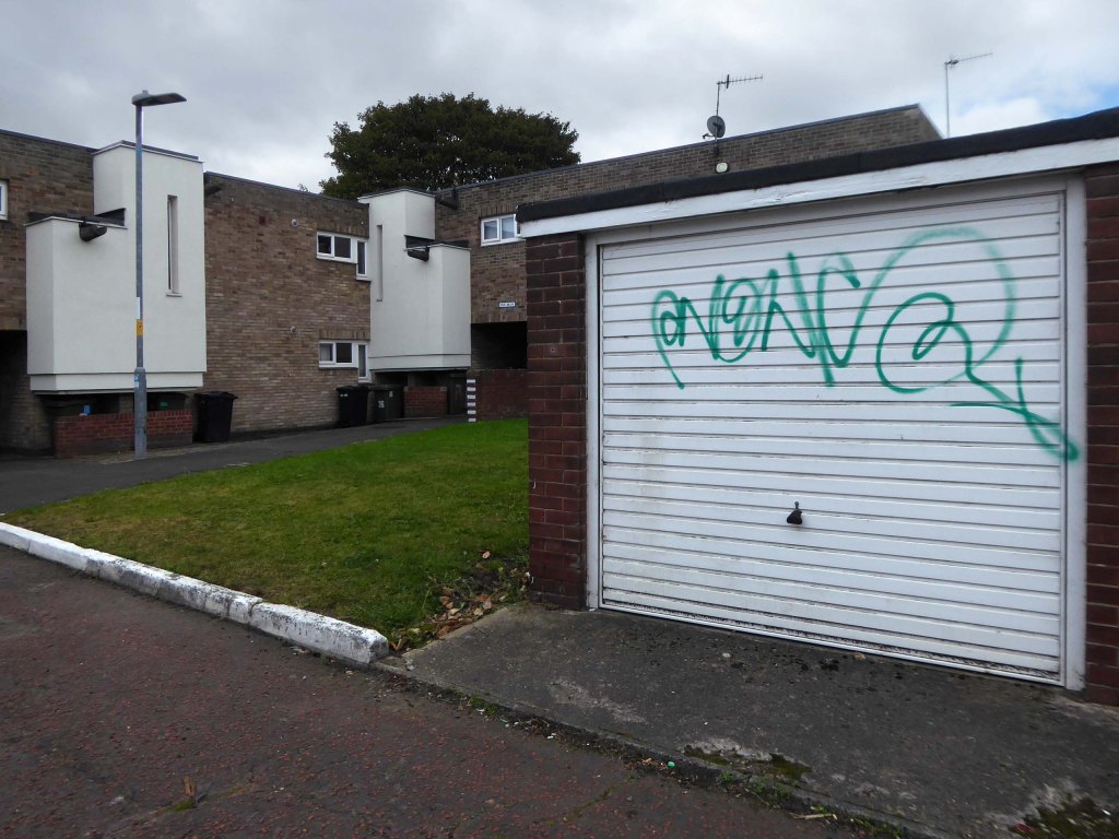
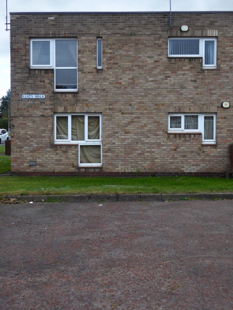
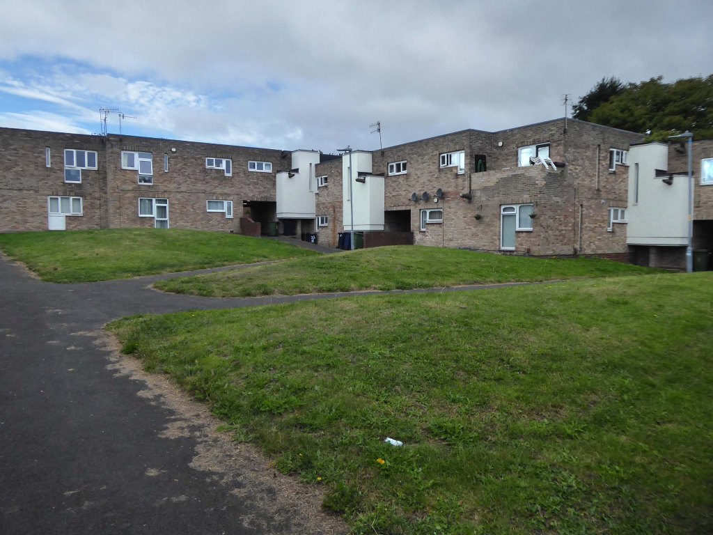
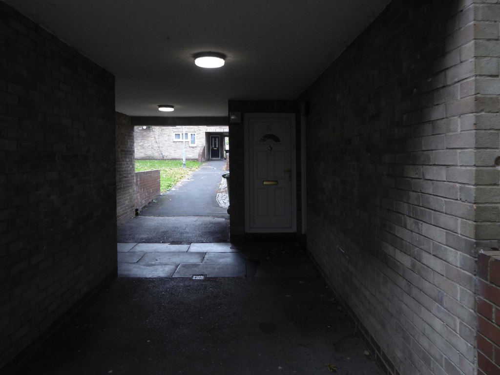
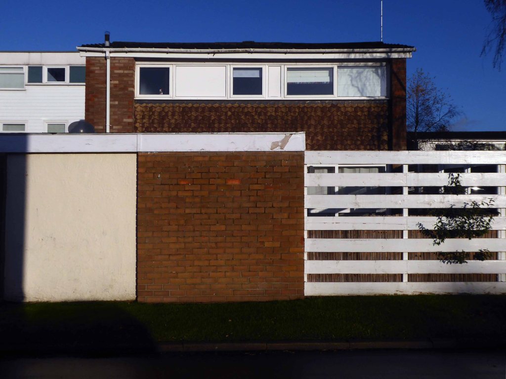
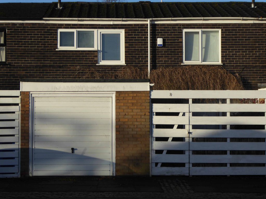
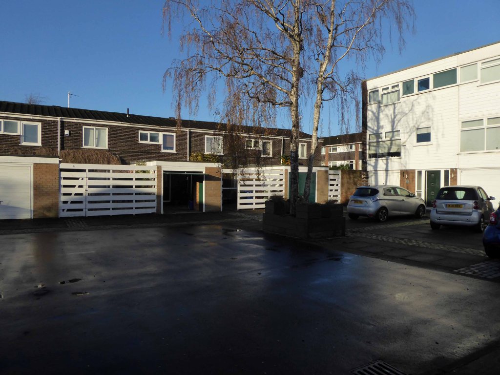
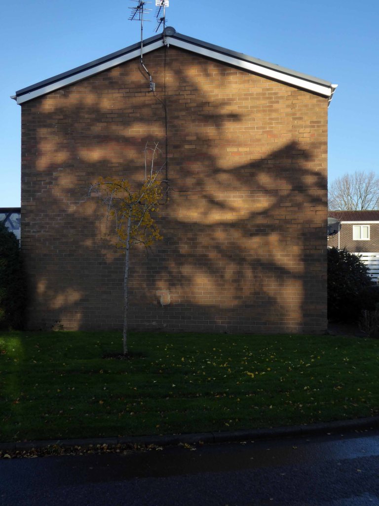
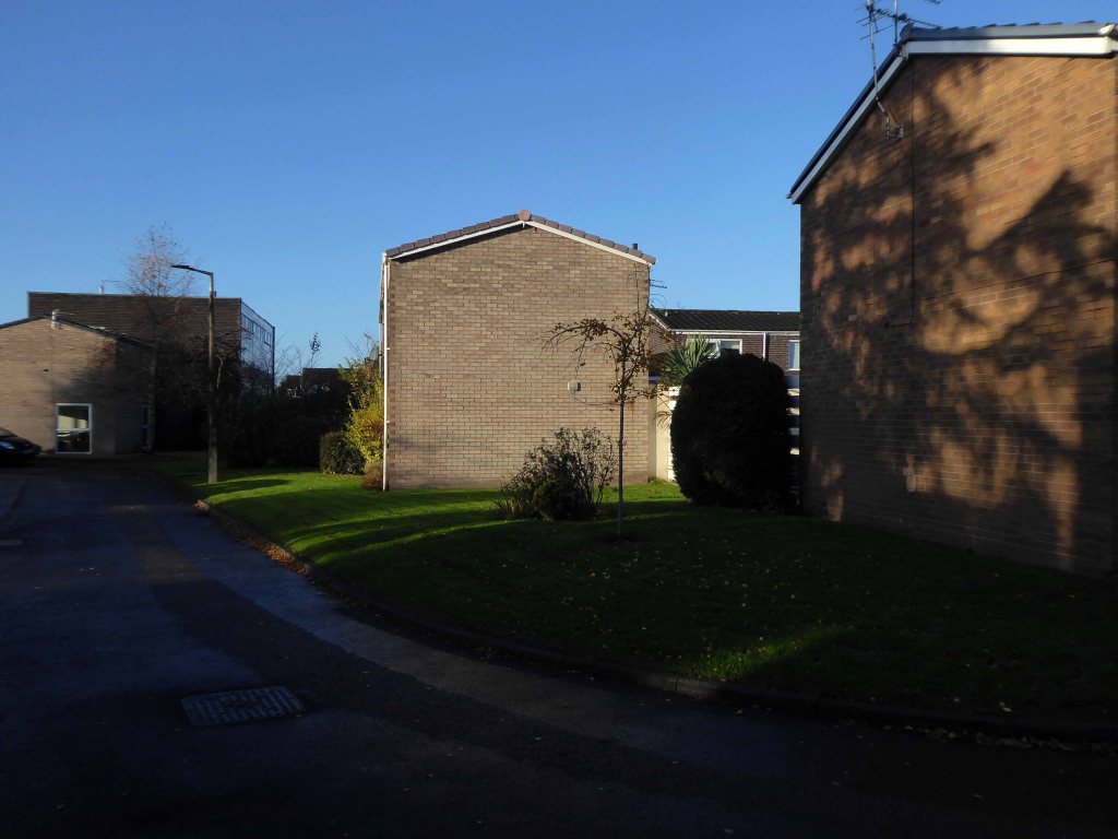
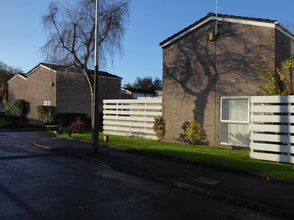
Through the avenues and alleyways, home to those ever so tidy inter and postwar enclaves.
Where a mans gotta work out which side he’s on Any way he chooses Chances are he loses No one gets to live too long
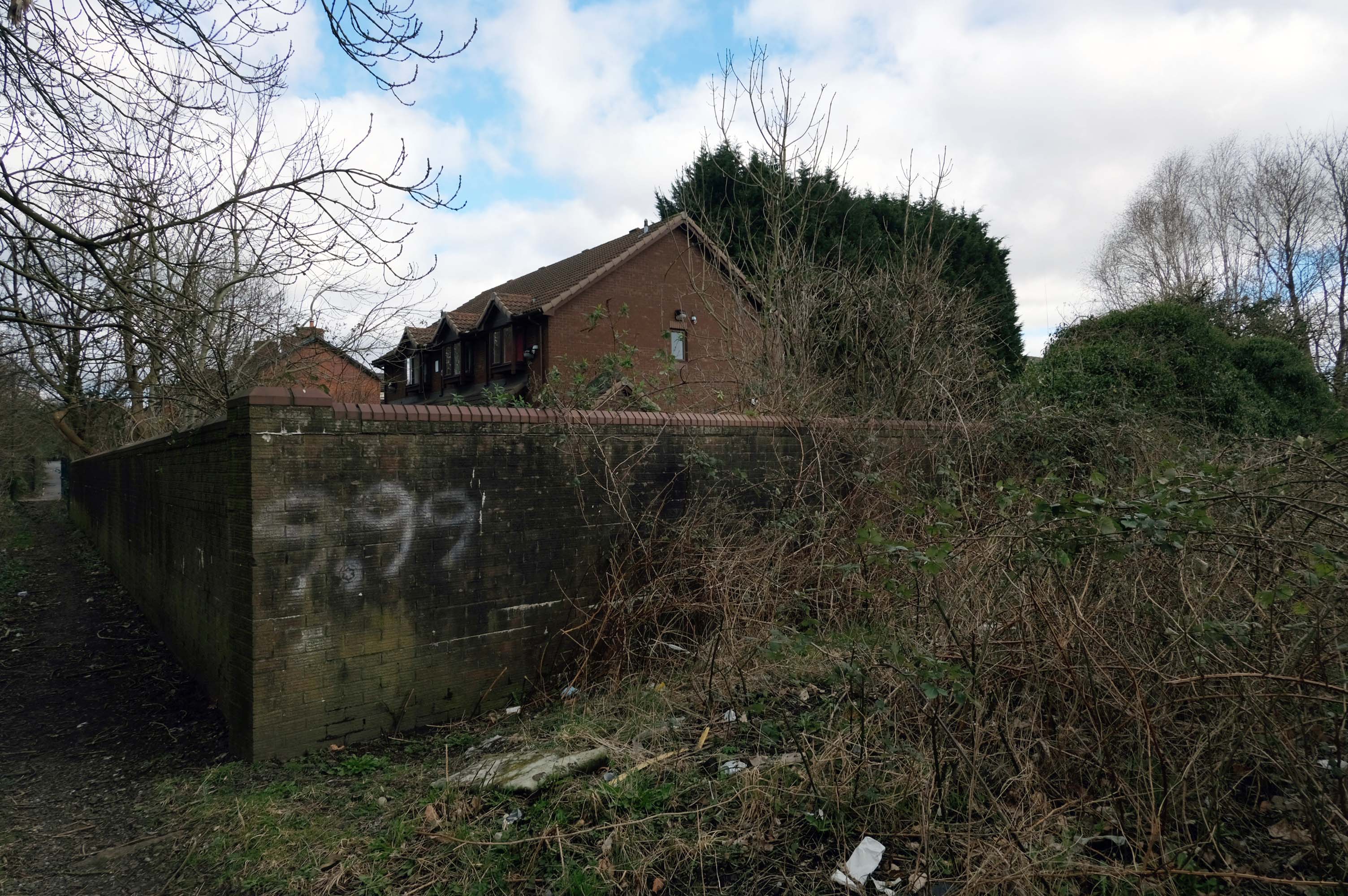
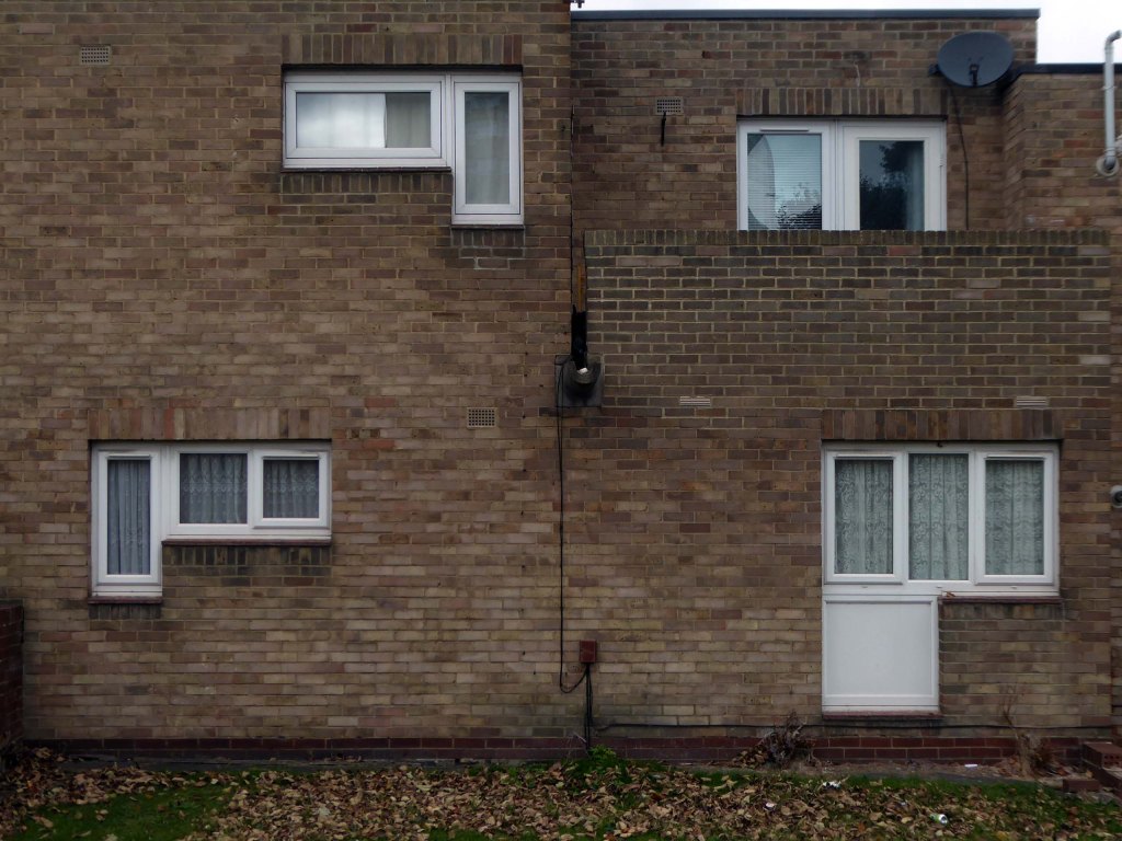
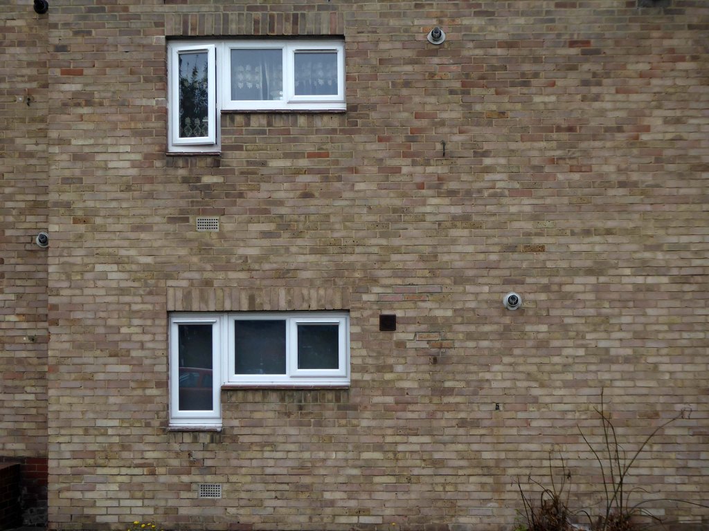
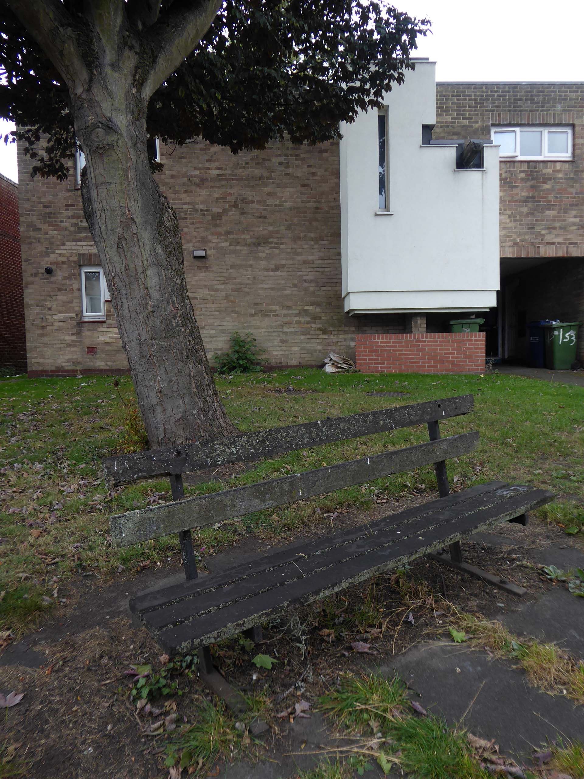
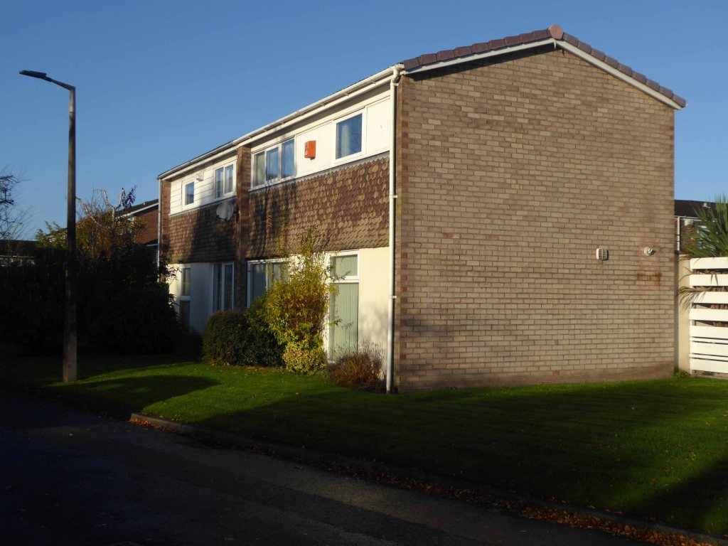
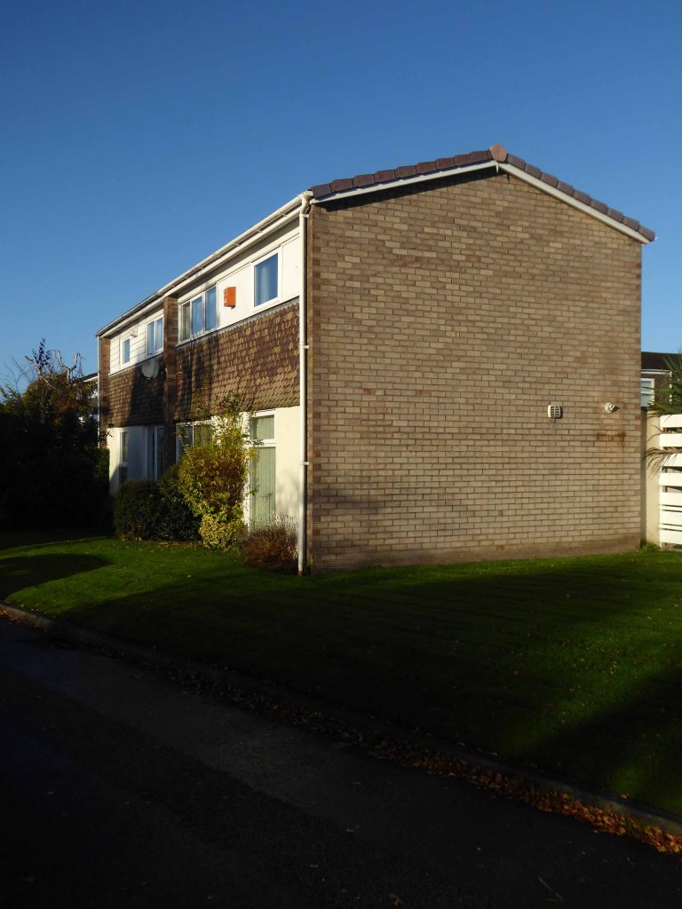
Though in my experience the converse is true, this is a mature community gently maturing, on the inside of everything.
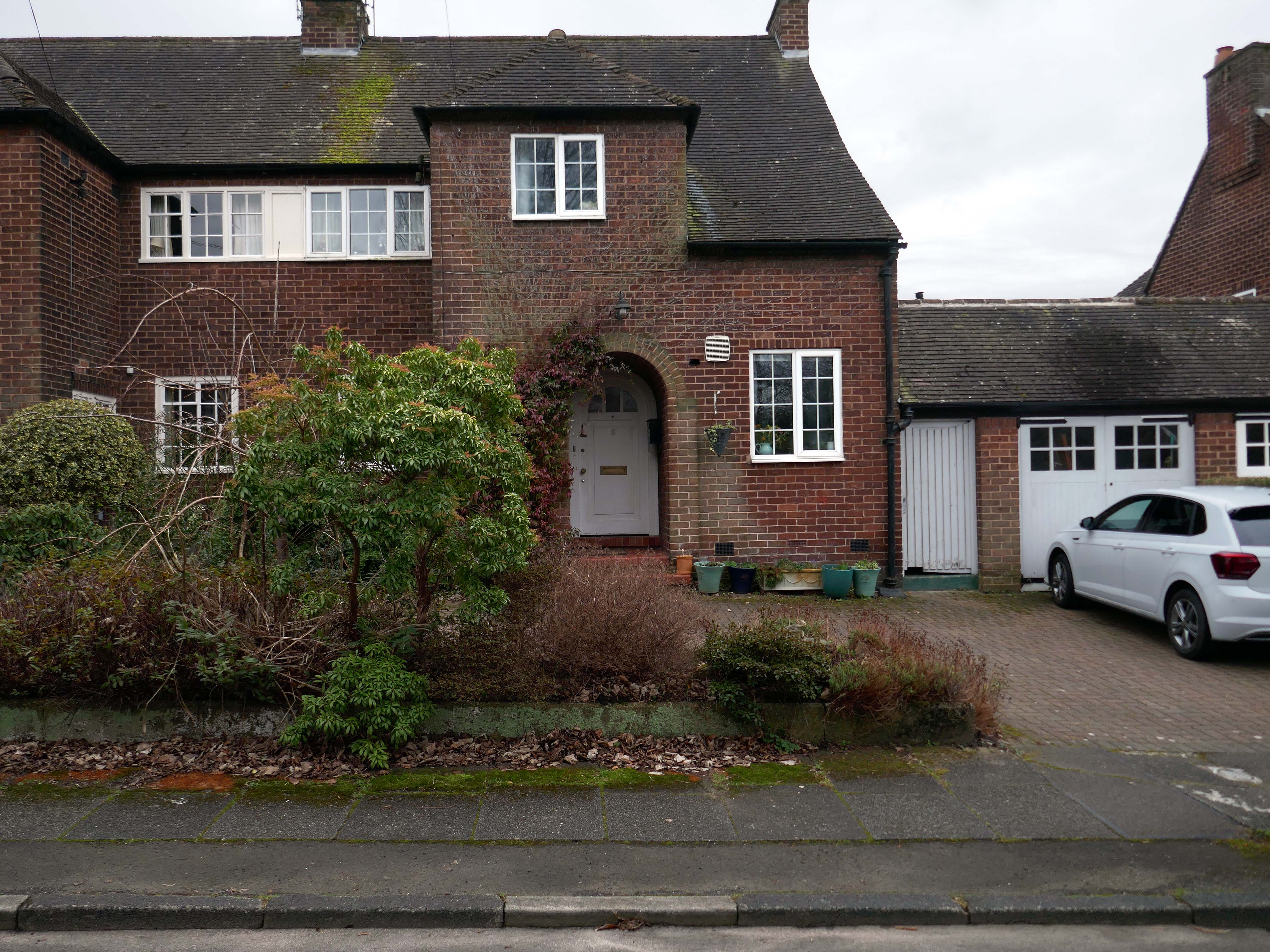
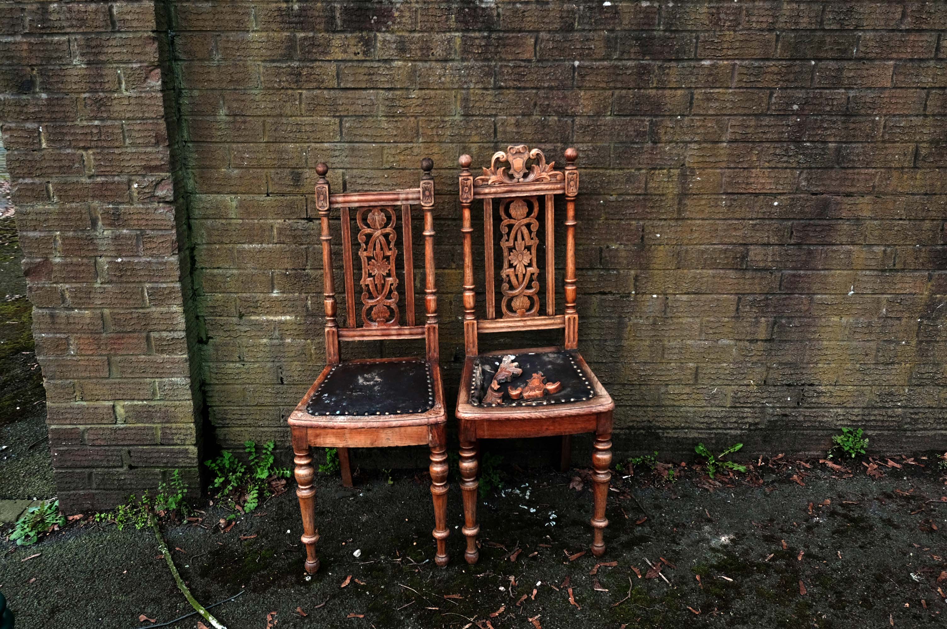
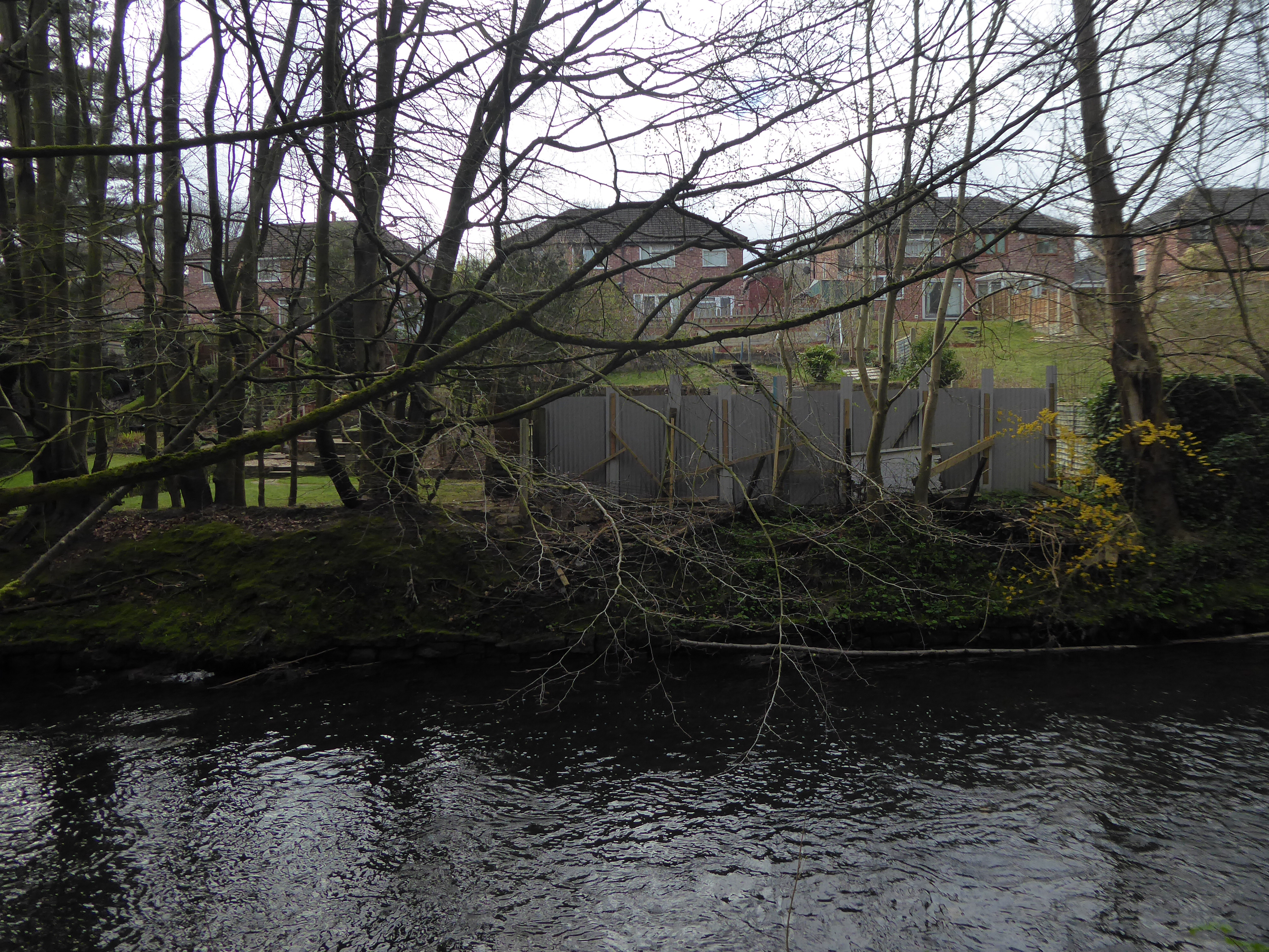
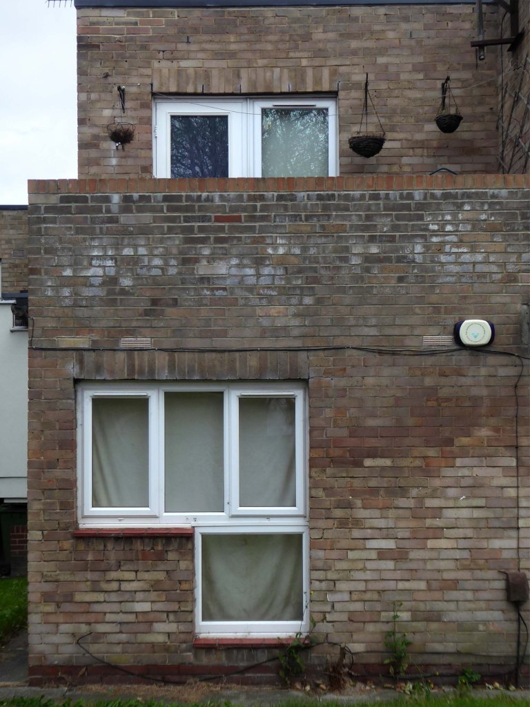
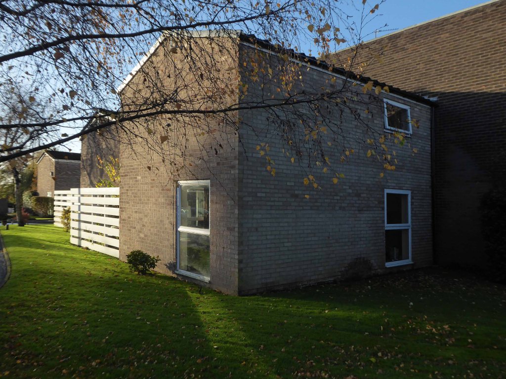
Hiding what may possibly be hidden behind the hedge, though the privacy of privet is in retreat, replaced by bay, birch, holly and the extremely hardy laurel.
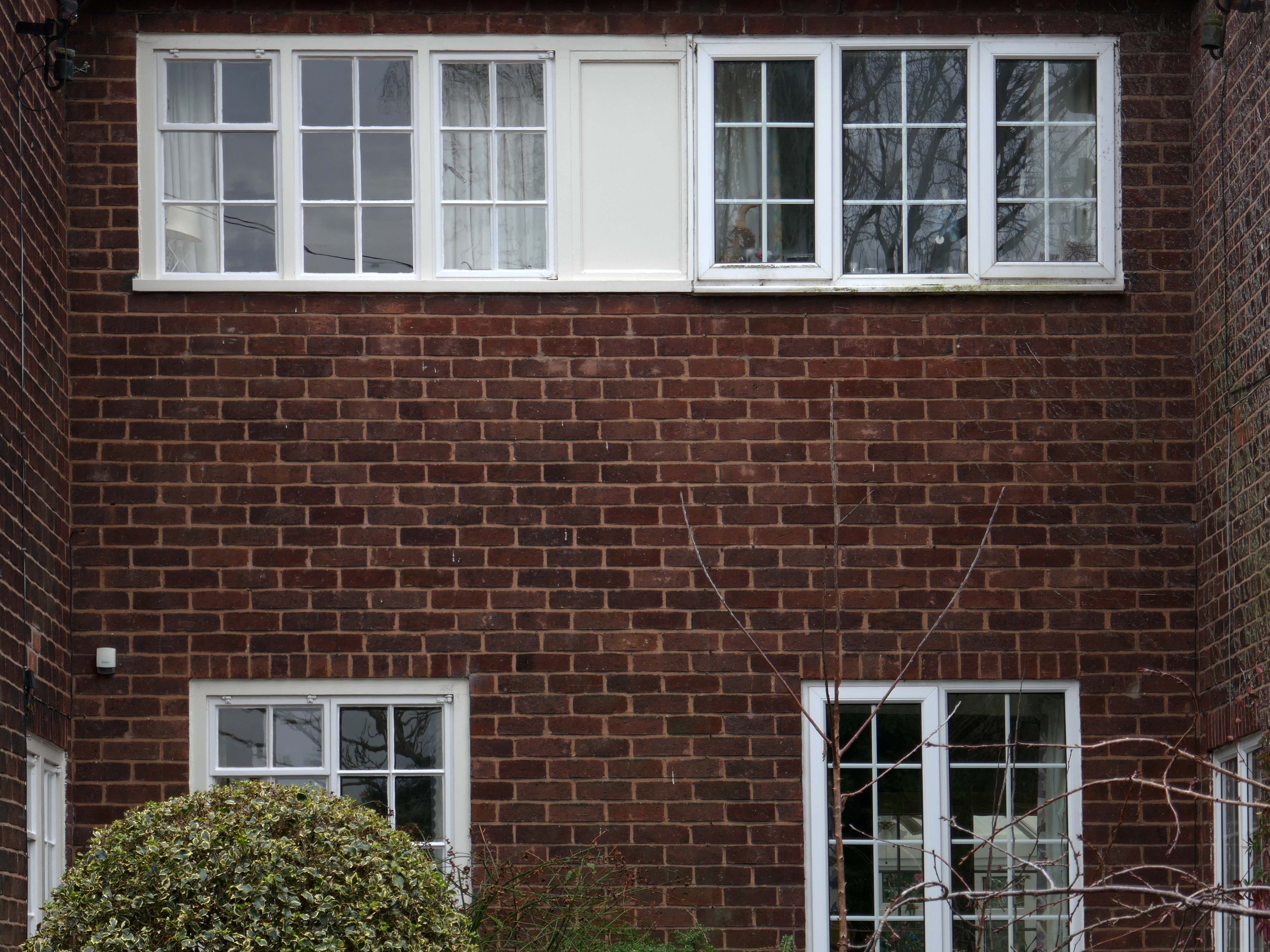
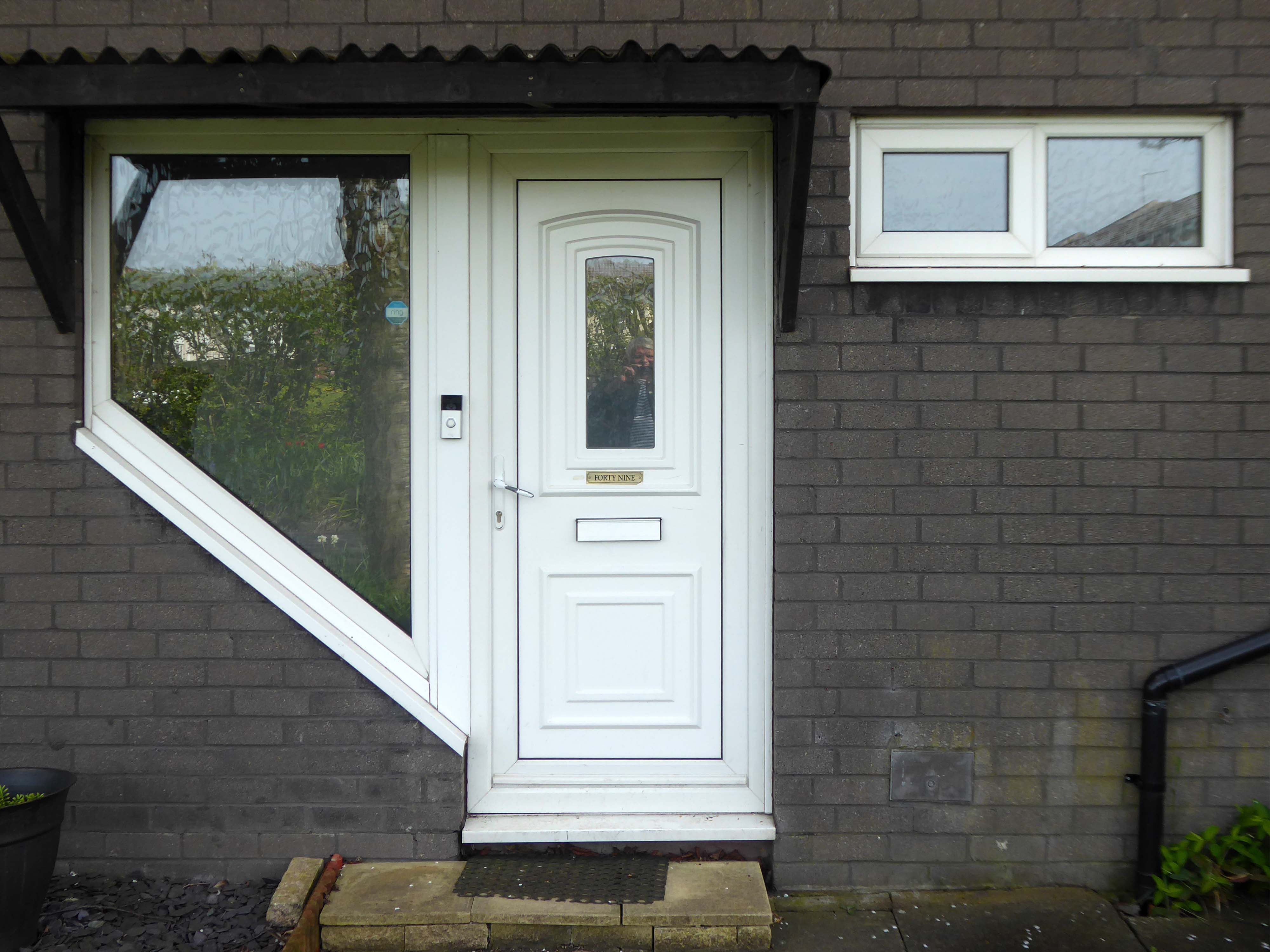
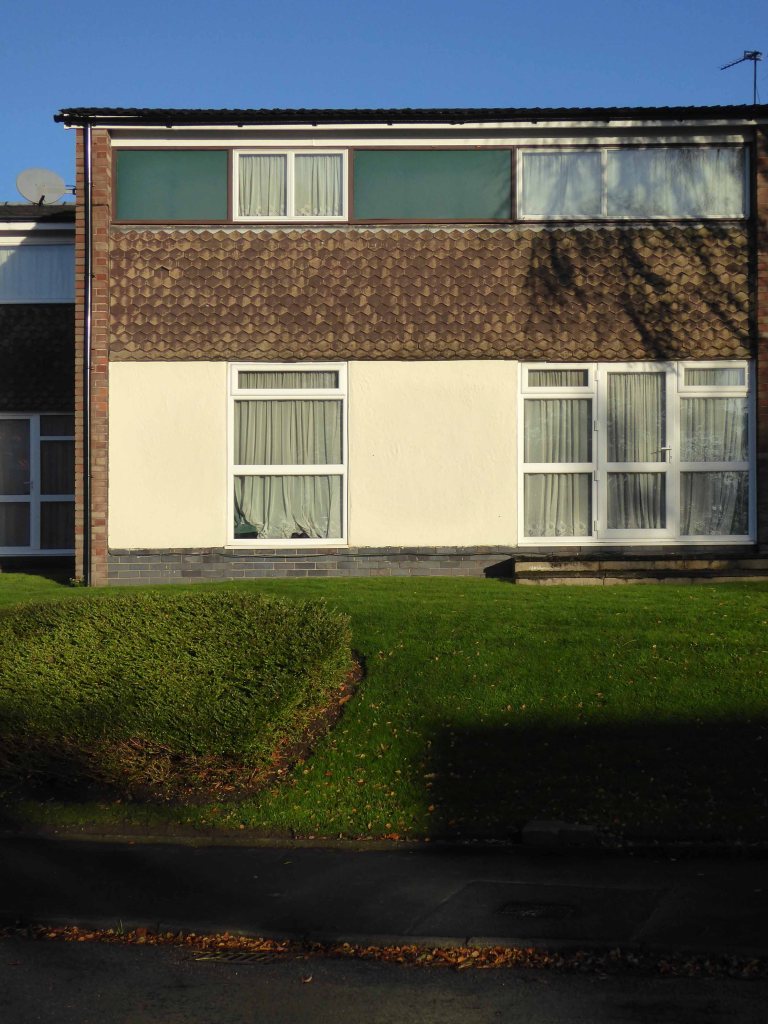
The left hand house has purposefully retained the original Crittall Windows.
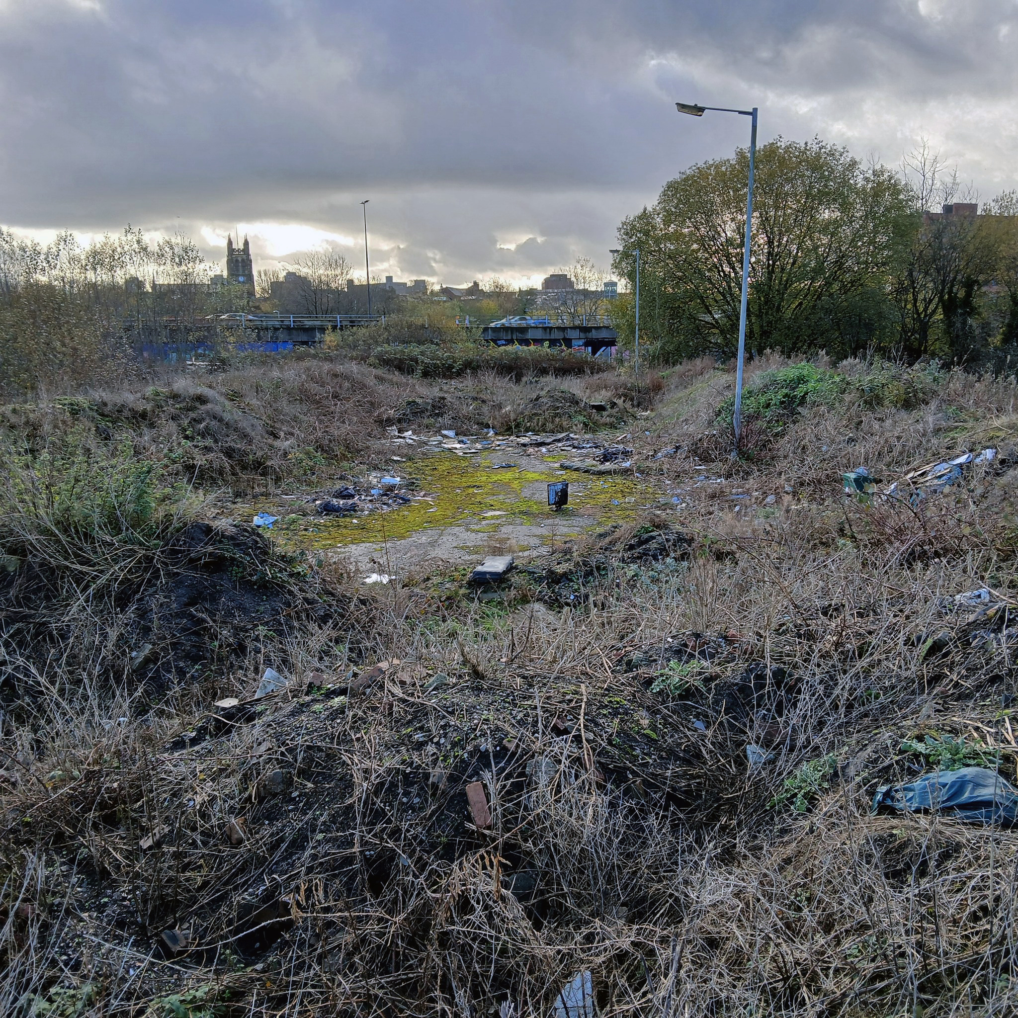
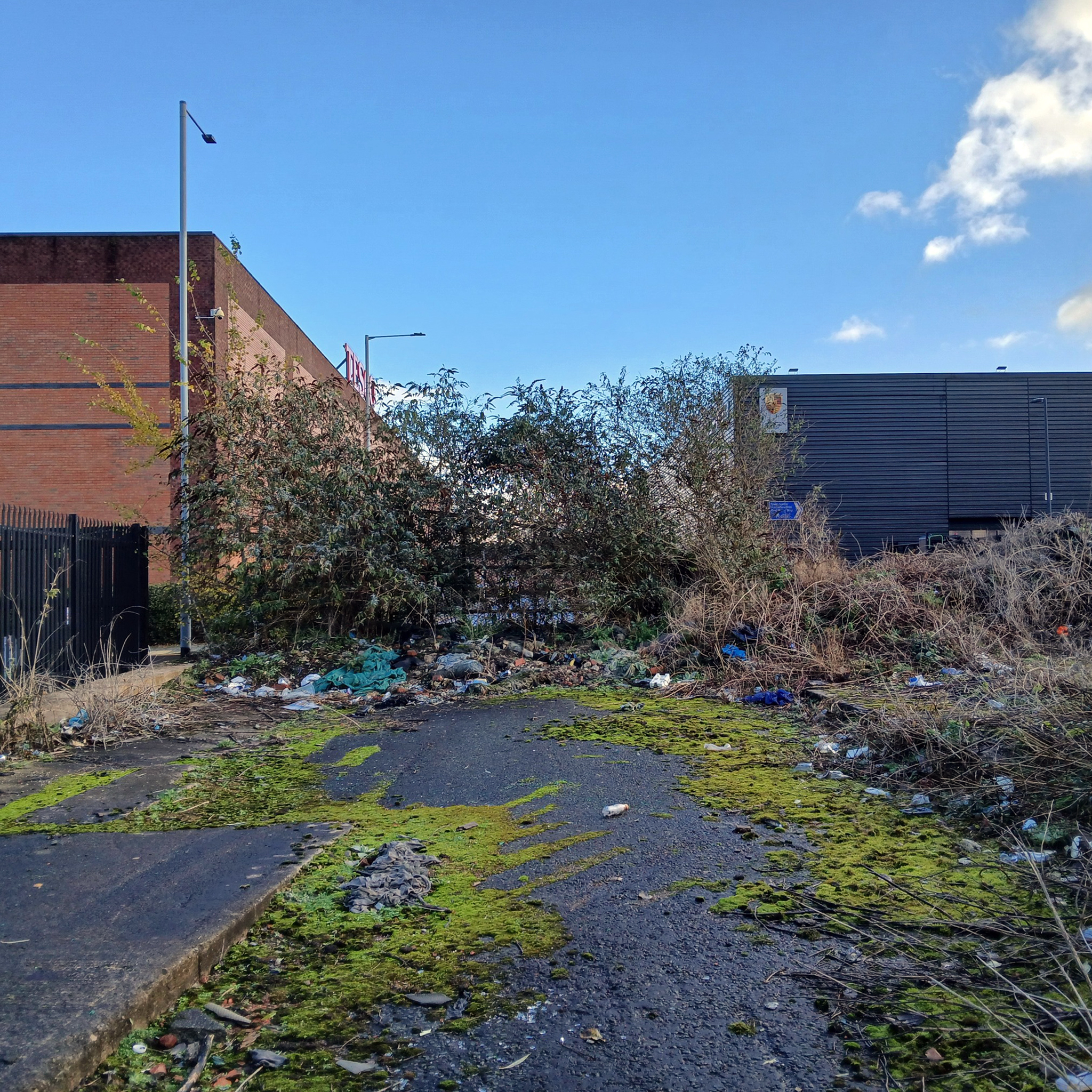
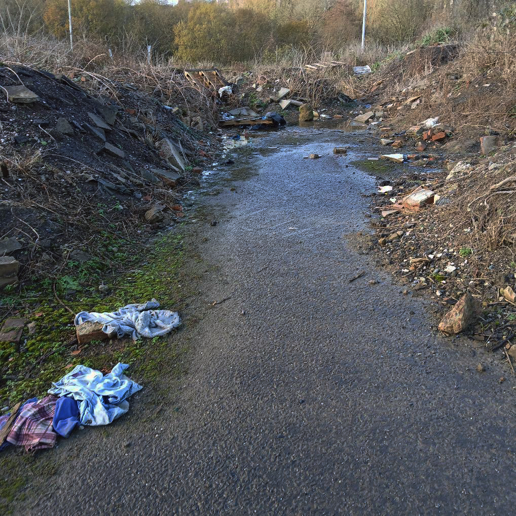
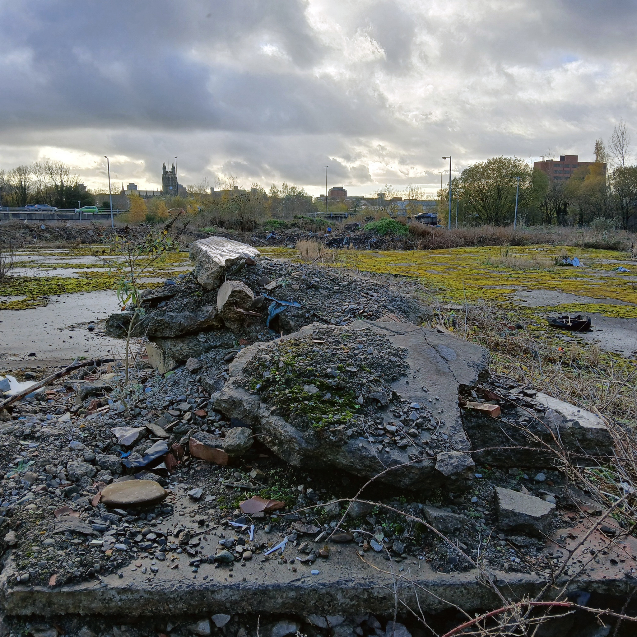
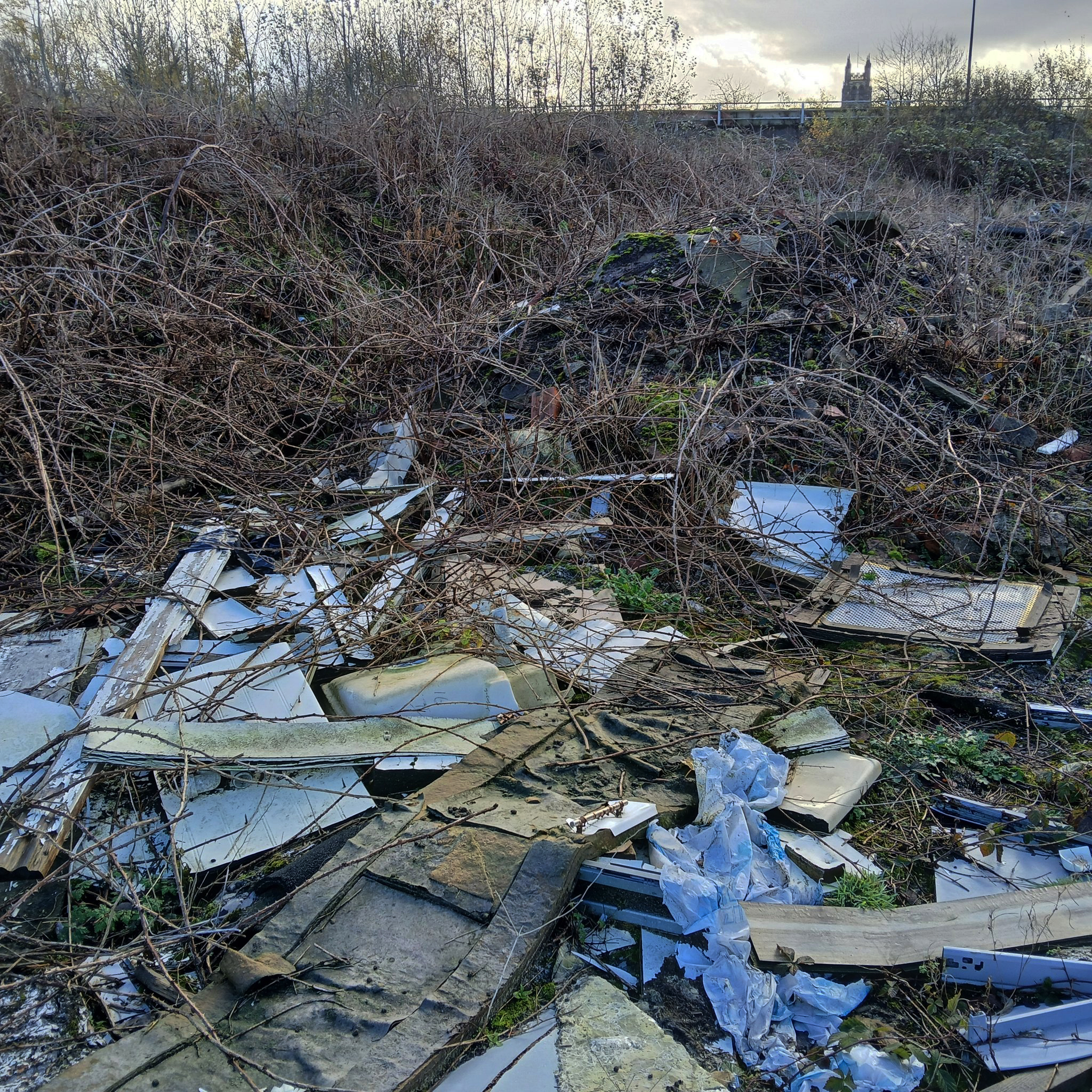
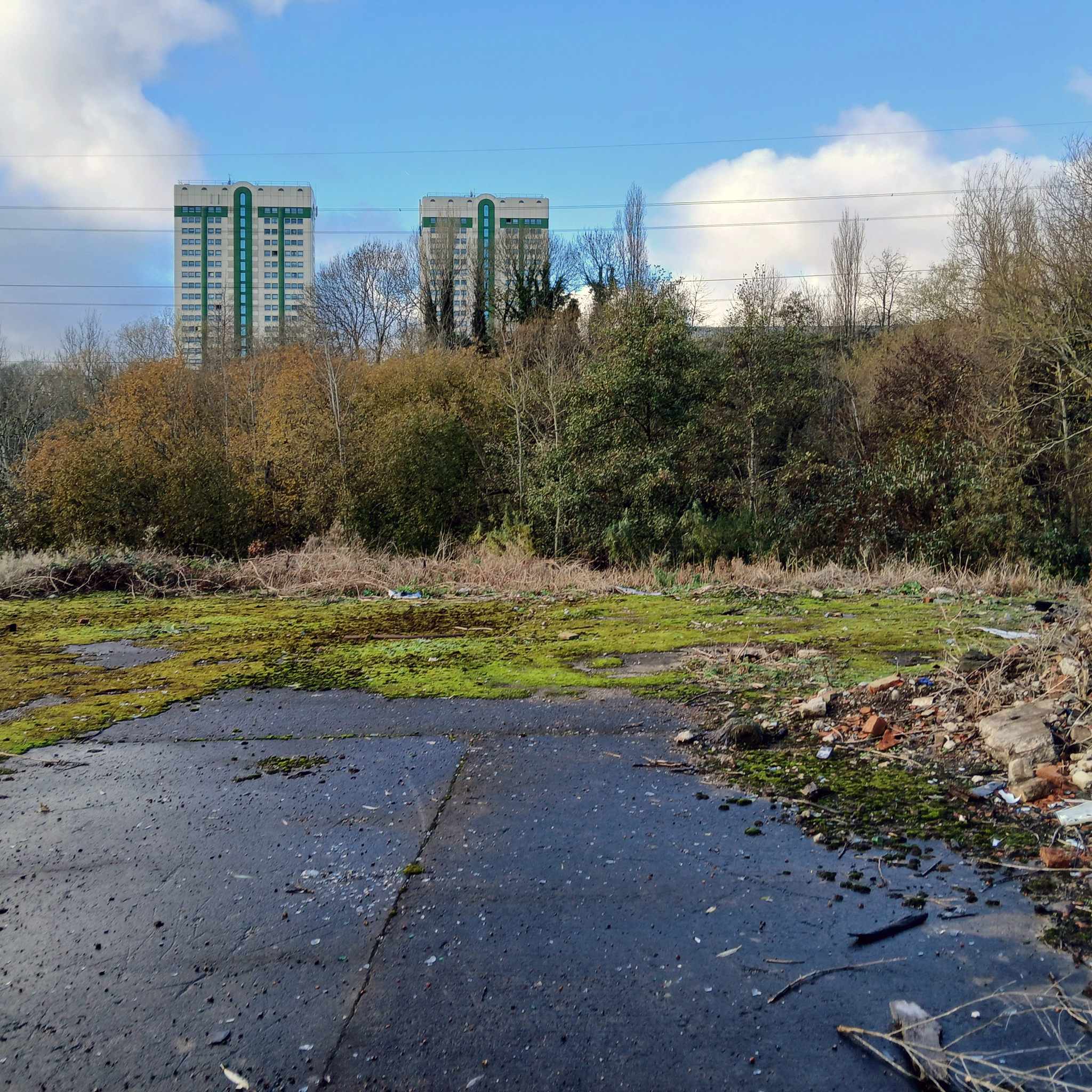
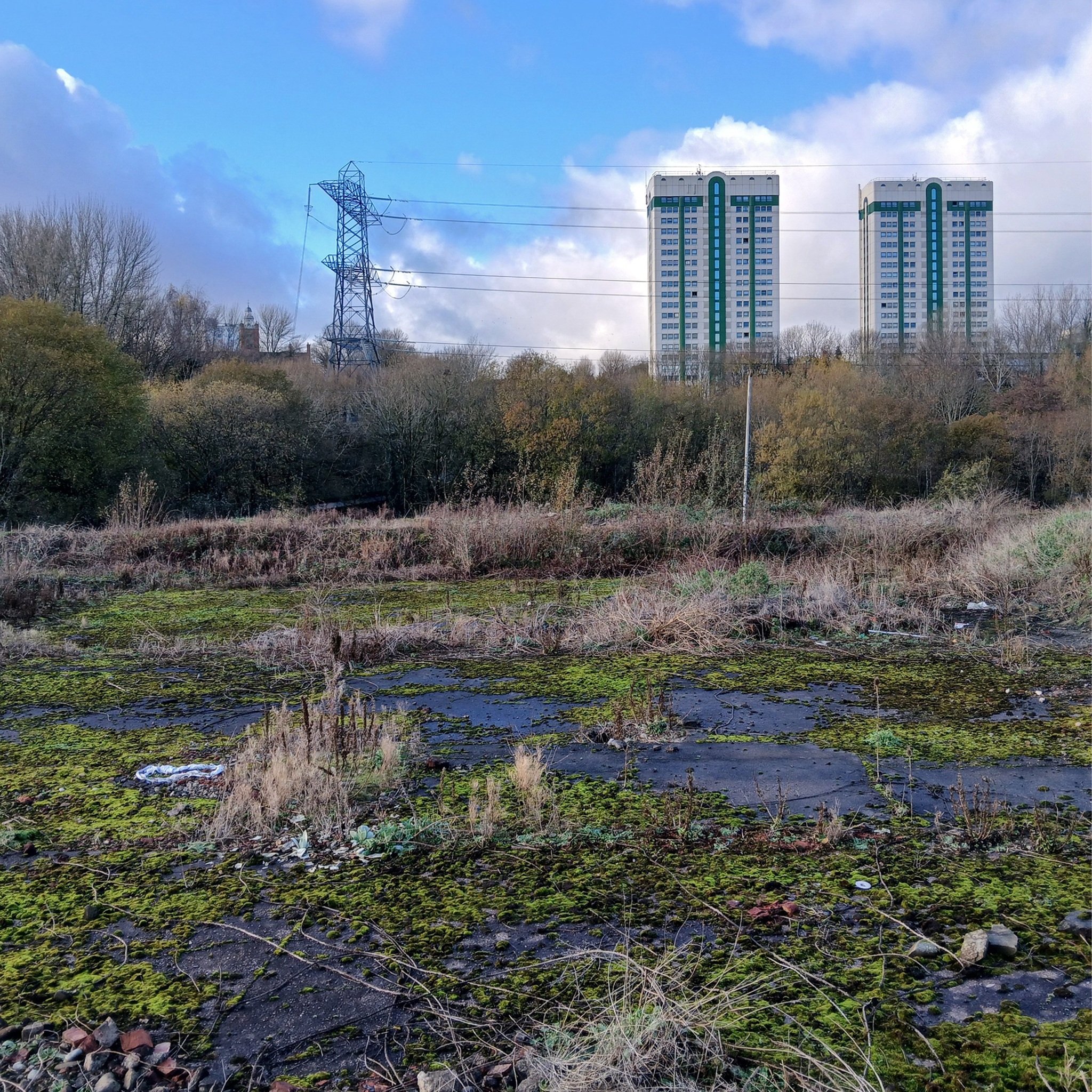
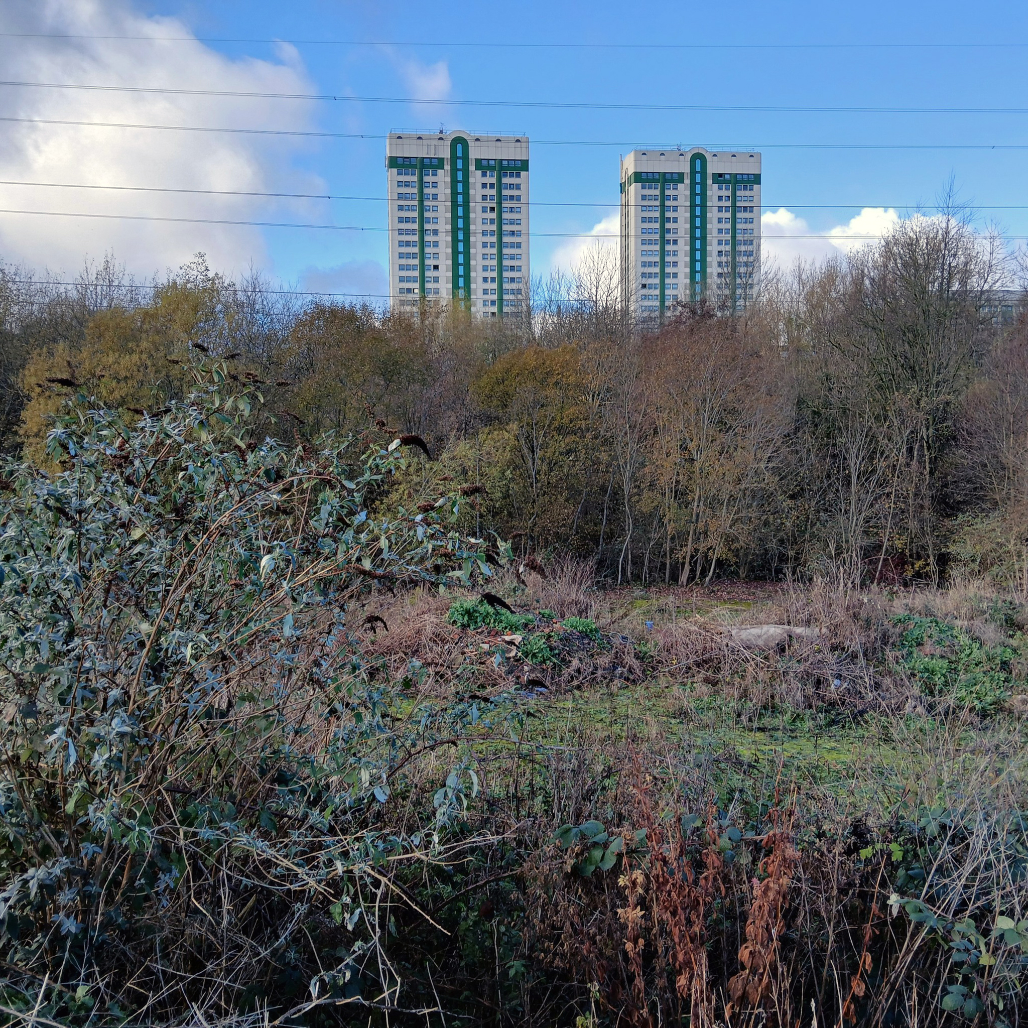
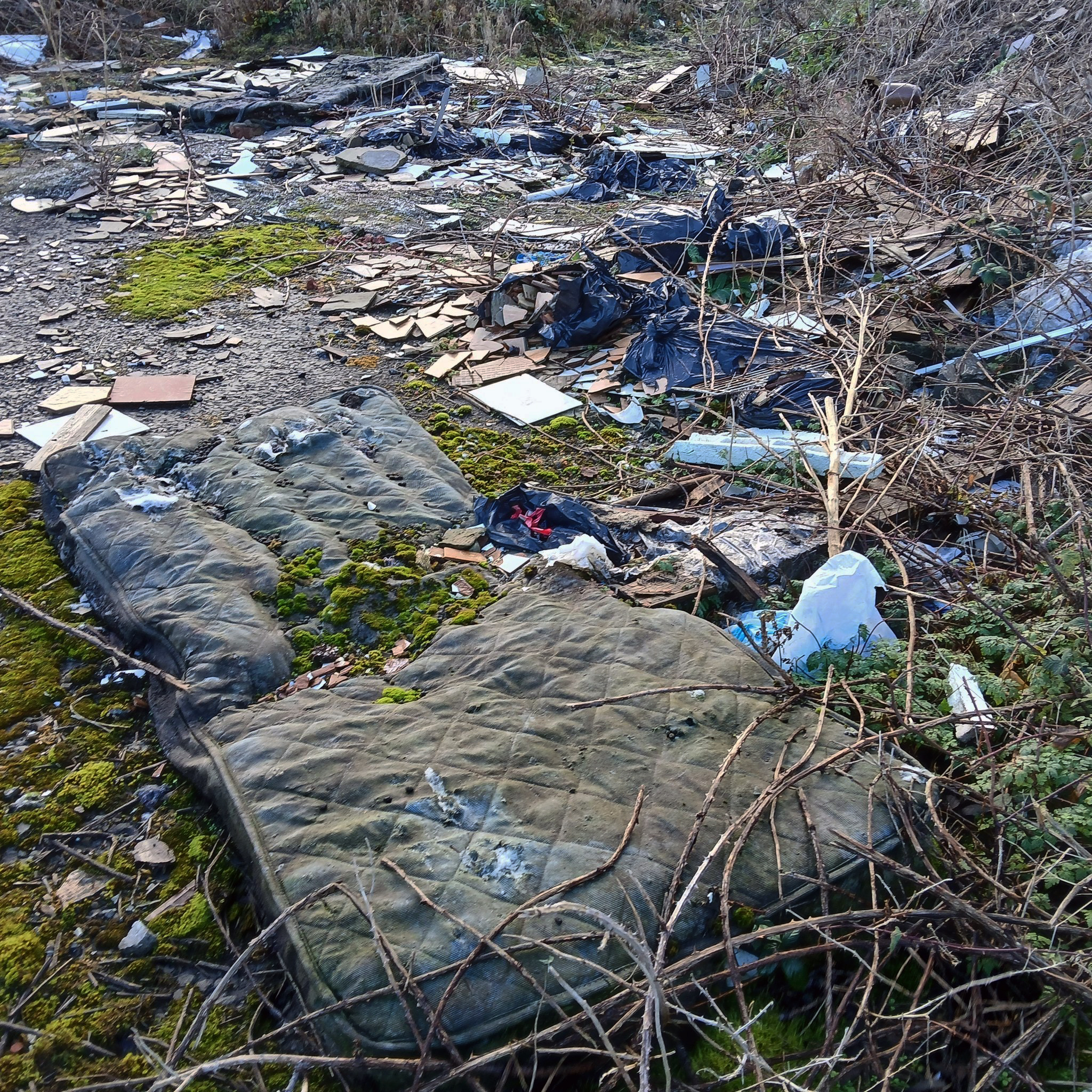
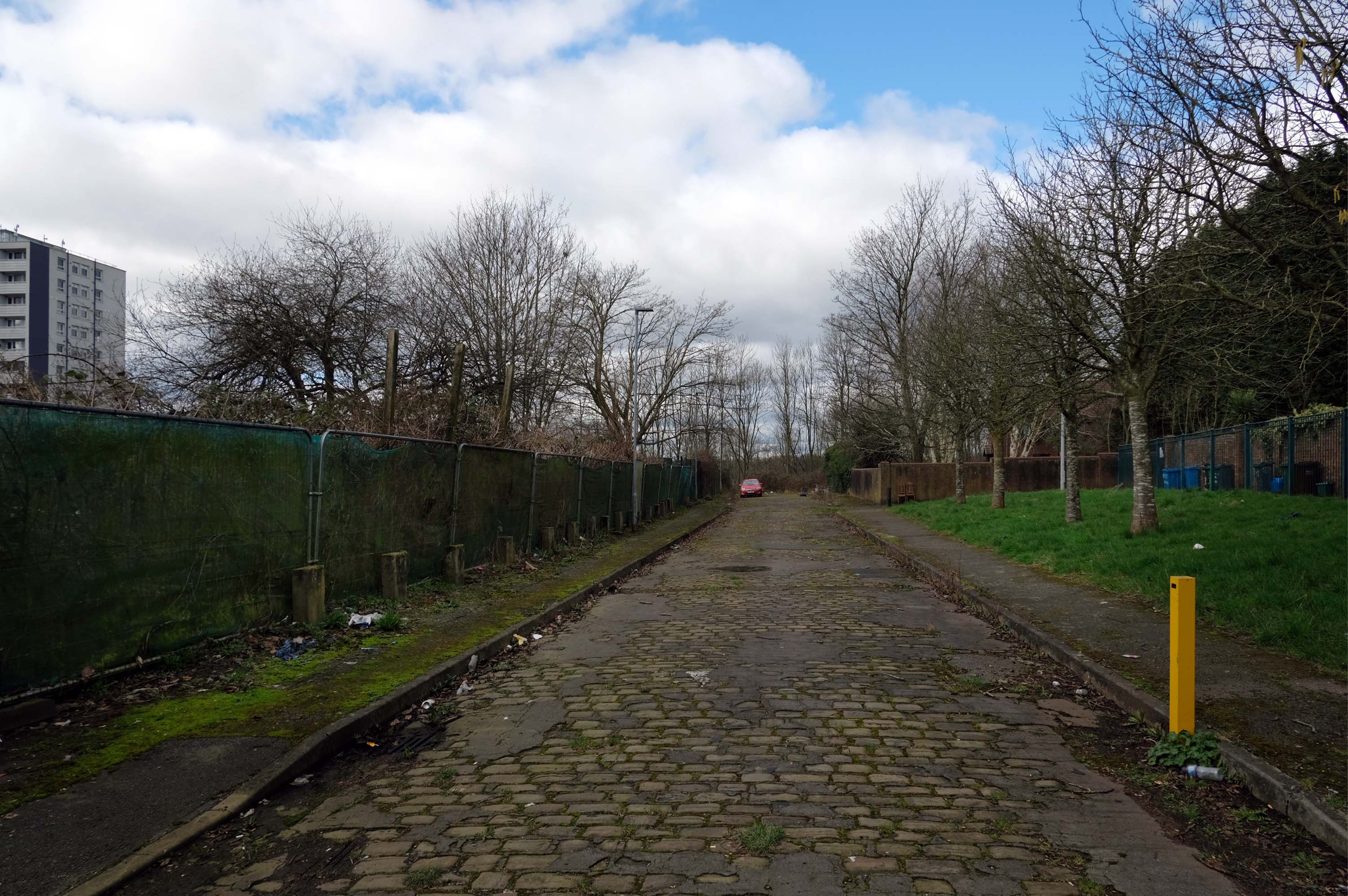
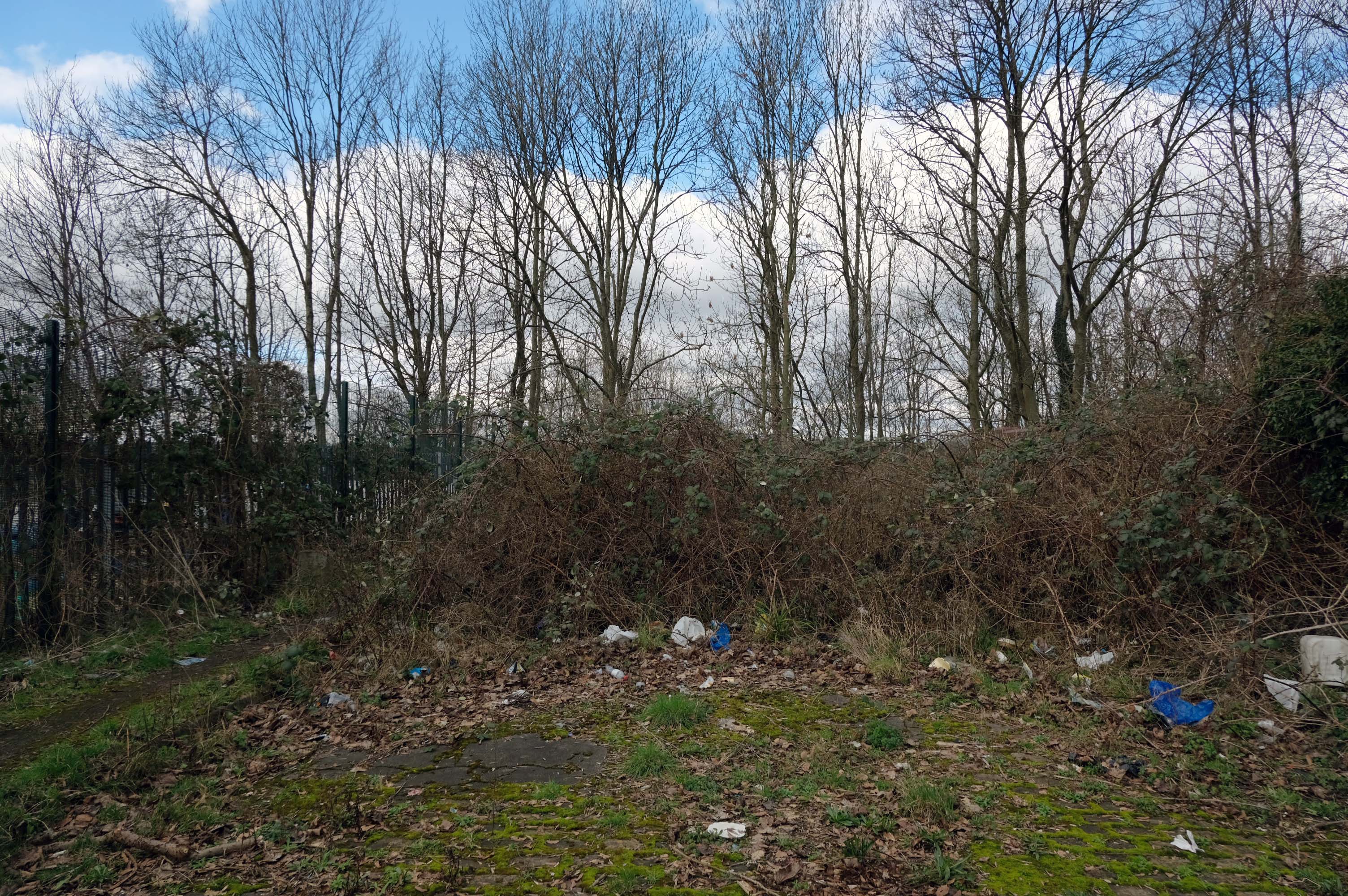
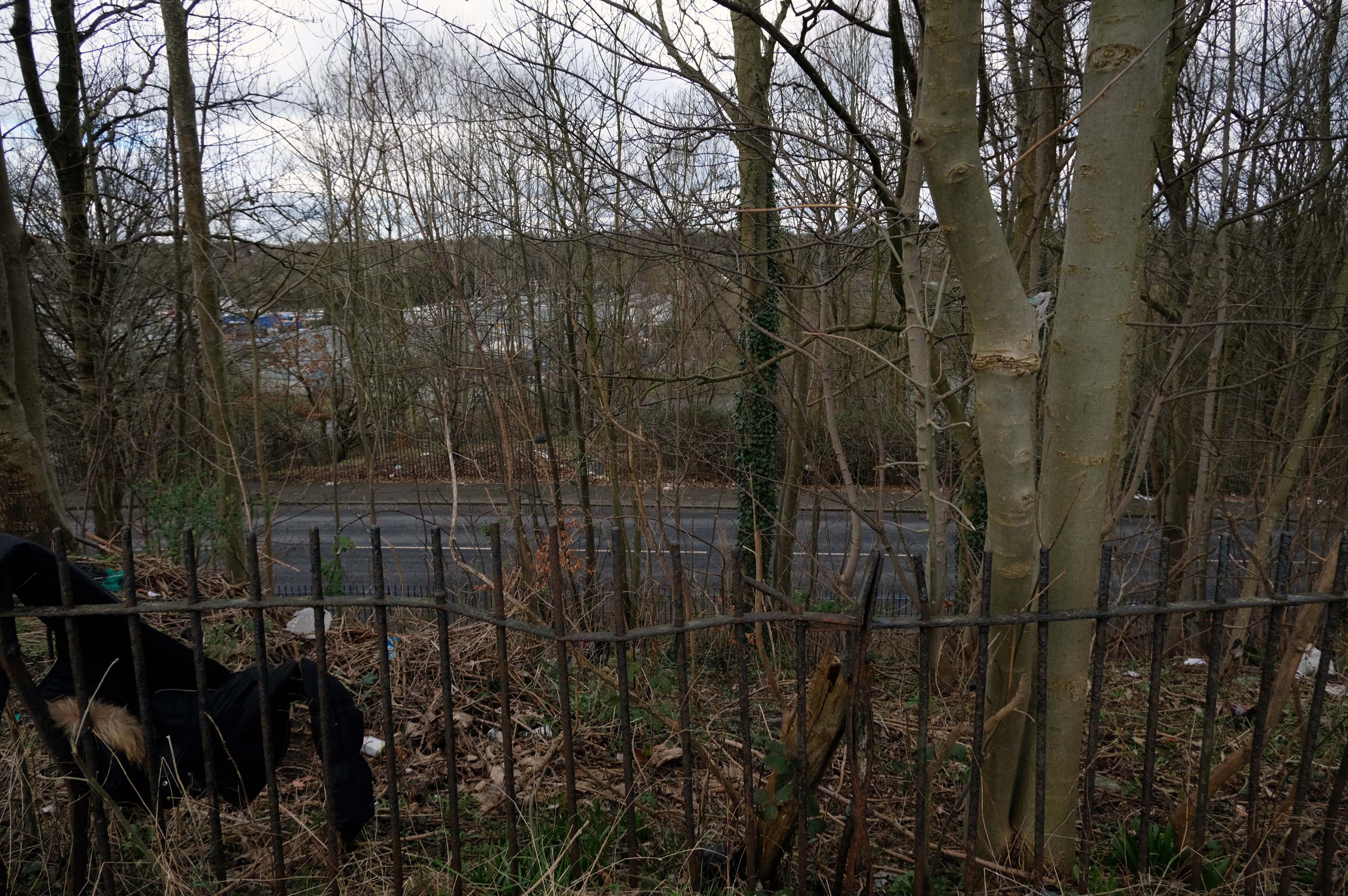
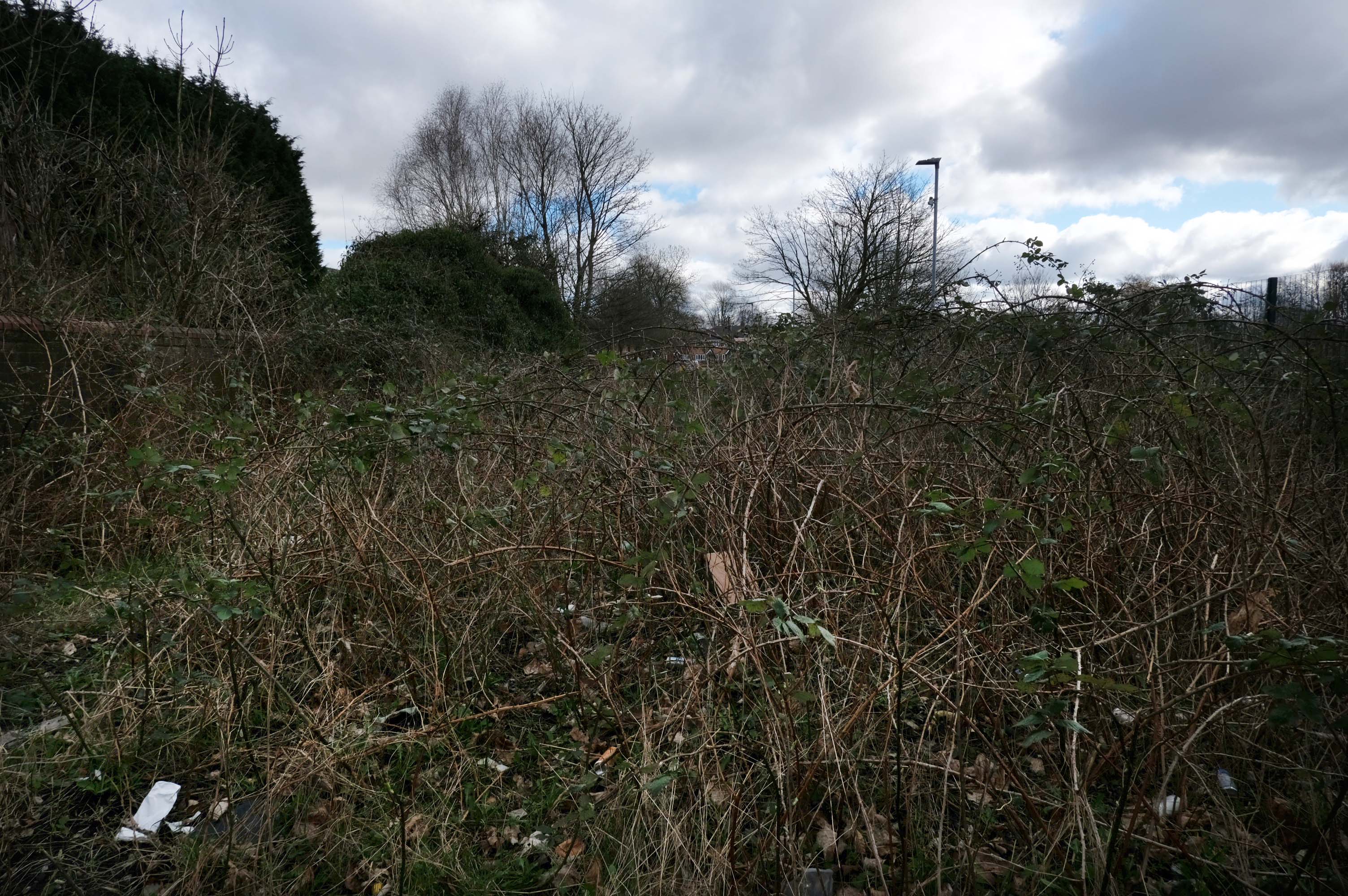
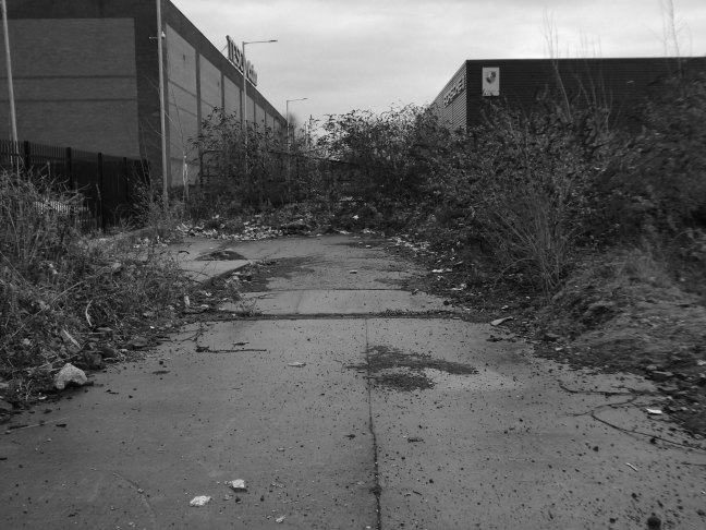
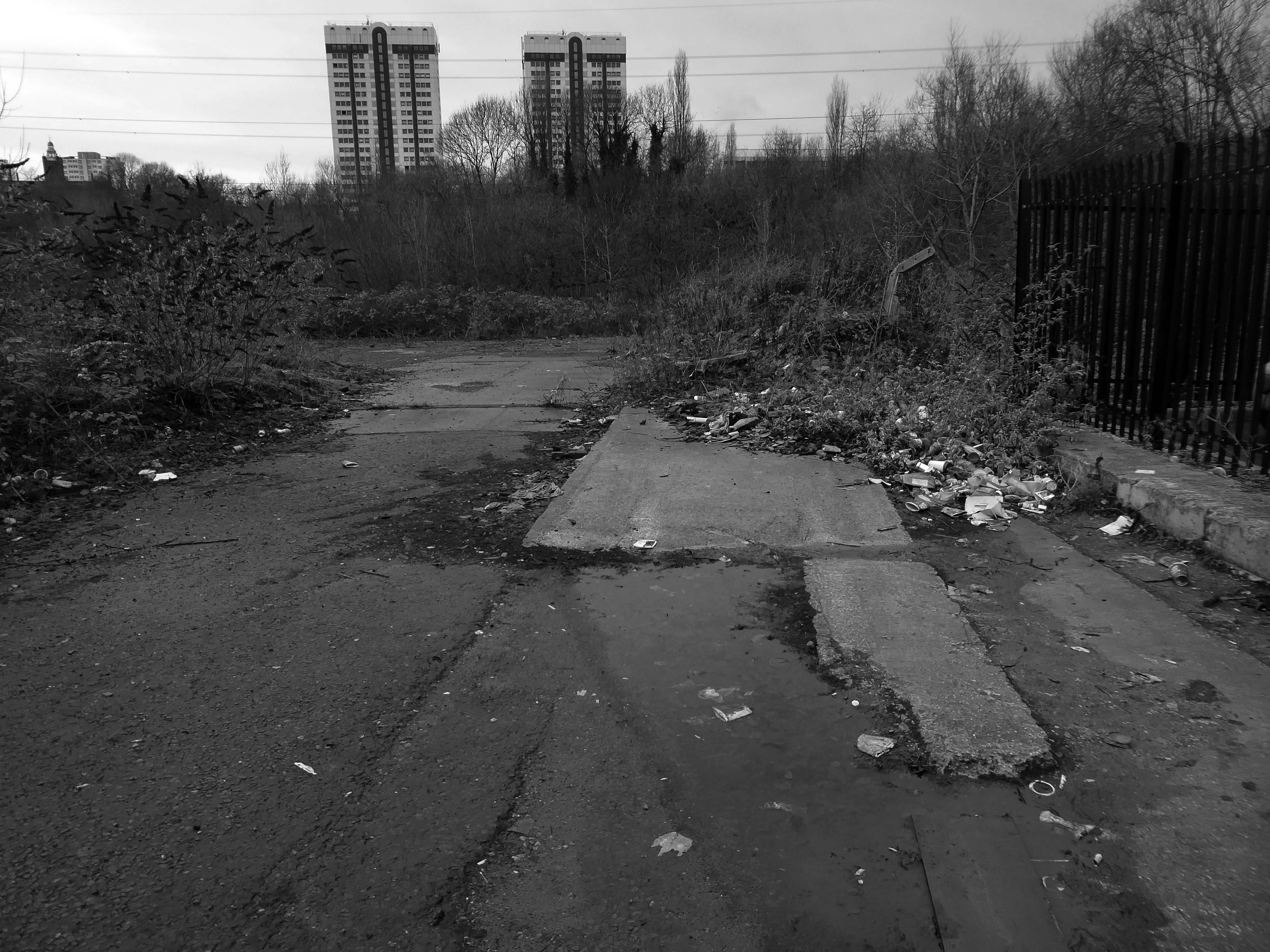
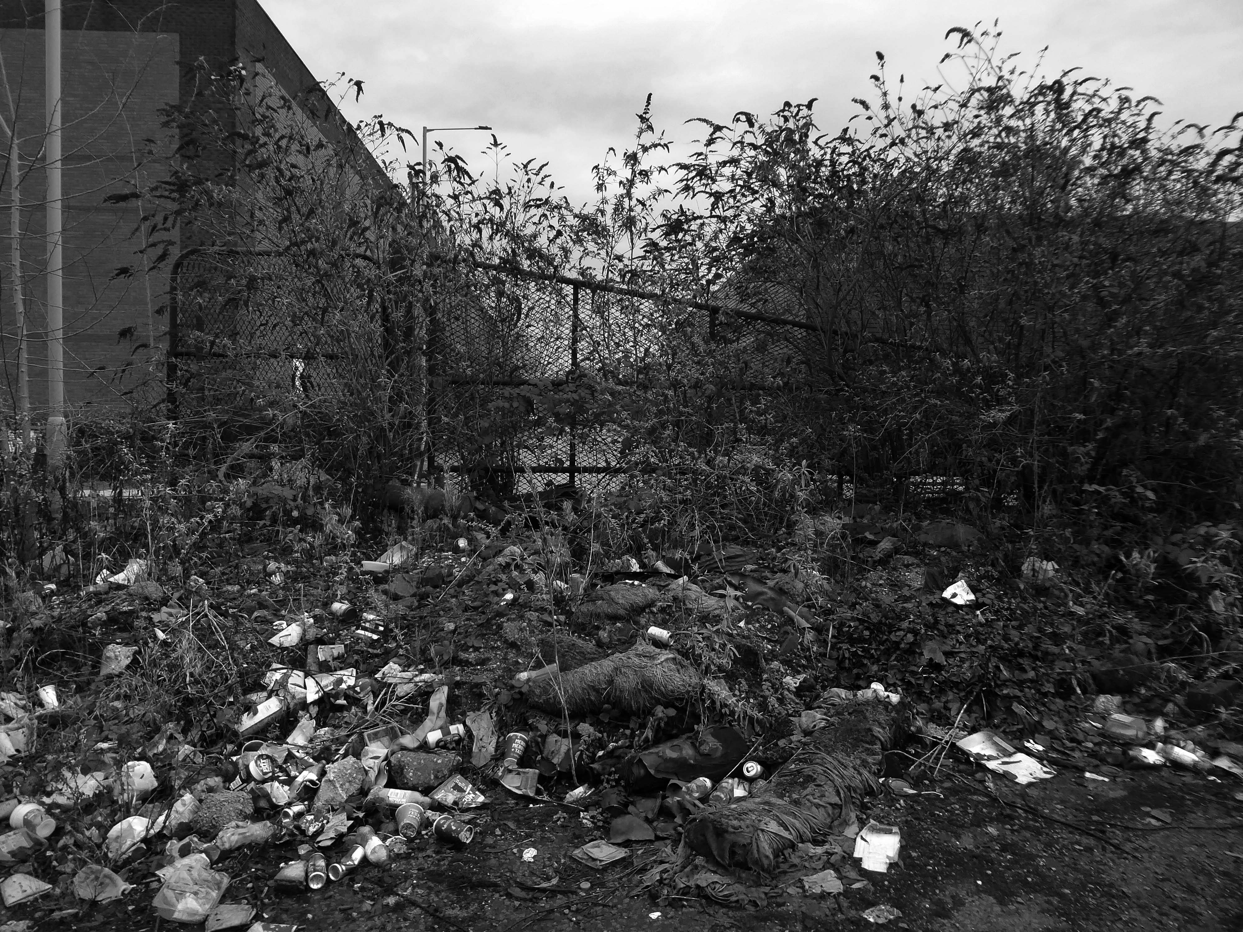
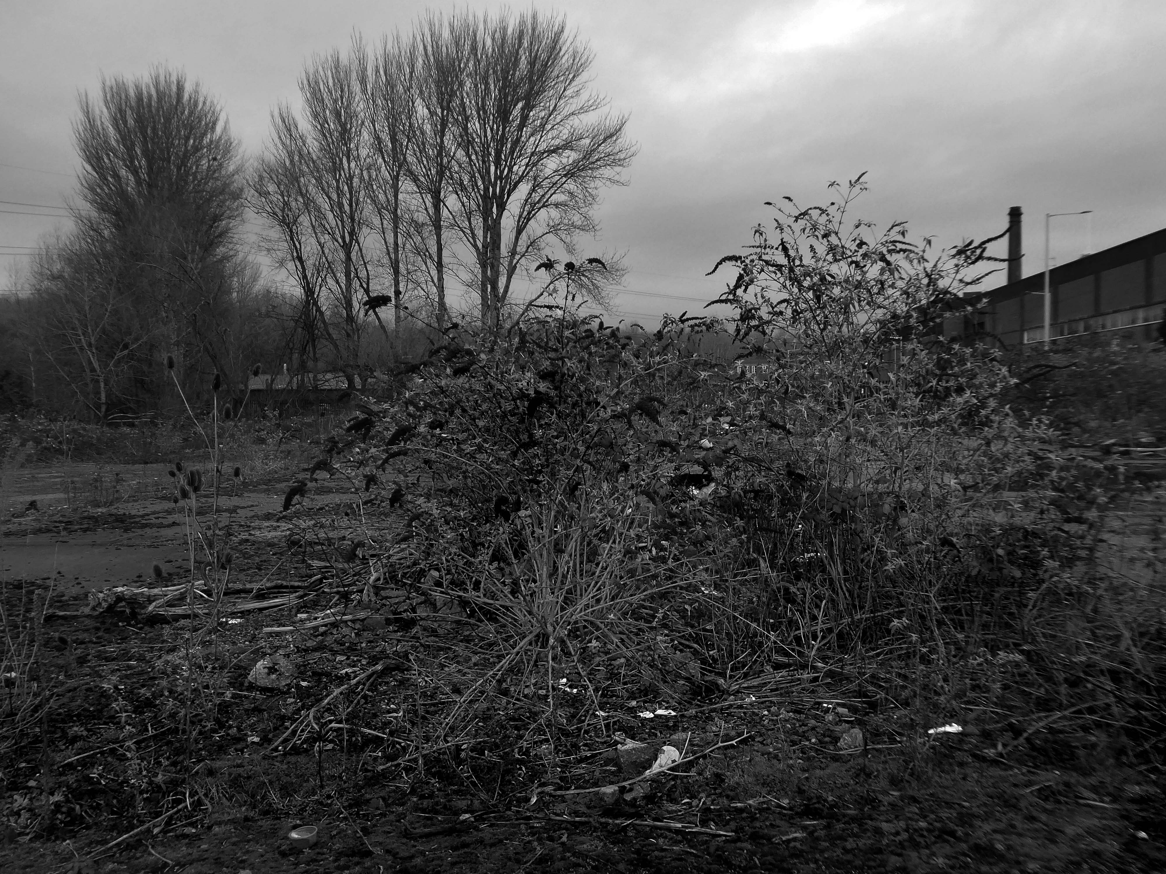
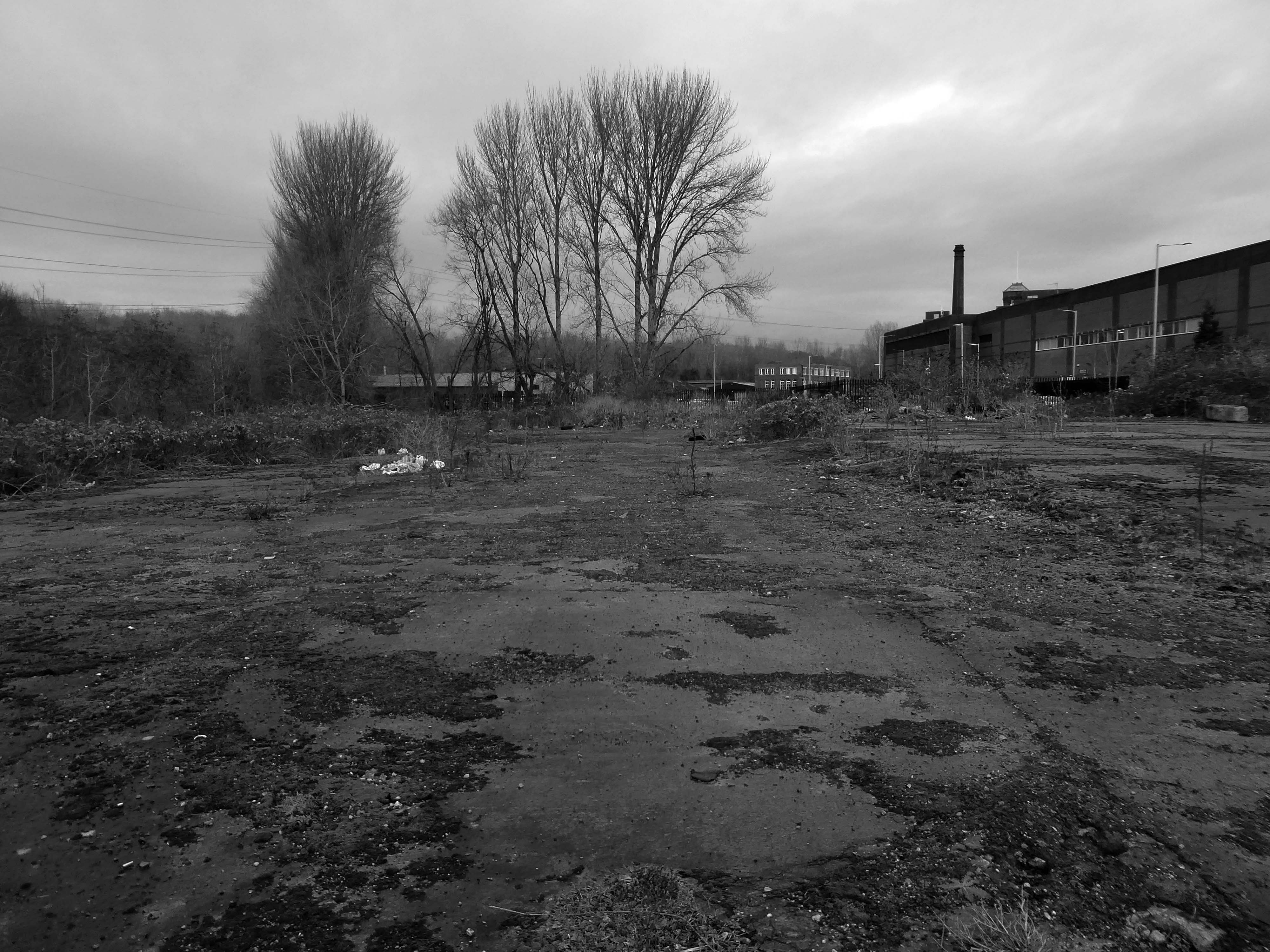
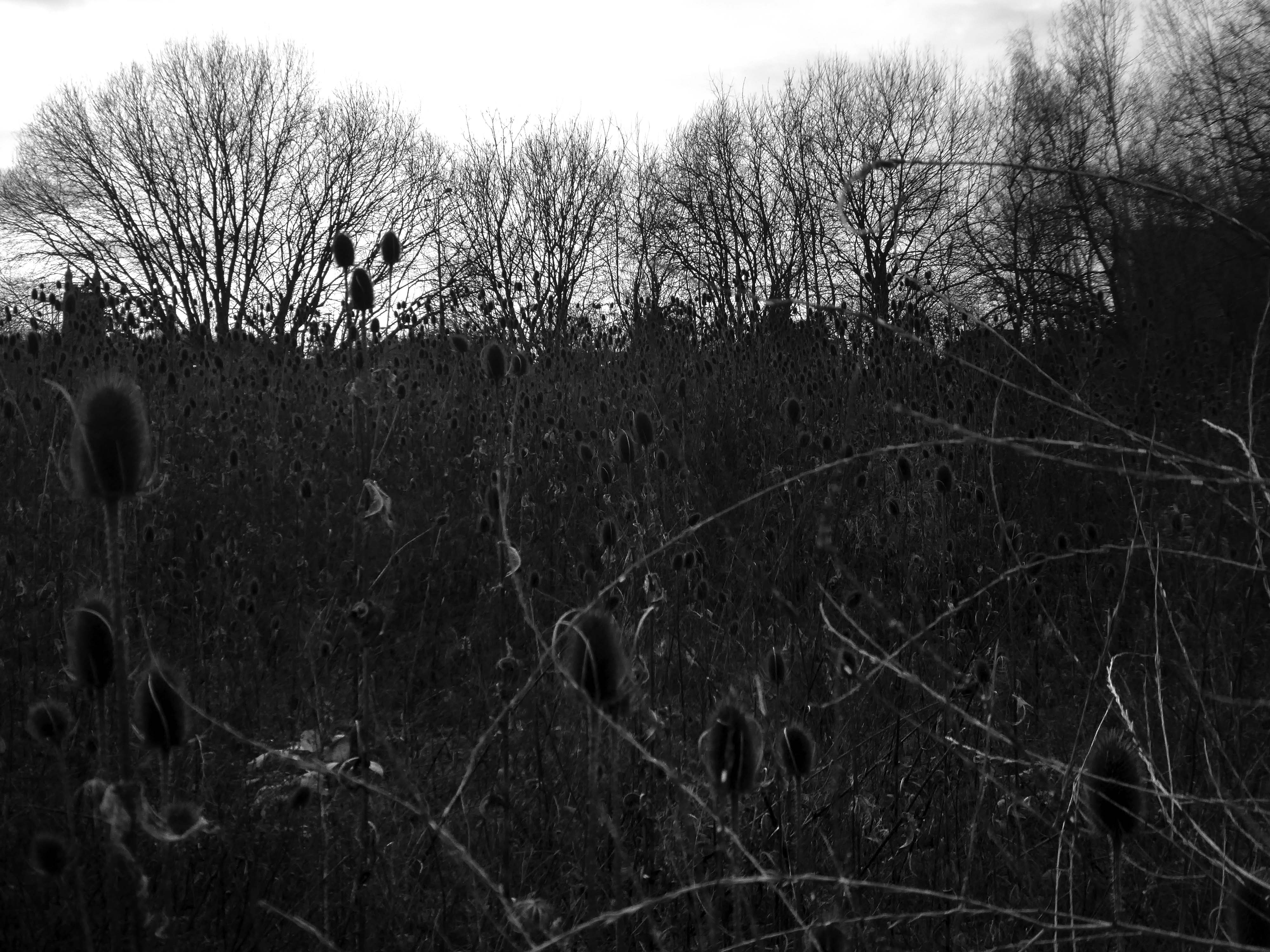
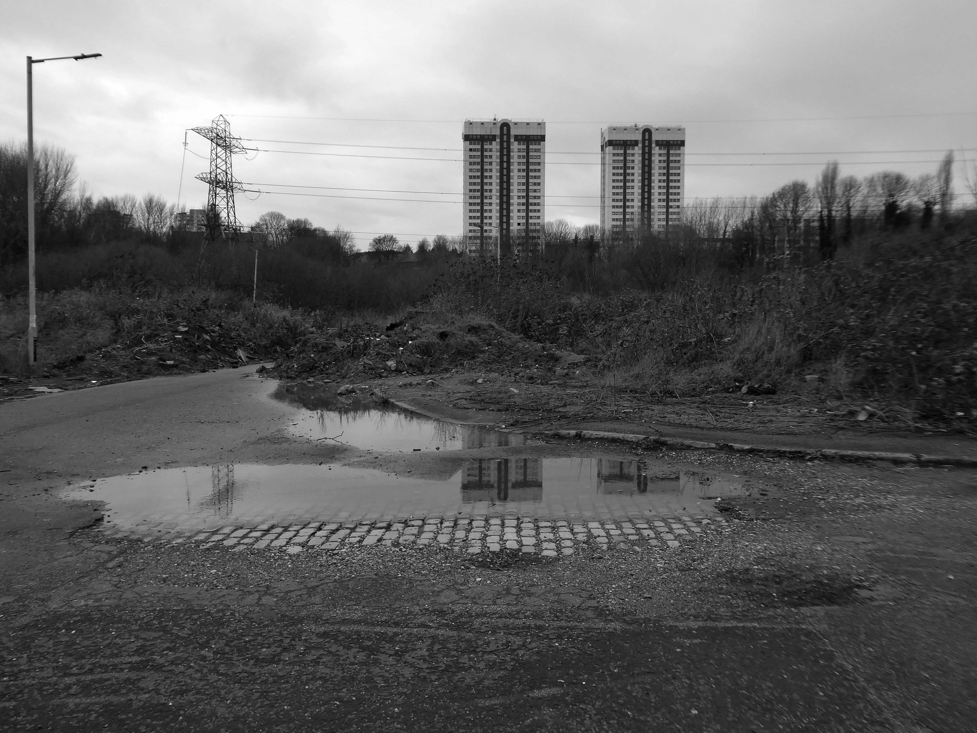
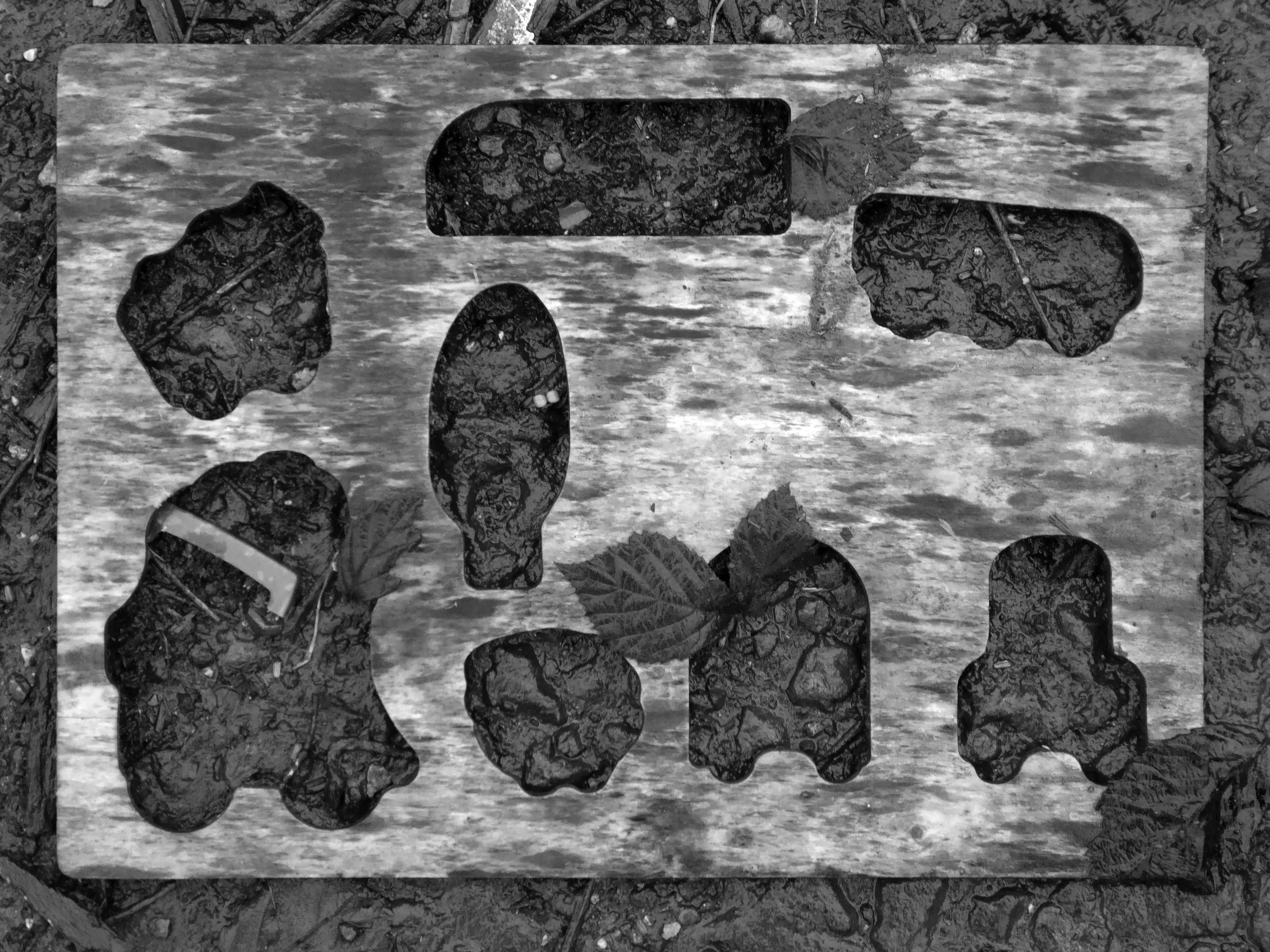
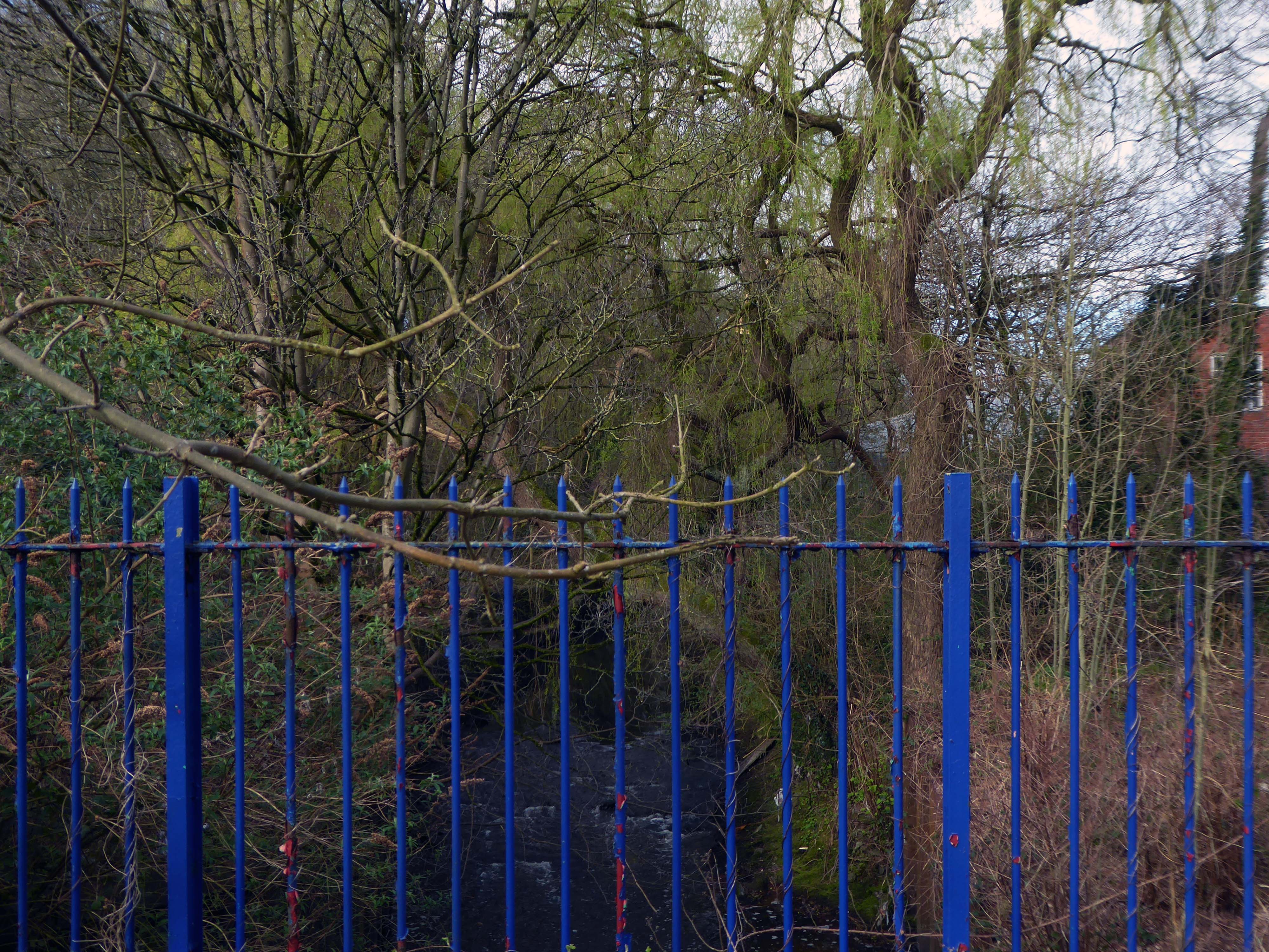
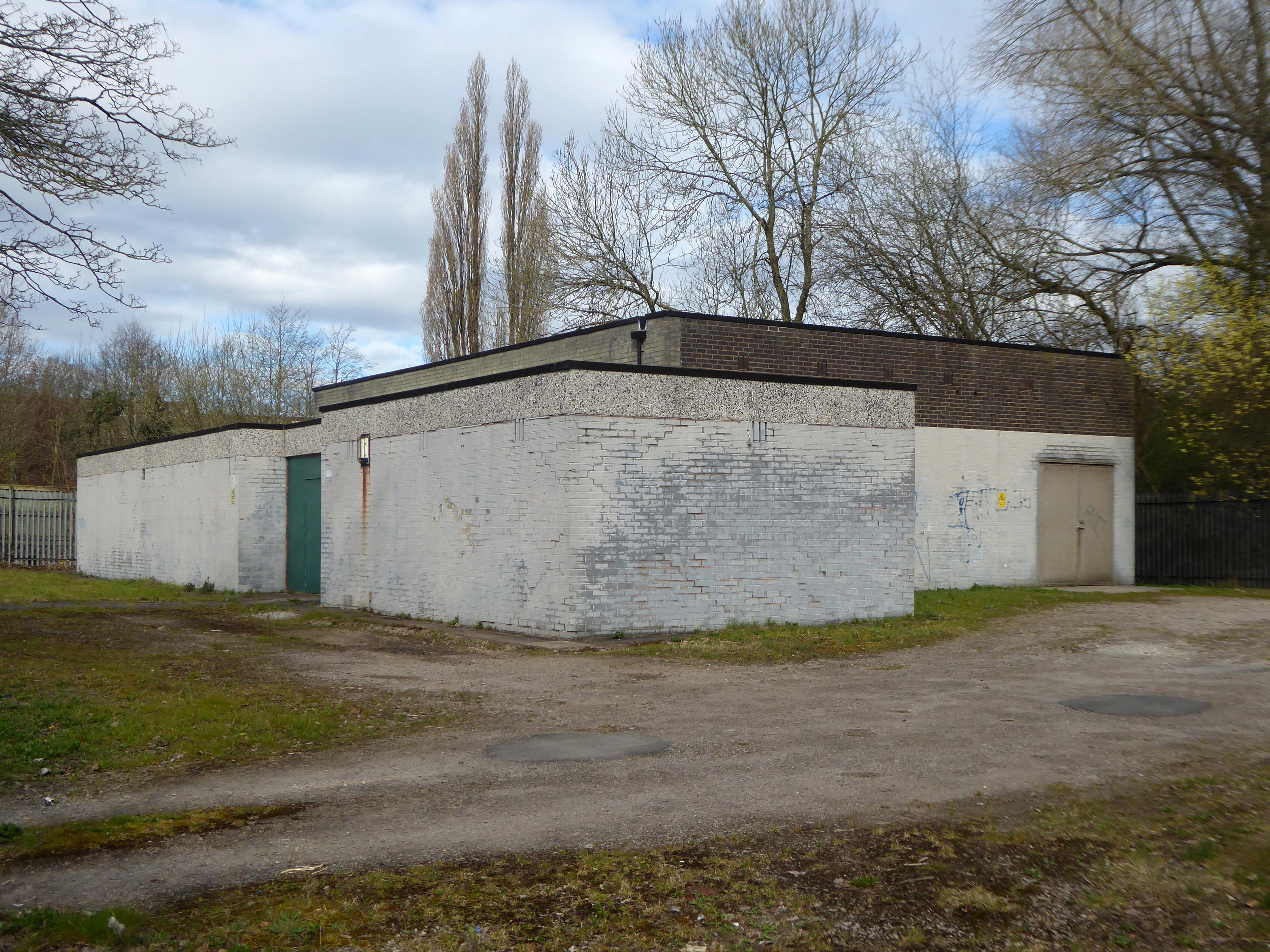
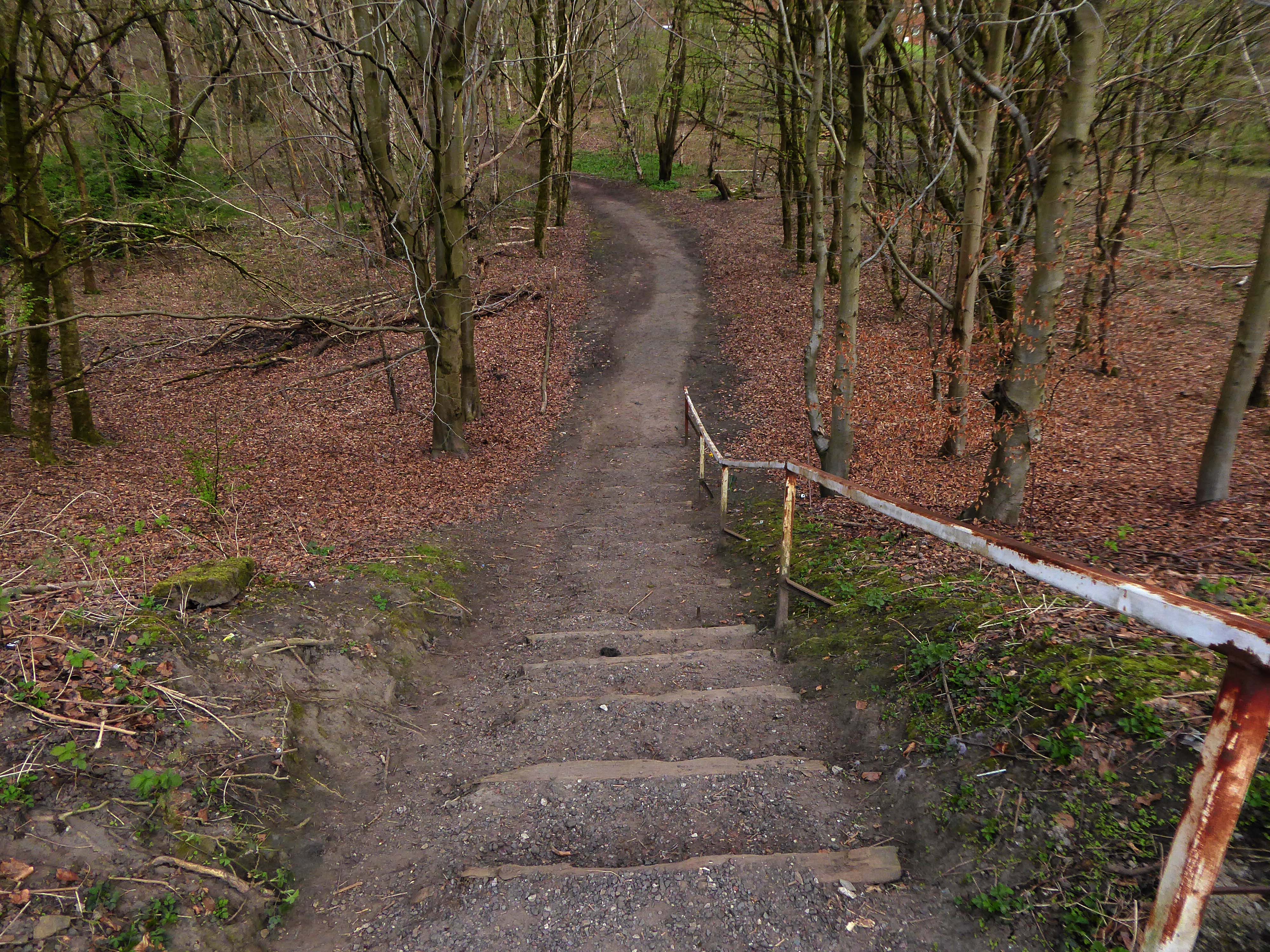
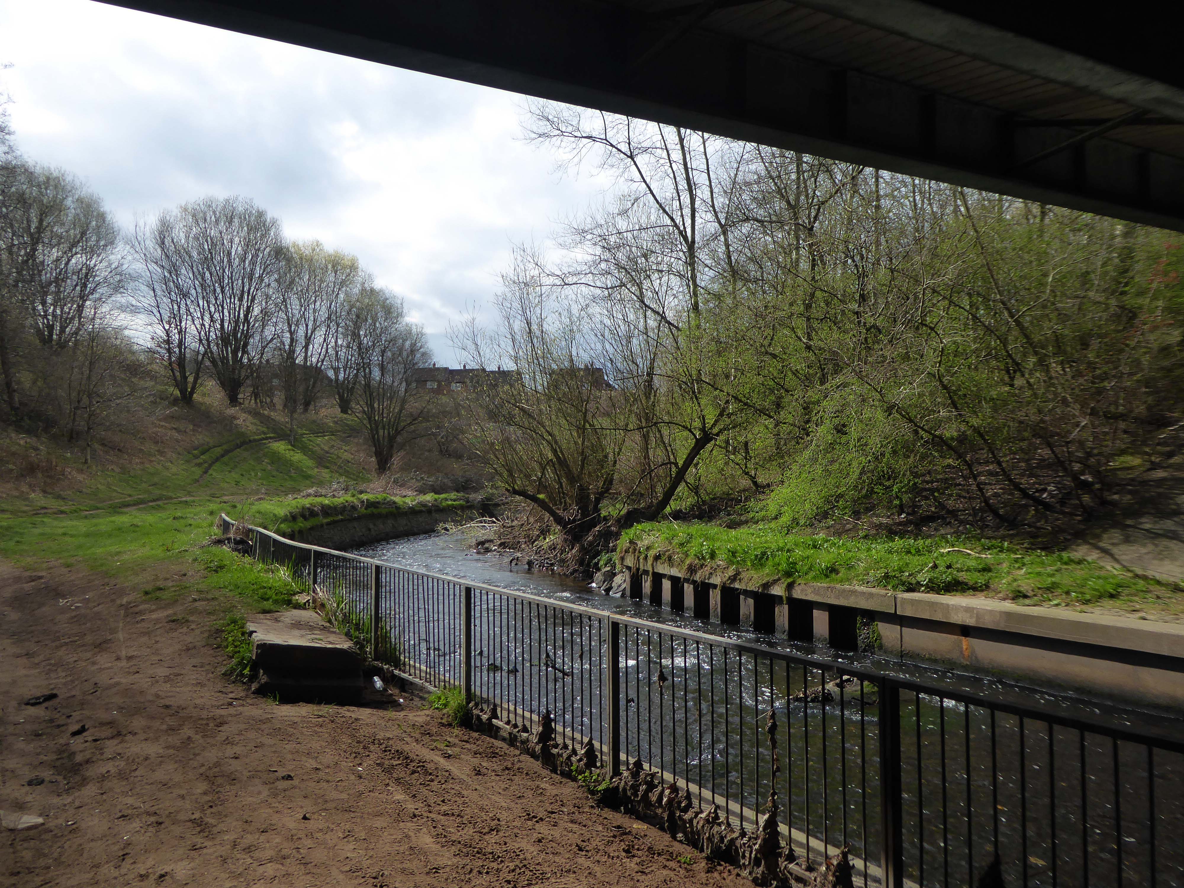
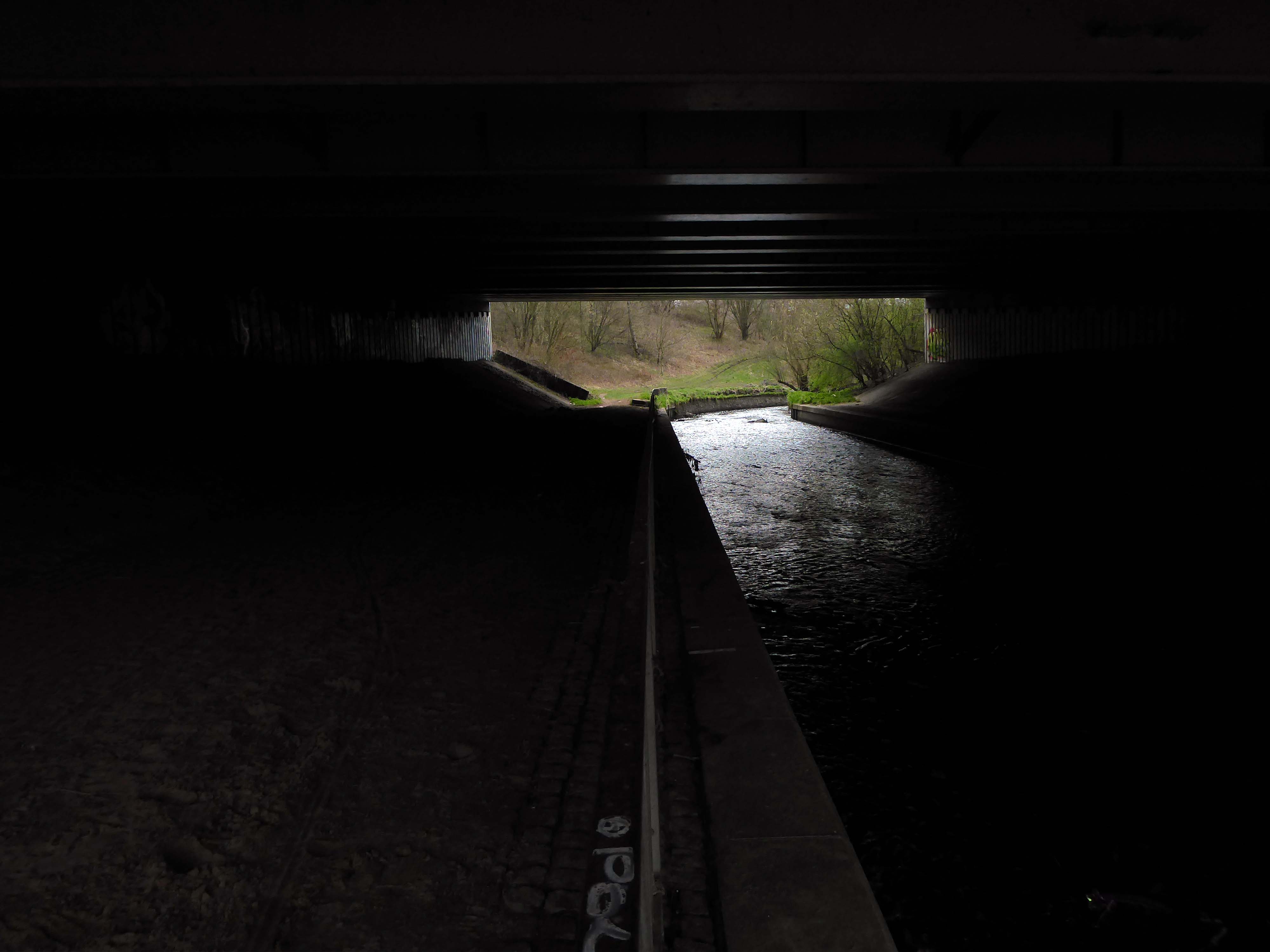
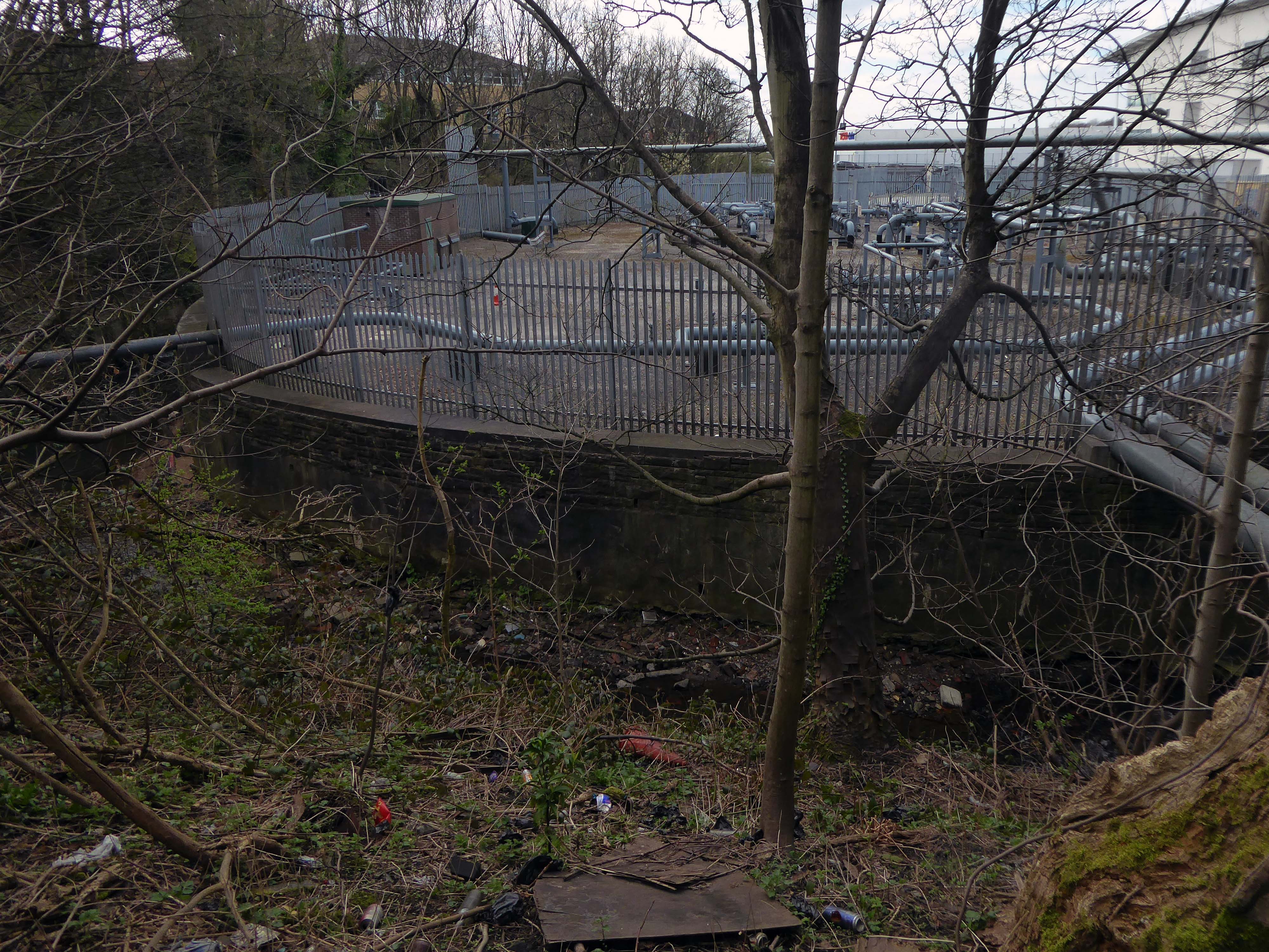
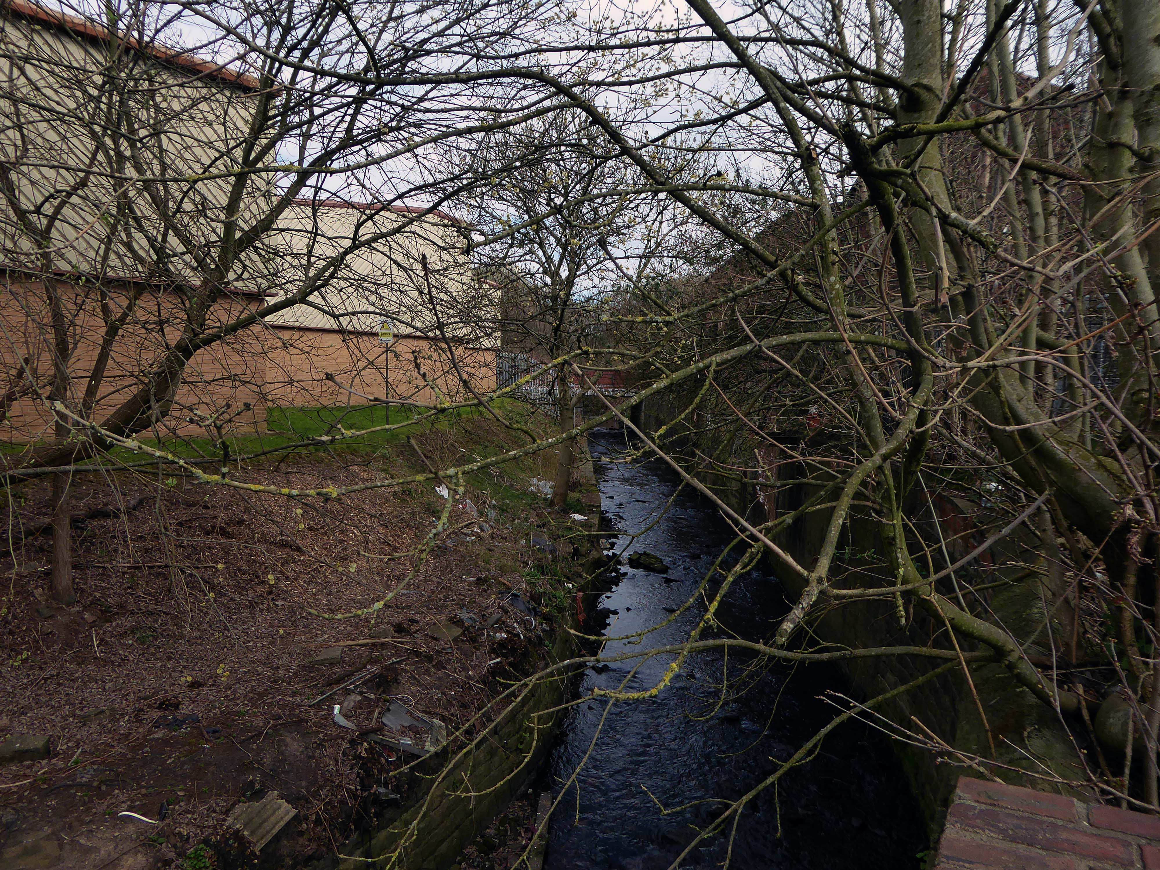
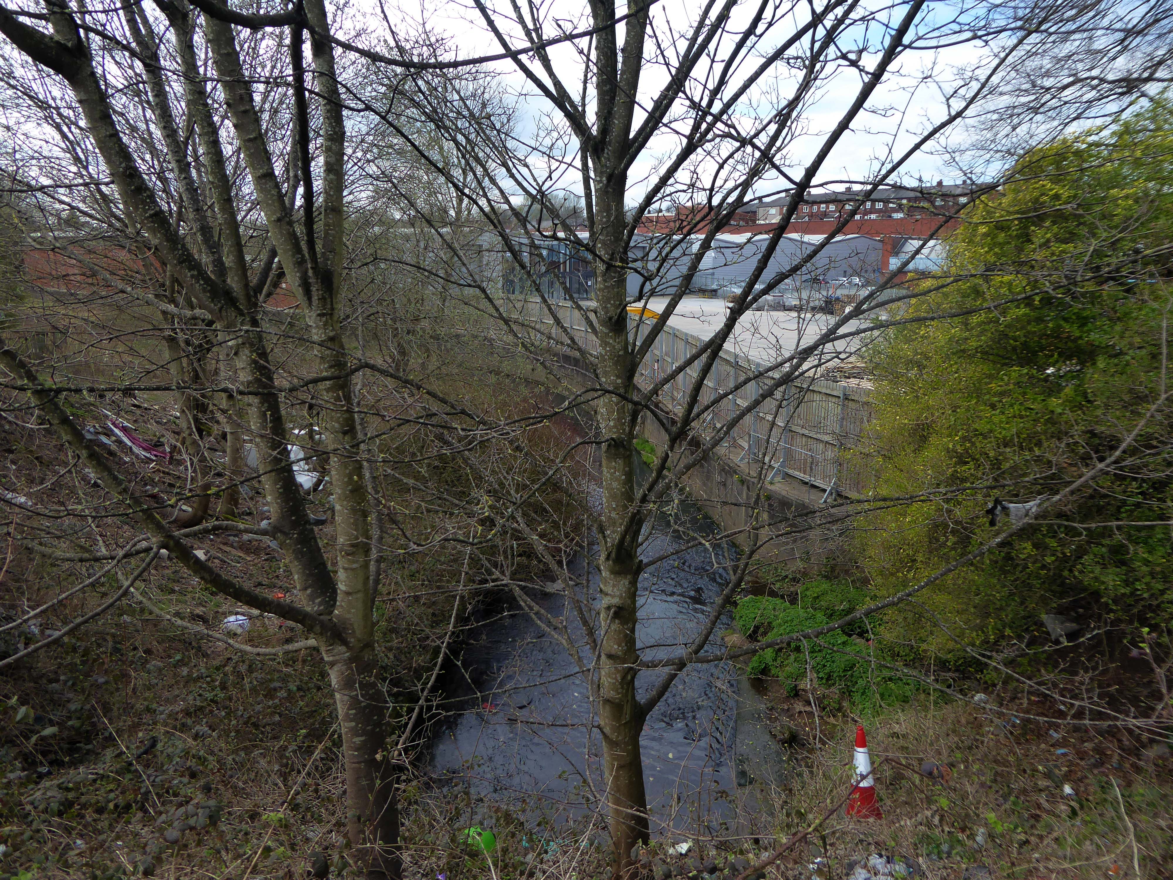
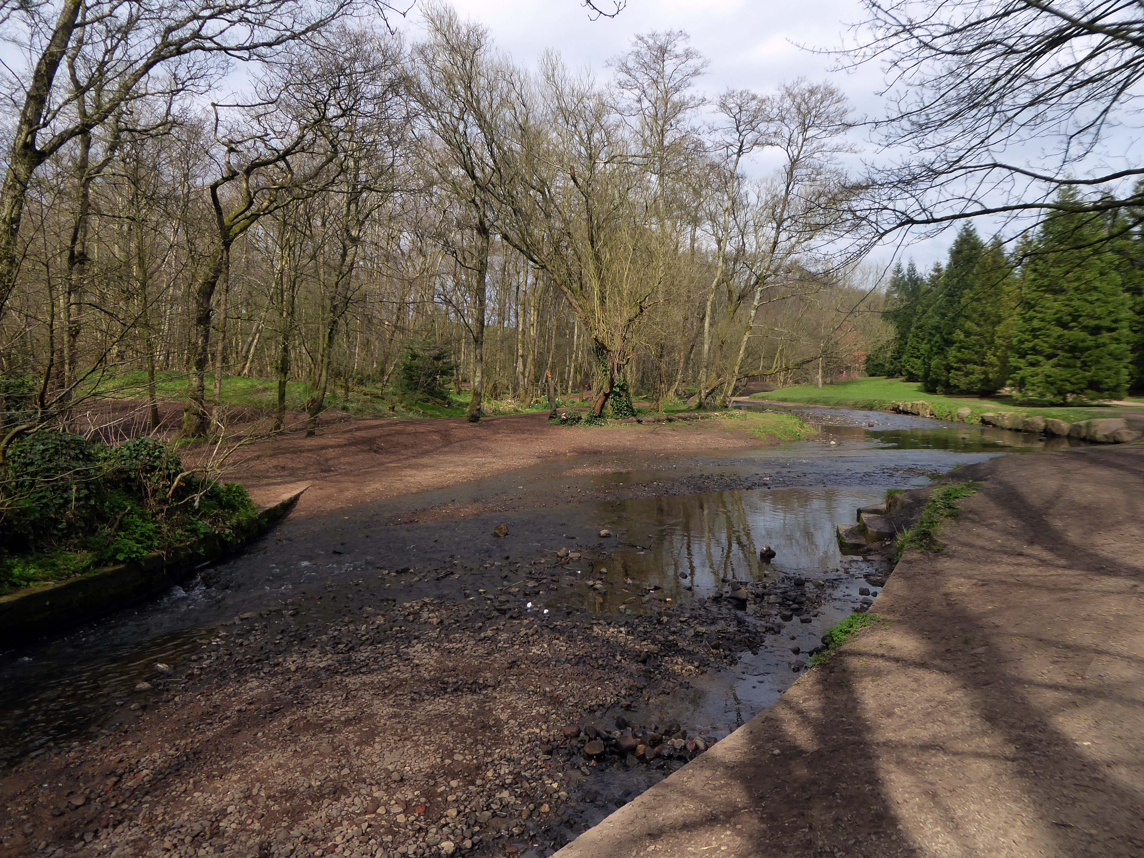
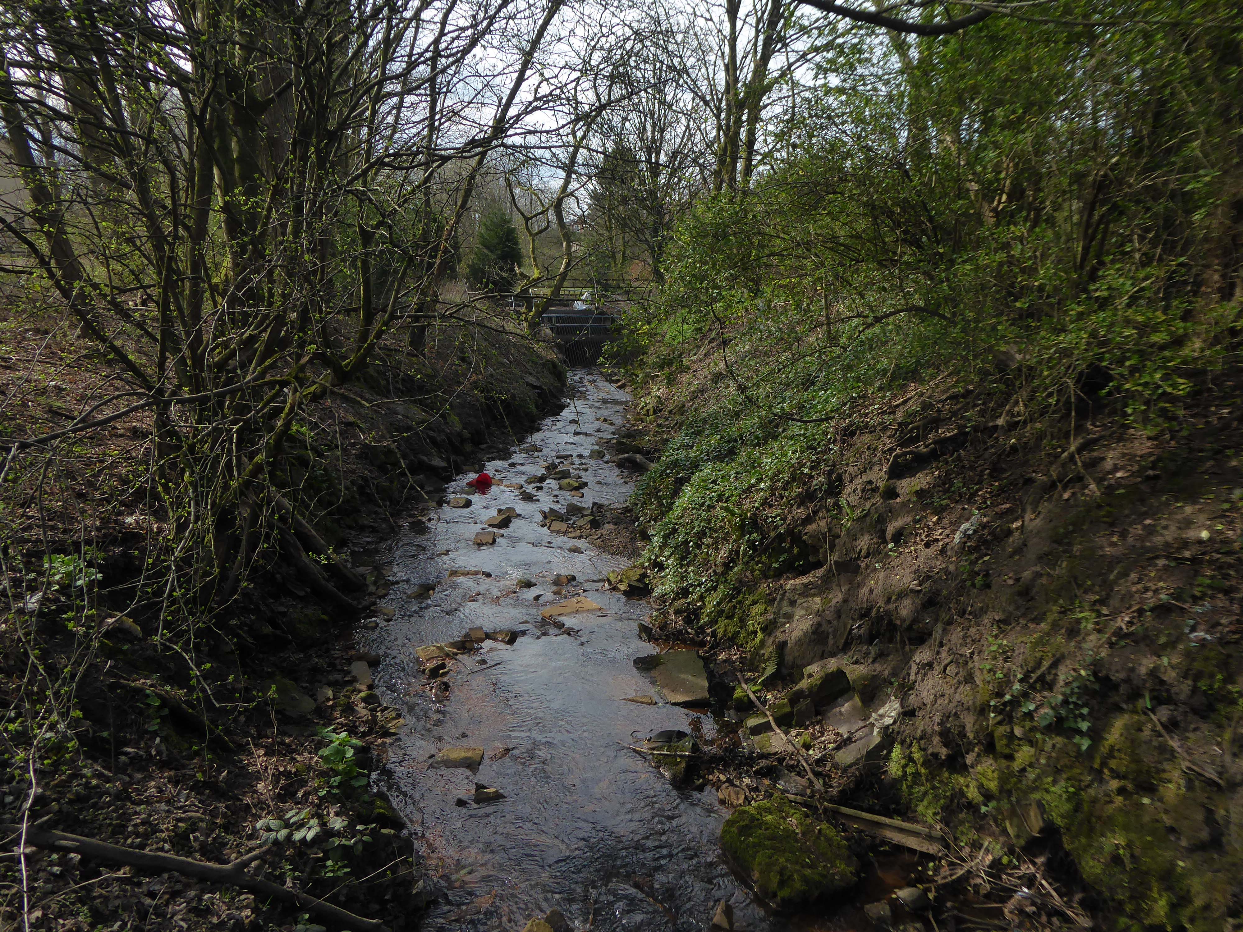
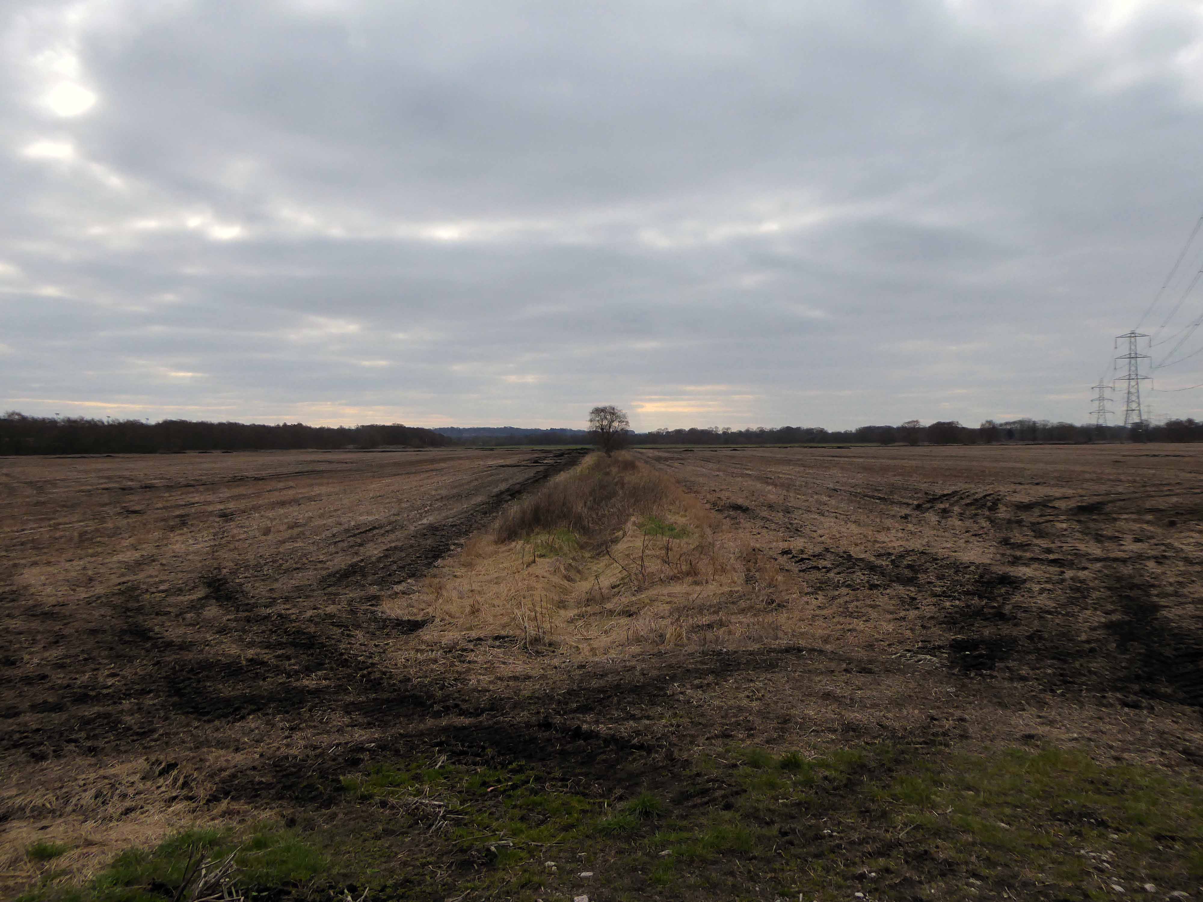
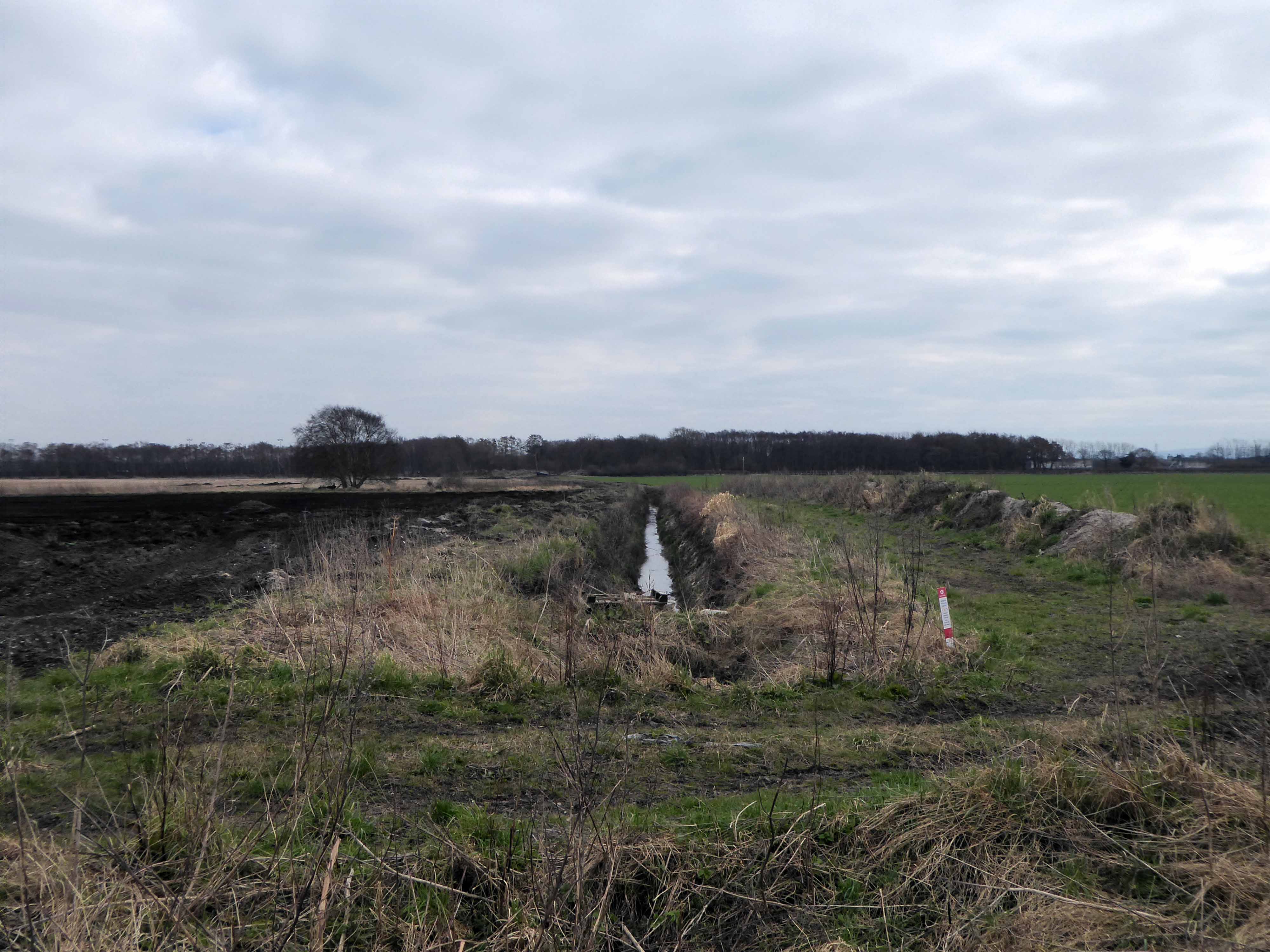
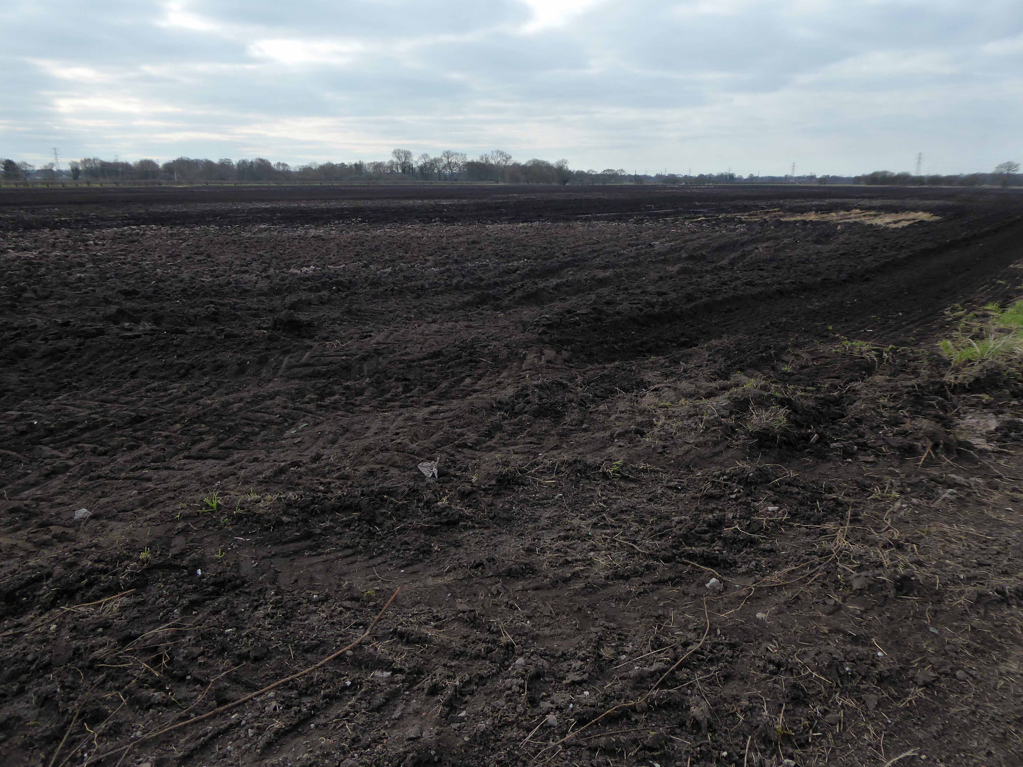
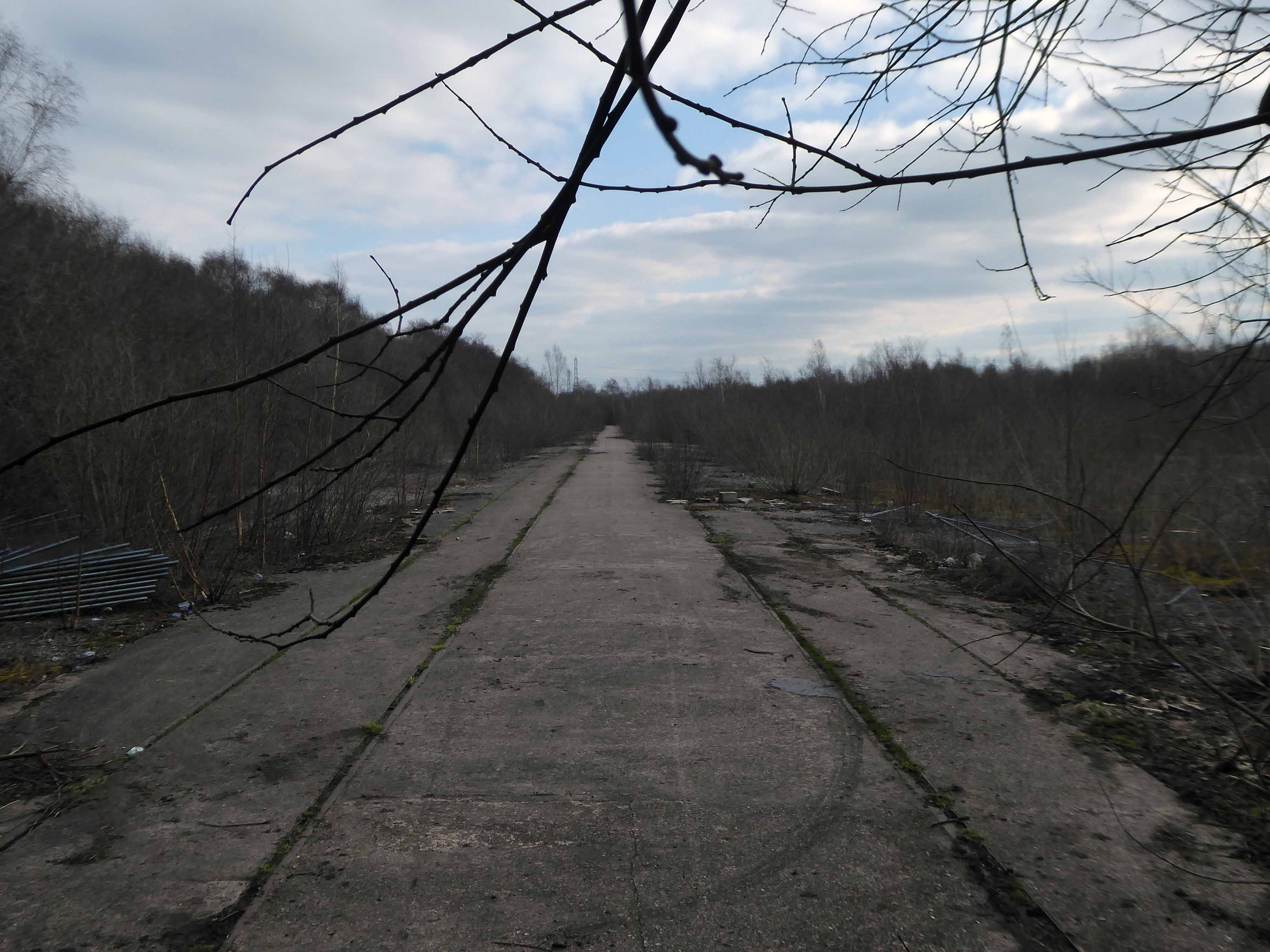
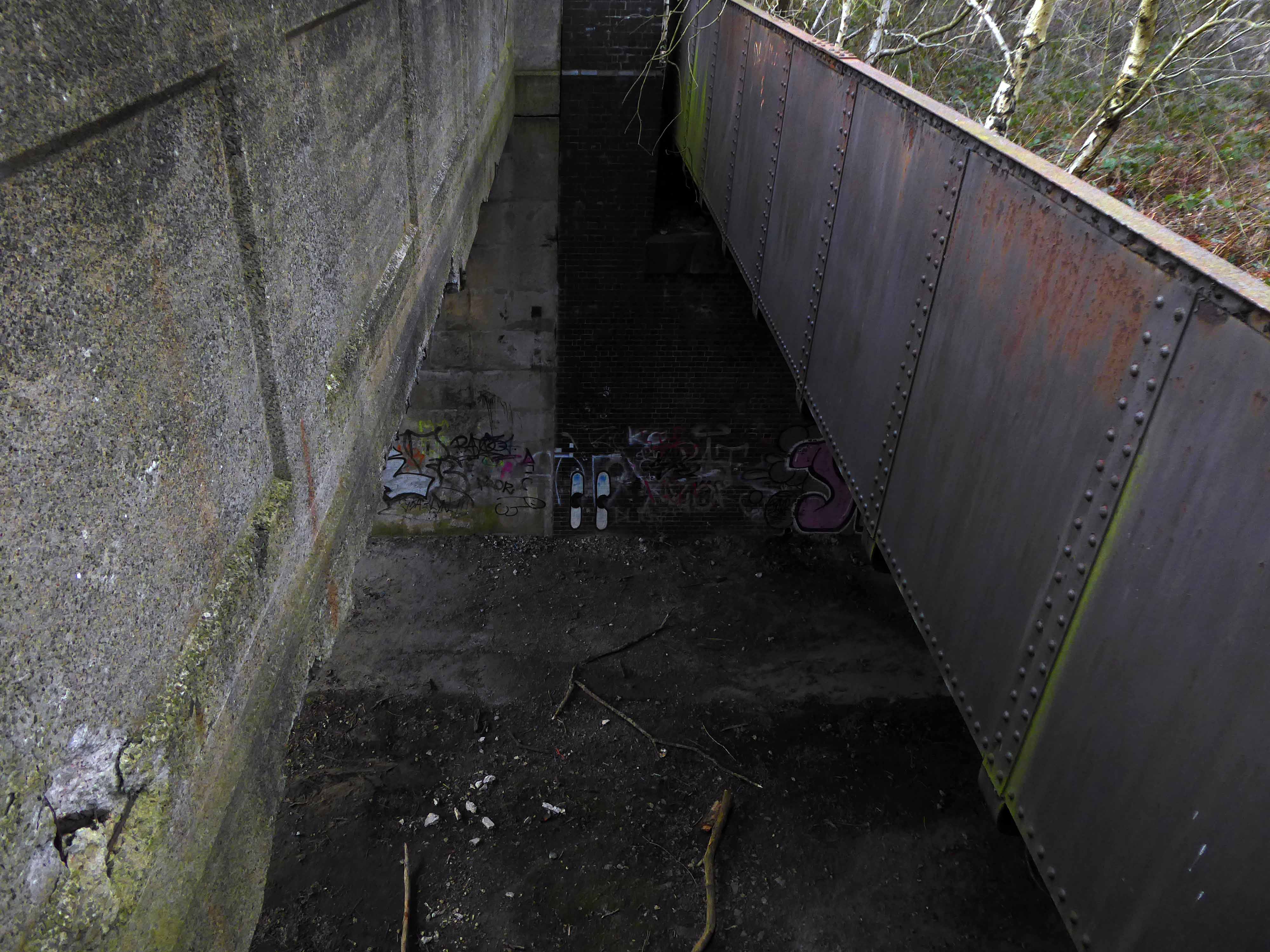
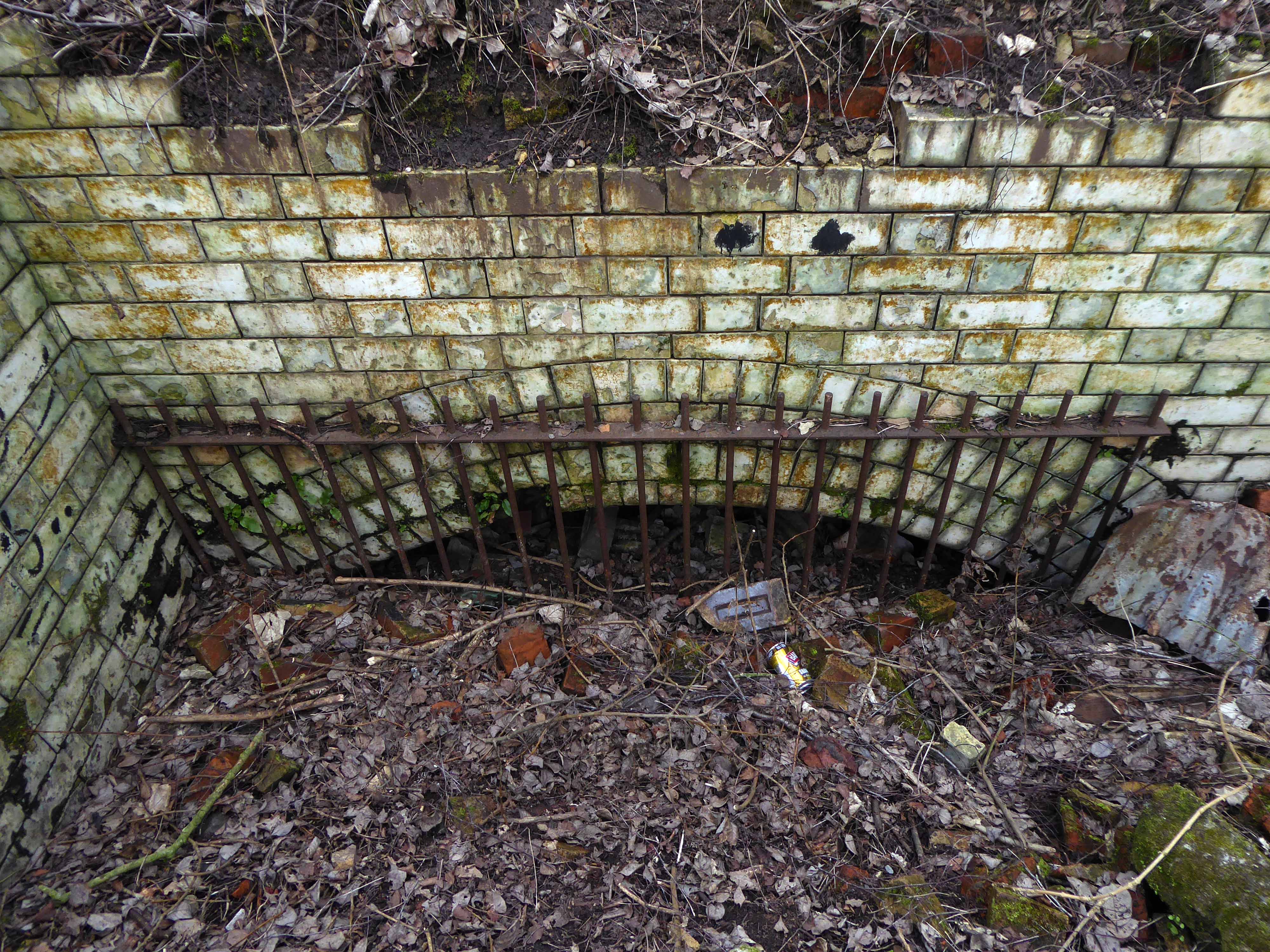
We can see the remains of the road system of this former industrial site, now colonised by brambles and greenery, the imposition of earth mounds and fly tipping.
Walking along Rochdale Road yesterday, I was suddenly arrested by the Pleasant Street street sign.
Having already been suddenly arrested last week, by the Bland Close street sign.
With my expectations defined by the above definition, I ventured along the street in search of happy satisfaction.
Coincidentally – The 18th century entrepreneur Josiah Wedgwood pioneered many of the marketing strategies used today, including the satisfaction or you money back guarantee, on the entire range of his pottery products. The money-back guarantee was also a major tool of early US mail order sales pioneers in the United States such as Richard Sears and Powel Crosley Jr. to win the confidence of consumers.
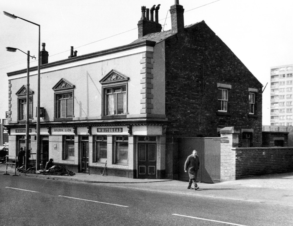
However at someone between 1968 and 2024 the housing had been cleared away – also missing in action is the Golden Lion pub adjoining Pleasant Street on Rochdale Road.
The Golden Lion was a proper old pub on the very busy rochdale road in the Harpurhey area of Manchester. Once inside there was a decent lounge and a basic bar i had a drink in the lounge and this was quite a comfy room.
This pub was a Whitbread tied house and there were two real ales on the bar I had a drink of Chesters bitter and this was a nice drink the other beer was Chesters mild. I thought this was quite a nice pub but sadly this pub has now been pulled down in the name of progress.
So here we are here today – yesterday has long gone and tomorrow never knows no how.
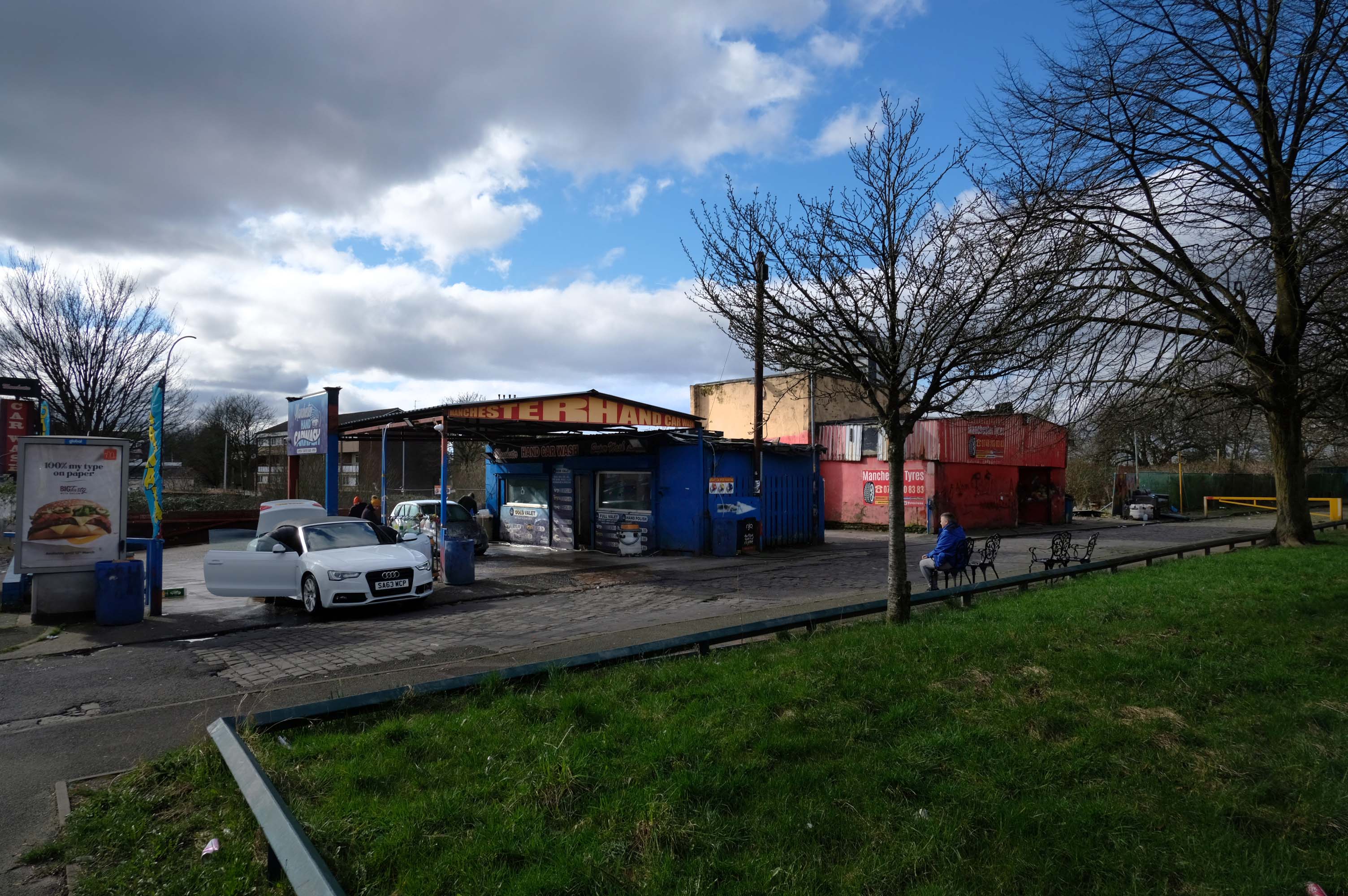
What’s left to see?
Manchester Hand Car Wash
Manchester Tyres
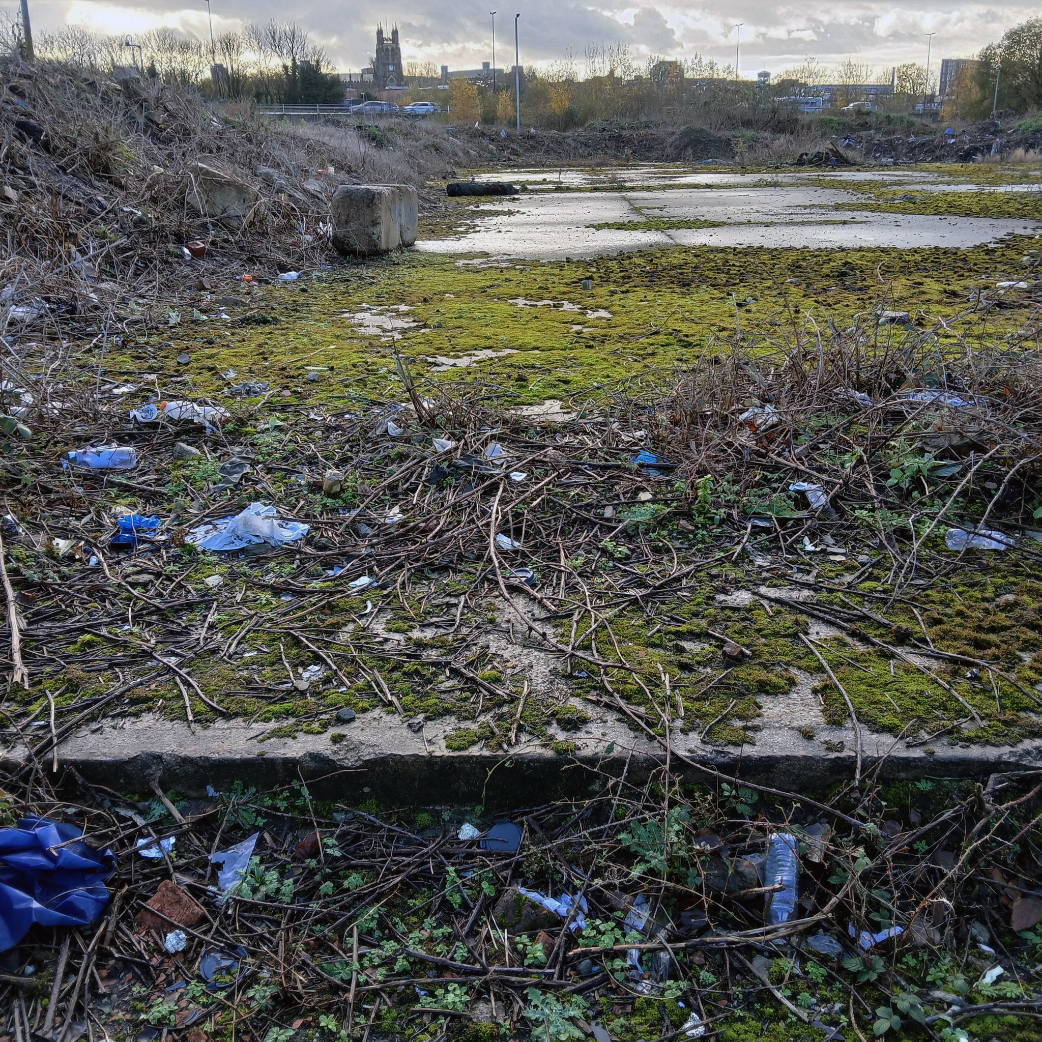
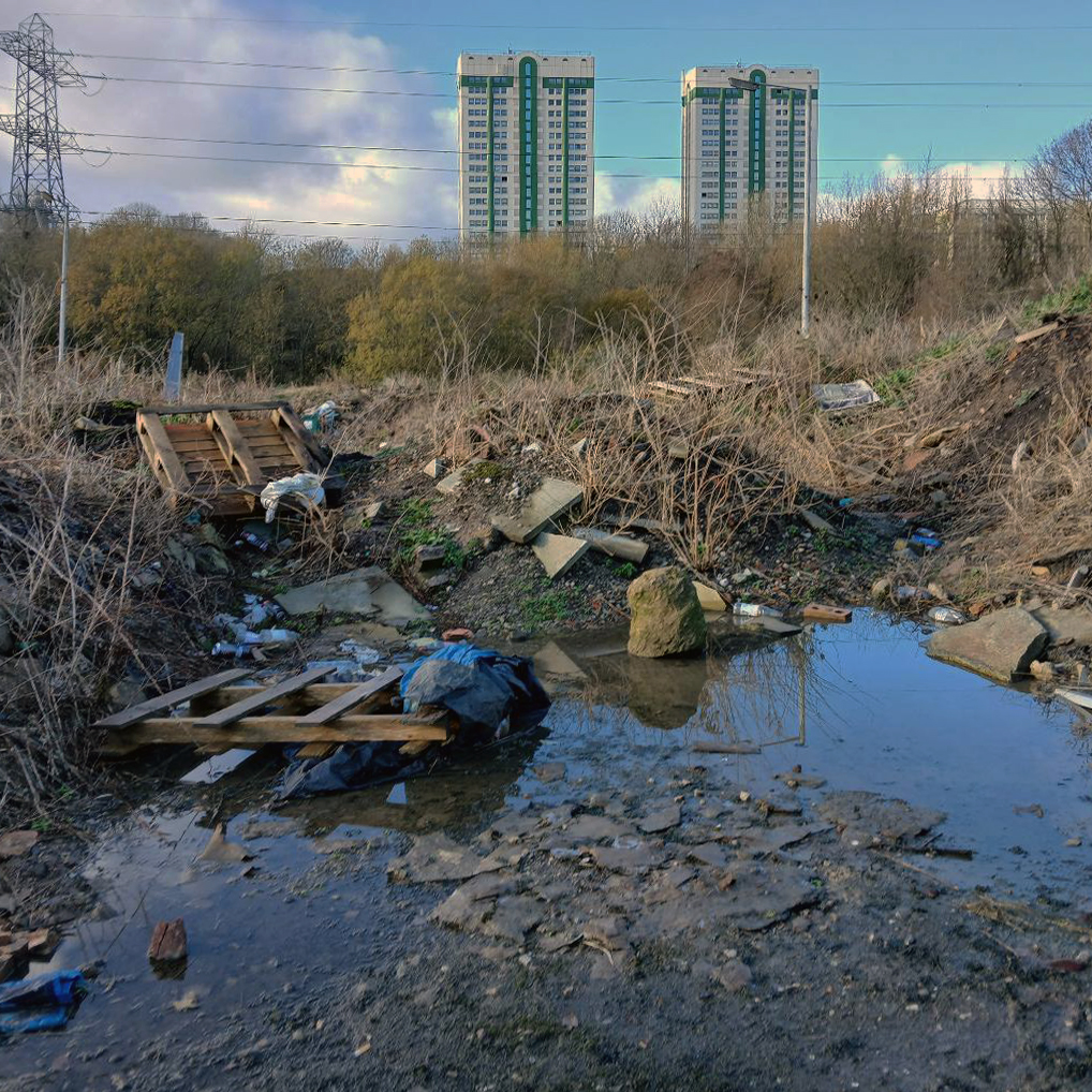
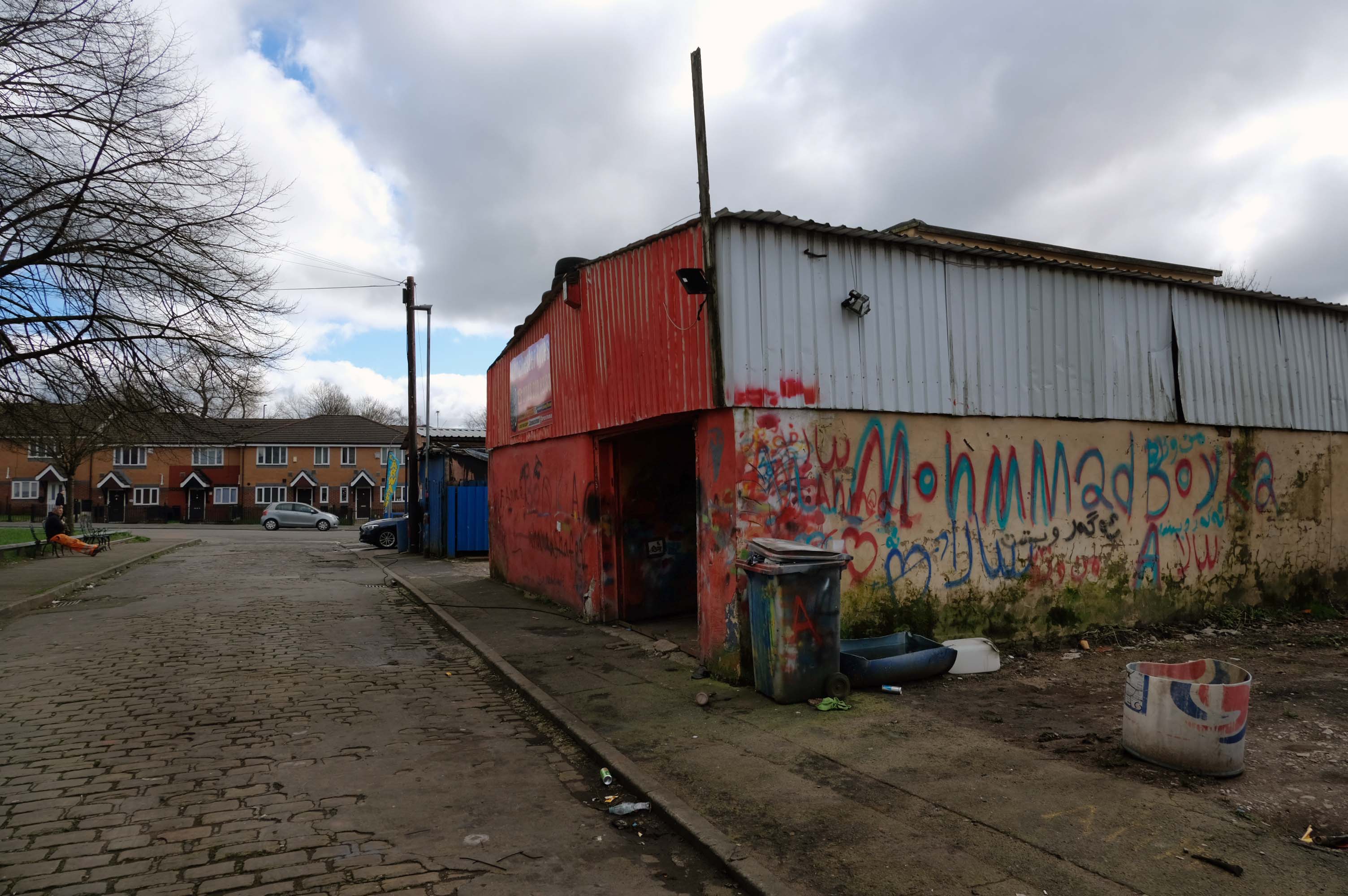
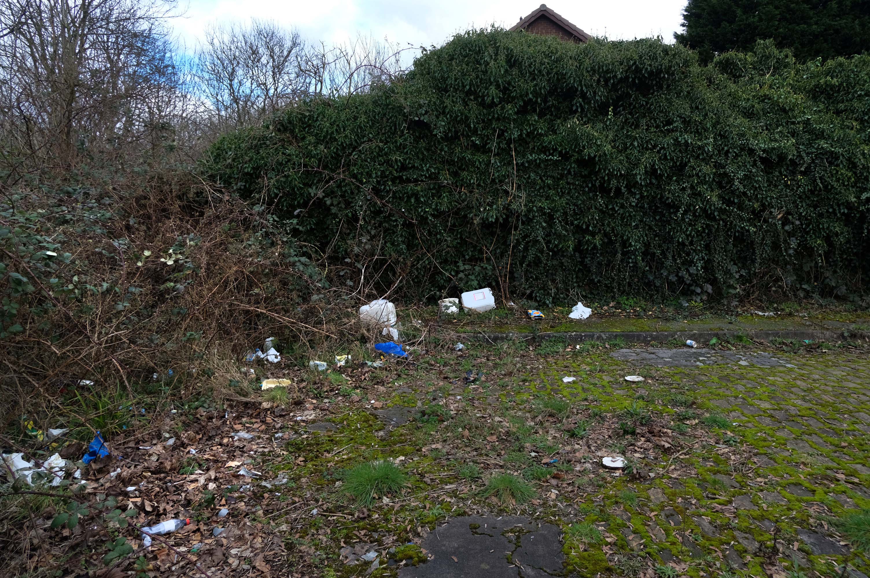
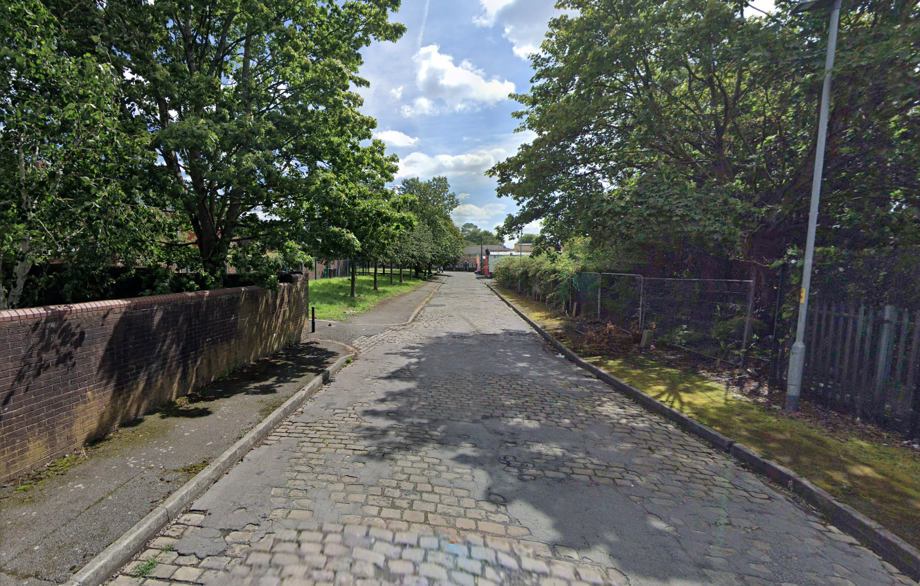
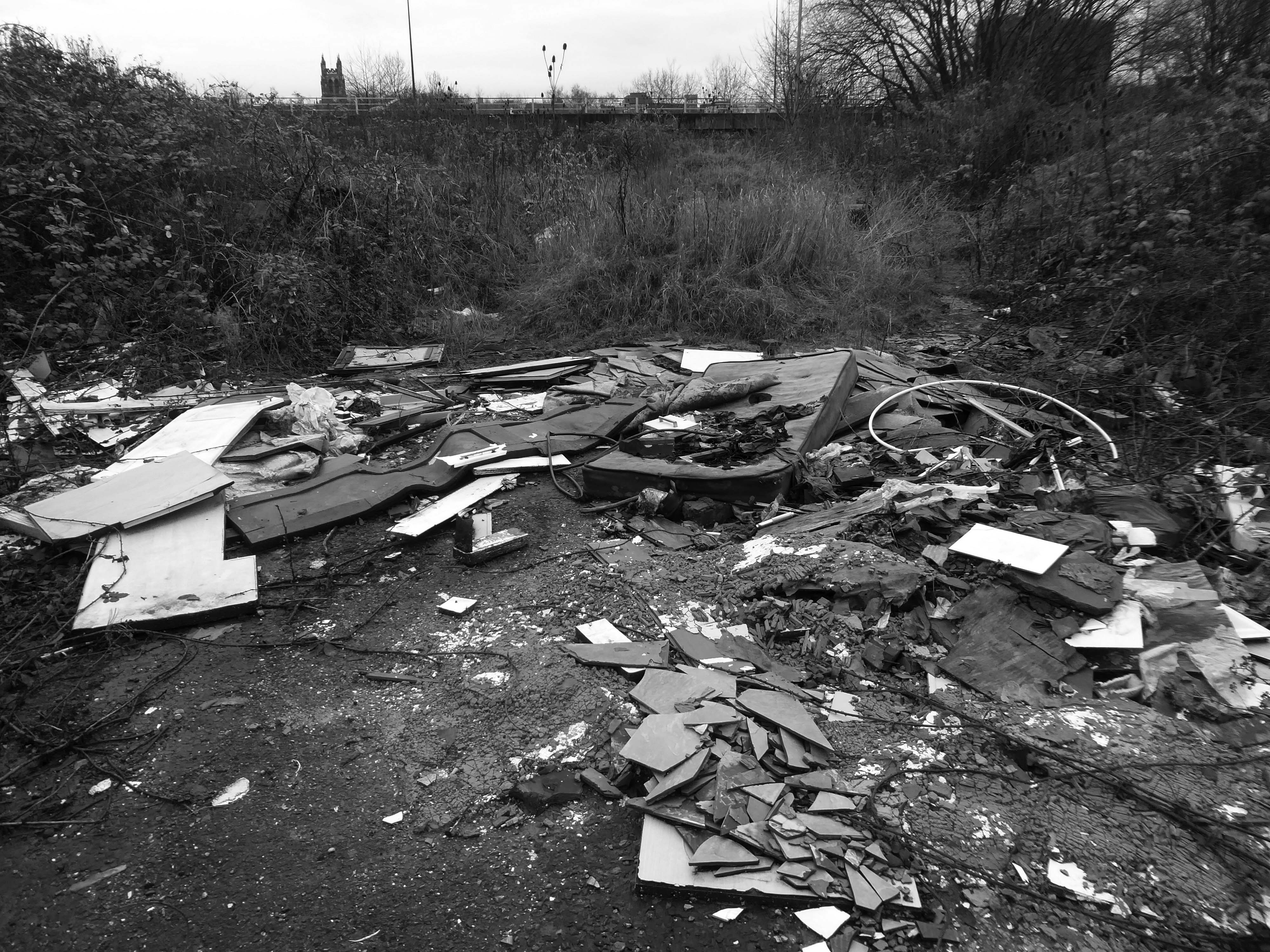
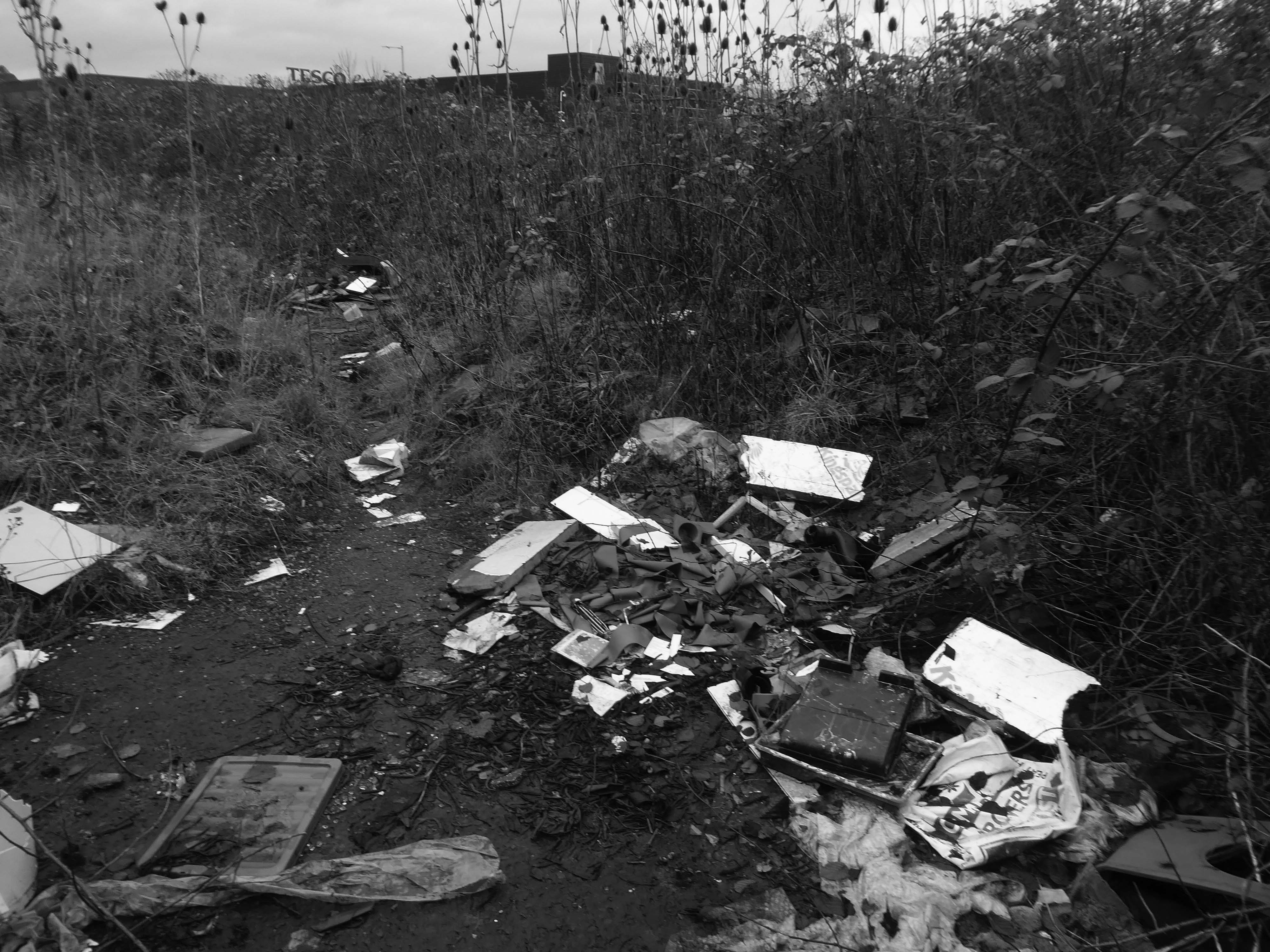
Pleasant Street Allotments
The allotments have had issues with fly tipping back in 2021.
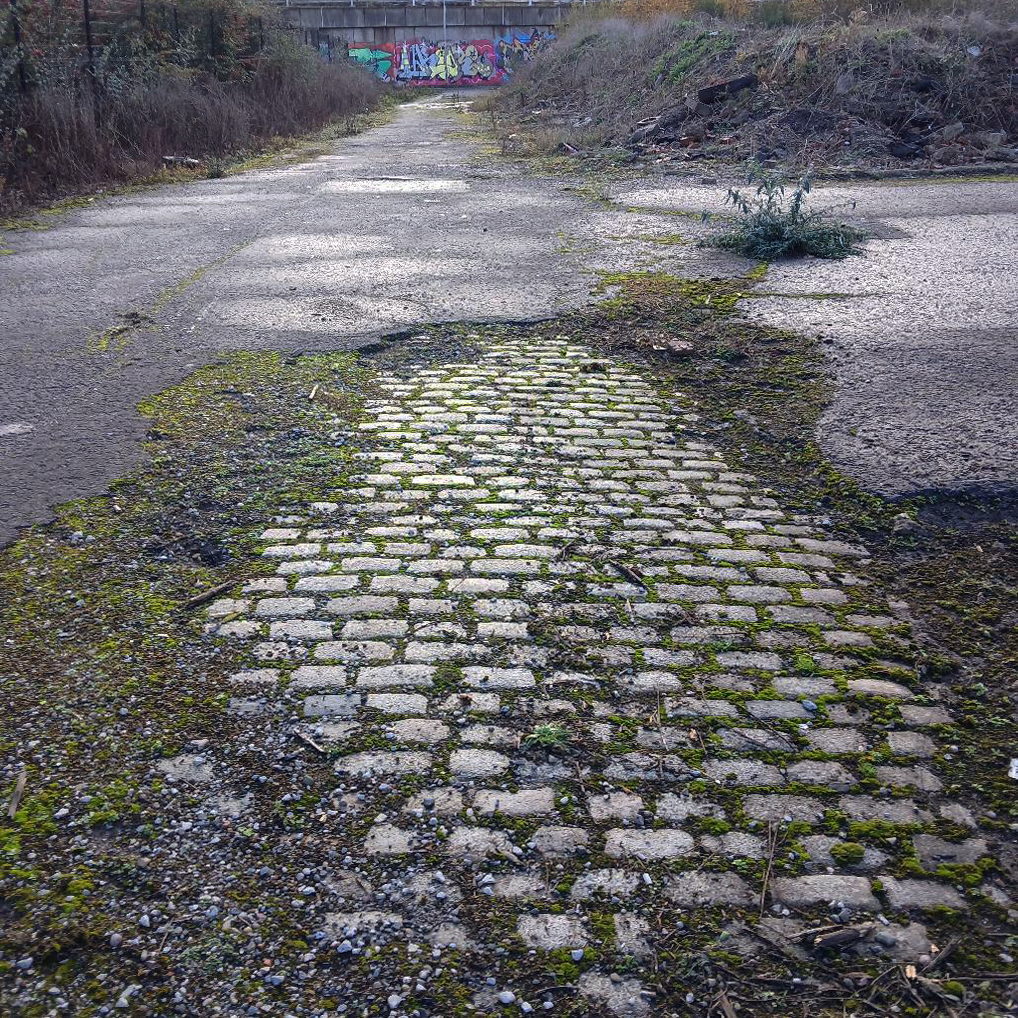
There is now a lockable barrier in place on the cobbled cul-de-sac.
Photo – Howard Bristol
It is understood that the heaps of rubbish, including bin bags full of waste and unwanted wood and cardboard, have been growing in recent weeks.
Howard Bristol, the Secretary of the Pleasant Street allotments committee, said the situation has been ongoing for some time but has worsened since the removal of nearby CCTV cameras.
He told the Evening News that the road has been – piling high with rubbish, and that the area also had issues with the woodland behind the allotments being used for drug dealing during summer.
Pat Karney, councillor for Harpurhey tweeted about the flytipping on Sunday, calling it – unbelievable and disgraceful.
He added that those responsible should be – locked up in Strangeways for a long time, before adding that the council will – get it cleared.
The A5103 is a major thoroughfare running south from Piccadilly Gardens in Manchester city centre to the M56 in Northenden. The road is two-lane dual carriageway with a few grade-separated junctions. It is used by many as a link to the airport and to the motorway network south.
The road starts at Piccadilly Gardens where it meets the A6. It heads along Portland Street – at one time it ran along the parallel Mosley Street, past fast-food outlets and off-licences and then meets the A34 Oxford Street. It multiplexes with that road north for 200 yards into St Peter’s Square and then turns left into Lower Mosley Street, initially alongside the tramlines and then past the former Manchester Central station, now a conference centre with the same name. The road becomes Albion Street and goes over the Bridgewater Canal and under the railway line east of Deansgate station. The road then meets the A57(M) Mancunian Way at a roundabout interchange. This is where most of the traffic joins and leaves.
The road is now 2×2 dual carriageway with the name Princess Road. It passes under the Hulme Arch, a grade-separated junction with the A5067, with an unusually large central reservation. This is presumably because of the proposed plans from the 1960s of a motorway. However, after passing under the junction, there are innumerate sets of traffic lights, with the B5219, the A6010 and the A5145, as well as many other unsigned roads. There are also many speed cameras set at 30 mph.
The road picks up pace as we exit the sprawl of South Manchester and the road becomes Princess Parkway, with a 50 mph speed limit. We cross the River Mersey and almost immediately hit the M60 at J5.
Except for the Manchester City Centre section – which was numbered A5068, this road did not exist on classification in 1922. Princess Road was built in 1932 to serve the new southwestern suburbs; initially it ran between the B5219 and A560 and was numbered B5290, with the road later extended north into the A5068 on the southern edge of the city centre and renumbered A5103.
The northern extension through Hulme initially followed previously existing roads, so followed a zigzag route. As part of the road’s upgrade and the reconstruction of Hulme in the 1970s the road was straightened and the original route can no longer be seen. The A5068 was severed around this time with the construction of the A57(M) and the A5103 took on its city-centre section, taking it to the A6.
The road now begins slightly further south than it used to. Instead of starting on Fairfield Street in Manchester city centre, it begins immediately as the Mancunian Way ends, which at this point is the unsigned A635(M). The motorway flows directly into our route. There’s a TOTSO right at a set of lights, and we pick up the old alignment, which now starts as the B6469.
We can see the new City of Manchester Stadium on the left, site of the 2002 Commonwealth Games and now home to Manchester City FC. The road switches between S2 and S4 as it passes through the rather run-down urban areas of Ardwick and Gorton. A short one-way system at a triangular-shaped junction with the A662 leads onto a wider stretch as we near the M60 junction. This area is set to see significant industrial growth, with whole swathes of land either side of the now D3 road cleared and ready for development.
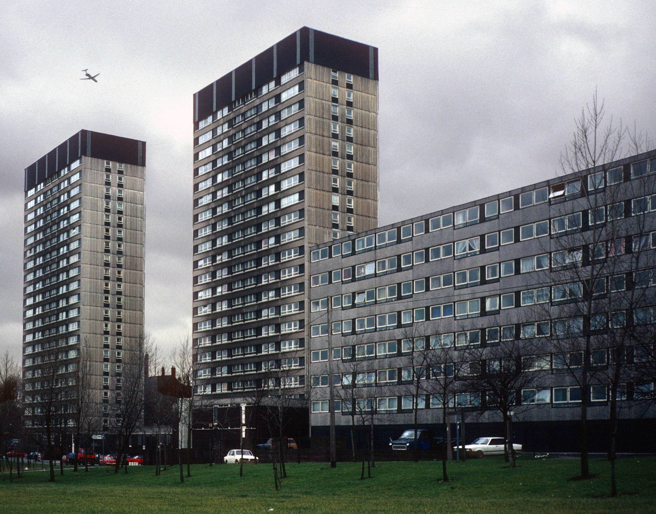
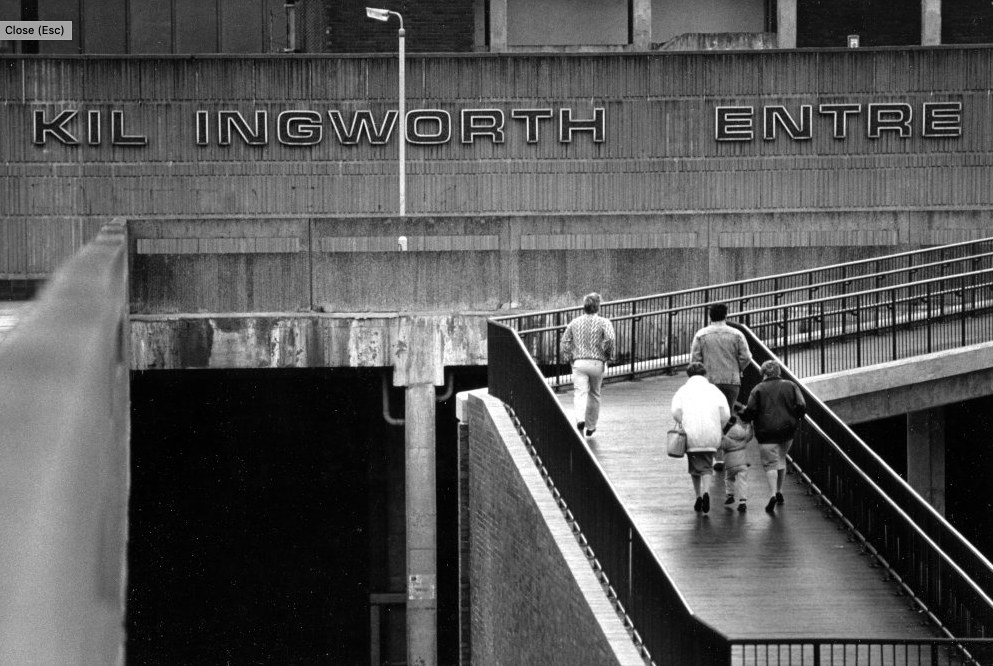
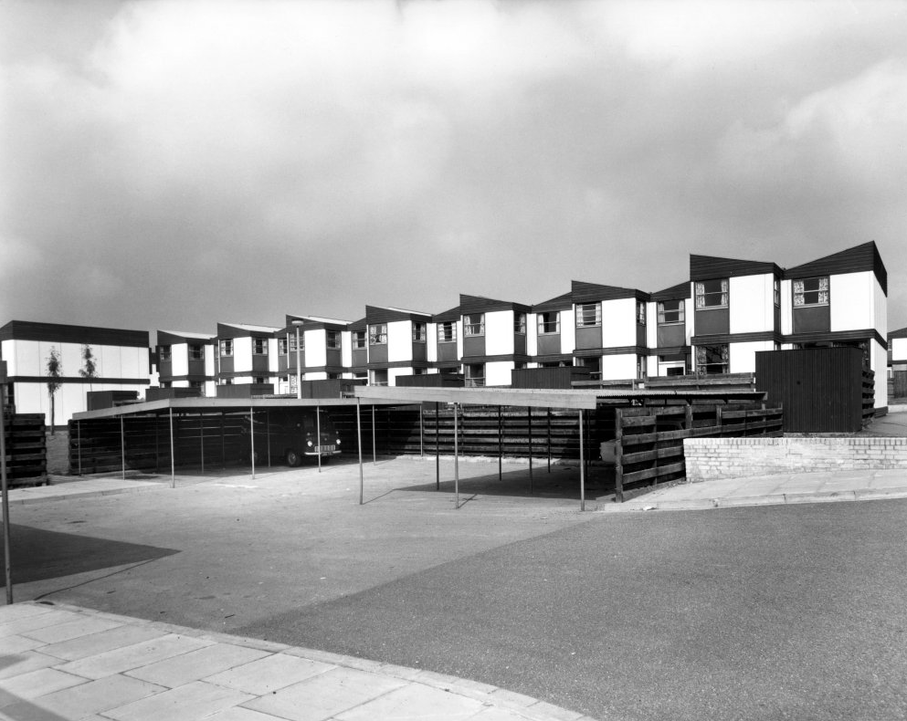
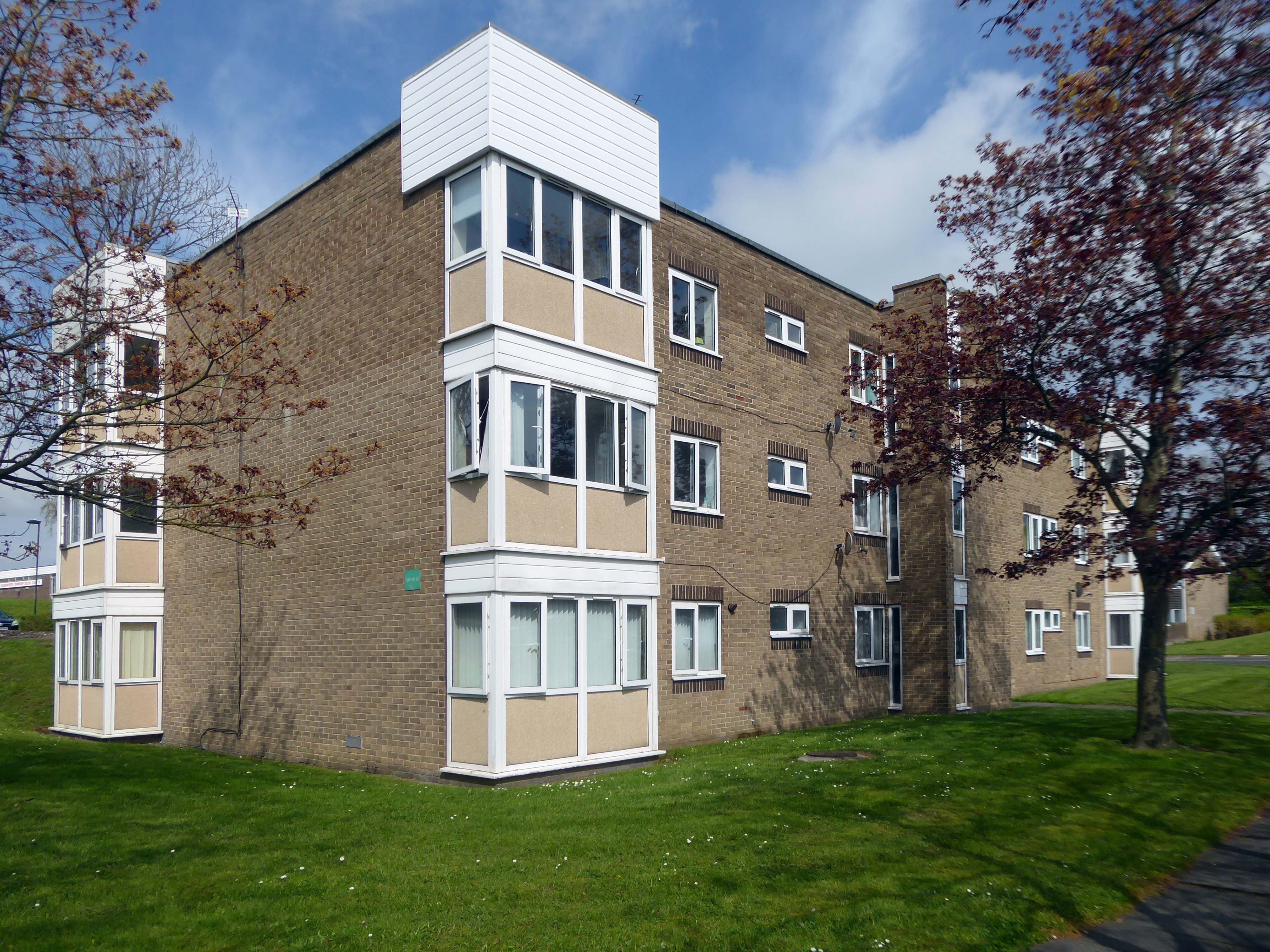
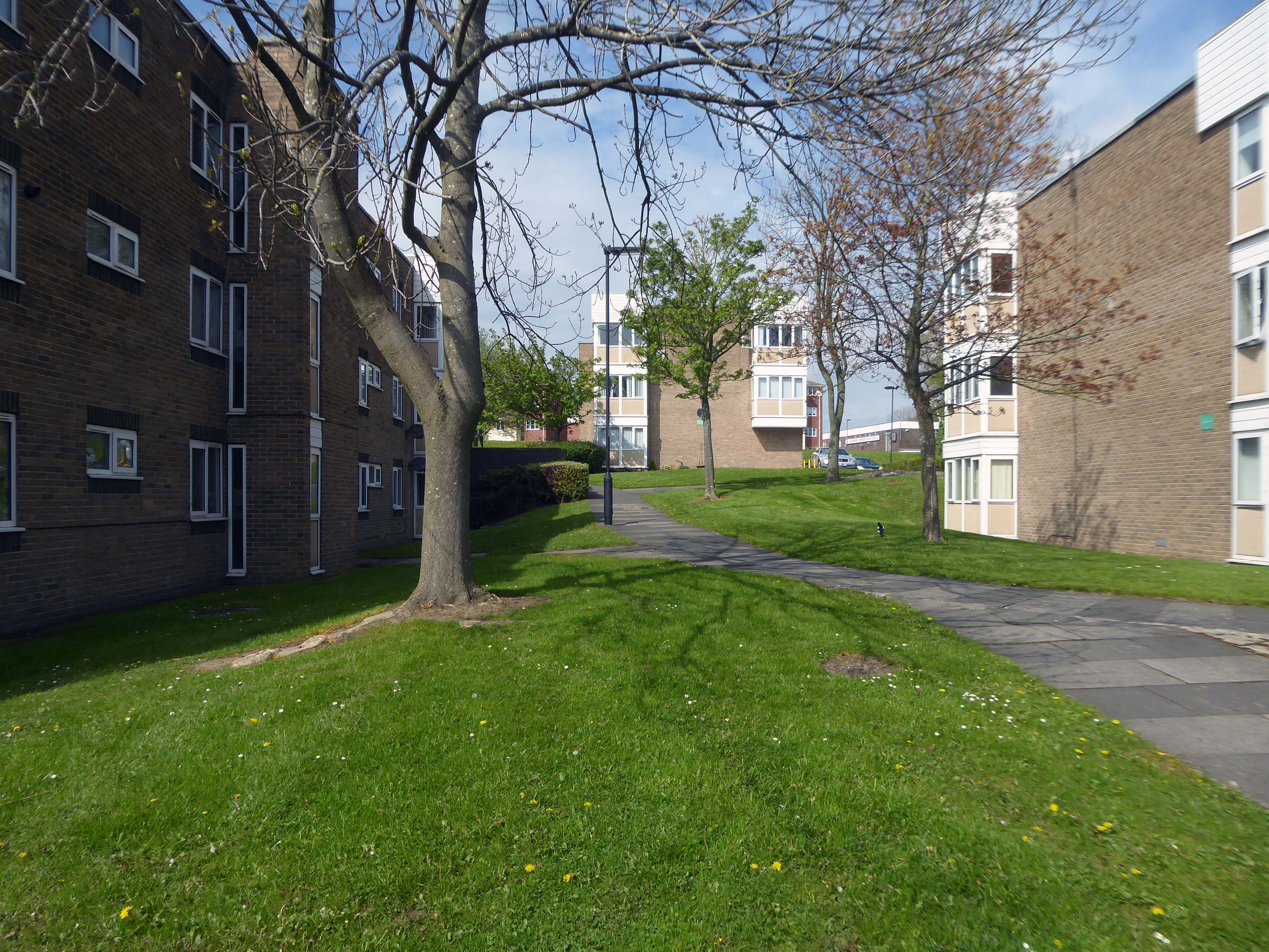
Construction of Killingworth, a new town, began in 1963. Intended for 20,000 people, it was a former mining community, formed on seven hundred and sixty acres of derelict colliery land near Killingworth Village. The building of Killingworth Township was undertaken by Northumberland County Council and was not formally a New Town sponsored by the Government.
Unlike that town, Killingworth’s planners adopted a radical approach to town centre design, resulting in relatively high-rise buildings in an avant-garde and brutalist style that won awards for architecture, dynamic industry and attractive environment.
This new town centre consisted of pre-cast concrete houses, with millions of small crustacean shells unusually embedded into their external walls, five to ten storey flats, offices, industrial units and service buildings, which often consisted of artistic non-functional characteristics, shops and residential multi-storey car parks, interconnected by ramps and walkways. These made up a deck system of access to shopping and other facilities, employing the Swedish Skarne method of construction.
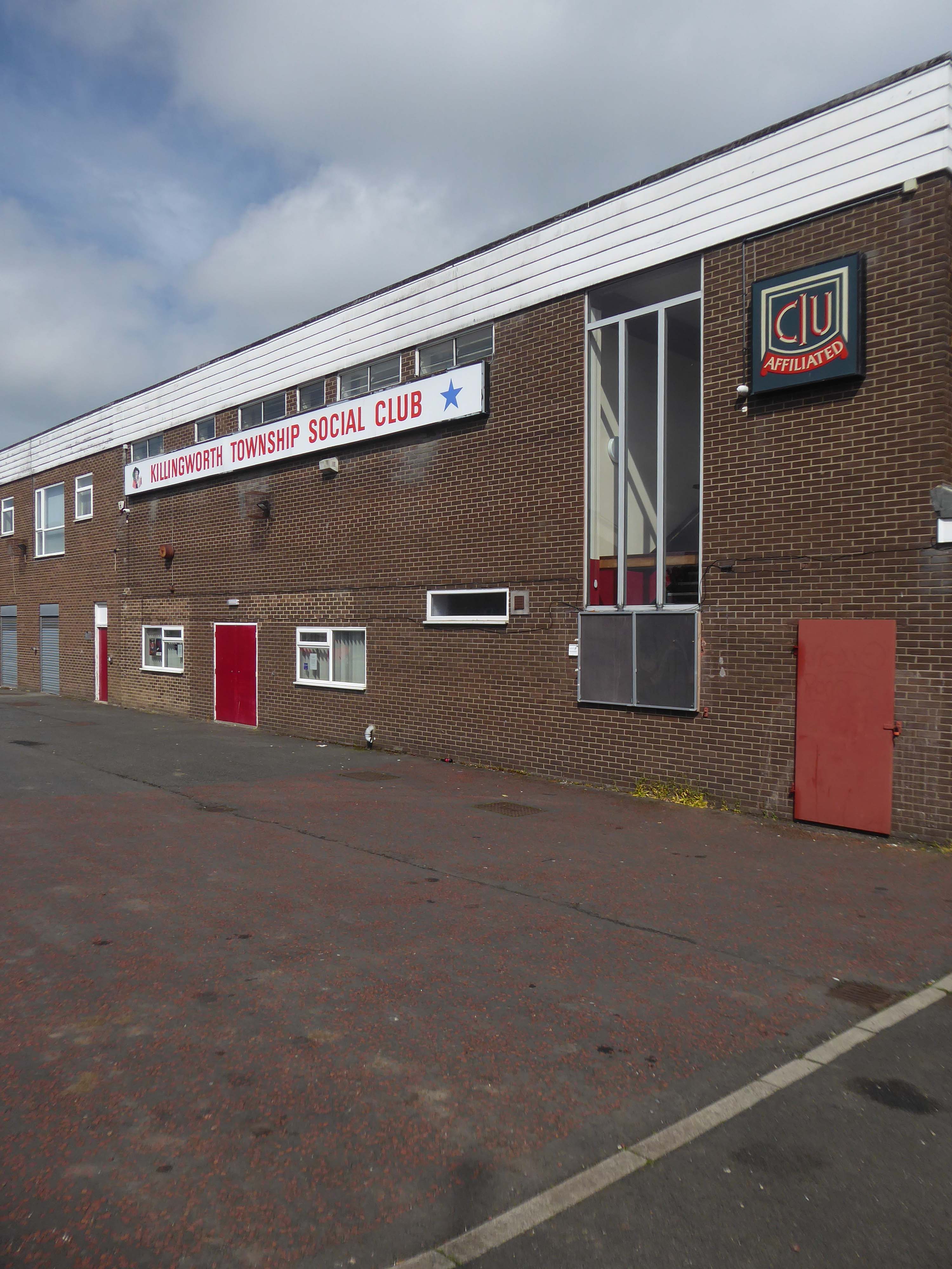
Originally named Killingworth Township, the latter part was quickly dropped through lack of colloquial use.
Killingworth is referred to as Killy by many residents of the town and surrounding areas.
Around 1964, during the reclamation of the derelict pit sites, a fifteen acre lake south of the town centre was created; spoil heaps were levelled, seeded and planted with semi-mature trees.
The 19th-century industrial concentrations in the above-named urban areas resulted in the Tame being a much polluted waterway. As well as industrial pollution from the dyes and bleaches used in textile mills, effluent from specialised paper-making cigarette papers, engineering effluents, including base metal washings from battery manufacture, phenols from the huge coal-gas plant in Denton, rain-wash from roads and abandoned coal spoil heaps there was also the sewage effluent from the surrounding population. Up to two-thirds of the river’s flow at its confluence with the Goyt had passed through a sewage works. The anti-pollution efforts of the last thirty years of the 20th century have resulted in positive fauna distributions.
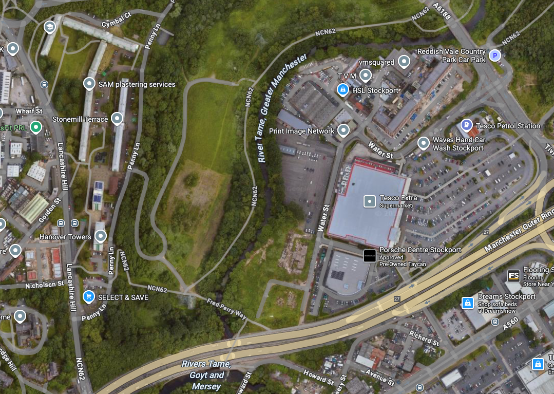
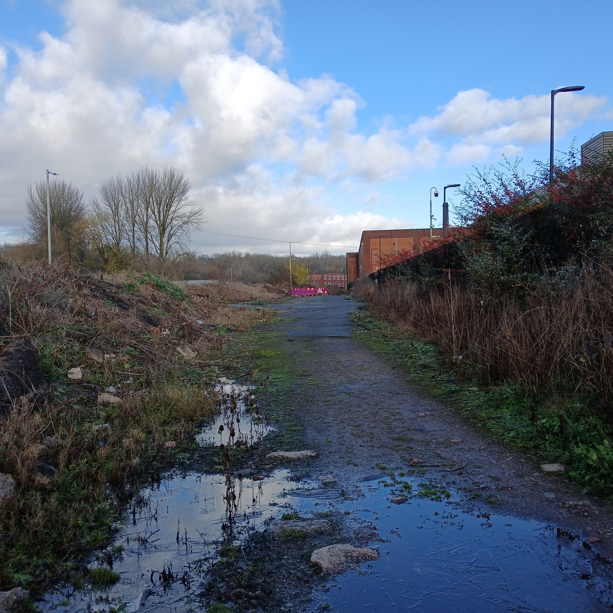
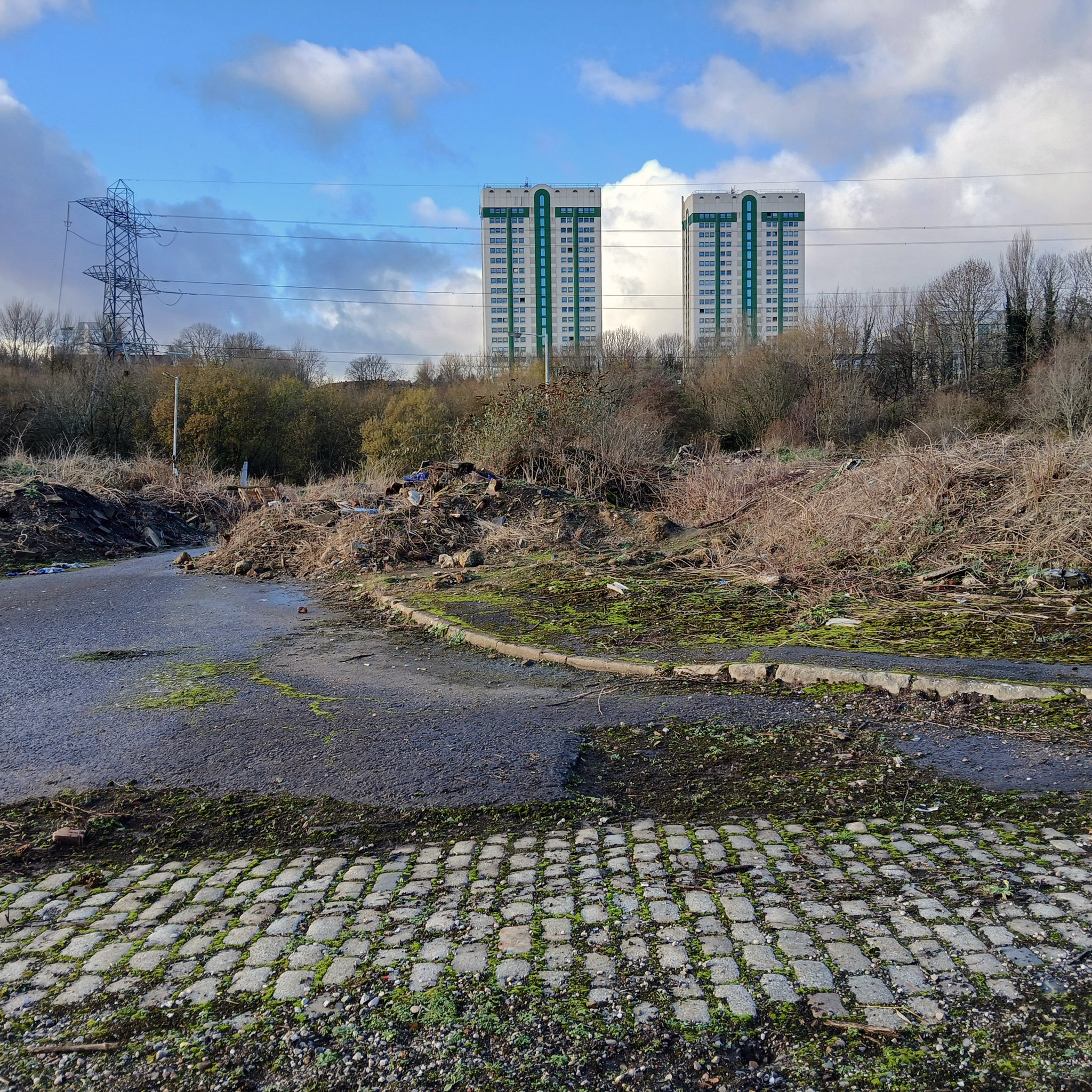
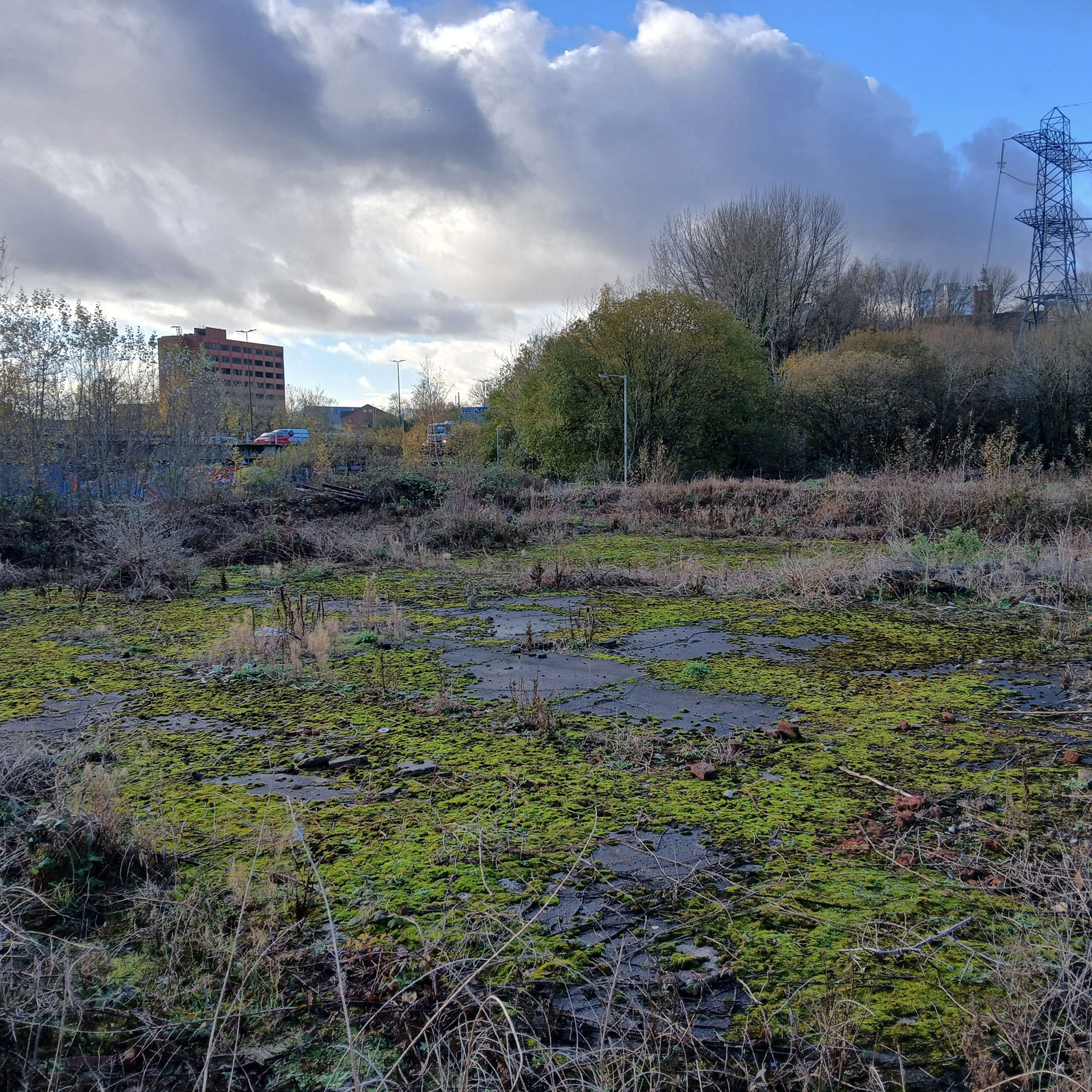
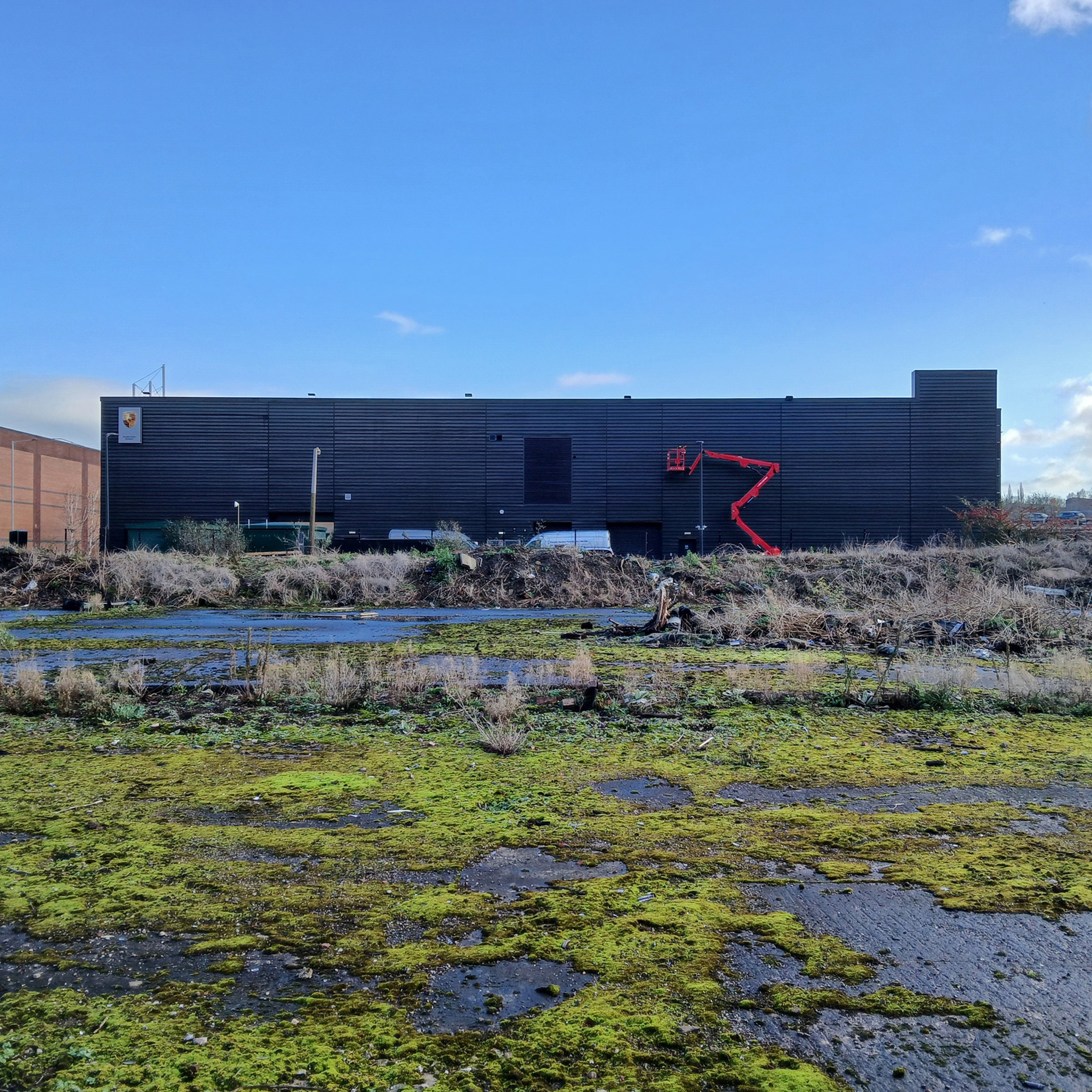
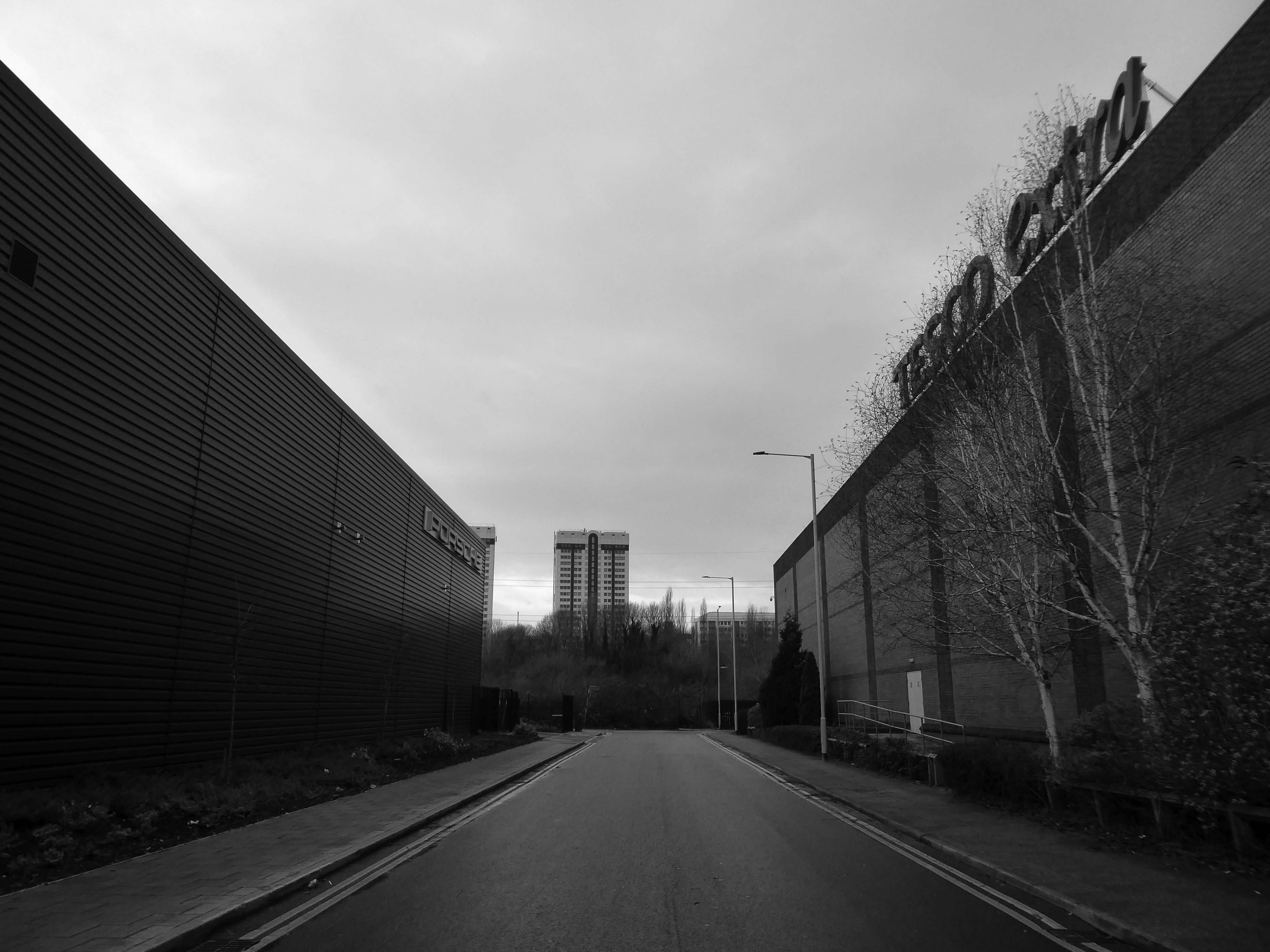
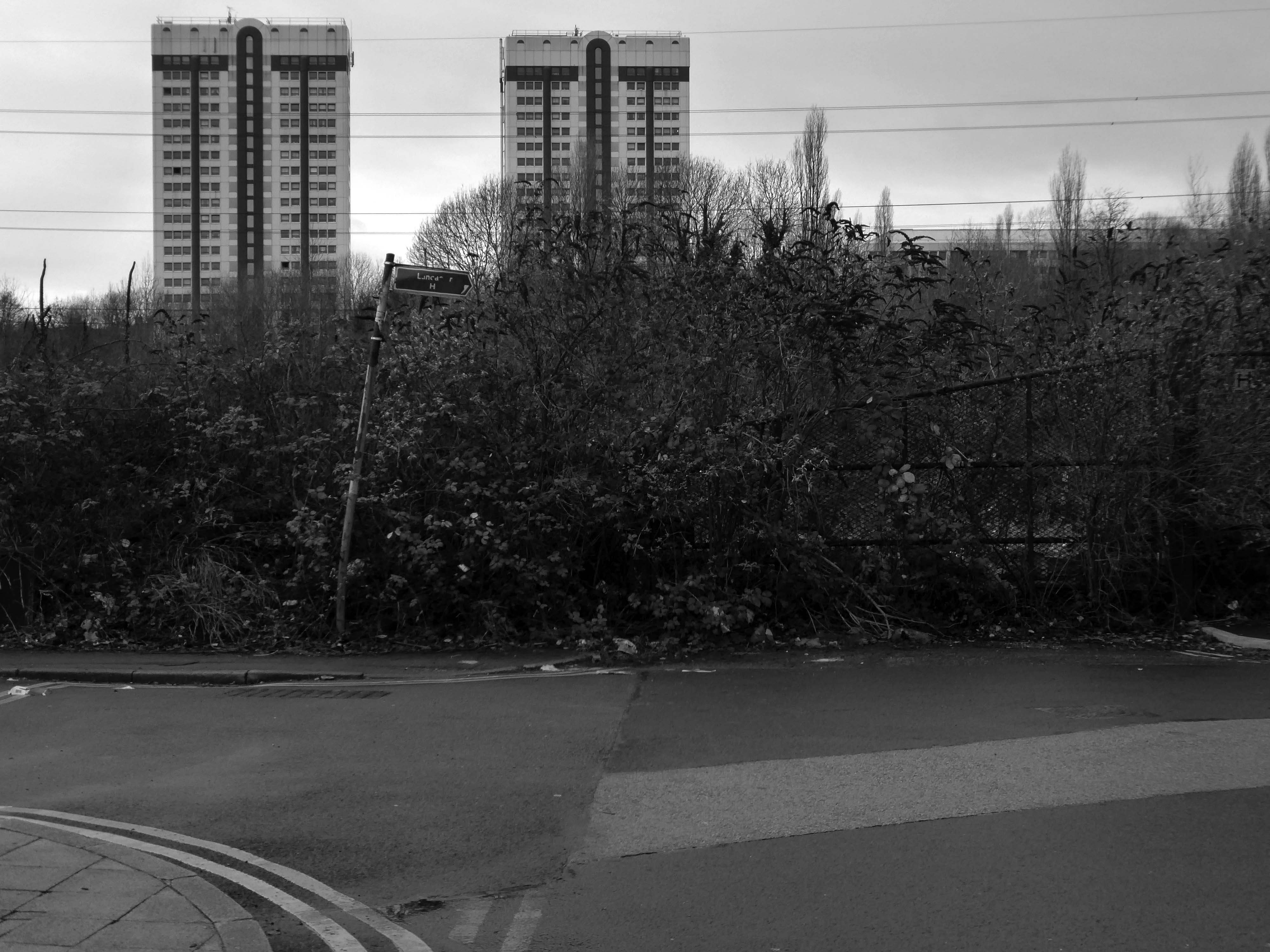
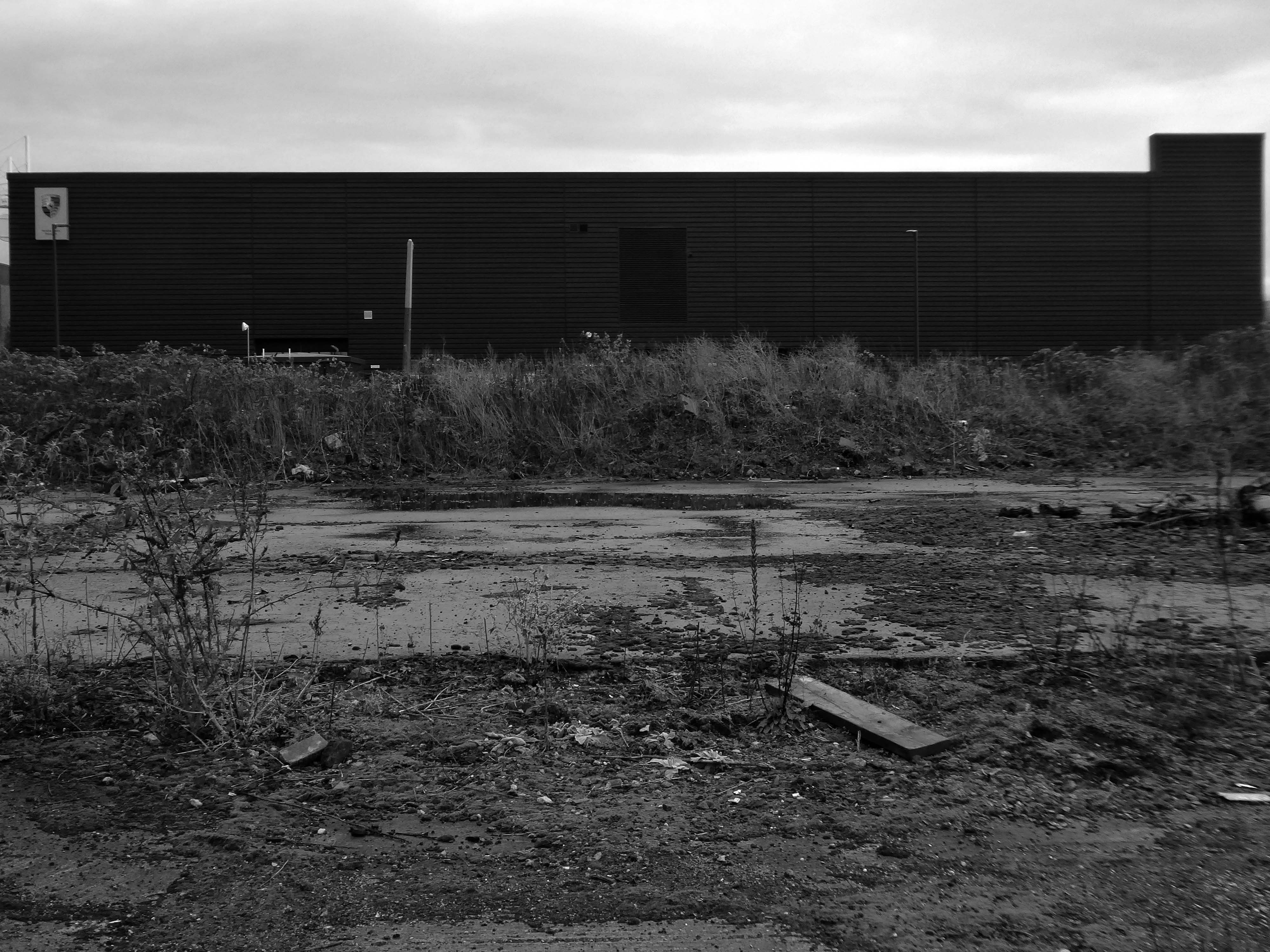
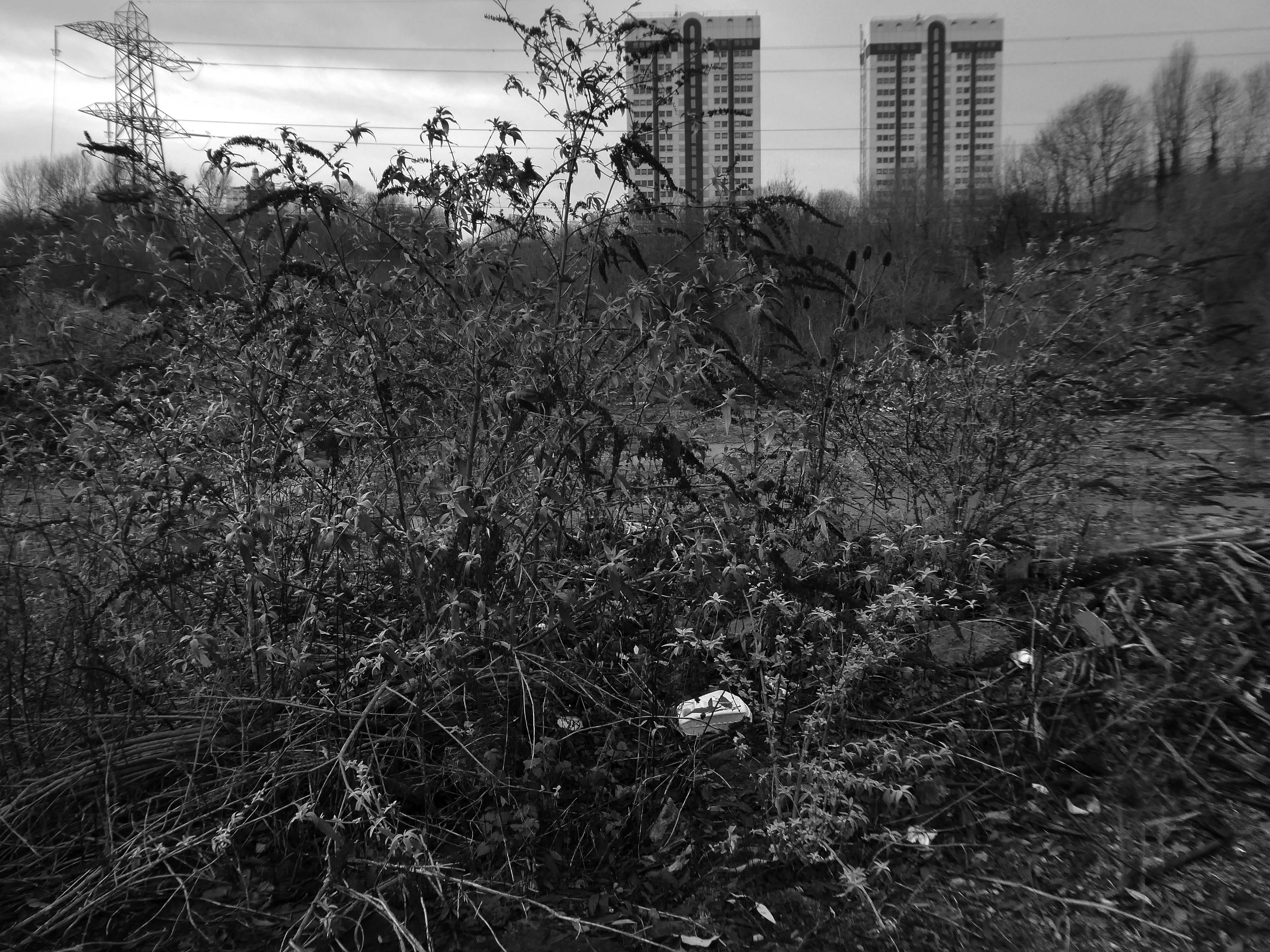
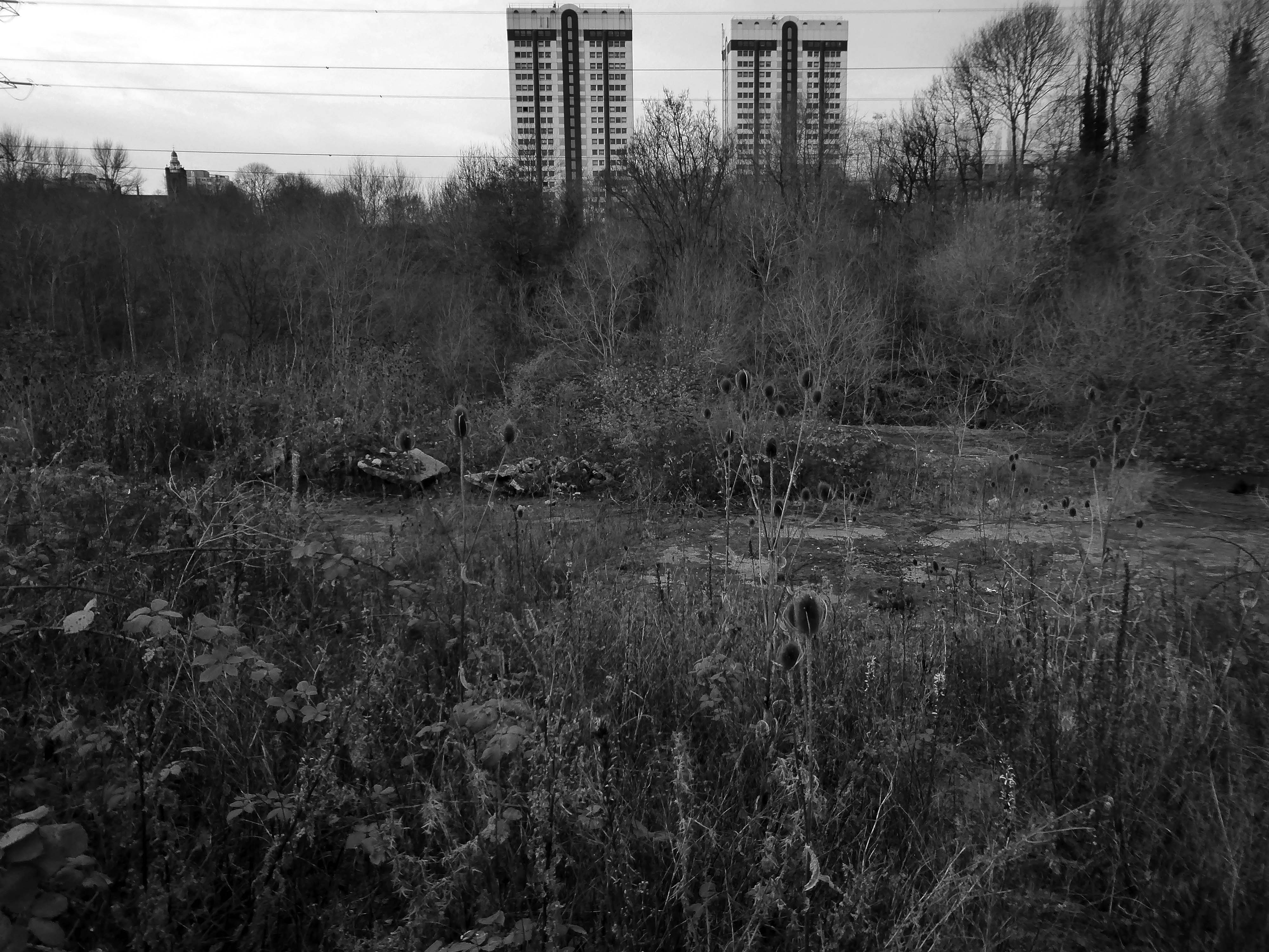
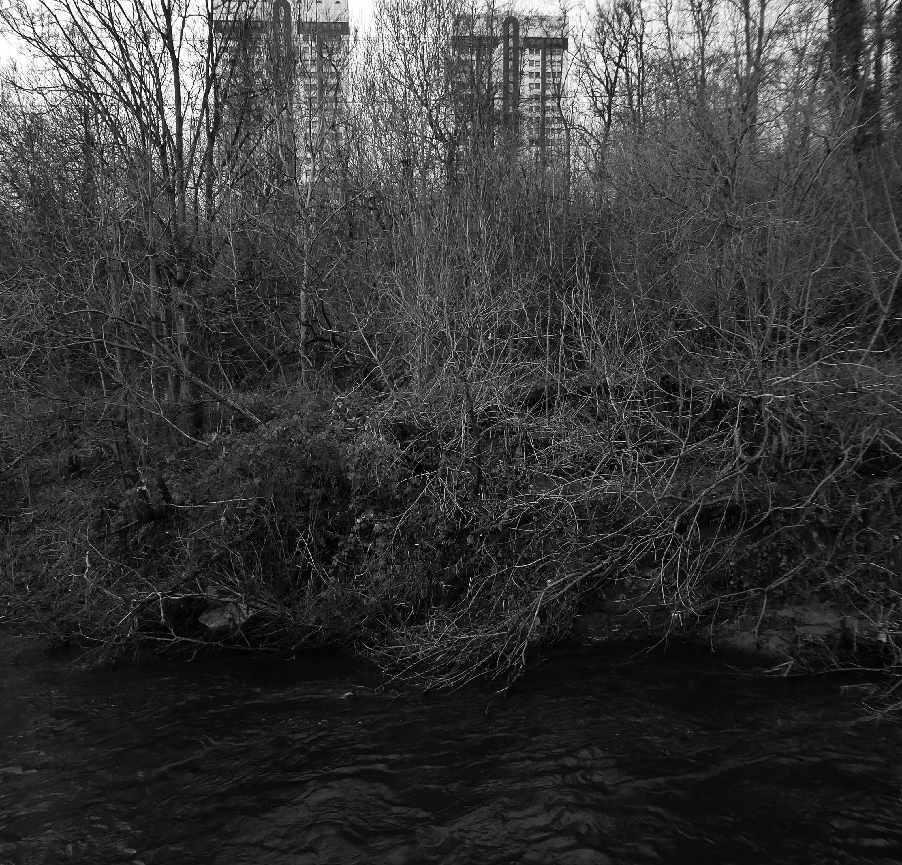
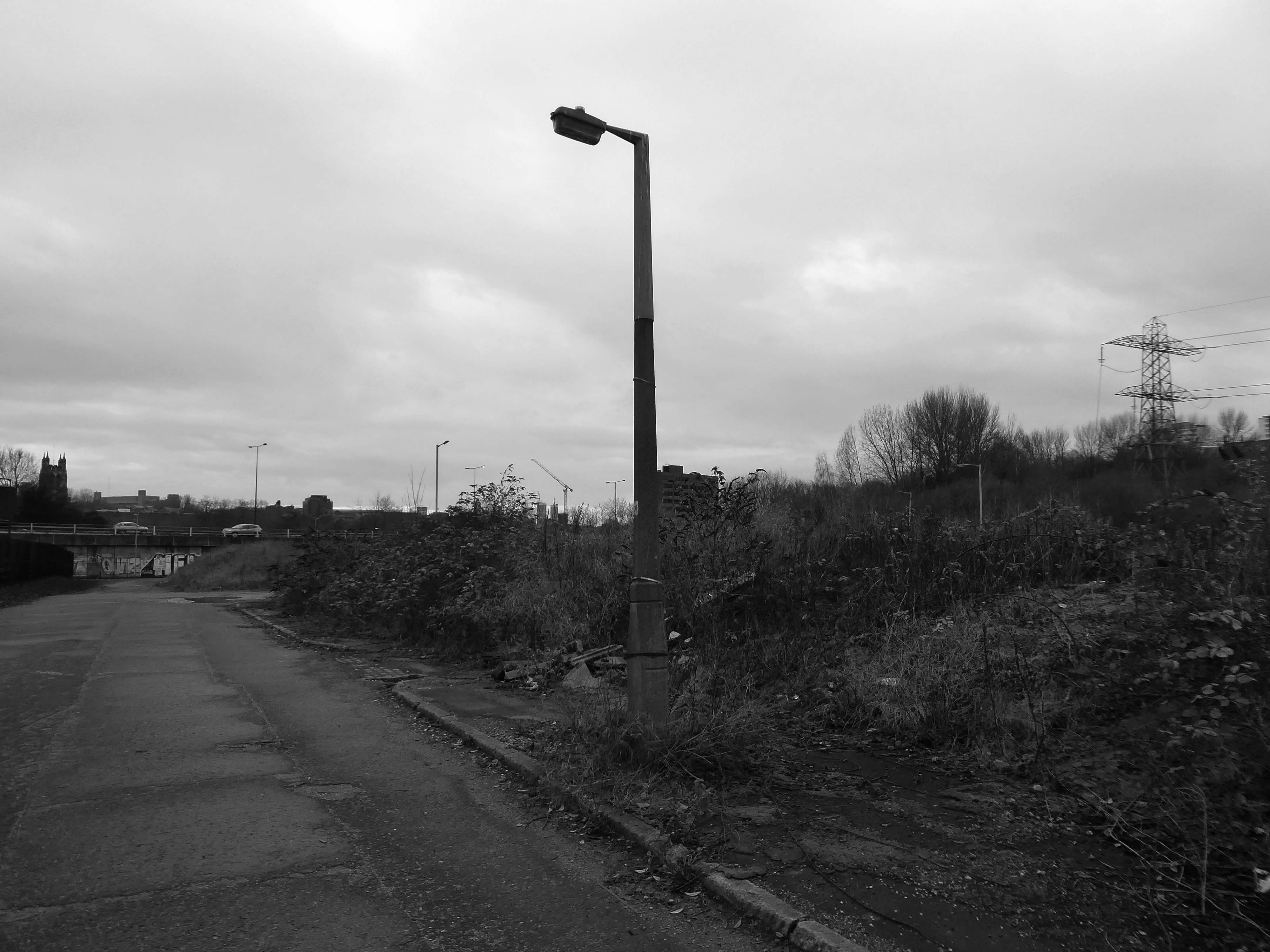
There is a plot of land to the left of Porsche which remains undeveloped, I often walk around this area, what would have once been for myself and others the place of childhood high jinx.
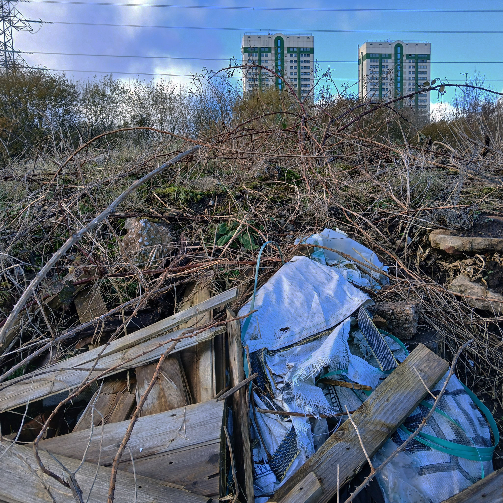
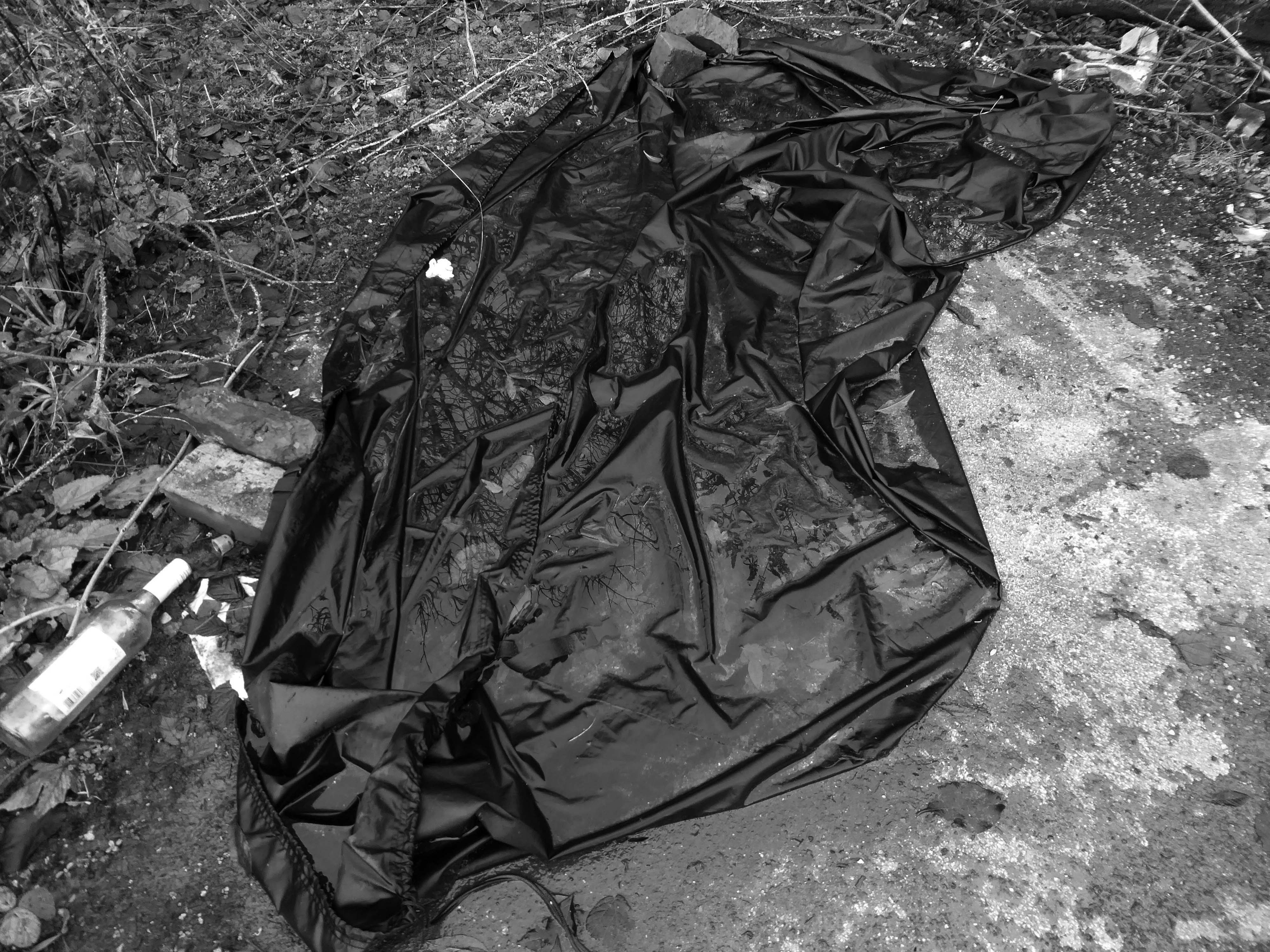
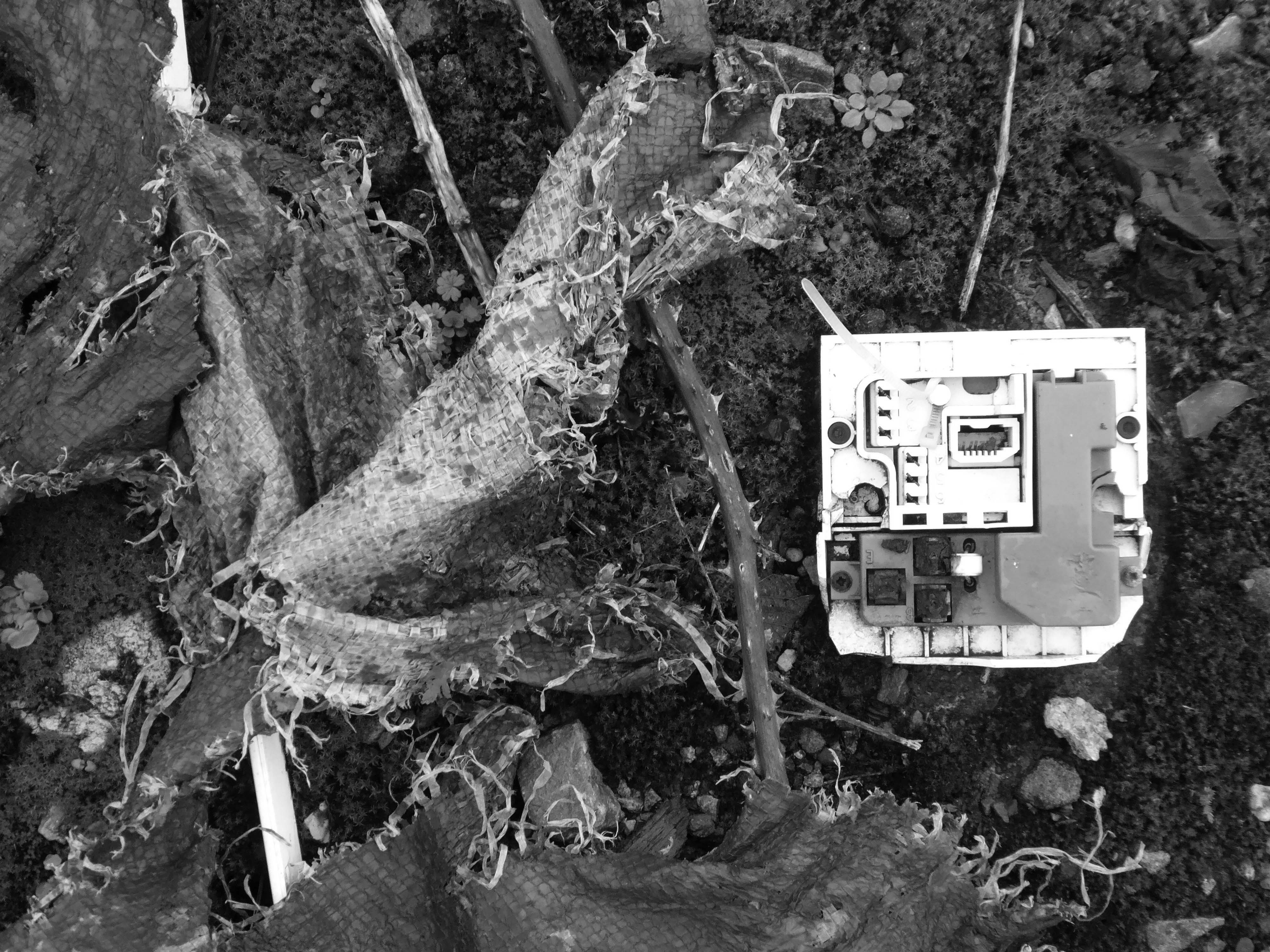
Now it is the domain of the fly-tipper, the home of the homeless, a war zone for a species which has declared war upon itself.
A desert of detritus, interpolated with tangles of brambles, seas of teasels and the ubiquitous buddleia.
This is the unofficial showroom for the unofficial Anthropocene Epoch – always crashing in a different car, during increasingly unseasonal weather, the superabundance of abundance.
It seems that the sun may set on us, before the sun finally sets.
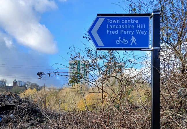
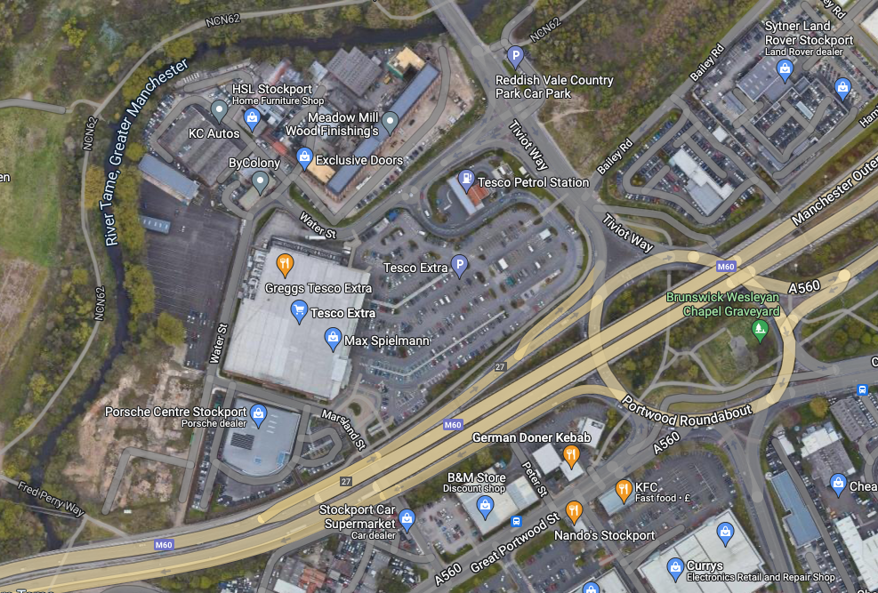
Let’s take a peep at Portwood.
Game over.
Vehicle use affects our whole quality of local life. Traffic can be dangerous and intimidating, dividing communities and making street life unpleasant, whilst air pollution and traffic noise can make urban living uncomfortable.
The impacts of mass consumption are: Misuse of land and resources, exporting pollution and waste from rich countries to poor countries, obesity due to excessive consumption, a cycle of waste, disparities and poverty.
The M60 was developed by connecting and consolidating the existing motorway sections of the M63, M62, and an extended M66. It came into existence as the M60 in 2000, with the completion of the eastern side opening in October.
The original plan called for a completely new motorway, but policy change led to the plan which created the current motorway. As soon as it opened, the motorway got close to its projected maximum volume on significant sections.
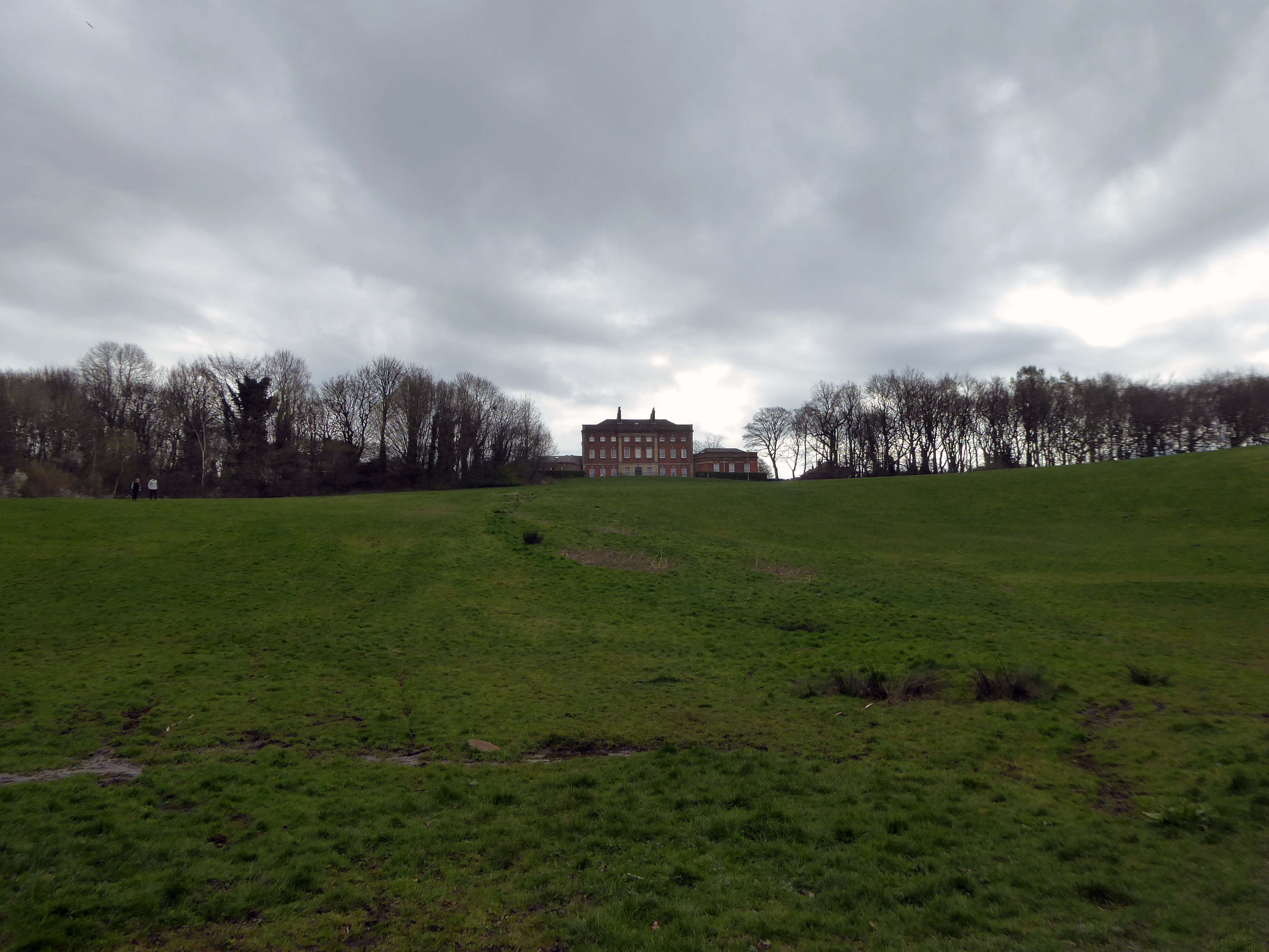
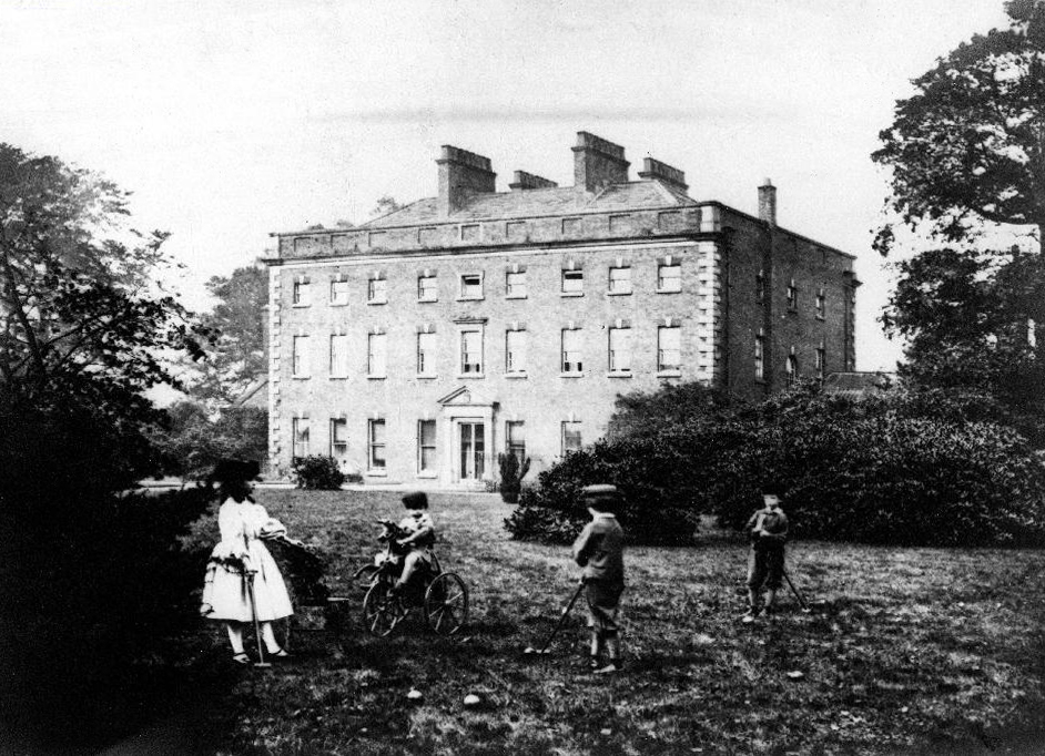
This Palladian mansion was designed and built in 1736 by renowned architect, Giacomo Leoni, who had also been responsible for significant alterations to Lyme Hall during the same period.
Offering an infusion of historical significance coupled with an abundance of living space throughout, Alkrington Hall East, simply must be viewed to be appreciated in full.
During the early 1770’s, the Hall became the largest museum outside of London, when the Hall’s owner, Sir Ashton Lever, exhibited his private collection of natural objects, including live animals. Remaining as an imposing symbol of Leoni’s work, Alkrington Hall remains one of only a few surviving examples throughout England.
In modern times, the Hall has since been carefully and sympathetically separated into 4 sections, and we are pleased to be offering for sale the largest portion of the Hall, with a total floor area comprising of over 7500 SQFT, and living accommodation spread over 4 floors.
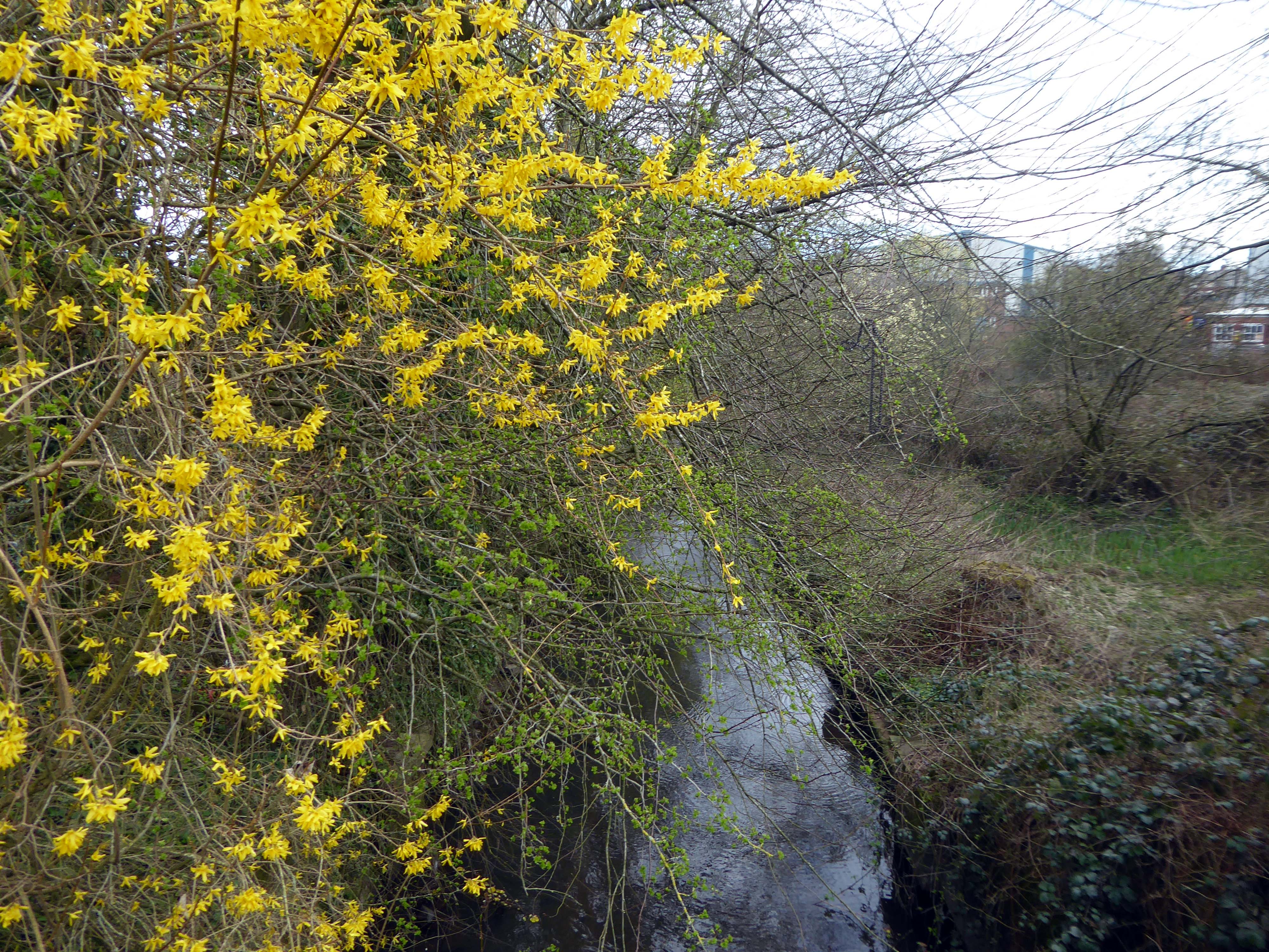
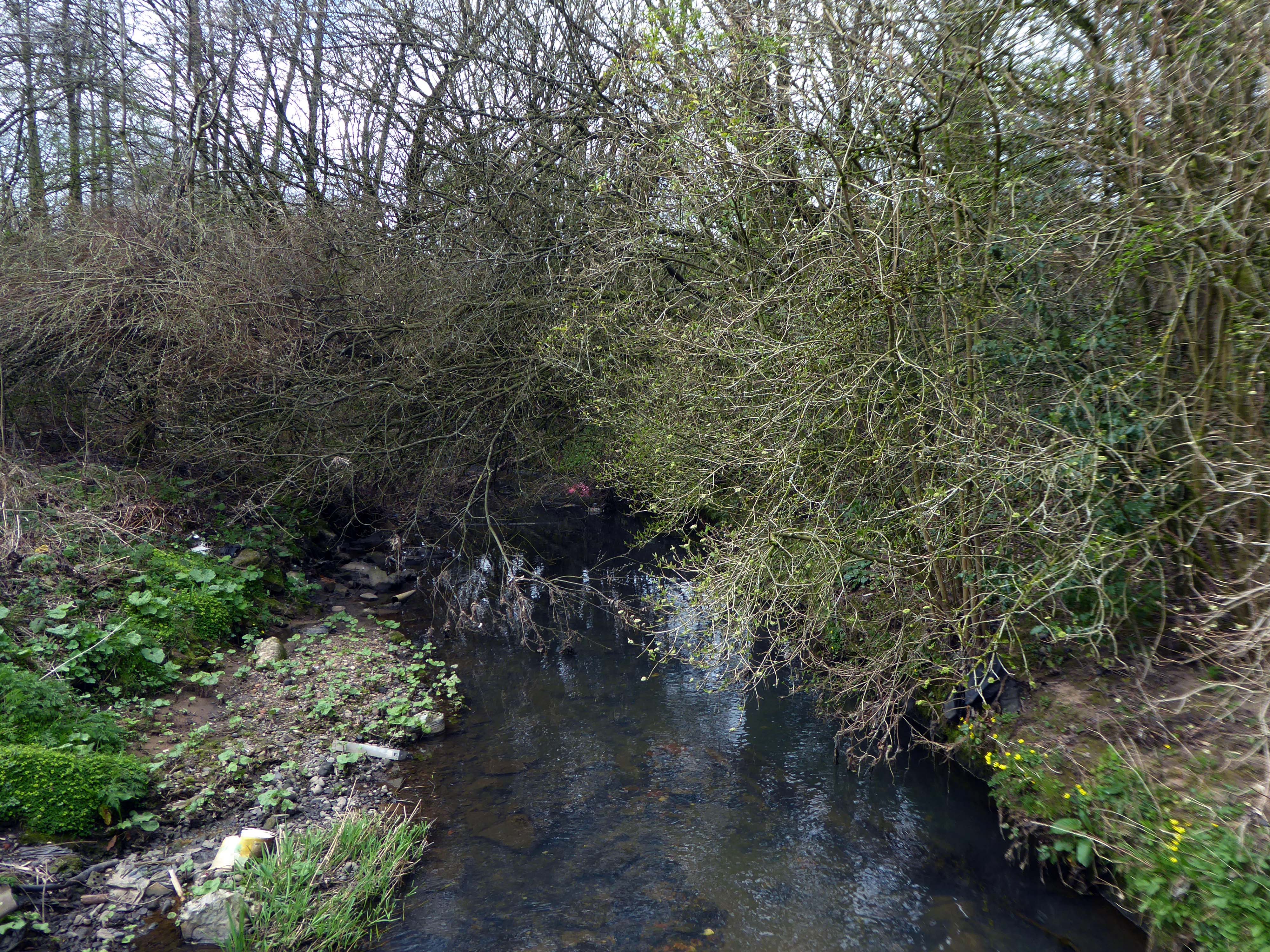
Next thing you know you find yourself in Middleton, where the Irk sort of disappears – you sort of get lost and sort of follow the wrong track, eventually ending up back where you should have been in the first place.
Don’t follow Wince Brook – it’s so far from right that it’s wrong – right?
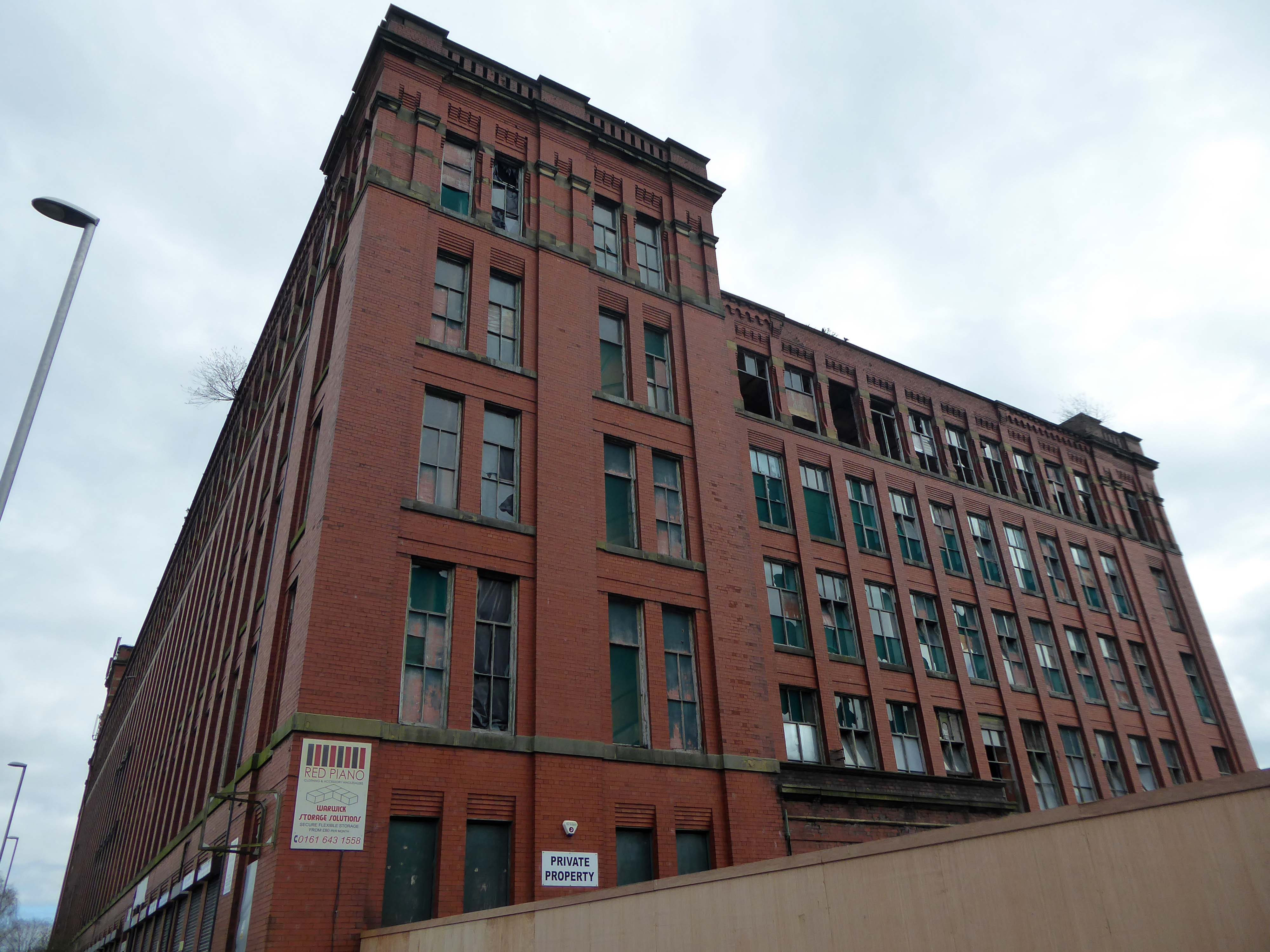
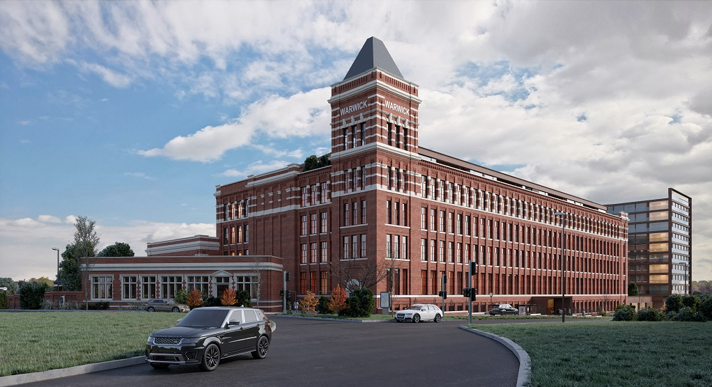
Take a walk up Oldham Road to see Warwick Mill instead.
1907 by G Stott of J Stott and Sons – Red brick with internal cast-iron frame.
There was and Oval Partnership planning for a retail development in 2014 which failed to materialise.
The converted building will provide a showcase for Chinese manufacturers of construction-related products looking to enter the UK and wider European markets. Products on display will include tiles, lighting, furniture, kitchenware, sanitary ware and curtains. A second phase will see the construction of a new building alongside effectively doubling the floor space. In addition the brief includes a range of restaurant, leisure, culture and entertainment facilities threaded through the building. The conversion will open up the existing building in a dramatic way, maximizing permeability and providing a strong visual connection back into the town, promoting public access through the building to the attractive south-facing waterside of the mill.
Permeability failed to be maximised, sadly.
Ambitious plans to refurbish Grade II listed Warwick Mill to create new homes and breathe life into an important building and part of Middleton’s history have been drawn up.
Warwick Mill has recently changed ownership and the new owners, Kam Lei Fong (UK) Ltd, have been working with Rochdale Borough Council over the last nine months to develop proposals to redevelop the site.
A Middleton couple has saved the oldest surviving mill in the town after a two-year renovation project.
Located on Townley Street, Lodge Mill was built in the mid-1800s and was originally a silk weaving mill. It went on to cotton weaving and cloth dying, then to a home for many different small local businesses. Sadly, in the early 2000s, it fell into disrepair and became derelict.
Martin Cove and Paula Hickey bought Lodge Mill on 1 April 2019 and immediately set about replacing and repairing the roof. They also installed a 19.4kw solar PV system so the mill became its own little power station that summer.
In August 2019, the couple opened a small ice cream shop on the ground floor of the mill – named the Ice Cream Shop at Lodge – selling locally-made ice cream from Birch Farm, Heywood.
The ice cream is made using cream from Tetlow Farm’s dairy herd at Slattocks – Martin explained.
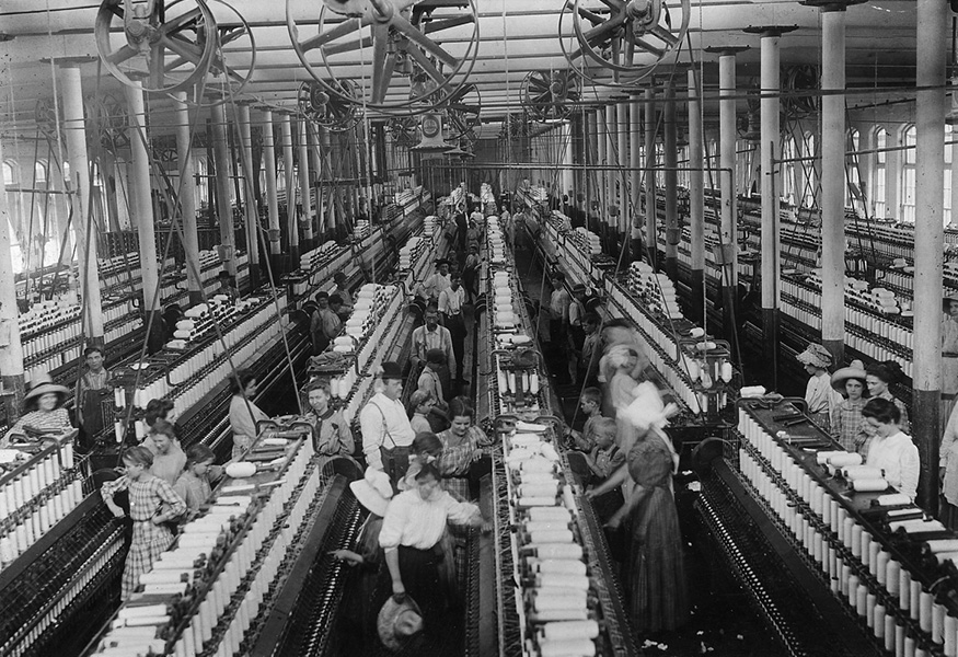
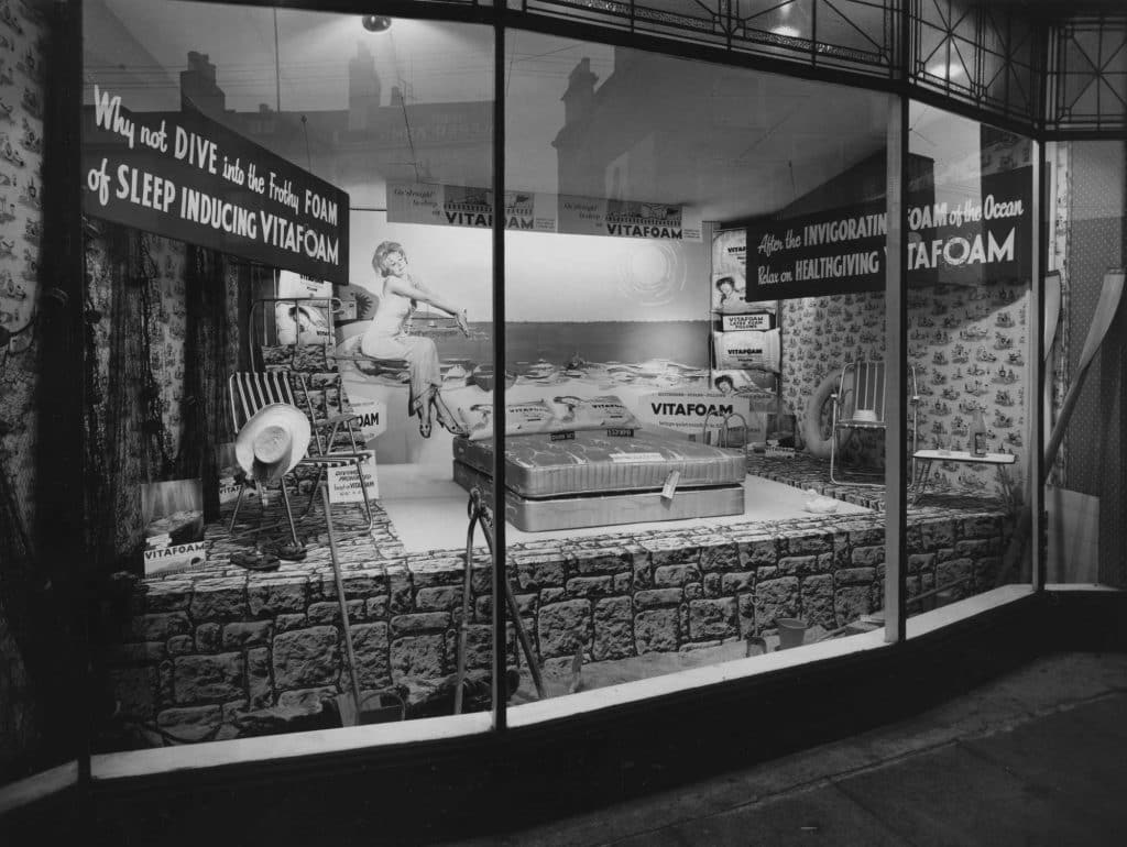
Founded in 1949 on £100 capital, Vitafoam started its original operation manufacturing latex foam products in Oldham, Greater Manchester.
After establishing the business, the company made a major move to its current site in Middleton, Manchester in 1955, acquiring two empty former cotton mills to cope with increased demand.
By 1963, Vitafoam had added the manufacture of polyurethane foam to its business and was providing product speciality for upholstery and bedding markets.
As Vitafoam entered the new millennium the company had made great strides in supplying external foam converters. These rely on Vitafoam to be their business partner and provide their foam needs. This trend continues to grow from strength to strength and is supplemented by our own group conversion companies.
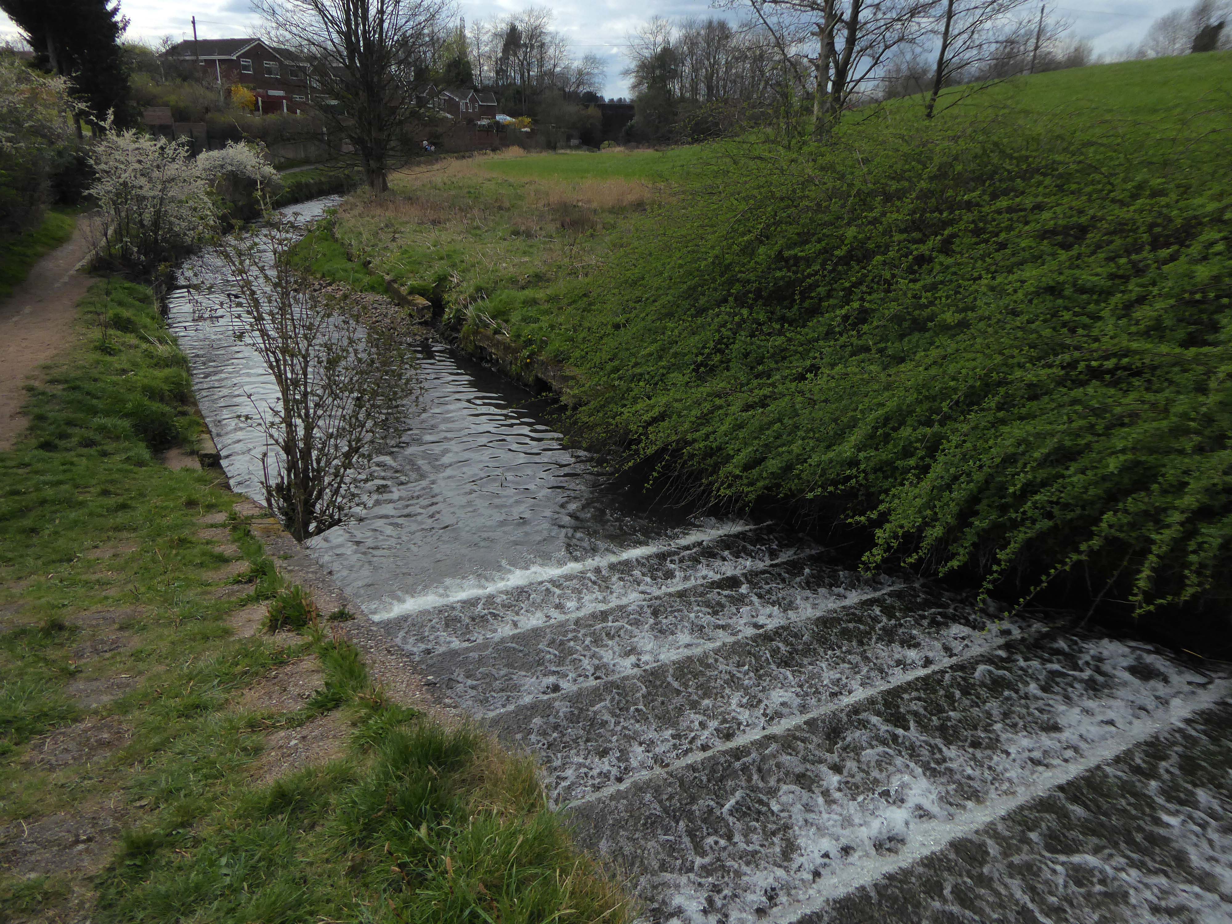
Regaining the river at Chadderton Hall Park.
Its roots stretch back to the 13th century being the land on which Chadderton Hall once stood. It contains a large field area with a small football pitch, a playground area, several flower gardens and a small café situated next to the Park’s bowling green.
Chadderton Hall was first built in the 13th century by Geoffrey de Chadderton, this first hall was in Chadderton Fold slightly to the east of the current park. In 1629 a new hall was built at the site of the current park and was present there until the 20th century when it was demolished in 1939. It was at the end of the 19th Century that the area surrounding Chadderton Hall began to be used for public recreation. A boating lake and a menagerie, including a kangaroo and a lion, were established as part of a Pleasure Garden. These features have long since been demolished but evidence of the boating lake can be seen by the hollowed out area where the playing fields now stand.
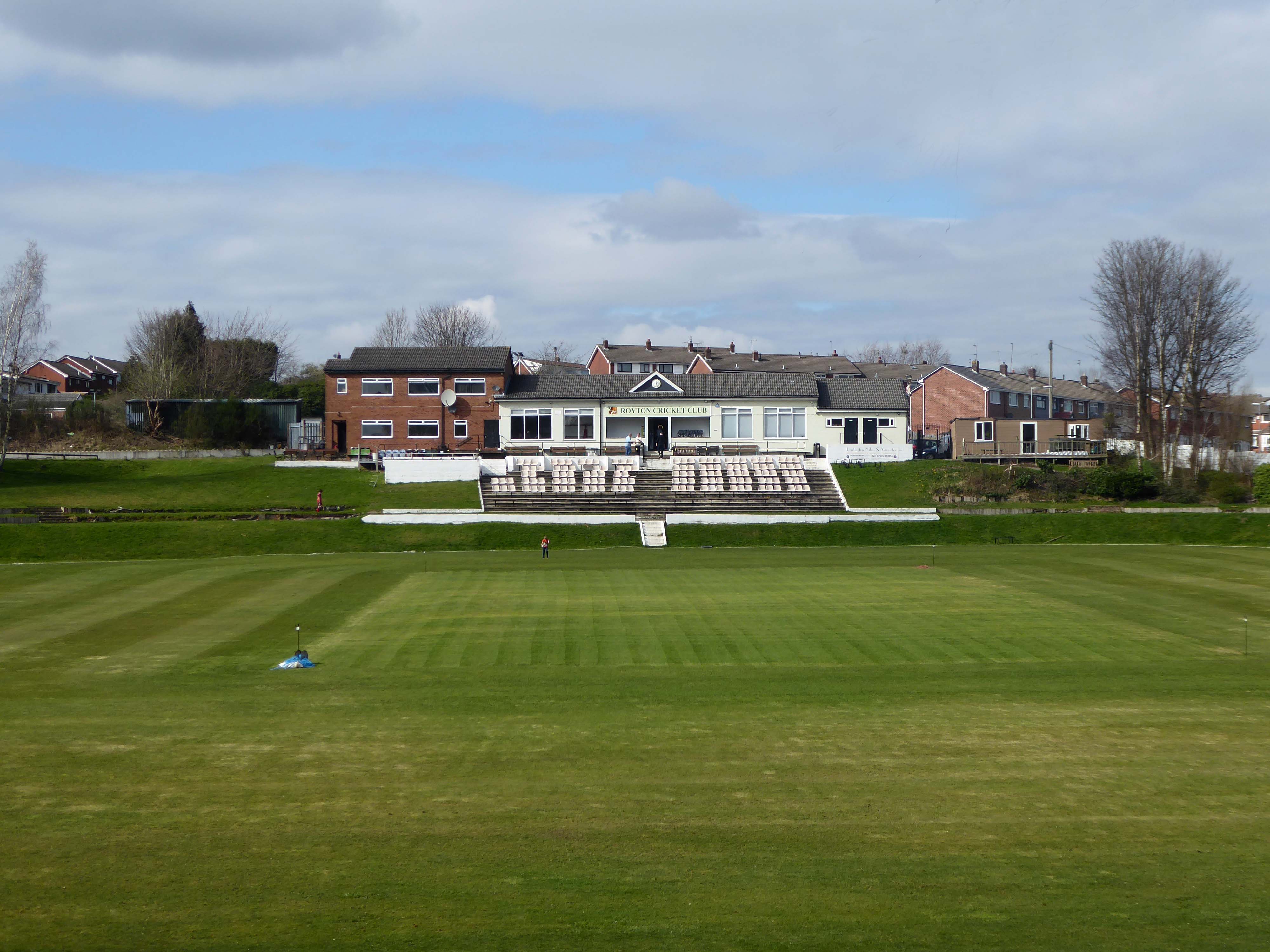
Based in the heart of Thorpe Estate – Royton Cricket, Bowling & Running Club offers a family friendly environment whilst hosting strong, competitive cricket throughout the summer. Bowling throughout the summer along with a Running section – Royton Road Runners, who operate all year round. Along with seasonal events such as our well known firework display along with St Georges Day celebrations – with plans in the pipeline for improvements on current events as well as new exciting projects – it’s a great time to be apart of the club & community!
I have very fond memories of visiting with my dad Eddie Marland as he followed Ashton in the Central Lancashire League – both watching cricket and seeing my dad crown green bowling here.
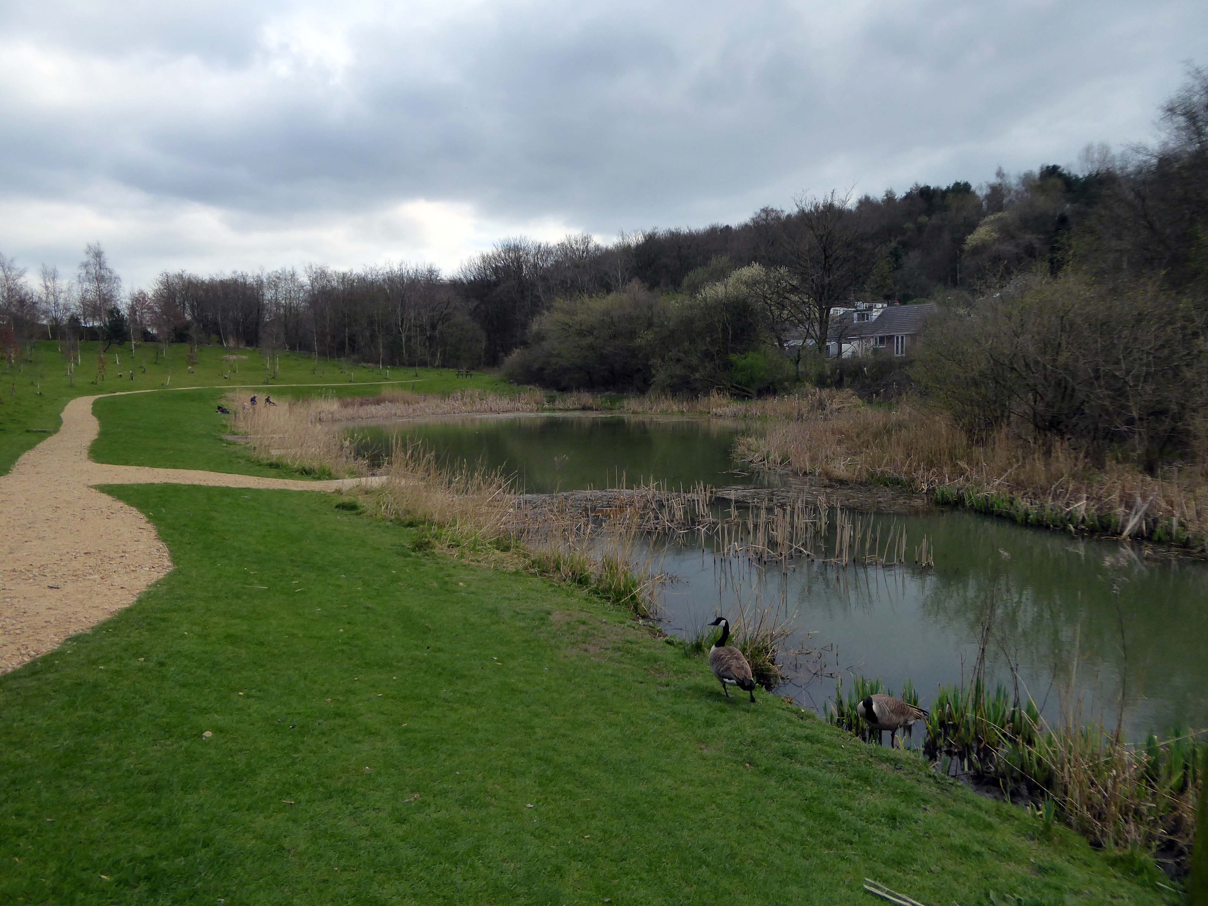
These now full memorial forests were originally donated to Life for a Life by Oldham Metropolitan Borough Council. Salmon Fields meadow sits adjacent to a lovely pond that is used regularly by fishing enthusiasts and is frequently used as a breeding site for Canadian Geese.
Life for a Life planting areas are natural environments where we encourage wildlife and plantlife to flourish, as such additional items should not be added to the tree or the space around it, especially as they can cause damage to the tree.
Please be aware that any prohibited items left on or around memorial trees will be removed.
Although these sites are now full to the planting of new memorial trees if you have an existing memorial tree dedicated you can still upgrade memorial plaques, add additional ashes to a memorial tree, order memorial keepsakes etc.
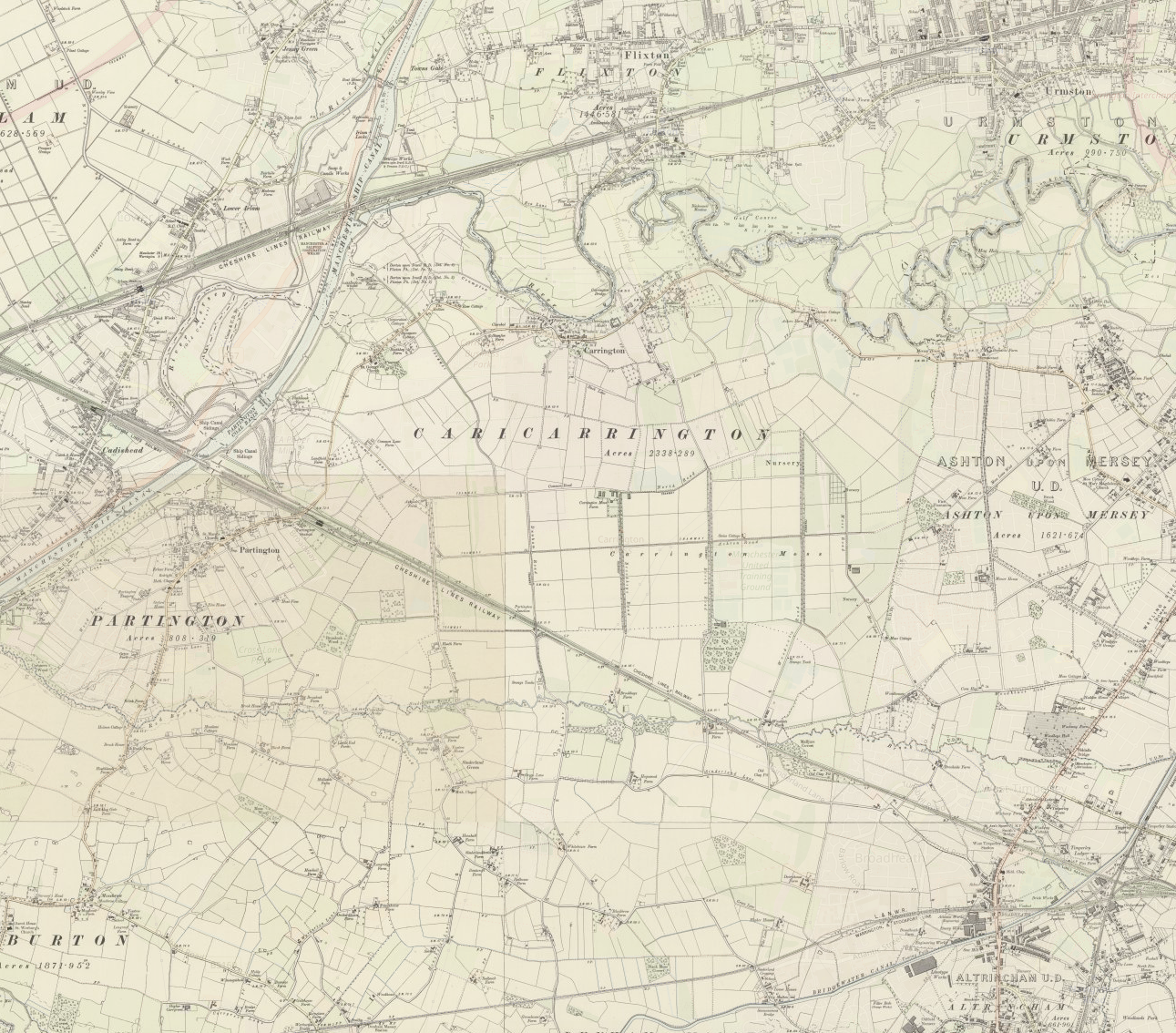
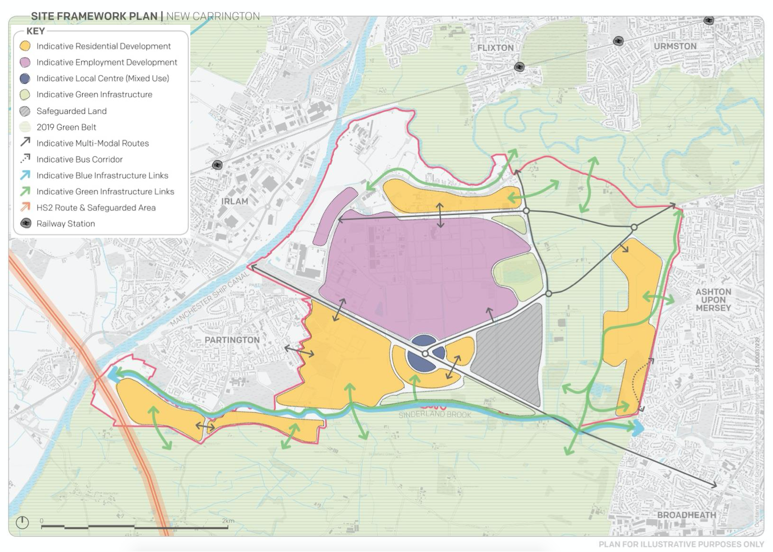
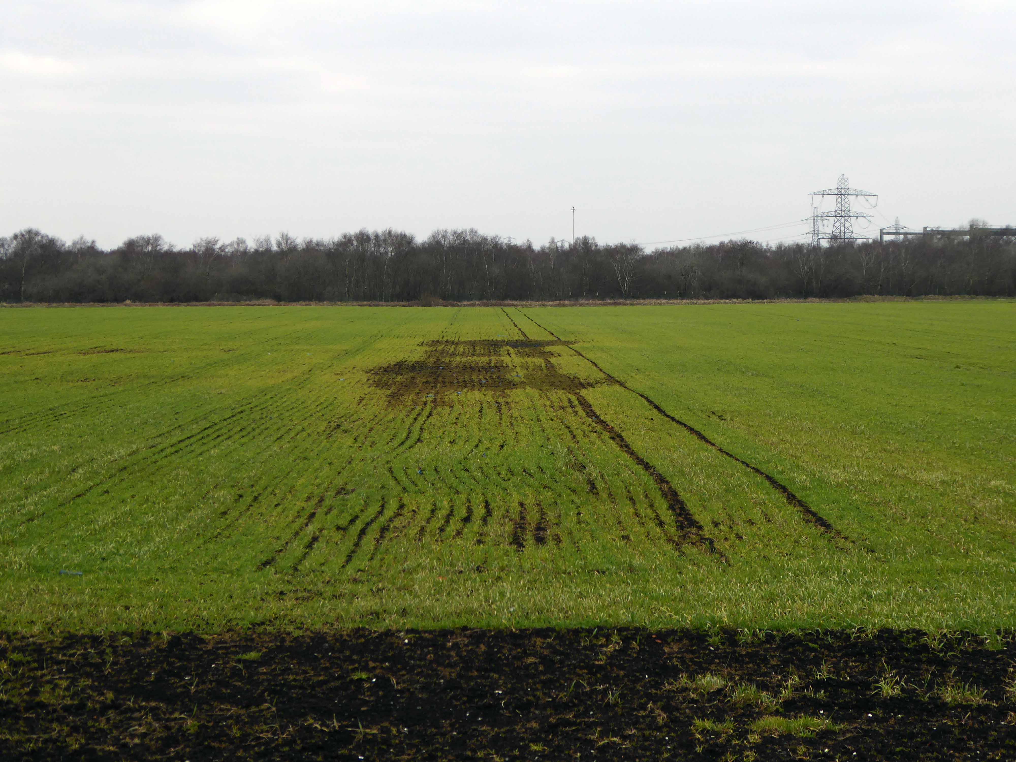
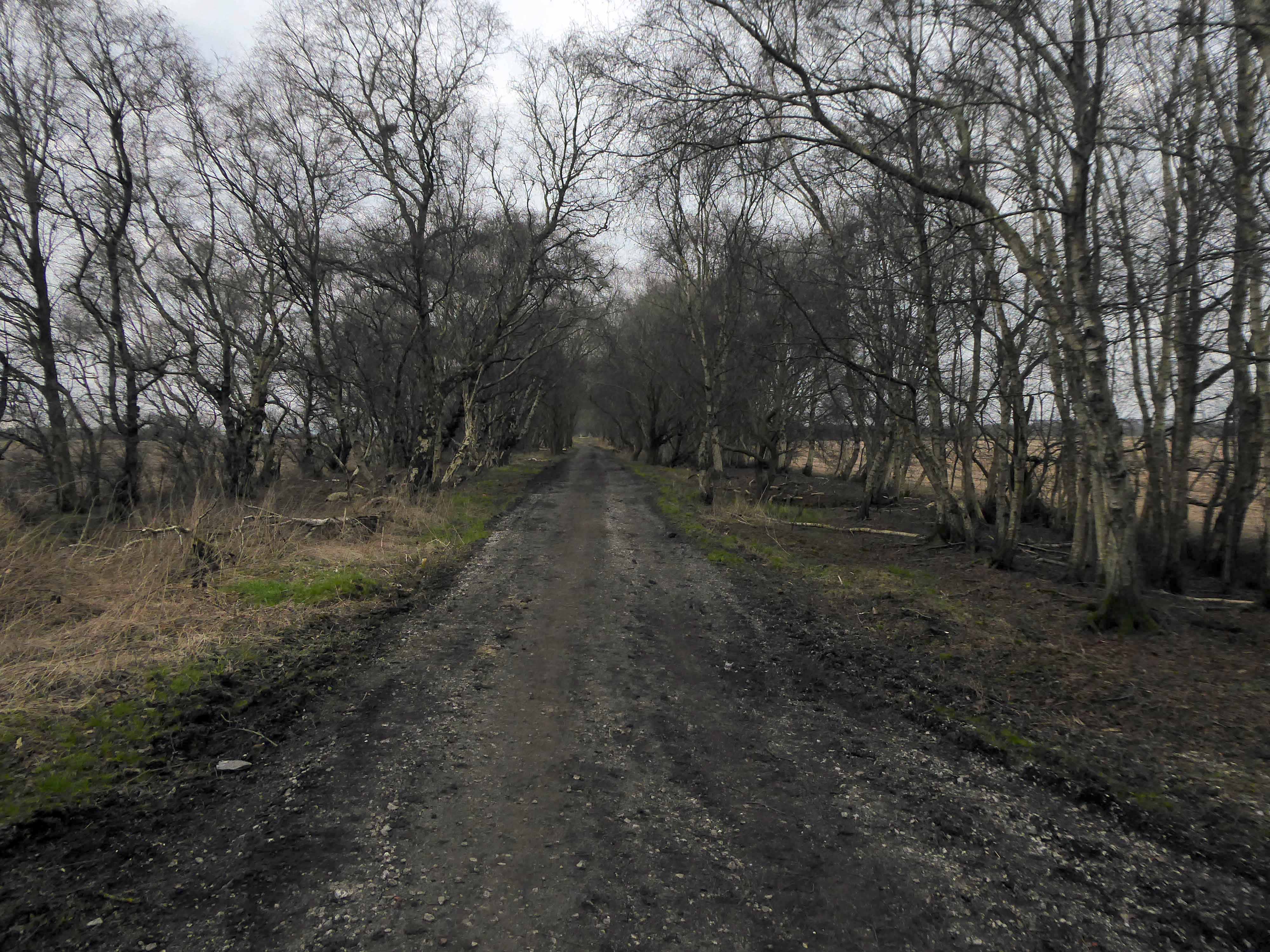
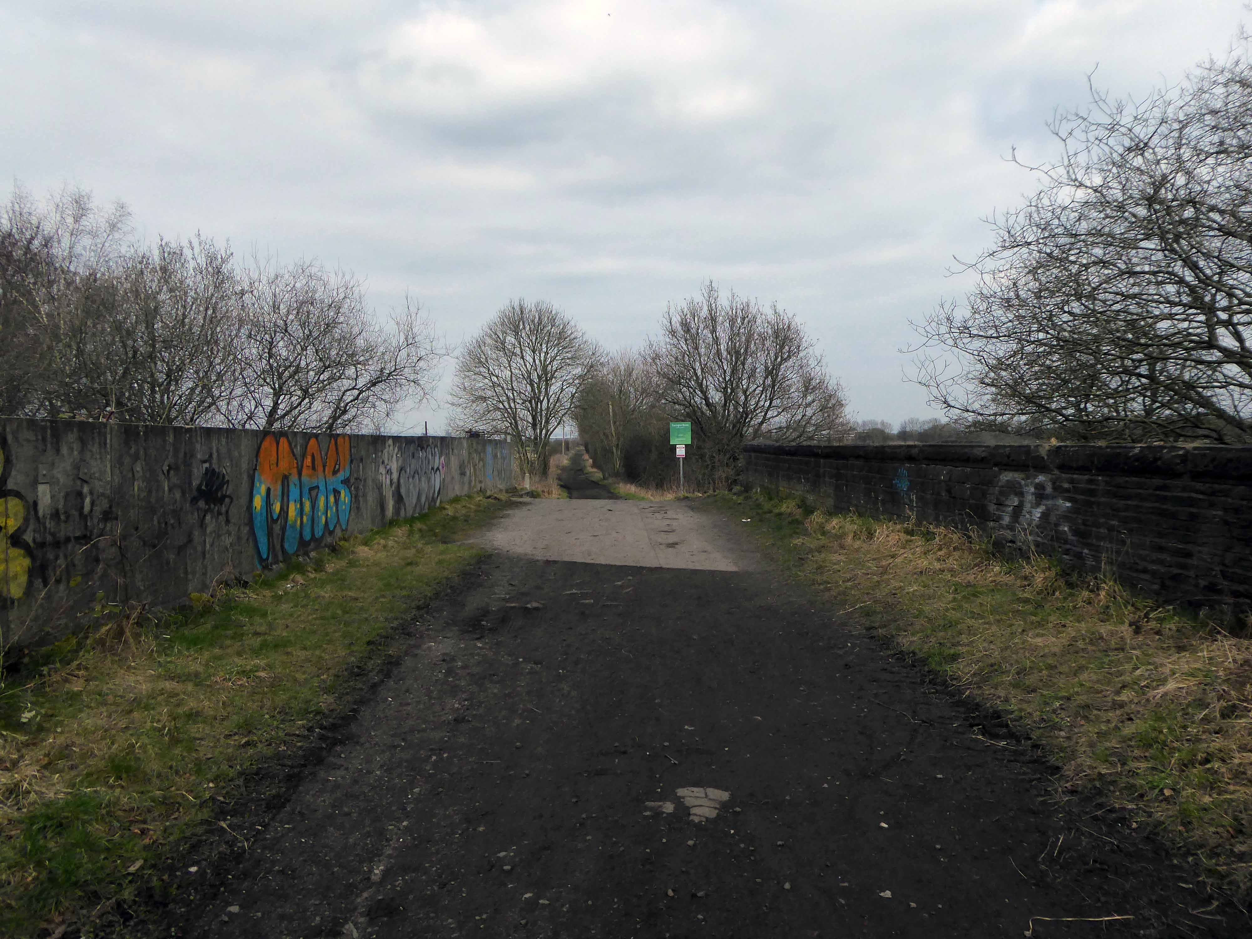
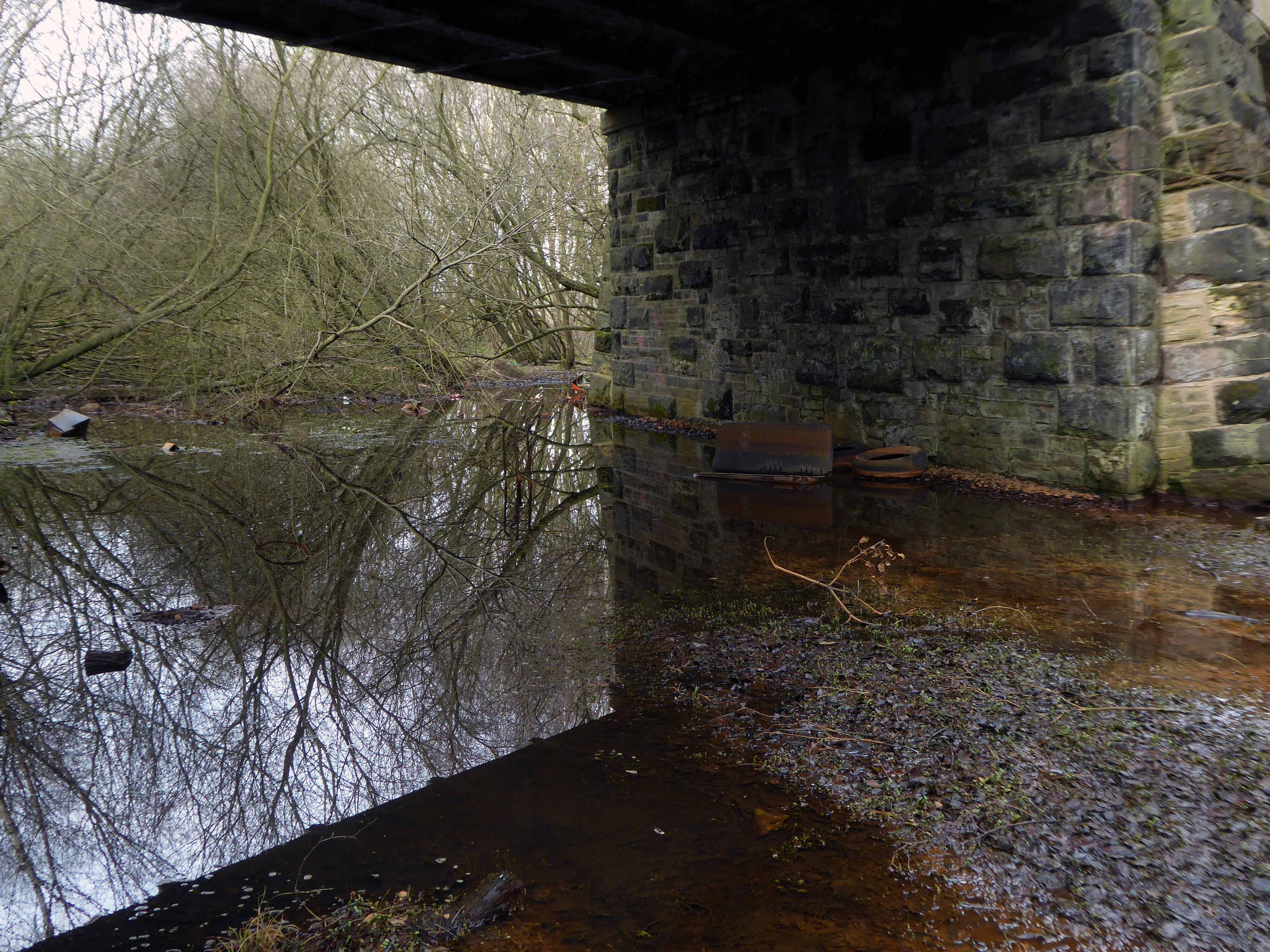
Carrington Moss is a large area of peat bog near Carrington in Greater Manchester, England. It lies south of the River Mersey, approximately ten miles south-west of Manchester, and occupies an area of about 1,100 acres..Originally an unused area of grouse moorland, the moss was reclaimed in the latter half of the 19th century for farming and the disposal of Manchester’s waste. A system of tramways was built to connect it with the Manchester Ship Canal and a nearby railway line. During the Second World War the land was used as a Starfish site and in the latter half of the 20th century, a large industrial complex was built along its northern edge. More recently, several sporting facilities have been built on Carrington Moss. Today, the land is still used for farming and several nature reserves have been established within its bounds.
Parts of Carrington Moss are accessible to the public over several rights of way.
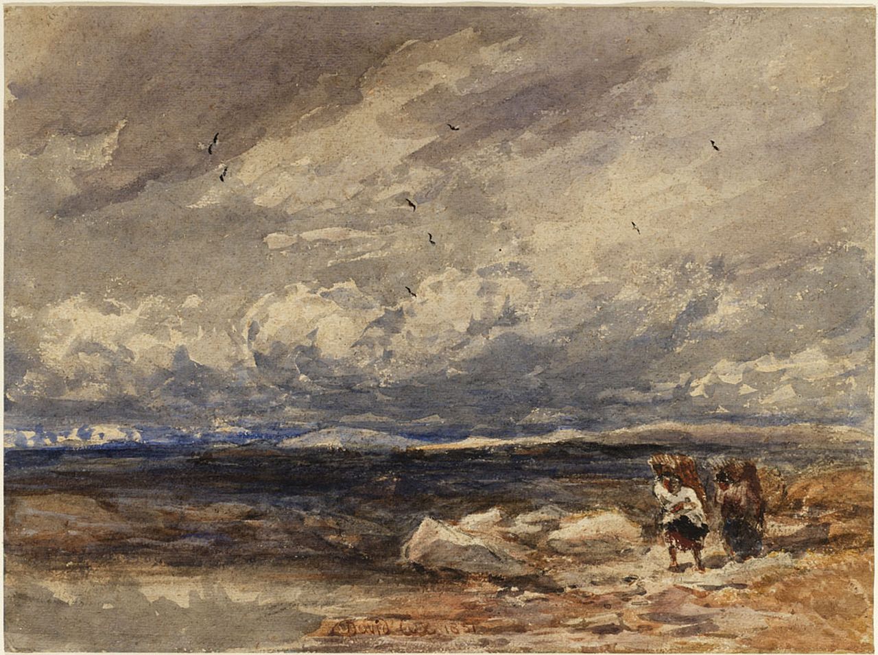
On Carrington Moss 1851 David Cox
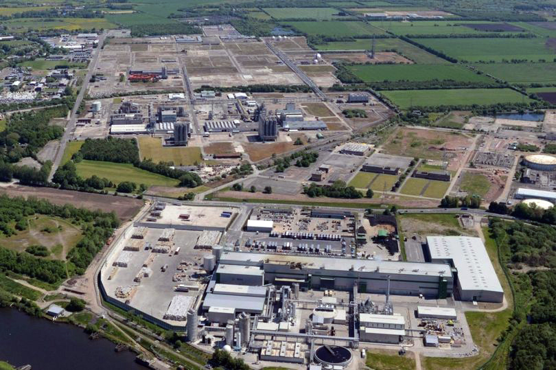
Industrialisation of the moss took place from 1947–1952 when Petro-Carbon ltd began to build what would later become known as the Shell Site. The estate was leased on 1 October 1968 to Shell Chemicals, who in 1957 had purchased a propylene oxide plant along the moss’s northern edge. Shell had built an ethylene oxide plant in 1958 and began to produce polyether polyols the following year. Council housing was built nearby, at Carrington and Partington, for workers and their families. By 1985 the Shell plant had a turnover of about £200M and employed 1,150 people, but a major restructuring of the business reduced the workforce to less than 500 by 1986. By 1994, four distinct plants operated on the 3,500-acre (14 km2) site, producing a range of chemicals, and materials including polystyrene, polyethylene and polypropylene.In 2005 it was reported that Shell would close their polyols and ethoxylates units, a decision which came into effect in 2007. The estate is currently managed by chartered surveyors Bell Ingram. Lyondell Basell operate the last remaining chemical plant on site.
Storm Christoph showed that Manchester is susceptible to the adverse effects of extreme weather events, which are forecast to become more regular occurrences.
Greater Manchester Labour for a Green New Deal argue that we must abandon the idea of developing on greenbelt, and instead embrace bold alternatives which reflects the urgency of the climate crisis﹣starting with sites like Carrington Moss.
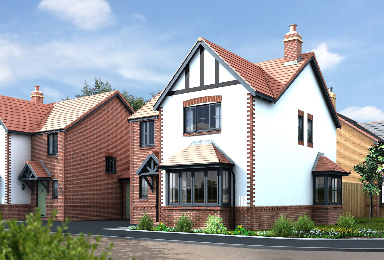
This is an area in liminal limbo, the pressures of the modern world leaning on its very being, as ash, alder, badger, field mouse, and kestrel give way to Wainhomes.
Where then will the wanderer wander, in search of solace?
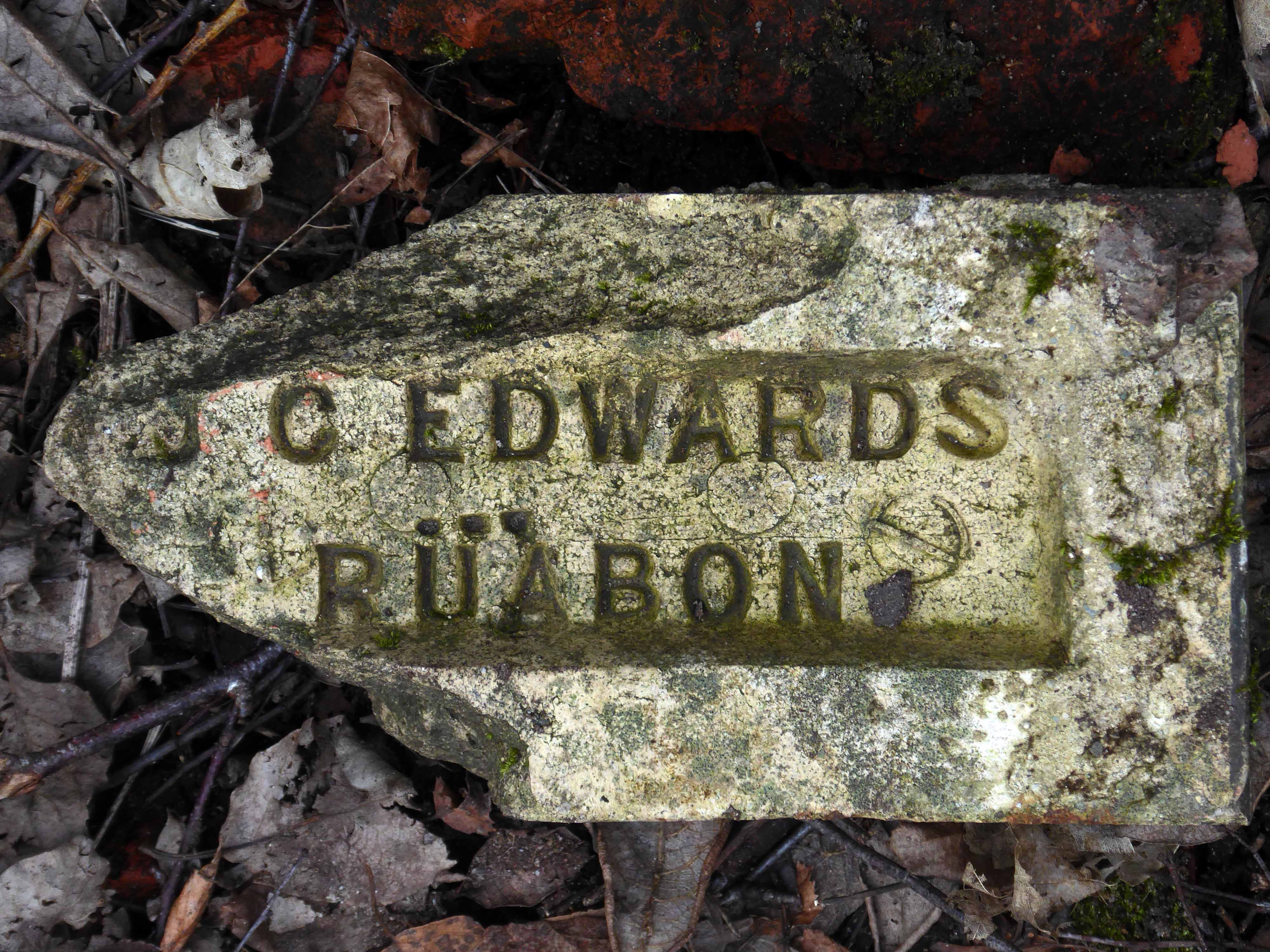
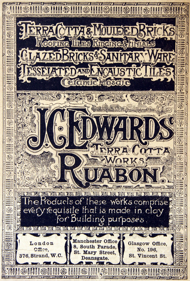
The company of J. C. Edwards Ruabon Ltd, was based in Ruabon, Denbighshire, and was active from 1903 to 1956 as a brick, tile and terracotta manufacturer from its works at Tref-y-Nant, Acrefair, Albert Works, Rhosllannerchrugog, and Pen-y-bont, Newbridge, Denbighshire.
James Coster Edwards (1828-1896) founded the company; it was sold in 1956.
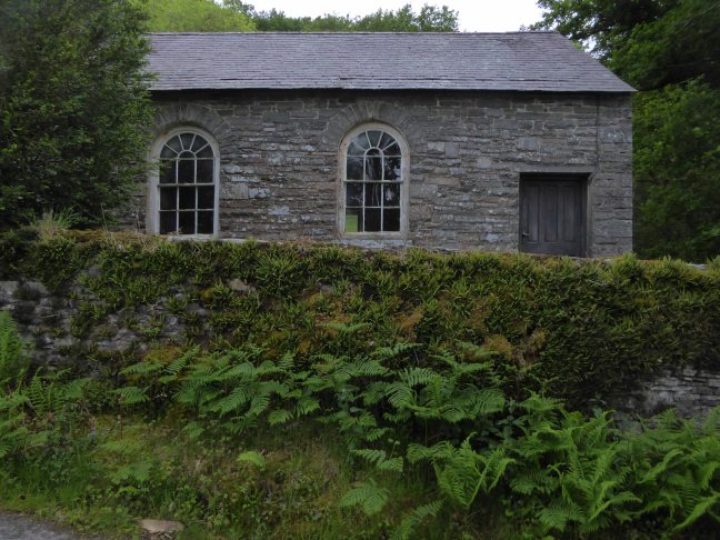
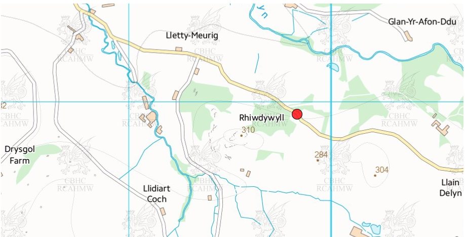
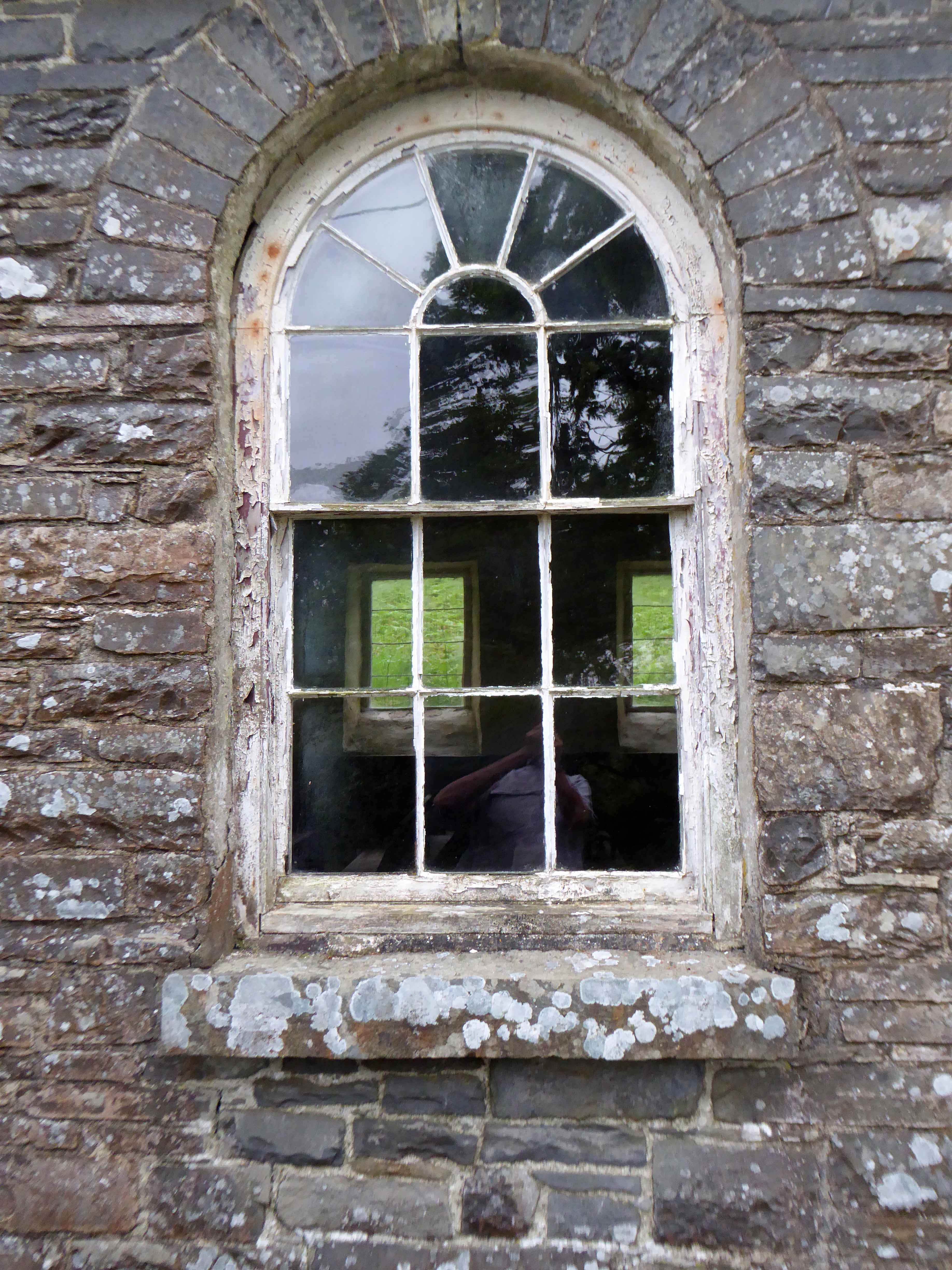
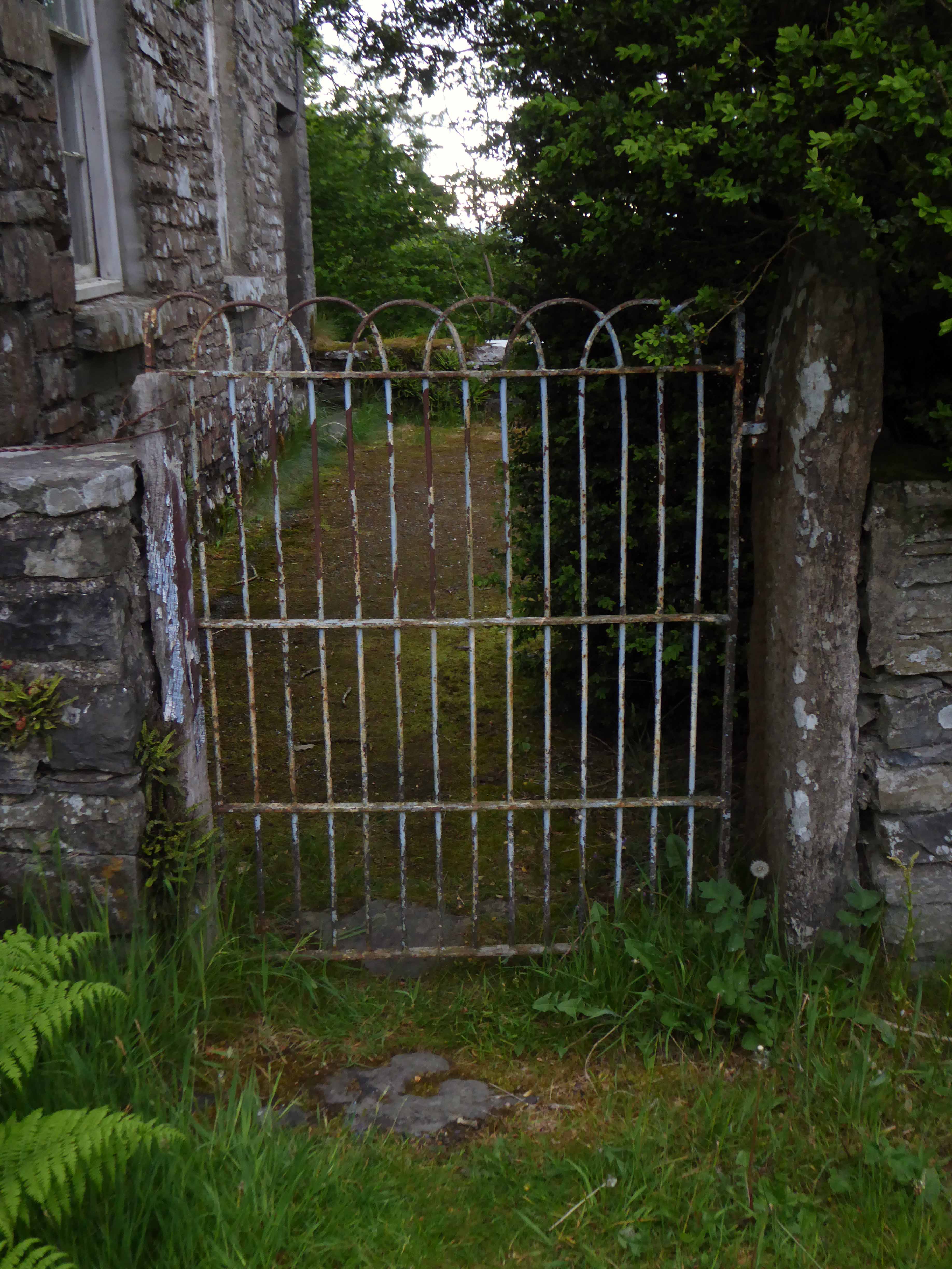
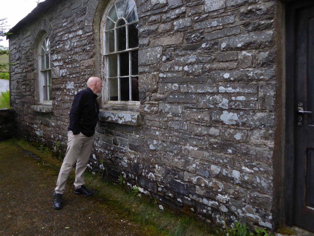
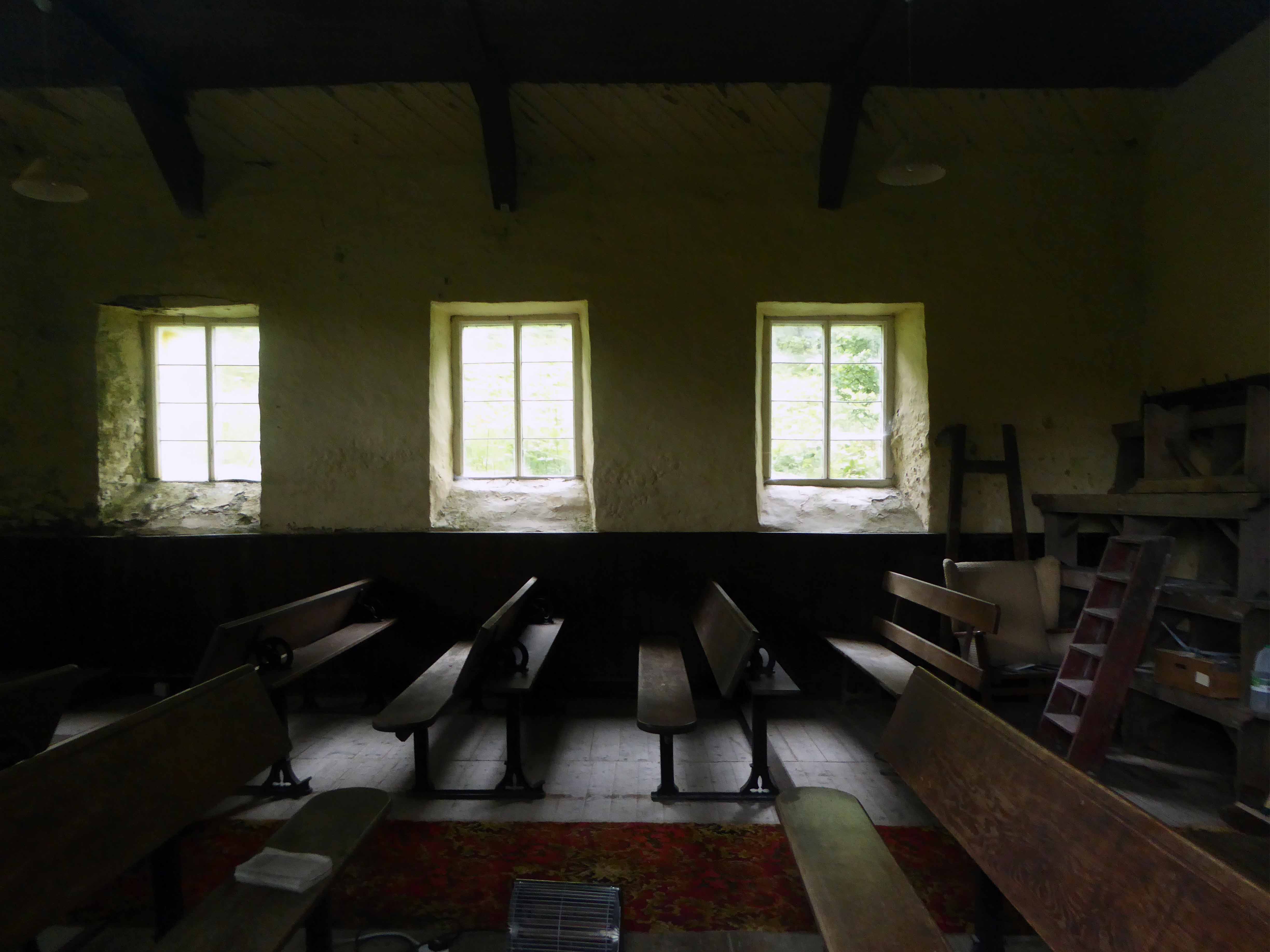
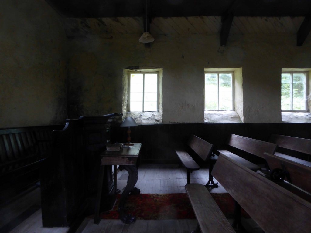
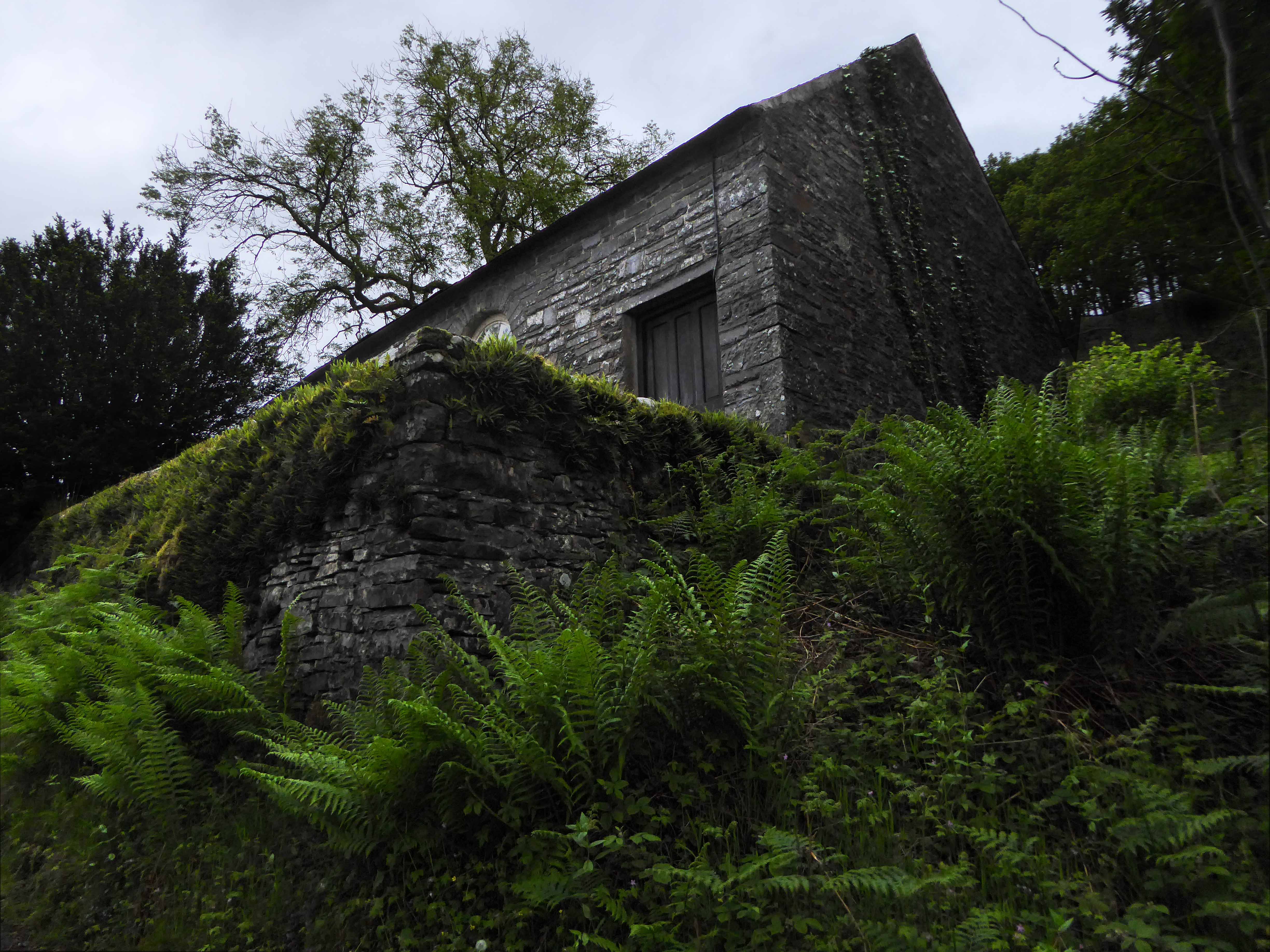
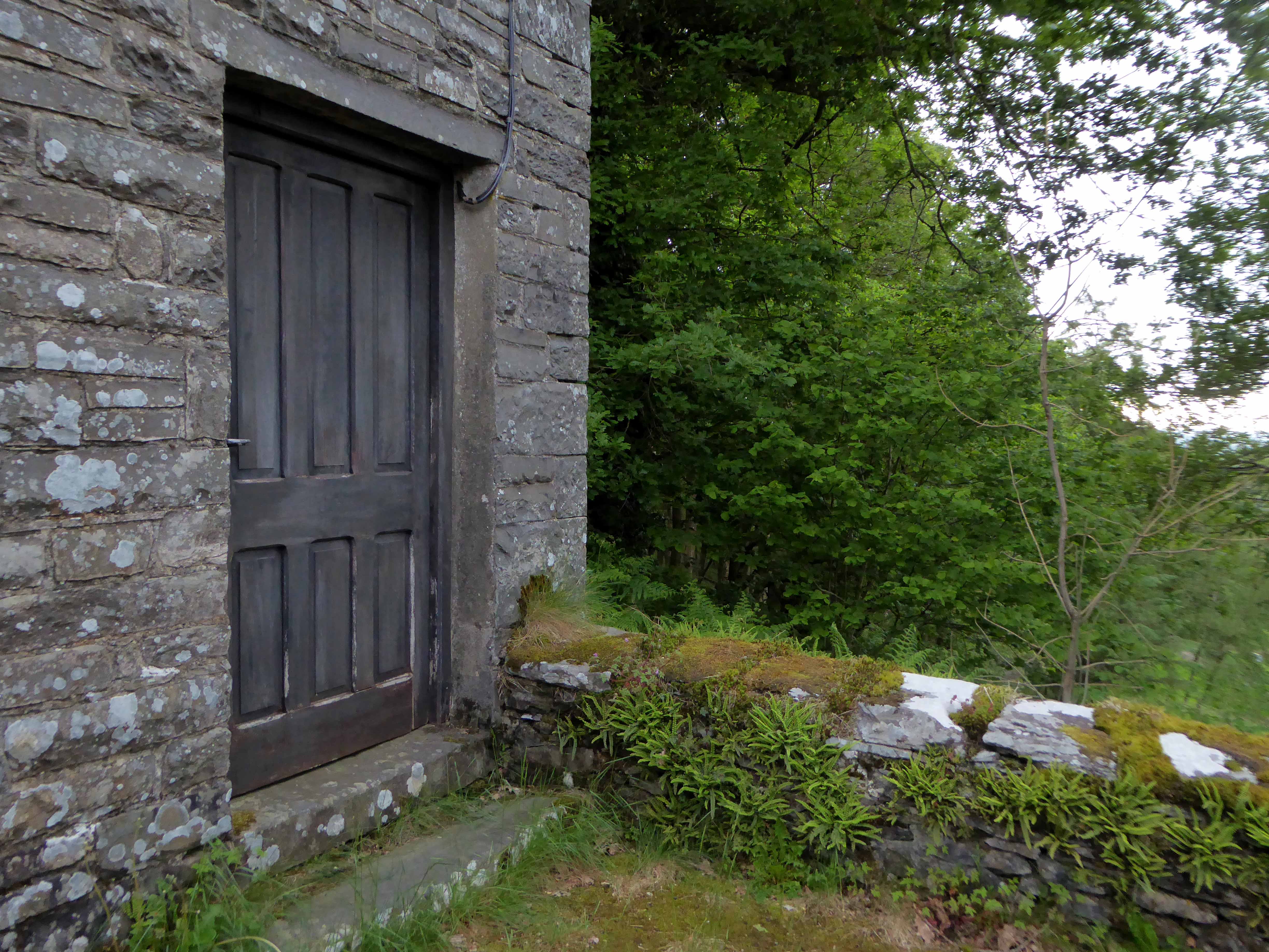
Digressing for once from the modern to the near modern in an ancient landscape. Having cycled to Tregaron I took a walk along the Mountain Road with chapel hat peg expert Tim Rushton.
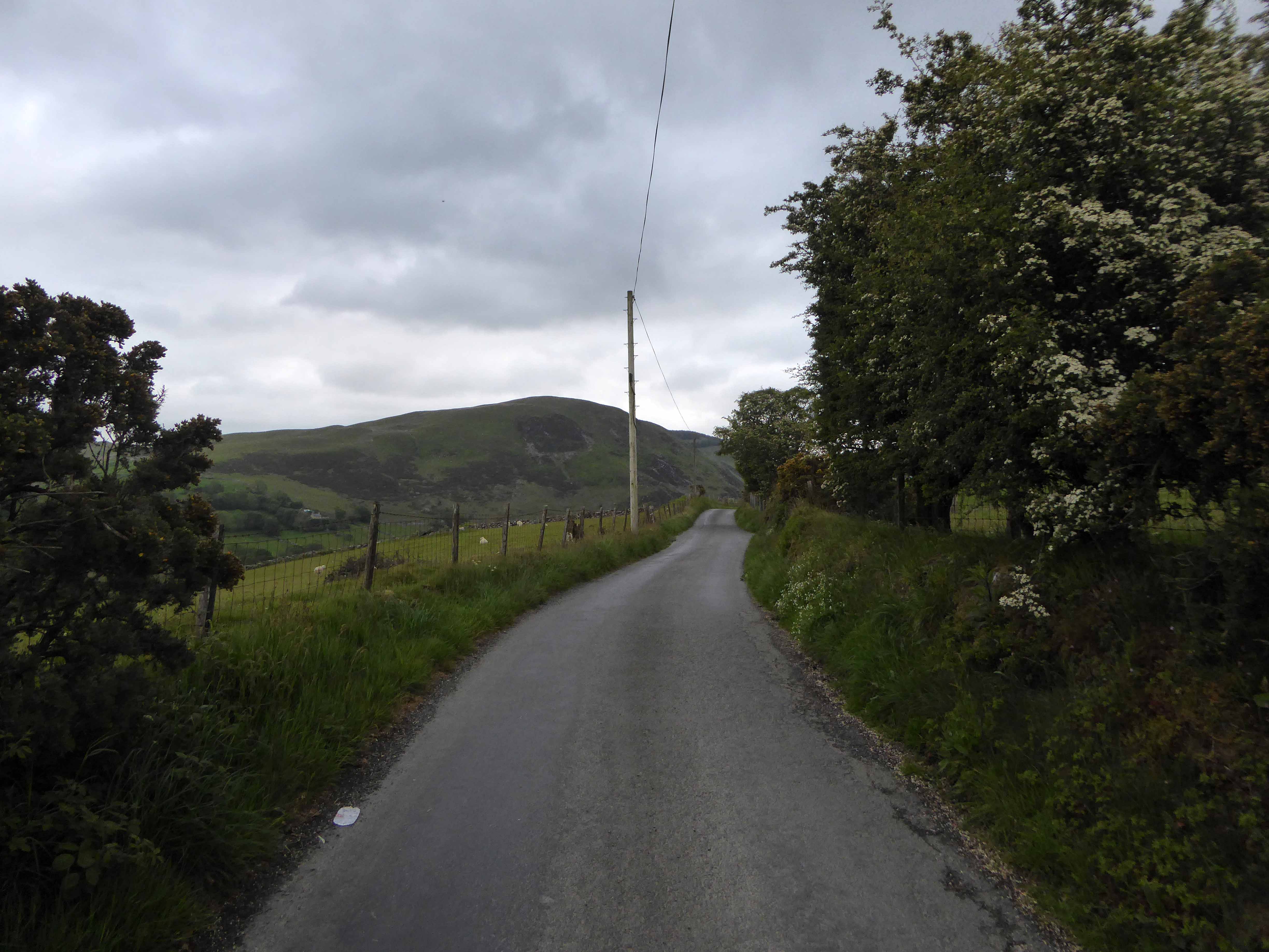
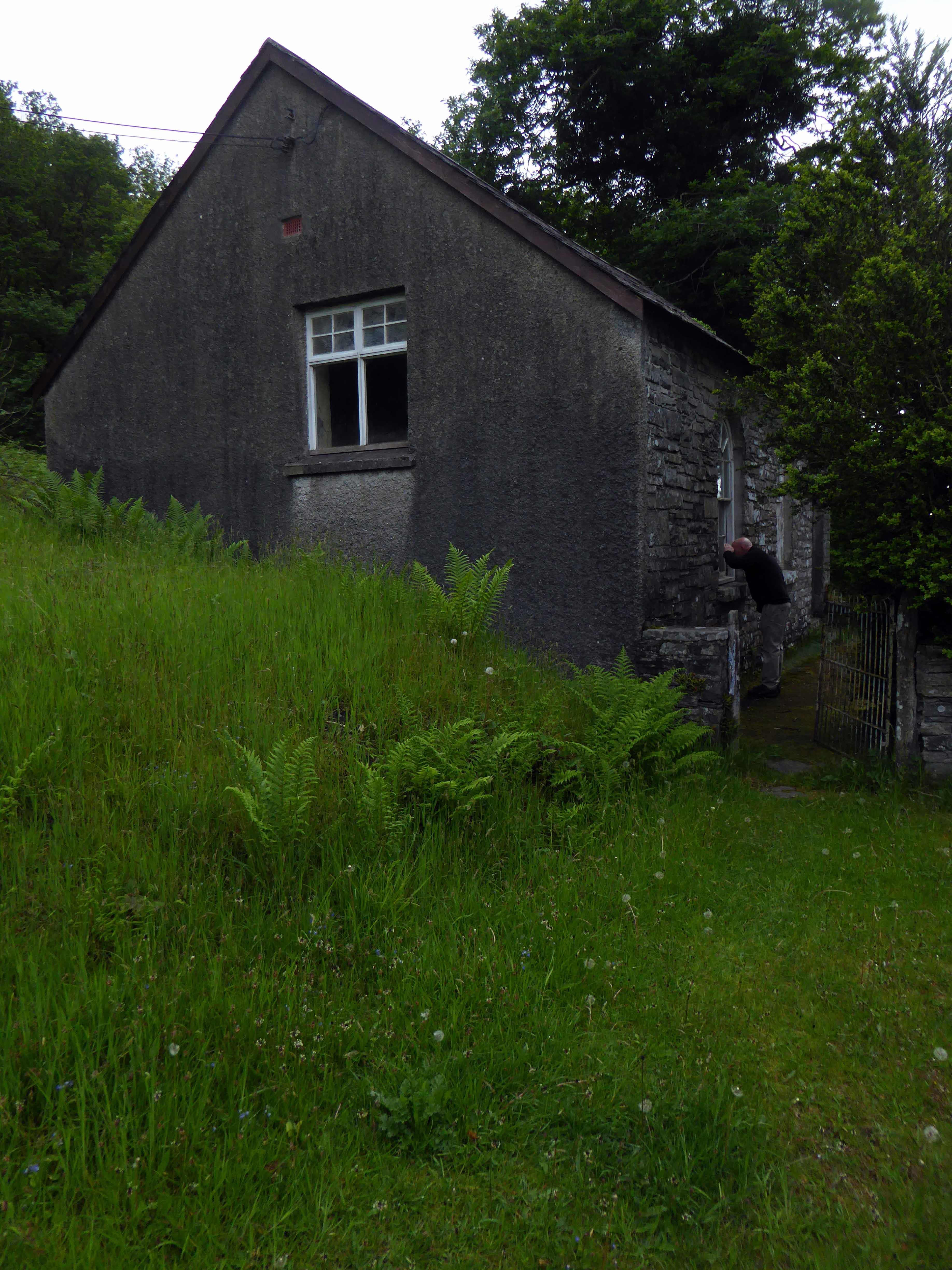
Afore very long we came upon a chapel, set slightly back from the track, tucked snugly into the trees.
Deserted yet maintained, grass trimmed the low structure sealed soundly against the weather.
Calvinistic Methodist small chapel/schoolroom of 1866, a branch of Bwlchgwynt Chapel, Tregaron. Simple plastered interior with cast-iron and timber combined pews and desks. Small plain pulpit. Listed as the best preserved of the small branch chapels in the region. Historically important as illustrating the spread of non-conformity during the mid to later C19 in sparsely populated upland districts.


