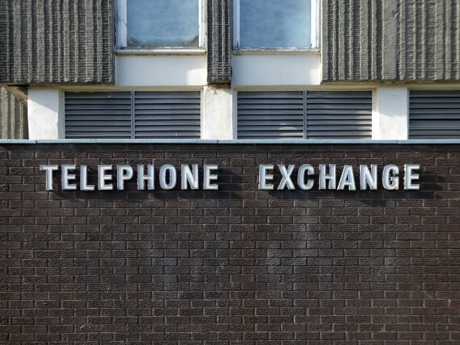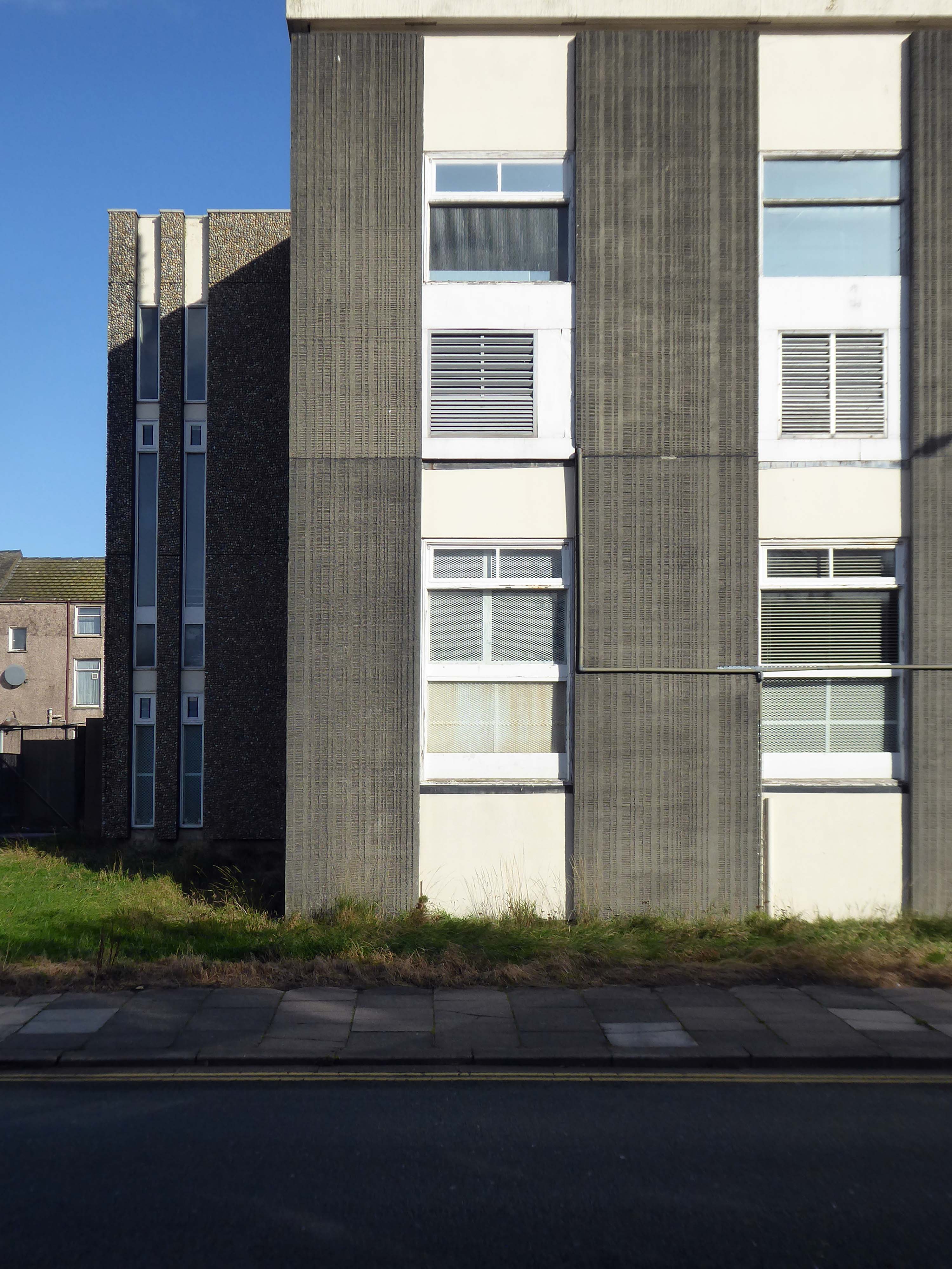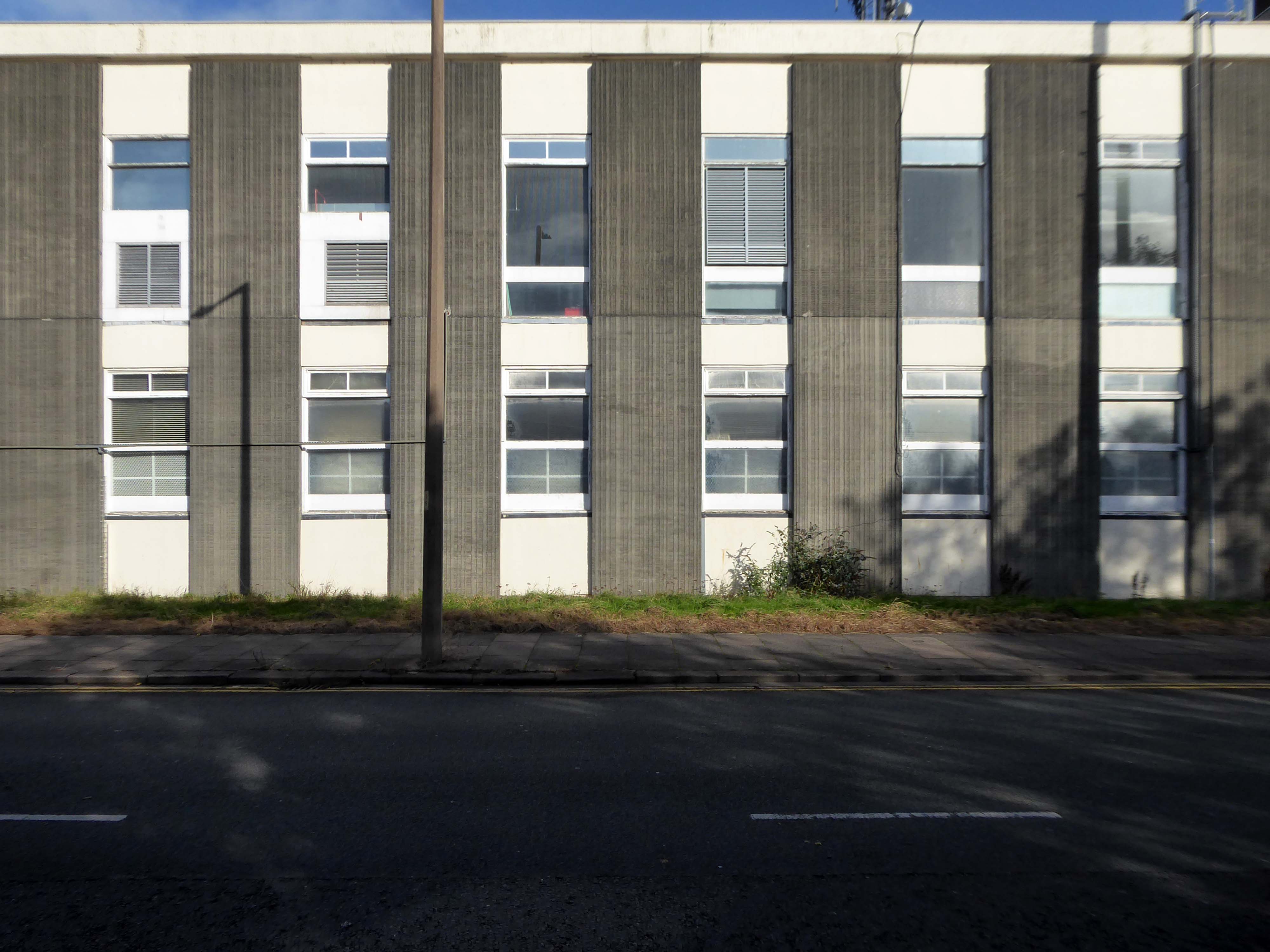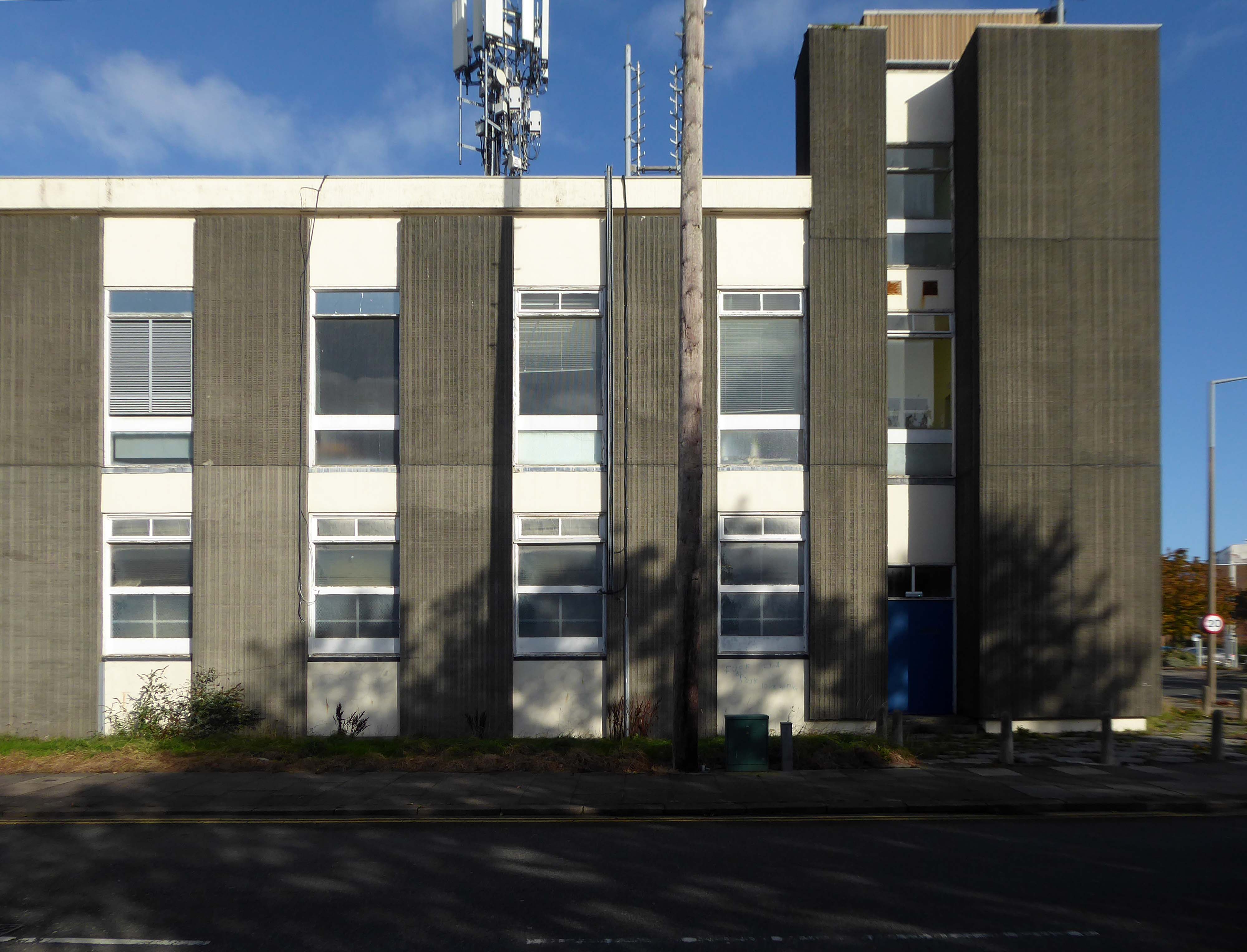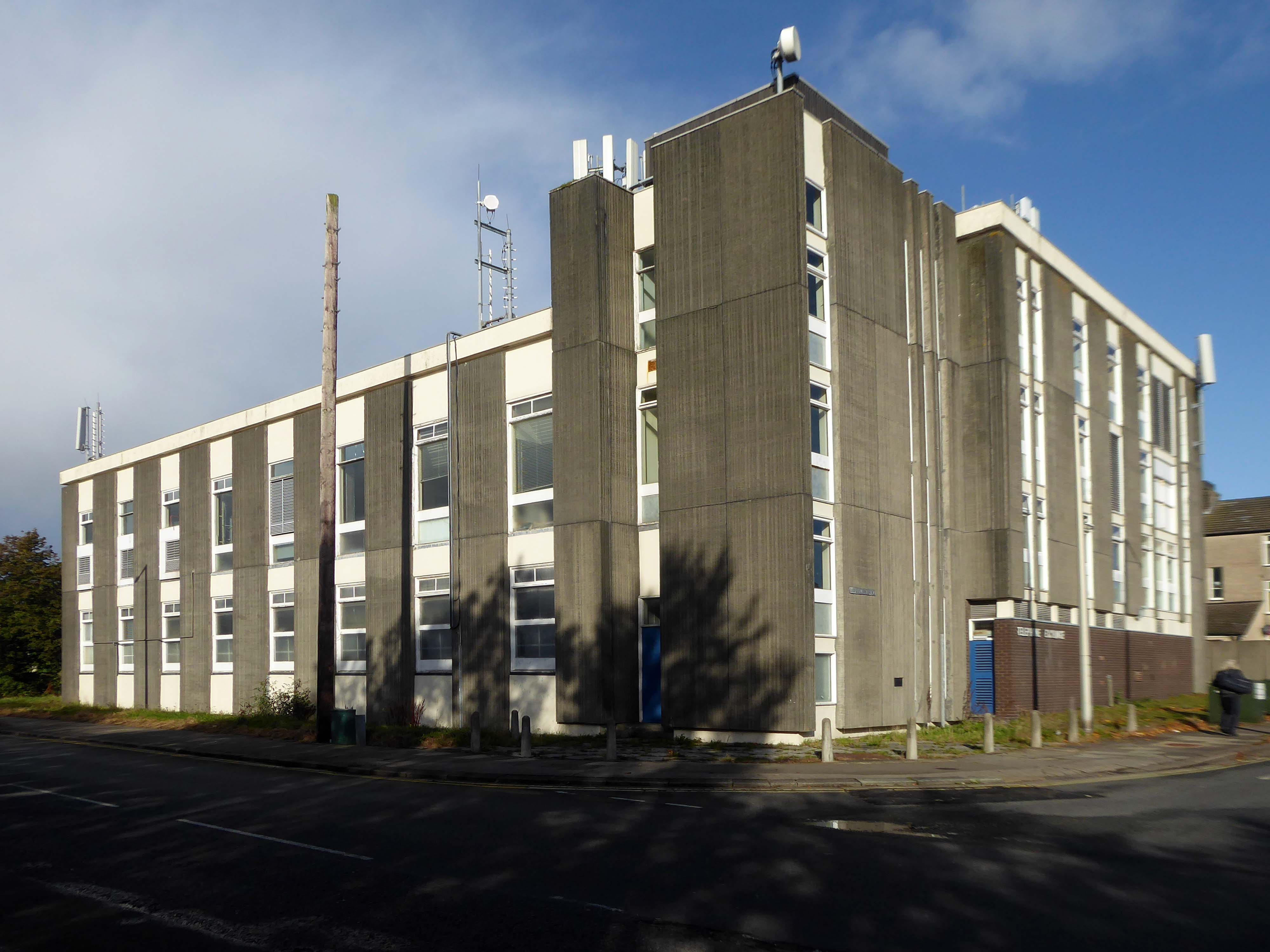
302 Elder Gate Milton Keynes MK9 1LA
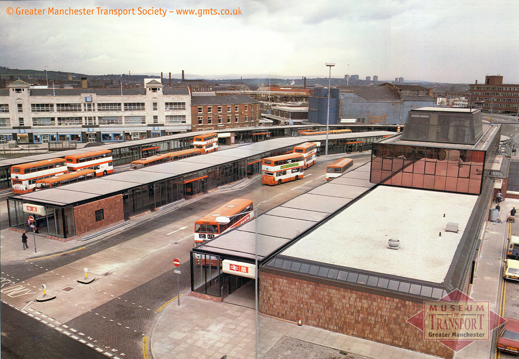
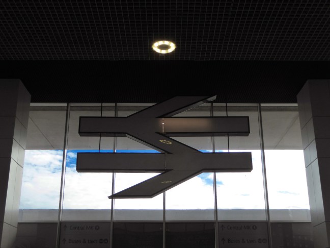
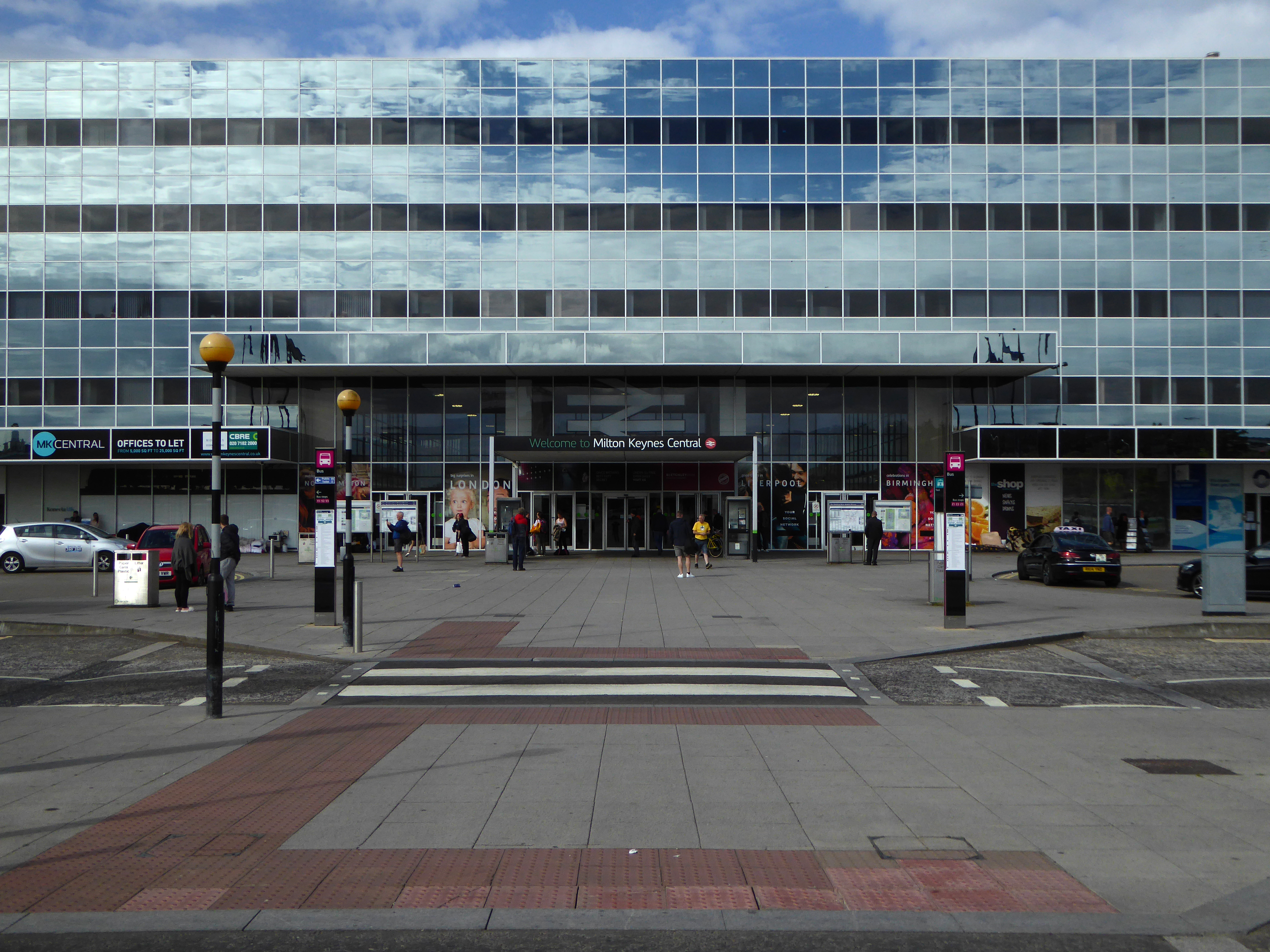
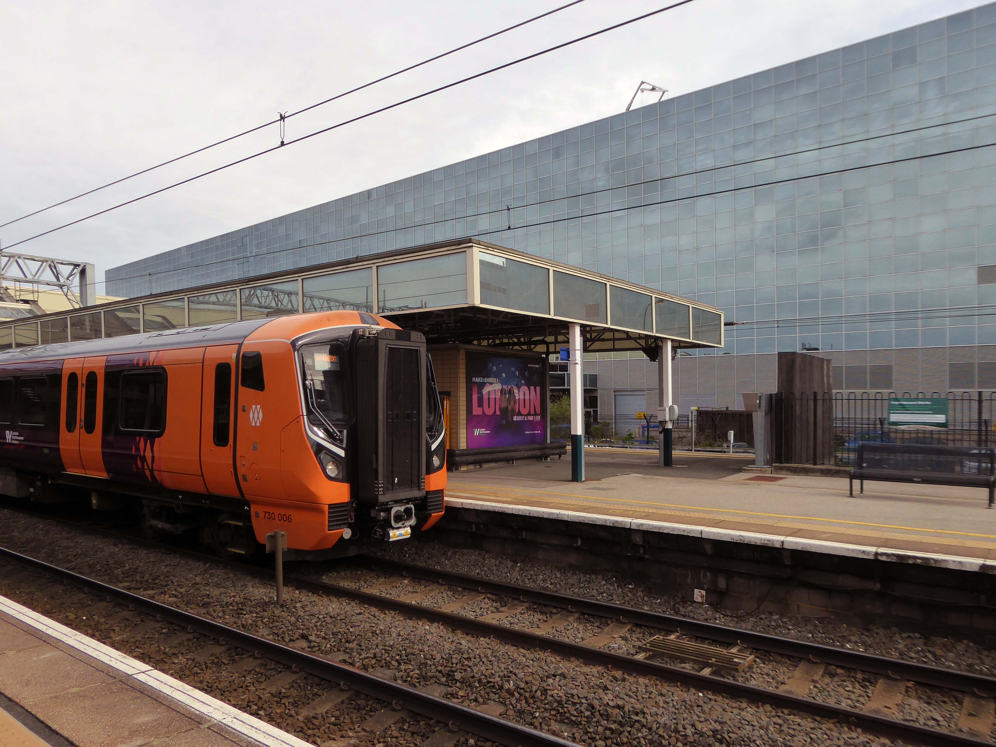
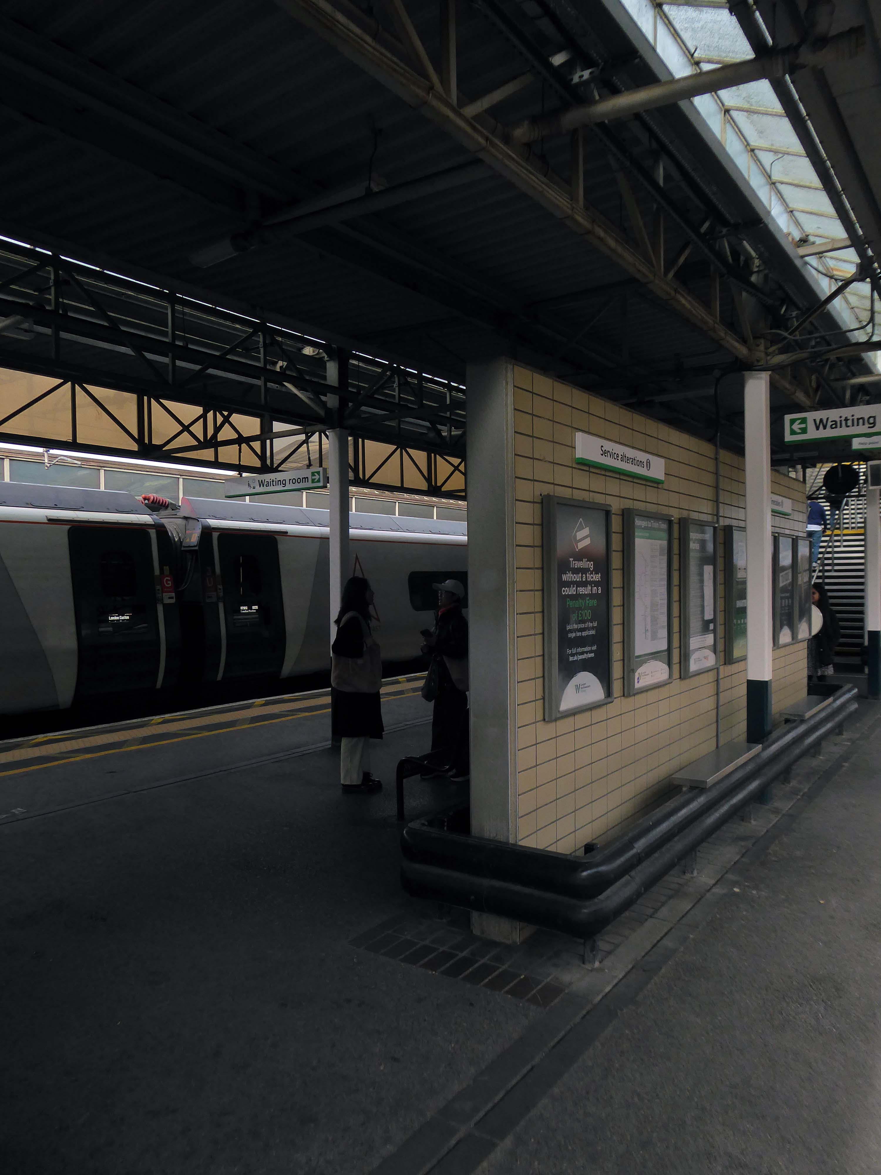
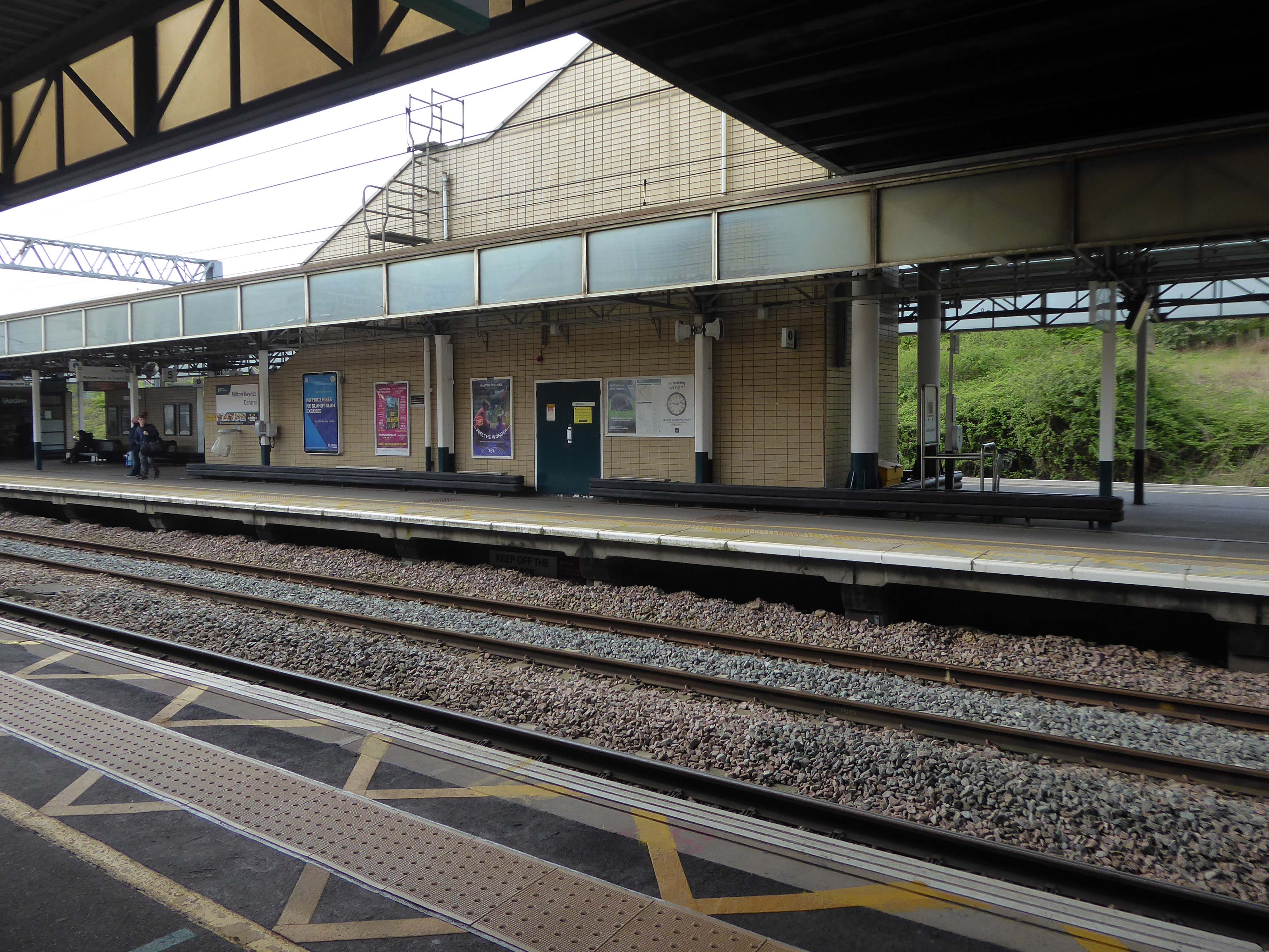
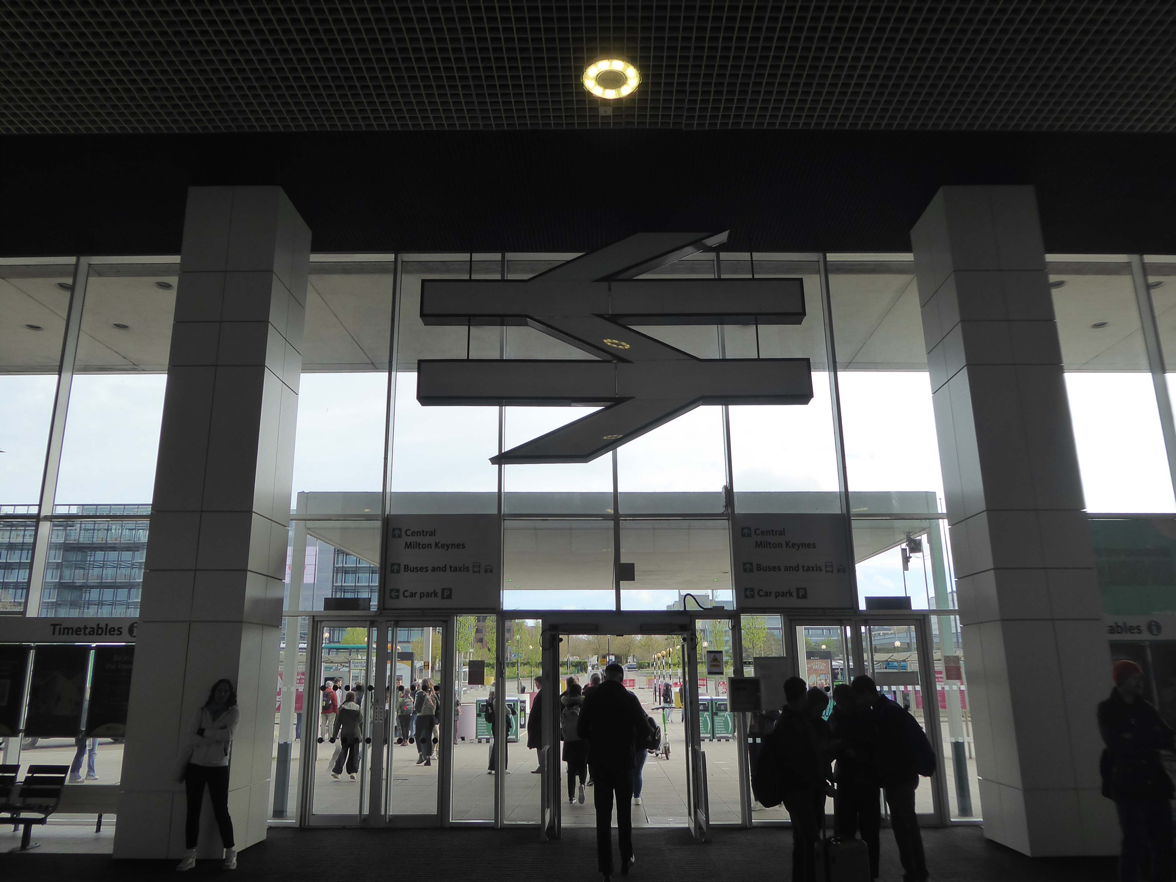
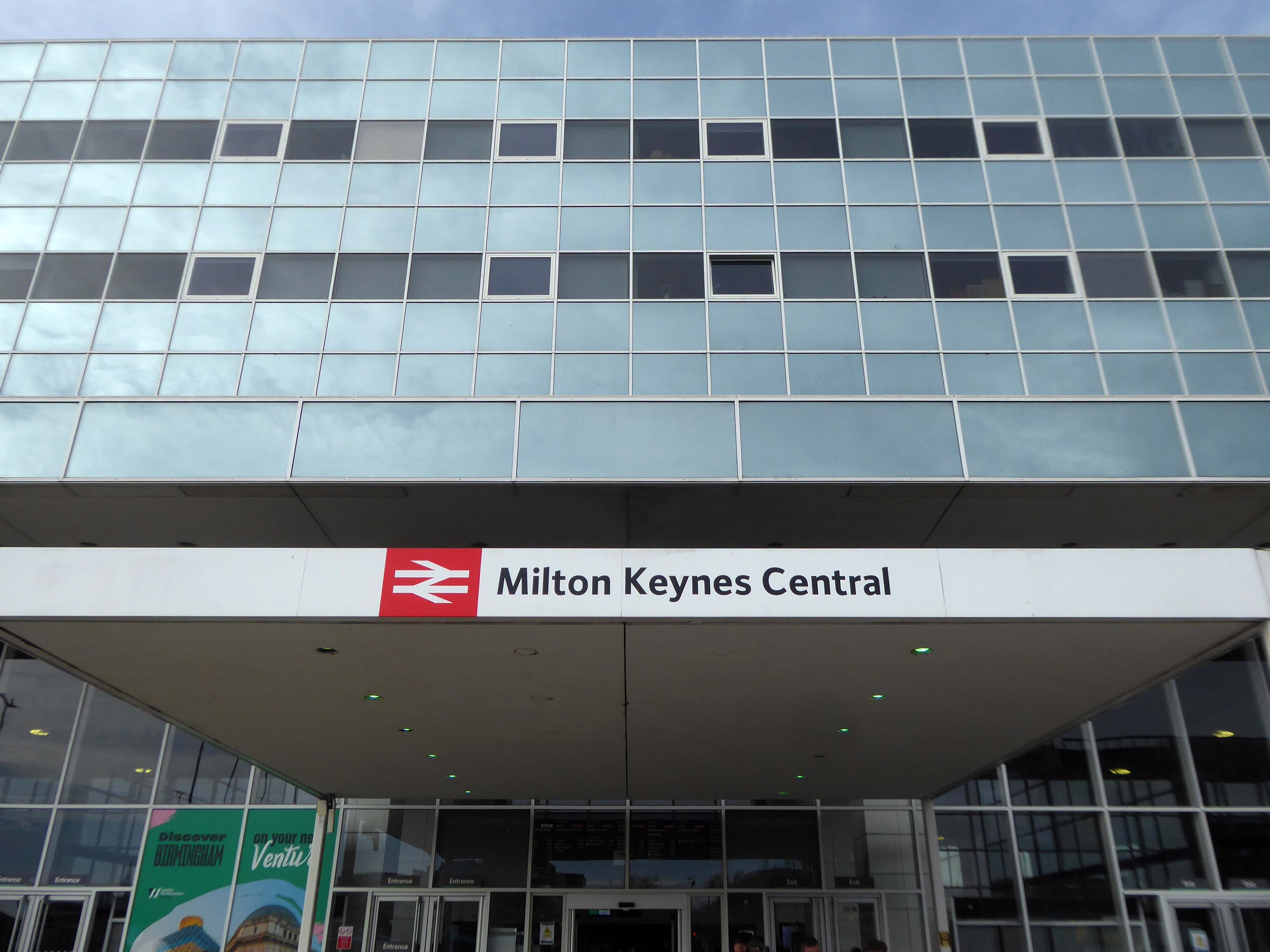
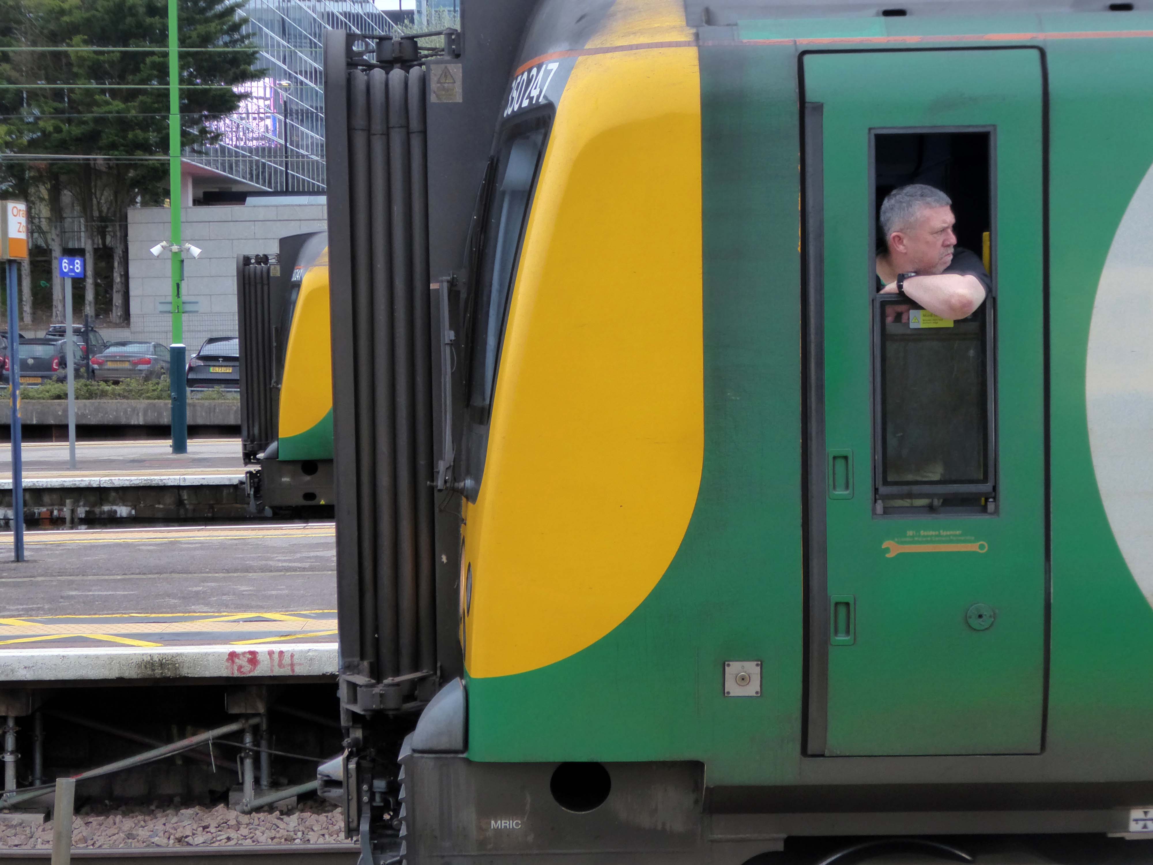
Milton Keynes Central railway station serves Milton Keynes and surrounding parts of Bedfordshire, Buckinghamshire and Northamptonshire. The station is located on the West Coast Main Line about 50 miles northwest of London. The station is served by Avanti West Coast intercity services, and by West Midlands Trains regional services.

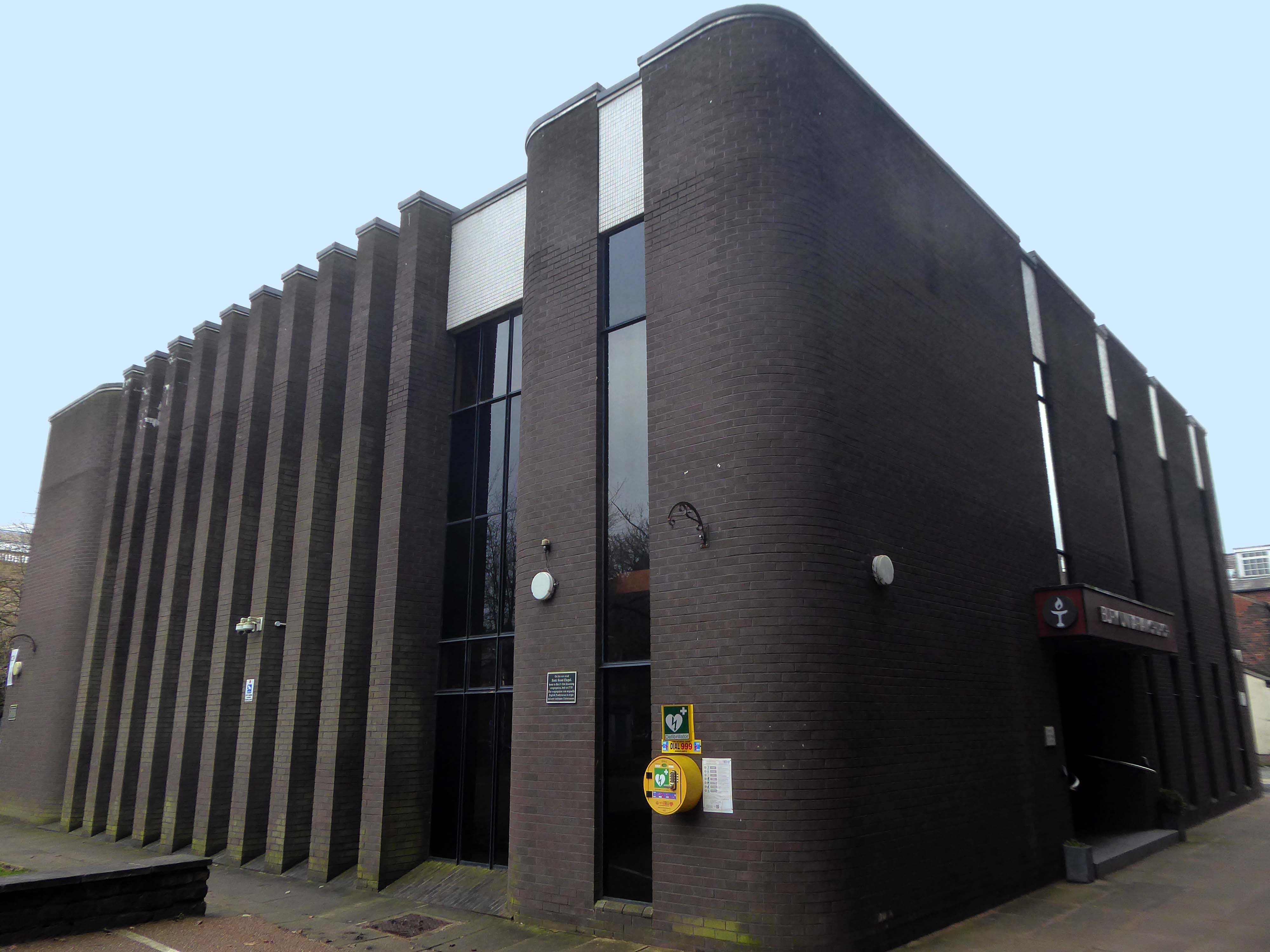
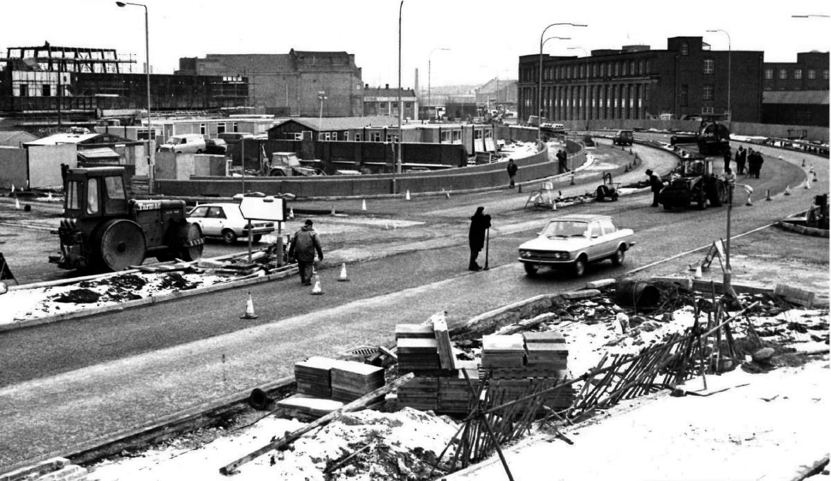
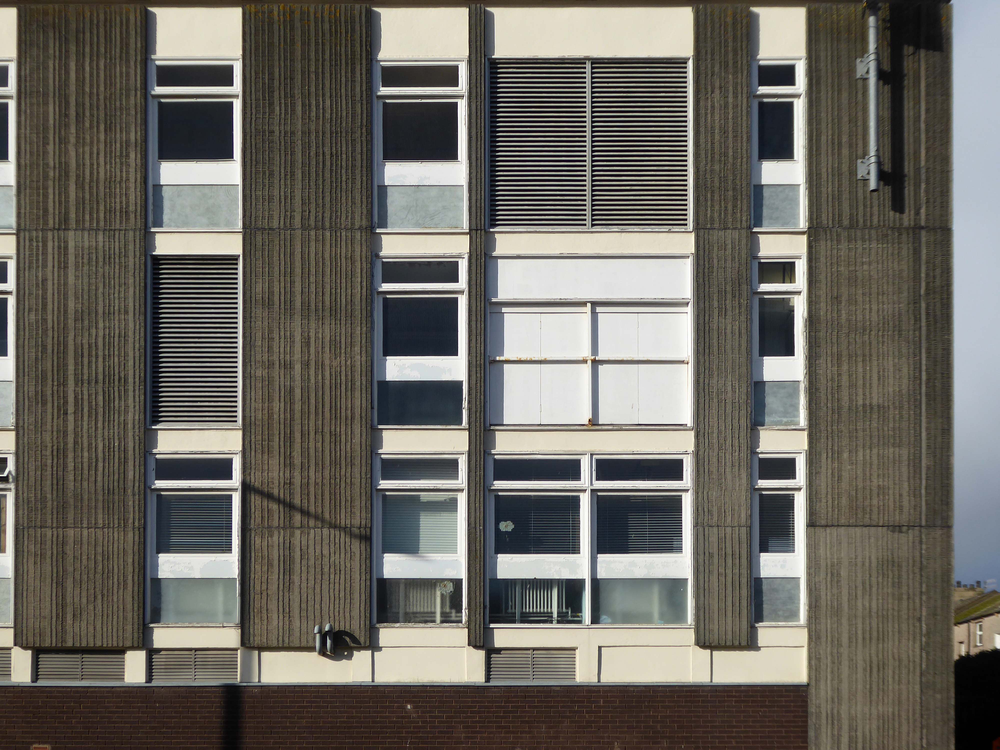
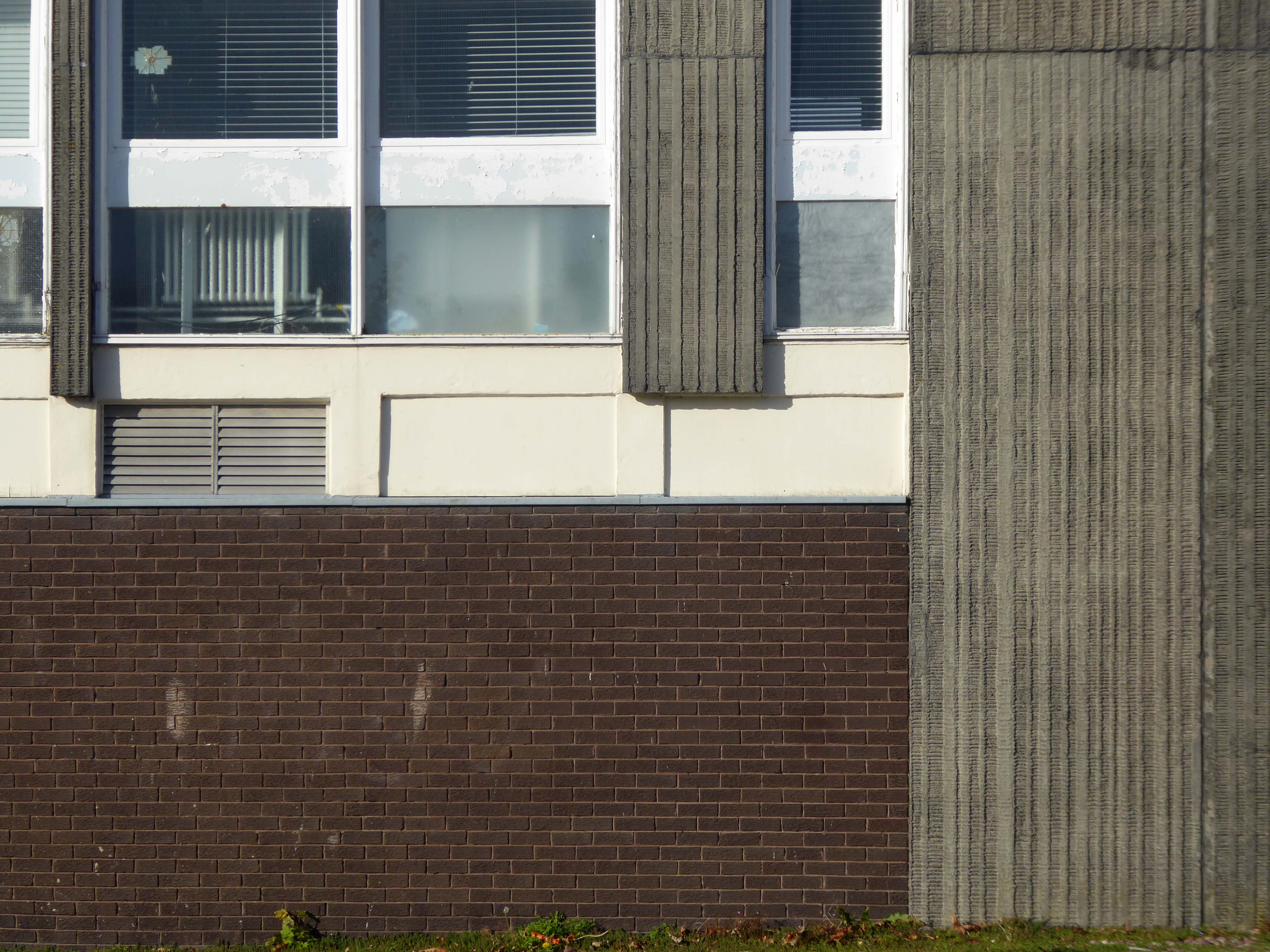
A new station to delimit the western end of the new central business district of Milton Keynes was a key objective for Milton Keynes Development Corporation. In the cash-strapped circumstances of the 1960s and 1970s, British Rail was unenthusiastic but eventually came round after a deal was done in 1978 on cost sharing. In 1979, MKDC architect Stuart Mosscrop designed the station building and office blocks to either side, framing a new Station Square and the vista uphill along Midsummer Boulevard – and the midsummer sunrise.
The Station Square and Station Building were designed by MKDC, the Station fitting out including the platforms, was designed by British Rail Architects, one third of the costs met by BR and two thirds by MKDC. For MKDC, the scheme was designed by MKDC architects Stuart Mosscrop, Derek Walker and Christopher Woodward; project architect David Hartley, assisted by Barry Steadman and Christopher Moxham; structural engineers Felix J Samuely. British Rail was responsible for the station concourse, footbridge and platform structures, the team comprising Jim S Wyatt, BR regional architect, and project architect John H Kitcher, assisted by Colin Eades.
The station opened on 14 May 1982, with an official opening by Charles, then Prince of Wales, conducted three days later.
Mother of two Jo Francis leans in for a kiss.


Older people are remembering when he previously came to Milton Keynes:
Crowds stood around the forecourt of the Tickford Street factory to watch, cheer and wave flags. Then suddenly, a five year old boy called Matthew Turvey reached into his mum’s shopping basket, took out a tin of baked beans and held them out to the young Prince.
Would you like these for your lunch? – he asked.
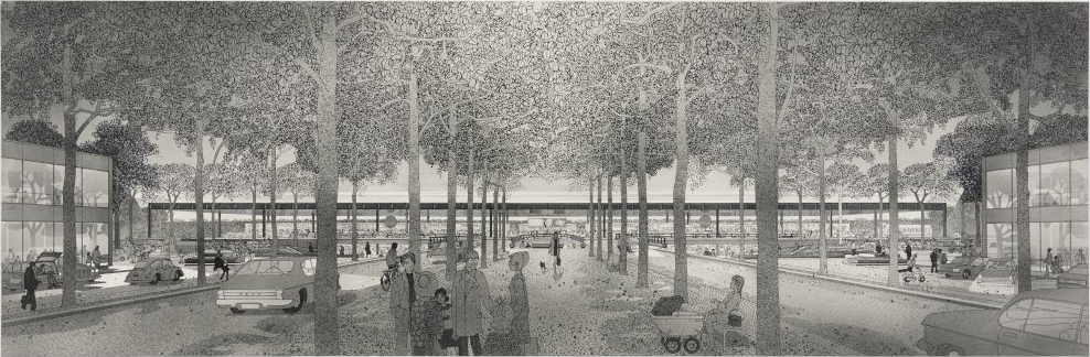
Proposed designs for architecture and town planning of Milton Keynes: boulevard and railway station – 1970 Derek Walker Associates
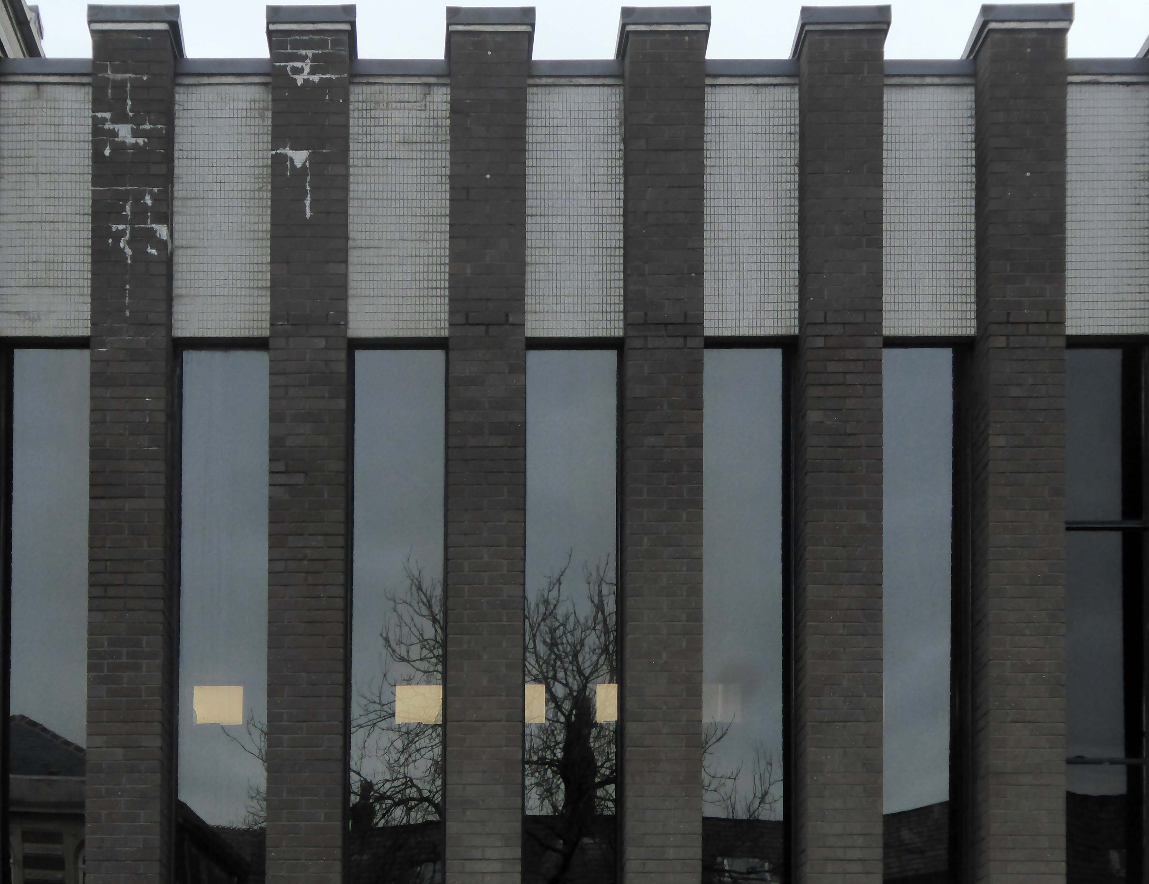
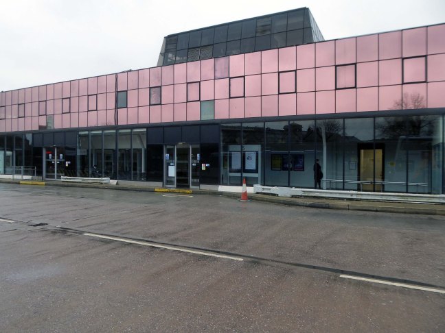
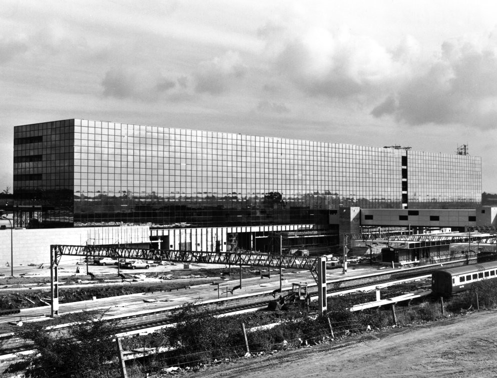
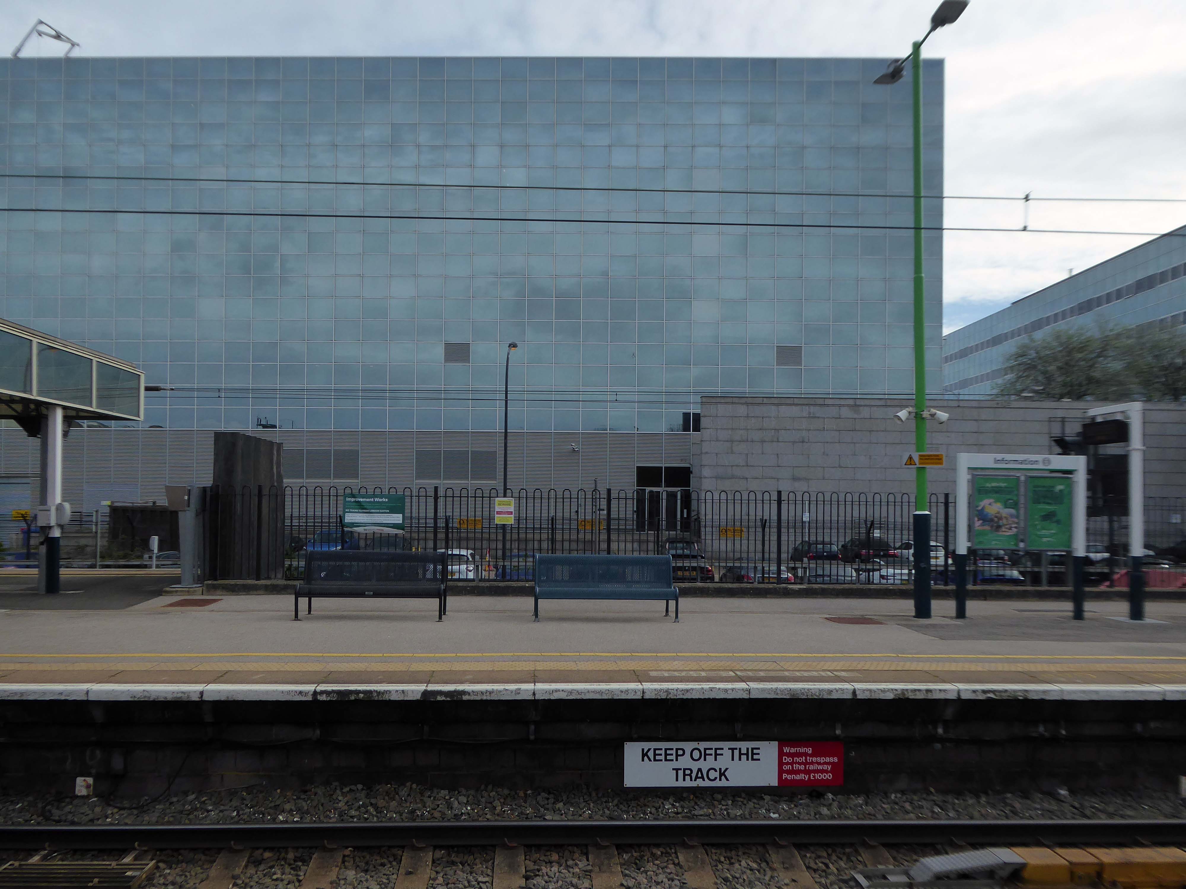
1981 – Built using a high performance reflective solar control glass called Vari-Tran, creating a complete curtain wall to cover the whole construction.
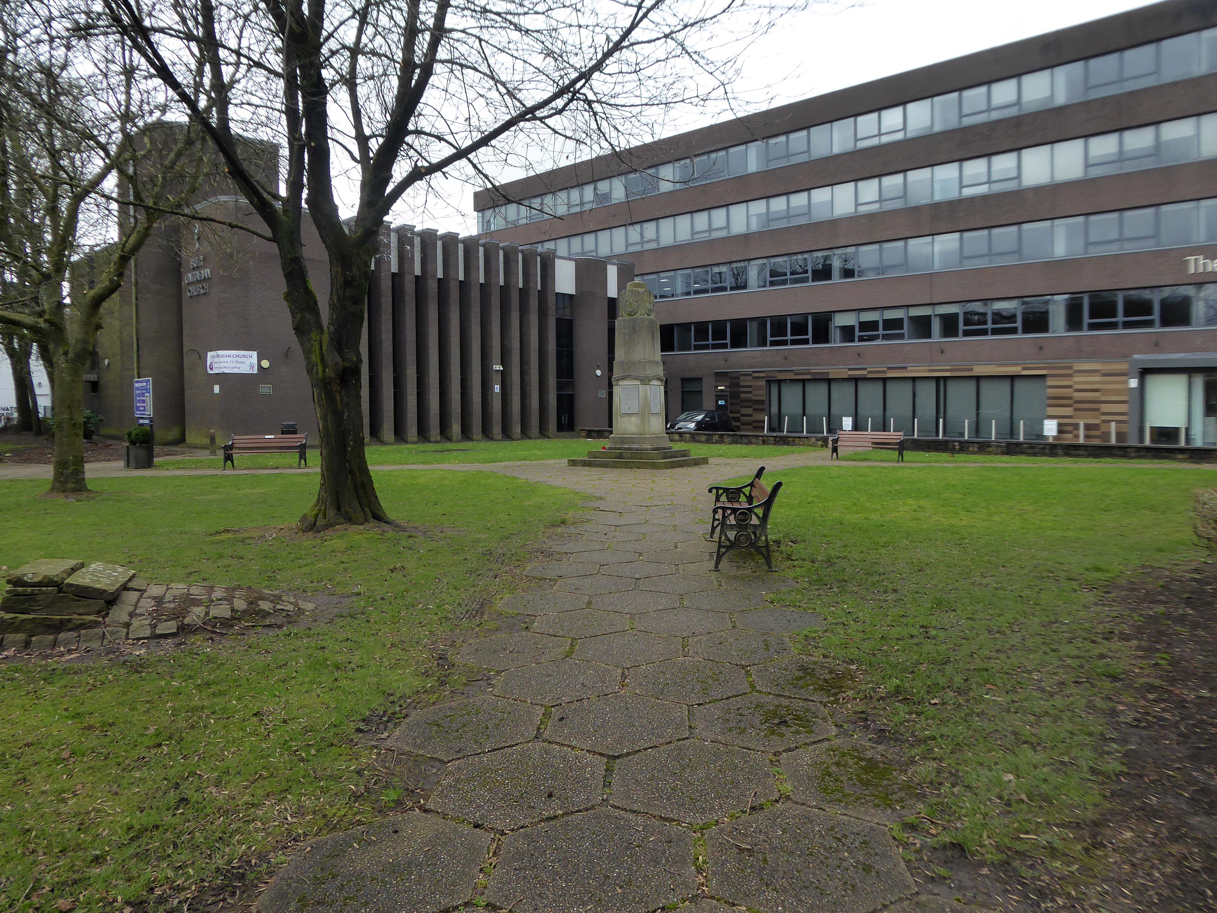
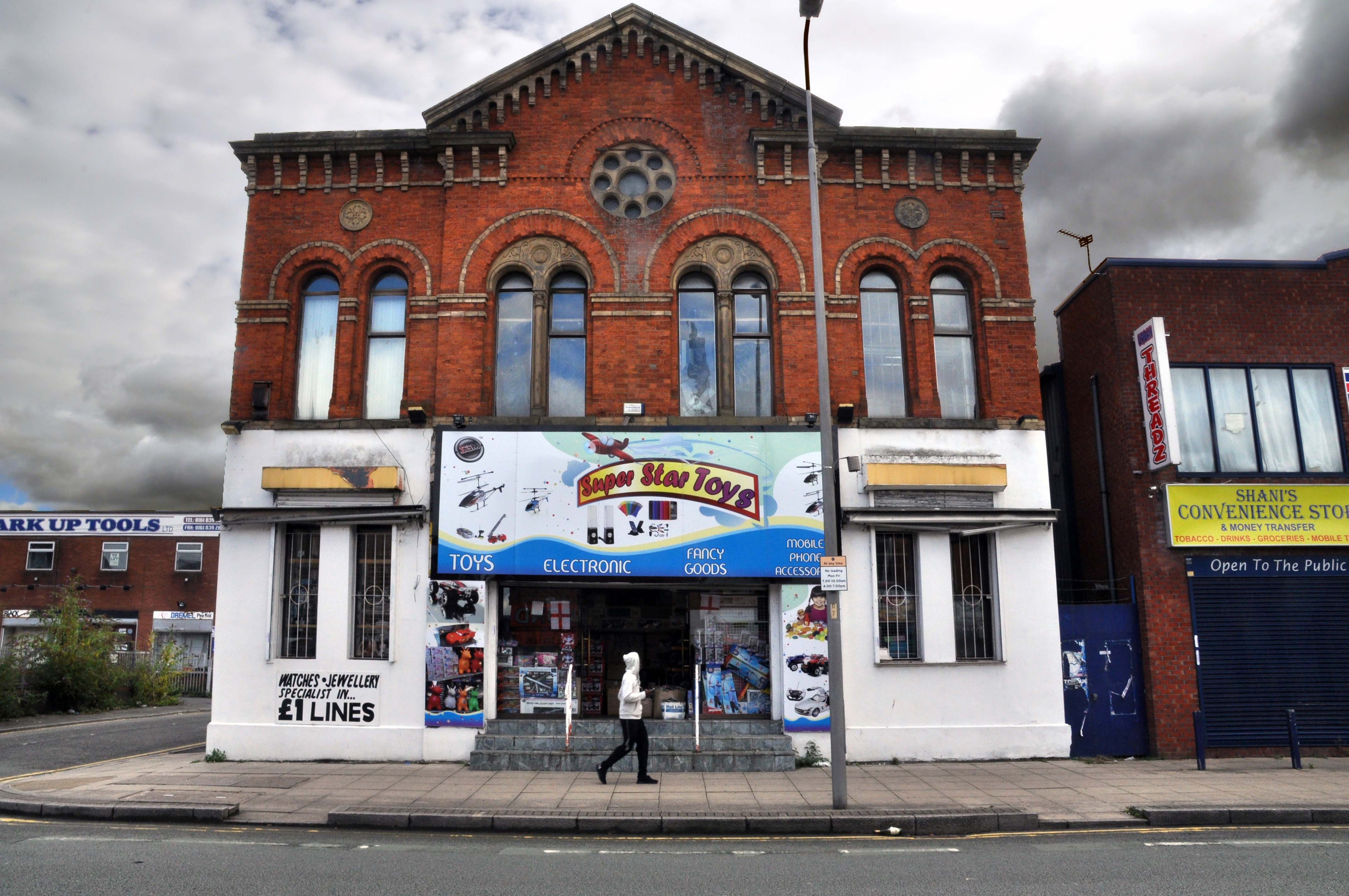
I first visited in 2018
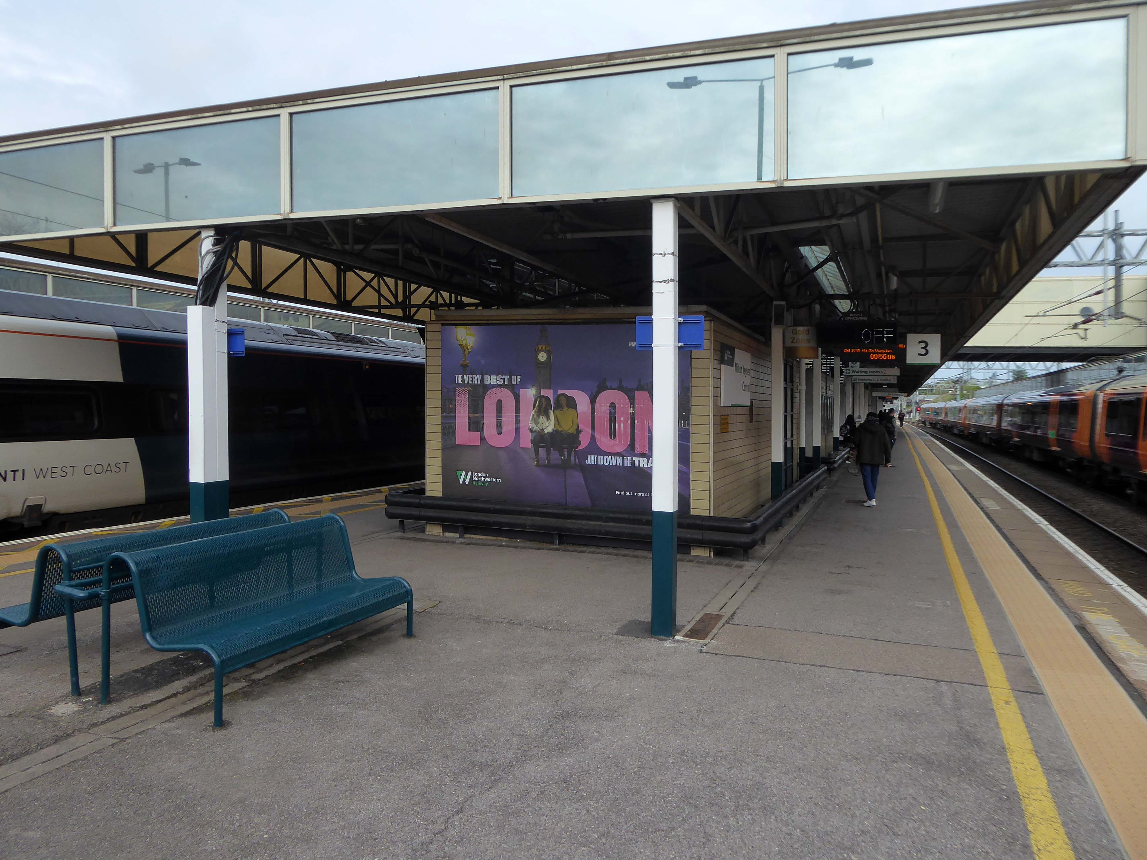
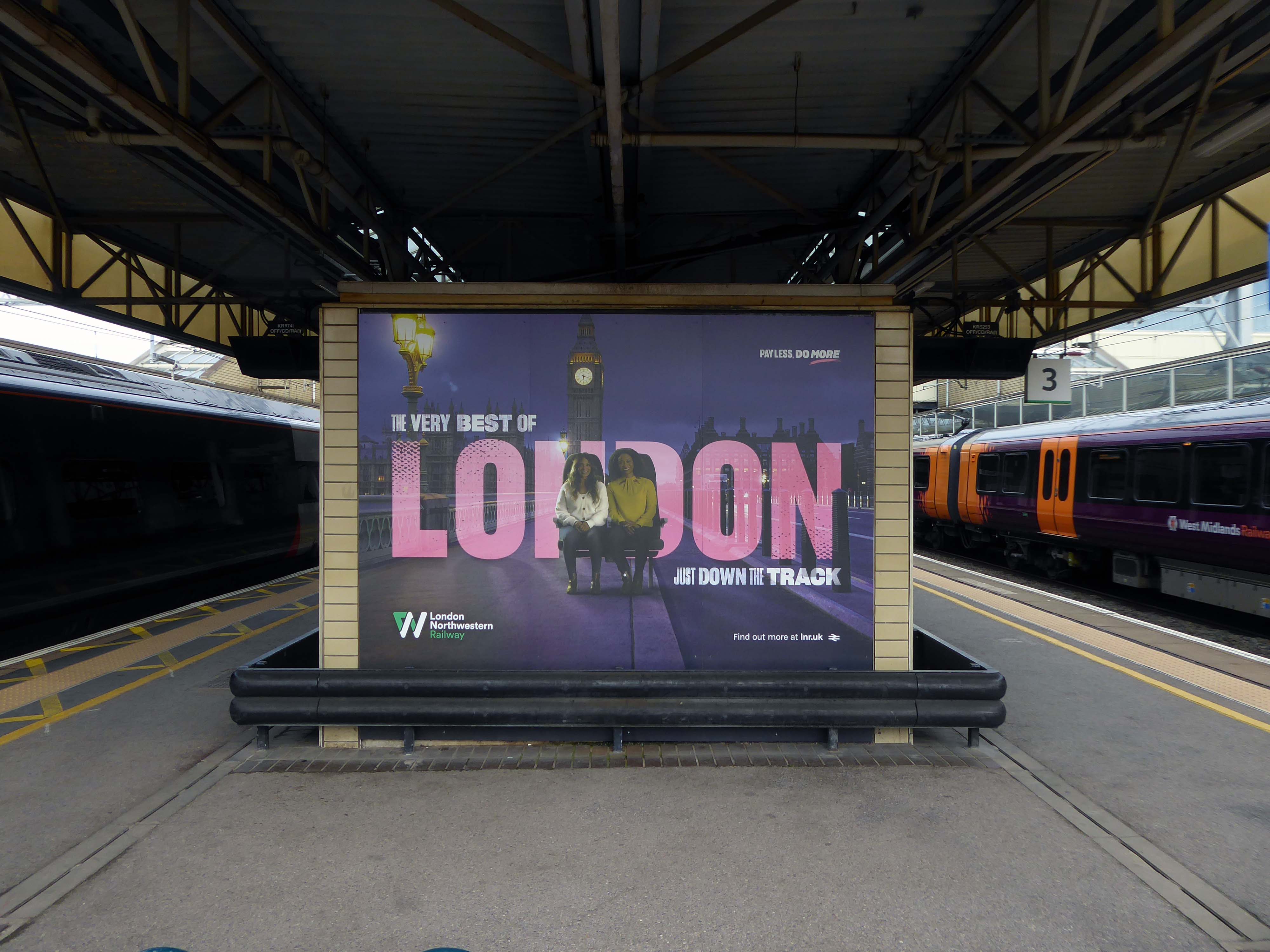
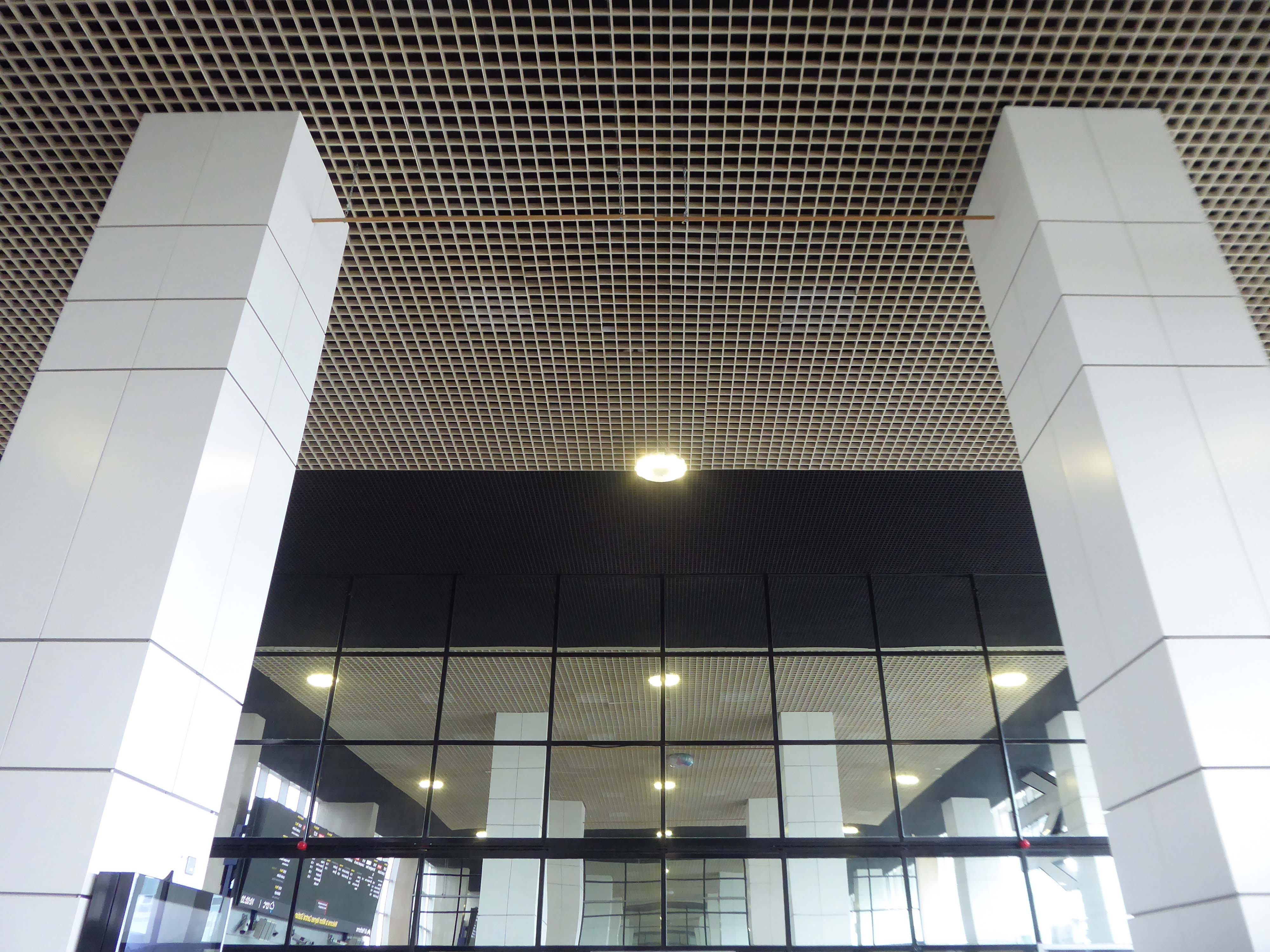
I returned on April 10th 2024 – this is what I saw.

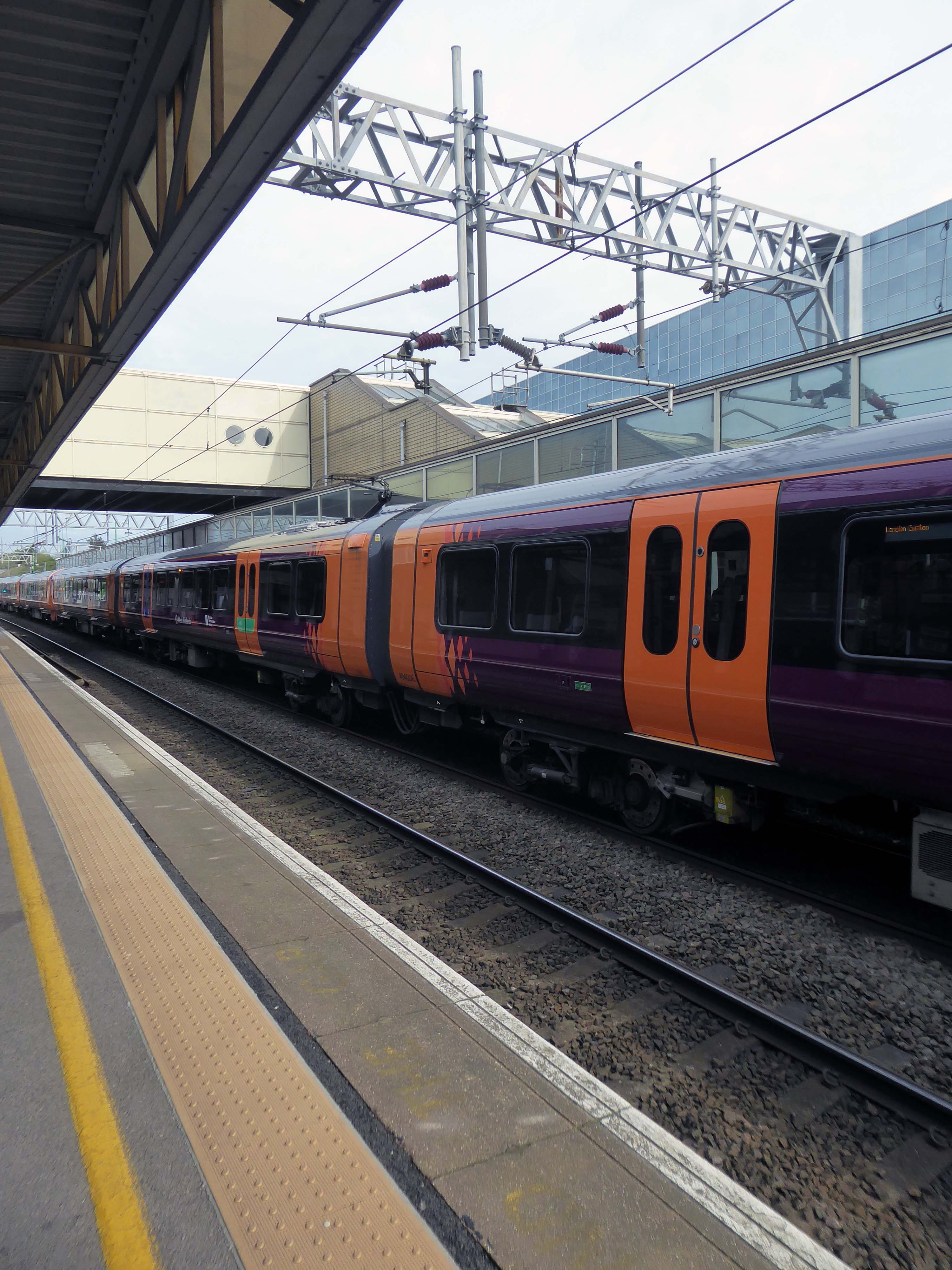


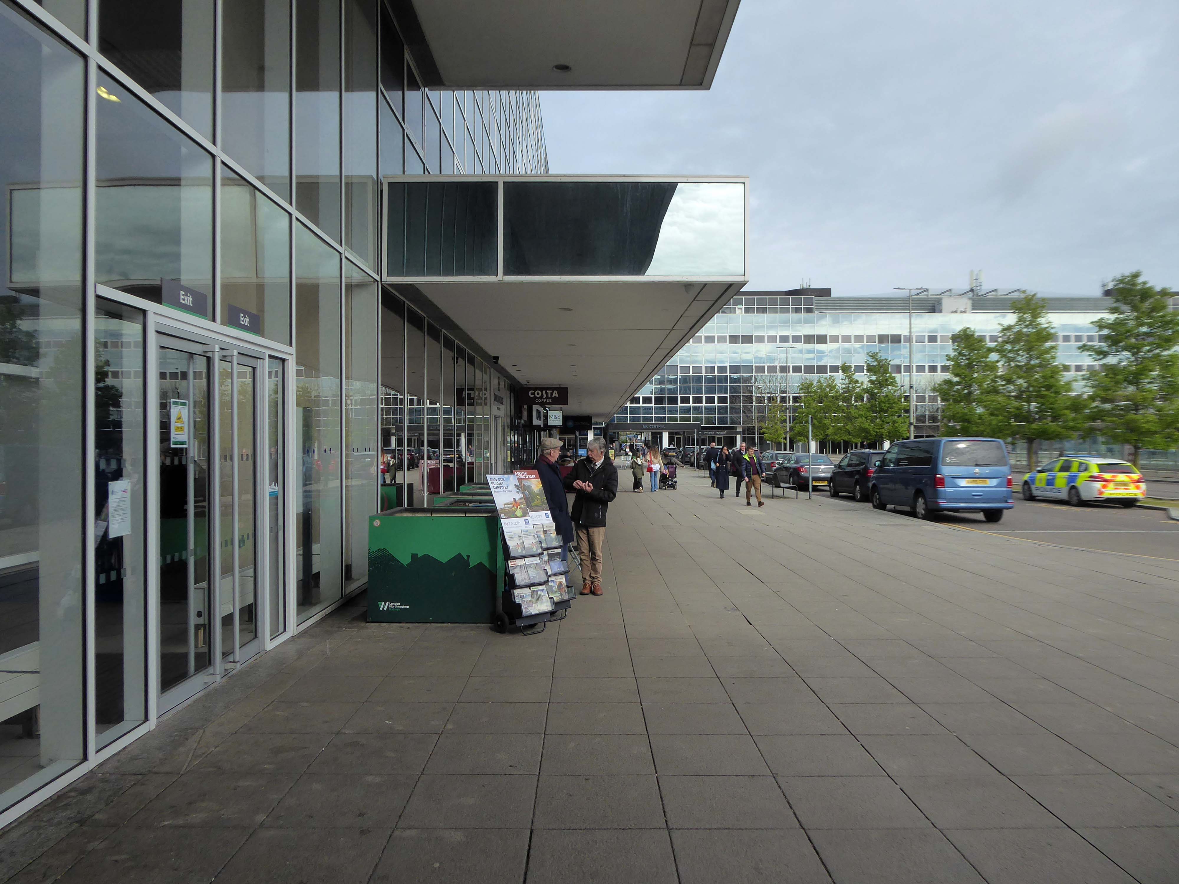


Later that same day – on the way home.

Right away driver – he was dismayed that there had been another train let go along the line.