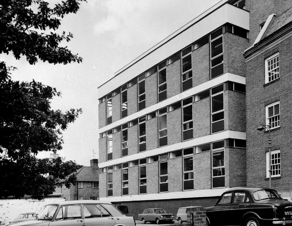
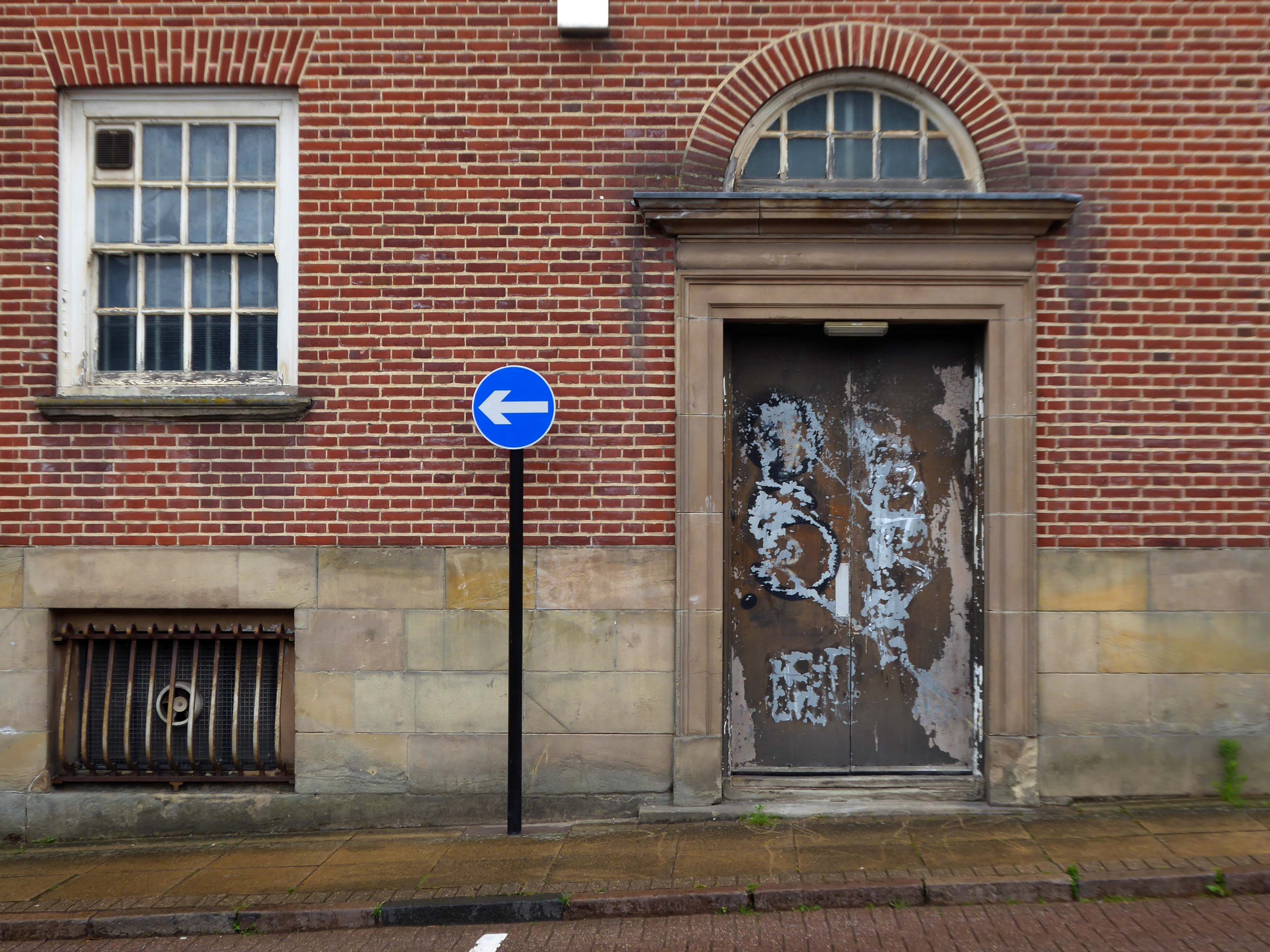
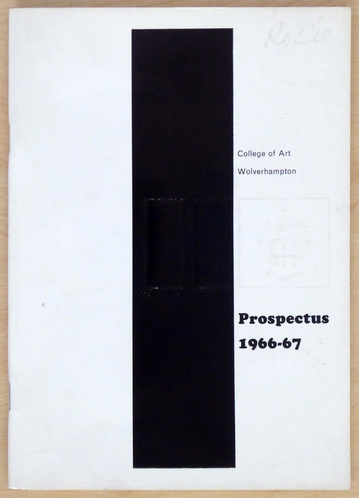
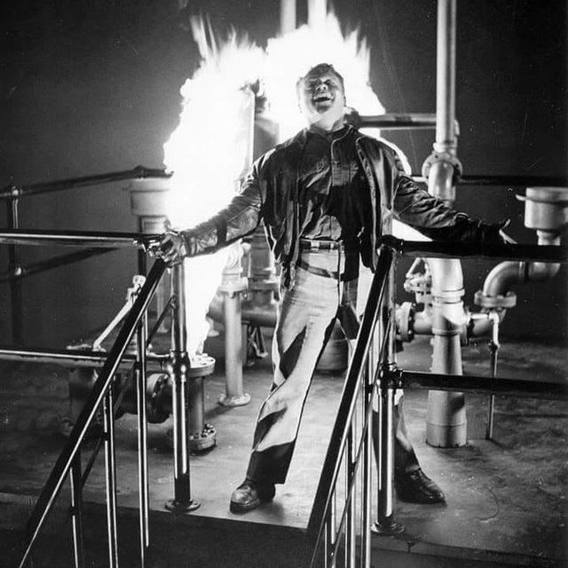
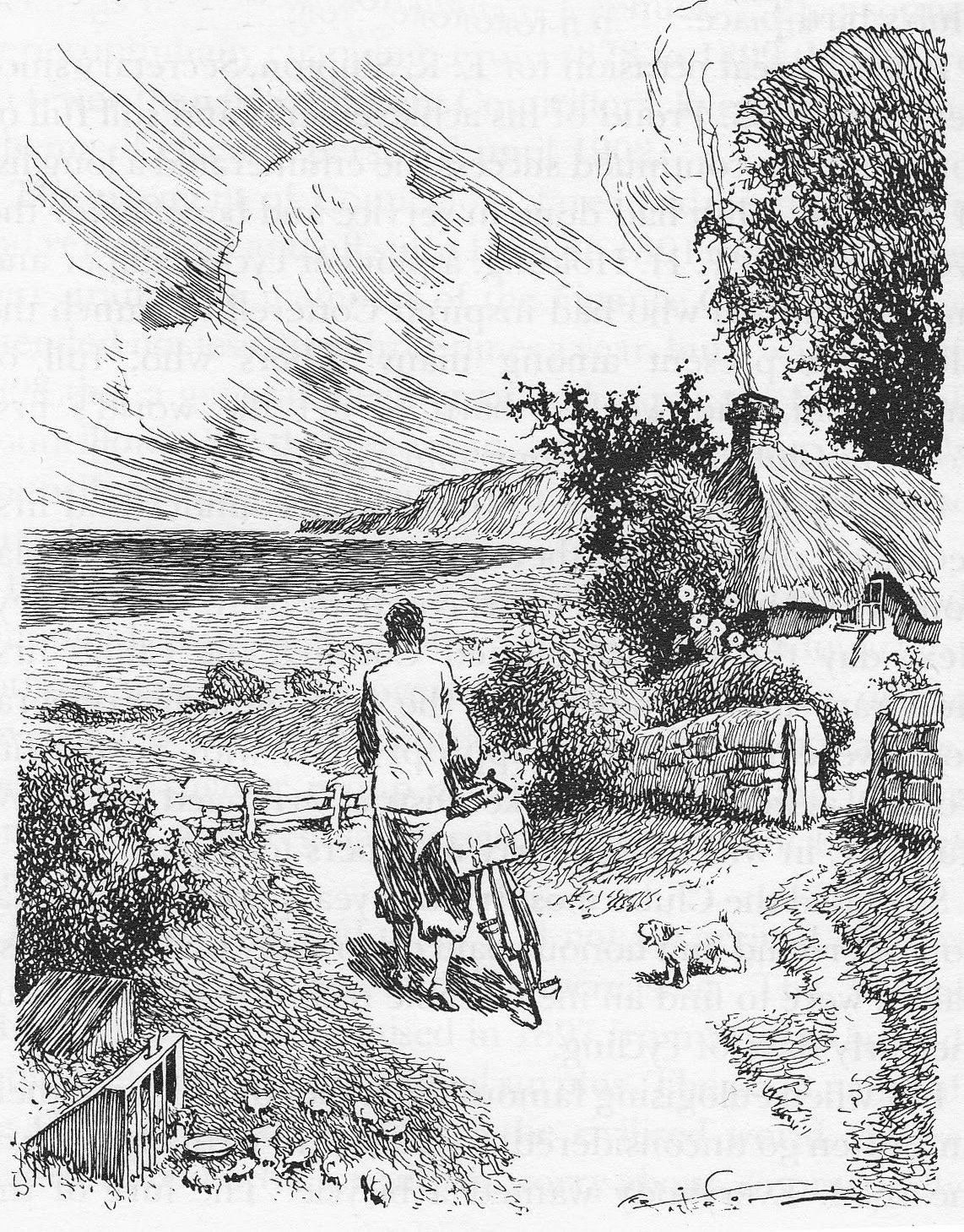
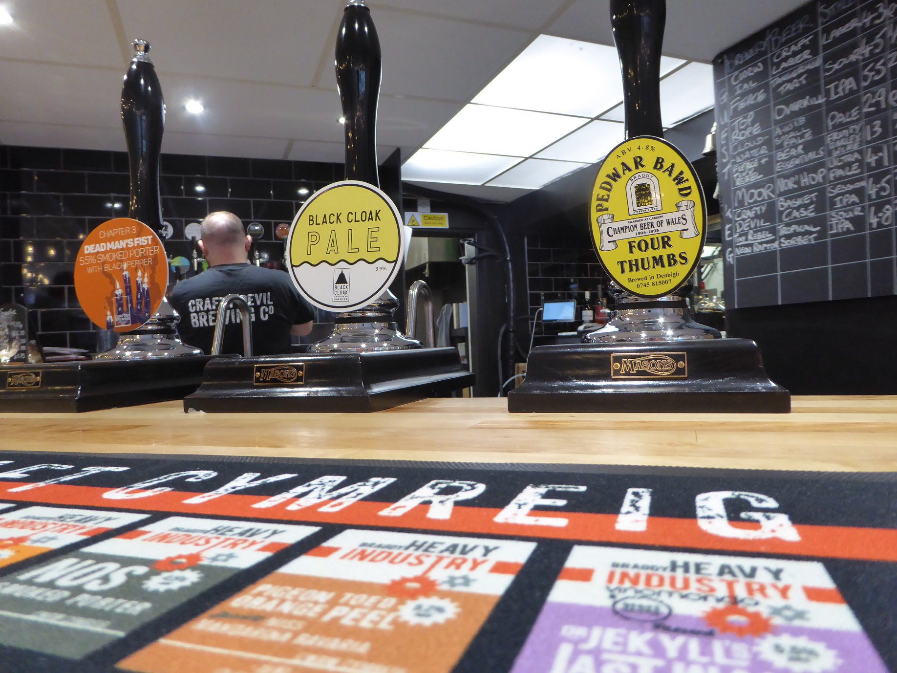
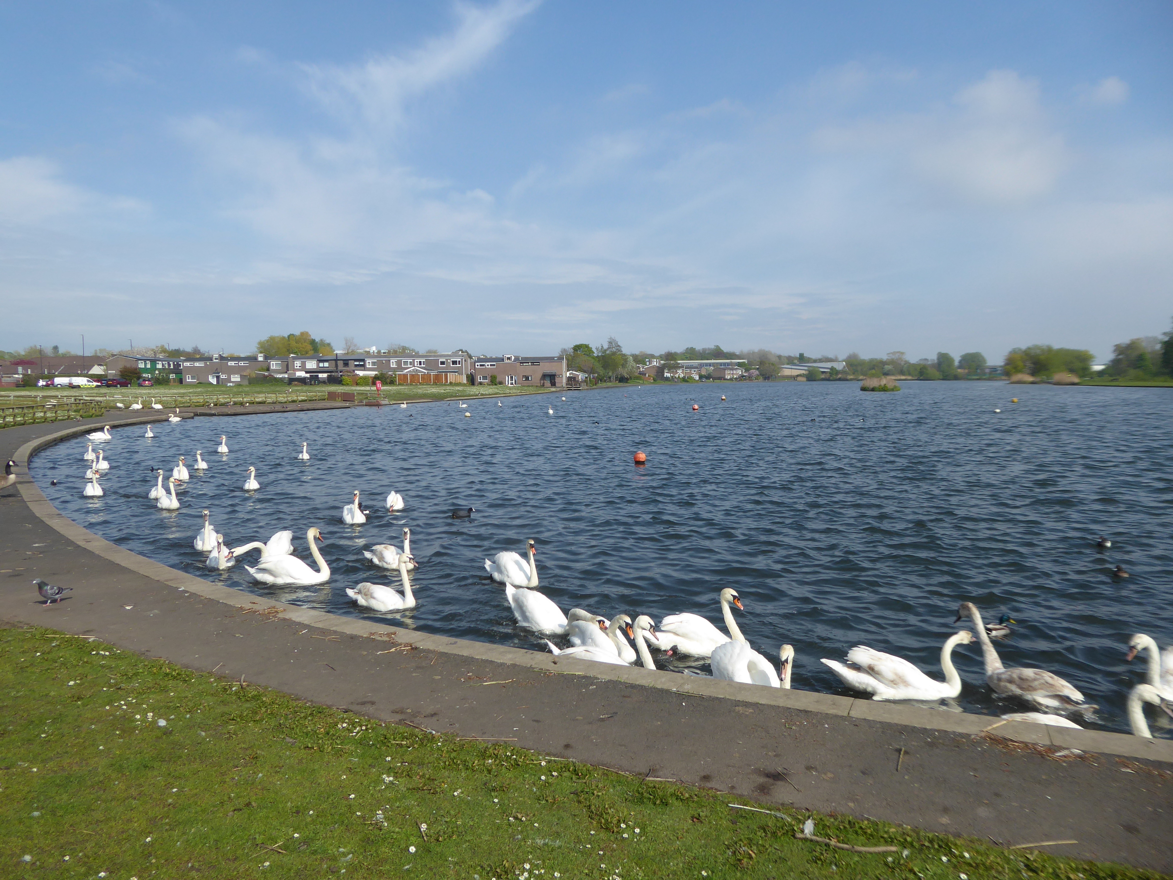
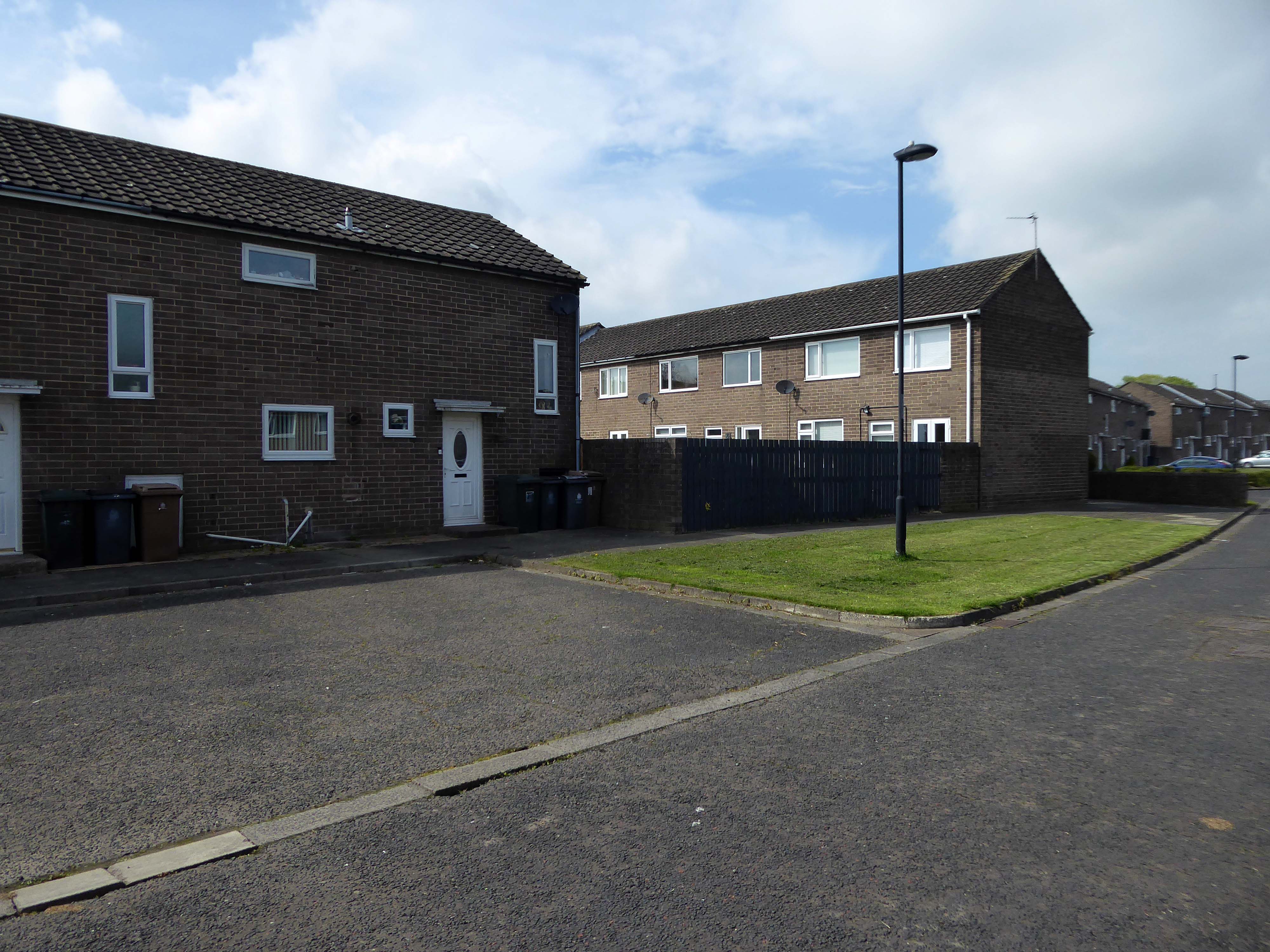
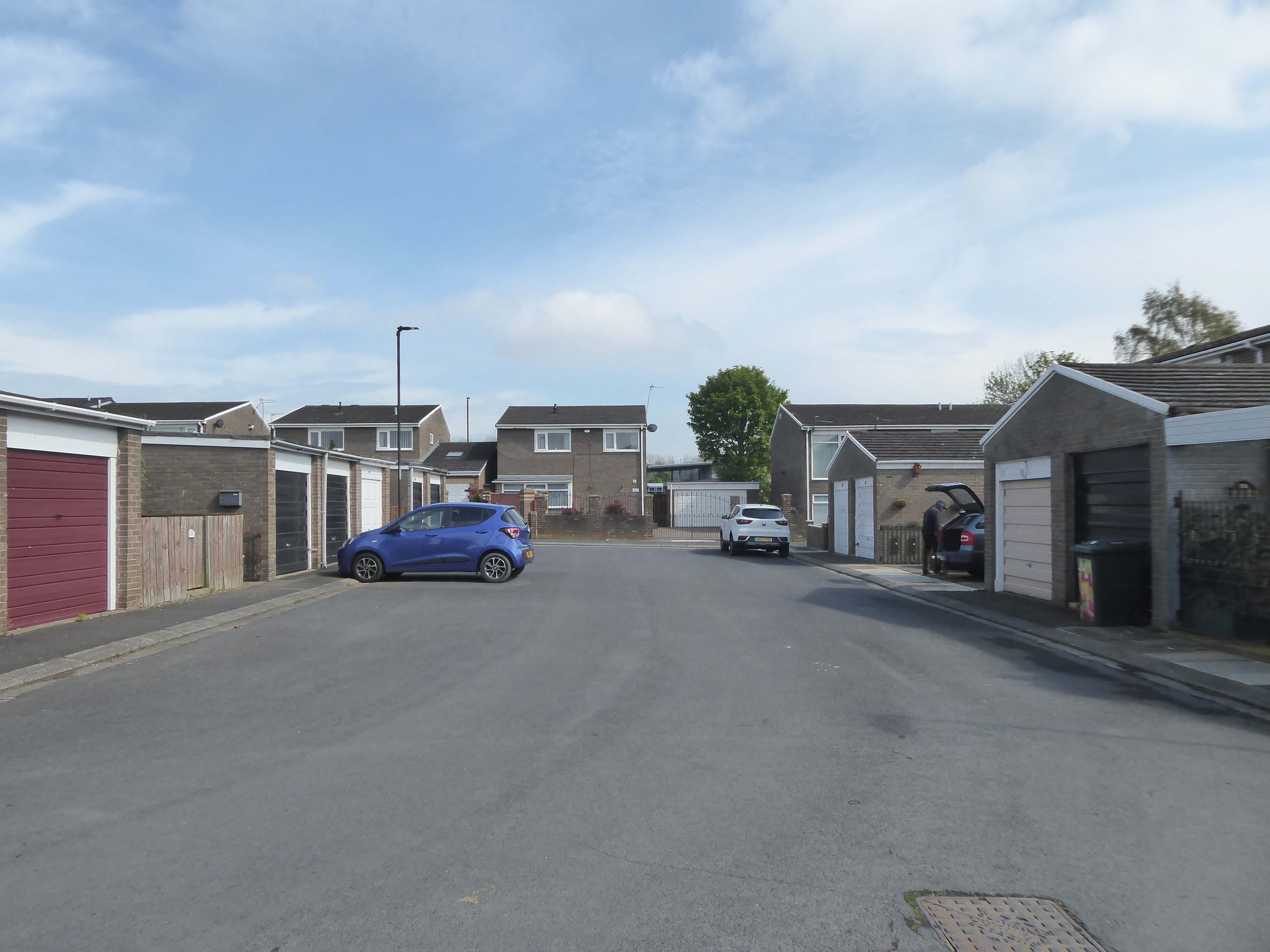
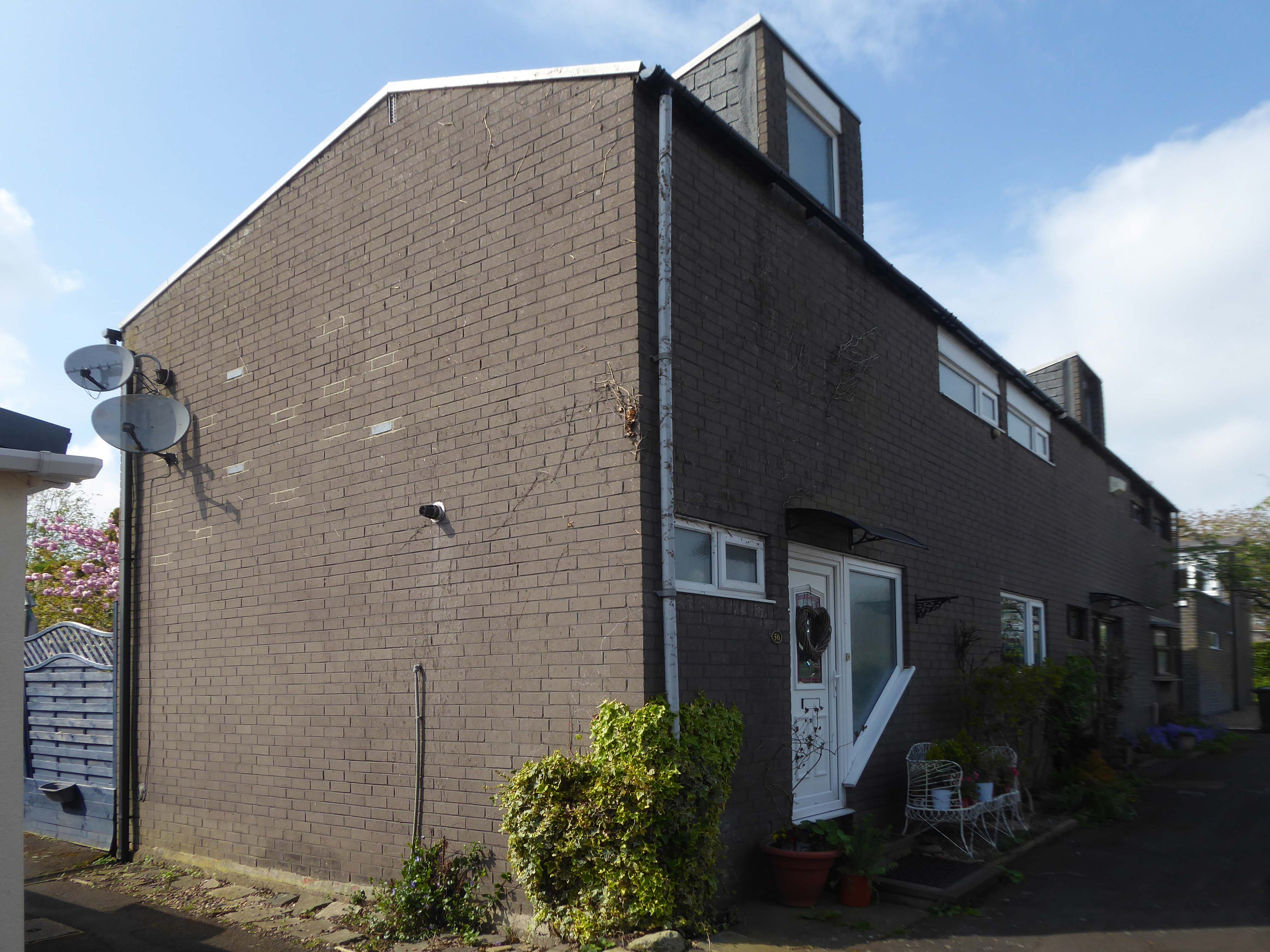
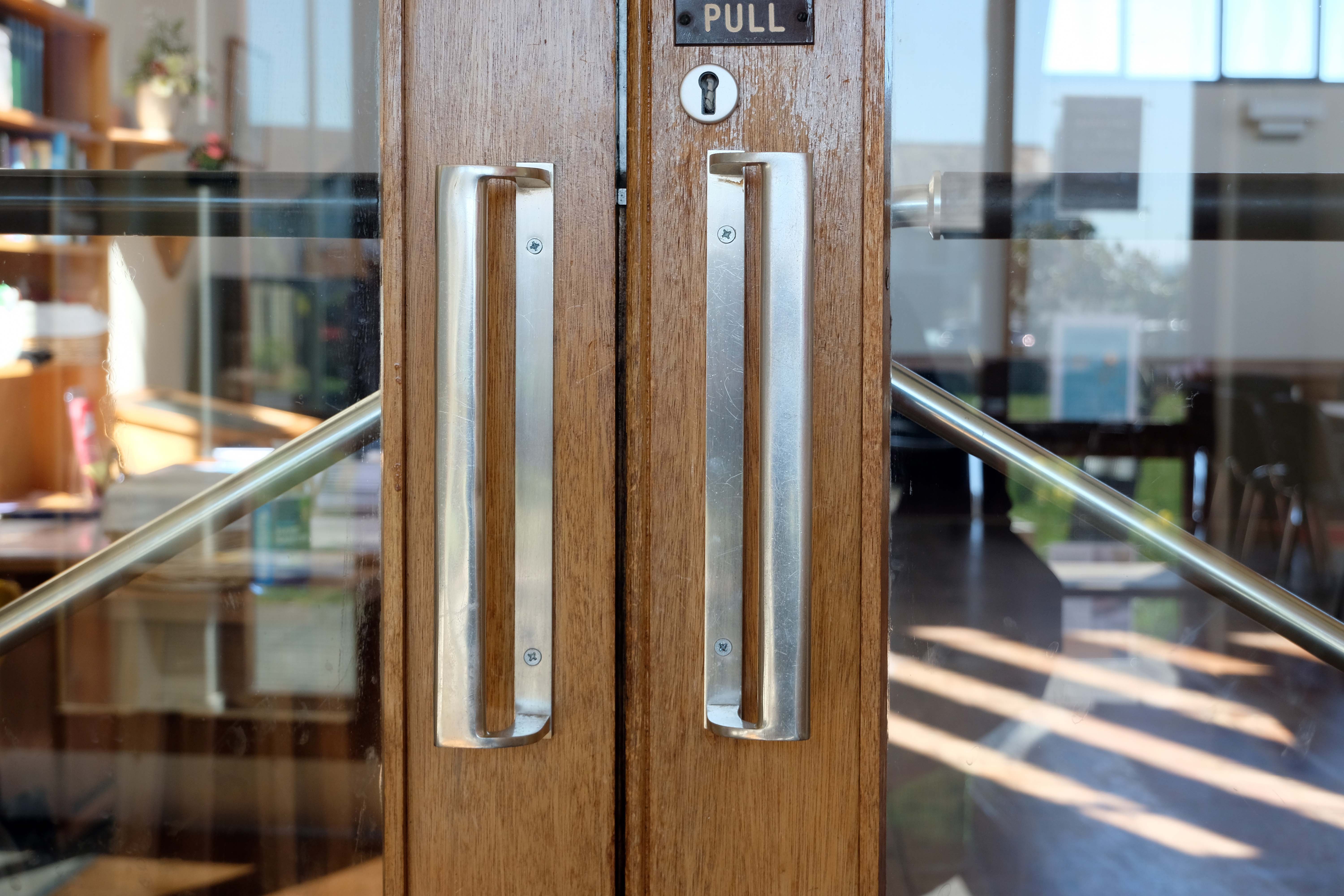
In the 19th century, telephones were mainly used by businesses and wealthy individuals. The first telephone exchange in Europe opened in August 1879, soon followed by another in Manchester, both operated by The Telephone Company Limited. Around the same time the Midland Telephone Company opened an exchange in Birmingham on the corner of New Street and Stephenson Place.
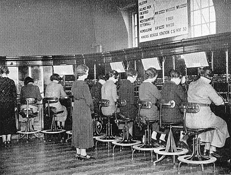
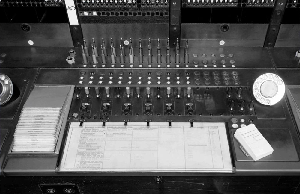
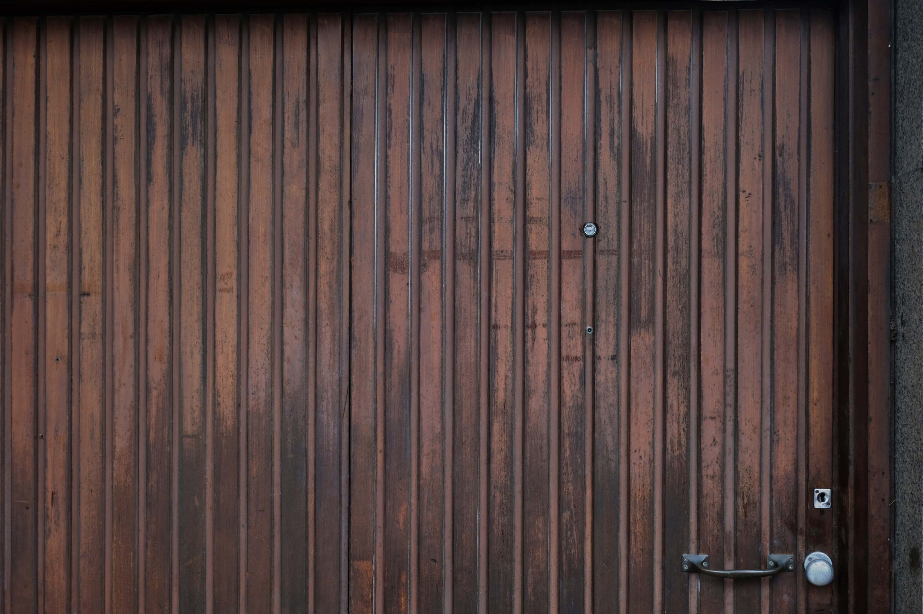
In July 1880 the company installed Wolverhampton’s first telephone exchange in a room in the Free Library in Garrick Street. Making a call was a long-winded affair. In order to connect the telephone to the exchange, a white button was pressed. The operator would ask if a telephone call was about to be made, and the user would tell the operator the name and number of the person to be contacted. After making the connection, the operator waited for the person at the other end to pick-up the earpiece, and then told the caller to proceed. When the telephone call had ended, the caller had to inform the operator, who would then remove the connection. Although this was time consuming, there were very few users, and so it worked adequately.
The first telephone line in Wolverhampton, about a mile long, was laid between Moses Ironmonger’s rope and twine factory at 272 Brickkiln Street, and the company’s office in High Street. Moses Ironmonger, the Chief Magistrate of Wolverhampton, and Mayor in 1857 to 58, and again in 1868 to 69, was also president of the Wolverhampton Chamber of Commerce in 1873 to 74, and a friend of Alexander Graham Bell, the telephone pioneer. The Ironmonger’s telephone line was tried out by some of the local councillors, who appear to have been impressed.
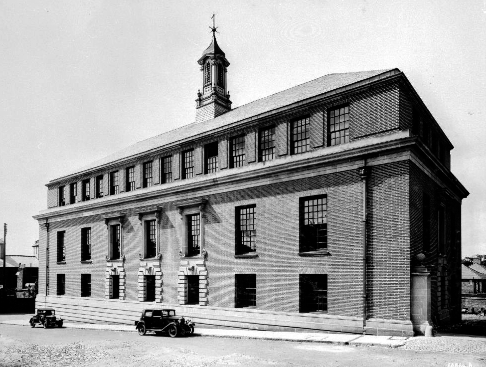
Before the end of July 1880 Monmore Green and Ettingshall were connected to the exchange. By October between fifty and sixty calls were made daily. Wolverhampton’s next exchange was set up in 1903 in a large house next to the Town Hall, where the Civic Centre is today. The house had previously been occupied by John Freer Proud, a surgeon. As the number of users increased, the old manual telephone exchanges could no longer cope and so automatic exchanges were developed.
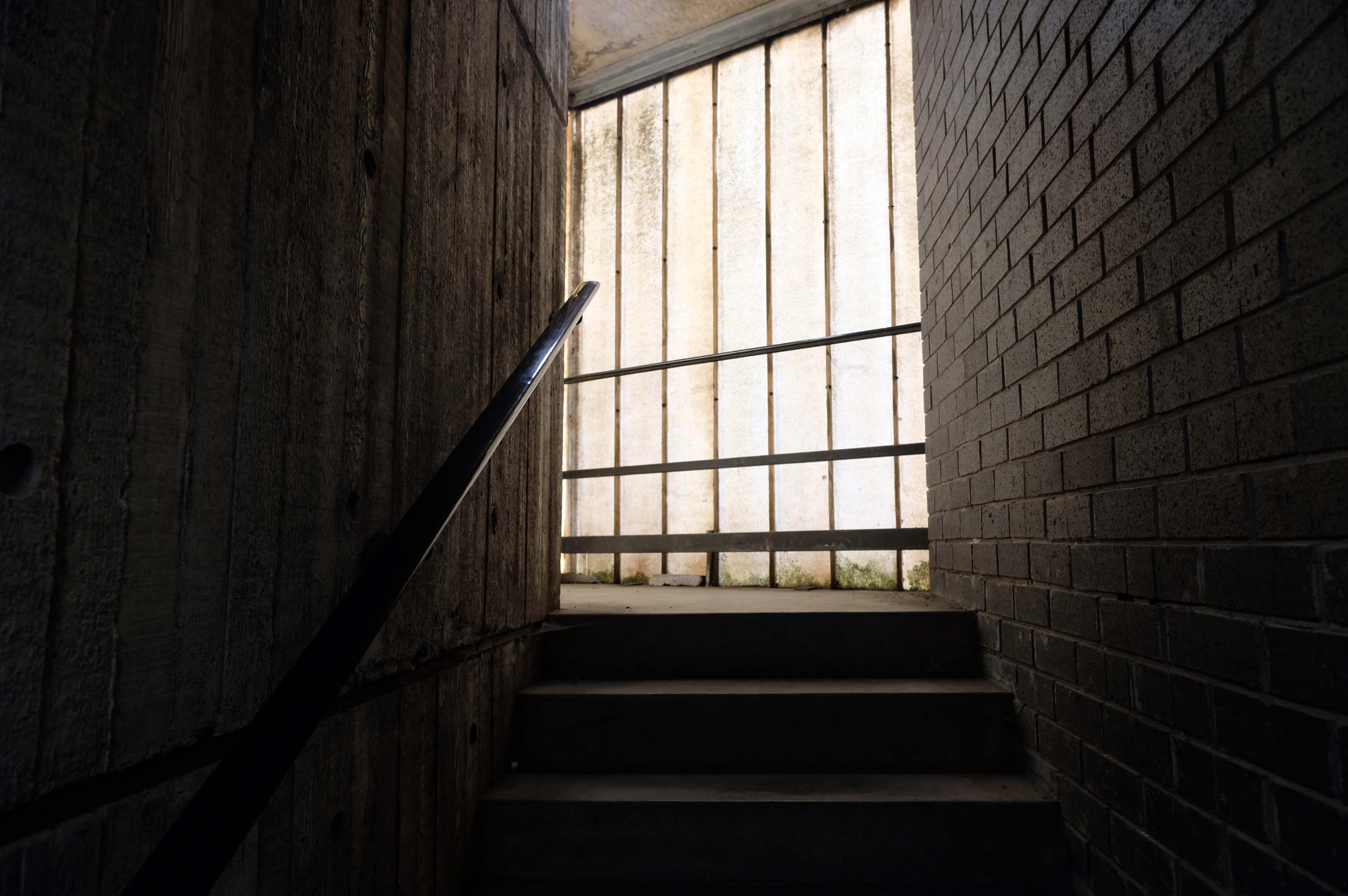
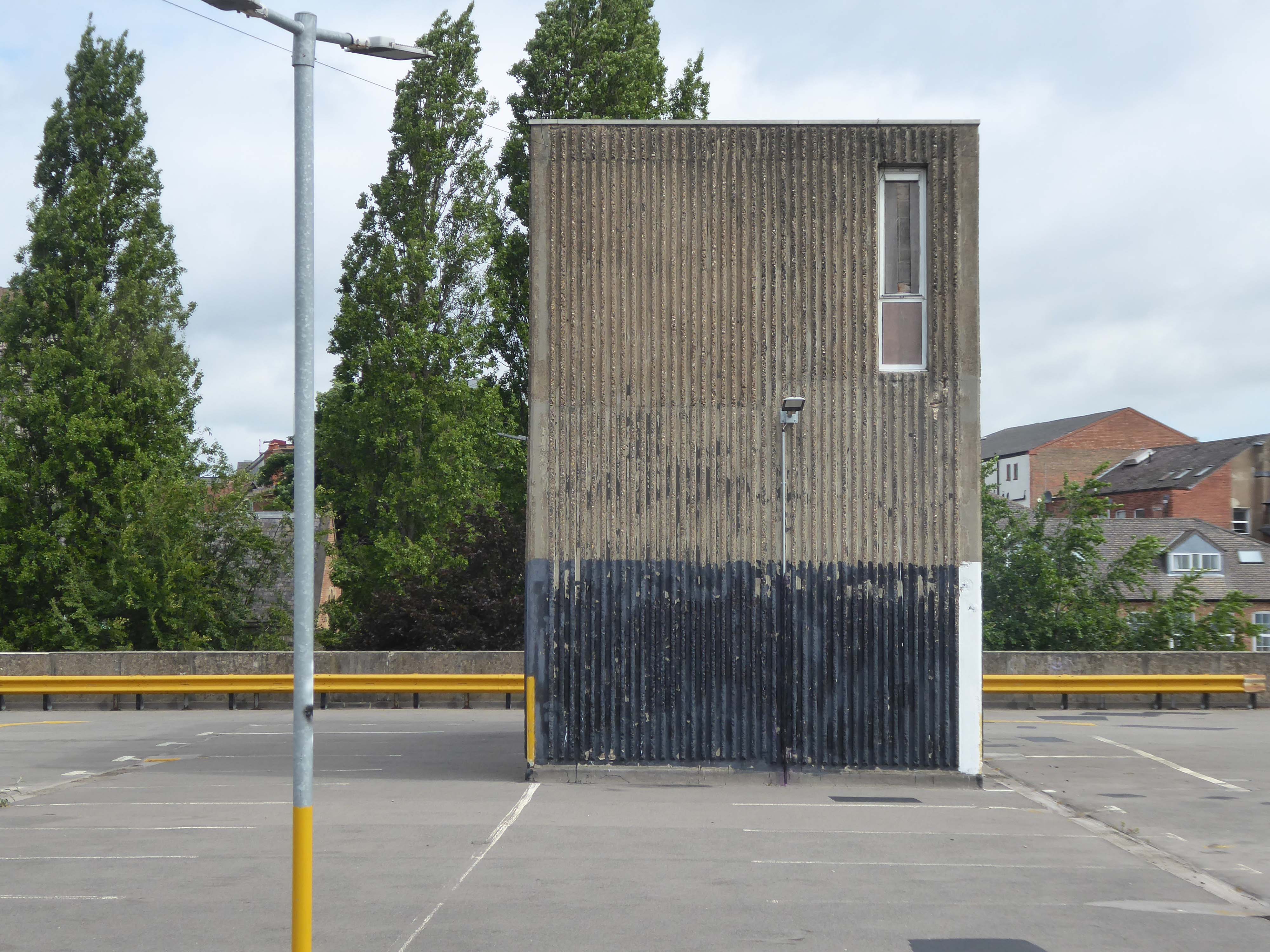
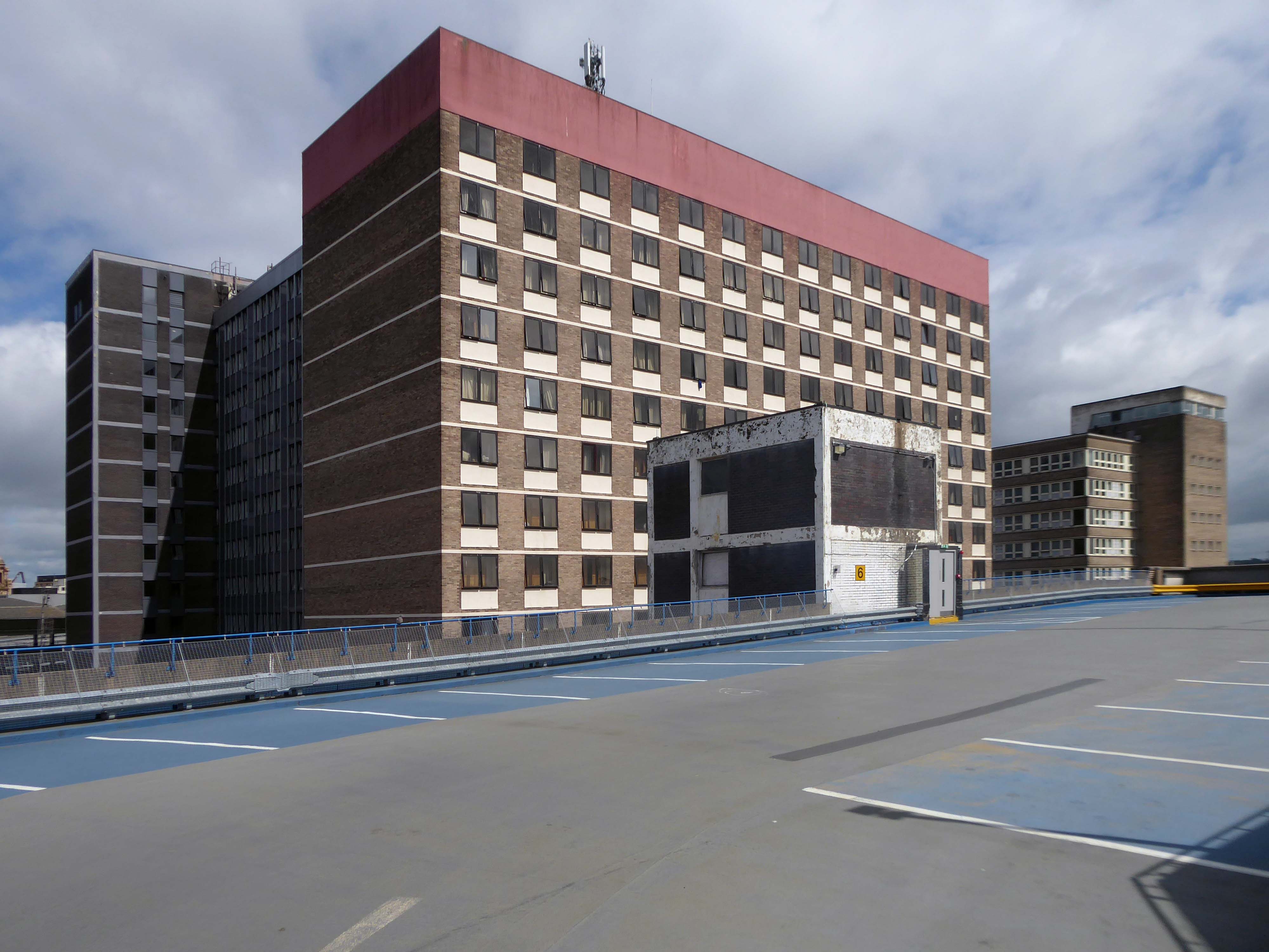
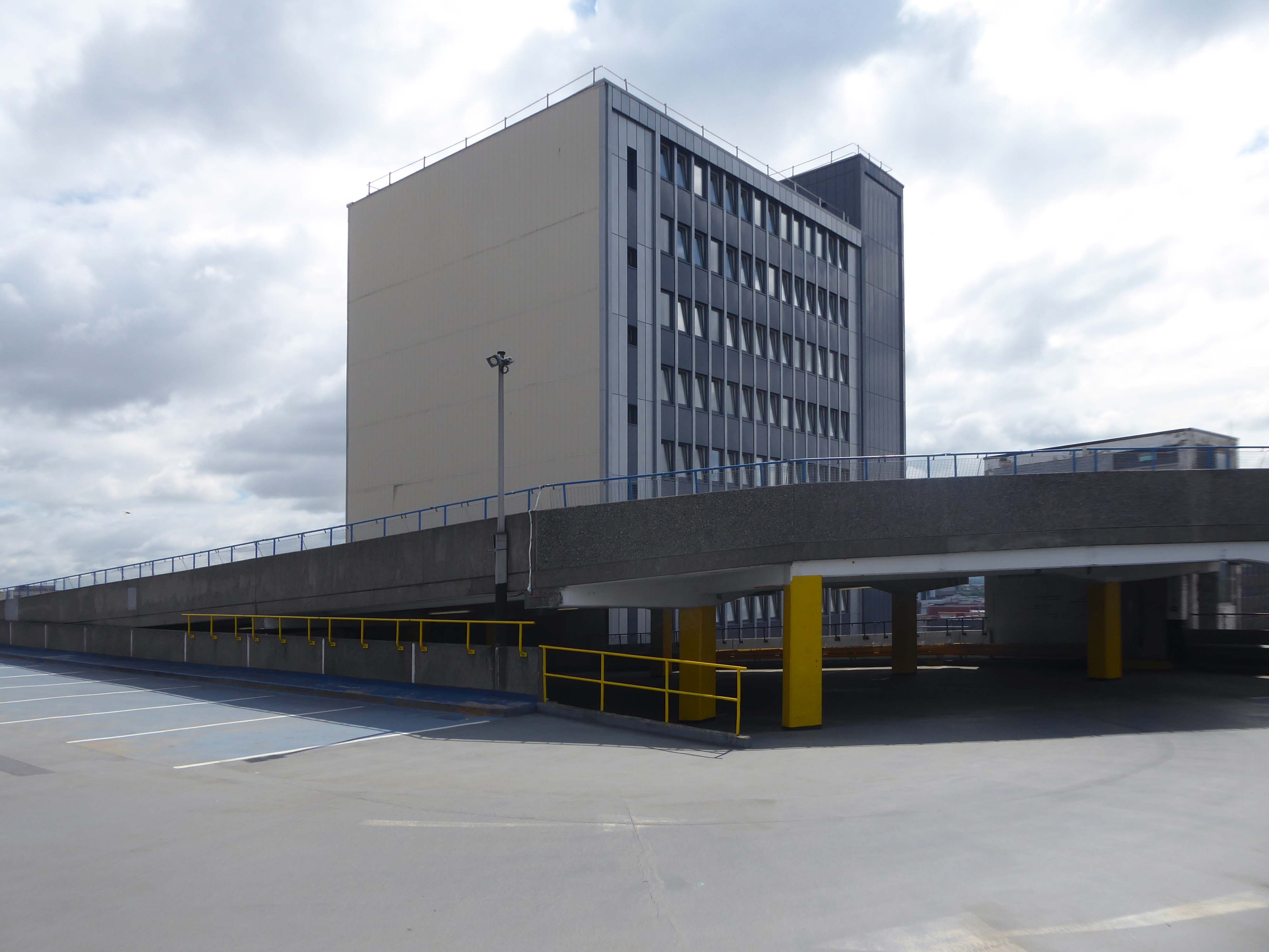
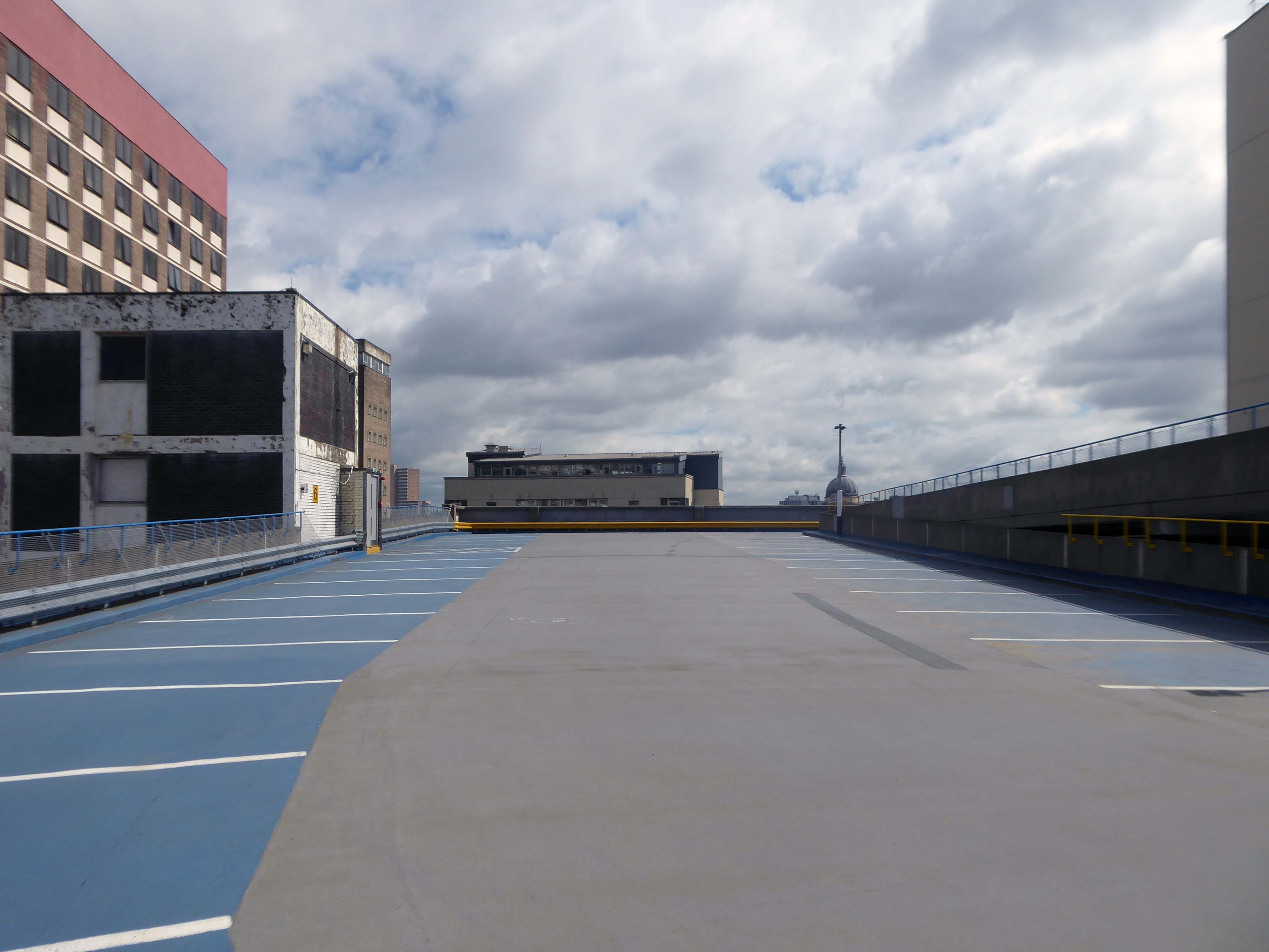
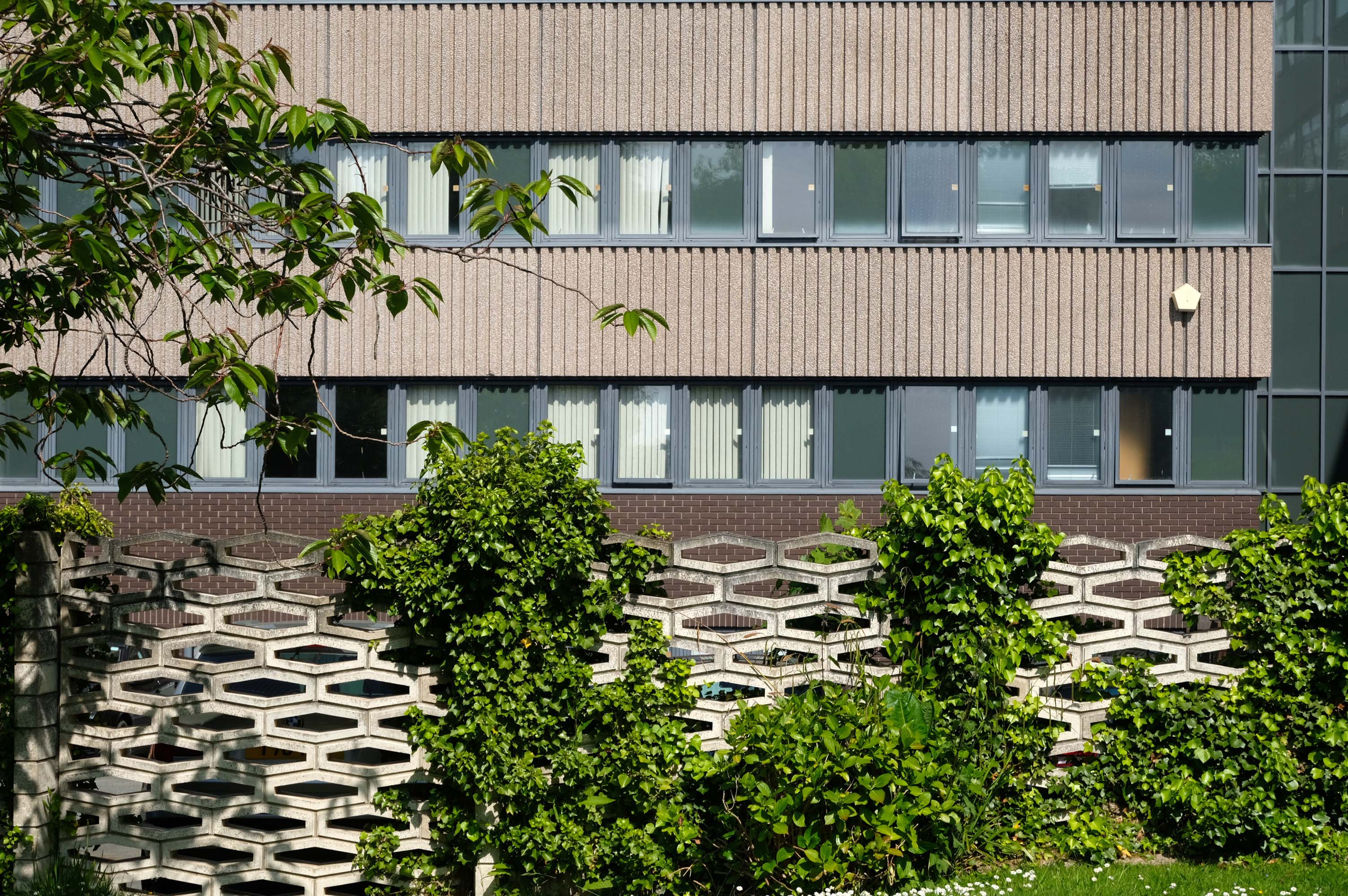
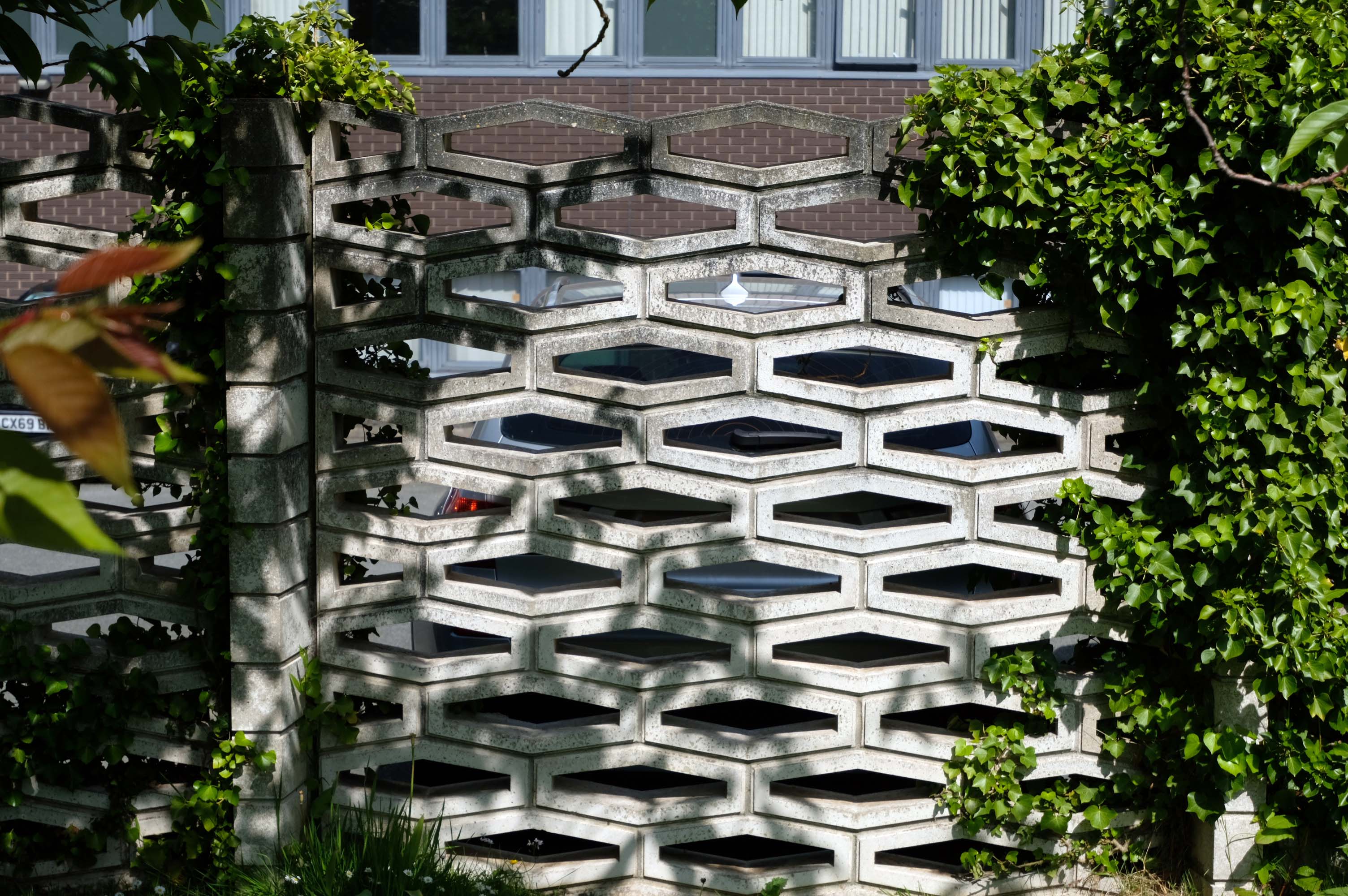
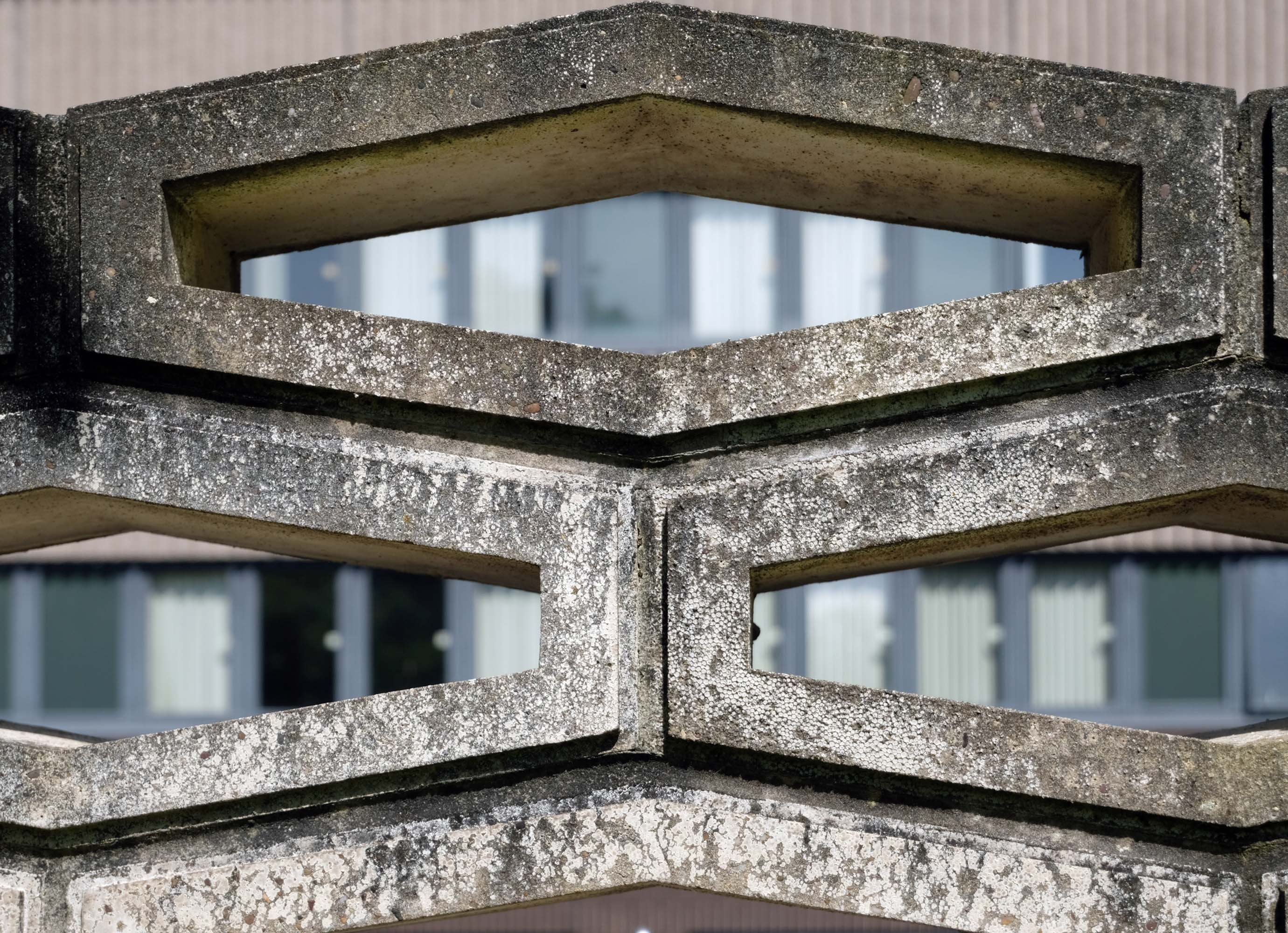
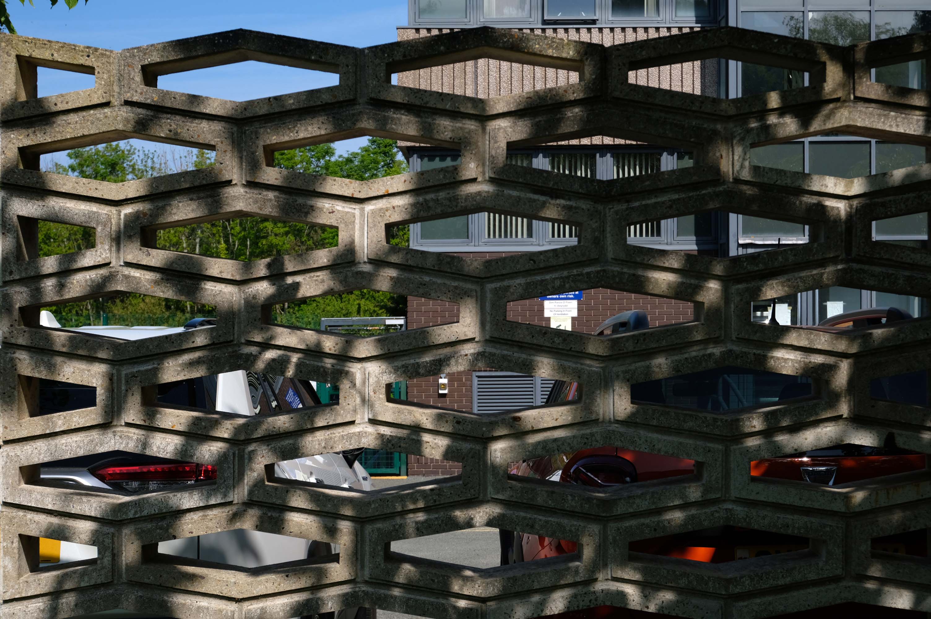
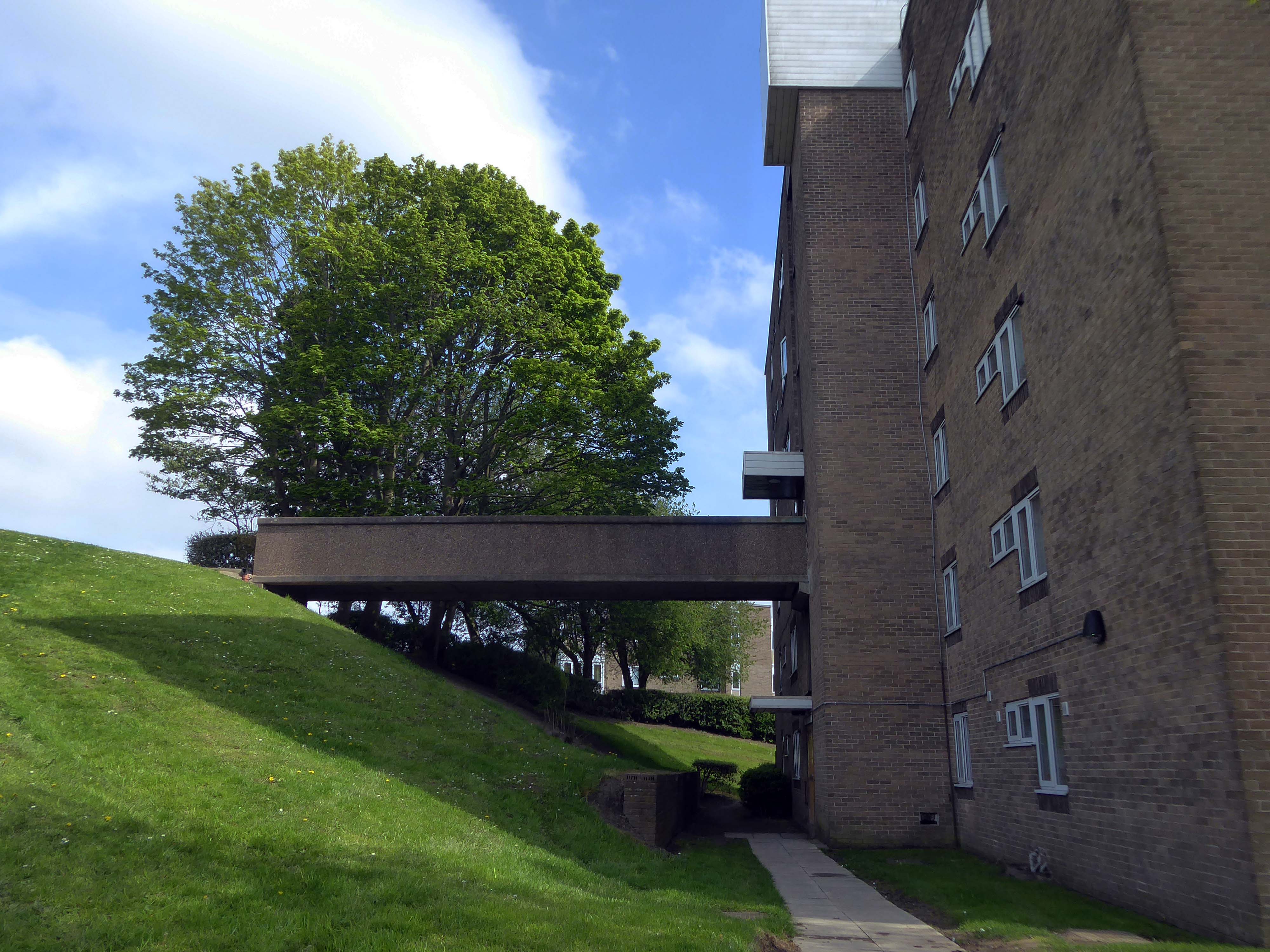
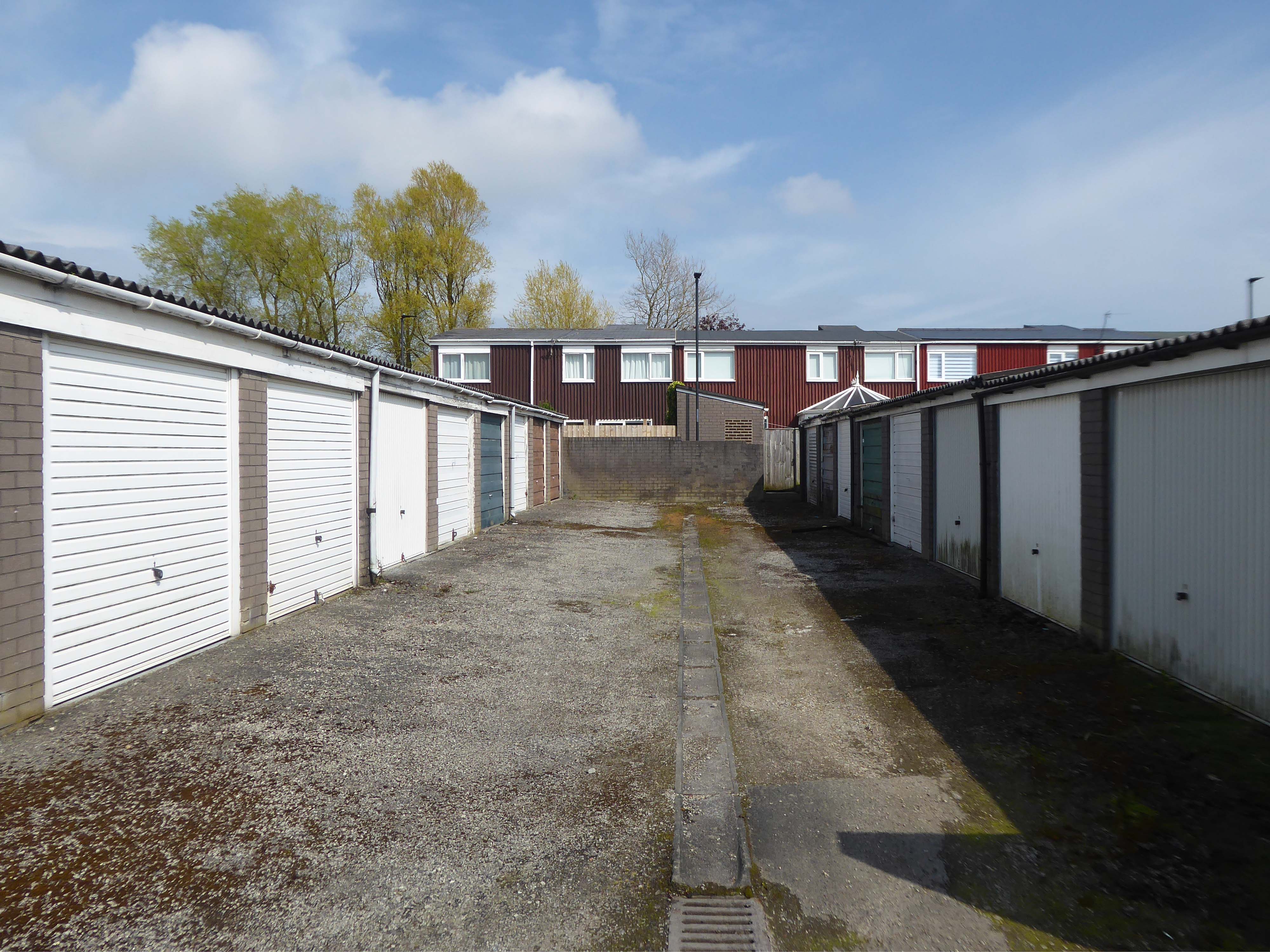
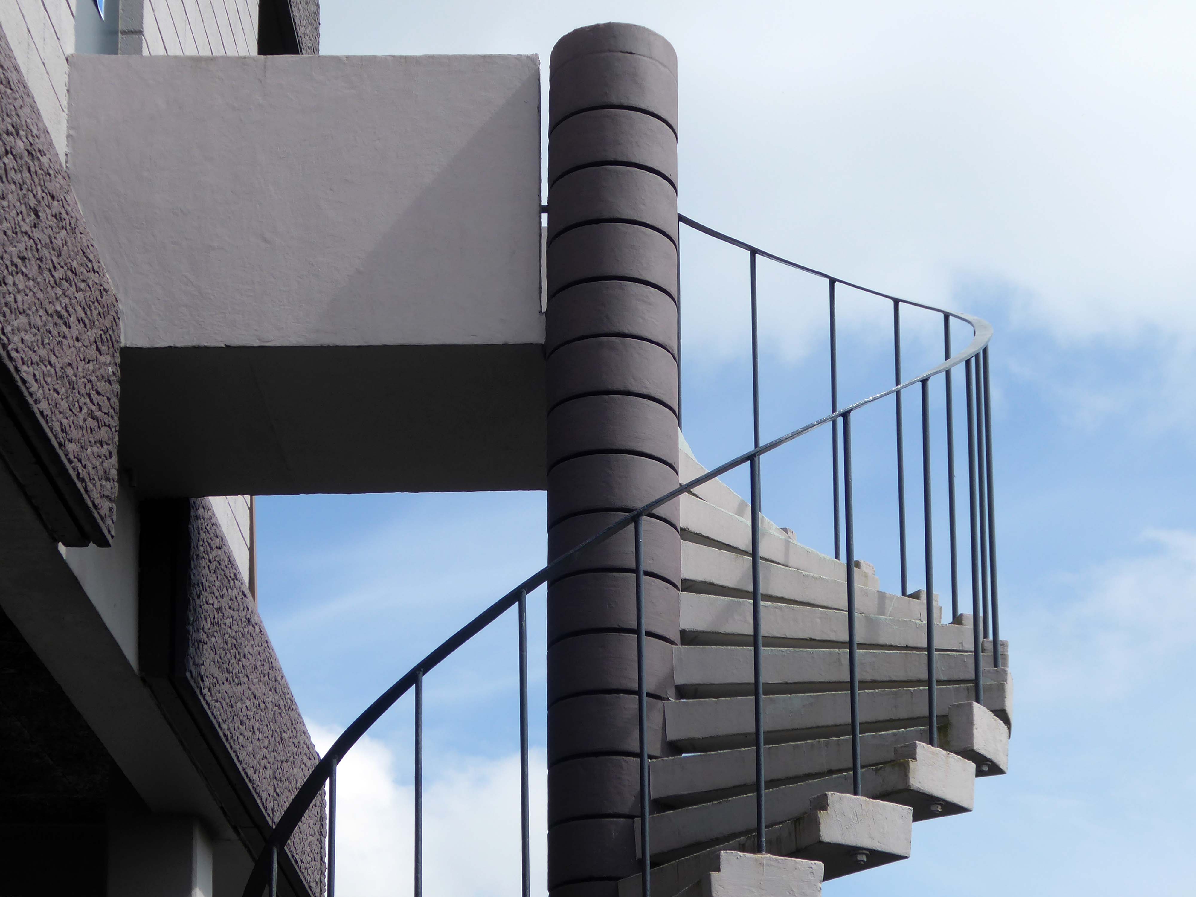
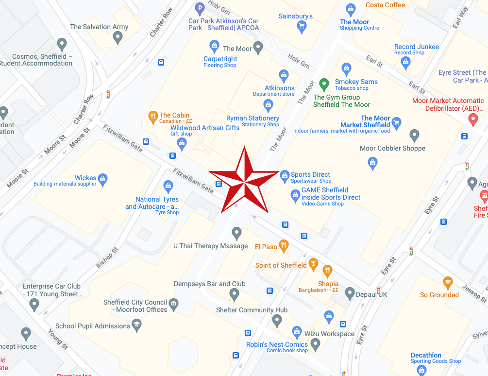
I have walked around the exterior on more than one occasion.
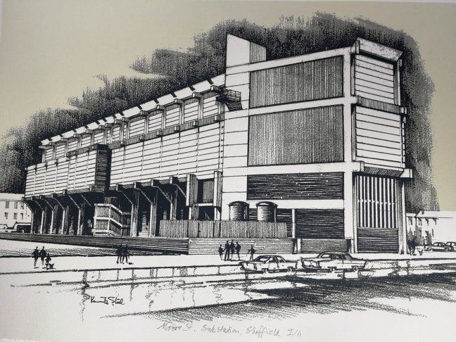
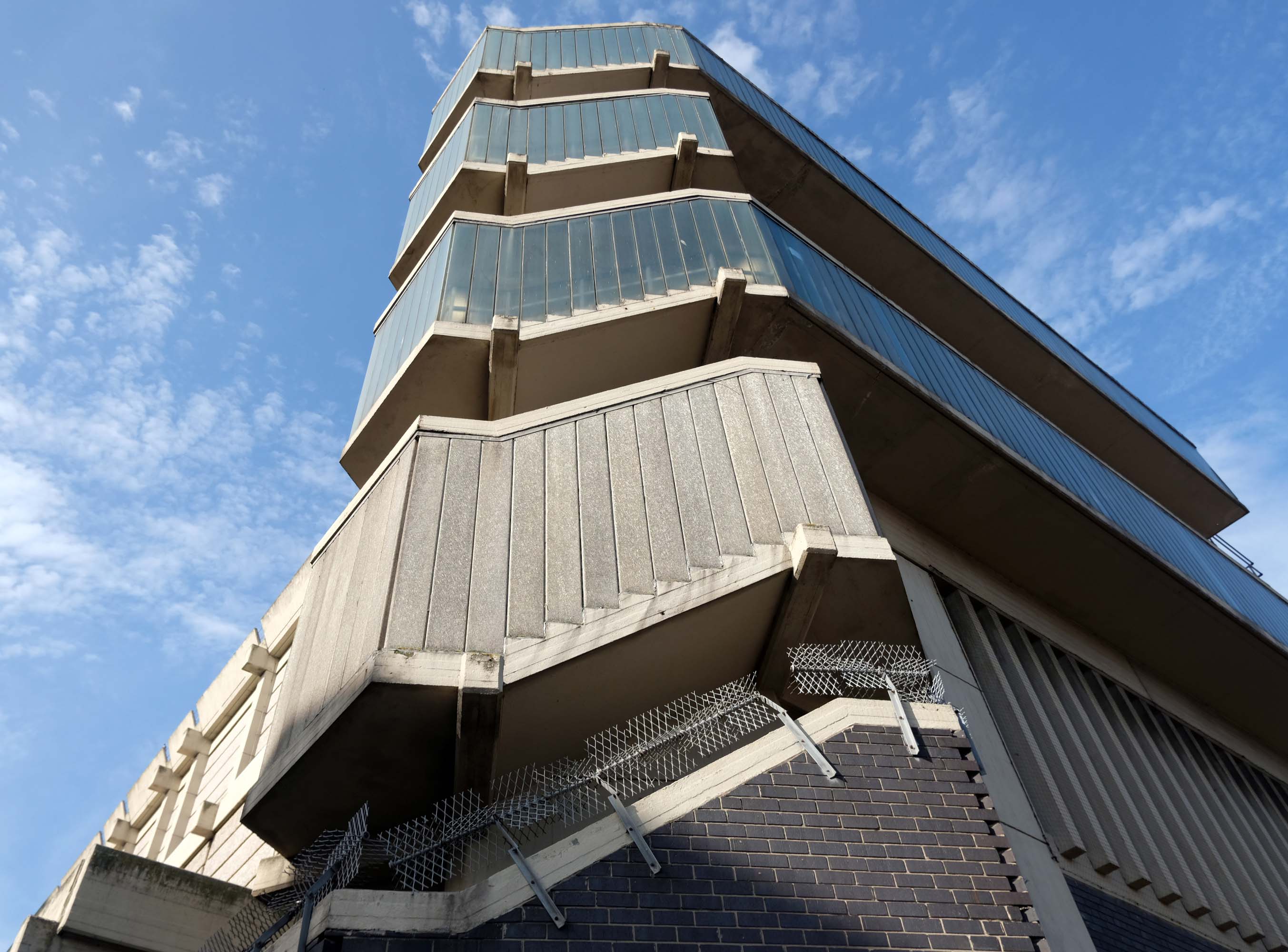
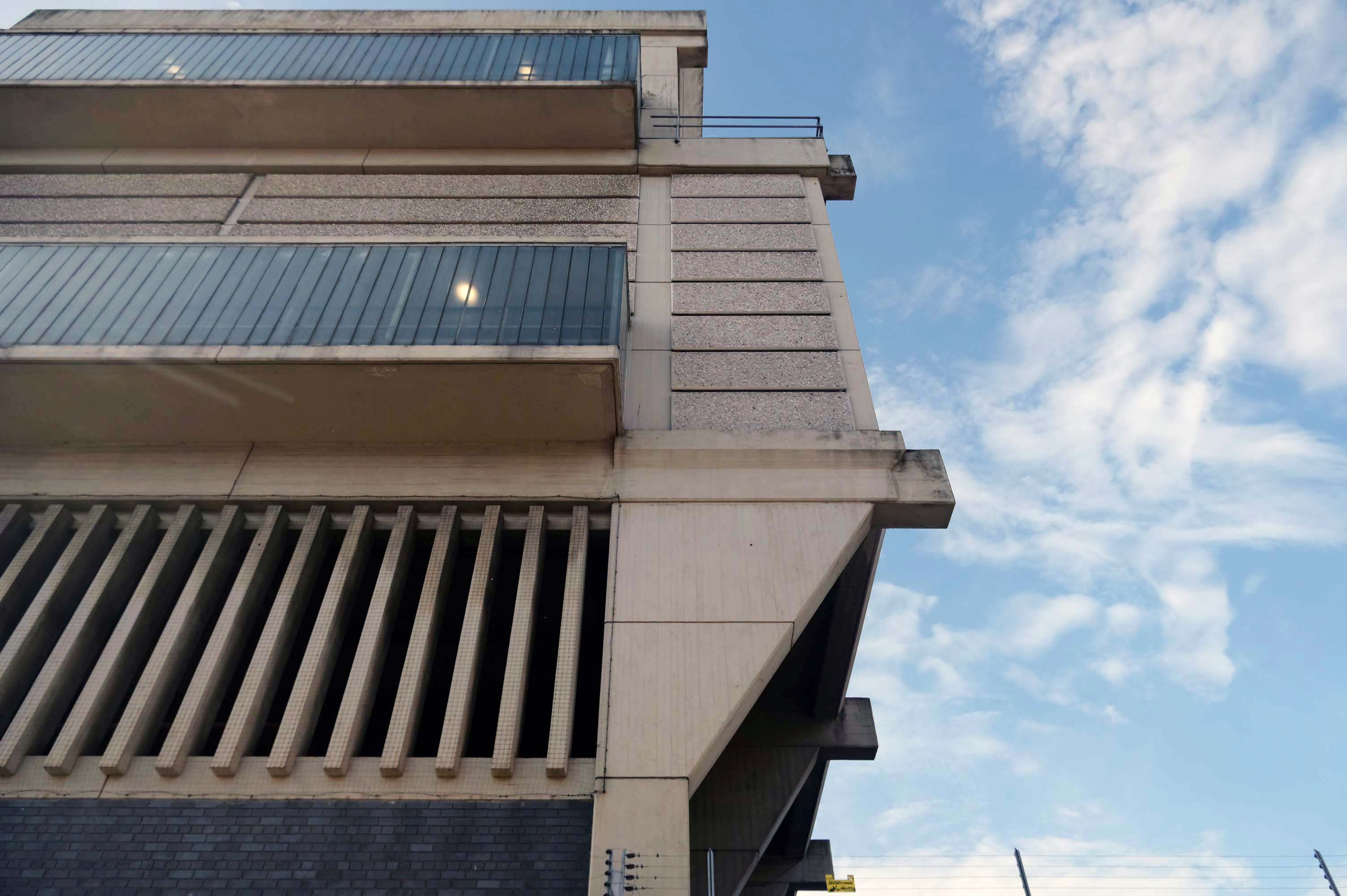
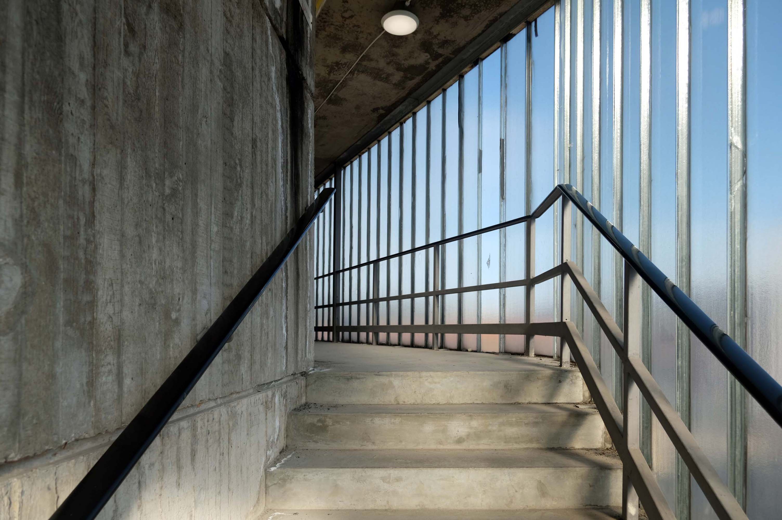
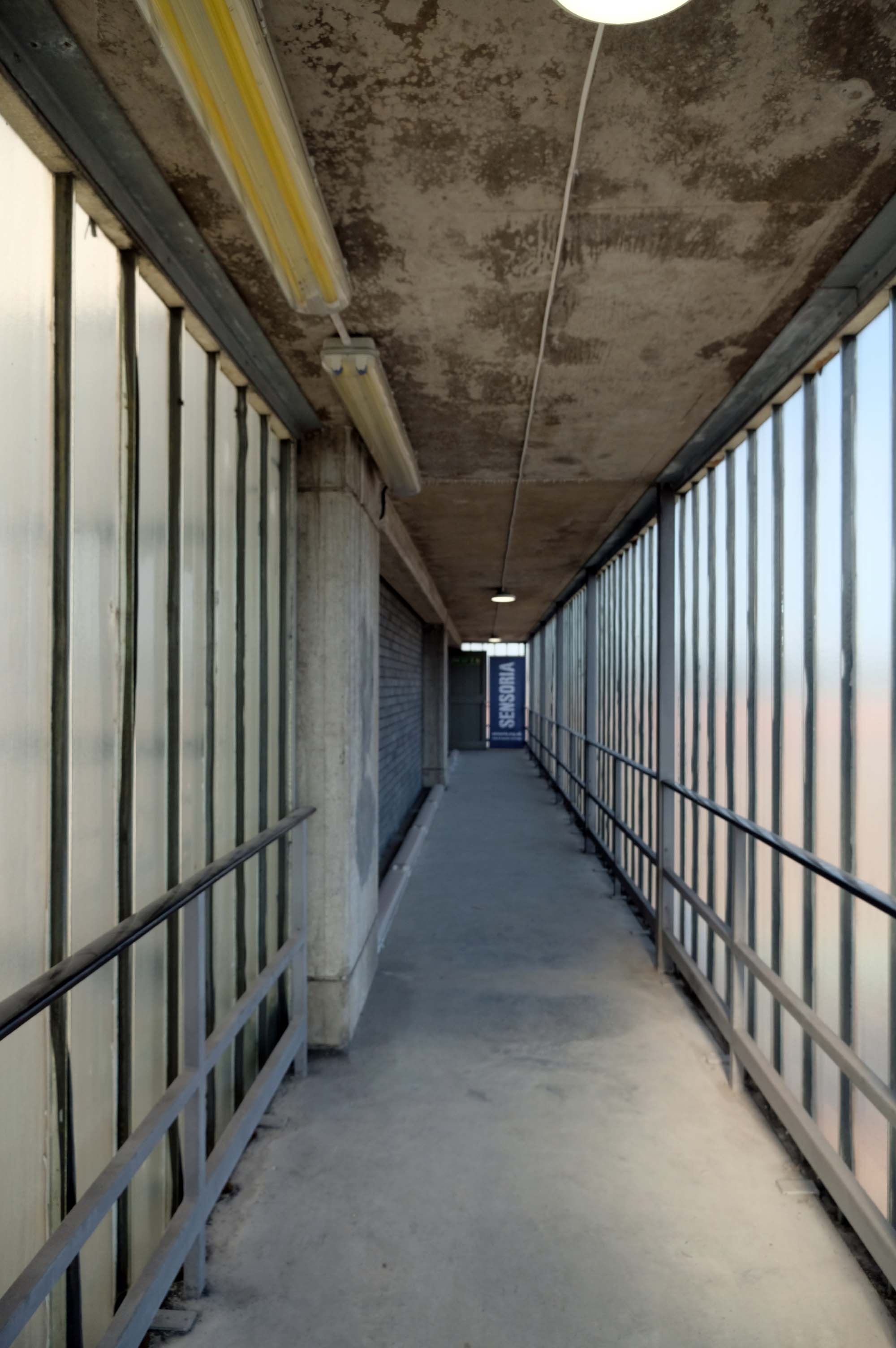
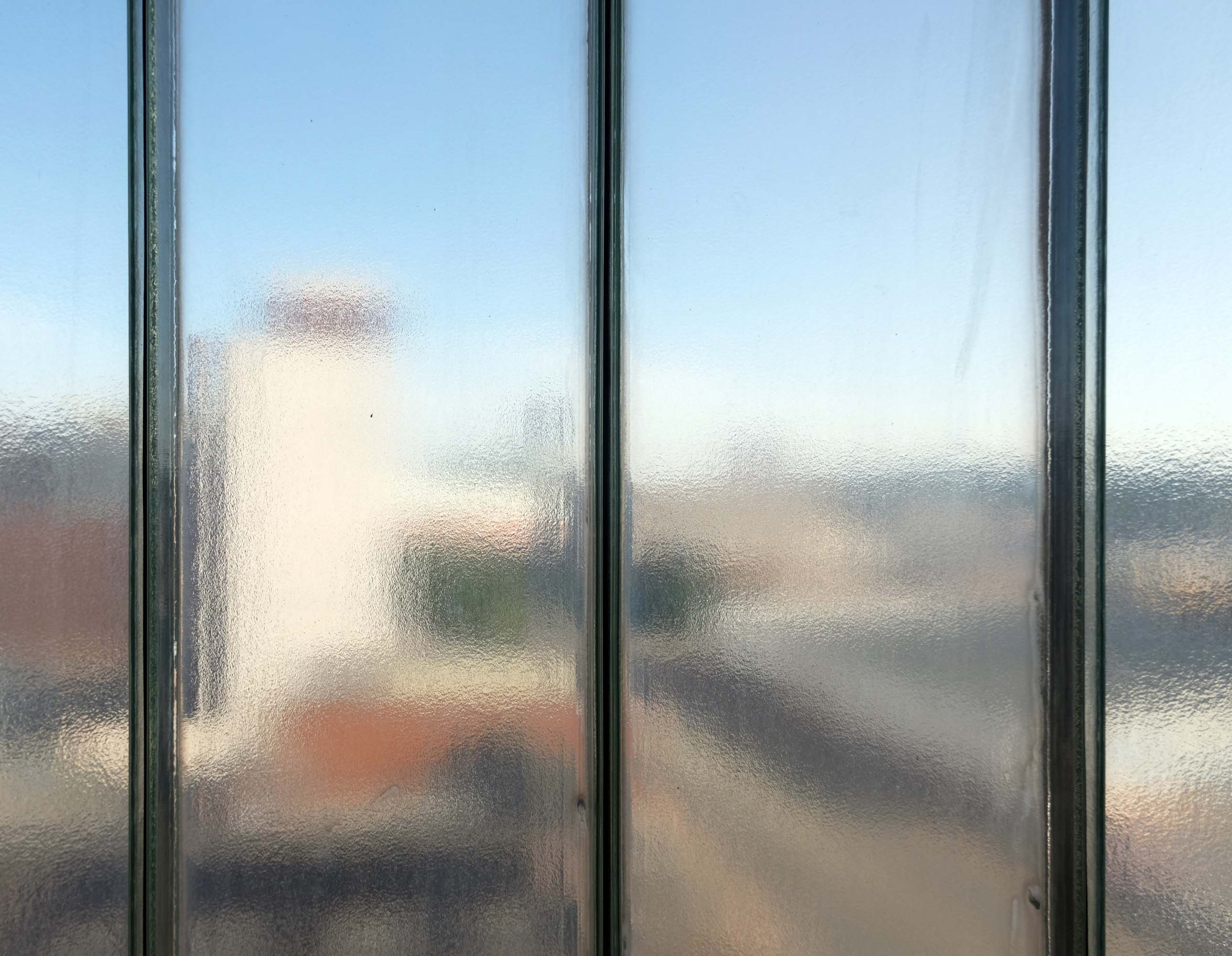
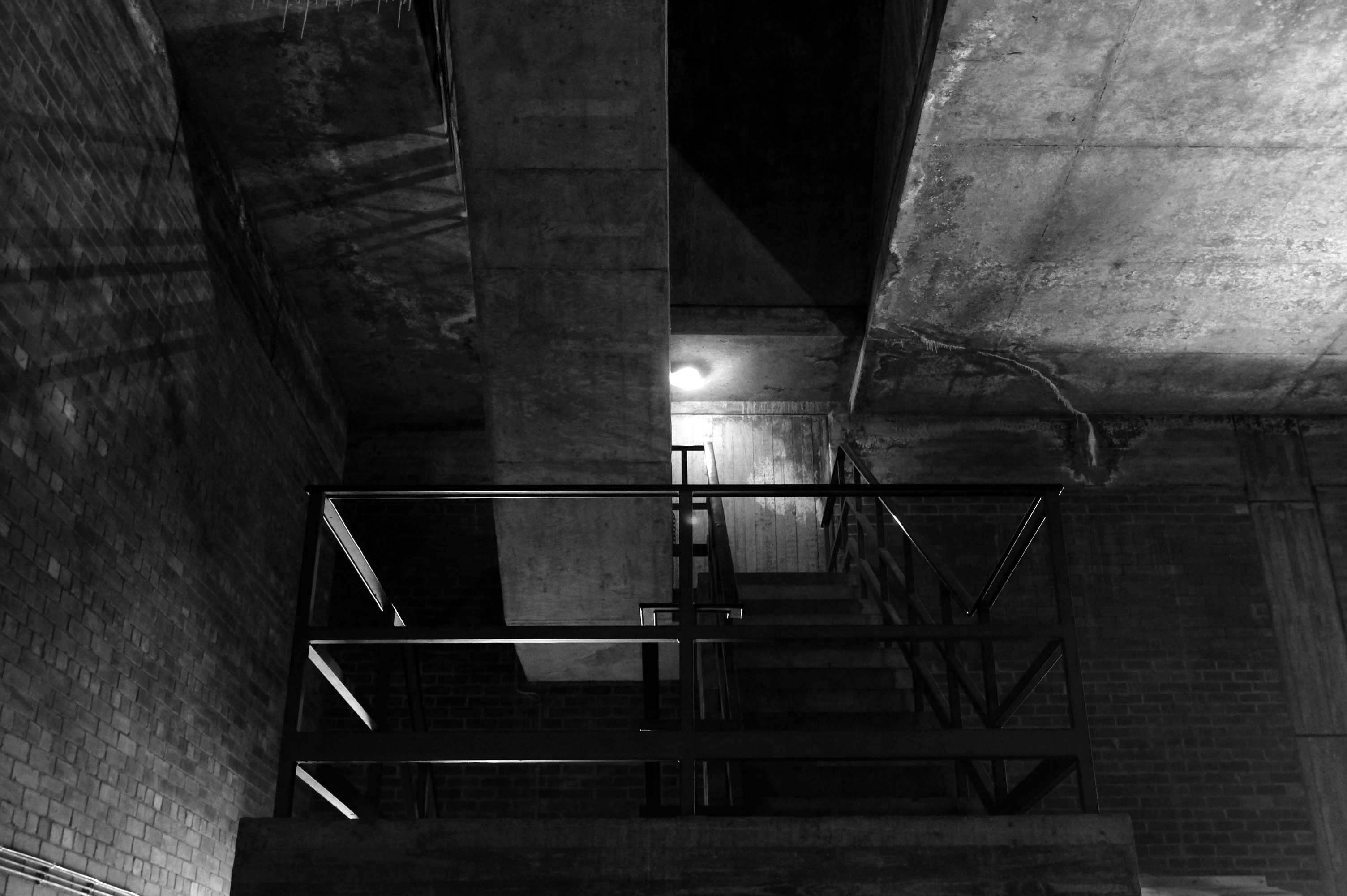
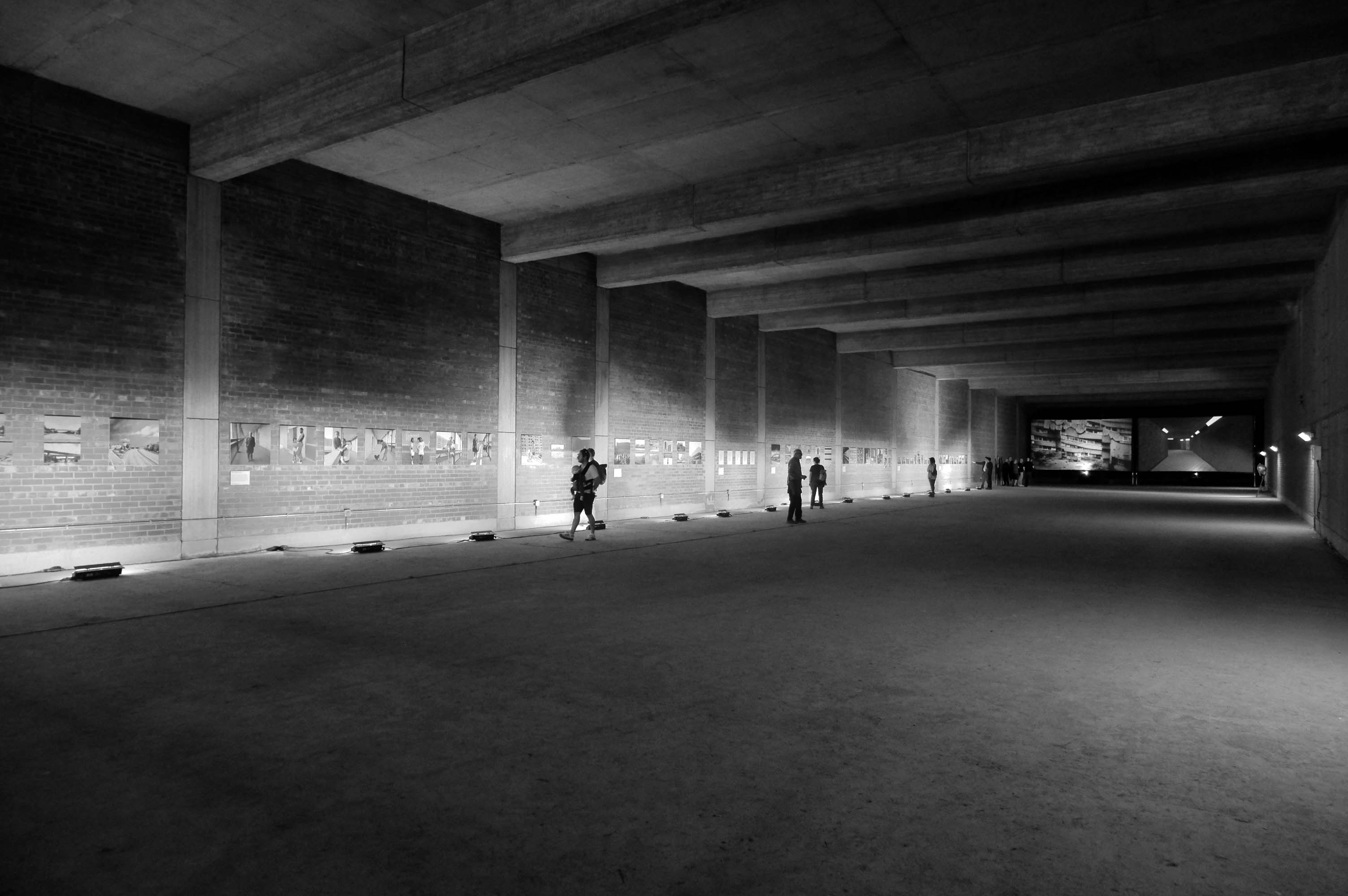
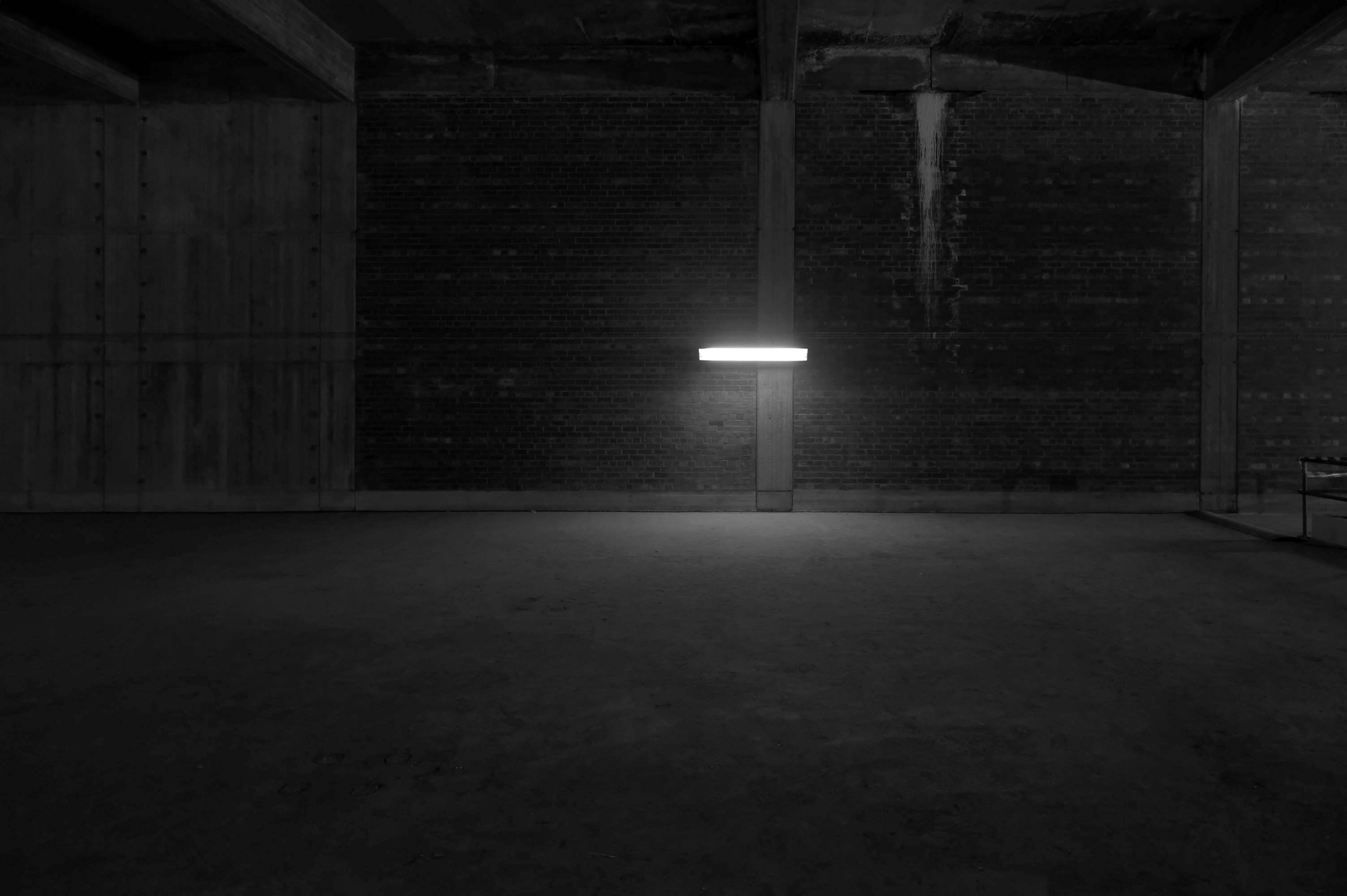
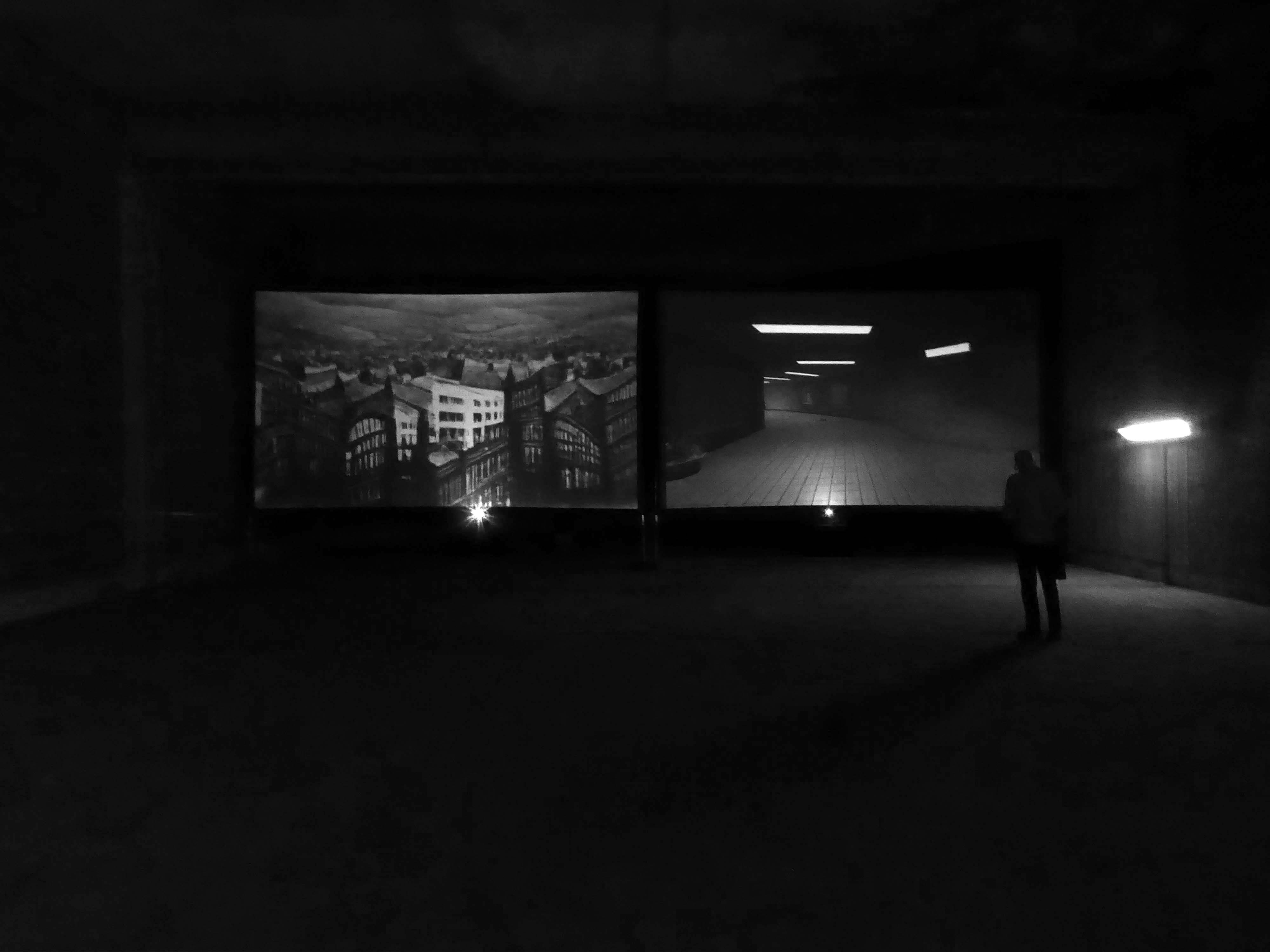
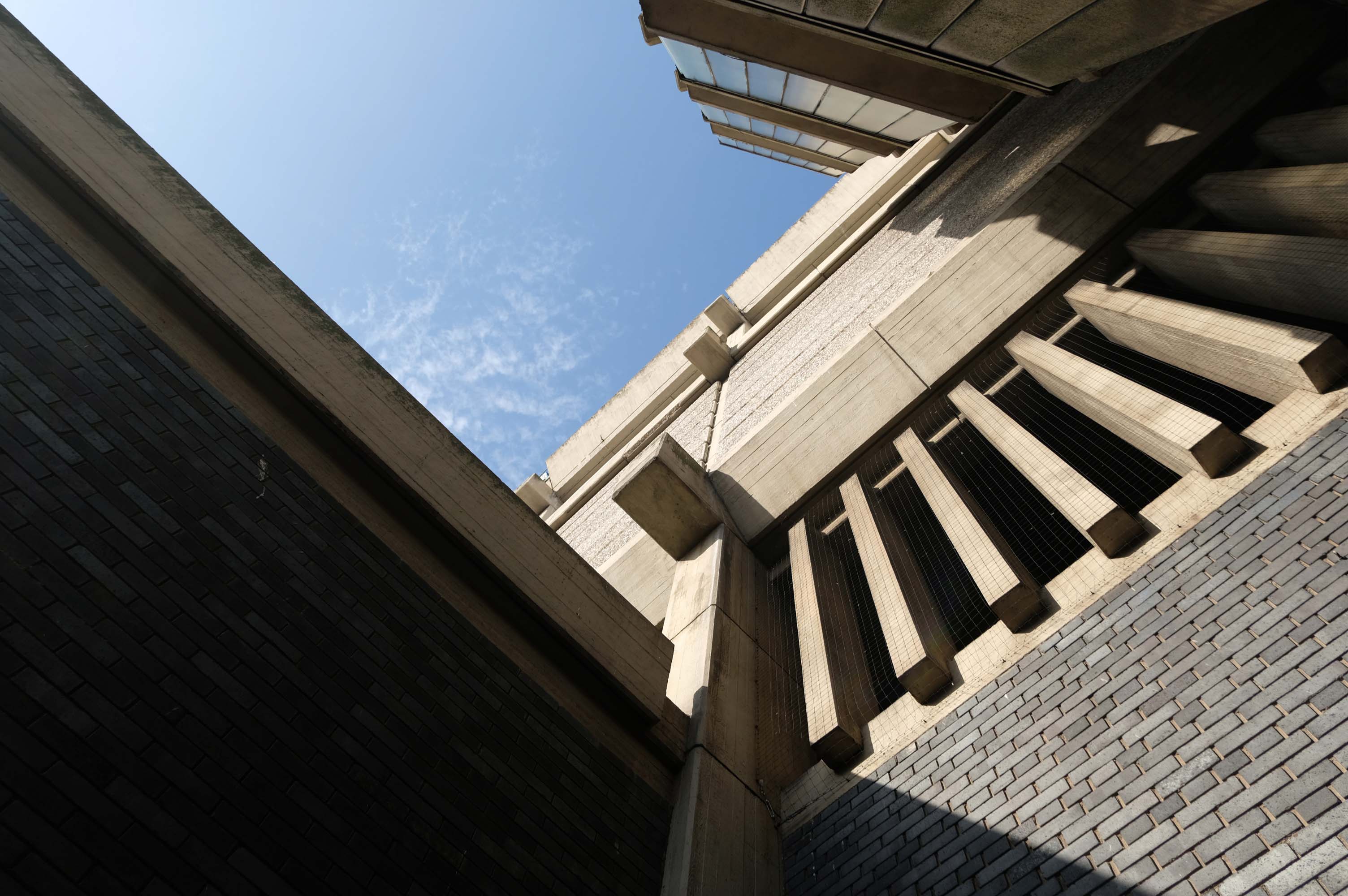
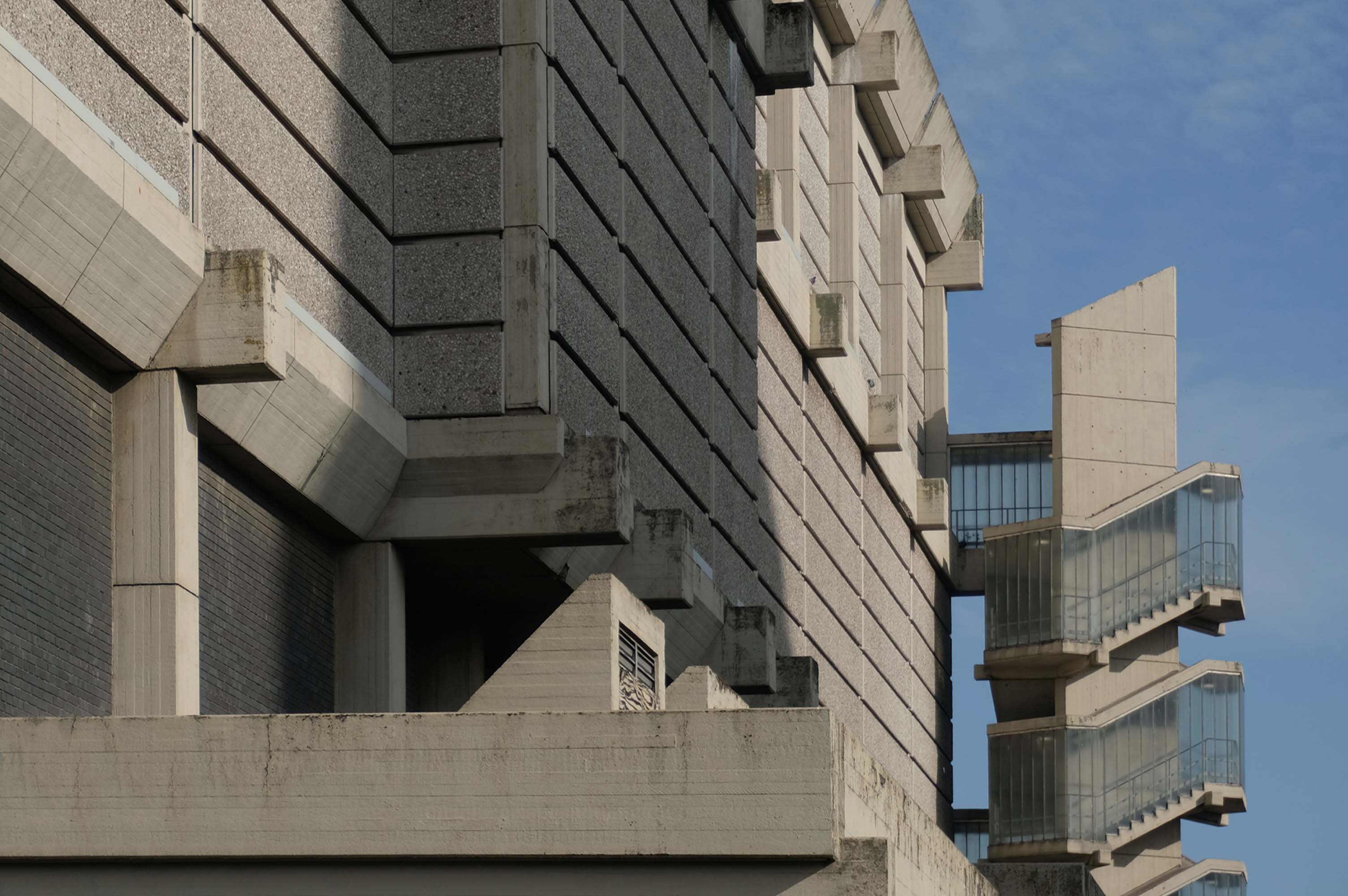
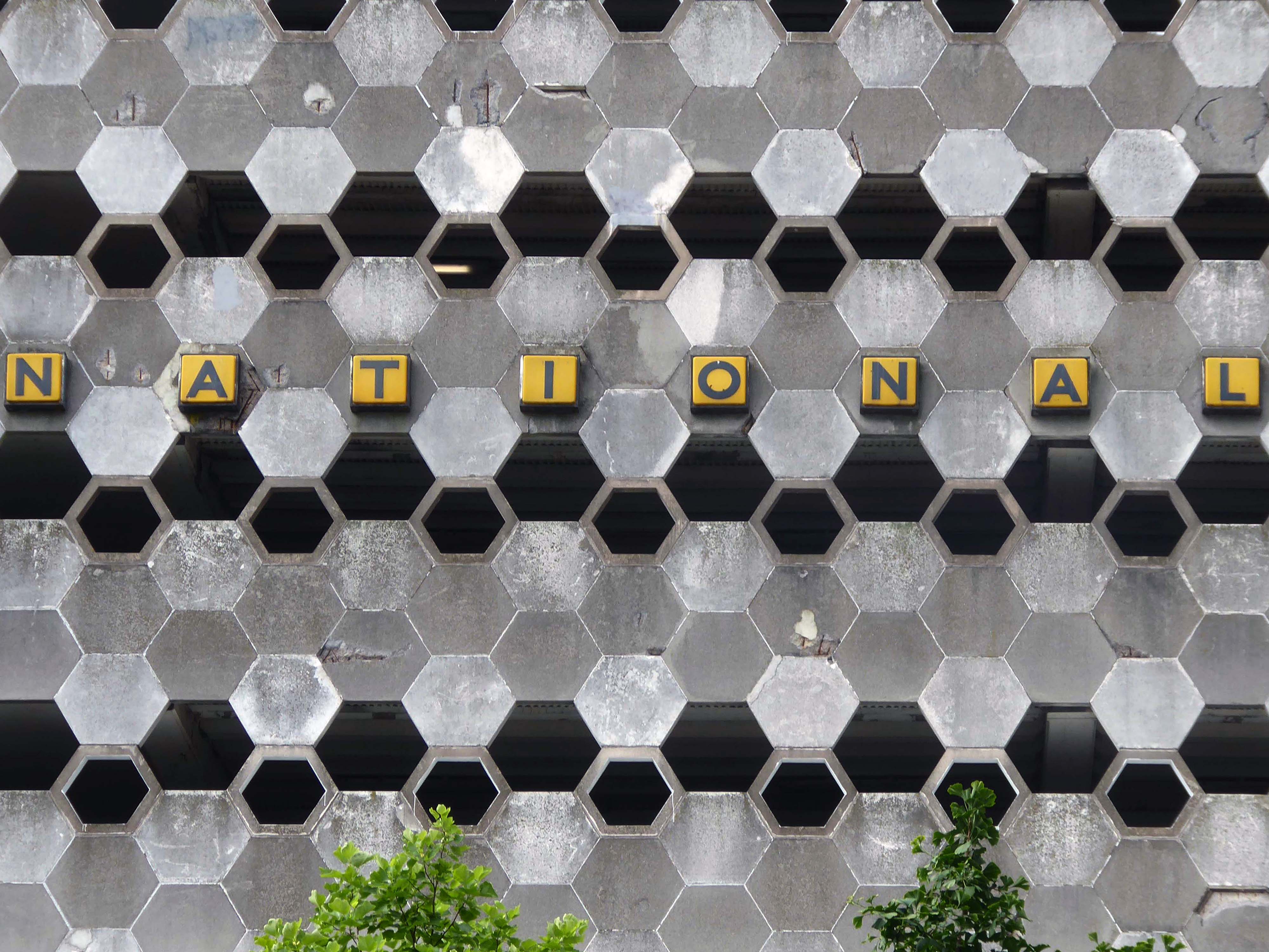
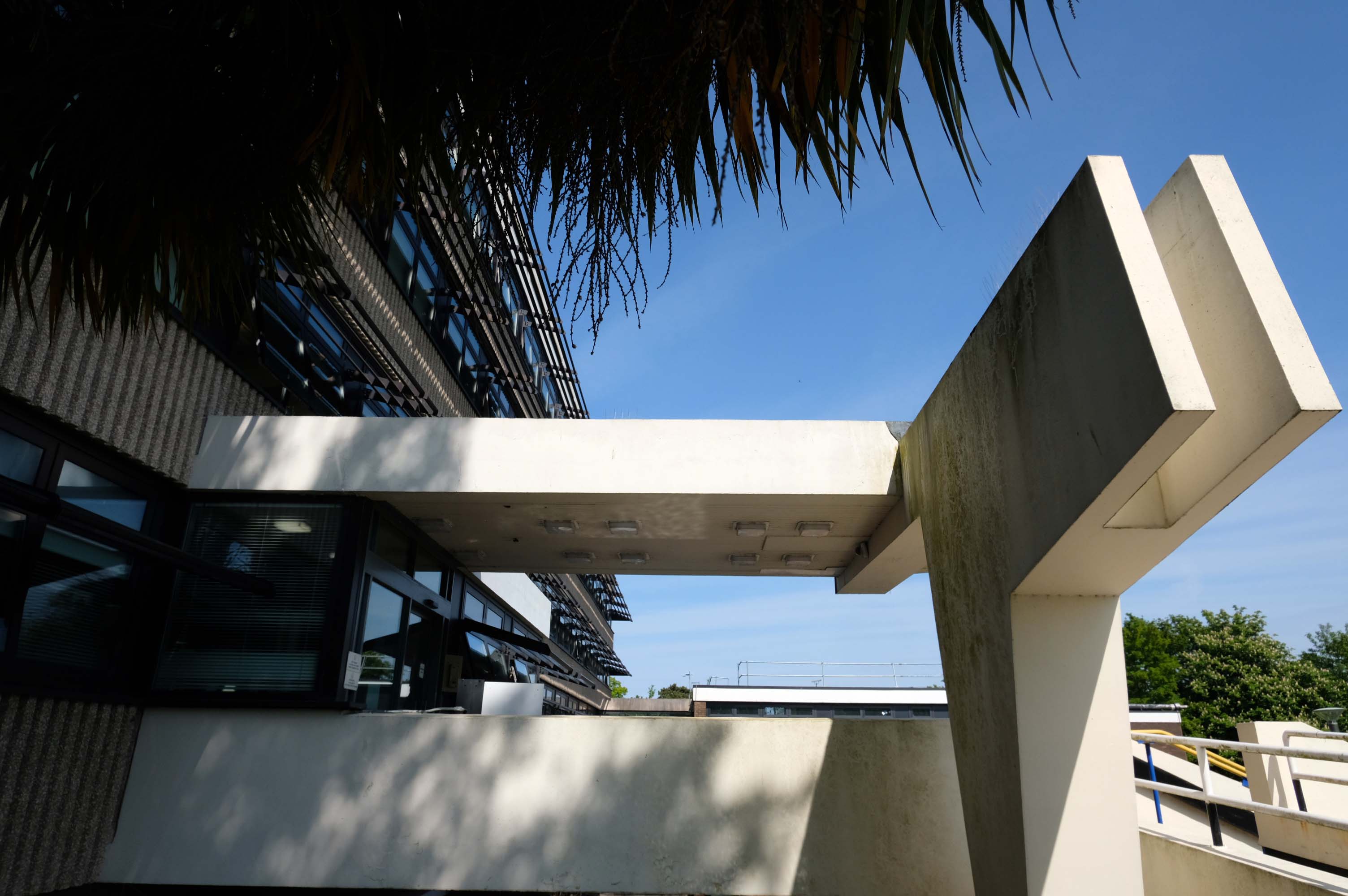
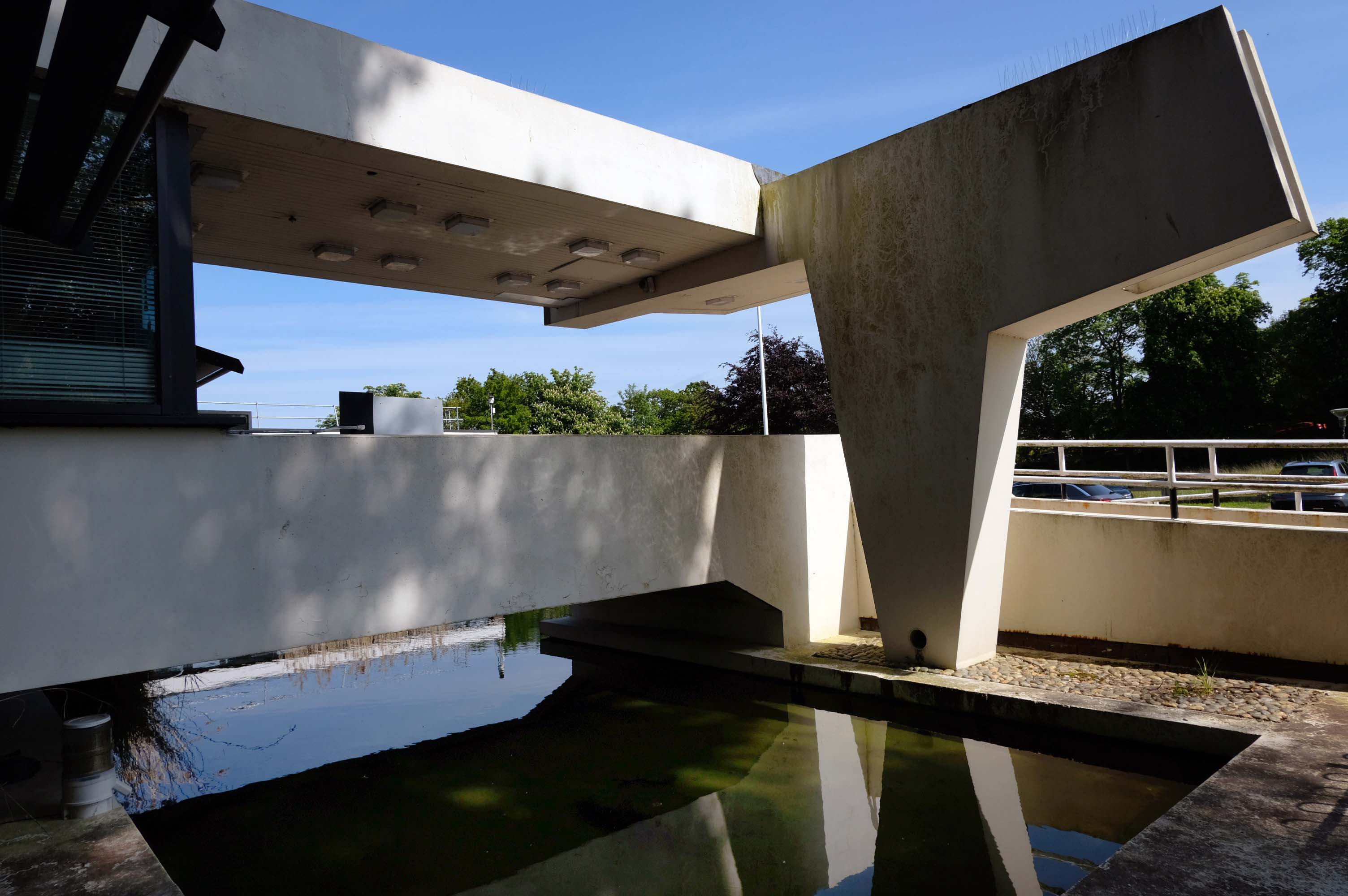
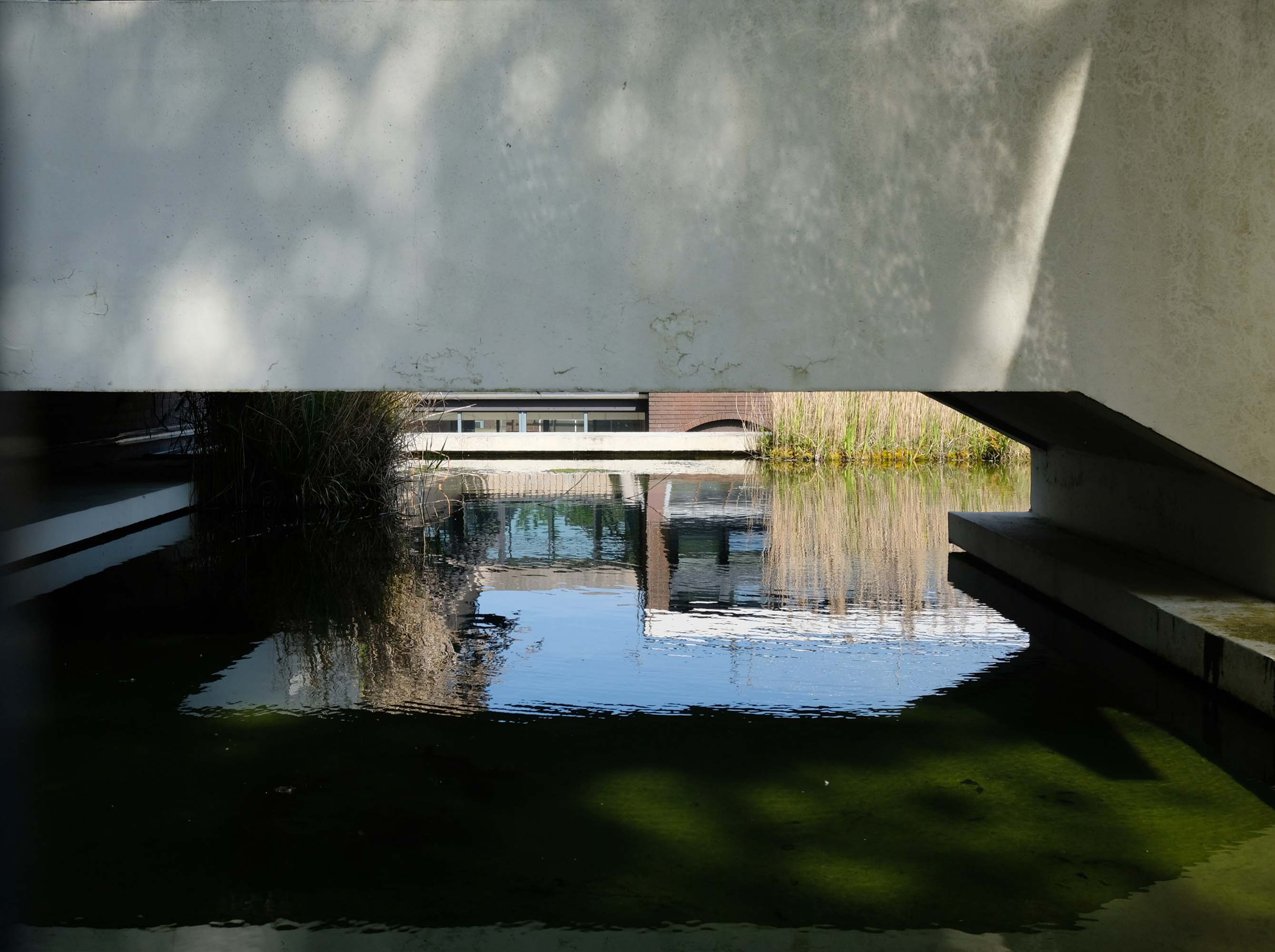
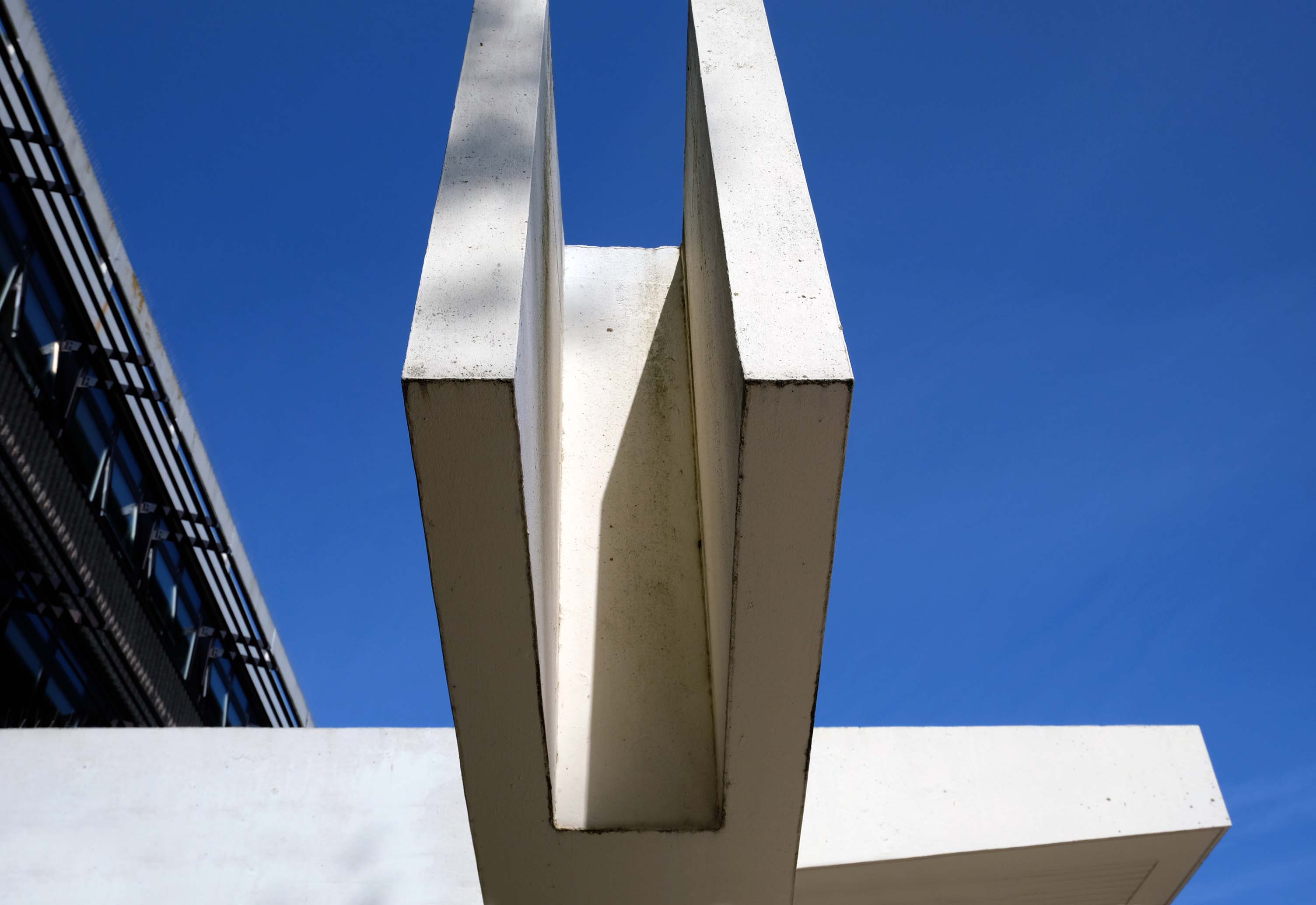
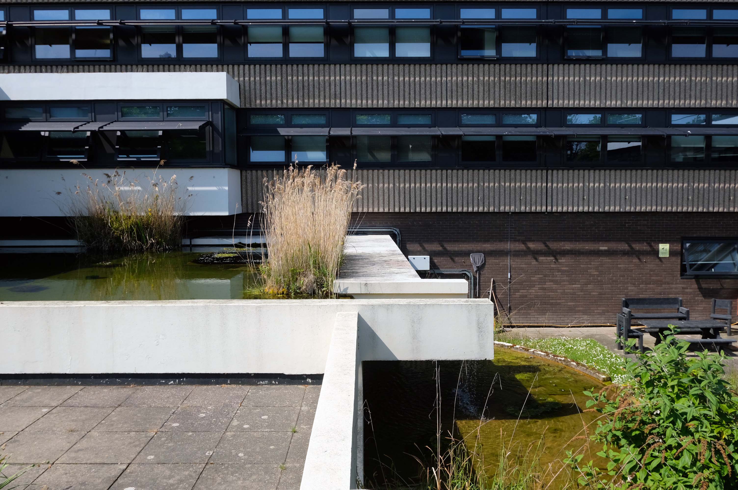
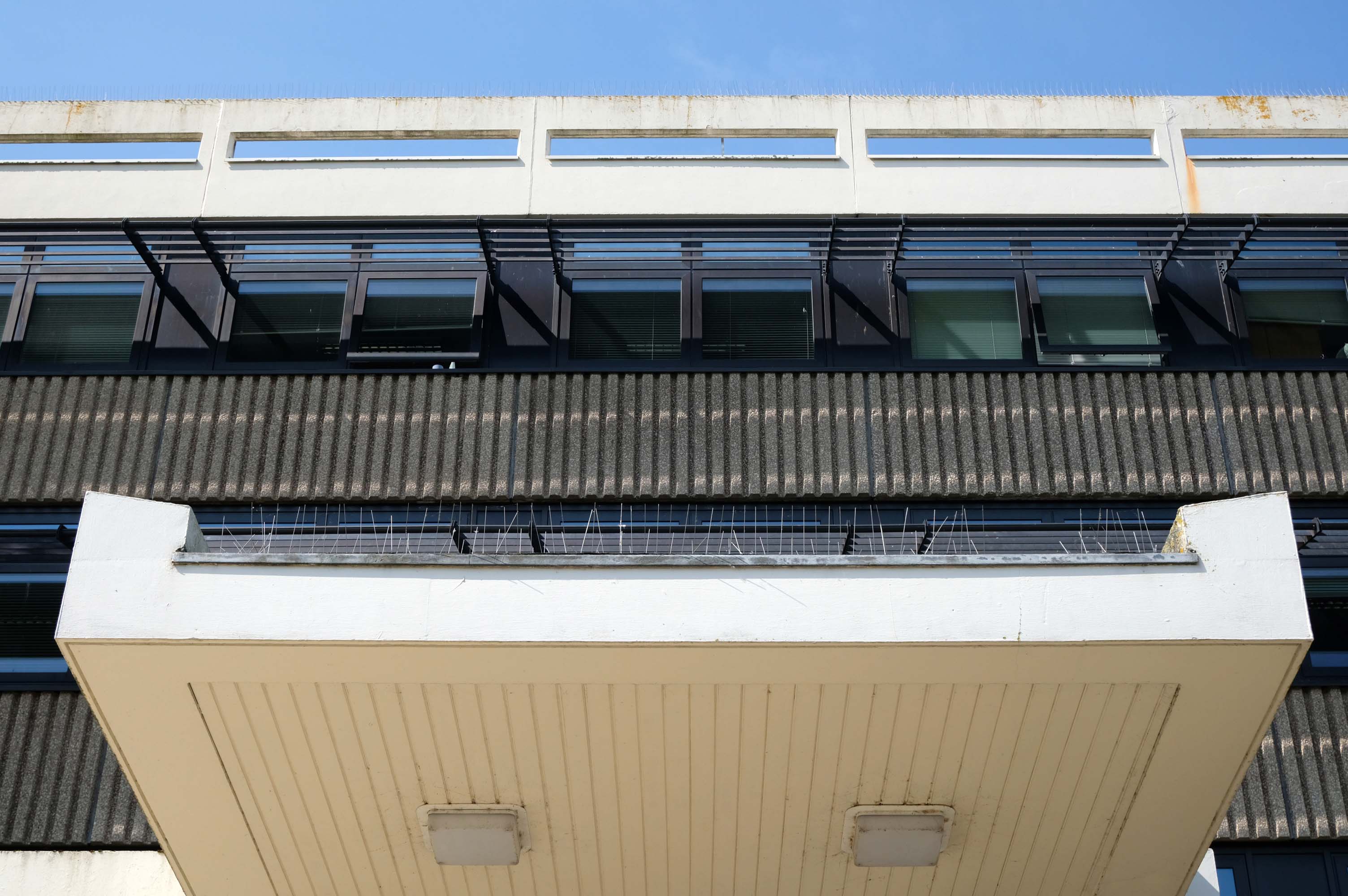
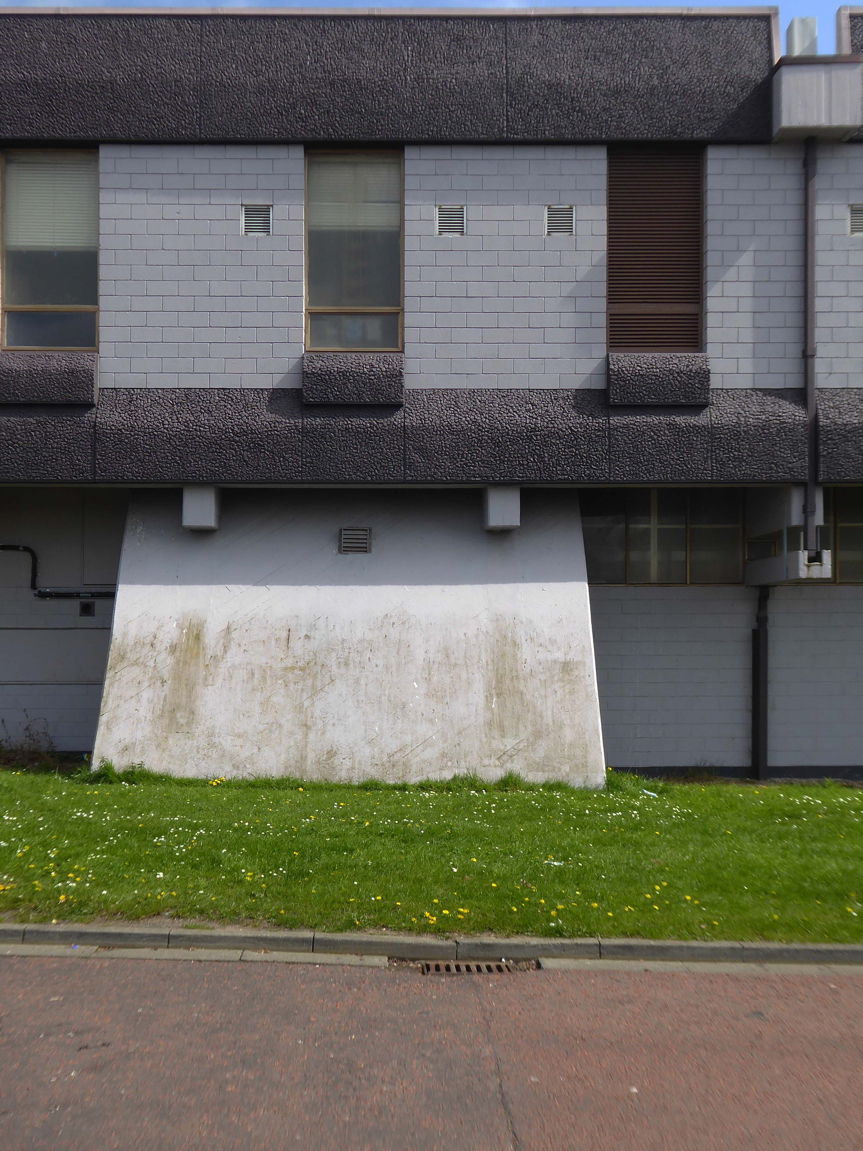
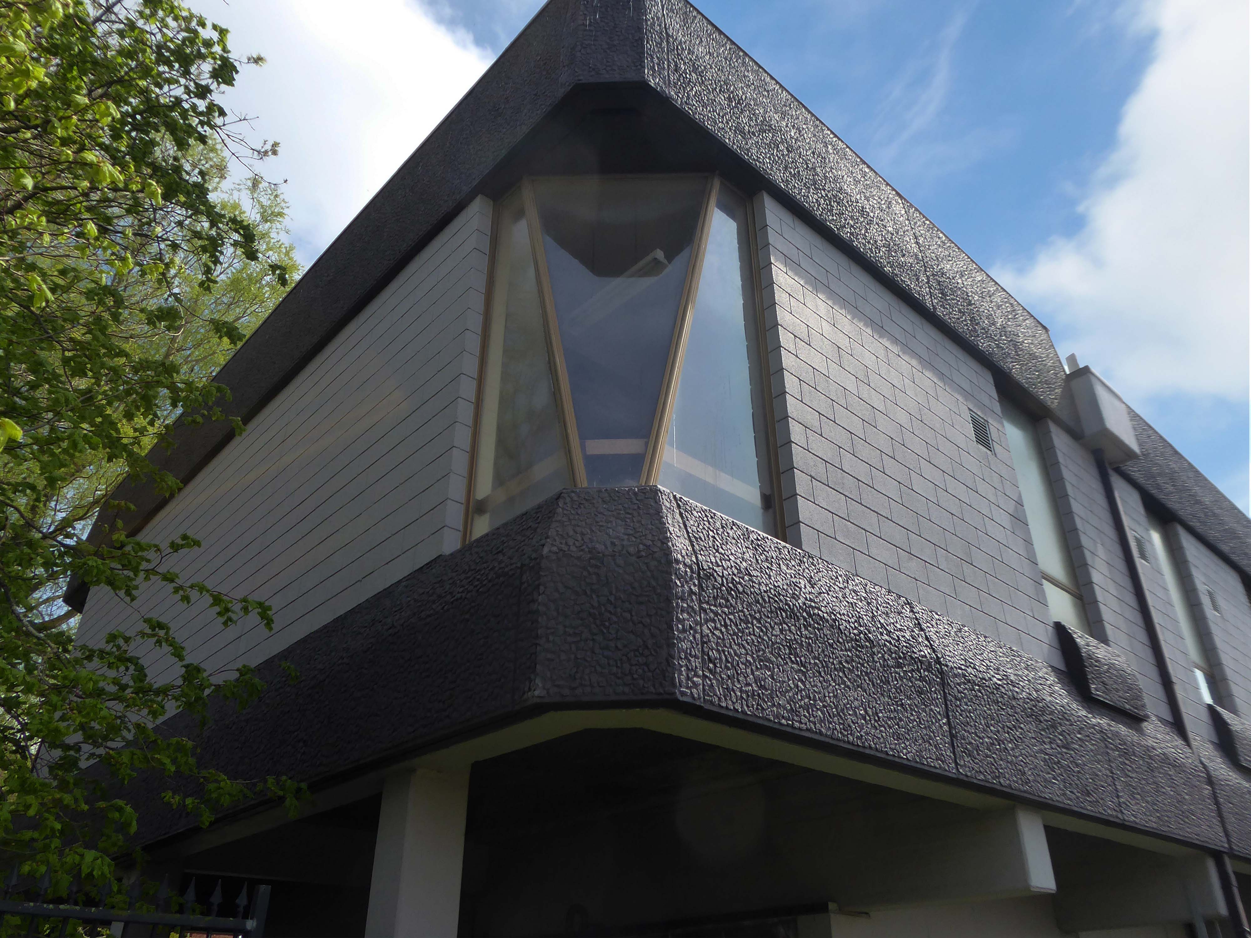
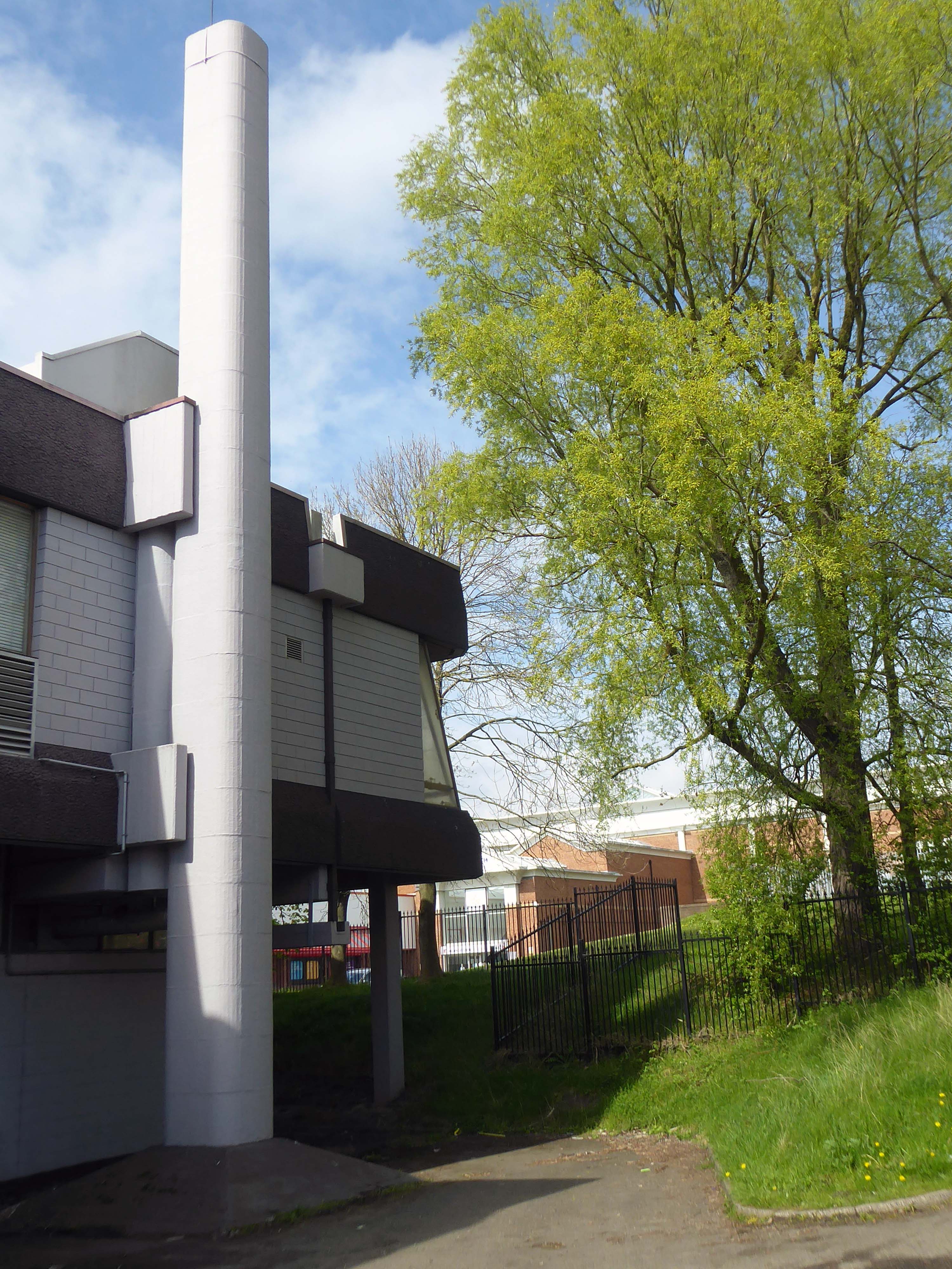
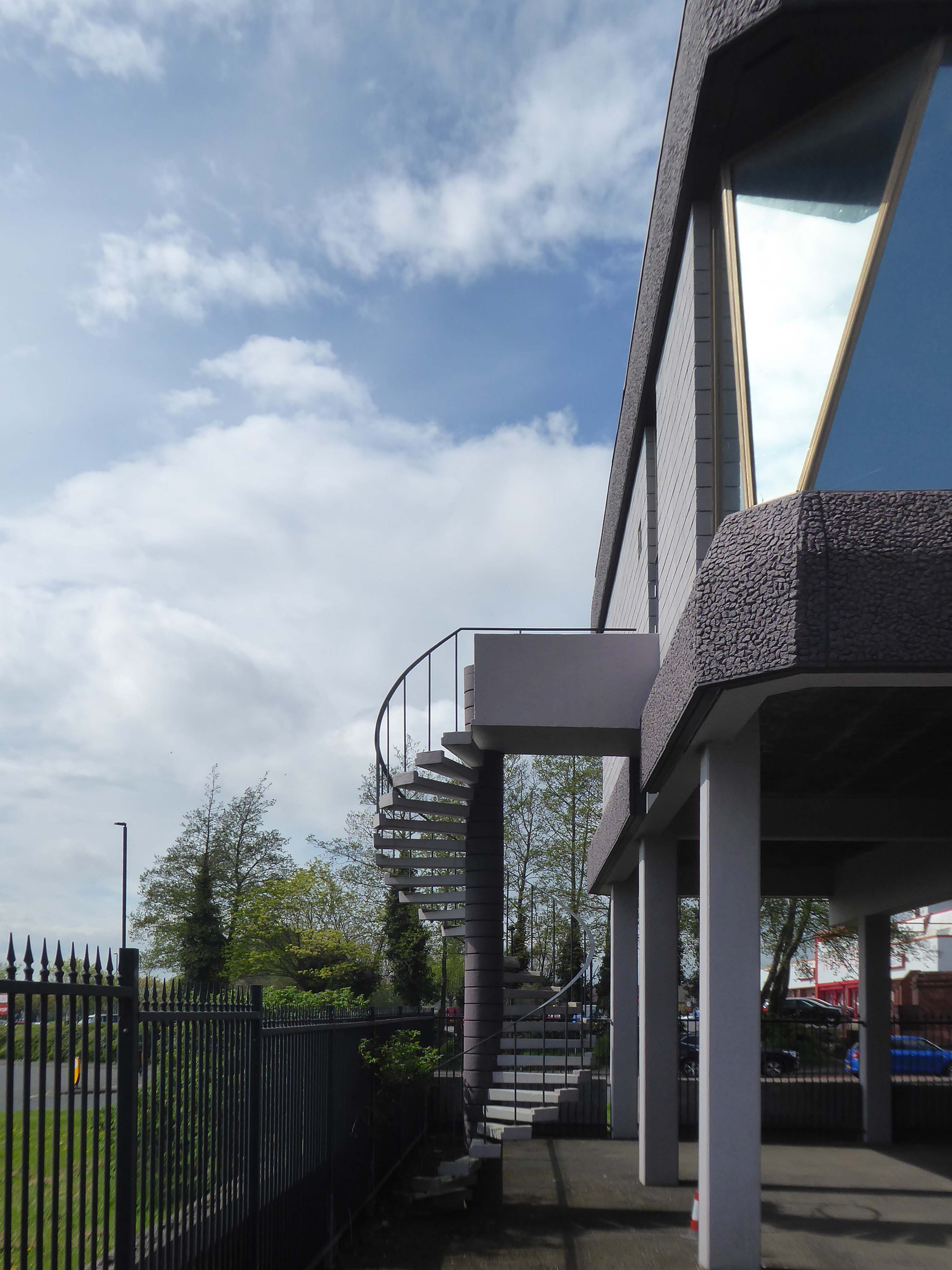
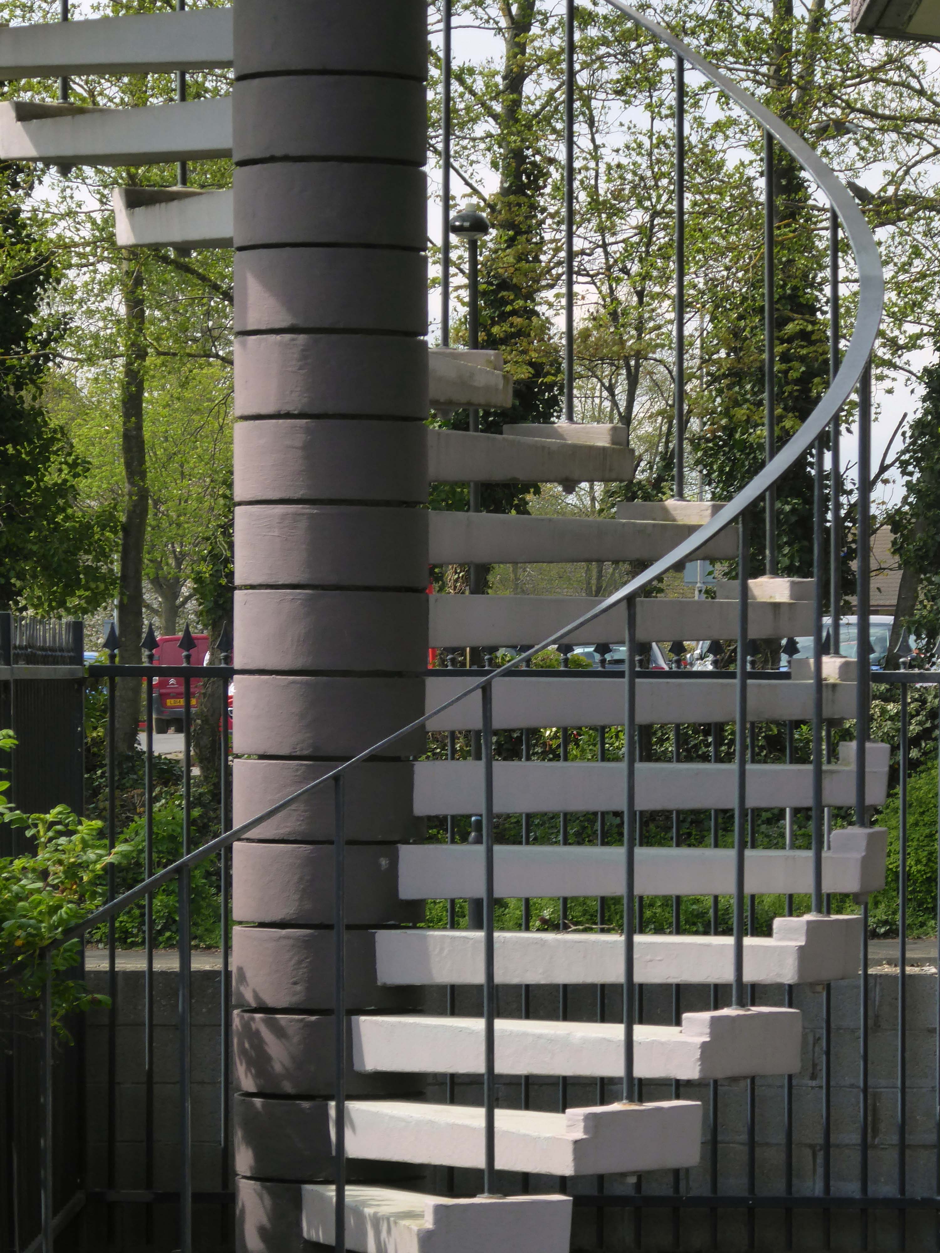
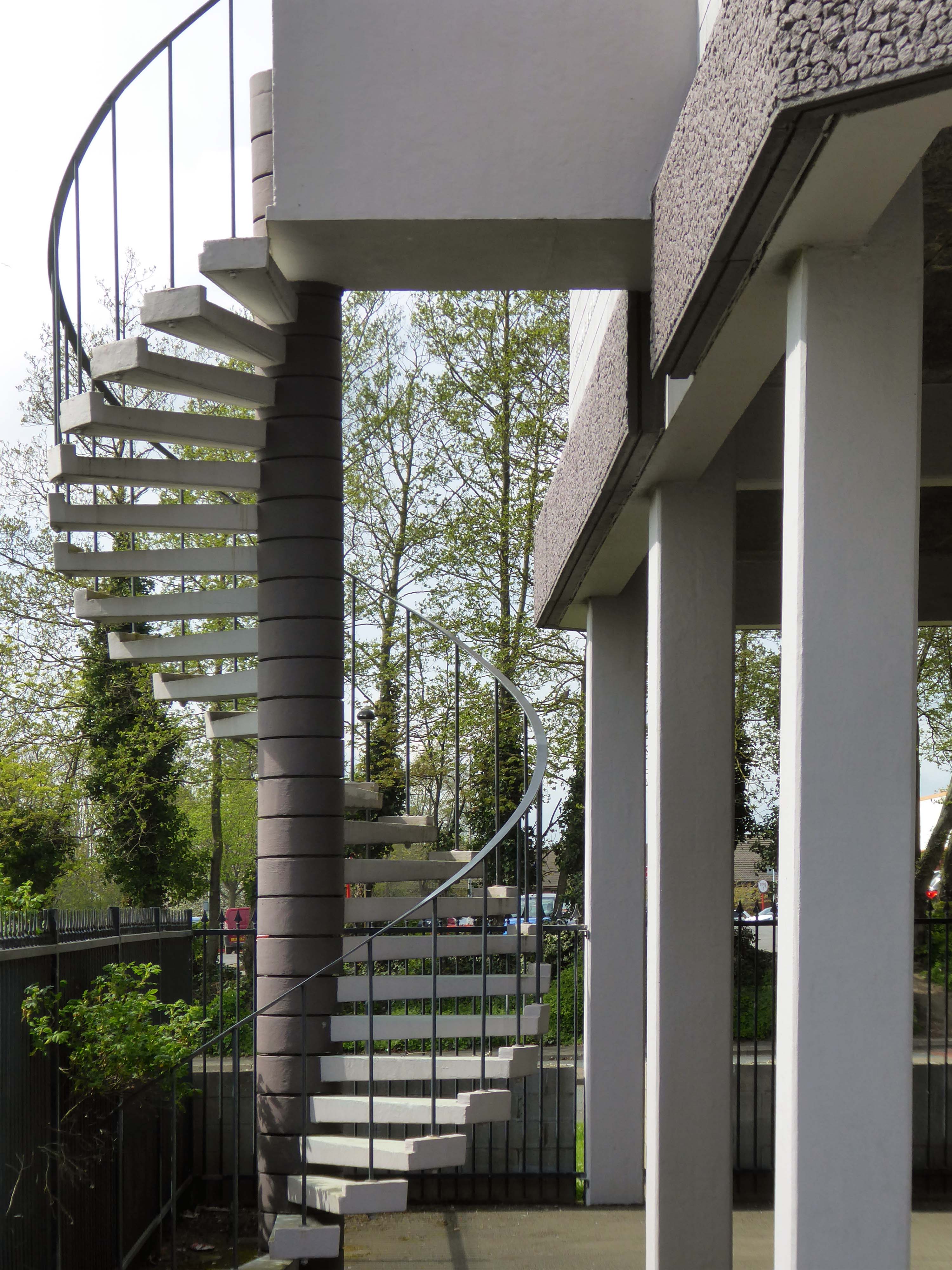
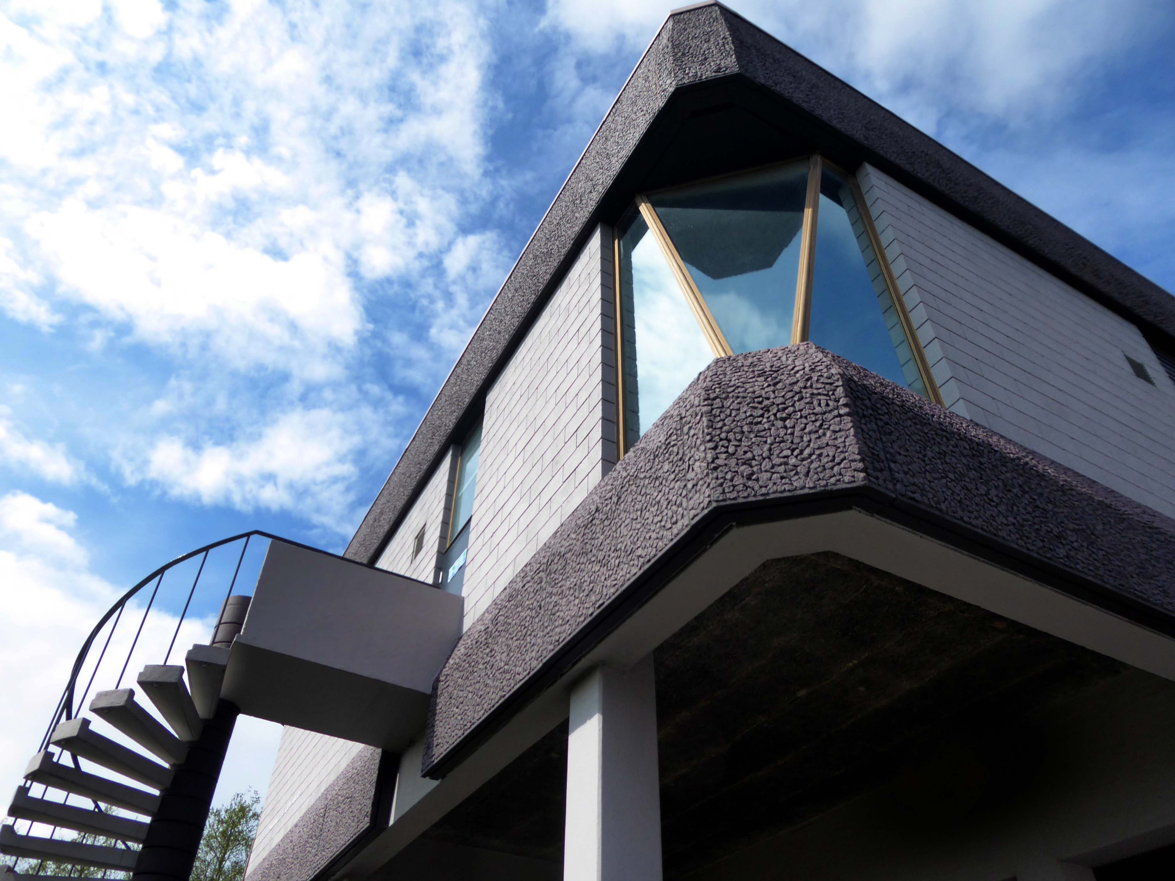
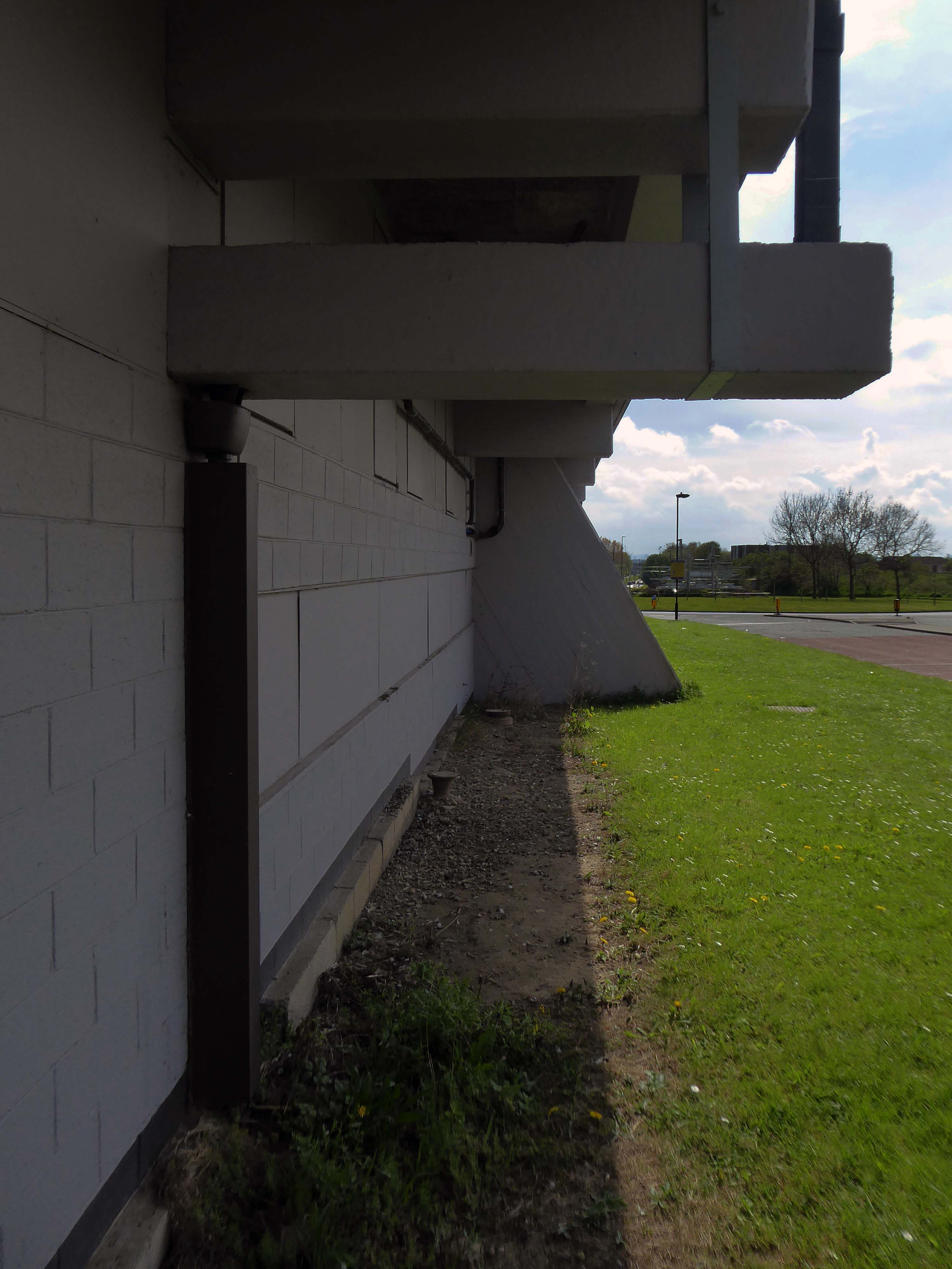
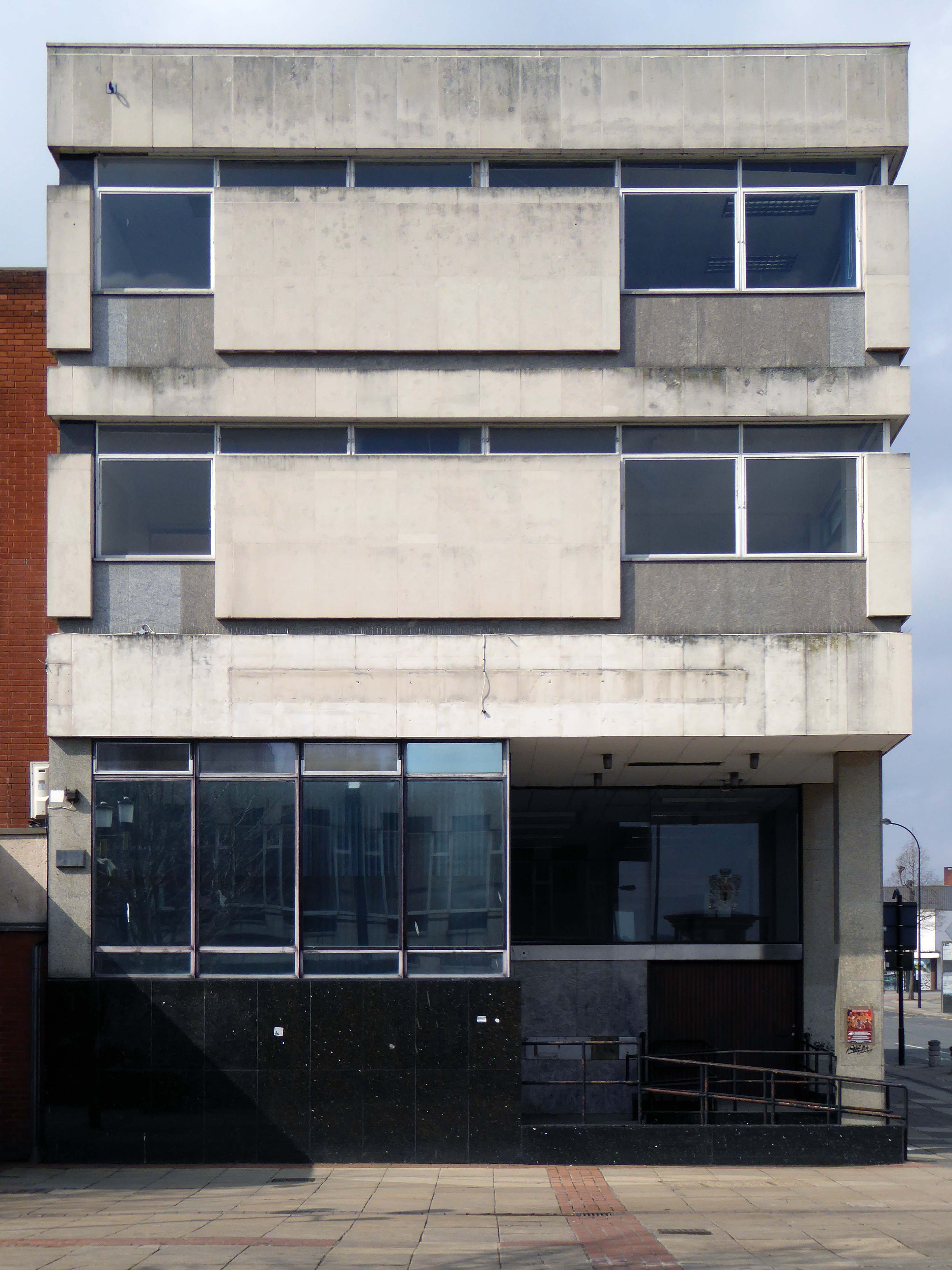
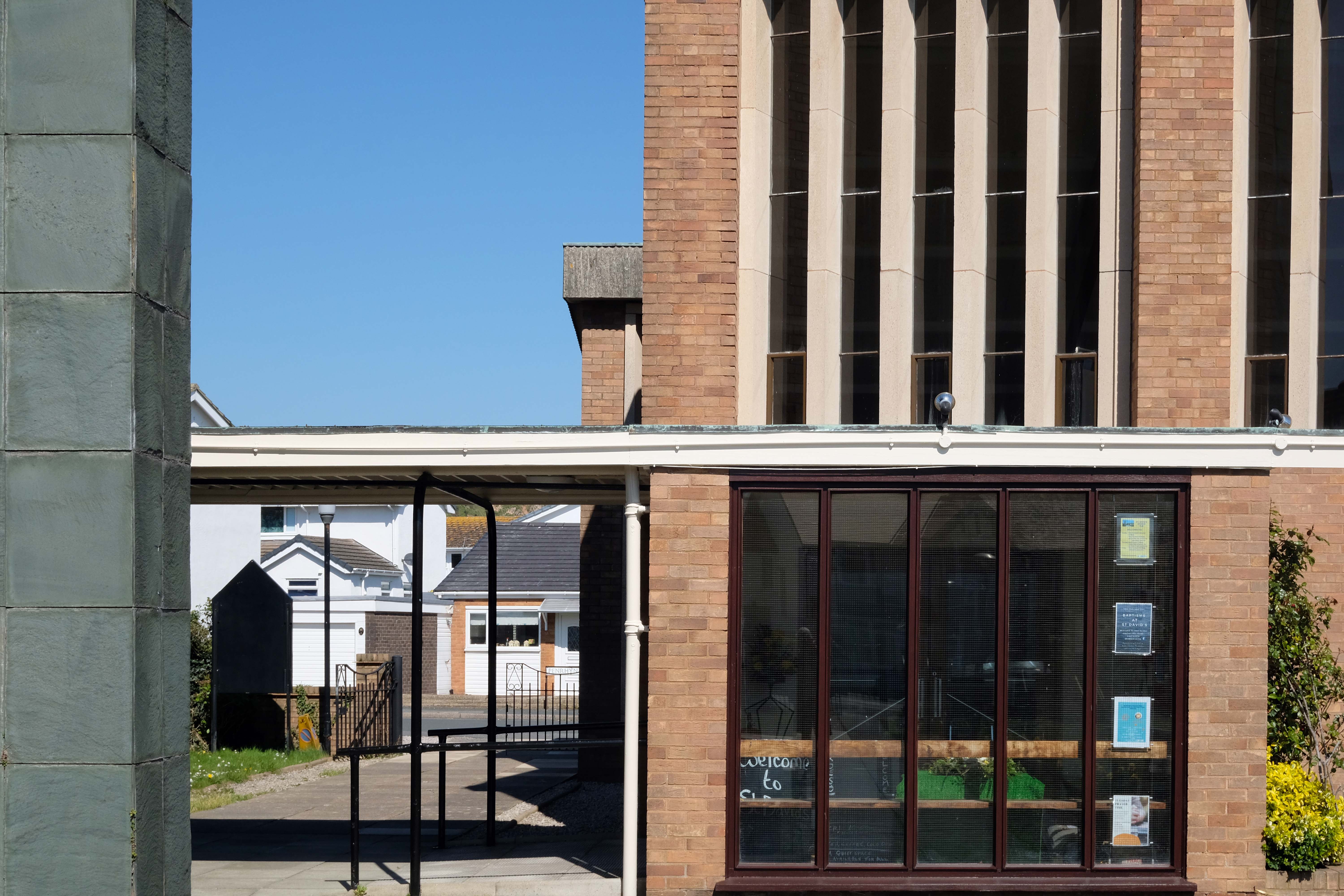
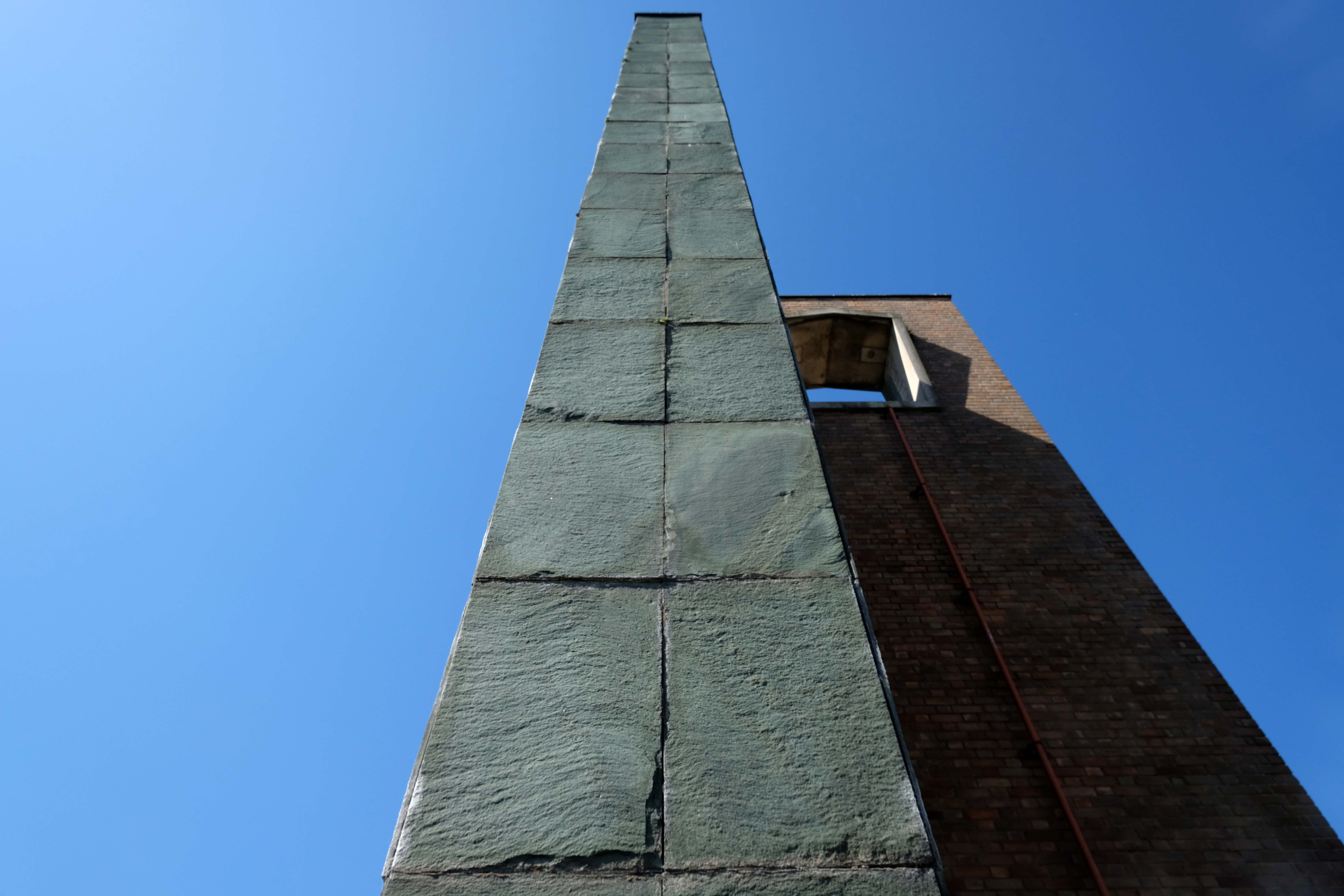
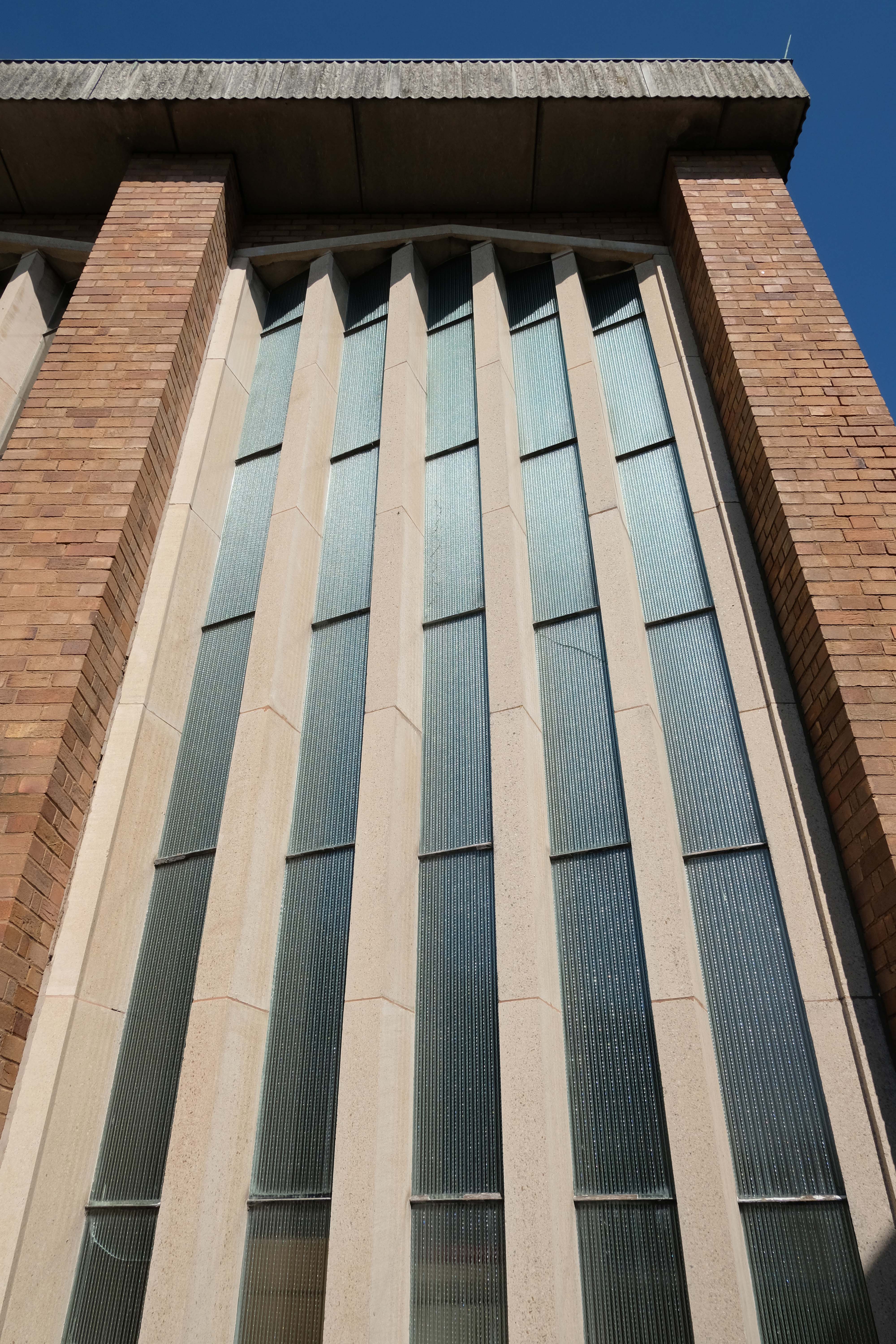
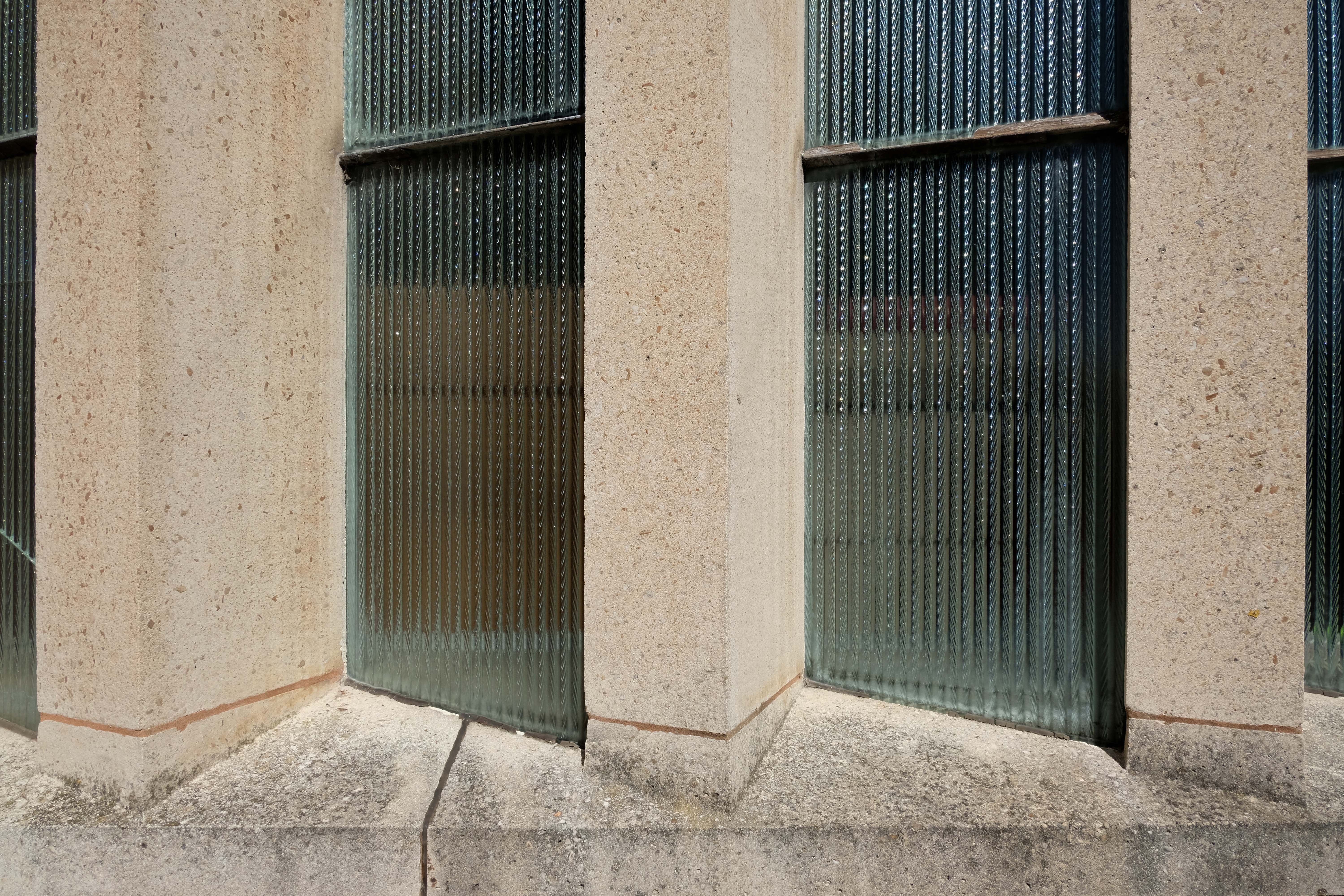
This concrete enclosed, collection of transformers and switchgear.
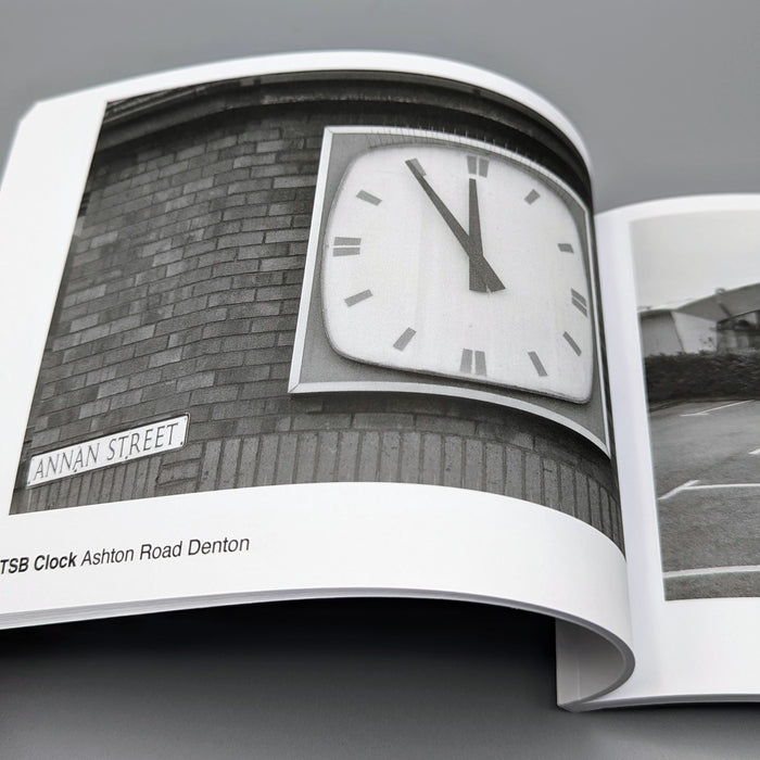
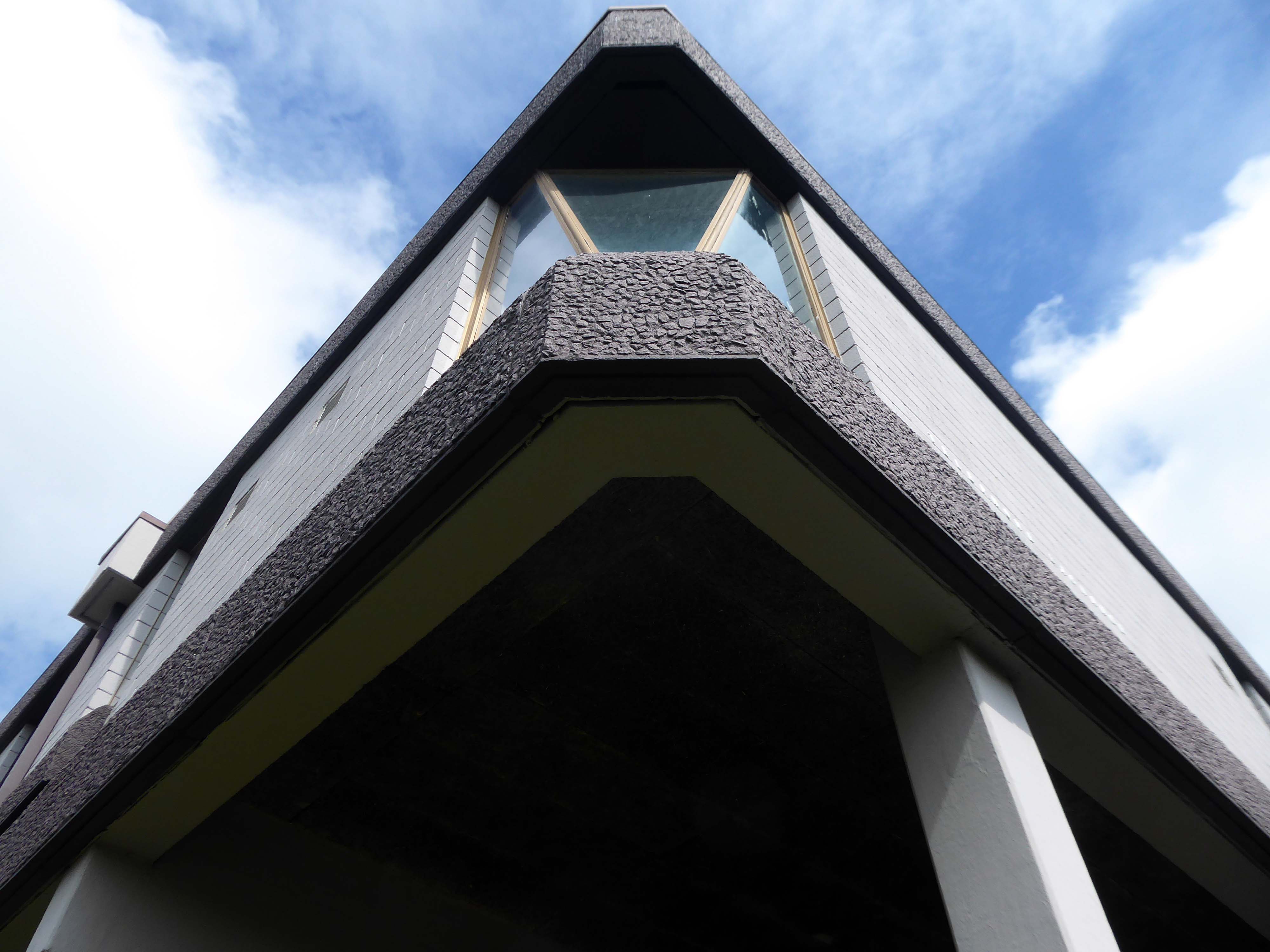
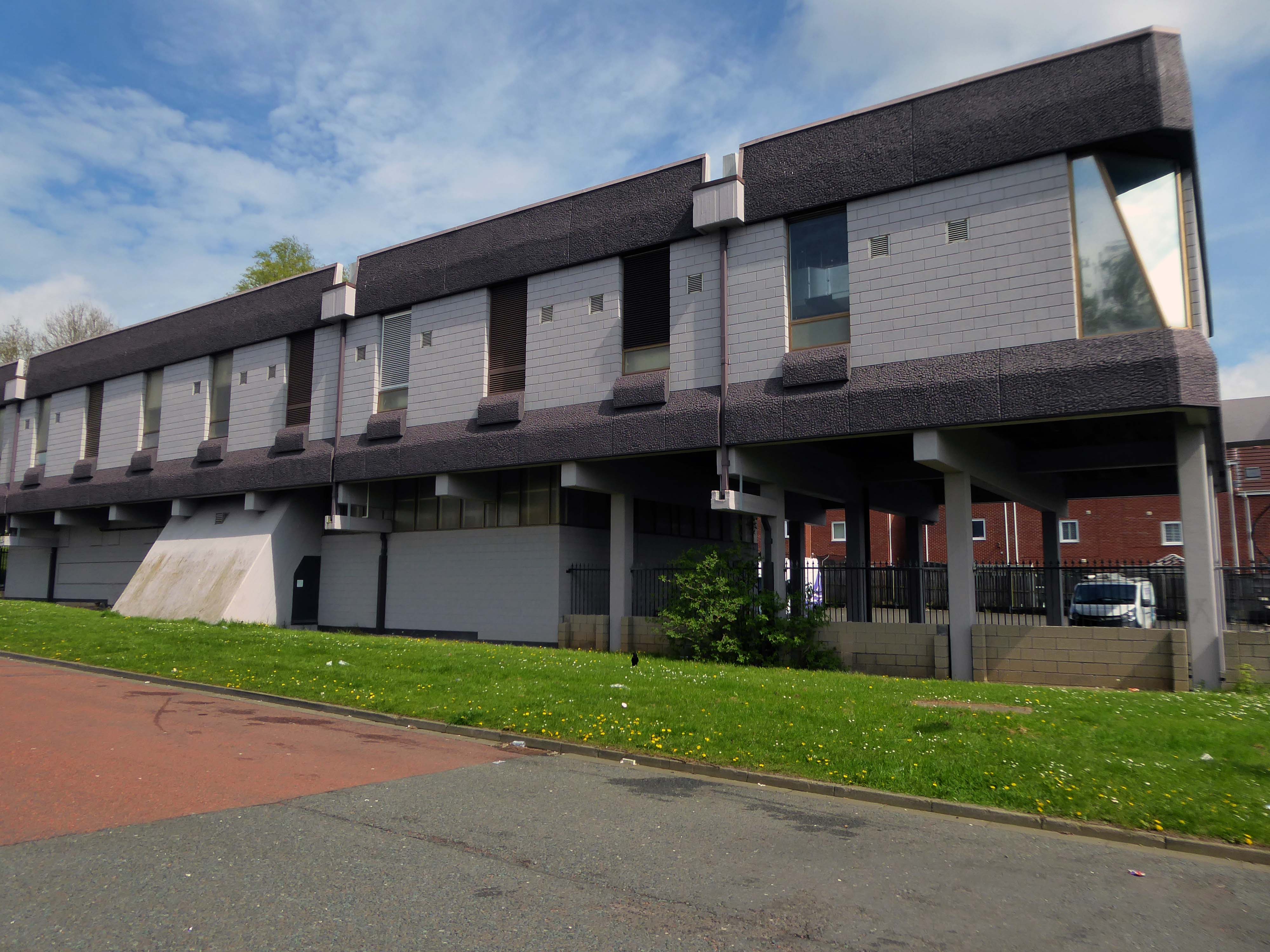
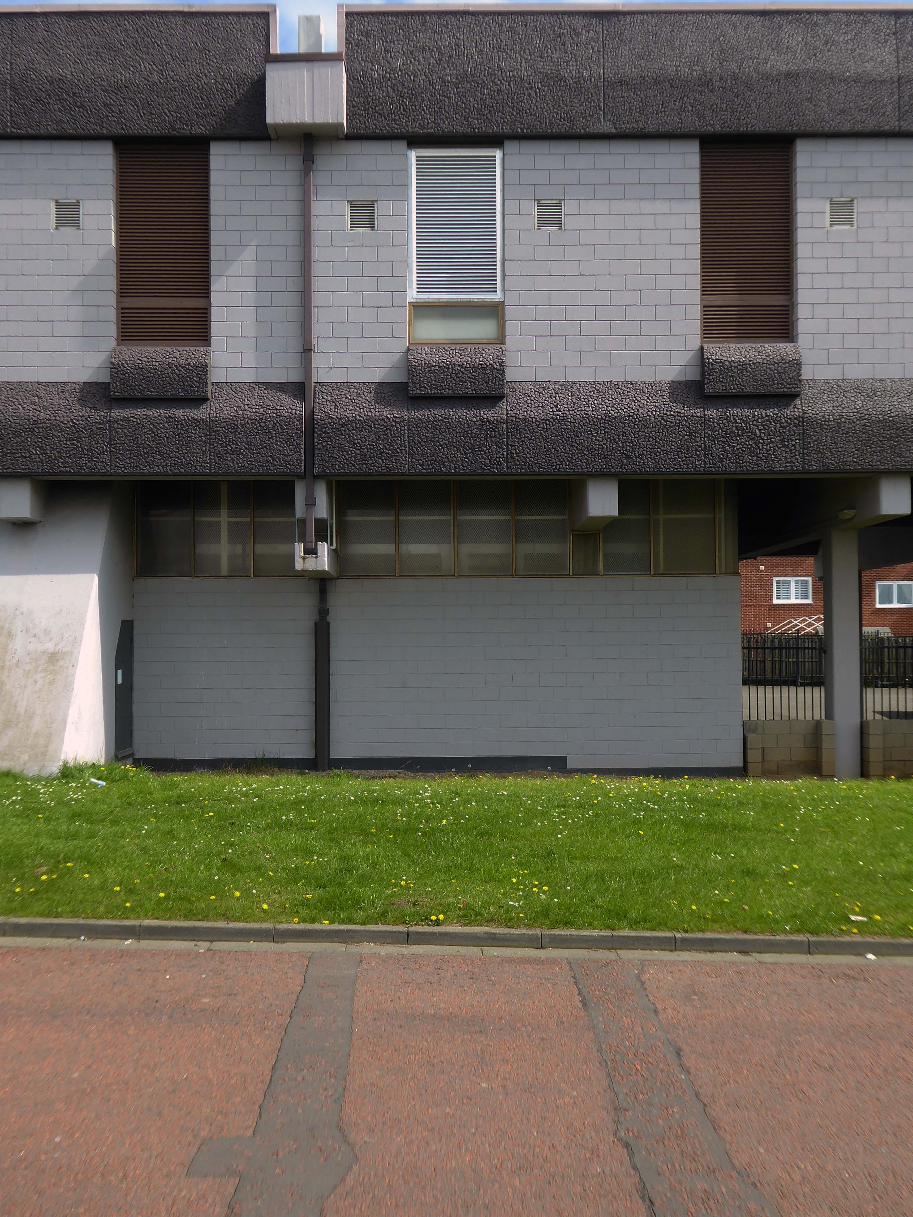
Electricity substation. 1968 to designs by consulting architects Jefferson, Sheard and Partners, Sheffield, led by Bryan Jefferson, in association with the Regional Civil Engineers’ Department of the CEGB North East Region. Contractors, Longden & Sons Ltd, Sheffield. Reinforced concrete frame with board-marked finish with formwork bolt marks, construction and daywork joints emphasised, concrete floor slabs, blue engineering facing bricks, cladding panels of Cornish granite aggregate.
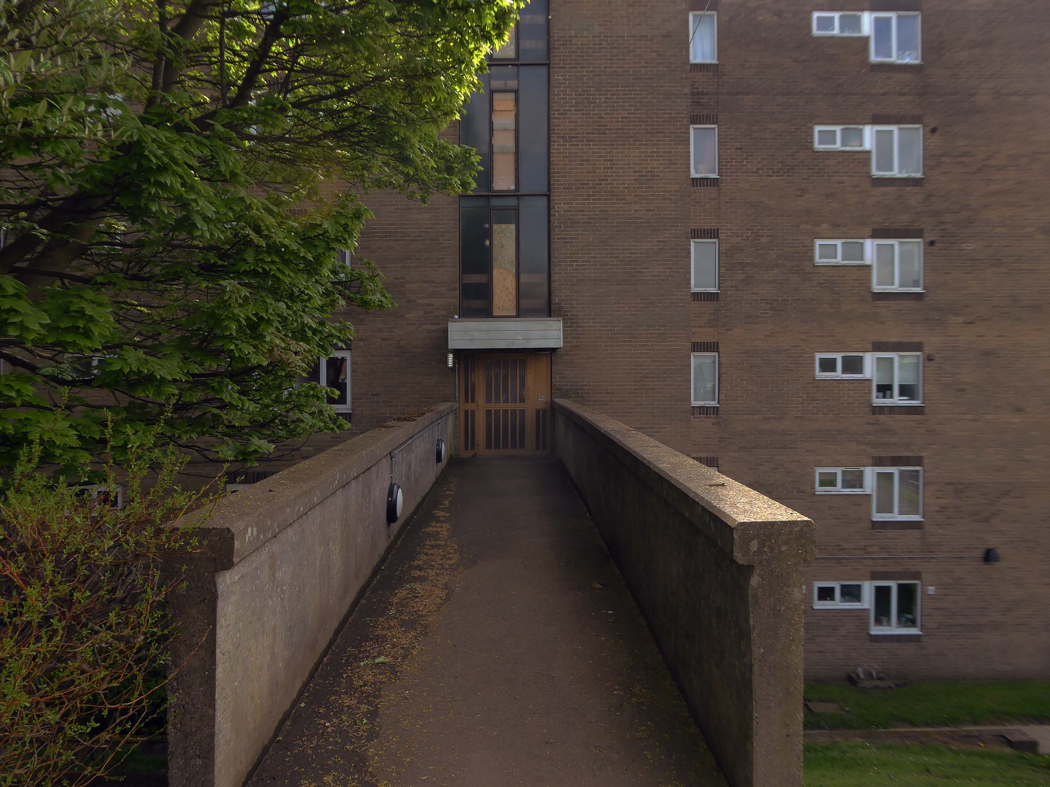
The good folk at Sensoria and The Black Dog staged My Brutal Life inside the building – using the void created by the non-expansion of expanded demand for electricity.
The exhibition features work byBill Stephenson, Mick Jones, Mandy Payne, Martin Dust, Scott Amoeba, Richard Davis, Jen Orpin, Alun Cocks, Human Studio, Sean Madner, Helen Angell and The Black Dog.
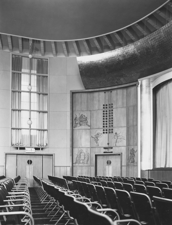
Like many of the original Odeon Theatres built by Oscar Deutsch, the site chosen was a little out of the main town centre – where land prices were cheaper, and the Odeon Morecambe is a good example of this. It is located at the corner of Euston Road and Thornton Road in this Lancashire seaside town. The Odeon was opened on 2nd September 1937 with Sandy Powell in “It’s a Grand Old World”. It had seating provided for 1,084 in the stalls and 476 in the circle.
Taken over by the Classic Cinemas chain in December 1967, it was re-named Classic Cinema, and was closed on 28th February 1976 with Kenneth Williams in “Carry On Behind”.
The stunning Moderne style exterior much of which including the projectionists walkway is now much deteriorated.
Next to the Police Station another Roger Booth building – recently seen on the small screen in The Bay.
Backtracking to take in the Crescent Café entrance.
Which became Hart’s Restaurant now trading as the Black Thai.
Into the town centre to look at the former Centenary HouseCo-op 1927.
Bought by the city council as part of the West-End Masterplan, the intention is to refurbish the building’s upper floors to provide affordable housing and accommodation for local arts businesses, retaining the Co-op late shop that occupies one-half of the ground floor.
Let’s take a look along the front – where we find a former Woolworths.
Along with other stores from the same period.
Alongside sits the former Littlewoods.
By 1939 there were 24 stores. A number of these were purpose-built for Littlewoods to designs by J S Quilter & Son. John Salmon Quilter – 1841-1907 was, in fact, long dead, but his architectural practice had been continued by his son Cecil Molyneux Quilter – 1879-1951. Quilter specialised in commercial architecture, notably public houses. He designed a new Blackpool store for Littlewoods, on the corner of Church Street and Corporation Street, which was faced in Empire stone. He also designed a store in Chester, and may have been responsible for the one in Morecambe. This faience-clad art deco building is the best surviving example of a pre-war Littlewoods store – indeed, it may be the best surviving Littlewoods of all time – even preserving diamond L motifs on the entrance lobby floors. These clearly copied Woolworth’s diamond W.
Finally to the Midland Hotel 1932-3 by Oliver Hill
Concrete and rendered brickwork, painted white. Curved plan, with convex side facing west towards the sea. Three storeys. Windows are steel-framed casements with rendered surrounds. Above each storey are projecting horizontal bands. The entrance front has a rounded left-hand corner, and a convex central staircase projection rising above roof level. This projection has a tall window of steel casements above the doorway, divided into three by mullions, both of which are capped by sea horses, painted red, which were carved by Eric Gill. Projecting at the right is a single-storey cafe of circular plan, now known as the Ravilious Restaurant. The west side has a single-storey projecting sun lounge, which is an addition, its windows replaced in PVC-coated steel. Between the solid centre and ends of the facade the 1st and 2nd floors have their walls recessed to form balconies.
Interior: above the cantilevered circular open-well staircase is a ceiling panel carved in low relief by Eric Gill and painted by Denis Tegetmeier. They were also responsible for the pictorial map of north-west England in what was originally the children’s room at the south end of the building. Also in this room is Eric Gill’s Portland stone panel, originally in the lounge, carved in low relief with a representation of Odysseus and Nausicaa. It was moved to its present position when internal walls were demolished during the 1970s. The cafe walls were originally painted with frescoes by Eric Ravilious, representing morning and evening in an idyllic seascape setting. These deteriorated rapidly because the plaster and paint used were incompatible and were obliterated within 2 years of completion, but were repainted in the late 1980s using photographic evidence.
The Super Swimming Stadium at Morecambe, Lancashire, was one of the grandest of the 1930s modernist seaside lidos. This massive structure measuring 396ft. by 110ft. was said to be the largest outdoor pool in Europe when it opened in 1936, accommodating some 1200 bathers and 3000 spectators. Unusually for an inter-war lido, it was designed not in-house by a Borough Engineer but by two architects, Kenneth MB Cross and Cecil Sutton, who styled it to harmonise with the Streamline Moderne of Oliver Hill’s adjacent Midland Hotel.
The stadium was closed down in 1975 on grounds of structural problems and demolished just a year later.
Tyne Mill is one of a trio of mills designed by Oscar Faber for Spillers Ltd – the others are in Cardiff and Avonmouth and led to subsequent commissions from the company. Spillers began with a single mill in Bridgwater in around 1833, and during the 20th centruy had mills all over Britain.
Spillers operations were flour milling and manufacturing animal feeds, and they came to Newcastle in 1896. Grinding grain to flour produces both heat and fine dust a combination guaranteed to be a fire hazard. The fire retardant properties of reinforced concrete, and its relative cost effectiveness, made it a popular choice for mills and other industrial buildings.
Construction took place during the winter and a warming plant heated the concrete constituents before and after mixing, to control the setting time which governs how soon the slip-form shuttering can be moved to the next lift. The concrete was usually kept at 15.6 deg C, though this could be varied to speed or delay setting times.
The mill building has the actual mill above a warehouse area. Its footprint is 88.4m by 27.4m with 12 storeys and a maximum height of 51.2m. It has reinforced concrete columns and beams, but timber floors of 100mm thick Columbian pine with a 25mm thick maple strip finish. The walls are of 280mm thick brickwork with flashing on each floor to drain the cavity.
When completed, Spillers Tyne Mill was the largest flour mill in Europe and apparently the tallest milling building in the world. It could process 254,000 tonnes of grain annually, brought to the mill by ship via Spillers Quay or by rail on the track extension along Quayside.
A goods line down to the Newcastle quayside from Manors Station was agreed in 1845, but not authorized until 28th June 1863 and opened on 1st June 1870.
The Quayside Branch Line closed on 16 June 1969. The railway was in use for ninety-nine years and its eventual demise reflects the changes in the Quayside and Ouseburn themselves from shipping and industrial use to one now of housing and leisure facilities. The northern portal of tunnel 2 was removed when the Metro system was constructed in the late 1970s. The cutting above Lime Street was filled in in 1977 and the tunnel at the quayside bricked up and landscaped over in the 1990s. Only the Red Barns tunnel remains as a metro overrun facility.
24/7, completely free and always spaces! A hidden parking gem of Newcastle! 10 minute walk to Millennium Bridge. Security is almost non-existent but busy enough that trouble should be deterred.
A popular Newcastle car park will be staying locked up overnight in an effort to crack down on boy racers. Council bosses have confirmed plans to permanently close the Spillers car park in Ouseburn at 10pm each night after it was plagued with – significant anti-social behaviour.
The future of the car park is uncertain, with major redevelopment plans having emerged for the area.
While planning permission has expired for the controversial Whey Aye Wheel project, which would have seen Europe’s biggest observation wheel built at Spillers Wharf, there remain proposals to build housing on the riverside plot.
However as of September 2023 a car park is a car park – a car park with embedded remnants of the railway yard, interspersed with rapidly emergent plant life, and crumbling concrete obstacles.
The ingredients list of Wotsits Cheese reveals that cheese and dairy-derived components play a significant role in creating the mouthwatering flavor. The primary ingredients include corn and rapeseed oil, which form the base of the crunchy corn puffs. However, it is the cheese flavoring that truly brings the cheesy goodness to Wotsits cheese.
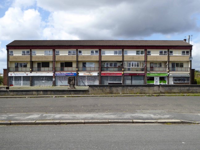
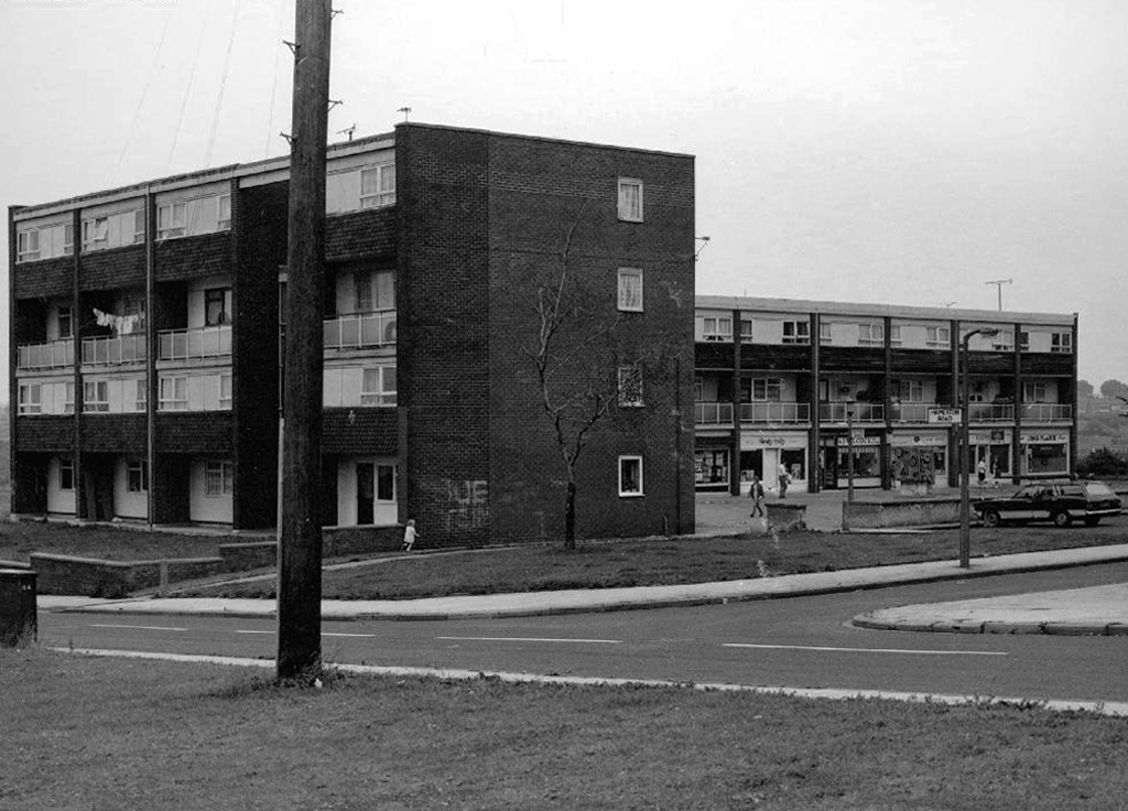
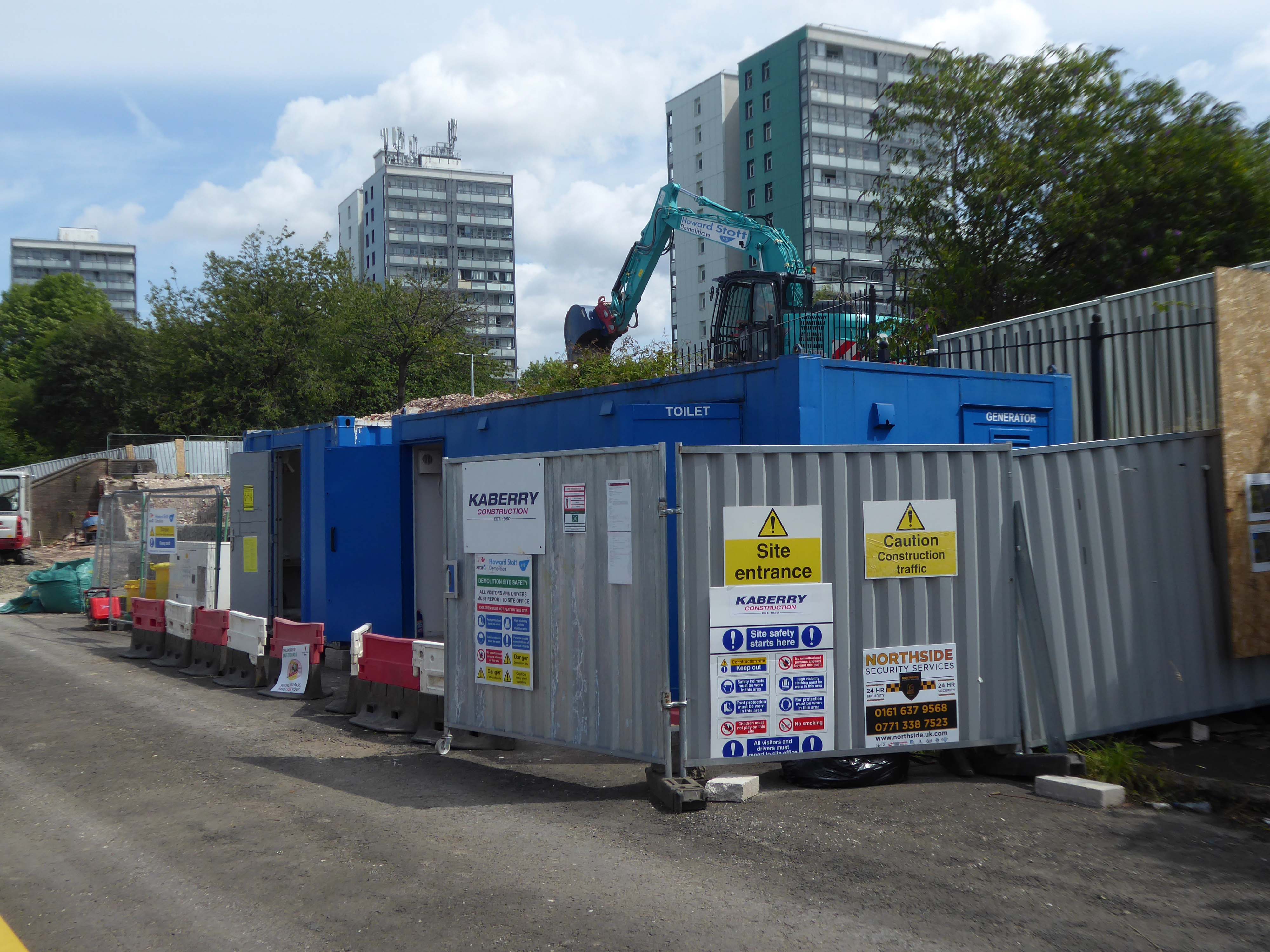
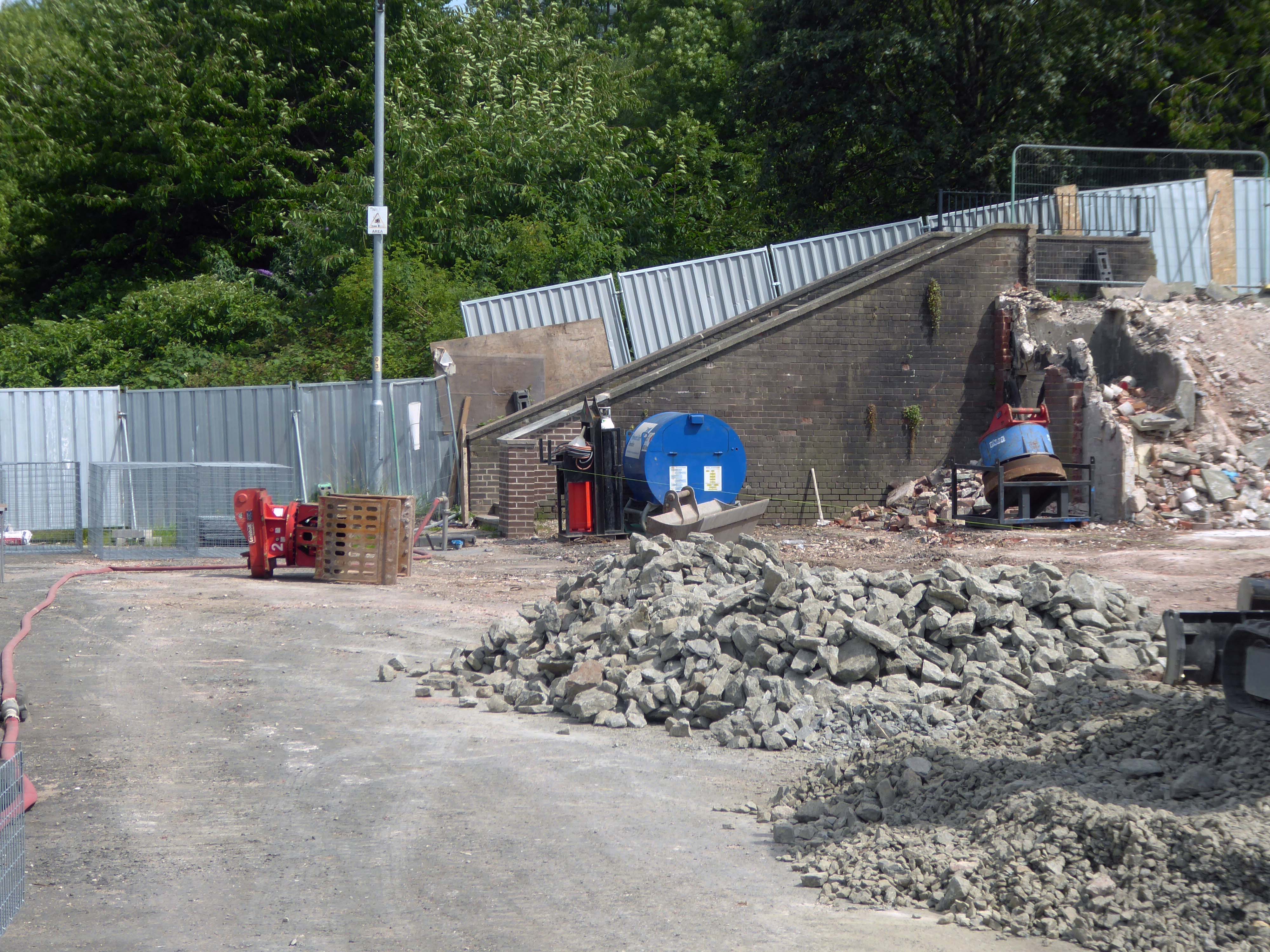
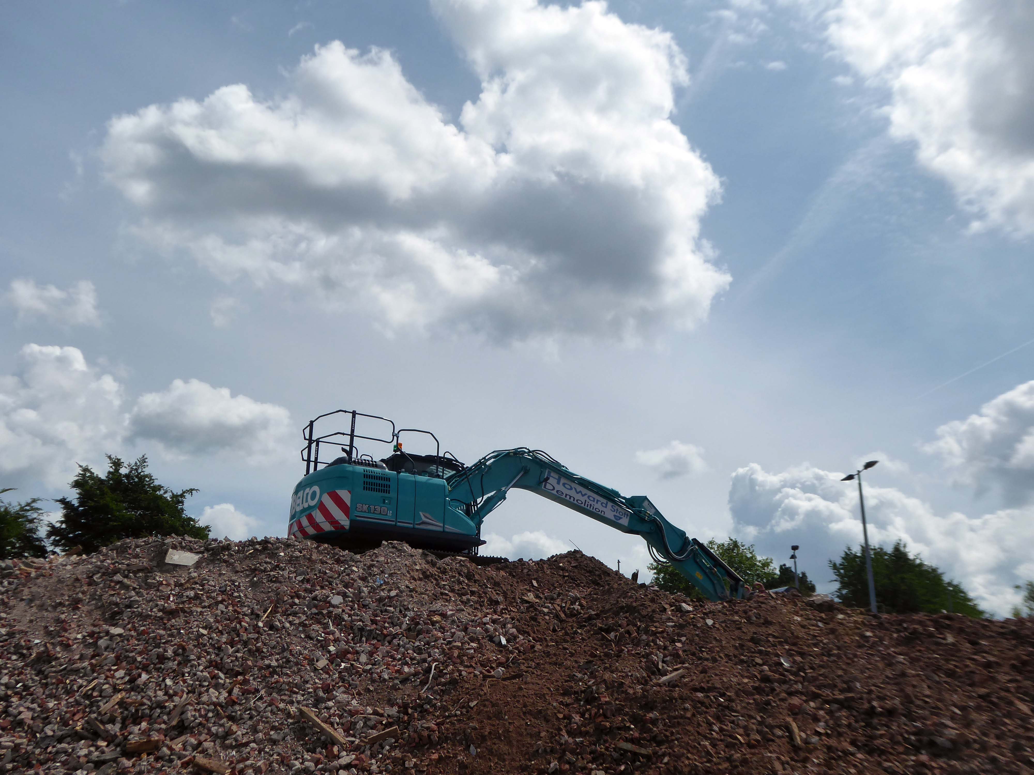
April 2023 and the shops and homes are being prepared for demolition.
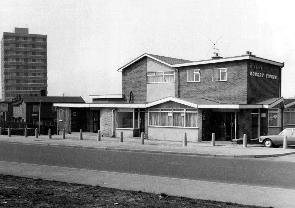
The company responsible for the demolition also dropped the Robert Tinker, on nearby Dalton Street.
While it is not yet clear exactly what will replace the shopping parade, work has already started nearby on other projects within the scheme. The first phase of development in Collyhurst will see 274 new homes built in the area.
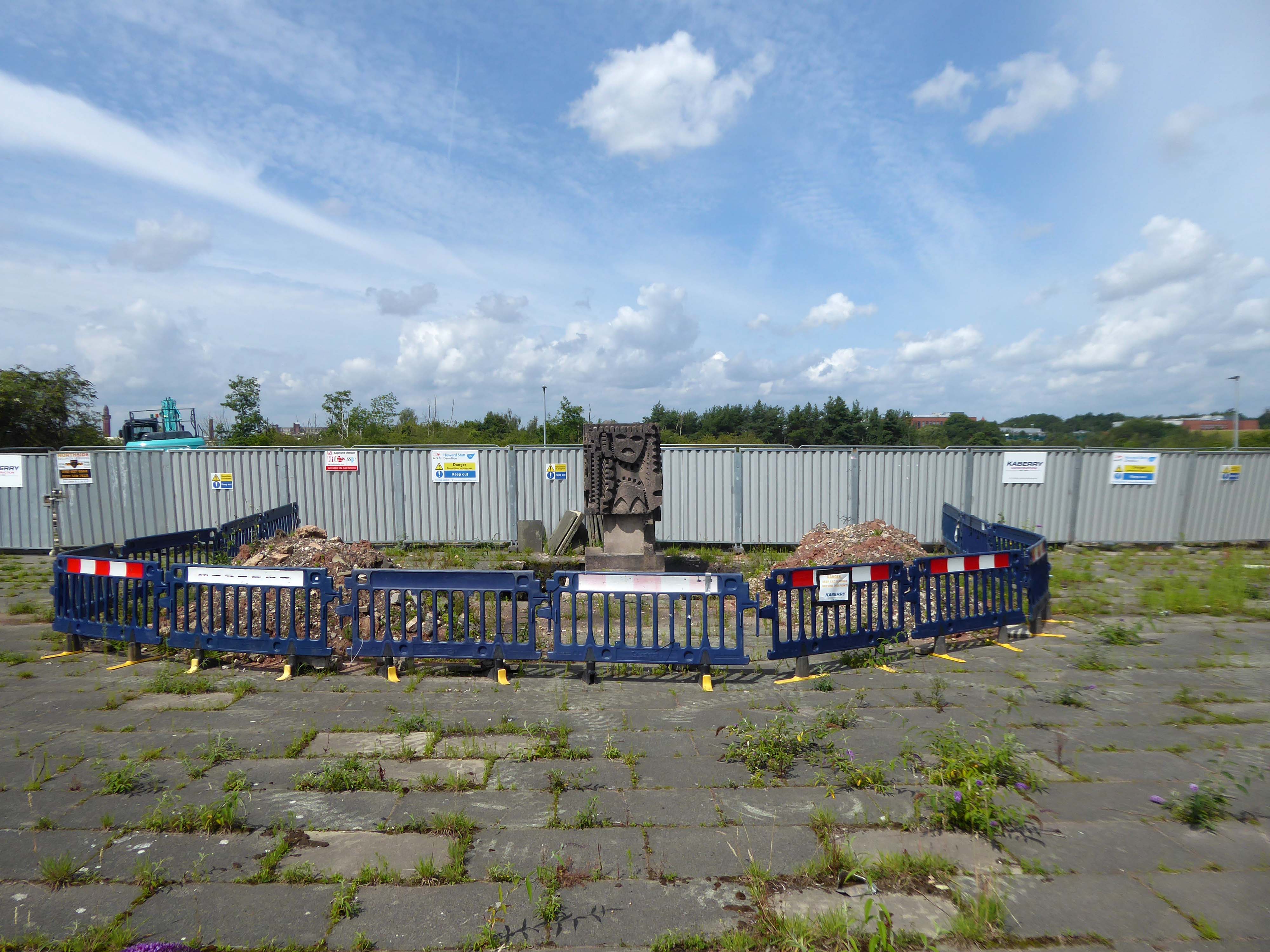
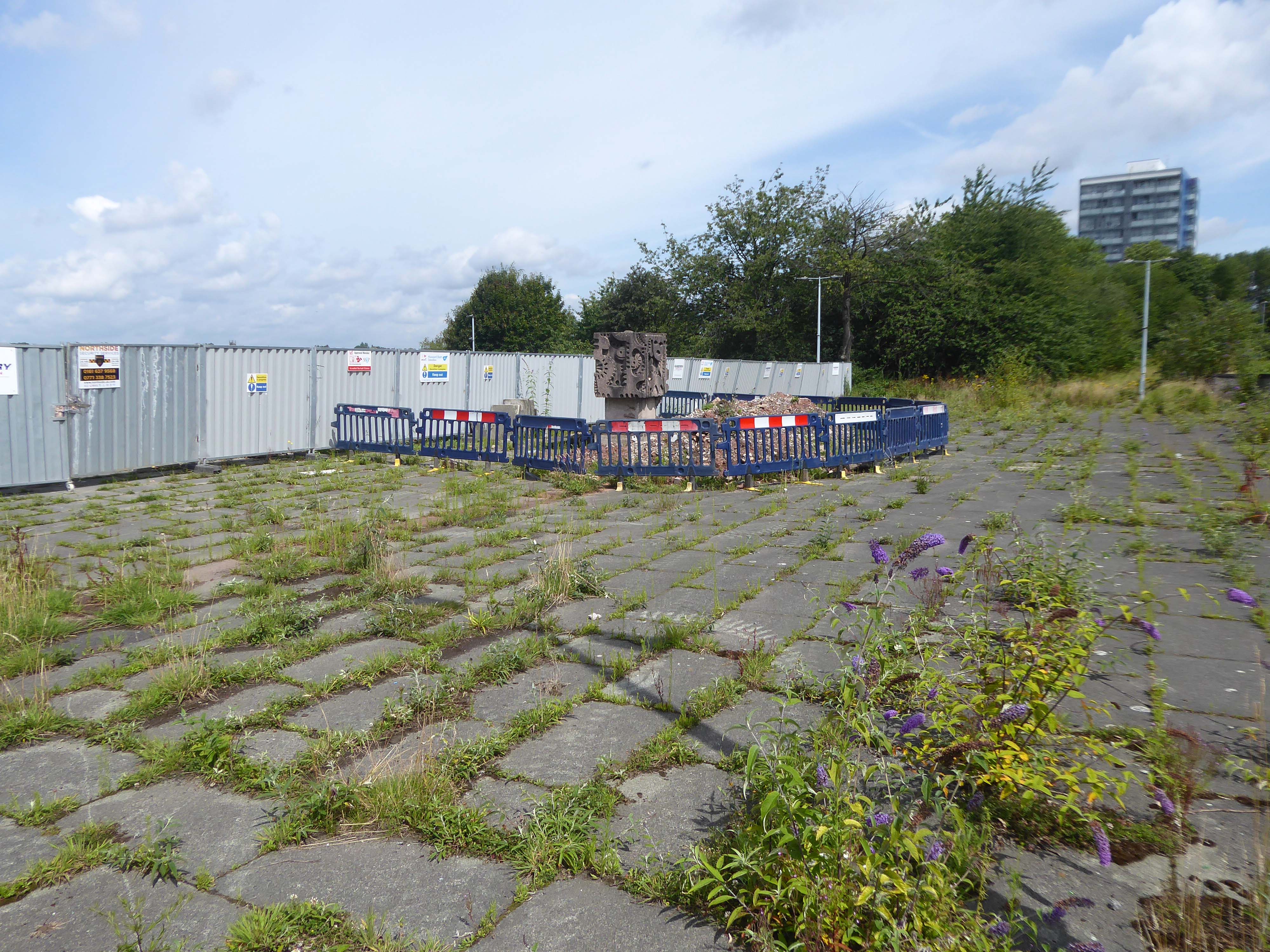
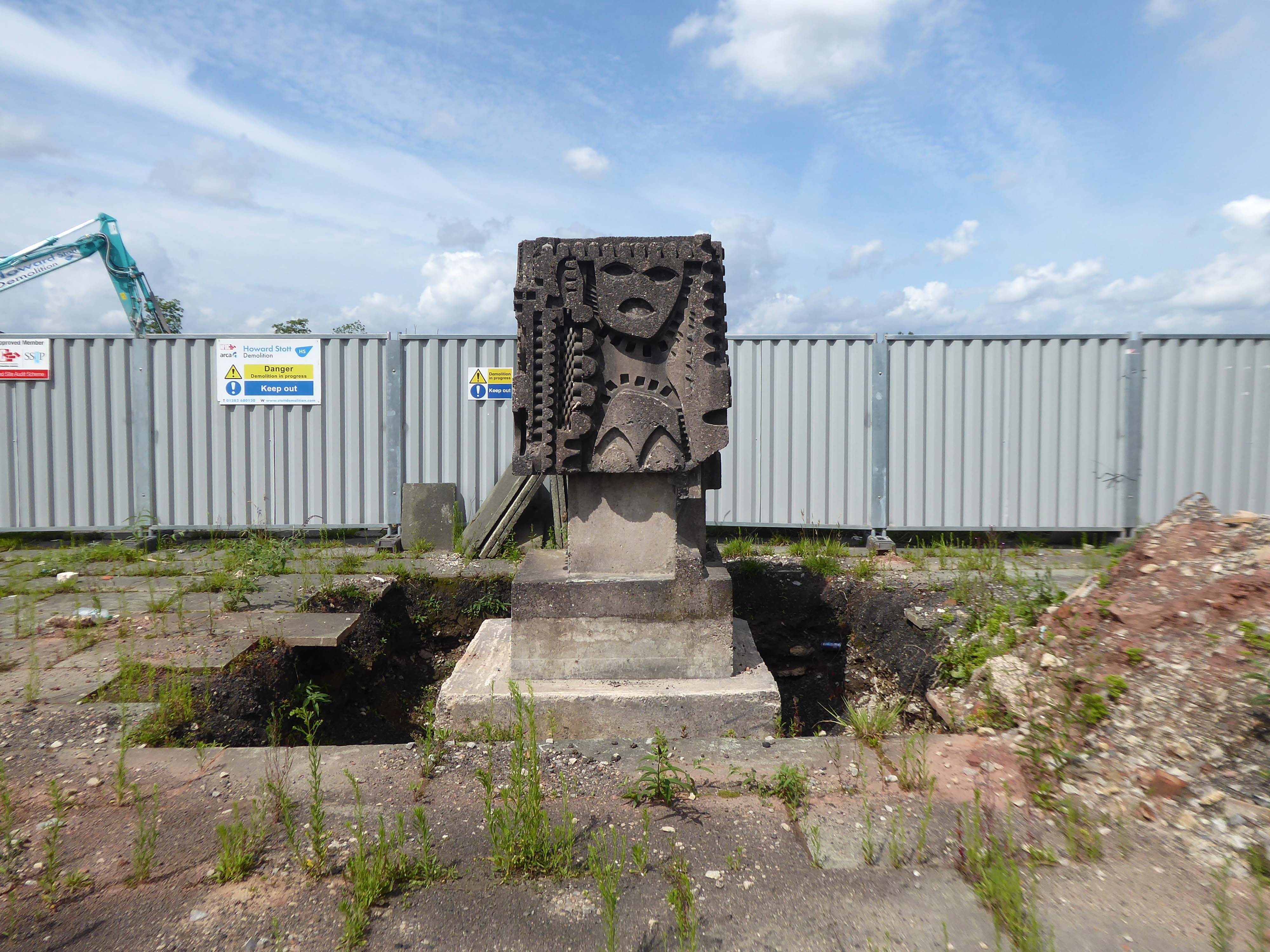
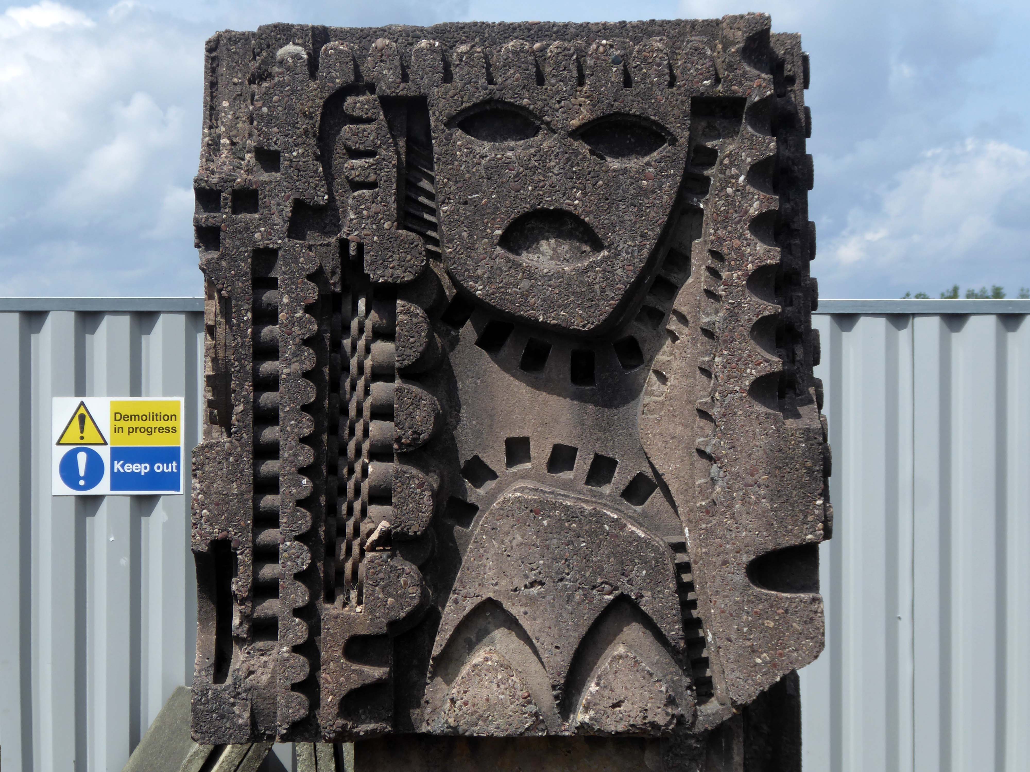
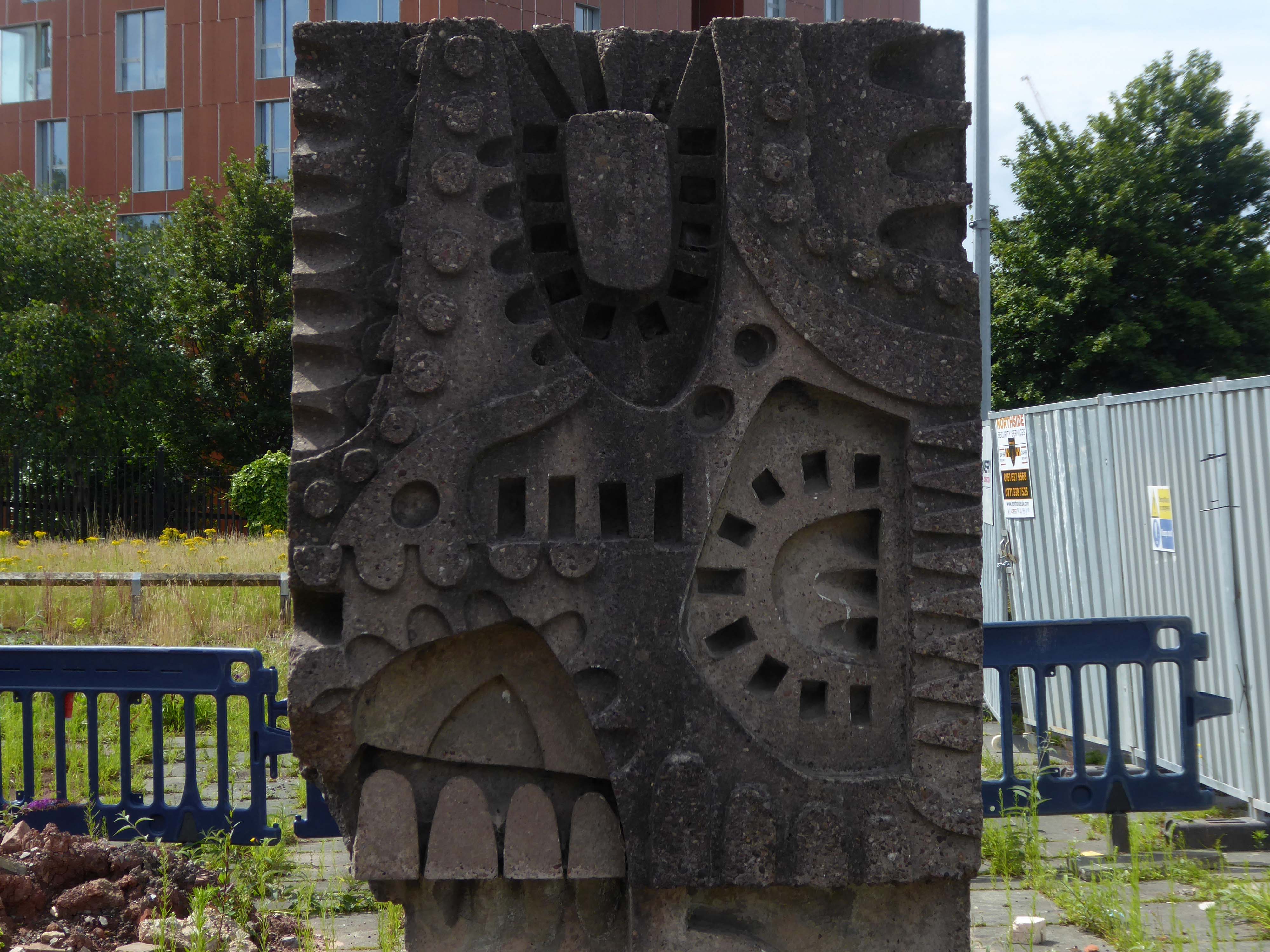
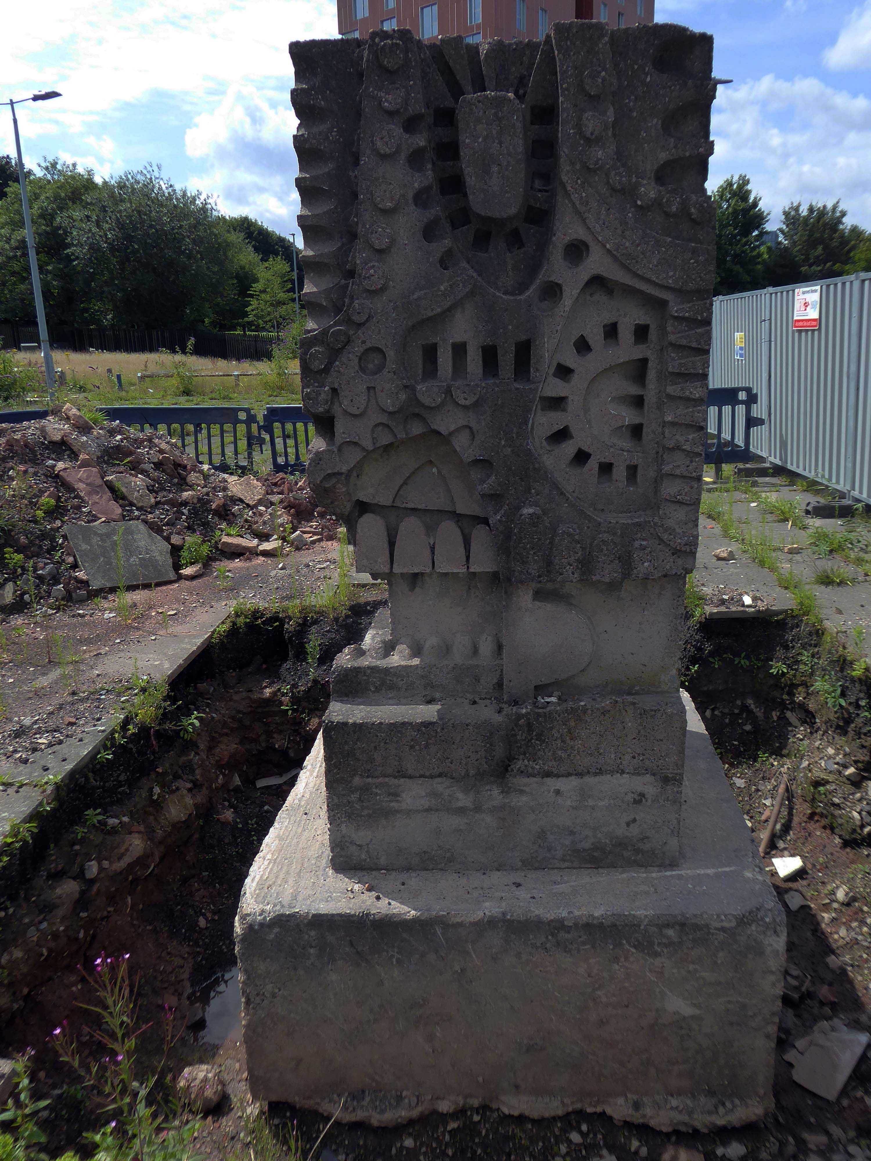
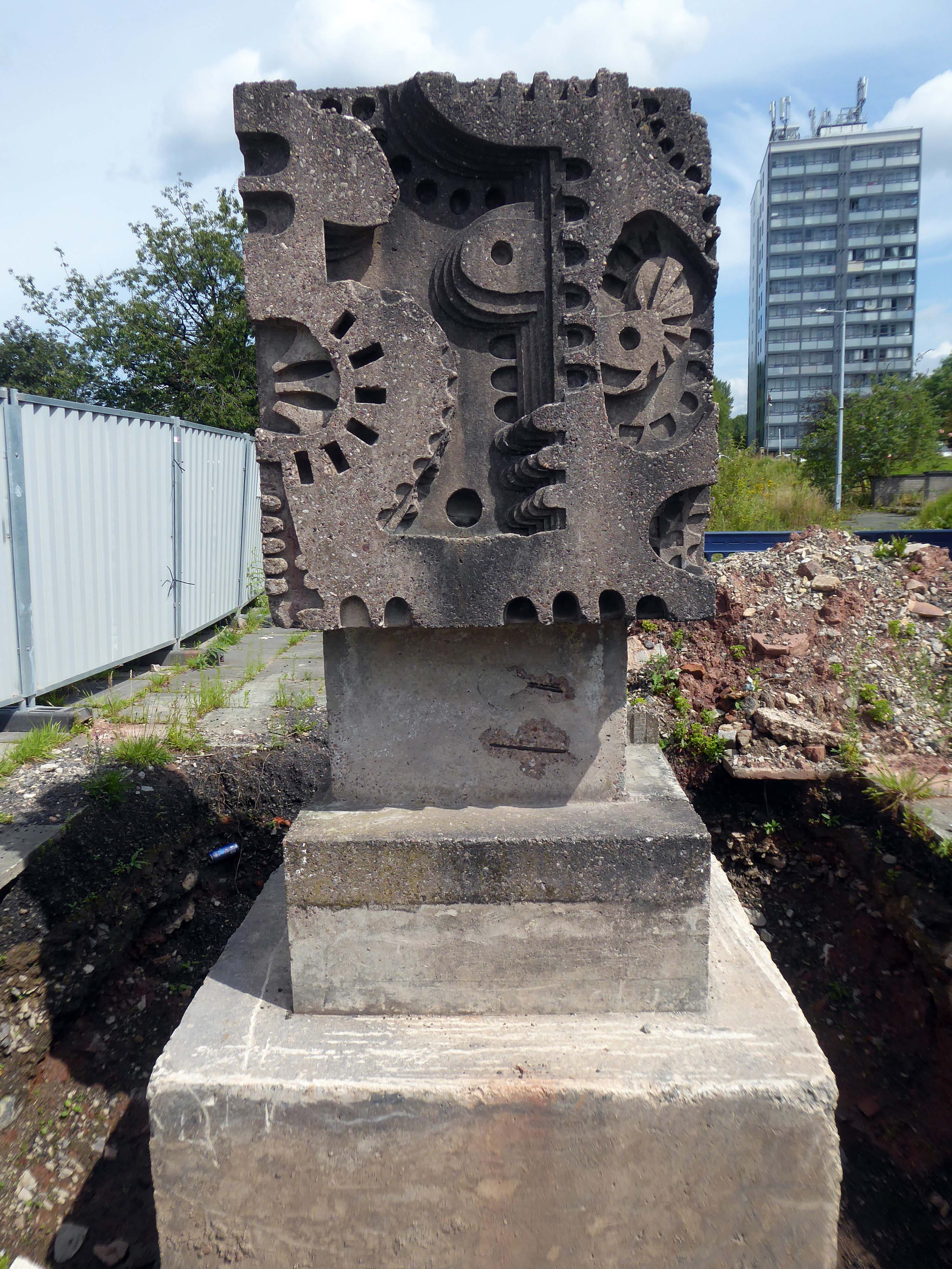
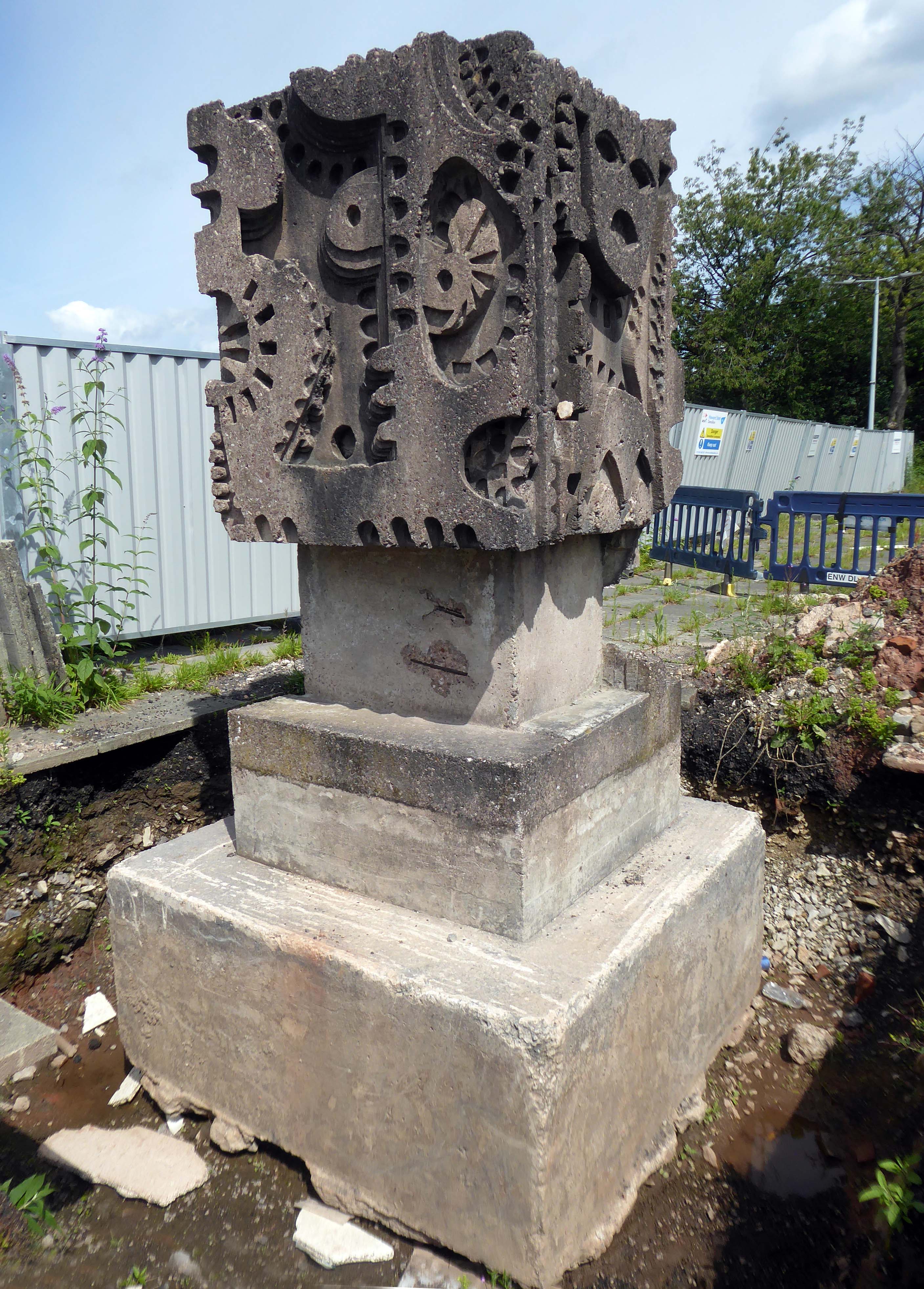
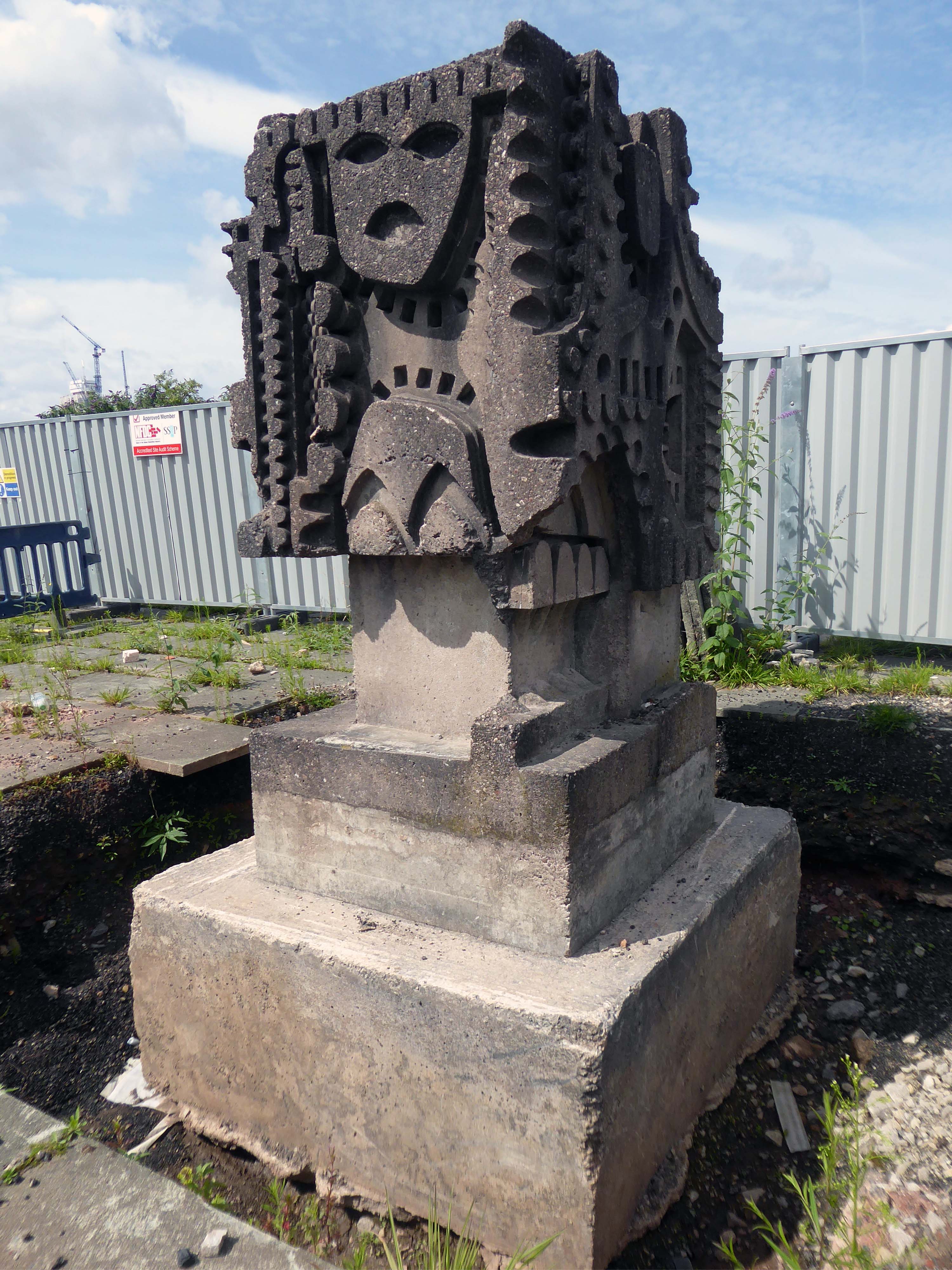
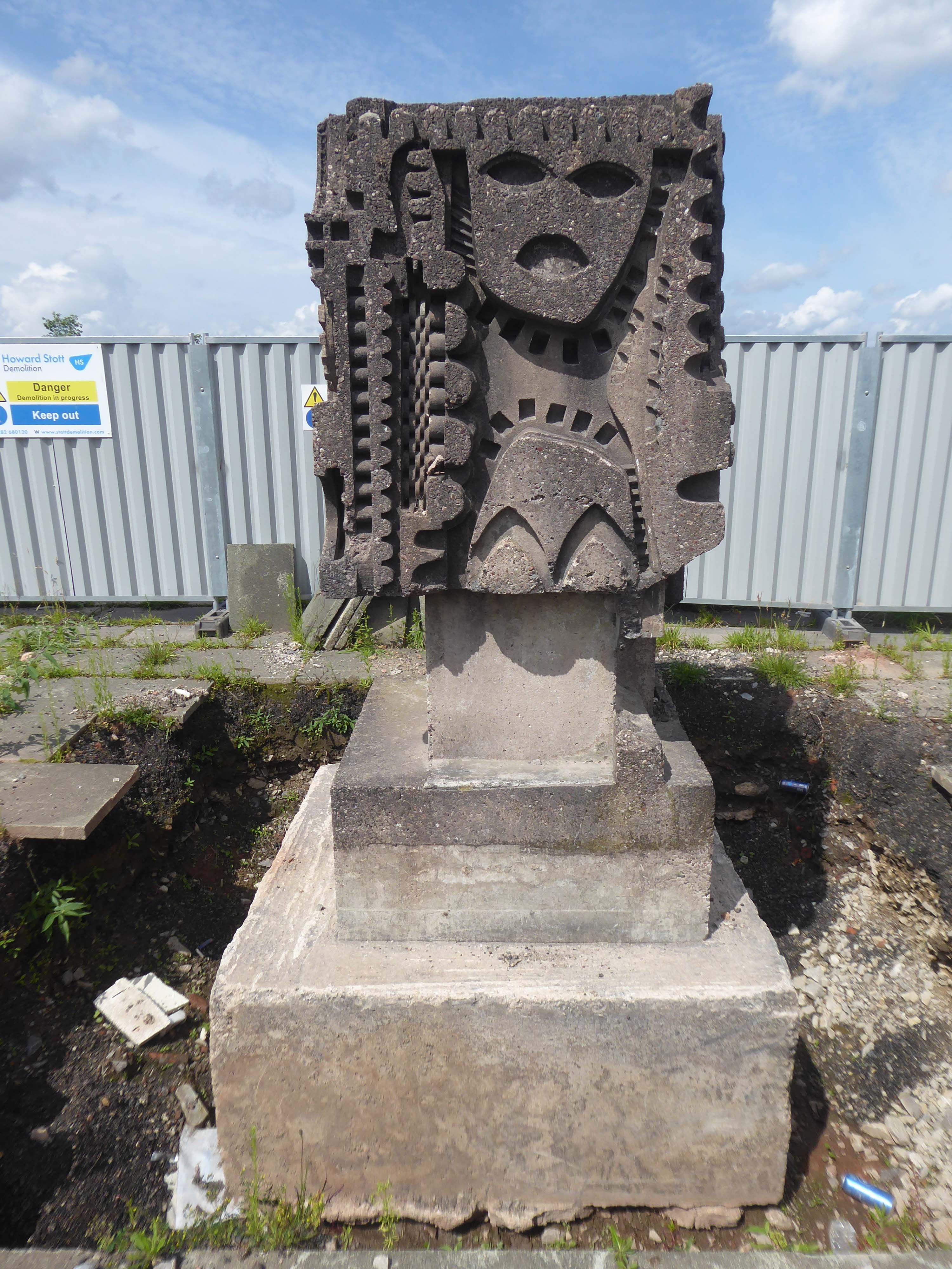
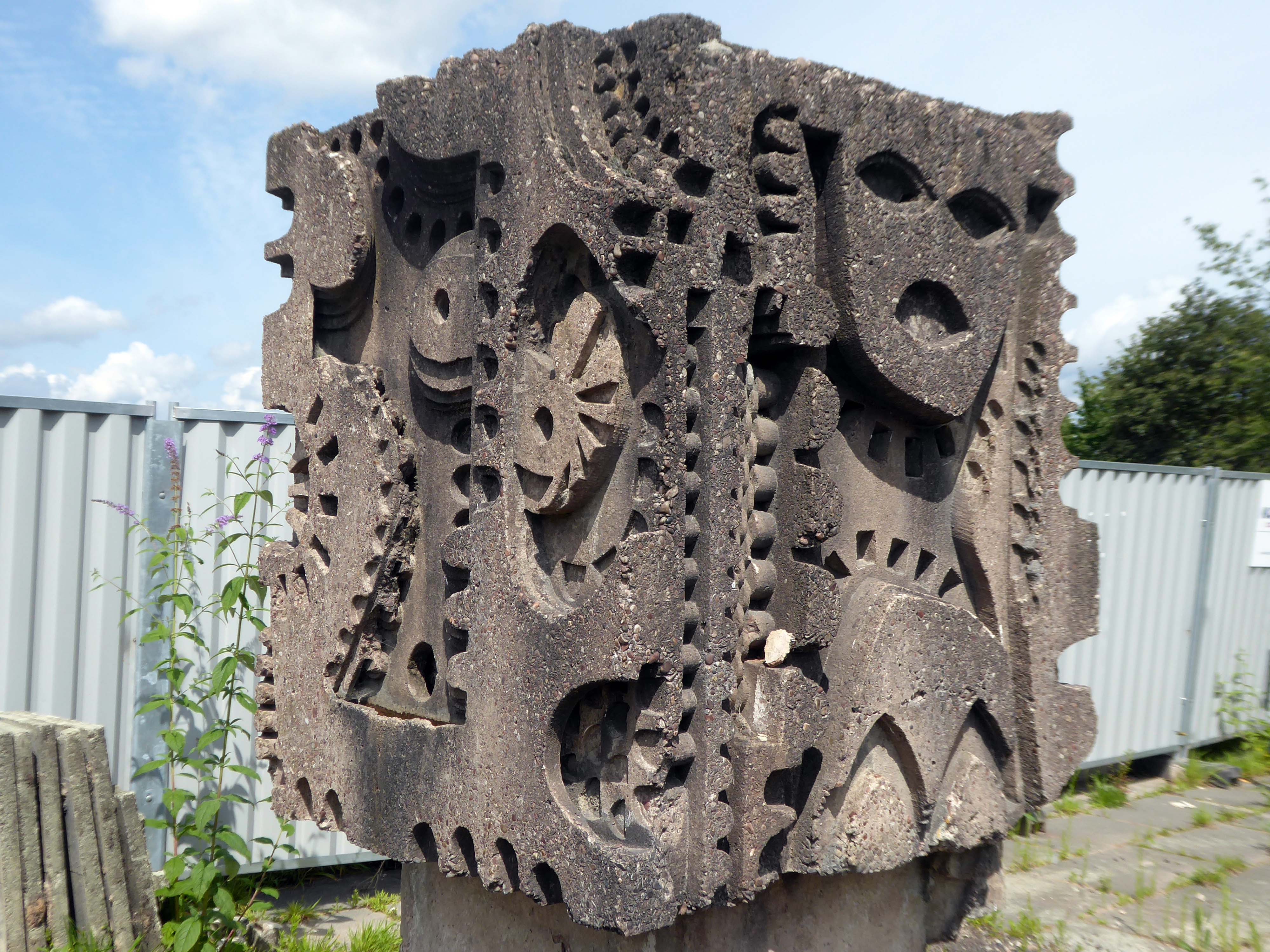
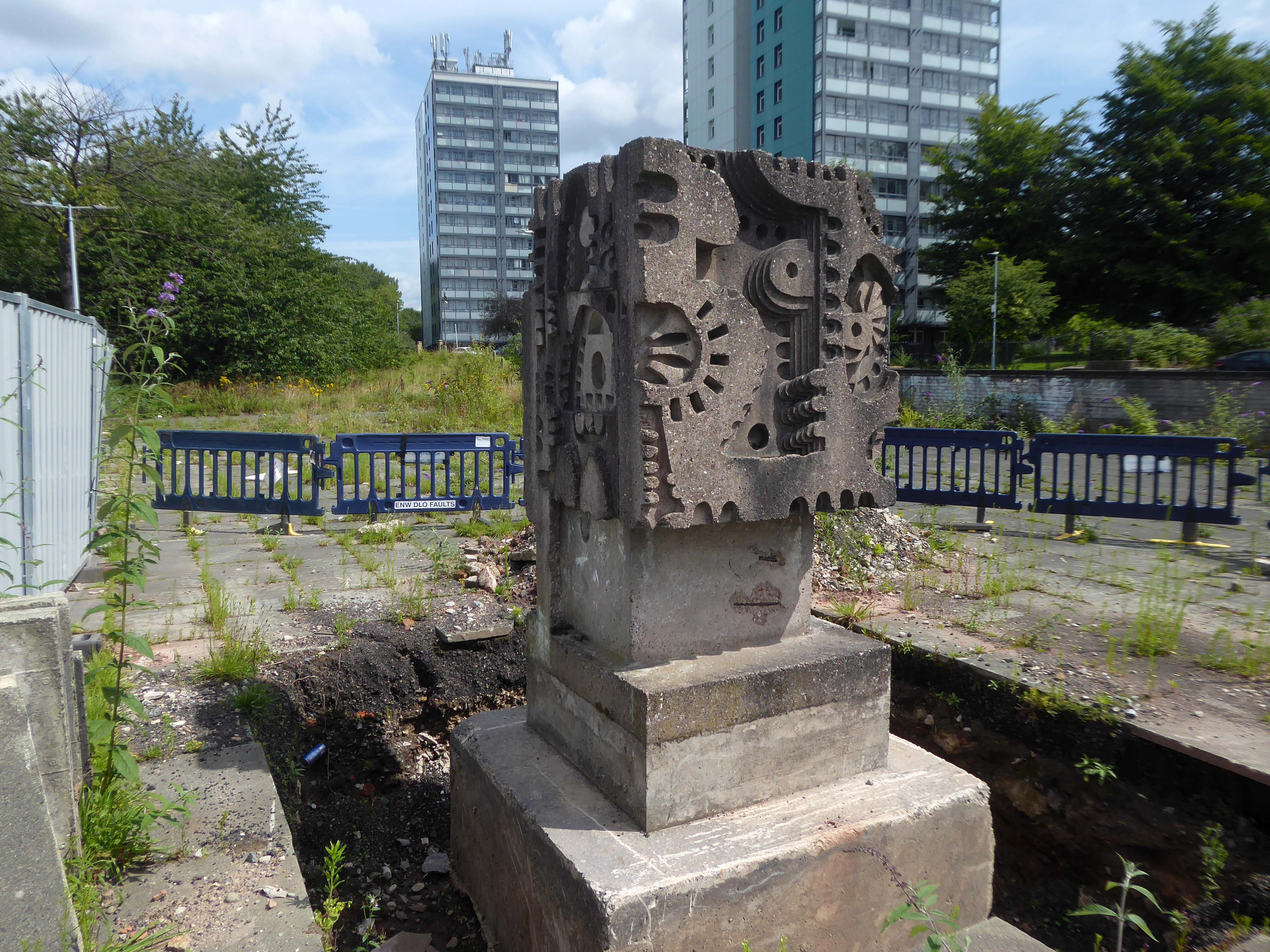
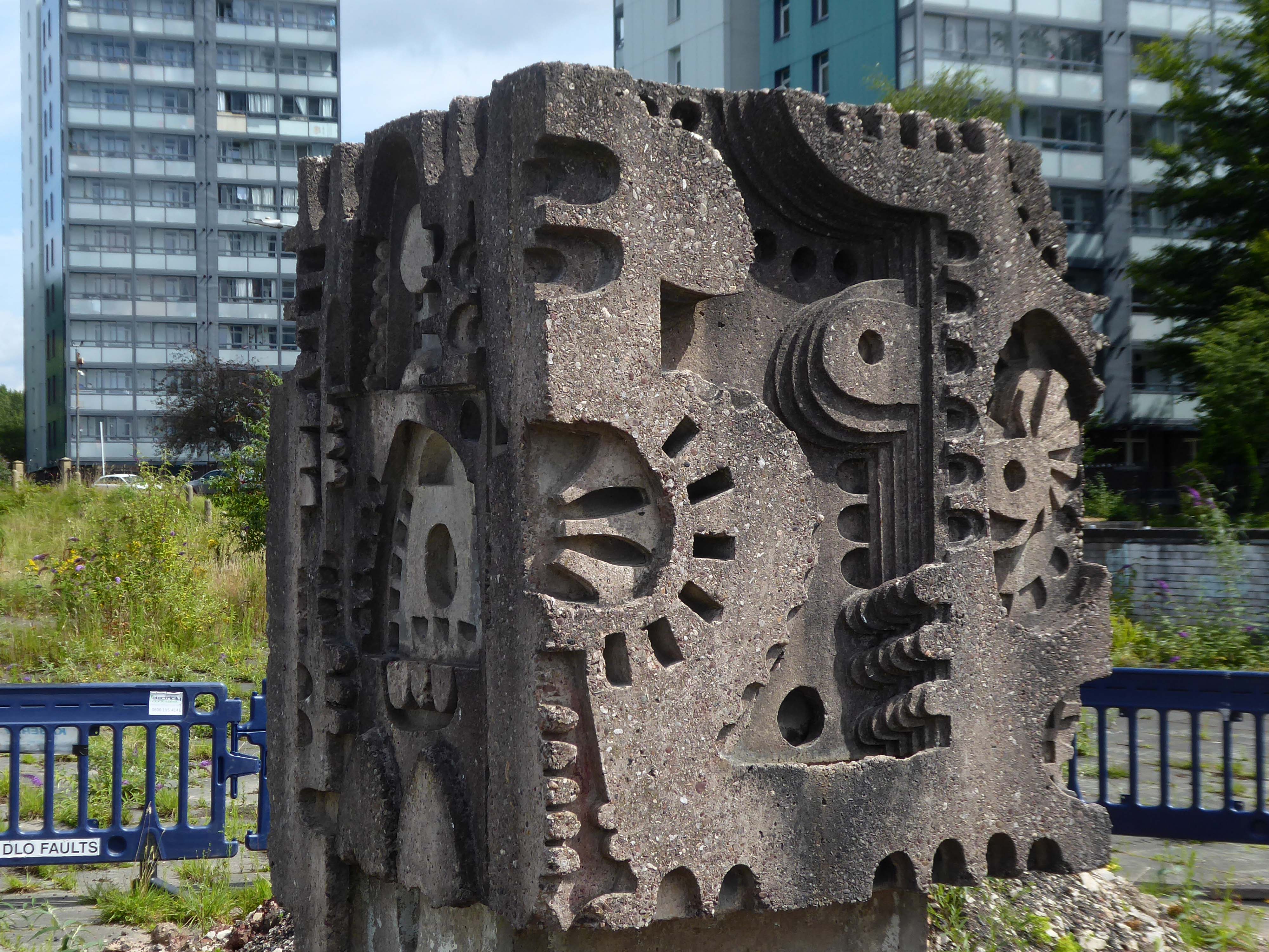
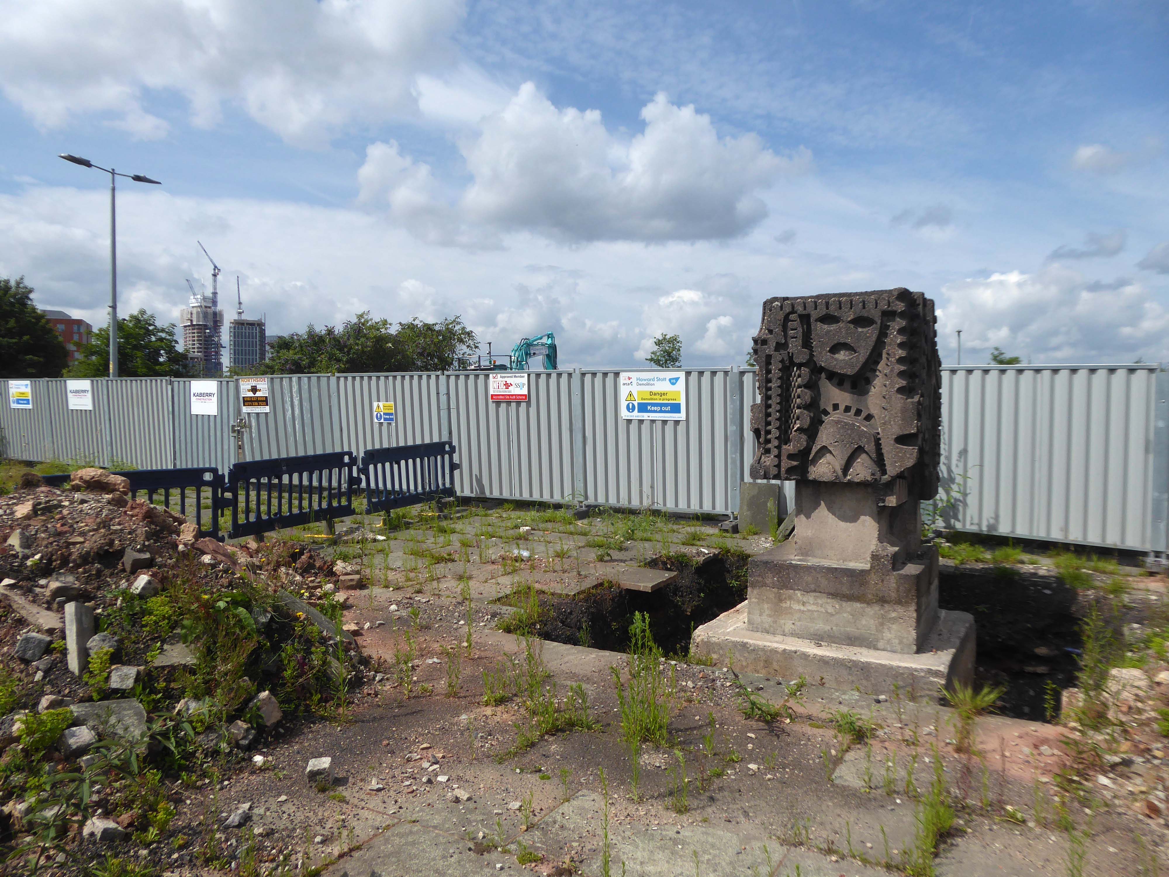
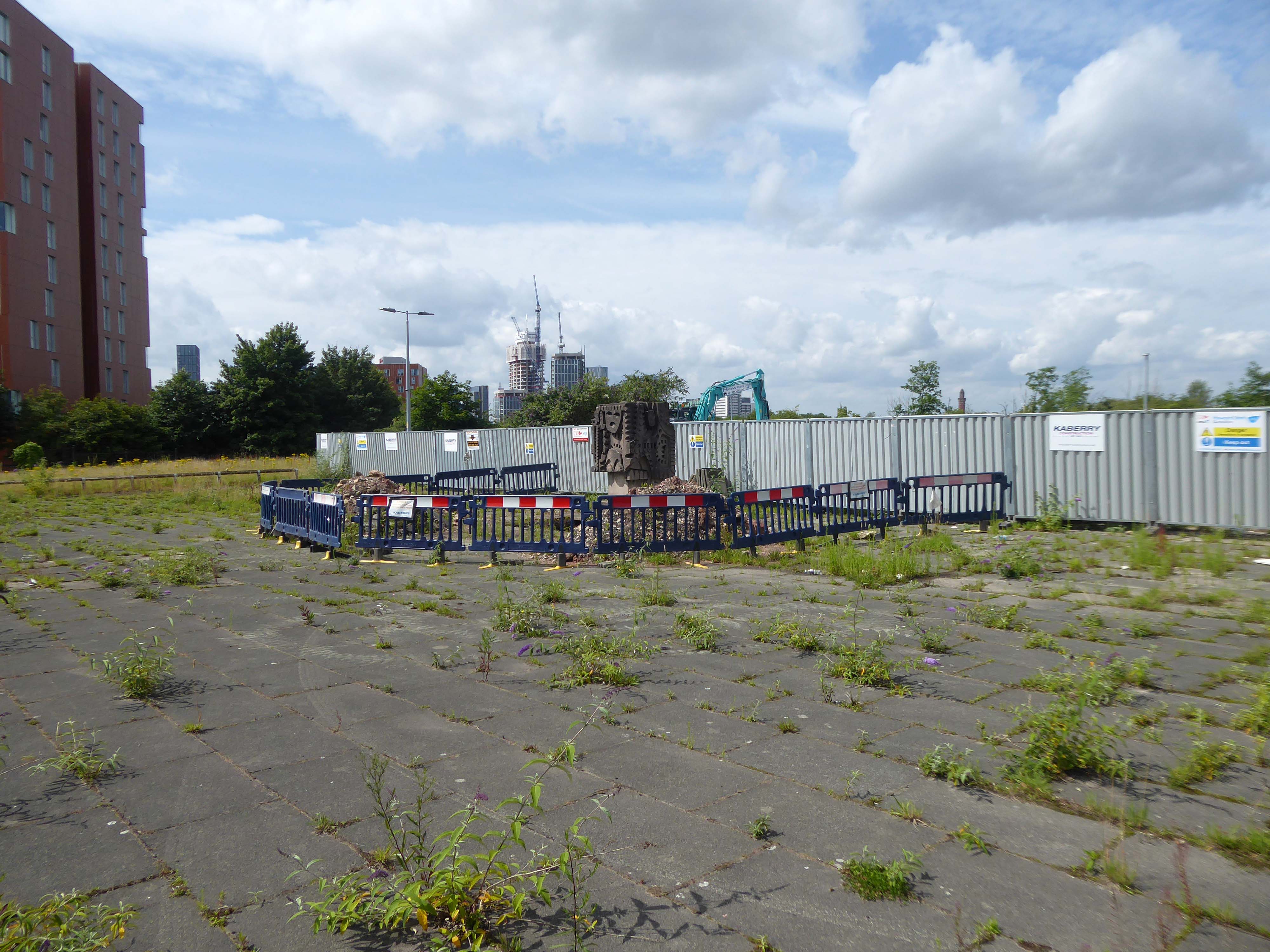
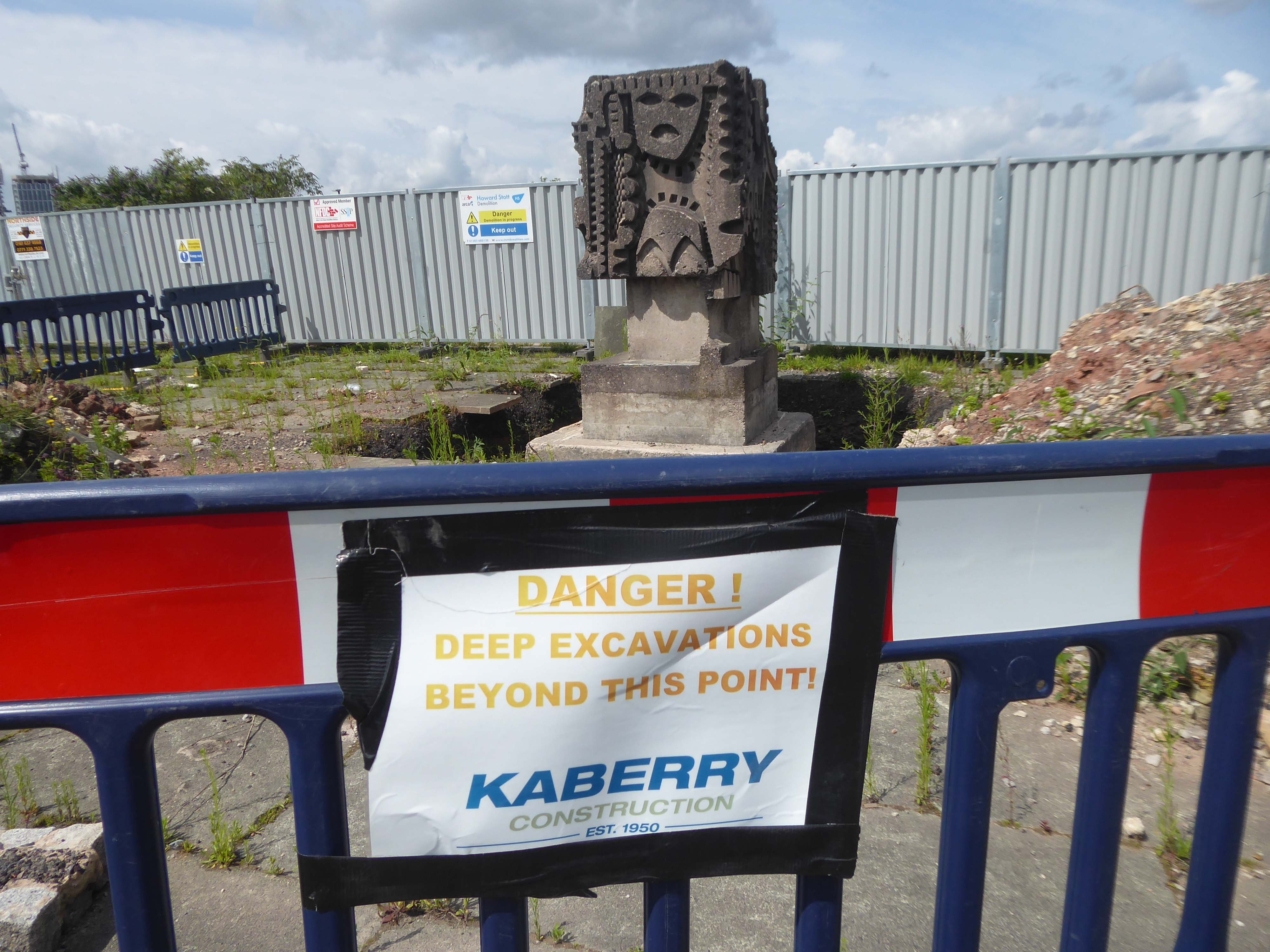
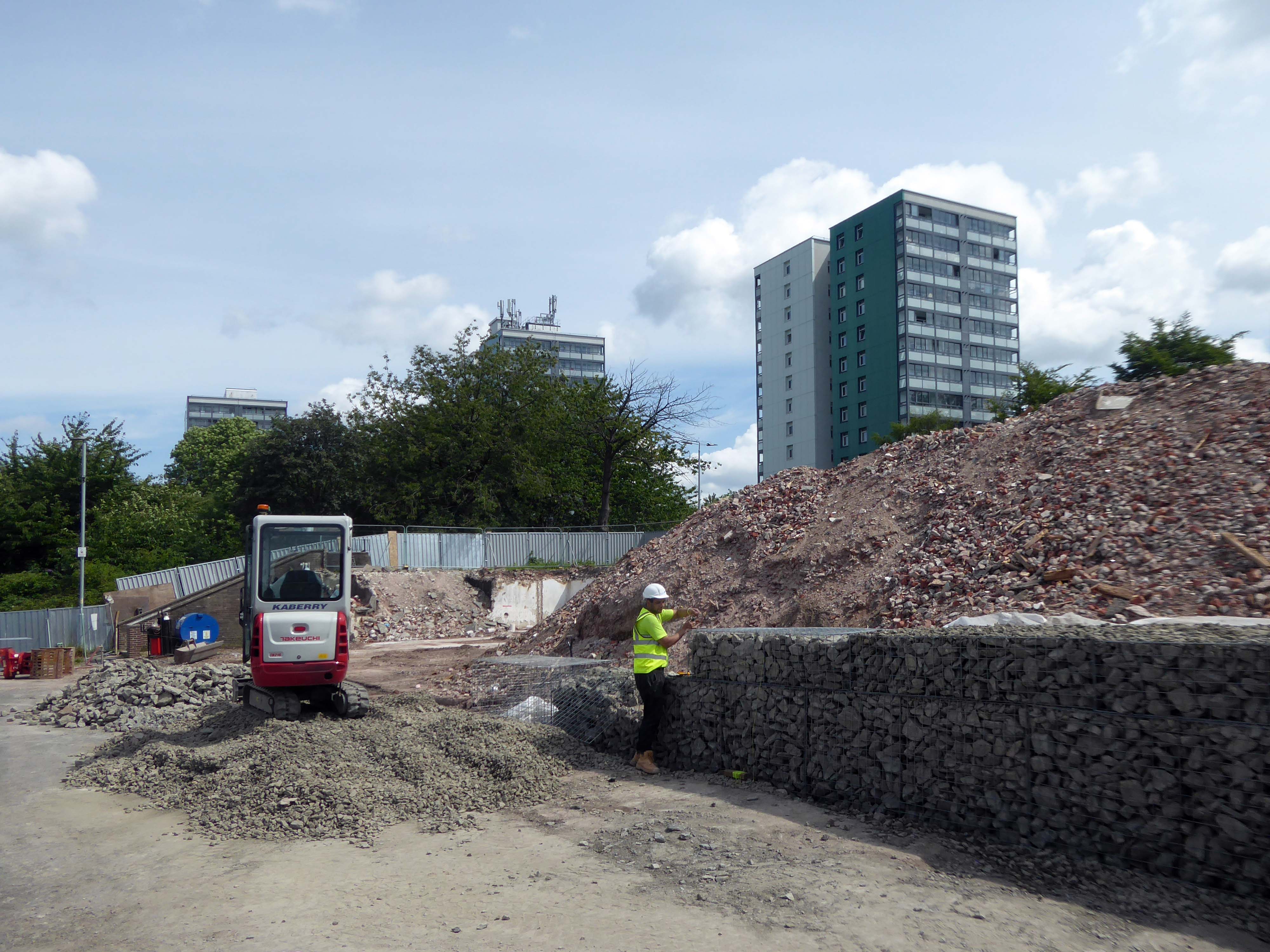
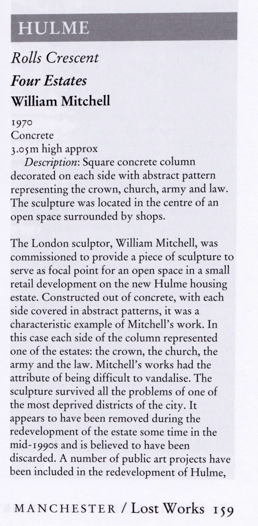
The council has pledged to reinstate the William Mitchell totem nearby.
However the weight of the concrete sculpture and its base have presented unforeseen challenges.
Siting a crane above the Victorian rail tunnel is an issue, as is the cost, a quote for £100,000 was deemed excessive. So stasis is the order the day – the immovable object awaits an unstoppable force.
The sculpture is one of four around Manchester – the Hulme exemplar is long gone.
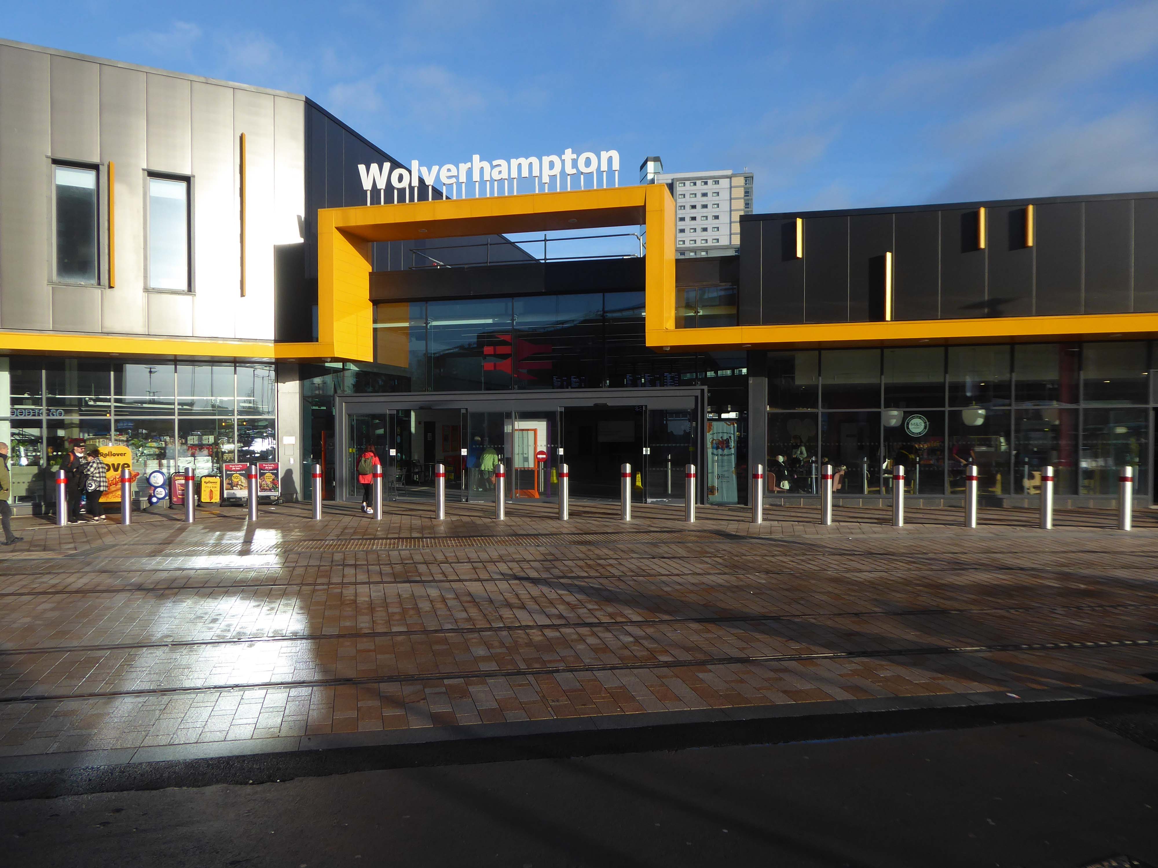
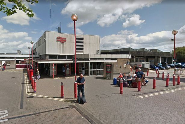
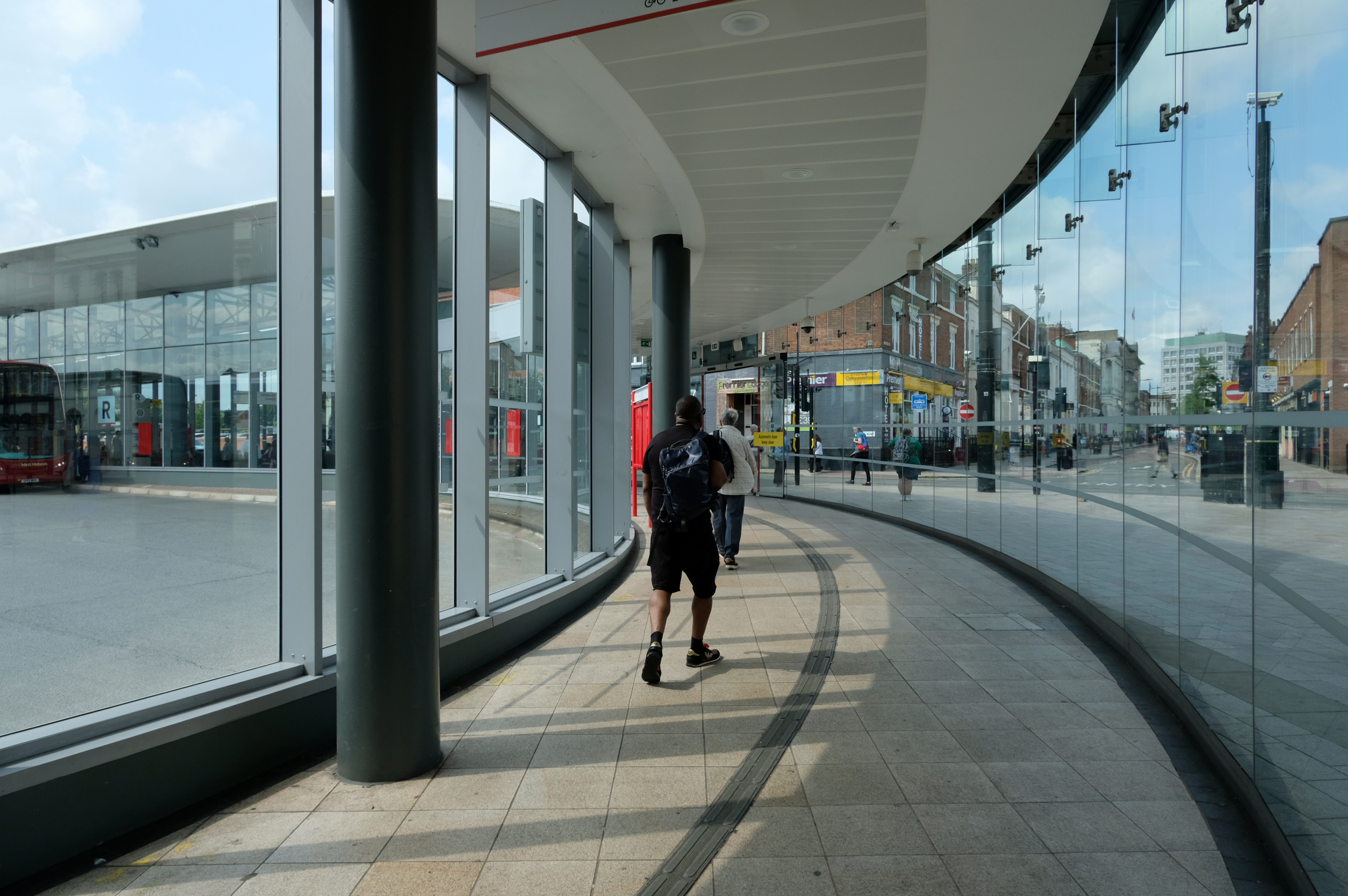
We begin at the Railway Station – recently refurbished, overwriting its 60s iteration – completely rebuilt by the architect Ray Moorcroft as part of the modernisation programme which saw the West Coast Main Line electrified.
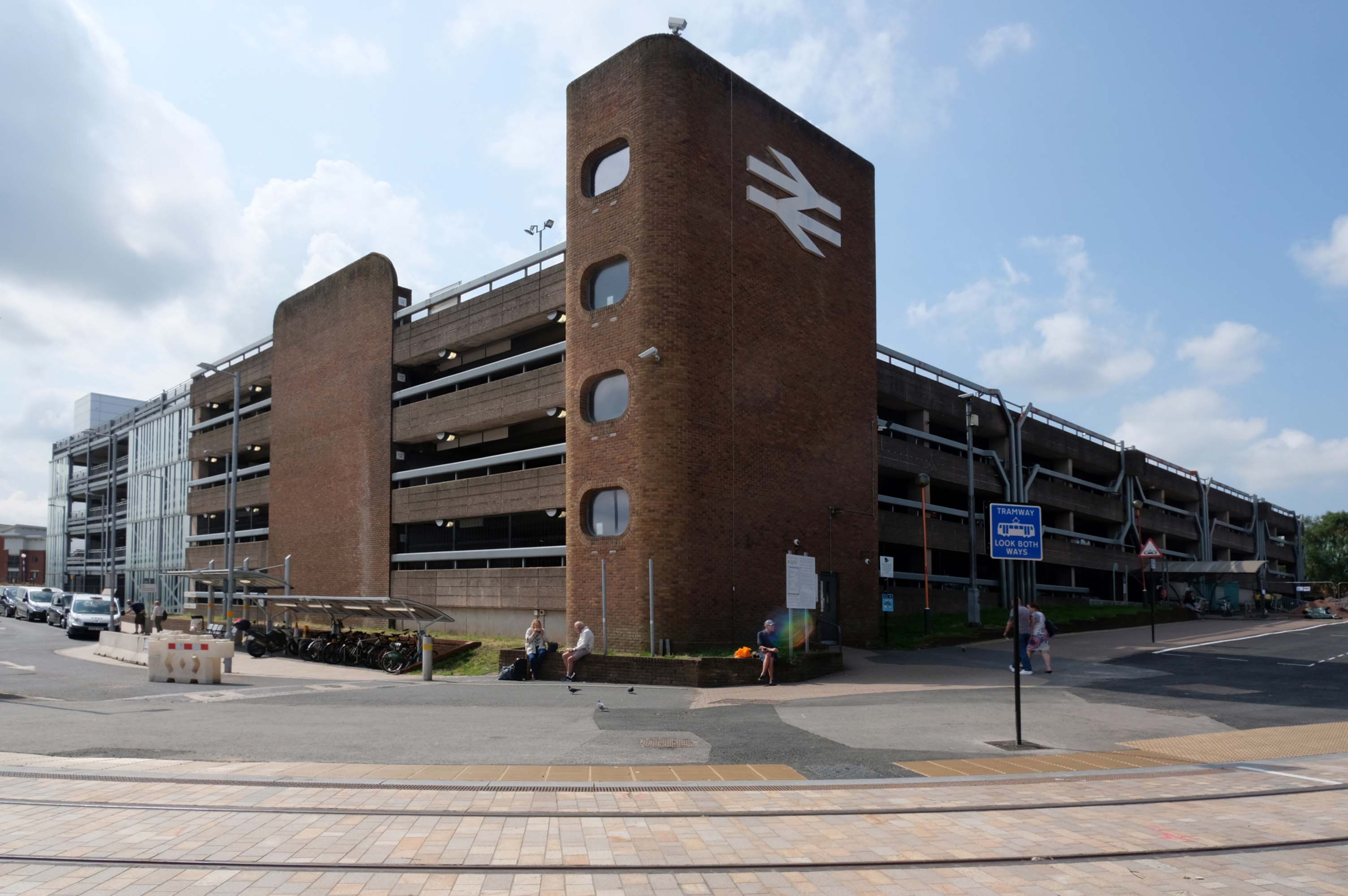
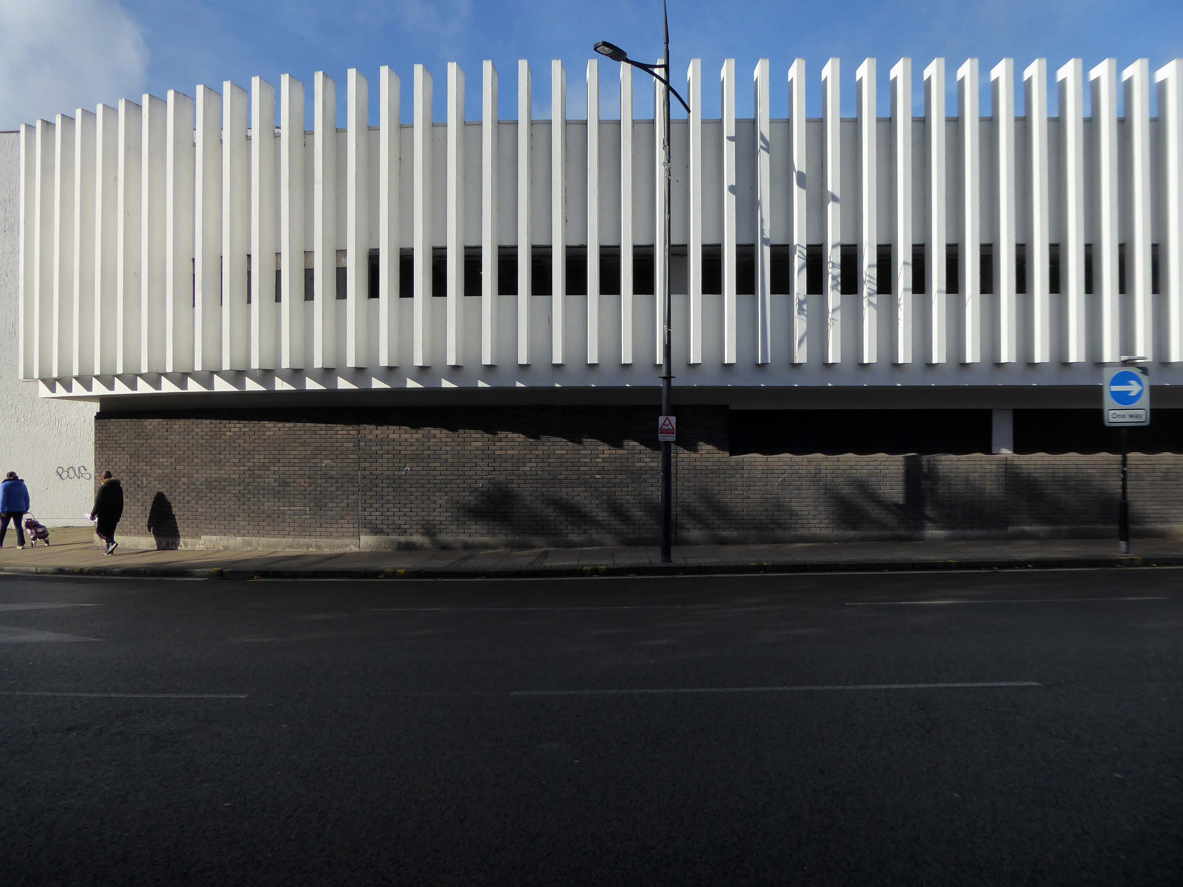
Across the way an enormous brick clad multi-storey car park – skirted by the lines for the tram, which travels to and from Birmingham.
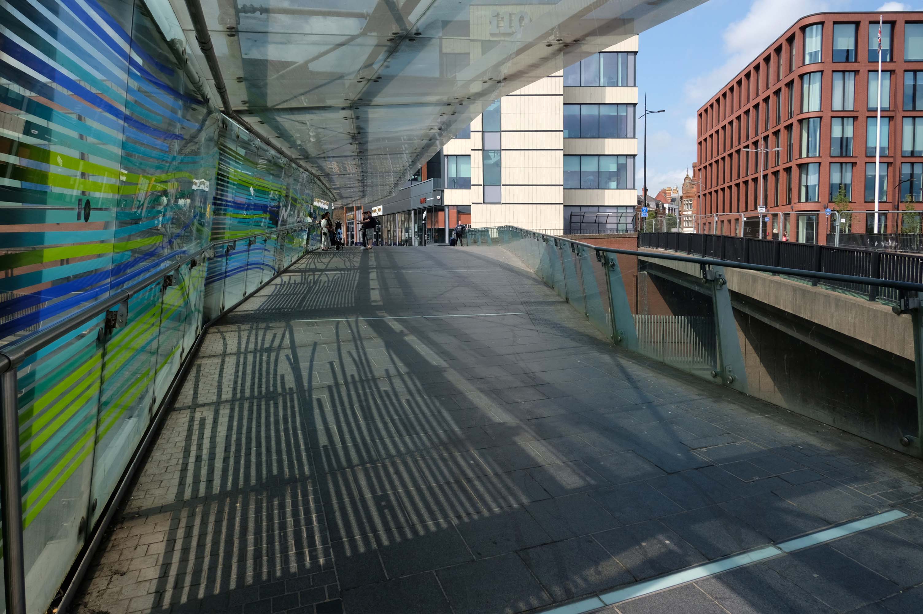
Walk across the brand new pedestrian footbridge over the ring road.
Architectural glass artist Kate Maestri was commissioned to produce the artwork design which features glass with blue and green strips of colour running through it.
Linking the Rail Station with the brand new Bus Station.
The normal practice of the Wolverhampton Bus Service is to have dirty, smelly buses, that are cramped and extremely hot in the summer and freezing cold in winter. They offer no announcements apologizing for delays they know about and don’t appear to care how long passengers wait with no idea of how or when they’ll be getting a bus.
The best thing you can do is learn to drive as quickly as possible and get your own vehicle or car pool.
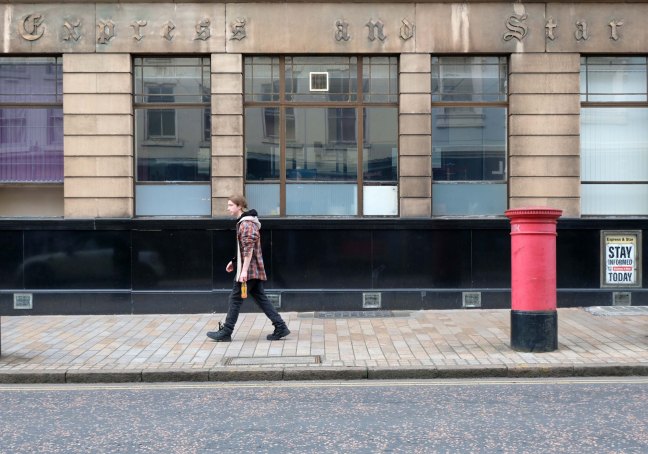
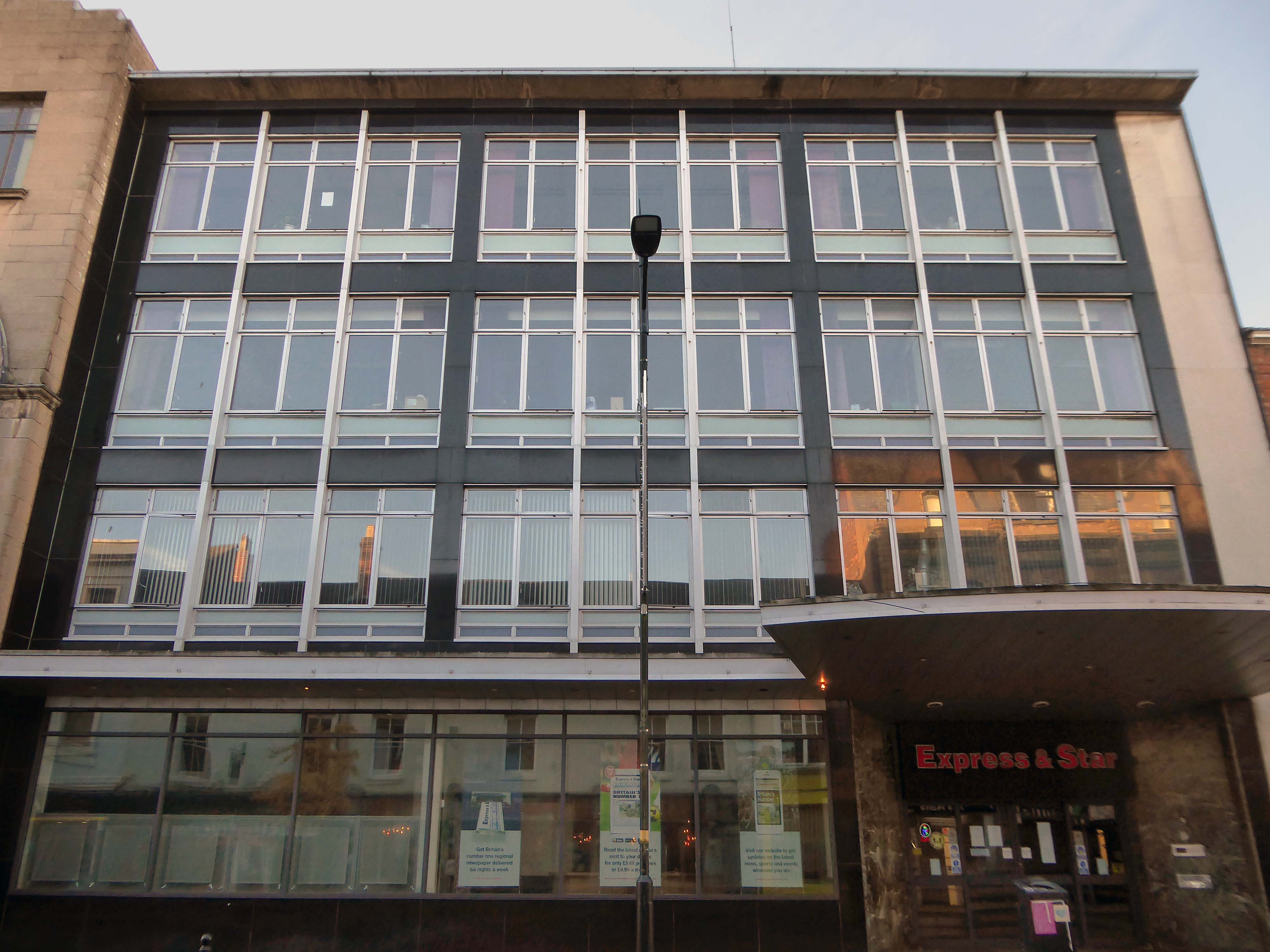
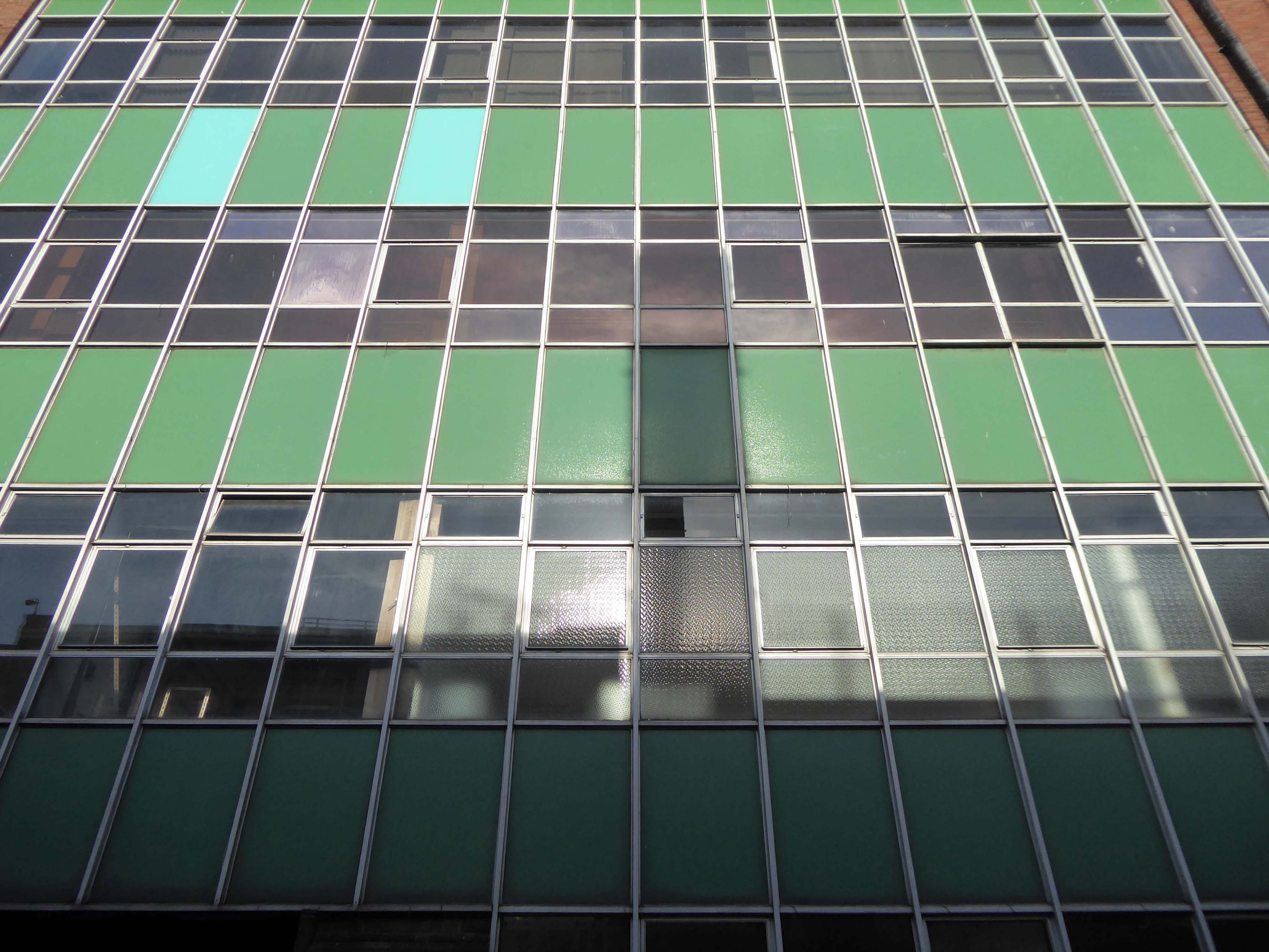
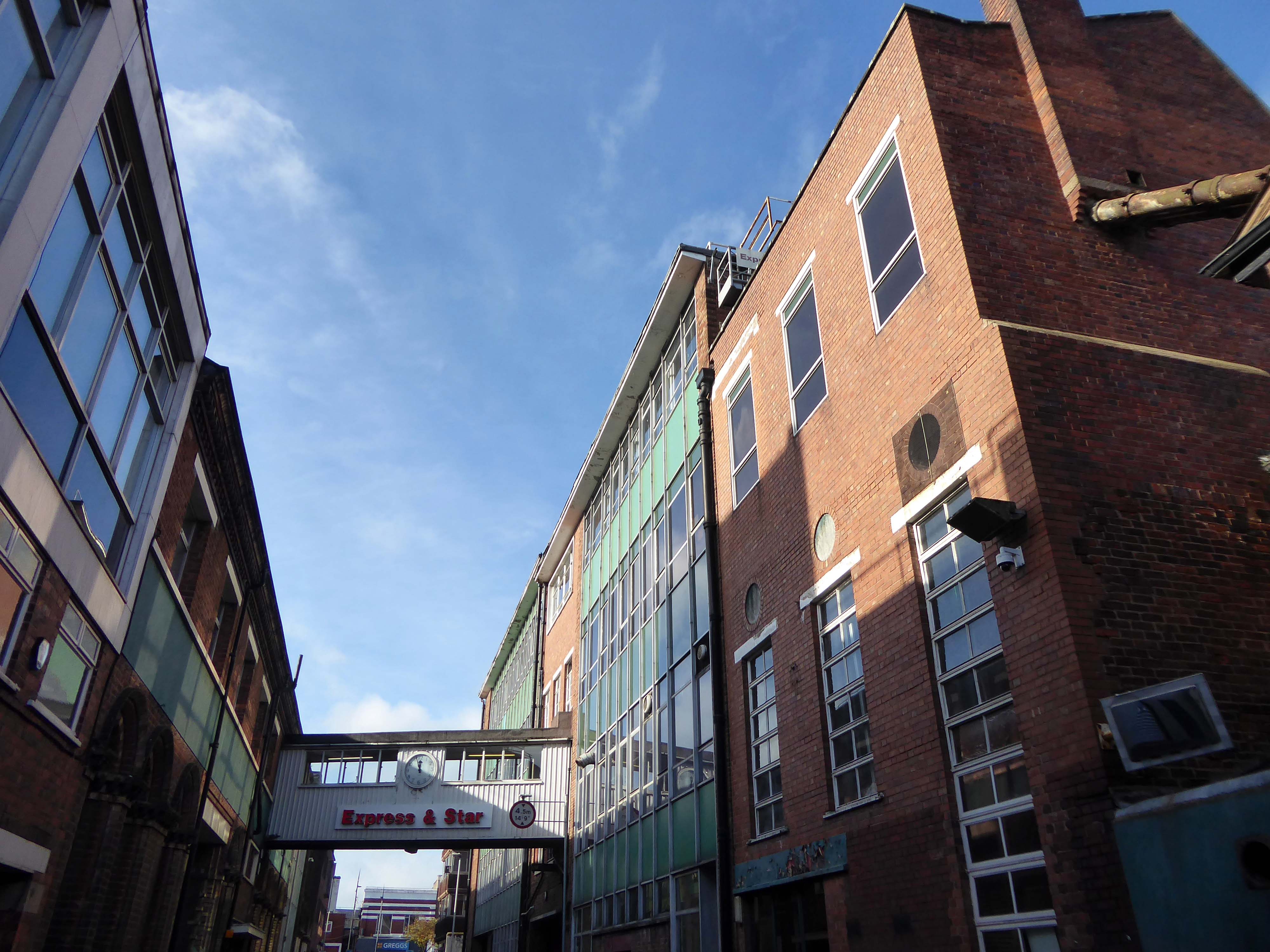
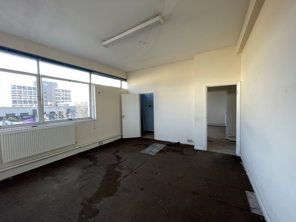
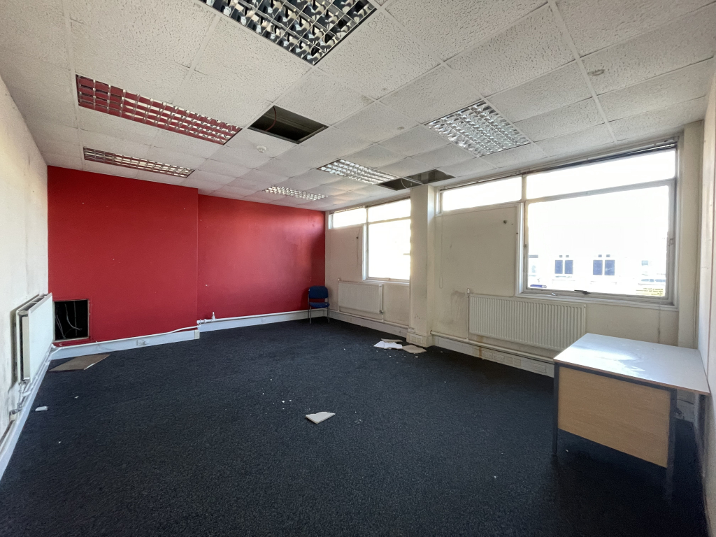
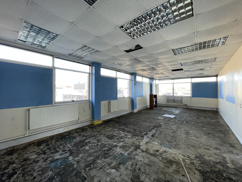
Midland News Association managing director Matt Ross confirmed the company is now looking at the building’s future.
For a number of years we have been exploring opportunities surrounding our historic Express & Star offices in the heart of Wolverhampton.
After removing the printing presses from the site and restructuring our departments we now have significant spare capacity available and so are looking at the various options available to us, be that redeveloping the current site or exiting the building altogether.
Extension is by architects: H Marcus Brown & Lewis 1965
With further work at the rear.
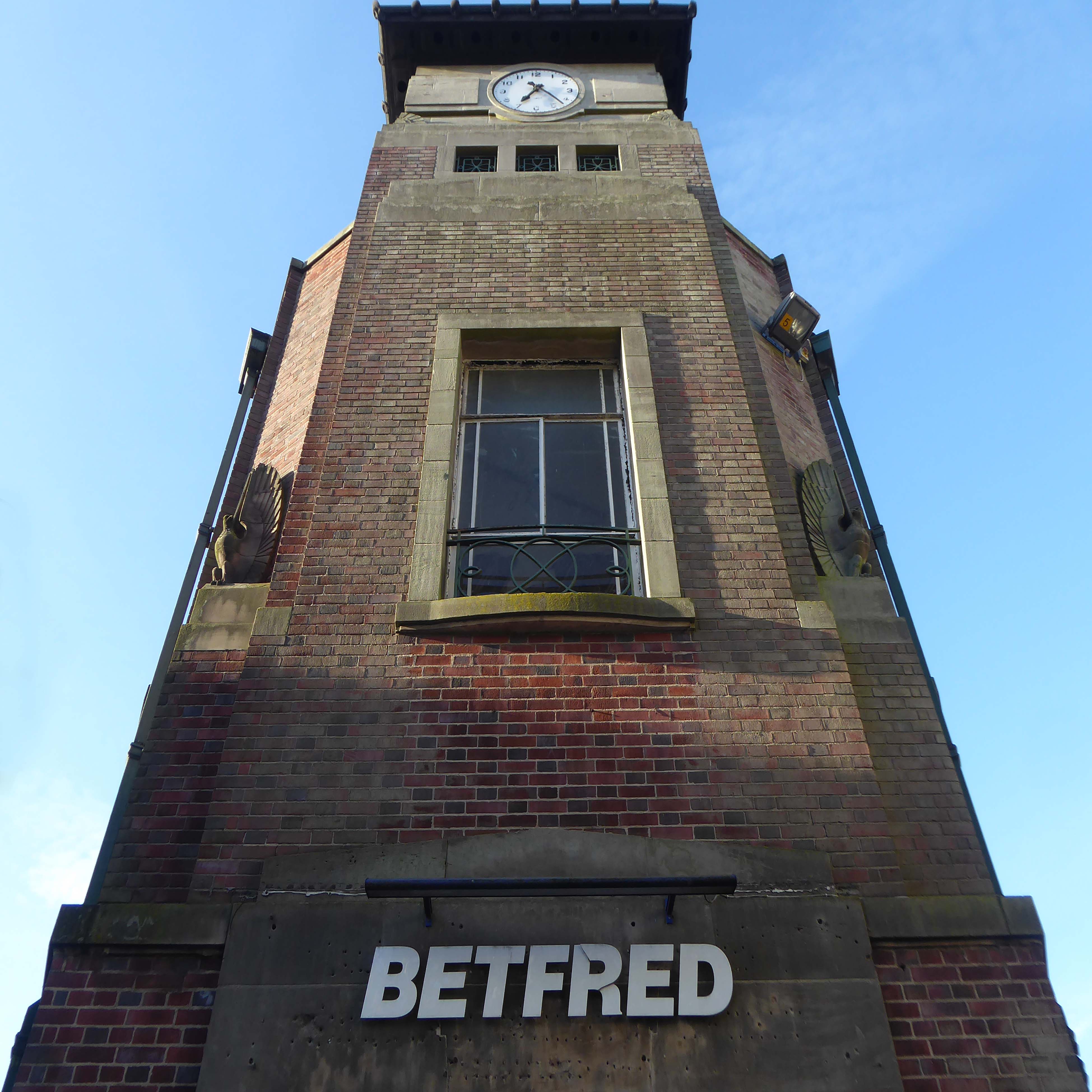
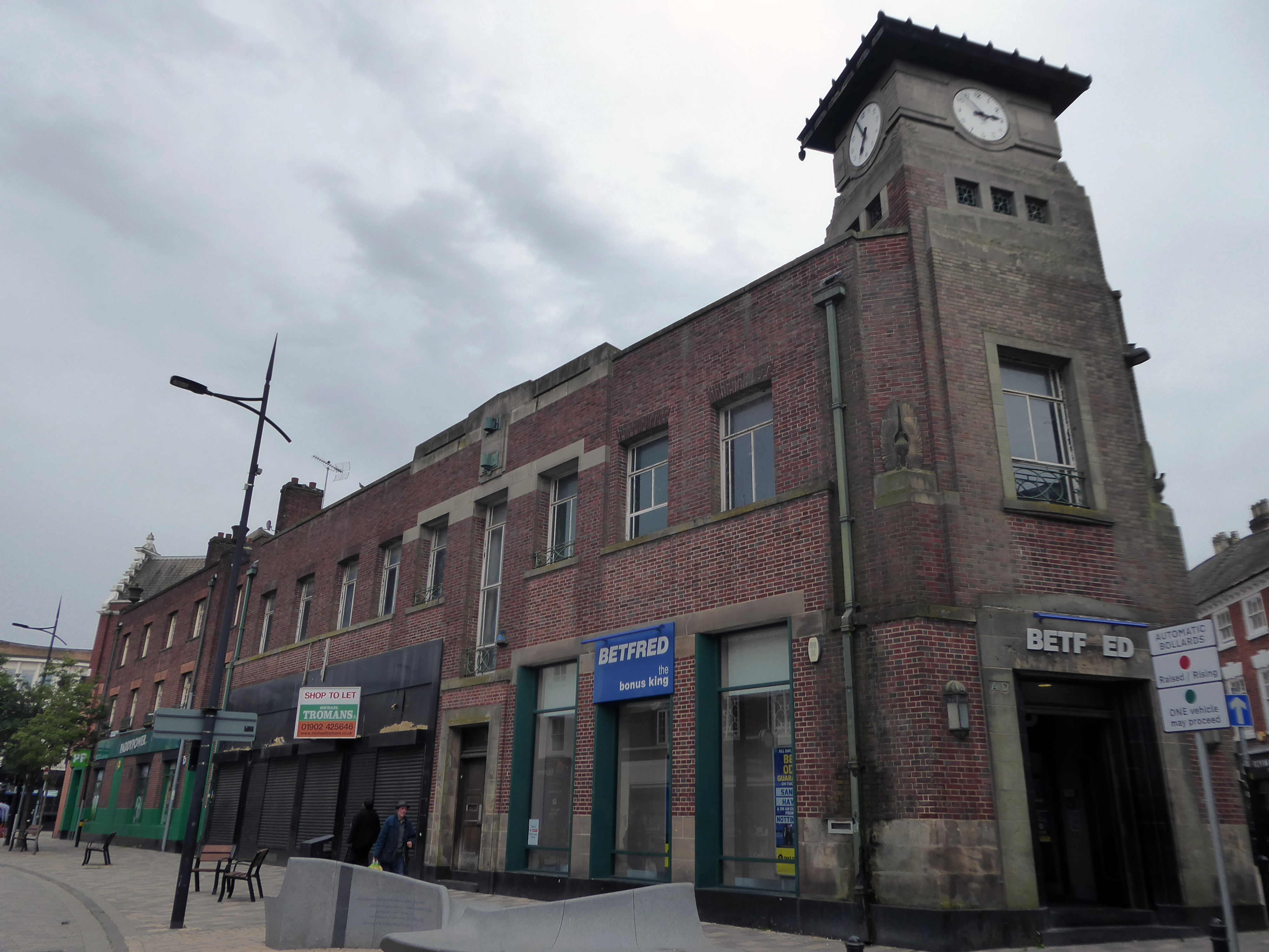
Along Princess Street this corner group, with an impressive clock tower – originally HQ for the South Staffordshire Building Society
Architects: George A Boswell of Glasgow 1932.
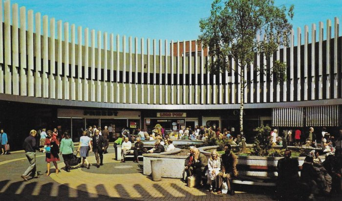
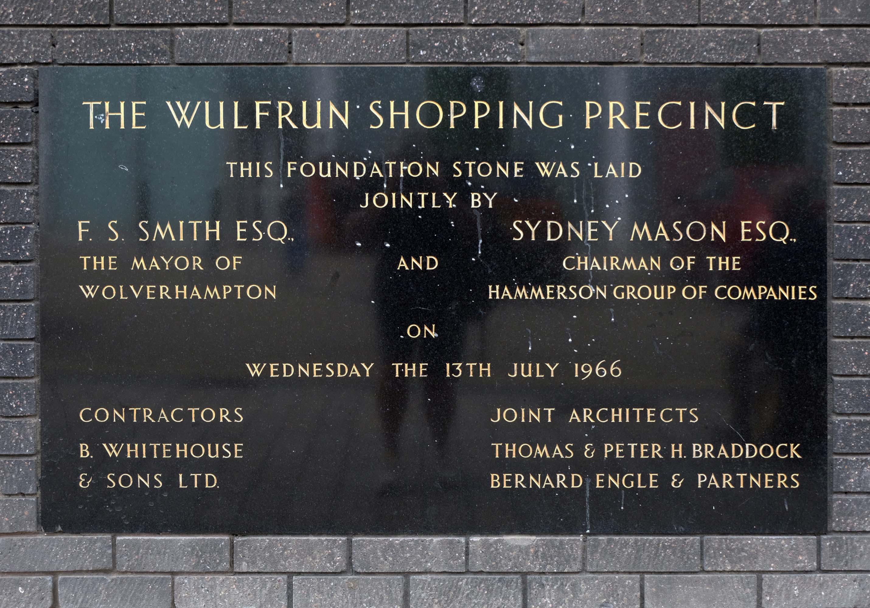
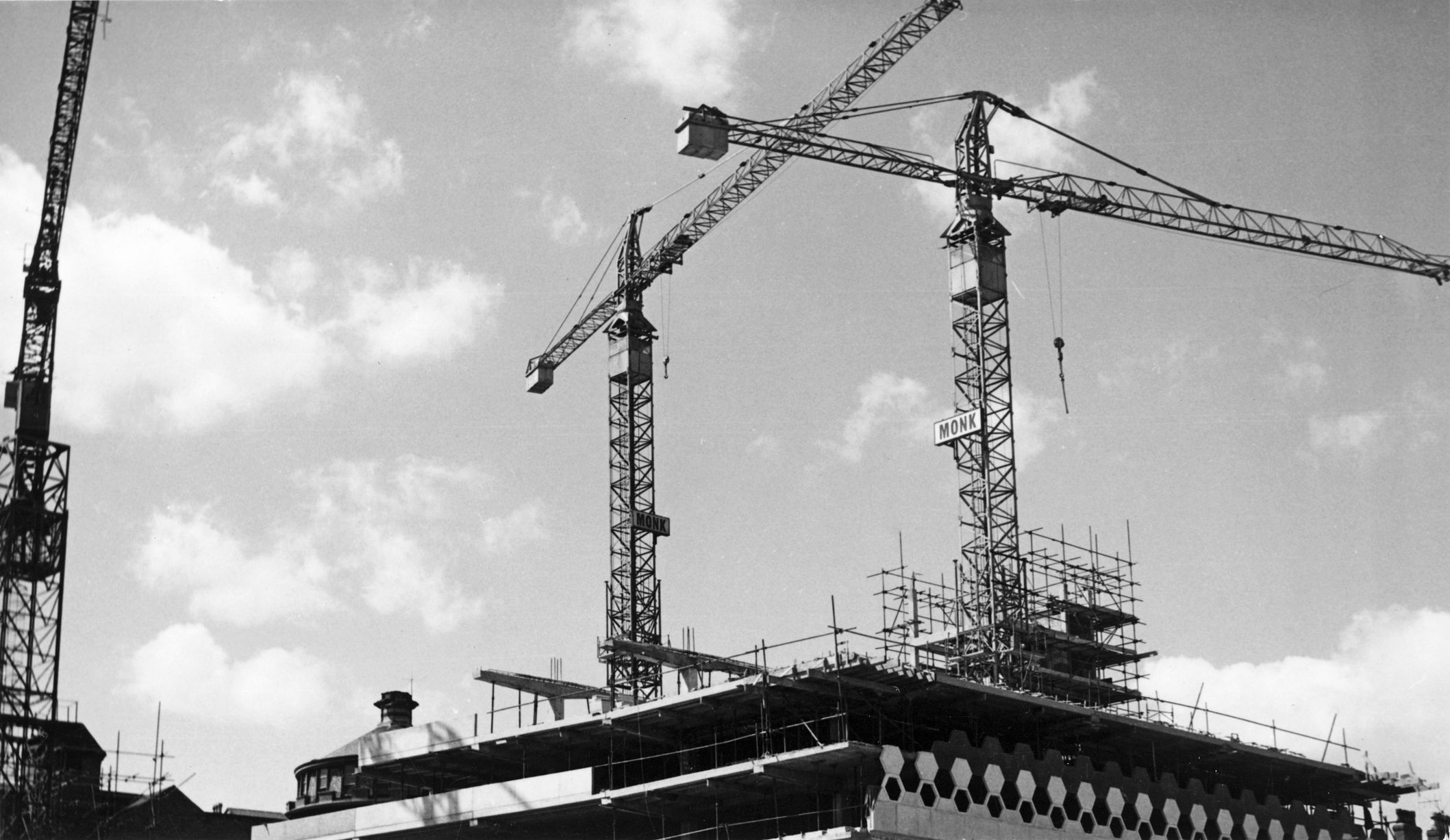
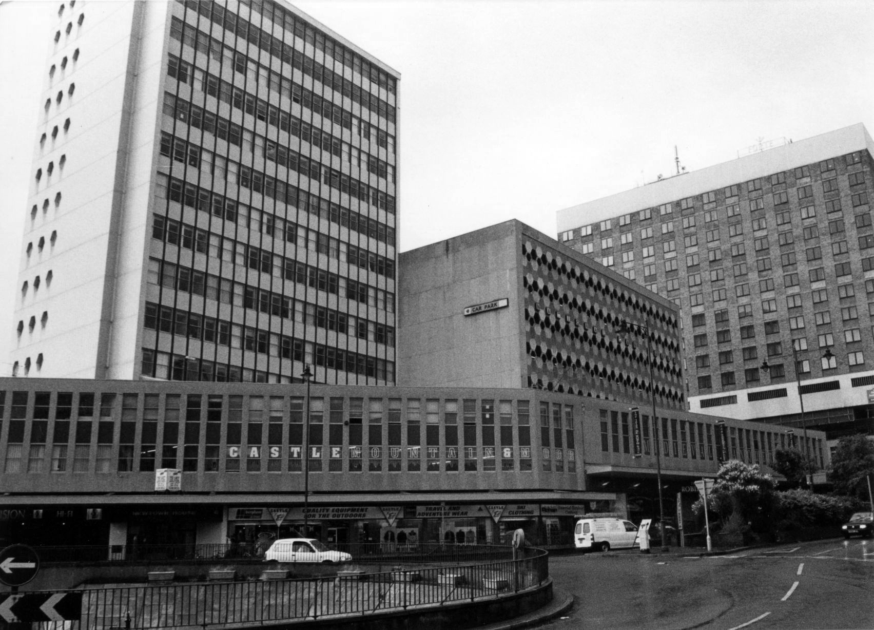
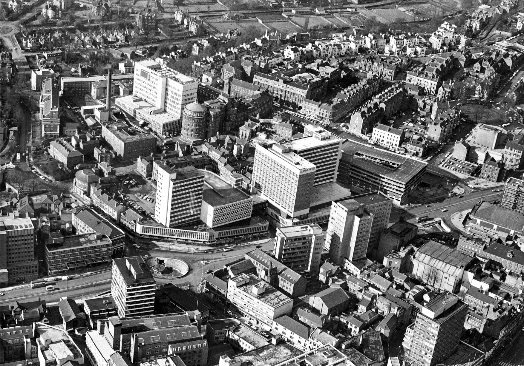
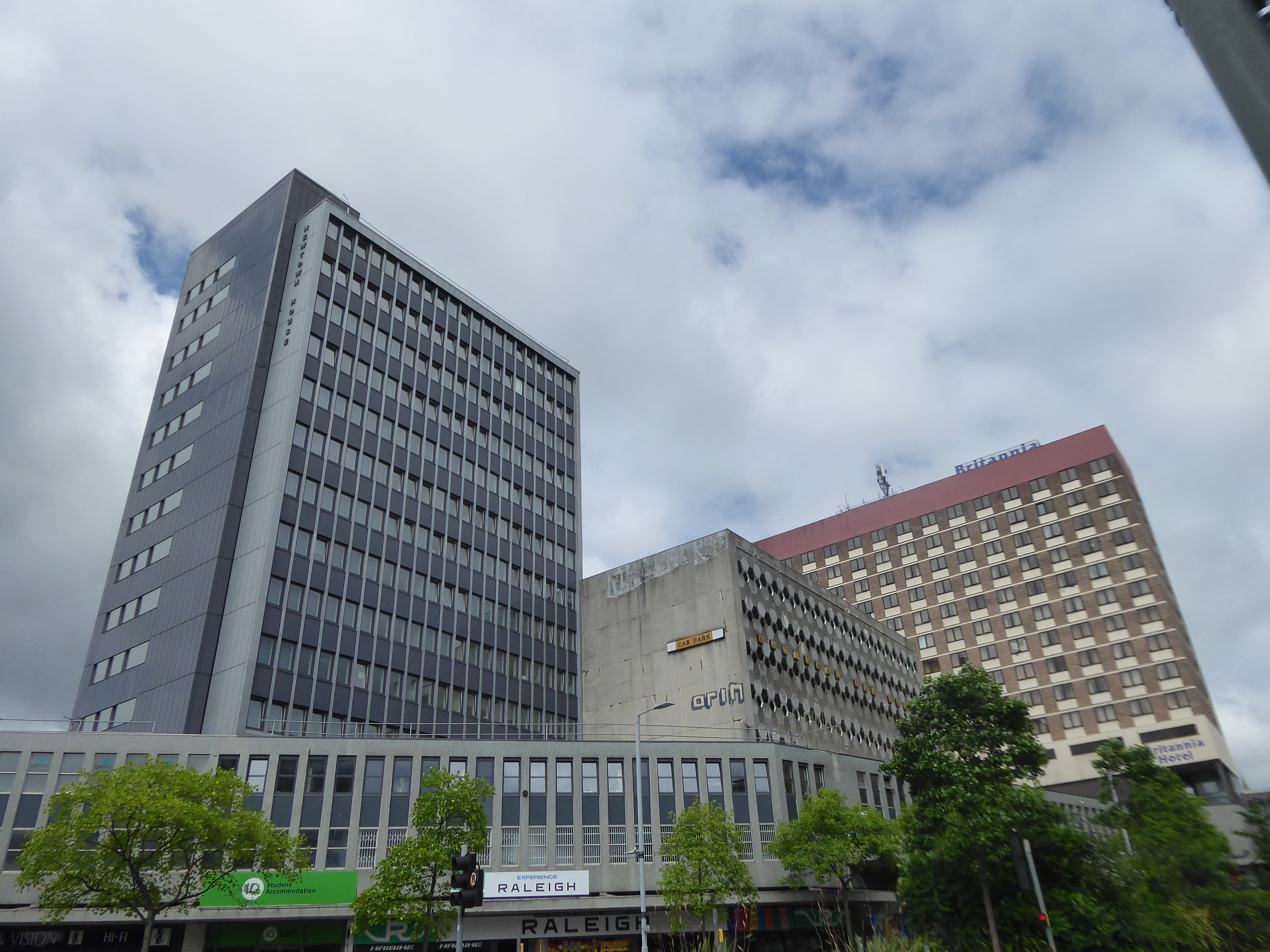
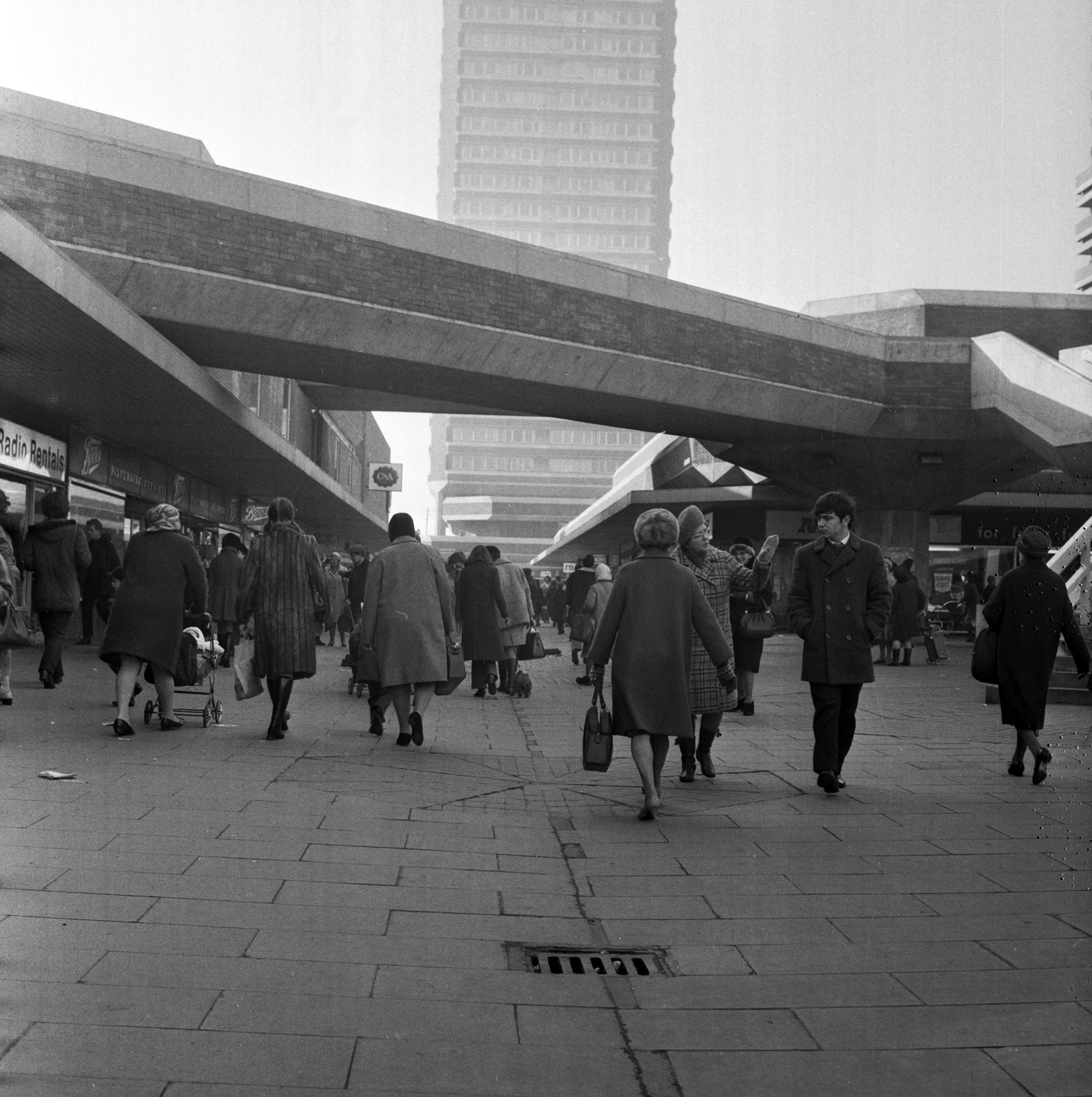
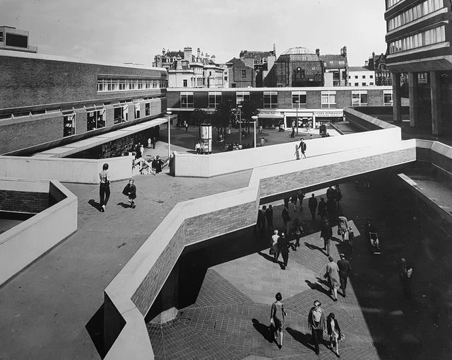
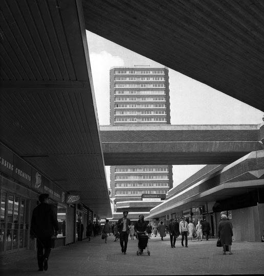
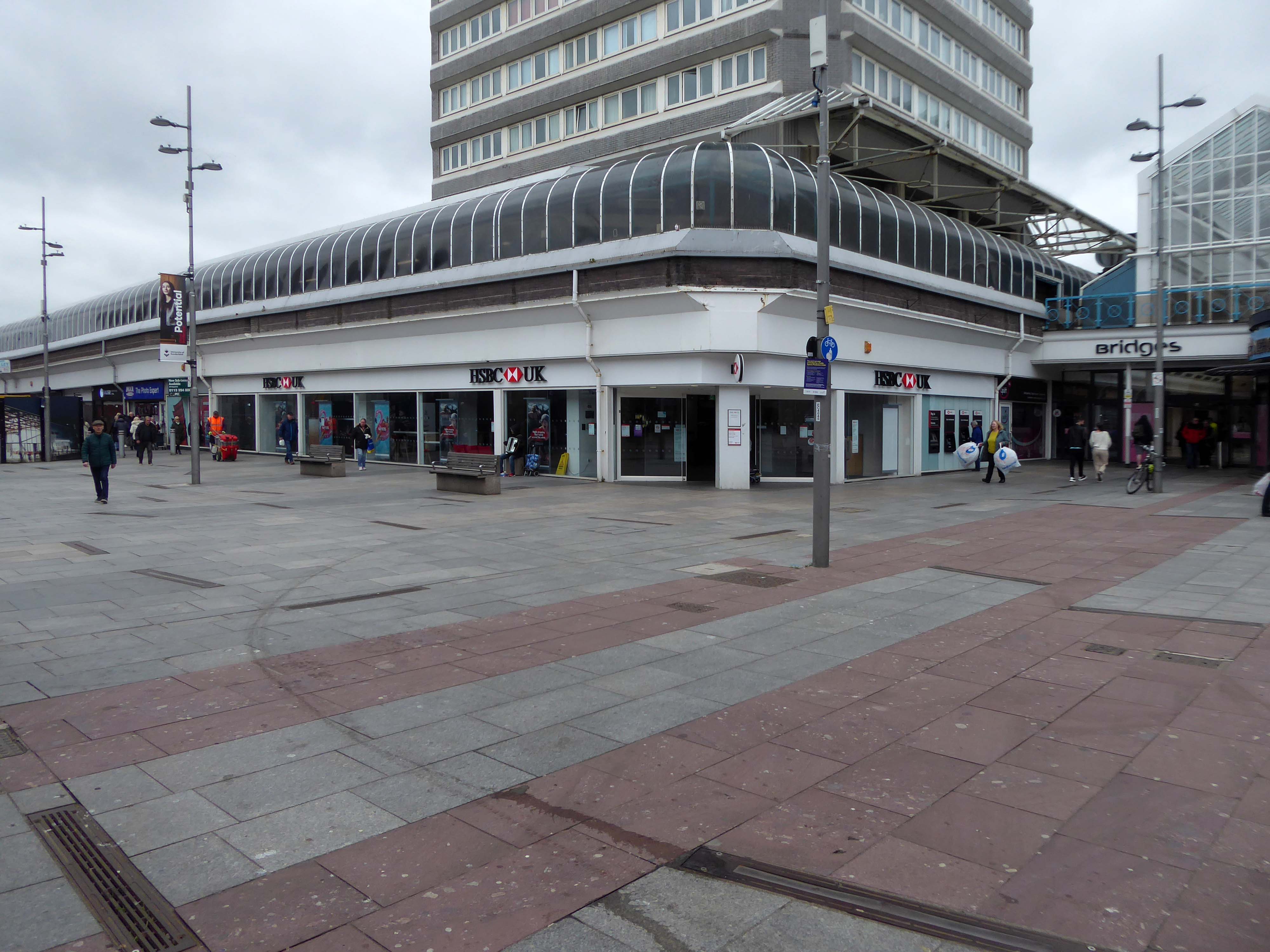
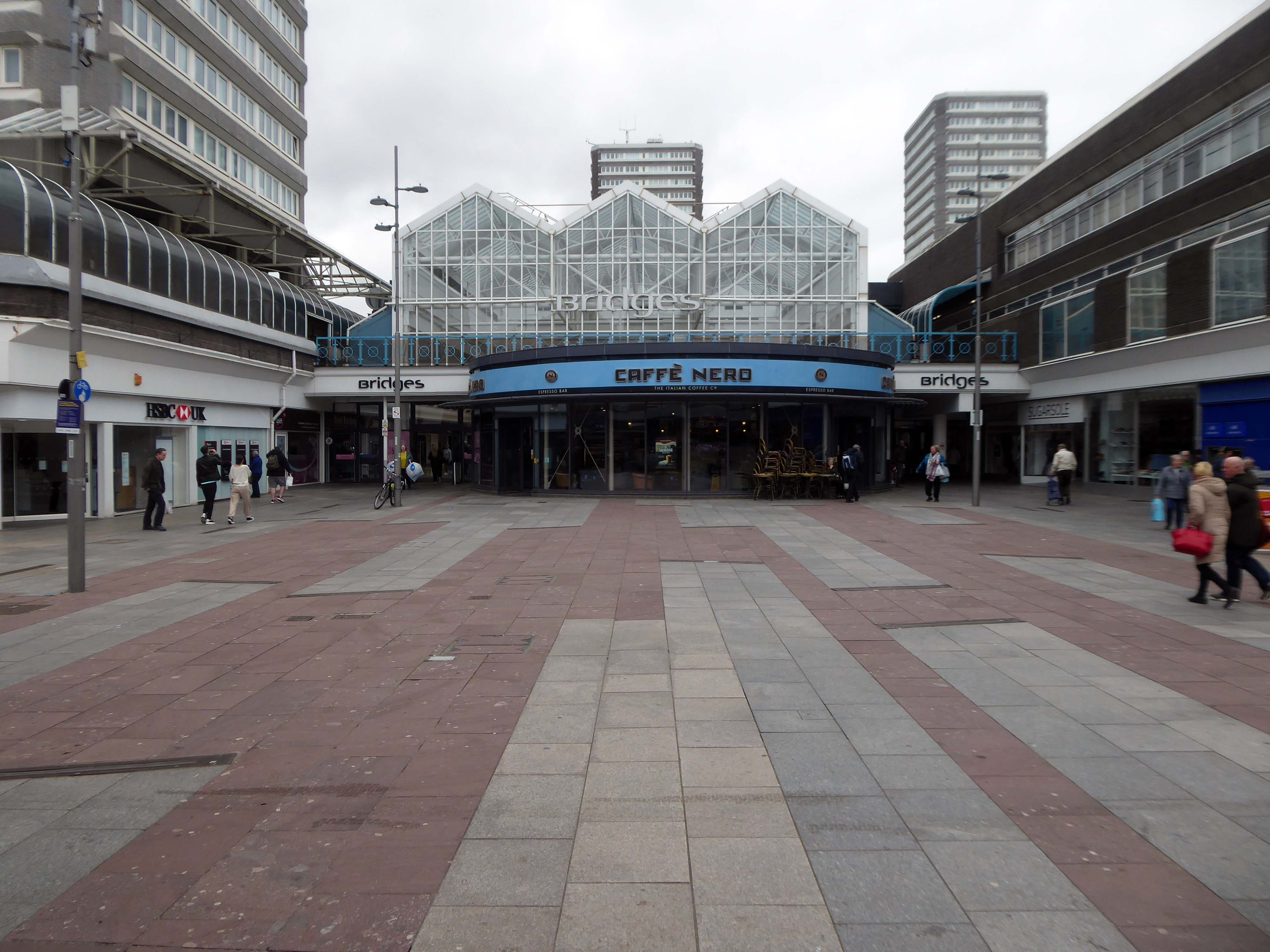
On to the Mander Centre – opened on 6th March 1968, refurbished 1987, 2003 and 2016-17.
The Mander Shopping Centre in the heart Wolverhampton is your one-stop shopping destination for all things fashion, home, beauty, food and technology.
Architects: James A Roberts principal architect Stanley Sellers.
Developed by Manders Holdings Plc, the paint, inks and property conglomerate, between 1968 and 1974. The site occupies four and a half acres comprising the old Georgian works and offices of the Mander family firm, founded in 1773, as well as the site of the former Queens Arcade.
Architects: T & PH Braddock and also Bernard Engle & Partners.
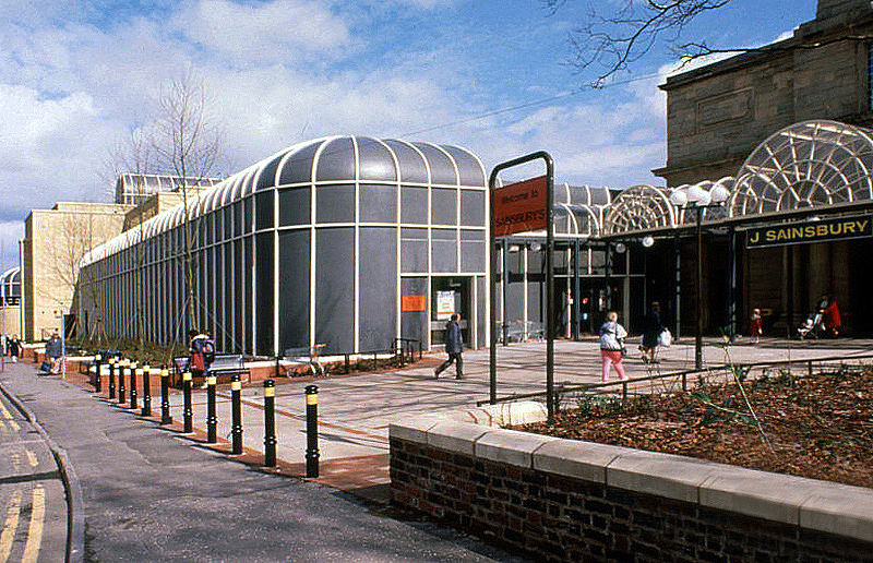
Along St Georges Parade, an abandoned Sainsbury’s church combo – store designed by J Sainsbury’s Architects Department opened 1988.
The church was built between 1828 and 1830 – architect: James Morgan, at a cost of £10,268. It was consecrated on Thursday 2 September 1830 by the Bishop of Lichfield, it was made redundant in 1978.
The site is currently under lease to Sainsbury’s for a further three years and will come forward on a phased basis subject to their lease concluding. The council is in active dialogue with prospective development partners on the redevelopment of this site and in wider consultation with Homes England.
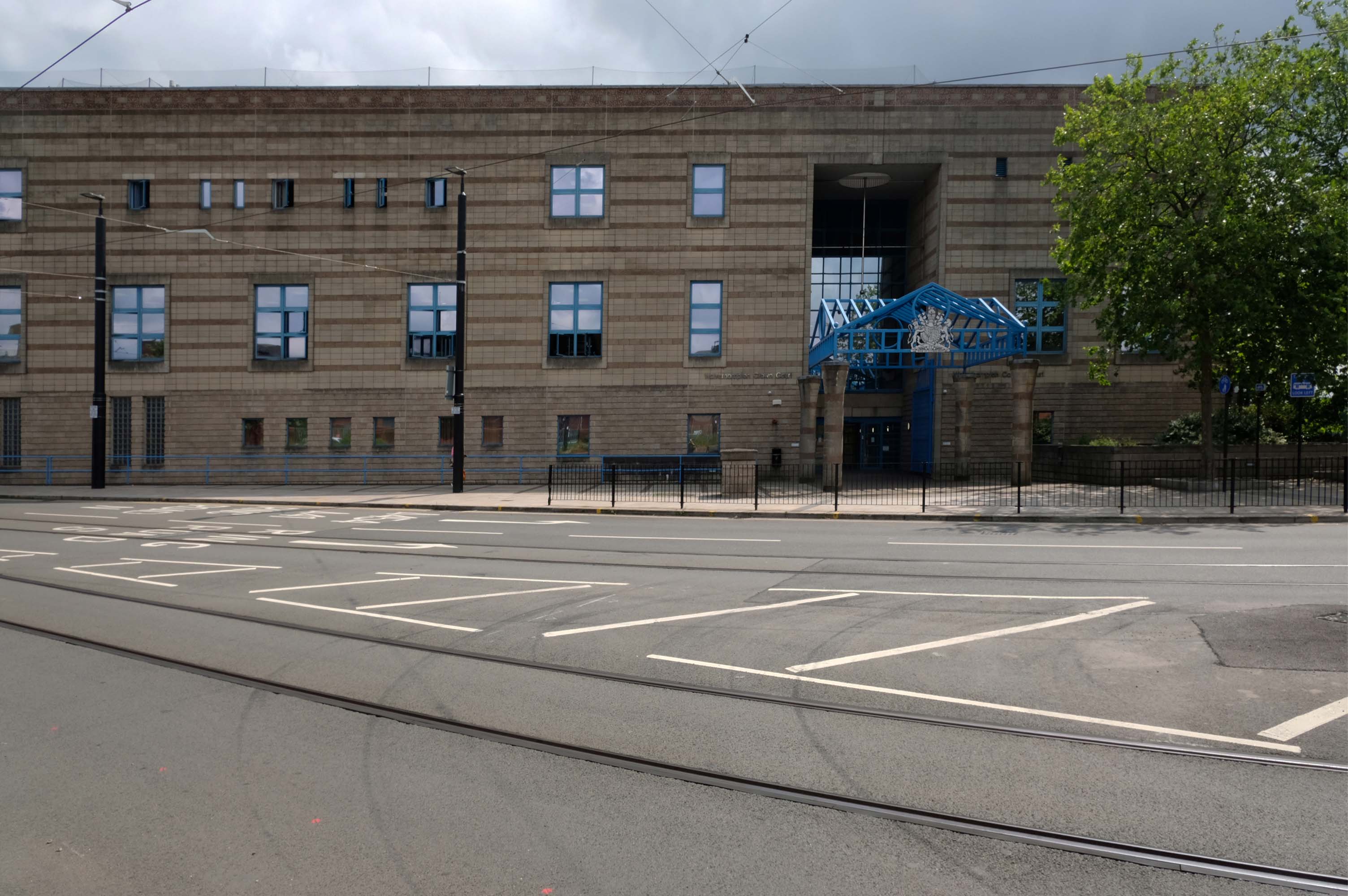
Notable cases included trial and conviction of four members of The Stone Roses, in October 1990, for criminal damage to the offices of their former record company.
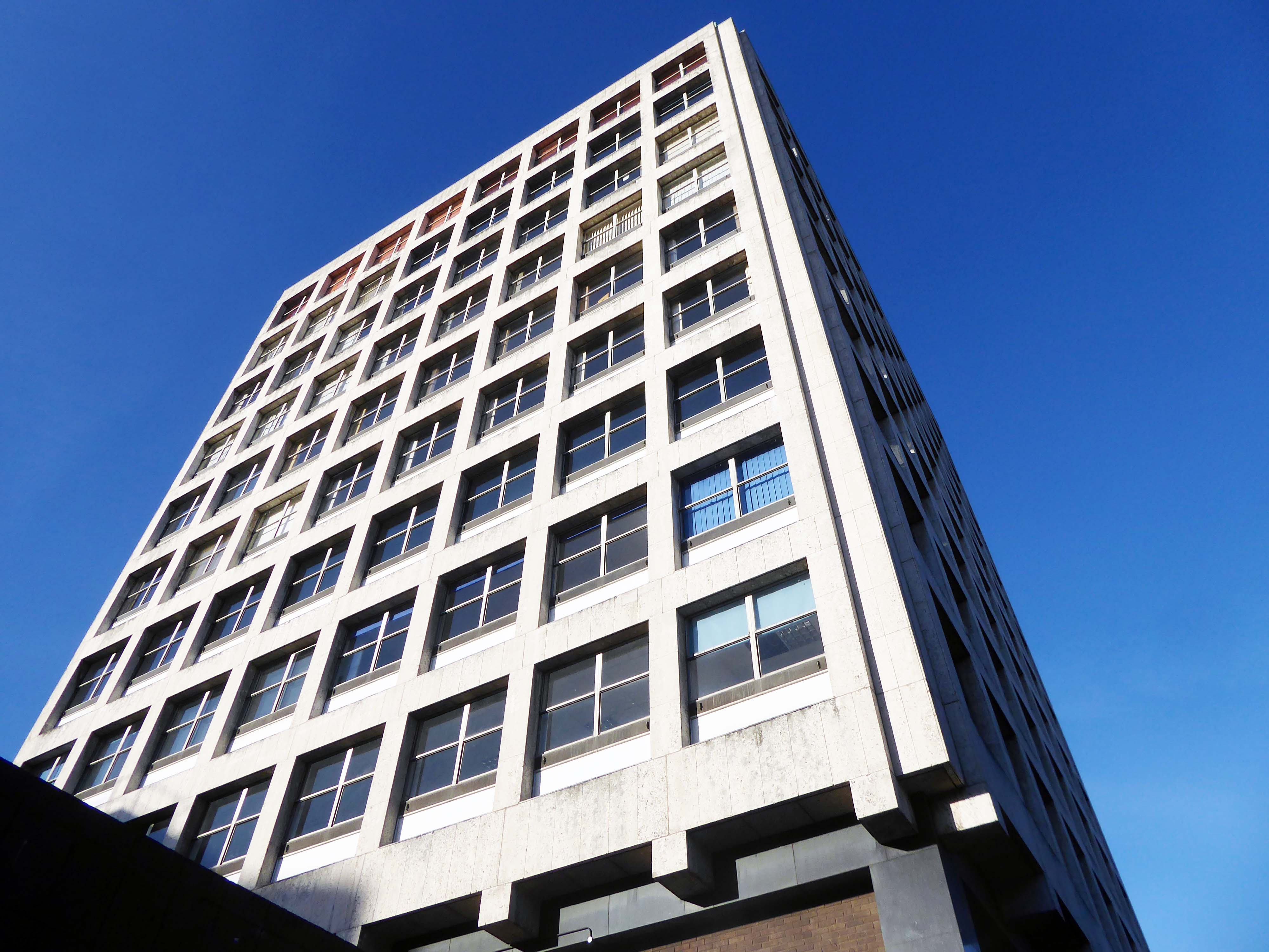
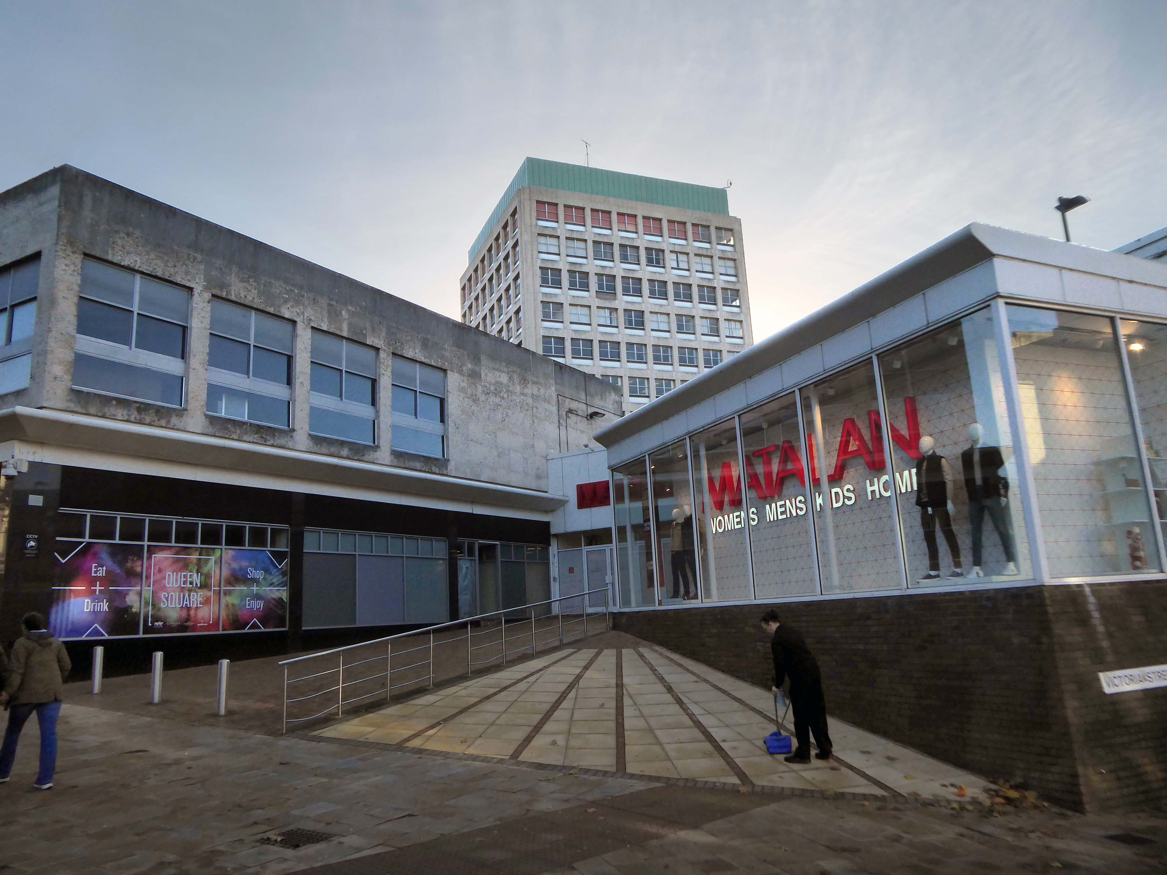
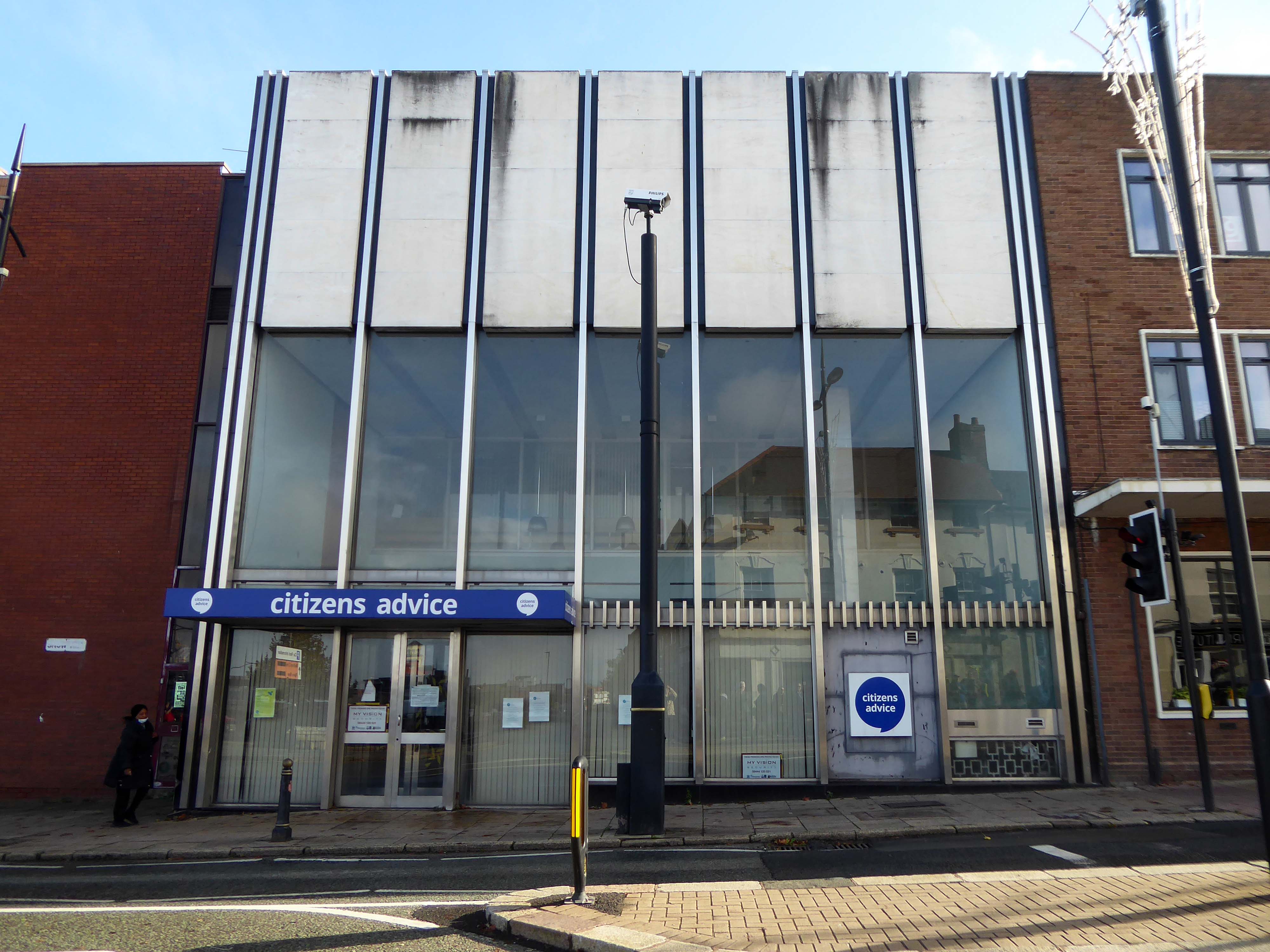
Thence up Snow Hill to the former Citizens Advice former Barclays Bank currently empty.
Architects: John HD Madin & Partners 1969
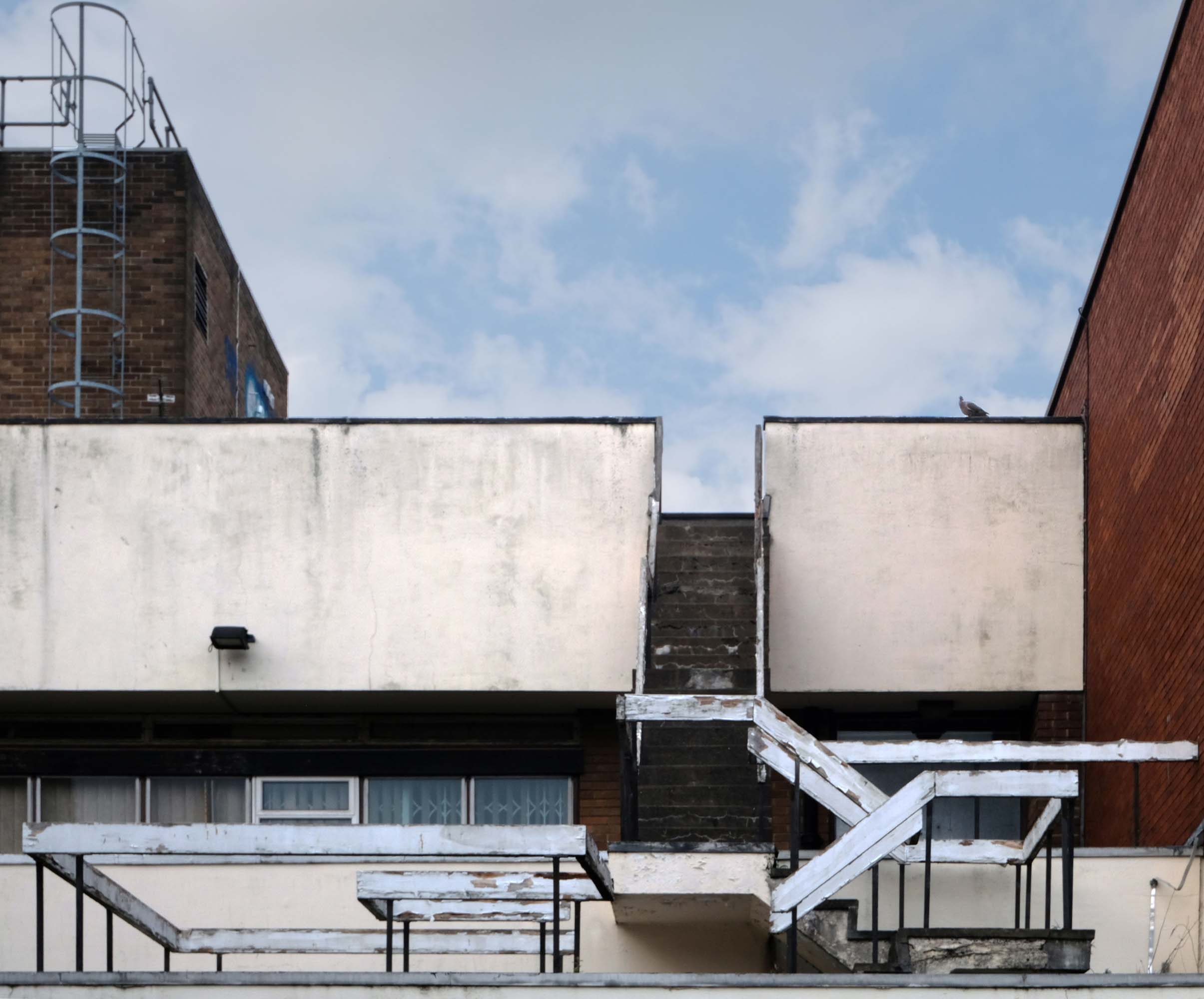
Take time to have a look around the back.
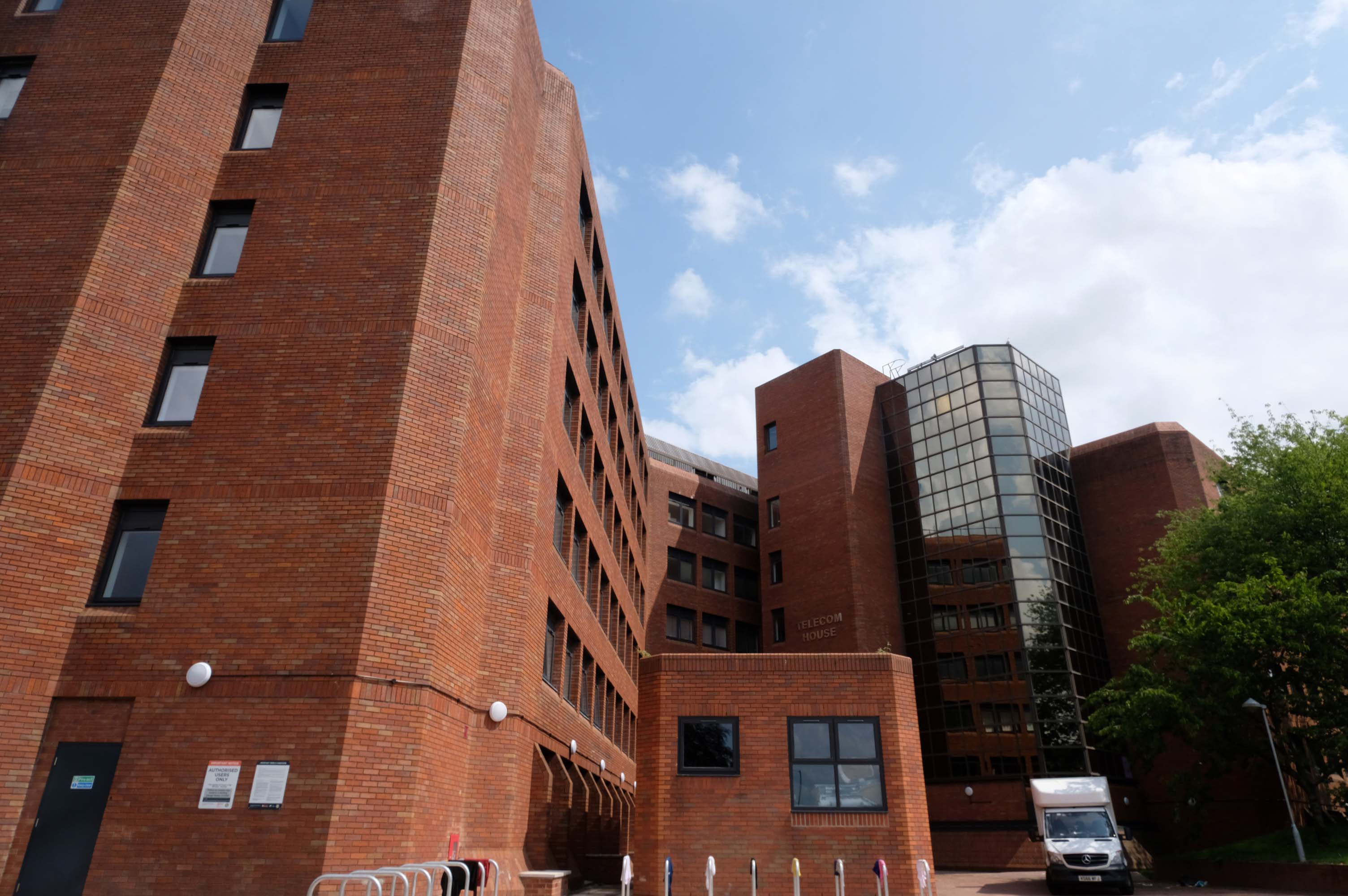
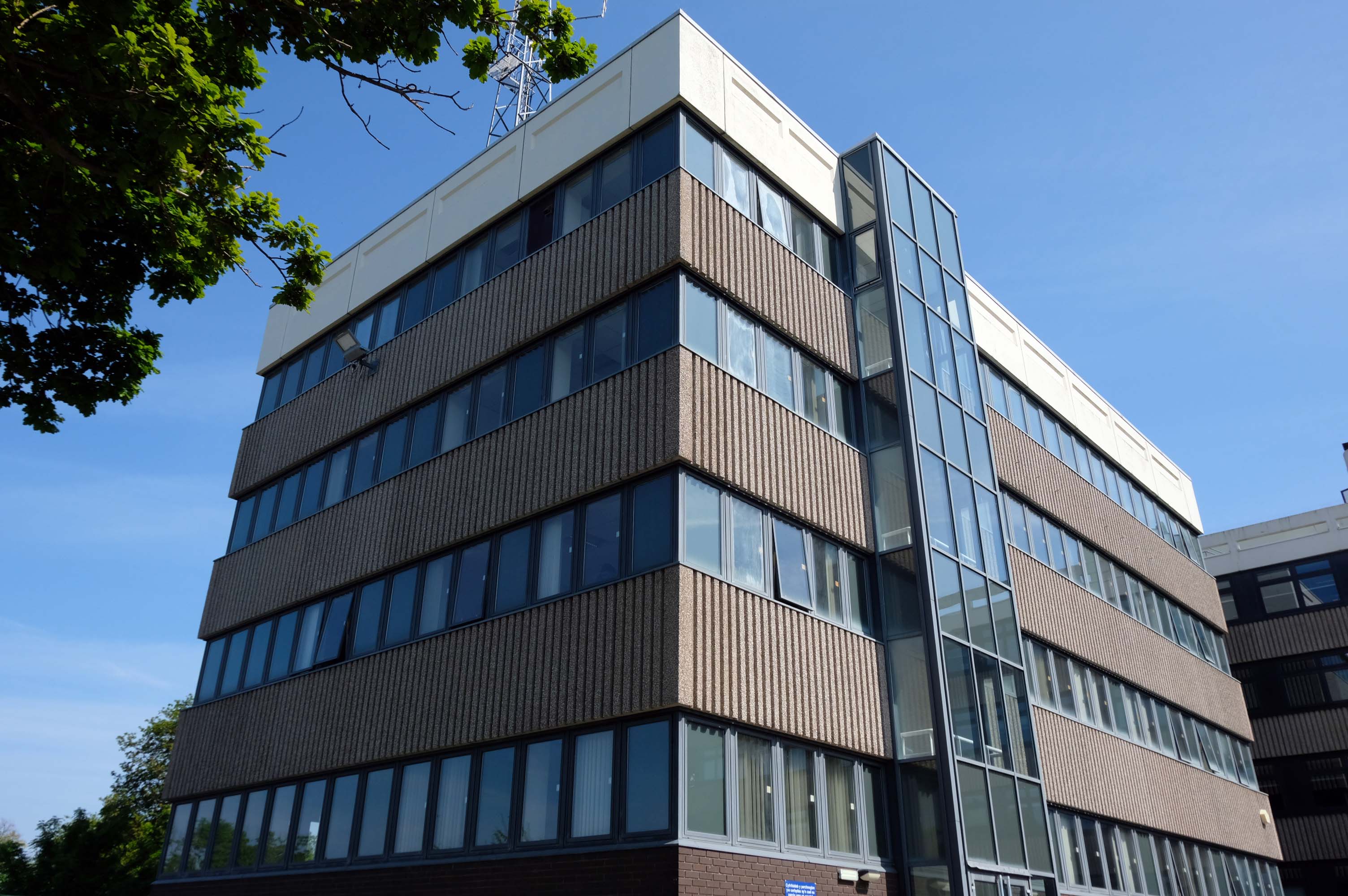
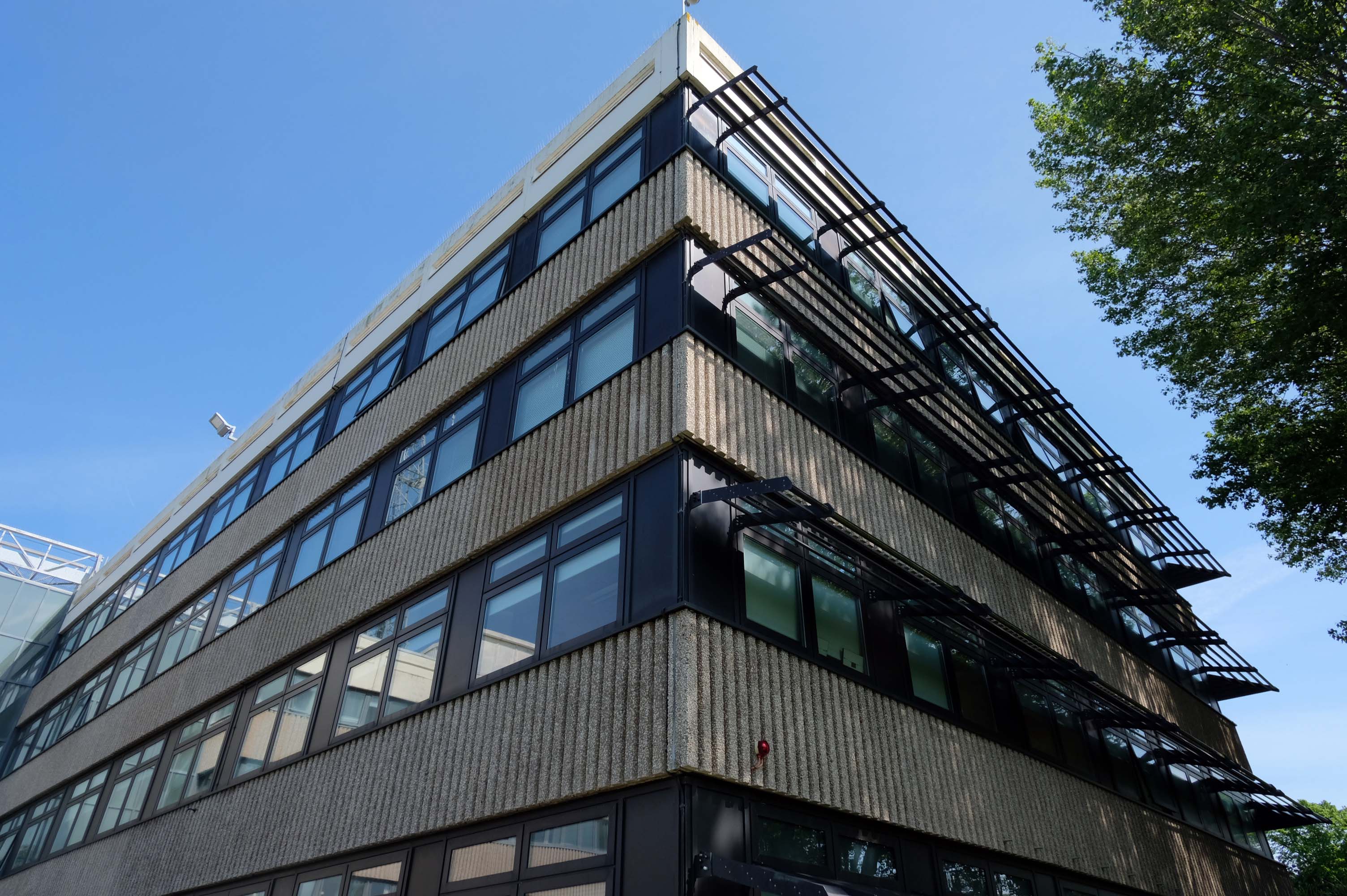
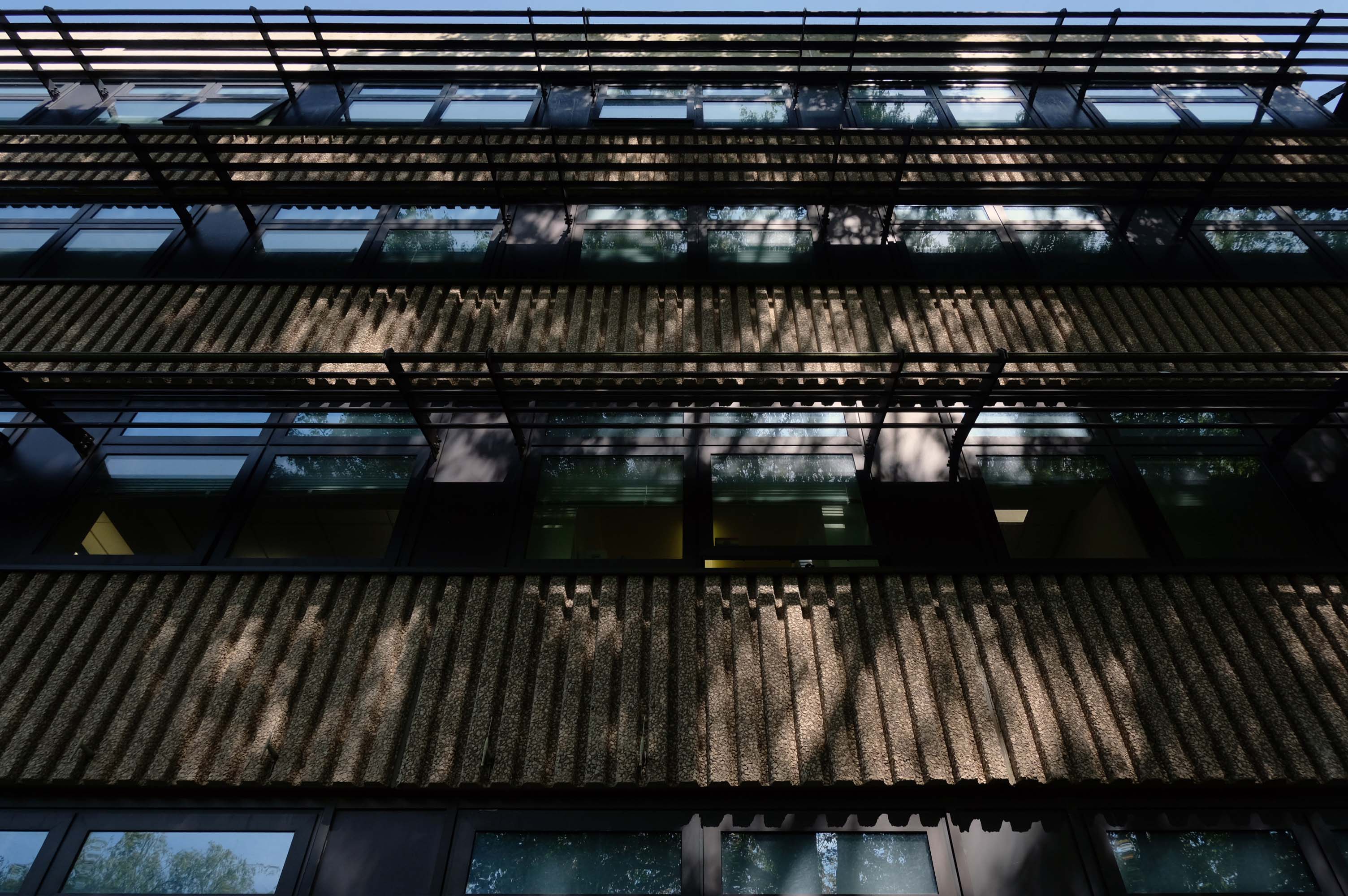
Off to Church Street and Telecom House
Sold for £4.25 million to Empire Property in 2022.
It had previously been sold for more than £3m in July 2018, also for use for apartments, to Inspired Asset Management which later went into receivership.
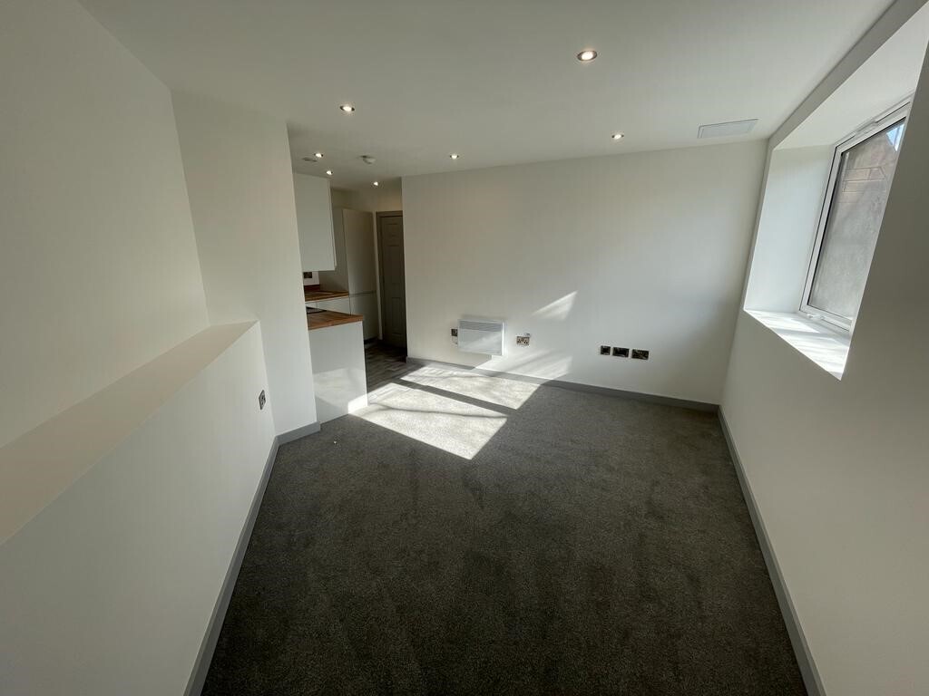
Located on a popular apartment block on Church street in the Wolverhampton centre, this 1 bedroom property has been newly renovated throughout and compromises an entrance hallway, open plan lounge/kitchen with in built appliances, shower room and double bedroom.
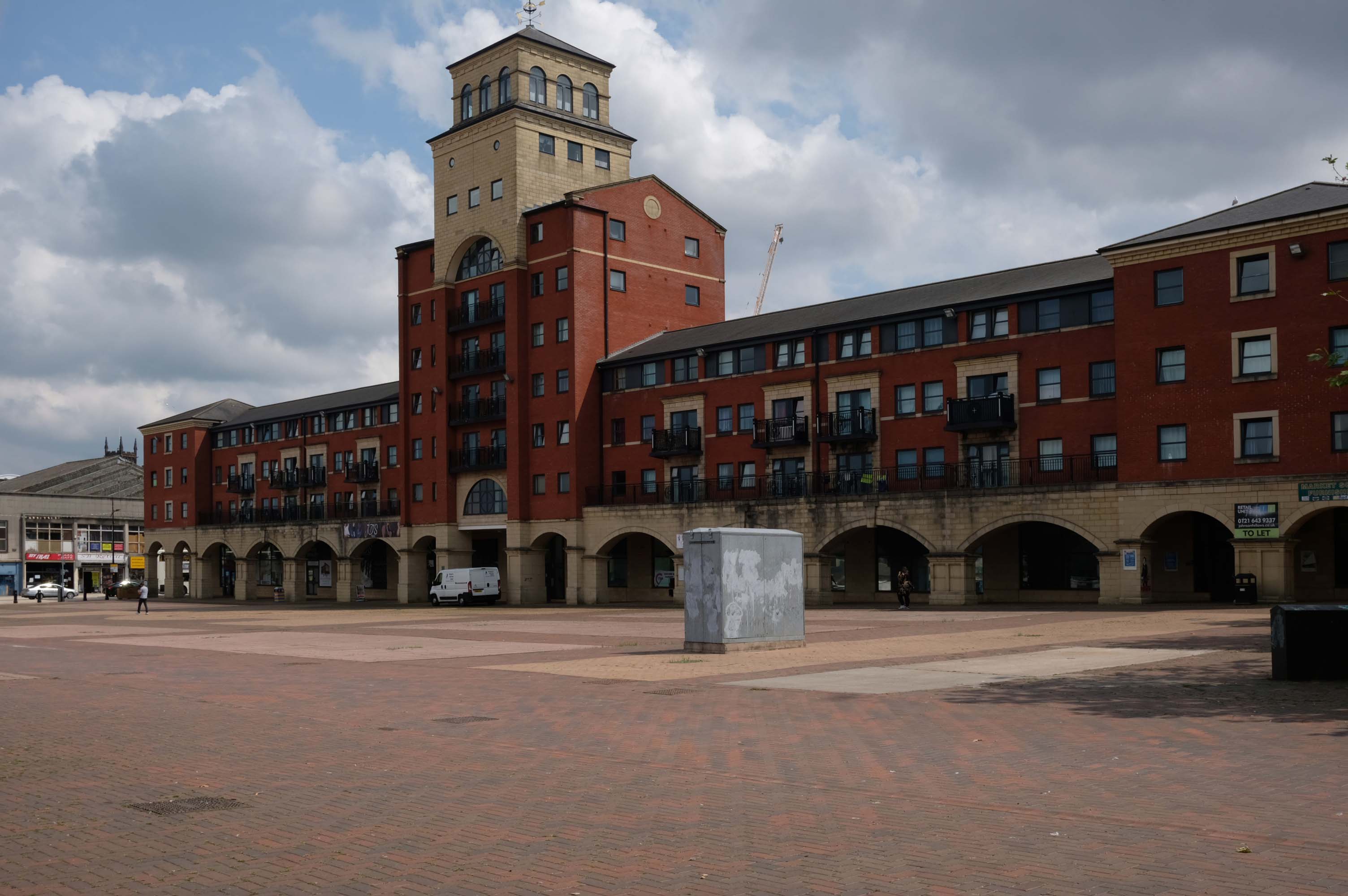
Next to this modern piazza New Market Square – Architects: Nicol Thomas from a concept by head of planning Costas Georghiou.
Formed from the former Market Square, a mix of flats and shops opened in 2004, in an Italianate version of the modish school of streaky bacon.
In 2021 the Coca-Cola Christmas Truck visit to the Midlands was cancelled.
It was meant to arrive at Market Square in Wolverhampton at 11am today but failed to show up.
One fan had waited since 7am this morning to see the Coca-Cola truck.
While schoolchildren were left gutted when the truck didn’t turn up – and one boy had been so excited his mother said he had been talking about the red truck all morning.
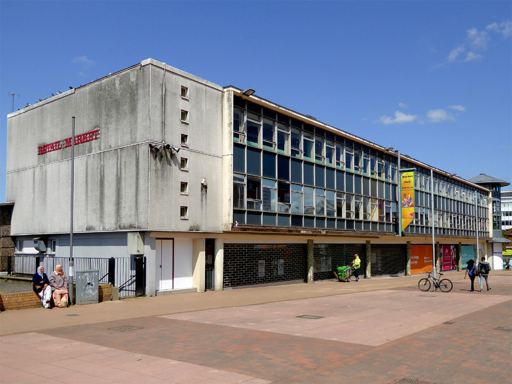
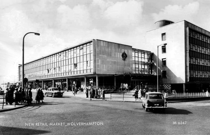
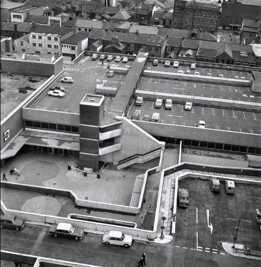
Retail Market – Late 1950s market hall and offices above.
Architects: Borough Surveyor.
Excellent example of the Festival of Britain style of architecture, won Civic Trust Award 1960.
Locally Listed March 2000.
demolished January 2017.
Photo: Roger Kidd
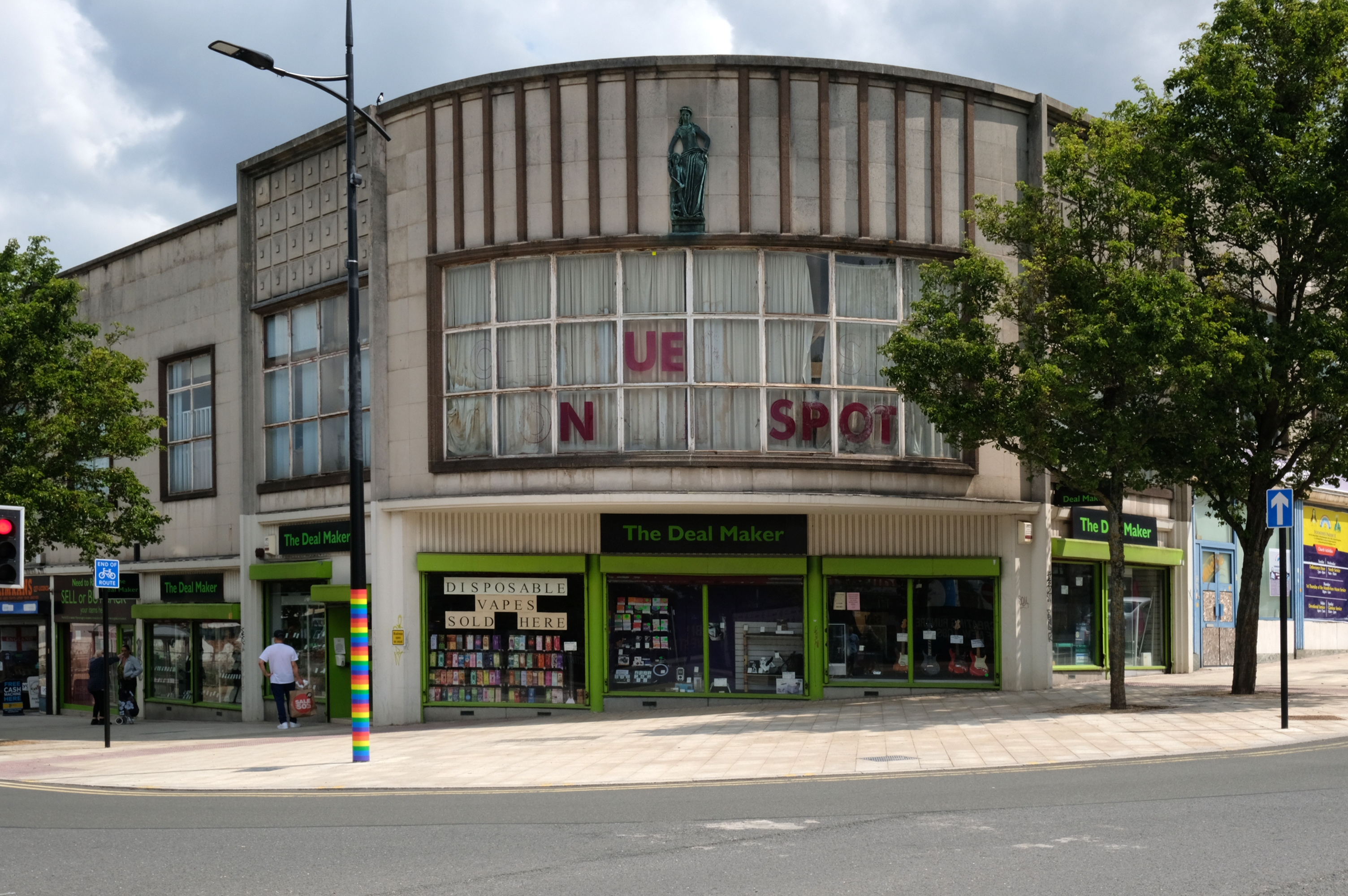
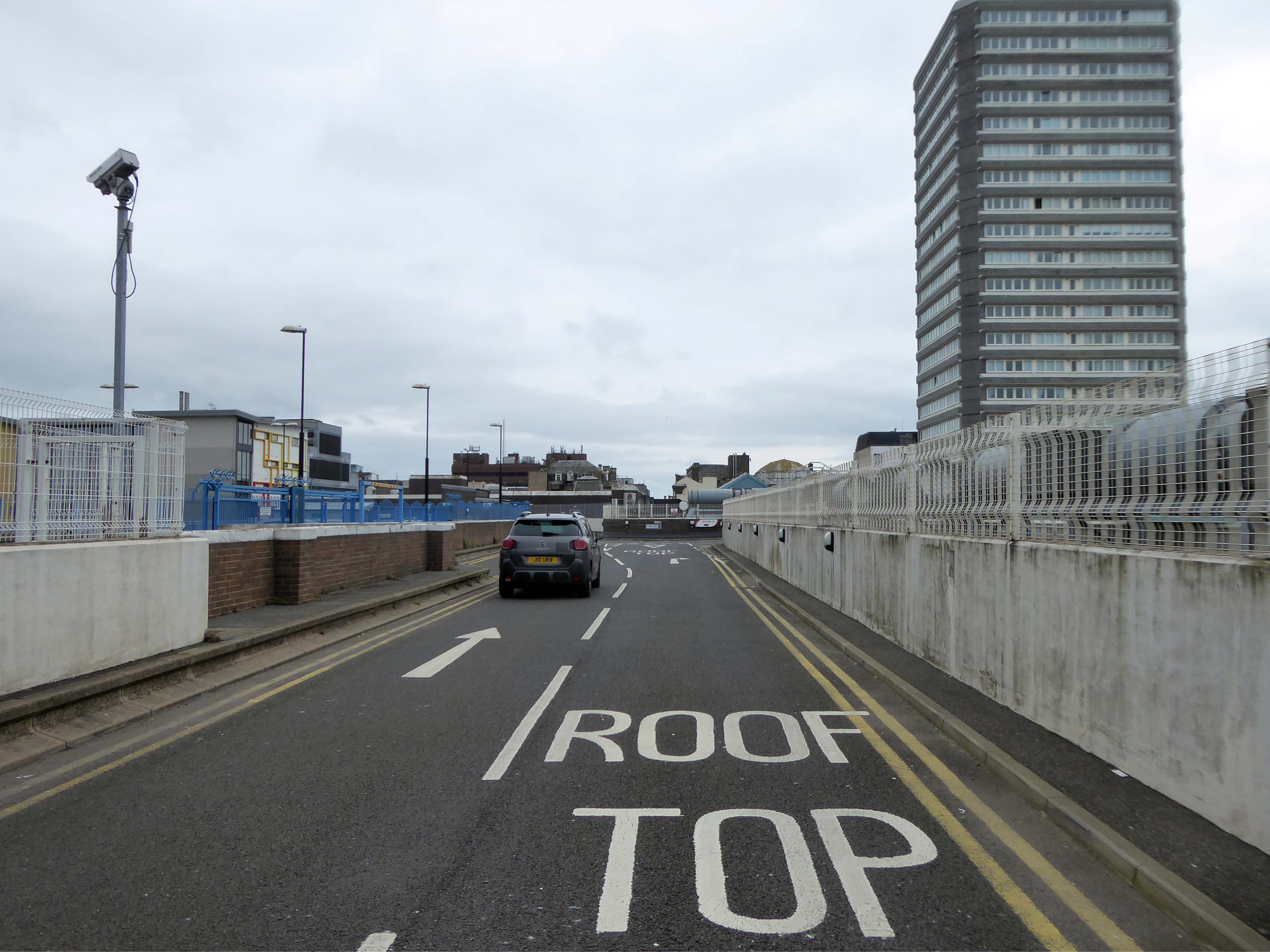
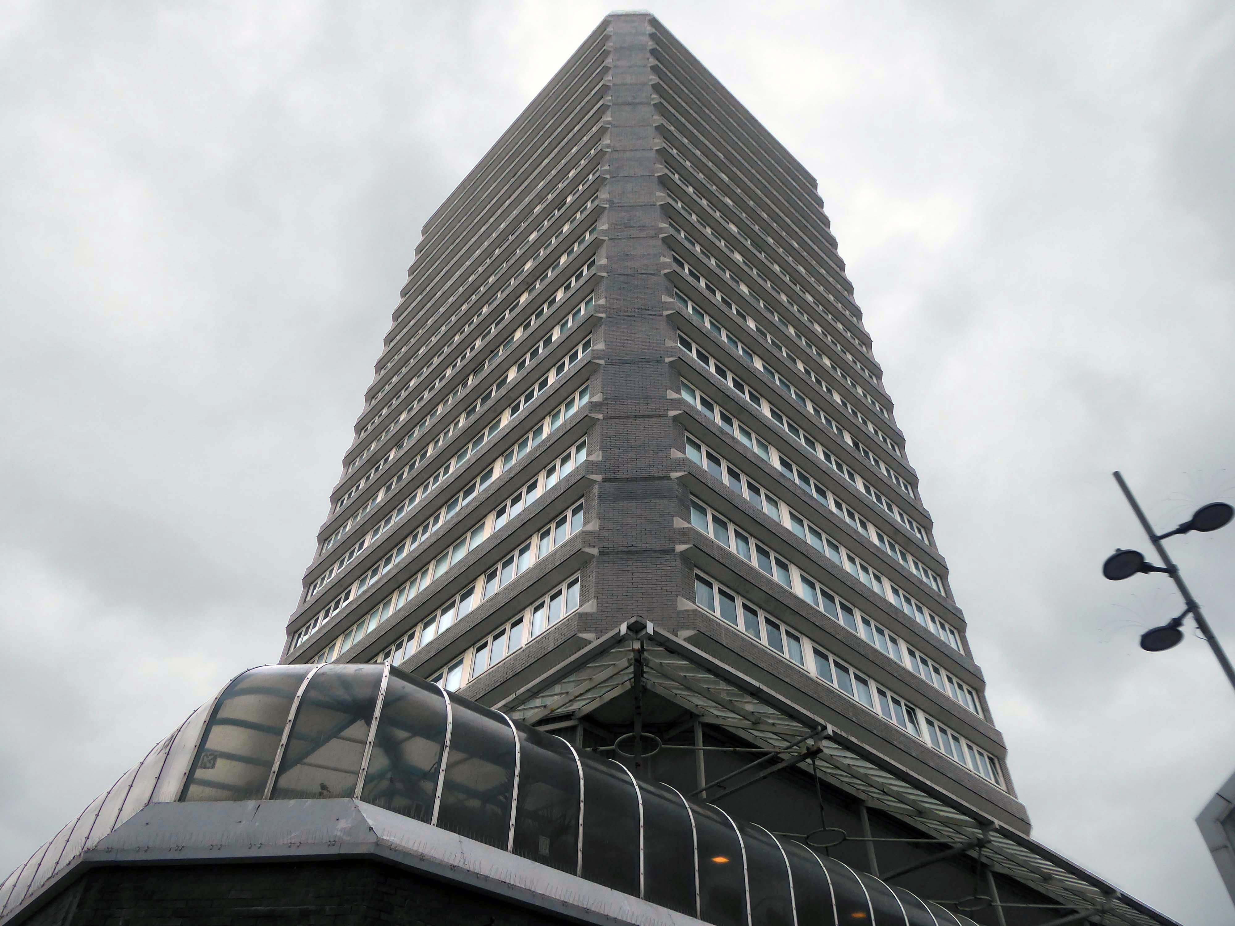
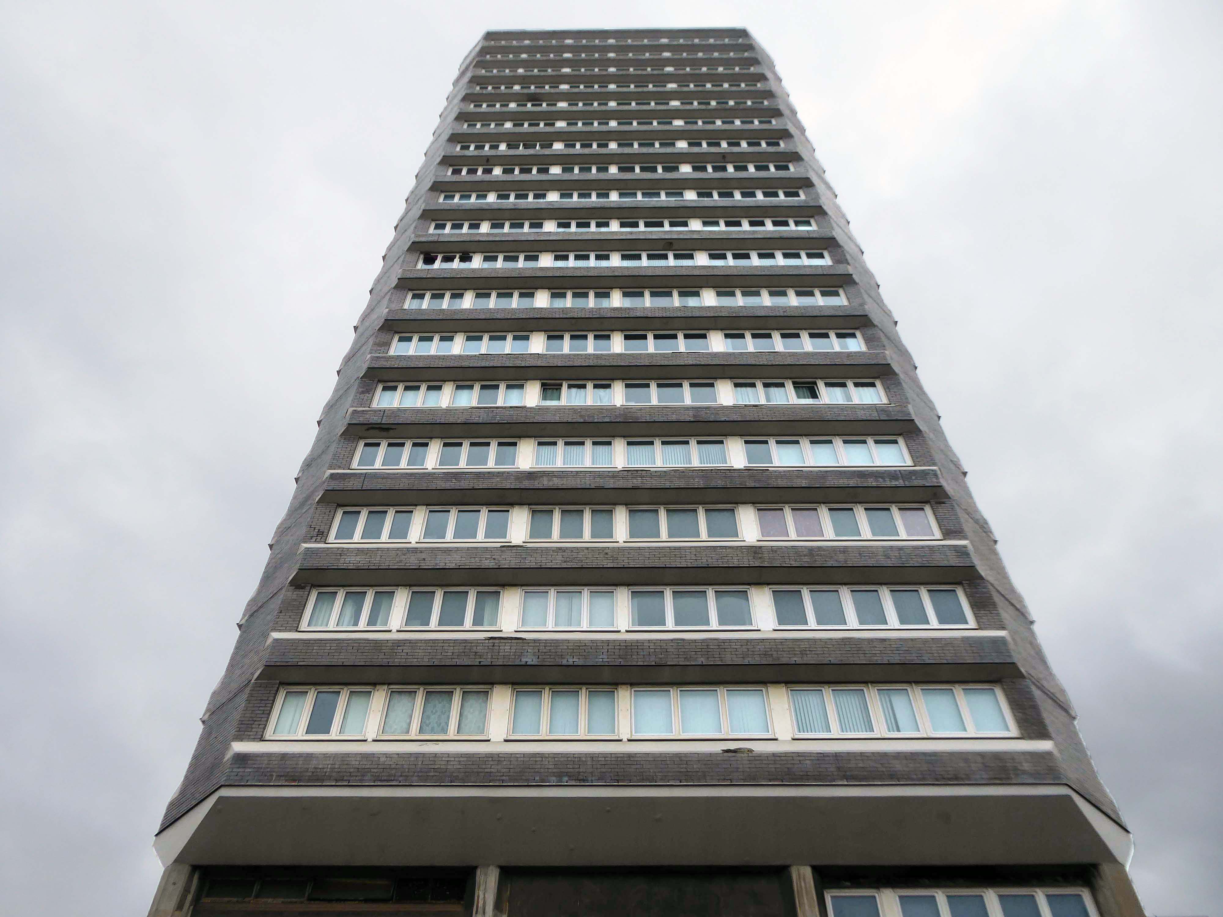
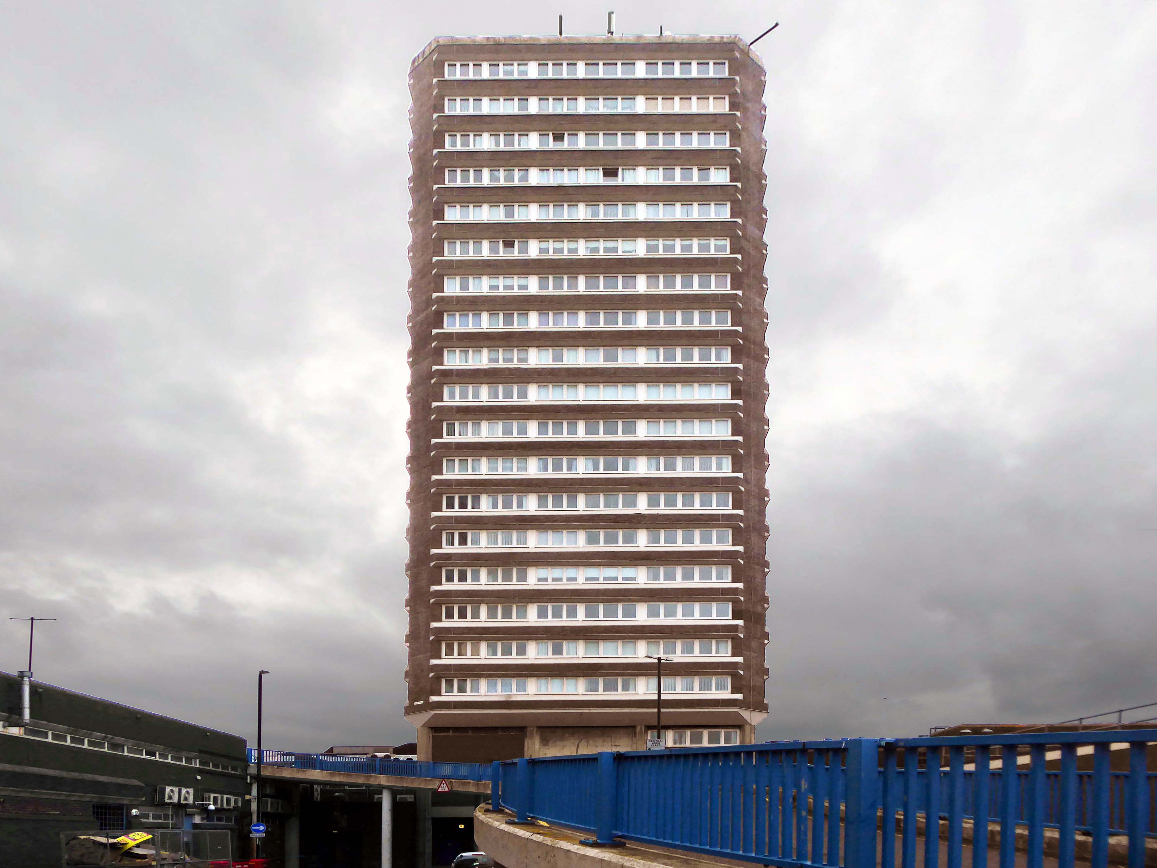
This development that wraps itself around Salop, Skinner and School Streets appears to be of a similar period to the Retail Market – and sports a Lady Wulfrun in relief.
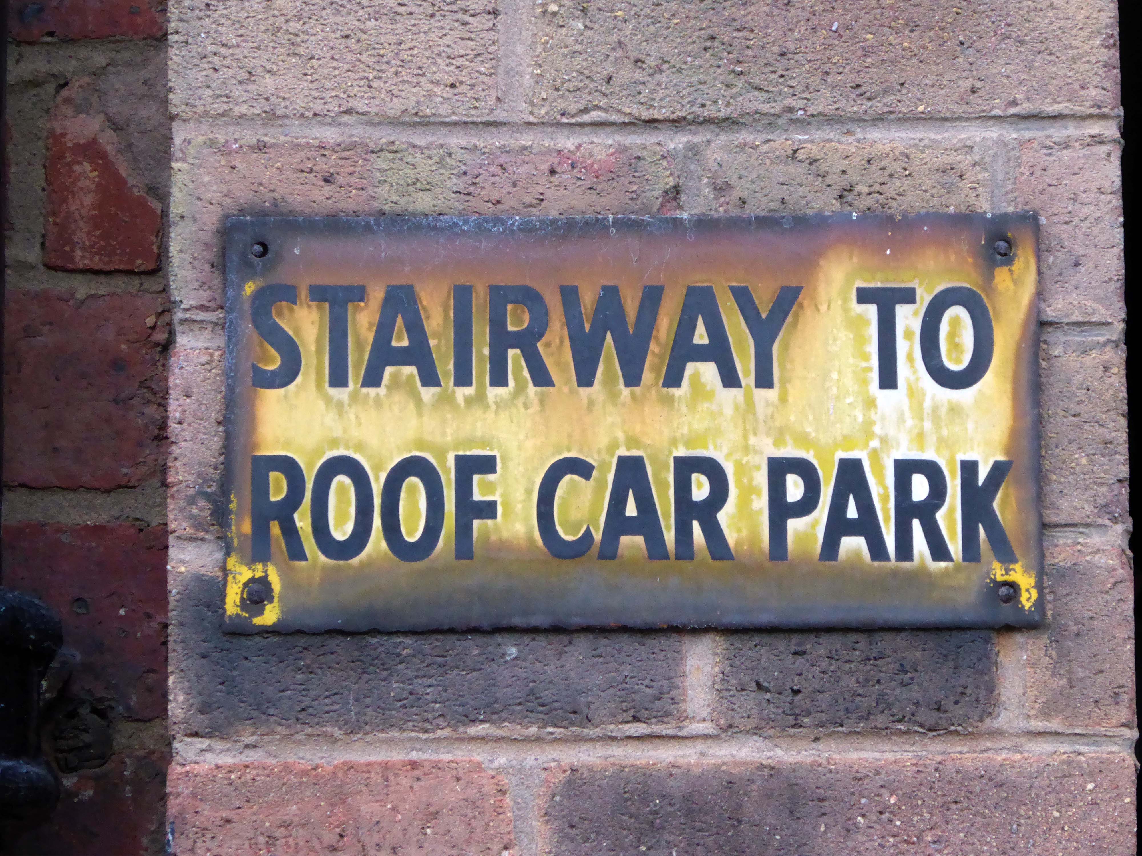
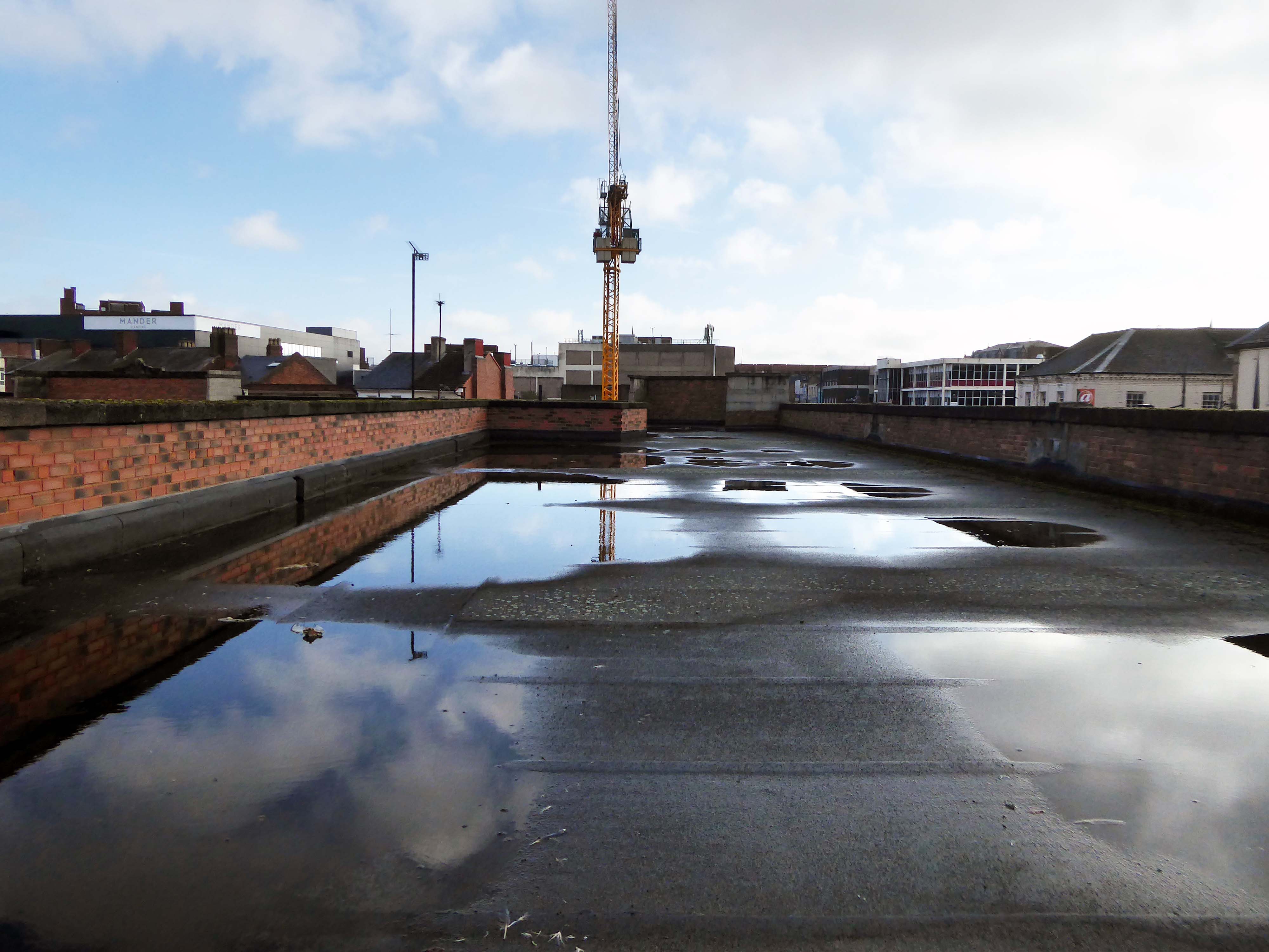
There is access to its roof top car park.
And also an exit back to street level.
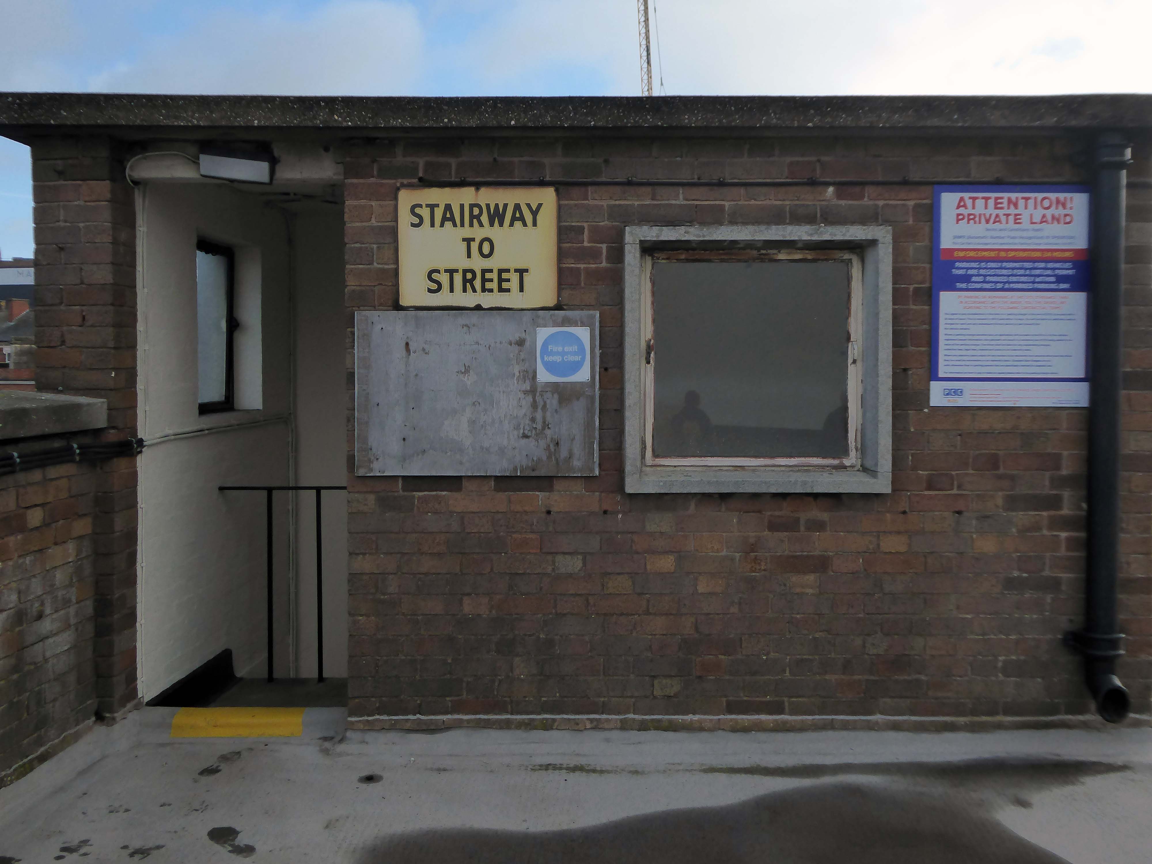
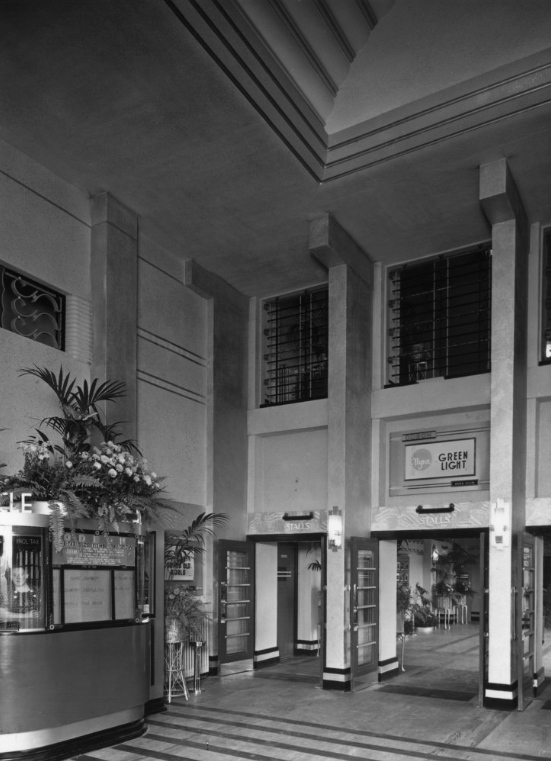
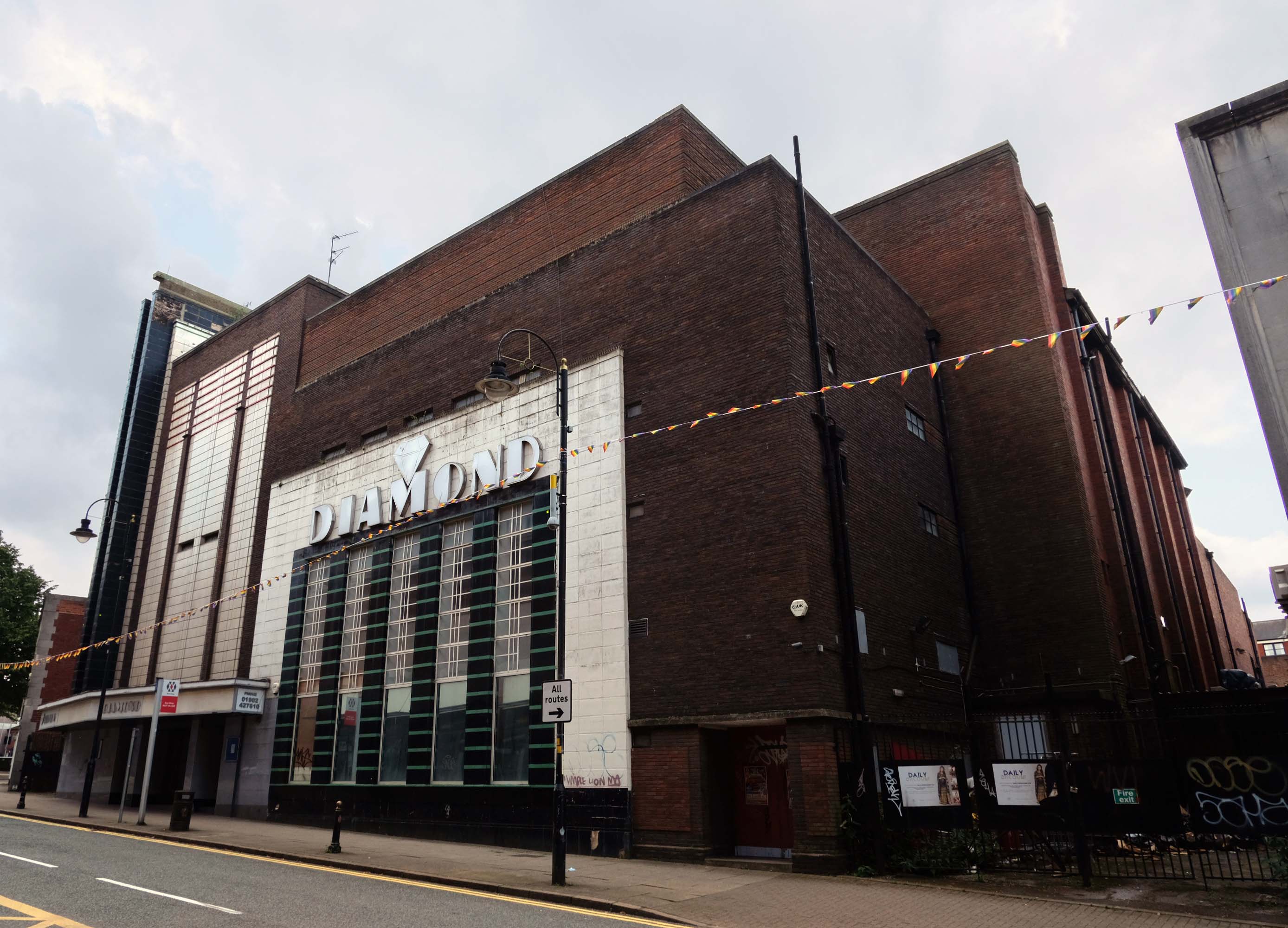
Where we find at street level the former Odeon Cinema, opened on 11th September 1937 with Conrad Veidt in Dark Journey.
In October 2000, the former Odeon was designated a Grade II Listed building by English Heritage.
RIBA pix
In recent years it was a Mecca Bingo Club, but this was closed in March 2007 In October 2009, it had been refurbished and re-opened as the Diamond Banqueting Suite. In April 2021 police raided the vacant building to discover an illegal cannabis farm operating in the building.
Four men were arrested.
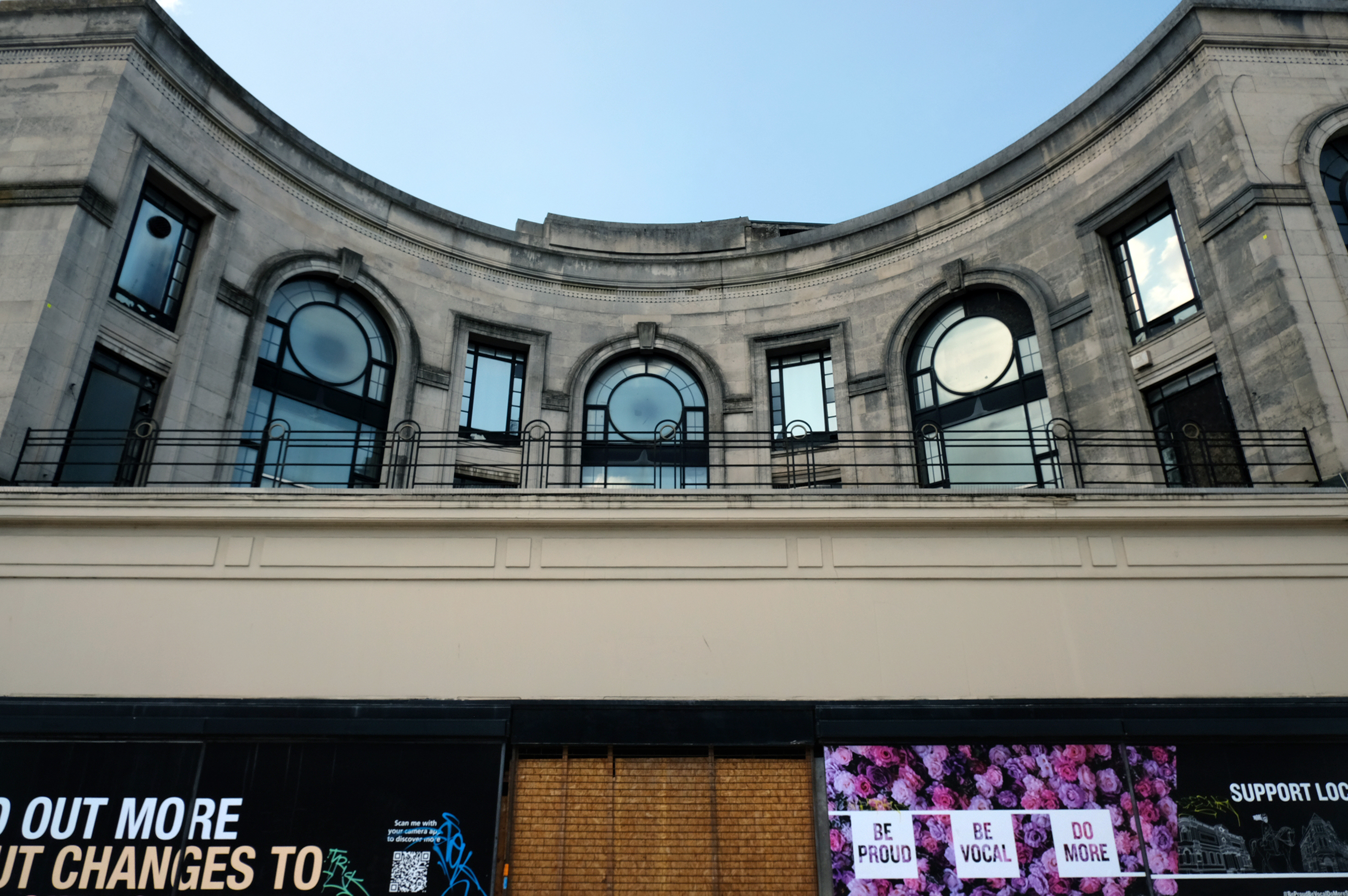
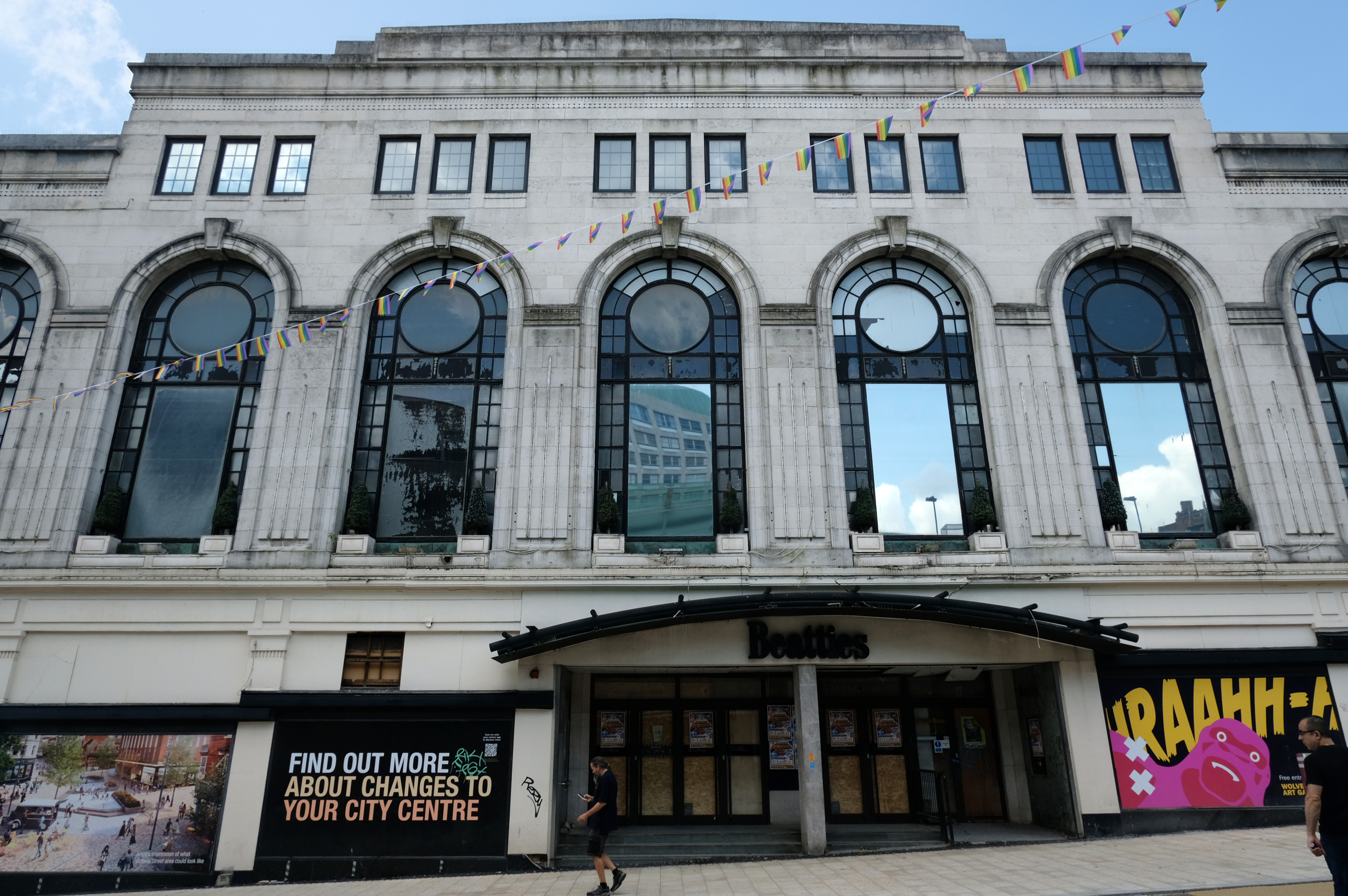
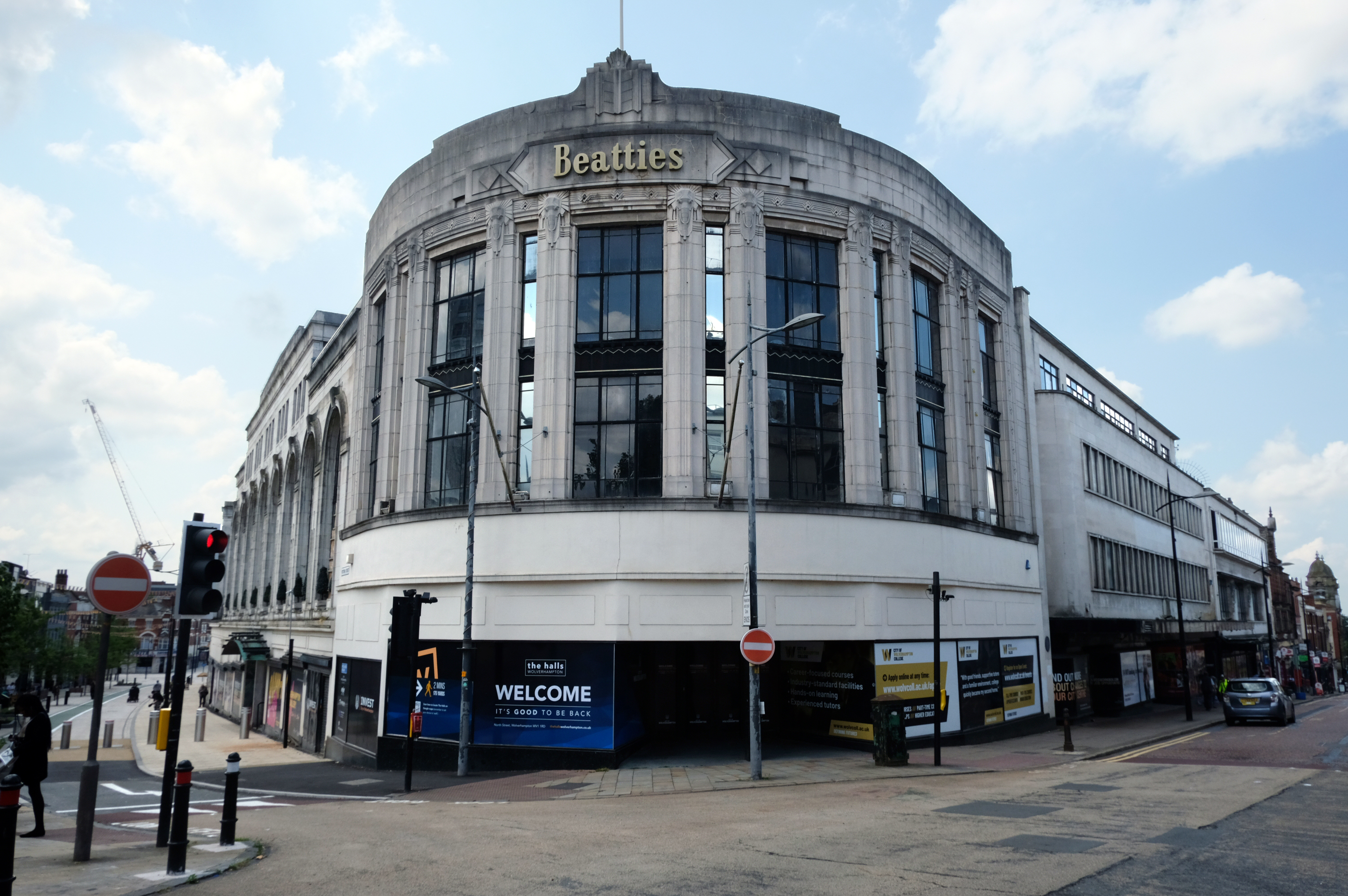
Let’s take a turn around the corner to Victoria Street where we find the complex of Beatties Buildings.
Architects: Lavender, Twentyman and Percy 1920’s – 30’s
The C20 Beatties store is a multi-period site developed first in the 1920s-30s. A Burton’s men’s clothes shop was built on a curved corner site at Victoria St/Darlington St and Beatties themselves replaced their existing Victoria St store in the 1930s with a building by local architects Lavender, Twentyman and Percy. Beatties later acquired and incorporated the Burton’s shop into their store. These two buildings form the locally listed building to which were added a mid-C20 extension along Darlington St and a late-C20 development to the rear at Skinner St.
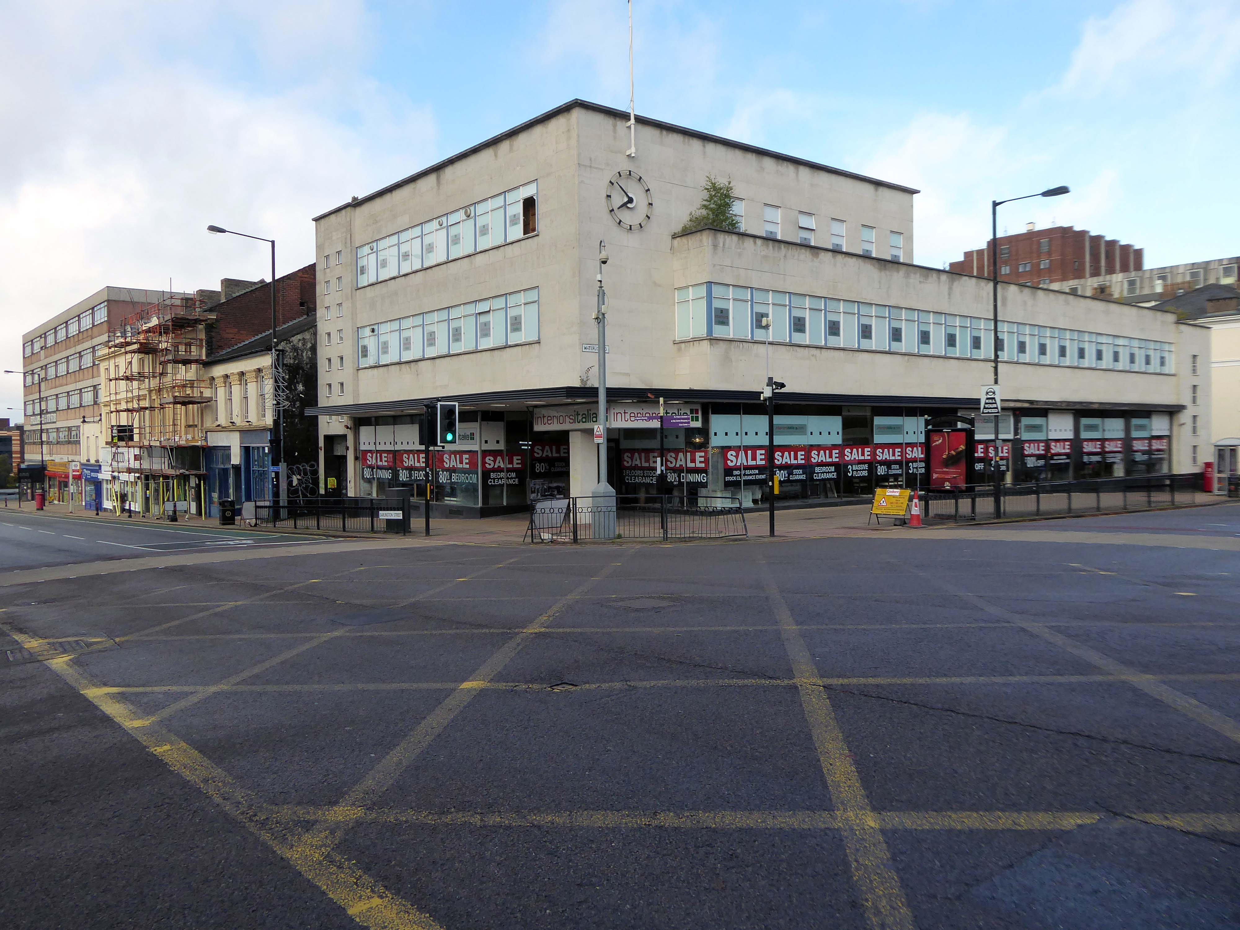
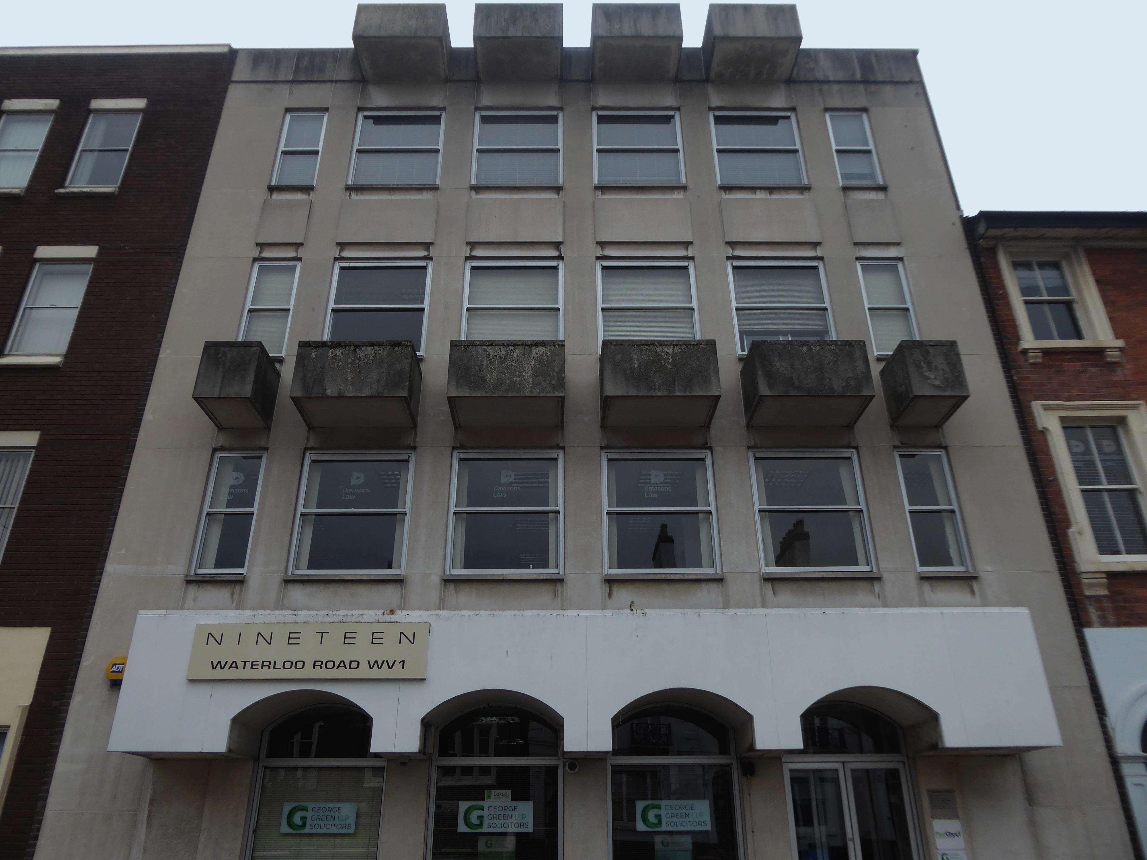
An imperious Portland stone clad mixed us block on Waterloo Road, with a delightful clock.
Formerly the Gas Showrooms then SunAlliance & LondonInsurance offices – aka Clock Chambers
The showroom in Darlington Street was also the centre of a radio network that controlled a fleet of service vans. This enabled customers to receive service within minutes of making a telephone call. Demonstrations of cookery, washing and refrigeration were given by the Gas Board’s Home Service Advisers and a number of the company’s engineers, who specialised in designing gas equipment for industrial processes operated an advisory service for manufacturers.
Architects: Richard Twentyman 1939.
Nineteen Waterloo Road latterly First City House formerly home to Eagle Star Insurance 1970
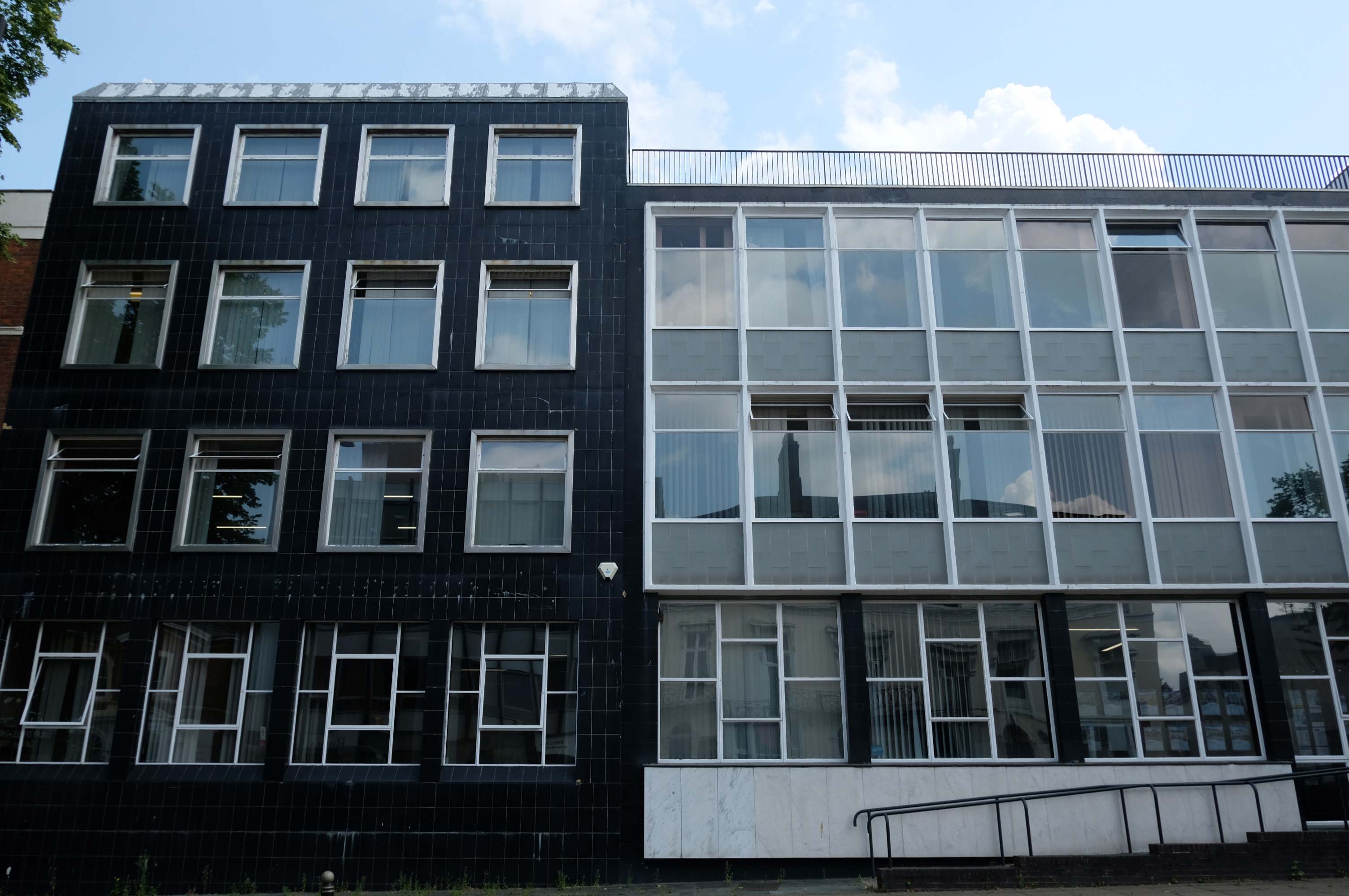
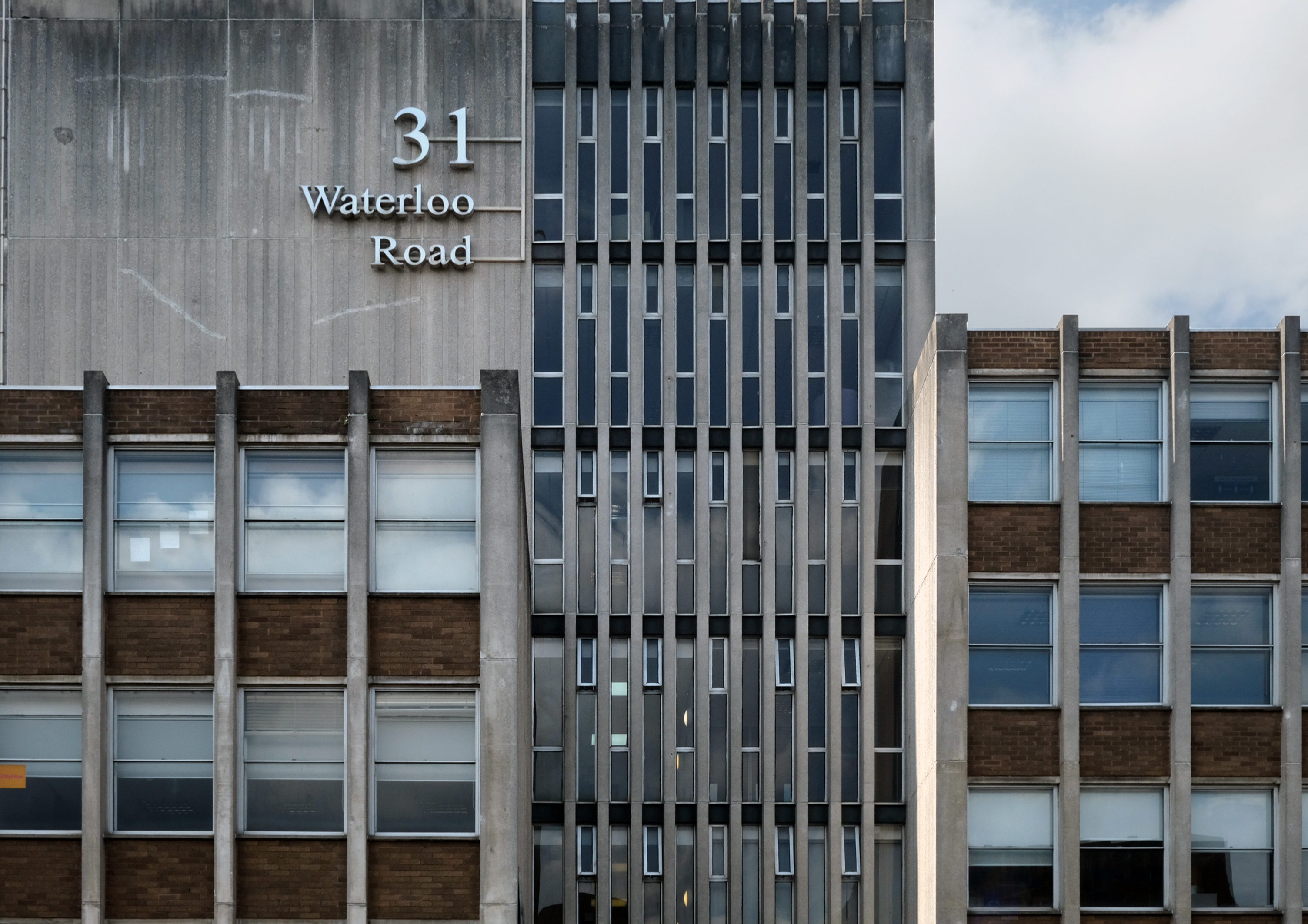
8-10 Waterloo Road architects: Richard Twentyman 1959 extended 1966.
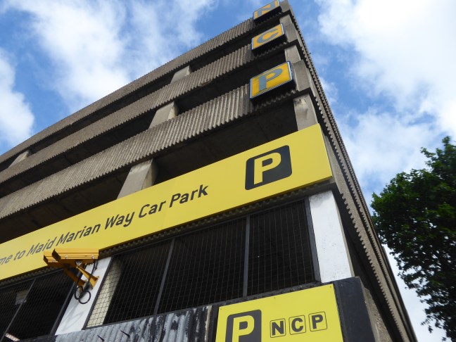
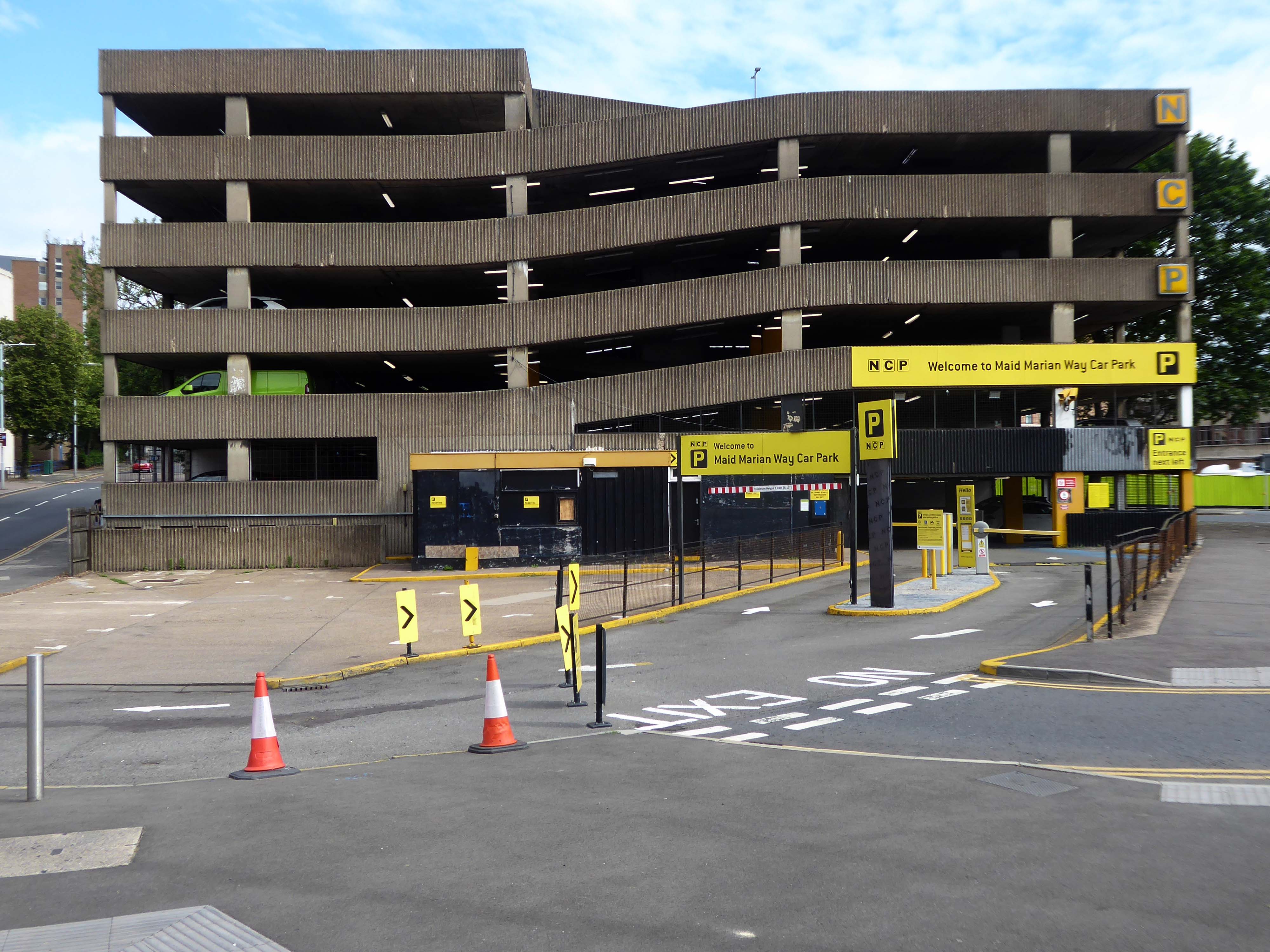
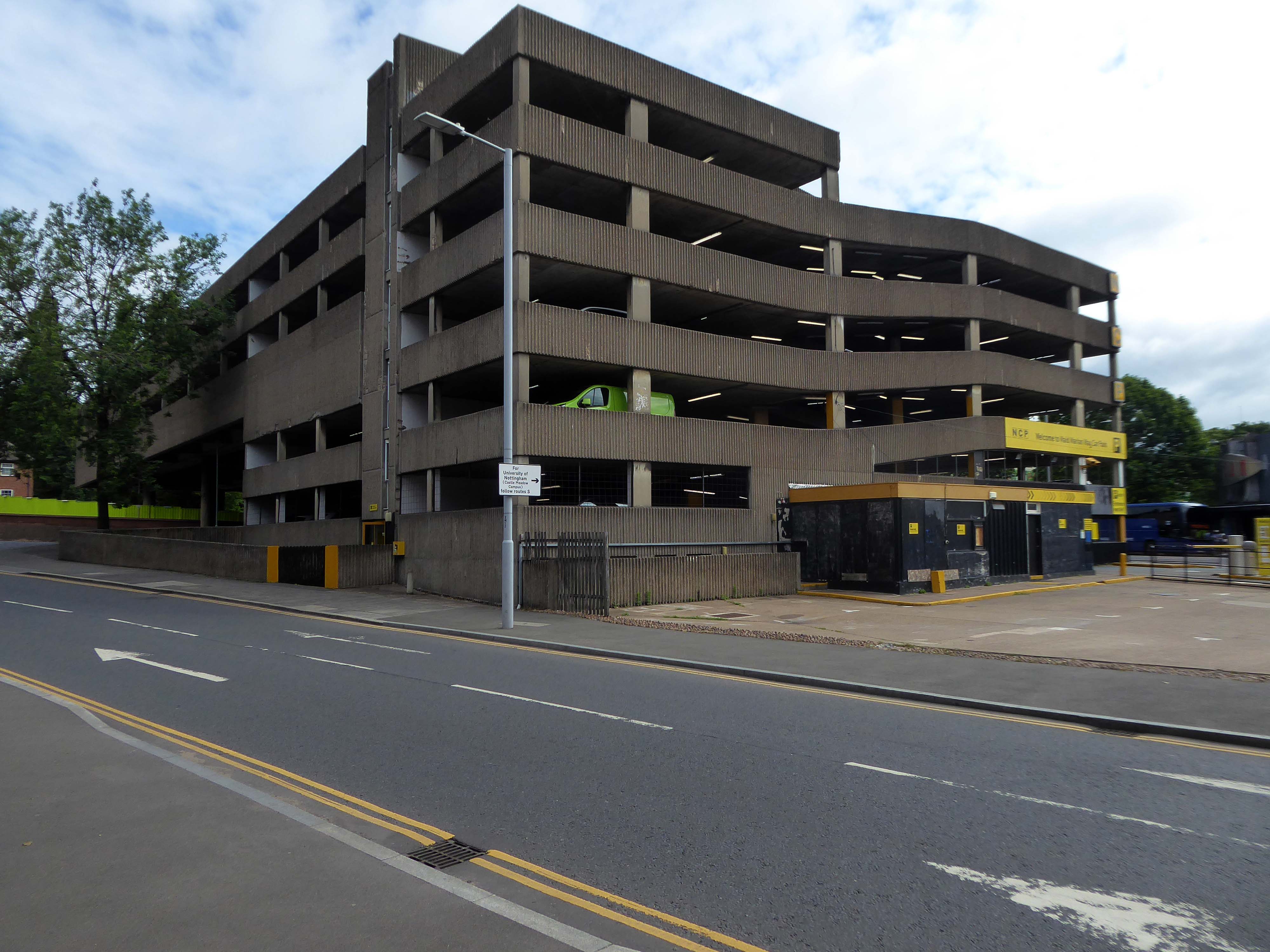
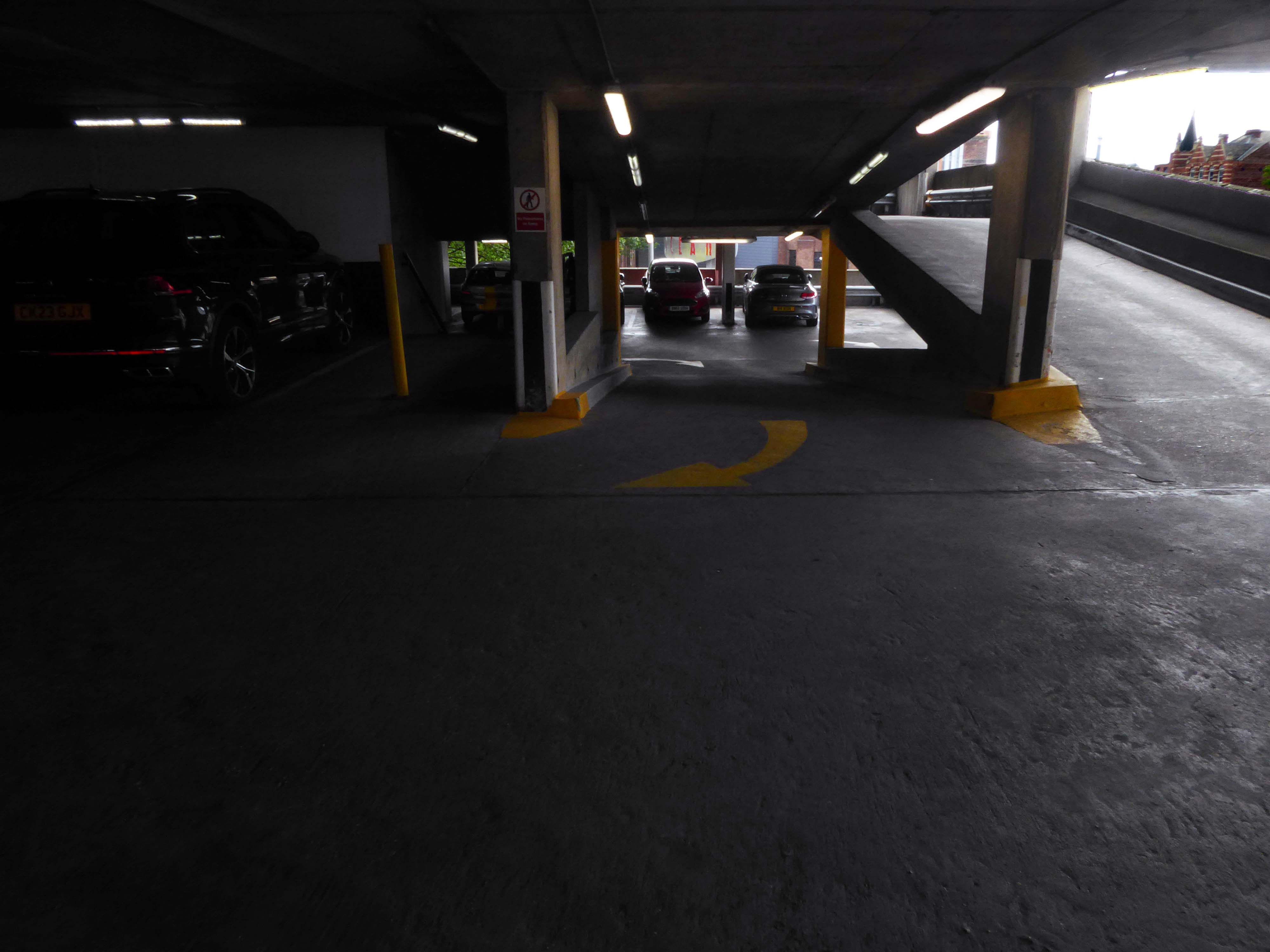
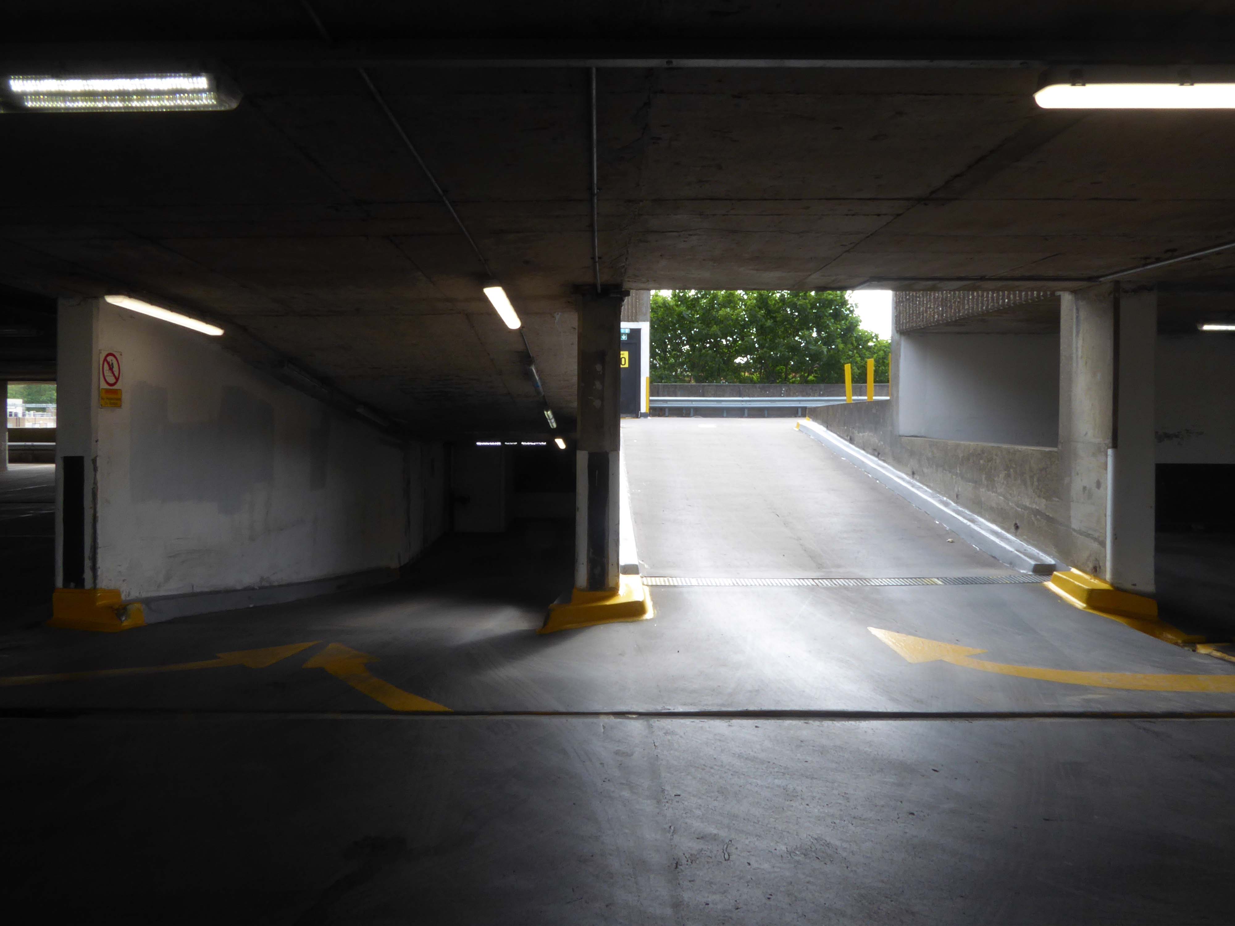
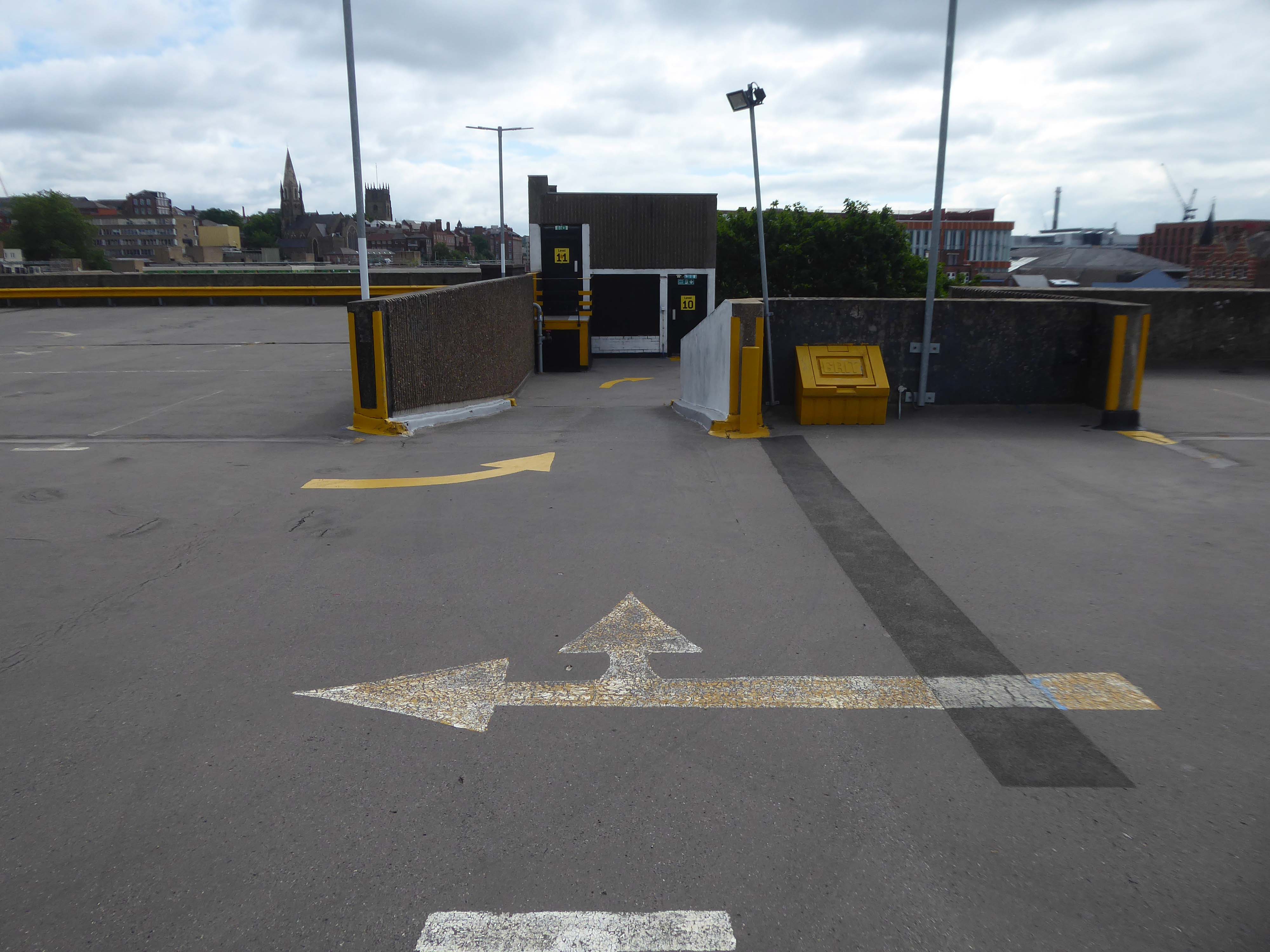
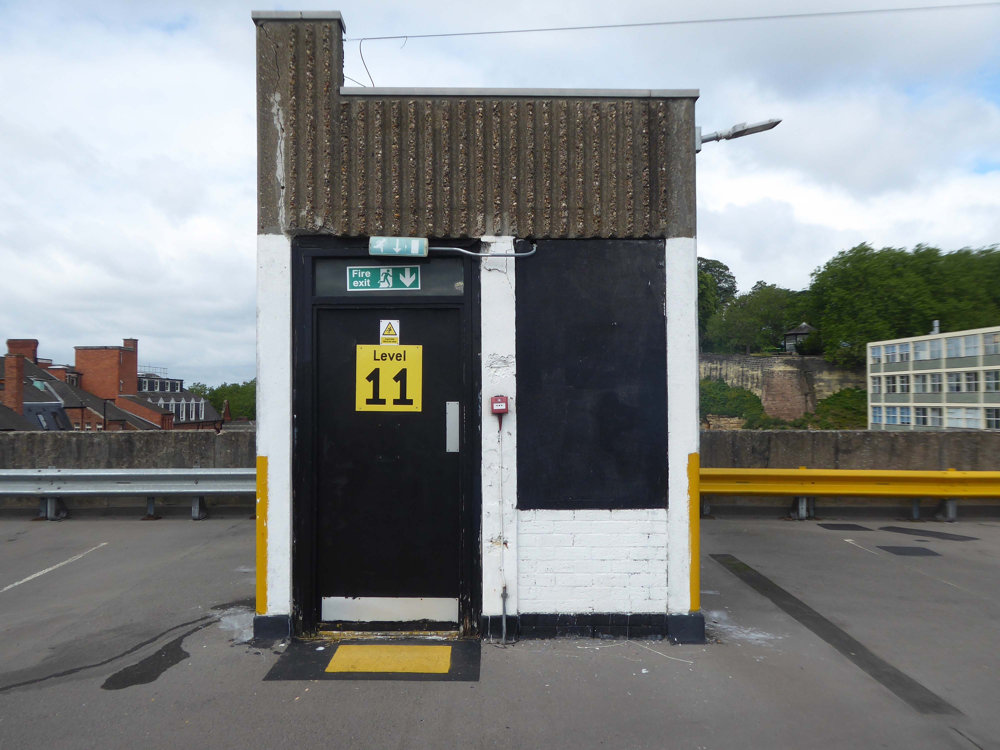
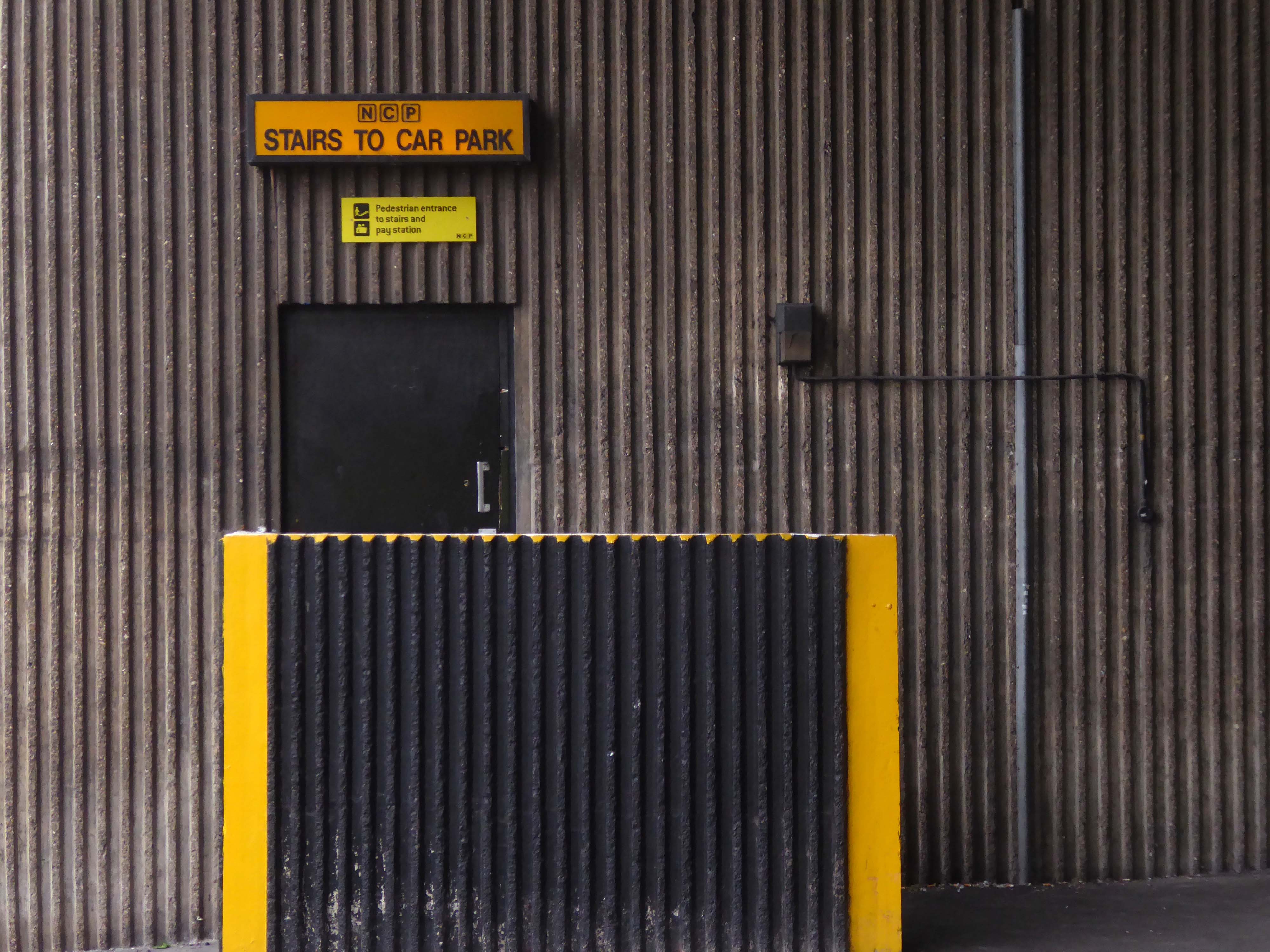
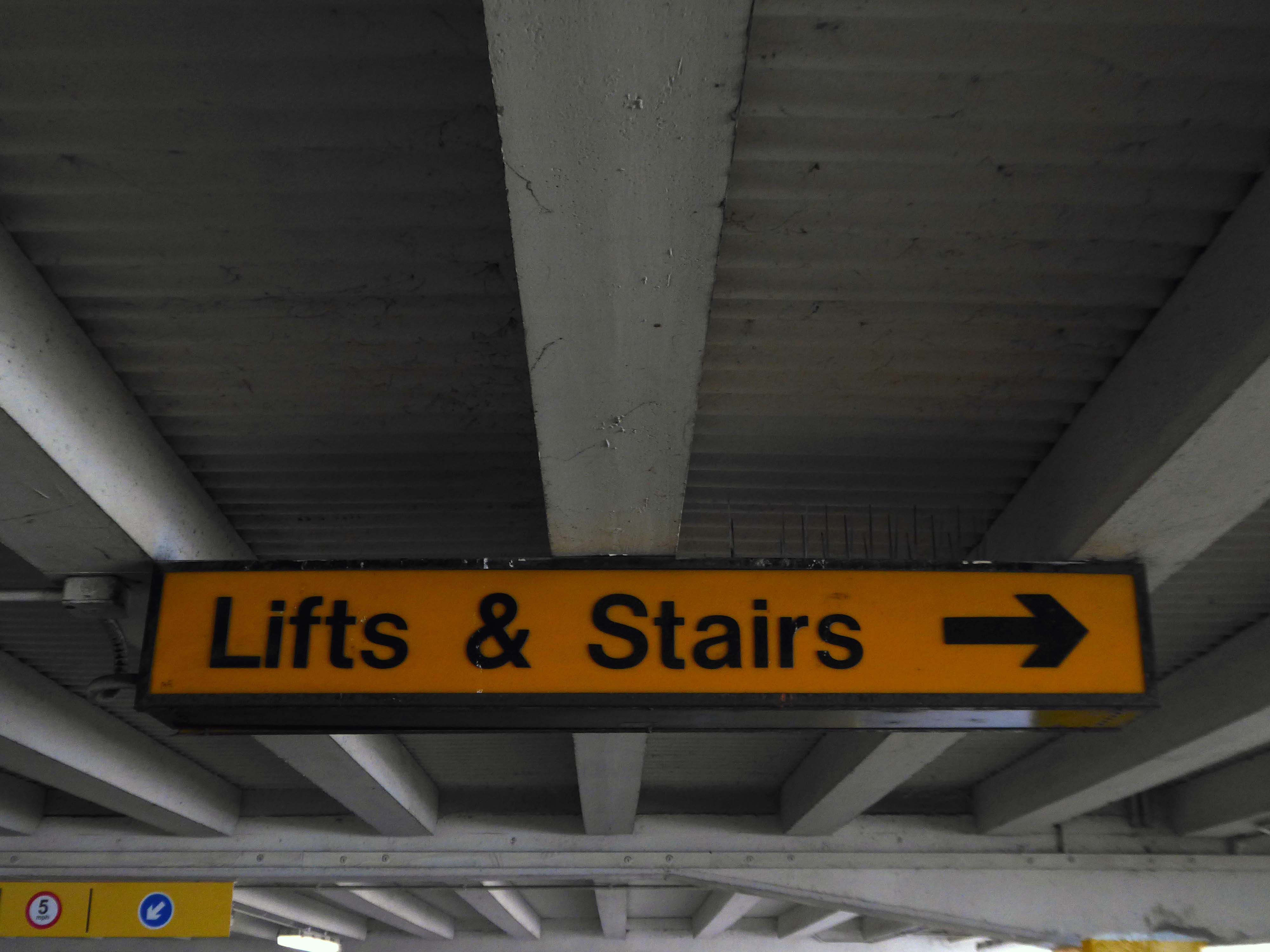
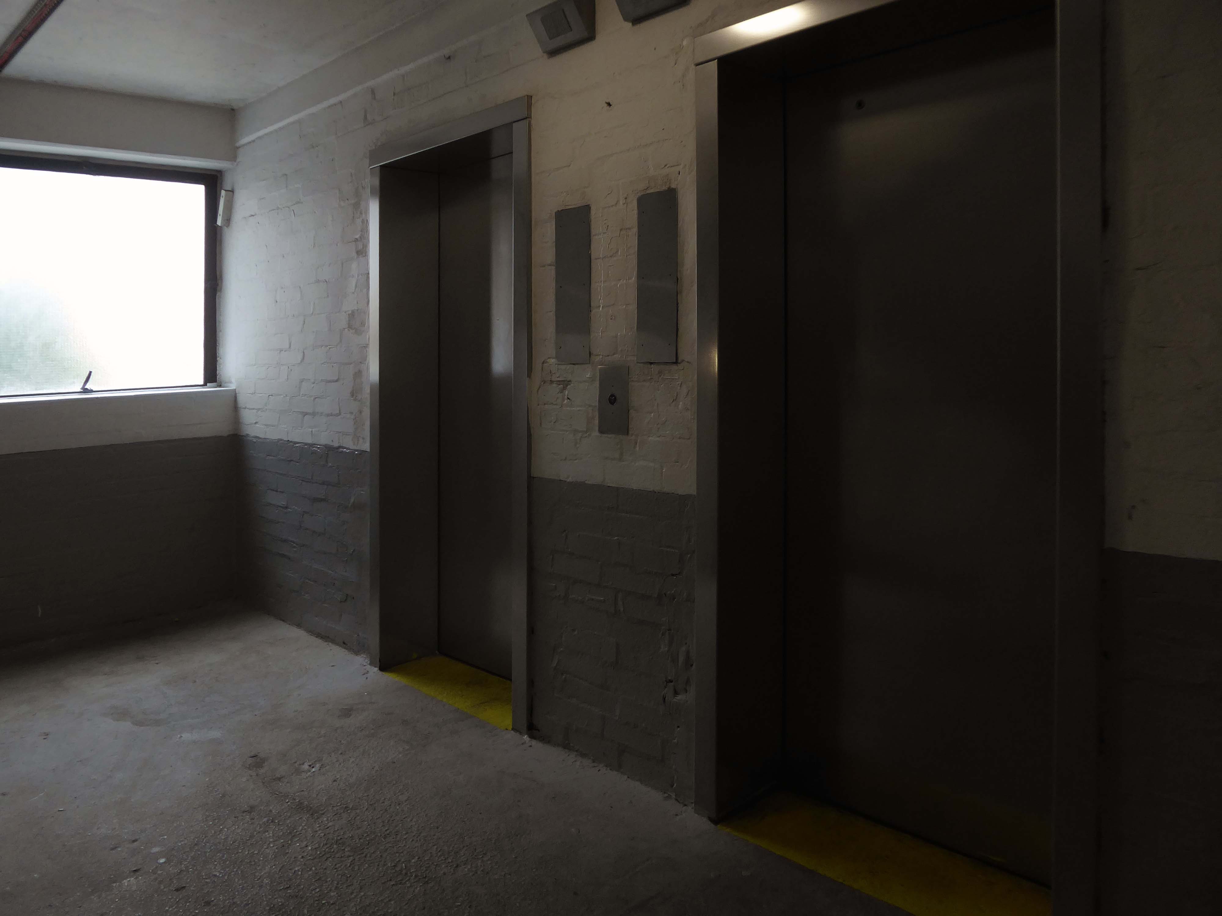
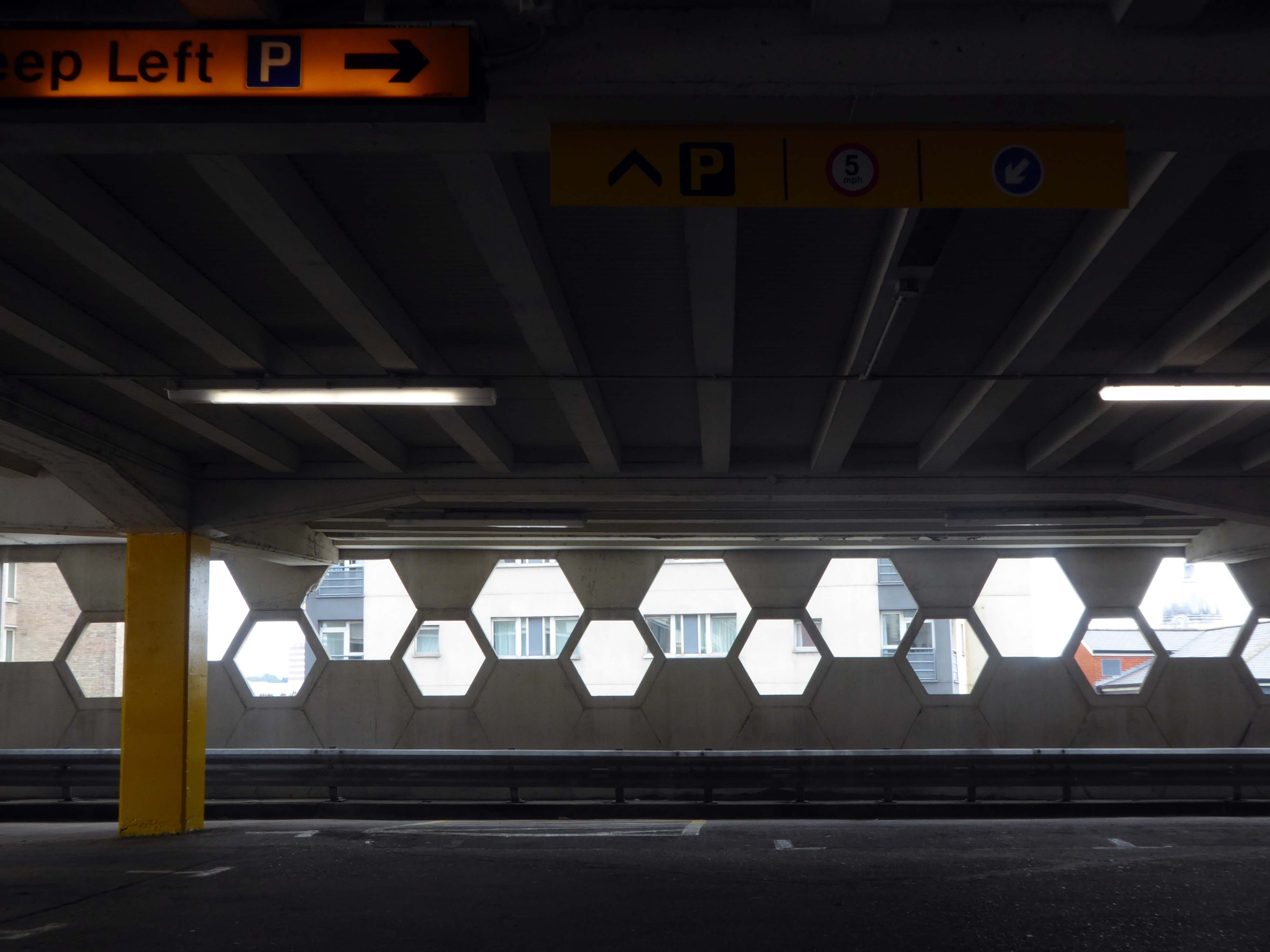
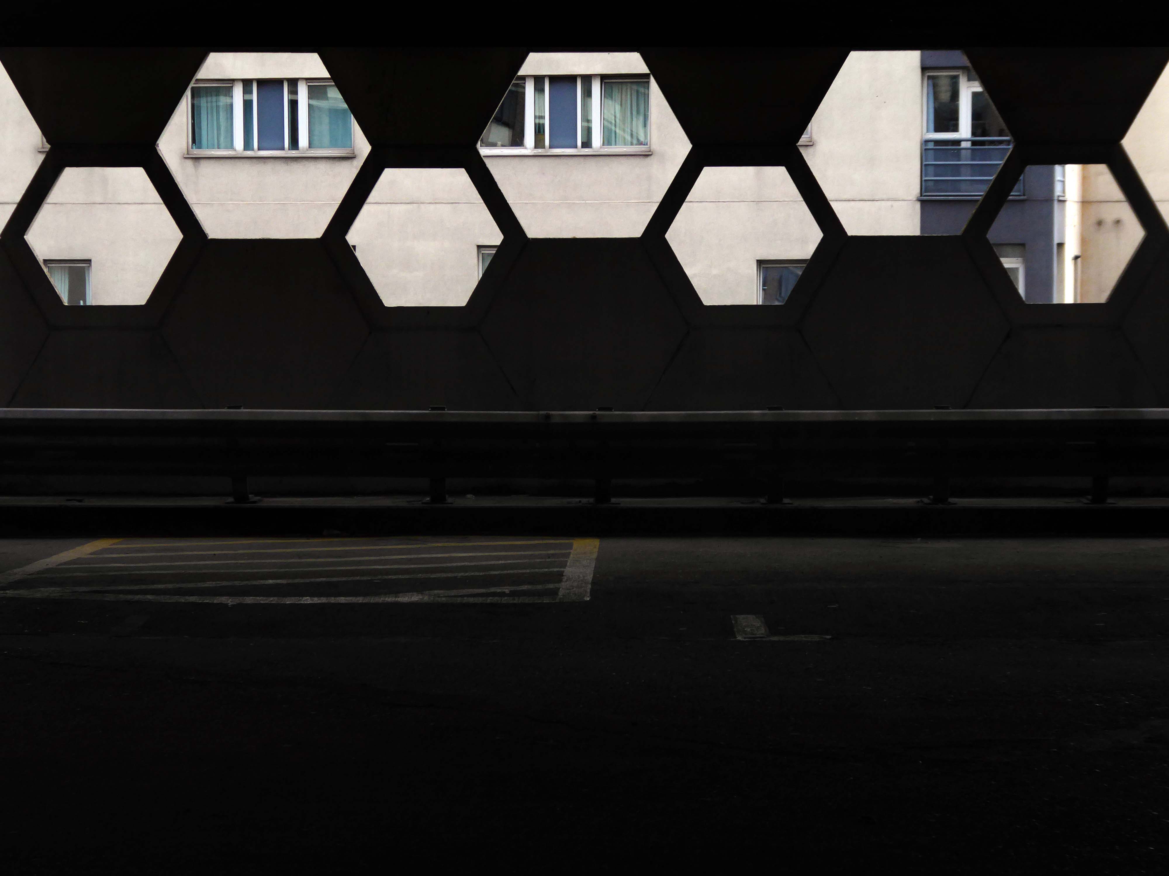
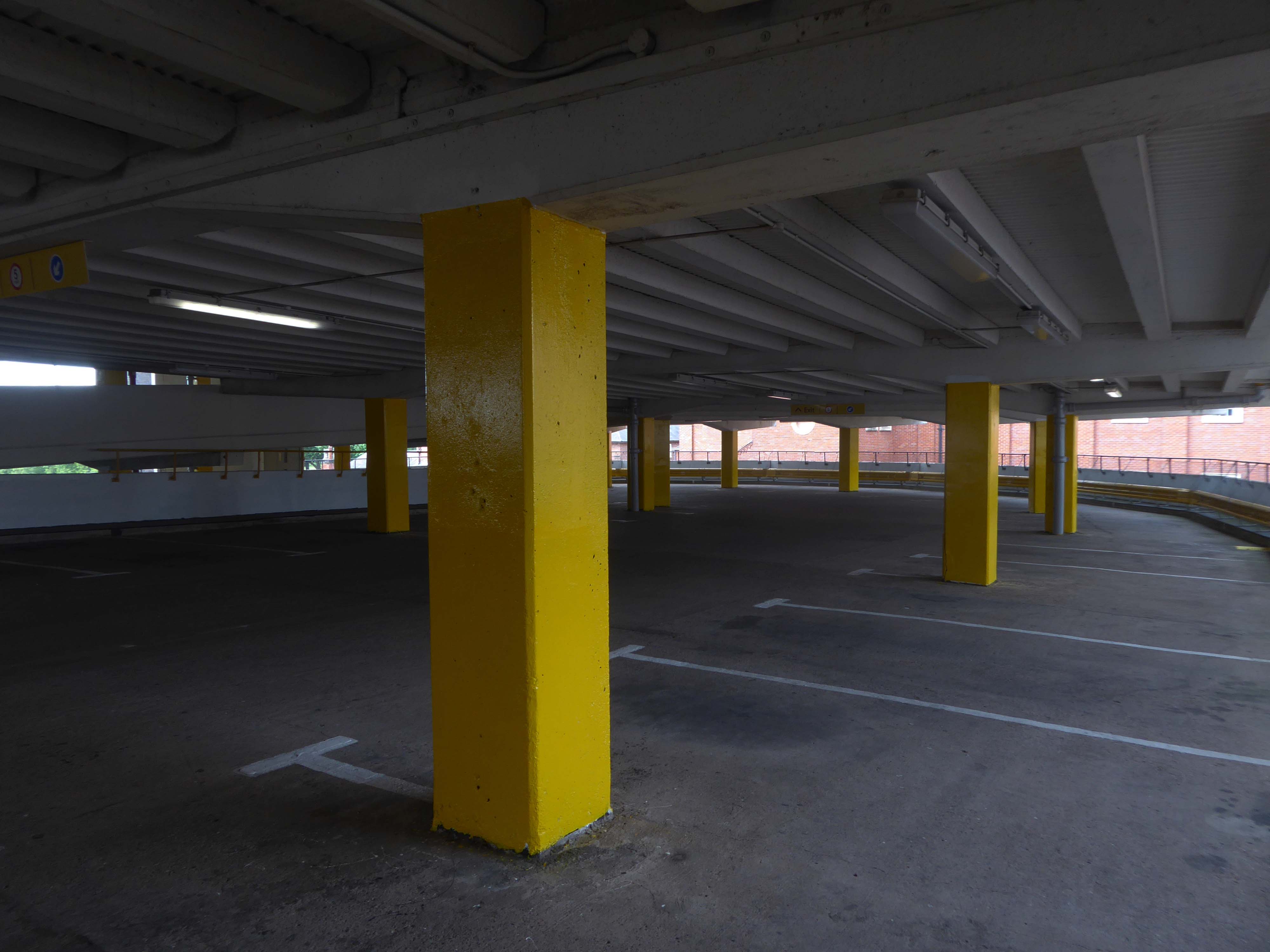
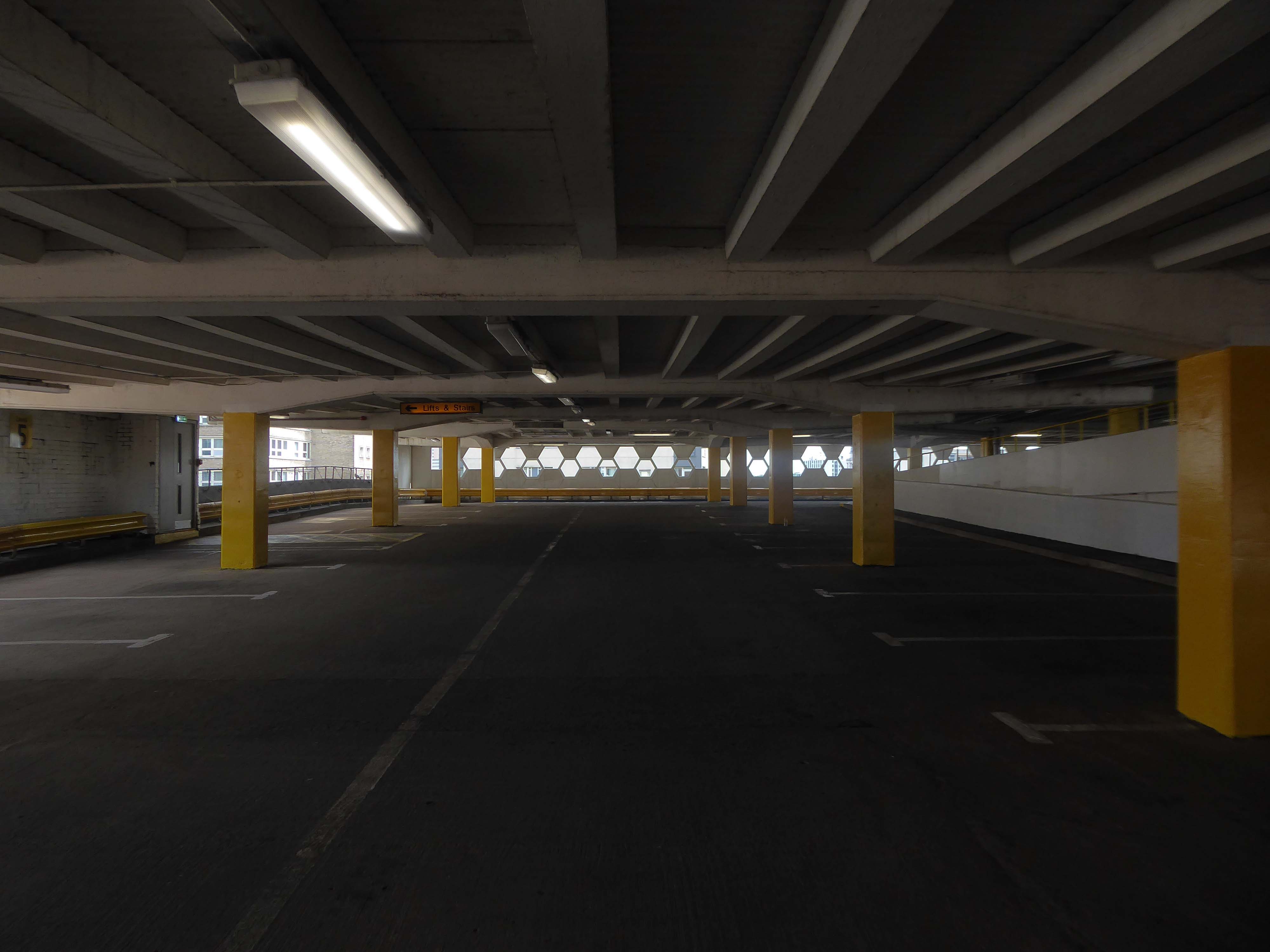
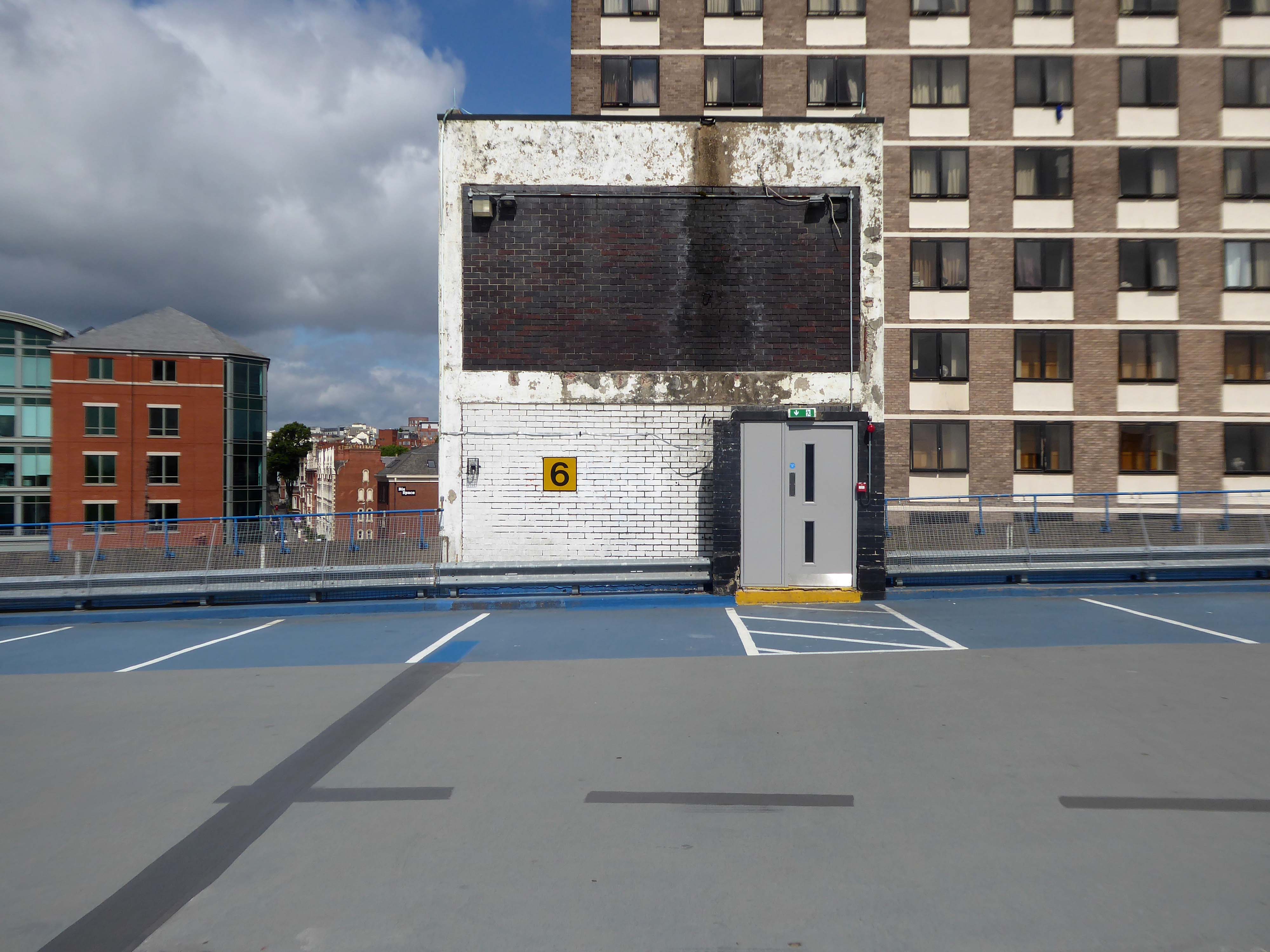
This has narrow ramps up and down, and narrow parking spots.
One ticket machine upon entry wouldn’t dispense – the other was covered with a bag but did work, very weird.
Becky T
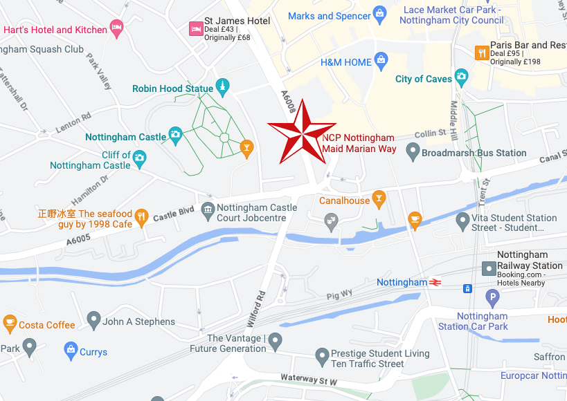
Anyway, a way must have a name, so why not Maid Marion?
Olivia De Havilland
Maid Marian is the heroine of the Robin Hood legend in English folklore, often taken to be his lover. She is not mentioned in the early, medieval versions of the legend, but was the subject of at least two plays by 1600. Her history and circumstances are obscure, but she commanded high respect in Robin’s circle for her courage and independence as well as her beauty and loyalty. For this reason, she is celebrated by feminist commentators as one of the early strong female characters in English literature.
Robin Hood and DH Lawrence apart it seems most apt – so Maid Marion Way it is then.
In November 1945, the city council decided to ask Parliament for the go ahead for a scheme likely to cost more than half a million pounds.
However, it would cut a swathe through medieval streets, wiping some from the map and spelling the end of a community life which had thrived for centuries.
The arguments, discussions and negotiations rumbled on for years. It would be 1963 before work finally got underway and the new road was built.
Less than two years after it was completed, it was given a label that has stuck over the past four decades — the ugliest street in Europe.
Dual carriageways mean cars, cars mean car parks and car parks mean business.
Whether you’re visiting a student or are one yourself, parking at our car park on Maid Marian Way gives you easy access to the University of Nottingham.
For those who want a bit of retail therapy, look no further than the Intu Victoria shopping centre. Located within easy walking distance of our Maid Marian car park and right in the heart of the city centre, you’ll have a choice of over fifty shops to browse.
If you’re a bit of a history buff then Nottingham Castle should definitely be on your ‘to do’ list. Park near the castle at Maid Marian Way, and you’re just minutes away from reliving tales of the past as you explore the original hidden caves equipped with a dungeon. Make sure you don’t leave without taking a picture with Nottingham’s most famous resident, Robin Hood, found just outside the castle.
Had a lovely conversation with a lady in the machine after my parking ticket was swallowed and learnt lots about the poor acoustic in car parks. They charged me twice to park my car which made me feel lots of negative emotions towards them. So all in all, a bit of rollercoaster. Highly recommend this experience for anyone looking for somewhere to park that enjoys conflict and has lots of money they don’t need.
Very expensive, dirty and with rough sleepers lying on each stairs landing.
Felt very unsafe.
Parkopedia
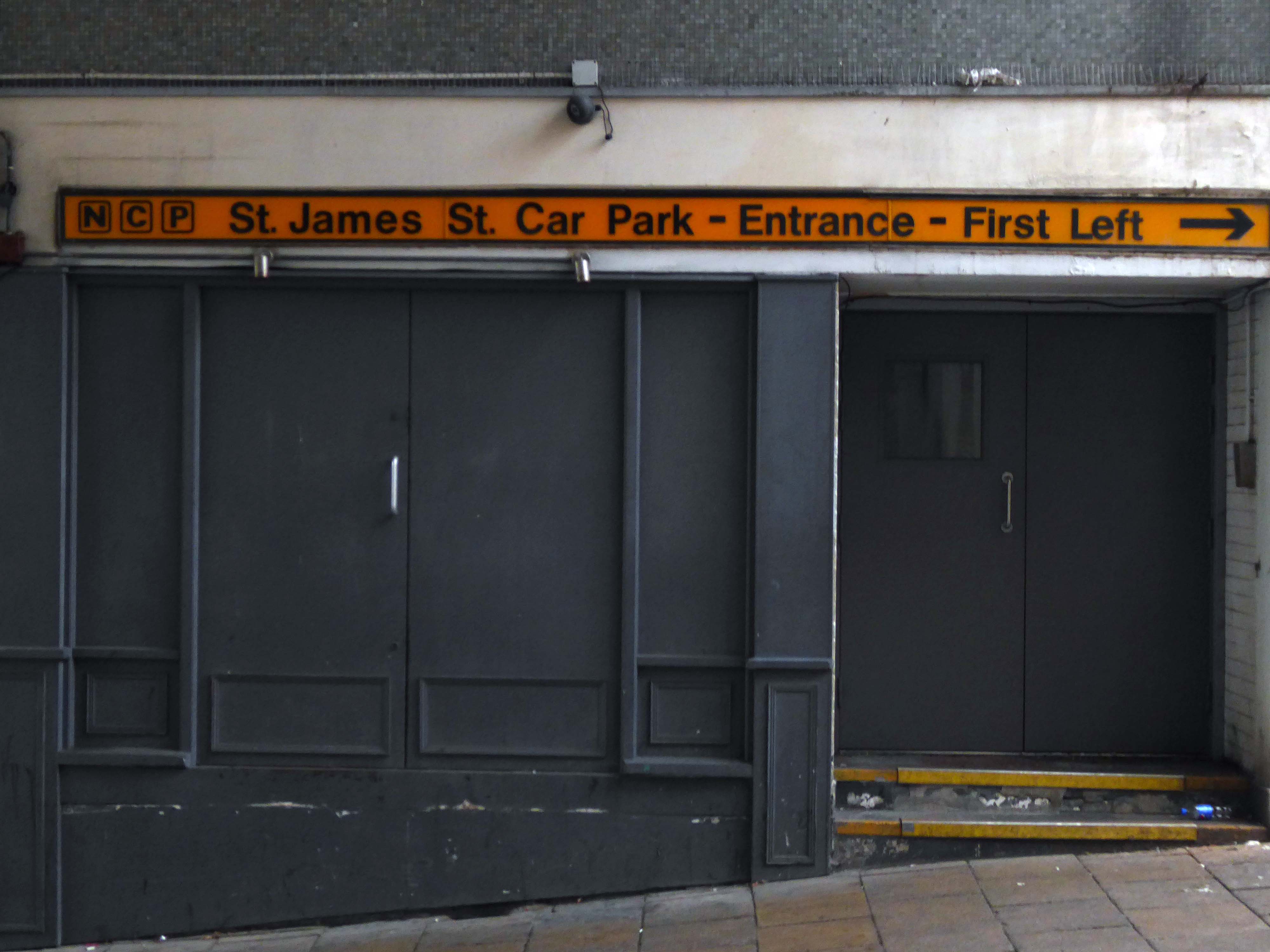
Located in the heart of Nottingham, our parking on St James Street puts you right in the historical centre of this ancient city. Get your picture taken with the legendary Robin Hood Statue, then take a tour of the Castle, Museum and Art Gallery before staying in the stylish boutique accommodation of St James Hotel.
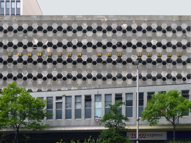
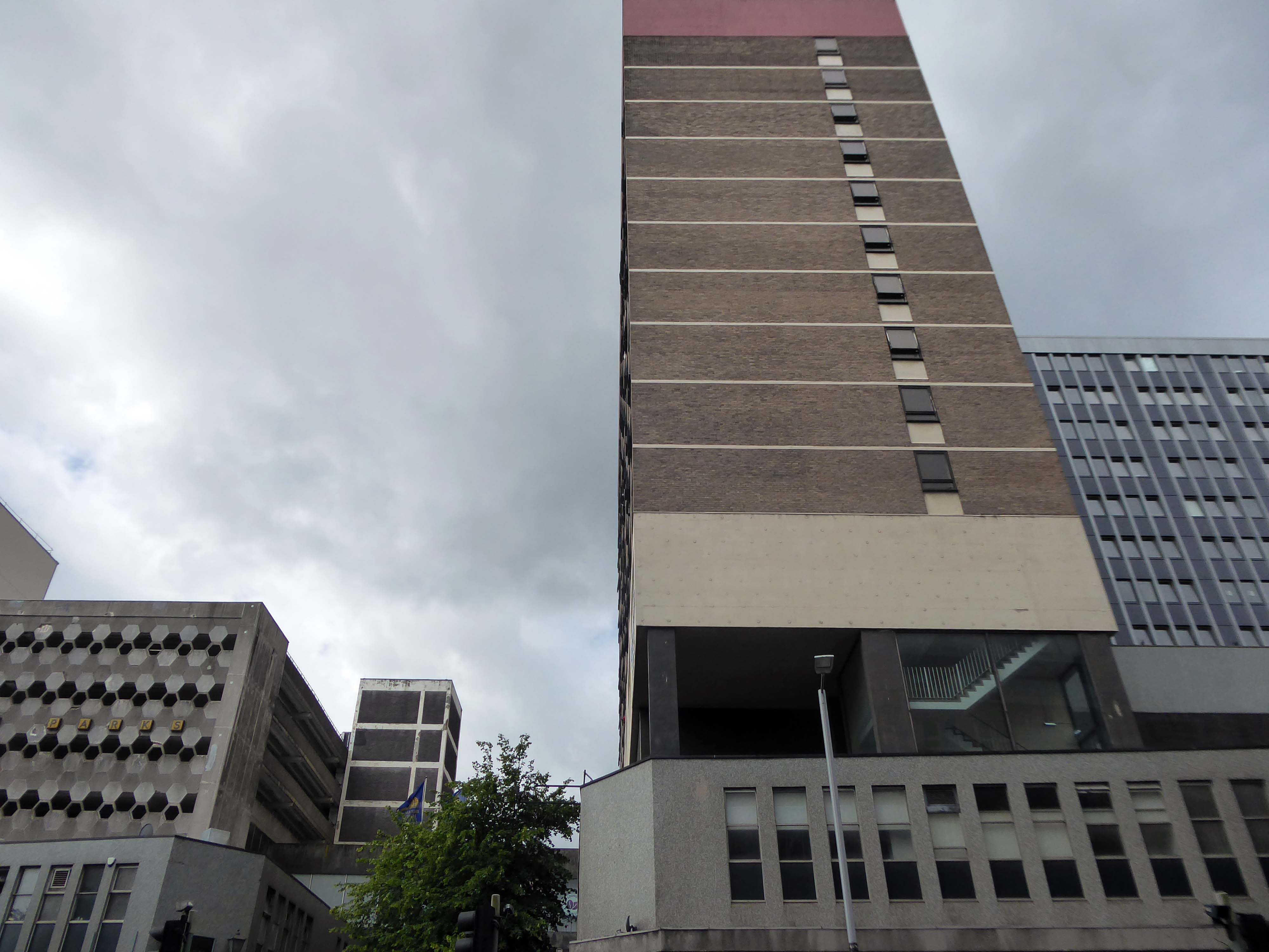
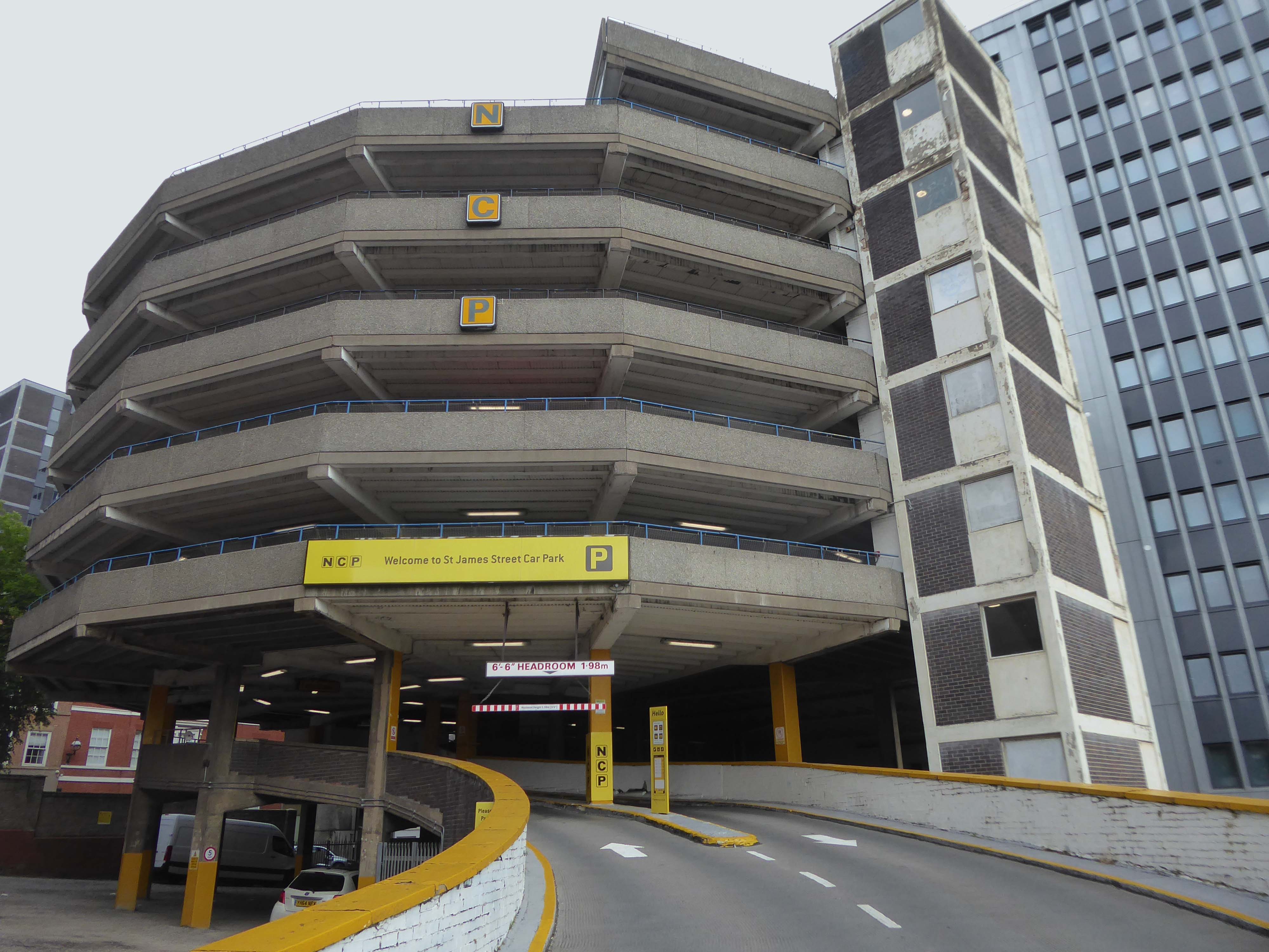
An overwhelming three-part development by John P Osborne & Sons. Phase 1 has a multi-storey car park 1962 above shops; followed by the fifteen-storey Britannic Hotel 1966, elevations by James Roberts.
Elain Harwood
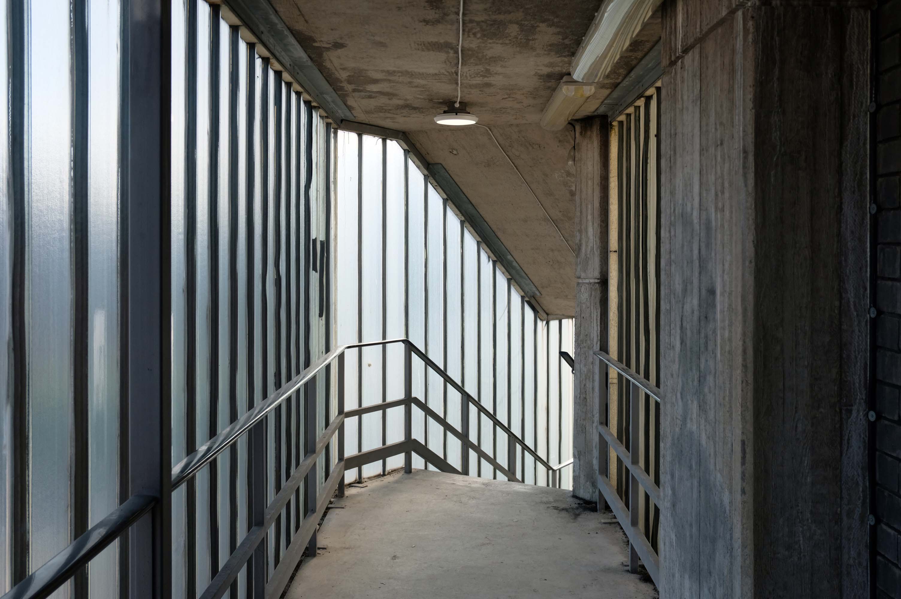
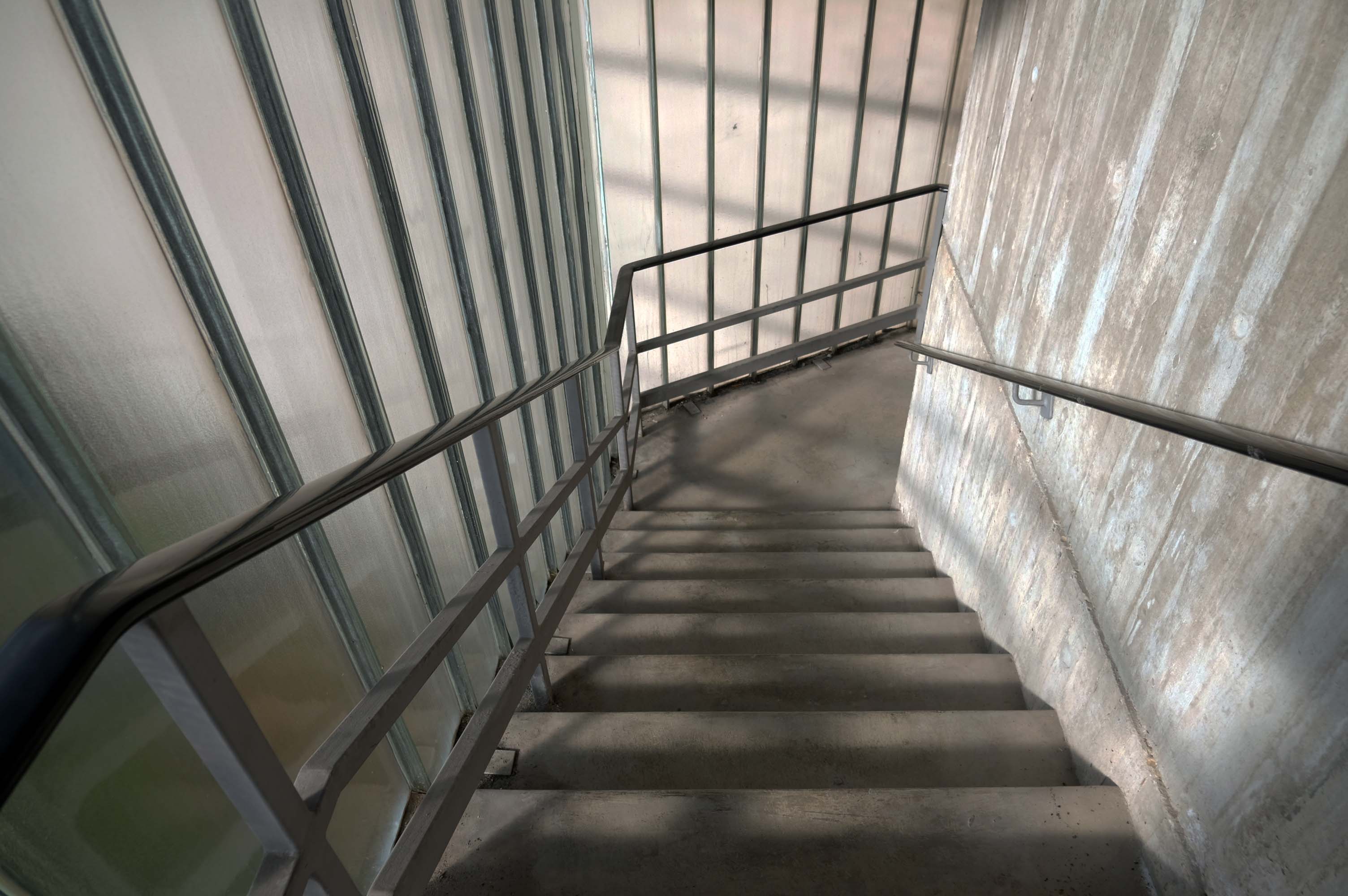
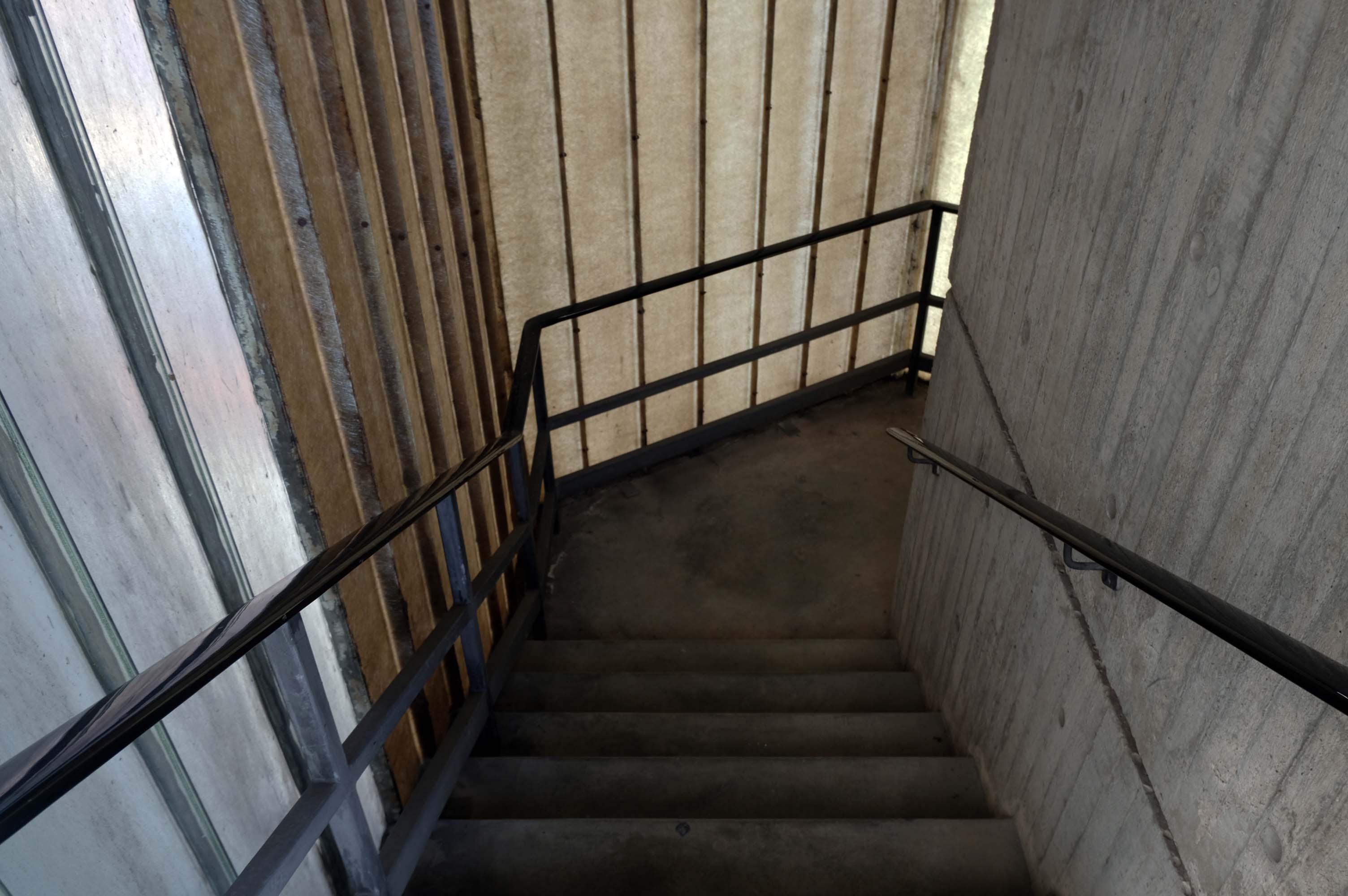
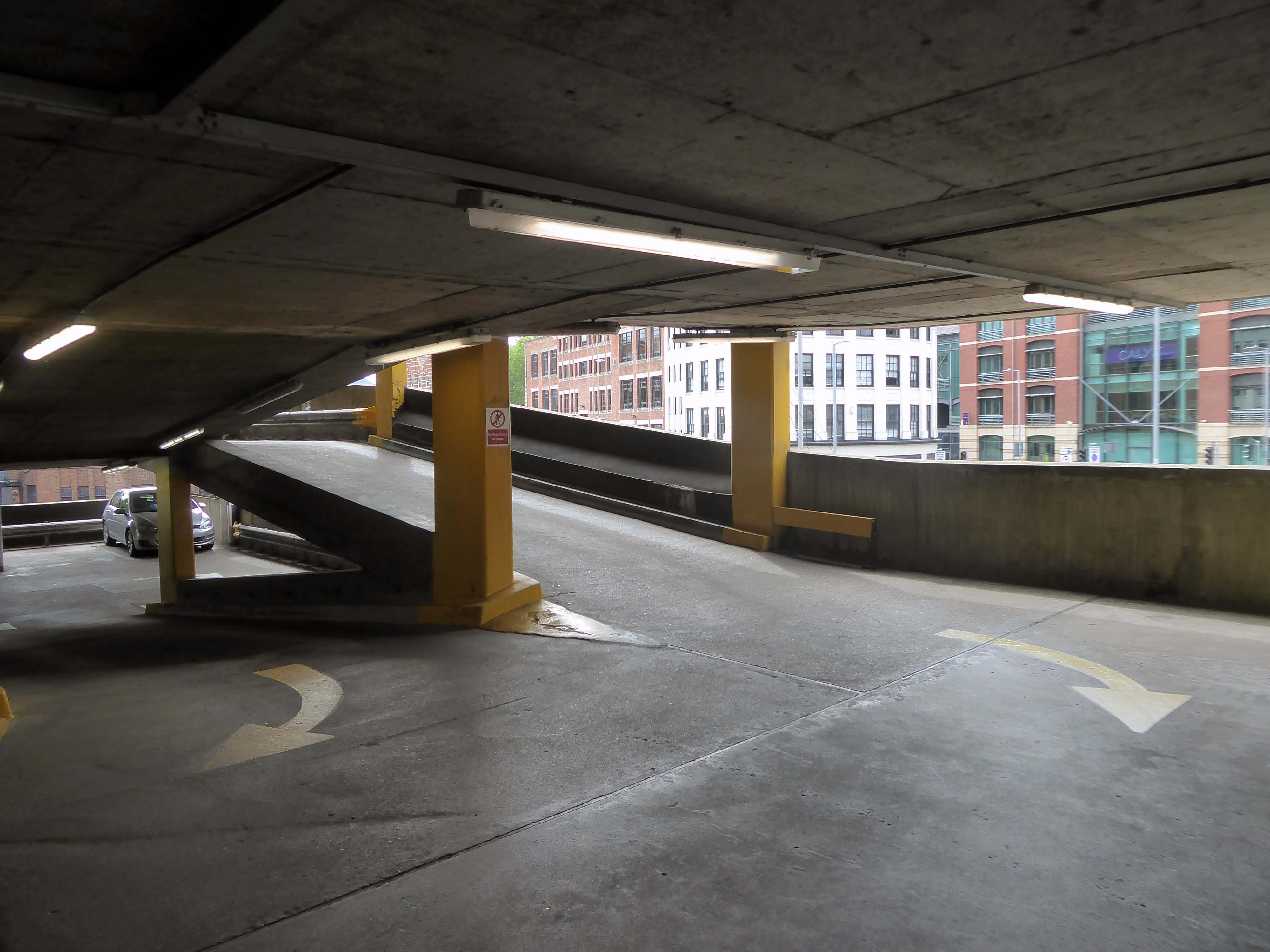
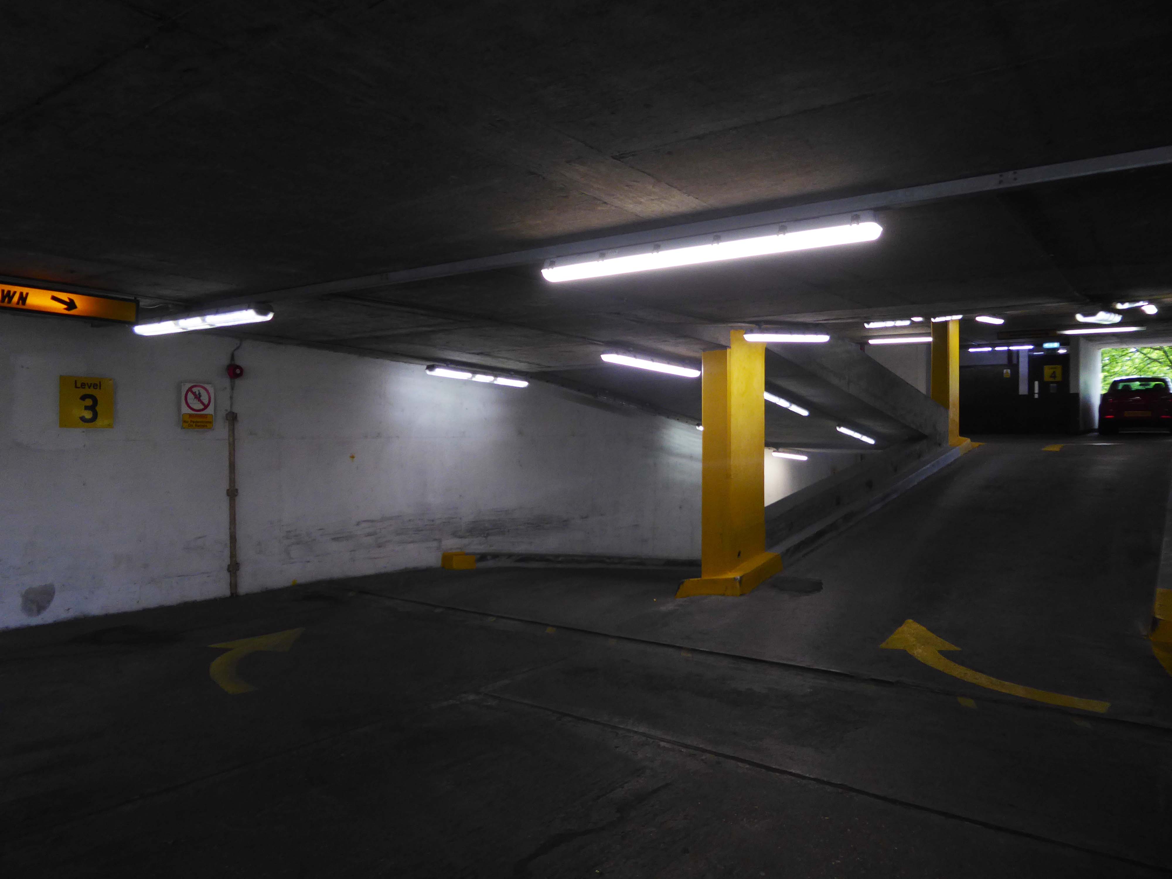
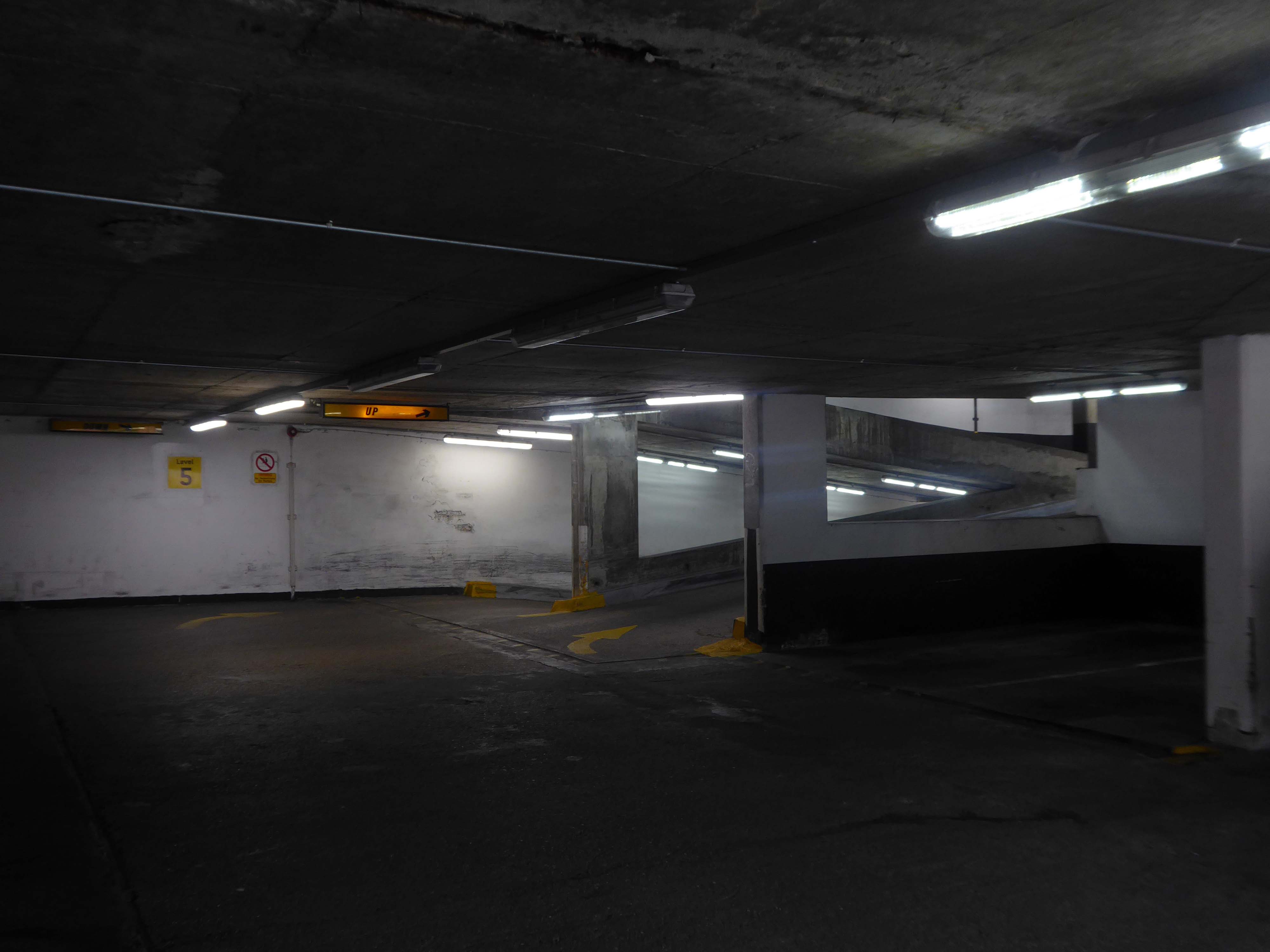
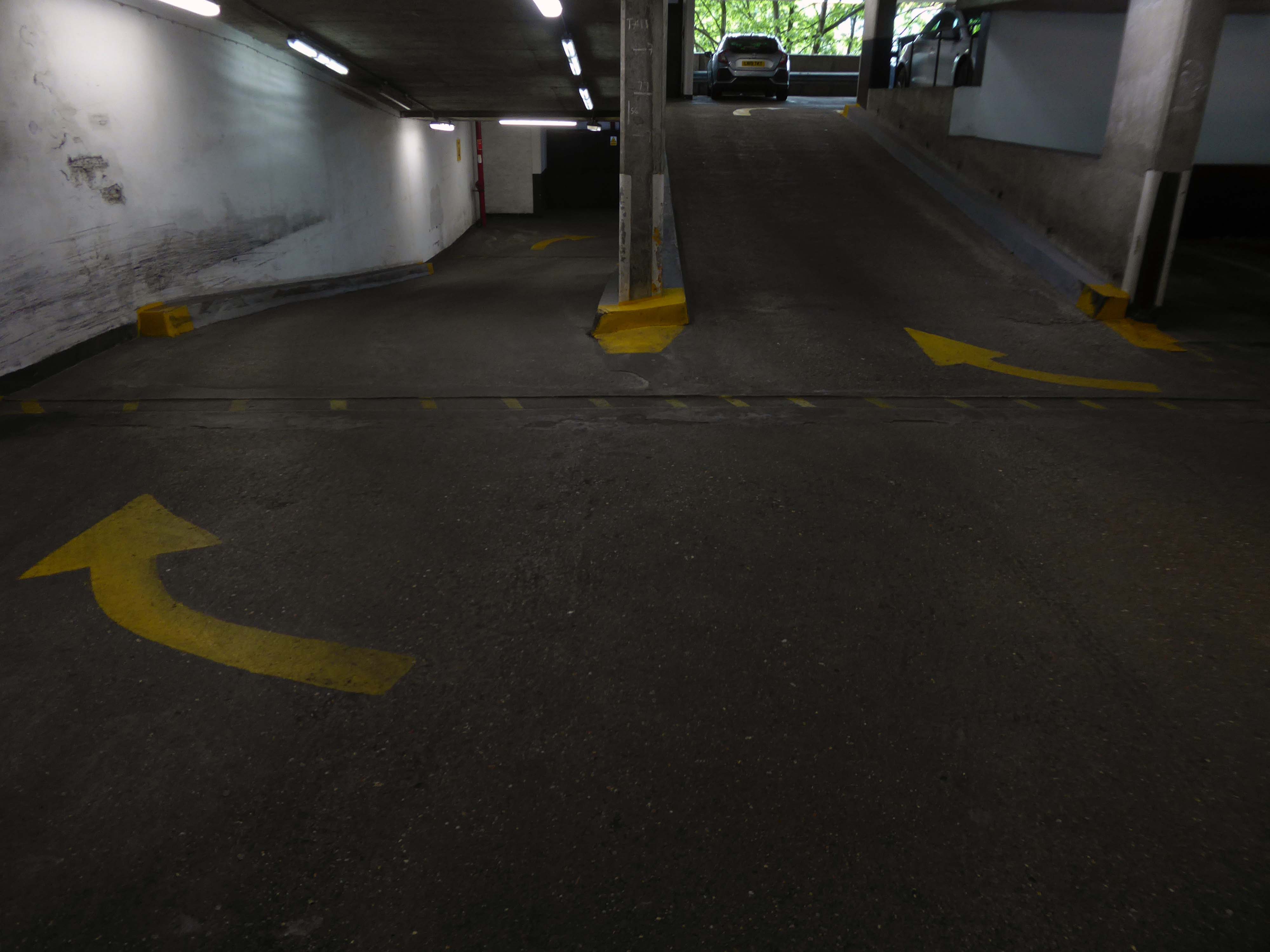
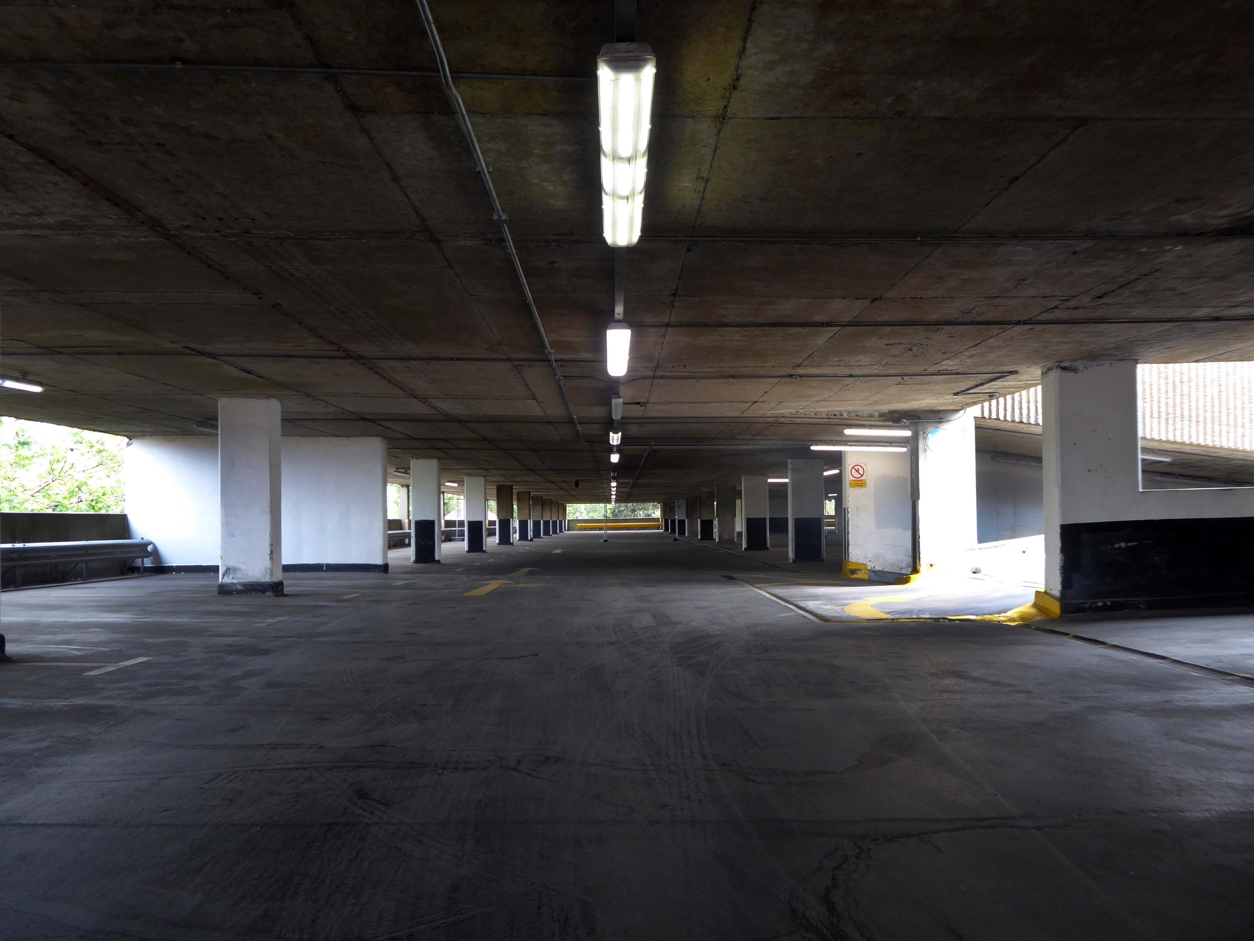
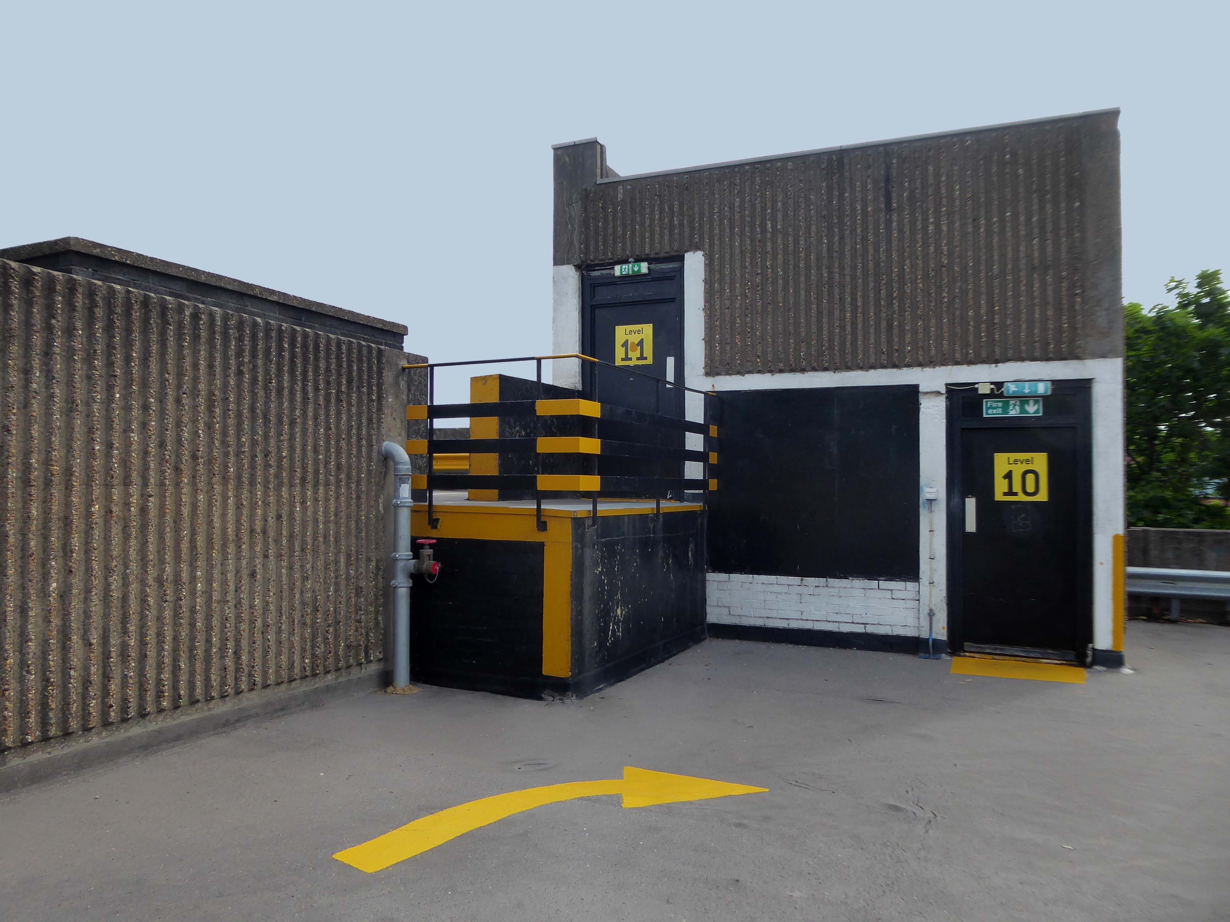
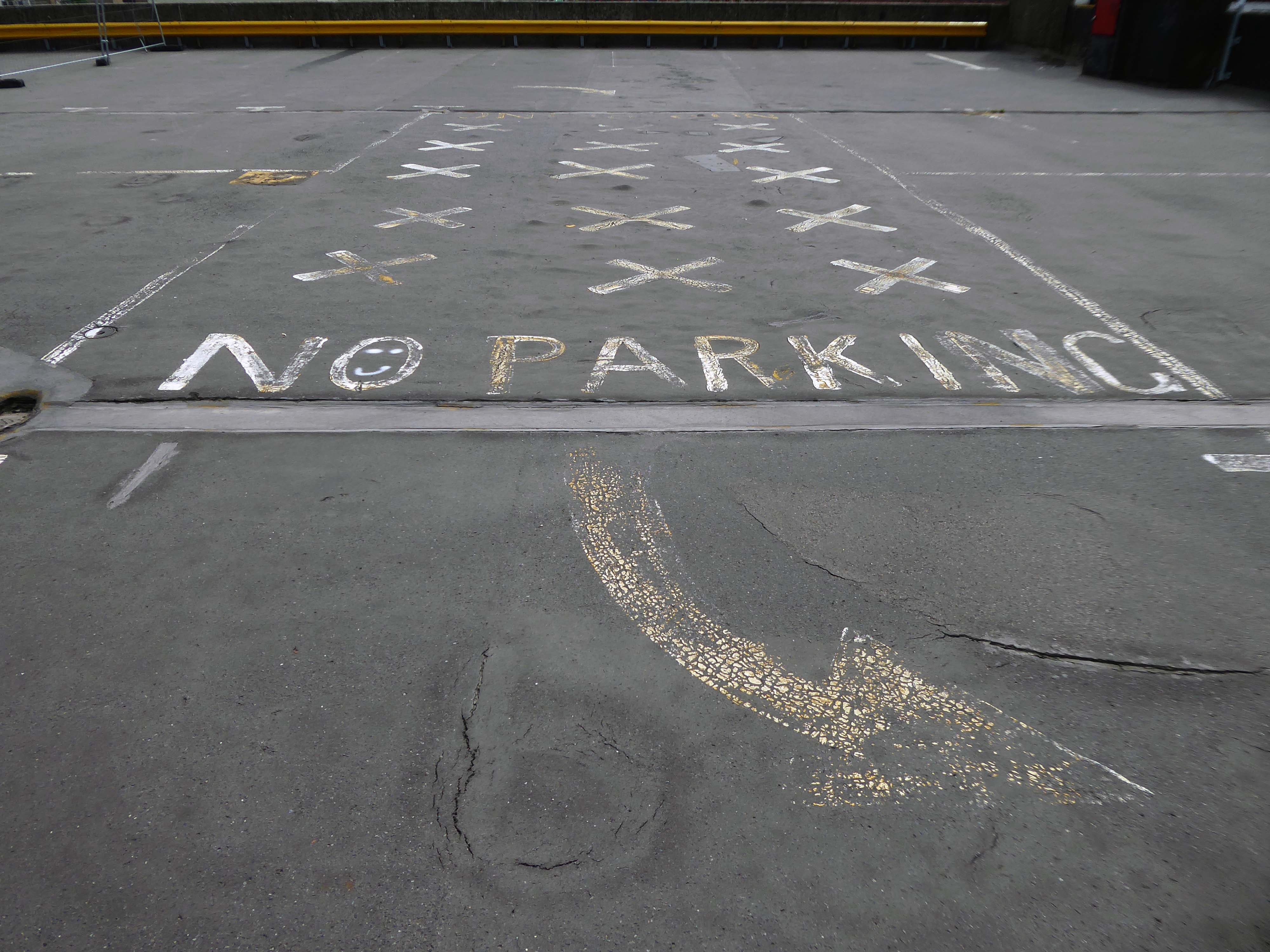
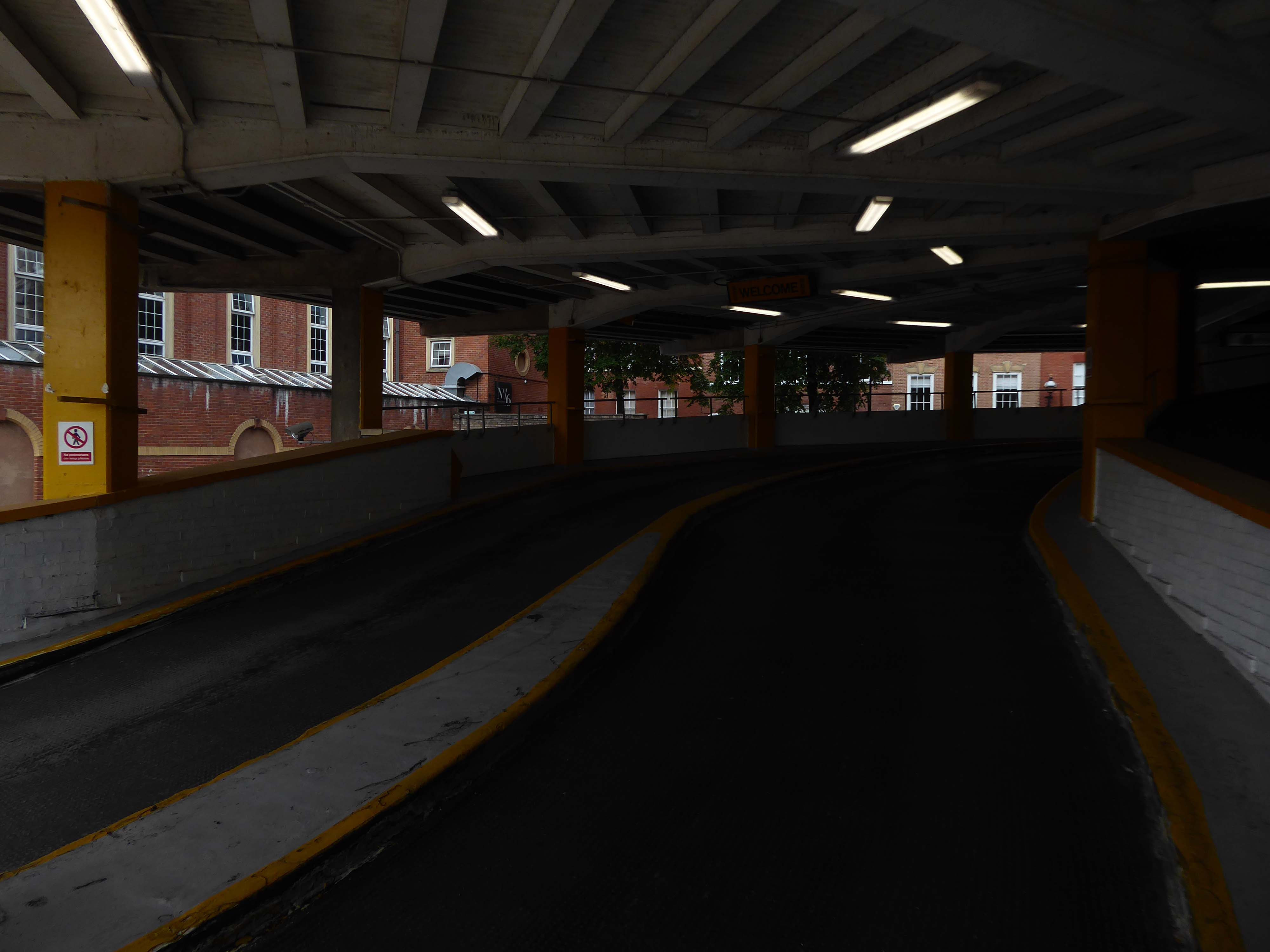
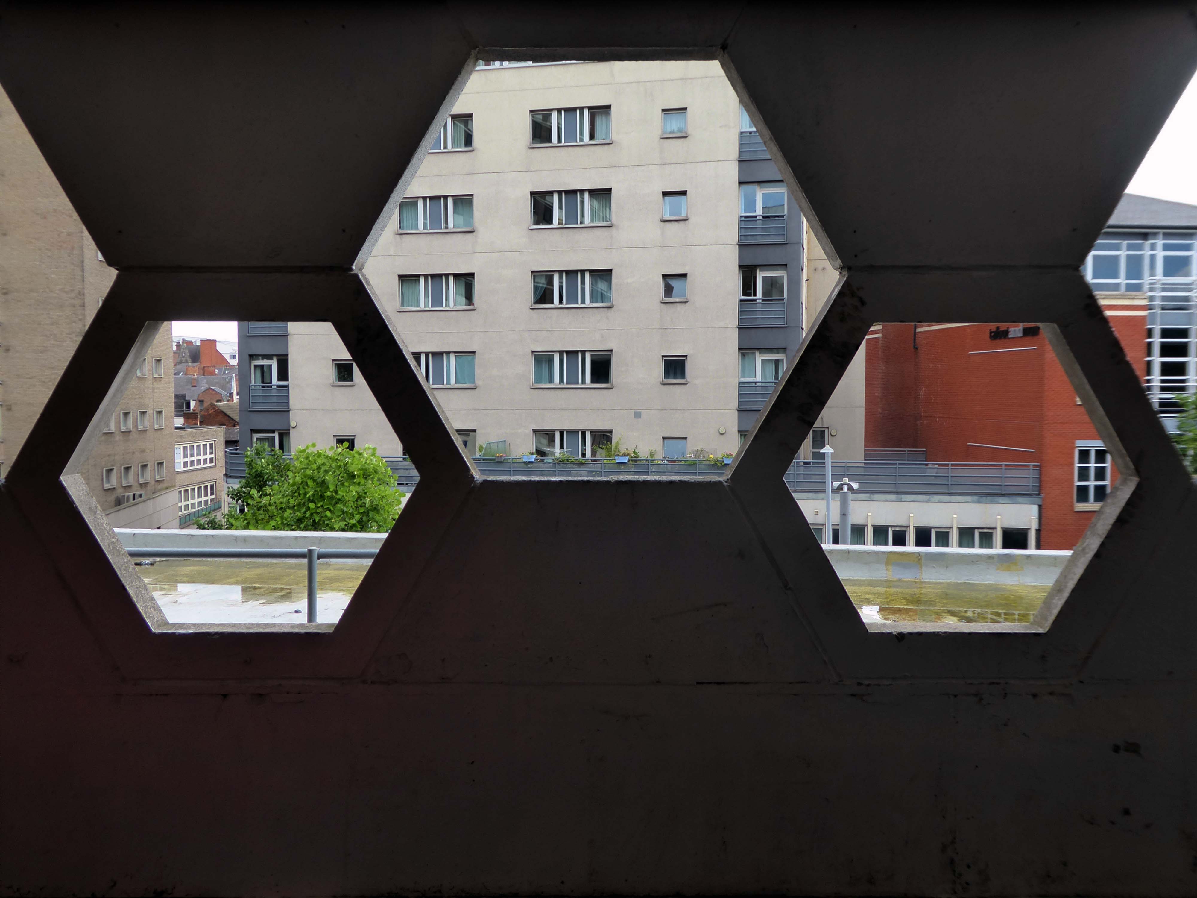
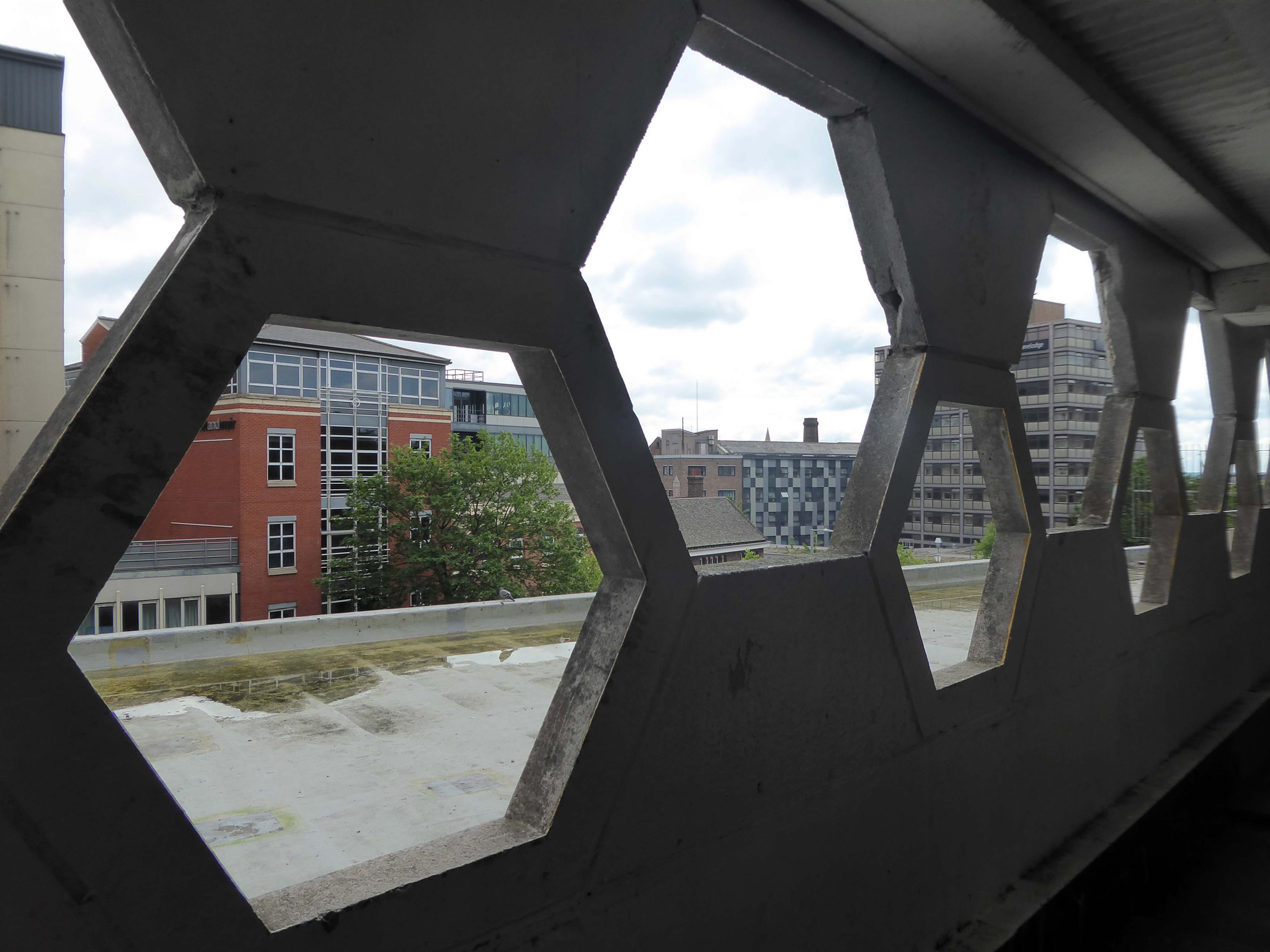
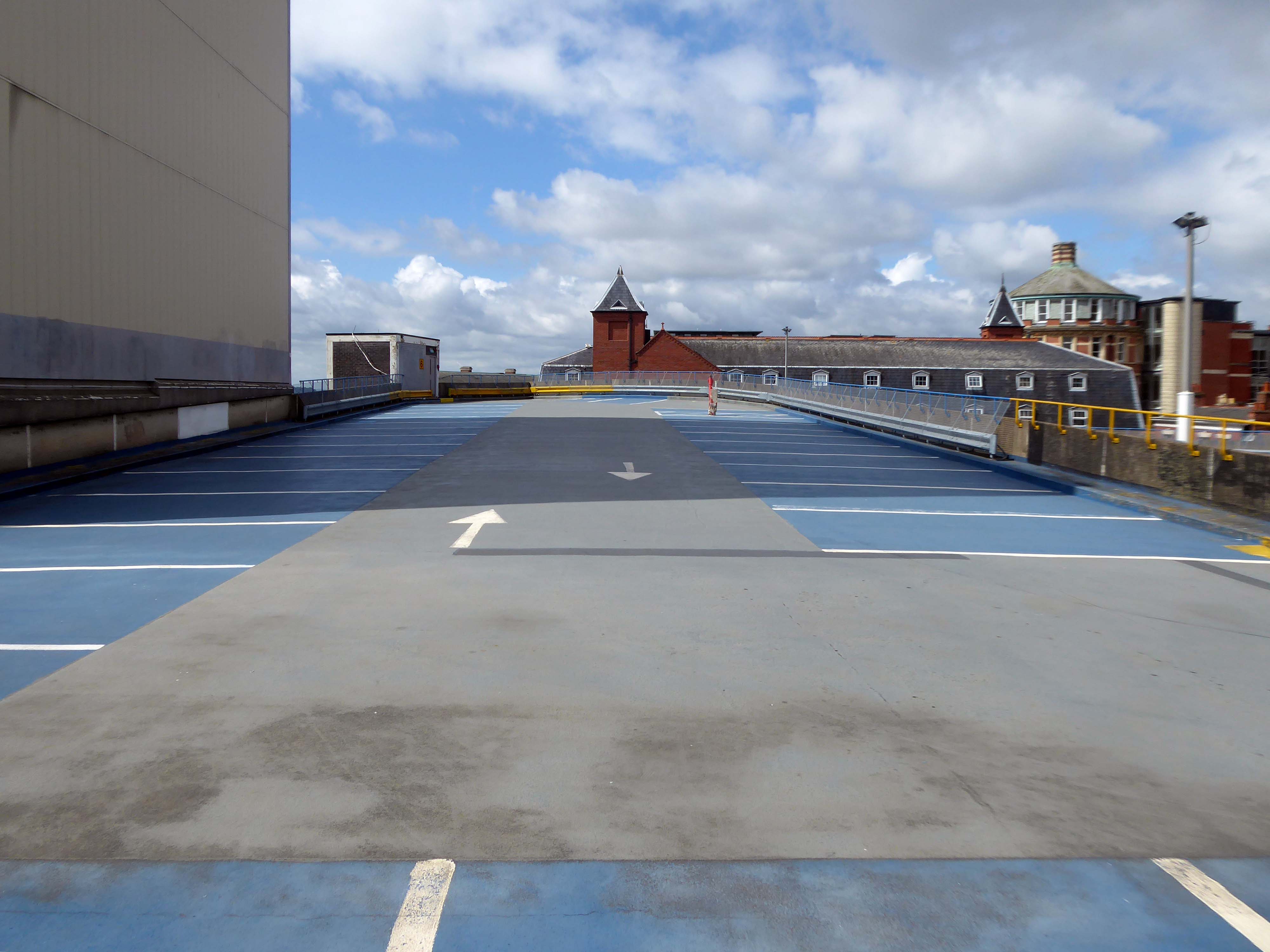
Eschewing the pedestrian entrance, I ascended the ramp – walk like a car!
Weaving between yellow pillars, taking care on the stairs.
I’m on the top of the world lookin’ down on creation And the only explanation I can find Is the love that I’ve found, ever since you’ve been around Your love’s put me at the top of the world
There is evidence that the current town location has been occupied since prehistoric times. Prehistoric tools found in the caves of Graig Fawr, in the nearby village of Meliden, have revealed the existence of early human habitation in the area.
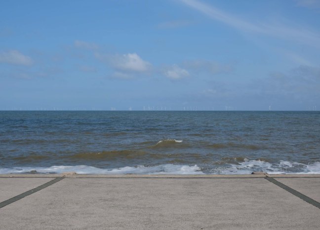
“Sunny Prestatyn” became famous for its beach, clean seas and promenade entertainers, and visiting for a bathe was considered very healthy by city-dwelling Victorians.
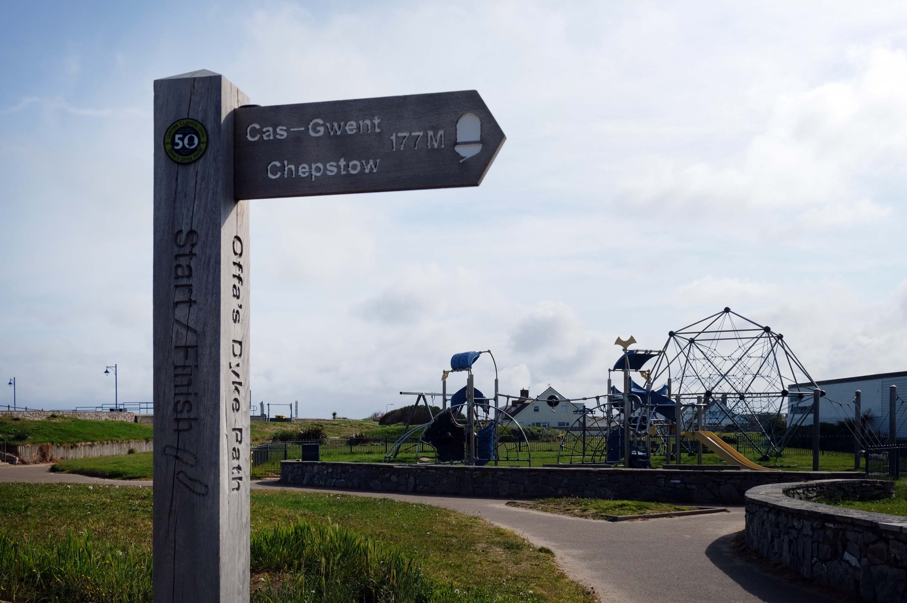
The town is at the northern end of the Offa’s Dyke Path, although not on Offa’s Dyke itself.
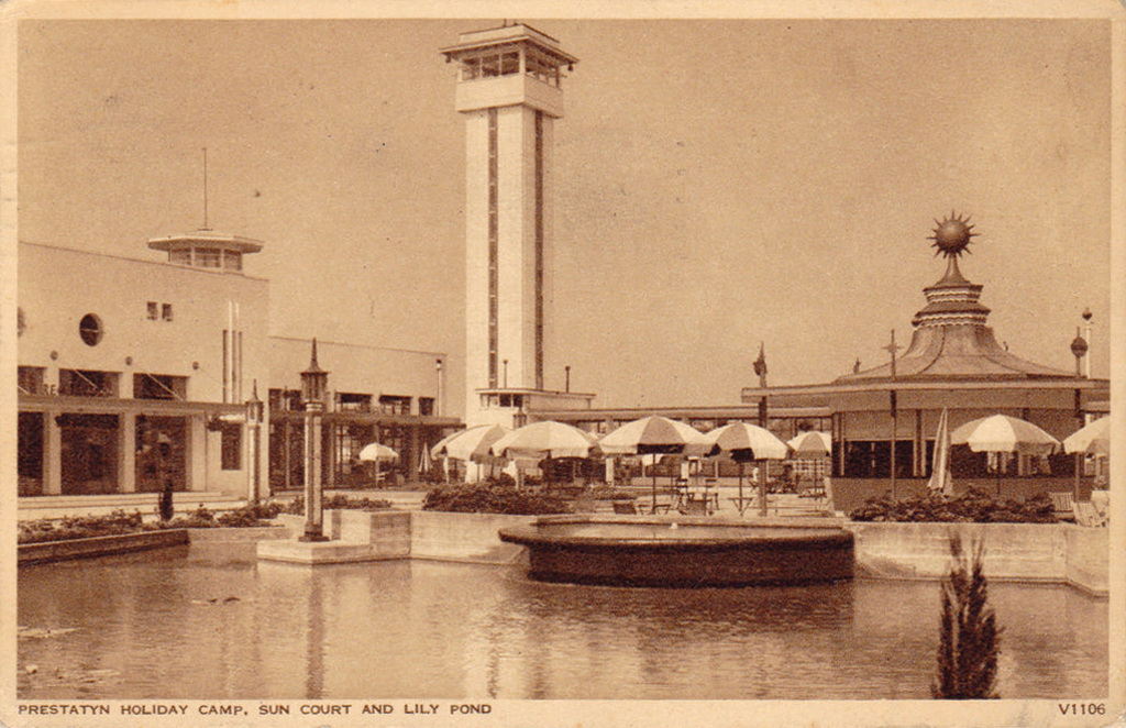
The holiday camp in Prestatyn was built by the London Midland and Scottish Railway Co. in 1939. The main buildings were in classic 1930s style, featuring rounded building ends, steel framed windows and porthole windows. Chalets showed an early form of sectionalised building method.
Requisitioned as a military camp until after the Second World War, it reopened as a holiday camp in the early 1950s. The site was demolished and cleared between February and March 2001.
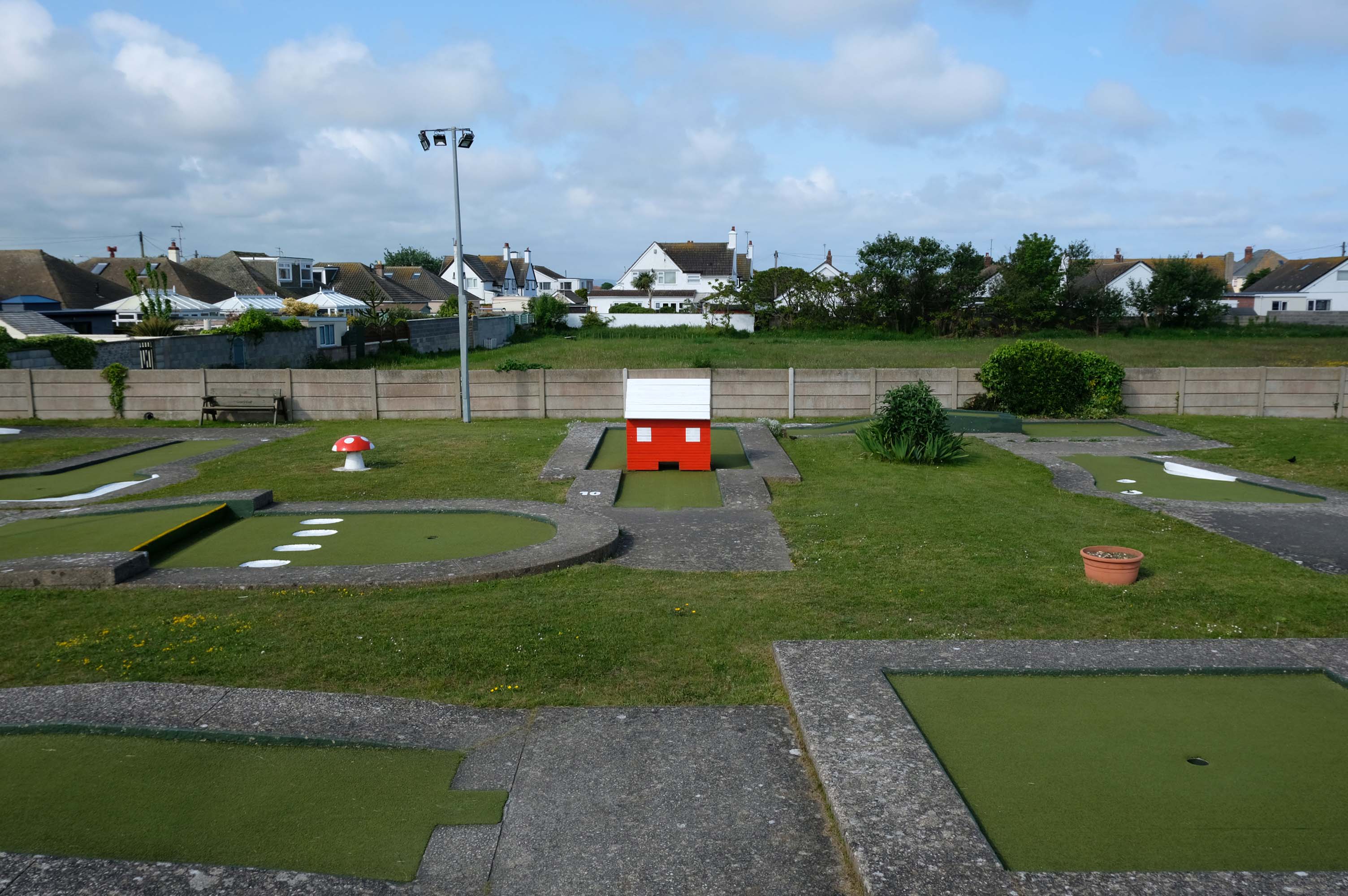
Prestatyn offers the opportunity to engage in an impromptu game of Crazy Golf – though the facility was closed on the morning of my visit.
The crazy golf was fantastic the kids didn’t want to leave plus the lady was so helpful plus the price were very reasonable – would highly recommended.
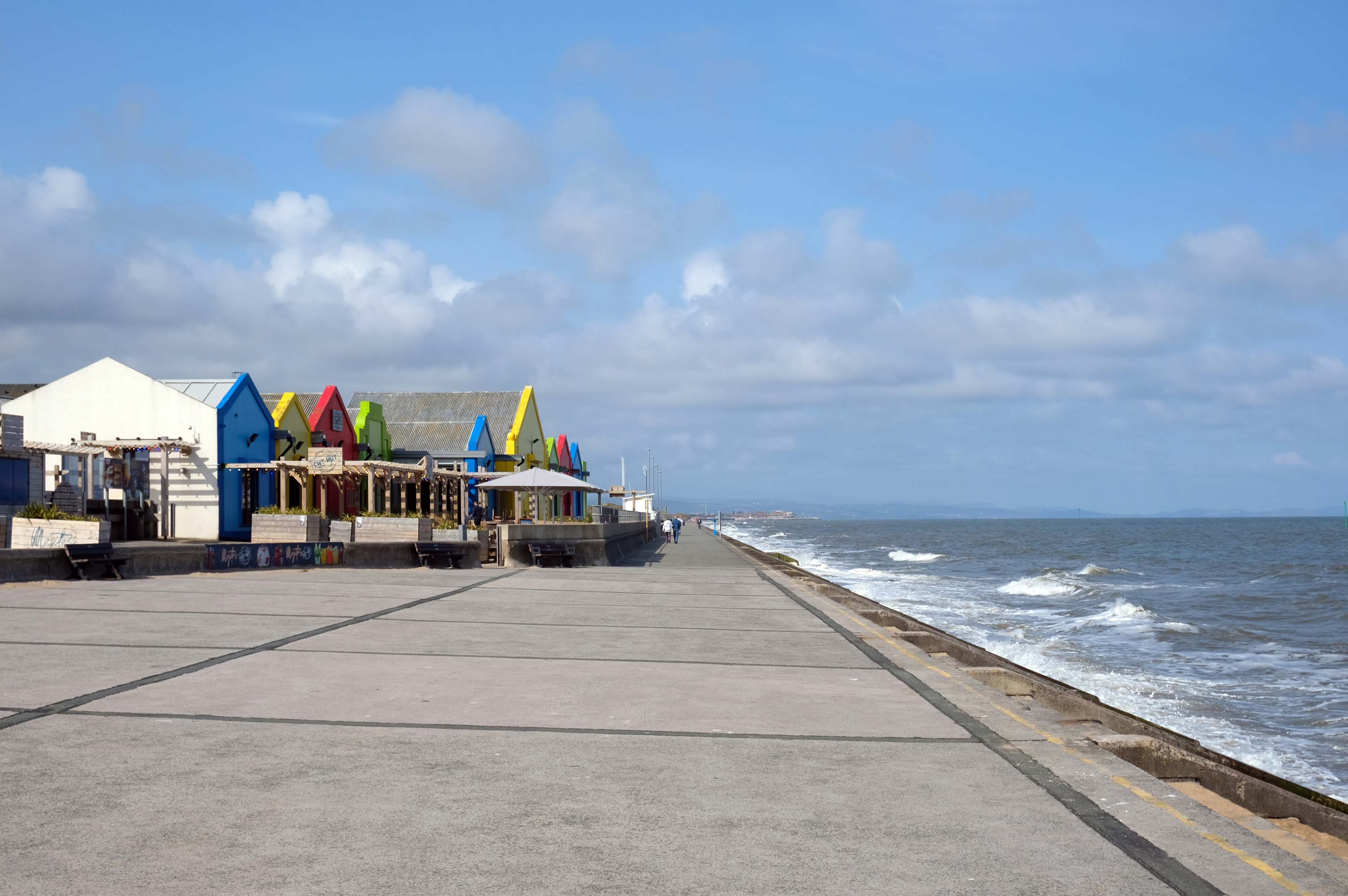
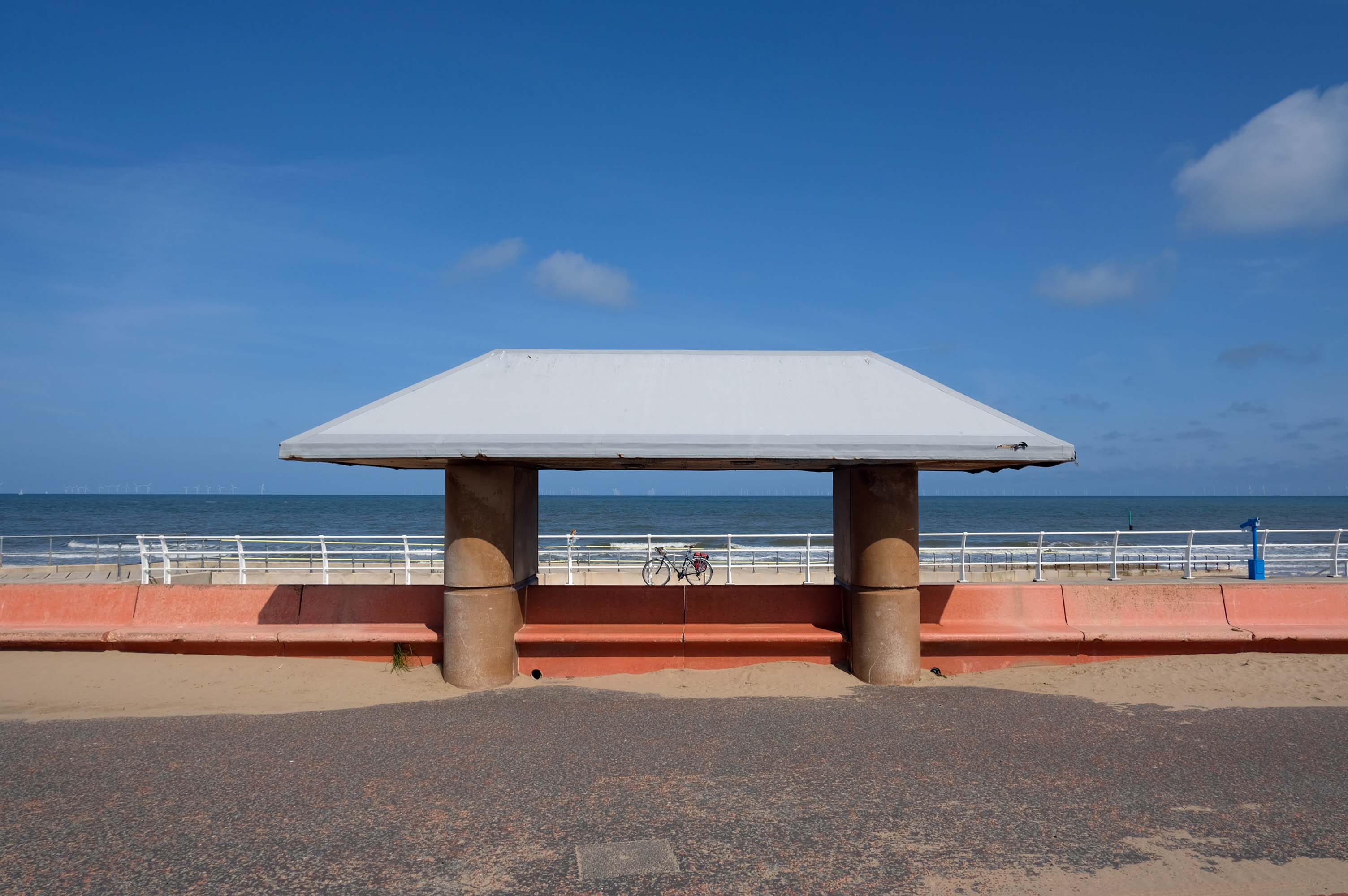
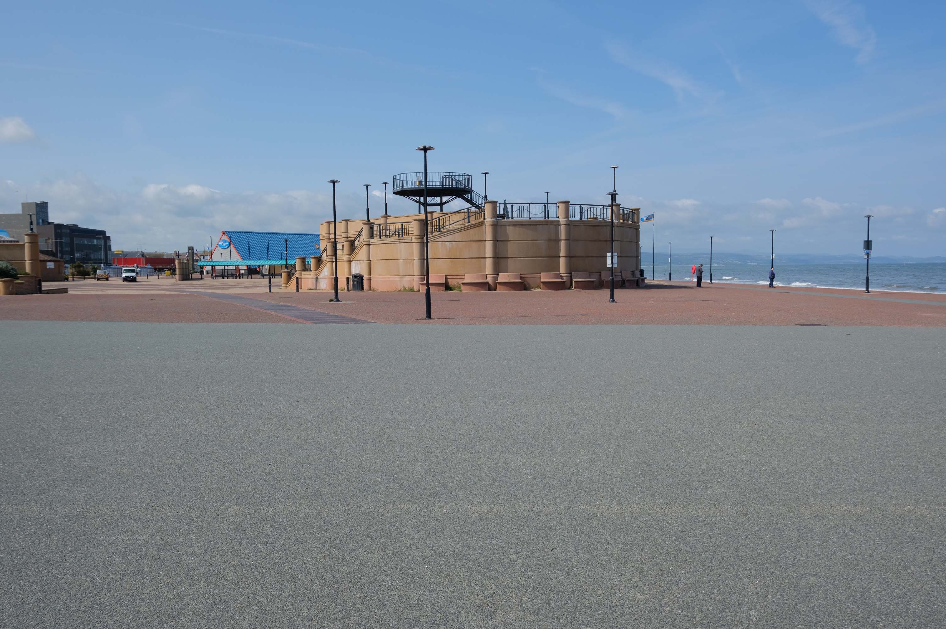
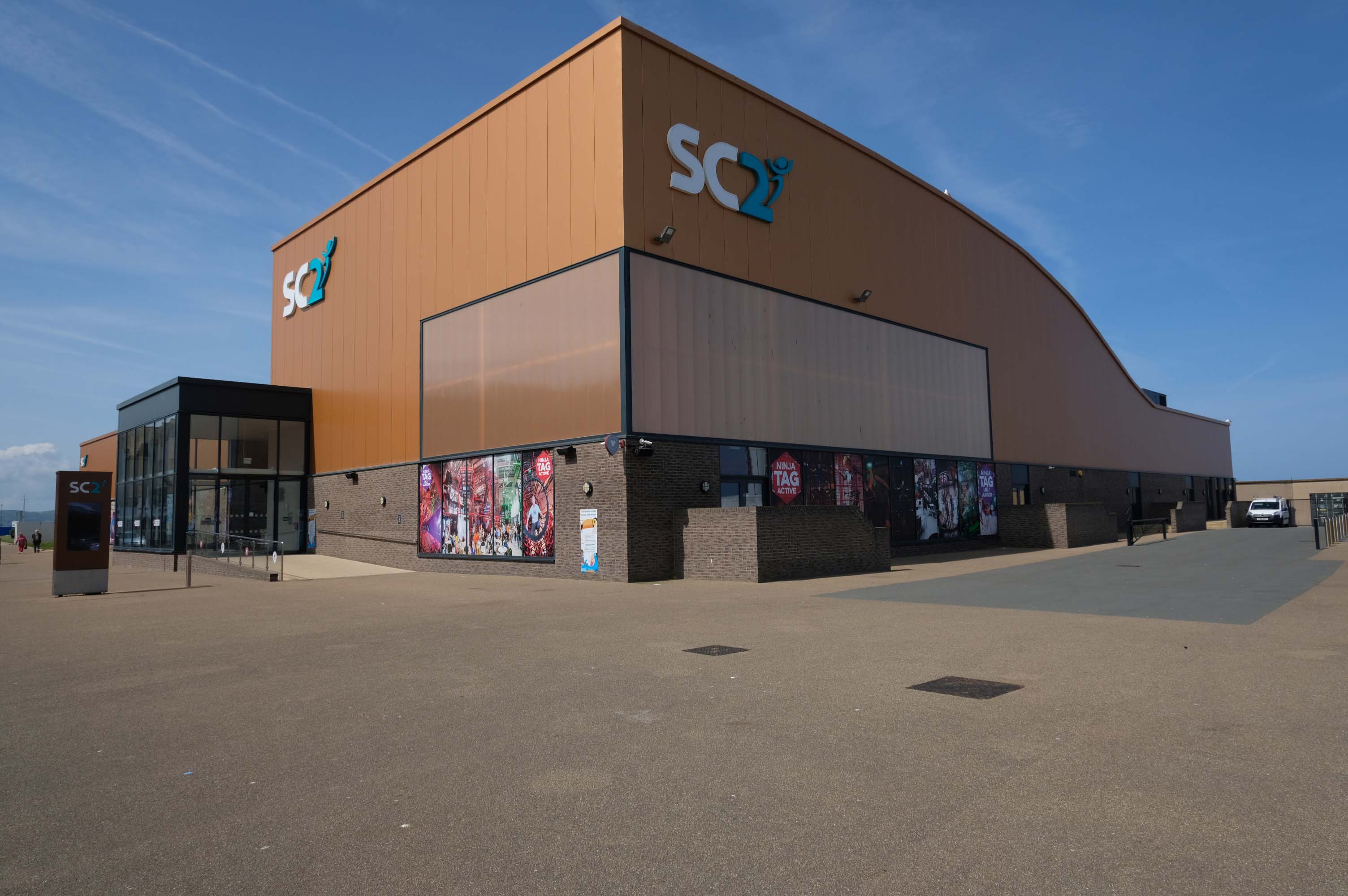
The promenade is dominated by a tight knit group of modern leisure facilities.
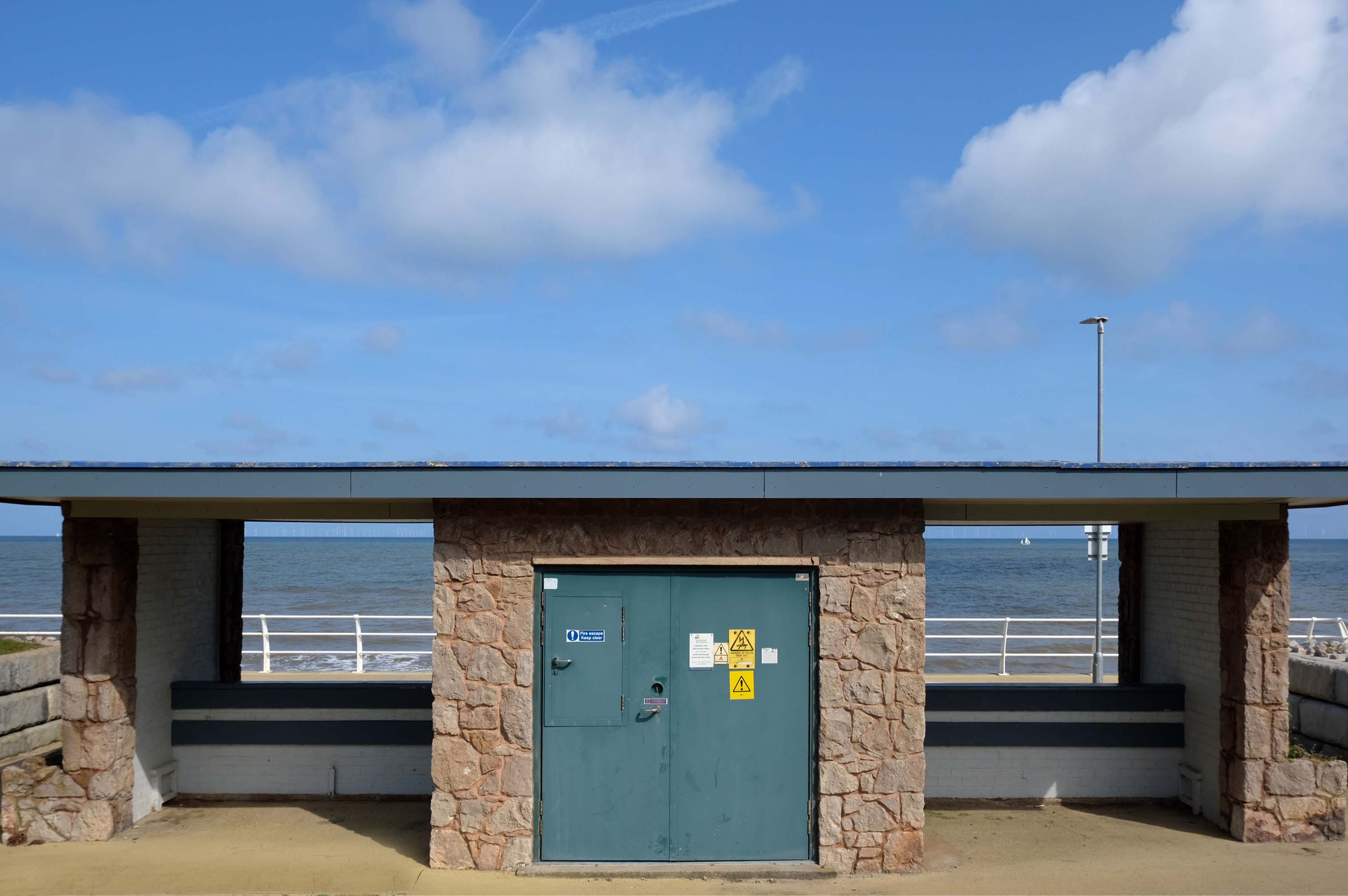
An expansive car park fronts directly onto the seafront.
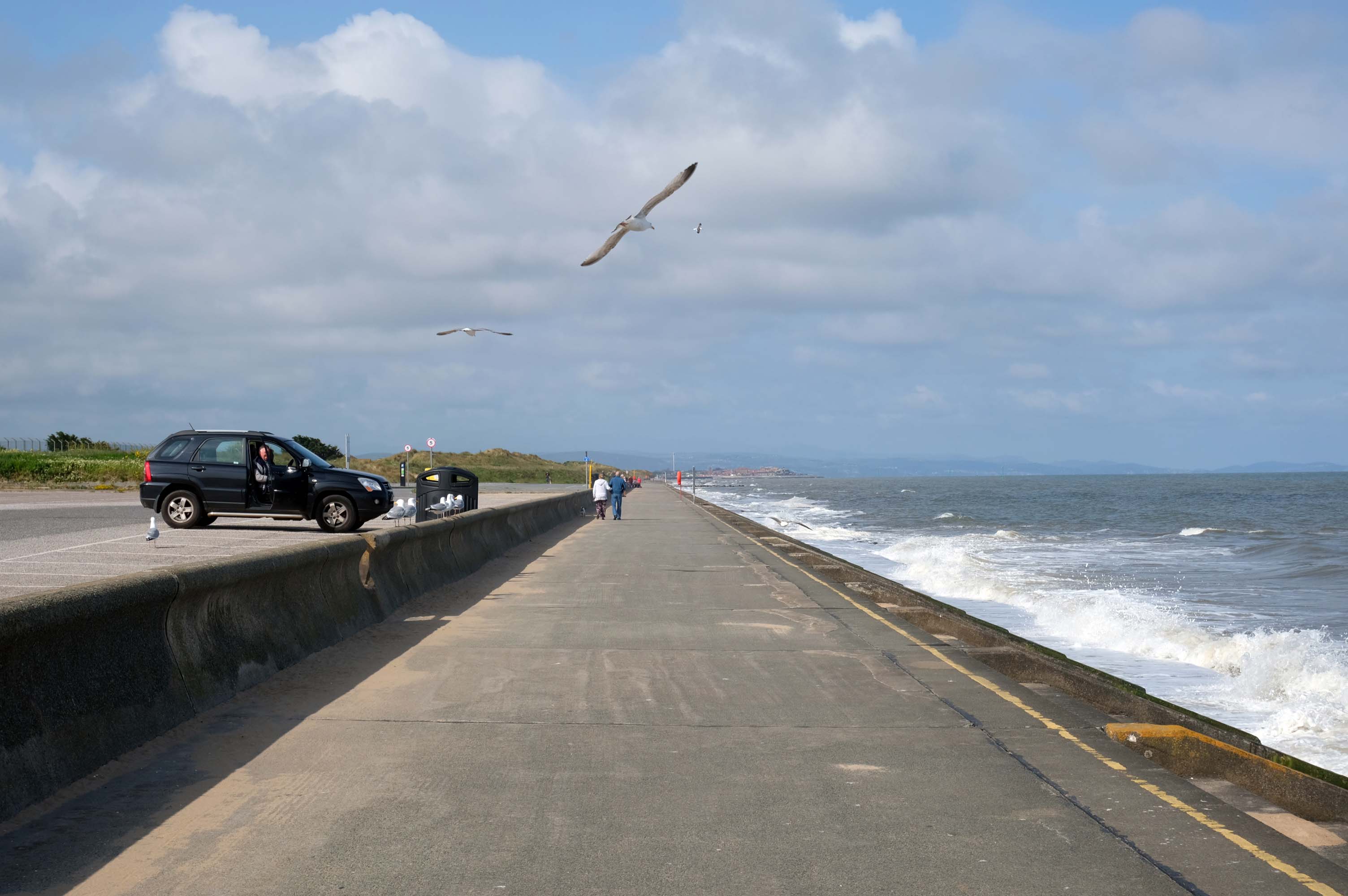
There have been serious reinforcements made to the seawalls – ensuring that the passing cyclist will not be washed away, by the crashing waves of the incoming tide.
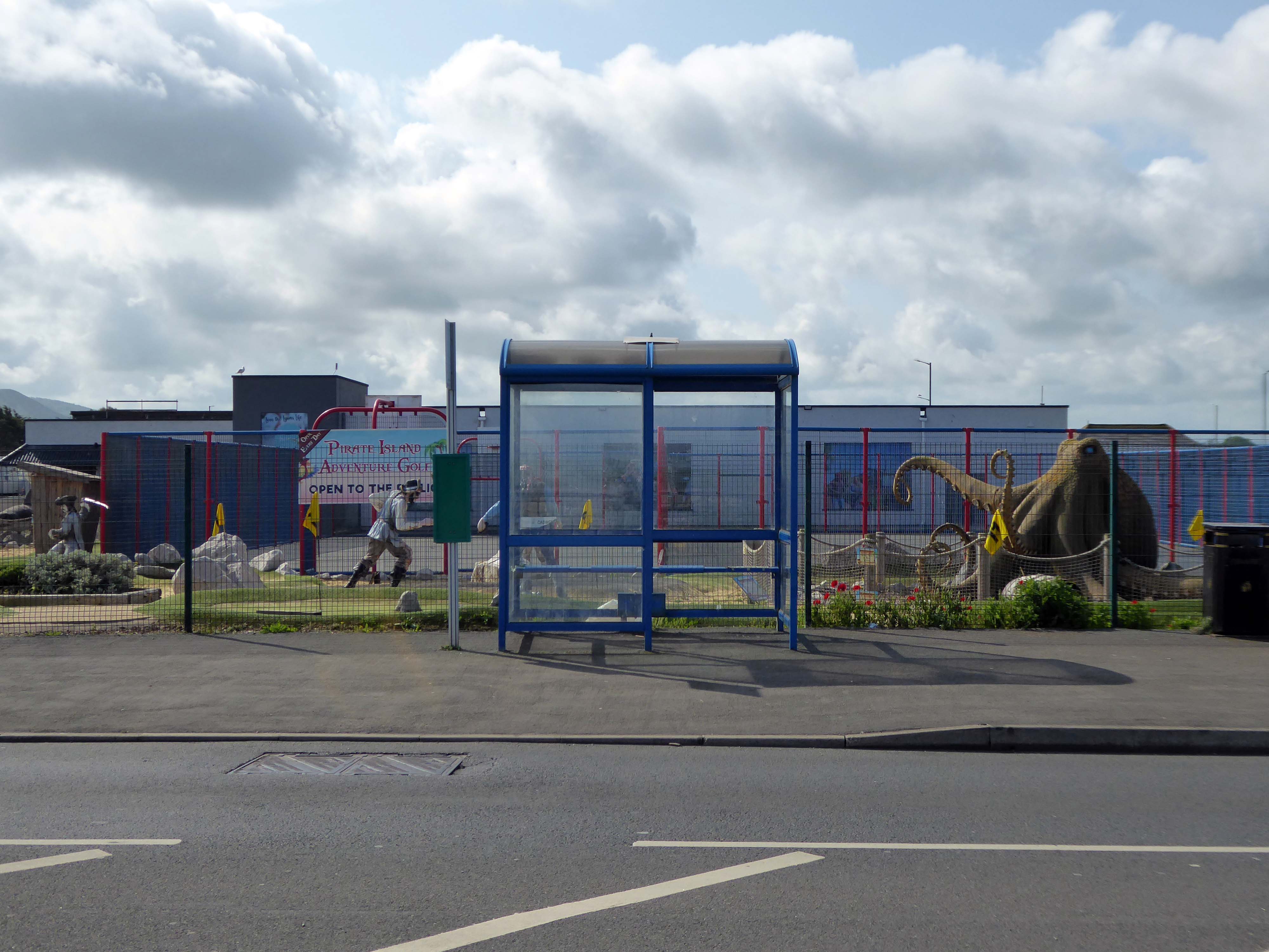
The reinforcement work demands that we temporarily detour onto the Rhyl Coast Road, where we encounter Pirate Island Adventure Golf.
Uncover hidden treasure on the North Welsh Coast at Pirate Island Adventure Golf at Lyons Robin Hood Holiday Park.
Make friends with the great white shark, octopus, and the resident pirates who guard the Island.
This 18-hole course is a fun and crazy challenge for all the family, with stunning views of Rhyl seafront to boot. Plus, it’s located just a stone’s throw away from Sherwoods Sports Bar where refreshments are served.
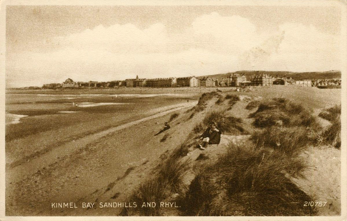
Rhyl
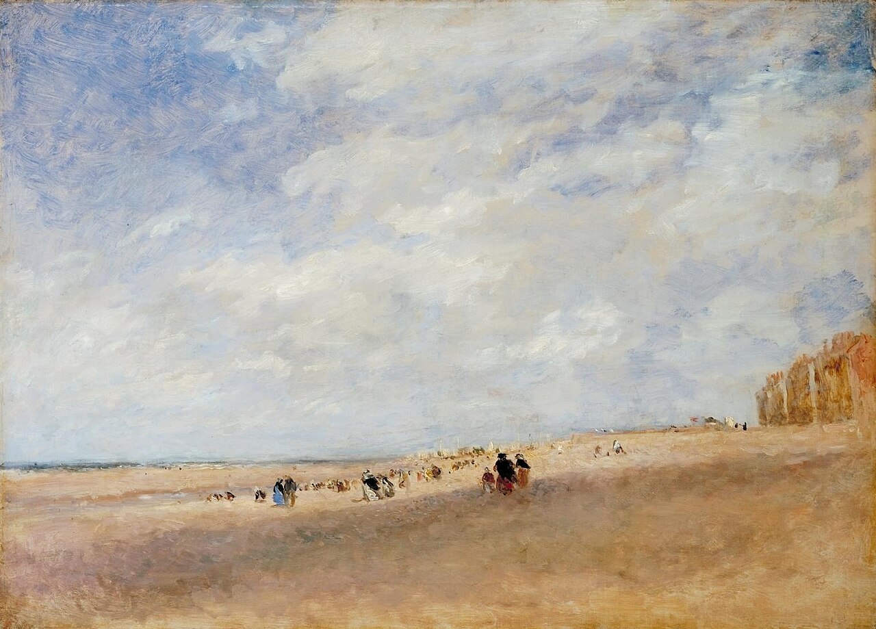
Rhyl Sands: David Cox 1854
The Welsh orthography has proved difficult for English writers to transliterate as Rhyl’s opening voiceless alveolar trill is uncommon in the English language.
I nipped into town for a tub from Sidoli’s – £1.83 well spent.
The promenade is home to a series of entertainments including the Rhyl Pavilion Theatre
The theatre, owned and operated by Denbighshire Council, has also been re-clad as part of the project, designed by architects Space & Place.
It forms part of a wider redevelopment of Rhyl’s seafront, which includes the demolition of the Sun Centre and the construction of a £15m water park.
There is a also a becalmed Post Modernist Piazza – named Rhyl Events Arena.
The playful nursery geometry of the SeaQuarium.
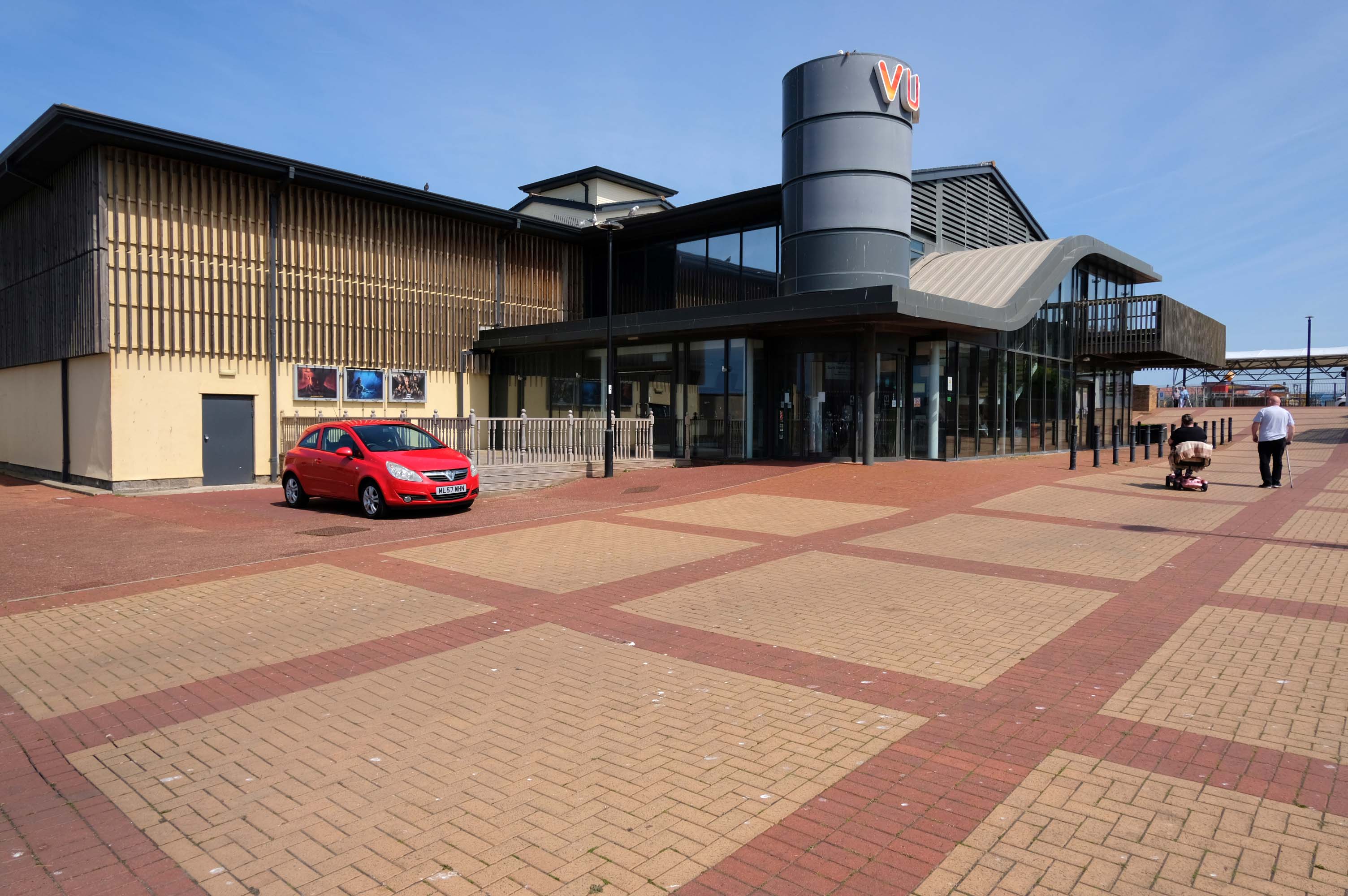
The functionalist Vue Cinema.
Tickets were £5.99 for a standard seat, the staff said not to bother upgrading as the premium seats were rubbish, sound was okay and picture quality was okay.
Food price was expensive so it maybe cheap to get in, but £16.99 for a large popcorn and drink ups the price, would go again if in the area.
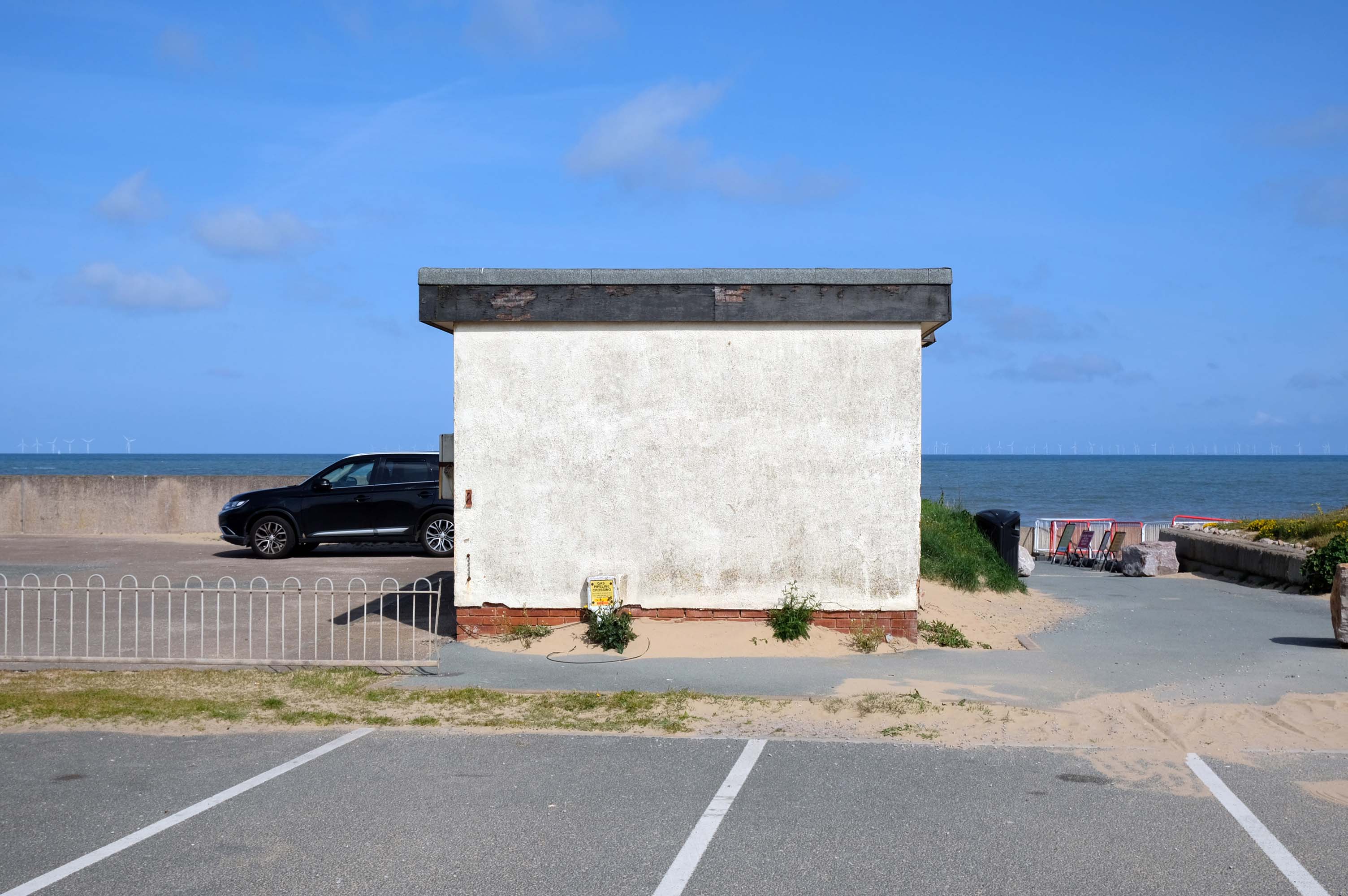
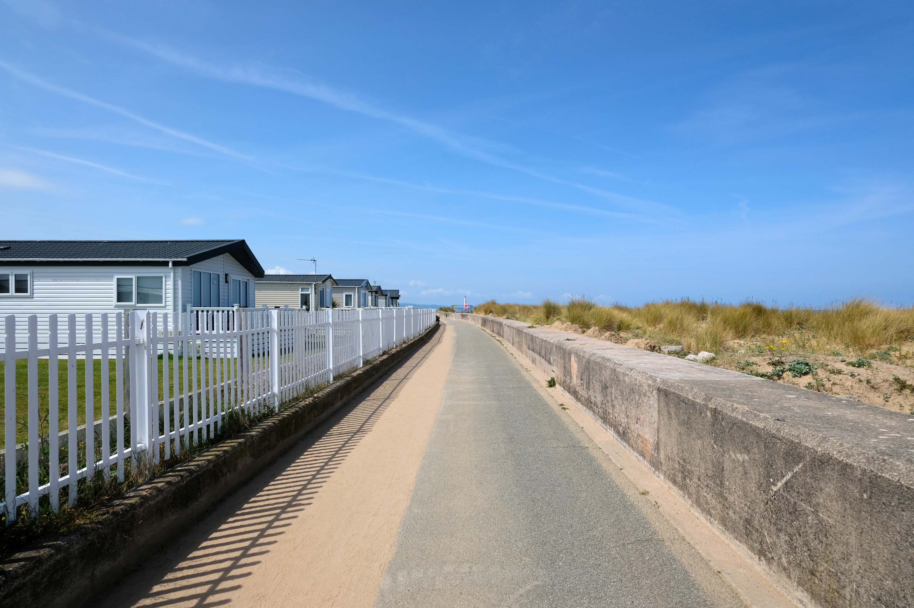
Much of the coast is fringed with chalets and static caravans.
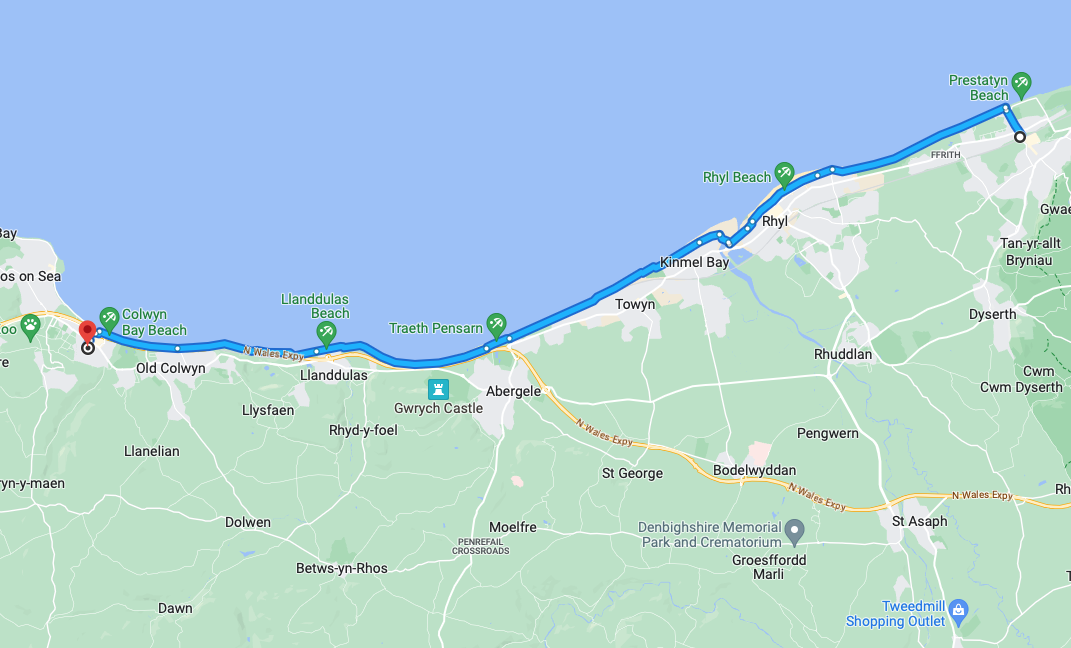
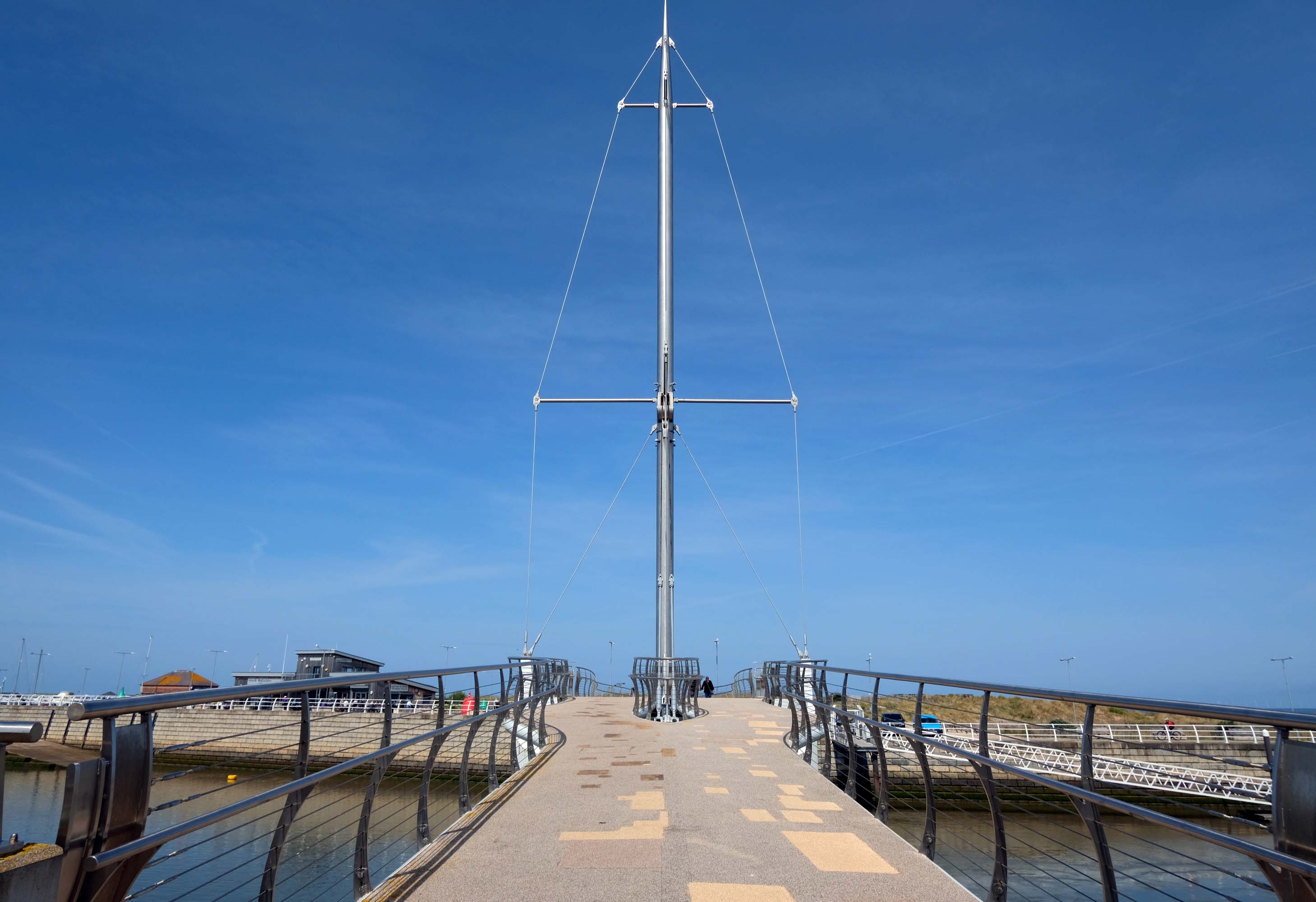
Kinmel Bay
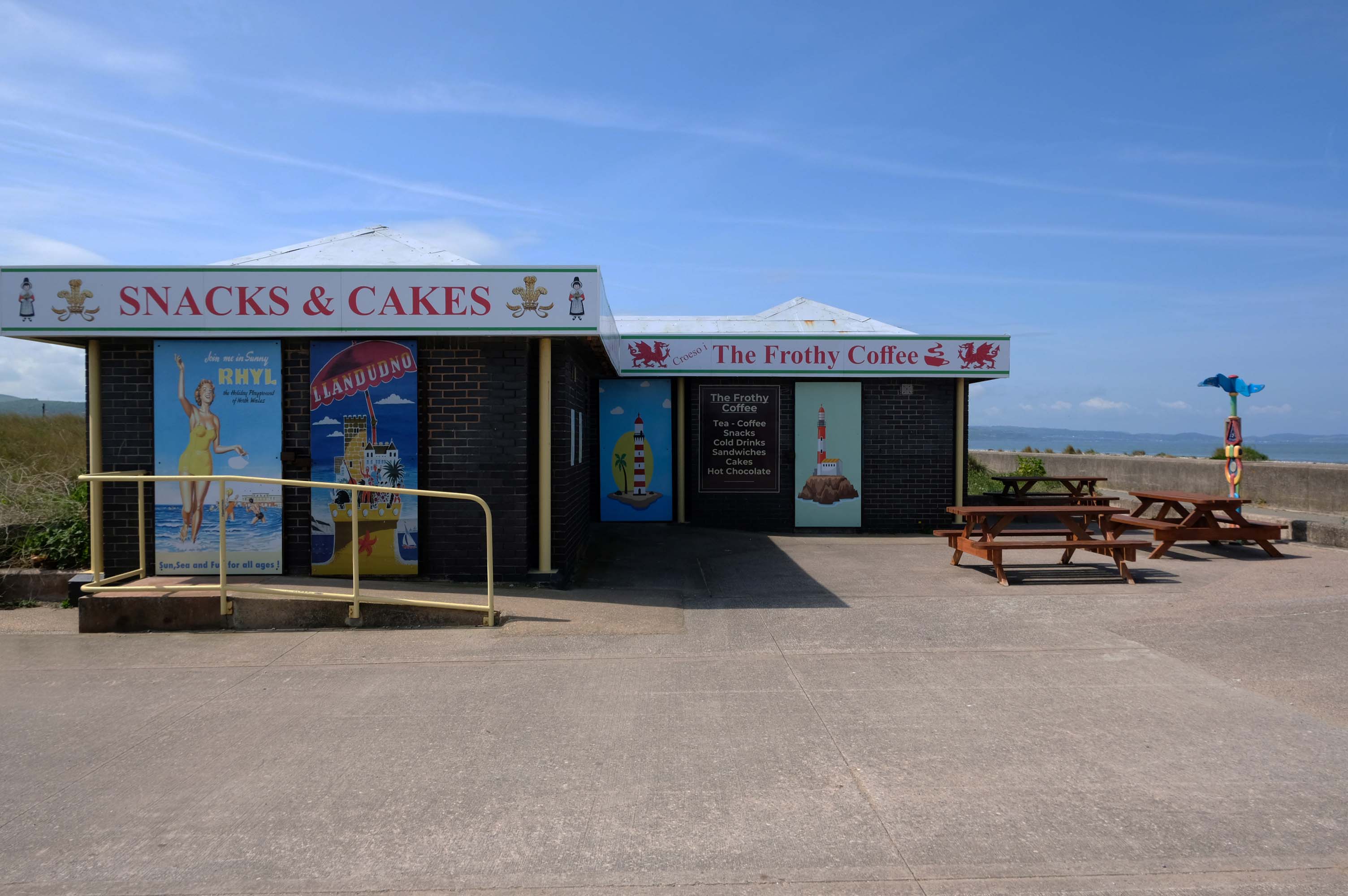
Home to The Frothy Coffee.
There aren’t enough food, service, value or atmosphere ratings for The Frothy Coffee, yet – be one of the first to write a review!
Kinmel Bay beach is popular with tourists and the local population. In addition to various small shops and takeaway outlets, there is also an Asda superstore that opened in 1981, which includes a large petrol filling station.
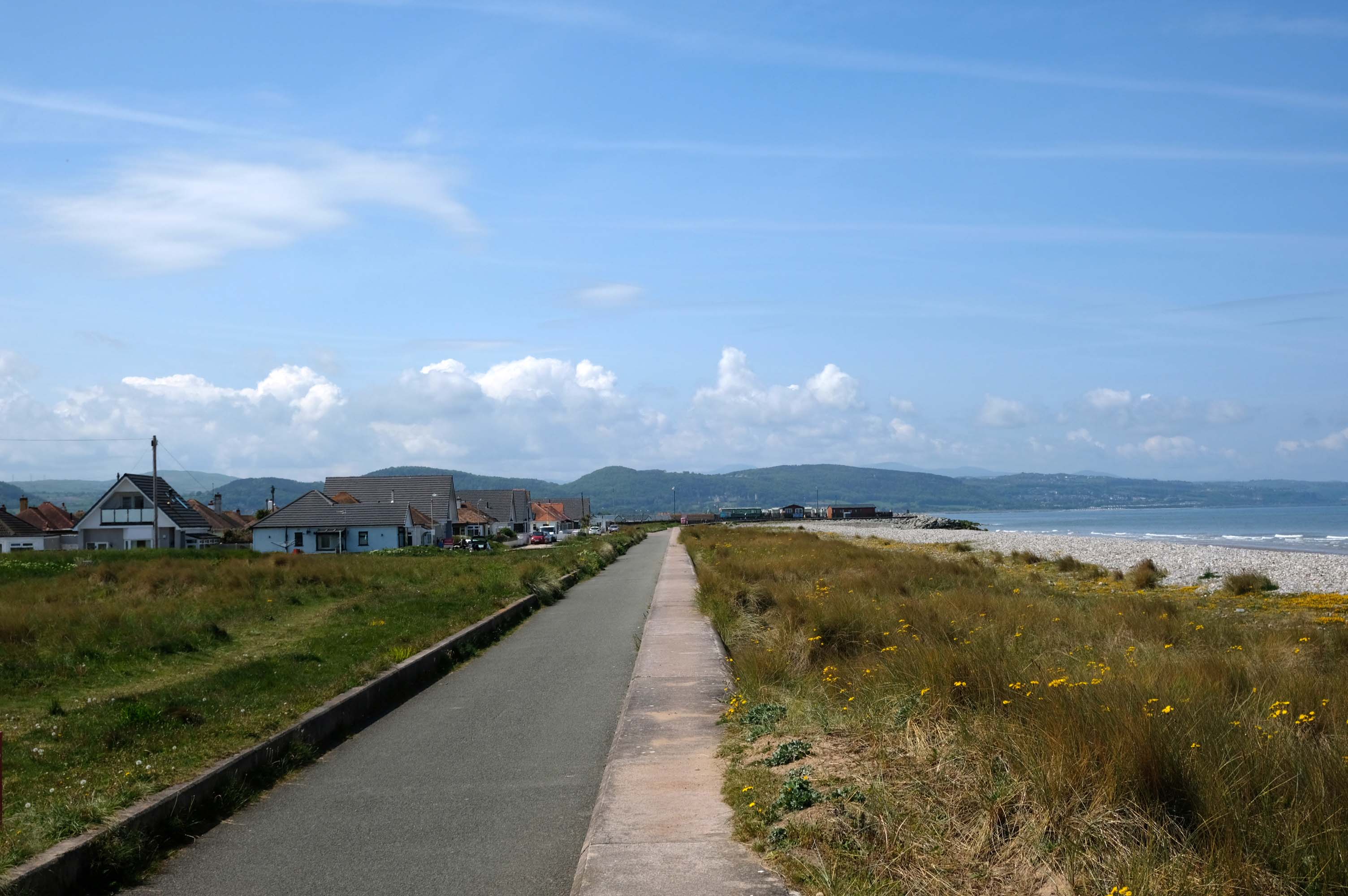
The concrete shore is softened by grasses and wild flowers – with views of the mountains beyond.
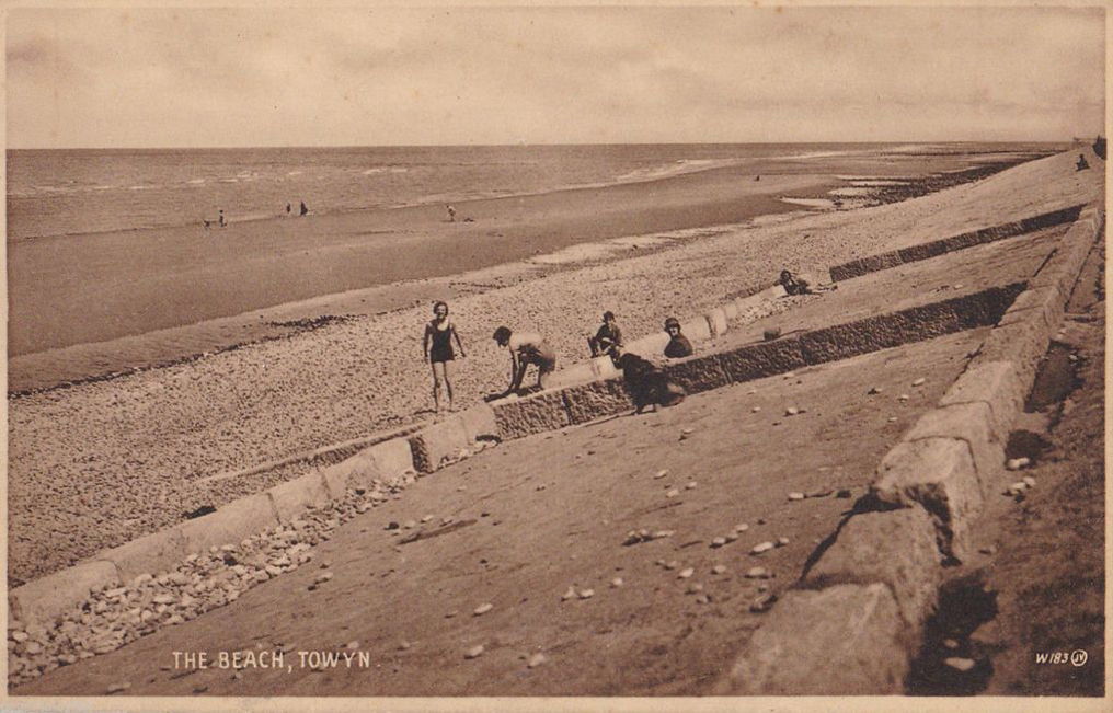
Here we are in Towyn
The town made national headlines in 1990 when a combination of gale-force winds, a high tide and rough seas caused Towyn’s flood defences to be breached at about 11.00am on 26 February. Four square miles of land was flooded, affecting 2,800 properties and causing areas of the resort to be evacuated. Further flooding occurred later the same week, on 1 March, shortly after the site of the disaster was visited by Prince Charles and Princess Diana.
Scientific experts also believe that the silt left behind from the flooding had left the town with a higher concentration of radioactivity, over ten times the governmental safety limits, most likely originating from the nuclear processing plant at Sellafield which had been dispersed into the Irish Sea over many years since its construction.
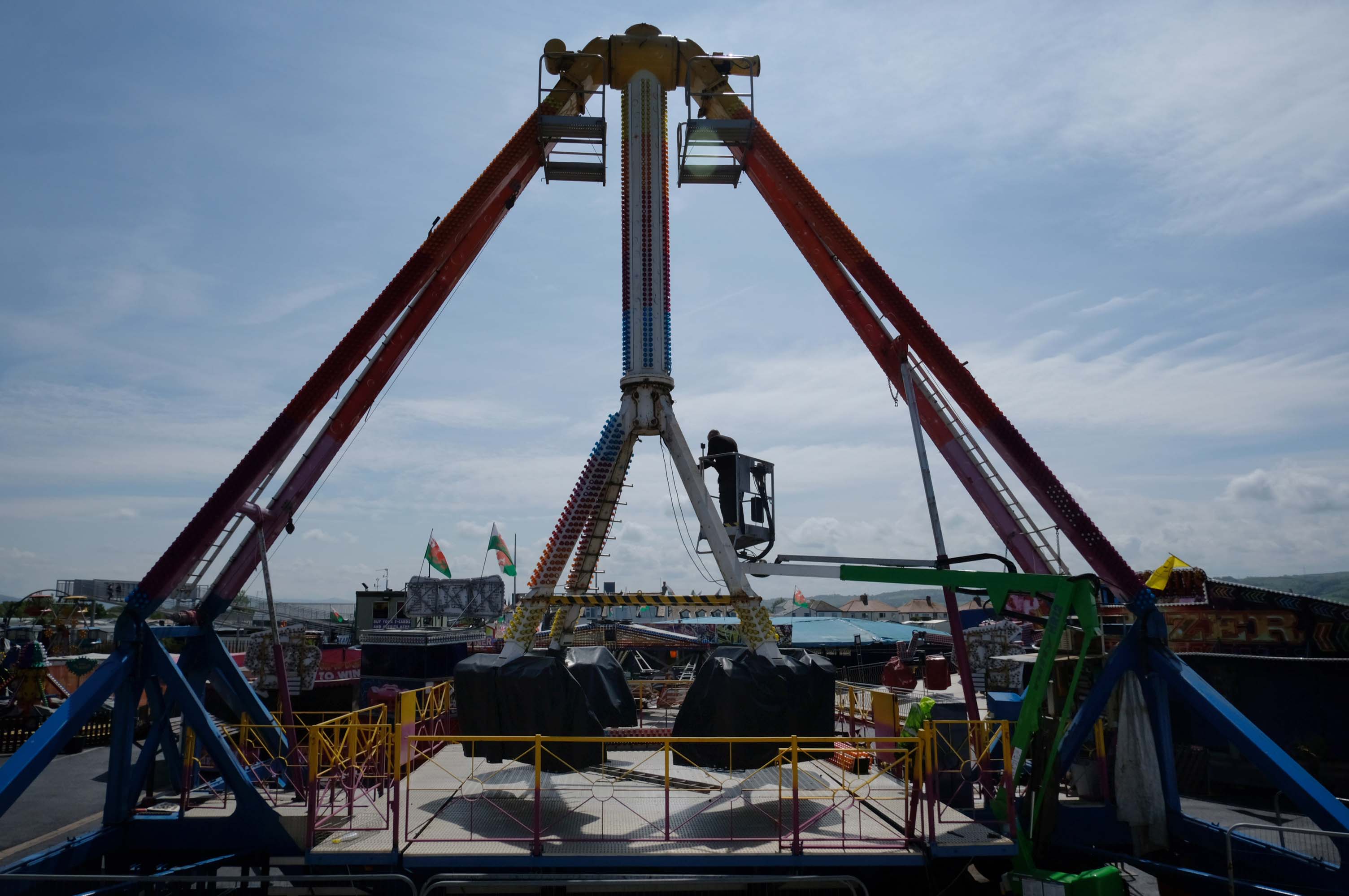
Excitements galore, await at the well maintained funfair.
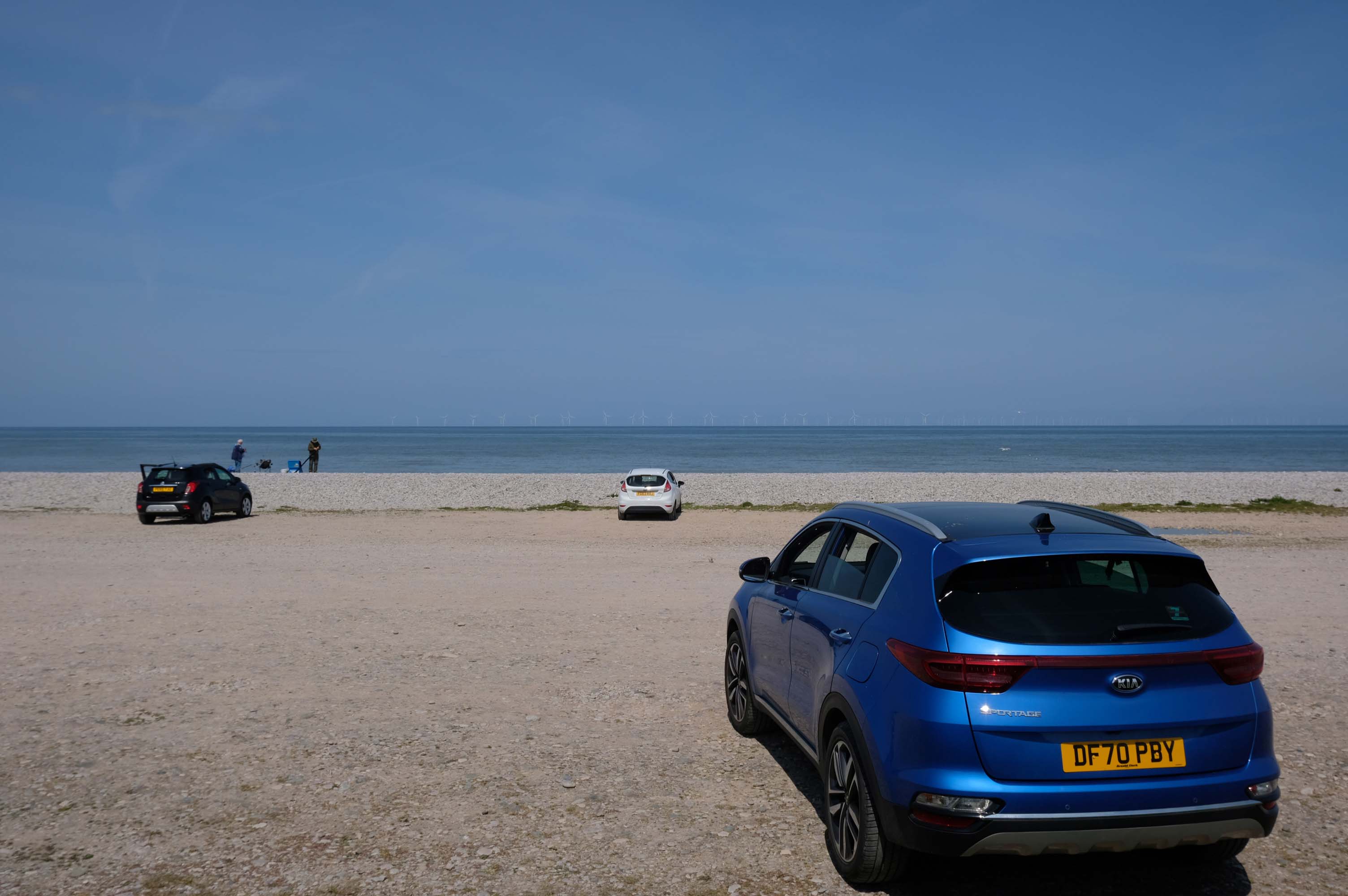
Motor cars to the fore, as the intrepid sea-anglers prepare for a day of sea-angling.
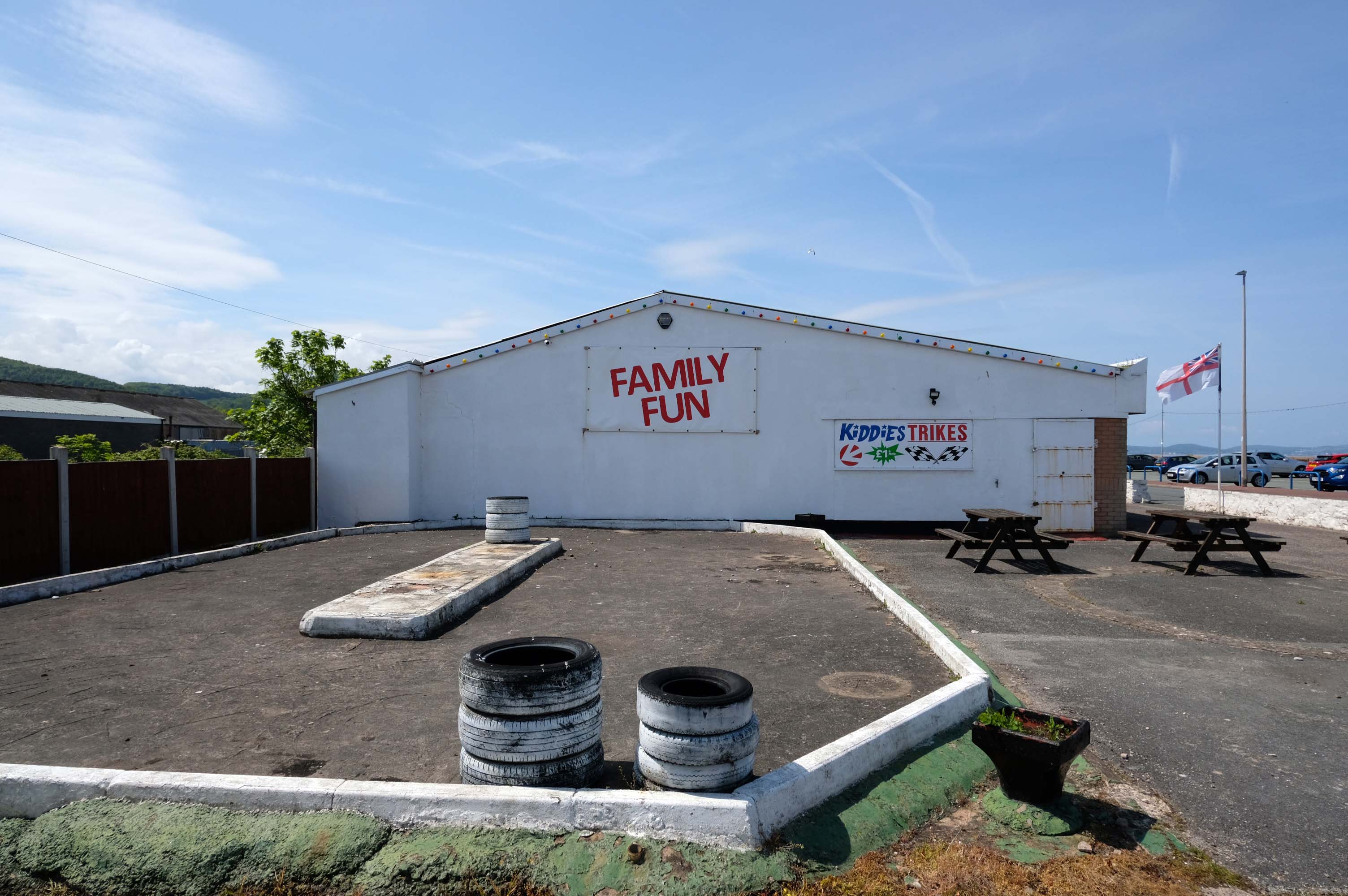
Abergele where Family Fun can be found in the form of Kiddies Karts.
In 2020/21 Abergele hosted the 20th and 21st editions of I’m a Celebrity Get Me Out of Here! at Gwrych Castle, due to the Covid pandemic restrictions in Australia.
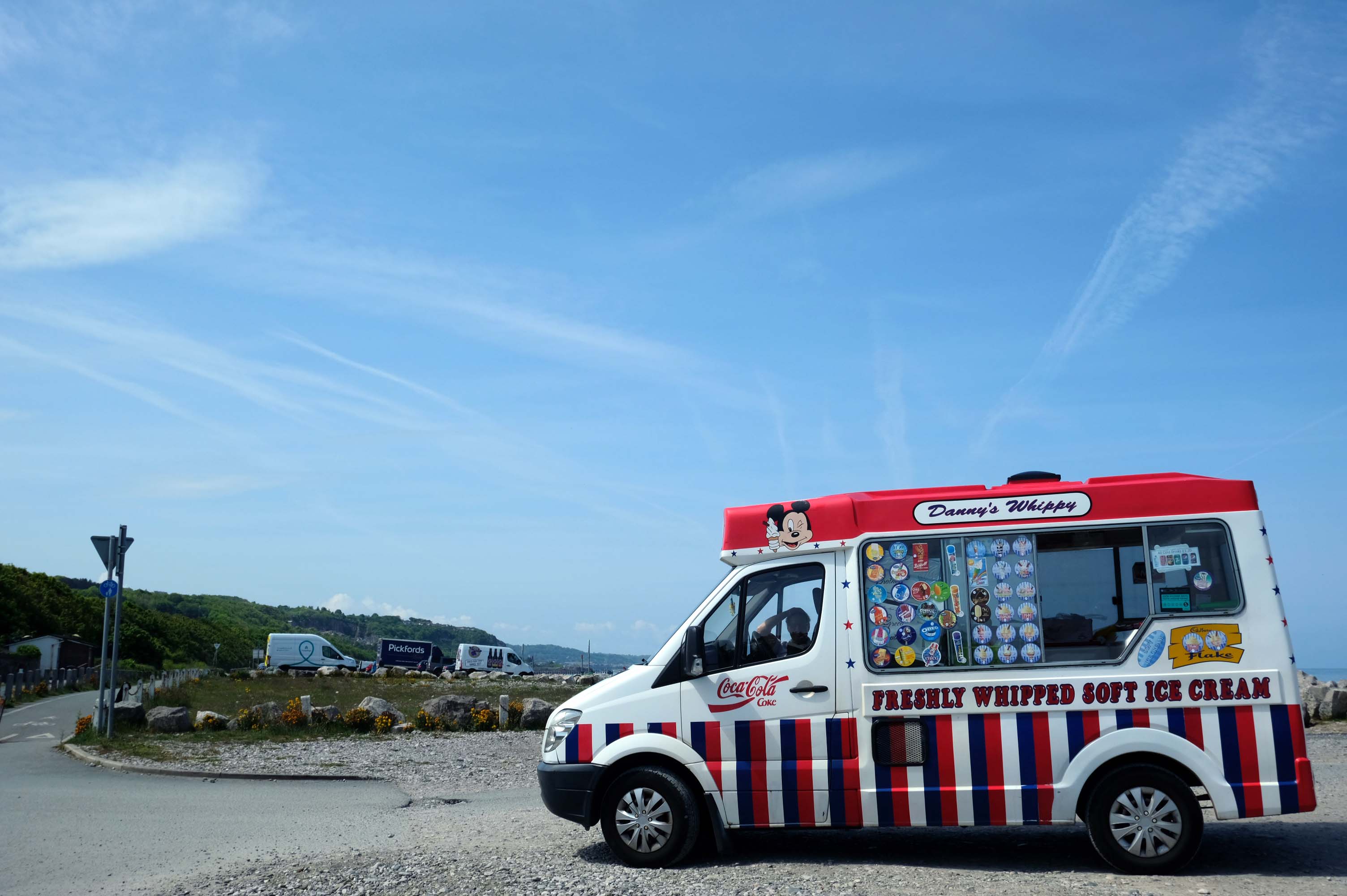
I failed to avail myself with a chilly treat courtesy of Danny’s Whippy, having already had my 99 tub, from Sidoli’s in Rhyl.
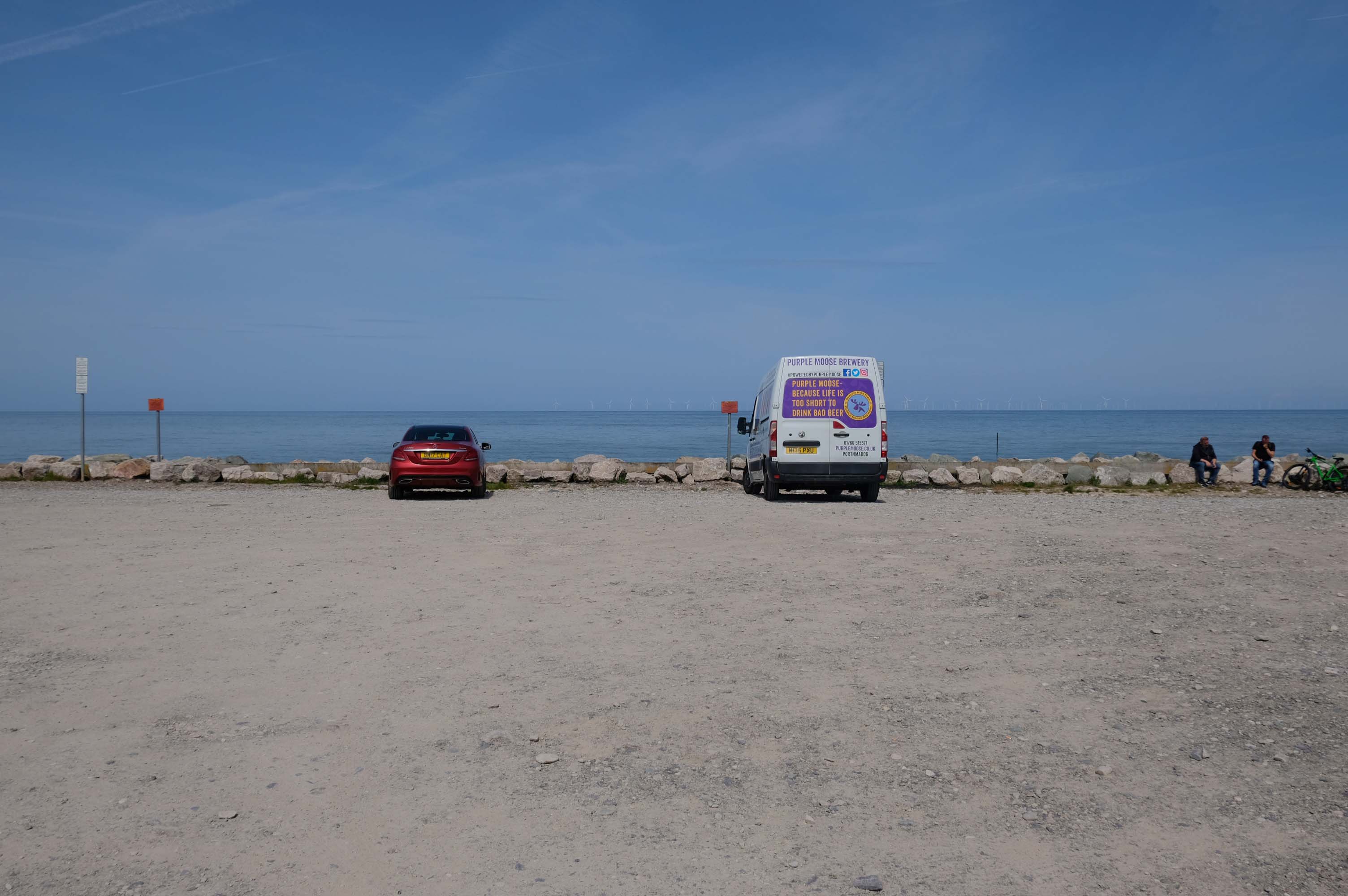
Local brewery Purple Moose’s delivery van driver takes a timely break, whilst fellow cyclists stop for a cig and a chat.
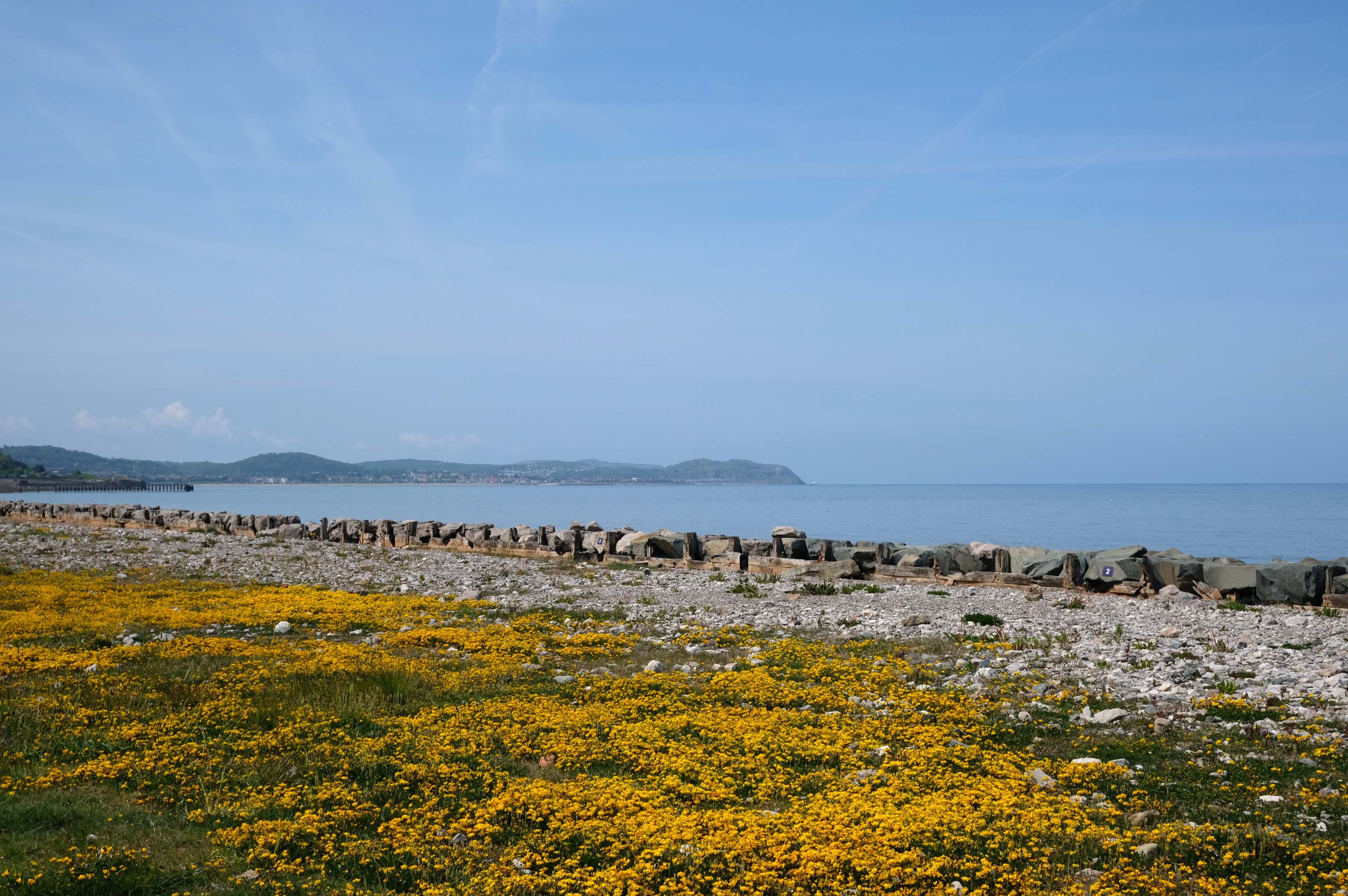
Rugged rocks, sadly lacking ragged rascals, as the Little Orme comes into view.
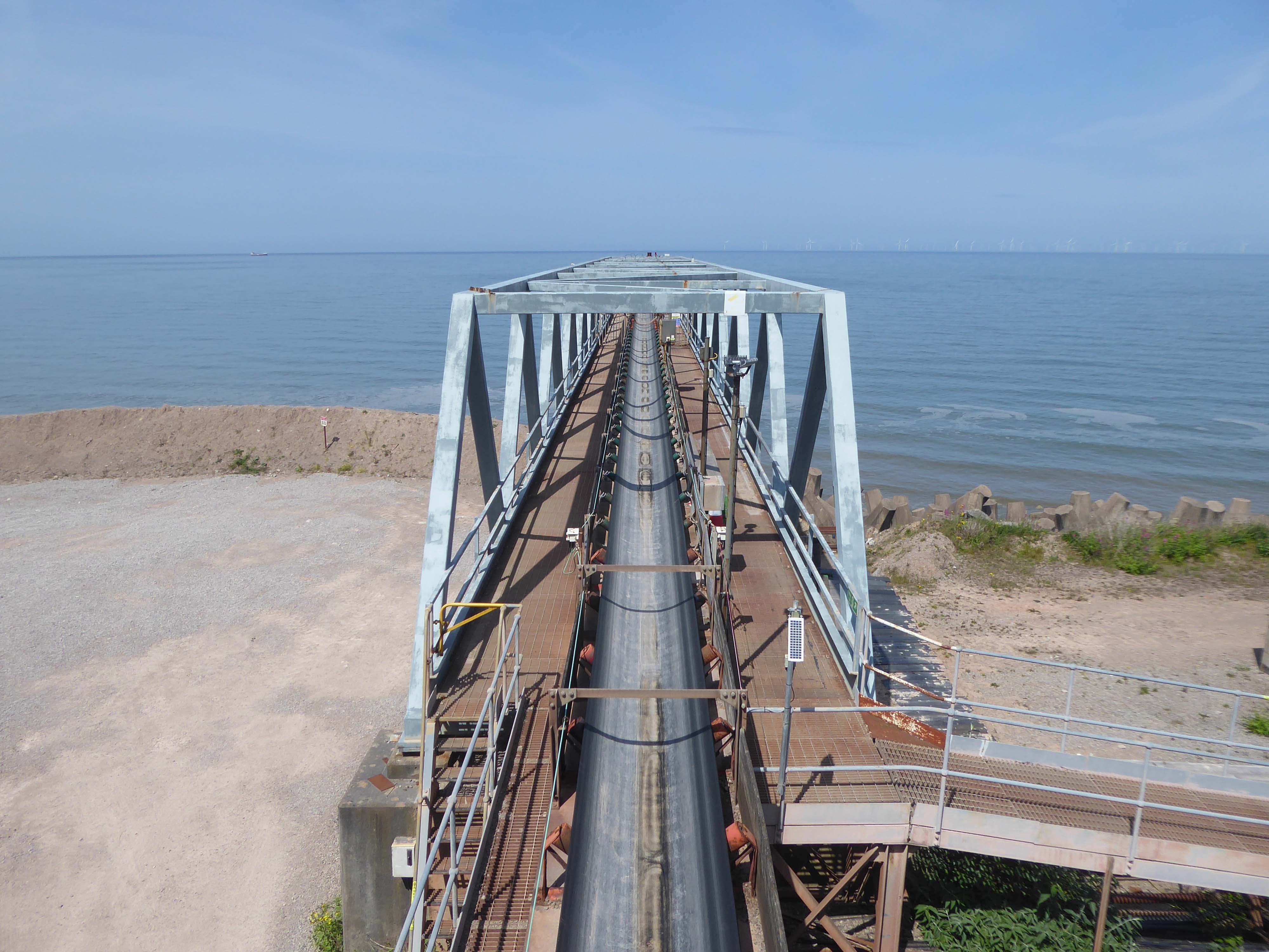
Cast concrete defences, and Raynes Quarry jetty at Llandulas.
The quarry was originally known as Llysfaen Limeworks, being close to Llysfaen railway station. James Trevelyan Raynes of Rock Ferry, Birkenhead, took over the quarry in the 1870s, adding large new limekilns. Lime from the quarry was shipped to various alkali works. Alkali was used for soap, textiles and many other goods.
Quarrying in this area has also produced porcelain-like limestone for high quality architectural uses. St Margaret’s Church – also known as the Marble Church in Bodelwyddan, was built with limestone from Llanddulas.
In November 2011 one of the freighters, MV Swanland, sank in stormy weather on the Irish Sea after collecting 3,000 tons of stone from Raynes jetty bound for the Isle of Wight.
Two crewmen were rescued but five, all Russian, were lost.
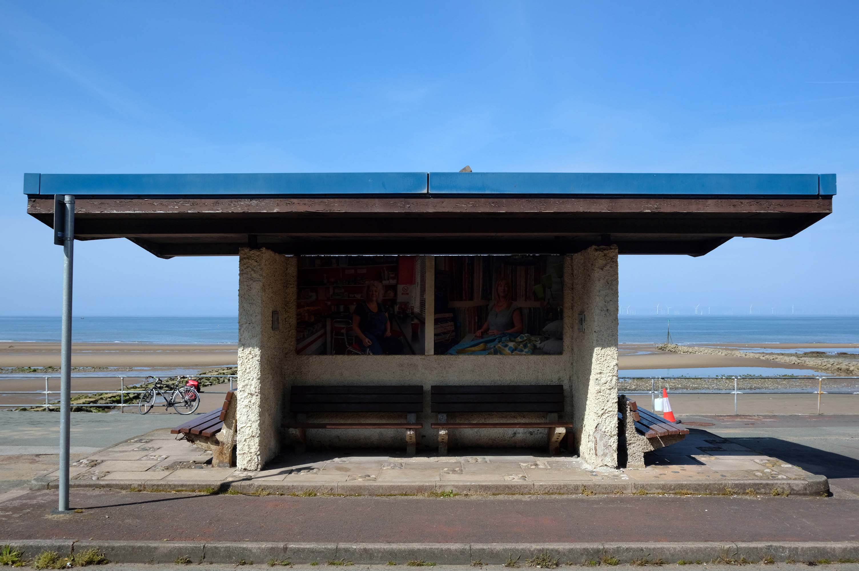
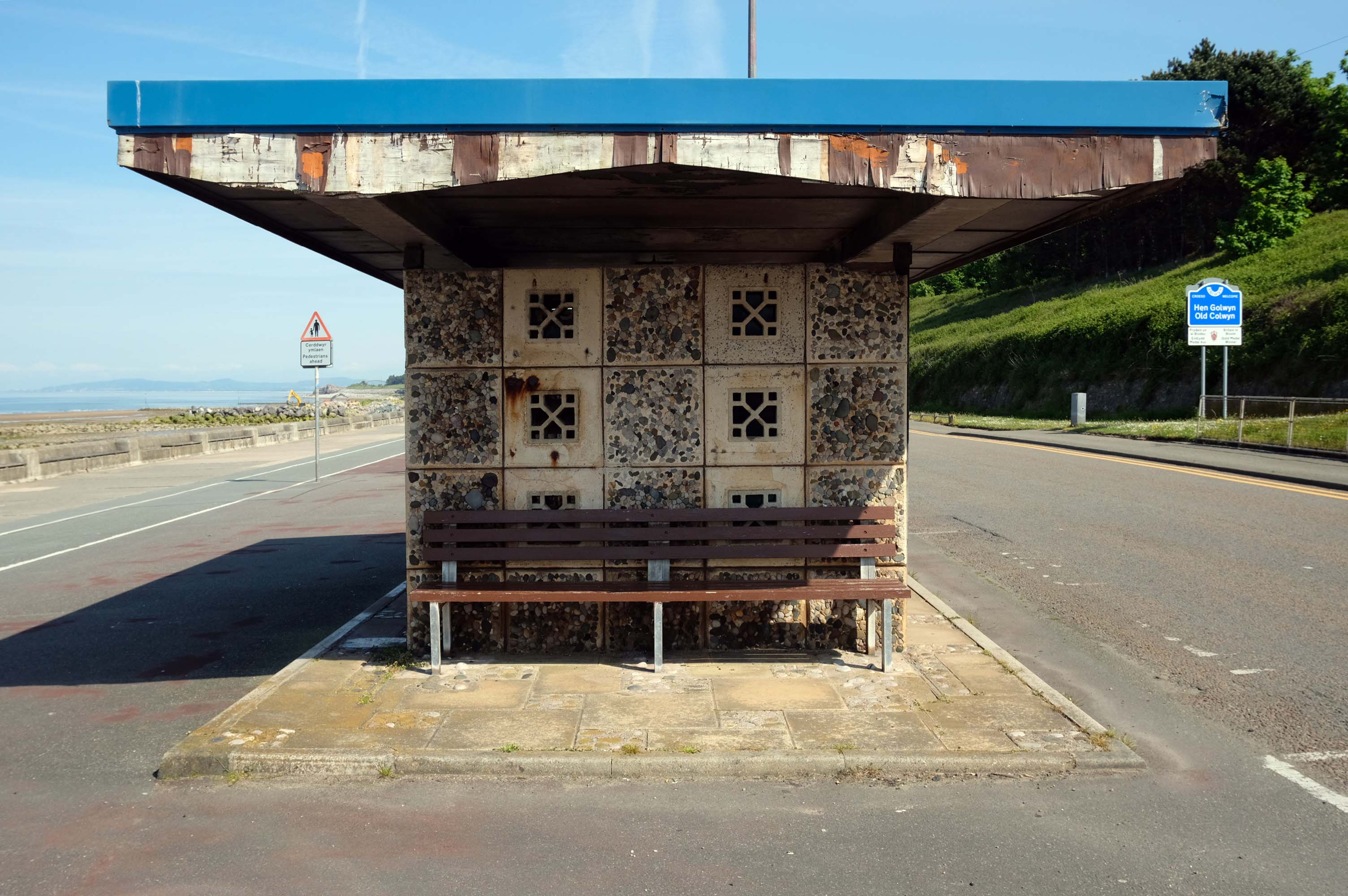
Almost the end of the line here in Old Colwyn – where there are the last of a series of shelters.
Formerly lining the prom all the way to Rhos on Sea
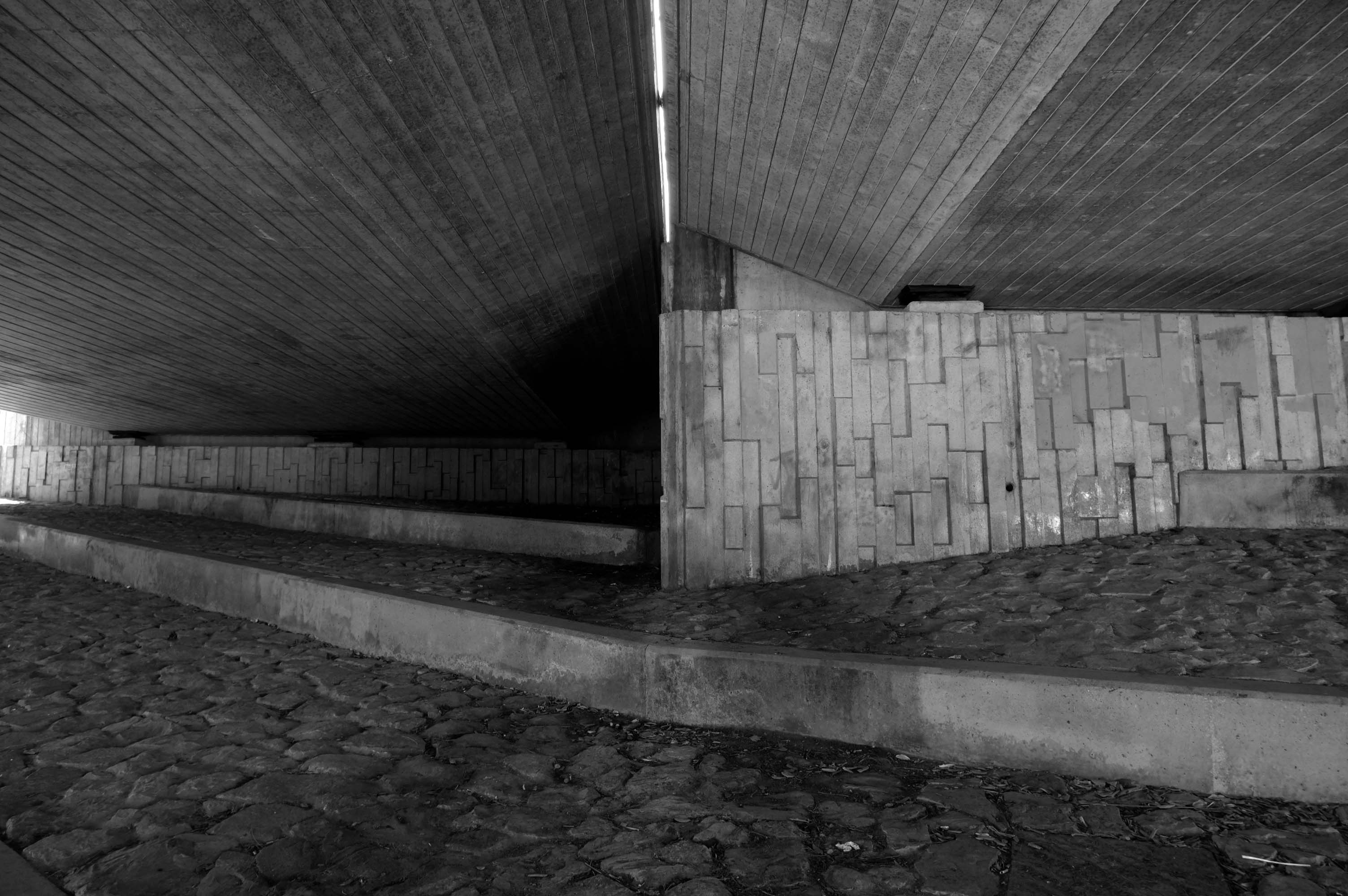
Cutting under the A55 Expressway to Colwyn Bay.
During World War II the Colwyn Bay Hotel, Marine Road – now demolished, was the headquarters of the Ministry of Food. This also housed the Cocoa & Chocolate division and was the communications hub for the ministry, they continued to use the hotel until 1953.
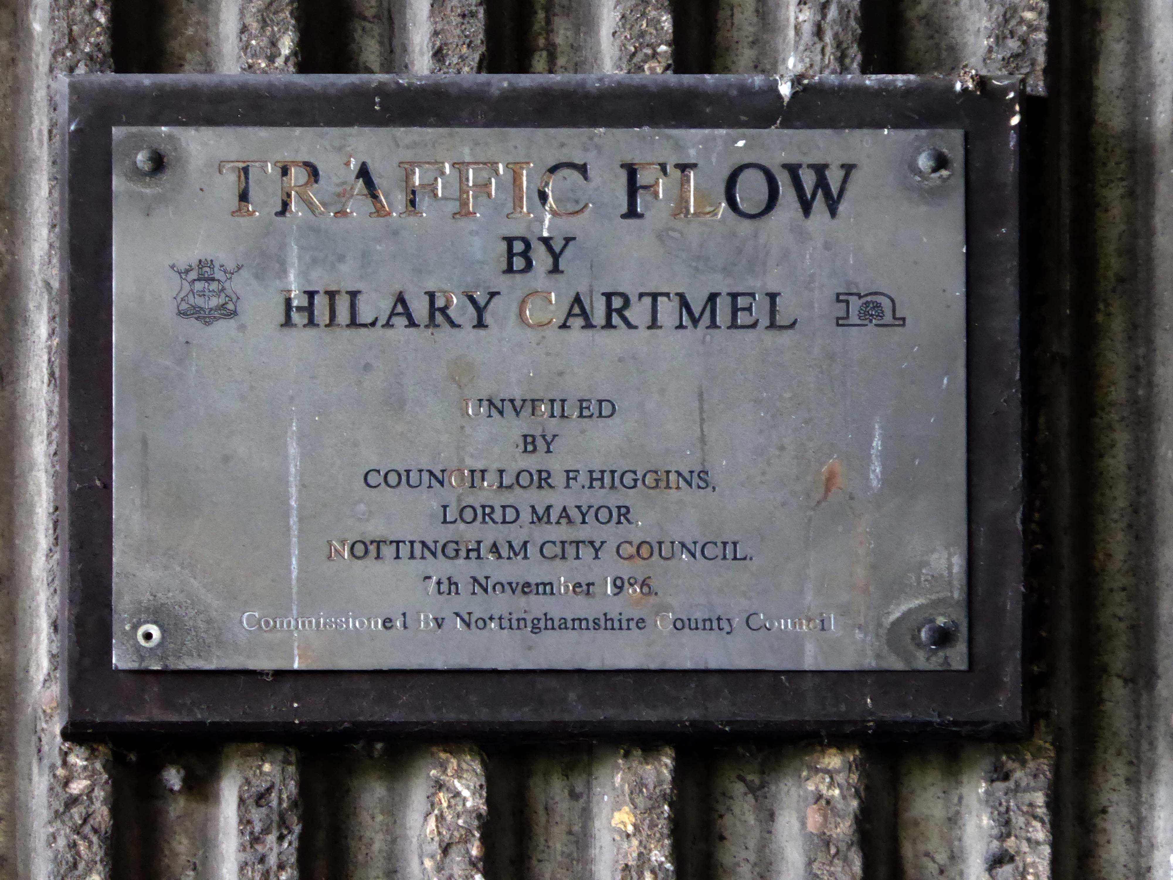
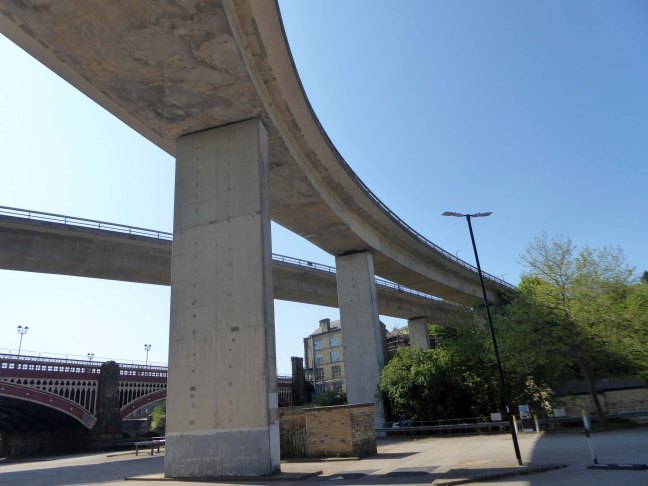
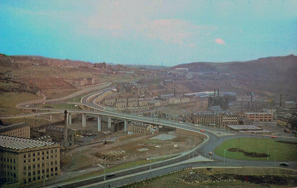
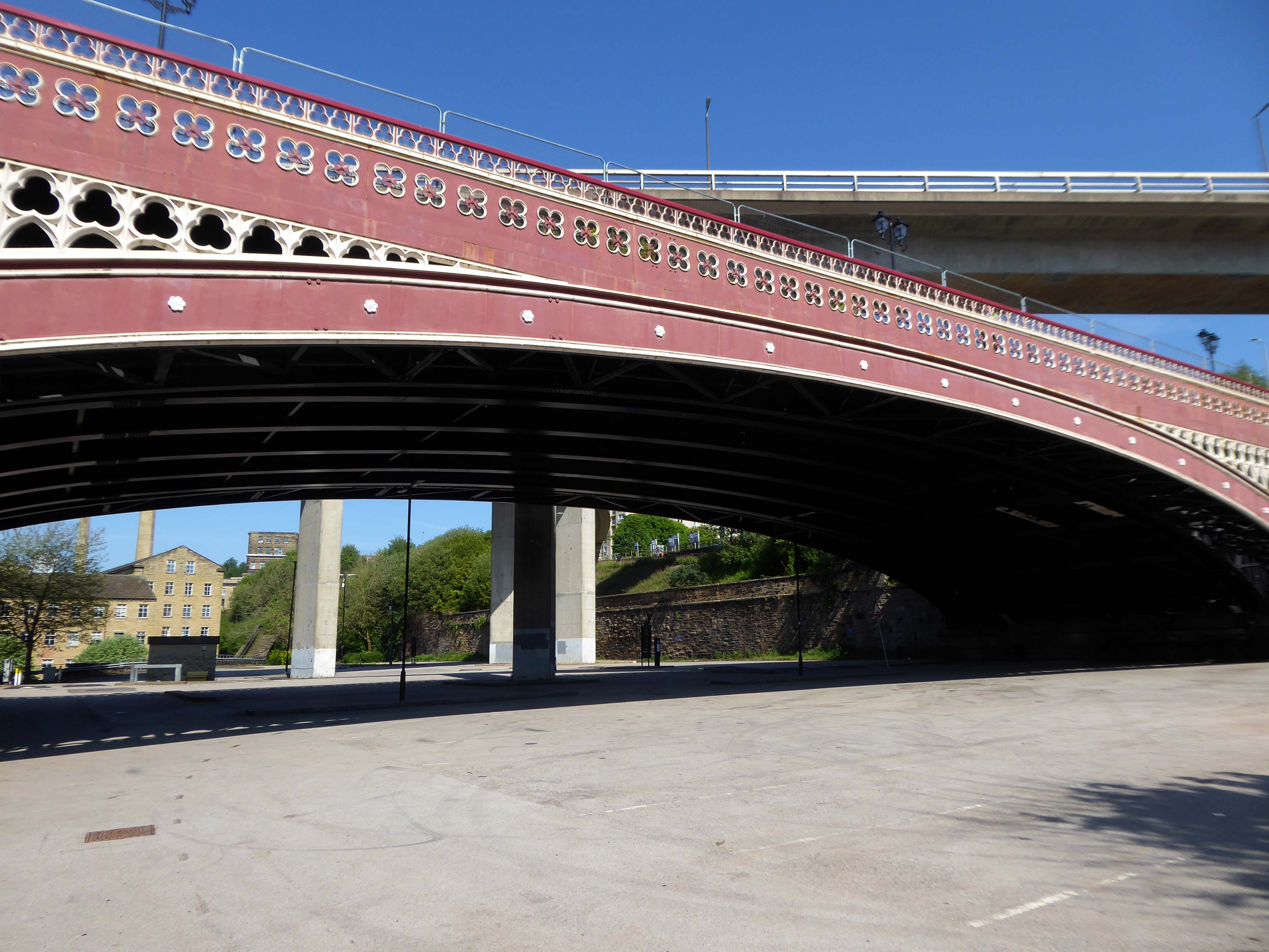
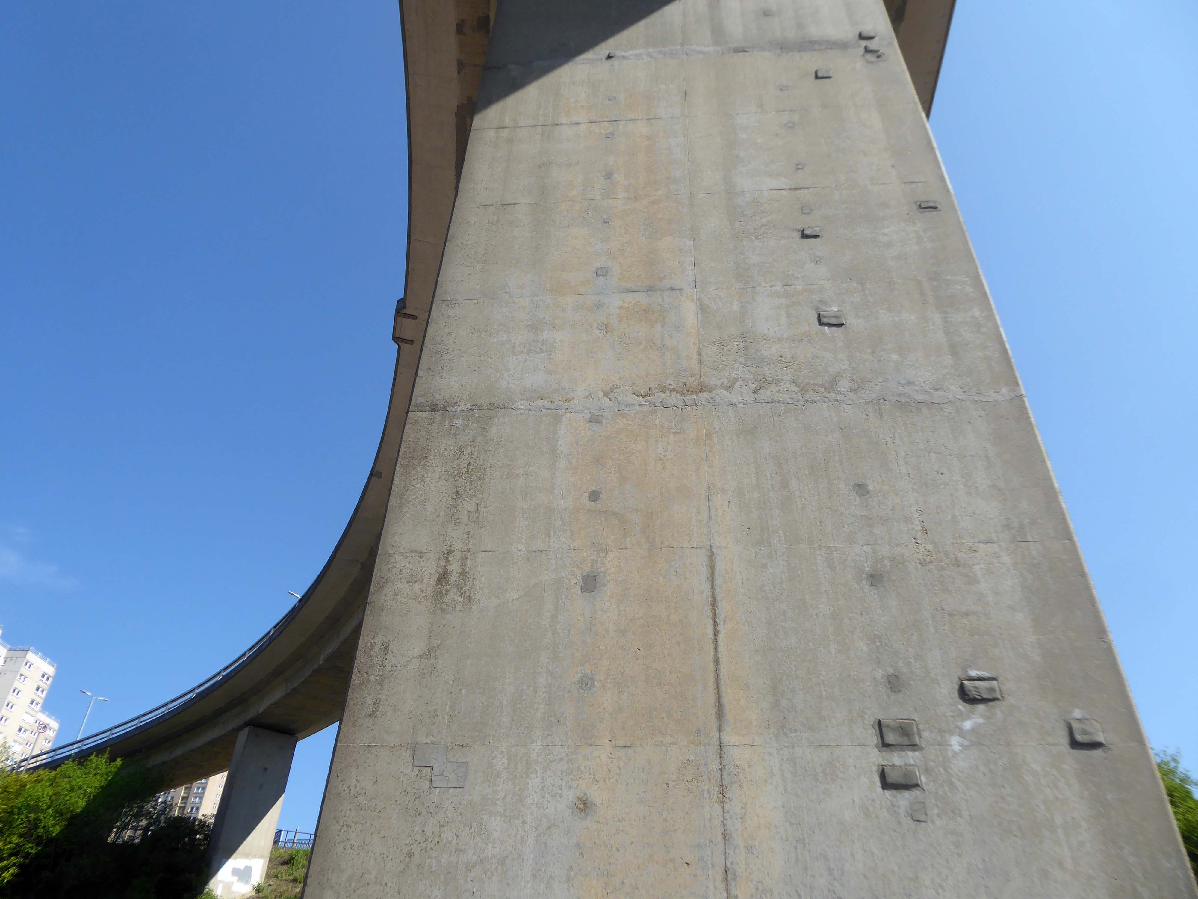
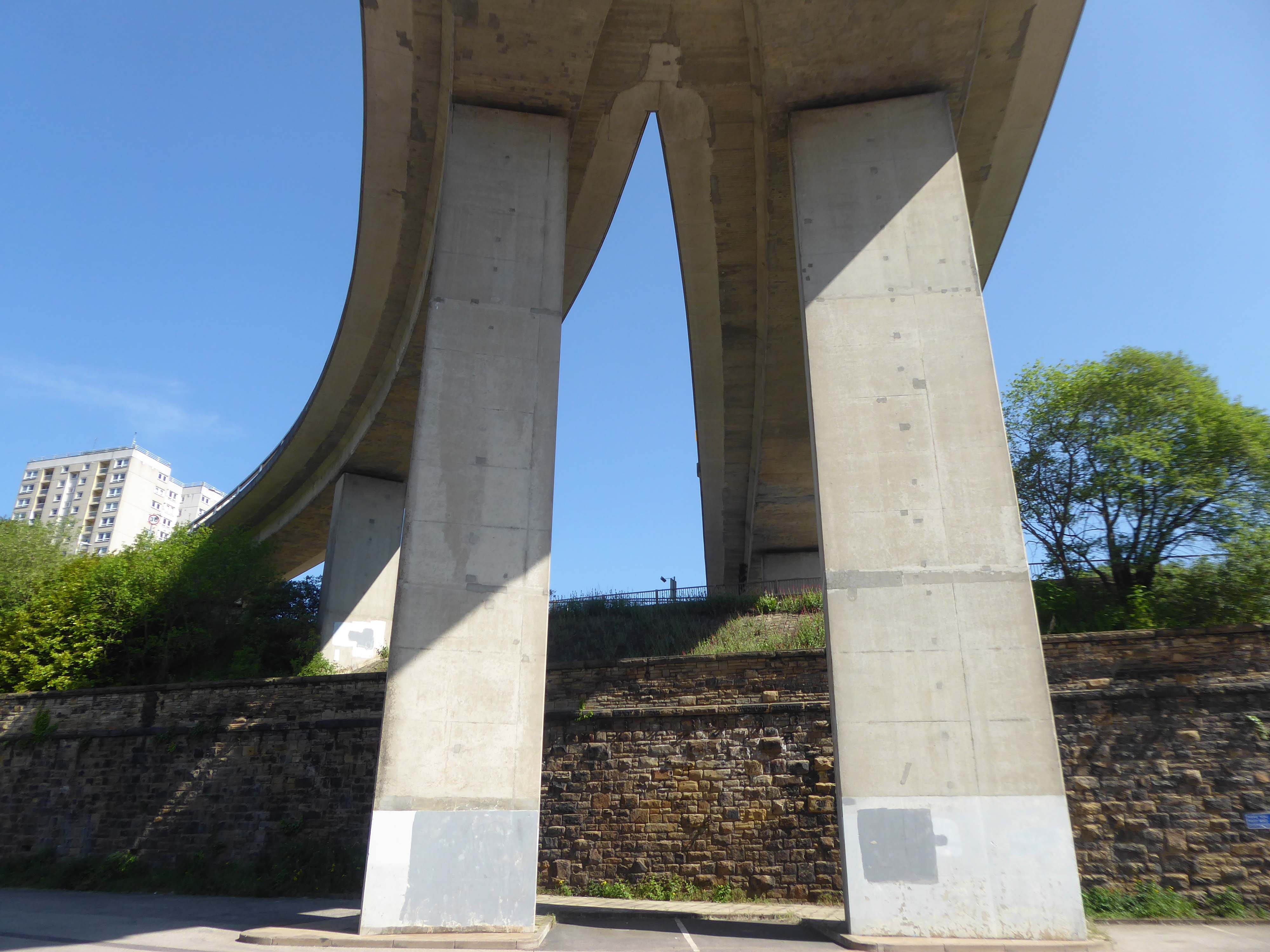
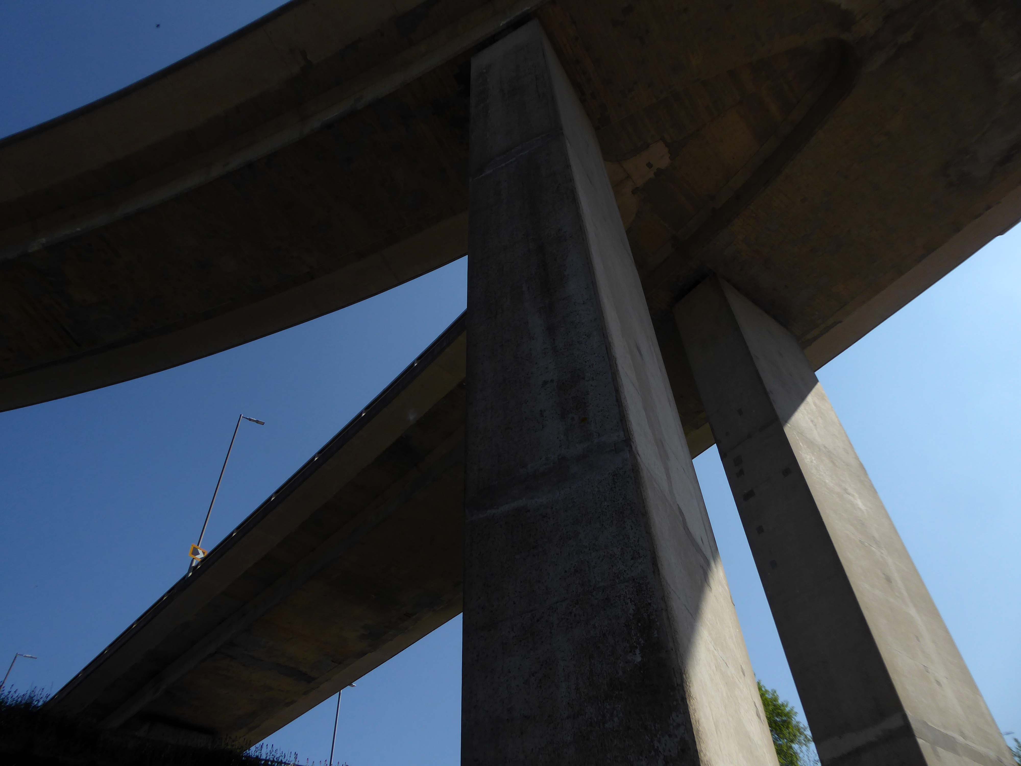
One man who saw the wisdom of building a road infrastructure to deal with high volumes of traffic passing through Halifax and to provide convenient links to the M62.
That man was prominent town councillor John Burdock.
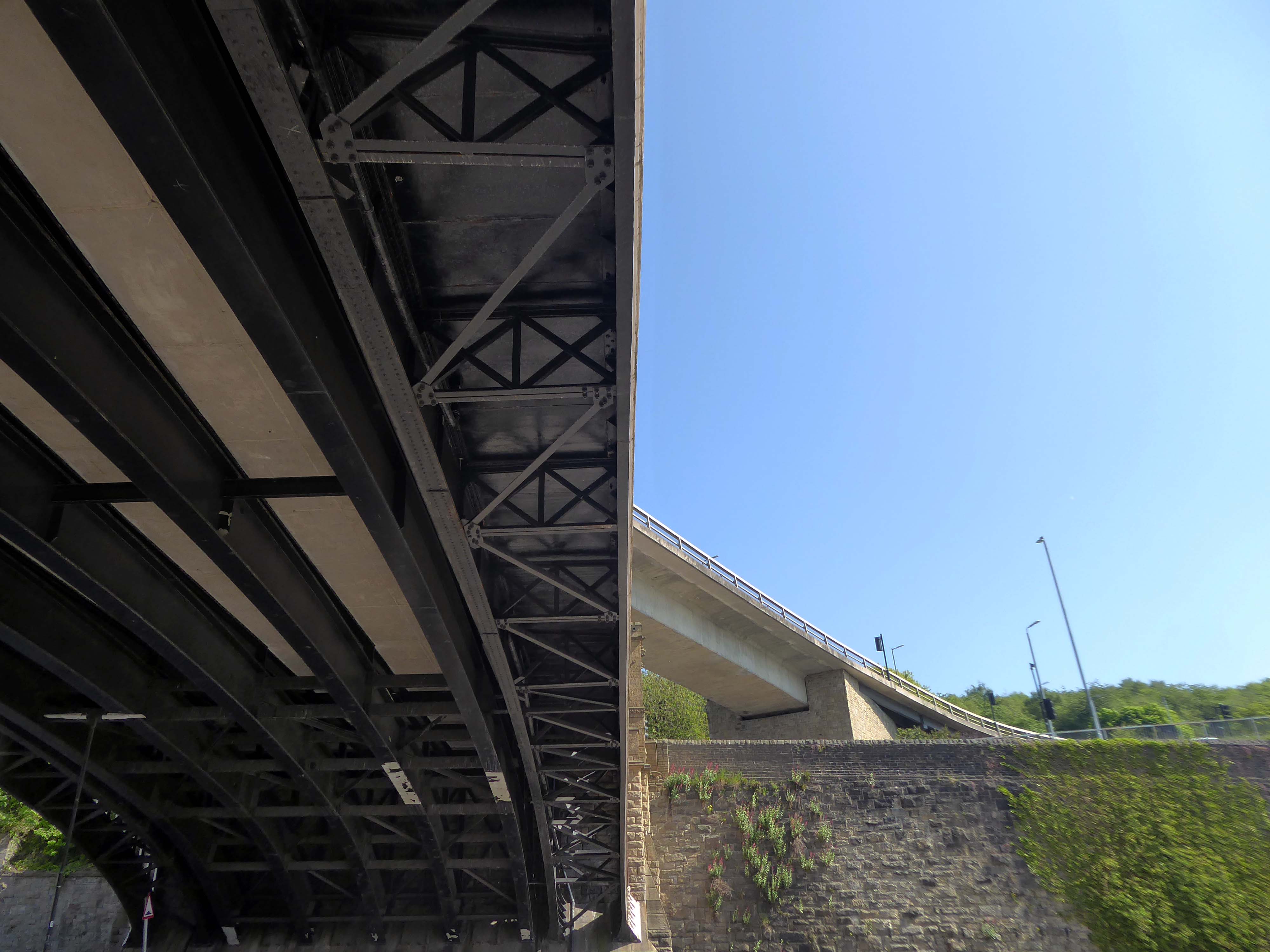
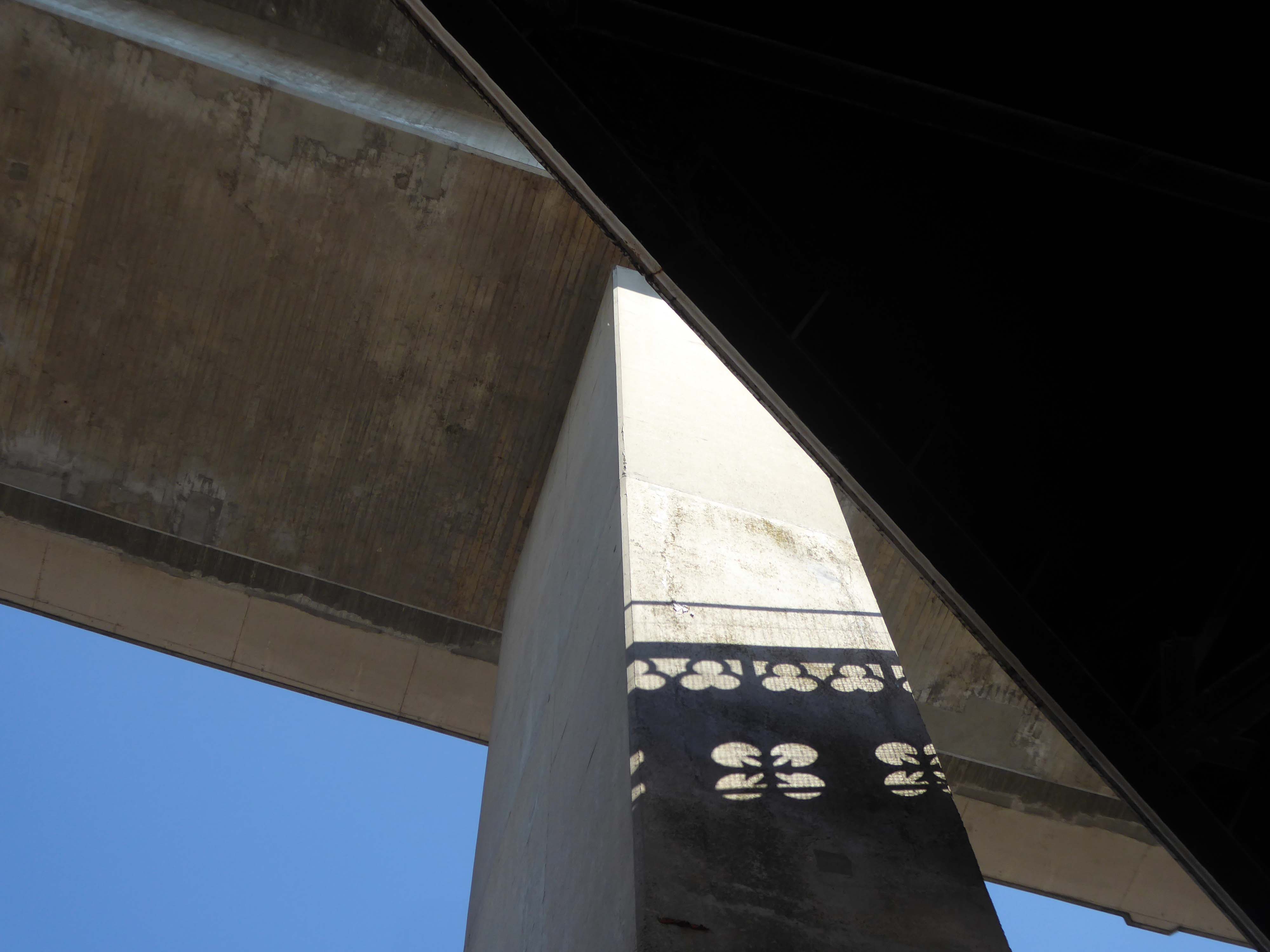
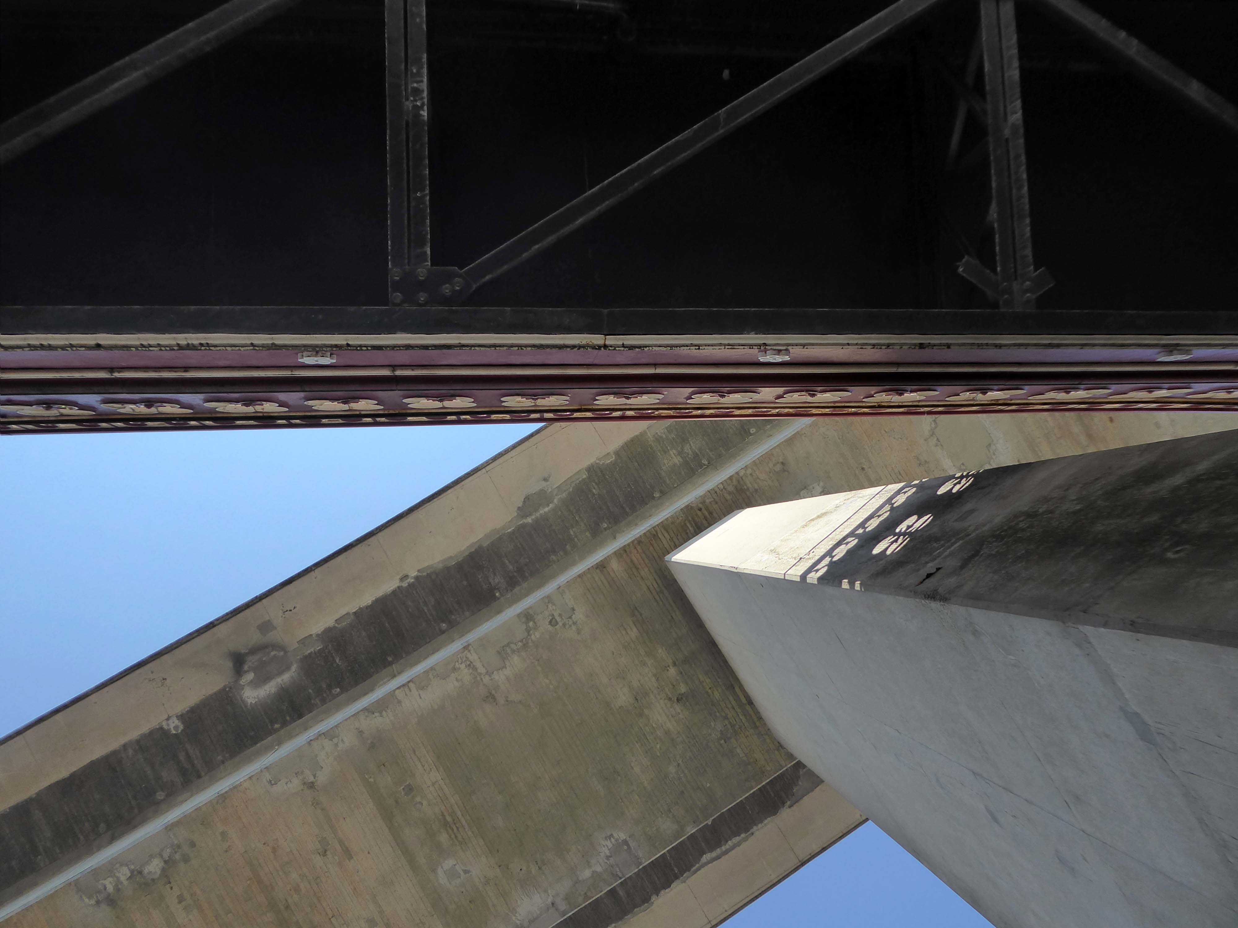
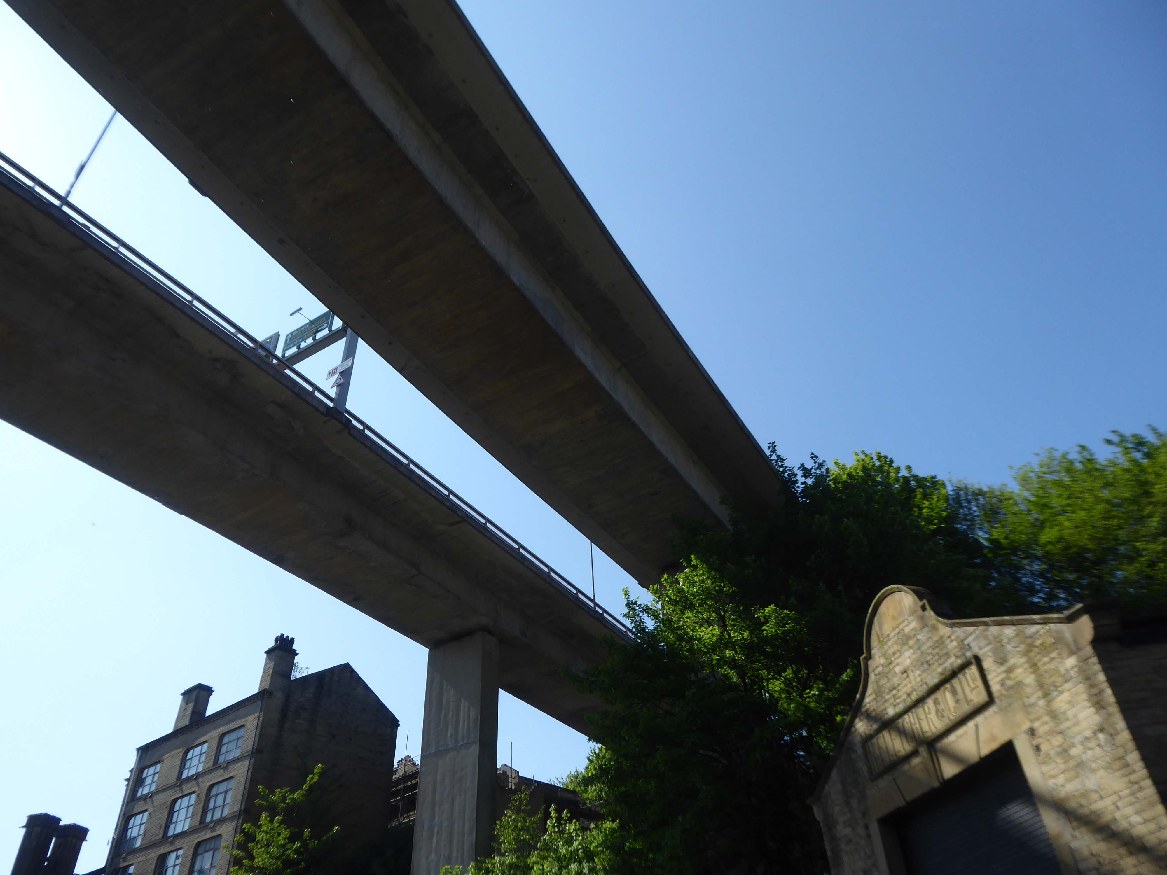
Burdock Way, the modern flyover system, was opened in 1973 to take the A58 and A629 traffic over the River Hebble.
Faced with the problem of very high volumes of through traffic in its town centre, and with the impending construction of the M62 too far to the south to provide relief for the town, Halifax needed a bypass. The steep sided valley that the town centre inhabits prevented a conventional road from being built around the town, and so in the early 1970’s construction began on Burdock Way – one of the most adventurous relief road schemes built in Britain, certainly by a town the size of Halifax.
Only one phase of the futuristic road was ever built, but what exists is a partially grade-separated dual carriageway that runs through deep trenches and over tall viaducts close to the heart of the town. At its eastern end is a truly byzantine piece of traffic engineering that stretches the definition of a roundabout to its limit.
In October 1971 the official celebrations went anything but according to plan. It had been decided to give the people of Halifax a half day holiday so they could attend the opening, but there were not enough police on duty to control the sightseers. It was impossible to get complete silence for the speeches and arrangements to tell the artillery guns at Southowram Road when to fire broke down. They were fired prematurely while an archdeacon was offering prayers. The Mayor, HC McCrae, finally managed to announce that the bridge was officially open and he scurried back to the town hall where he hosted a banquet.
Burdock Way has never been fully completed as it is missing certain sections envisaged in the early 1960s plans. There are a number of reasons for this, but it is mainly owing to West Yorkshire County Council’s cost cutting in the 1970s.
Yorkshire Post
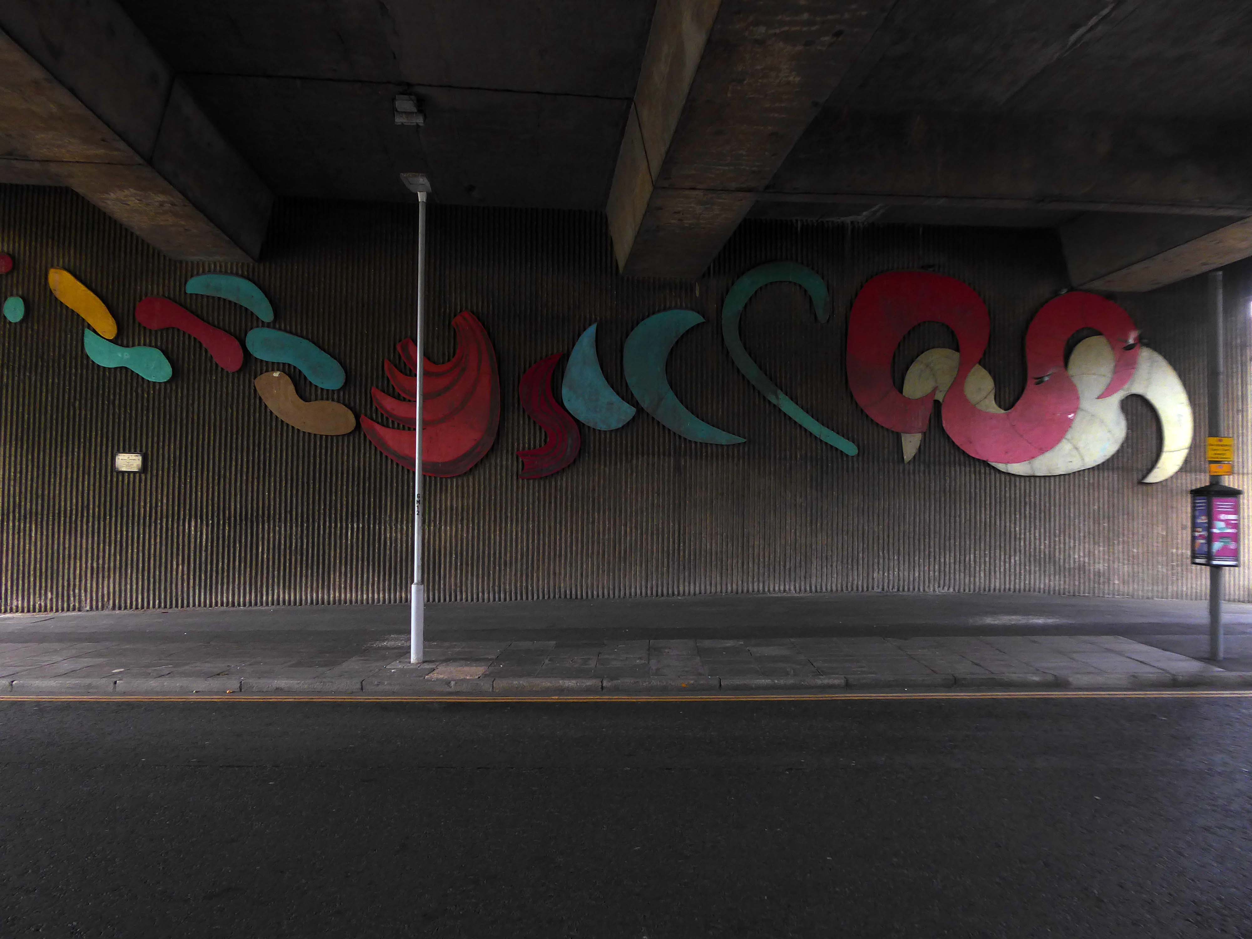
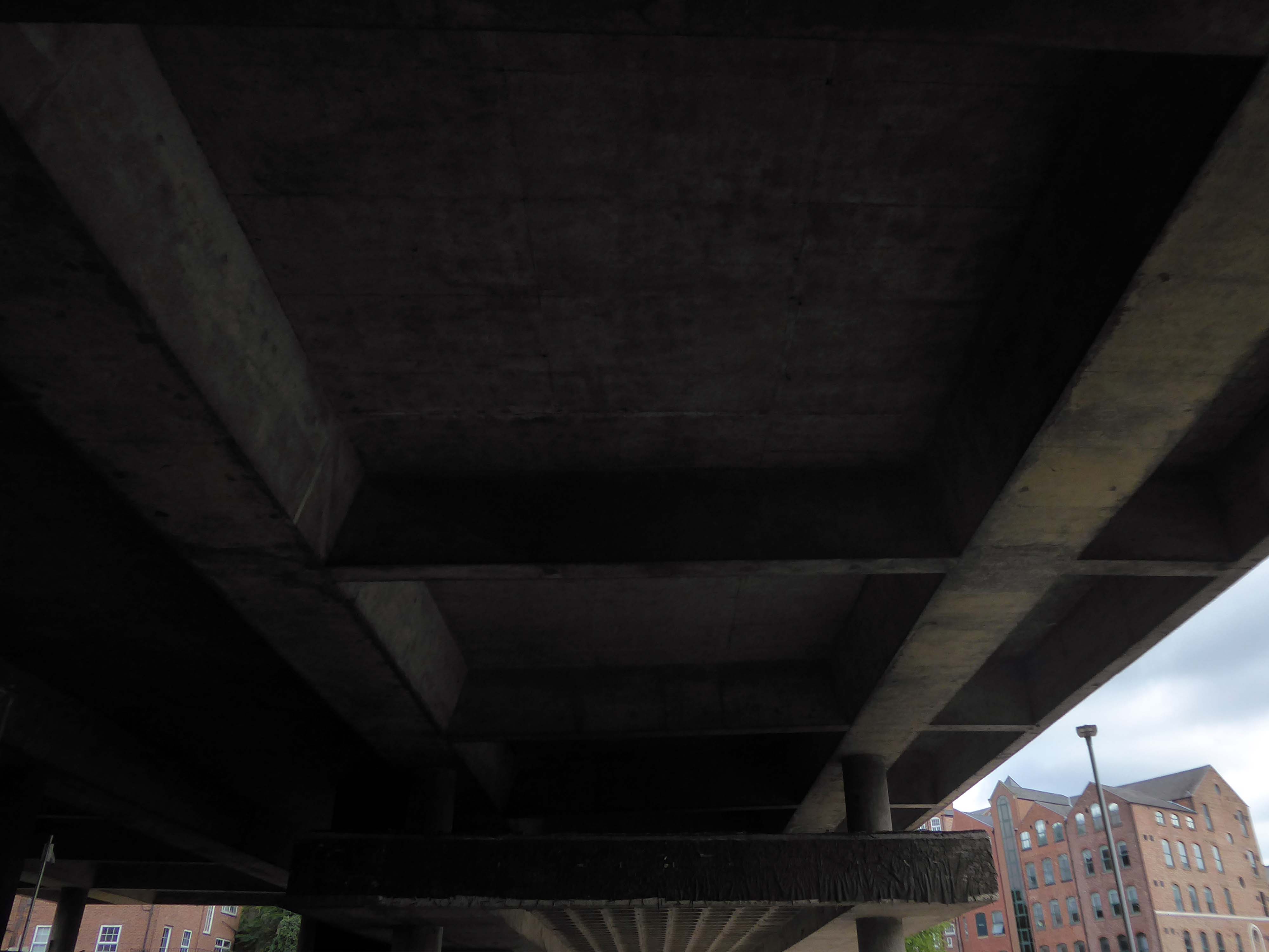
This is the Valley of the Gwangi in the West Riding – minus the dinosaurs.
An urban chasm, the gulf between everything and nothing.
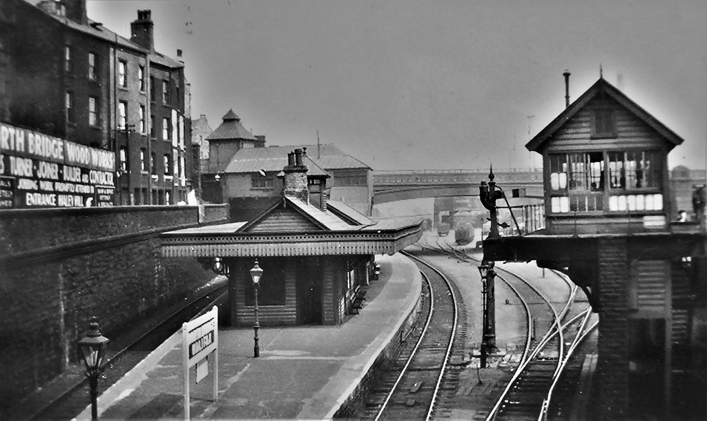
North Bridge is a Victorian iron and stone bridge crossing the valley of the River Hebble, connecting the town to roads to Bradford and Leeds. Replacing an earlier six arch stone bridge it was raised to allow the subsequent construction of the Halifax High Level Railway beneath it, along with an adjoining station.
Opened in 1871 amid chaotic crowd scenes it carried increasingly heavy traffic until it was by-passed by the Burdock Way in 1973.
I caught the 51 Bus from the Bus Exchange – and the ever so helpful fellow passengers put me off at the right stop.
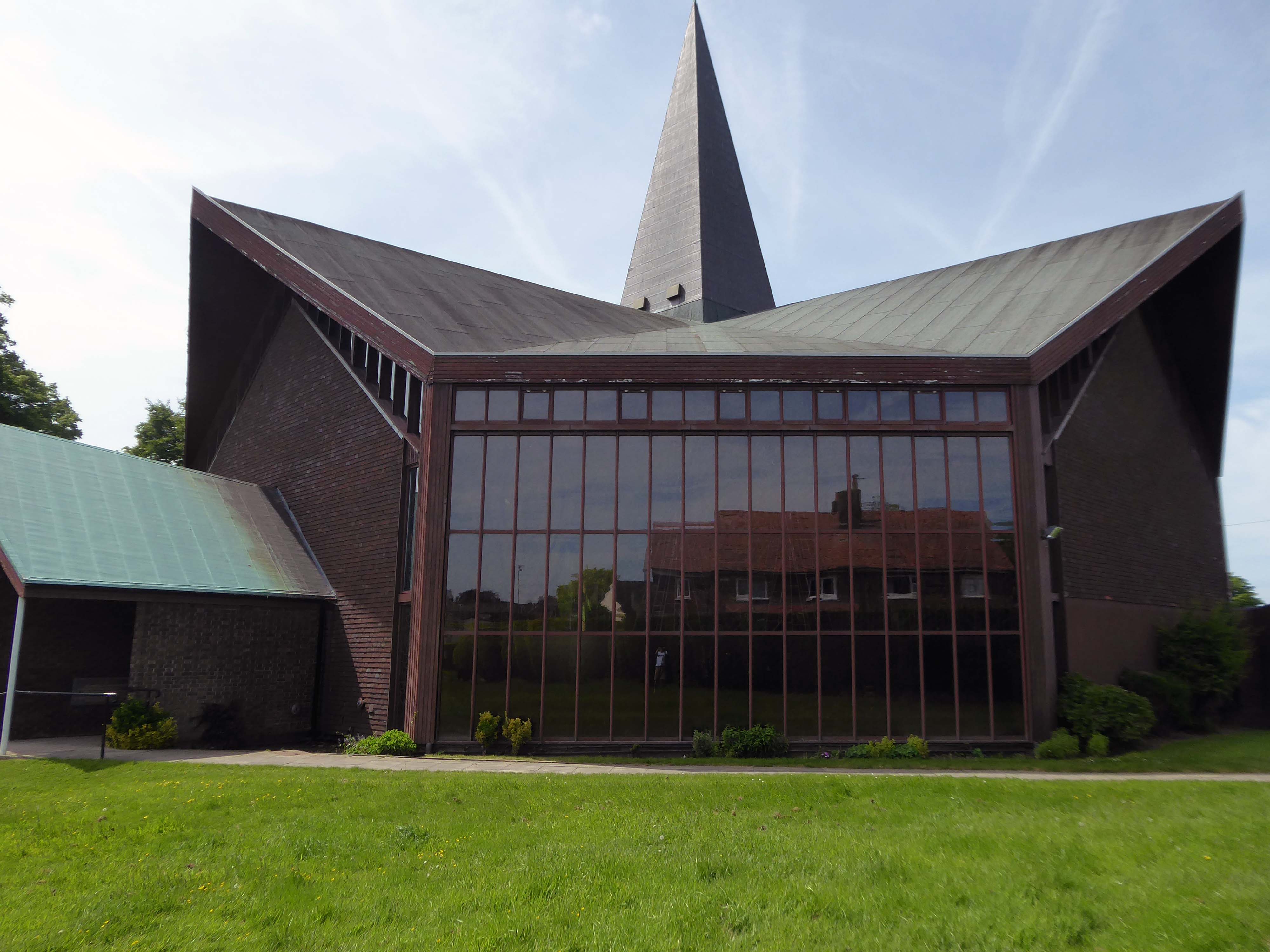
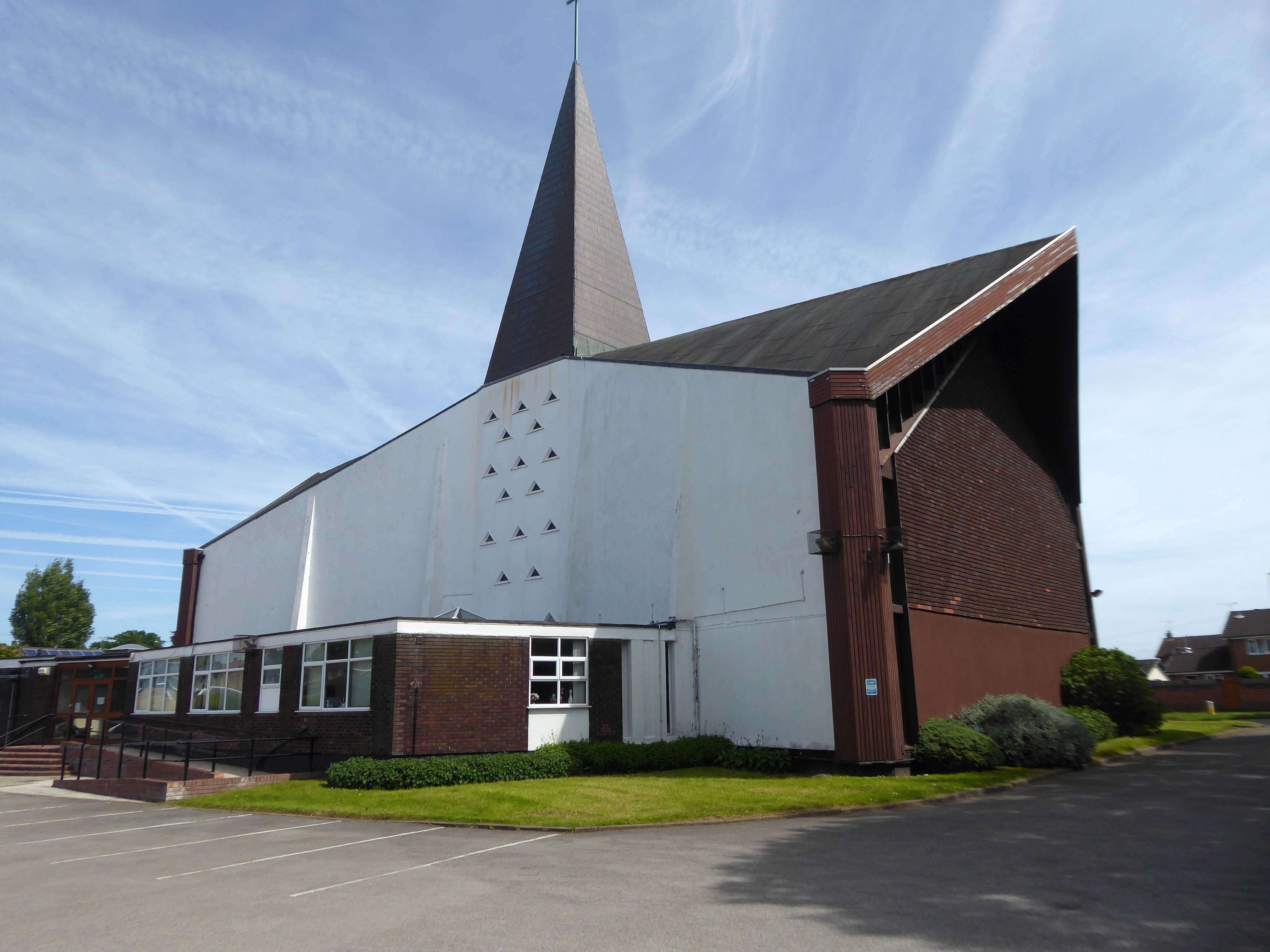
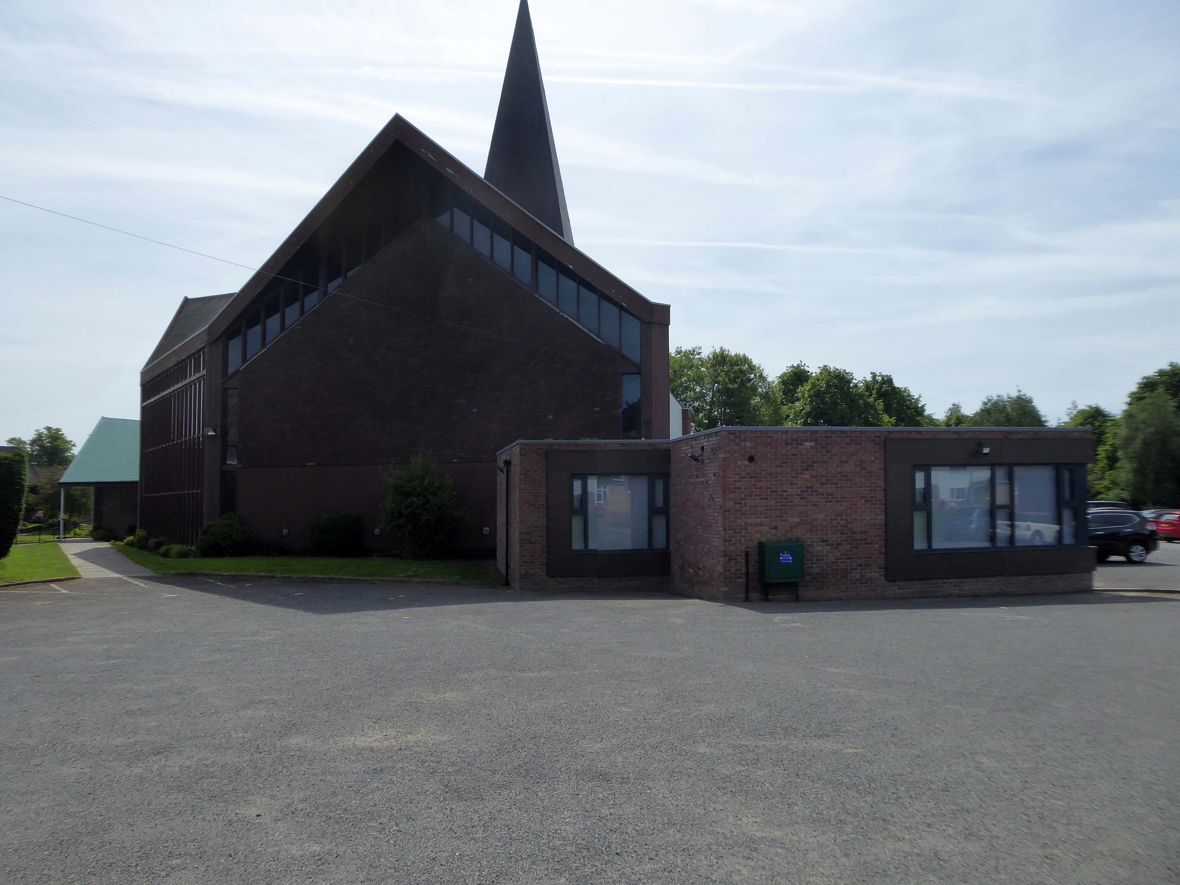
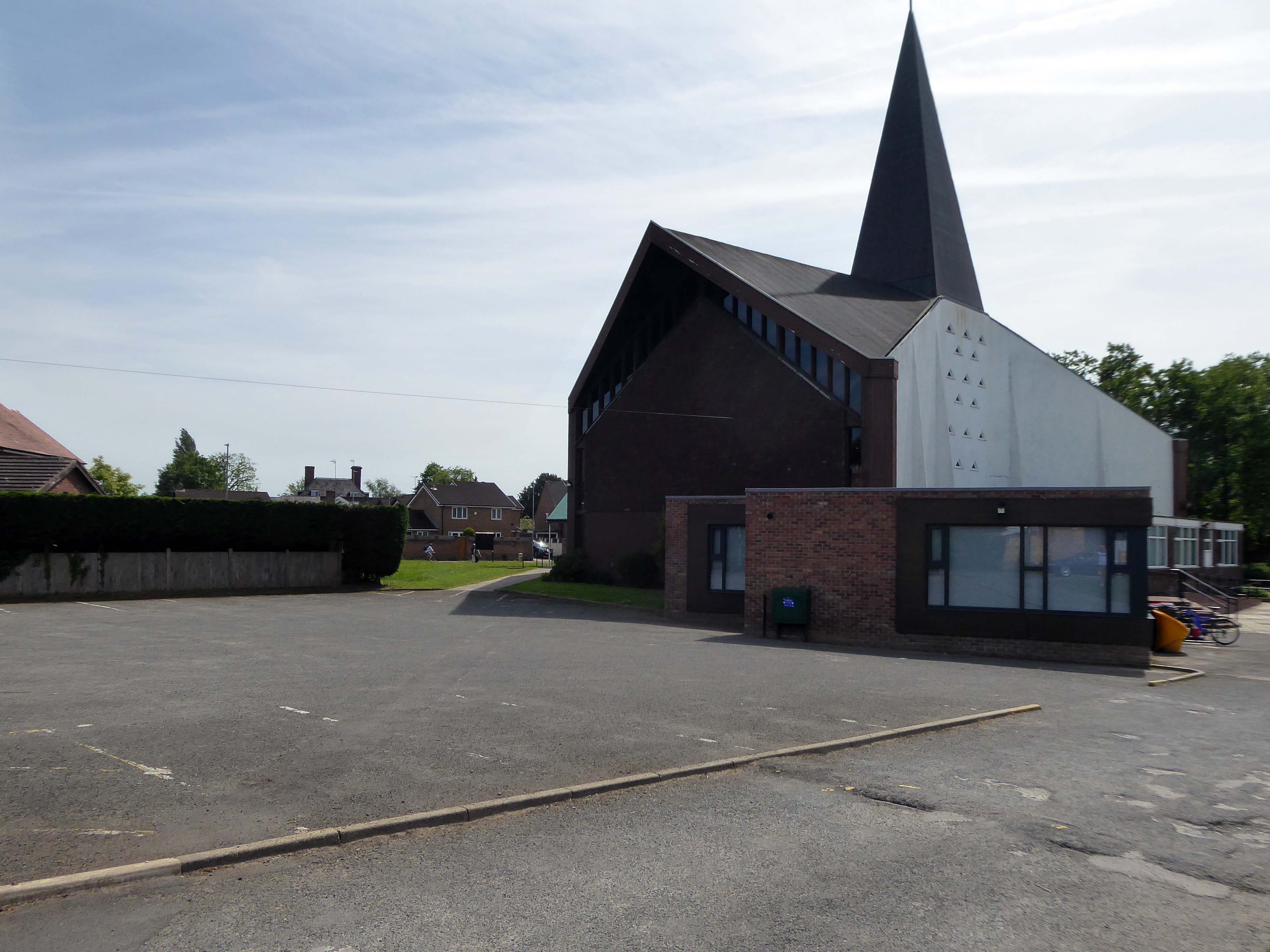
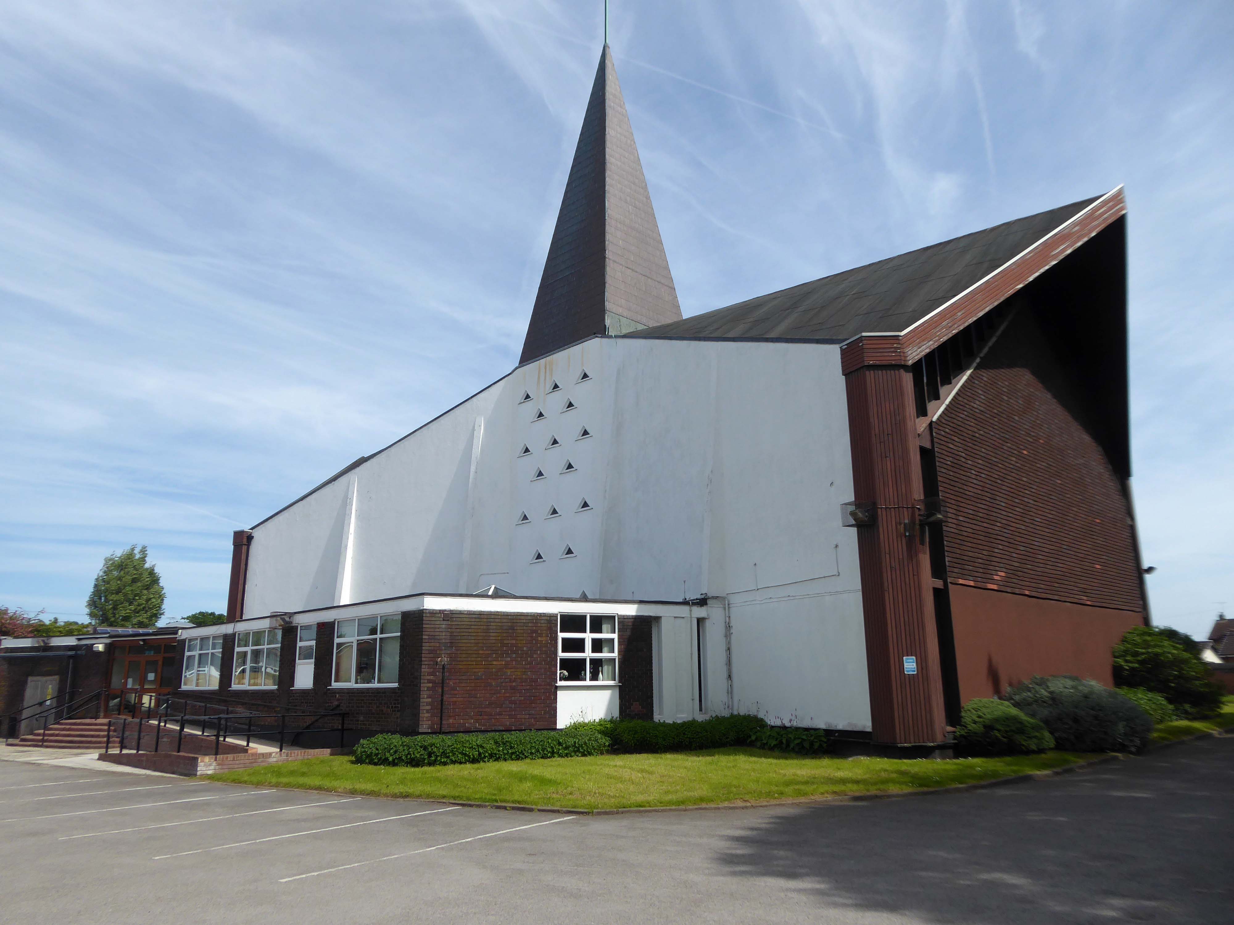
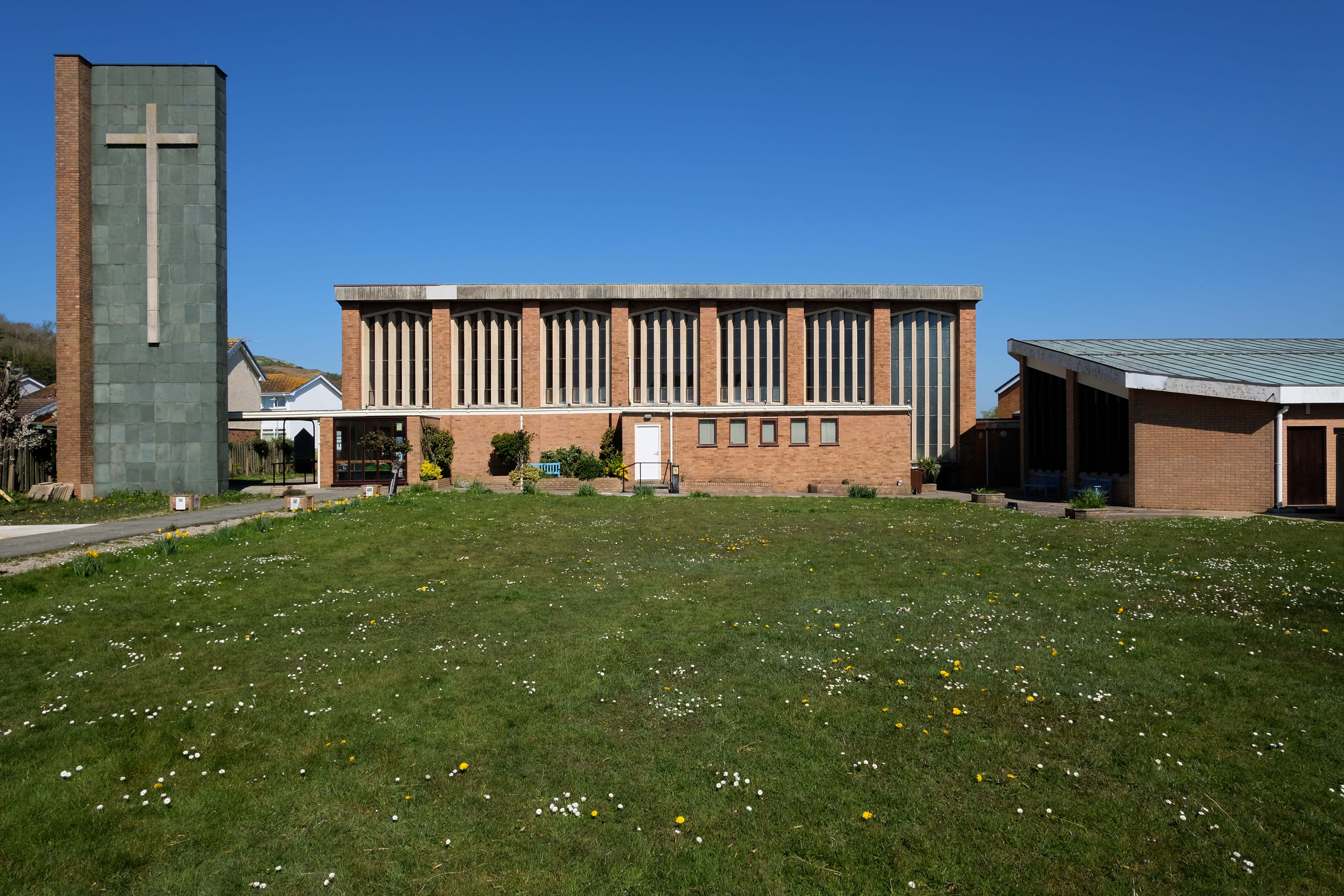
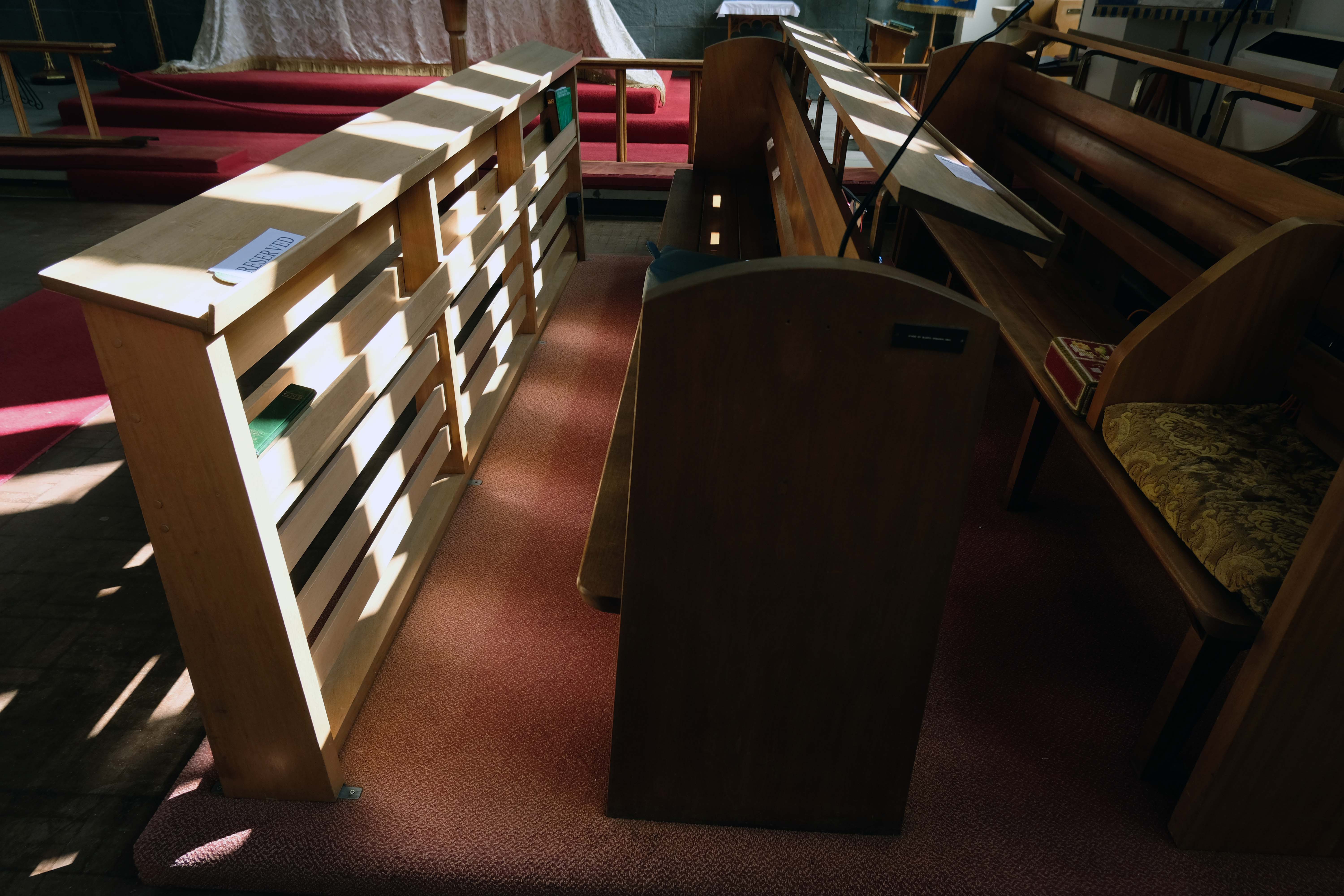
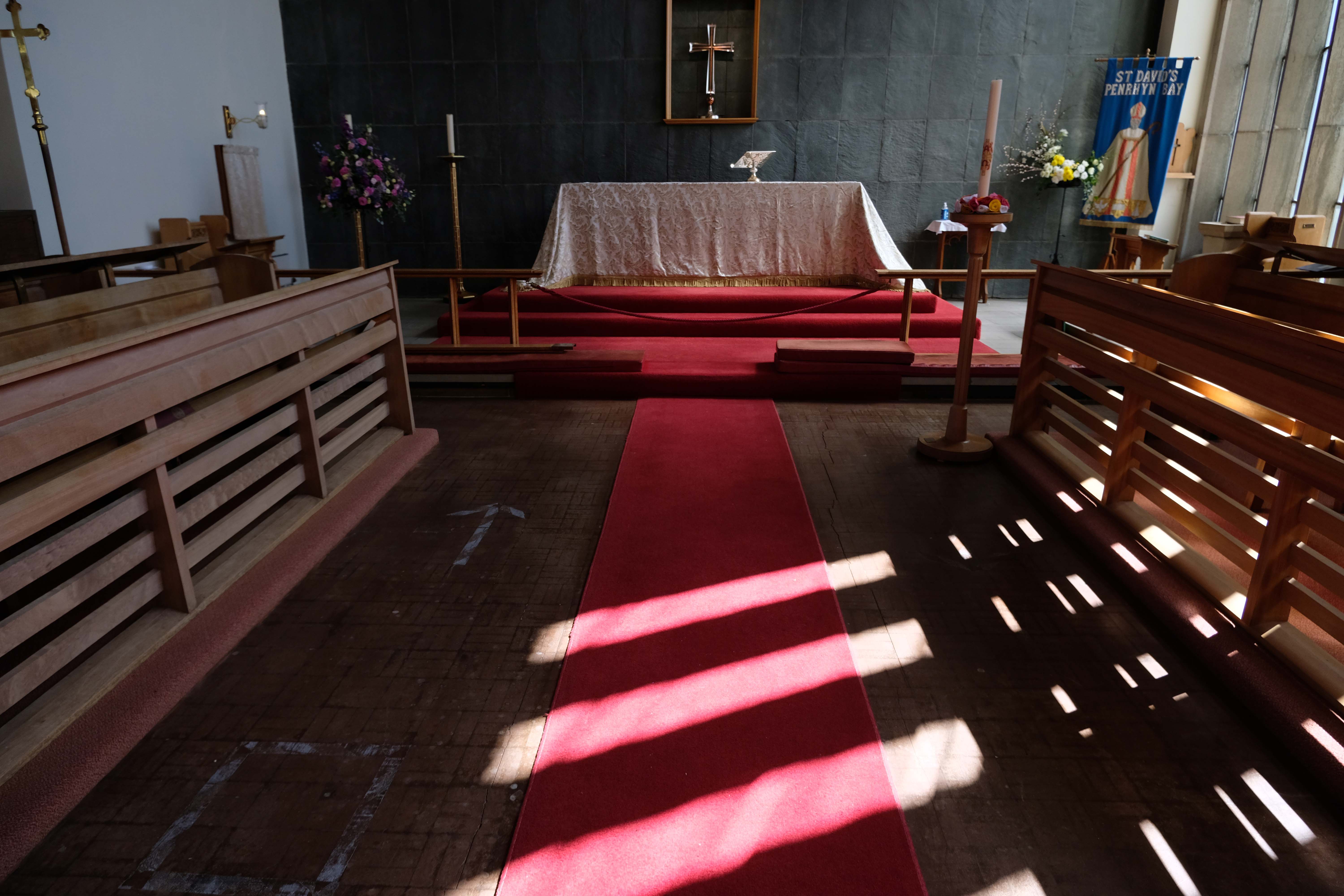
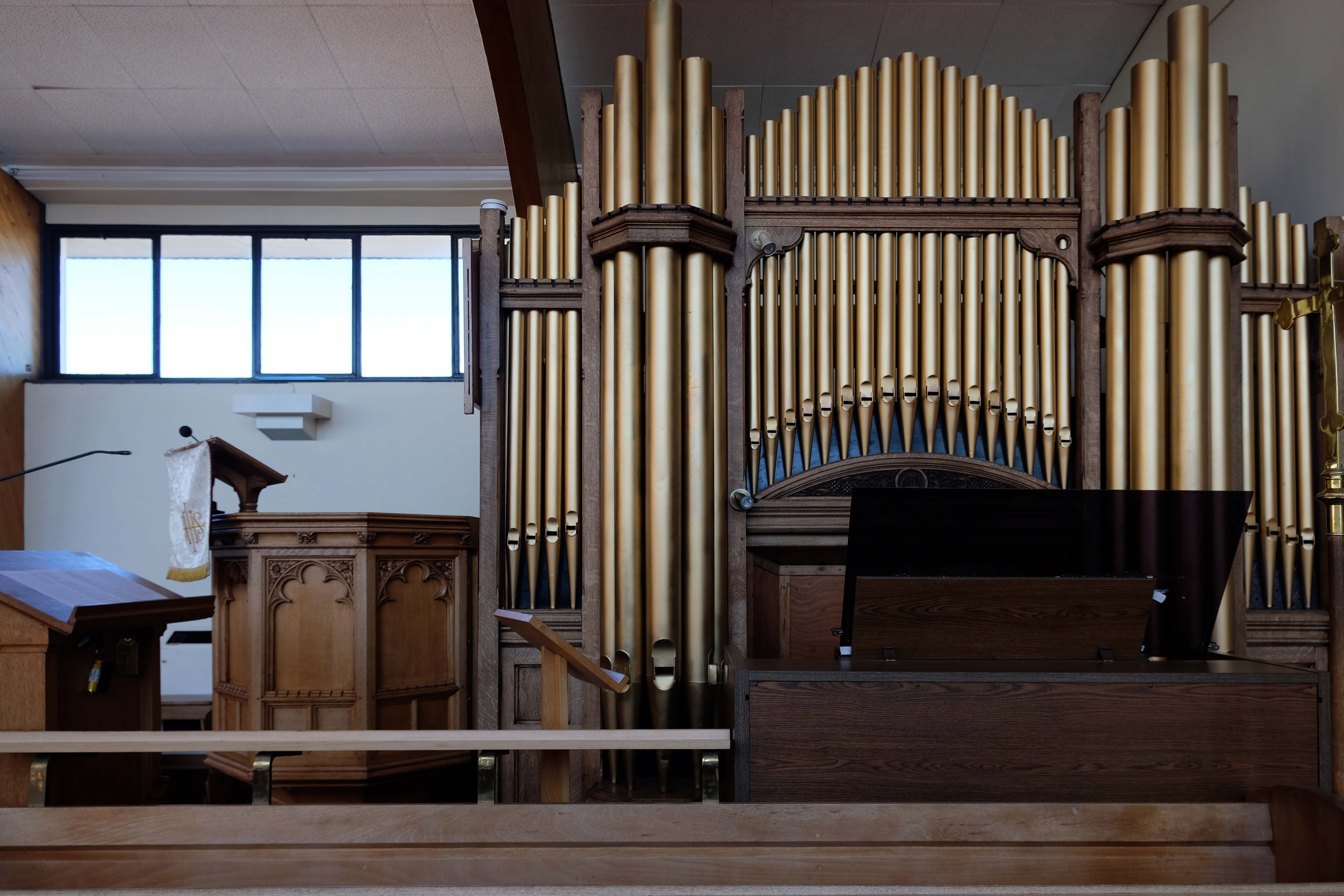
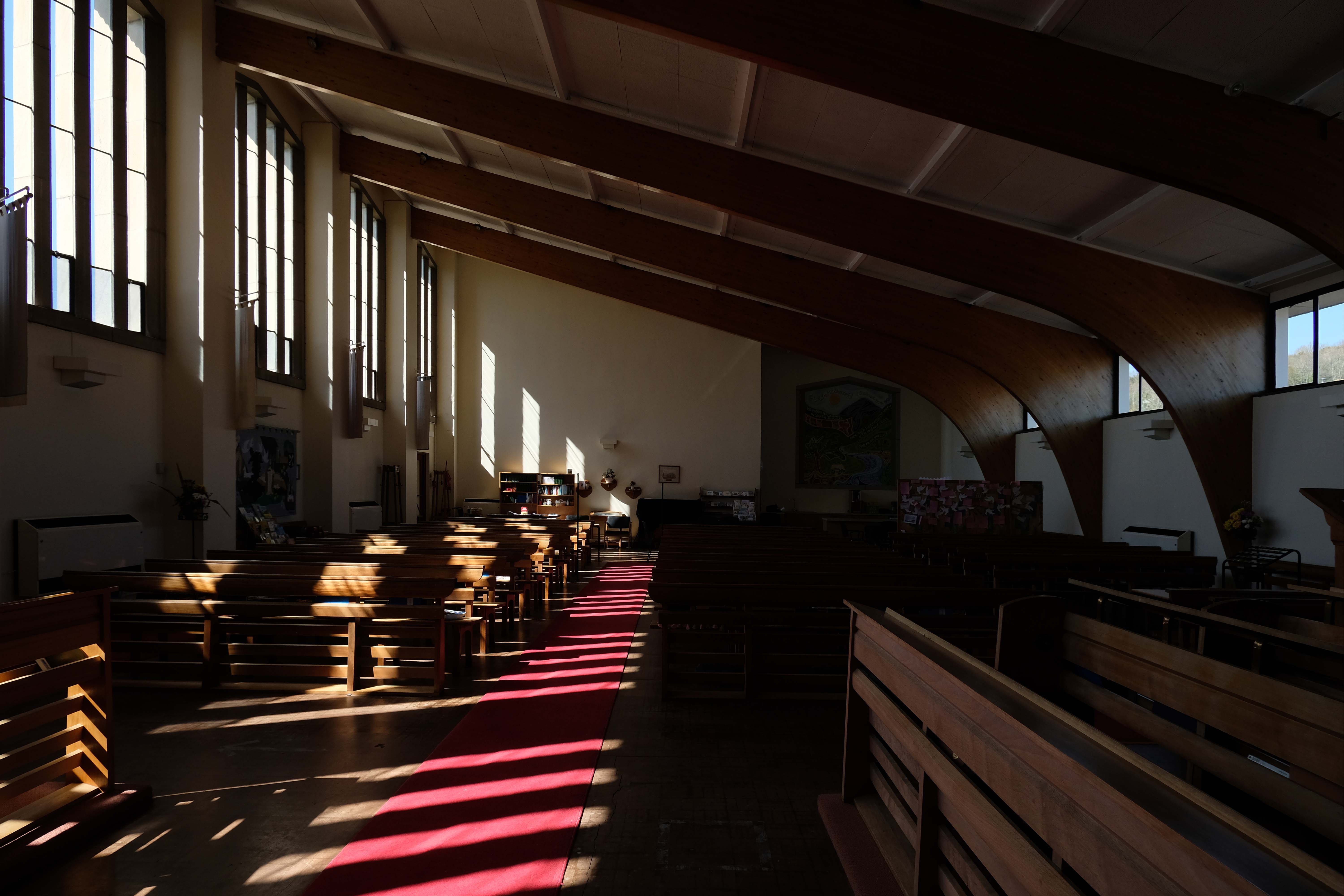
The church is set back from the road and sands in substantial grounds – visible through the surrounding houses.
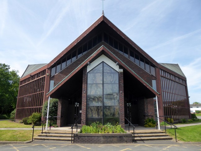
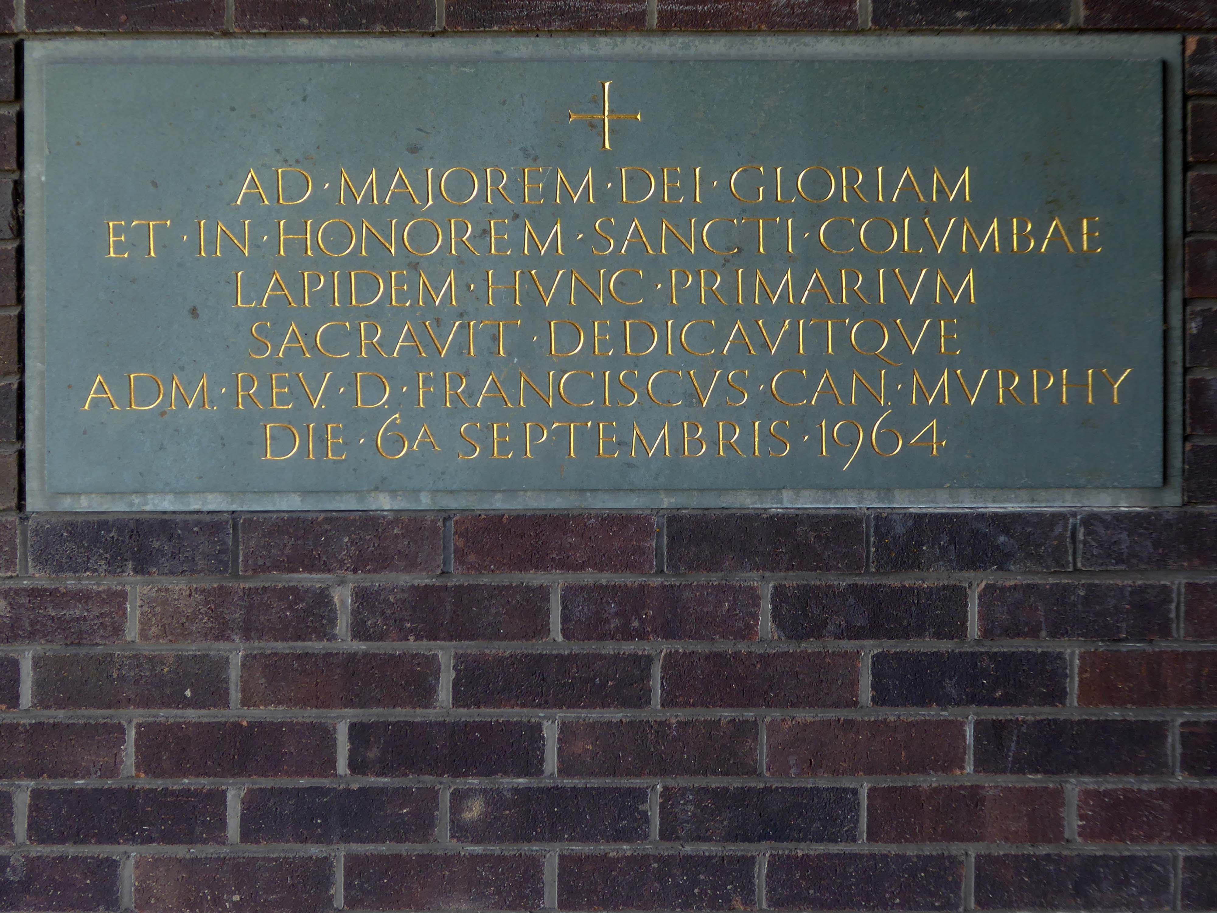
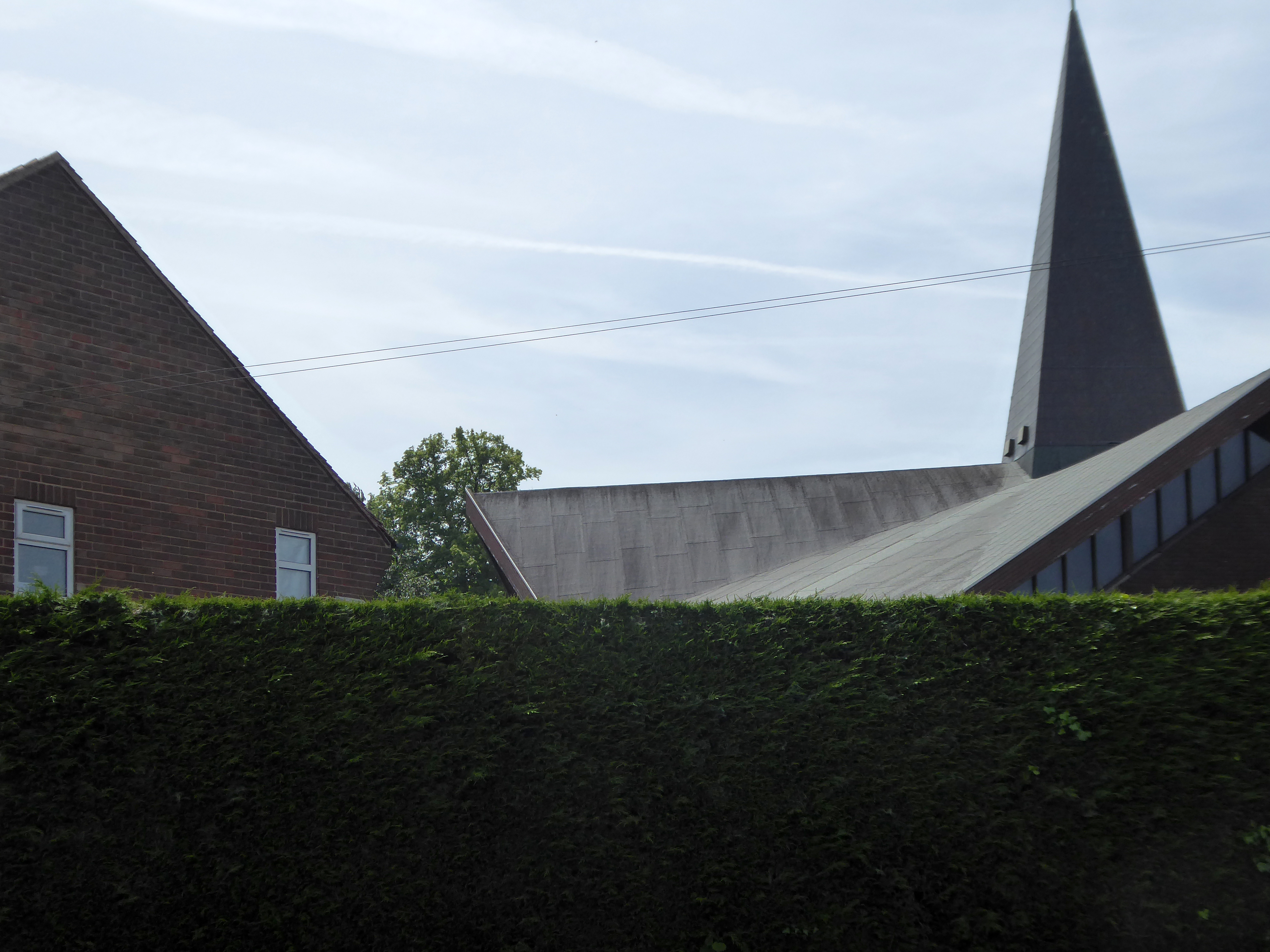
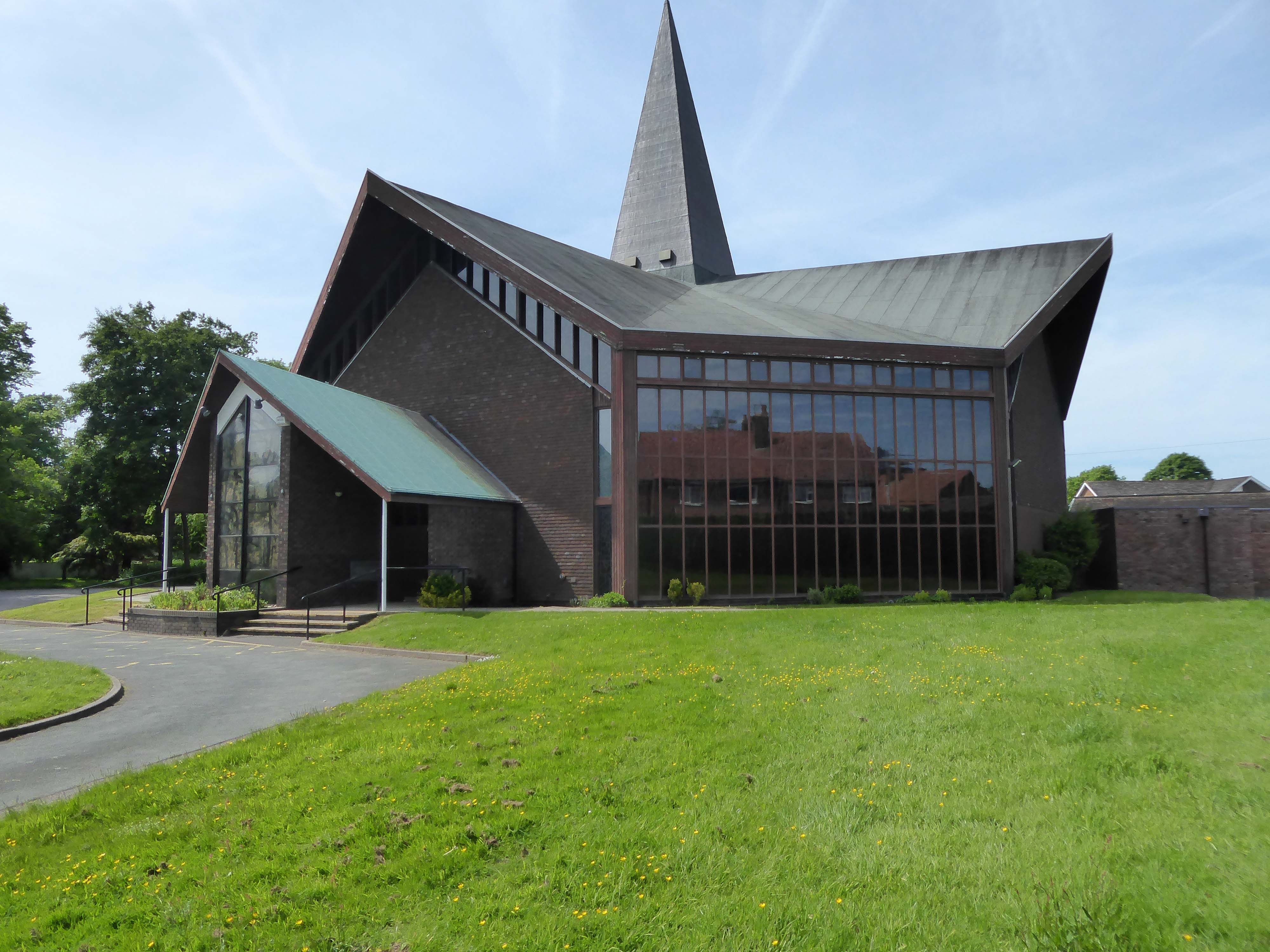
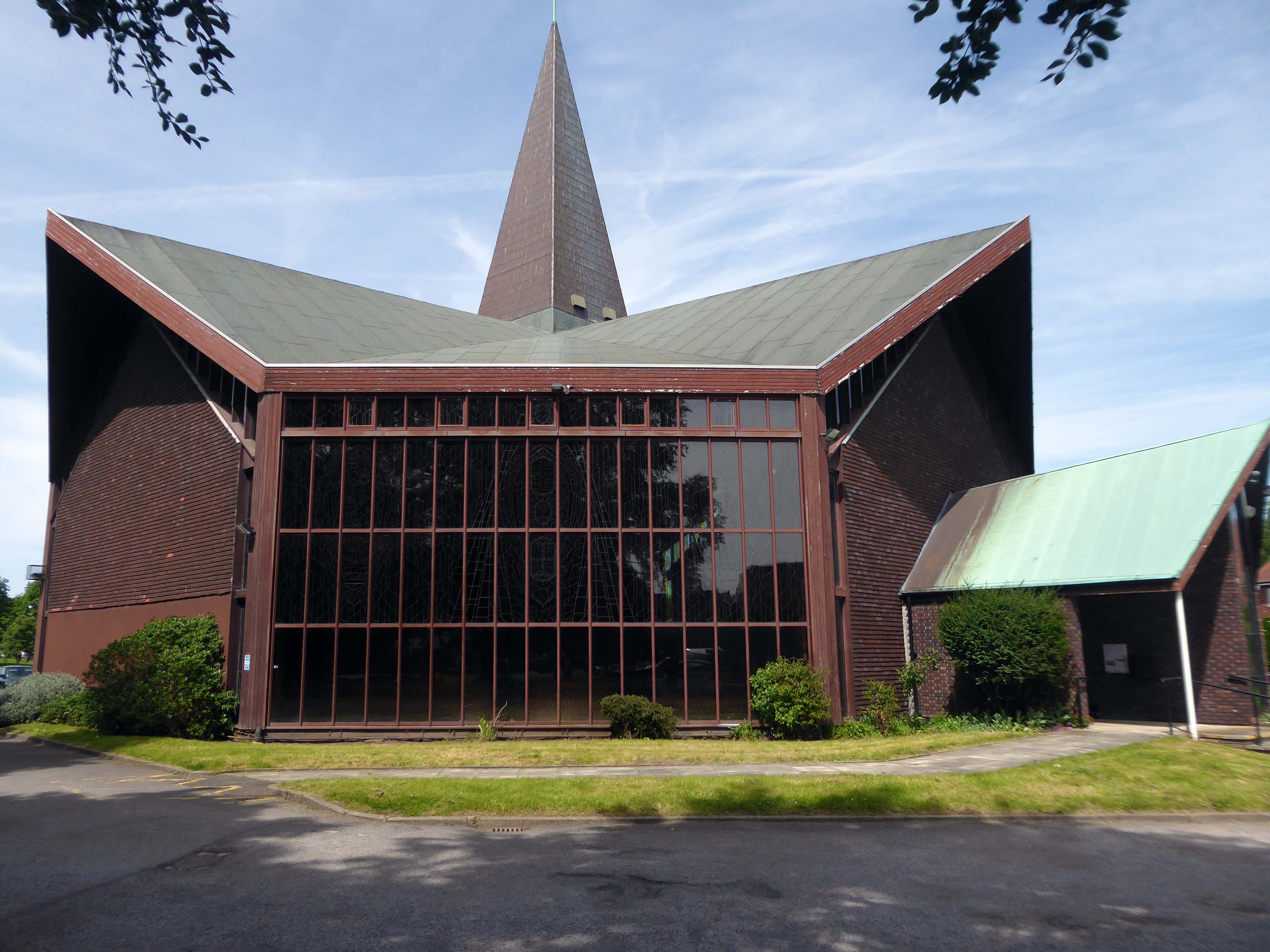
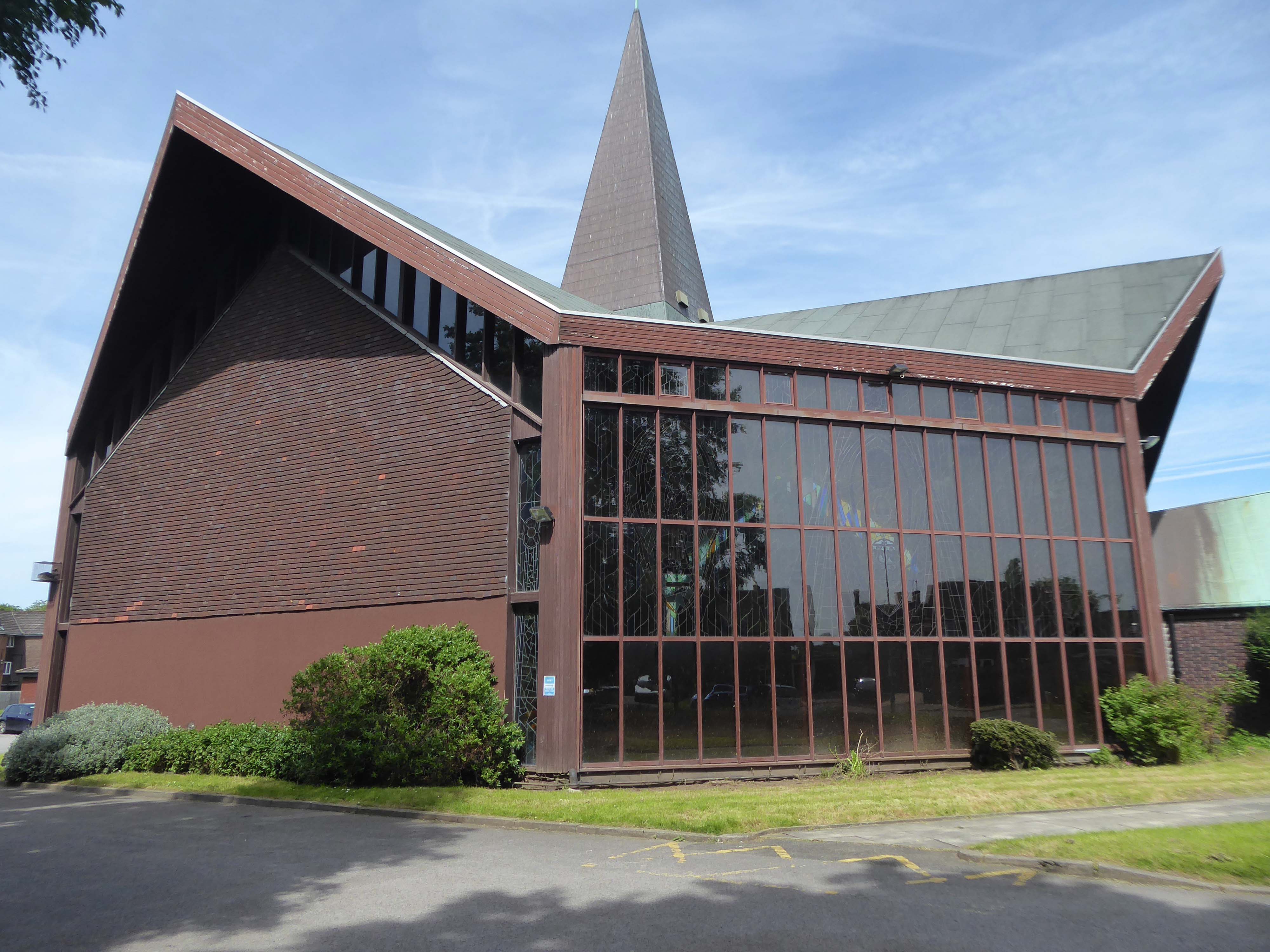
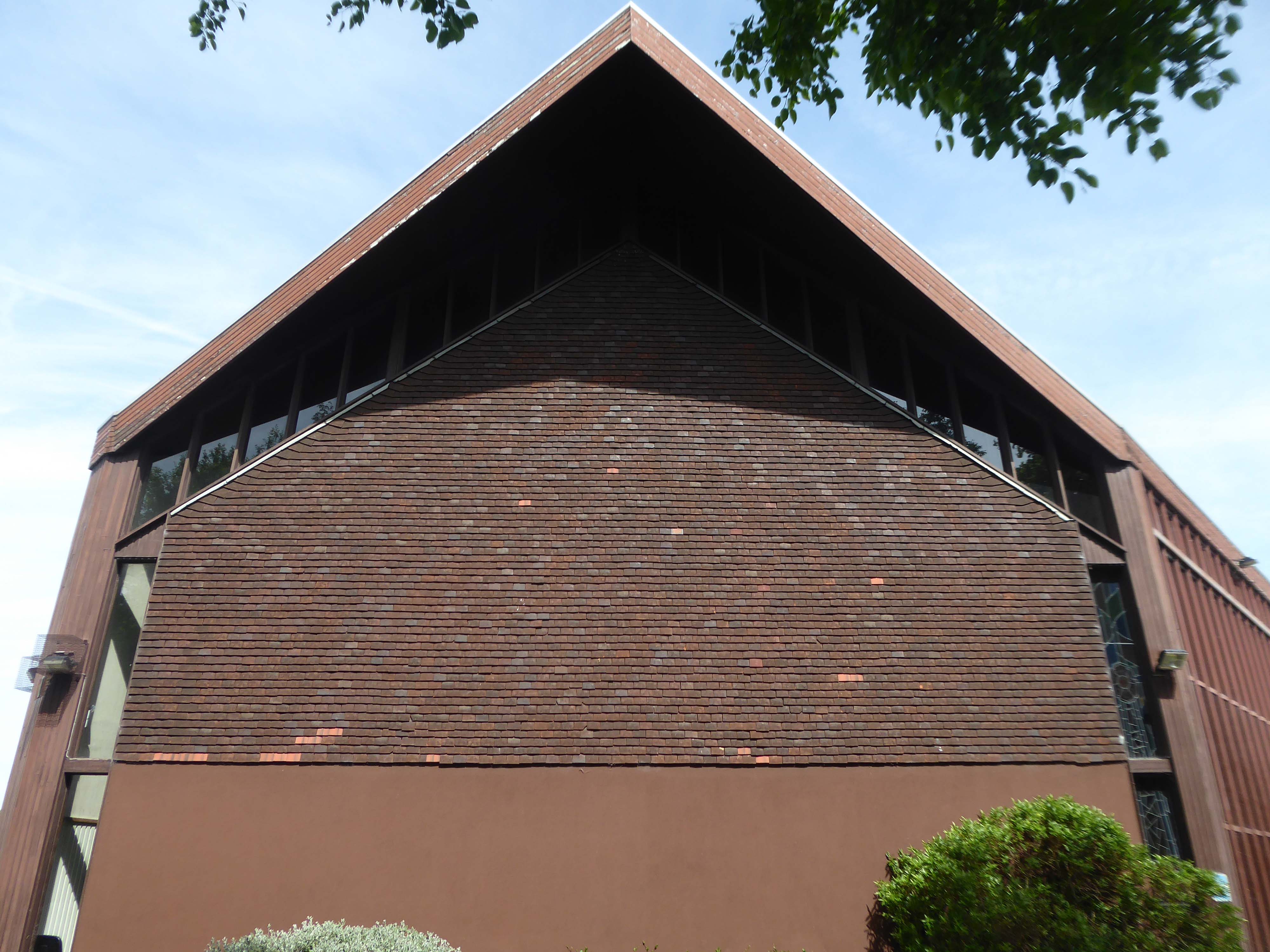
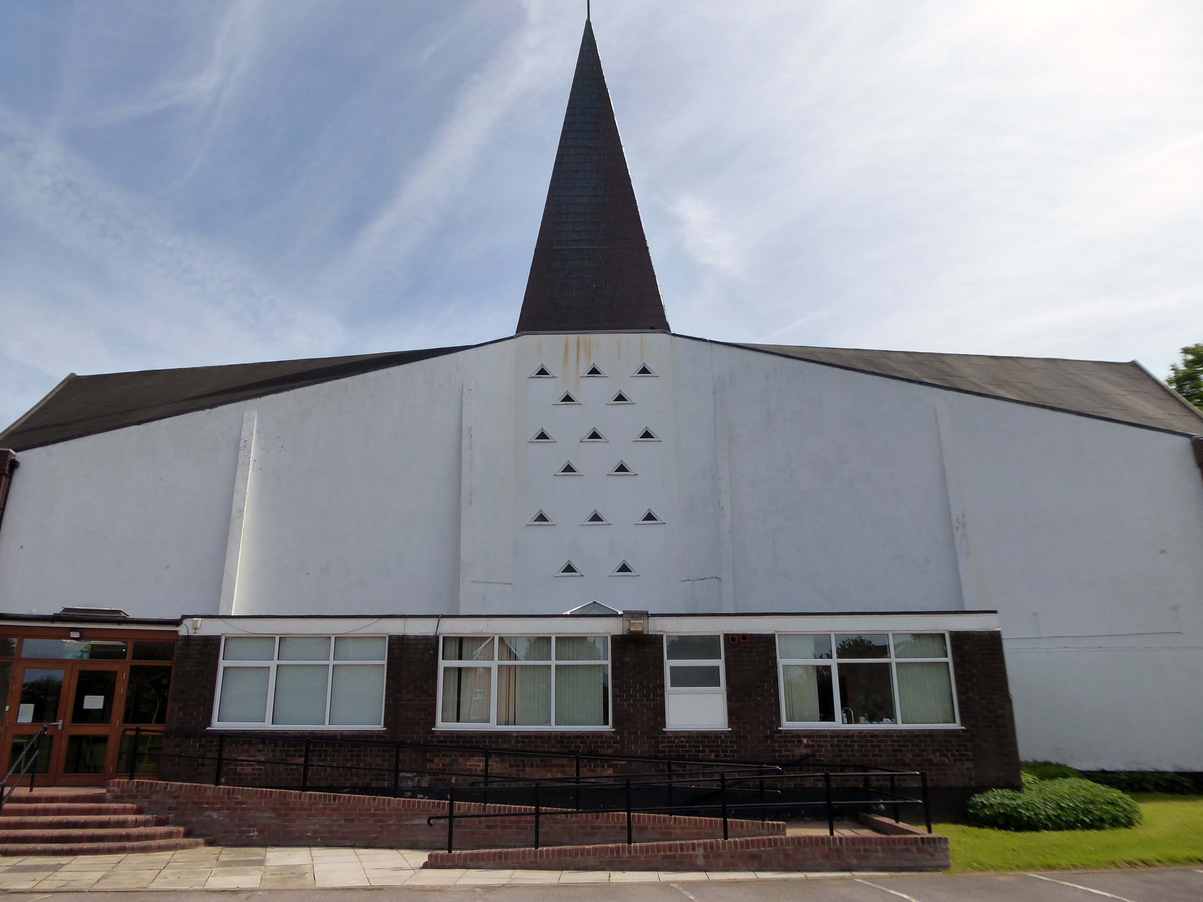
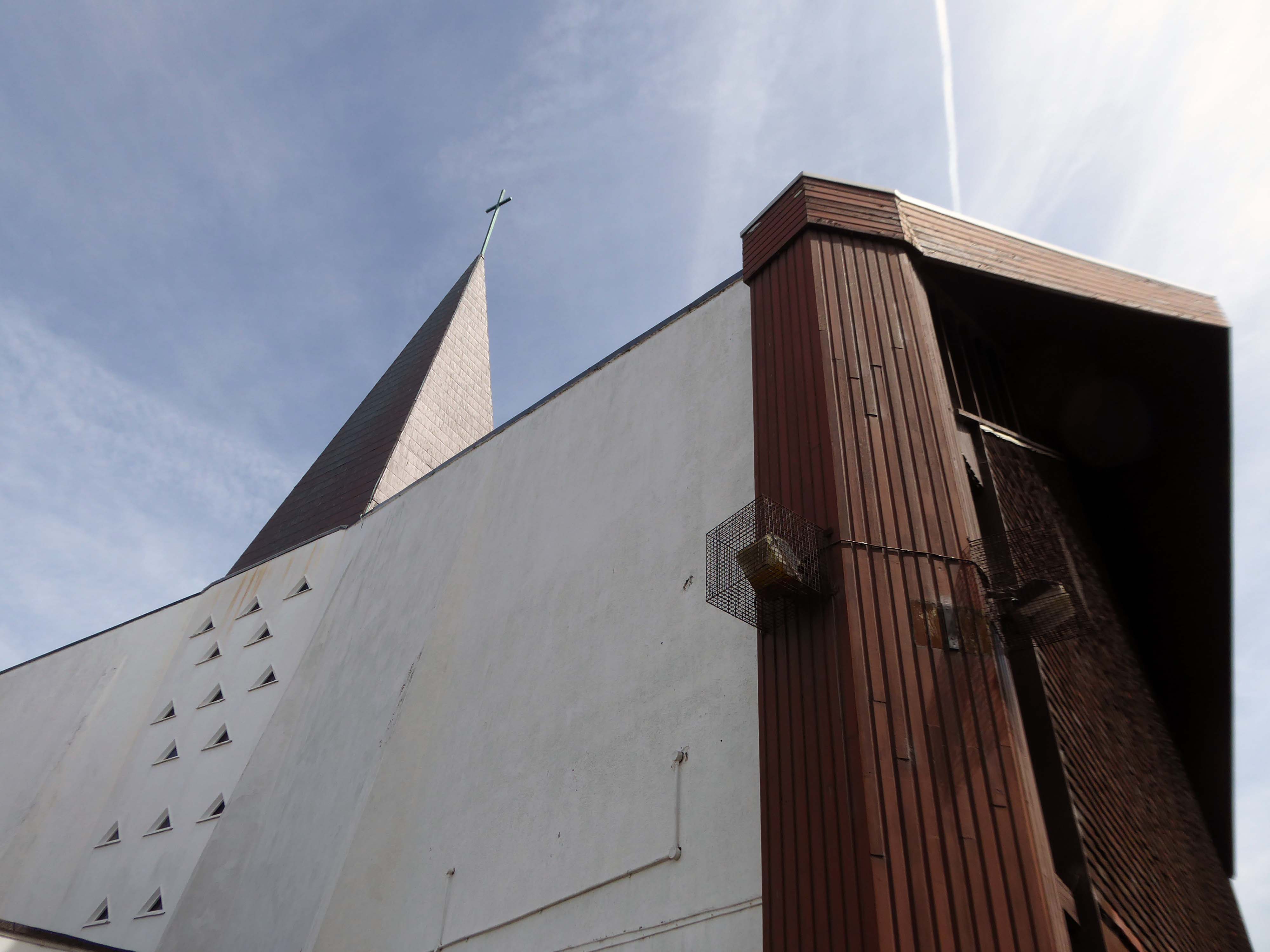
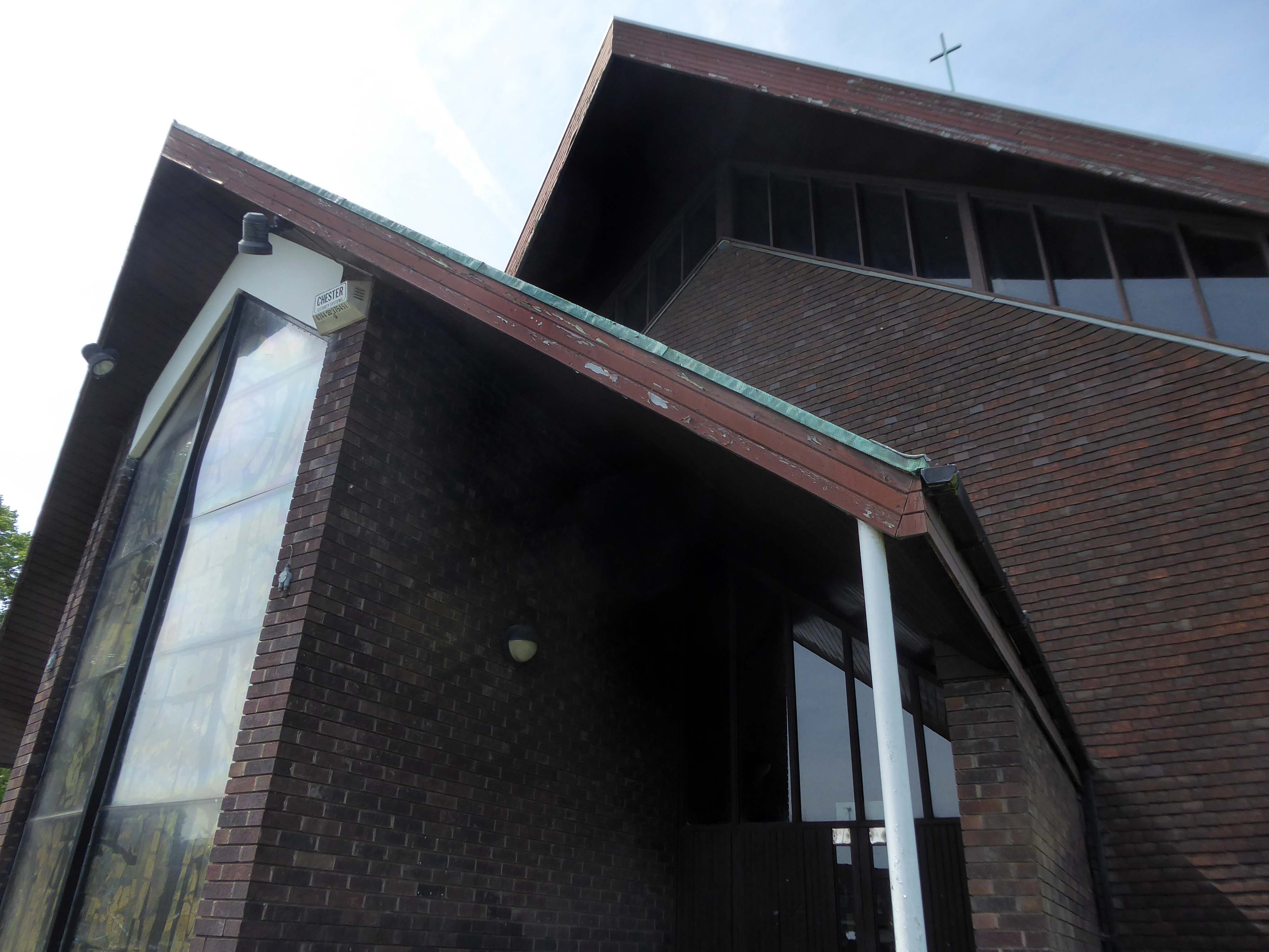
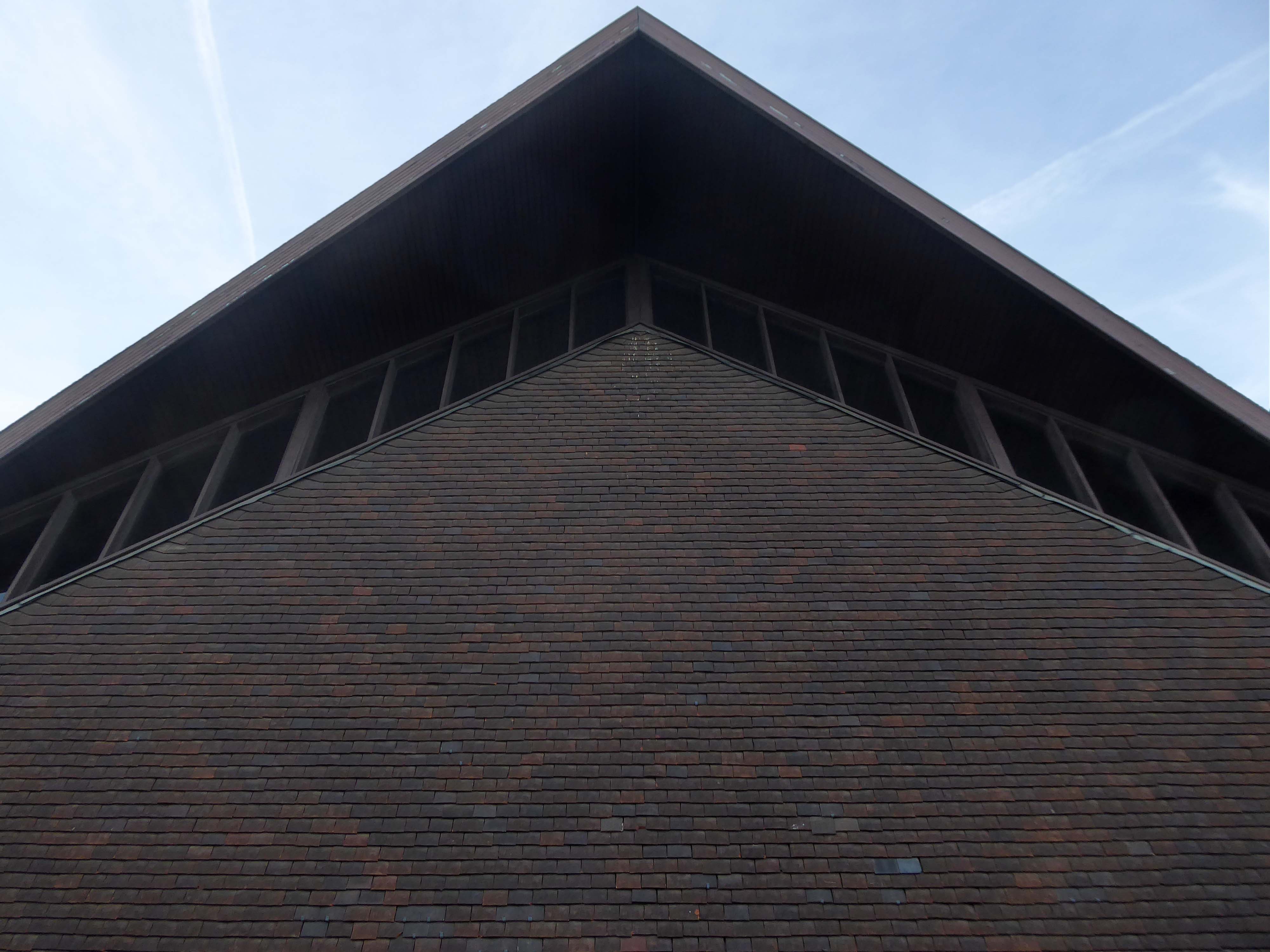
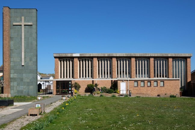
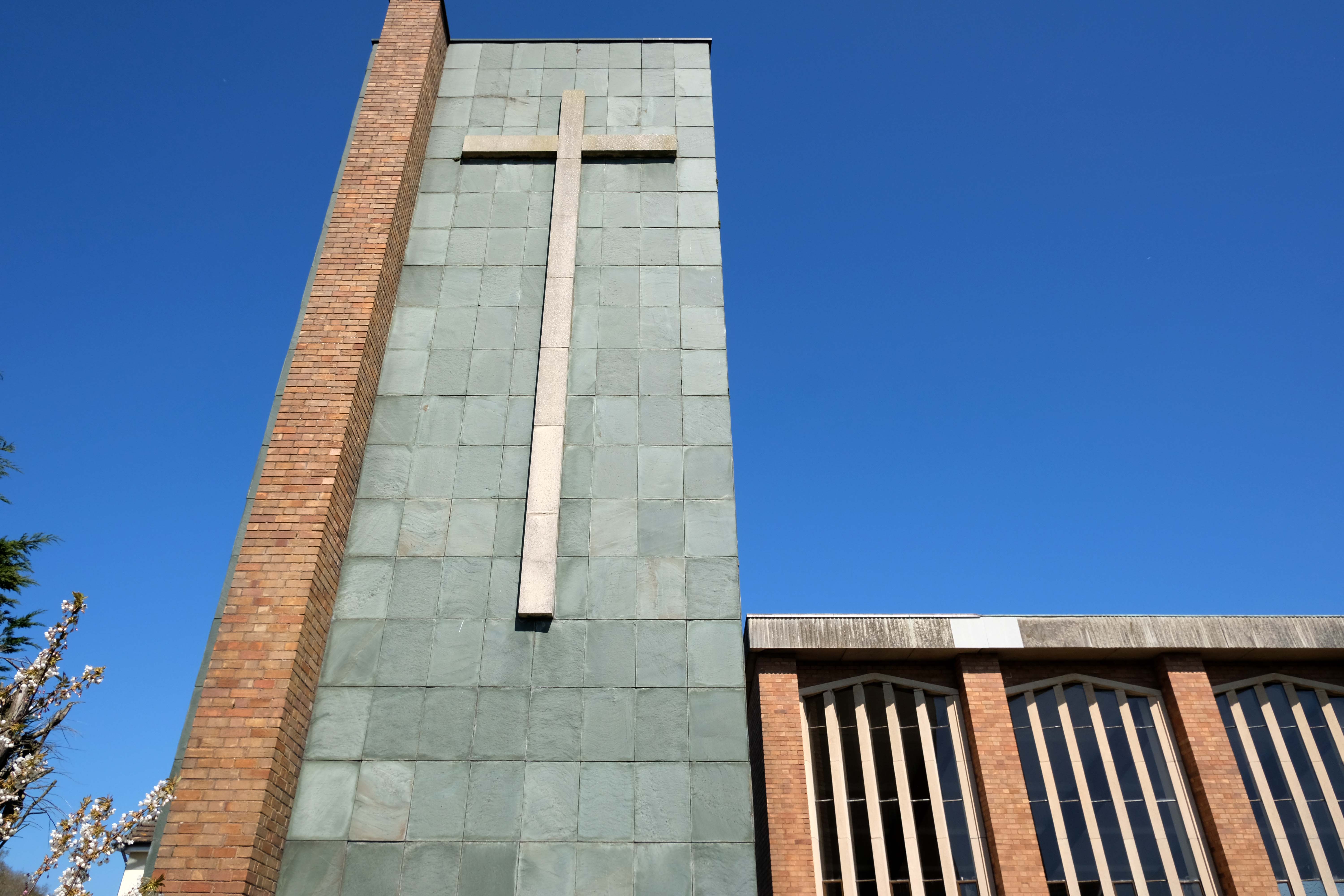
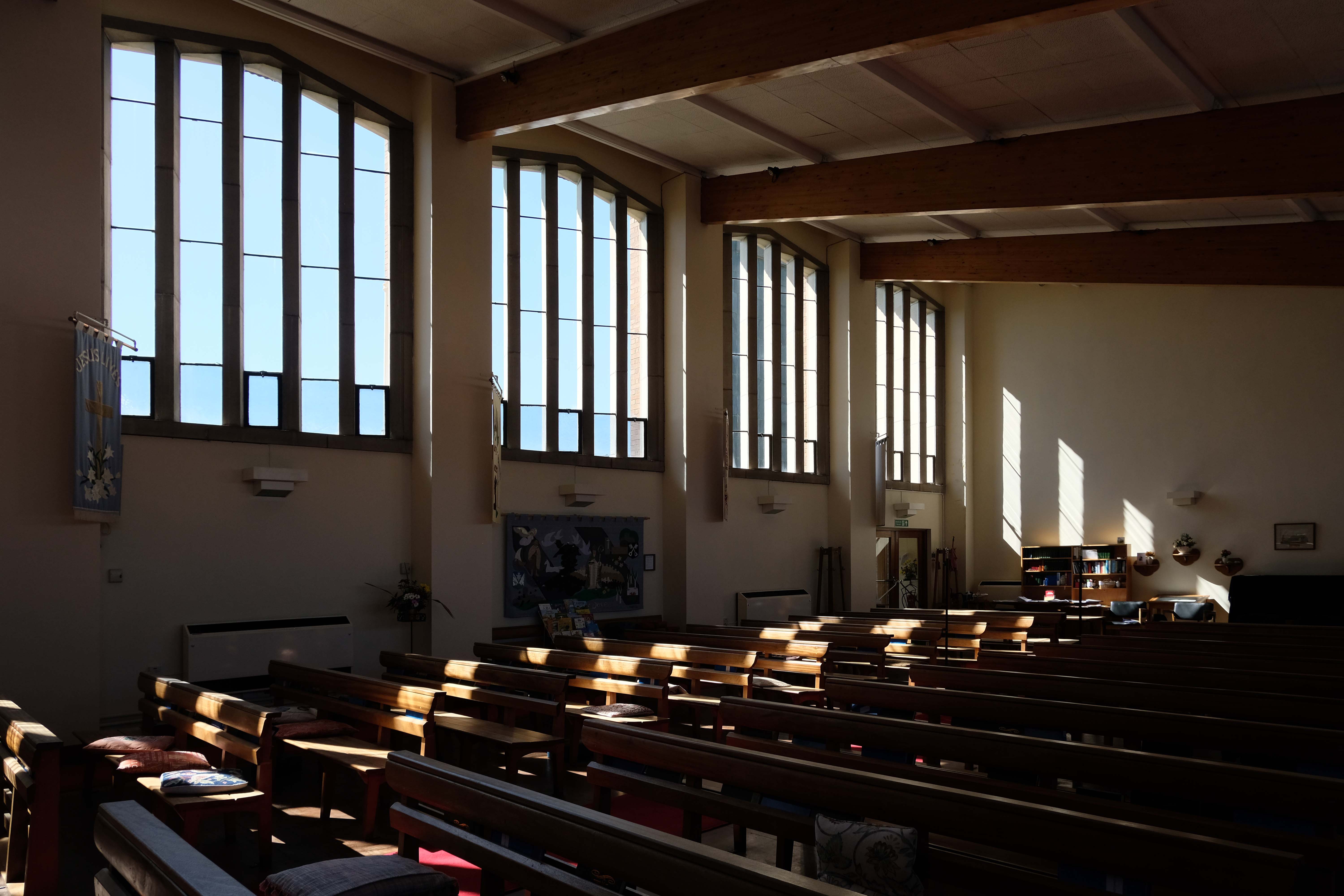
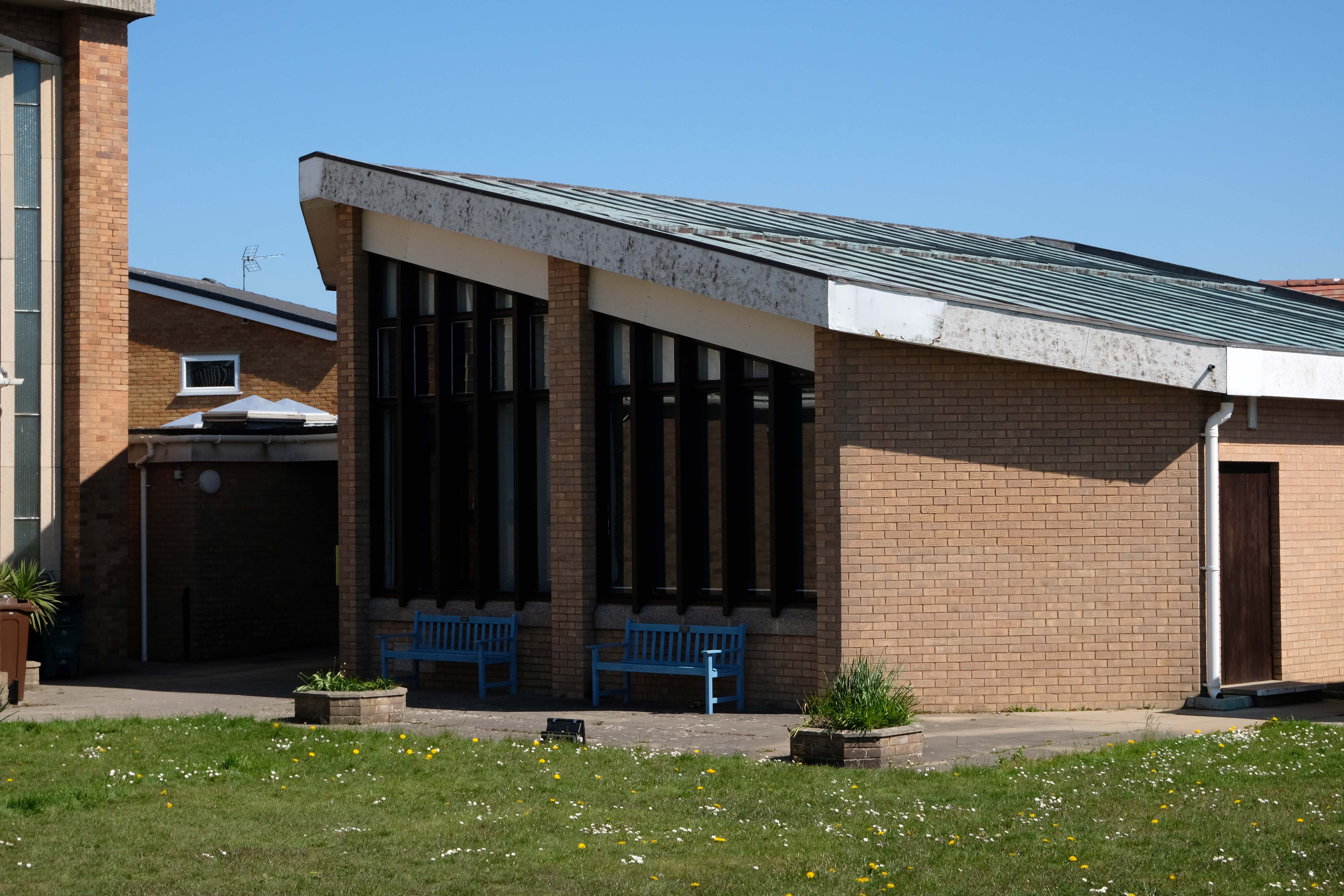
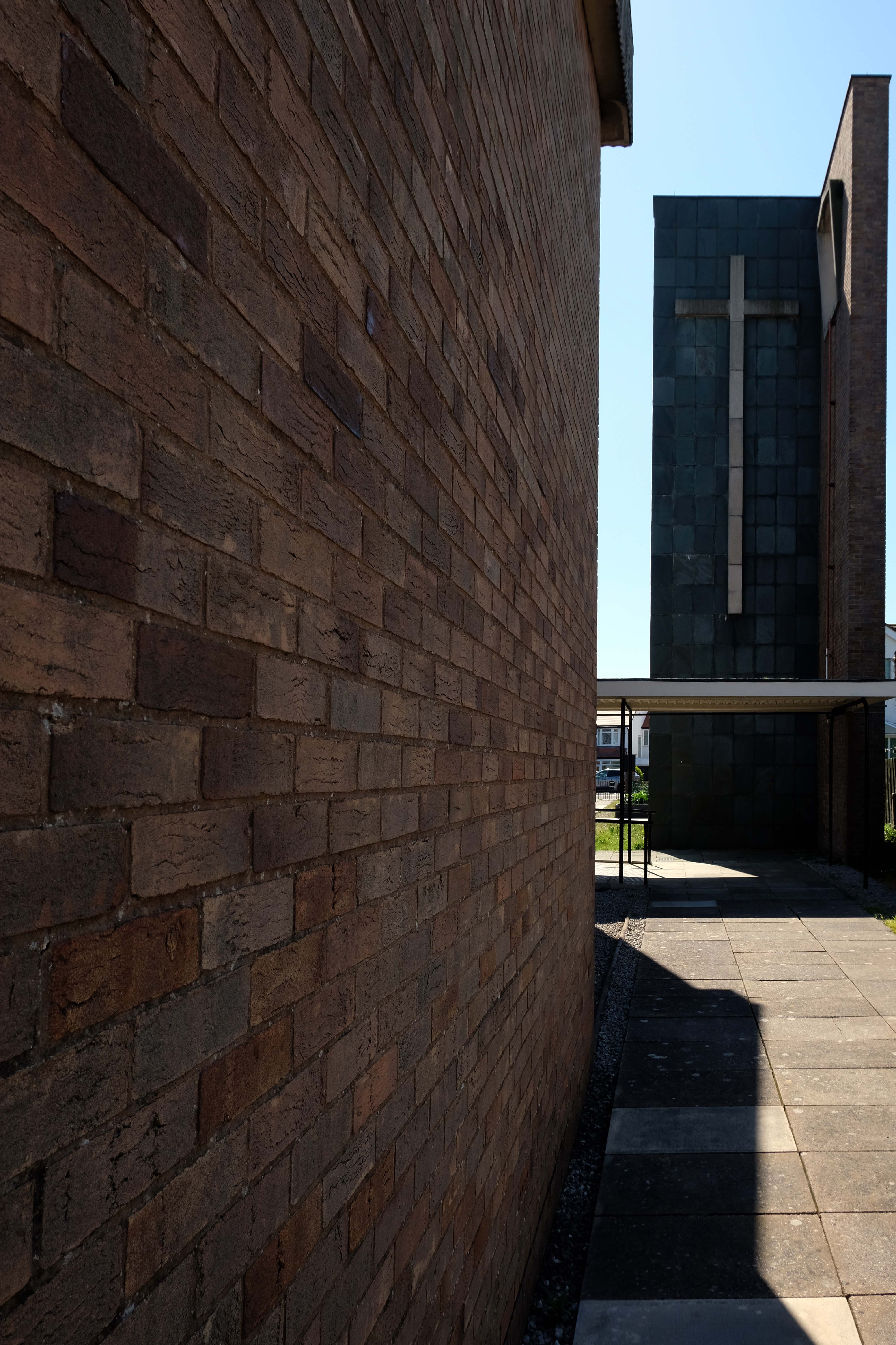
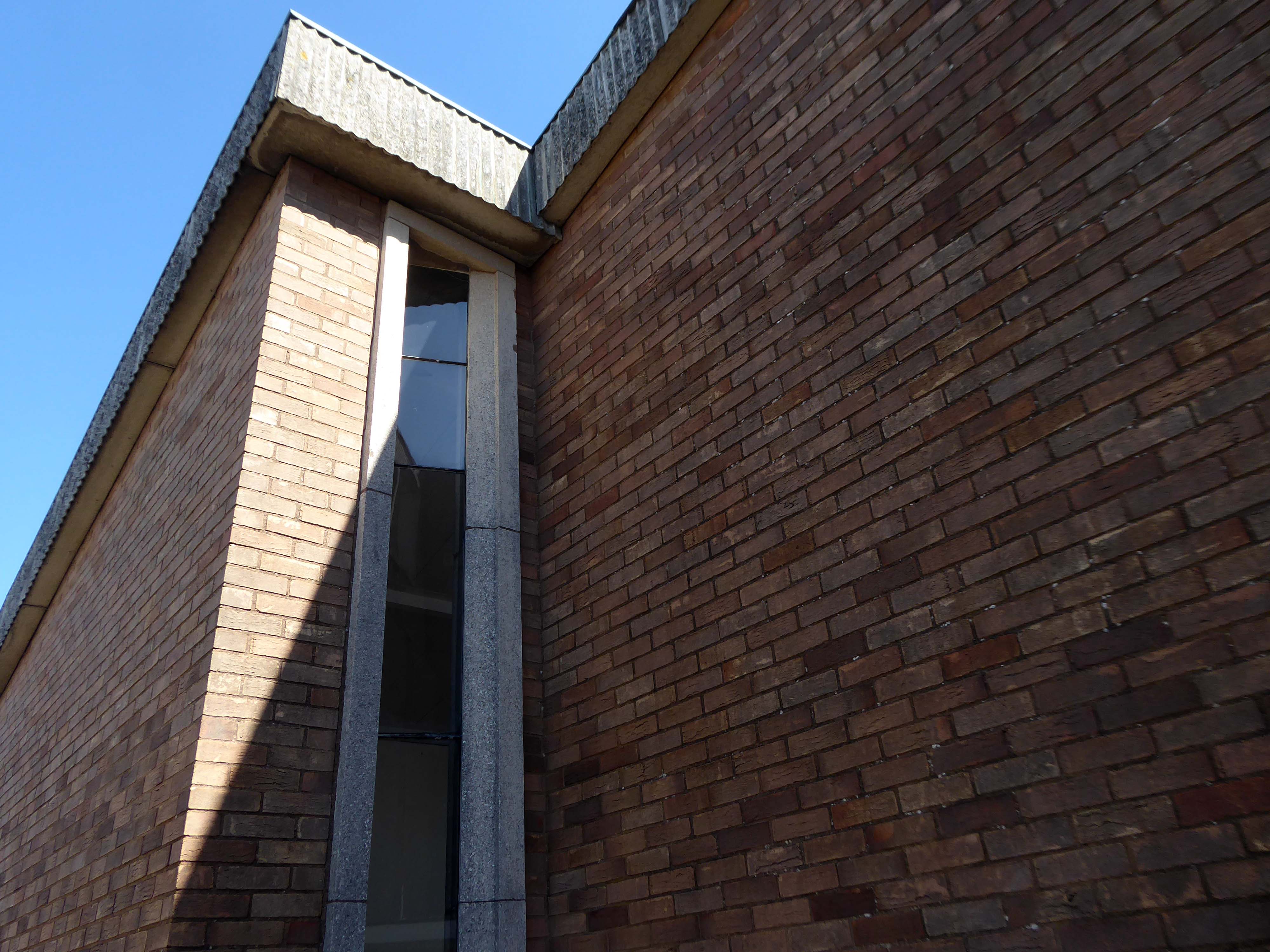
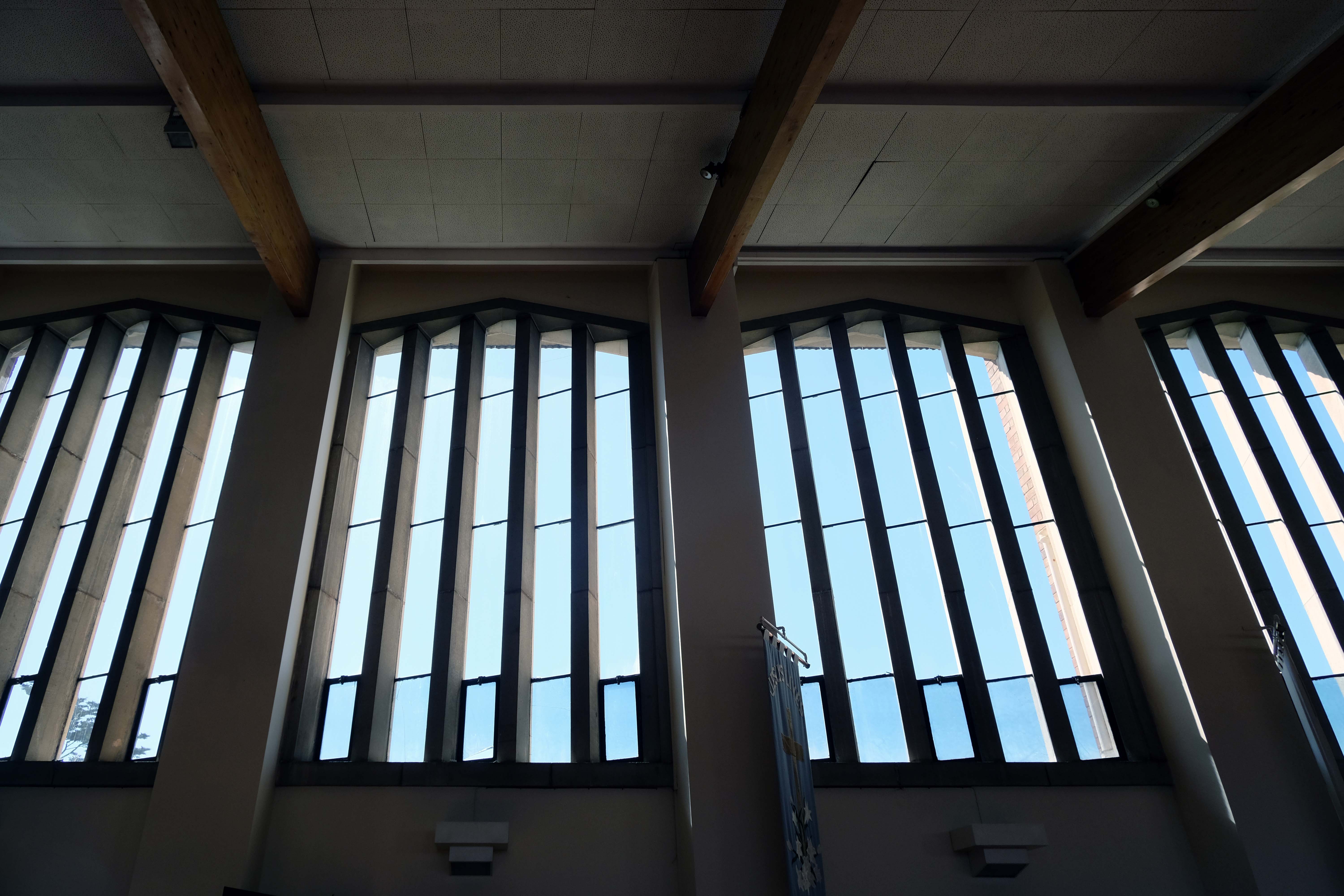
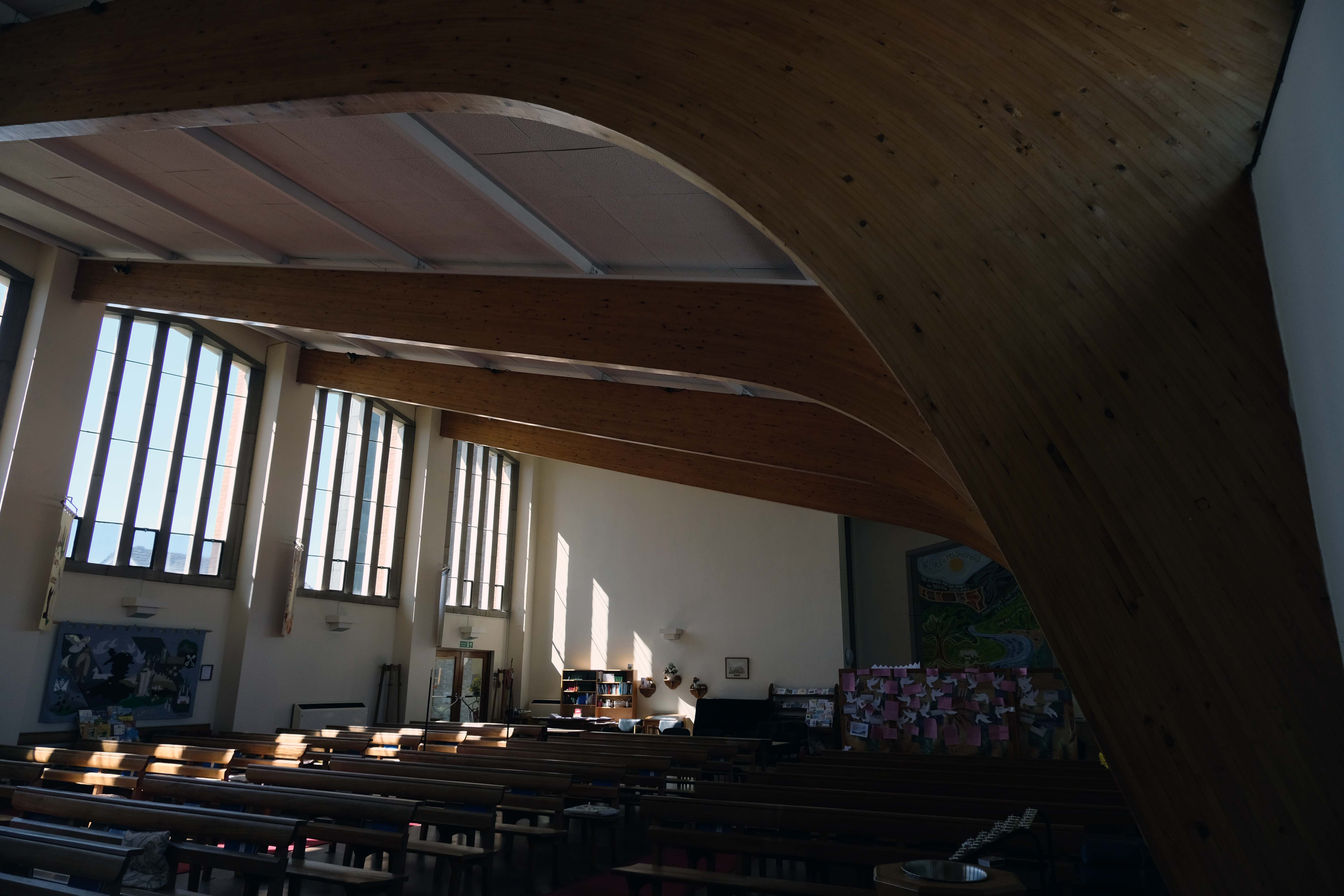
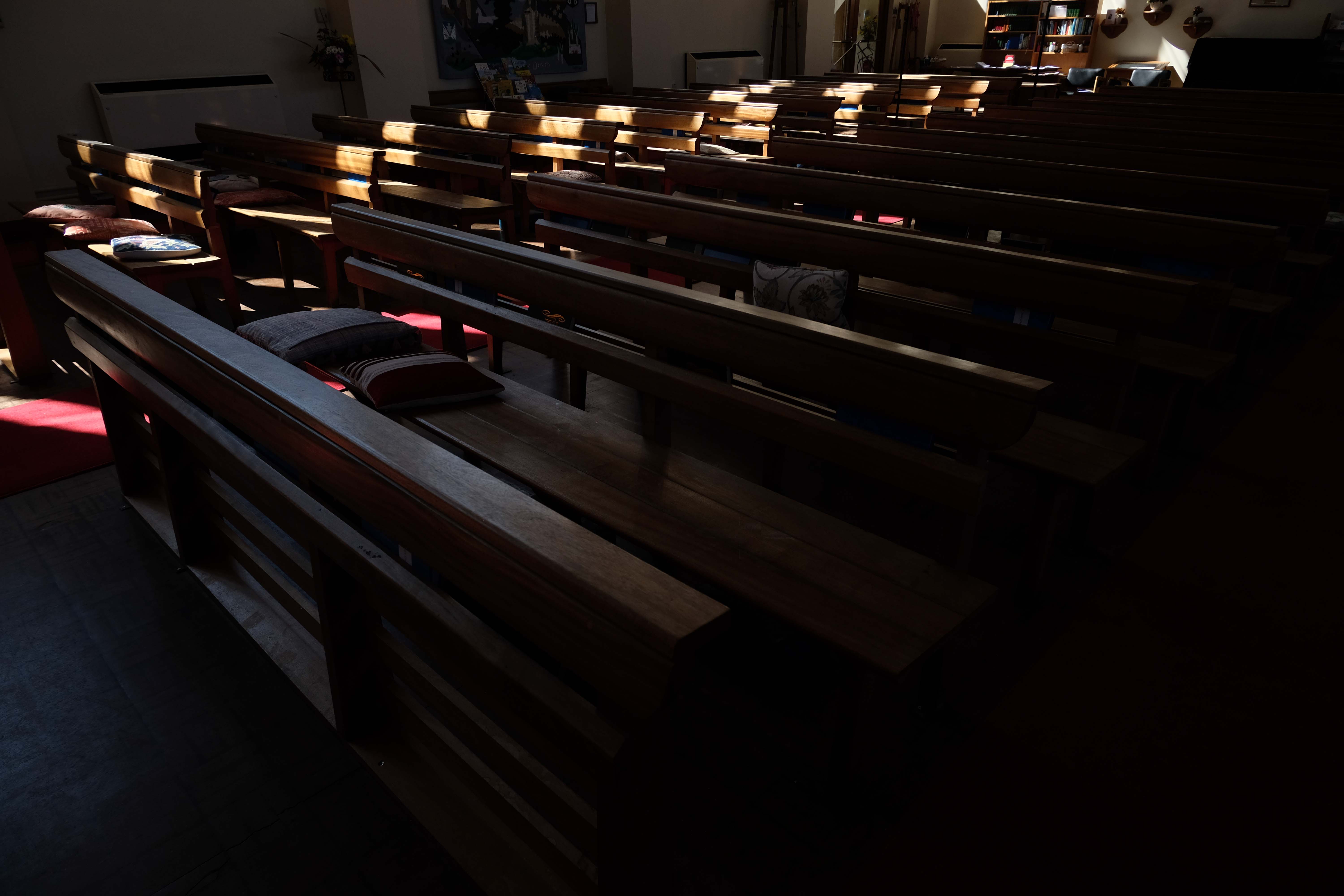
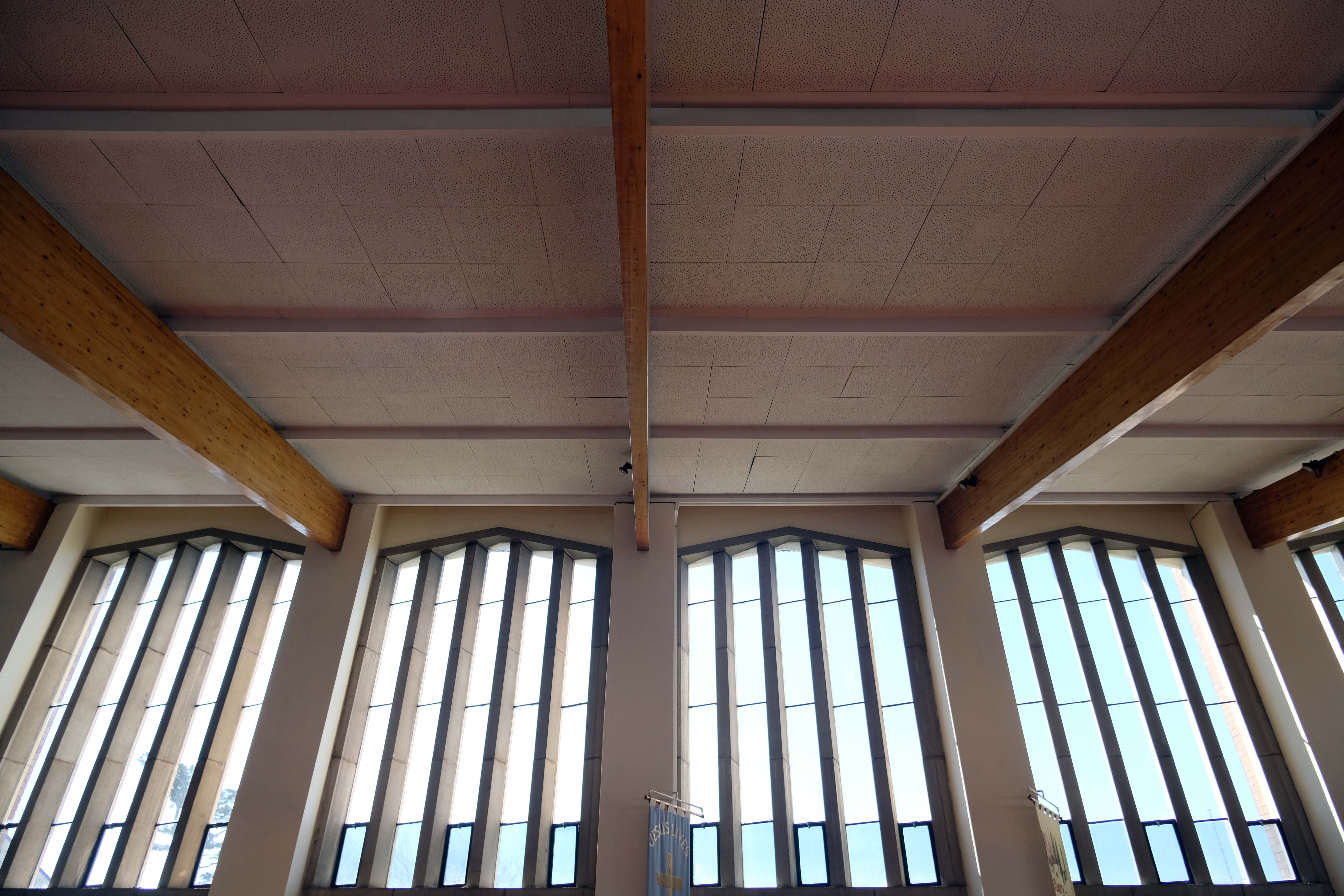
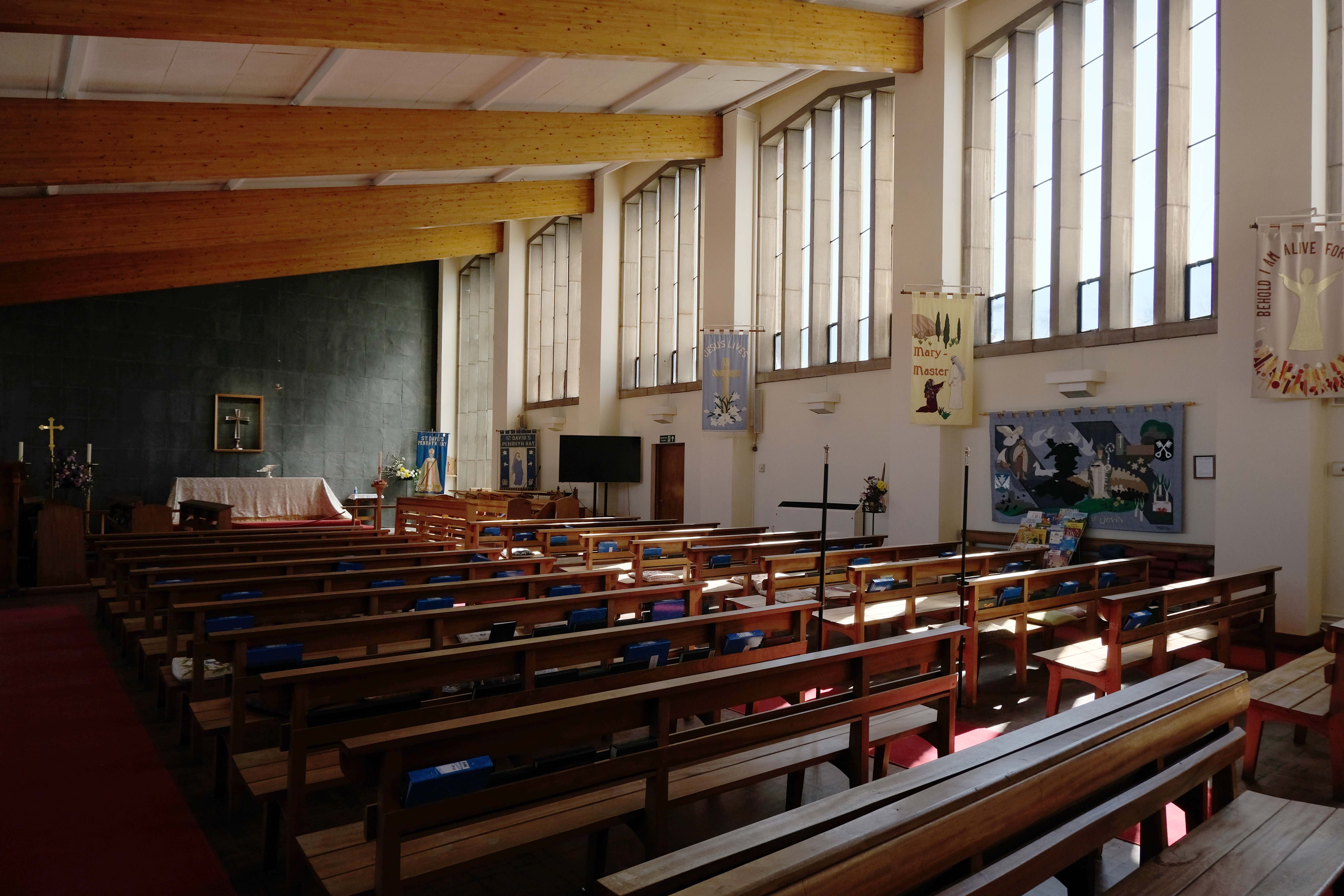
A large site at the corner of Plas Newton Lane and Newhall Road was acquired, and a new church designed by the architects LAG Prichard, Son & Partners. The design embodied the ideals of Vatican II, with no seating more than fifty feet from the altar. It was designed for 675 people. The foundation stone was laid in September 1964 by Canon Murphy, and the 115 ft spire lowered into position in December 1964. The first Mass was on 19 December 1965, and the church was officially opened in 1966 by Bishop Grasar. St Columba was the third new Catholic church to be built in Chester after the Second World War.
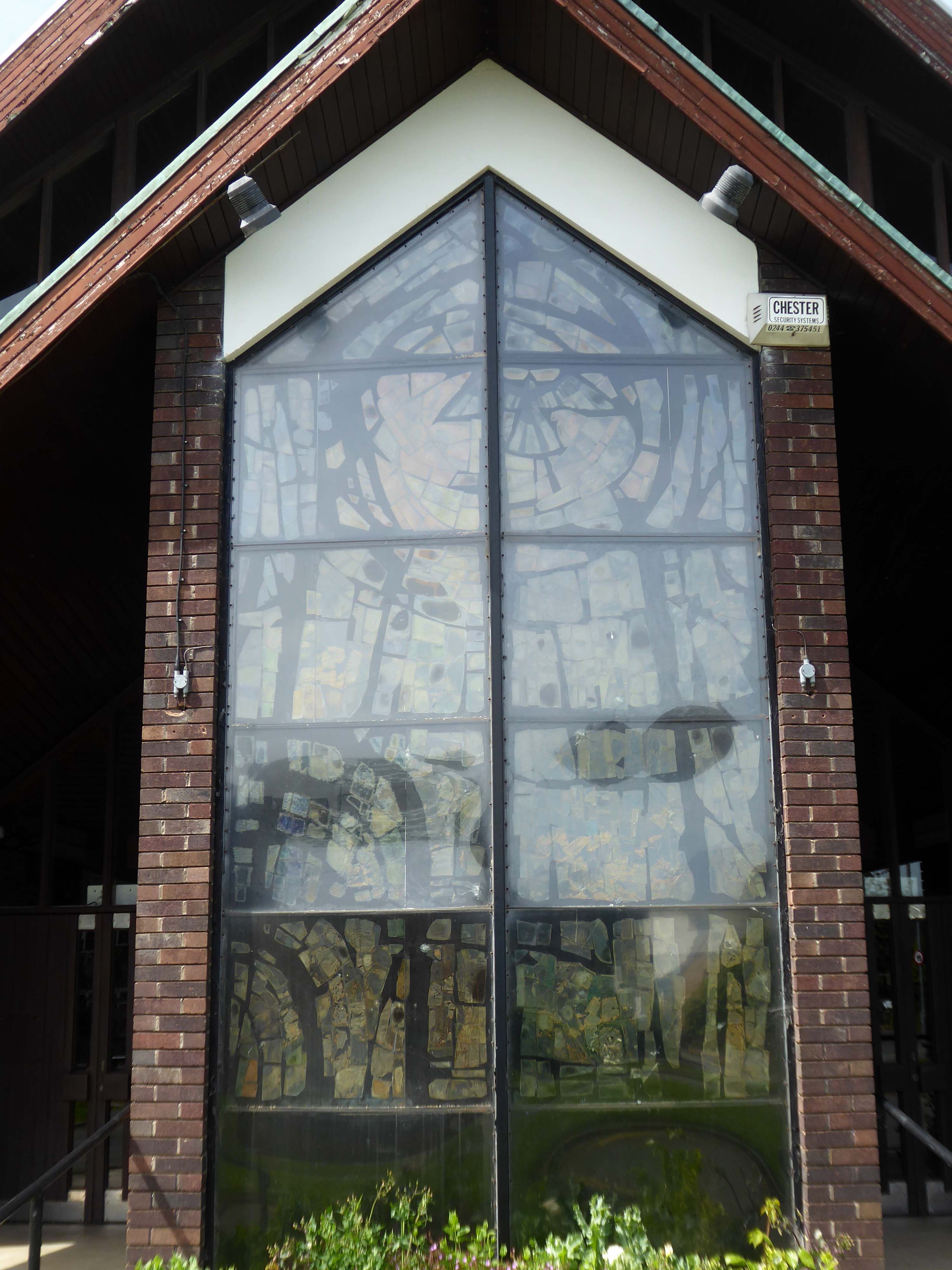
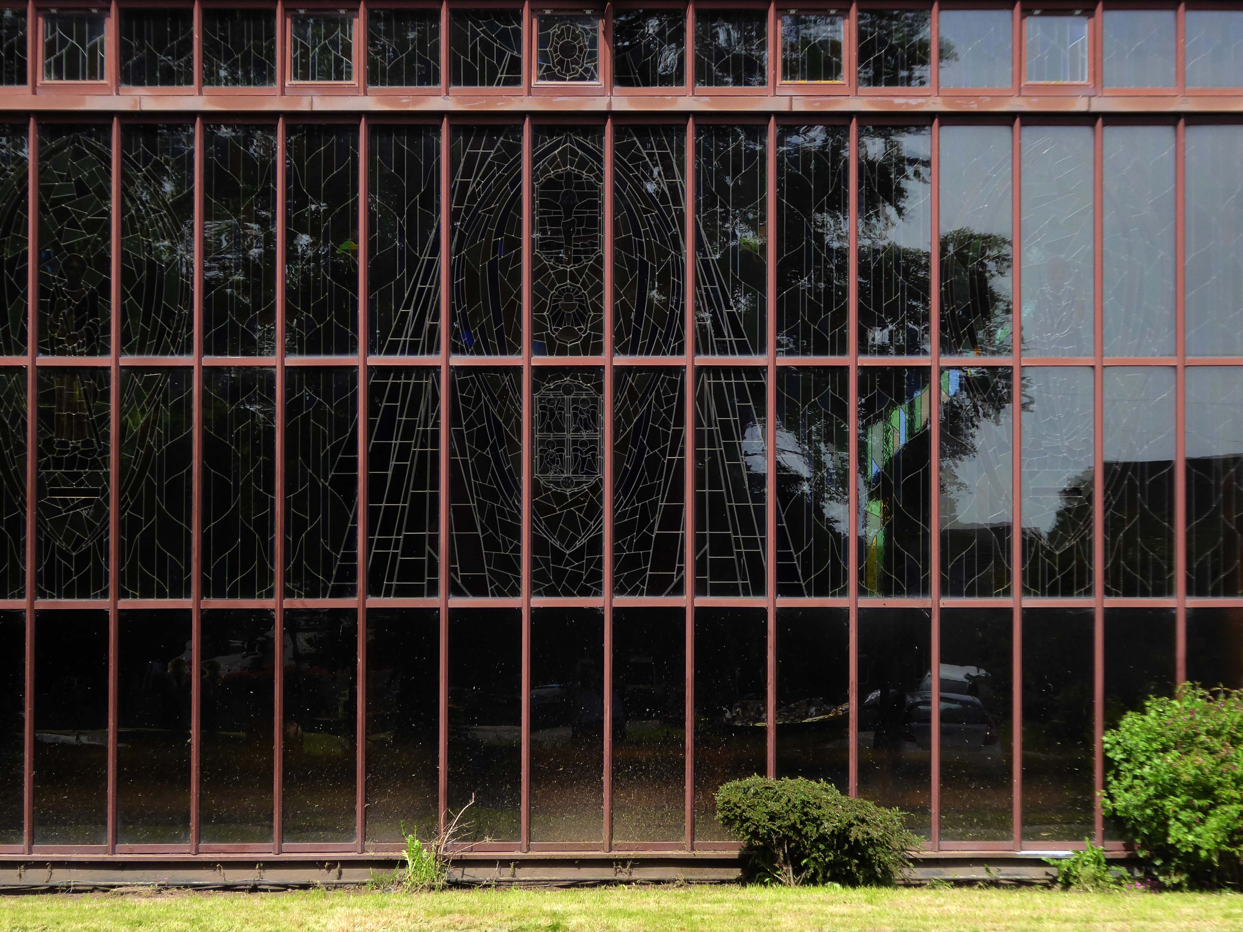
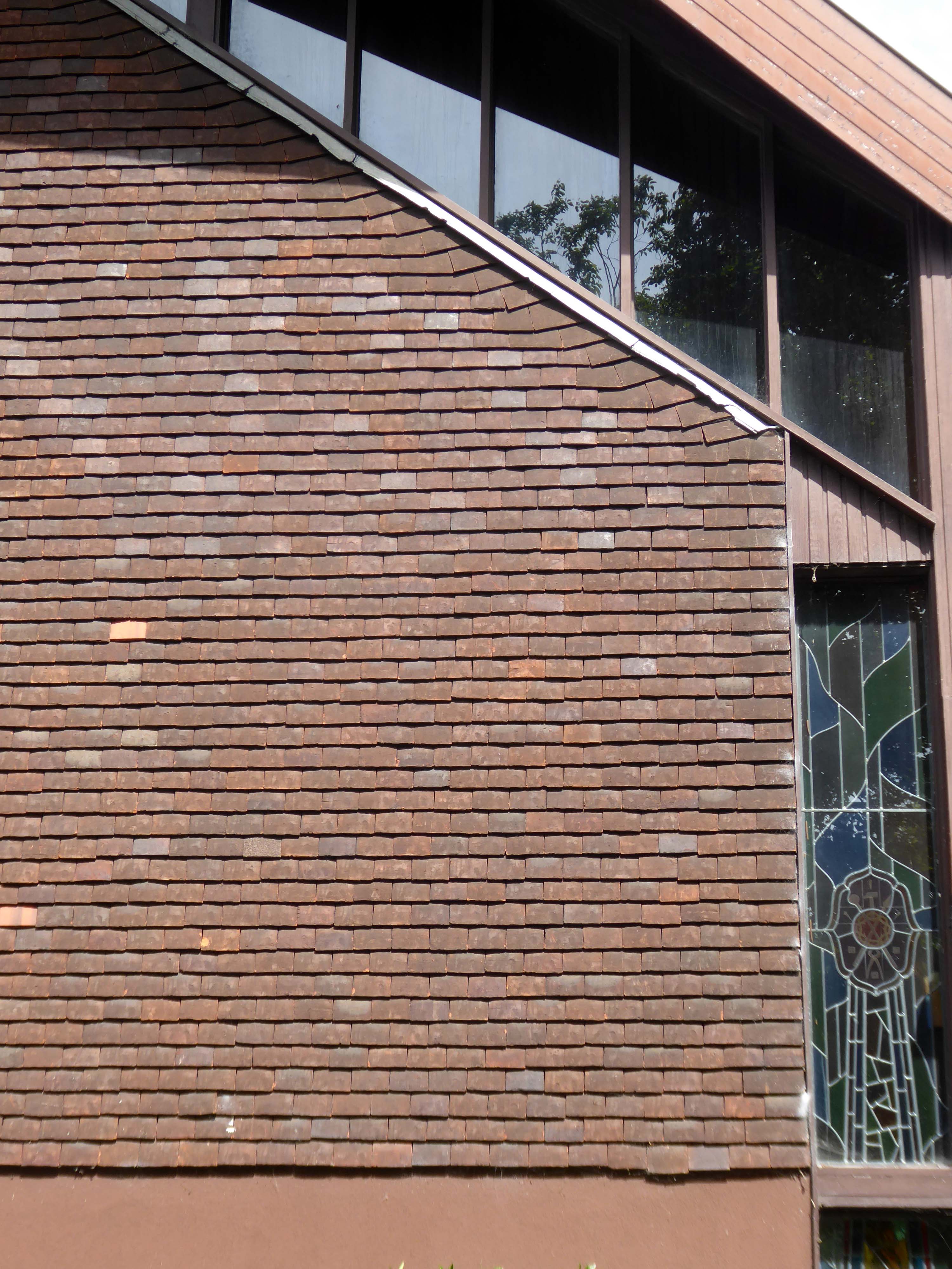
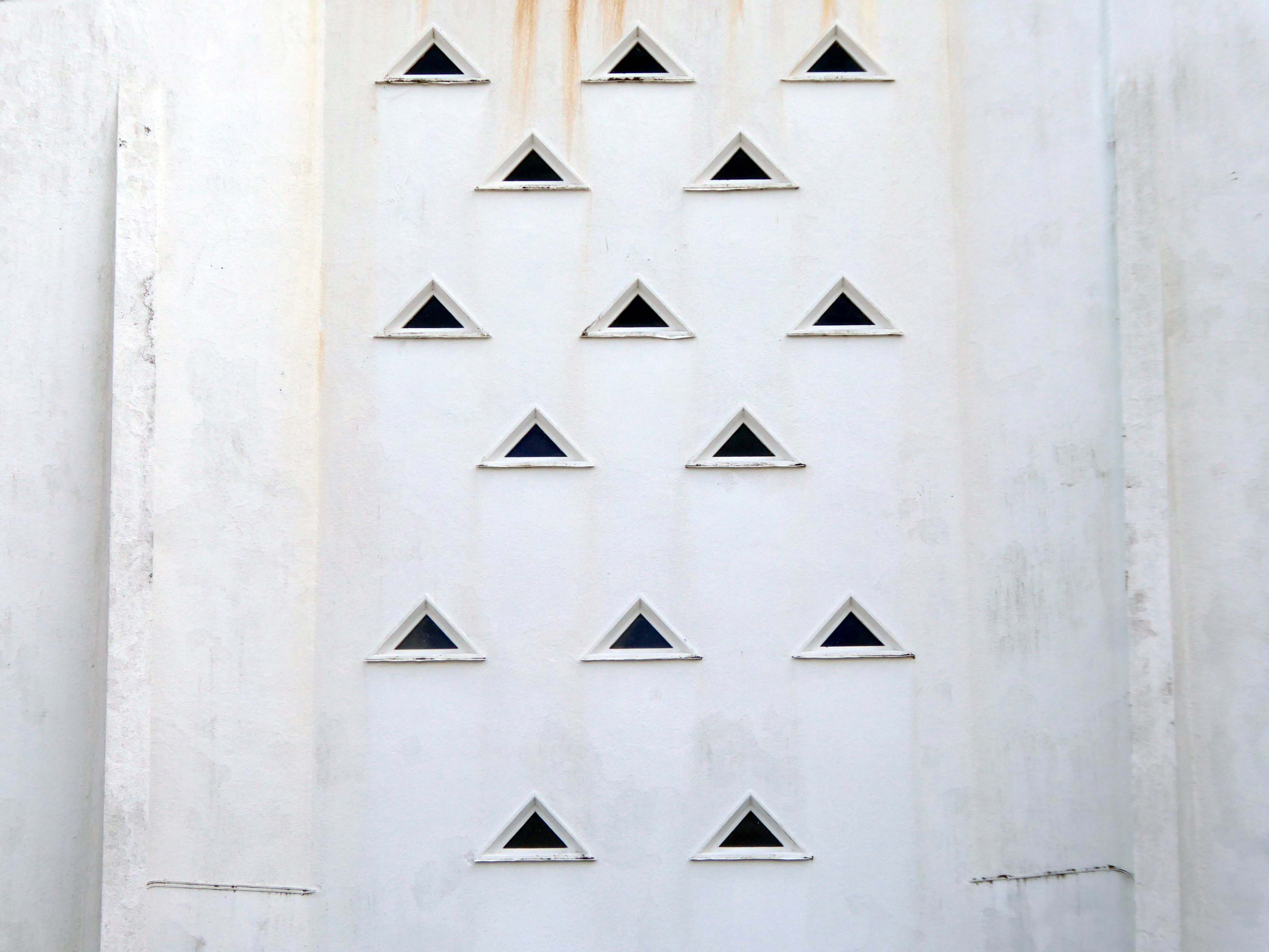
The only glazing to survive from the original church scheme is small triangles of glazing on the sanctuary elevation and the dalle de verre-style baptistery window by Hans Unger & E Schulze.
Unger & Schulze ran a prominent mosaic and glass studio in London from 1960-74, and provided a large mosaic for another LAG Prichard church in 1965, St Jude’s in Worsley Mesnes– Wigan.
The coloured glazing depicting St Columba, Christ and the apostles was added in 1986.
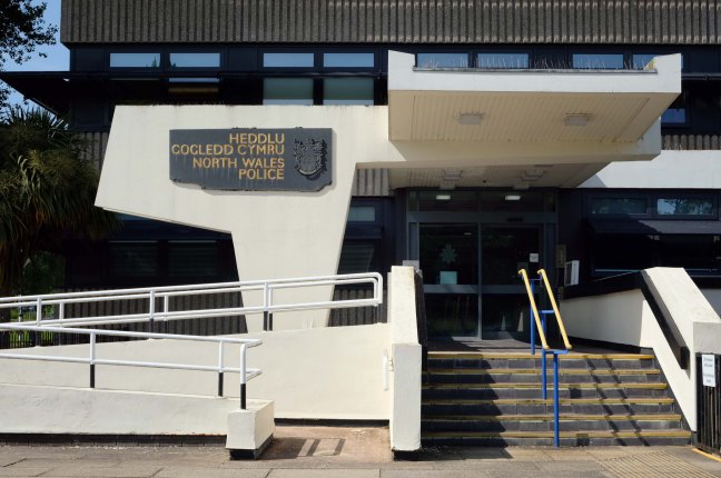
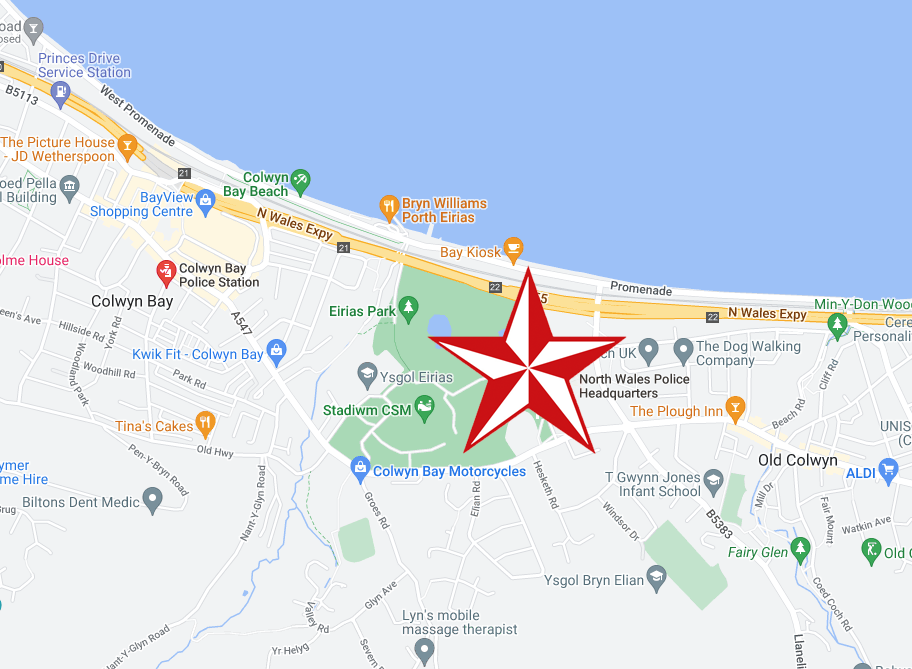
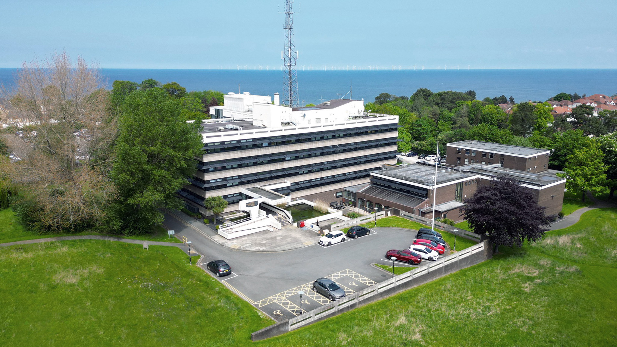
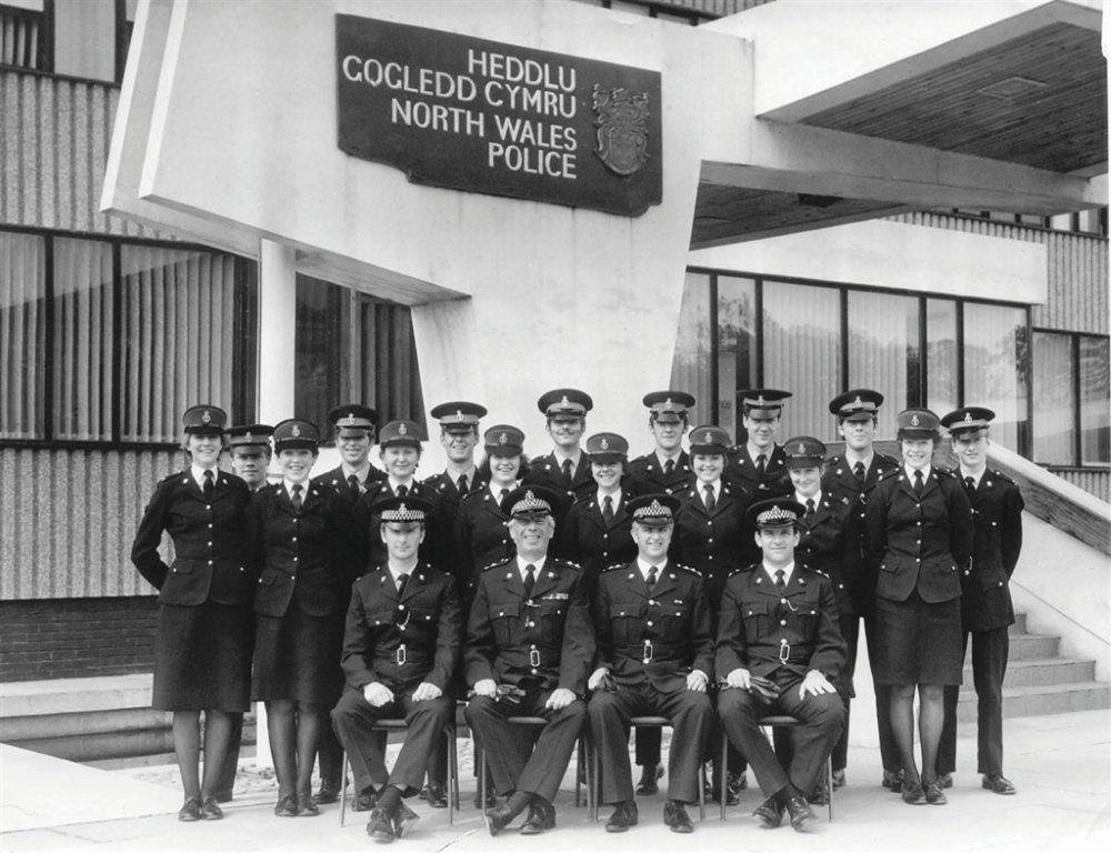
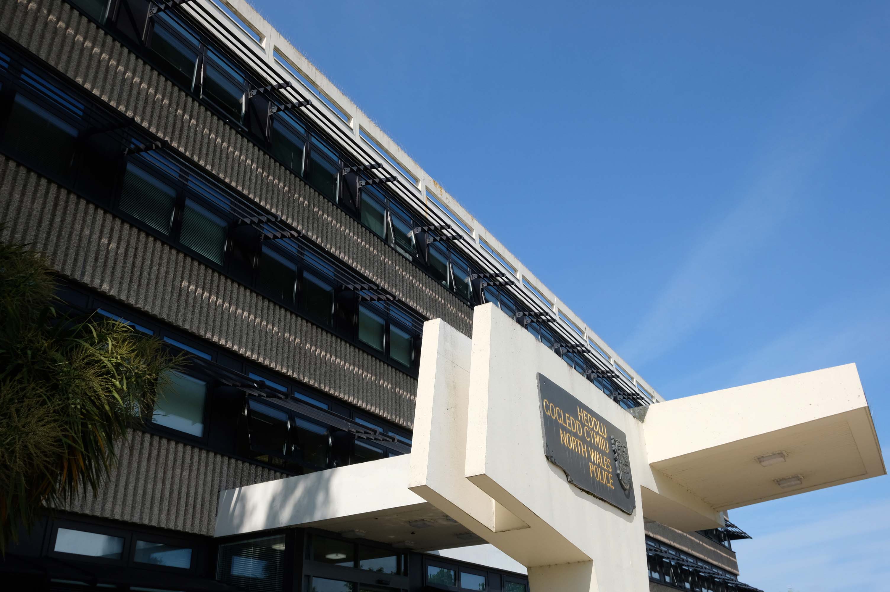
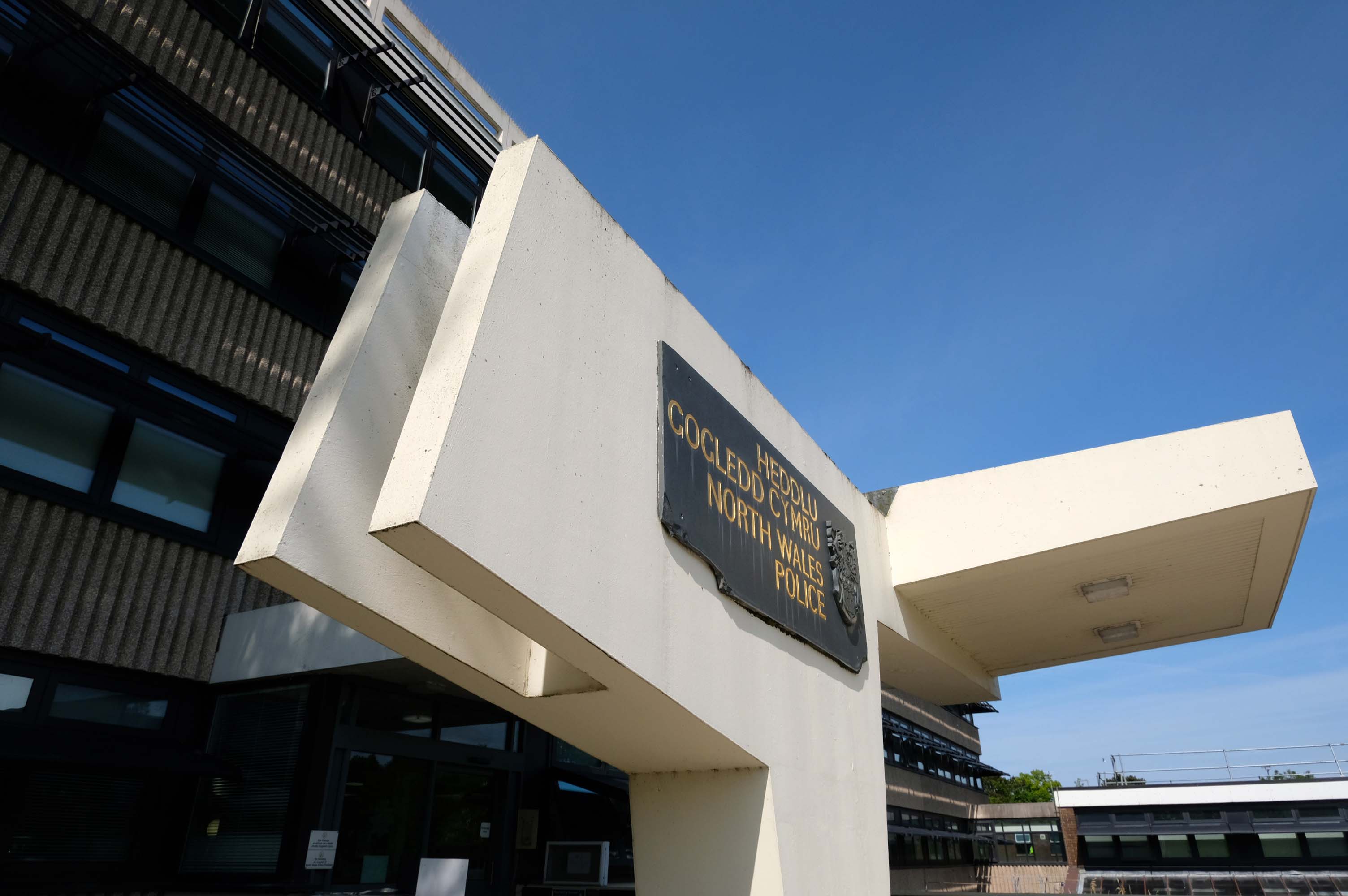
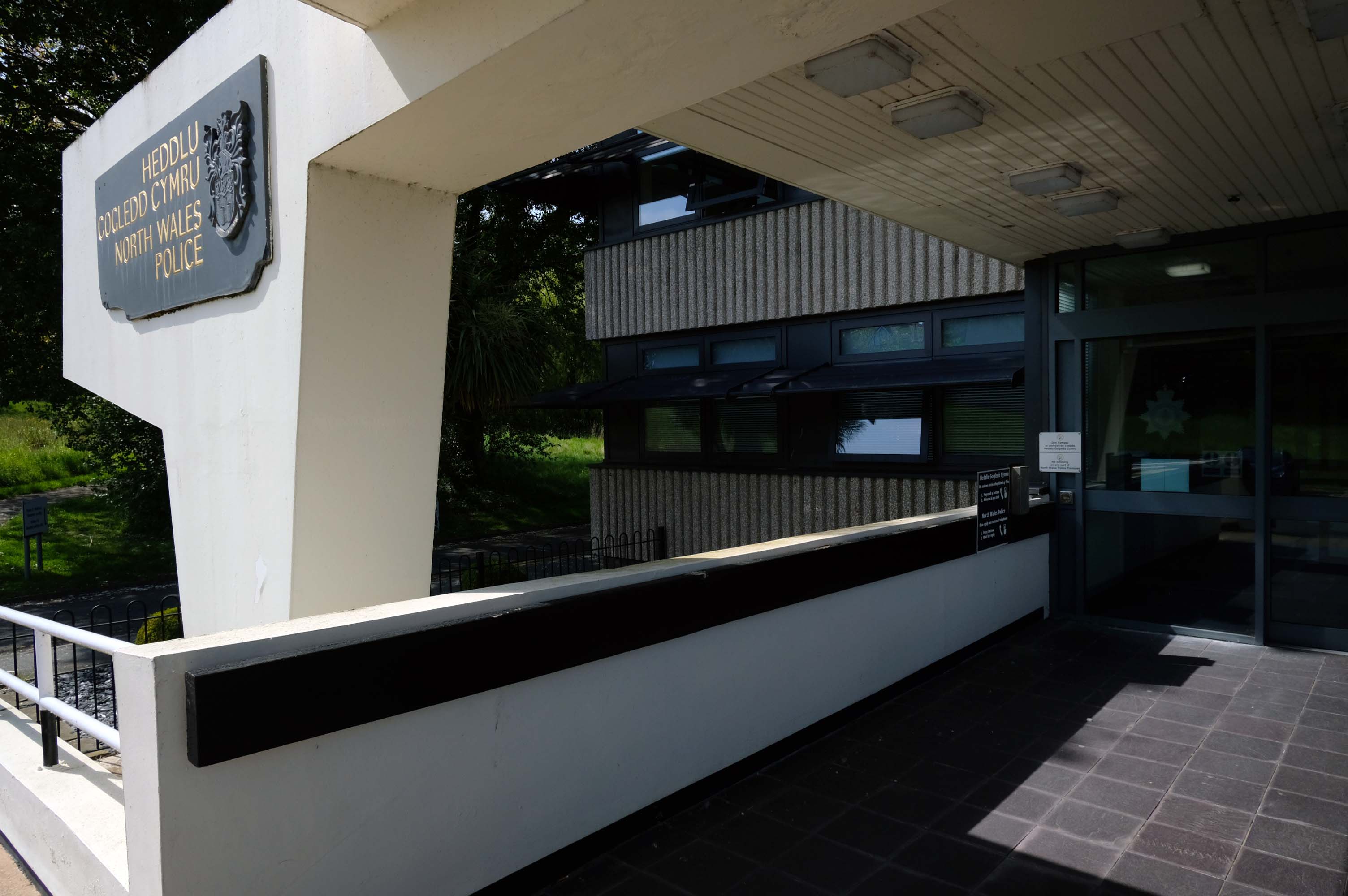
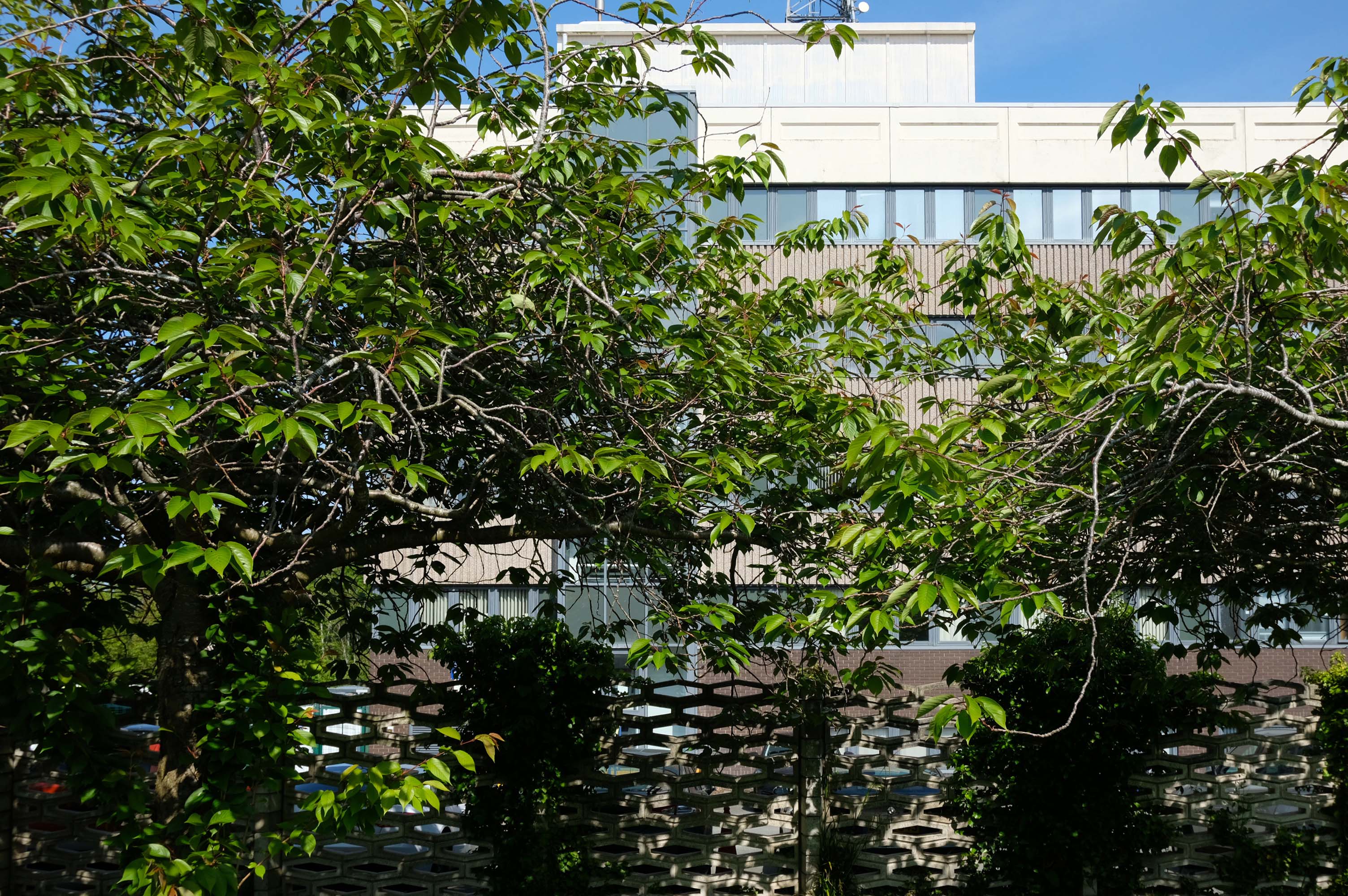
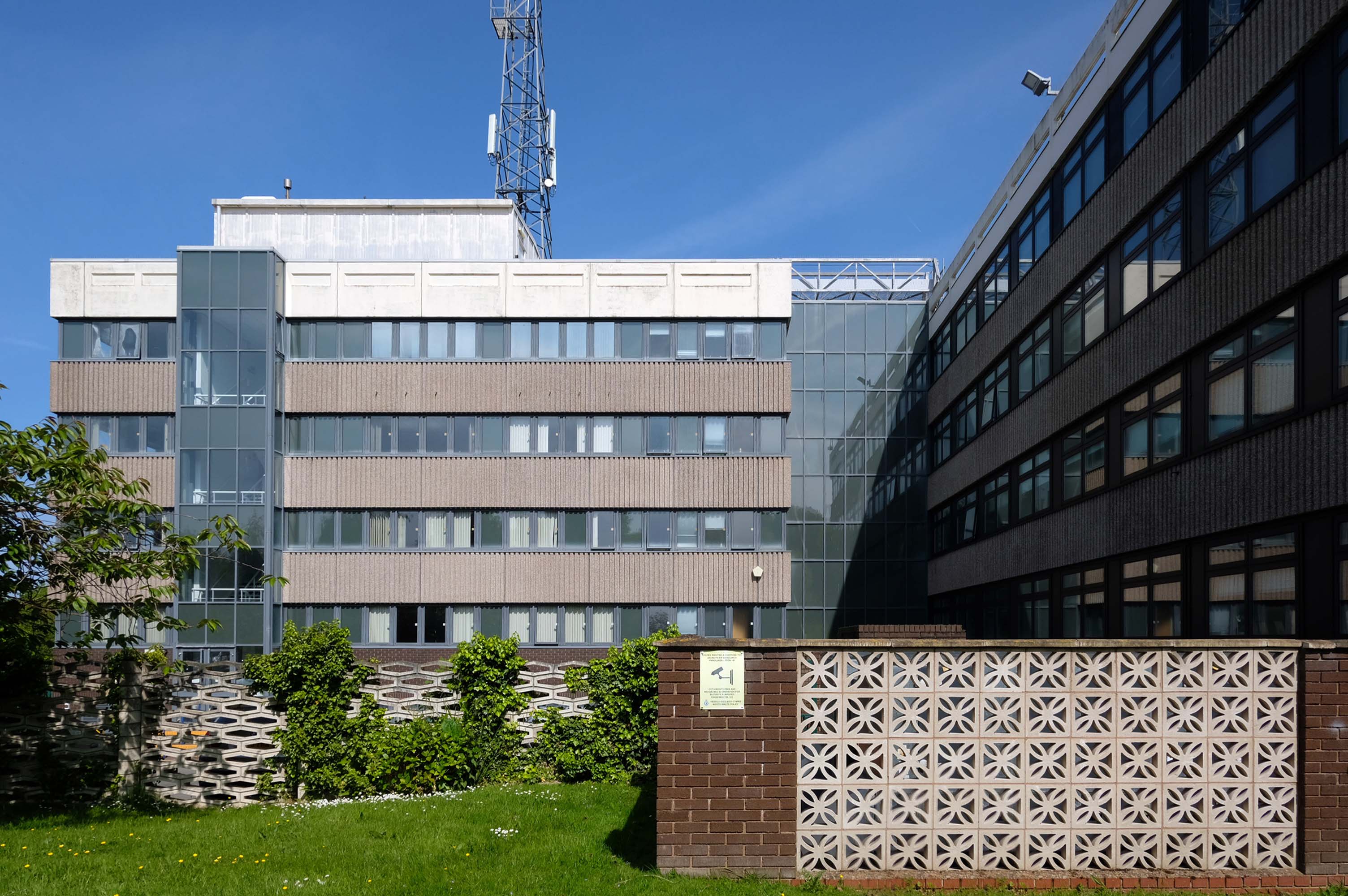
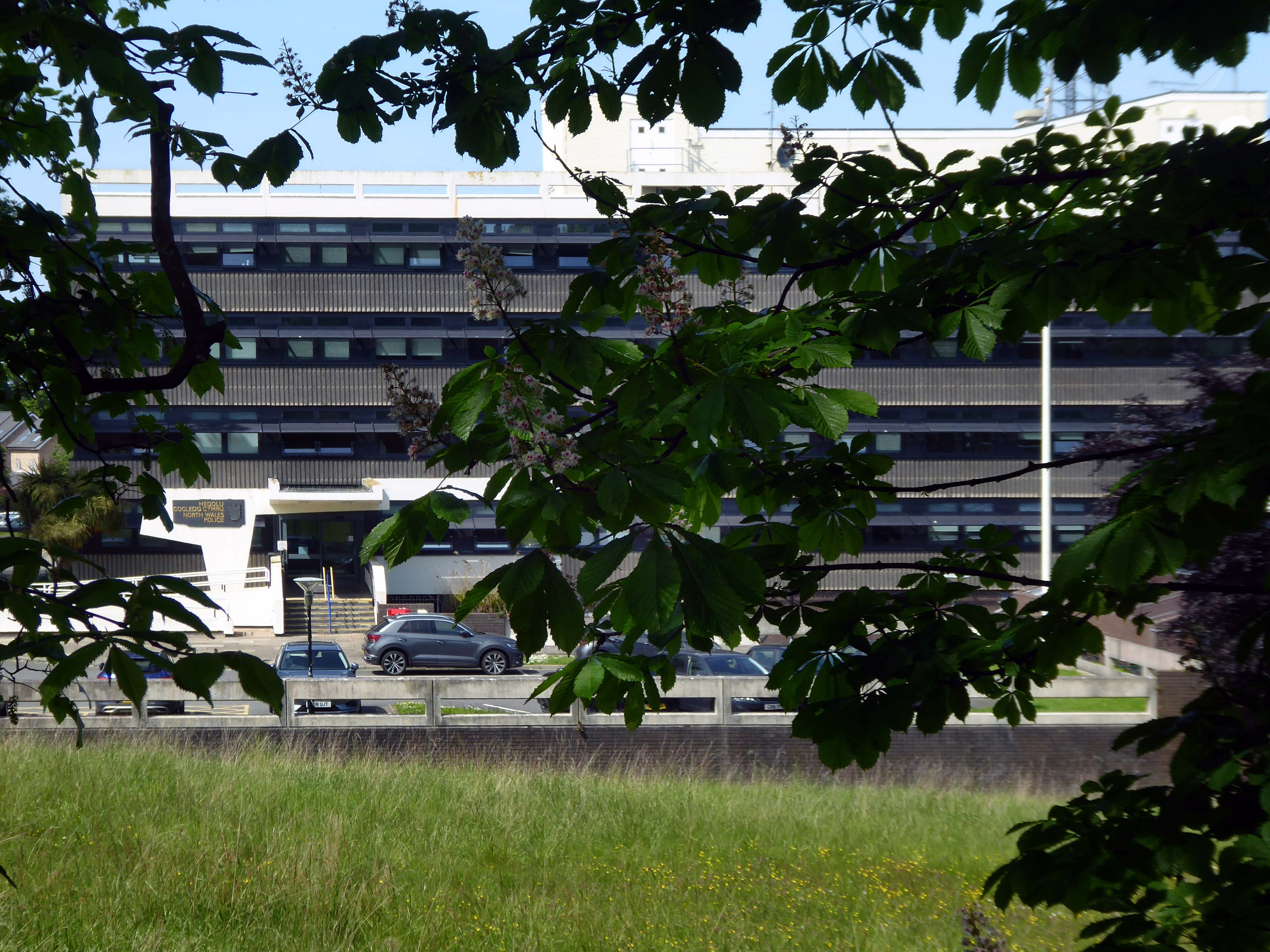
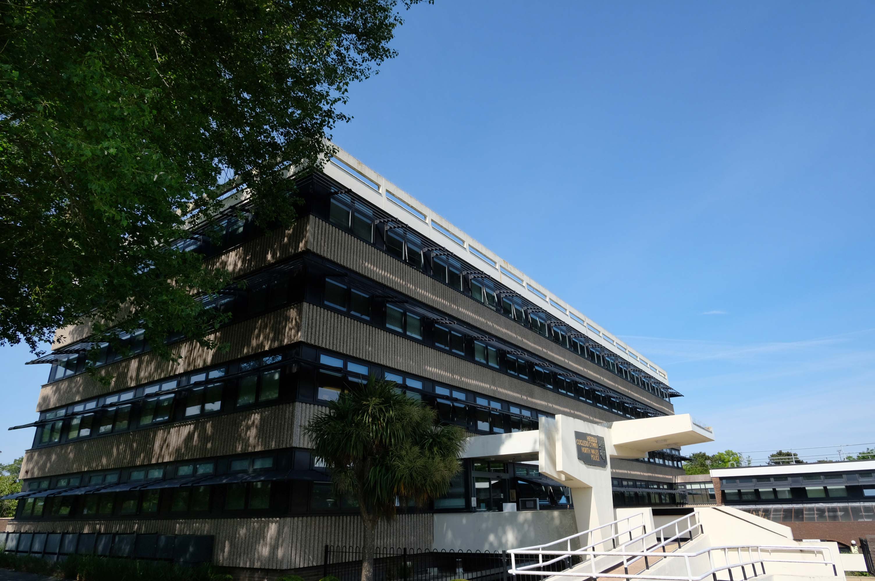
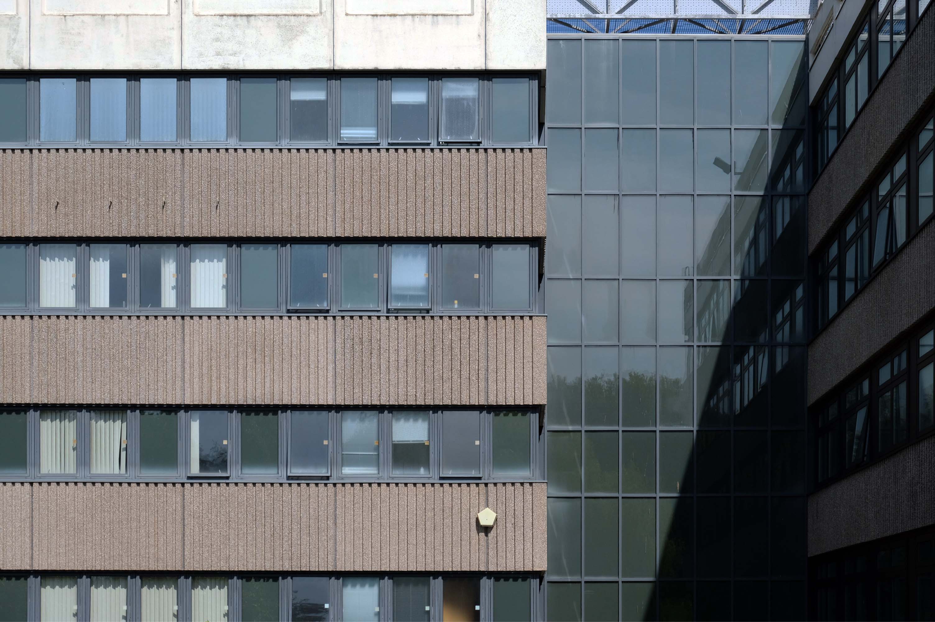
North Wales Police – Heddlu Gogledd Cymru is the territorial police force responsible for policing North Wales.
Photo: Gareth Ellidge
As of March 2020, the force has 1,510 police officers, 170 special constables, 182 police community support officers, 71 police support volunteers, and 984 staff.
Having cycled from Prestatyn, I popped into reception to ask permission to photograph the exterior of the HQ.
Following a short wait, I was granted permission.
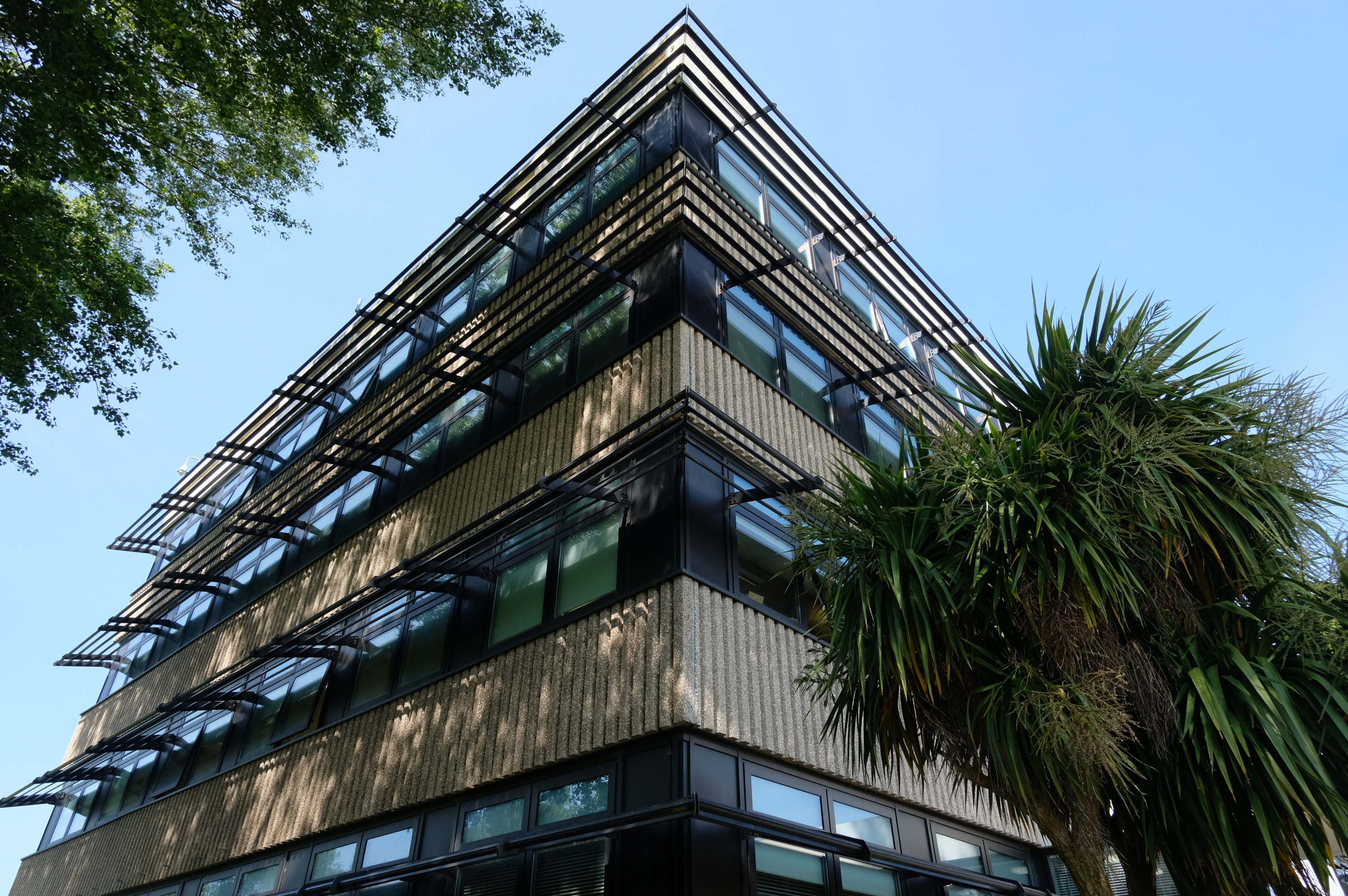
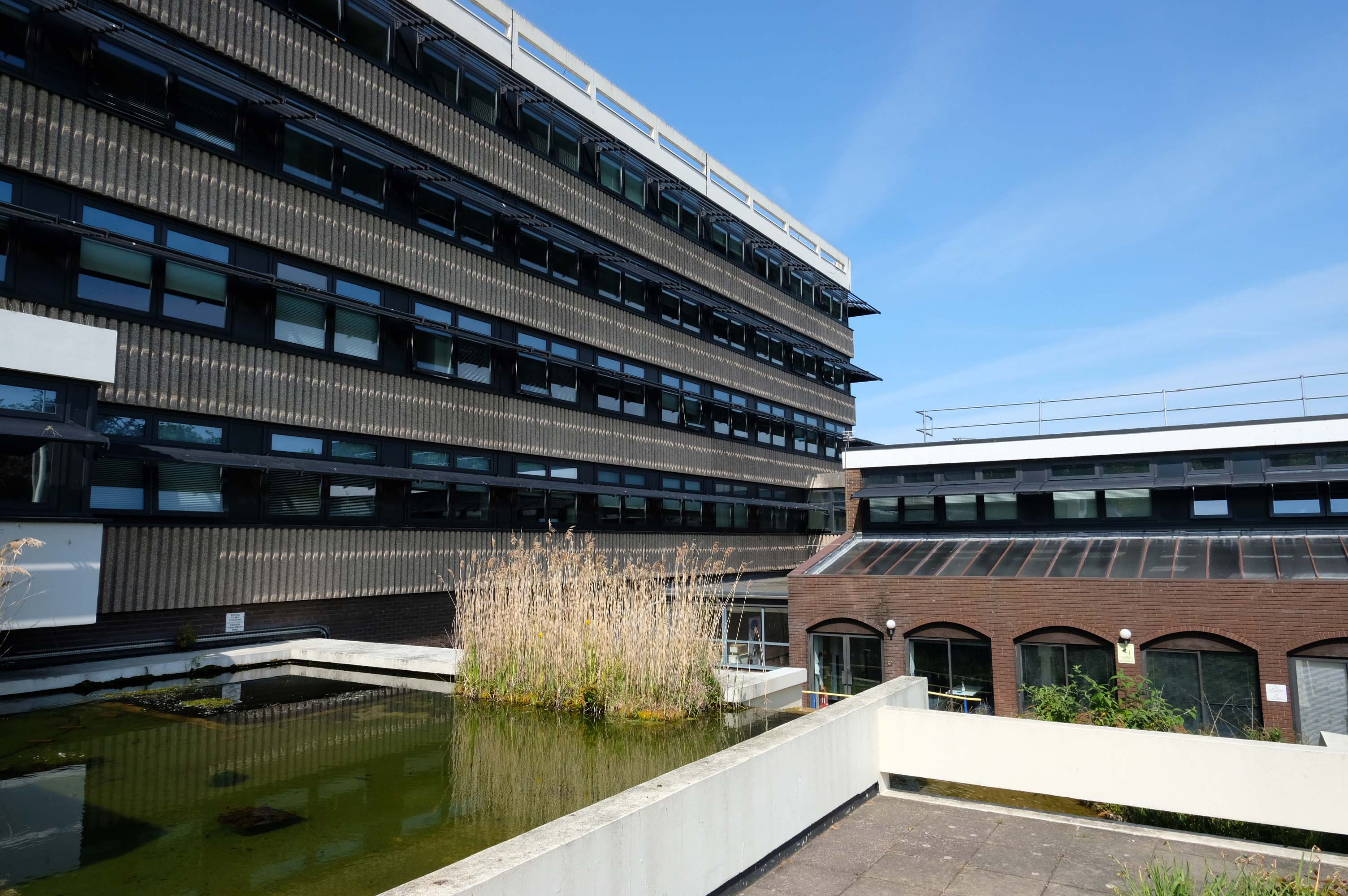
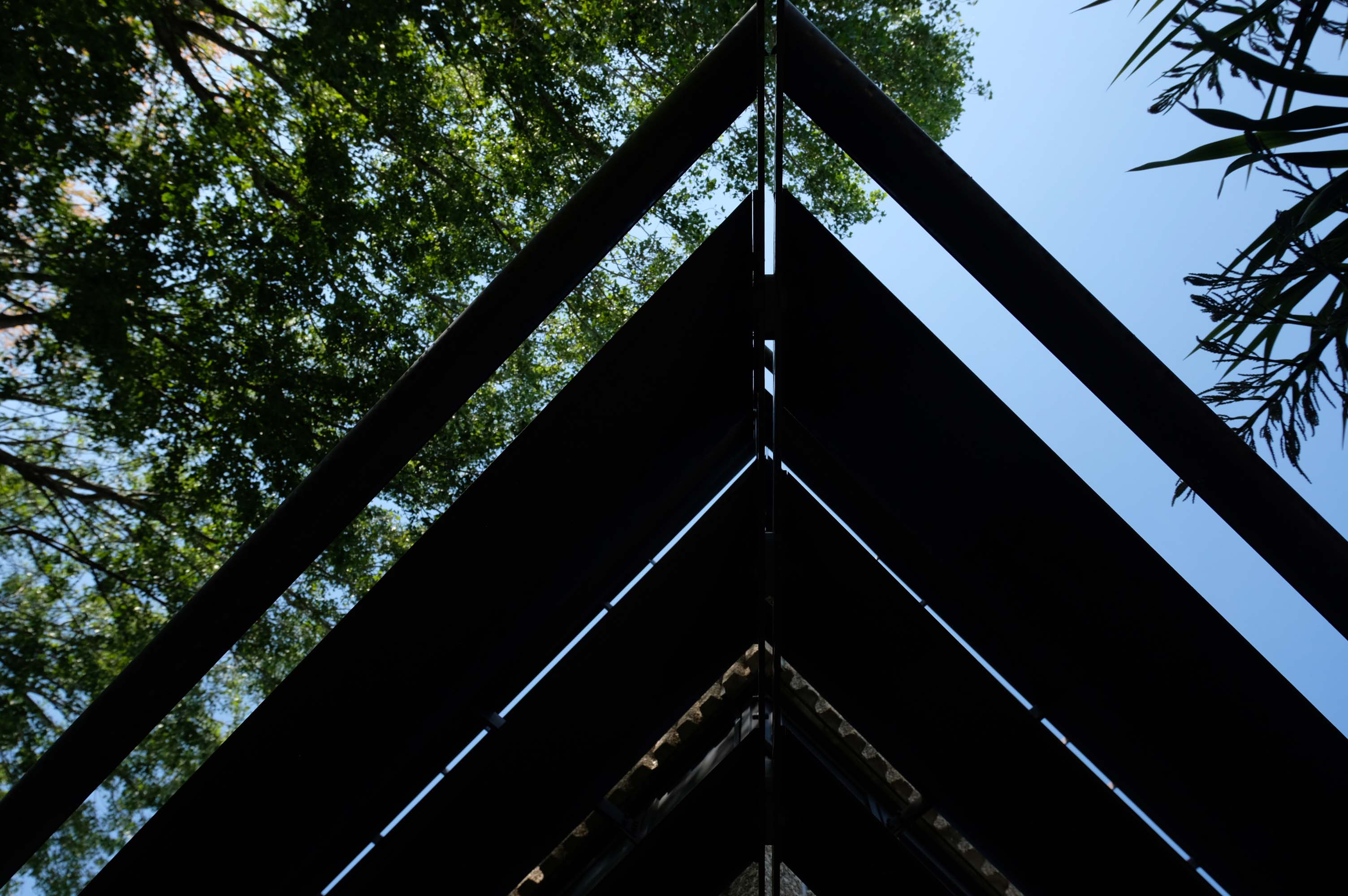
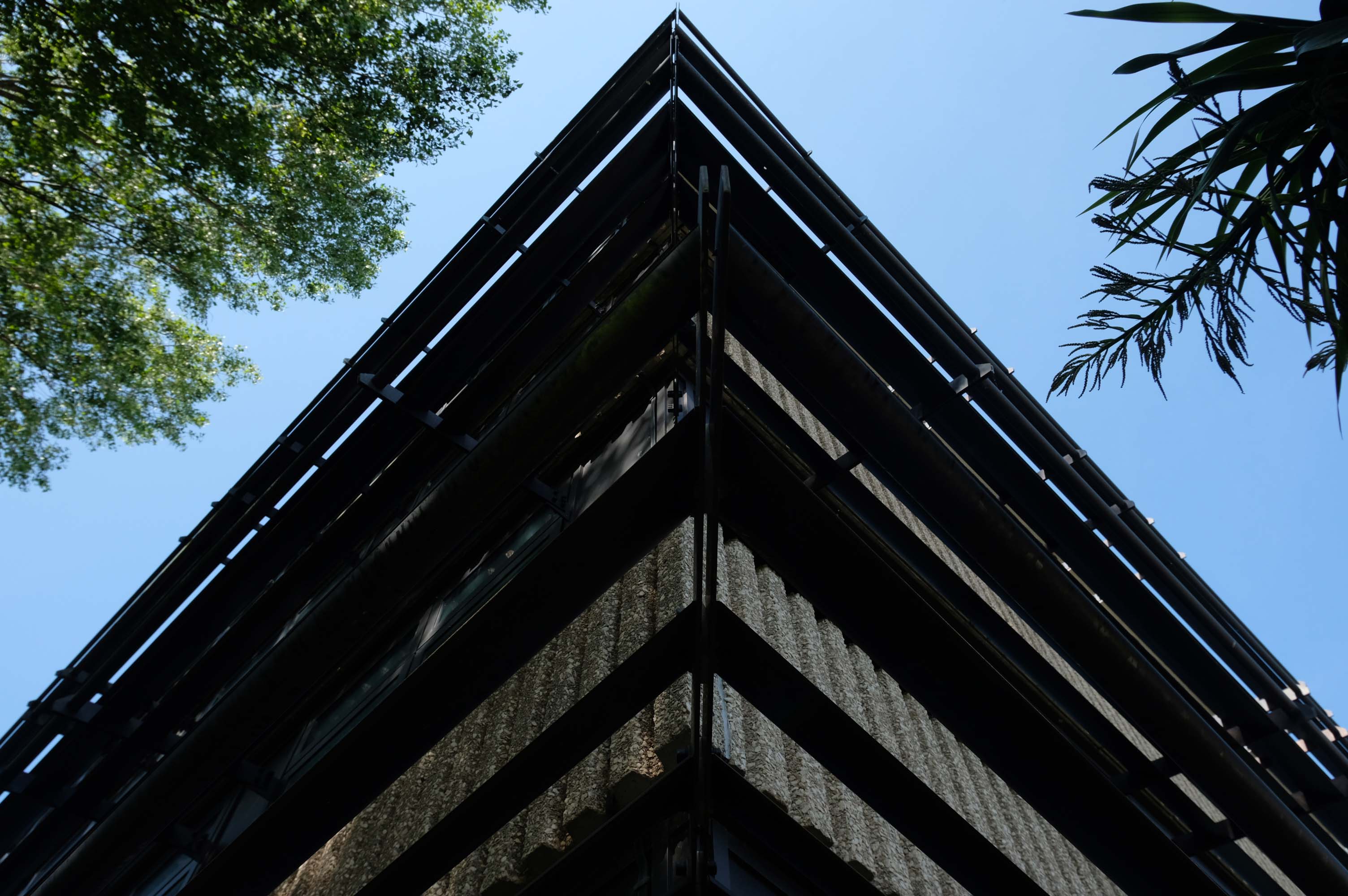
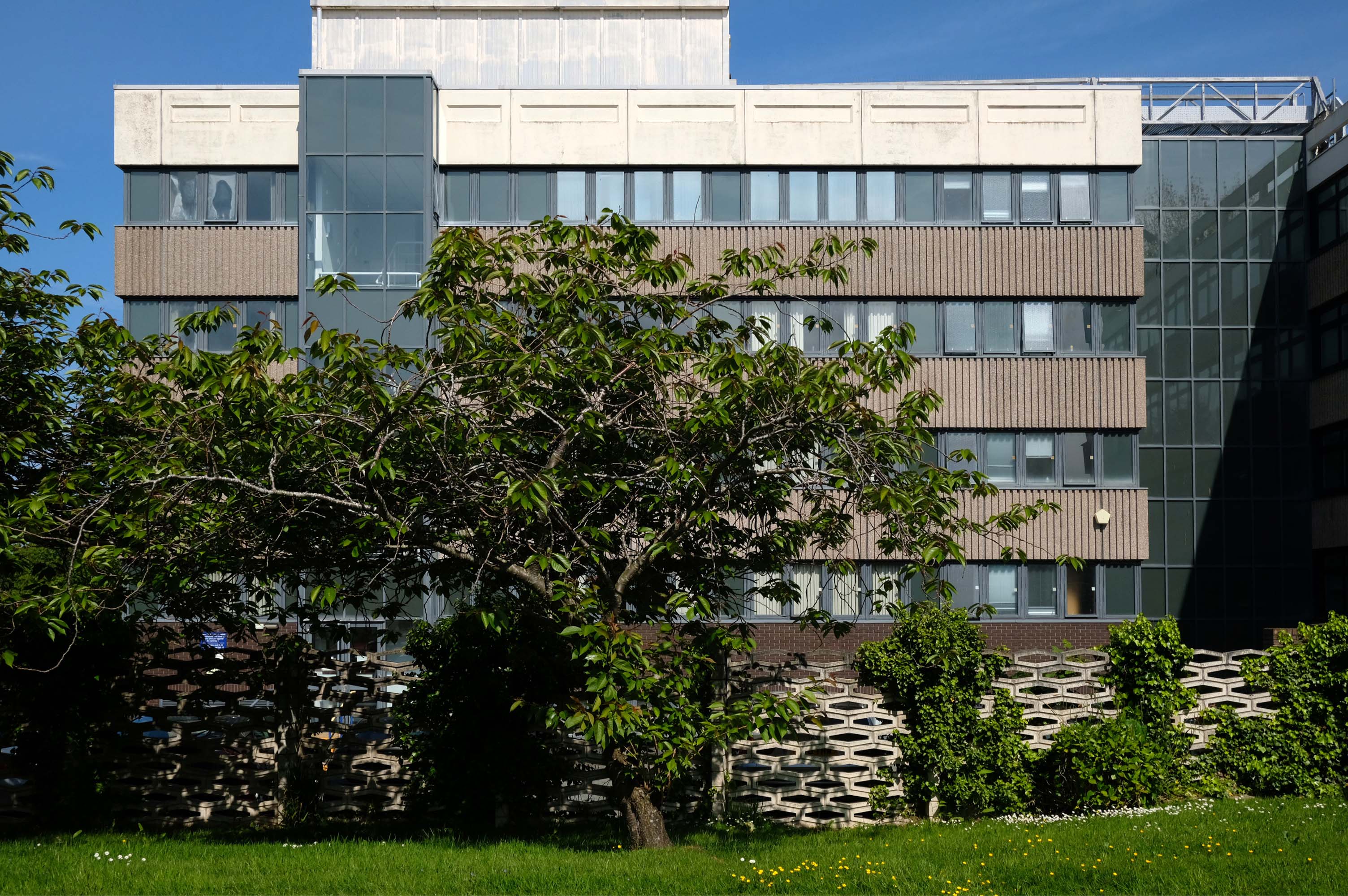
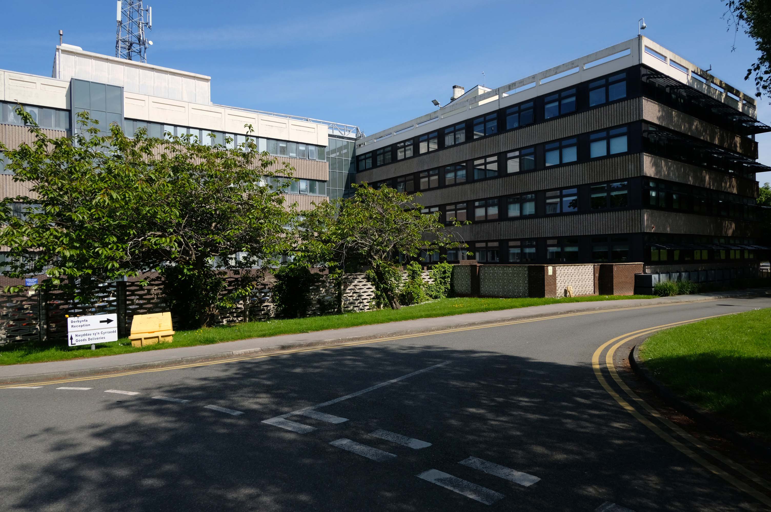
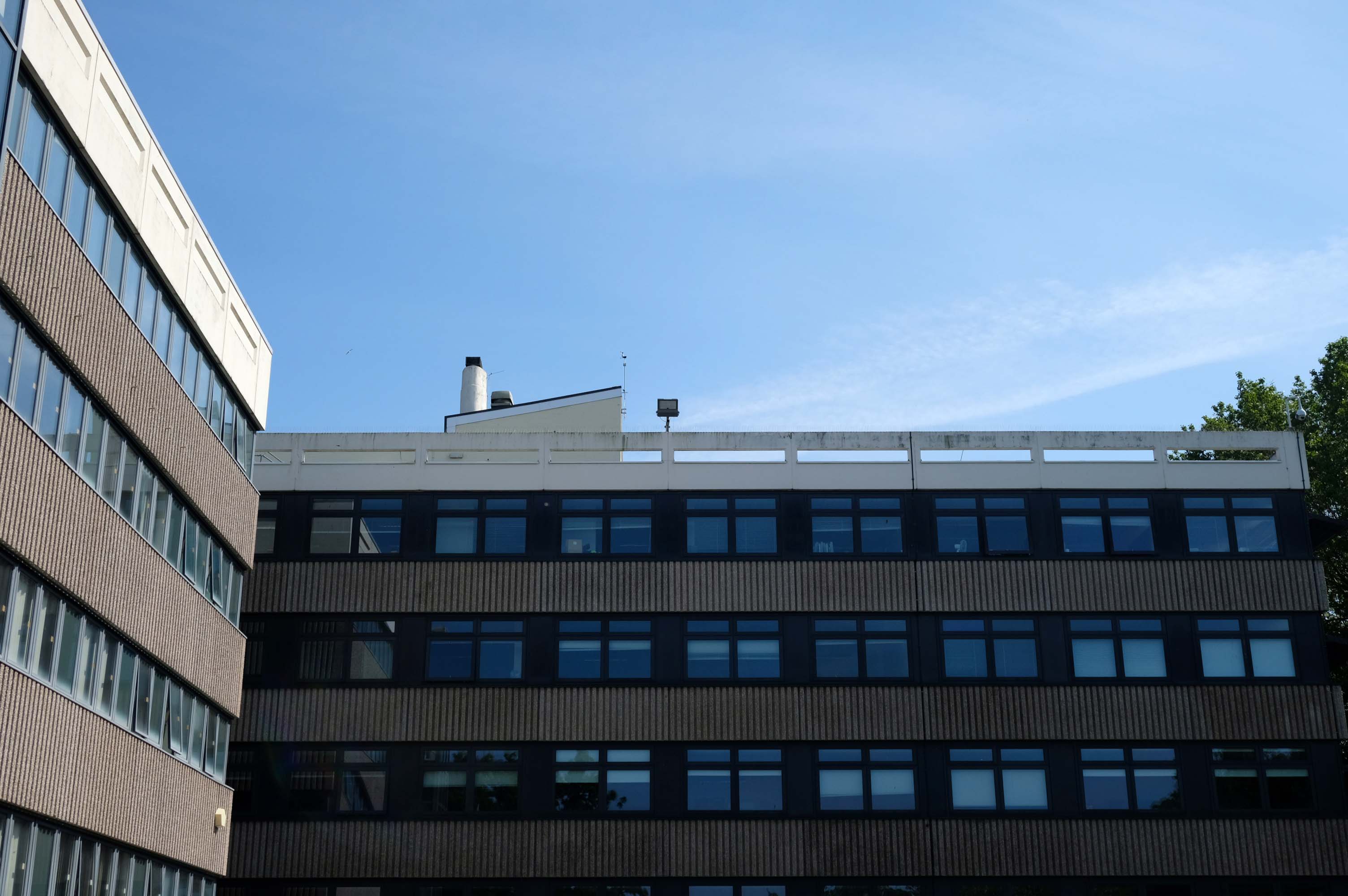
The building is an imposing steel, concrete and glass system built structure of 1972, with brick outliers on a grassy site.
It has undergone adaptation to modern eco-standards.
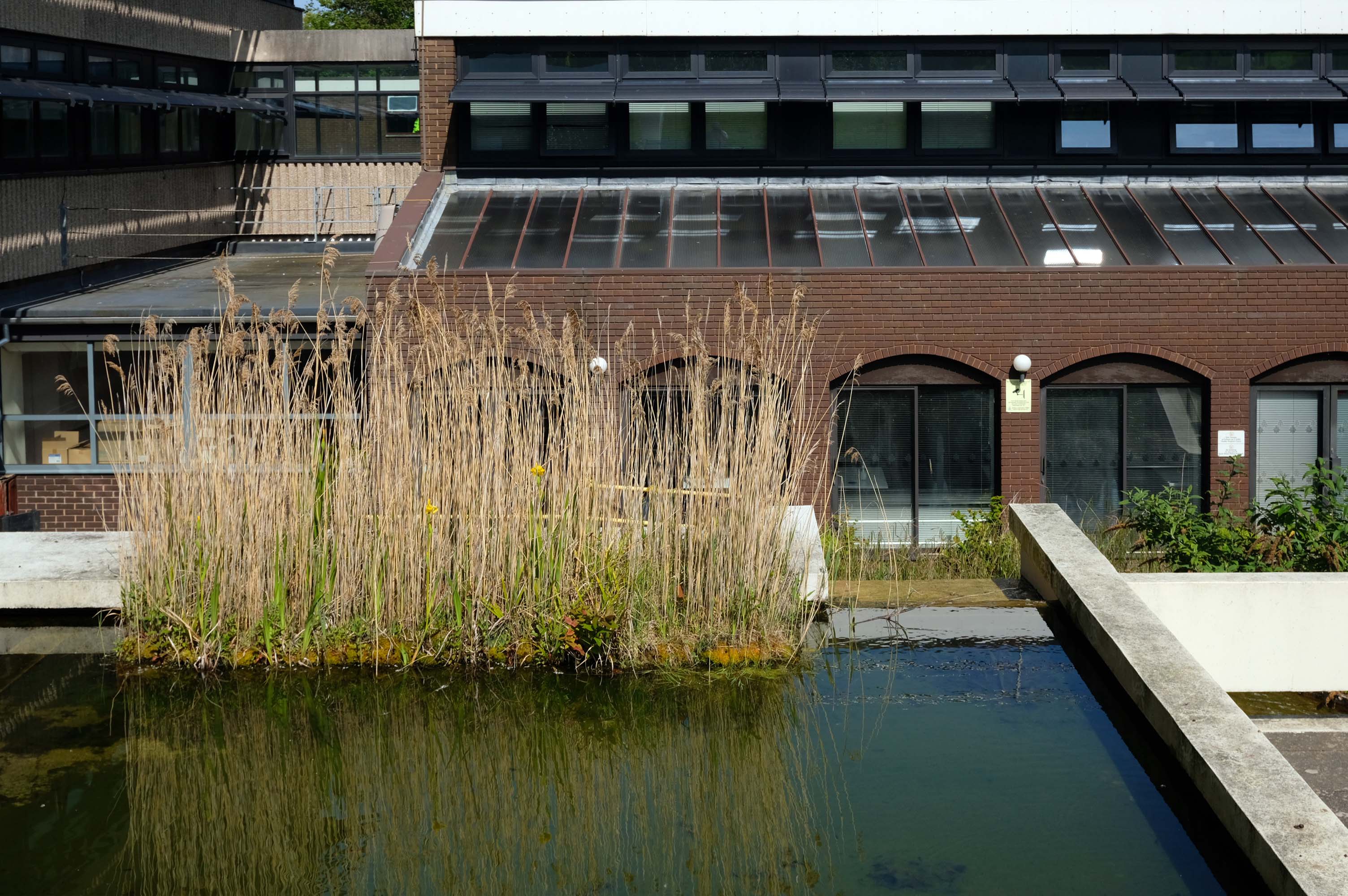
The administration building for North Wales Police, located in Colwyn Bay, was typical of the breed: a 1970s leaky and draughty concrete-framed building with high solar gains, especially on the South and West facades. It consumed a lot of energy and delivered very poor comfort conditions.
The budget for the refurbishment was set at around £2.4 million. North Wales Police appointed Capita Symonds as the Project Manager with the design team comprising FSP Architects, Buro Happold, WS Atkins, and Faithful+Gould.
A system of brise-soleil solar shading was provided for the East, South and West facades. Combined with the reduced area of glazing, the brise soleil reduced the solar gains enough to avoid the need for mechanical cooling and for the natural ventilation strategy to be retained.
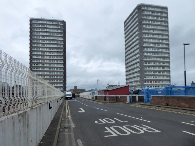
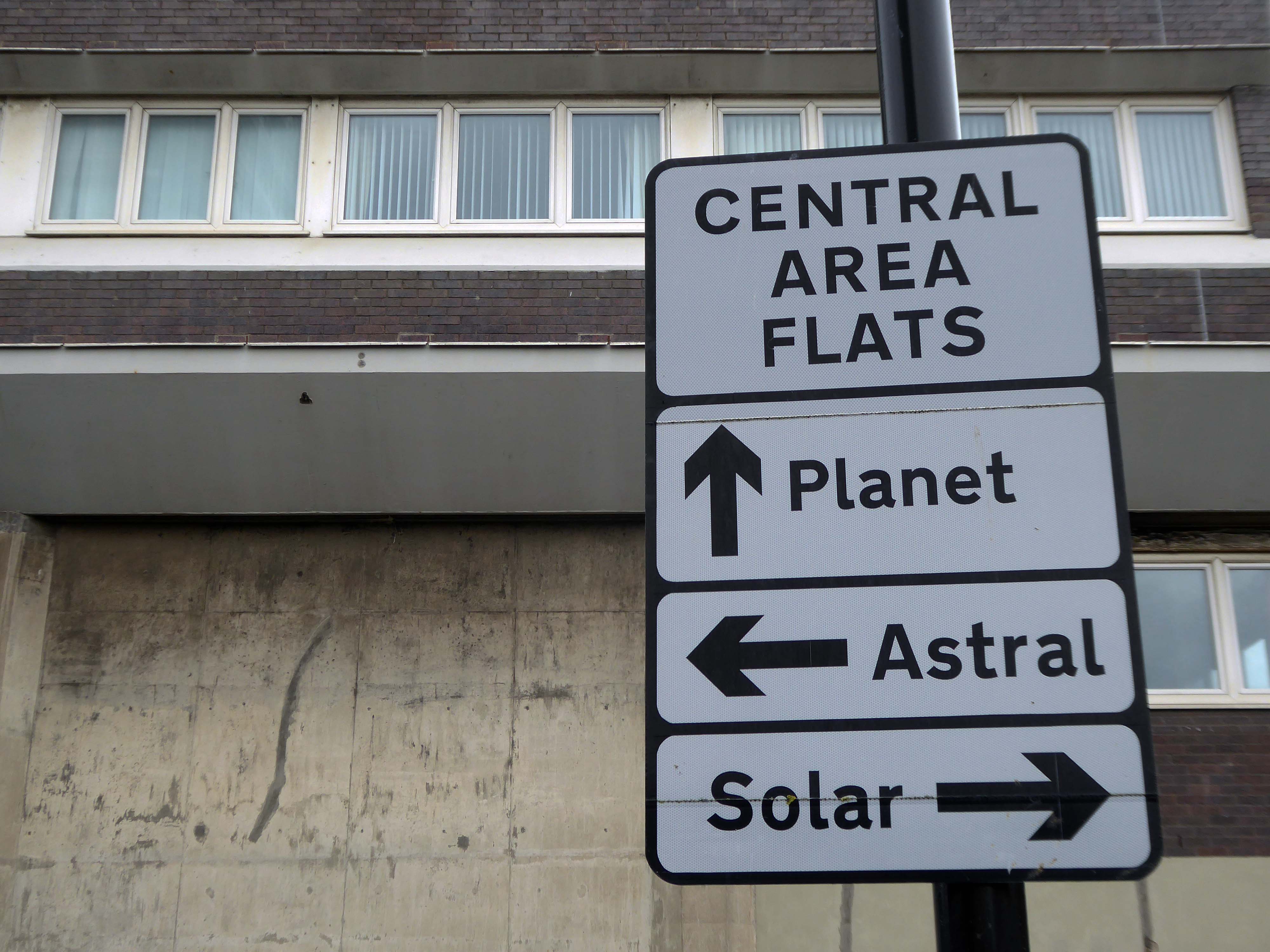
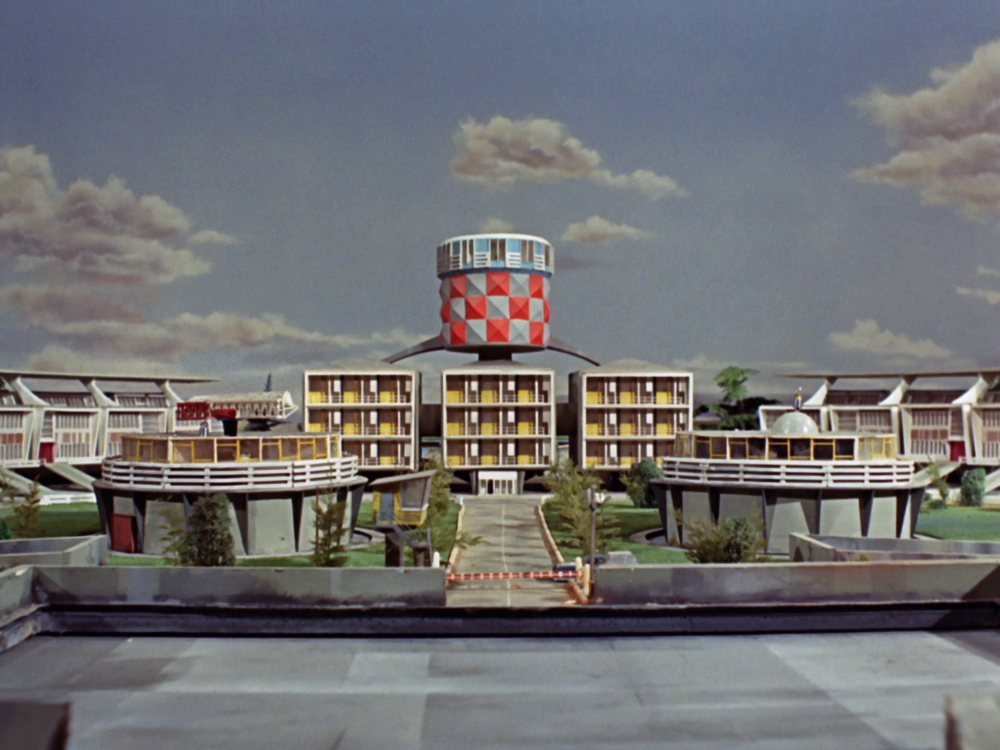
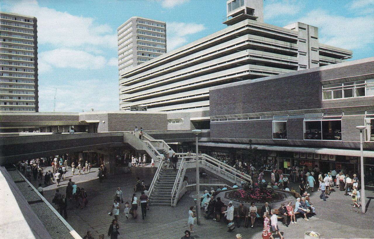
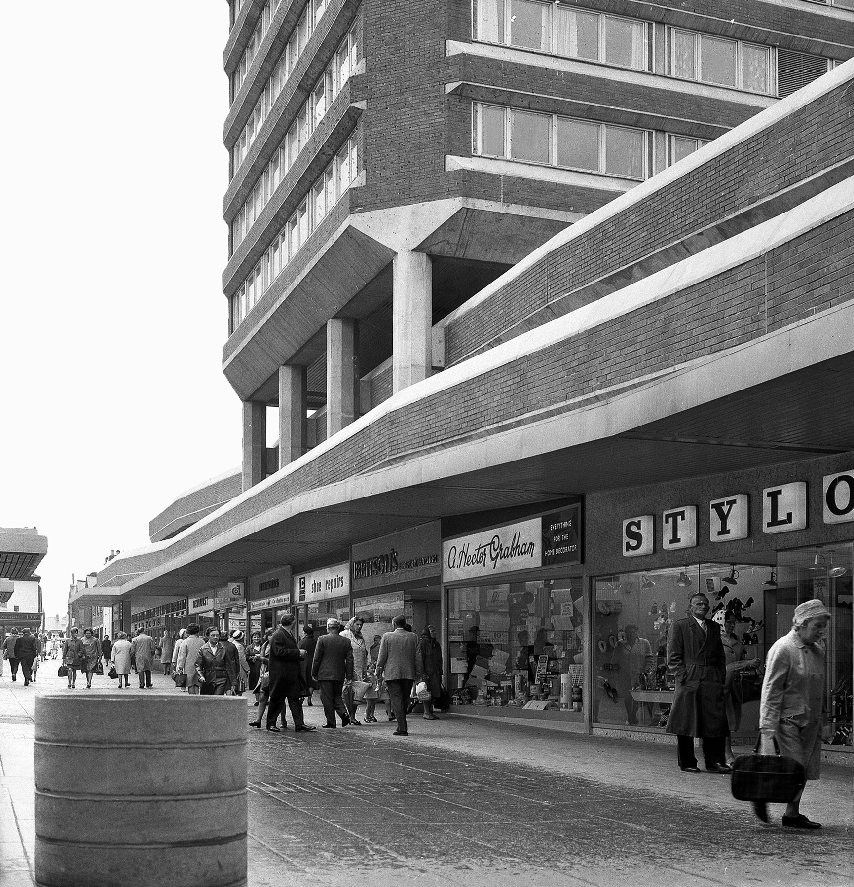
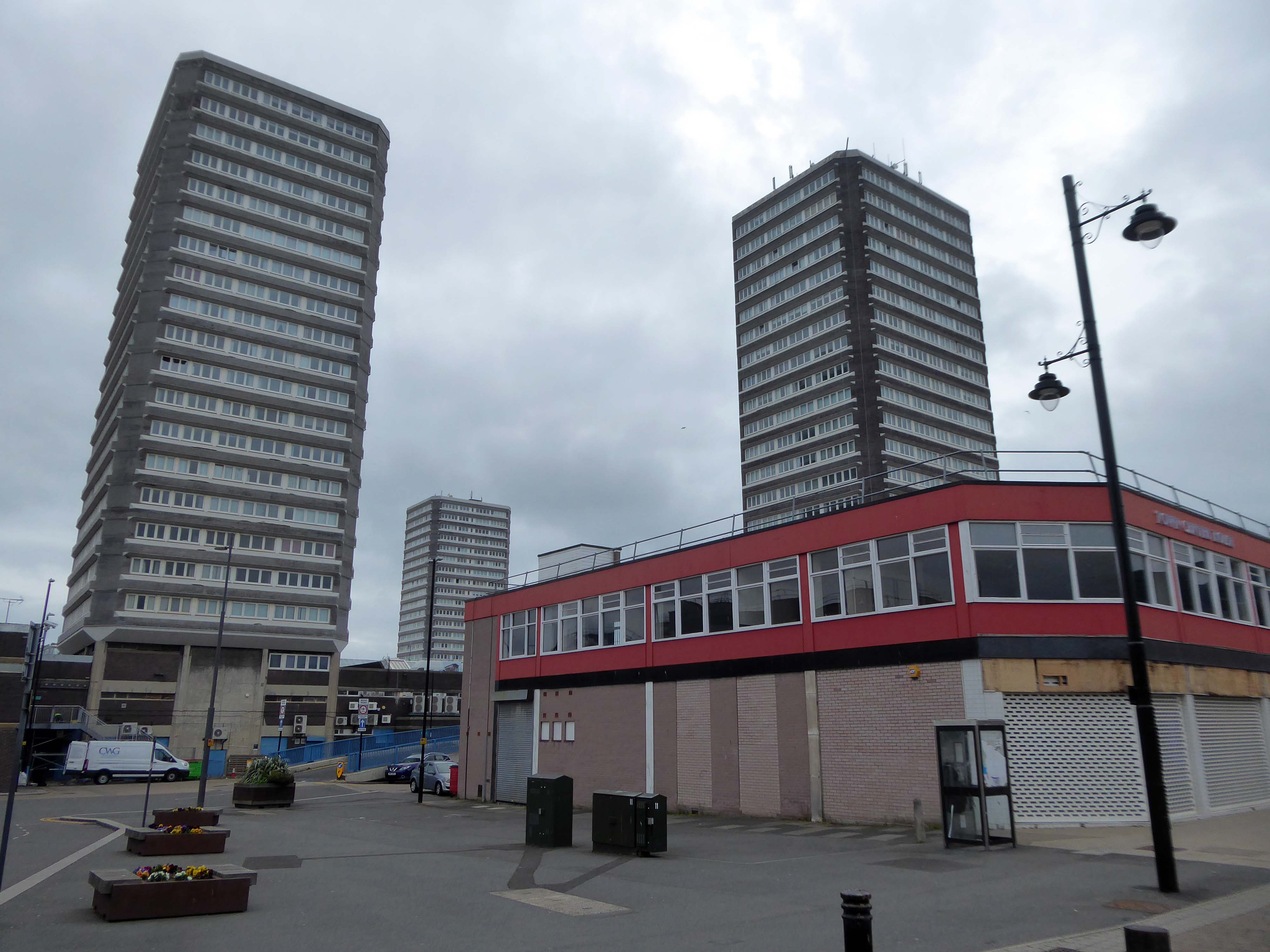
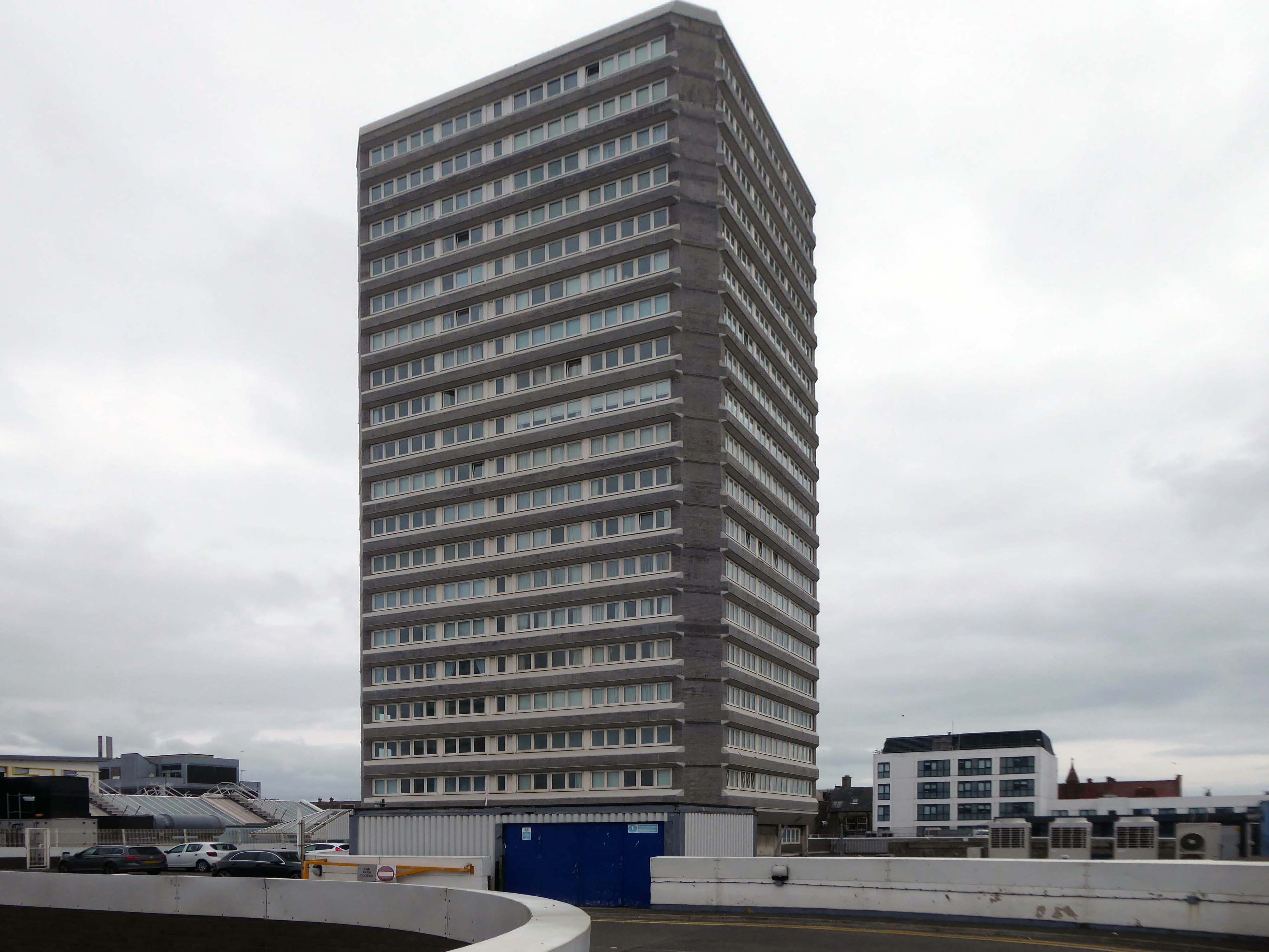
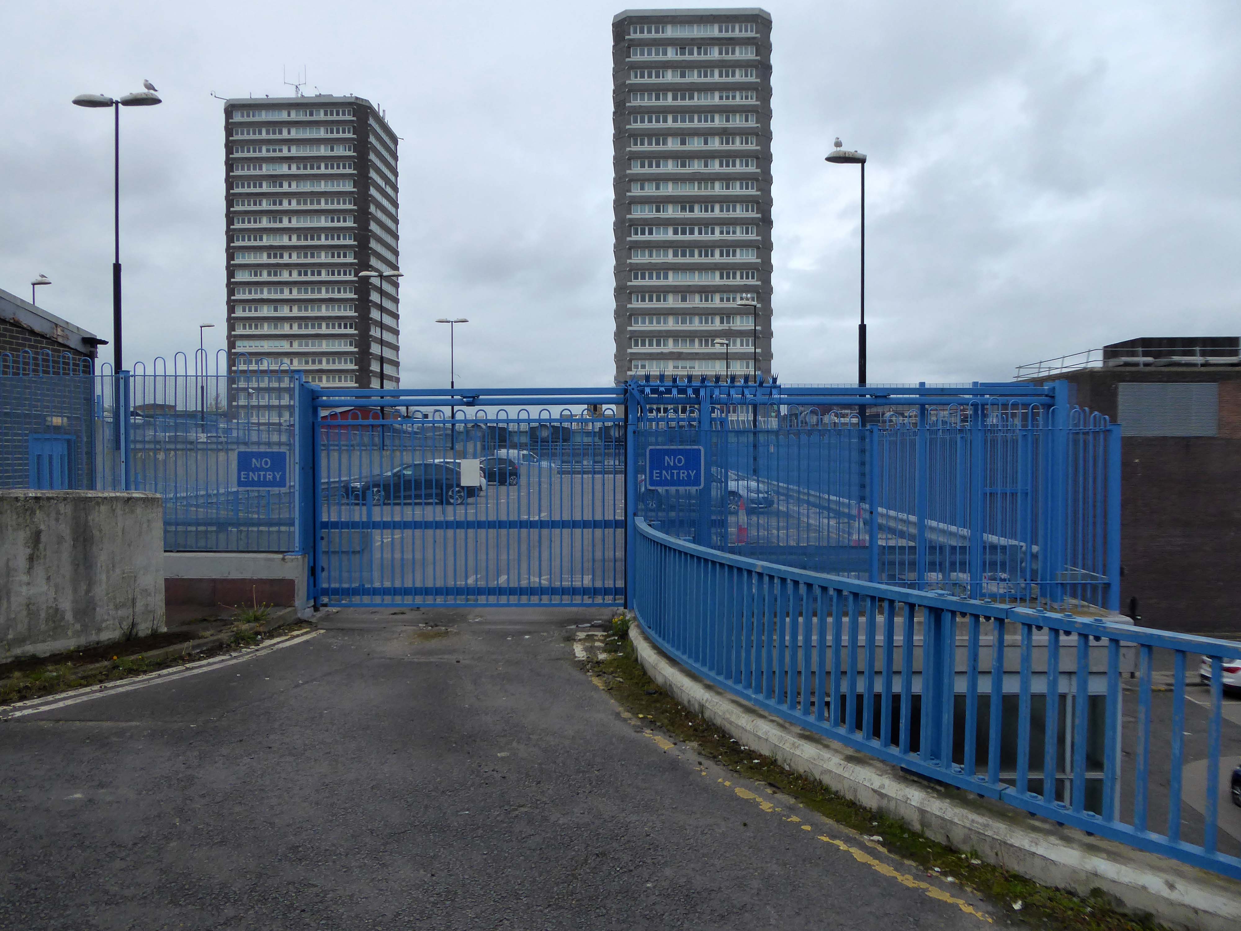
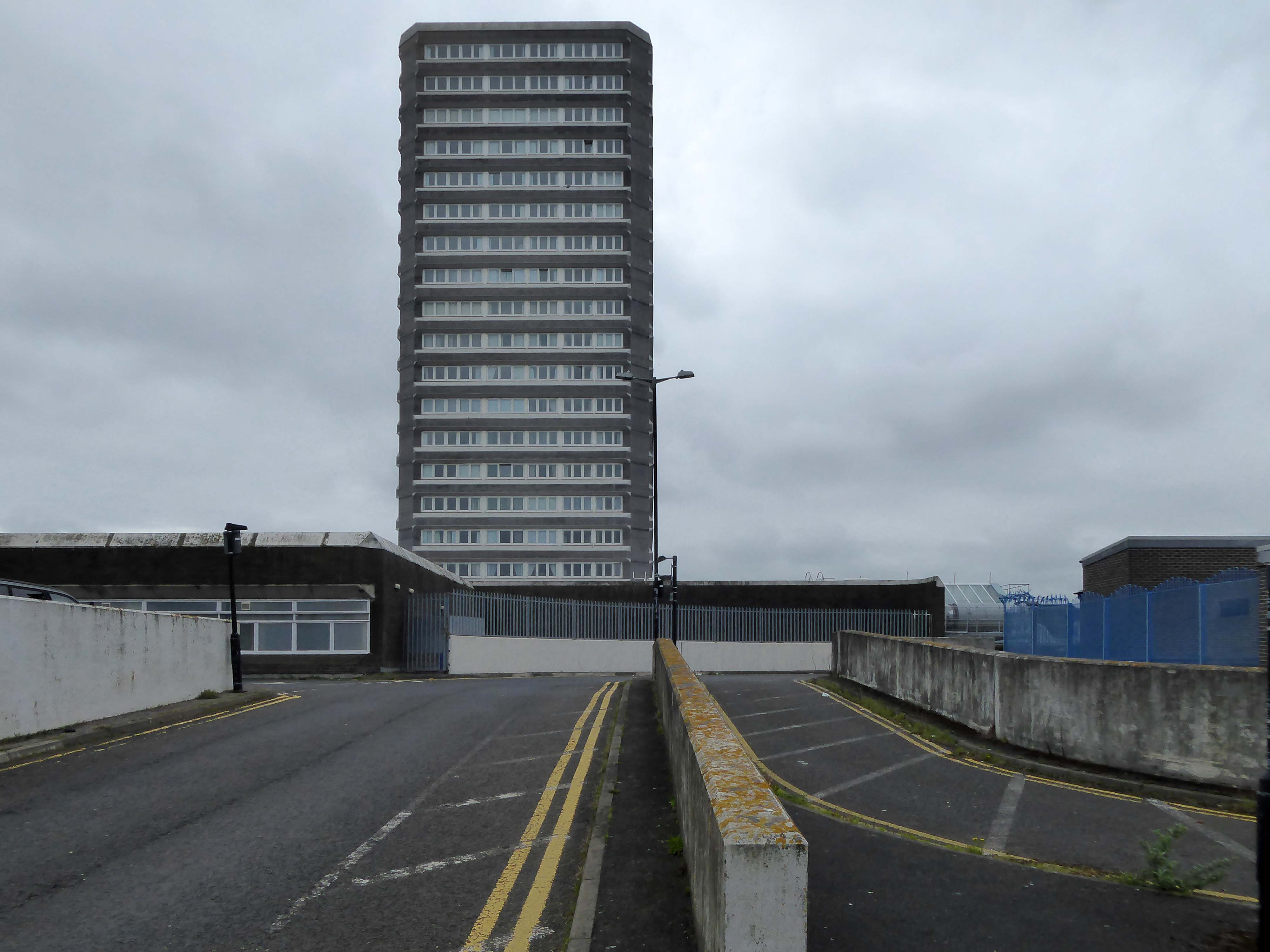
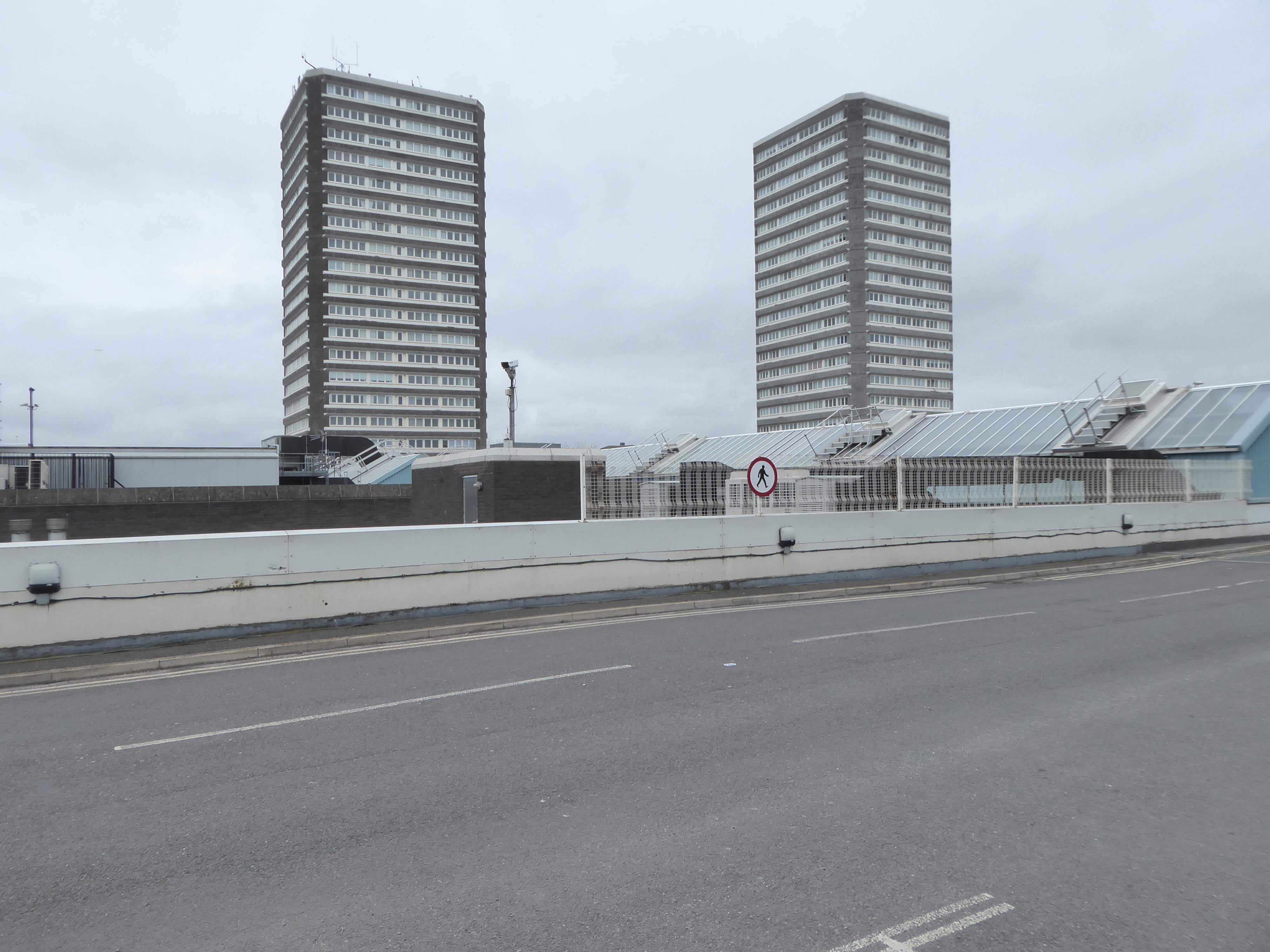
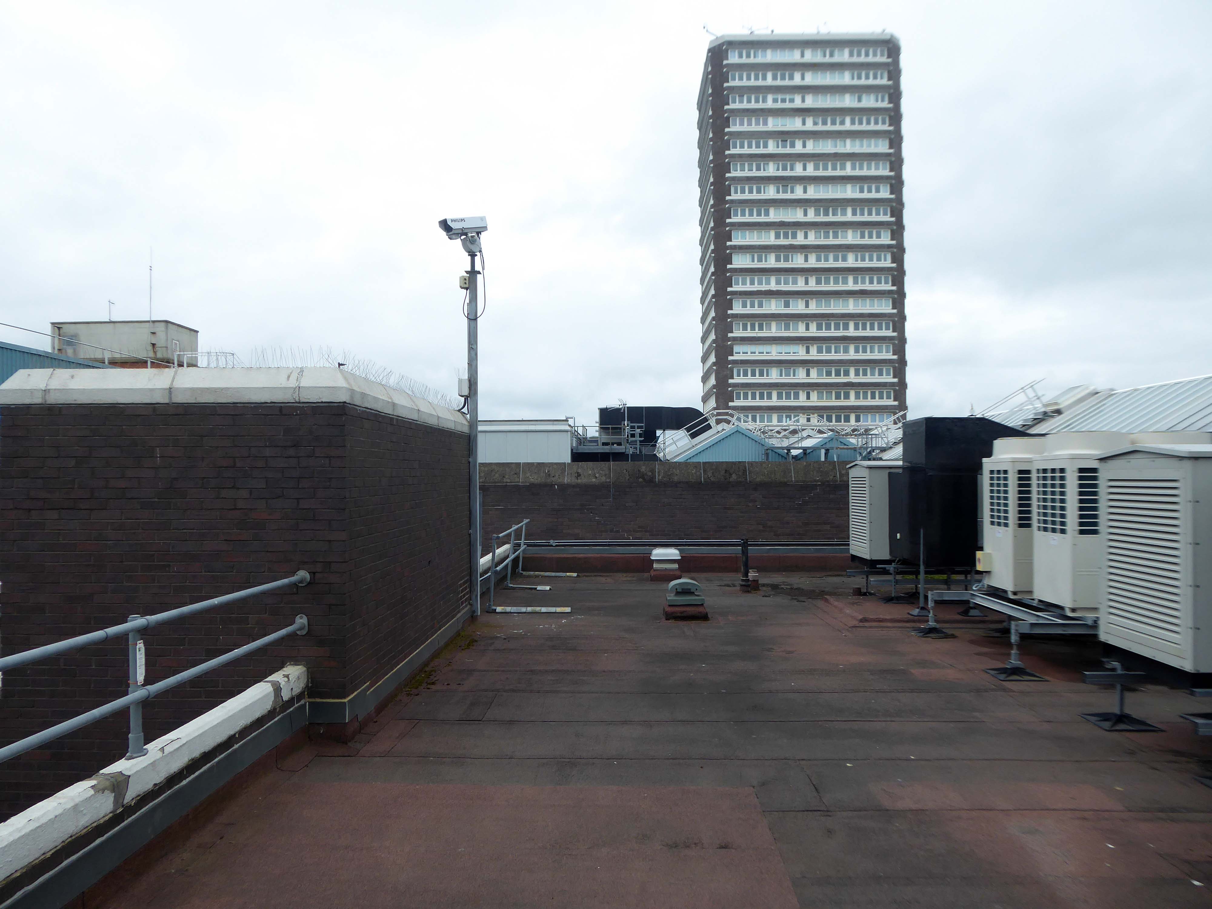
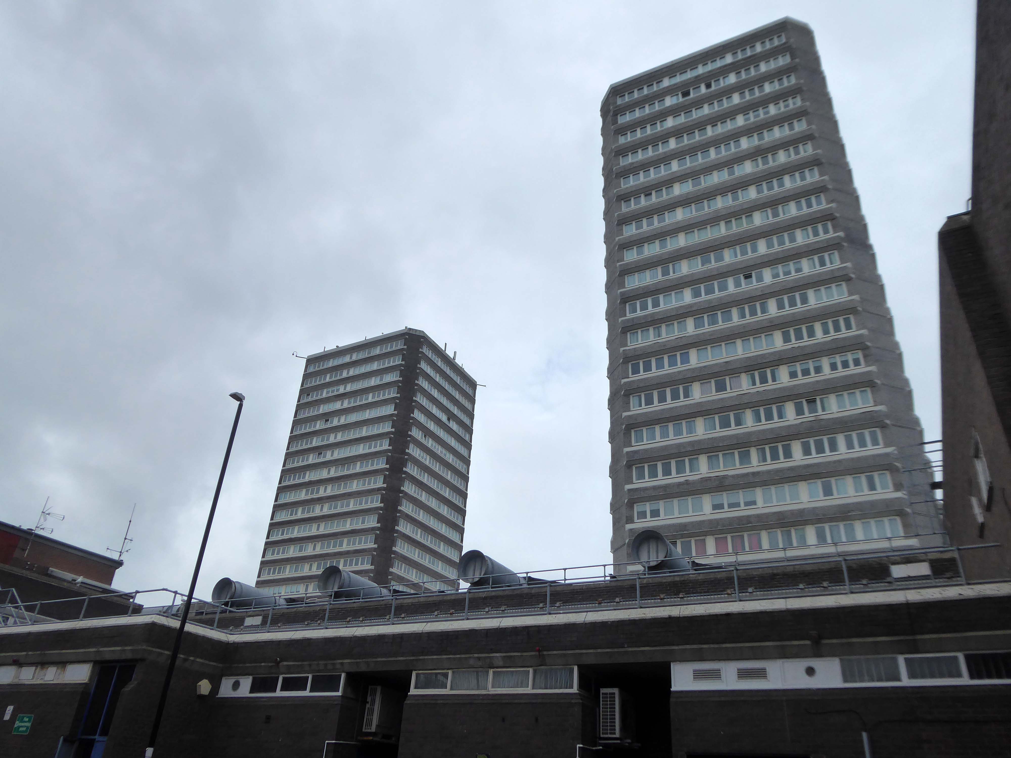
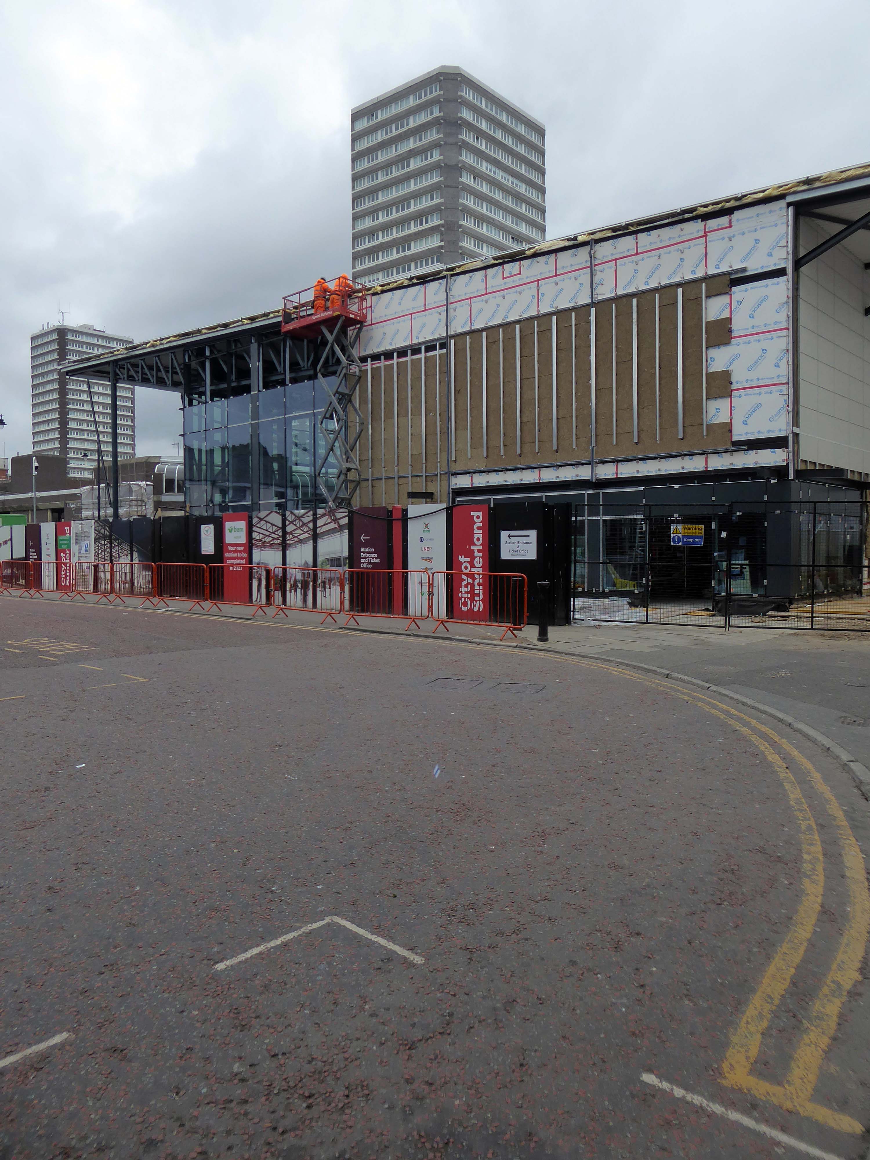
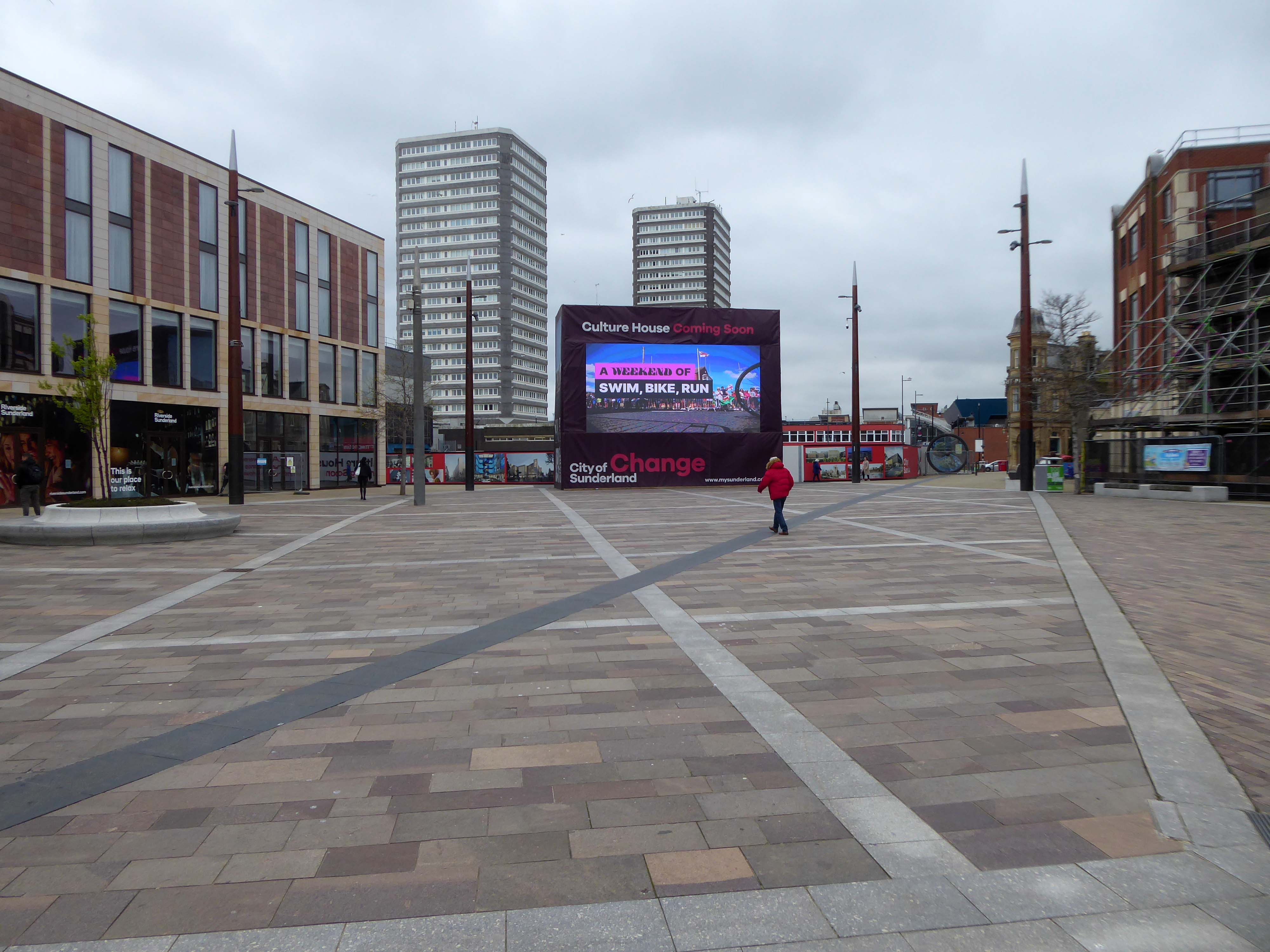
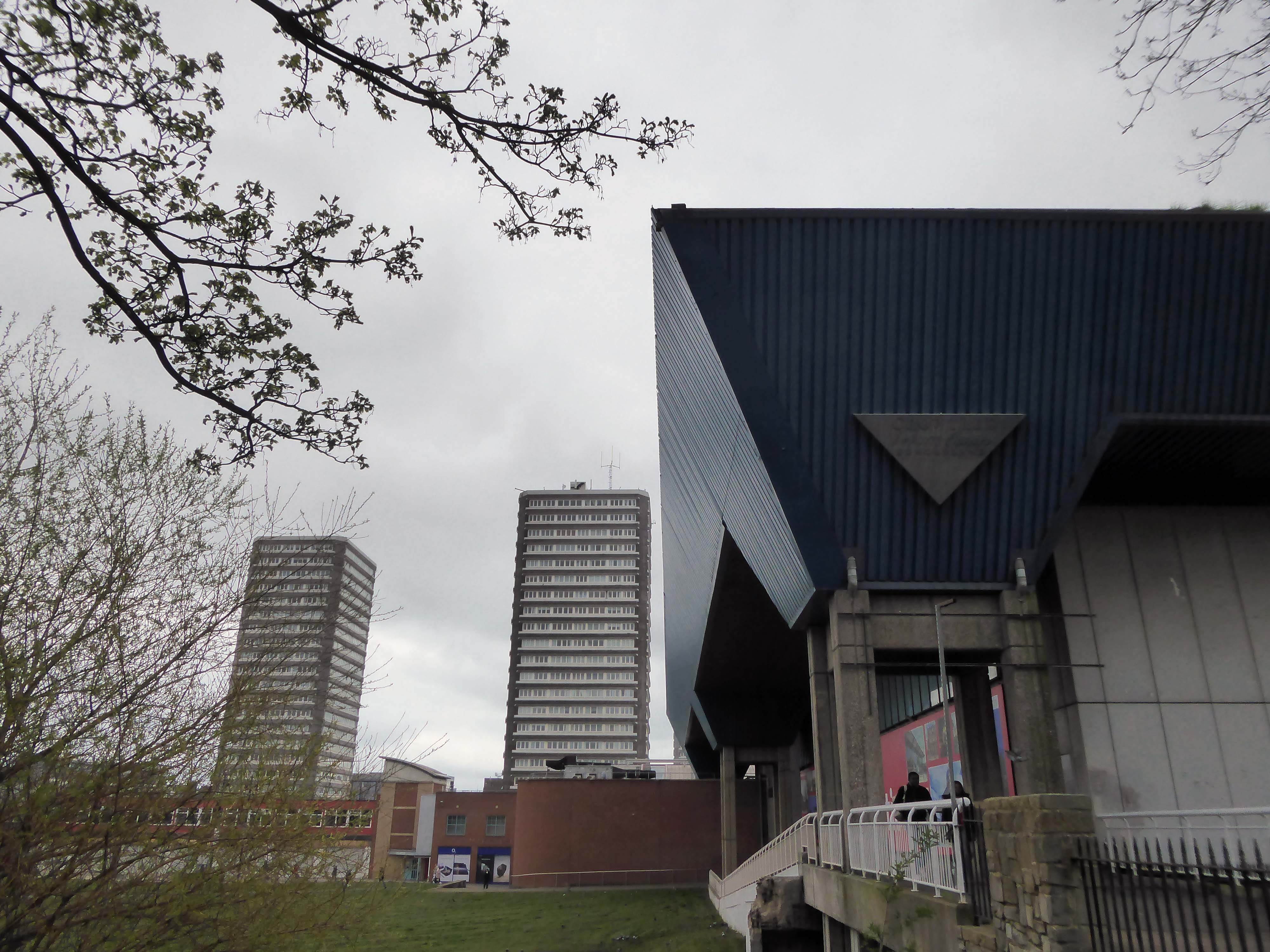
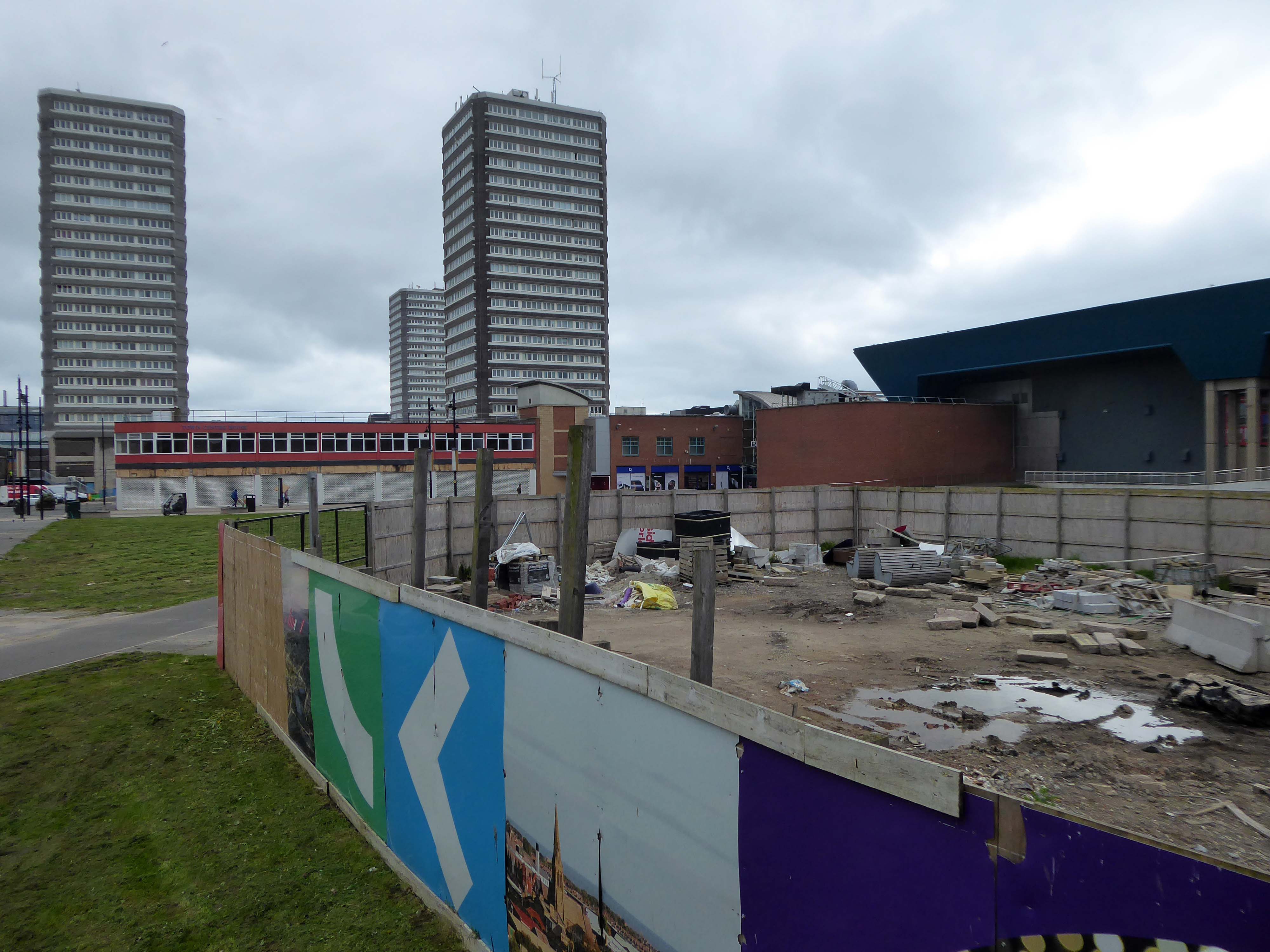
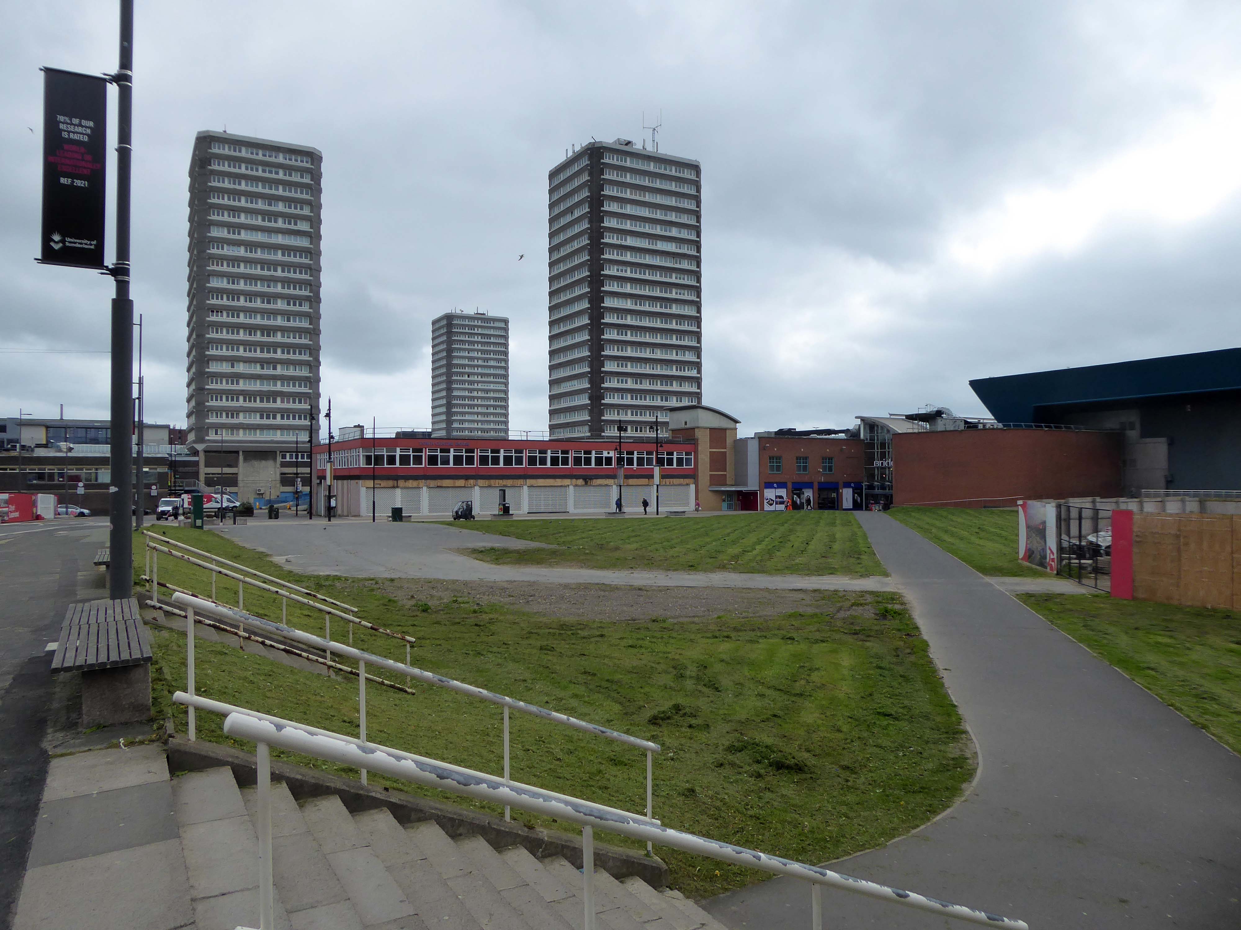
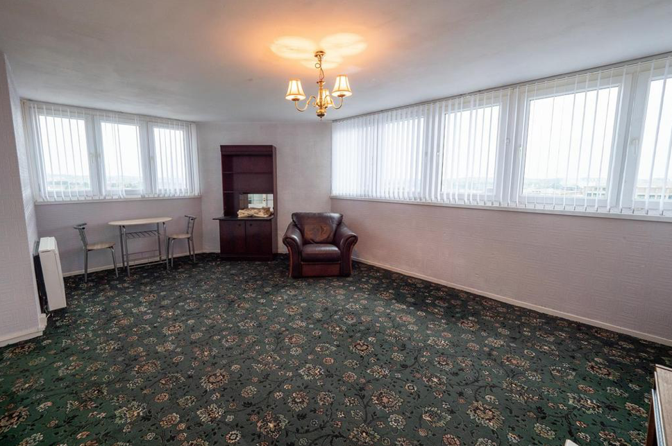
Three nineteen-storey point blocks built as public housing as part of the redevelopment of Sunderland town centre. The blocks contain 270 dwellings in total. Construction was approved by committee in 1967.
The blocks were constructed by Sunderland County Borough Council.
The developers of the Town Central Area were Town and City Properties Ltd. It is believed that they contributed £38,600 to the development of the blocks.
Ian Frazer and Associates were the architects for the sub-structural works only.
Llewelyn, Davies, Weeks and Partners were the structural and mechanical engineers in addition to being the architects for the tower blocks.
Gilbert-Ash Northern Ltd.’s tender for the contract was £959,258 – construction began in March 1967.
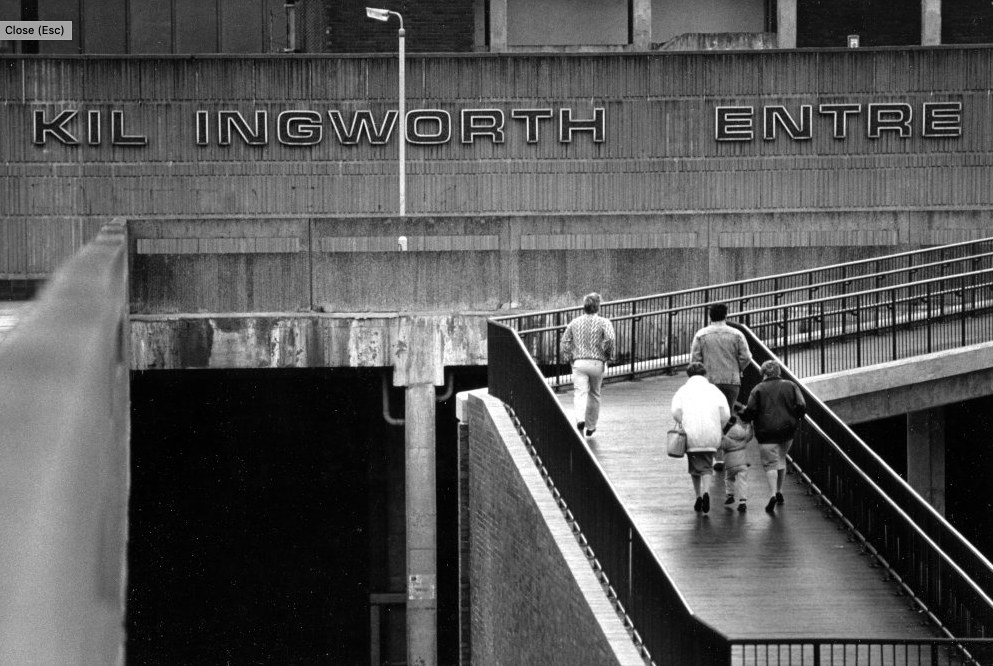
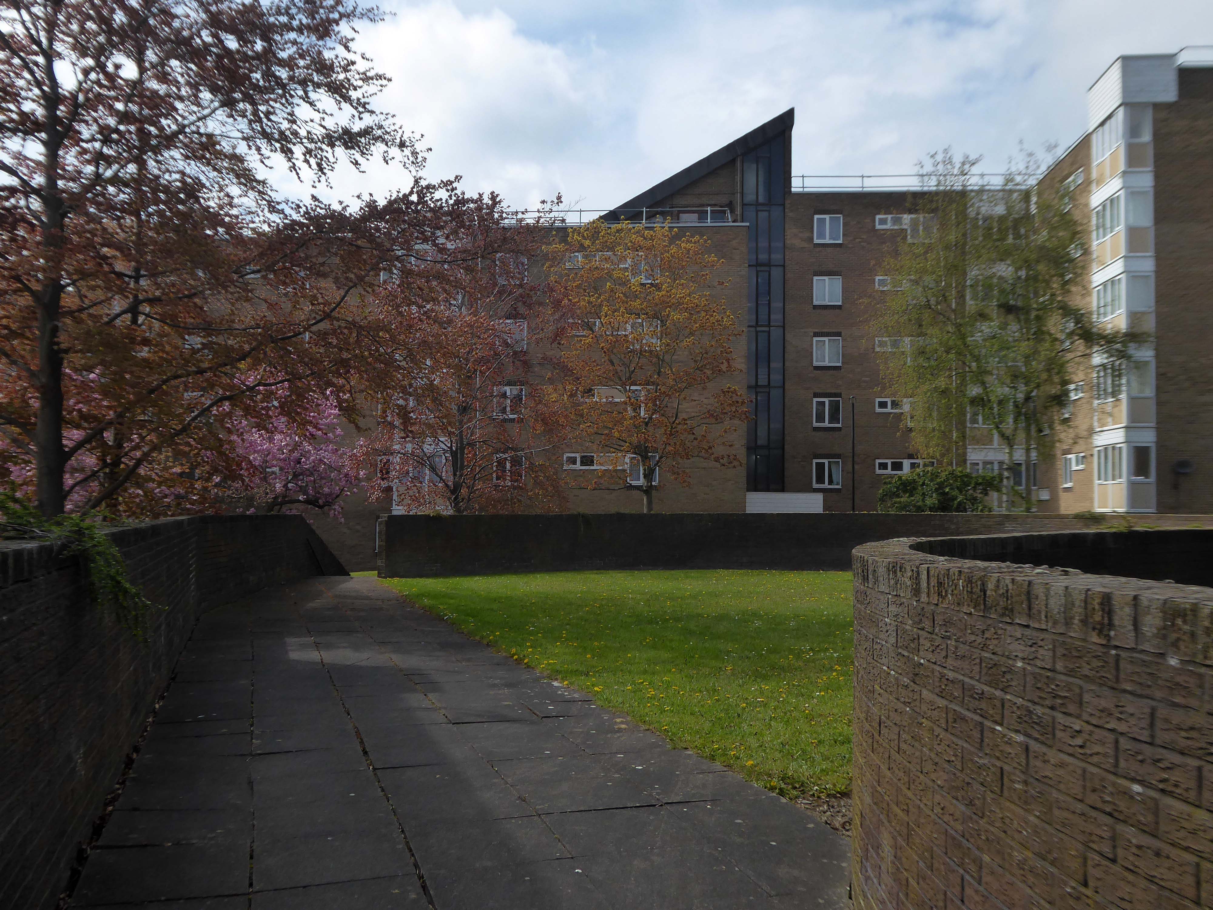
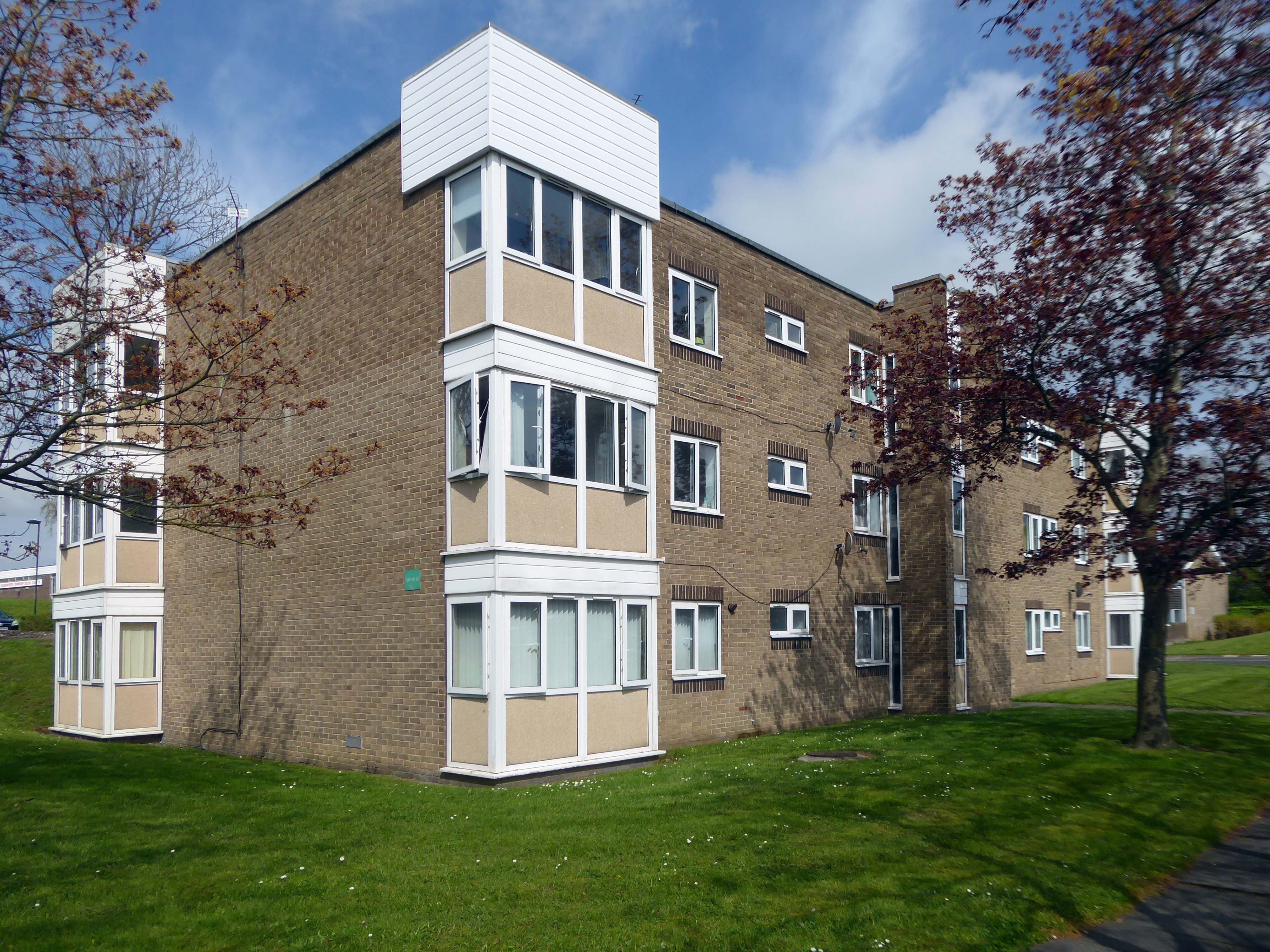
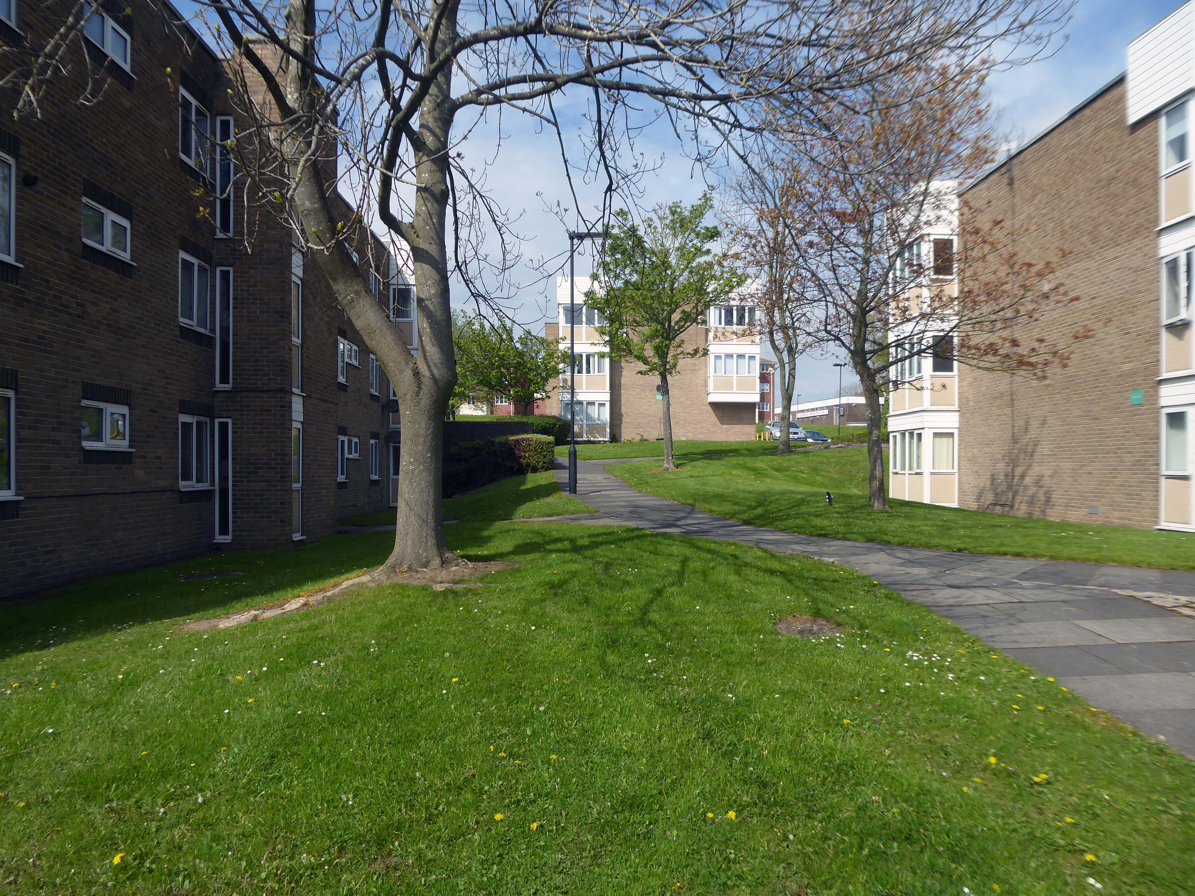
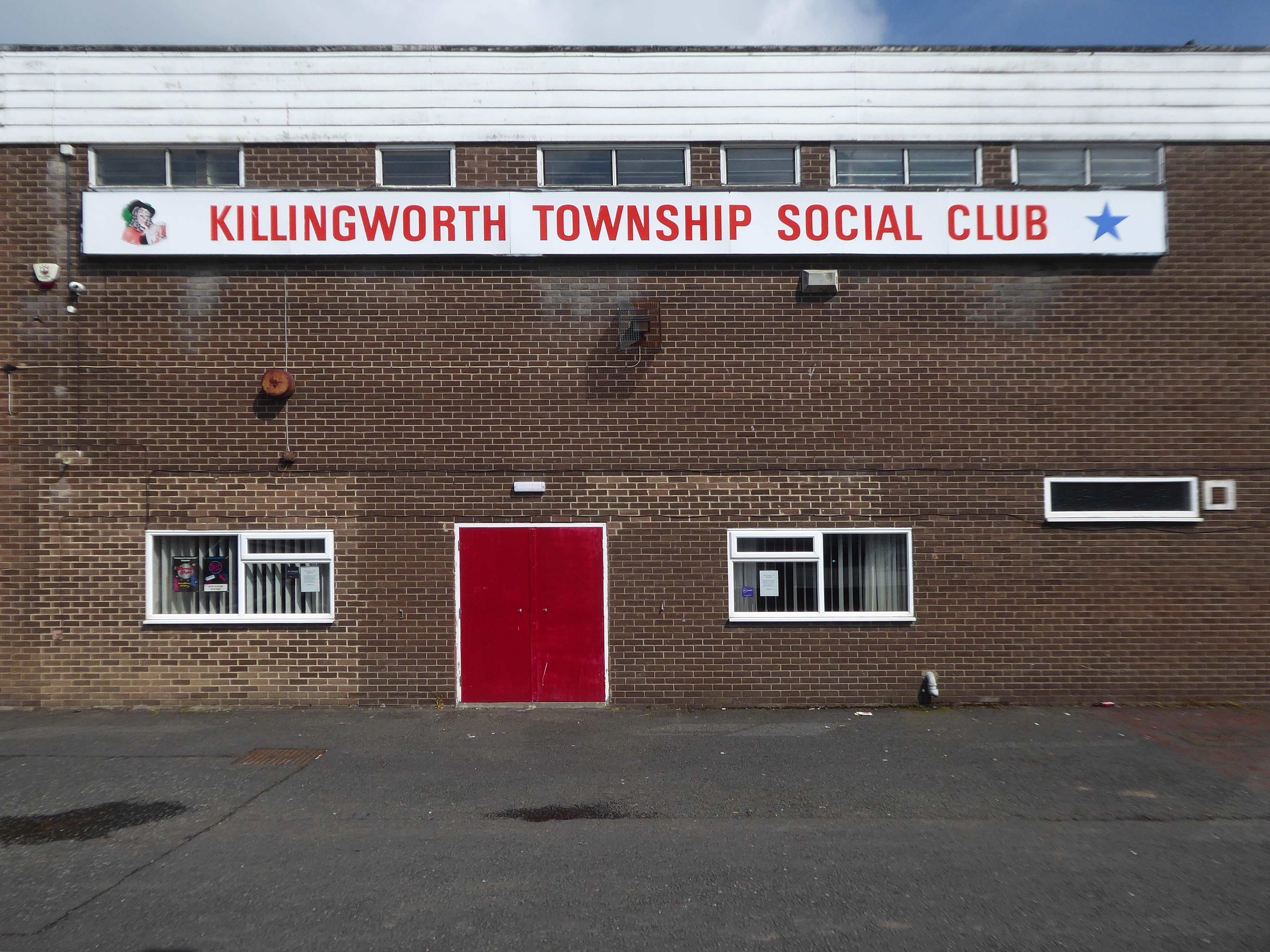
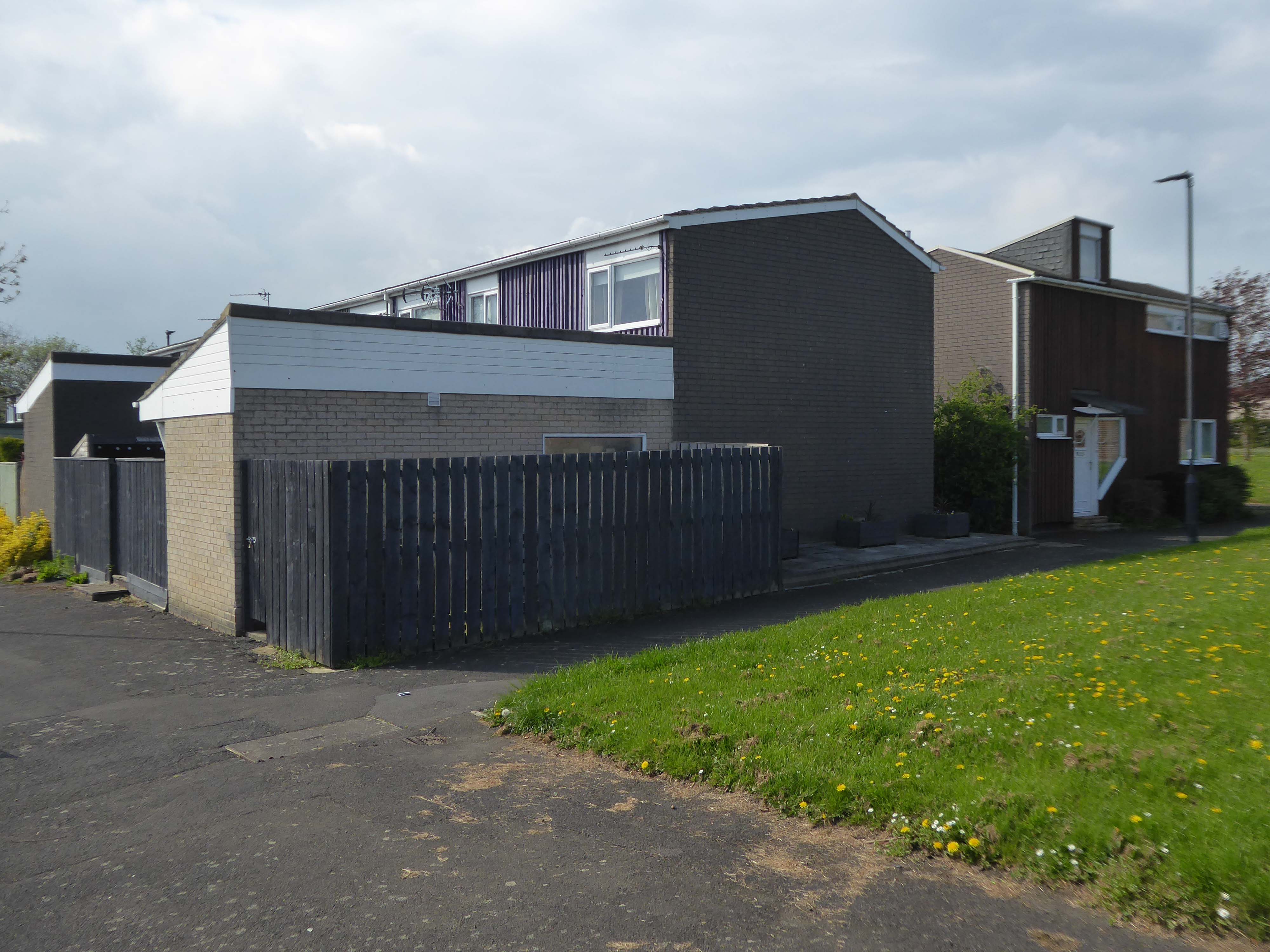
Construction of Killingworth, a new town, began in 1963. Intended for 20,000 people, it was a former mining community, formed on seven hundred and sixty acres of derelict colliery land near Killingworth Village. The building of Killingworth Township was undertaken by Northumberland County Council and was not formally a New Town sponsored by the Government.
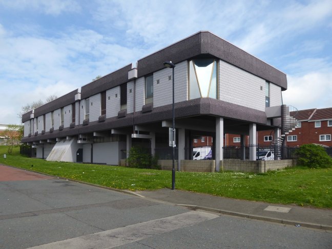
Unlike that town, Killingworth’s planners adopted a radical approach to town centre design, resulting in relatively high-rise buildings in an avant-garde and brutalist style that won awards for architecture, dynamic industry and attractive environment.
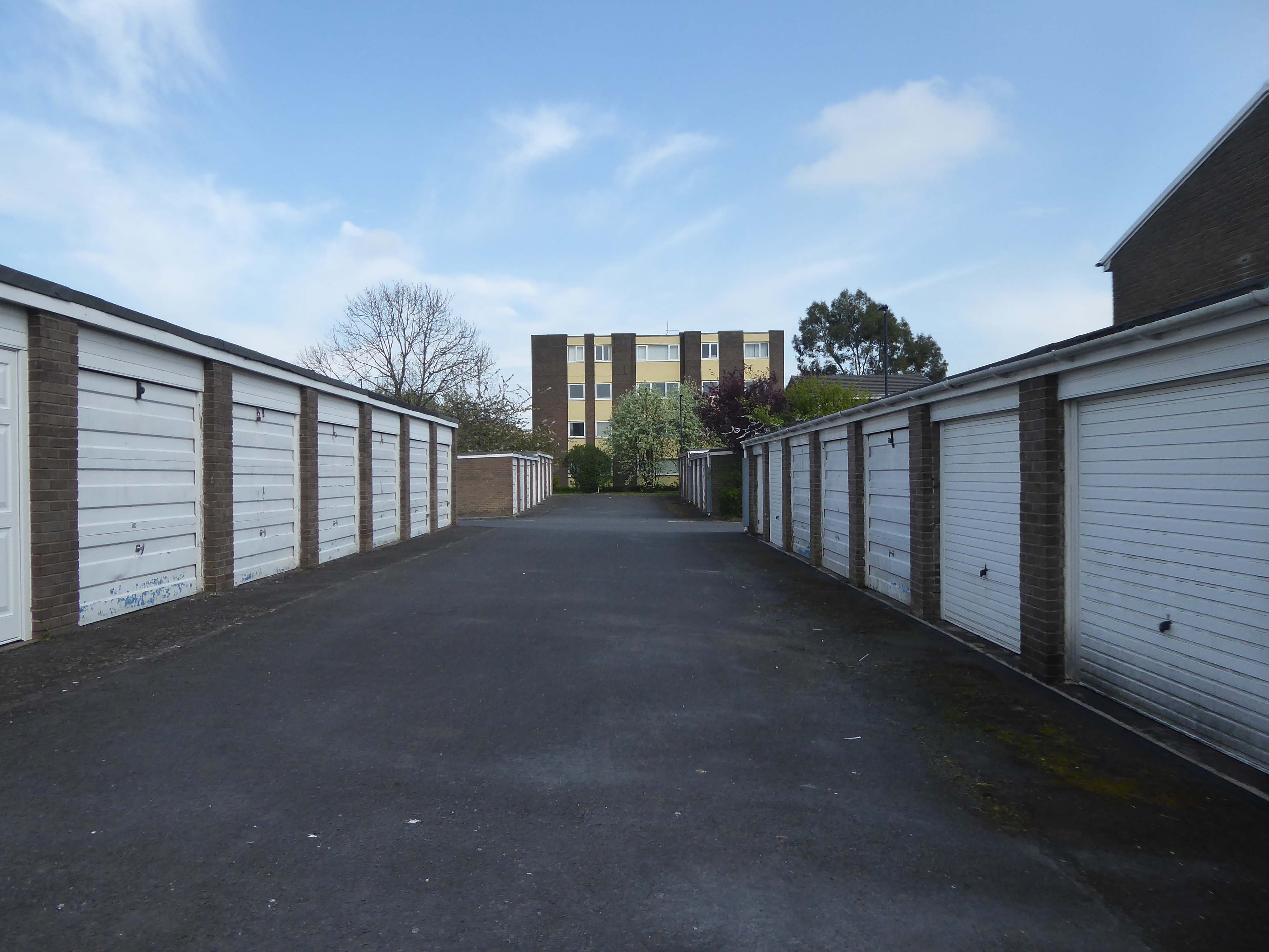
This new town centre consisted of pre-cast concrete houses, with millions of small crustacean shells unusually embedded into their external walls, five to ten storey flats, offices, industrial units and service buildings, which often consisted of artistic non-functional characteristics, shops and residential multi-storey car parks, interconnected by ramps and walkways. These made up a deck system of access to shopping and other facilities, employing the Swedish Skarne method of construction.
Originally named Killingworth Township, the latter part was quickly dropped through lack of colloquial use.
Killingworth is referred to as Killy by many residents of the town and surrounding areas.
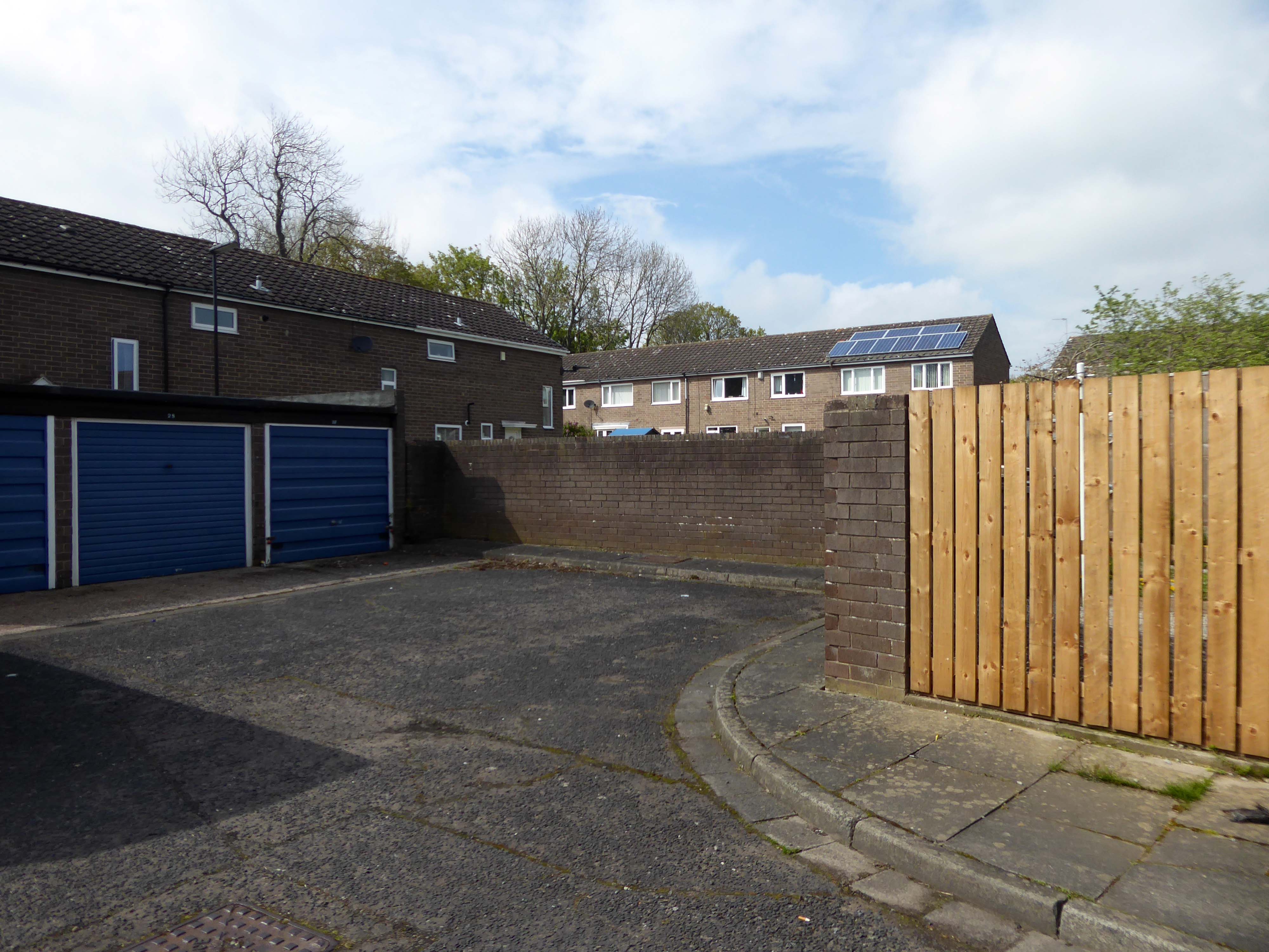
Around 1964, during the reclamation of the derelict pit sites, a fifteen acre lake south of the town centre was created; spoil heaps were levelled, seeded and planted with semi-mature trees.
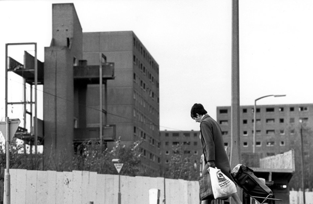
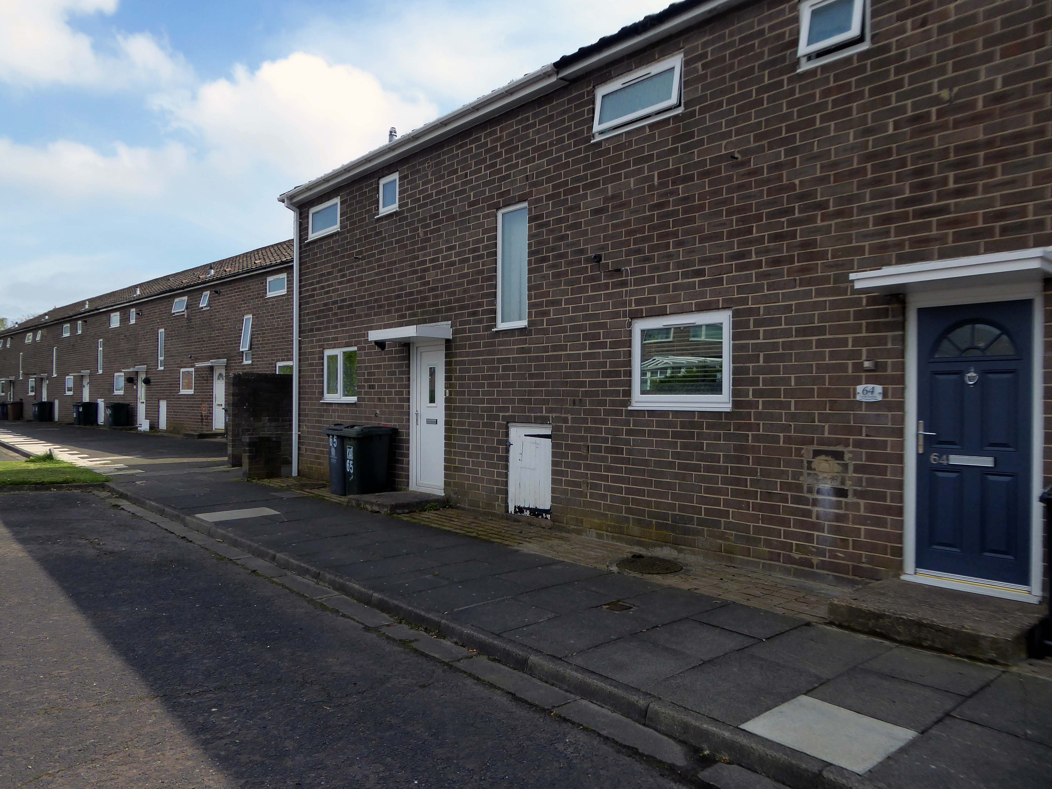
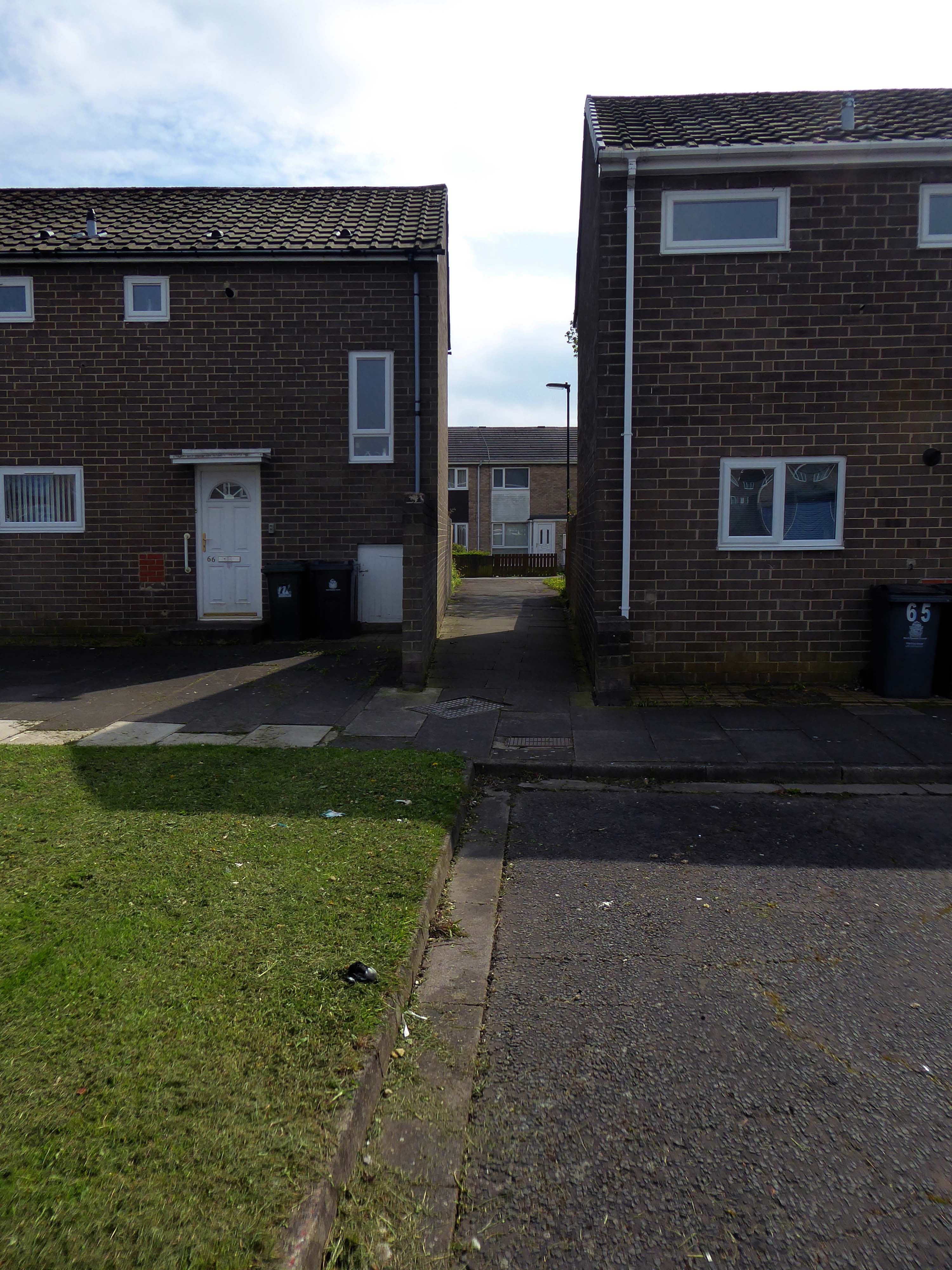
In 1987 the demolition of this three-tier housing estate of the township was undertaken by the Architects’ Department of the Metropolitan Borough of North Tyneside.
Photo: Philip Wolmuth
Once the wrecking ball arrives new town can begin to look like any old town.
Following Euan Lynn’s suggestion – I went to take a look around.
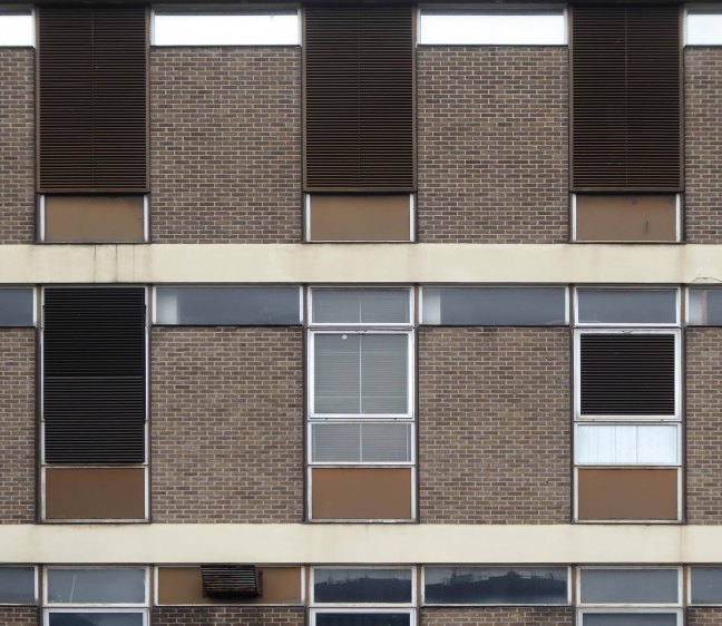
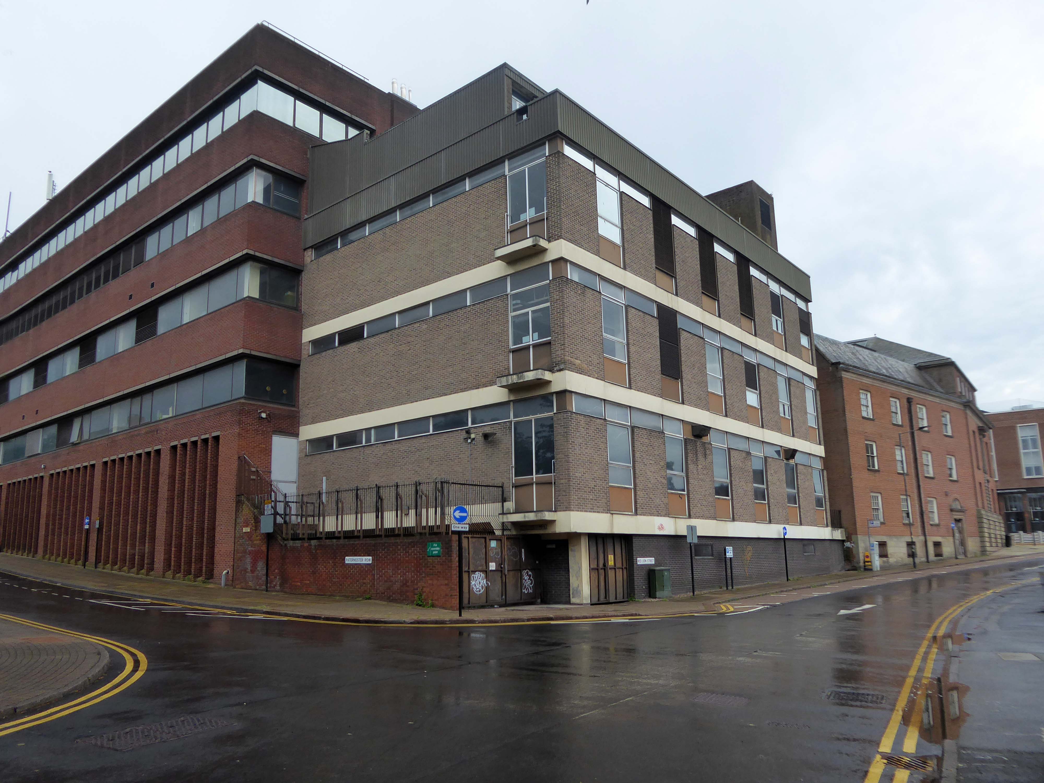
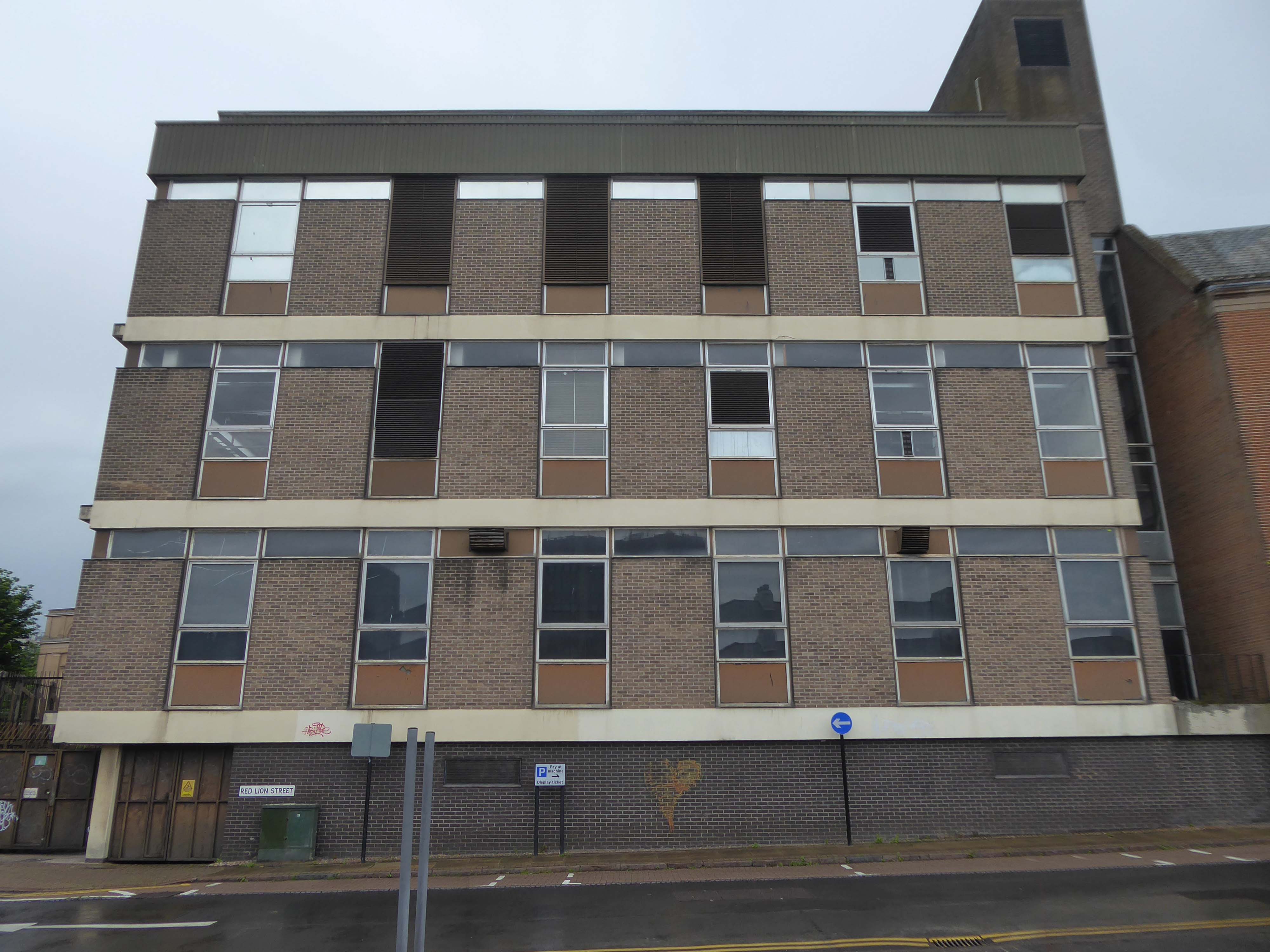
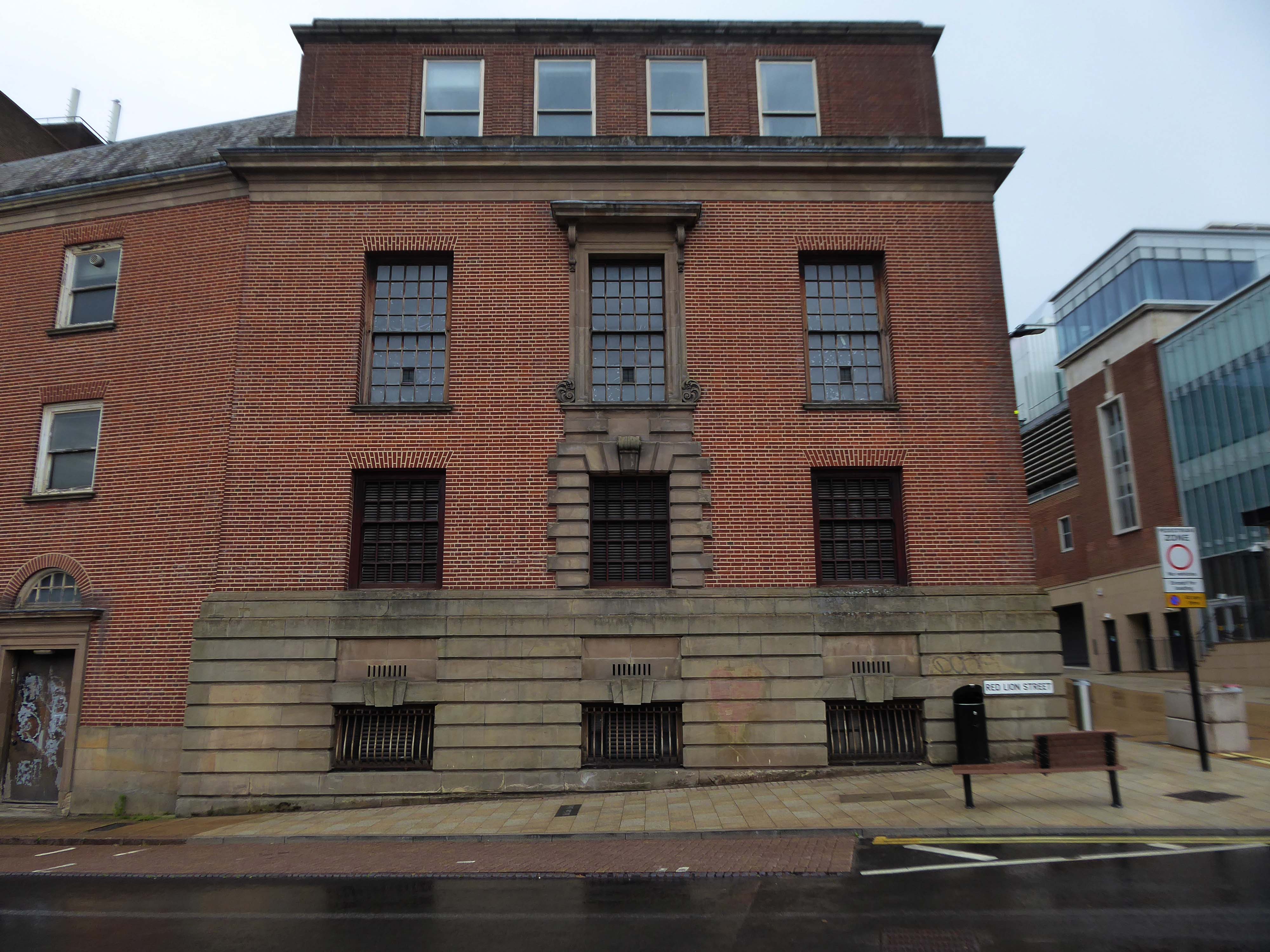
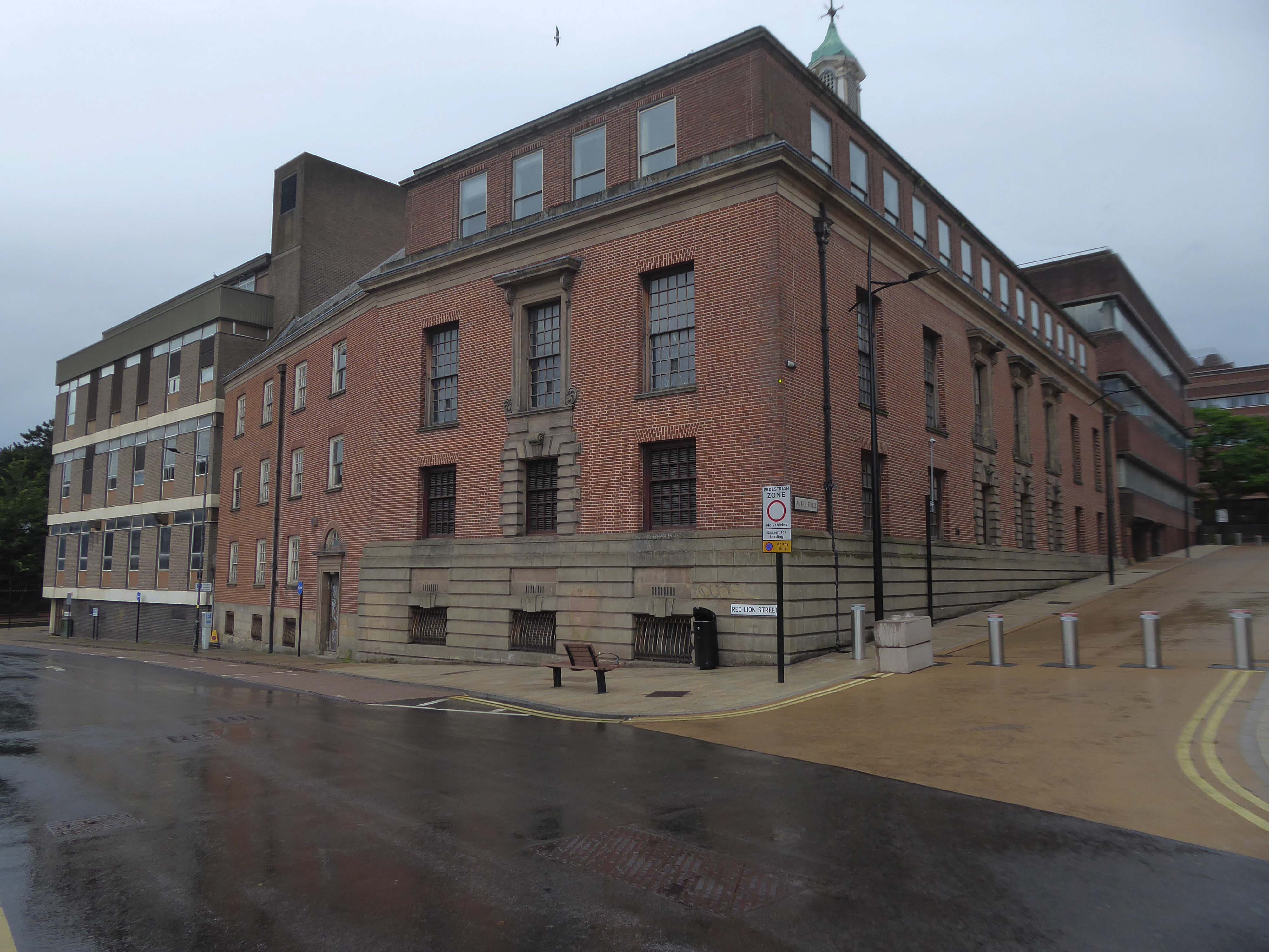
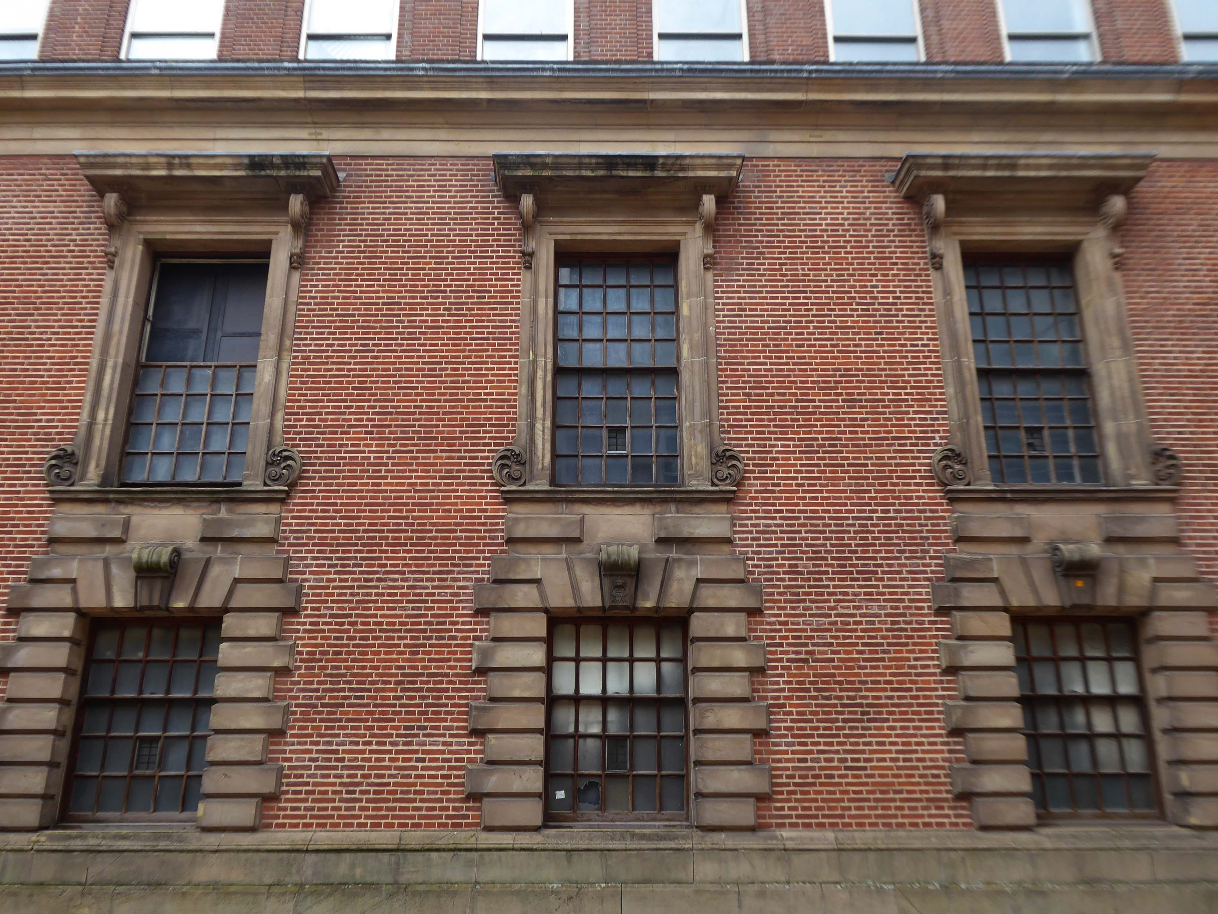
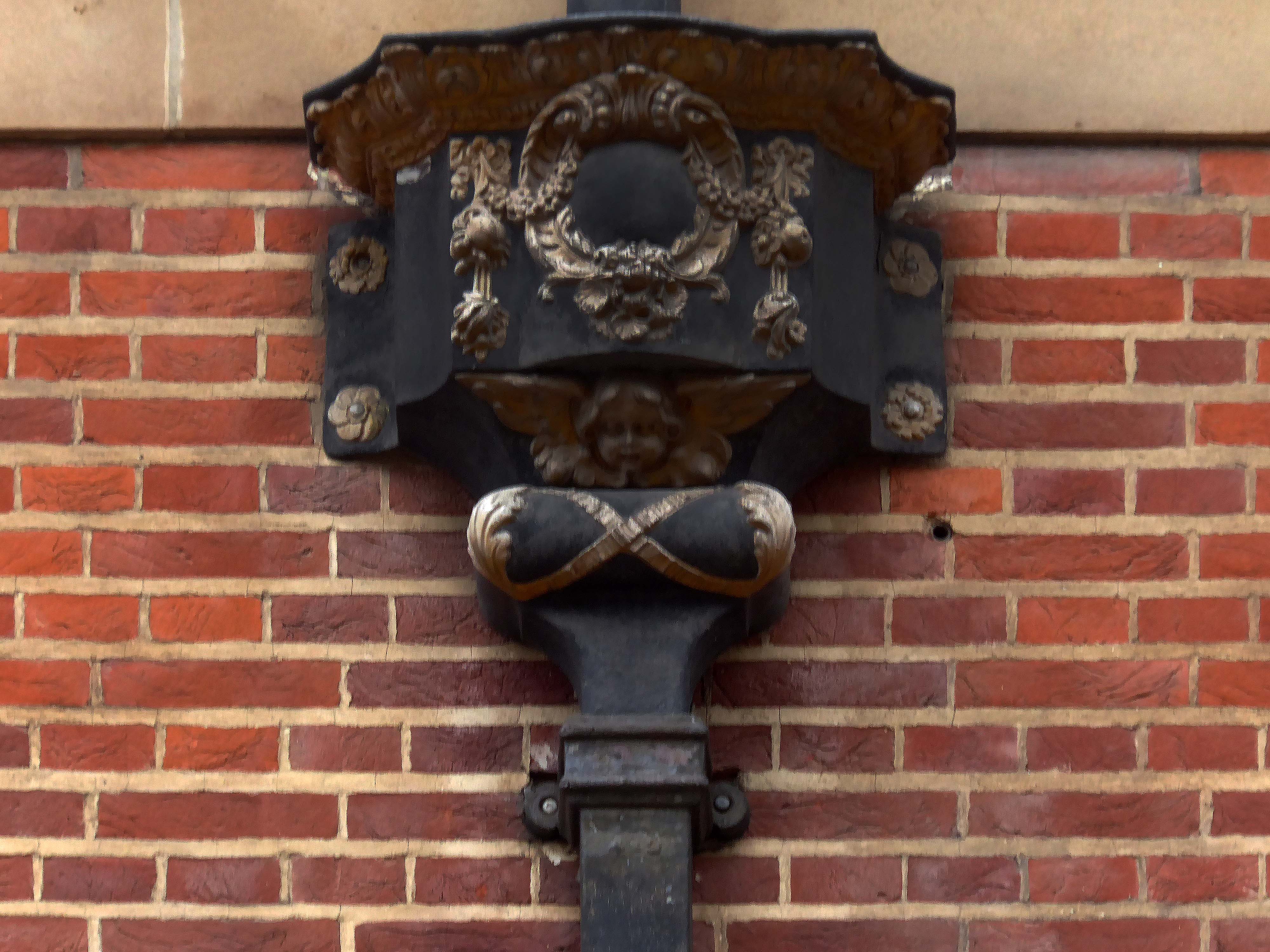
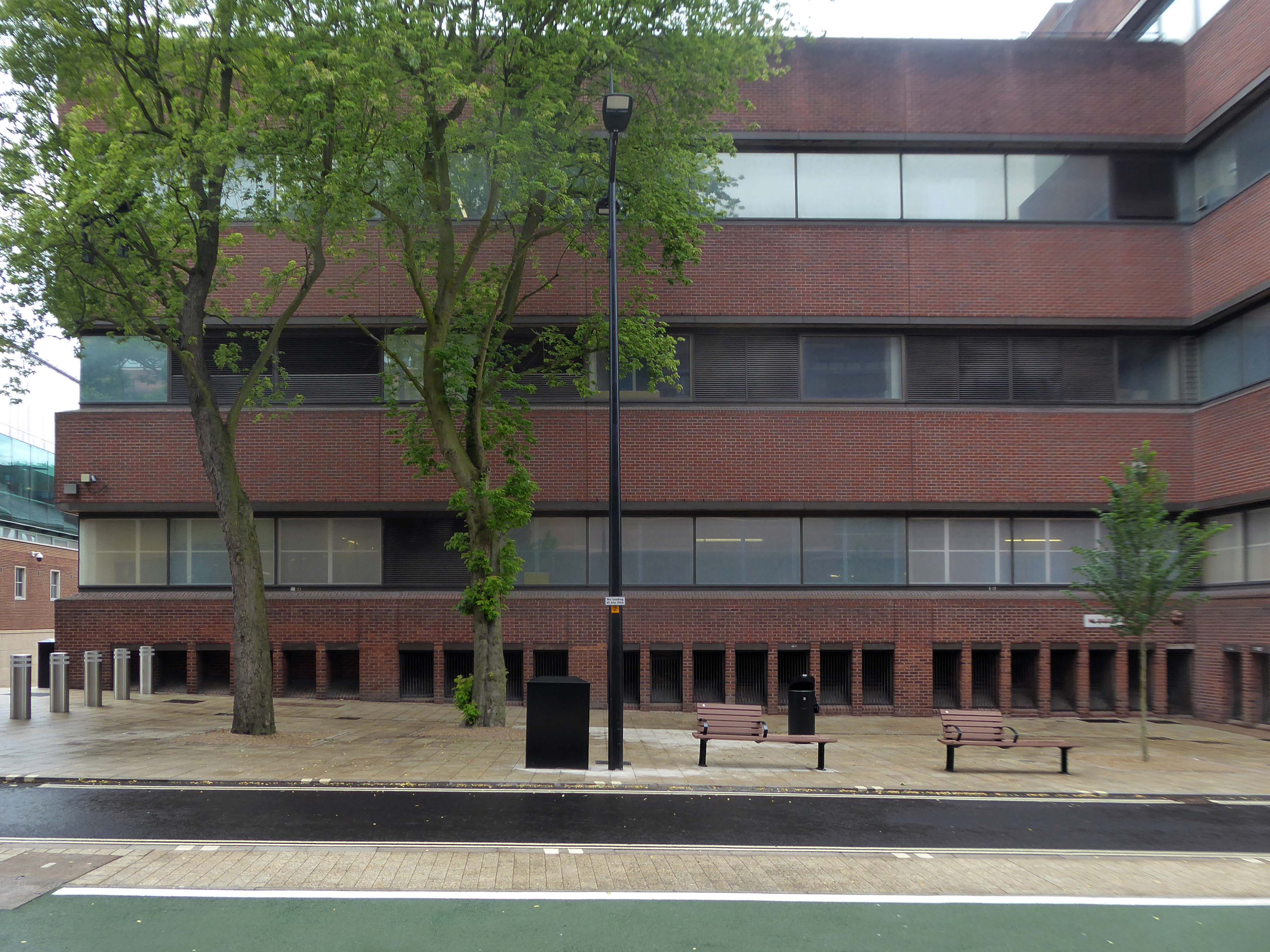
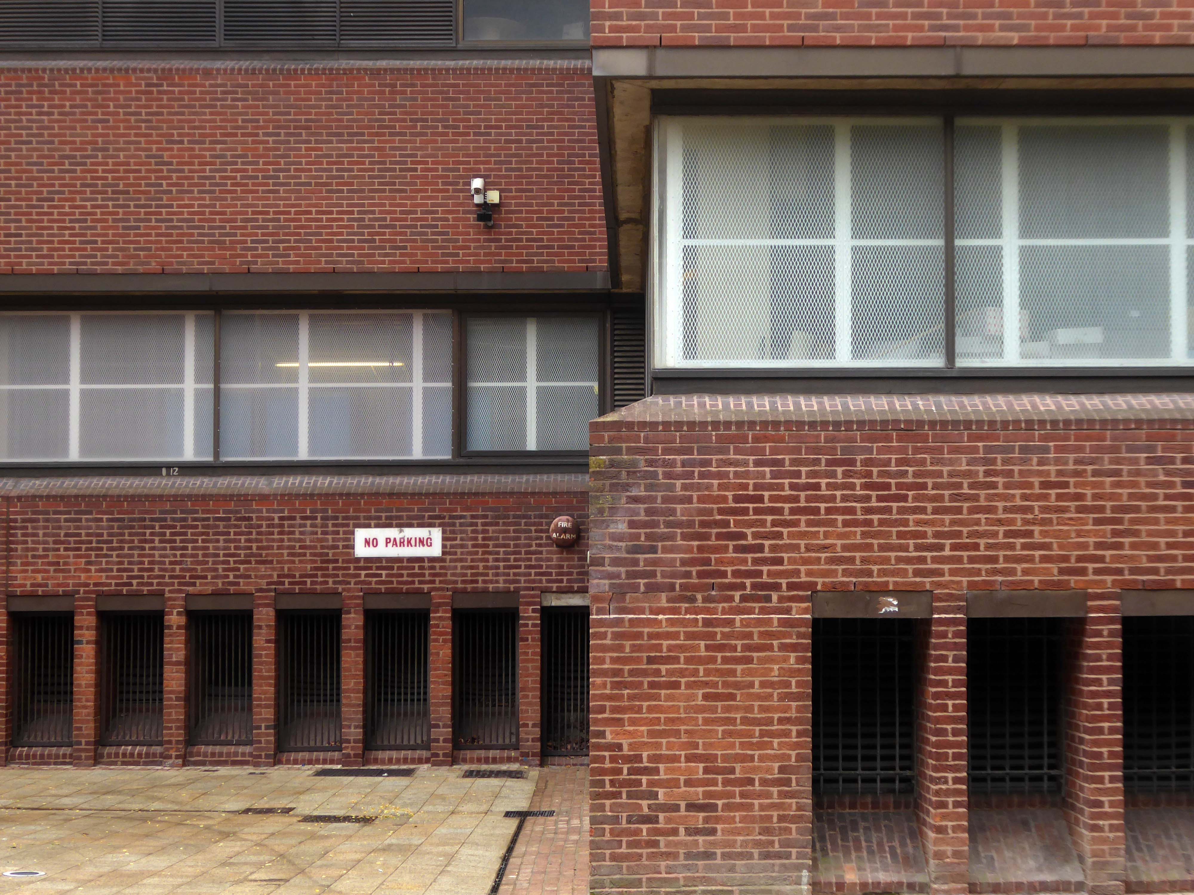
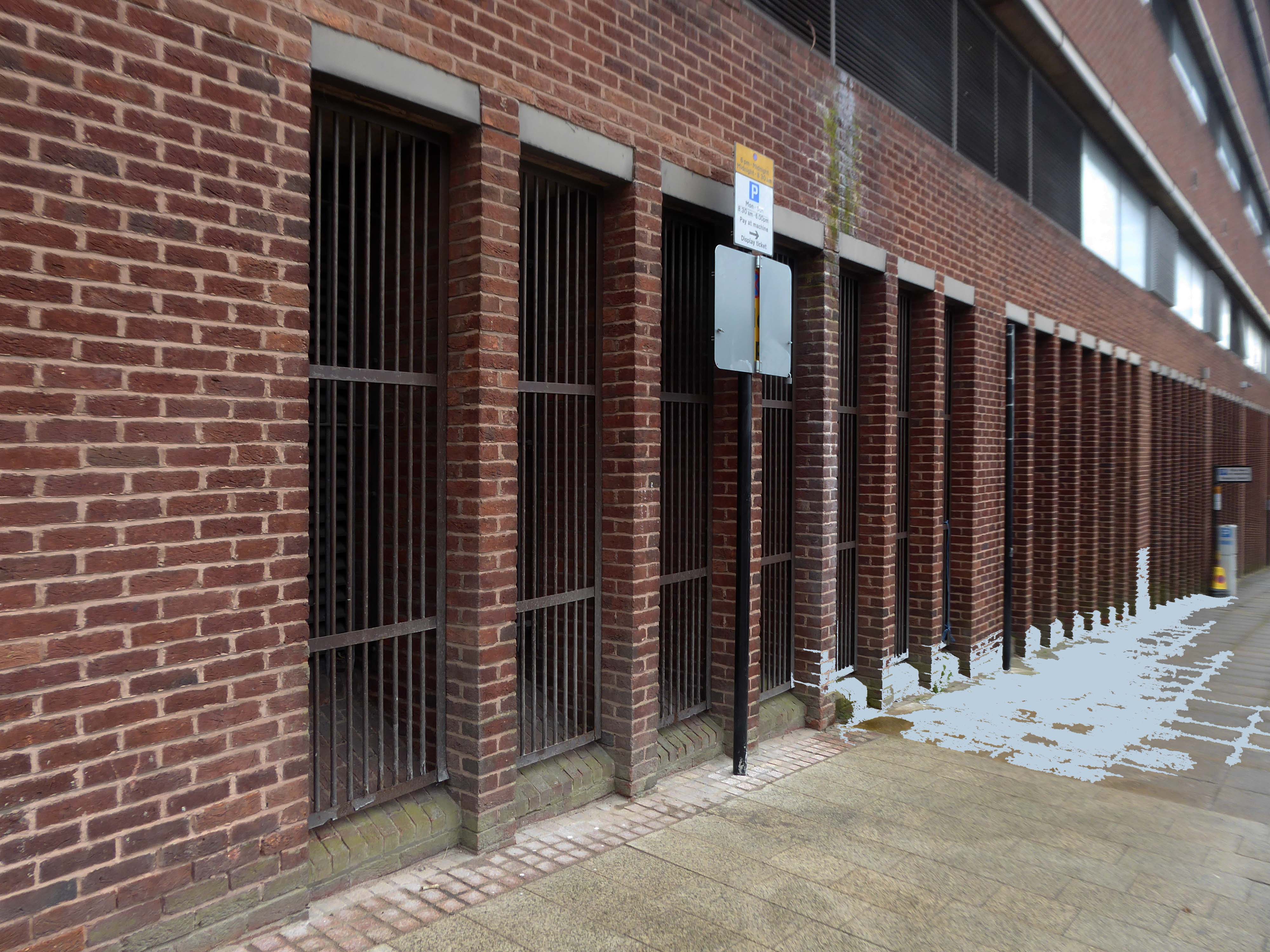
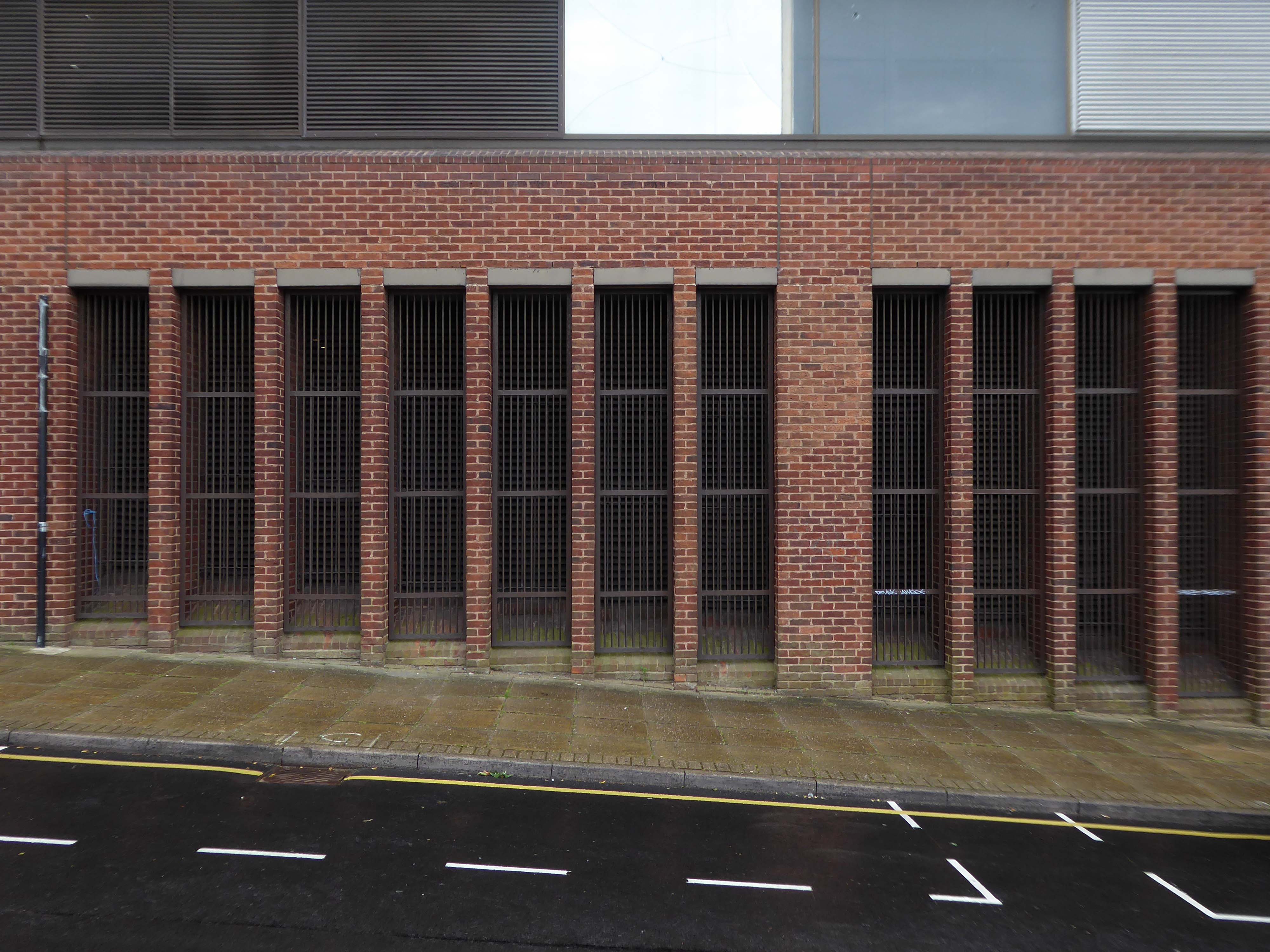
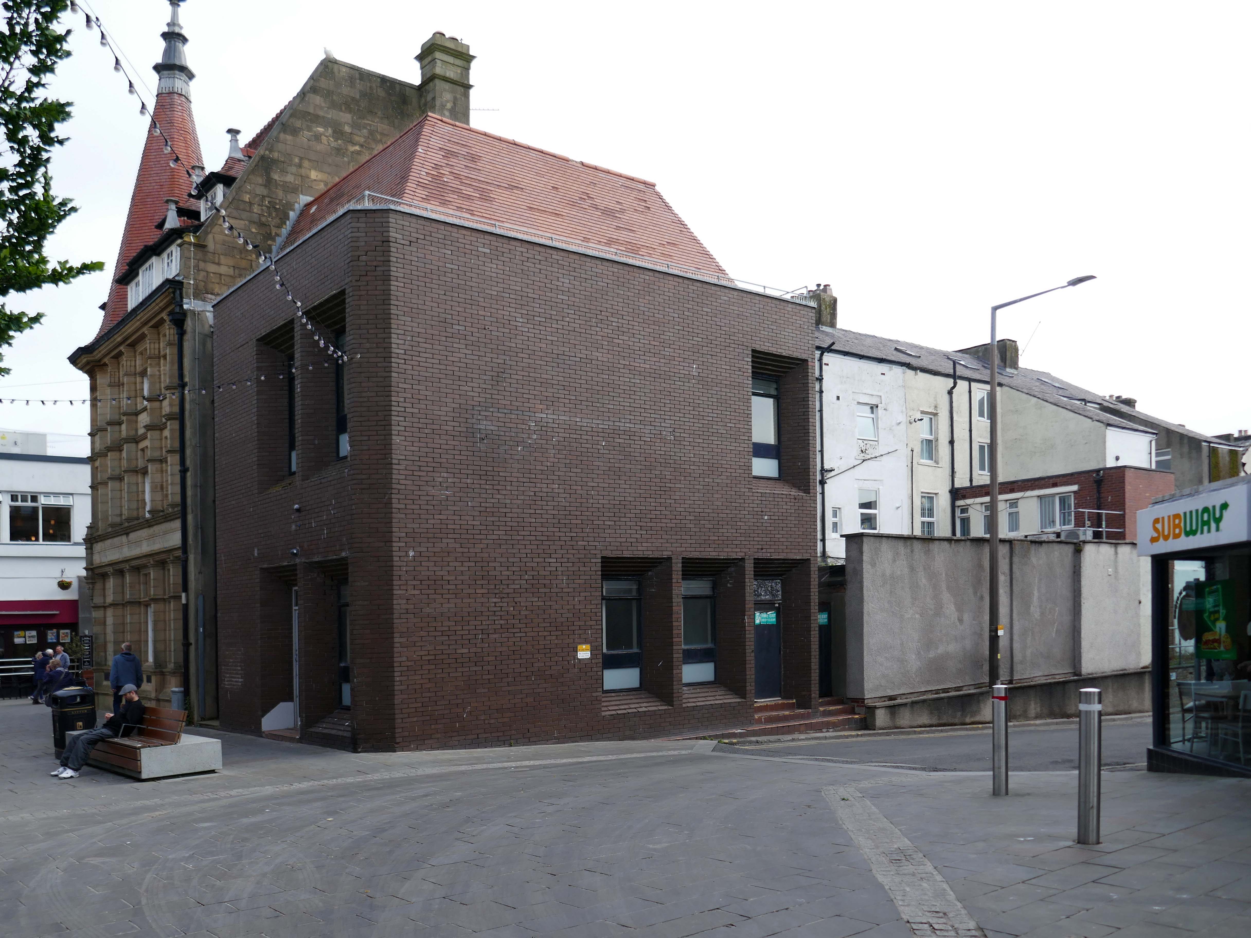
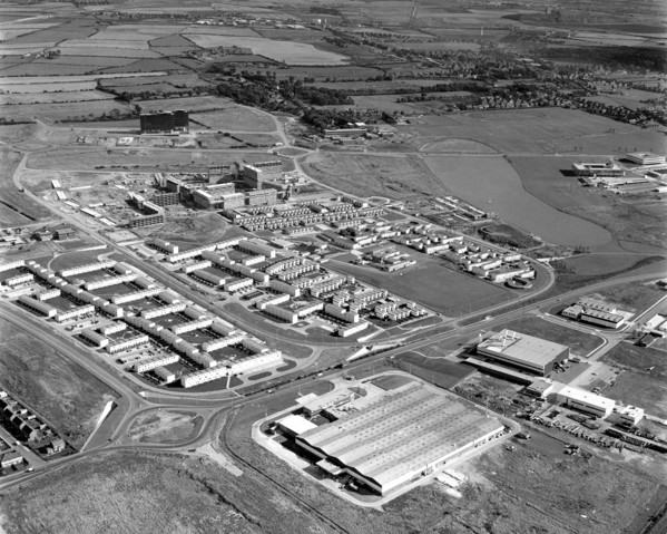
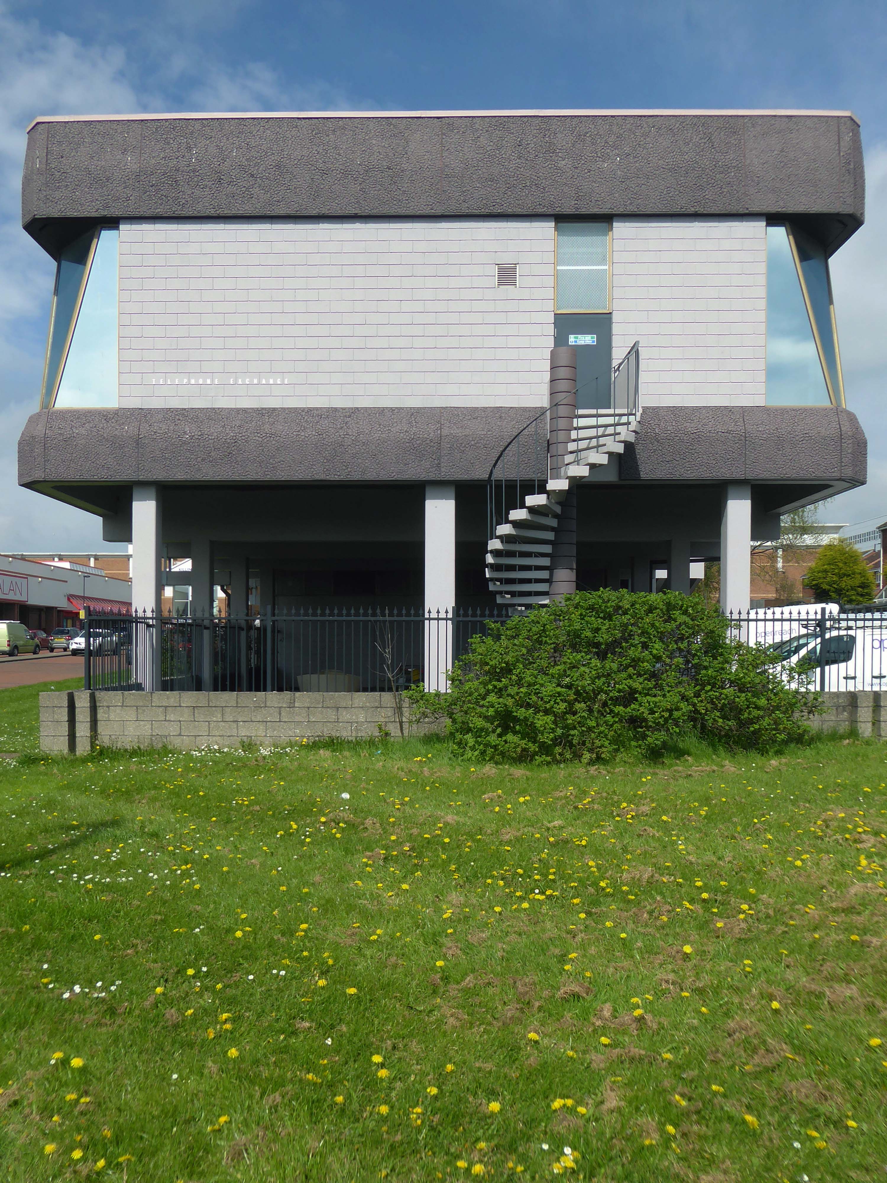
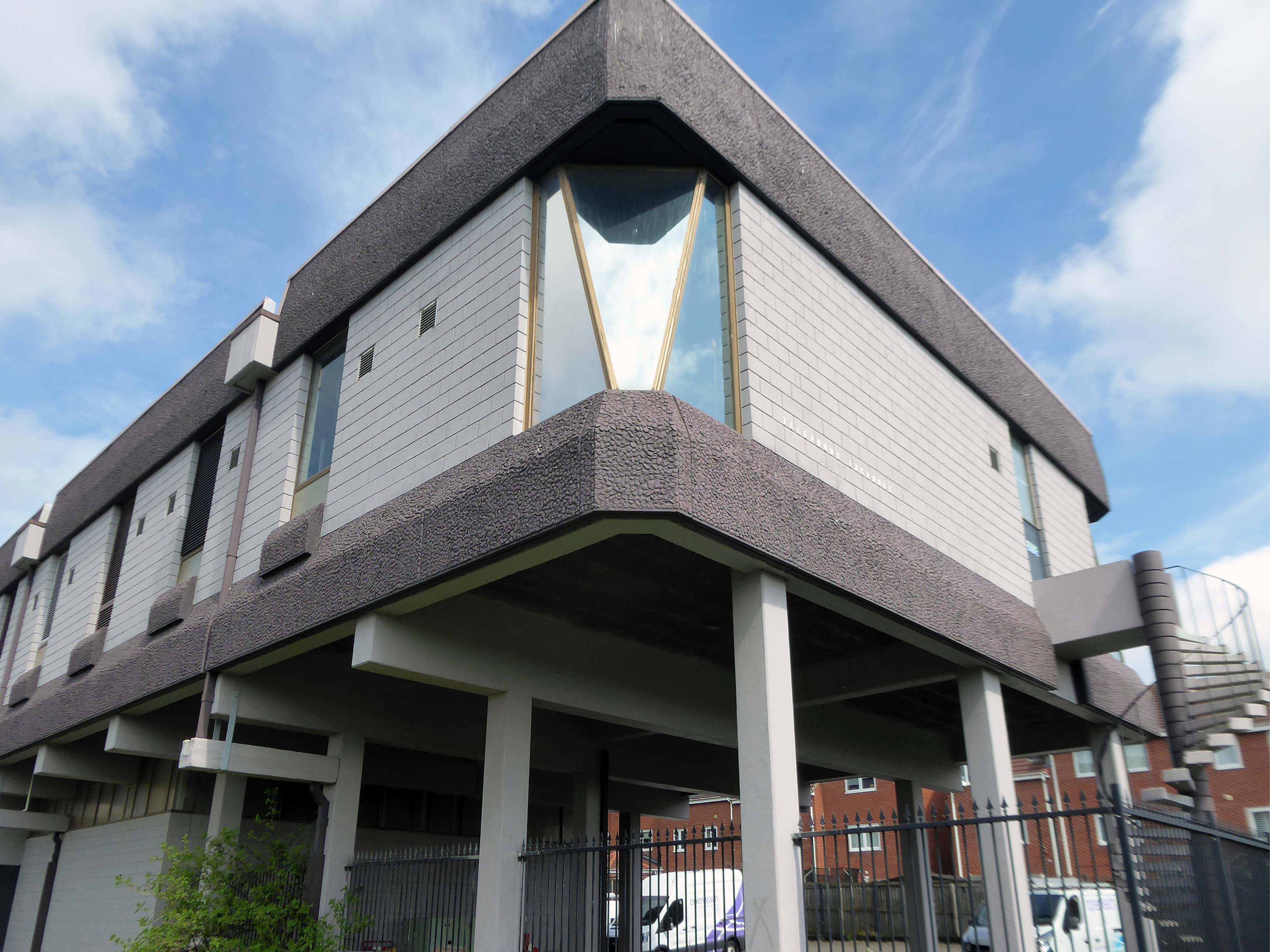
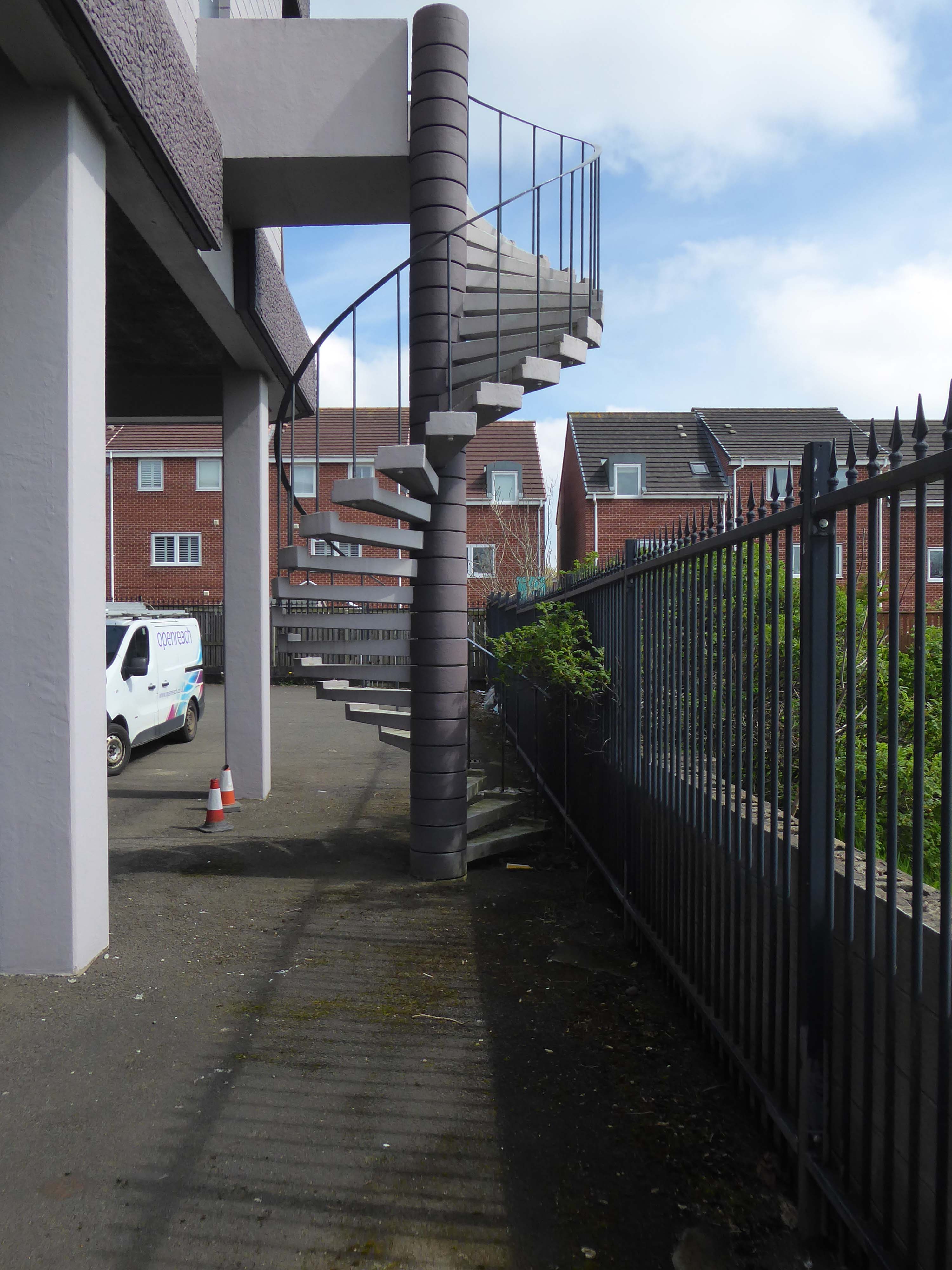
From the window of the 52 bus, I saw an enchanting Telephone Exchange.
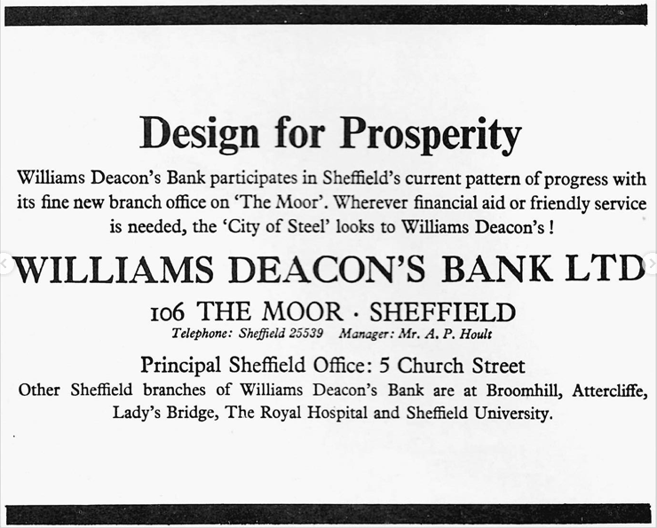
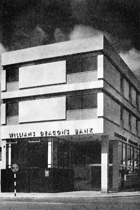
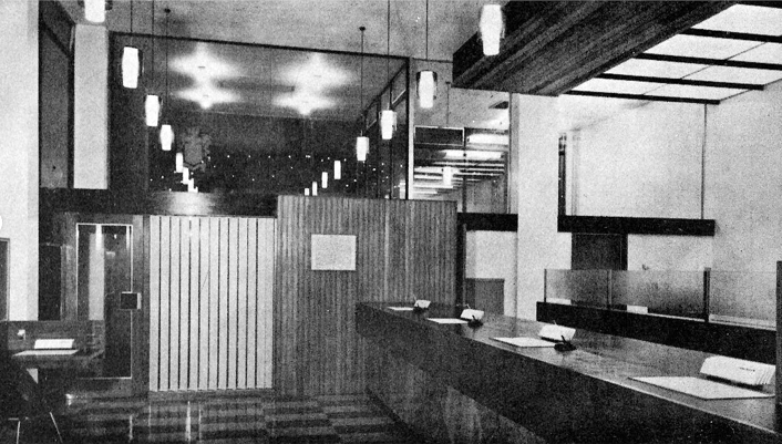
This joint-stock bank was established in Manchester in 1836 as Manchester & Salford Bank by a group of promoters keen to take advantage of recent legislation allowing the formation of joint-stock banks outside London. The bank had up to 15 directors and the issued capital was £1m, of which £252,100 was paid up by December 1836.
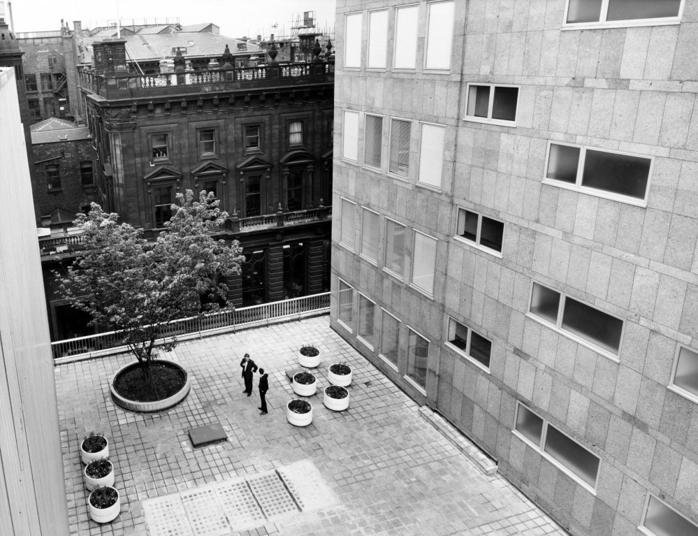
RIBA Pix: Headquarters building for William Deacon’s Bank Limited – Mosley Street Manchester: the garden at podium level.
Harry S Fairhurst & Son 1965
The first shareholders’ meeting, in May 1836, took place in temporary premises, but in August 1836 a banking house was rented in King Street. Land off Mosley Street was later acquired and a new banking house completed in 1838.
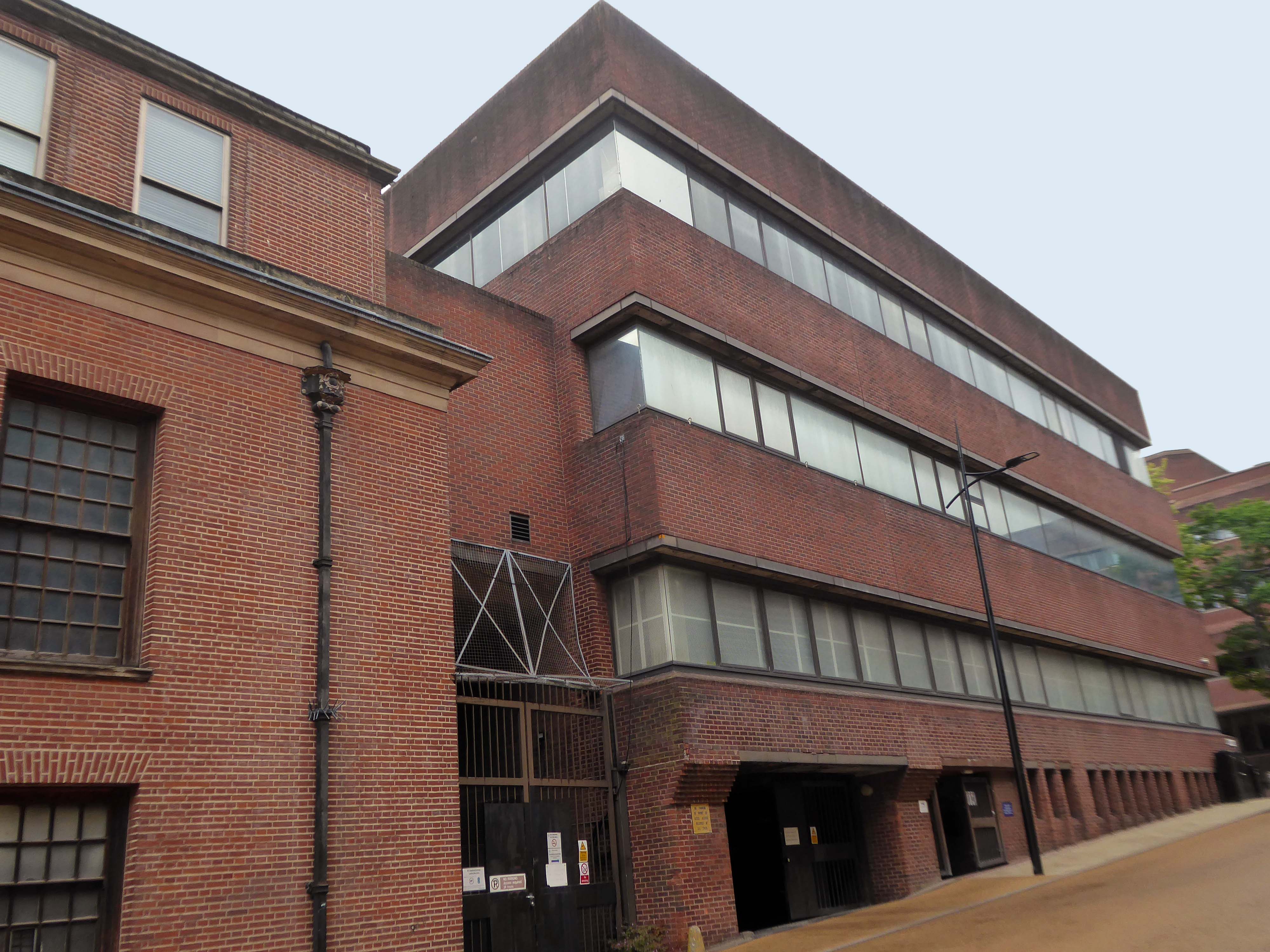
In 1969 The Royal Bank of Scotland was restructured and Williams Deacon’s became a direct subsidiary of a new holding company, National & Commercial Banking Group. The following year the holding company’s subsidiaries in England and Wales – Williams Deacon’s Bank, Glyn, Mills & Co and the English and Welsh branches of The National Bank – merged to form Williams & Glyn’s Bank.
In 1972 Williams & Glyn’s Bank joined with five other European banks to form the Inter Alpha Banks Group to exploit opportunities in the European Economic Community. In 1985 The Royal Bank of Scotland Group’s two major subsidiary holdings, Williams & Glyn’s Bank and The Royal Bank of Scotland, were fully merged as The Royal Bank of Scotland plc.
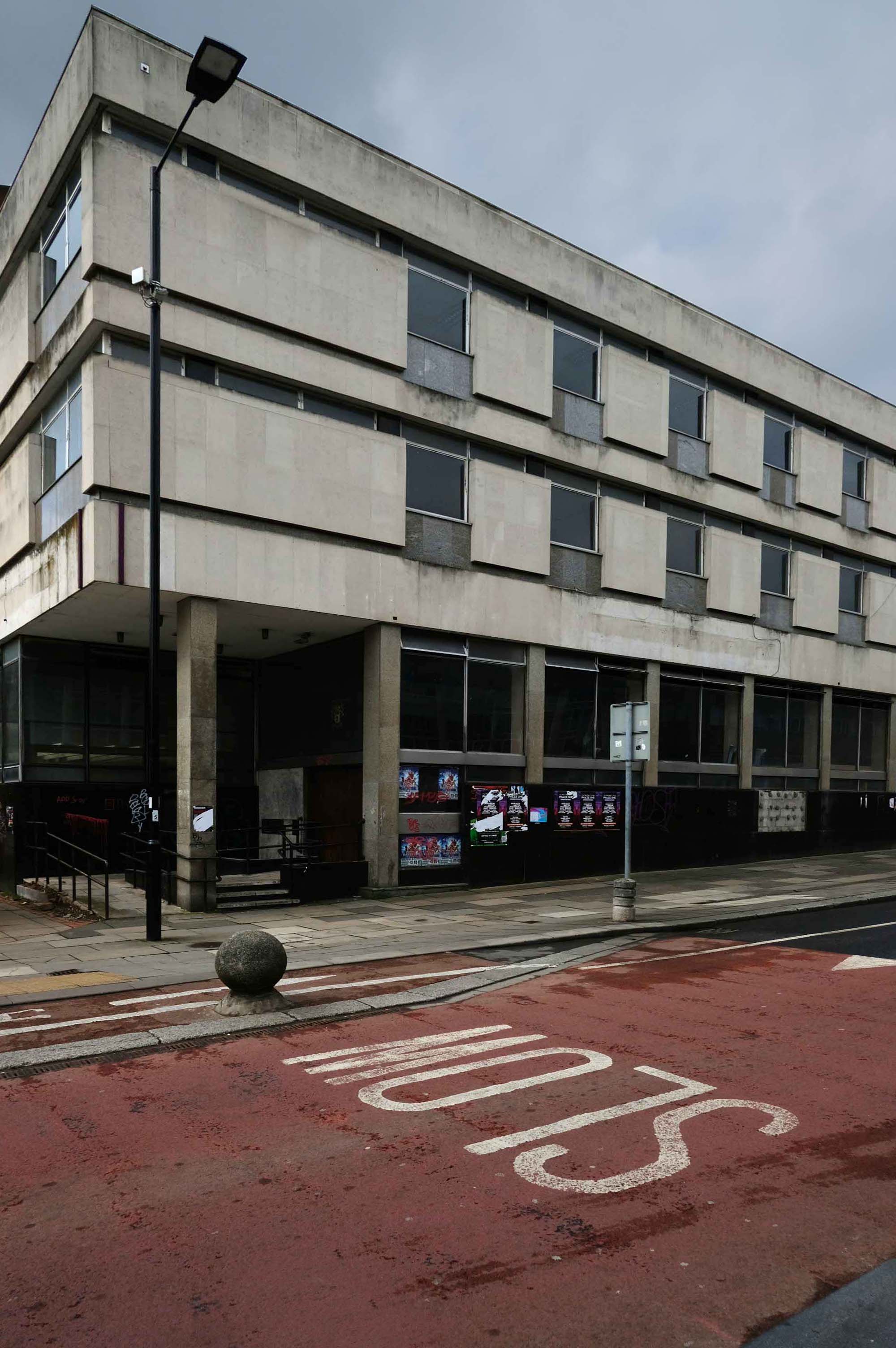
The very merry monopolies and mergers merry dance – consequently this perfectly formed Modernist bank stands alone and forlorn.
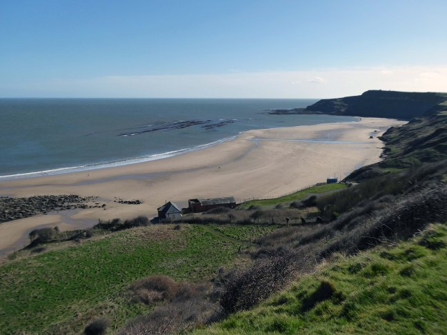
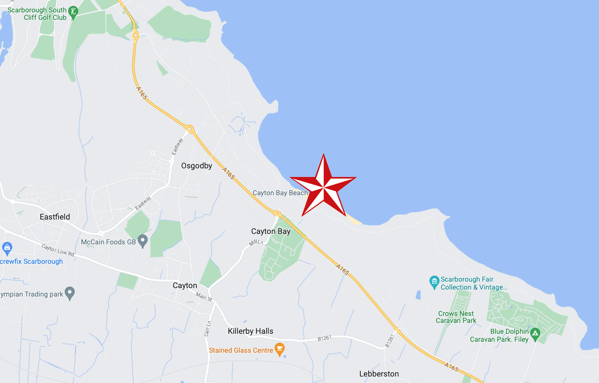
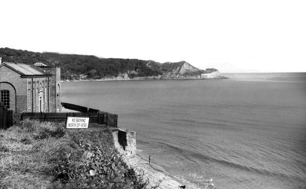
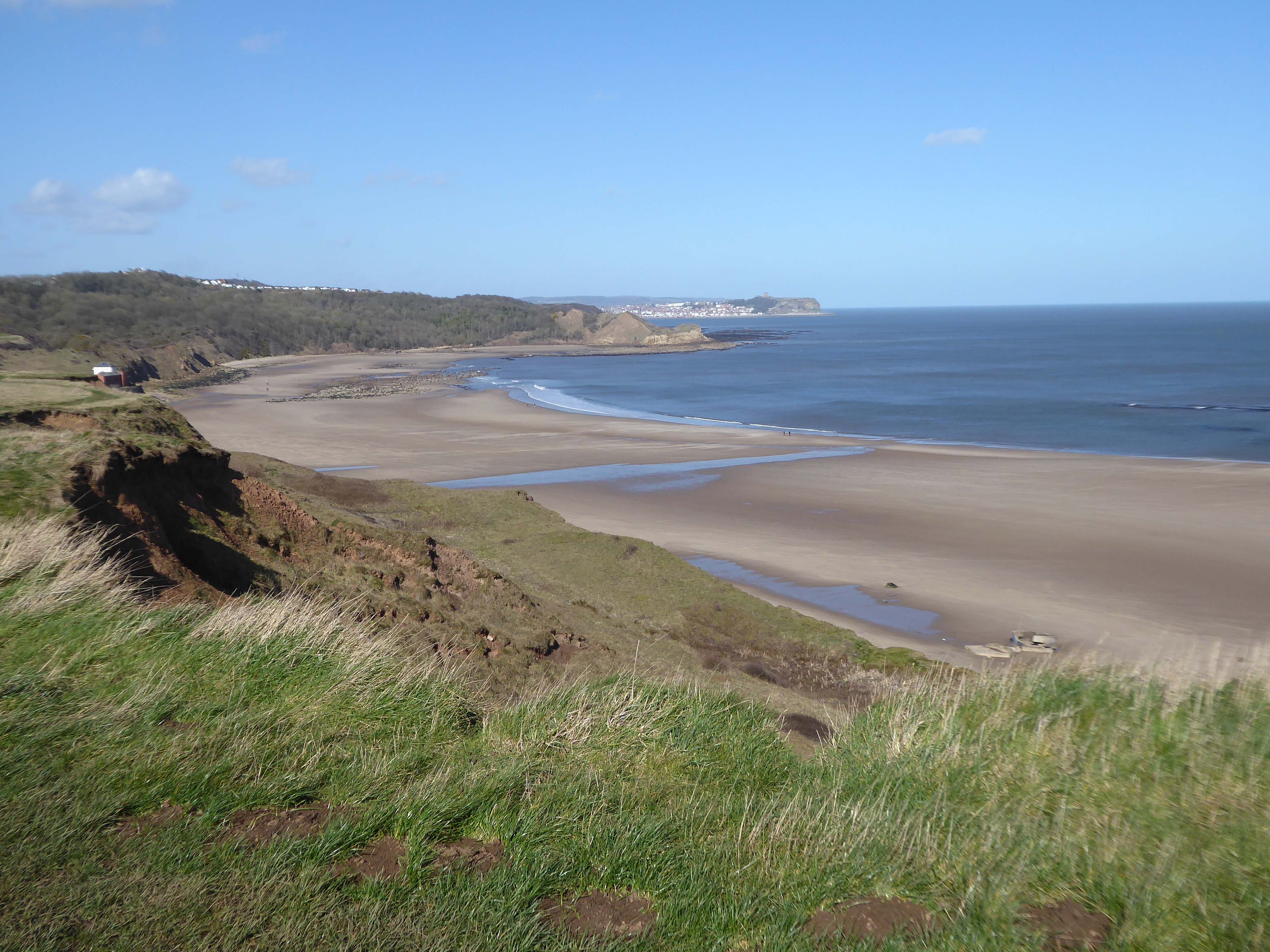
The soft clays of the cliffs are subject to constant erosion.
In 2008 fresh landslips have occurred around Cayton Bay. The bungalows built on the old holiday camp at Osgodby Point have started to suffer serious erosion. The cliffs around the Cornelian and Cayton areas are just made of soil. So erosion is to be expected. It may taken time. But there is not much which can be done to prevent the seas moving in.
The Pumping Station was partially demolished in 1956.
Several well worn layers of geological time have been hanging around for a while now.
Whilst the long-gone critters are but fossilised versions of their former selves.
The rocks found at Cayton Bay are Jurassic aged from the Callovian stage. At the north end of Cayton Bay, the Cornbrash Formation can be seen, comprised of red-brown, sandy, nodular, bioturbated limestone with oysters and other bivalves.The Cornbrash lies beneath the start of the Cayton Clay Formation. Walking south towards Tenant’s Cliffs, Lower Calcareous Grit is brought to beach level, followed by a calcareous limestone. At the waterworks, low tides reveals a section in the Middle and Upper Jurassic rocks.
On scouring tides, argillaceous limestone and calcareous sandstone can be seen layered along the Upper Leaf of the Hambleton Oolite, which is seen excellently in the low cliff on the southern side of the Brigg. The tough, impure limestone contains well-preserved bivalves and ammonites. The sequence is shown in the diagram but faulting has caused unconformities.
During scouring, Oxford Clay can be seen along the foreshore south of the argillaceous limestone. Walking further south, Red Cliff is reached, where rocks of the Osgodby Formation slope above the Oxford Clay.
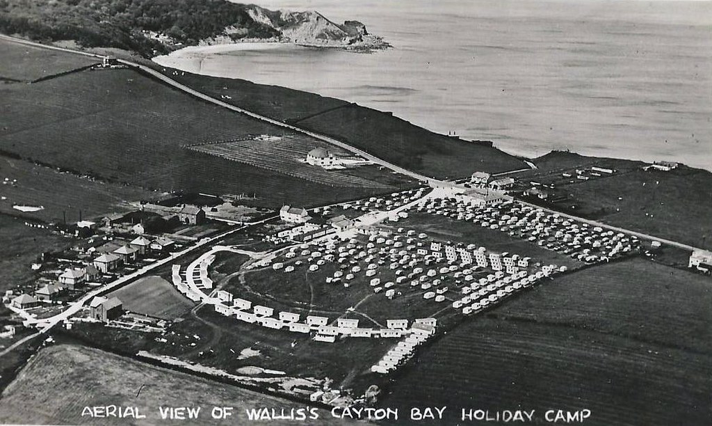
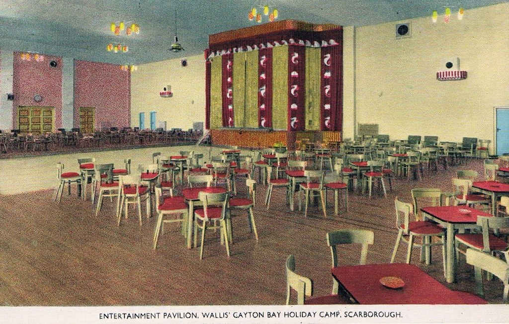
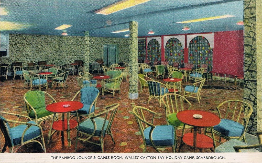
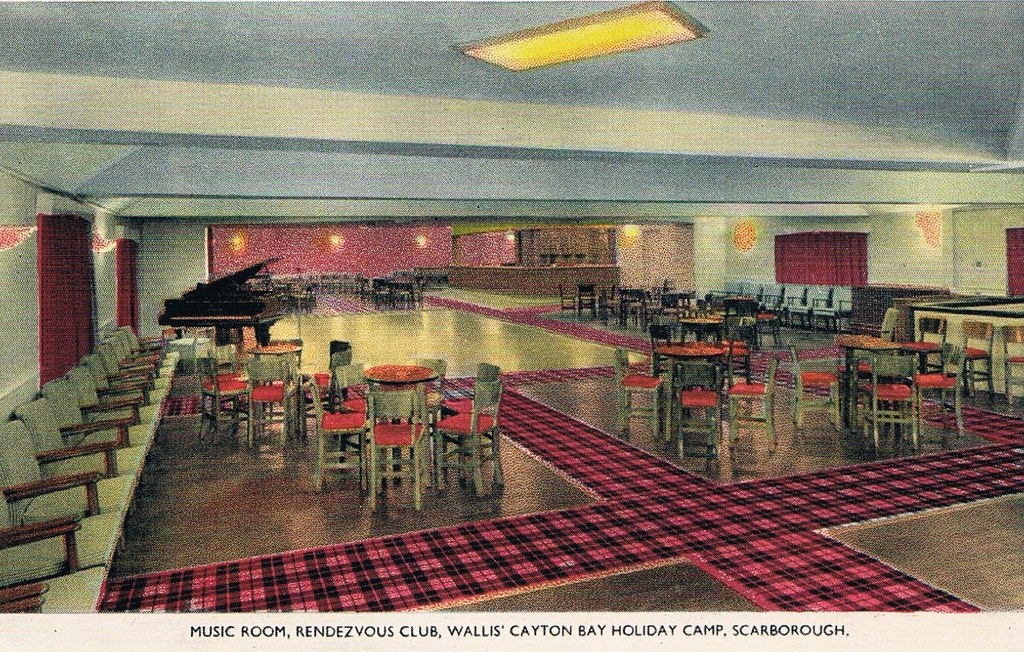
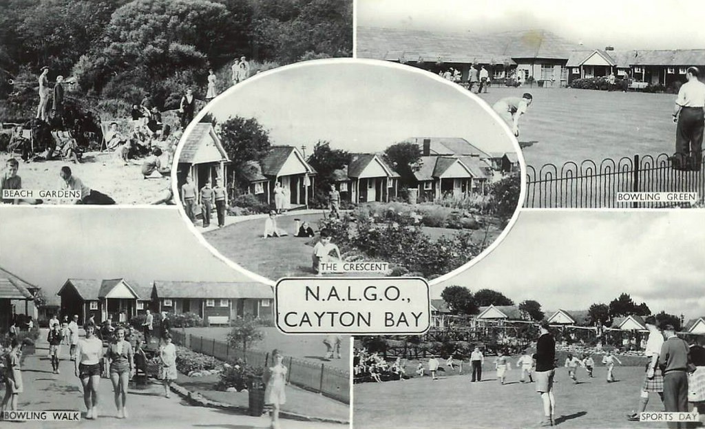
Originally the first Trade Union holiday camp in the North of England, owned by NALGO it opened its doors in 1933. It had 124 wooden bungalows, accommodating 252 visitors. A dining hall with waiter service, a rest room along with recreation rooms for playing cards, billiards, a theatre for indoor shows and dancing was also provided. The new centre also provided Tennis courts, Bowling greens along with a children’s play area. The visitors could walk to the beach where there was a sun terrace and beach house which also had a small shop.
Click here to see photos of the NALGO camp from the 1930s.
One of the earliest visitors were the family of poet Philip Larkin and during the Second World War it became a home for evacuated children from Middlesbrough.
The NALGO camp closed in 1974 and was later sold.
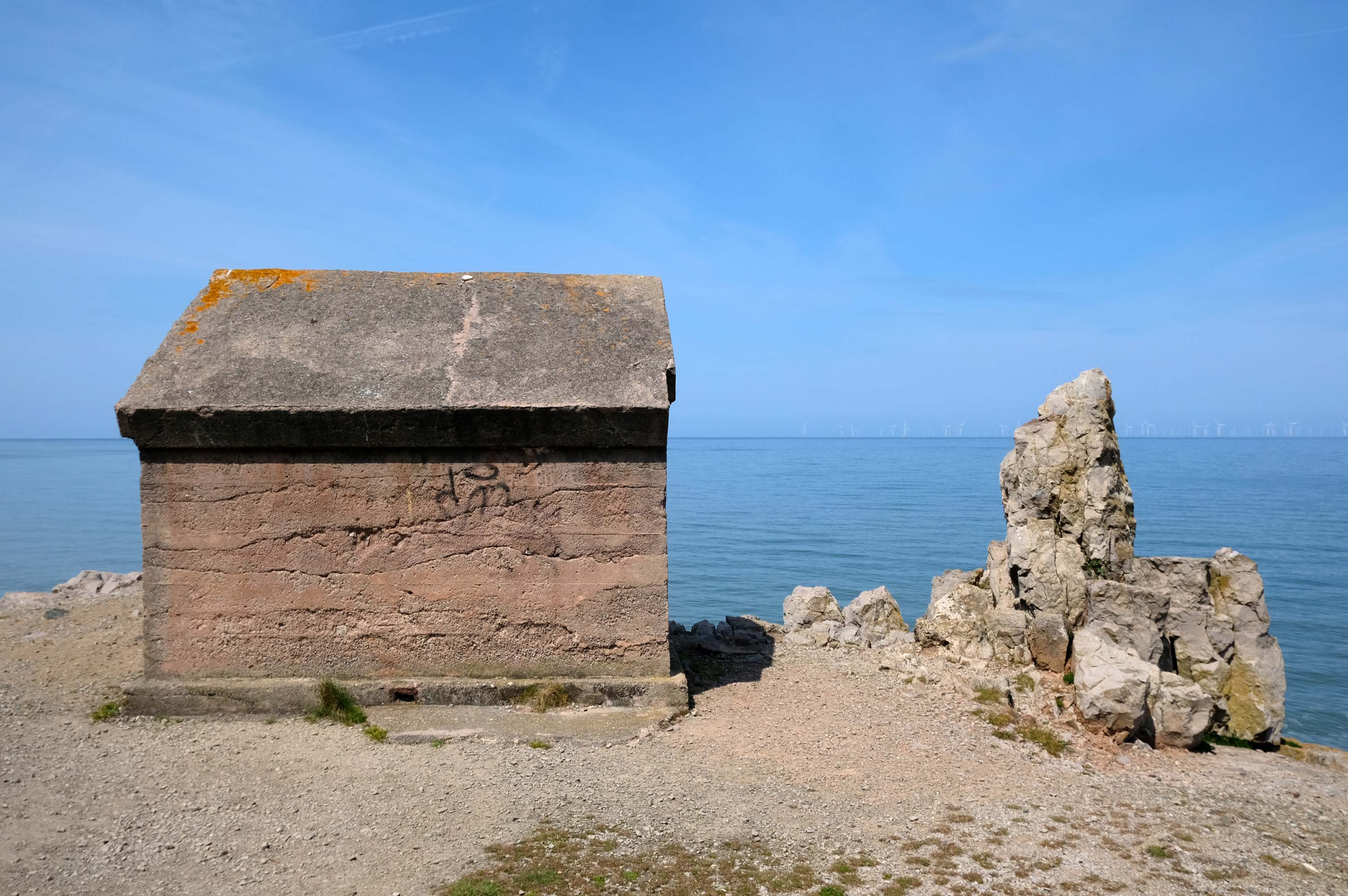
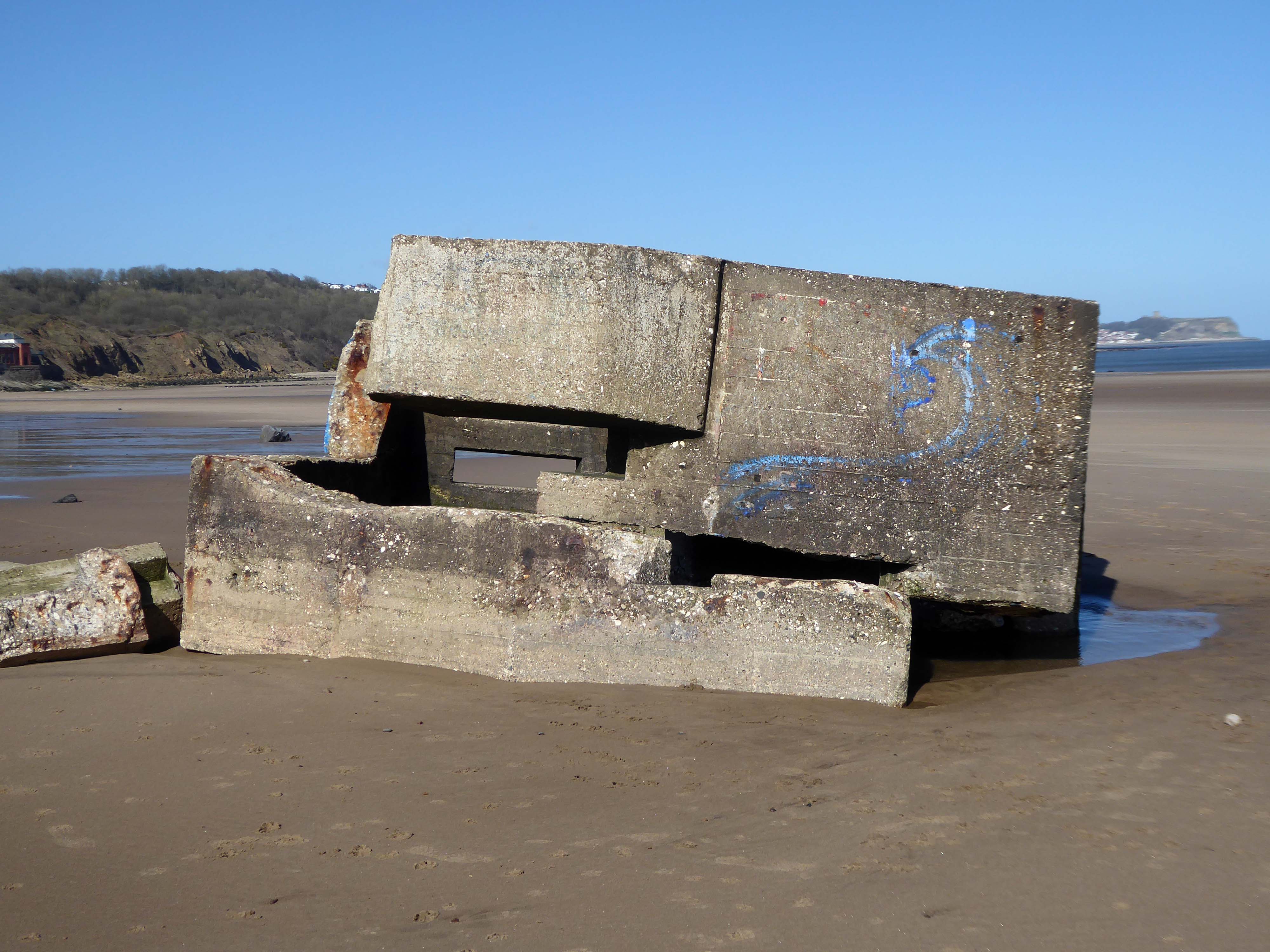
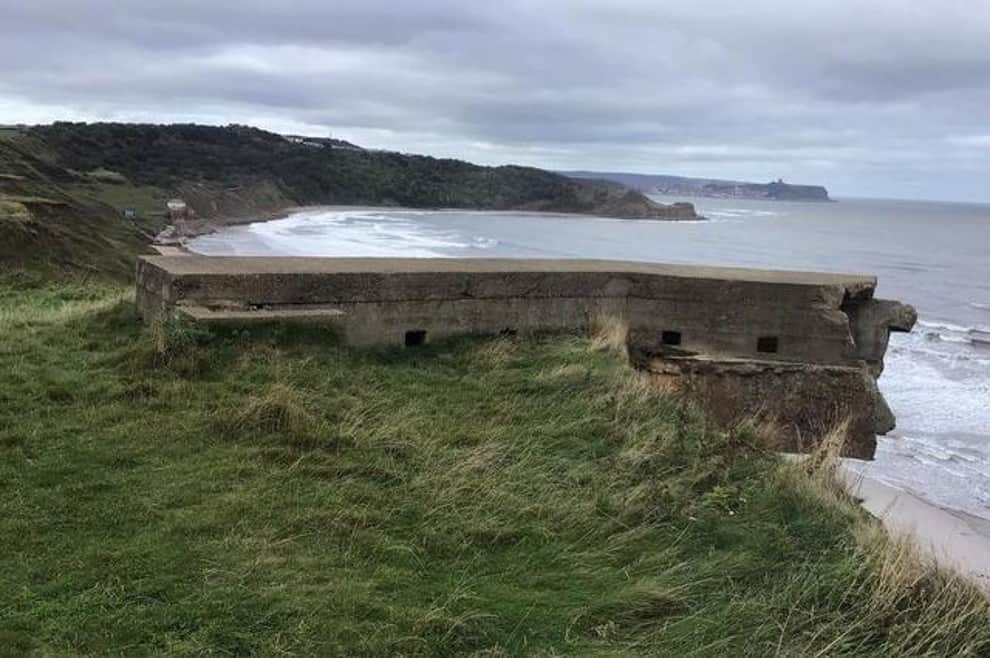
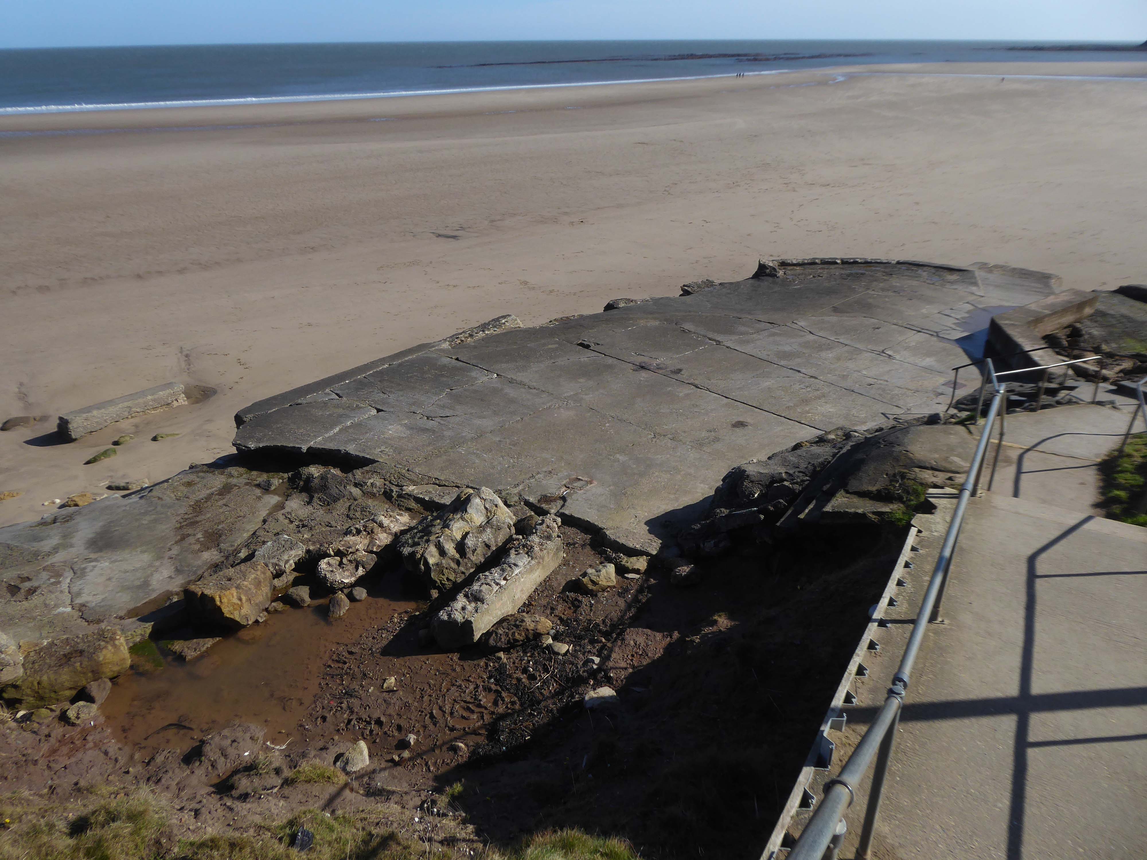
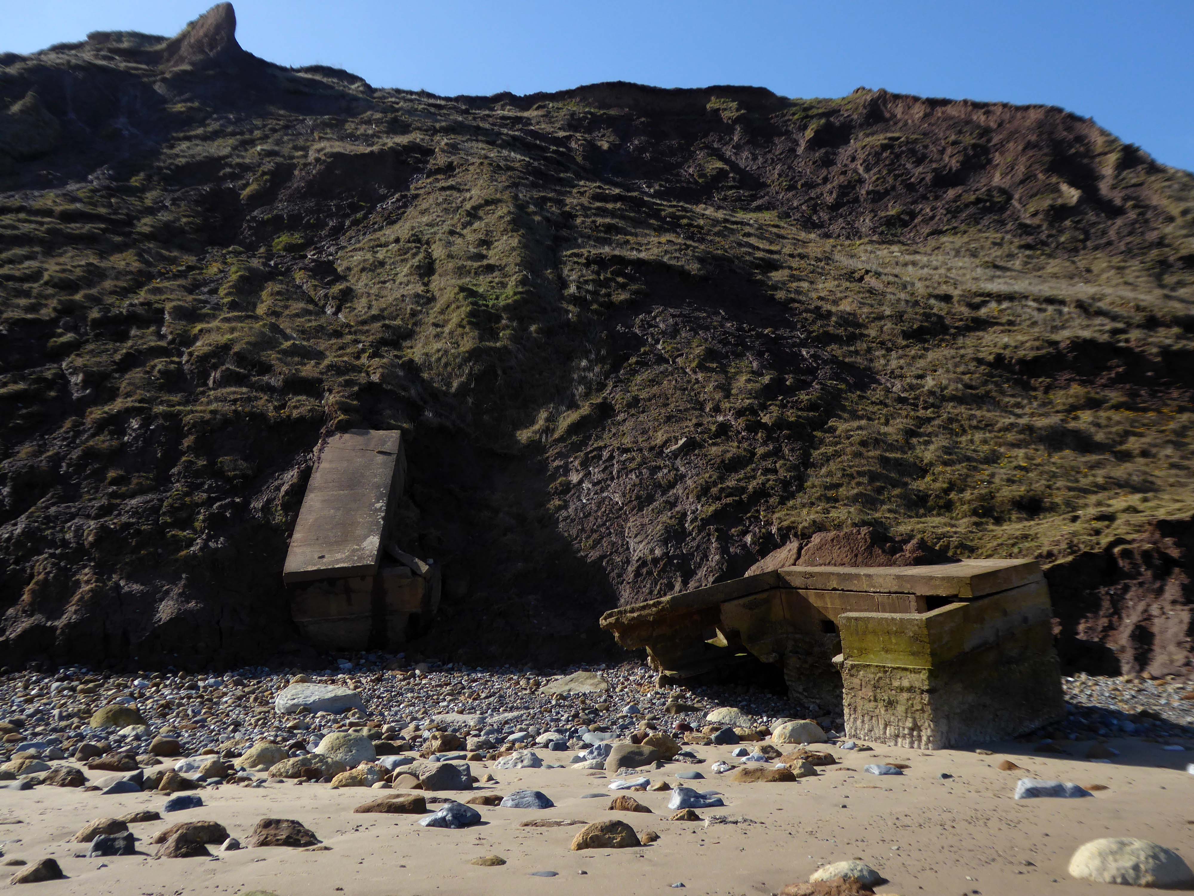
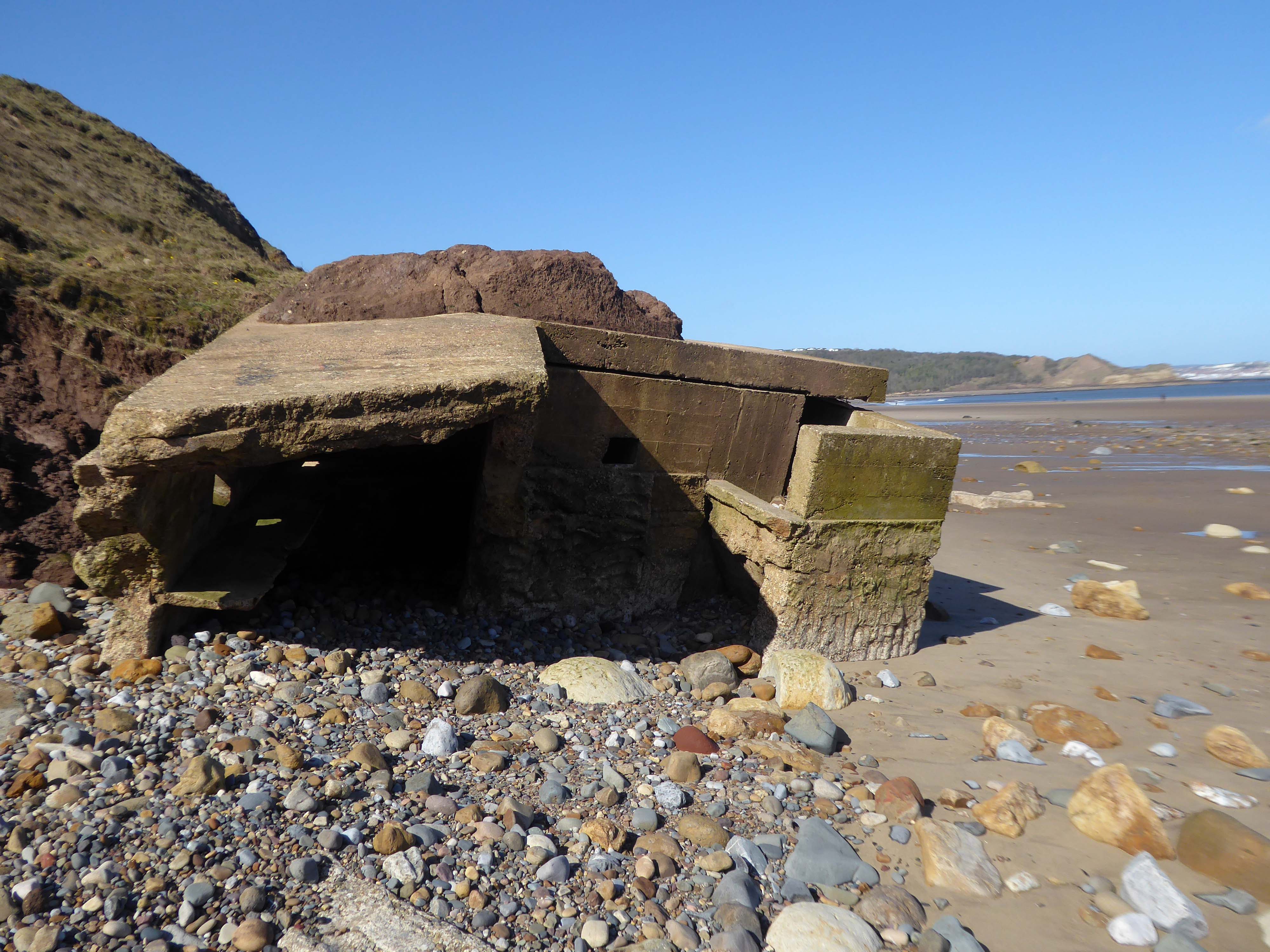
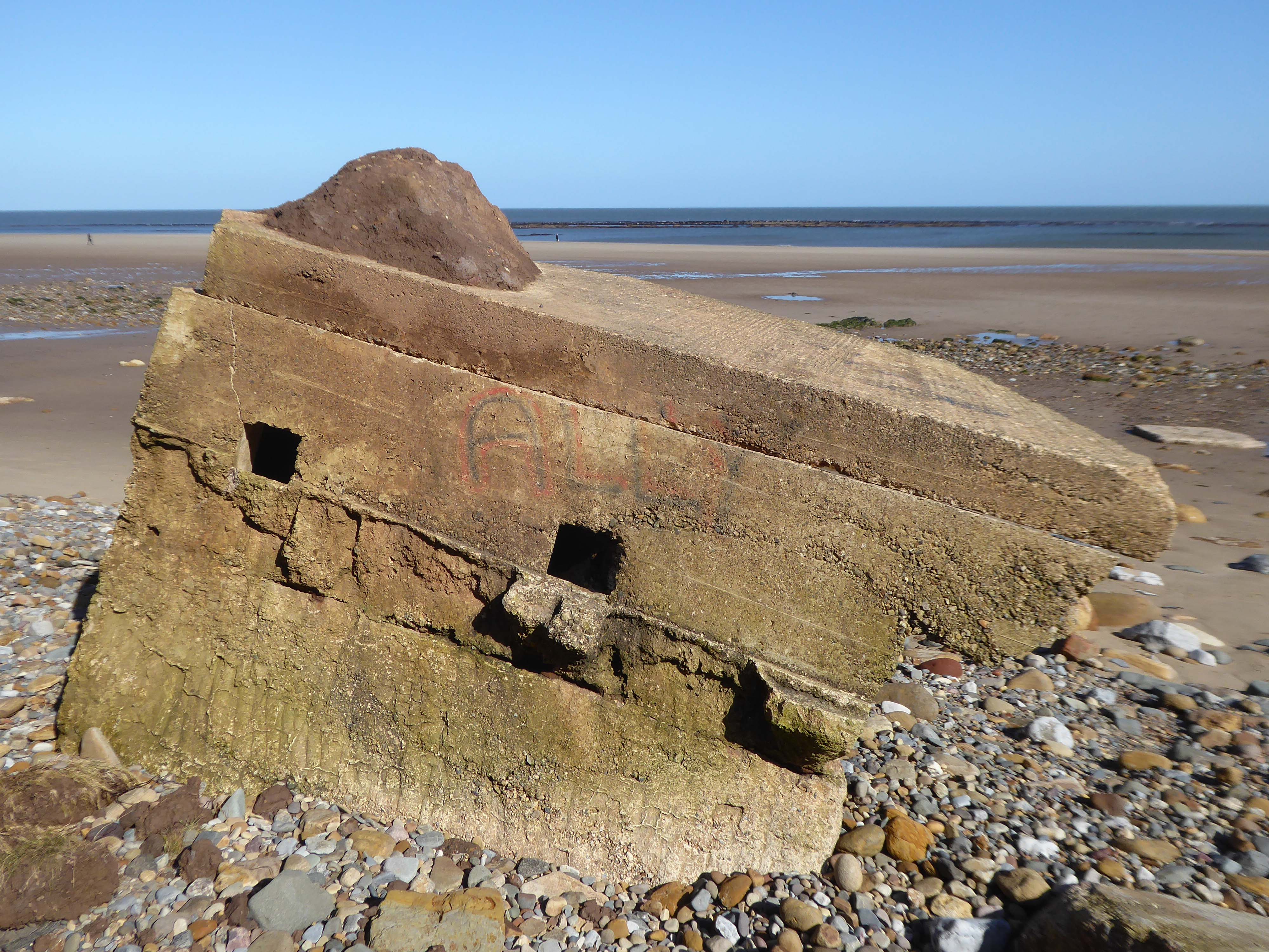
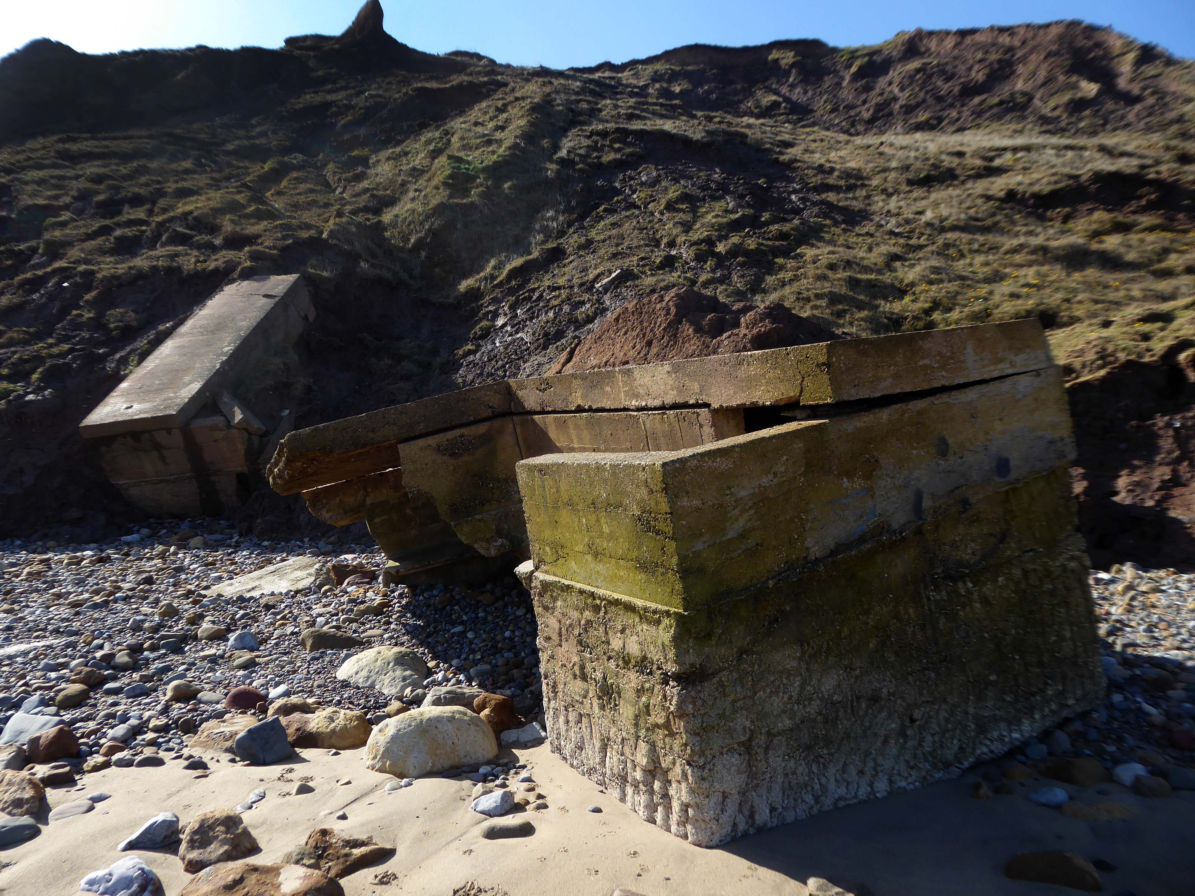
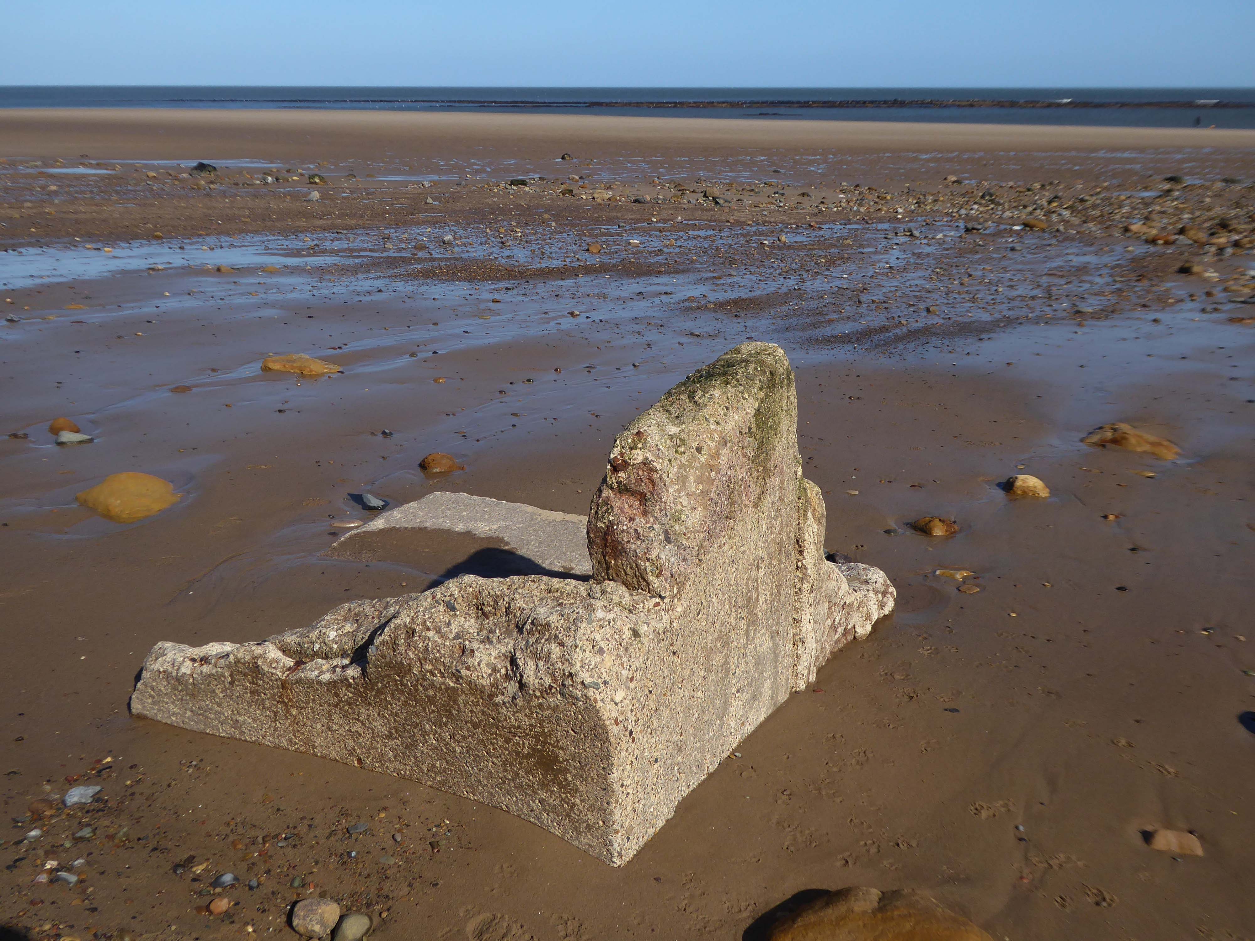
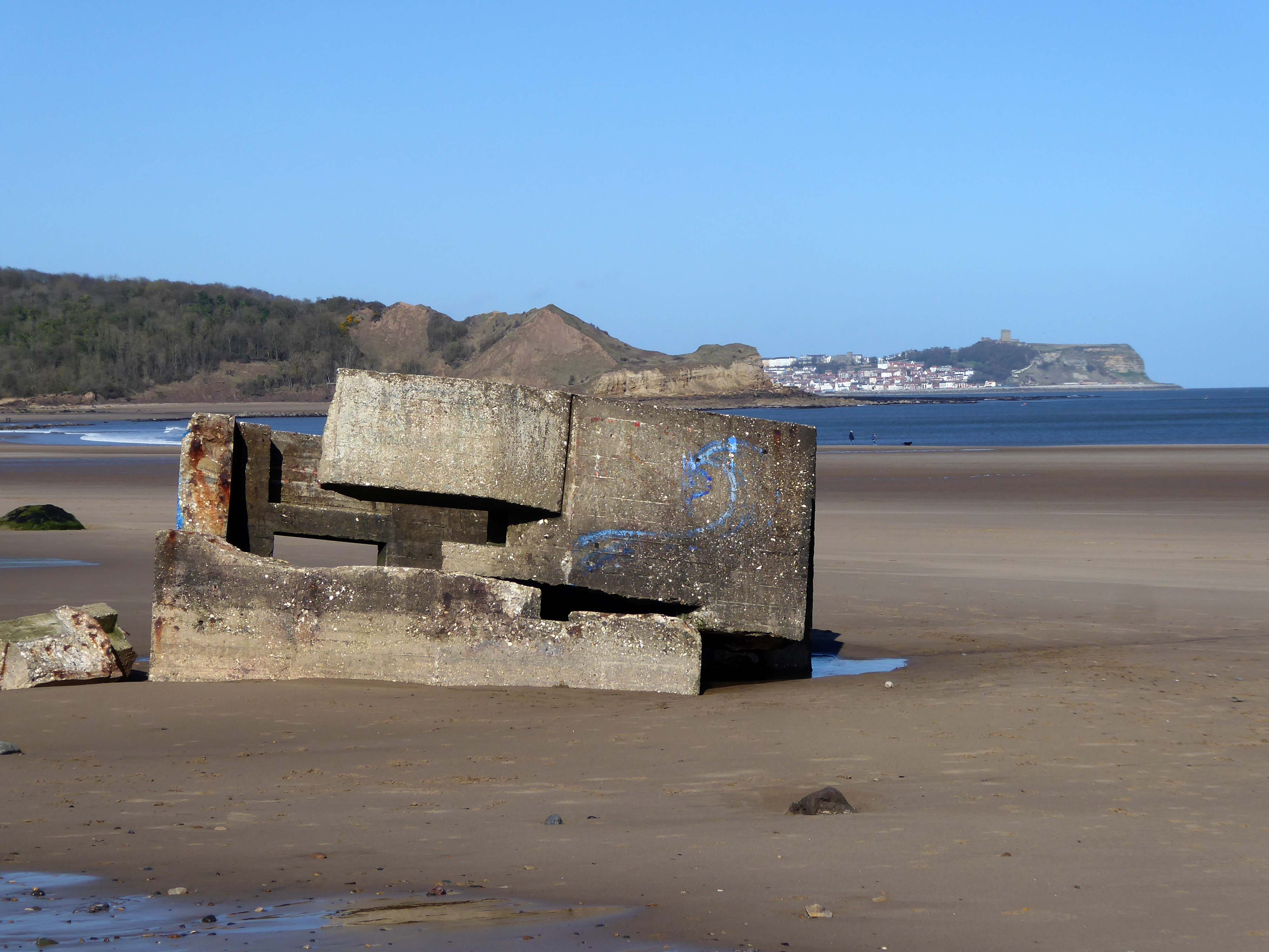
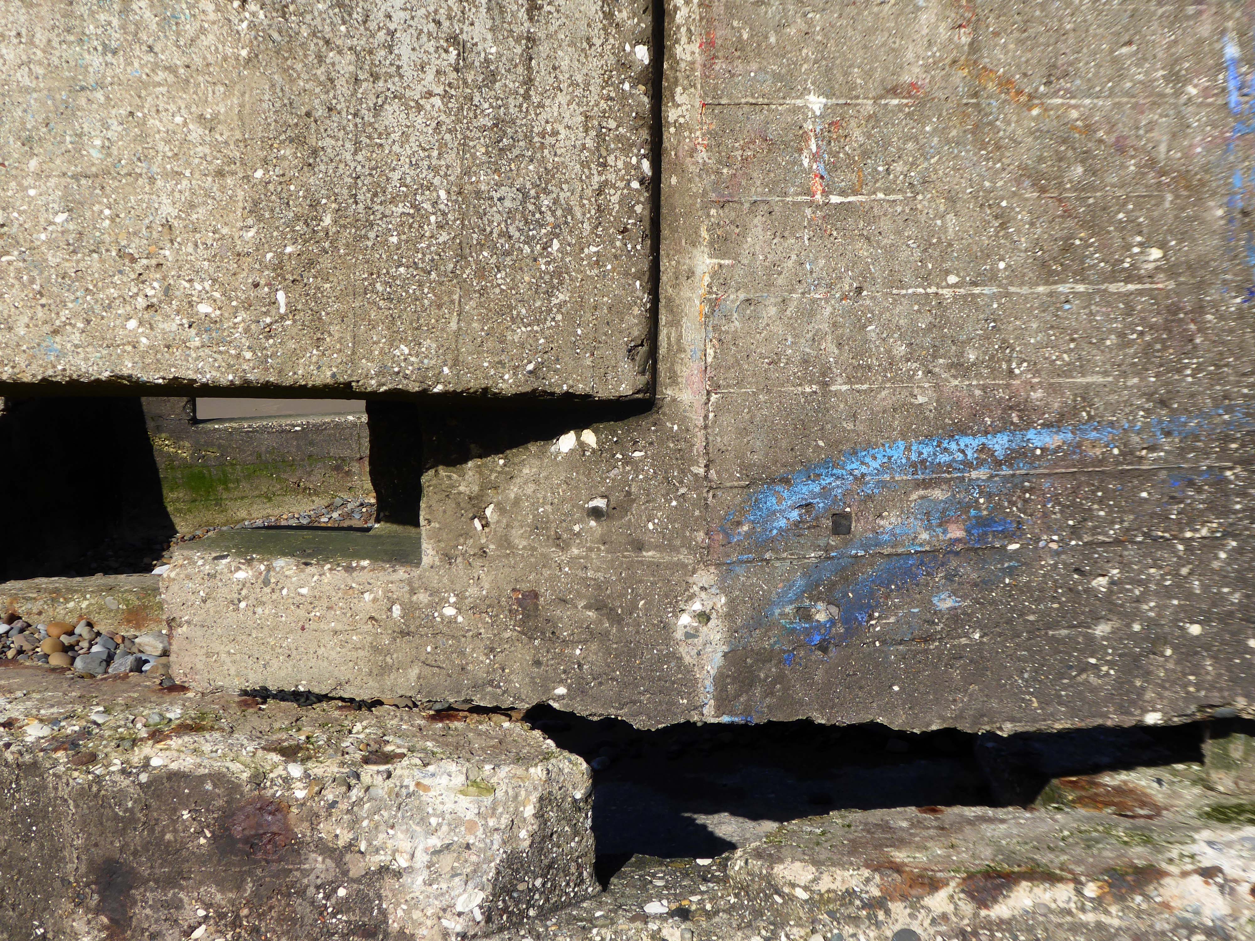
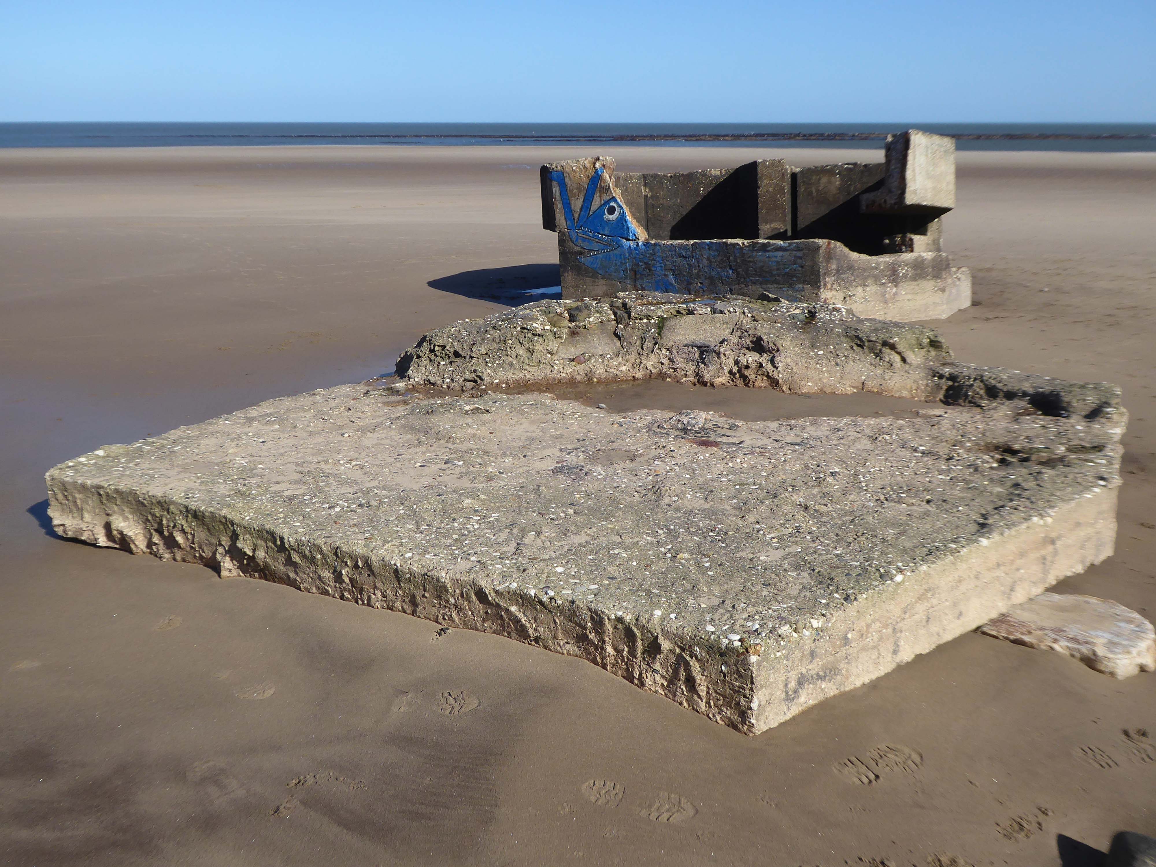
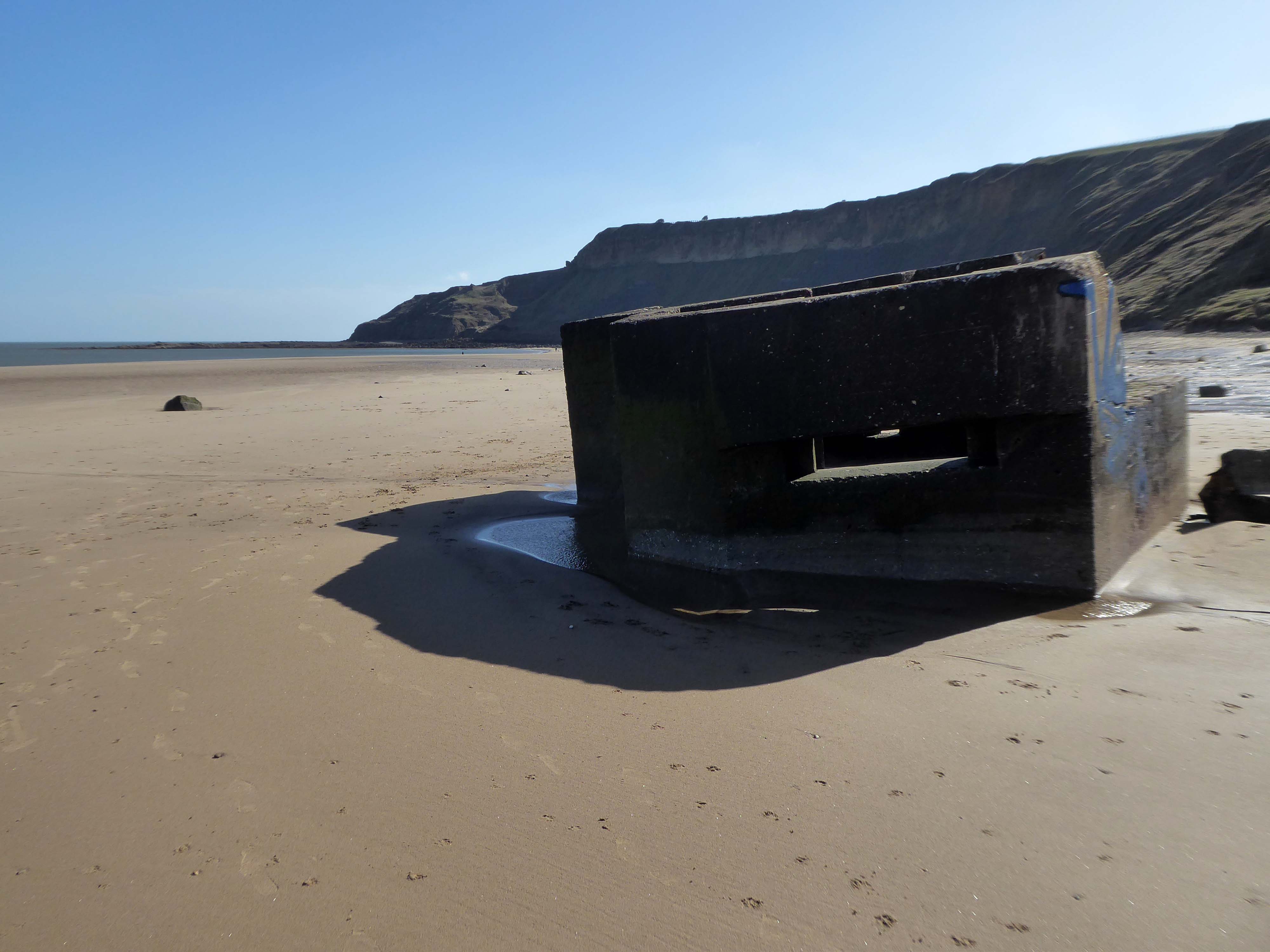
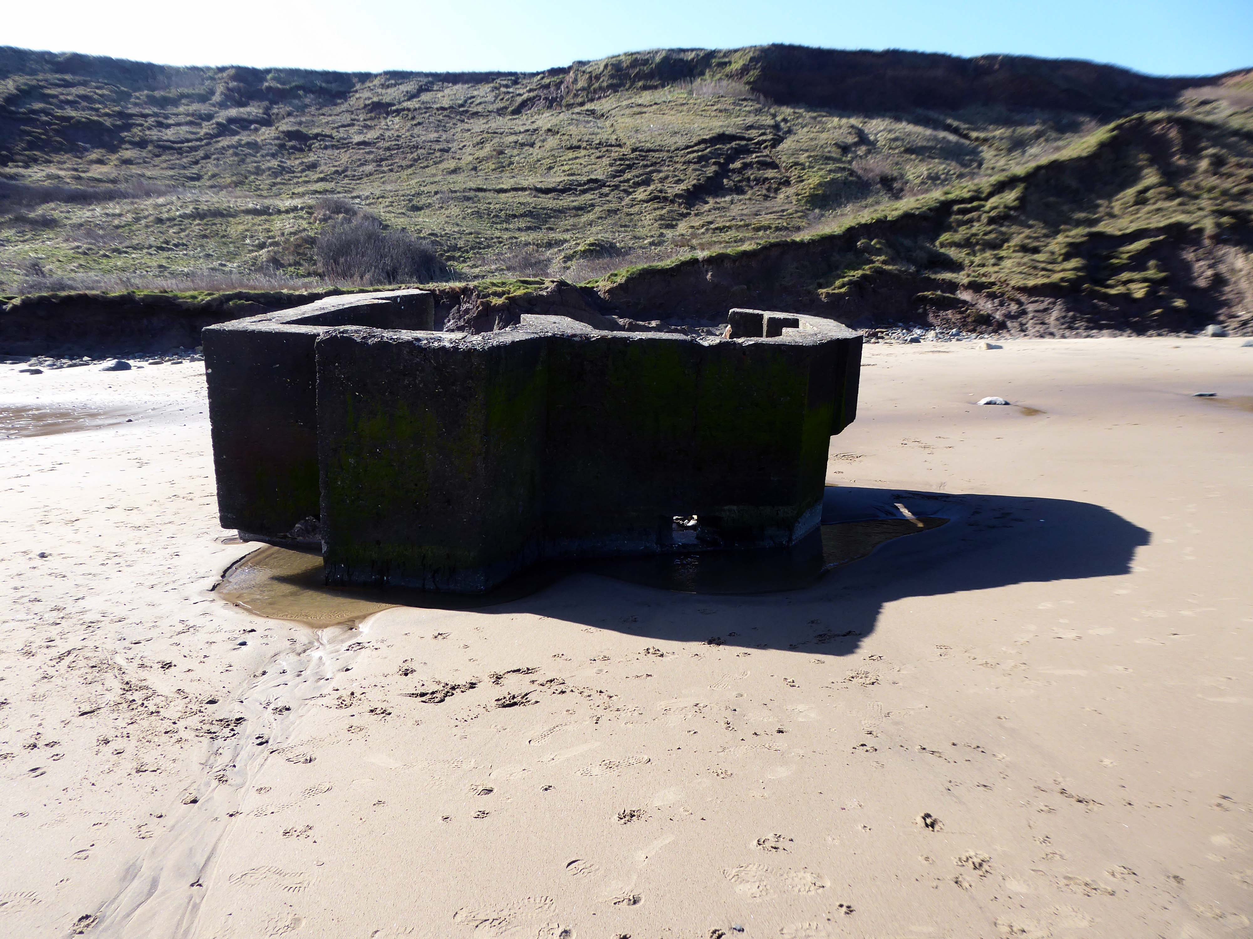
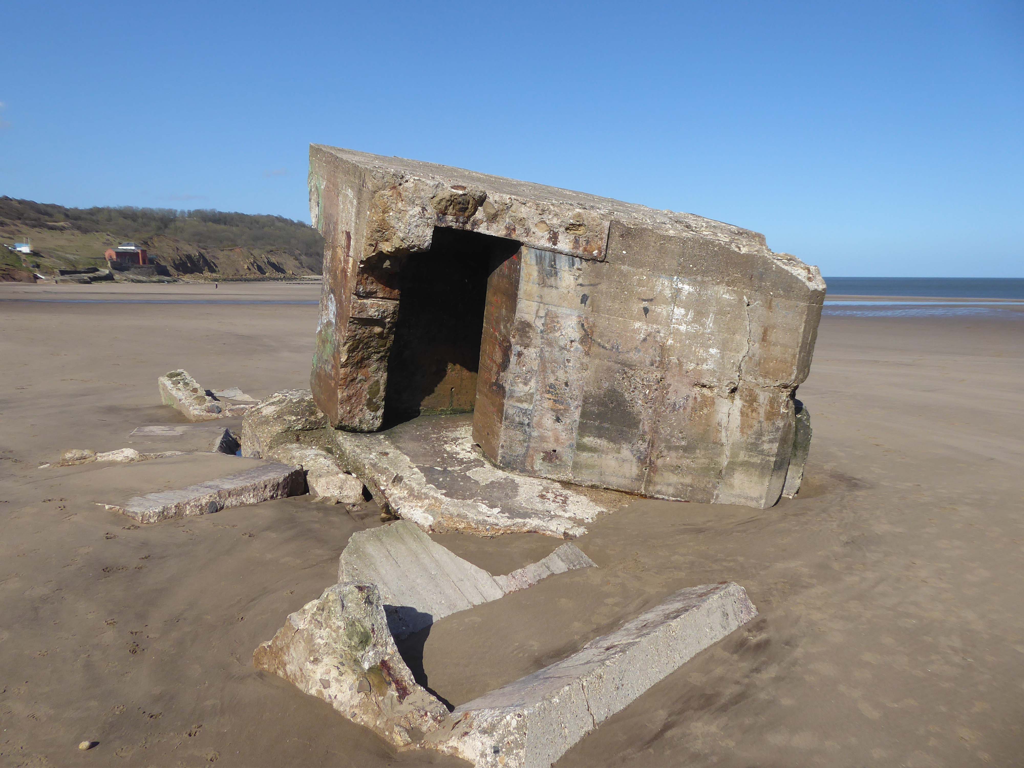
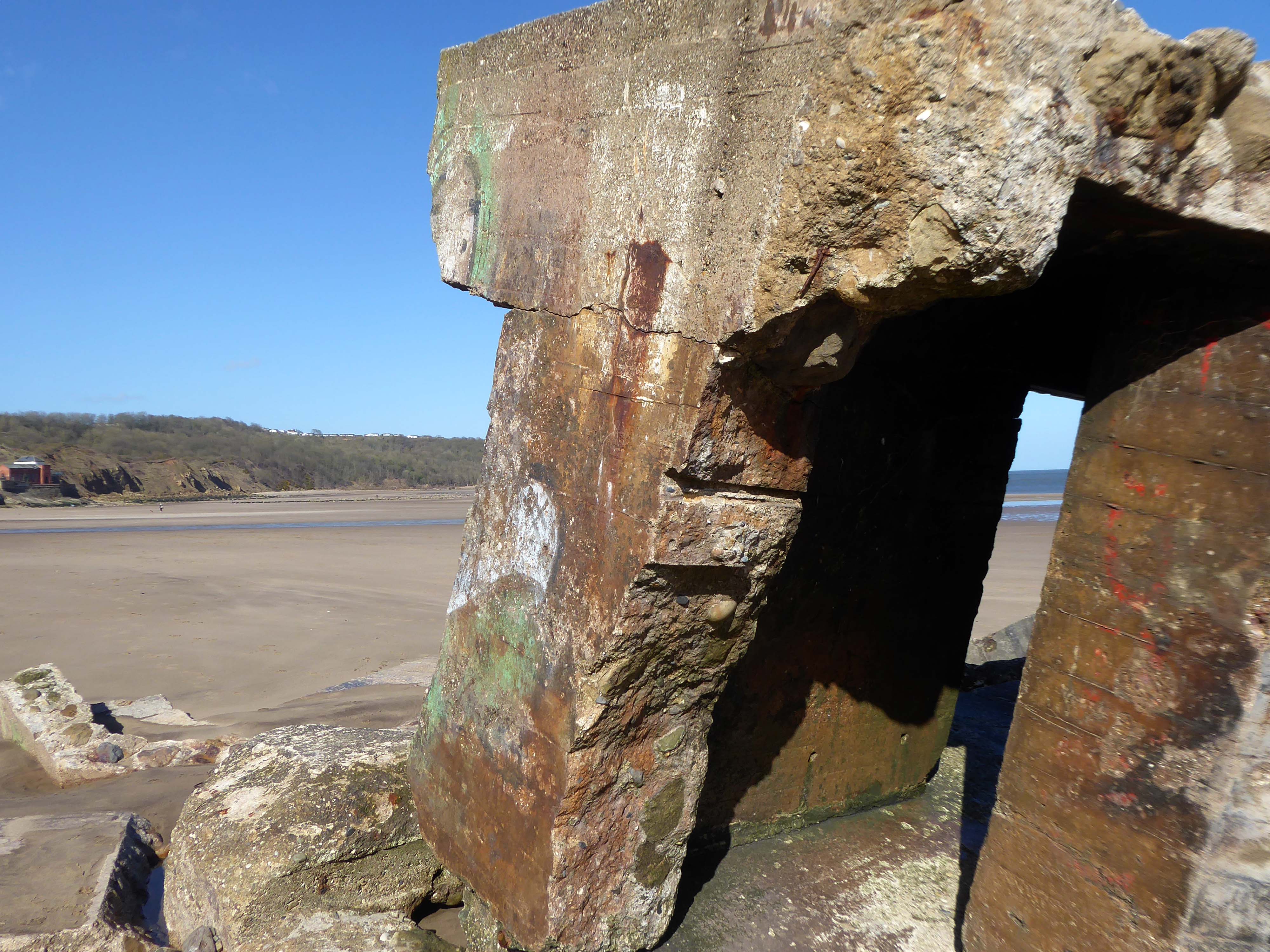
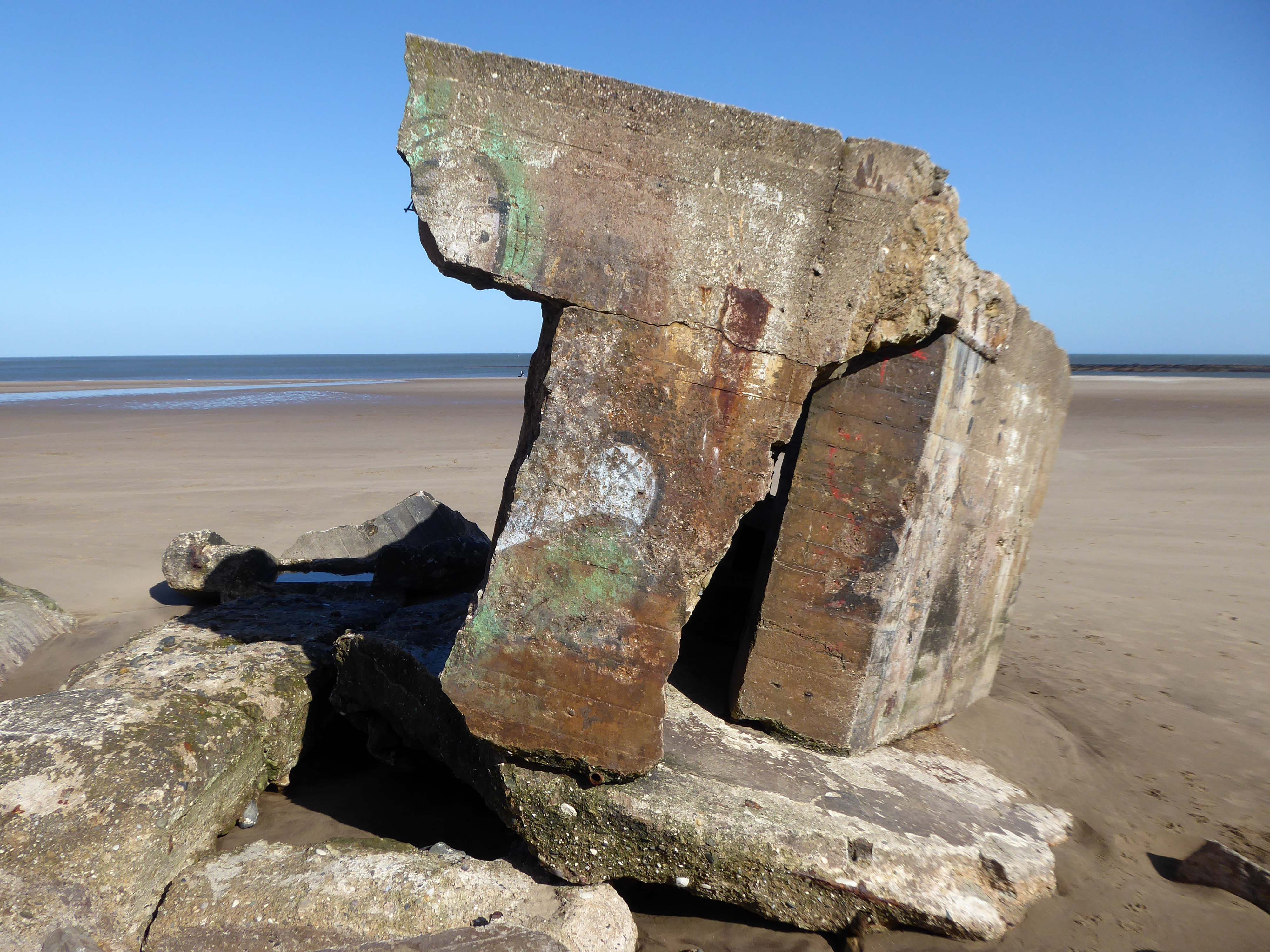
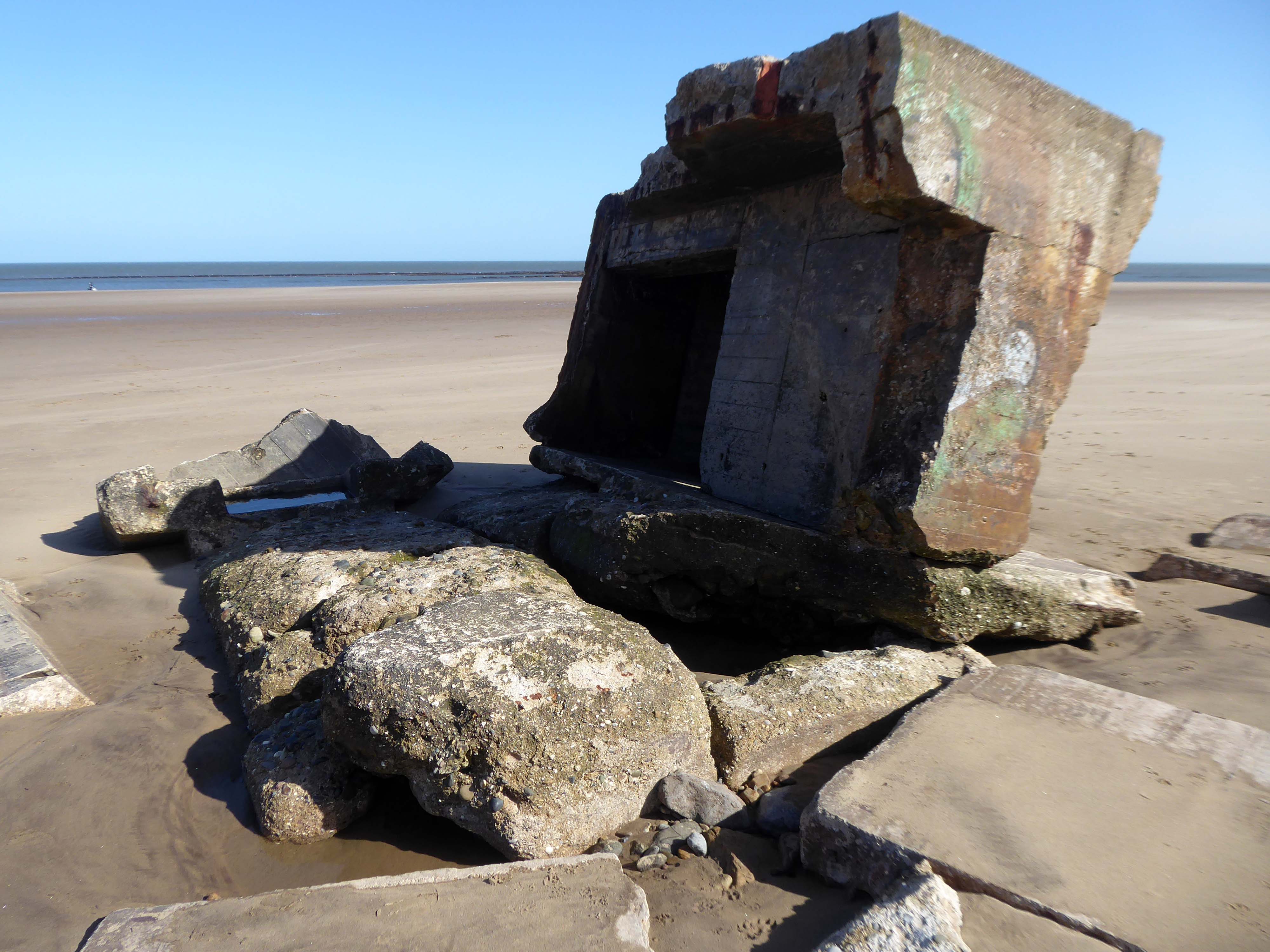
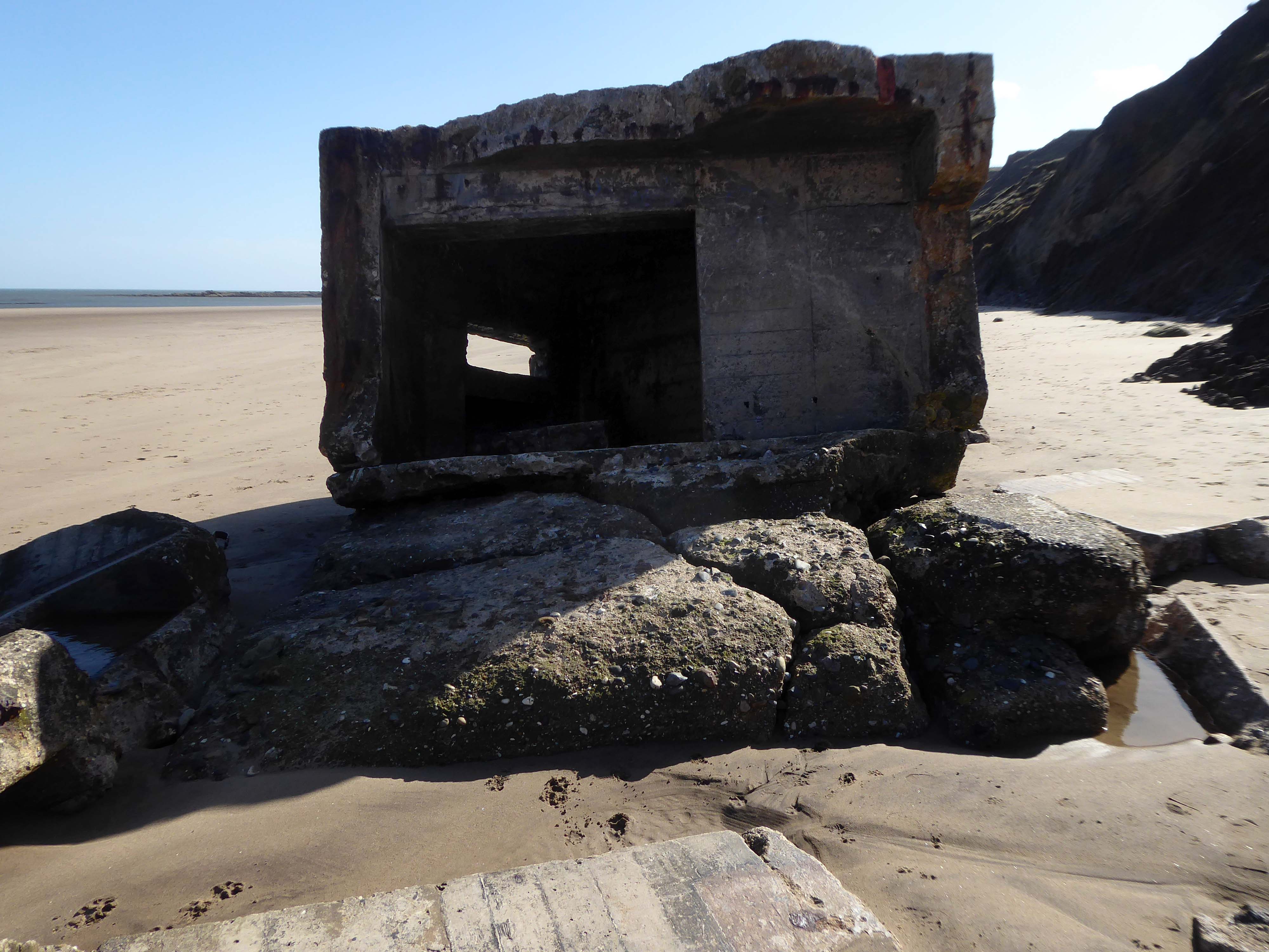
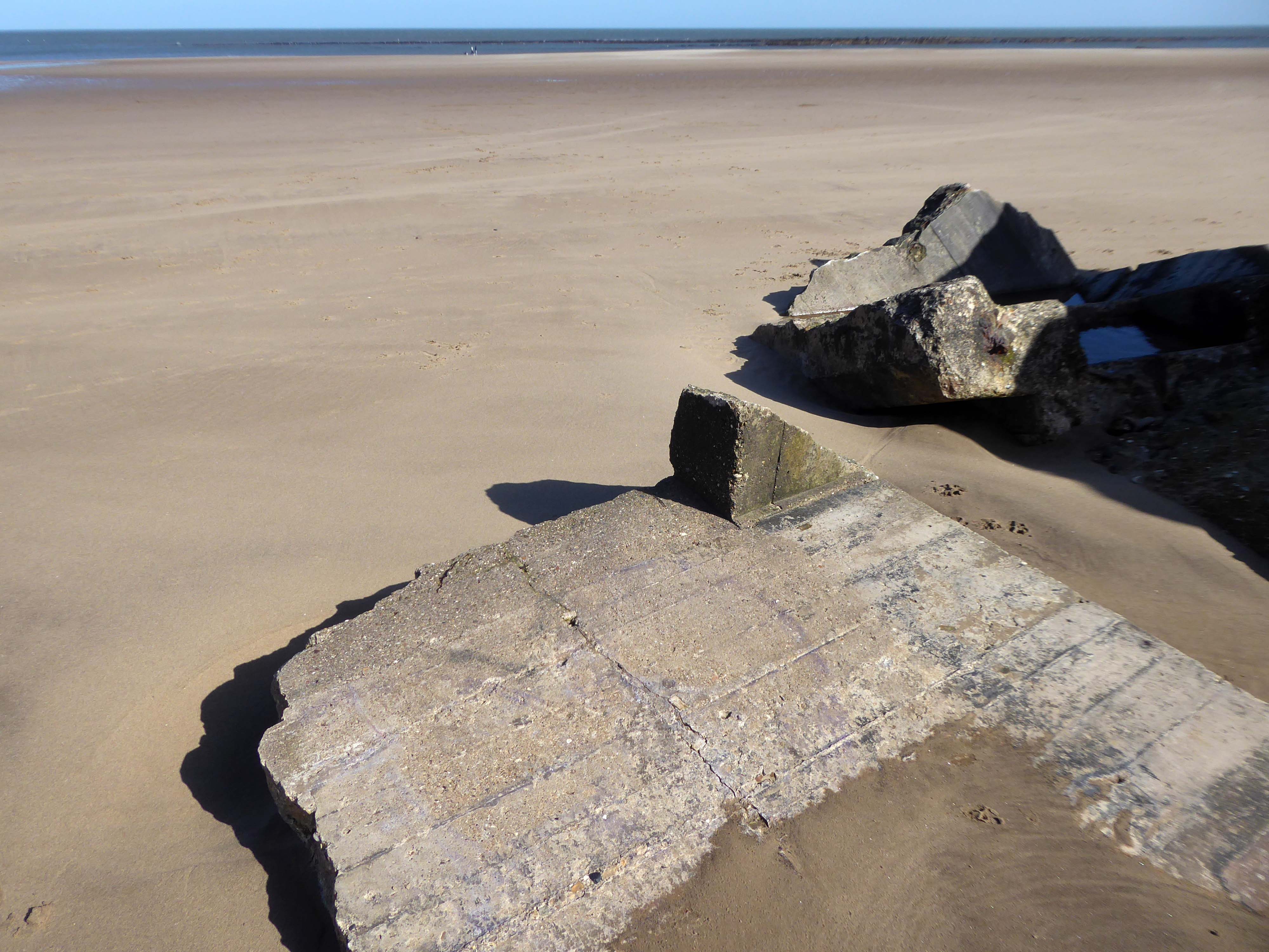
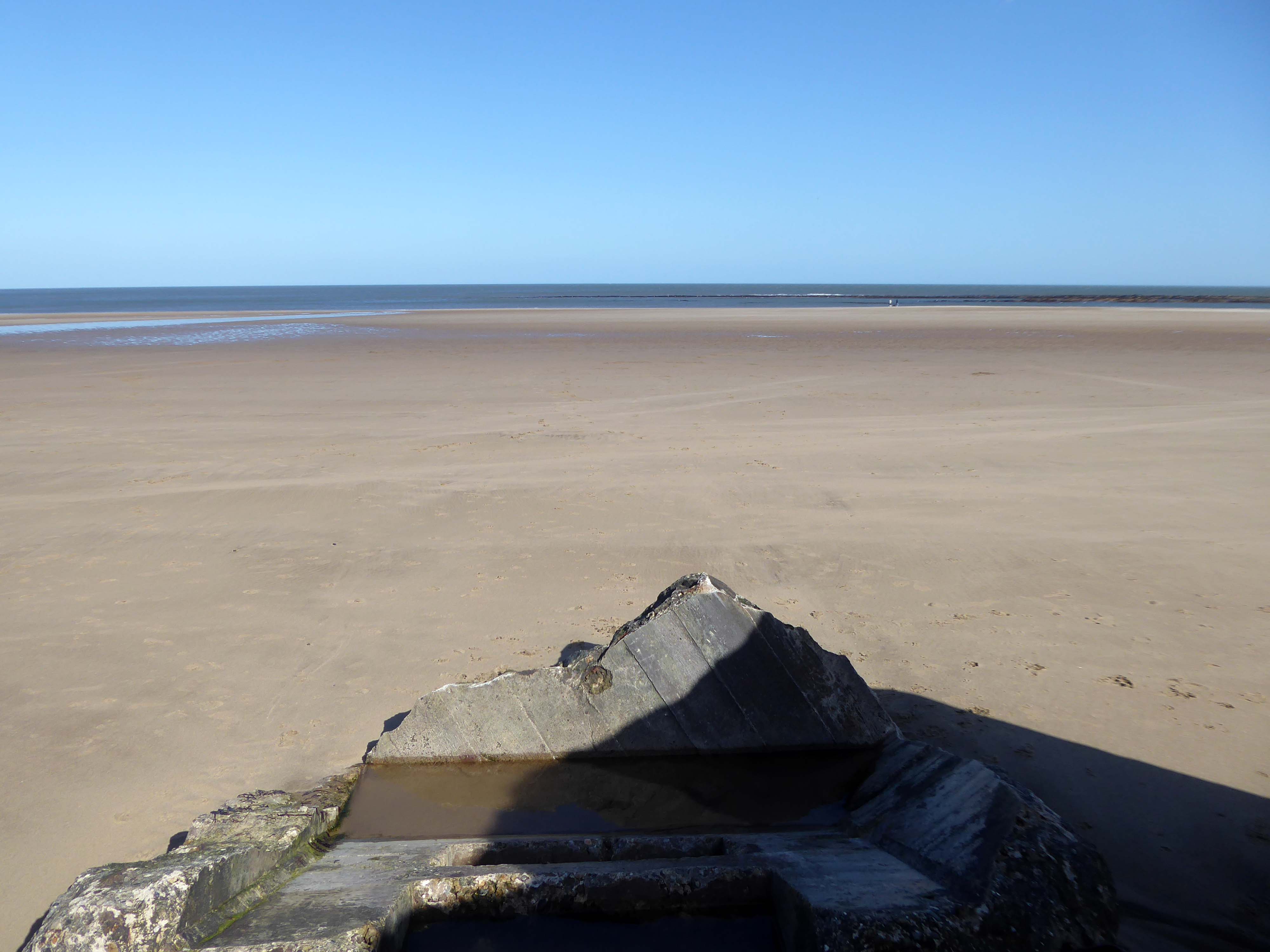
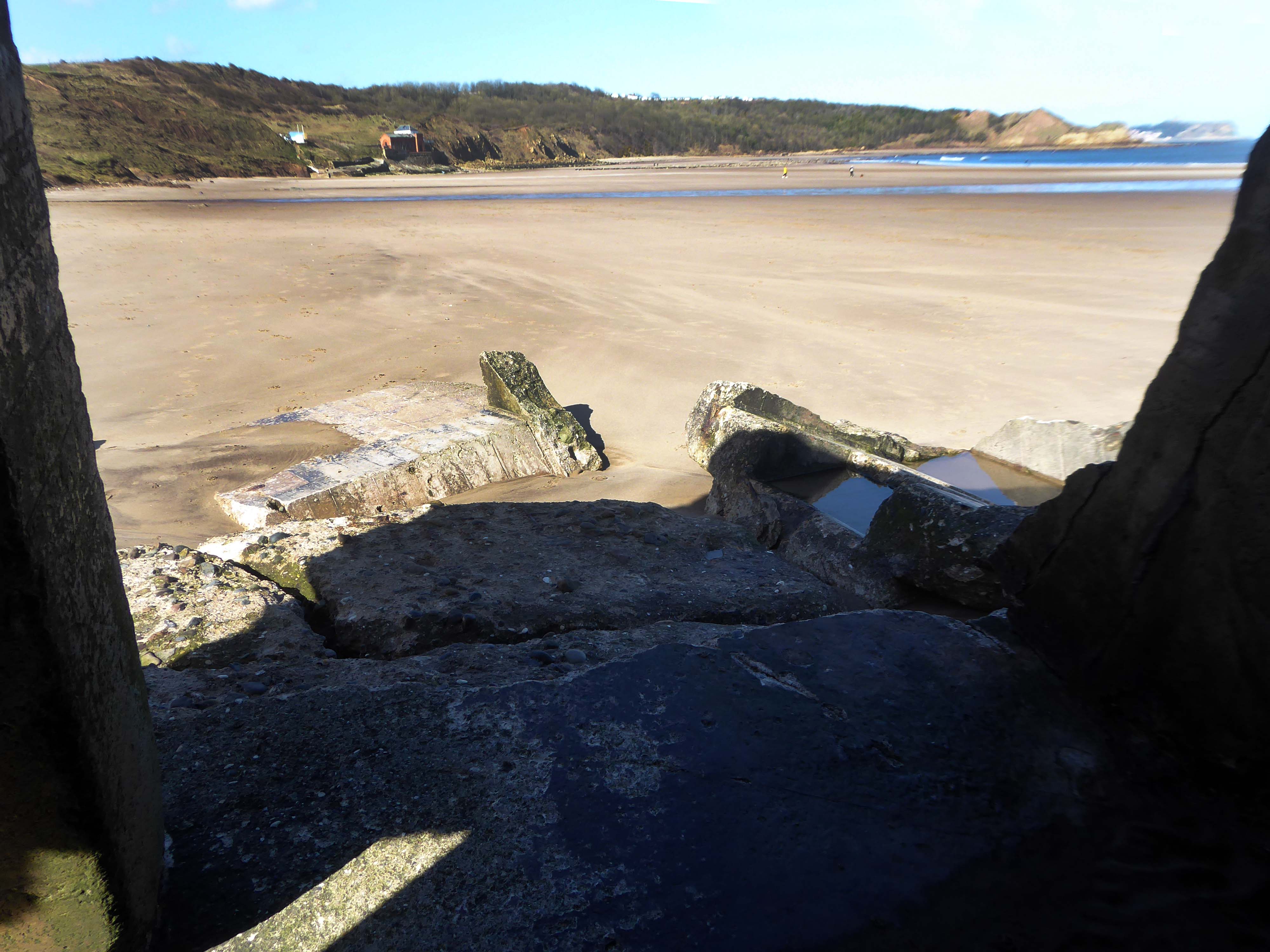
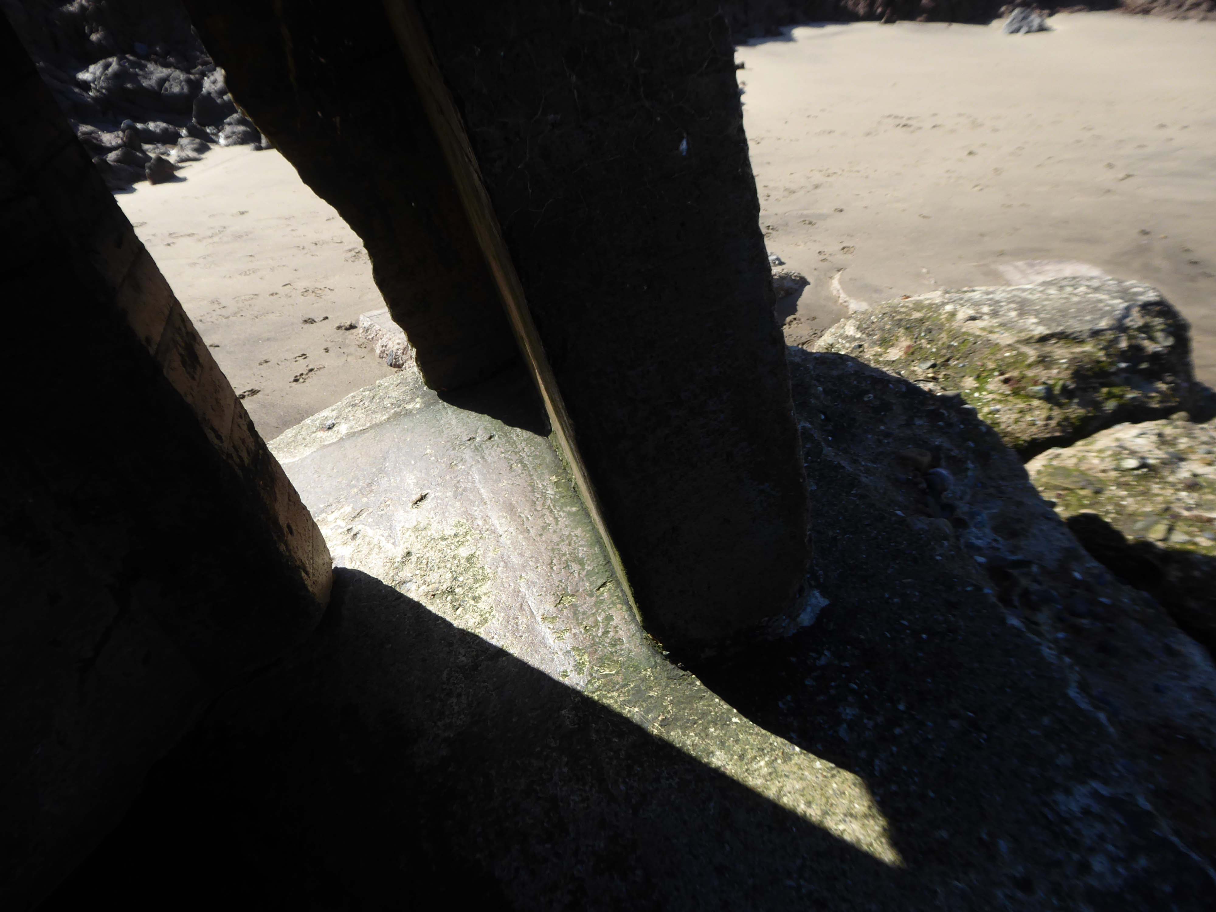
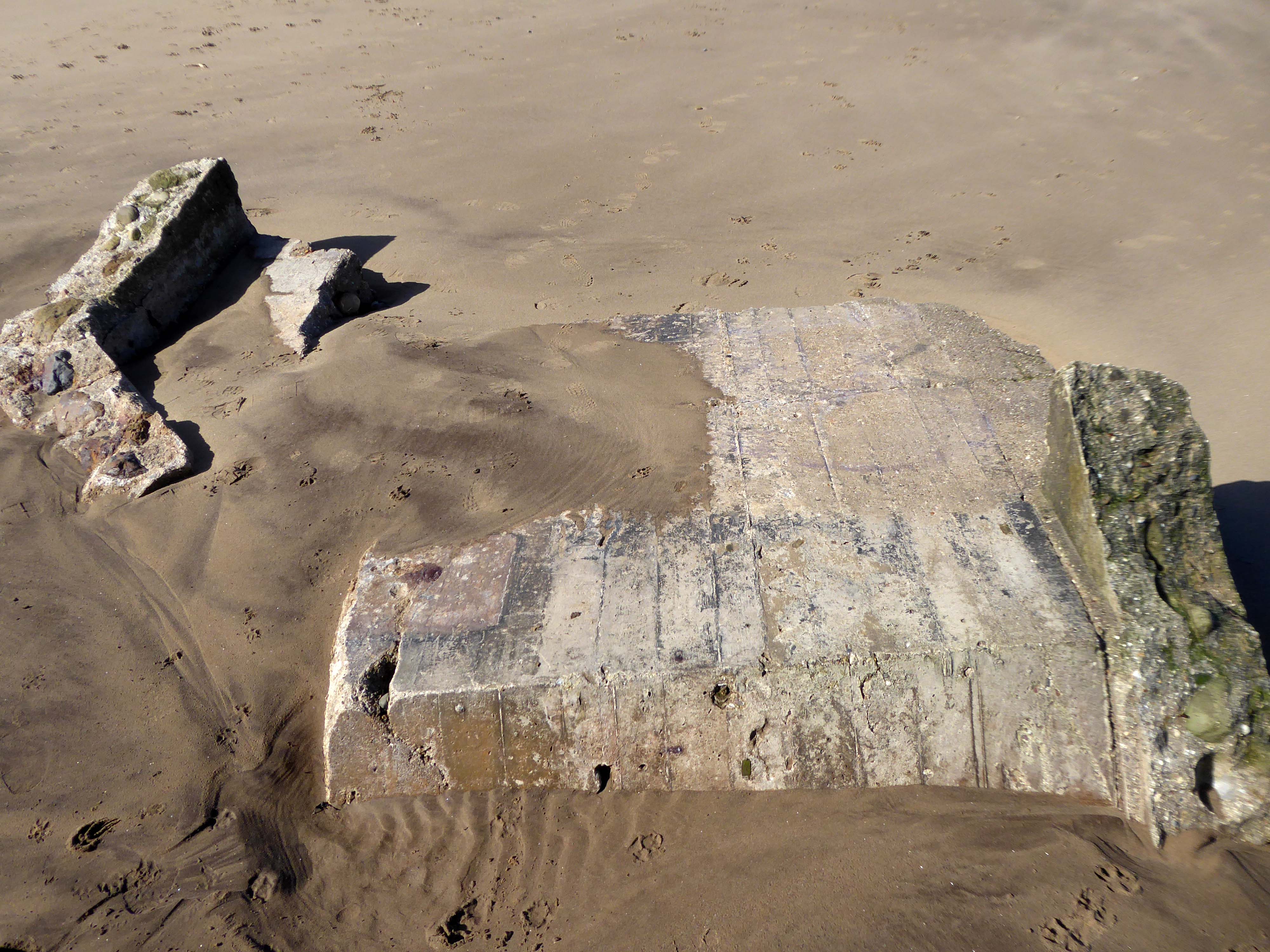
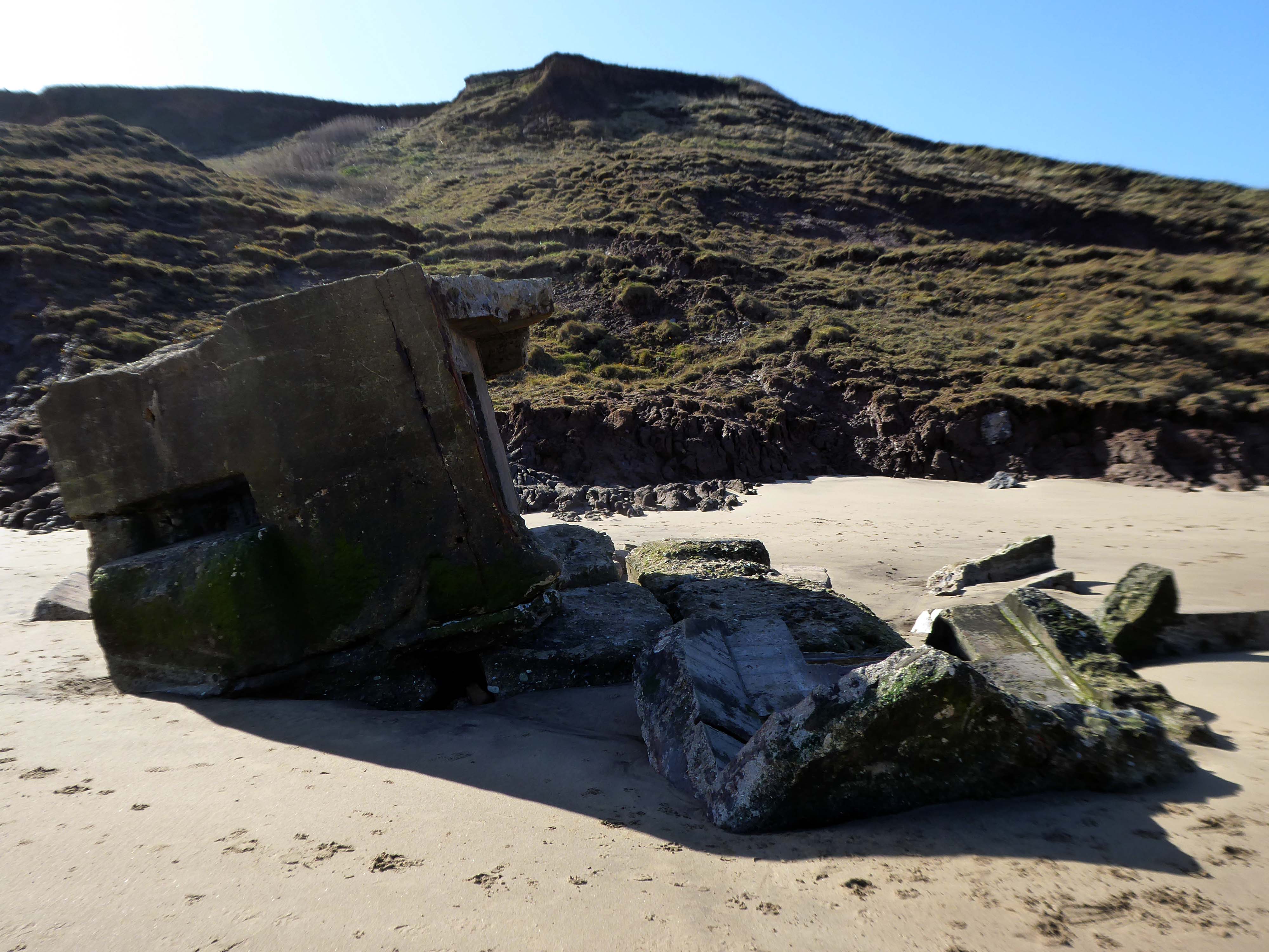
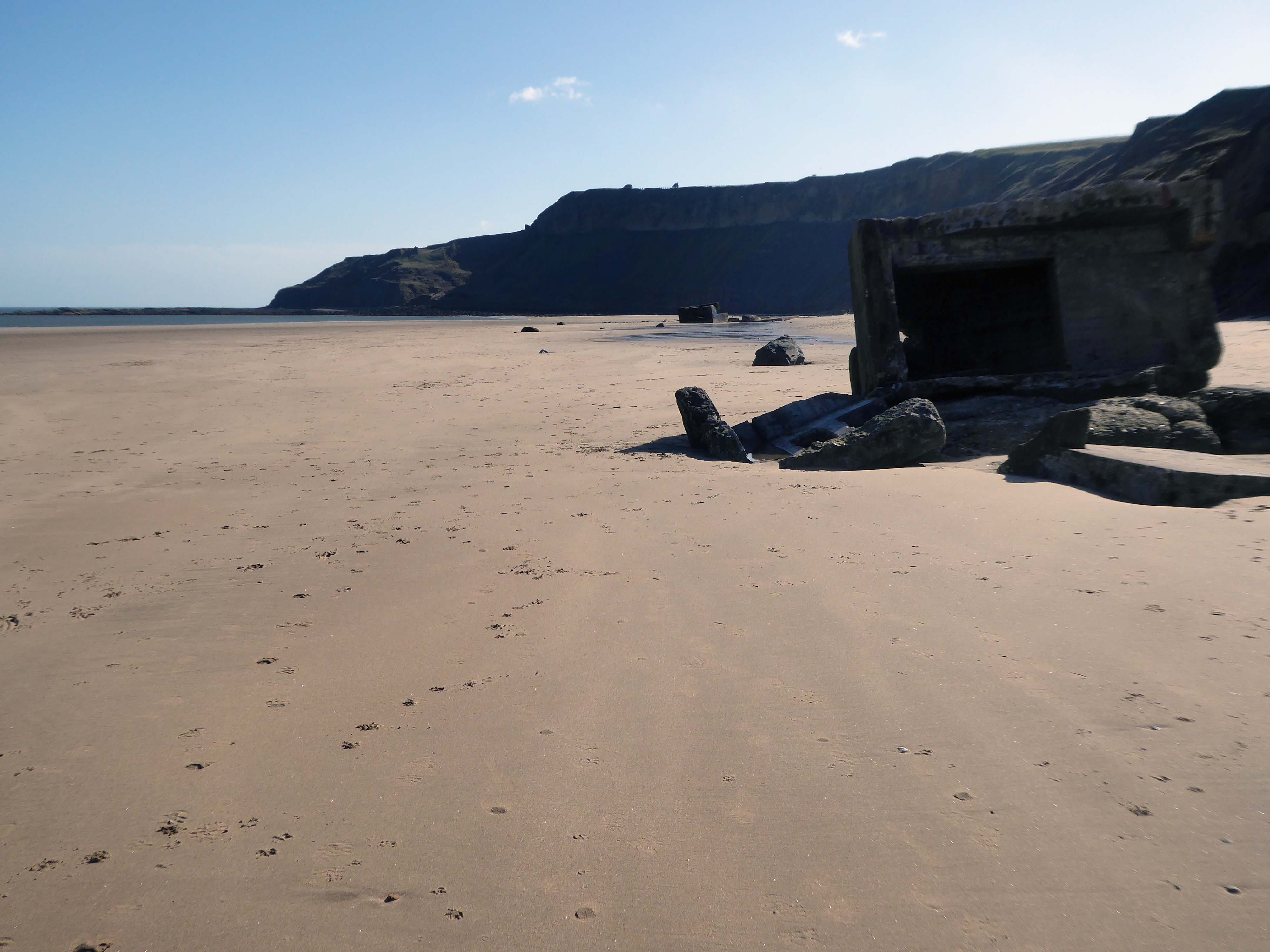
The wide sandy bay was an ideal location for WW2 pillboxes and gun emplacements – anticipating a possible North Sea invasion.
They too are built quite literally on shifting sands.
The pillbox – one of many built along the coast to defend against an invasion during World War II – had started to break down, leaving one large piece of stone in a precarious position.
Rob Shaw, of Ganton, noticed the large slab was propped up dangerously against another piece of stone last September.
He said he reported his concerns to Scarborough Borough Council then, but that nothing was done until last month.
The dad-of-two said before the work:
I used to work in construction and I would have been fired if I had left a lump of concrete like that, it could weigh four or five tonnes.
It just needs lying flat on the sand so it can’t fall on anyone.
A spokesperson for Scarborough Borough Council said the council had assessed the pillbox and arrangements had been made for the problem section to be removed.
The Scarborough News
This unstable cliff-top structure was allegedly hastened bay-wards by the Council.
Claims that we pushed the pillbox off the cliff are untrue – our colleagues have many amazing talents but pushing huge concrete structures is not one of them. The structure people can see at the base of the cliff is the other section of the pillbox that has been on the beach for many years.
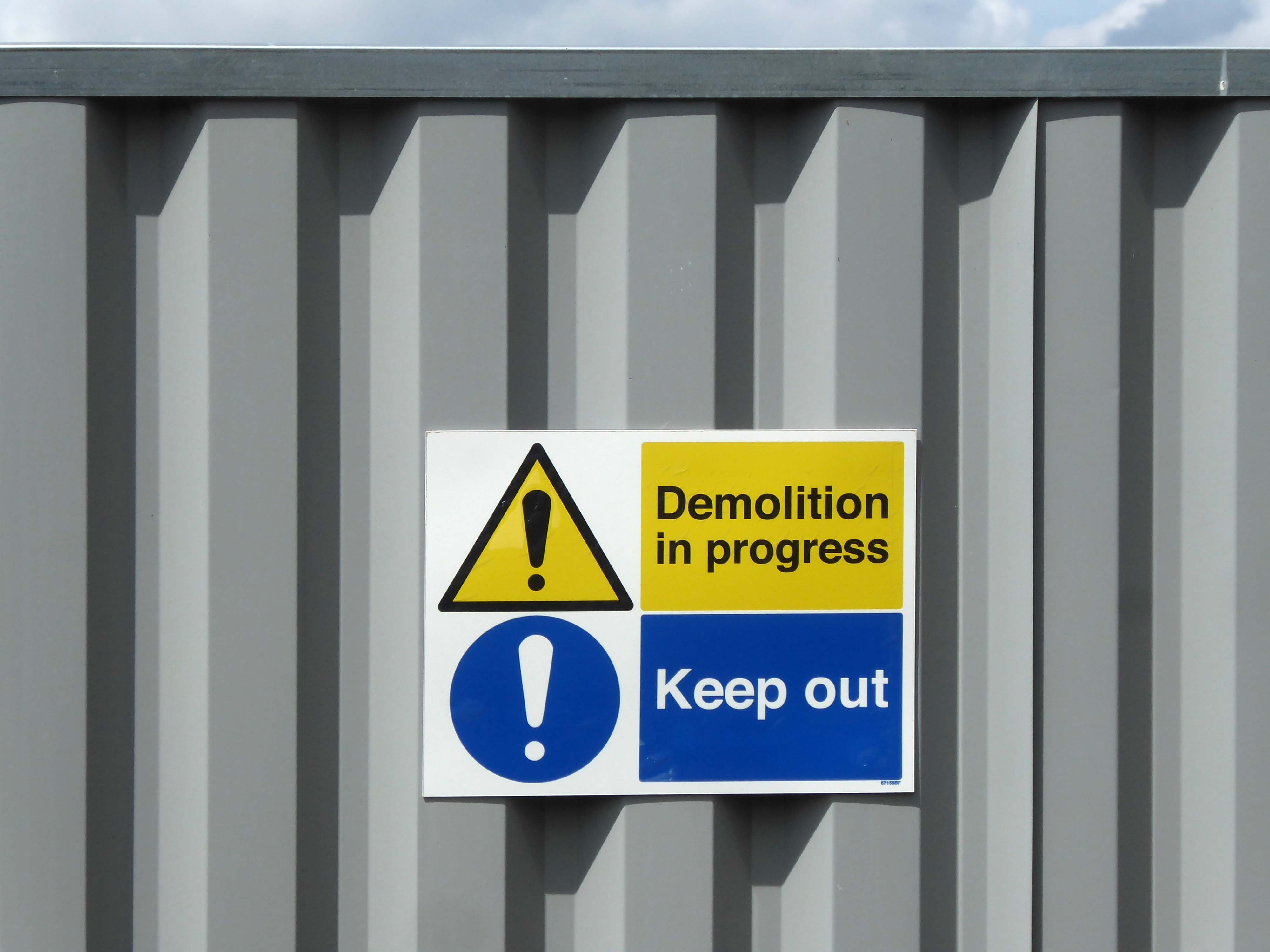
Having taken a particular interest in this particular piece of public art for some time – I need to go and take a little look.
But what will we see along the way, as we hasten along Rochdale Road?
Which once looked like this, way back when in 1904.
Though some things inevitably come and go, as some things are prone to do.
The city is undergoing yet another reinvention as Manchester becomes – an attractive place to invest and do business.
See, I am doing a new thing!
Now it springs up; do you not perceive it?
I am making a way in the wilderness and streams in the wasteland.
Isaiah 43:19
Once there was a gas works here – adjoining Gould Street, seen here in 1958.
The Gould Street Gas Works was a gas manufacturing plant located in Manchester, England. Originally built in 1824, the plant was operated by the Manchester Corporation Gas Department and was in operation from 1833 to 1969. It was named after the street on which it was located, which was named after John Gould, who was a prominent Manchester businessman in the 19th century.
The Gasworks New Town neighbourhood is one of seven envisioned by the £4bn Victoria North masterplan. It will feature nine buildings ranging from 8 to 34 storeys. The 6.6-acre site has most recently been home to a car park but the green development will overwhelmingly prioritise walking and cycling over driving. It will result in tens of millions of pounds being pumped into the city’s economy over the lifetime of the development.
Plans for a trailblazing city centre regeneration scheme that will create more than 1200 homes has been approved by Manchester City Council.
A total of 85 of the 1200, will be affordable homes available through Shared Ownership.
Though as of March 31st 2023 ground is yet to be broken, no signs of the:
New centre of gravity for central Manchester that will create thousands of jobs and inject tens of millions of pounds into the city’s economy.
So you zig-zag wanderers, make the most of these wide open expanses of affordable car parking, while you can.
The future may yet be here today – or the next.
Let’s duck under the railway, through this sad damp pedestrian tunnel – the domain of the cash strapped daytime drinker, transient tagger and disaffected leaflet distributor.
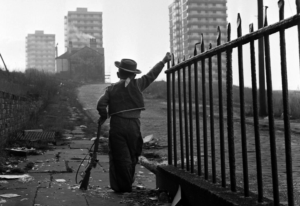
Next thing you know you have emerged into the daylight on Dalton Street – we have been here before seeking the Collyhurst Cowboy.
Photograph: Dennis Hussey
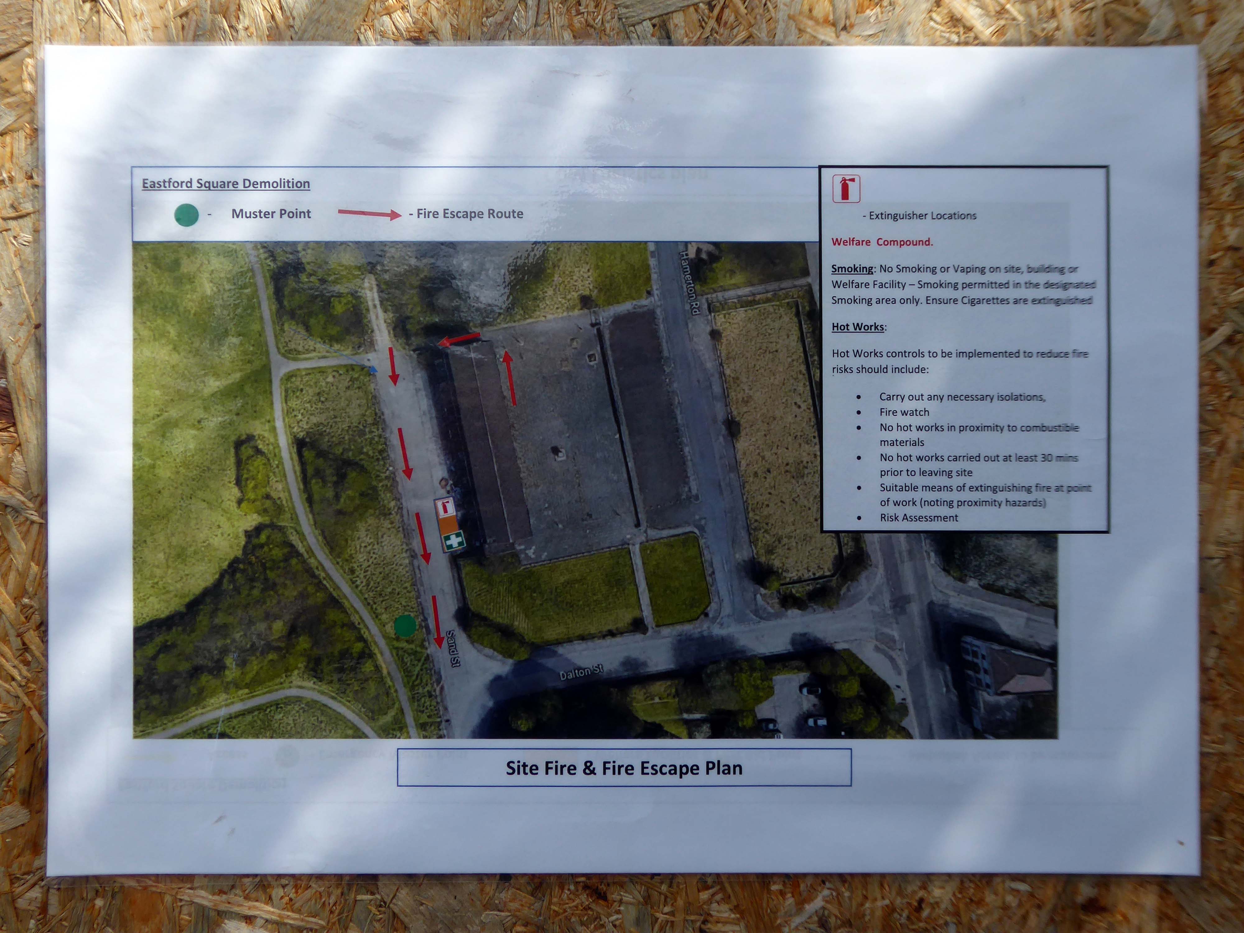
Onwards to Eastford Square.
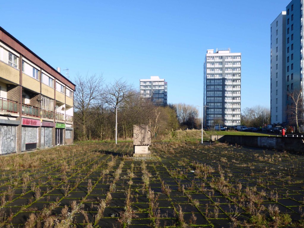
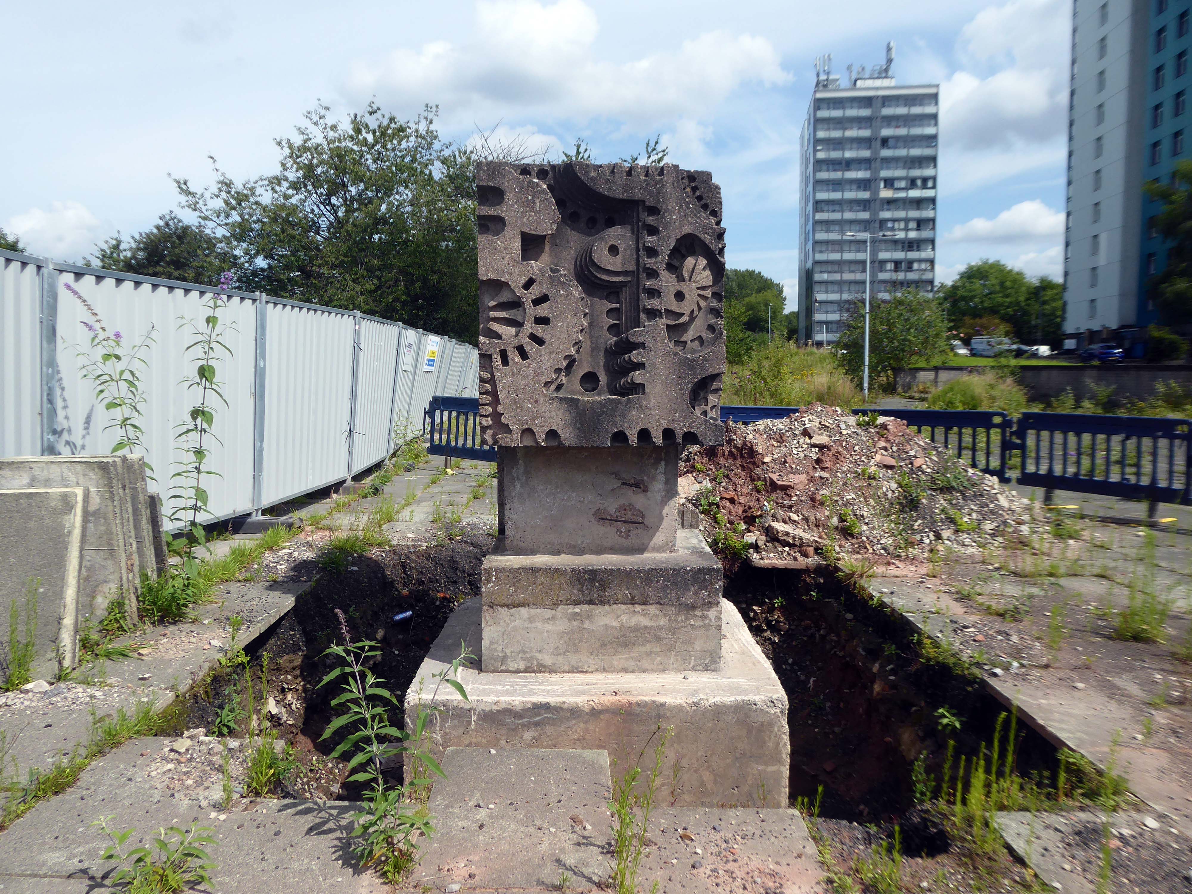
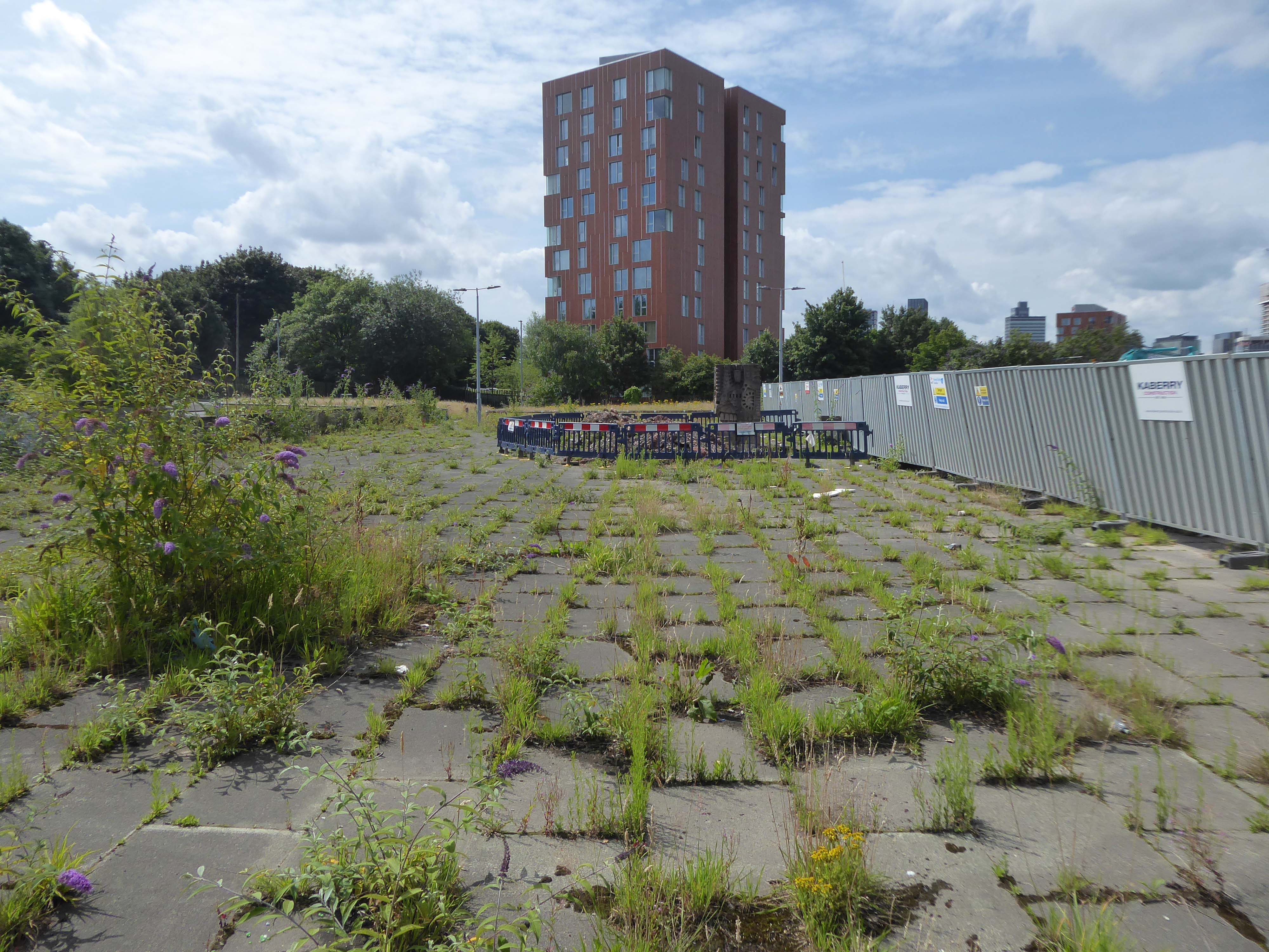
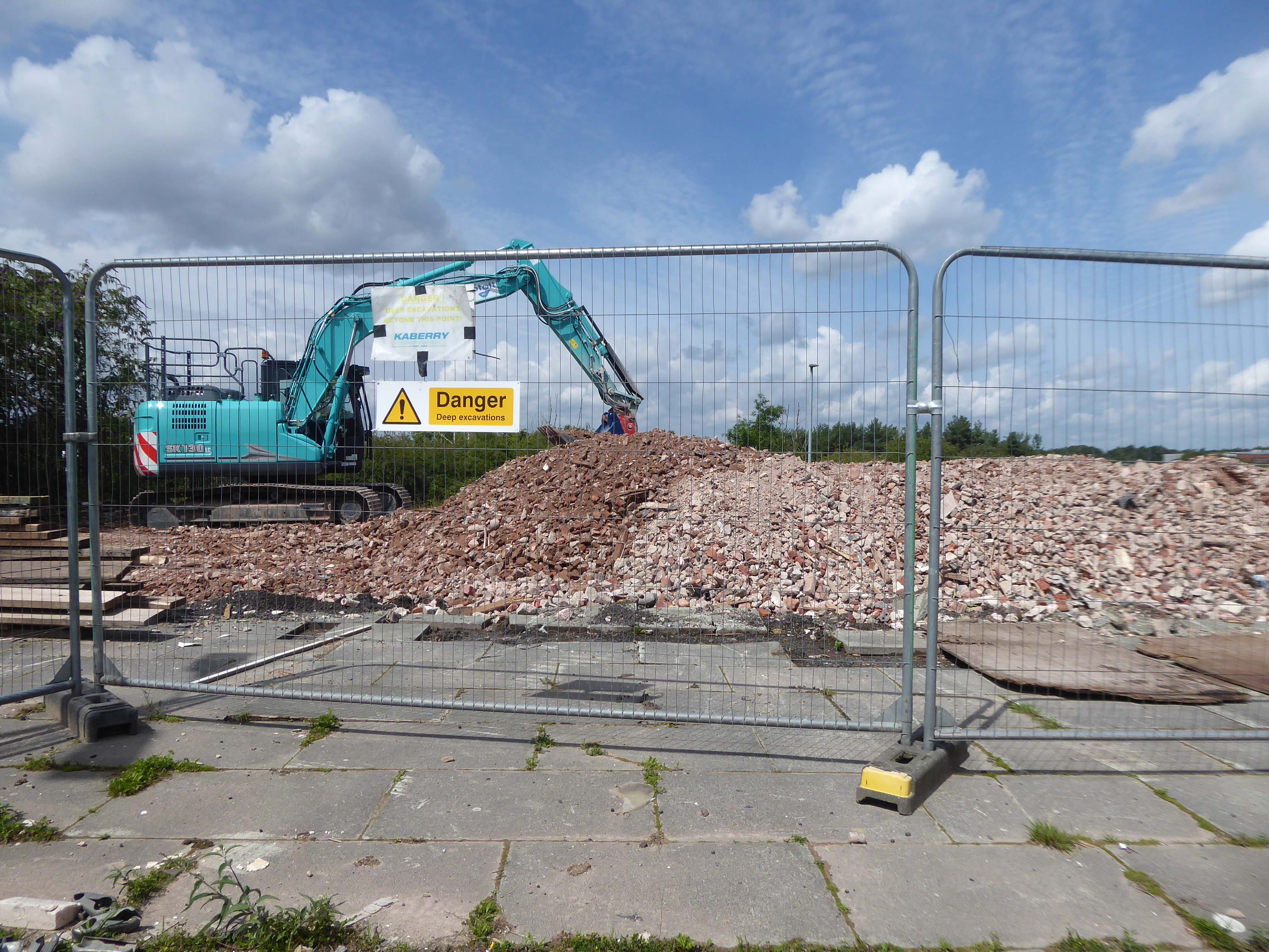
The shops and maisonettes are due to be demolished any day now – no longer to gaze open-eyed upon the former quarry of Sandhills.
Around the front the diggers have been a digging – digging up around the base of the totem.
The work is to be re-sited by the nearby tower blocks.
The end is nigh.
Heading now for Collyhurst Road and the Irk Valley – seen here in 1960.
Looking back on the Square and the Dalton Street flats – Humphries, Dalton, Roach, Vauxhall and Moss Brook Courts under construction.
Vauxhall Street now but a shadow of its former self – the last traces of industry long gone.
Reclaimed over time by trees and dense underbrush.
Crossing Collyhurst Road and up and over the railway via Barney’s Steps also known as the Lowry Steps.
LS Lowry
By the late 1950’s the whole of this area which we called Barney’s Tip became a refuse tip for Manchester City Council.
The area is in the process of being reconfigured as a delightful country park.
The investment will also help develop an initial phase of the planned City River Park incorporating St Catherine’s Wood as part of a network of public open space, including improvements along the River Irk and works to improve flood resilience, unlocking the potential of the Irk Valley that will characterise the wider Northern Gateway project.
The first phase of the City River Park will begin work to transform former railway architecture to develop the new Viaduct Linear Park north of Victoria Train Station, new stepped public realm space – Red Bank Terraces, along with new green space by the River Irk and the key improvements to St Catherine’s Wood.
Collingham Street is lined with trucks, trailers, stalls and mobile homes.
But there’s nothing temporary about this Cheetham Hill neighbourhood; most residents have lived here for years and many plan to spend the rest of their lives here.
Founded more than forty years ago, it was created by the Showman’s Guild of Great Britain – and it’s reserved exclusively for fairground workers both retired and current.
Built on Queens Road tip, a former rubbish dump, and rented out by Manchester Council, many of the 52 homes belong to older retired showmen or families for whom an itinerant lifestyle has become more challenging.
It’s a close-knit community with a unique shared history.
Though not without its own particular issues it would seem, according to the MEN.
The licensing out of hours team has received noise complaints relating to the premises which was found to be open beyond permitted hours when visited. Officers also identified breaches of the Health Act during inspections in which people were seen smoking shisha pipes in an enclosed extension at the back.
We will leave the Flamingo be and head back into town – but not without giving a nod to this confusing collision between this self-made scrapyard-man chic gate and the ever changing skyline of overheated urban regeneration.
The new creation has come: The old has gone, the new is here!


