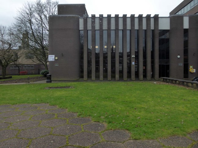
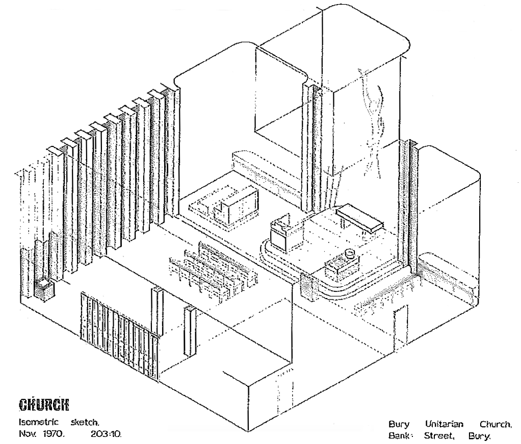
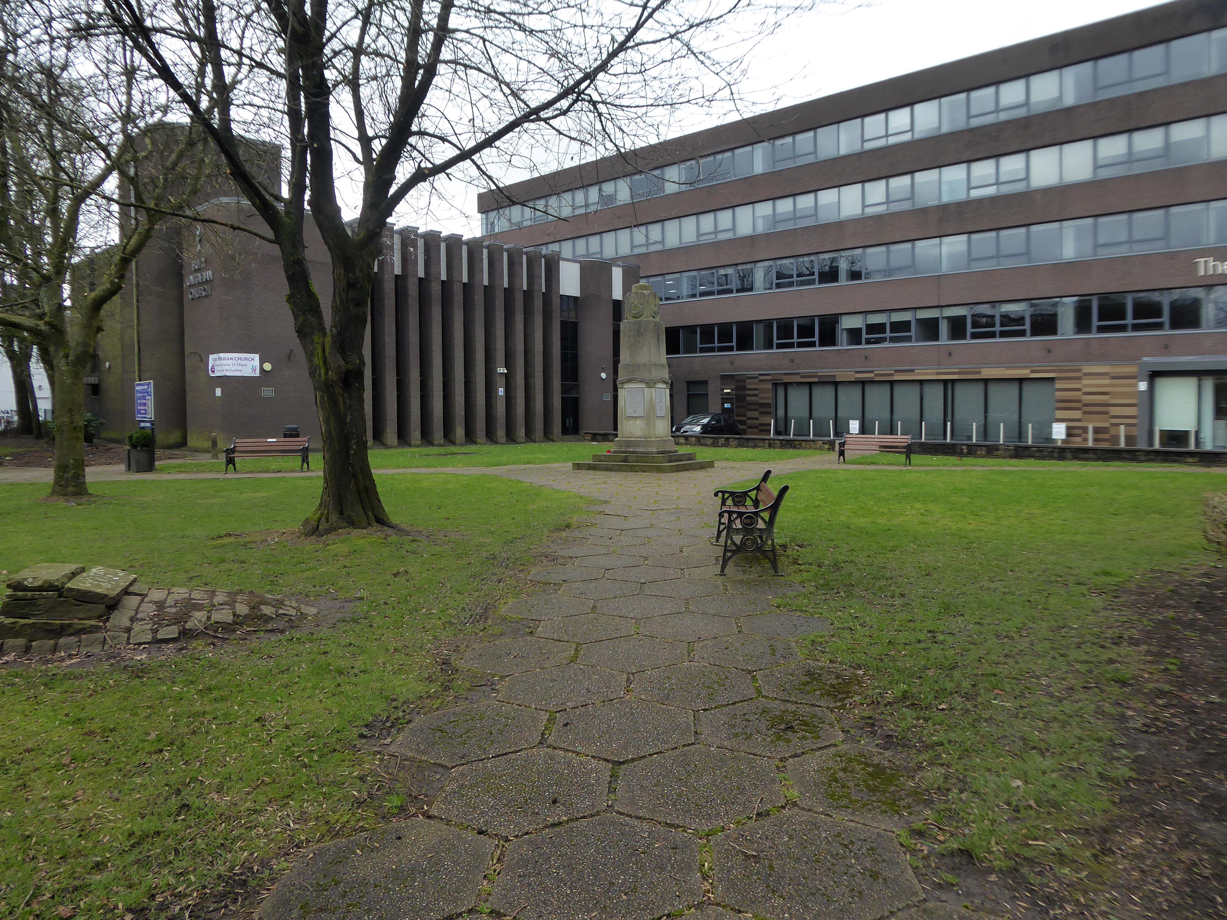
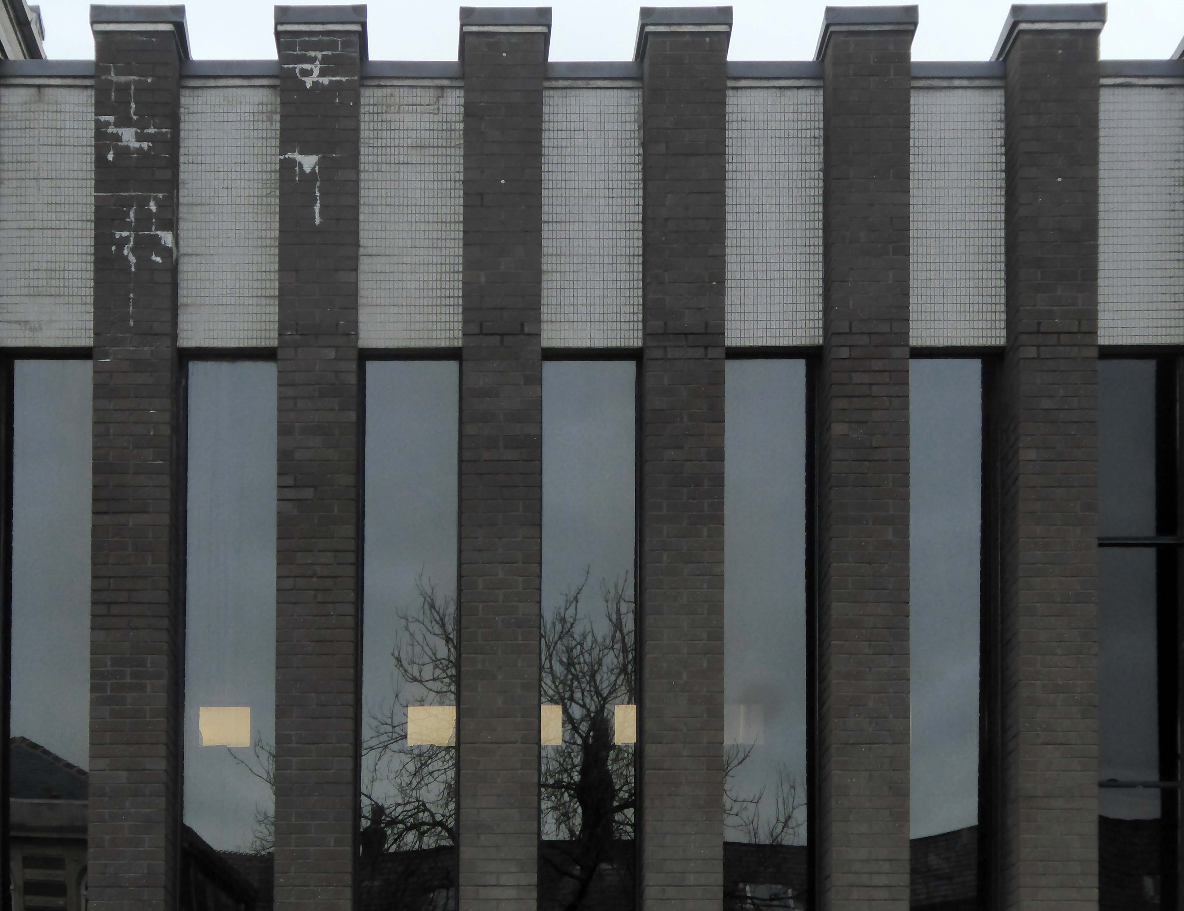
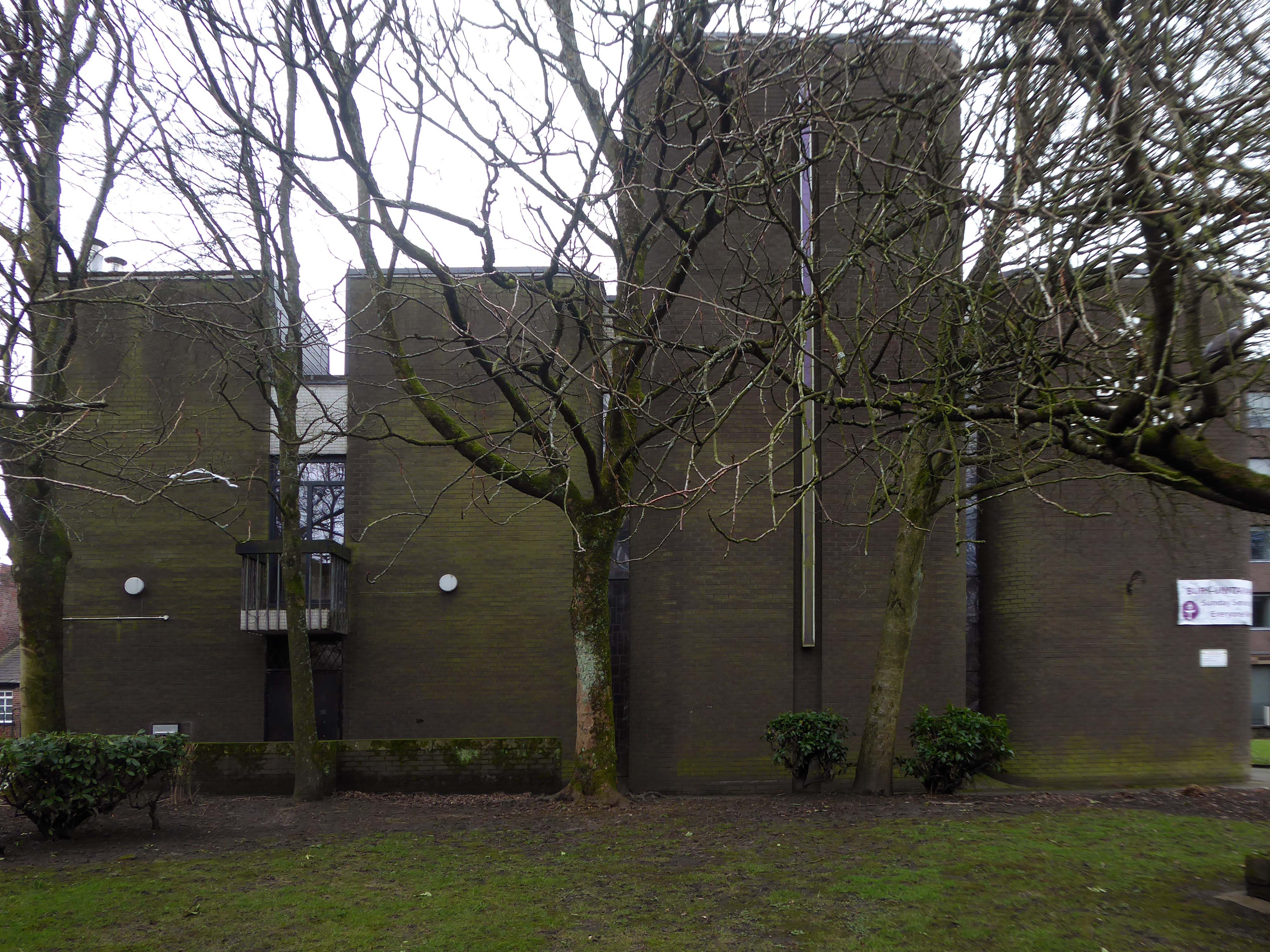
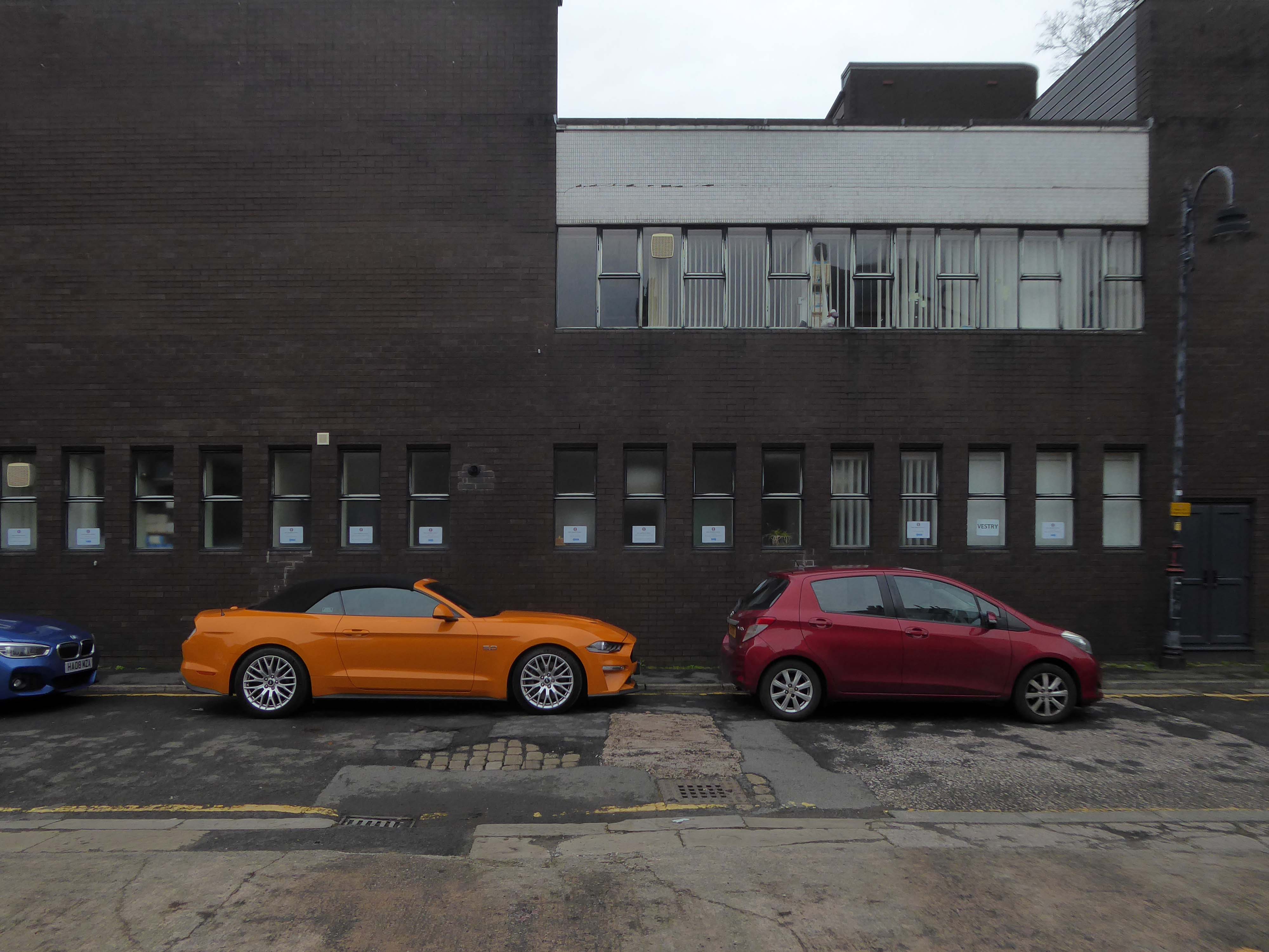
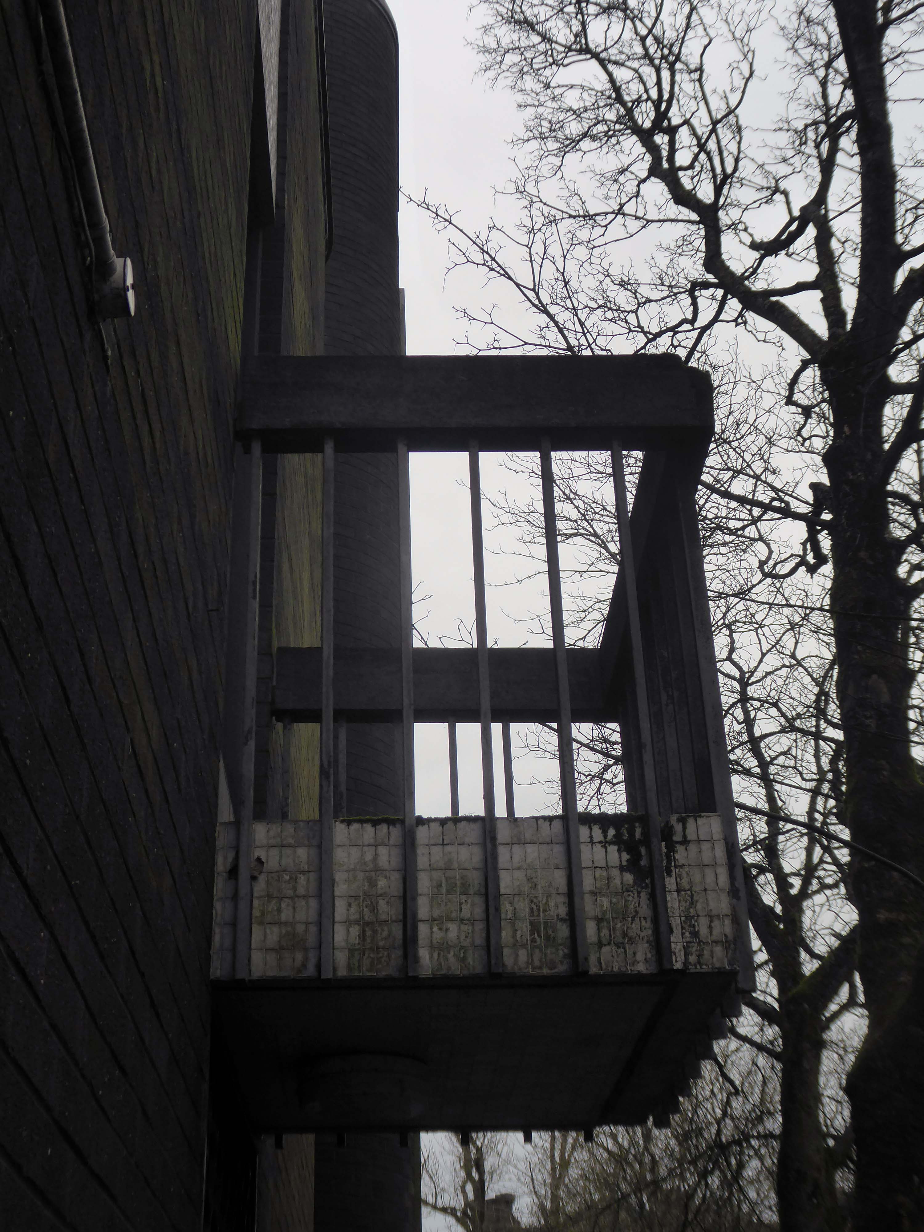
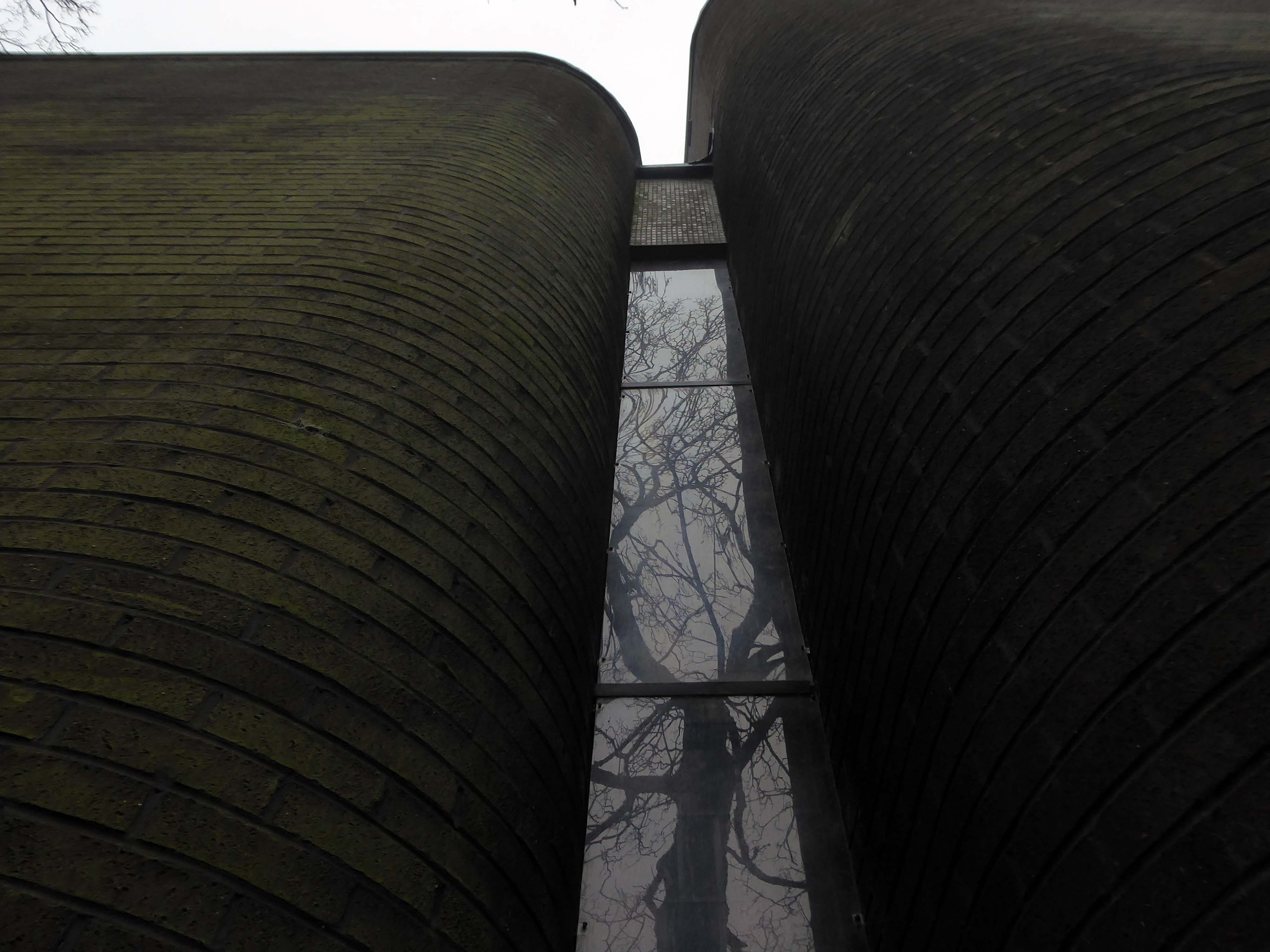
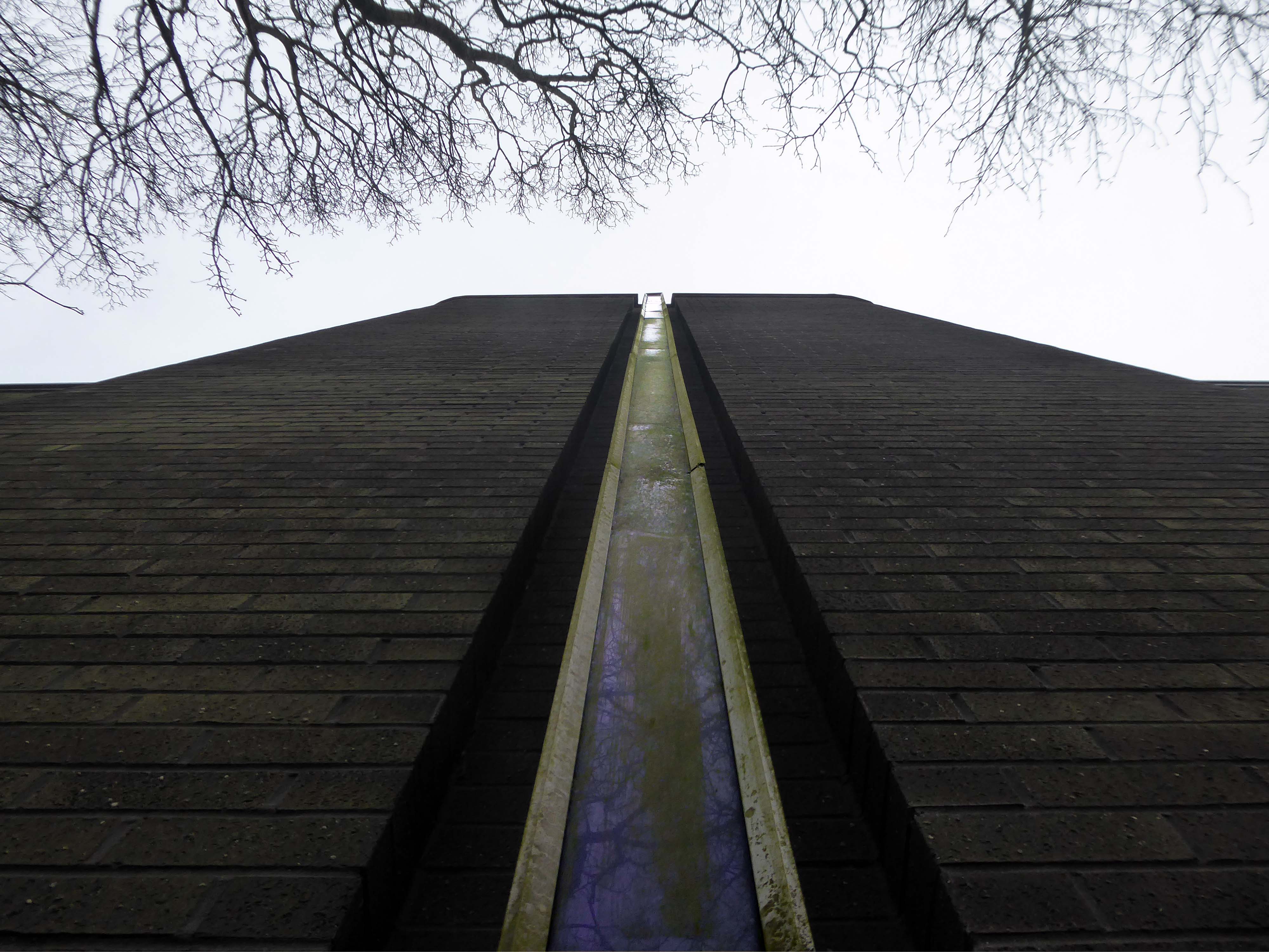
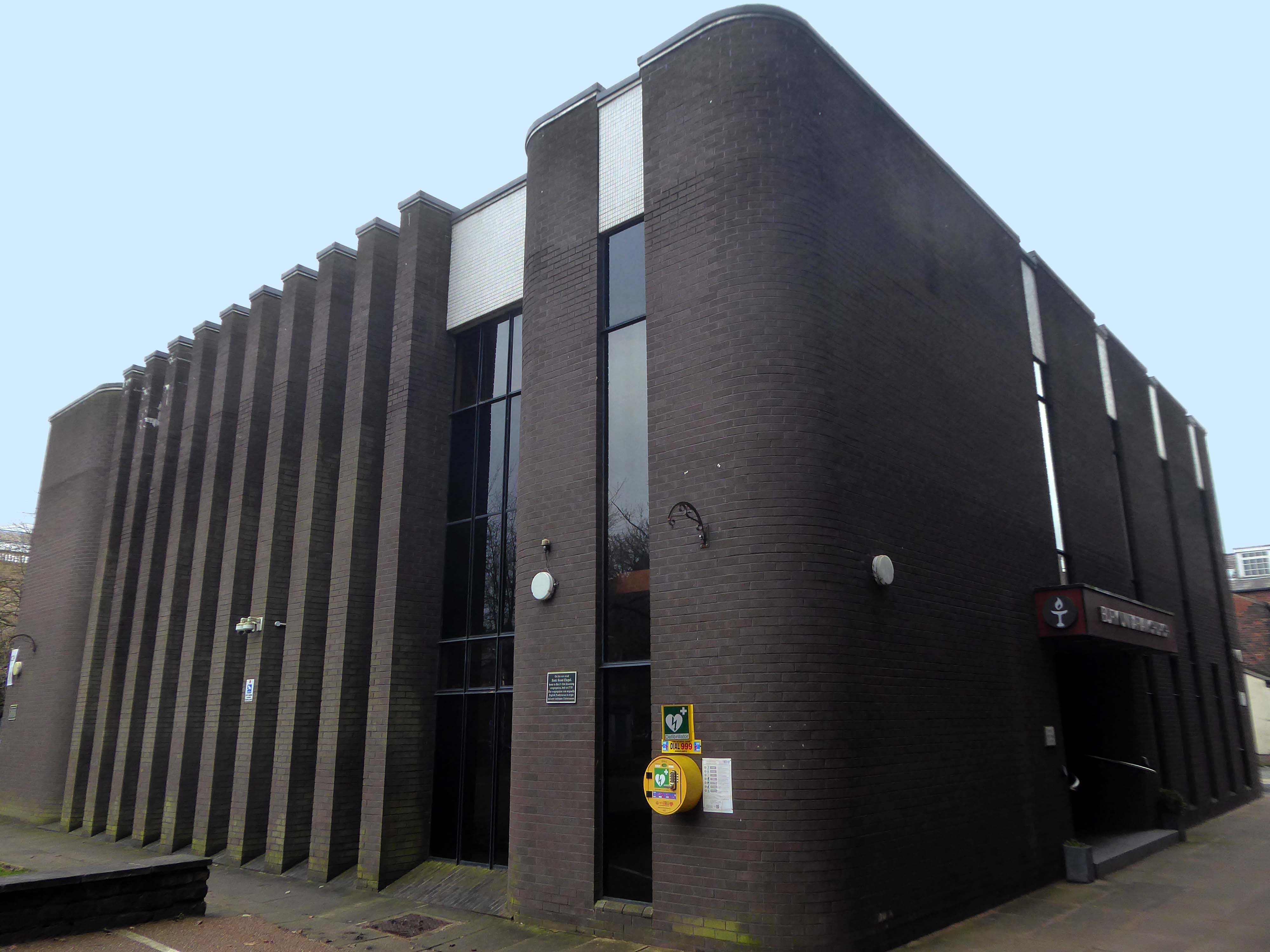
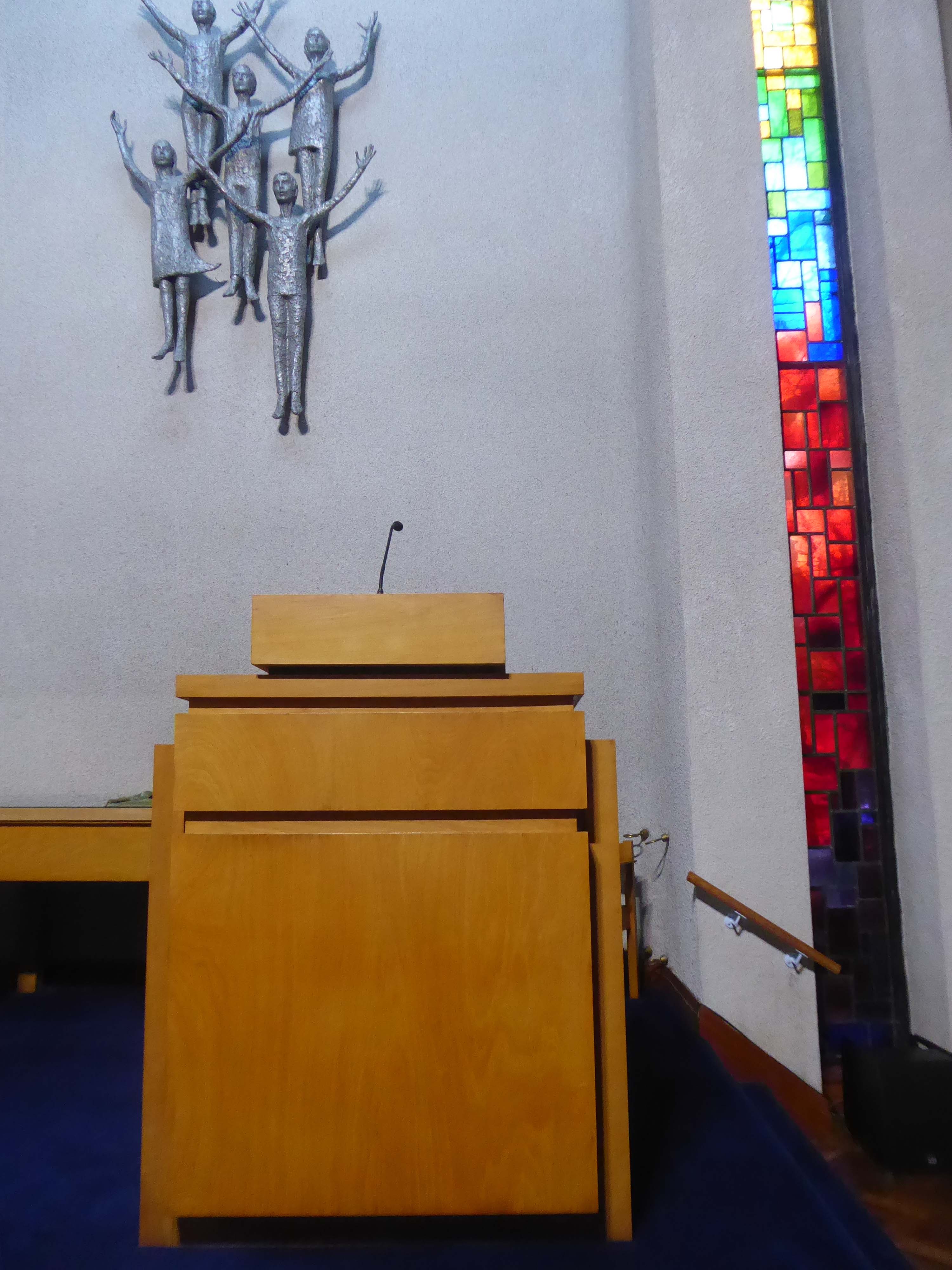
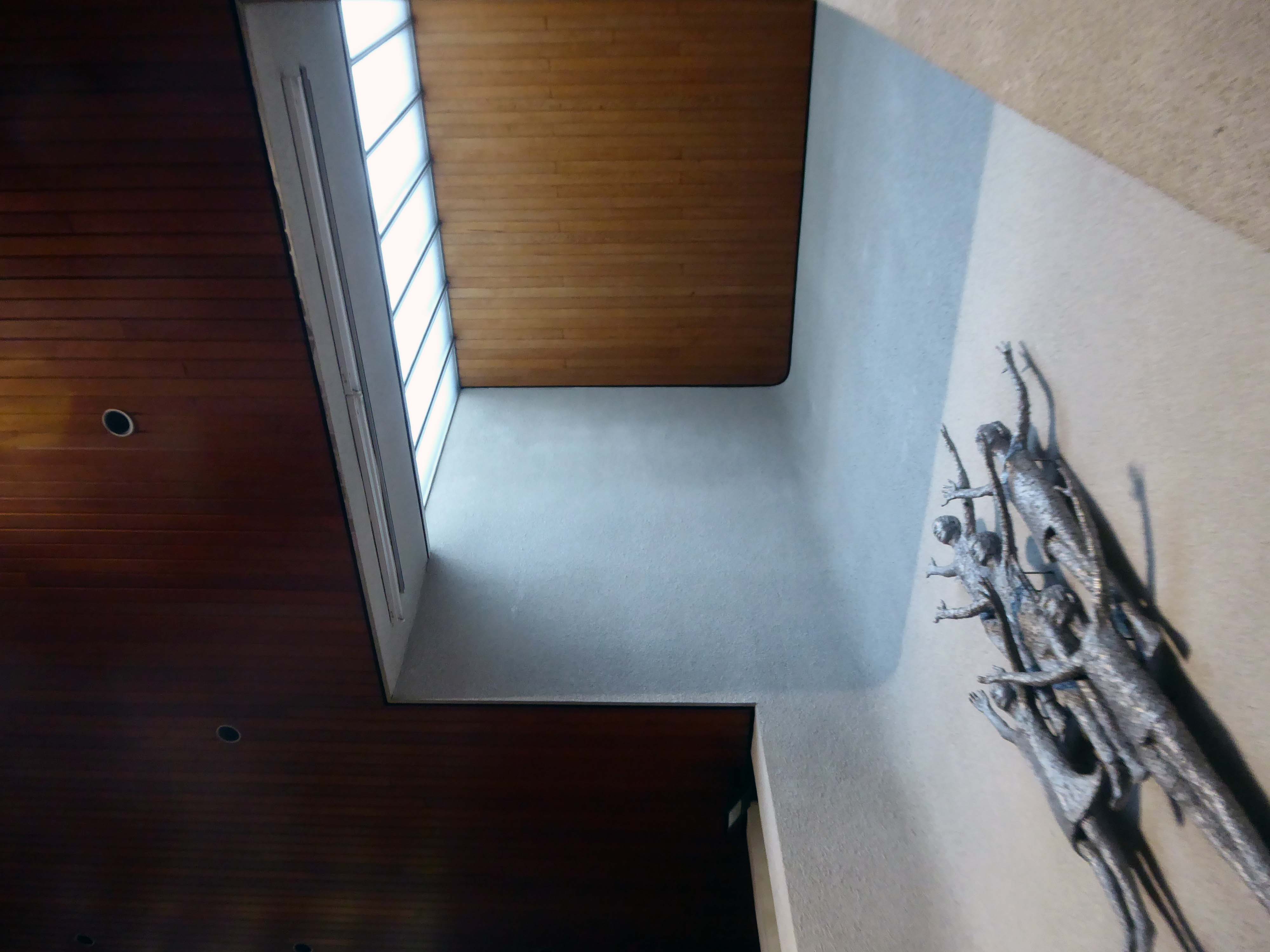
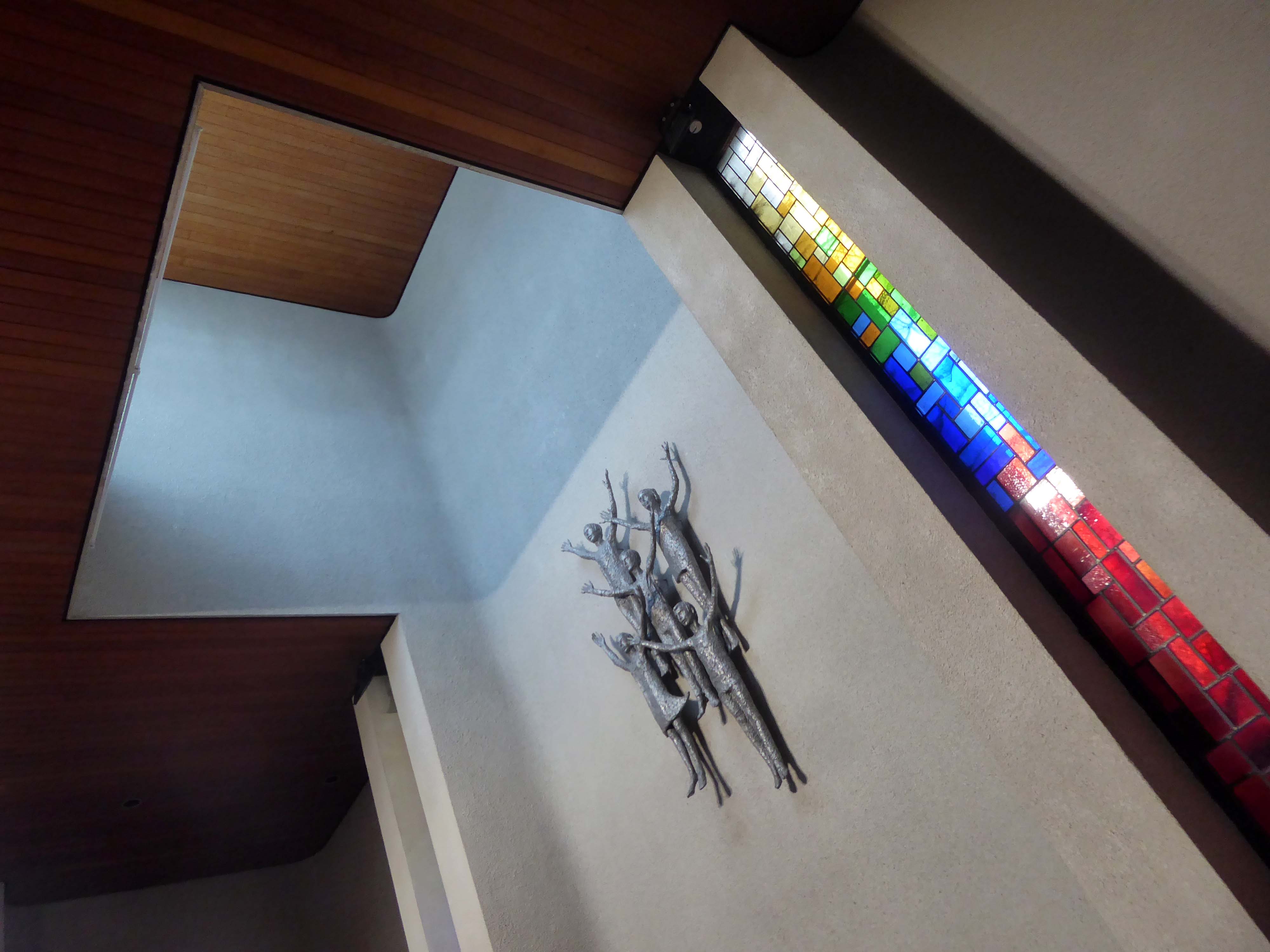
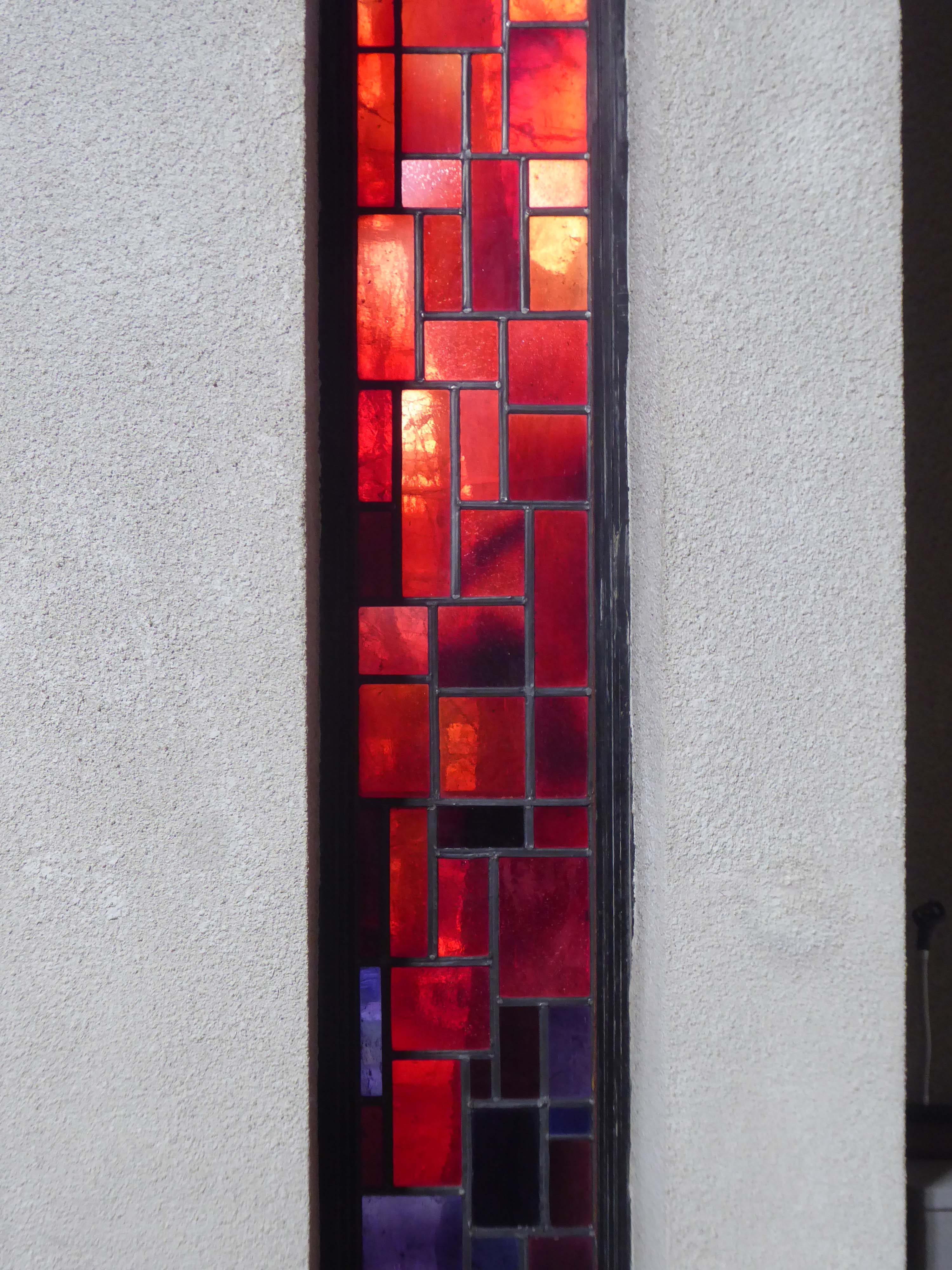
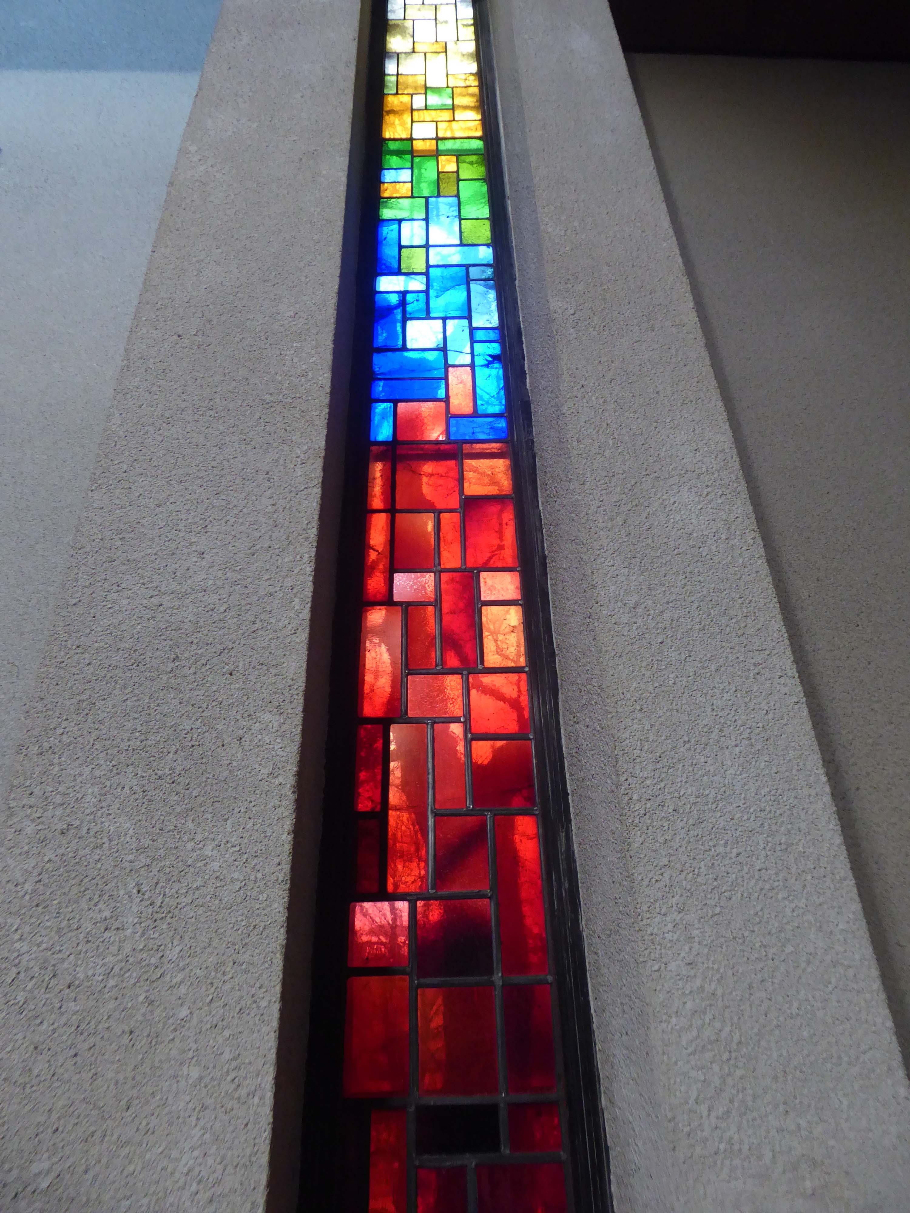
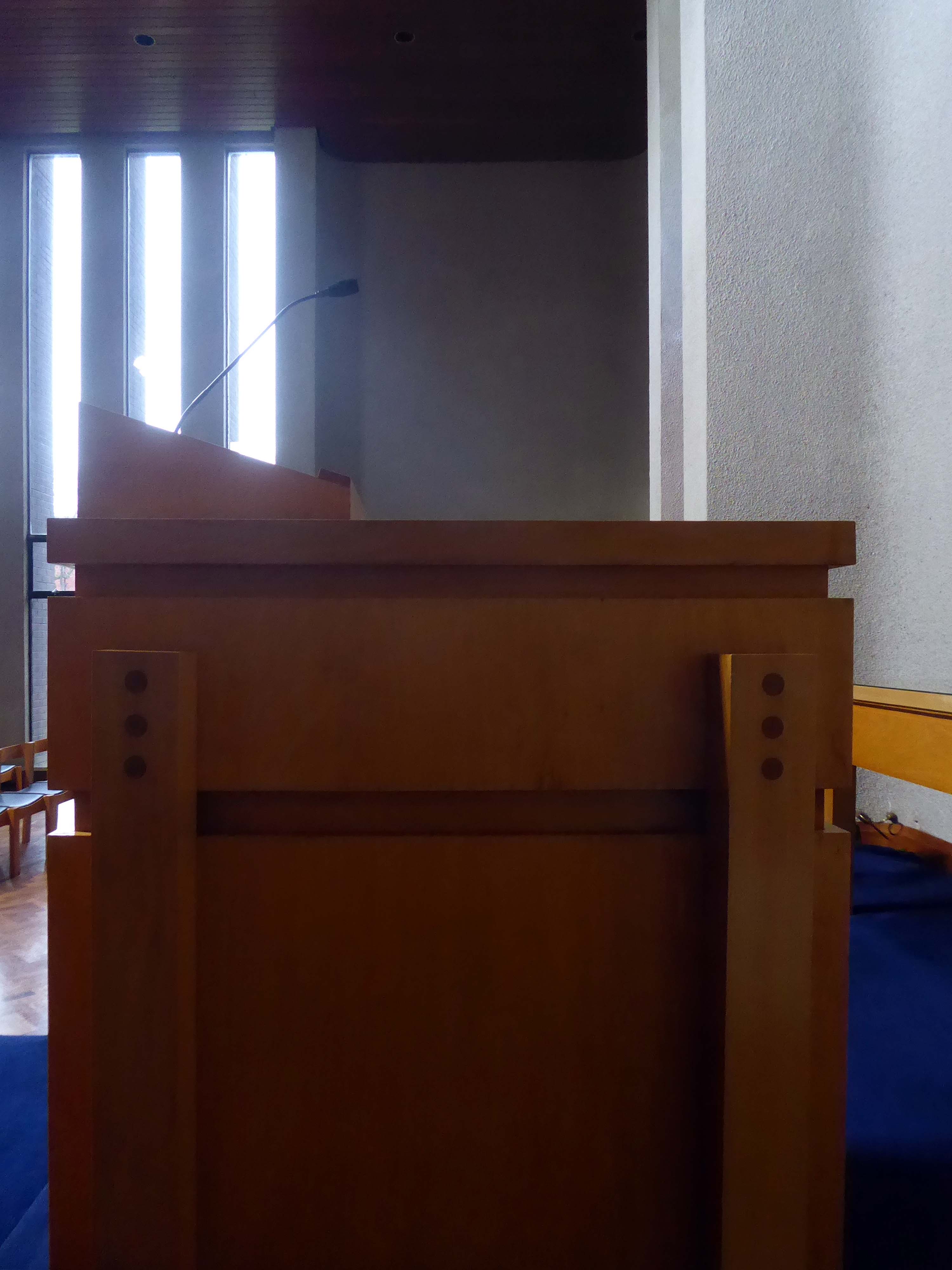
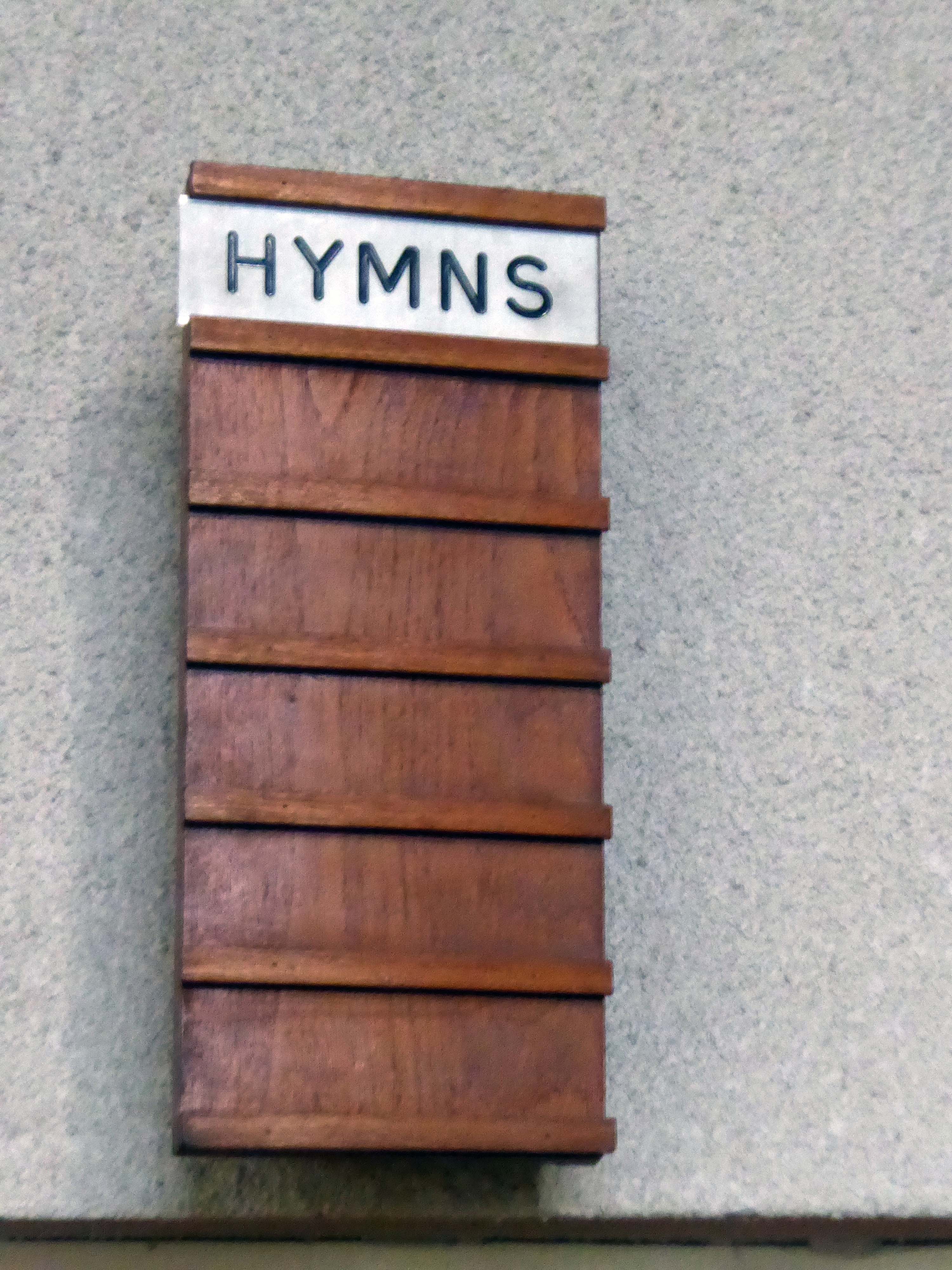
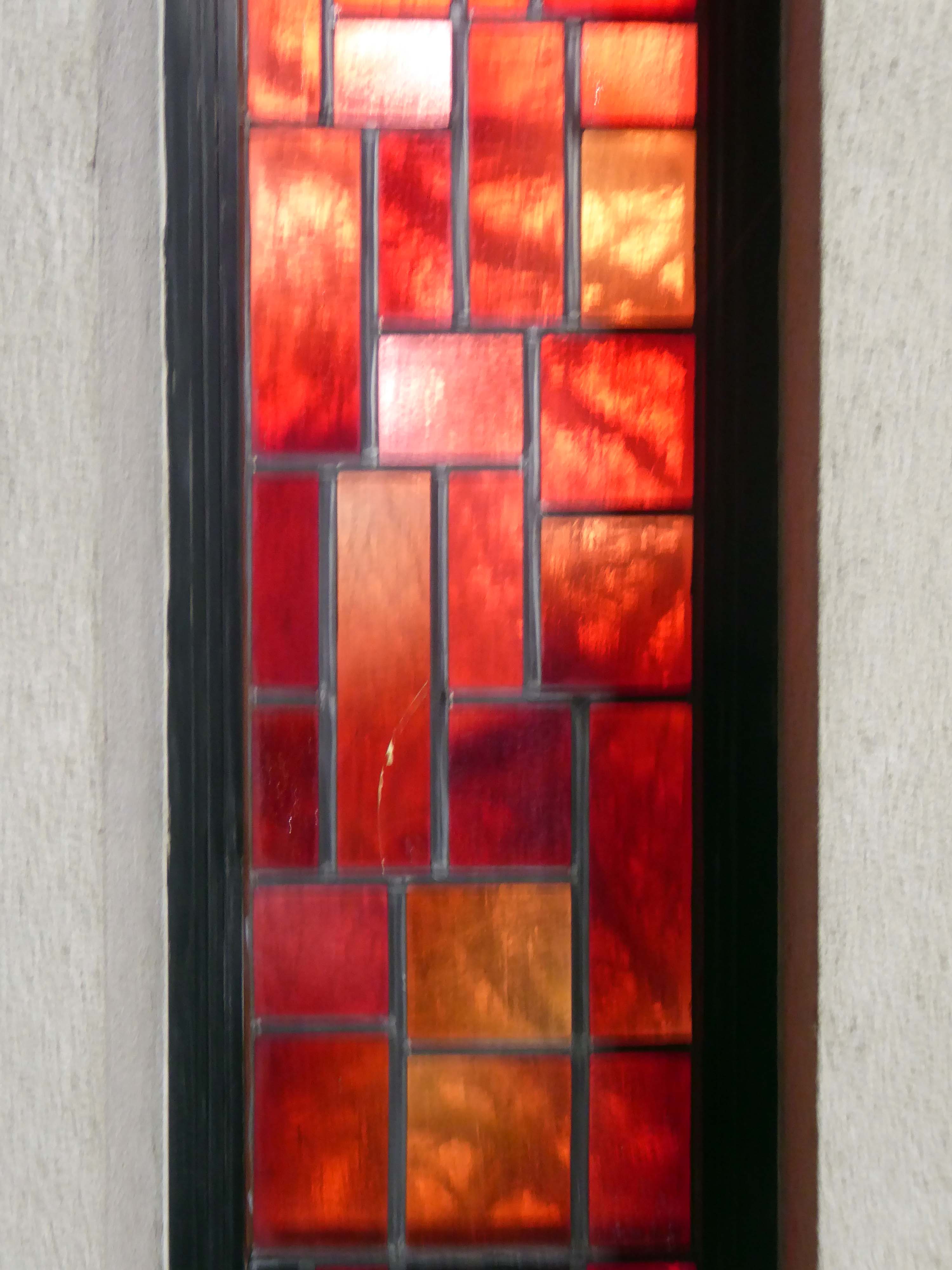
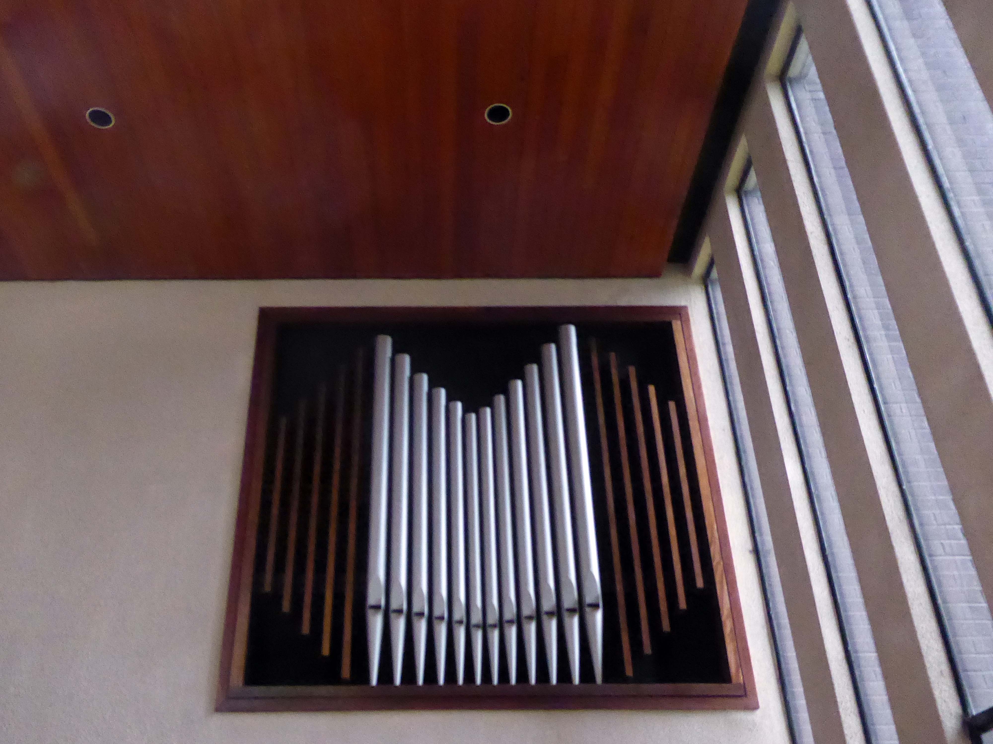
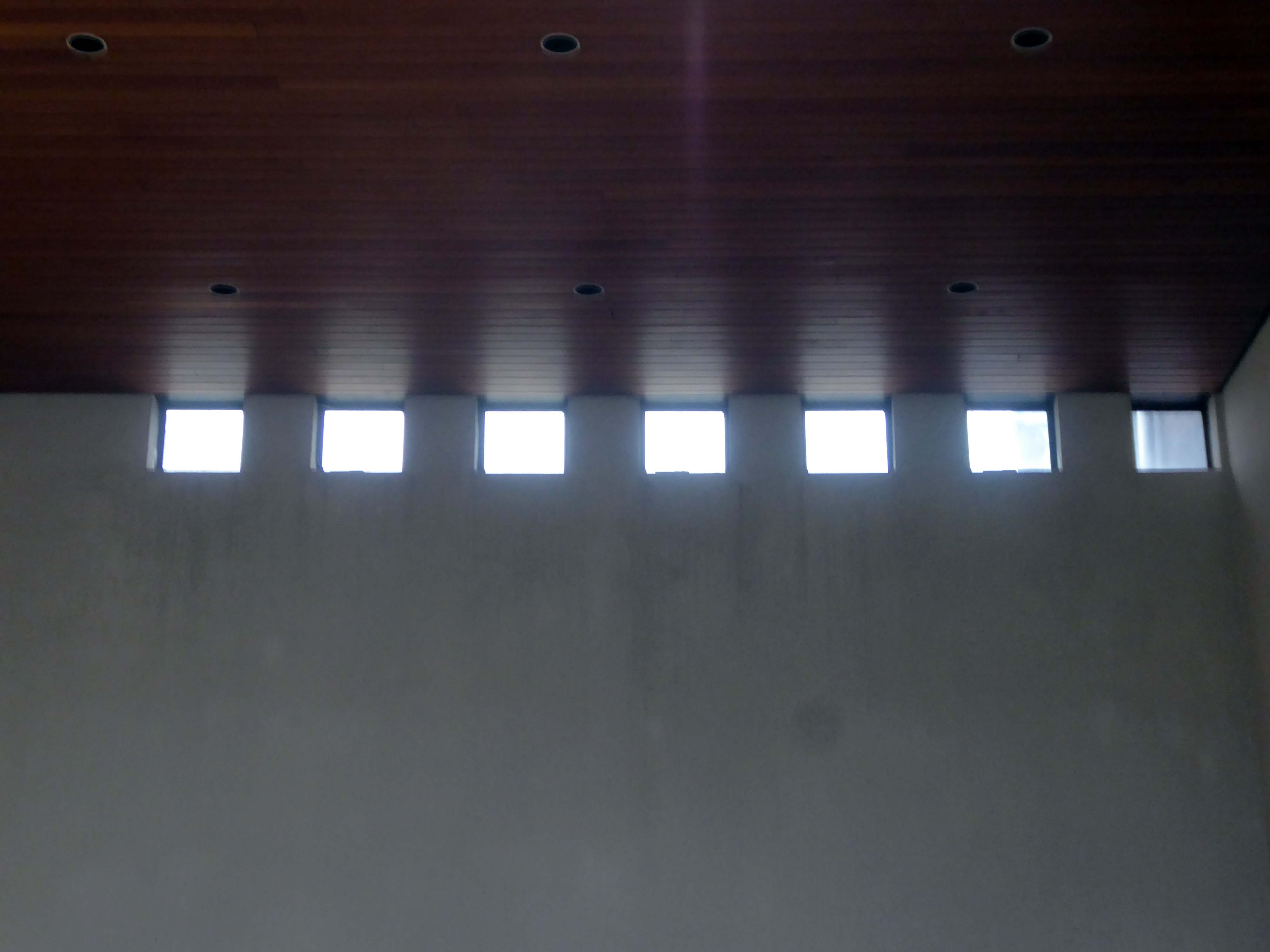
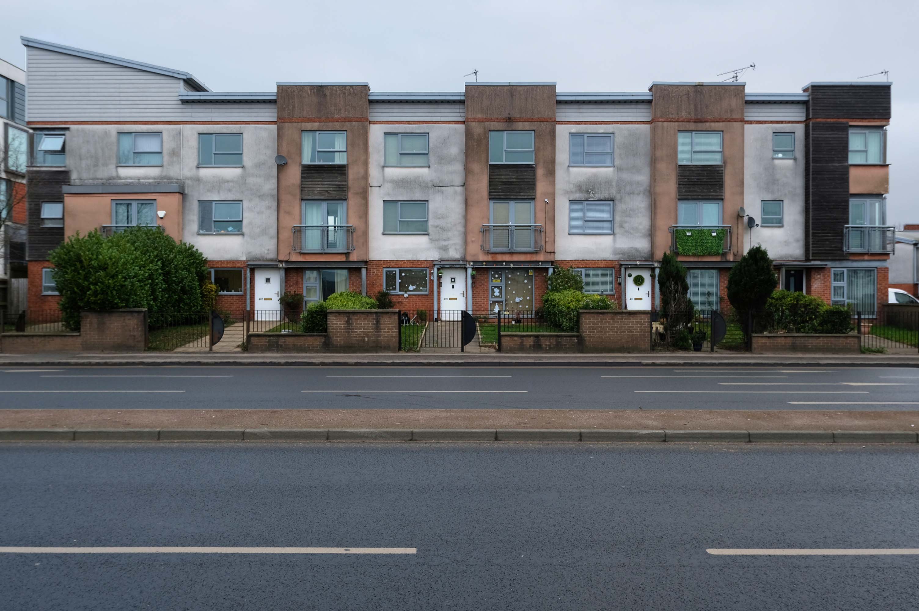
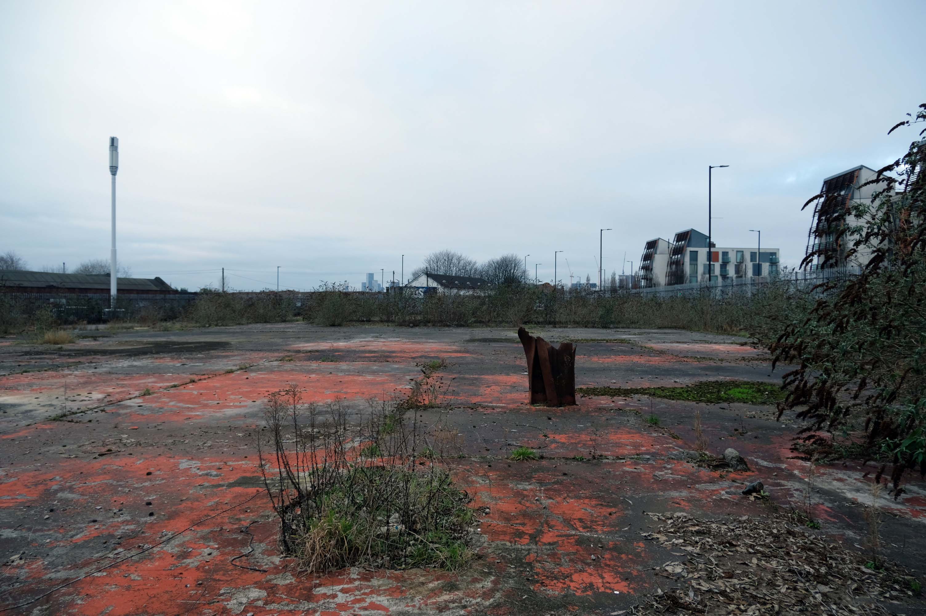
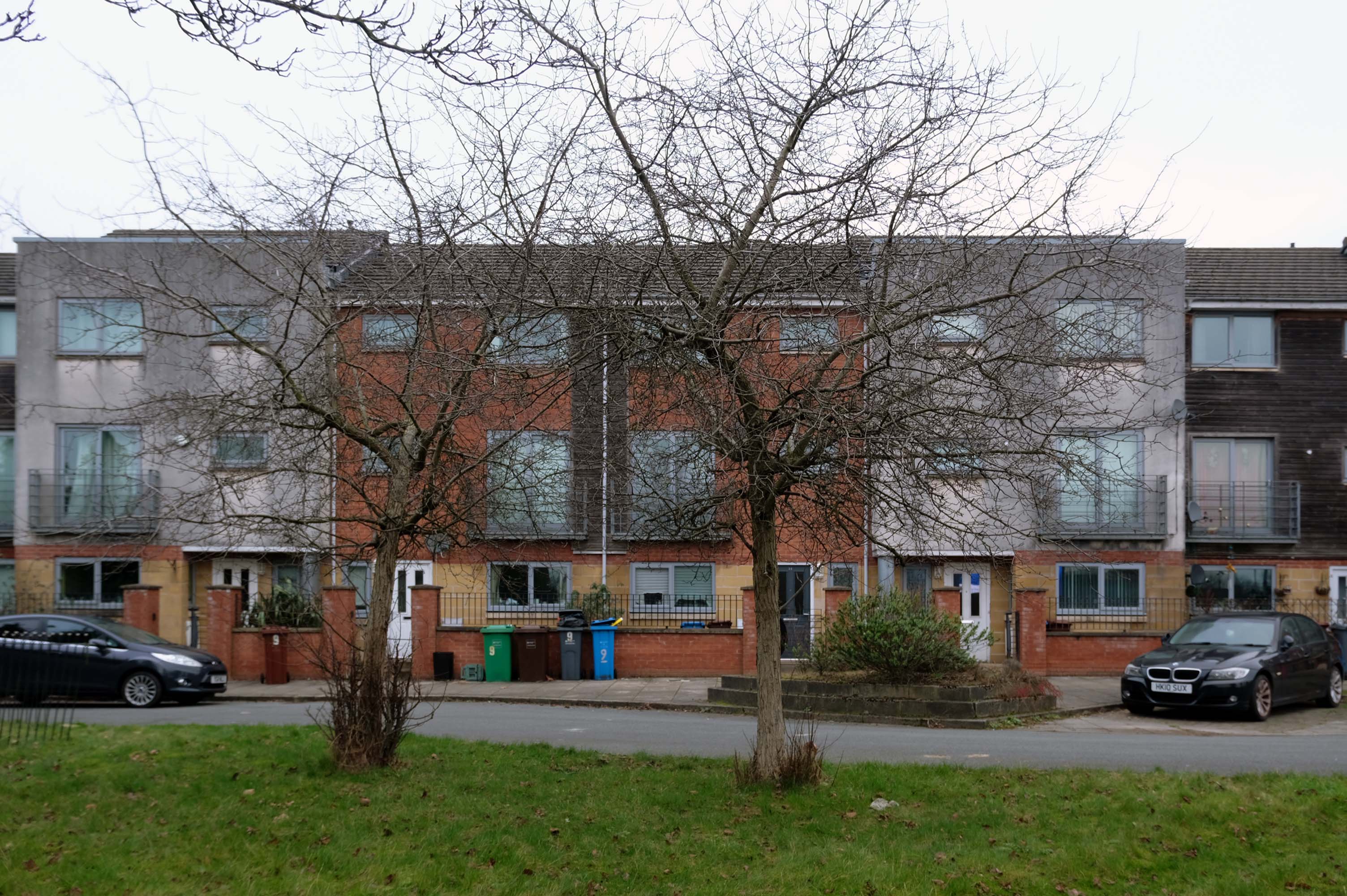
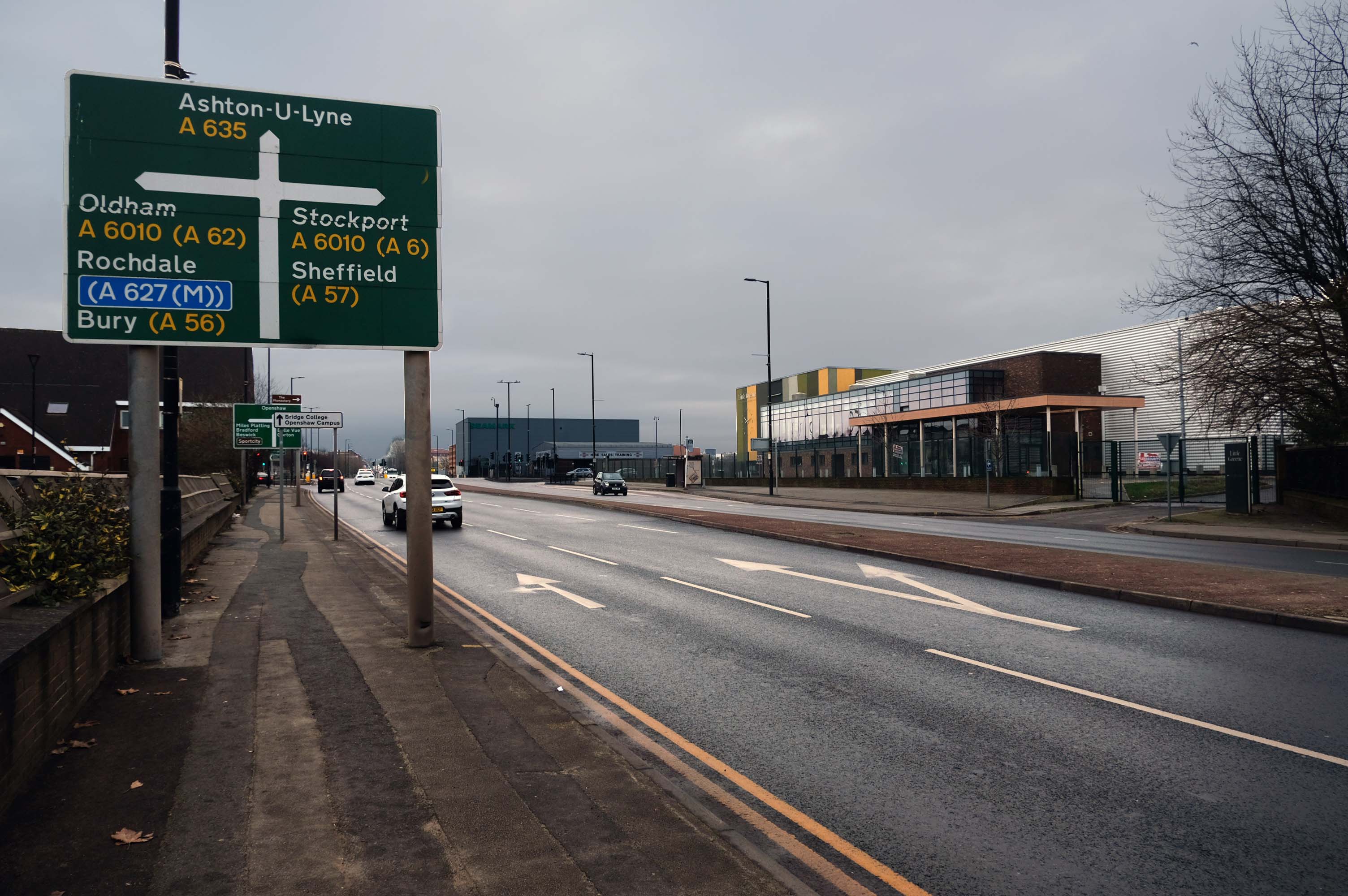
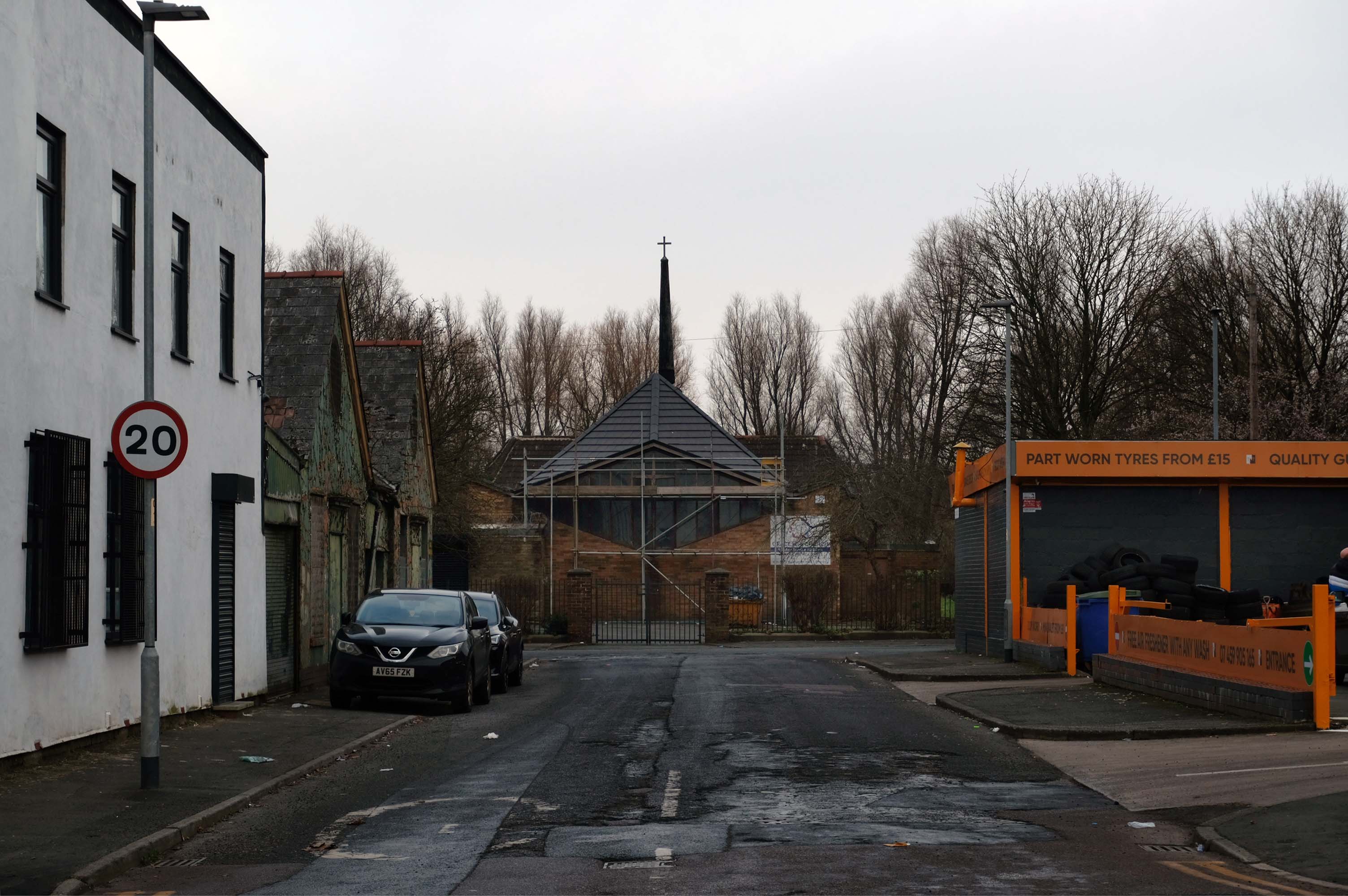
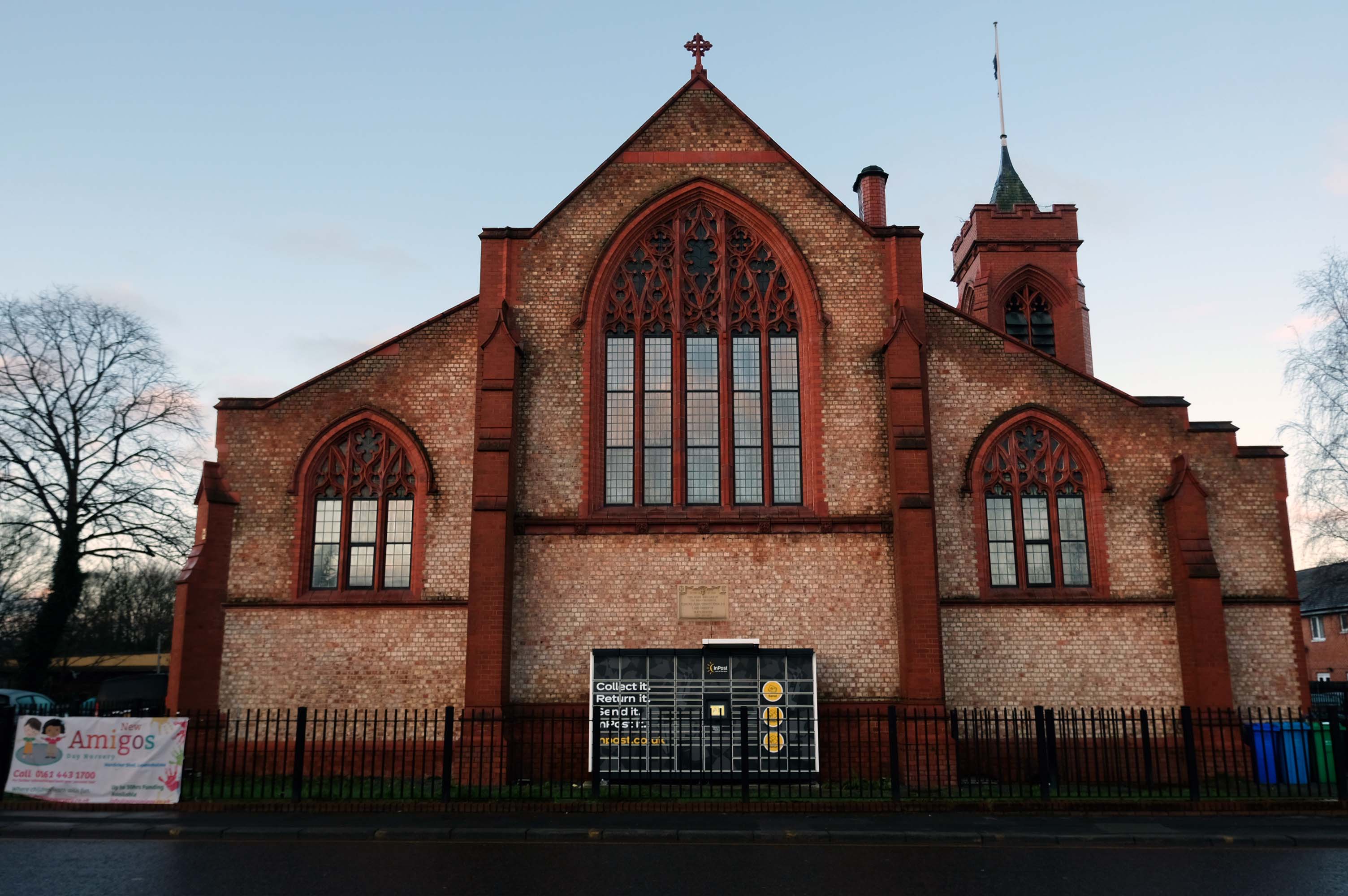
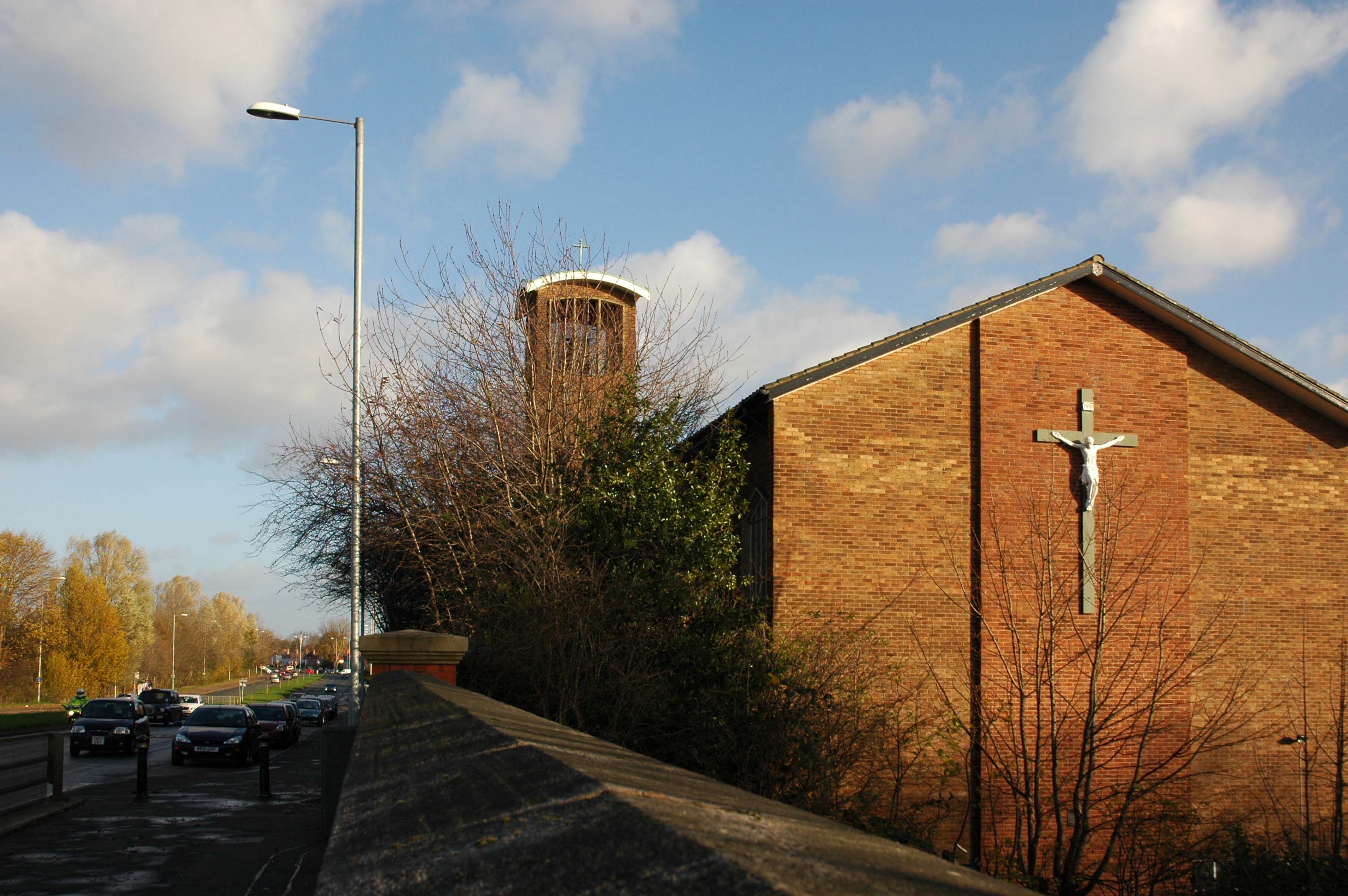
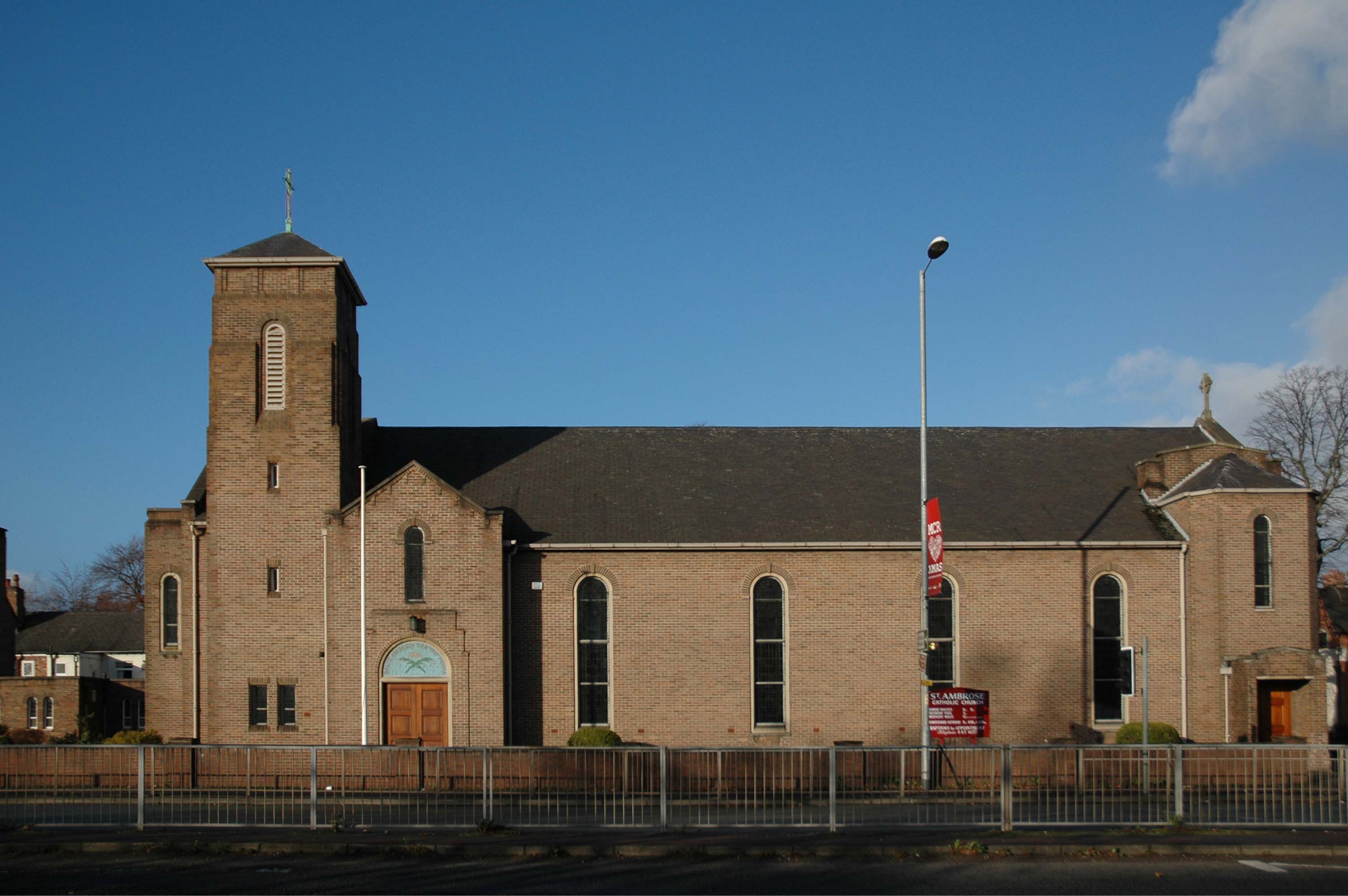
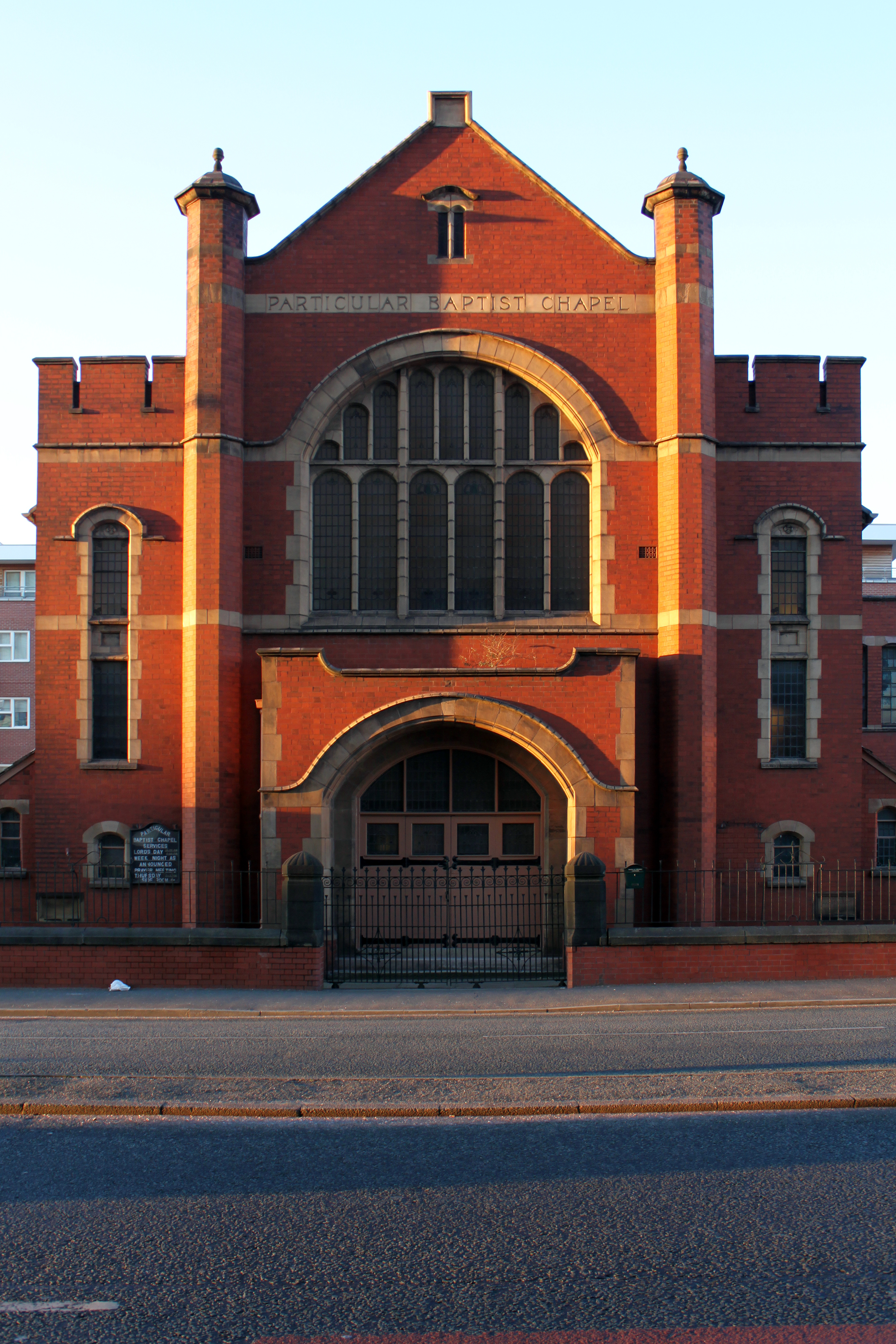
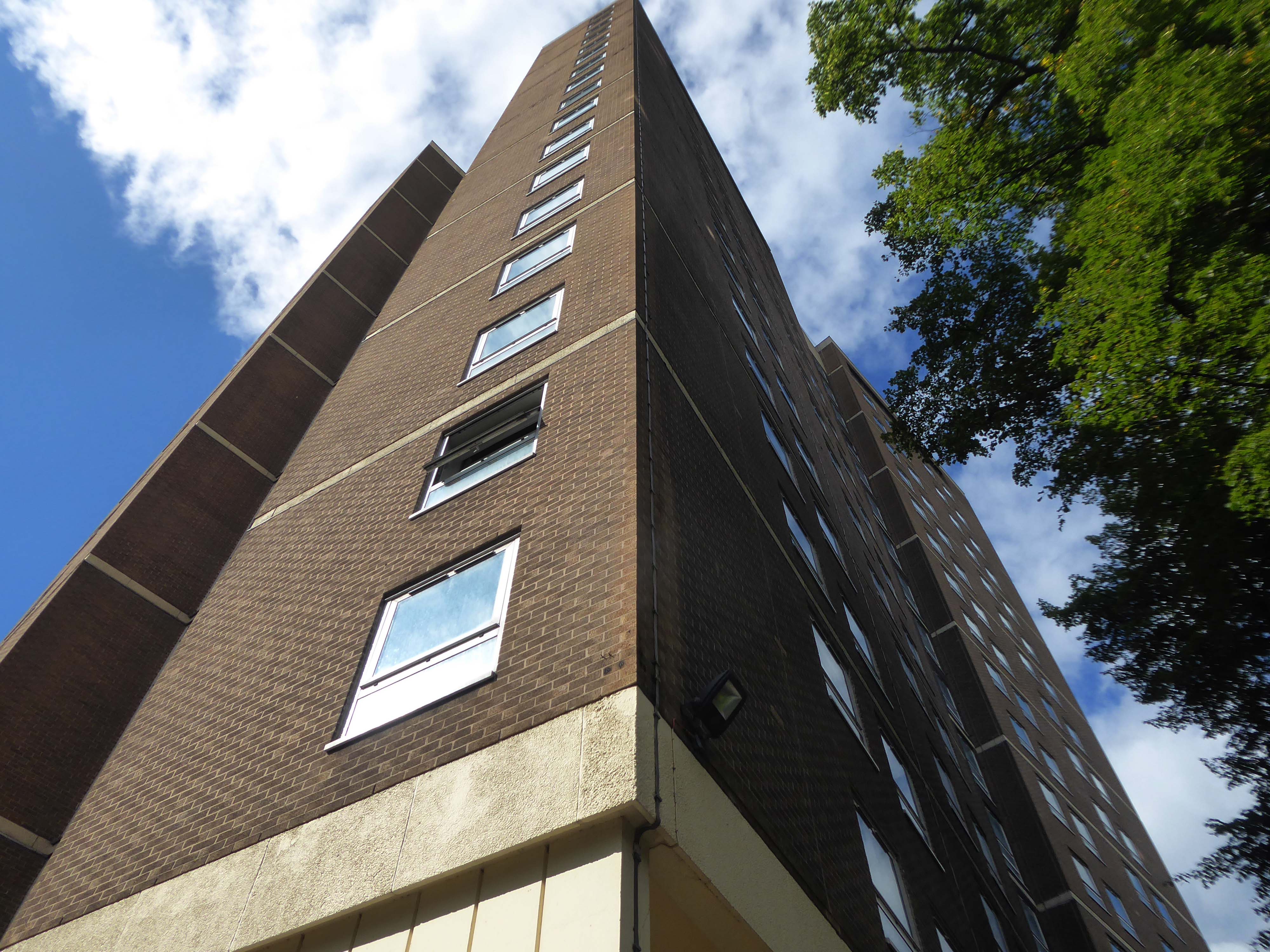
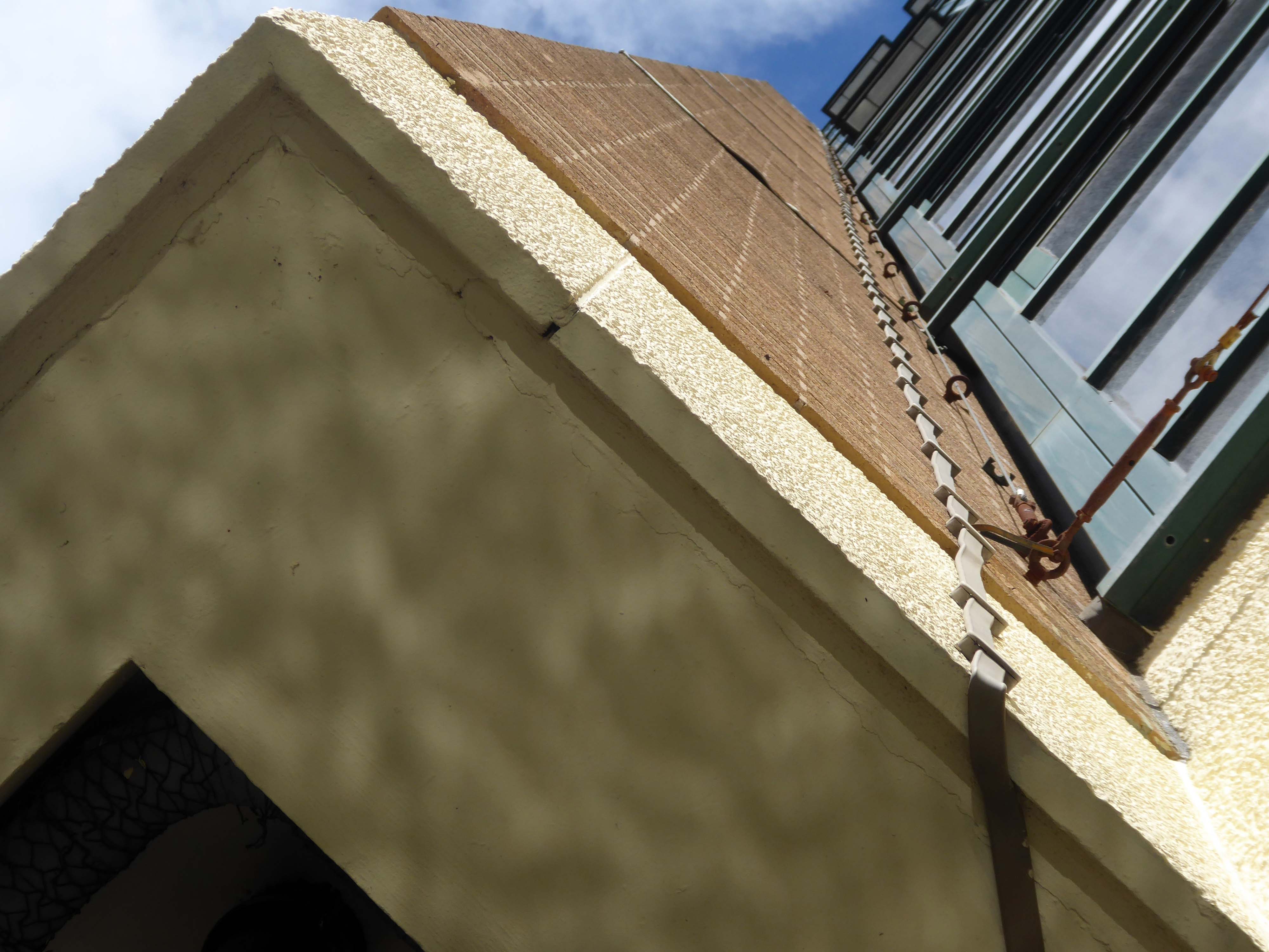
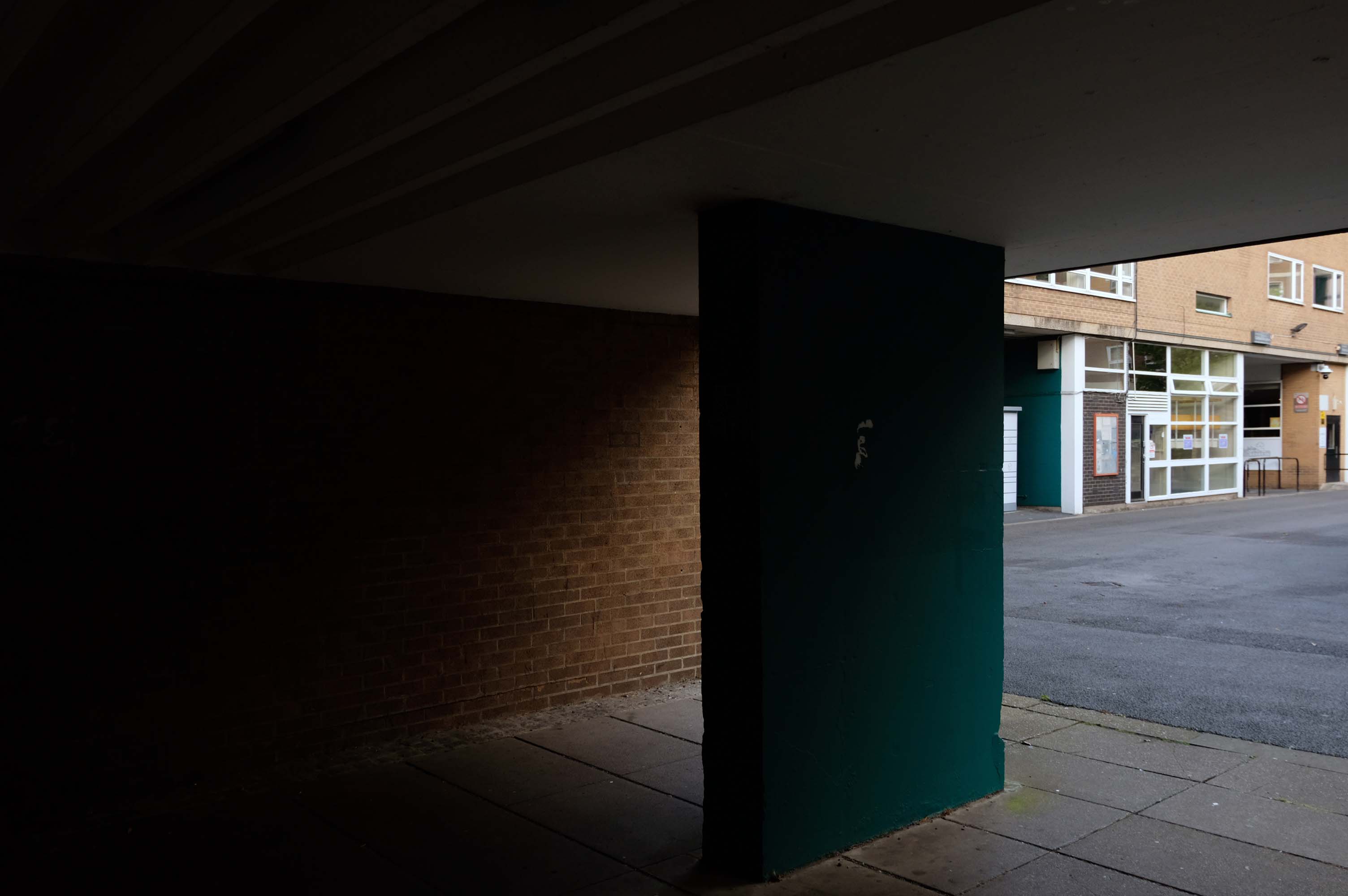
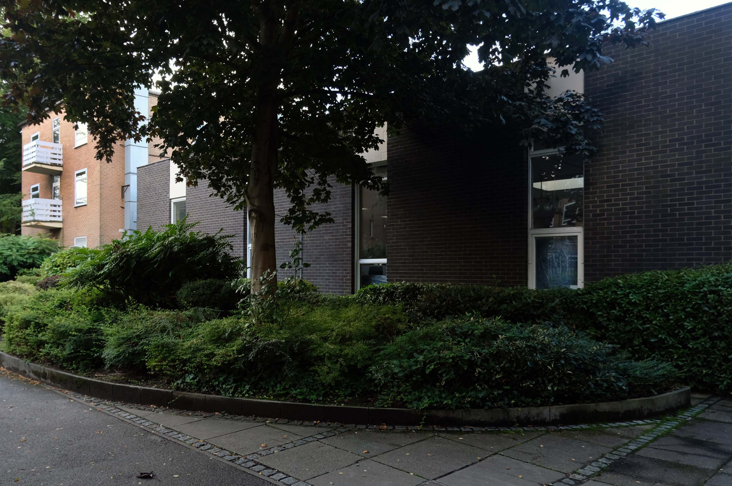
The new Bury Unitarian Church was designed and constructed by local architects James T Ratcliffe.
An interesting article was published at the time in Sacred Suburbs Portfolio, in which the church design was described as:
A well detailed, functional, yet flexible building.
The church was opened in 1974, with a service of dedication on Saturday, 9th March. The total cost, including furnishings, was £85,000 – It is now valued at about £1.5 million. The Churchwarden and Chairman of Trustees, at that time, was Bernard Haughton, who had succeeded Alex Rogers; he was to serve the Church in those capacities for the next 25 years. He was succeeded by Barbara Ashworth, our immediate past Warden. During this time, notwithstanding persistent problems with water leakage through its flat roof, the church continued to thrive and develop.
Enhancements have been made to improve the comfort and amenities of the building throughout the period with, for example, the installation of an improved heating – system, a sound – enhancement system in the church, and disabled access facilities including a lift to the upper floor. Through the efforts of Barbara Ashworth – past Church Warden, the proliferation of bequests, legacies and trusts which were complicating and restricting church-finances has been rationalised and the financial structure streamlined. Part of the land at Holebottom has been sold for development, and part has been upgraded as a public amenity.
The current congregation is still one of the best supported Unitarian Churches in the country and remains enthusiastic and committed to the Unitarian faith. There are many social groups including The Women’s League, The Men’s Fellowship, The Luncheon Club the Book Club and most recently, our Camera Club; coffee is served every Saturday morning – a session which welcomes members of the public to the church, some of whom have subsequently become church-members. Frequent social activities are organised by The Efforts Committee and are well-supported by the congregation and their friends and raise money in support of the activities of the church snd local charities.
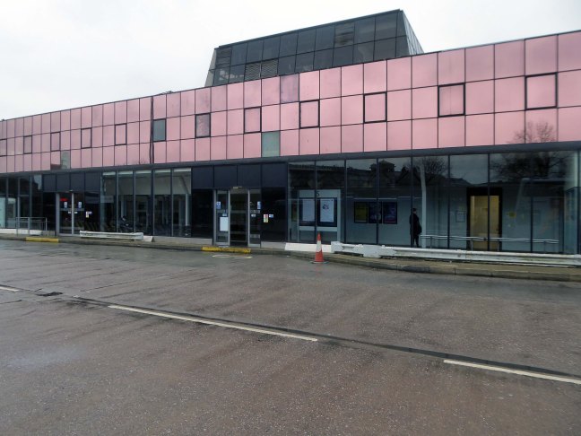
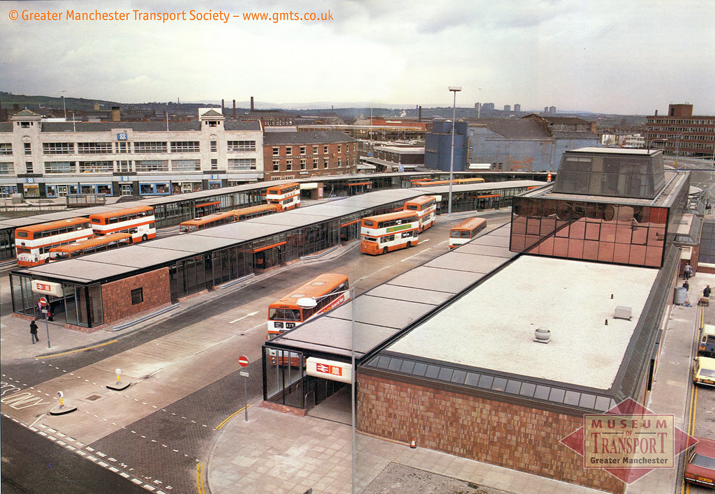
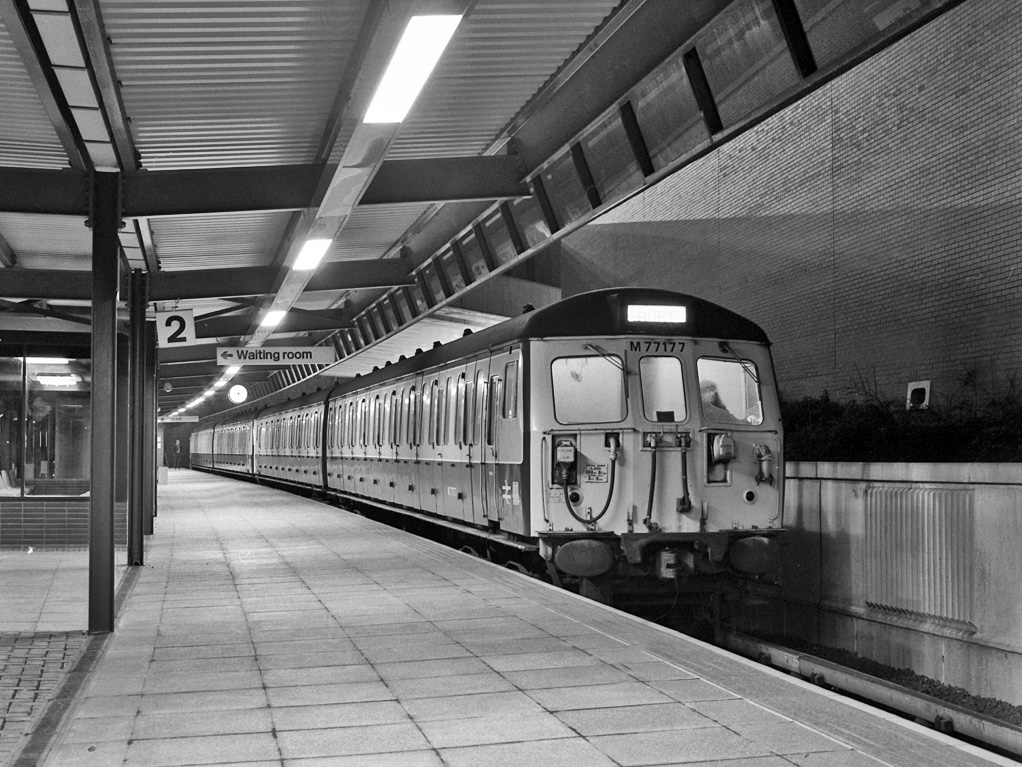
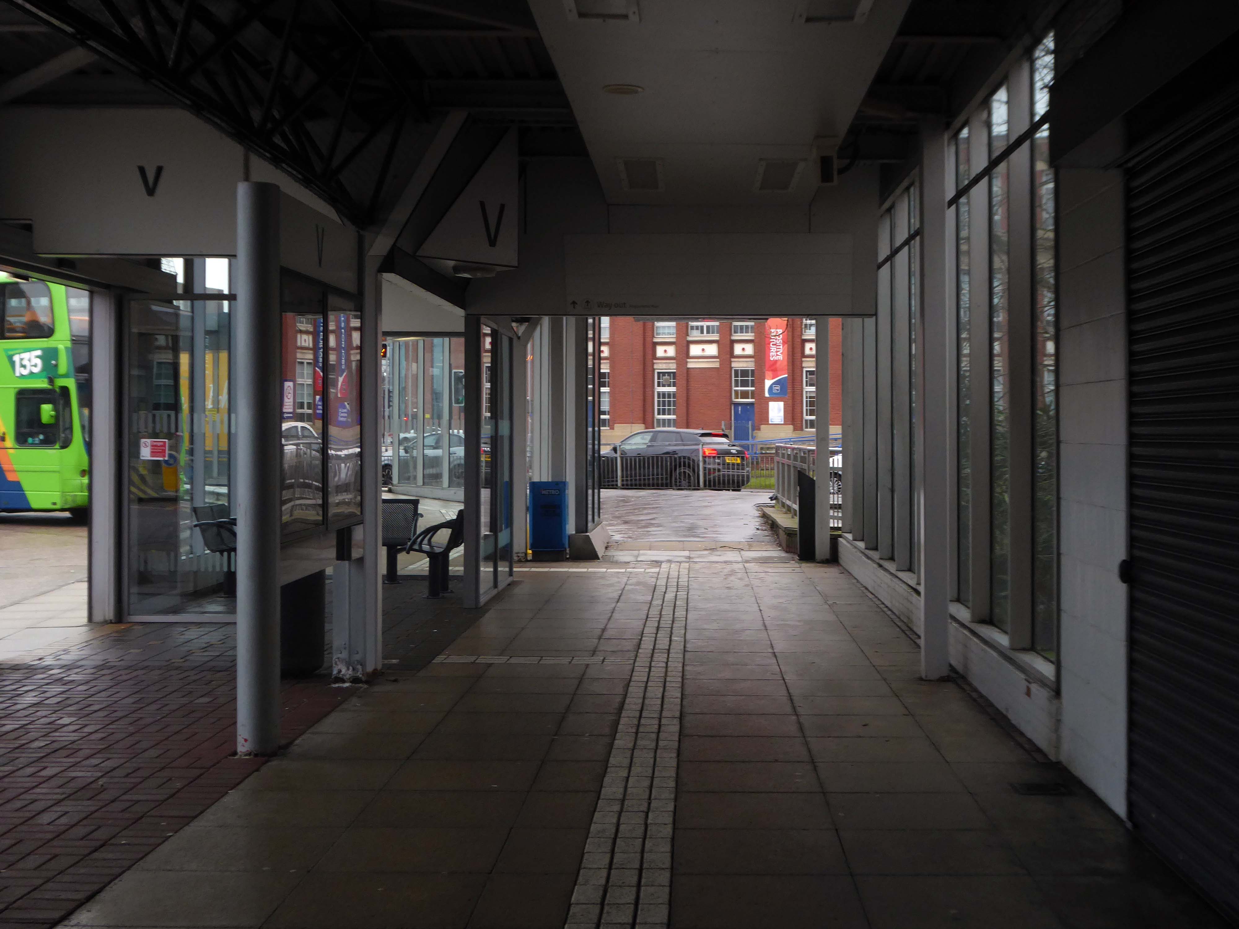
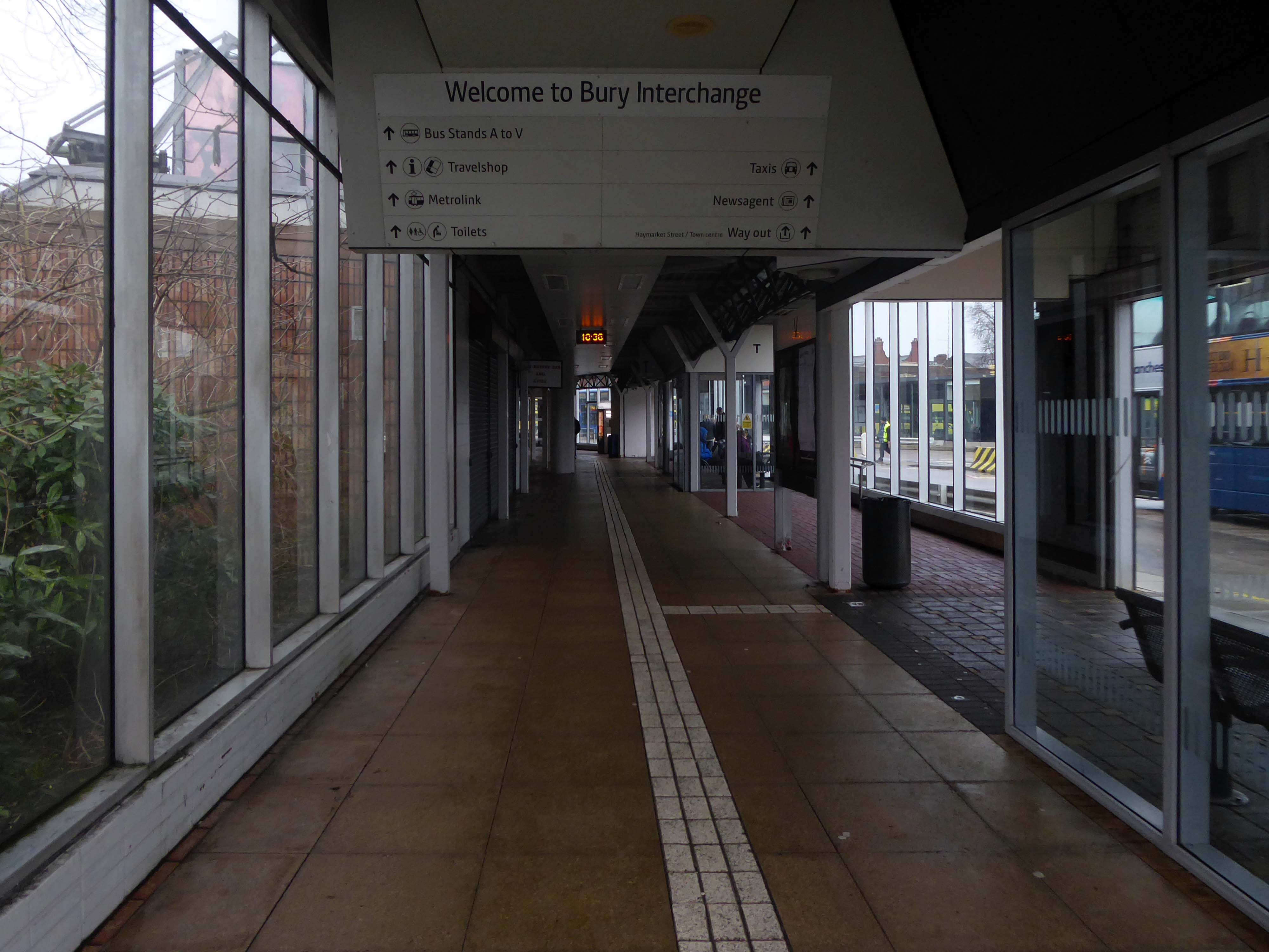
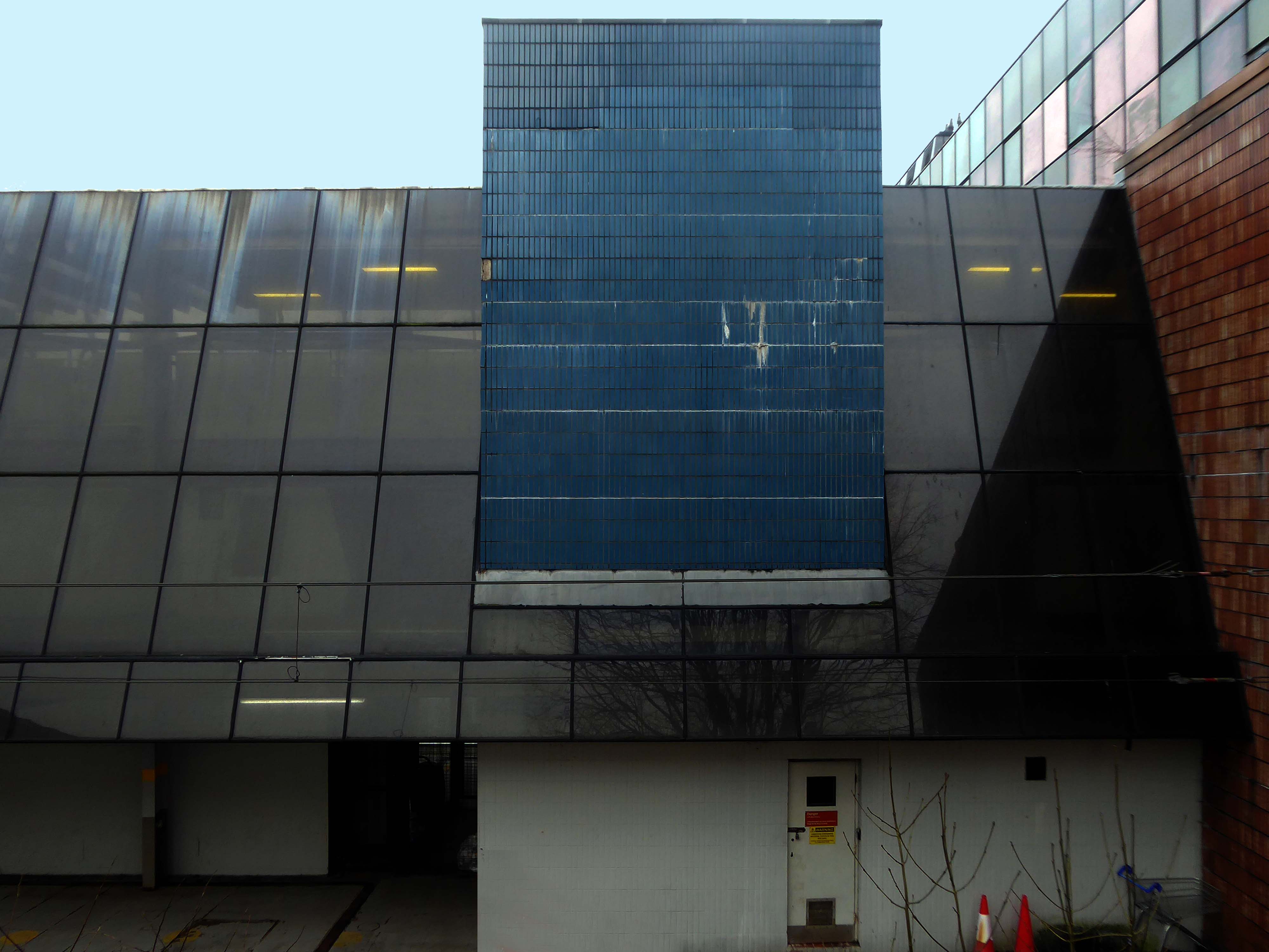
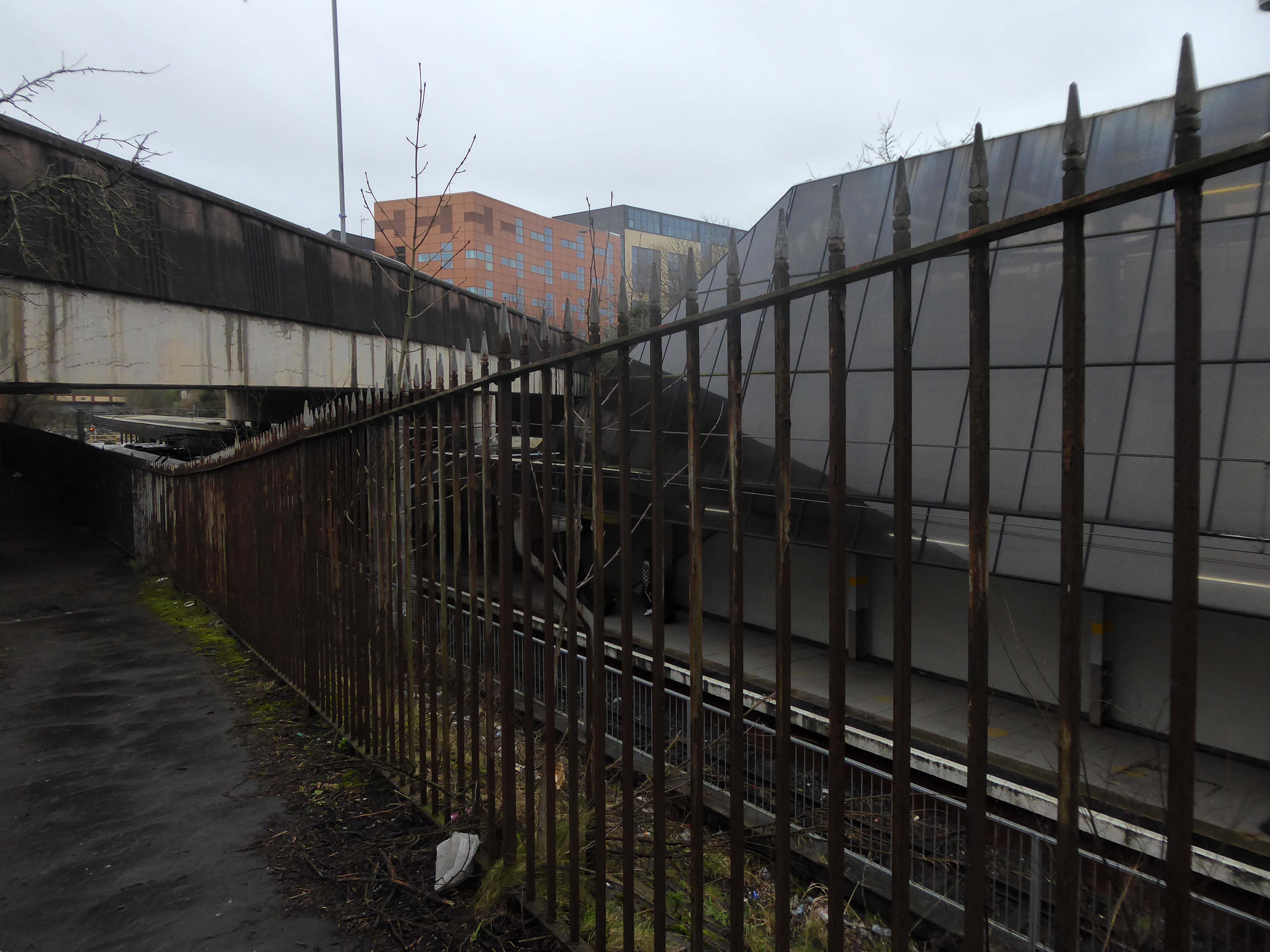
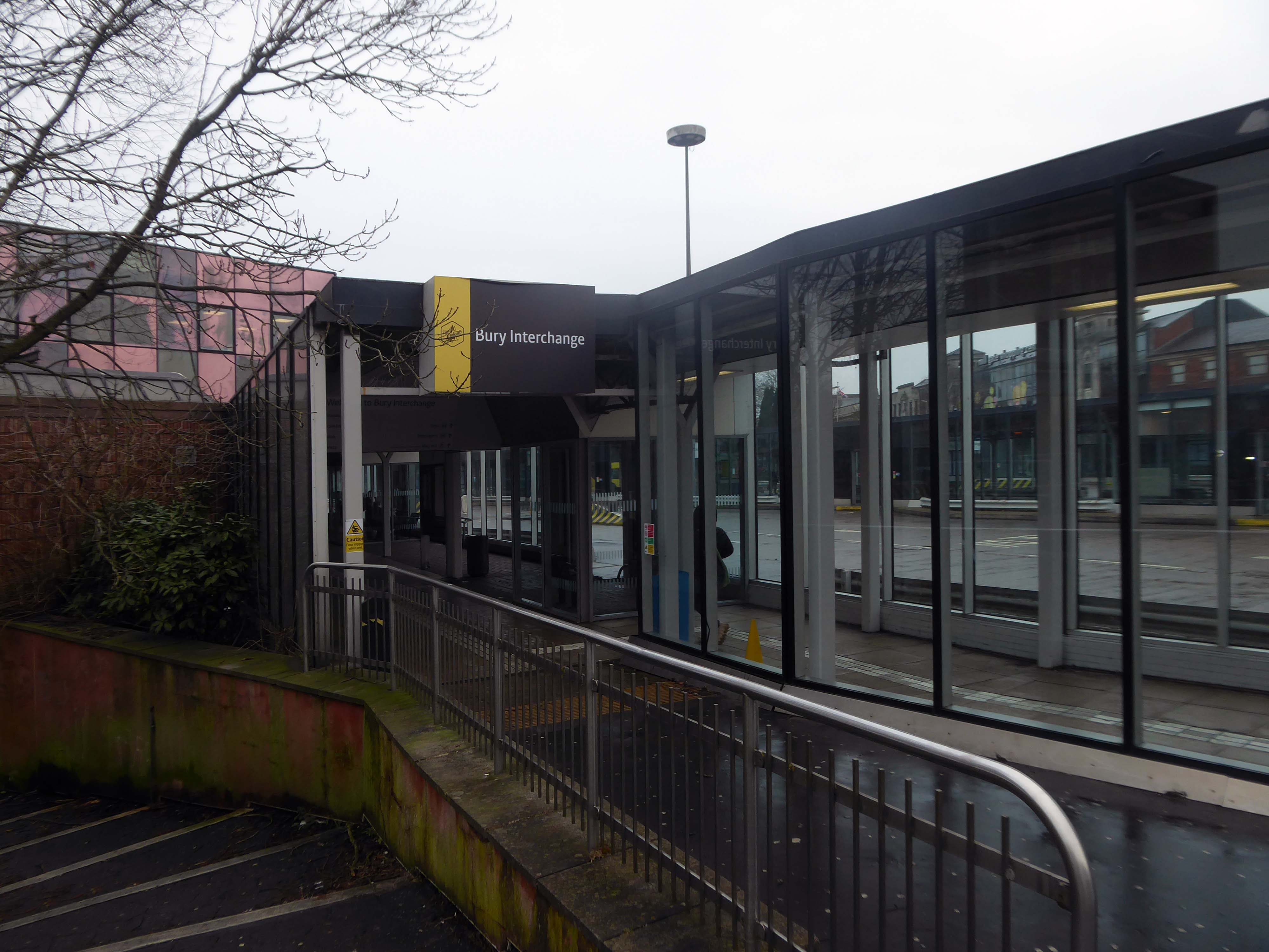
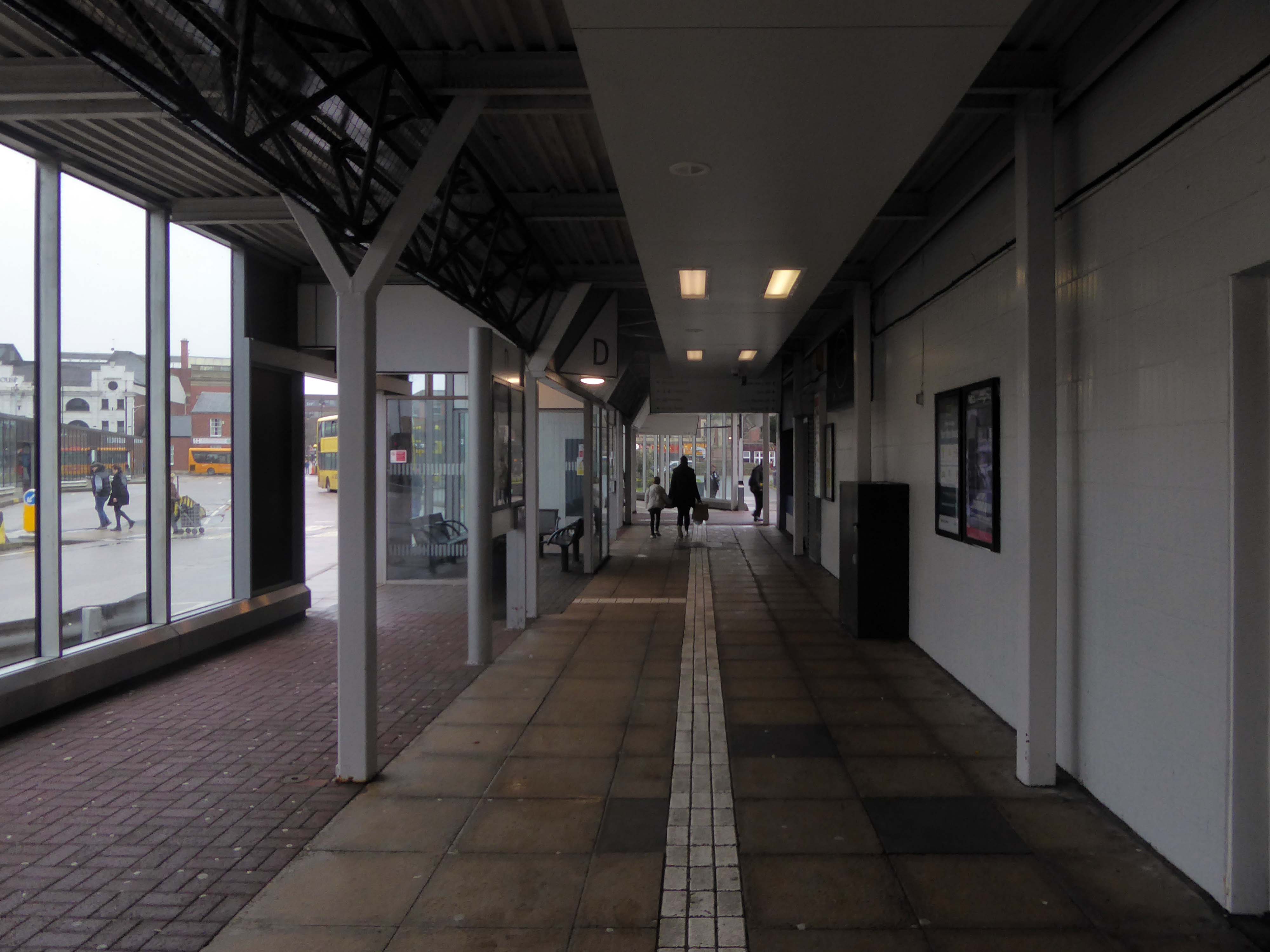
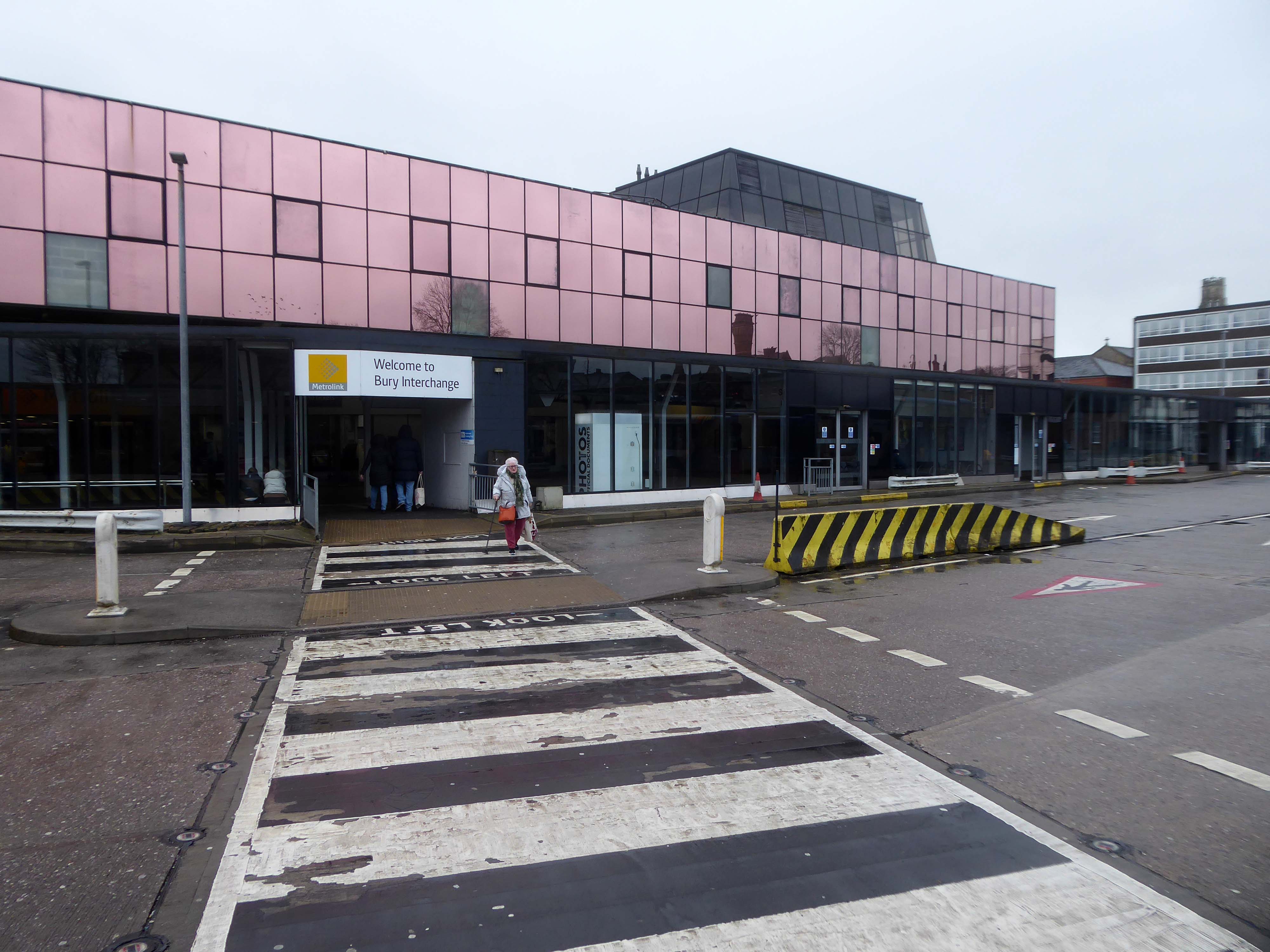
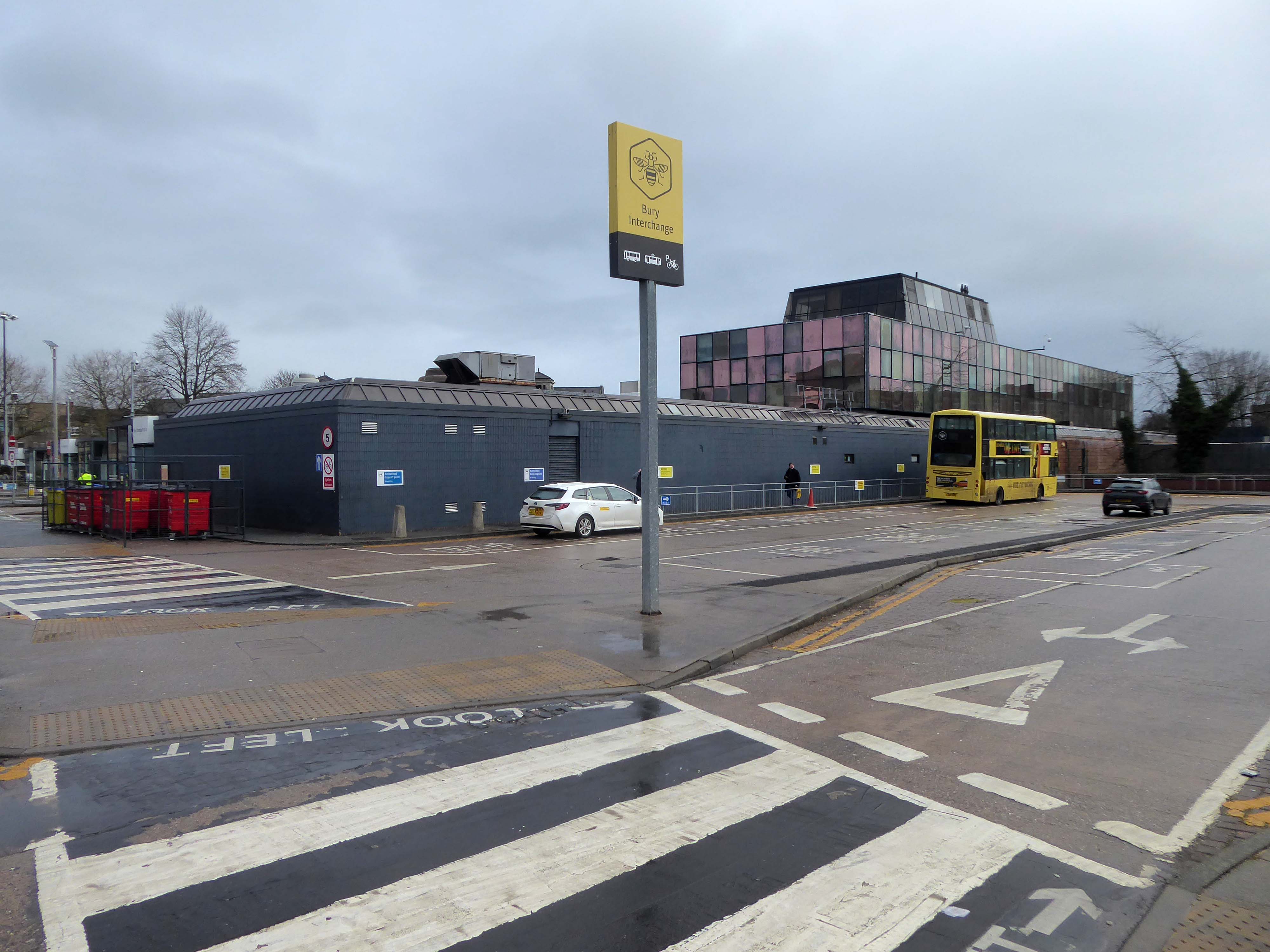
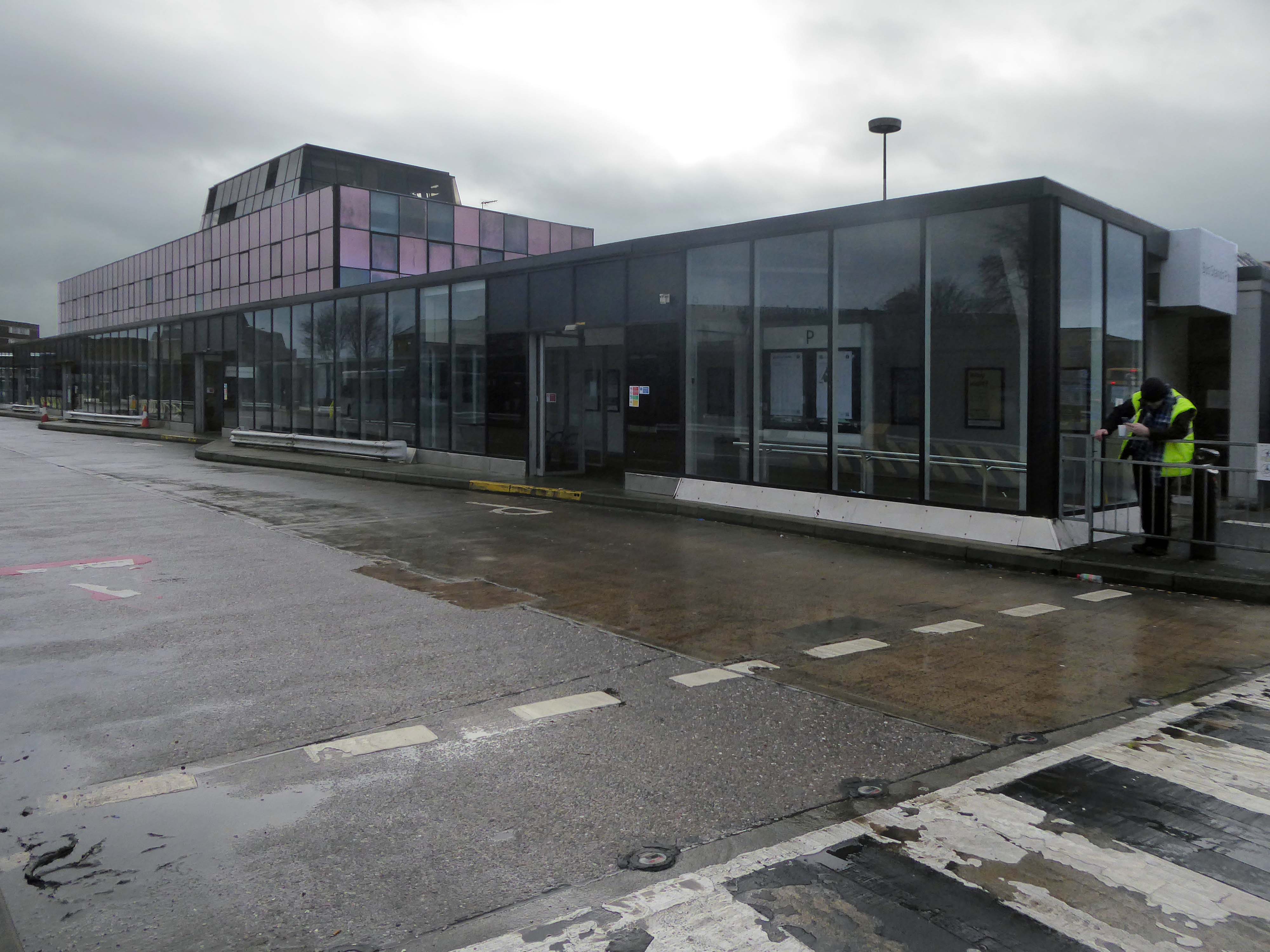
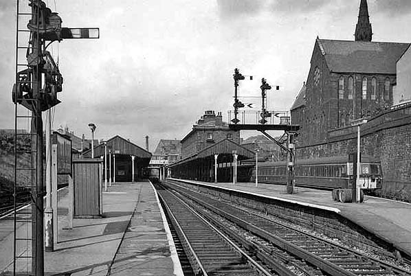
Bury Interchange is a transport hub opened in 1980, it is the northern terminus of the Manchester Metrolink’s Bury Line, which prior to 1992 was a heavy-rail line.
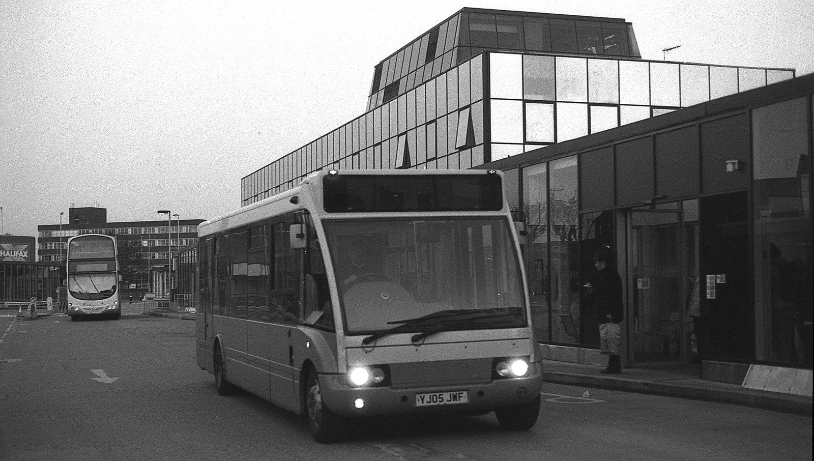
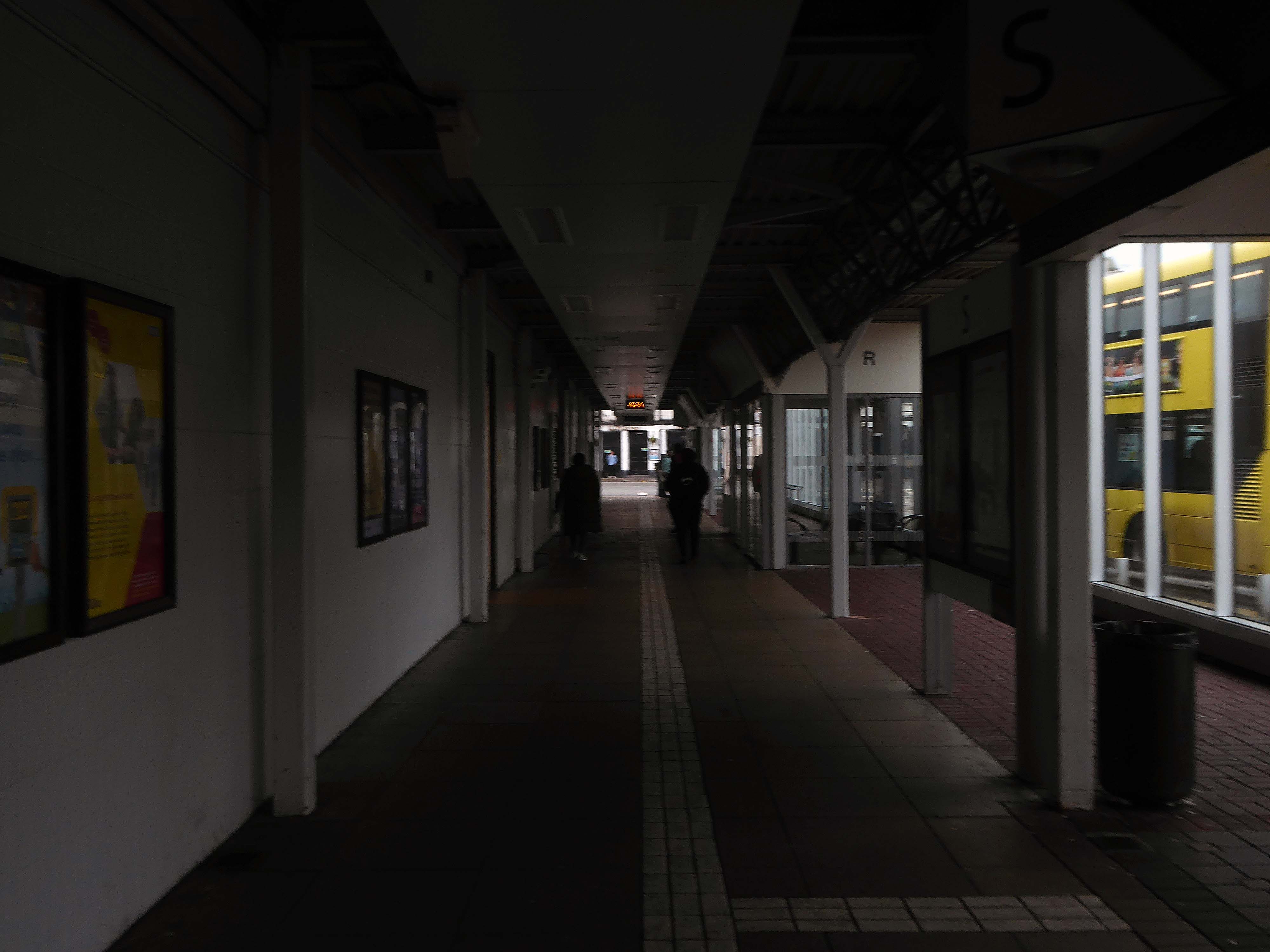
It also incorporates a bus station.
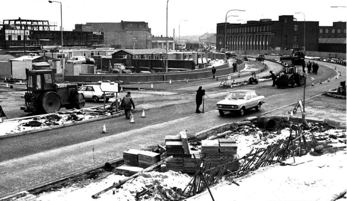
Bury Interchange replaced the bus termini scattered around Bury town centre, notably around Kay Gardens.
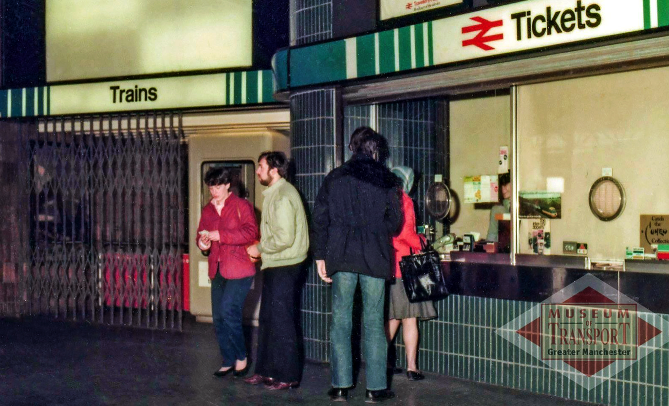
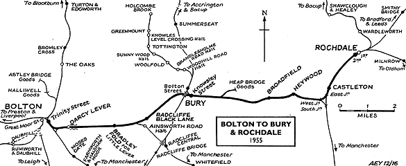
Bury Interchange was opened by British Rail in March 1980, integrating a new bus station with the northern terminus of the Bury-to-Manchester heavy railway line, a new short spur line was constructed to connect the new station.
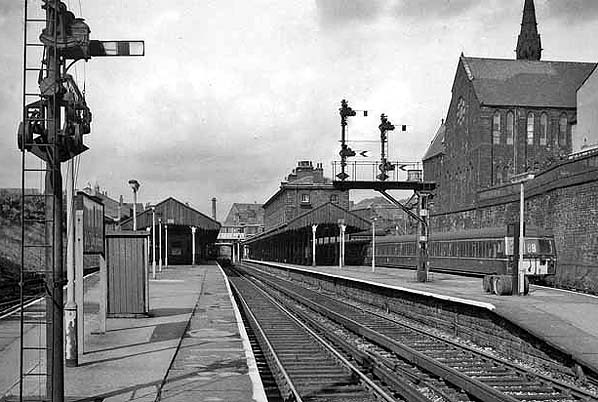
The railway had originally run into Bury Bolton Street which was further away from the town centre, and was closed by British Rail on the same day that Bury Interchange opened.
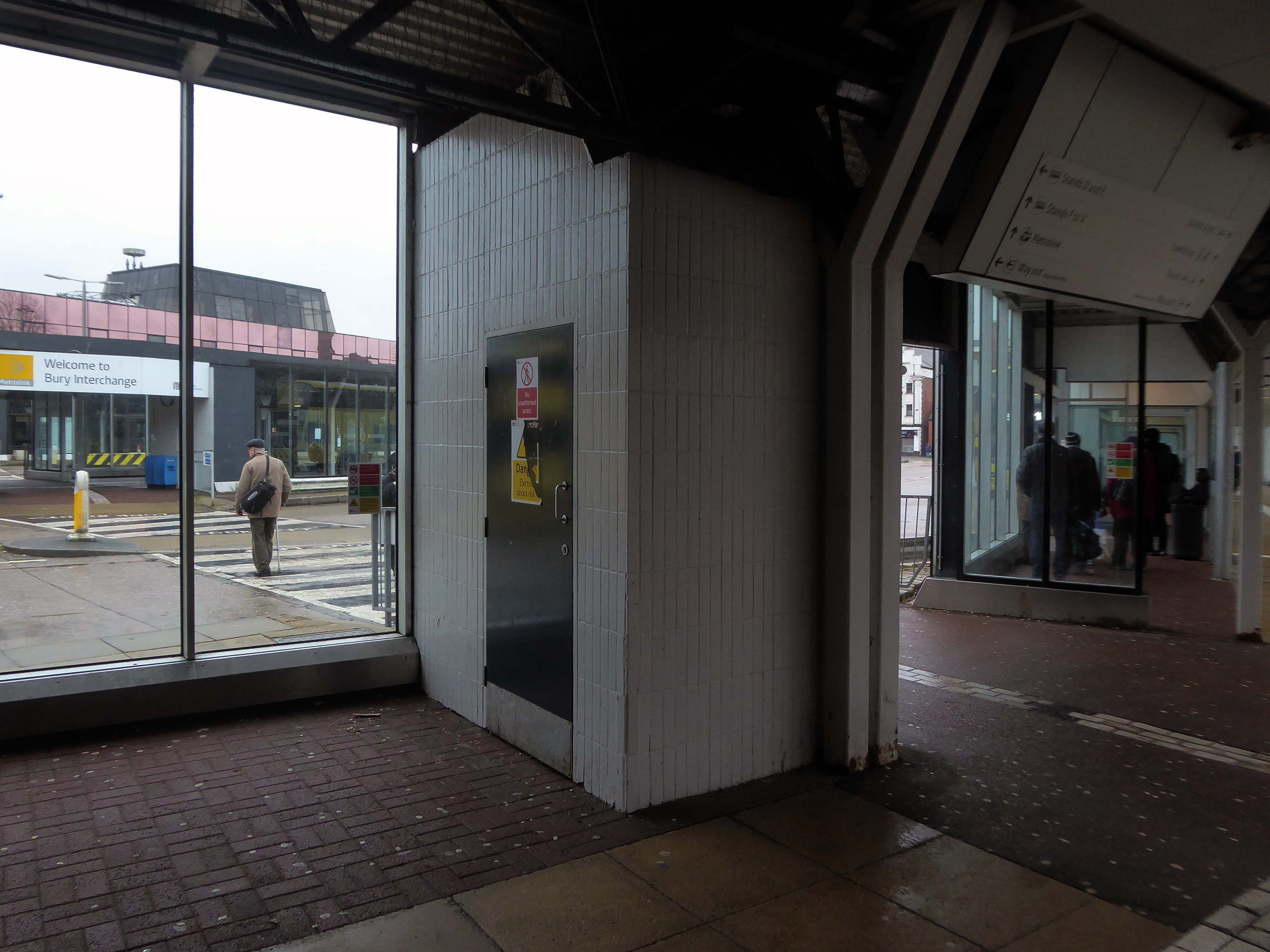
An £80m transformation is coming to the Bury Interchange, which will see step-free access at the Metrolink, a “vertical circulation core” to better connect the Metrolink with the bus facility, and an integrated travel hub with spaces for cycle storage.
The work is much-needed, explained Transport for Greater Manchester’s Alan Lowe, he said that the interchange was built in the 1980s and very much is of its time.
It’s not what we need for our customers need.
The new Bury Interchange project is expected to complete at the end of the decade.
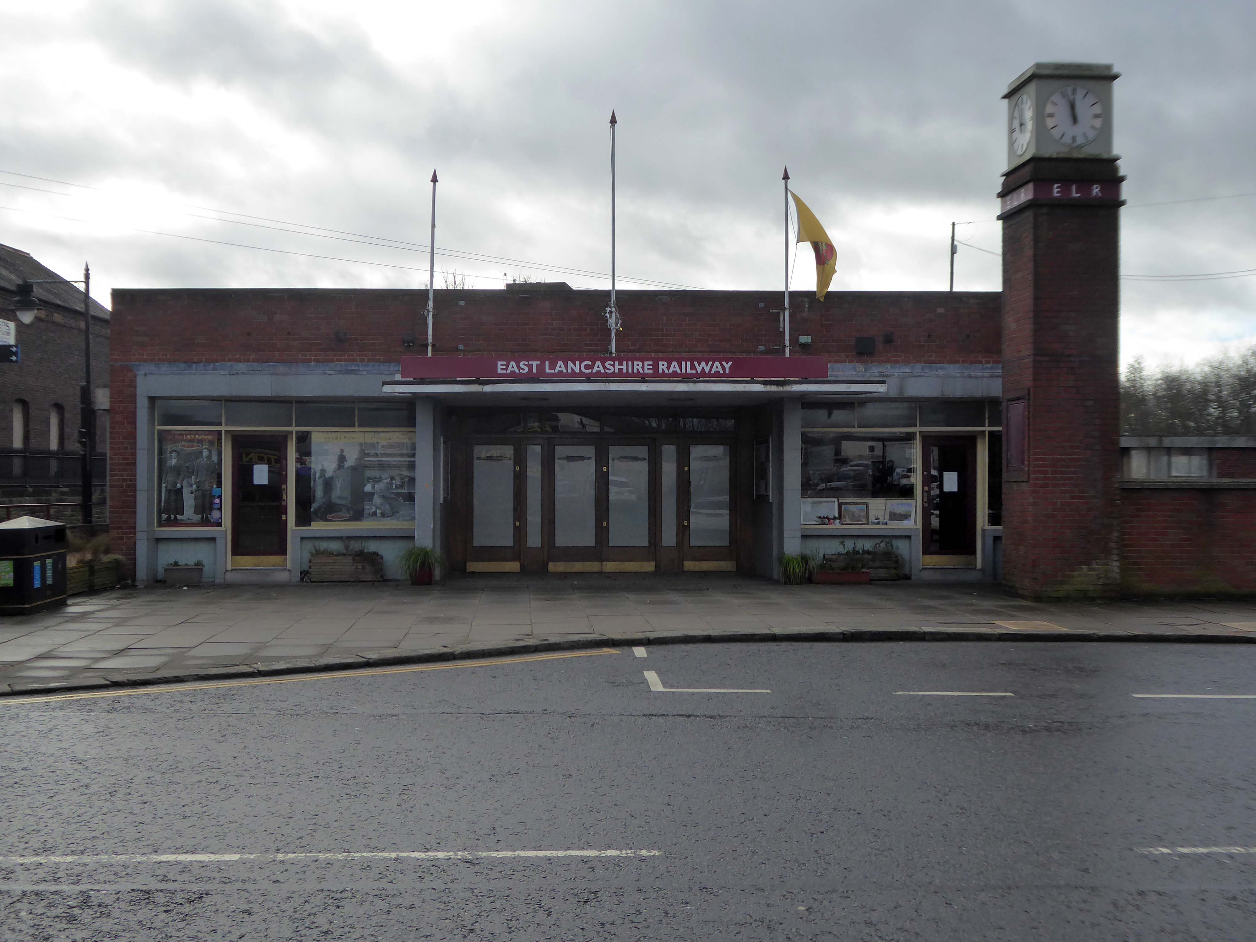
The line and station were closed on 5 October 1970 as part of continuing cutbacks in British Rail services and the line west to Bolton subsequently dismantled.
The A5103 is a major thoroughfare running south from Piccadilly Gardens in Manchester city centre to the M56 in Northenden. The road is two-lane dual carriageway with a few grade-separated junctions. It is used by many as a link to the airport and to the motorway network south.
The road starts at Piccadilly Gardens where it meets the A6. It heads along Portland Street – at one time it ran along the parallel Mosley Street, past fast-food outlets and off-licences and then meets the A34 Oxford Street. It multiplexes with that road north for 200 yards into St Peter’s Square and then turns left into Lower Mosley Street, initially alongside the tramlines and then past the former Manchester Central station, now a conference centre with the same name. The road becomes Albion Street and goes over the Bridgewater Canal and under the railway line east of Deansgate station. The road then meets the A57(M) Mancunian Way at a roundabout interchange. This is where most of the traffic joins and leaves.
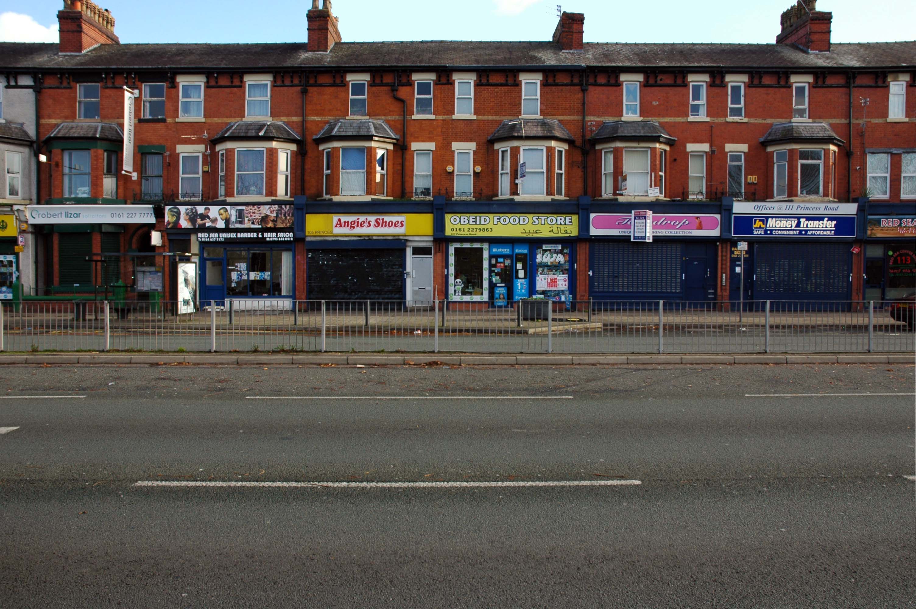
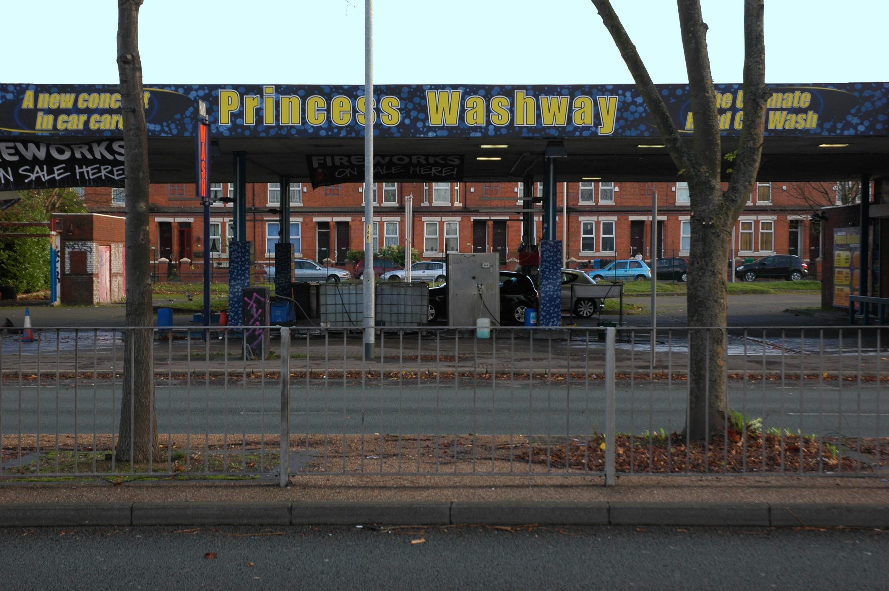
The road is now 2×2 dual carriageway with the name Princess Road. It passes under the Hulme Arch, a grade-separated junction with the A5067, with an unusually large central reservation. This is presumably because of the proposed plans from the 1960s of a motorway. However, after passing under the junction, there are innumerate sets of traffic lights, with the B5219, the A6010 and the A5145, as well as many other unsigned roads. There are also many speed cameras set at 30 mph.
The road picks up pace as we exit the sprawl of South Manchester and the road becomes Princess Parkway, with a 50 mph speed limit. We cross the River Mersey and almost immediately hit the M60 at J5.
Except for the Manchester City Centre section – which was numbered A5068, this road did not exist on classification in 1922. Princess Road was built in 1932 to serve the new southwestern suburbs; initially it ran between the B5219 and A560 and was numbered B5290, with the road later extended north into the A5068 on the southern edge of the city centre and renumbered A5103.
The northern extension through Hulme initially followed previously existing roads, so followed a zigzag route. As part of the road’s upgrade and the reconstruction of Hulme in the 1970s the road was straightened and the original route can no longer be seen. The A5068 was severed around this time with the construction of the A57(M) and the A5103 took on its city-centre section, taking it to the A6.
The A34 is a major route from the ports on the South Coast of England to the Midlands and the North West, with the standard varying from rural dual carriageway sections in the south to urban single carriageway in the north, and everything else in between.
Slade Lane junction, Rushford Park to Parr’s Wood, East Didsbury – to connect to Manchester Road to Cheadle. It continued on to Laneside Road as a residential road. Opened on 11 April 1923 by Mary Cundiff, Lady Mayoress, and Margaret Turnbull, daughter of Alderman Turnbull, Chairman of Manchester Town Planning Committee. Width was 100 feet and it was designed for tram tracks in the central reservation. The dual road carriageways were 20 feet wide. Manchester’s tram system was closed in 1949. The carriageways were widened and central reservation grassed over. Originally opened as A5079.
Laneside Road, East Didsbury to Schools Hill/ Wilmslow Road junction, Cheadle. Opened on 12 October 1959. The official opening was on 15 October 1959. Planning for the bypass had been halted by the war. In December 1949 Manchester Corporation stated that it was not a priority since the Corporation was only responsible for the 200 yards to the proposed bridge over the River Mersey and Cheshire County Council had not asked for a joint approach to Ministry of Transport to build it. Work was finally authorised in January 1957 and started in the June. Width was 90 feet with dual 24 foot carriageways. Expected cost was £600,000 to £700,000.
The A6 is Britain’s fourth longest road. Its route varies greatly from the lower lands of the South East, though the Peak District, right though the heart of Manchester city centre, then onwards towards Preston. It then goes though the historic city of Lancaster before skirting the Eastern fringe of the Lake District before ending in Carlisle, bang on the start of the A7.
North from Stockport towards Manchester, the A6 was a wide, four lane road, but still 30 mph, which usually flowed pretty well. According to Mudge, it looks like it has now been massacred by bus lanes and red paint. Shame. We meet the A57 from the east, just south of the city centre, and multiplex until we reach Mancunian Way, the A57 heading off as a short urban motorway, the A6 heading into the city centre via London Road/Piccadily, where it loses its number and vanishes. It would have gone straight down Piccadily/Market Street to meet Deansgate, and then across the River Irwell into Salford, and up Chapel Street, where the number reappears. Market Street has been pedestrianised for years, so the A6 has long ceased to be a through route.
The A57 was nearly a coast to coast route. It passes through three major city centres (Liverpool, Manchester, and Sheffield – with elevated sections in each) and several smaller ones, multiplexes with the A6 and the A1, follows the banks of two canals and negotiates the remotest part of the Peak District. In one city it part of it is a tram route, whilst in another its former route is also a tram route. After all these adventures, it sadly gives up just 40 miles short of the east coast, Lincoln apparently proving too big an obstacle.
The A57 crosses the River Irwell at Regent Bridge before entering its moment of motorway glory as the A57(M) Mancunian Way skirting the south of Manchester’s city centre on an elevated section and crossing the A56 and A34. This includes a half-completed exit that goes the wrong way up Brook Street – a one way street. The original A57 ran further north through the city centre along Liverpool Road (now the A6143) and Whitworth Street – B6469 as far as the A6 London Road which marked the start of a multiplex.
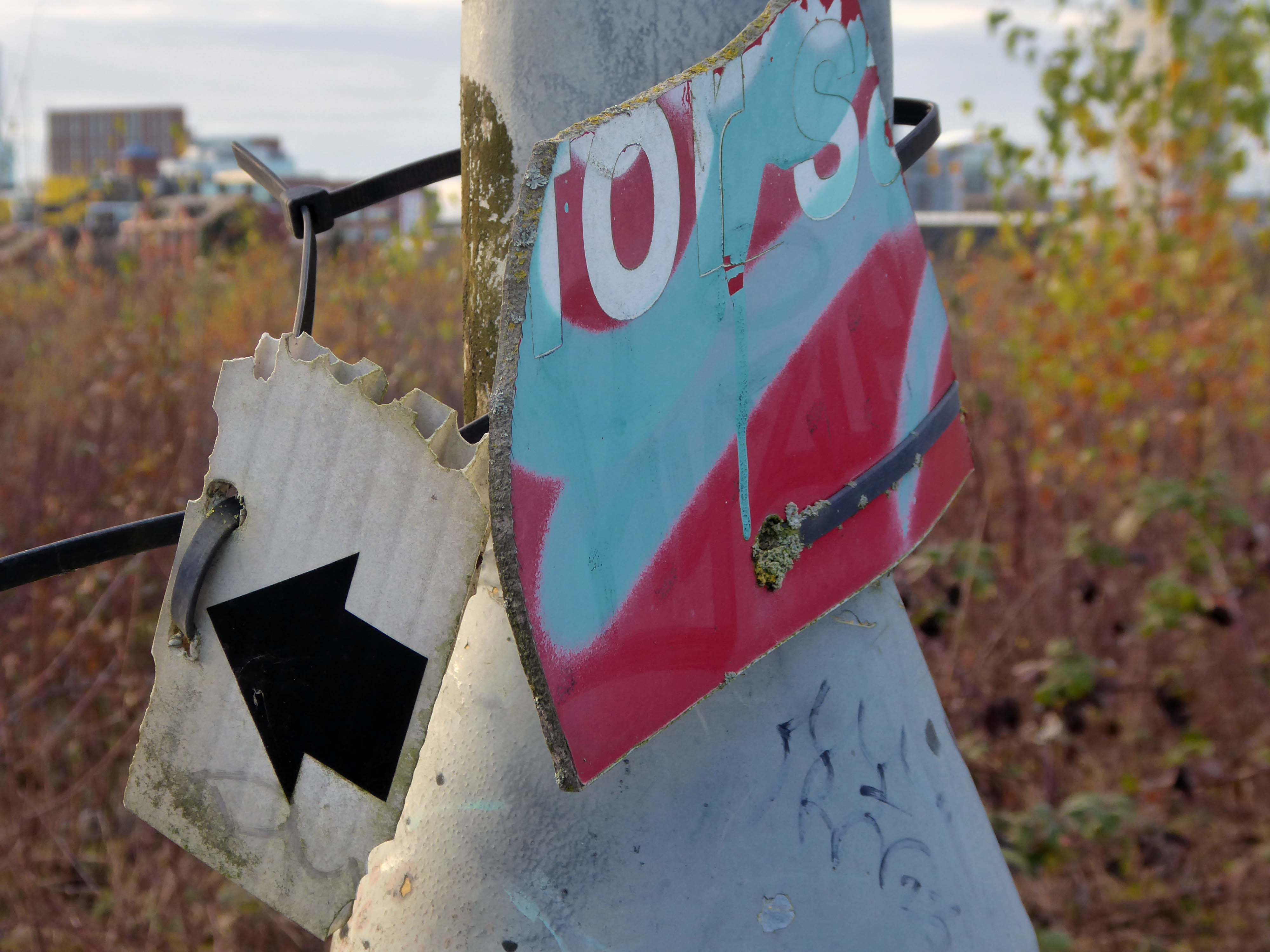
At the end of Mancunian Way, we reach a TOTSO, straight on being the short unsigned A635(M) and thence the A635 – for Saddleworth Moor, Barnsley and Doncaster whilst the A57 turns south, briefly multiplexing with the A6, and then branching off along Hyde Road. This section of road was extensively cleared for the westward extension for the M67, and consequently has seen a lot of redevelopment.
The road now begins slightly further south than it used to. Instead of starting on Fairfield Street in Manchester city centre, it begins immediately as the Mancunian Way ends, which at this point is the unsigned A635(M). The motorway flows directly into our route. There’s a TOTSO right at a set of lights, and we pick up the old alignment, which now starts as the B6469.
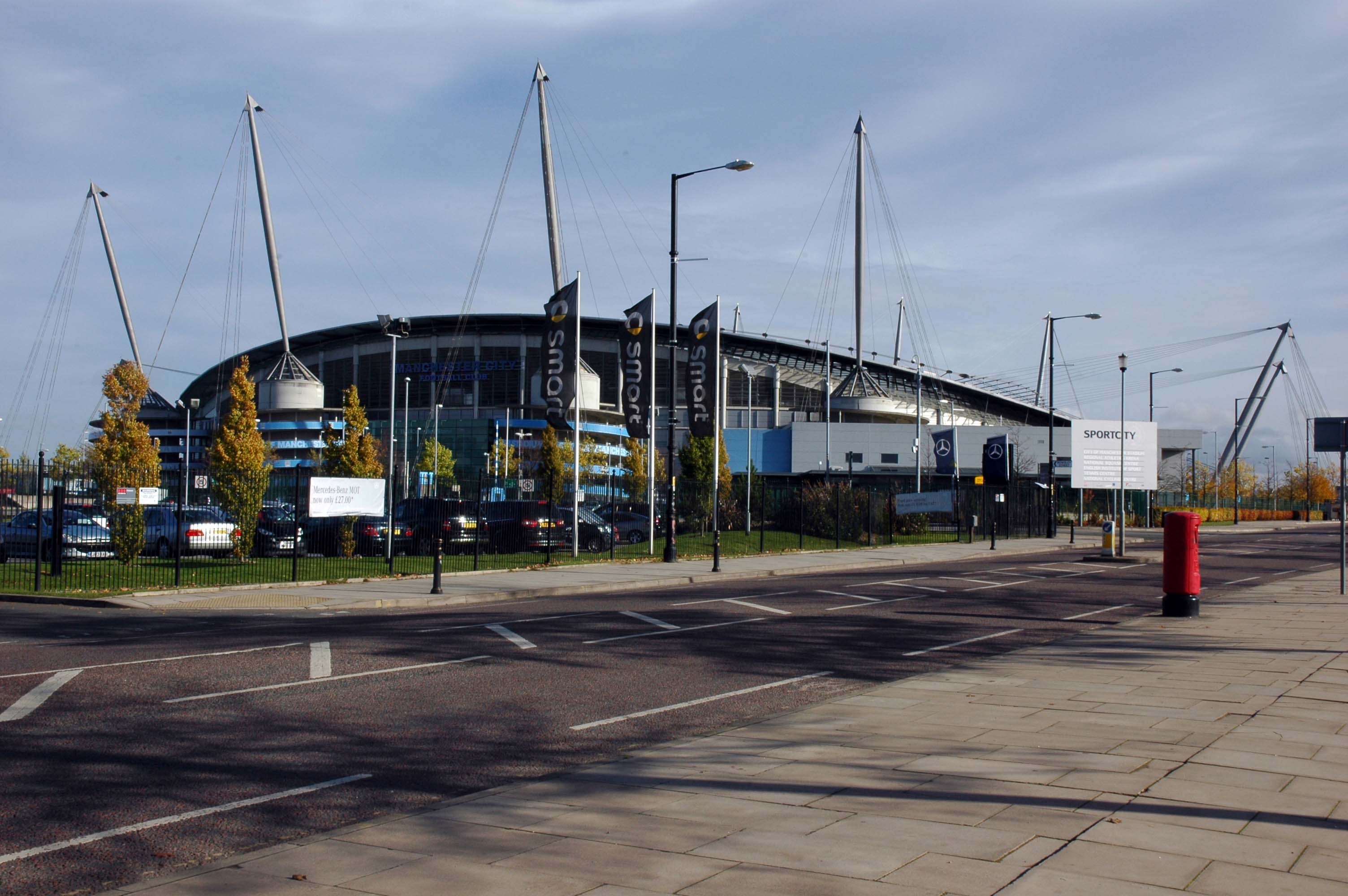
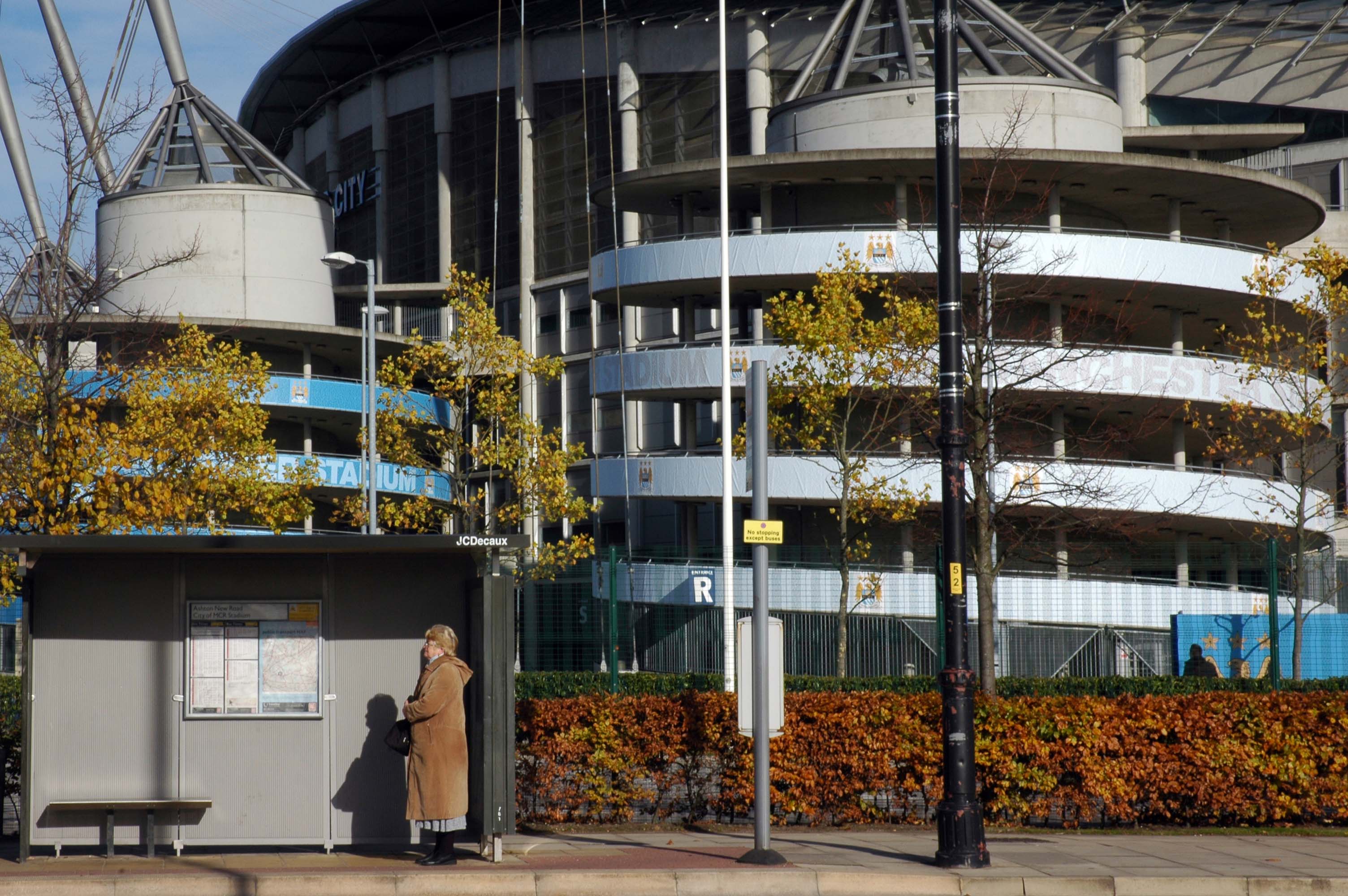
We can see the new City of Manchester Stadium on the left, site of the 2002 Commonwealth Games and now home to Manchester City FC. The road switches between S2 and S4 as it passes through the rather run-down urban areas of Ardwick and Gorton. A short one-way system at a triangular-shaped junction with the A662 leads onto a wider stretch as we near the M60 junction. This area is set to see significant industrial growth, with whole swathes of land either side of the now D3 road cleared and ready for development.
Starting at traffic lights on the A665 the road heads northeastwards, initially with the Metrolink on the left and a factory building on the right. The road then bears right at traffic lights marking the first section of on-street running for the trams, which lasts until just before a bridge over the River Medlock, after which the road passes to the south of the Sportcity complex whilst the tram line runs through the middle.
The A6010 is crossed at traffic lights, after which we see the tram lines on the left once more. We go over the Ashton Canal, then the tram lines at grade before bearing to the right to pass Clayton Park before another section of on-street running for the Metrolink begins, which continues for some distance. Just after crossing the Manchester city limit there is a set of traffic lights, after which the road becomes D2 for a short distance to allow a tram stop – Edge Lane, to be located in the central reservation. The tram leaves the road to the right for the next stop – Cemetery Road, and the stop in Droylsden town centre is once again in the central reservation. In all three cases the street running recommences after the stop.
The A62, which runs from Manchester to Leeds, via Oldham and Huddersfield, was once the main route across the Pennines, connecting the largest city in Lancashire with Yorkshire’s largest city. However with the completion of the M62 towards Leeds in the early 1970s it lost much of its importance and traffic to the motorway, which runs a few miles to the north. These days, the A62 serves as a busy primary route between Manchester and Oldham, an extremely very quiet route over the Pennines, and then a fairly busy local road linking Huddersfield with Leeds.
Most maps show that the A62 starts its journey in the middle of Manchester by leaving the A6 Piccadilly and running along Lever Street – the original route was the parallel Oldham Street. However, owing to a bus gate Lever Street is not generally accessible from Piccadilly. We head out easterly on a busy street – non–primary, until we meet the Ring Road where we pick up primary status that we retain until Oldham. We turn left at this point and then immediately right to start the A62 proper.
In 2014, having taken early retirement from teaching photography, I embarked on a series of walks along the arterial roads of Manchester.
This whole undertaking was prompted in part by Charlie Meecham’s 1980’s Oldham Road project.
The work questions whether a sense of local identity can be maintained in an area of constant redevelopment and community displacement.
This area was first developed in the 19th century for cotton manufacture, coal extraction and later electrical and heavy engineering. The road was lined with shops and there was a vibrant community.
When I first started working on the project, most of the early industry had ceased operating and the mills were either abandoned or being dismantled. However, some had been refurbished either for new industrial use or later, made into apartments. Some run down areas were cleared making way for new housing. Clearance also provided opportunity to build new schools, trading estates and create green space. Most of the older community centres such as theatres and cinemas along the road were also abandoned and later cleared.
The obvious place for the A664 to start is on the A665 Manchester & Salford Inner Relief Route, which at this point is actually two parallel one-way streets. However, many maps show the road continuing a short distance into the city centre to end at traffic lights by the Shudehill Interchange – this is presumably for historic reasons: the road originally continued along the High Street to its terminus on the A6 Market Street.
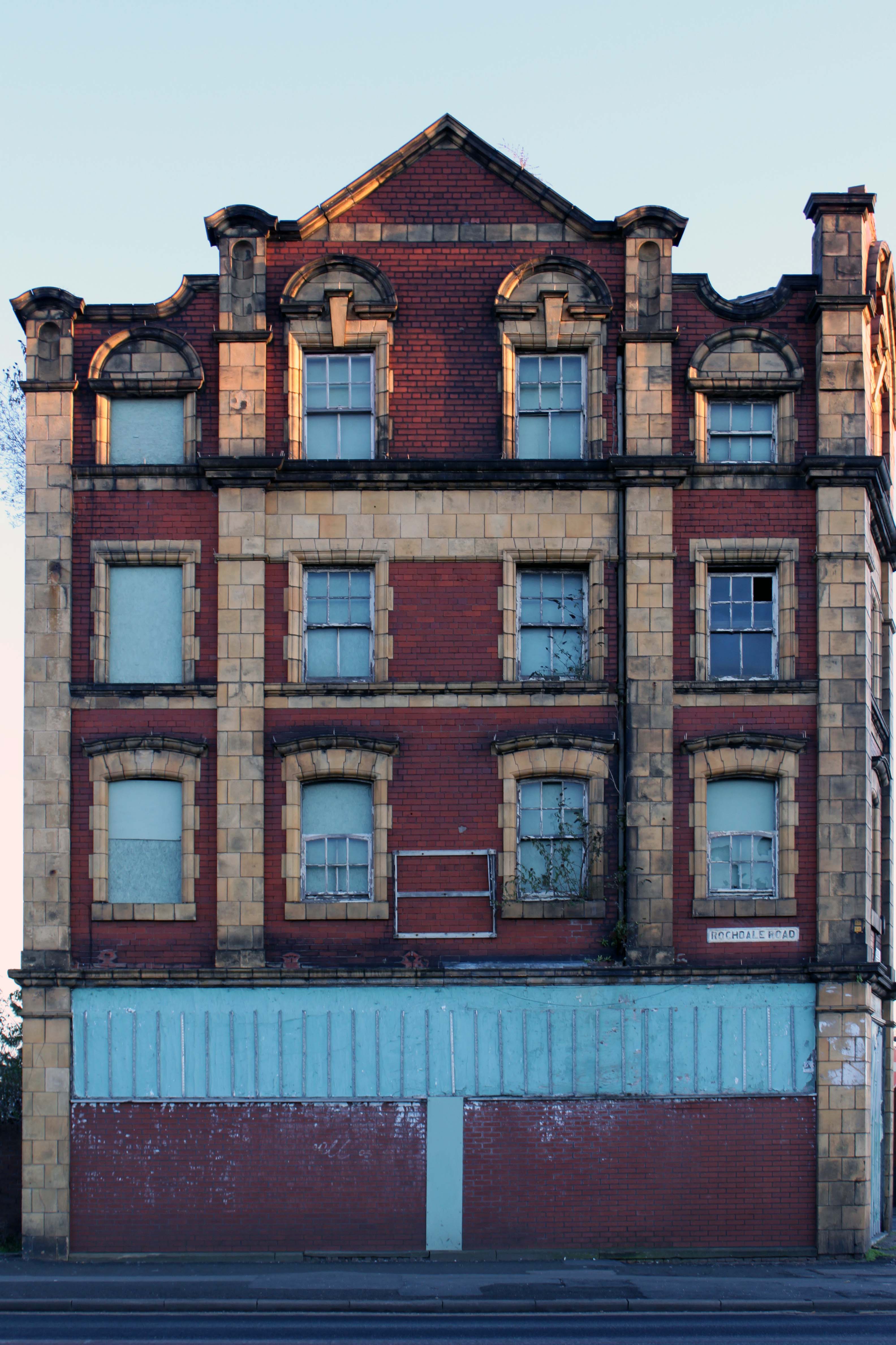
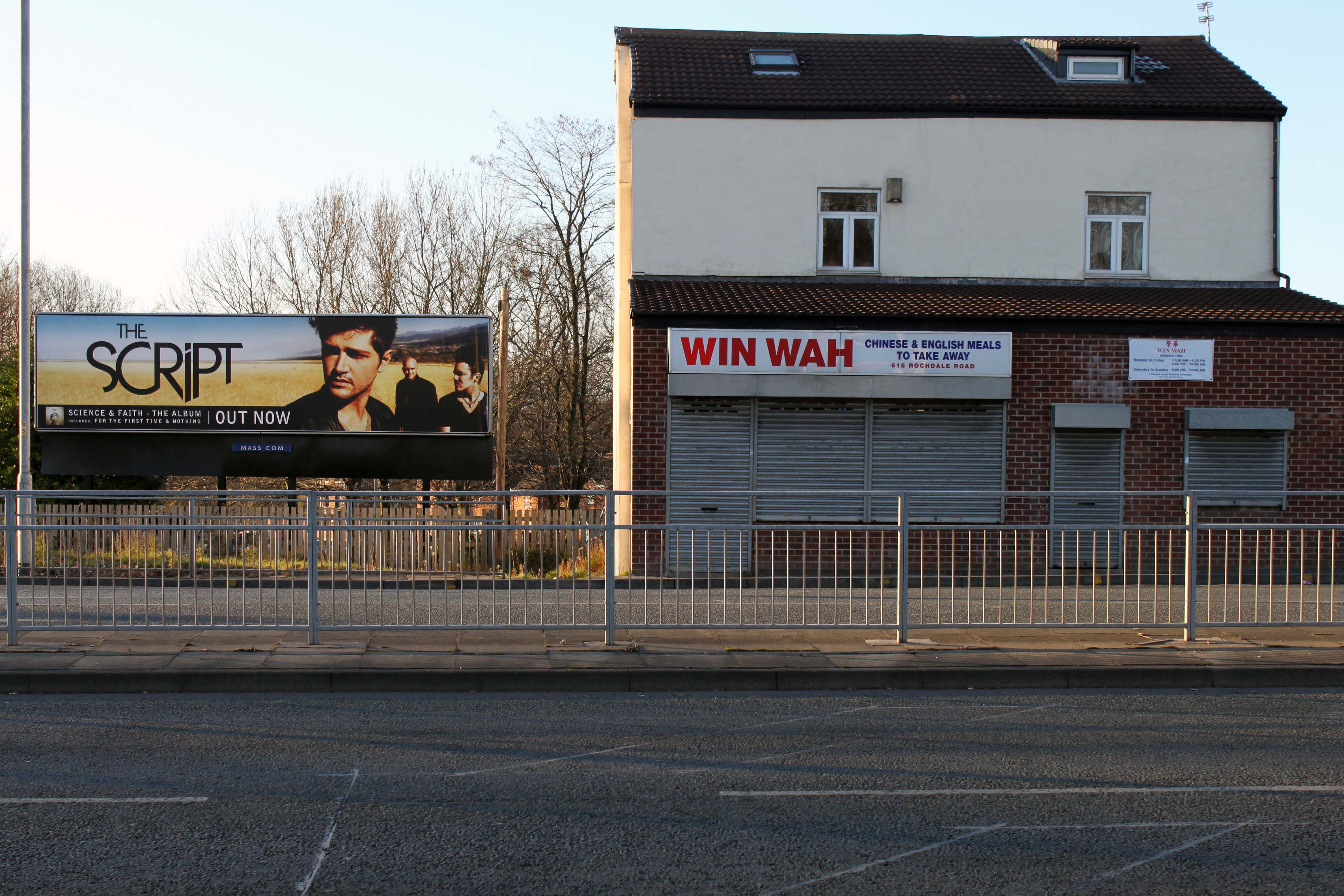
The road heads northeastwards through the suburbs, the street name Rochdale Road, already emphasising its destination. Initially dual, the road narrows just before crossing the bridge over the railway line east of Victoria station. It continues through Collyhurst and widens again just before crossing the A6010 Intermediate Ring Road, which here is made up of two parallel one-way streets, requiring two separate sets of traffic lights to cross.
Now non-primary – but still dual for a short distance more, the road runs in a more northerly direction through Blackley, where it becomes wooded for a short distance as it passes the Boggart Hole Clough park. Slightly further on the road has been straightened, after which it bears right to widen considerably and cross the A6104 at traffic lights just before M60 J20, which only has west-facing sliproads. The road narrows again on the far side of the motorway and leaves Manchester for Rochdale at the same point.
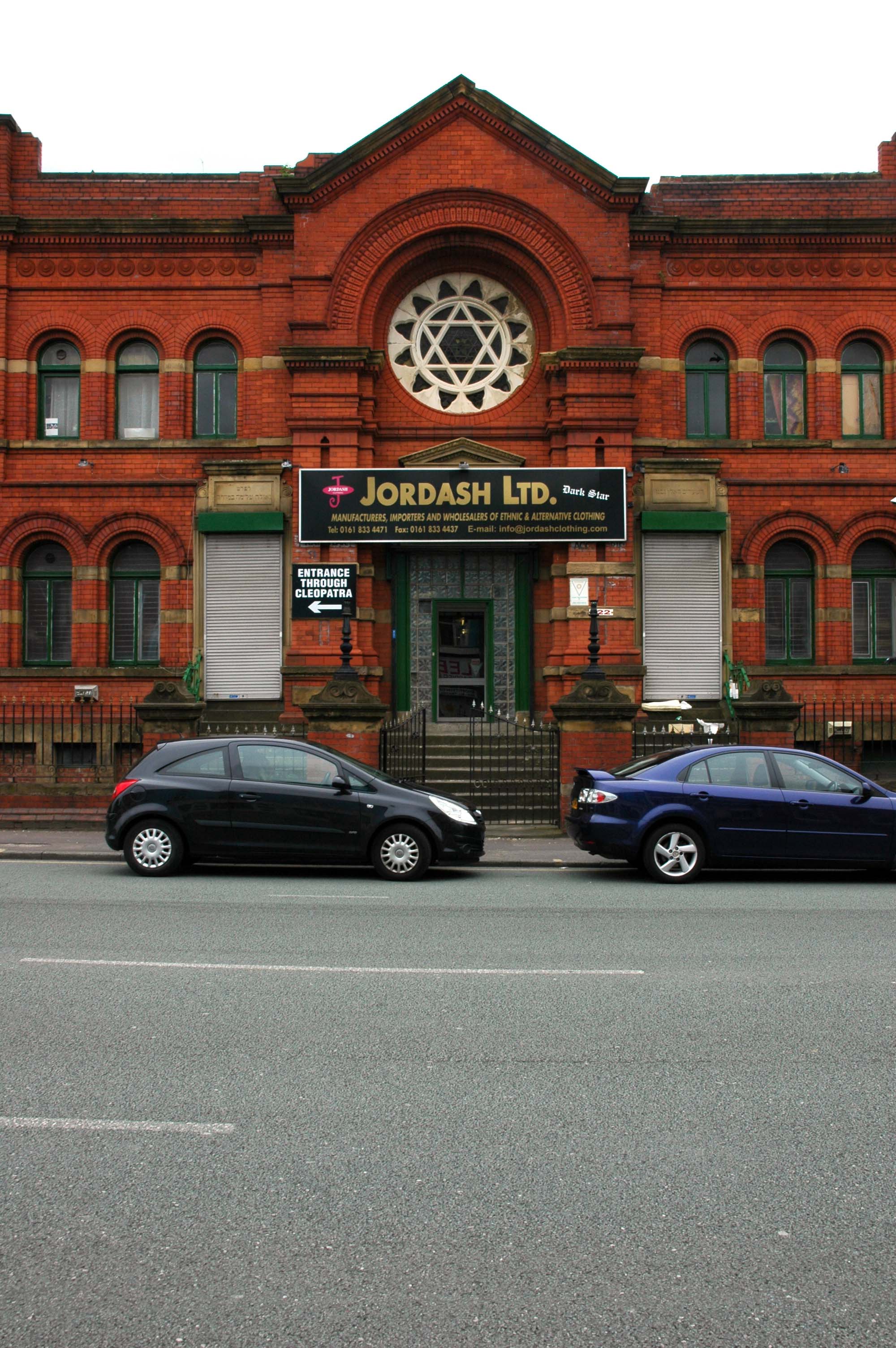
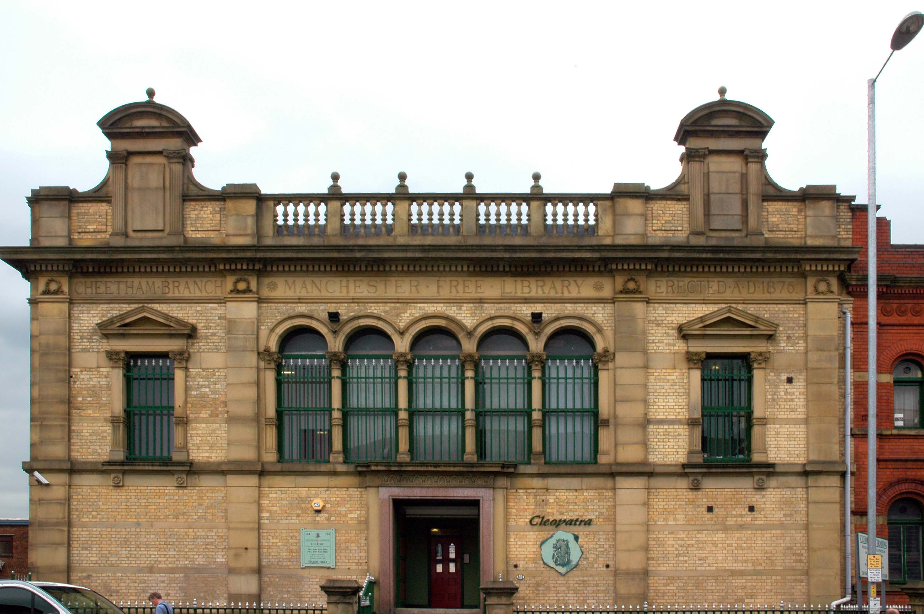
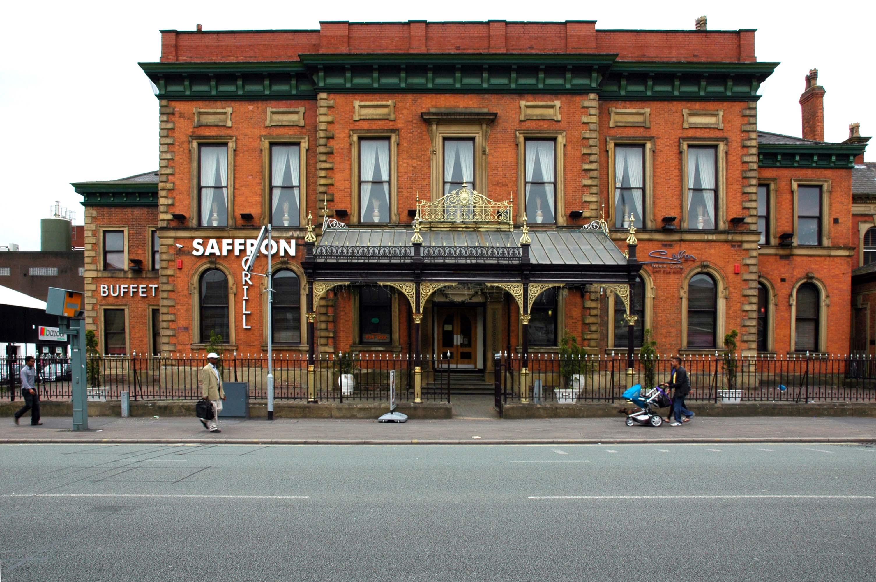
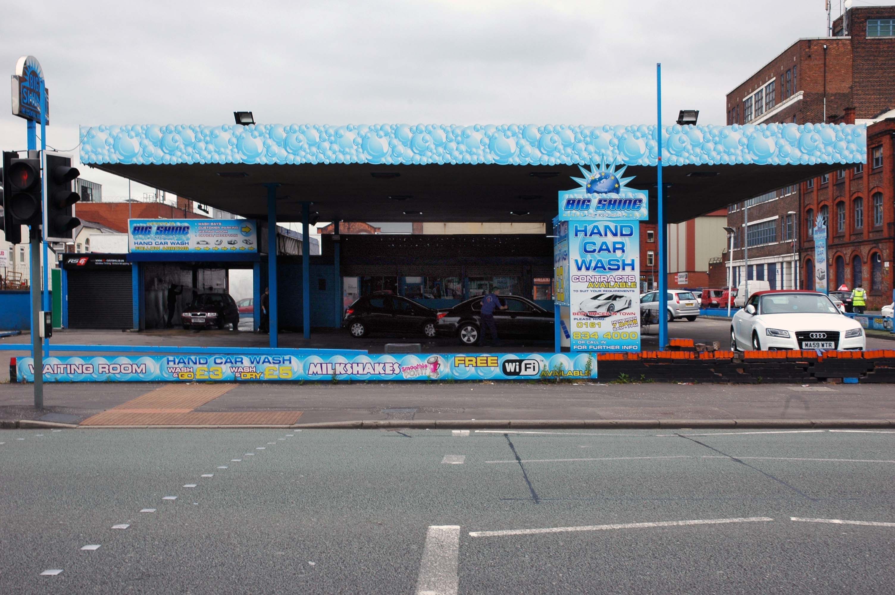
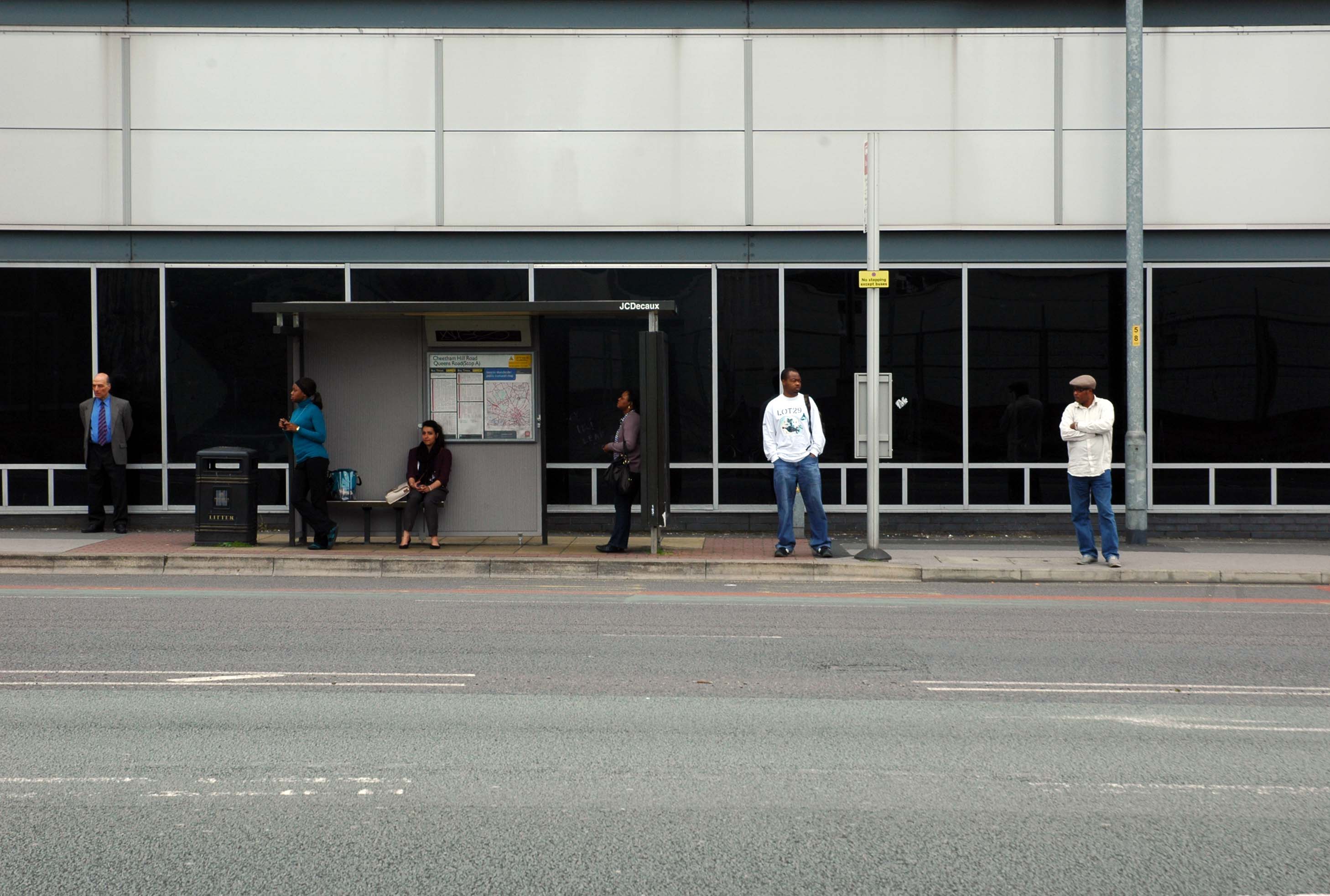
Cheetham Hill Road is part of the designated A665. Cheetham Hill Road starts at the junction of the A6042 Corporation Street and the A665 Miller Street. It crosses the culverted River Irk to the east of Victoria Station. At its junction with New Bridge Street, it turns north-northeast and is straight for 1 km, to the A6010 Queen’s Road . This stretch was called York Street until about 1900. Cheetham Hill Road leads from here to the community of Cheetham Hill, where at Bourget Street and Crescent Road – formerly Sandy Lane, Cheetham Hill Road becomes Bury Old Road.
First crossing the M60 Manchester Outer Ring Road at Junction 7 into Stretford.
The A56 takes the name of Chester Road and continues north-eastwards through Stretford and Hulme into Manchester city centre, where it takes on the name Deansgate, one of Manchester’s main shopping streets and thoroughfares. At the end of Deansgate, the A56 takes on the name of Victoria Street as it passes Manchester Victoria railway station. Since 2012, most of Victoria Street has been pedestrianised with planters, but the road markings still remain underneath.
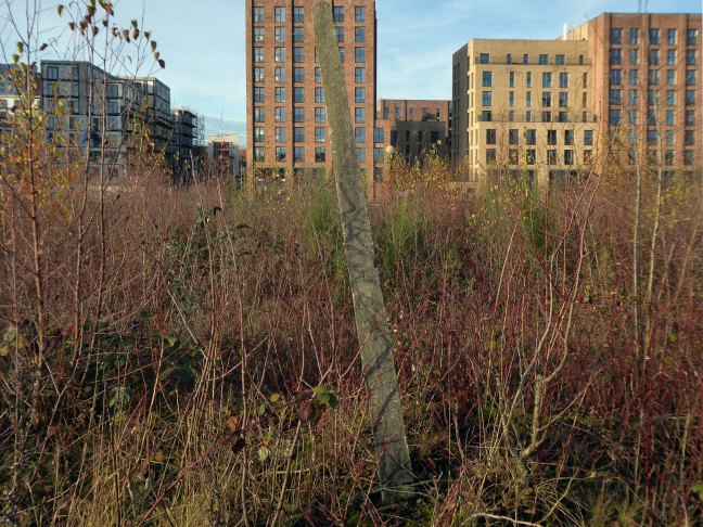
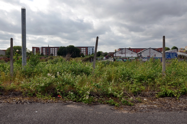
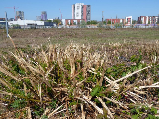
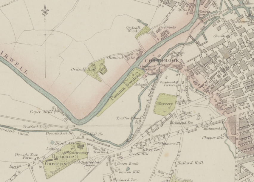
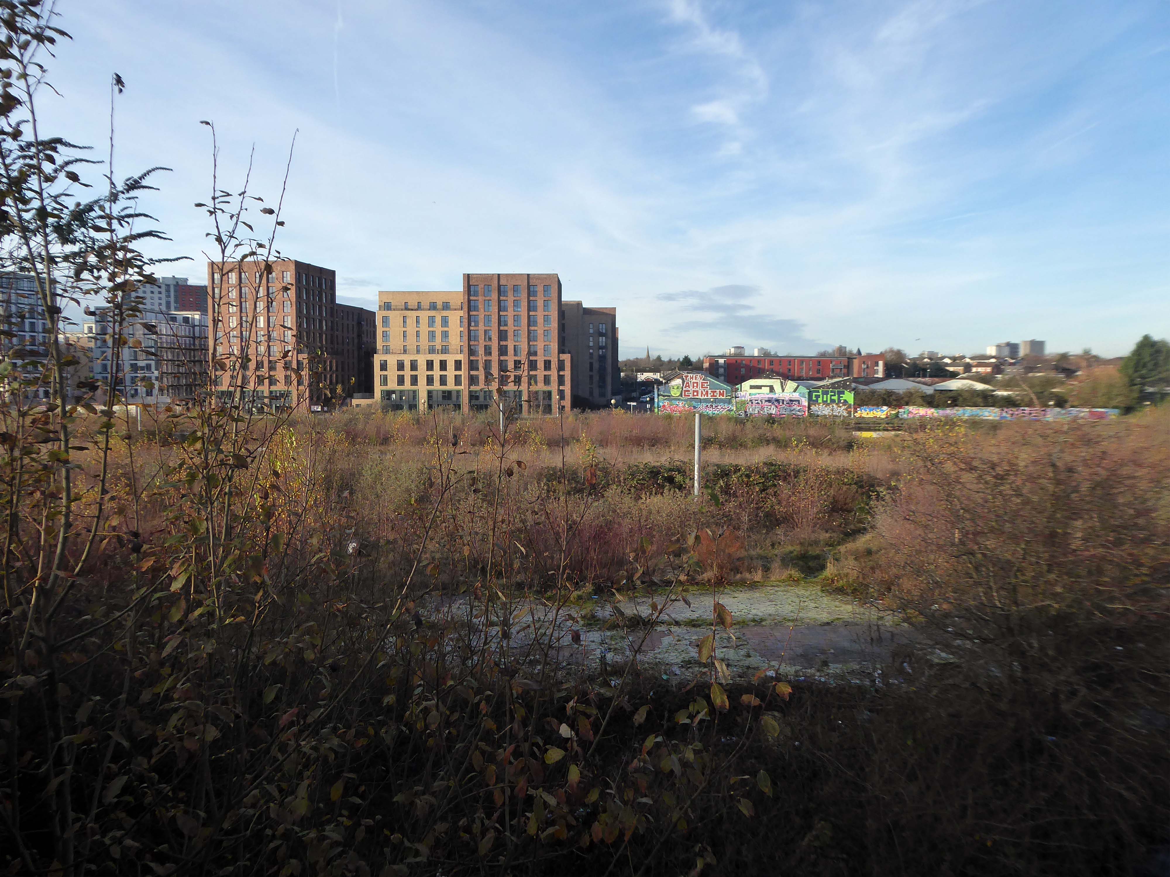
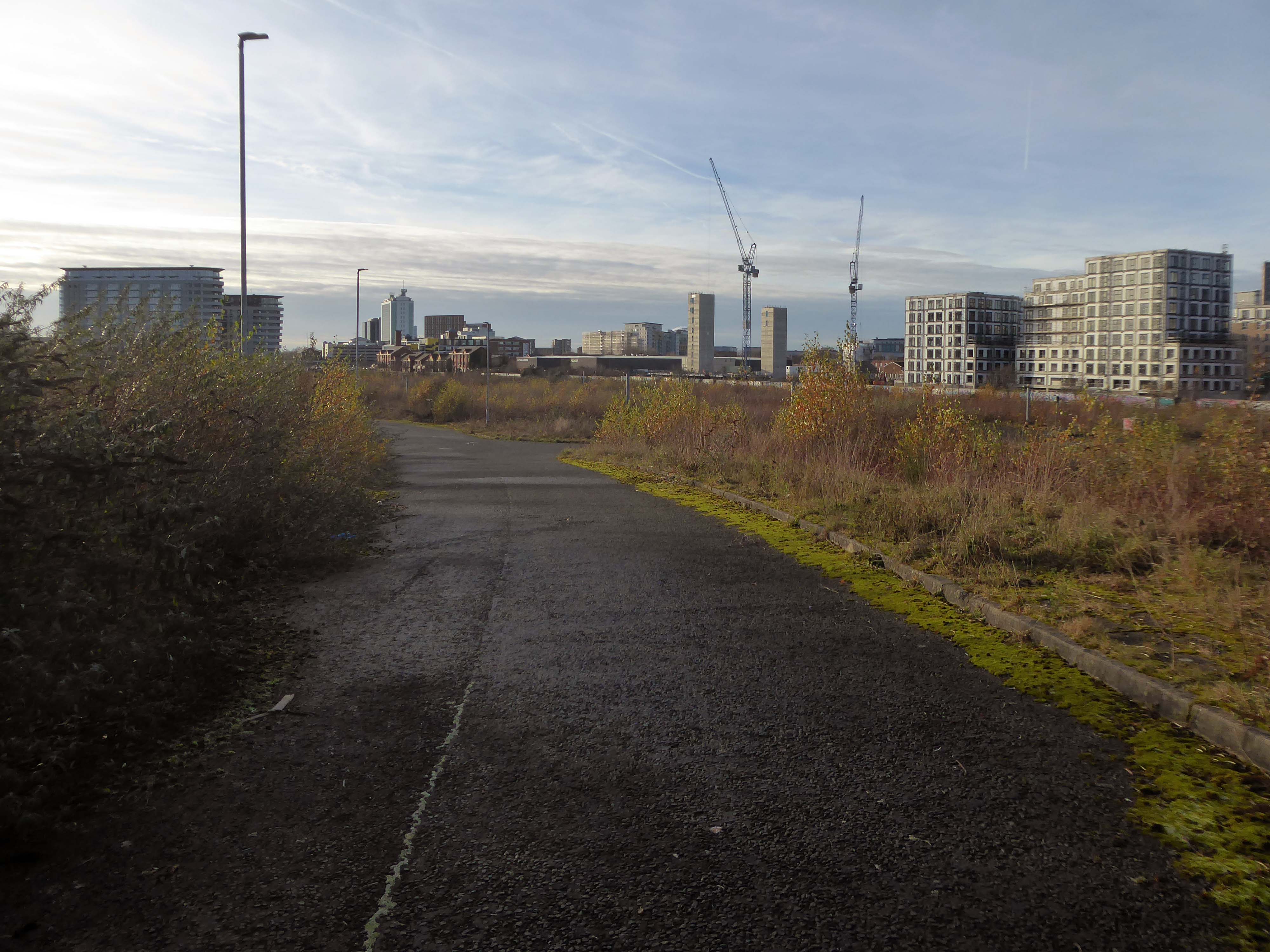
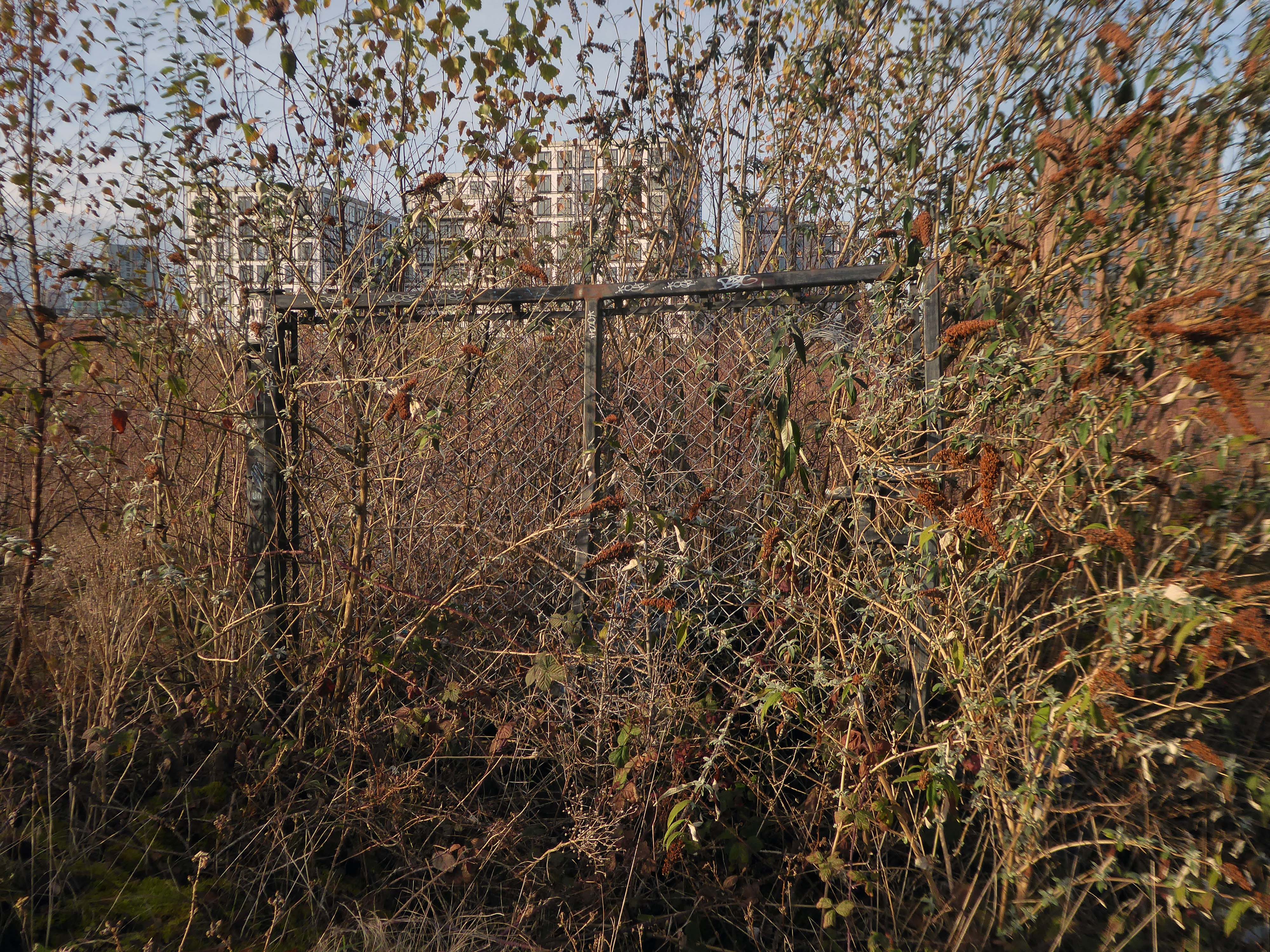
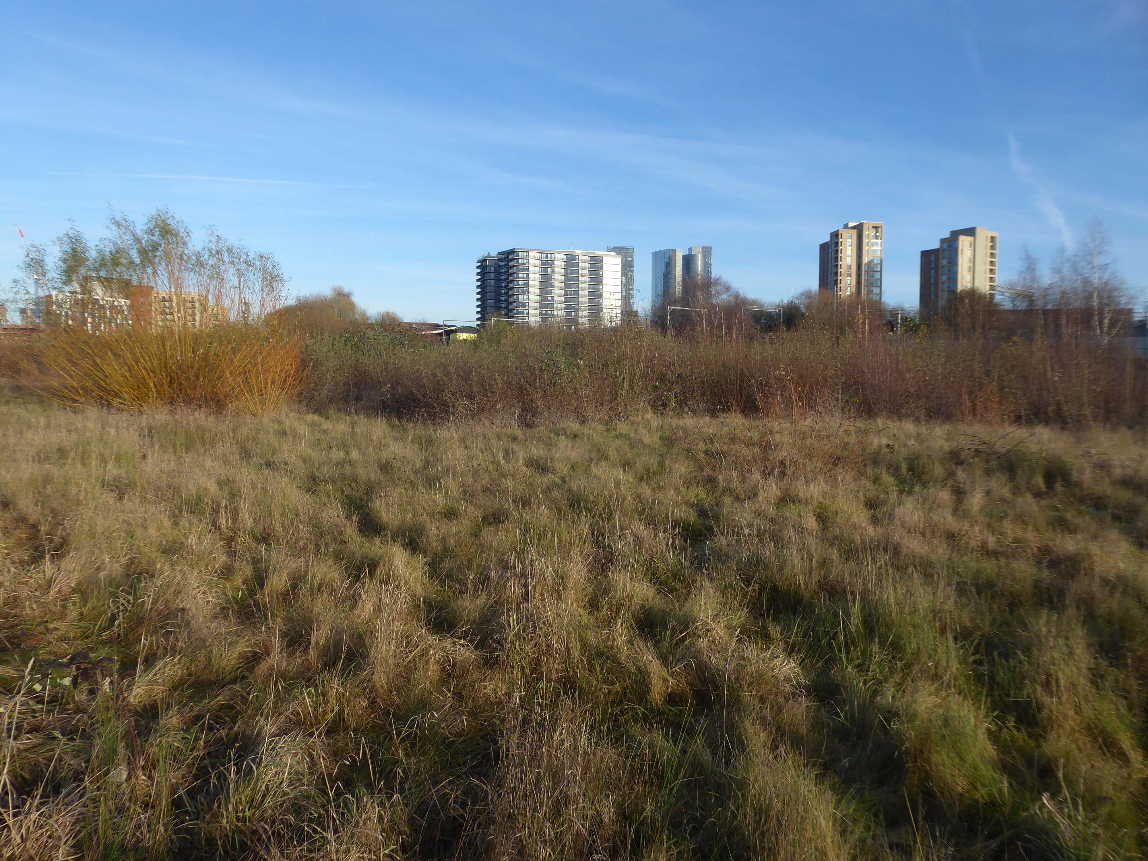
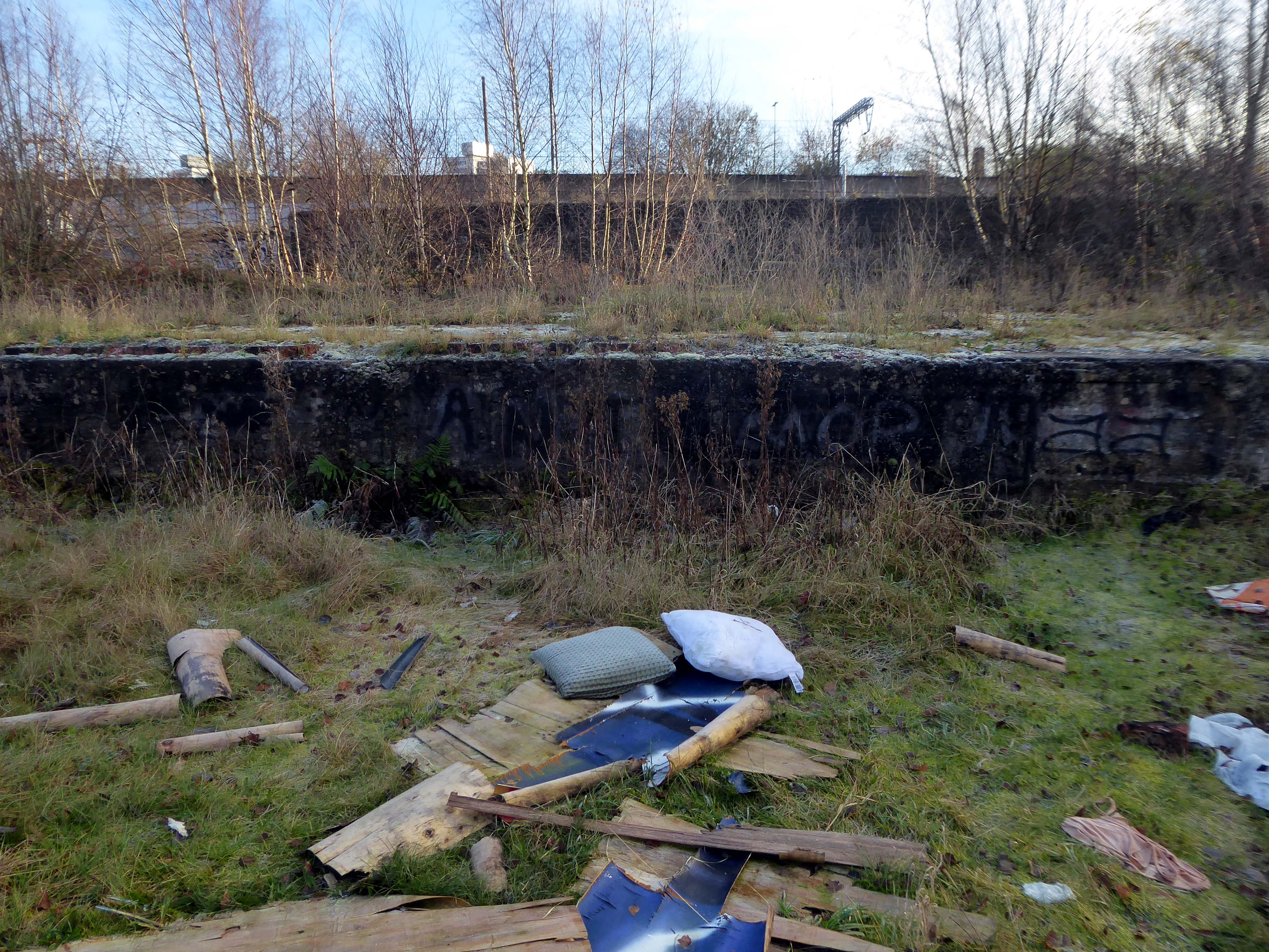
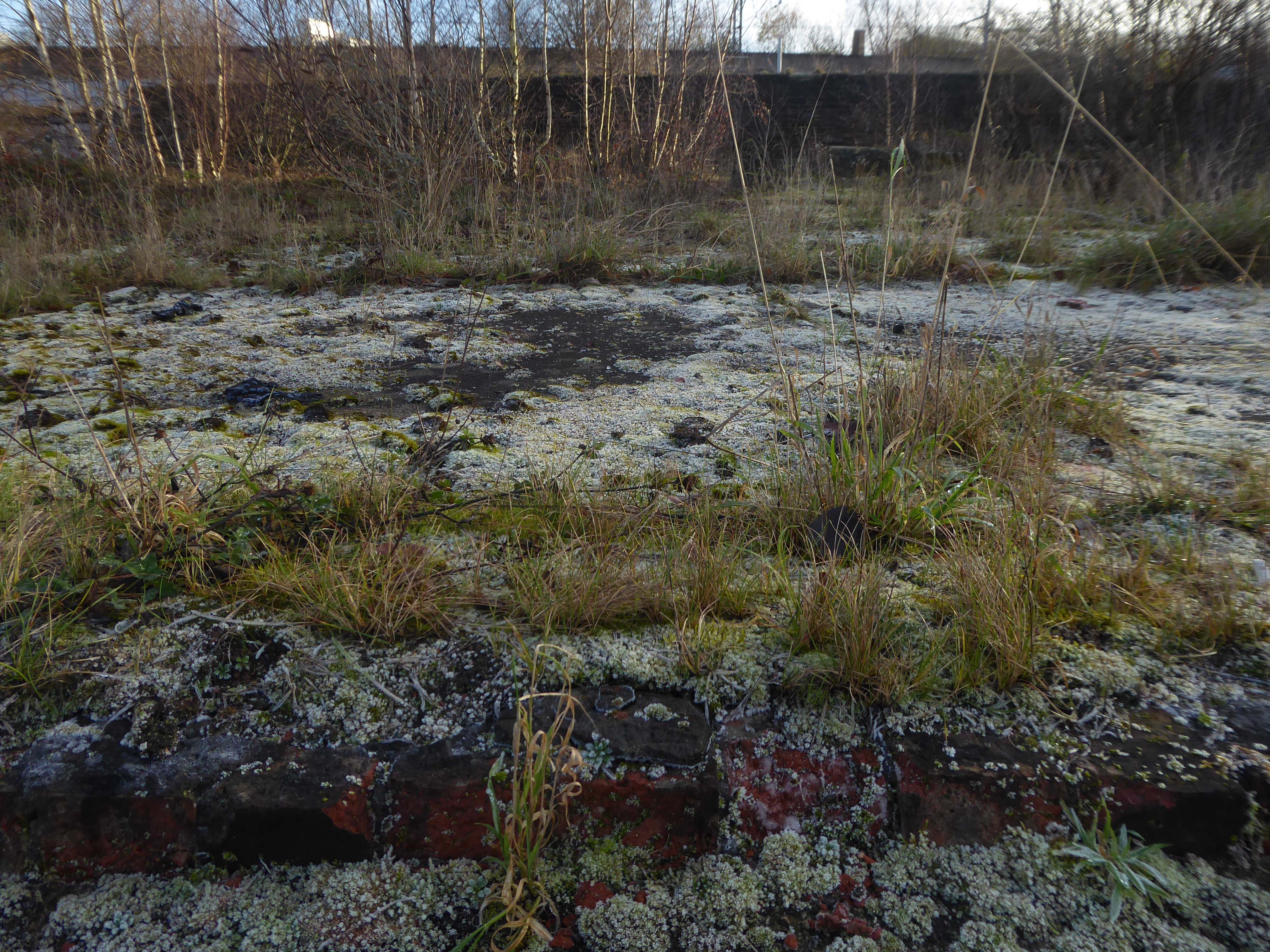
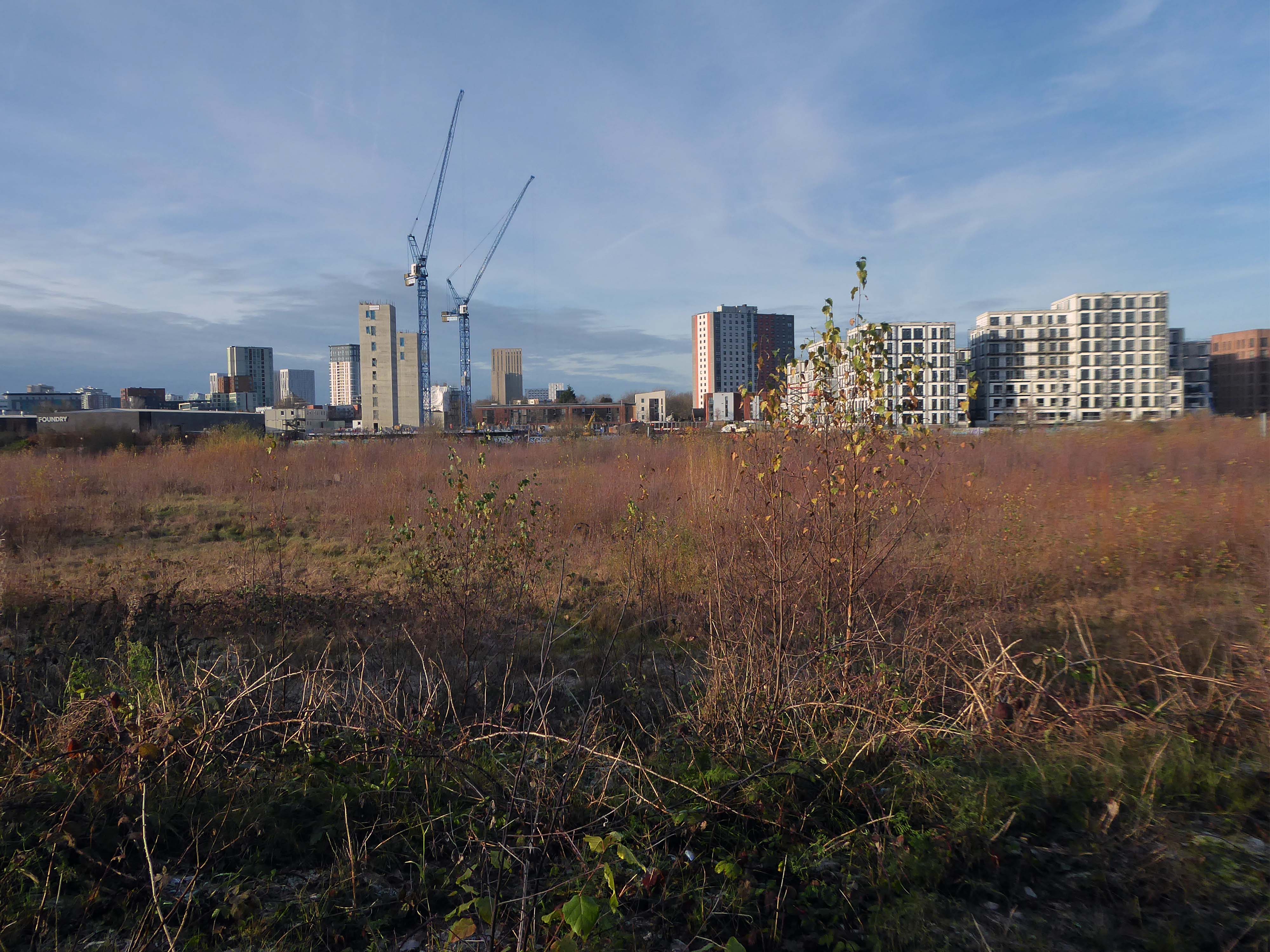
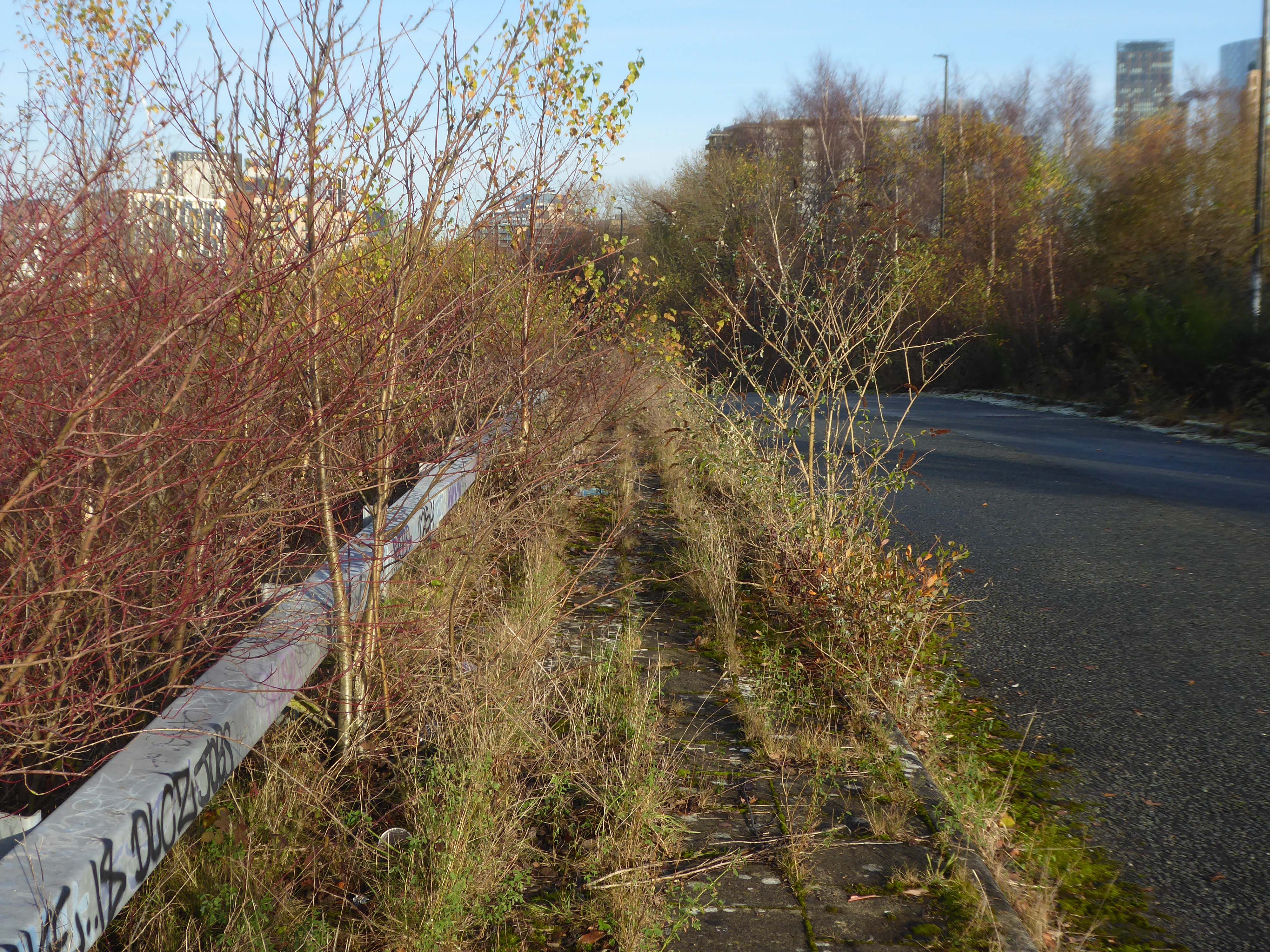
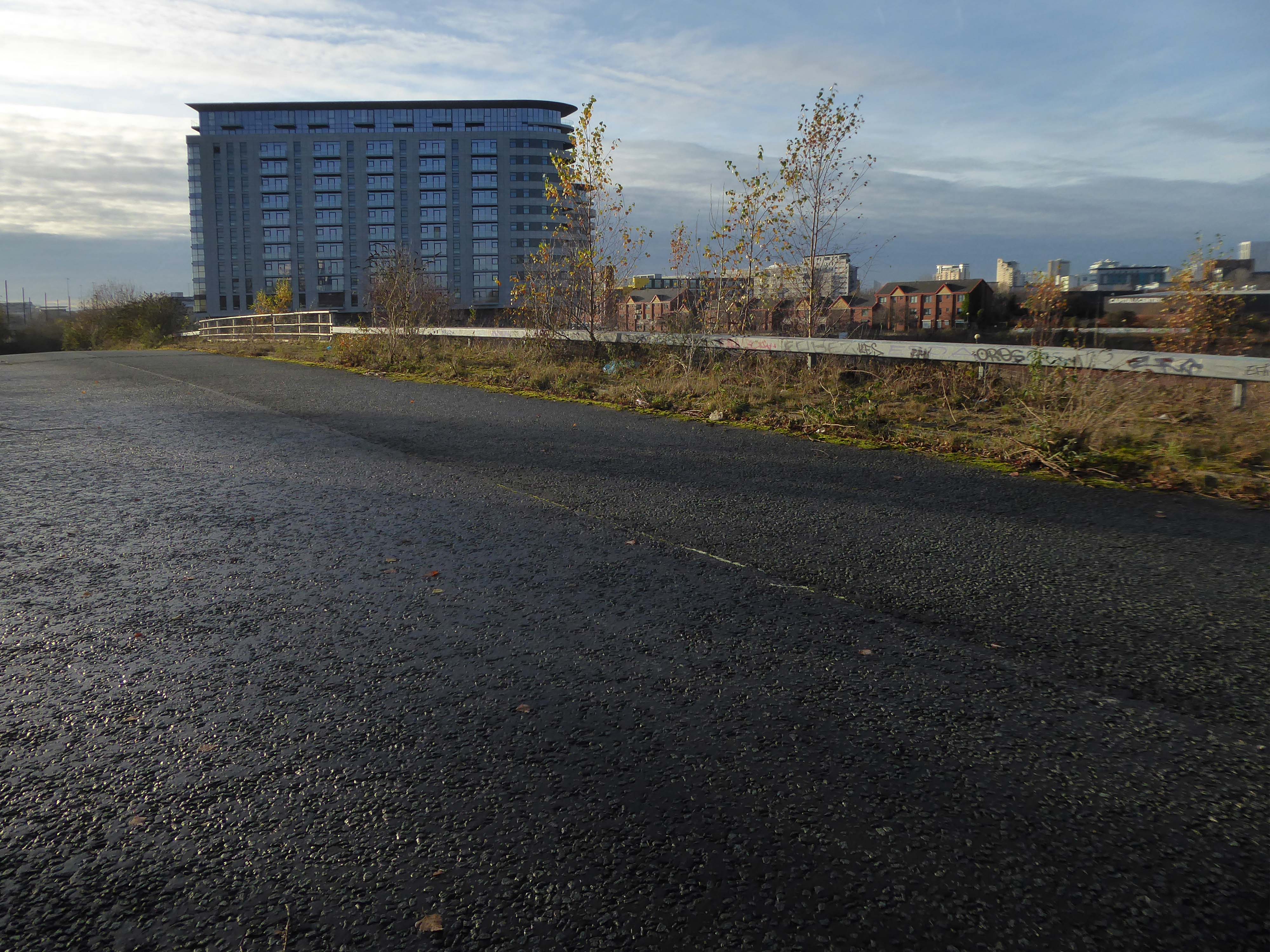
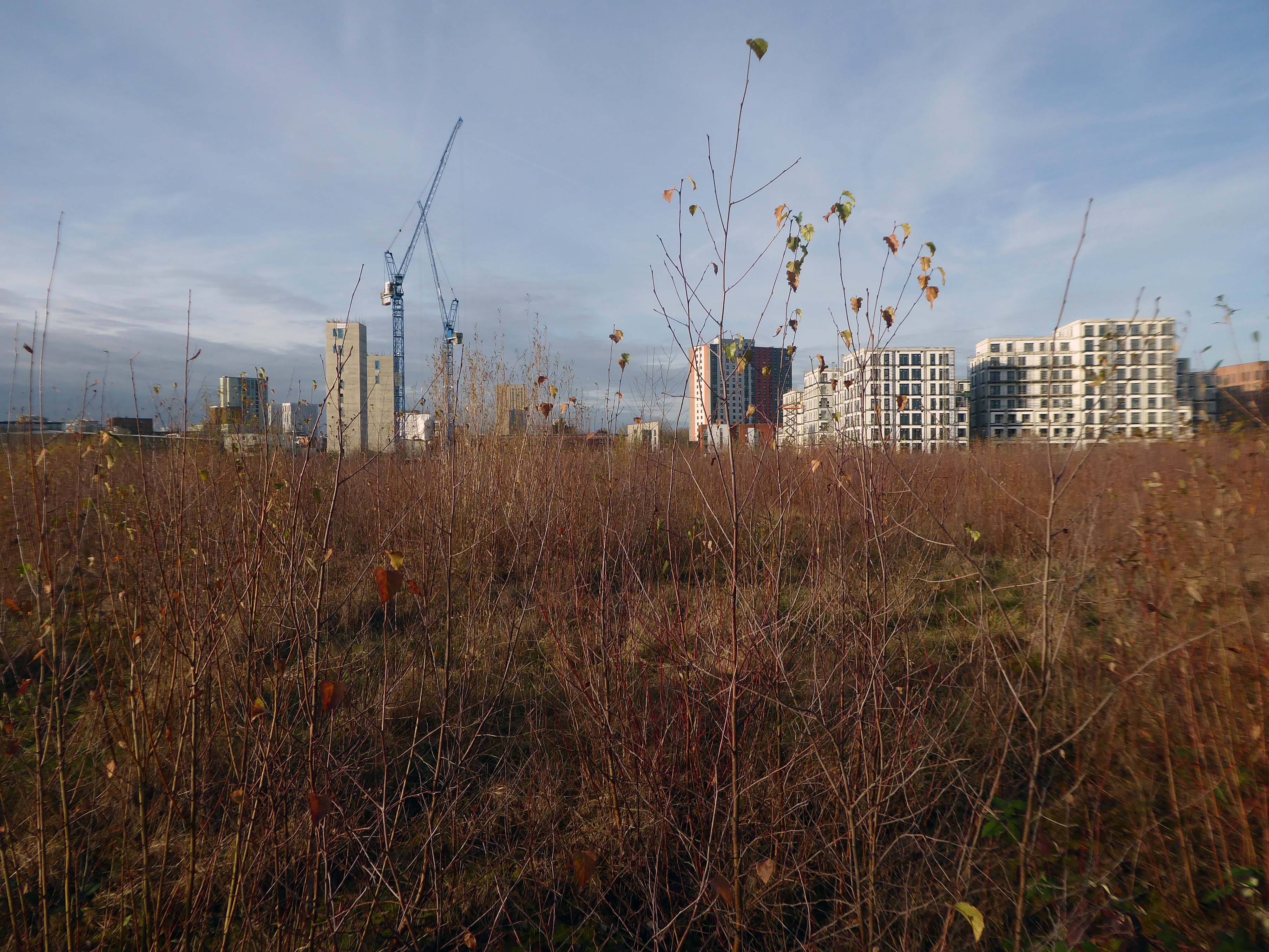
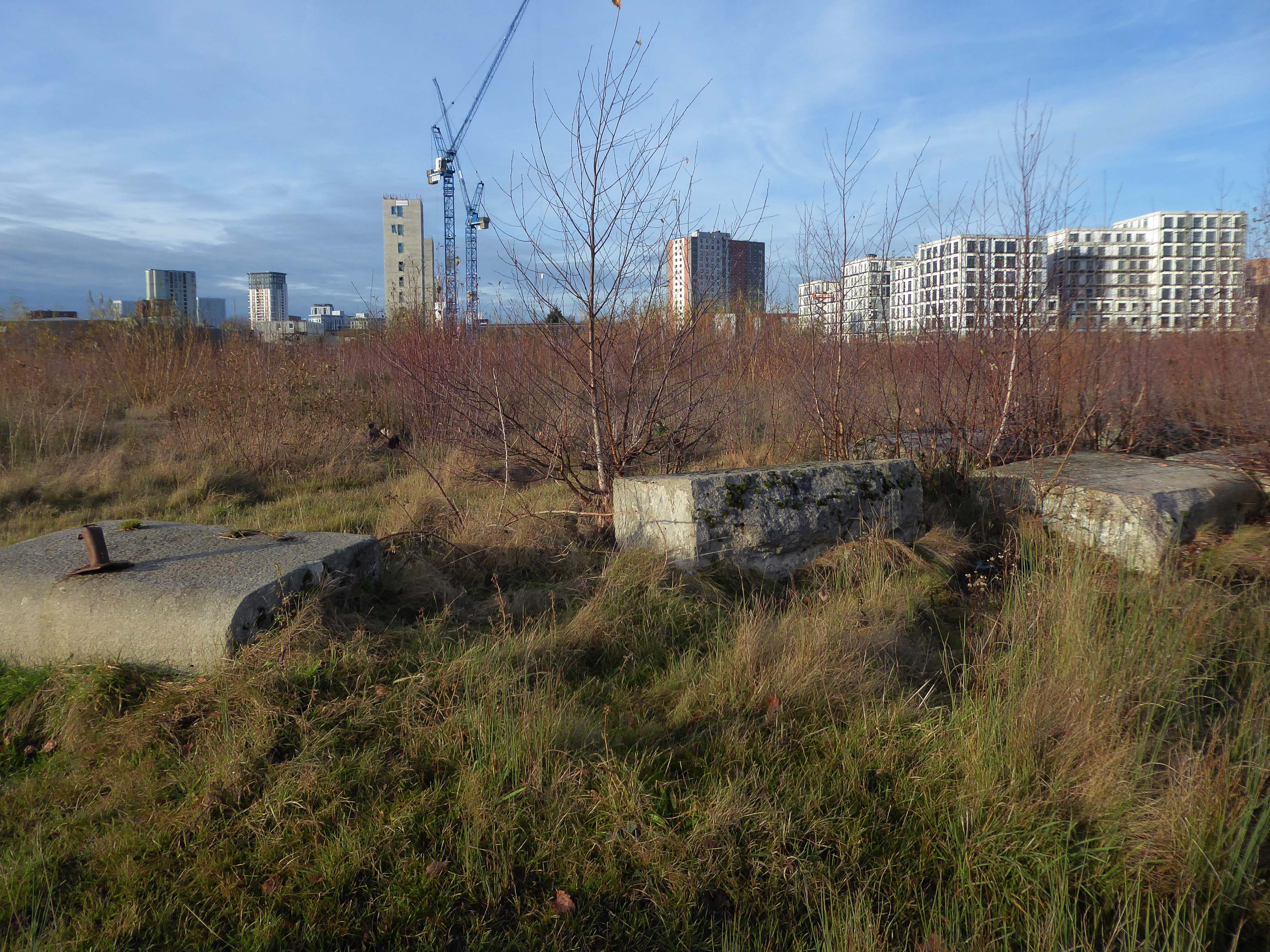
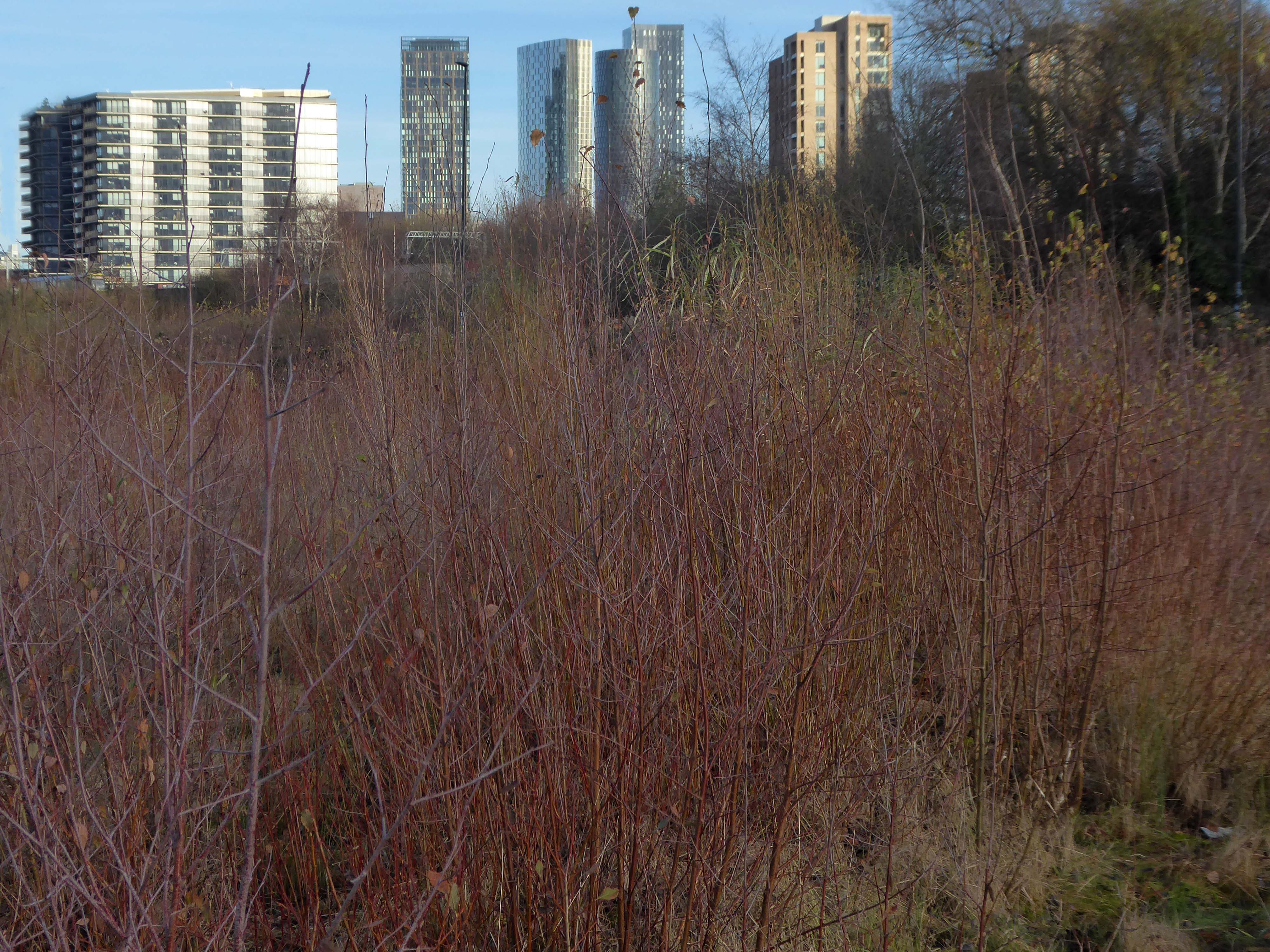
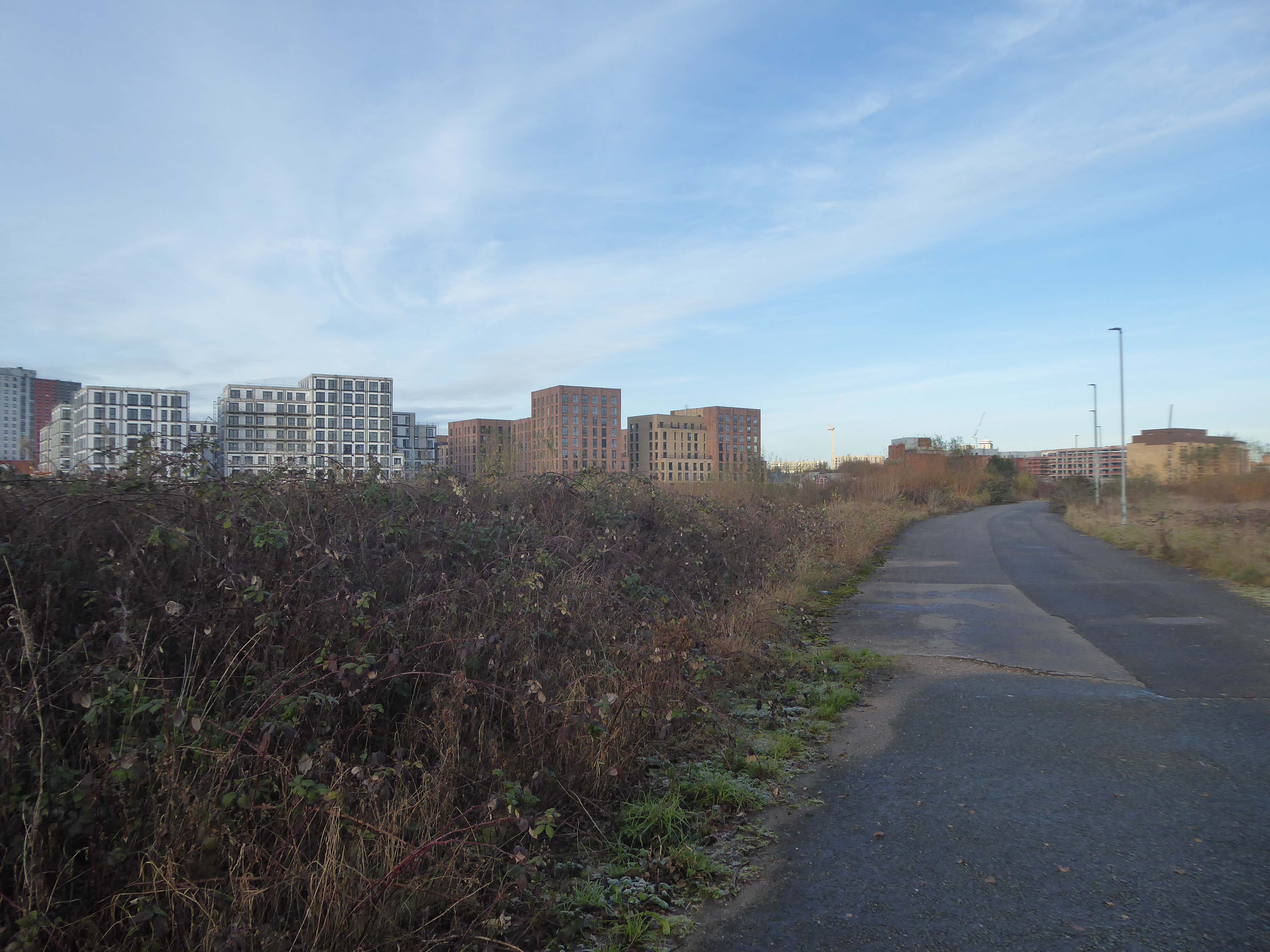
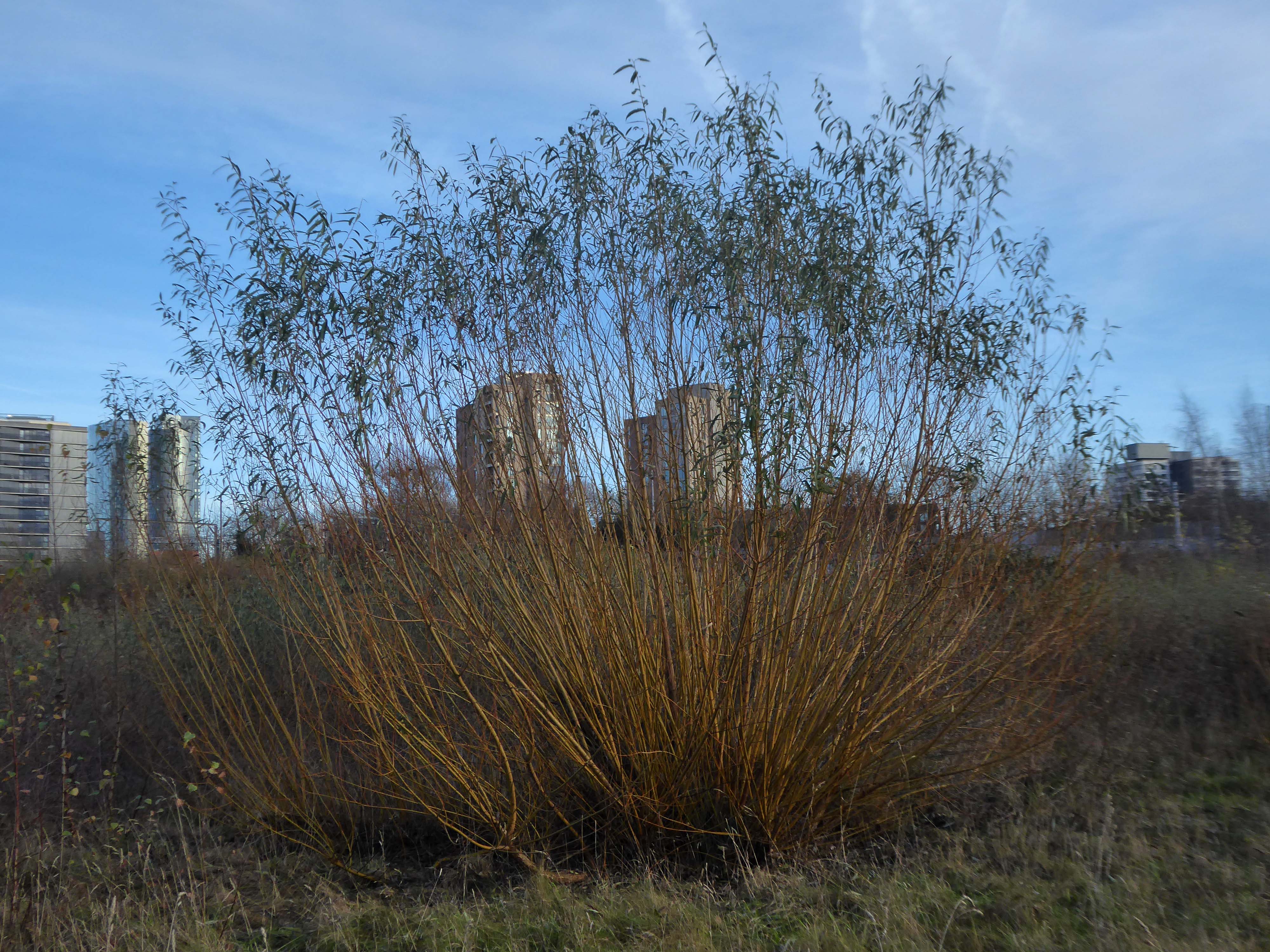
April 2020 a history and appraisal of Pomona Gardens – the undergrowth having recently having had a trim.
What were once opulent Pleasure Gardens now await the Midas touch of Peek Holdings.
What knows what fates awaits you?
Long-awaited plans to redevelop the 26-acre swathe of land will not come forward until Peel L&P and Trafford Council reach an accord on the level of affordable housing to be provided on a separate project.
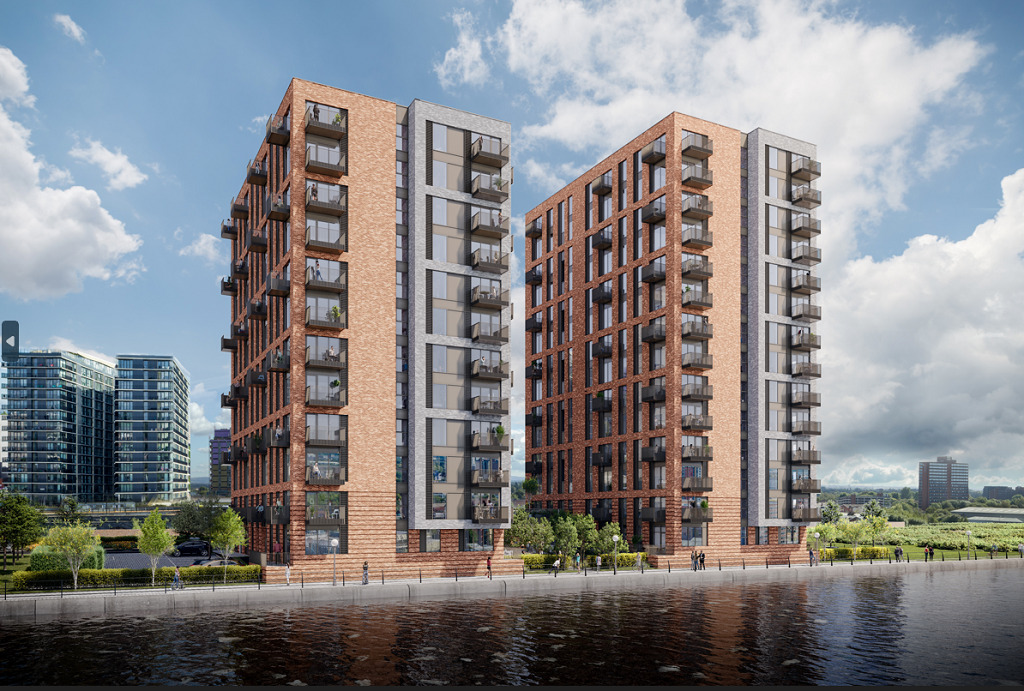
In 2021, Peel lodged plans for a 162-apartment build-to-rent scheme on part of Pomona Island.
The project featured no on-site affordable housing provision – although Peel did offer a ‘significant financial contribution’ towards off-site affordable housing – and Trafford Council subsequently recommended the development be refused.
This promoted Peel to withdraw the £35m proposals before they were discussed at committee.
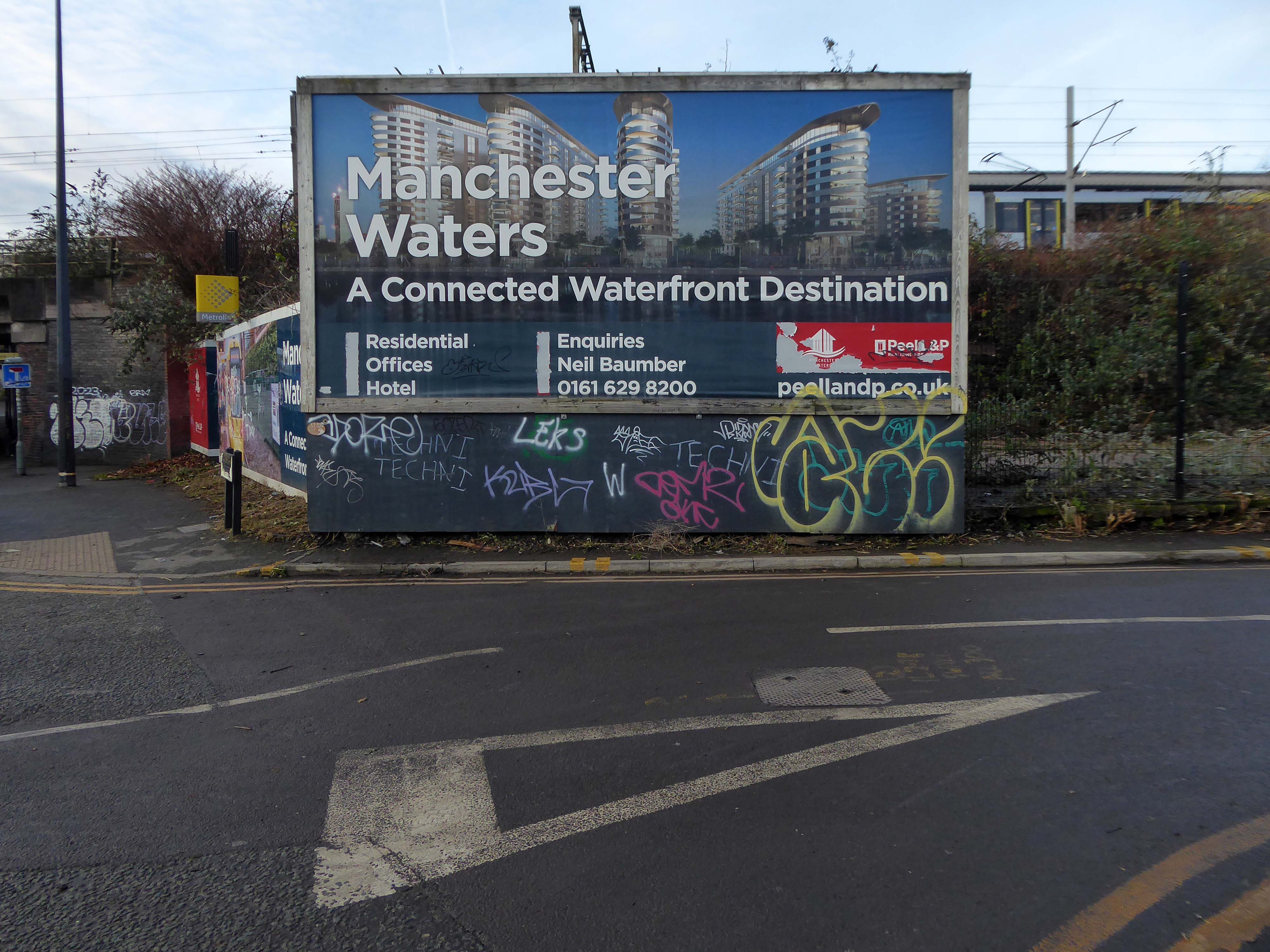
The 2023 iteration of the project, part of the developer’s Manchester Waters masterplan, also features no on-site affordable homes.
However, as part of the proposals, Peel will be making a contribution equivalent to 20% affordable housing within Trafford, the developer said. The earlier iteration proposed 5%.
The proposed nature reserve seem like a distant dream
Despite suggestions that Pomona could become the Eden Project of the north, 3,000 homes are planned for the site by owners Peel L&P and the first development, Pomona Wharf, is already complete.
This green space could have been a globally significant urban park, and a powerful statement of Manchester’s commitment to fighting climate change and protecting green spaces.
Unfortunately, the city chose more apartments and financial growth over the natural world and not for the first time – Luke Blazejewski.
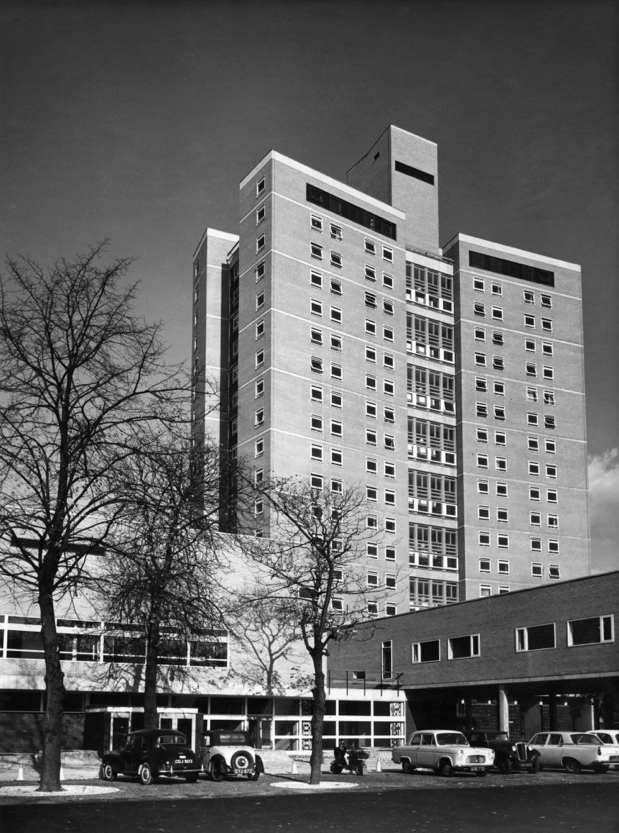
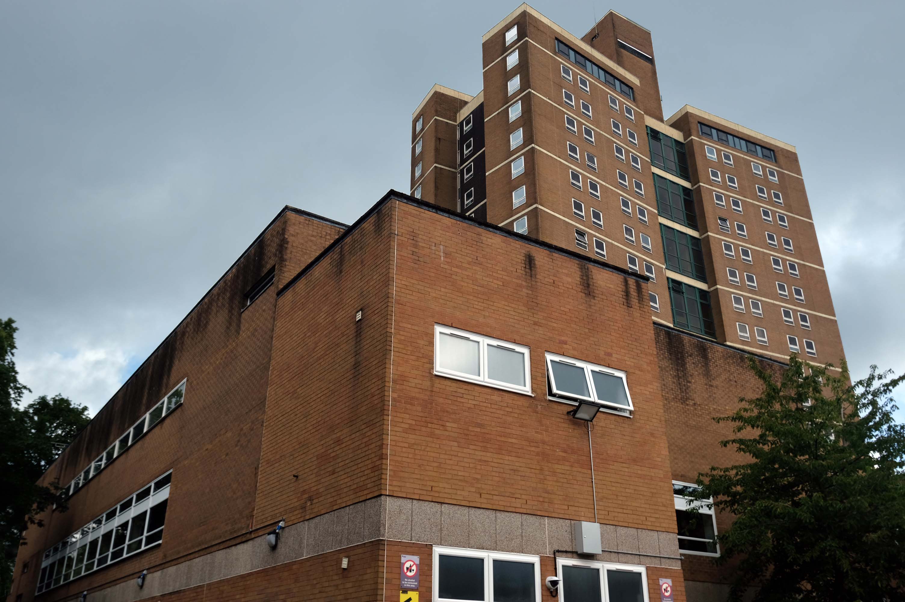
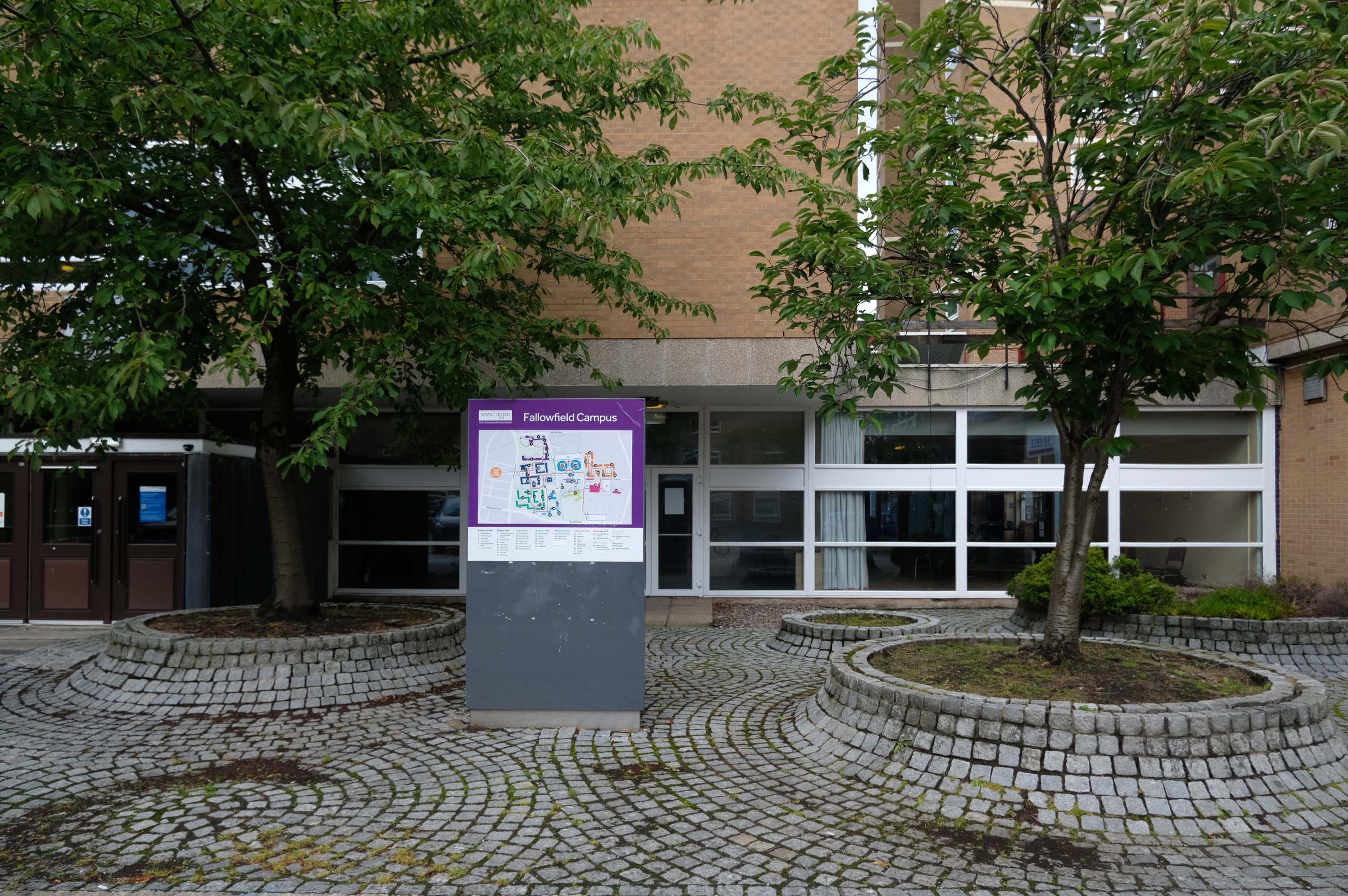
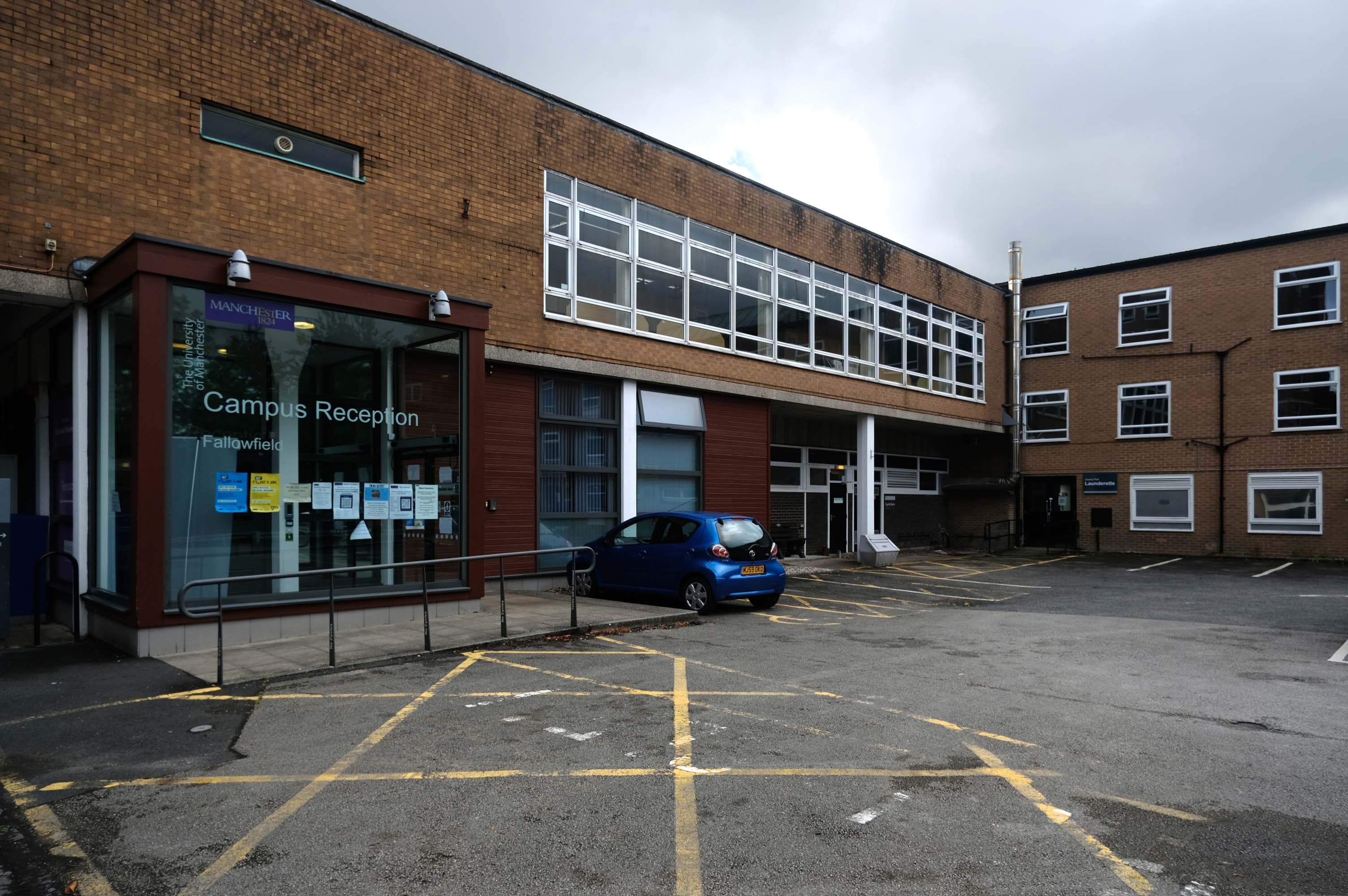
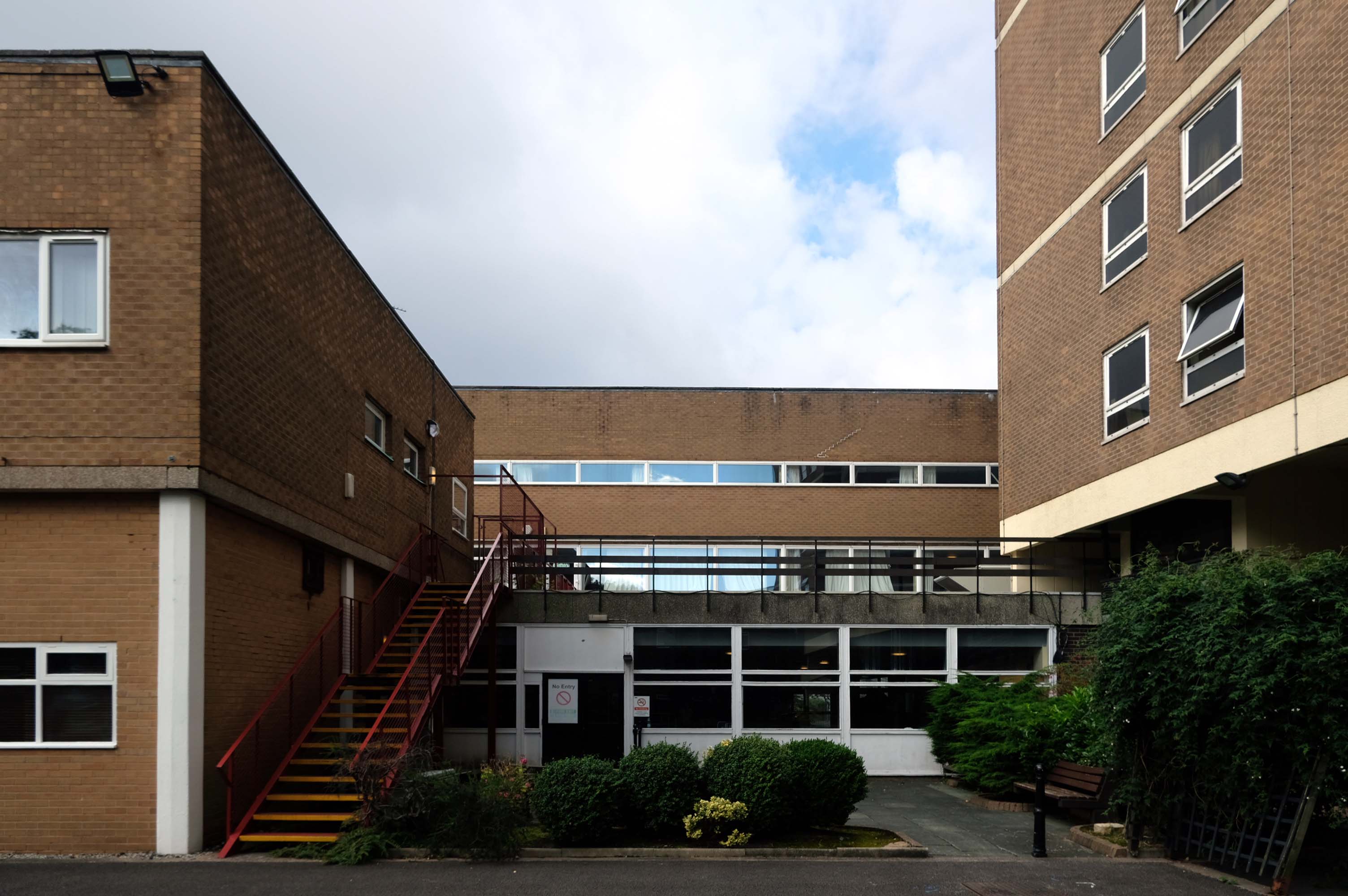
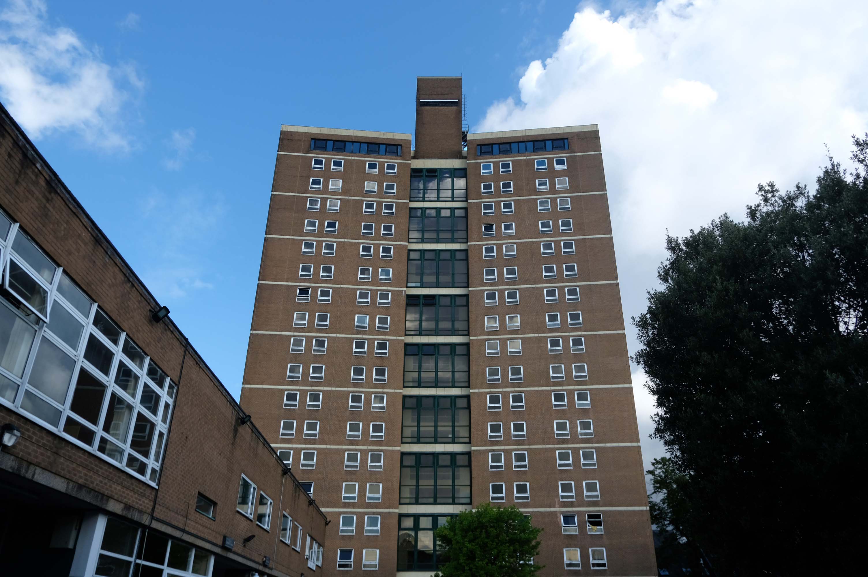
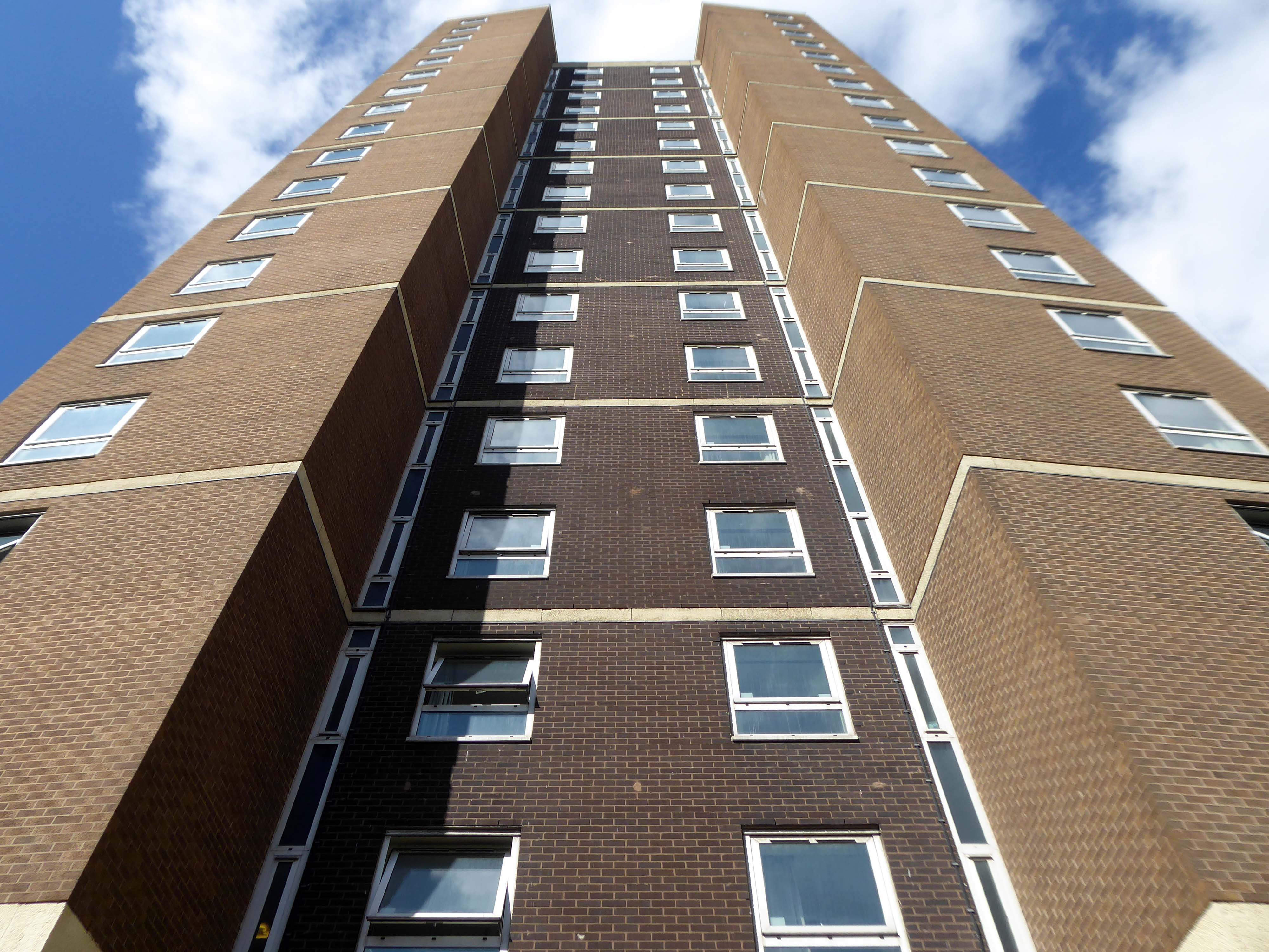
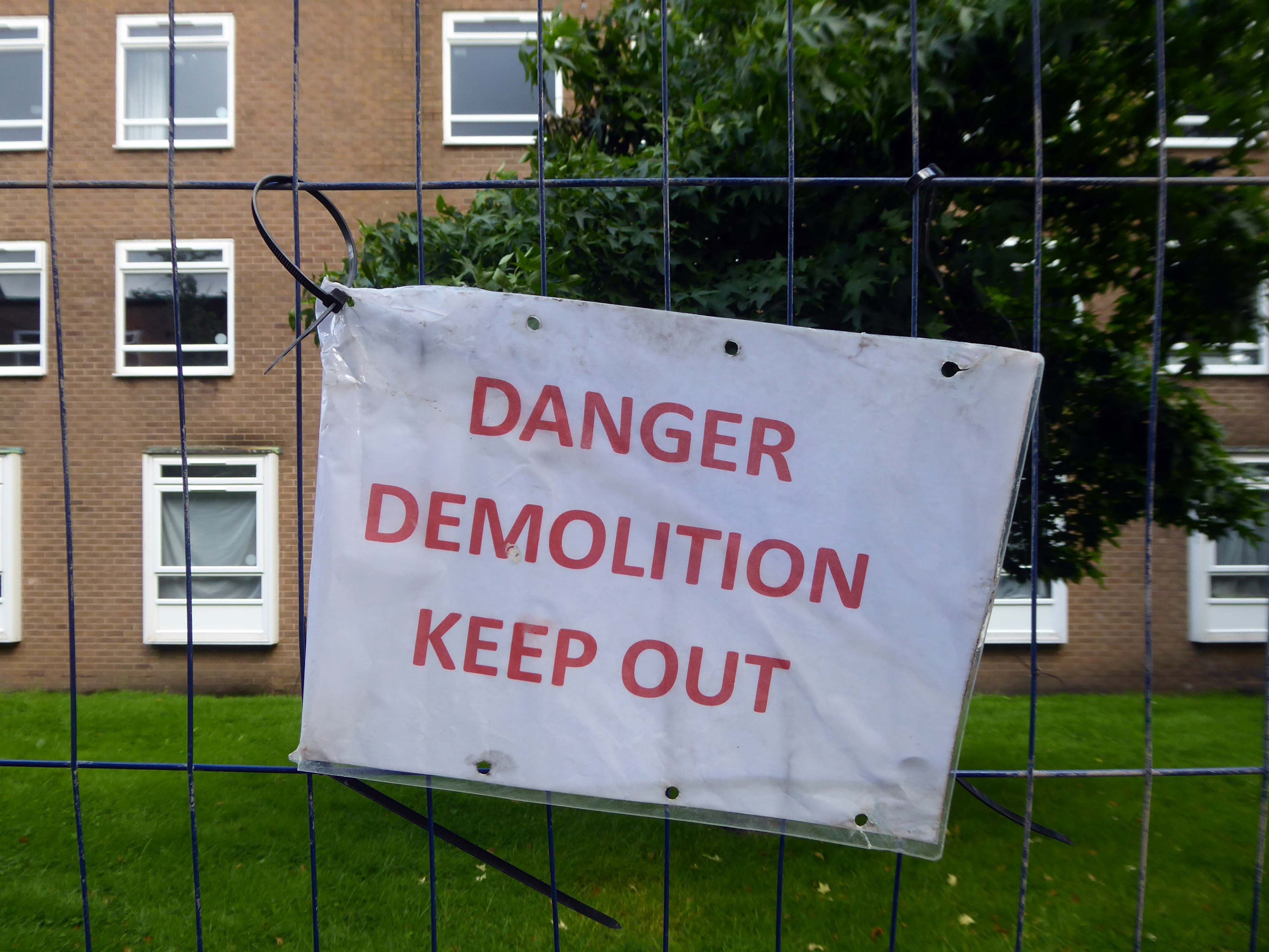
Plans are in place for redevelopment of the site and the demolition of the tower block and adjacent housing.
The scheme, designed by Sheppard Robson, would see 3,300 new bedspaces brought forward, taking the total number of units at the complex to 5,400, a net increase of 950. This is an increase of around 1,000 new units compared to the previous iteration of the project, approved in 2015.
The history of youth work goes back to the birth of the Industrial Revolution in the 18th century, which was the first time that young men left their own homes and cottage–industries to migrate to the big towns. The result of this migration was an emergent youth culture in urban areas, which was responded to by the efforts of local people.
Work with young women however was seen as less important, because young women’s needs at this time were seen as being centred on homemaking, which were already, supposedly, provided for in the home.
By 1959 widespread moral panic in the press about teenage delinquency led the British government to look into a national response to catering for the needs of young people. In 1960 a government report known as The Albemarle Report was released, which outlined the need for local government agencies to take on responsibility for providing extracurricular activities for young people. Out of this the statutory sector of the youth service was born. For the first time youth centres and fully paid full-time youth workers made an appearance across the whole of Britain.
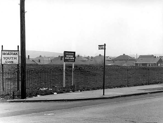
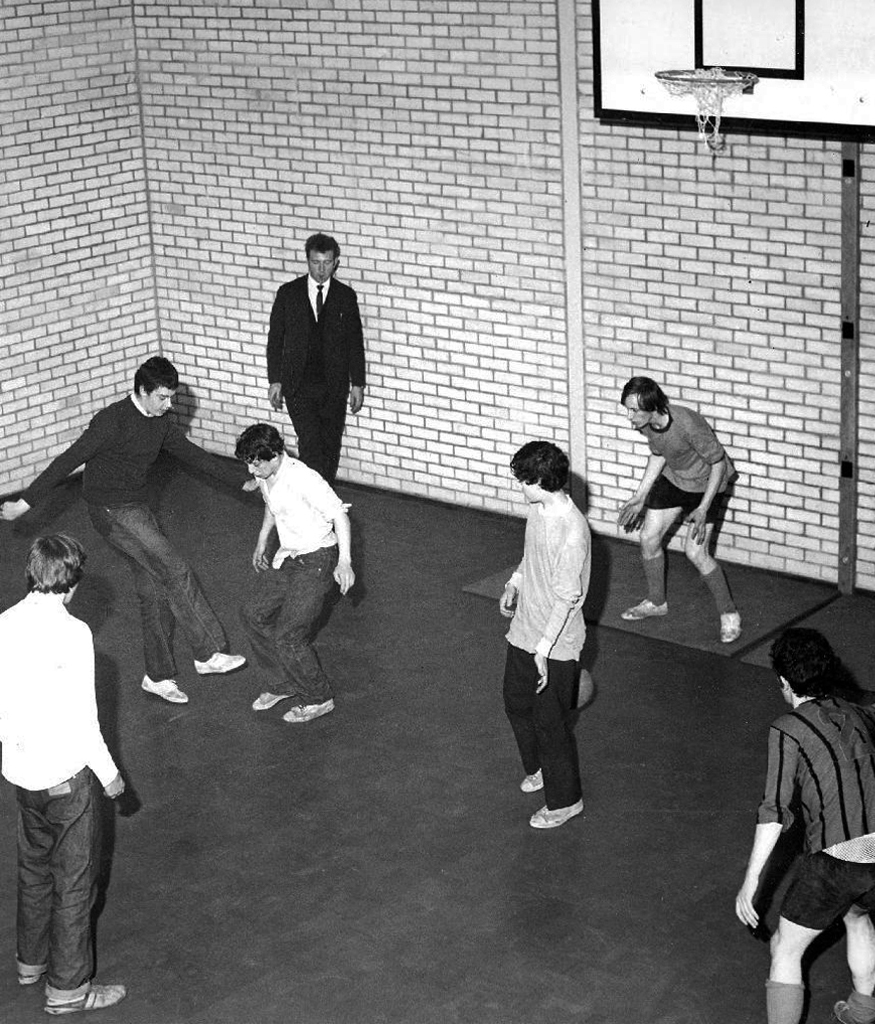
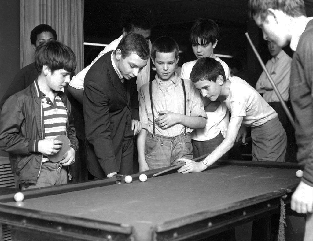
Which is where I enter this short history, attending the Broadoak Youth Club in Ashton, during the late 60s early 70s. These were days of ping pong, snooker, spinning 45s and drinking pop if you had the coppers.
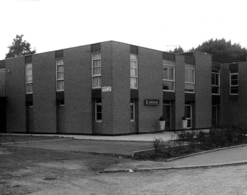
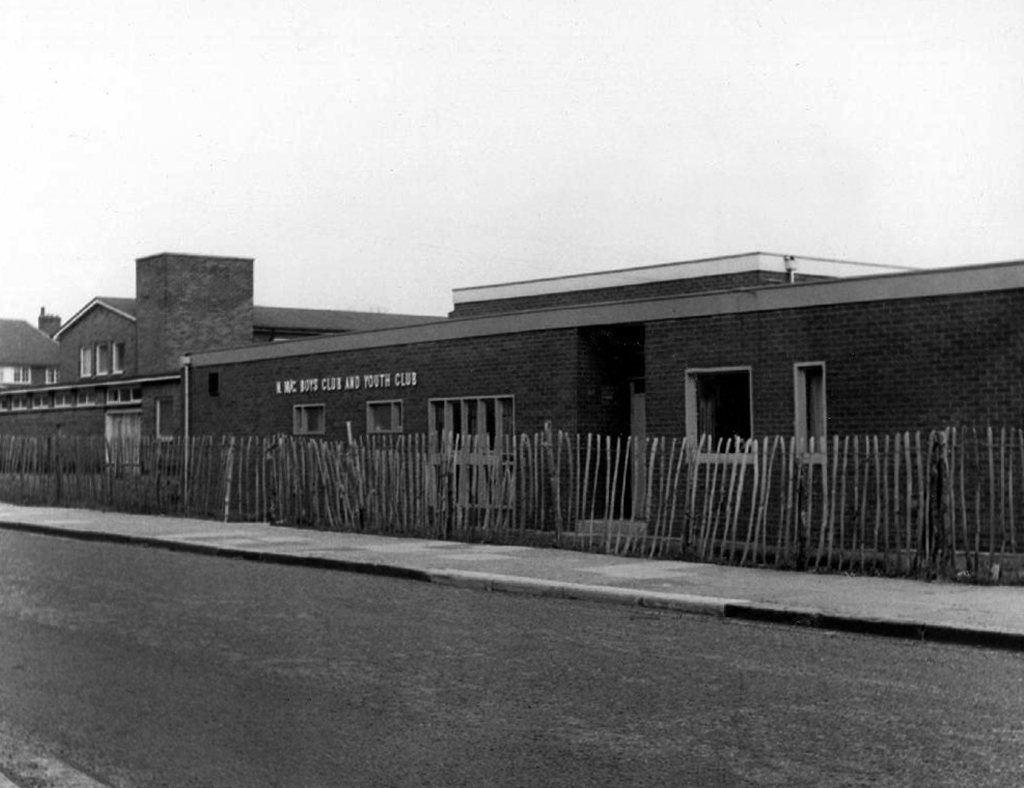
Council run, housed in an architectural style best described as bunker like.
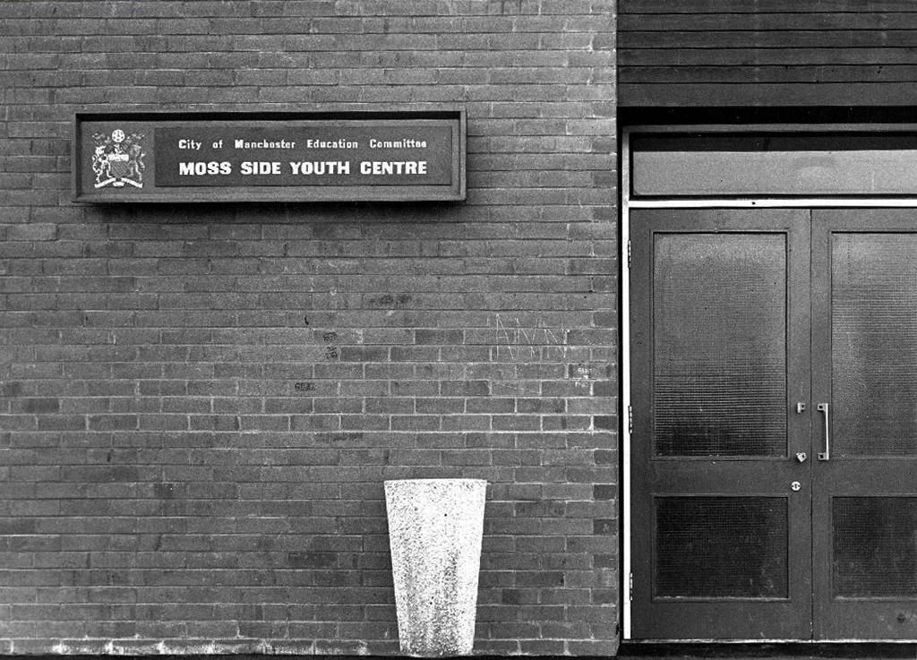
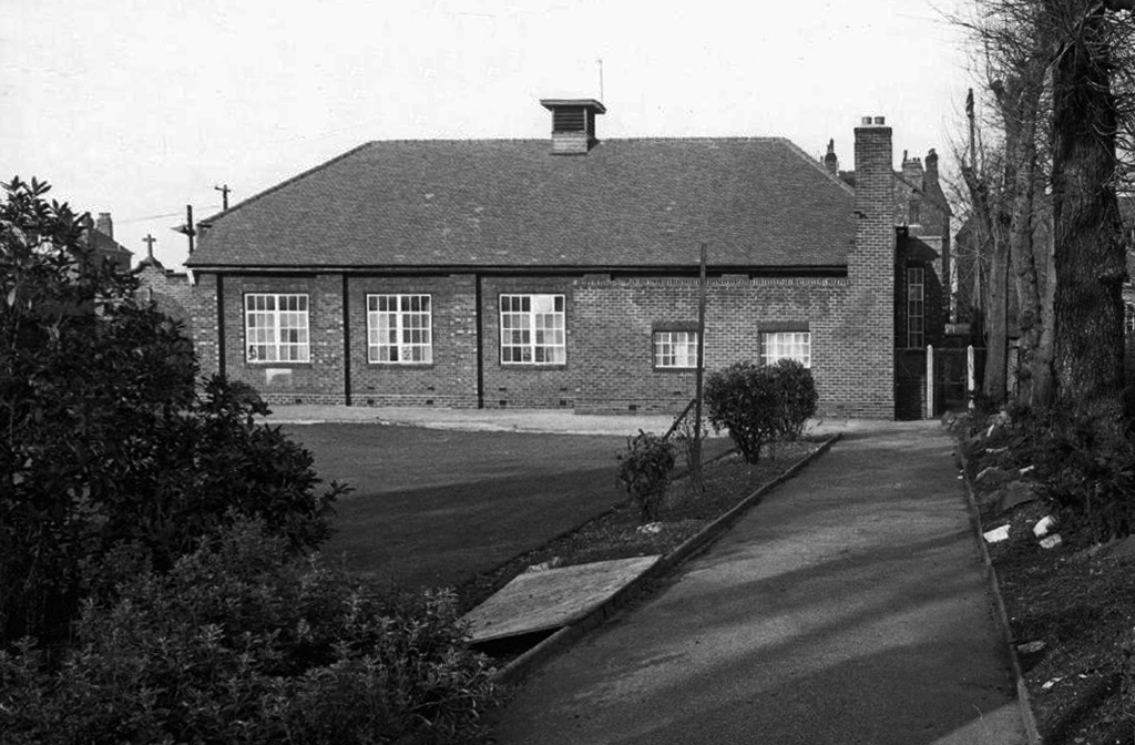
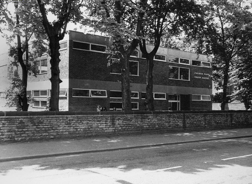
I uncovered a little of Manchester’s youth club history during my travels.
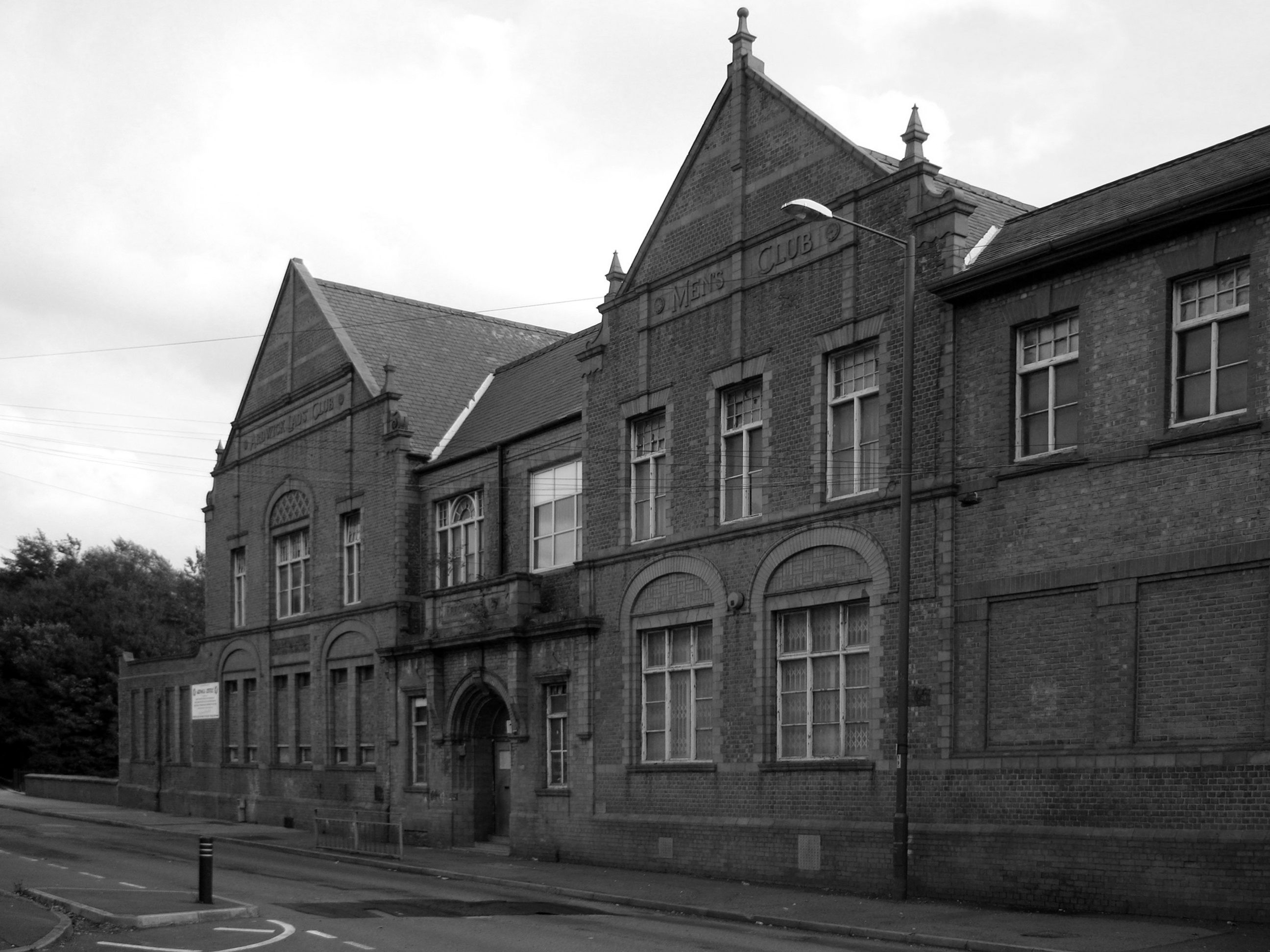
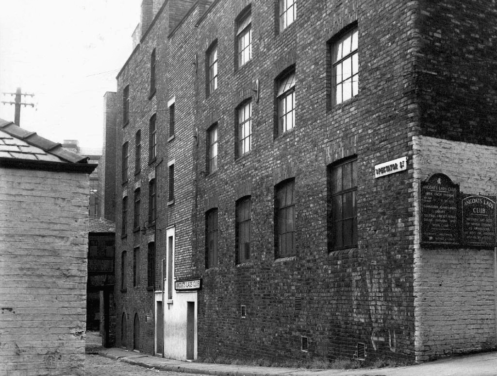
The Ardwick Lads’ and Mens’ Club on Palmerston Street, latterly the Ardwick Youth Centre, opened in 1897 and is believed to be Britain’s oldest purpose-built youth club still in use and was until earlier in 2012. Designed by architects W & G Higginbottom, the club, when opened, featured a large gymnasium with viewing gallery – where the 1933 All England Amateur Gymnastics Championships were held – three fives courts, a billiard room and two skittle alleys – later converted to shooting galleries. Boxing, cycling, cricket, swimming and badminton were also organised. At its peak between the two world wars, Ardwick was the Manchester area’s largest club, with 2,000 members.
On the 10th September 2012 an application for prior notification of proposed demolition was submitted on behalf of Manchester City Council to Manchester Planning, for the demolition of Ardwick Lads’ Club of 100 Palmerston Street , citing that there was “no use” for the building in respect to its historic place within the community as providing a refuge and sporting provision to the young of Ancoats.
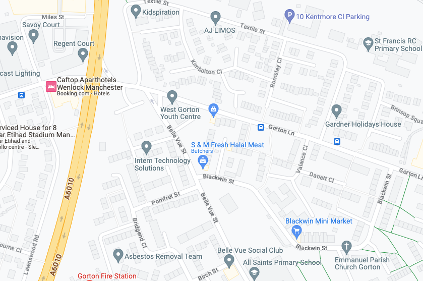
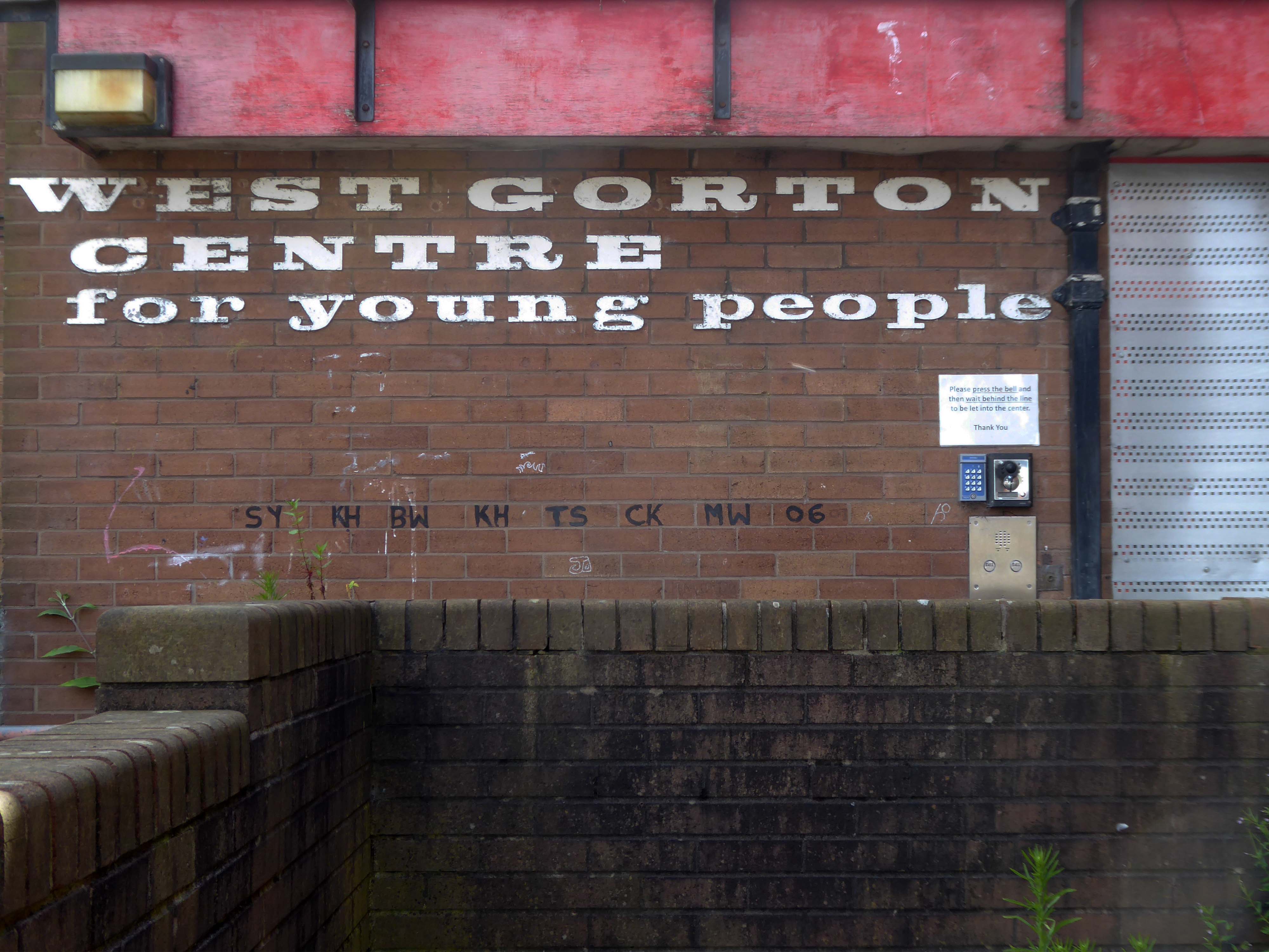
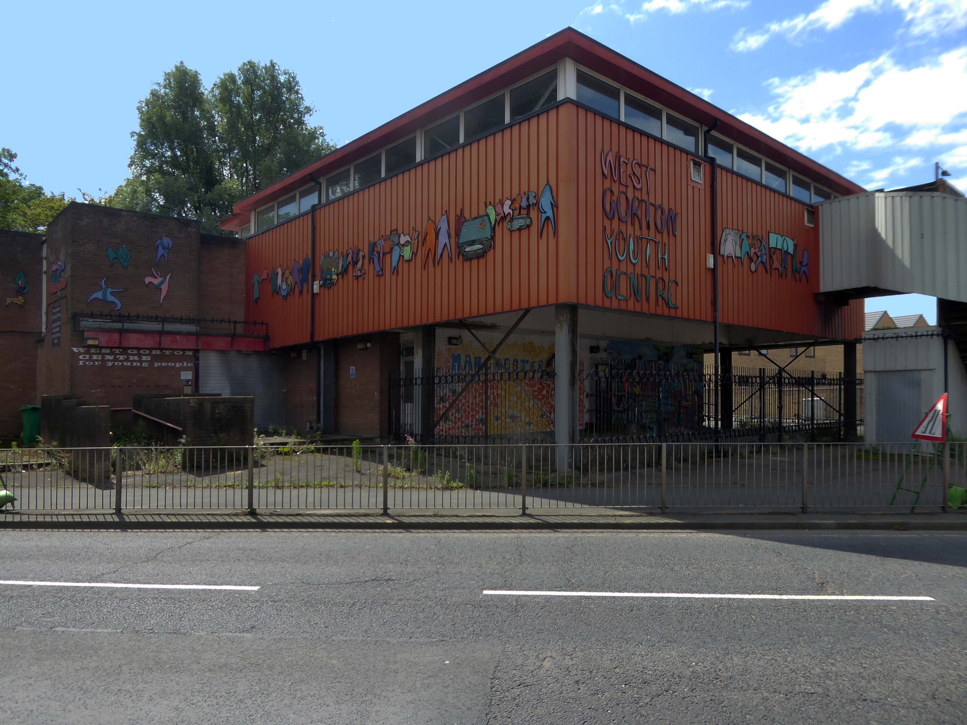
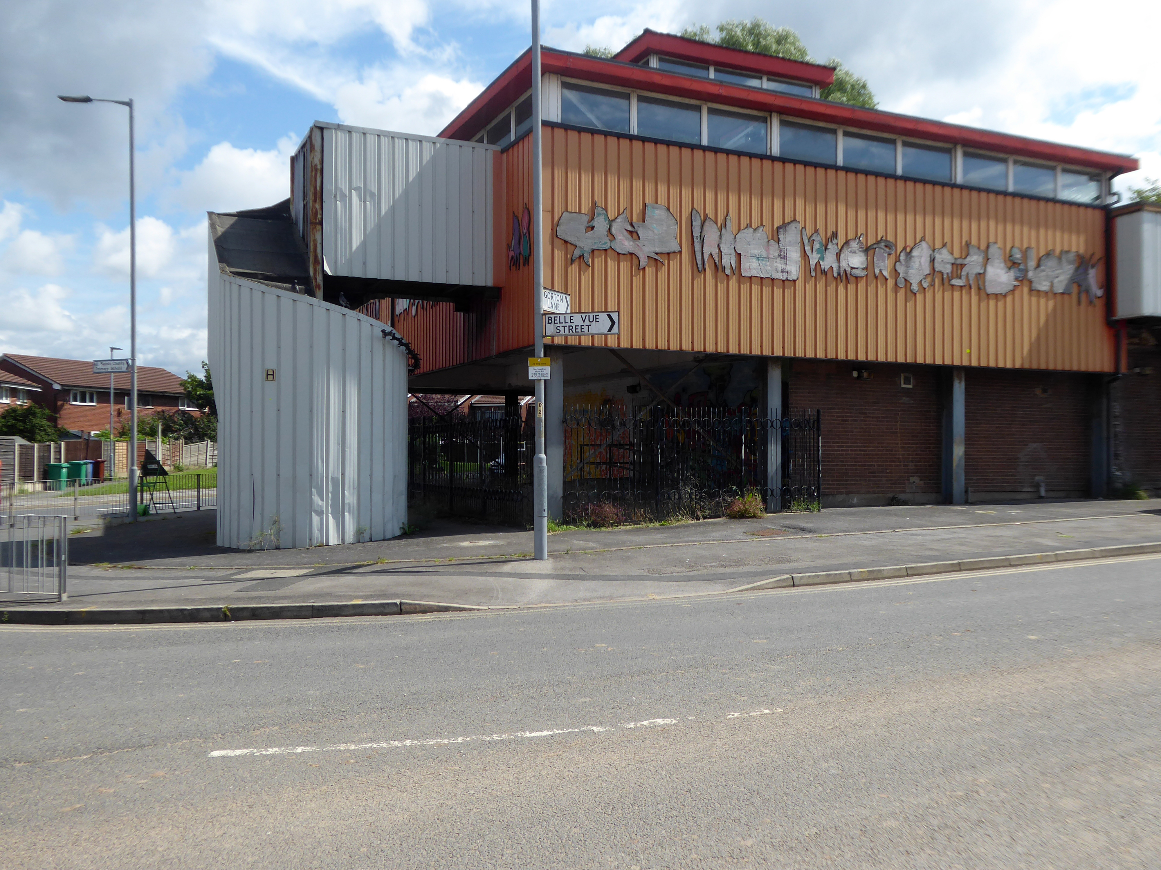
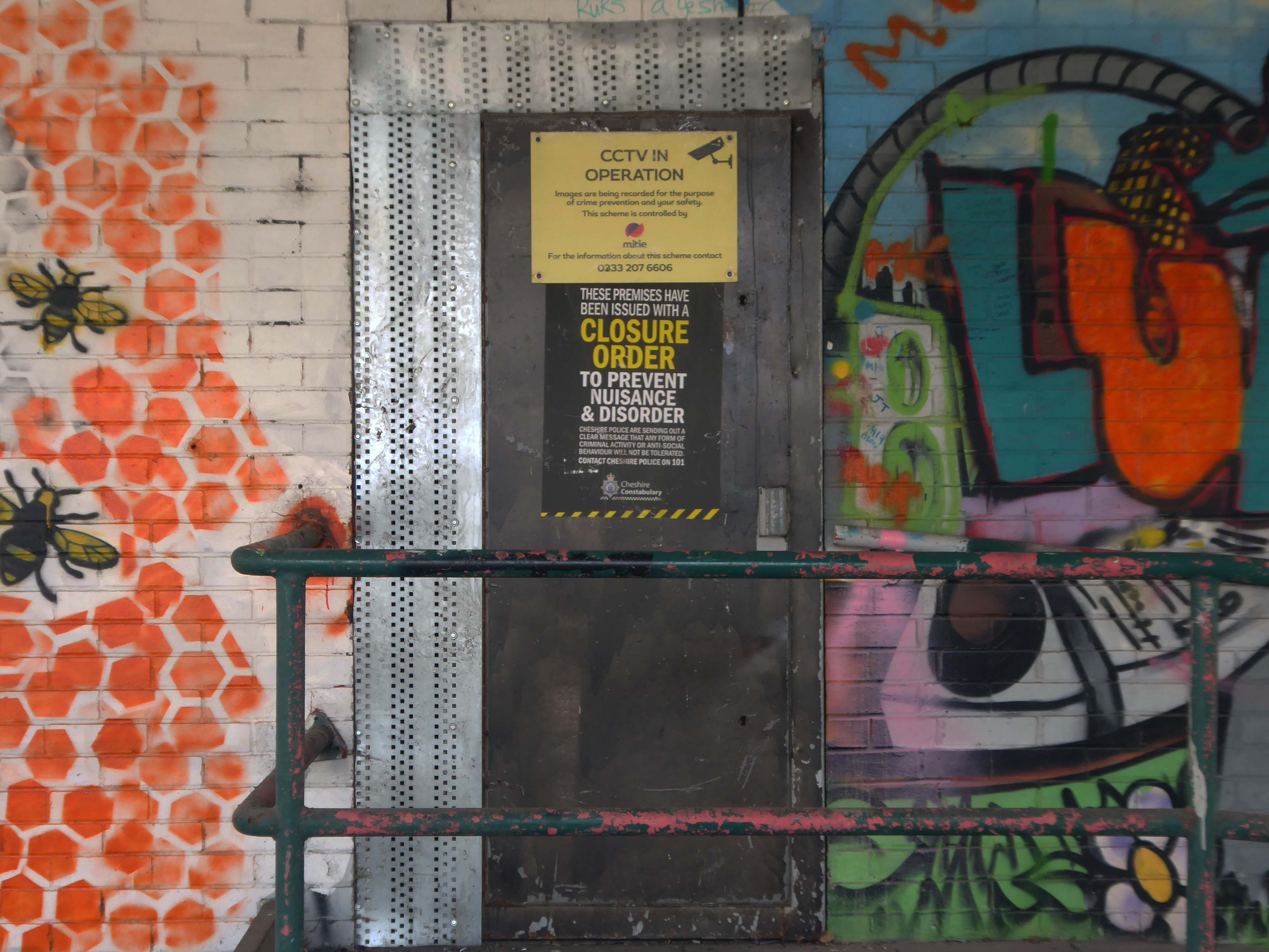
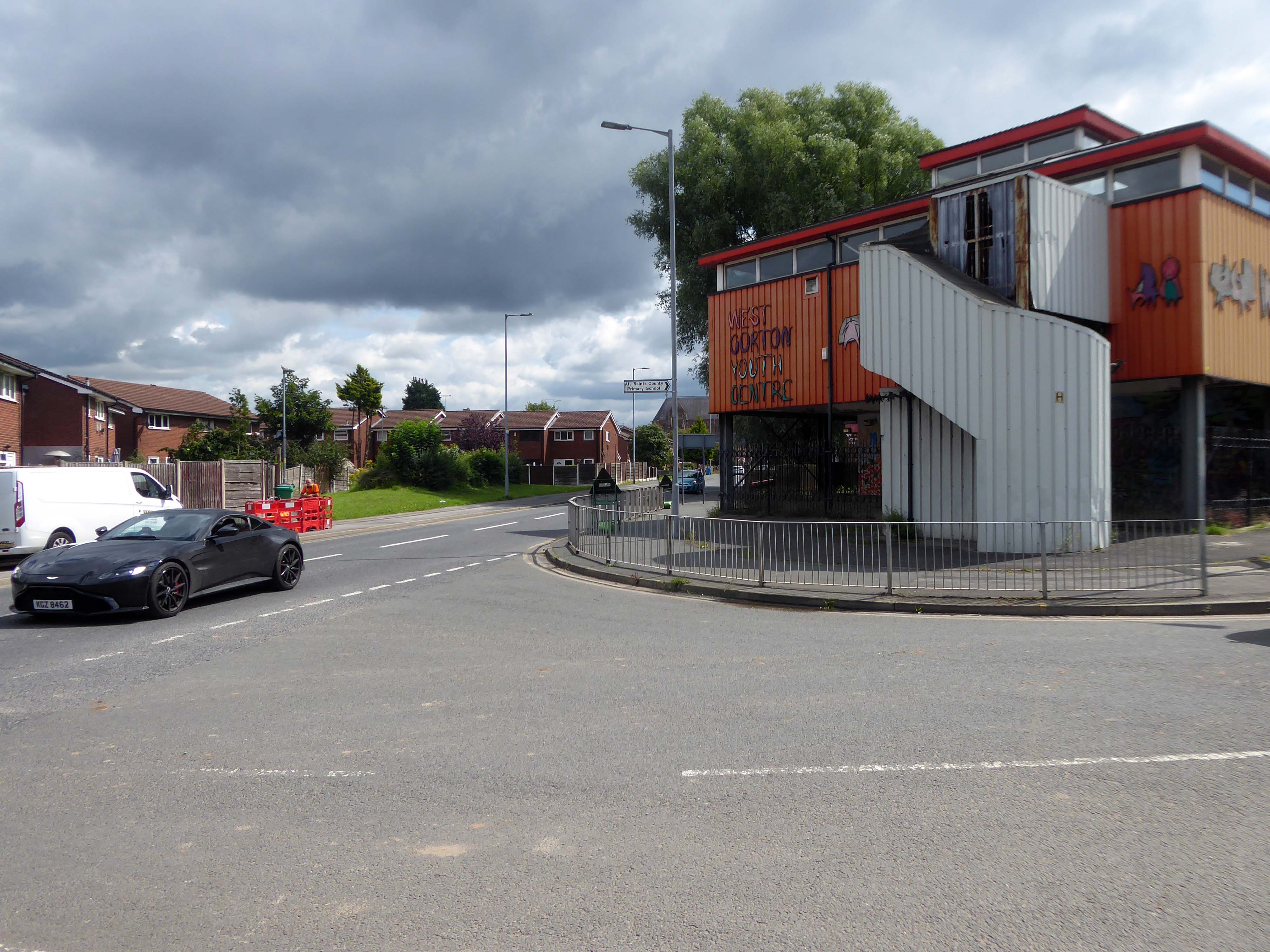
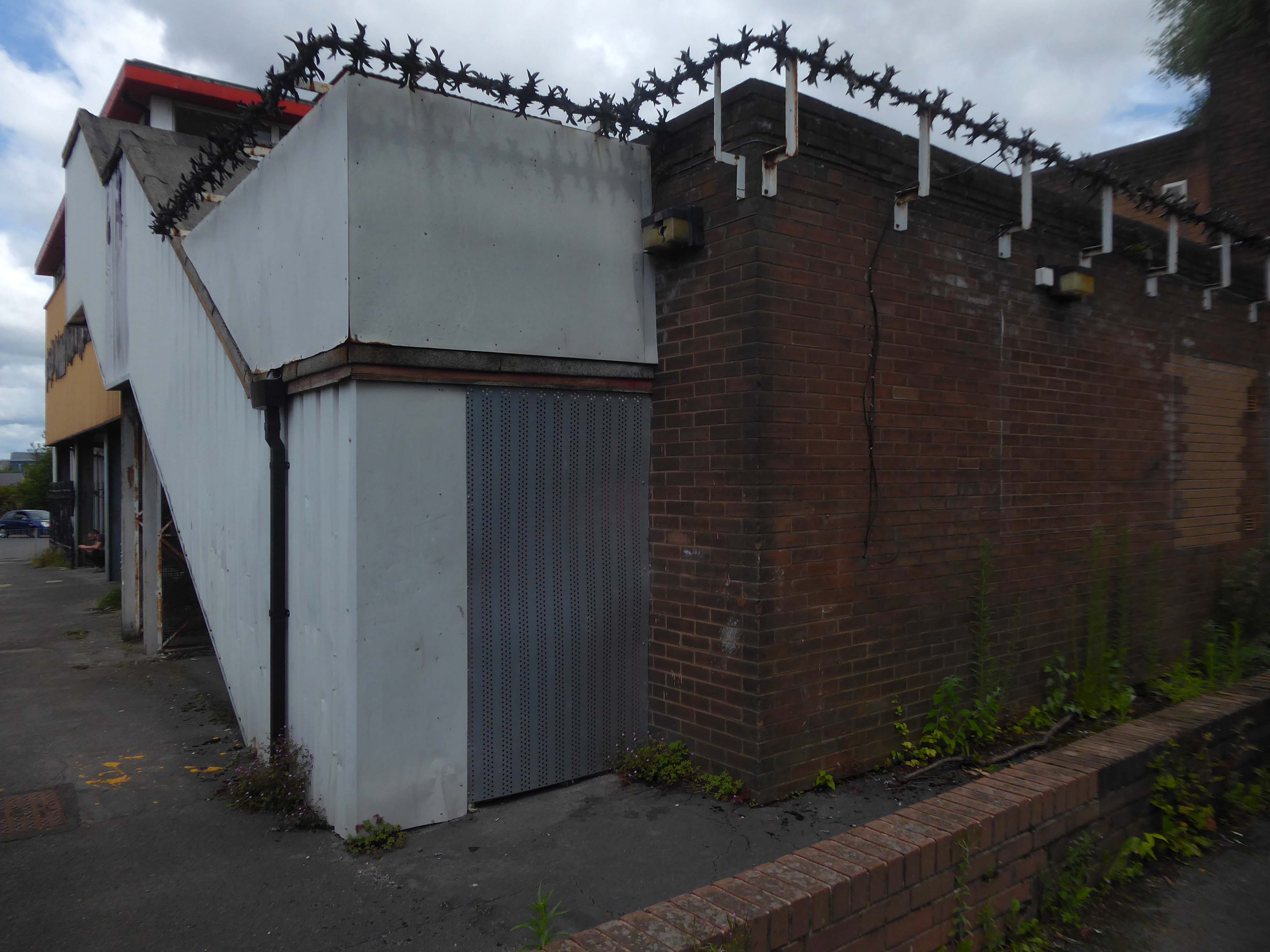
Whilst cycling through Gorton, I passed the now defunct West Gorton Youth Centre.
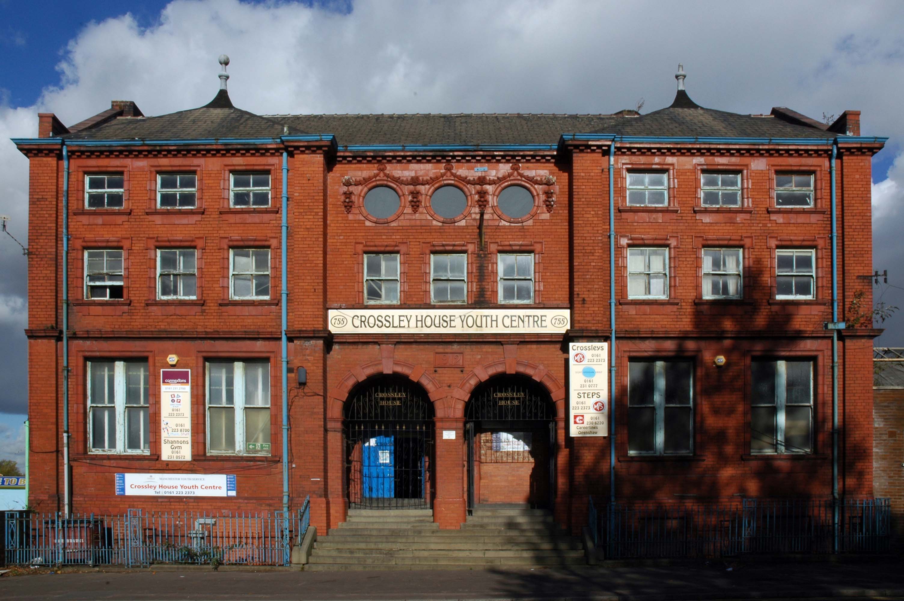
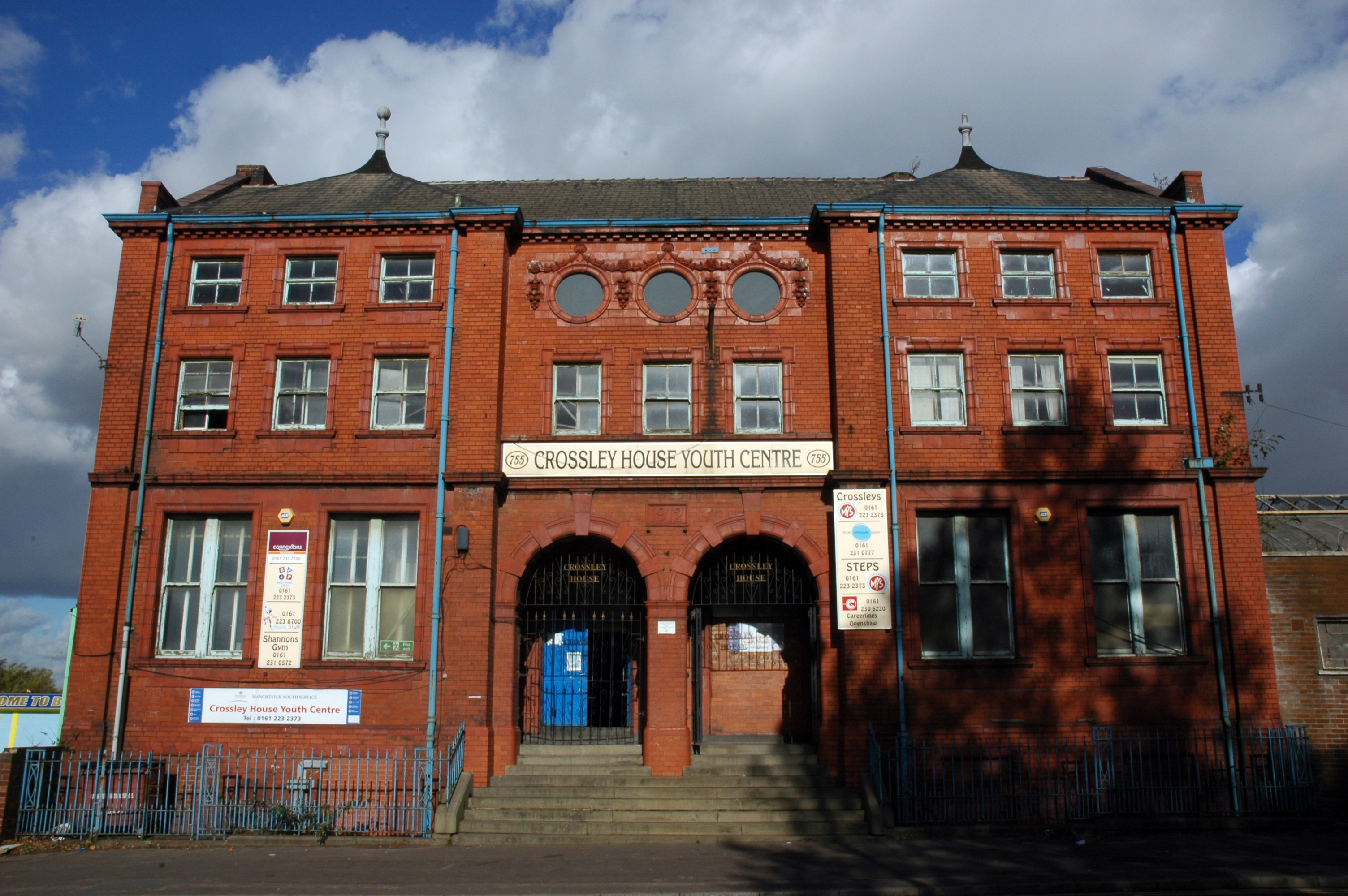
Intrigued I started to dig a little deeper, I remembered playing five-a-side at Crossley House in Openshaw.
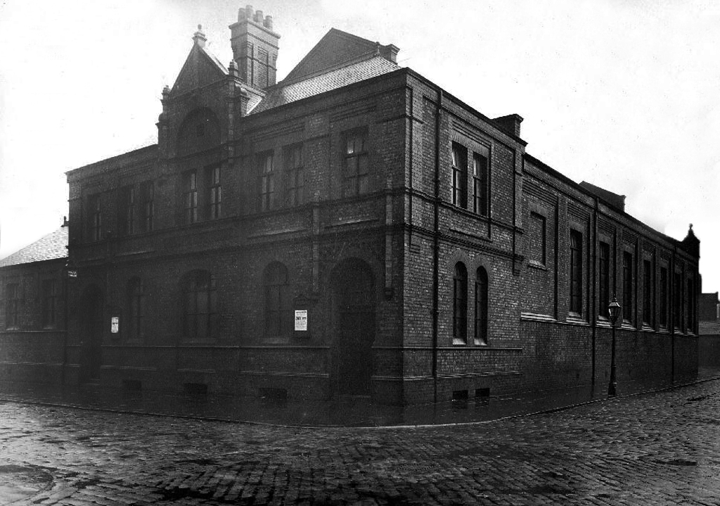
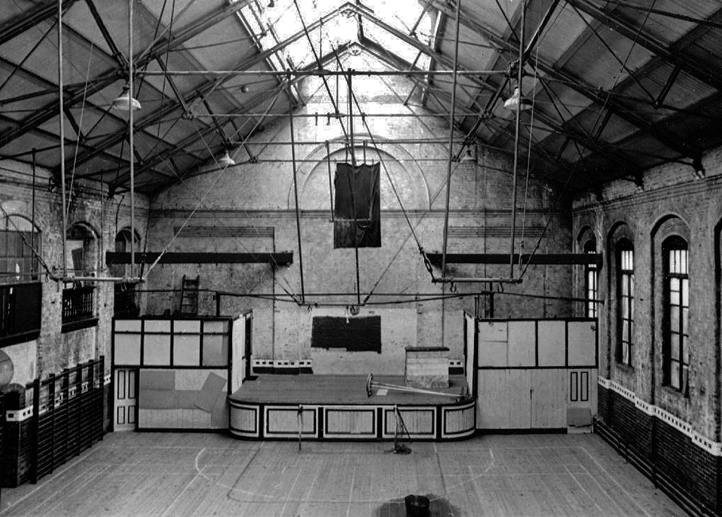
Openshaw Lad’s Club was founded in November 1888 by William John Crossley. It was previously known as the Gorton and Openshaw Working Lad’s Club and the Crossley Lad’s Club. The Crossley family financed the club up to 1941 and they built the club premises, Crossley House to commemorate Sir William Crossley after his death in 1911. The building was opened on 1 September 1913. In July 1941 the premises were handed over to the National Association of Boy’s Clubs and a management committee was formed to administer the club
Simon Inglis gives the architect as John Broadbent; Buildings of England names the architect as James Barritt Broadbent.
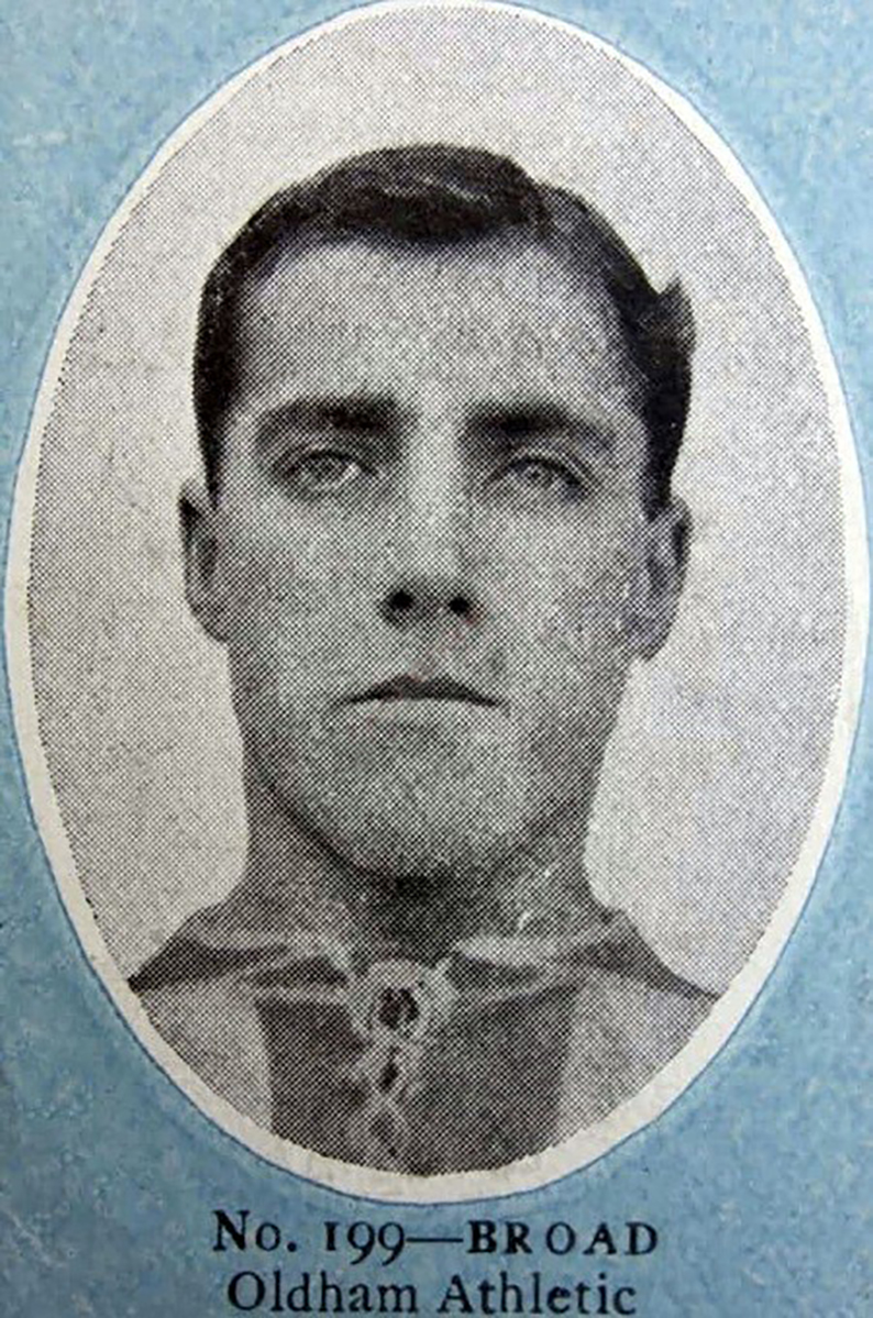
Stalybridge born outside right Tommy Broad started with Redgate Albion in 1902 spending time at Manchester City without making their first eleven before playing for Denton Wanderers in 1903 and Openshaw Lads Club in 1904 from where he joined Second Division West Bromwich Albion in September 1905 making his Football League debut at Wolverhampton Wanderers that September. After a single goal in 15 appearances he moved to Chesterfield Town in the February 1908 scoring 5 goals in 50 appearances for The Spireites over the next two seasons at Saltergate, where he was an ever present in 1908-09.
He moved to Second Division Oldham Athletic in May 1909 and they were promoted as Second Division runners-up in his first season when he missed only one game, scoring a career best 7 goals in the campaign, and in three seasons at Boundary Park he scored 9 goals in 104 appearances. He then played for Bristol City between the summer of 1912 and the suspension of peacetime football due to the onset of the First World War in 1915, where he missed only one match in his first two seasons, scoring 8 times in 111 appearances at Ashton Gate.
During the First World War he served in the Armed Forces and after its resolution he joined First Division Manchester City in the summer of 1919, making 44 appearances in two years at Hyde Road, and helping The Citizens to finish runners up in the League Championship in 1920-21, which he followed with a move to Stoke in the summer of 1921 where Broad along with his younger brother Jimmy helped The Potters to promotion in 1921-22, finishing as Second Division runners-up, although this was followed by relegation the following season.
After three years in The Potteries, where Broad scored 4 times in 89 first team appearances, he moved to the South Coast to join Southampton. Broad still holds the distinction of being the oldest player ever signed by The Saints, being just three weeks short of his 37th birthday. At The Dell, he was used as cover for Bill Henderson and only had a run of three games in October, followed by six more appearances in April. In September 1925, Broad moved to Weymouth of the Western League, before playing out his career with Rhyl.
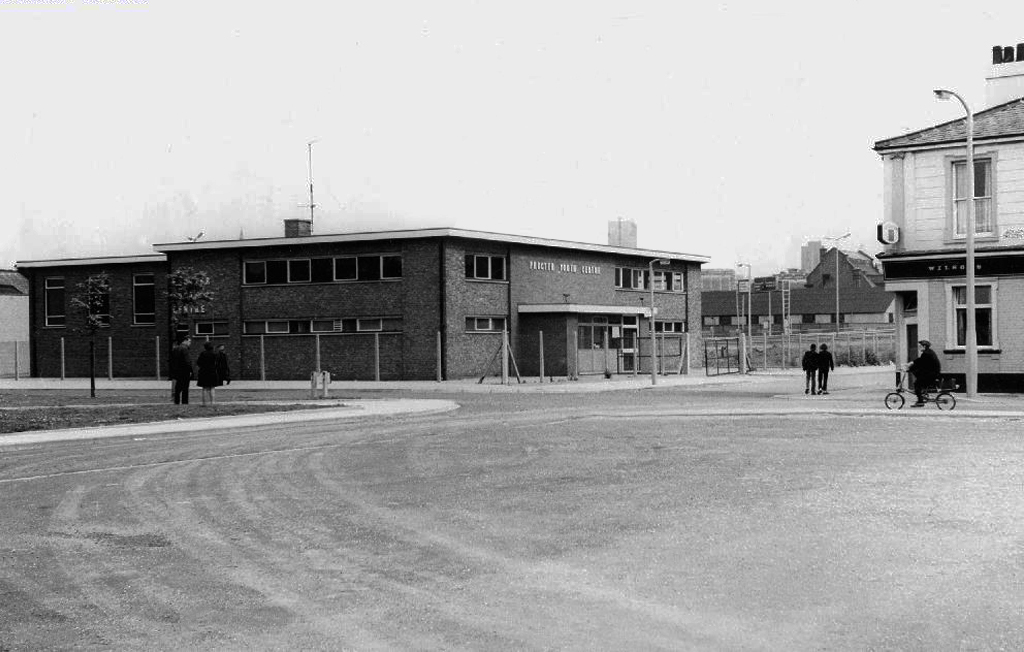
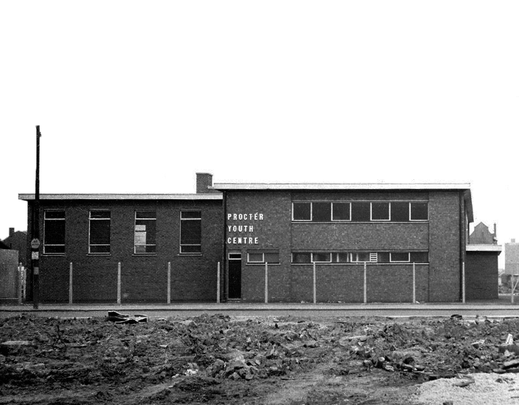
Procter Youth Centre a victim of city’s spending cuts
Procter Youth Centre 1966-2011. Despite being in singularly ugly building, it was very popular, providing a wide range of activities such as pool, football and martial arts, to name but a few. In 2009 the premises were refurbished with £668,000 being spent on a weights room, dance studio, recording studio. Then two years later Manchester City Council did the logical thing – closed it! Some of the eight staff offered to take a pay cut but to no avail. There were plans to use the building as a pupil referral unit. Today the building stands in the middle of wasteland that is the process of redevelopment.
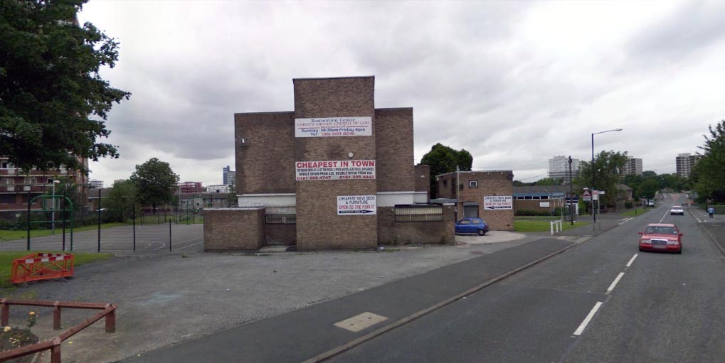
Ancoats Youth Club had sadly ceased being a place for the community to come together and use the facilities a number of years before it became a bed shop before it was finally demolished in 2011, with yet another community resource gone forever.
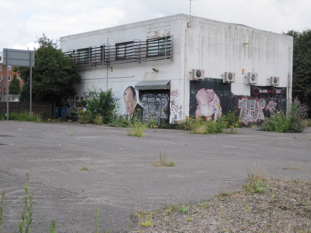
Bringing us back to Gorton – the unoccupied and demolition ready Youth Centre.
Surrounded by new-build and no stranger to a passing Bentley.
Where the state has created a vacuum the charitable sector steps in.
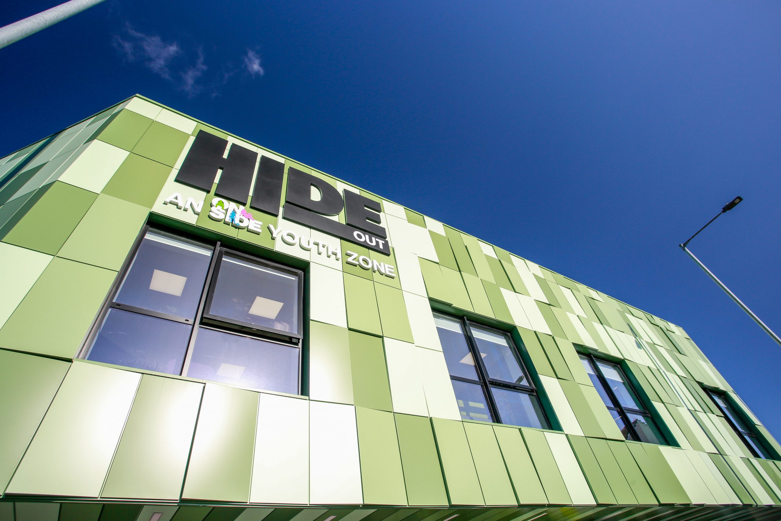
Designed by Seven Architecture, the Manchester Youth Zone East will be the second of its type in Greater Manchester, following the Factory Youth Zone in Harpurhey.
Following years of slow decline the area is on the up.
Linden Homes’ new build properties on Belle Vue Street, Gorton have now completely sold out, with the first of the 14 homes ready for homeowners to move into this month.
The properties are part of the £9m Grace Gardens development, which is situated in a prime location in an up-and-coming part of Greater Manchester.
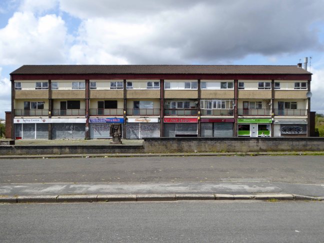
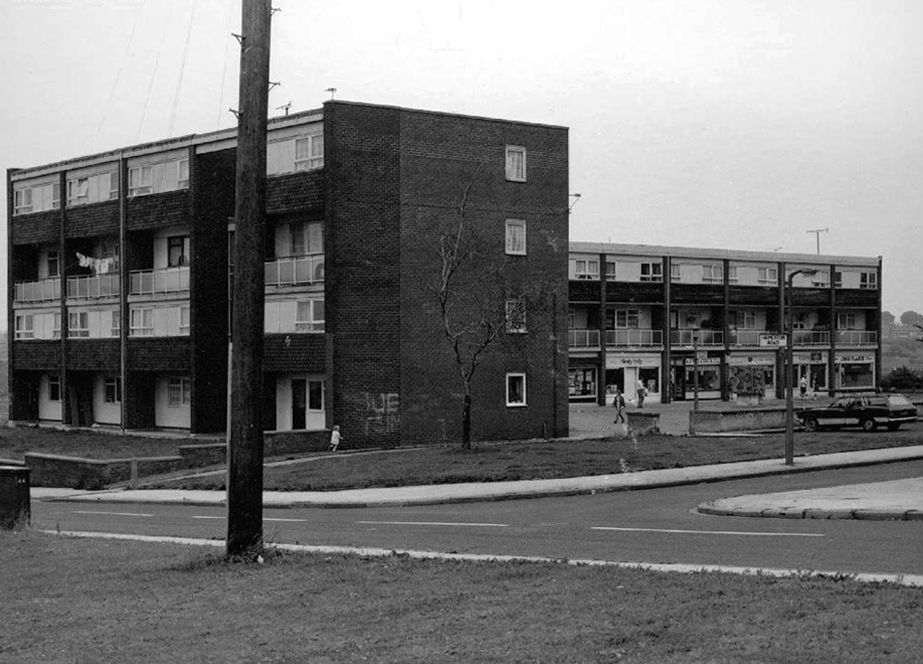
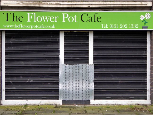
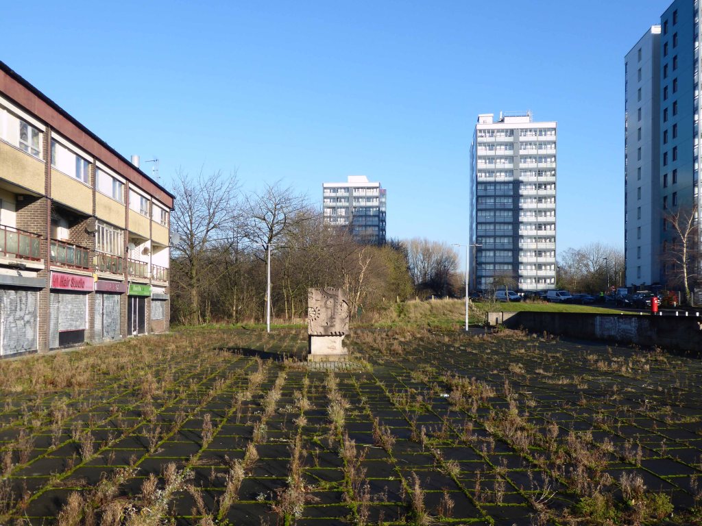
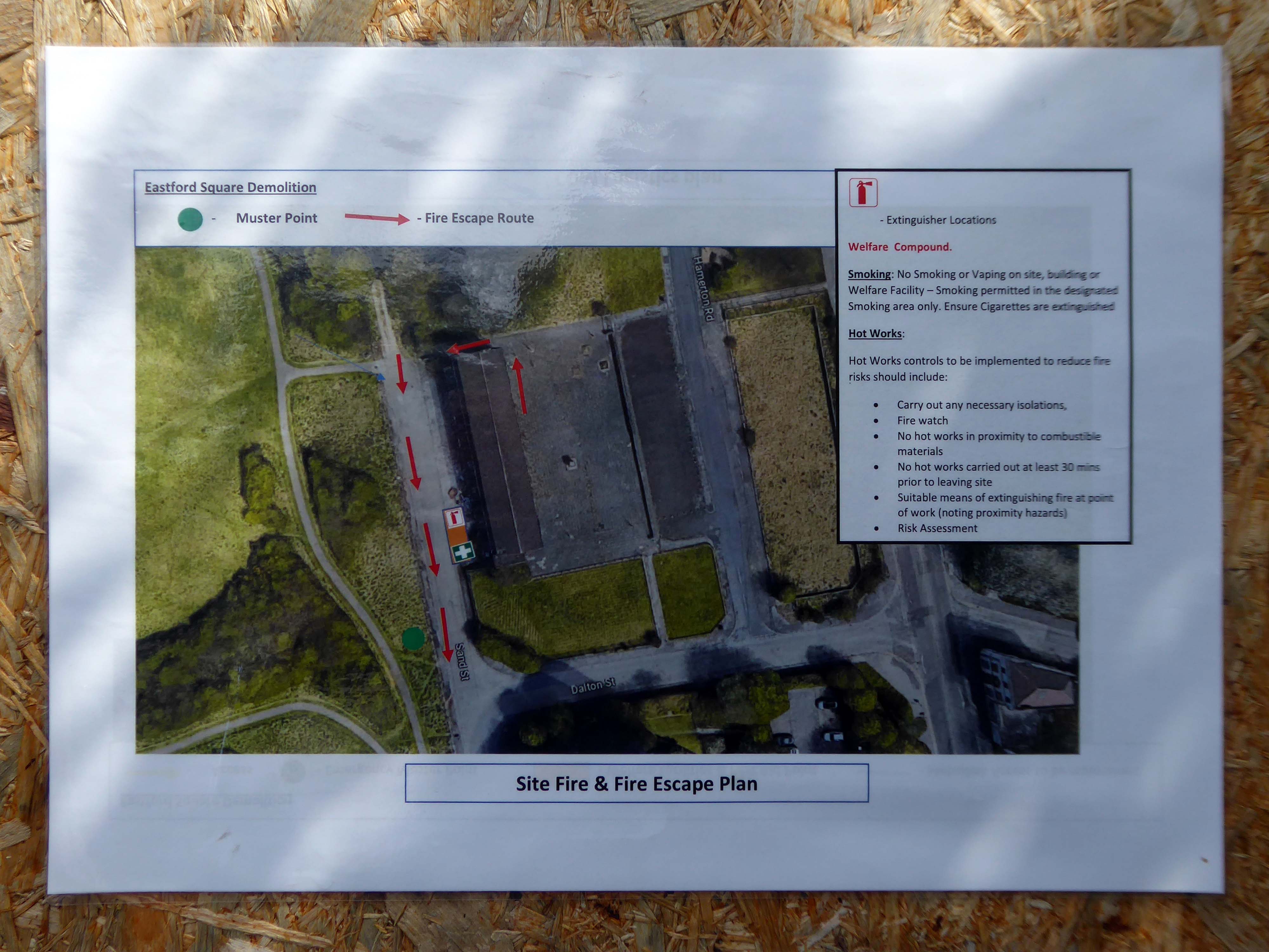
April 2023 and the shops and homes are being prepared for demolition.
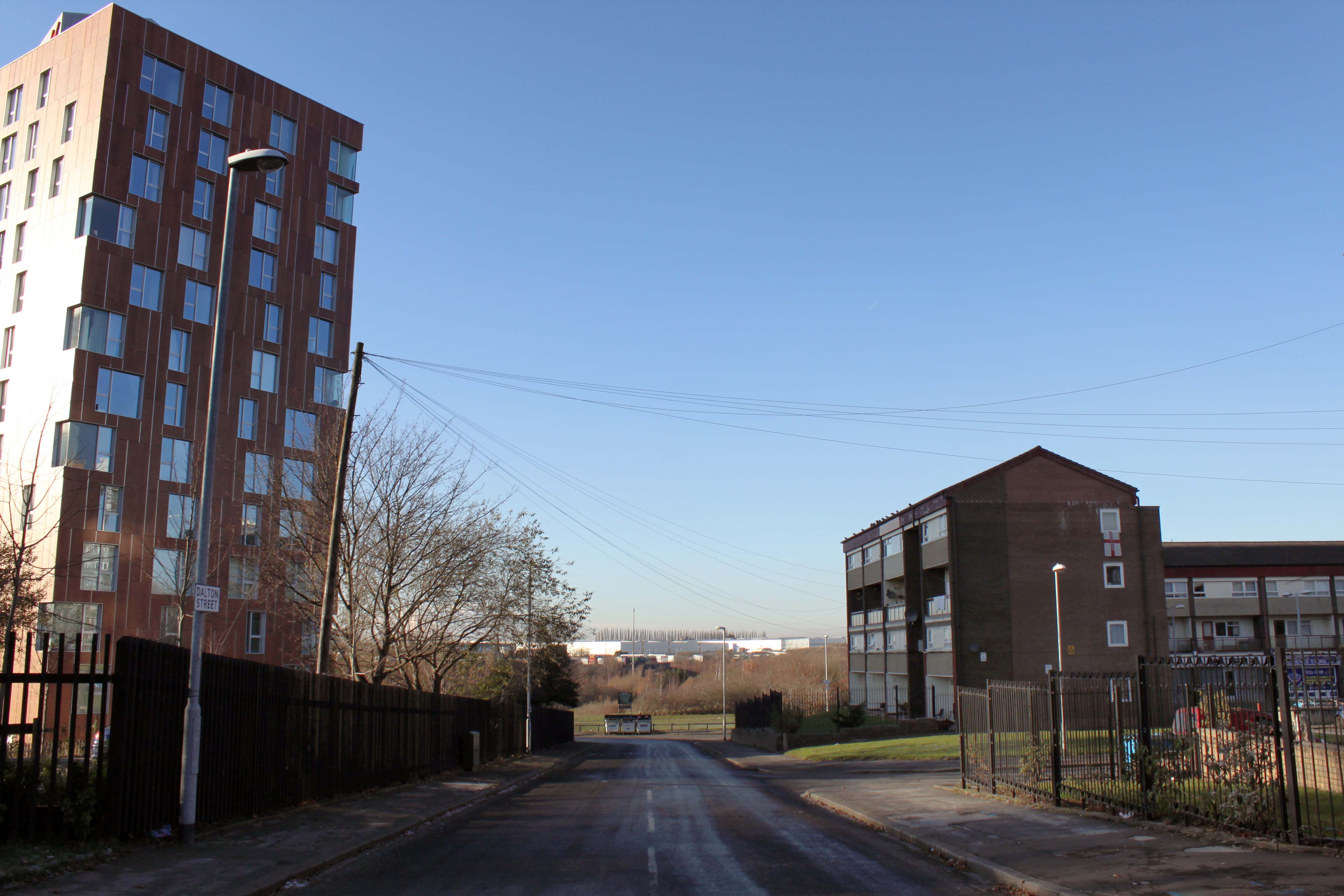
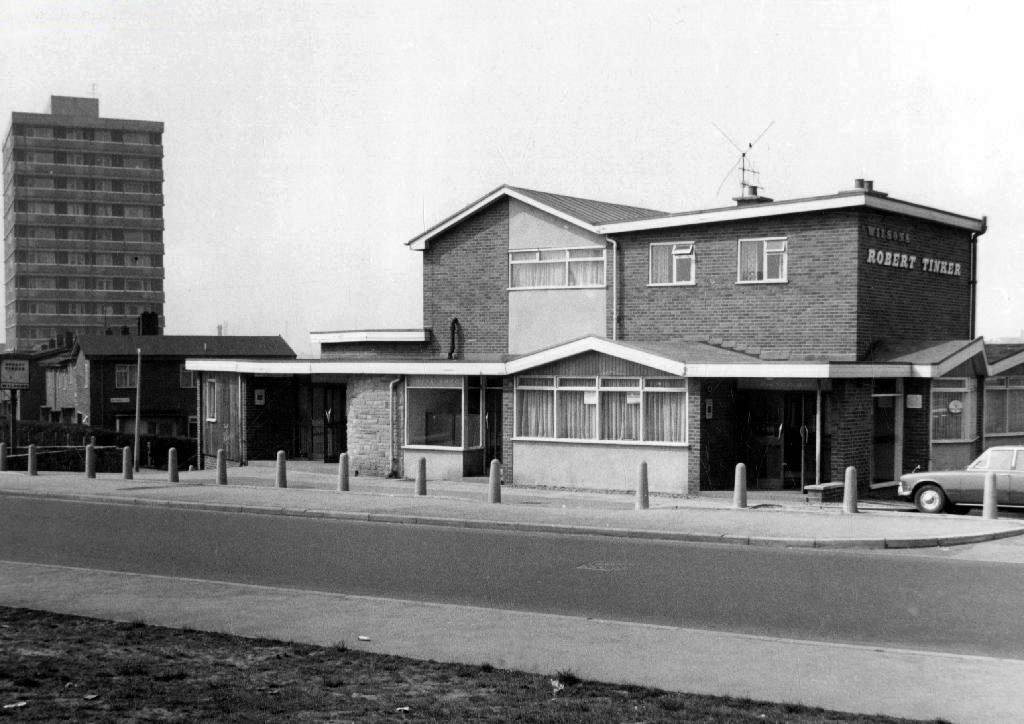
The company responsible for the demolition also dropped the Robert Tinker, on nearby Dalton Street.
While it is not yet clear exactly what will replace the shopping parade, work has already started nearby on other projects within the scheme. The first phase of development in Collyhurst will see 274 new homes built in the area.
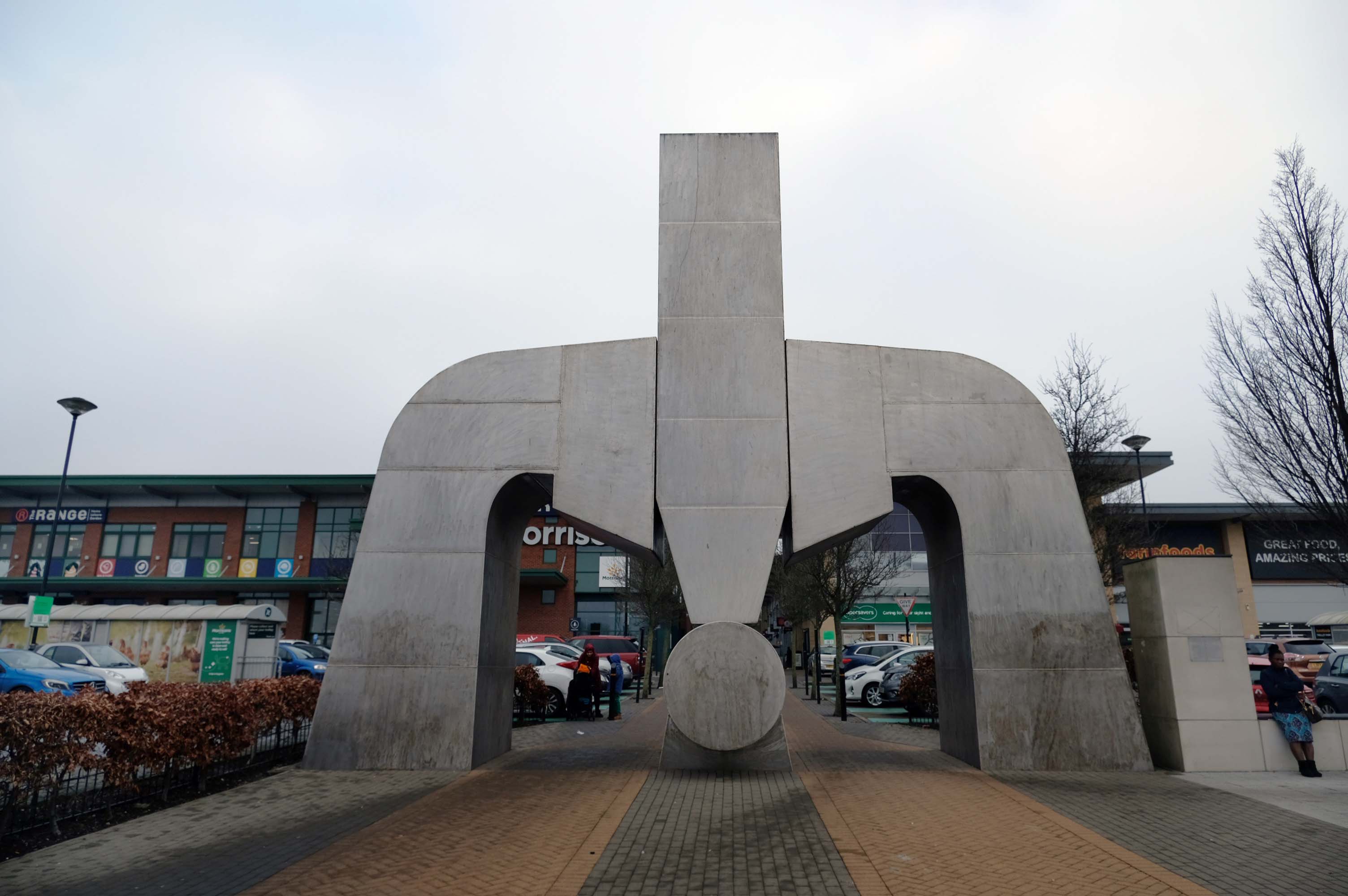
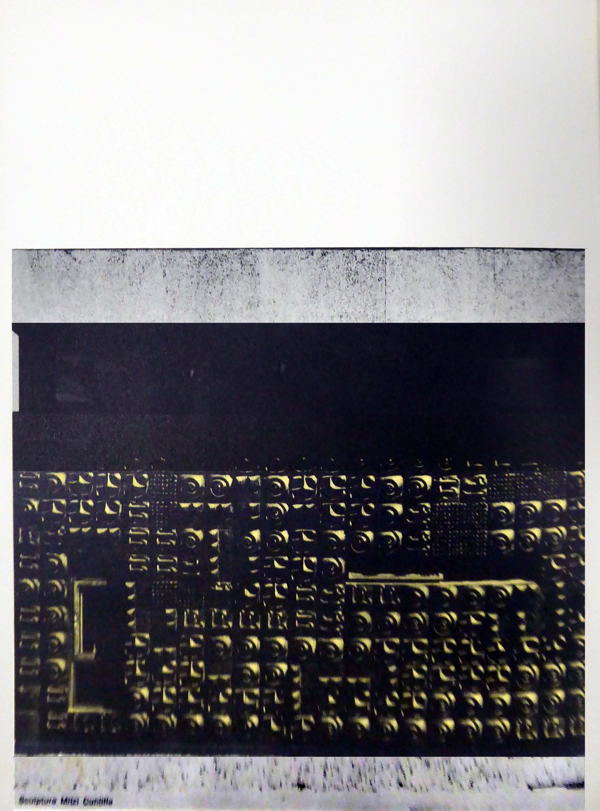
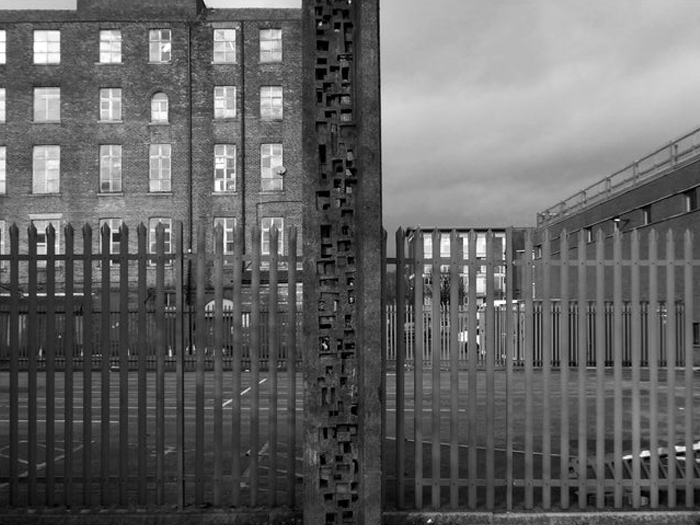
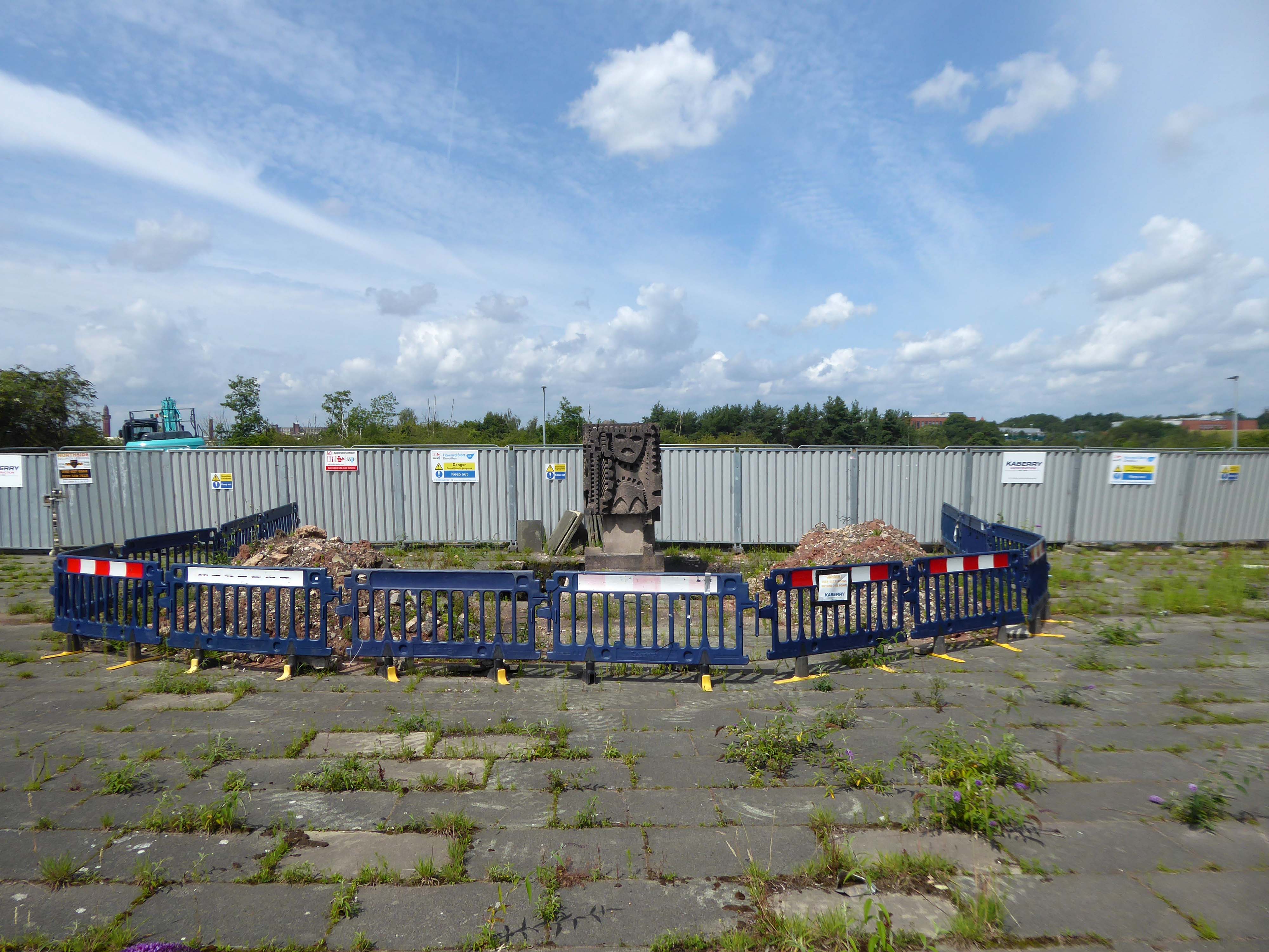
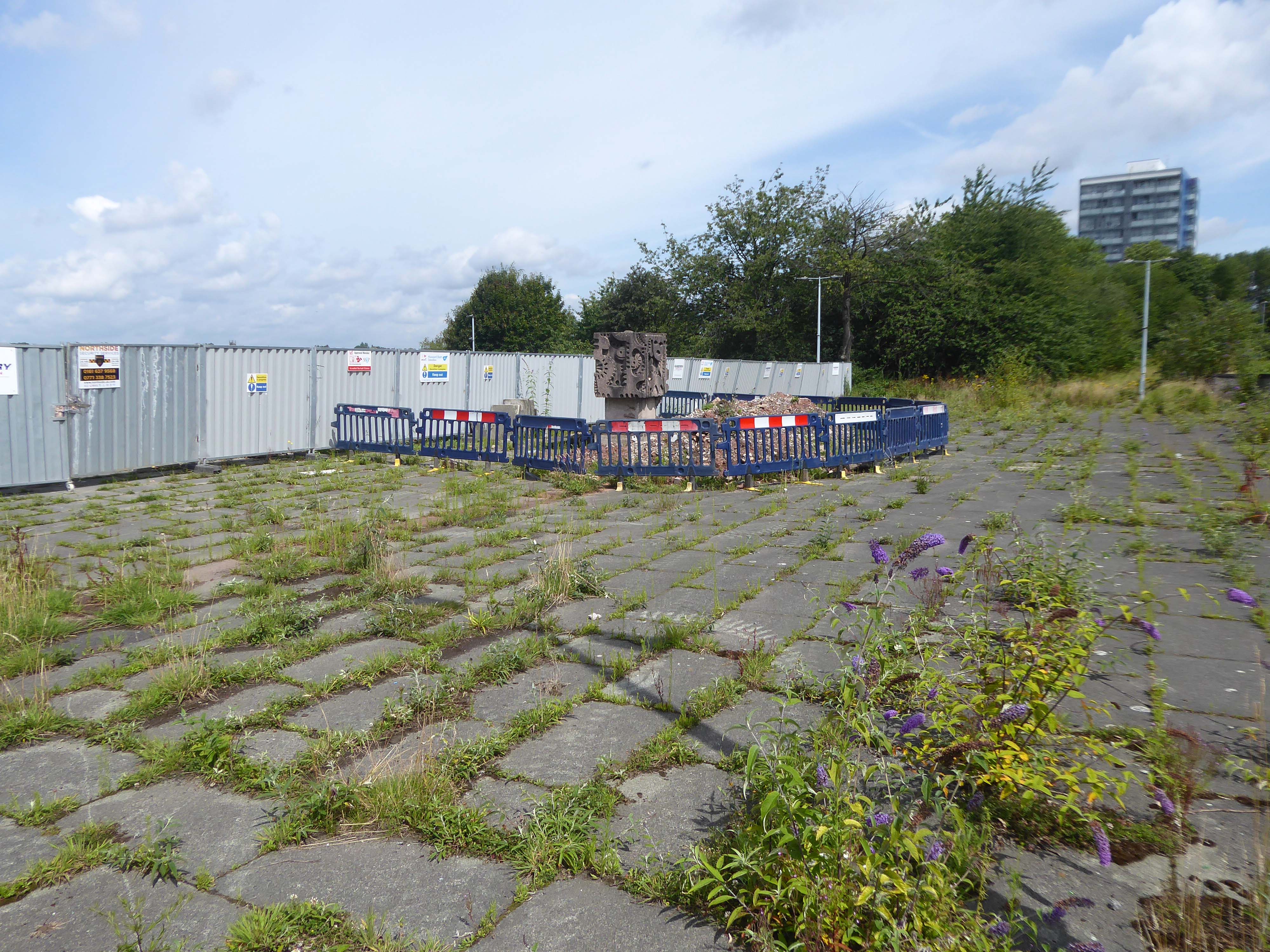
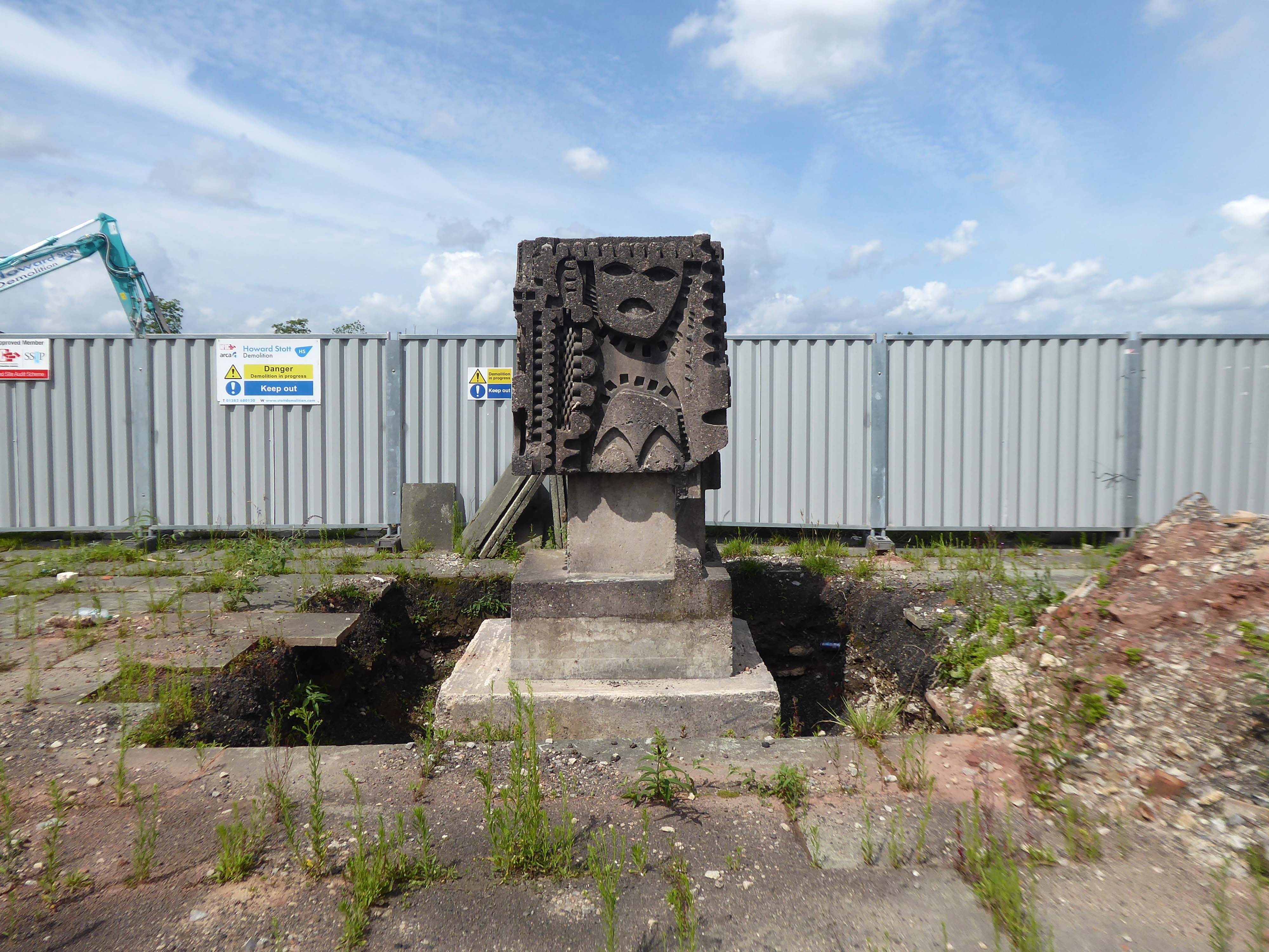
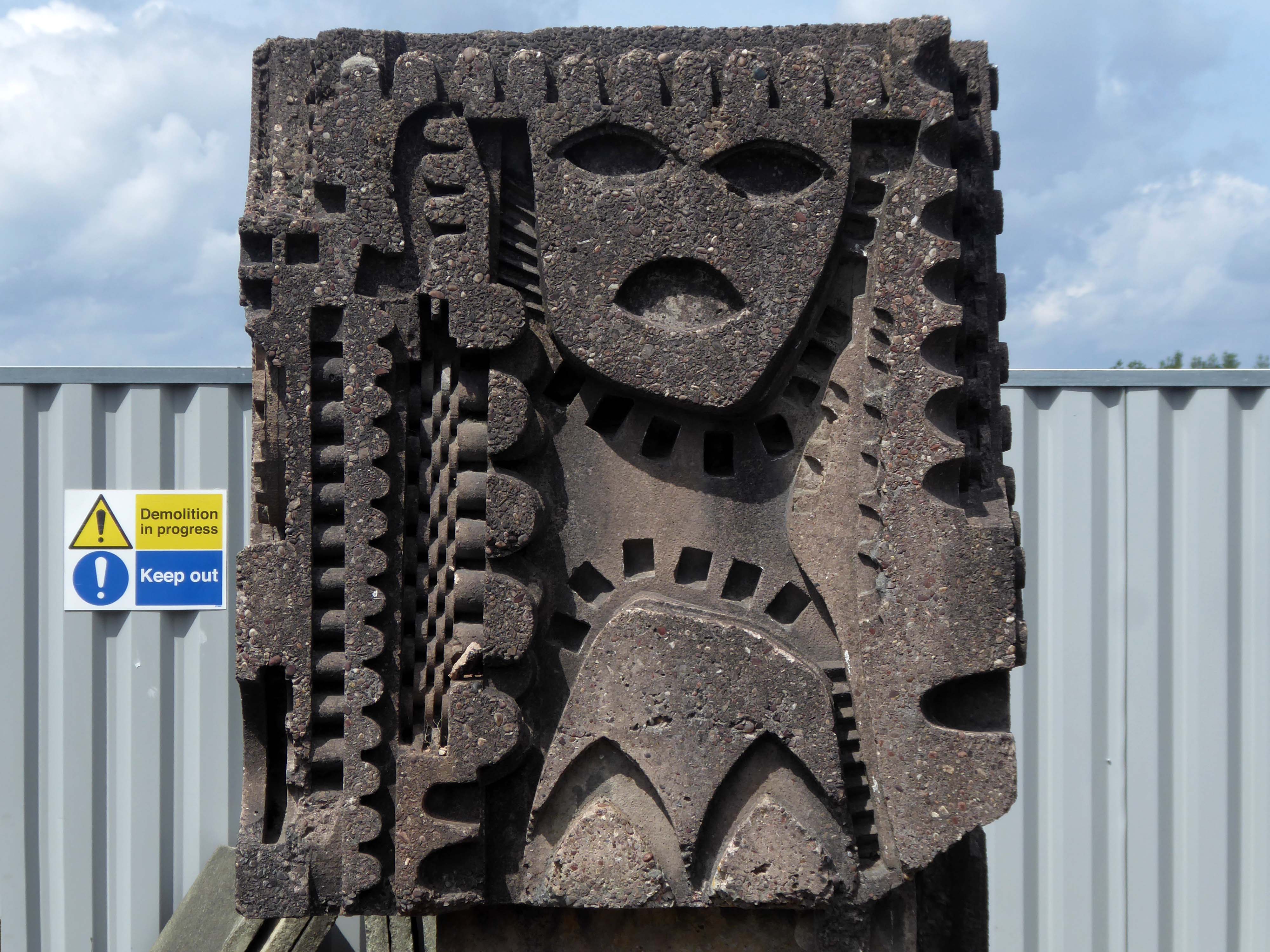
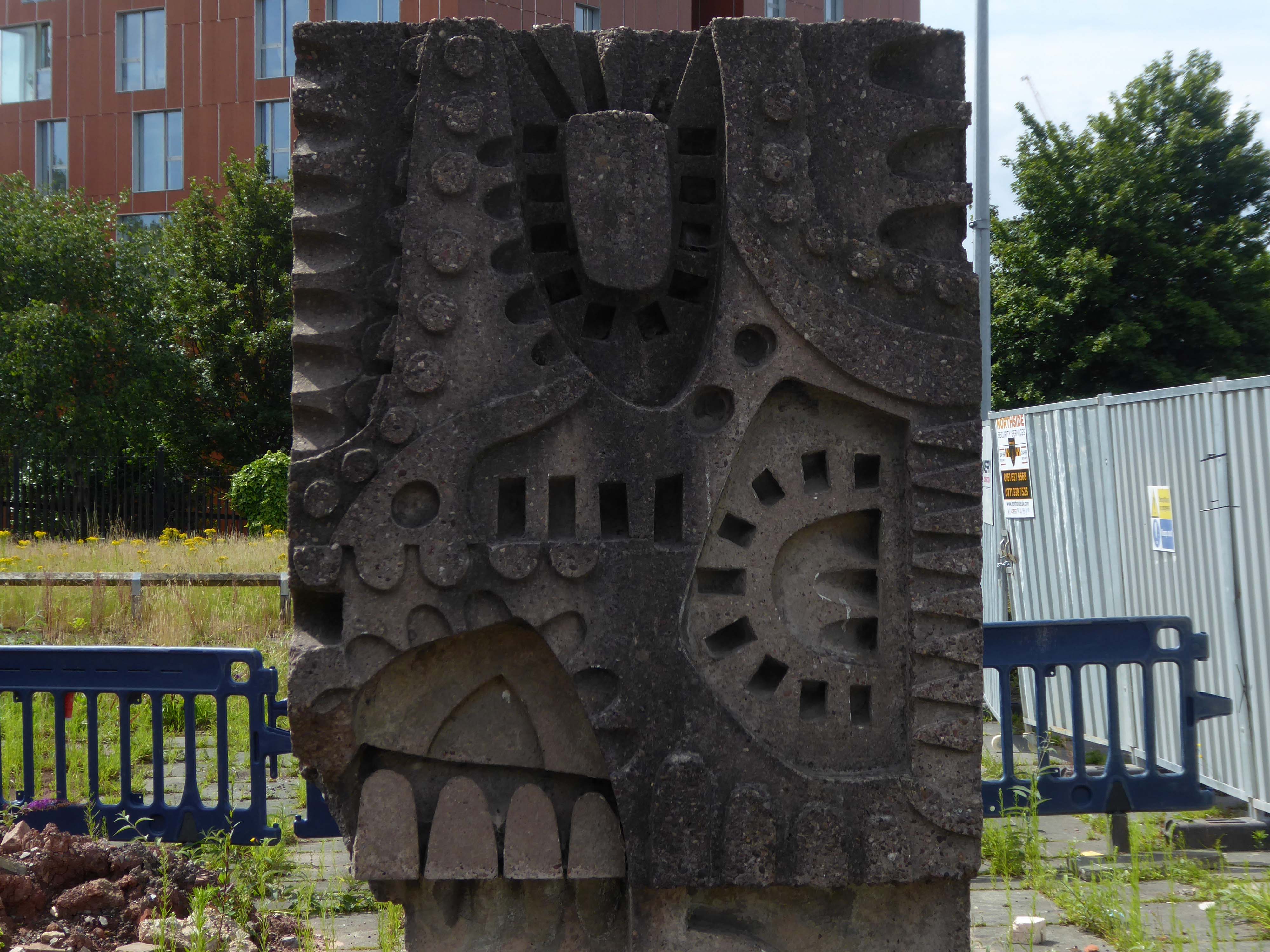
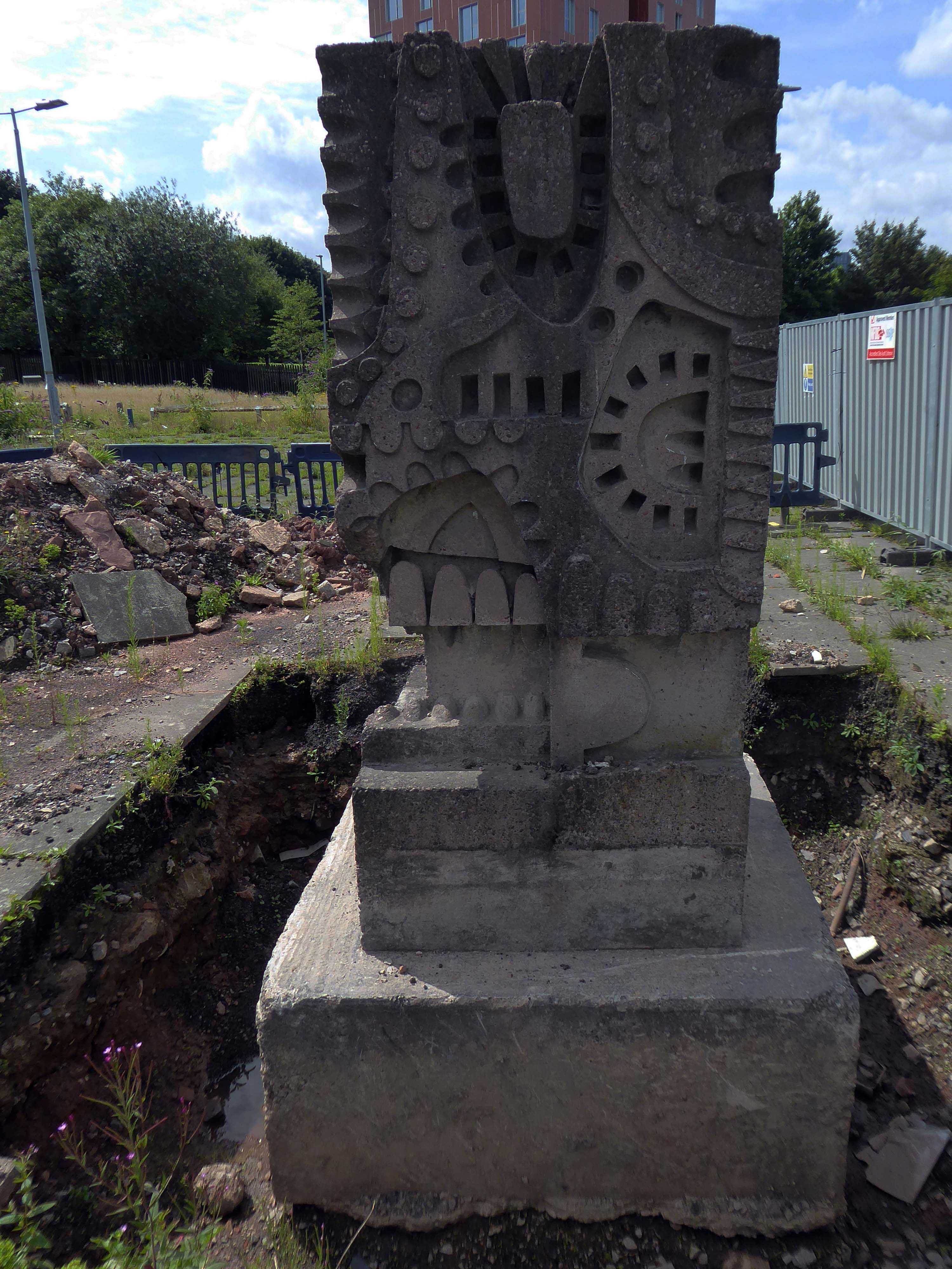
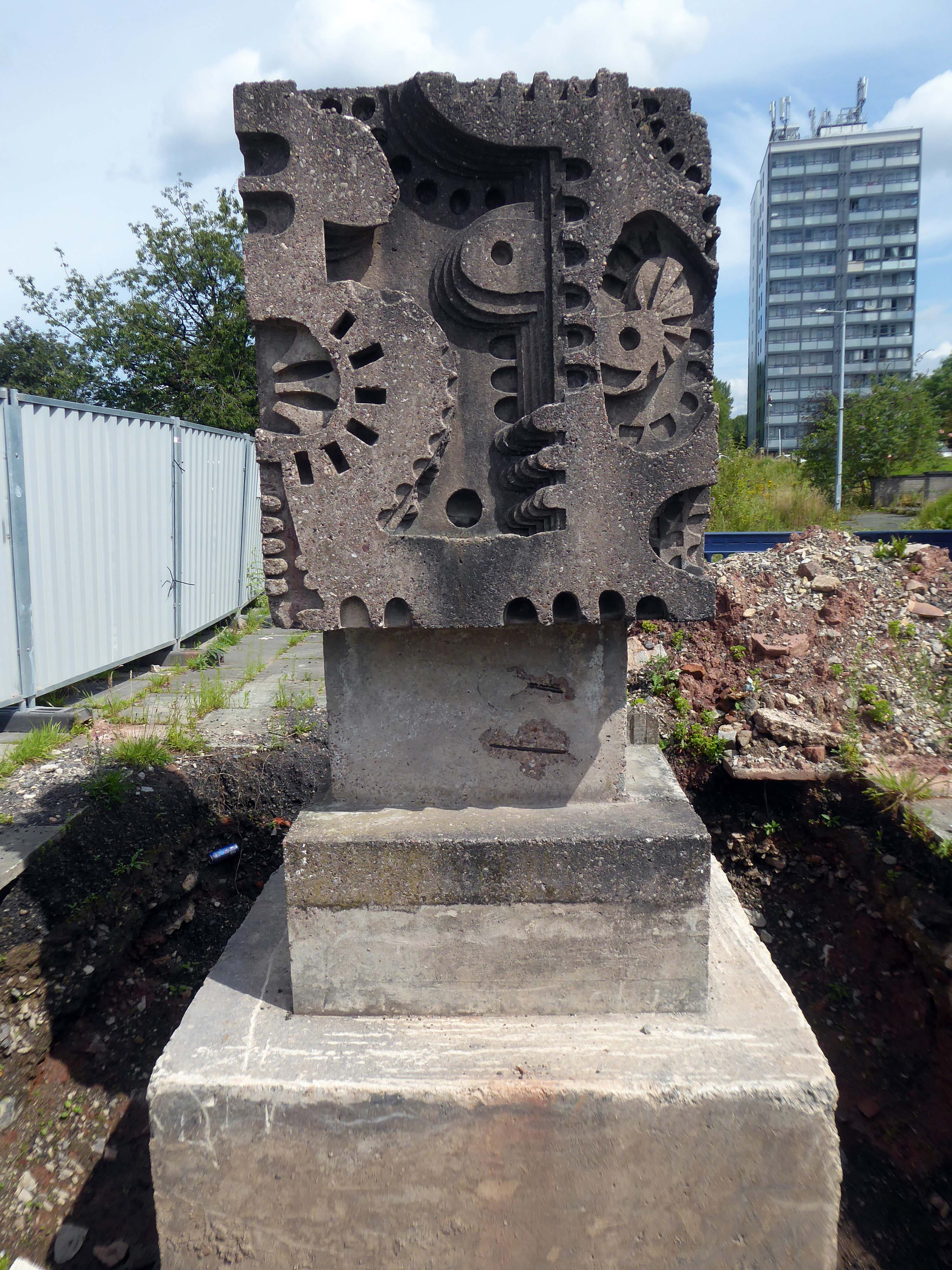
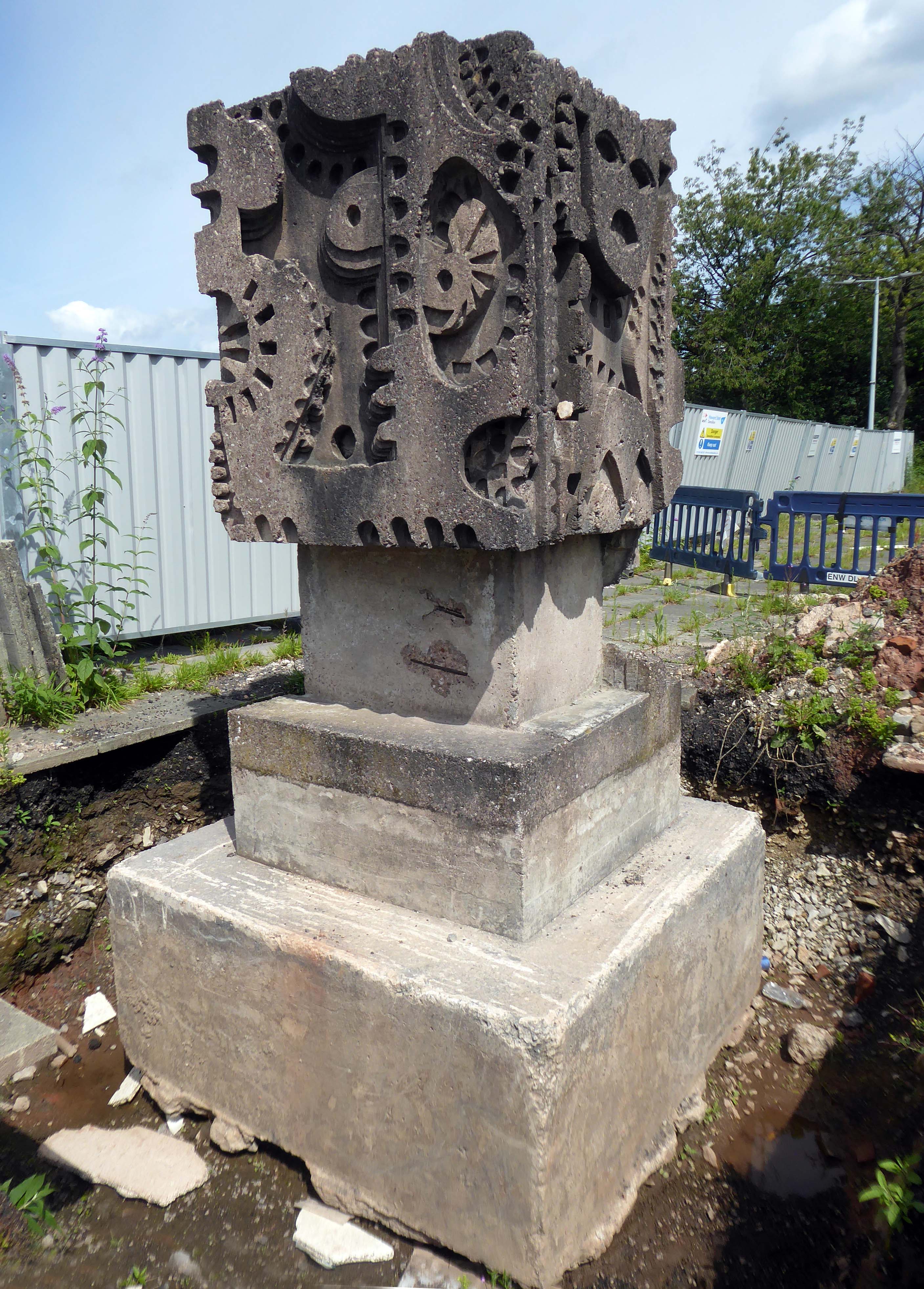
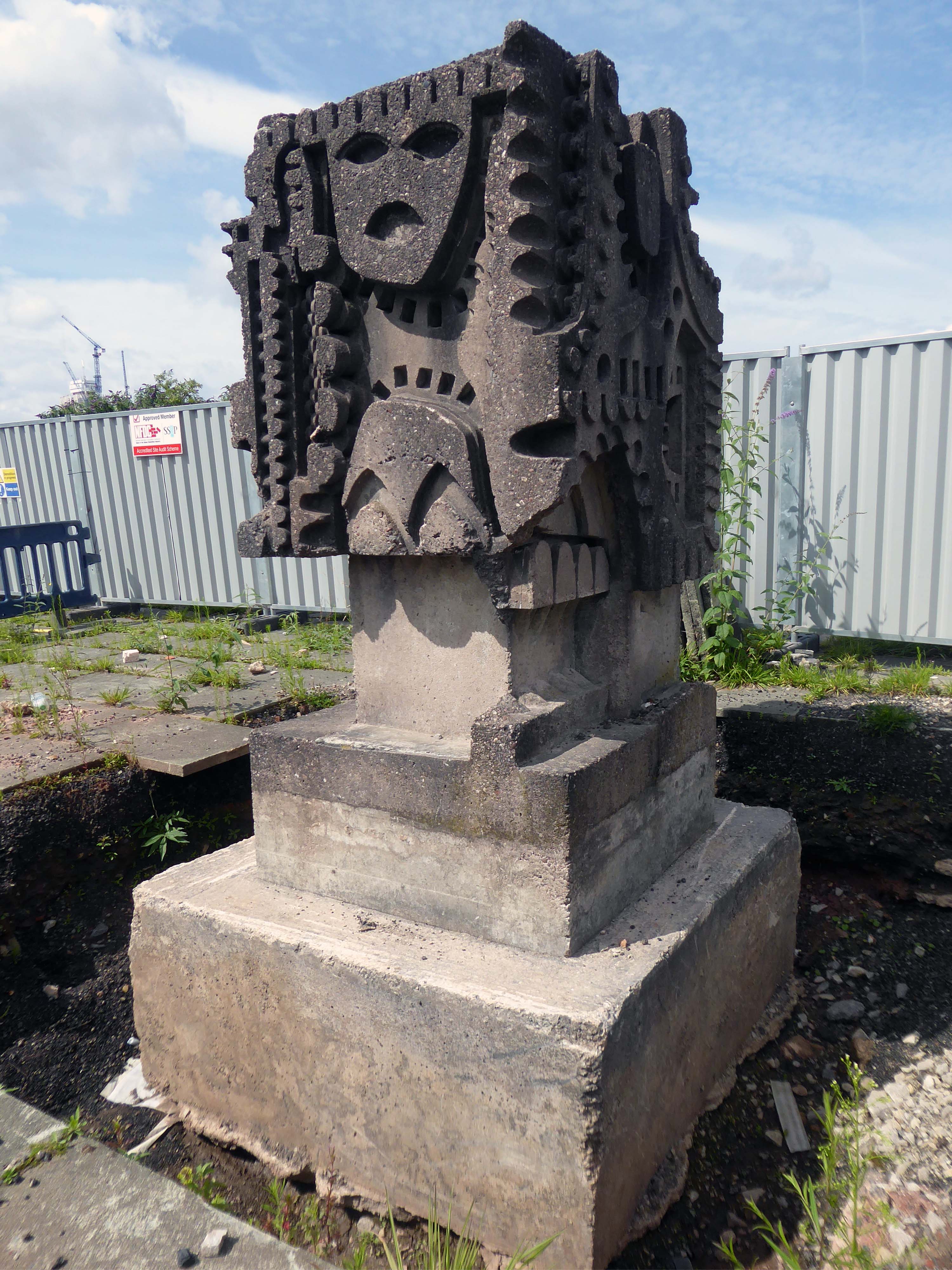
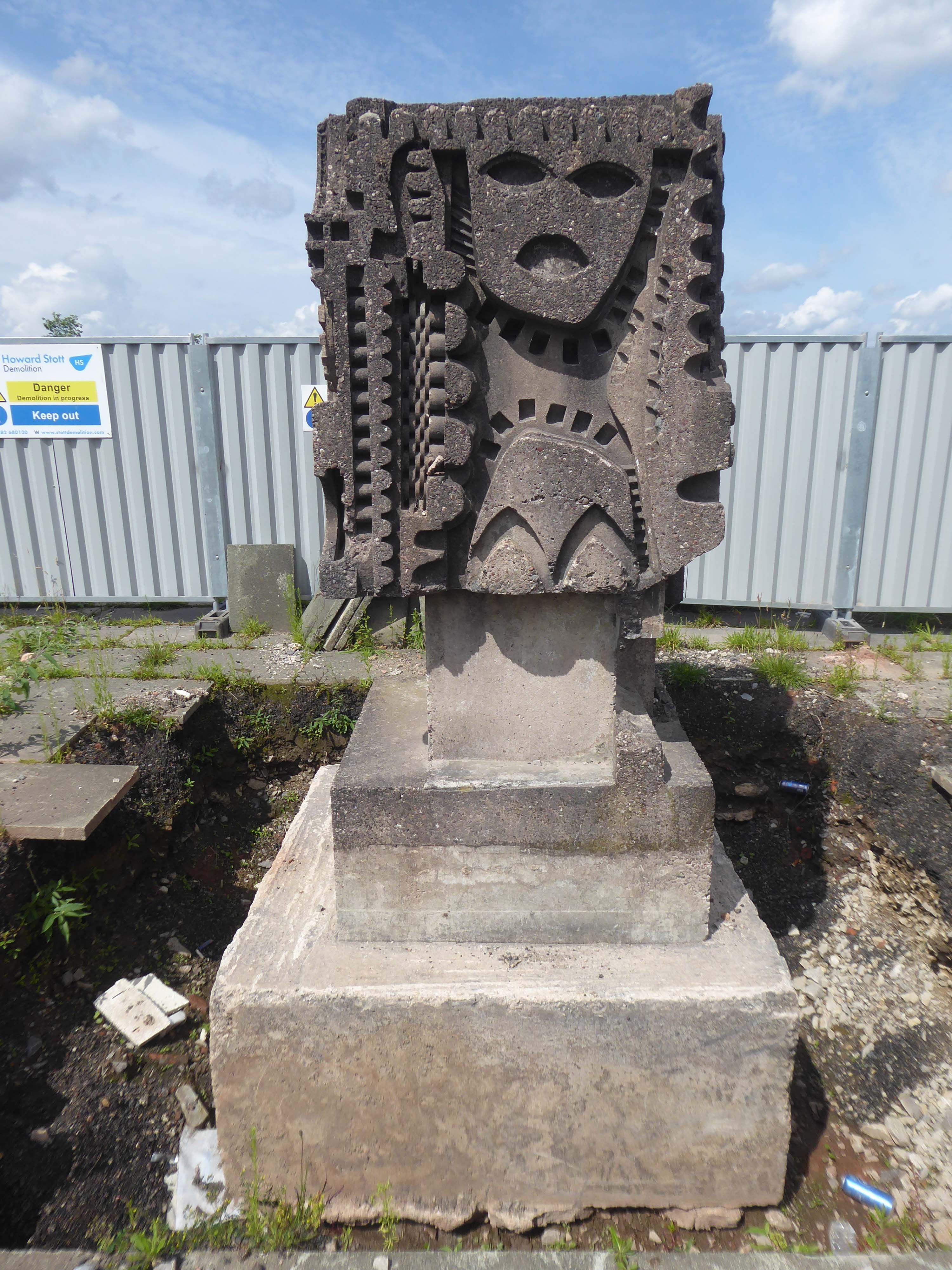
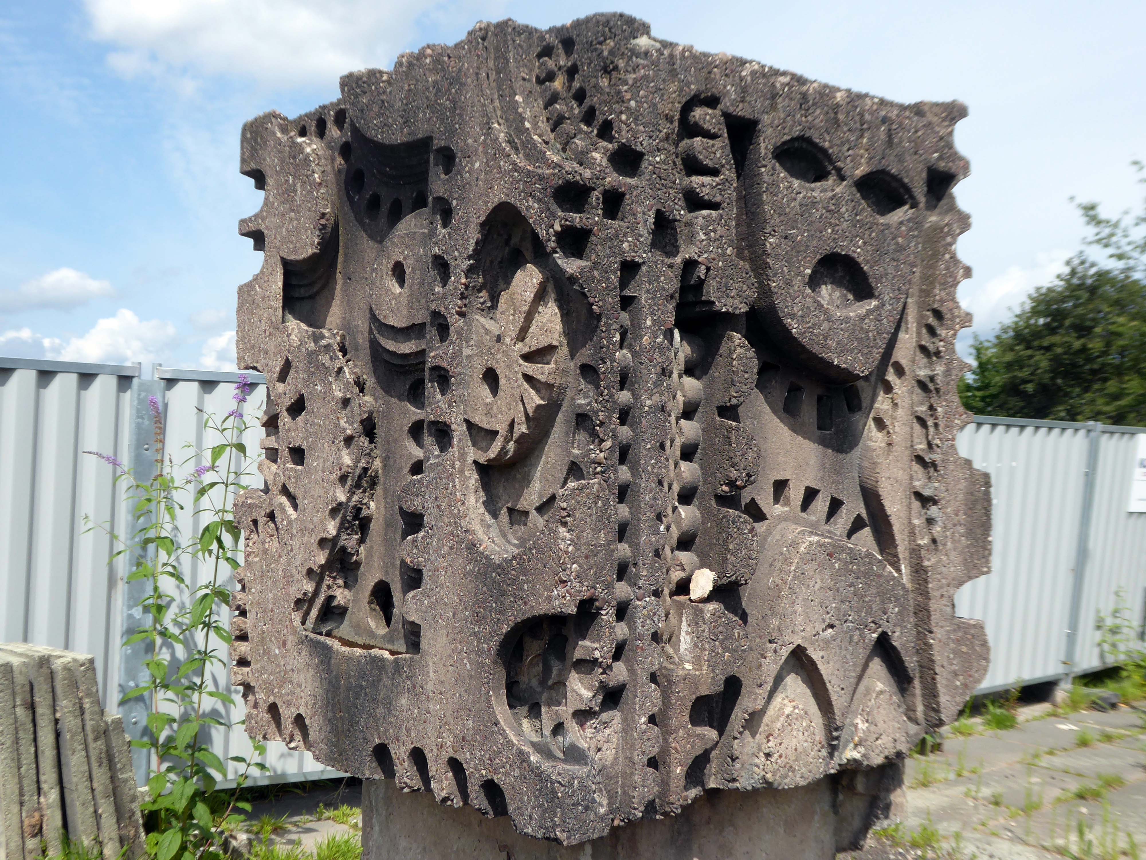
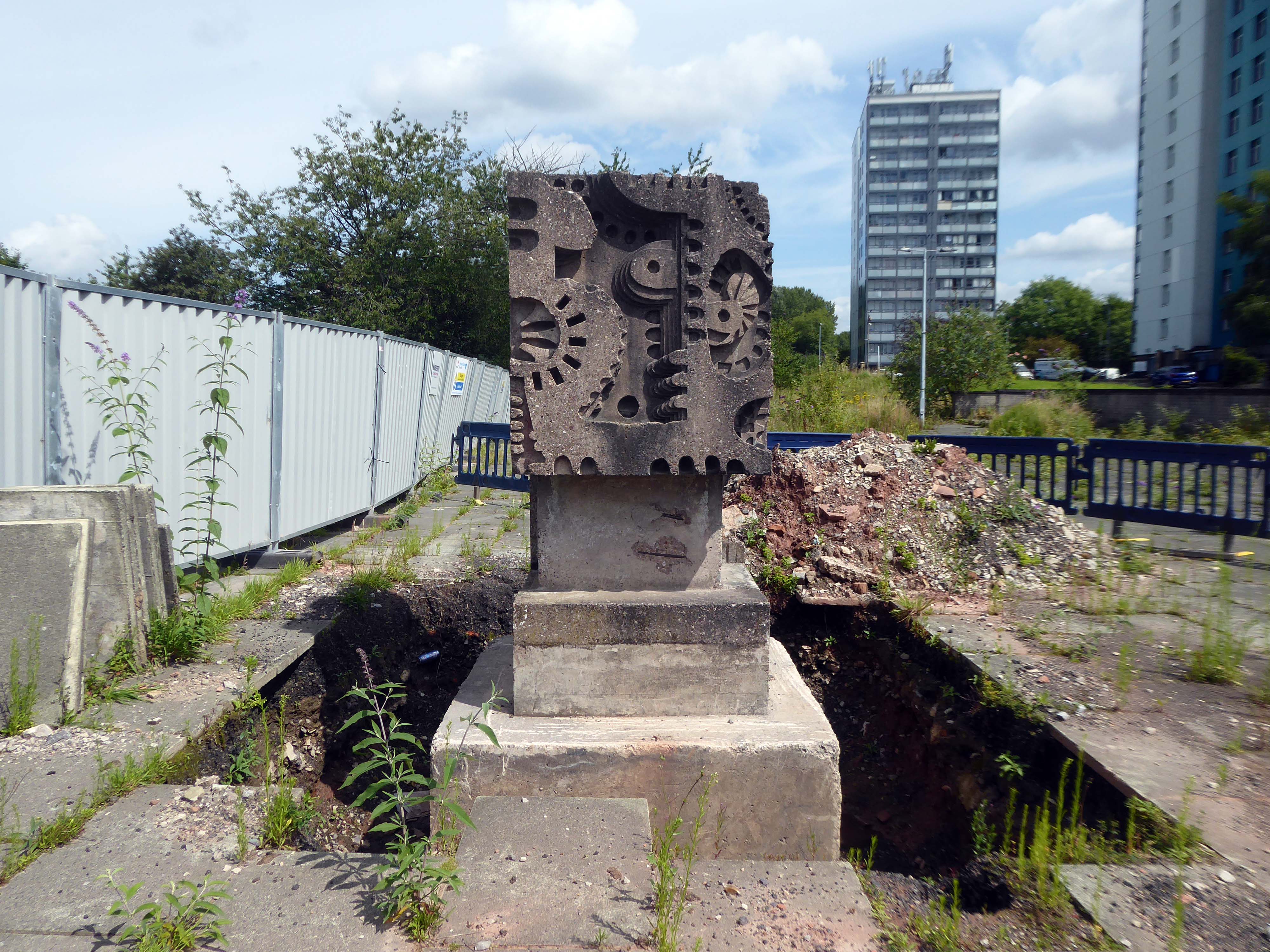
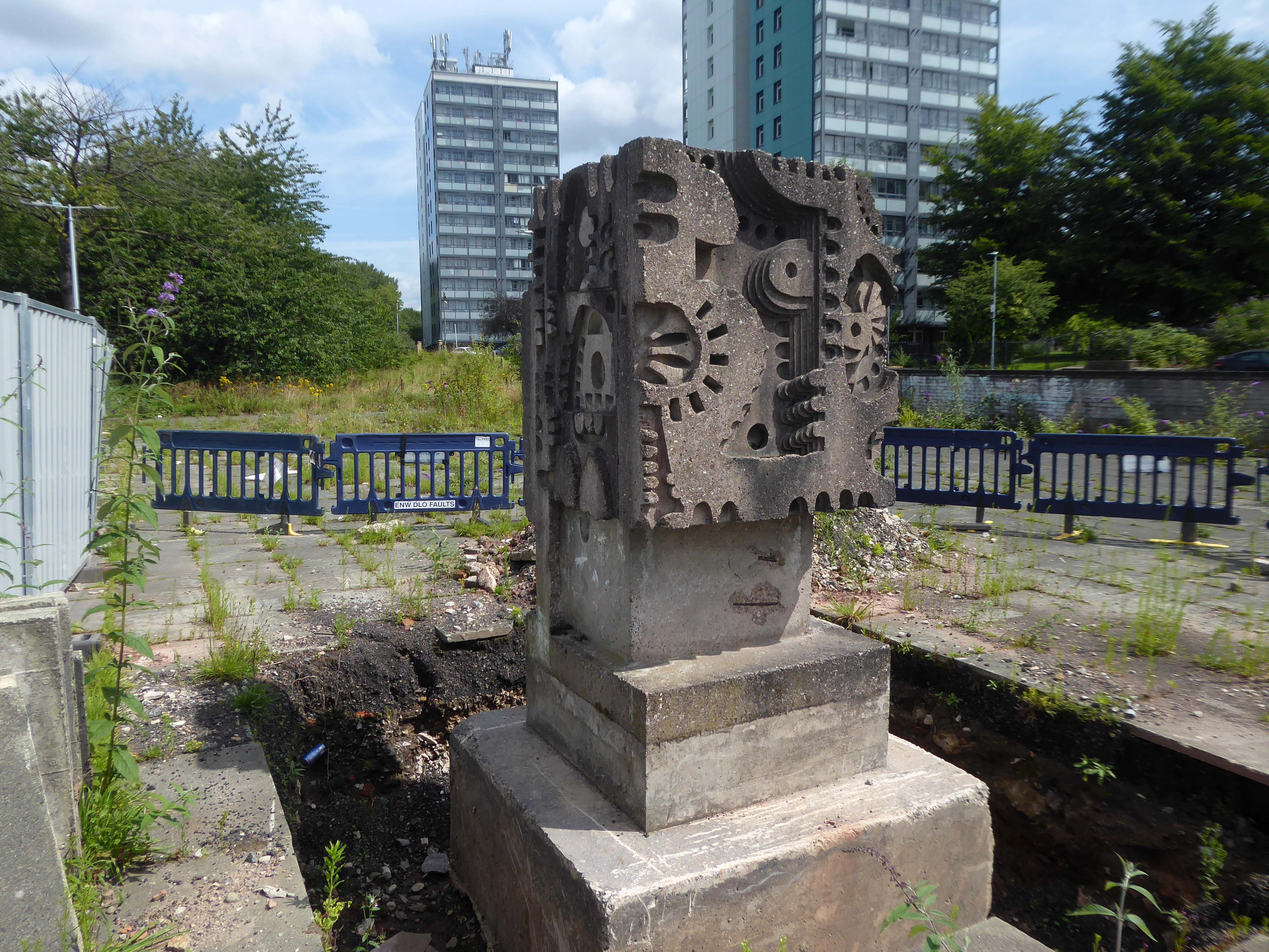
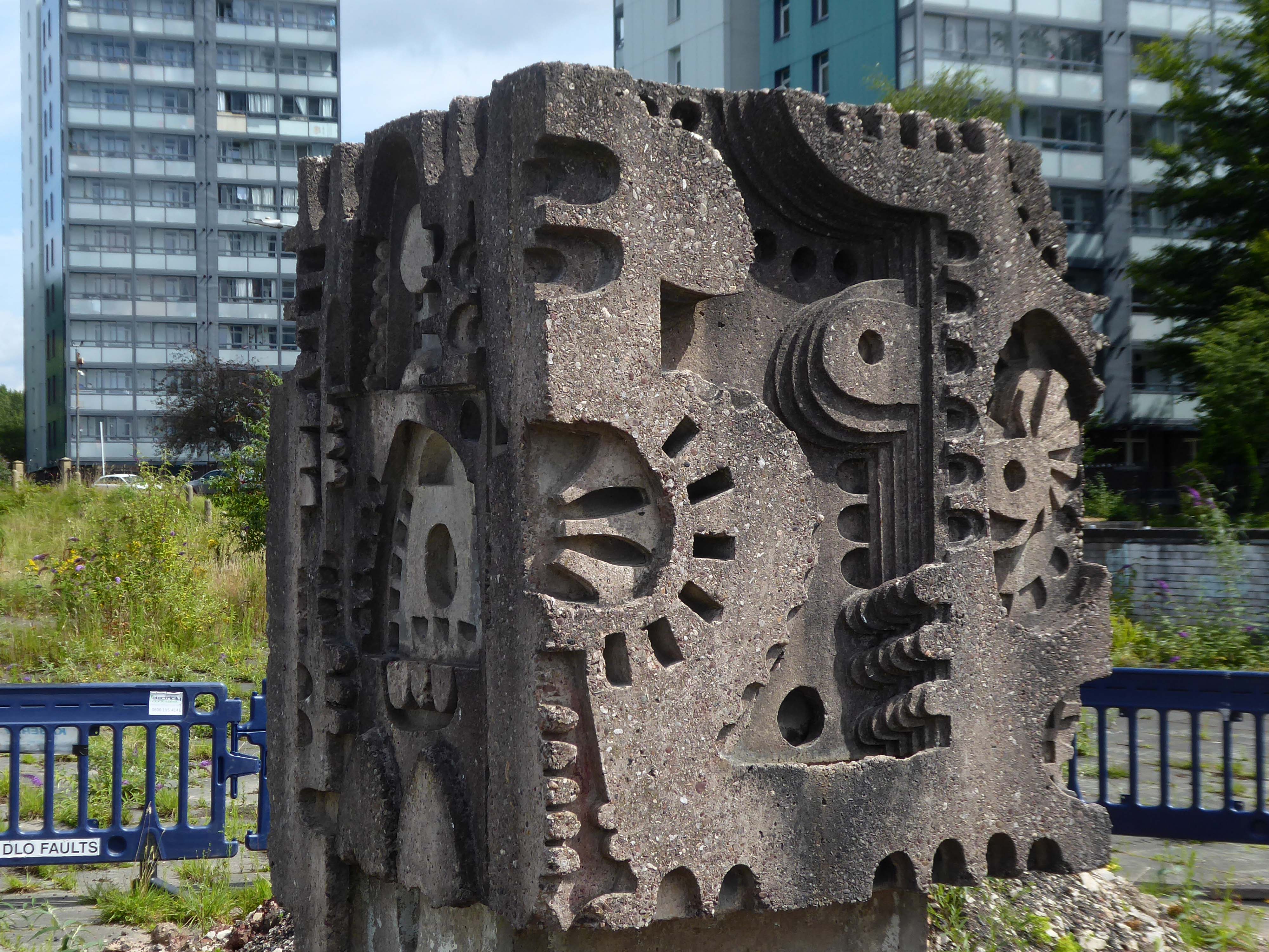
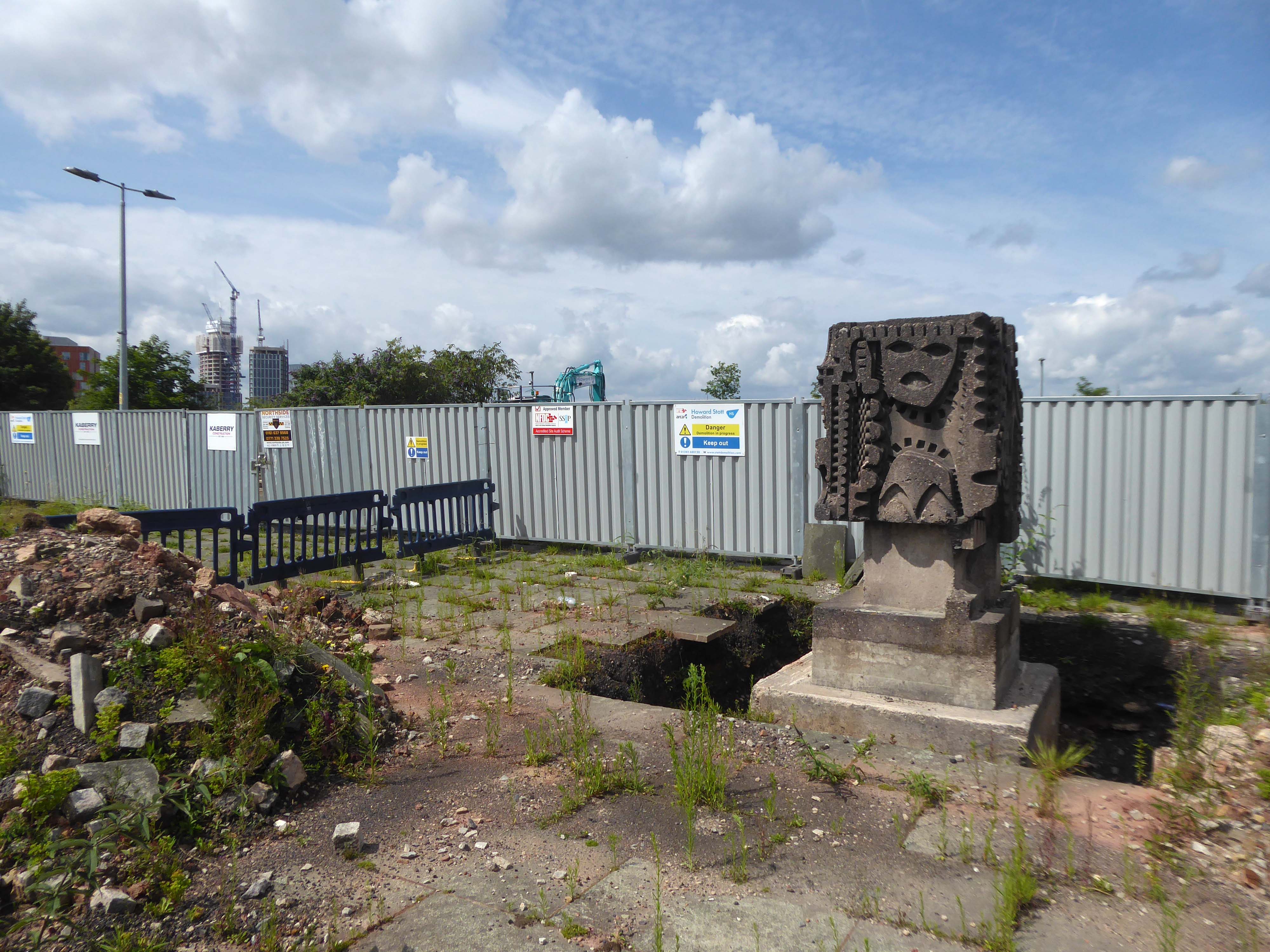
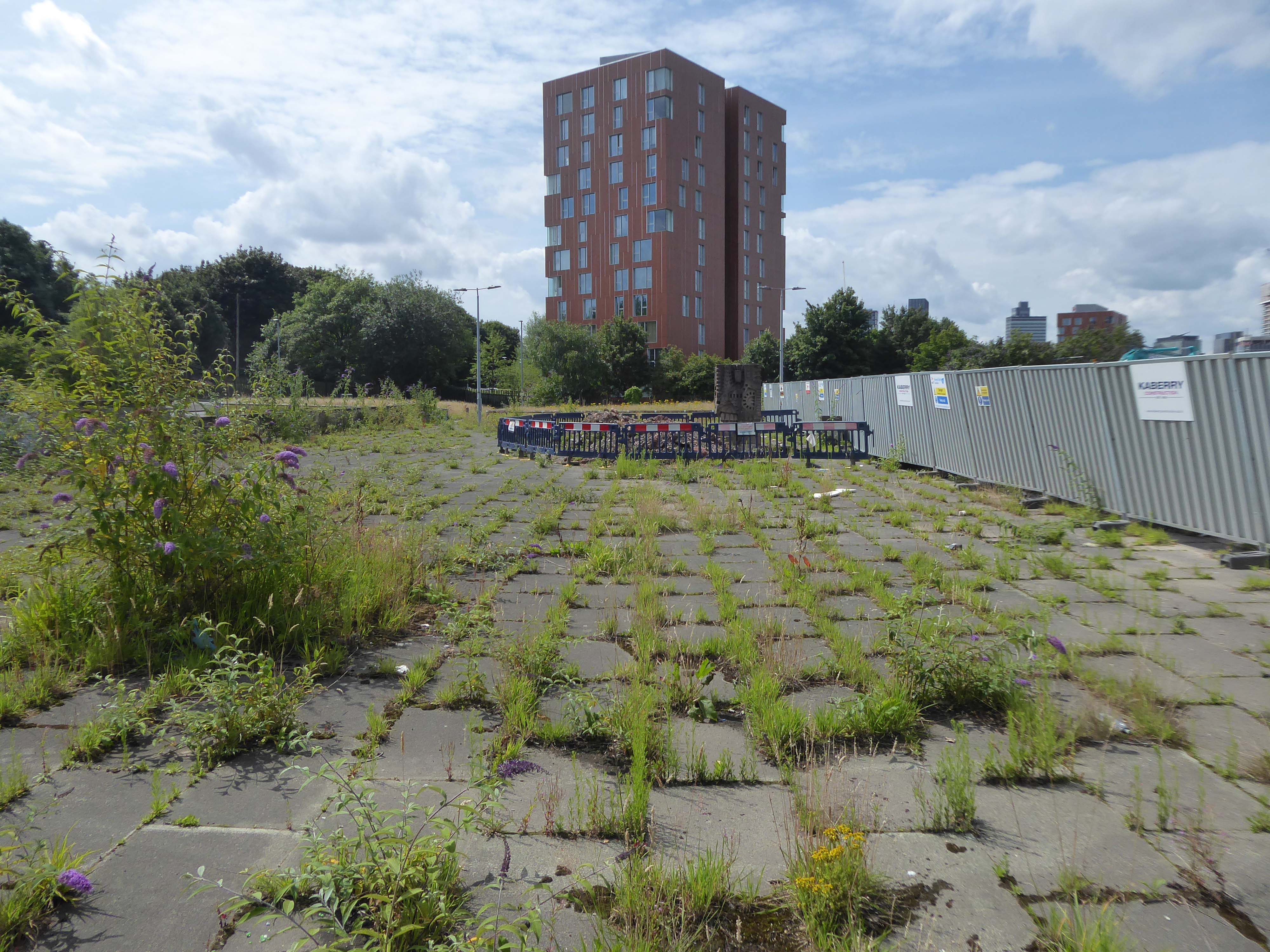
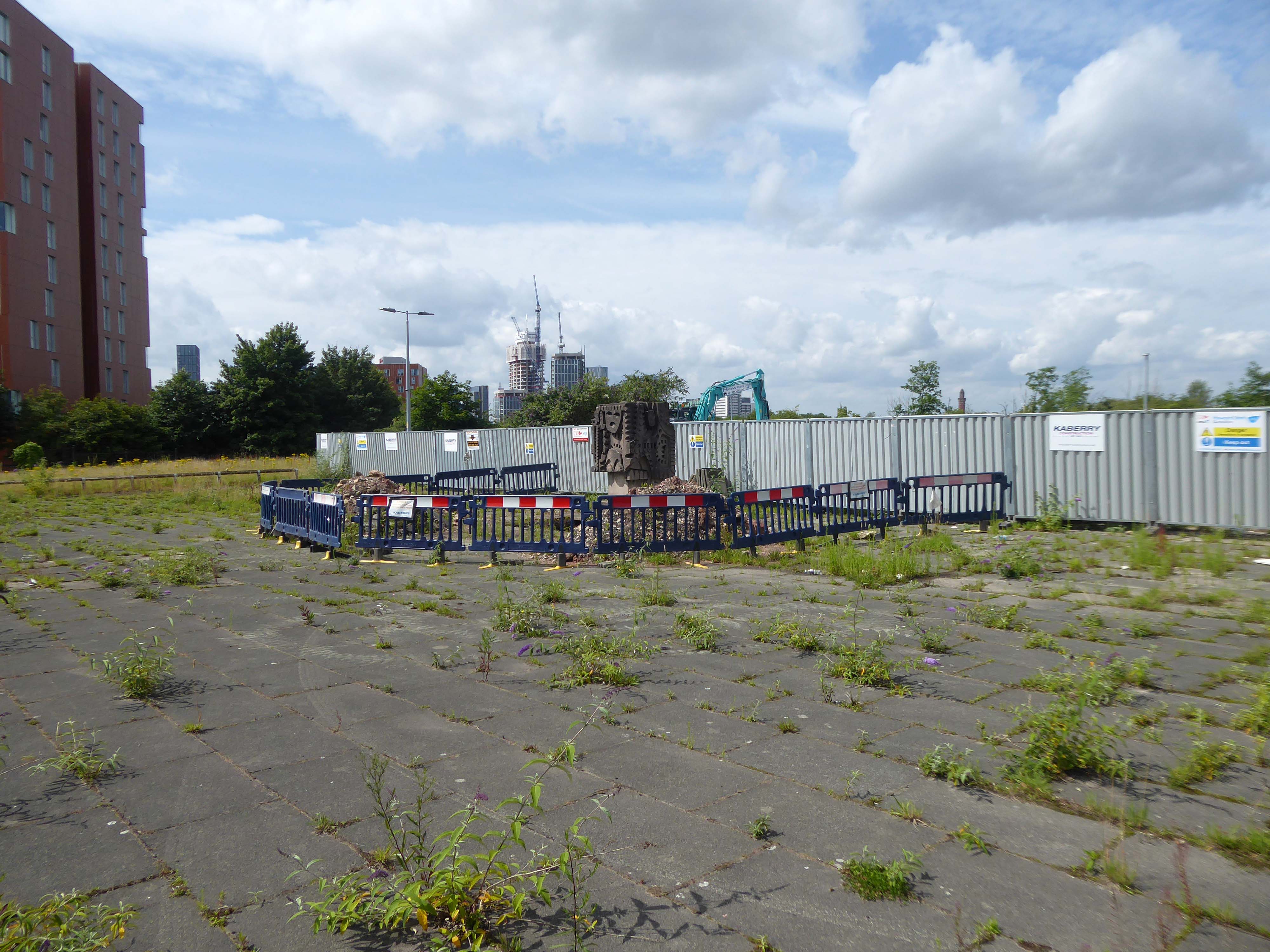
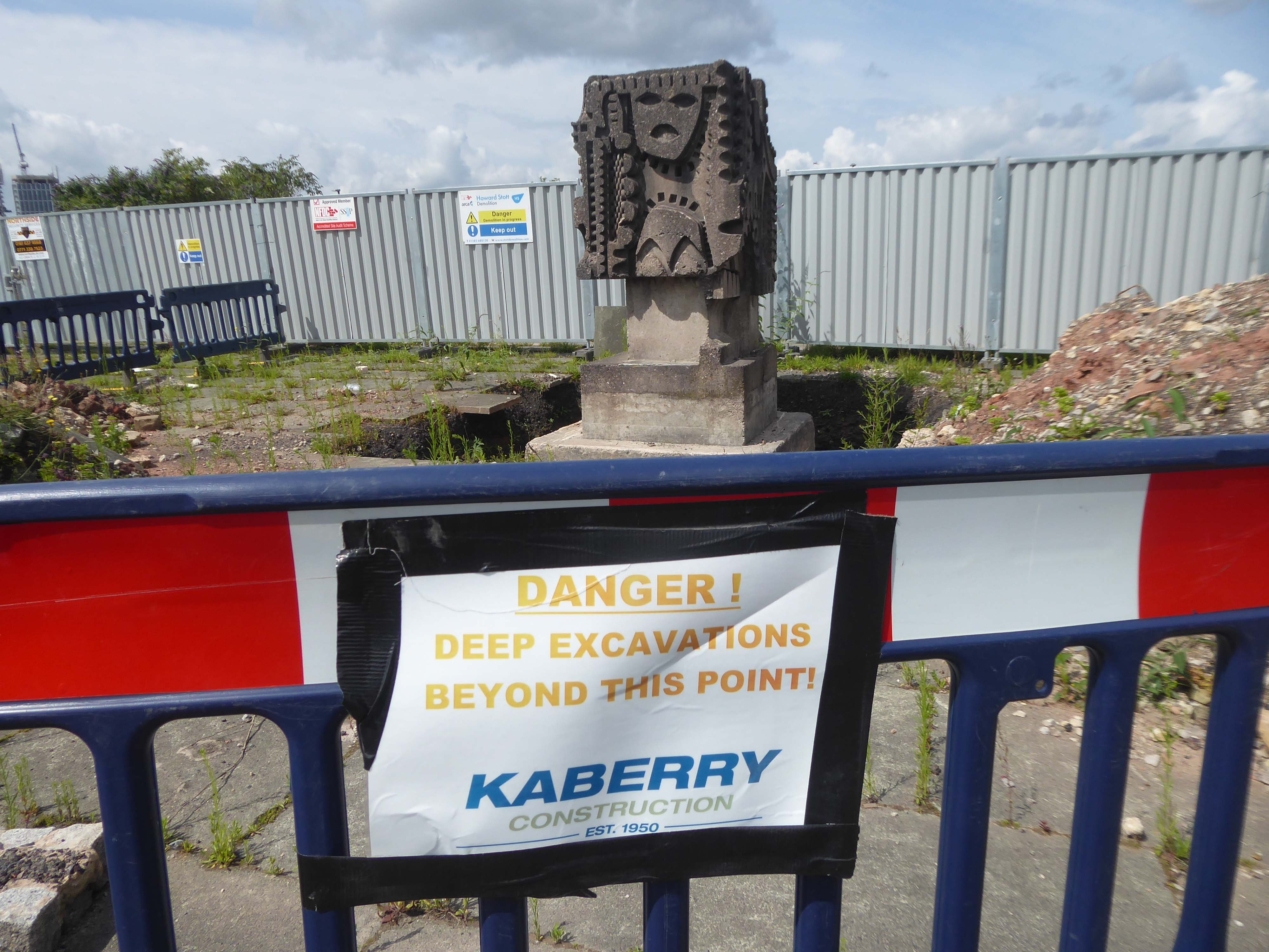
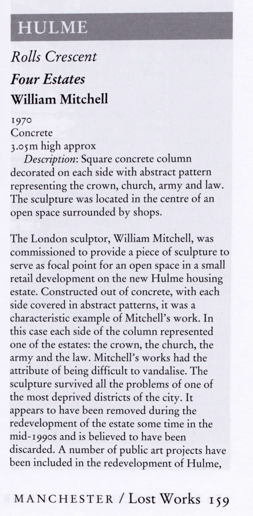
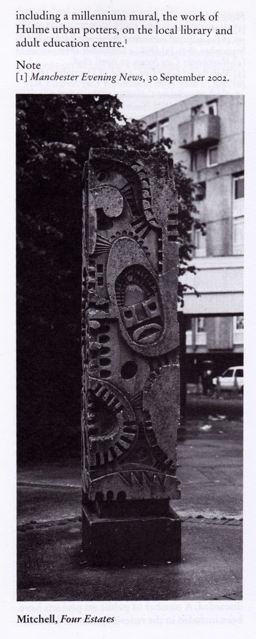
The council has pledged to reinstate the William Mitchell totem nearby.
However the weight of the concrete sculpture and its base have presented unforeseen challenges.
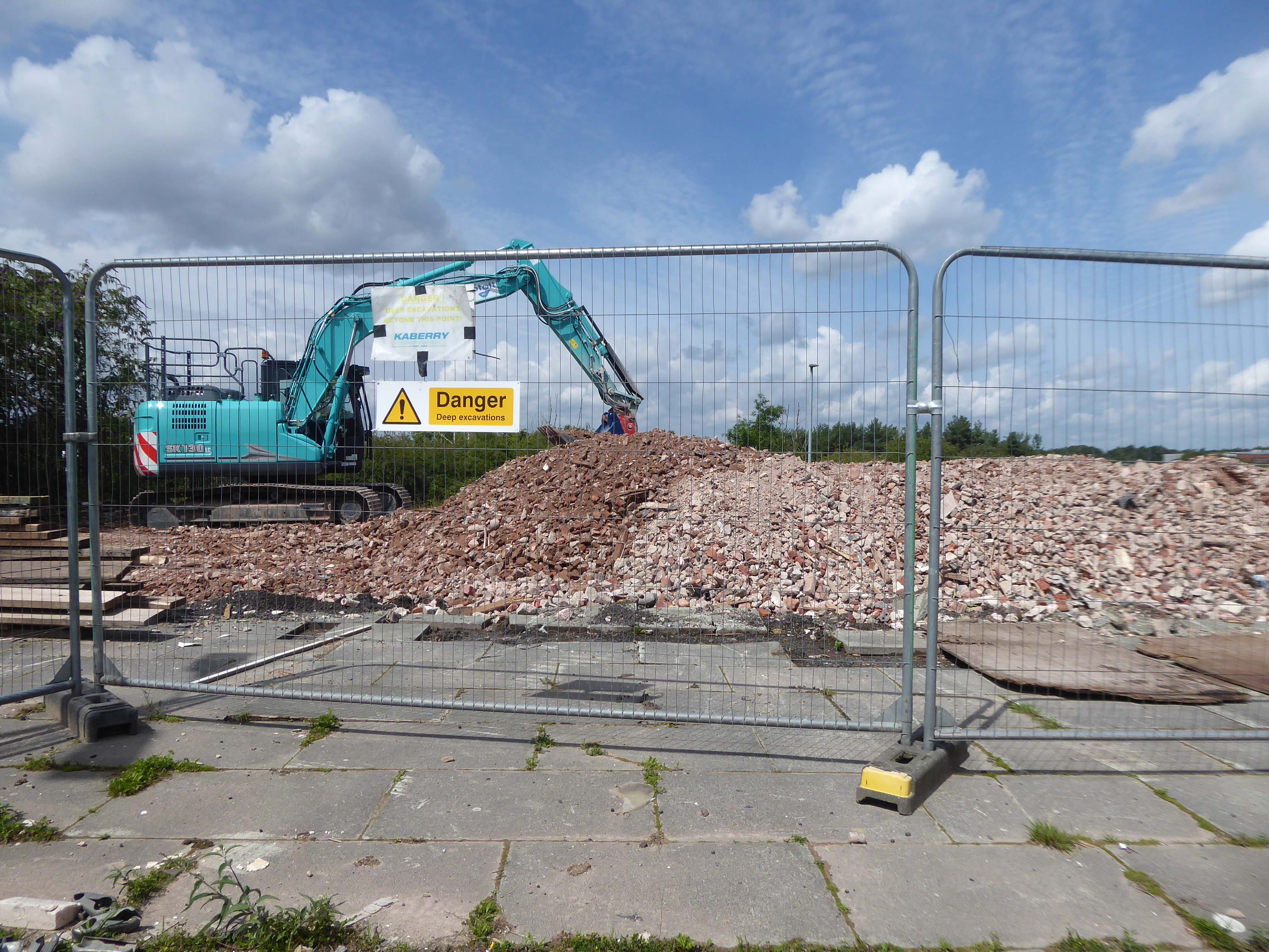
Siting a crane above the Victorian rail tunnel is an issue, as is the cost, a quote for £100,000 was deemed excessive. So stasis is the order the day – the immovable object awaits an unstoppable force.
The sculpture is one of four around Manchester – the Hulme exemplar is long gone.