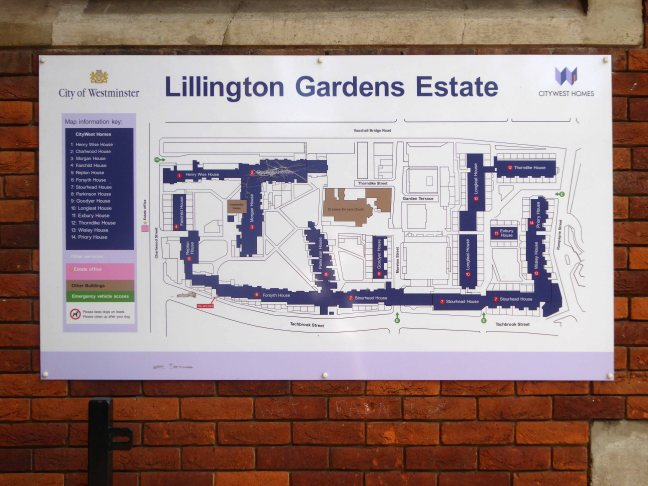
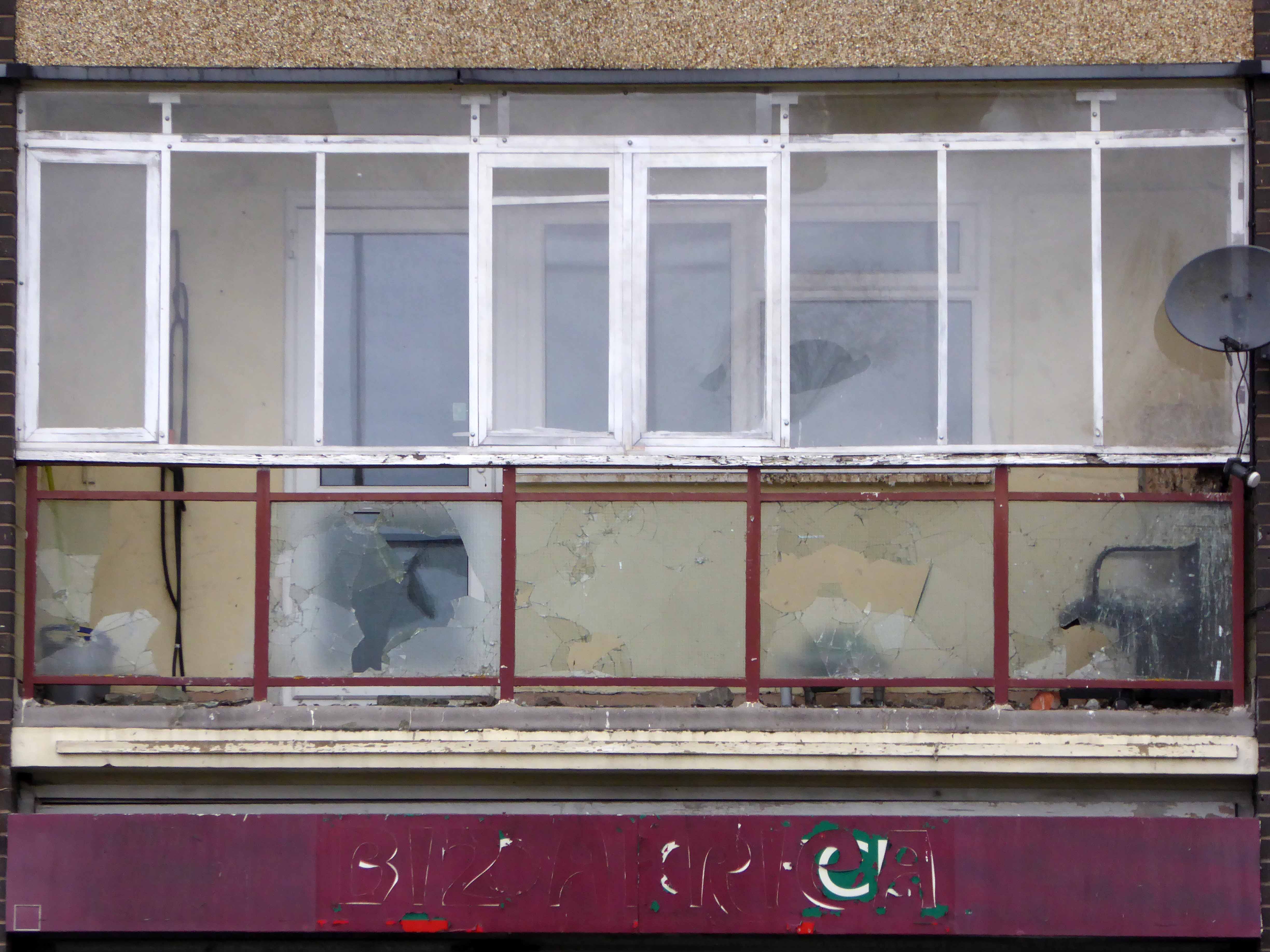
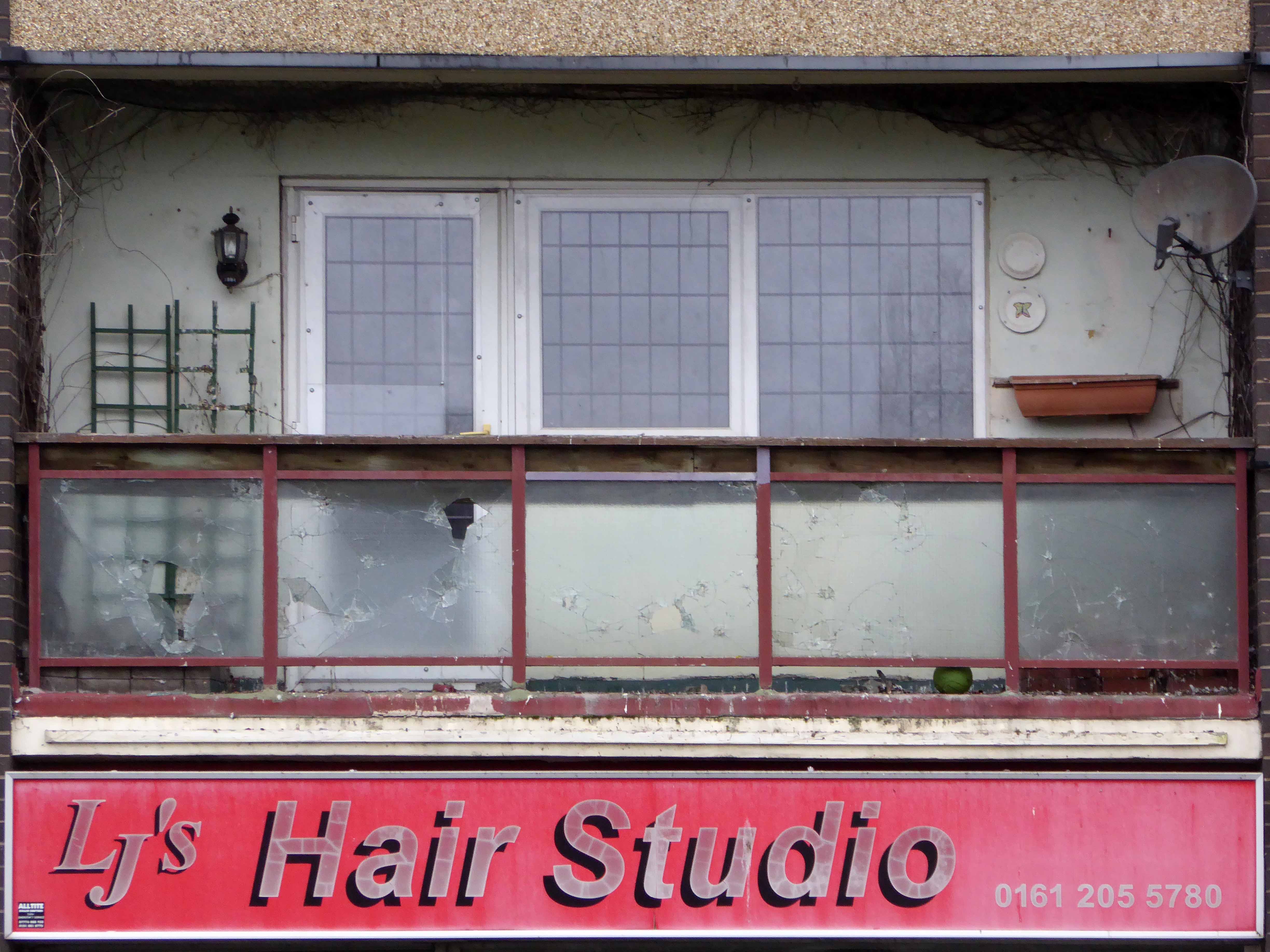
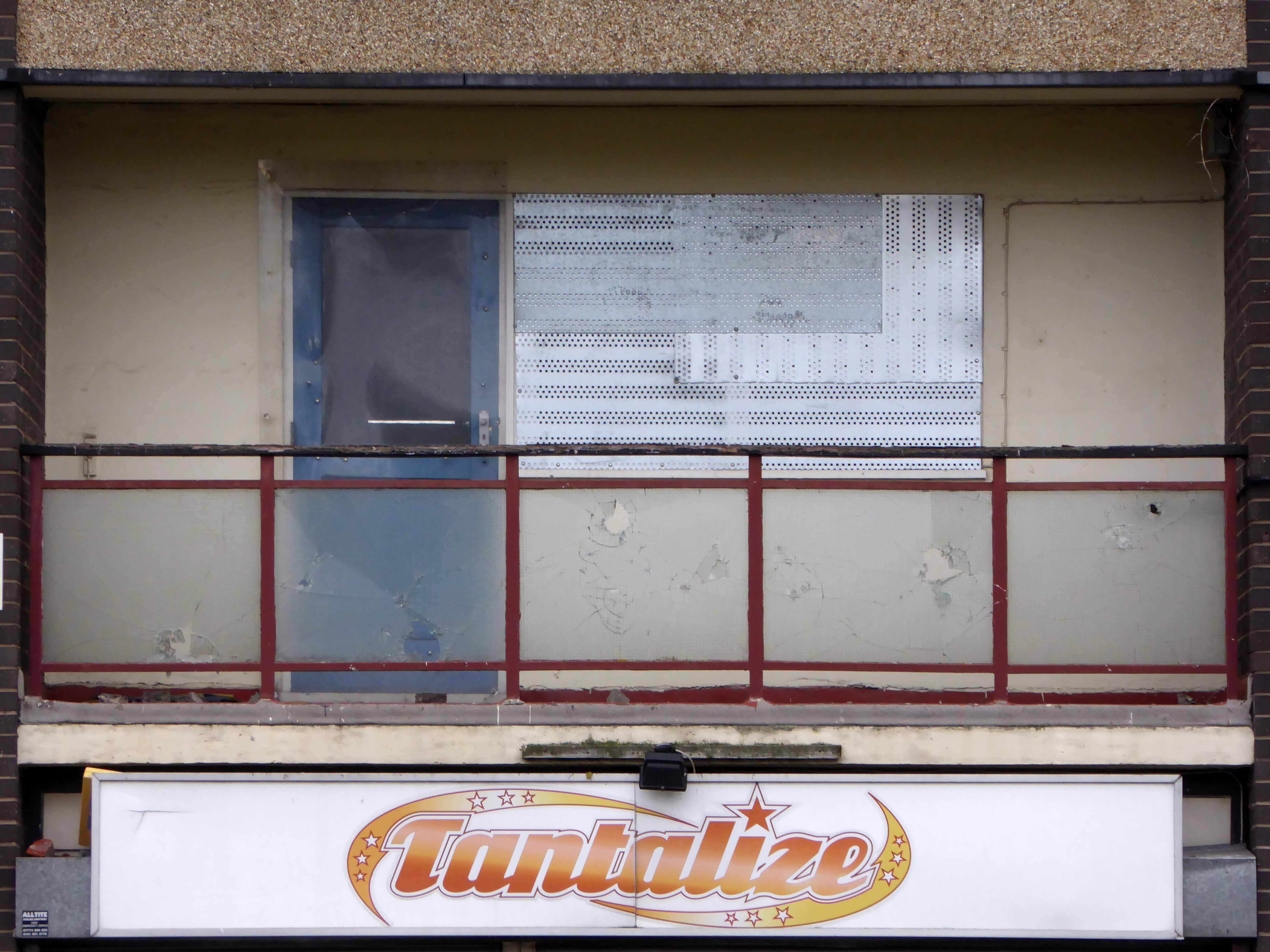
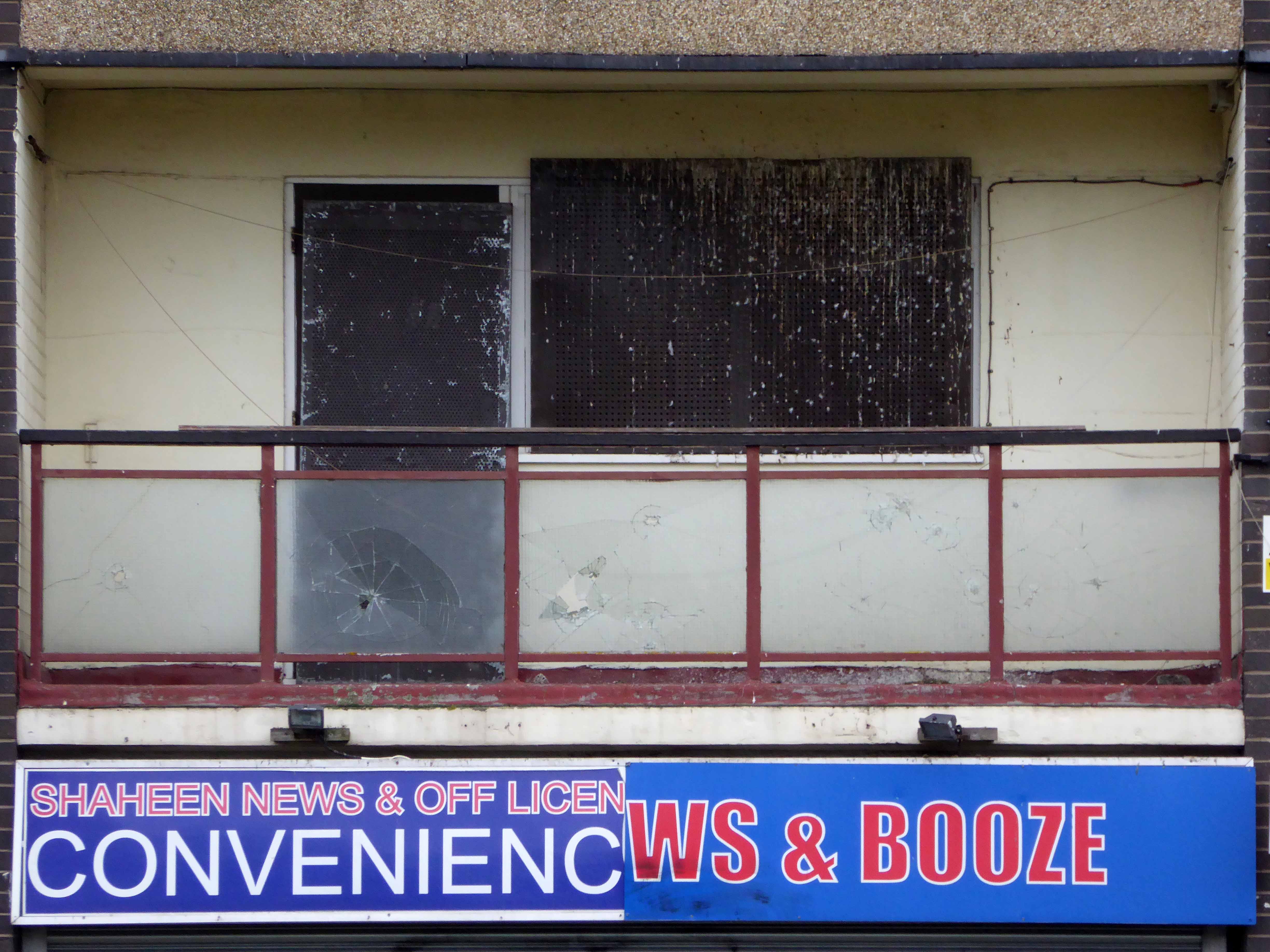
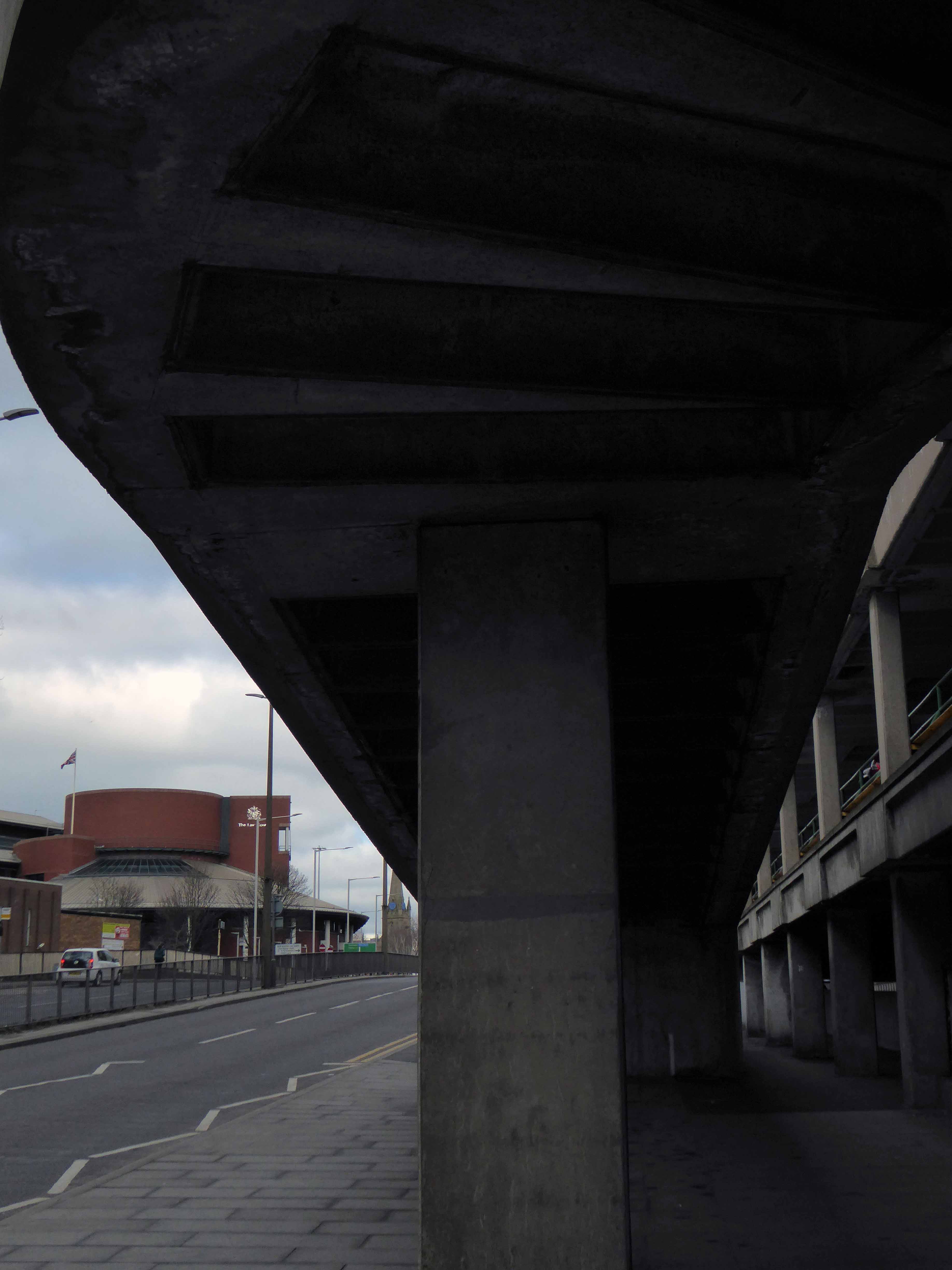
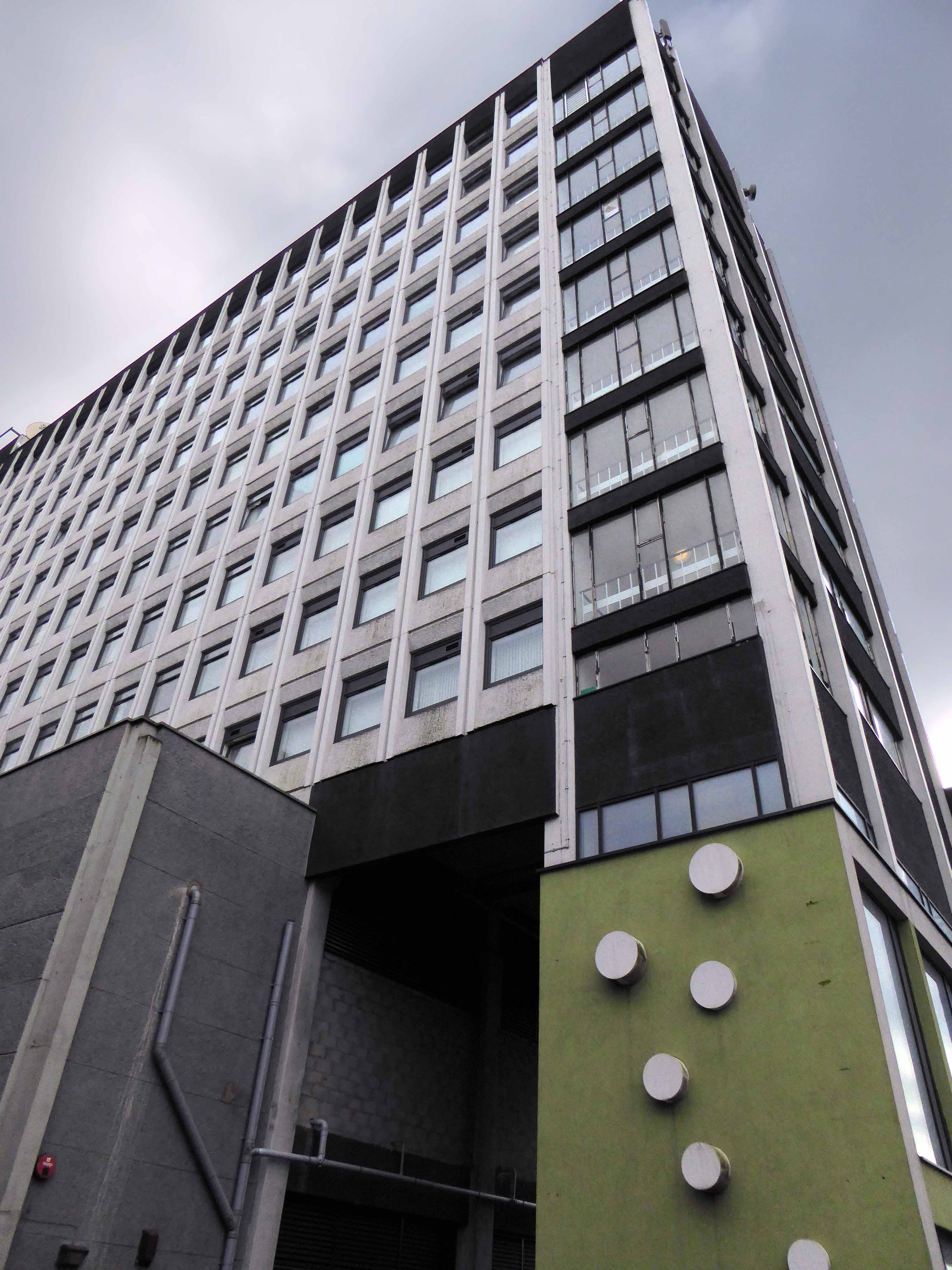
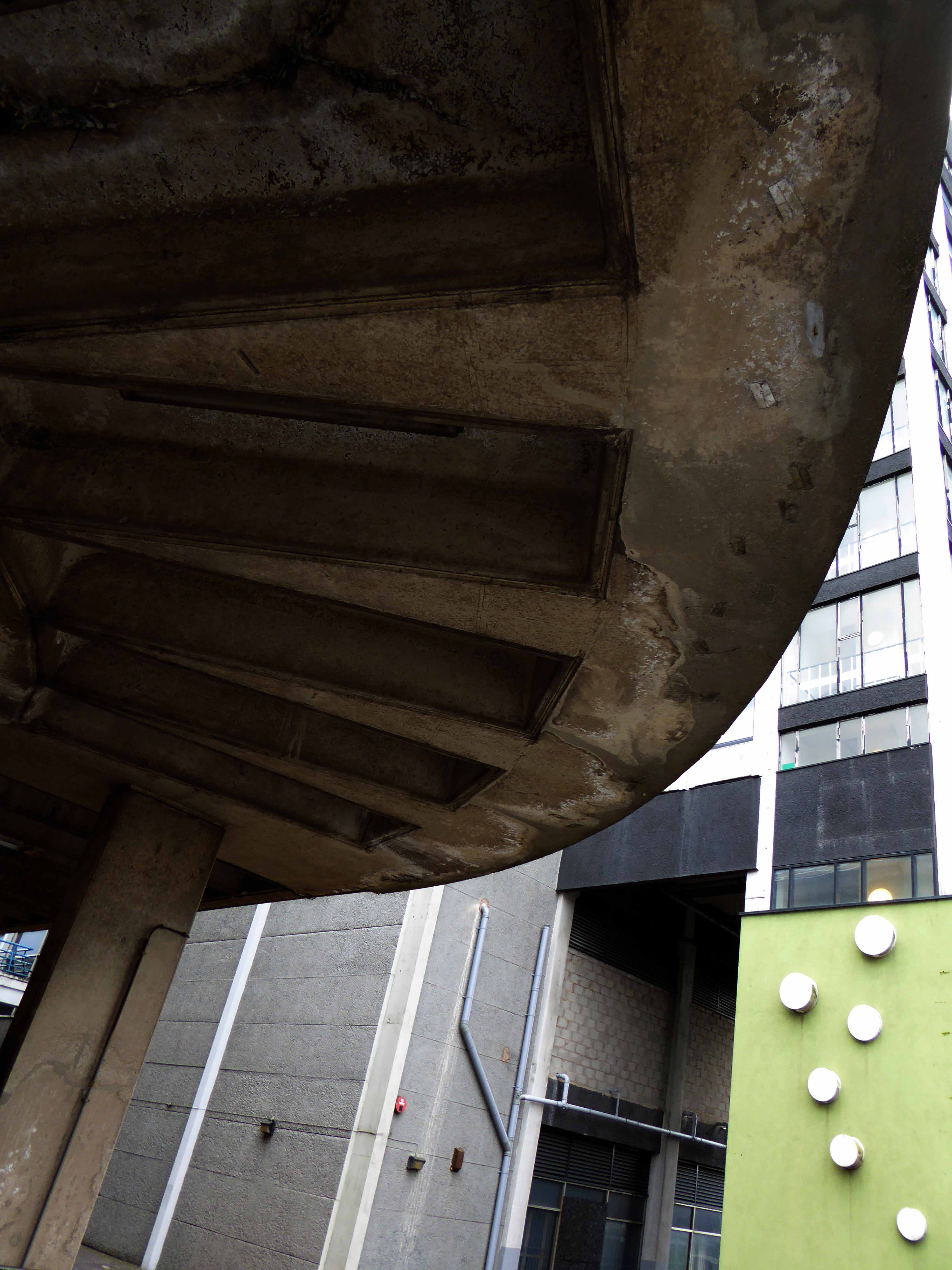
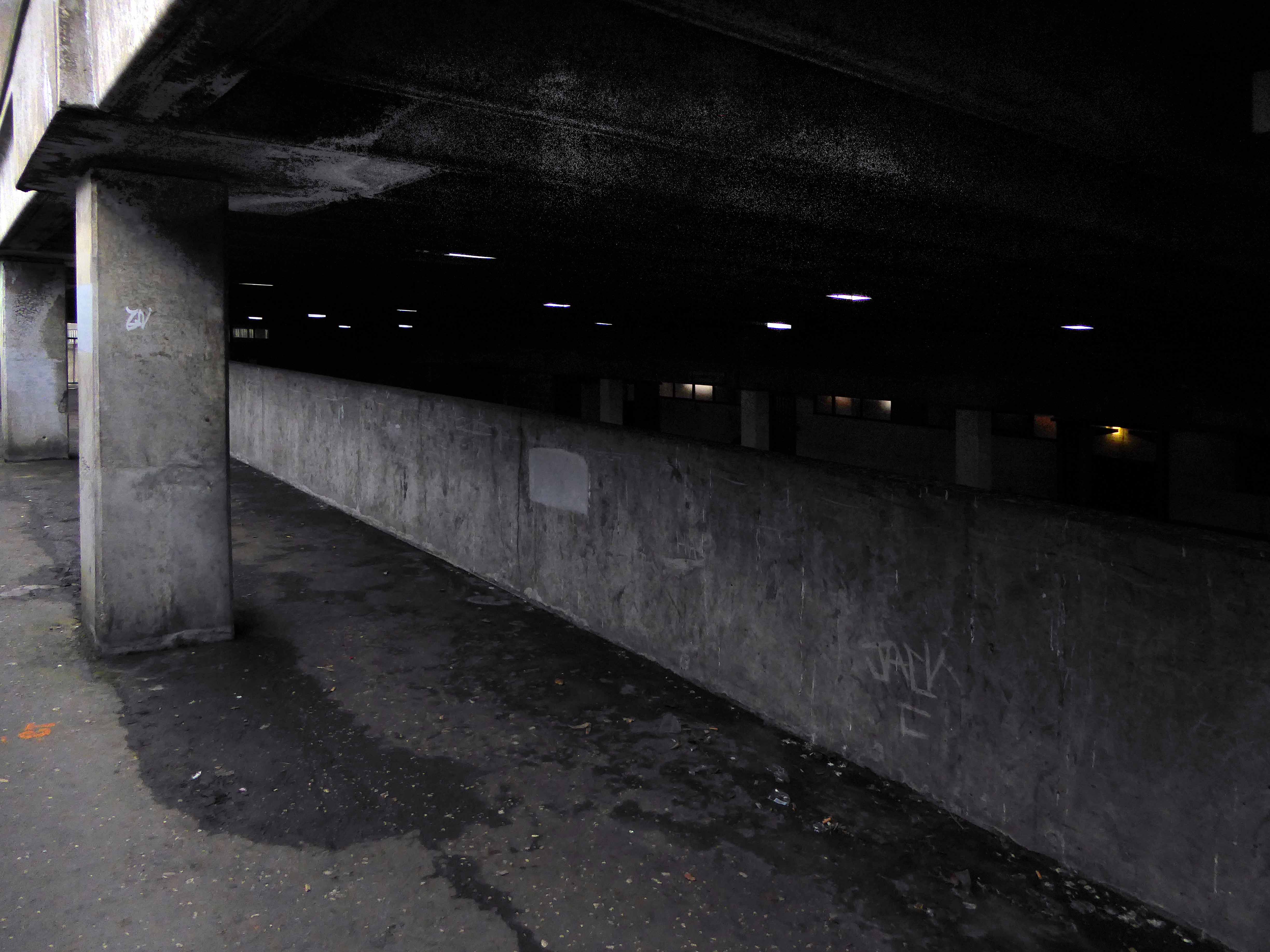
Lillington Gardens Estate – Pimlico

Formerly an area of high density terraced housing.

Screen Shot 2018-08-19 at 18.01.29

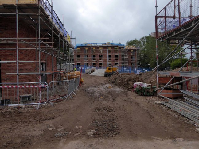
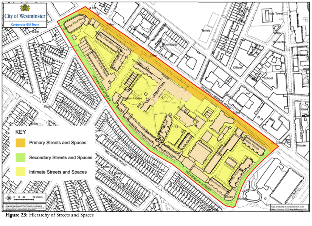
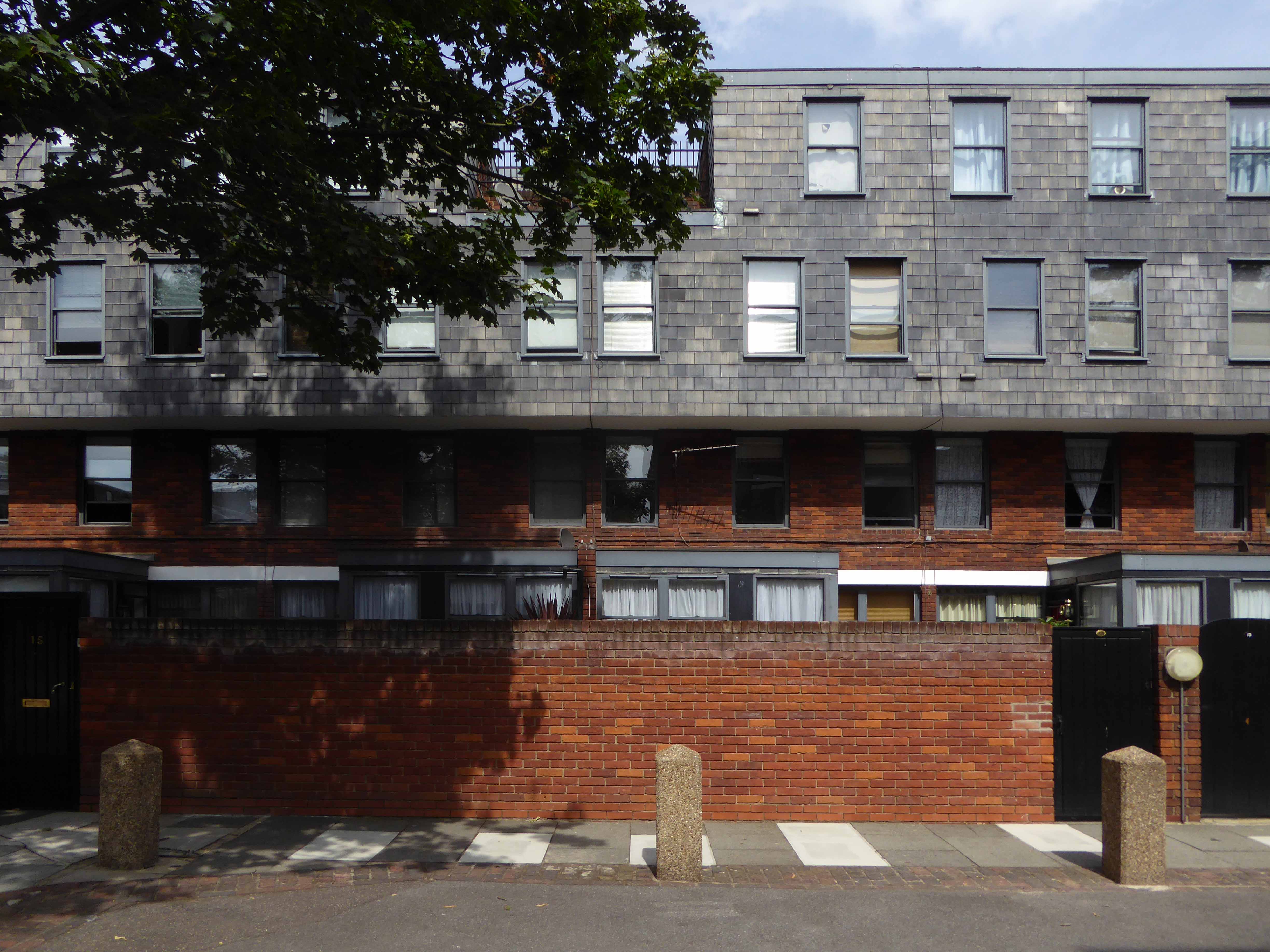
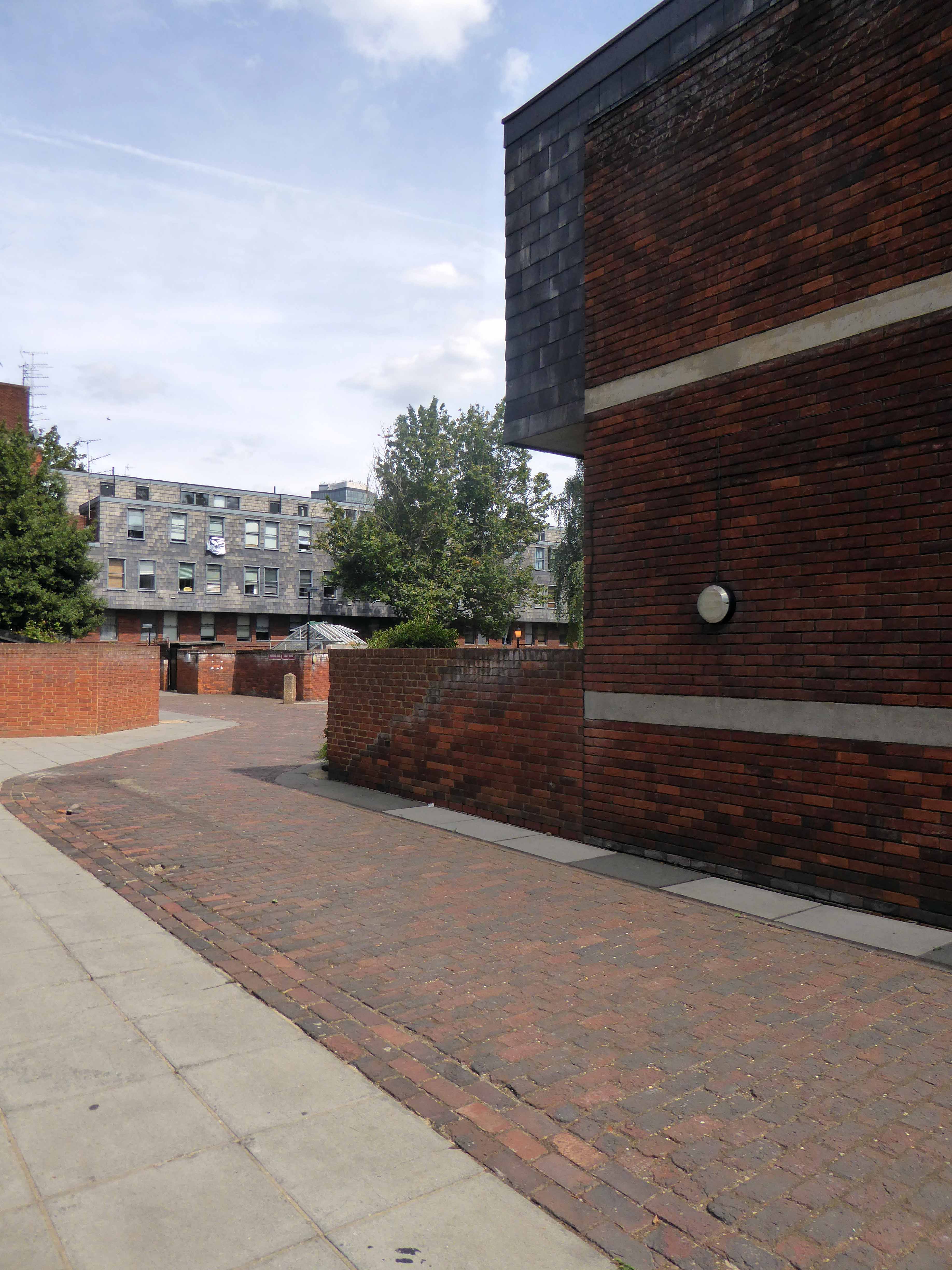
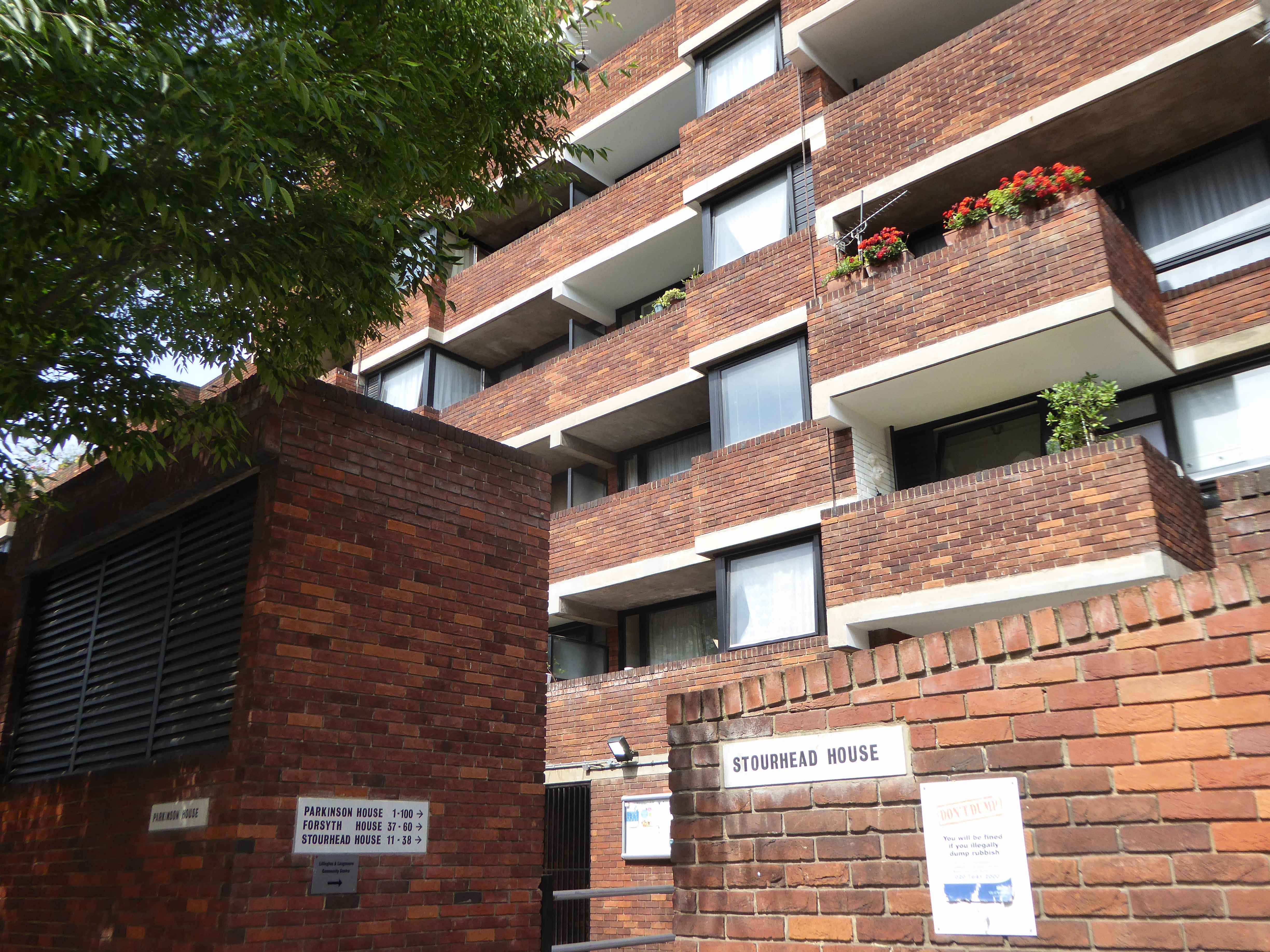
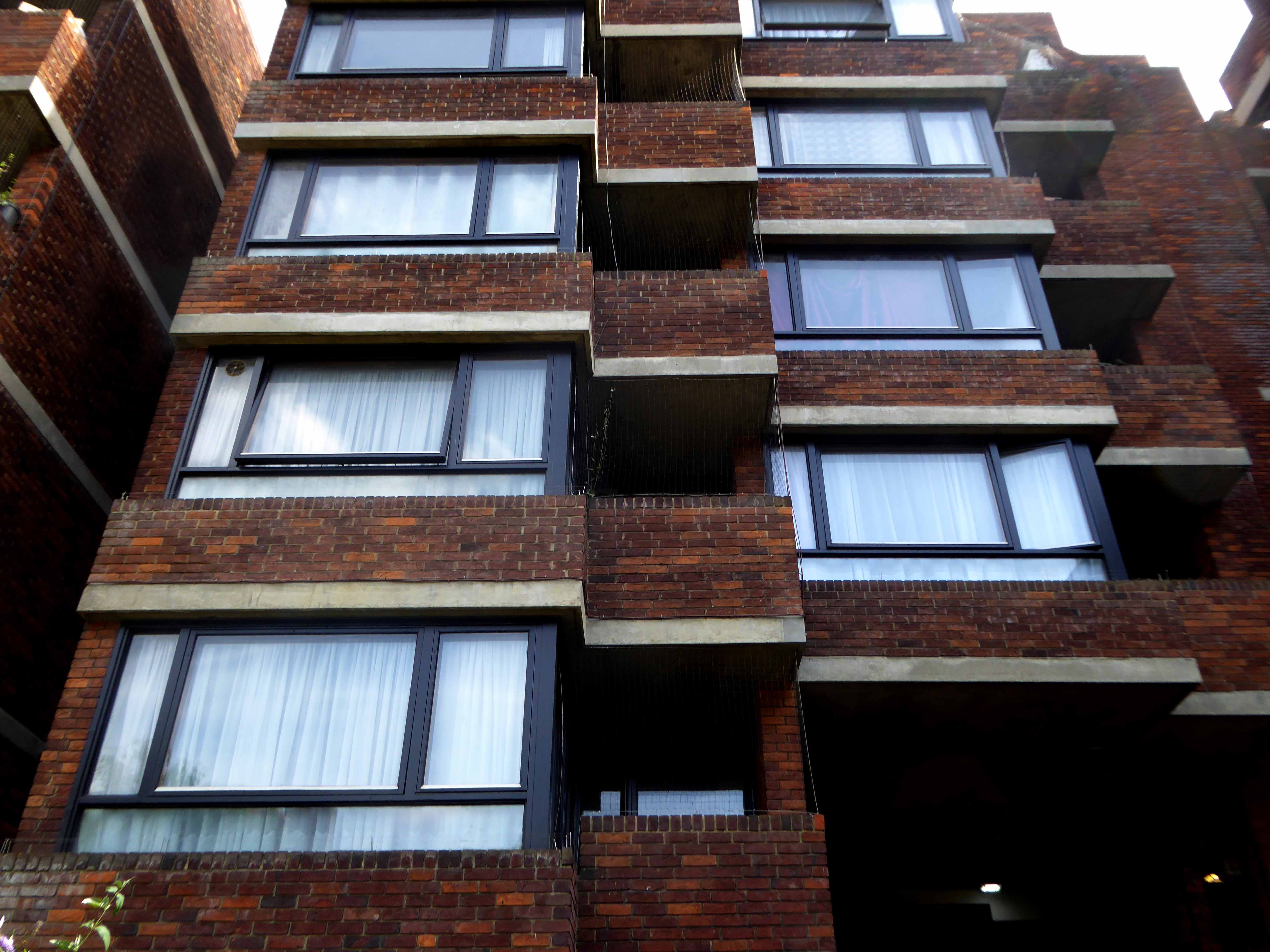
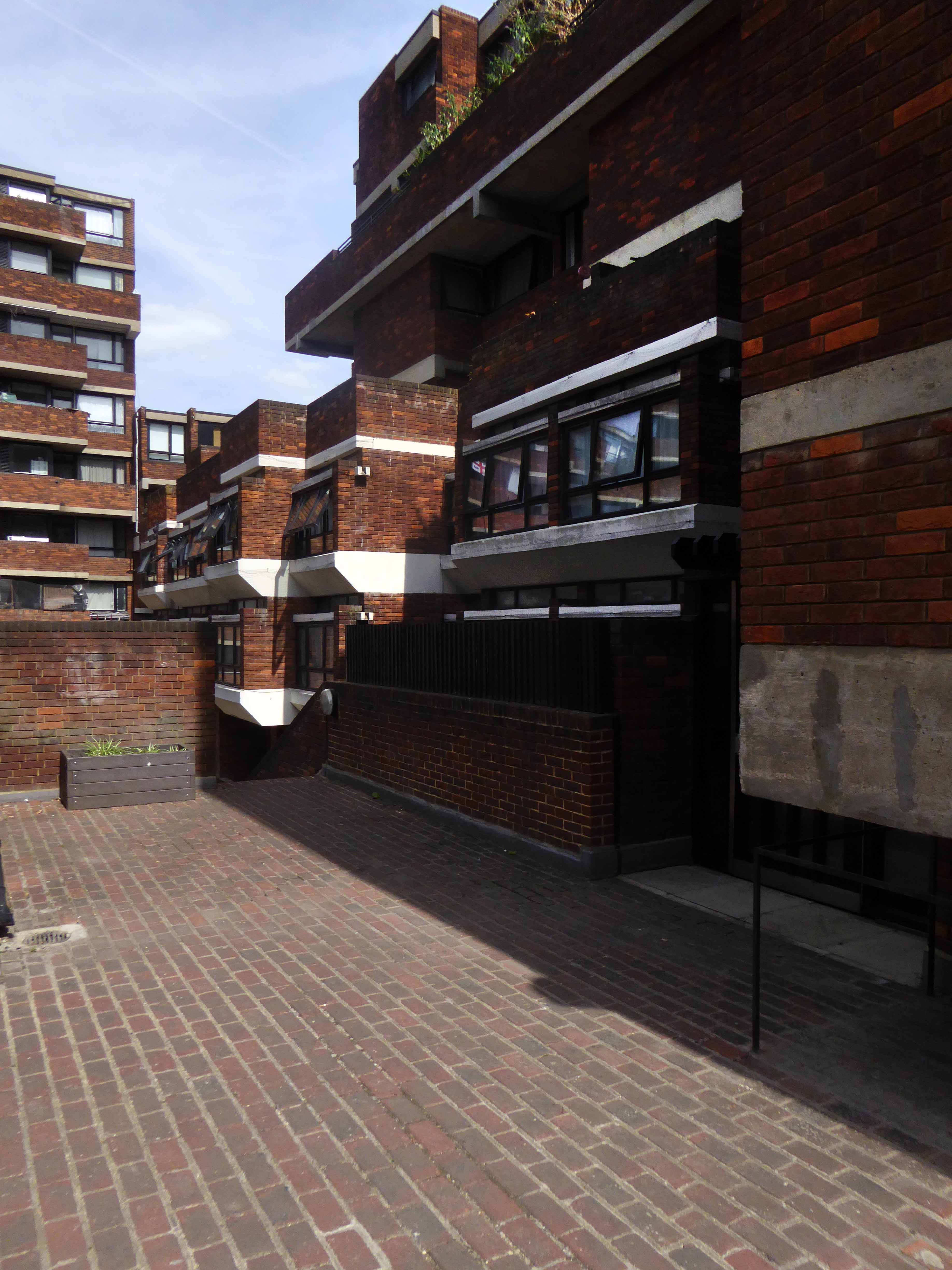
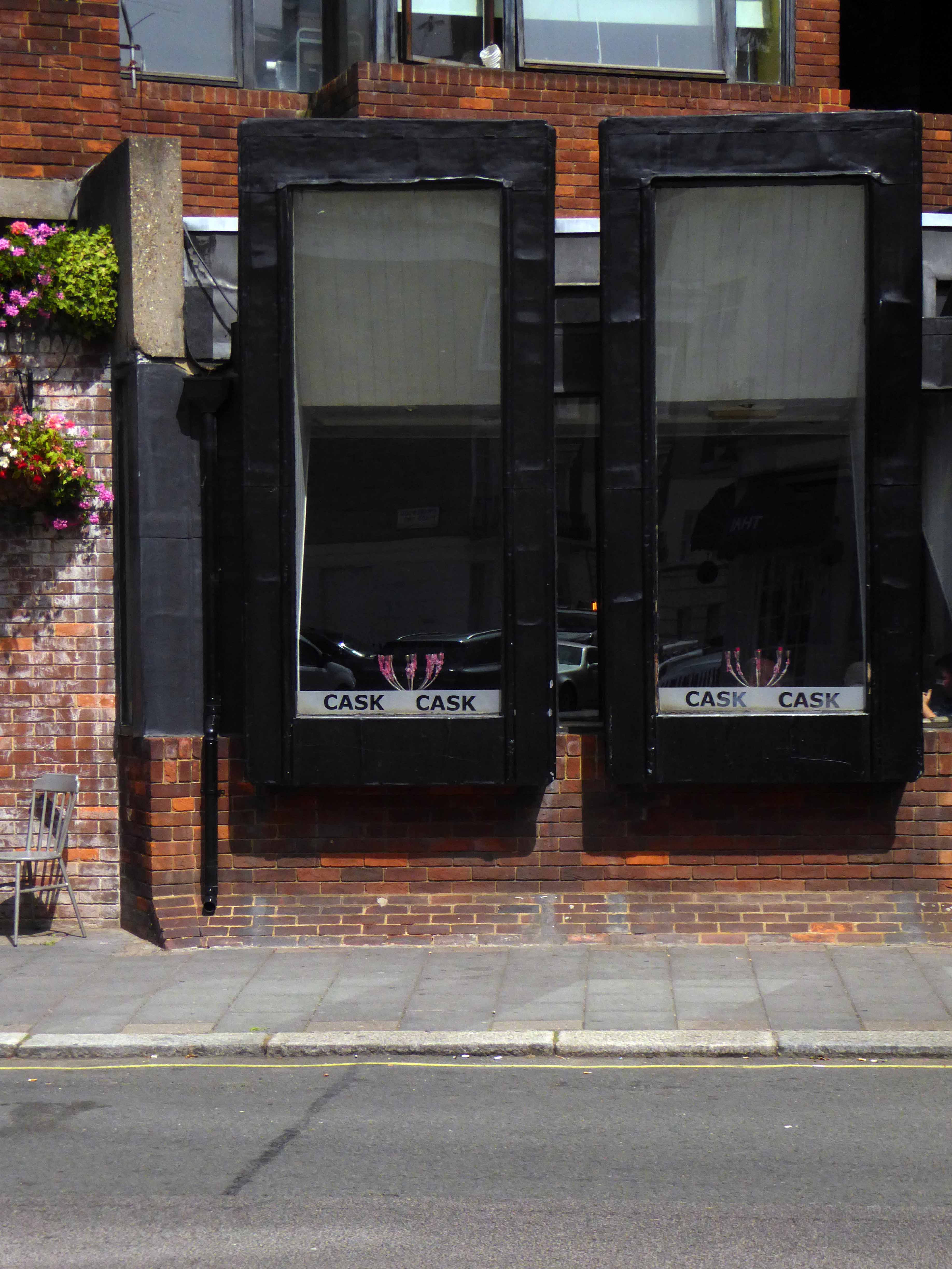
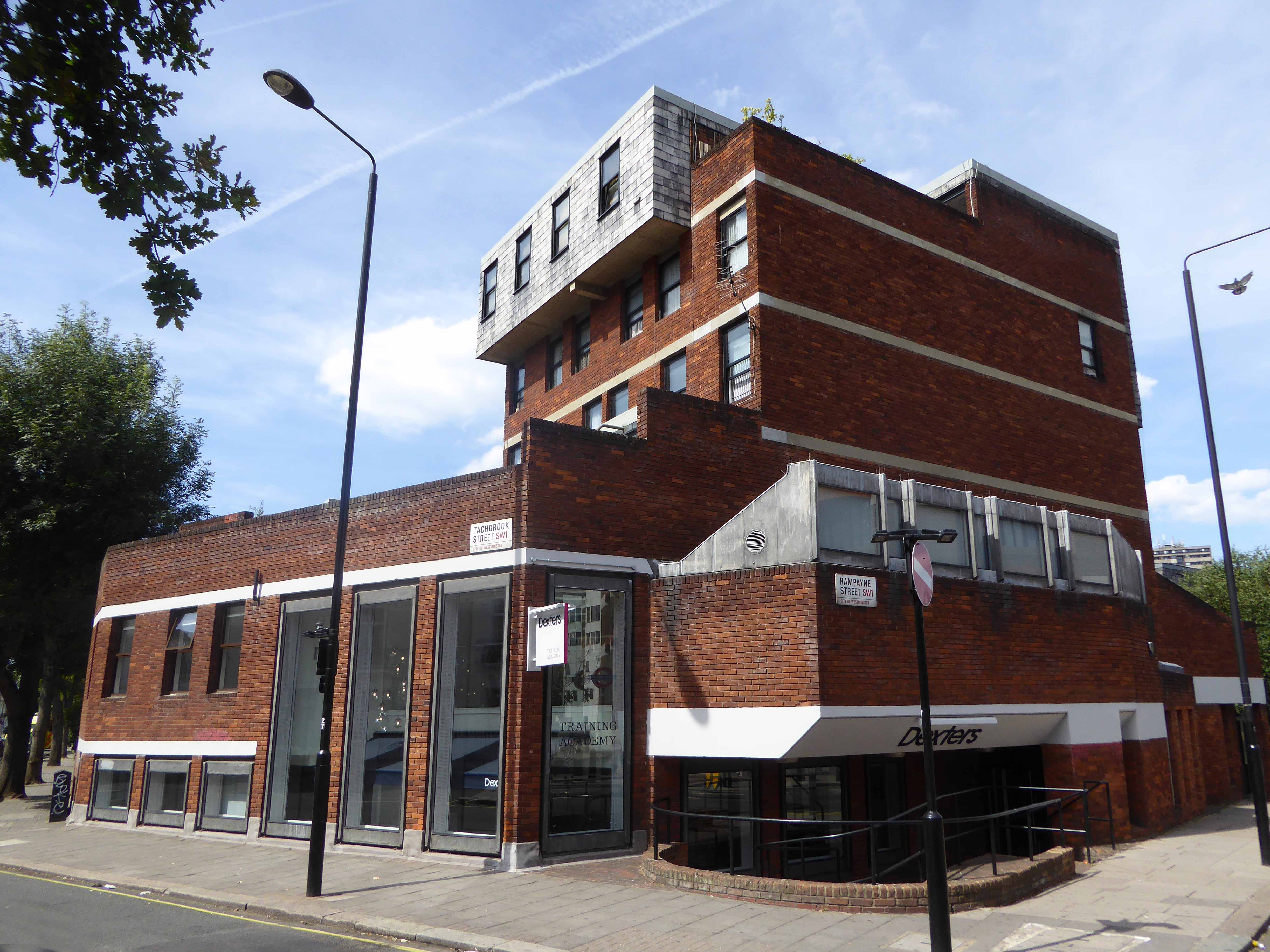
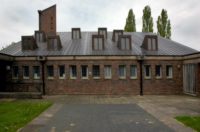
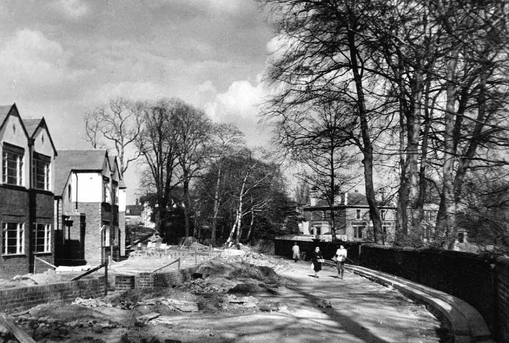
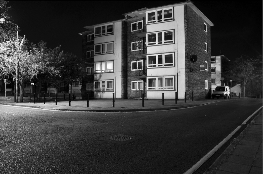
Lillington Gardens is an estate in the Pimlico area of the City of Westminster, London, constructed in phases between 1961 and 1980 to a plan by Darbourne & Darke. The estate is now owned and managed by City West Homes.

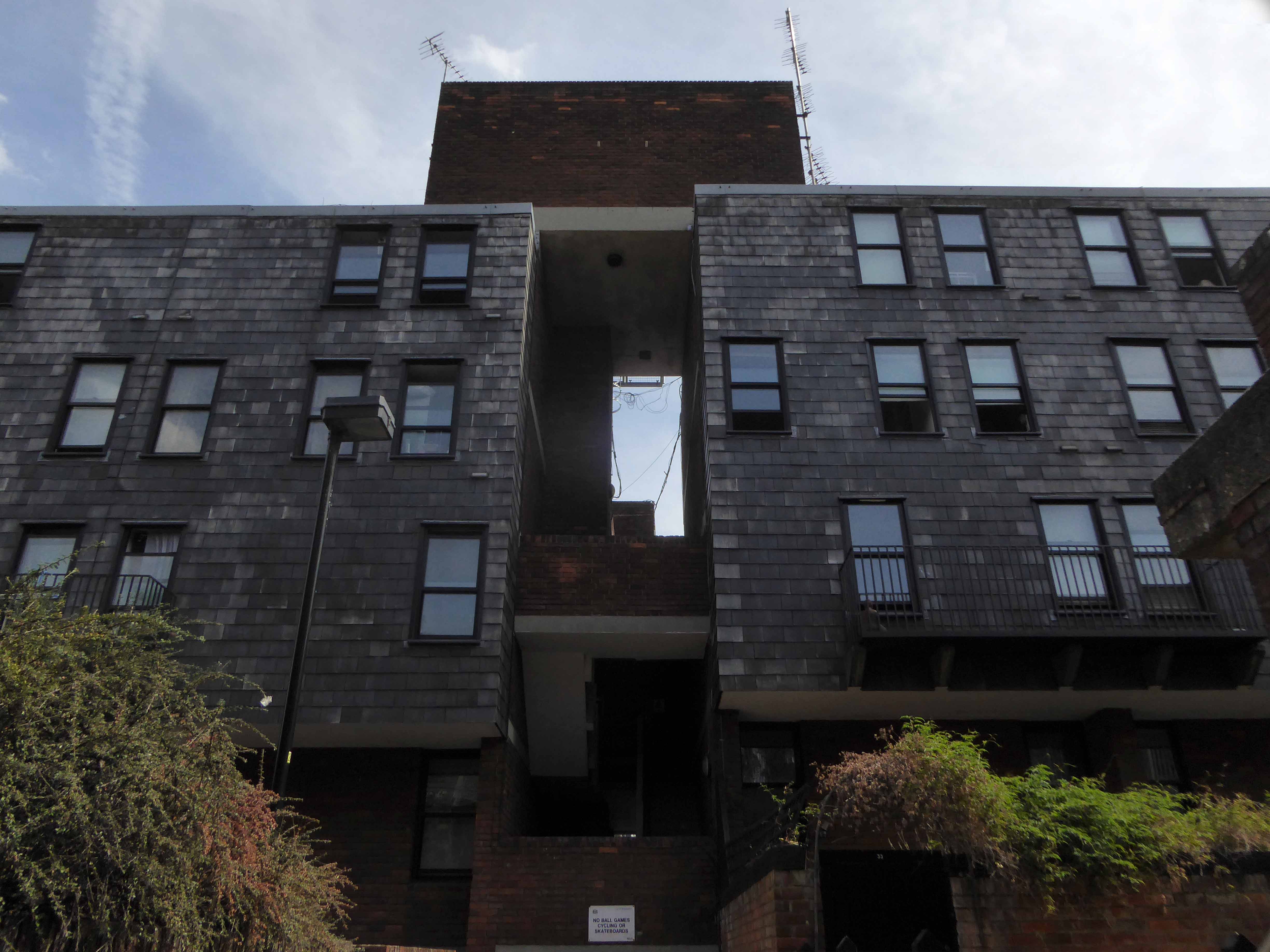
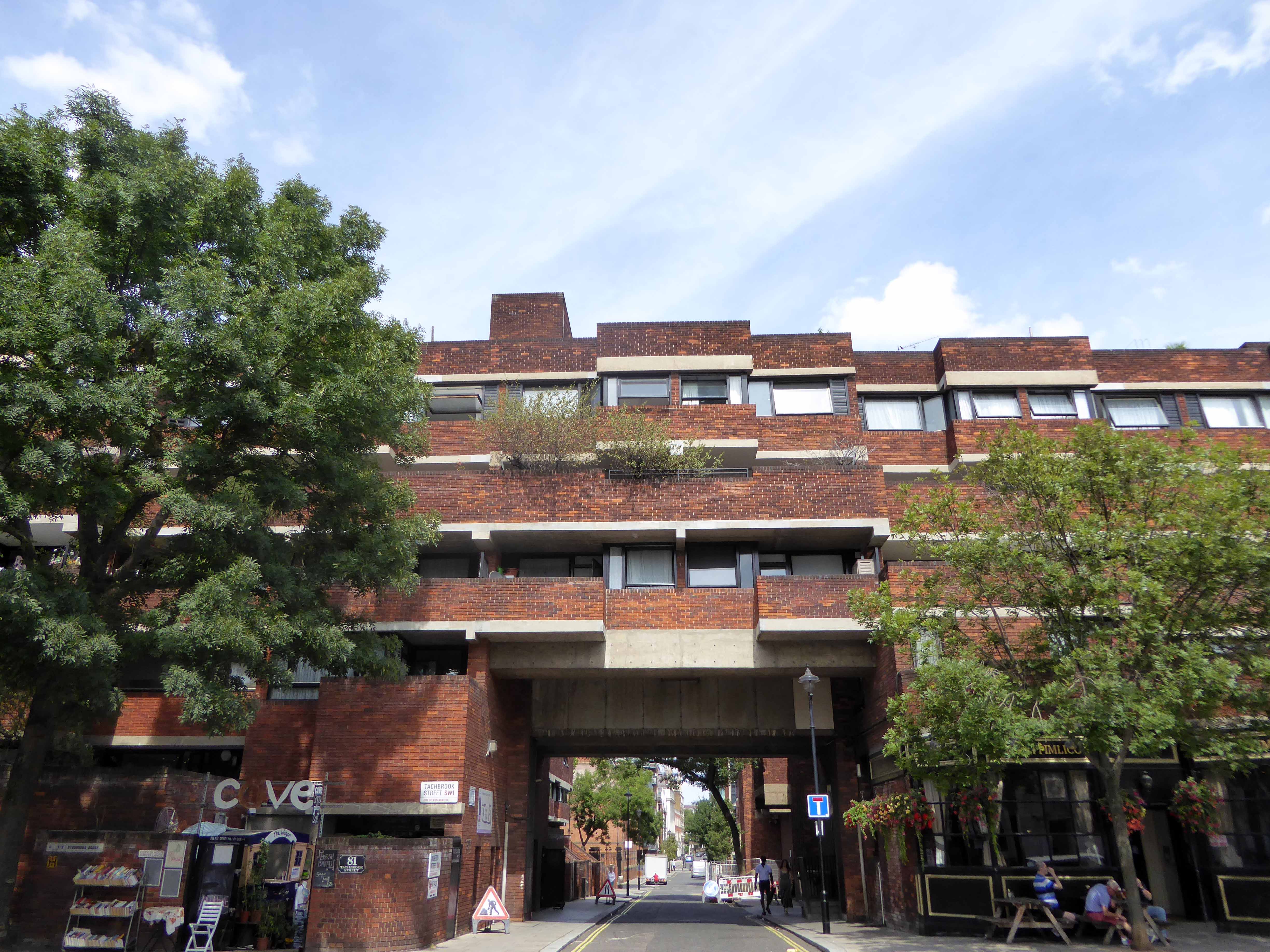
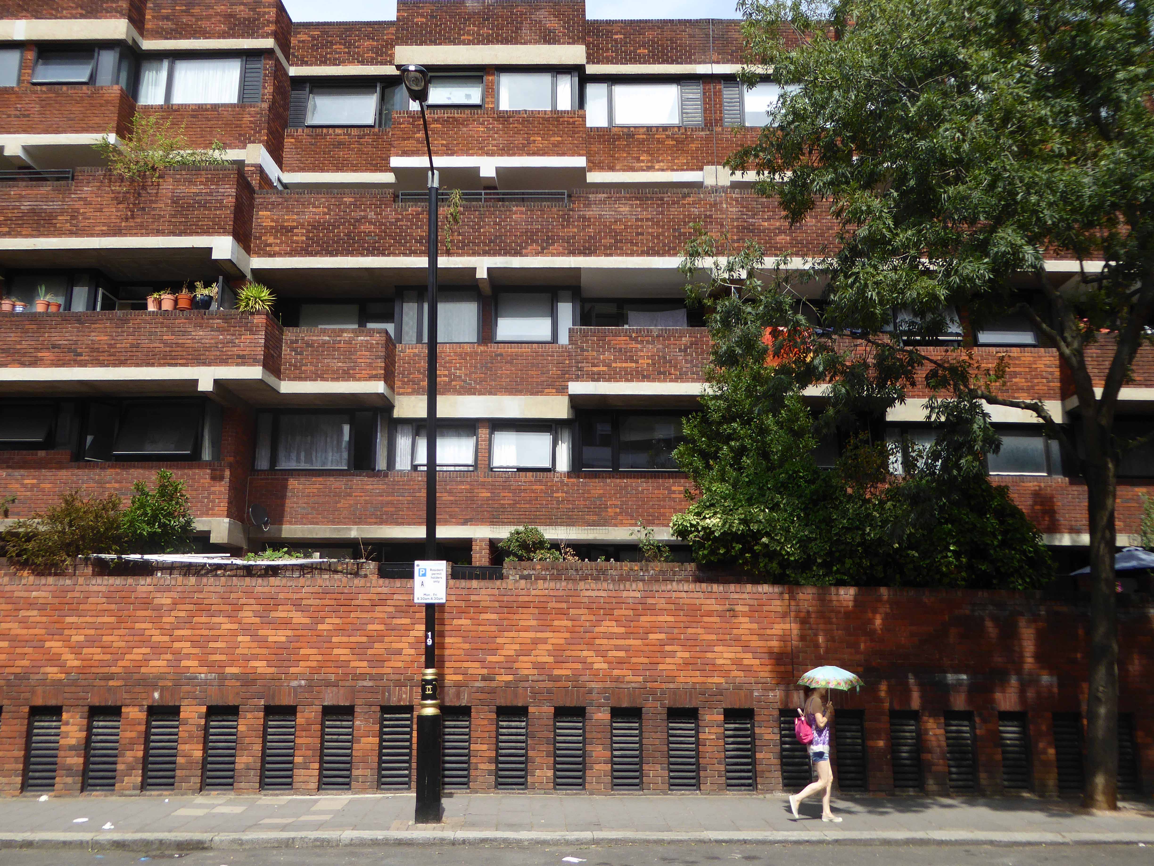
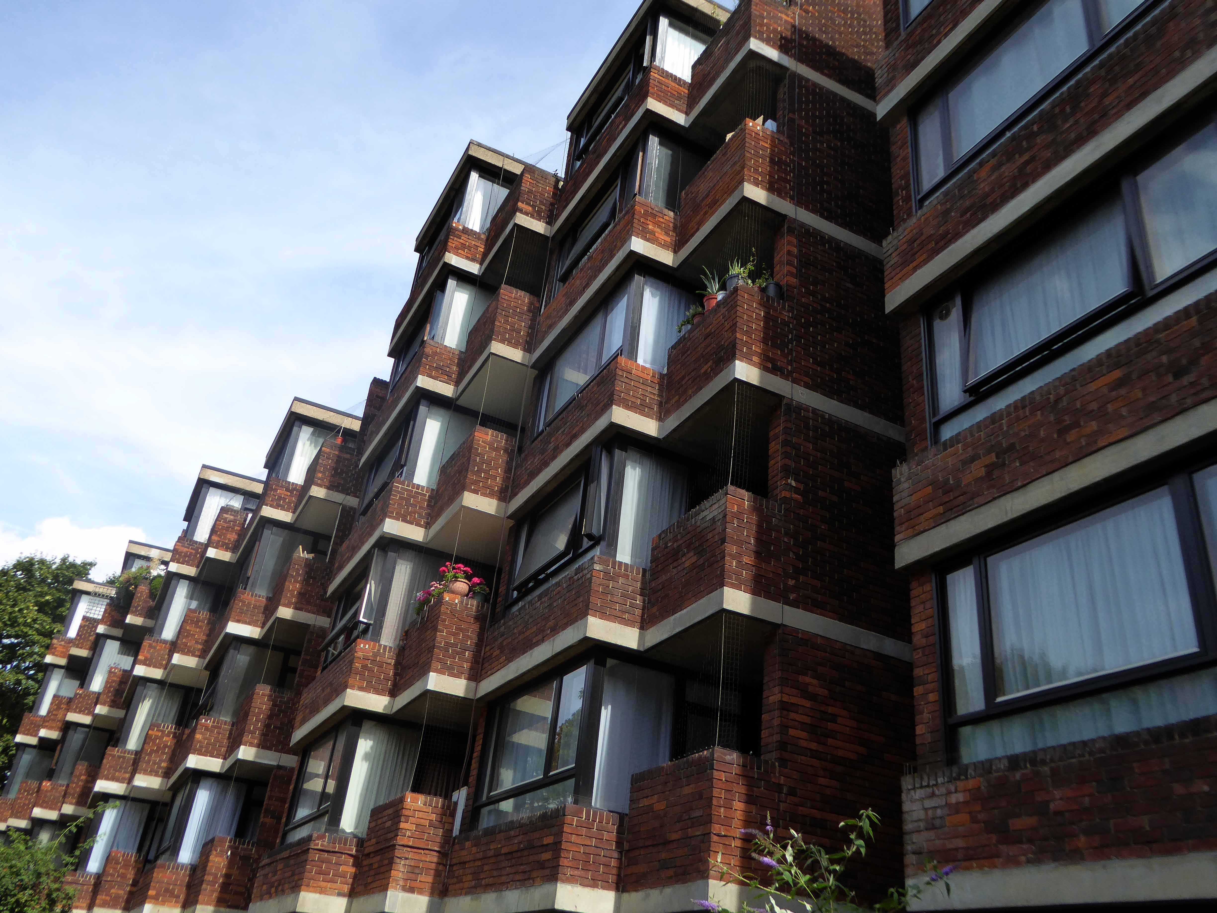
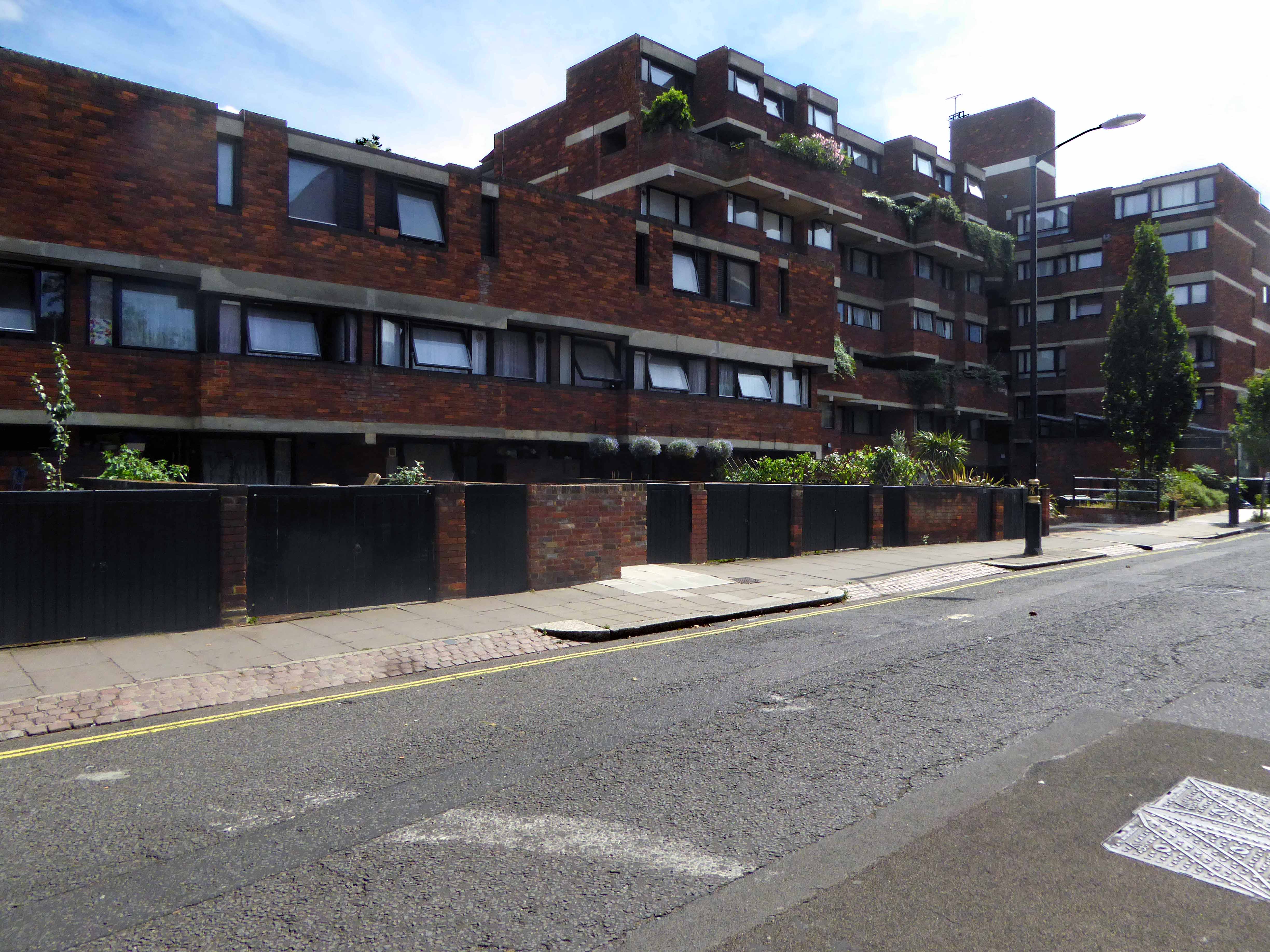
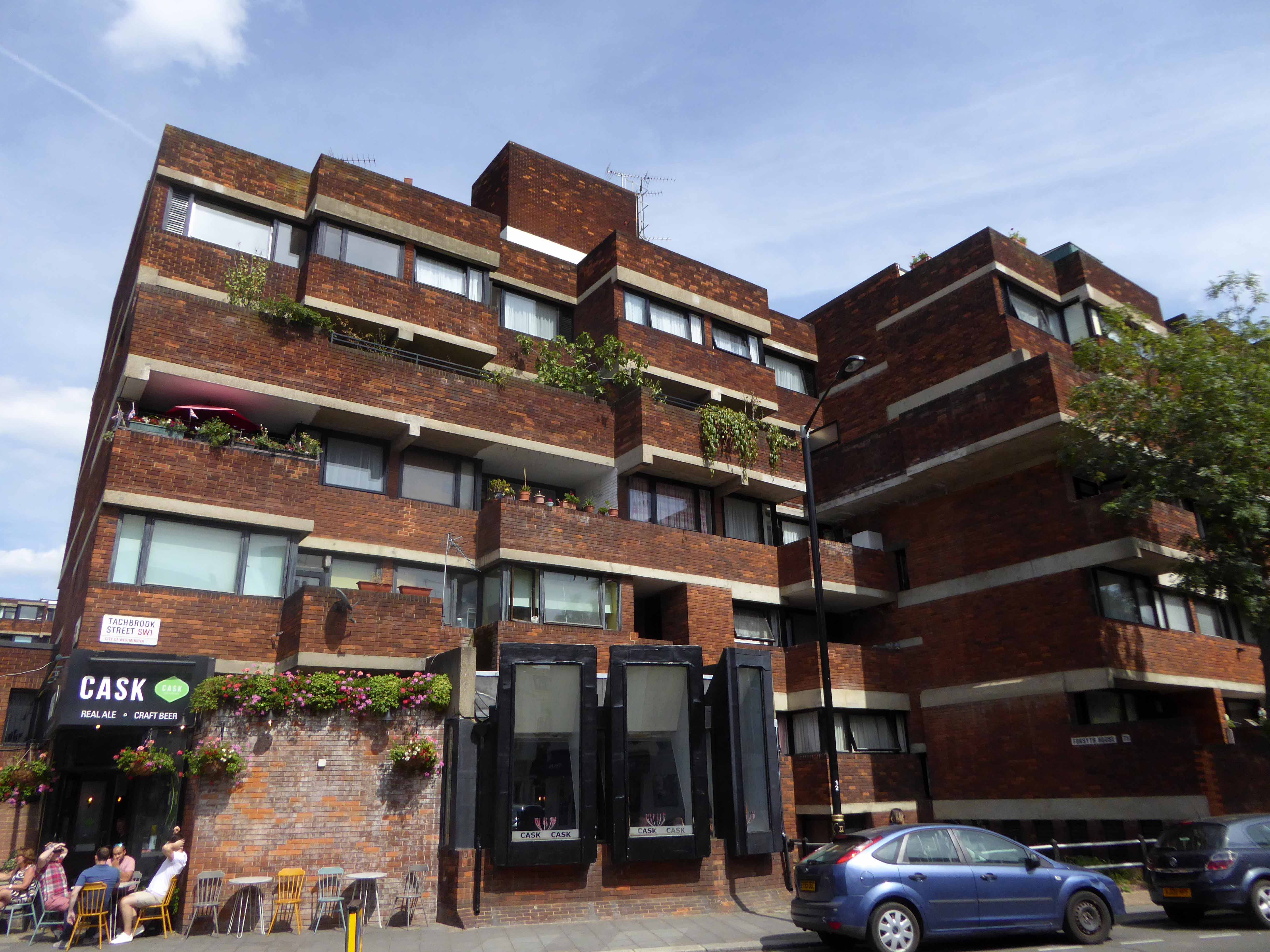
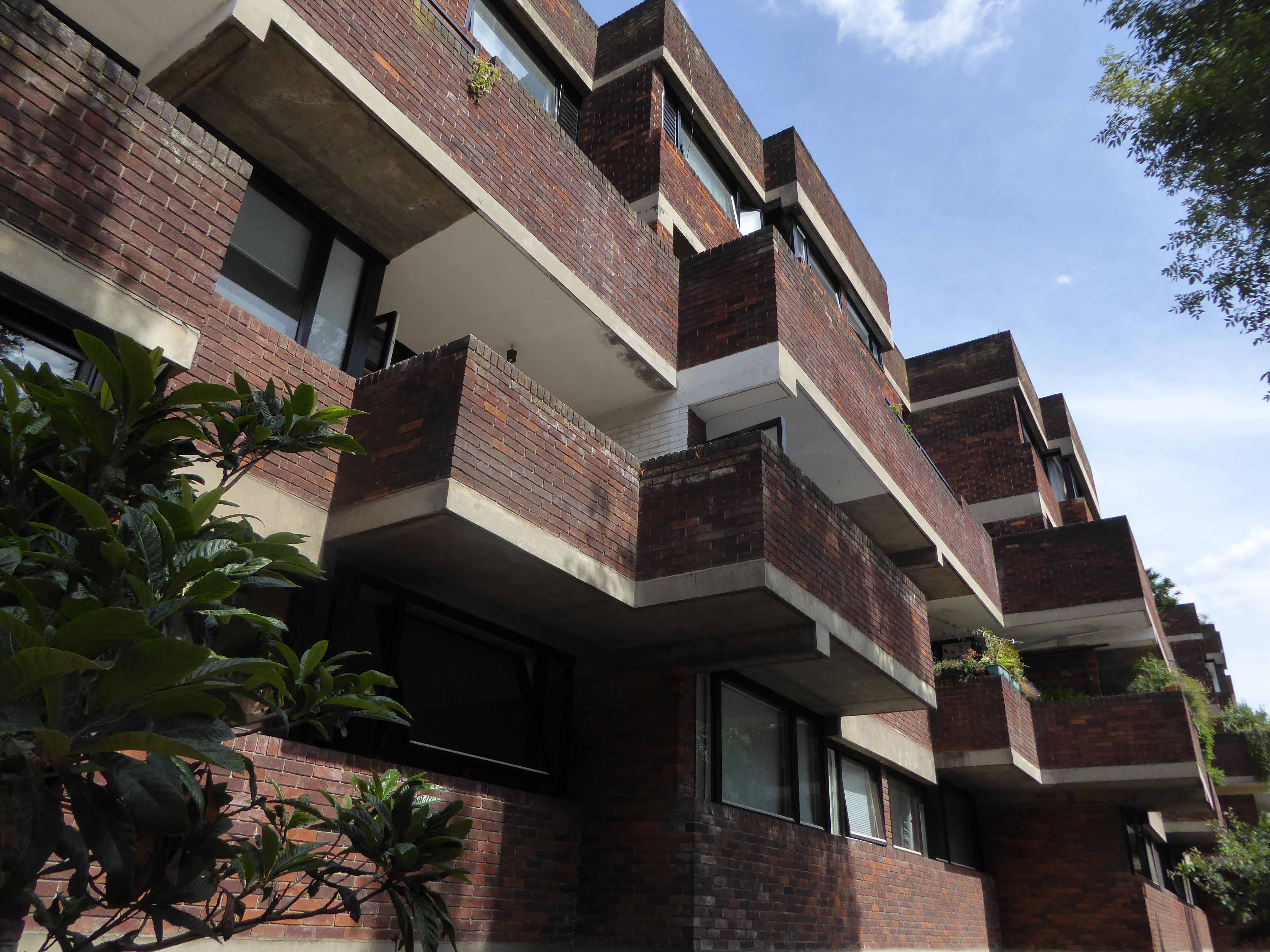
The estate was among the last of the high-density public housing schemes built in London during the postwar period, and is referred to as one of the most distinguished. Notably, seven years before the Ronan Point disaster ended the dominance of the tower block, Lillington Gardens looked ahead to a new standard that achieved high housing density within a medium rather than high-rise structure. It emphasised individuality in the grouping of dwellings, and provided for private gardens at ground and roof levels.

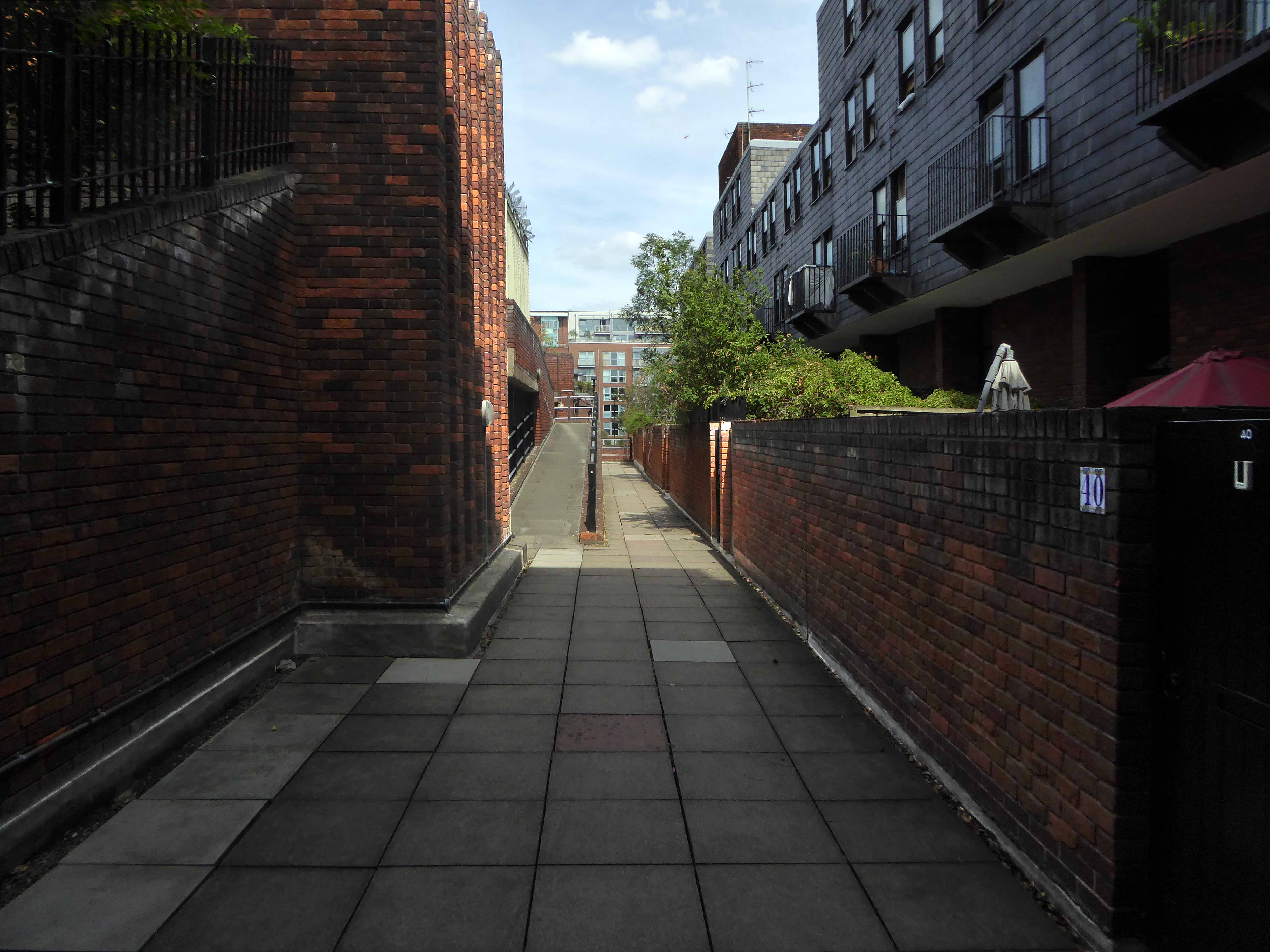
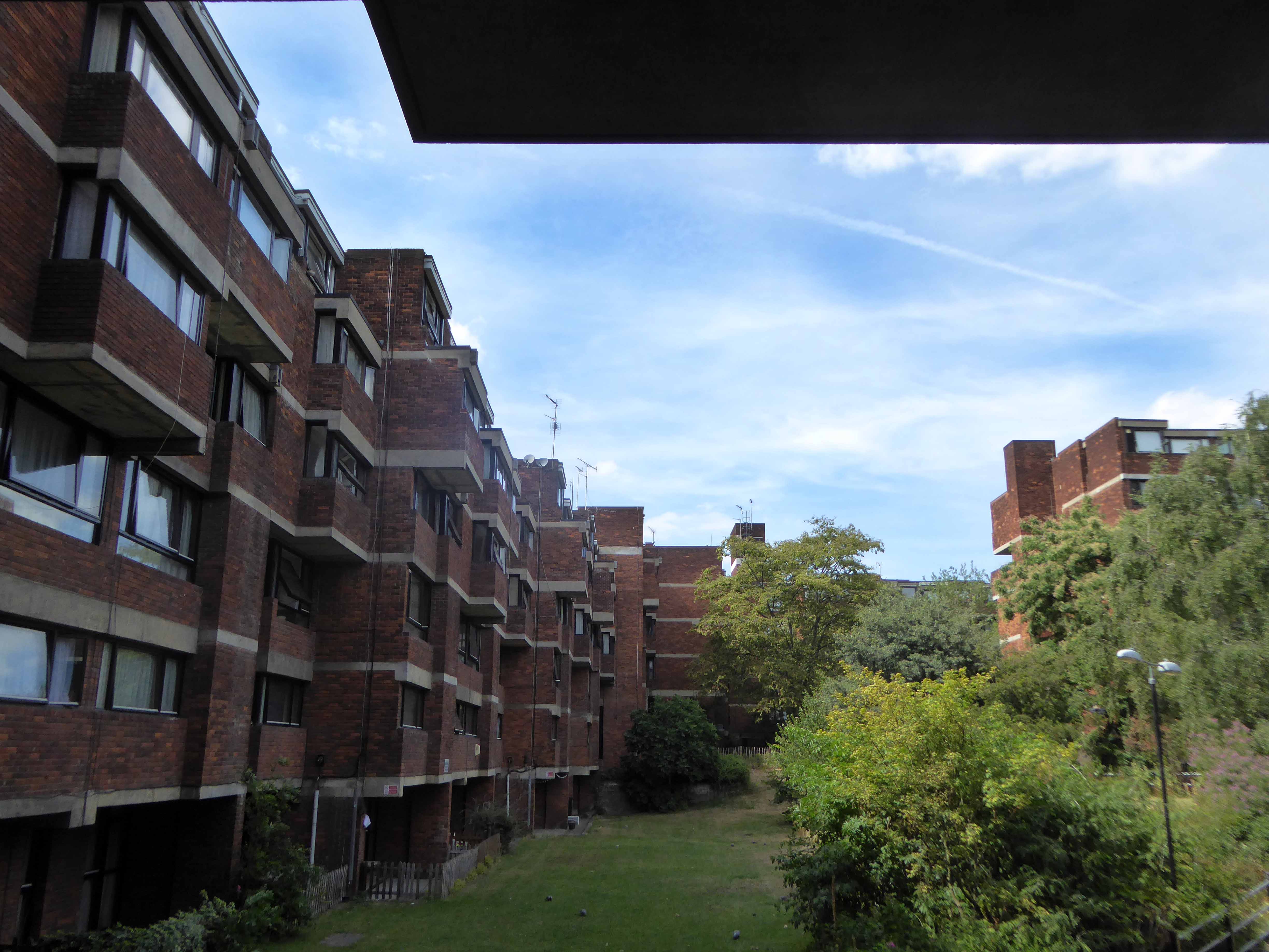
The estate’s high build quality, and particularly the planted gardens of its wide roof street, blend sympathetically with the surrounding Victorian terraces.

The estate’s high quality design was acknowledged by a Housing Design Award 1961, Ministry of Housing and Local Government Award for Good Design 1970, RIBA Award 1970 and RIBA Commendation 1973. Nikolaus Pevsner described it in 1973 as “the most interesting recent housing scheme in London”.

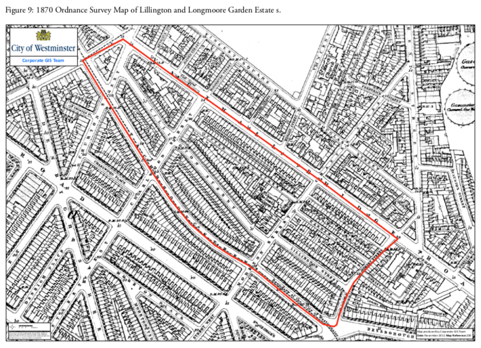
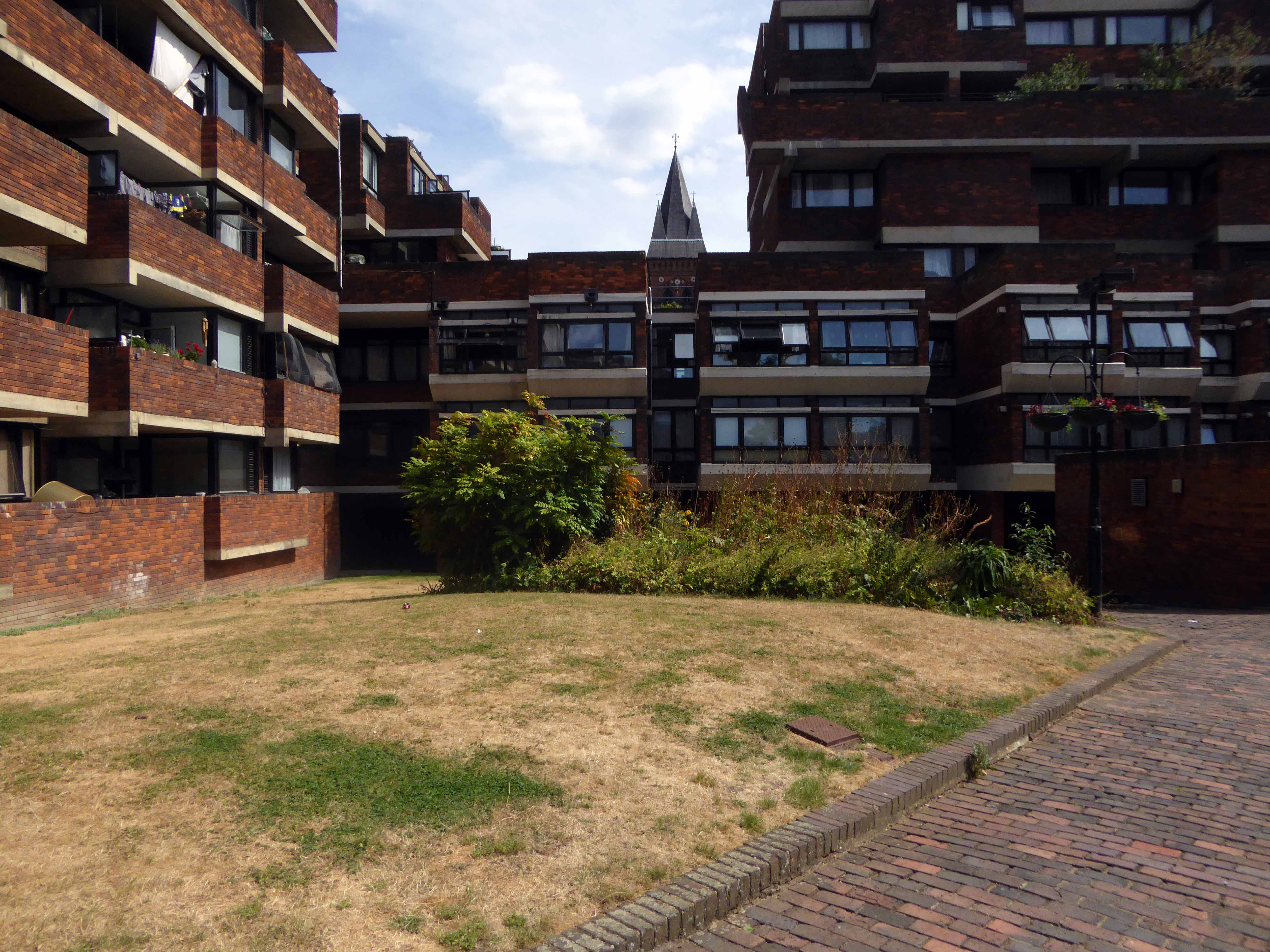
The site surrounds the Grade I listed Church of St James the Less, built in 1859–61. The entire estate, including the church, was designated a conservation area in 1990.

Screen Shot 2018-08-19 at 17.44.59

Lillington and Longmoore Gardens Conservation Area Audit

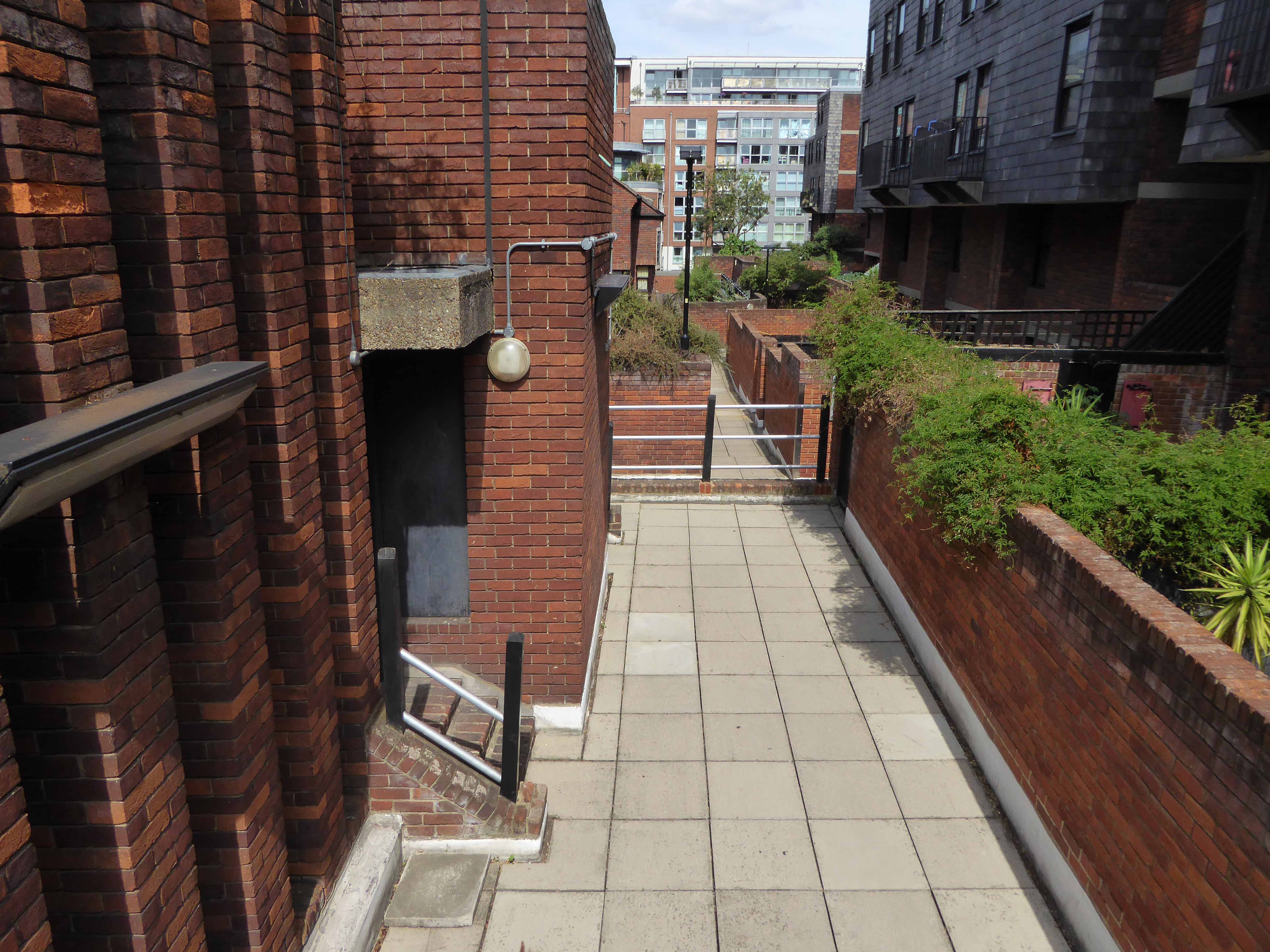
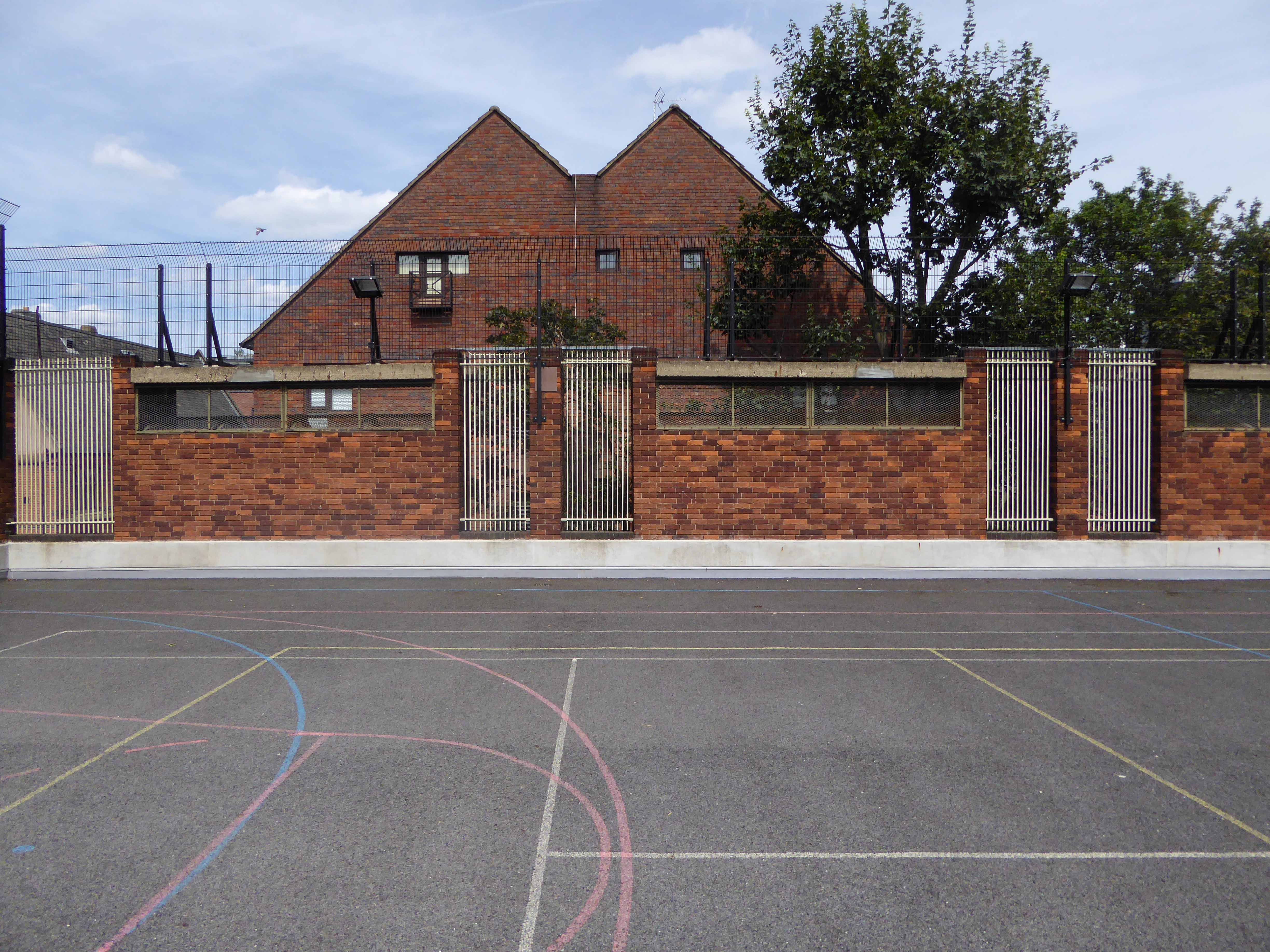
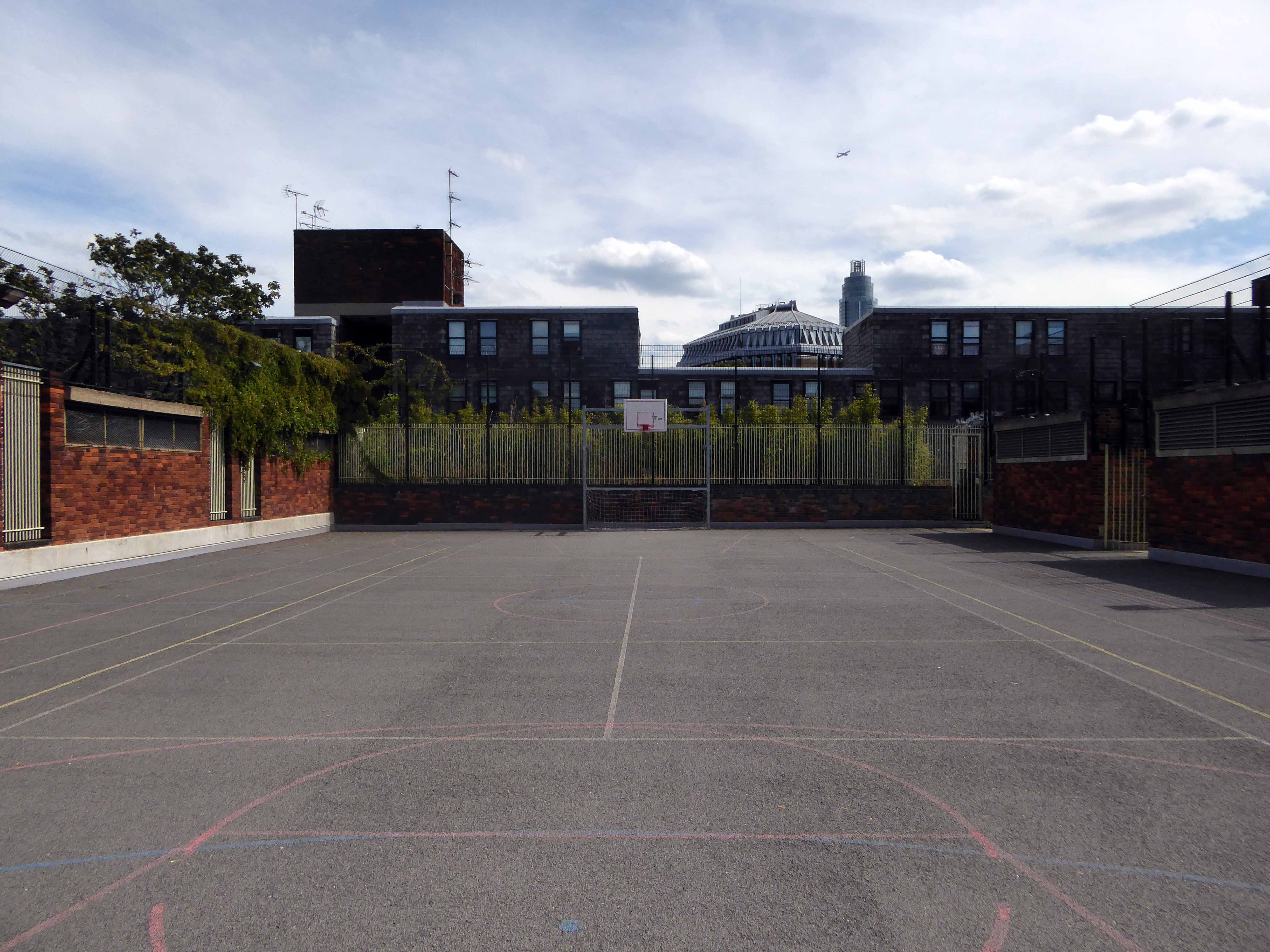
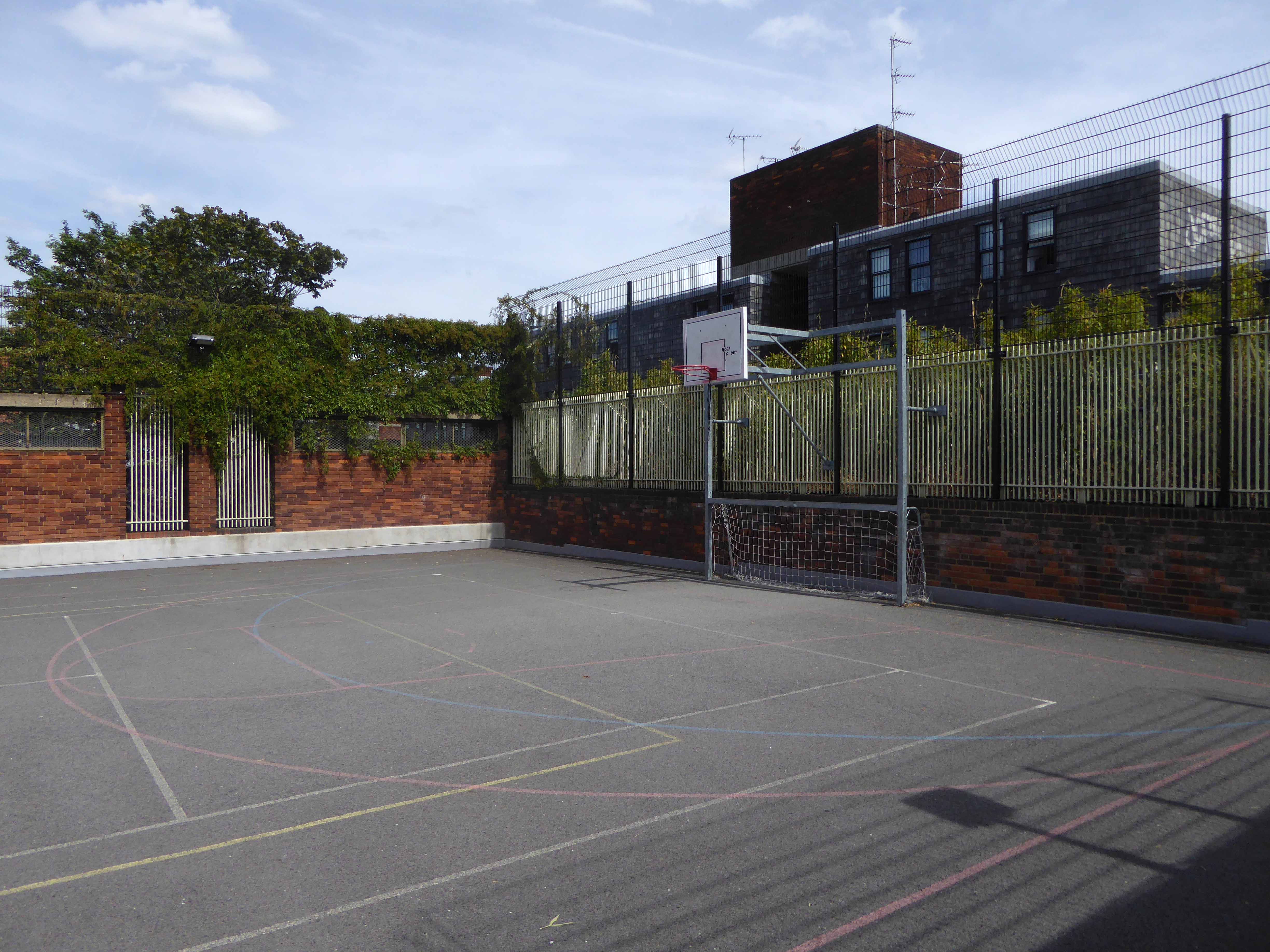
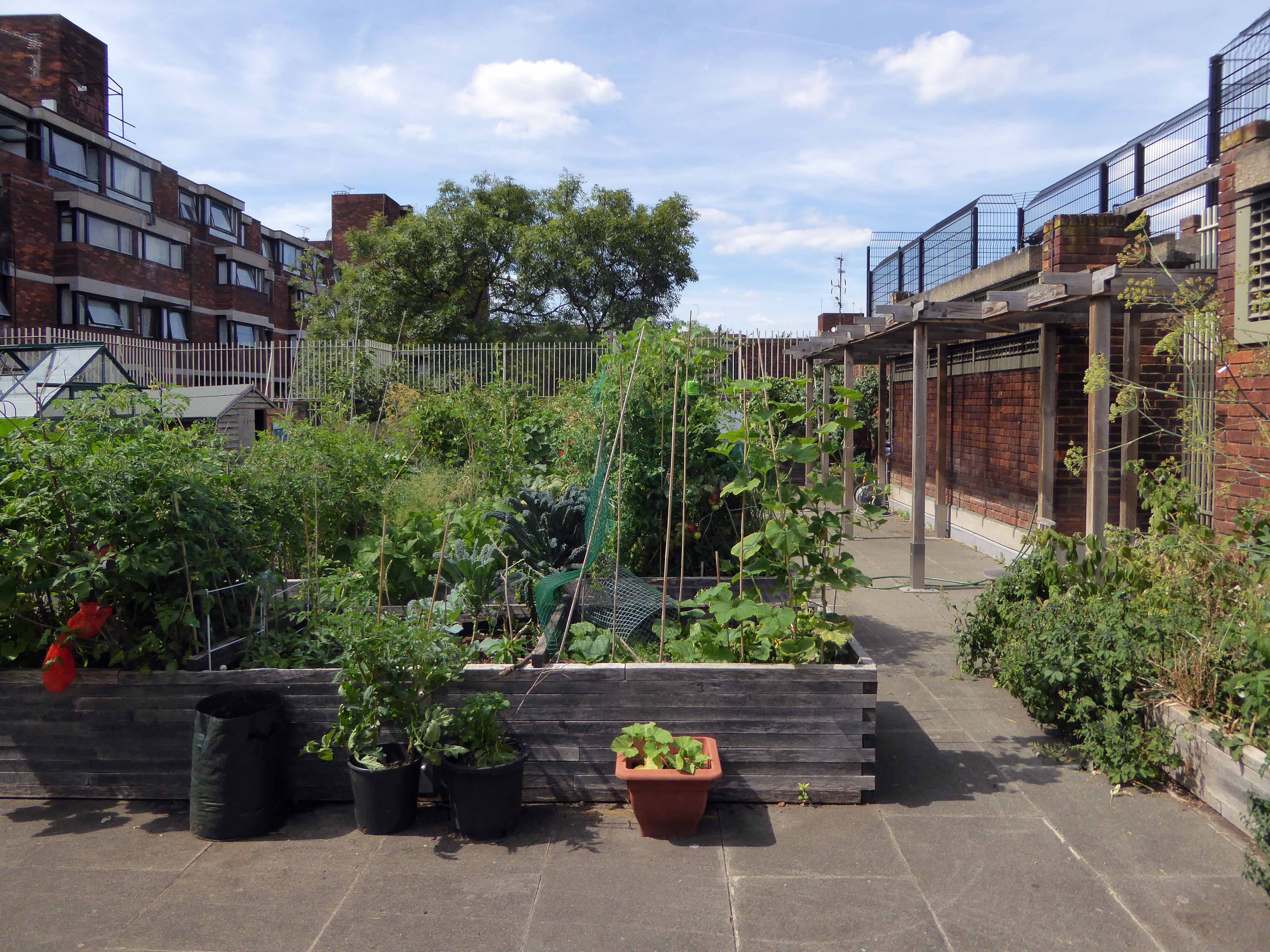
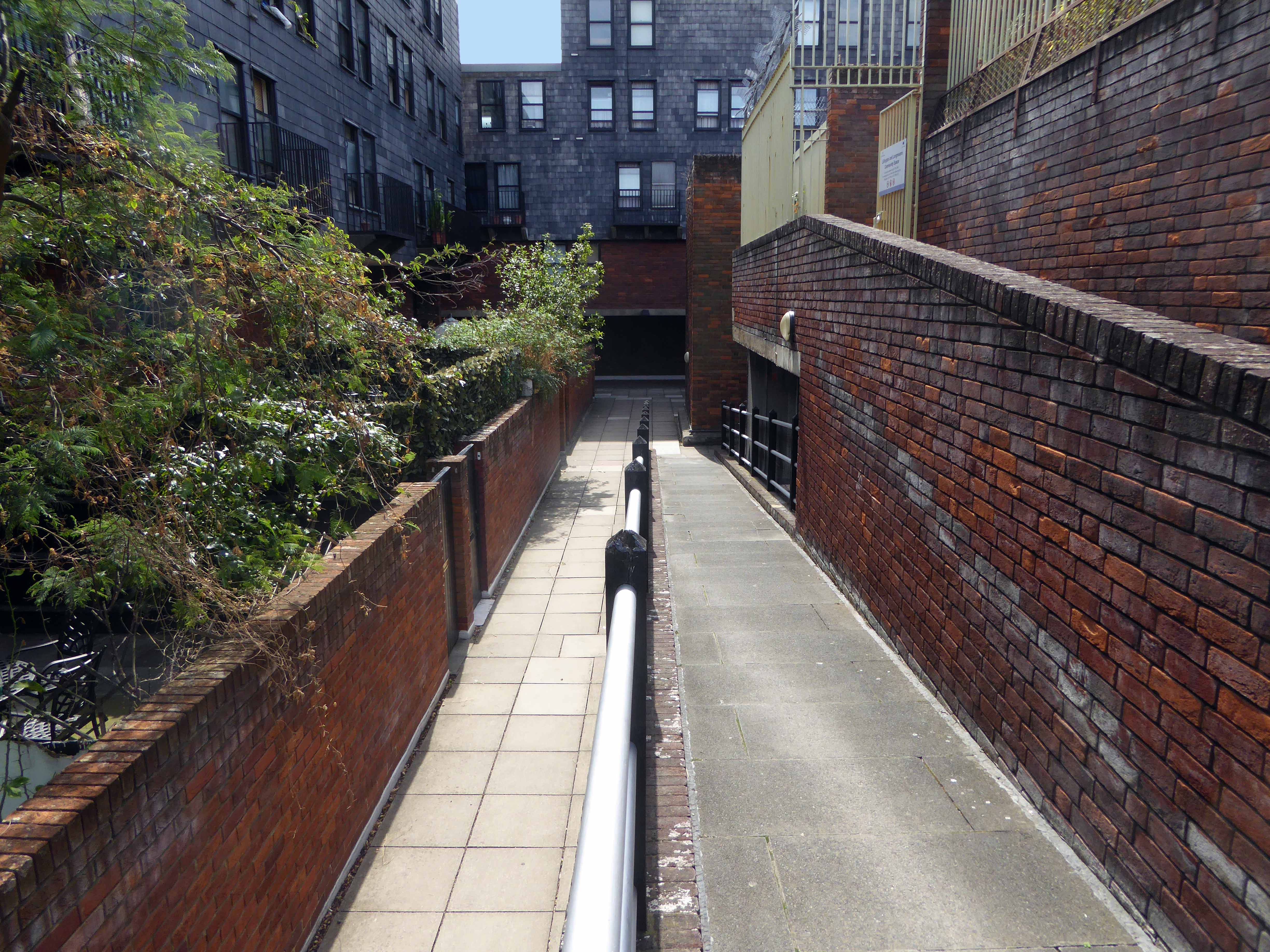
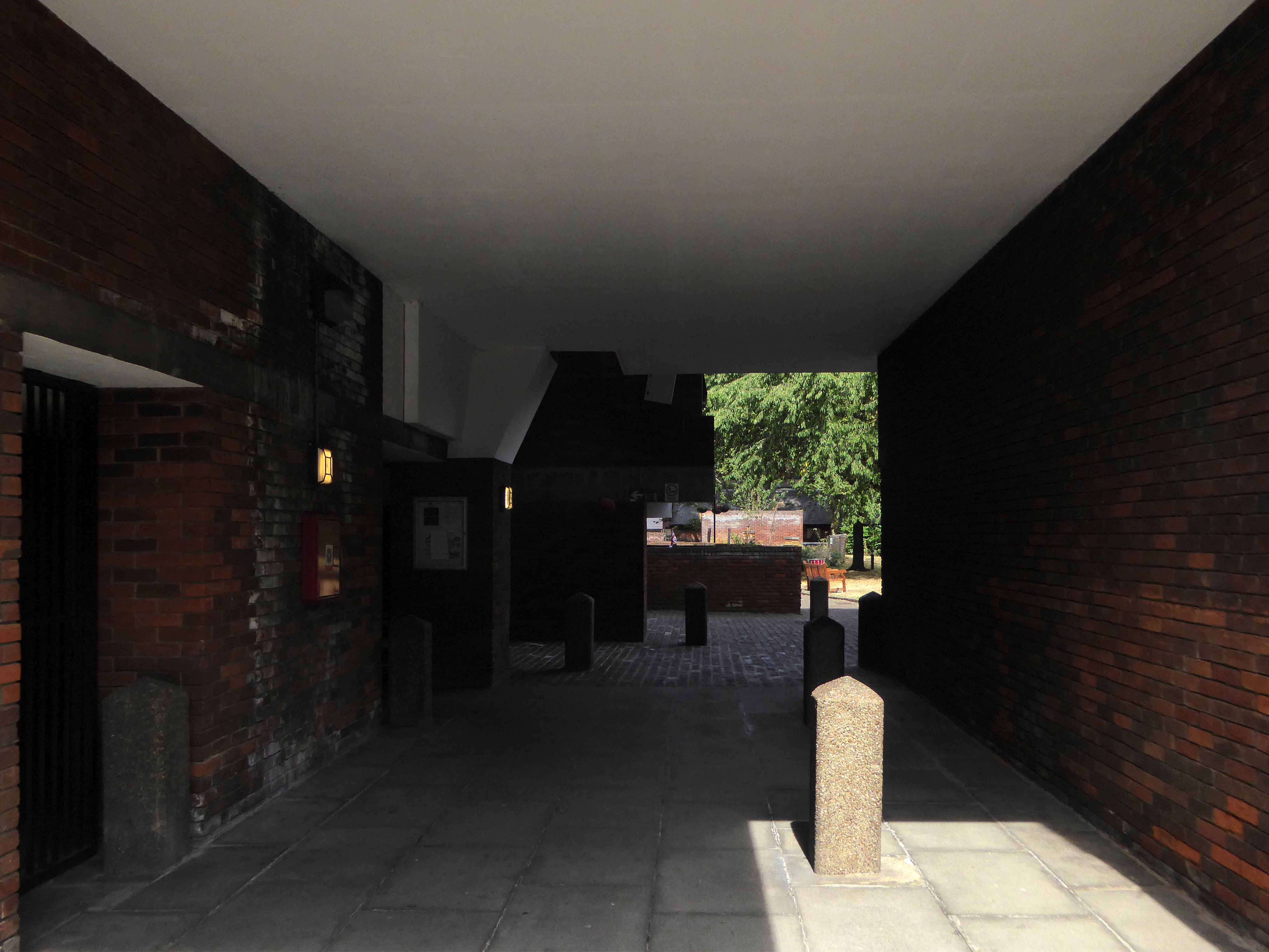
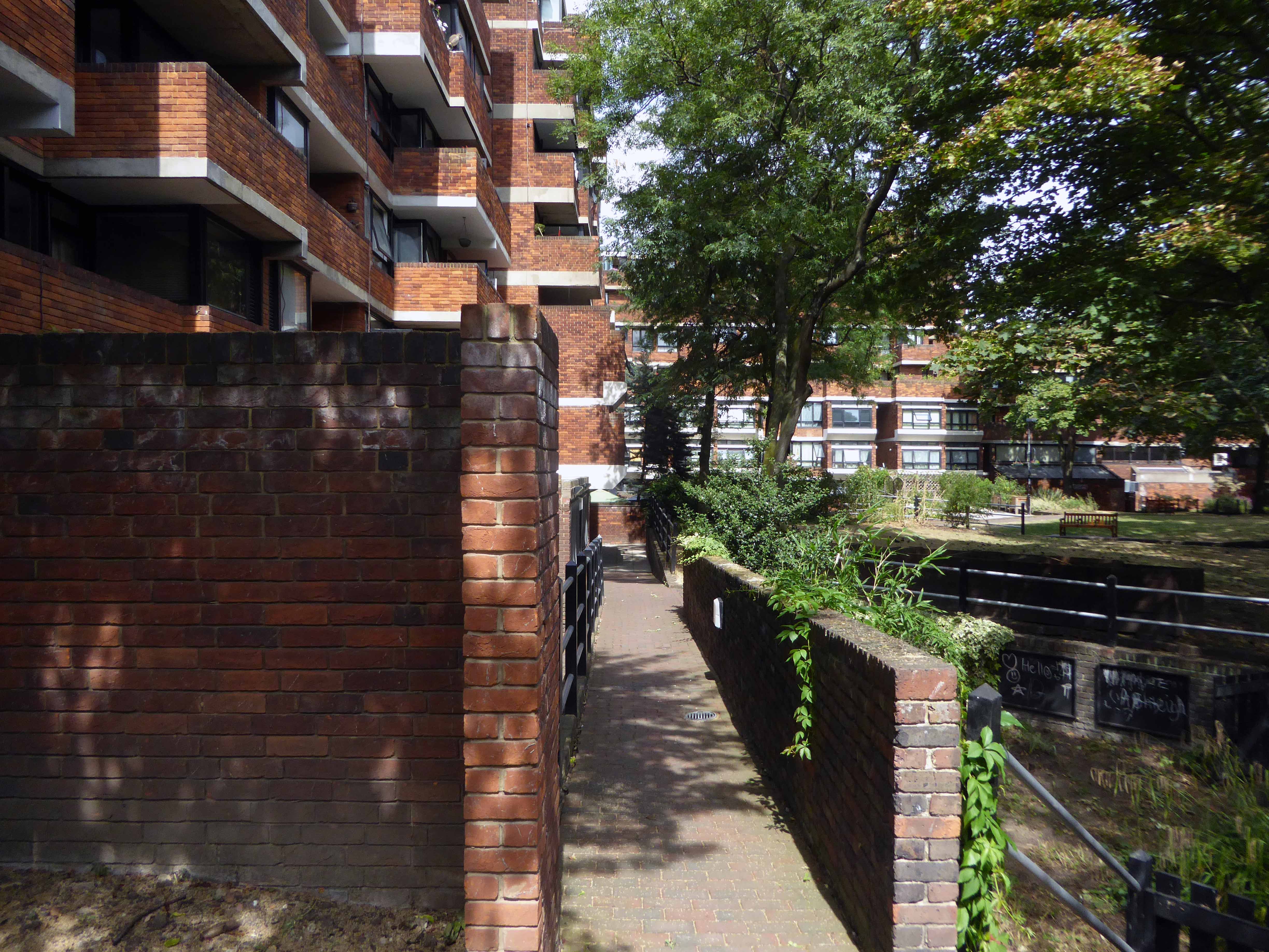
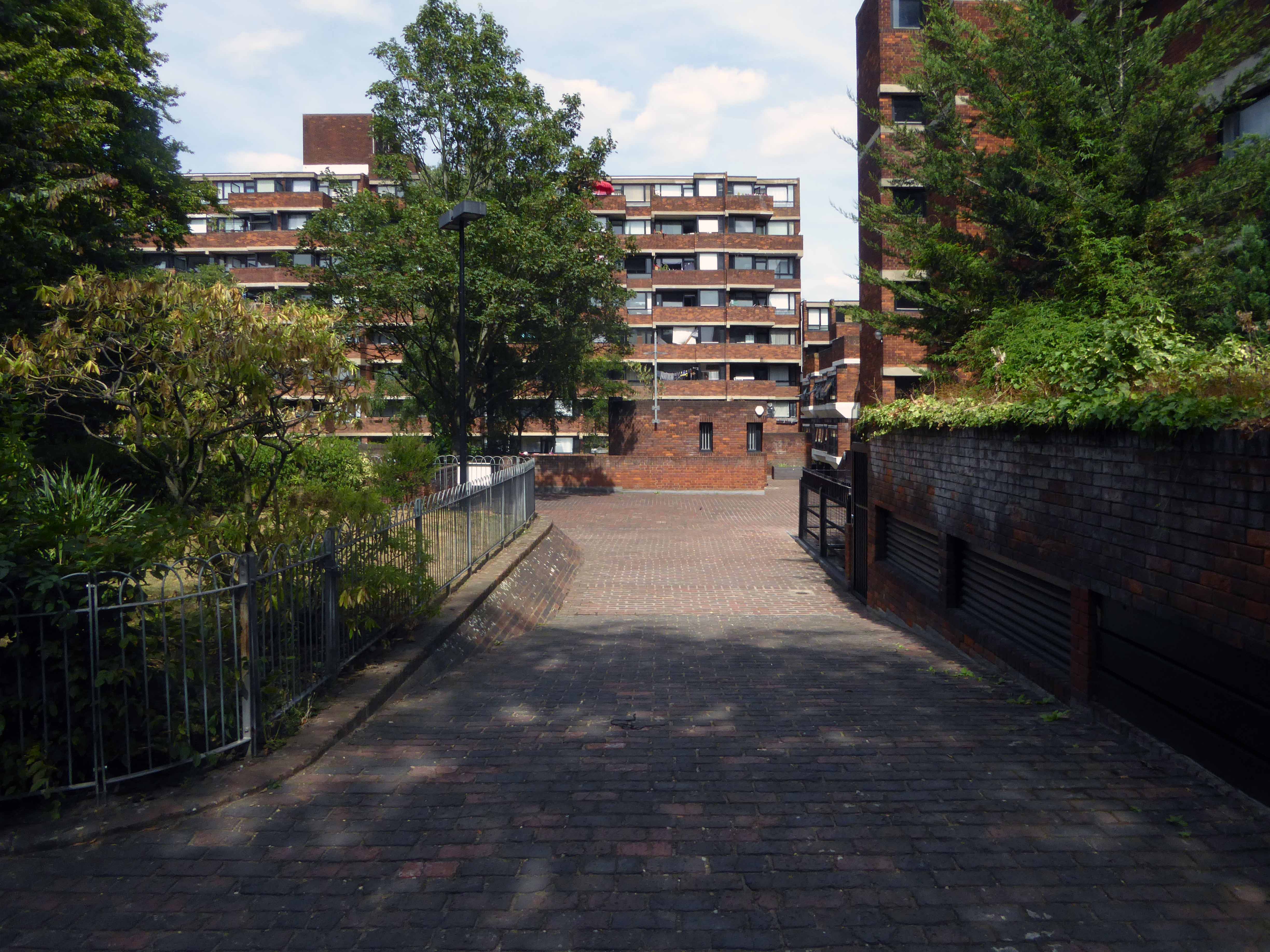
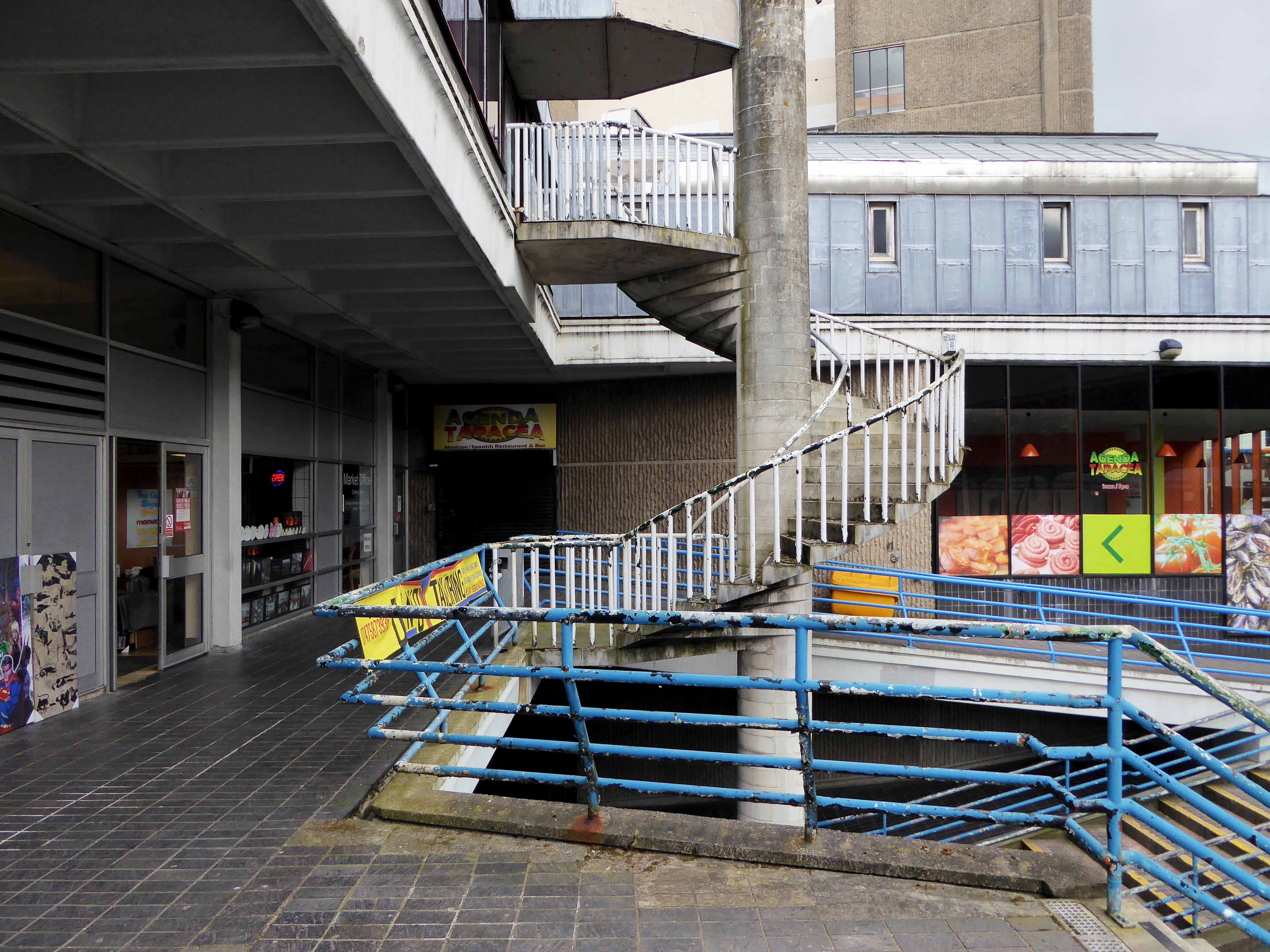
On the day of my visit, London in the grip of a July heatwave, the open areas, narrow alleys, byways, steps, stairs and roof gardens and play area were largely empty, citizens preferring the cooler interior environment of their homes.

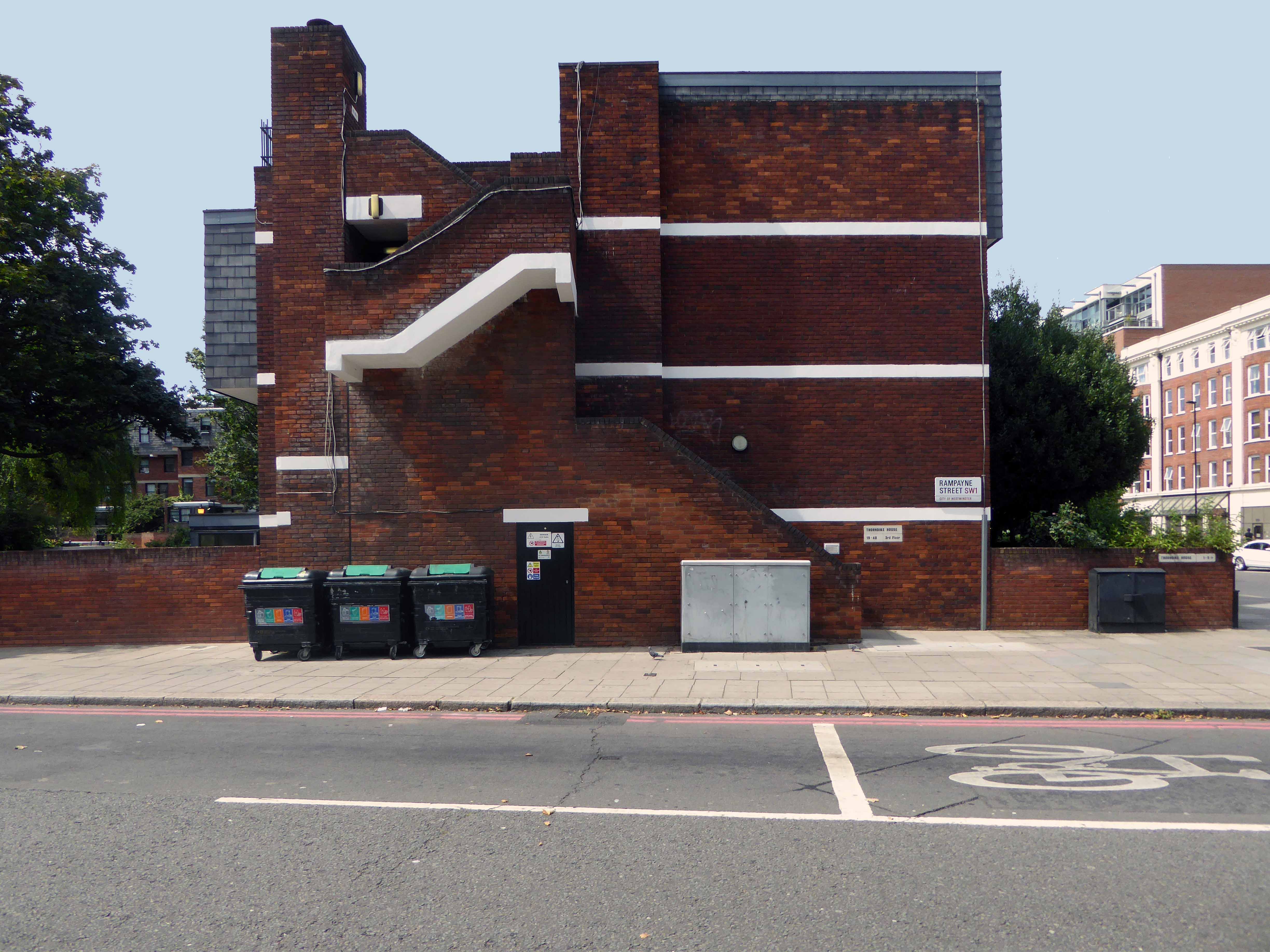
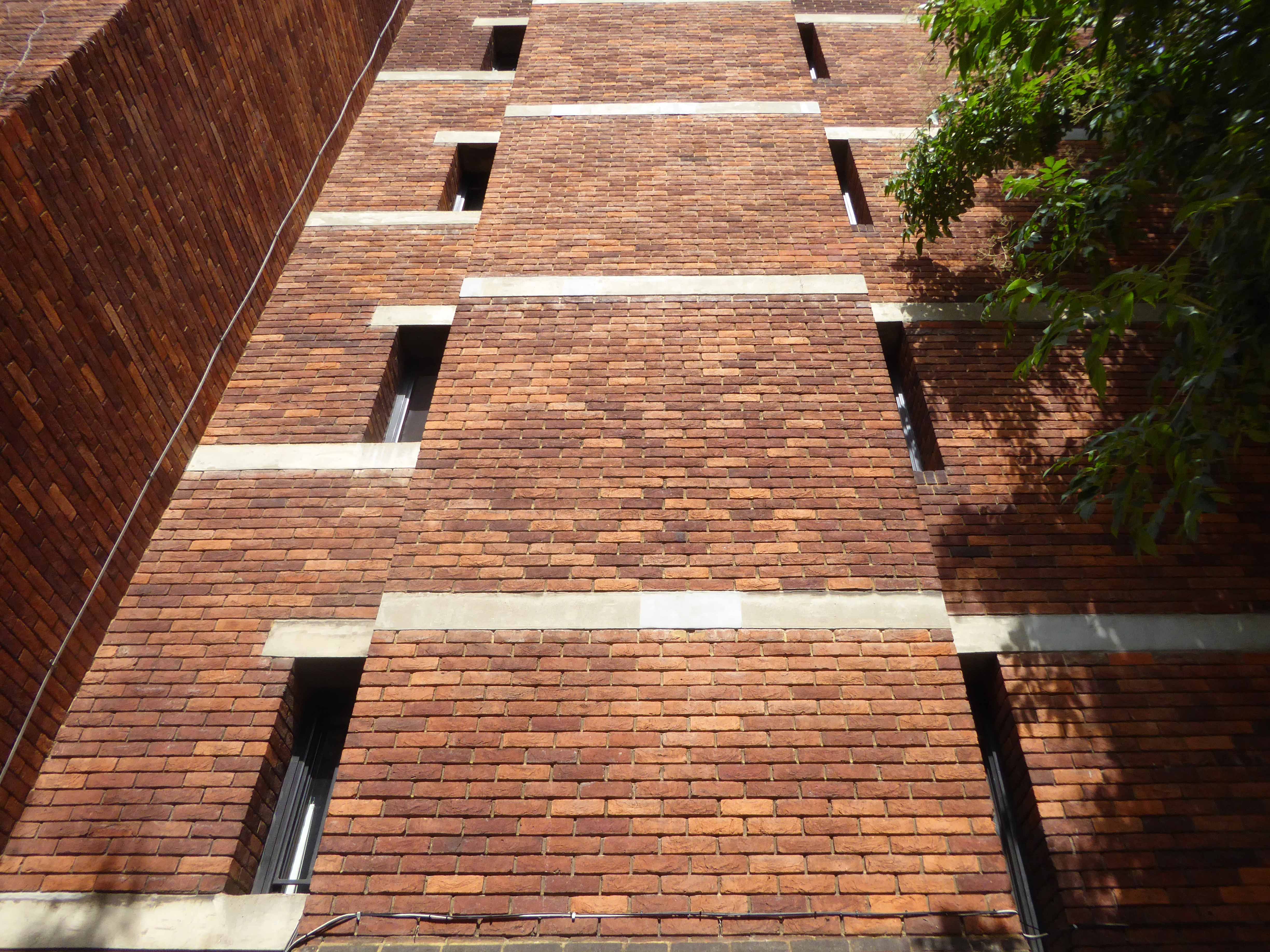
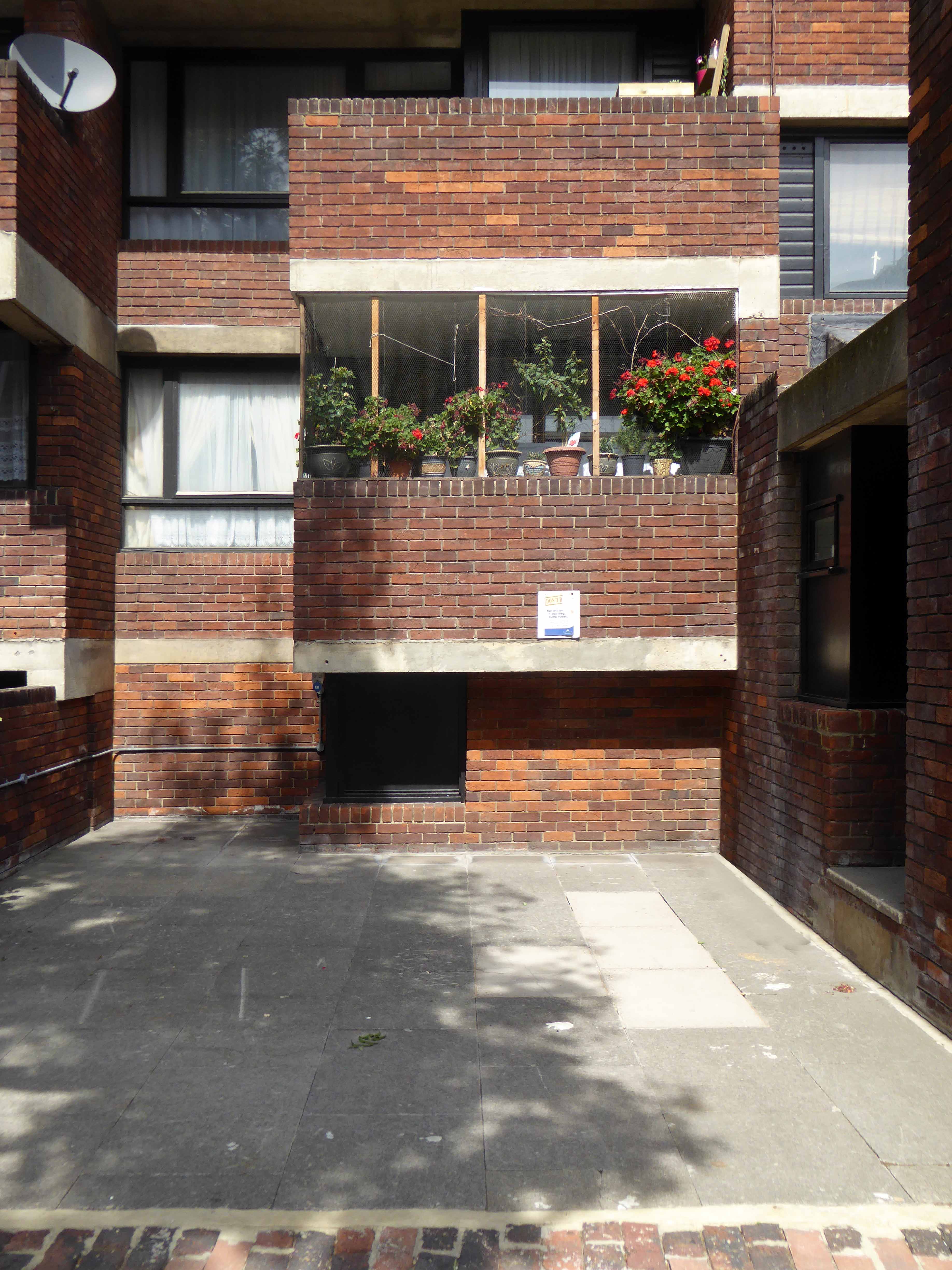
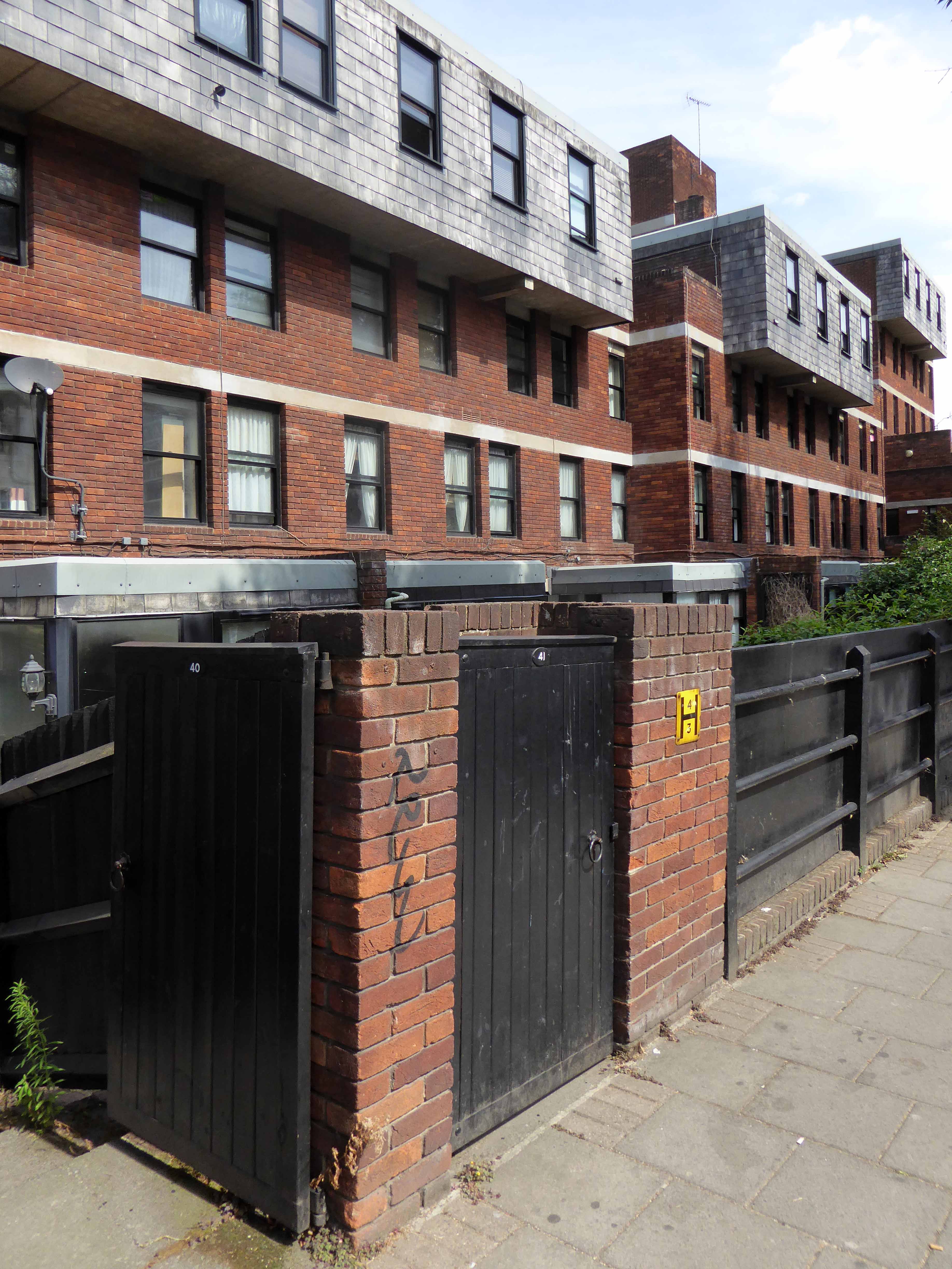
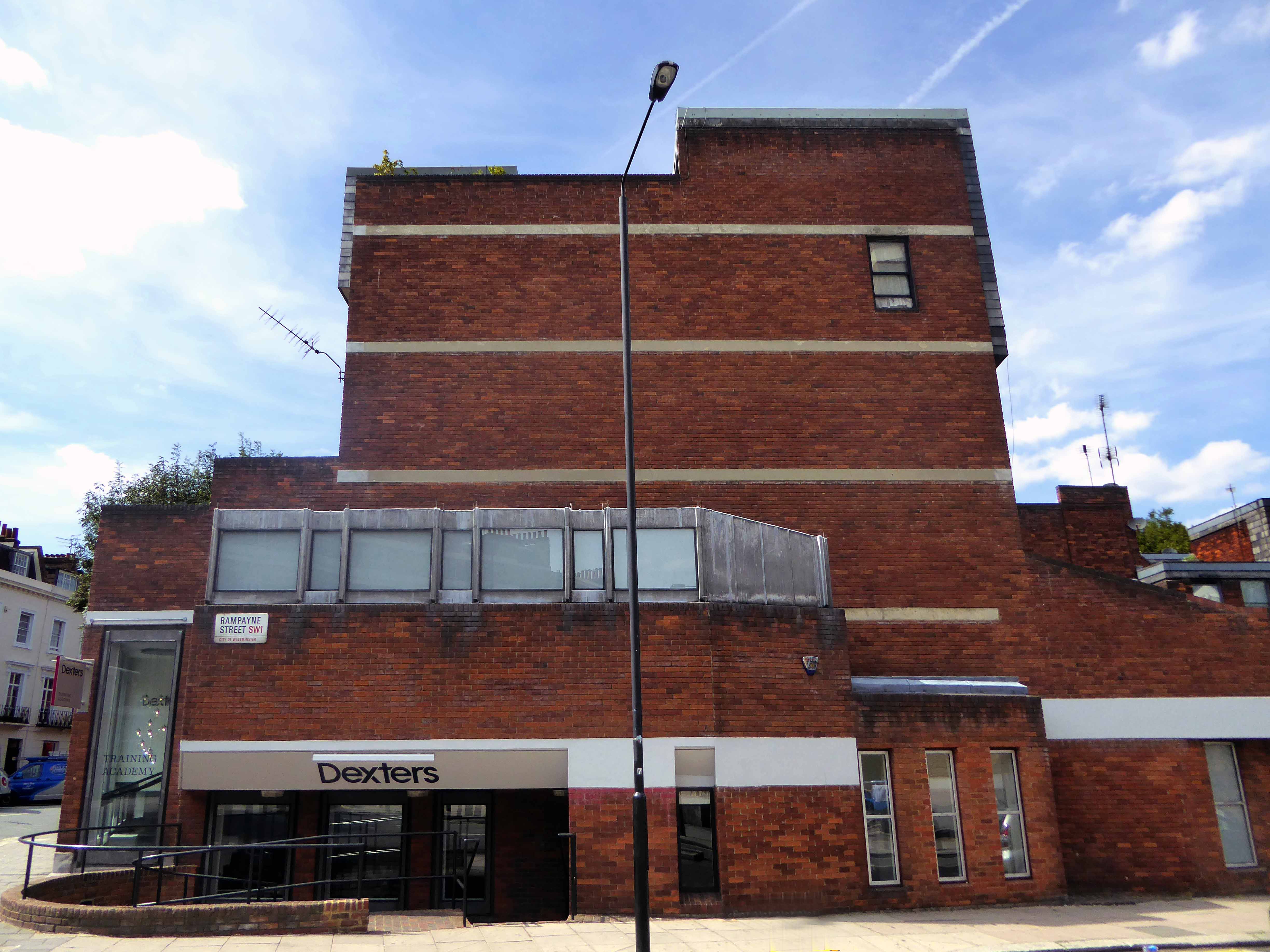
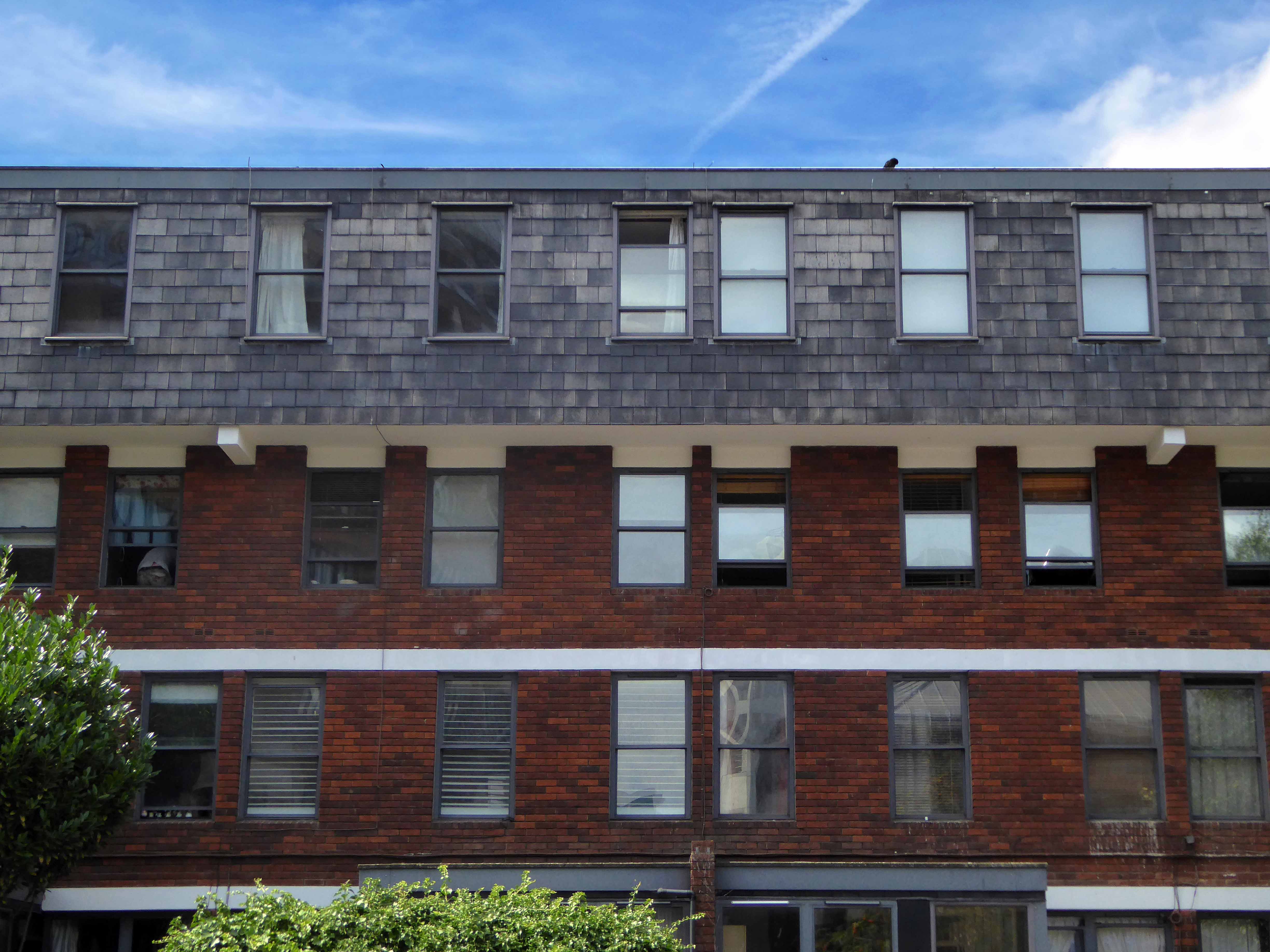
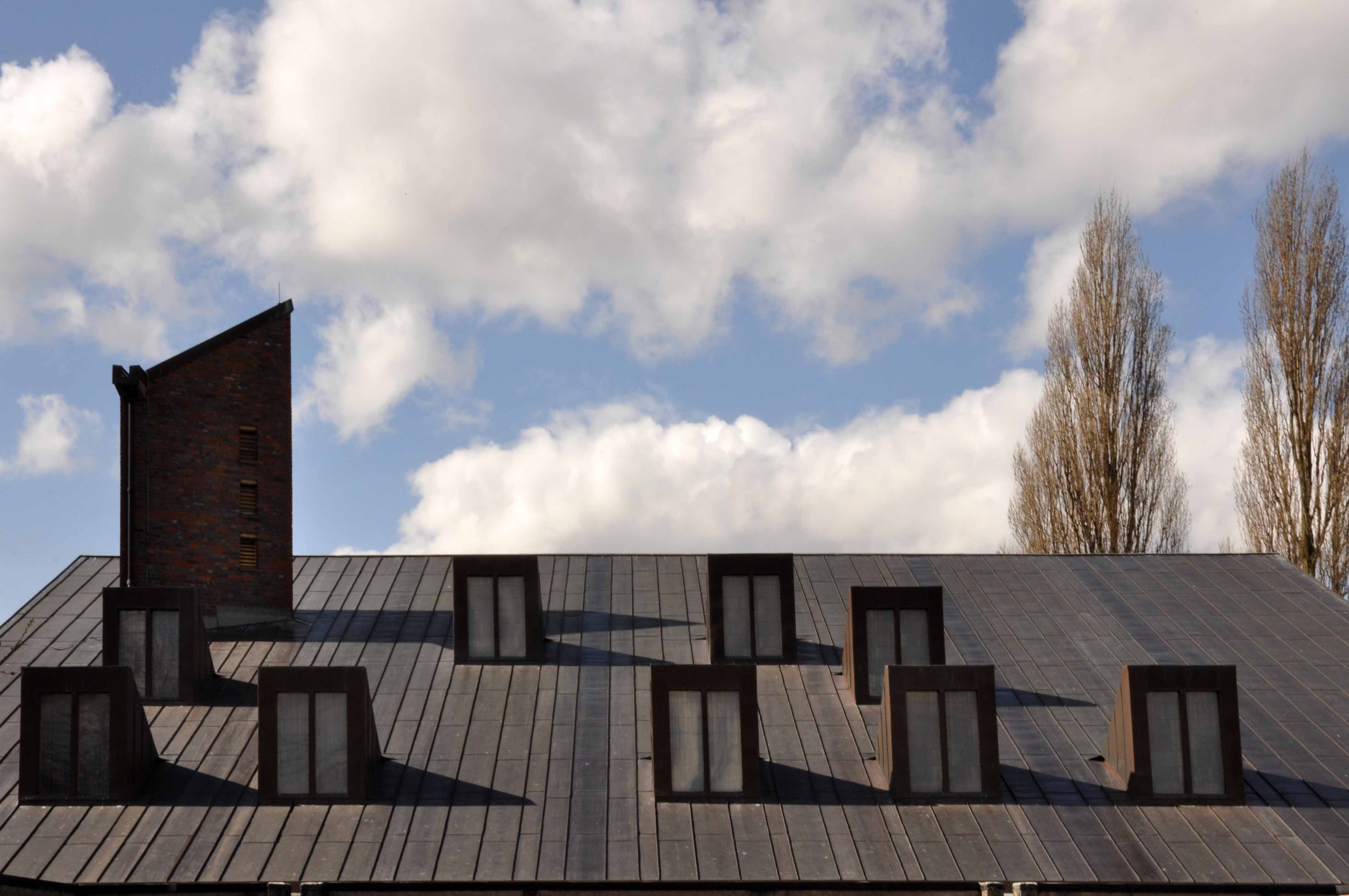
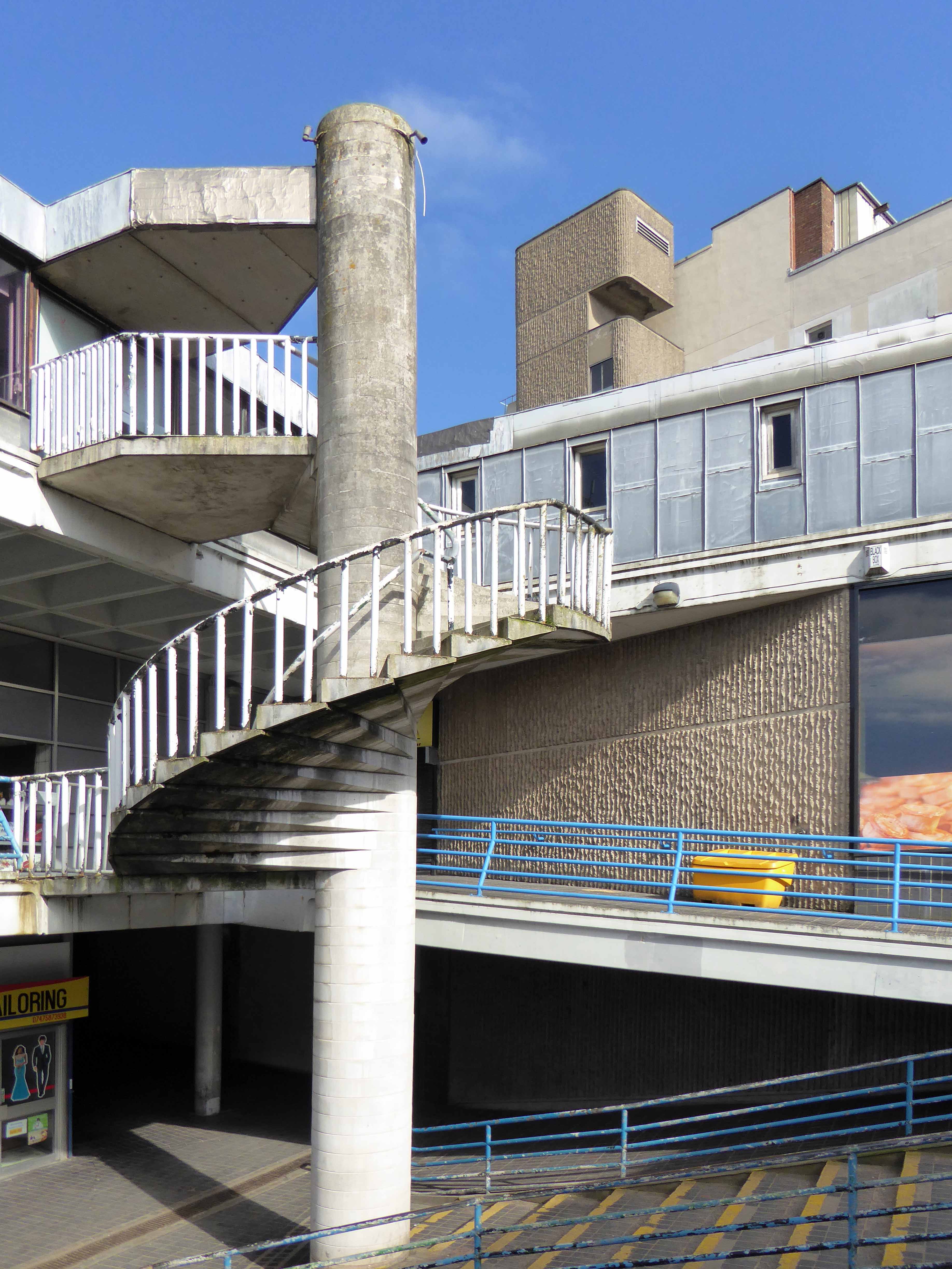
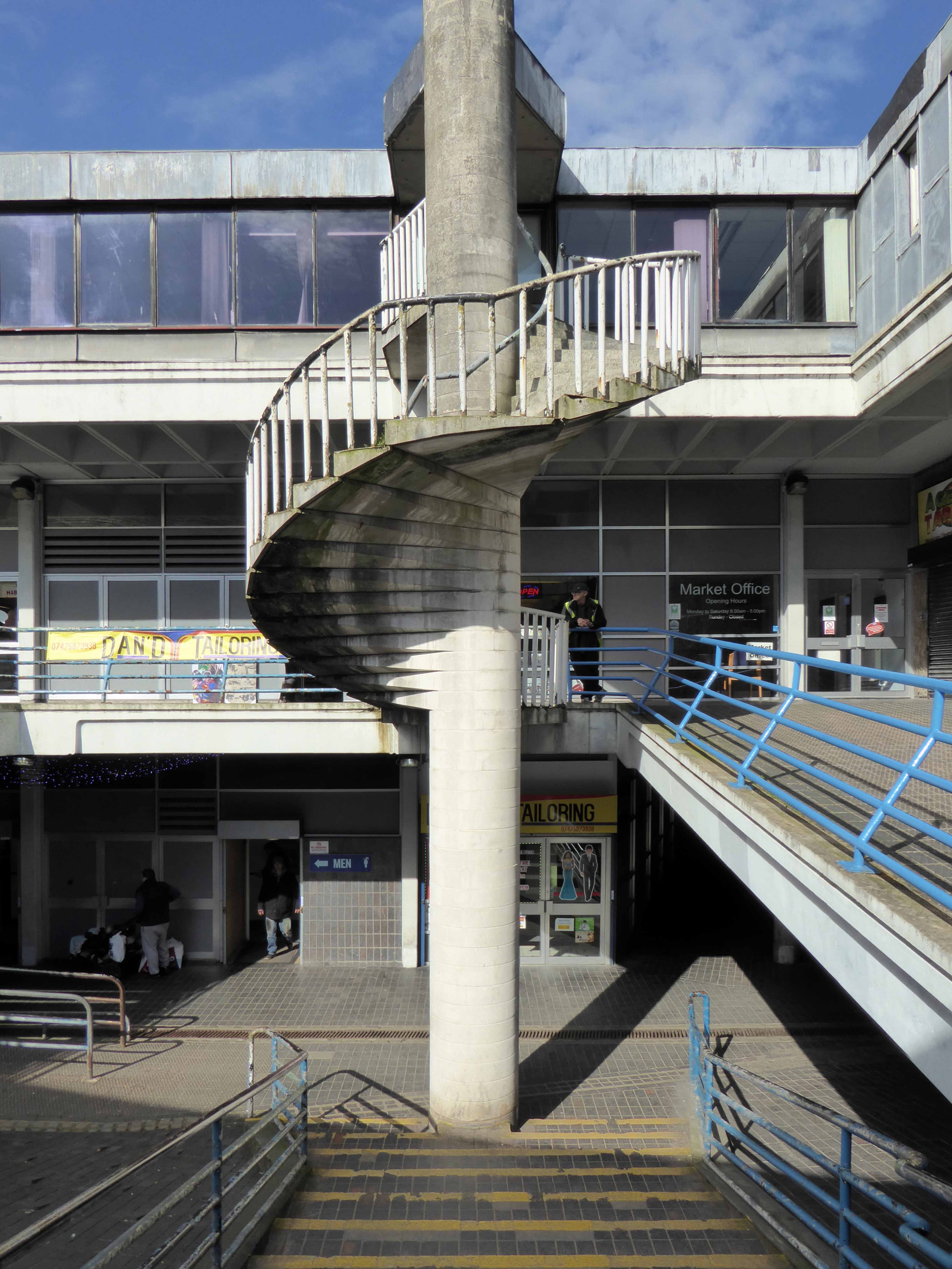
The materials, warm brown brick and sheet-metal cladding, form complex interlocking shapes and volumes, creating a variety of heights and spaces. This makes exploration and navigation of the estate quite an adventure, disorienting at first, until one grasps an overall sense of the development’s structure.

Lillington Gardens provides homes, community, green space and an exciting range of vistas, a prime example of social housing on a human scale. Leafy glades, light and shade, grassy knolls abound.

Municipal Dreams for further reading.

P1270995

P1270997

P1270999

P1280002

P1280004

P1280007

P1280008

P1280009

P1280010

P1280011

P1280012

P1280013

P1280014

P1280016

P1280017

P1280018


P1280021

P1280022

P1280023

P1280024

P1280026

P1280027

P1280028

P1280030P1280031

P1280032

P1280033

P1280034

P1280035

P1280037

P1280038

P1280040

P1280041

P1280042

P1280043

Chantry House – Wakefield

Soft wind blowing the smell of sweet roses to each and every one,
Happy to be on an island in the sun.

An island in Wakefield.

An Island in a sea of dual-carriageways.

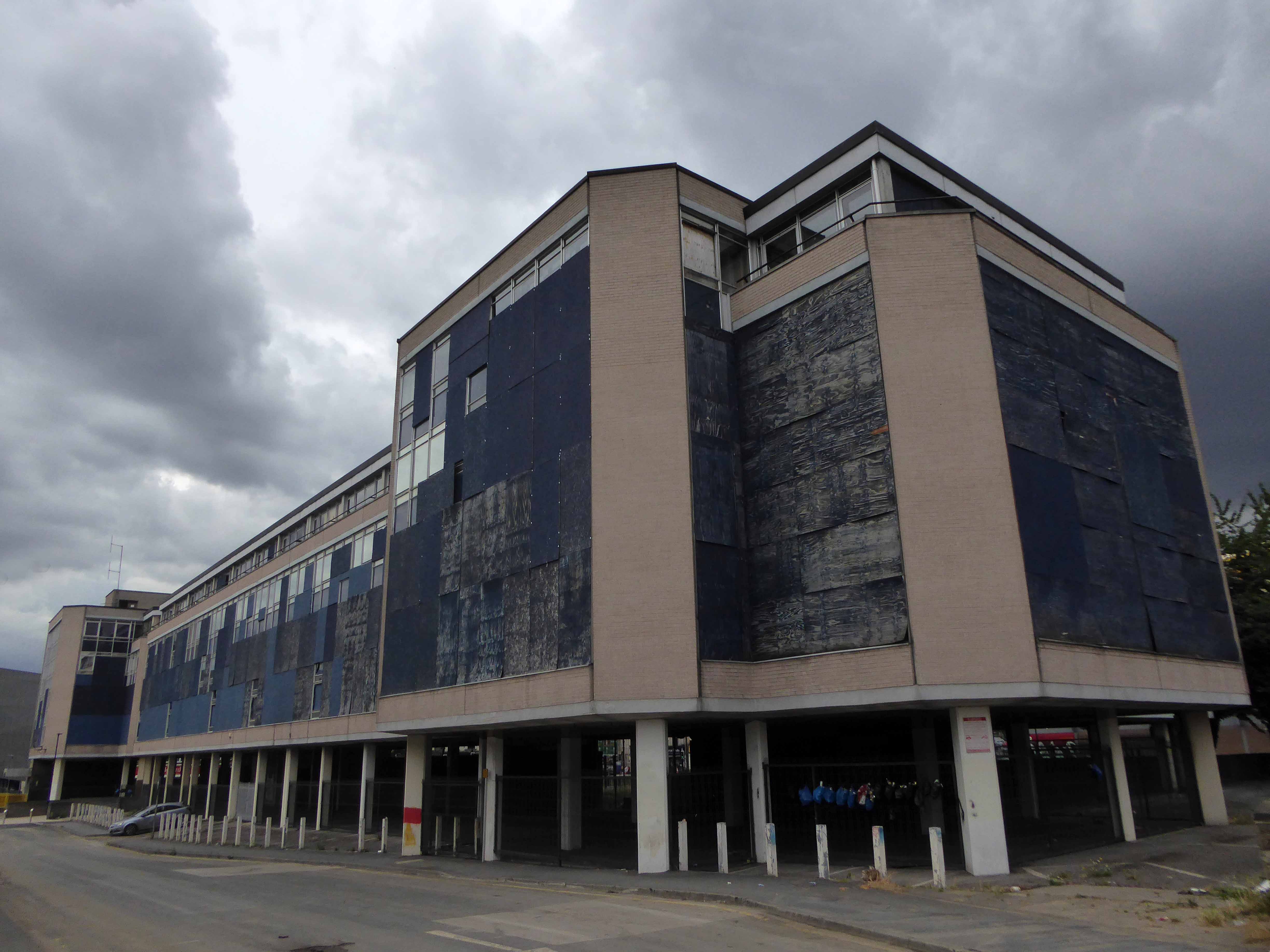
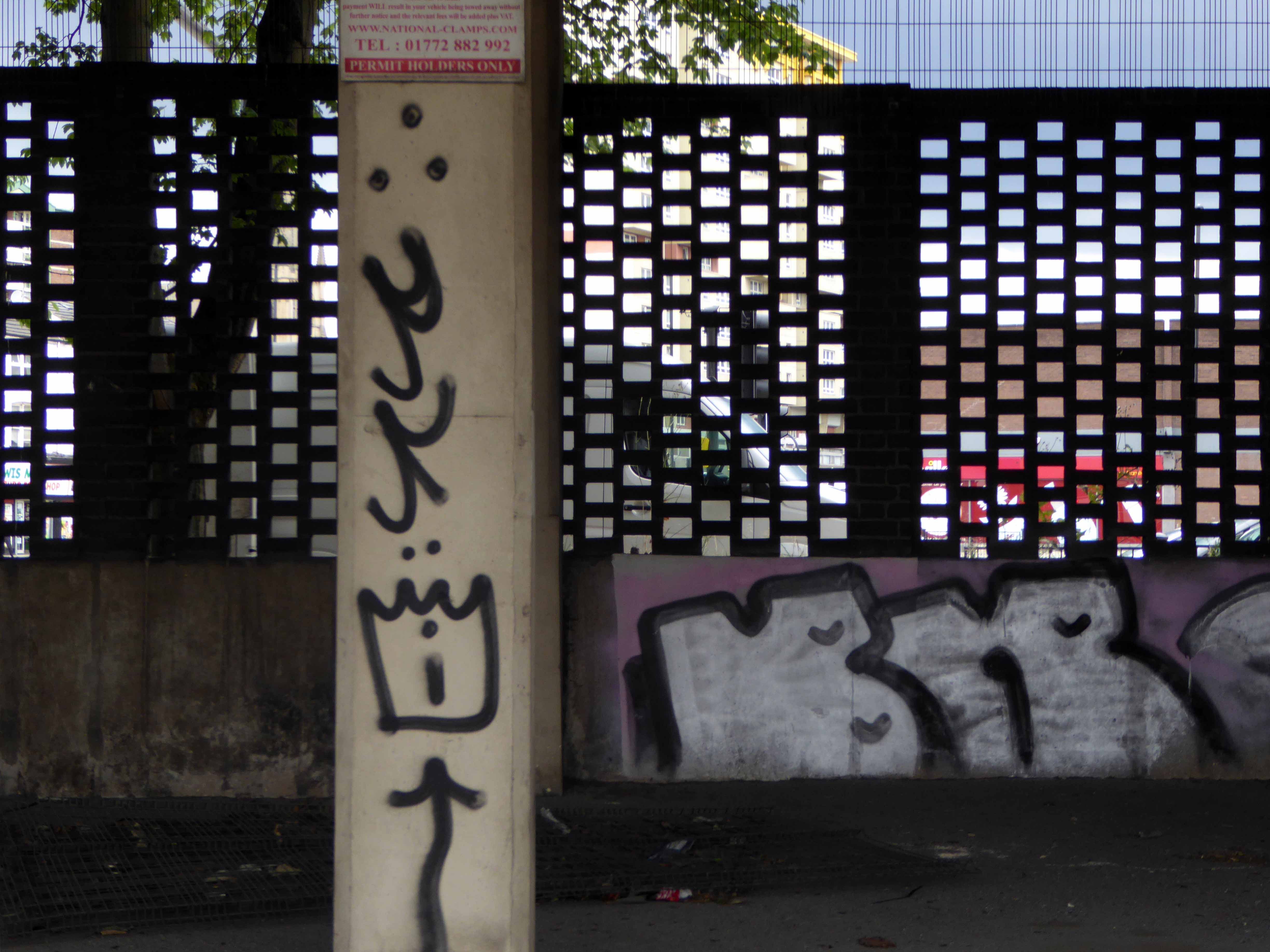
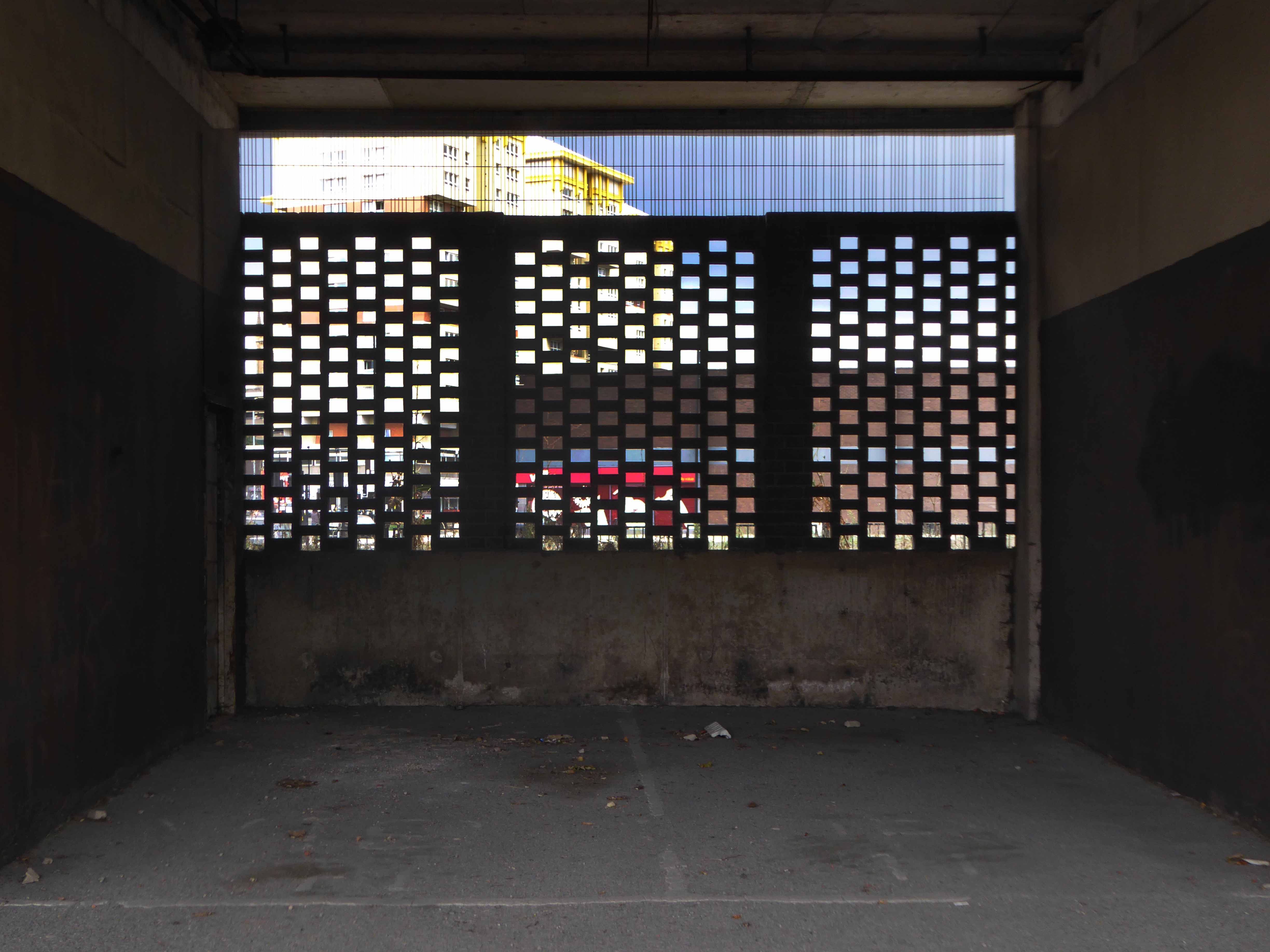
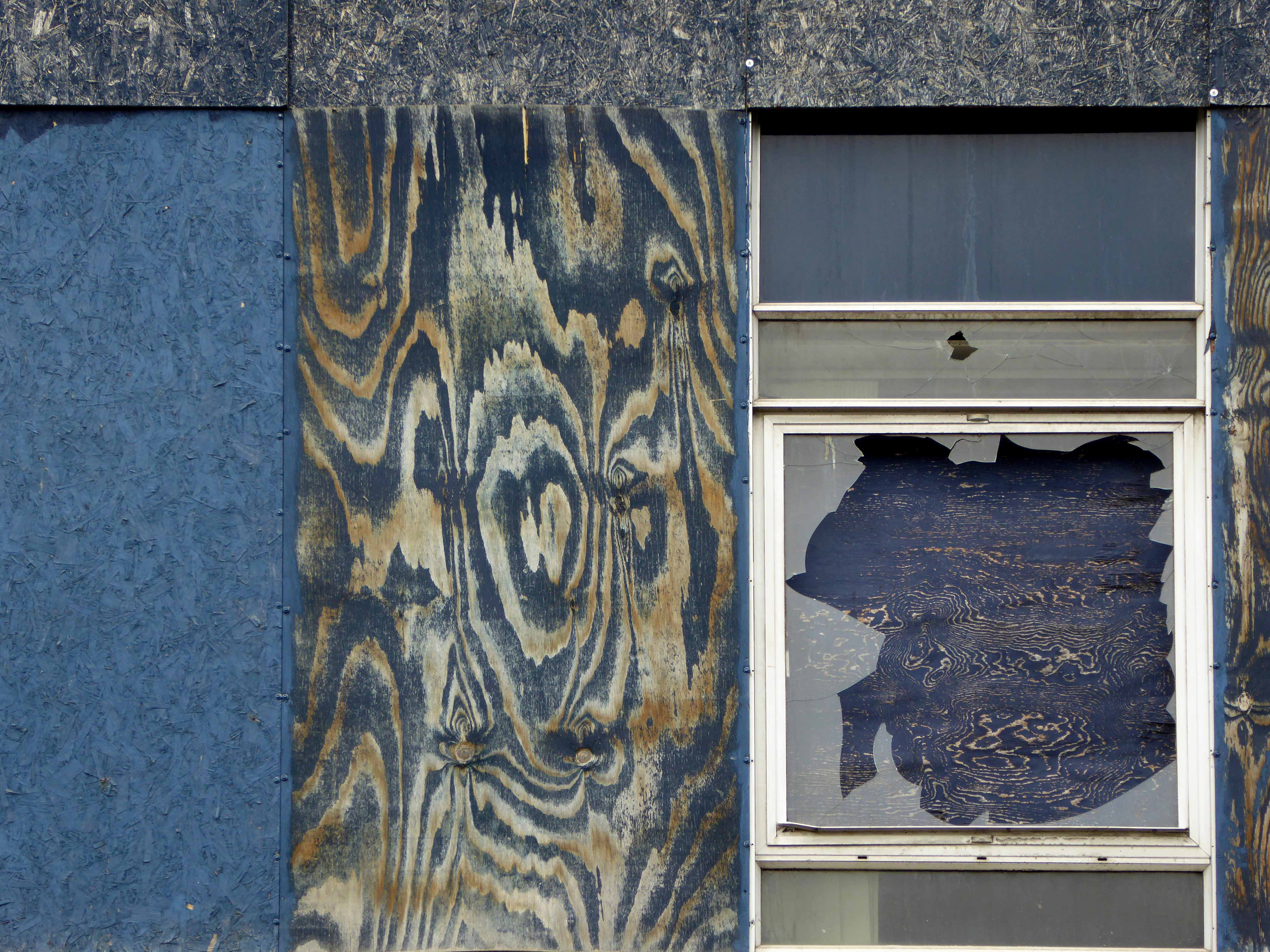
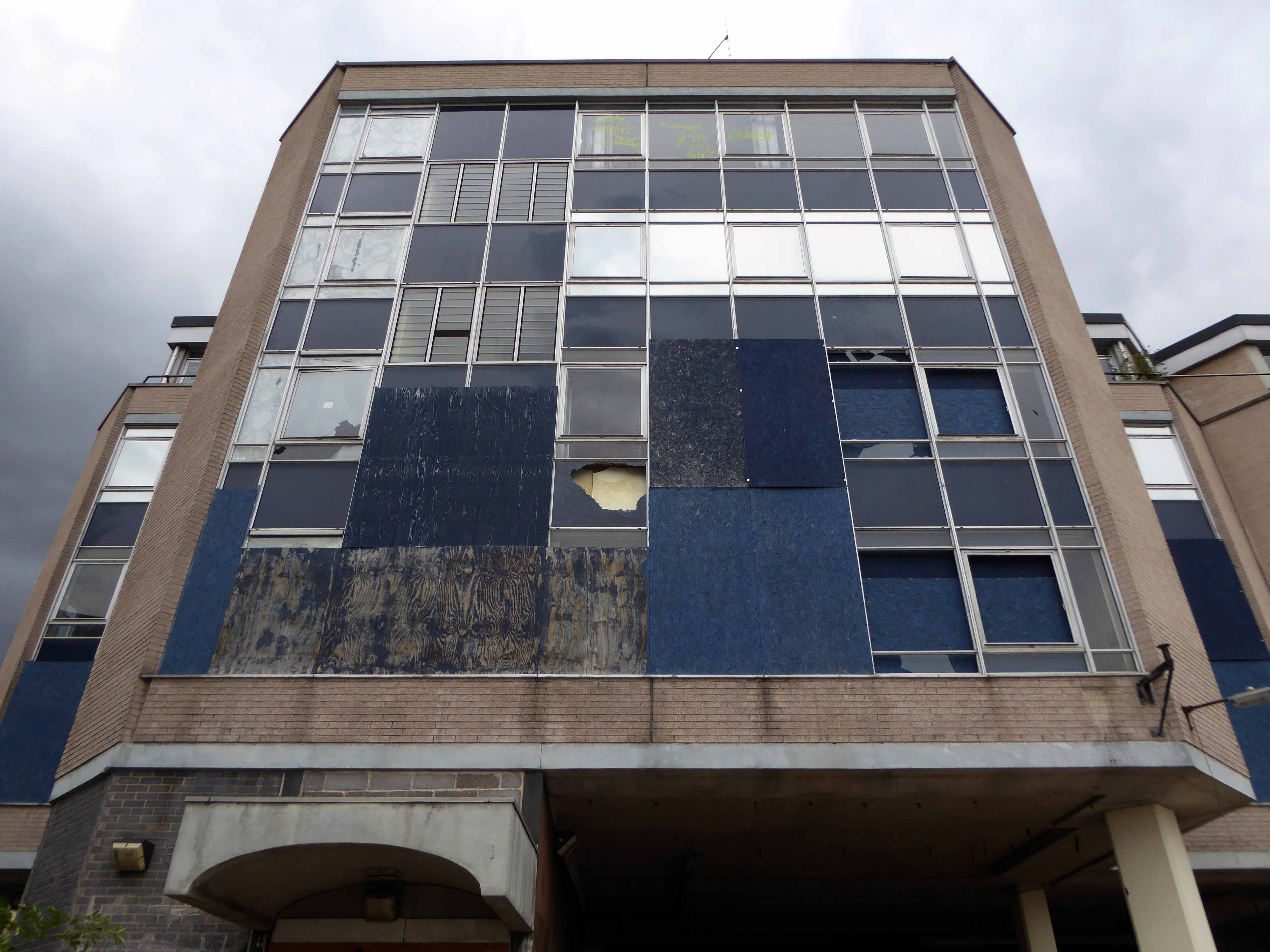
Sixties built municipal modernism, hovering on slim stilts above the ground level carpark, complete with pierced brick screen.

The future was bright the future was red – for a short while.

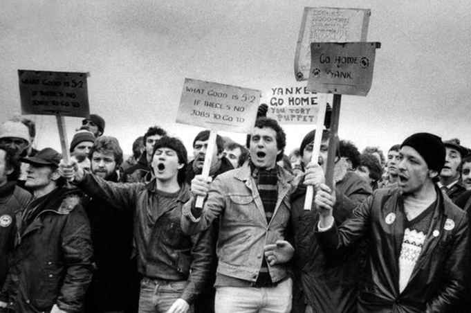
Over the horizon came Sir Ian Kinloch MacGregor KBE.

Lady Thatcher said:

He brought a breath of fresh air to British industry.

03bf8c_b009bc98d4c8425e8e66e53d30ac4be8

The fifth horseman of the industrial apocalypse – bringing pit-closure, redundancy the deindustrialisation of a whole area.

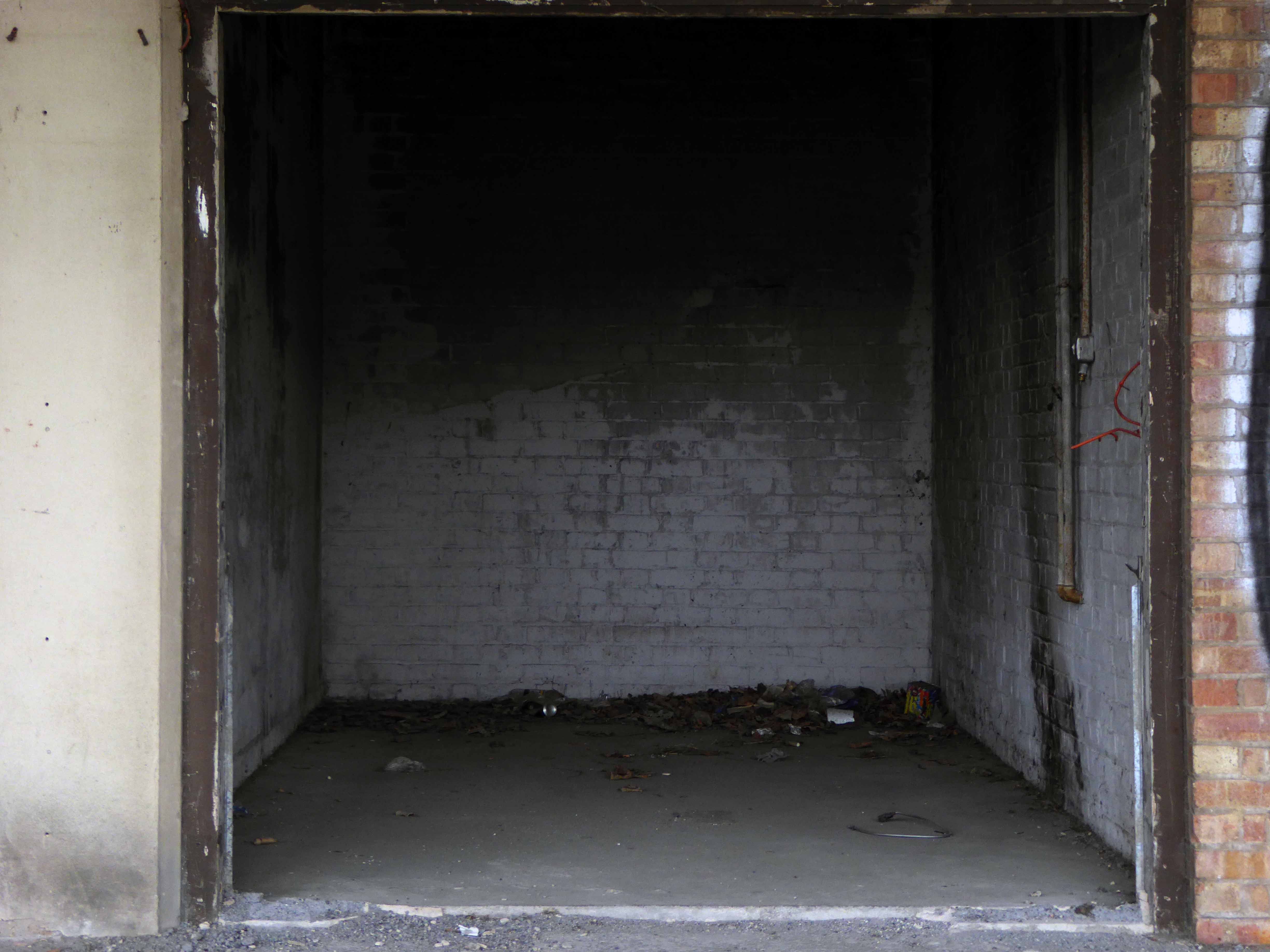
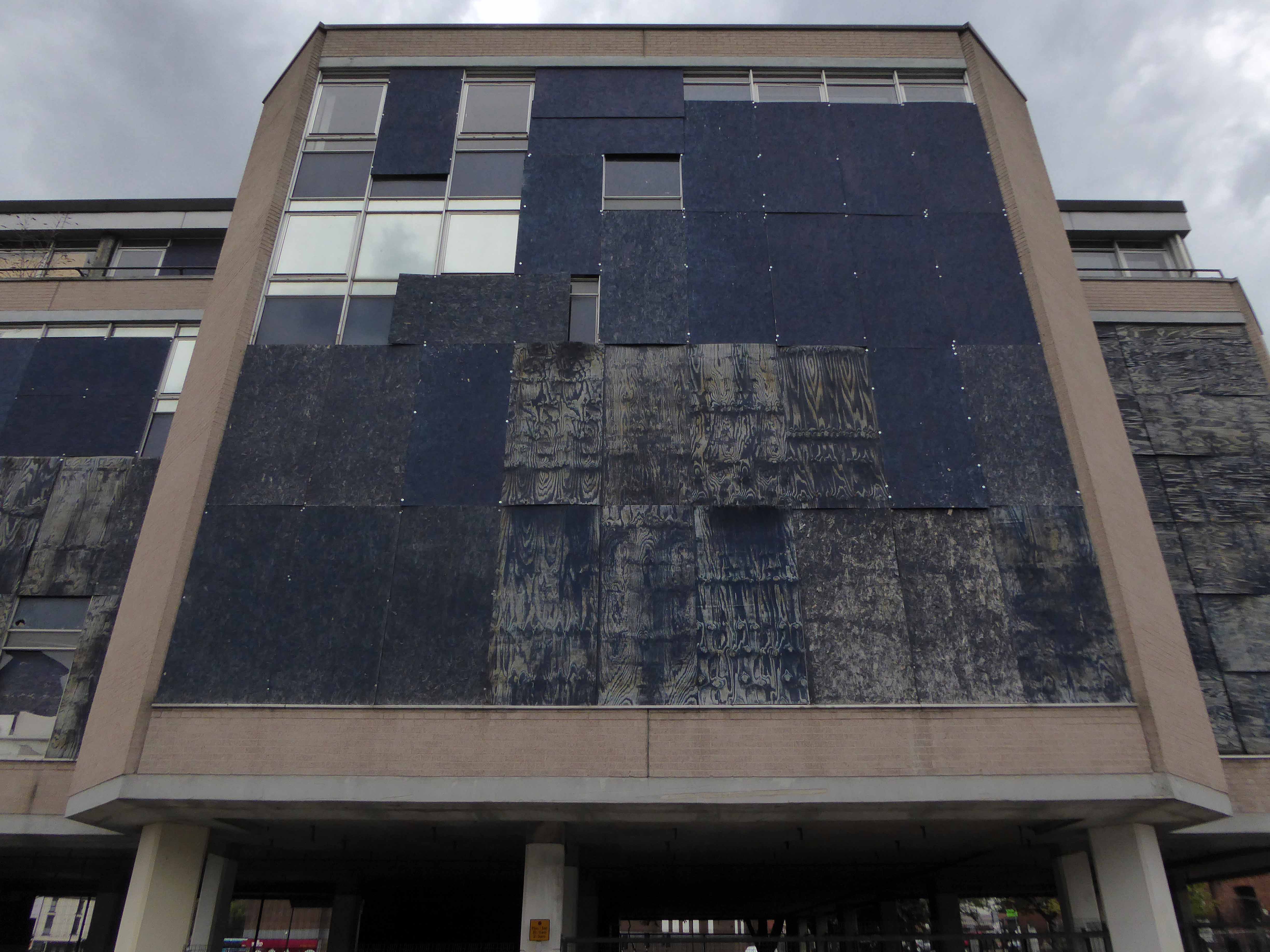
Offices and citizens are tinned-up, brassed-off and abandoned.

This is now the architecture of civic optimism eagerly awaiting repurposing.

There is talk of conversion to housing, talk is cheap.

A planning application has been drawn up requesting permission to change the use of Chantry House from offices to one and two bedroom residential units. The application has been submitted by The Freshwater Group, the development arm of Watermark Retirement Communities.

Wakefield Express

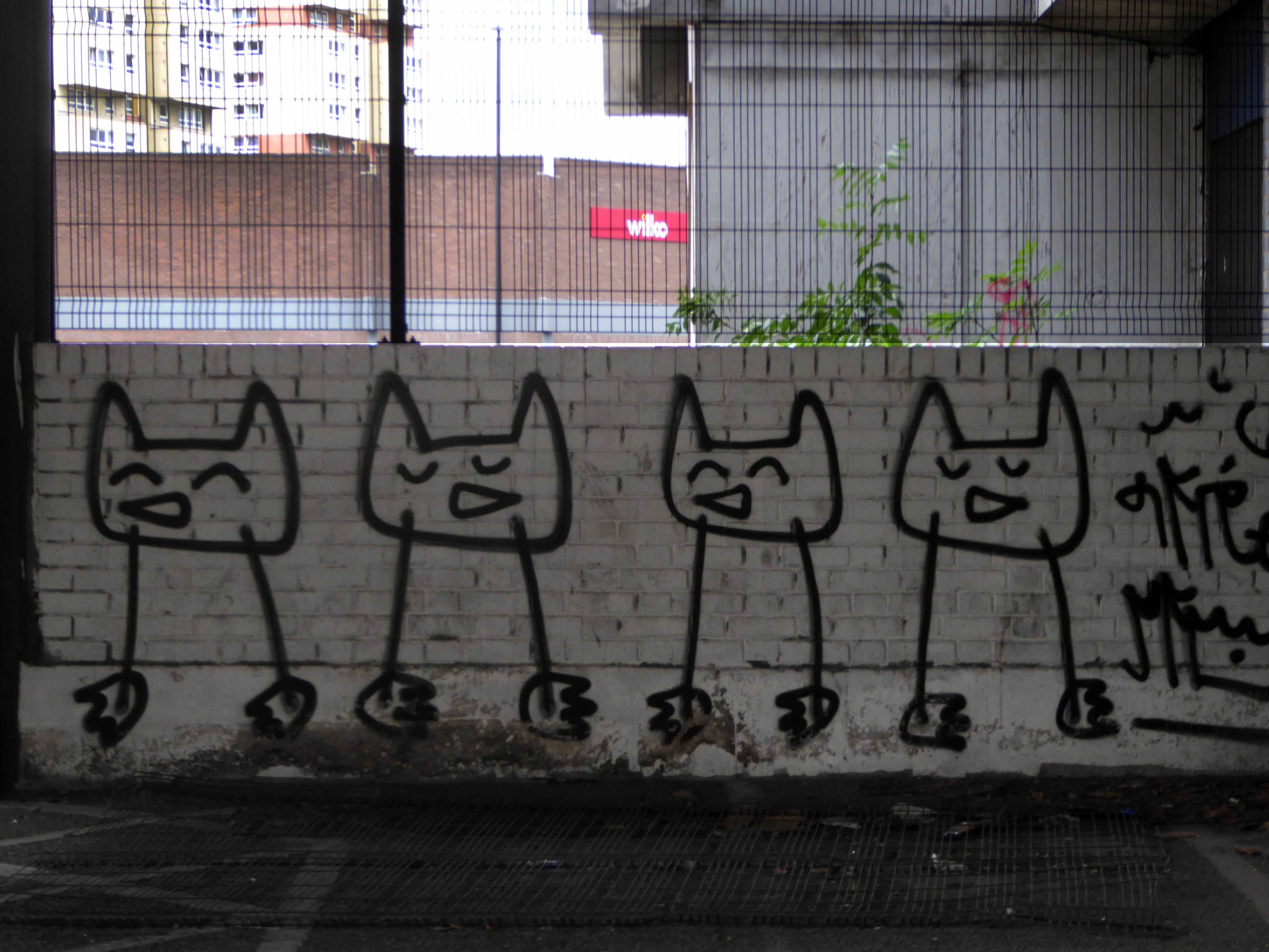
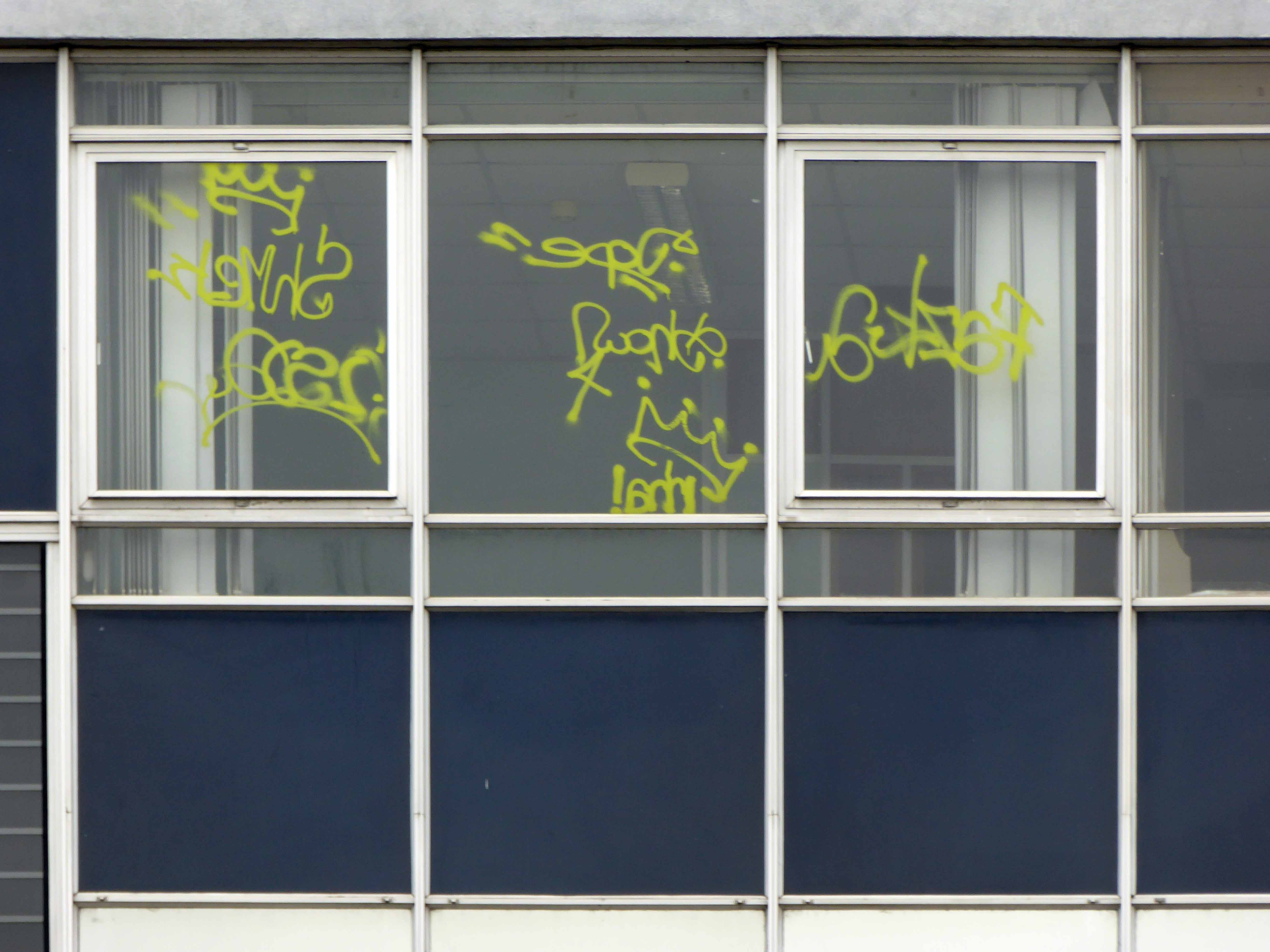
Currently home to the determined, hardened daytime drinker, street-artist and curious passerby.

P1280260

P1280240

P1280241


P1280244

P1280245

P1280246

P1280247

P1280252


P1280256

P1280257

P1280264

P1280265

P1280266

P1280267


P1280270

P1280271

P1280274

P1280277

William Temple Church – Wythenshawe

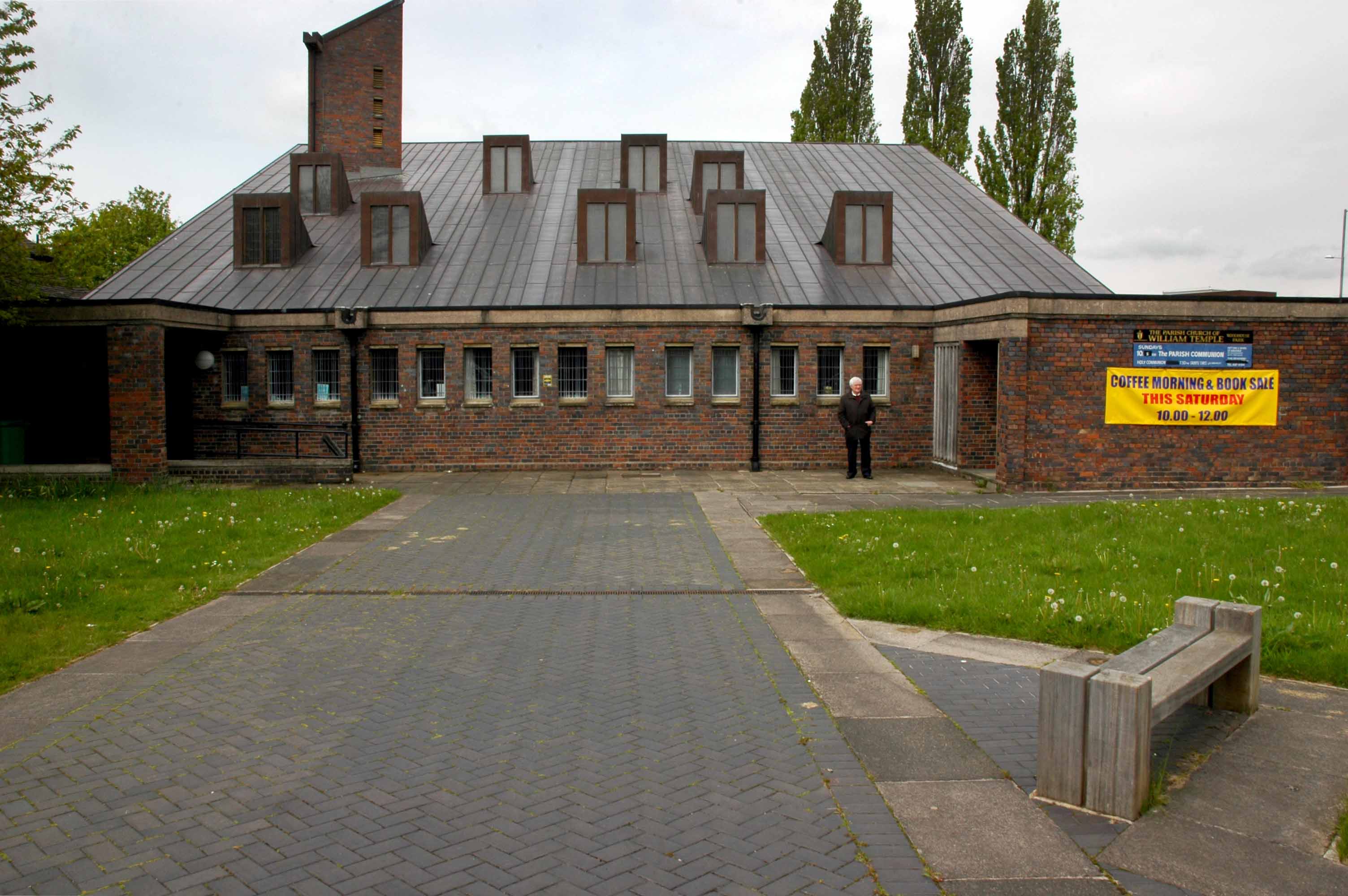
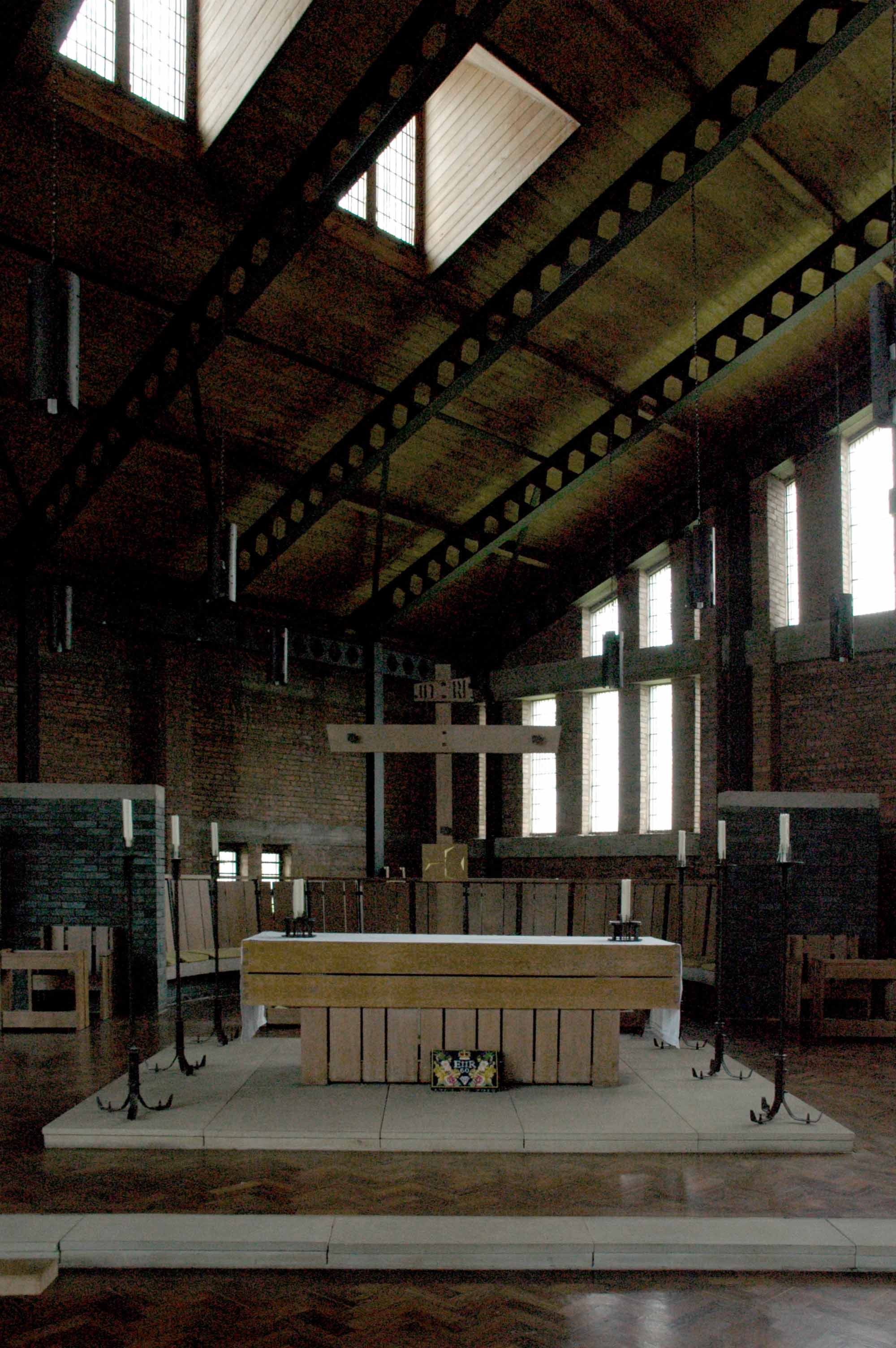
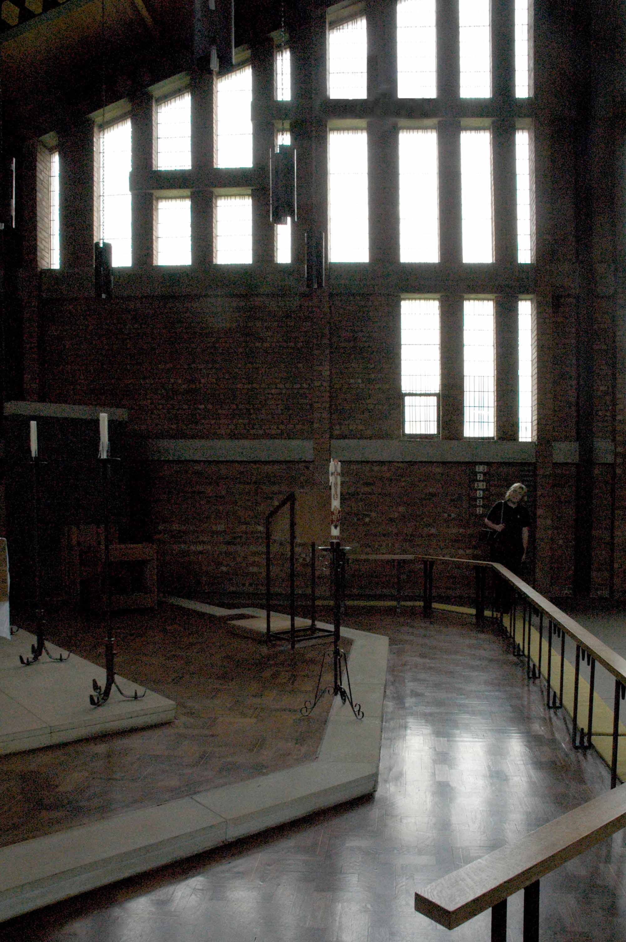
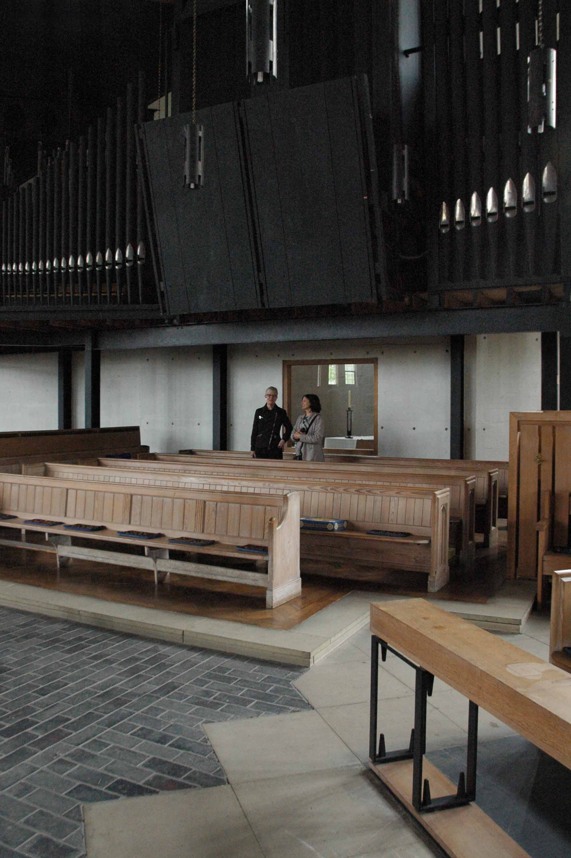
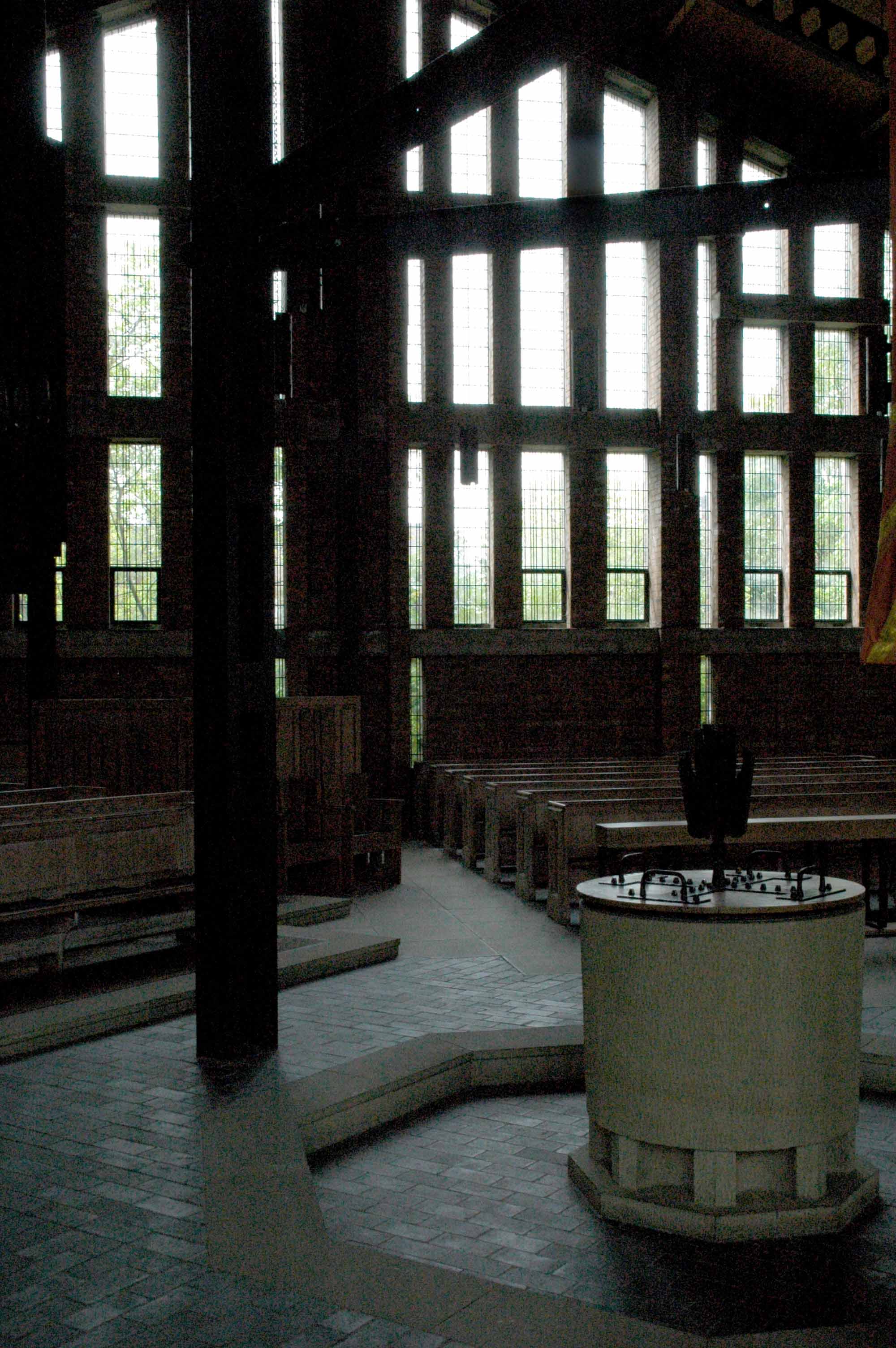
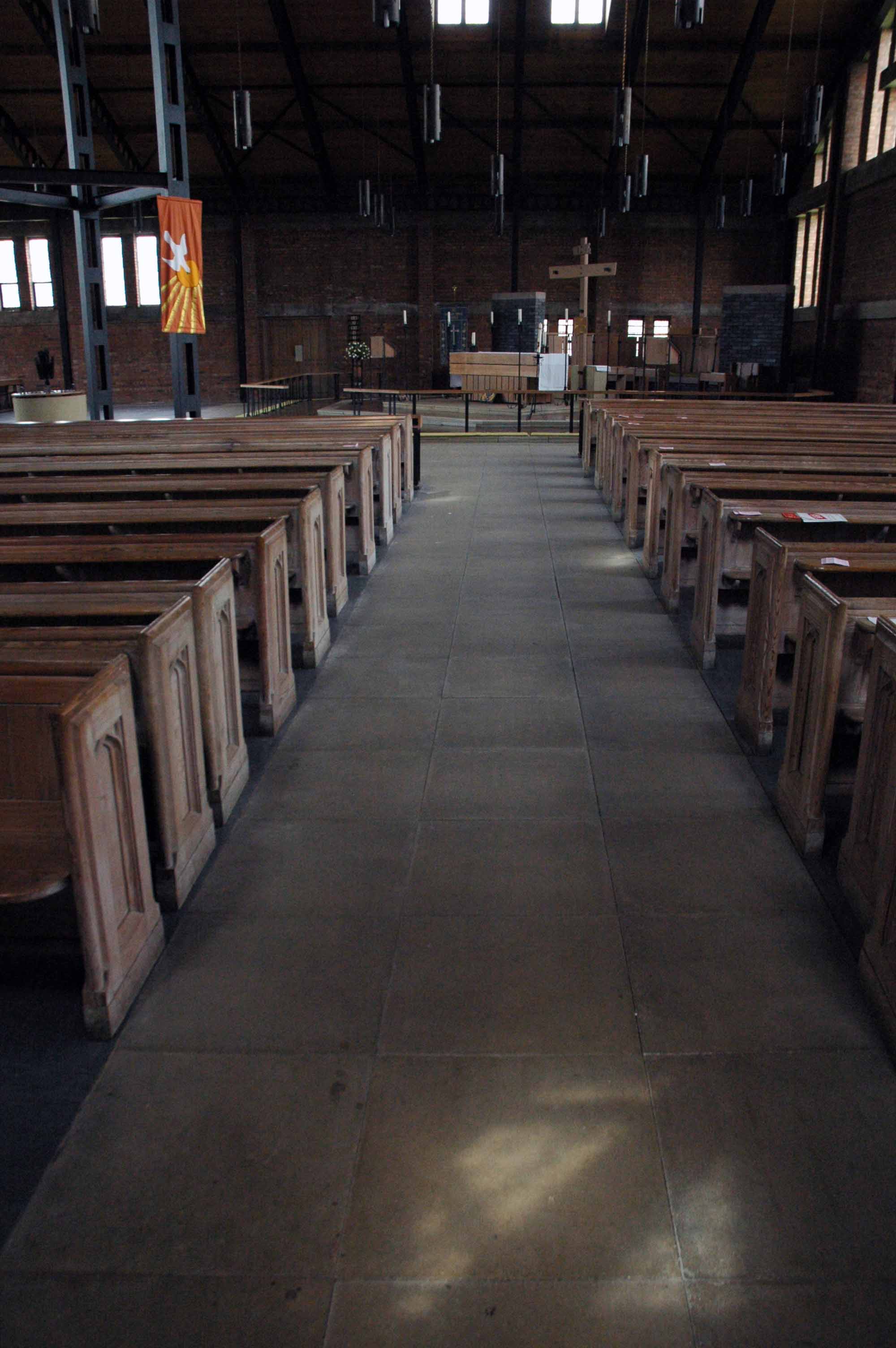
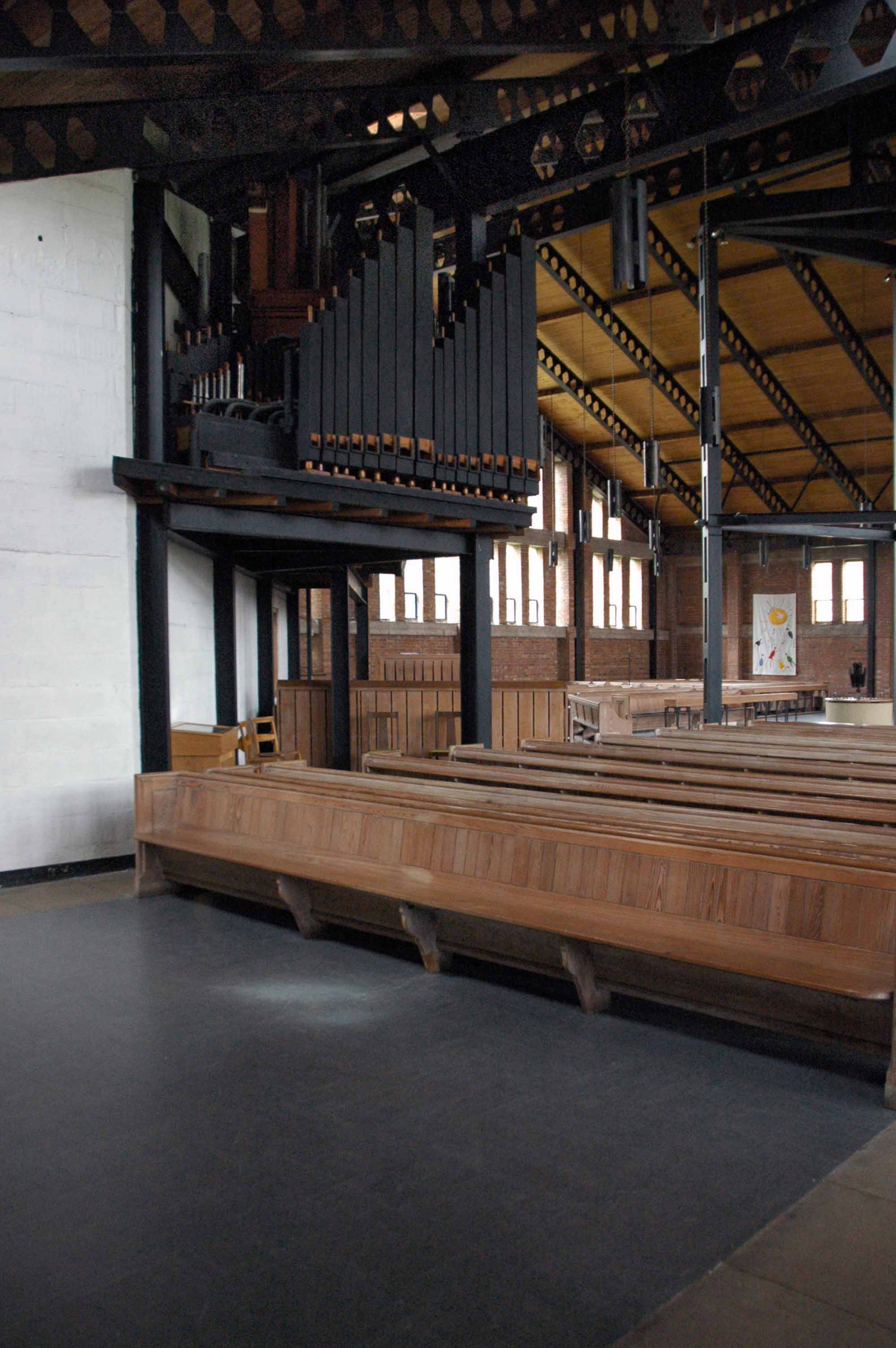
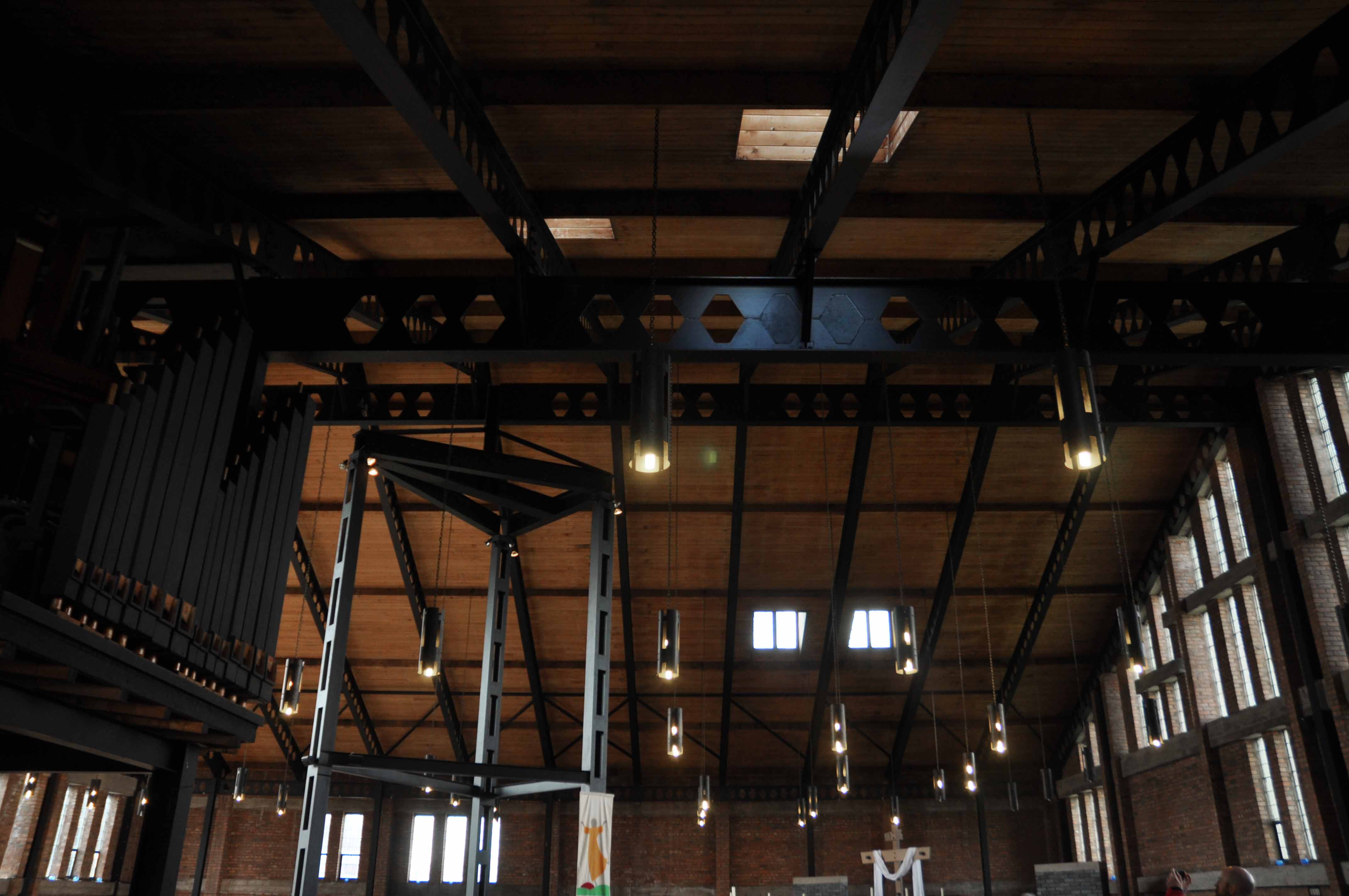
The Anglican Church of William Temple was opened in 1965 on the corner of Robinswood Road and Simonsway as the church of the Civic Centre. The mission was already well-established, having begun many years previously in Shadow Moss School Room, latterly operating in a dual-purpose building on Simonsway. The architect, George Pace, agreed with the proviso that he should not design a ‘pseudo’ building, but that it should be modern in concept. This he did and particular attention was paid to the acoustics with a view to music and drama being performed there. One of Pace’s stipulations was that, as with all the churches he designed, there must be no plaques attached to the walls commemorating the dedication of the church or in memory of anyone, for he said he built his churches to the Glory of God. The only lettered stone is on the back wall of the church and it has on it the date of the consecration and a symbol, which is Pace’s original sign for William Temple Church.

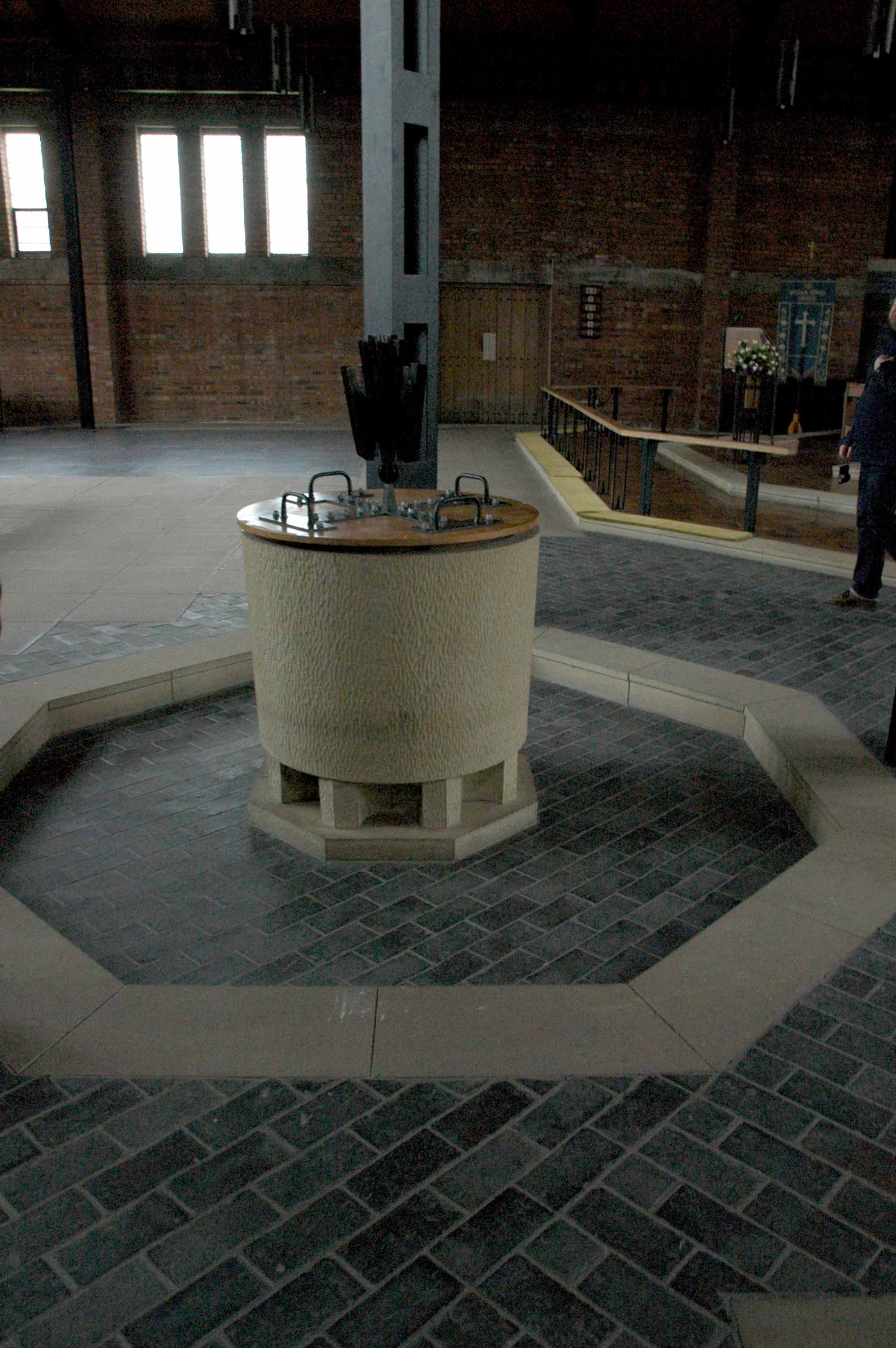
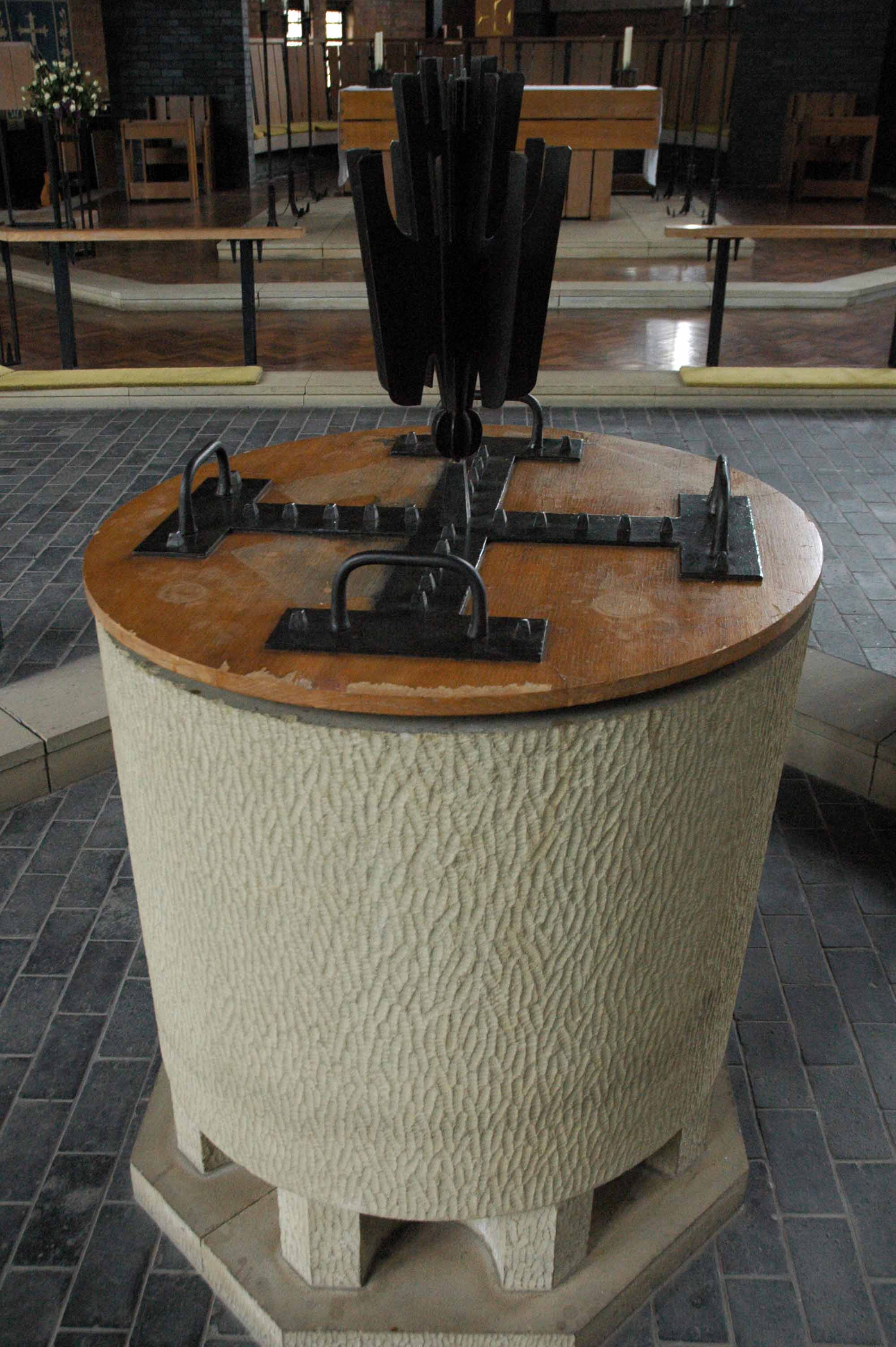
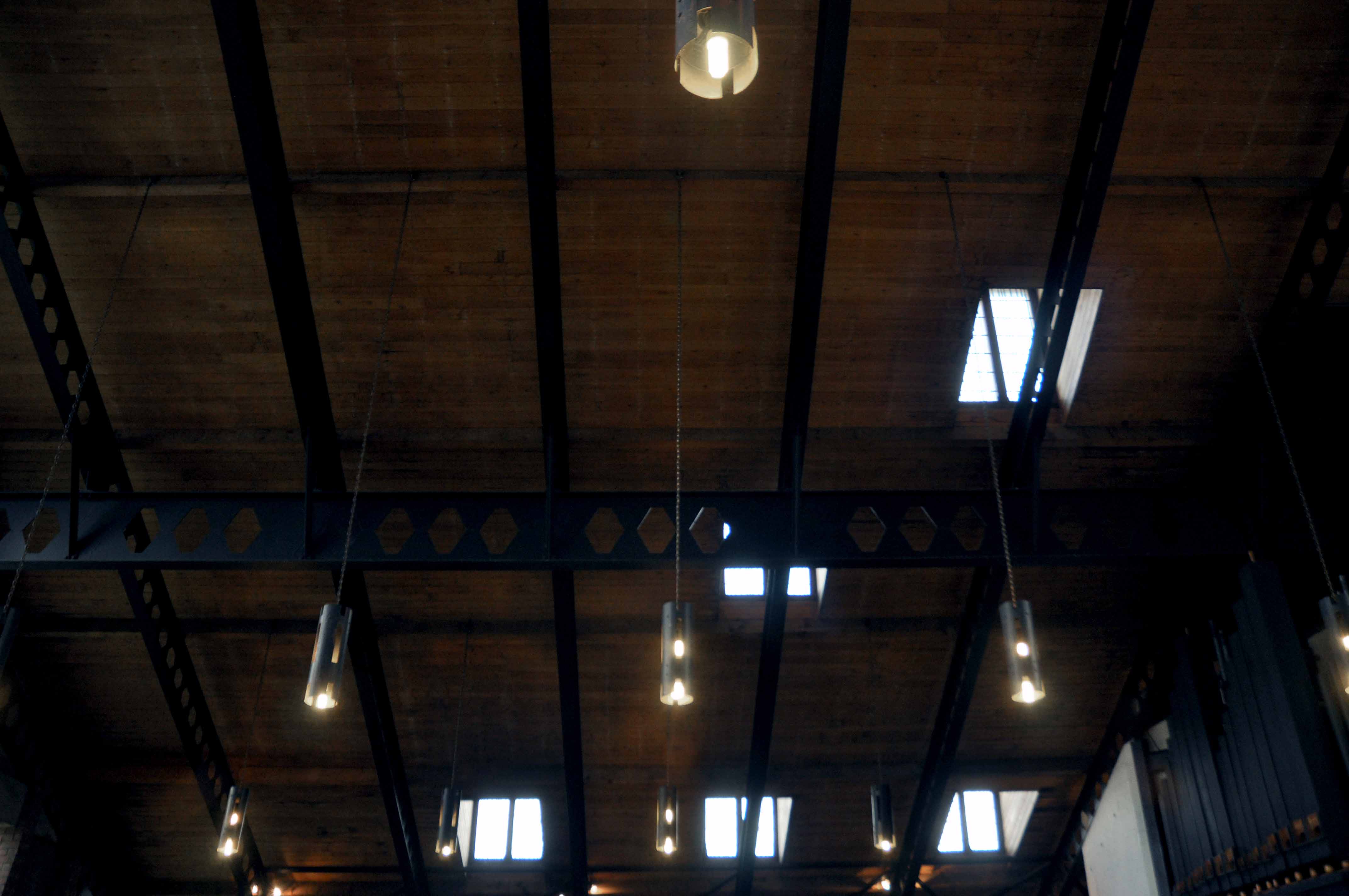
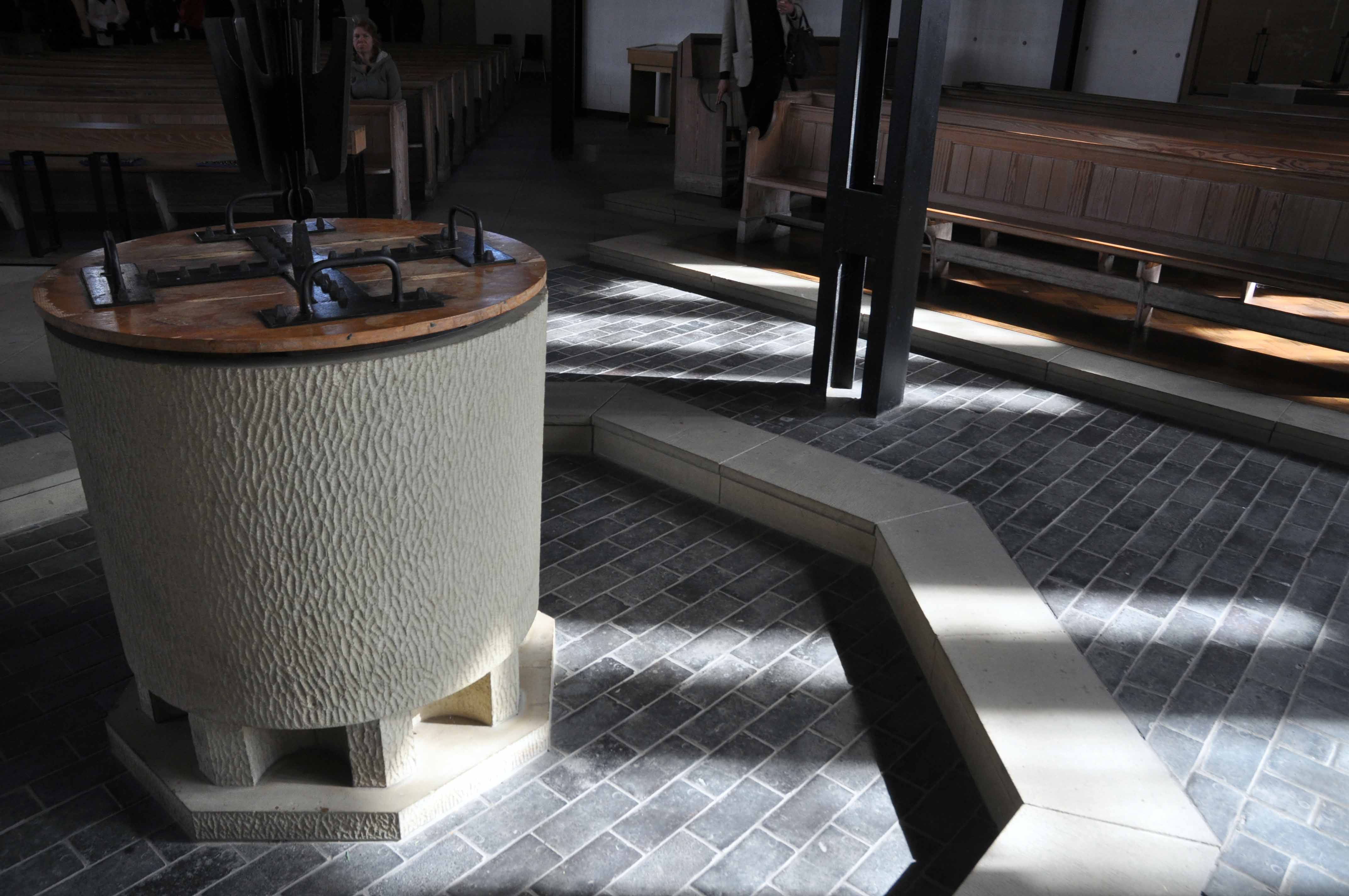
The internal supports of the church are black-painted steel girders, not romantically symbolising the industry of the area, as it is sometimes said, but because when it was discovered that the church had been built on swampy ground an extra £2,000 was needed for foundations; the wooden beams of the original design had to be changed for cheaper steel ones. There is symbolism, however, in the placing of the font between and beneath the three main weight-bearing supports of the church.

The pews have an interesting history, having been brought from derelict churches in and around Manchester. The present lady churchwarden said:

“whenever we heard of a church being demolished we borrowed Mr. Owen’s coal cart and went off to see if we could buy any of the pews. Many times I’ve sat on the back of the wagon, in the pouring rain, with the pews, bringing them back to Wythenshawe to be stored until our church building was completed!”

Some time after the building was opened a fire damaged some of the pews. With the insurance money all the pews were stripped and bleached, giving an element of uniformity and a bright welcoming atmosphere in the church generally. An interesting thought was voiced that as many people living in Wythenshawe now had their origins near to the centre of Manchester they may be sitting in the same pews in which their ancestors once sat.

historicengland.org.uk

DSC_0072 copy

DSC_0073 copy

DSC_0075 copy

DSC_0080 copy

DSC_0081 copy

DSC_0082 copy

DSC_0084 copy

DSC_0085 copy

DSC_0086 copy

DSC_0087 copy

DSC_0088 copy

DSC_0089 copy

DSC_0113 copy

DSC_0116 copy

DSC_0117 copy

DSC_0118 copy

DSC_0121 copy

DSC_0122 copy


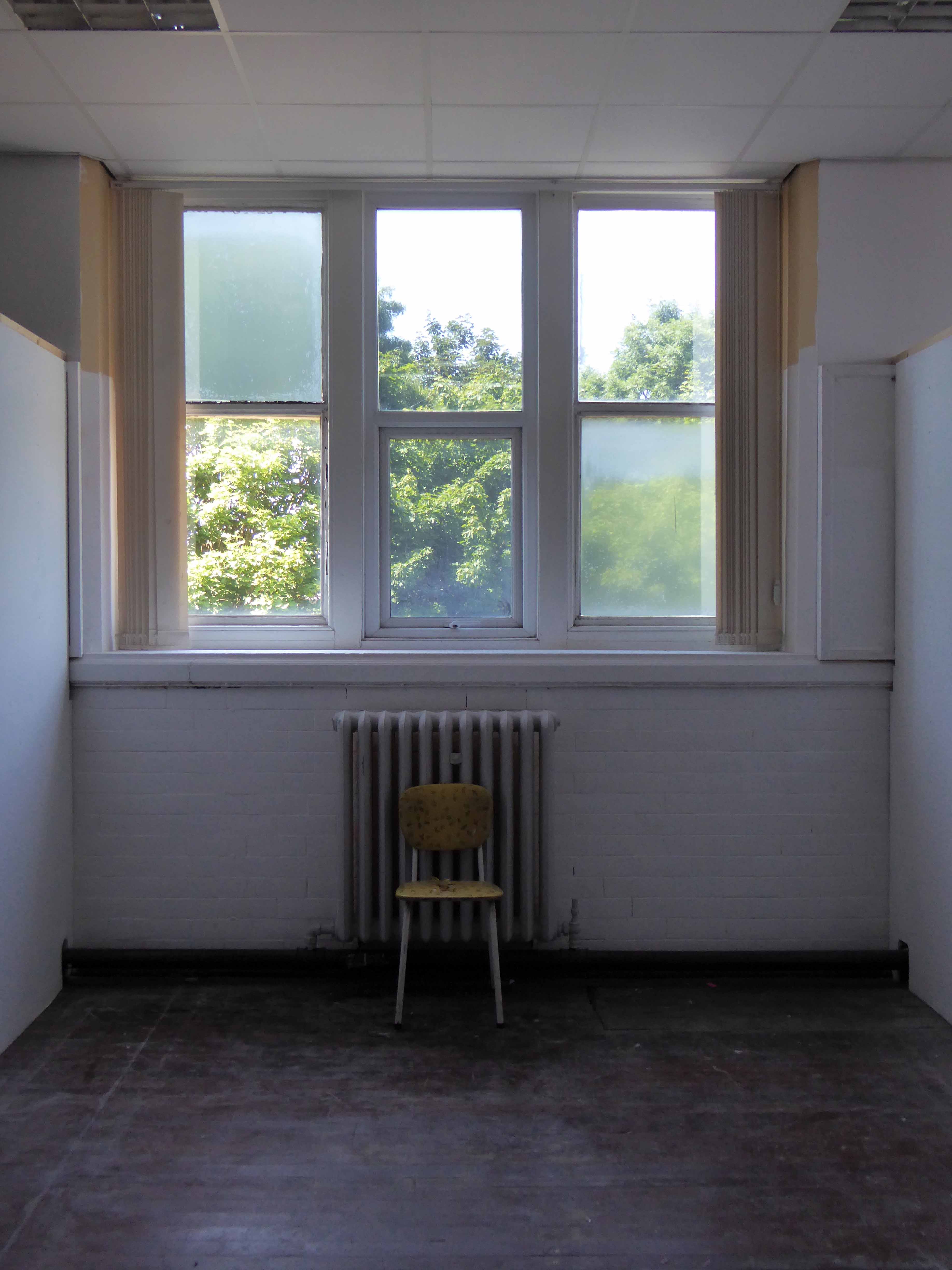
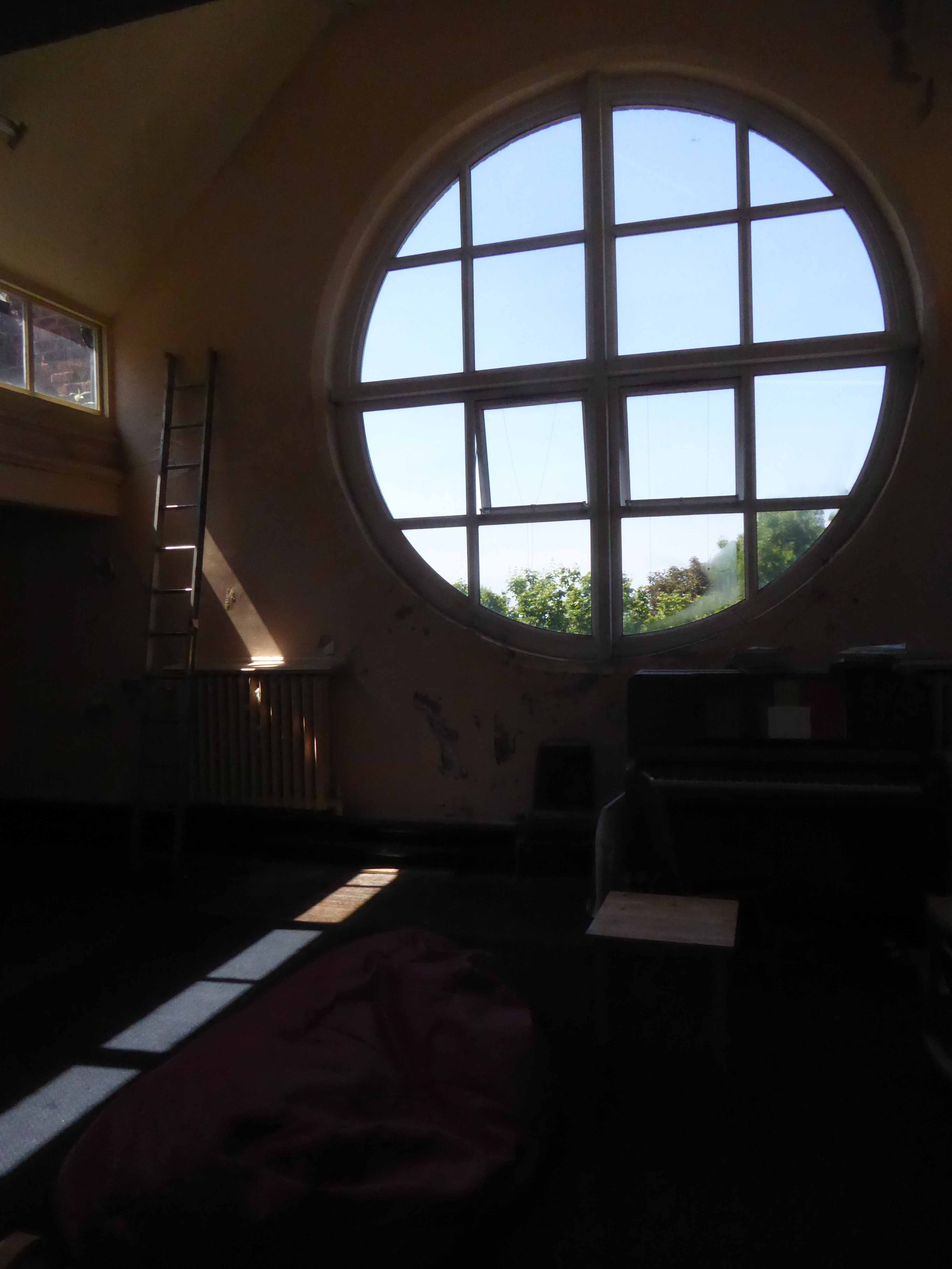
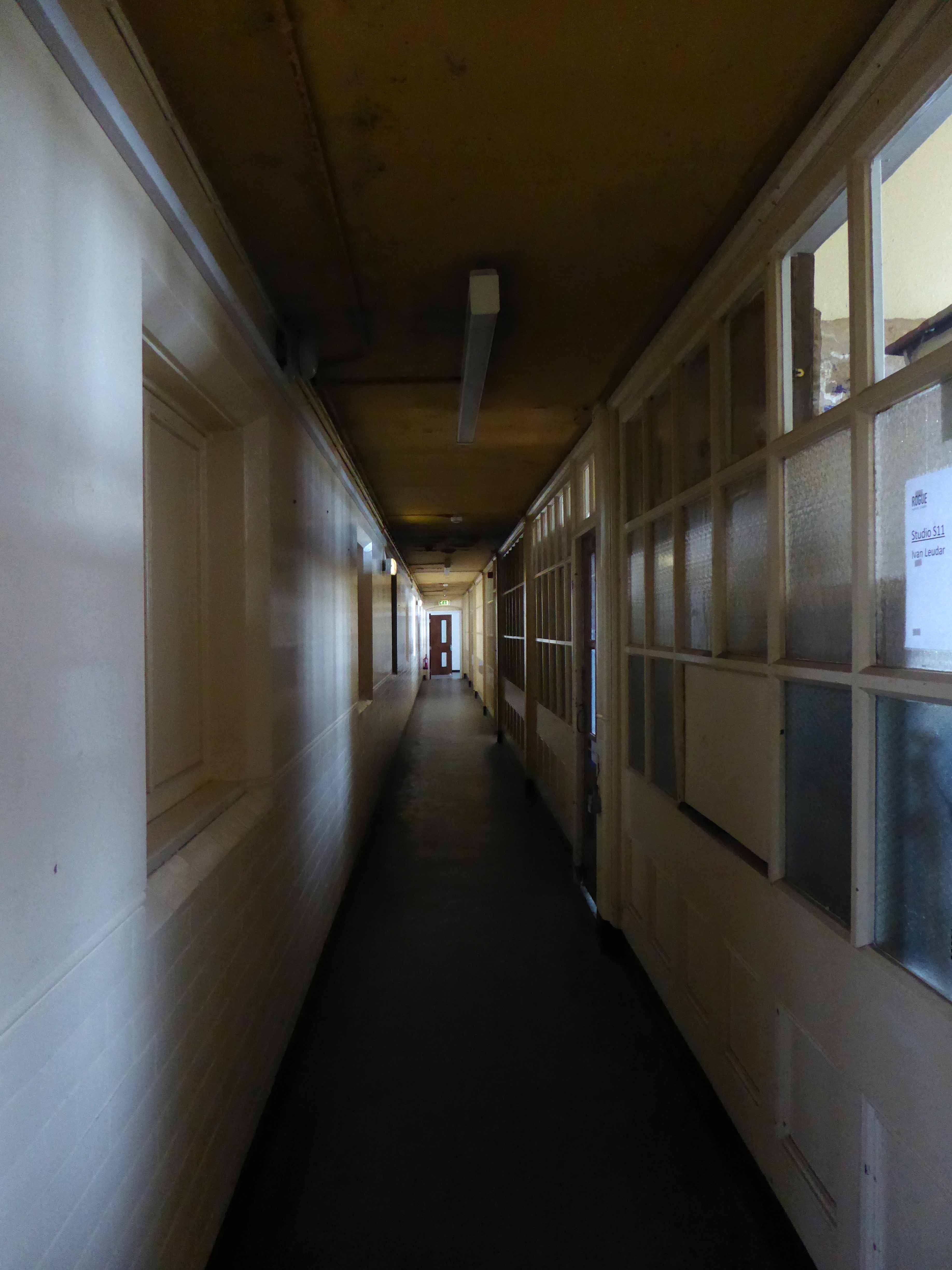
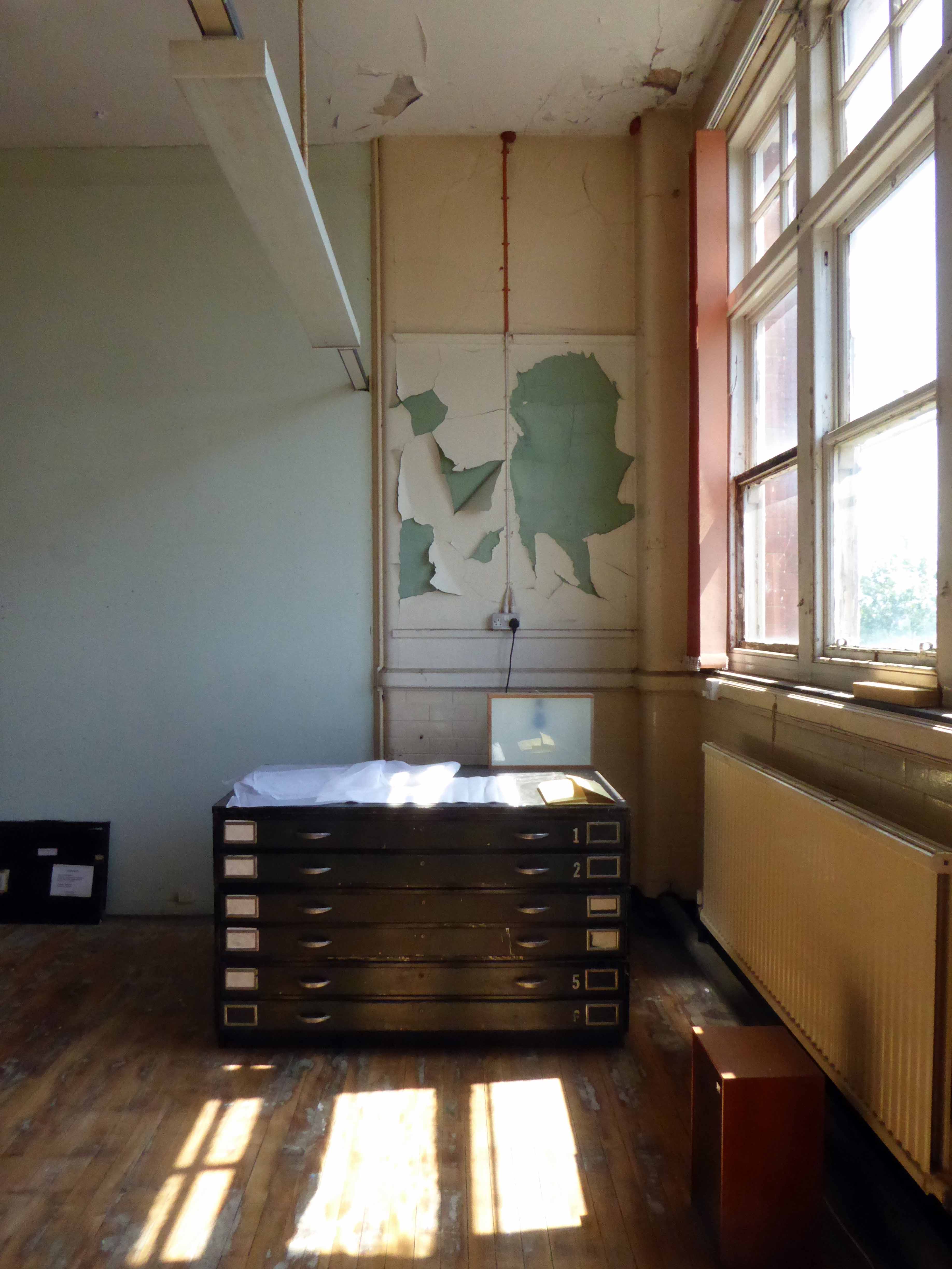
Varna Street – Rogue Studios Manchester

webmedia-1.php

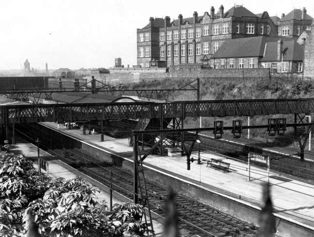
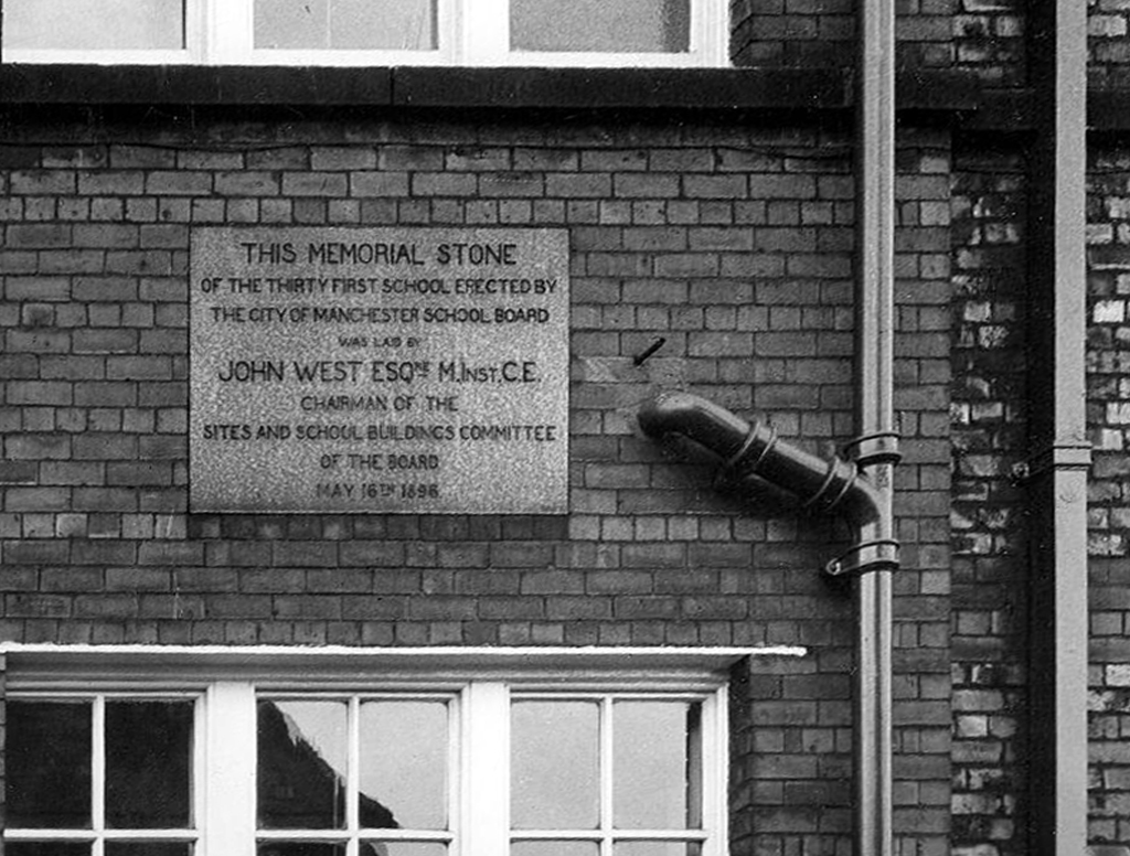
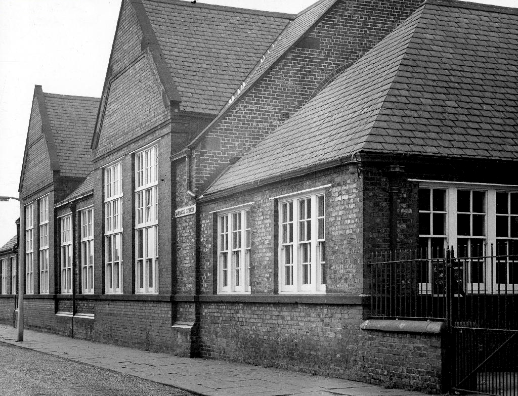
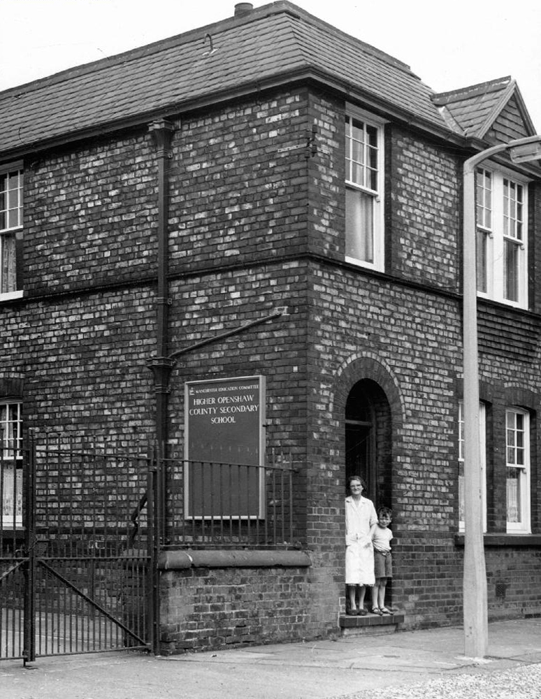
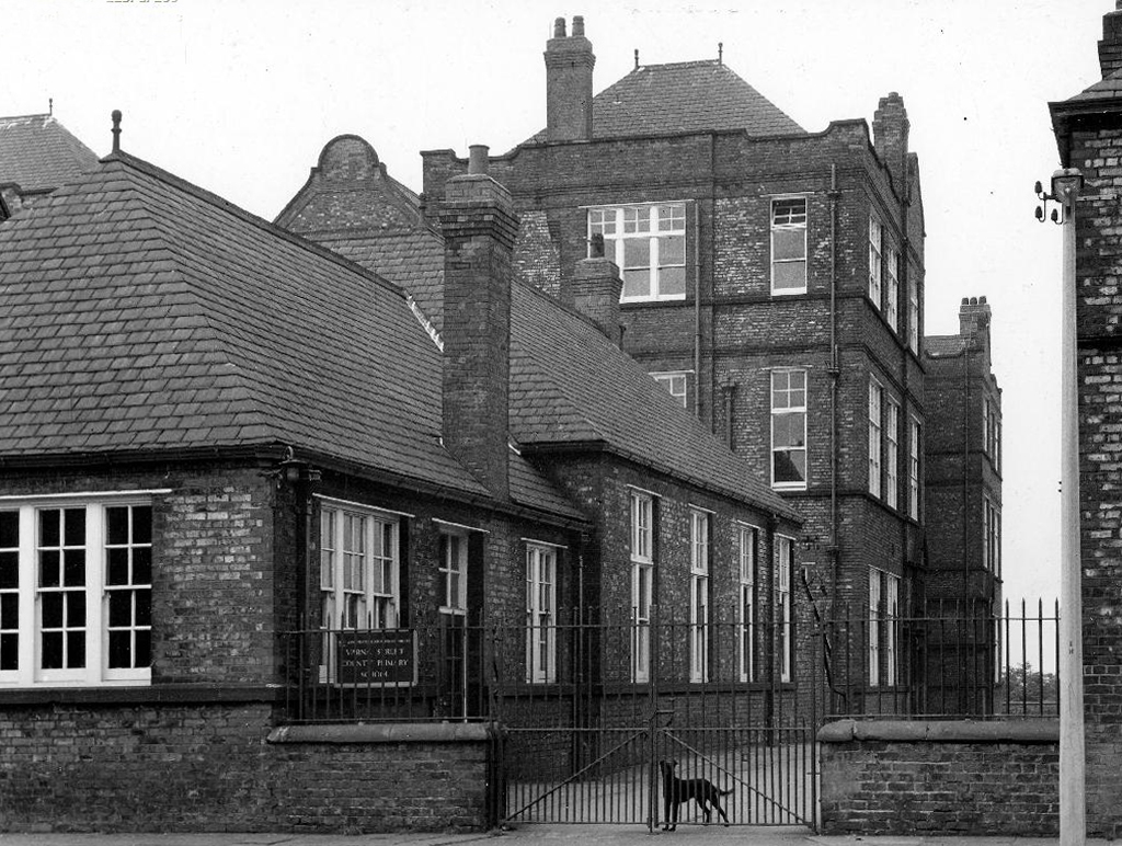
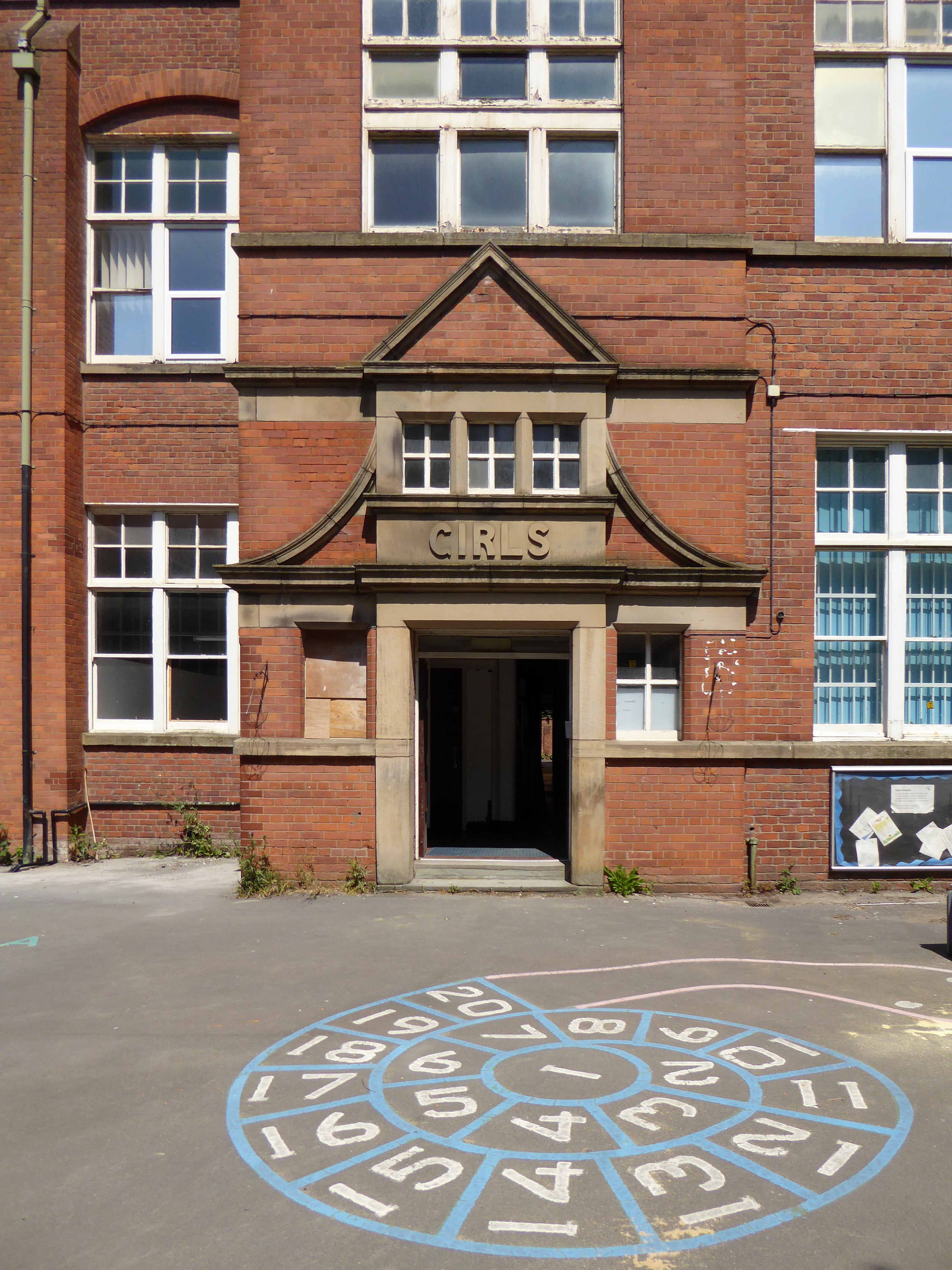
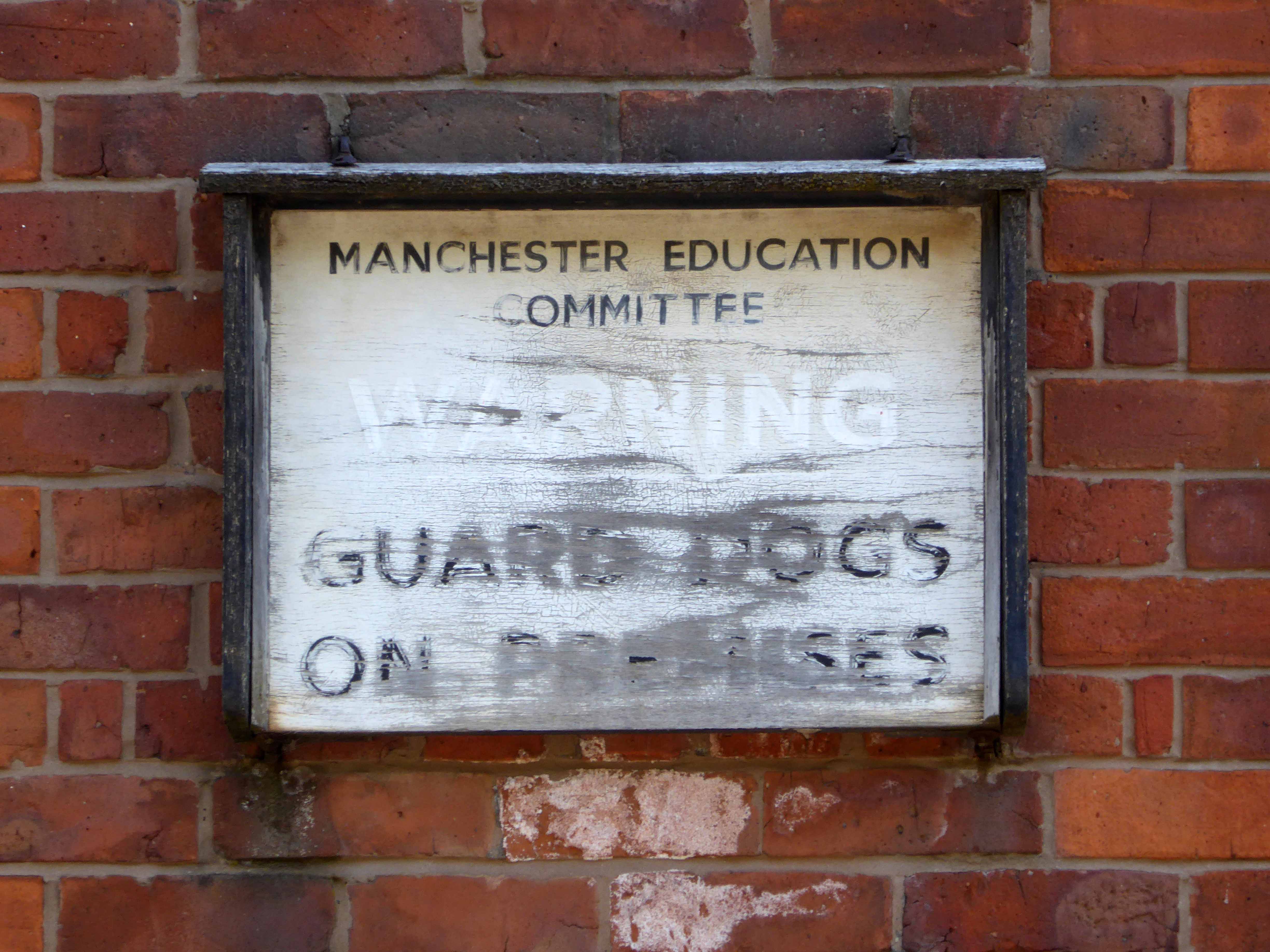
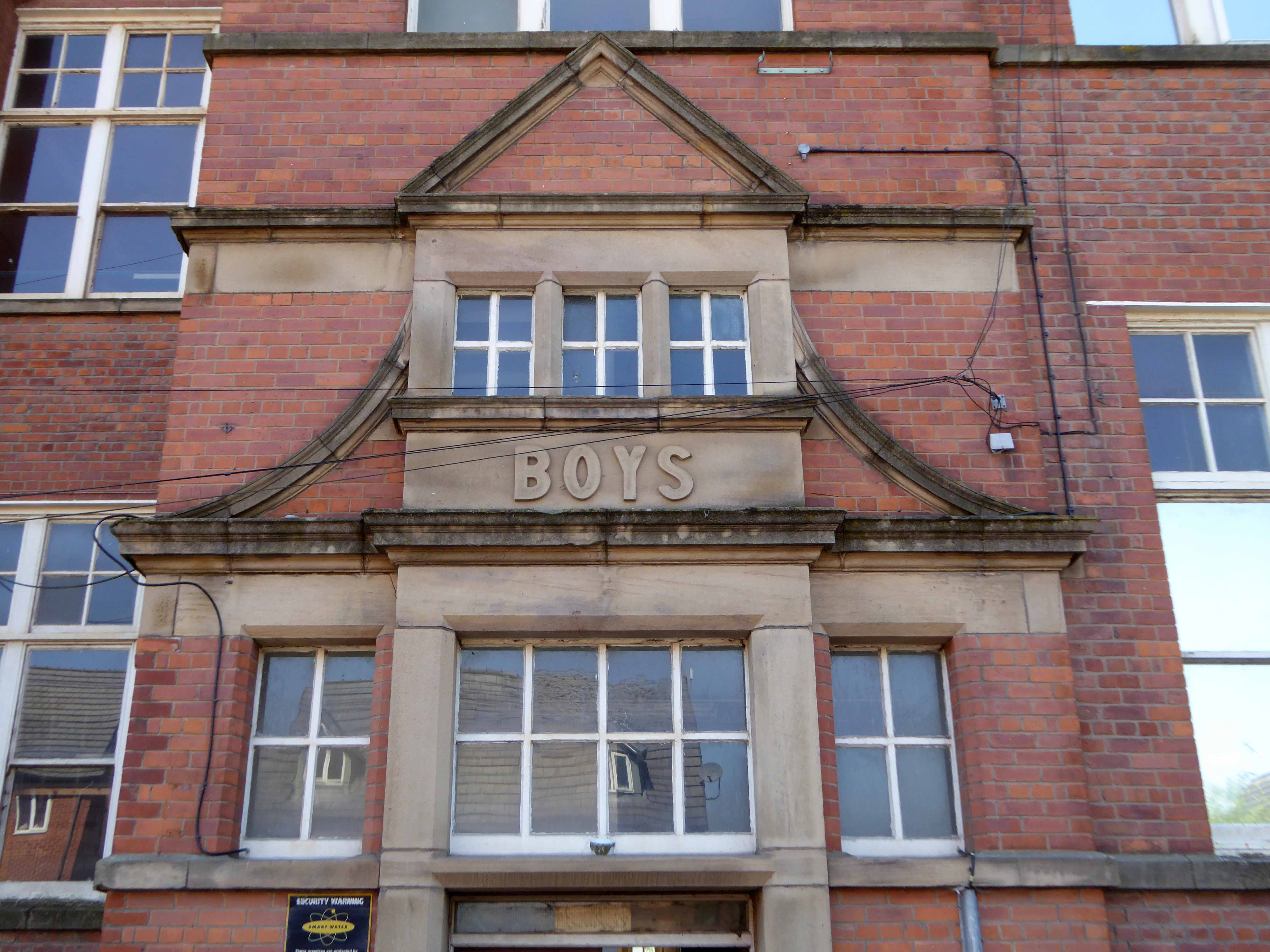
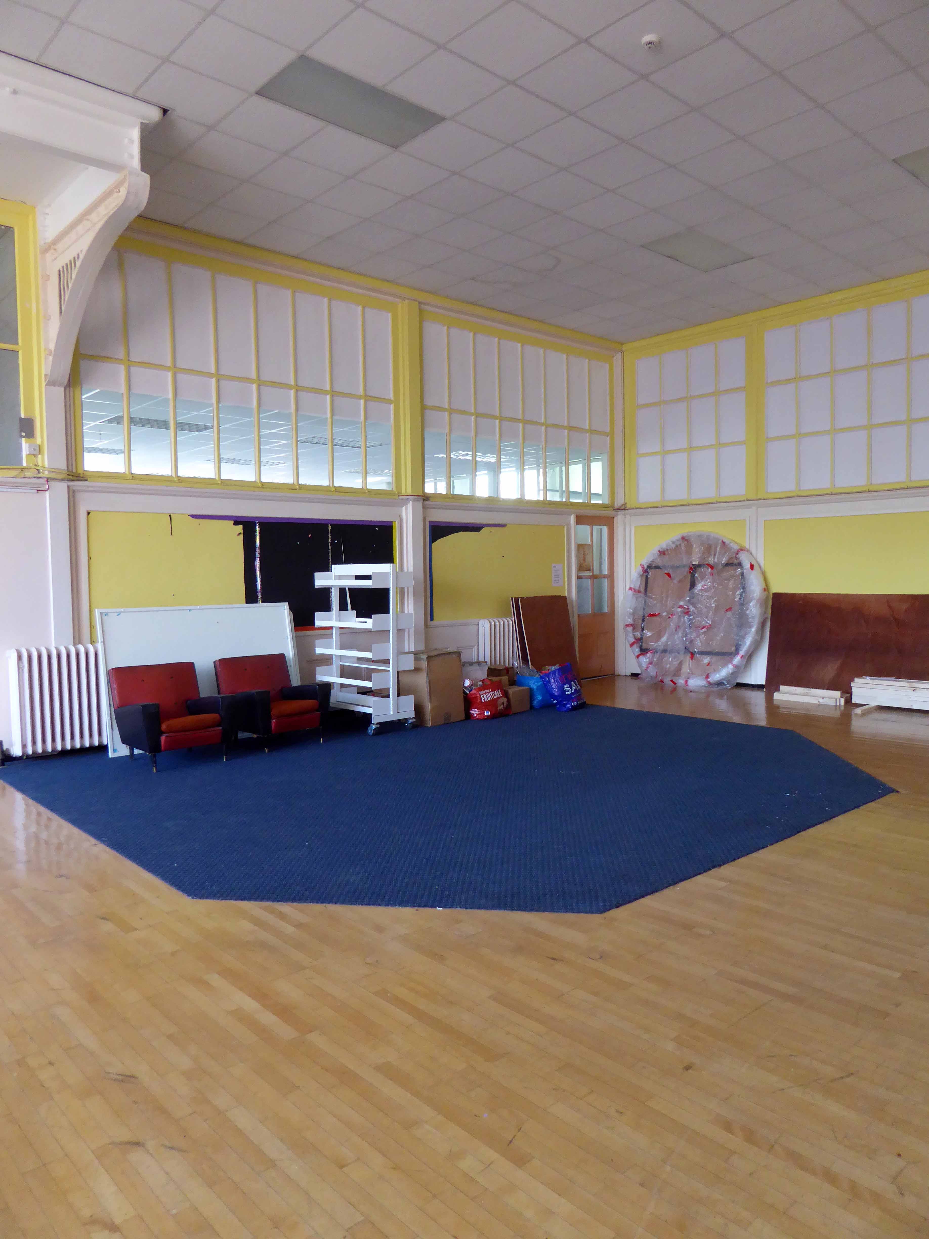
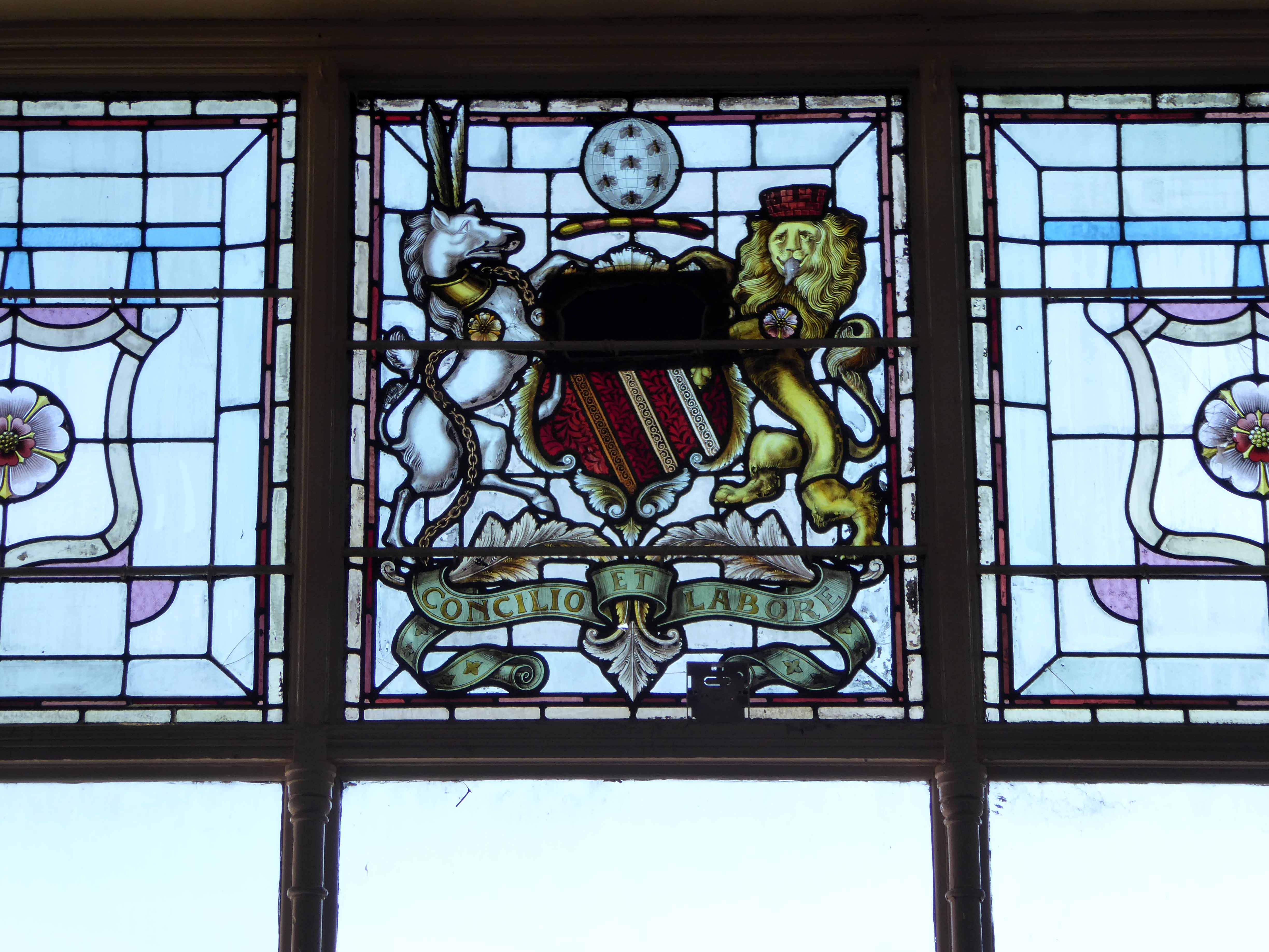
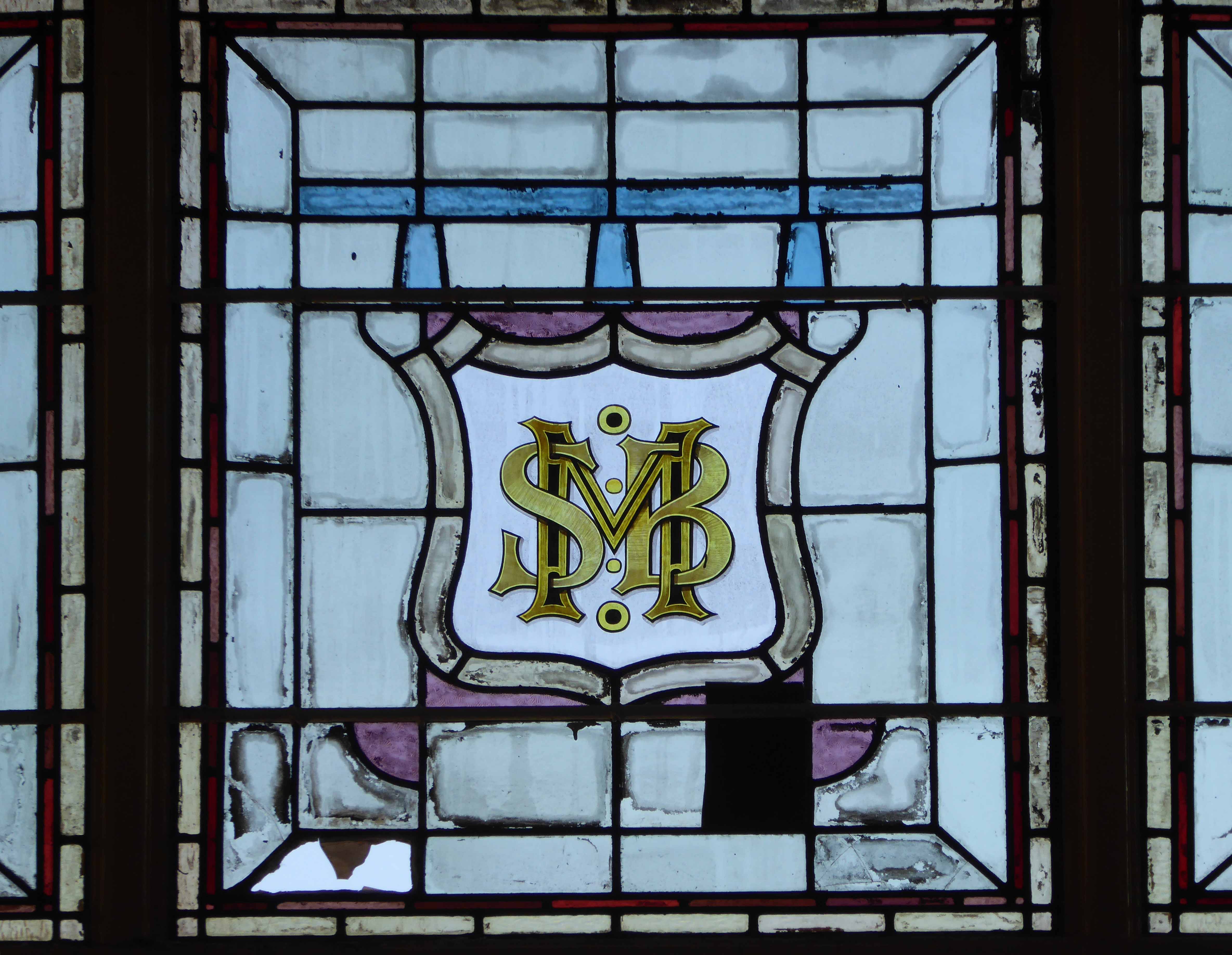
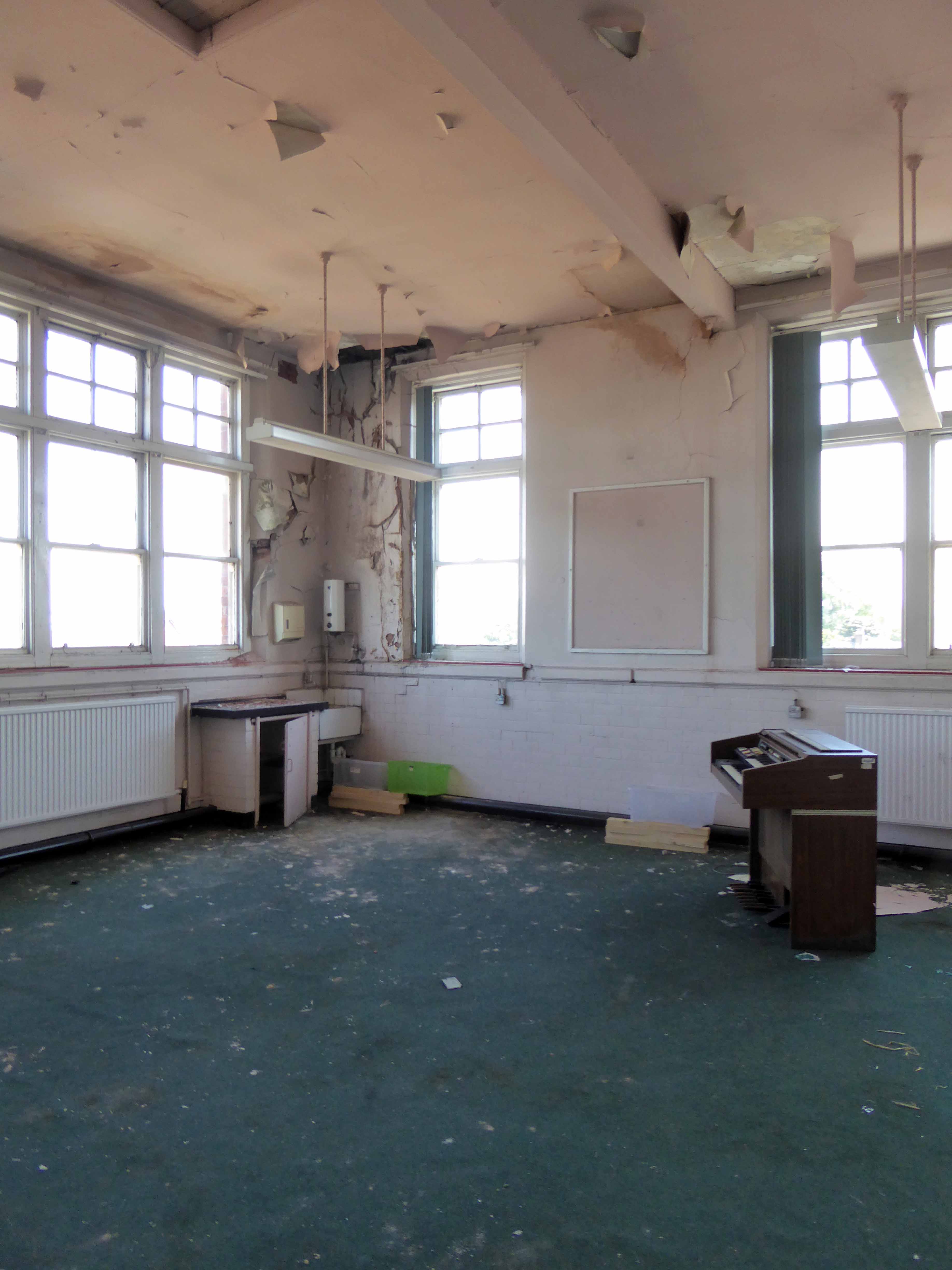
Once there was a school – from May 16th 1898, there was a school.

One of many Manchester School Board schools built in an imposing functional, triple storied style, they often seemed several times too big, for the infants which they contained.

With one thousand five hundred pupils, it was dubbed the largest school in Lancashire.

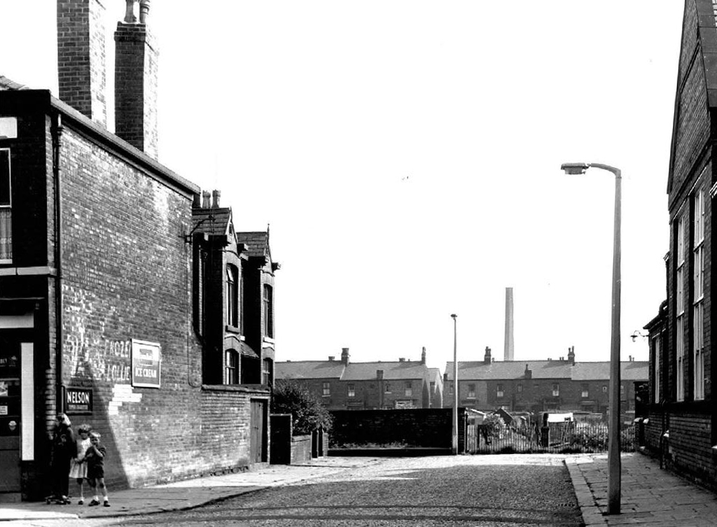
Nestled in a tight corner formed by the Lanky Cut and the train line below, surrounded by the huddled masses, in their manifold terraced homes.


1963

webmedia-1.php copy

webmedia-2.php

webmedia.php copy

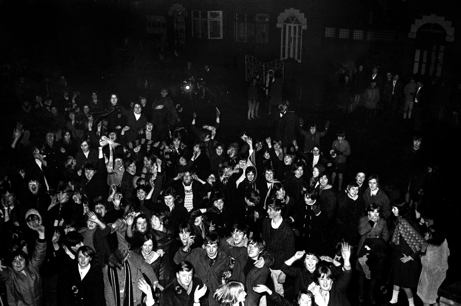
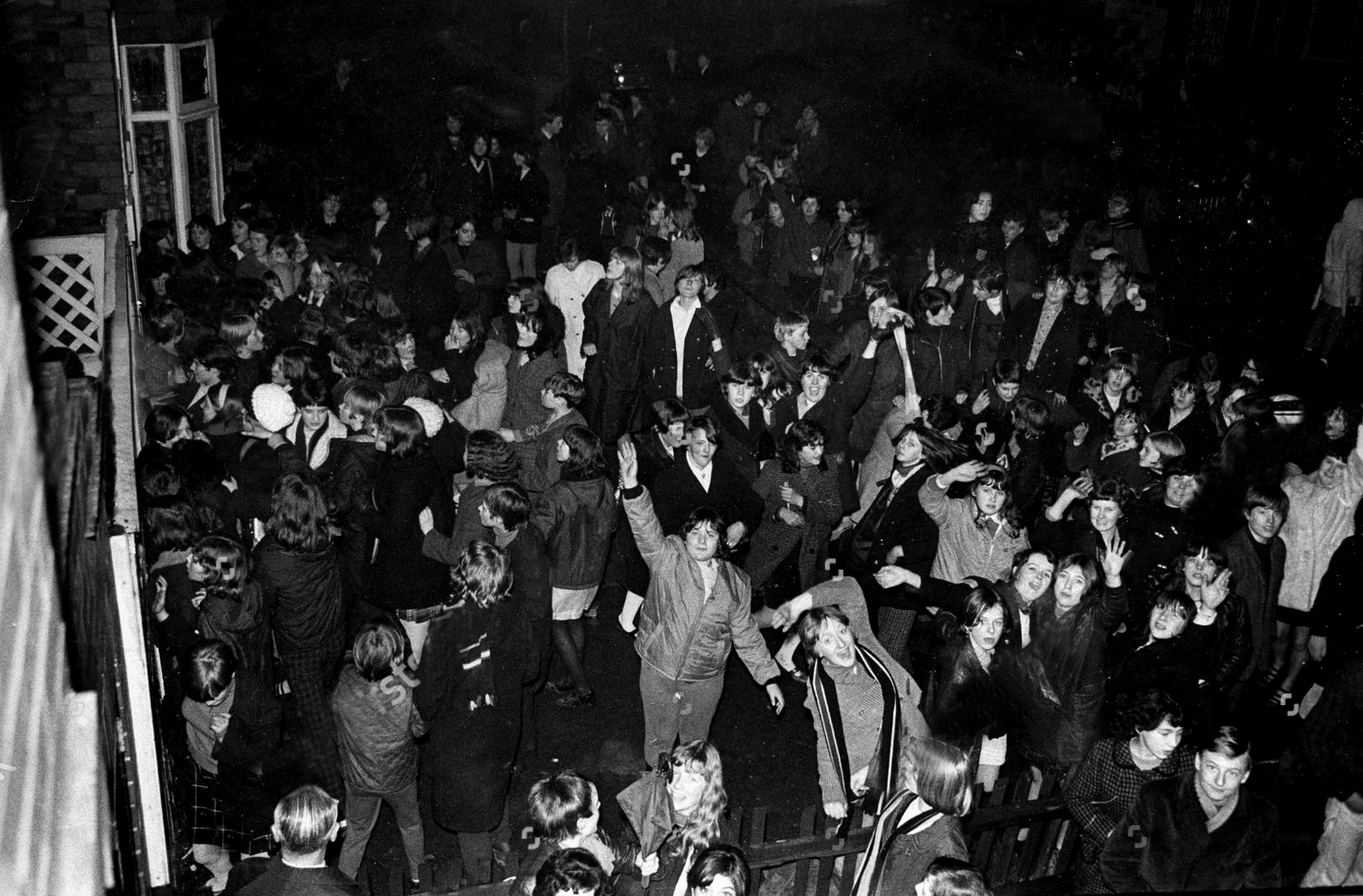
Once home to cheeky monkey, soon to be Monkee Davy Jones.

davy-jones

His runaway, overnight fame made his humble Gorton home a mecca for adoring fans.

fans-congregate-outside-the-home-of-singer-davy-jones-in-clumber-road-gorton-manchester-davy-jones-died-29-2-2012-1673475a-1500

fans-congregate-outside-the-home-of-singer-davy-jones-in-clumber-road-gorton-manchester-davy-jones-died-29-2-2012-1673476a-1500

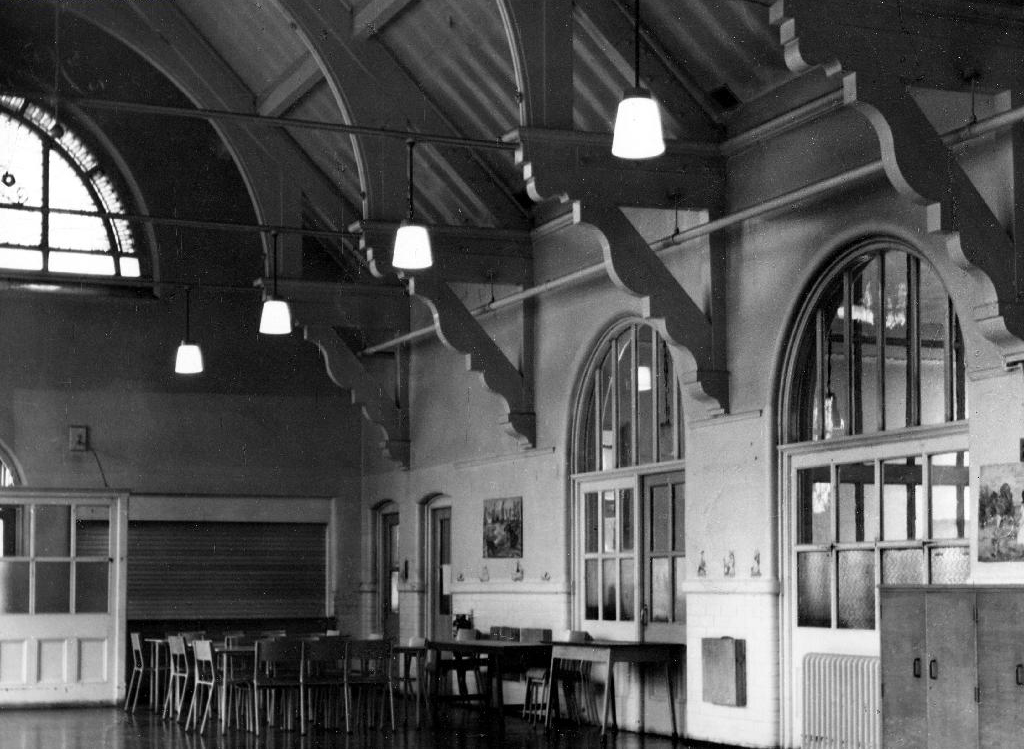
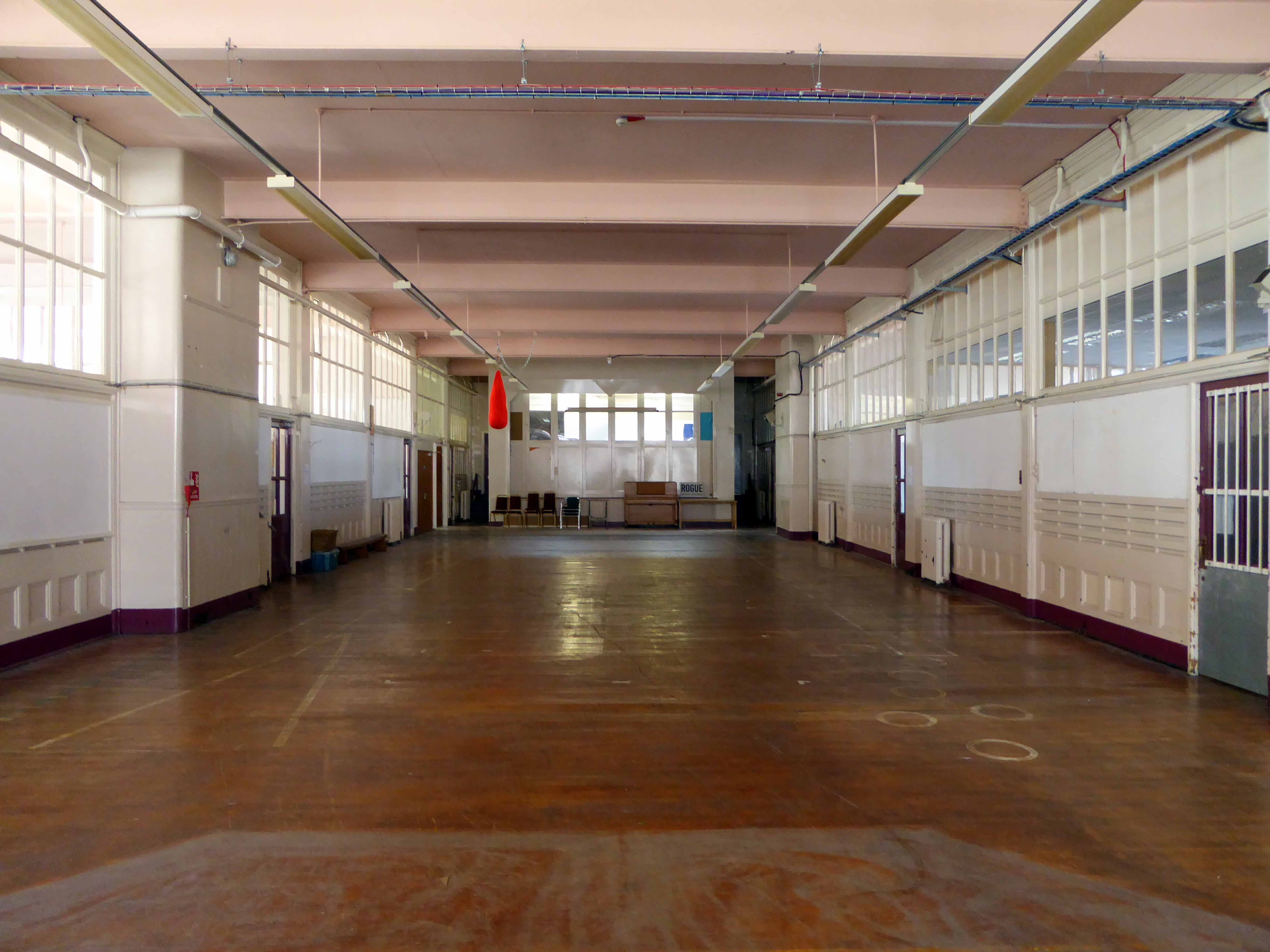
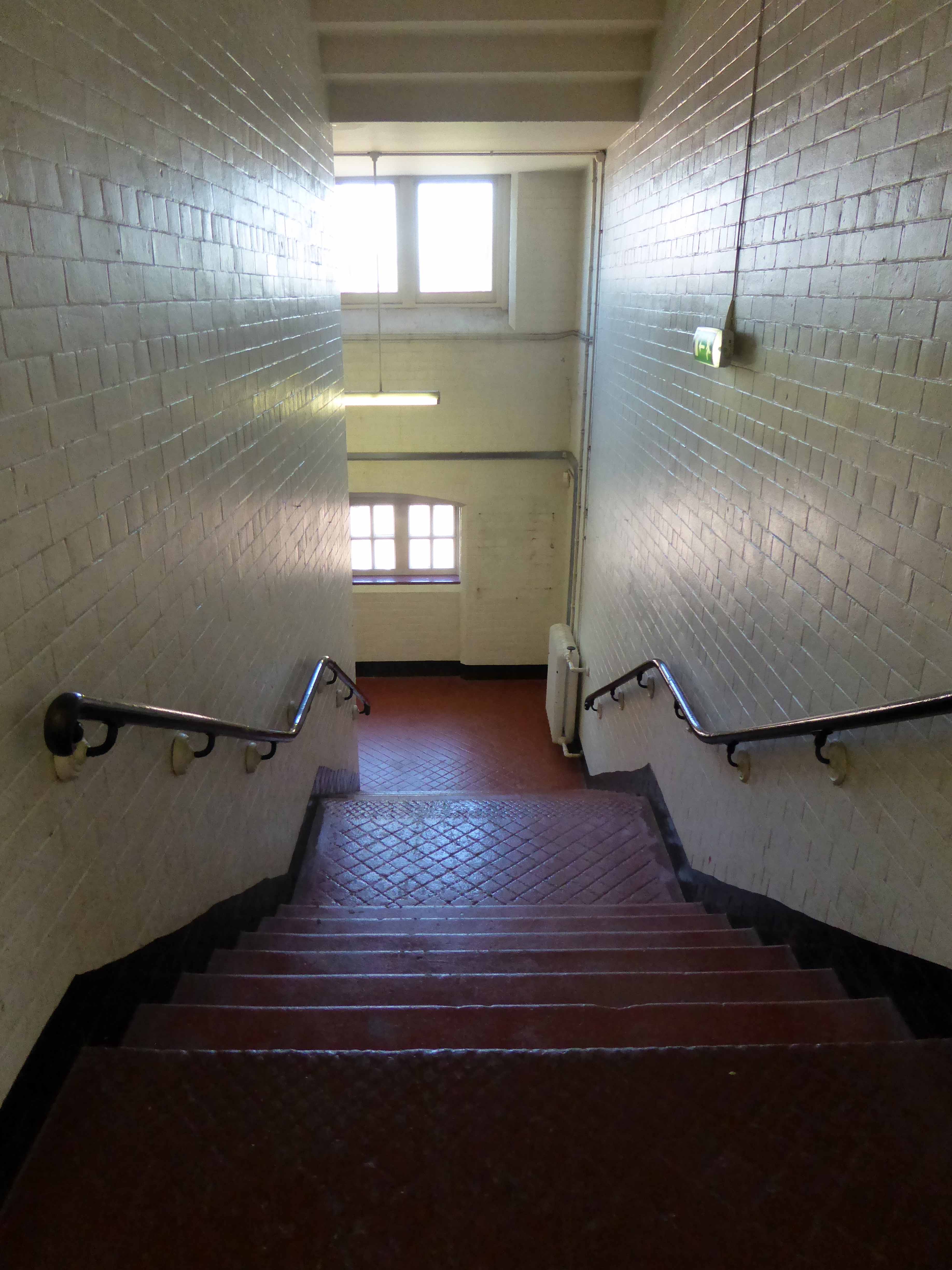
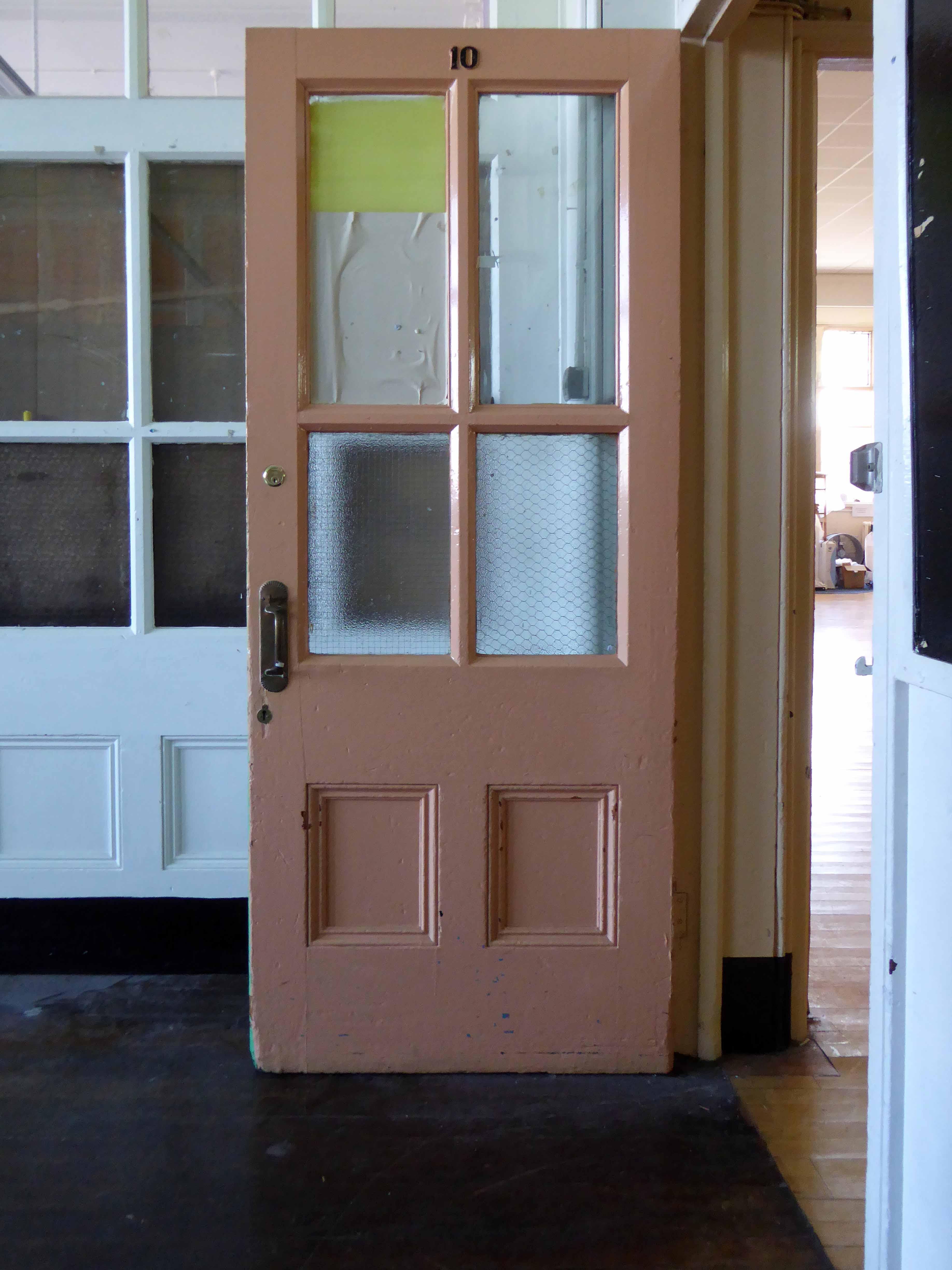
The school’s interior was a mix of wide open halls and closeted classrooms.

webmedia.php

Archive photographs from the Manchester Local Image Collection

Eventually the school bell rang for the last time, and a newer brighter home was found for the little learners.

Lights were turned off and the doors of Varna Street were closed.

But not for the last time, a new use was found for this recently listed building.

Having lost their city centre base Rogue Studios were offered the site by the local authority, and in double quick time they have created a home for artists, a community resource and project space, which will continue to prosper for years to come.

Many thanks to Ms. Jenny Steele Rogue artist for my guided tour.

P1260603

P1260607

P1260609

P1260598

P1260611

P1260612

P1260613

P1260615

P1260616

P1260617

P1260618

P1260619

P1260620

P1260624

P1260625

P1260627

P1260629

P1260633

P1260636

P1260637

P1260638

P1260640

P1260642

P1260645


Underpass – Milton Keynes

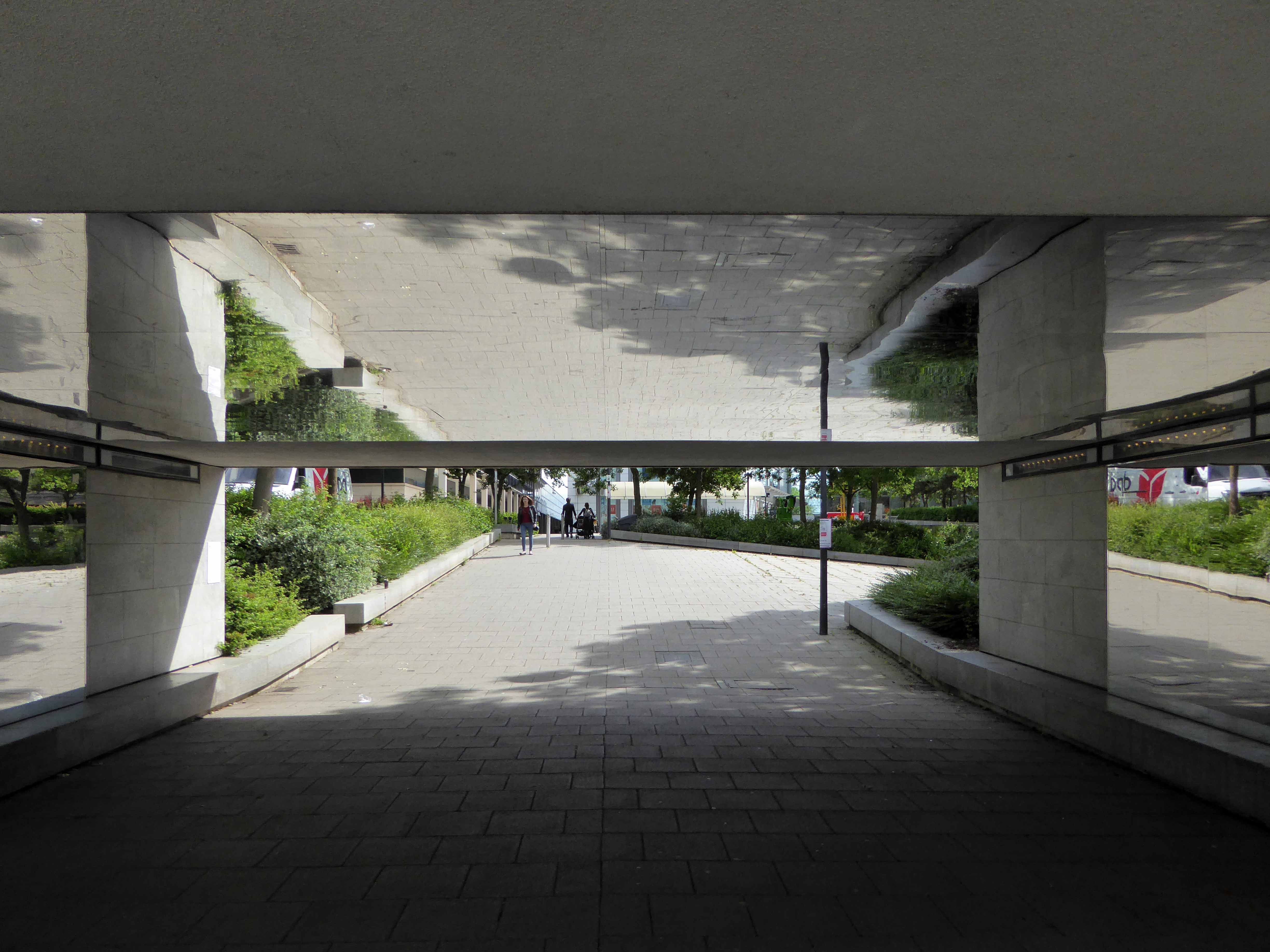
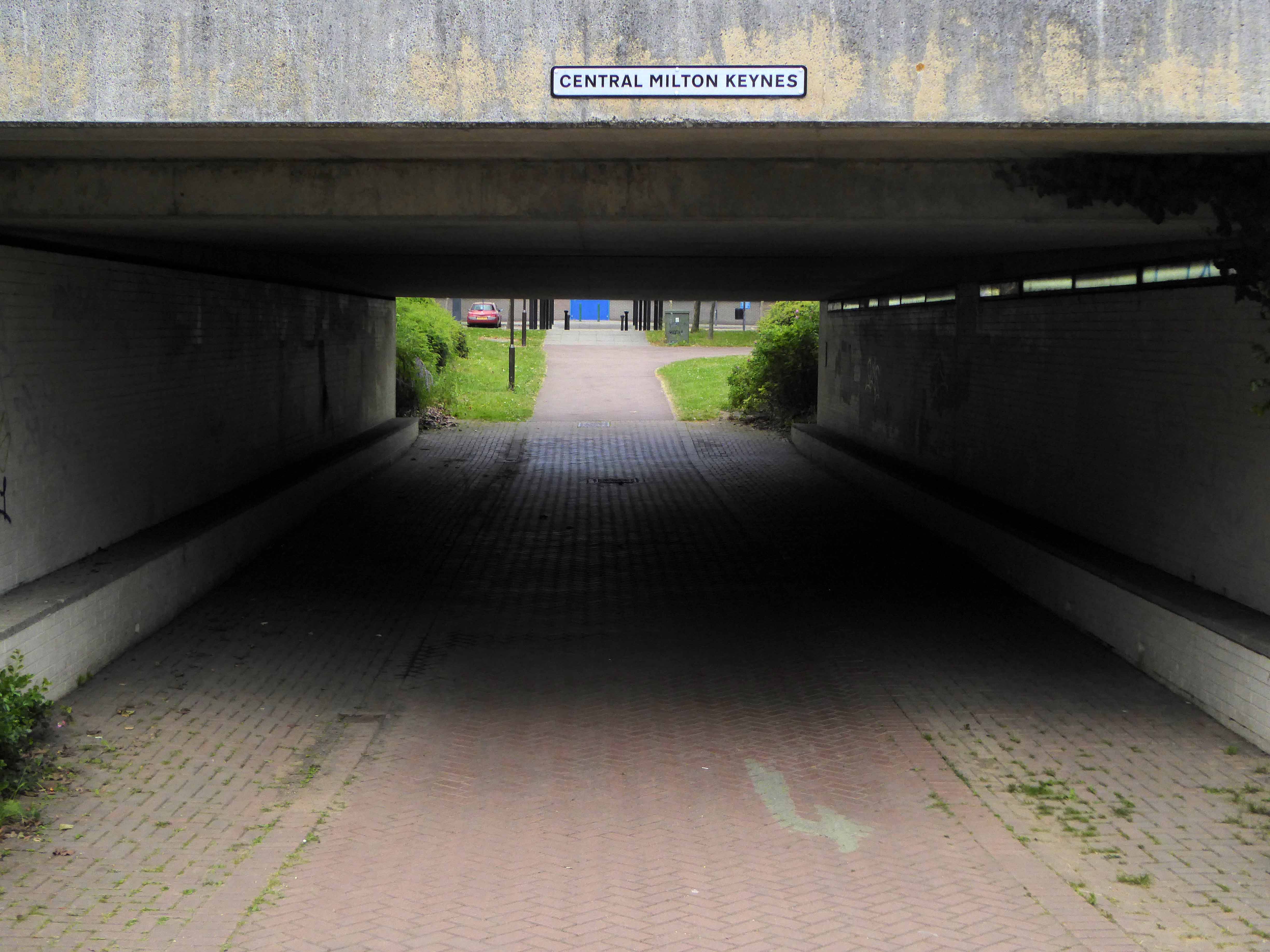
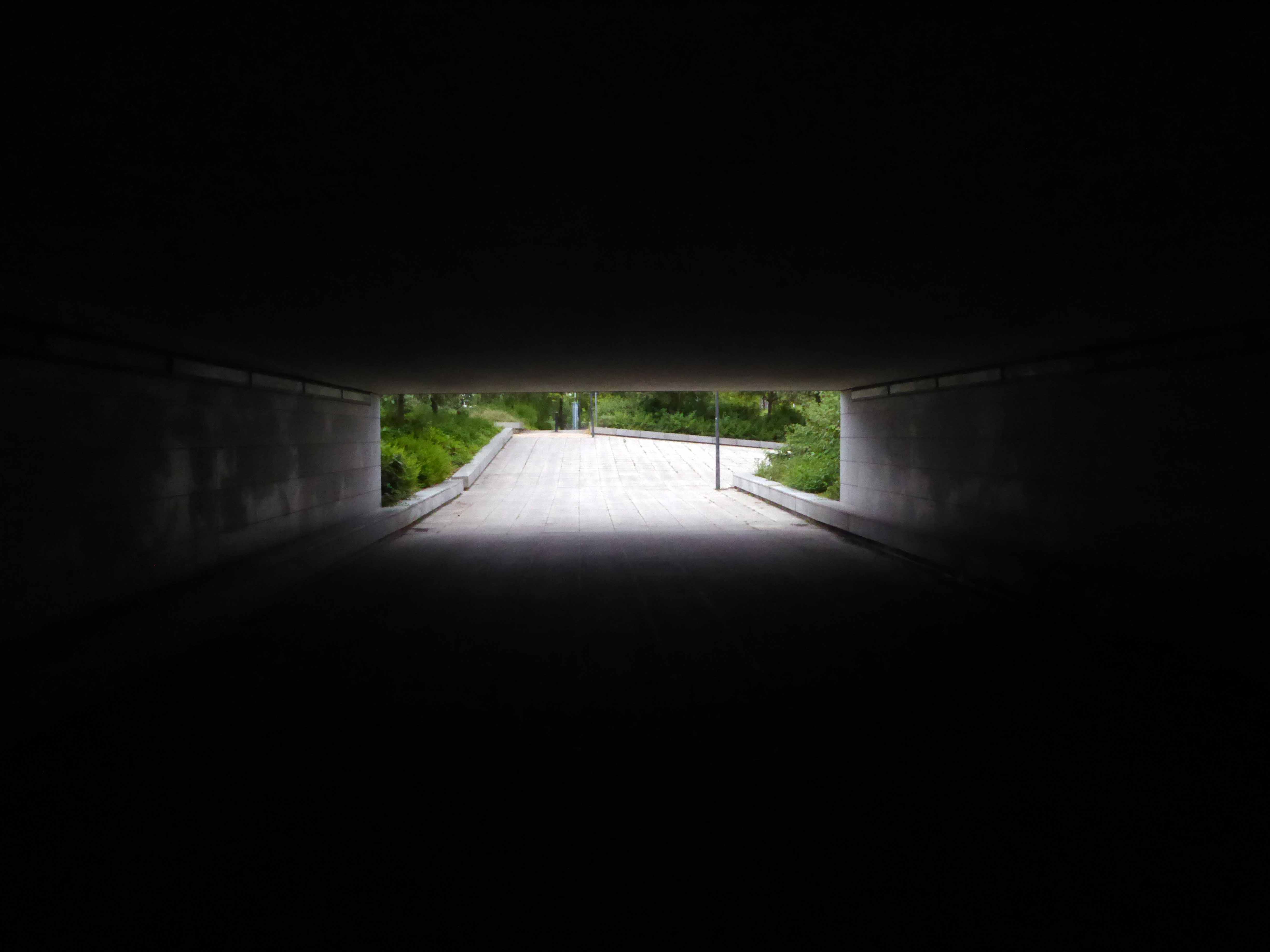
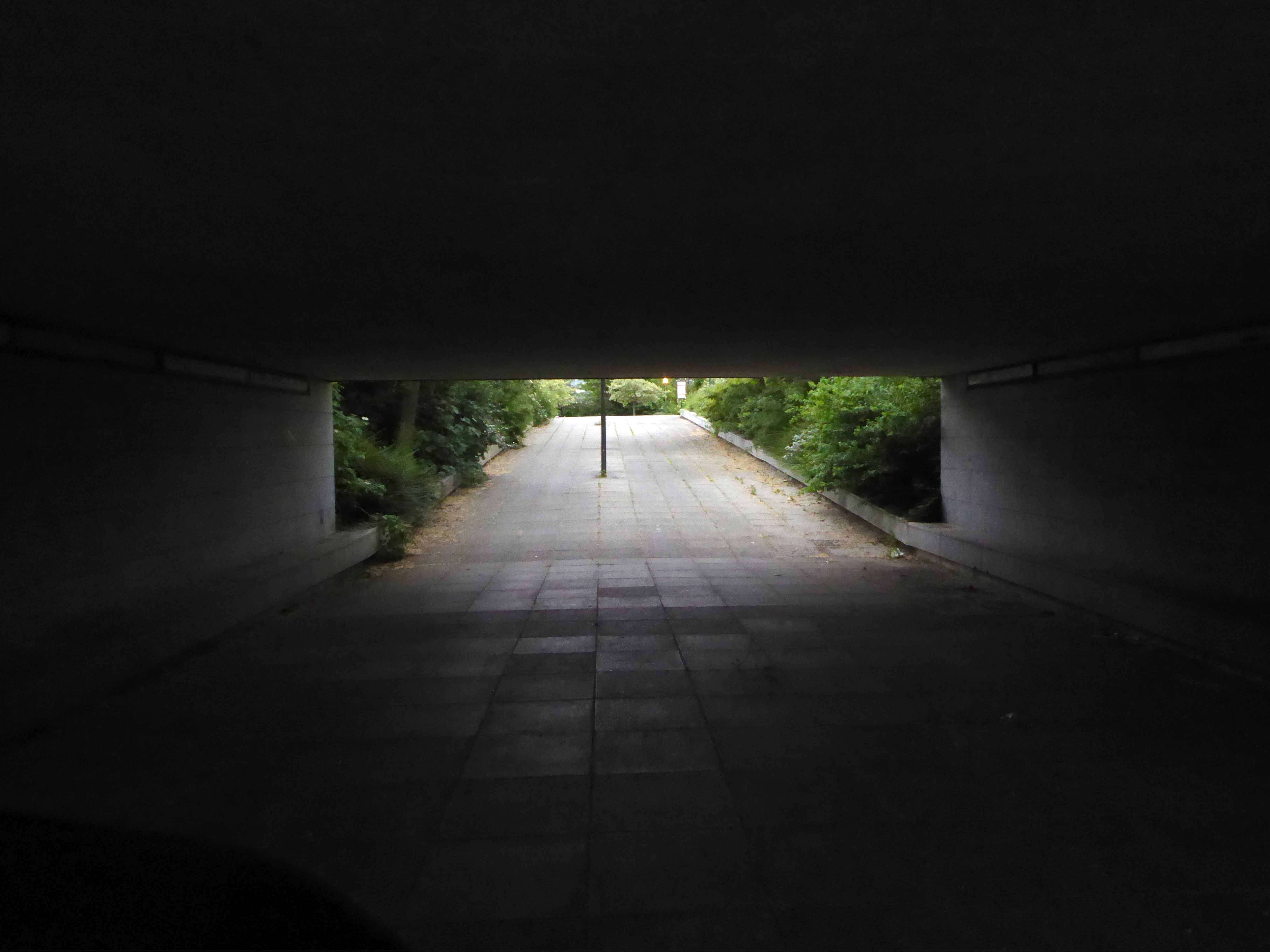
Milton Keynes synonymous with something or other, the town where everything is an off centre out of town centre, where anything was new once.

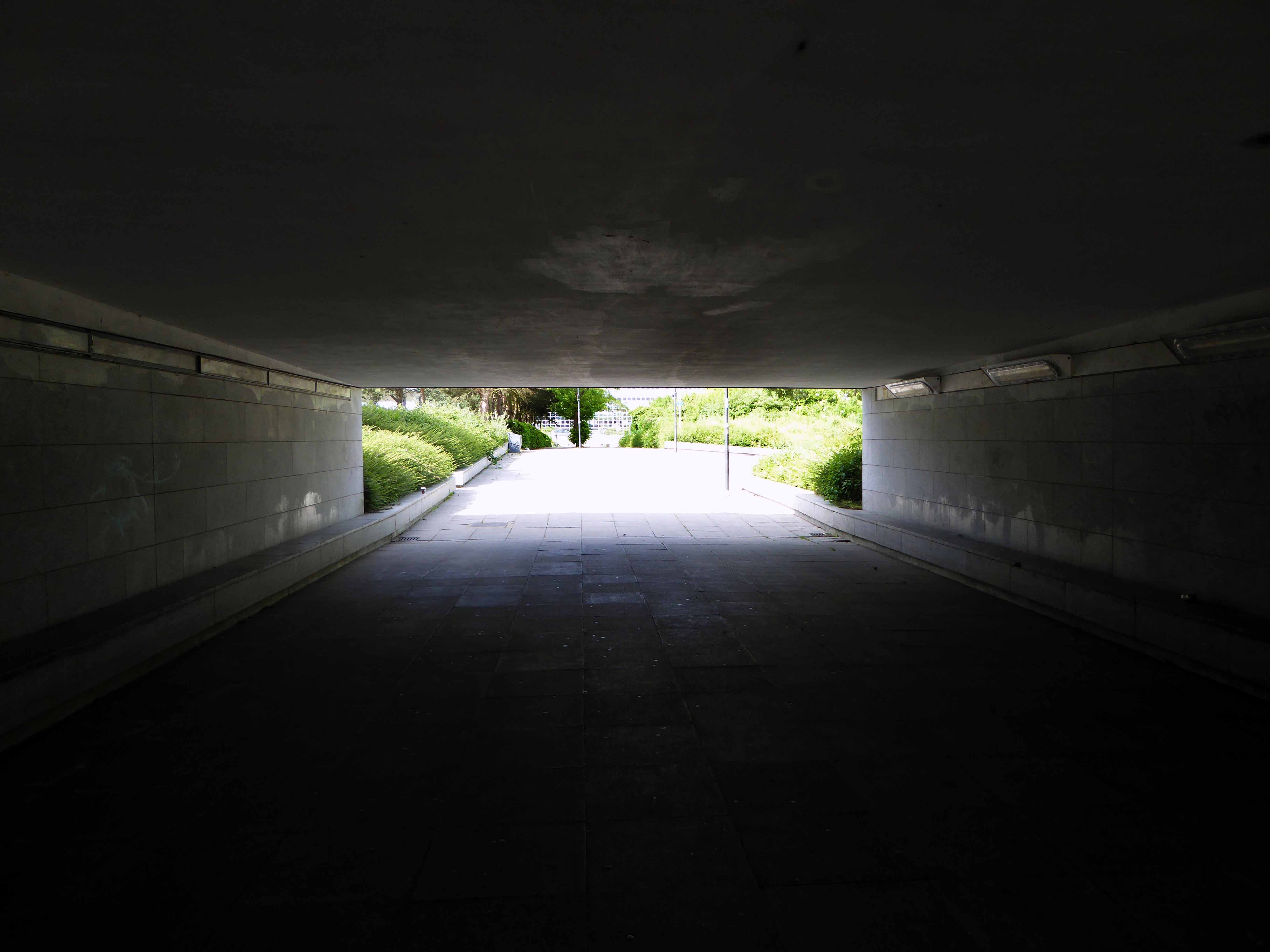
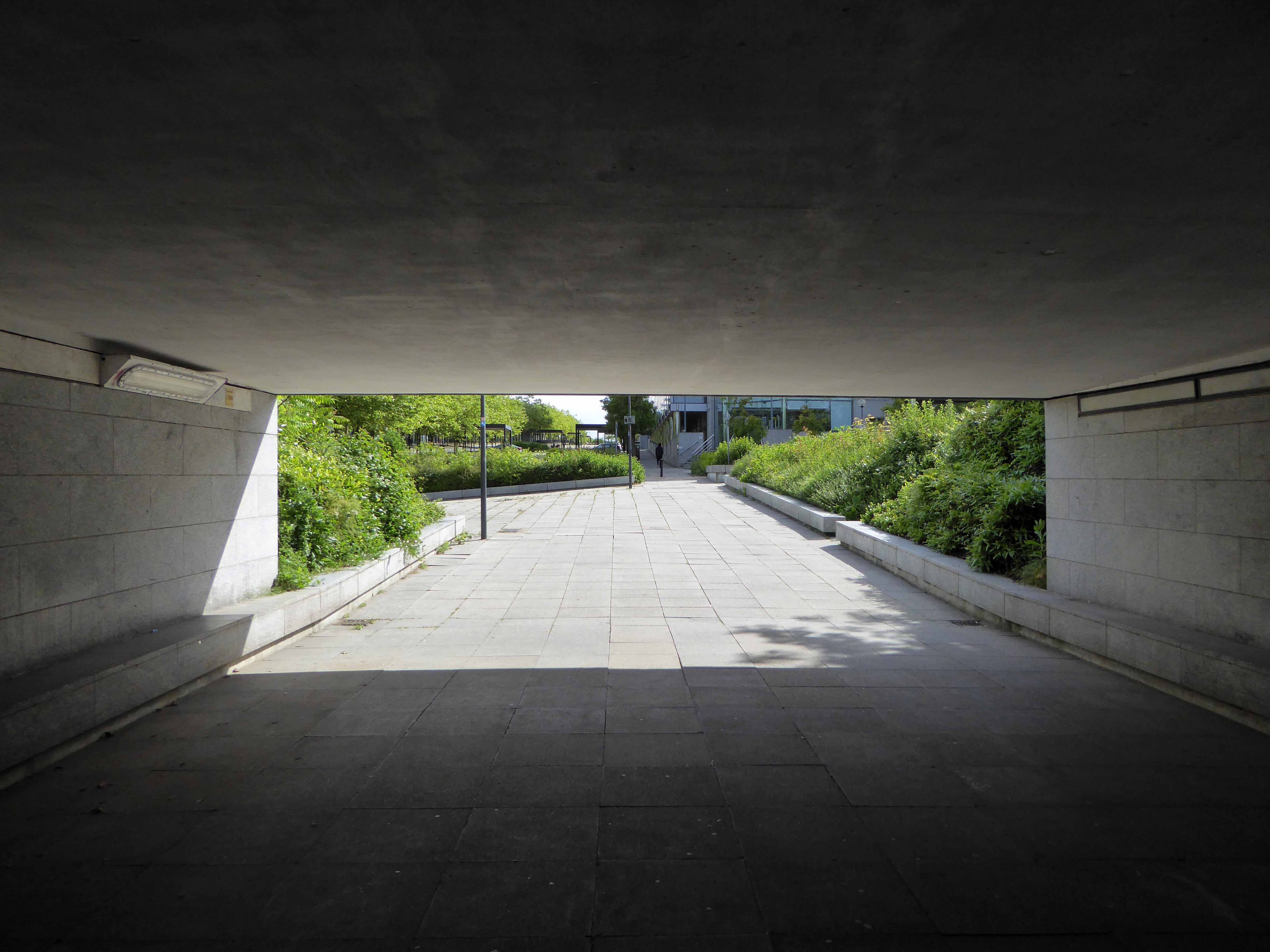
A broad grid of boulevards, sunken super-highways and an extended series of balletic roundabouts swirls the cars around.

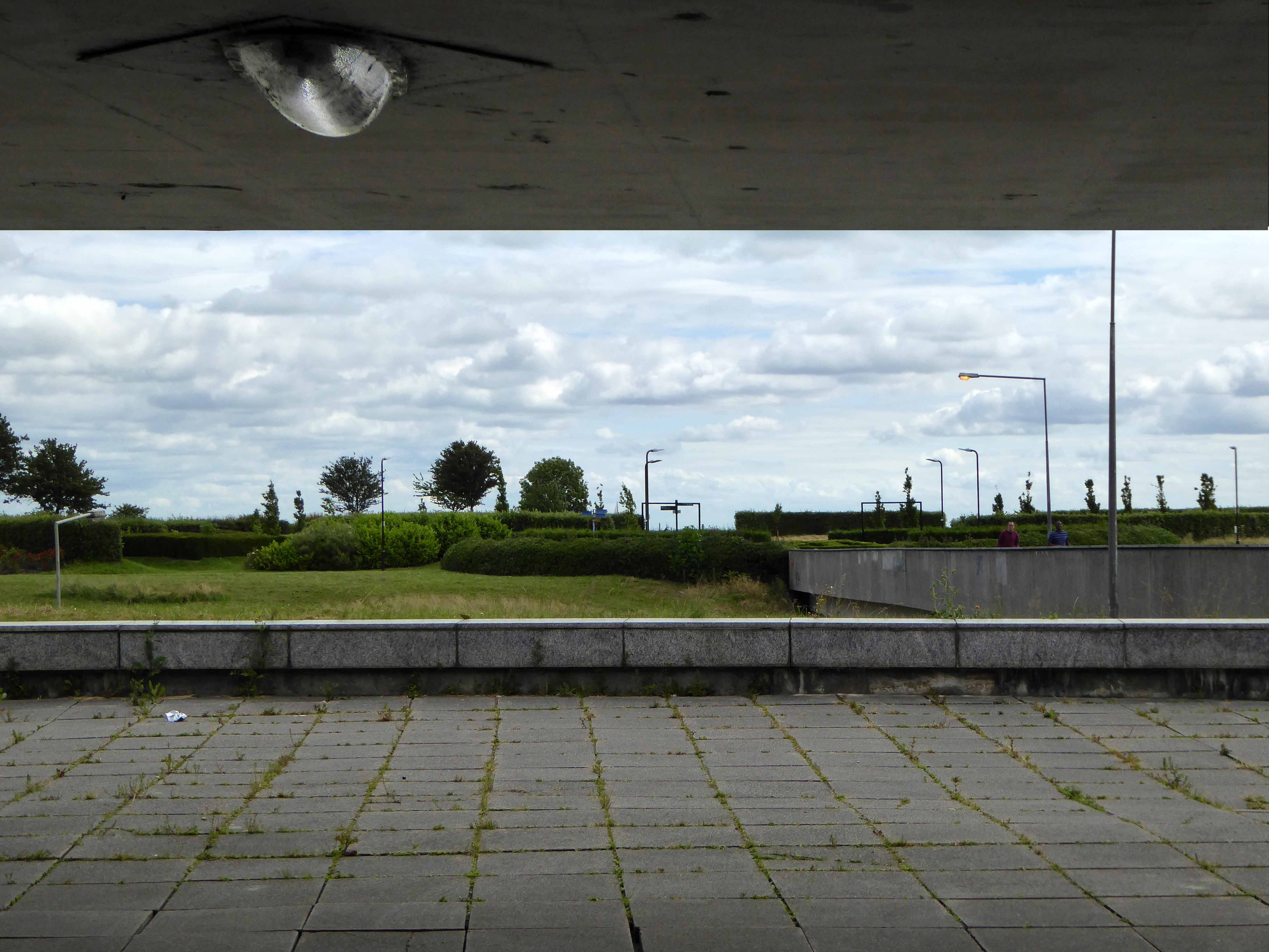
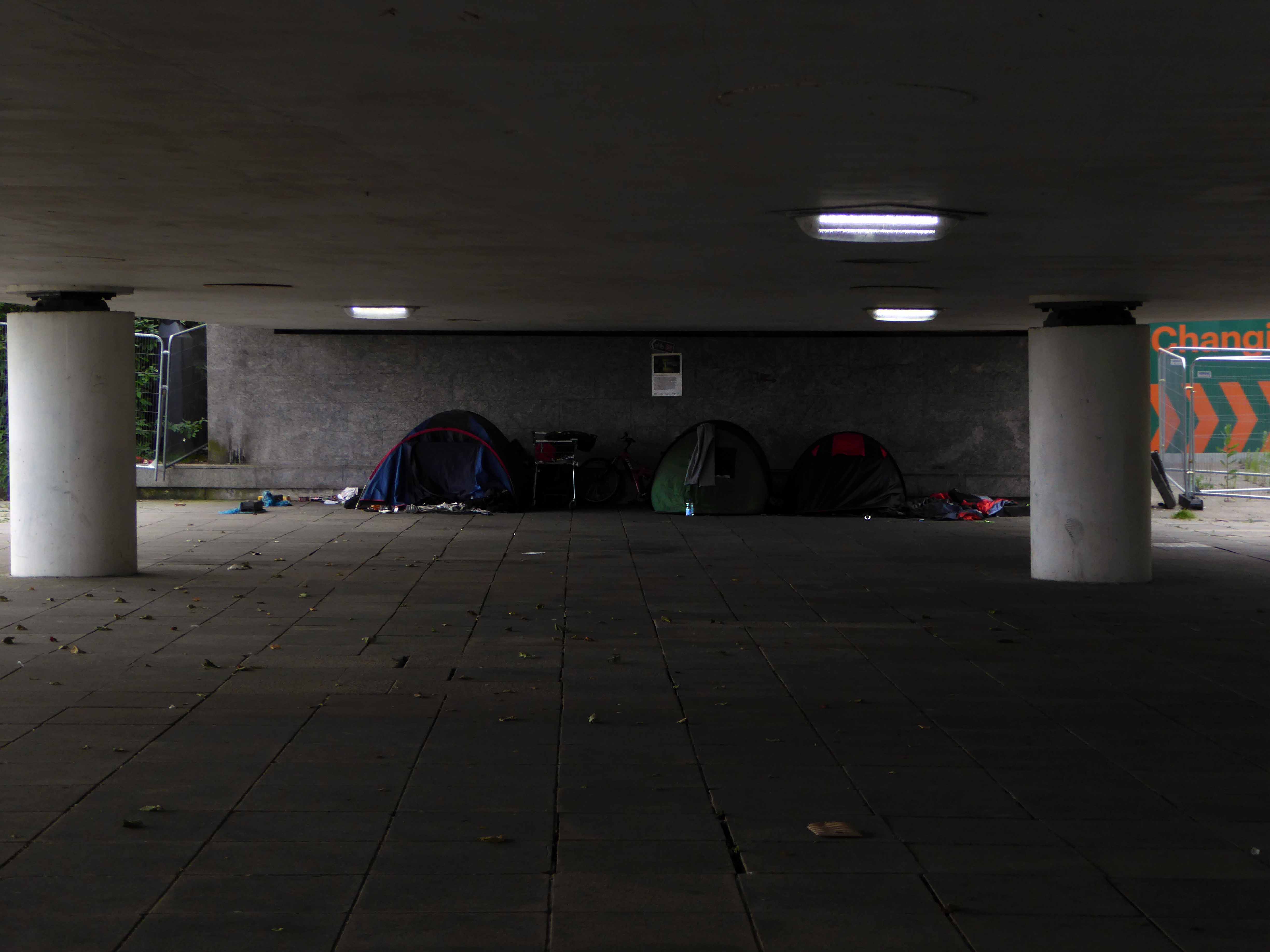
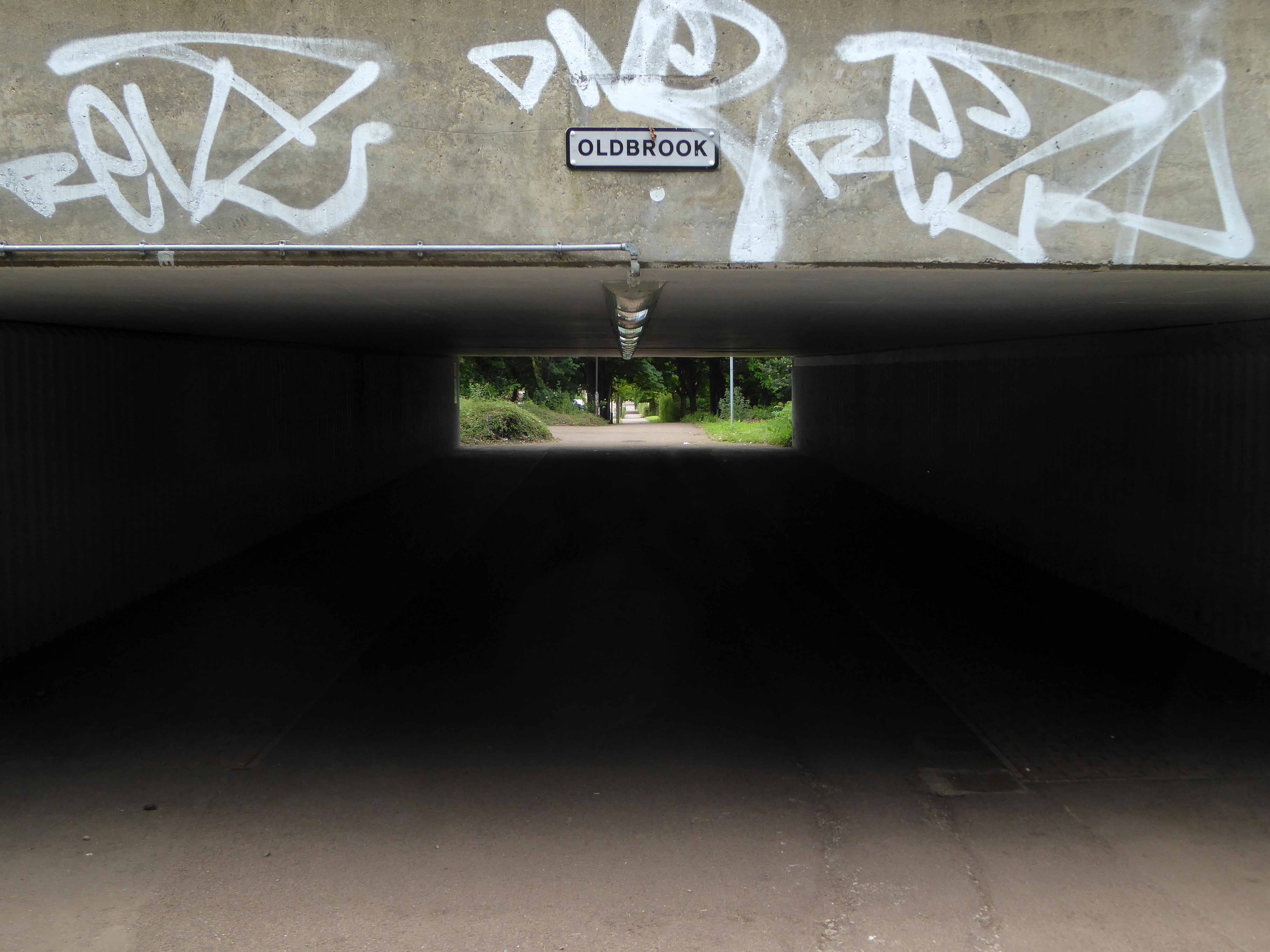
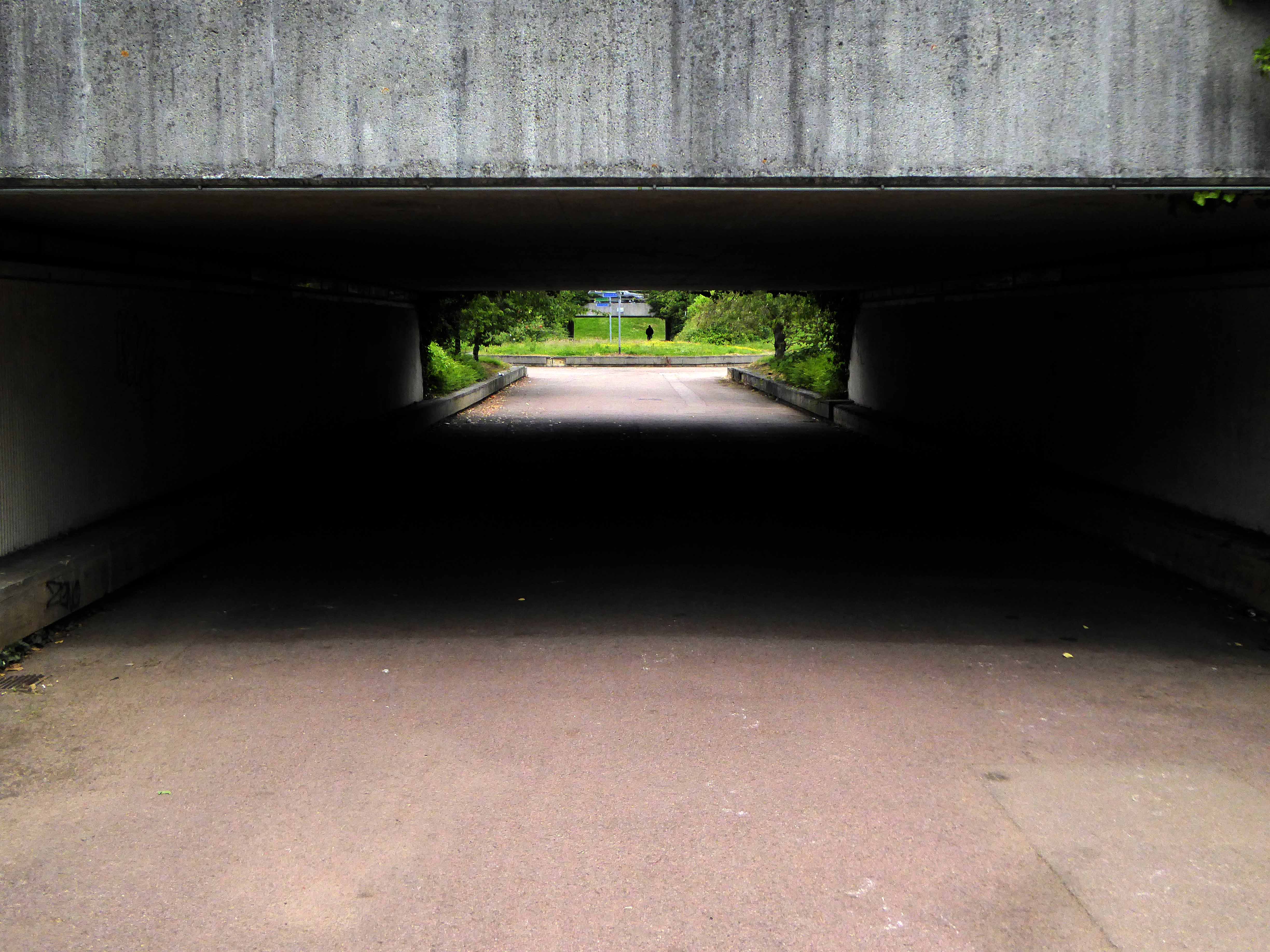
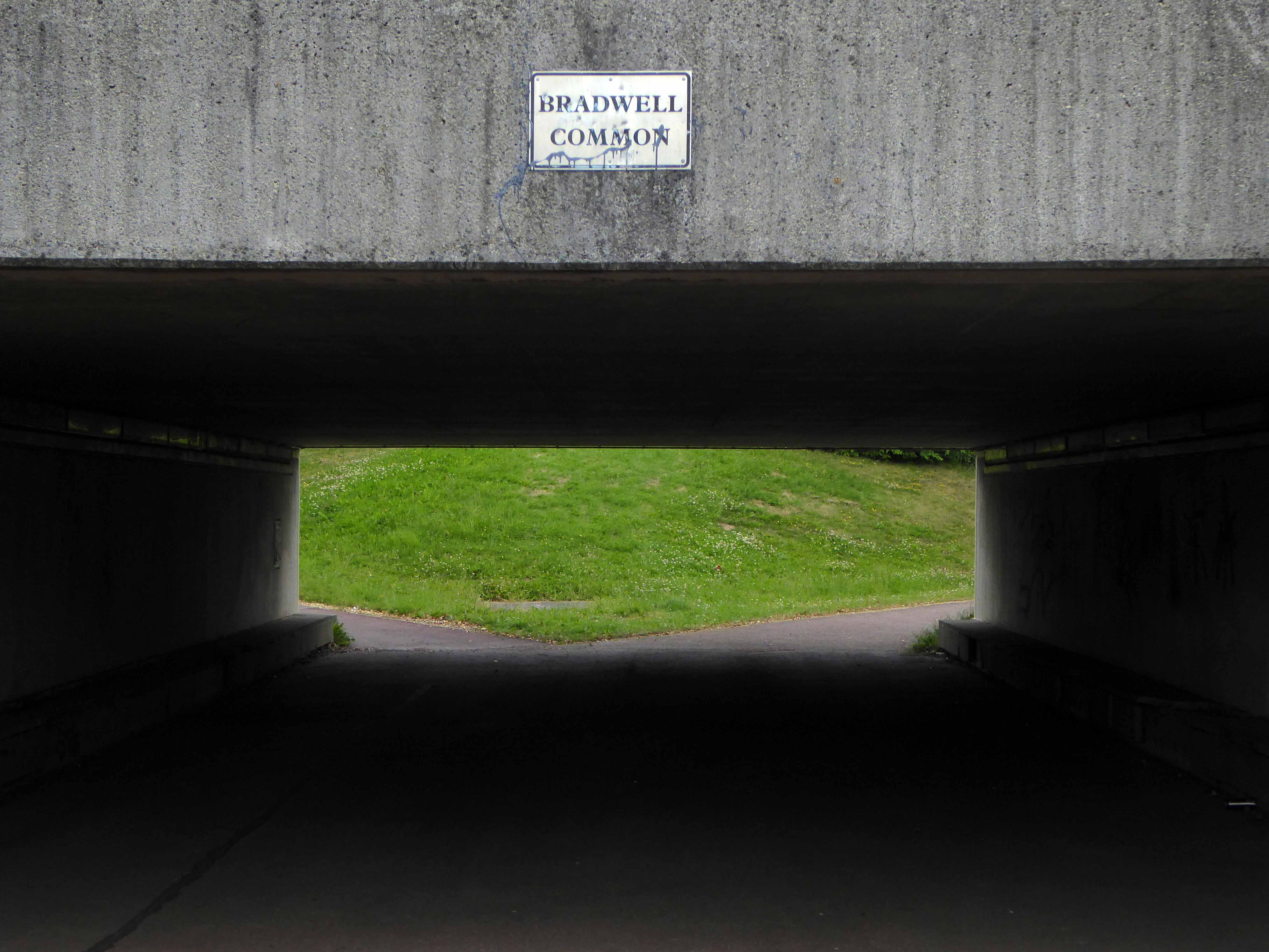
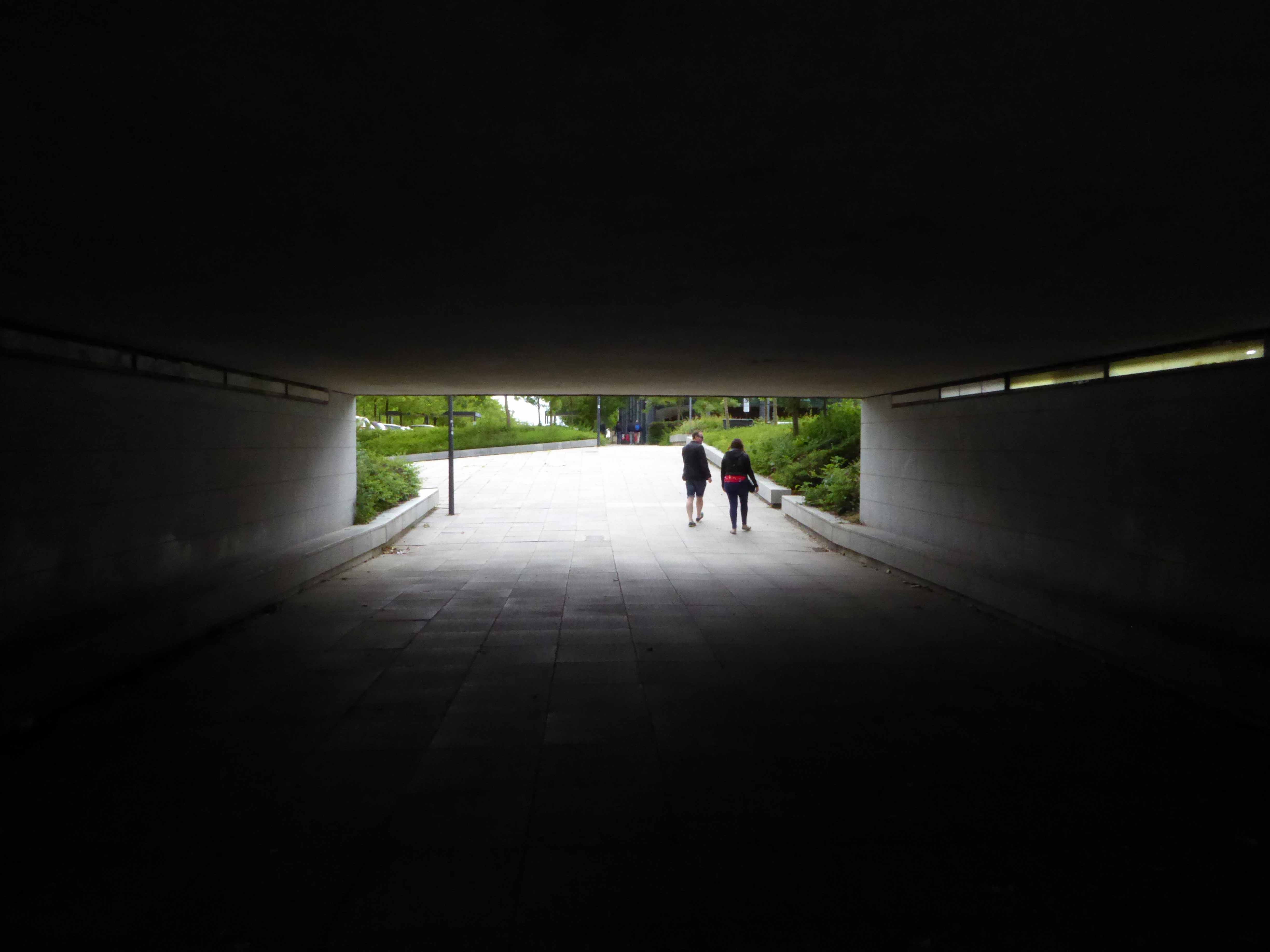
Beneath this merry carbon hungry dance, we find the cyclist and pedestrian, the self propelled underclass passing through the underpass.

During my eight hour non-stop walking tour I encountered several – here they are, home to the homeless – others somewhat desolate and deserted, grass between the paving stones, the occasional casual tag and discarded can.

P1260103

P1260104

P1260129

P1260179

P1260180

P1260181

P1260207

P1260232

P1260234

P1260263

P1260264

P1260394

P1260395

P1260396

P1260397

P1260405

P1260406

Taylor Street Gorton – The Pineapple

Screen Shot 2018-06-11 at 17.33.47

To begin at the beginning or thereabouts, Taylor Street was at the heart of Gorton to the east of Manchester city centre.

webmedia-1.php

webmedia-2.php

webmedia-3.php

webmedia-6.php

webmedia-7.php

webmedia-8.php

webmedia-9.php

webmedia-10.php

webmedia.php

A typical street of tightly packed brick terraces, dotted with shops, pubs, people and industry. I worked there as van lad for Mother’s Pride bread back in the 70s and saw those shops, pubs, people and industry slowly disappear.

Beyer Peacock whose immense shed dominated the northern end of the street, simply ceased to be, as steam gave way to diesel.

As full employment gave way to a date with the dole.

Adsega opening on nearby Cross Street heralded the arrival of the super fast, self-service supermarket, and sounded the death knell of the cosy corner cupboard.

398912_3820026268527_1203084936_n

The local pub was The Bessemer – its name forging an unbreakable link with the surrounding steel industry, that eventually broke.

webmedia-5.php

To the left of the pub is the Bishop Greer High School construction site  – the first of the new build that would later dominate the area, along with wide open spaces where shops, pubs, people and industry once were.

12932970_10154152981641600_8757469207112330278_n

webmedia.php copy

webmedia-1.php copy

When the school eventually shut its doors, it became an annex of Openshaw Technical College, and I found myself working there in the 80s at the East Manchester Centre, until its eventual closure.

It’s now sheltered accommodation for the lost and lonely:

Located in a quiet suburb of Manchester with excellent links to the city centre, Gorton Parks has an exceptional range of facilities spread out across five separate houses, each offering a different care option. Melland House offers dementia residential care, Abbey Hey provides nursing dementia care, Debdale is the house for intermediate nursing care and Sunny Brow offers general nursing care.

We sought solace in The Pineapple.

Screen Shot 2018-06-11 at 17.33.25

The streets were trimmed and slimmed, much of the past a mere ghostly presence, almost imprinted on the present.

A brave new world of brand new modern housing, with an Estate Pub to match.

The_Pineapple,_Gorton

A busy bustling boozer – lots of live and local action for the lively locals, latterly seeing out time as a house of House – a real bangin’ Bashment, bass-man bargain basement.

Until time is finally called – no more four to the floor, last one out shut the door.

1512347_516327525148853_492482006_n

Nothing lasts forever and a sign of the times is an upended pub sign, lying dormant in the dust.

The Chunky no longer a great big hunk o’funk.

10 Gorton pineapple pub

The big screen TV forever failing to deliver all the action, live or otherwise.

P1050836

p1050838.jpg

Latterly transformed into Dribble Drabble.

DSC_0074

And so the beat goes on as successive waves of success and recession, boom and bust free-market economics, wash over the nation and its long suffering folk.

Its enough to drive you to drink.

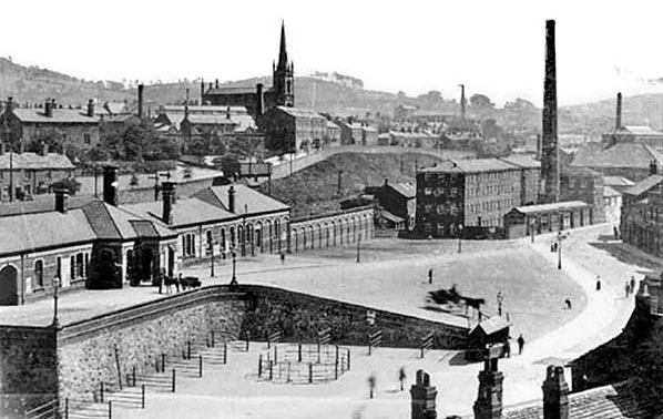
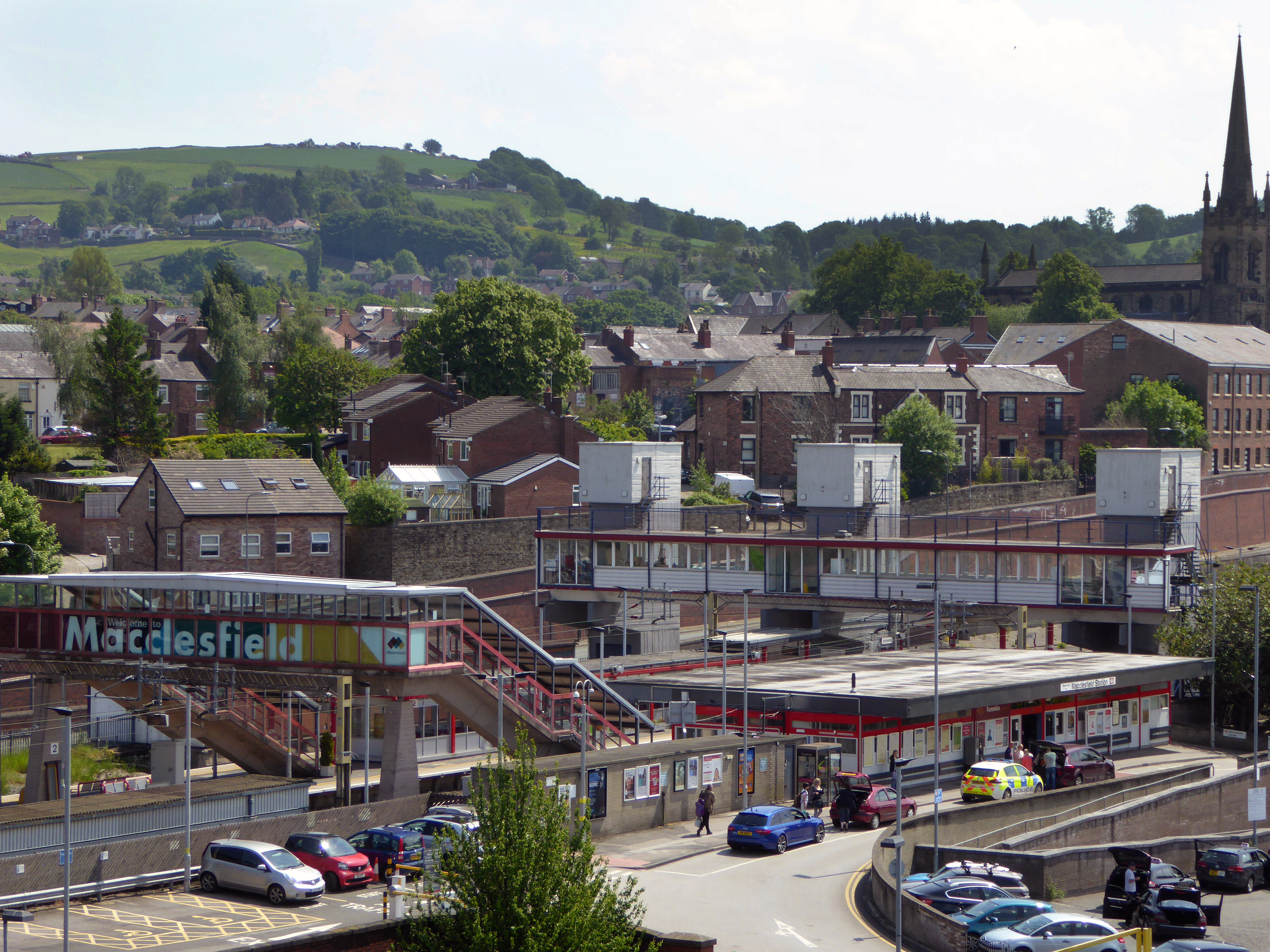
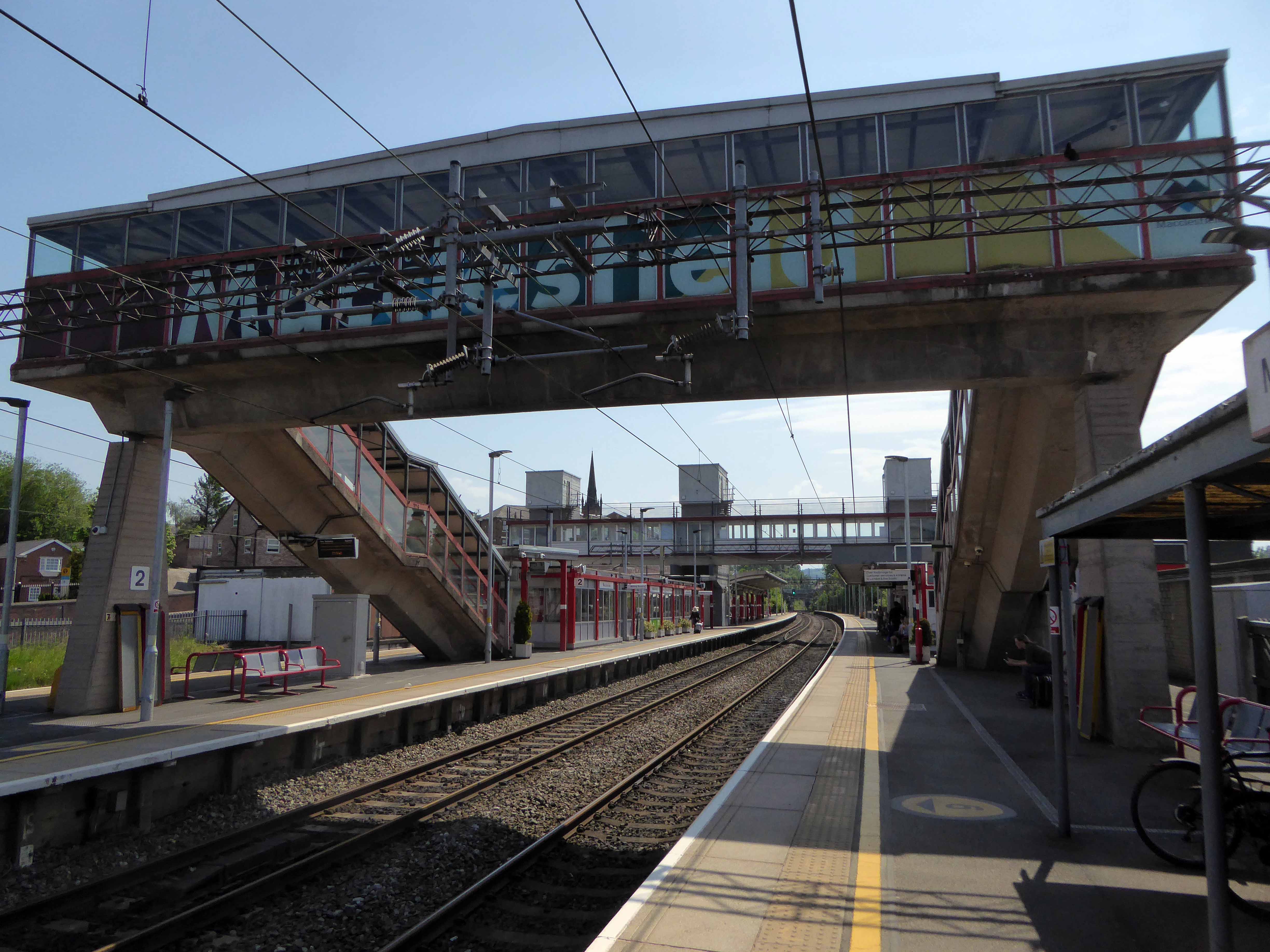
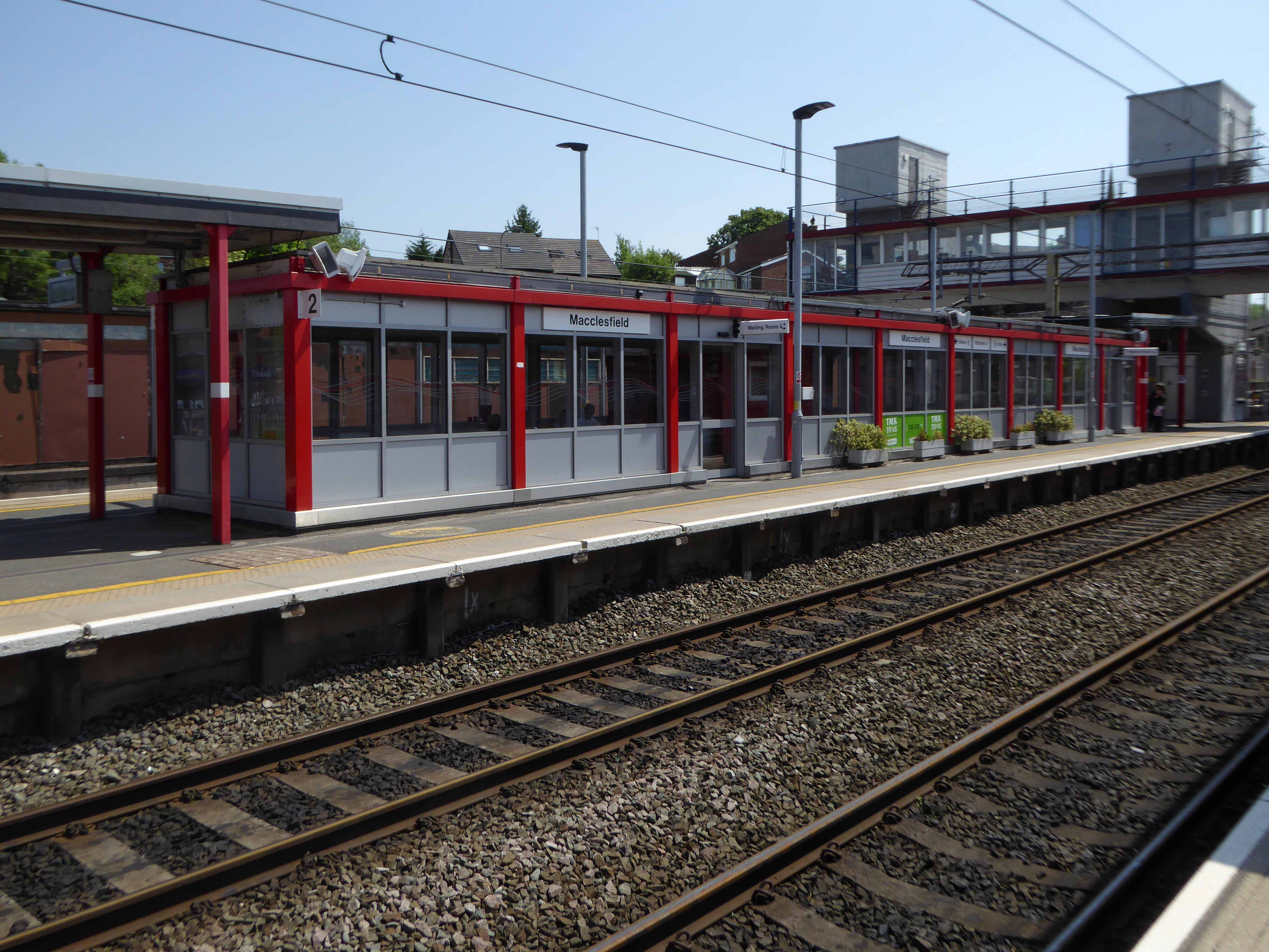
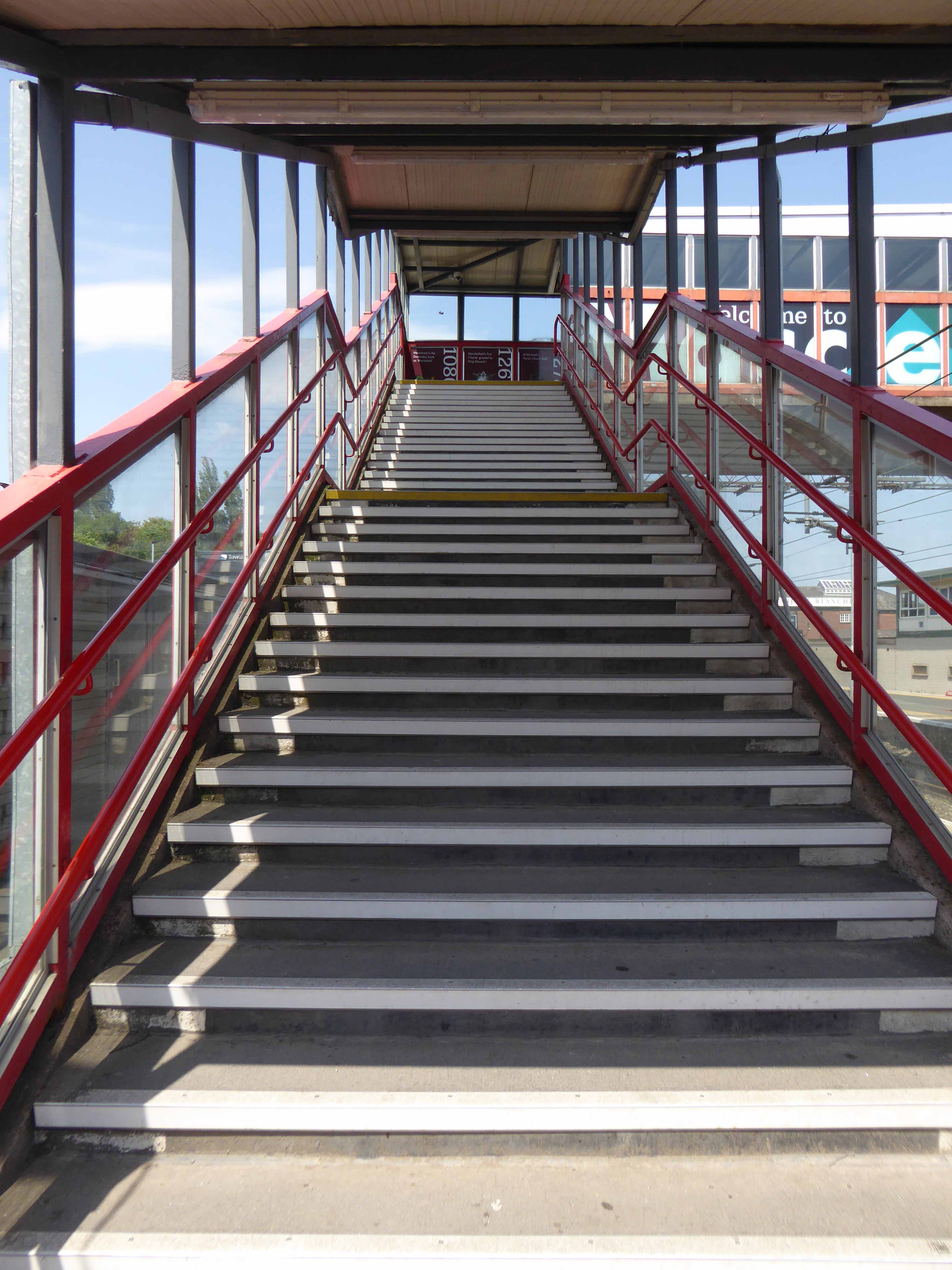
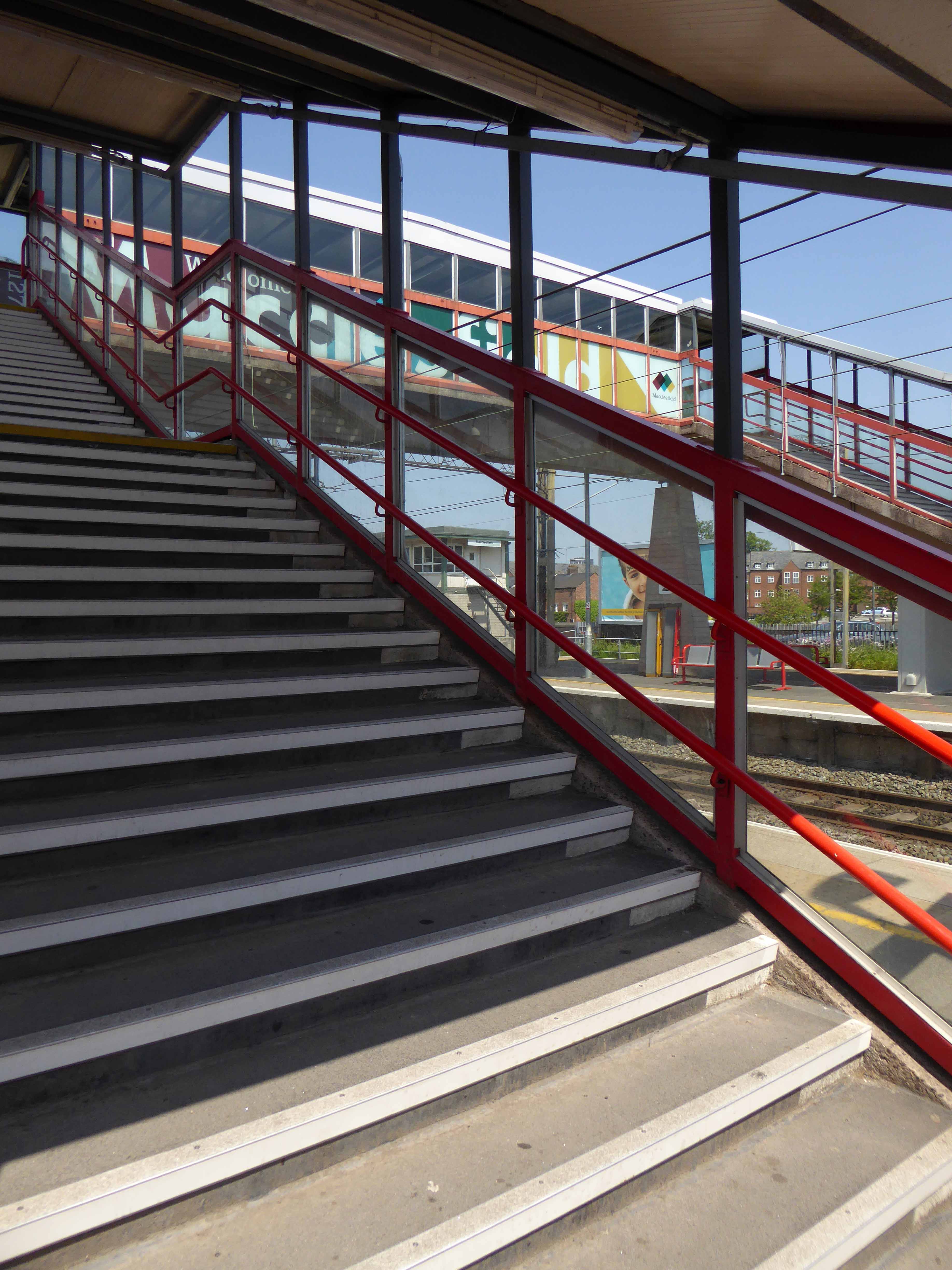
Macclesfield Railway Station

Where the Victorians modelled their stations on cathedrals, temples and palaces.

Modern Man models his on shopping centre and office blocks.

Richards and MacKenzie – The Railway Station

Though it seems to me that Macclesfield Station, in its earlier and current states, refuses to dovetail neatly into either of these sloppy binary paradigms.

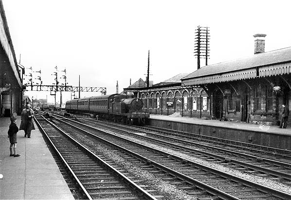
macclesfield_central_1900.s

The former – single storey buildings, fitting unostentatiously into the topographic and practical constraints of the site. A neat, tightly packed rhythm of brick arches with a compact and bijou porch welcoming the expectant traveller.

P1250546

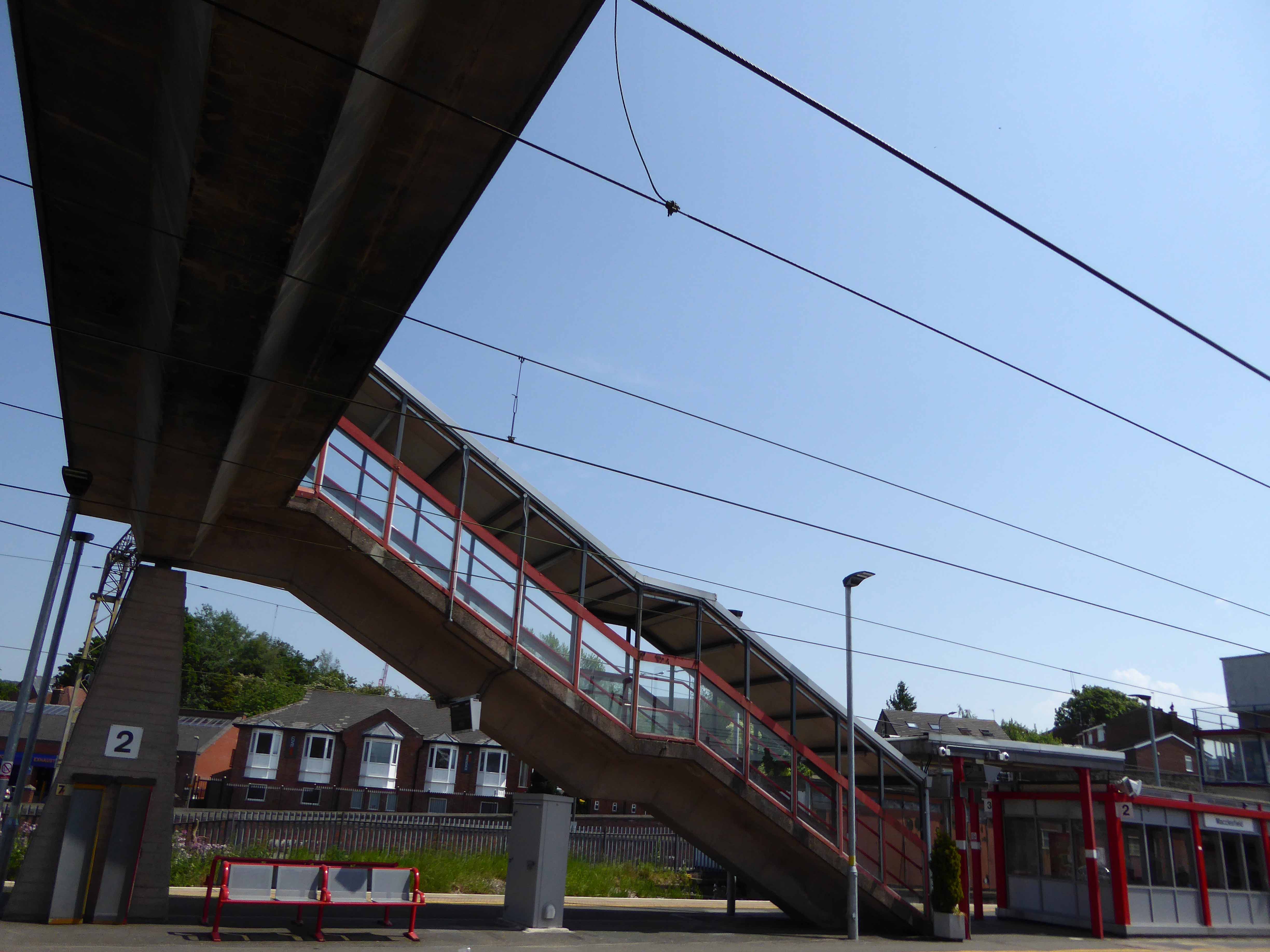
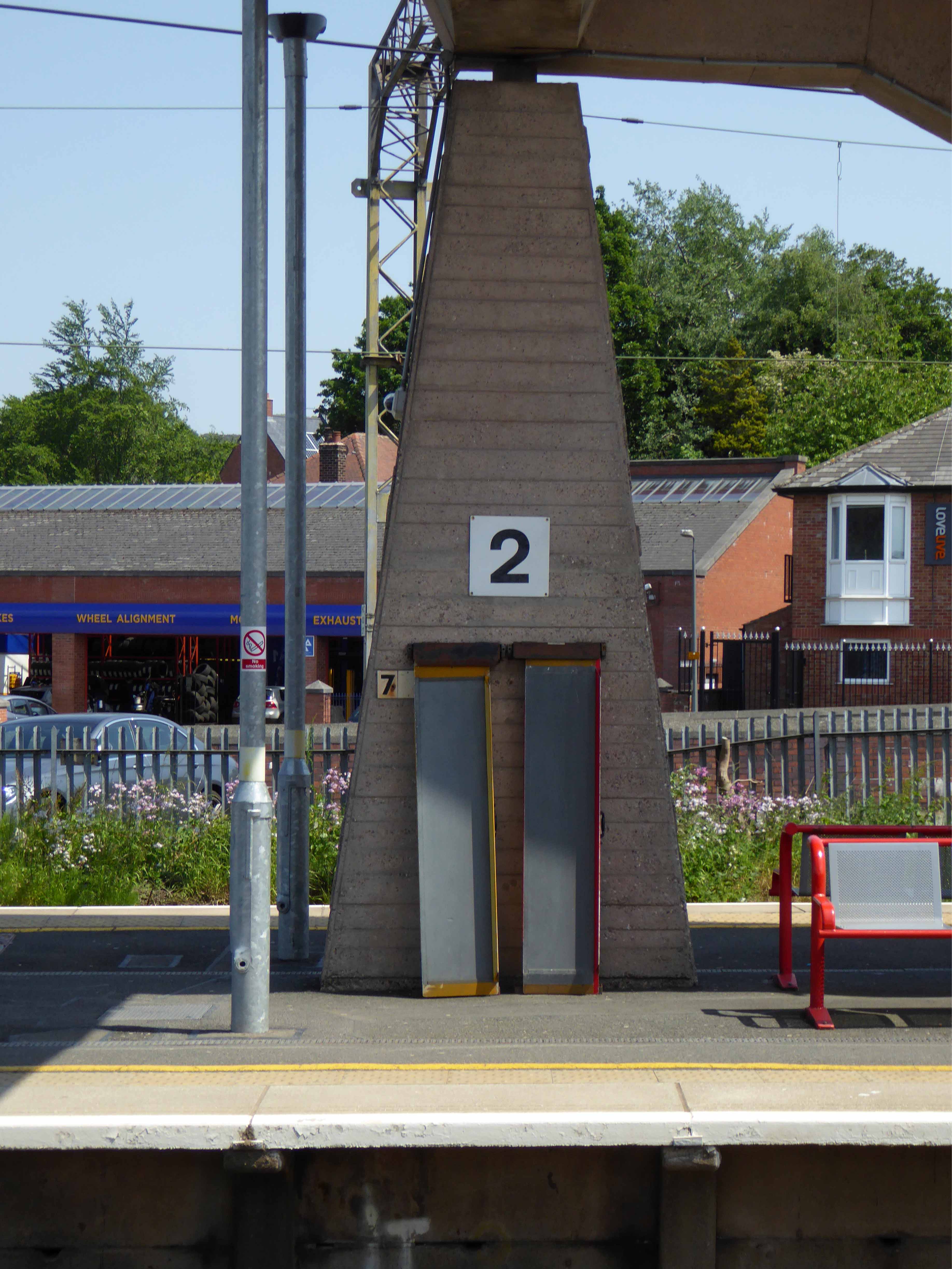
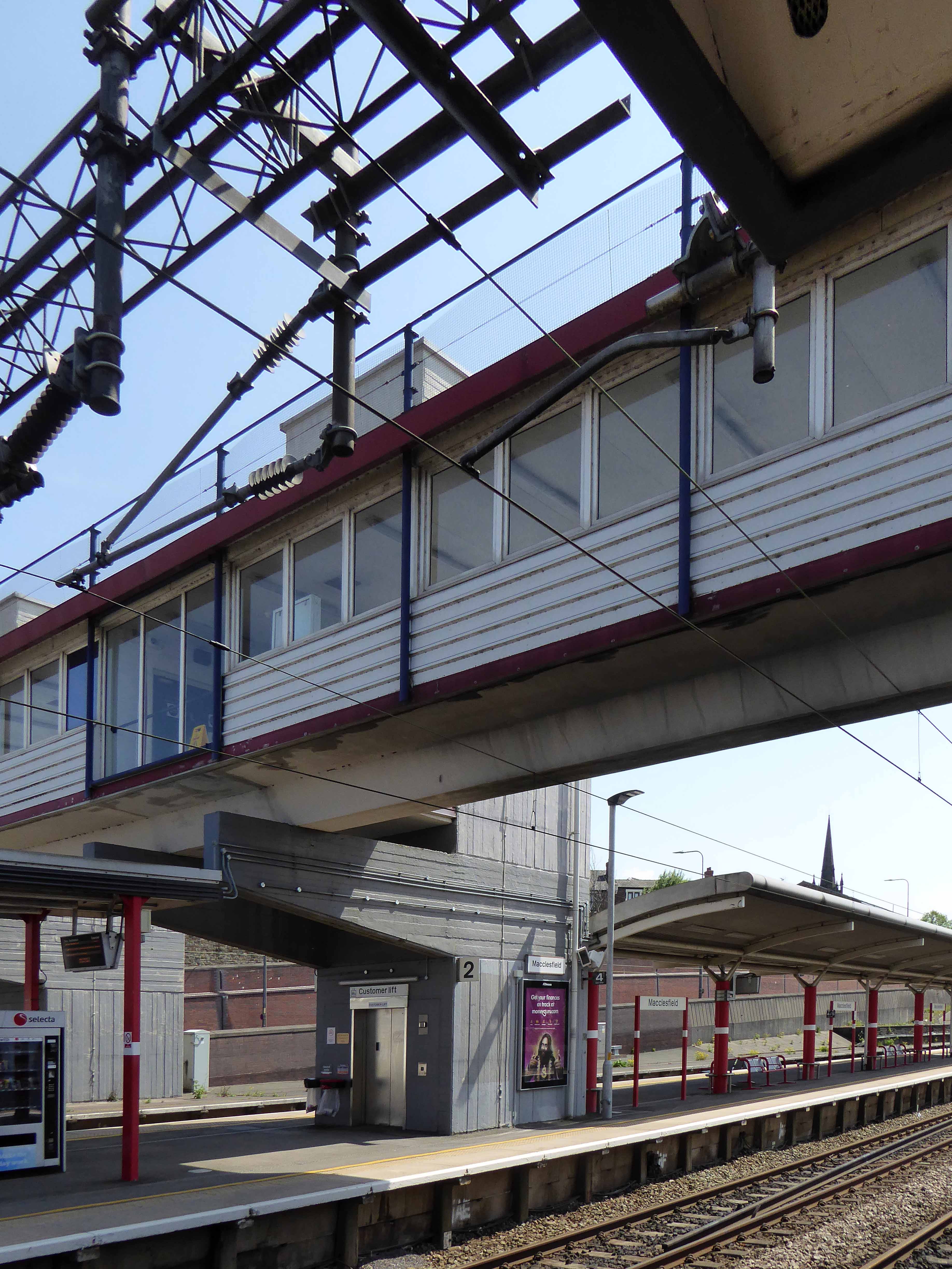
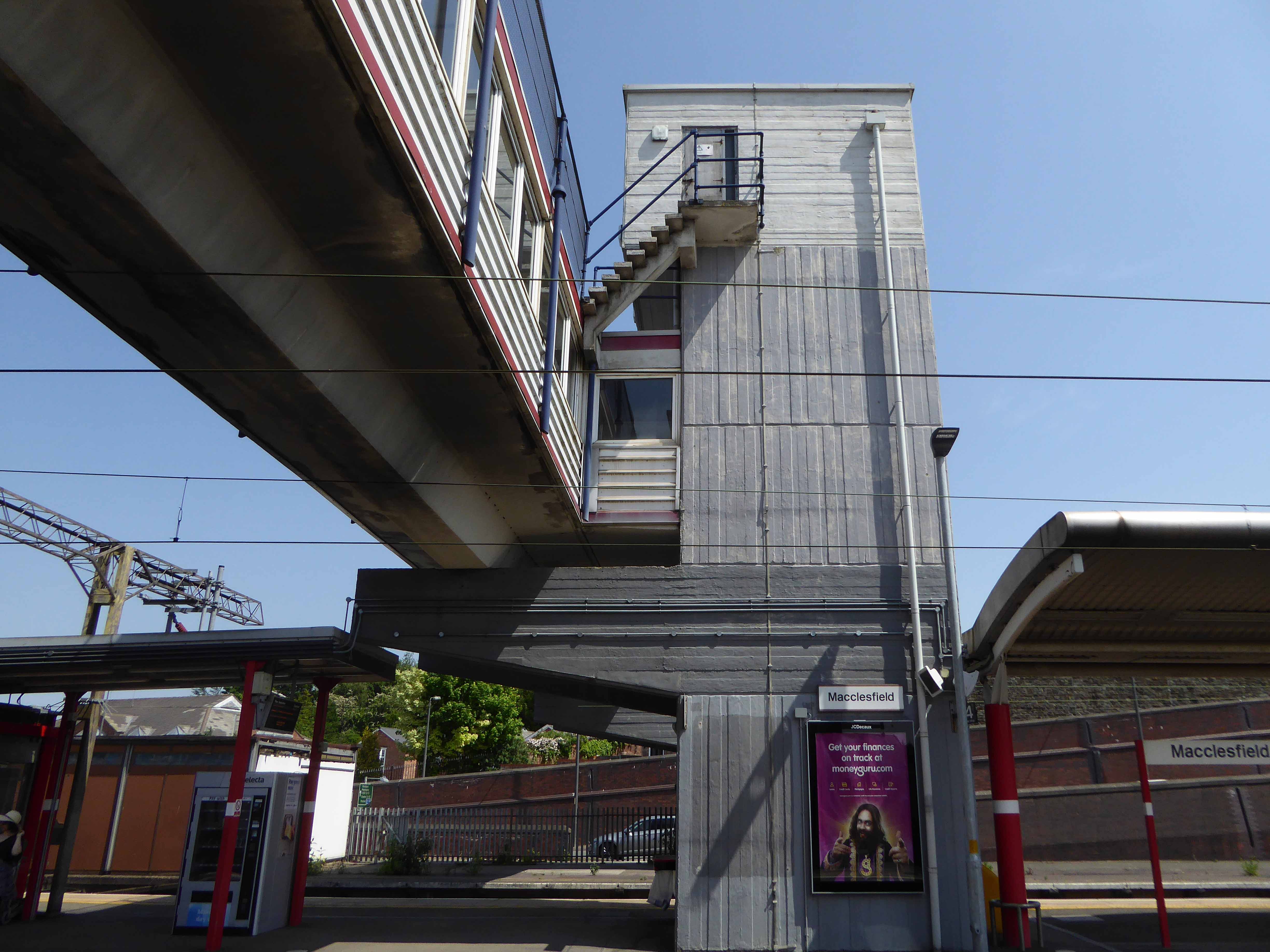
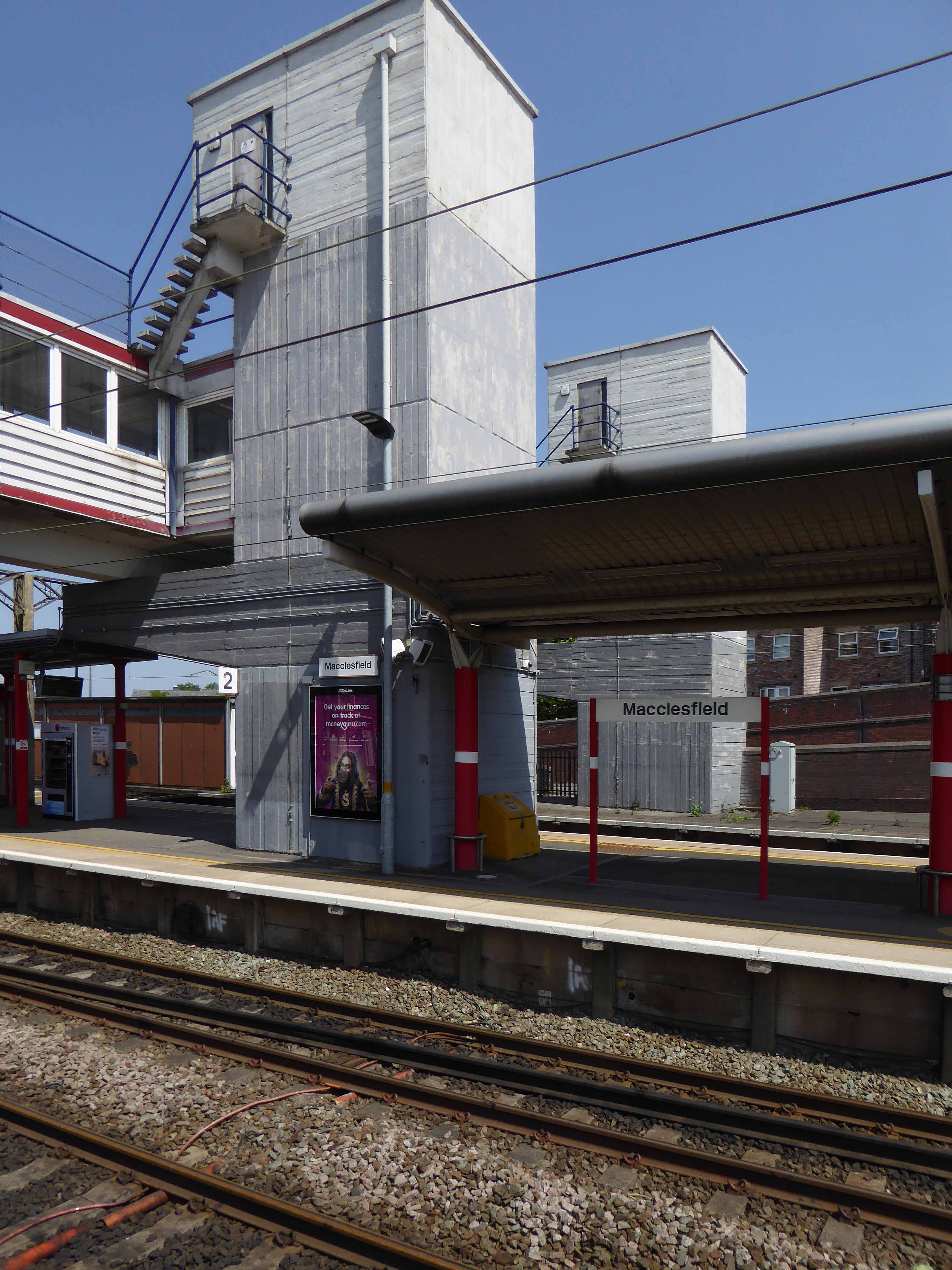
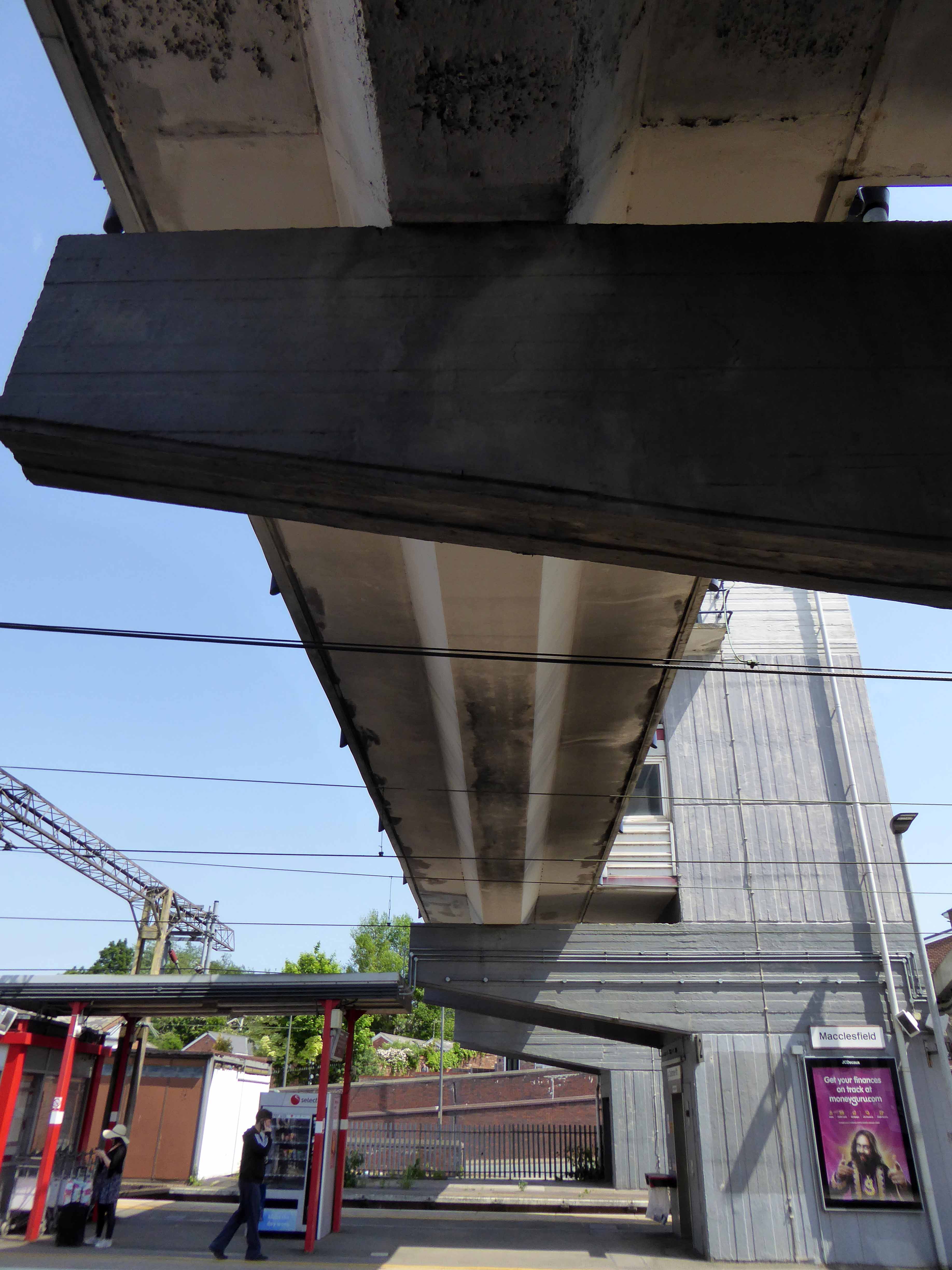
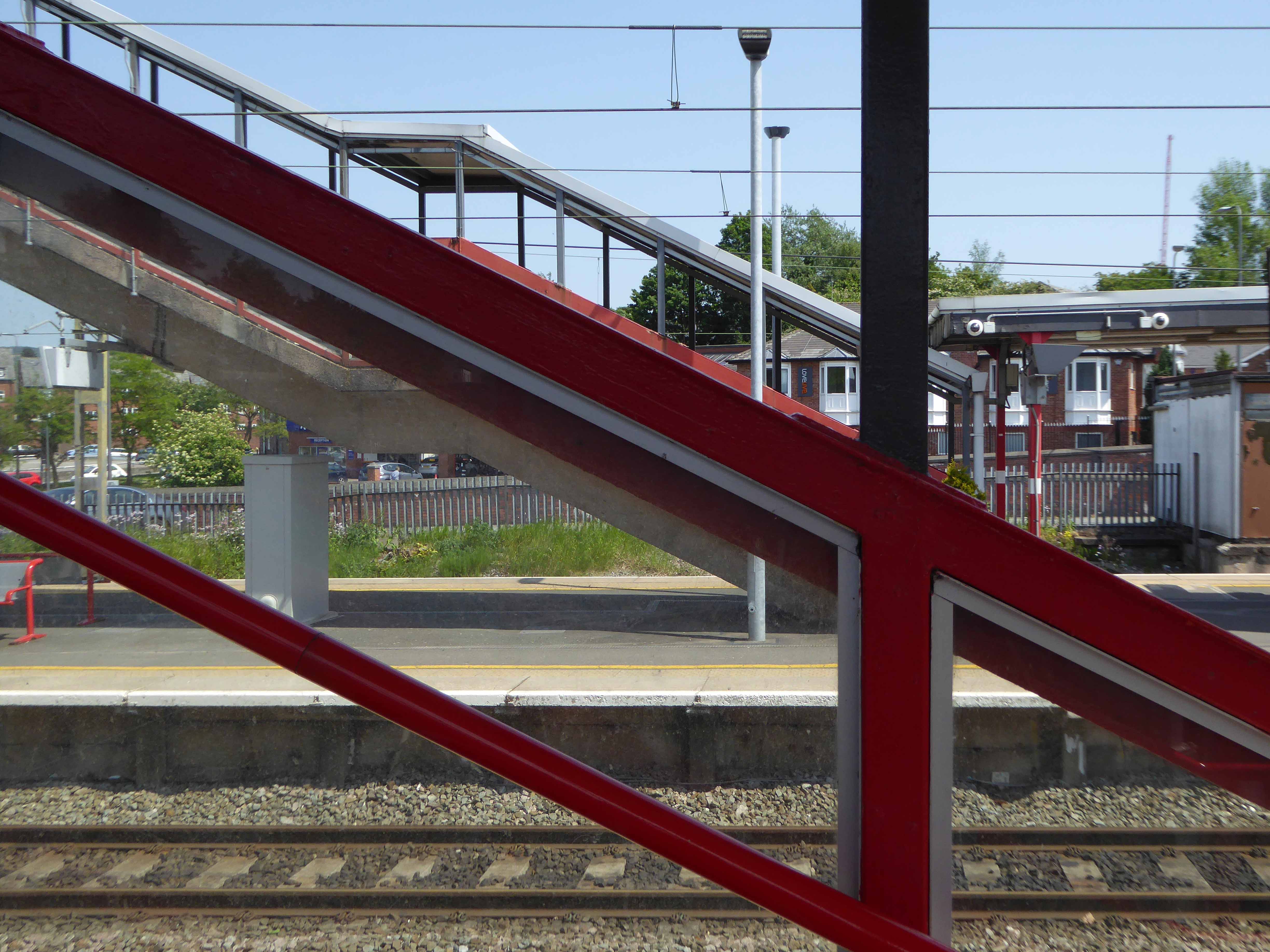
The latter a functionalist block, fully utilitarian crossings with lift access columns, embodying a particularly industrial demeanour.

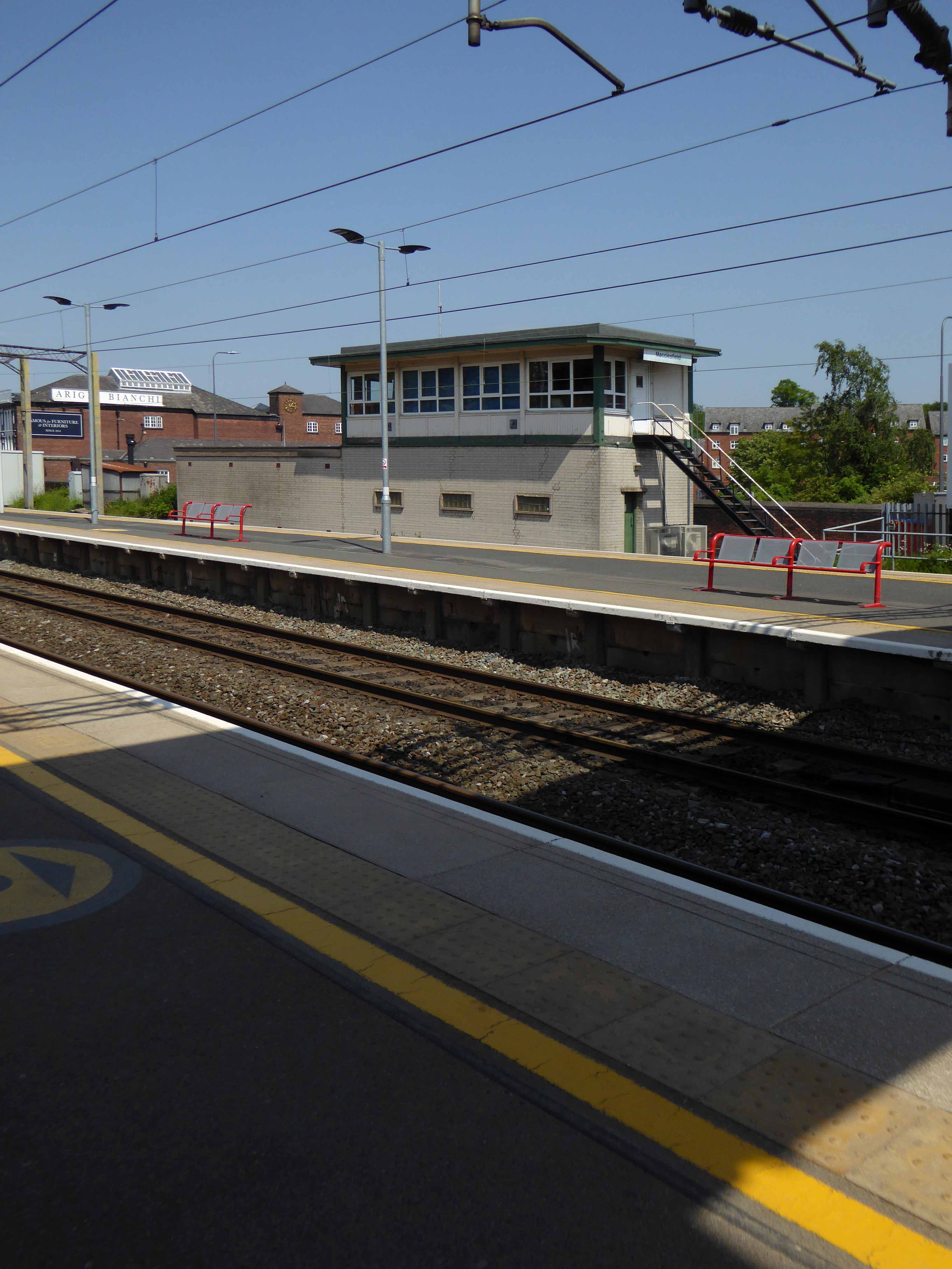
From the golden age of steam to the moribund years of diesel, Macclesfield sits comfortably somewhere, betwixt and between ugly duckling and fully fledged swan.

Nestled in the lea of the East Cheshire Highlands, offering practical everyday transport solutions to the beleaguered commuter.

No frills, no thrills.

macclesfield(harden4.1954)centrall_old4

c964acf720e0b759fda2f4788256c528

The London and North Western Railway opened the line between Manchester and Macclesfield on 19 June 1849 – Macclesfield Central was born. Later it would become a key station on the Stafford branch of the West Coast Main Line, remodelled in 1960 and rebranded as the much snappier Macclesfield Station.

Which it proudly announces topically and typographically to the world.

P1250547

Welcome to Macclesfield a town that is clearly going places, and so are you.

The station won the Best Kept Station in Cheshire Award for 2007, but was reported in summer 2011 to be distinctly shabby, with peeling paintwork.

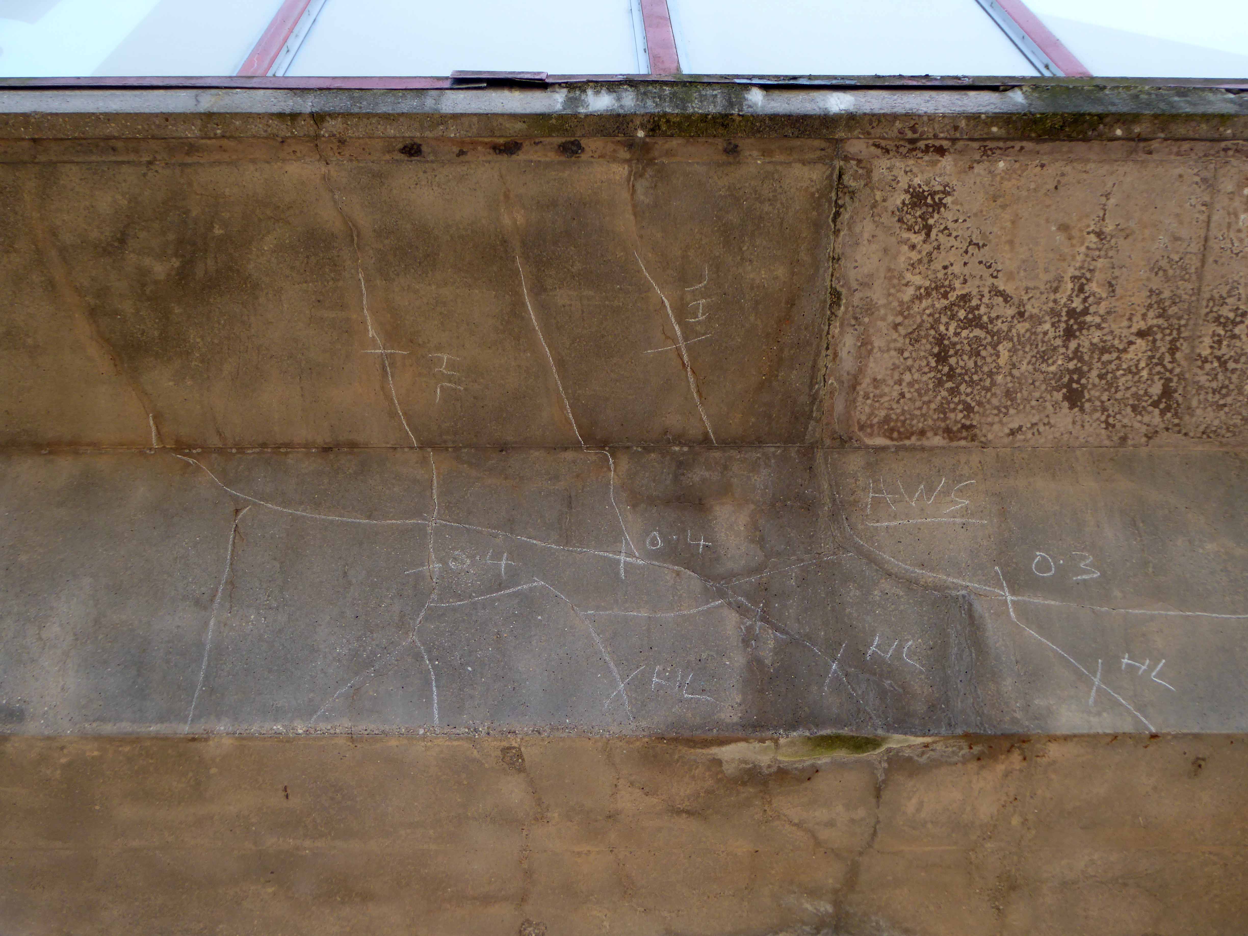
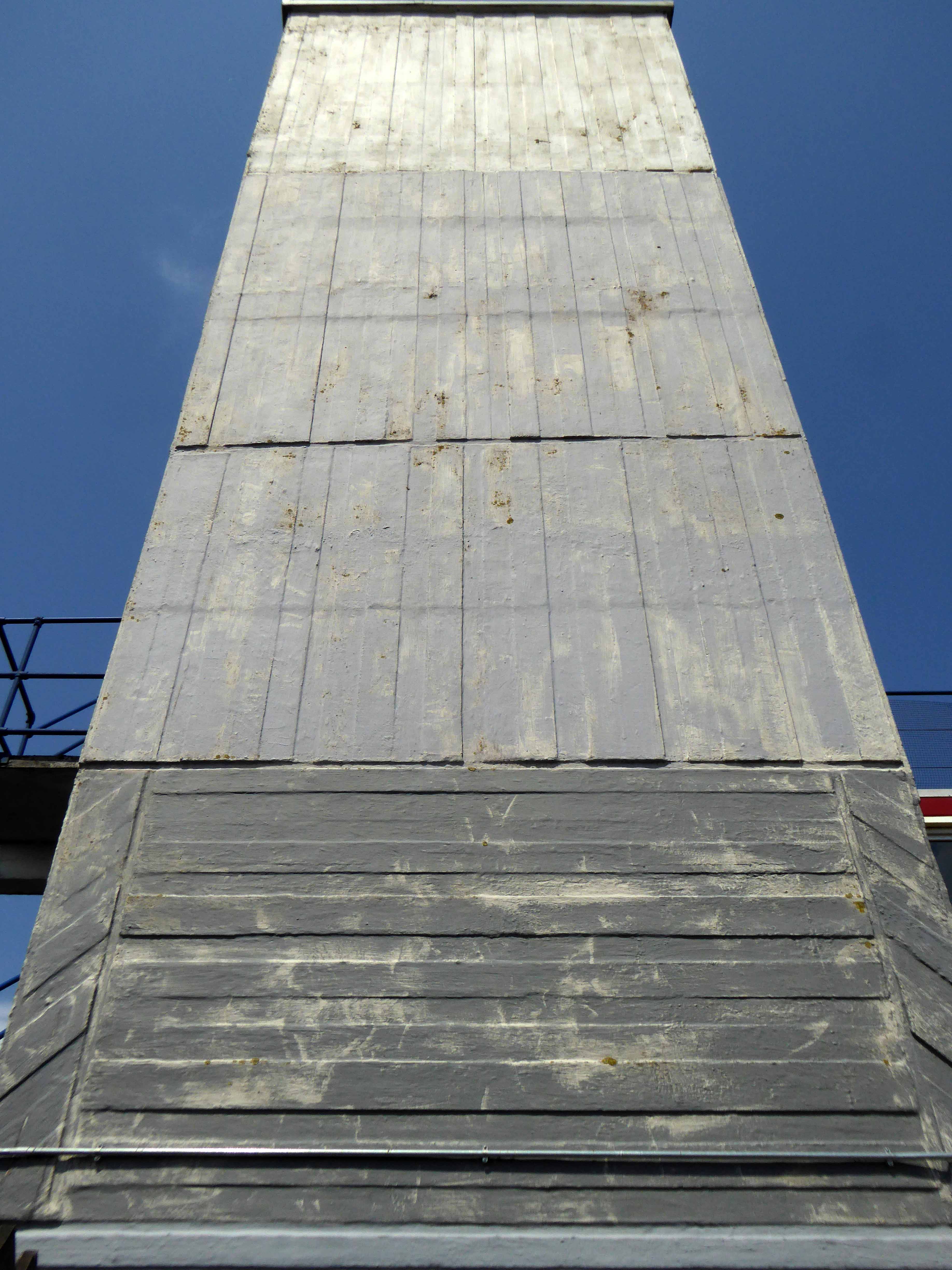
And yet there is something in the constituent Platonic steel, glass and concrete forms that never ceases to amuse and amaze me, this is Brutalism on a human and provincial scale.

The raw concrete softened with three or four shades of grey, as a concession to the delicate suburban sensibilities of this once silk-fuelled town.

Take a trip with me – join the Cheshire train set.

P1250548

P1250549

P1250550

P1250551

P1250552

P1250553

P1250554

P1250555

P1250557

P1250558

P1250560

P1250564

P1250565

P1250566


Ford Lane Didsbury – Manchester

Screen Shot 2018-05-27 at 06.28.11

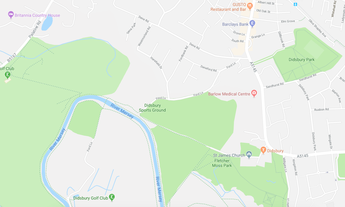
This a tale of a lane, a shady lane in south Manchester.

This is a tale of several Manchesters, layer upon layer of history.

Shady history.

Screen Shot 2018-05-27 at 06.12.50

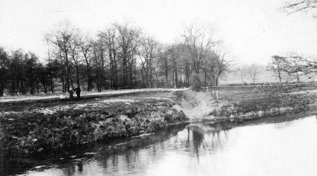
Ford Bank House occupied much of what is now the Ford Bank Estate and prior to that it was believed to be farm land. Ford Bank House, probably the largest house erected in Didsbury was built in about 1823 by Joseph Birley a cotton manufacturer. The extended Birley family had a widespread influence on Manchester history even going back to the Peterloo massacre where one of the Birley ancestors led a contingent of the mounted soldiers who attacked what was a peaceful protest gathering. 

Ford Bank Residents

A tale of emergent capital and political control, rendered corporeal in brick, stone, wood, glass and slate. A cotton-rich mercantile class seeking to suppress the democratic demands of a burgeoning proletariat.

Ford Bank House was sold to Thomas Ashton in 1858, when he died in 1898. In 1919 the remaining estate was sold to Dr Herbert Levinstien who worked on mustard gas research during the first world war. In 1934 the estate was sold to Ford Bank Estates Limited who developed and built what is now the Ford Bank Estate.

A tale of a growing and aspirational professional middle class, seeking inter-war semis in a leafy Didsbury glade – and the timely response of speculative builders.

Looking cheekily over the hedge in search of a monkey puzzle.

Screen Shot 2018-05-27 at 06.12.10

Screen Shot 2018-05-27 at 06.12.31

webmedia-14.php

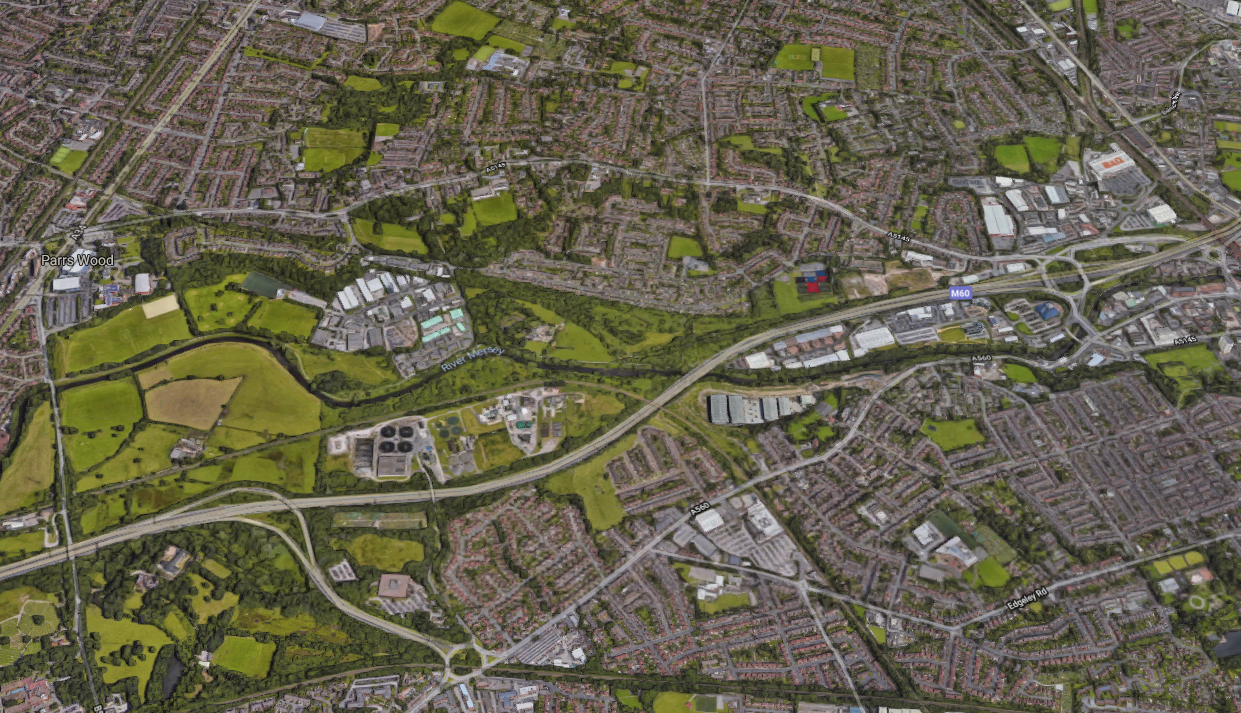
The ford of Ford Lane crosses the nearby River Mersey – thought to be the route of retreating Royalists following the siege of Wythenshawe Hall in 1644.

webmedia.php

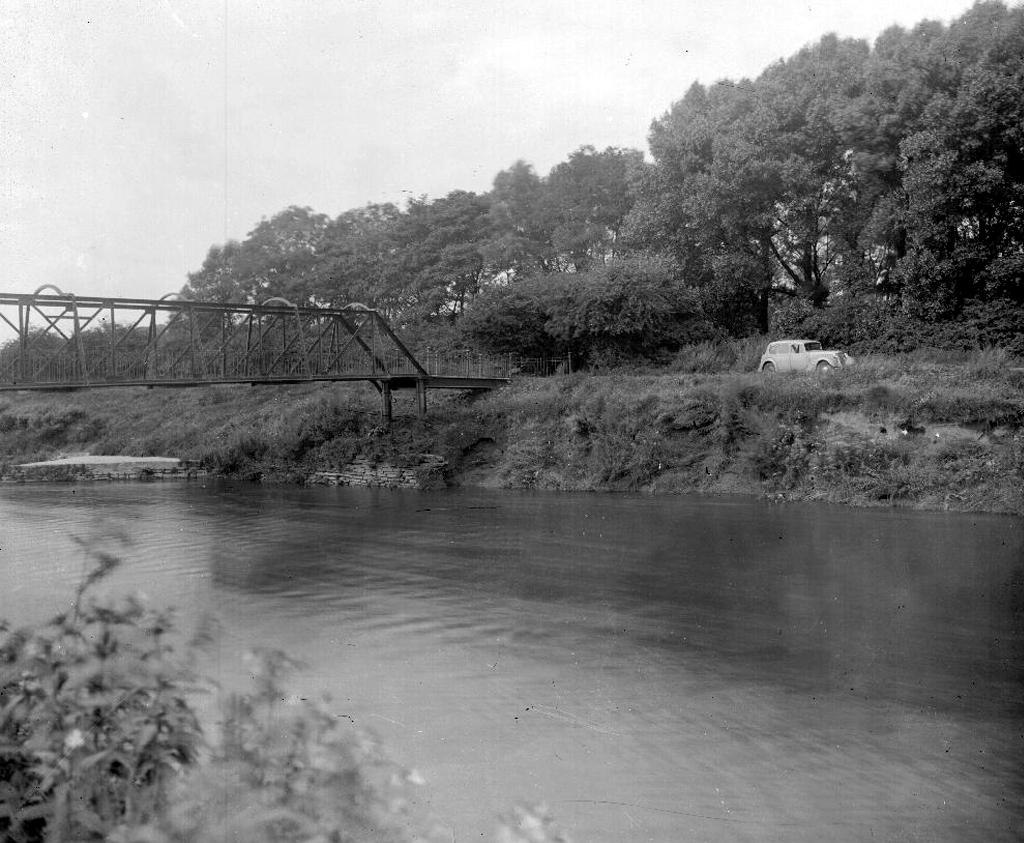
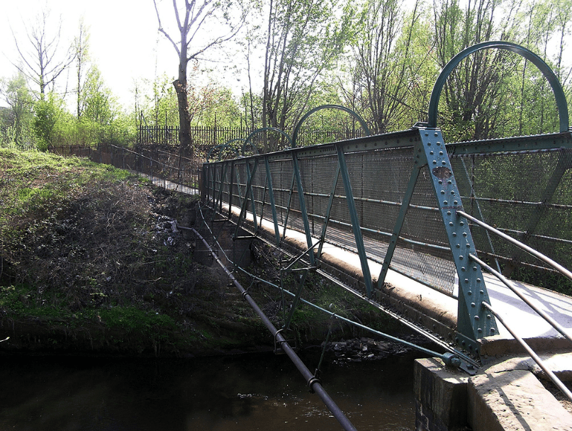
In 1901 a bridge was opened at the behest of local emigres engineer and social benefactor Henry Simon – a German born engineer who revolutionised Great Britain’s flour milling industry and in 1878 founded the engineering companies Henry Simon Ltd and Simon Carves.

He and his family were a serious reforming political force in the area – instrumental in the founding and development of the Halle Orchestra, Wythenshawe Park and housing estate.

webmedia-1.php

For many years this was my route to work – cycling from Stockport to Northenden, each and every day forever. Witnessing the rise and fall of the river and the vacillating  fortunes of Manchester’s economic regeneration.

This is south Manchester where the years of austerity, central government fiscal prudence and free-market economics, have had a far from adverse effect.

In stark contrast to the malaise of the north and east of the city, here we see a constant parade of skips and scaffold, free from the fickle trick of trickle down. As extensions and mortgages are extended at an alarming rate.

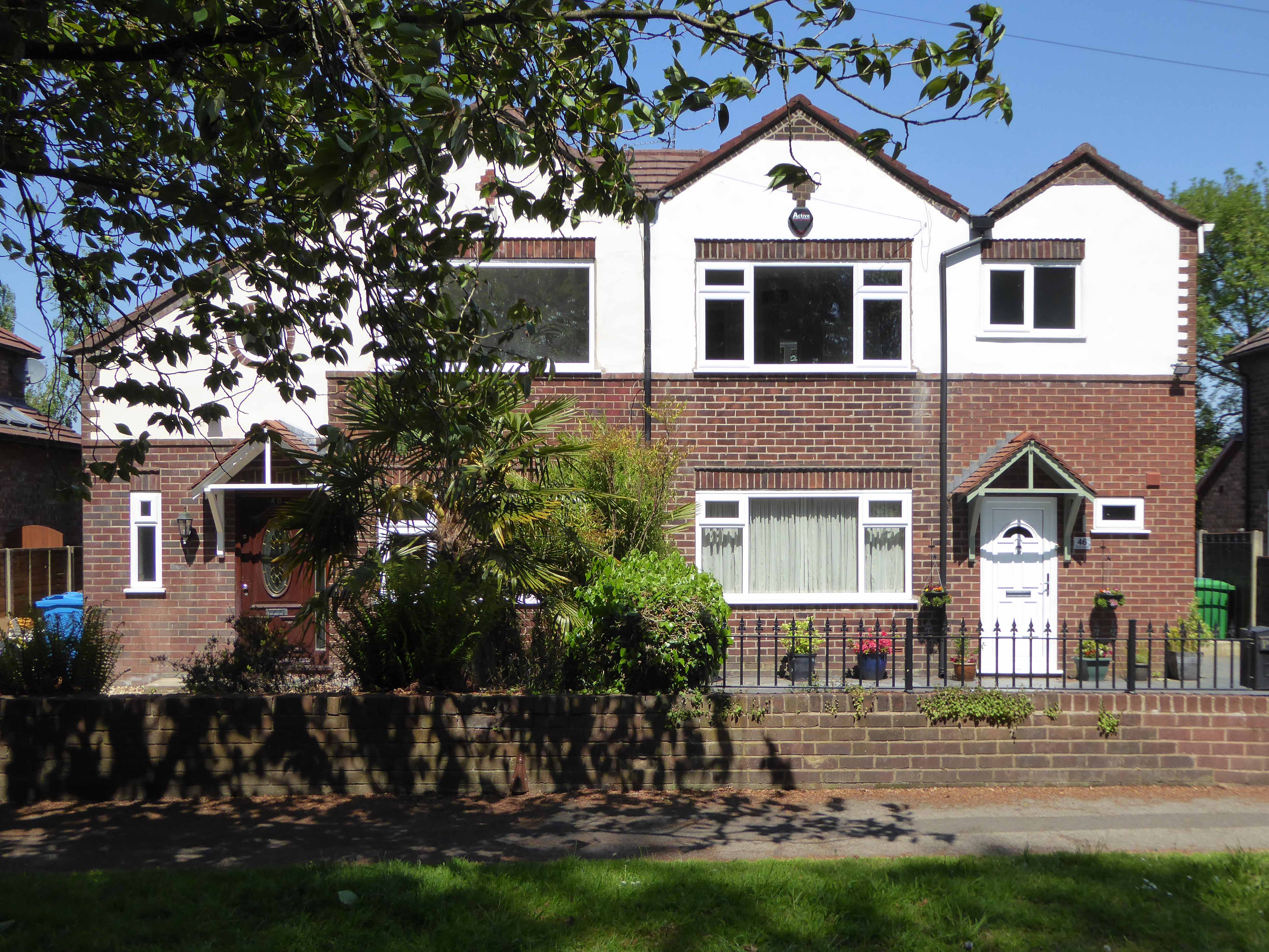
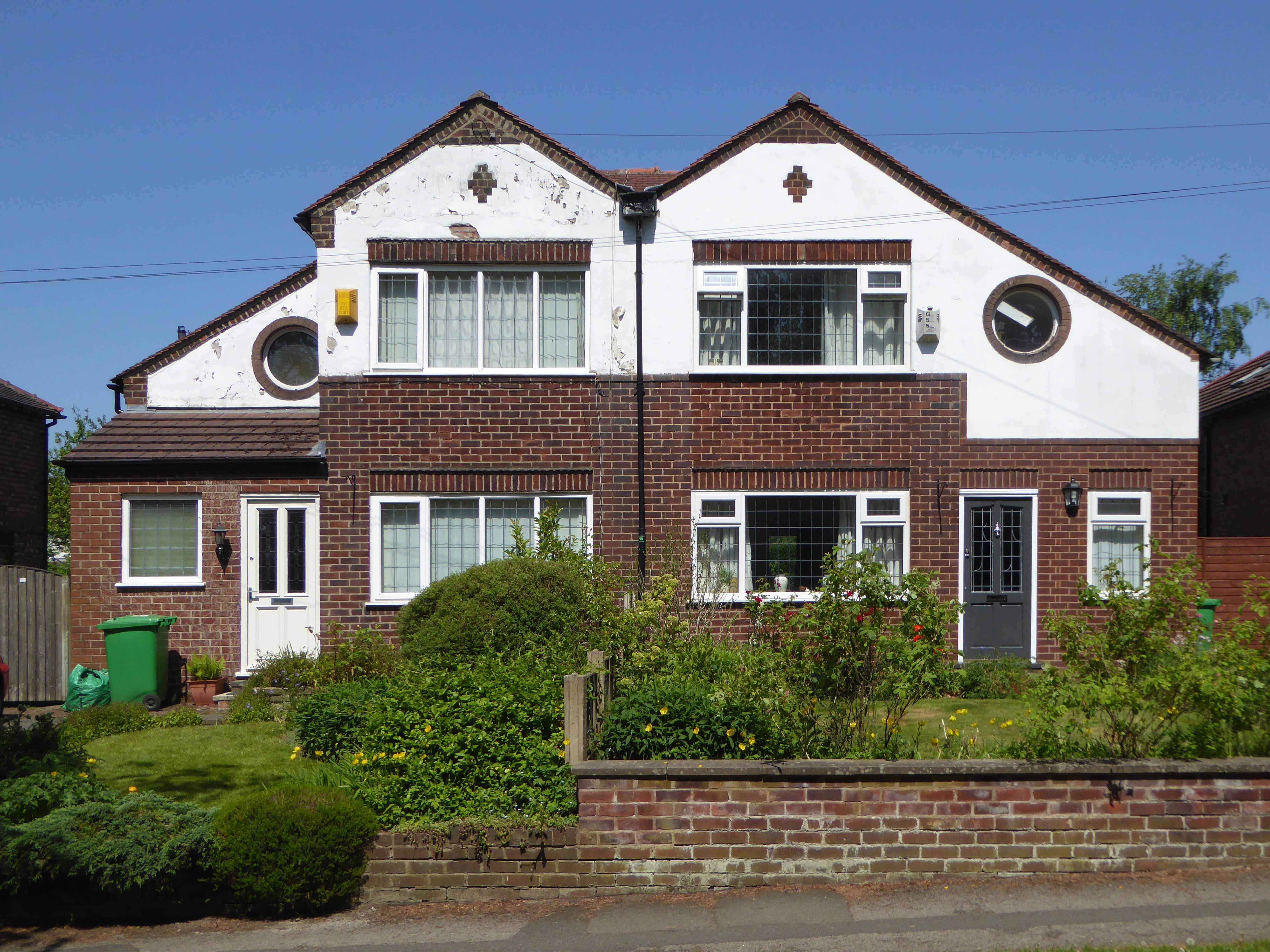
The round windowed gaze of the asymmetric homes, seem endlessly surprised at the good fortune that has befallen the residents of Ford Lane.

Owner occupiers preoccupied with owning.

Semi-detached.

P1250526

P1250527

P1250528

P1250529

P1250530

P1250531

P1250532

P1250533

P1250534


Heaton Mersey Vale – Stockport

A mighty river valley was formed in the second Ice Age, as the glaciers receded and rushed seaward.

The mighty River Mersey was formed on the eastern edge of Stockport, at the confluence of the Tame and Goyt/Etherow rivers.

Thousands of years in the making, as the water-powered mills of the adjacent Pennine Hills migrate to the lower reaches of the towns, in search of water, workers and steam, the full force of the Industrial Revolution takes shape in the west.

The mixed farming of the alluvial valley, which opens up onto the Lancashire and Cheshire Plains, meets and greets the incursion of dye and brick works, mills and manufacturing.

31891

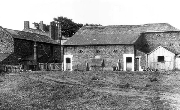
Fred Schofield’s farm 1930

1963

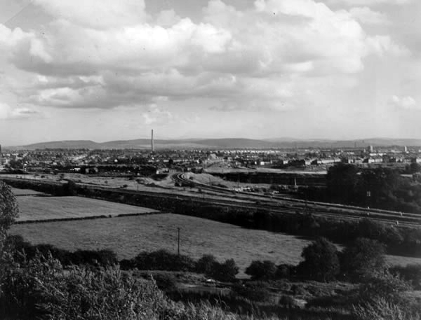
View towards Stockport from Heaton Mersey Park

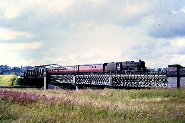
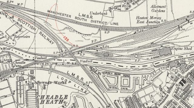
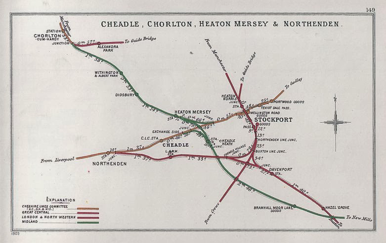
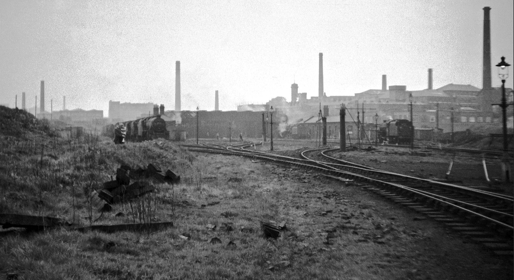
Serviced by a complex and competing rail system based around Heaton Mersey Shed.

edgeley2016-11

Opened in 1889 and served until May 1968 operating steam locomotives to the end -Coded 9F.

Heaton_Mersey rail map

Here we were at the centre of a rail hub spreading out in all directions, to and from the ports, cities and resources of the country and beyond.

Great movements of steel, cotton, coal, people and manufactured goods.

Screen Shot 2018-05-16 at 19.27.37

38106

Fireman Eddy “Ned” Kelly

heaton(nigel_bruce7.1965)mersey_old7

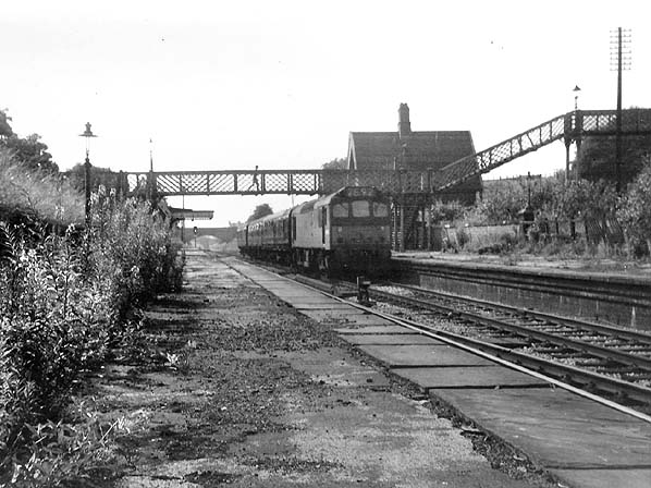
Heaton Mersey railway station was opened on 1 January 1880 by the Midland Railway and lay on the newly opened line which ran from Heaton Mersey East Junction to Chorlton Junction and on to Manchester Central station.

The station was situated at the southern end of Station Road which still exists. The station was later operated by the London Midland and Scottish Railway and was closed by the London Midland Region of British Railways on 3 July 1961.

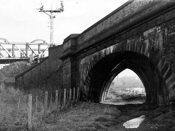
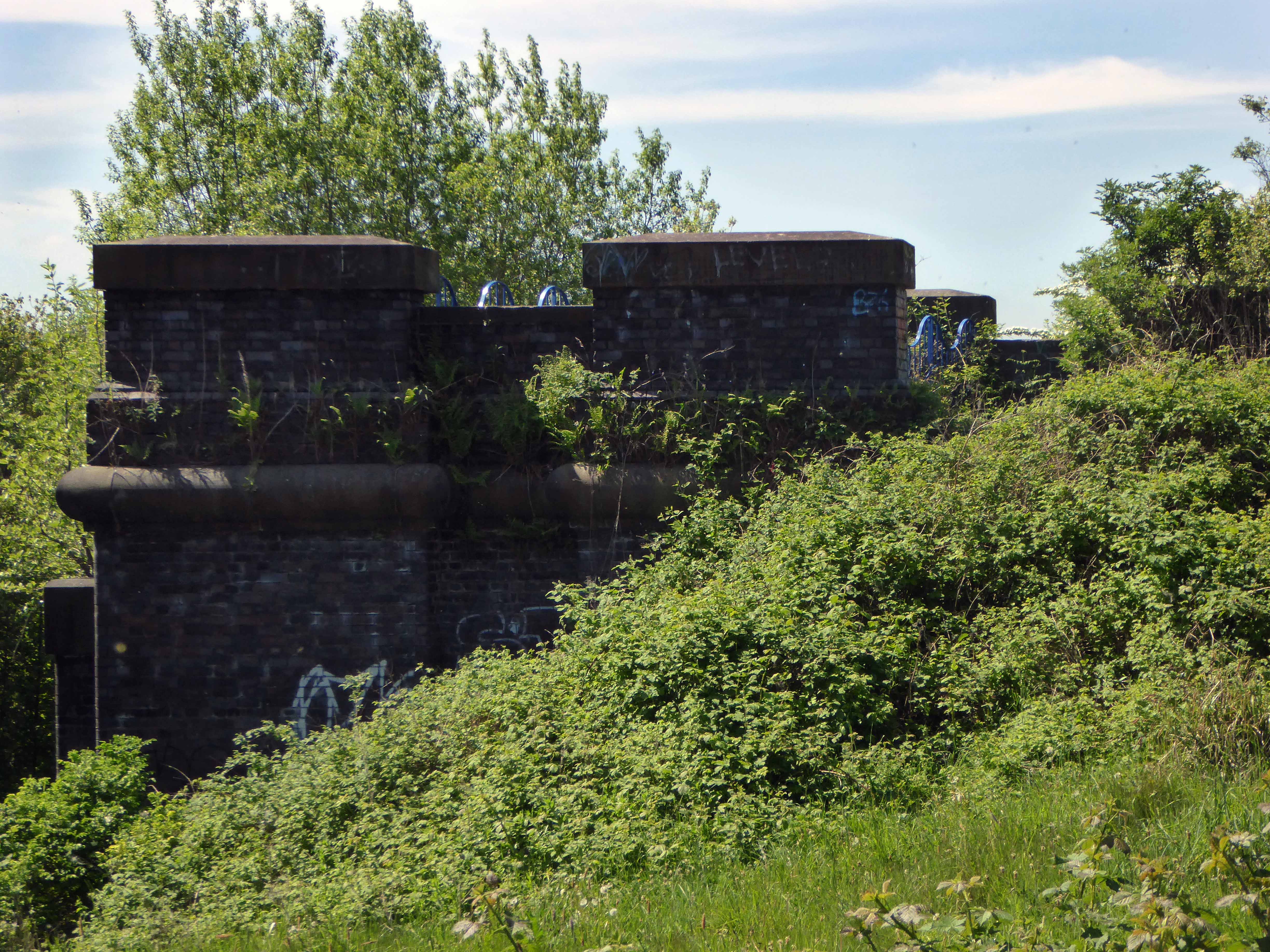
The area was criss-crossed by railways – its bridges traversing the roads, fields and river, dominating the landscape in a wild flurry of steam and smoke.

2633

32822

32625936_2079214925657568_2140863625928114176_o

HeatonMerseyHLBridge3

Screen Shot 2018-05-16 at 10.04.03

Further photographs from Grip 99

Crossing the Mersey – the link between Gorsey Bank and the Shed

10220

Surviving until 2007

screen-shot-2018-05-16-at-10-17-14.png

B&W photographs Stockport Image Archive

The end of steam – as drivers, fireman and staff were transferred to Newton Heath, was followed by the slow demise of the rail network, freight moved to road and passengers purchasing their first cars and a passport to illusory freedom.

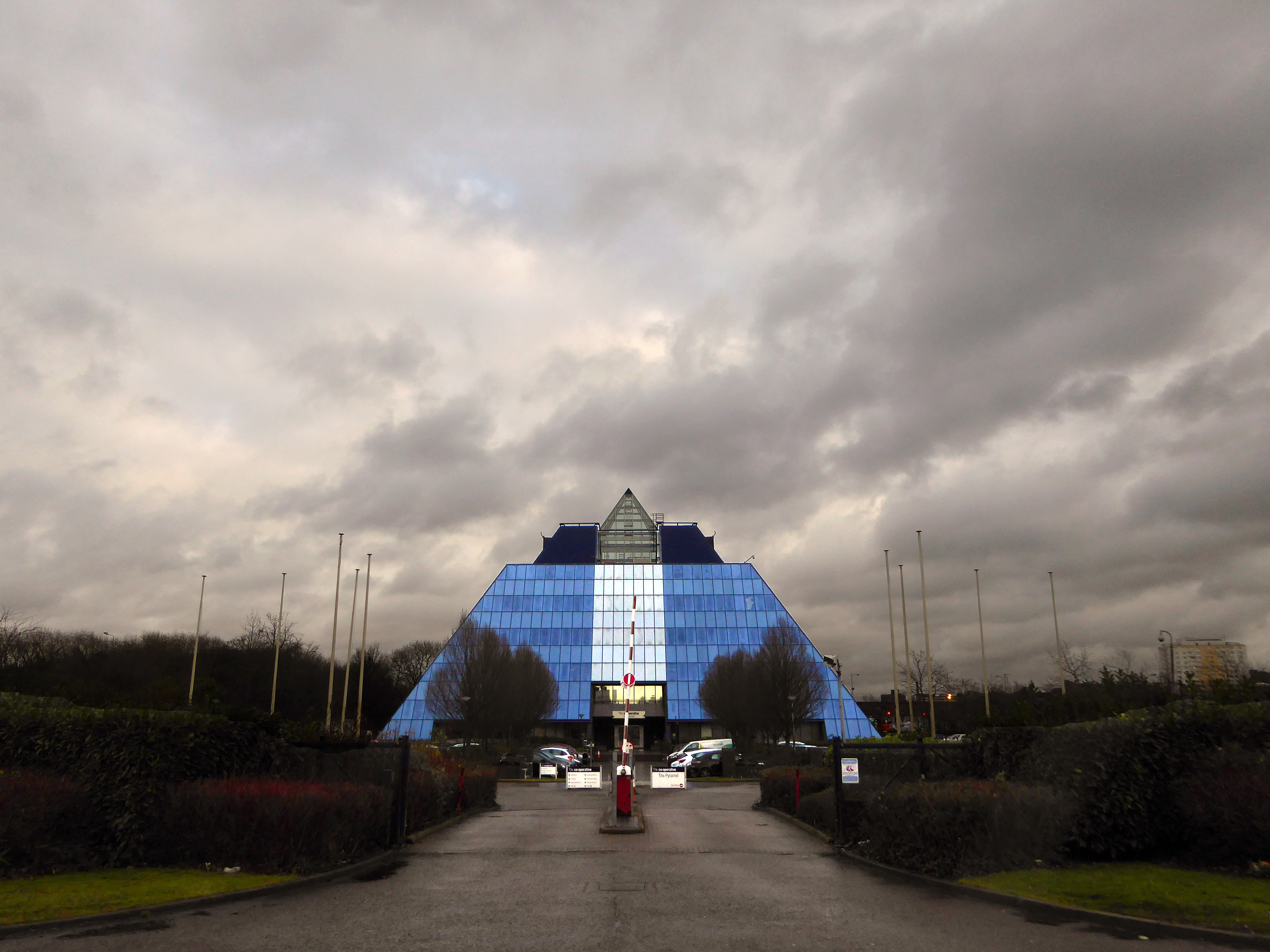
The mighty Mersey is now flanked by newer neighbours, a shiny blue administrative pyramid, business park, car showrooms and nature reserve, the only certainty is change.

Screen Shot 2018-05-16 at 10.19.19

P1220916 copy

P1220917 copy

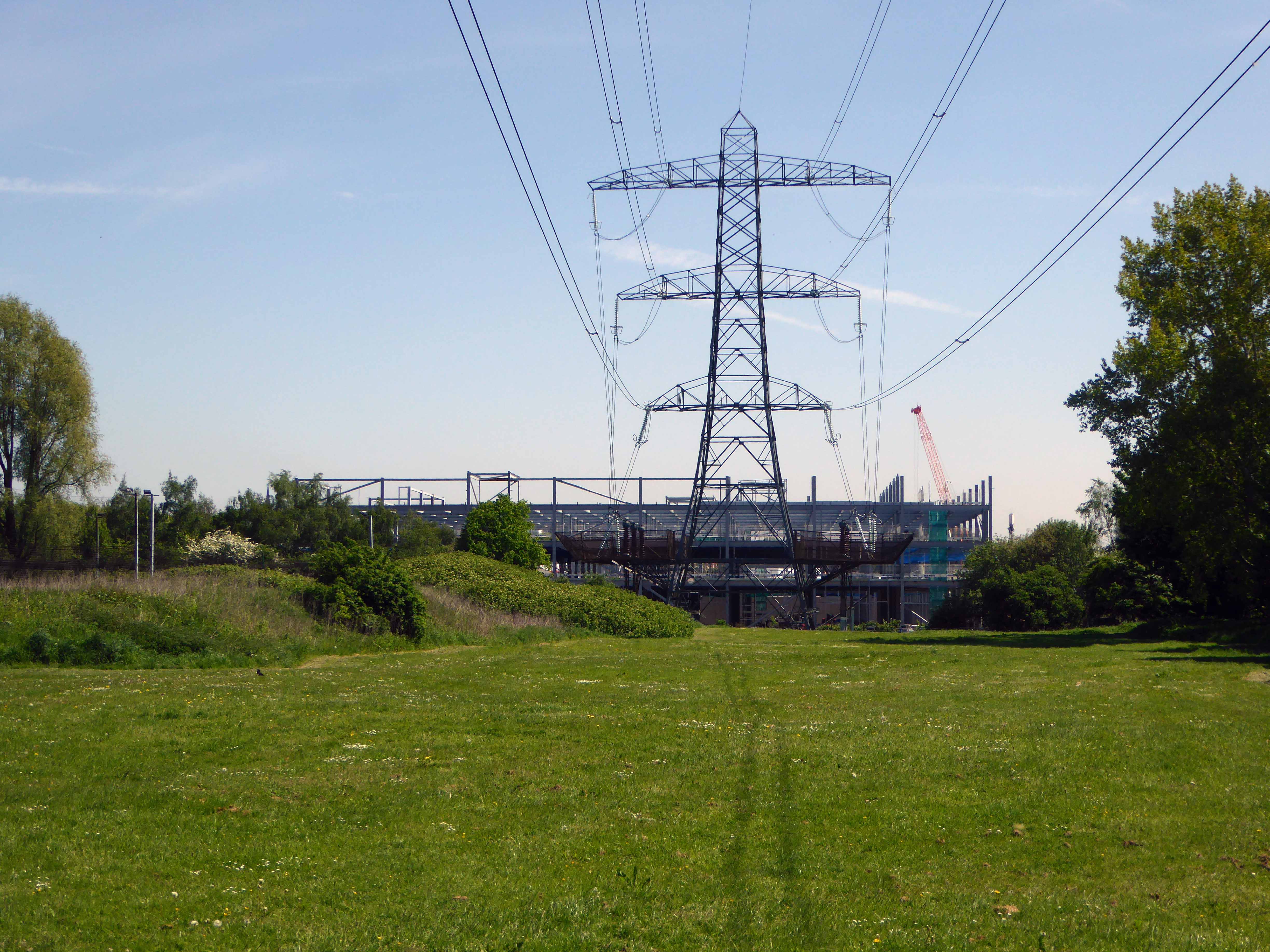
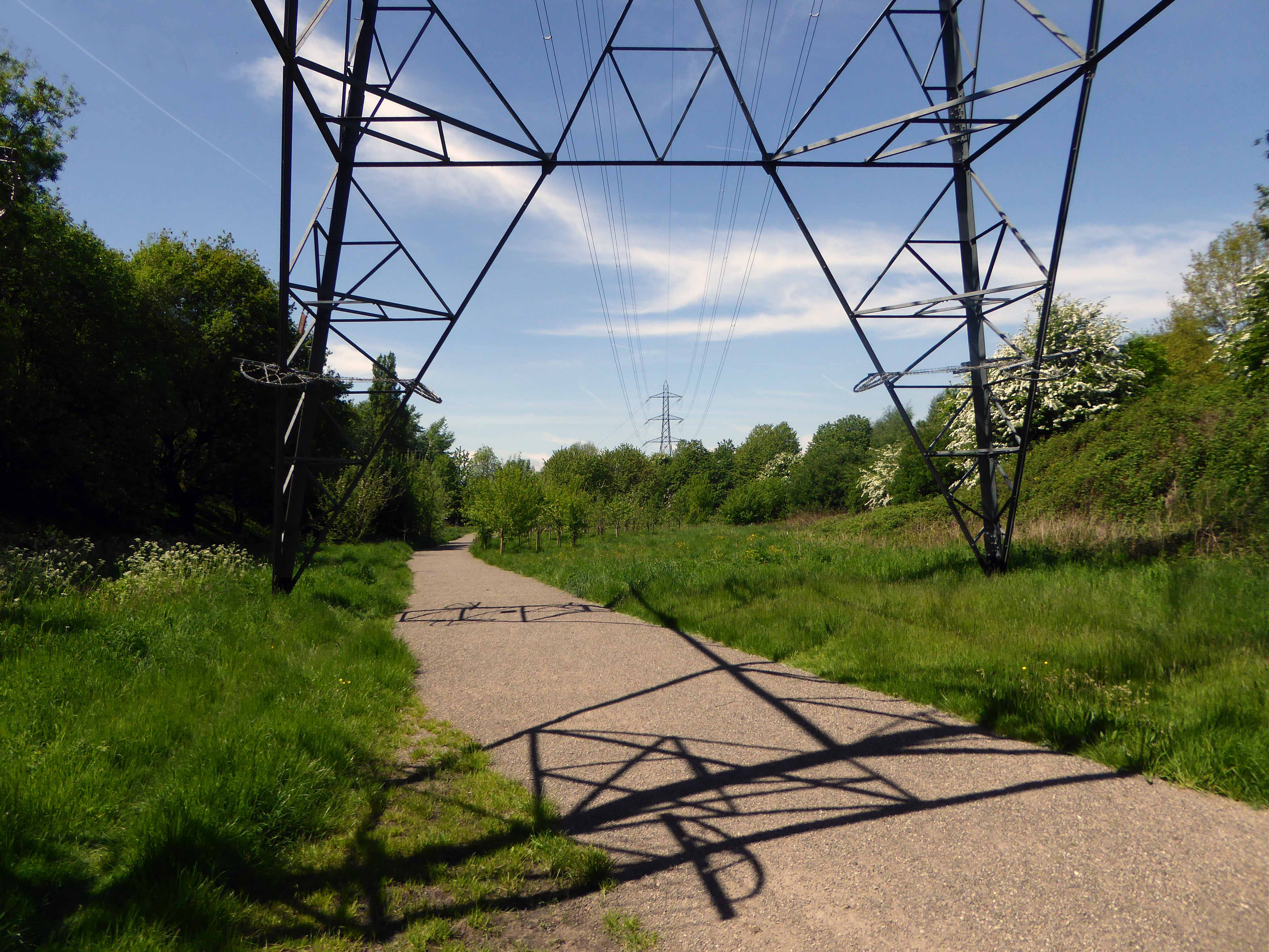
Great volumes of earth are moved to from a new topography a topography of leisure – the gentle stroll, jog and cycle replaces the clank of fire doors and shovel on coal.

NEW-GWEB

But take a look around you and you will see the remnants of the industrial age, shrouded in fresh hawthorn and enshrined in birch and beech.

P1250163

P1250164

P1250169

P1250178

P1250179

P1250180

P1250182

P1250185

P1250186

P1250187

To walk this landscape is to traverse geological, agrarian, industrial and post-industrial time – they all coexist and coalesce. Have an eye, ear and heart open to their resonance and presence, transcend time and space in the Mersey Valley today, you’re part of the leisured generation.


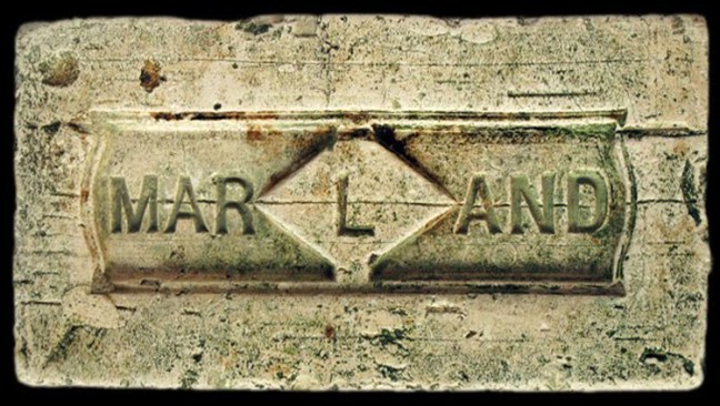
Marland Bricks

What’s in a name?

That which we call a brick, by any other name would smell as sweet.

Chancing across a written reference to the Marland Brick in the book The Trains Now Departed, I was slightly taken aback – from wither and whence it came and went.

I was aware of the my patronymic local connection:

This most interesting surname is of Anglo-Saxon origin, and is a locational name from Marland, a minor place in the parish of Rochdale, in Lancashire. The placename itself is composed of the Olde English elements “mere”, a lake, pool, and “land”, land.

However:

There are also places called Peters Marland in Devon, recorded as “Merland” in the Domesday Book of 1086 (the site of a church dedicated to St. Peter), and Marlands in Somerset.

So our southern cousins were clay-mongers, manufacturers of fine bricks to boot.

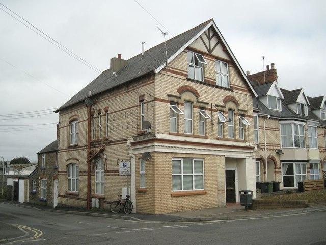
Marland Cream brickwork is a feature of North Devon. The hard cream bricks were made at Marland Moor by a succession of companies using stoneware ball clays dug from the Petrockstowe Basin. 
3895334_94deff16

3895347_4854f4c8

Between Great Torrington and Hatherleigh, in north Devon, lie alluvial deposits of ball clay, a particularly useful clay which first found use for pottery and clay pipes in the seventeenth century. However the remoteness of the location prevented the growth of the industry and by the nineteenth century it only met local needs for pottery and bricks.

The impetus for the industry came, perhaps, with the opening of the London & South Western Railway to Torrington in 1872 for a few years later the owner of Clay Moor, William A. B. Wren, started to exploit his land. By 1877 he had sunk several pits and erected at the Marland Brick & Clay Works kilns, cottages and stables. Clay was being taken to Torrington station behind a traction engine but over six or so miles of poor quality roads this was not very efficient.

North_Devon_and_Cornwall_Junction_Light_Railway_map

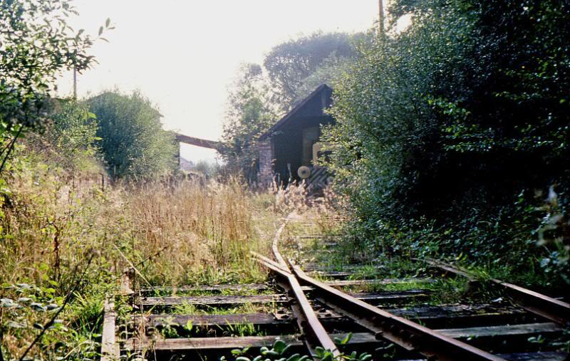
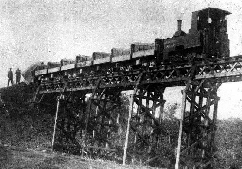
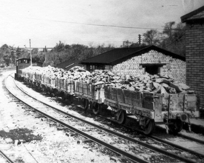
With the coming of the railway to Torrington, in 1881 a private mineral line was built to connect to the Marland area. This led to a great increase in production and was a factor in the opening in 1925 of the North Devon & Cornwall Junction Light railway, between Torrington and Halwill Junction, which superceded the mineral line. Closing to passengers in 1965, the section between Meeth and Barnstable remained open for freight, but by the 1980’s was moribund.
1bdagjs_3380_l

1ooak62_32b4_l


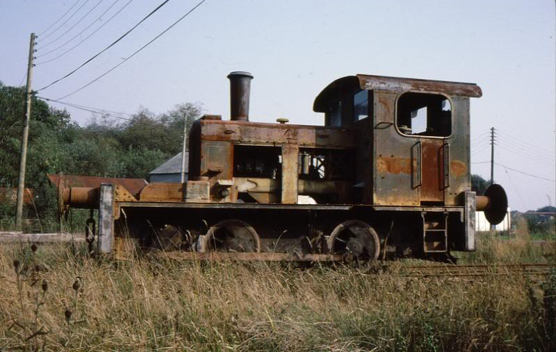
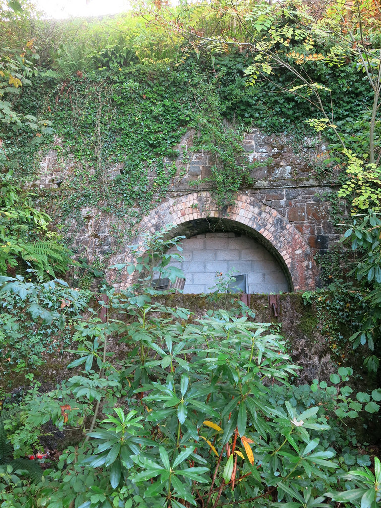
There are still remnants of the Marland Works Branch visible to this day.
17582047479_7ca9f17a00_b

fowler diesel

Ruston Diesel

Images from 28 days later

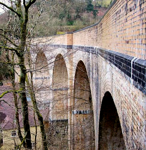
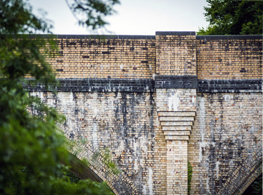
One of our famed family brick built achievements is the Chelfham Viaduct:

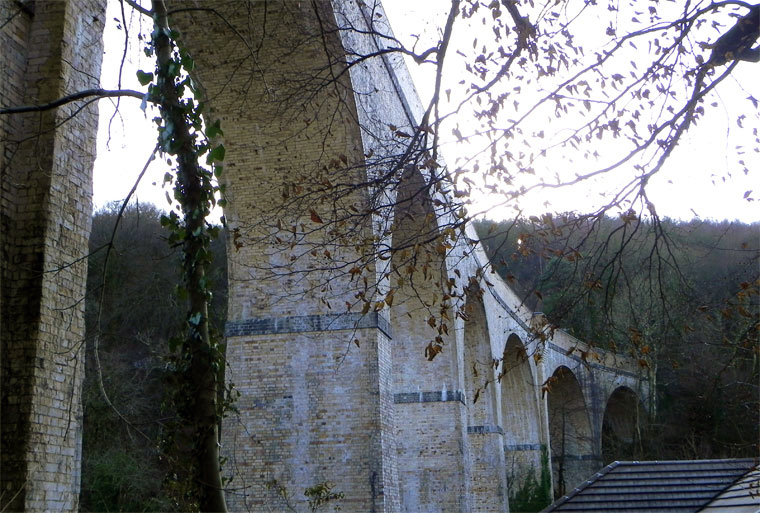
A railway viaduct built in 1896-97 to carry the Lynton and Barnstaple Railway across the Stoke Rivers valley. Designed by L&B engineer, FW Chanter, and containing over a quarter of a million Marland bricks, its eight arches – each 42 feet wide and 70 feet high – meaning that the 132-yard long viaduct is the largest narrow gauge railway structure in England.
94_image_7

image5

Im20101212-Chelfham2

The L&BR’s peak period came between 1902 and1913 when it carried almost 97,000 passengers a year. Yet the considerable endeavour invested in the railway was not enough to save it; as traffic dwindled, the line succumbed to closure by Southern Railways on 29th September 1935. Most of the trackbed and buildings were sold at auction in 1938. Although Chelfham Viaduct was retained, its parapets were taken down to about one foot above ballast level. In 1943, it featured in a film, The Flemish Farm, representing the Franco-Belgian border.

The structure was granted a Grade II listing on 25th February 1965. In 2000, in partnership with the Railway Heritage Trust and the Lynton & Barnstaple Railway Trust, British Railways Board completed a programme of remedial works.

Then later today, casting my mind back to my 2105 cycle tour from Weston Super Mare via Ilfracombe and  Plymouth and onward to Hastings, I remembered a former chance encounter.

P1010238 copy

I had been here before, blissfully unaware of the local family connections along the Tarka Trail – thick as a Devon cream-tea coloured brick.

So when I eventually return to the area to fully explore our family heritage, I shall be sure to doff my cycling cap and smile whilst passing the warm cream expanses of Marland Brick.



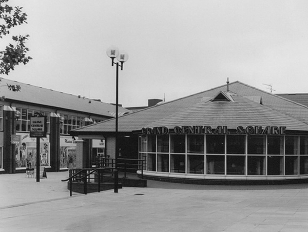
Farewell Grand Central – Stockport

O day and night, but this is wondrous strange!

And therefore as a stranger give it welcome.
There are more things in heaven and hell, Horatio,
Than are dreamt of in your philosophy.

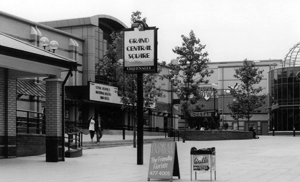
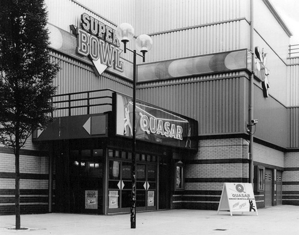
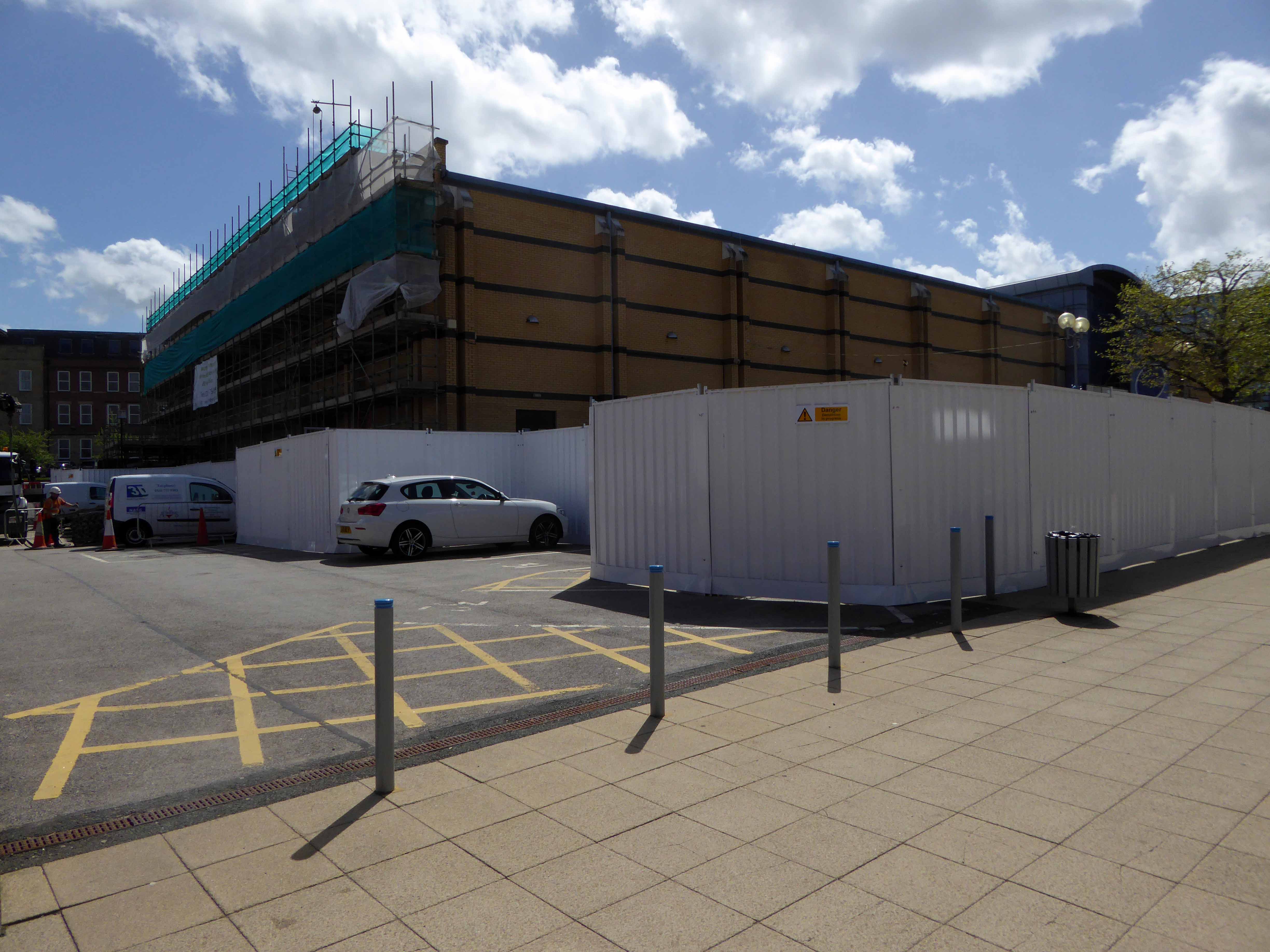
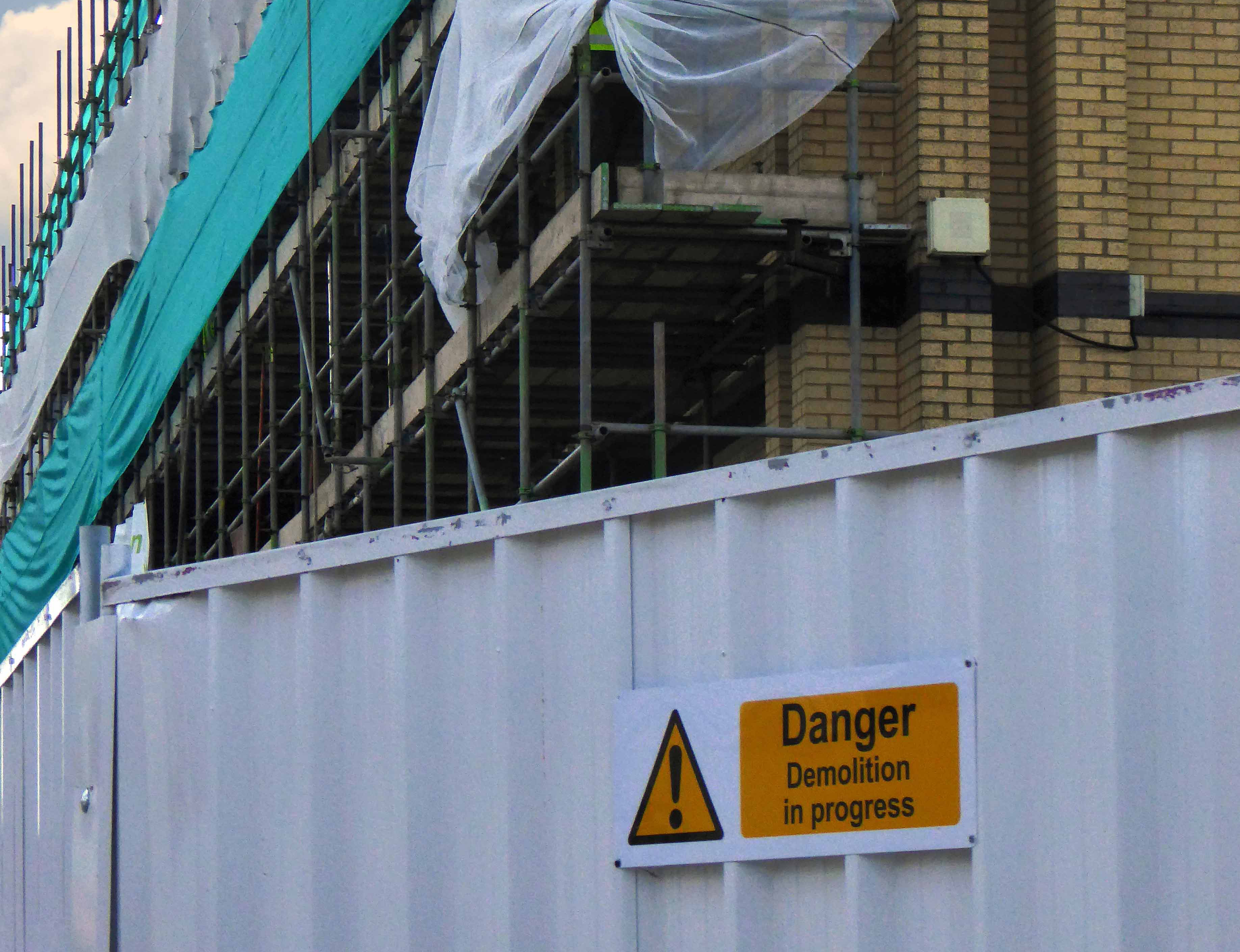
We have seen things come and go in, on and around Stockport Station’s little acre.

From coal drops to tear drops.

1921

Before

32150409_10211361729907095_2053268313387040768_n

During

32151652_10211361731187127_591730808444682240_n

32169802_10211361731267129_7236074038882205696_n

32266781_10211361732587162_1190410895449128960_n

Archive photographs courtesy of John Eaton

After

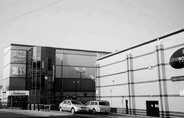
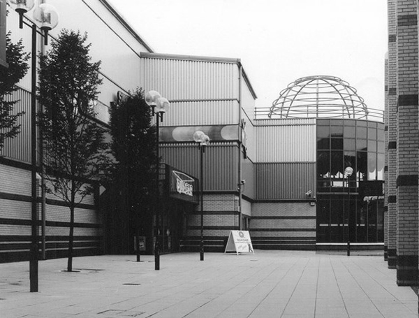
The post-industrial leisure complex has come almost full circle – overwritten by the complex needs of the modern day service-worker –  Holiday Inn, Espresso Bar and Mini-mart complement the hot-desked, twenty-four hour online access all areas open-plan office operative.

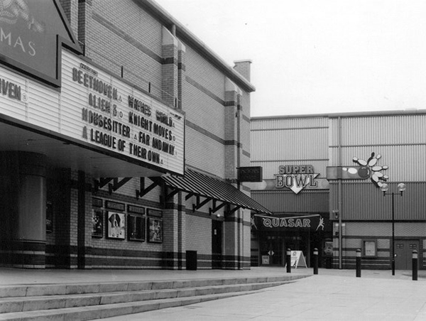
Gone now the Laser Quest, Super Bowl, Multiplex, Theme Pub days of old.


50807

53566

53567

53568

53569

53570

Photographs from Stockport Image Archive

Time has been called on the post-modern film-set, cast and clad in plastic, brick, steel and concrete.

The future is here today and it means business.

P1240988

P1240991

P1240993

P1240995

P1240996

P1240997

P1240998

P1240999

P1250001

P1250002

P1250003

P1250005

P1250006

P1250008

P1250009


52 Wellington Road North – Stockport

Screen Shot 2018-05-07 at 07.25.27

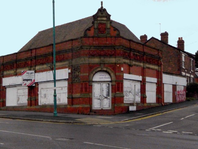
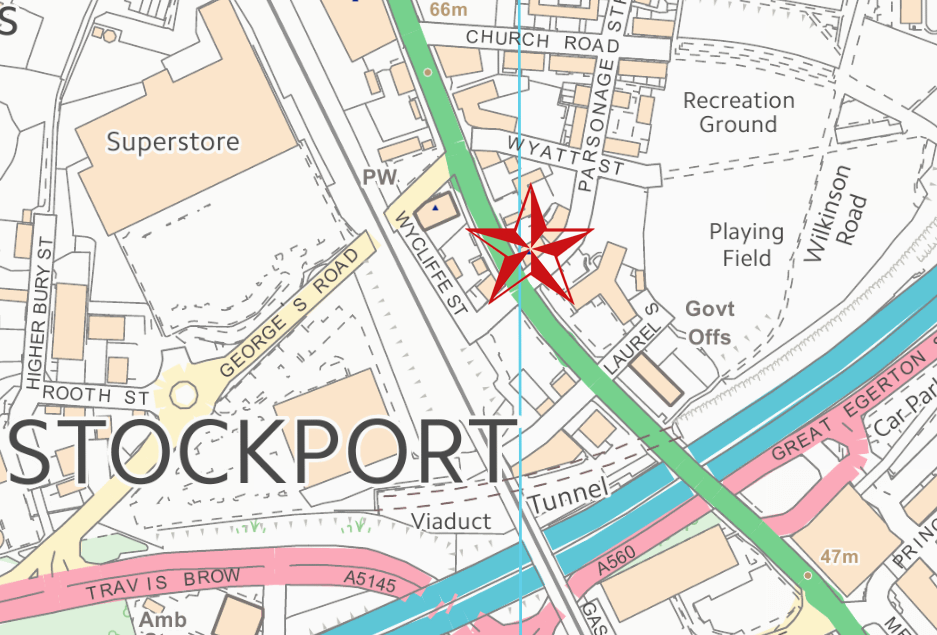
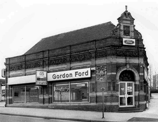
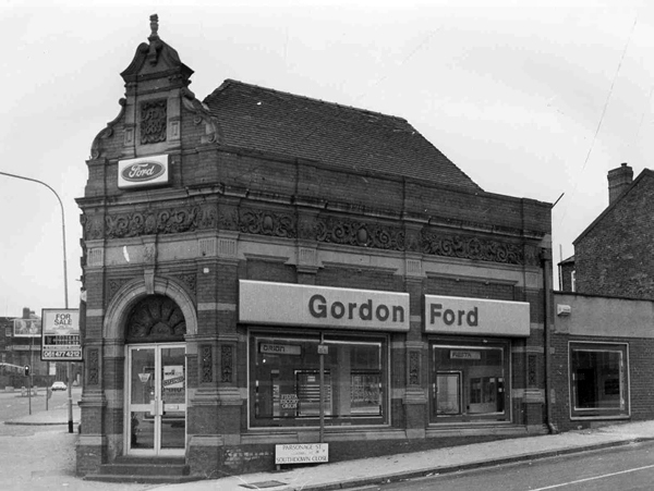
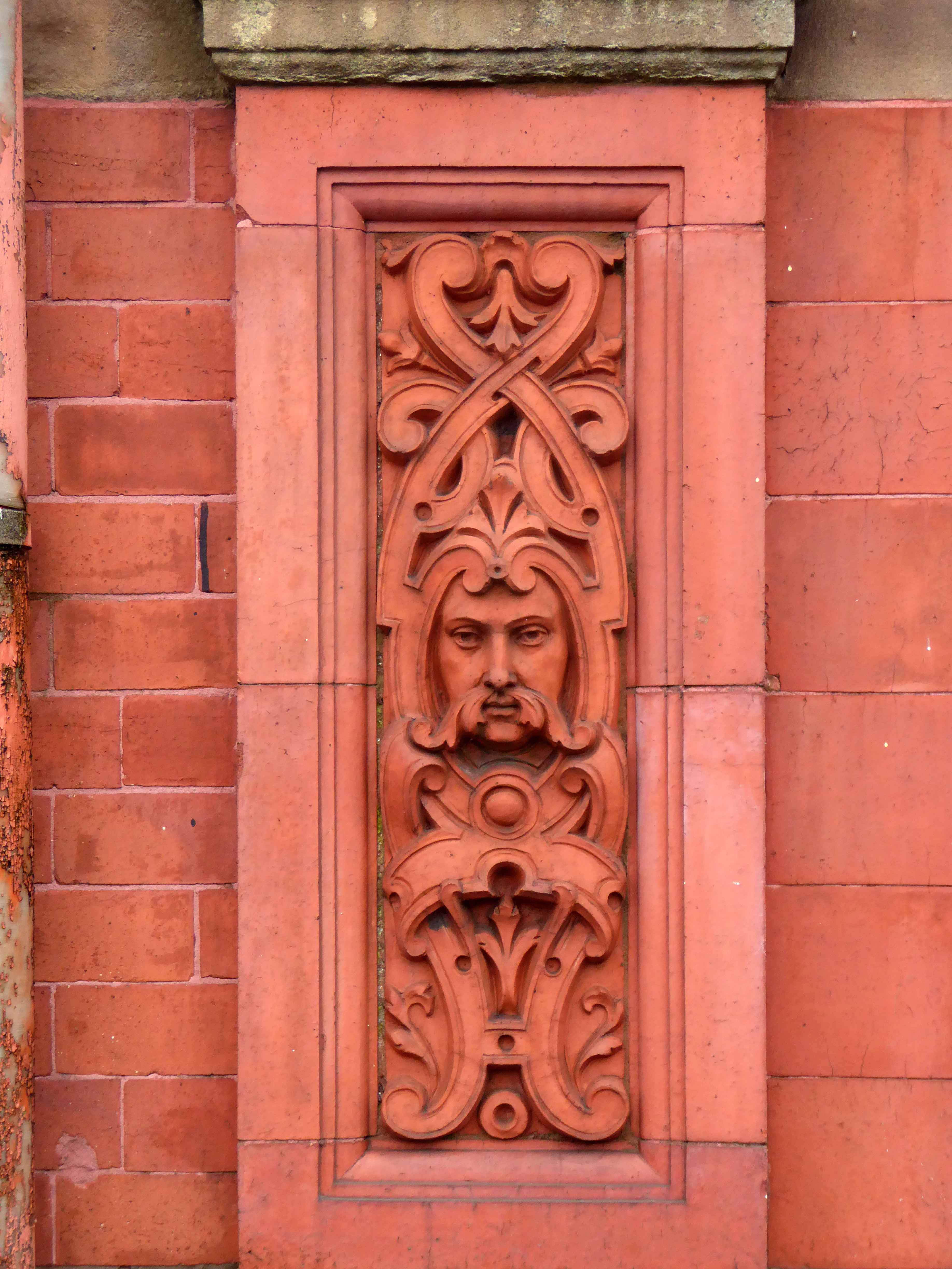
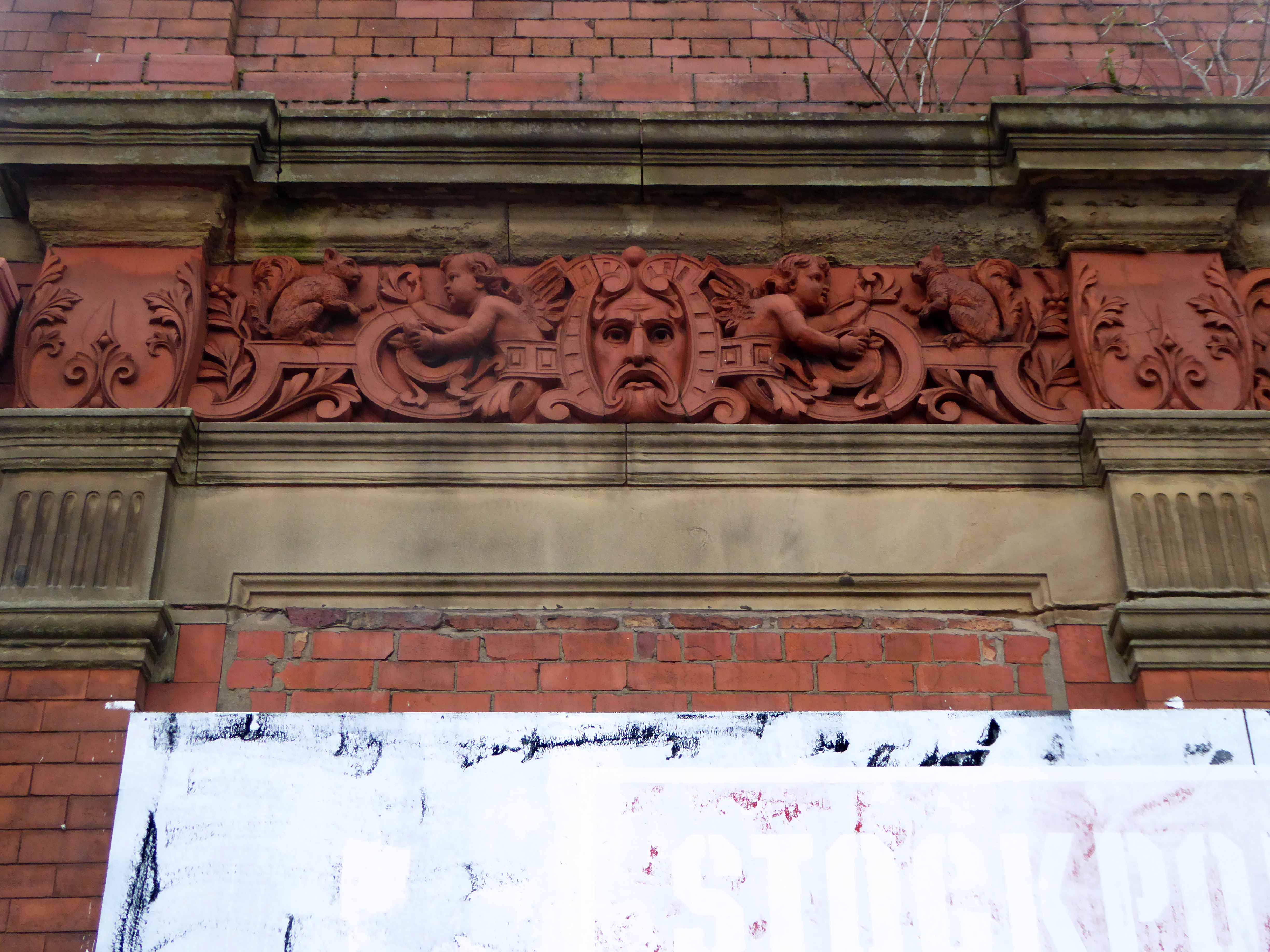
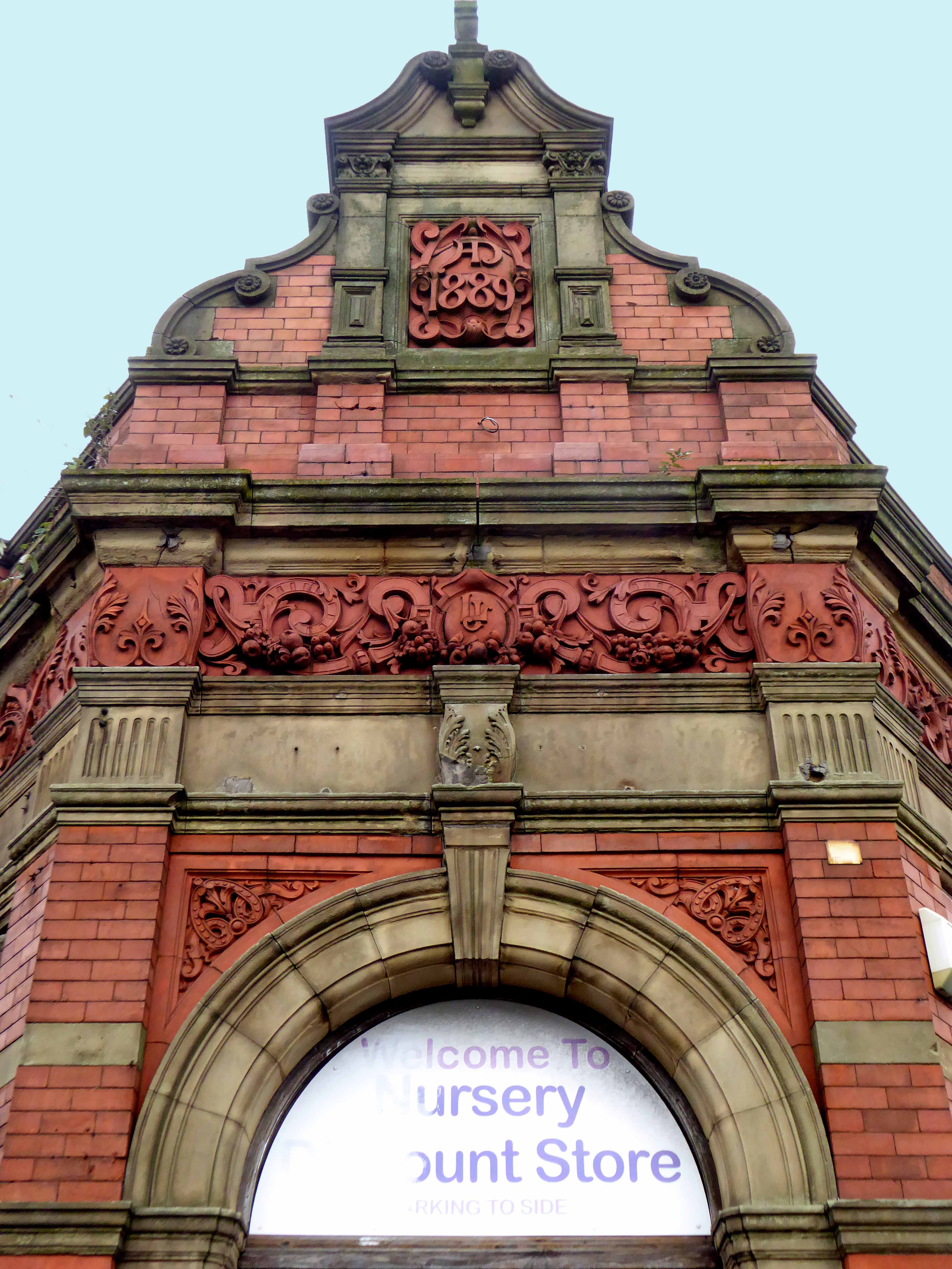
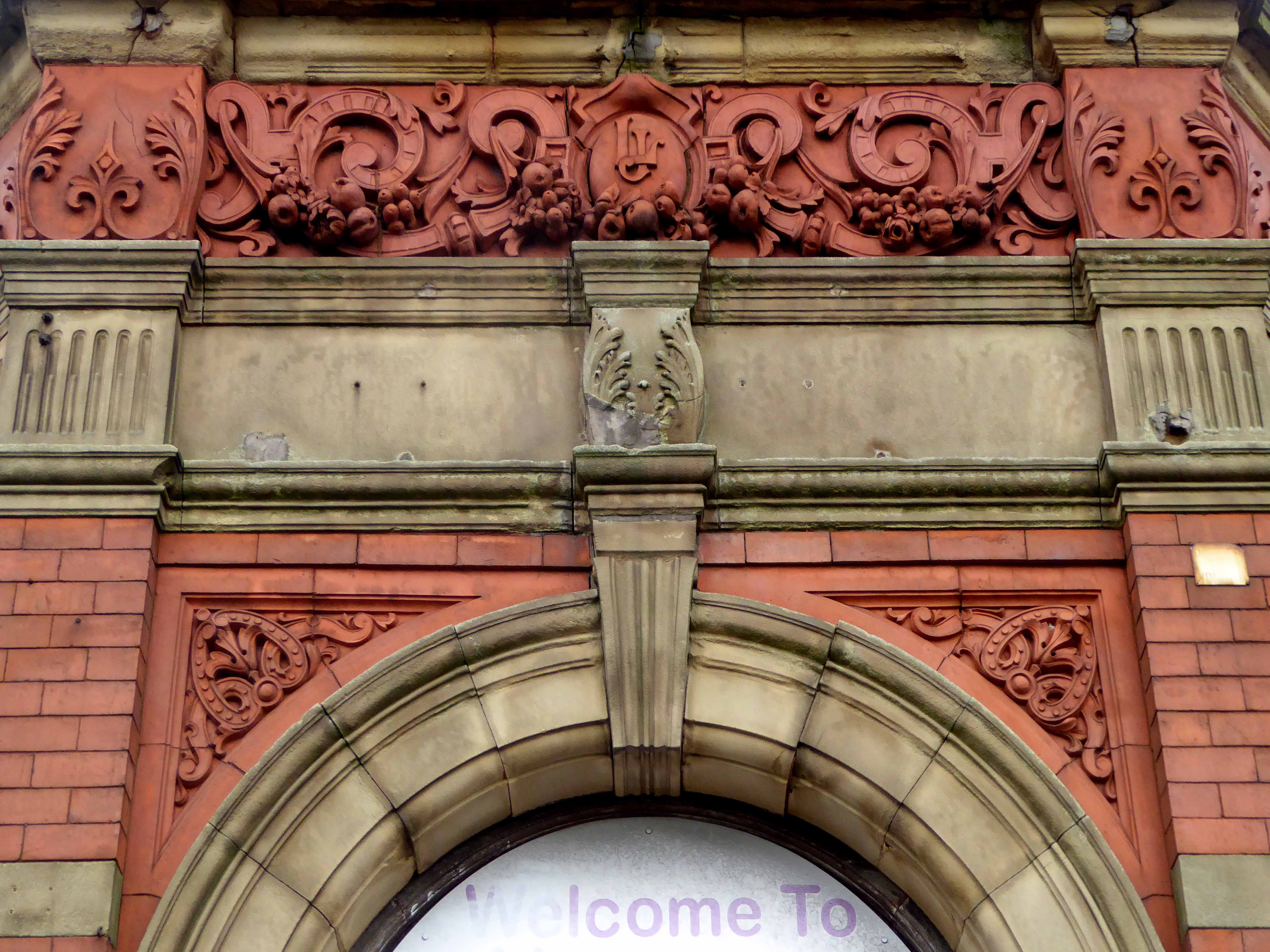
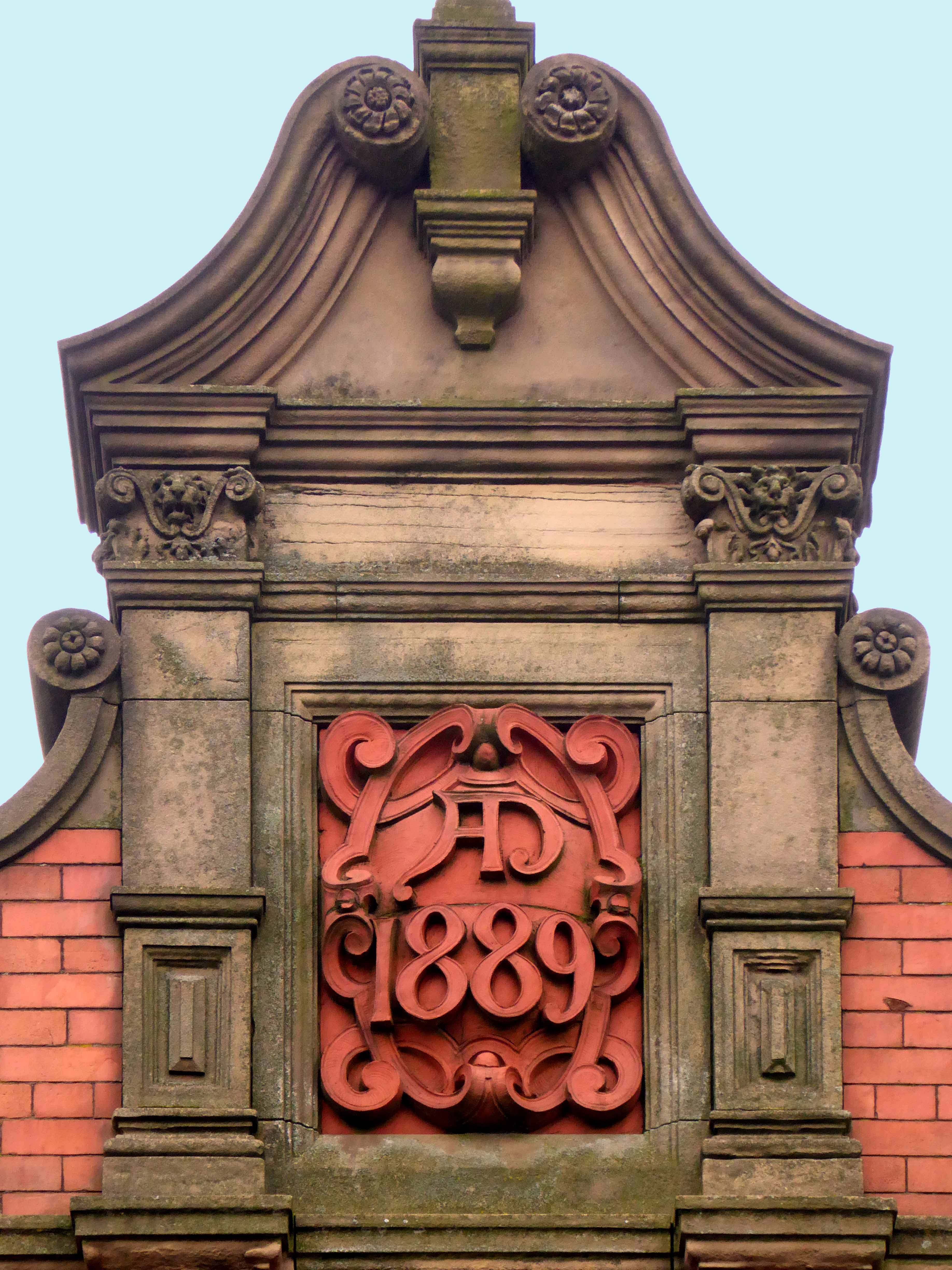
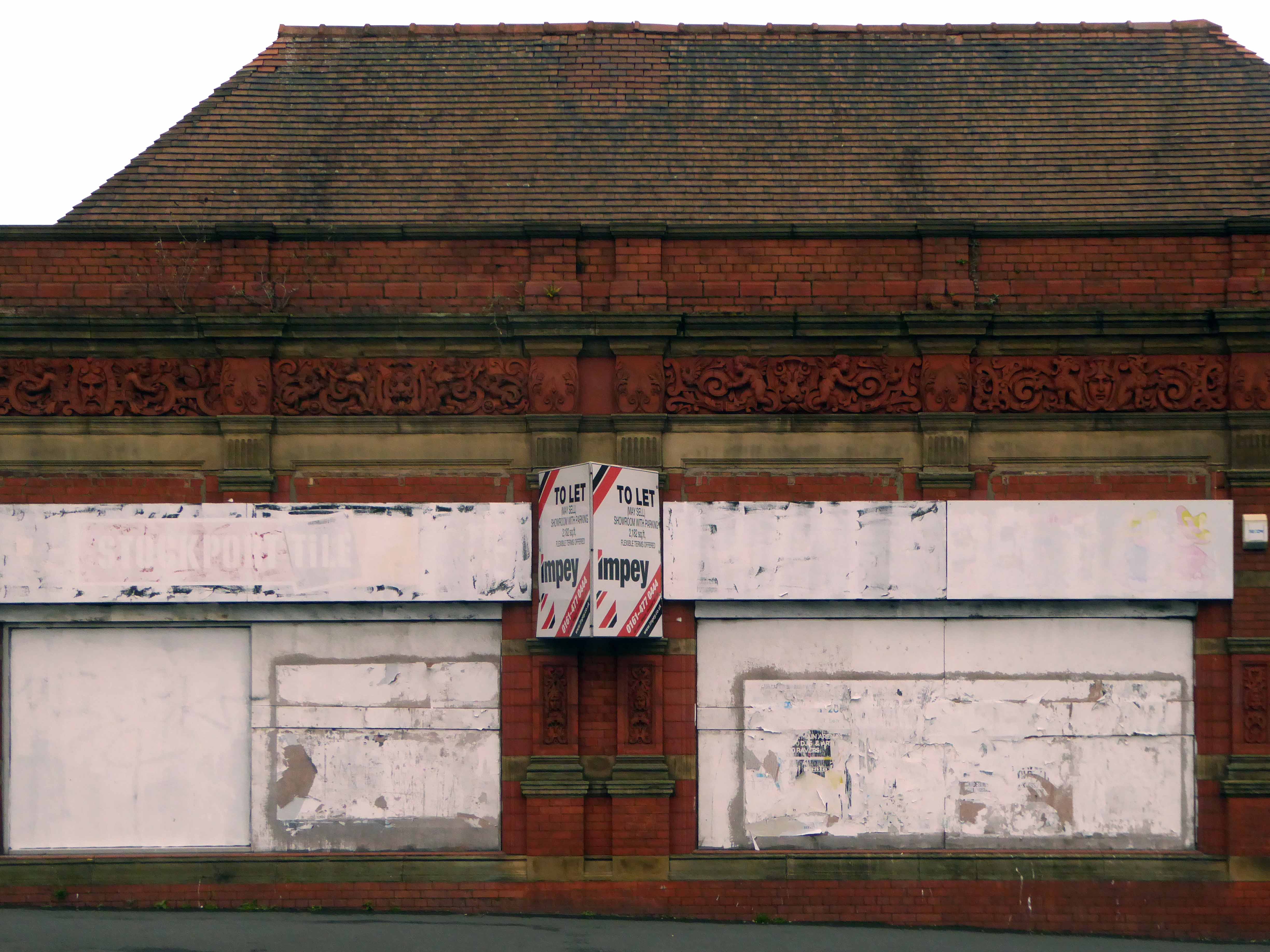
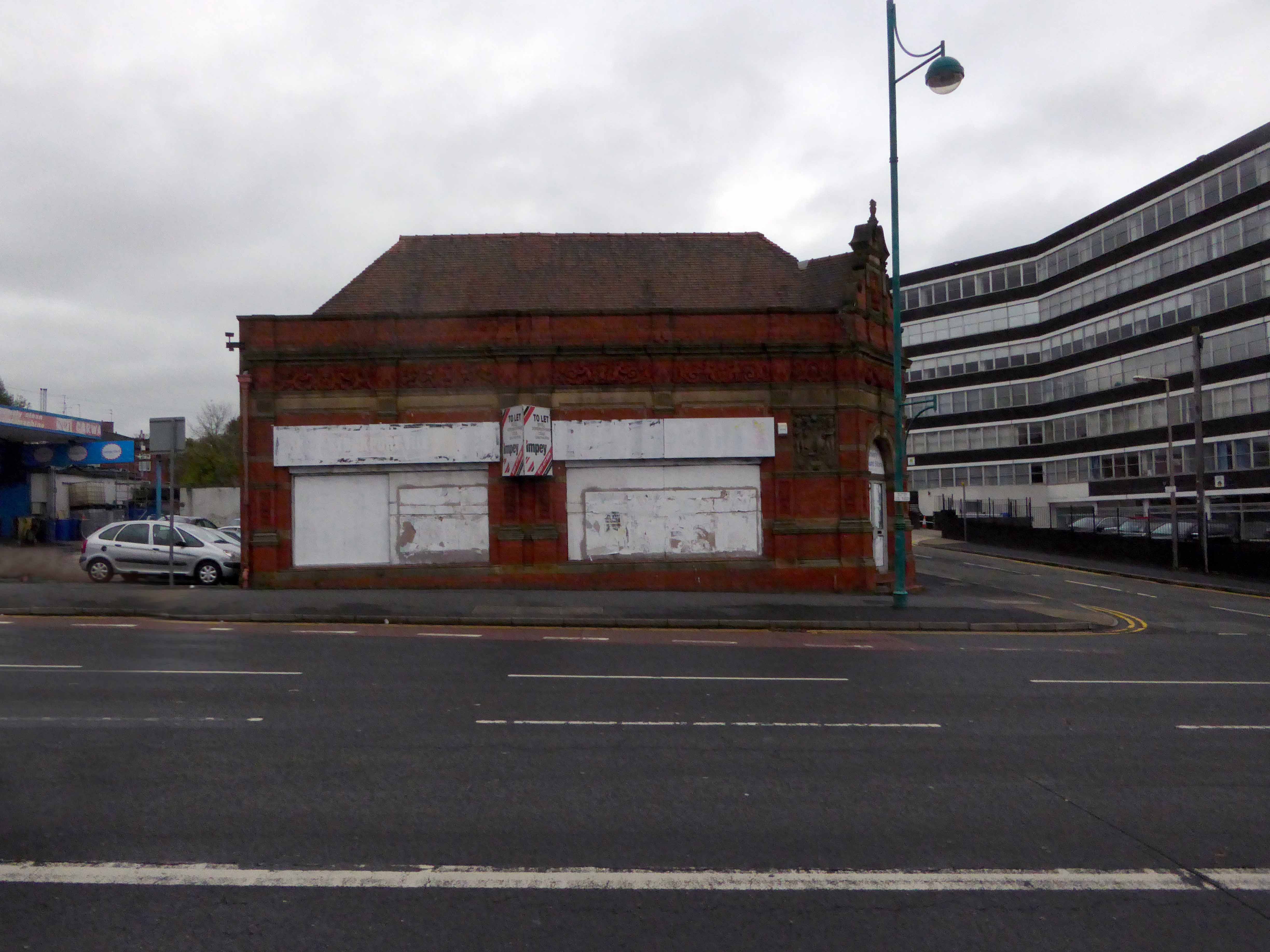
Commercial premises or showroom. Dated 1889. Red brick with stone dressings and terracotta decorative details, tiled roof. Rectangular building of 4 x 3 bays with canted corner entrance. Jacobean style. Single storey articulated by pilasters supporting a sculptured frieze. Doorway with arched head and fanlight. One, two and three-light mullion and transom windows to the Parsonage Street front. The Wellington Road front has two large plateglass windows divided by paired pilasters. The windows have removed two pilasters. Cornice, panelled parapet, aedicule with console supporters, swan – neck pediment and date over the doorway. Tall hipped roof. Very prominently sited and under restoration at the time of inspection.

Grade: II listed: 23rd March 1987 – Historic England

20384

35147

35148

Stockport Image Archive

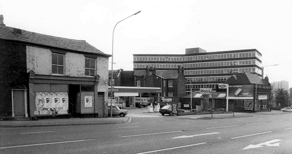
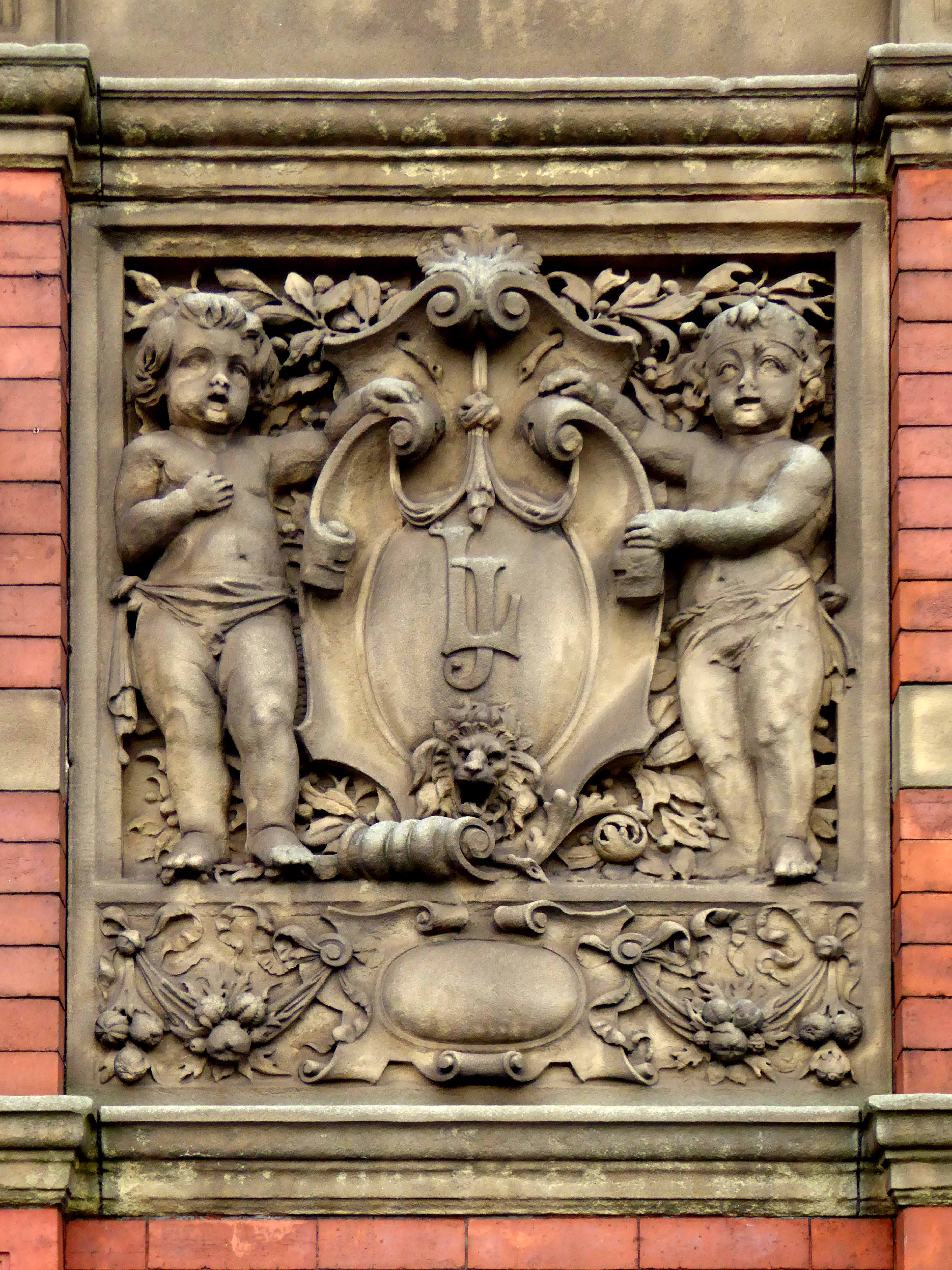
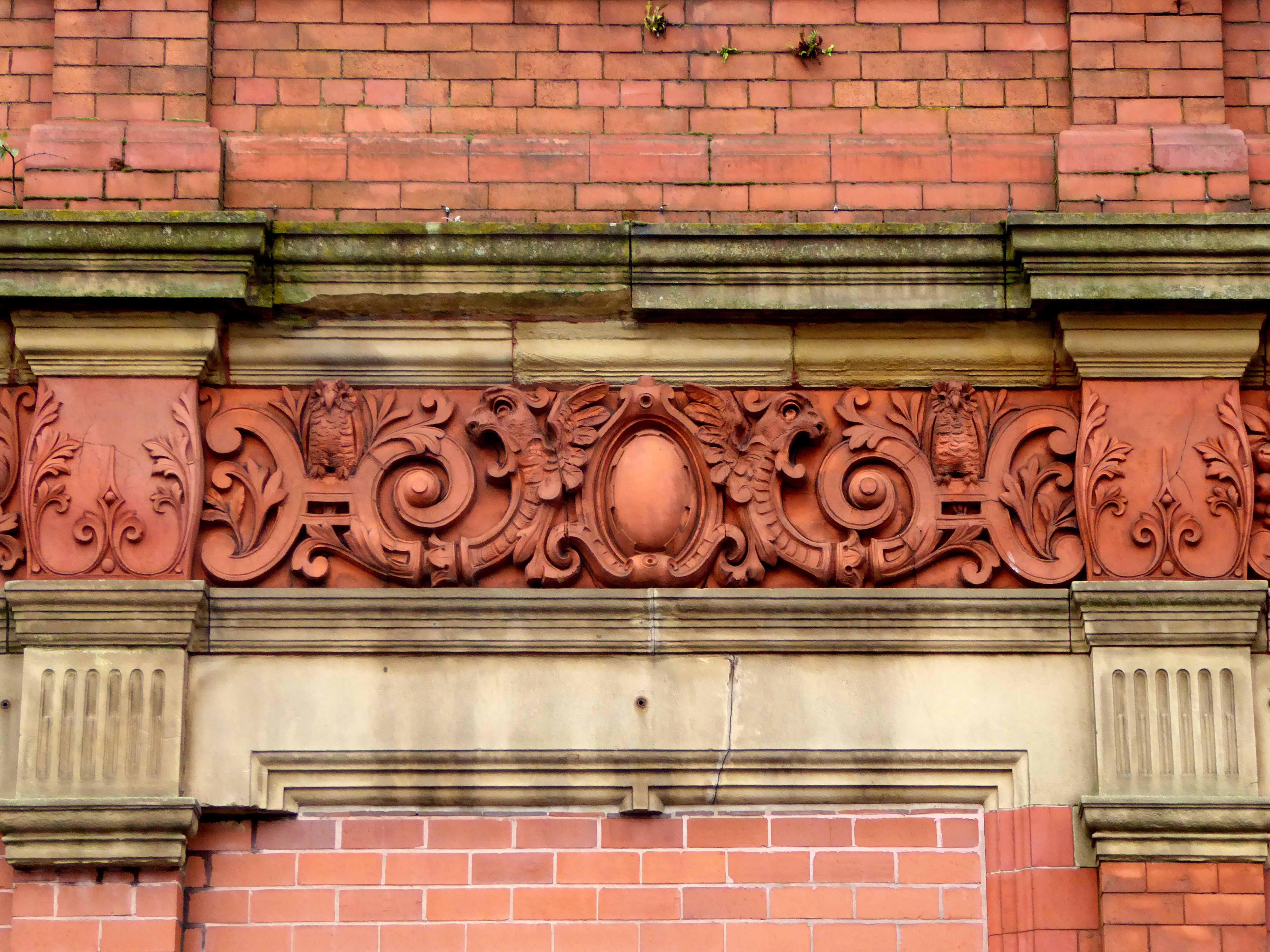
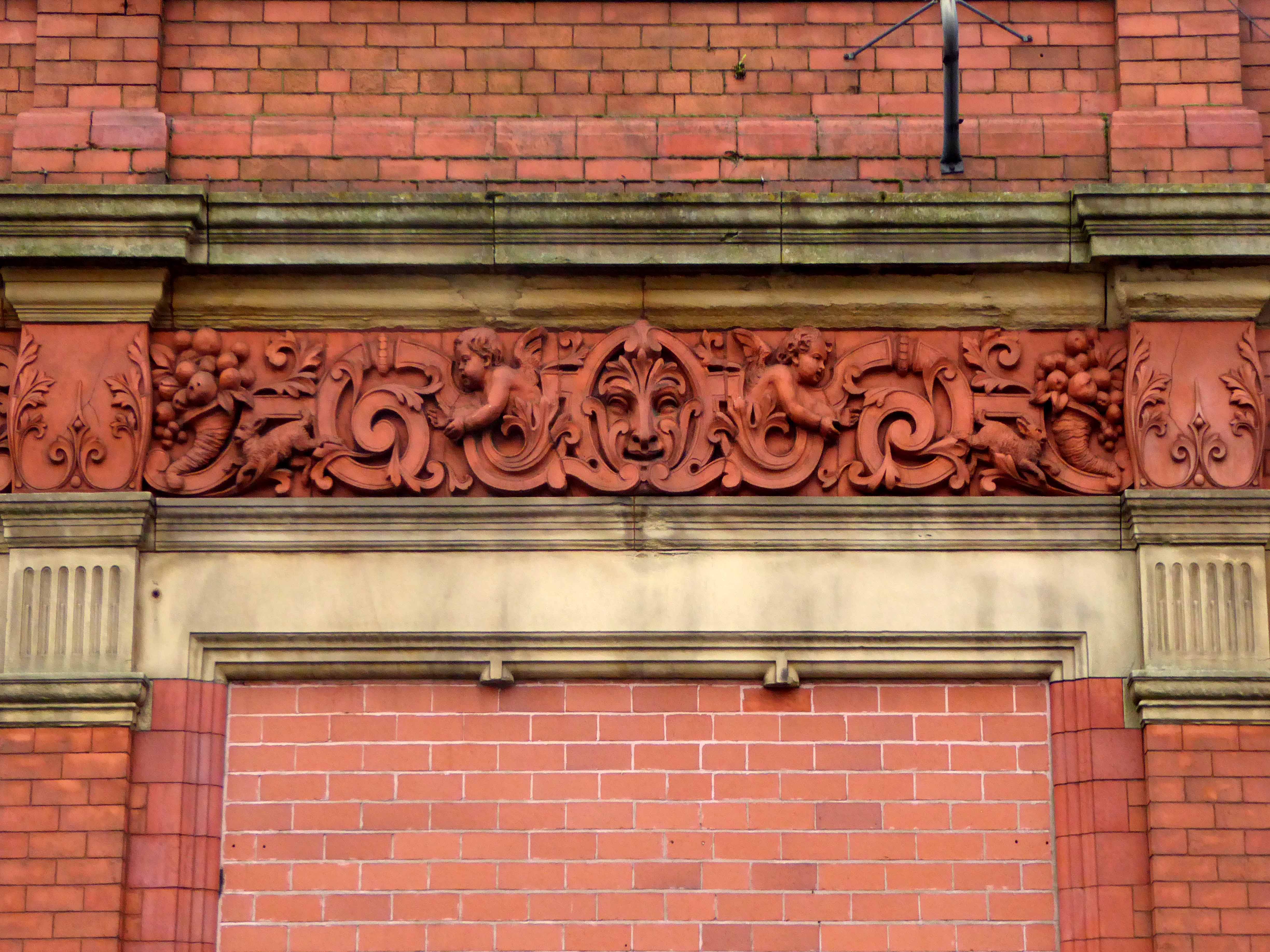
This is a building of some substance, decorated with terracotta work of the highest order, a striking yet diminutive landmark to the north of the town. Situated on a once busy commercial site, where it would have been surrounded by a plethora of retail, industrial and residential property.

My research has shown that its earliest recorded use was under the ownership of JE Jones manufacturing agent for ropes and cords, allied to the local hatting and cotton trades in 1907. Subsequently the base of John Roberts in 1910 – leather merchant, manufacturing  belts, strapping and laces – the company also had premises nearby at 138 Heaton Lane.

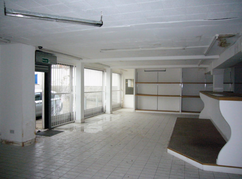
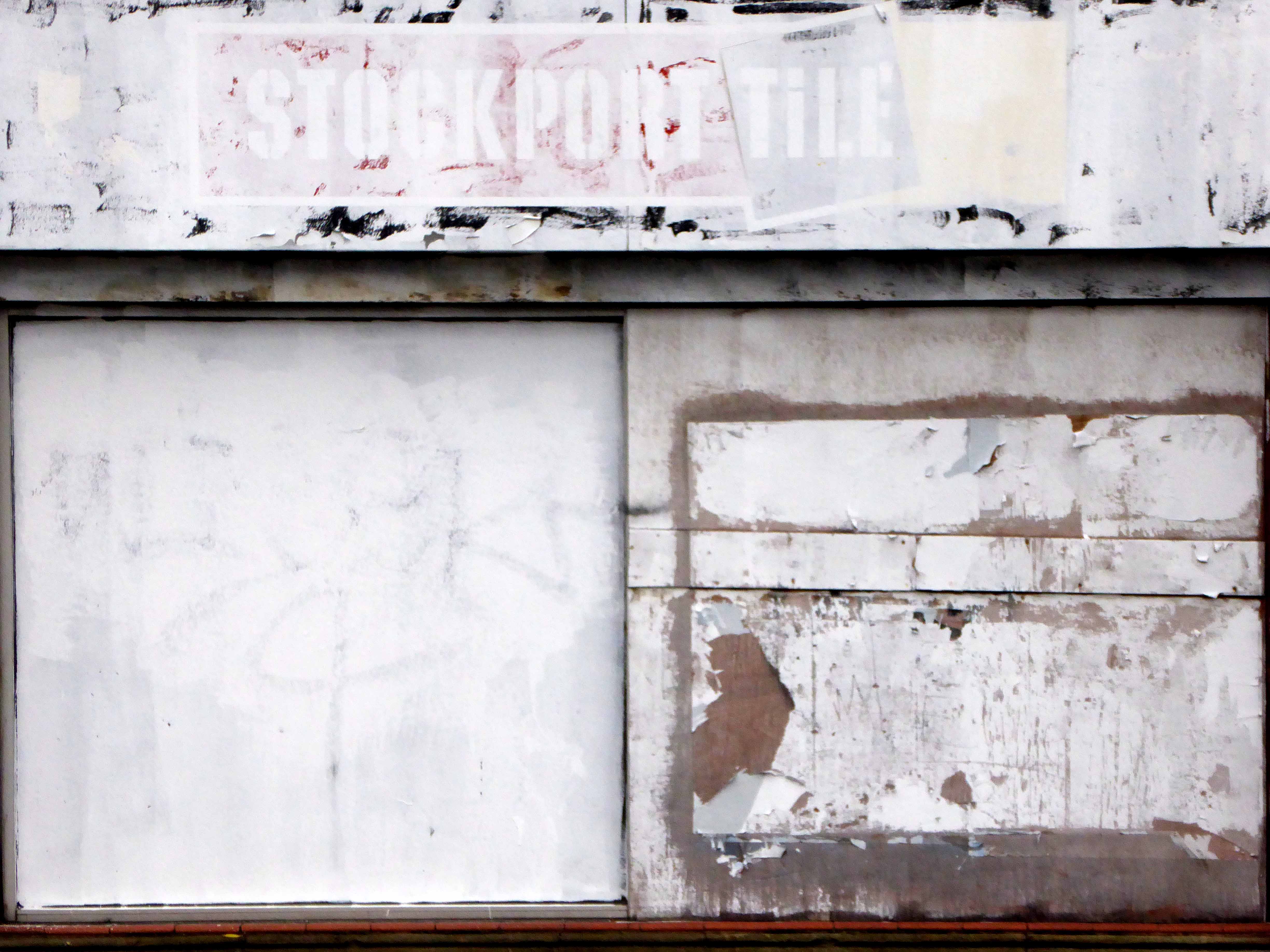
It has latterly been in use as Topp’s Tiles, Gordon Ford and Little Amigos Discount Nursery Store – it is currently empty, shuttered and unloved on off at a rent of £1,833 per calendar month from Rightmove.

Screen Shot 2018-05-07 at 08.03.22

As Stockport continues to invest in and develop its town centre, it remains a more than somewhat sorry beacon of decline, an indicator that all too often architecture of local and historic importance, seems to have little or no place, in this thrusting modern milieu.

If passing, pause and reflect on the sense of permanence that imbues this building, in an all too impermanent world.

P1210198

P1210199

P1210200

P1210201

P1210202

P1210203

P1210204

P1210205

P1210206

P1210208

P1210209

P1210210

P1210211

P1210212

P1210215

P1210216

P1210217

P1210218

P1210220

P1210221

Covent Garden – Stockport

Last time I was here it was there:

Covent Garden Flats Middle Hillgate in Stockport.

A small but important group of post-war council houses – very much in an inter-war European manner, homes to a settled community of cheerful, chatty residents.

screen-shot-2016-04-14-at-17-20-211

The local authority tinned them up some year ago, ahead of a series of redevelopment proposals – last week that redevelopment reached its logical conclusion.

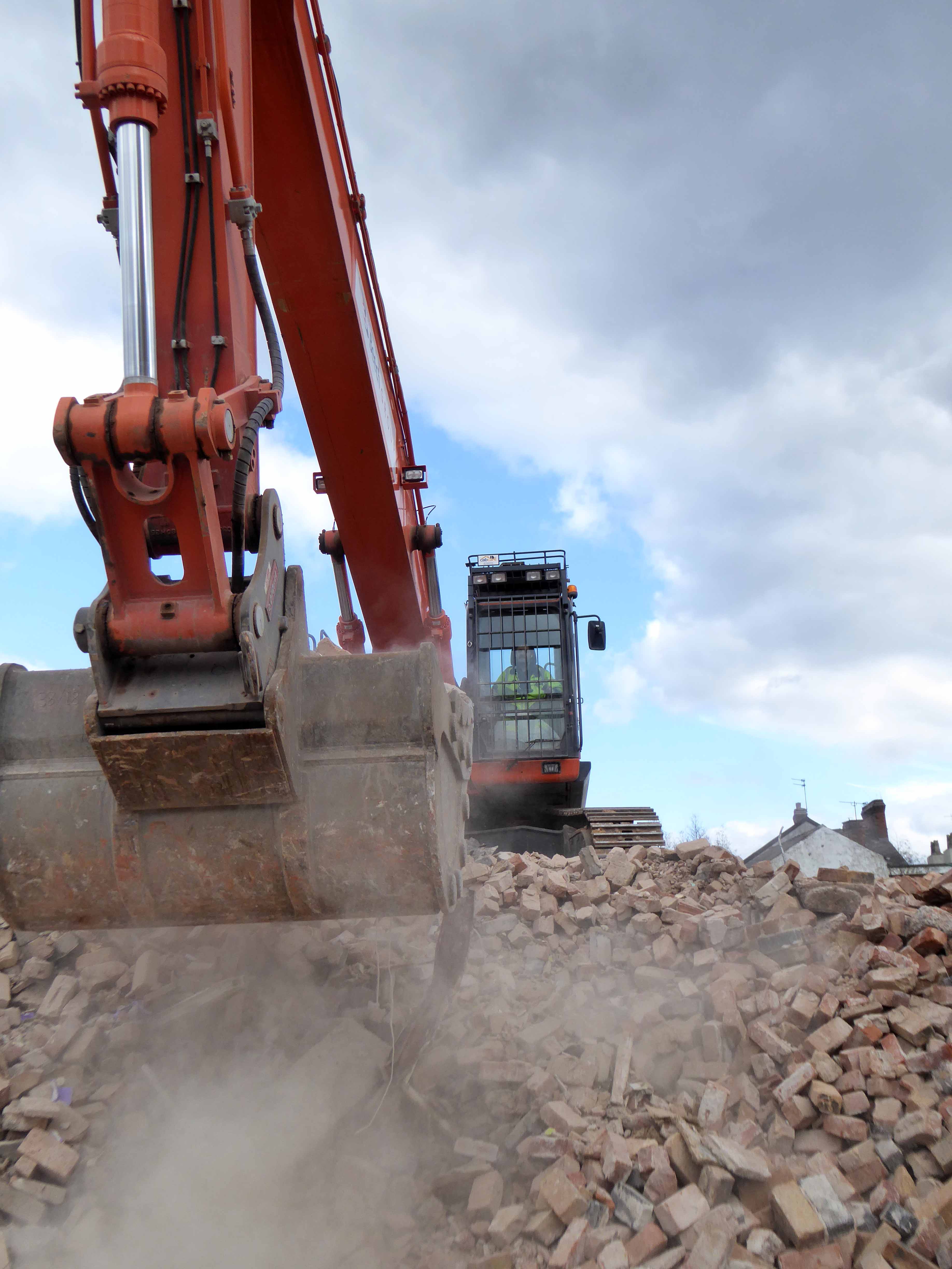
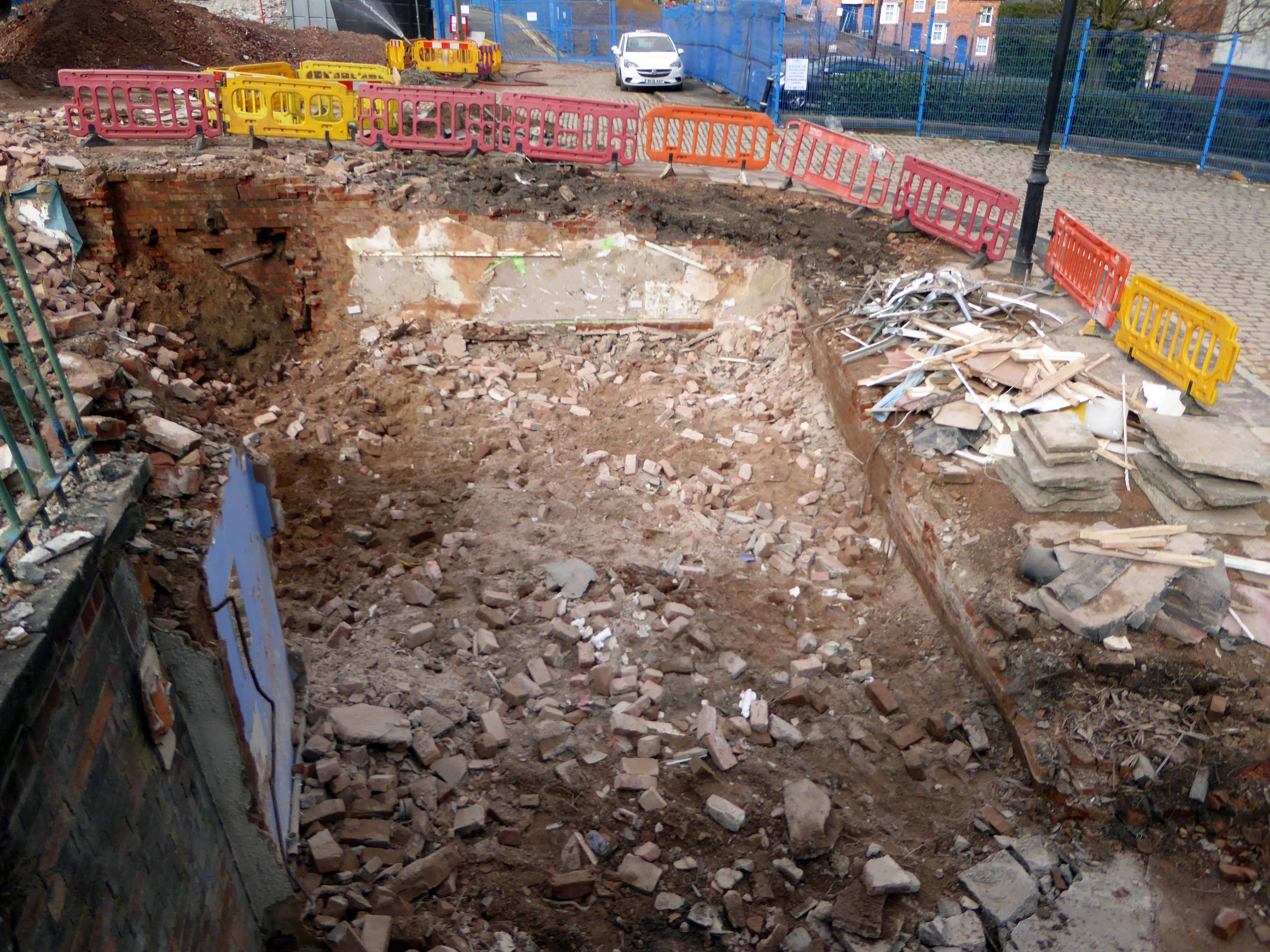
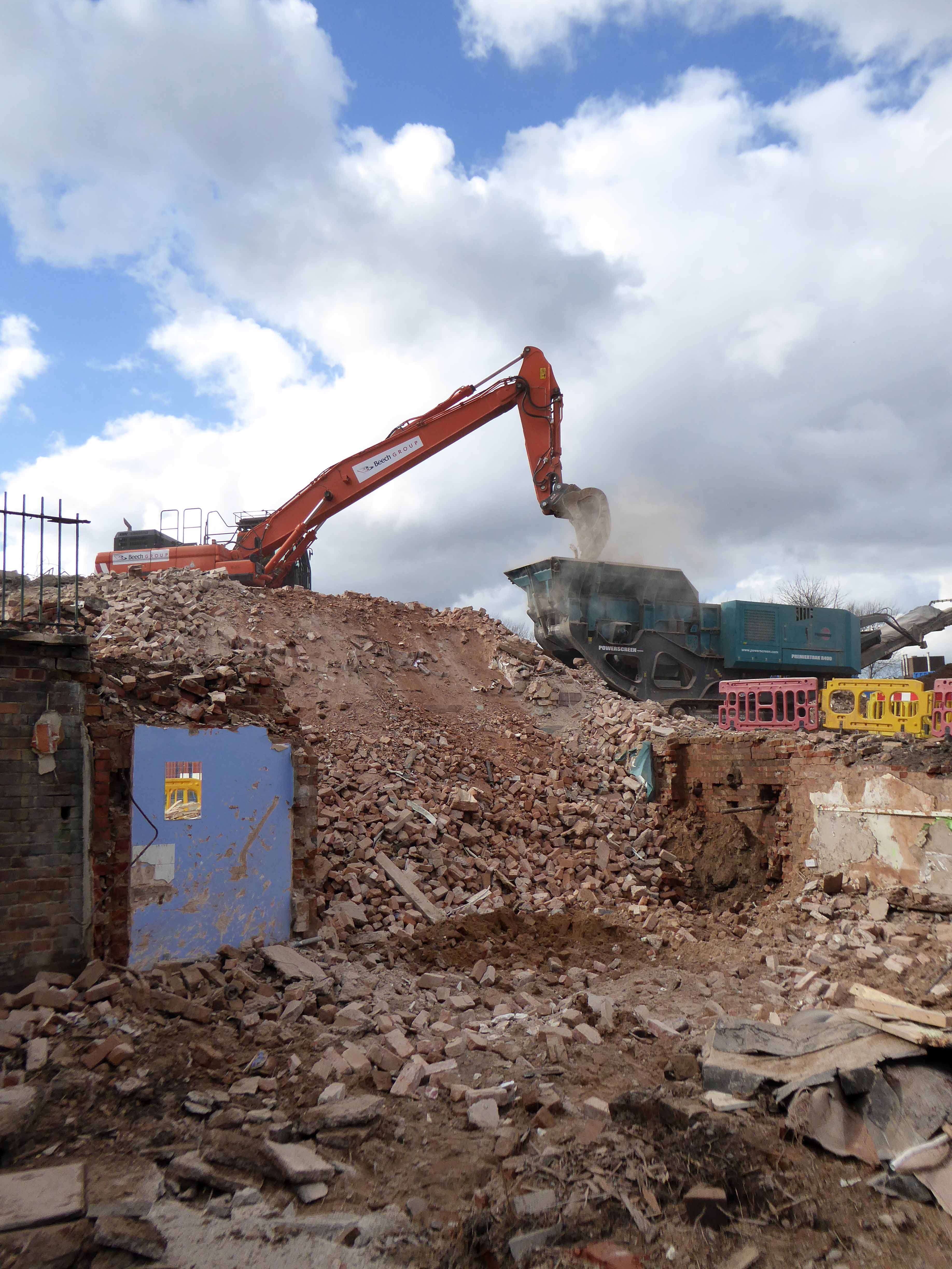
Demolition.

Whilst accepting the necessity for change, I also recognise the need to preserve what is best of the past, rather than replacing it with the present day architecture of cautiously consensual pastiche.

p1030551-copy

P1230650

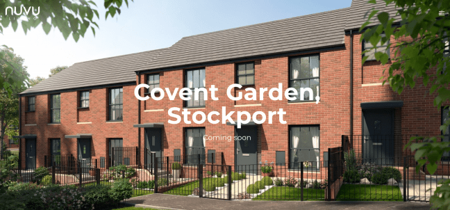
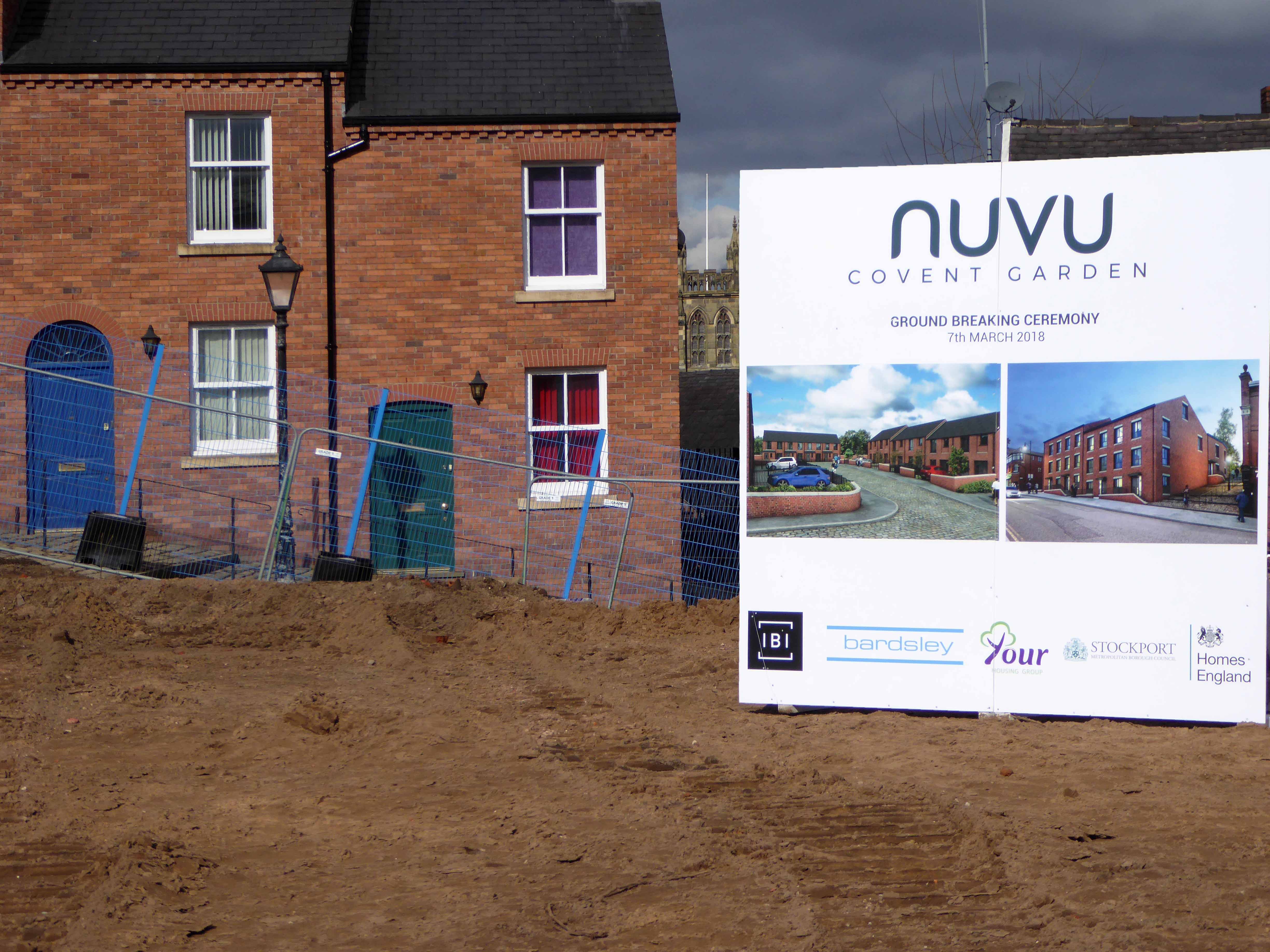
nuvu living for the nouveau be-tartaned riche:

Screen Shot 2018-03-21 at 13.37.36

So heavyhearted I circumnavigated the perimeter fence, recording forever that which was no longer there – their there replacing our there.

P1230601

P1230611

P1230613

P1230618

P1230624

P1230626

P1230630

P1230636

P1230639

P1230641

P1230633

P1230645

Screen Shot 2018-03-21 at 15.14.01


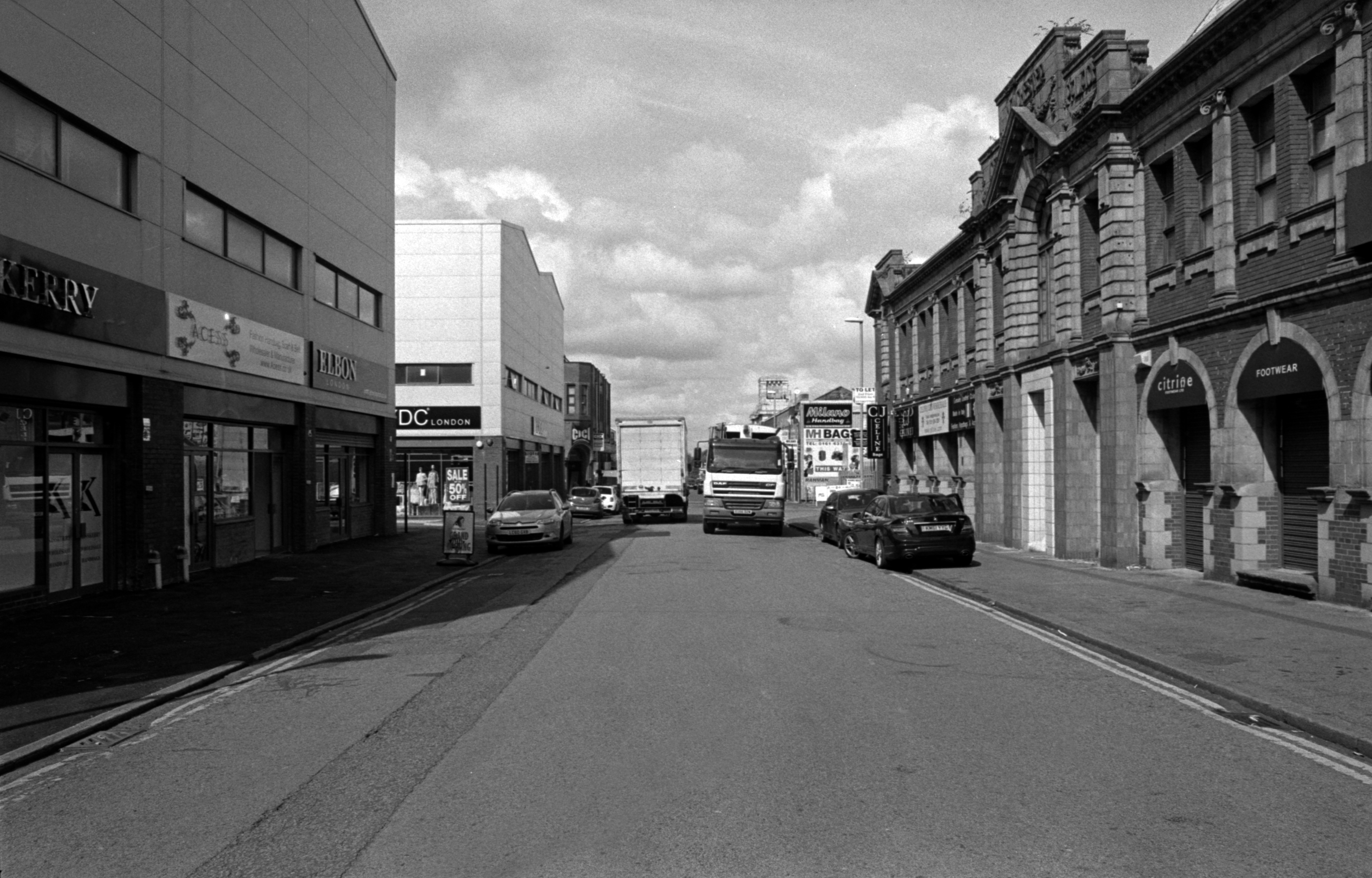
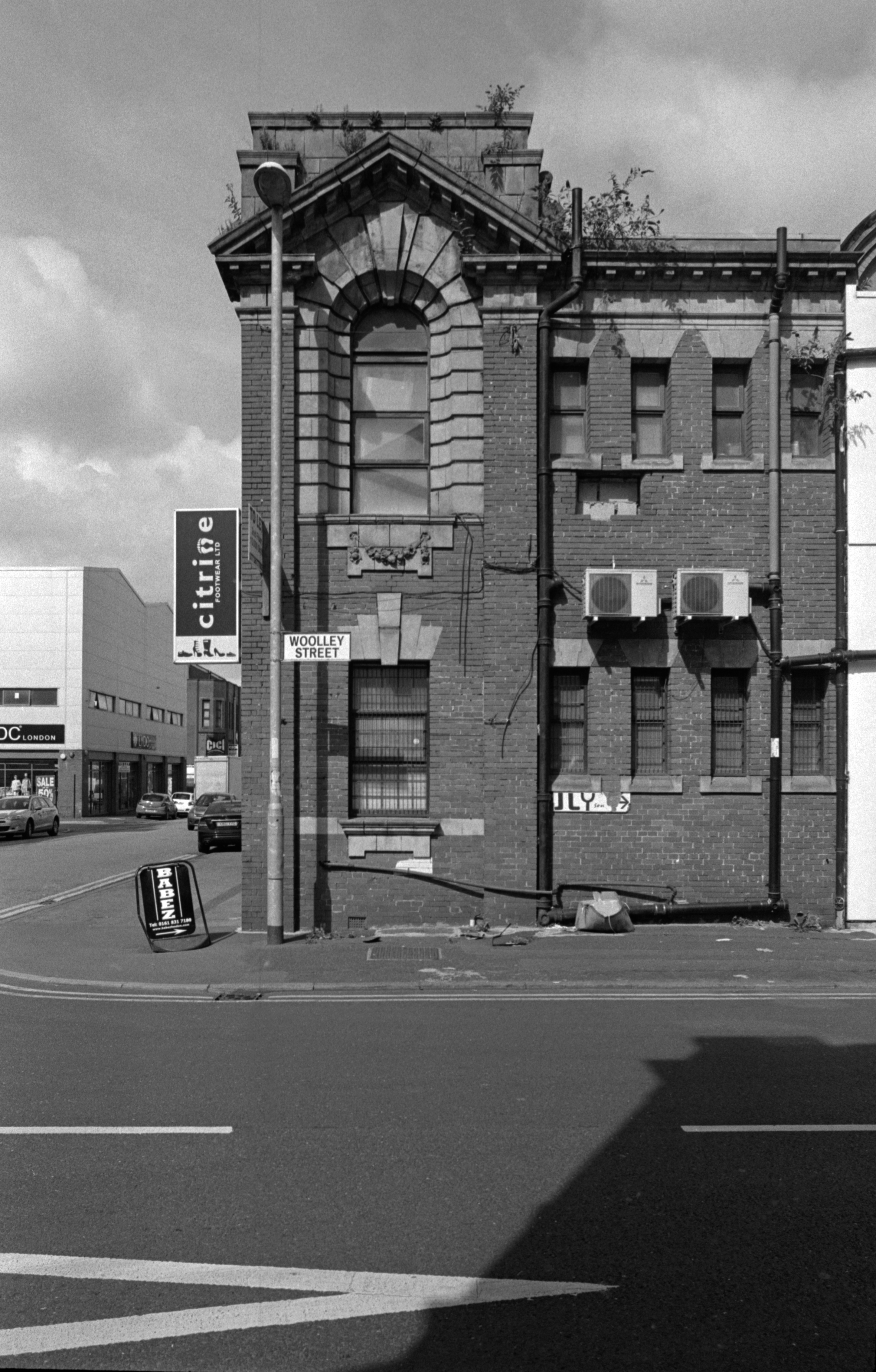
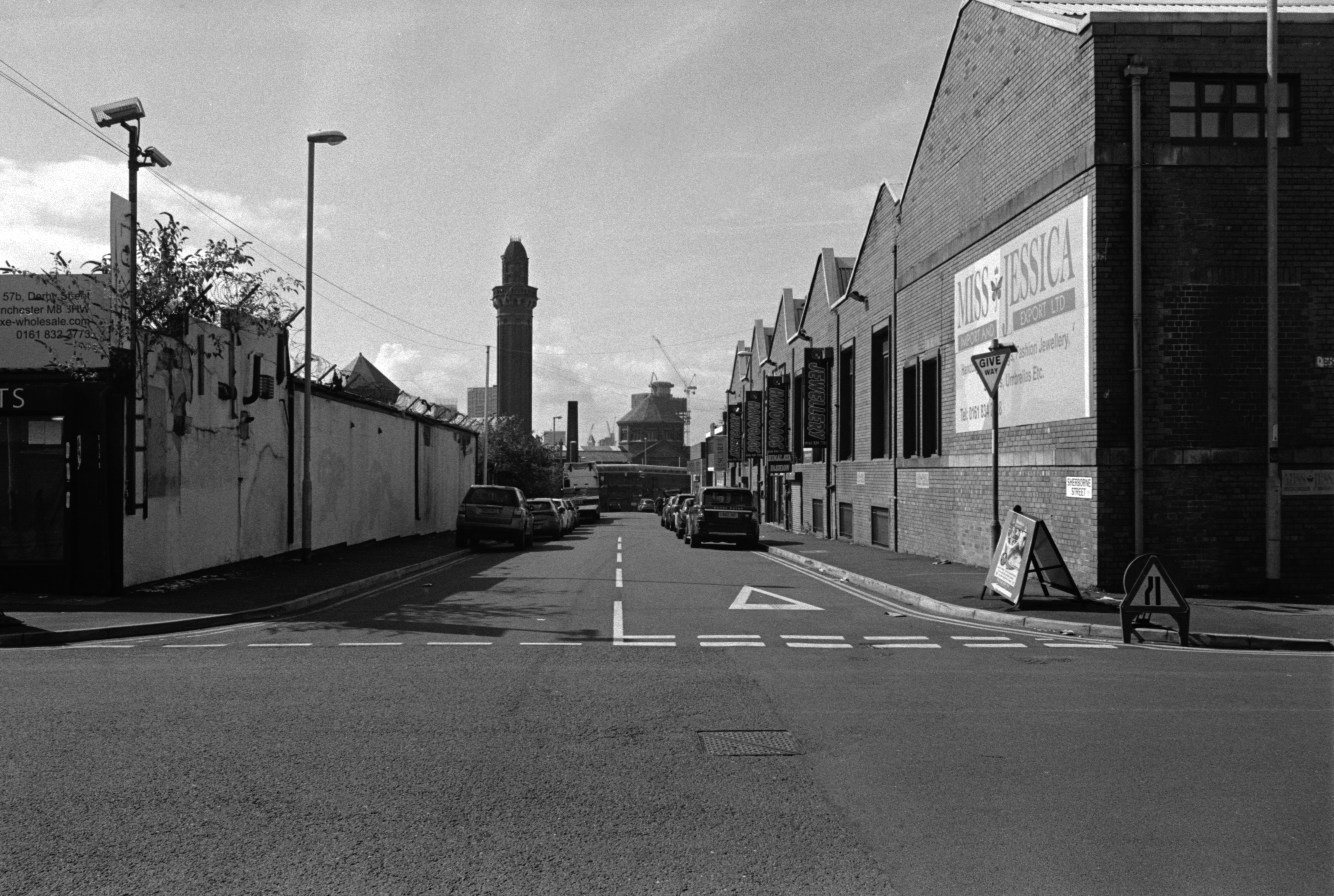
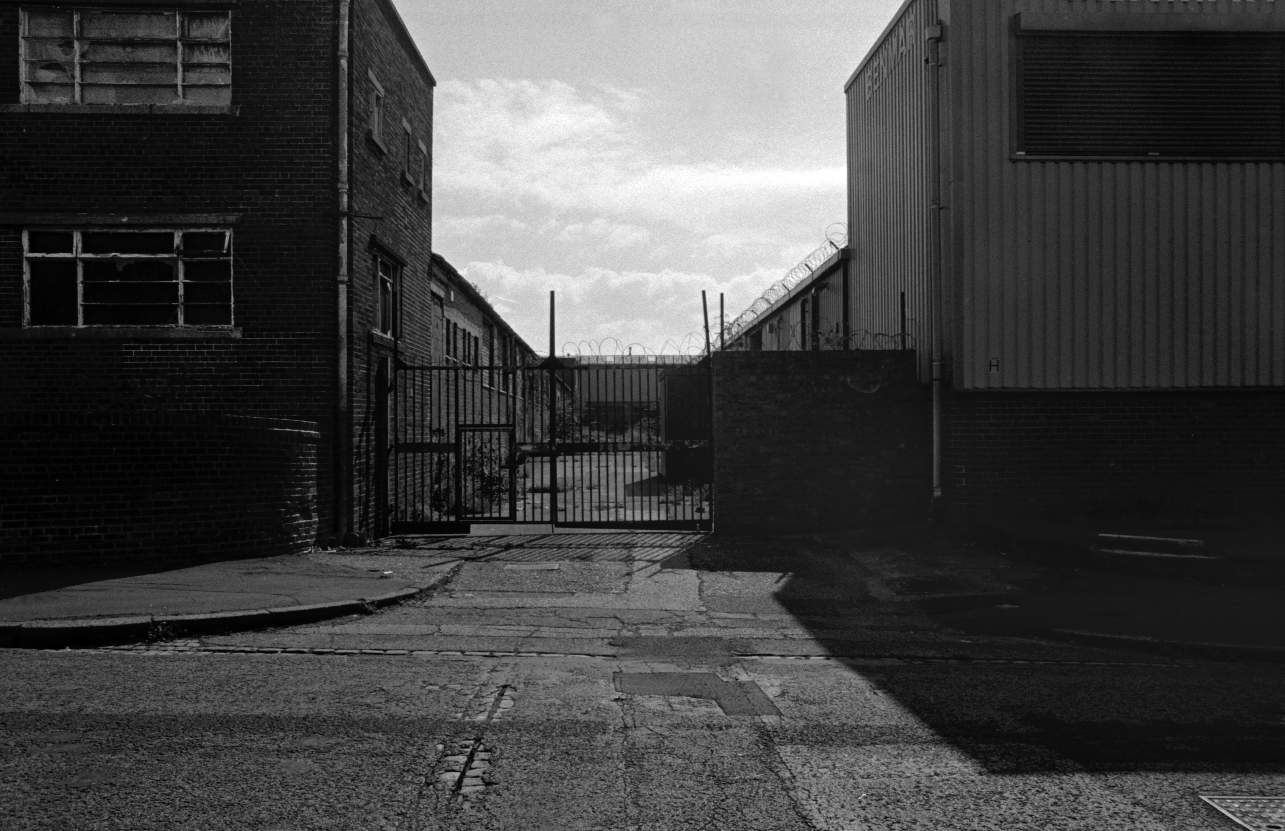
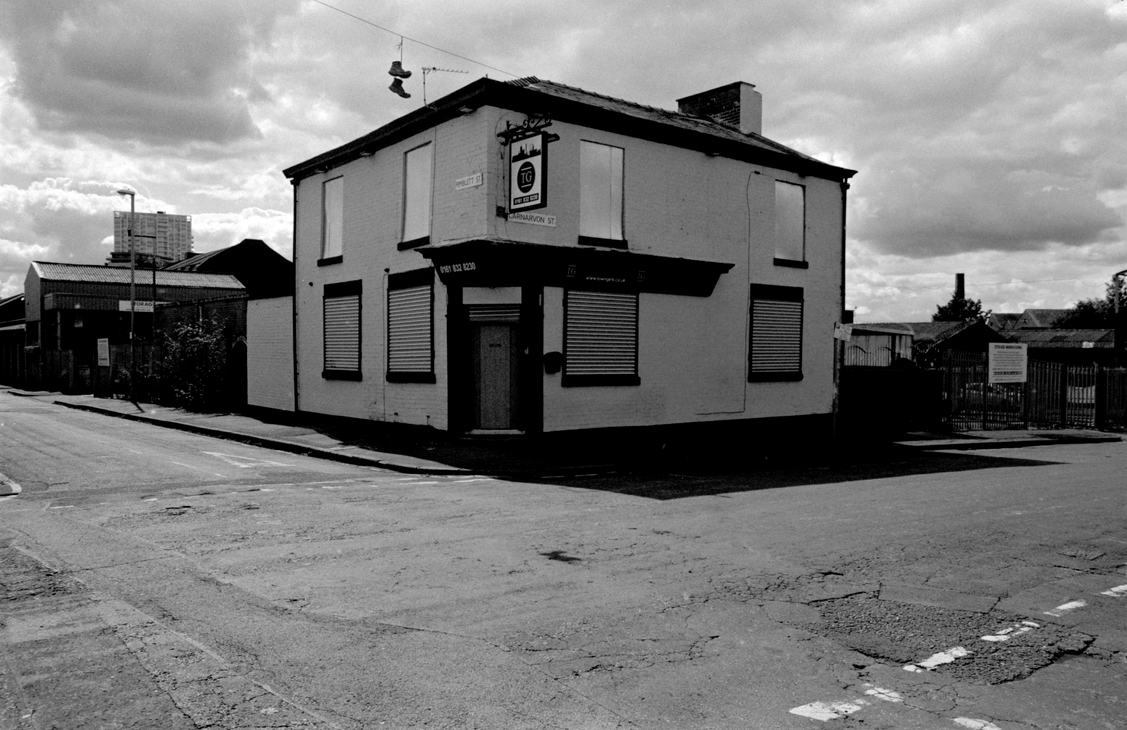
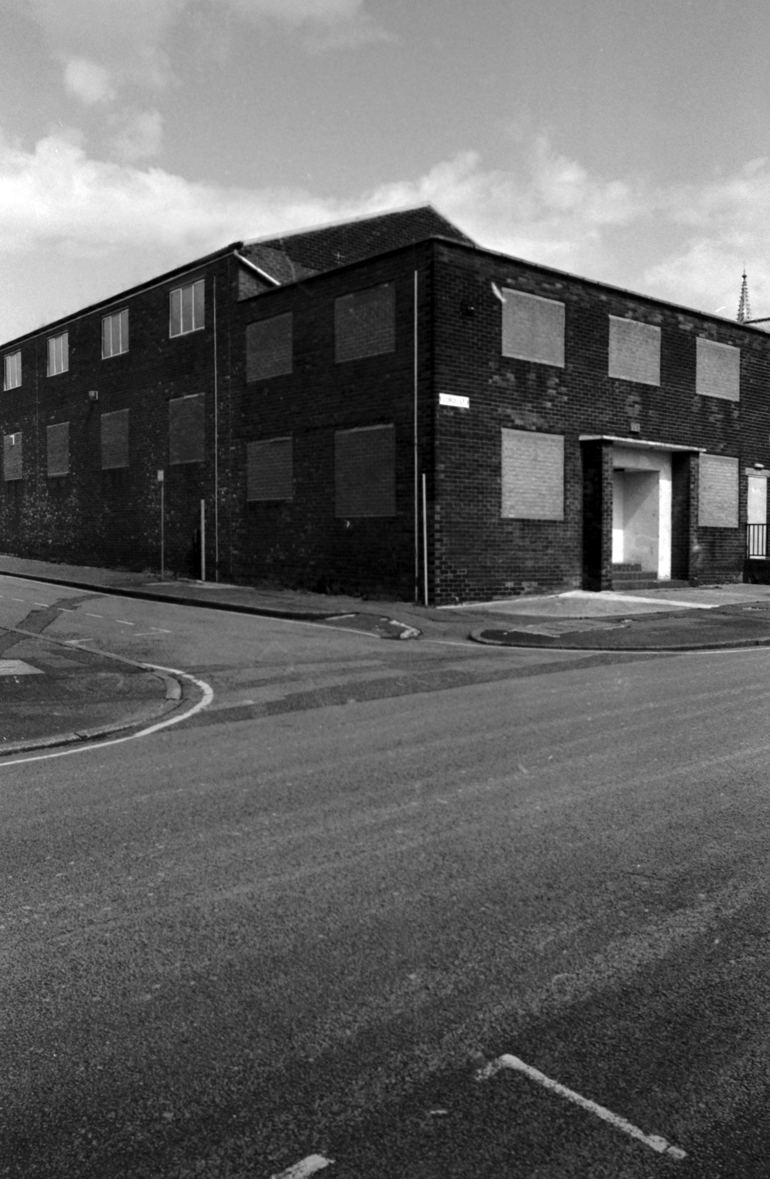
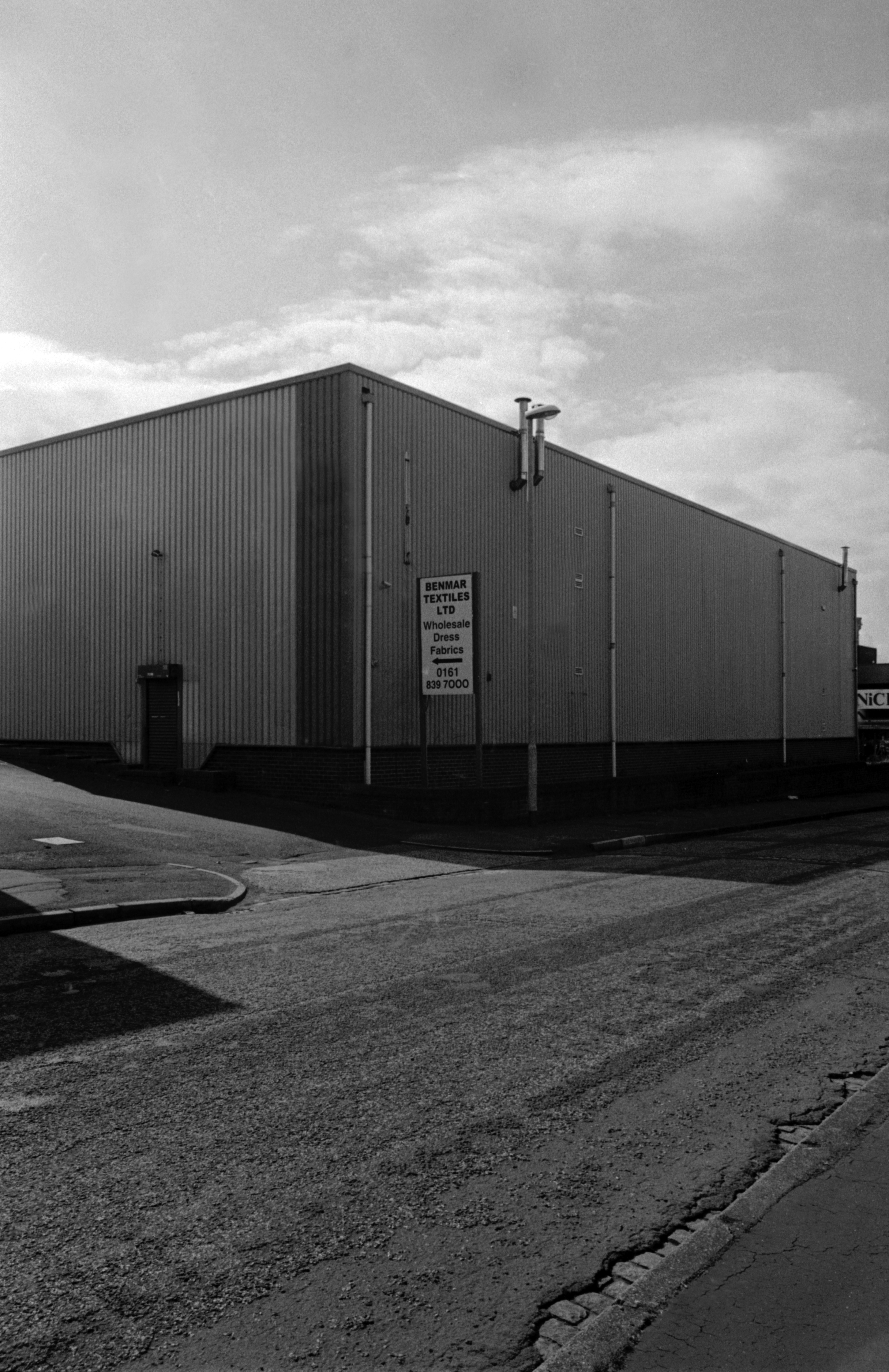
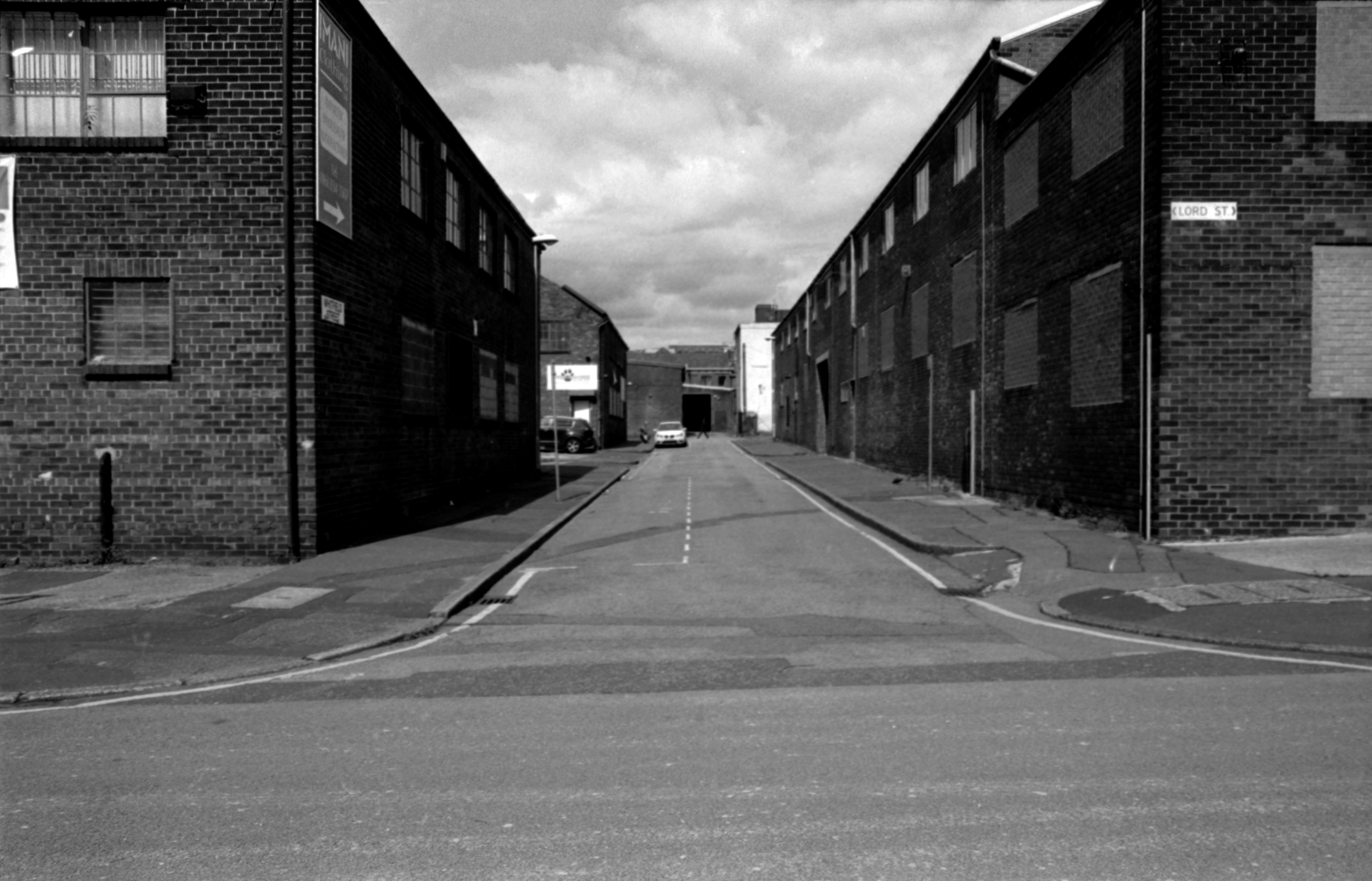
Strangeways #3 – Black and White World

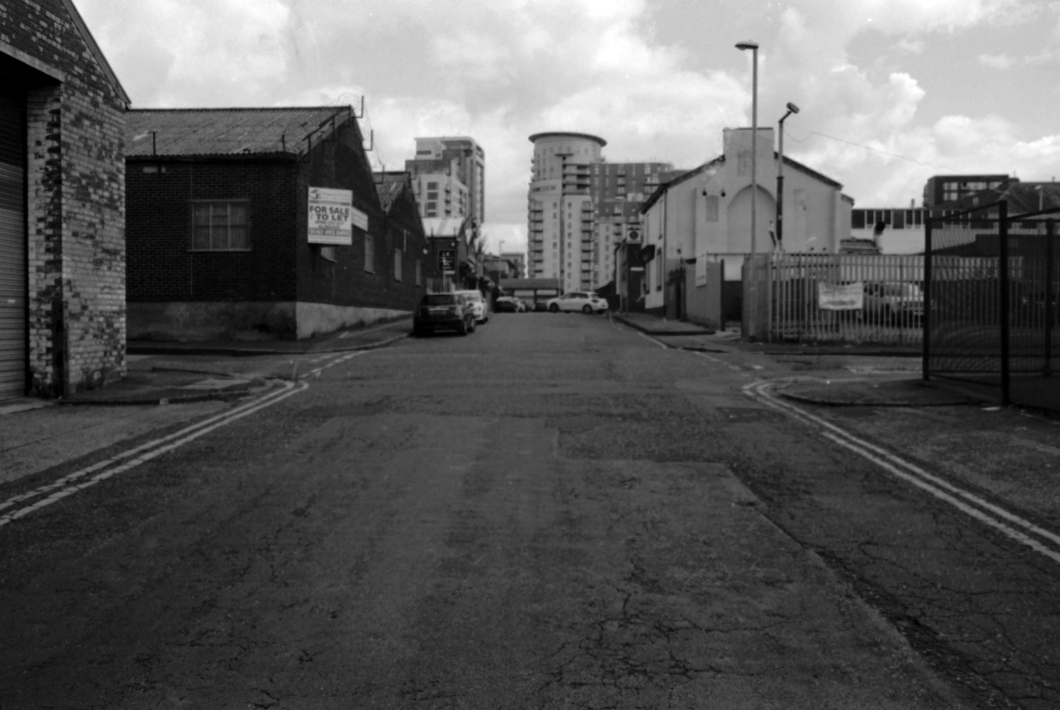
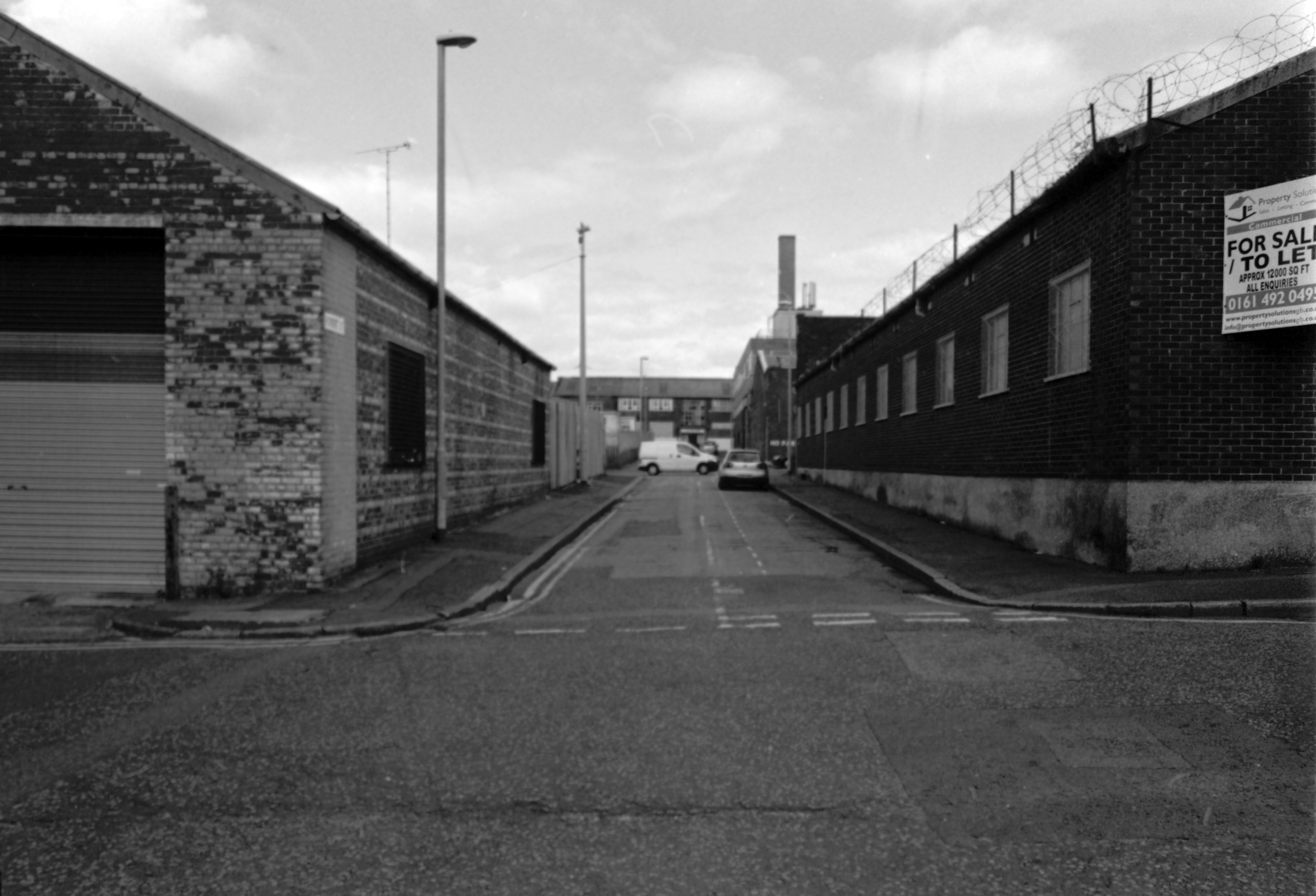
I’ve been here for the last fifteen years on and off, snapping away, capturing something of the area’s ever changing moods, the old, the new, the borrowed and the blue.

Wading through the archives, or searching for the remains of modernity.

On this occasion I have chosen to work on black and white film – the medium conveying something timeless, at a time when things are forever changing.

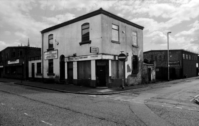
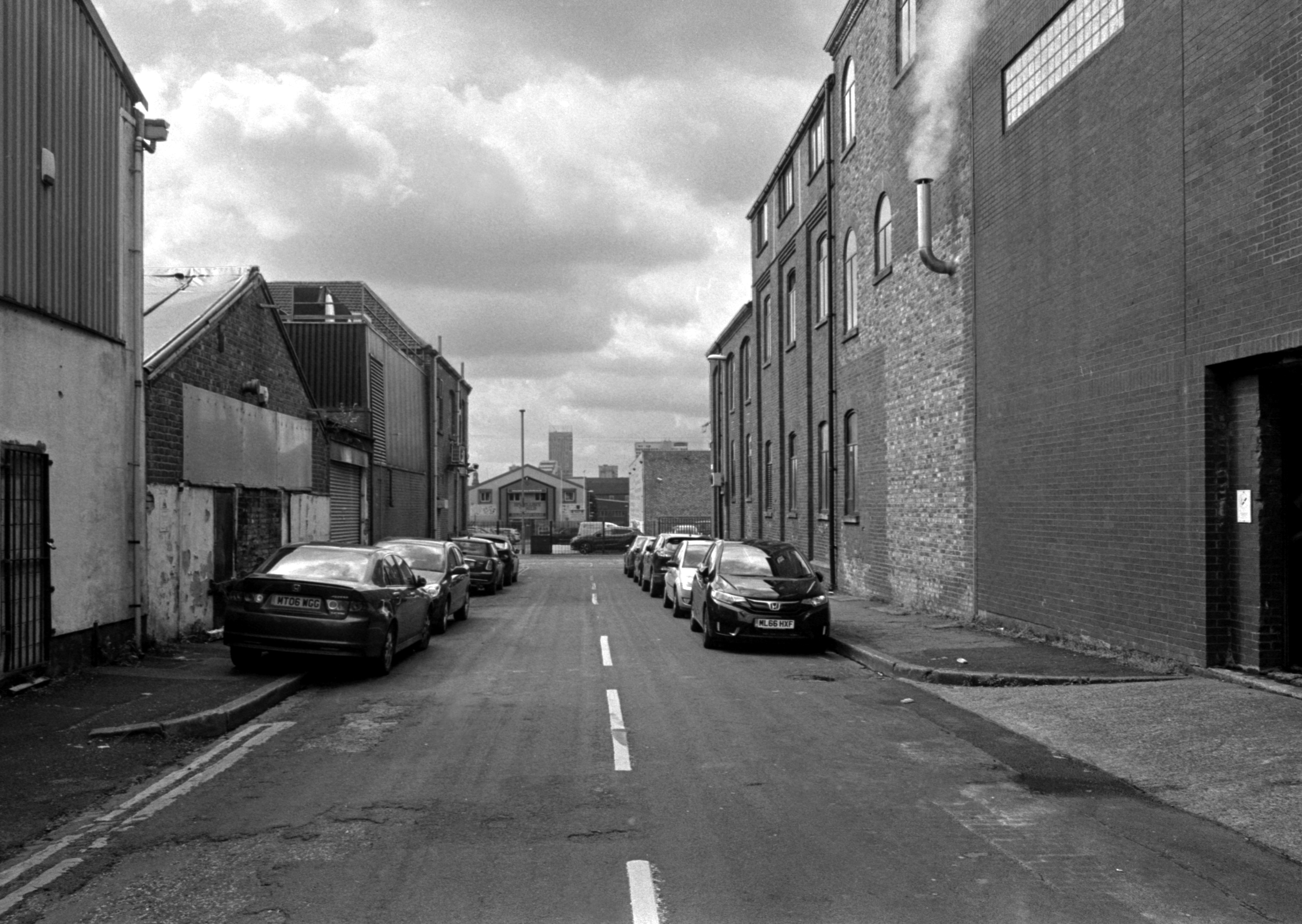
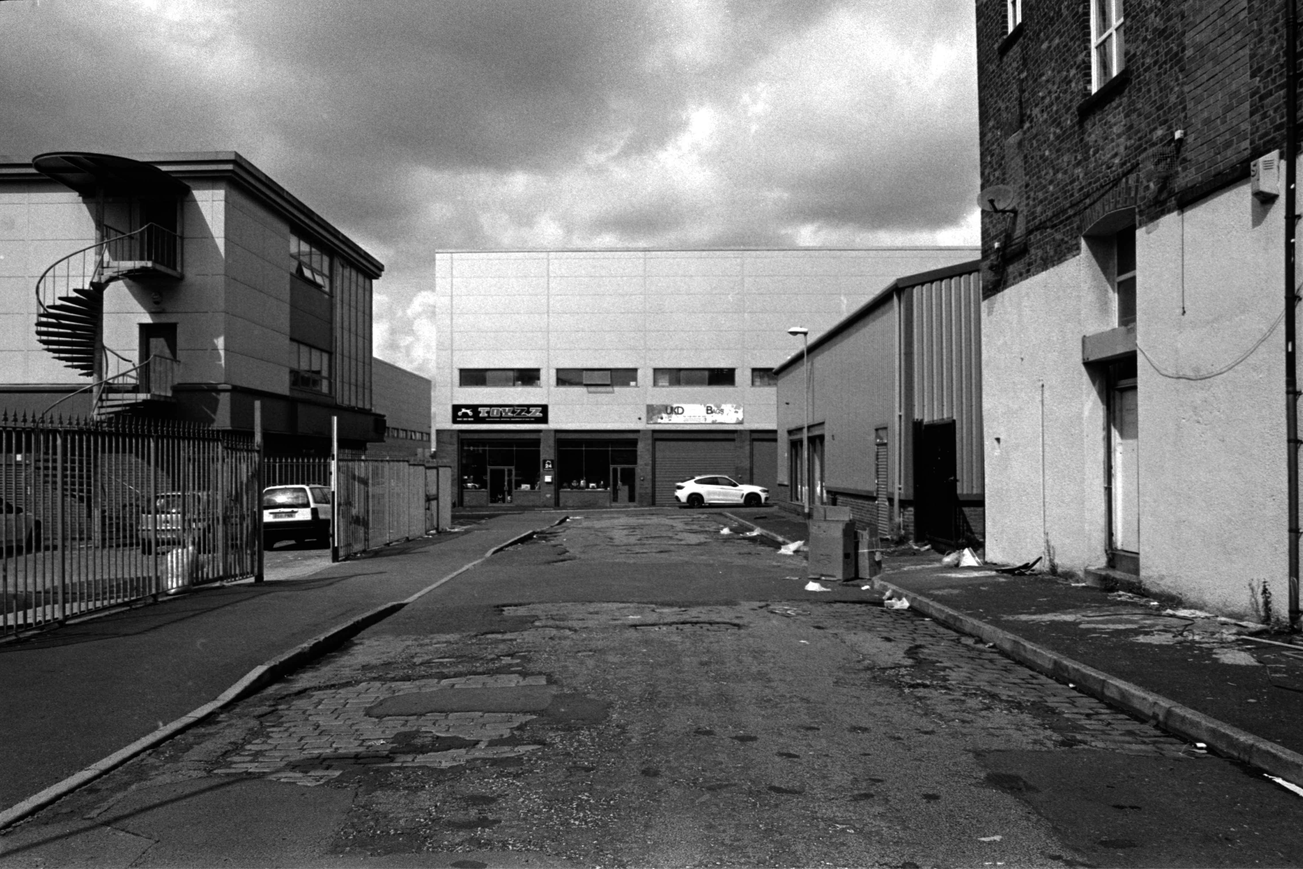
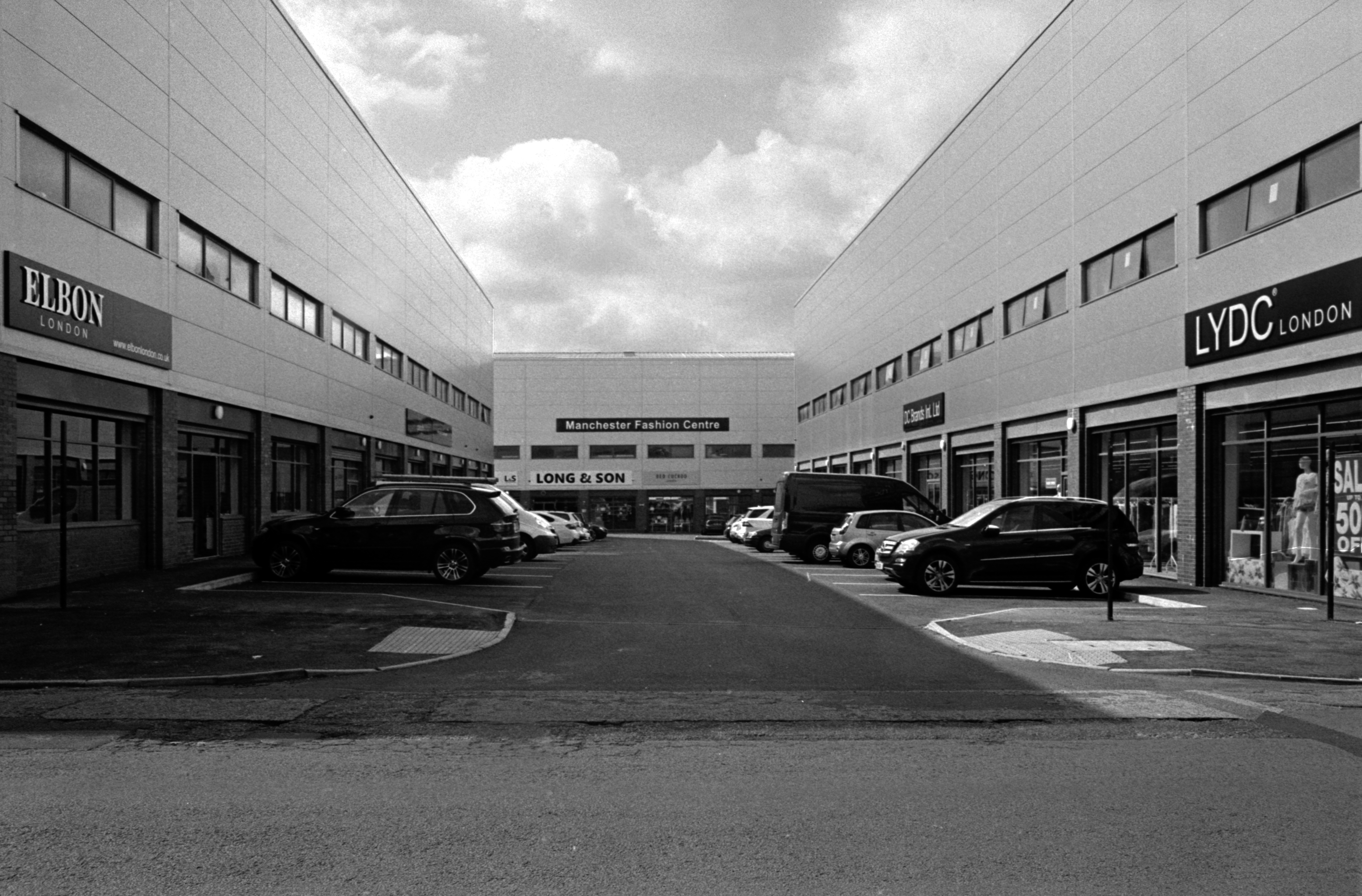
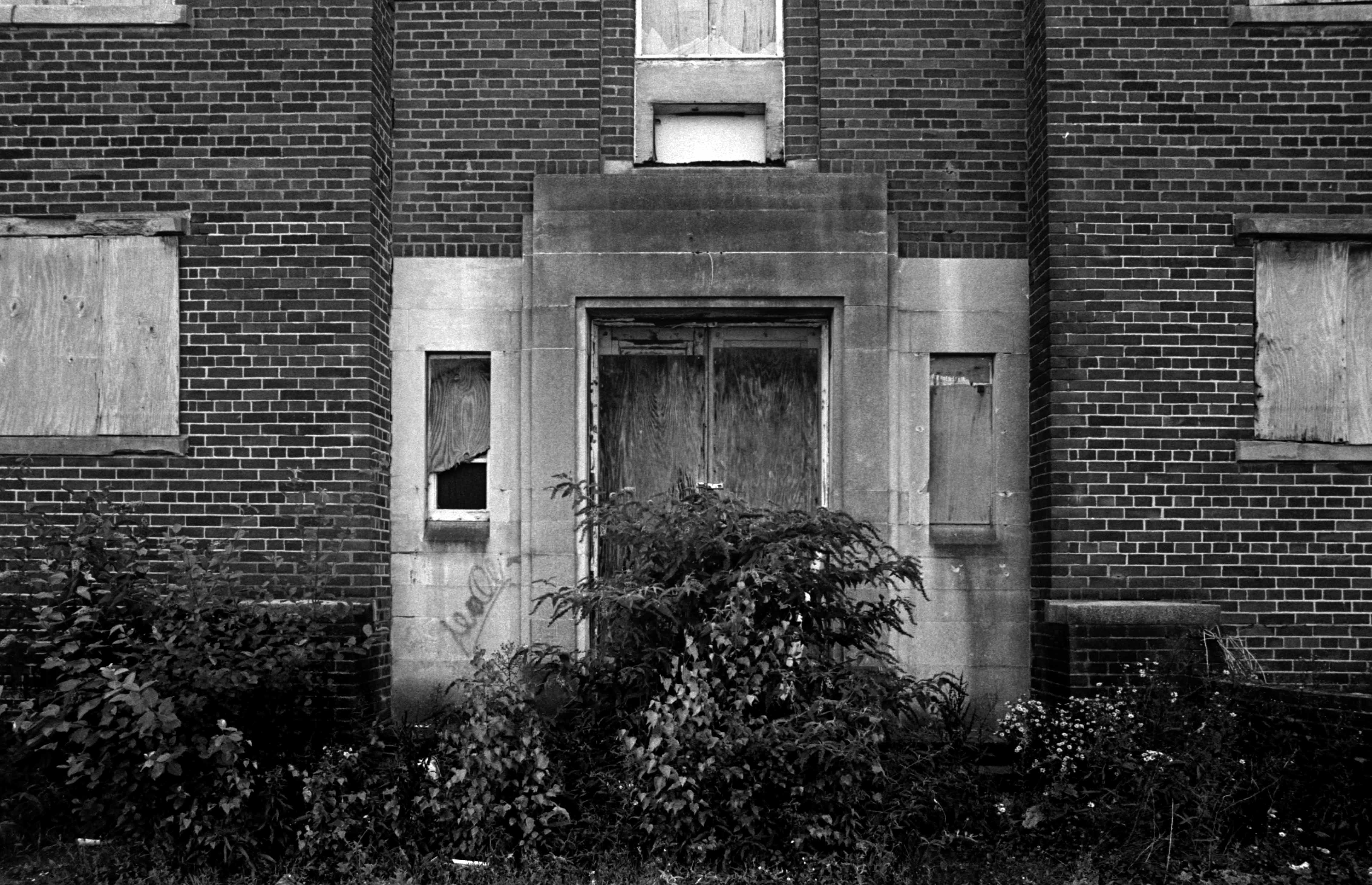
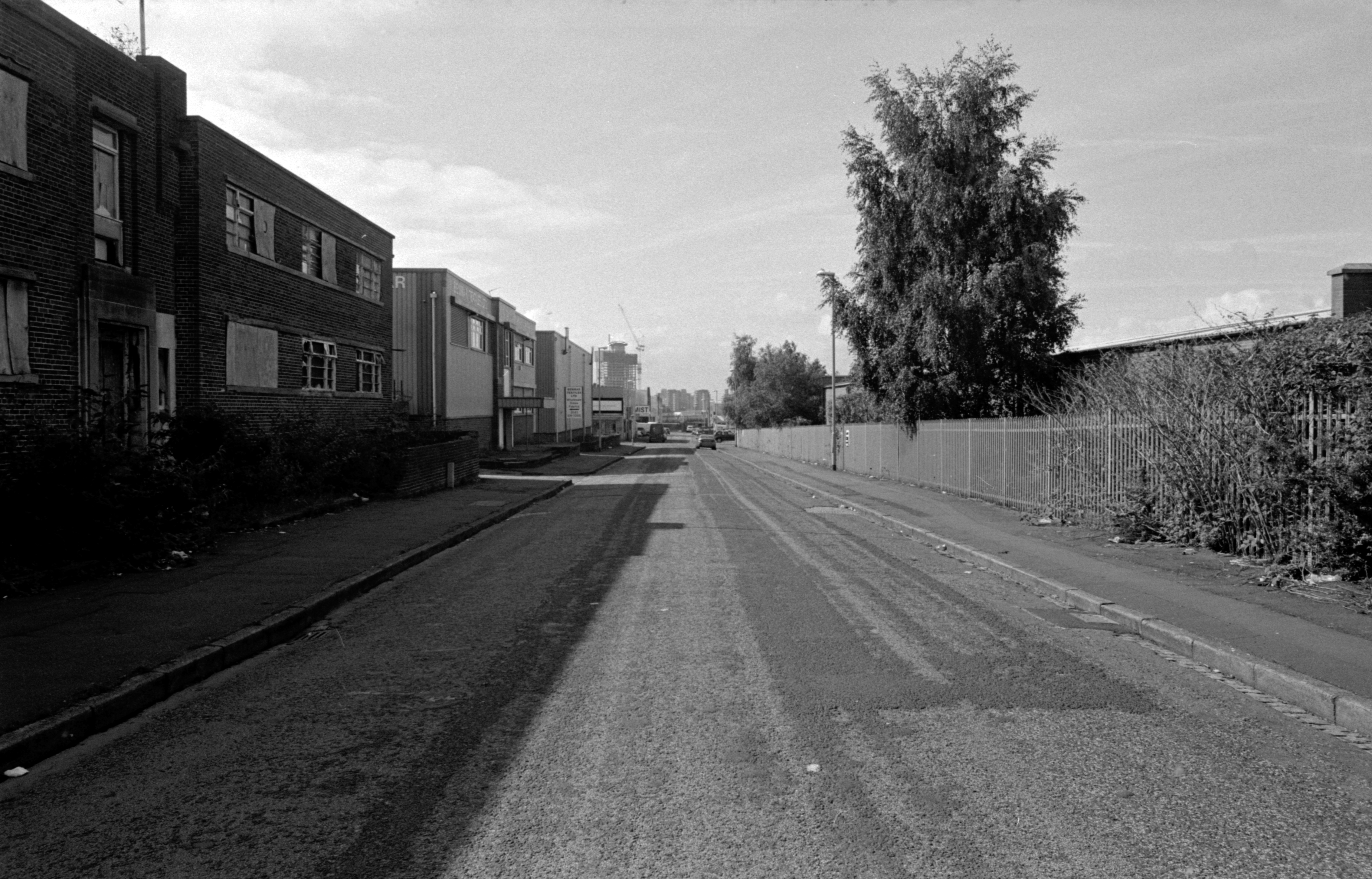
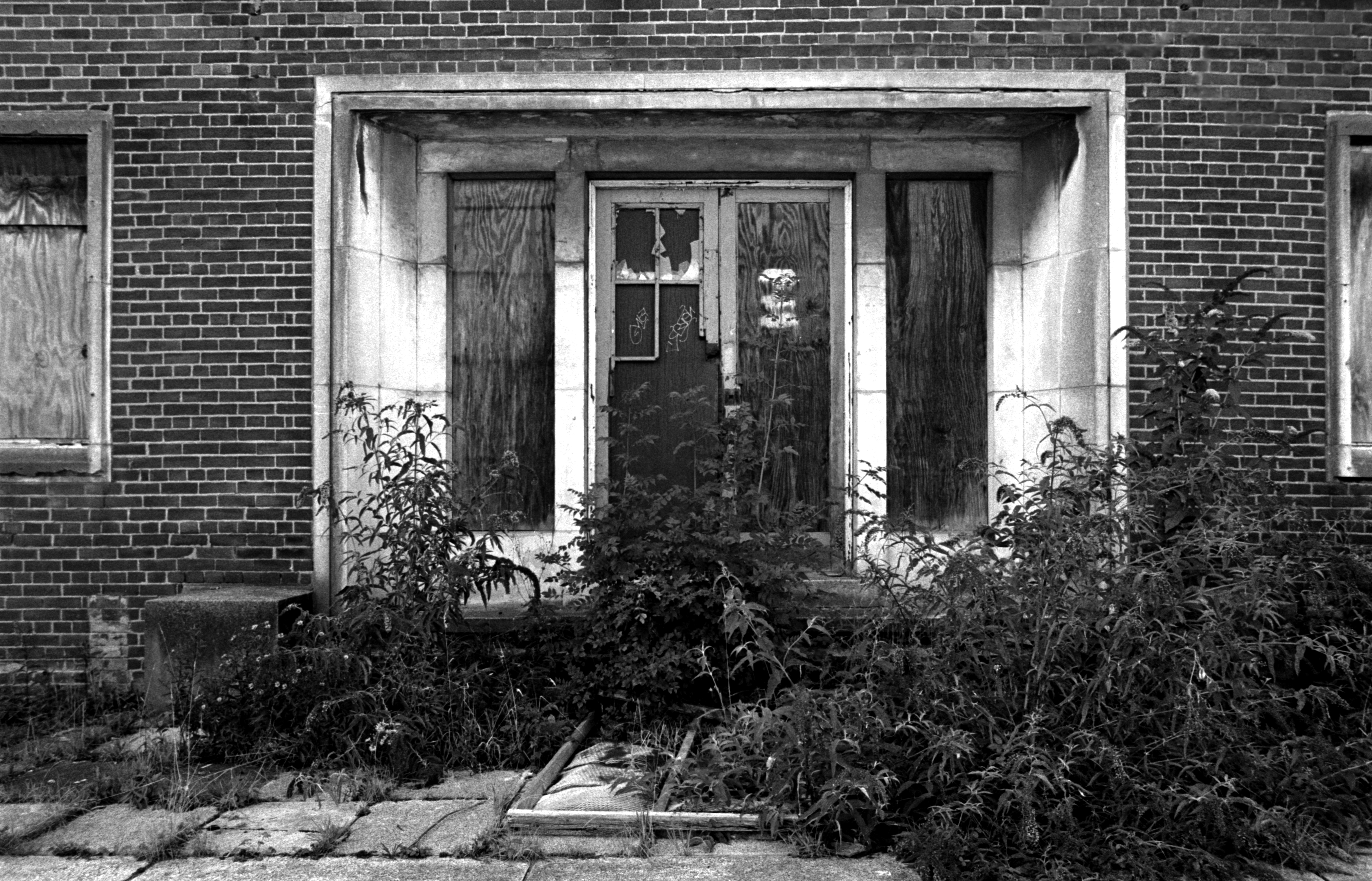
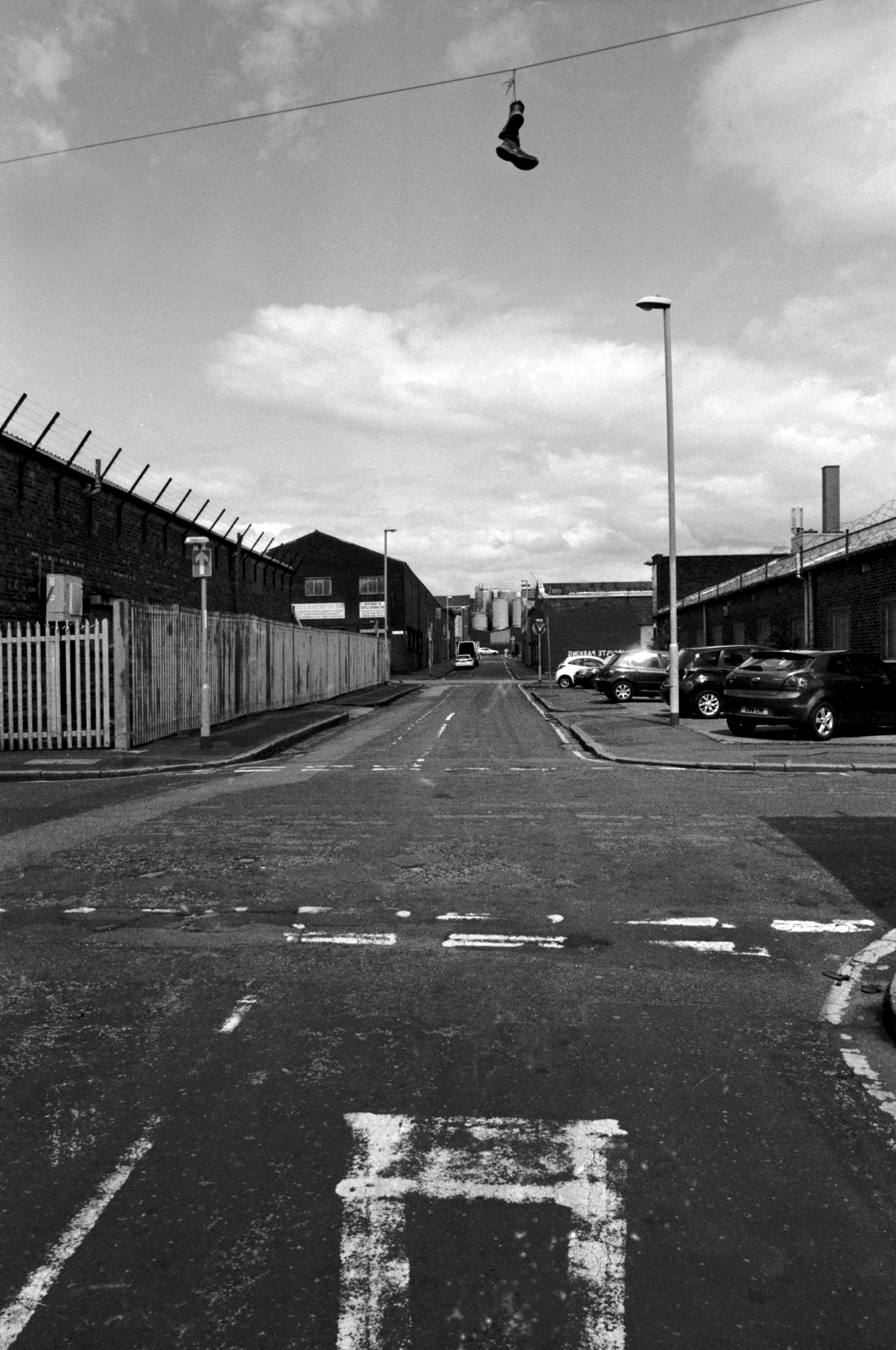
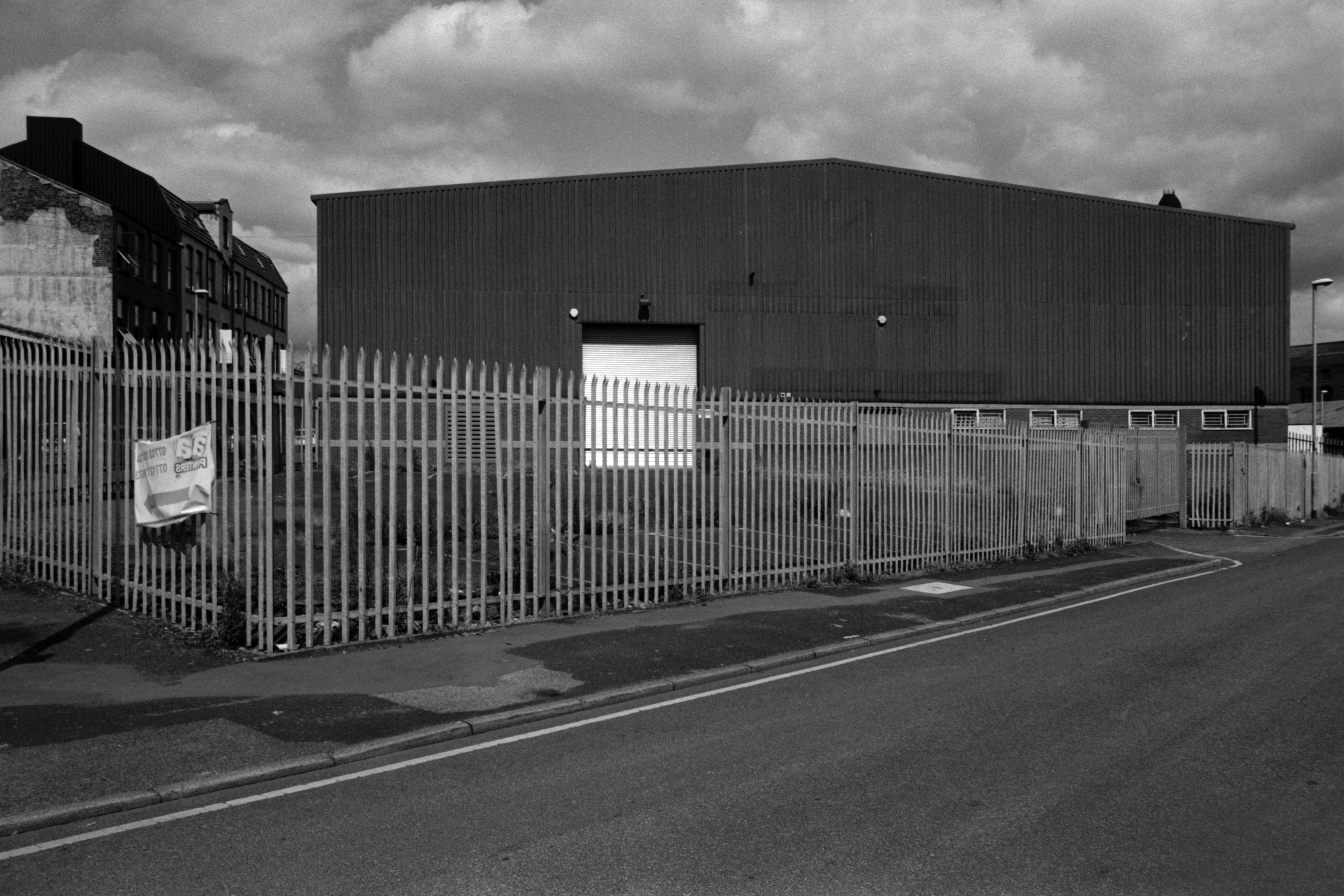
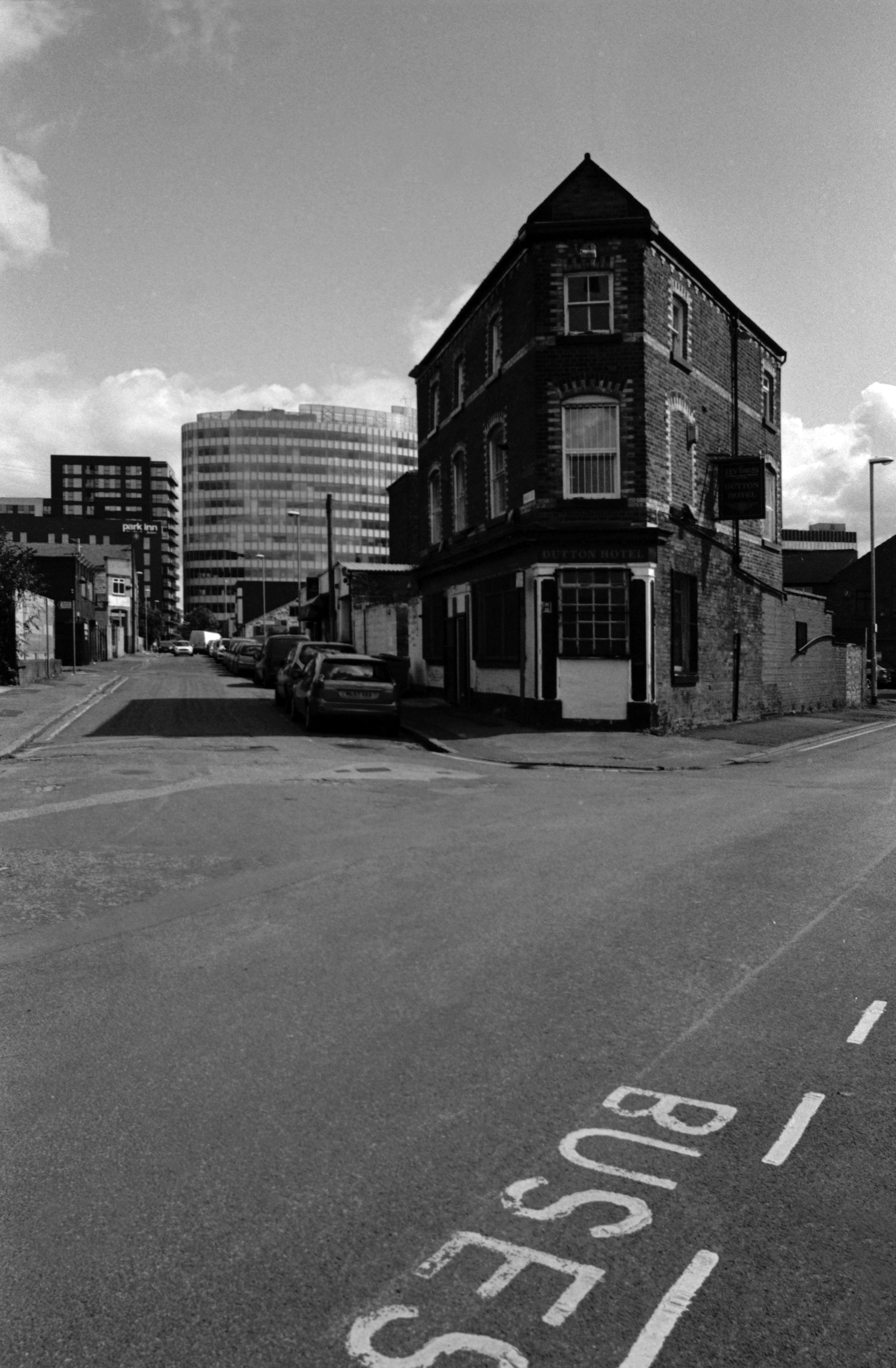
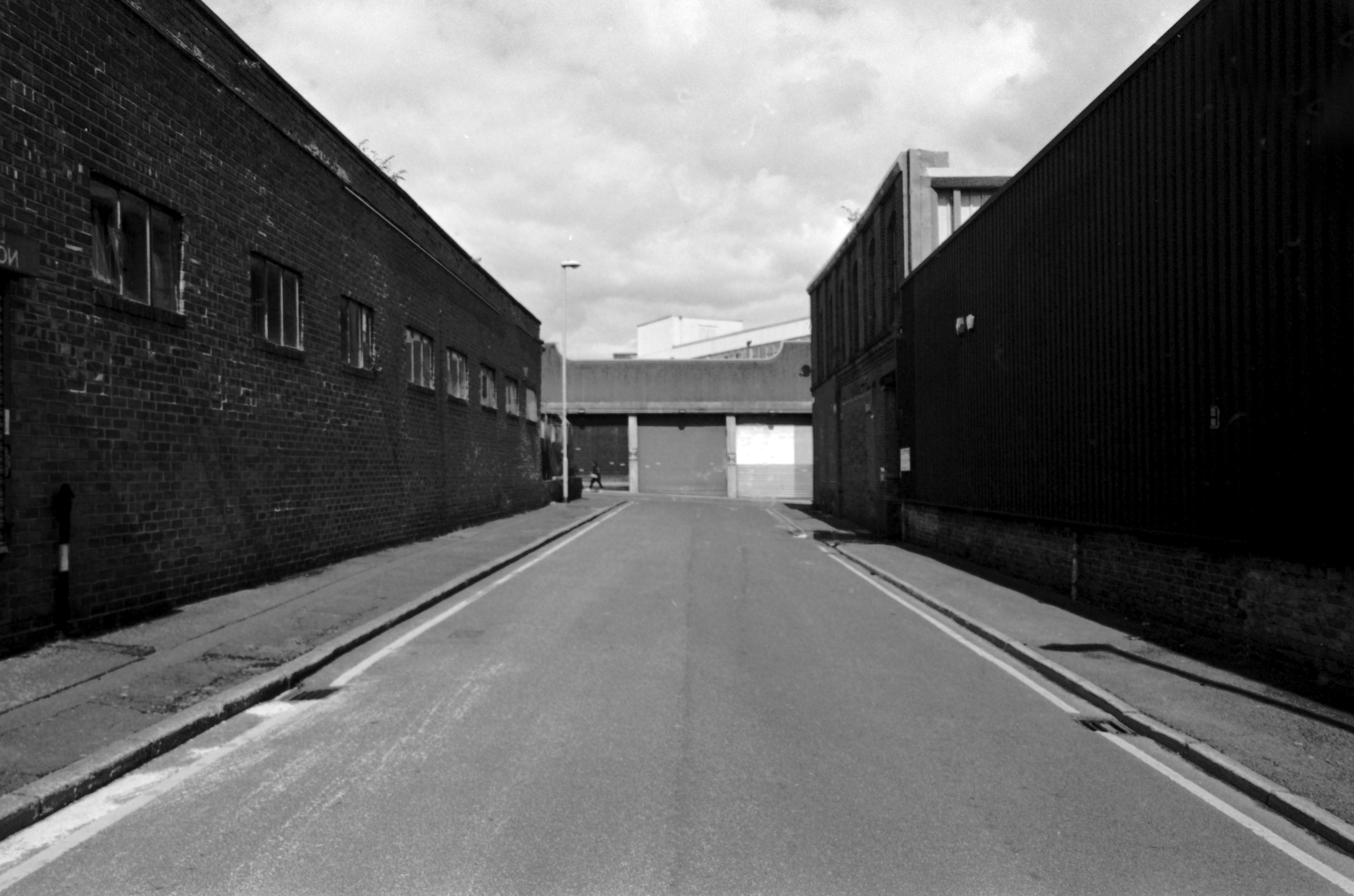
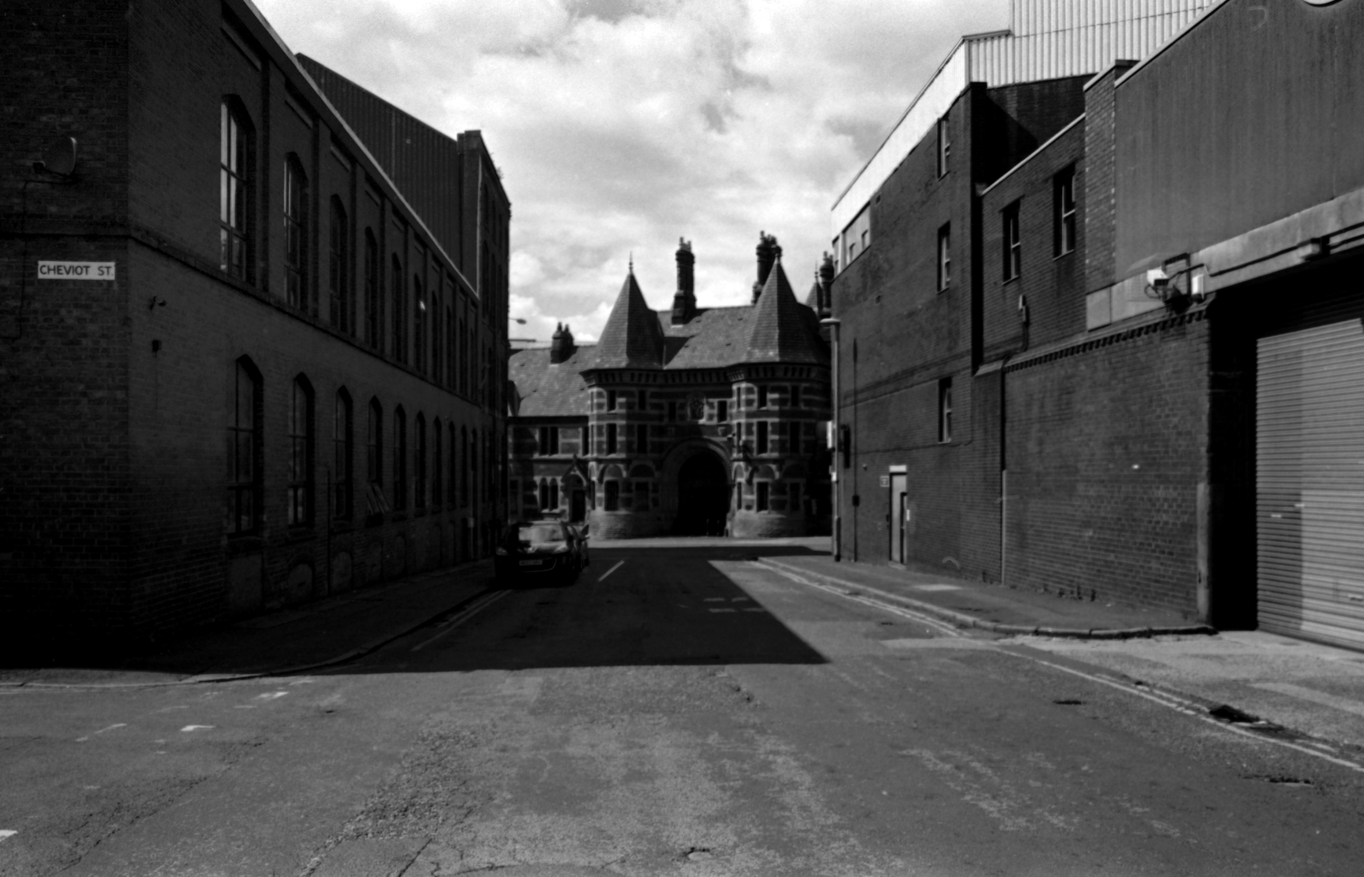
Let’s take a contradictory look and walk around those familiar, unfamiliar streets of Strangeways – where colourfully clad industrial barn, collides with blackened brick and stone behemoth.

Scan 2

Scan 3

Scan 4

Scan 5

Scan 6

Scan 7

Scan 10

Scan 11

Scan 12

Scan 13

Scan 14

Scan 15

Scan 17

Scan 8

Scan 18

Scan 20

Scan 21

Scan 22

Scan 23

Scan 24

Scan 25

Eastford Square Collyhurst – Slight Return

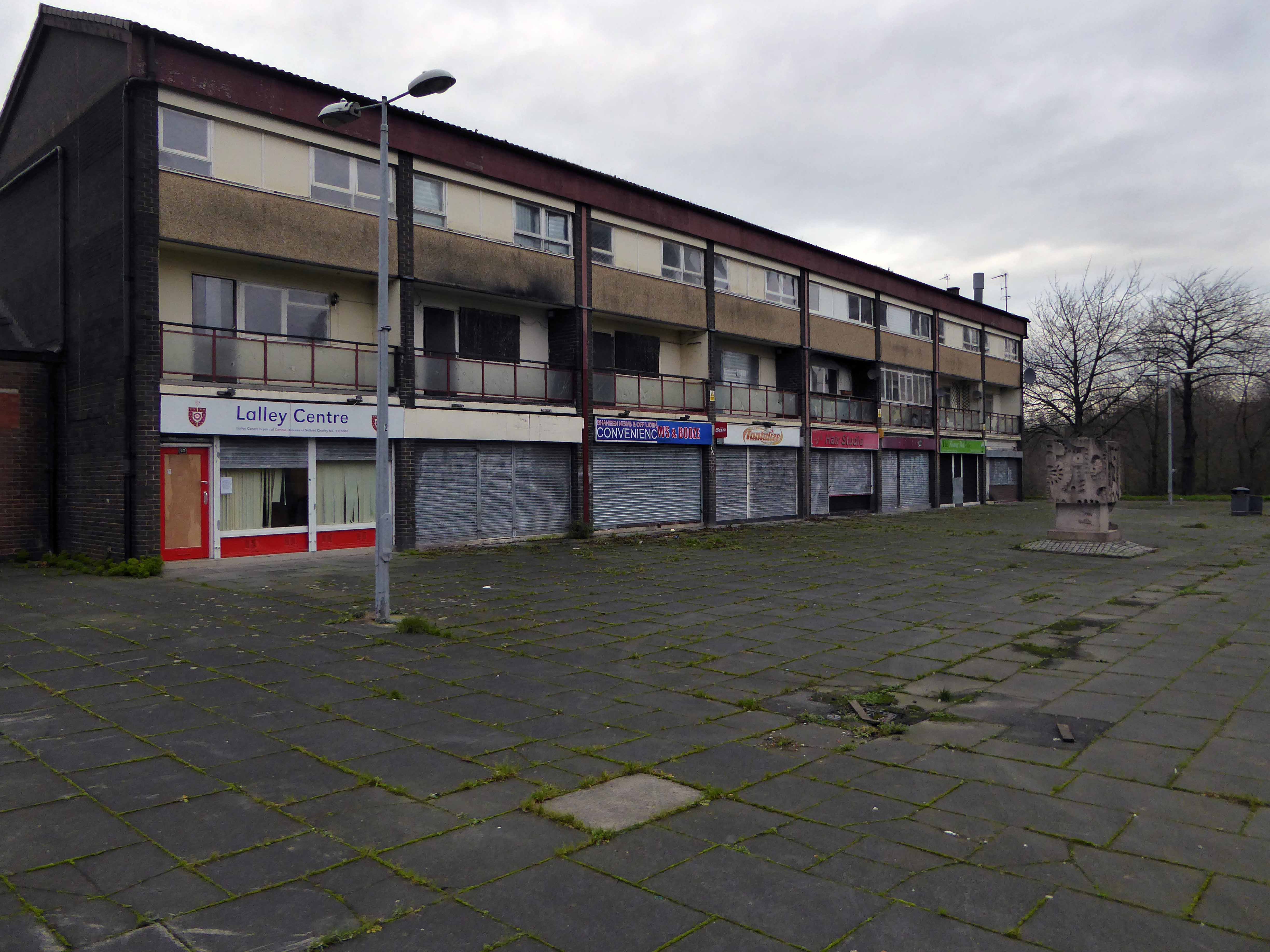
I’ve been here before and after.

After now seems further away, forever awaiting redevelopment – waiting.

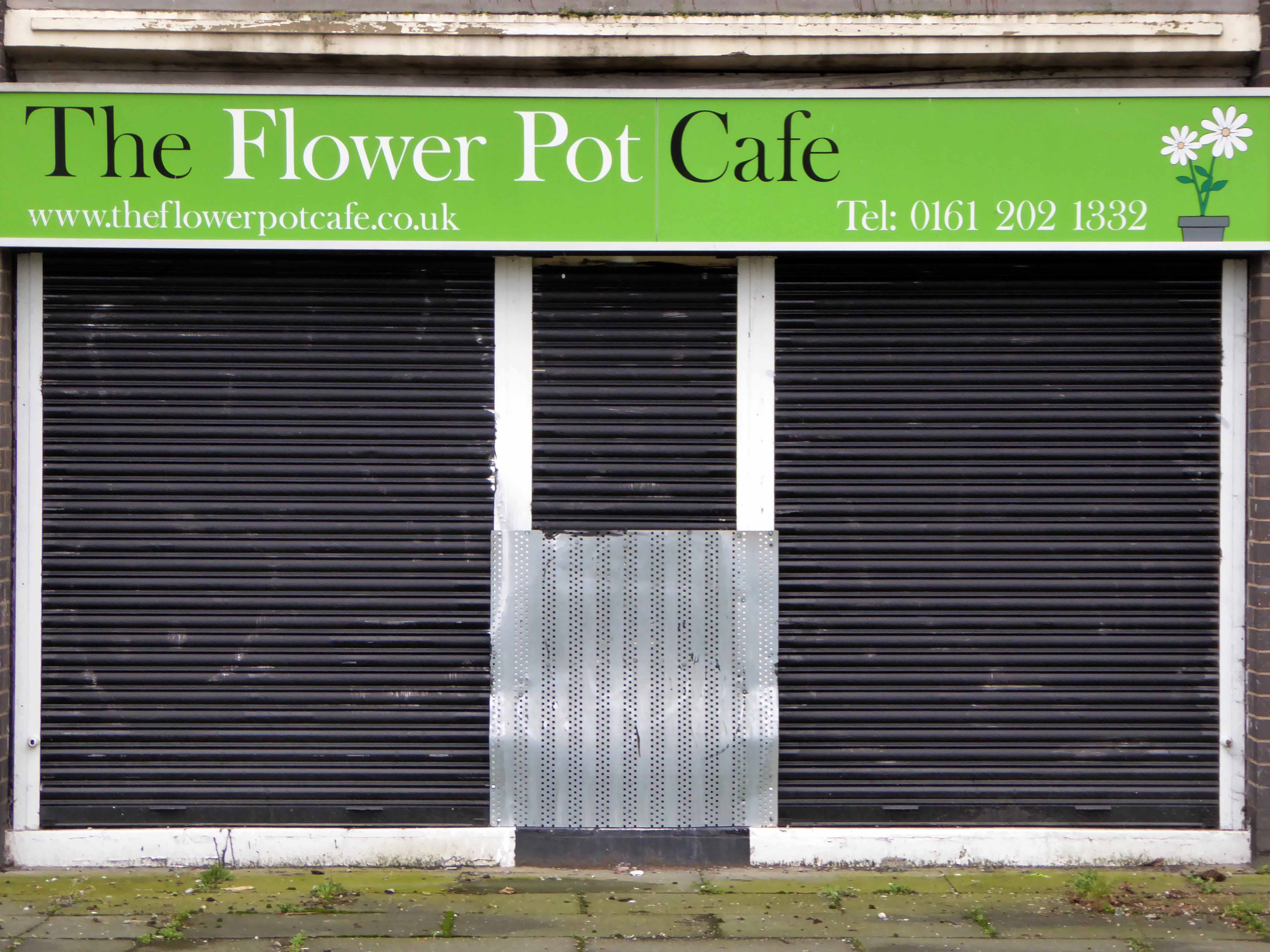
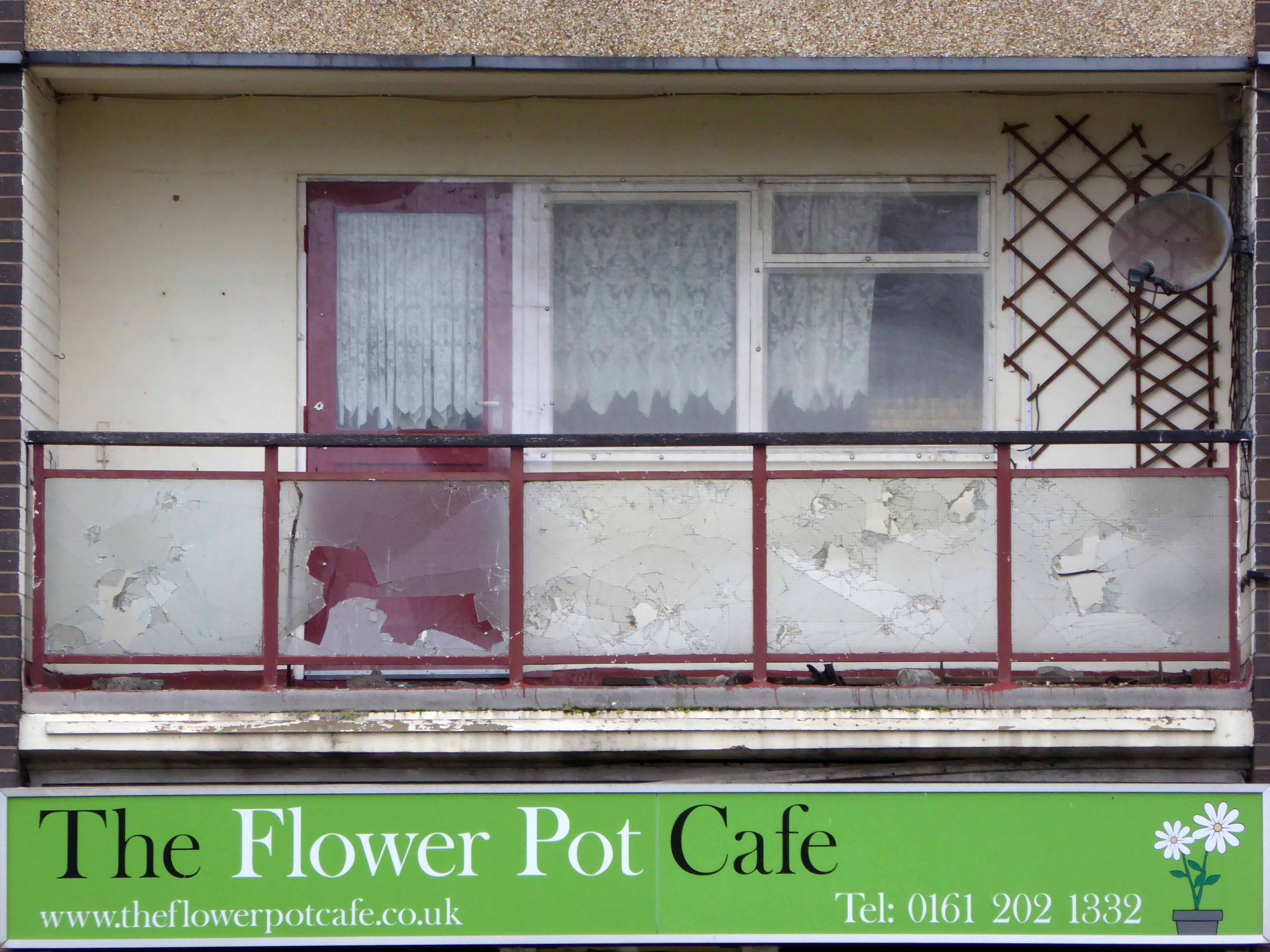
No more Flower Pot Café and a warm welcome from Lee and the lads.

P1220206 copy

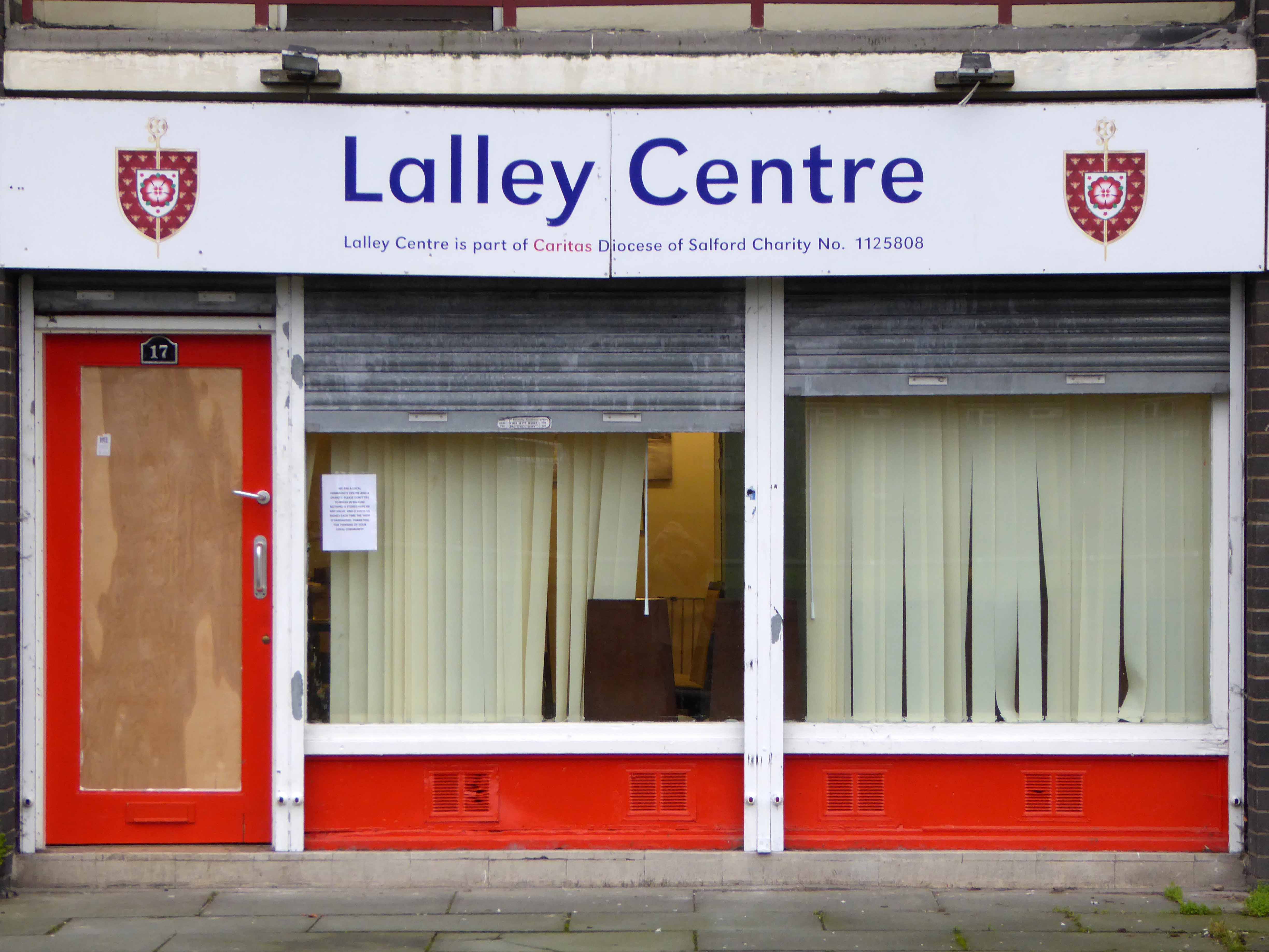
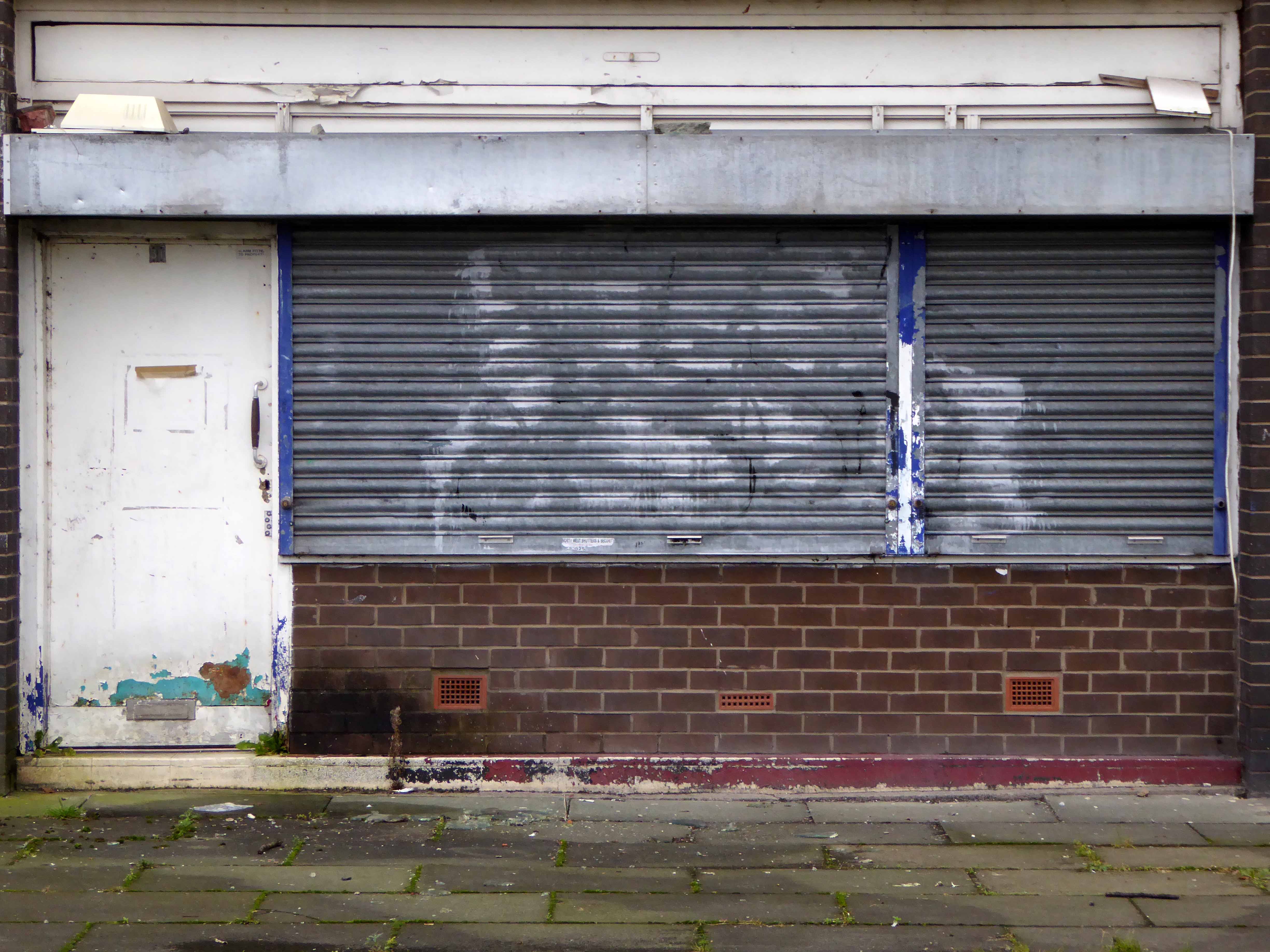
Nearly nine years on – the shutters are down and nobody is home, save for the Lalley Centre – offering food, support and care to the community.

JS79308197

Though Sister Rita Lee has now move on to pastures new.

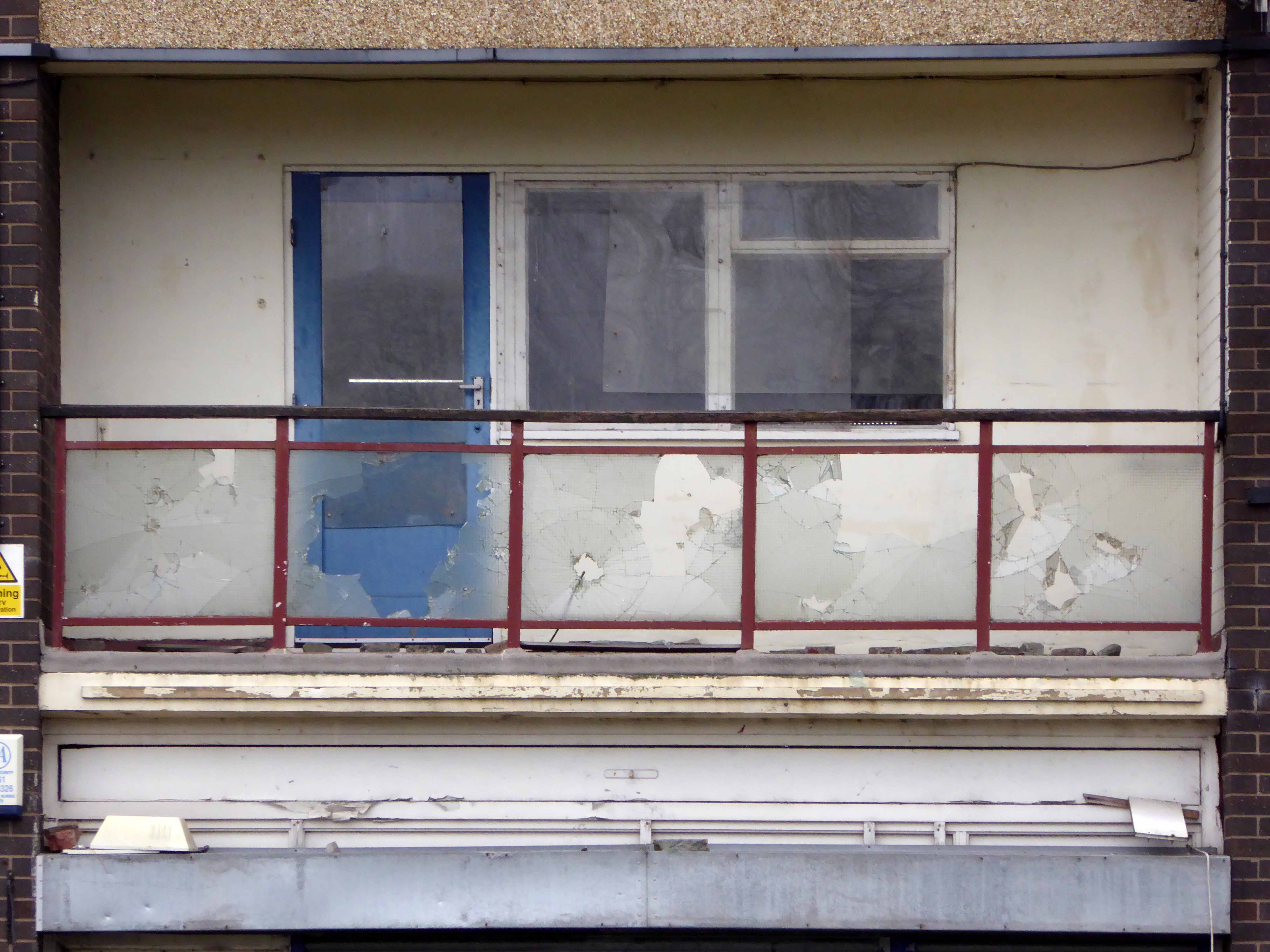
The homes and shops remain resolutely shut, un-lived in and unloved, though the City plans to re-site the resident sculpture, the residents remain absent without leaving.

P1220207 copy

P1220208 copy

P1220209 copy

P1220212 copy

P1220213 copy

P1220214 copy

P1220215 copyP1220216 copy

P1220217 copy

P1220218 copy

P1220219 copy

P1220220 copy

P1220221 copy

P1220222 copy

P1220223 copy


Strangeways Manchester #2

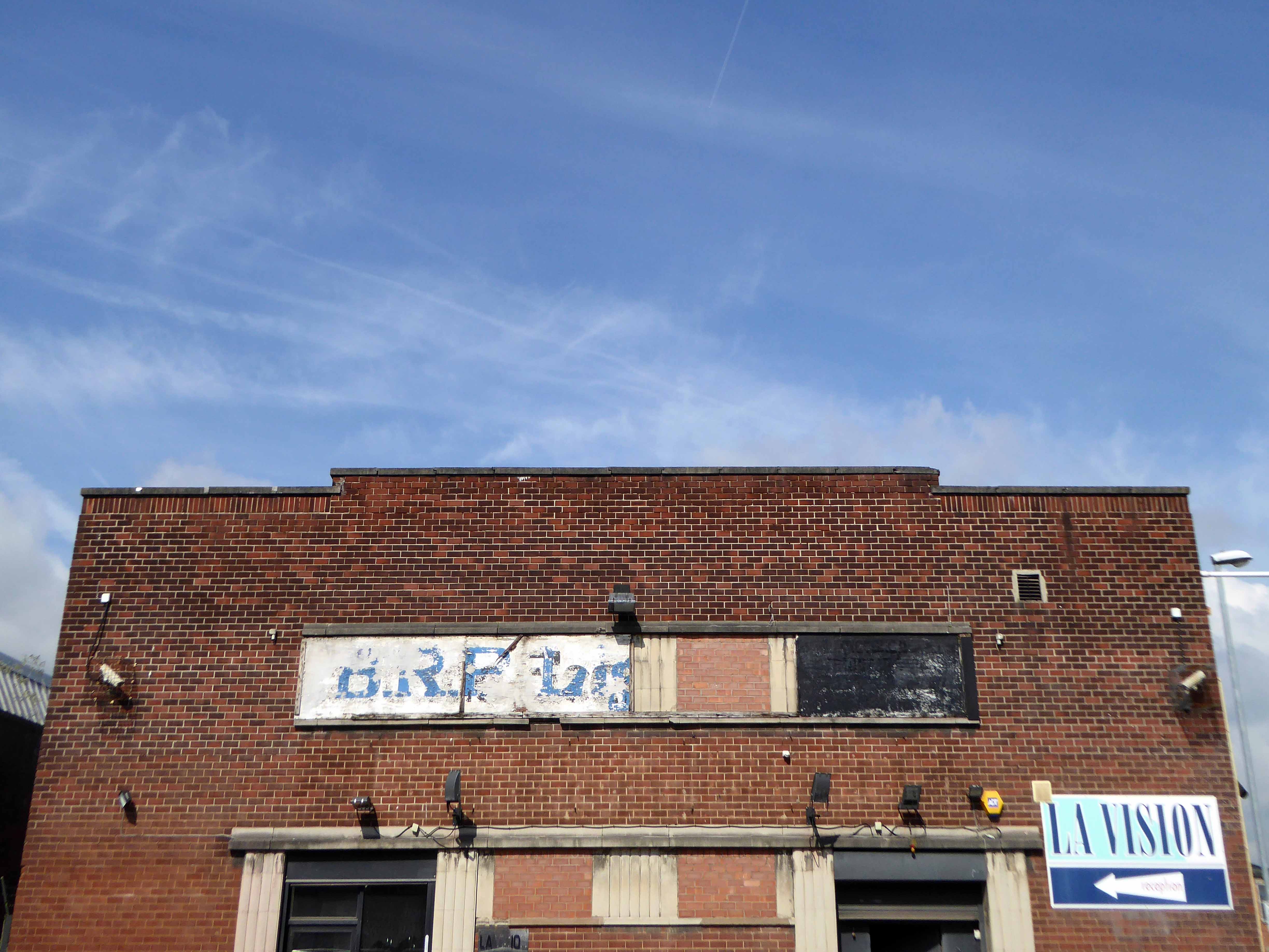
Way back in the Twentieth Century – Cheetwood Industrial Estate was built.

The future was functionalist flat-roofed, concrete, steel and brick boxes.

Adorned with the flowing scripts and signage of the multi-nationals, nationals and local companies, intent upon rendering corporeal the post-war optimism, attendant full-employment and the buoyant business of business.

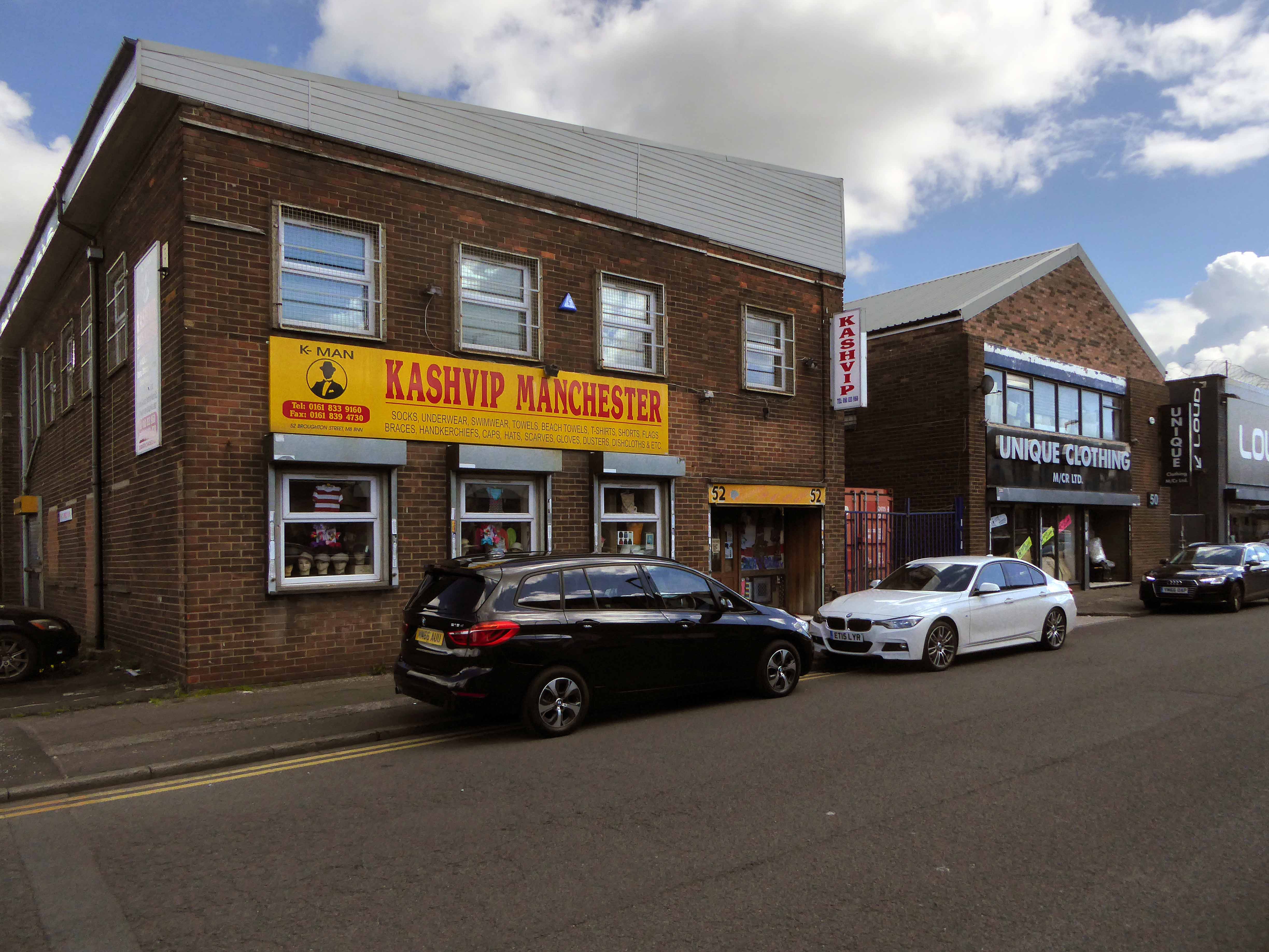
Fast forward to the future – the roofs have been pitched up, the windows bricked up or shuttered or both, walls encased in sad cladding.

The semi-permanent signage replaced with terminally temporary vinyl.

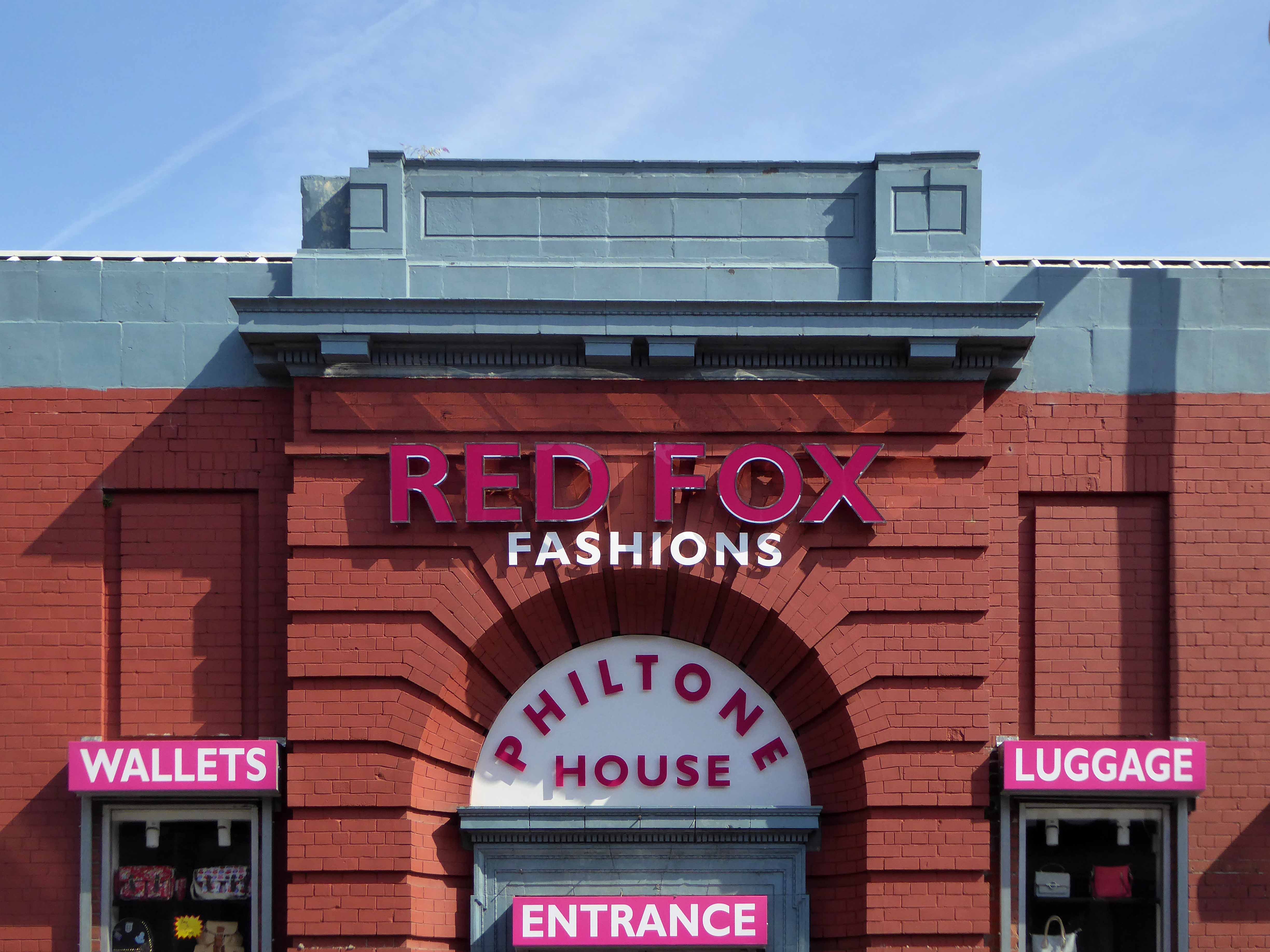
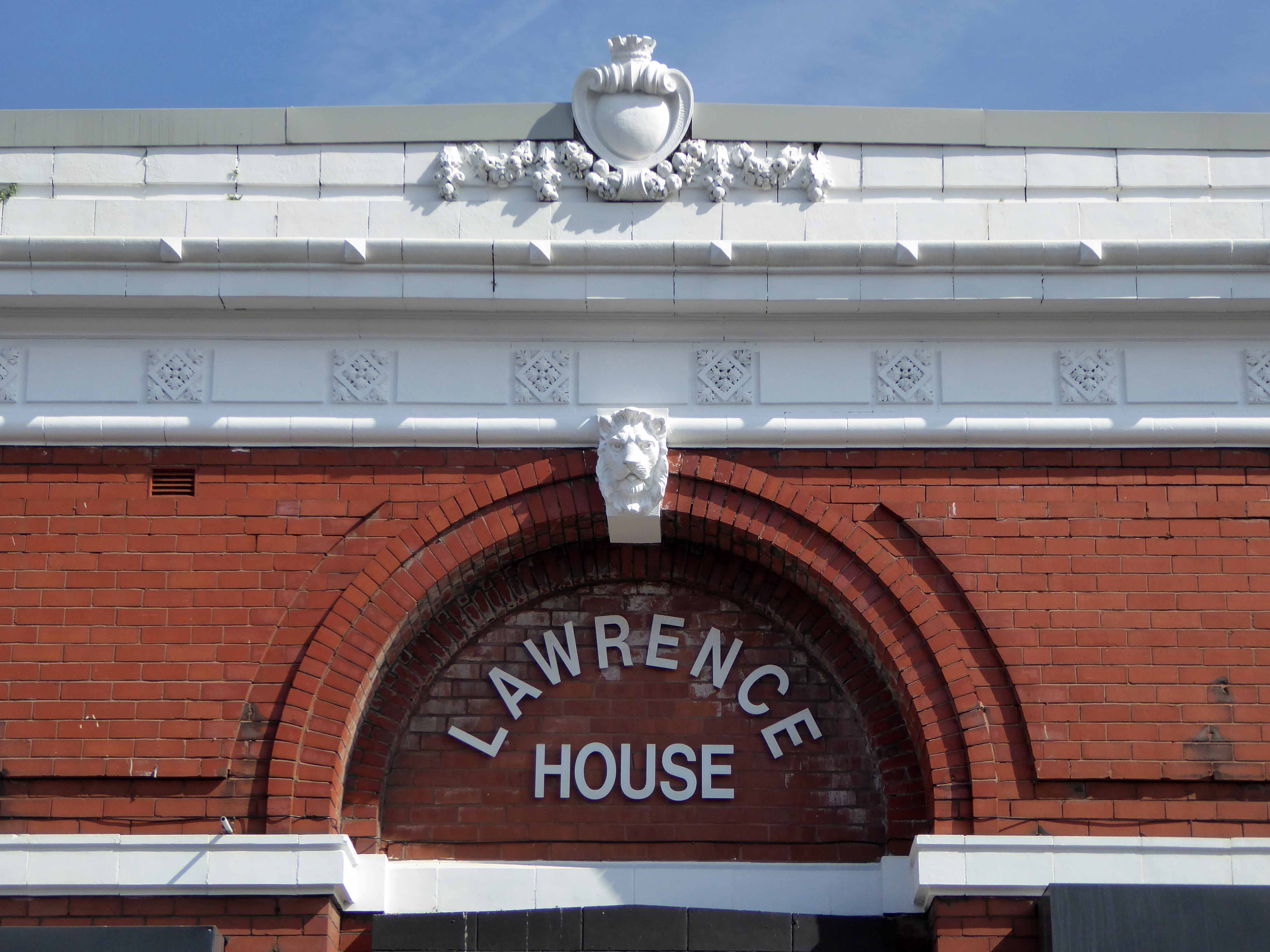
Joe Sunlight’s neo-classical pediments have been painted a funny colour.

P1000135 copy

P1000157 copy

P1000217 copy

P1000218 copy

P1000223 copy

P1000229 copy

P1000231 copy

P1000234 copy

P1000235 copy

P1000252 copy

P1000255 copy

P1190103 copy

P1190104 copy

P1190106 copy

P1190111 copy

P1190112 copy

P1190114 copy

P1190117 copy

P1190385 copy

P1190387 copy

P1190388 copy

P1190391 copy

P1190398 copy


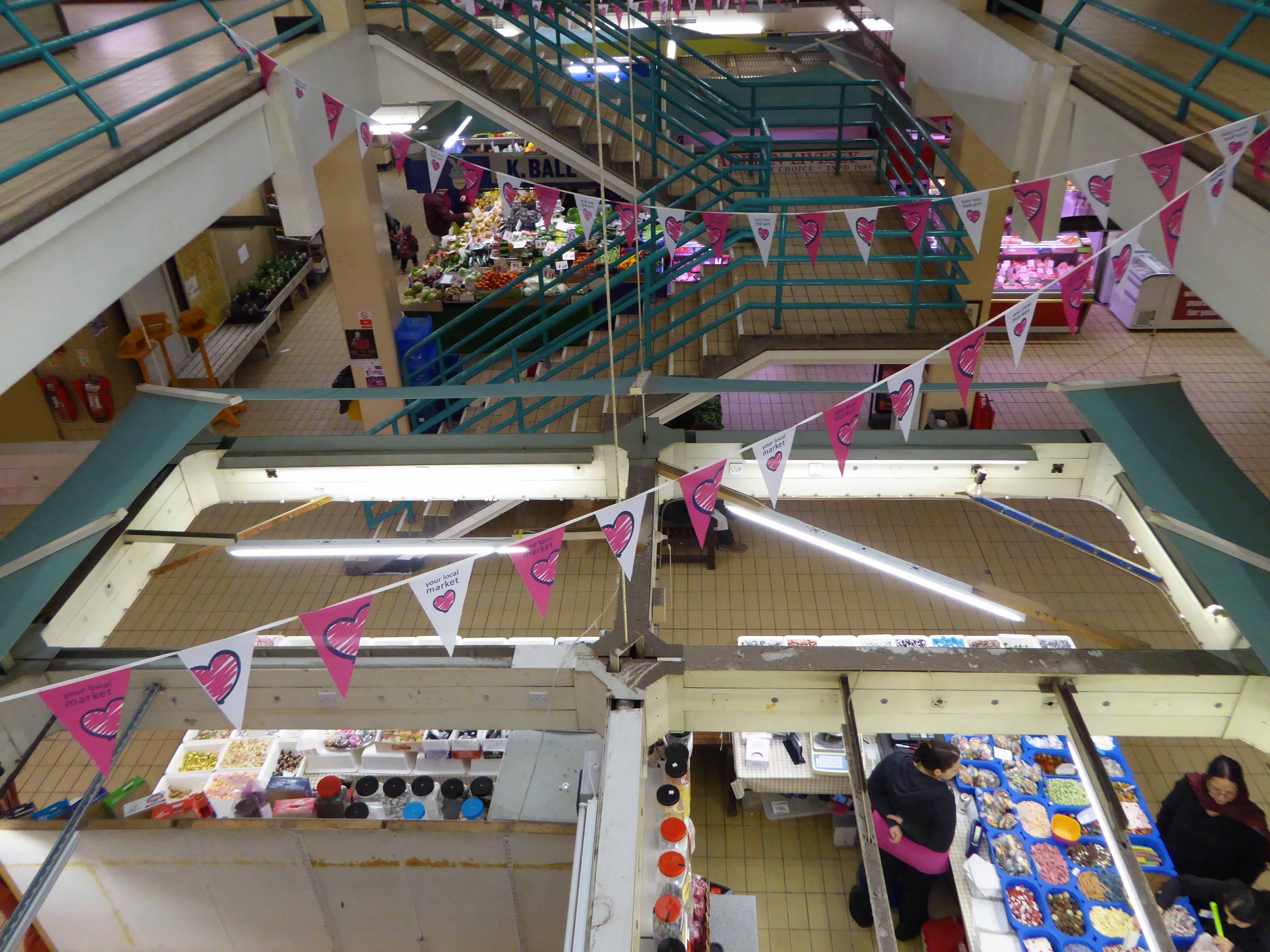
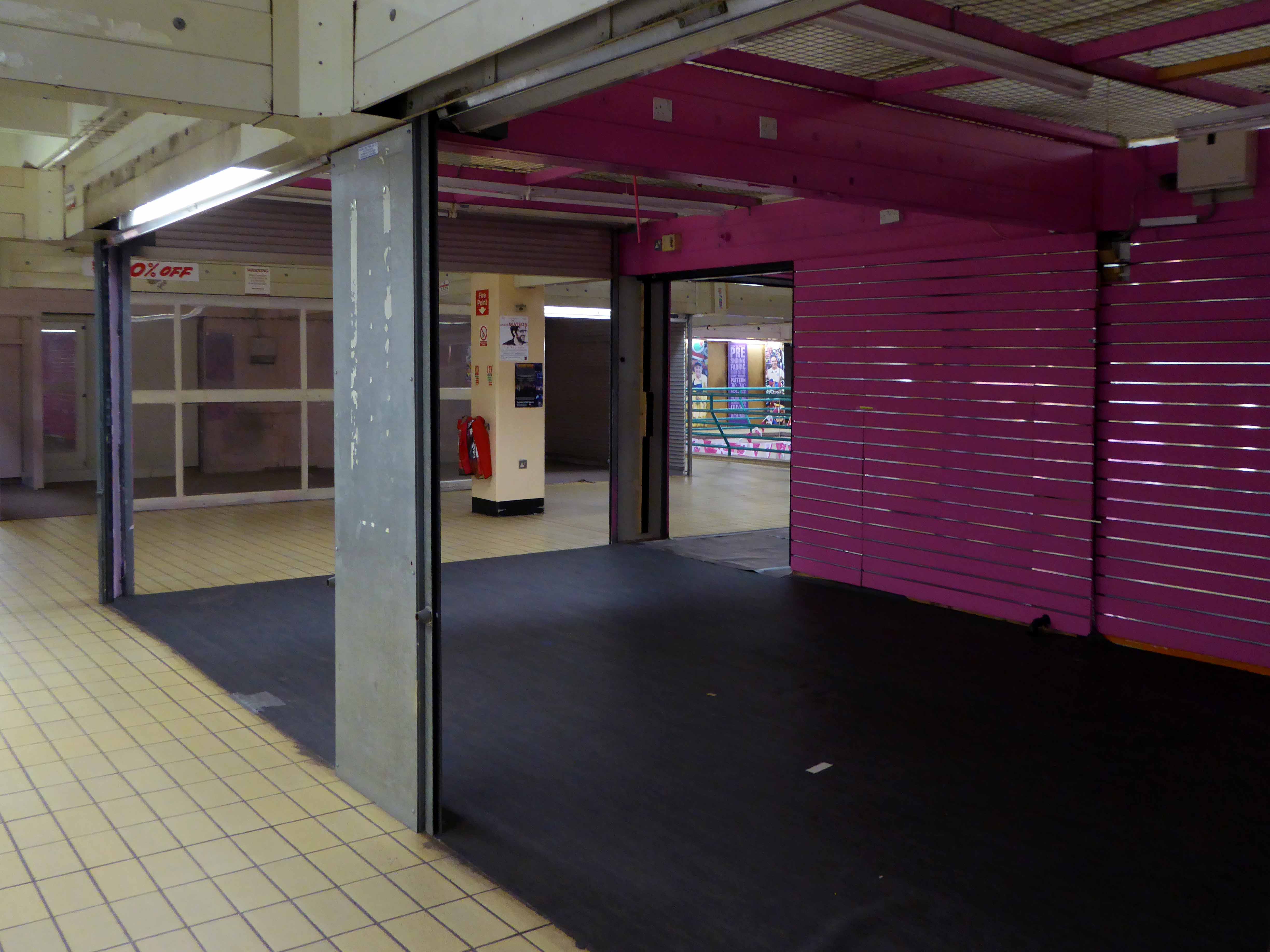
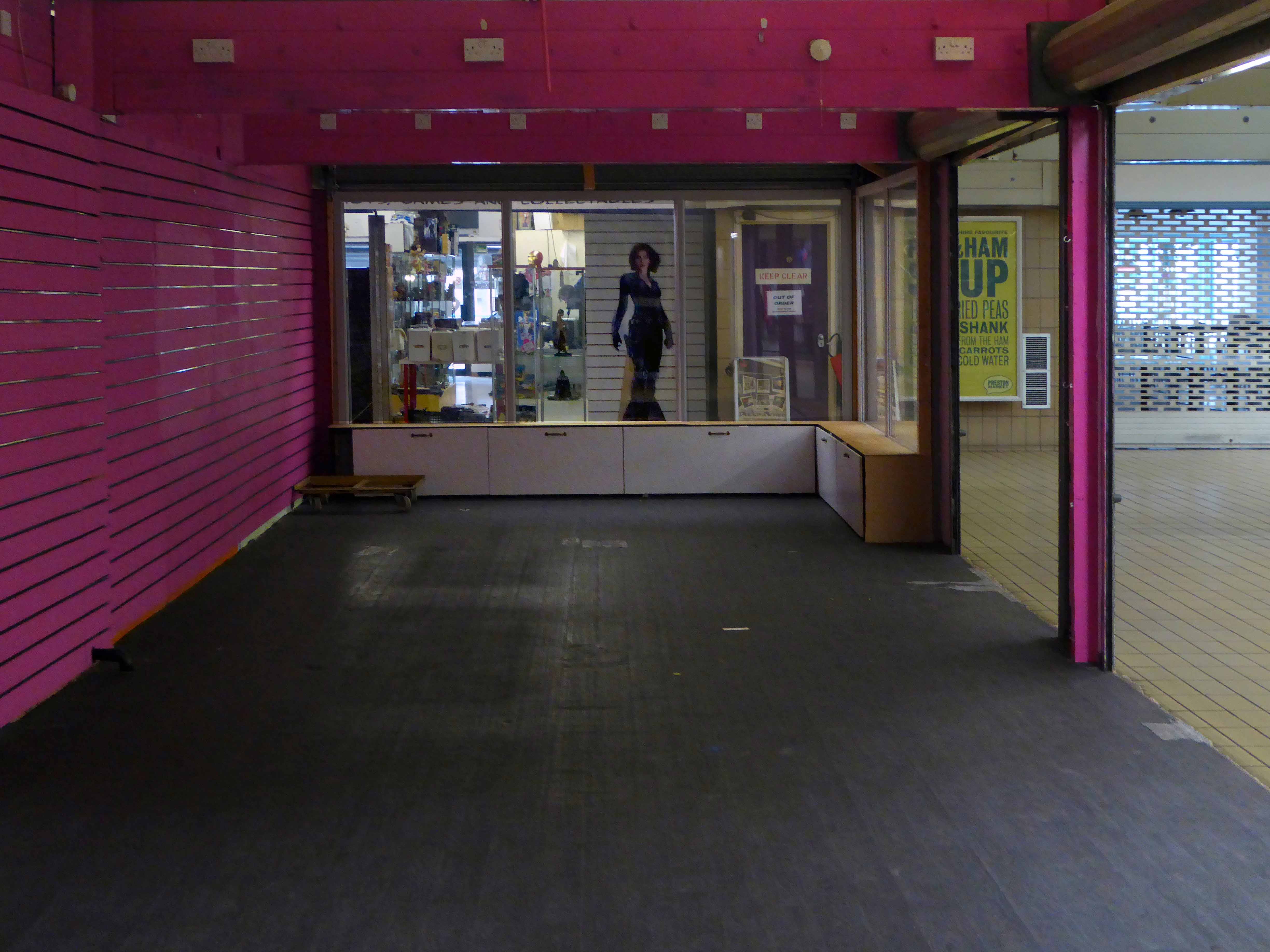
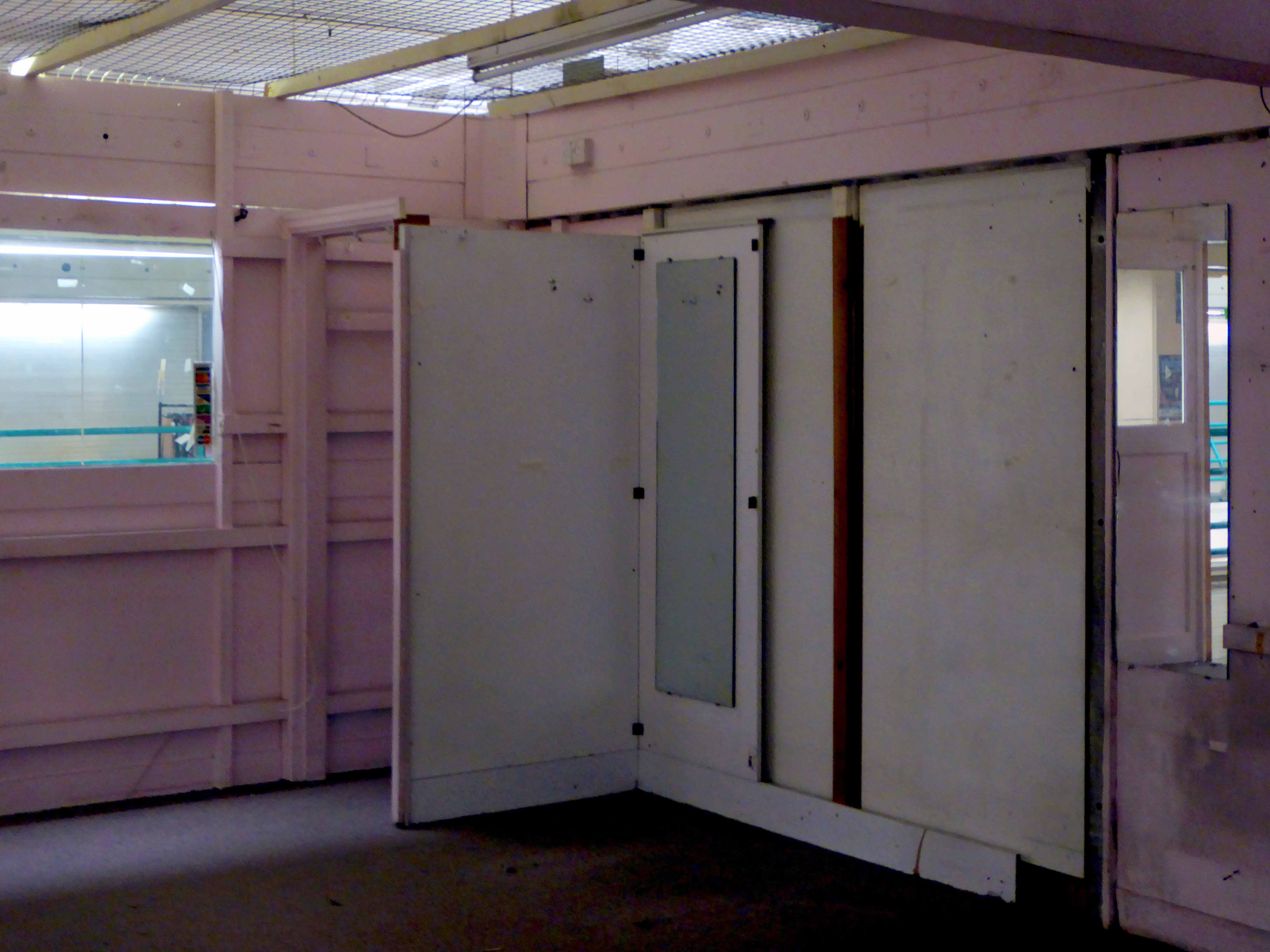
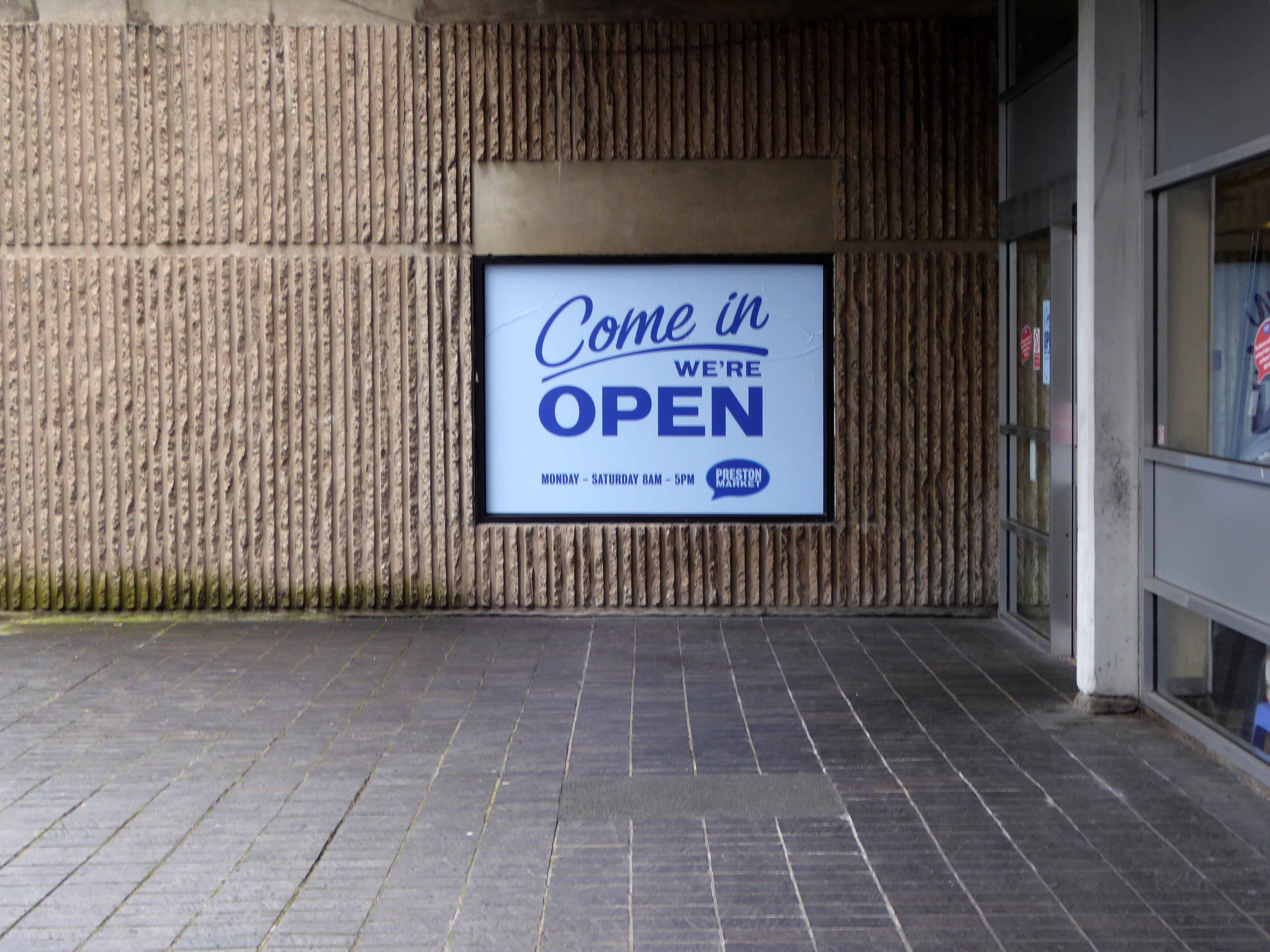
Preston Indoor Market

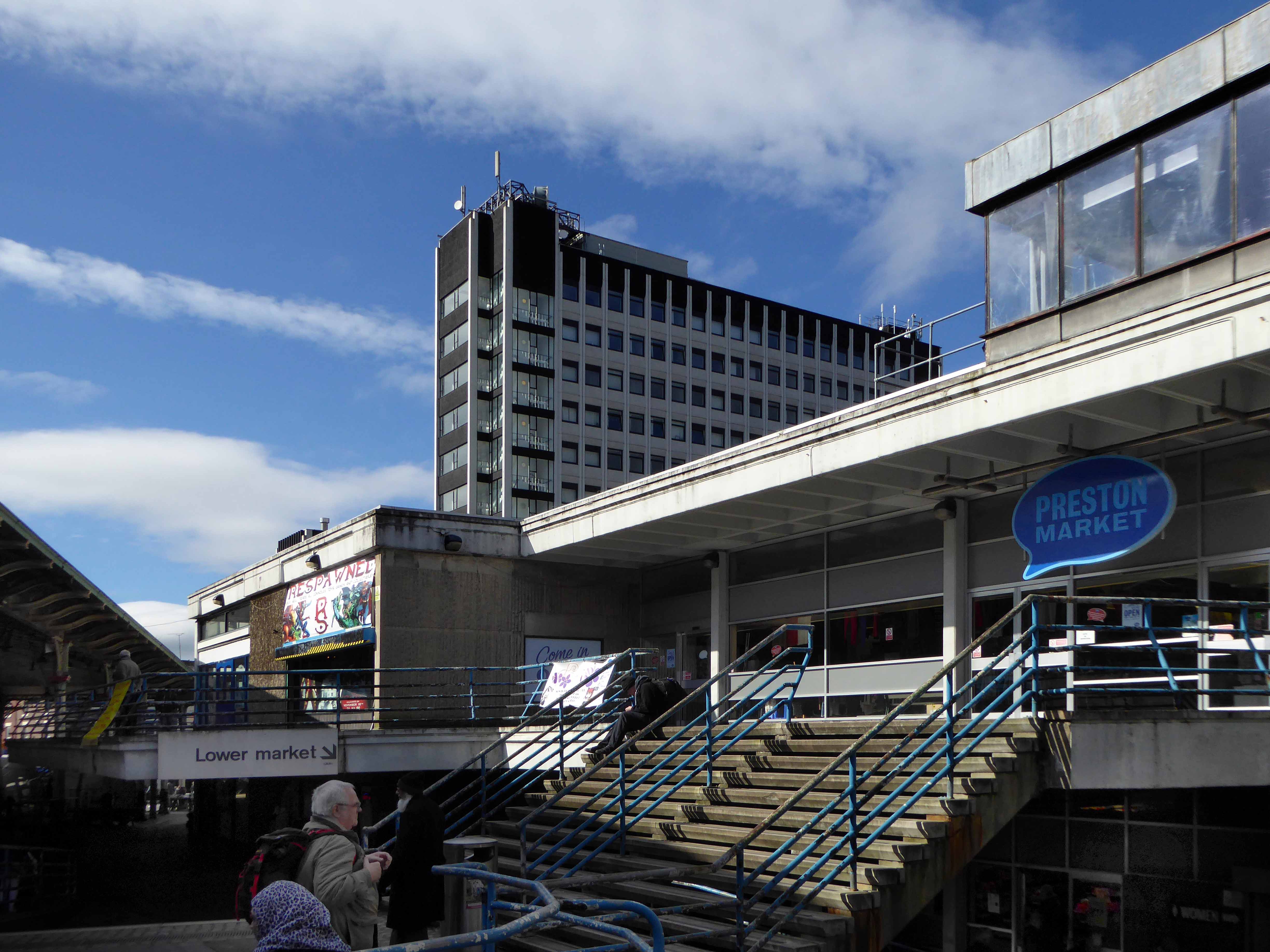
Built in 1973 scheduled to be closed and demolished in ten days time.

The future is not so red rosey for yet another traditional local market.

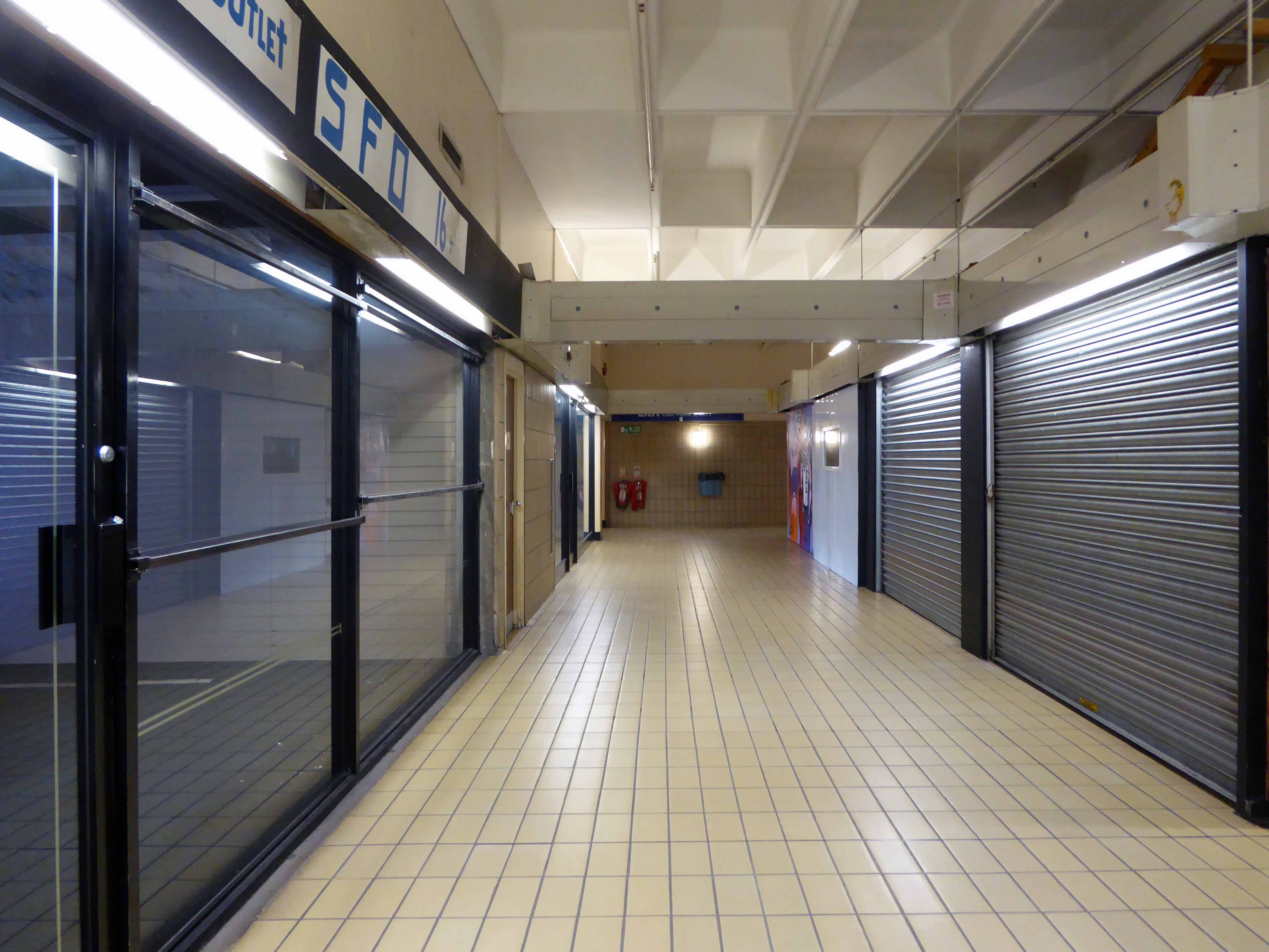
A typically boxy arrangement of steel, concrete, asbestos glass and brick, the complex of trading units, stalls and parking is not without charm. Though as with many other developments of its type, it seems to be without friends, then inevitably without customers and traders.

Following a template originated at London’s Borough Market, developers and councils seem to favour the modern artisan over the proletarian . This concept when meshed with the multi-plex and chain restaurant/bar amalgam, provides a shiny new future, for the shiny new shape of all our retail and leisure needs.

Preston-Market-Quarter-Nov-2017

So ta-ta to another world of hats and socks, fruit and veg, workwear for workers.

You’ve just about time to pop in for a brew.

Two sugars, stirred not shaken.

P1020430 copy

P1020431 copy

P1020432 copy

P1020435 copy

P1020437 copy

P1020434 copy

P1020477 copy

P1020479 copy

P1020480 copy

P1020481 copy

P1020482 copy

P1020484 copy

P1020485 copy

P1020486 copy

P1020487 copy


P1020490 copy

P1020491 copy

P1020492 copy


P1020494 copy

P1020495 copy

P1020496 copy


Gore Brook – A History

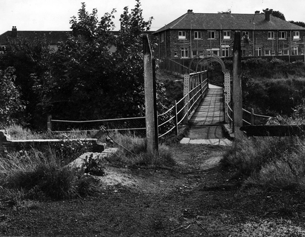
To begin at the beginning, well actually to begin in the middle and walk to the current beginning. The Gore Brook flows from the Lower Gorton Reservoir and from there onwards to meet the Chorlton Brook in the west, though I should imagine that prior to the construction of the waterworks, it was fed by more distant moorland waters.

gore map

Manchester being on the eastern edge of the Lancashire Plain and the western edge of the Pennines is riddled with rivers, rivers which now wriggle in an under and overground web, across heavily developed urban areas. Following the Industrial Revolution former meadow, common and farmland was overwritten by factories, housing and roads, the rural character of the rivers and brooks soon becoming darkened and polluted by the surrounding industries.

I was lead here by my search for a lost pub The Garratt on Pink Bank Lane, then drawn in further by this site The Red Path of Longsight.

The Red Path is a pedestrian link between Pink Bank Lane and the Gorton boundary at Buckley Road. It roughly follows the course of Gore Brook. The original footpath, running from Buckley Road to the bank of the brook, was made using black cinders. It was probably made in the 1940s to provide access to the allotments located on either side. In the early 1950s , a concrete bridge was laid across Gore Brook and the footpath extended to Pink Bank Lane. This section used red bricks in it’s construction, probably supplied by Jacksons brickworks . Crushed bricks were then used as a topping to make the path smoother and fill in any cracks. The thoroughfare soon became known as the Red Path.
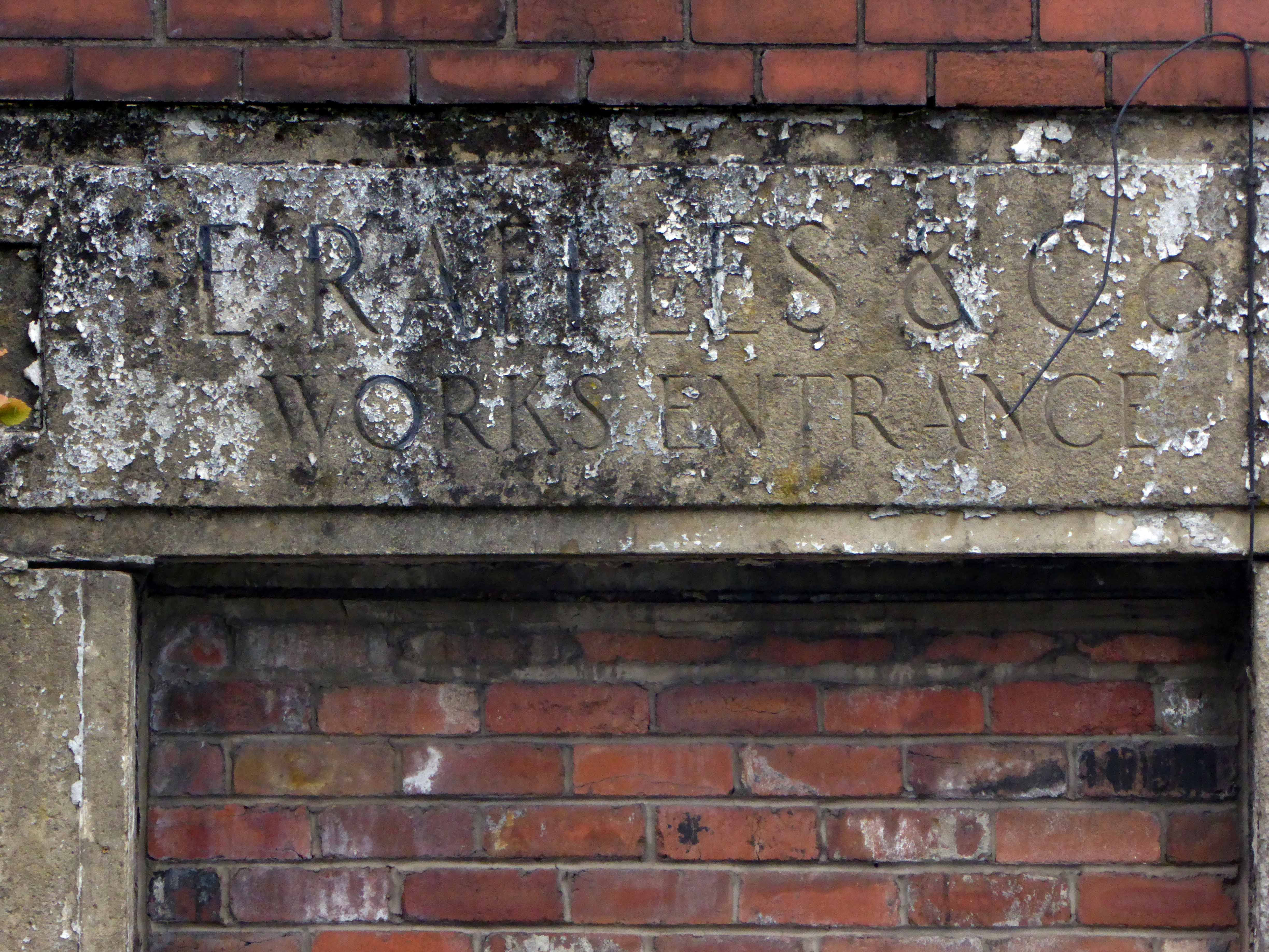
So wide eyed and mapless I bowled up at Brook Terrace, just off Stockport Road Longsight, in search of The Gore and its source.

stockport rd 1911

stockport road

In the early 1900’s the river was still open and bridged, here at Stockport Road, later culverted and covered – anticipating the arrival of Tesco’s and Granada TV Rentals.

beneath

From there we pass under the railway along Brook Terrace and into Parry Road.

brook

The underpass is still there and very much in use, as is Stanley Grove School – the Manchester Central Schools’ Kitchens are long gone, along with the food filled, insulated aluminium cases, that fed the hungry mouths of many, with semolina, pink custard, meat pies and lumpy mash.

parry 64

kitchens 1965

Onwards to Elgar Street and still no sign of the river, hidden beneath our feet, the corner of Northmoor Road, can be seen on the corner, no longer distributing dividends, but now providing social housing.

elgar

We arrive at Pink Bank Lane, a rich mix of terraced homes, flats and factories – and the long lost Garratt, and the long lost Gore.

garratt

pink bank 64

Though the lazy, lazy river has been confined in a brick lined wind, to meet the ever pressing needs of the Gorton Sewage Works.

sewage 1910

sewage works 38

The river then hugs the edge of Annie Lea Playing fields on Buckley Road, until it disappears again as it meets Mount Road, the playing fields are still open ground – the Manchester Cleansing Department, seen on the left – is no more.

annie lea

Here on Knutsford Road we see the construction of the tunnels and culverts, the footbridge to the left spanning the railway, is still there.

knutsfrod 1907

1907

knutt 1911

1911

knut 1914

1914

Finally we see The Gore reemerging clear, clean, wide, proud and resplendent in Sunny Brow Park, where it is still maintained as a decorative, duck-filled lake.

sunny 1907

1907

sunny1910

1910

sunny 1964

1964

Briefly underground again and into the back of Far Lane, skirting the Brookfield Church graveyard.

far 1920

1920

far 1937

1937

fa 64

1964

Then tunnelling under Hyde Road at the back of the church lodge, appearing once again alongside Tan Yard Brow.

webmedia-1.php

ty 1904

1904

tan yard 1922

1922

tan yard brow 1964

1964

The manmade waterfall continues to cascade, the Fairfield to Old Trafford railway is now the Fallowfield Loop, Manchester Cycleway, young lads no longer mess about in wellies and torn Tek Sac jeans on the bank, the Tannery no longer tans.

Then we end our journey by the broad expanse of the Lower Gorton Reservoir, implausibly dotted with jolly yachts, and home to a now absent stepped outflow stream. Look up to the east, and there you’ll see the moors, you could go further.

deb 66

deb

All archive photographs from Manchester Local Image Collection.


Holy Rosary – Fitton Hill

The first mission in the Fitton Hill, a post-war housing estate, was due to the work of Fr Buckley, an assistant priest at St Patrick’s Oldham. He arranged for the purchase of land in the Fitton Hill area in 1940, before the new housing was built. Once the estate had begun to be developed, Fr Buckley said Mass in an upper room in Maple Mill. The foundation stone of Holy Rosary was laid by Bishop Marshall on 2 October 1954 and the church was officially opened by Mgr Cunningham in July 1955.  The presbytery was built in about 1970. The first campanile blew down and had to be rebuilt.  In 2009, the parishes of Holy Family and Holy Rosary were merged.

Taking Stock told me so and will tell you even more.

Architect: W and JB Ellis who were also responsible for Our Lady of The Assumption in Langley.

Screen Shot 2017-09-13 at 11.11.41

I first passed by one sunny day in April 2016 – happily snapping the exterior of this ever so pleasingly prosaic Italianate brick building.

P1030961 copy

P1030962 copy

P1030965 copy

Following a cue from pal Tim Rushton, I was alerted to the significant decorative work within.

The mosaic and fresco work of Georg Mayer-Marton – born in Hungary 1897, died in Liverpool 1960 was one of Britain’s very few experts in the art of face or facetted mosaic.

GMMMosaic_compressed-580x380-1

Sadly the fresco is no longer visible – painted over with emulsion when thought to be too tatty – a tiny fragment has been revealed by conservators.

P1200312

There is currently a campaign to restore and preserve these important works.

The church is now closed, but we were ever so fortunate to have Bernard Madden on hand to open up and show us around, a warm welcoming space once full to overflowing.

Now sadly silent.

We all deserve better.

P1200300

P1200301

P1200303

P1200304

P1200306

P1200309

P1200310

P1200313

P1200314

P1200320

P1200321


Northmoor Road Co-op – Manchester

Cooperative Society shops and meeting hall. Dated 1912; altered. Red brick with liberal dressings of green and buff glazed terracotta, red tiled roof with geometrical patterned band and cockscomb ridge tiles. Rectangular plan. Edwardian Baroque style. Two storeys and attic, 11 bays; projected ground floor with dark green Ionic pilasters between the shops and a central recessed porch with dark green surround, light green Ionic columns and segmental open pediment ; inverted voluted brackets linking ground floor pilasters to alternate pedestals of 1st-floor colonnade, which has Ionic semi-columns with festoons and a thin cornice, all in matching light green terracotta; swagged frieze of buff terracotta with buff modillions to a green cornice; brick parapet with buff terracotta balustrades and triangular dormers in alternate bays, interrupted in the centre by a green segmental pediment with raised lettering “Beswick Cooperative Society LTD”. Tall segmental-headed windows at 1st floor including a canted bay in the centre with parapet lettered “Built AD 1912”, and coupled windows in the 2nd, 3rd, 10th and 11th bays, all with elaborate surrounds of buff terracotta including quoined jambs, moulded transoms and enriched keystones; and stained glass in the upper lights. Square Baroque-style turret at left gable.

Grade II Listed

The building itself was originally designed for commercial use with a department store on the ground floor boasting five departments including a butchers, shoes and boots, a drapery and a grocery. On the first floor there was a meeting room that was large enough to host dances with live music. Its inaugural event was an exhibition by the Co-operative Workers Society that also included a recital by the C.W.S. orchestra of Balloon Street; it was reported to have been a great success. It was also used for community events such as the Crowcroft Bowls Club prize-giving ceremony in 1914.

Northmoor Road was called North Road at the time the building was in use as a co-operative and was developed between 1899 and 1930’s. Its most famous resident was J.R.Tolkien who lived here between 1926 and 1947.

North moor Community Association

1965

1965 Manchester Local Image Collection

Northmoor Rd copy

Now home to Great Places Housing

This is such a substantial building exuding an opulent retail grandeur that easily leaves your local Tesco Local in the deep dark ignominious shade. From a time when the expanding Cooperative movement provide for most of the areas material needs – though the Beswick Society was disliked for its aggressive territorial ingress, outside of any recognised geographic constriction.

Externally it is still substantially as was – clearly visible from the nearby Stockport Road and continuing to command the street with degree of grace.

Go take a walk, take a look!

DSC_0019 copy

northmoor d copy

P1200038

P1200039

P1200040

P1200041

P1200042

P1200044

P1200045

P1200046

P1200047

P1200048

P1200049

P1200050

P1200052

P1200053

P1200054

P1200055

P1200056