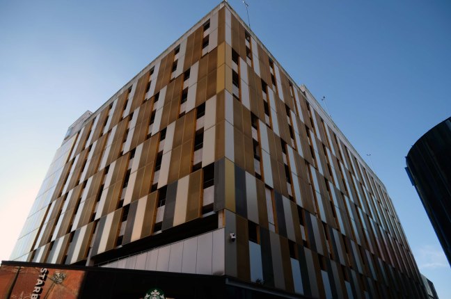
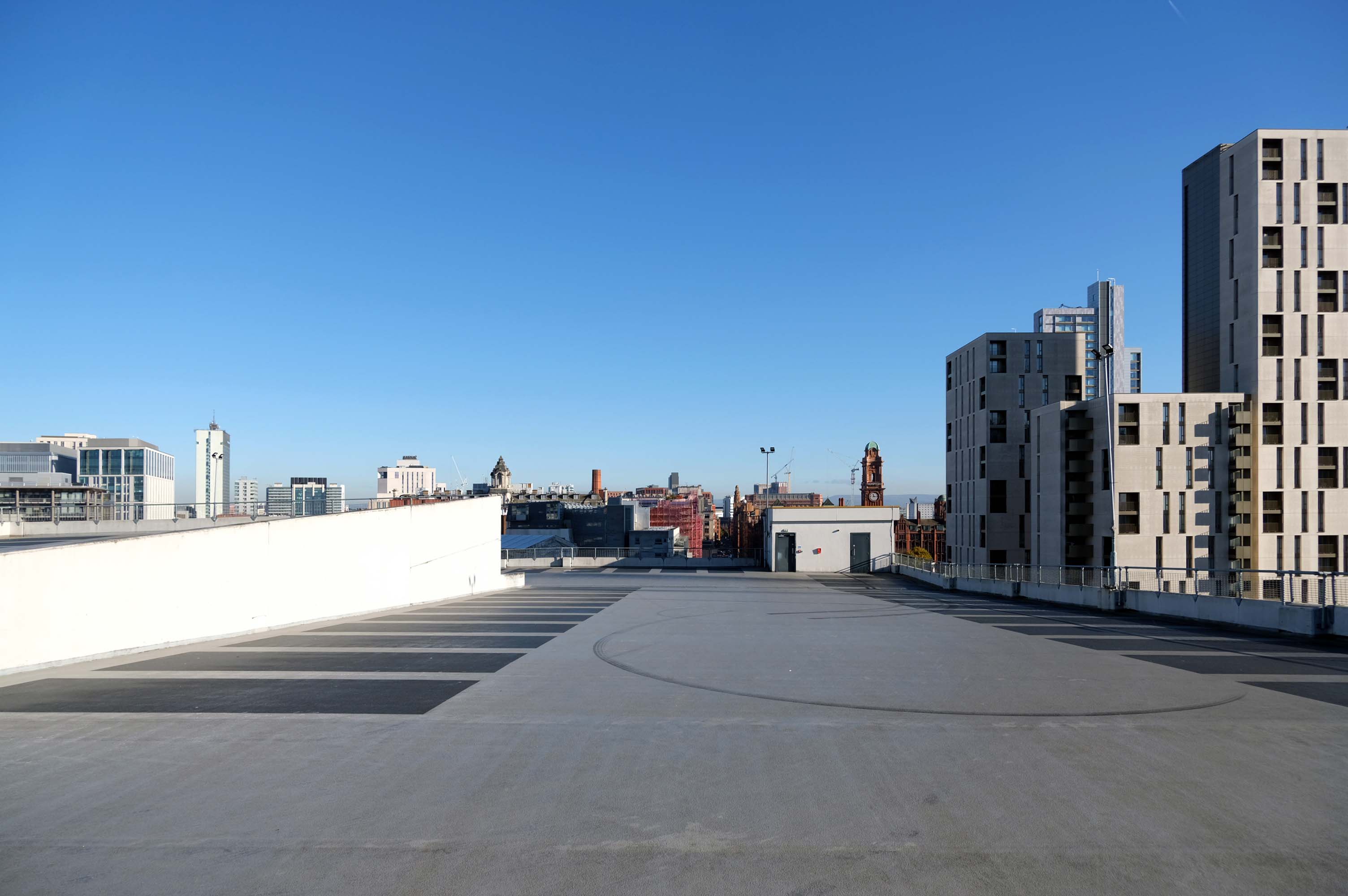
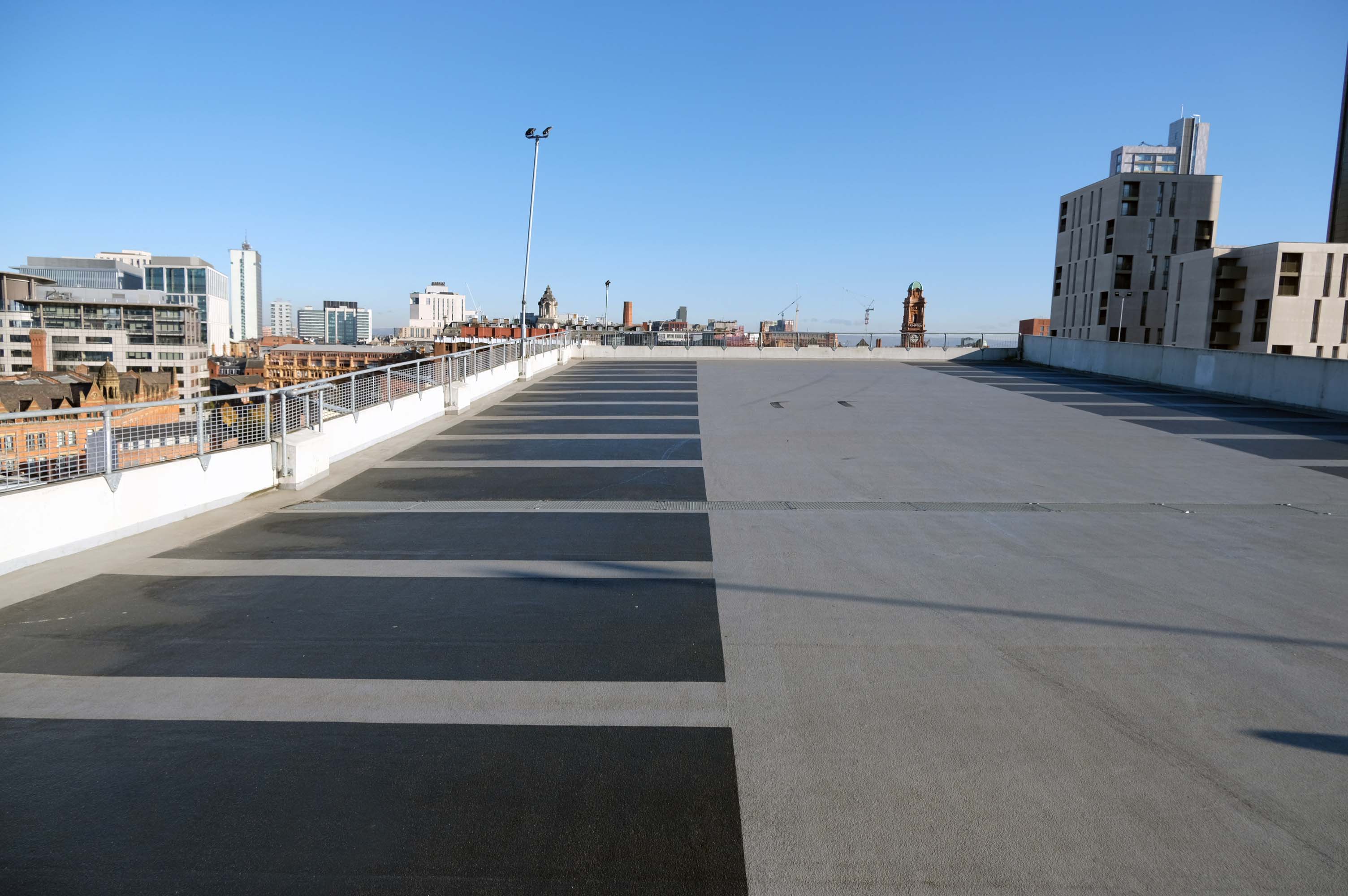
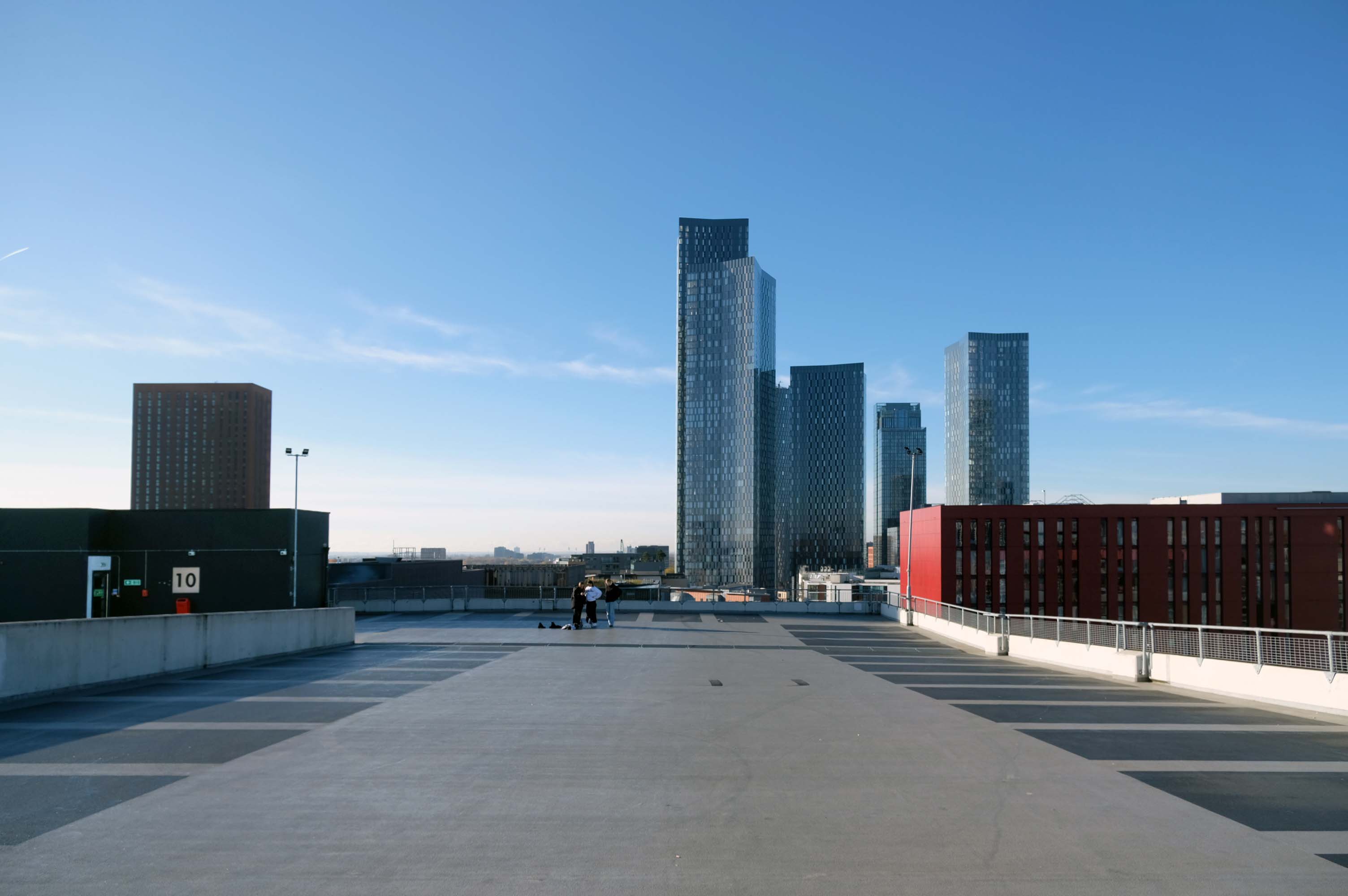
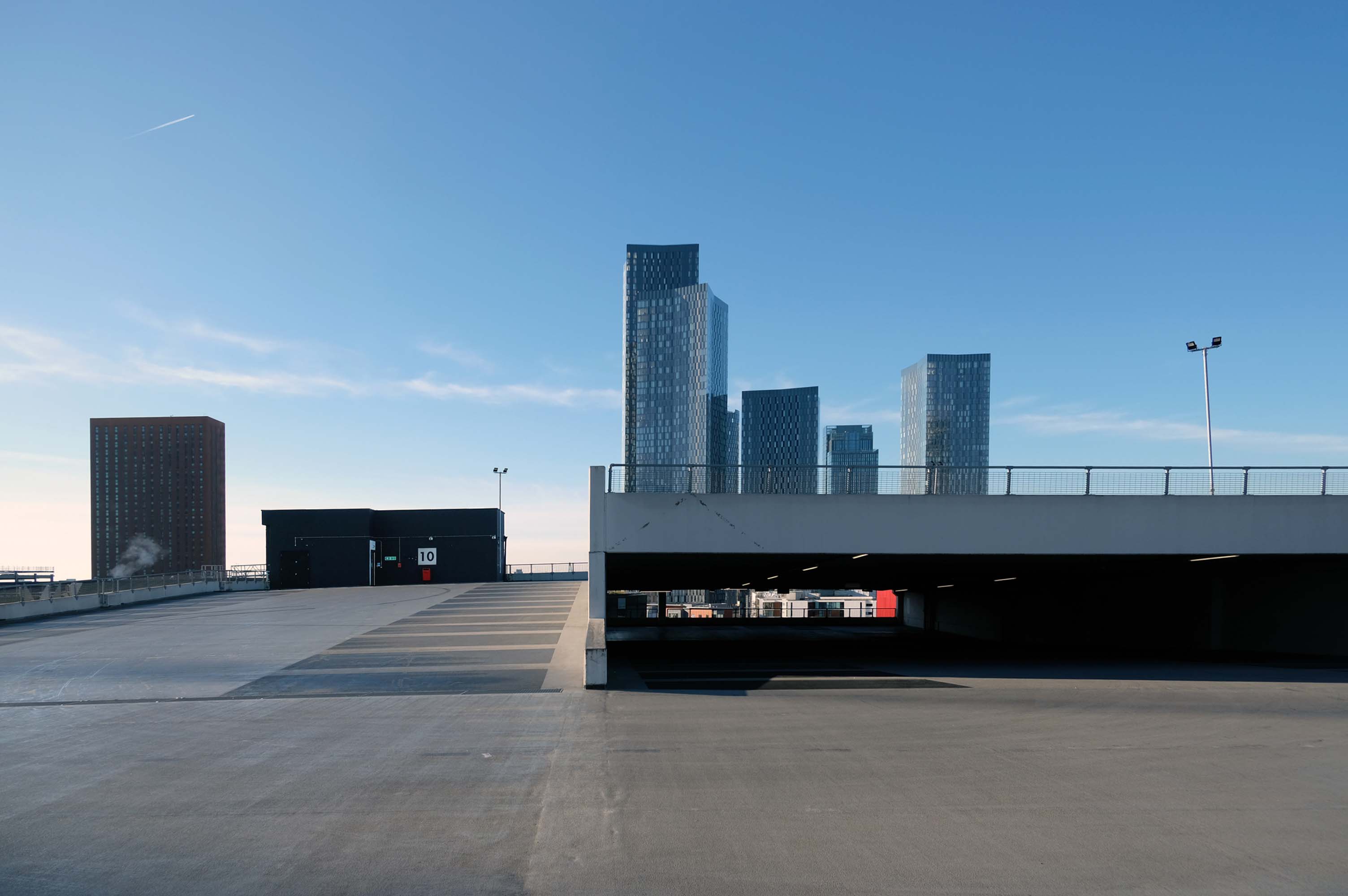
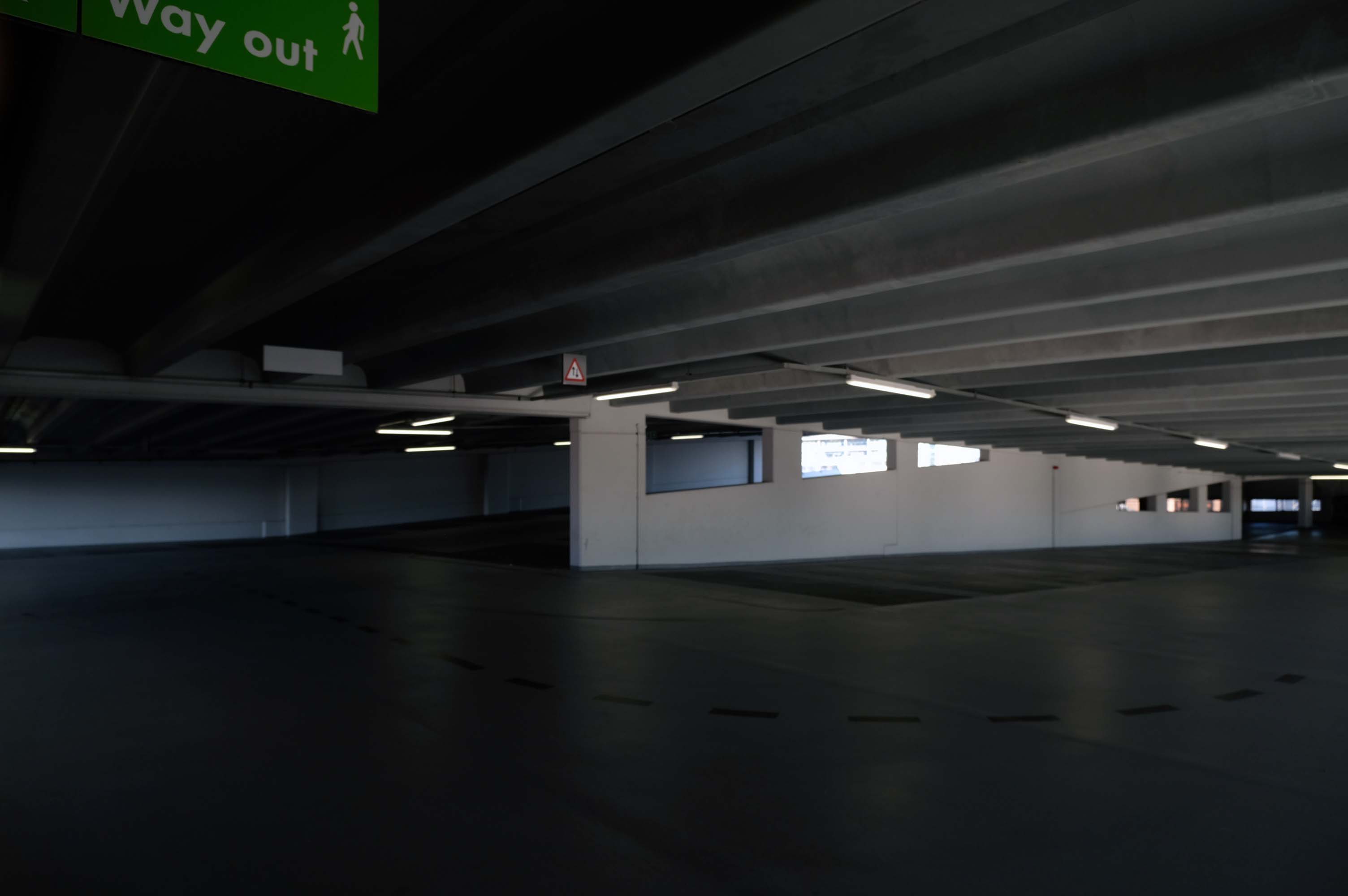
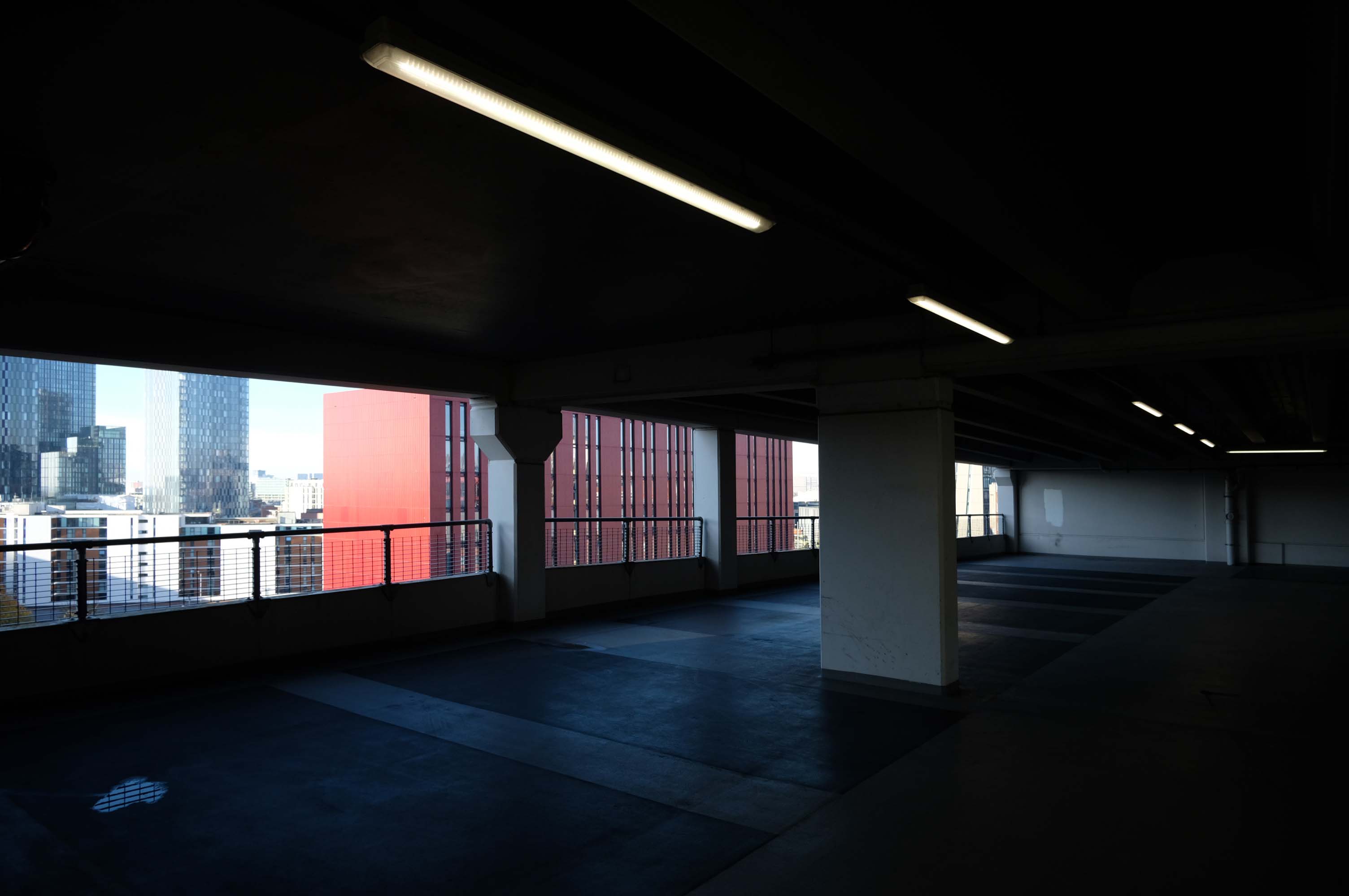
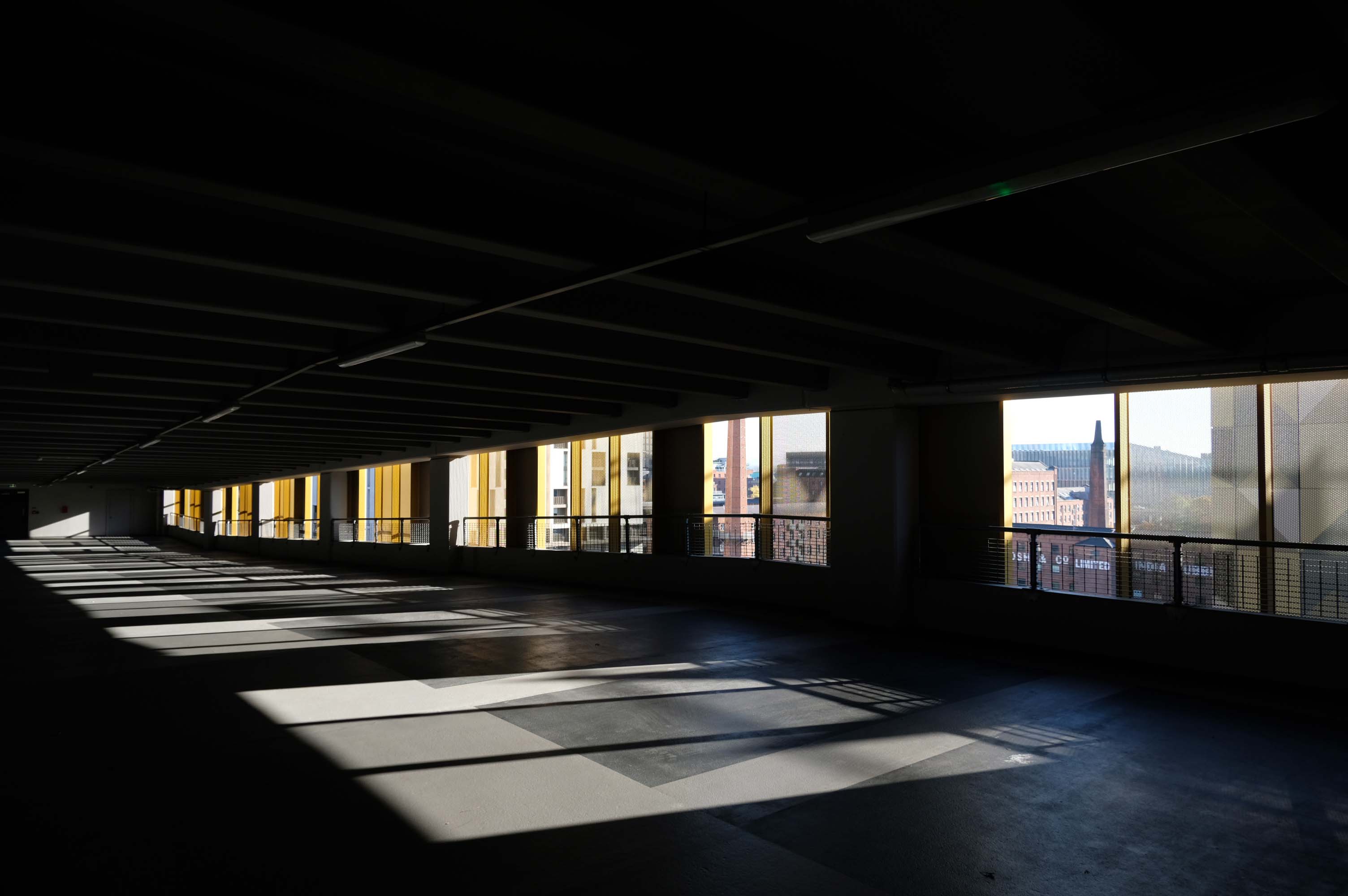
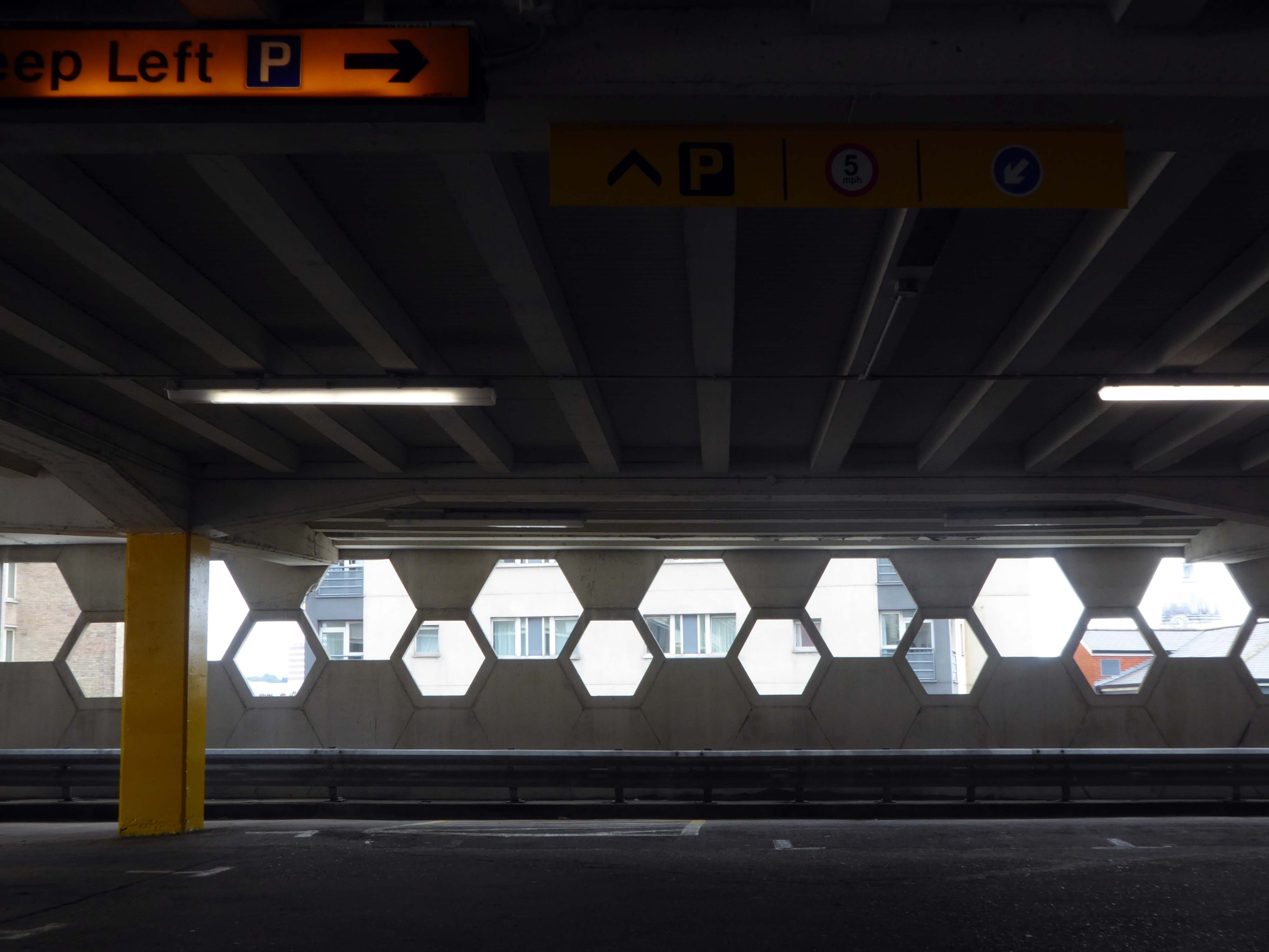
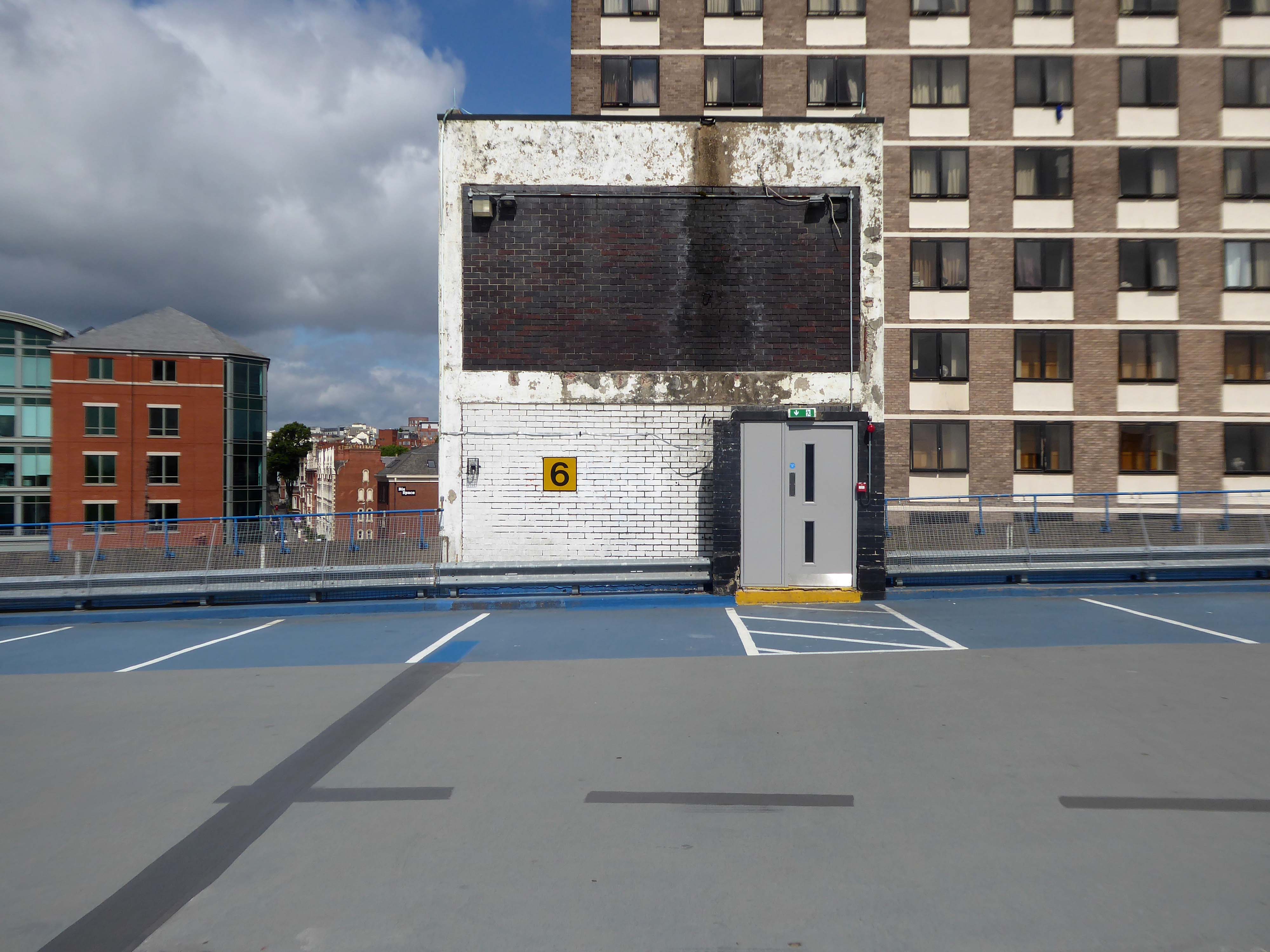
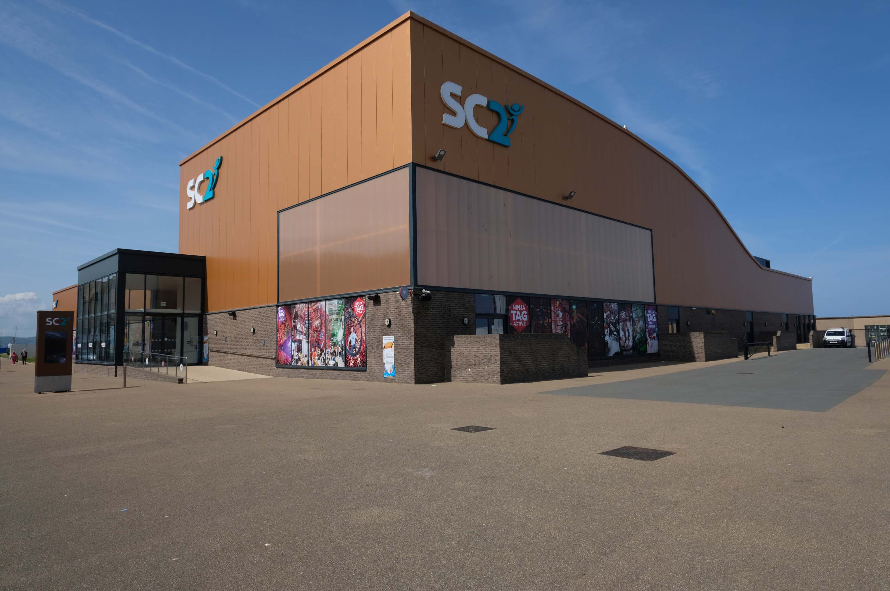
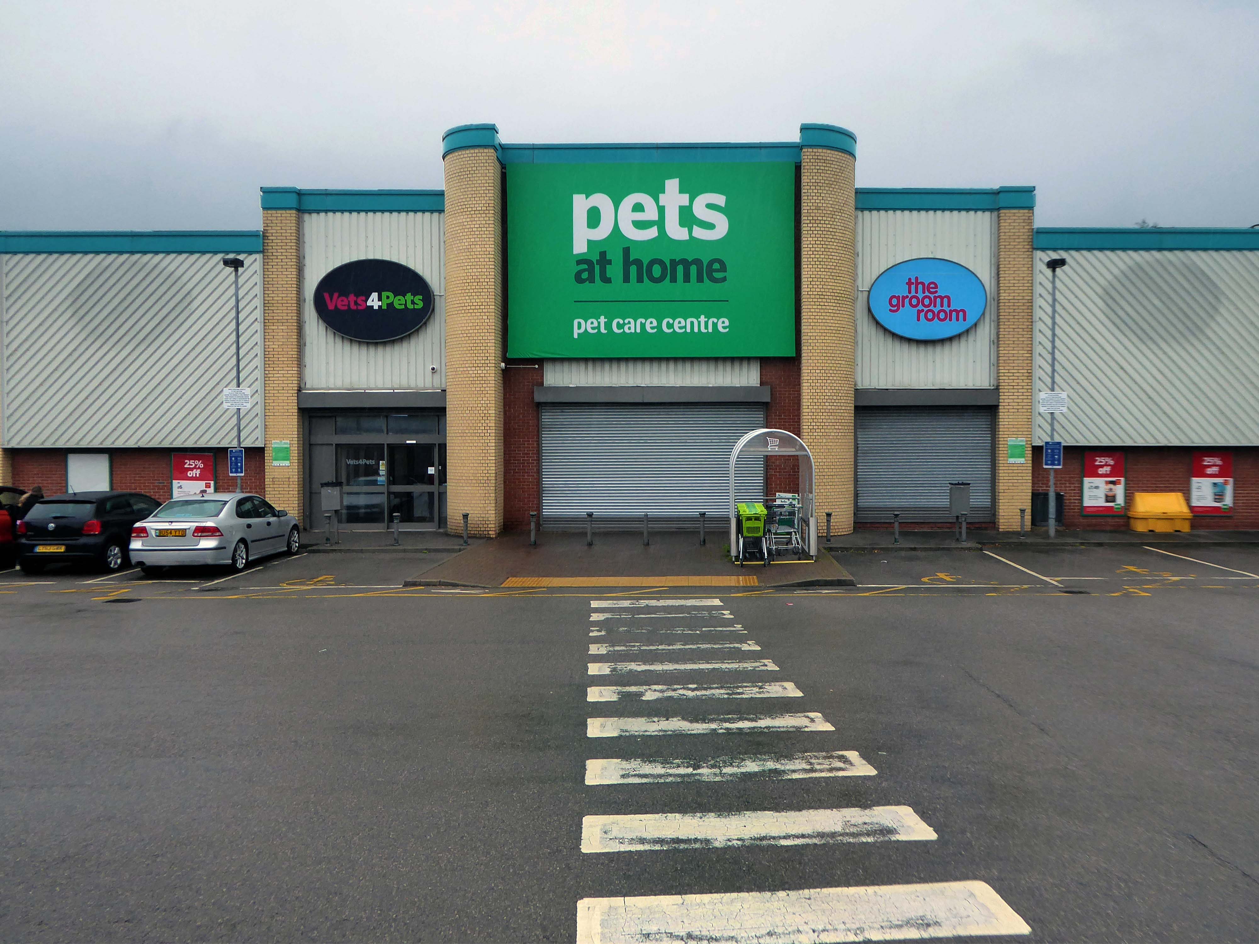
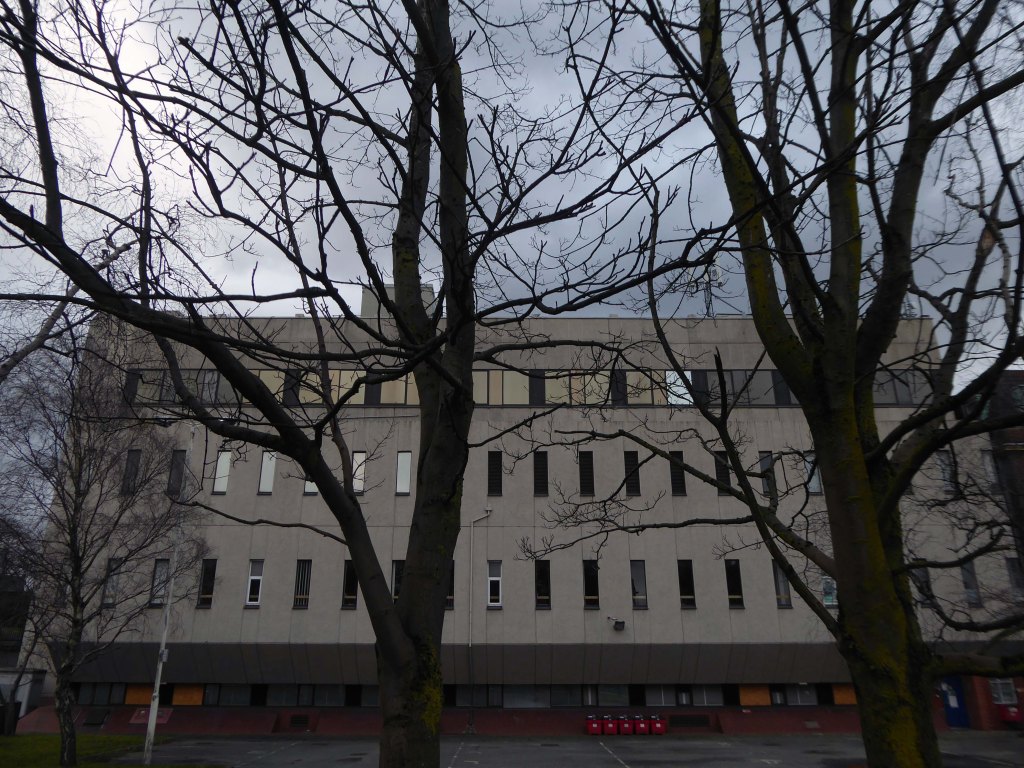
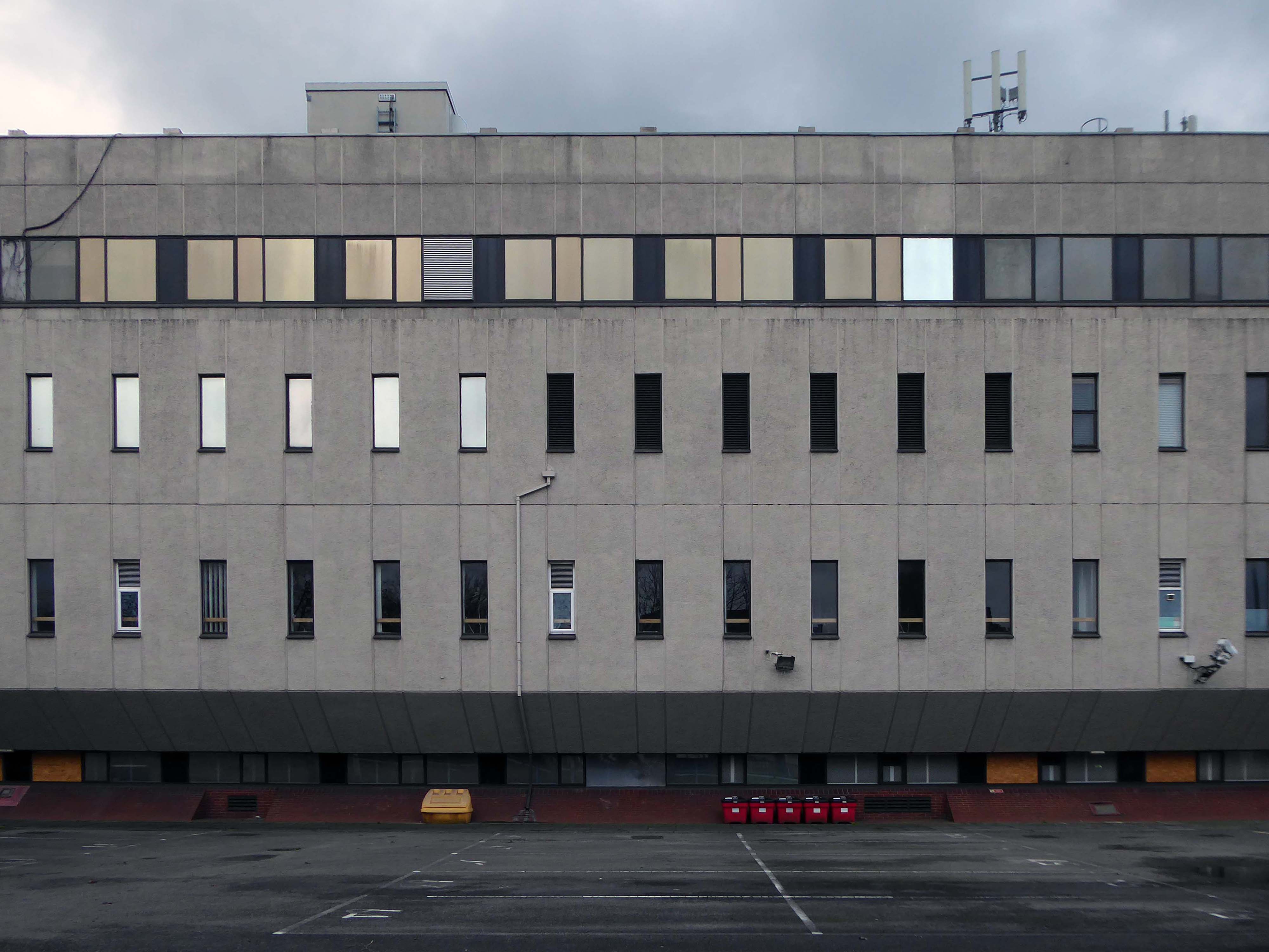
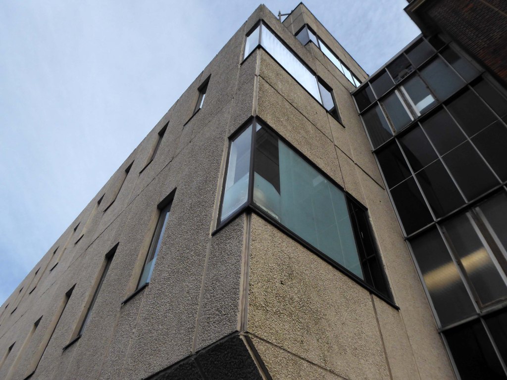
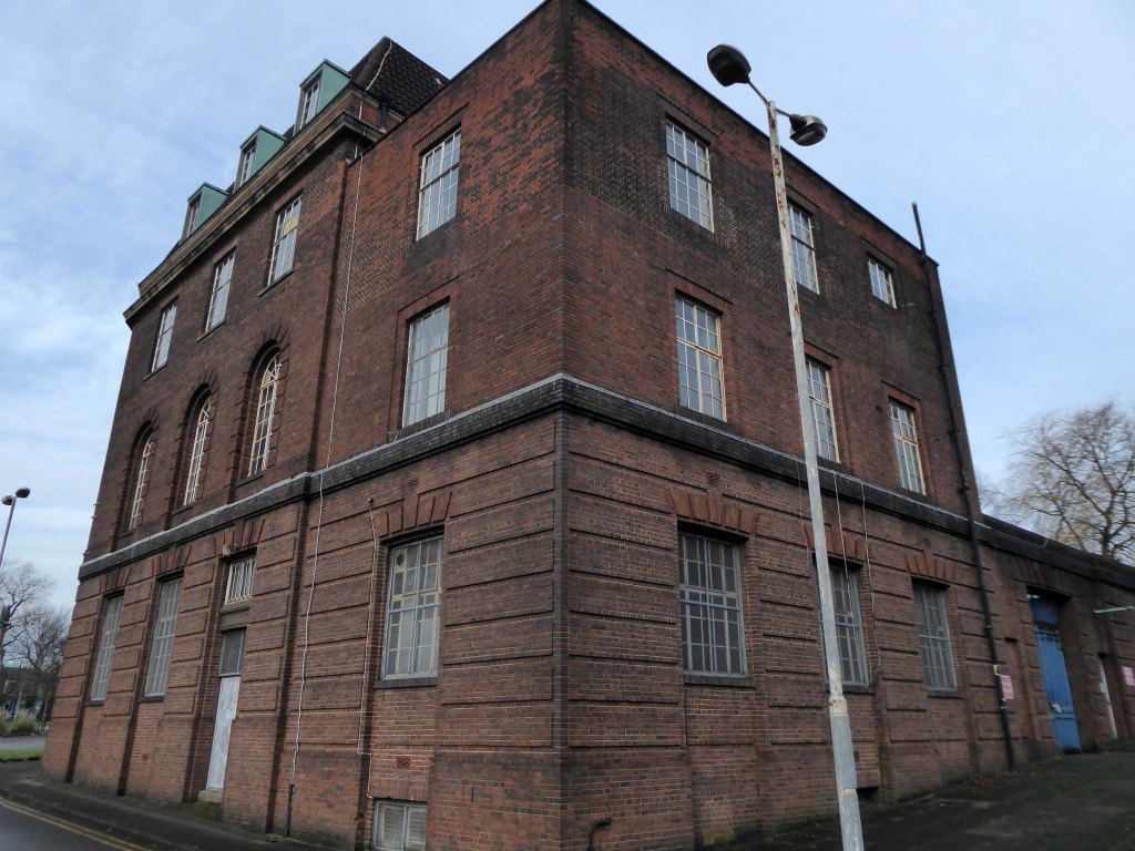
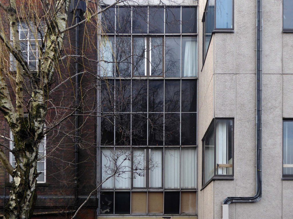
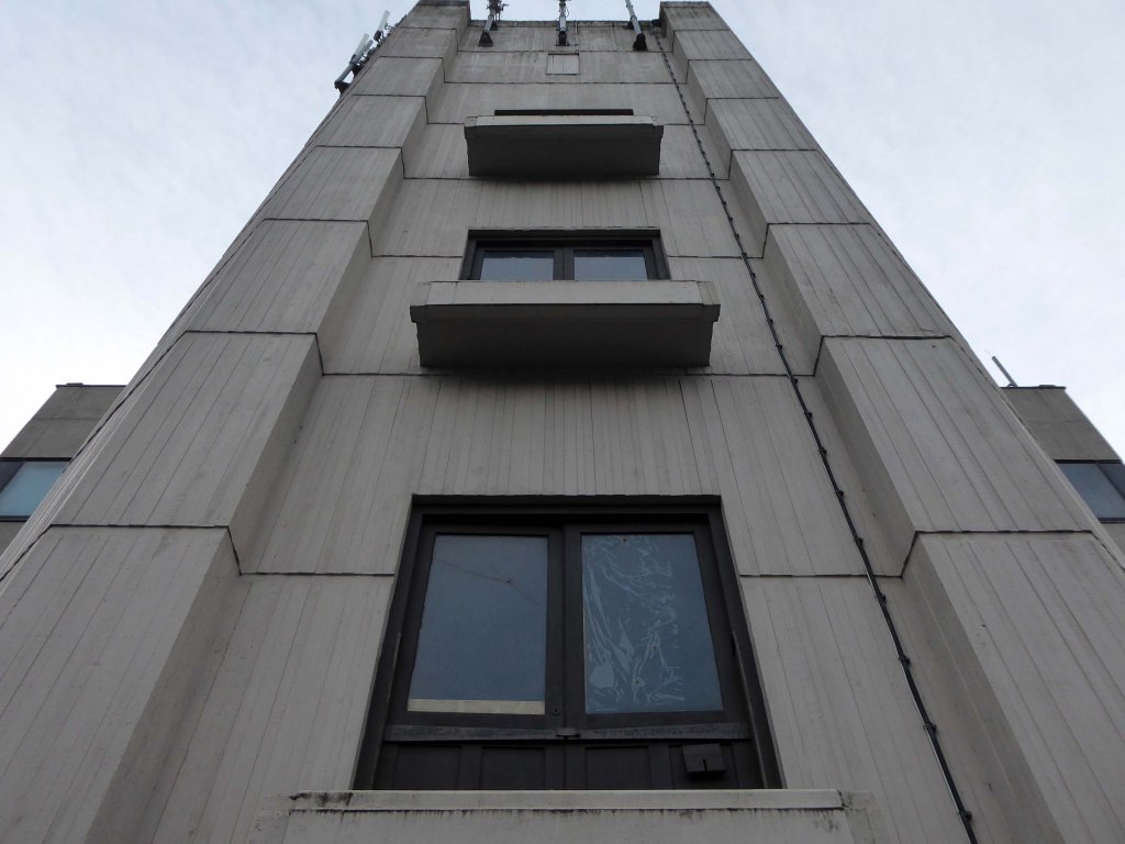
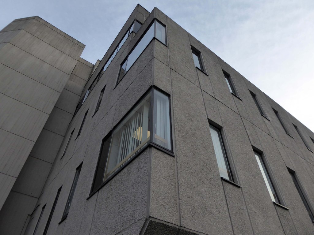
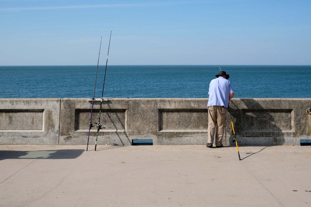
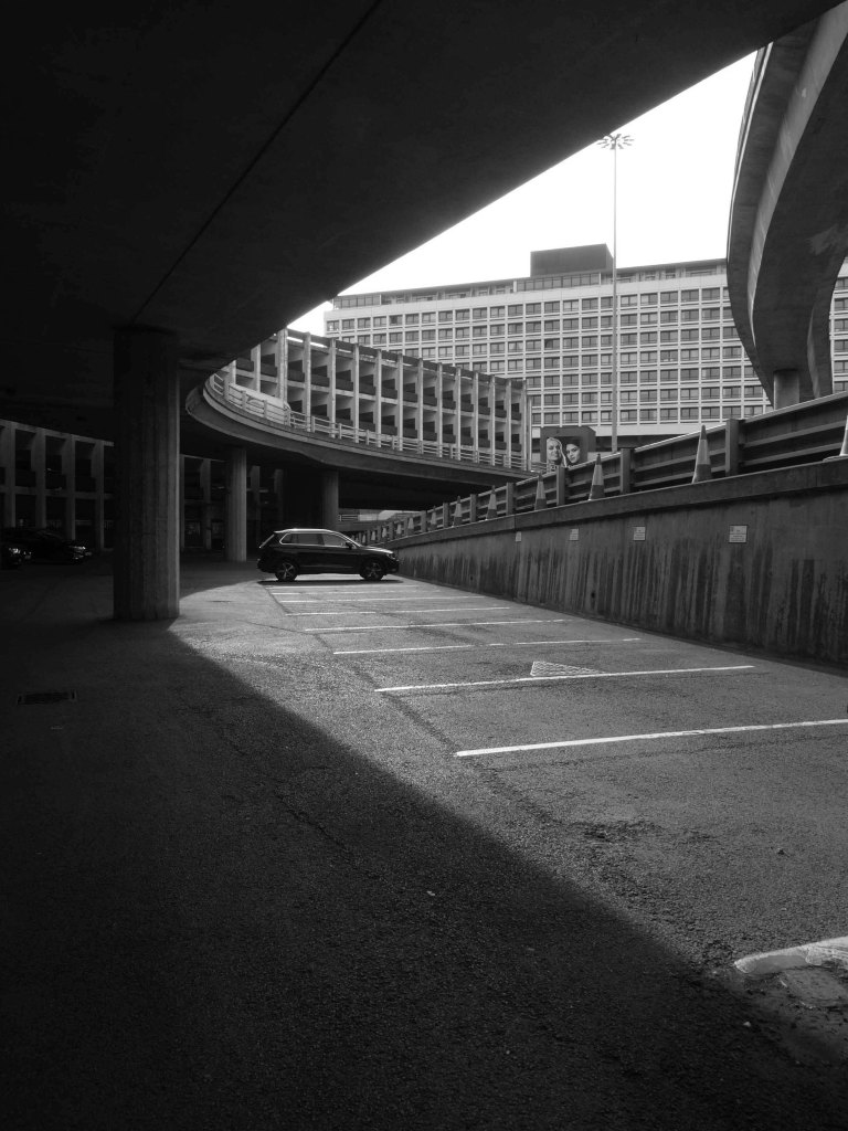
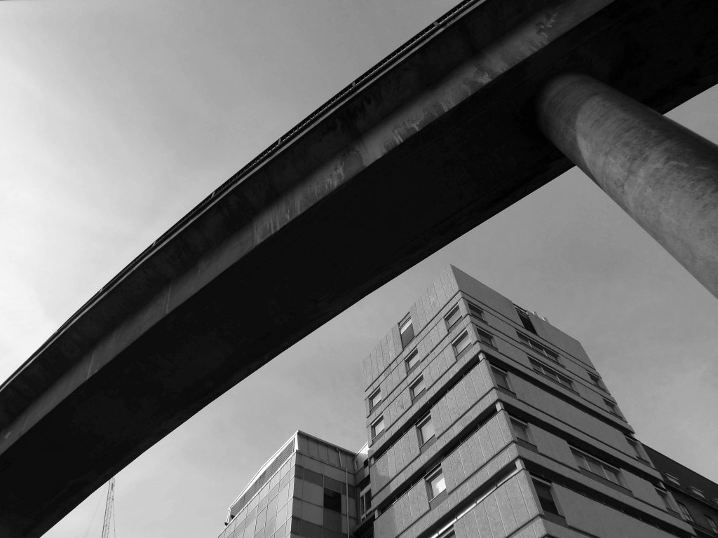
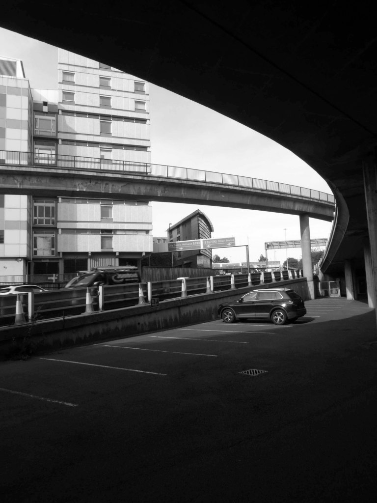
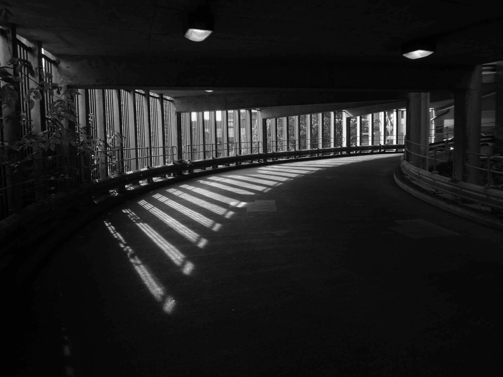
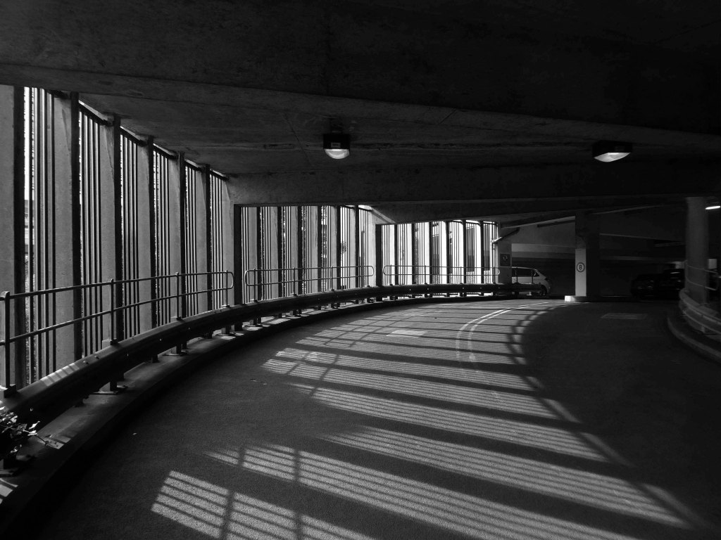
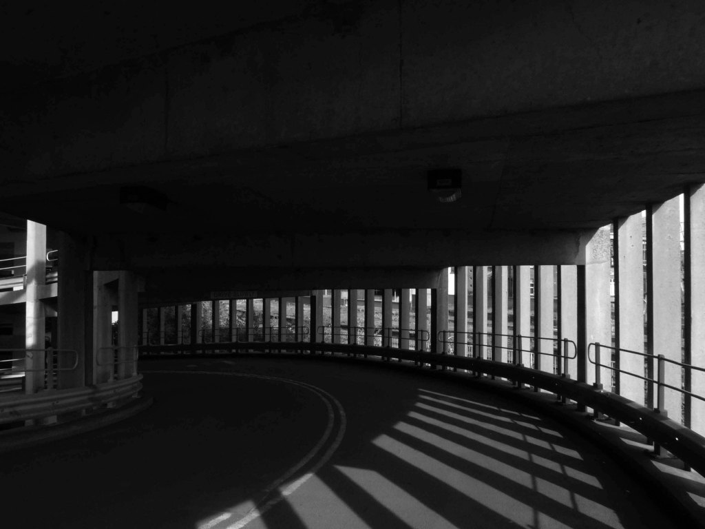
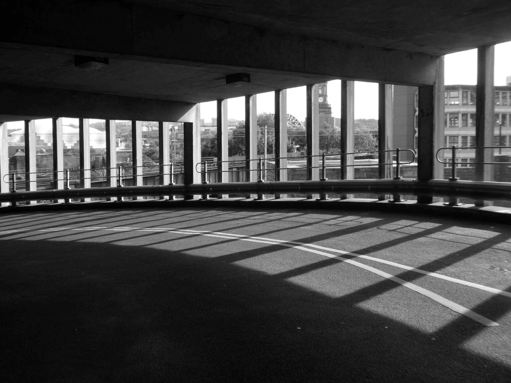
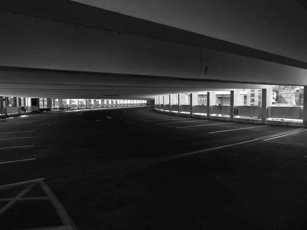
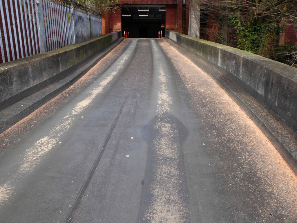
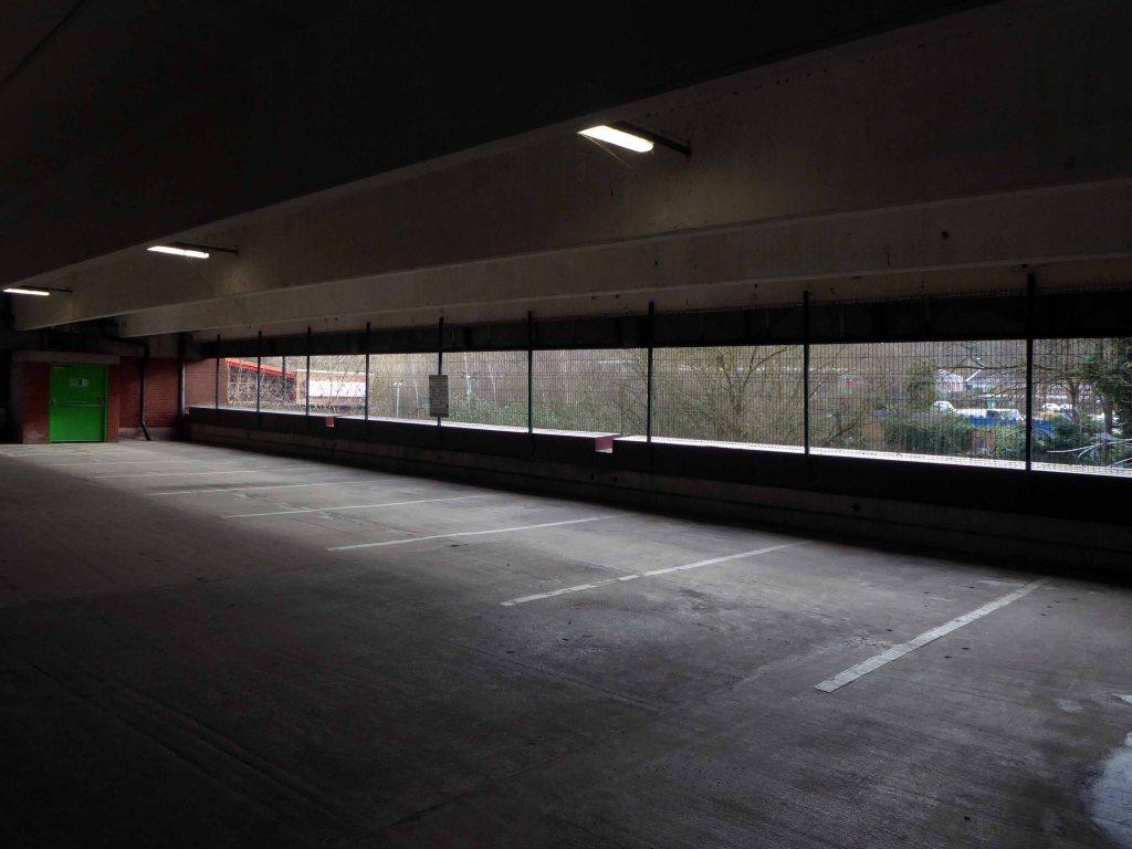
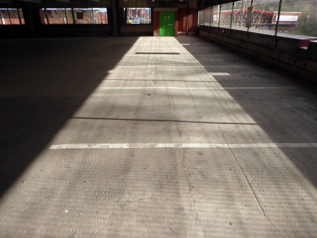
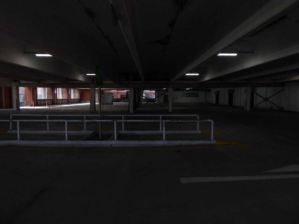
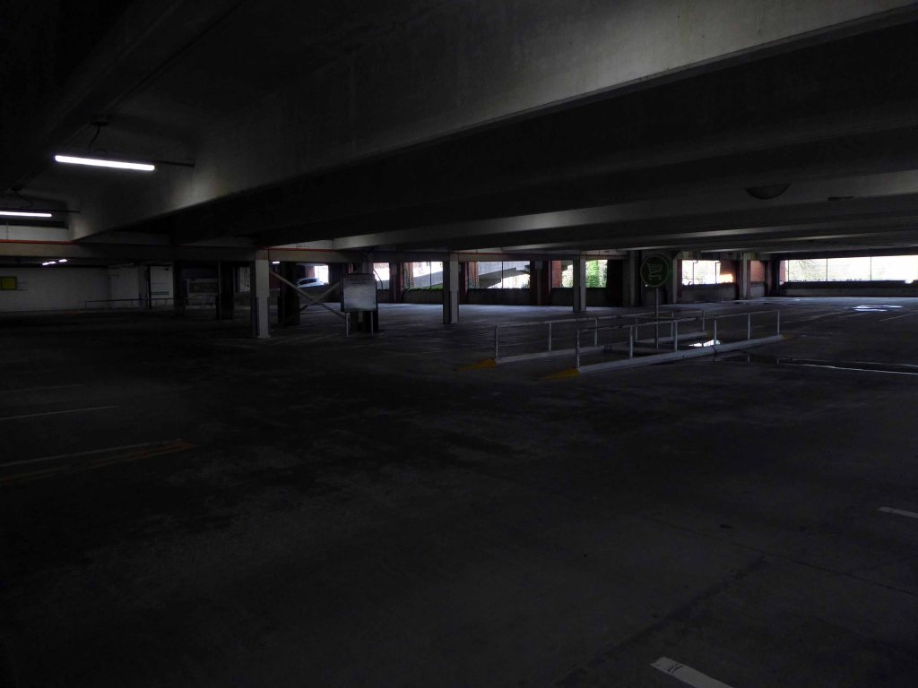
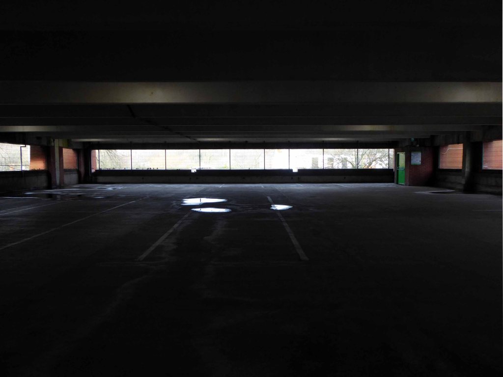
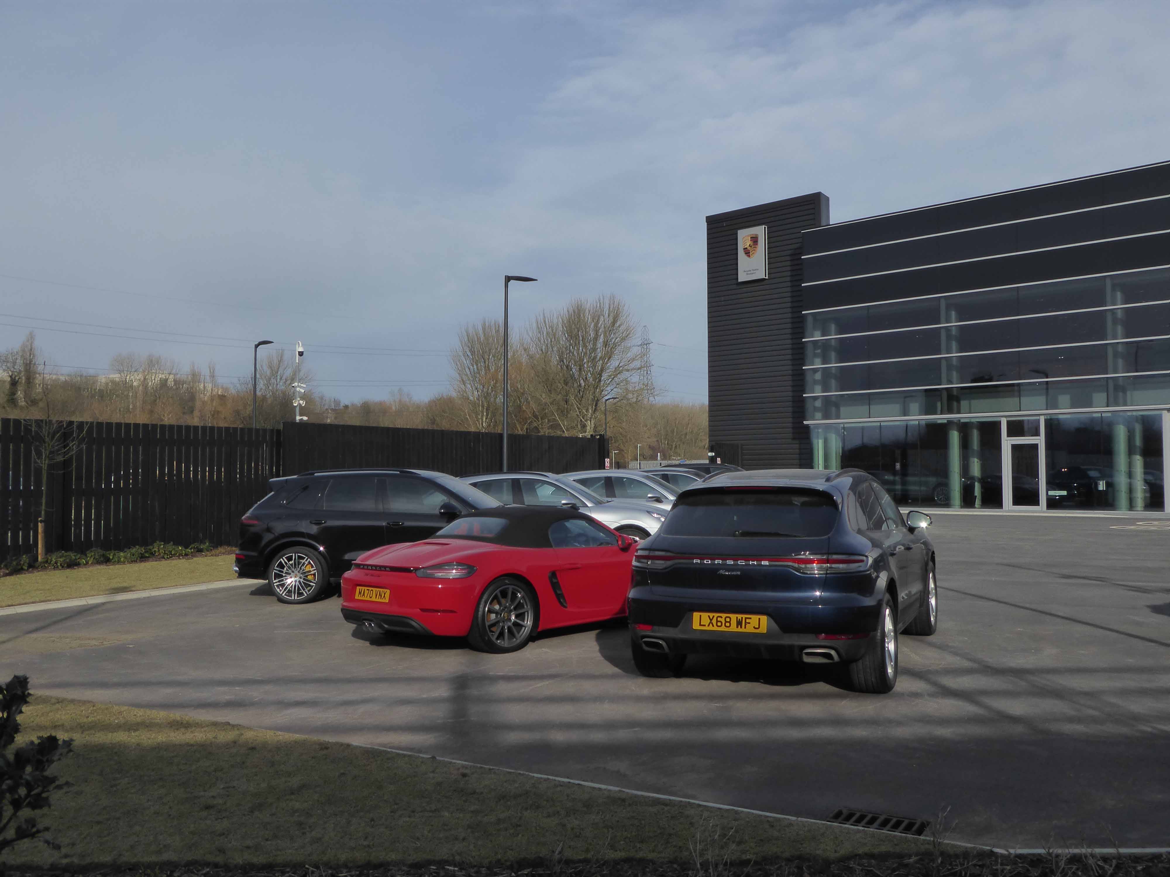
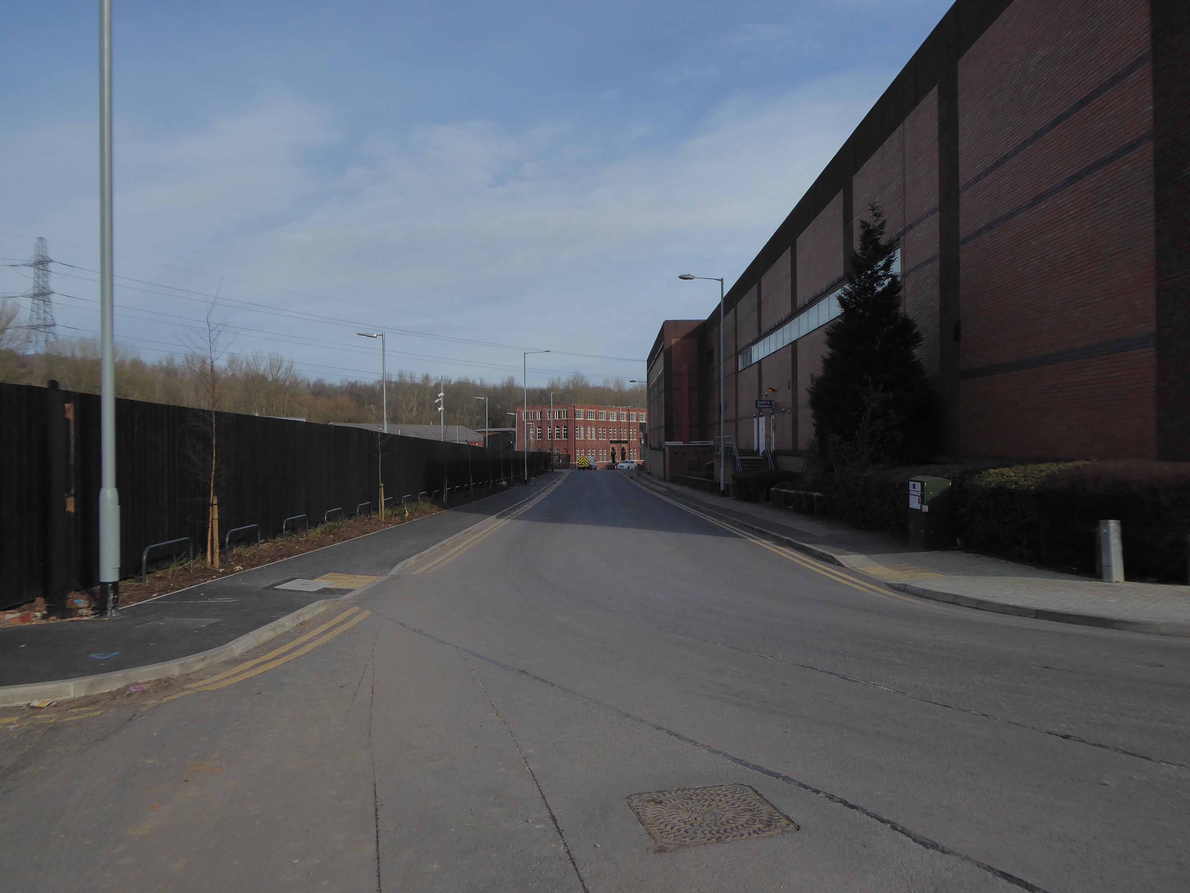
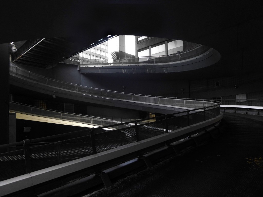
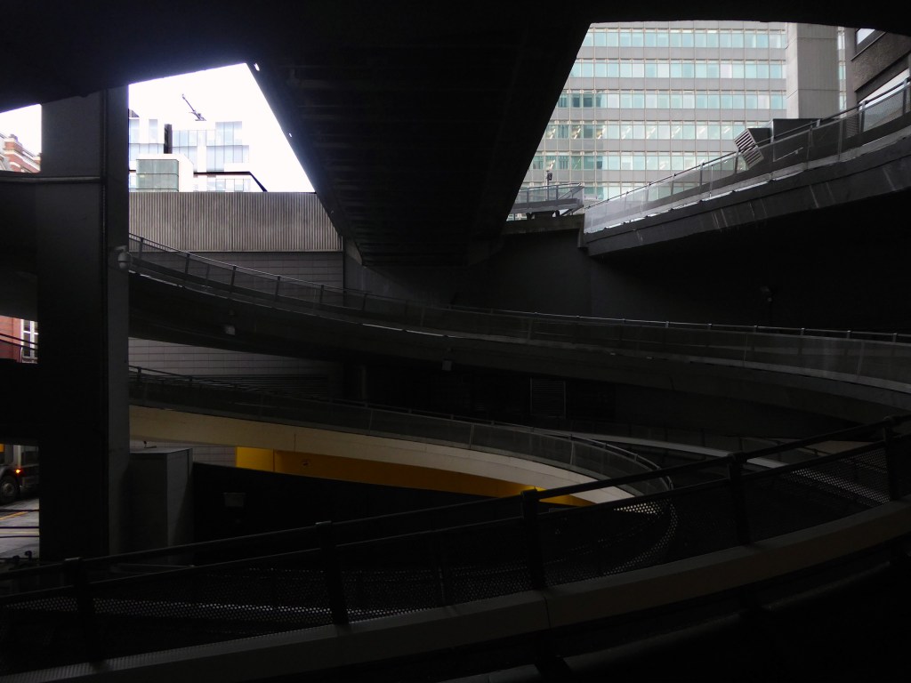
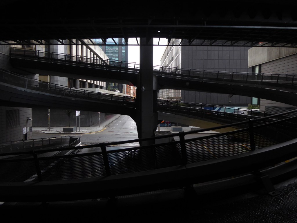
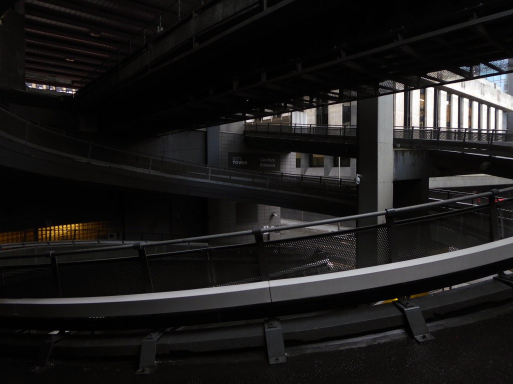
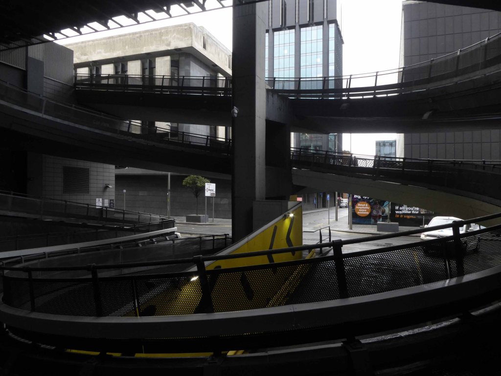
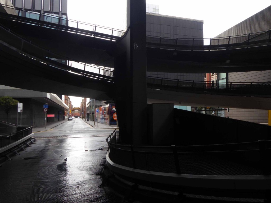
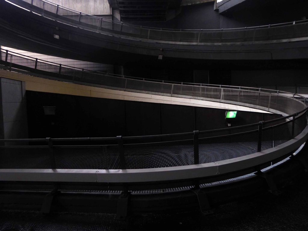
Q-Park First Street is a multi-storey car park within the up and coming First Street development. The safe and secure facility is a short walk away from HOME Theatre, Innside by Melia, Bridgewater Hall and the Manchester Central Convention Complex.
VIP spaces are available to book online.
Achieving Park Mark Plus demonstrates that this Q-Park car park has achieved the highest parking facility standards with exceptional customer services and ambience. Only good management can ensure that measures are in place to reduce crime and the fear of crime, enforce disabled parking for the benefit of those that need accessible bays and care for the environment at the same time.
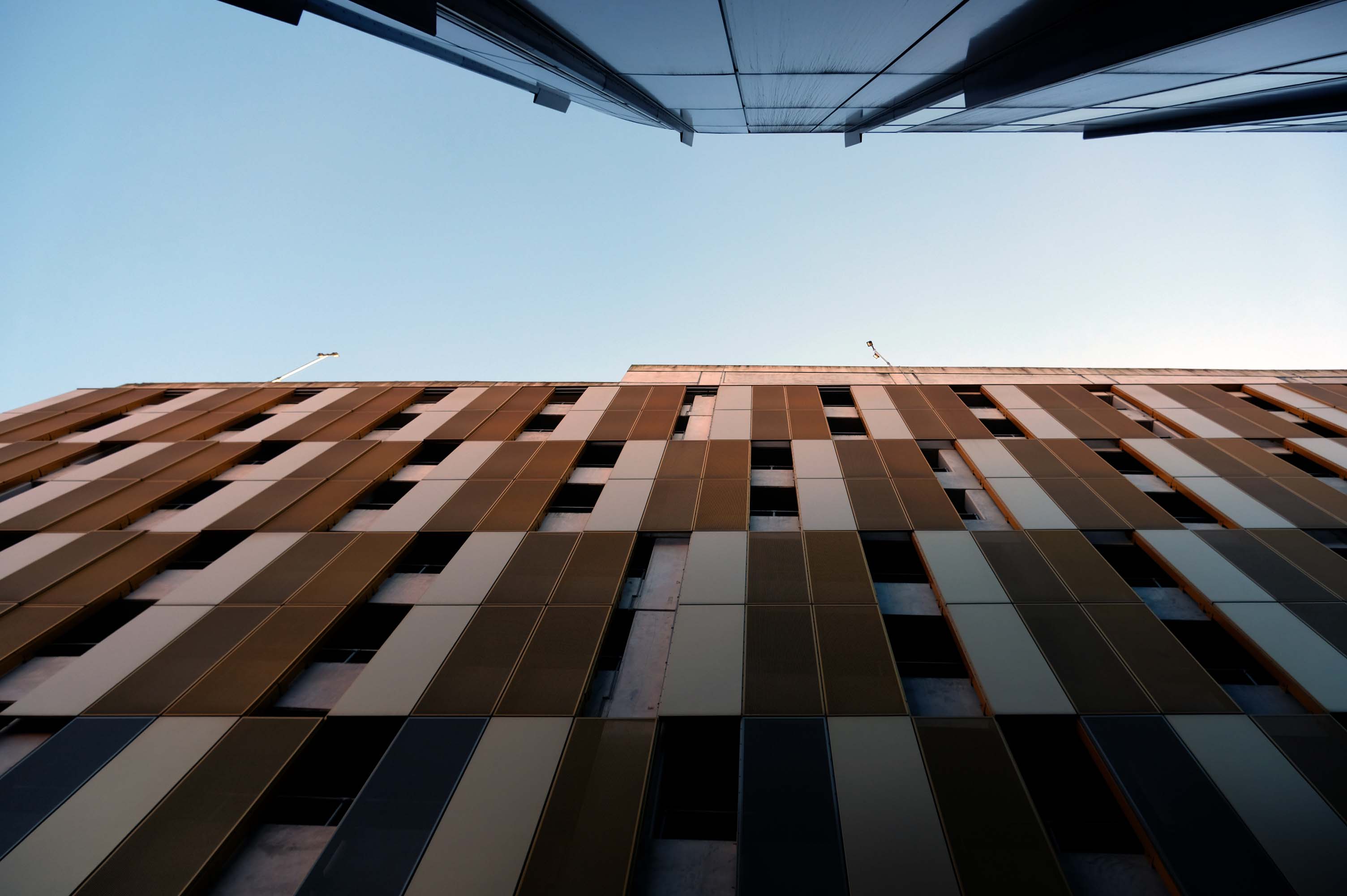
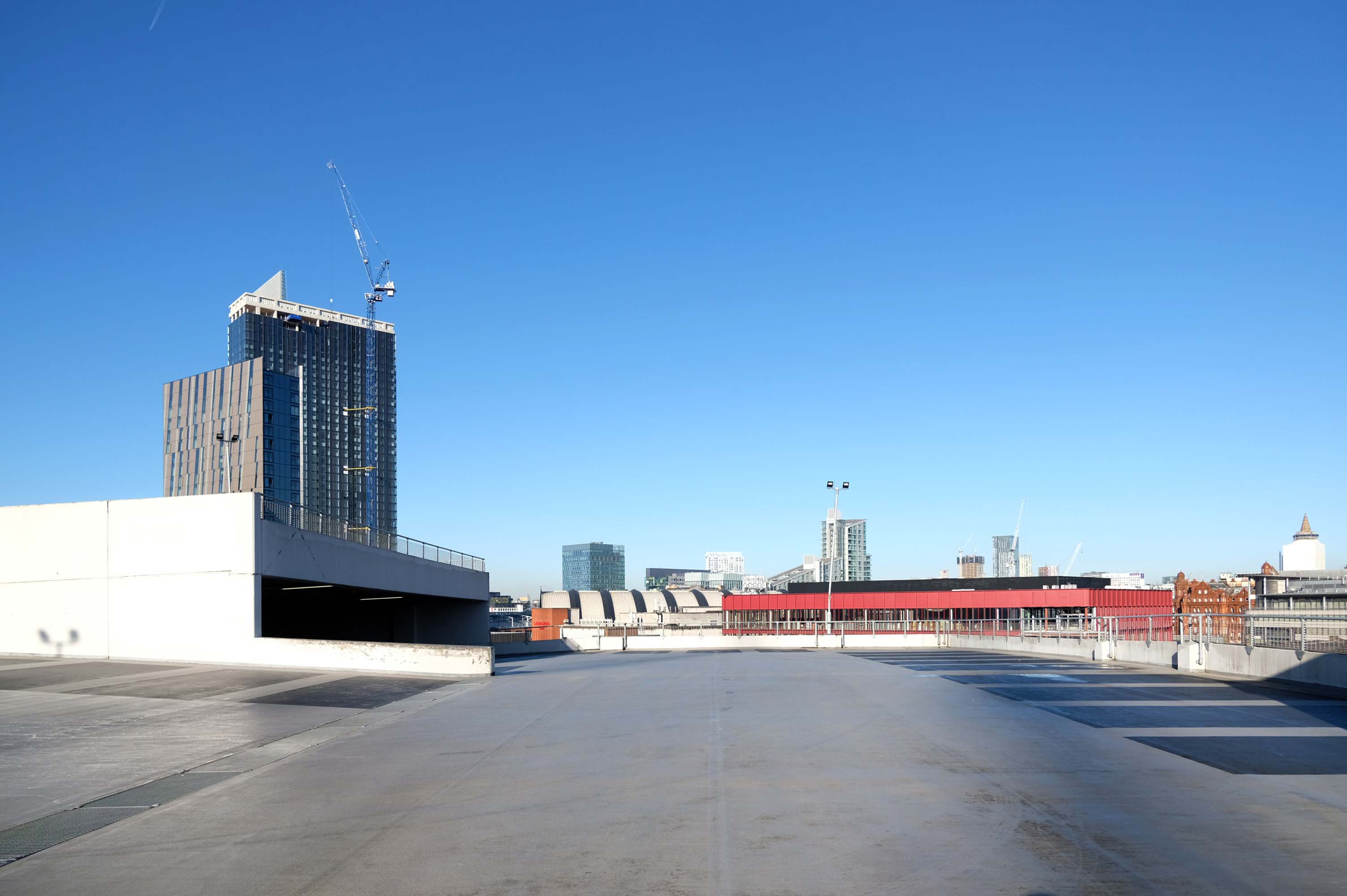
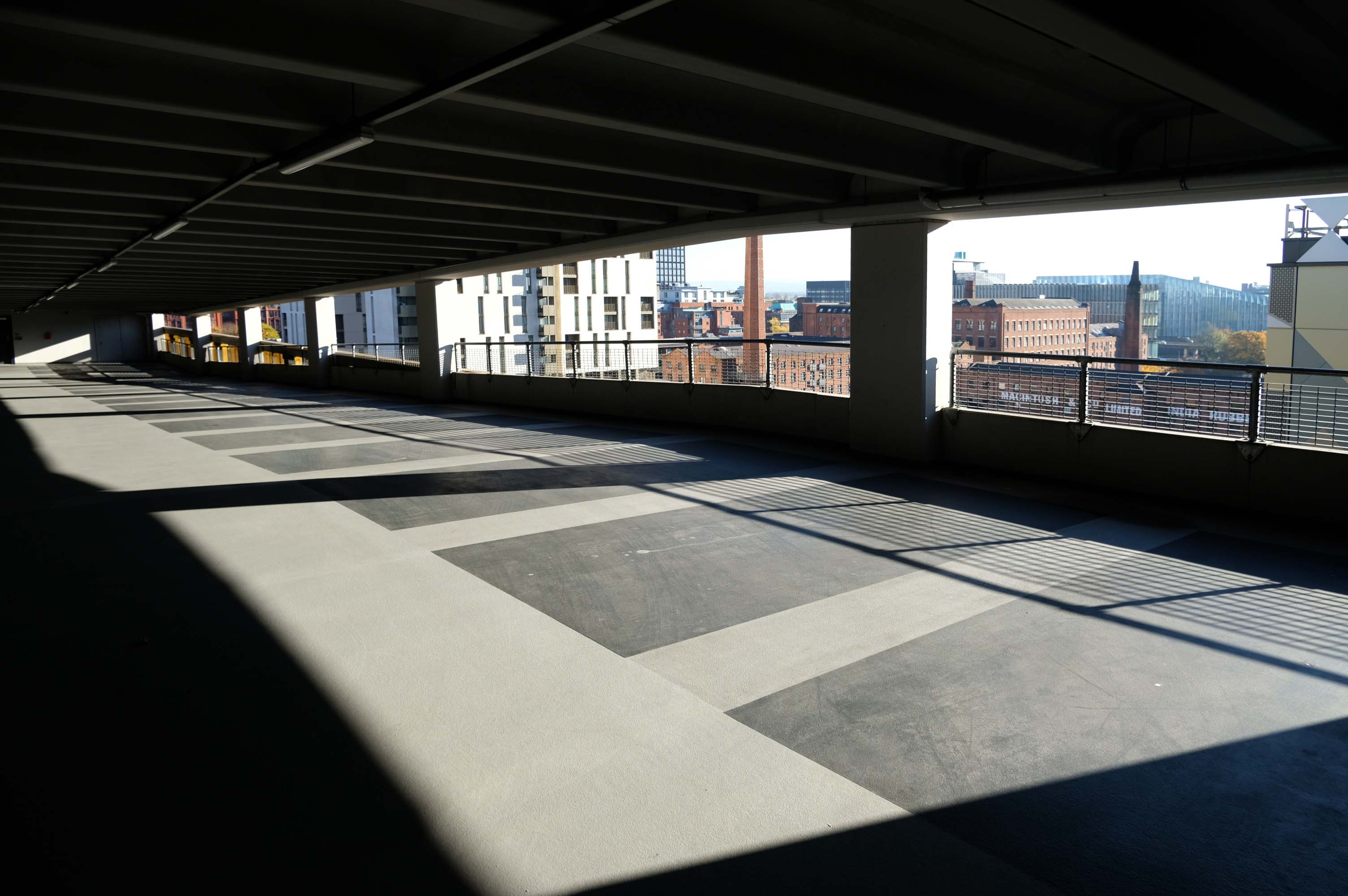
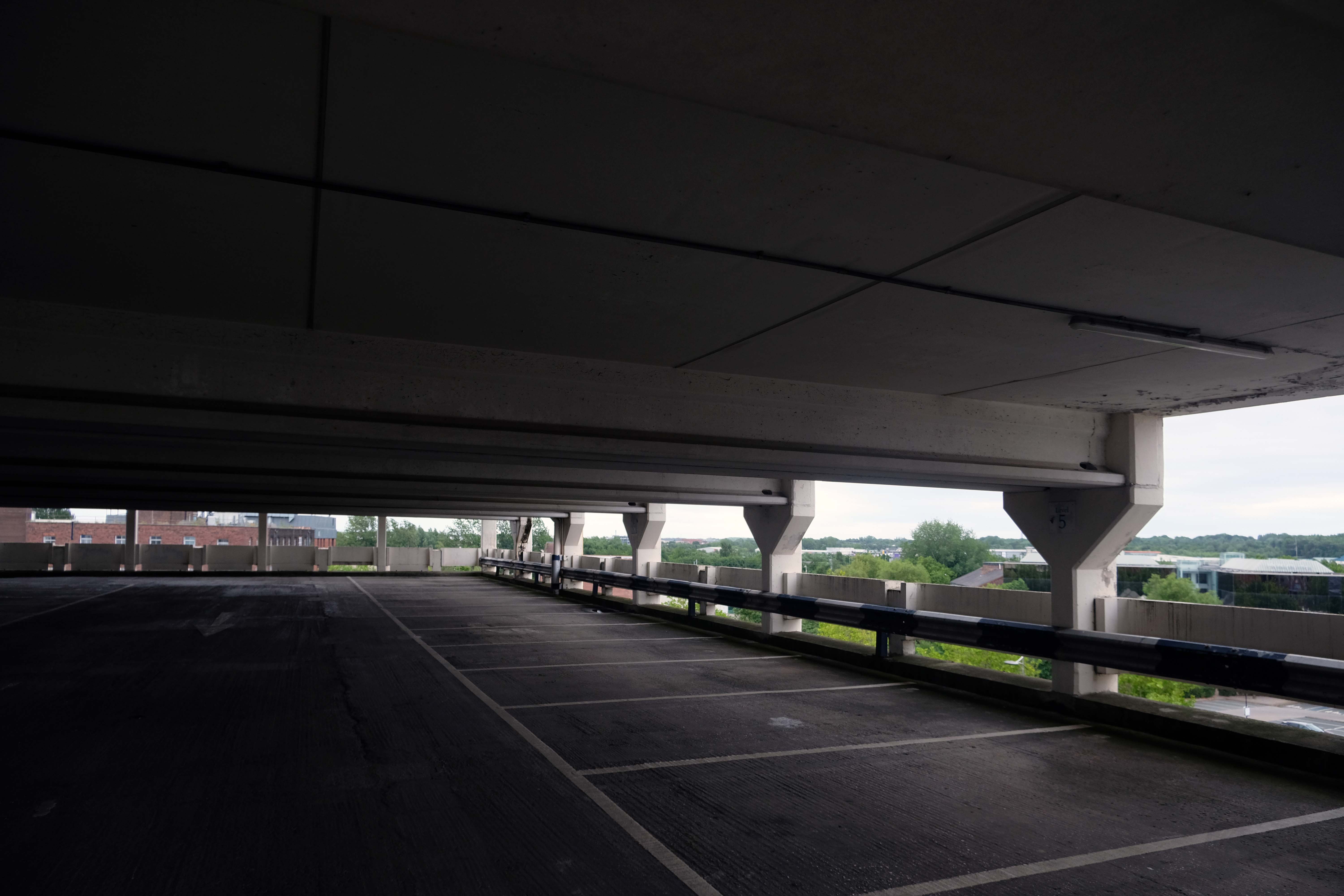
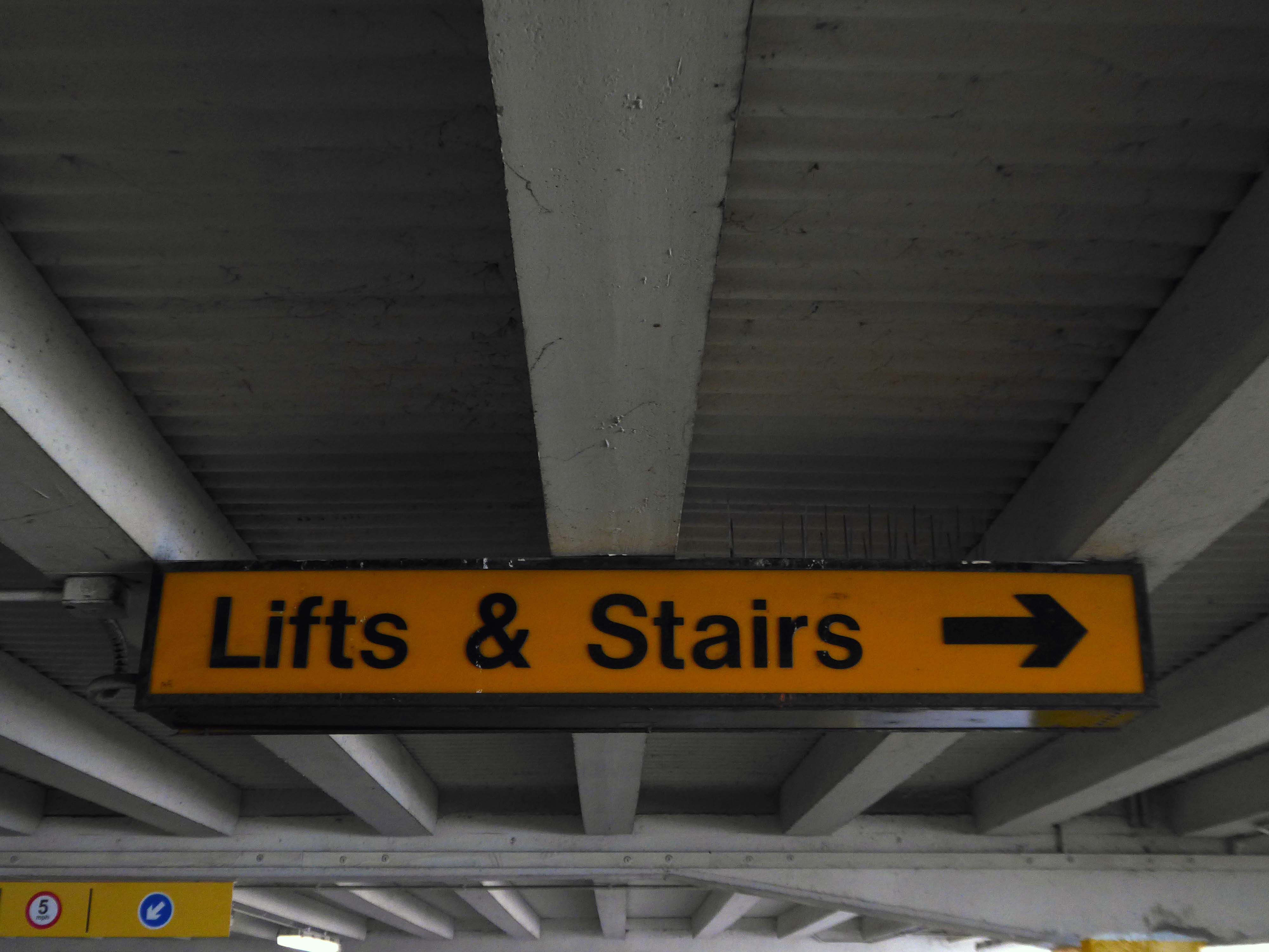
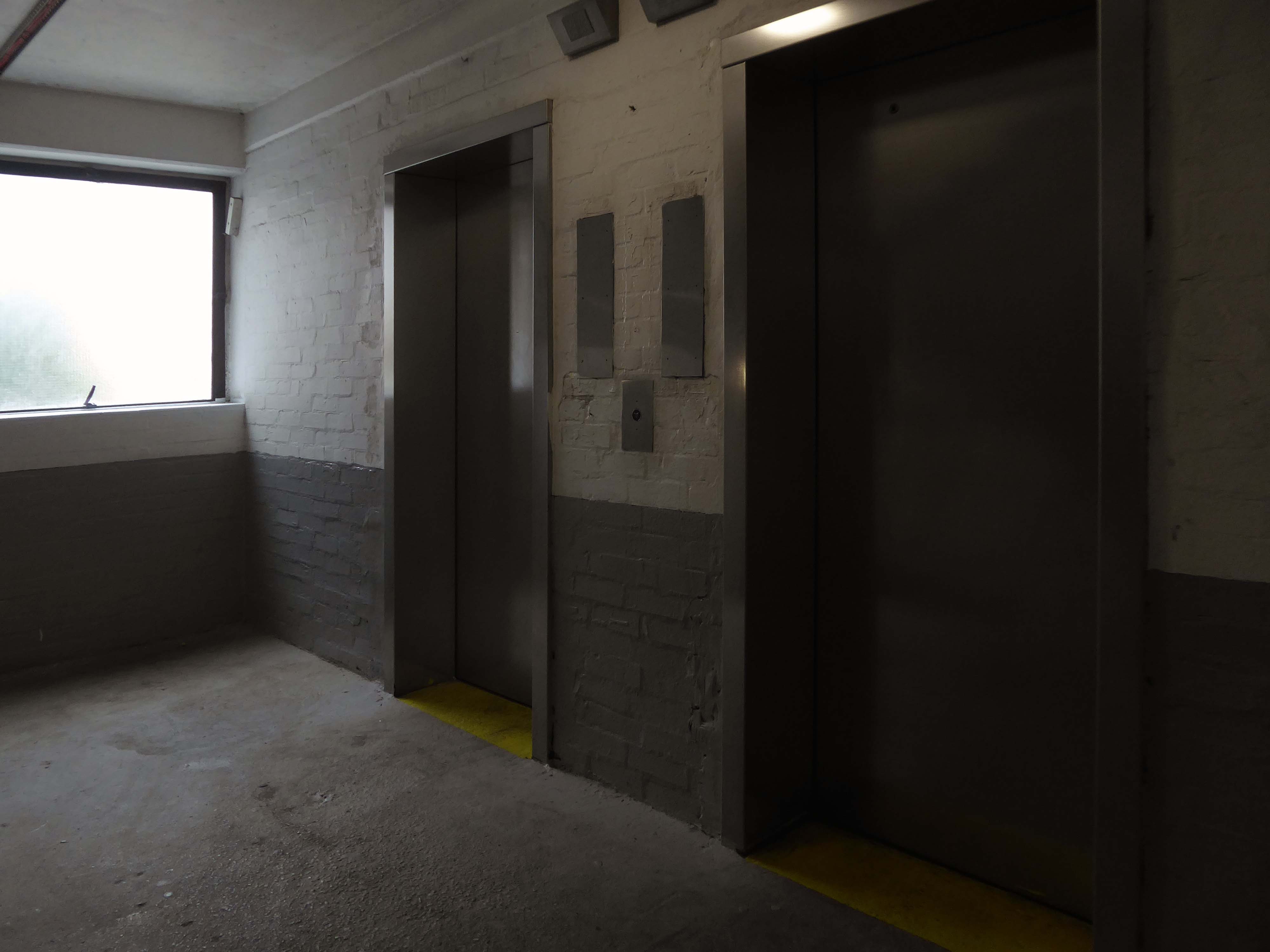
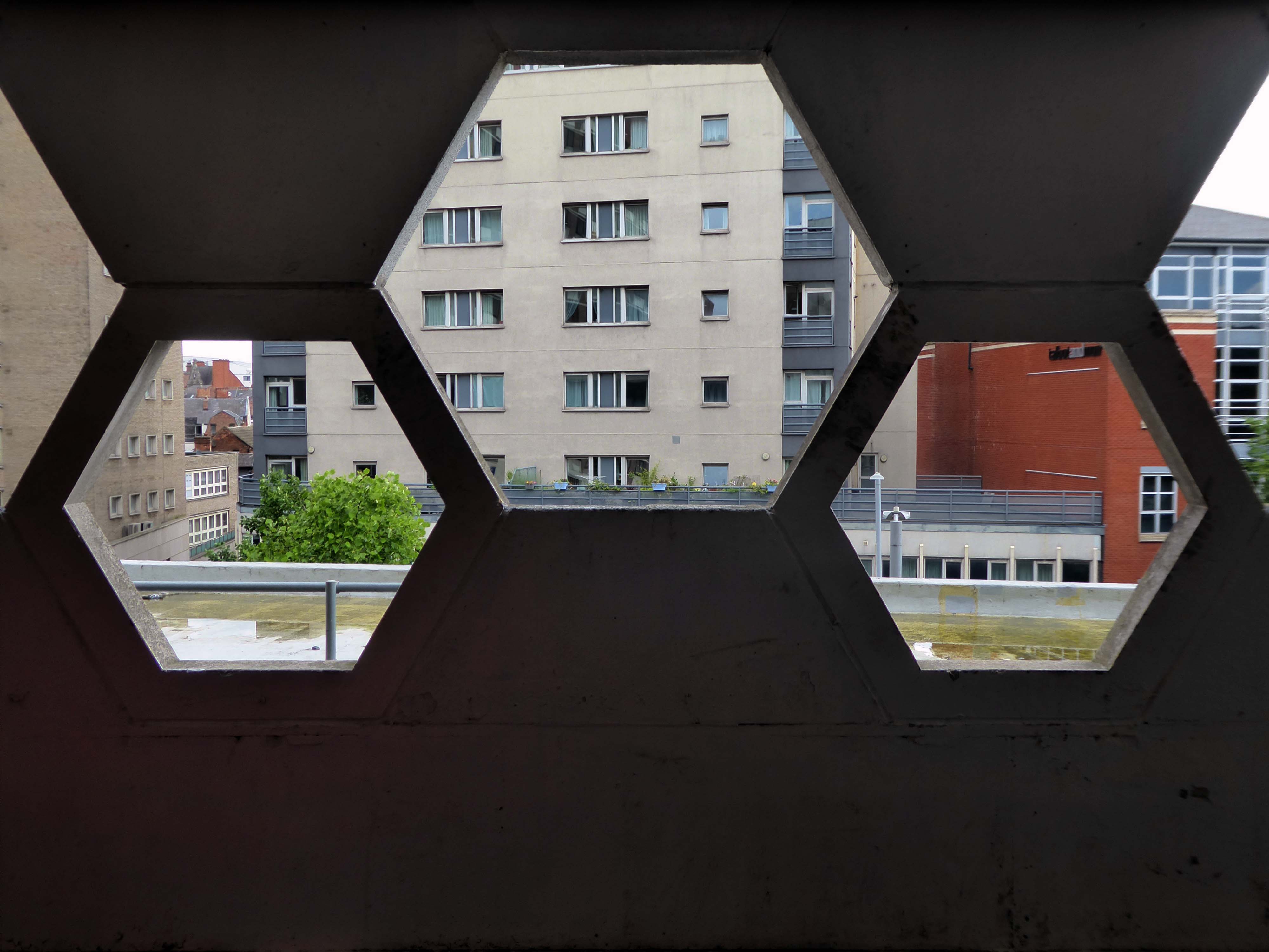
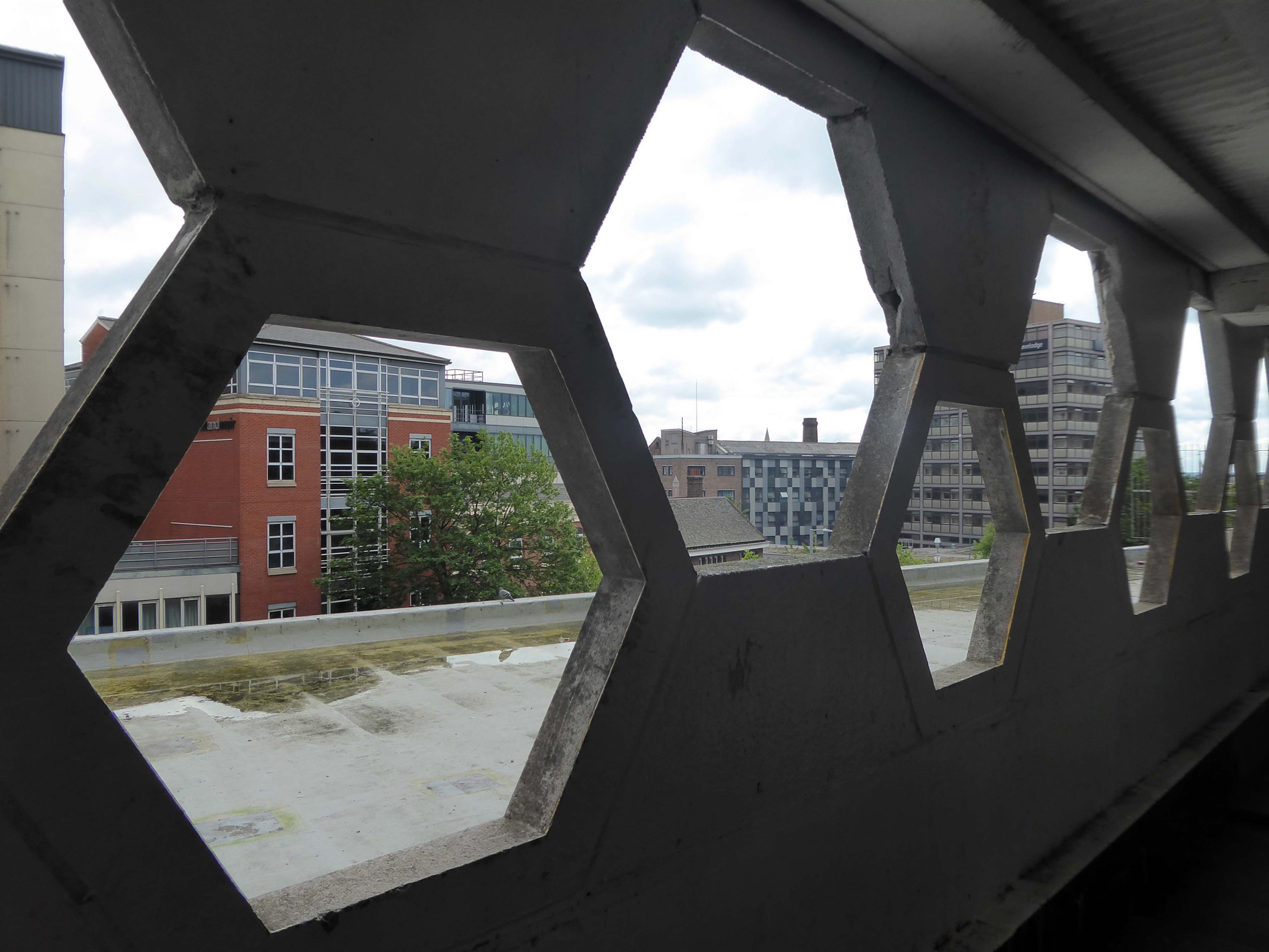
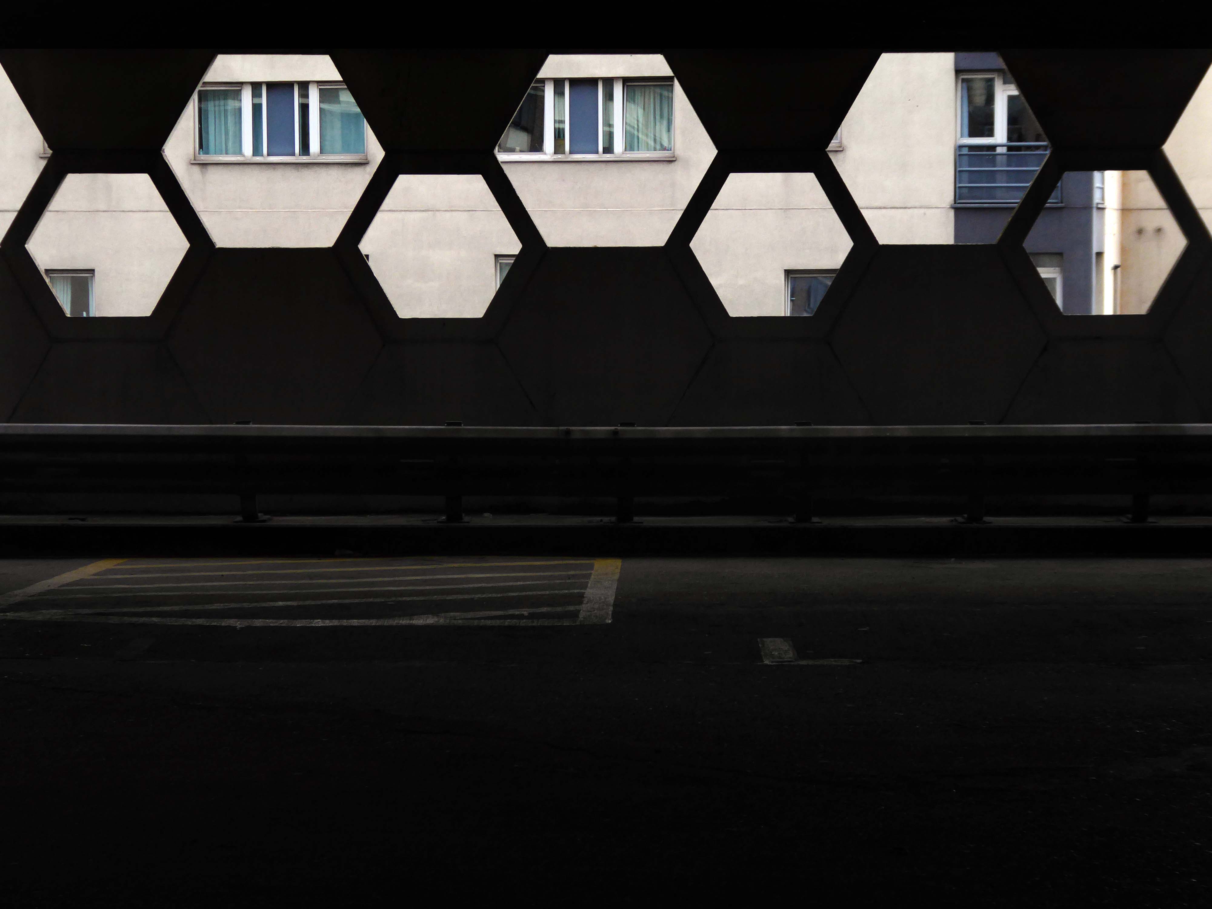
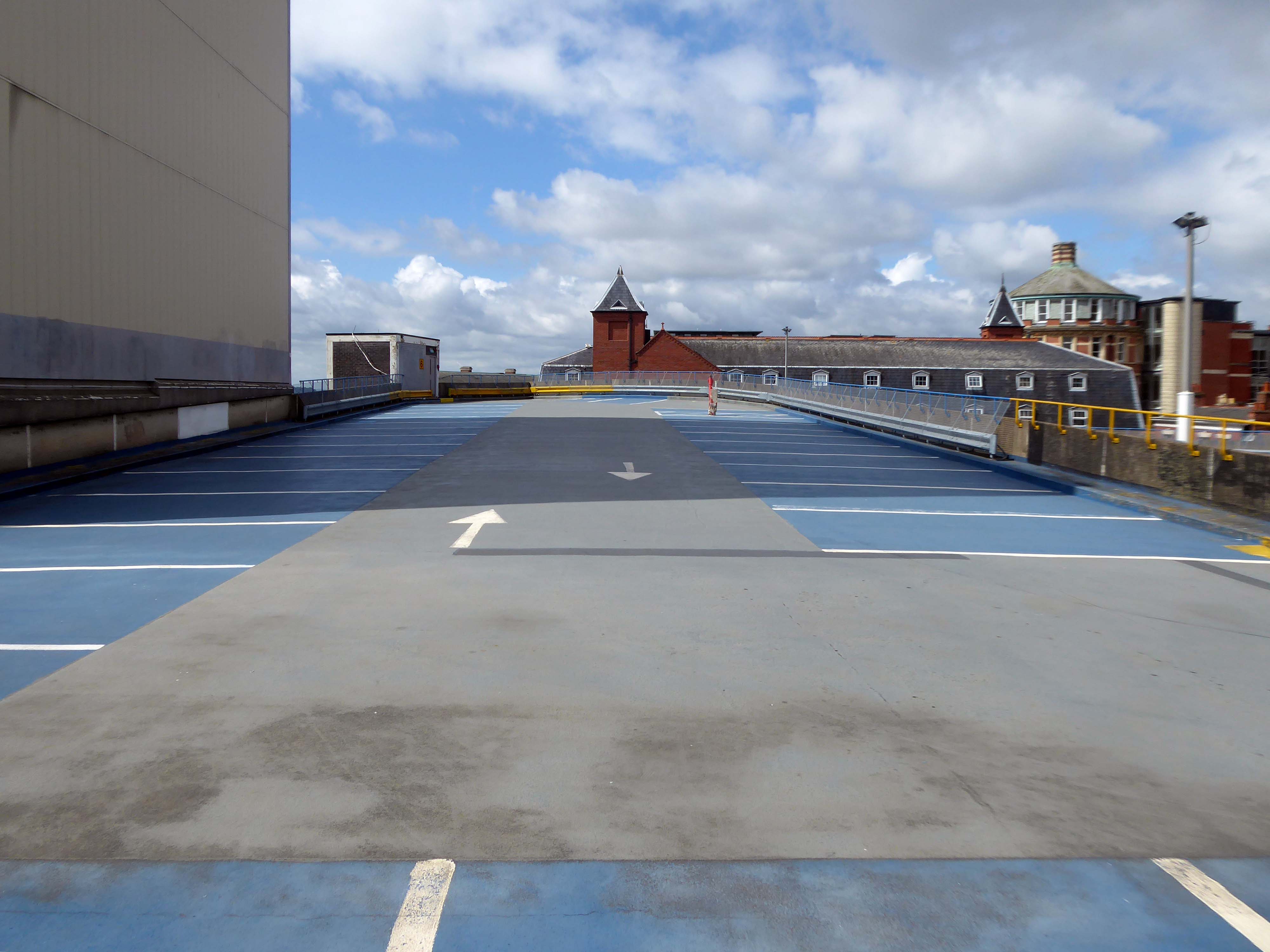
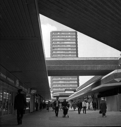
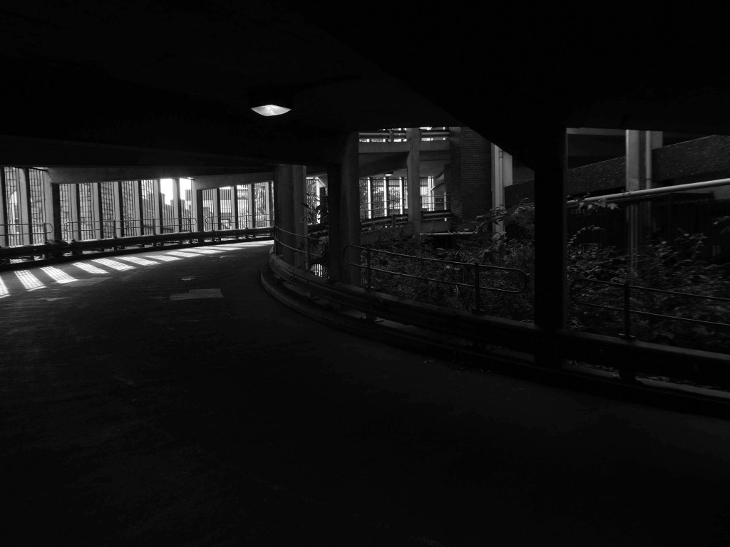
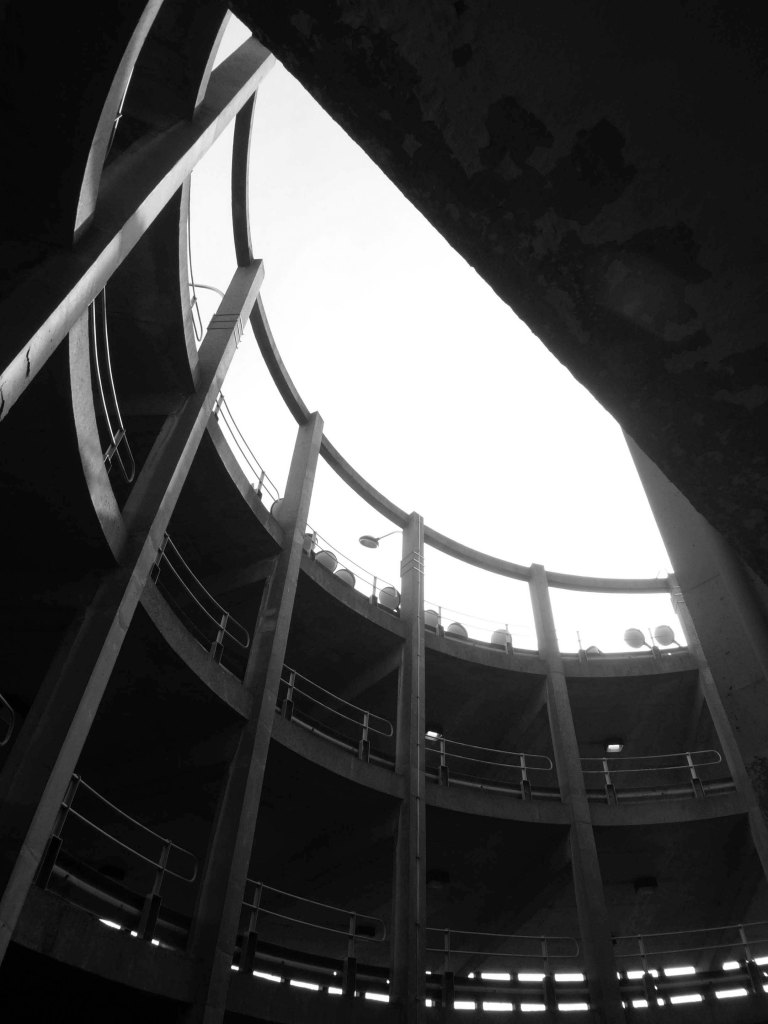
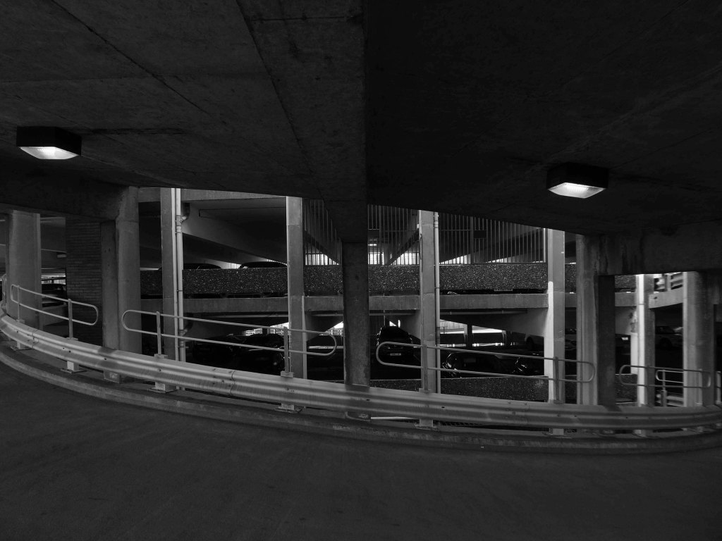
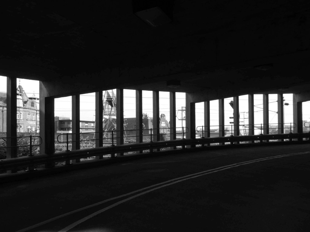
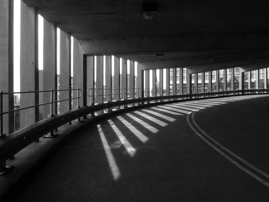
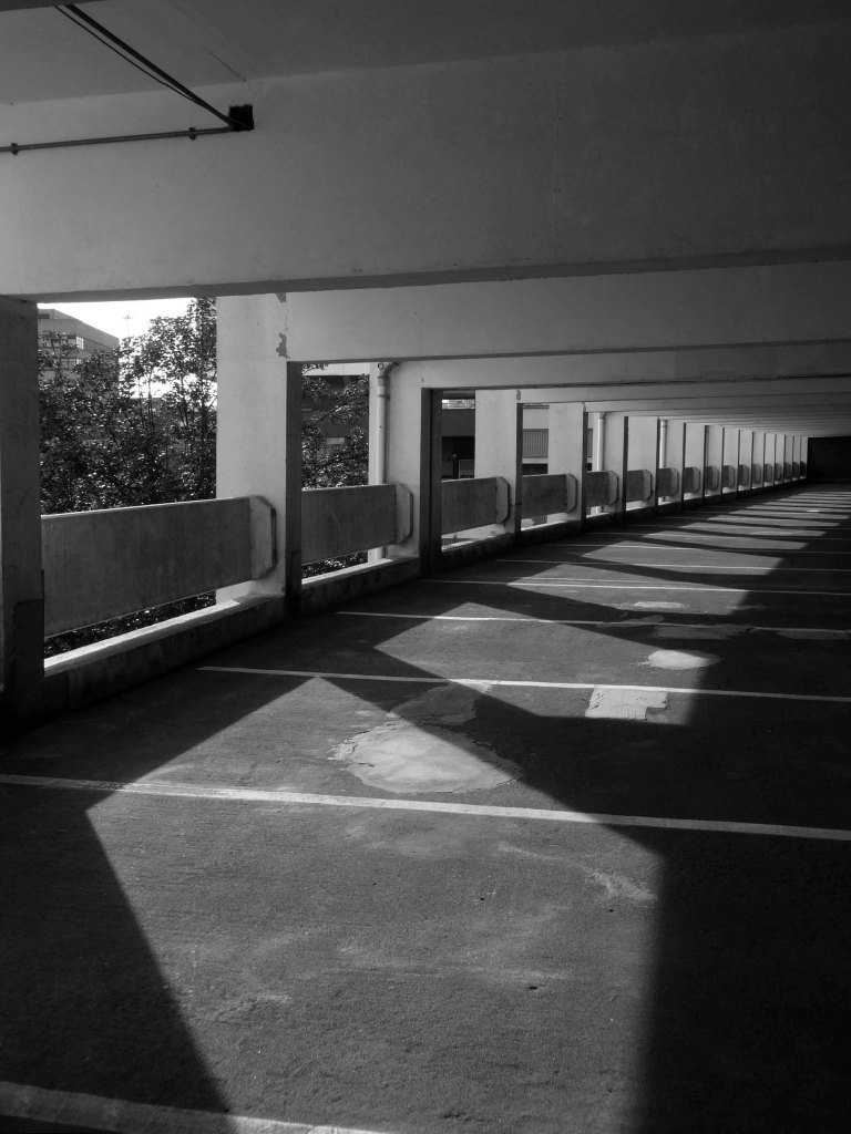
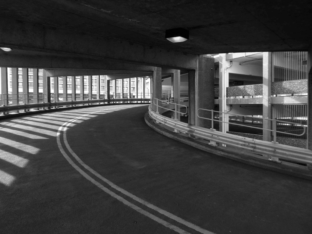
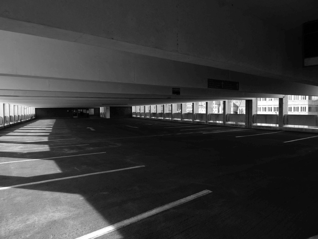
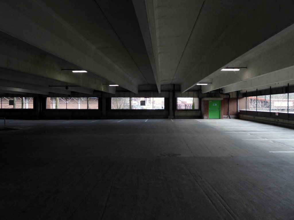
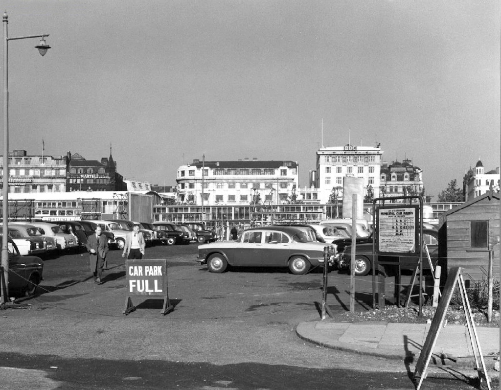
The pedestrian in a car park ventures forth into a part of town rarely visited, discovering a clean and modern environment, affording extensive views over an ever expanding city.
As part of the redevelopment of the Gaythorn Gas Works site, First Street has successfully managed to create a new thriving neighbourhood in Manchester. The development continues to seamlessly integrate cultural spaces with commercial offices, retail spaces, a hotel and multi-storey car park.
Cundall has provided multidisciplinary engineering services spanning several years and multiple buildings including, Q-Park MSCP.
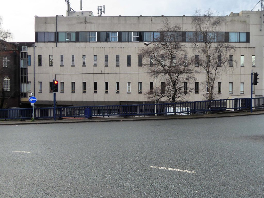
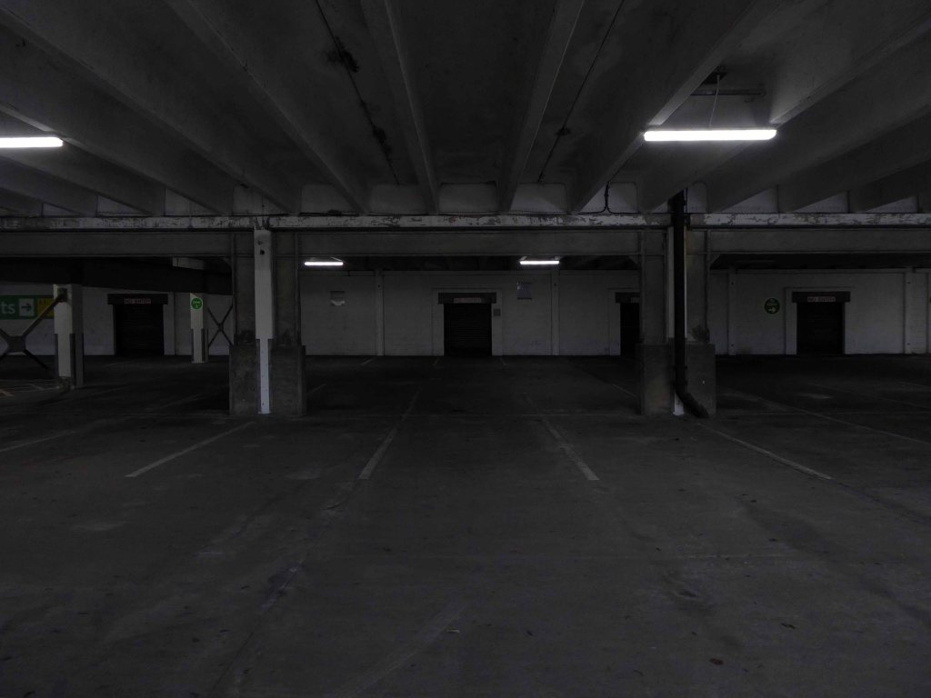
Tontine car park, the 255-space multi-storey car park in Exchange Street, St Helens, has been closed since February this year for a revamp.
This has seen a new lighting system, new signage and re-lined parking spaces installed throughout following an investment by St Helens Borough Council.
In a statement, the local authority said:
Old and failing pay on foot equipment has also been replaced with brand new pay and display machines which take cash.
St Helens Star 2020
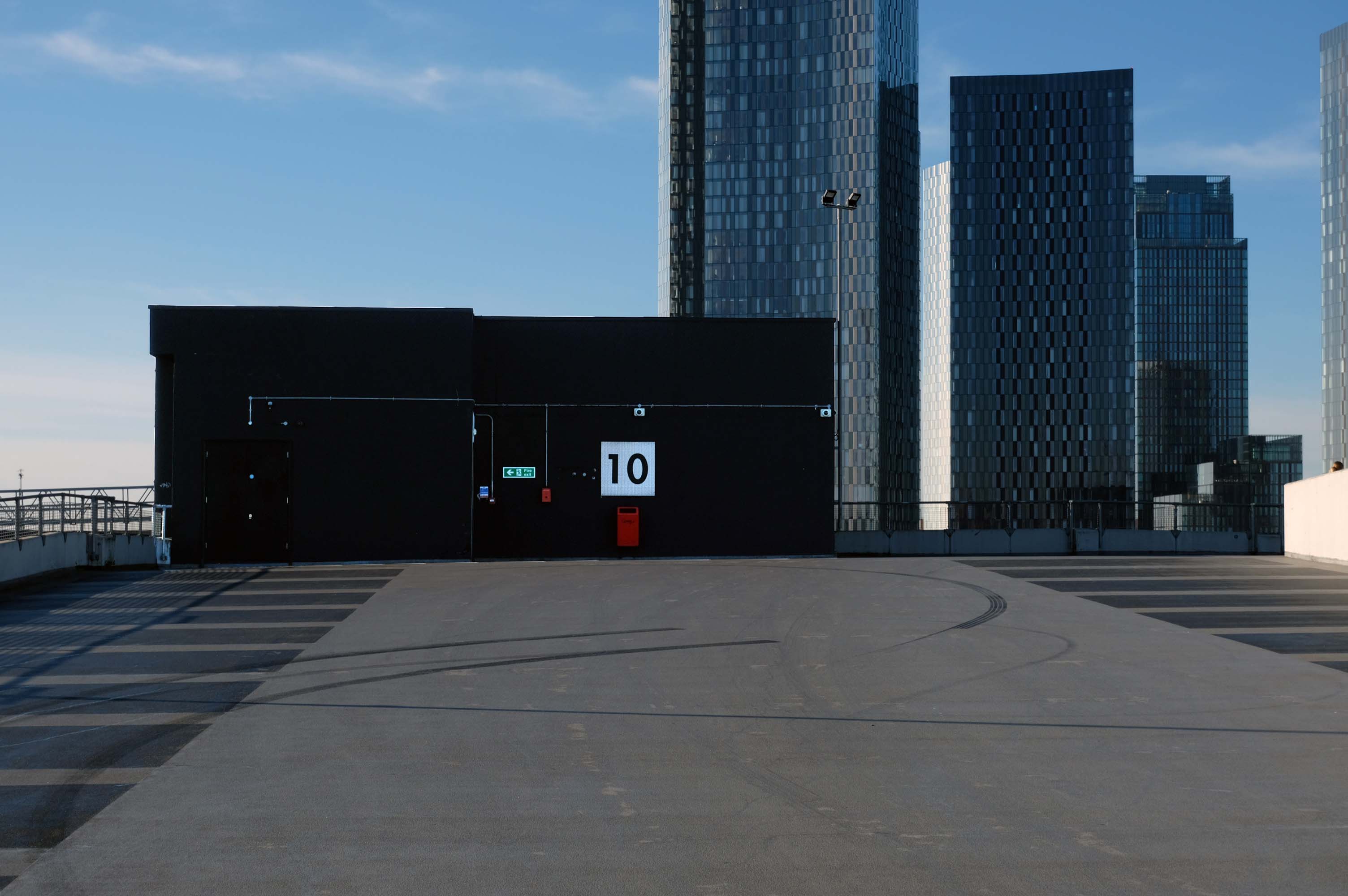
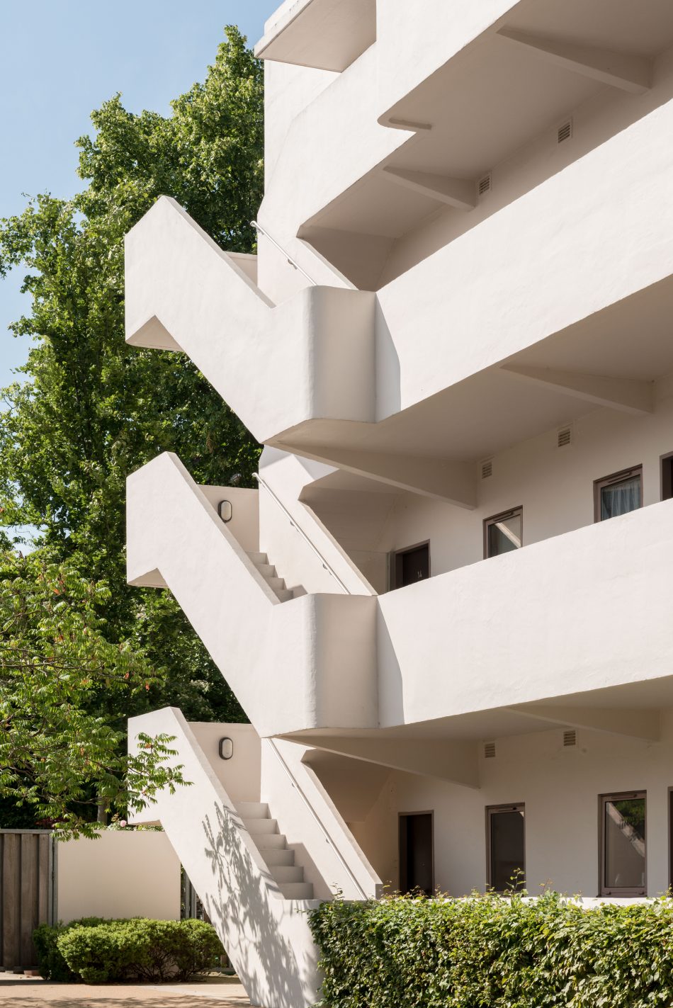
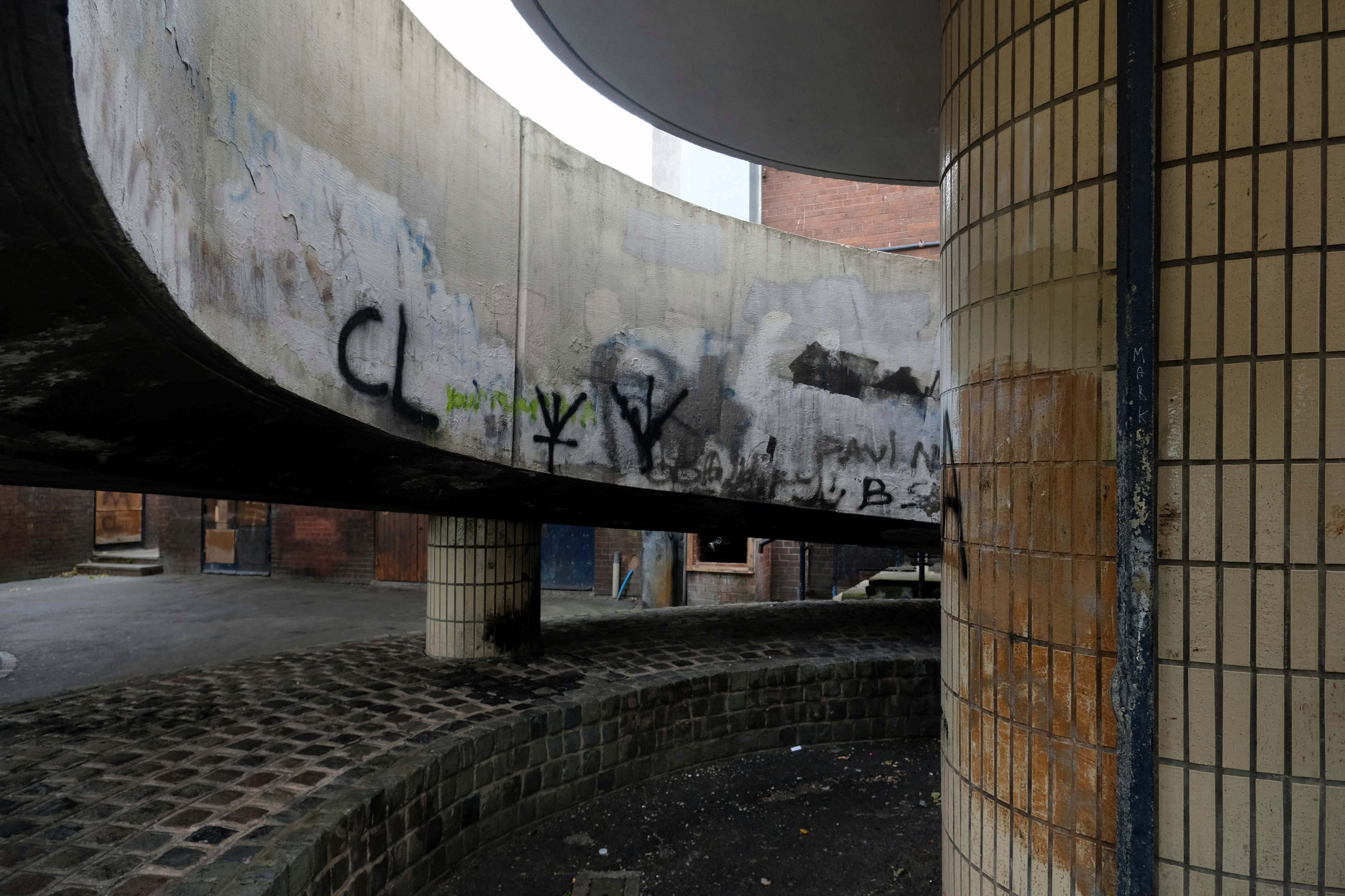
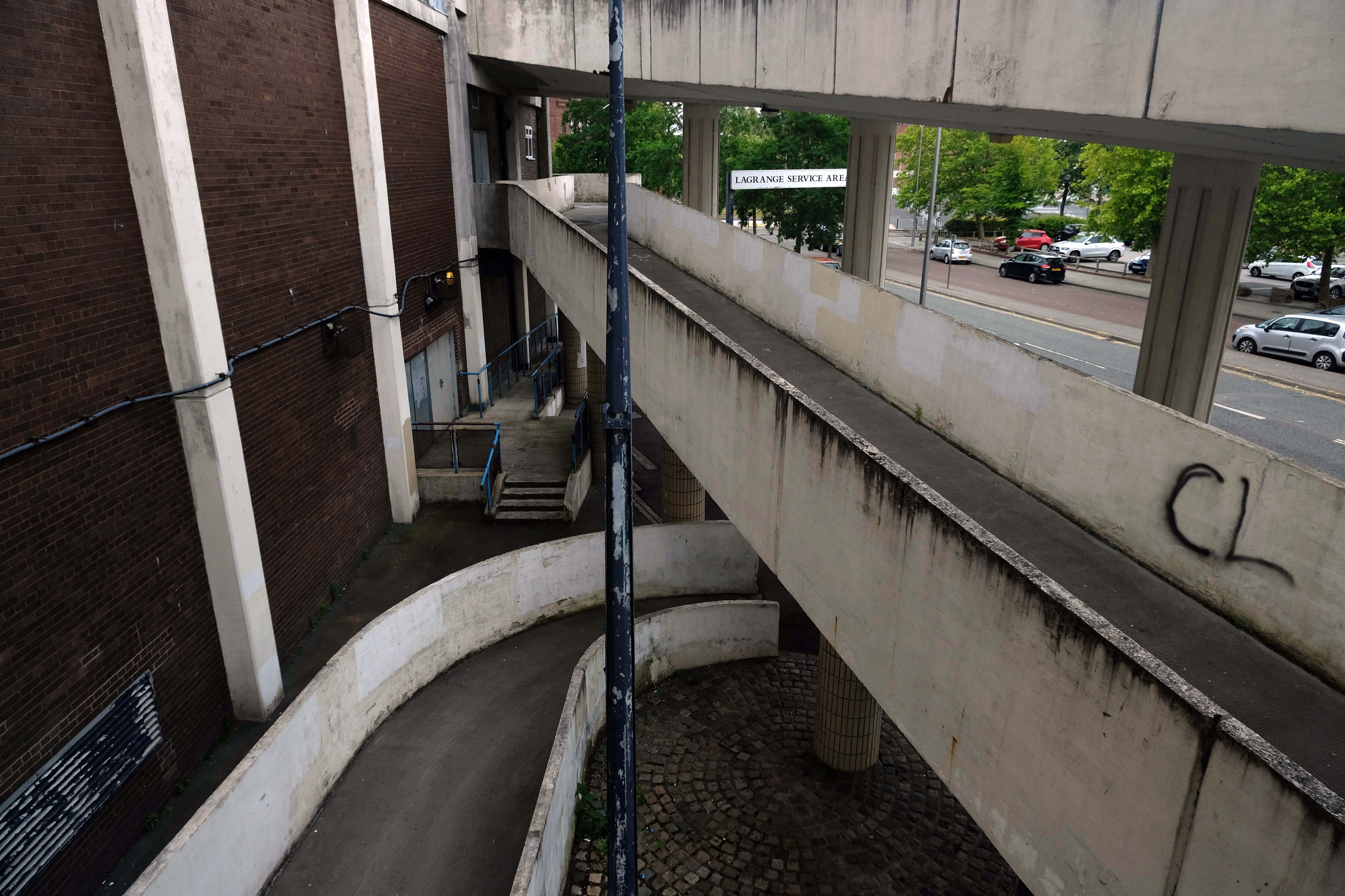
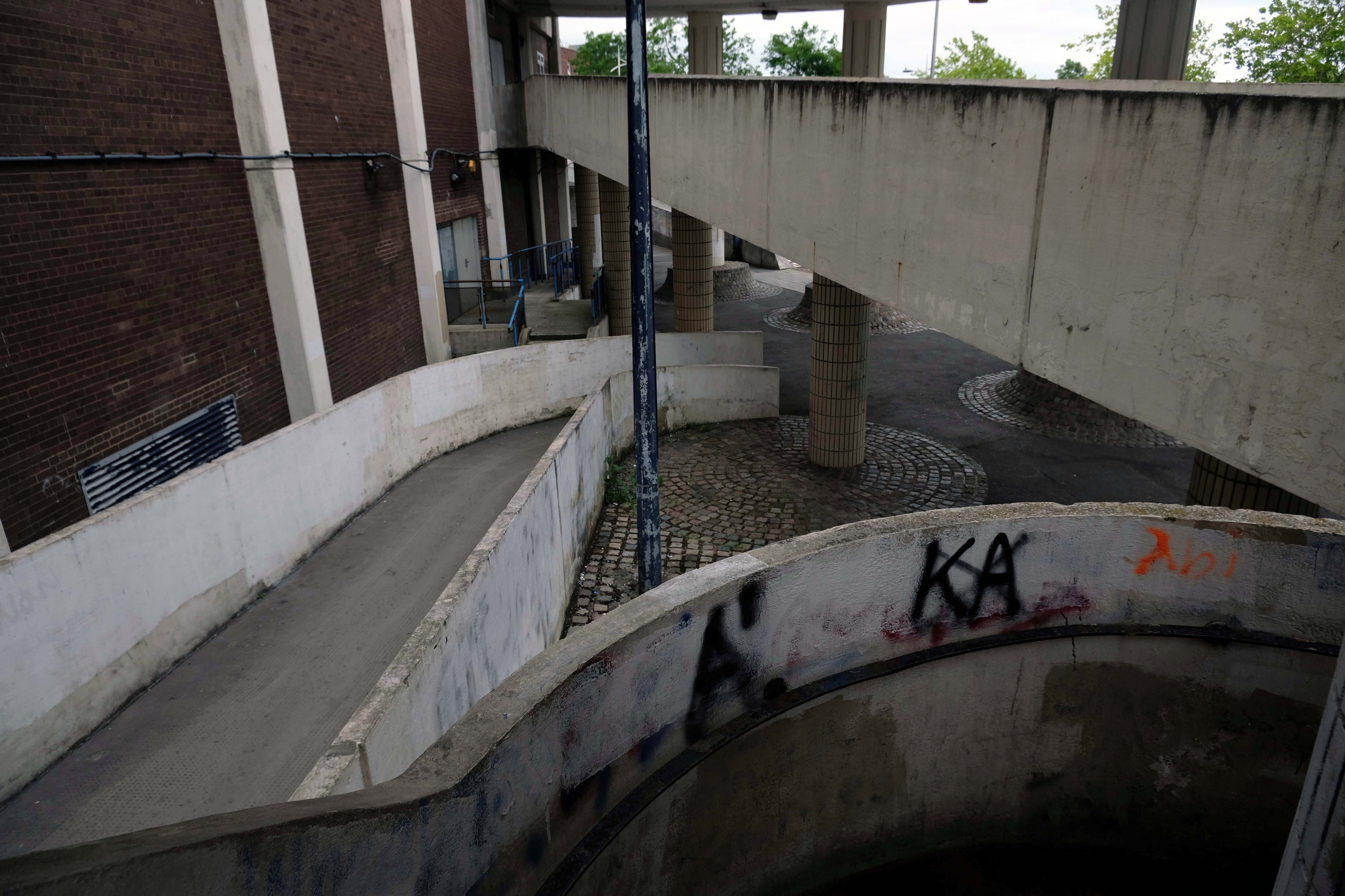
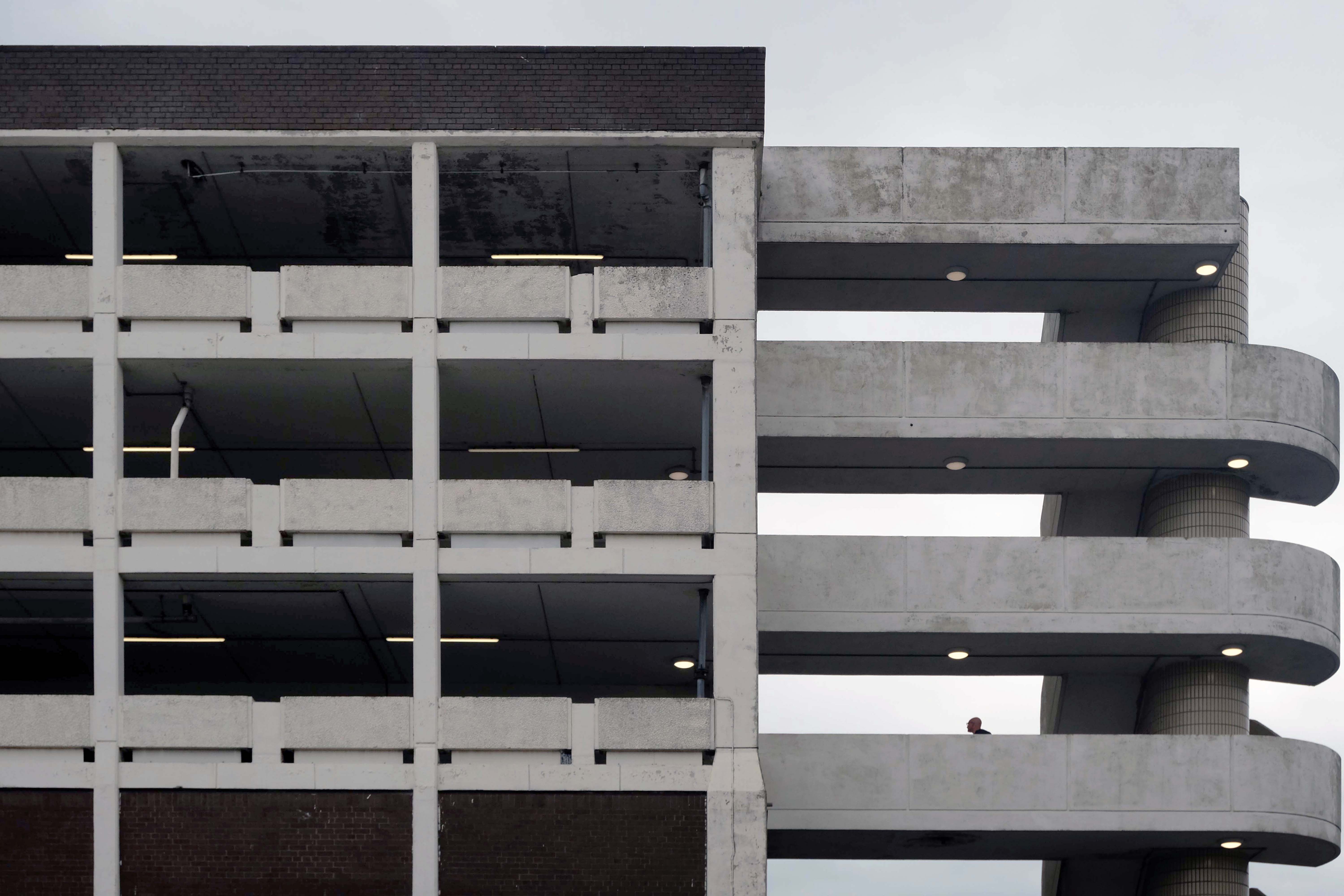
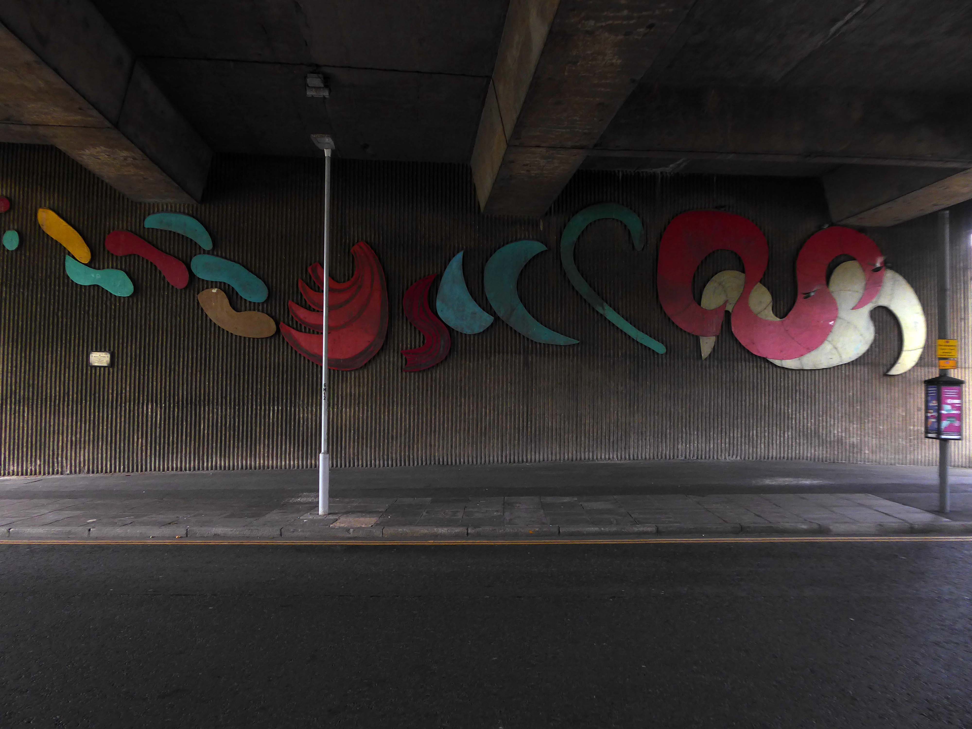
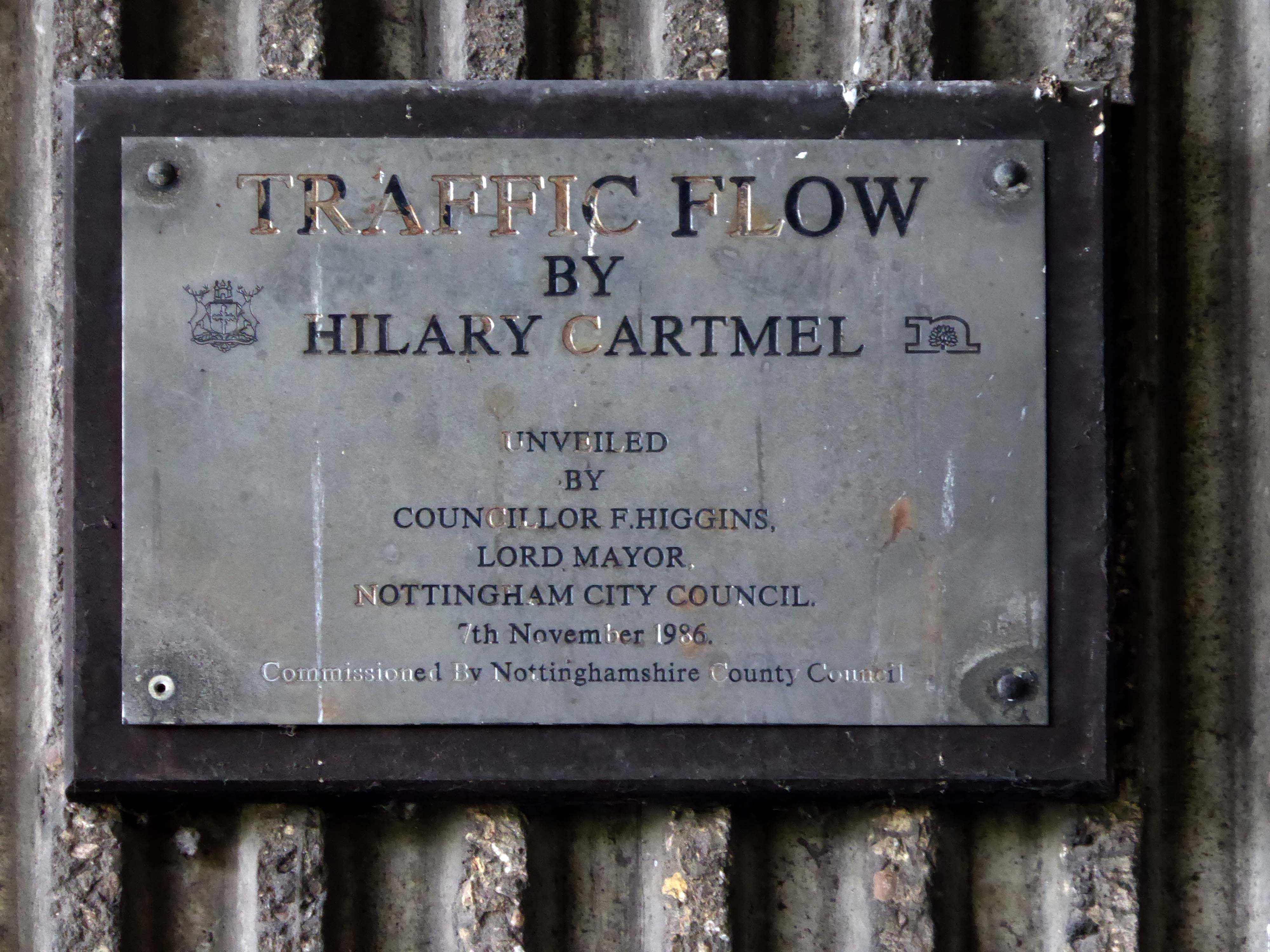
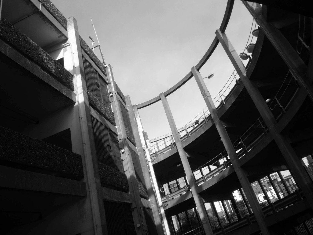
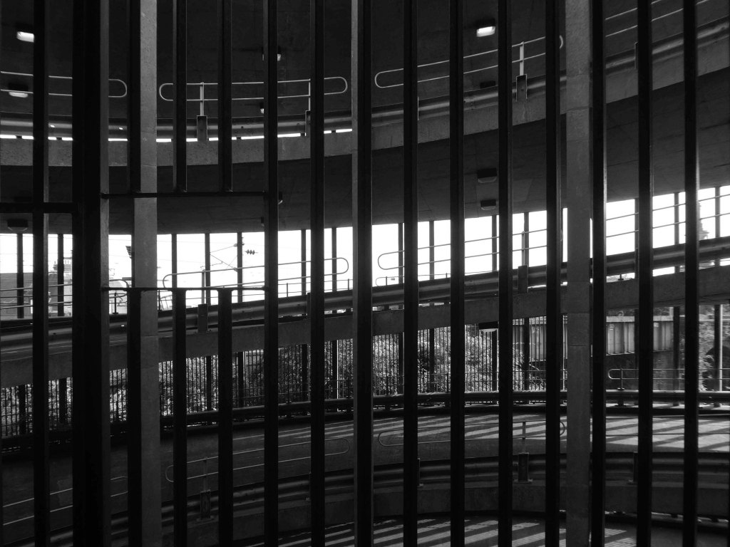
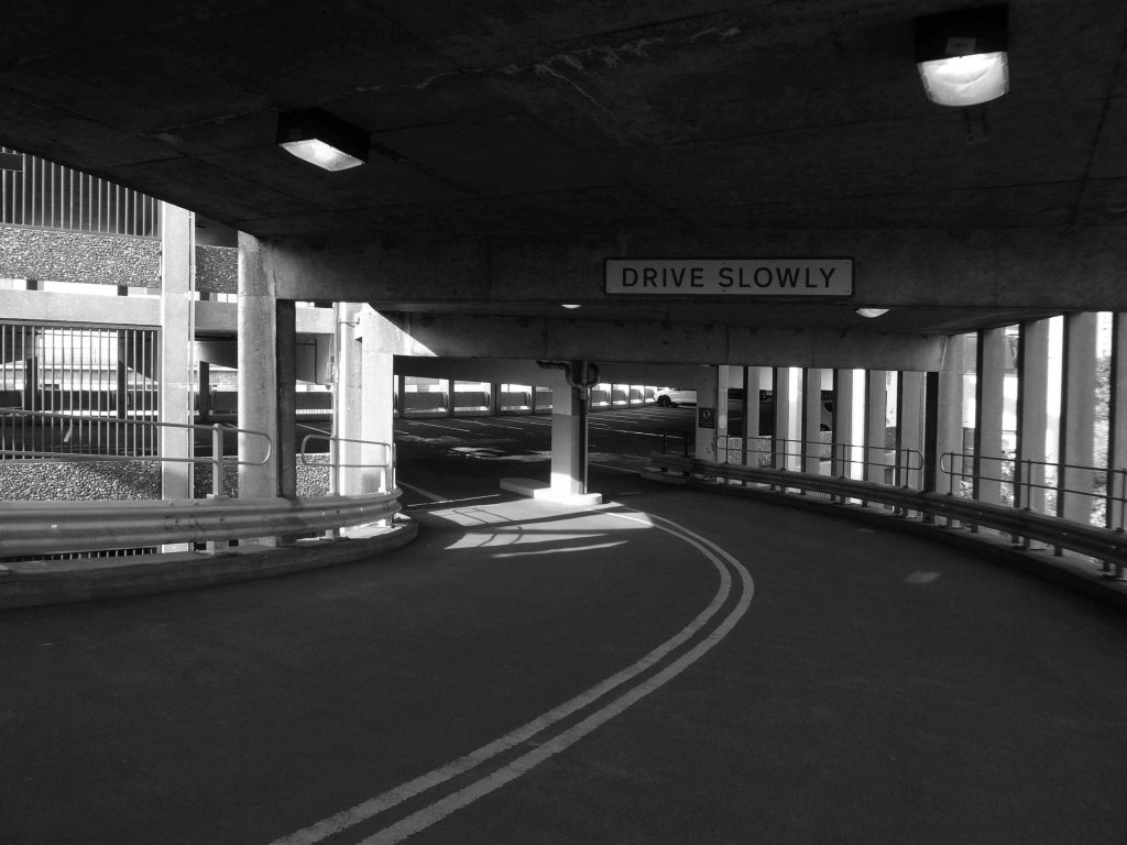
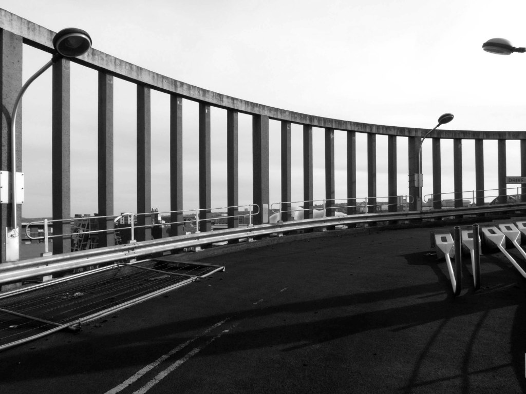
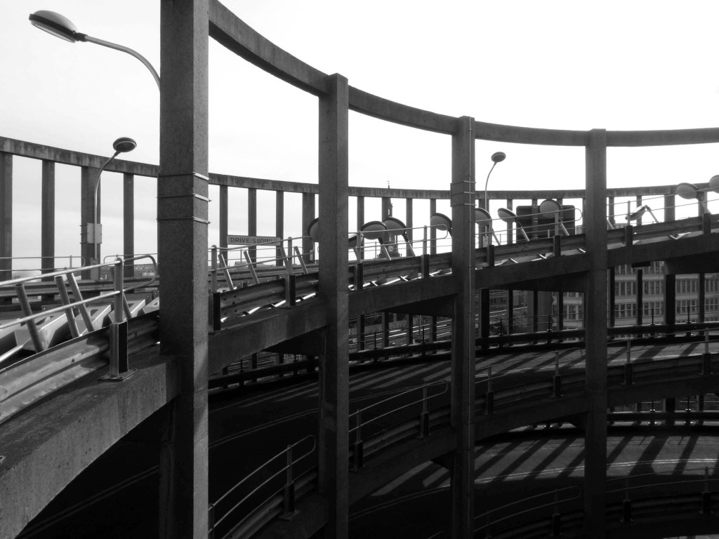
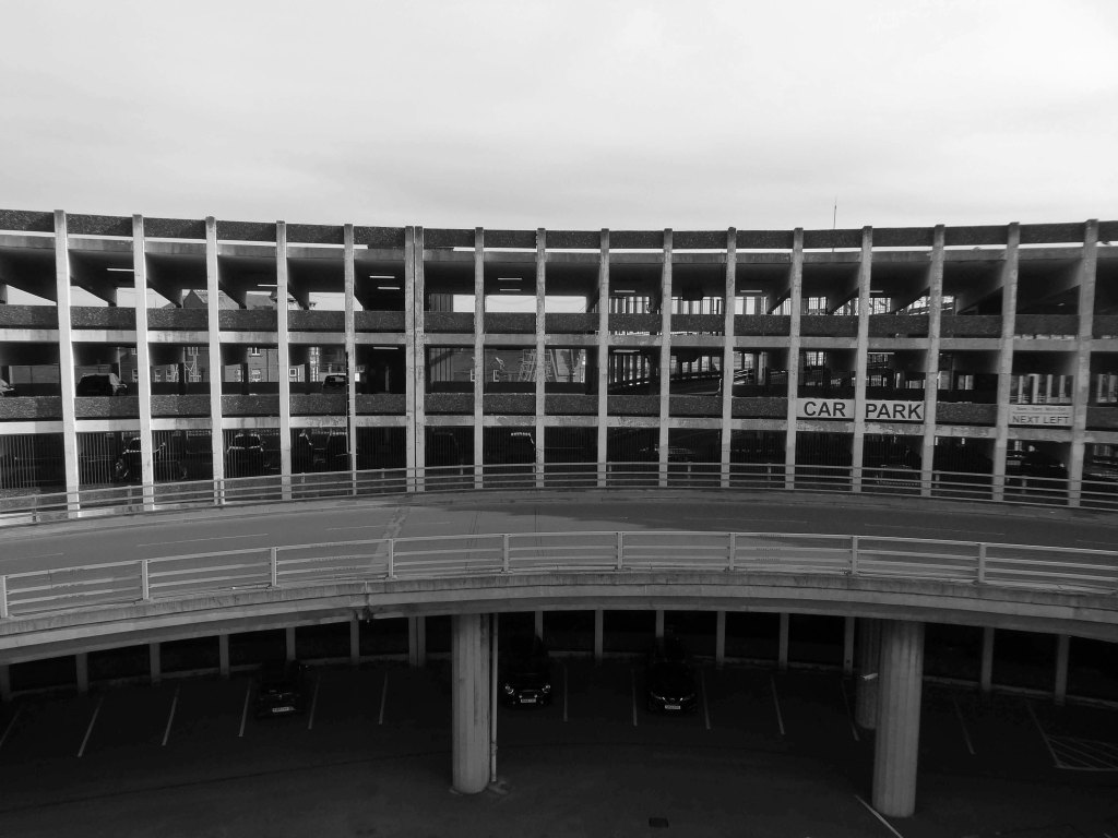
Well that there Bauhaus has a whole heap to answer for – with its curves and its concrete.
Influencing the sweeps and swoops of the car ramps and pedestrian walkways.
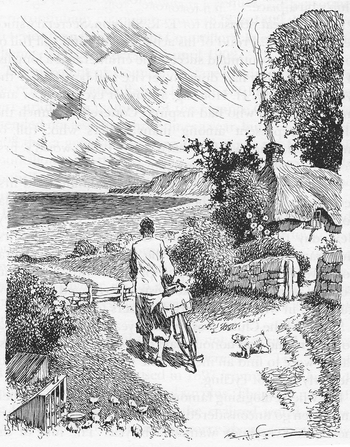
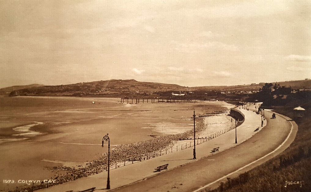
I have to admit that I’m fascinated by the manicured homes of this long sweep of road reaching from the base of the Little Orme.
It was fascination, I know And it might have ended right then, at the start Just a passing glance, just a brief romance And I might have gone on my way, empty hearted
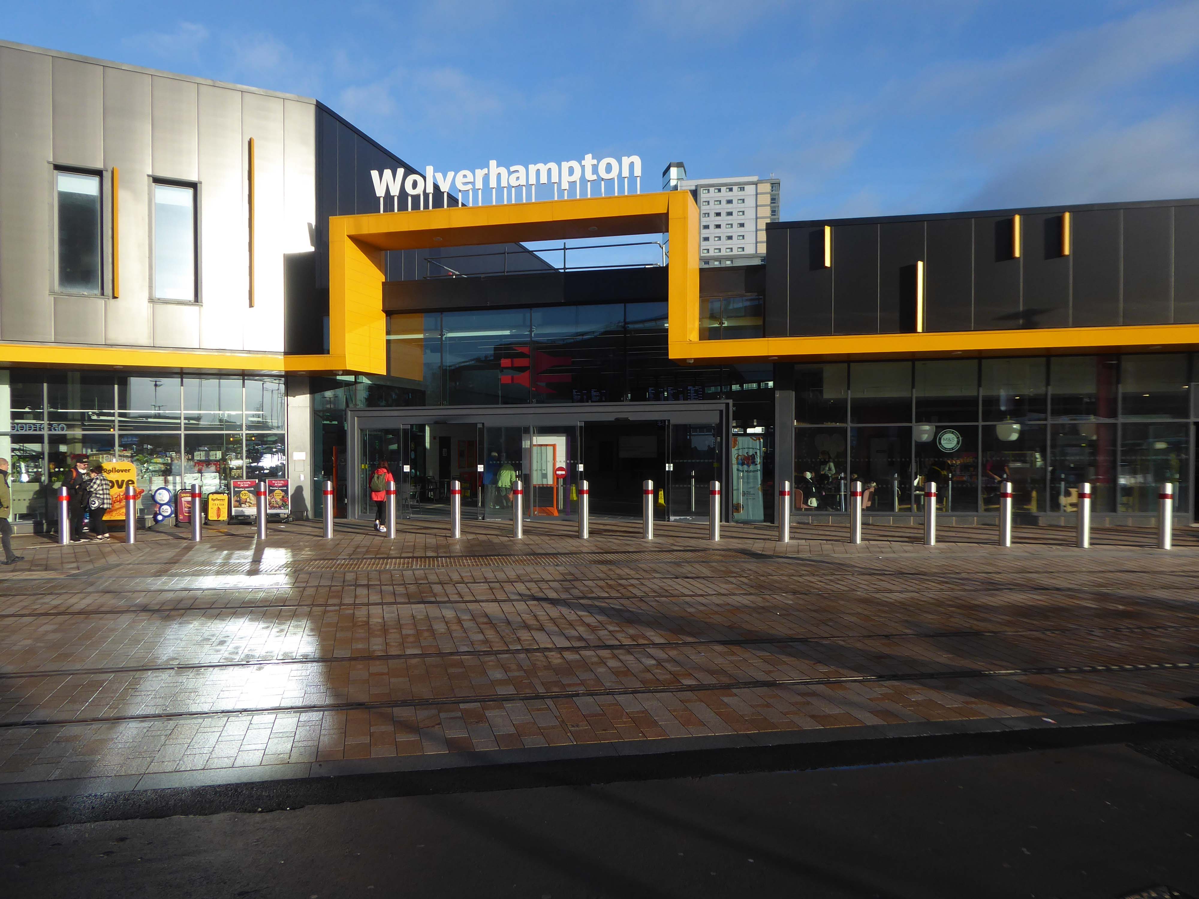
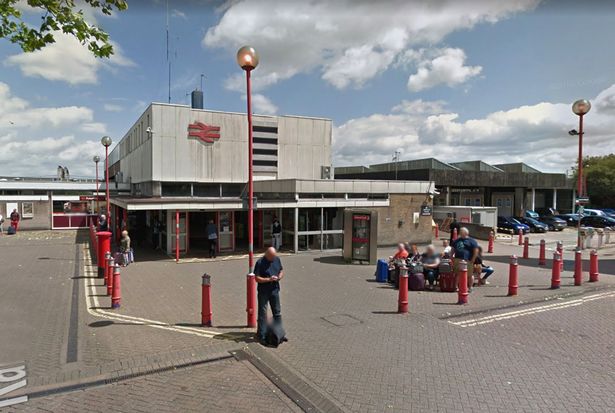
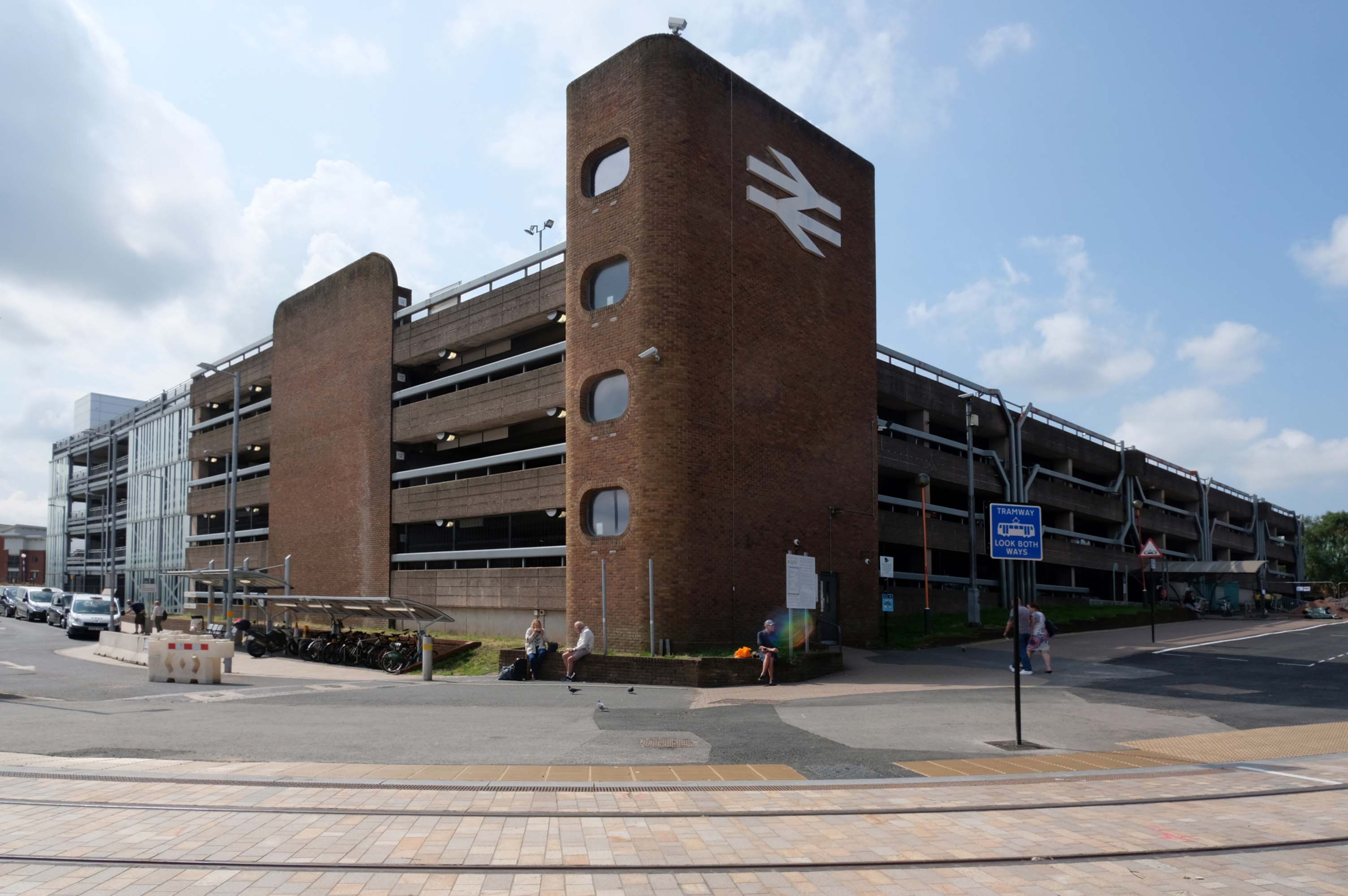
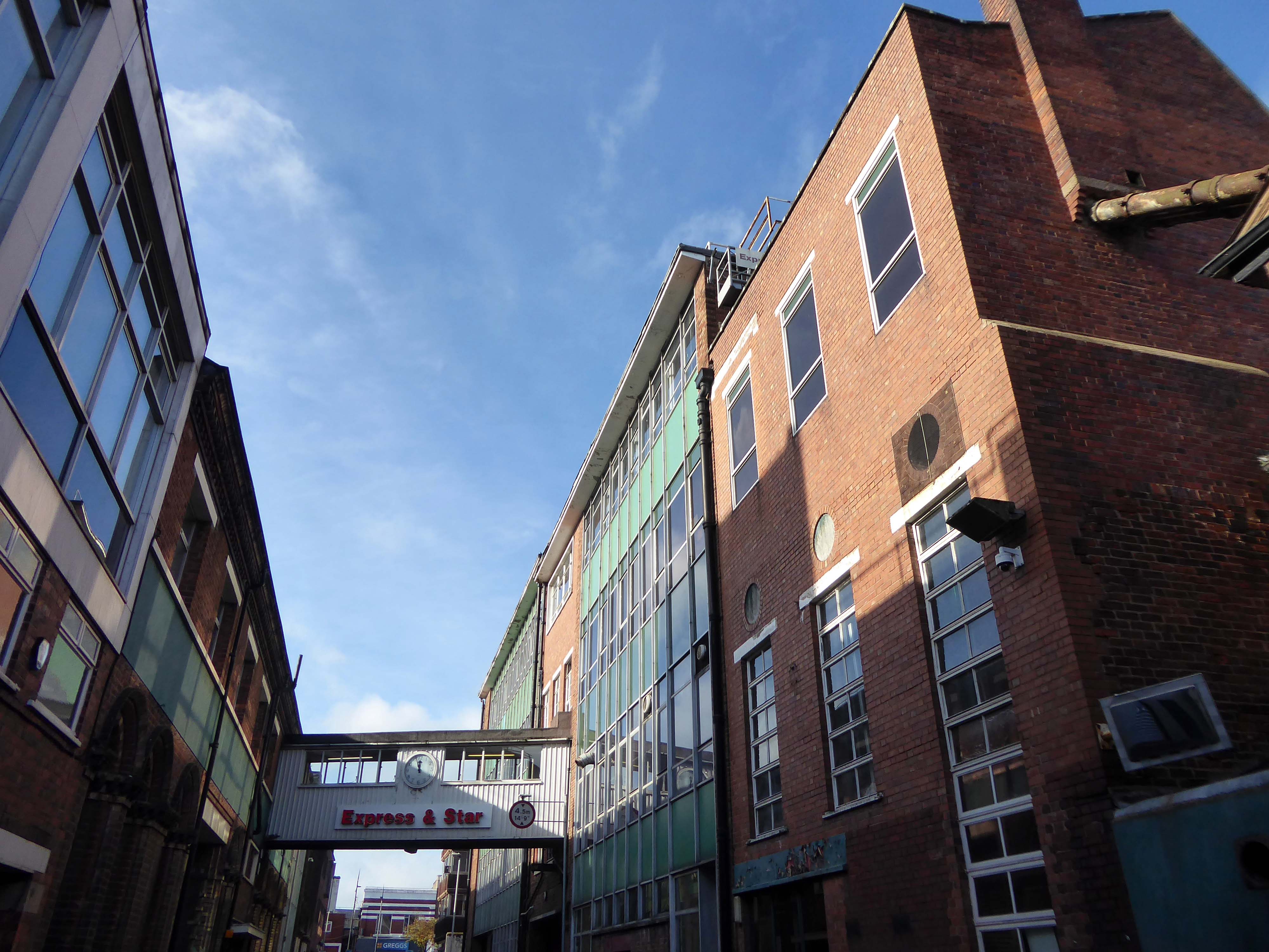
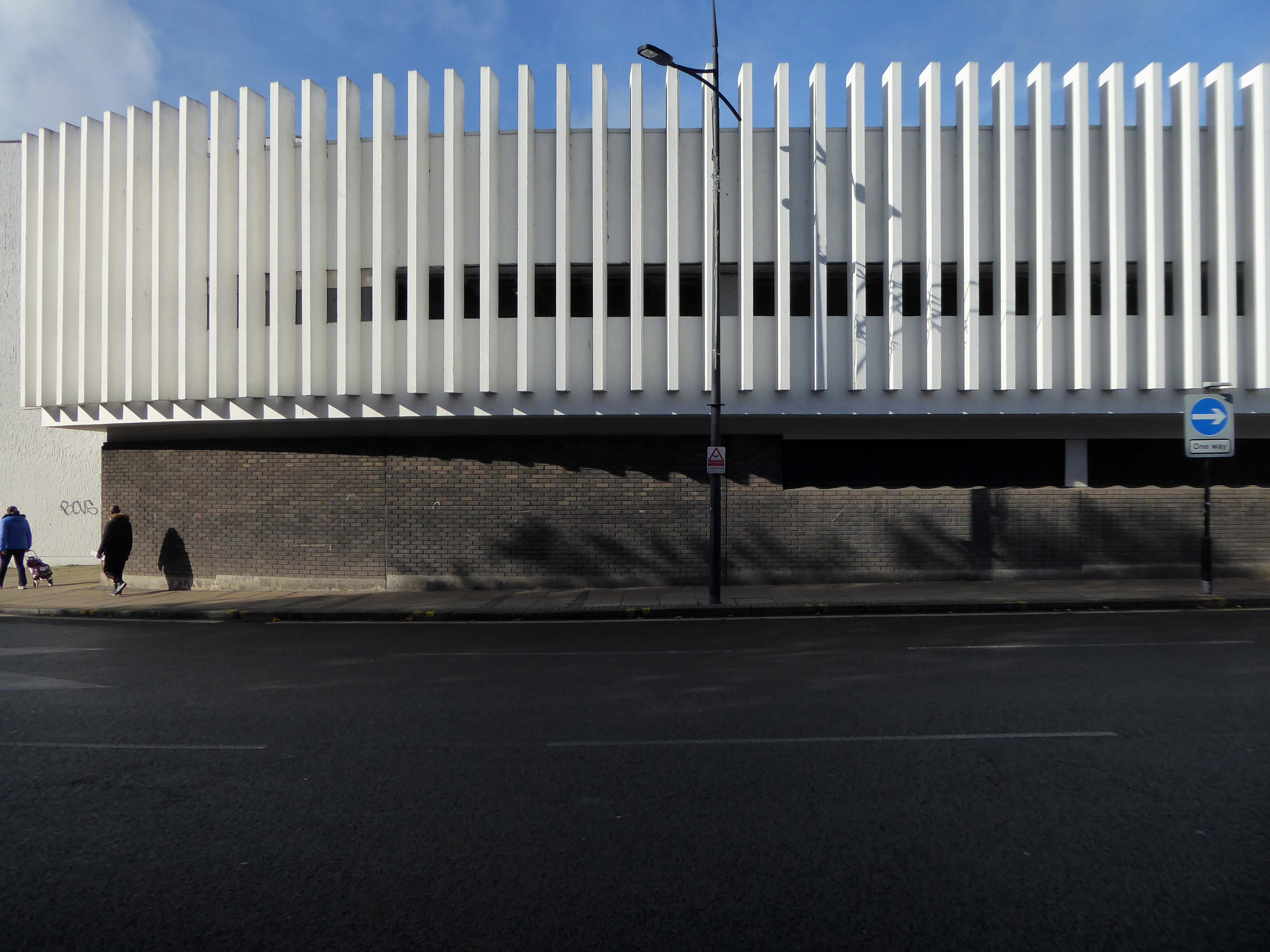
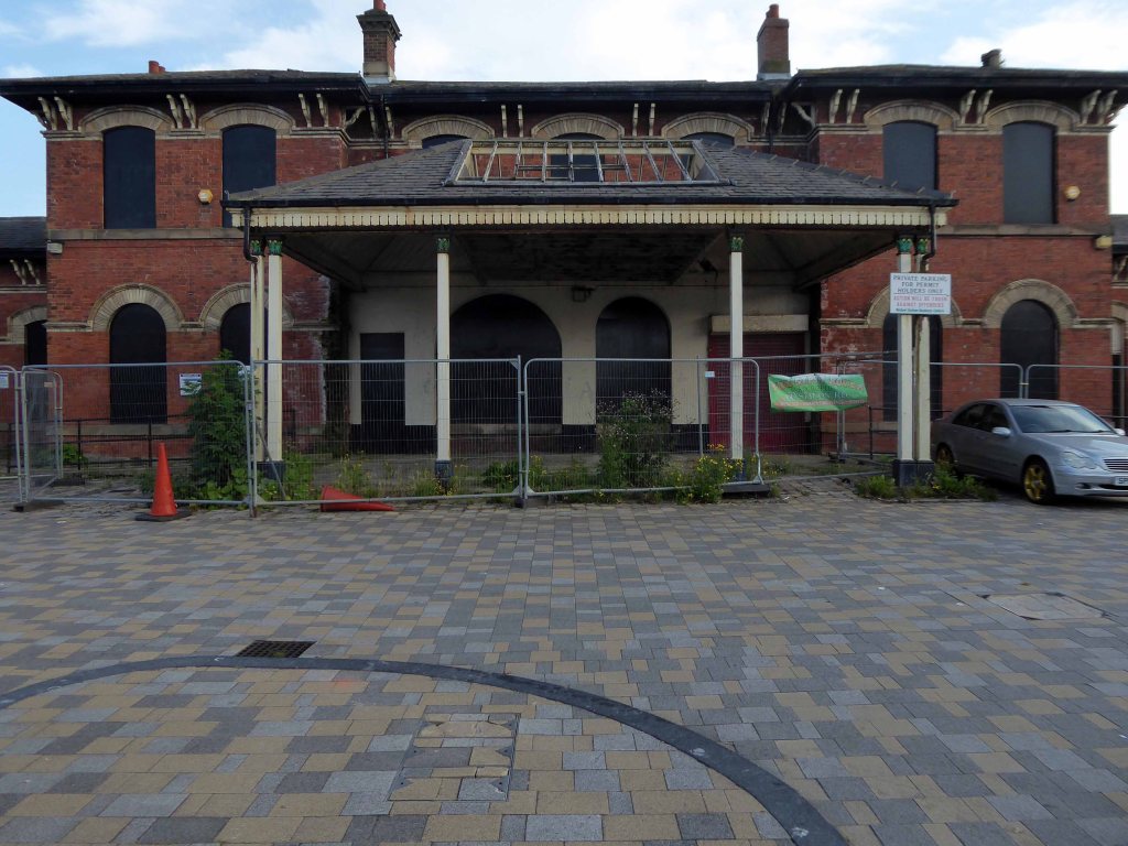
We begin at the Railway Station – recently refurbished, overwriting its 60s iteration – completely rebuilt by the architect Ray Moorcroft as part of the modernisation programme which saw the West Coast Main Line electrified.
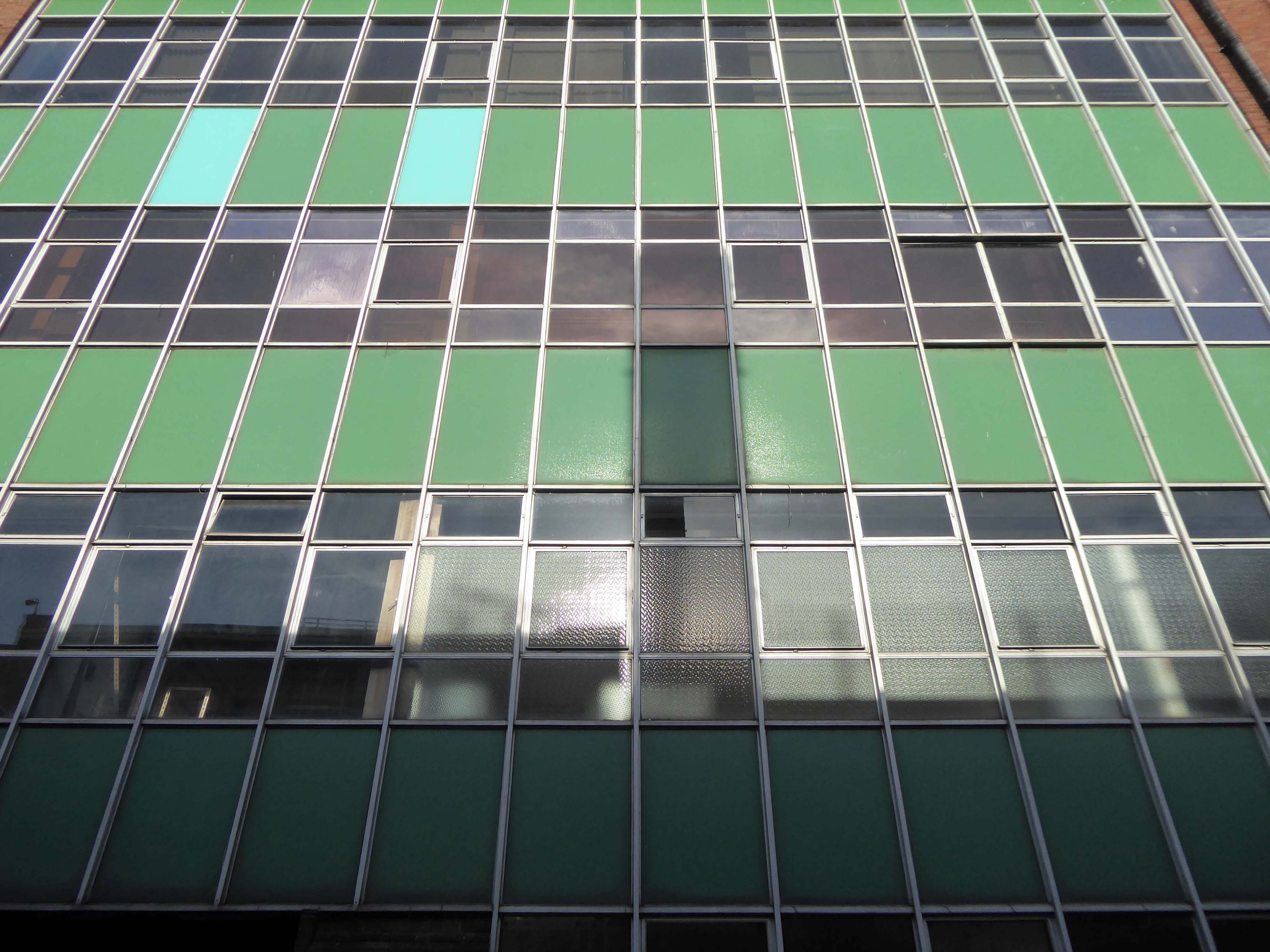
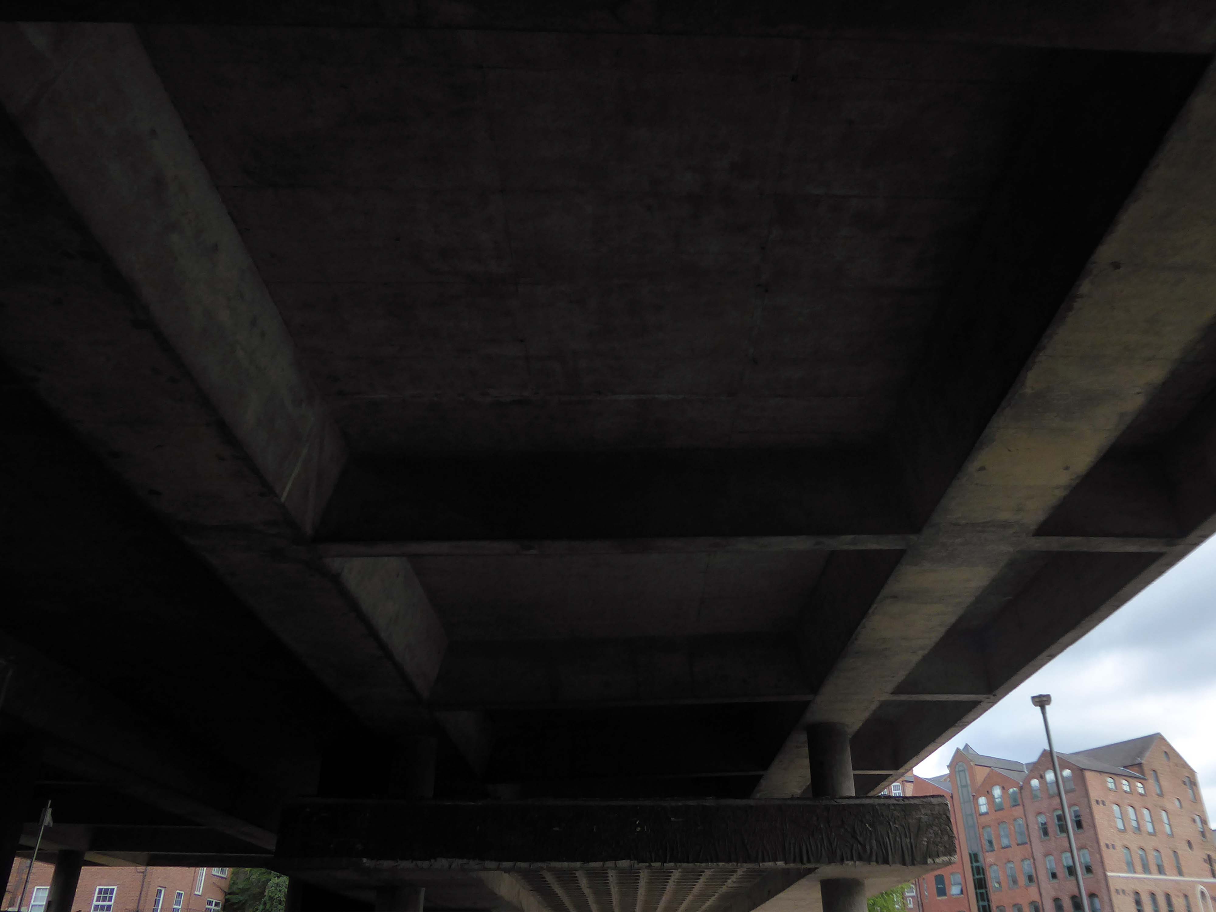
Across the way an enormous brick clad multi-storey car park – skirted by the lines for the tram, which travels to and from Birmingham.
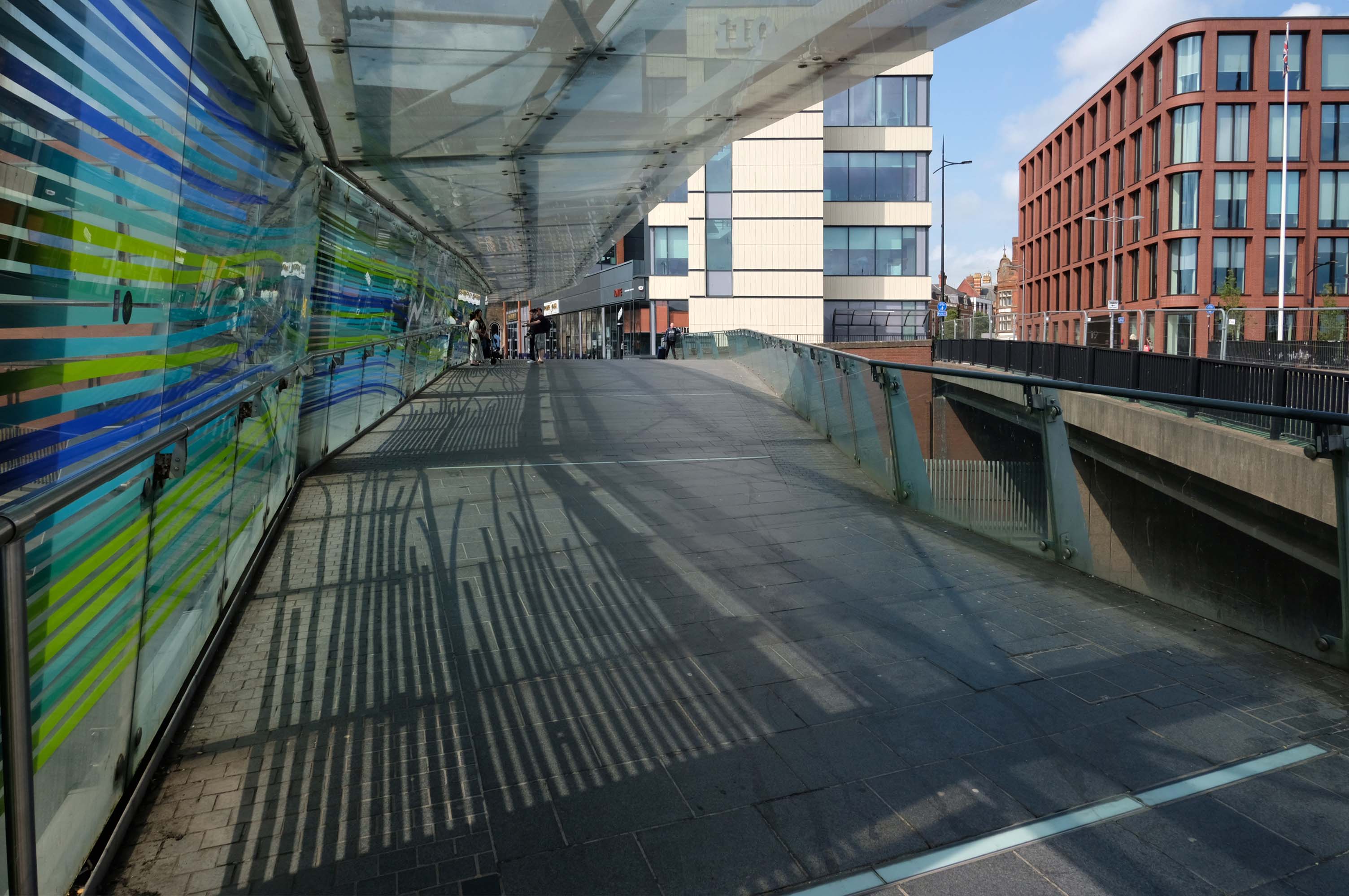
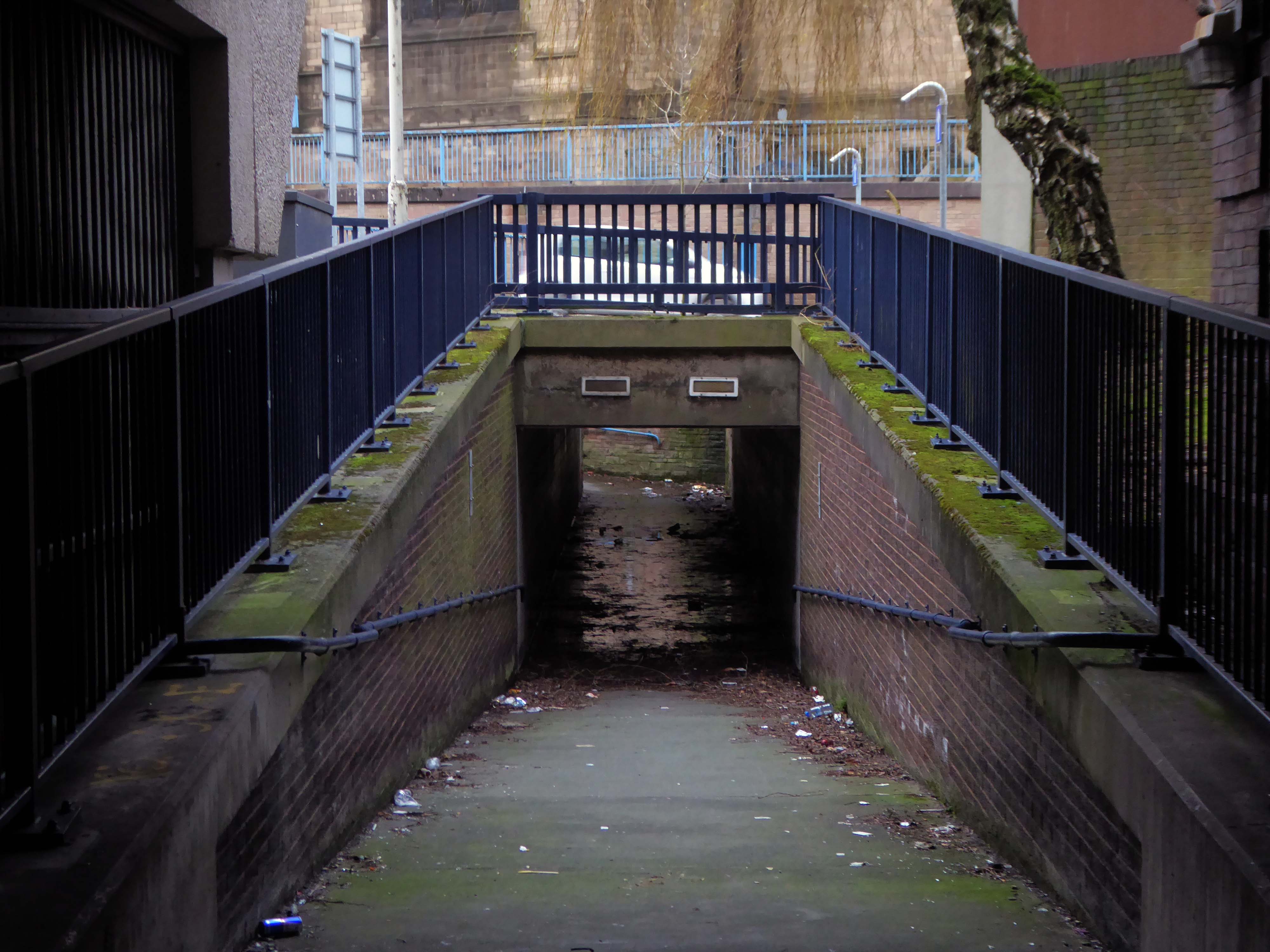
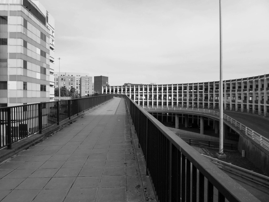
Walk across the brand new pedestrian footbridge over the ring road.
Architectural glass artist Kate Maestri was commissioned to produce the artwork design which features glass with blue and green strips of colour running through it.
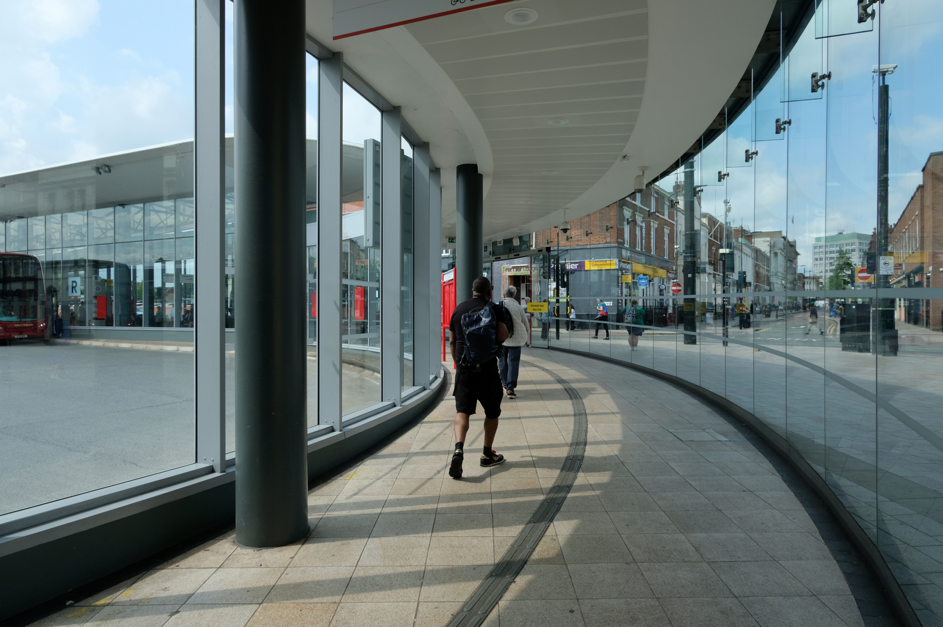
Linking the Rail Station with the brand new Bus Station.
The normal practice of the Wolverhampton Bus Service is to have dirty, smelly buses, that are cramped and extremely hot in the summer and freezing cold in winter. They offer no announcements apologizing for delays they know about and don’t appear to care how long passengers wait with no idea of how or when they’ll be getting a bus.
The best thing you can do is learn to drive as quickly as possible and get your own vehicle or car pool.
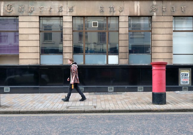
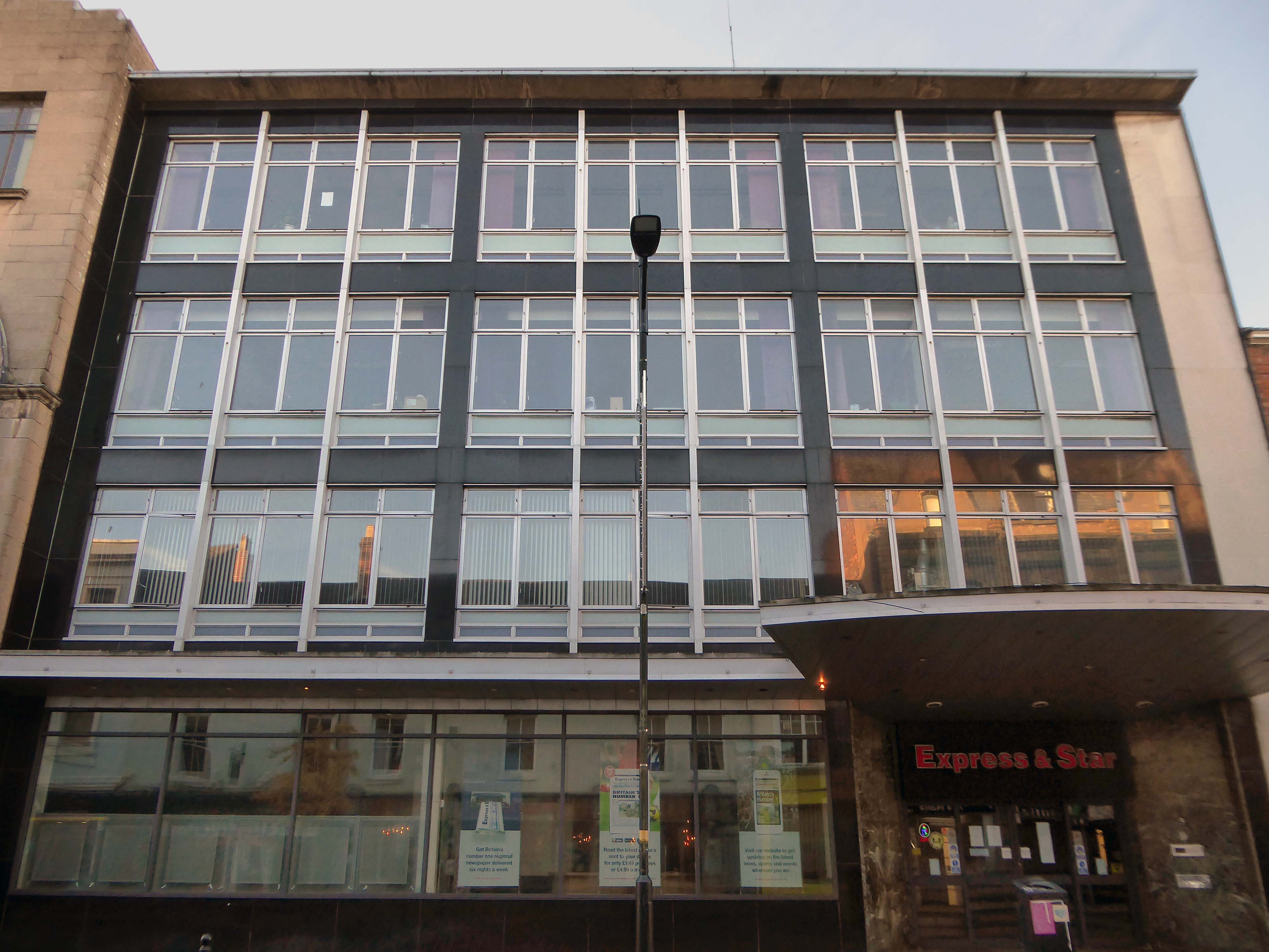
Midland News Association managing director Matt Ross confirmed the company is now looking at the building’s future.
For a number of years we have been exploring opportunities surrounding our historic Express & Star offices in the heart of Wolverhampton.
After removing the printing presses from the site and restructuring our departments we now have significant spare capacity available and so are looking at the various options available to us, be that redeveloping the current site or exiting the building altogether.
Extension is by architects: H Marcus Brown & Lewis 1965
With further work at the rear.
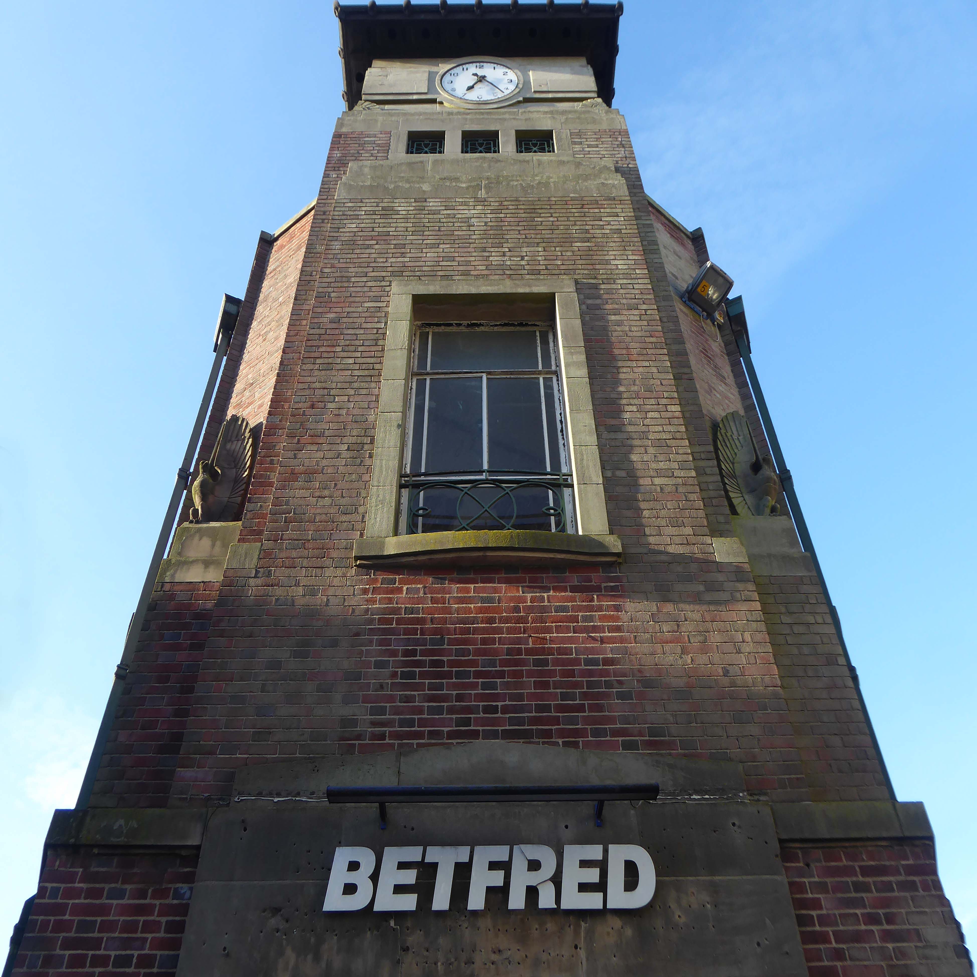
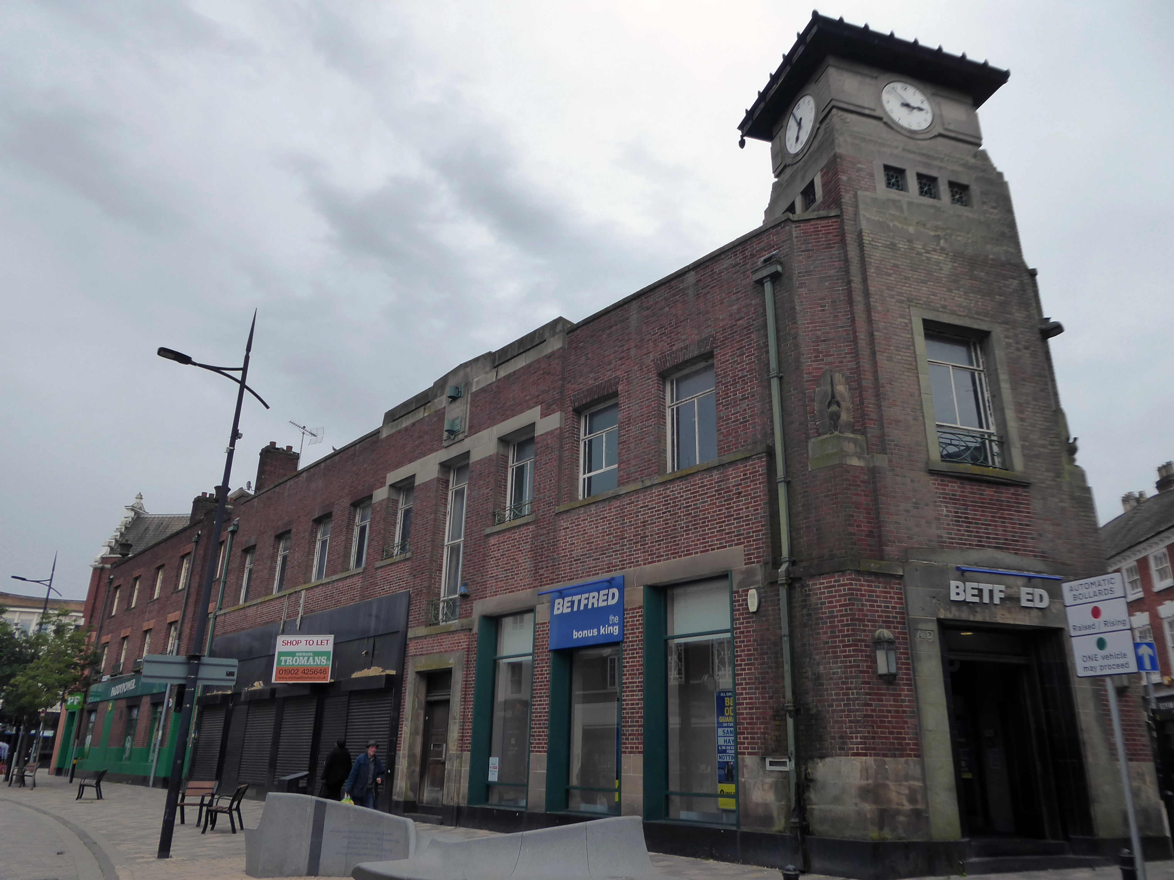
Along Princess Street this corner group, with an impressive clock tower – originally HQ for the South Staffordshire Building Society
Architects: George A Boswell of Glasgow 1932.
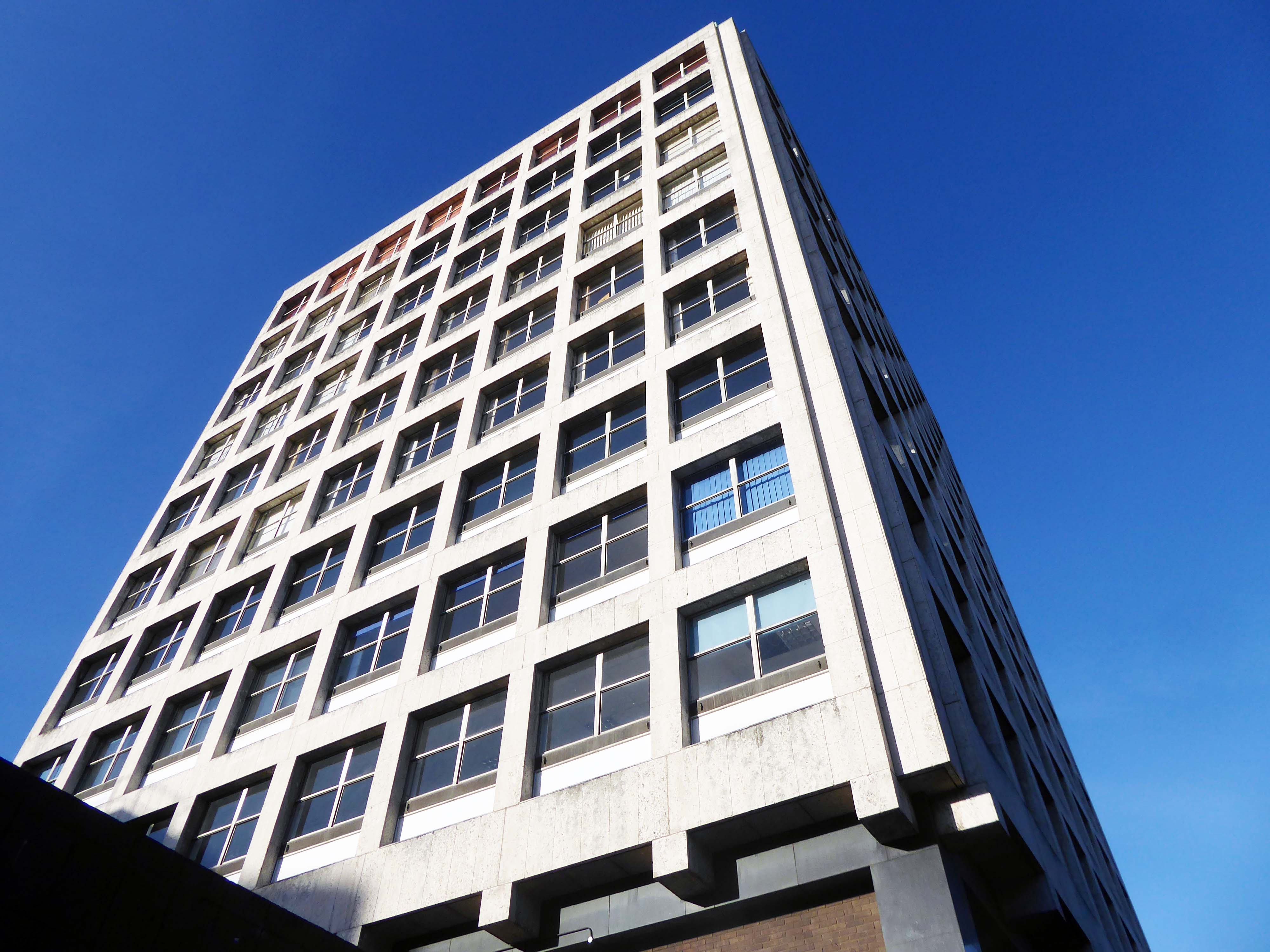
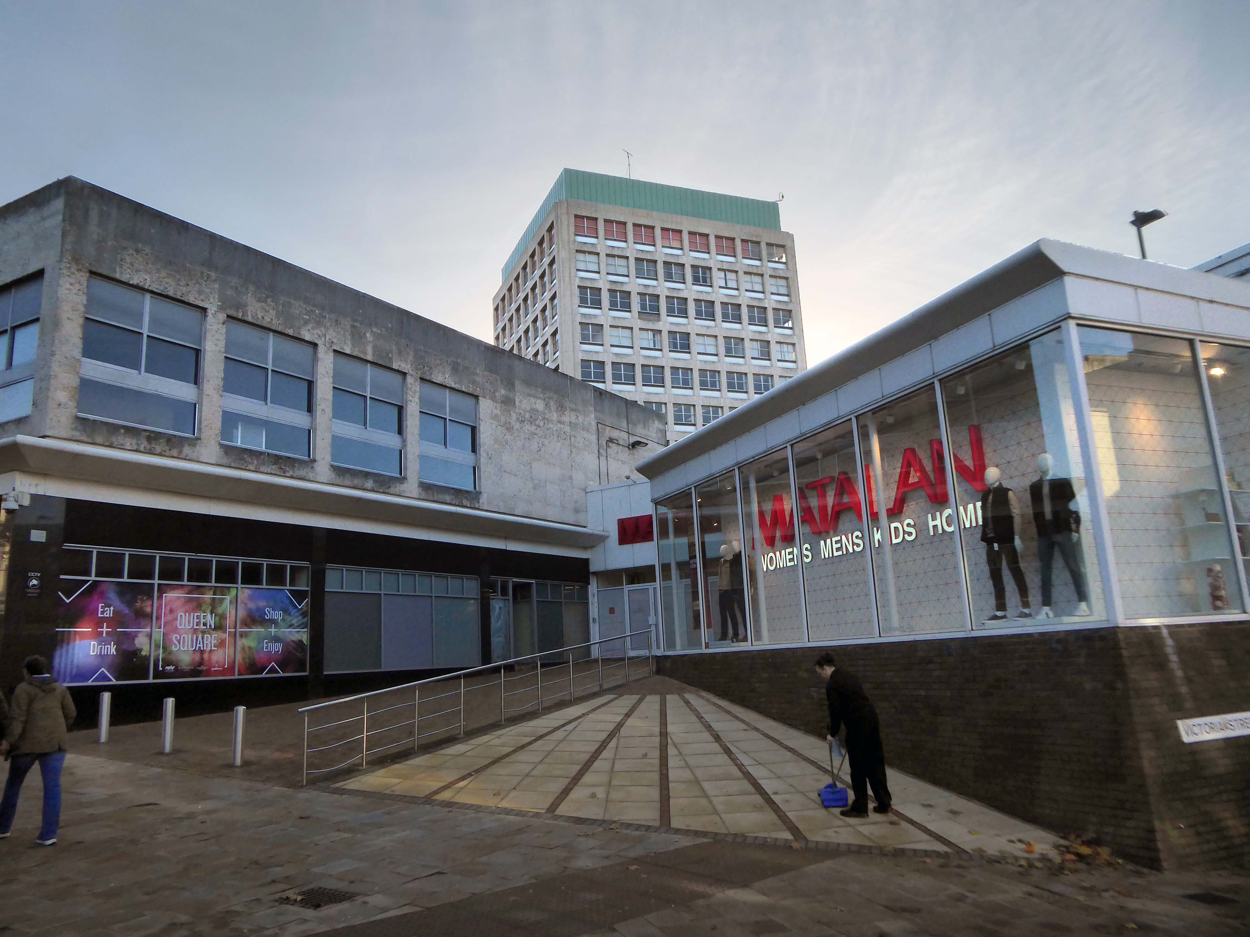
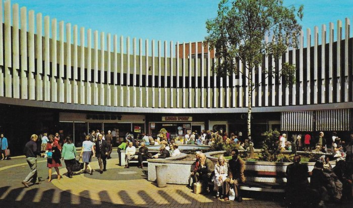
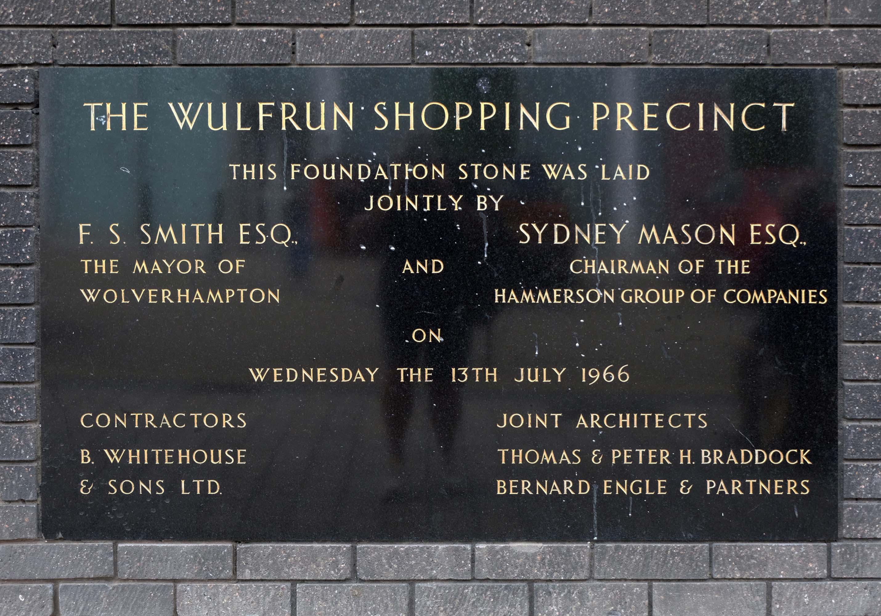
On to the Mander Centre – opened on 6th March 1968, refurbished 1987, 2003 and 2016-17.
The Mander Shopping Centre in the heart Wolverhampton is your one-stop shopping destination for all things fashion, home, beauty, food and technology.
Architects: James A Roberts principal architect Stanley Sellers.
Developed by Manders Holdings Plc, the paint, inks and property conglomerate, between 1968 and 1974. The site occupies four and a half acres comprising the old Georgian works and offices of the Mander family firm, founded in 1773, as well as the site of the former Queens Arcade.
Architects: T & PH Braddock and also Bernard Engle & Partners.
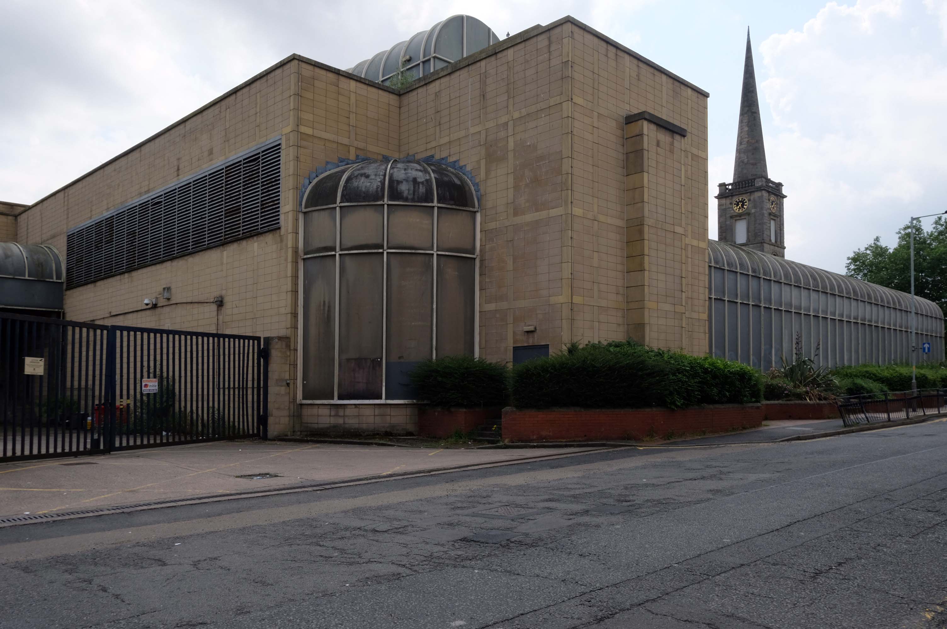
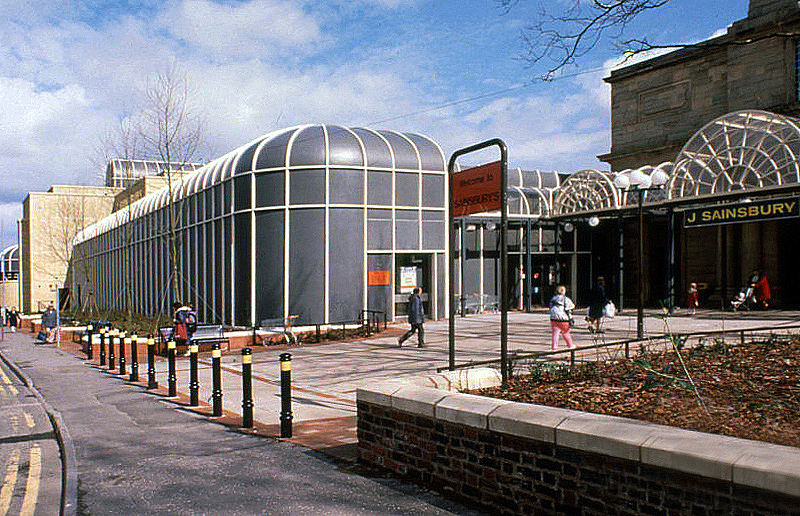
Along St Georges Parade, an abandoned Sainsbury’s church combo – store designed by J Sainsbury’s Architects Department opened 1988.
The church was built between 1828 and 1830 – architect: James Morgan, at a cost of £10,268. It was consecrated on Thursday 2 September 1830 by the Bishop of Lichfield, it was made redundant in 1978.
The site is currently under lease to Sainsbury’s for a further three years and will come forward on a phased basis subject to their lease concluding. The council is in active dialogue with prospective development partners on the redevelopment of this site and in wider consultation with Homes England.
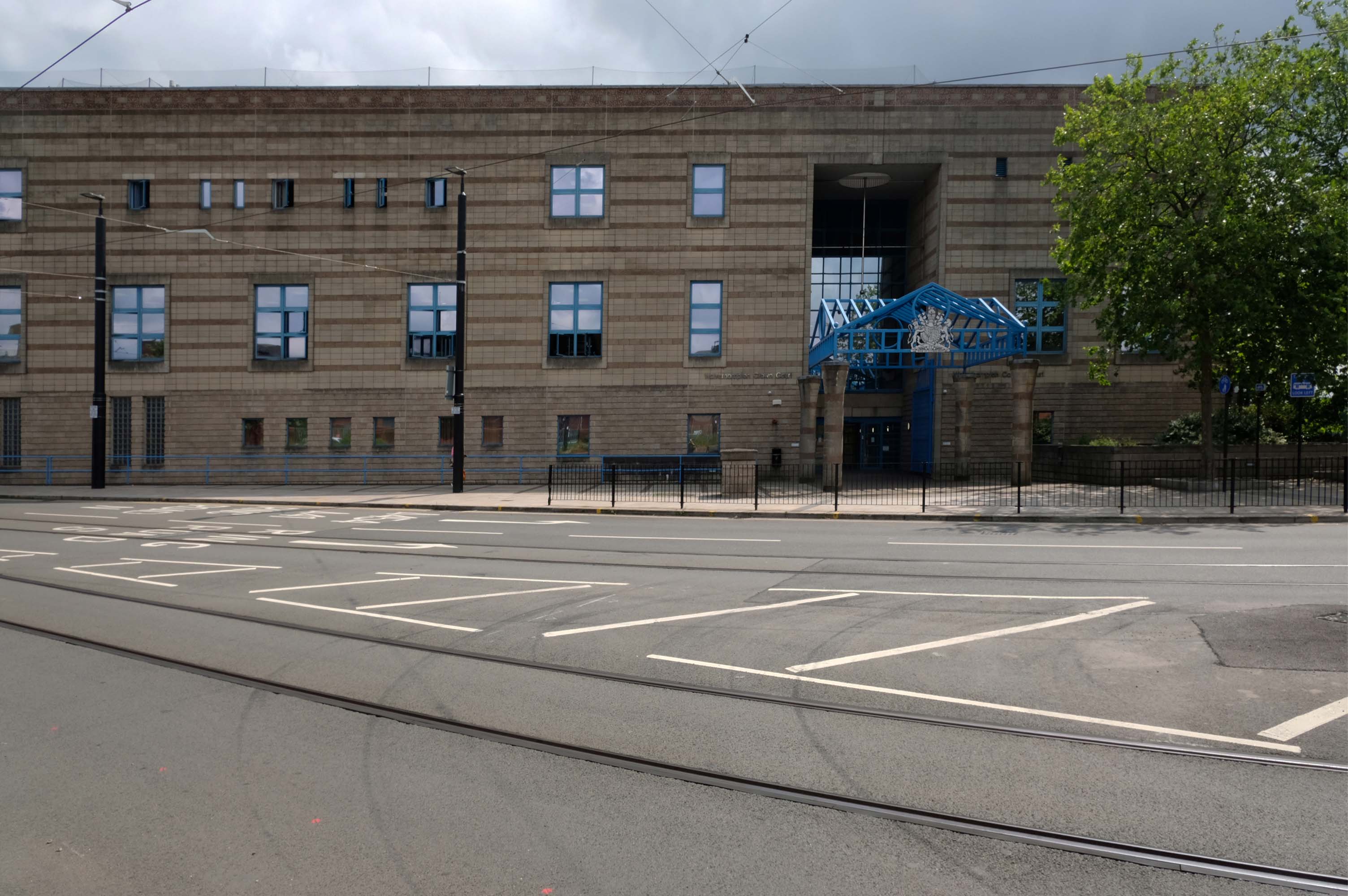
Notable cases included trial and conviction of four members of The Stone Roses, in October 1990, for criminal damage to the offices of their former record company.
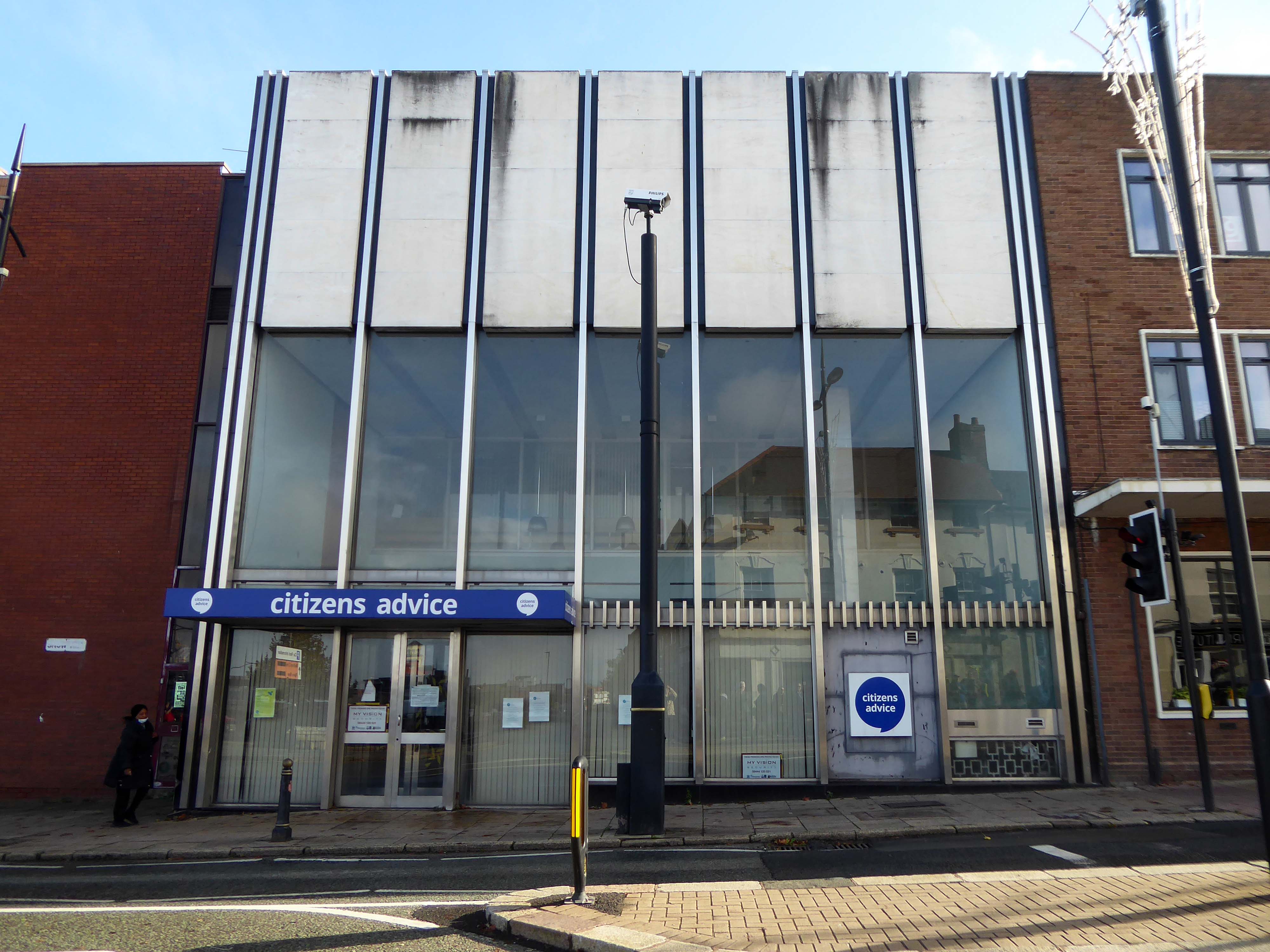
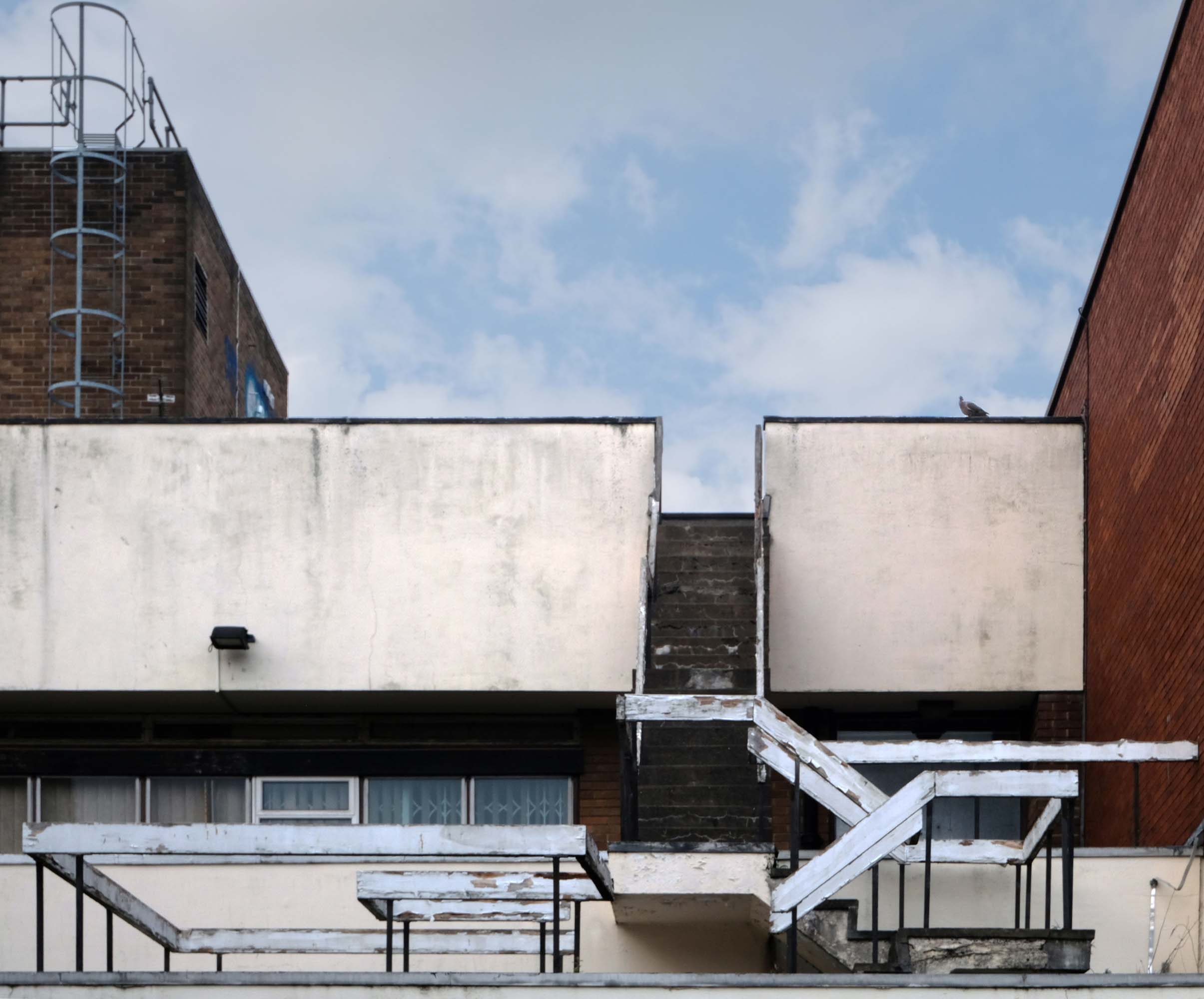
Thence up Snow Hill to the former Citizens Advice former Barclays Bank currently empty.
Architects: John HD Madin & Partners 1969
Take time to have a look around the back.
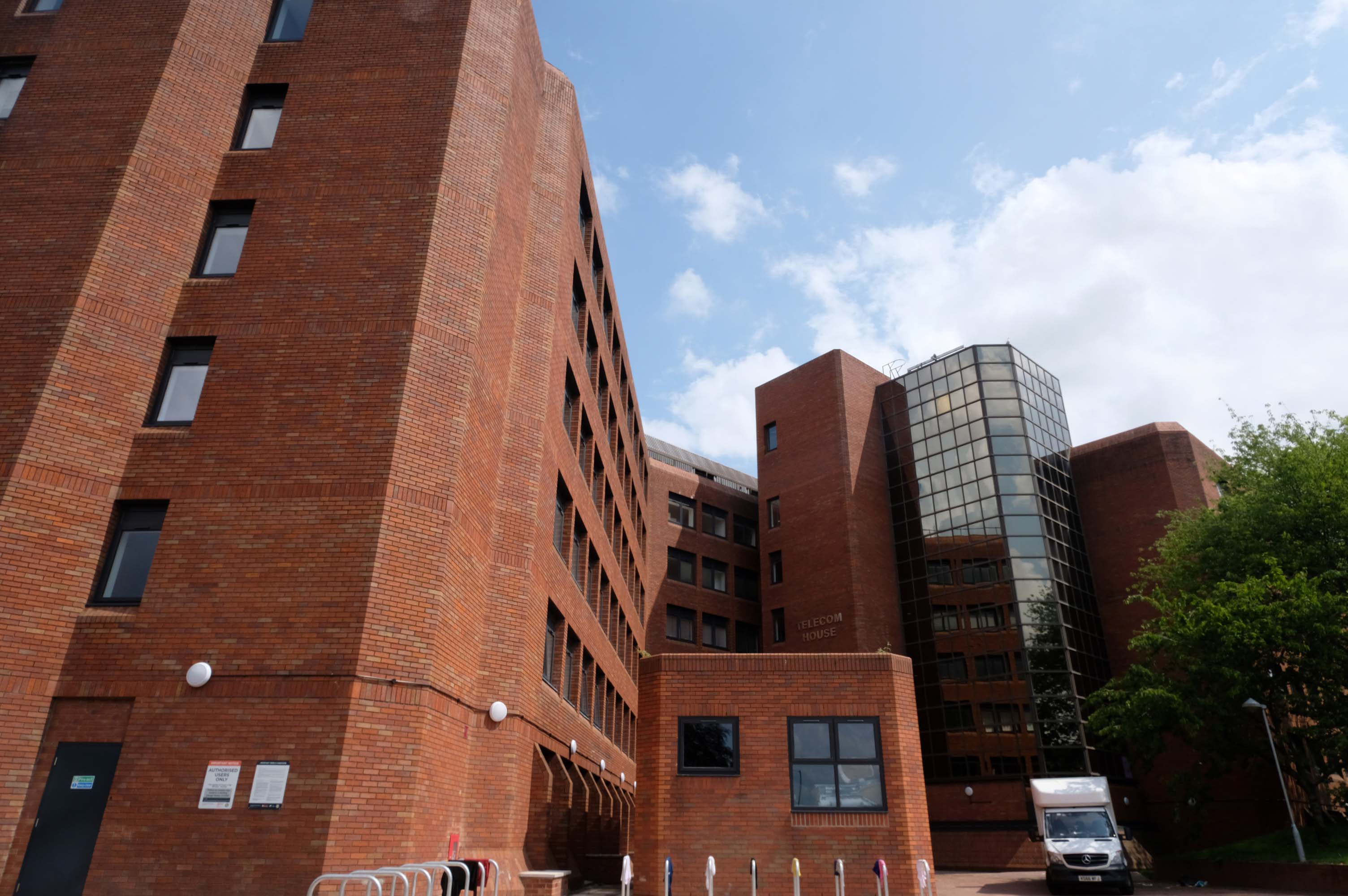
Off to Church Street and Telecom House
Sold for £4.25 million to Empire Property in 2022.
It had previously been sold for more than £3m in July 2018, also for use for apartments, to Inspired Asset Management which later went into receivership.
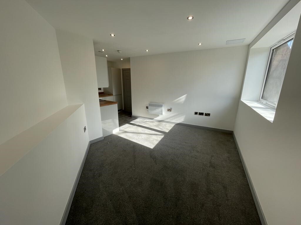
Located on a popular apartment block on Church street in the Wolverhampton centre, this 1 bedroom property has been newly renovated throughout and compromises an entrance hallway, open plan lounge/kitchen with in built appliances, shower room and double bedroom.
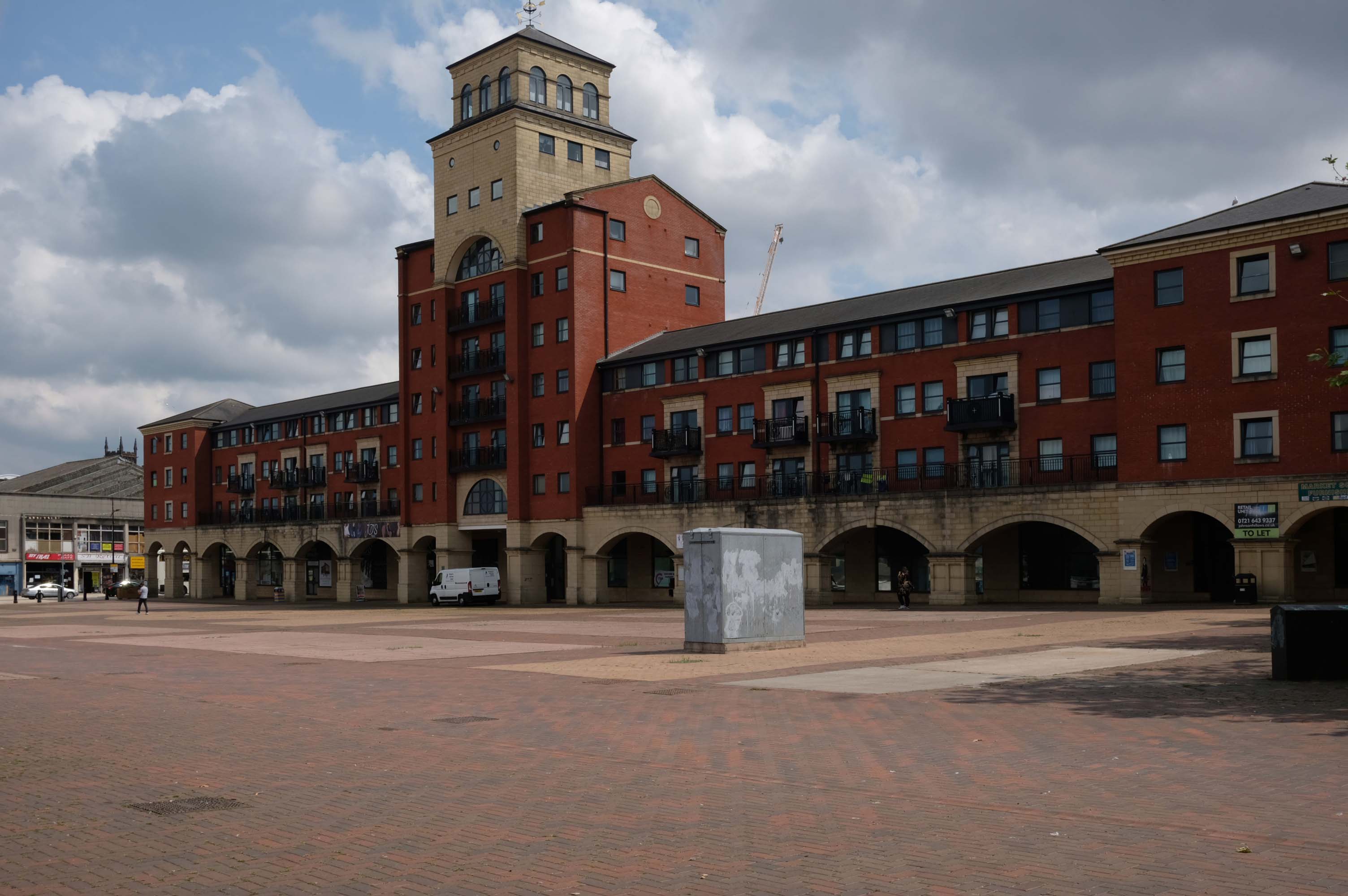
Next to this modern piazza New Market Square – Architects: Nicol Thomas from a concept by head of planning Costas Georghiou.
Formed from the former Market Square, a mix of flats and shops opened in 2004, in an Italianate version of the modish school of streaky bacon.
In 2021 the Coca-Cola Christmas Truck visit to the Midlands was cancelled.
It was meant to arrive at Market Square in Wolverhampton at 11am today but failed to show up.
One fan had waited since 7am this morning to see the Coca-Cola truck.
While schoolchildren were left gutted when the truck didn’t turn up – and one boy had been so excited his mother said he had been talking about the red truck all morning.
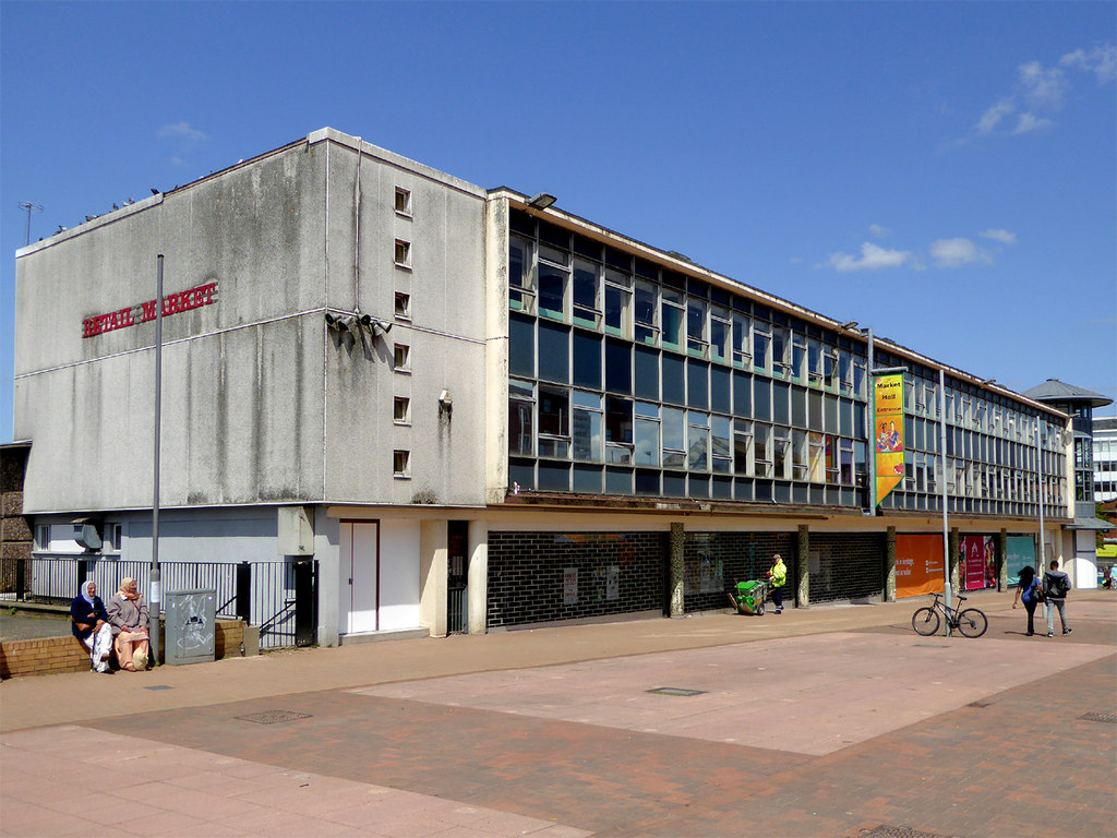
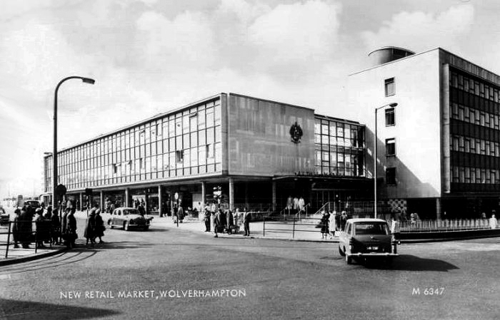
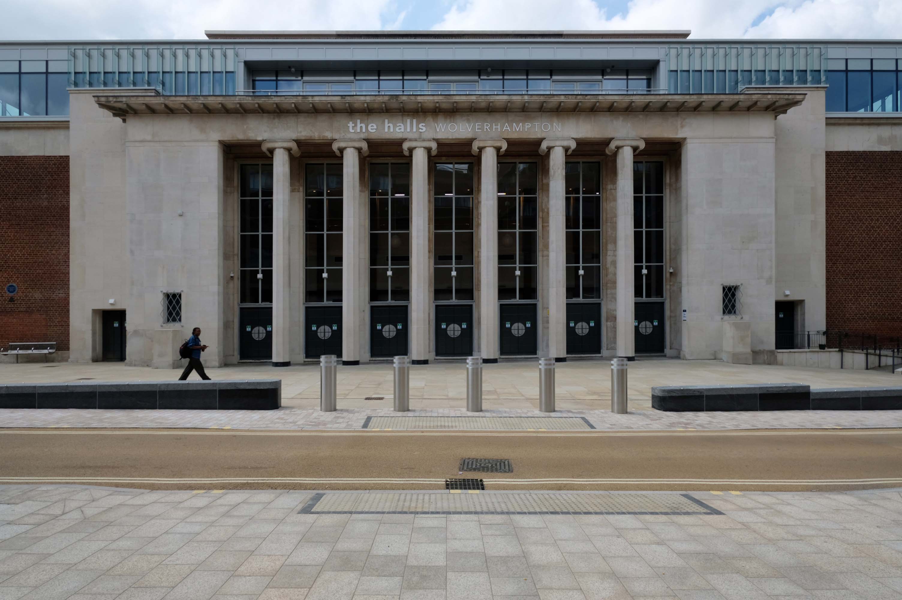
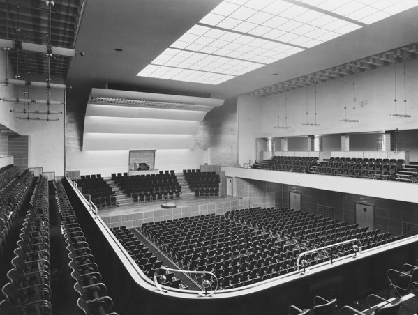
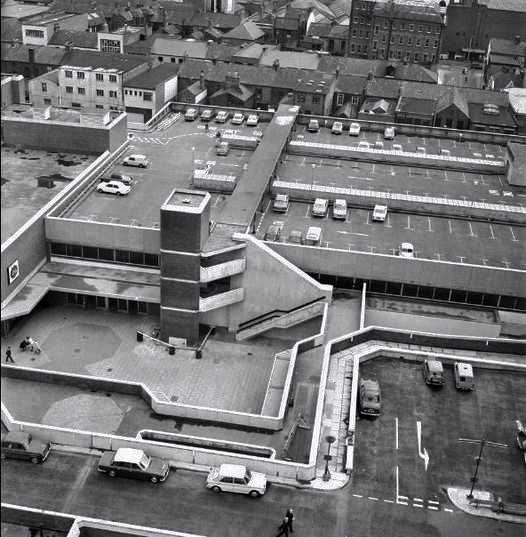
Retail Market – Late 1950s market hall and offices above.
Architects: Borough Surveyor.
Excellent example of the Festival of Britain style of architecture, won Civic Trust Award 1960.
Locally Listed March 2000.
demolished January 2017.
Photo: Roger Kidd
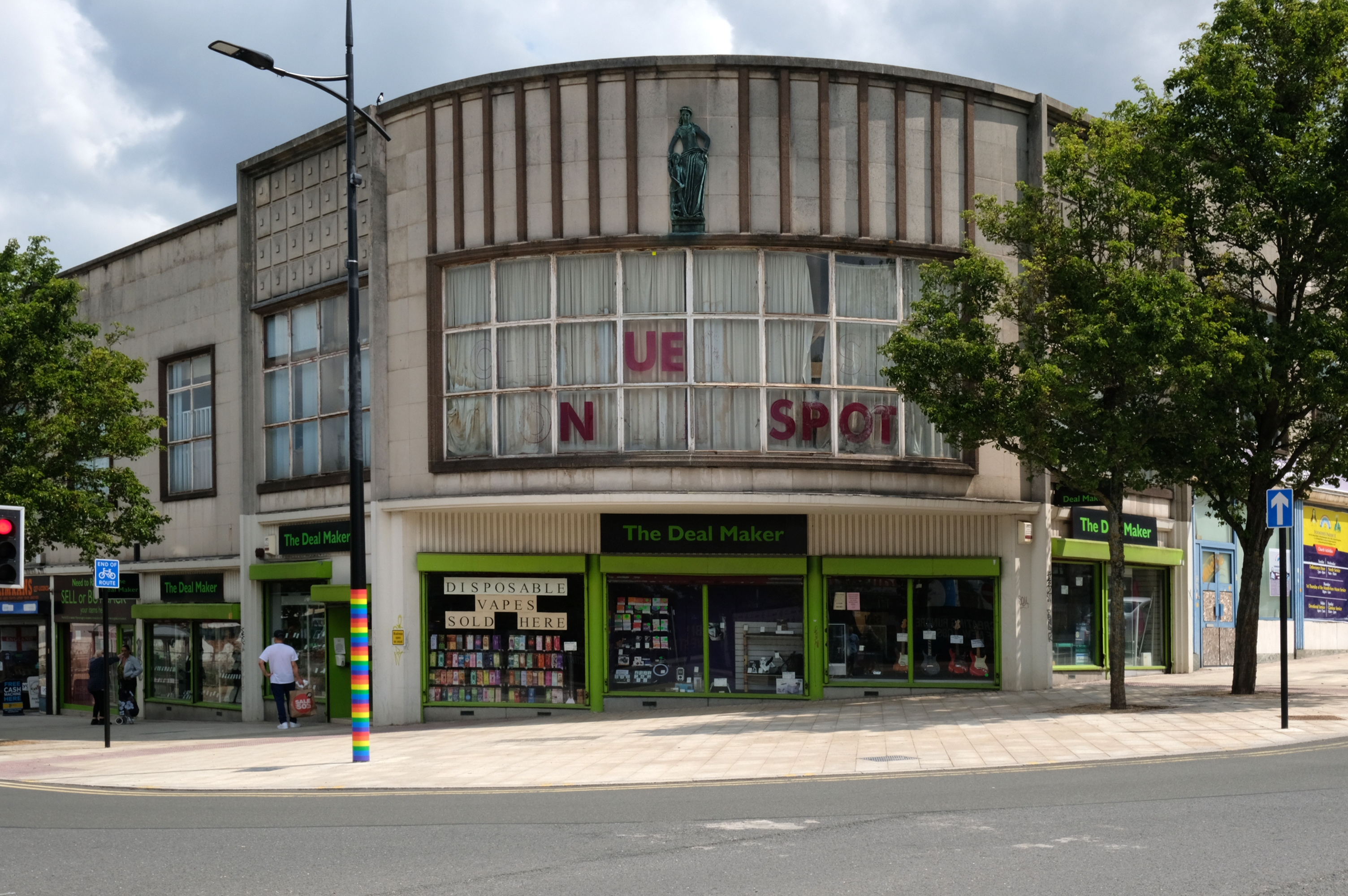
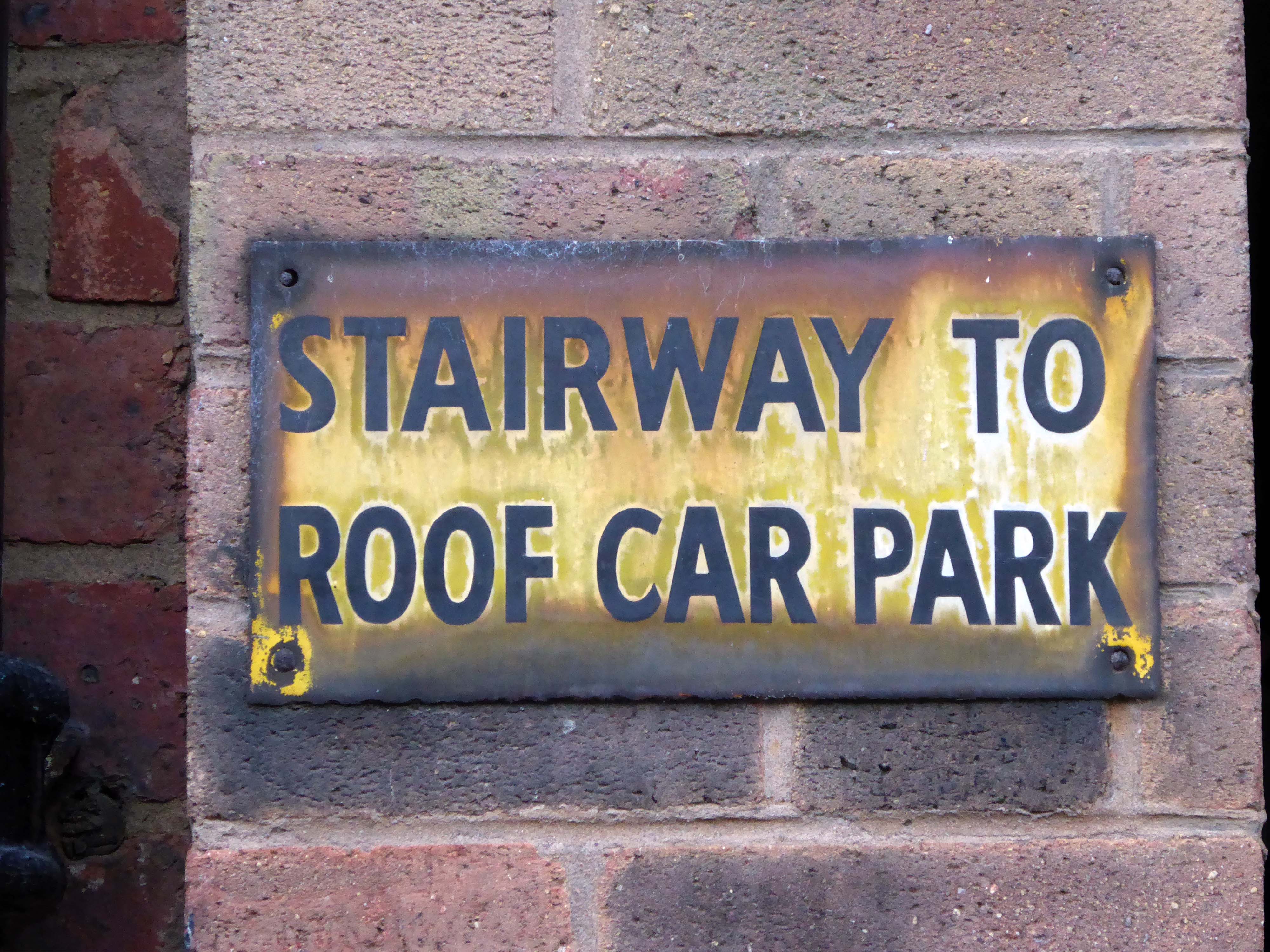
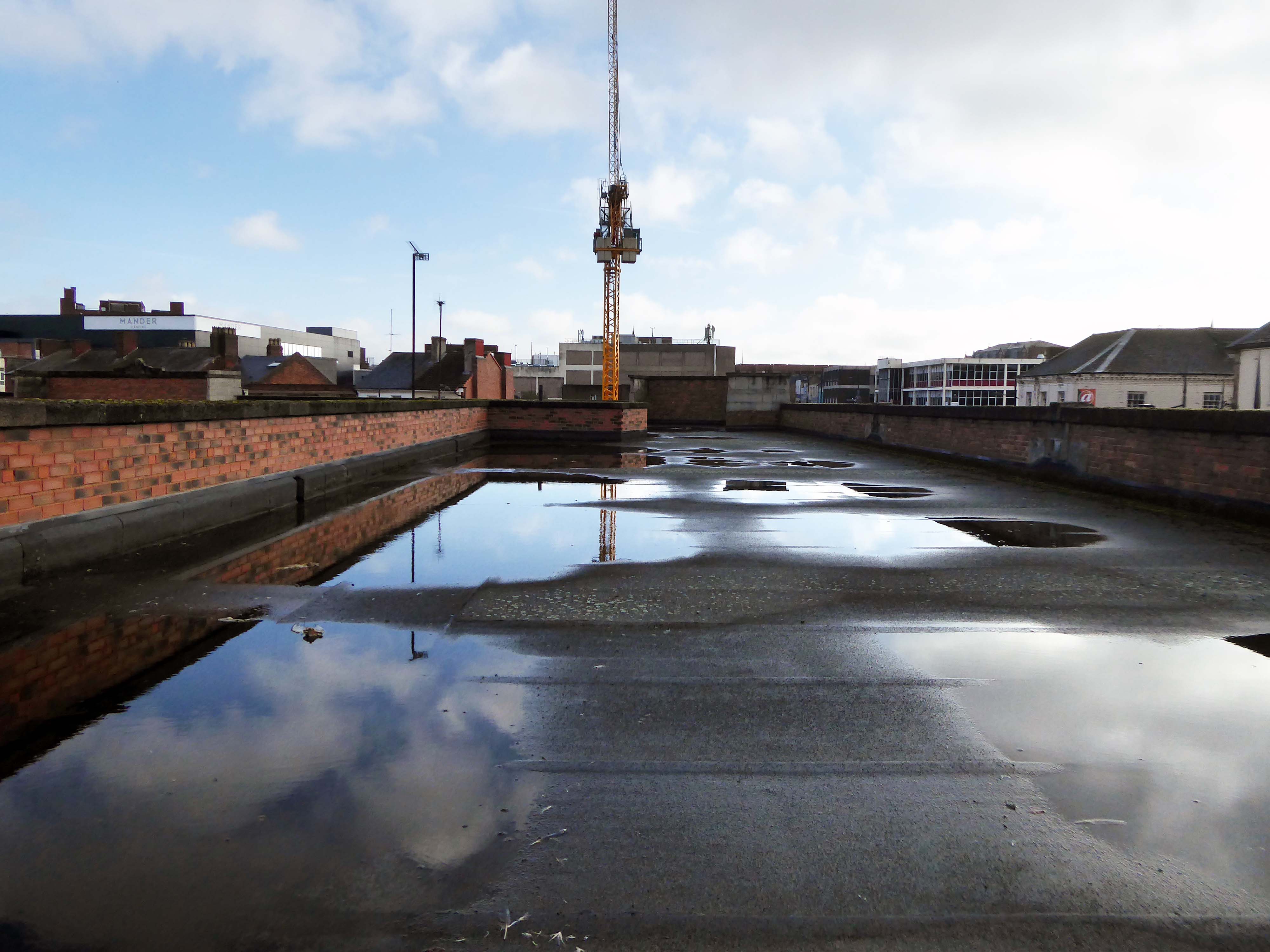
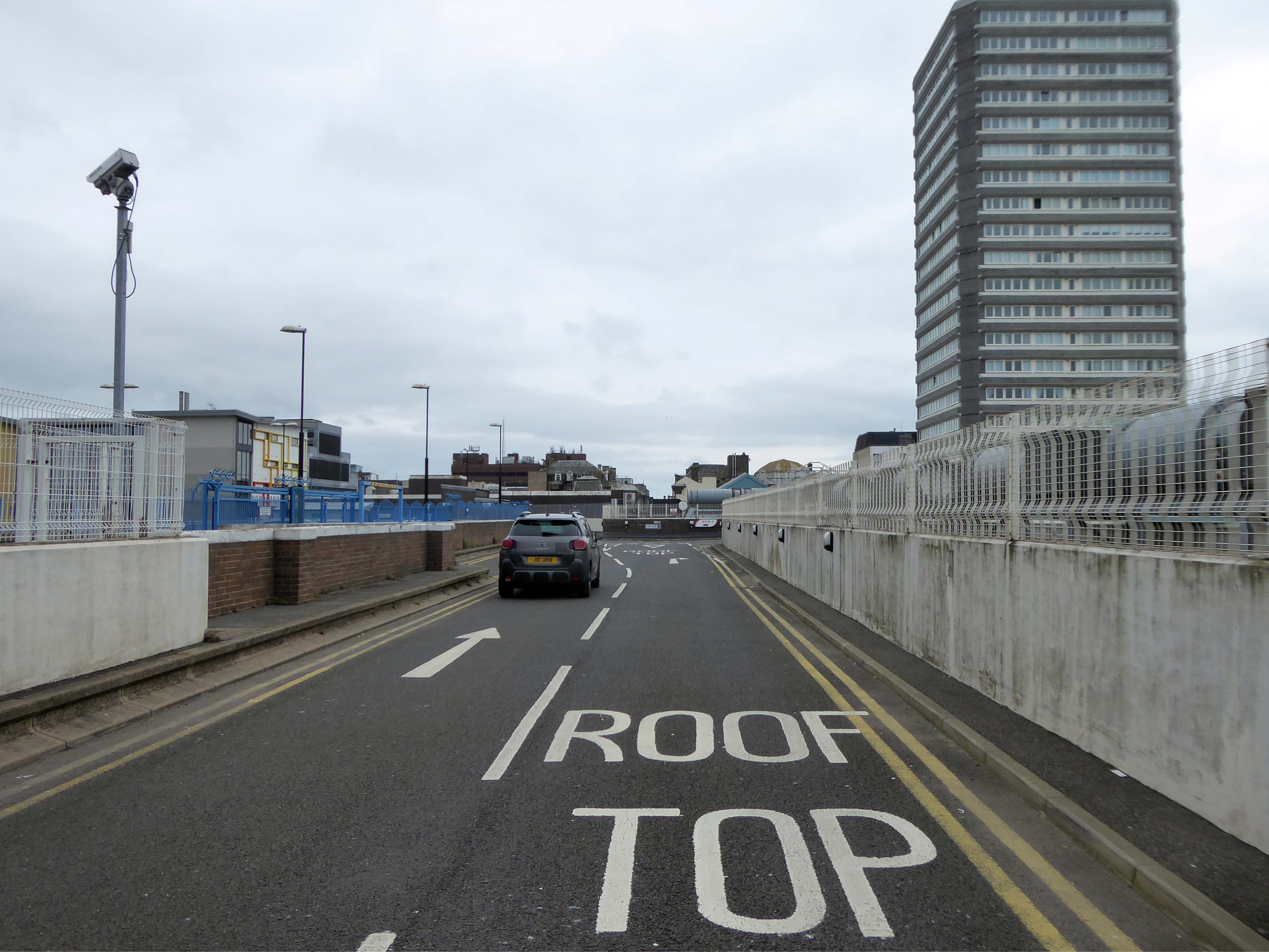
This development that wraps itself around Salop, Skinner and School Streets appears to be of a similar period to the Retail Market – and sports a Lady Wulfrun in relief.
There is access to its roof top car park.
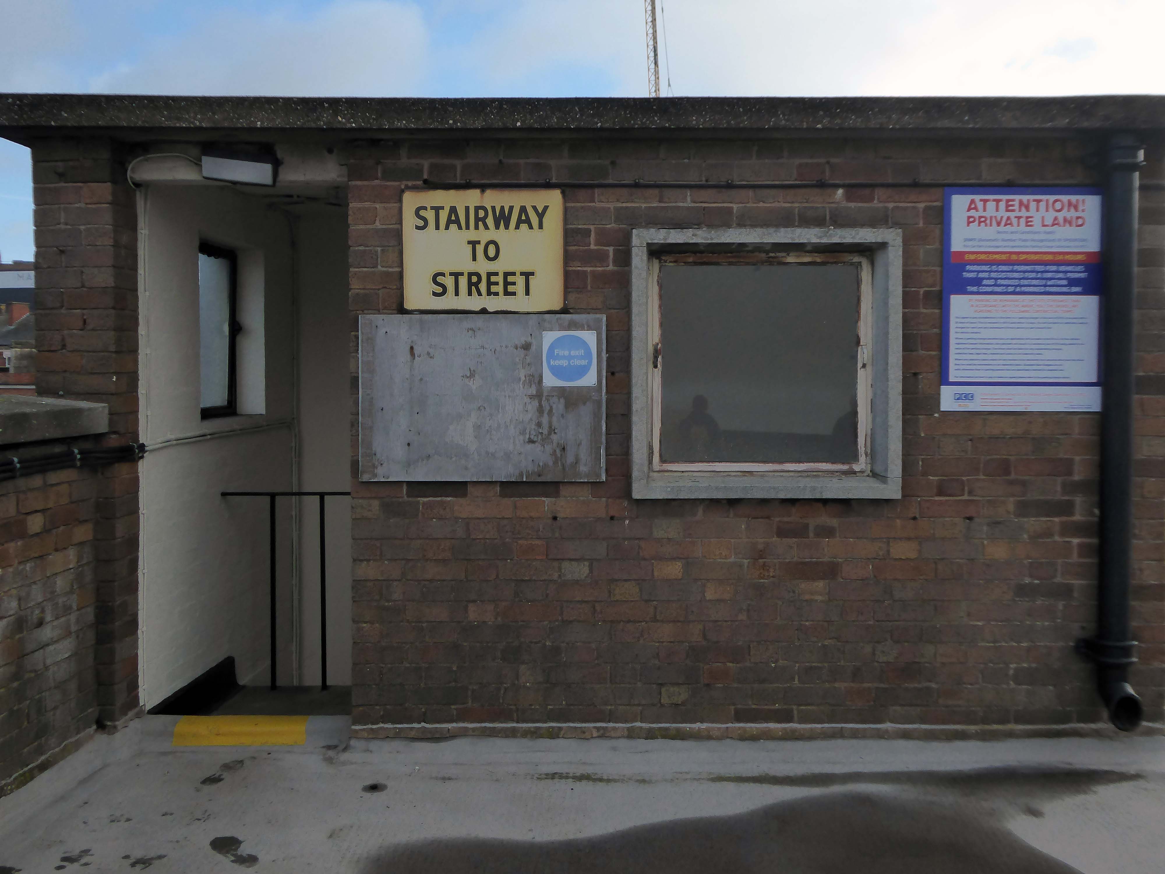
And also an exit back to street level.
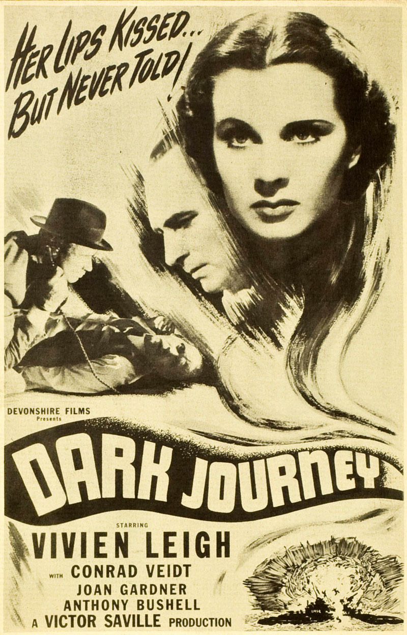
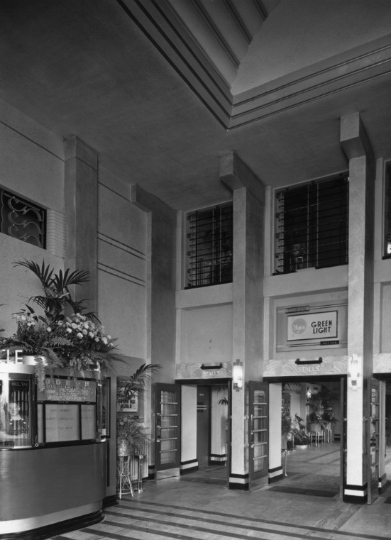
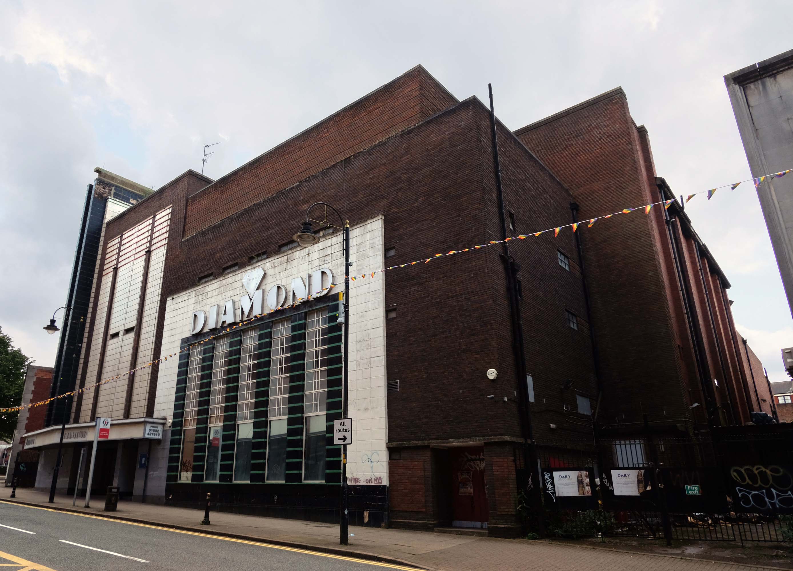
Where we find at street level the former Odeon Cinema, opened on 11th September 1937 with Conrad Veidt in Dark Journey.
In October 2000, the former Odeon was designated a Grade II Listed building by English Heritage.
RIBA pix
In recent years it was a Mecca Bingo Club, but this was closed in March 2007 In October 2009, it had been refurbished and re-opened as the Diamond Banqueting Suite. In April 2021 police raided the vacant building to discover an illegal cannabis farm operating in the building.
Four men were arrested.
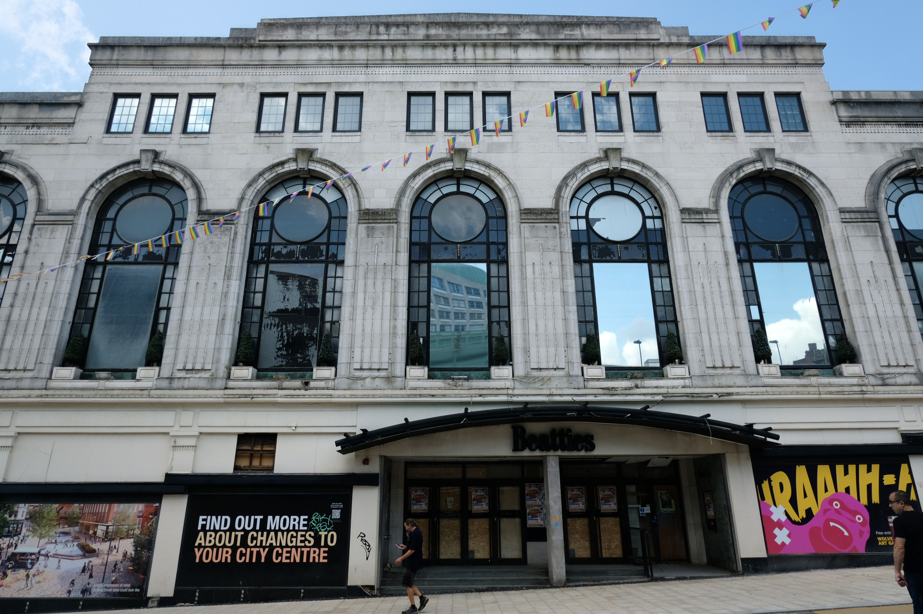
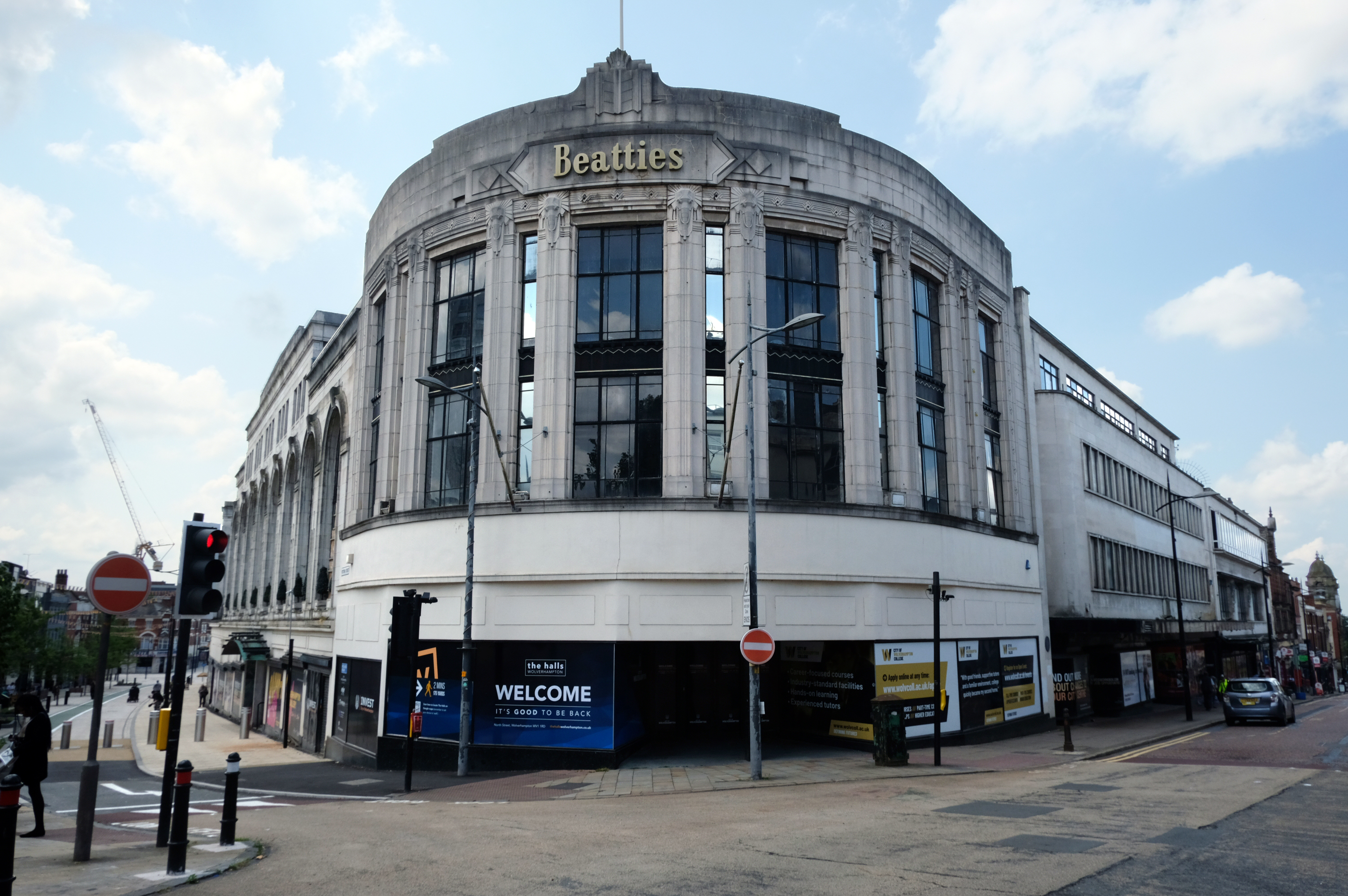
Let’s take a turn around the corner to Victoria Street where we find the complex of Beatties Buildings.
Architects: Lavender, Twentyman and Percy 1920’s – 30’s
The C20 Beatties store is a multi-period site developed first in the 1920s-30s. A Burton’s men’s clothes shop was built on a curved corner site at Victoria St/Darlington St and Beatties themselves replaced their existing Victoria St store in the 1930s with a building by local architects Lavender, Twentyman and Percy. Beatties later acquired and incorporated the Burton’s shop into their store. These two buildings form the locally listed building to which were added a mid-C20 extension along Darlington St and a late-C20 development to the rear at Skinner St.
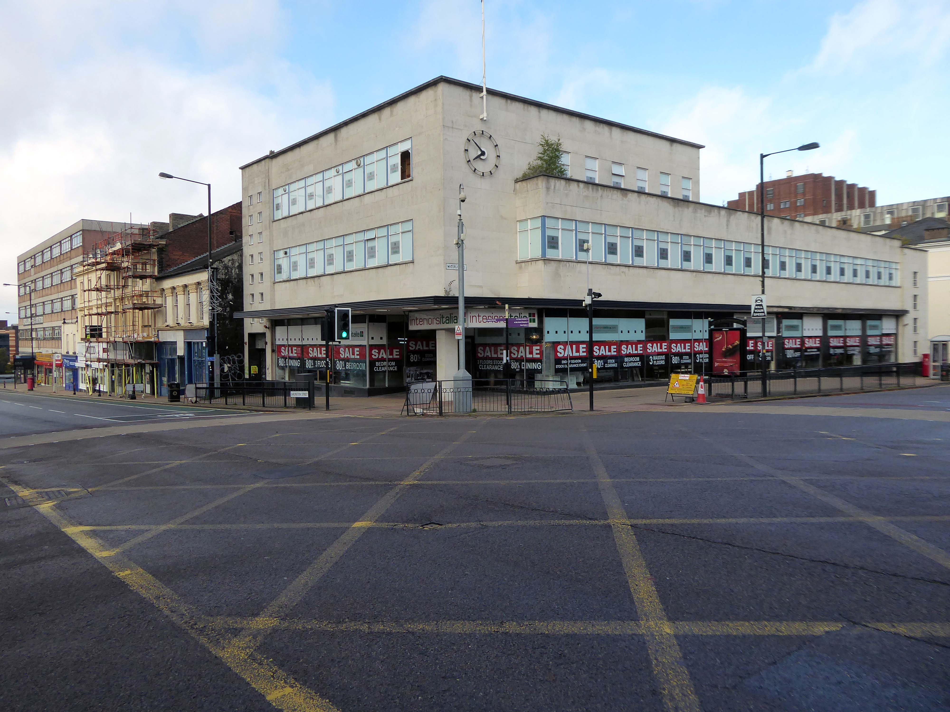
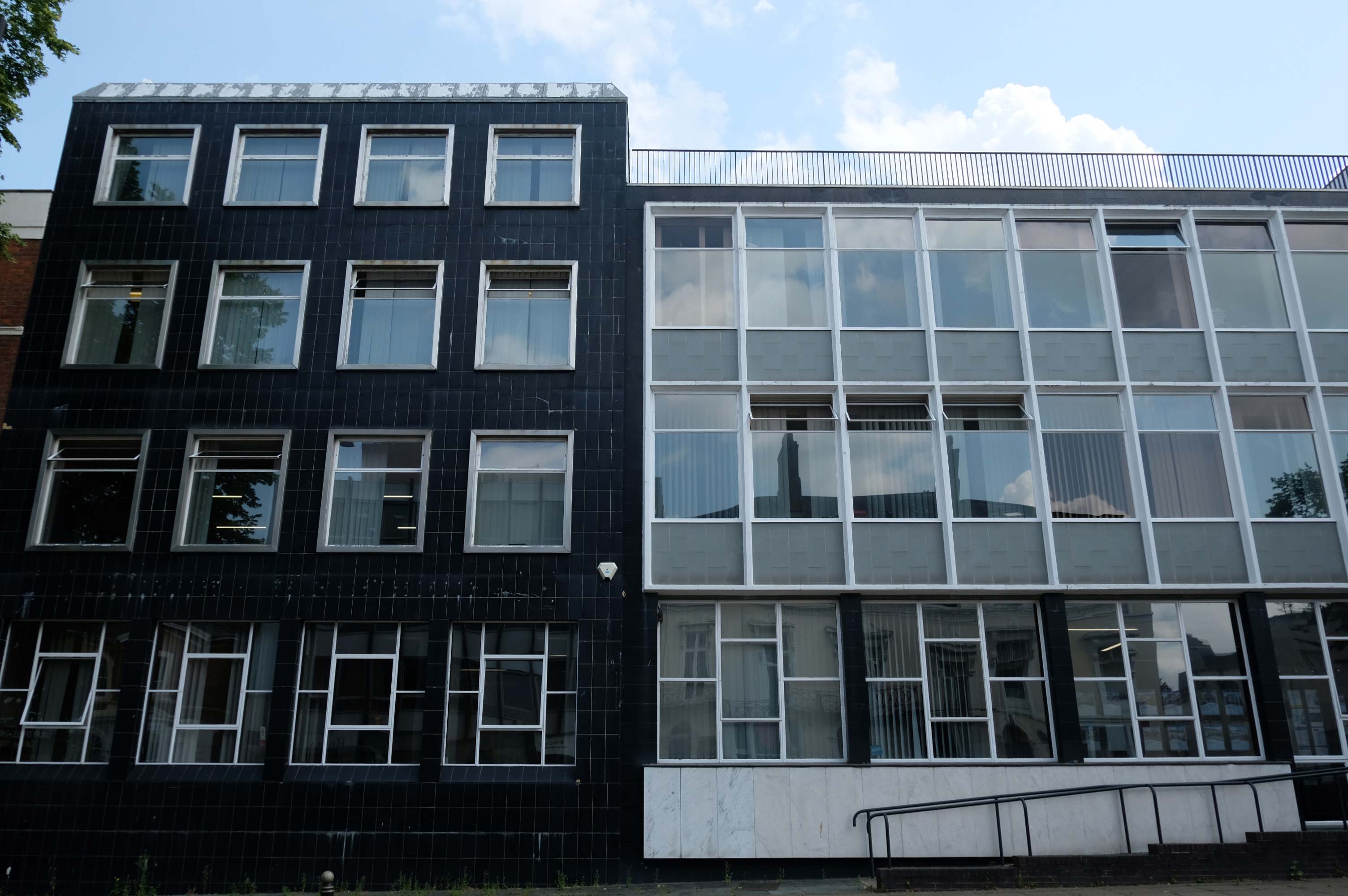
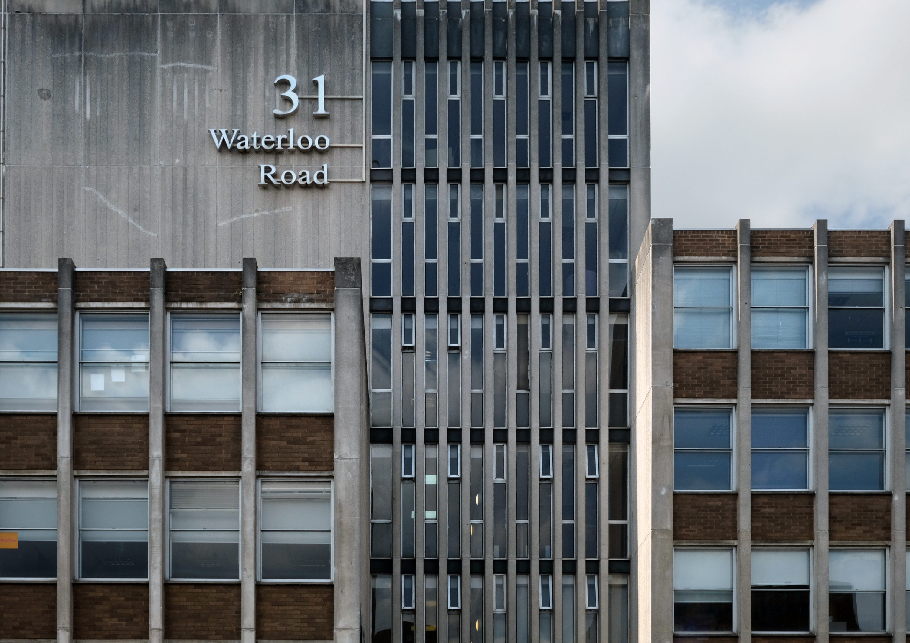
An imperious Portland stone clad mixed us block on Waterloo Road, with a delightful clock.
Formerly the Gas Showrooms then SunAlliance & LondonInsurance offices – aka Clock Chambers
The showroom in Darlington Street was also the centre of a radio network that controlled a fleet of service vans. This enabled customers to receive service within minutes of making a telephone call. Demonstrations of cookery, washing and refrigeration were given by the Gas Board’s Home Service Advisers and a number of the company’s engineers, who specialised in designing gas equipment for industrial processes operated an advisory service for manufacturers.
Architects: Richard Twentyman 1939.
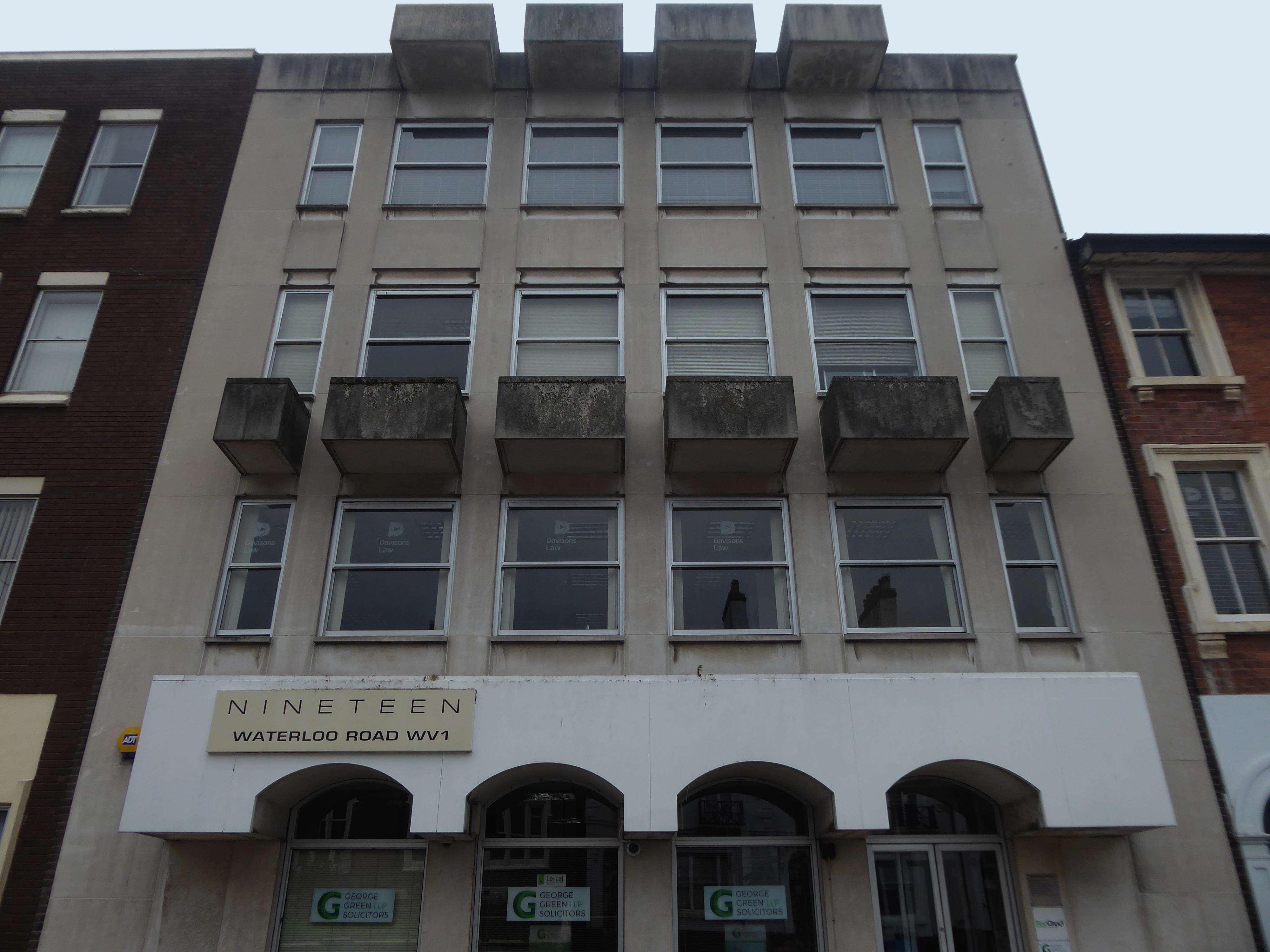
Nineteen Waterloo Road latterly First City House formerly home to Eagle Star Insurance 1970
8-10 Waterloo Road architects: Richard Twentyman 1959 extended 1966.
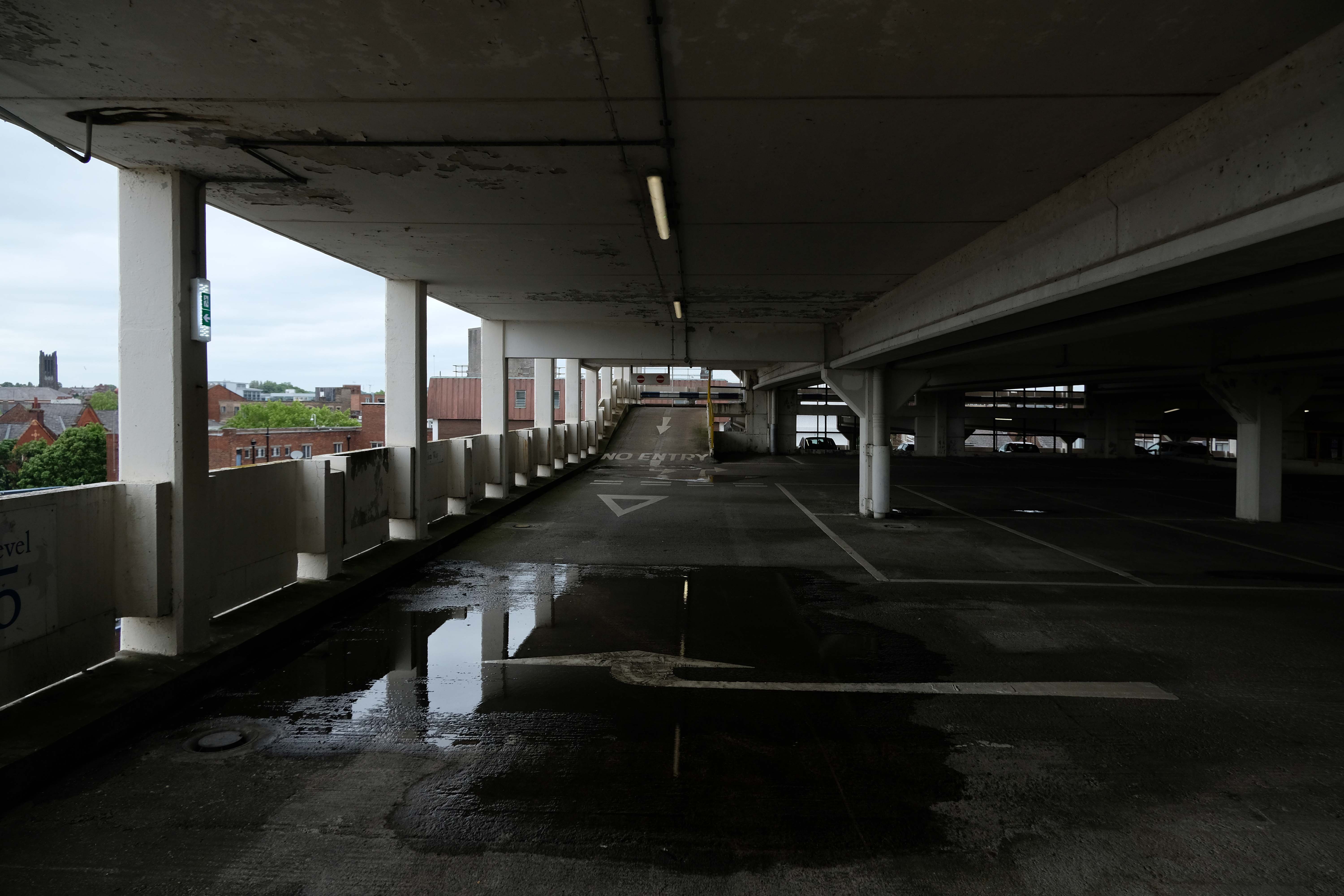
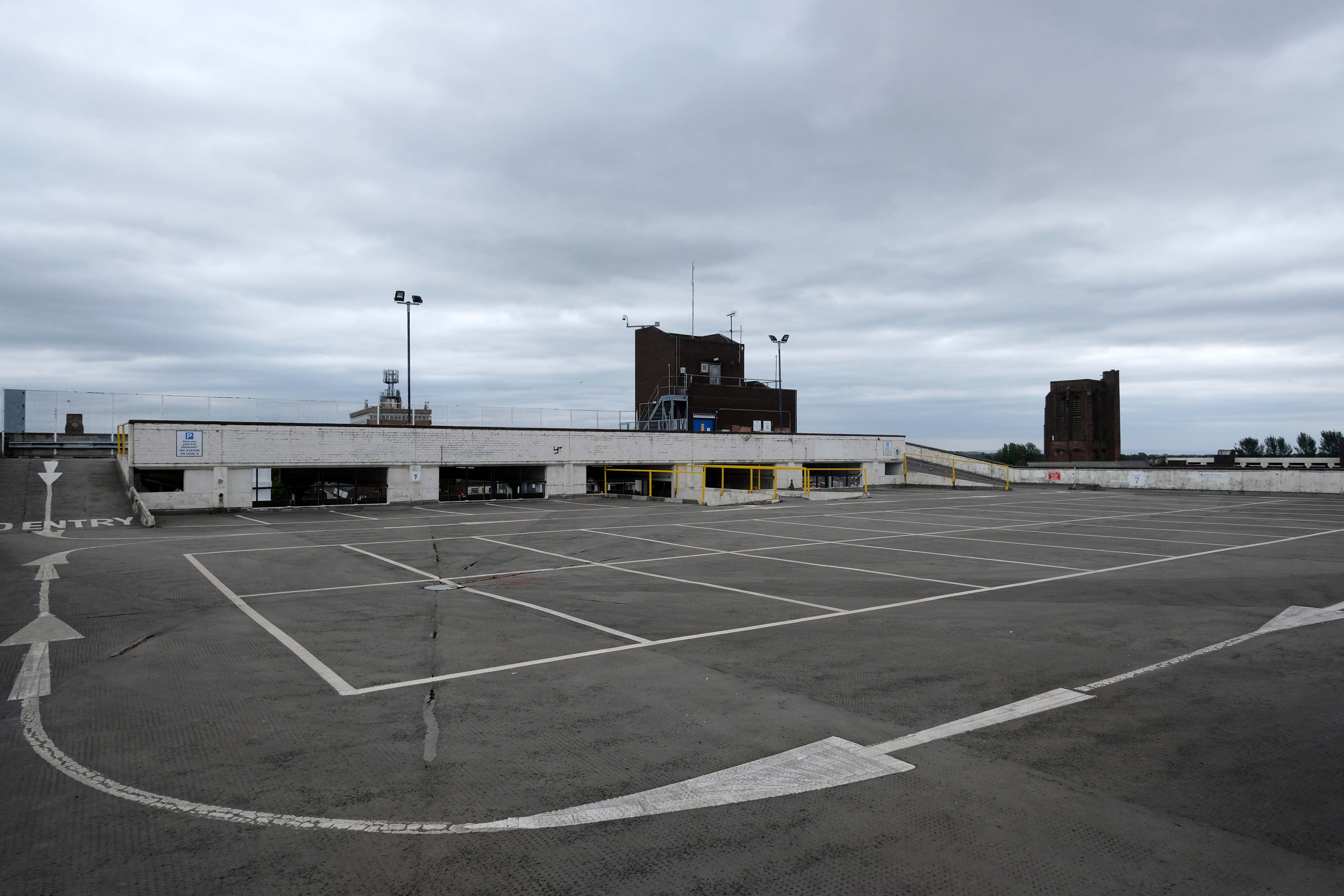
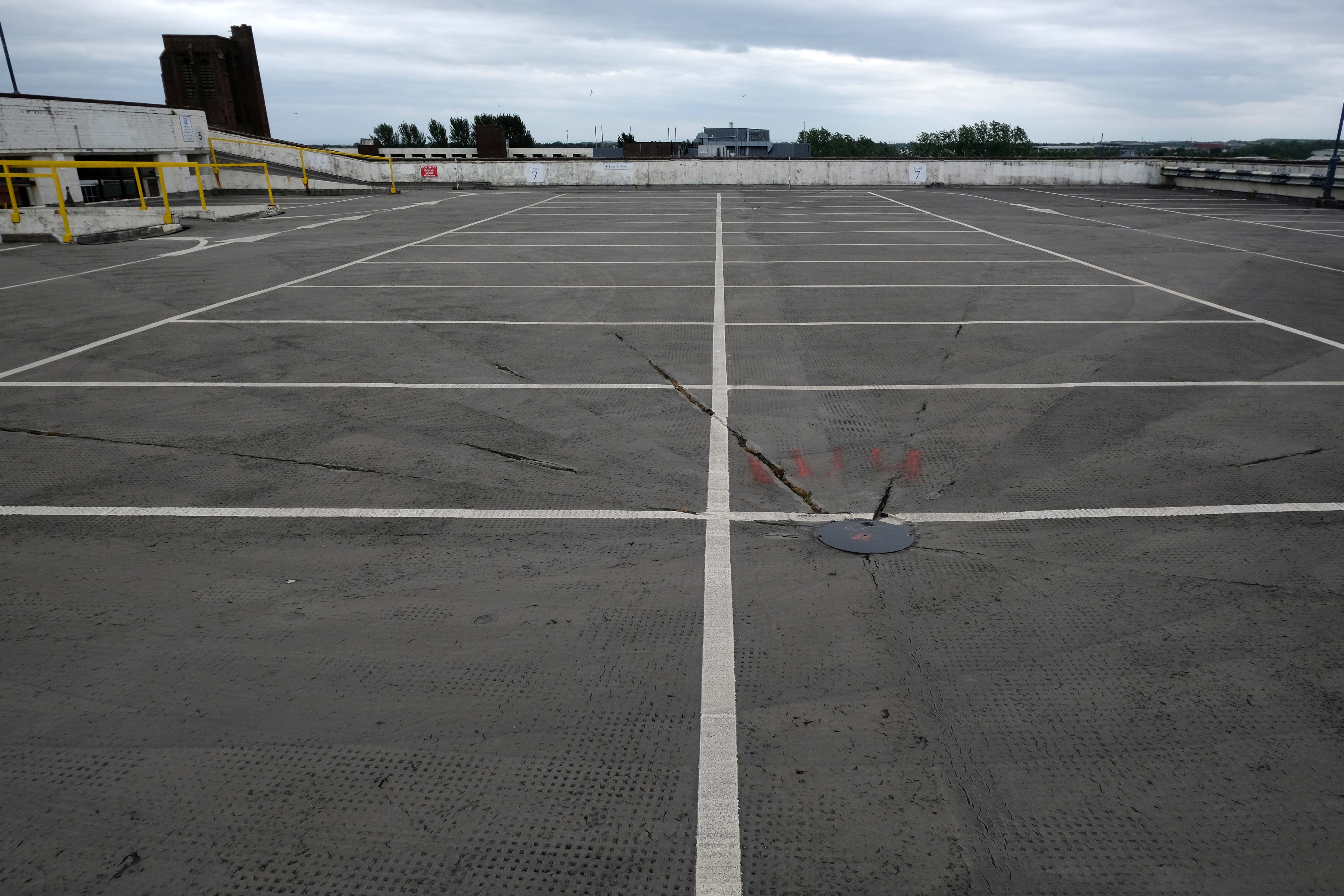
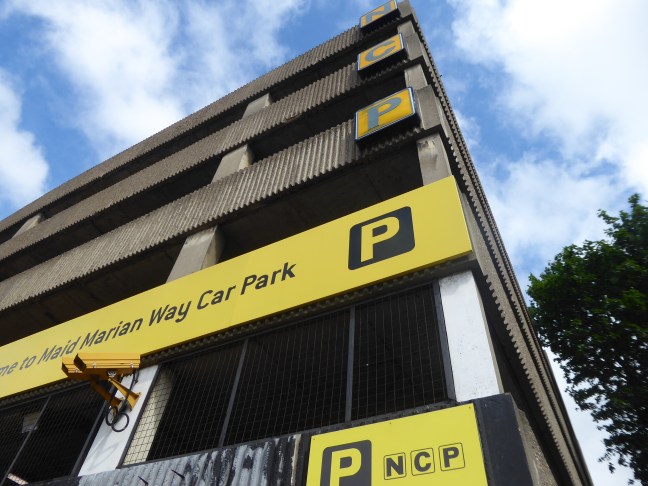
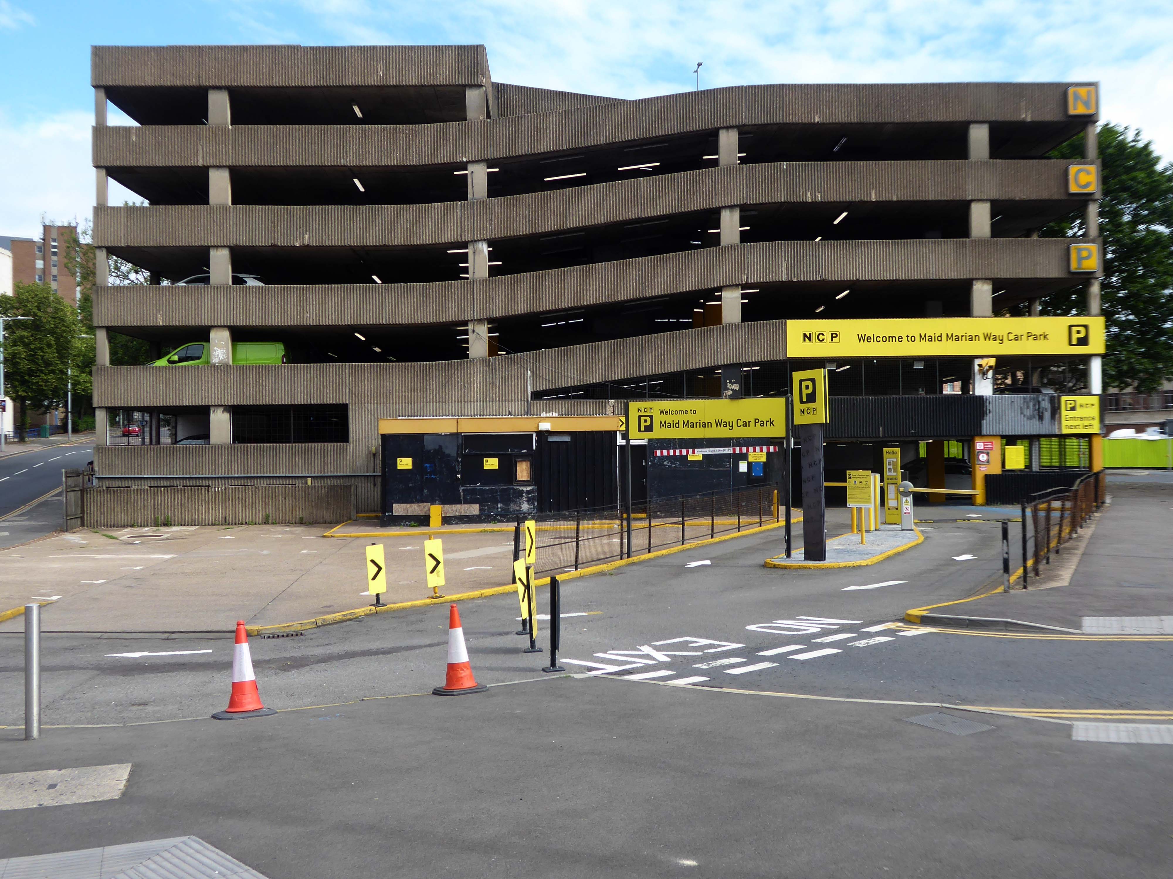
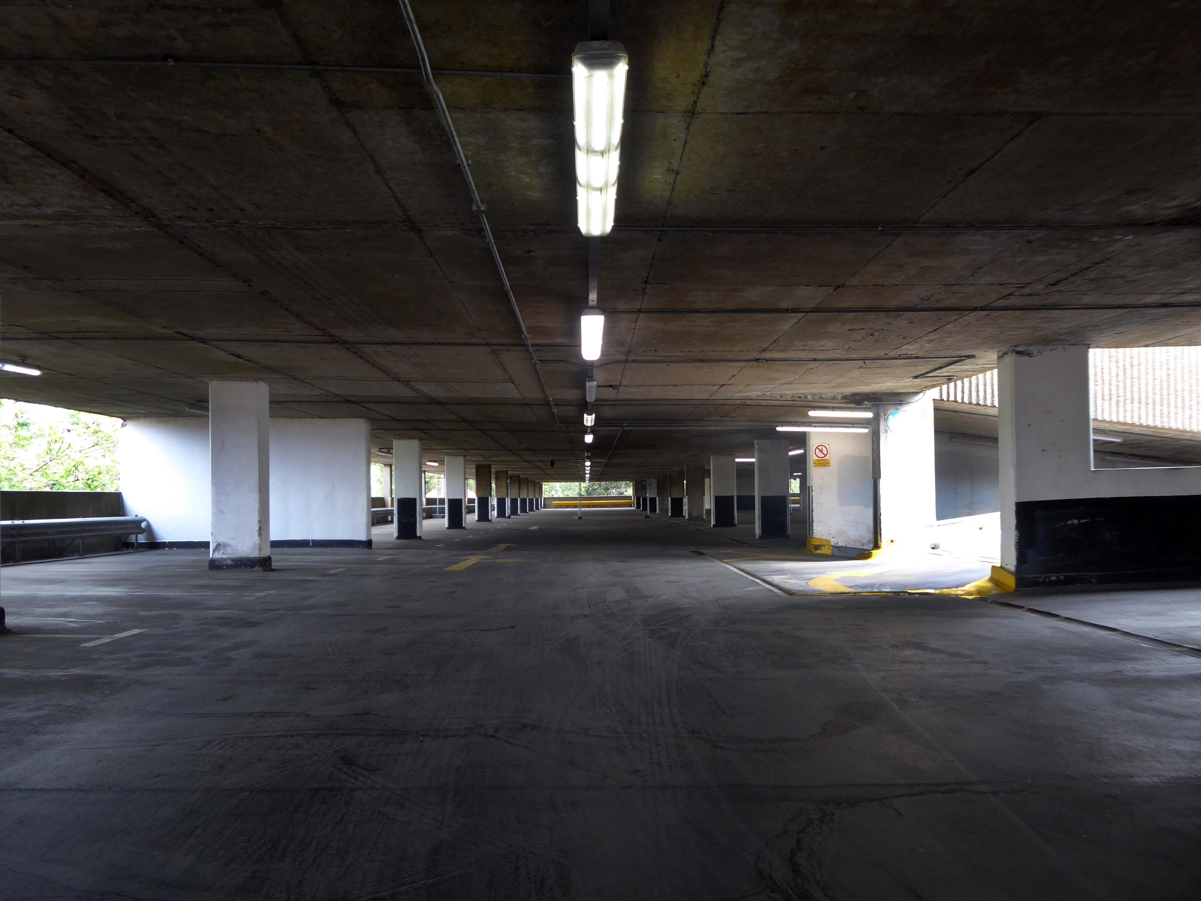
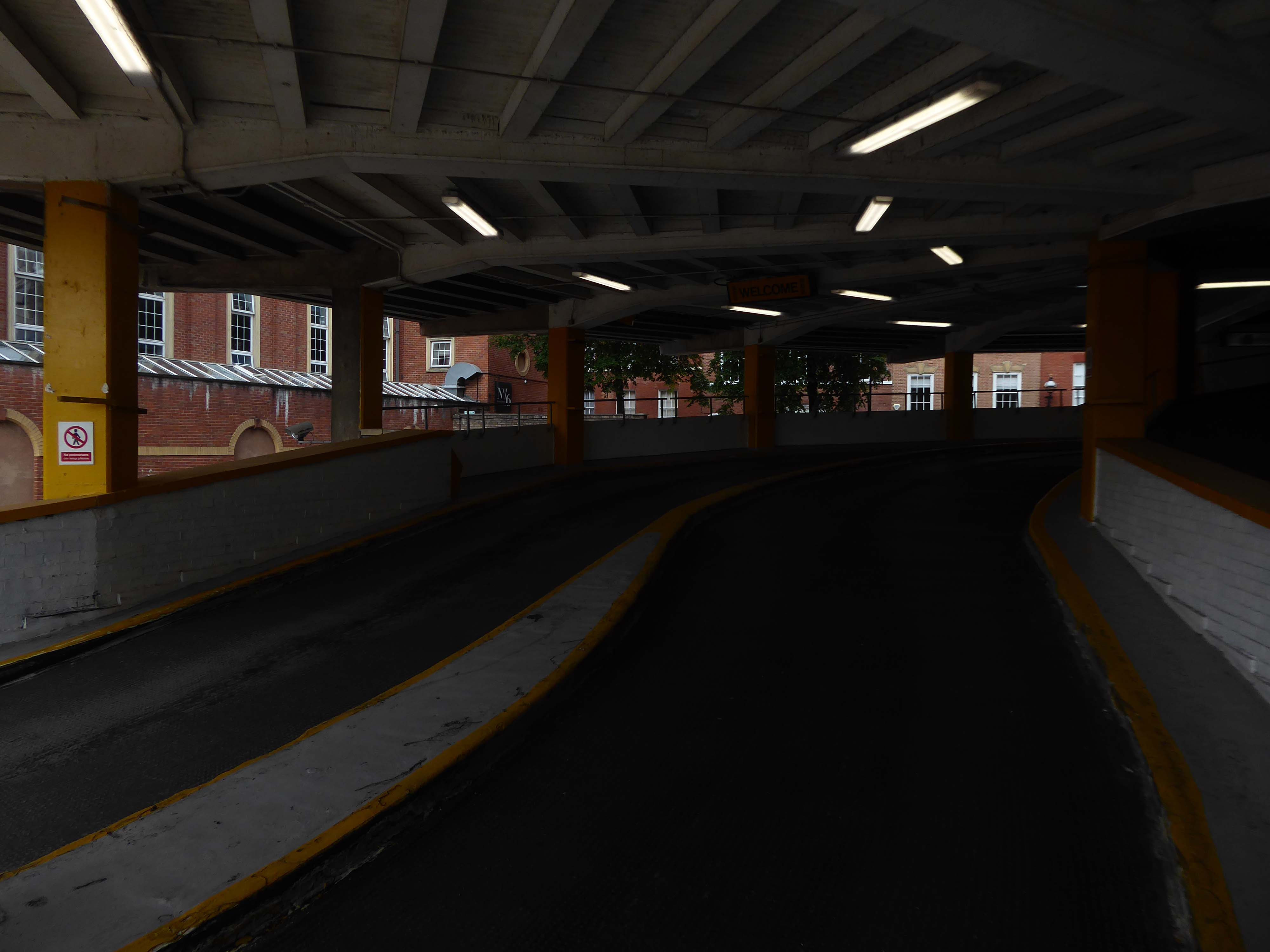
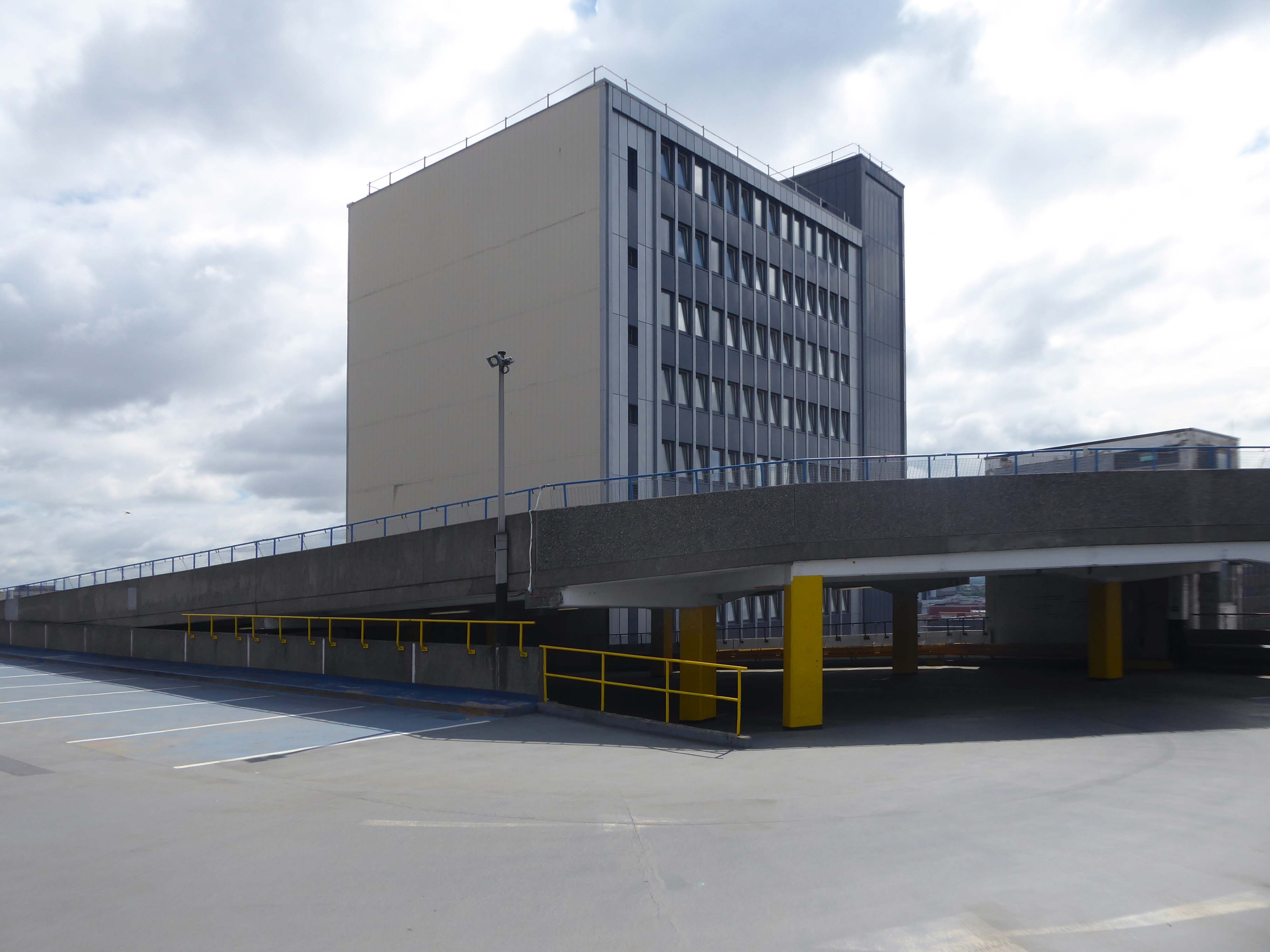
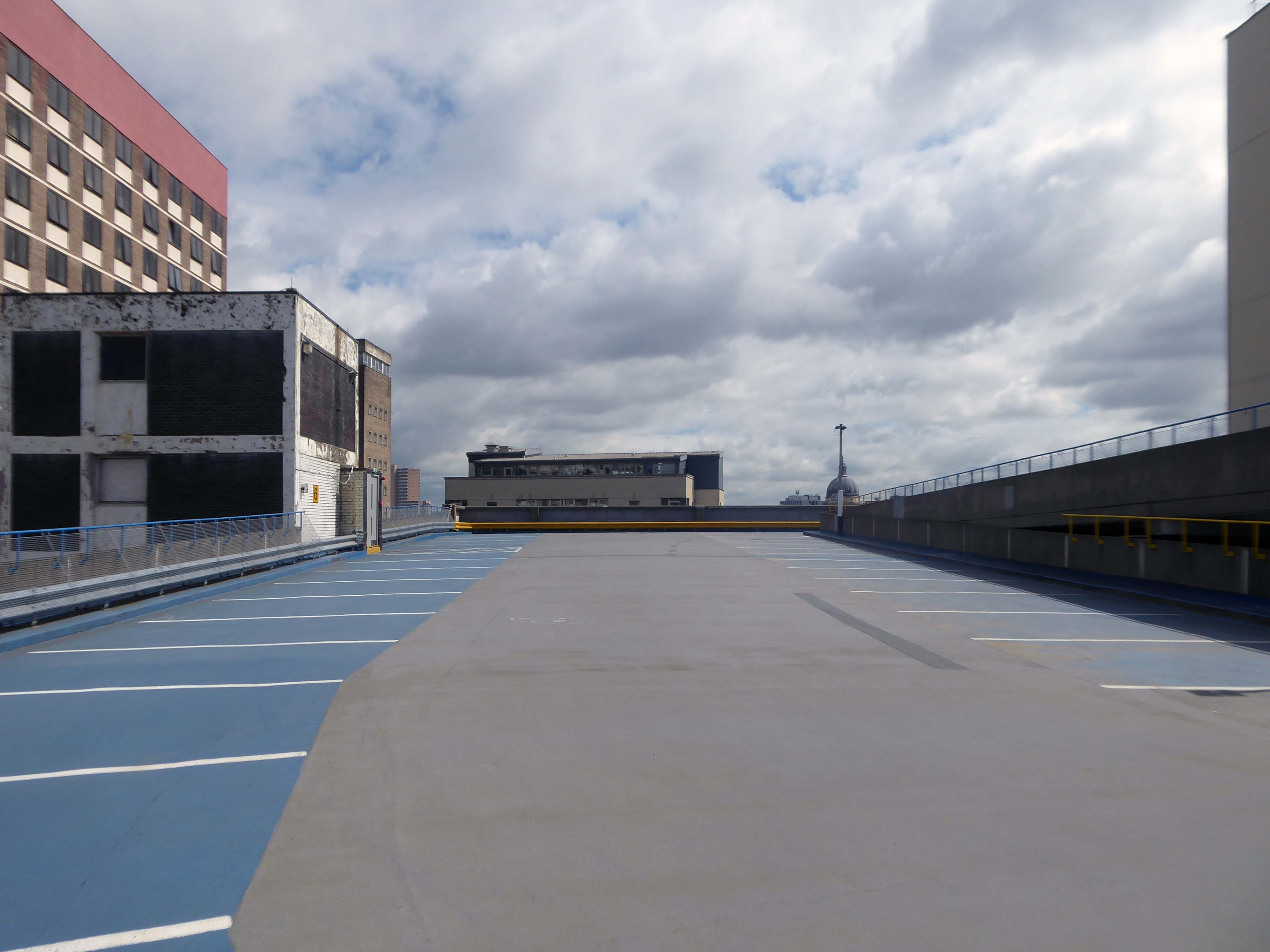
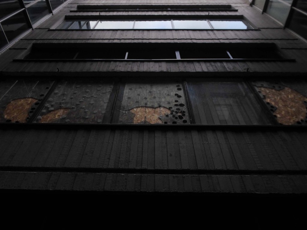
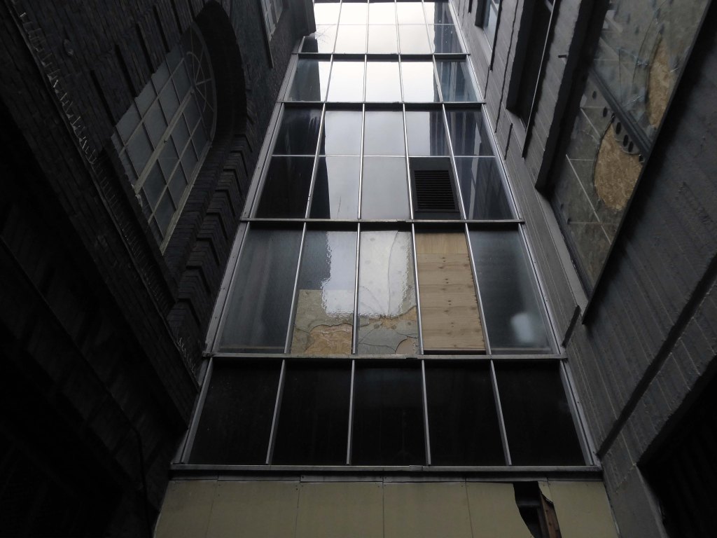
This has narrow ramps up and down, and narrow parking spots.
One ticket machine upon entry wouldn’t dispense – the other was covered with a bag but did work, very weird.
Becky T
Anyway, a way must have a name, so why not Maid Marion?
Olivia De Havilland
Maid Marian is the heroine of the Robin Hood legend in English folklore, often taken to be his lover. She is not mentioned in the early, medieval versions of the legend, but was the subject of at least two plays by 1600. Her history and circumstances are obscure, but she commanded high respect in Robin’s circle for her courage and independence as well as her beauty and loyalty. For this reason, she is celebrated by feminist commentators as one of the early strong female characters in English literature.
Robin Hood and DH Lawrence apart it seems most apt – so Maid Marion Way it is then.
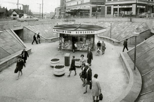
In November 1945, the city council decided to ask Parliament for the go ahead for a scheme likely to cost more than half a million pounds.
However, it would cut a swathe through medieval streets, wiping some from the map and spelling the end of a community life which had thrived for centuries.
The arguments, discussions and negotiations rumbled on for years. It would be 1963 before work finally got underway and the new road was built.
Less than two years after it was completed, it was given a label that has stuck over the past four decades — the ugliest street in Europe.
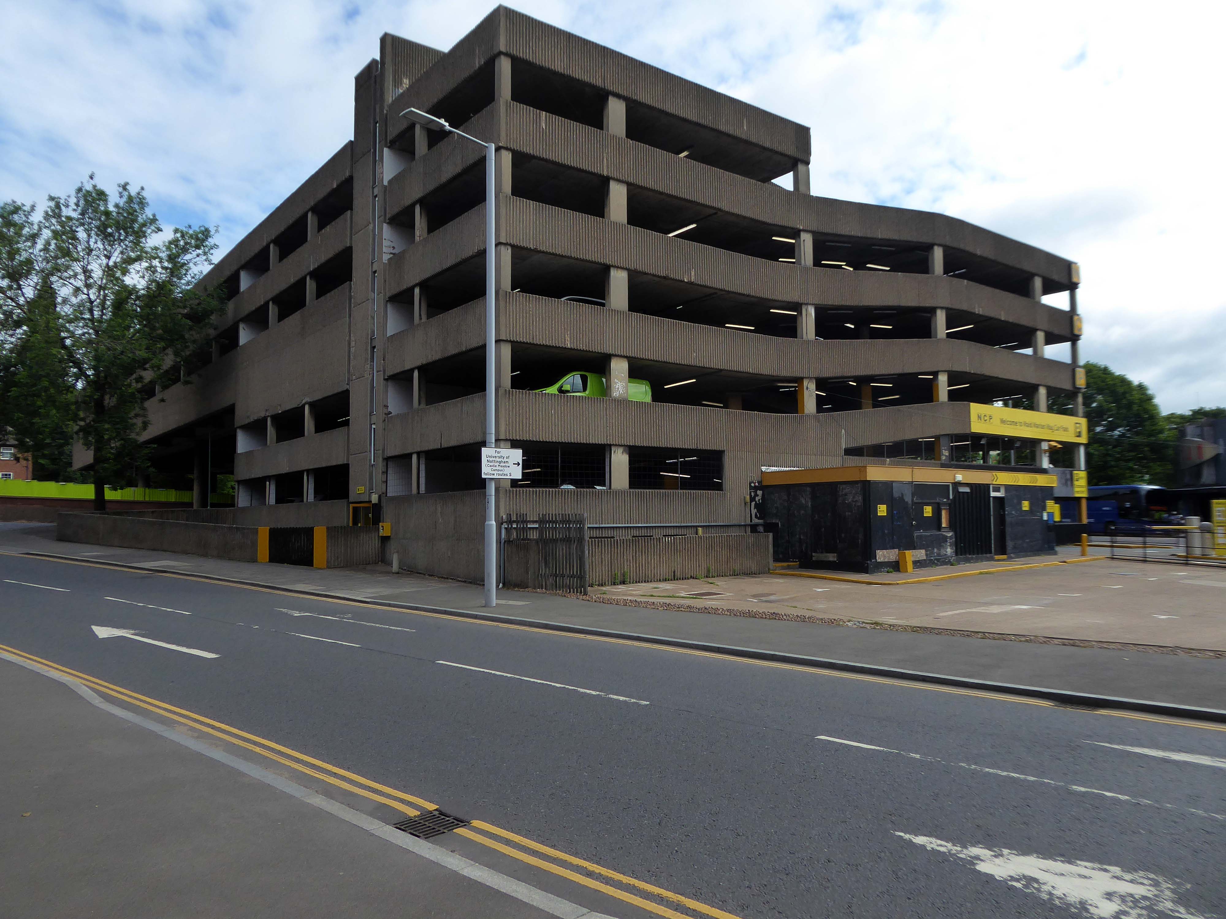
Dual carriageways mean cars, cars mean car parks and car parks mean business.
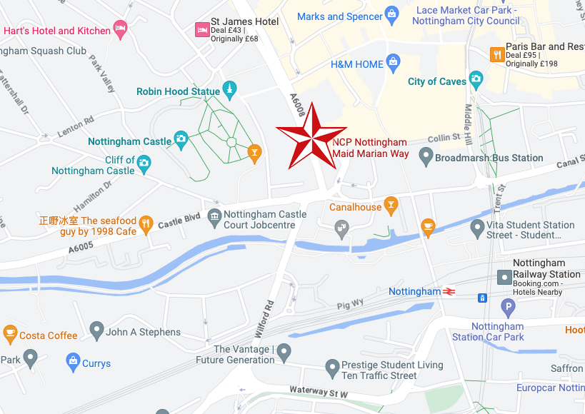
Whether you’re visiting a student or are one yourself, parking at our car park on Maid Marian Way gives you easy access to the University of Nottingham.
For those who want a bit of retail therapy, look no further than the Intu Victoria shopping centre. Located within easy walking distance of our Maid Marian car park and right in the heart of the city centre, you’ll have a choice of over fifty shops to browse.
If you’re a bit of a history buff then Nottingham Castle should definitely be on your ‘to do’ list. Park near the castle at Maid Marian Way, and you’re just minutes away from reliving tales of the past as you explore the original hidden caves equipped with a dungeon. Make sure you don’t leave without taking a picture with Nottingham’s most famous resident, Robin Hood, found just outside the castle.
Had a lovely conversation with a lady in the machine after my parking ticket was swallowed and learnt lots about the poor acoustic in car parks. They charged me twice to park my car which made me feel lots of negative emotions towards them. So all in all, a bit of rollercoaster. Highly recommend this experience for anyone looking for somewhere to park that enjoys conflict and has lots of money they don’t need.
Very expensive, dirty and with rough sleepers lying on each stairs landing.
Felt very unsafe.
Parkopedia
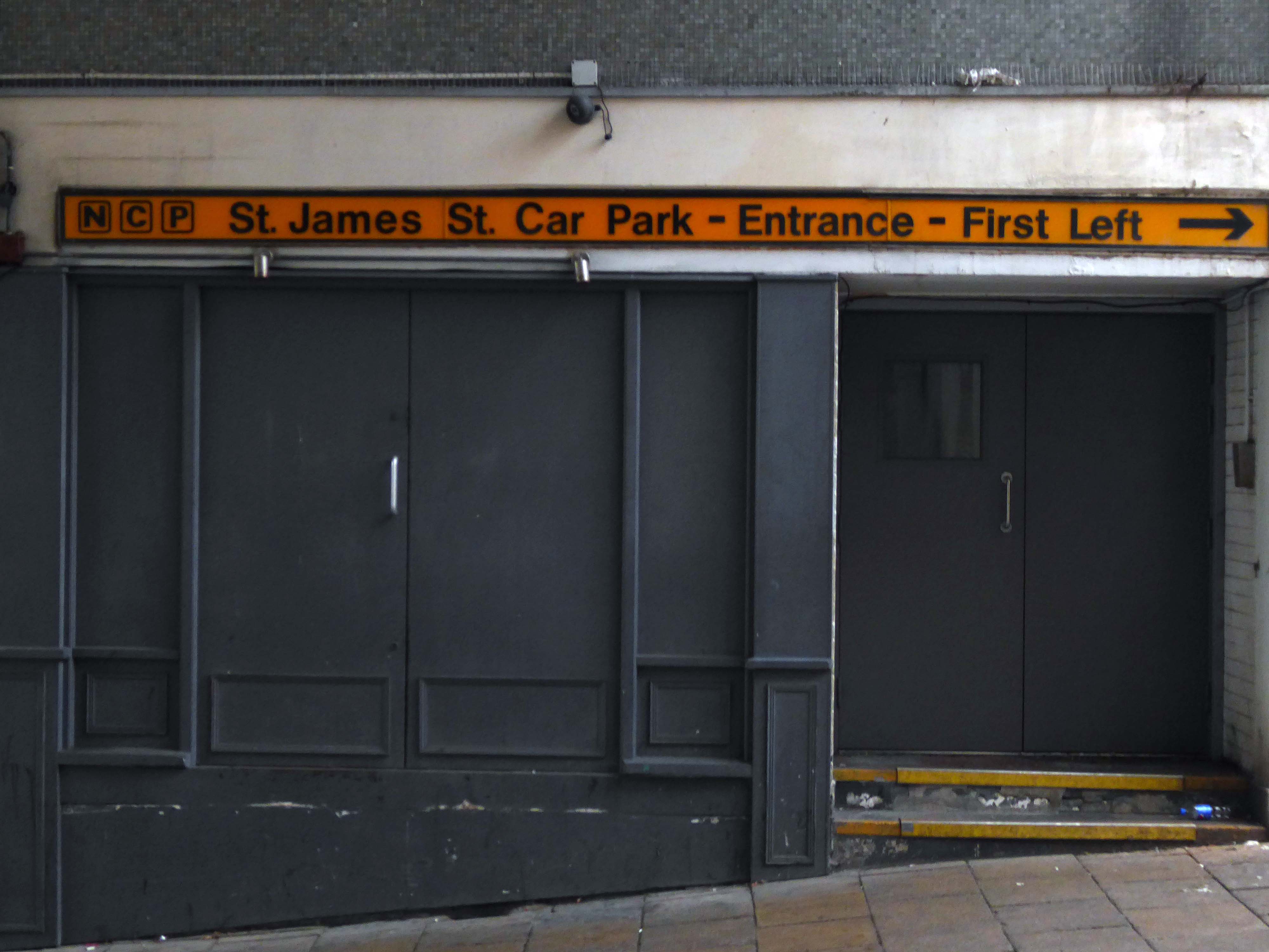
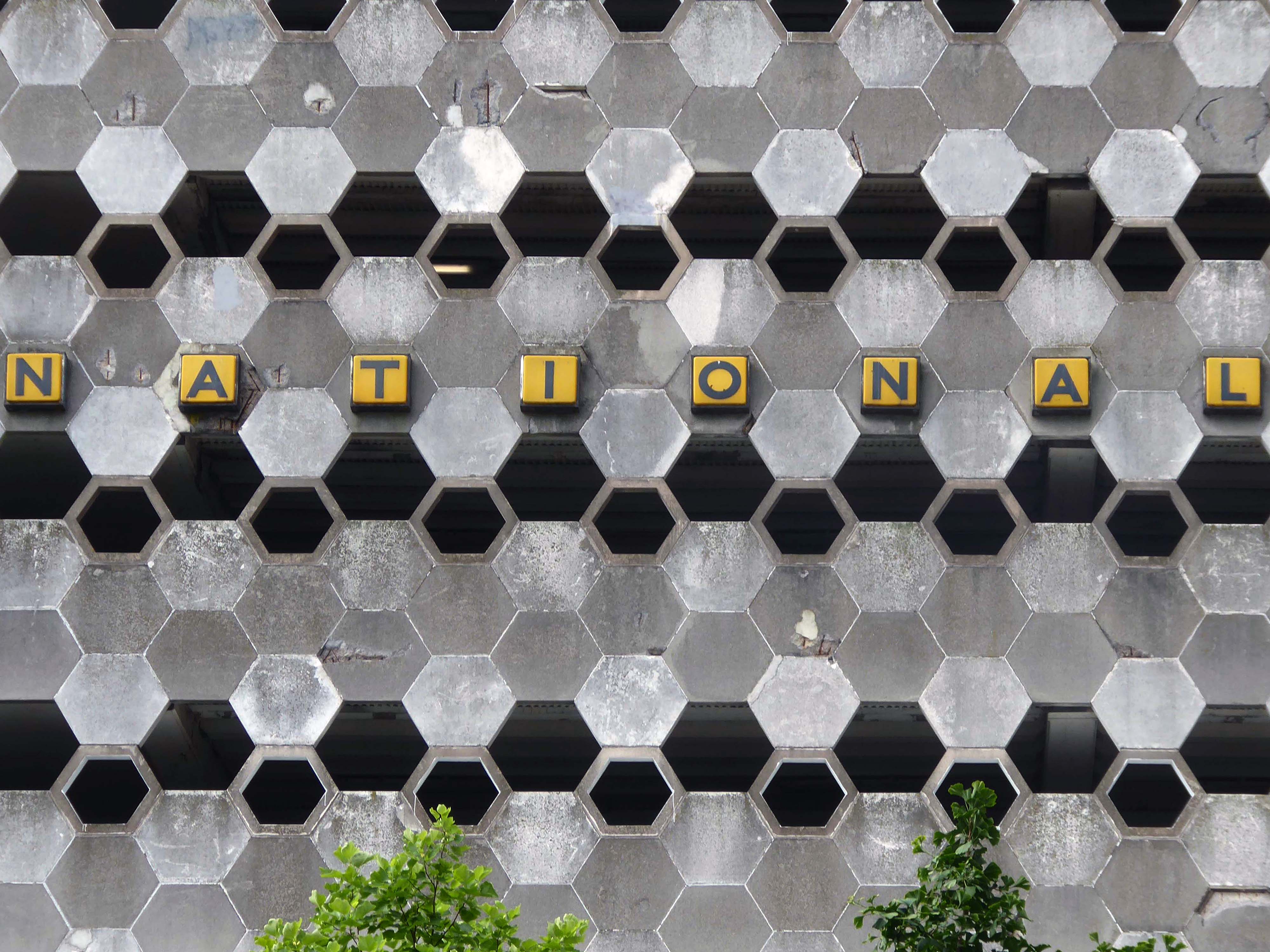
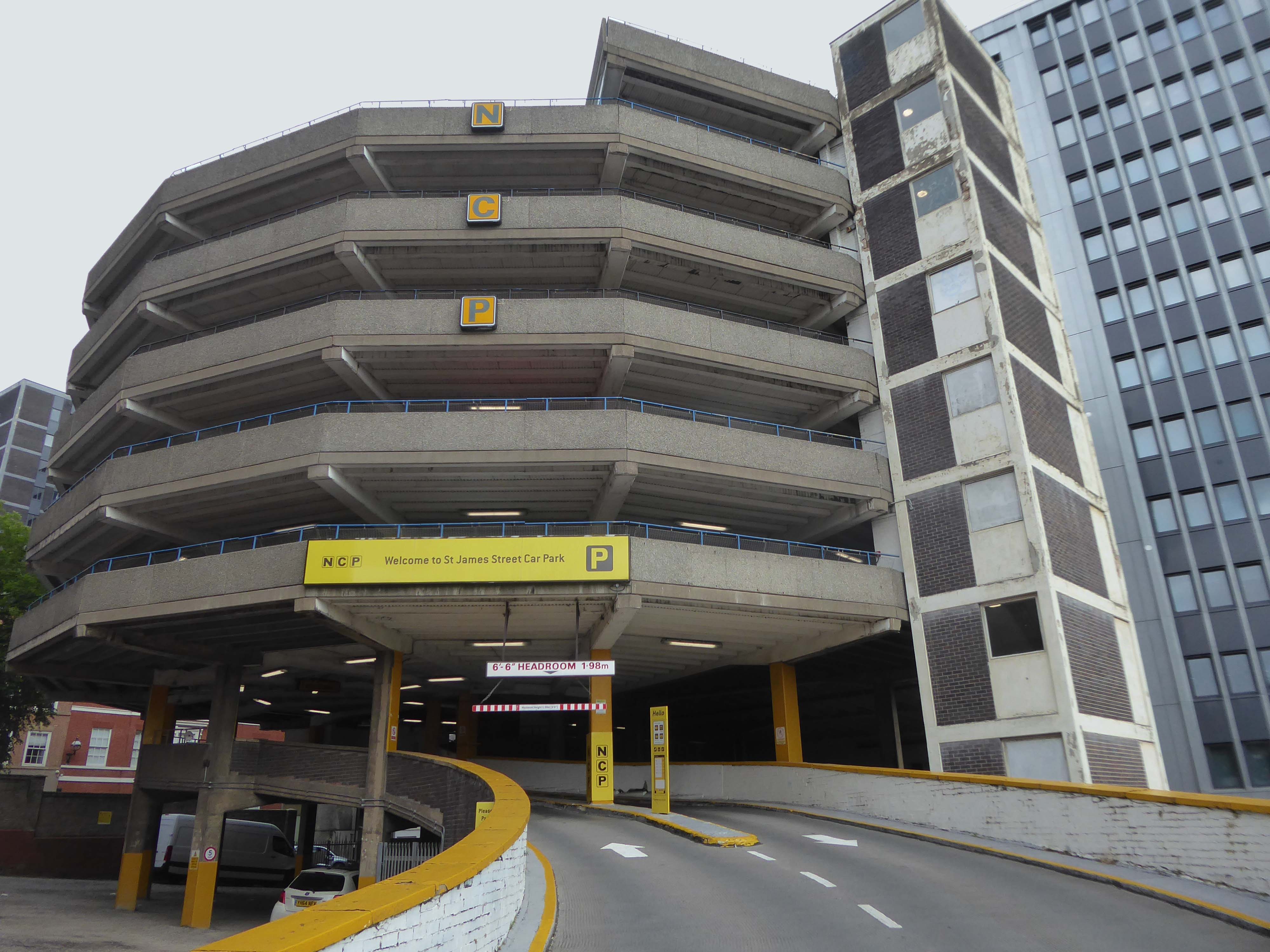
Located in the heart of Nottingham, our parking on St James Street puts you right in the historical centre of this ancient city. Get your picture taken with the legendary Robin Hood Statue, then take a tour of the Castle, Museum and Art Gallery before staying in the stylish boutique accommodation of St James Hotel.
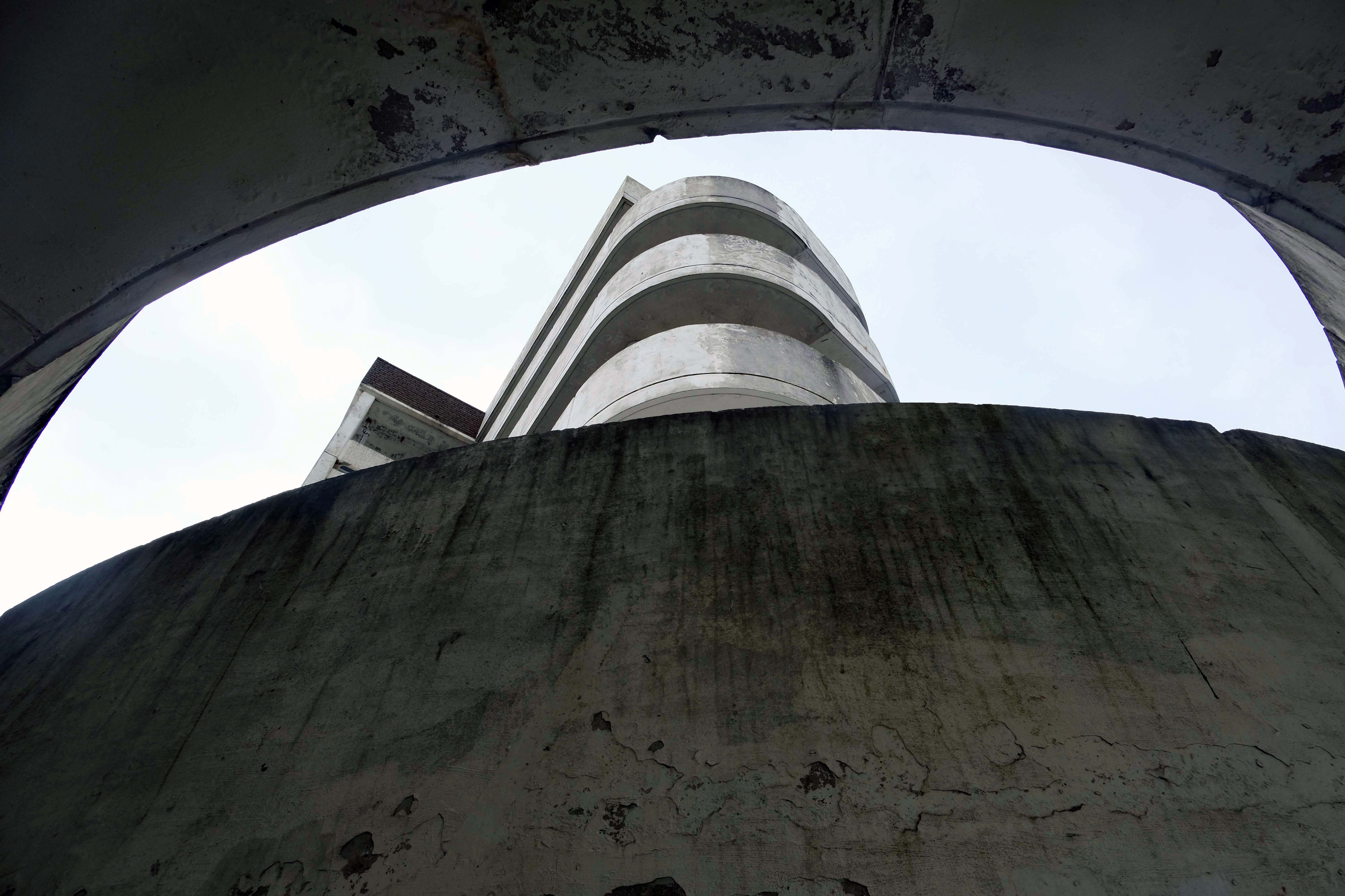
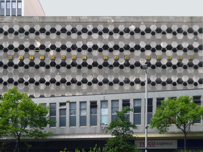
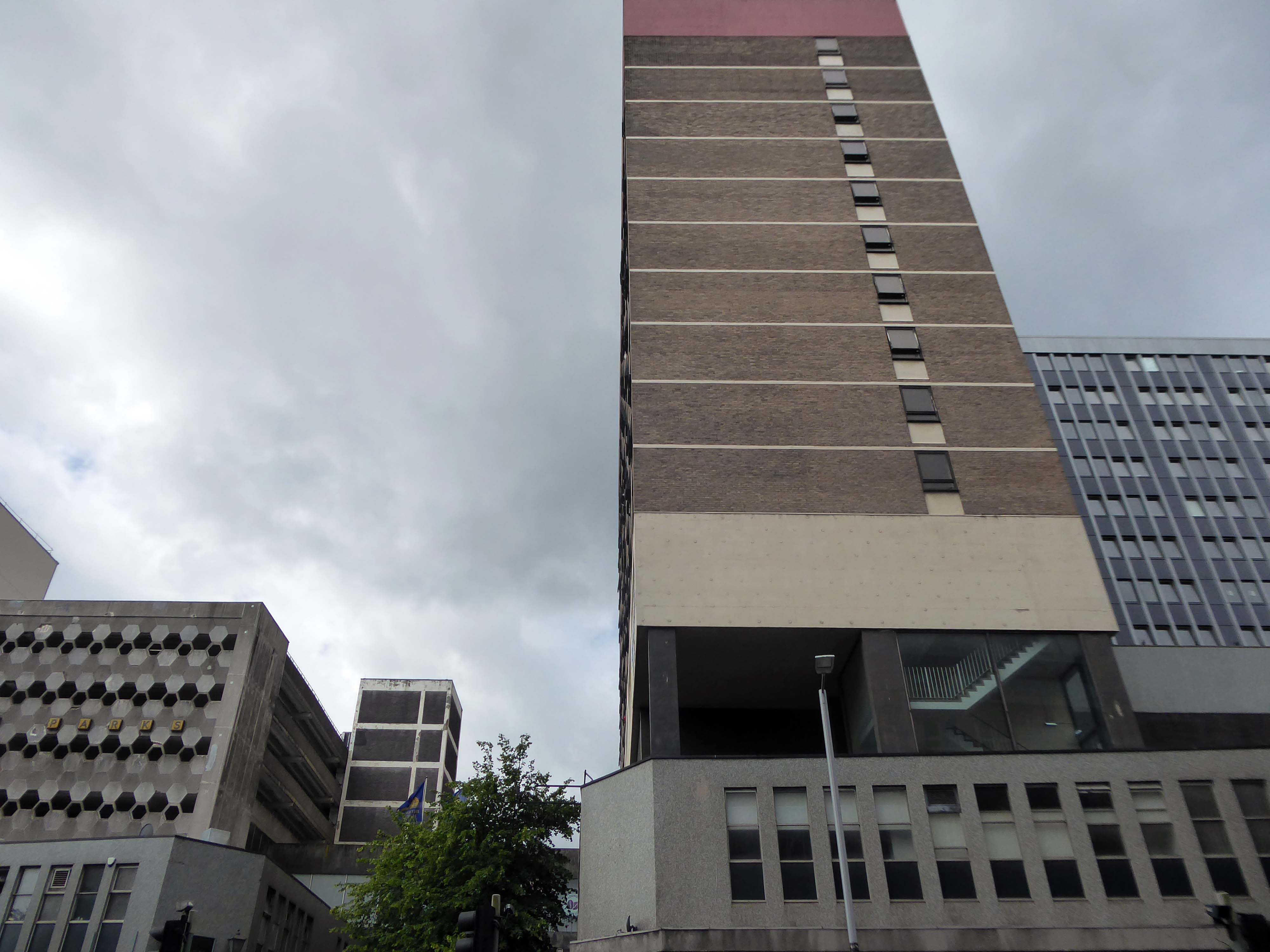
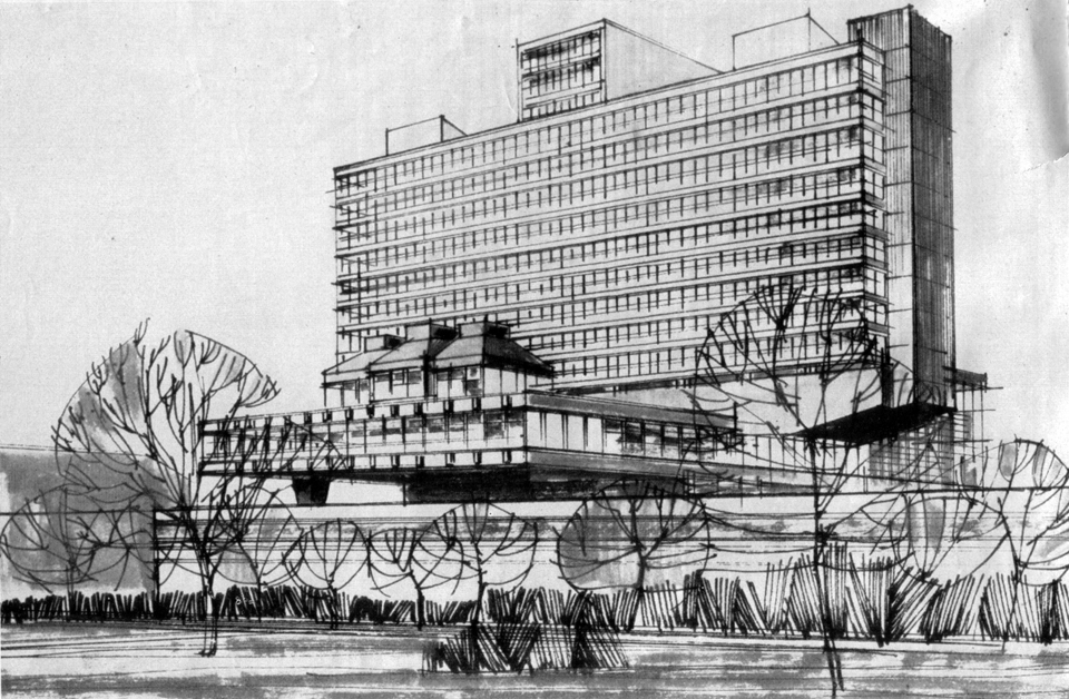
An overwhelming three-part development by John P Osborne & Sons. Phase 1 has a multi-storey car park 1962 above shops; followed by the fifteen-storey Britannic Hotel 1966, elevations by James Roberts.
Elain Harwood
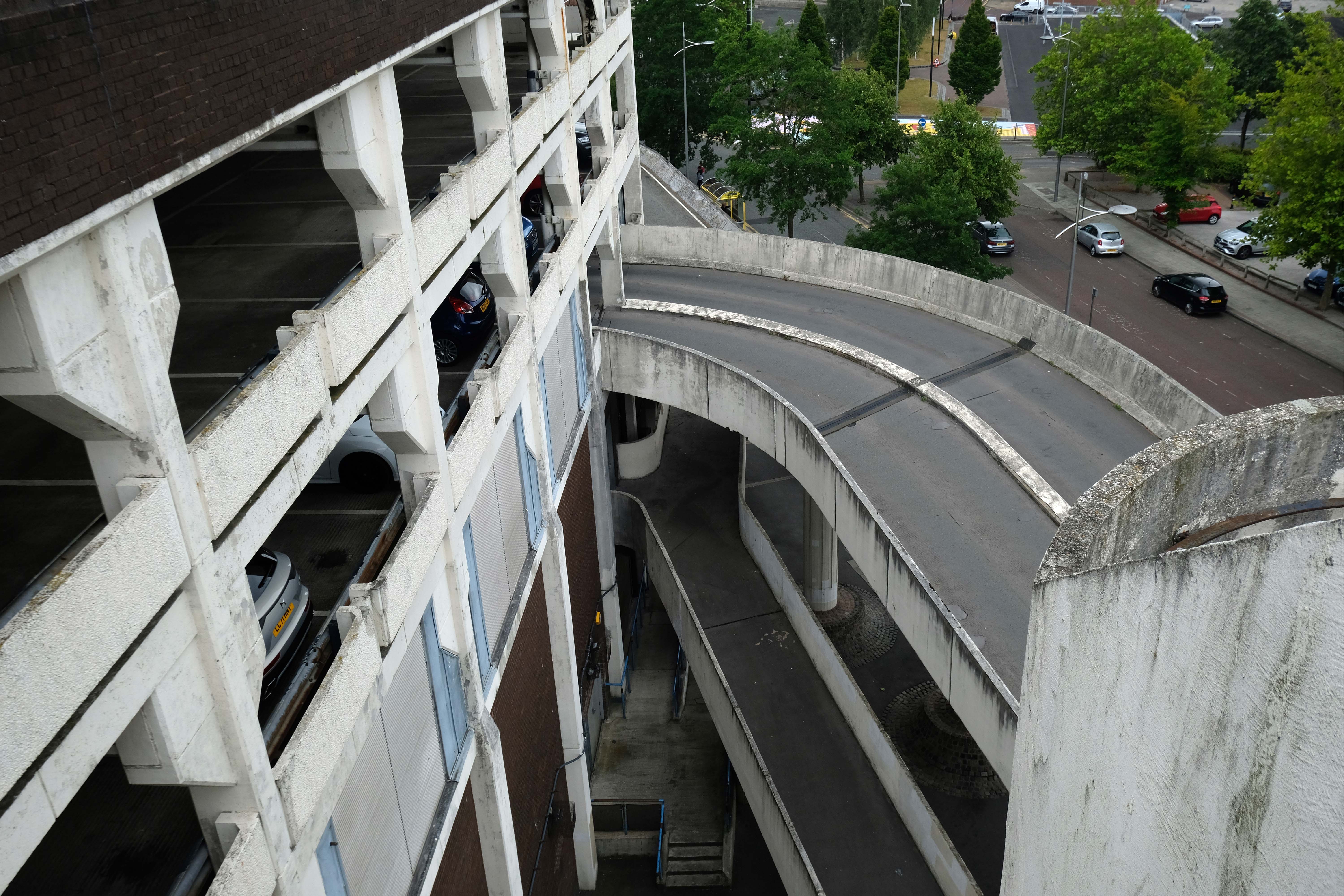
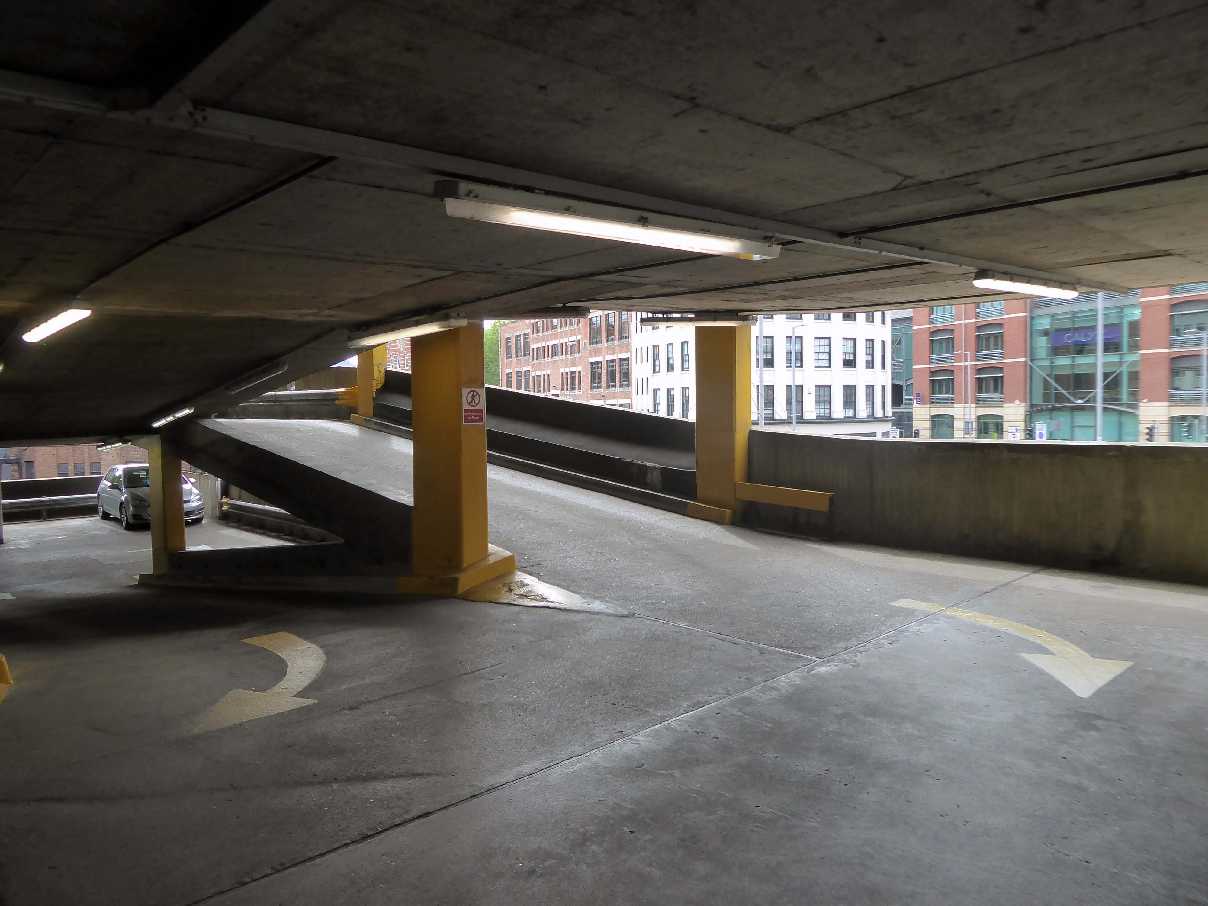
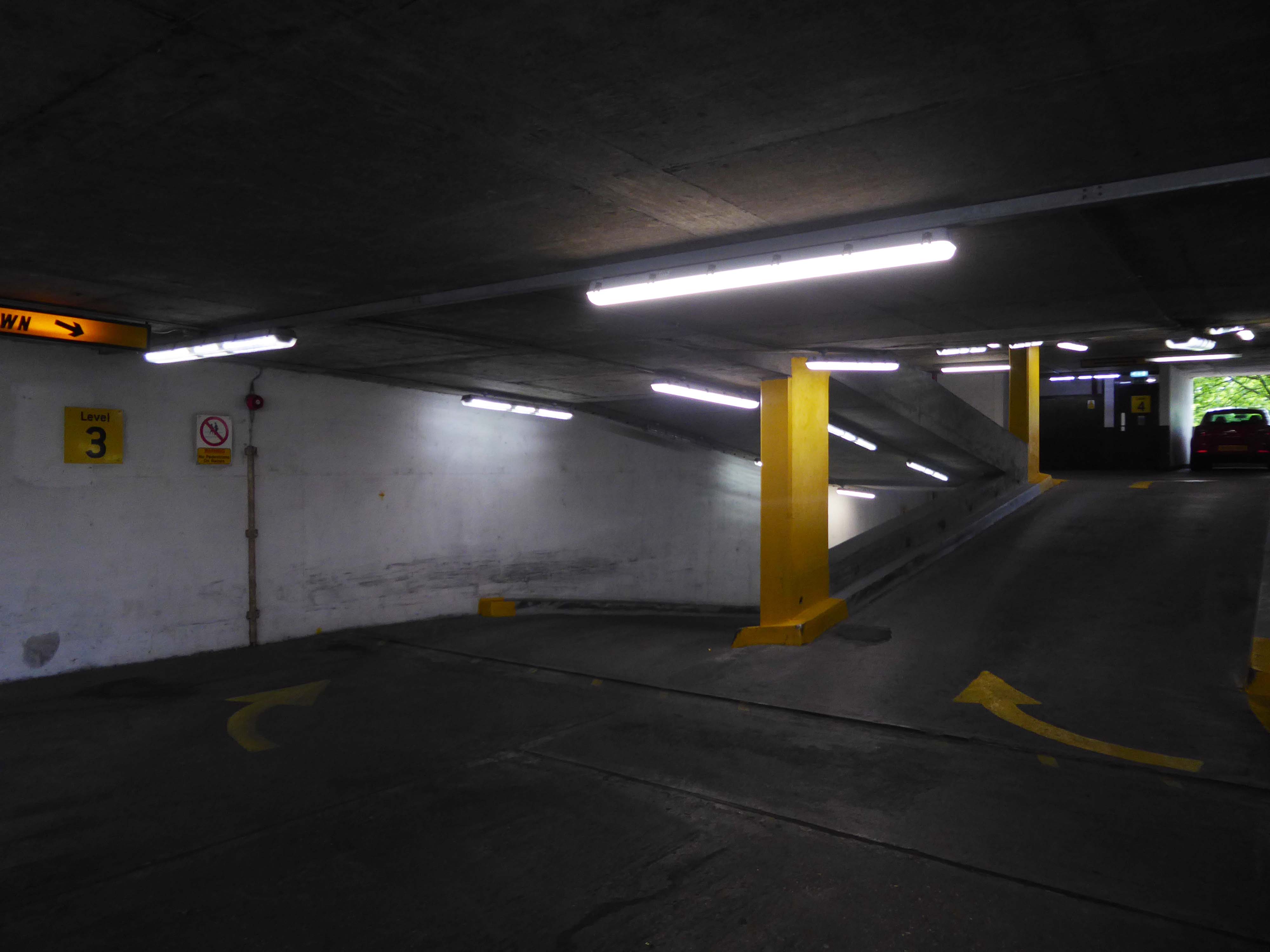
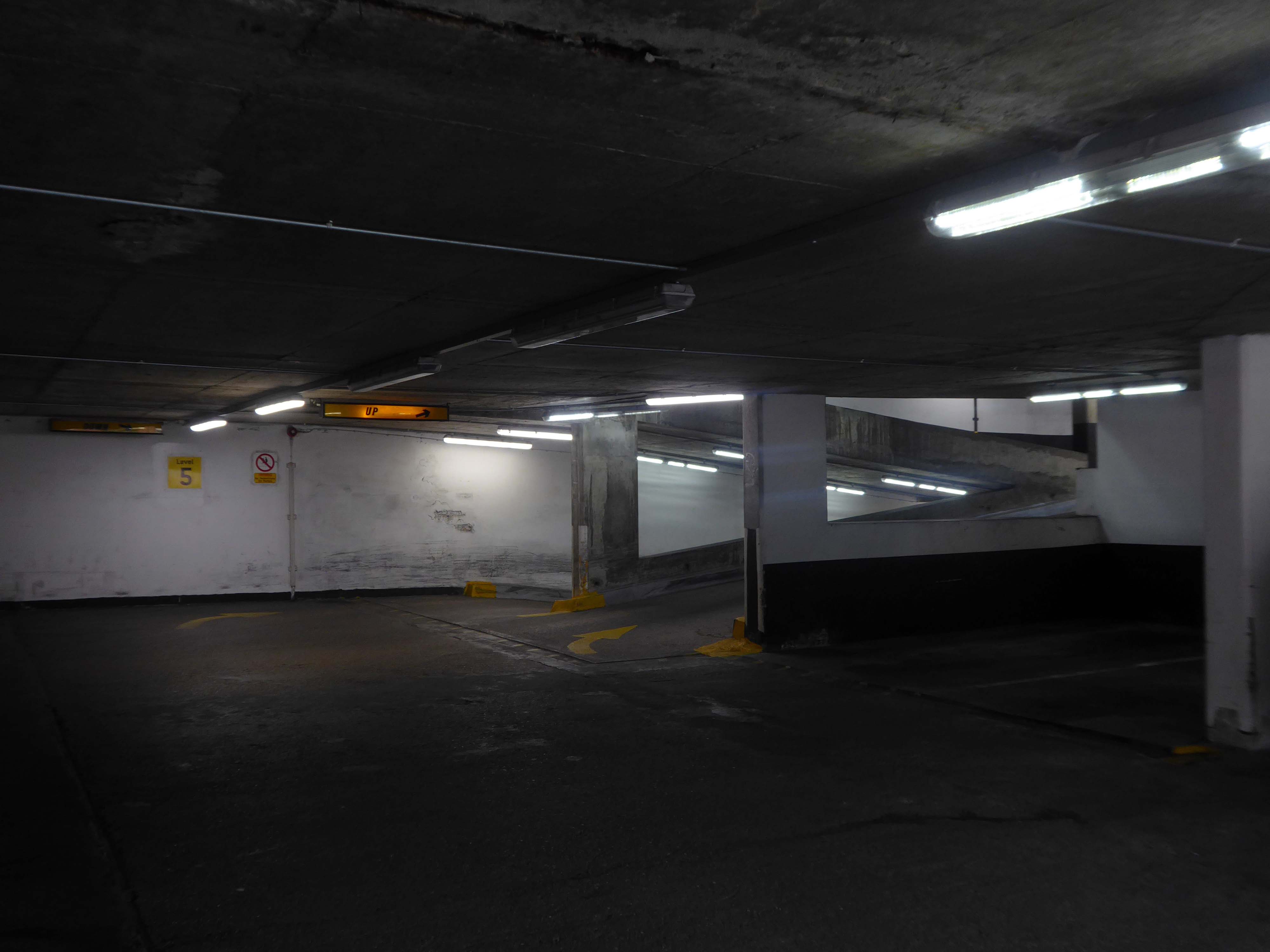
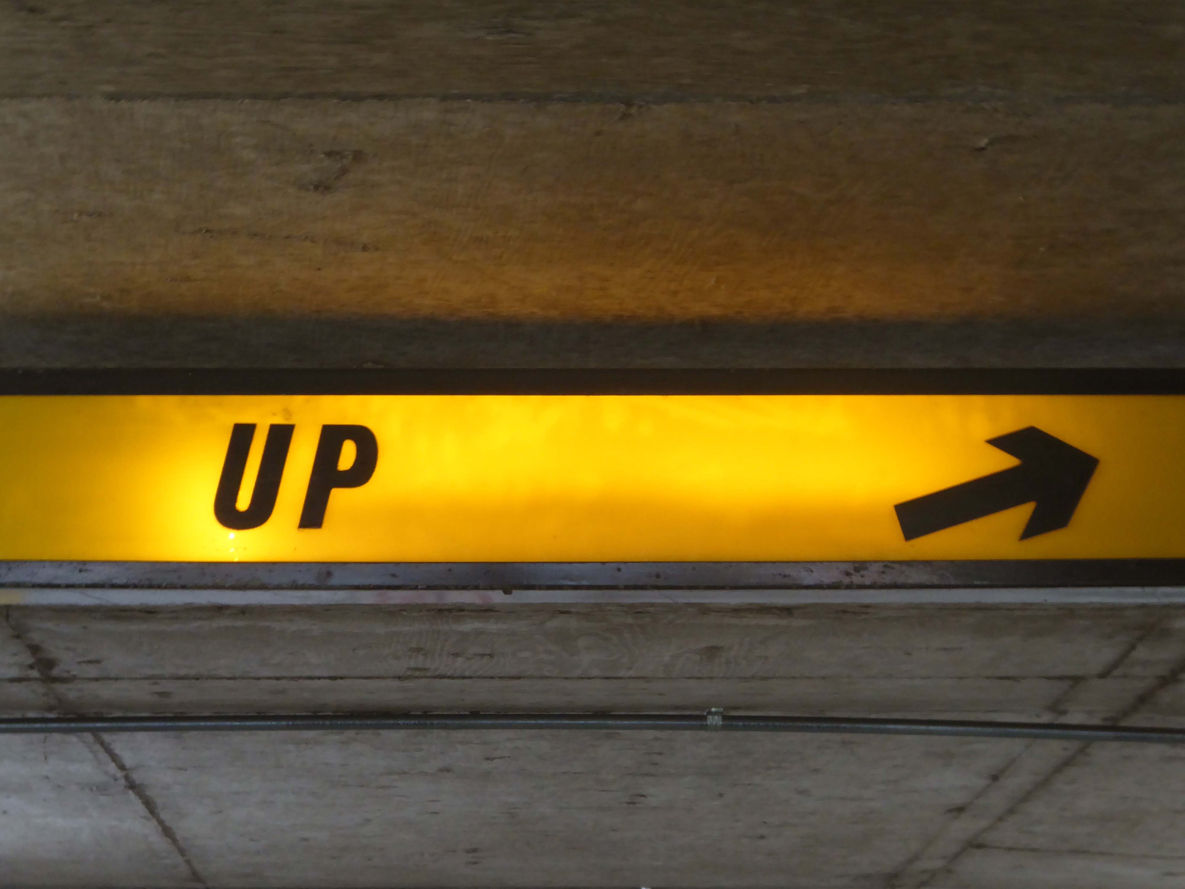
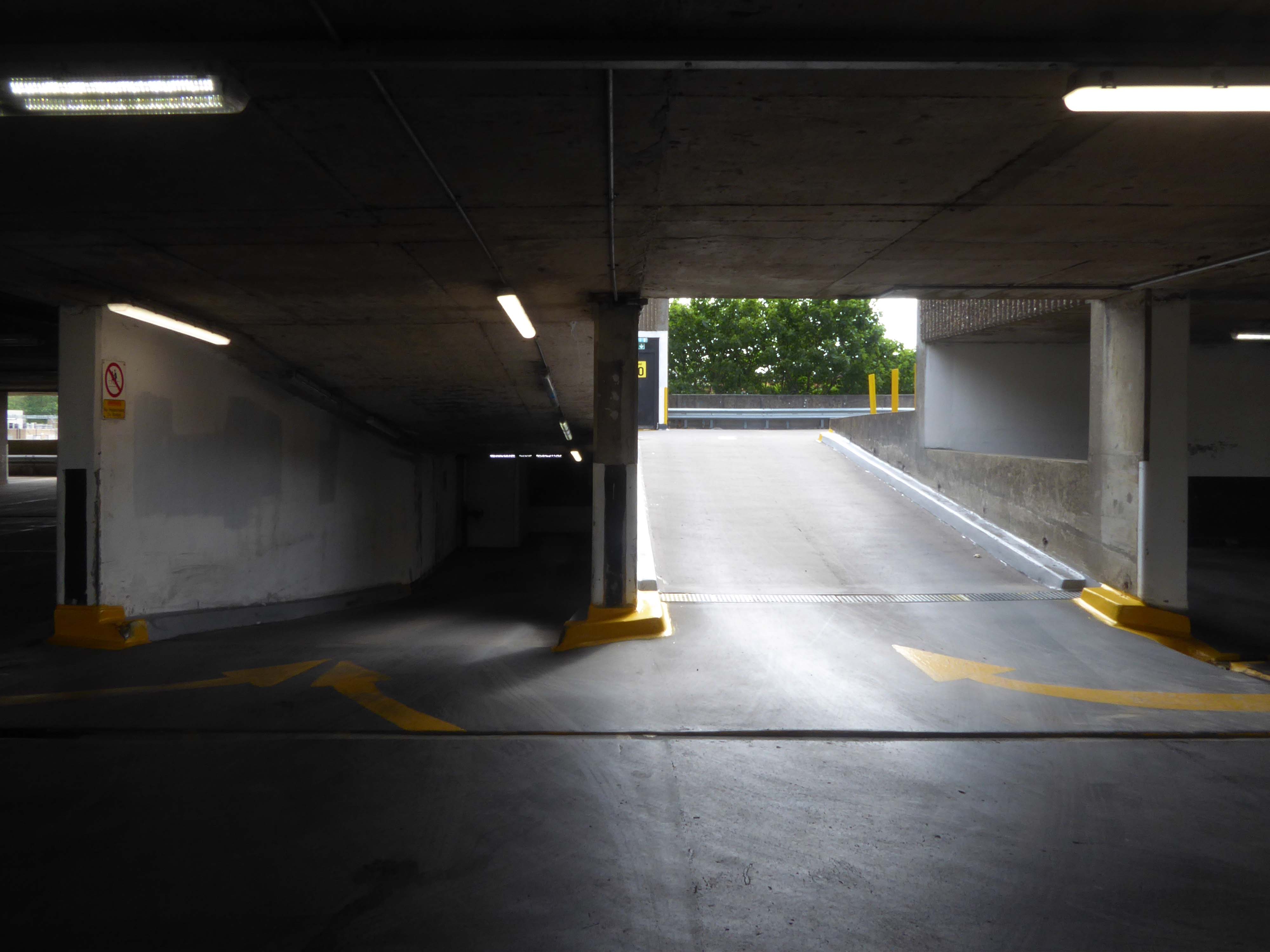
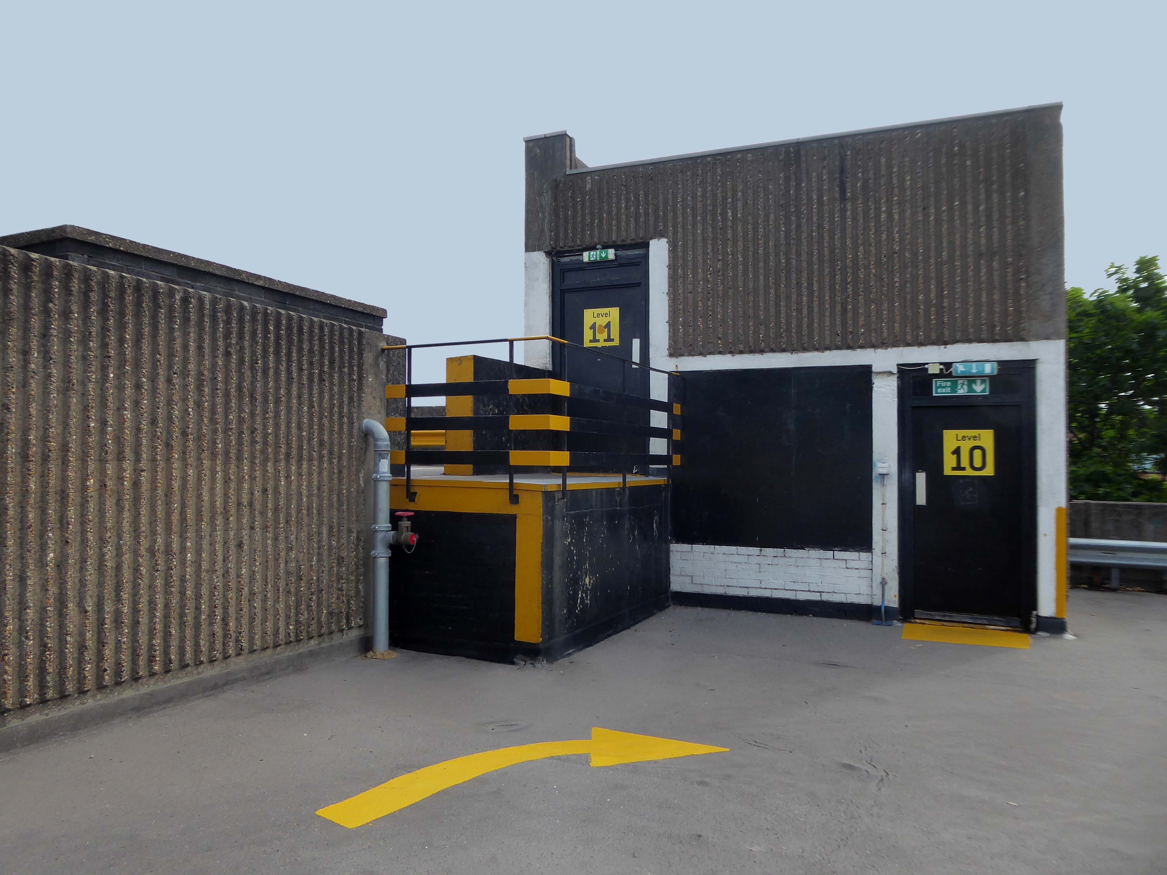
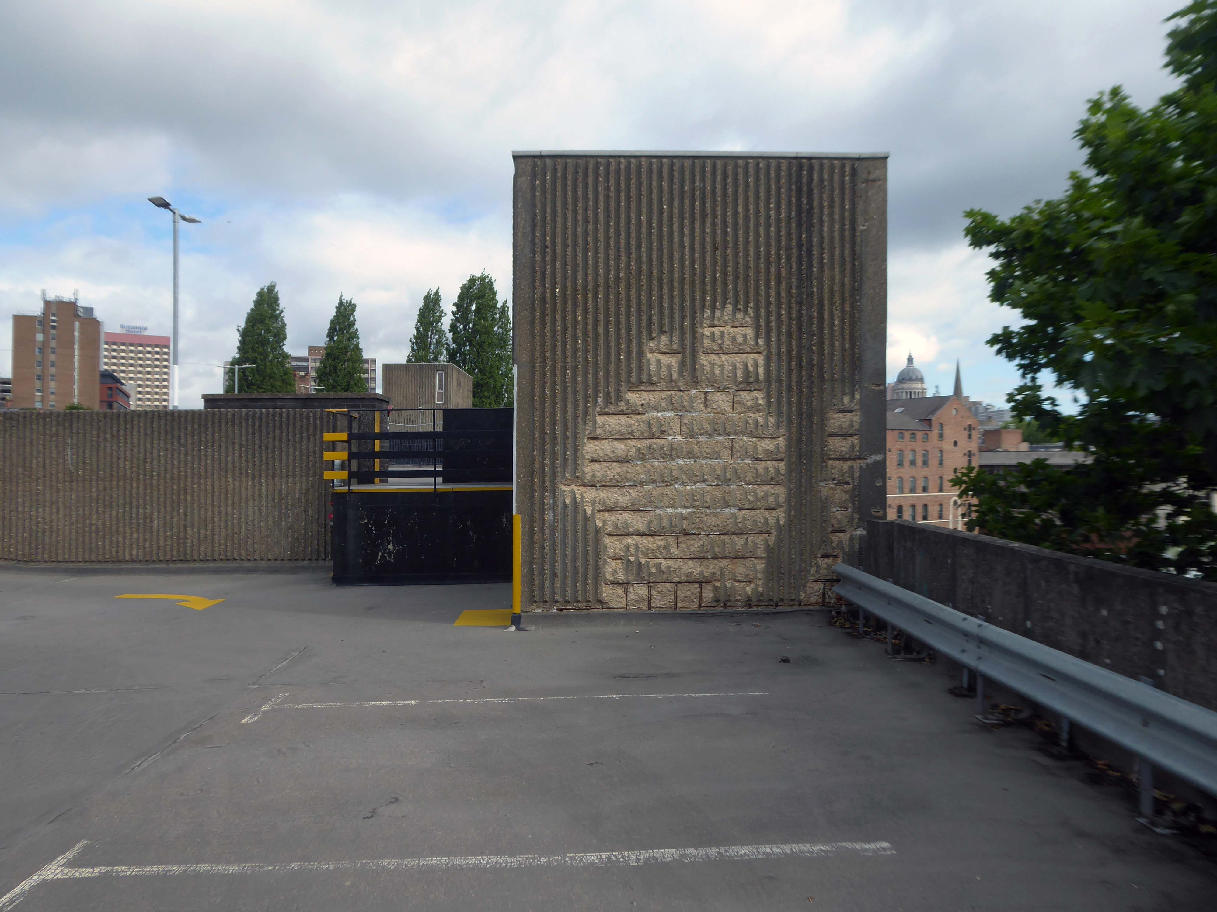
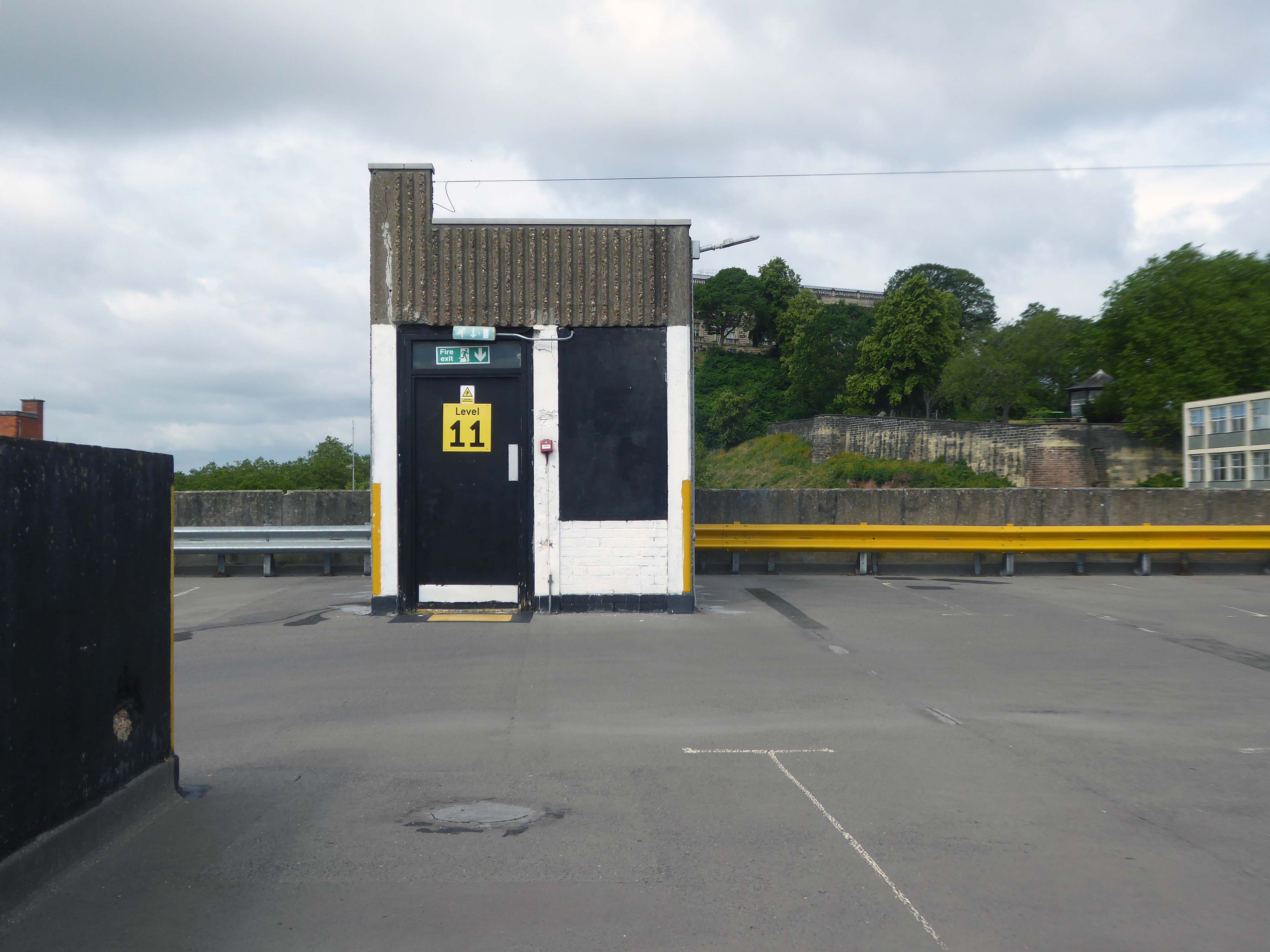
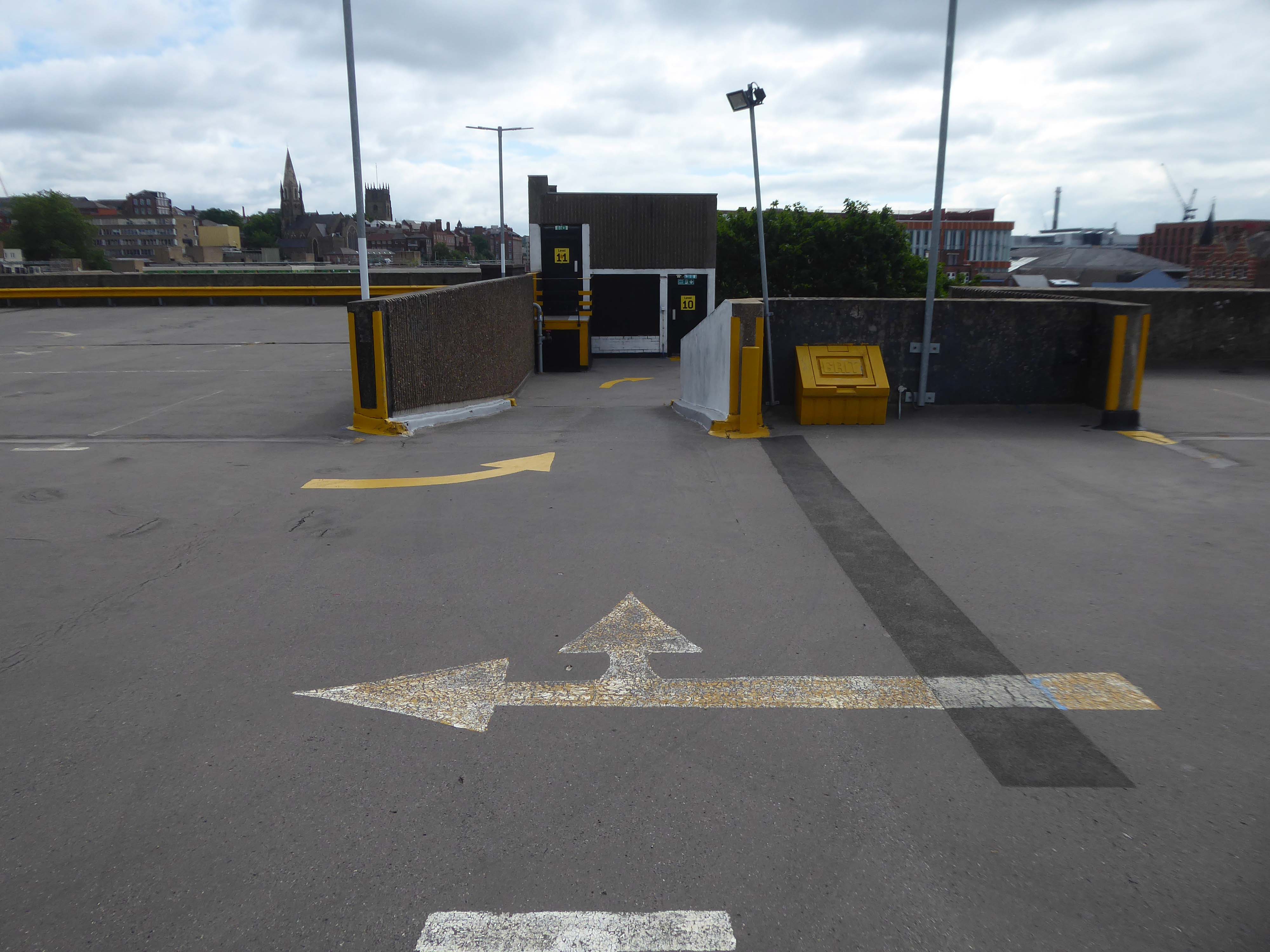
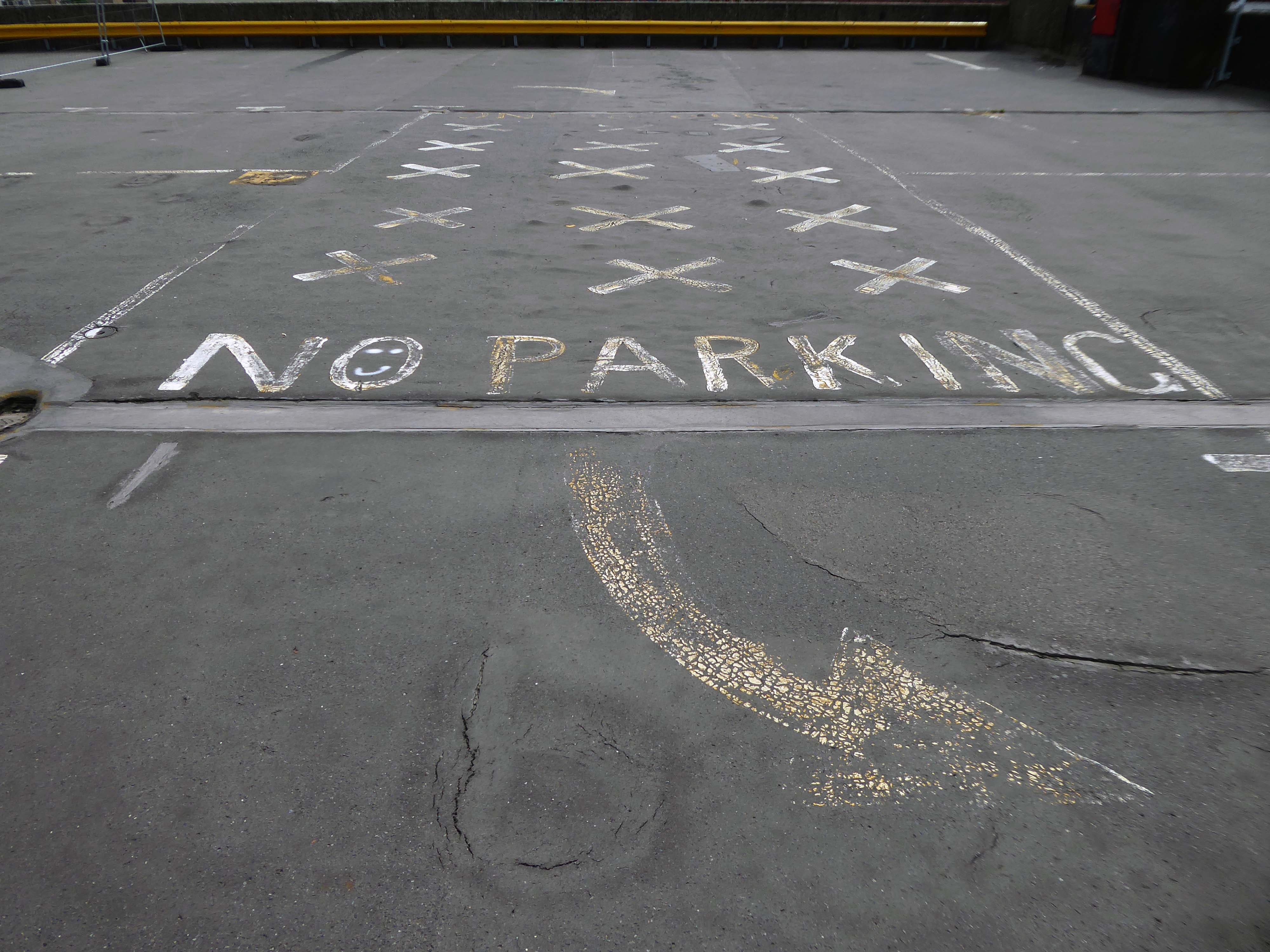
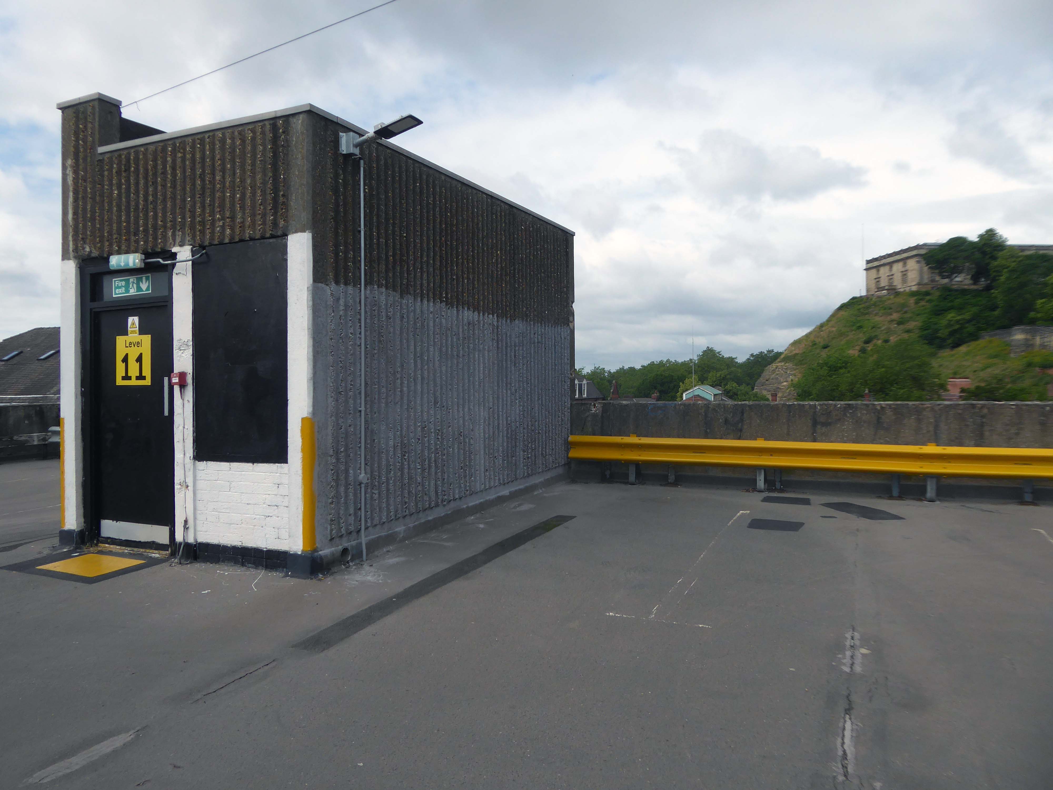
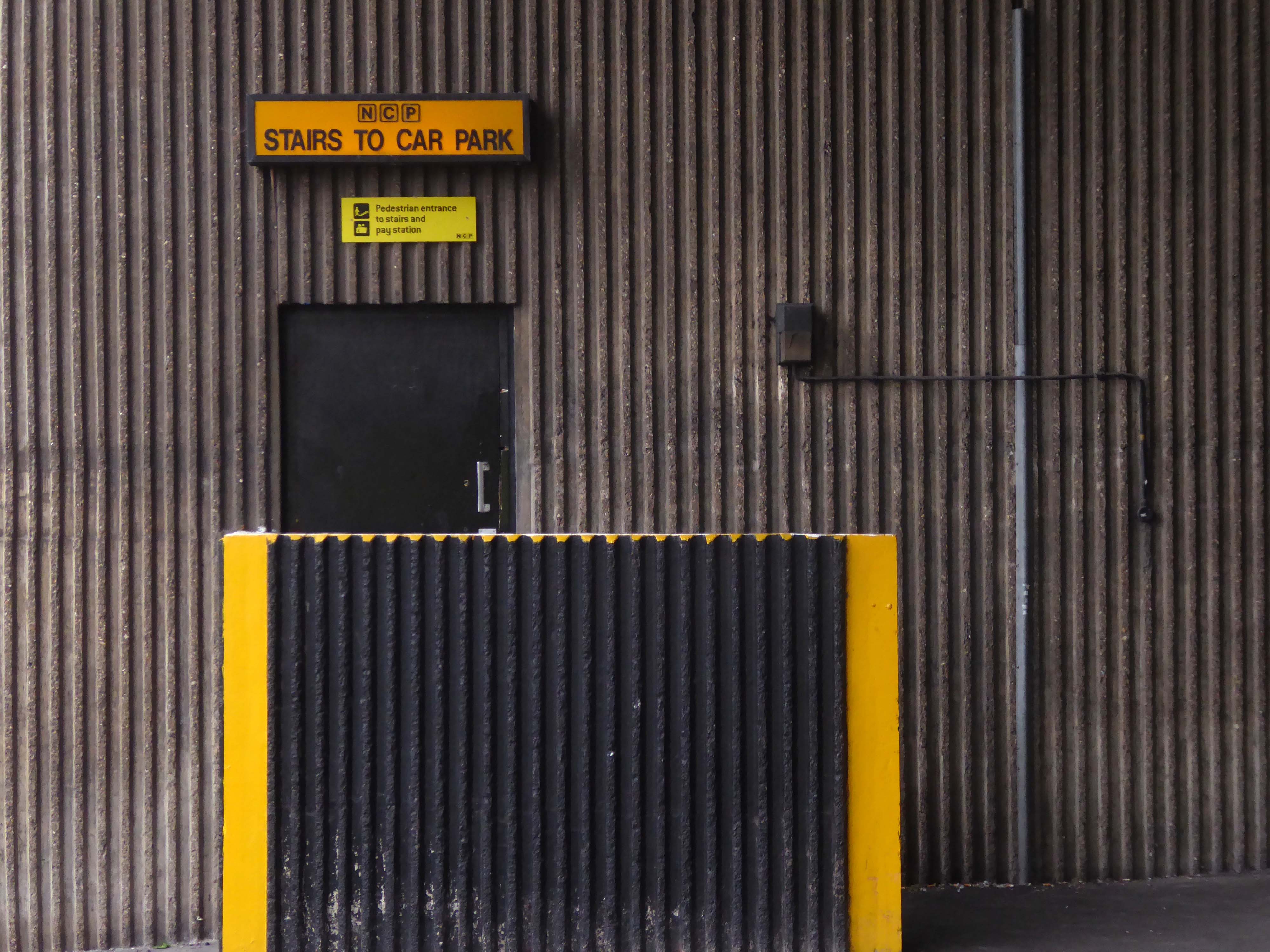
Eschewing the pedestrian entrance, I ascended the ramp – walk like a car!
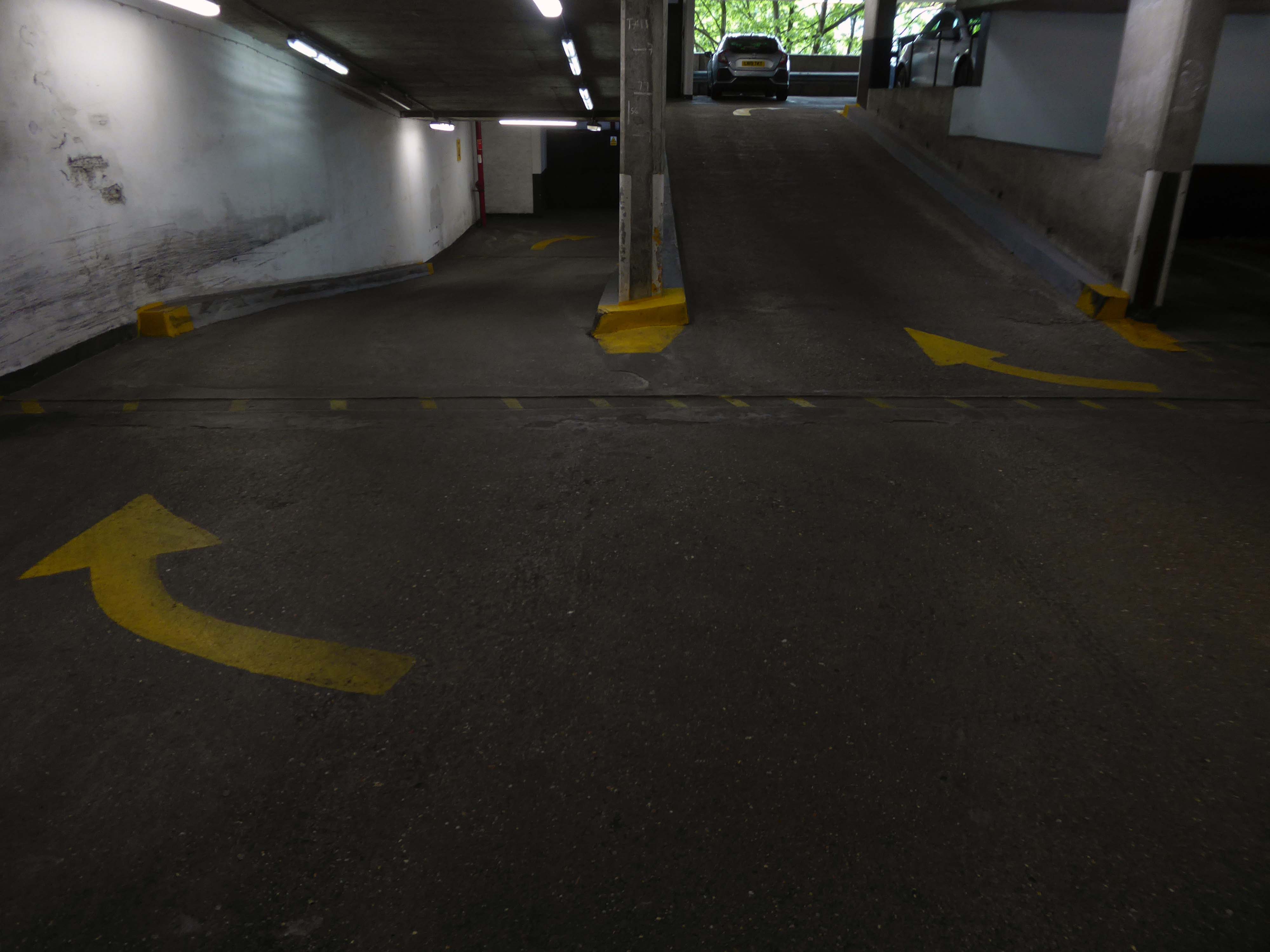
Weaving between yellow pillars, taking care on the stairs.
I’m on the top of the world lookin’ down on creation And the only explanation I can find Is the love that I’ve found, ever since you’ve been around Your love’s put me at the top of the world
There is evidence that the current town location has been occupied since prehistoric times. Prehistoric tools found in the caves of Graig Fawr, in the nearby village of Meliden, have revealed the existence of early human habitation in the area.
“Sunny Prestatyn” became famous for its beach, clean seas and promenade entertainers, and visiting for a bathe was considered very healthy by city-dwelling Victorians.
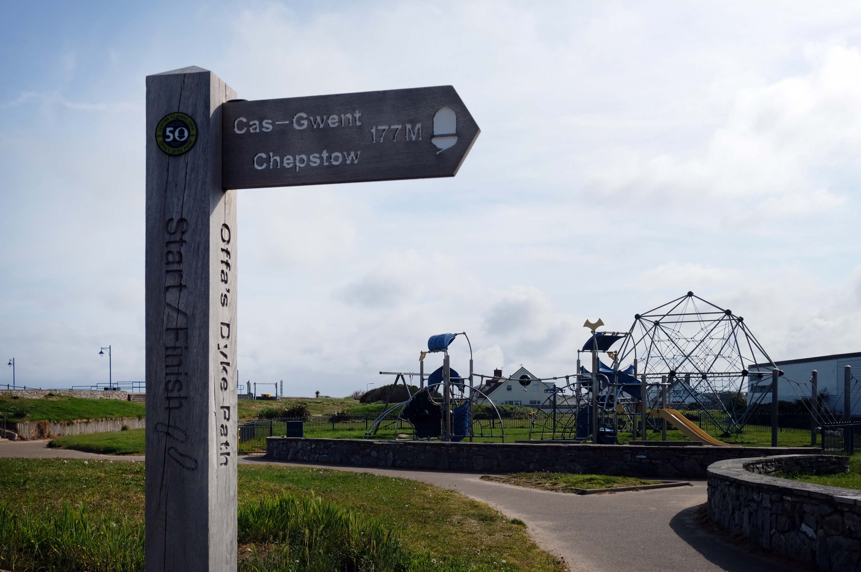
The town is at the northern end of the Offa’s Dyke Path, although not on Offa’s Dyke itself.
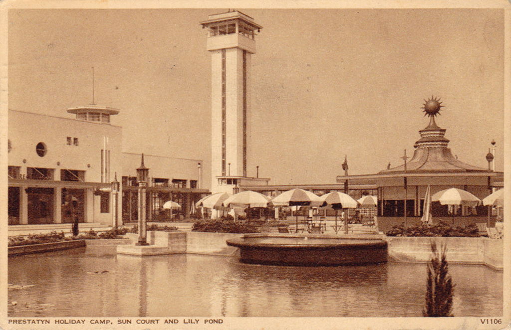
The holiday camp in Prestatyn was built by the London Midland and Scottish Railway Co. in 1939. The main buildings were in classic 1930s style, featuring rounded building ends, steel framed windows and porthole windows. Chalets showed an early form of sectionalised building method.
Requisitioned as a military camp until after the Second World War, it reopened as a holiday camp in the early 1950s. The site was demolished and cleared between February and March 2001.
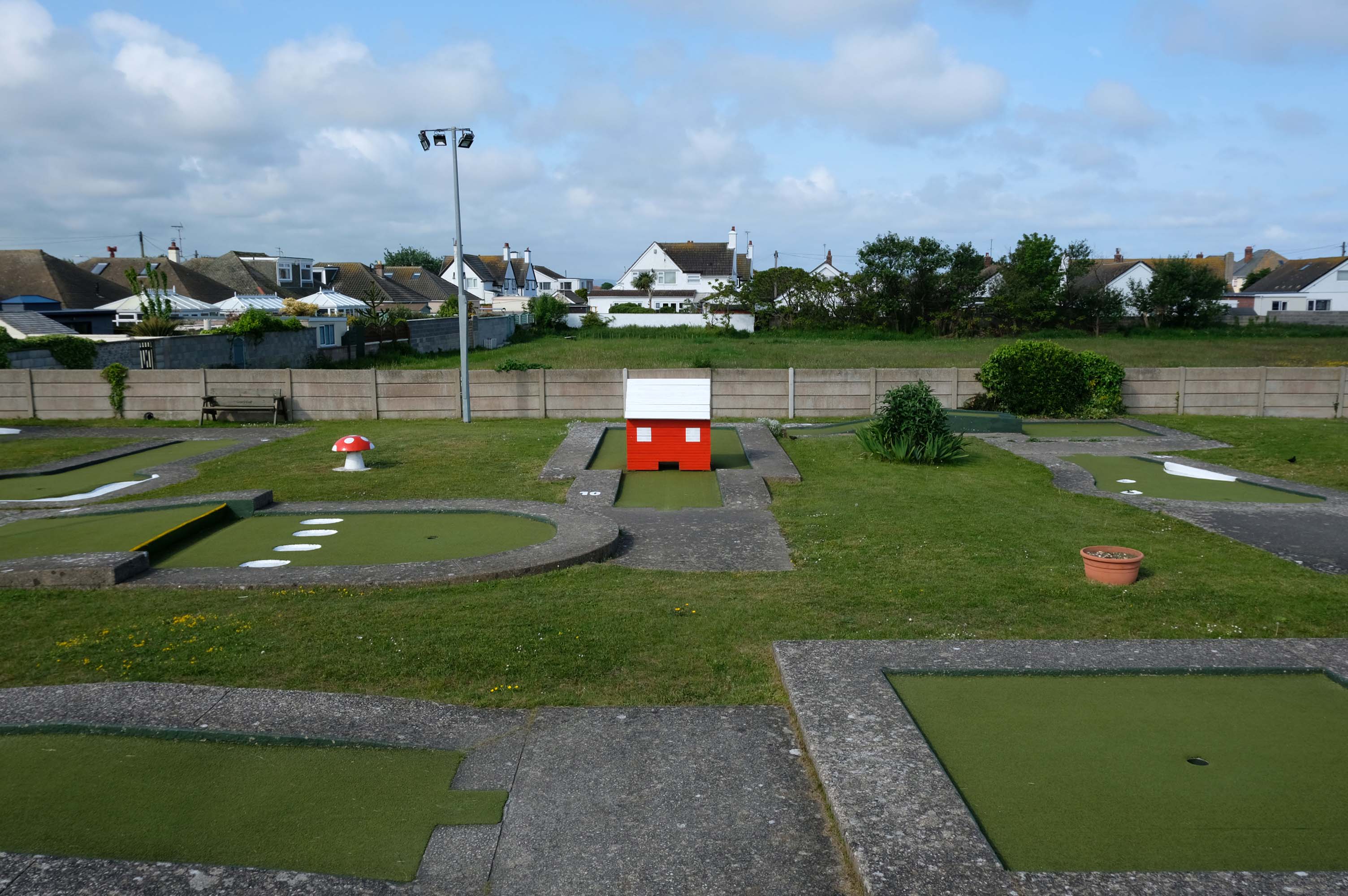
Prestatyn offers the opportunity to engage in an impromptu game of Crazy Golf – though the facility was closed on the morning of my visit.
The crazy golf was fantastic the kids didn’t want to leave plus the lady was so helpful plus the price were very reasonable – would highly recommended.
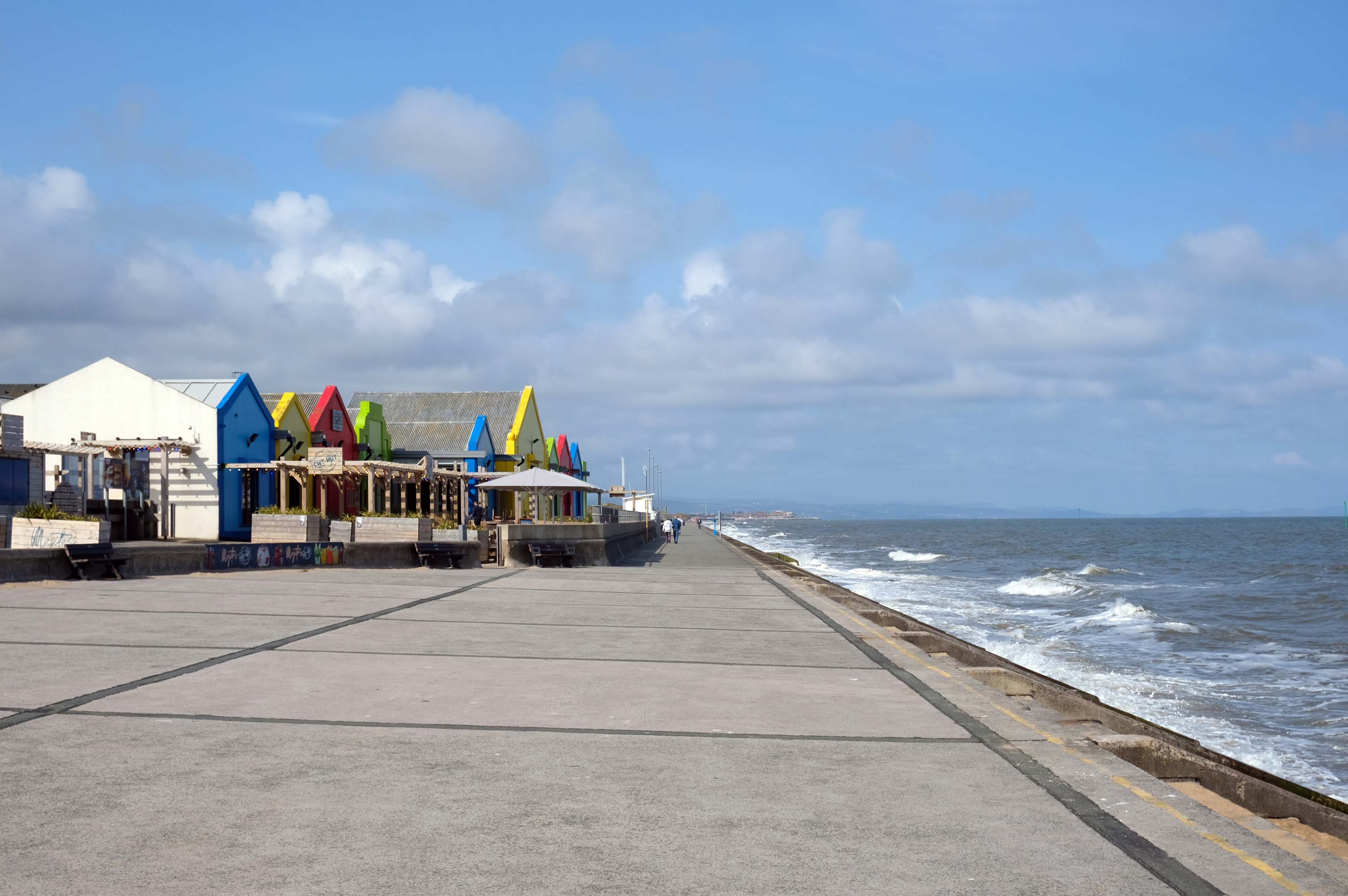
The promenade is dominated by a tight knit group of modern leisure facilities.
An expansive car park fronts directly onto the seafront.
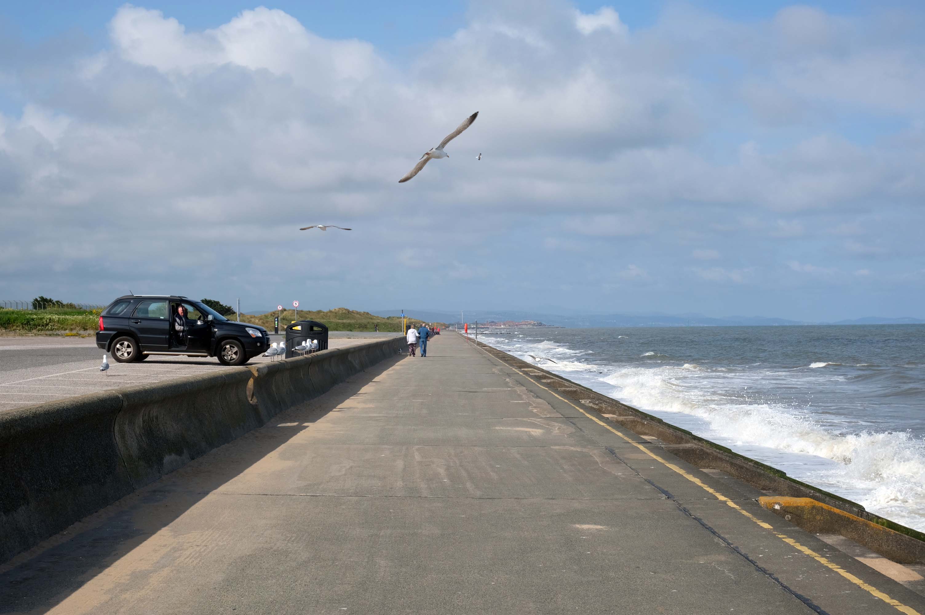
There have been serious reinforcements made to the seawalls – ensuring that the passing cyclist will not be washed away, by the crashing waves of the incoming tide.
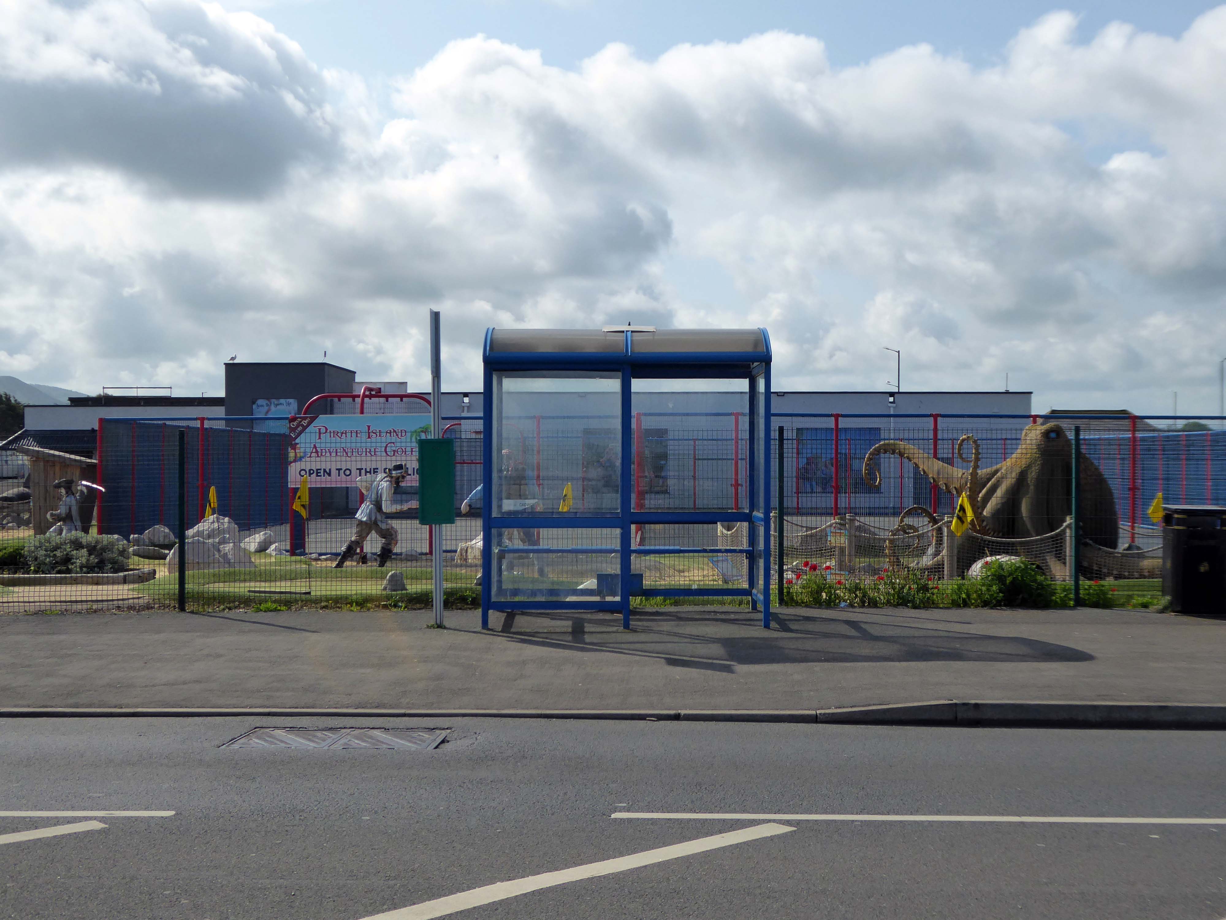
The reinforcement work demands that we temporarily detour onto the Rhyl Coast Road, where we encounter Pirate Island Adventure Golf.
Uncover hidden treasure on the North Welsh Coast at Pirate Island Adventure Golf at Lyons Robin Hood Holiday Park.
Make friends with the great white shark, octopus, and the resident pirates who guard the Island.
This 18-hole course is a fun and crazy challenge for all the family, with stunning views of Rhyl seafront to boot. Plus, it’s located just a stone’s throw away from Sherwoods Sports Bar where refreshments are served.
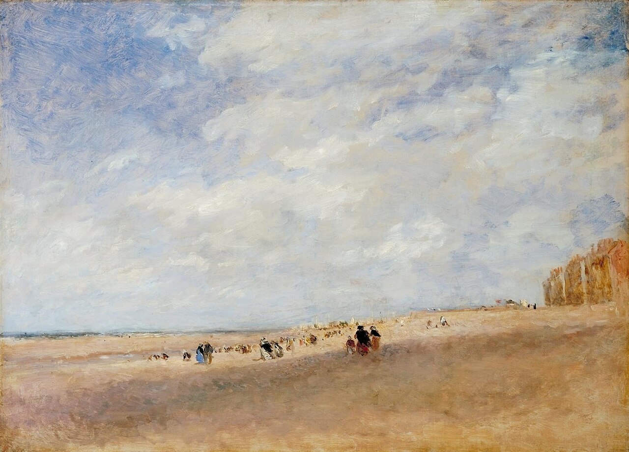
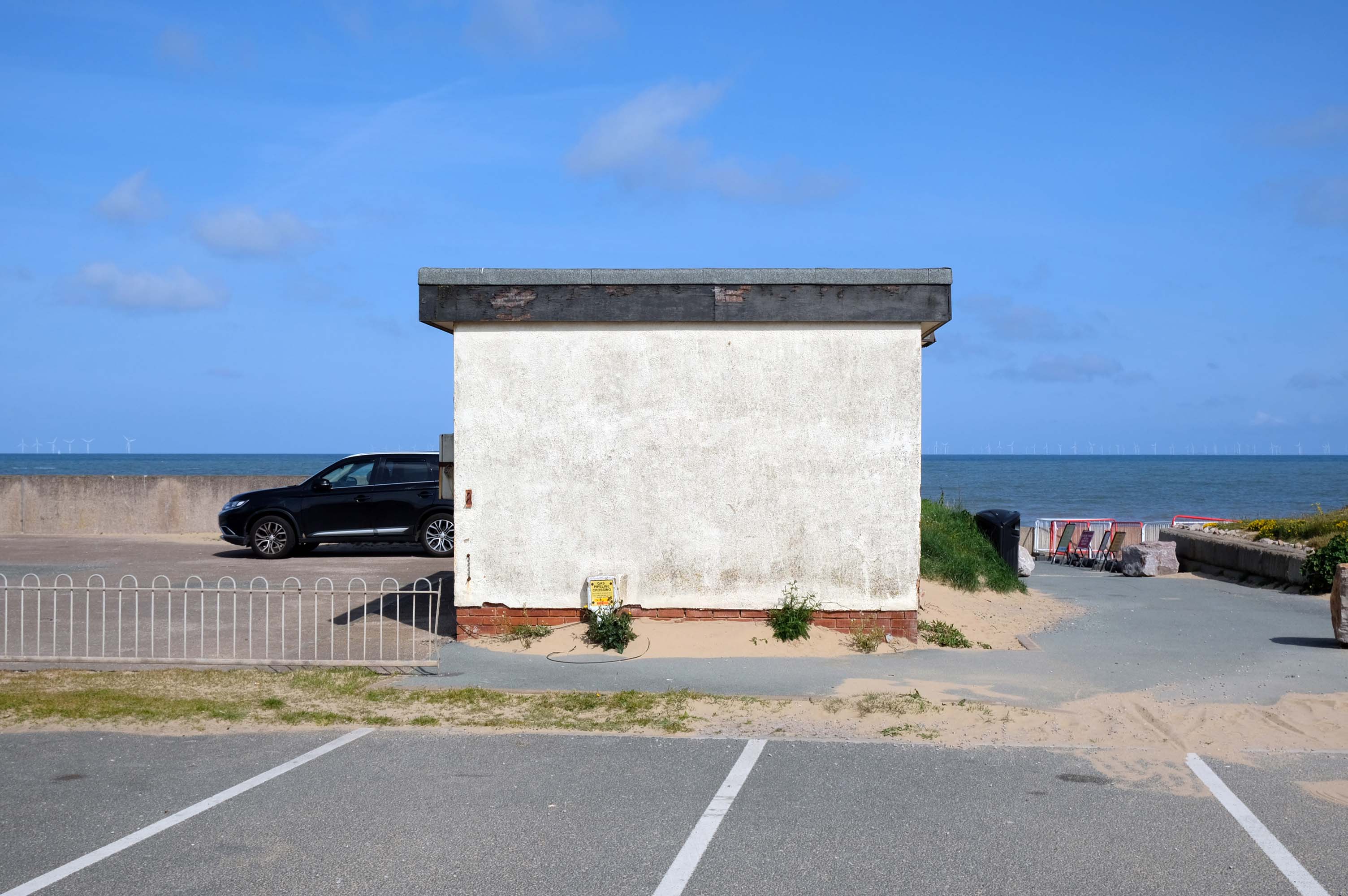
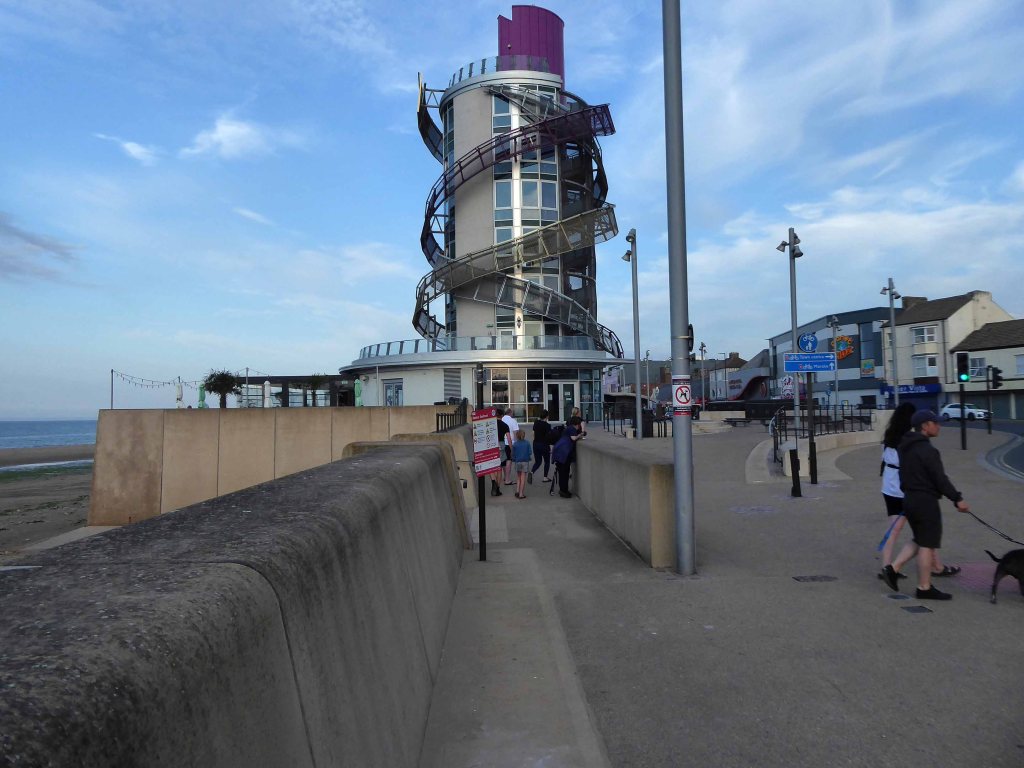
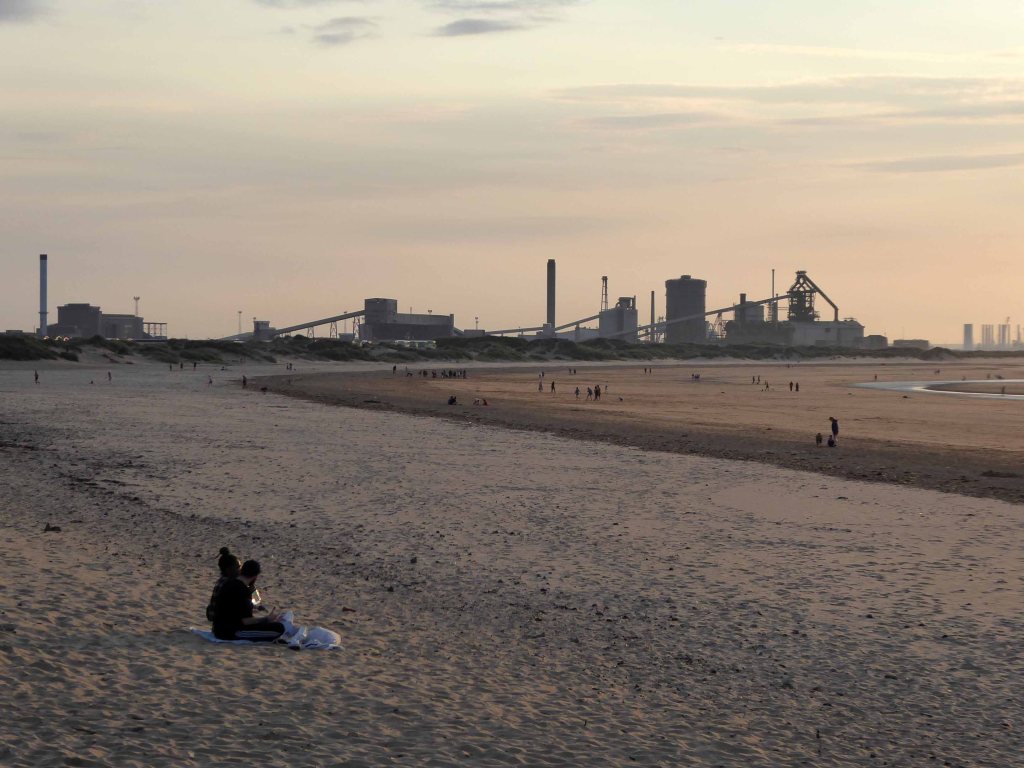
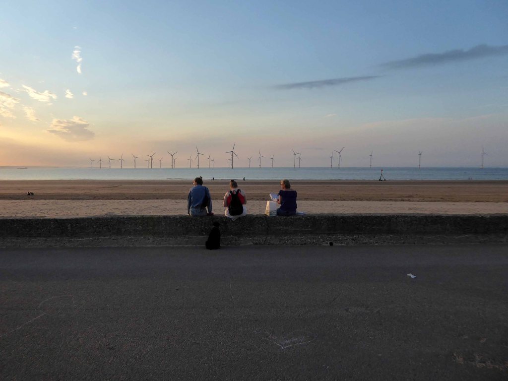
Rhyl
Rhyl Sands: David Cox 1854
The Welsh orthography has proved difficult for English writers to transliterate as Rhyl’s opening voiceless alveolar trill is uncommon in the English language.
I nipped into town for a tub from Sidoli’s – £1.83 well spent.
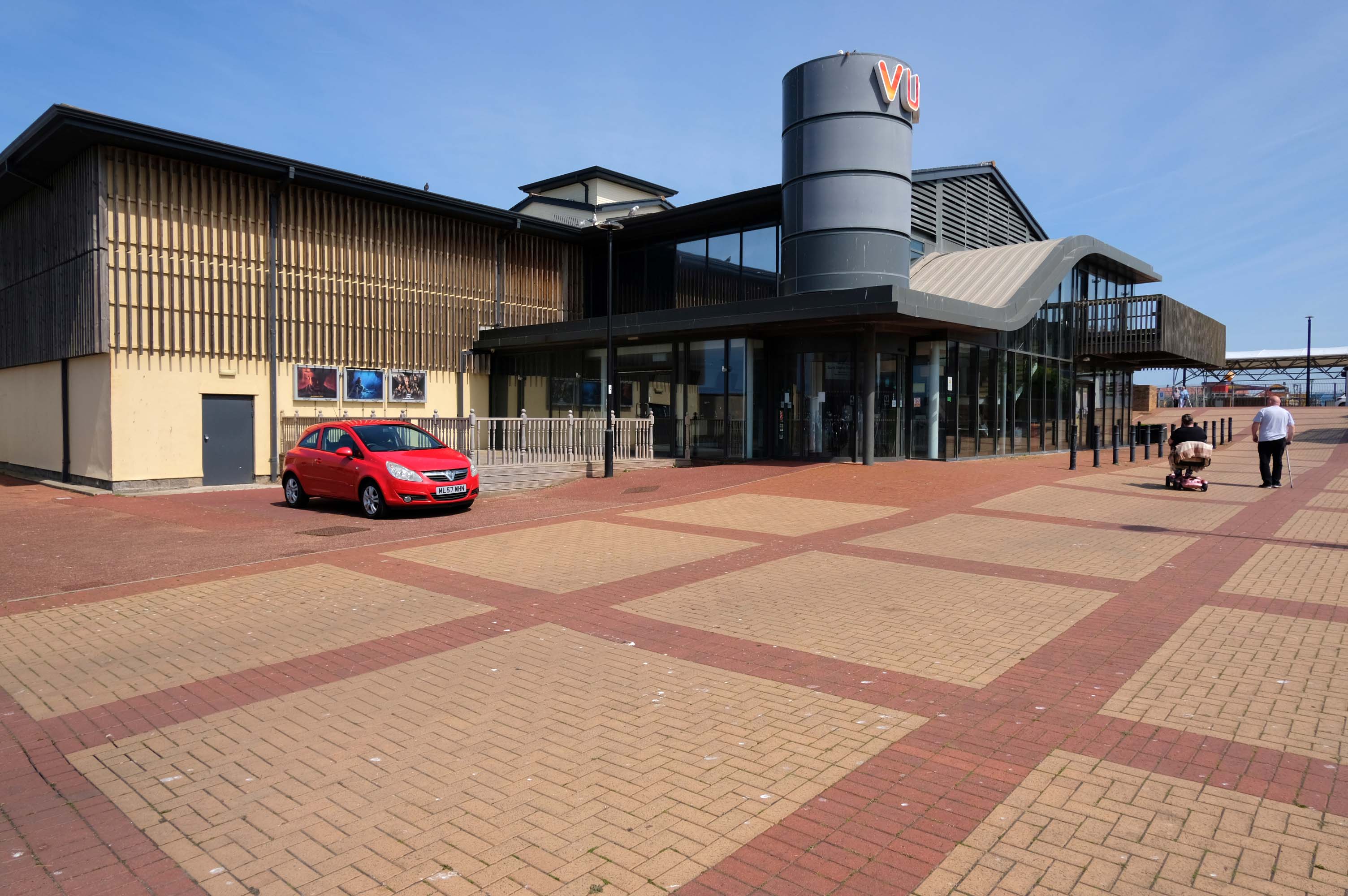
The promenade is home to a series of entertainments including the Rhyl Pavilion Theatre
The theatre, owned and operated by Denbighshire Council, has also been re-clad as part of the project, designed by architects Space & Place.
It forms part of a wider redevelopment of Rhyl’s seafront, which includes the demolition of the Sun Centre and the construction of a £15m water park.
There is a also a becalmed Post Modernist Piazza – named Rhyl Events Arena.
The playful nursery geometry of the SeaQuarium.
The functionalist Vue Cinema.
Tickets were £5.99 for a standard seat, the staff said not to bother upgrading as the premium seats were rubbish, sound was okay and picture quality was okay.
Food price was expensive so it maybe cheap to get in, but £16.99 for a large popcorn and drink ups the price, would go again if in the area.
Much of the coast is fringed with chalets and static caravans.
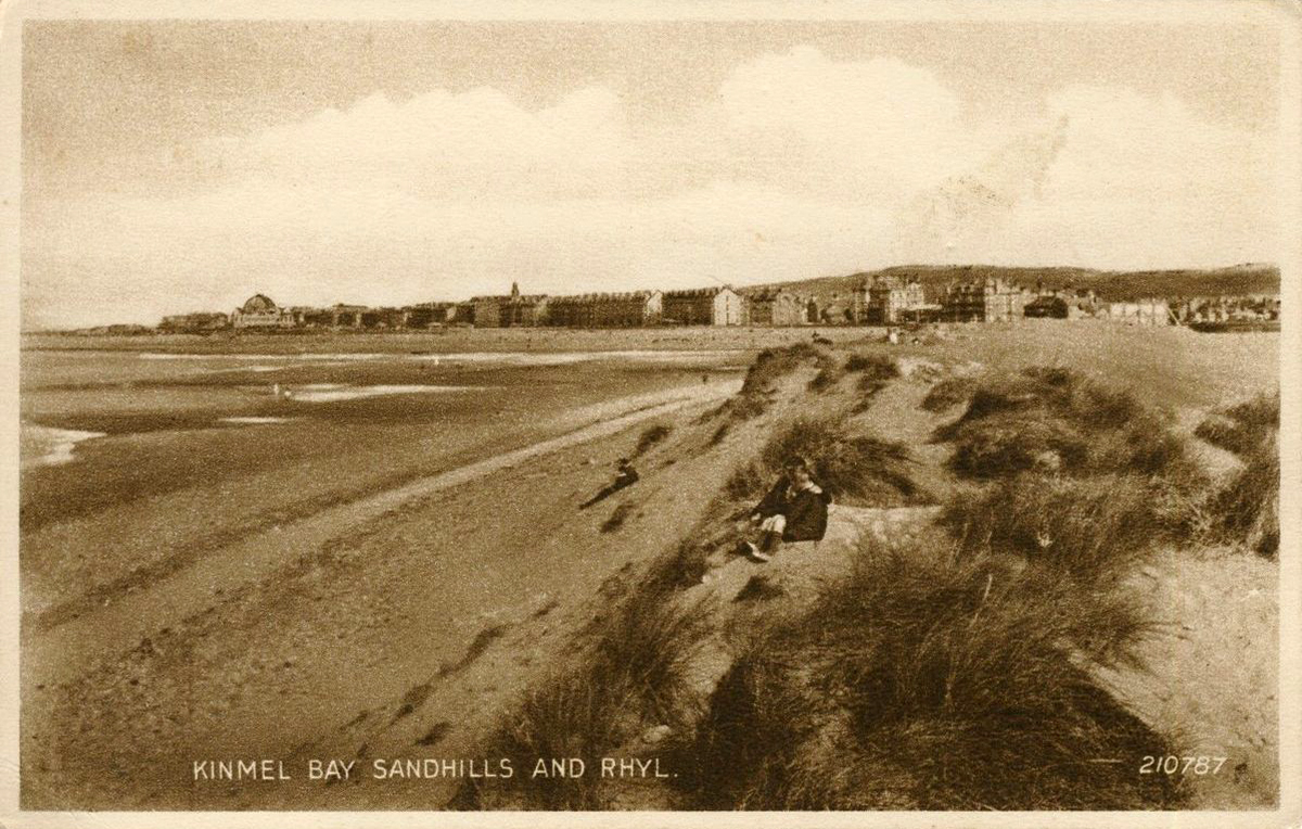
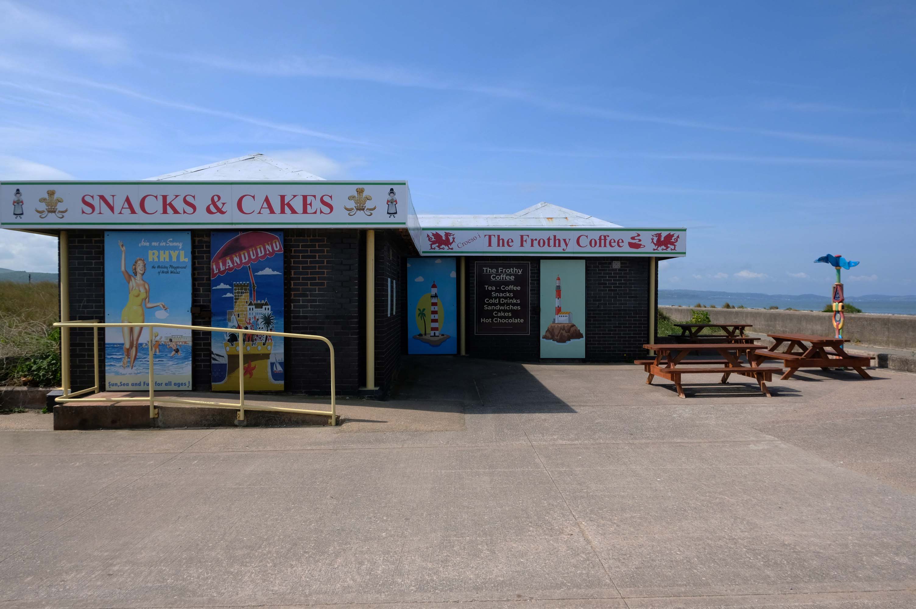
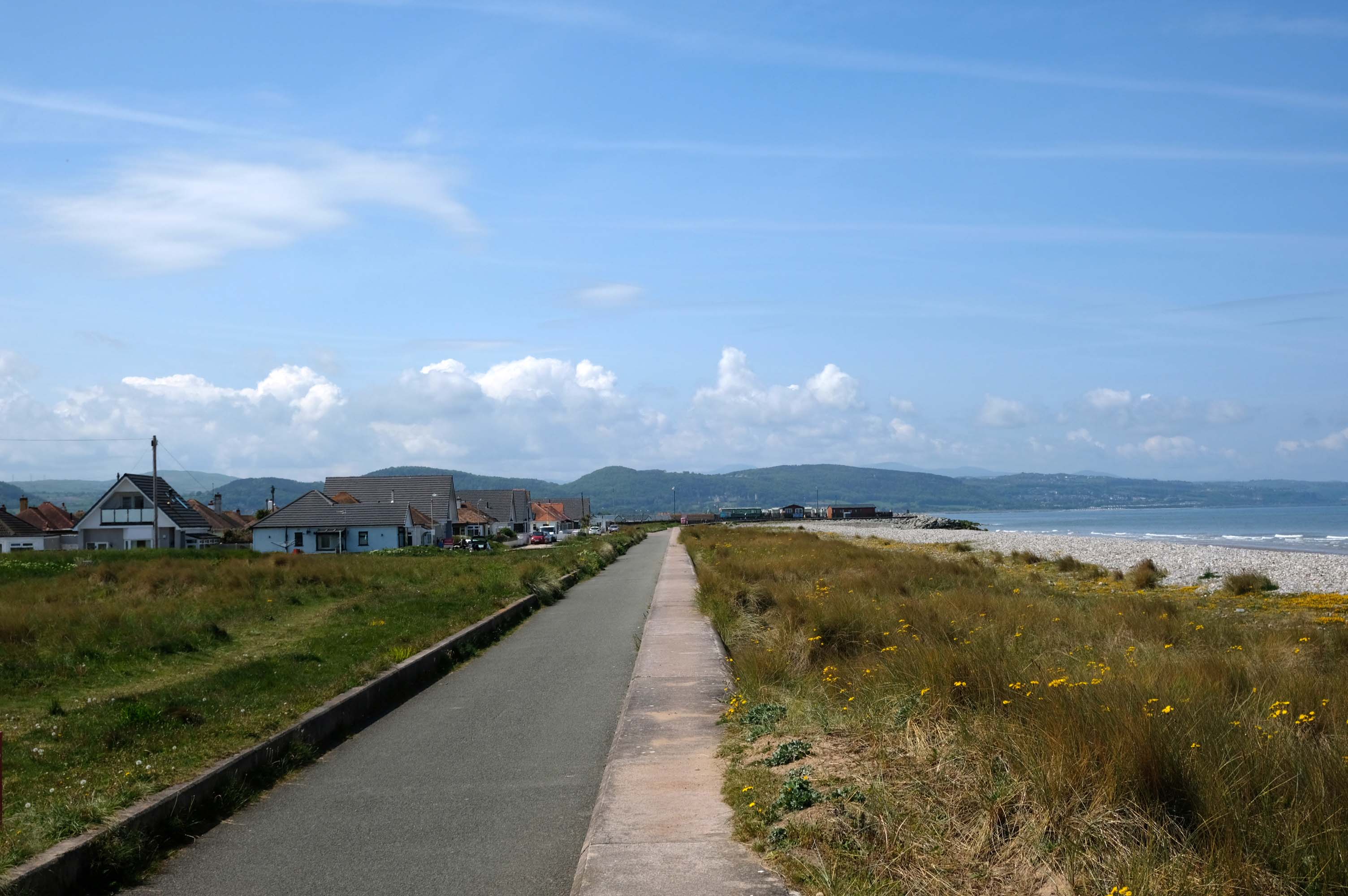
Kinmel Bay
Home to The Frothy Coffee.
There aren’t enough food, service, value or atmosphere ratings for The Frothy Coffee, yet – be one of the first to write a review!
Kinmel Bay beach is popular with tourists and the local population. In addition to various small shops and takeaway outlets, there is also an Asda superstore that opened in 1981, which includes a large petrol filling station.
The concrete shore is softened by grasses and wild flowers – with views of the mountains beyond.
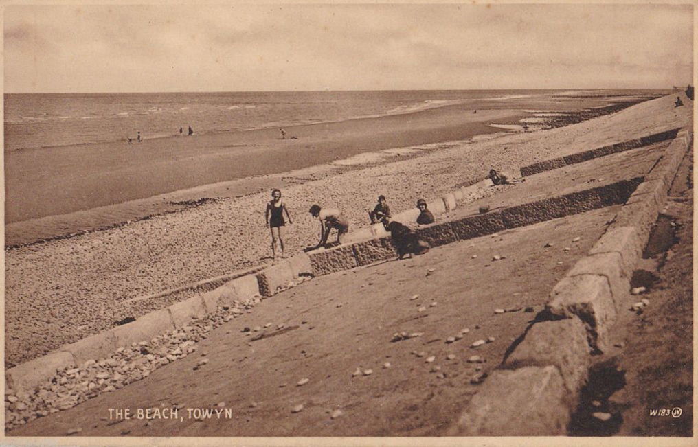
Here we are in Towyn
The town made national headlines in 1990 when a combination of gale-force winds, a high tide and rough seas caused Towyn’s flood defences to be breached at about 11.00am on 26 February. Four square miles of land was flooded, affecting 2,800 properties and causing areas of the resort to be evacuated. Further flooding occurred later the same week, on 1 March, shortly after the site of the disaster was visited by Prince Charles and Princess Diana.
Scientific experts also believe that the silt left behind from the flooding had left the town with a higher concentration of radioactivity, over ten times the governmental safety limits, most likely originating from the nuclear processing plant at Sellafield which had been dispersed into the Irish Sea over many years since its construction.
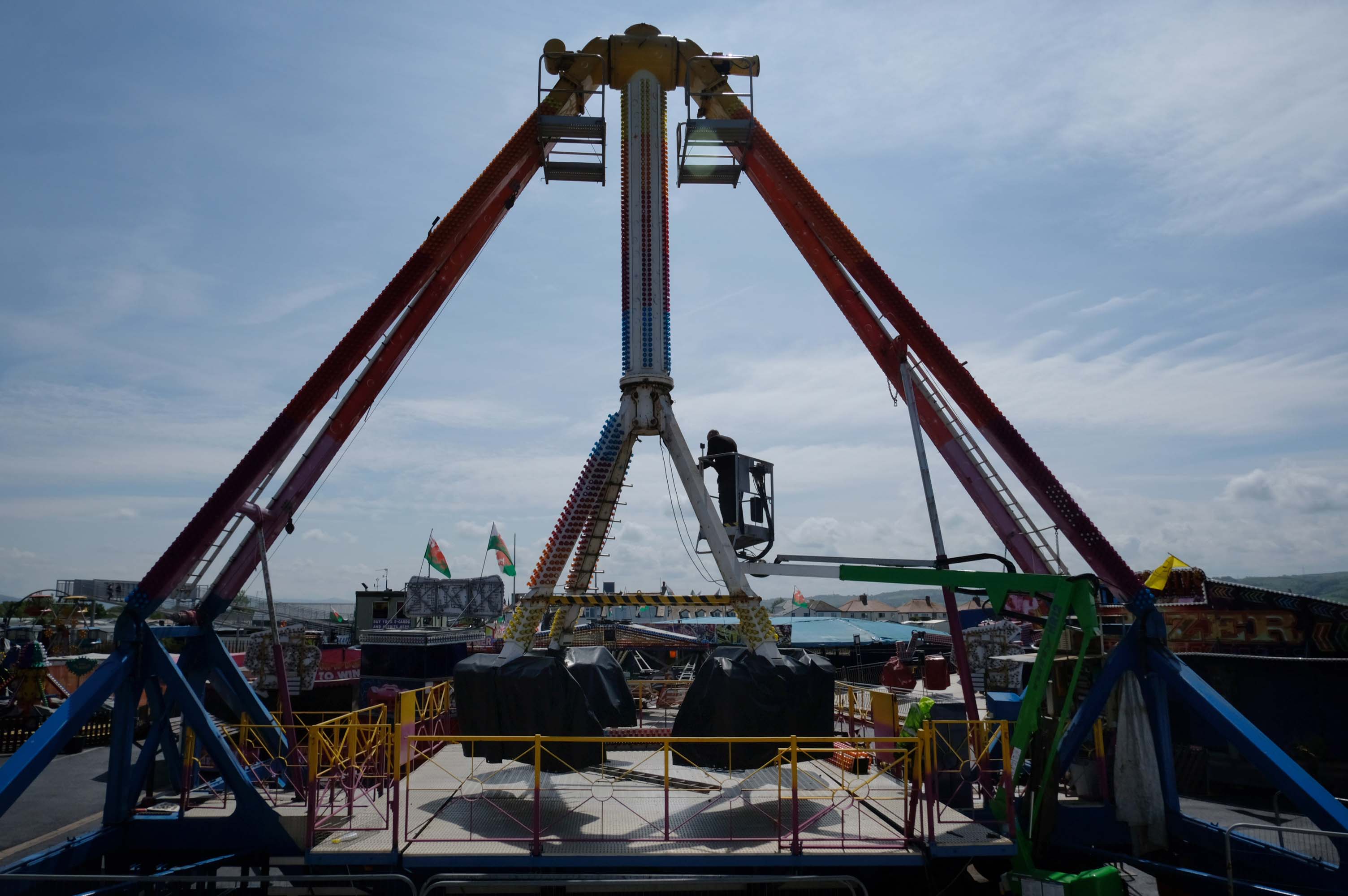
Excitements galore, await at the well maintained funfair.
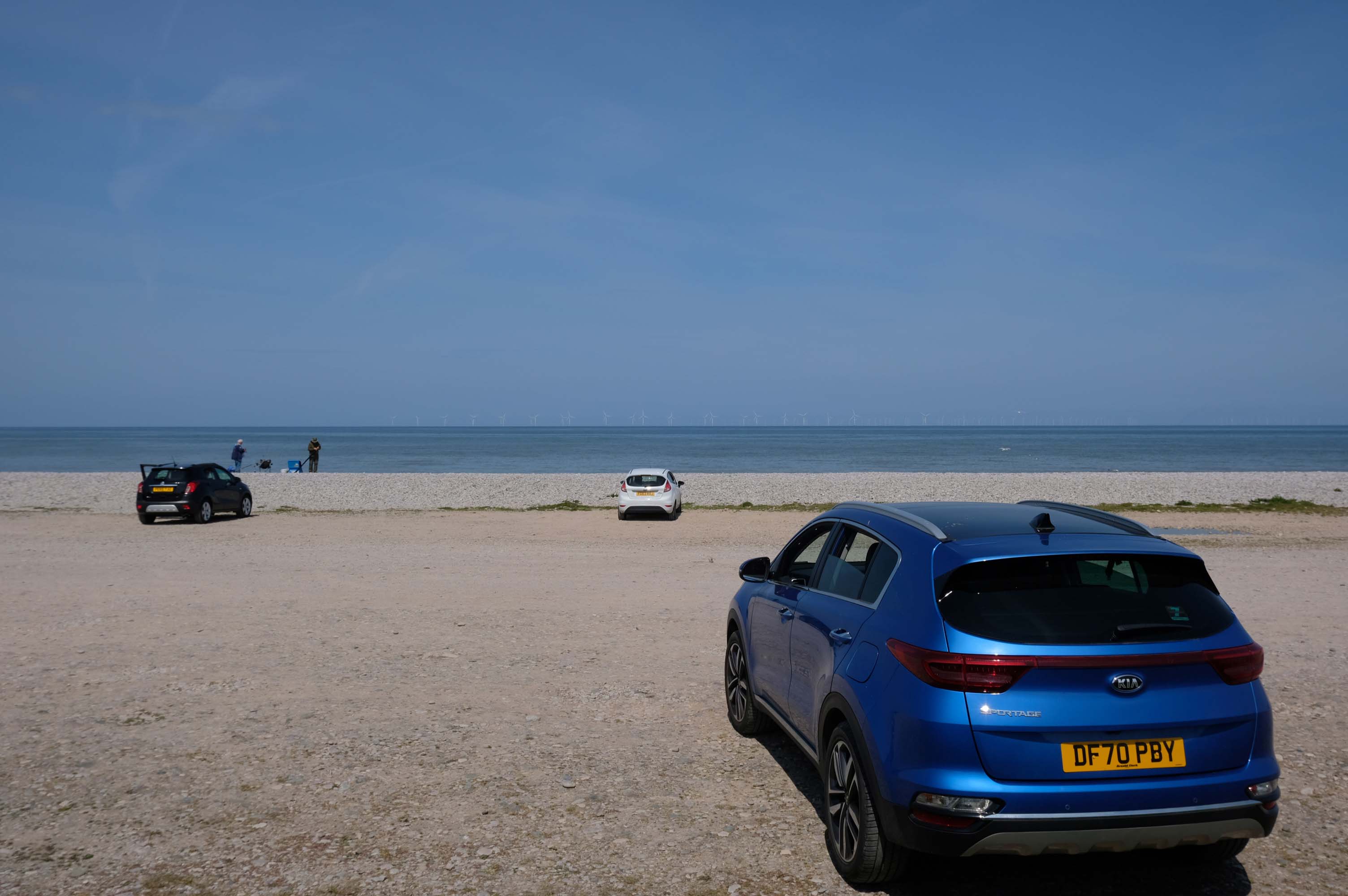
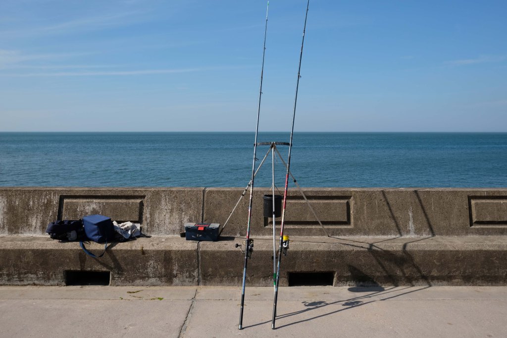
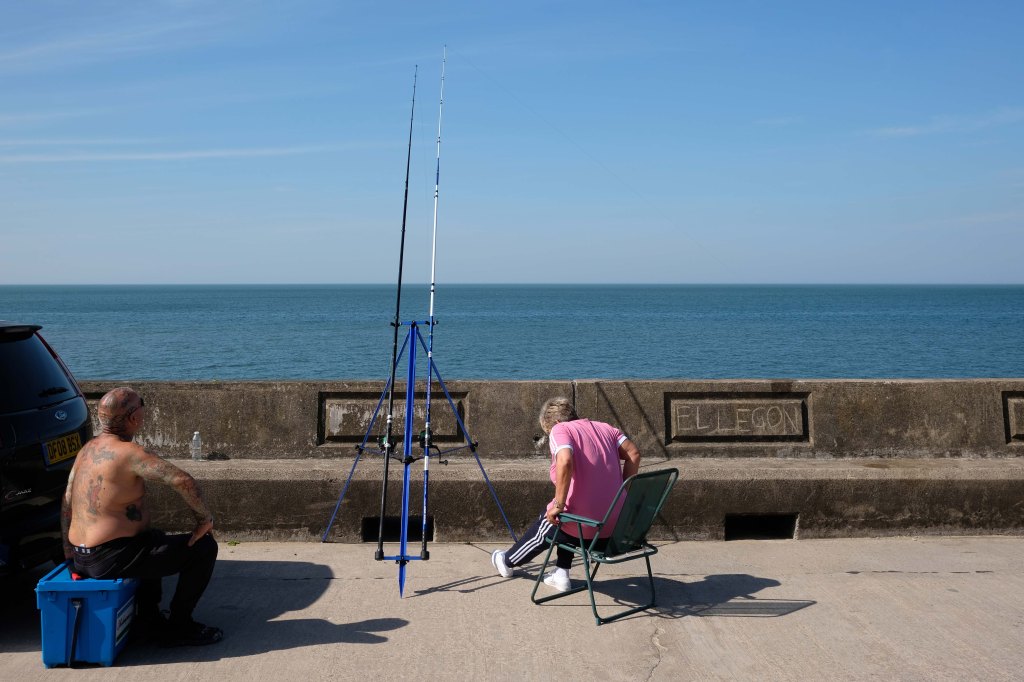
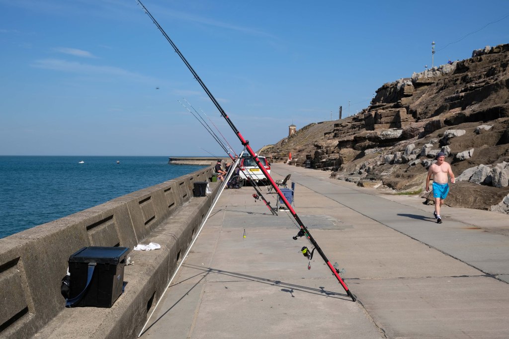
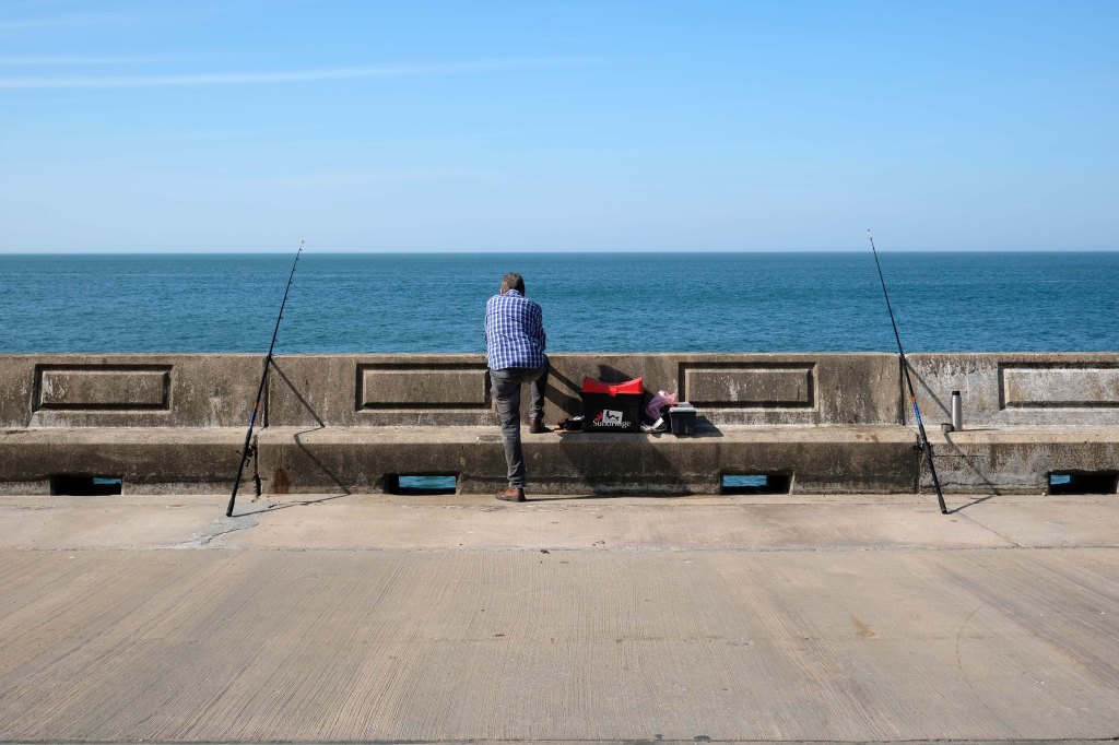
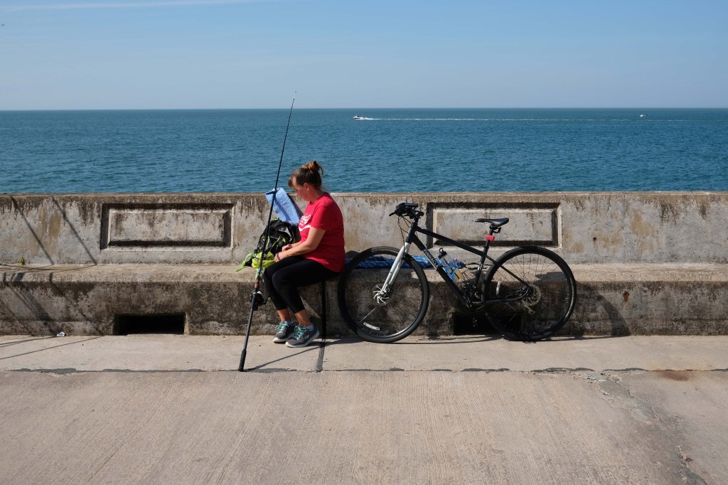
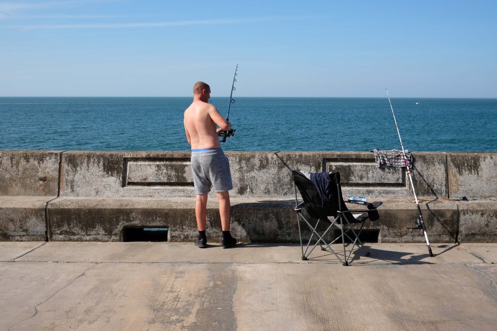
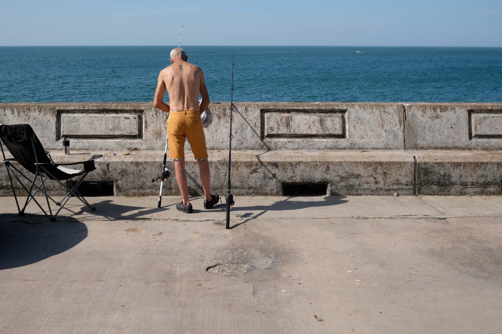
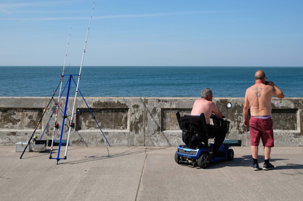
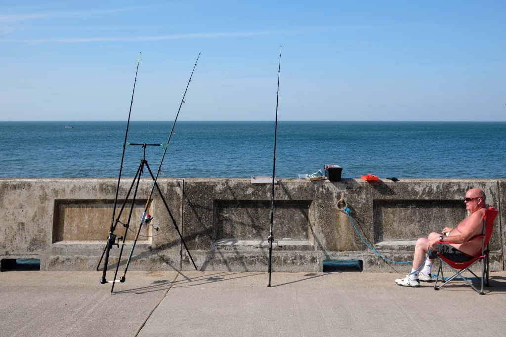
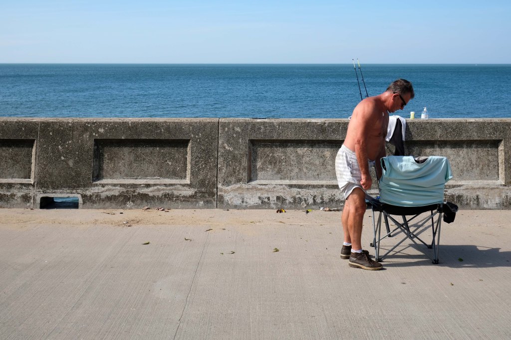
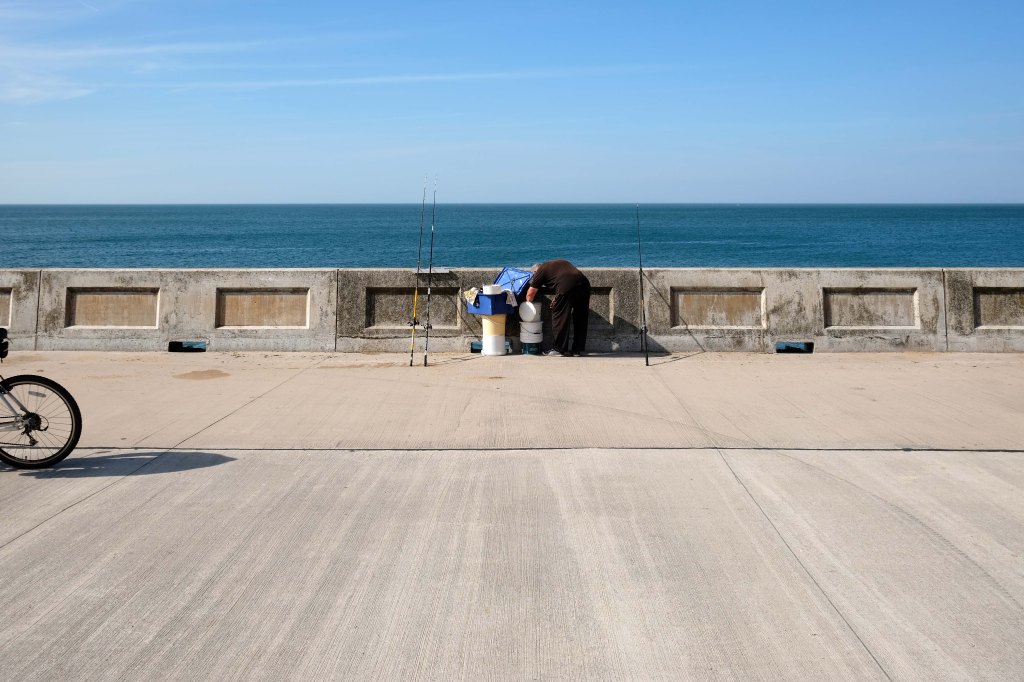
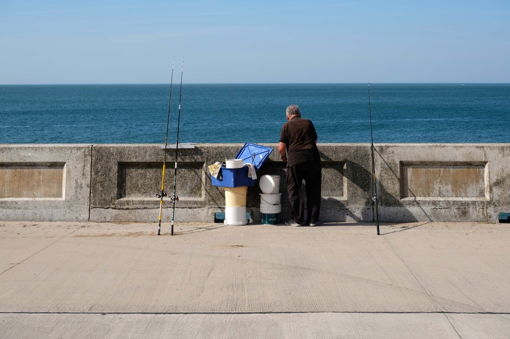
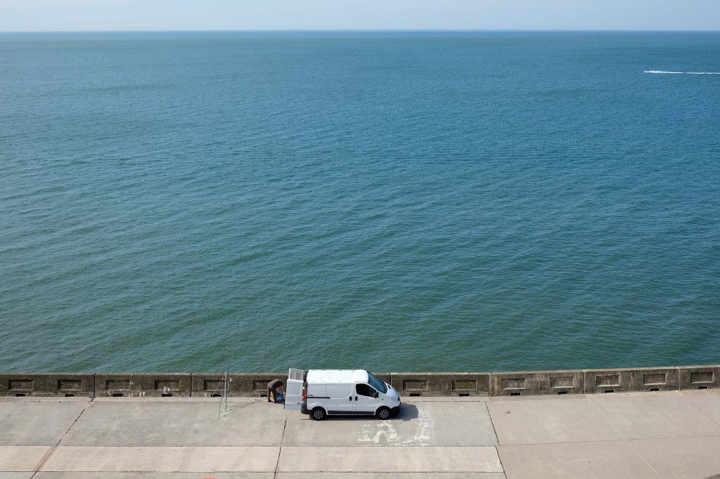
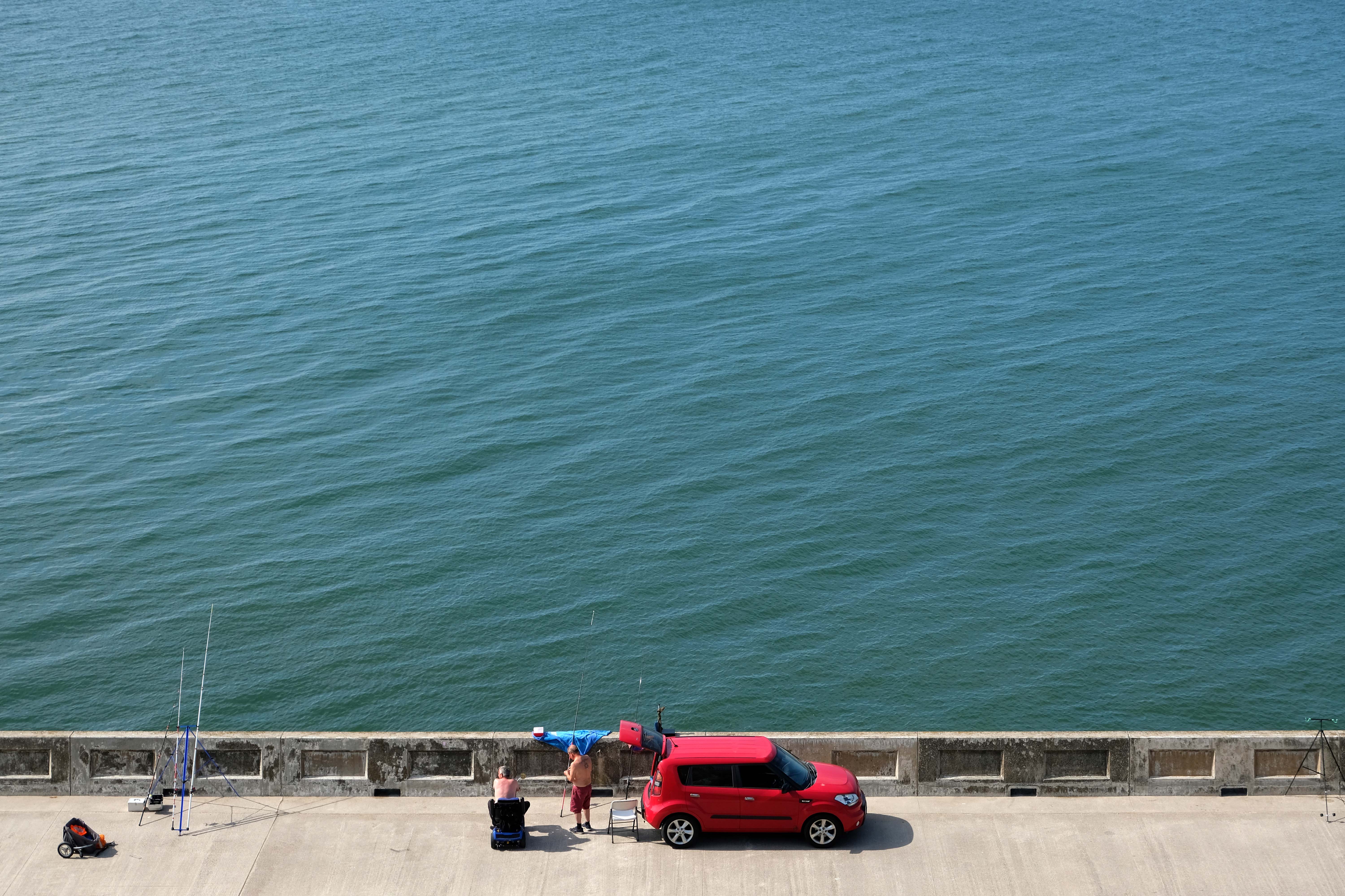
Motor cars to the fore, as the intrepid sea-anglers prepare for a day of sea-angling.
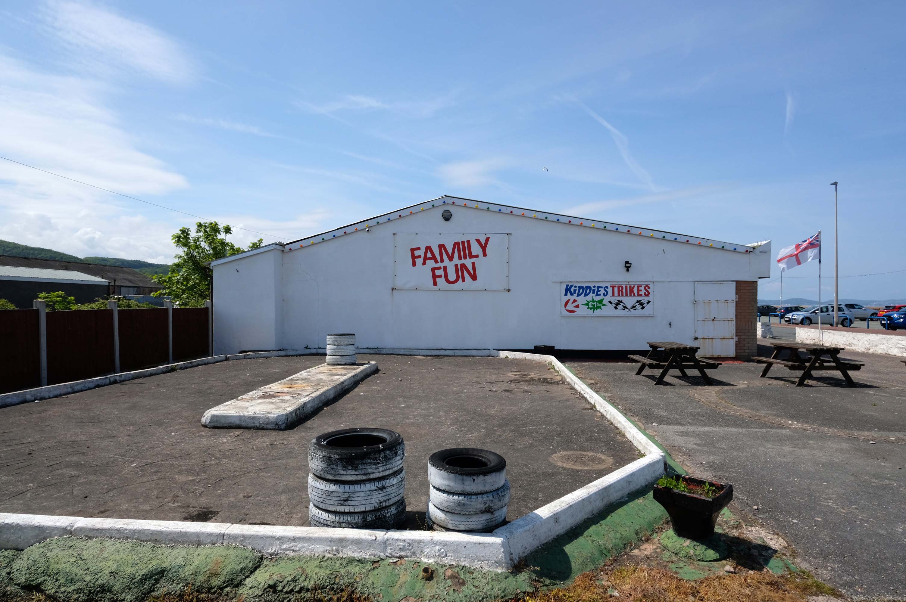
Abergele where Family Fun can be found in the form of Kiddies Karts.
In 2020/21 Abergele hosted the 20th and 21st editions of I’m a Celebrity Get Me Out of Here! at Gwrych Castle, due to the Covid pandemic restrictions in Australia.
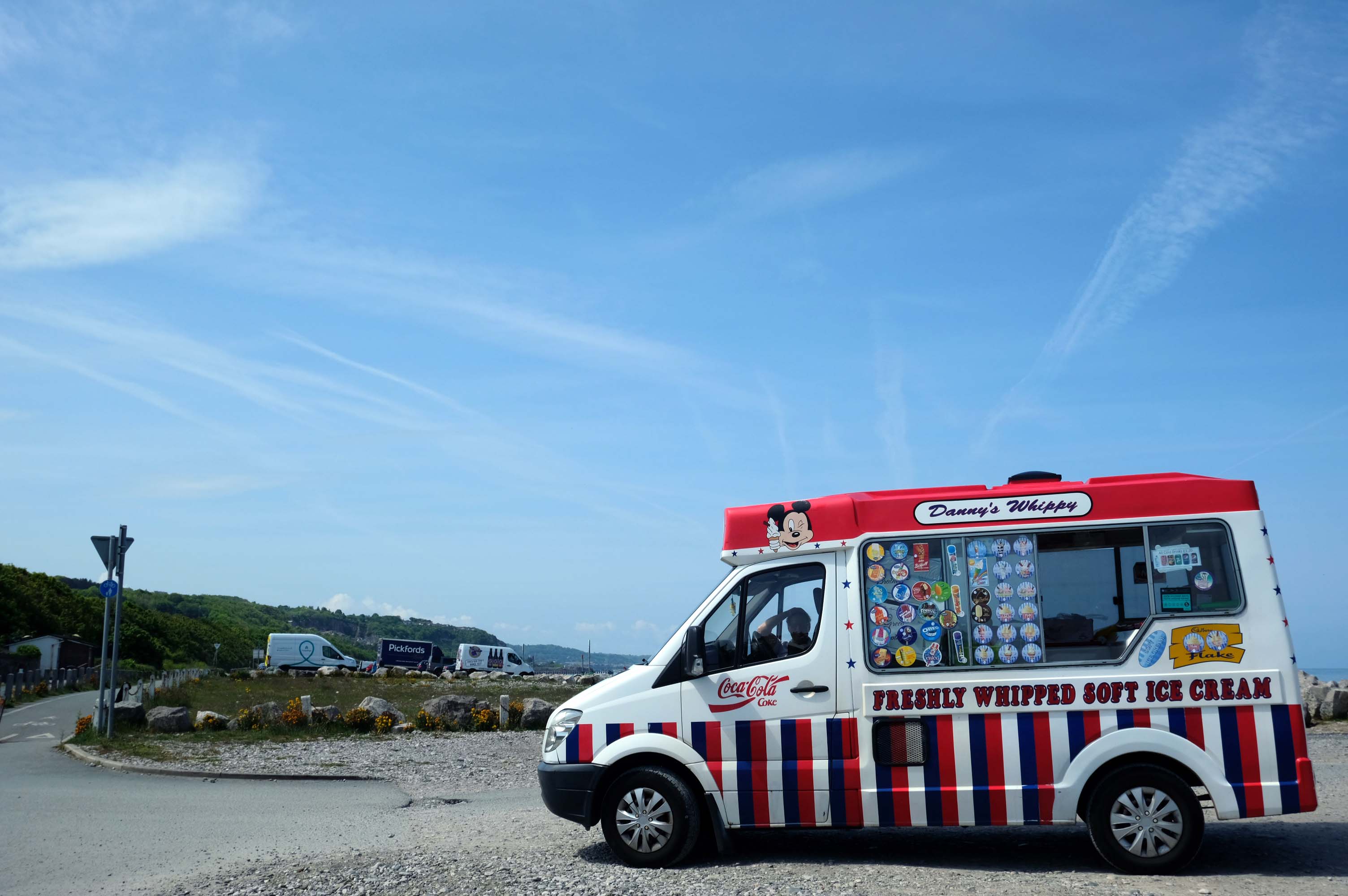
I failed to avail myself with a chilly treat courtesy of Danny’s Whippy, having already had my 99 tub, from Sidoli’s in Rhyl.
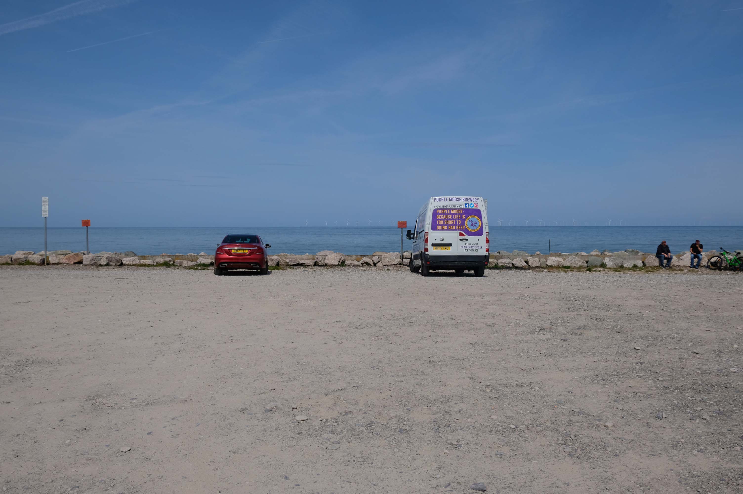
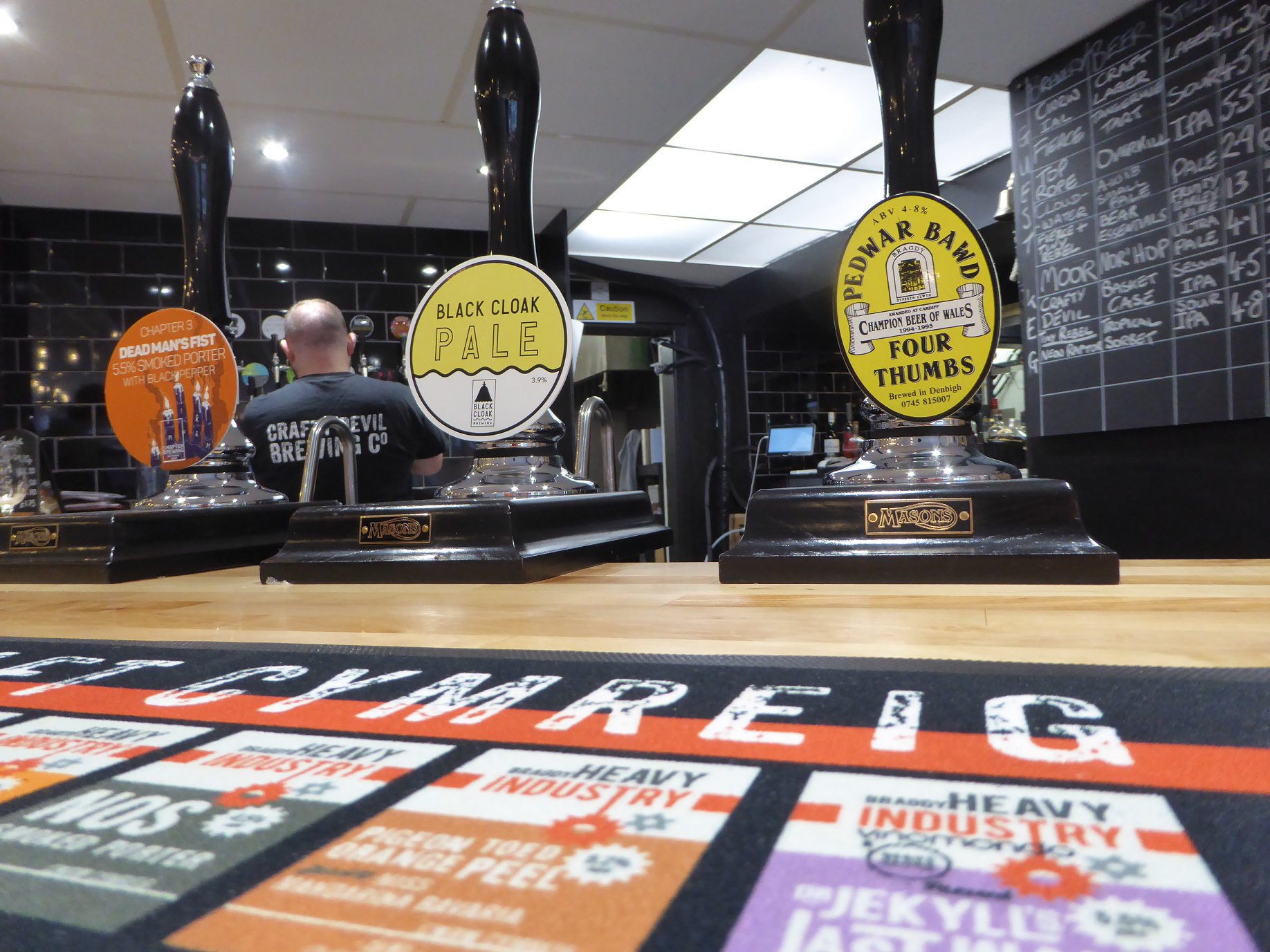
Local brewery Purple Moose’s delivery van driver takes a timely break, whilst fellow cyclists stop for a cig and a chat.
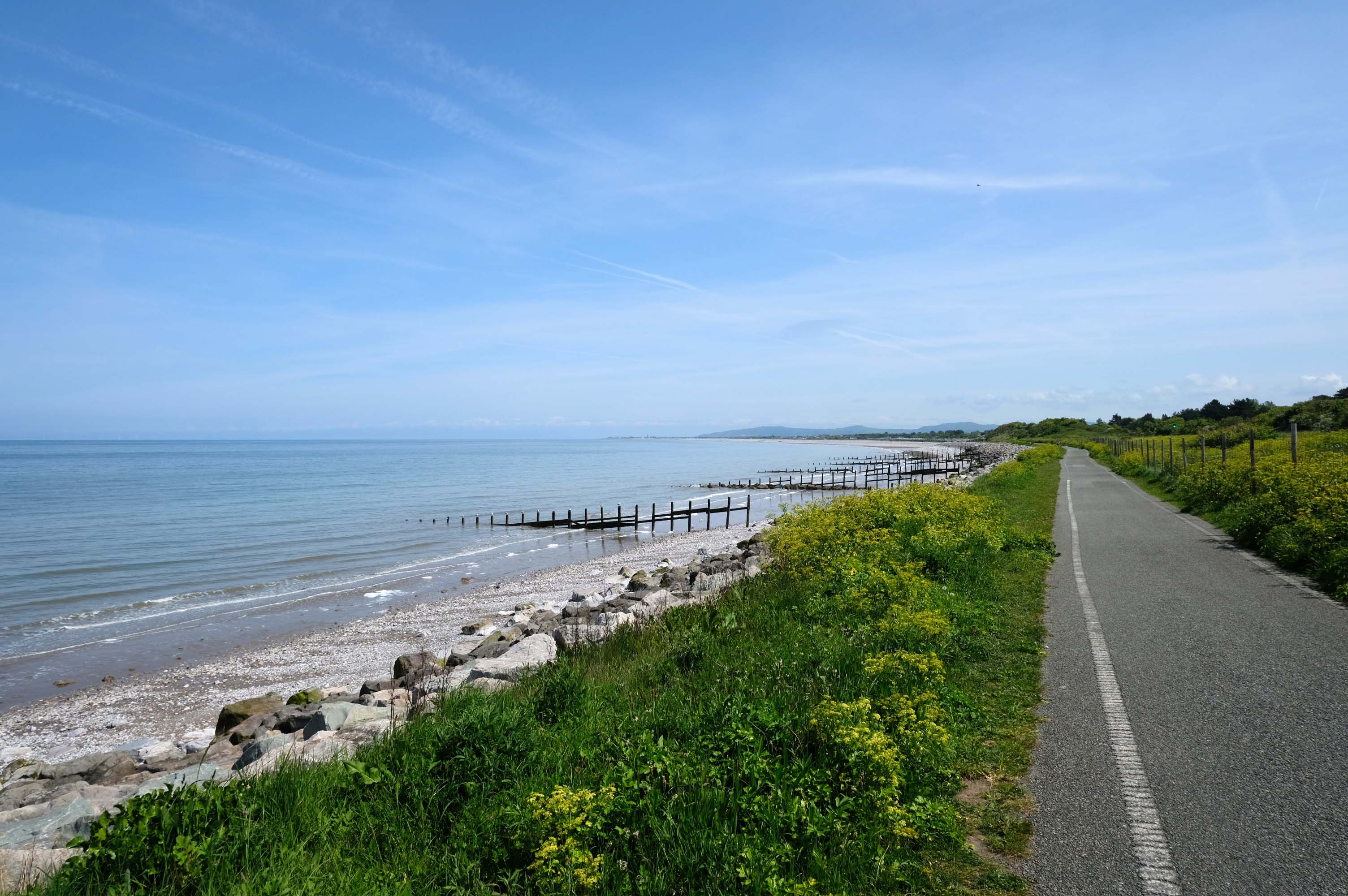
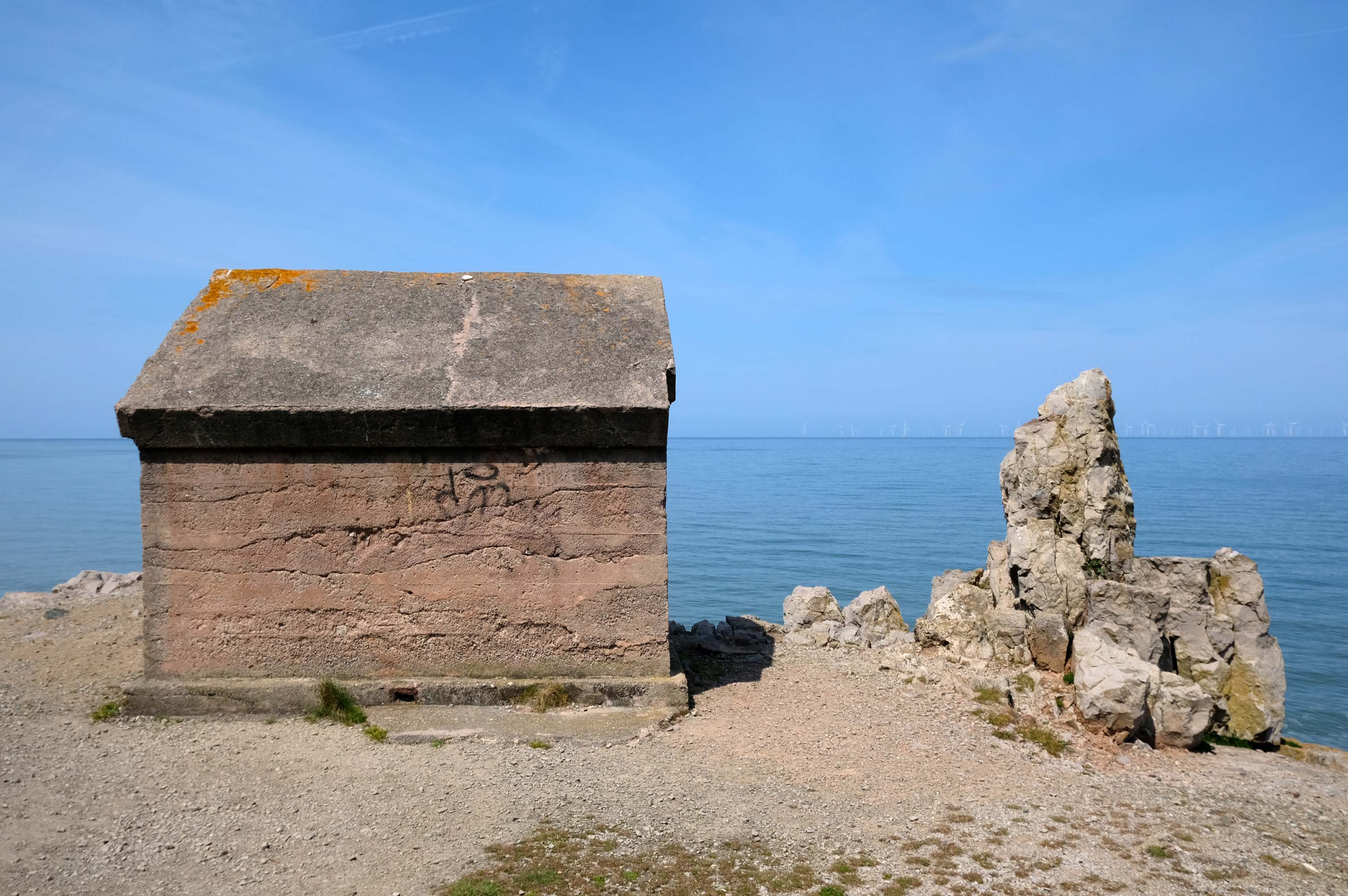
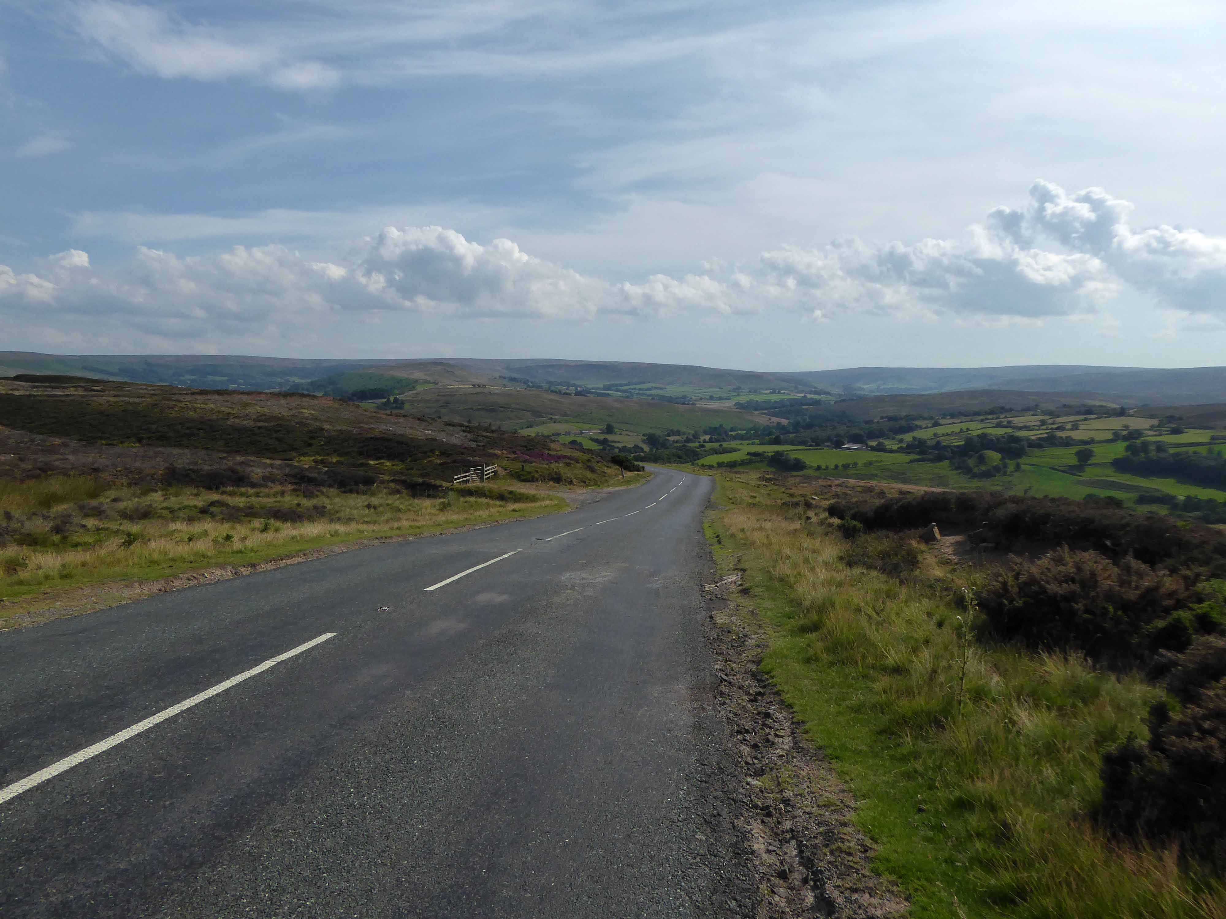
Rugged rocks, sadly lacking ragged rascals, as the Little Orme comes into view.
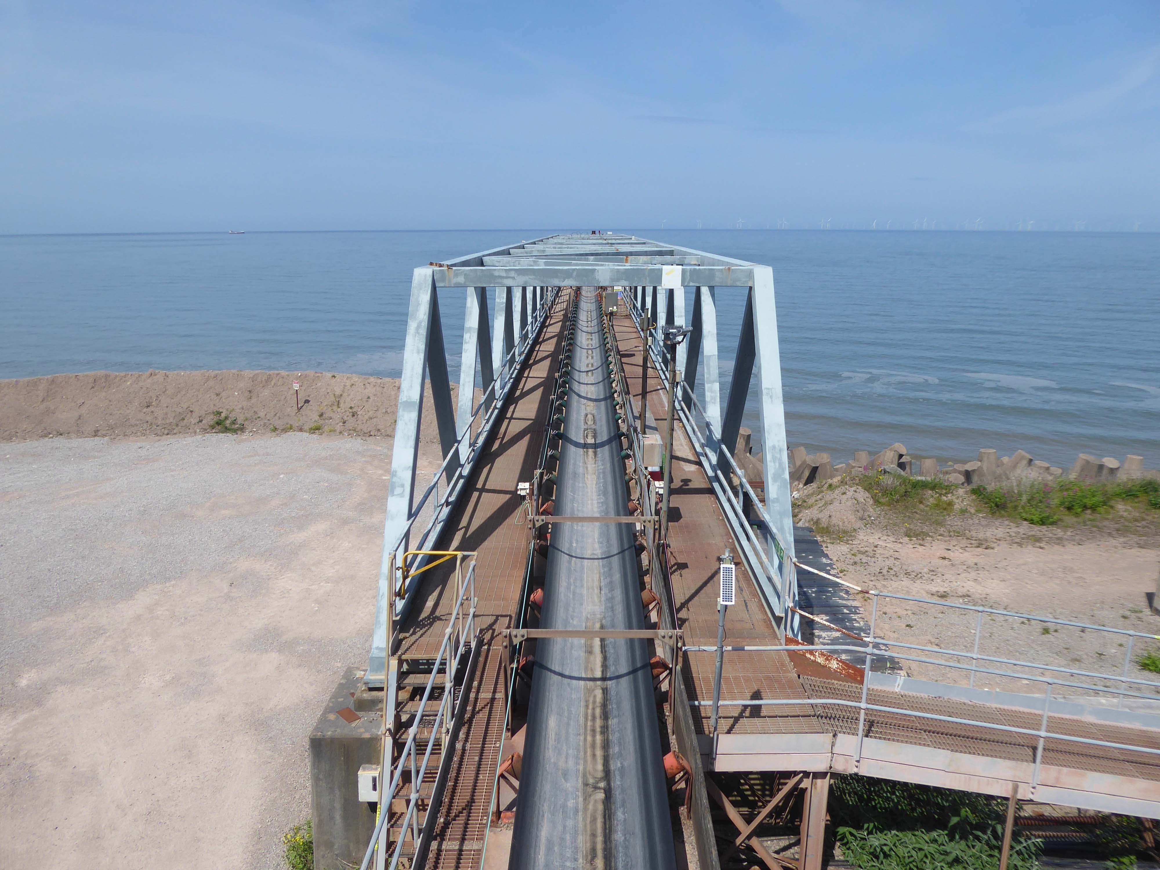
Cast concrete defences, and Raynes Quarry jetty at Llandulas.
The quarry was originally known as Llysfaen Limeworks, being close to Llysfaen railway station. James Trevelyan Raynes of Rock Ferry, Birkenhead, took over the quarry in the 1870s, adding large new limekilns. Lime from the quarry was shipped to various alkali works. Alkali was used for soap, textiles and many other goods.
Quarrying in this area has also produced porcelain-like limestone for high quality architectural uses. St Margaret’s Church – also known as the Marble Church in Bodelwyddan, was built with limestone from Llanddulas.
In November 2011 one of the freighters, MV Swanland, sank in stormy weather on the Irish Sea after collecting 3,000 tons of stone from Raynes jetty bound for the Isle of Wight.
Two crewmen were rescued but five, all Russian, were lost.
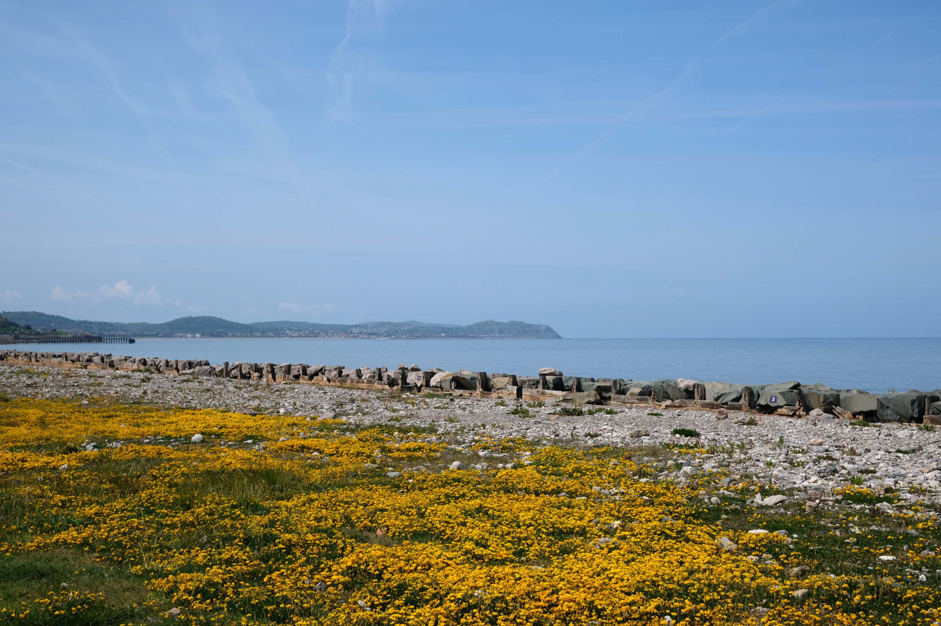
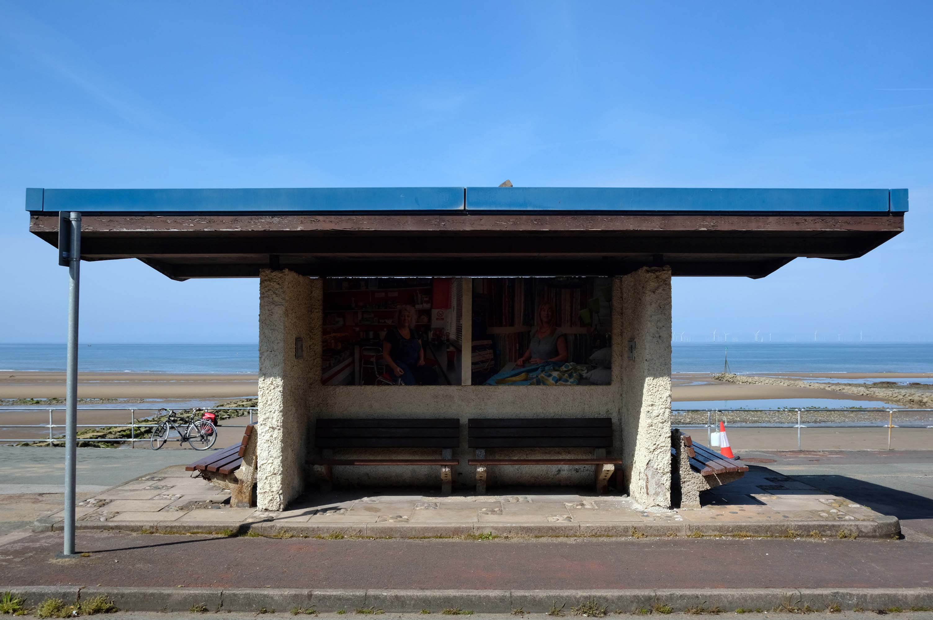
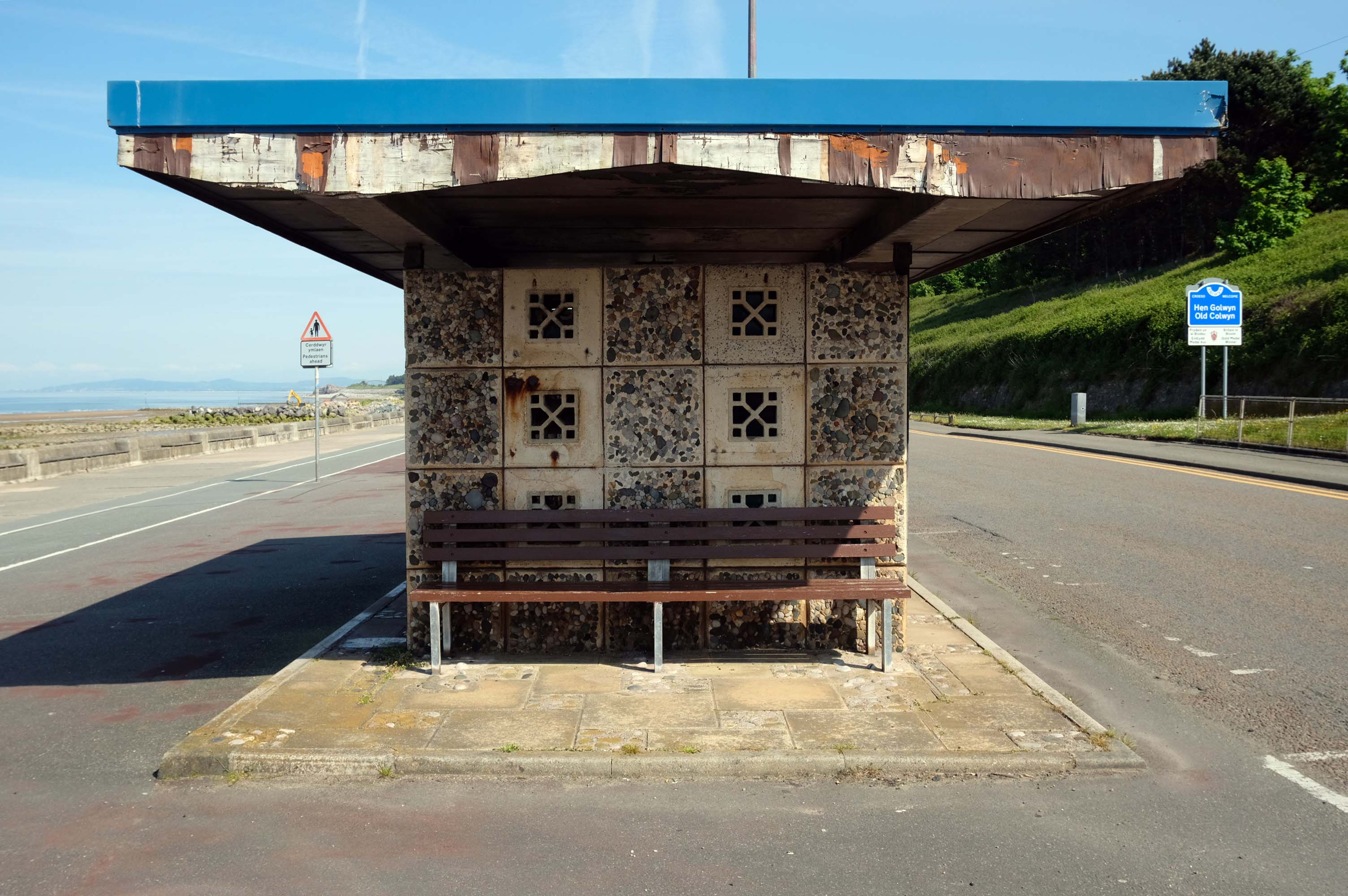
Almost the end of the line here in Old Colwyn – where there are the last of a series of shelters.
Formerly lining the prom all the way to Rhos on Sea
Cutting under the A55 Expressway to Colwyn Bay.
During World War II the Colwyn Bay Hotel, Marine Road – now demolished, was the headquarters of the Ministry of Food. This also housed the Cocoa & Chocolate division and was the communications hub for the ministry, they continued to use the hotel until 1953.
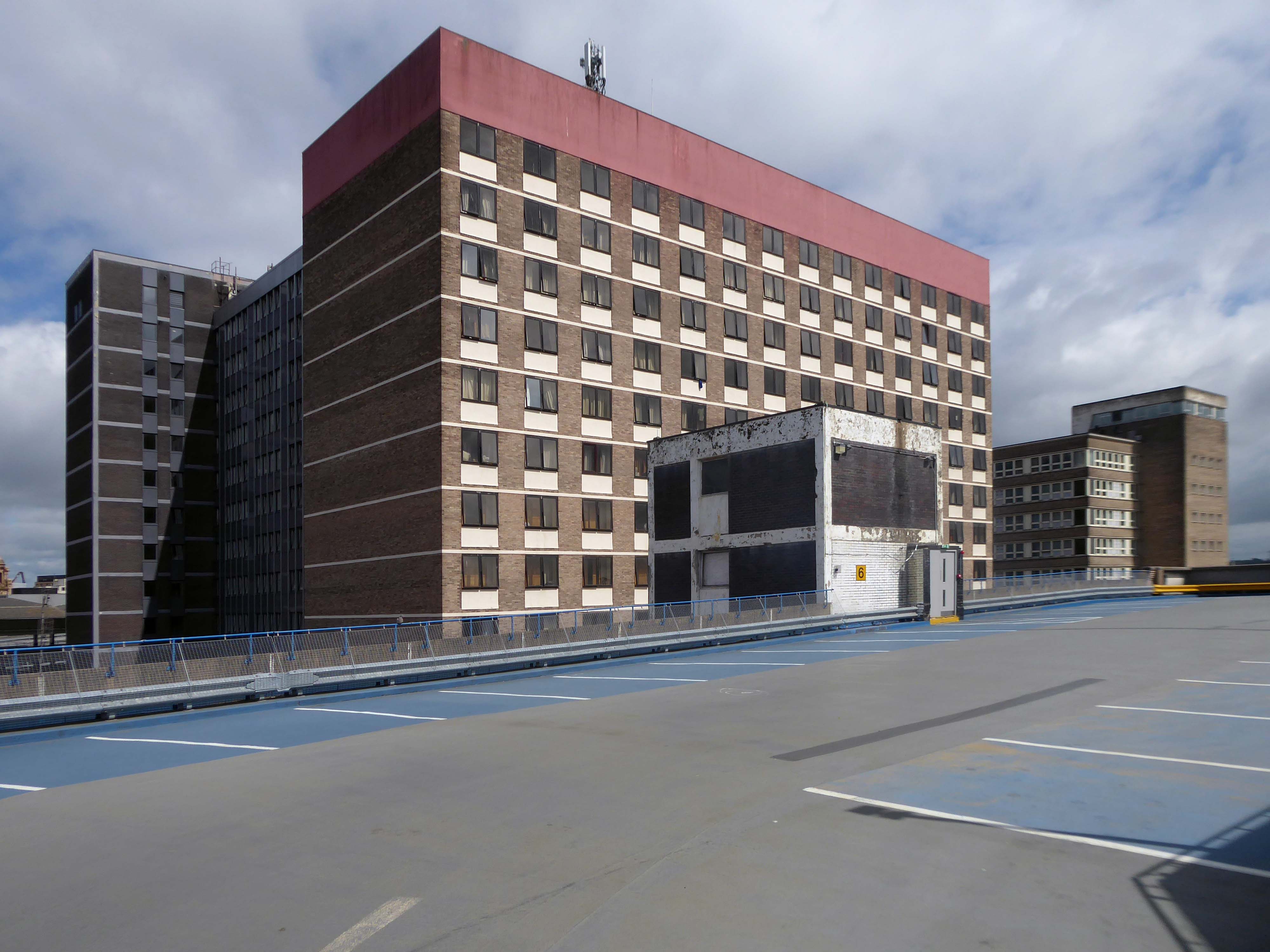
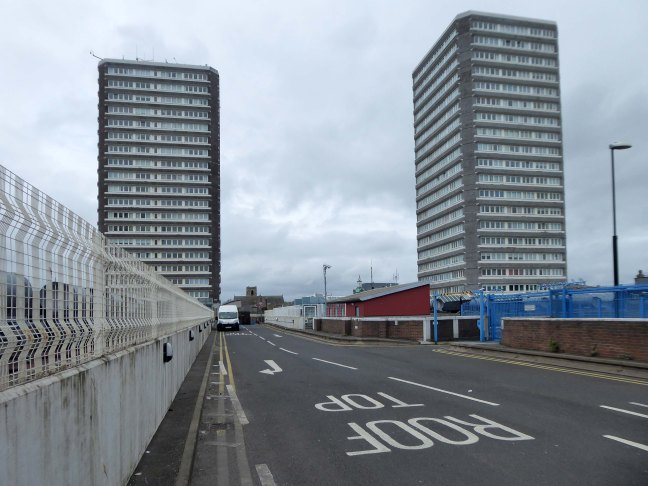
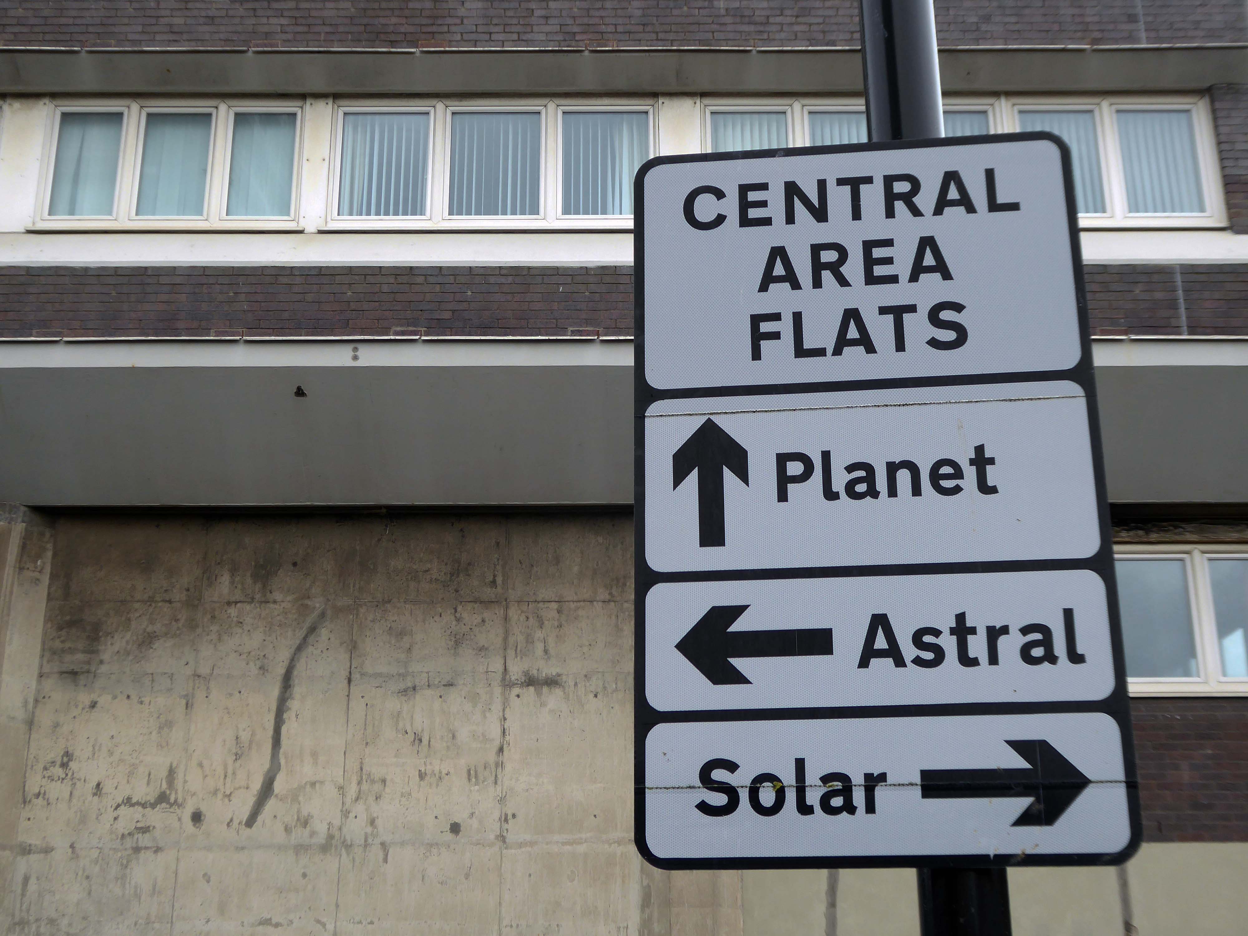
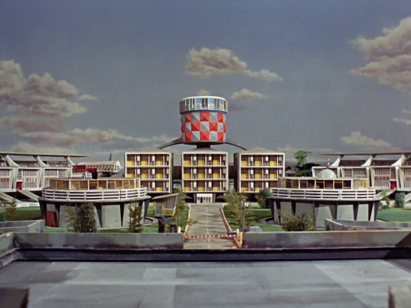
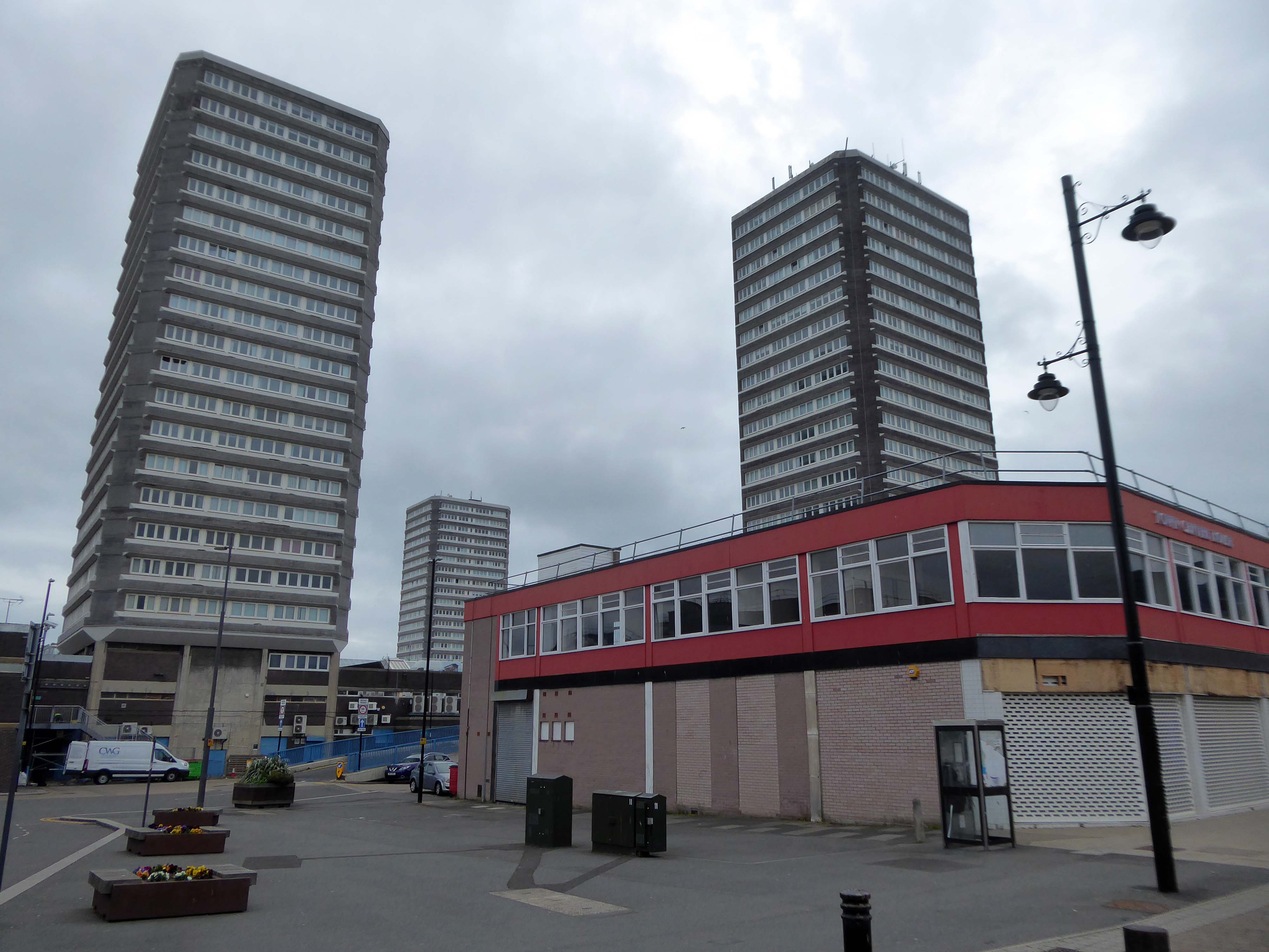
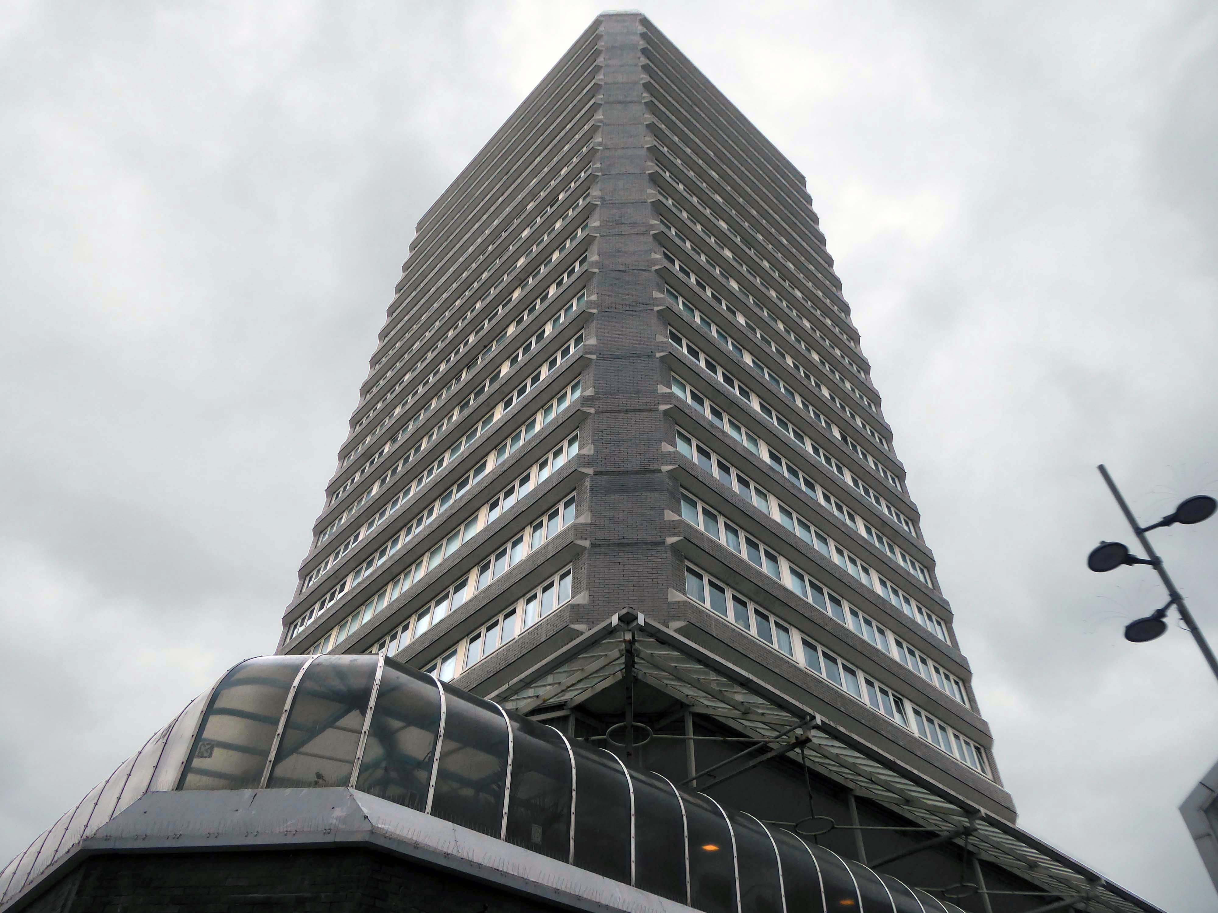
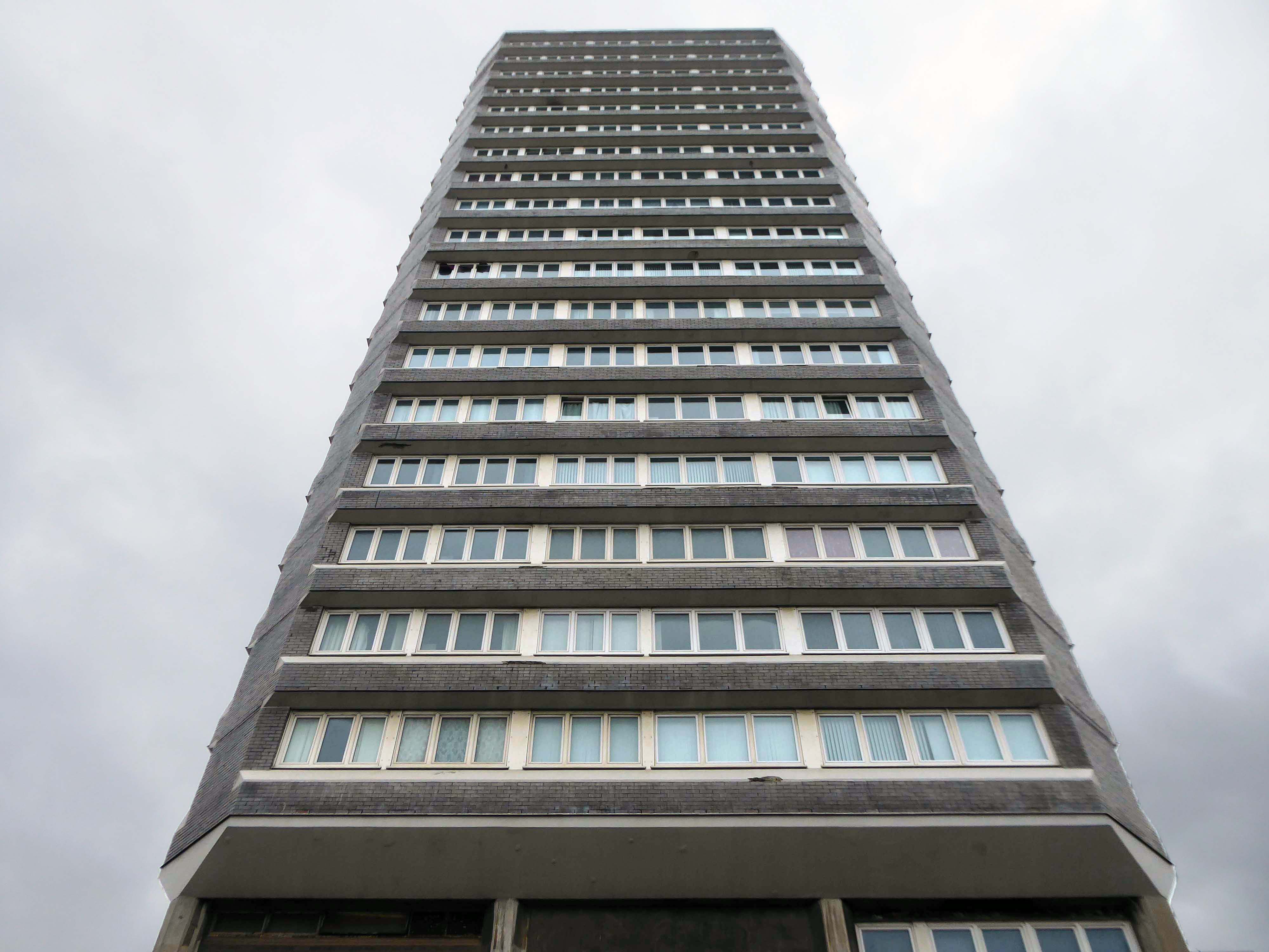
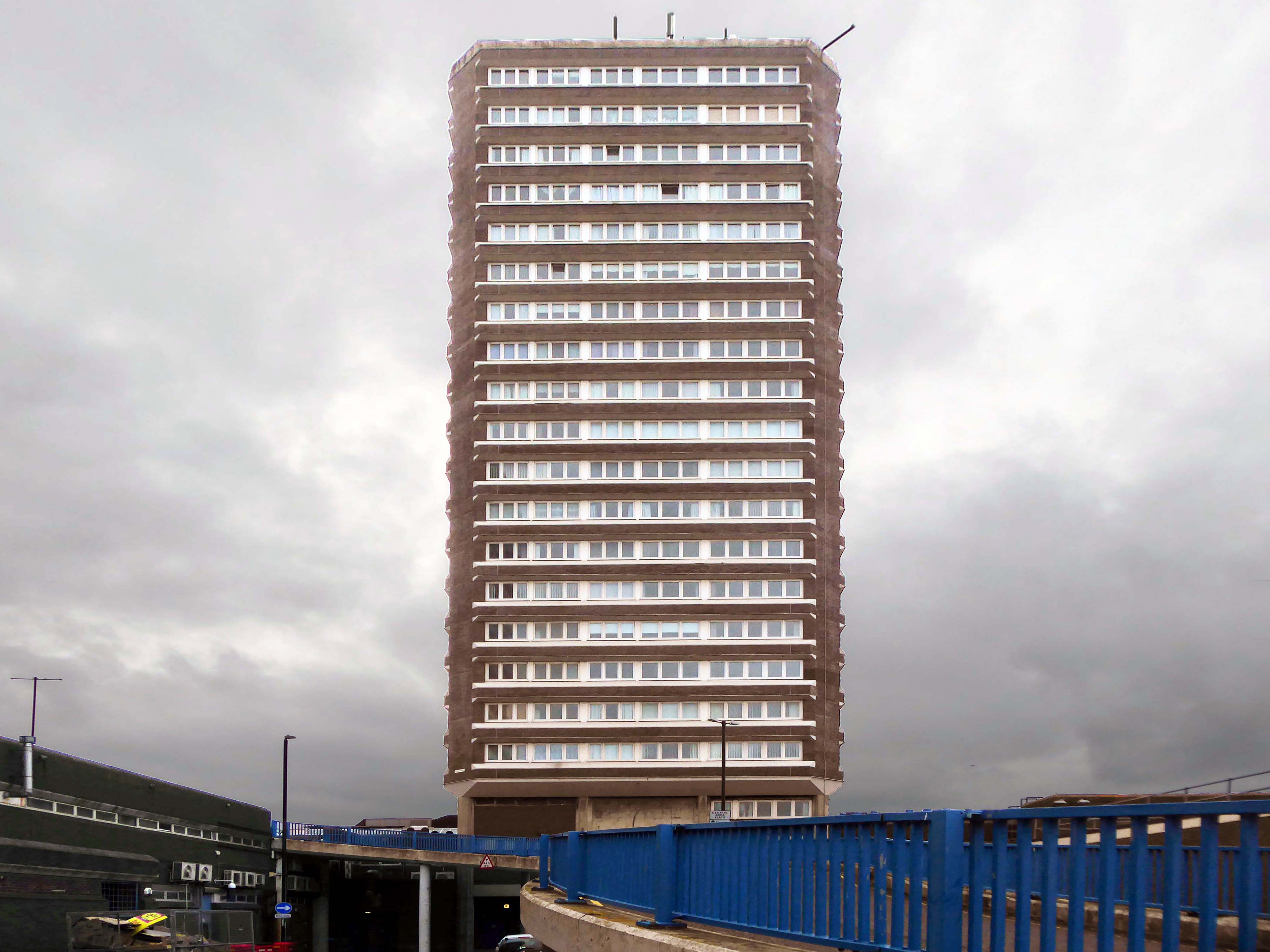
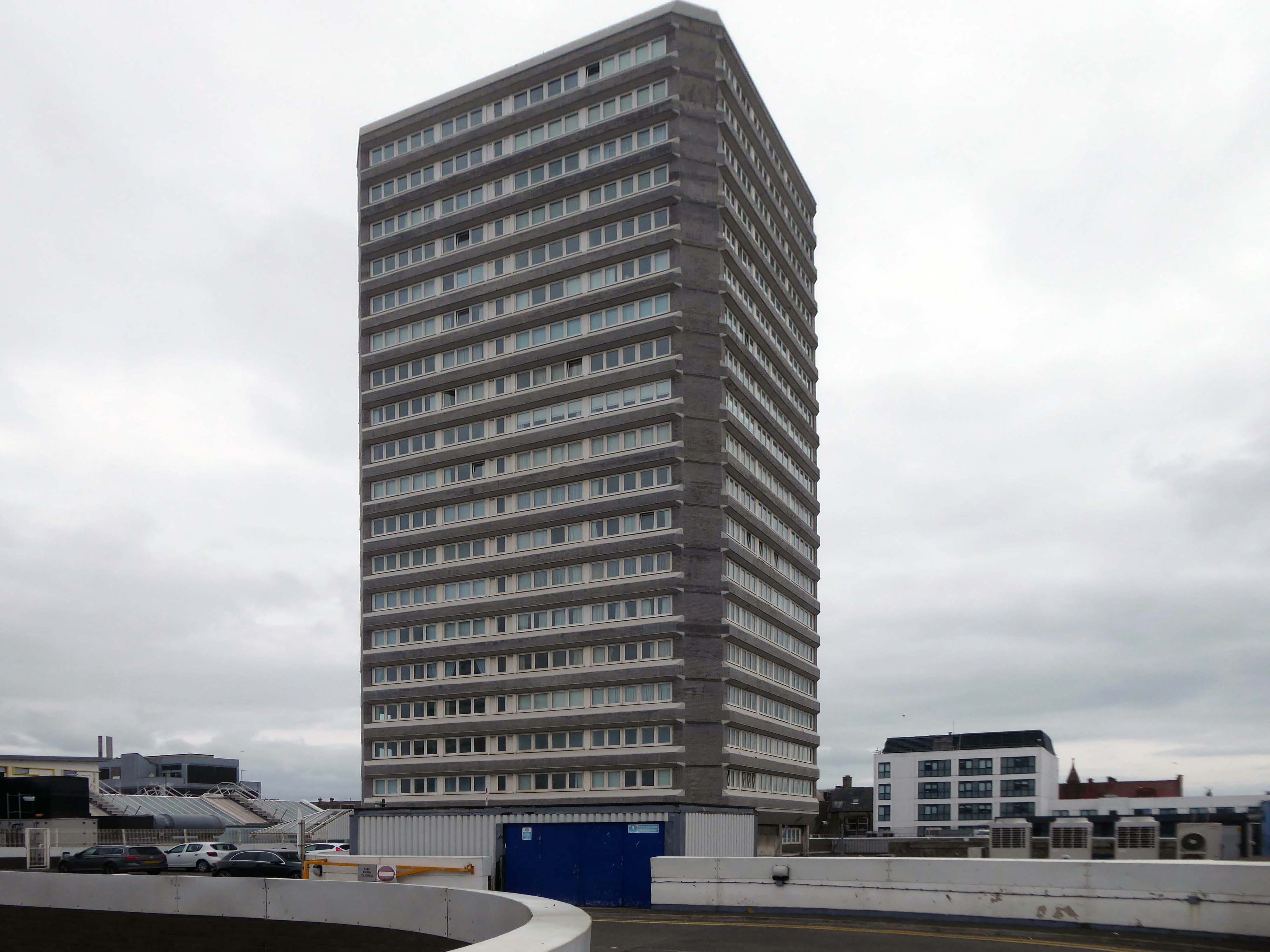
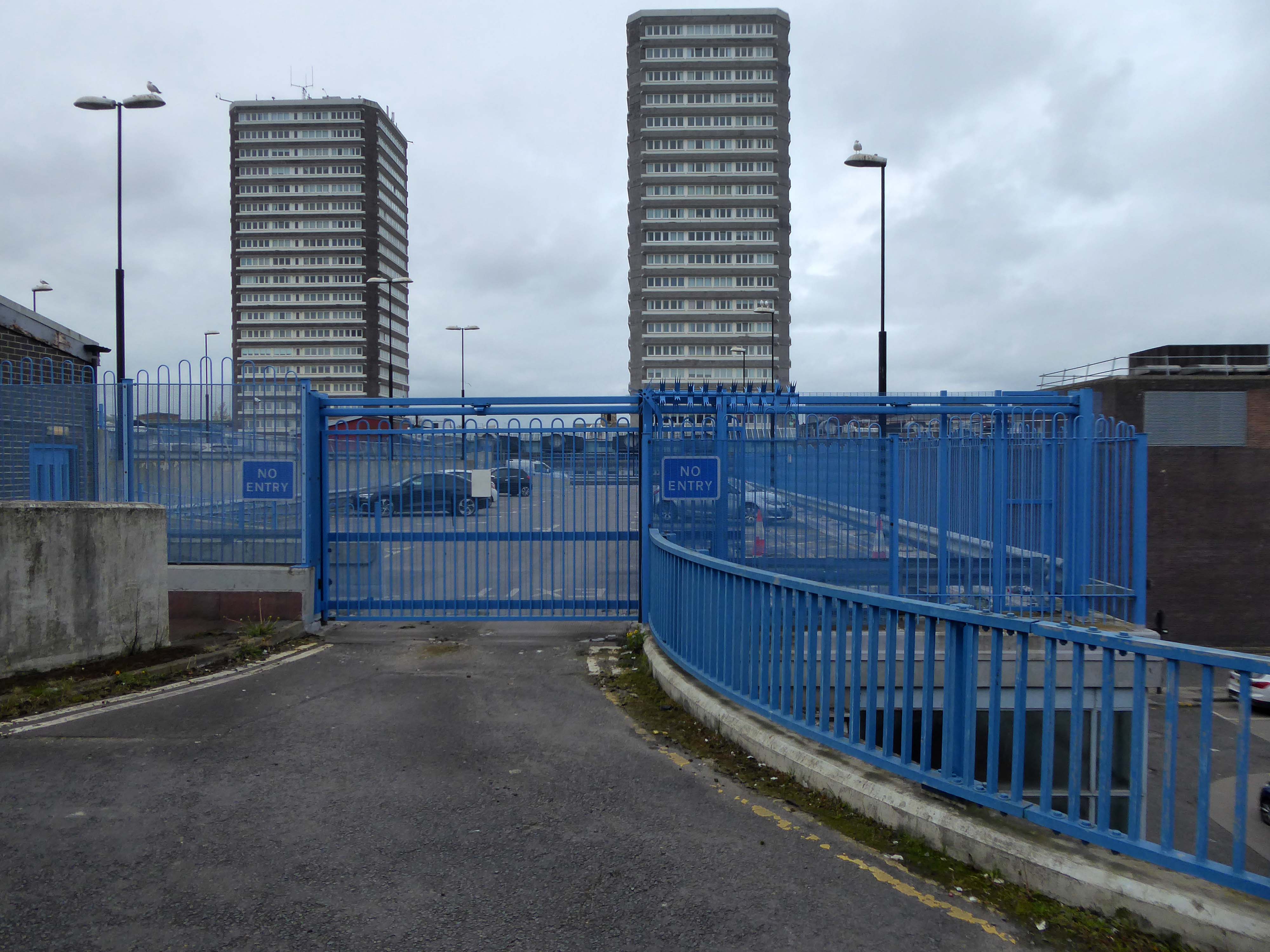
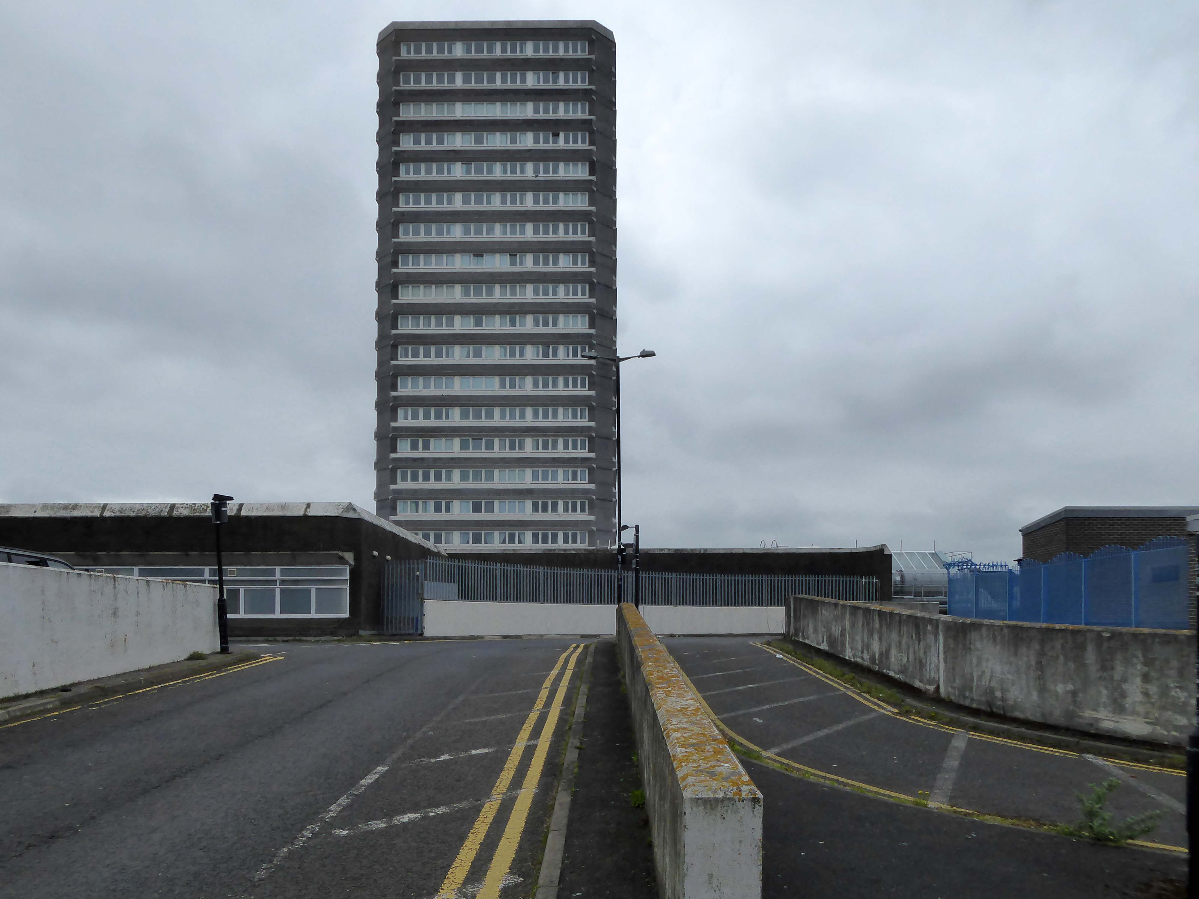
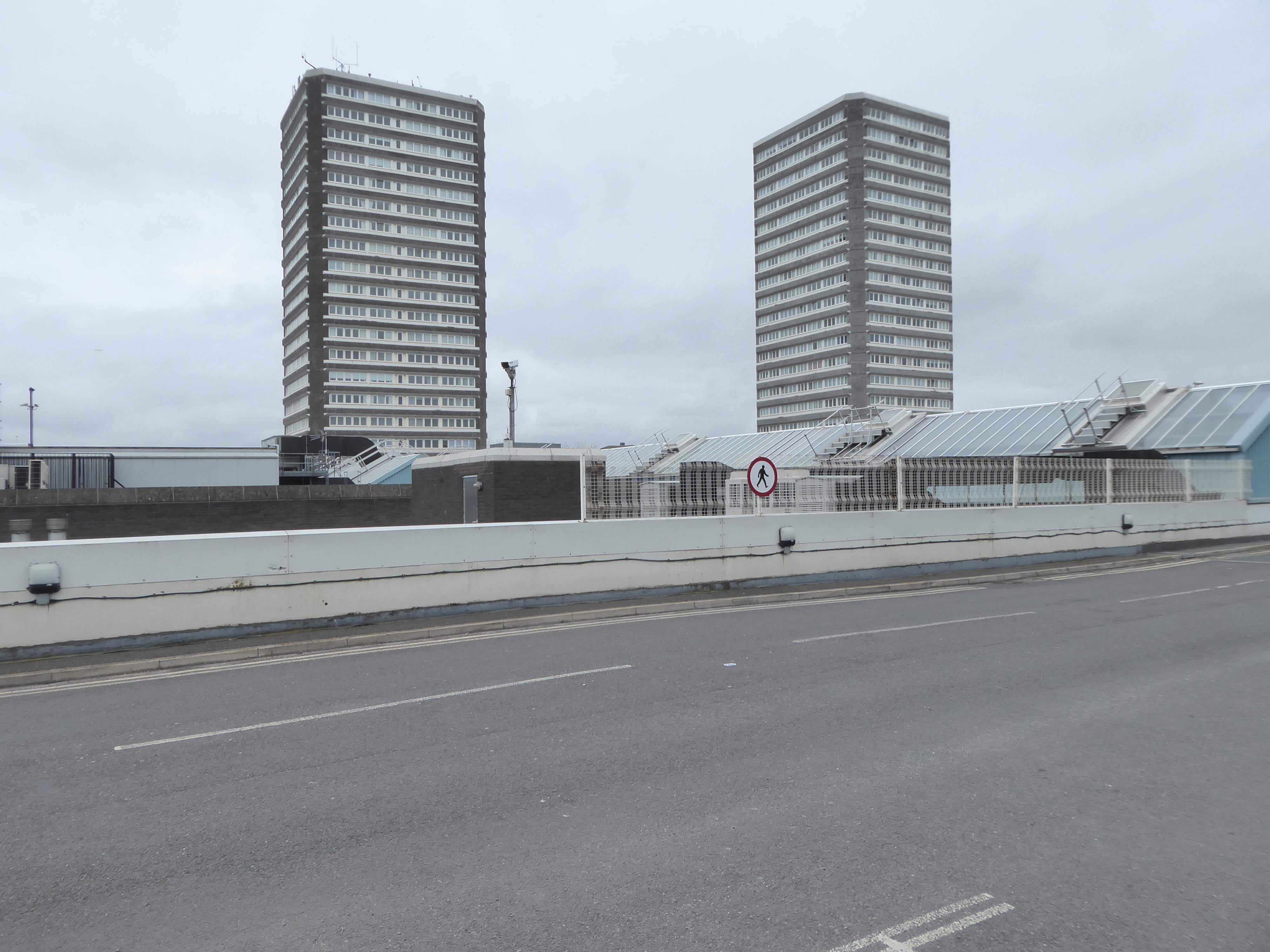
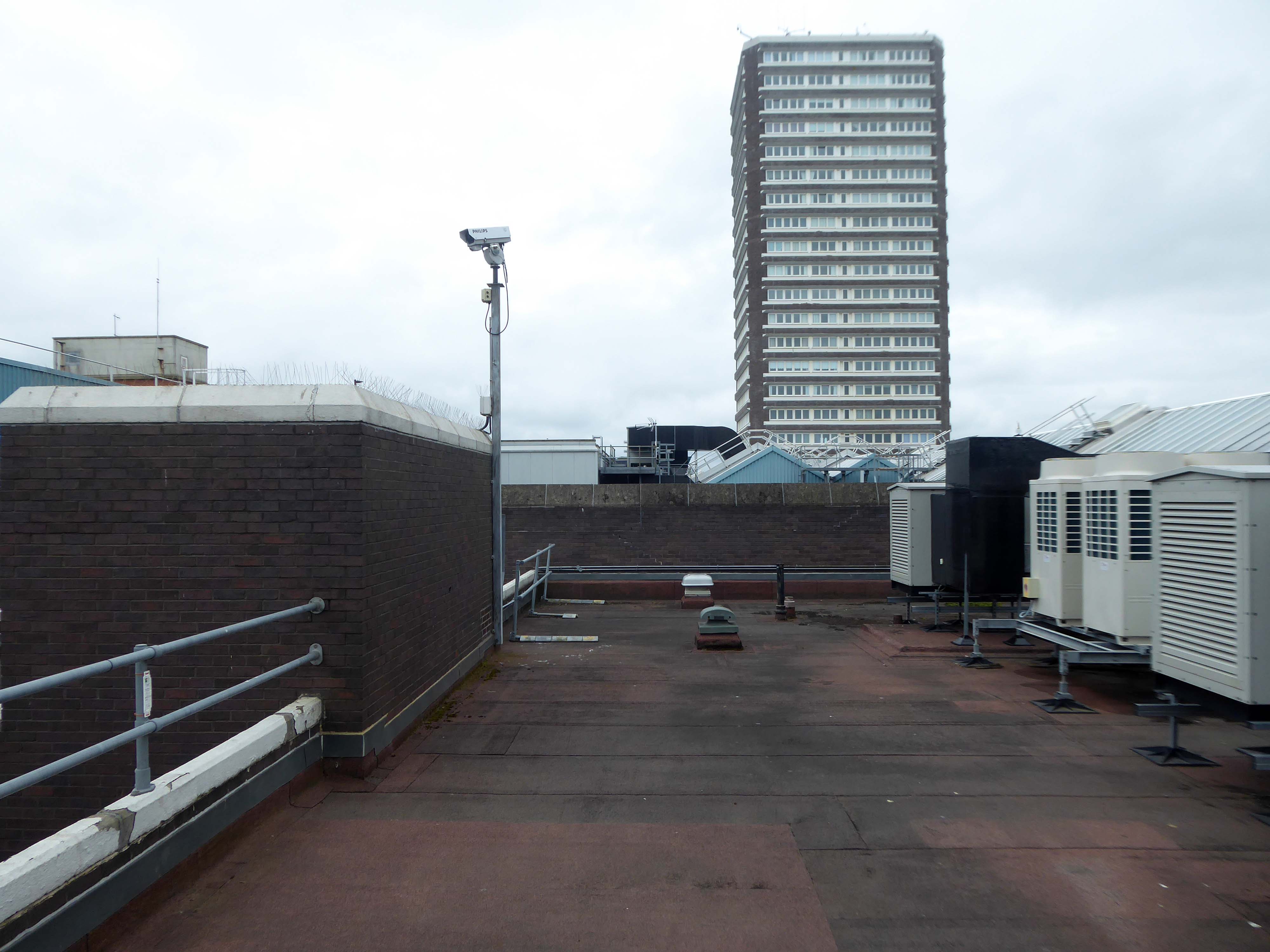
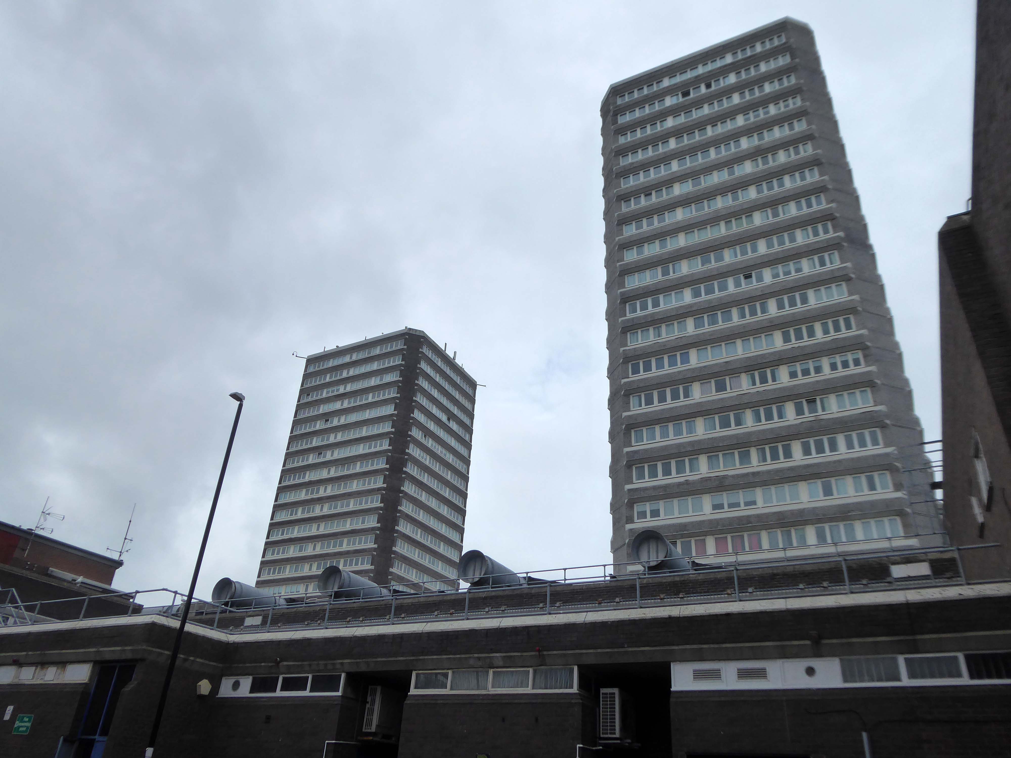
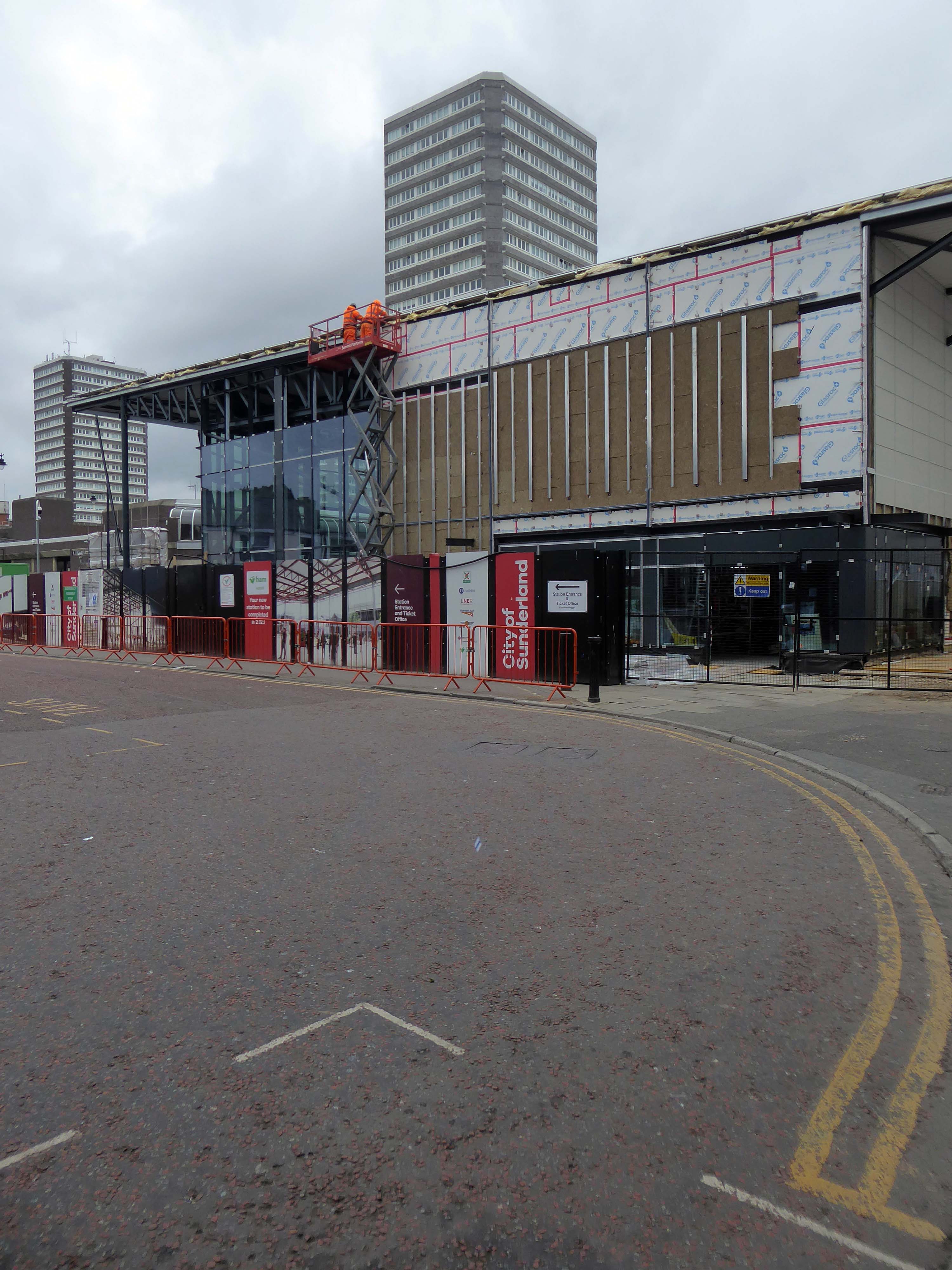
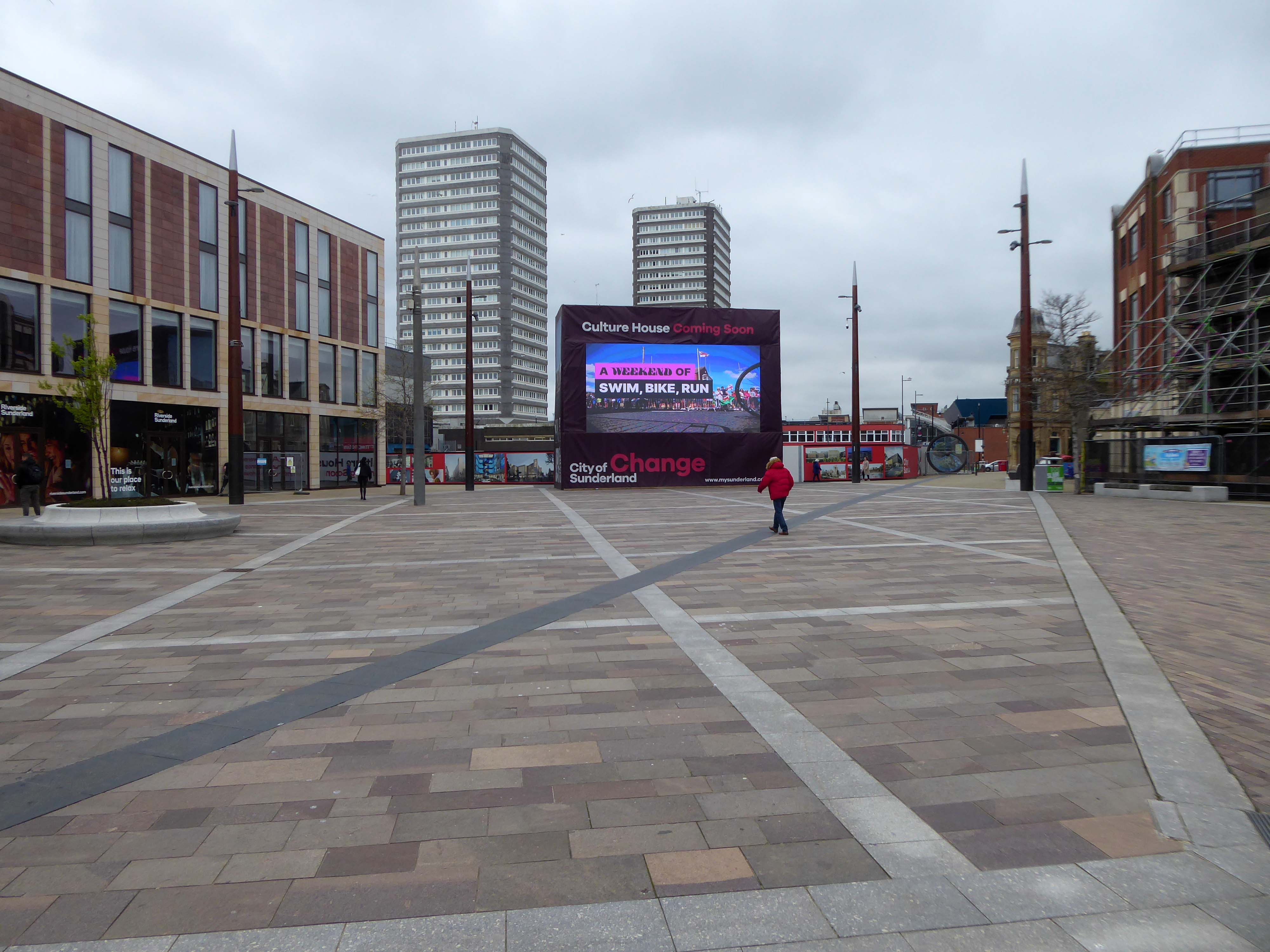
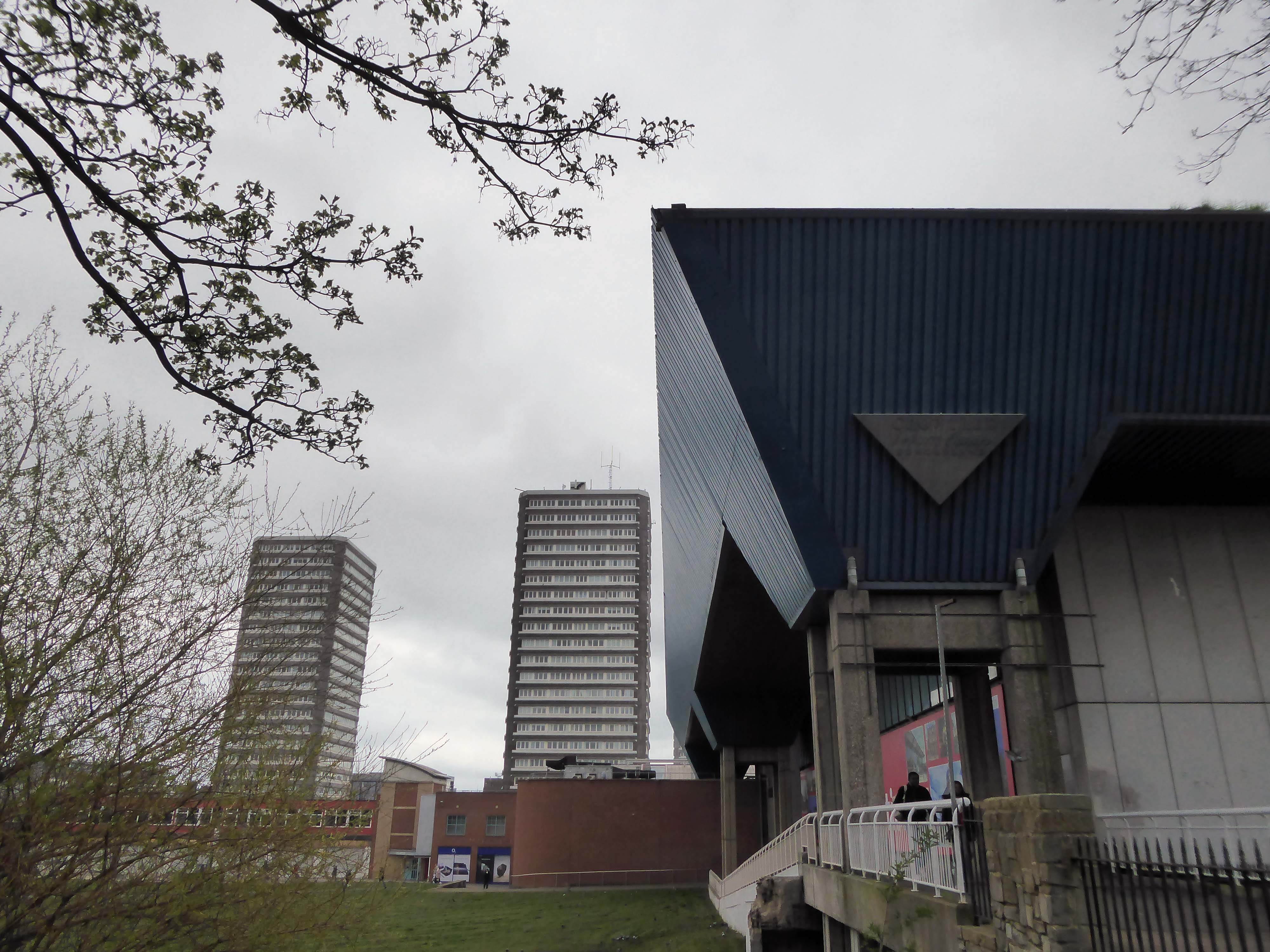
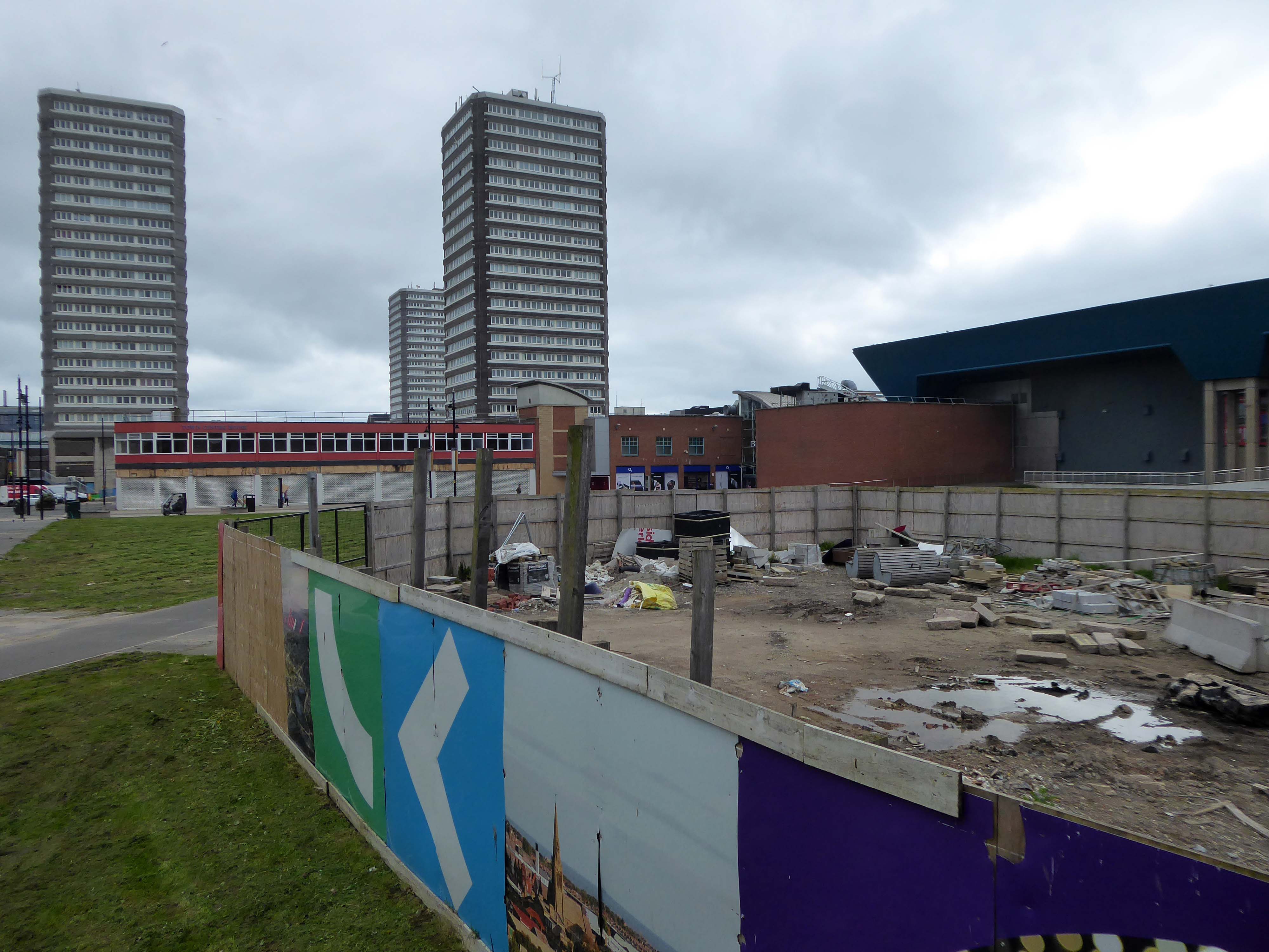
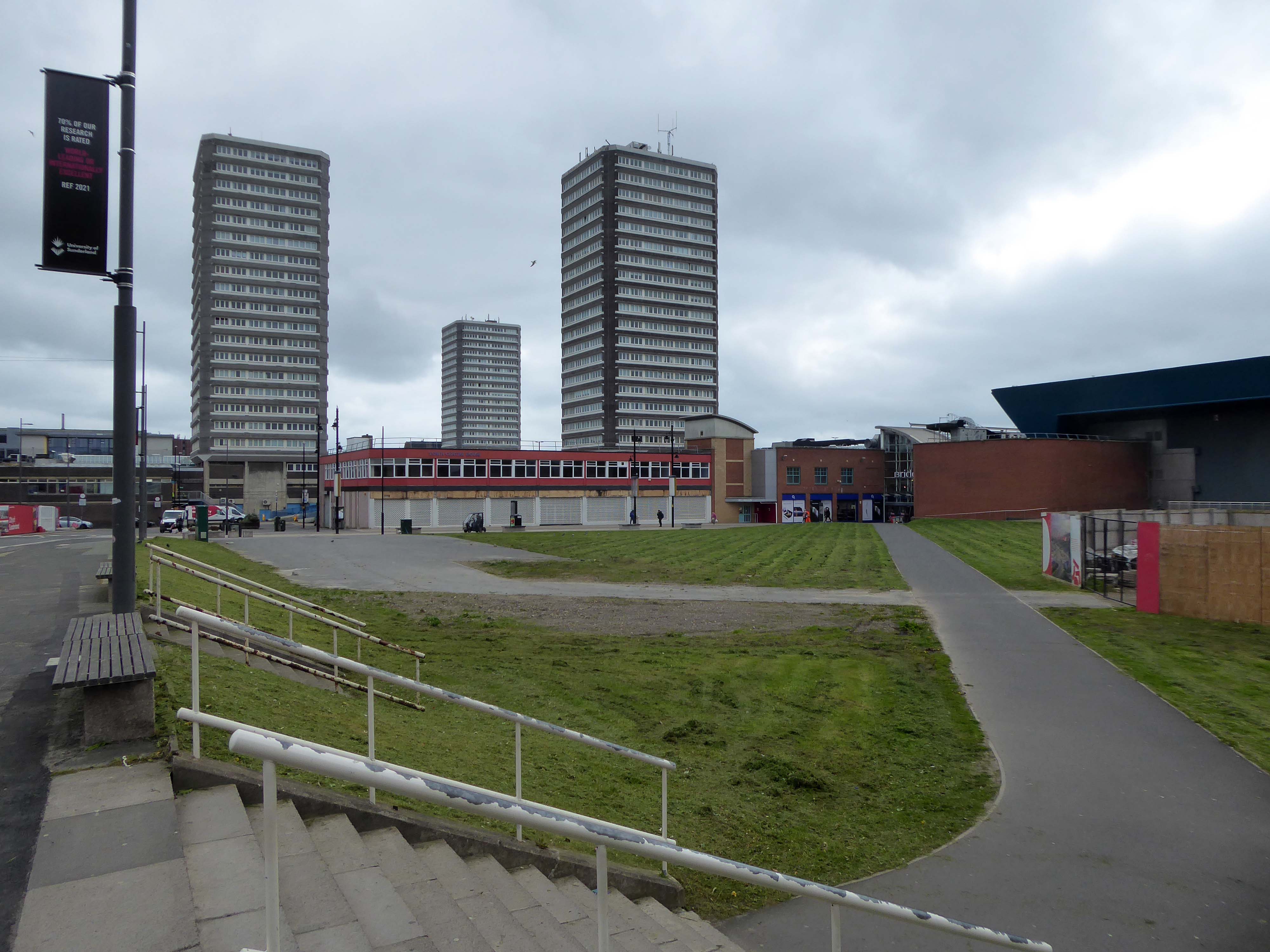
Three nineteen-storey point blocks built as public housing as part of the redevelopment of Sunderland town centre. The blocks contain 270 dwellings in total. Construction was approved by committee in 1967.
The blocks were constructed by Sunderland County Borough Council.
The developers of the Town Central Area were Town and City Properties Ltd. It is believed that they contributed £38,600 to the development of the blocks.
Ian Frazer and Associates were the architects for the sub-structural works only.
Llewelyn, Davies, Weeks and Partners were the structural and mechanical engineers in addition to being the architects for the tower blocks.
Gilbert-Ash Northern Ltd.’s tender for the contract was £959,258 – construction began in March 1967.
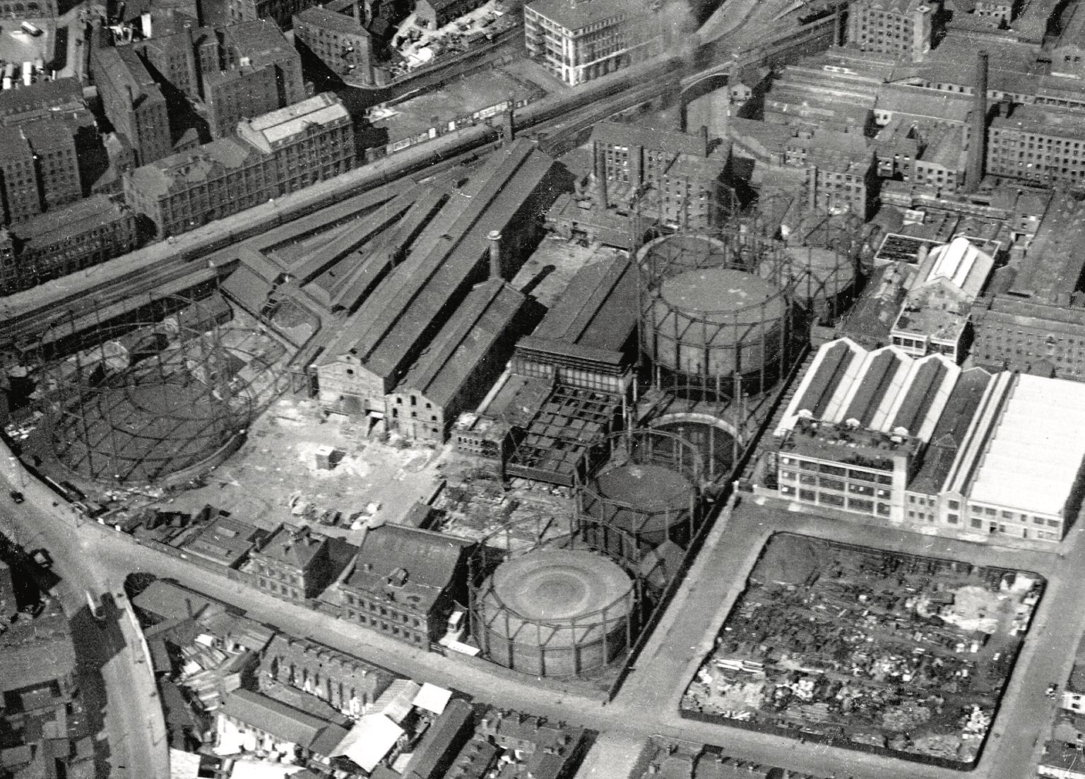
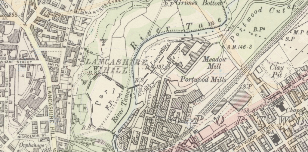
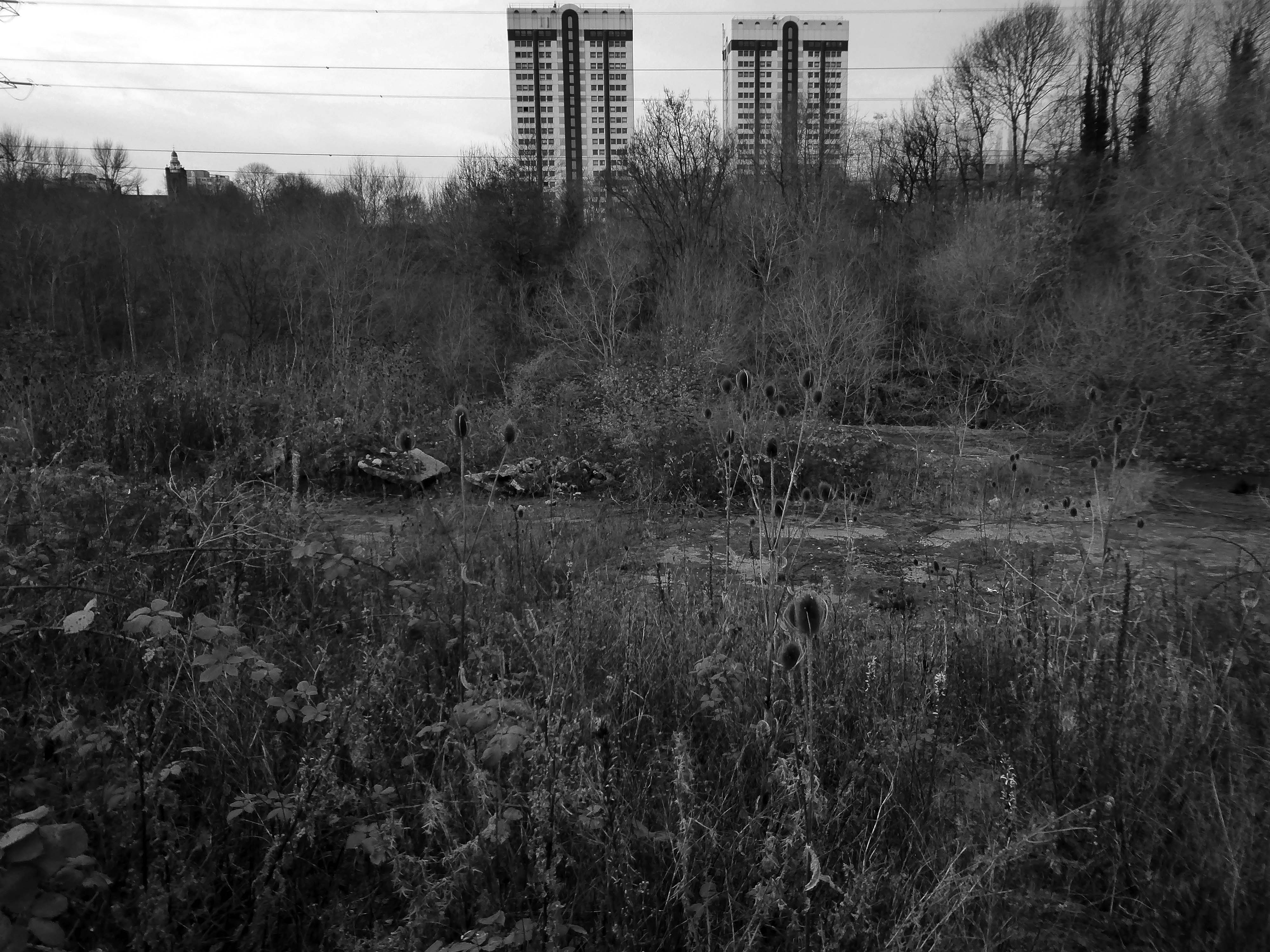
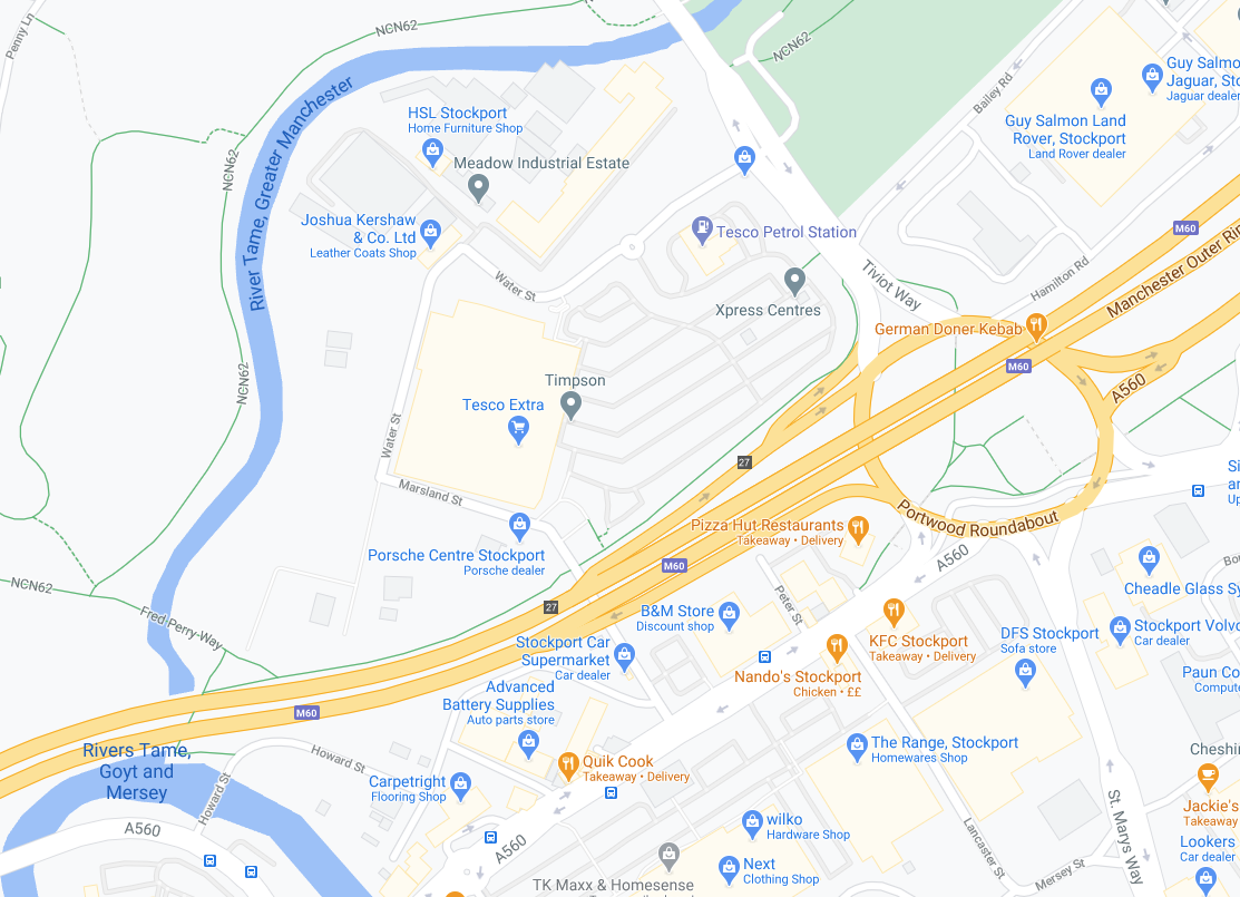
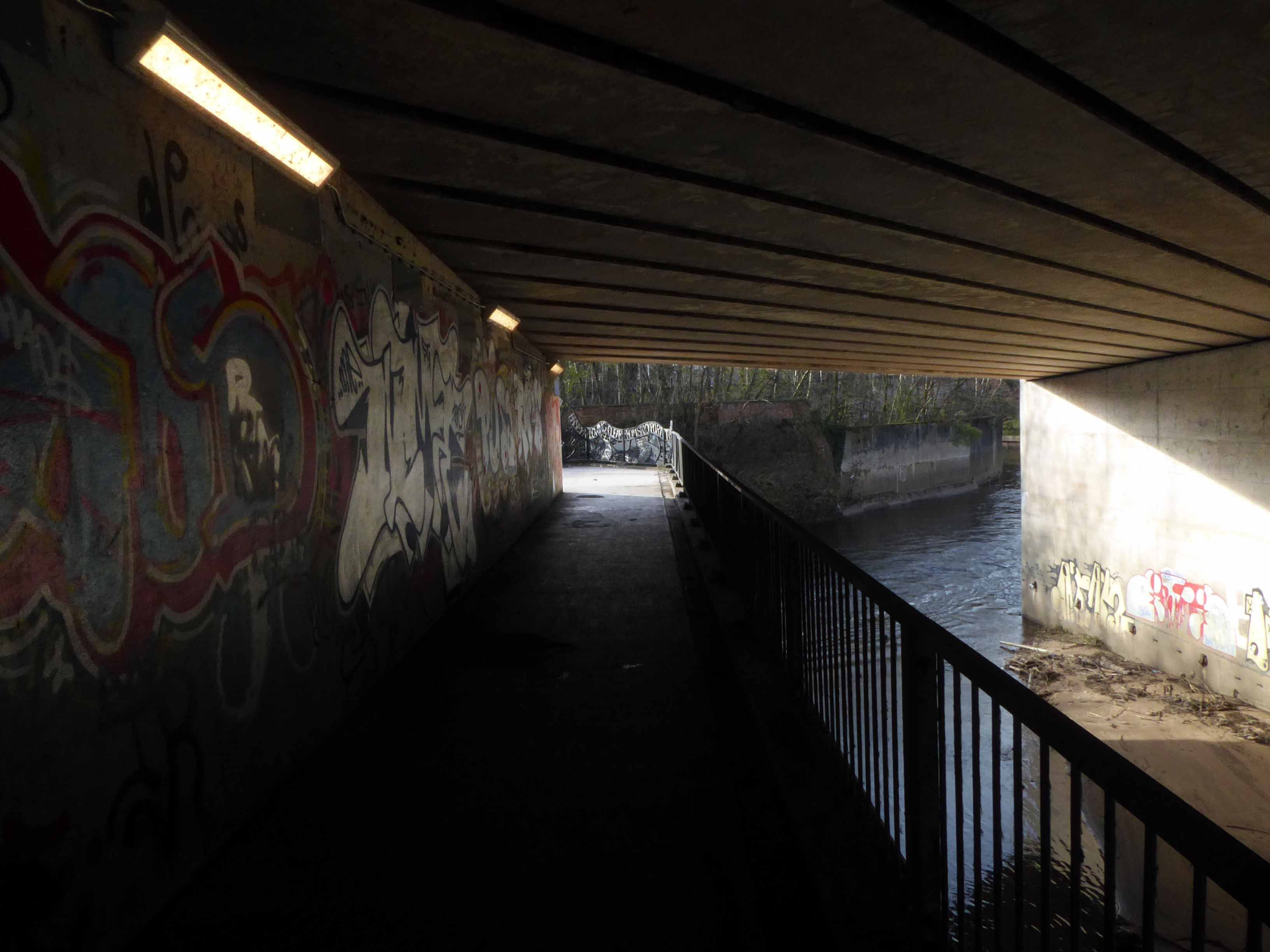
The 19th-century industrial concentrations in the above-named urban areas resulted in the Tame being a much polluted waterway. As well as industrial pollution from the dyes and bleaches used in textile mills, effluent from specialised paper-making cigarette papers, engineering effluents, including base metal washings from battery manufacture, phenols from the huge coal-gas plant in Denton, rain-wash from roads and abandoned coal spoil heaps there was also the sewage effluent from the surrounding population. Up to two-thirds of the river’s flow at its confluence with the Goyt had passed through a sewage works. The anti-pollution efforts of the last thirty years of the 20th century have resulted in positive fauna distributions.
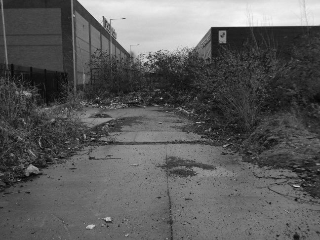
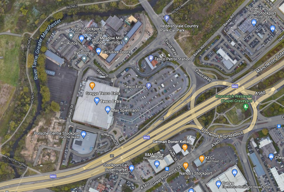
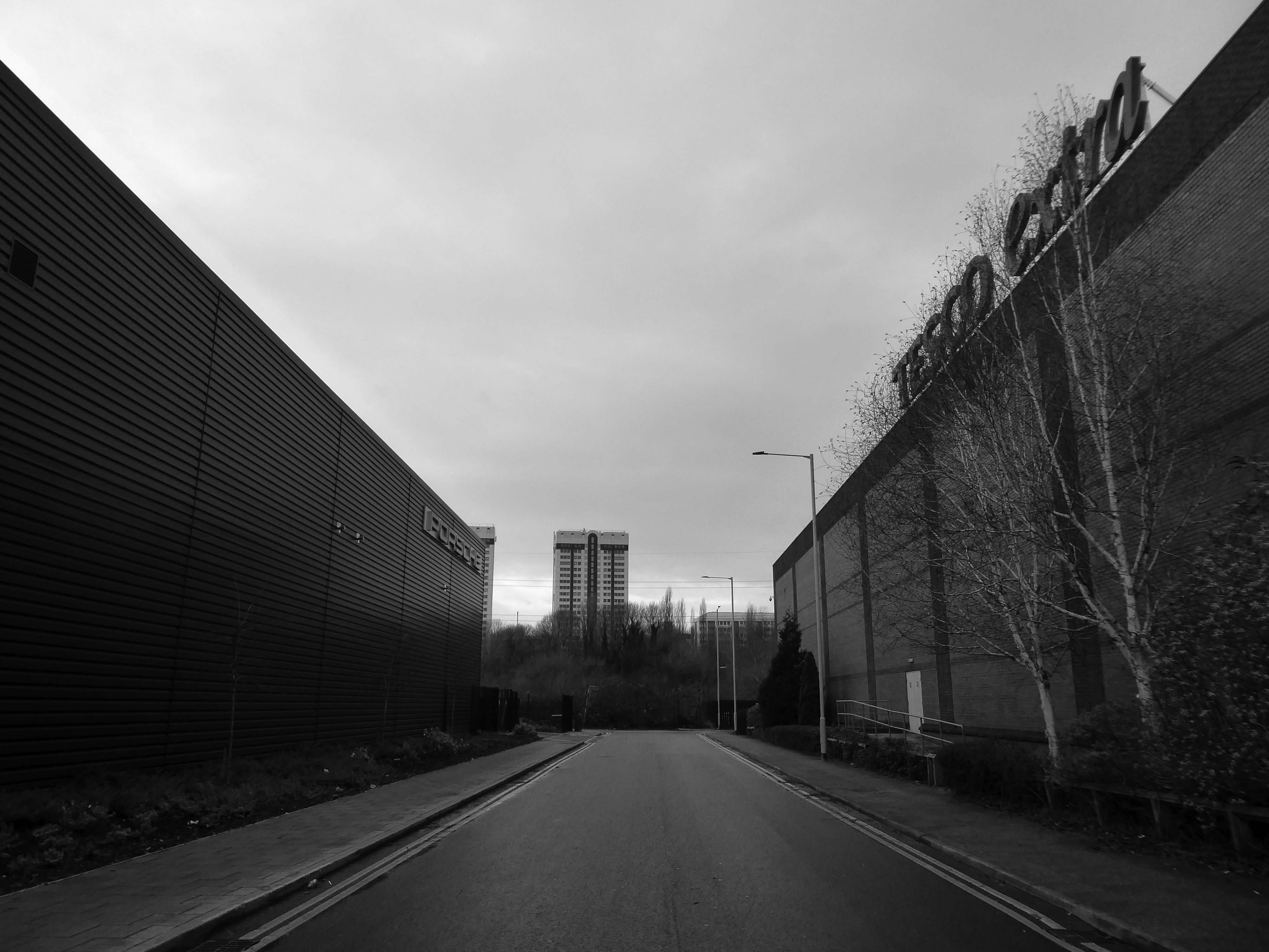
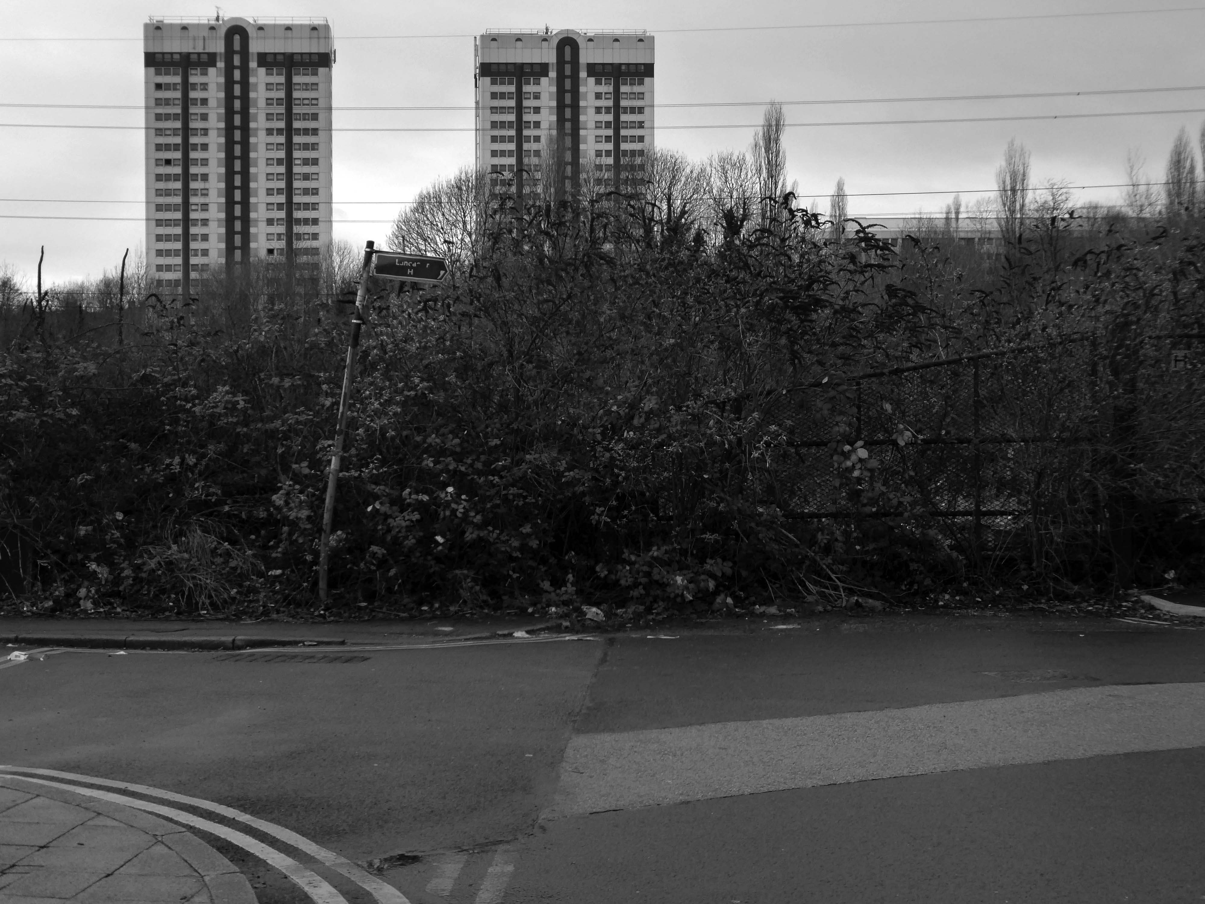
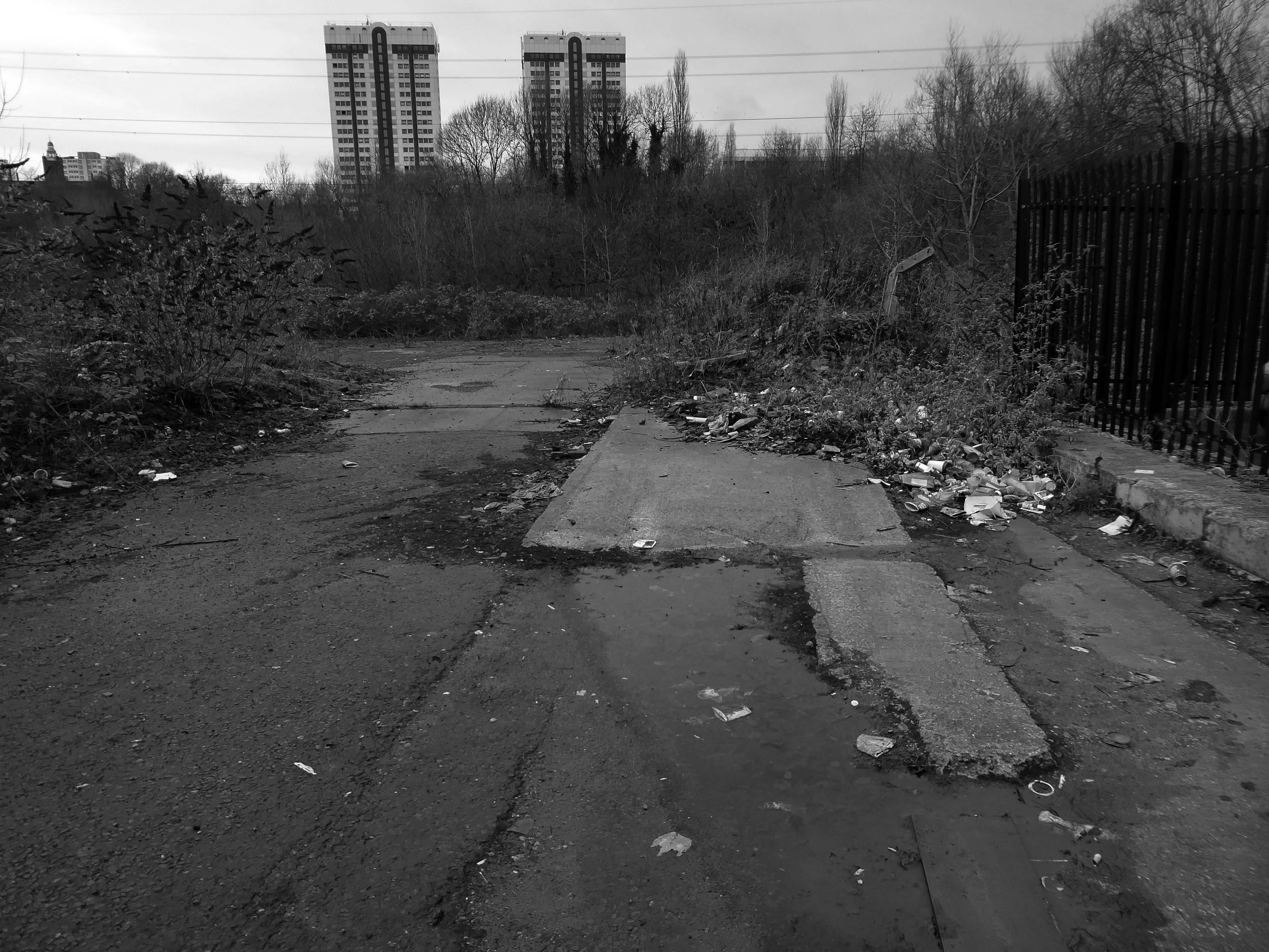
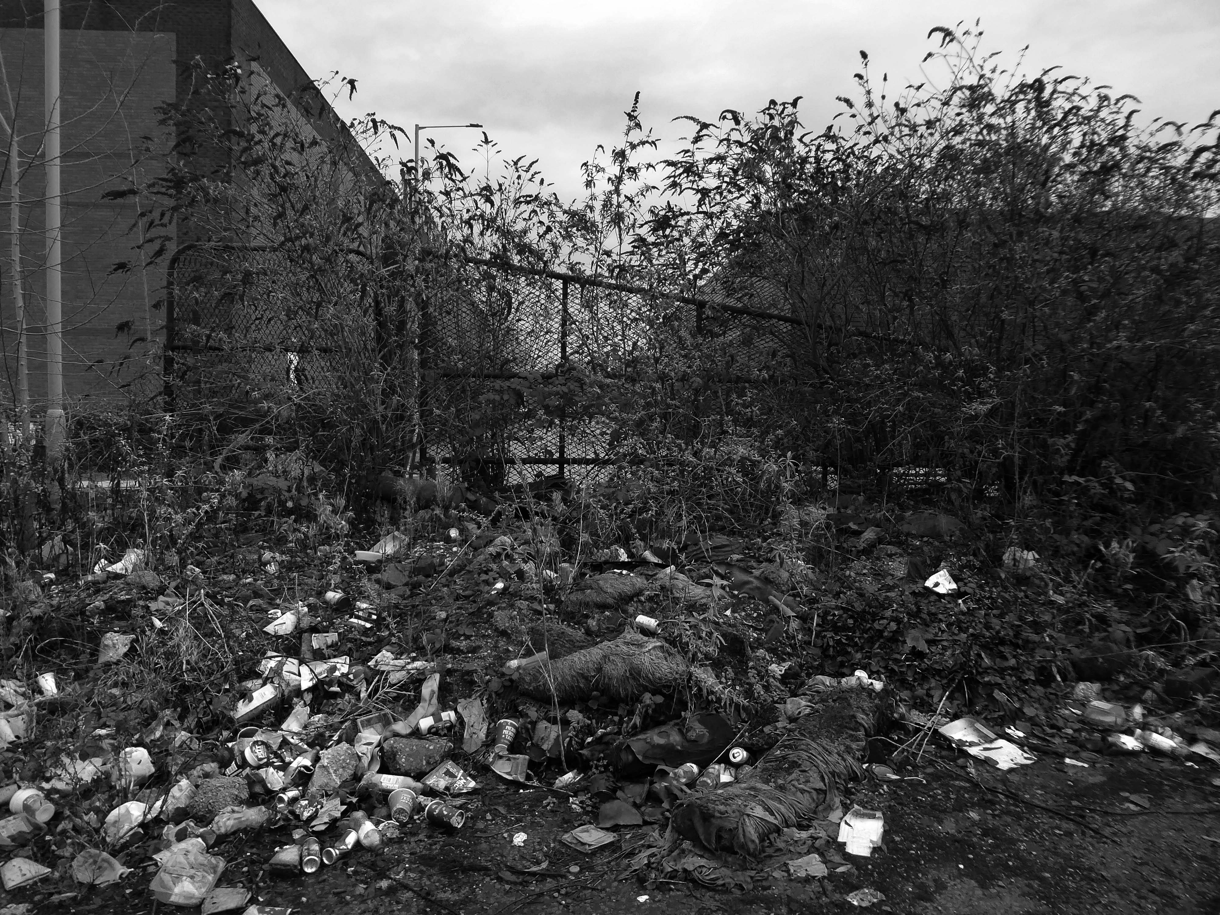
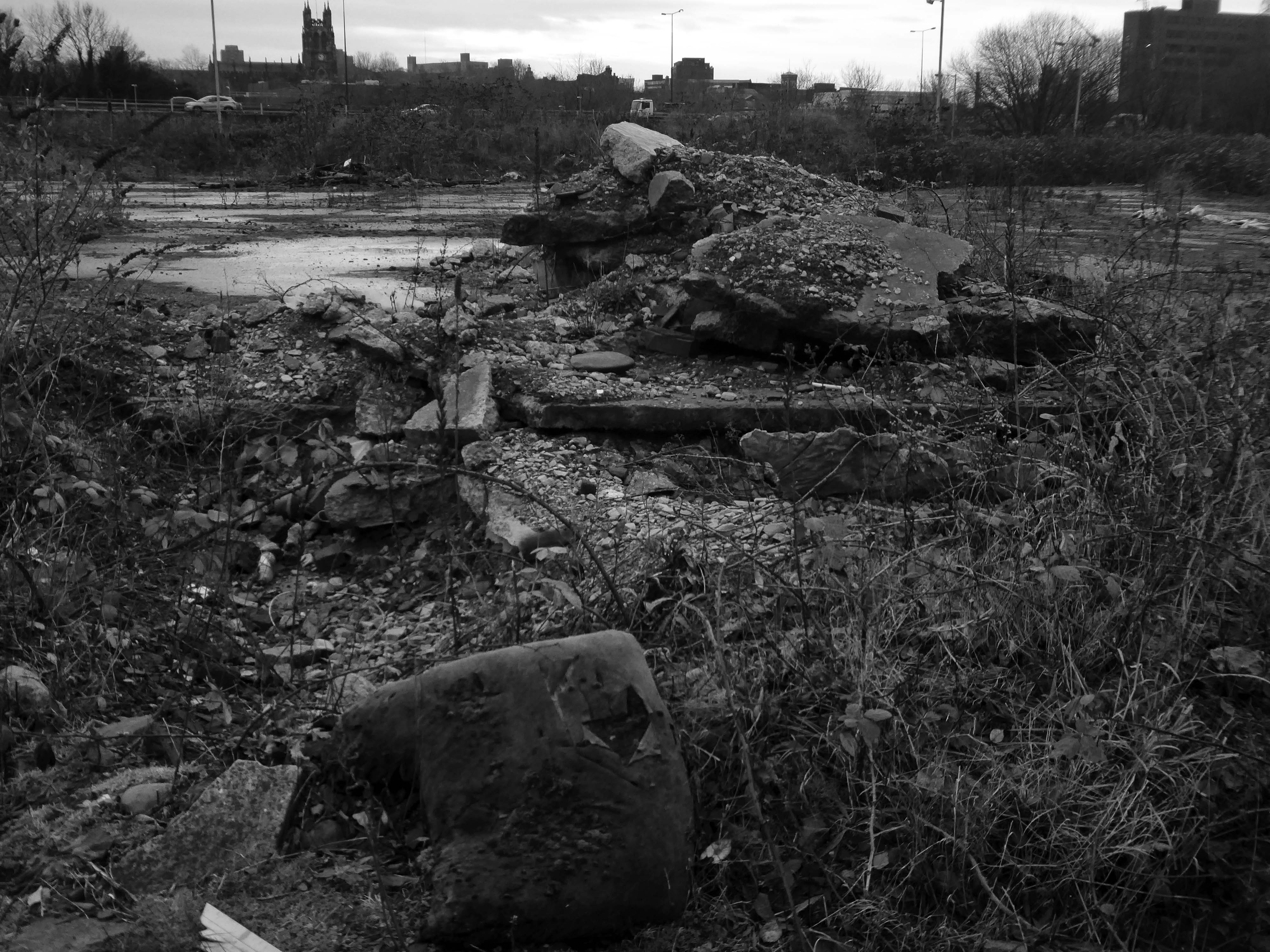
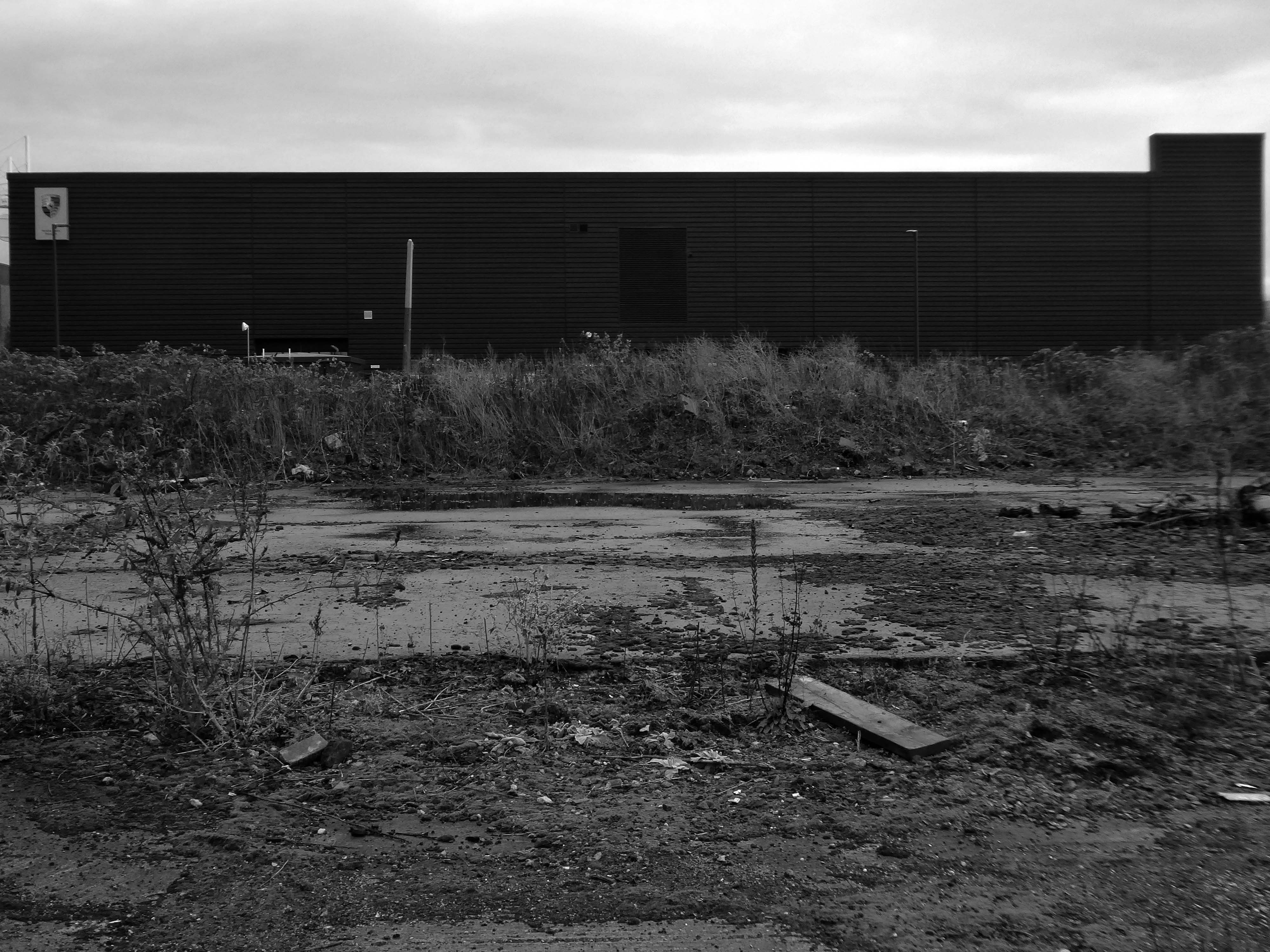
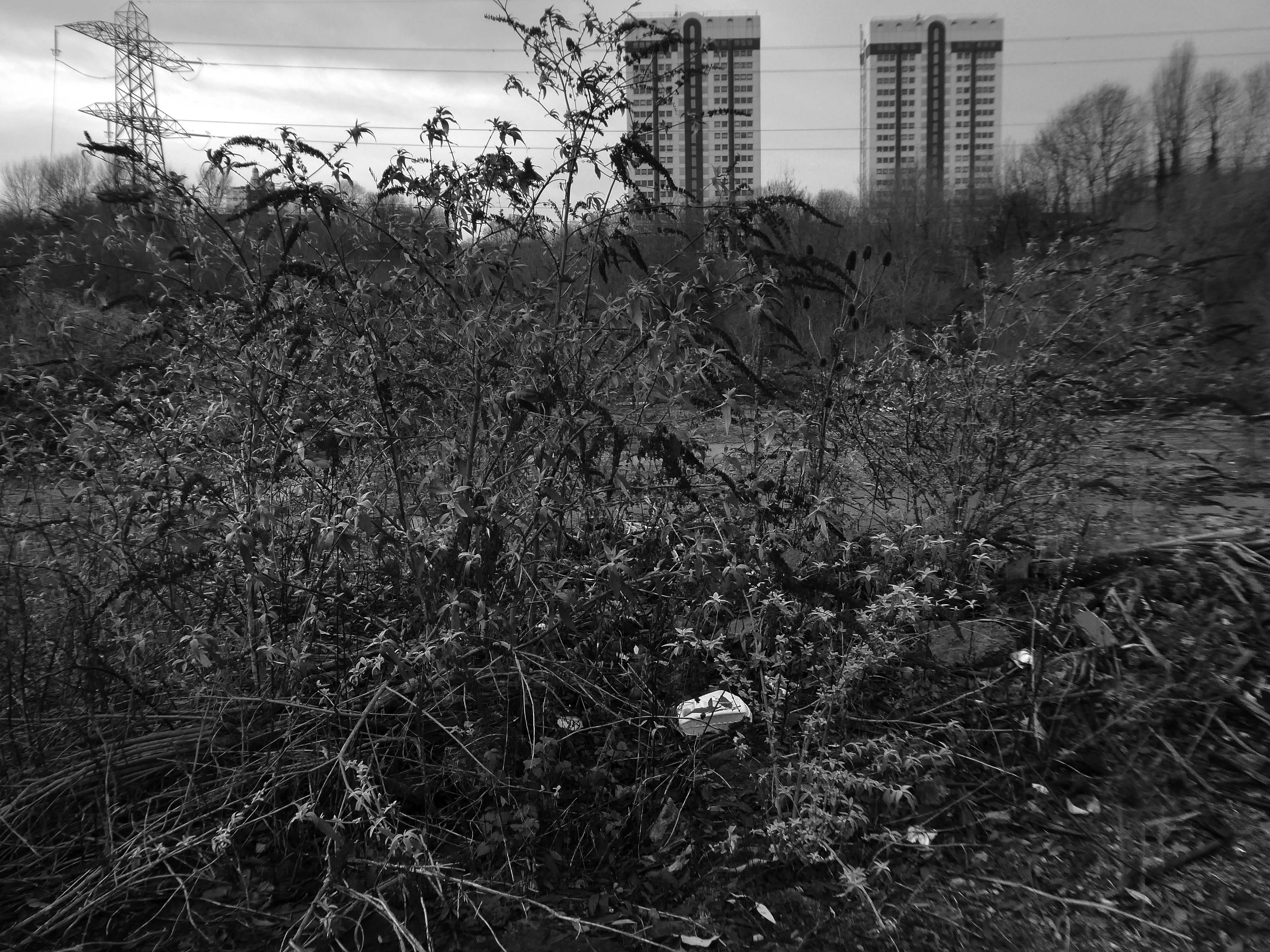
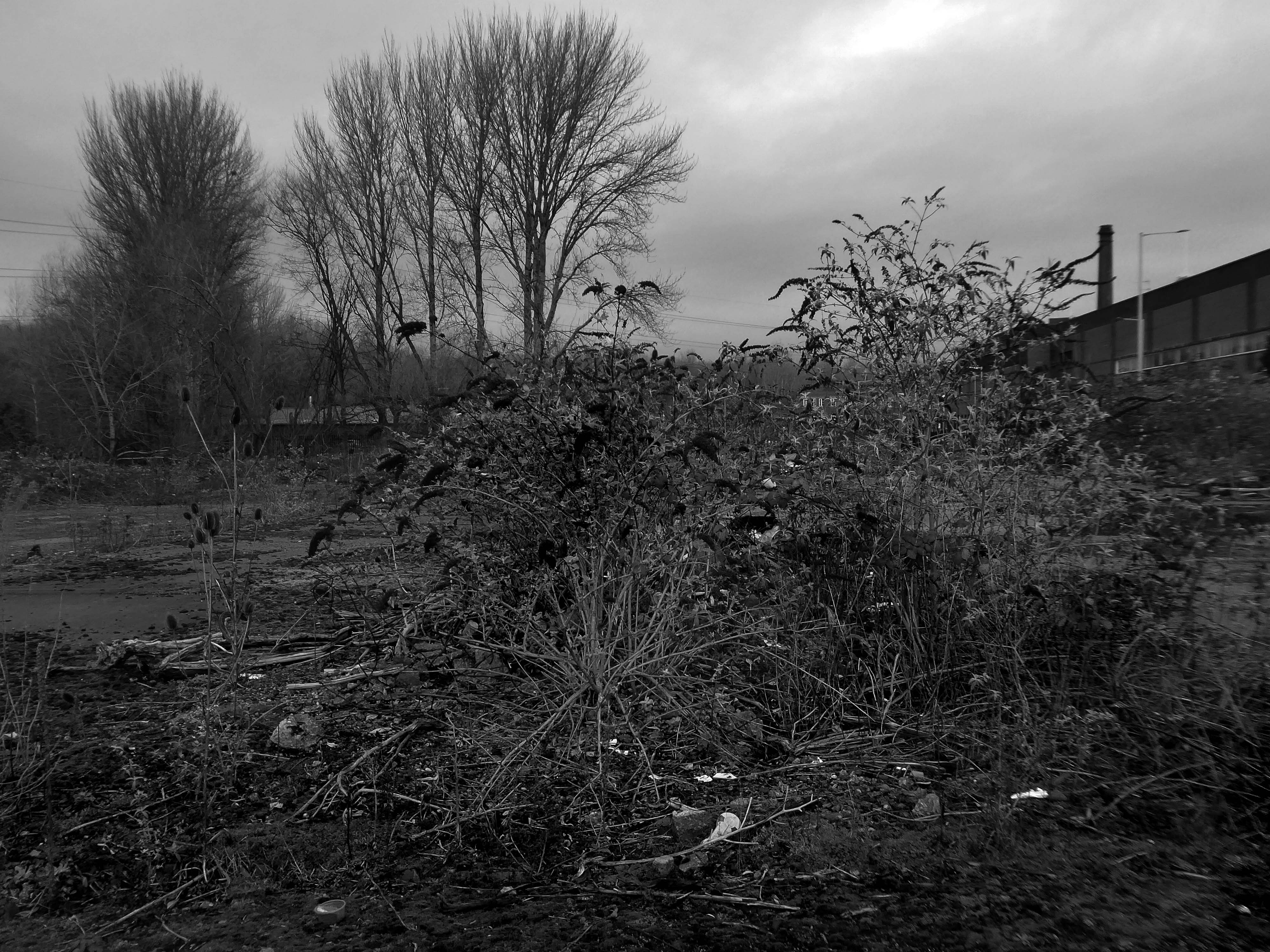
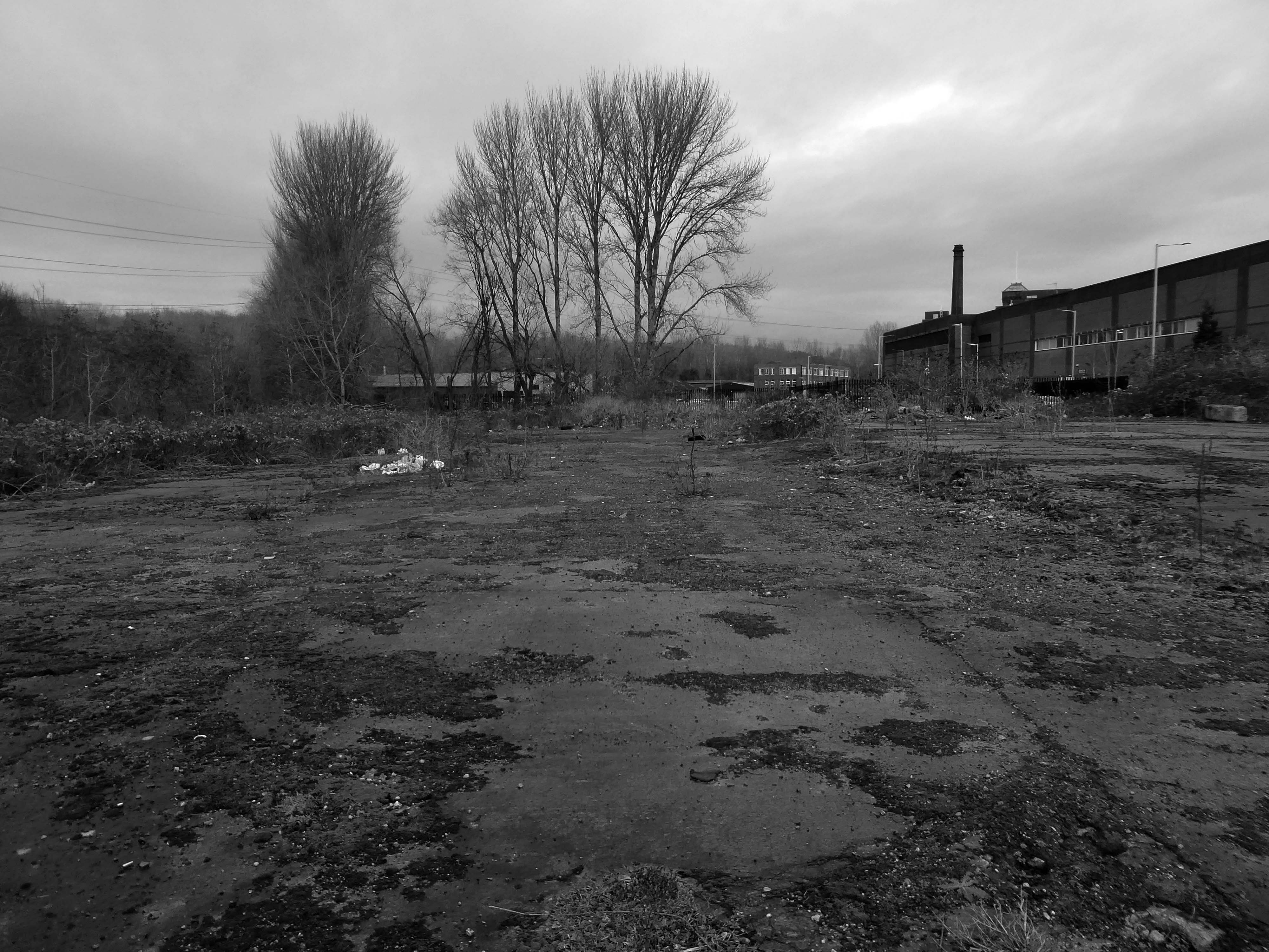
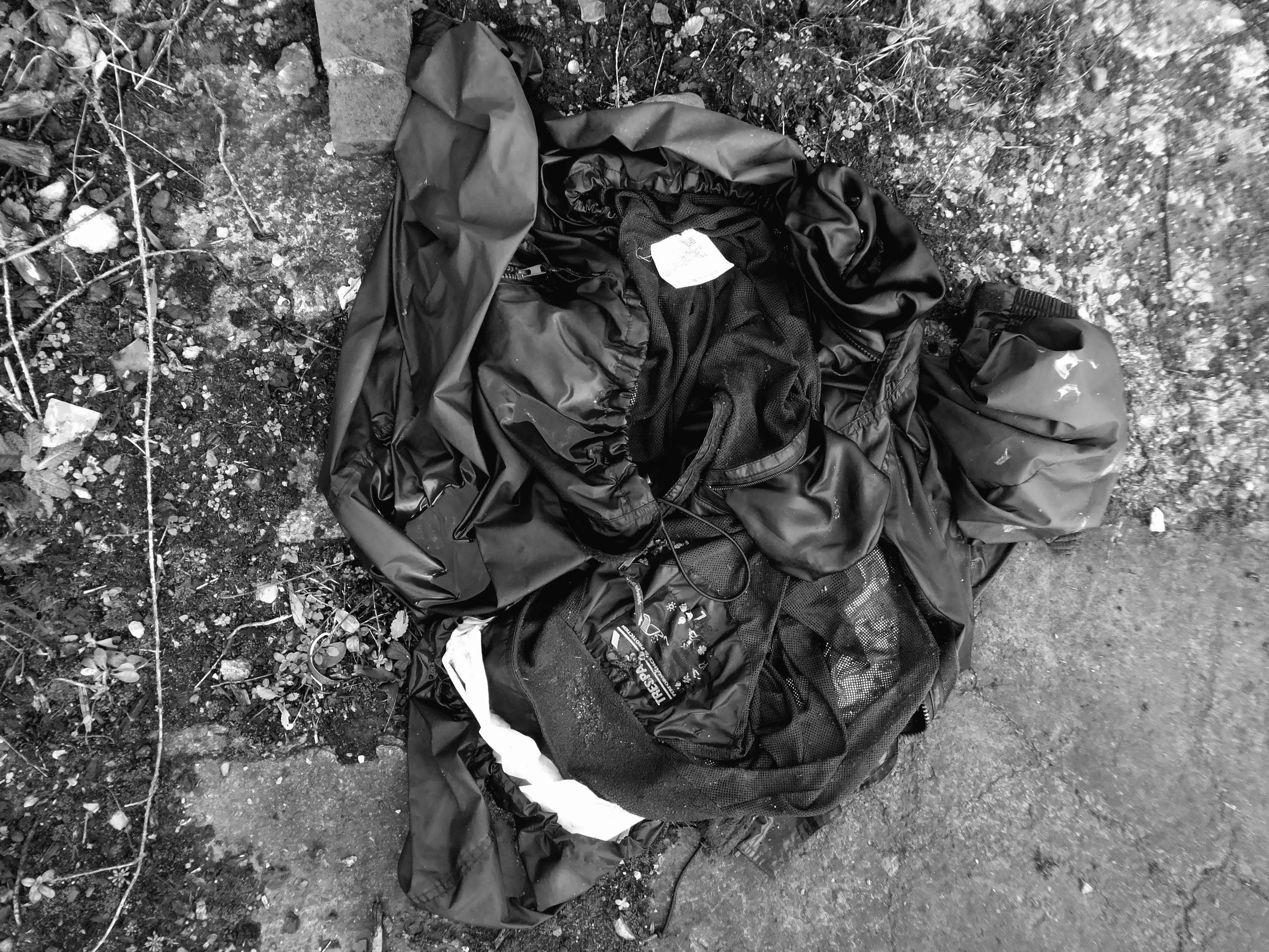
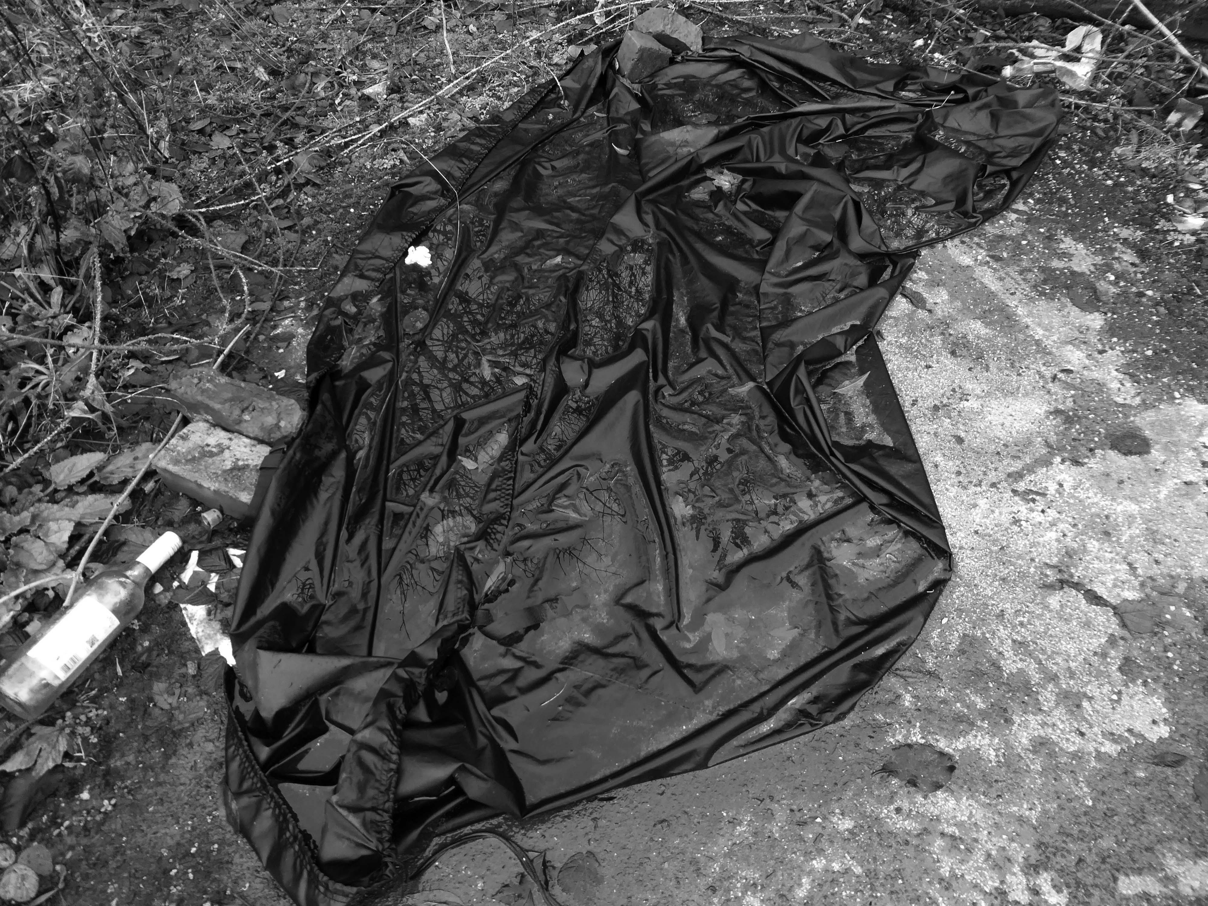
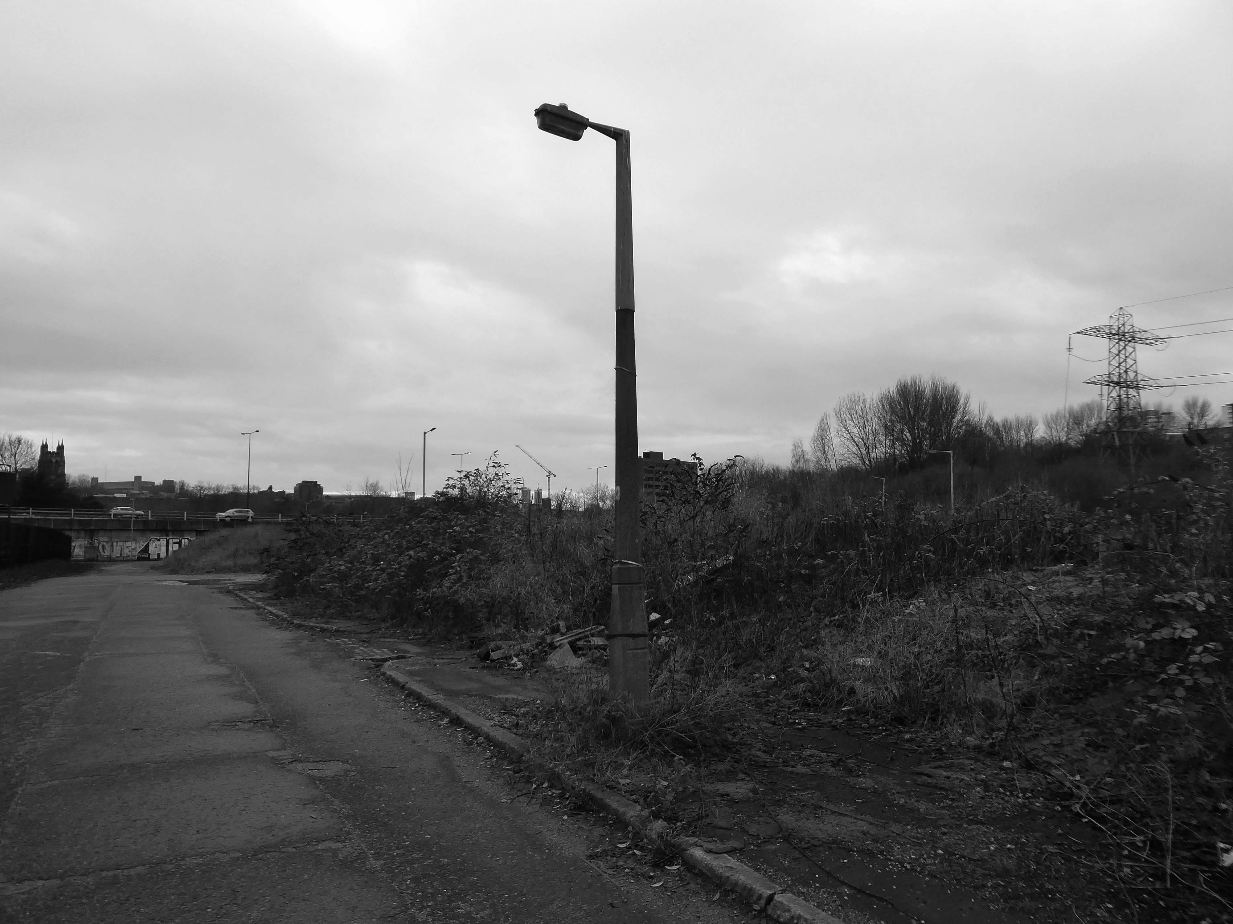
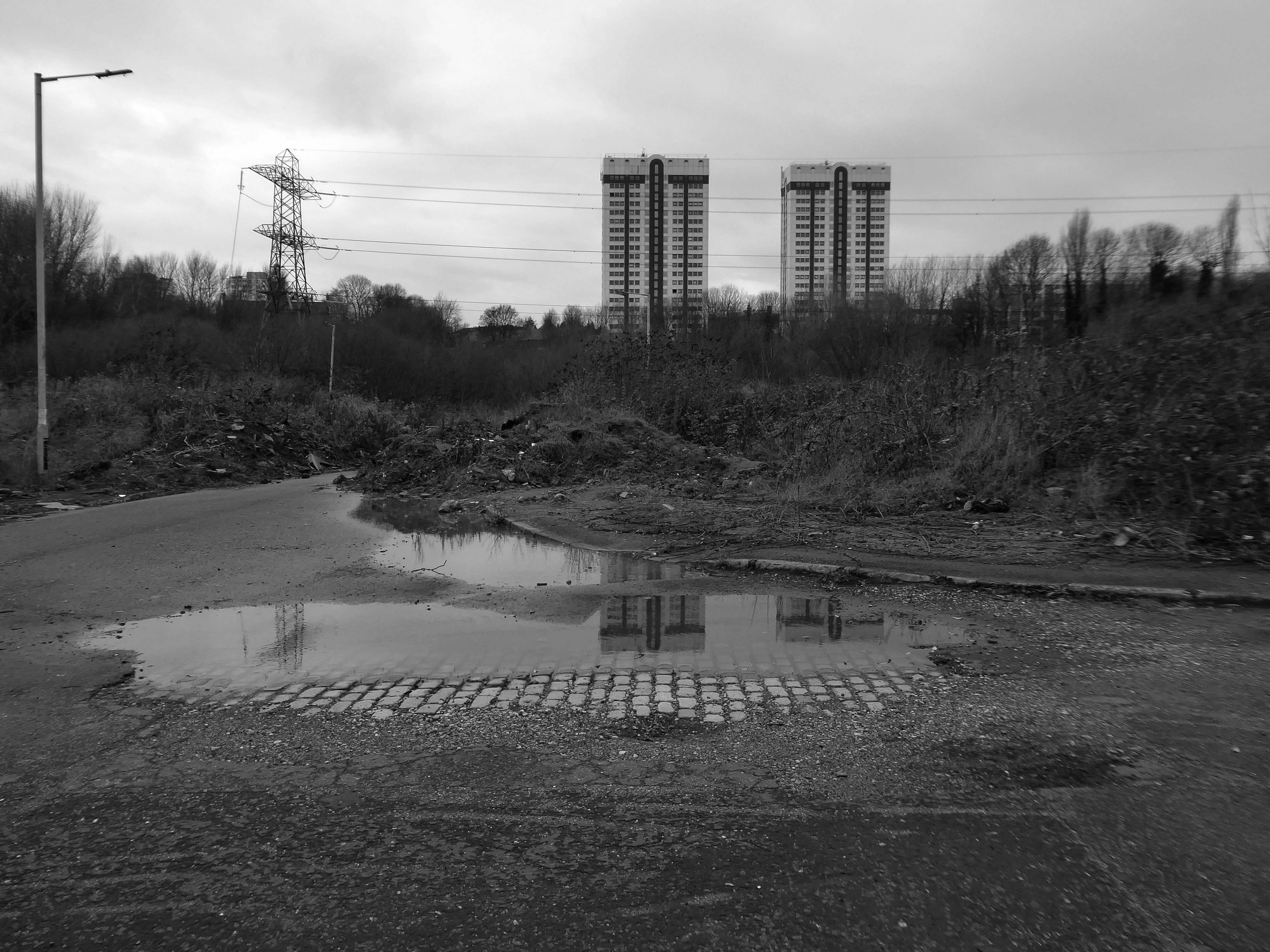
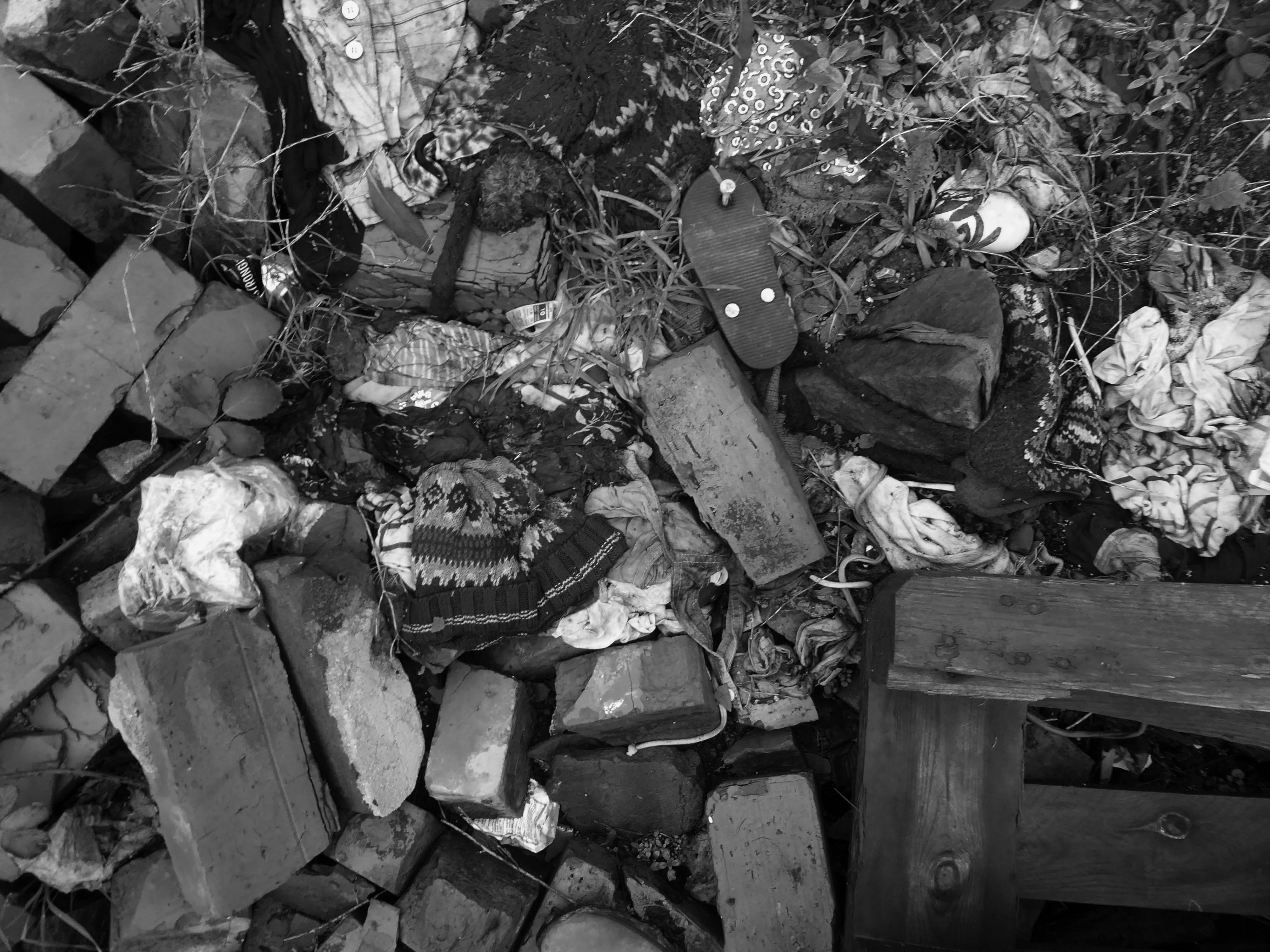
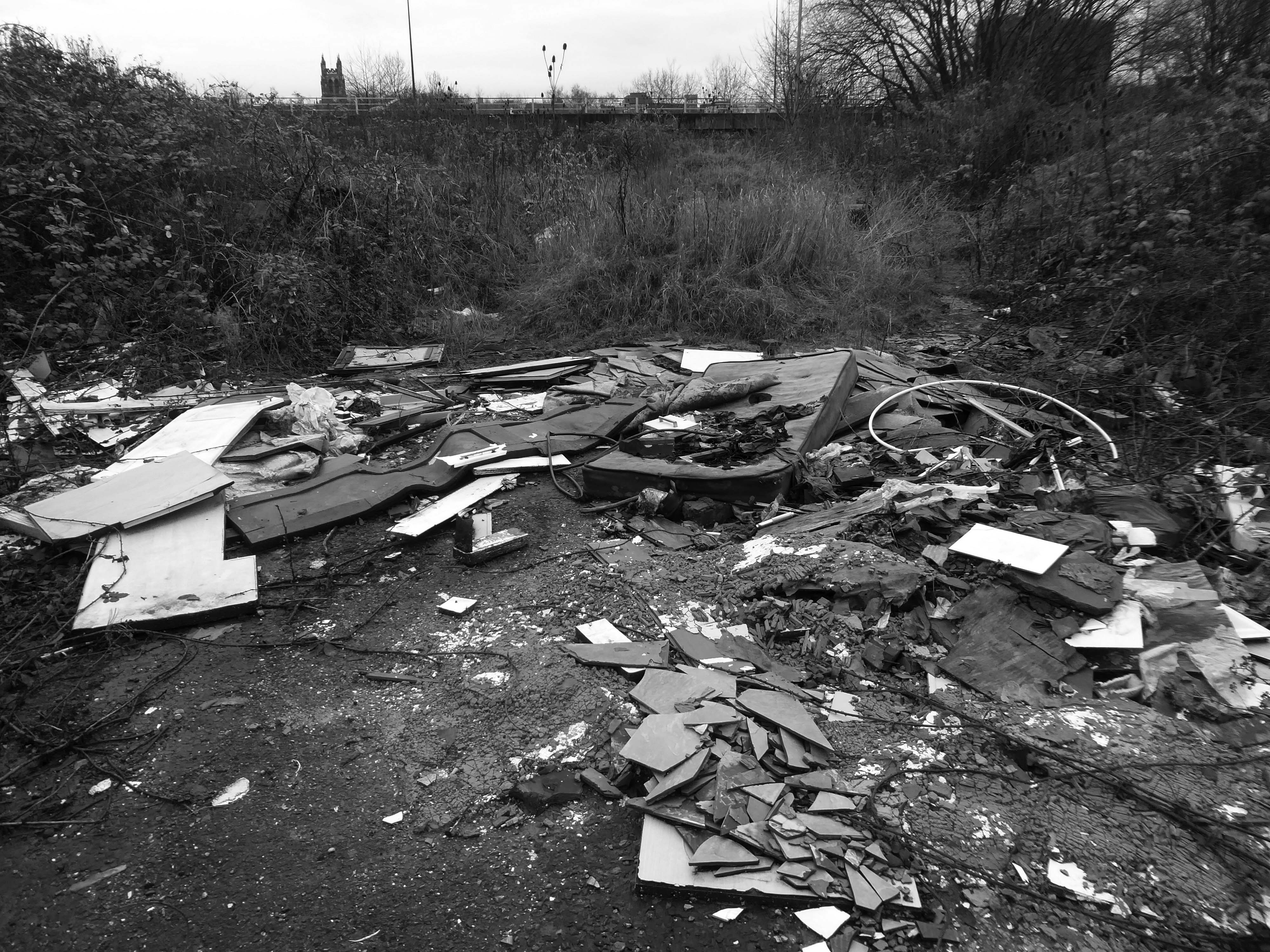
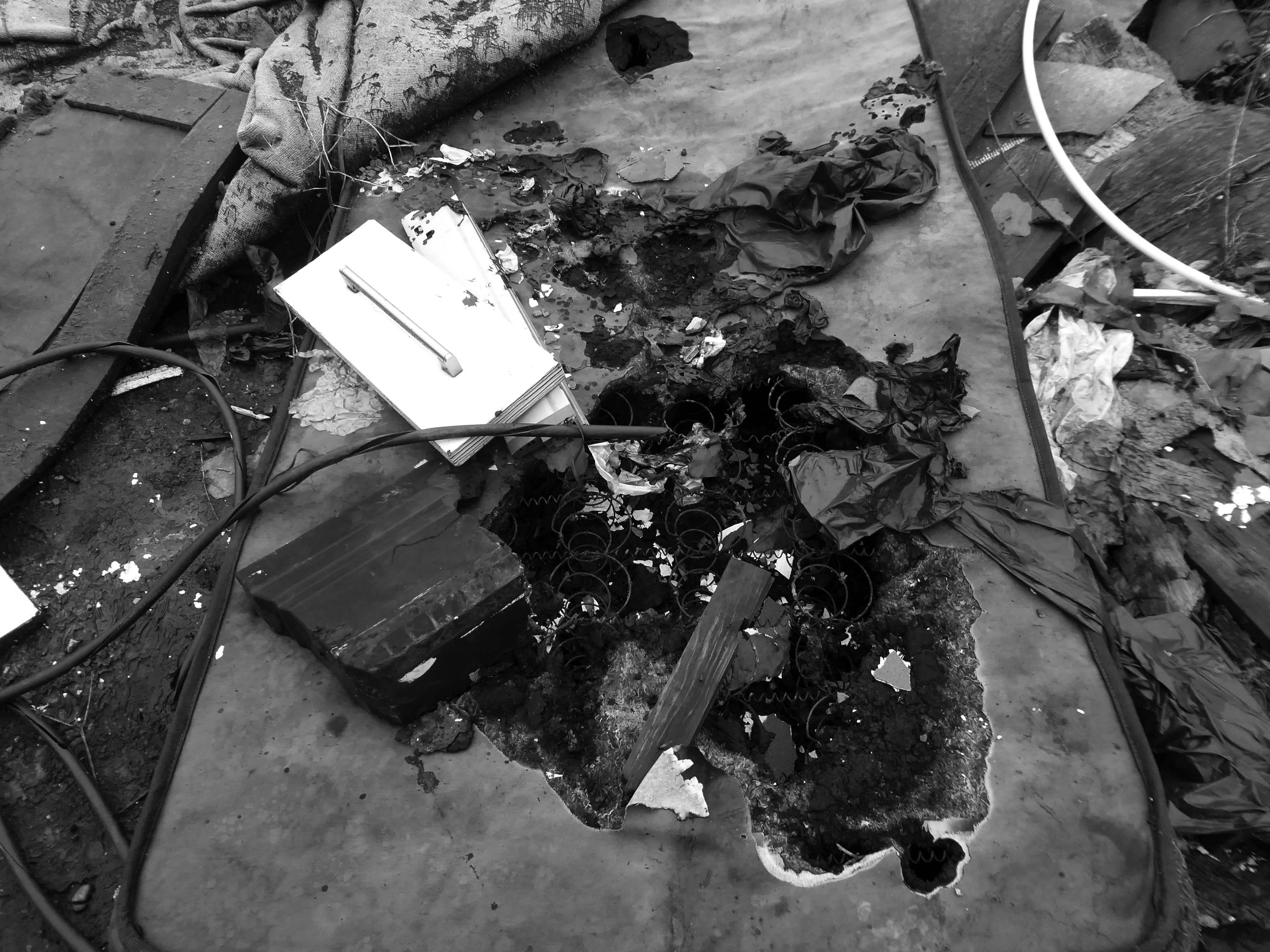
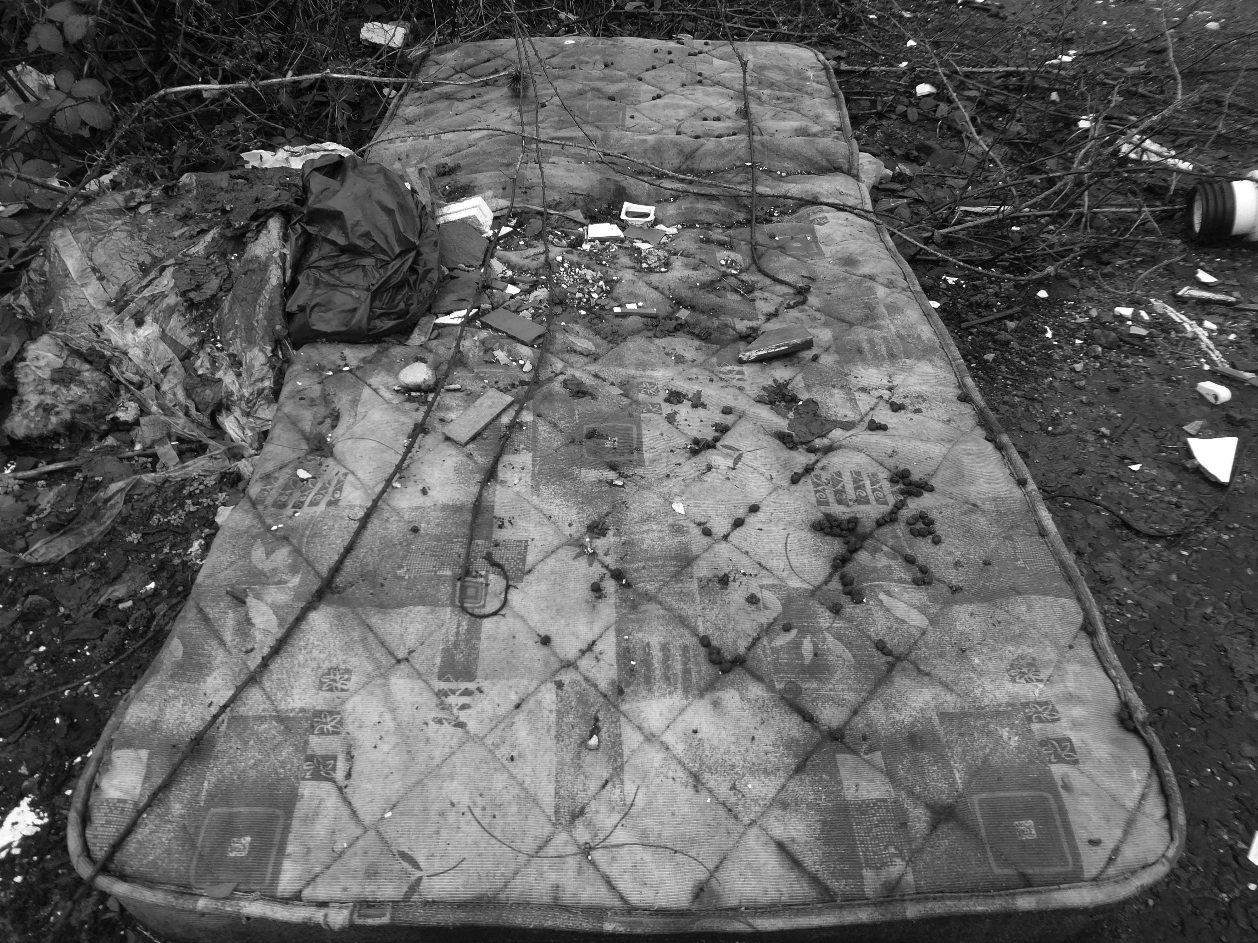
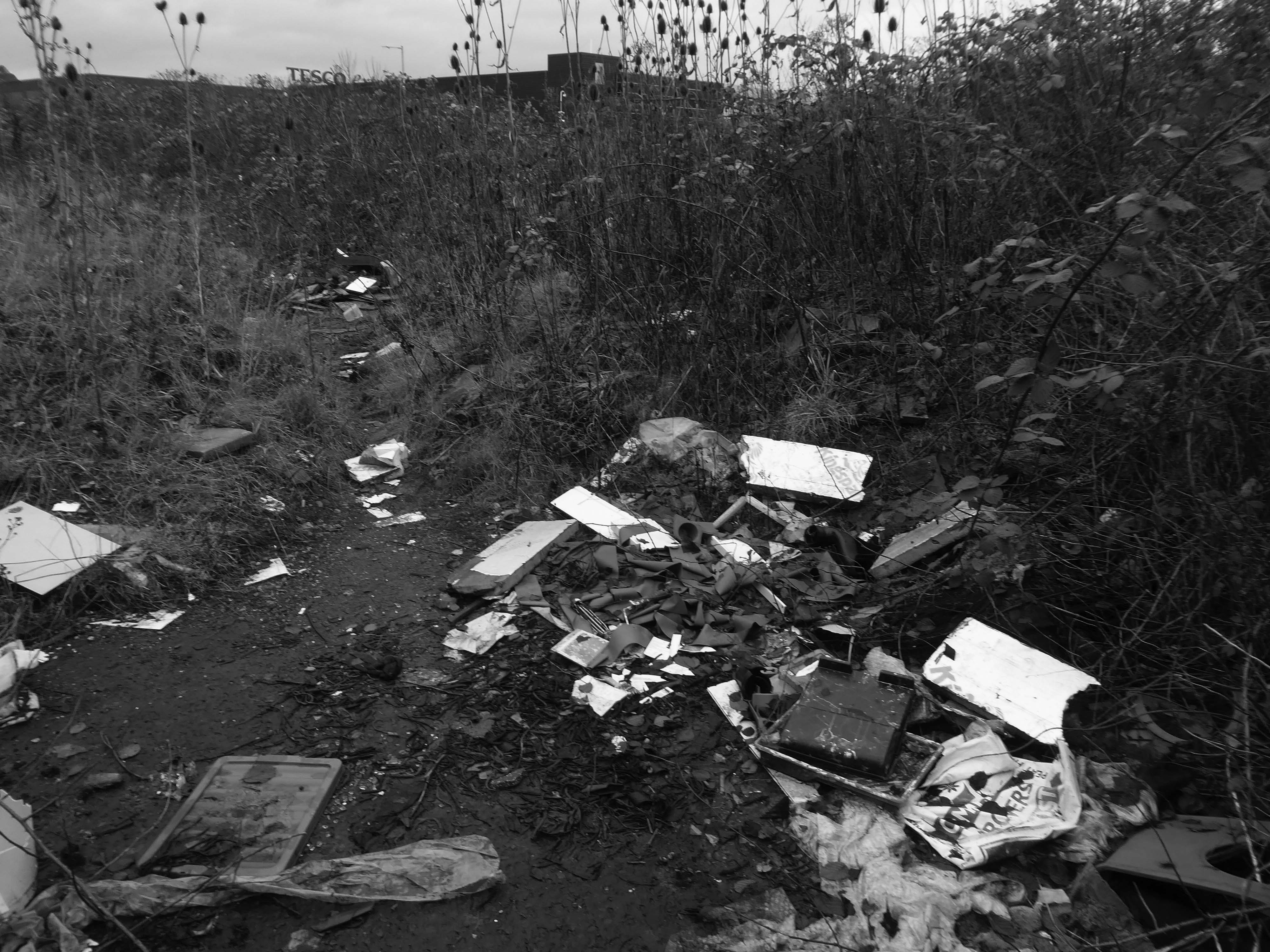
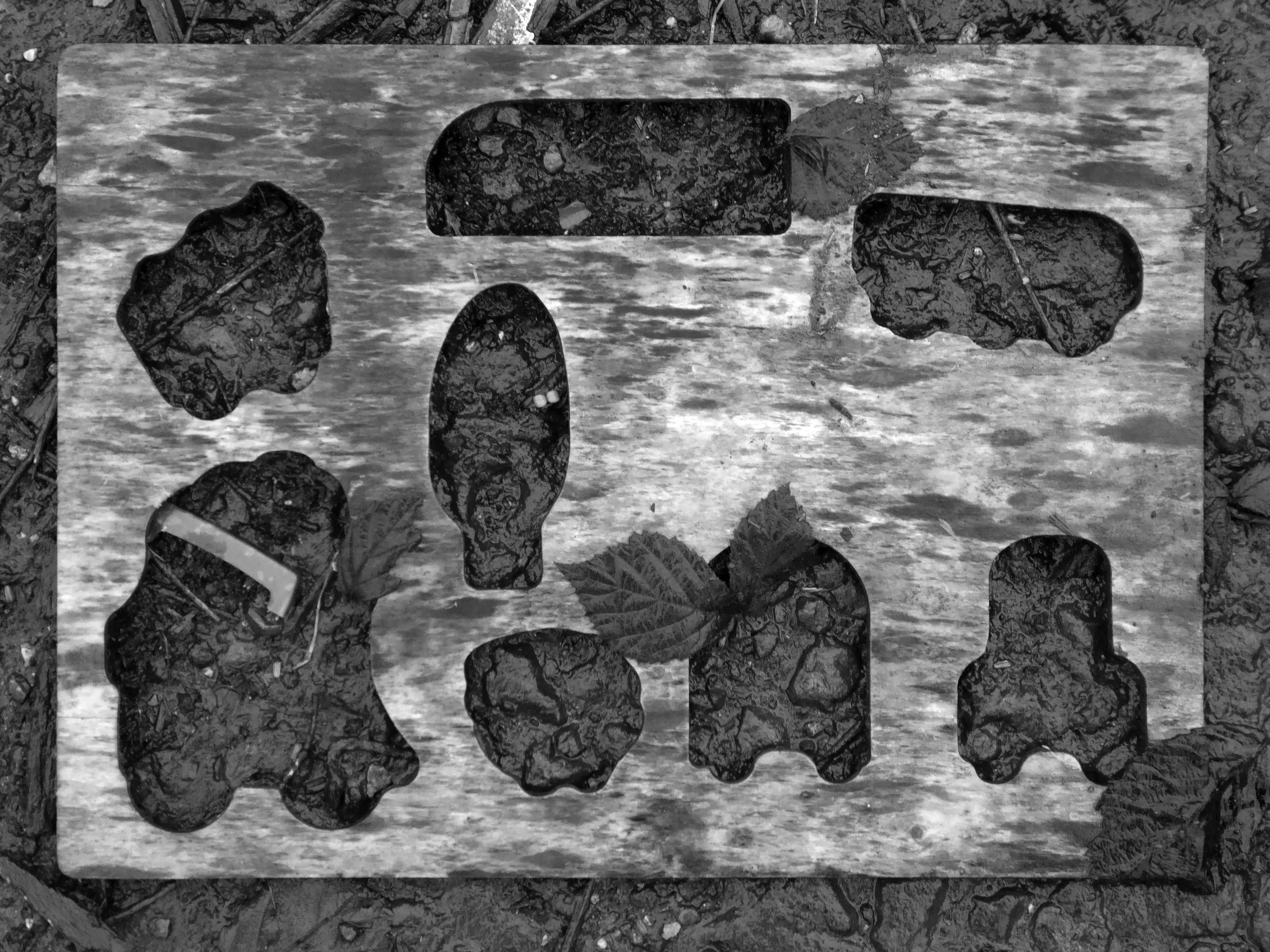
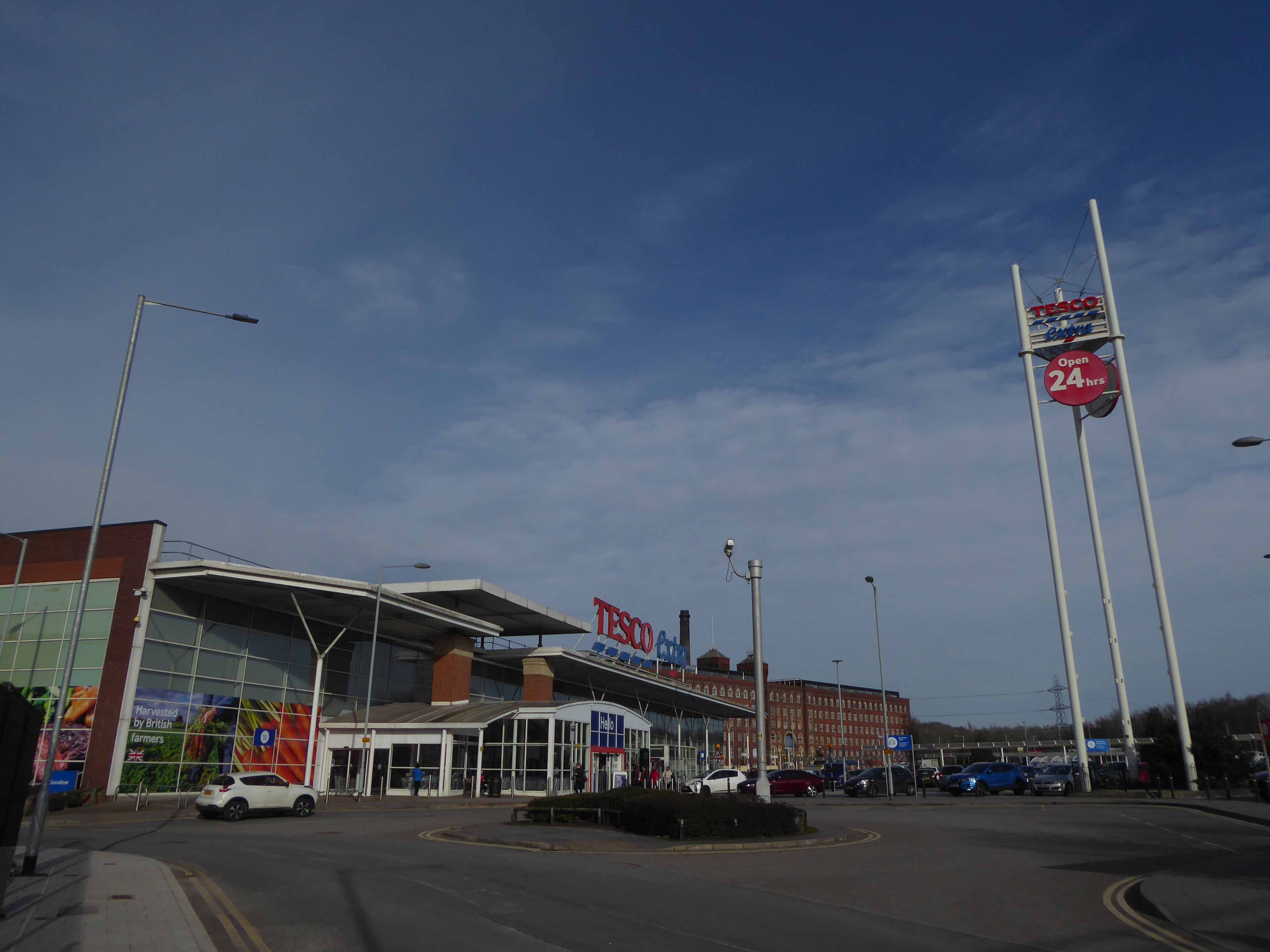
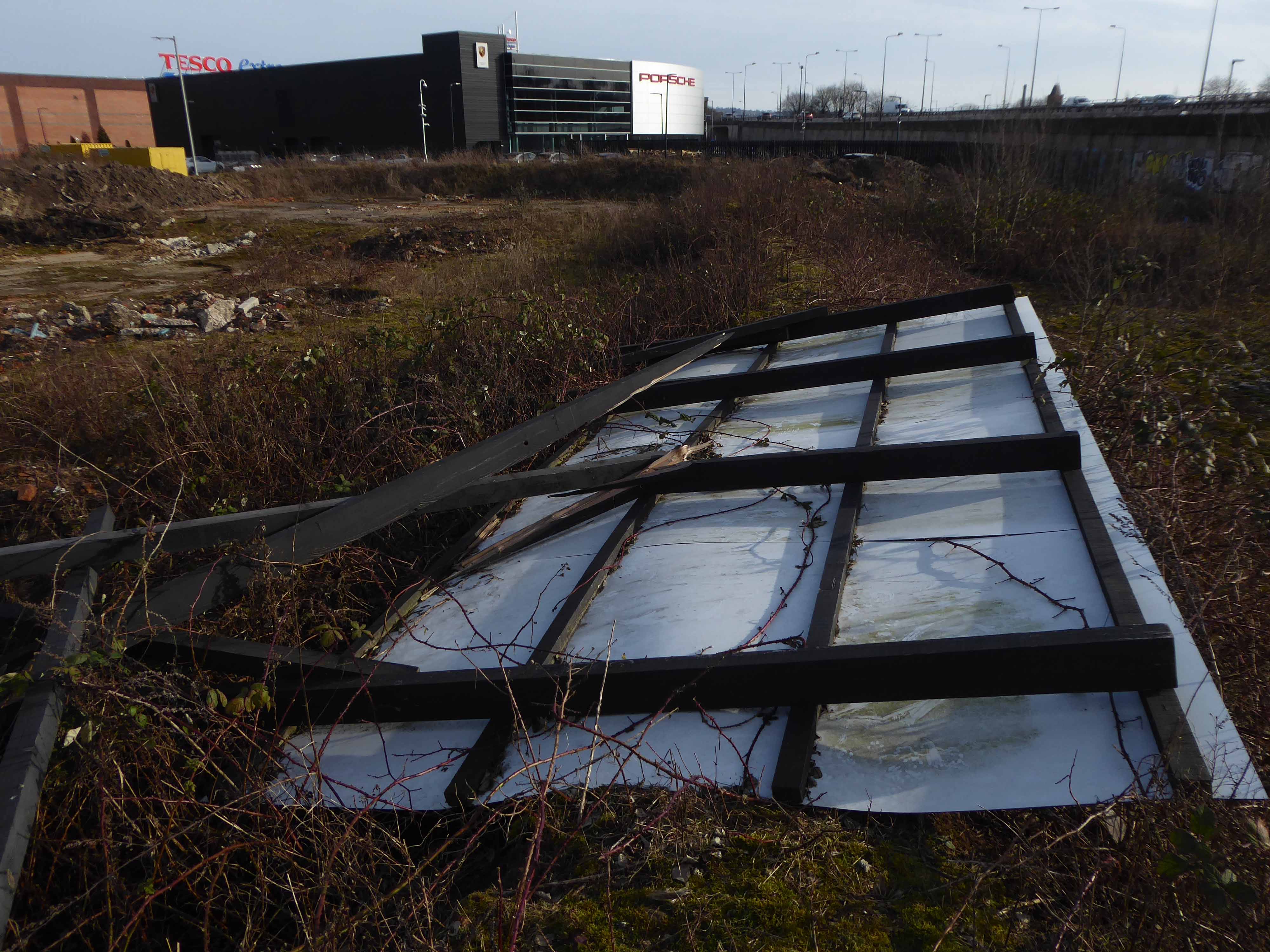
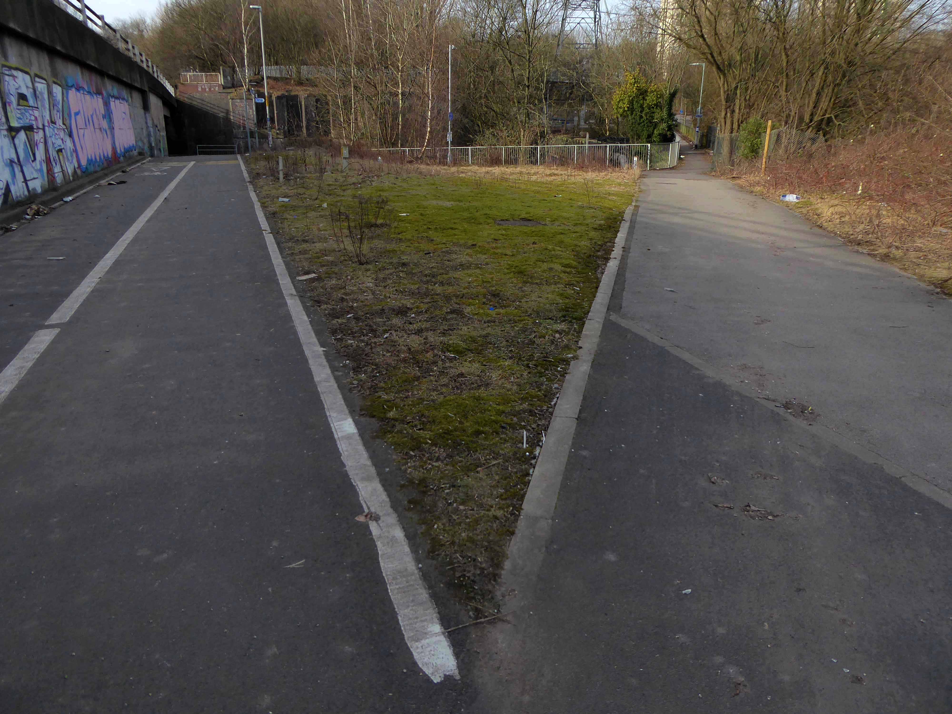
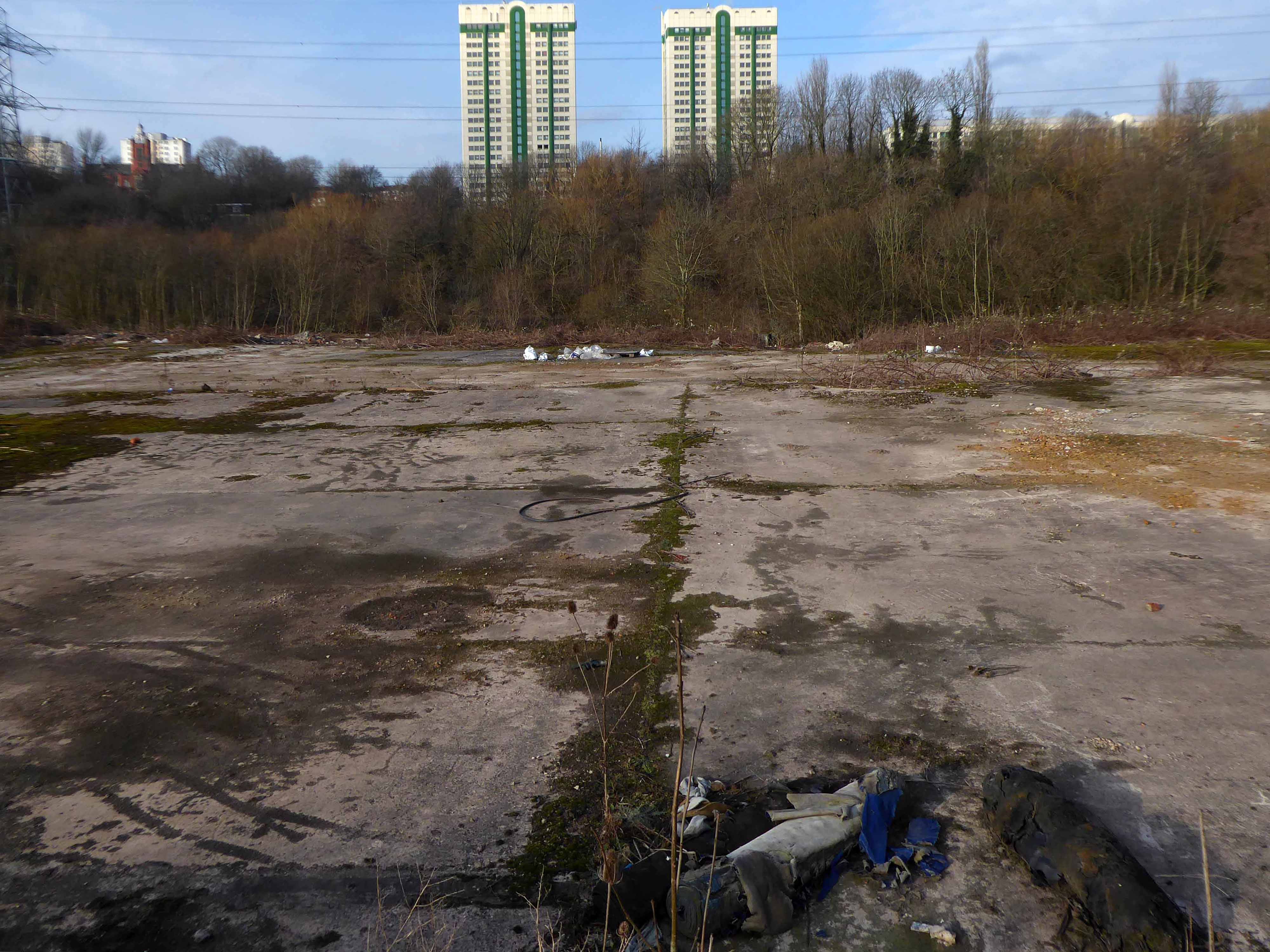
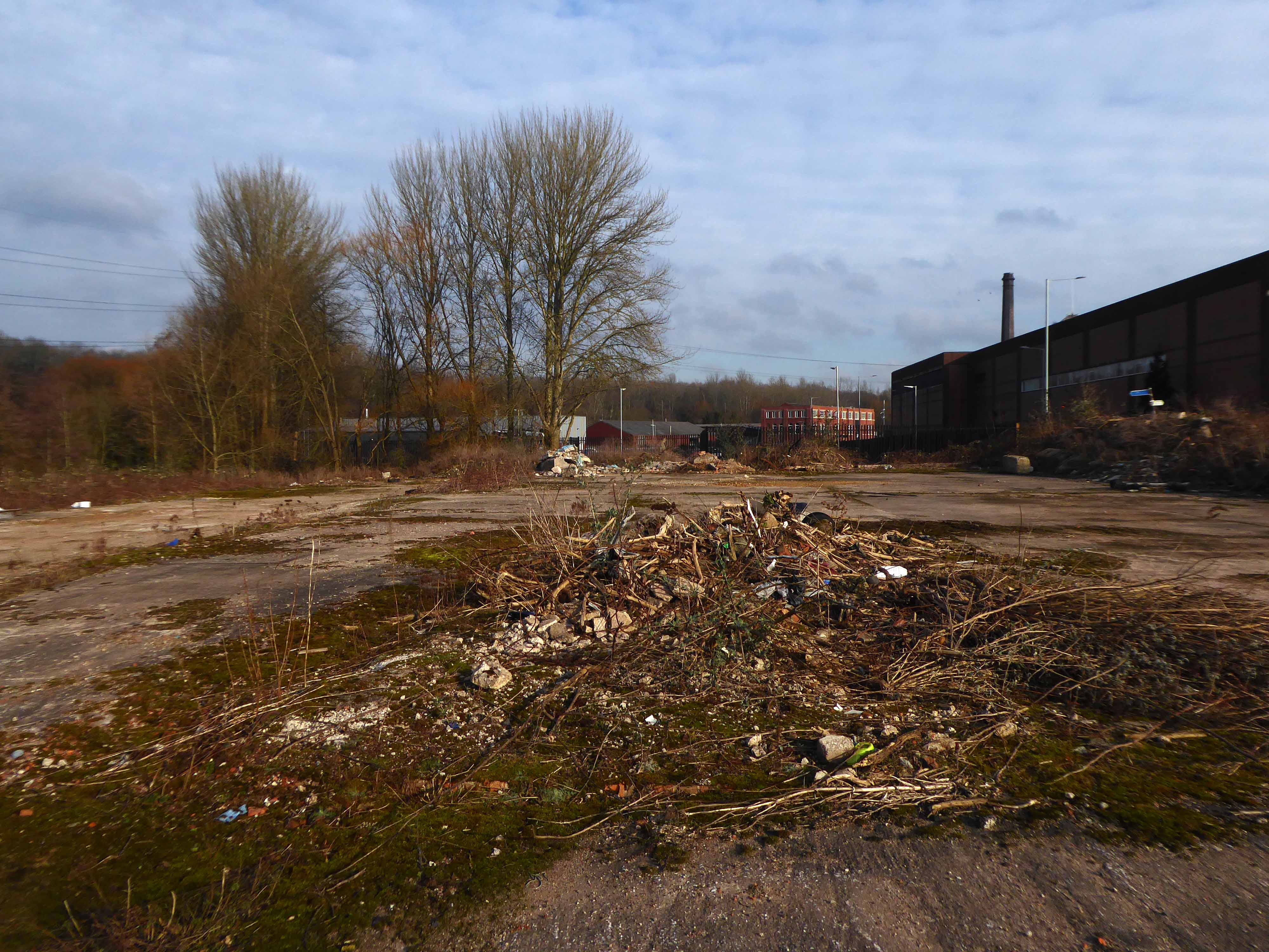
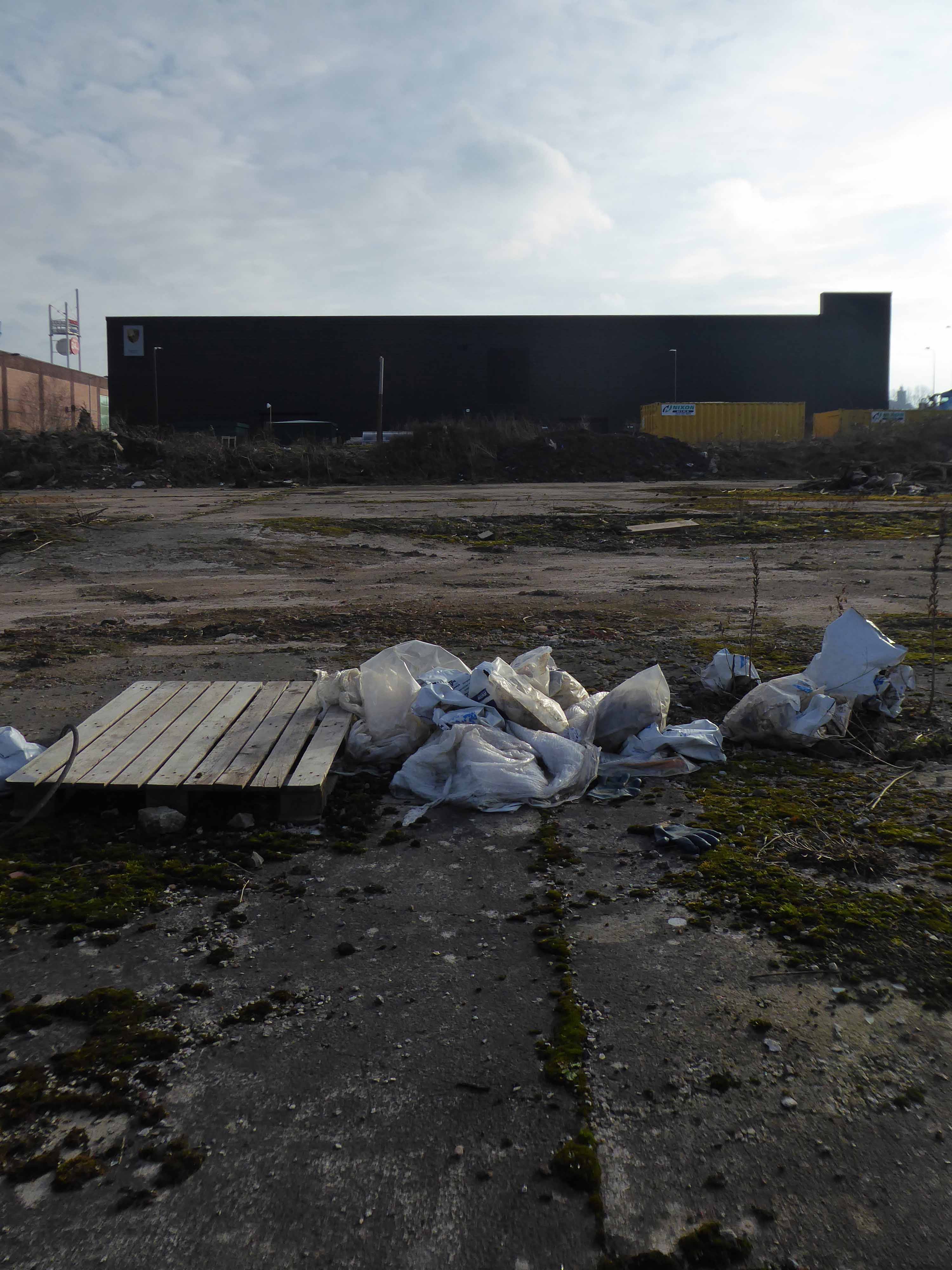
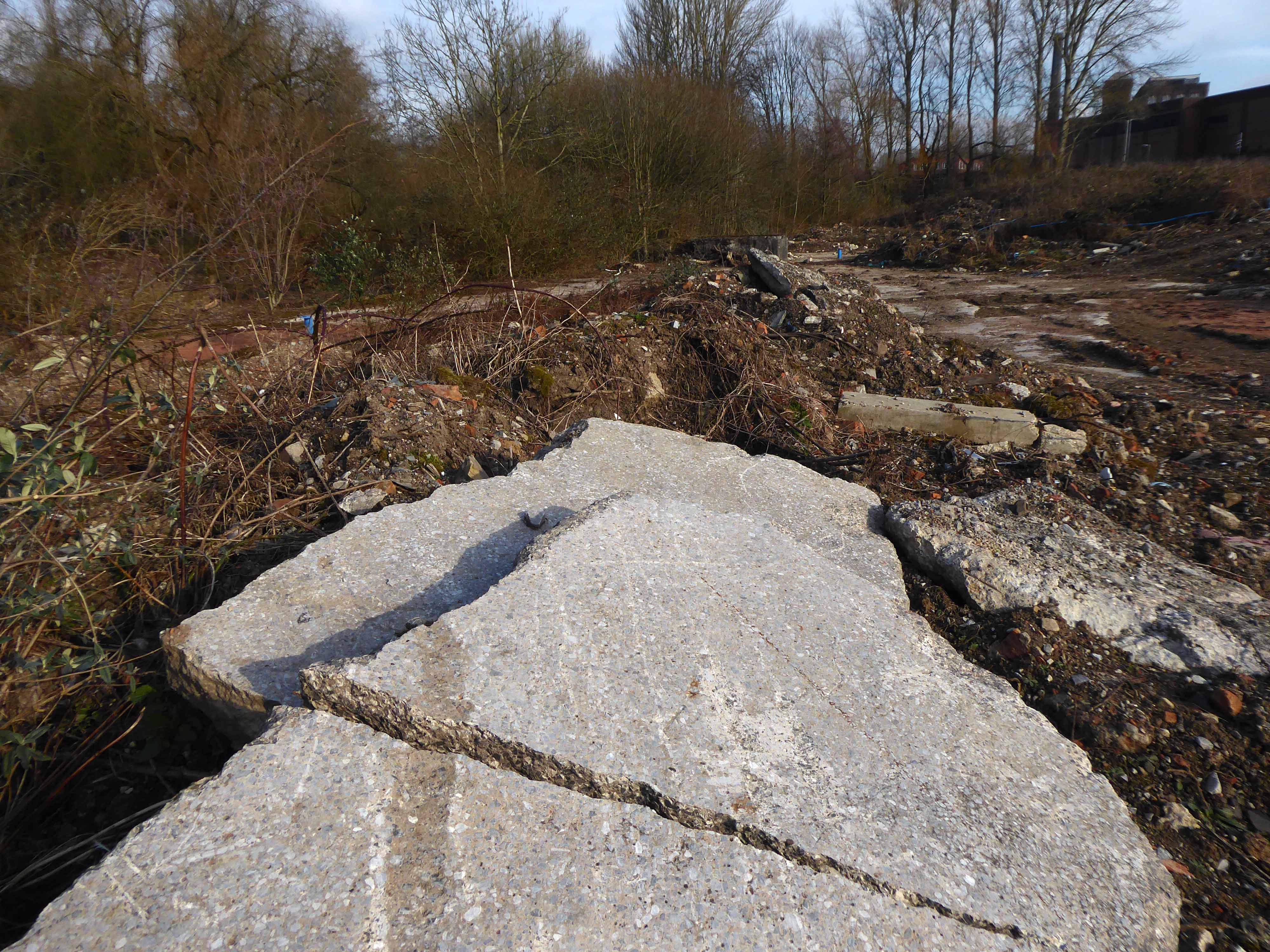
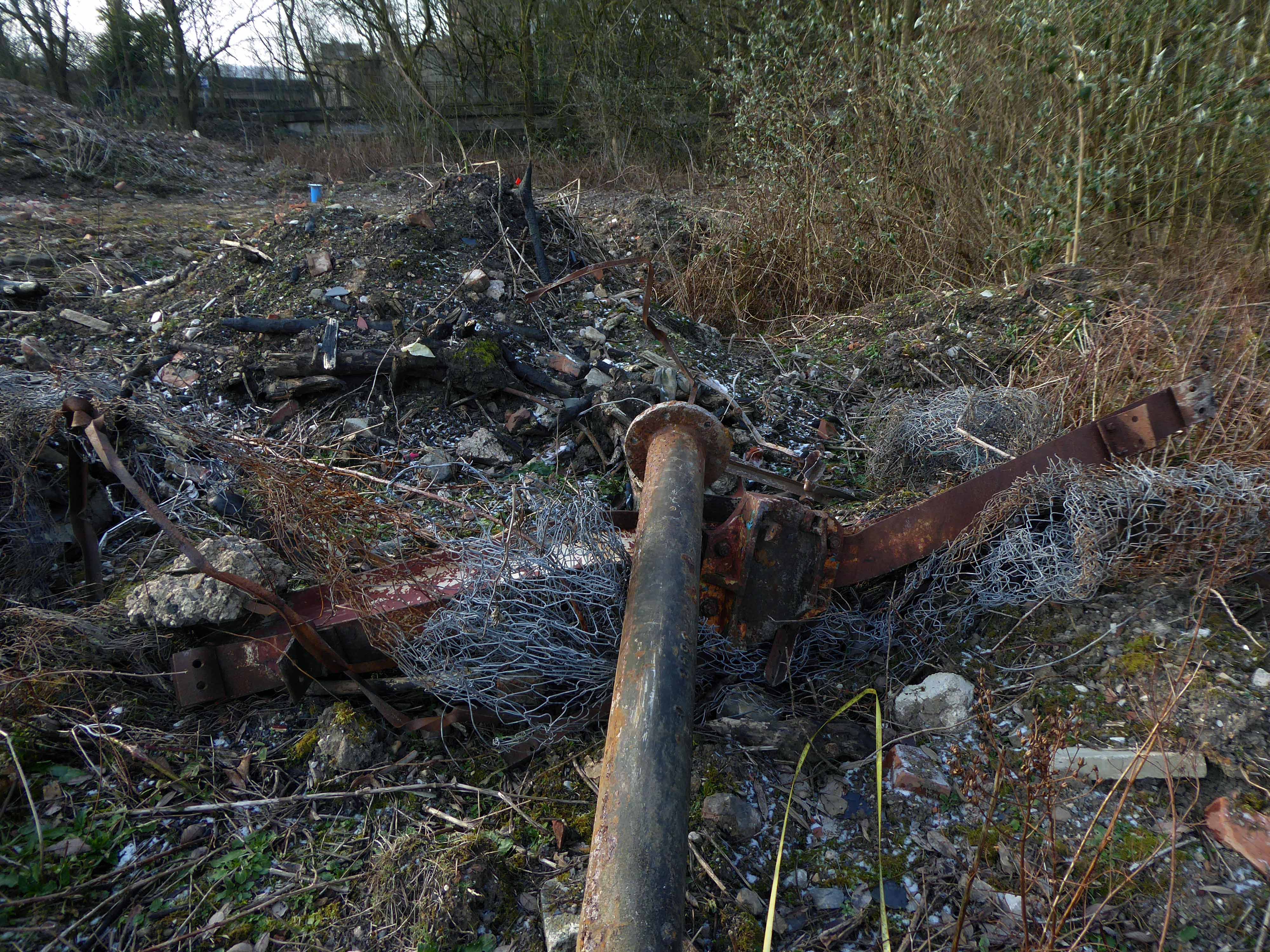
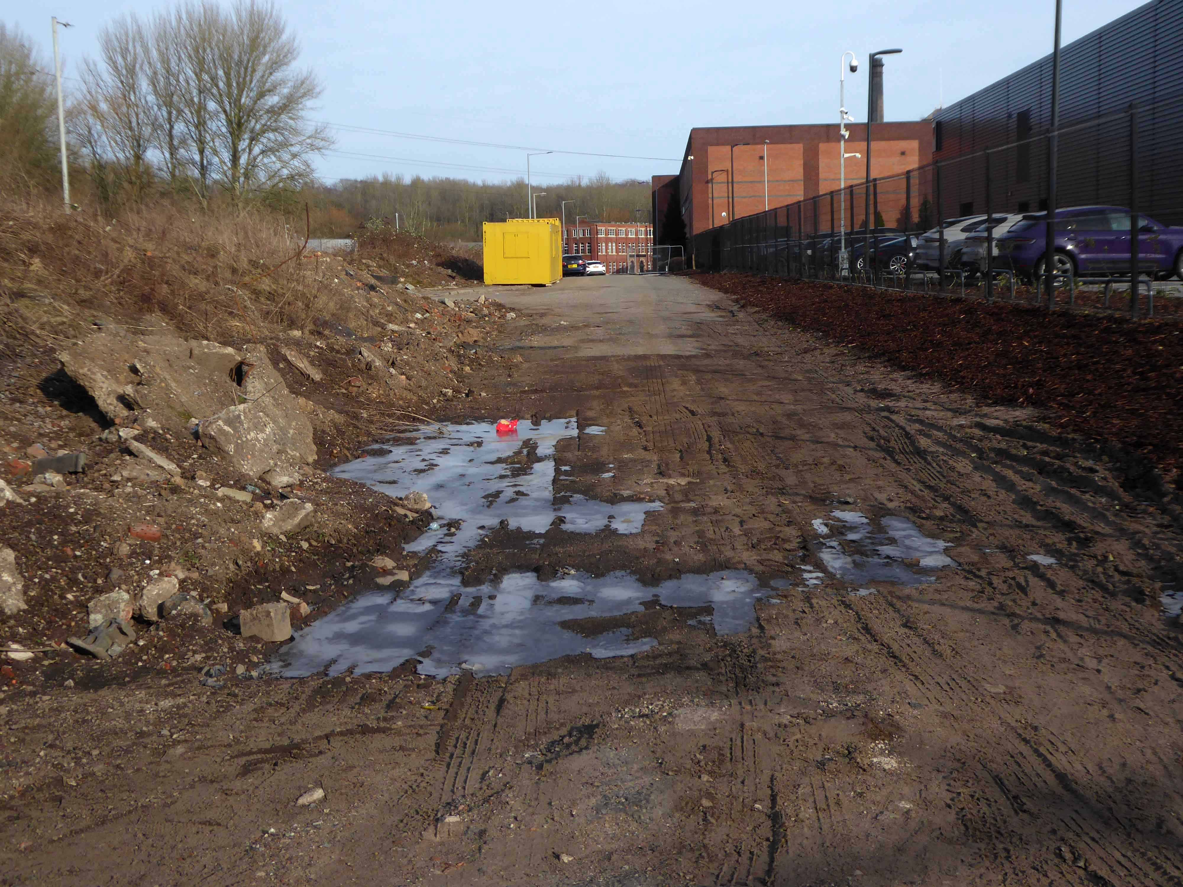
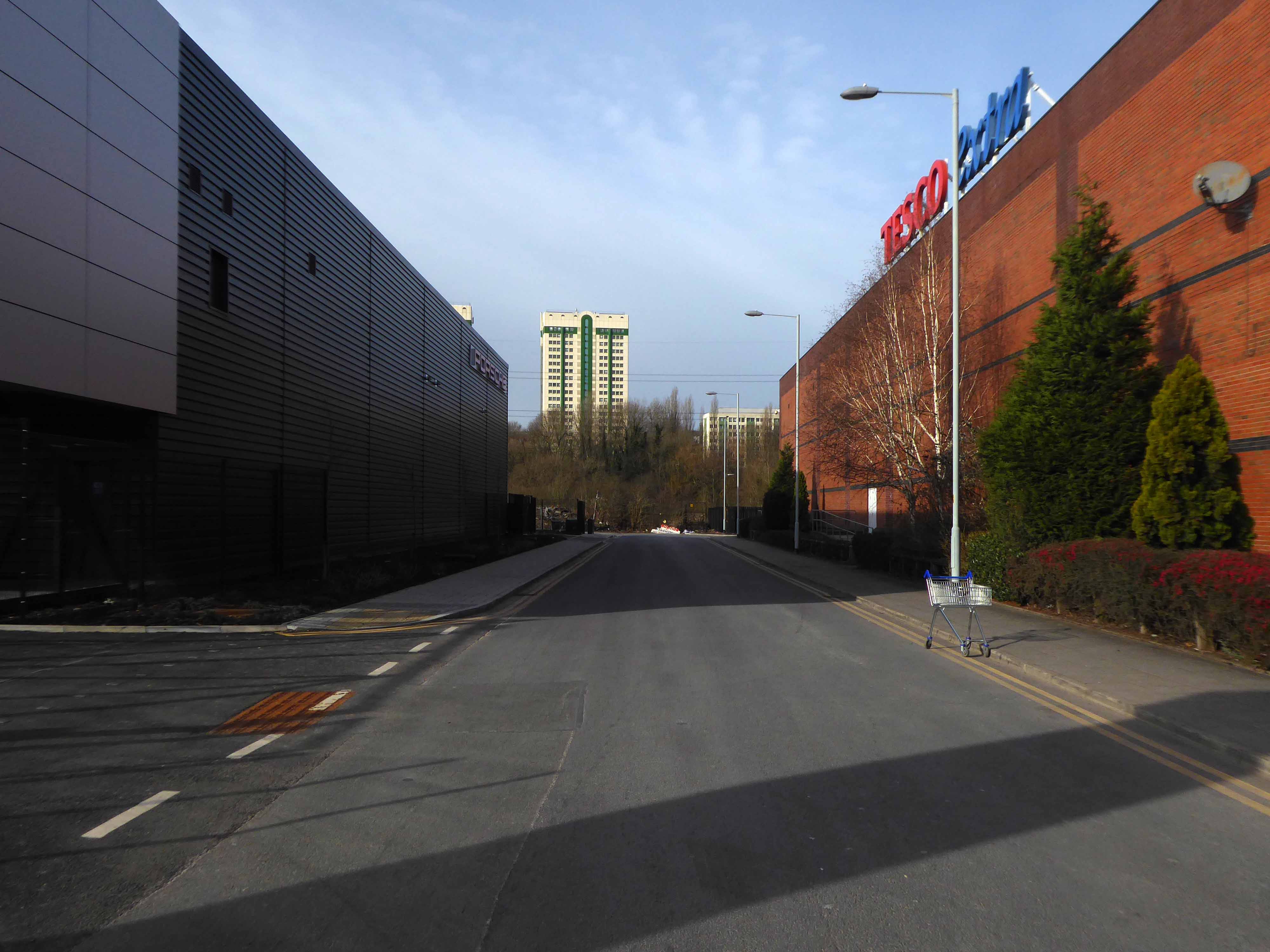
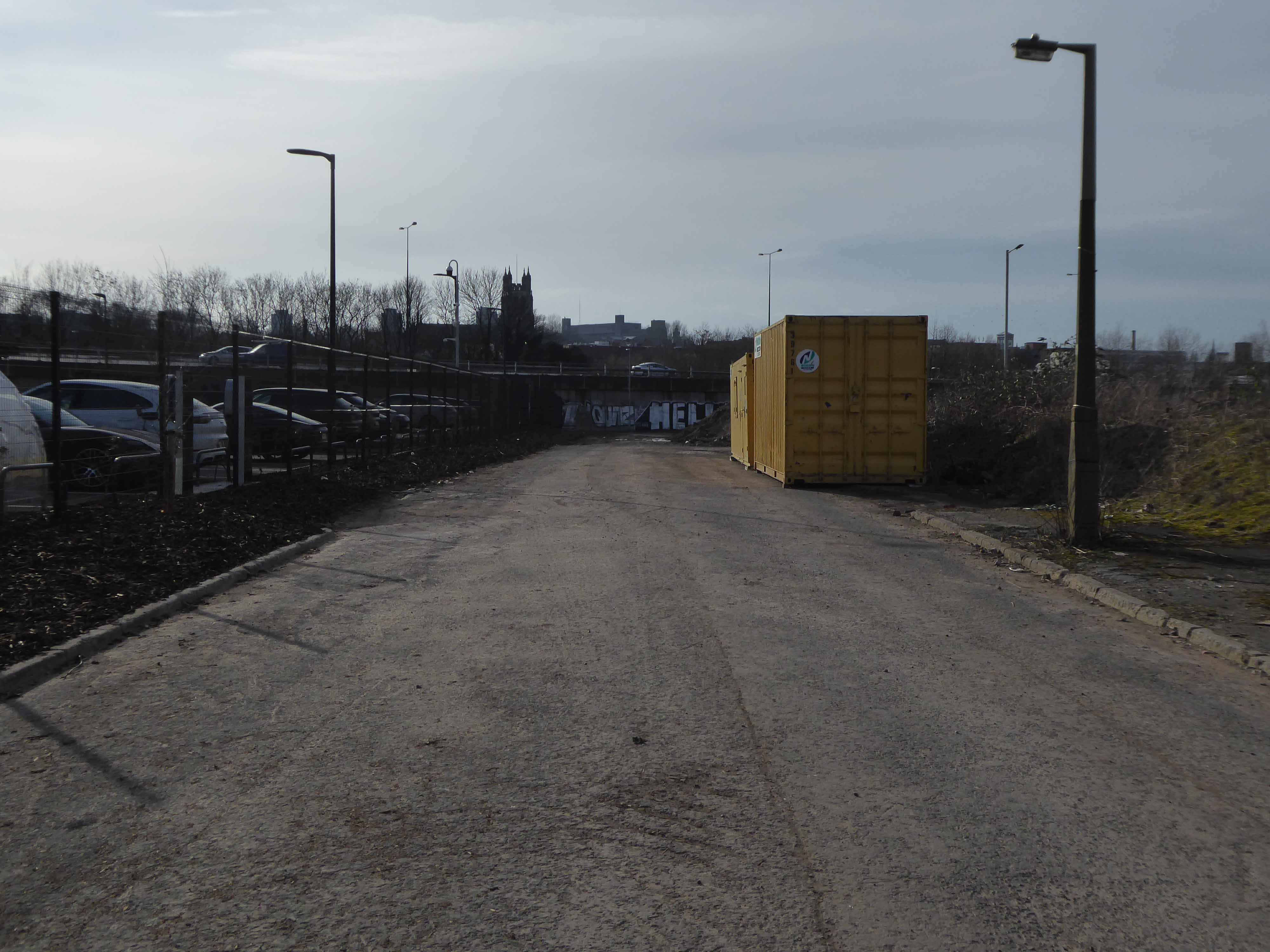
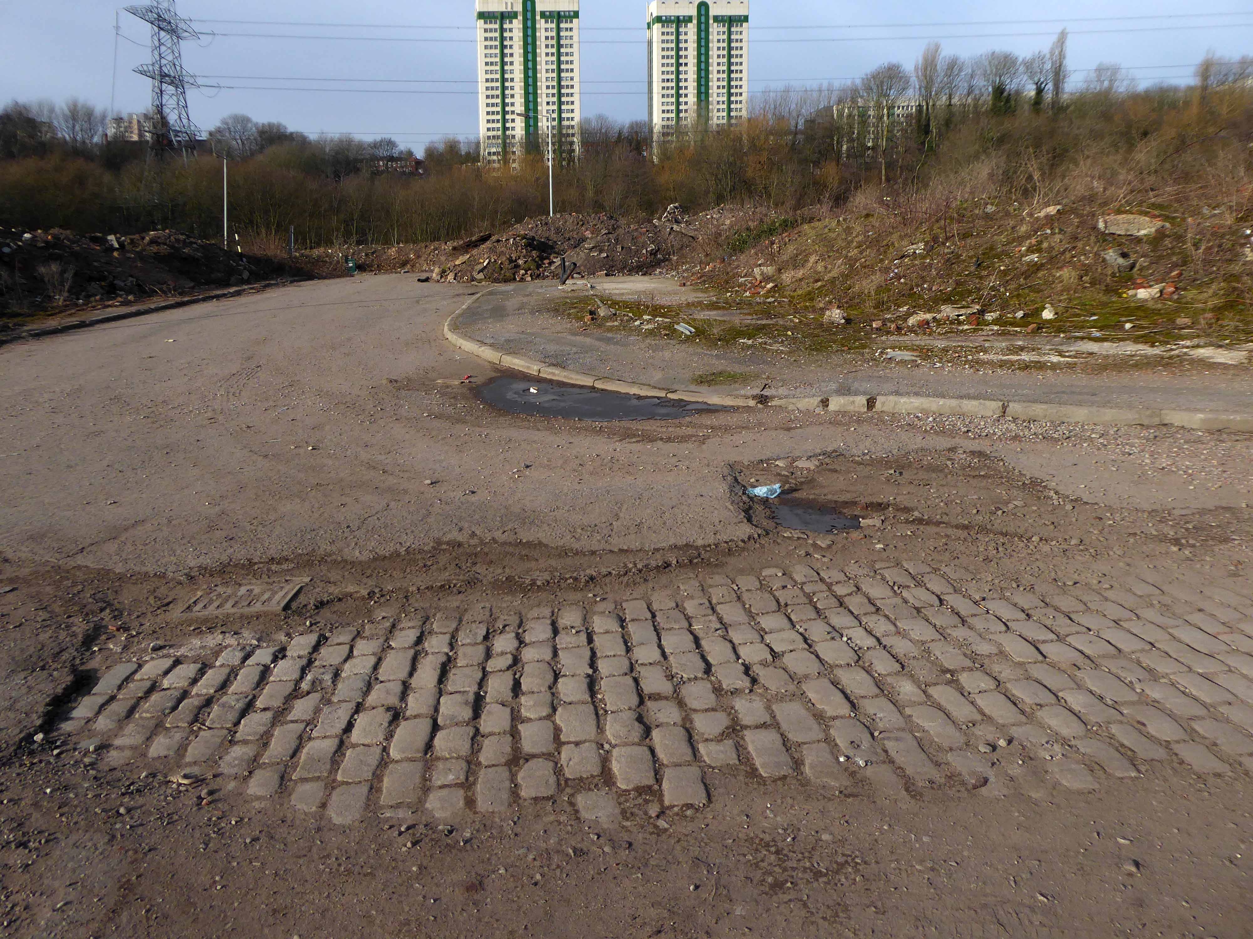
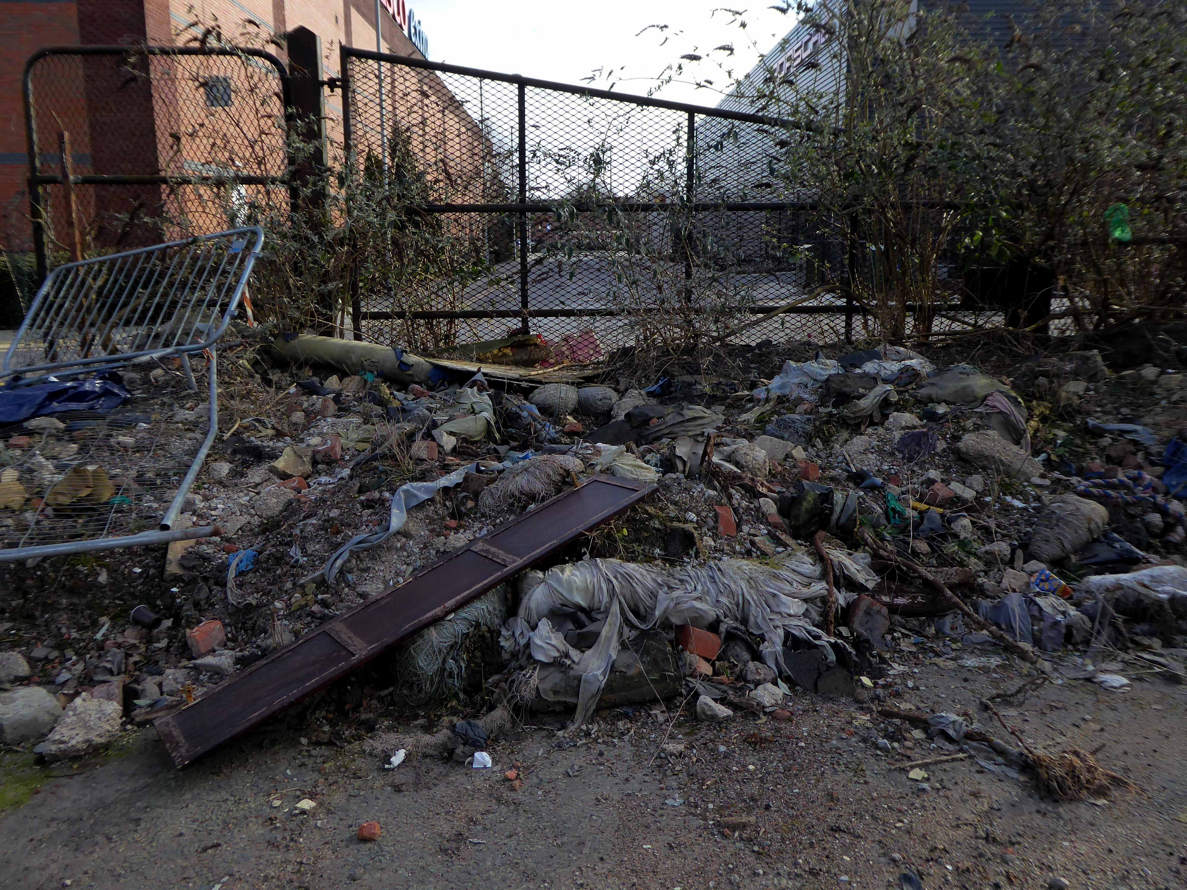
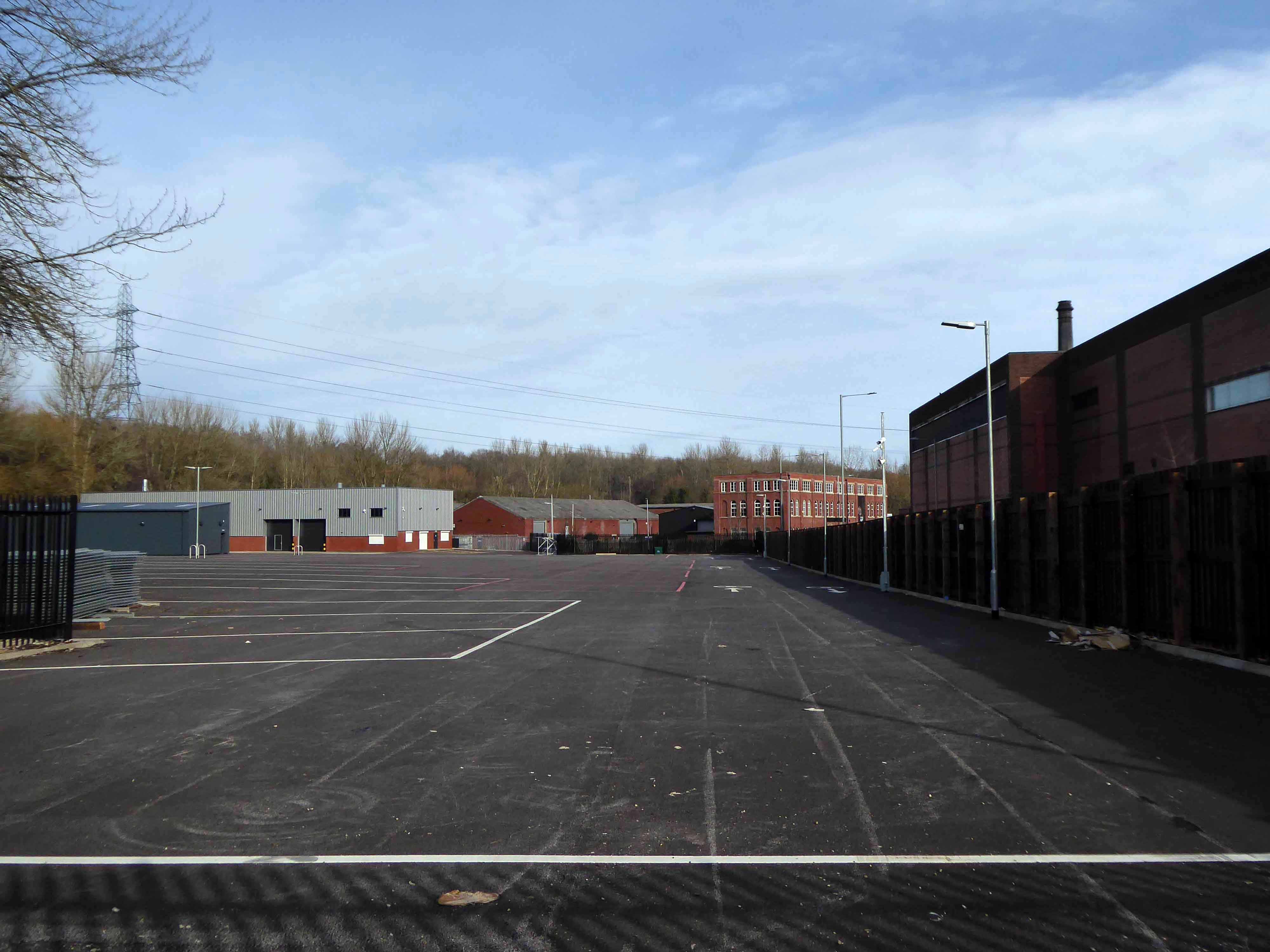
There is a plot of land to the left of Porsche which remains undeveloped, I often walk around this area, what would have once been for myself and others the place of childhood high jinx.
Now it is the domain of the fly-tipper, the home of the homeless, a war zone for a species which has declared war upon itself.
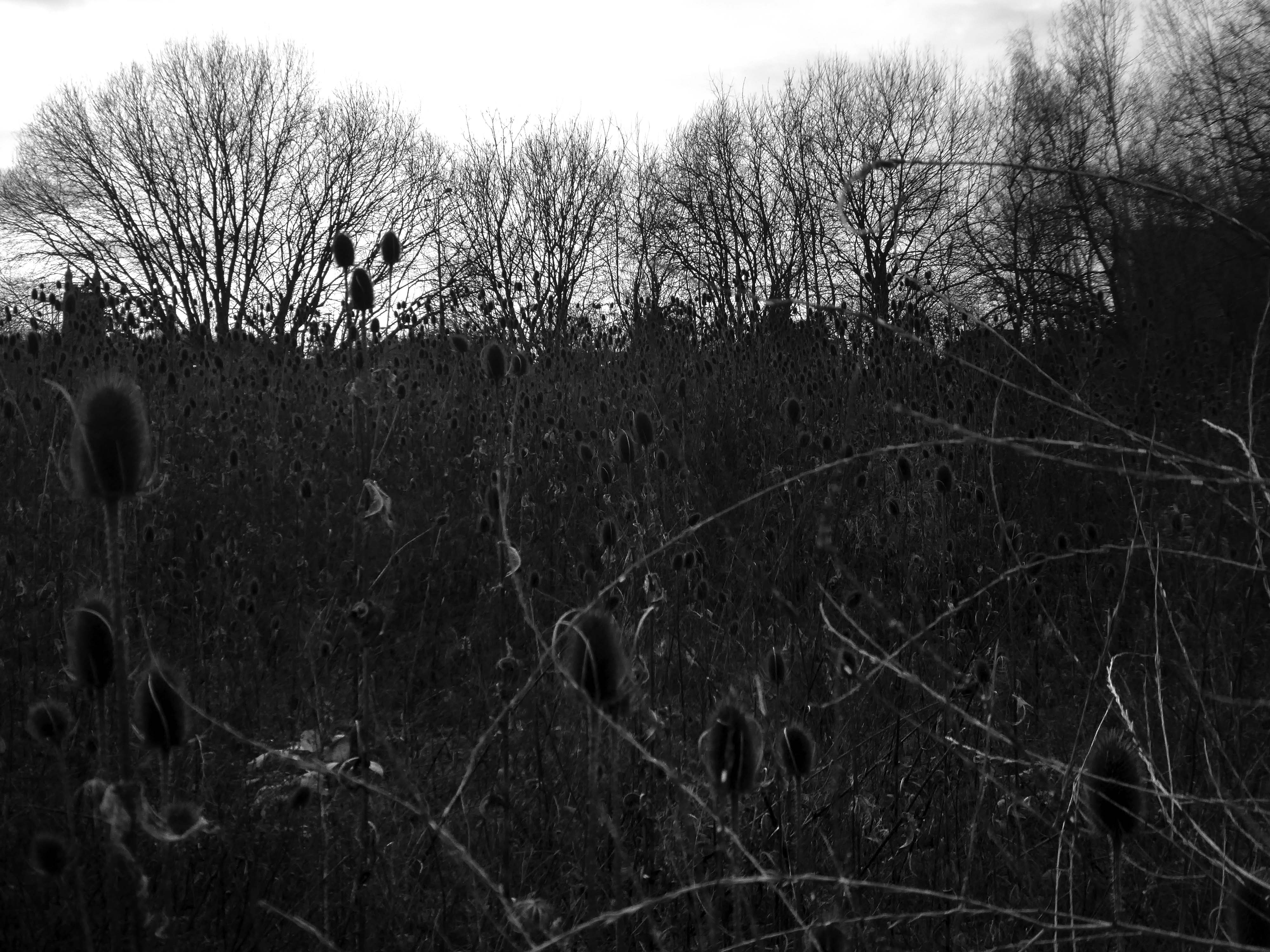
A desert of detritus, interpolated with tangles of brambles, seas of teasels and the ubiquitous buddleia.
This is the unofficial showroom for the unofficial Anthropocene Epoch – always crashing in a different car, during increasingly unseasonal weather, the superabundance of abundance.
It seems that the sun may set on us, before the sun finally sets.
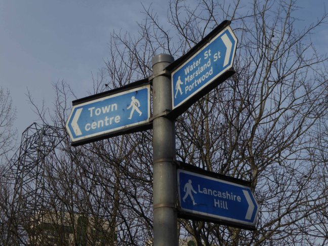
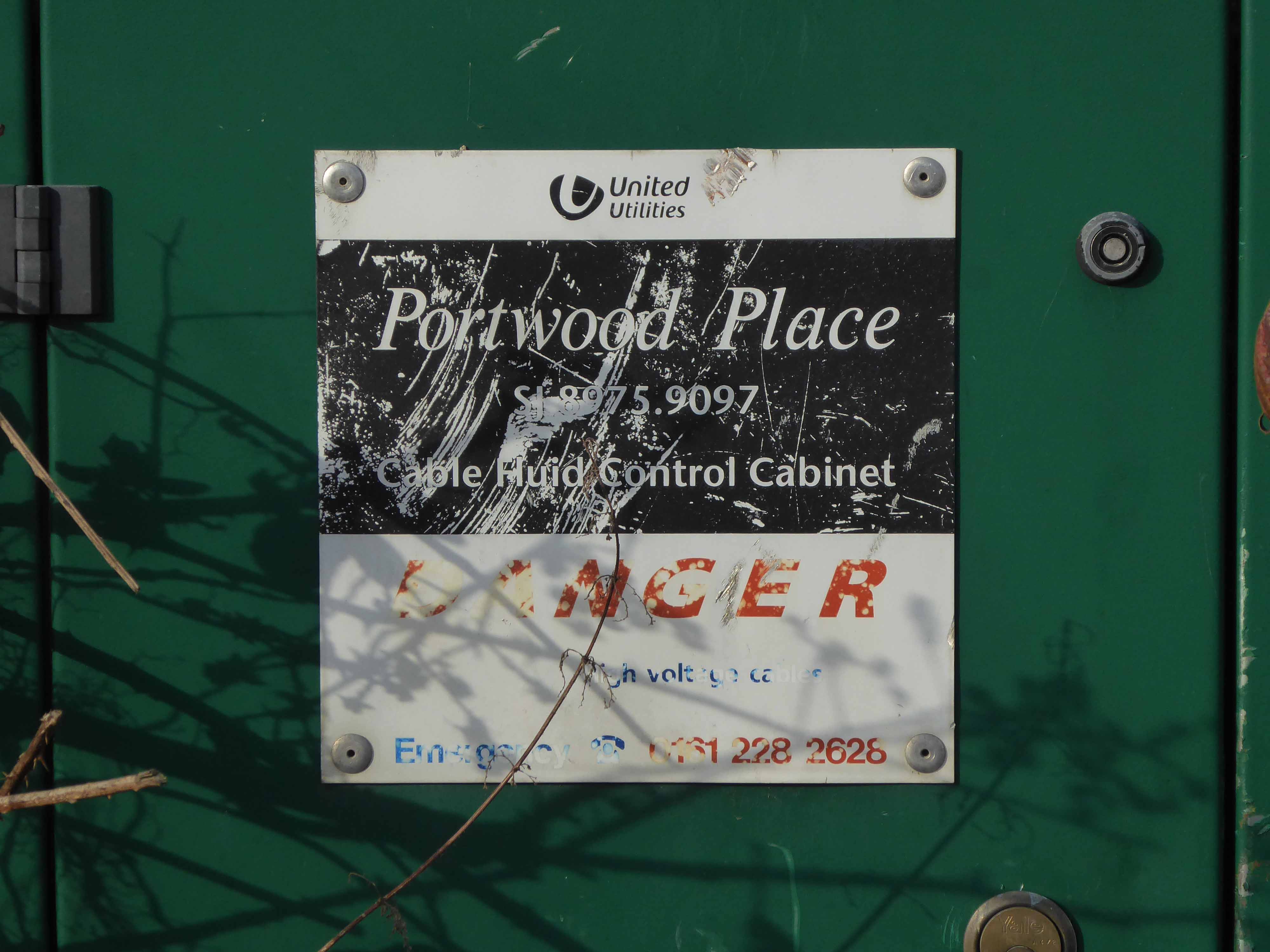
Let’s take a peep at Portwood.
Game over.
Vehicle use affects our whole quality of local life. Traffic can be dangerous and intimidating, dividing communities and making street life unpleasant, whilst air pollution and traffic noise can make urban living uncomfortable.
The impacts of mass consumption are: Misuse of land and resources, exporting pollution and waste from rich countries to poor countries, obesity due to excessive consumption, a cycle of waste, disparities and poverty.
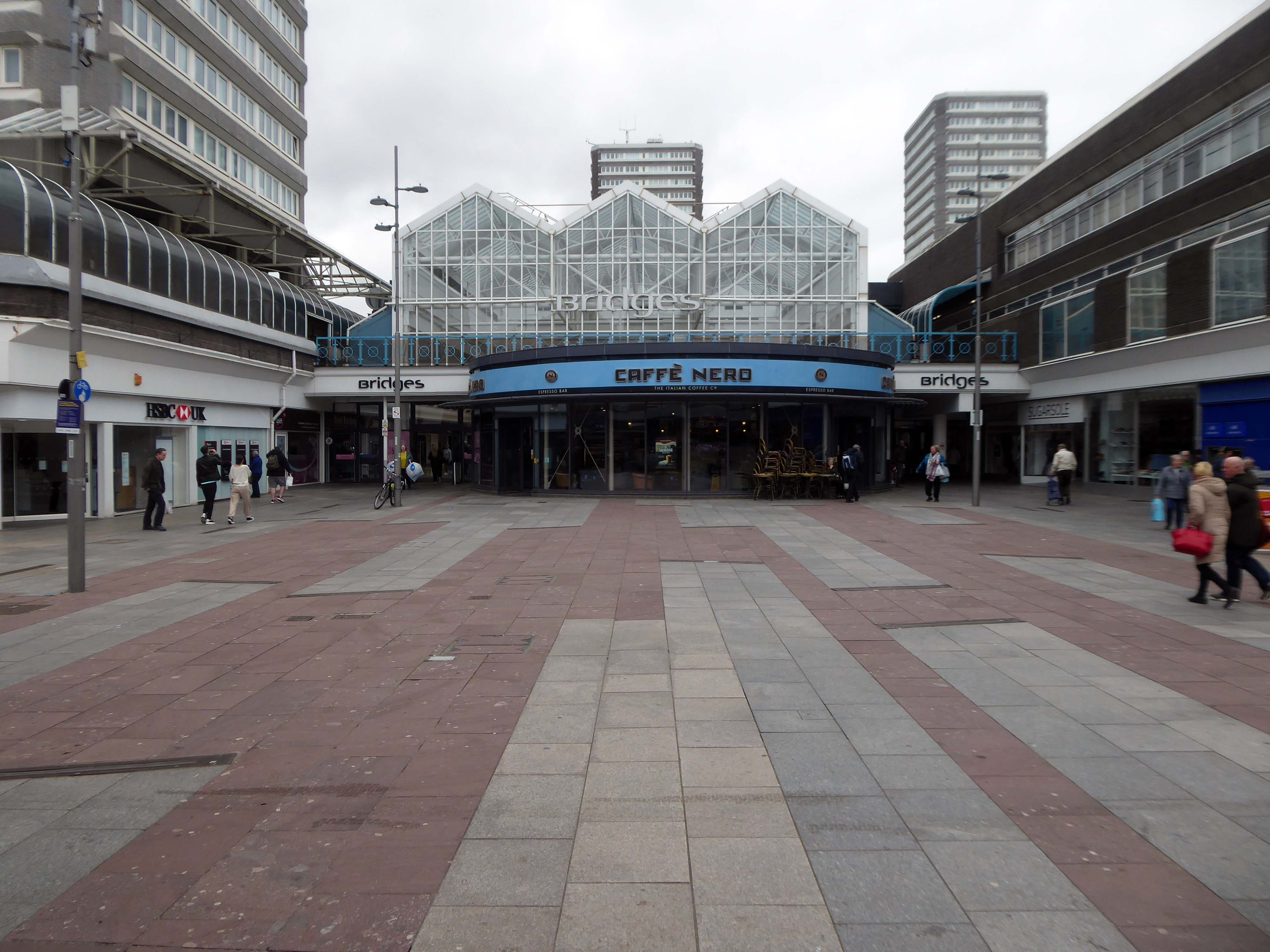
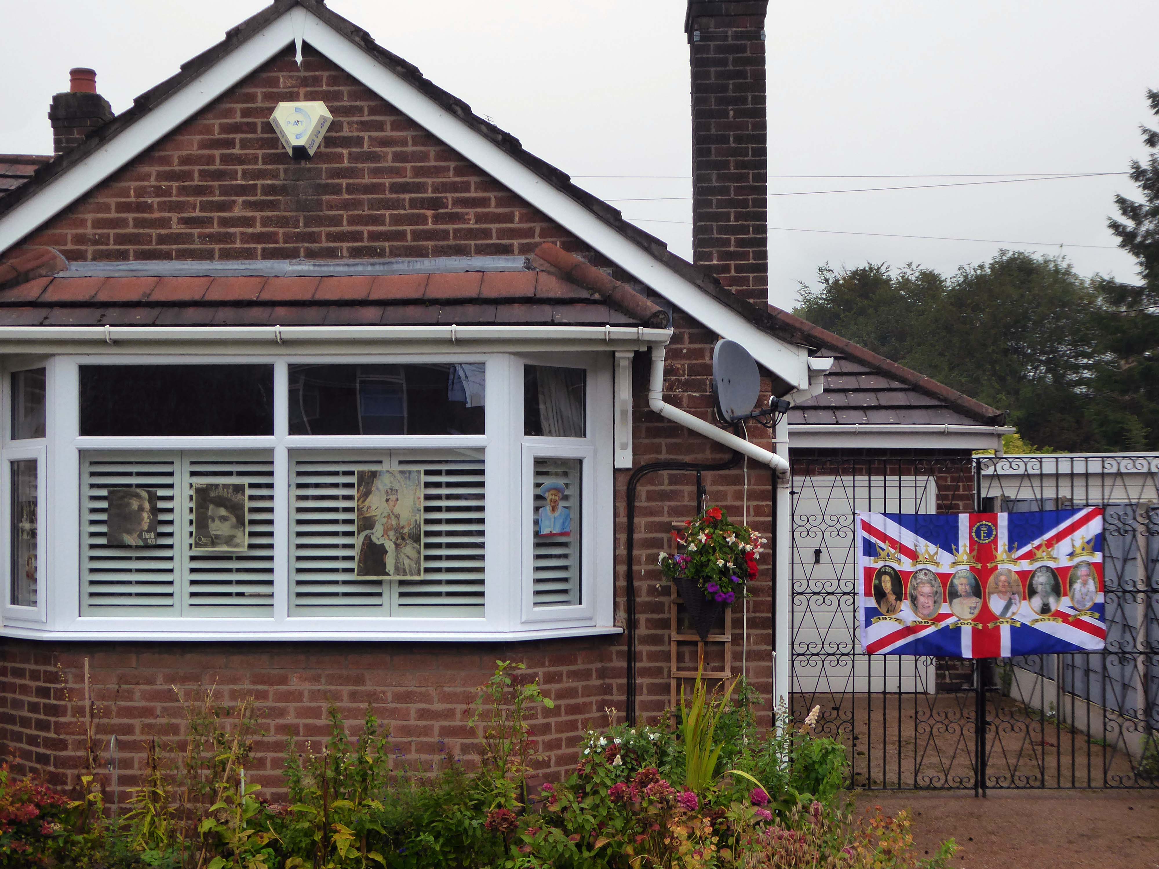
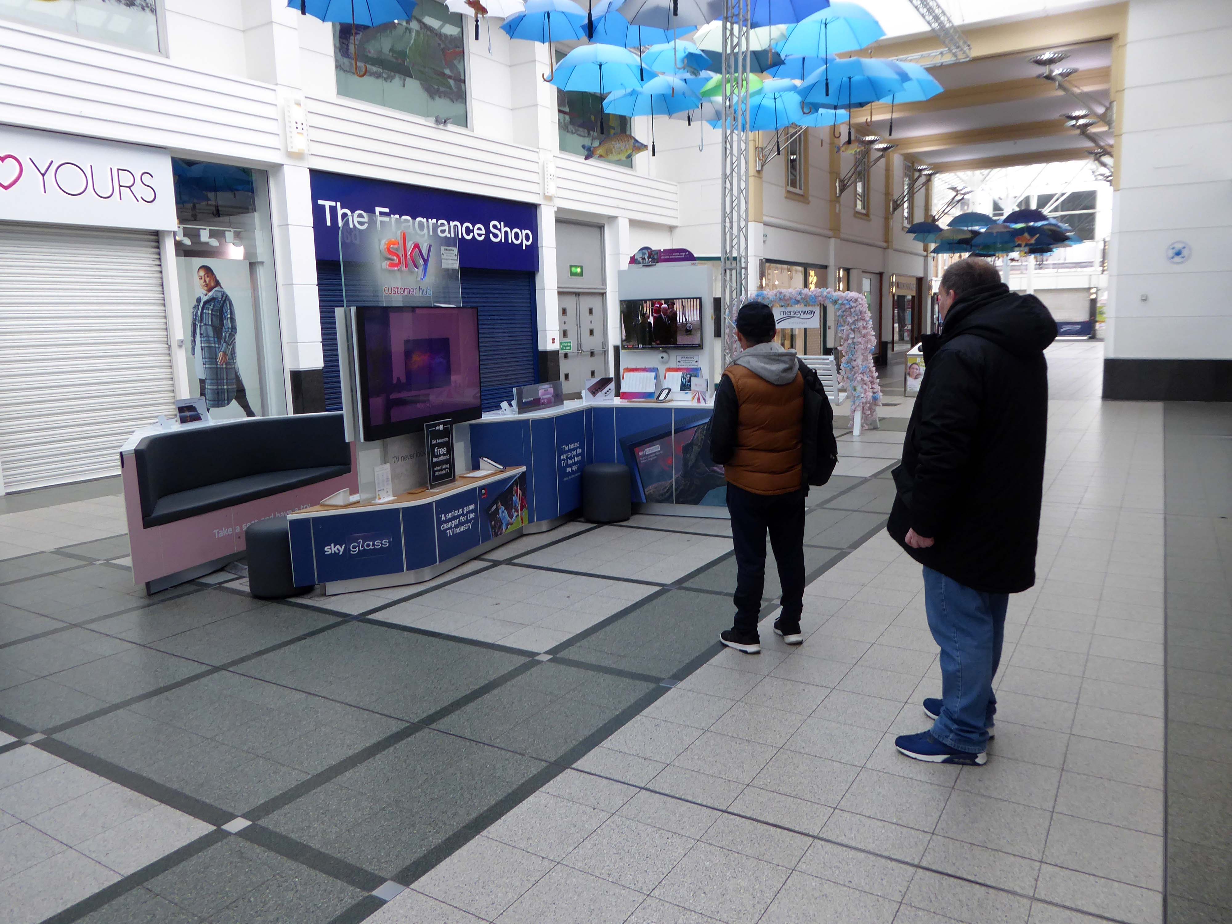
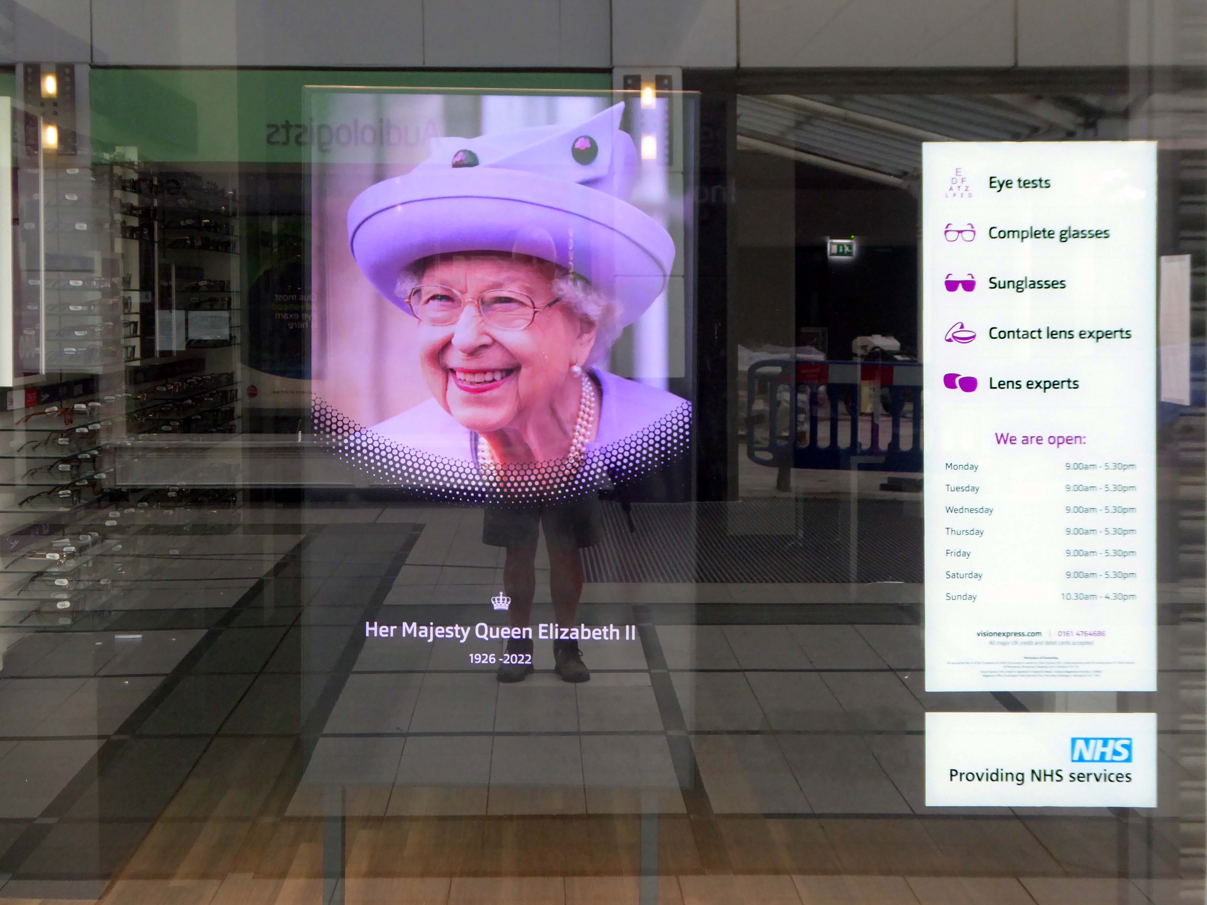
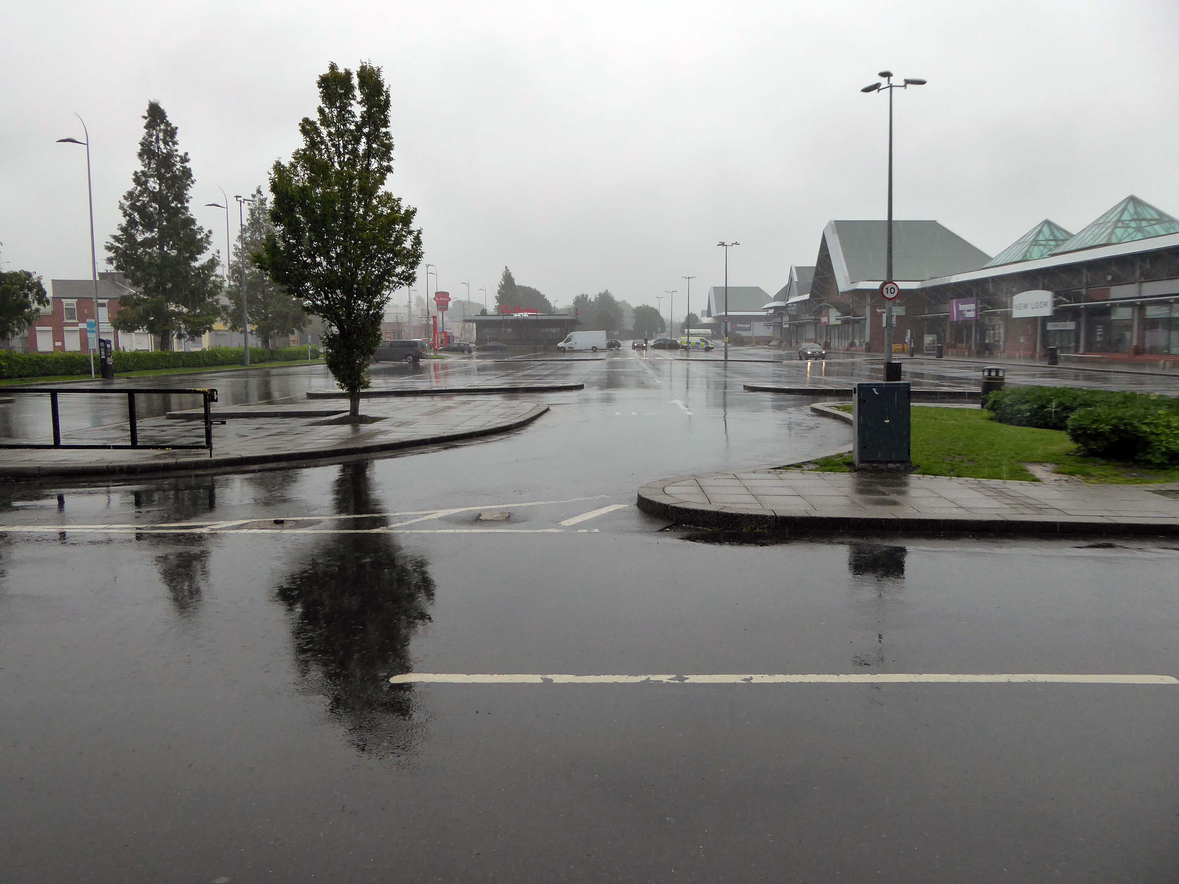
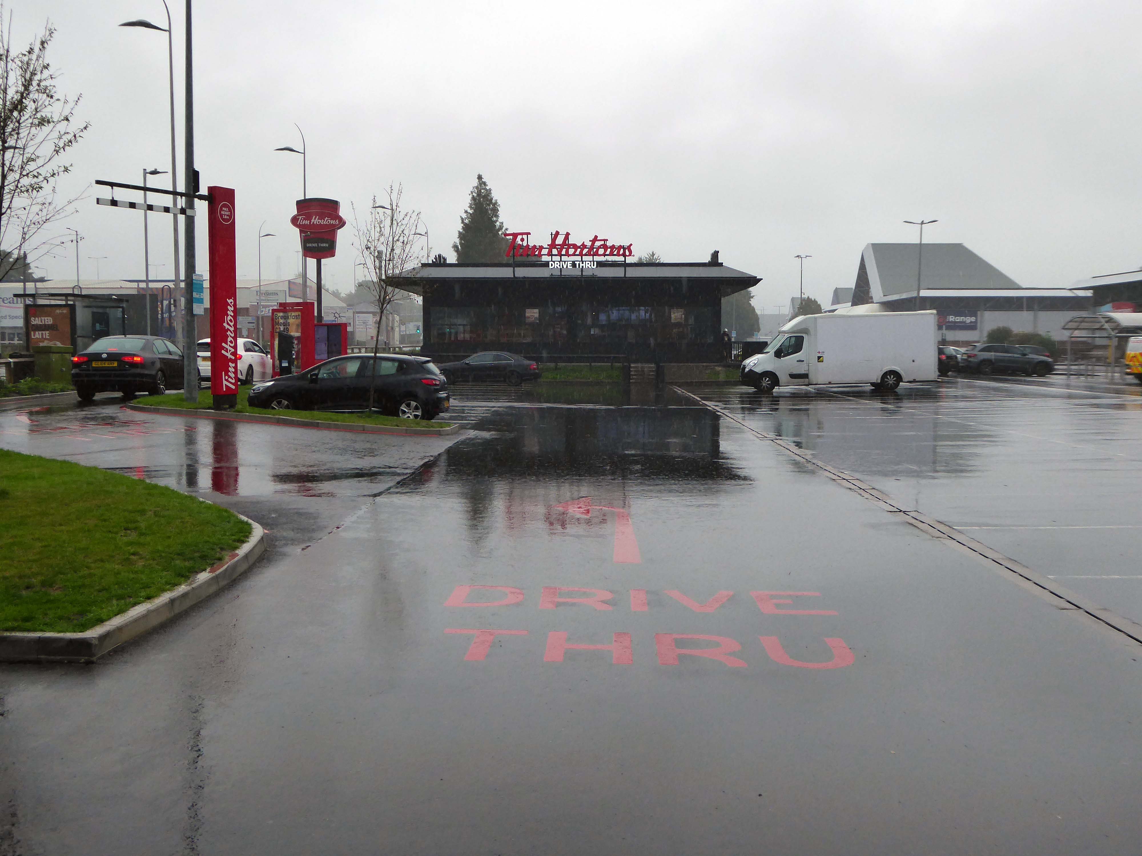
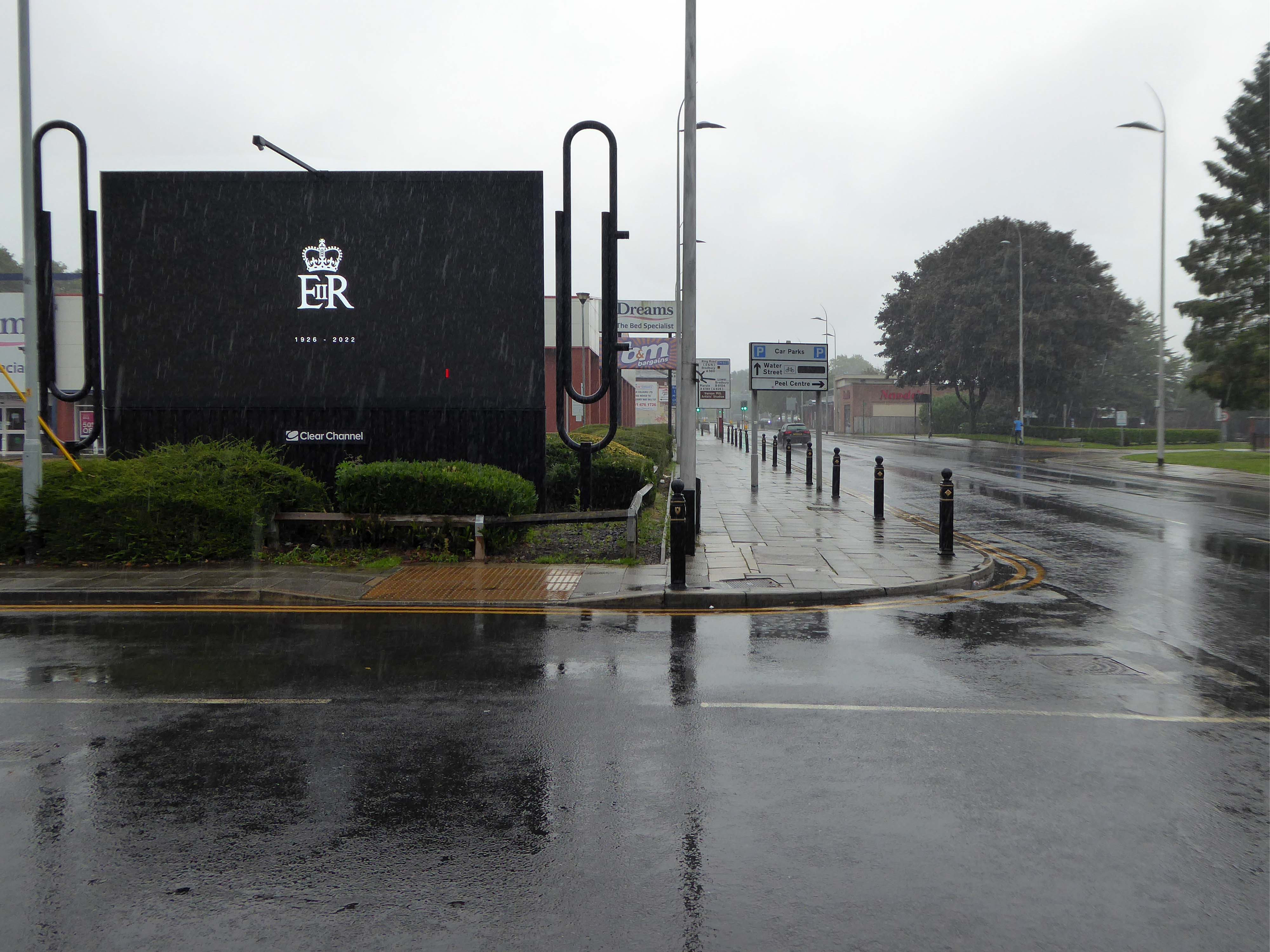
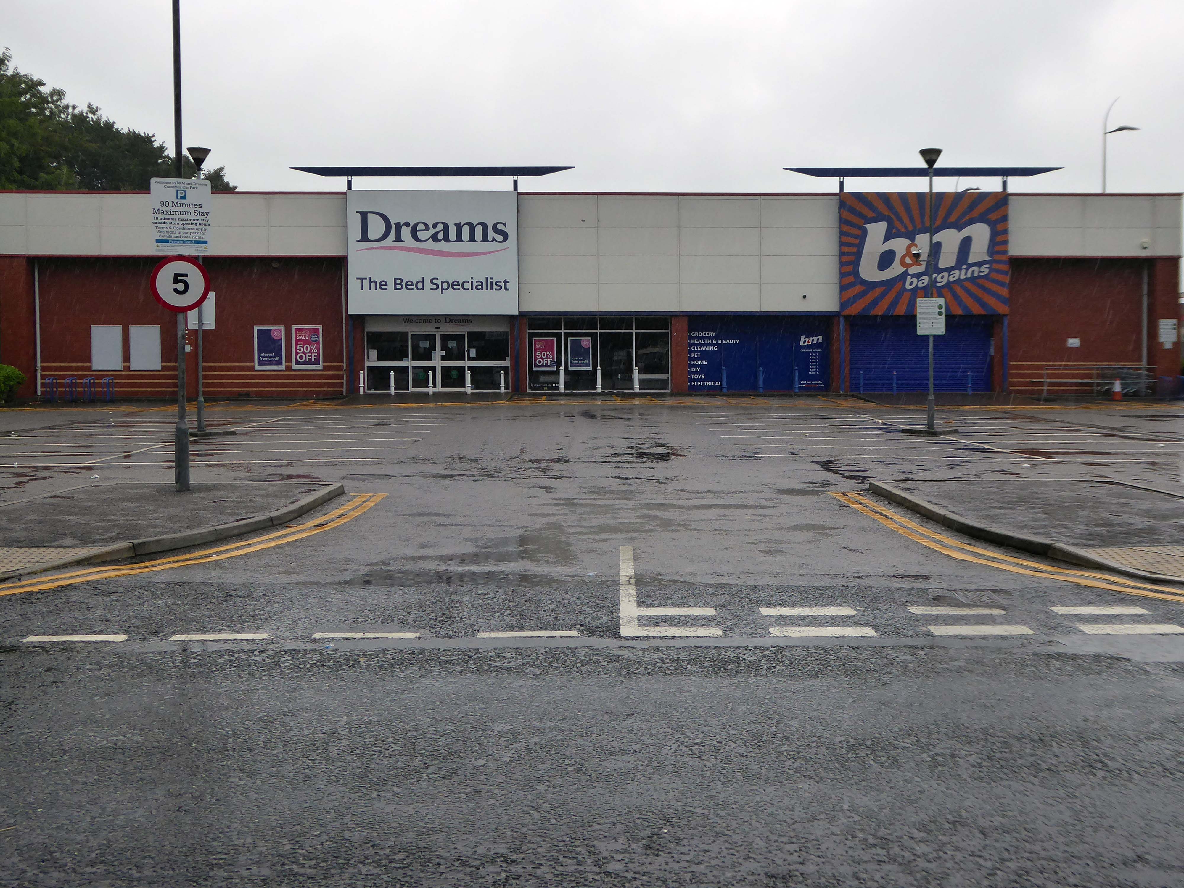
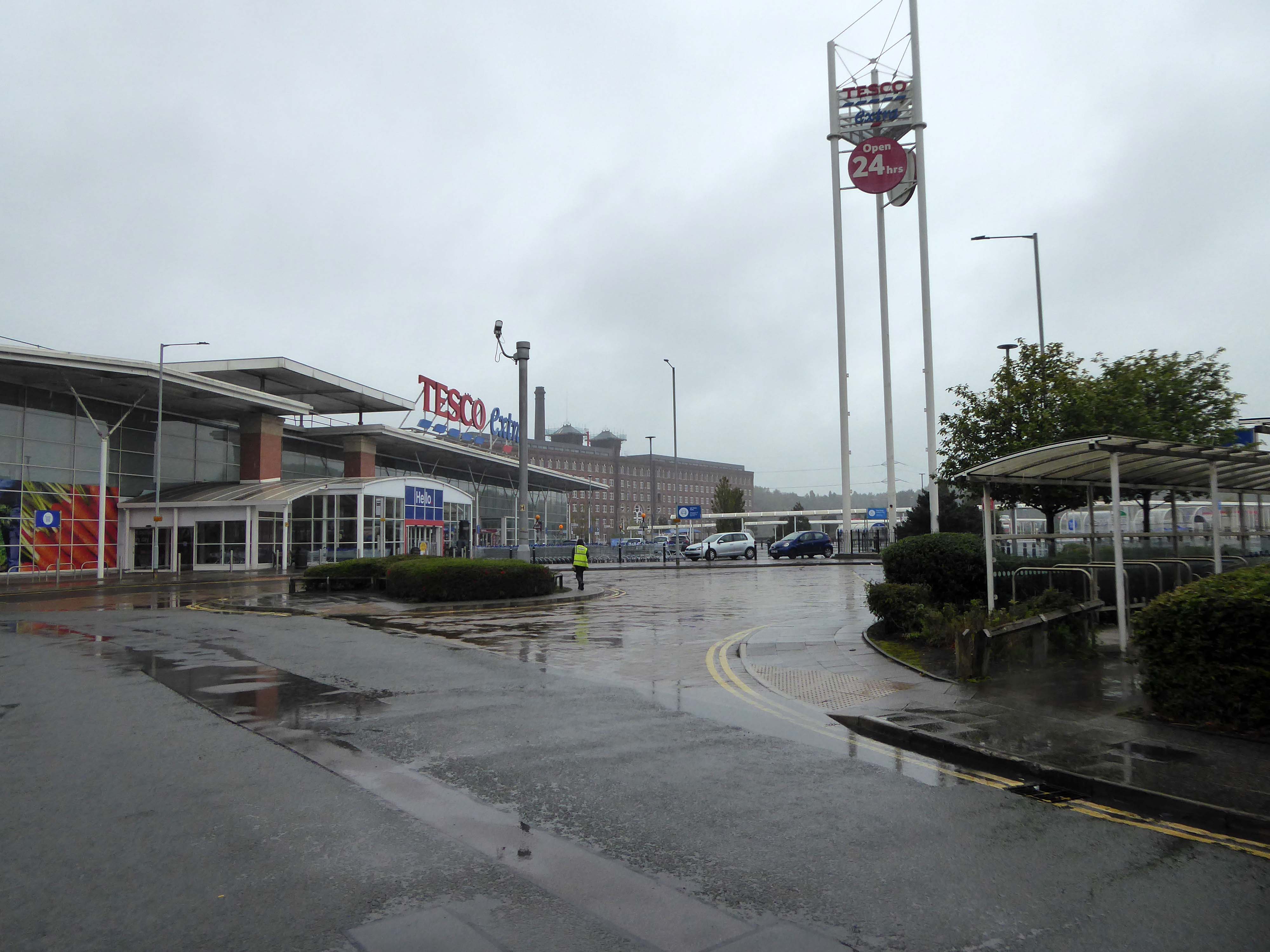
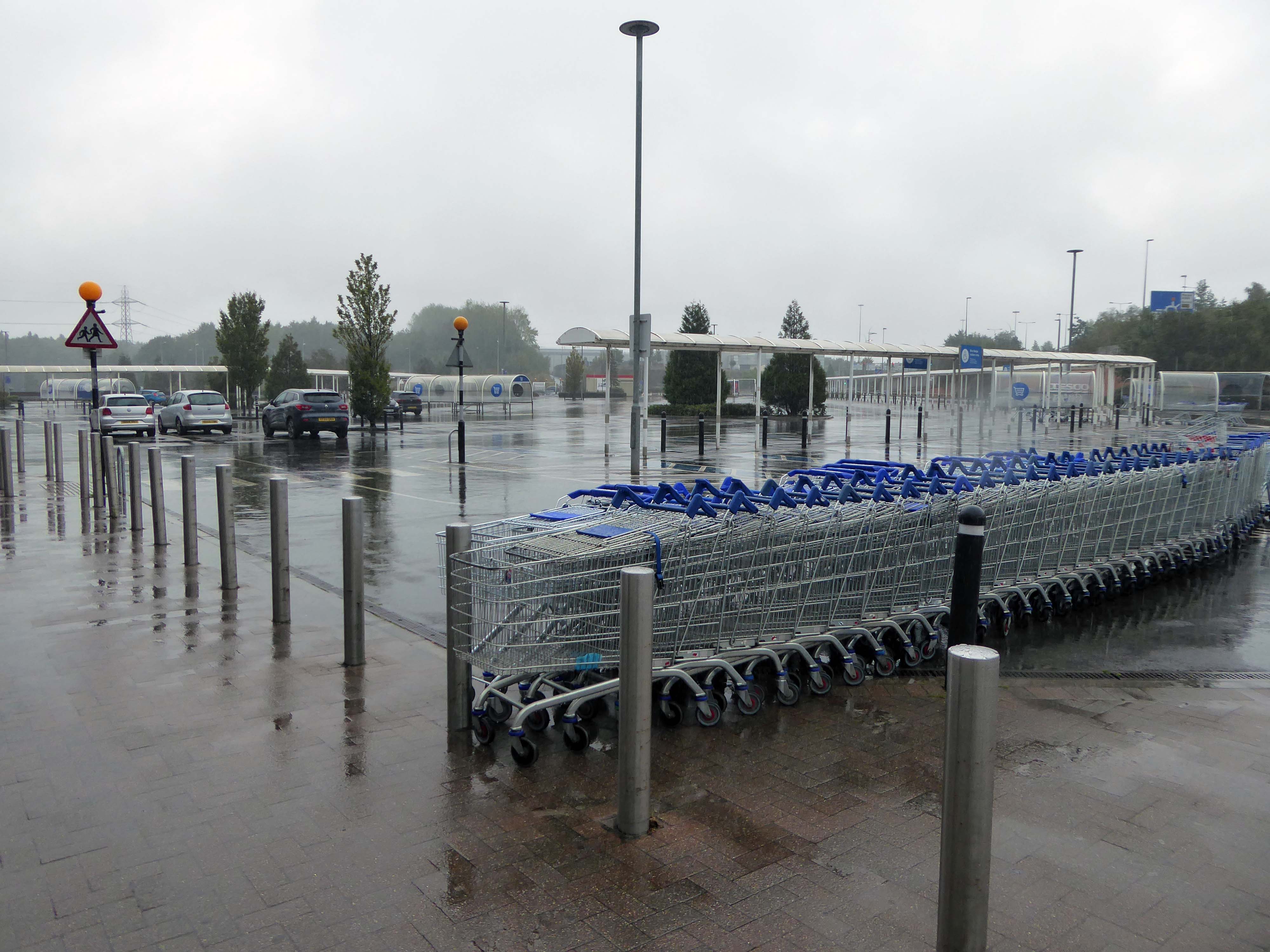
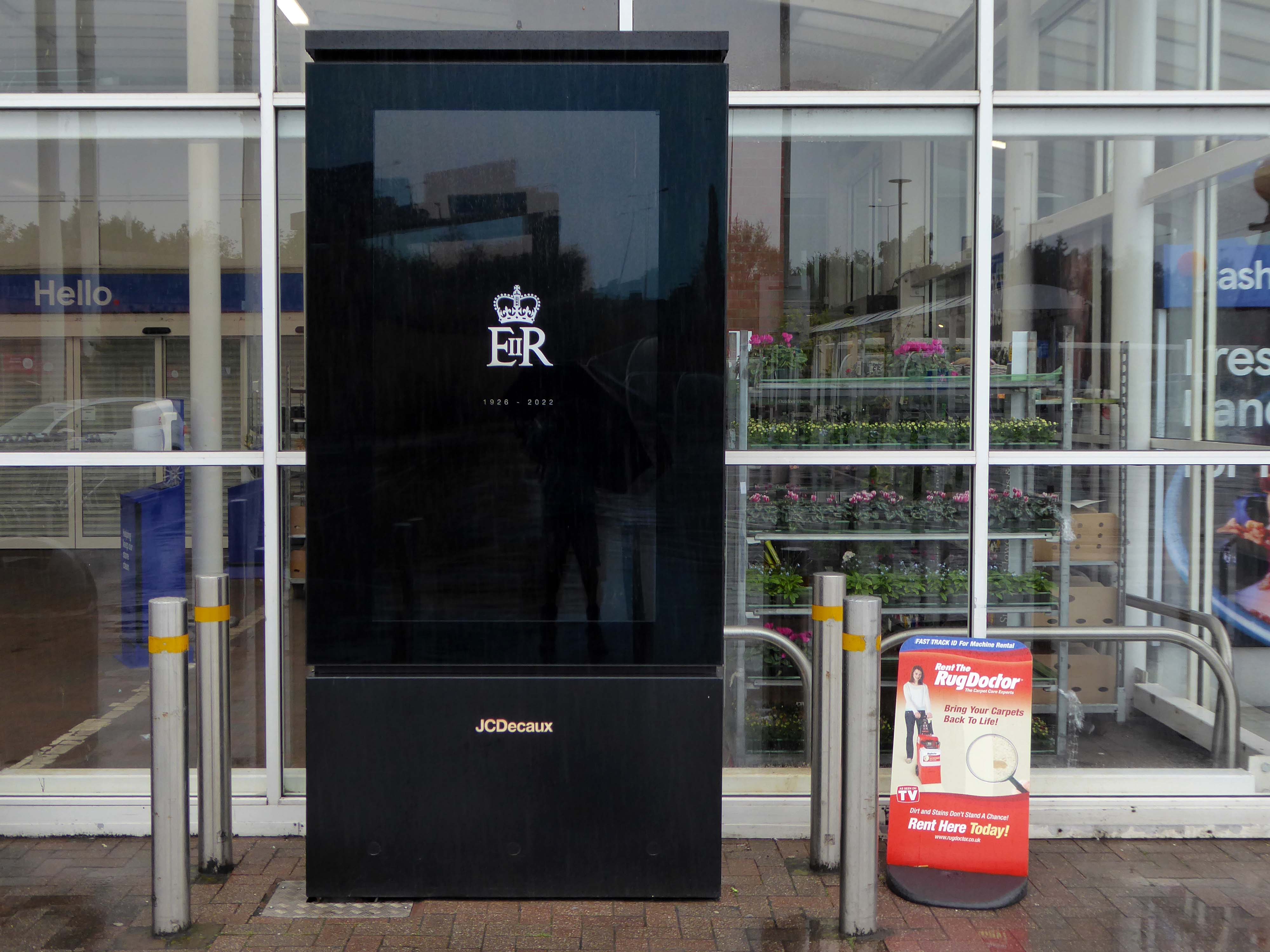
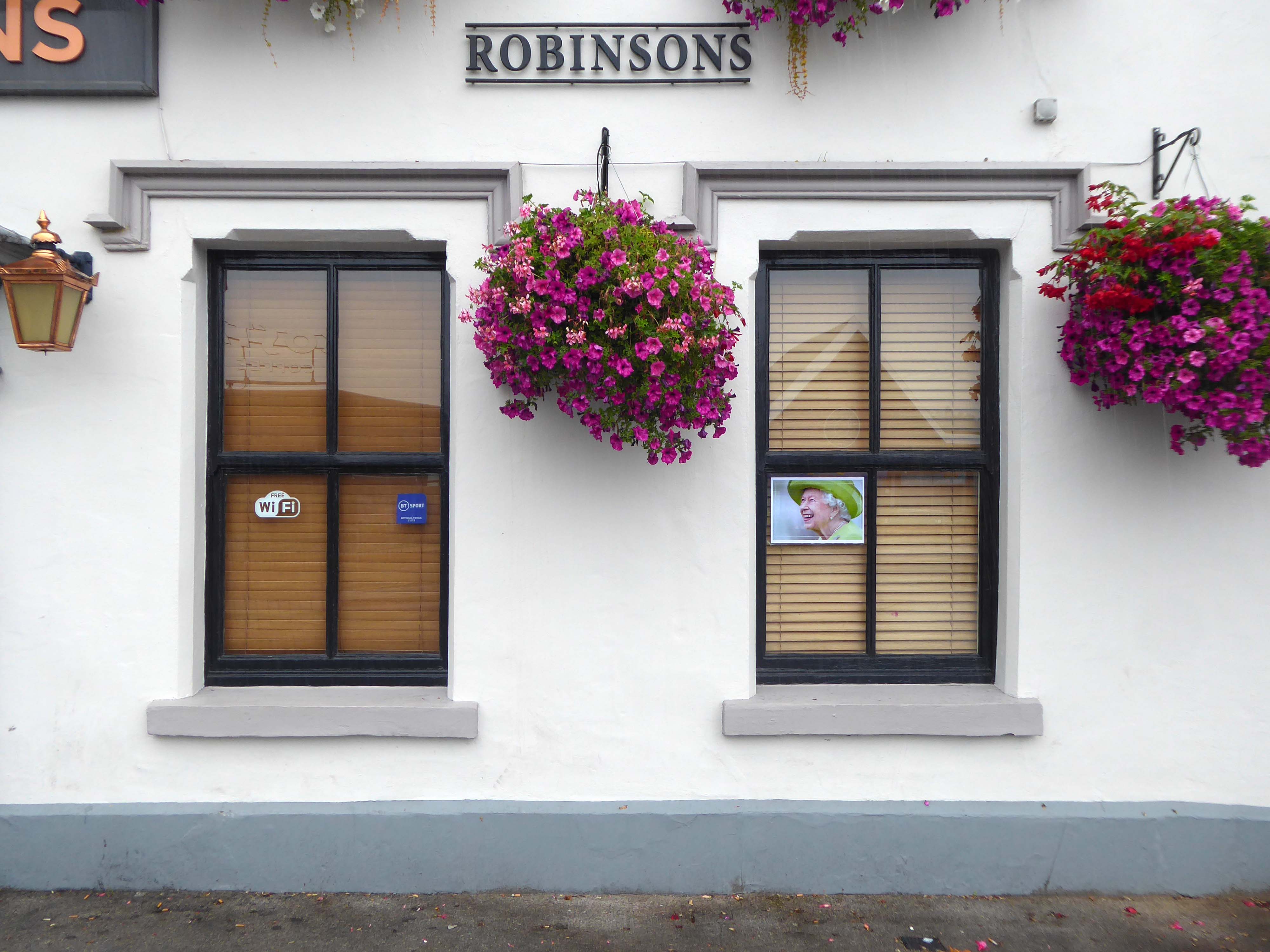
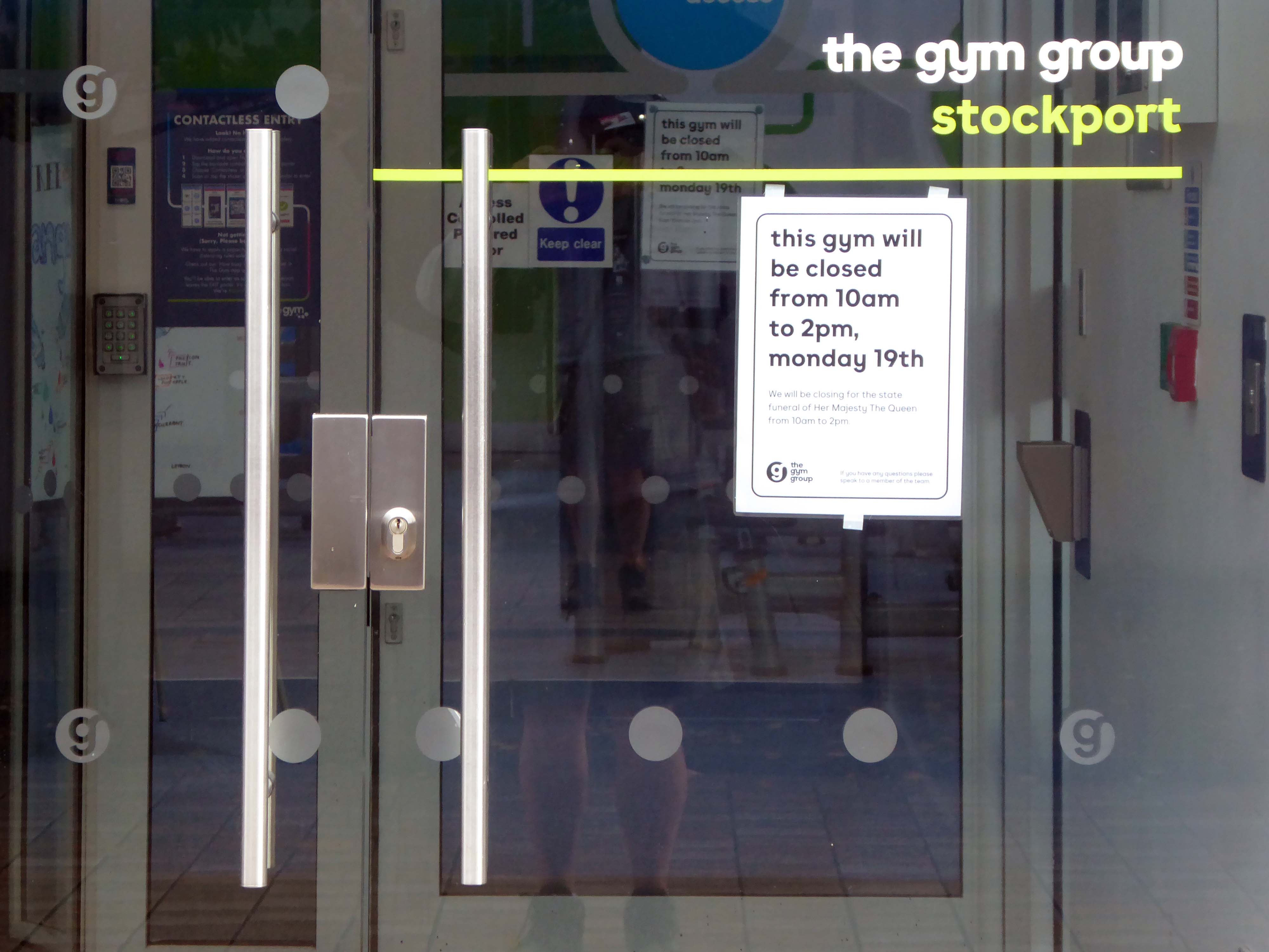
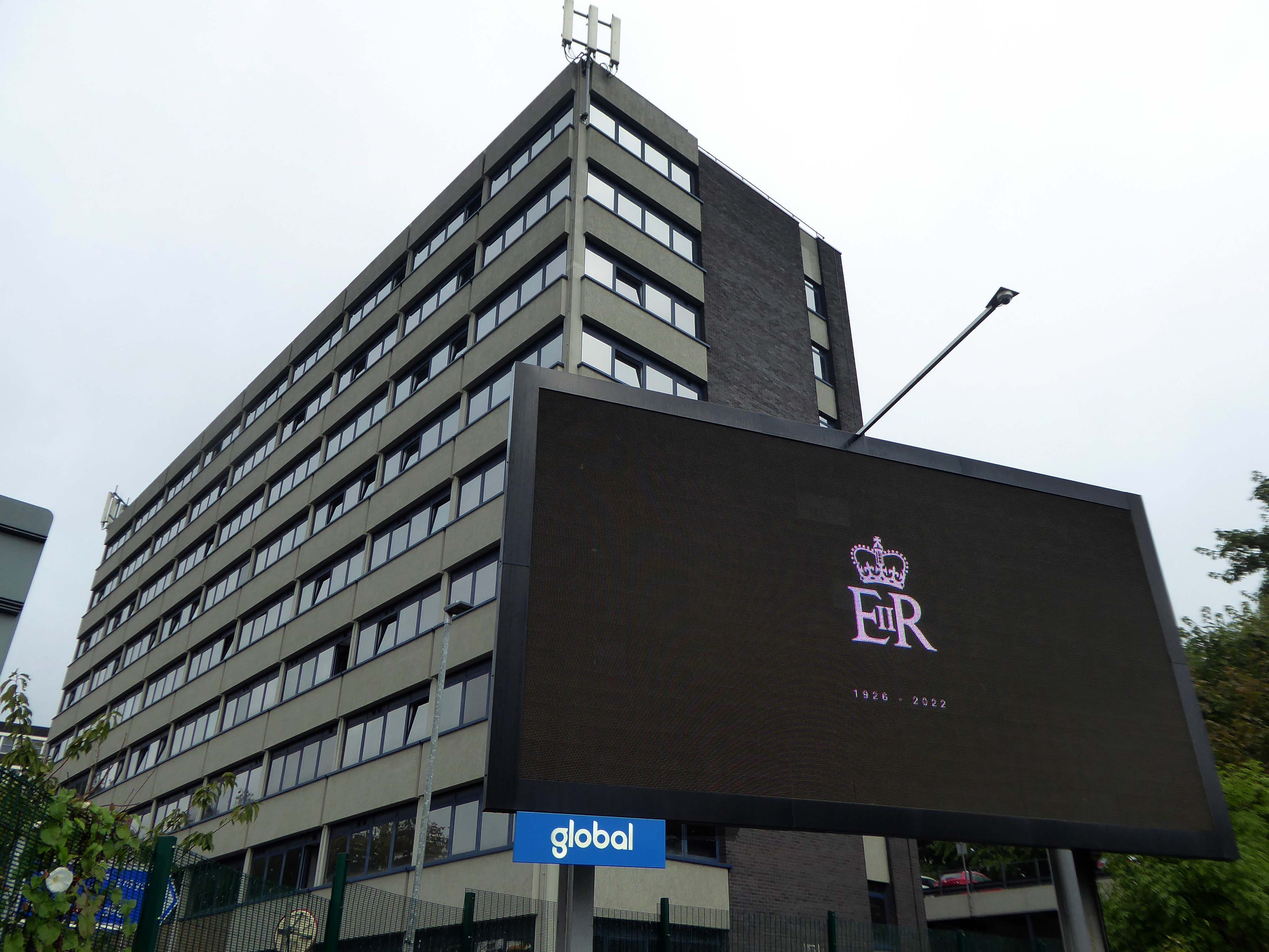
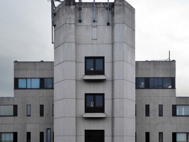
On the day of HM Queen Elizabeth II’s Diamond Jubilee, I cycled around Ashton under Lyne in search of landmarks of her sixty year reign.
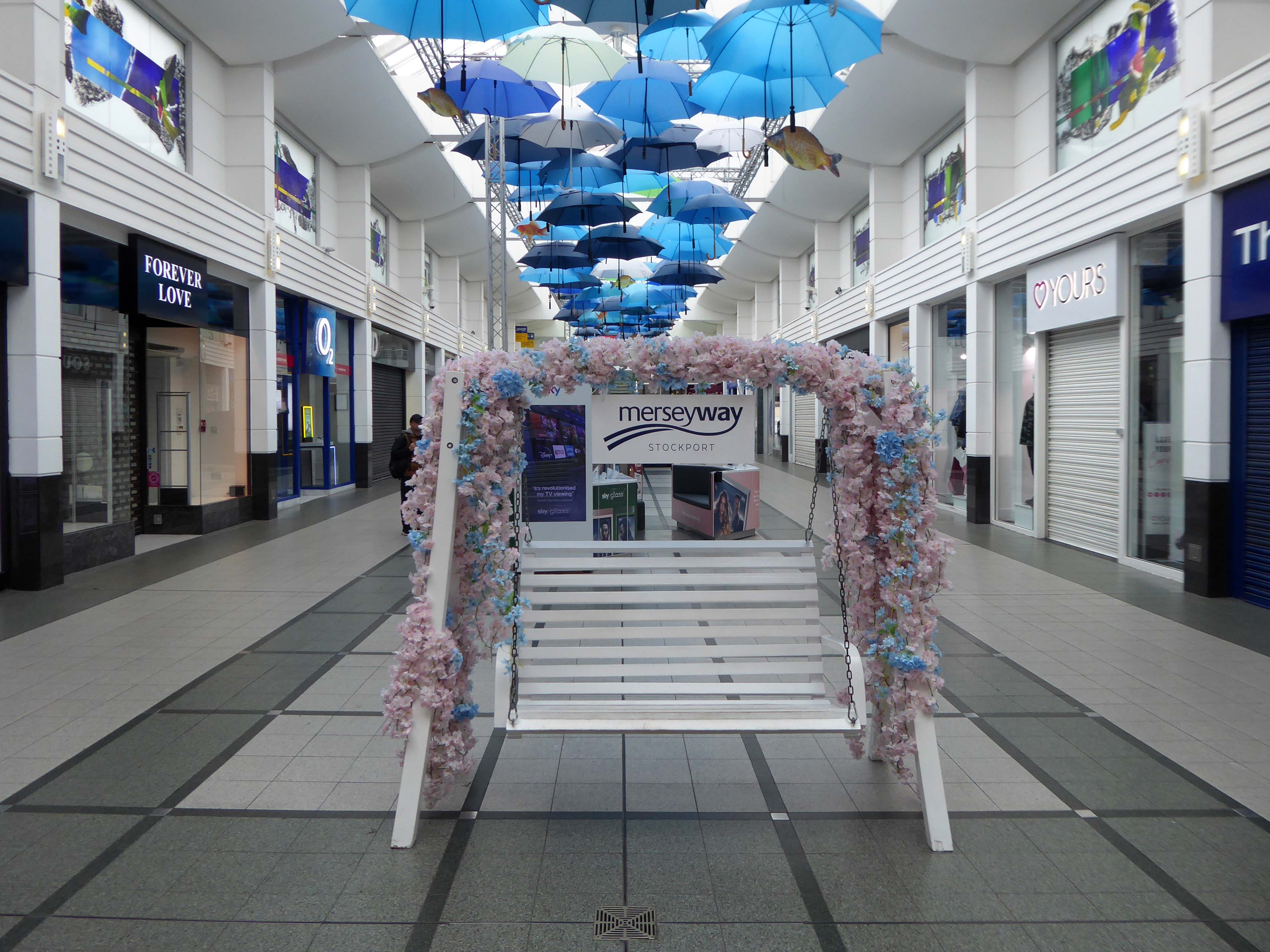
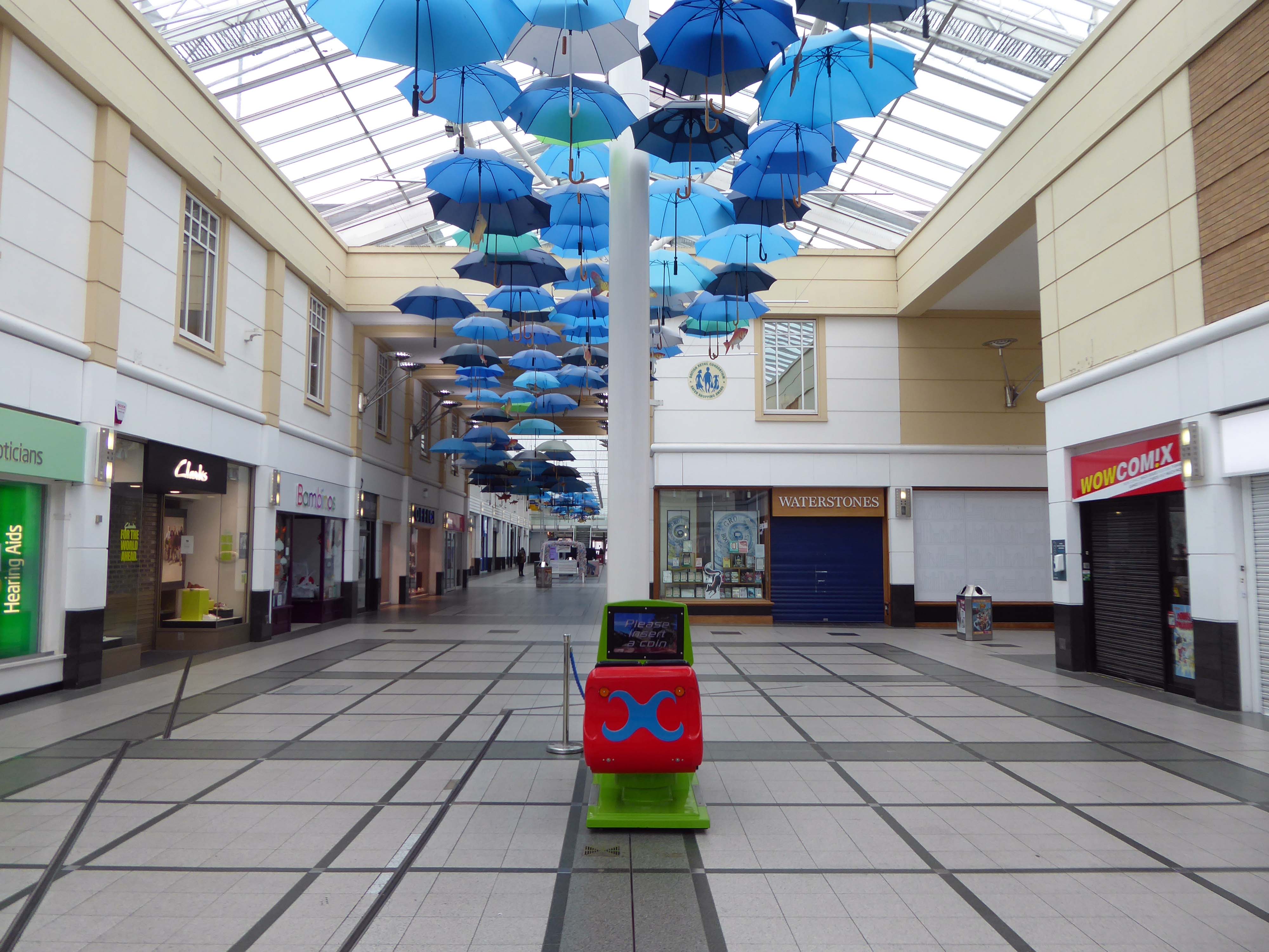
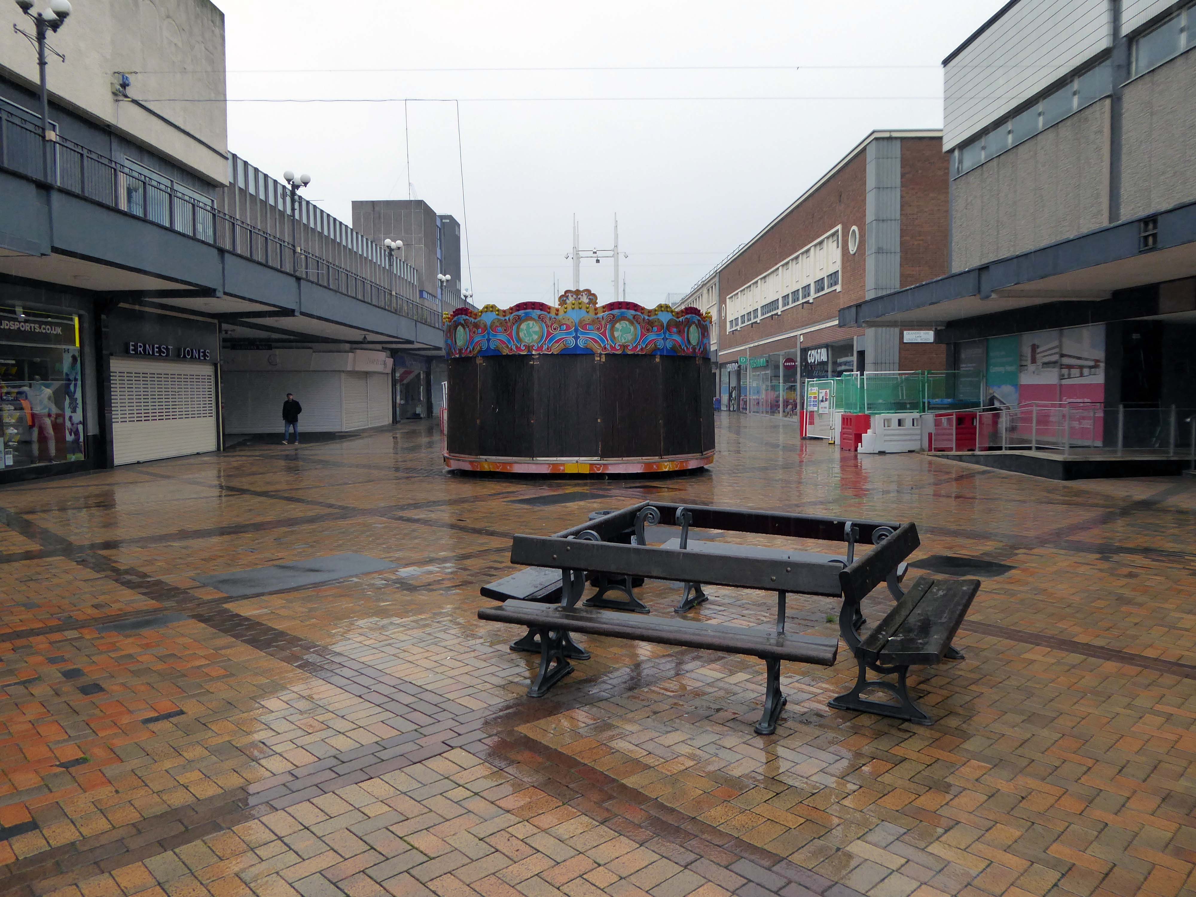
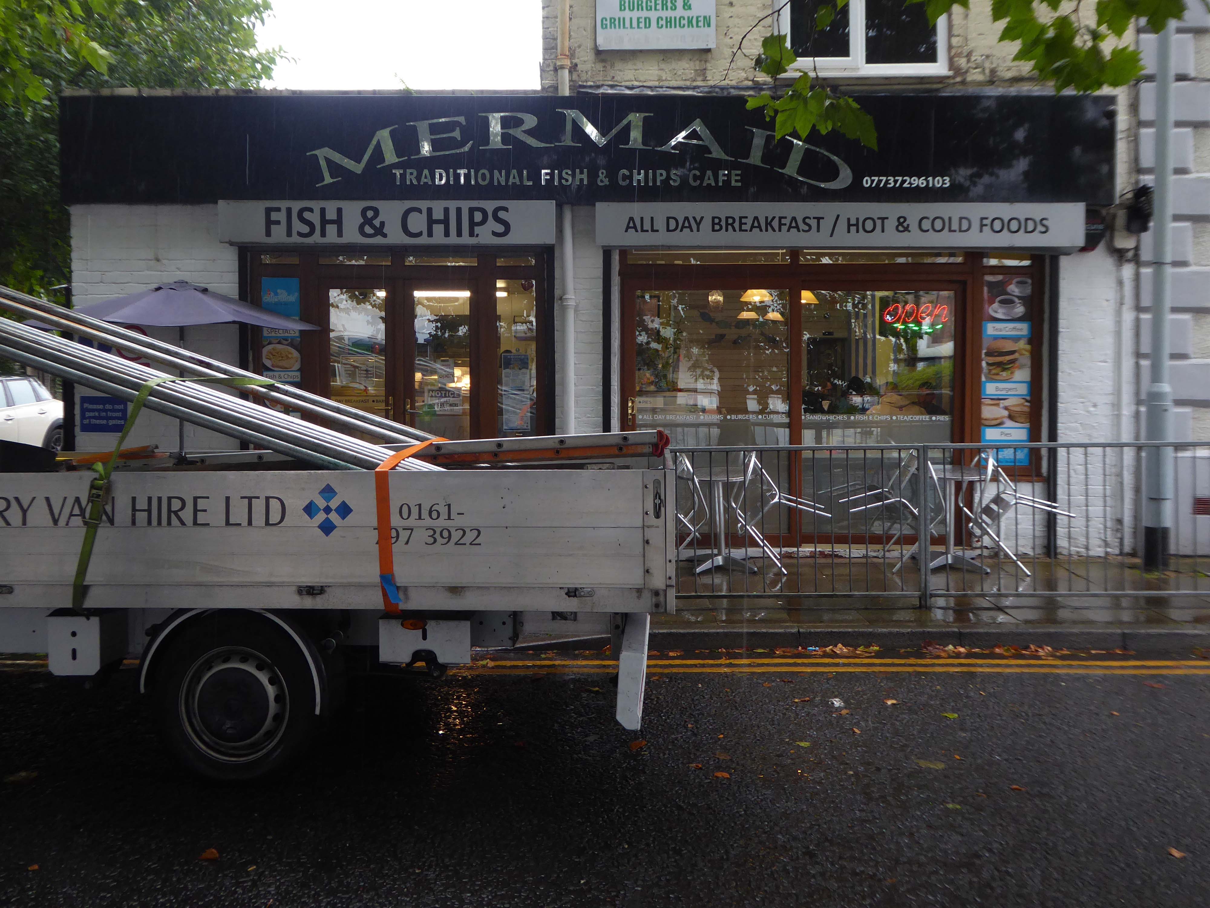
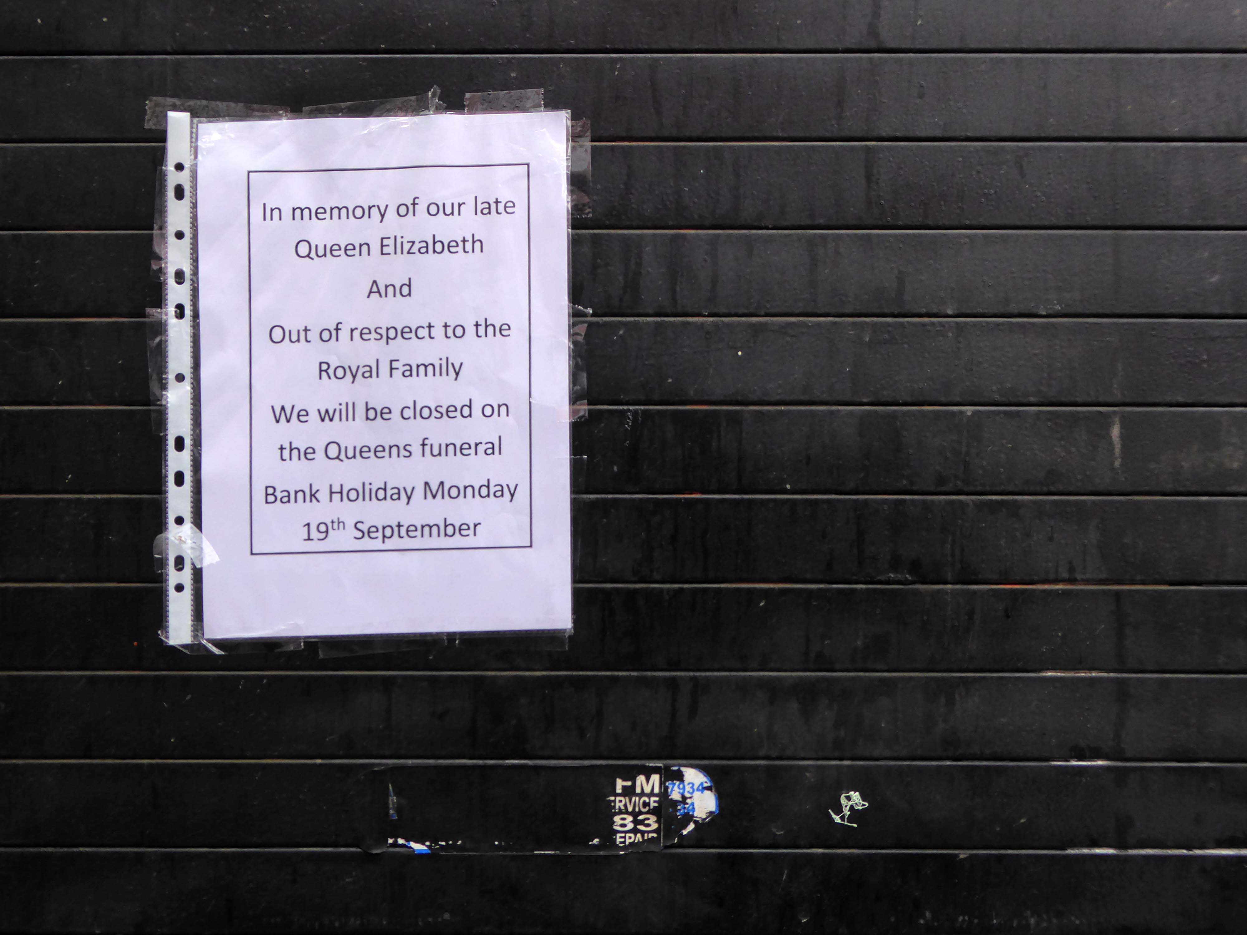
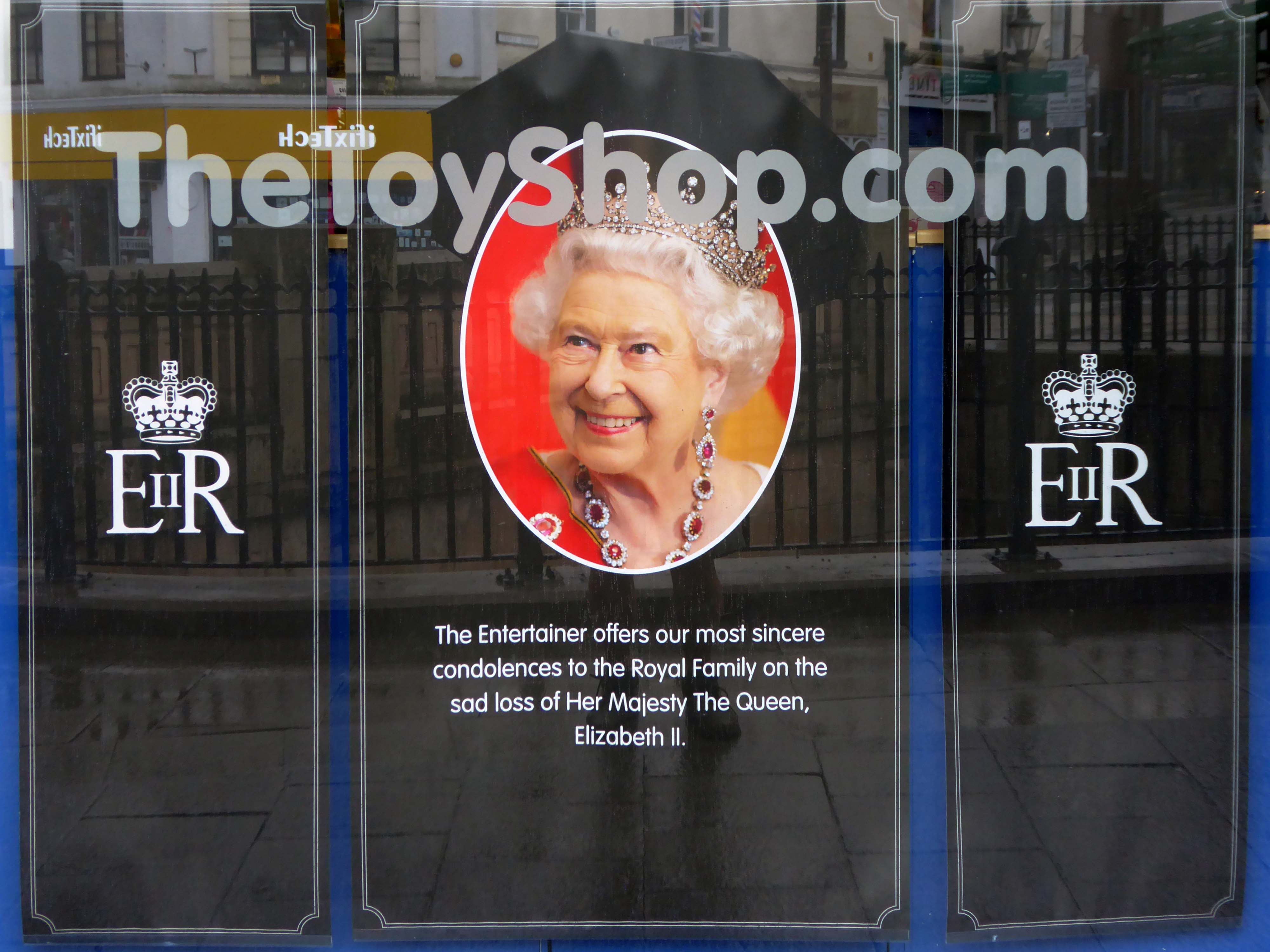
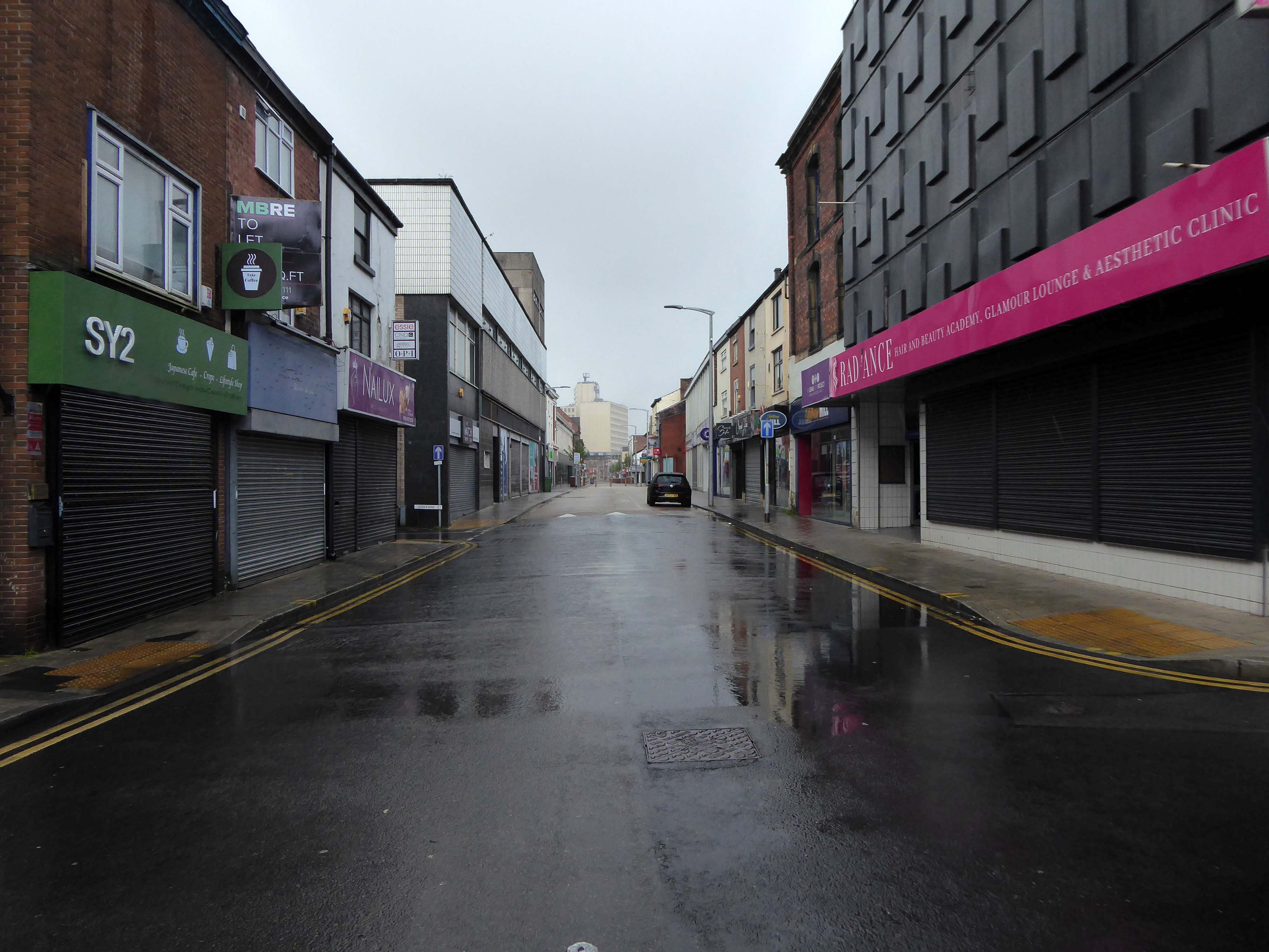
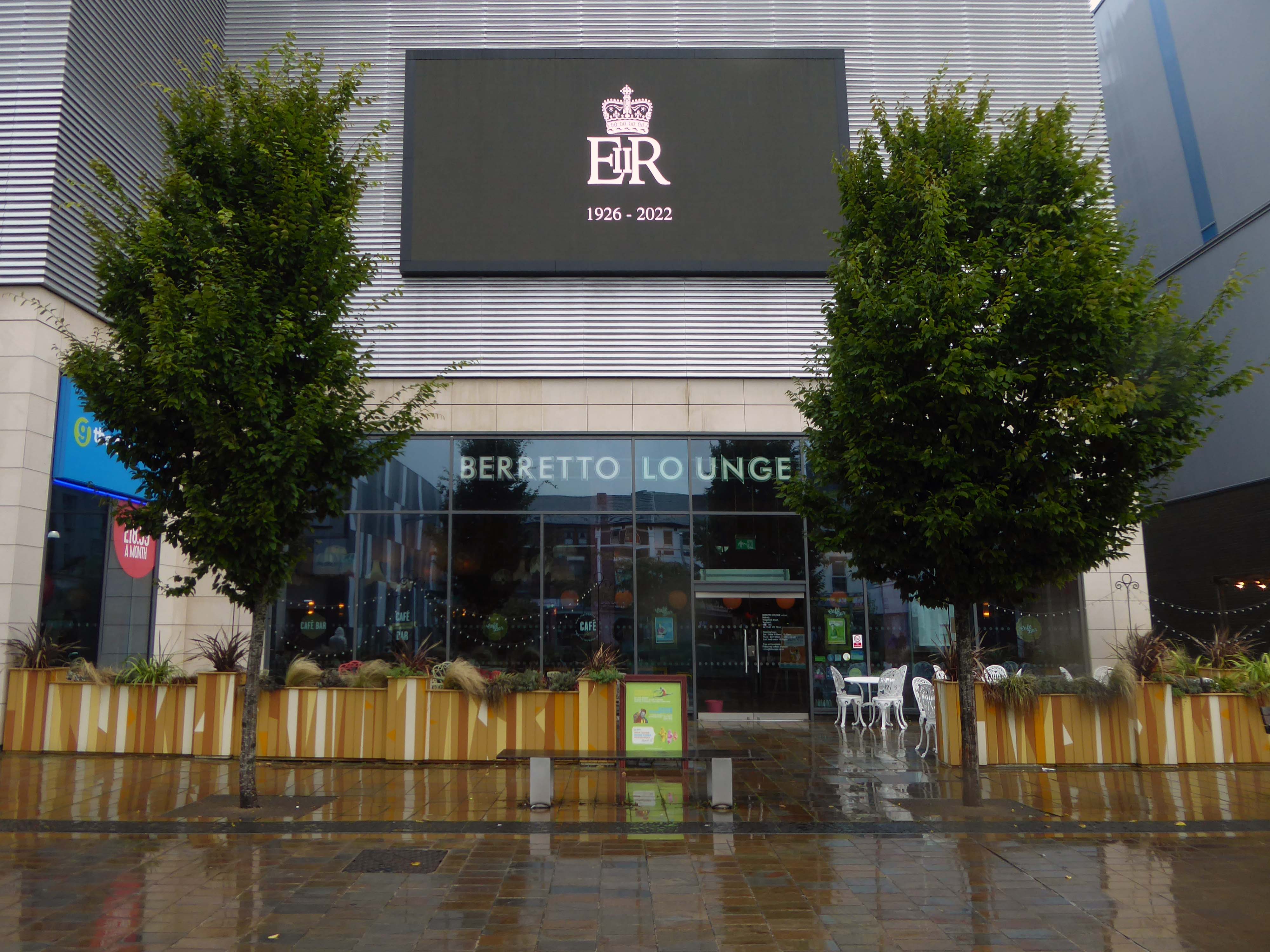
Today, on the day of her funeral, I set out for a walk around Stockport, to record a town largely closed for business. Overcast but far from downcast, I defied the almost persistent fine rain and these are the pictures that I took.
Many of the subjects are products of her time on the throne.
The traffic was much lighter, there were few pedestrians, a couple of cafés were open and two men watched the funeral service on the Sky TV stand in the precinct.
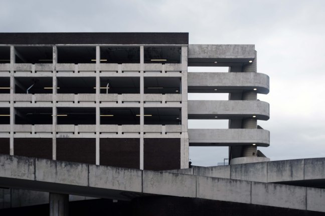
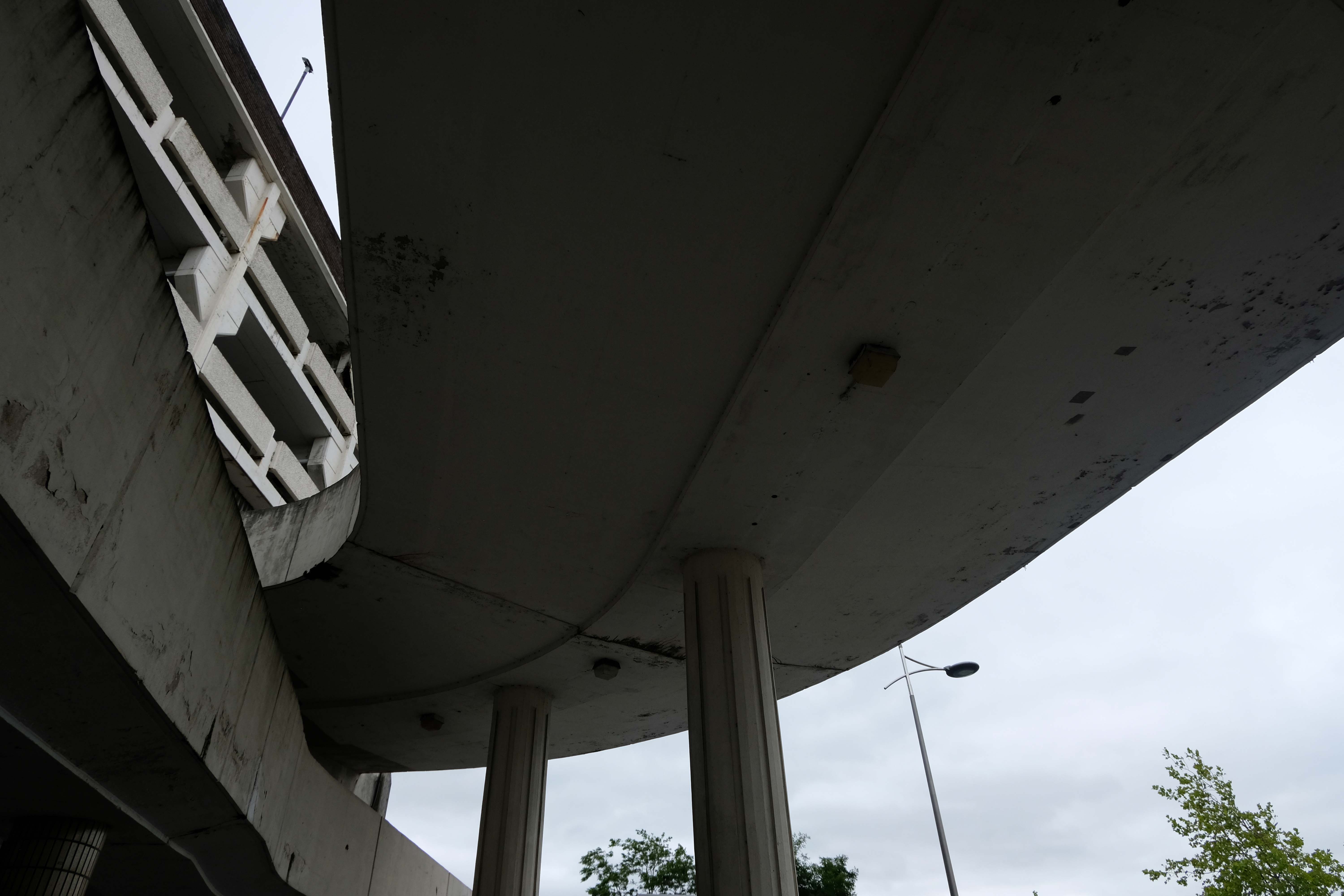
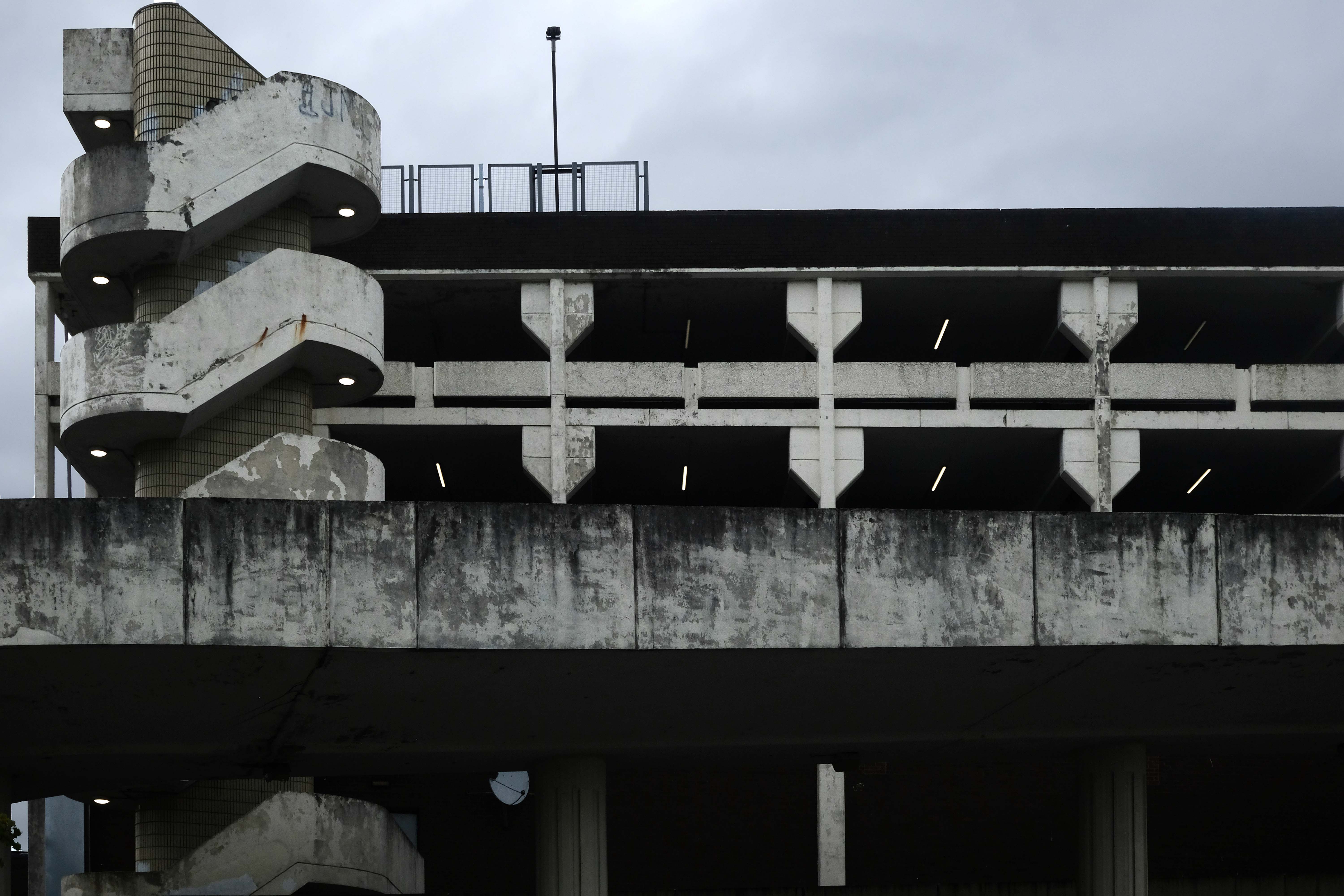
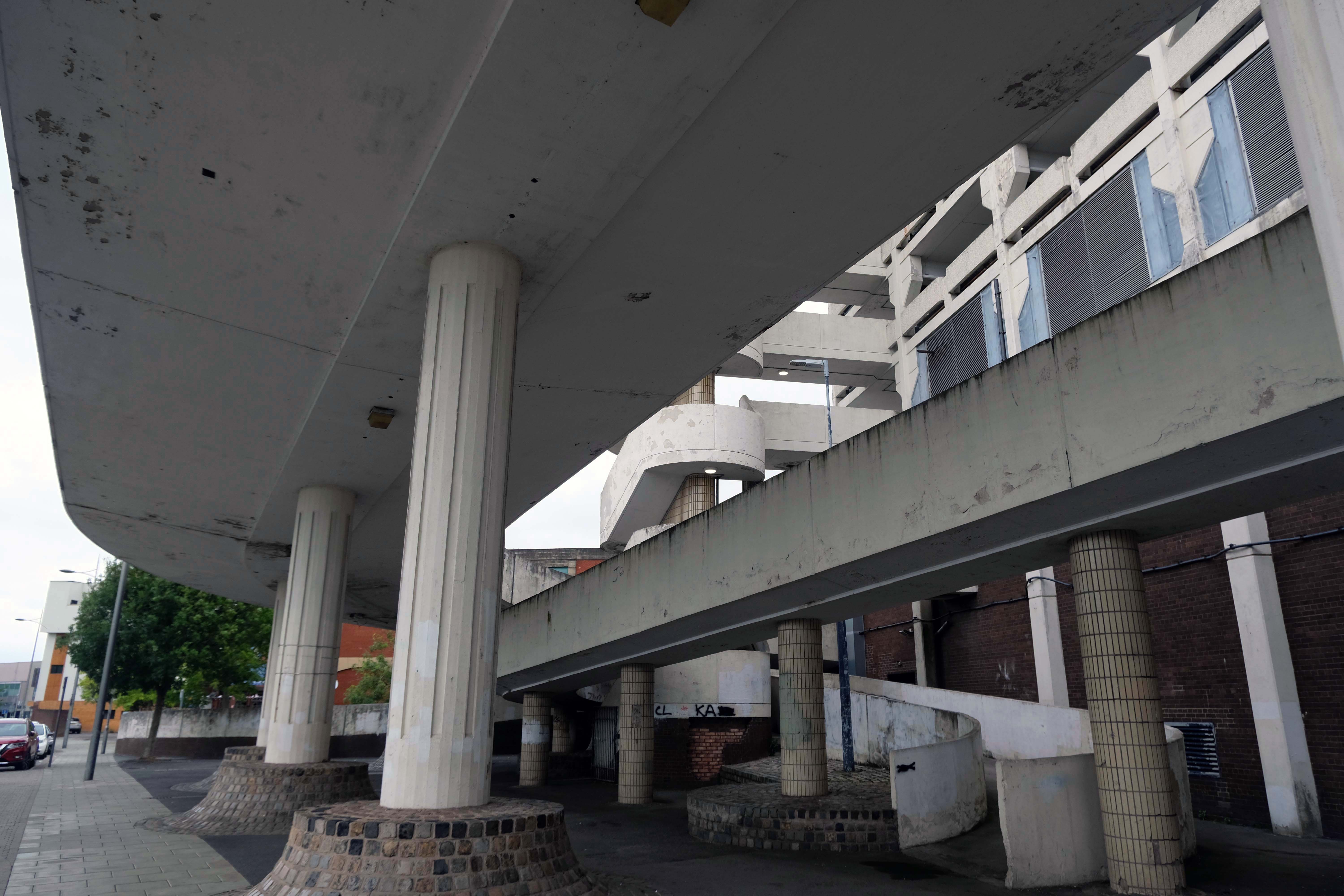
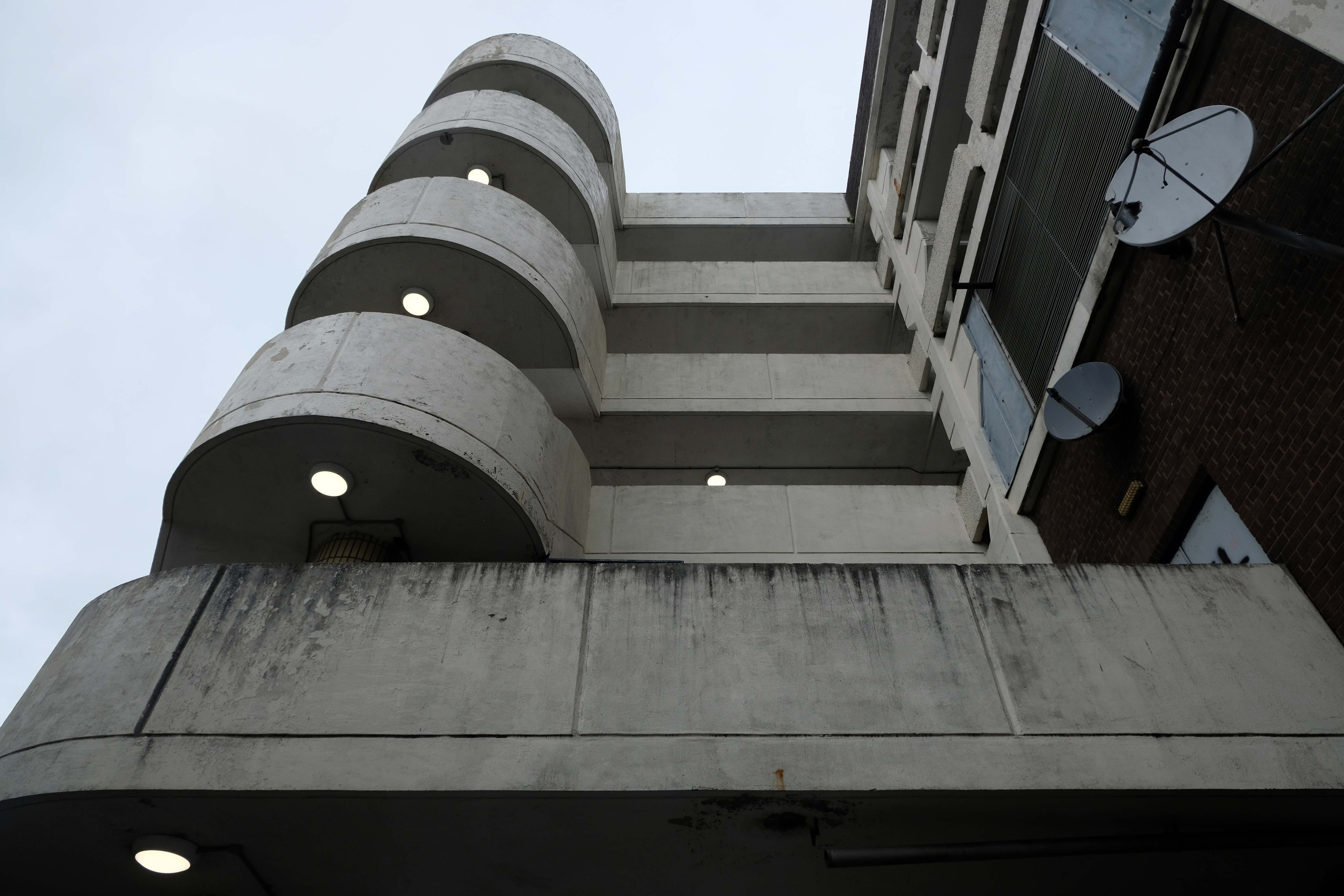
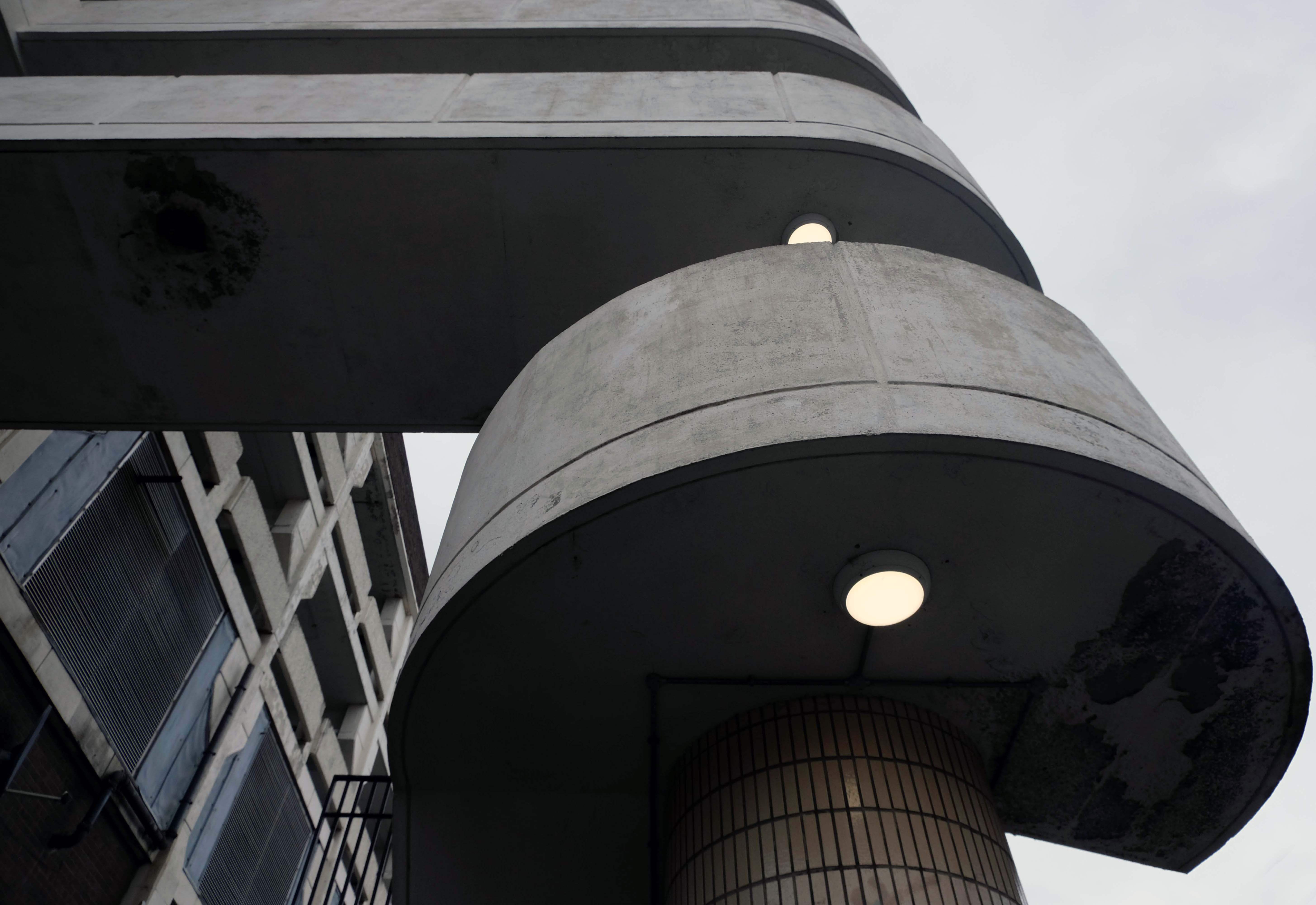
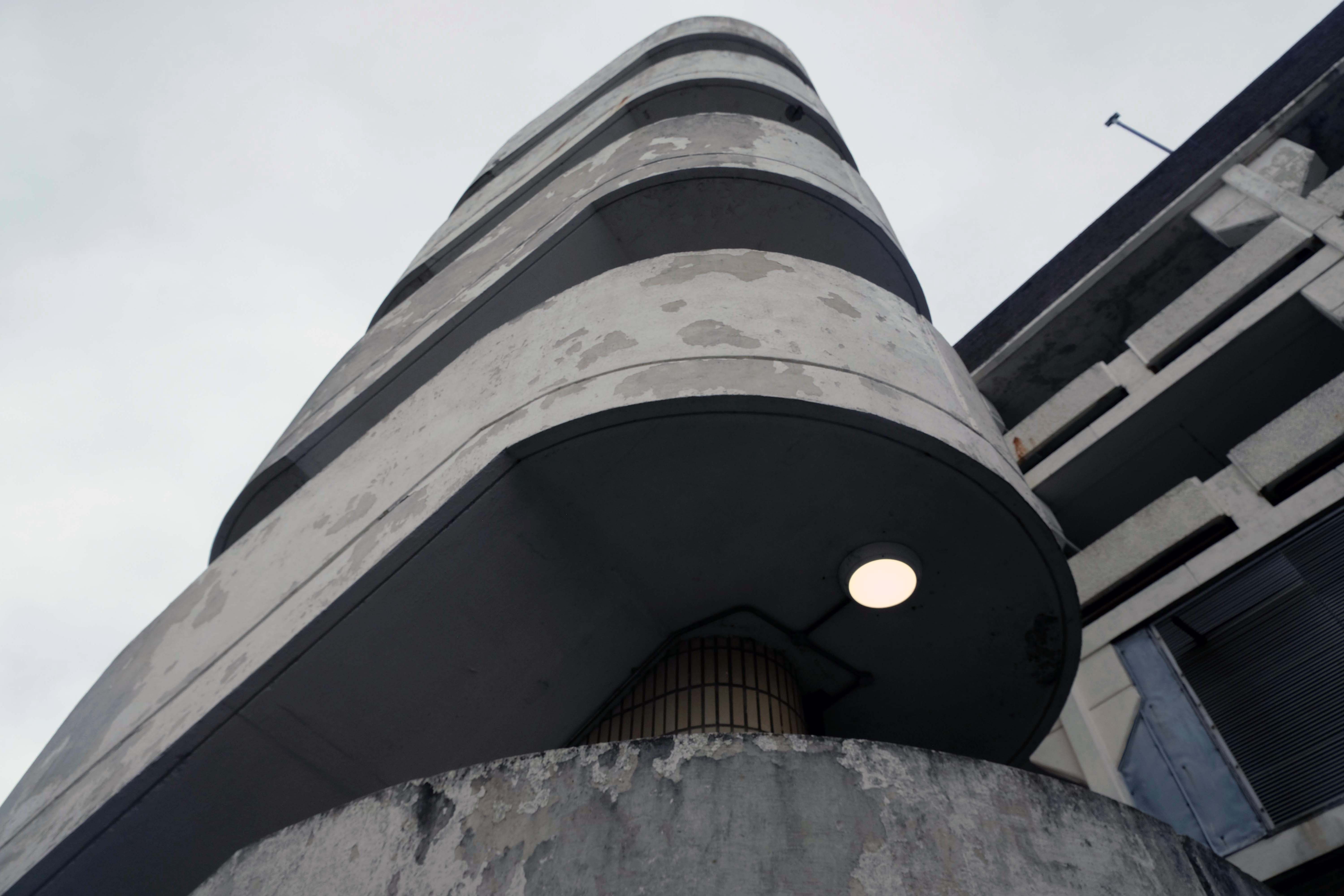
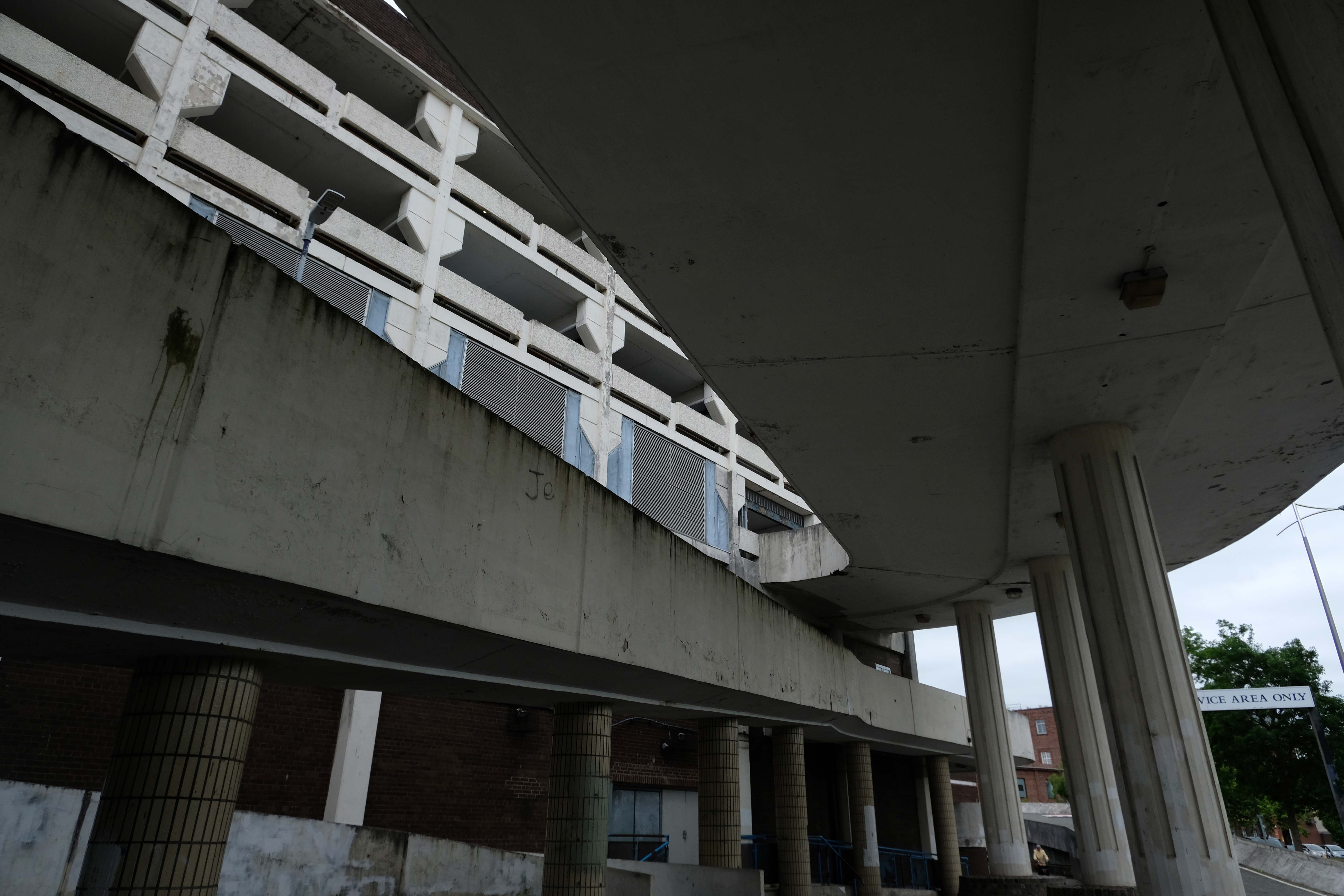
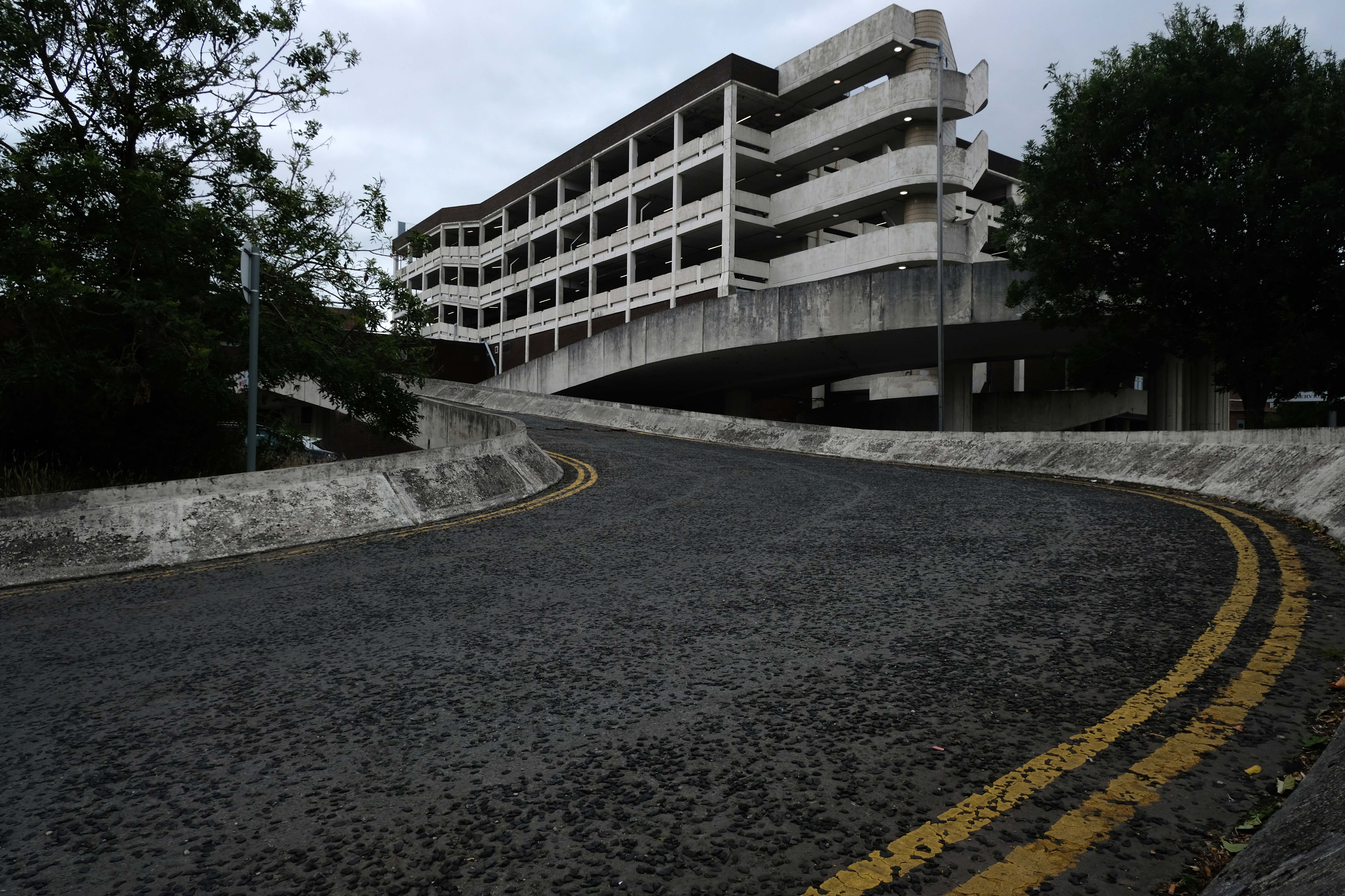
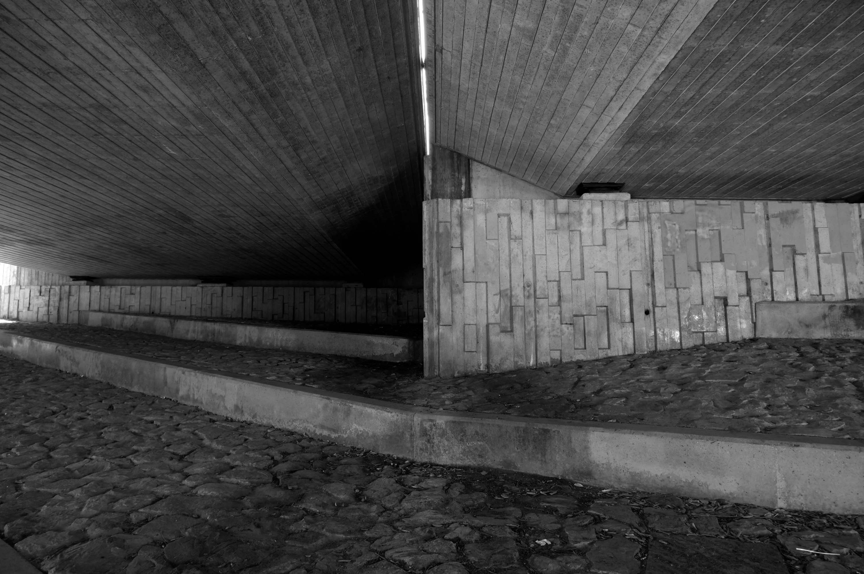
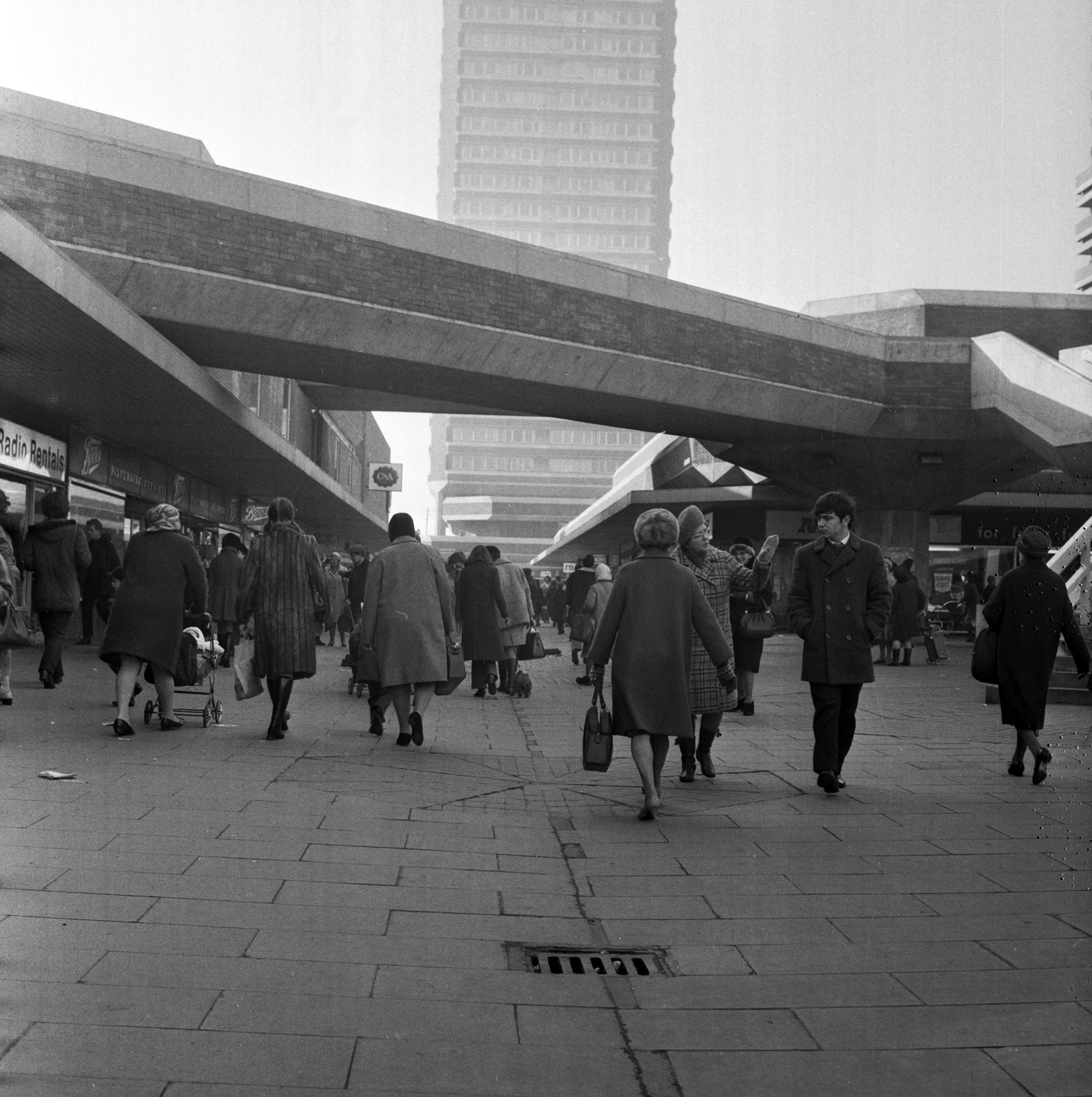
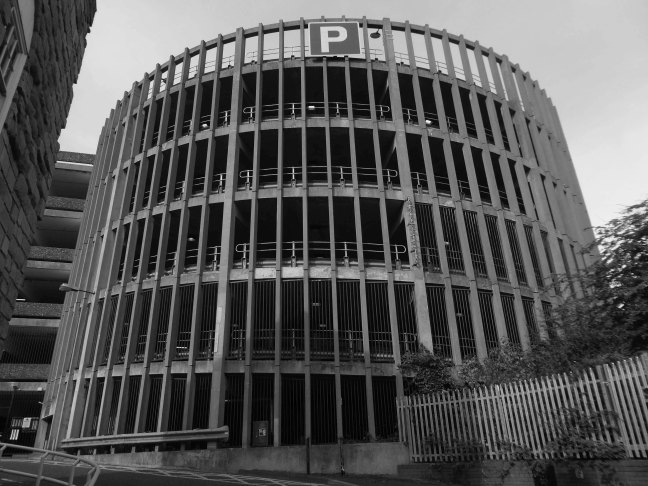
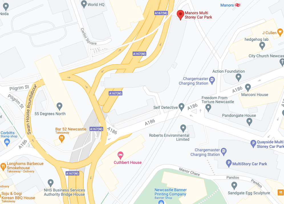
Manors Car Park’s distinctive form derives from the constraints of the train line to east which collided with the new Central East Motorway A167 M which dips beneath, shaping the car park between these constraints. The curvature of the concrete decks sweeps uniformally across the site, interrupted only by the circulation ramp. The car park was the first multi-story car park in Newcastle and marked the beginnings of Wilfred Burns car-centric plans for the modernisation of the city through the Central East Motorway Plan – 1963.
Burns plan aimed to increase the economic growth of the city through greater convenience for an emerging car owning populace and even went as far as to incentivised cars travel by offering limited free parking in the city centre.
Manors car park connected and accompanied by an equally dramatic and elongated pedestrian footbridge from Manors Train Station – today Manors Metro, touching the car park for access before swooping under Swan House on Pilgrim Street Roundabout. The bridge takes what feels like the longest imaginable route over the motorway, allowing pedestrians to bypass Northumberland high street and take in the theatrics of the swooping concrete forms and motorway traffic.
In the early 1960s, under the leadership of T Dan Smith and his chief planning officer Wilf Burns, Newcastle city council undertook a comprehensive re-planning of the city centre that, had it been carried out to its full extent, would have led to the construction of underground motorways and a series of raised pedestrian decks running along Northumberland Street in the main shopping zone. The plan was that the new city would encircle the historical core, which would be preserved; meanwhile vast swathes of Georgian housing to the east would be razed. There were also plans for high-rise towers in the centre, only one of which was built.
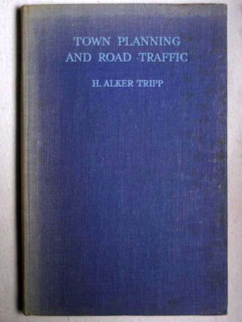
This tendency in town planning was due in part to the publication of H. Alker Tripp’s book of 1942.
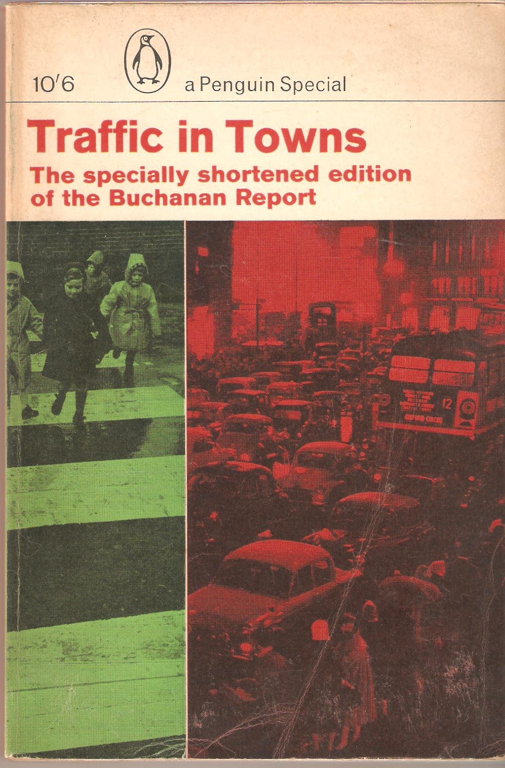
Along with Traffic in Towns an influential report and popular book on urban and transport planning policy published 25 November 1963 for the UK Ministry of Transport by a team headed by the architect, civil engineer and planner Colin Buchanan. The report warned of the potential damage caused by the motor car, while offering ways to mitigate it. It gave planners a set of policy blueprints to deal with its effects on the urban environment, including traffic containment and segregation, which could be balanced against urban redevelopment, new corridor and distribution roads and precincts.
These policies shaped the development of the urban landscape in the UK and some other countries for two or three decades. Unusually for a technical policy report, it was so much in demand that Penguin abridged it and republished it as a book in 1964.
Wikipedia
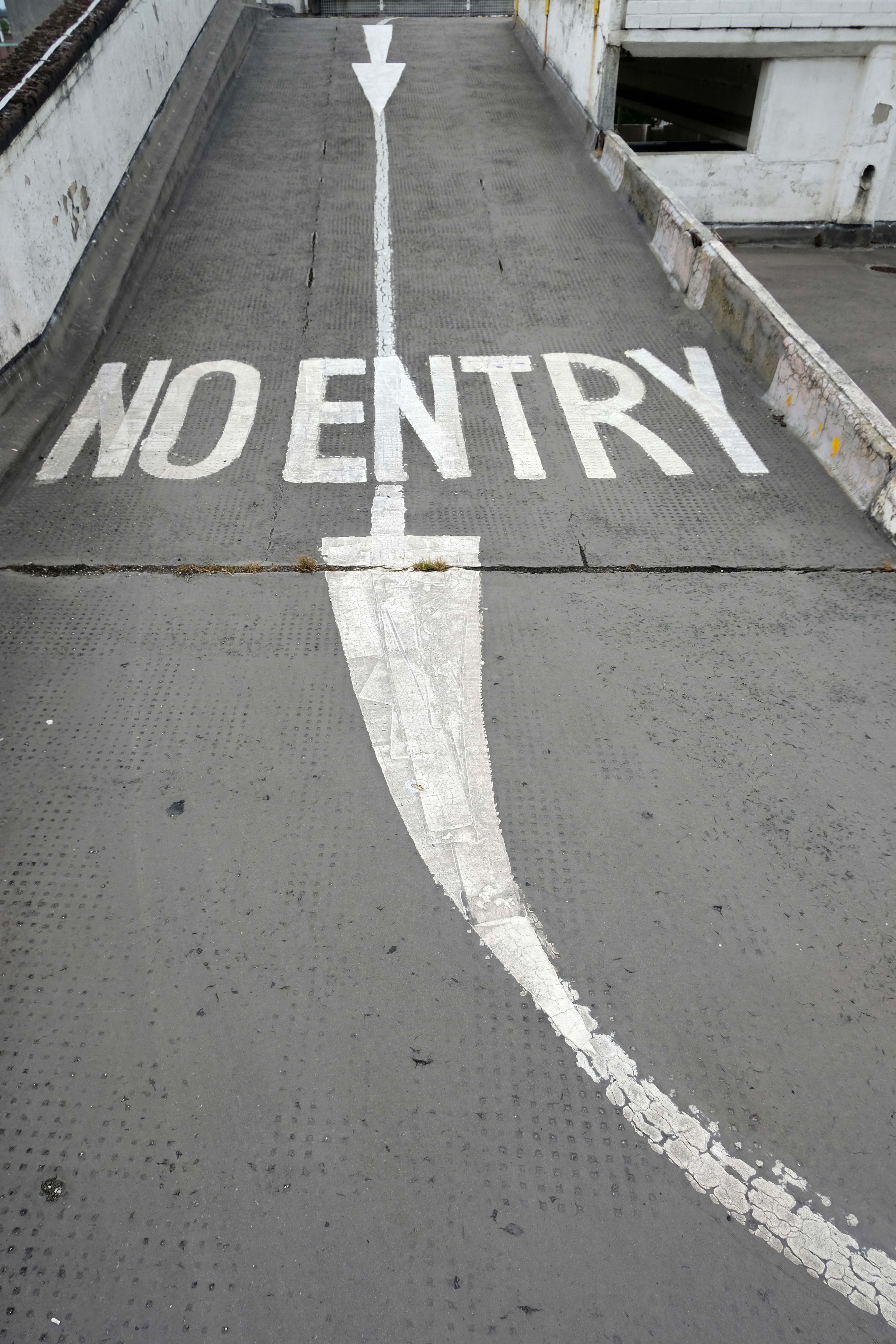
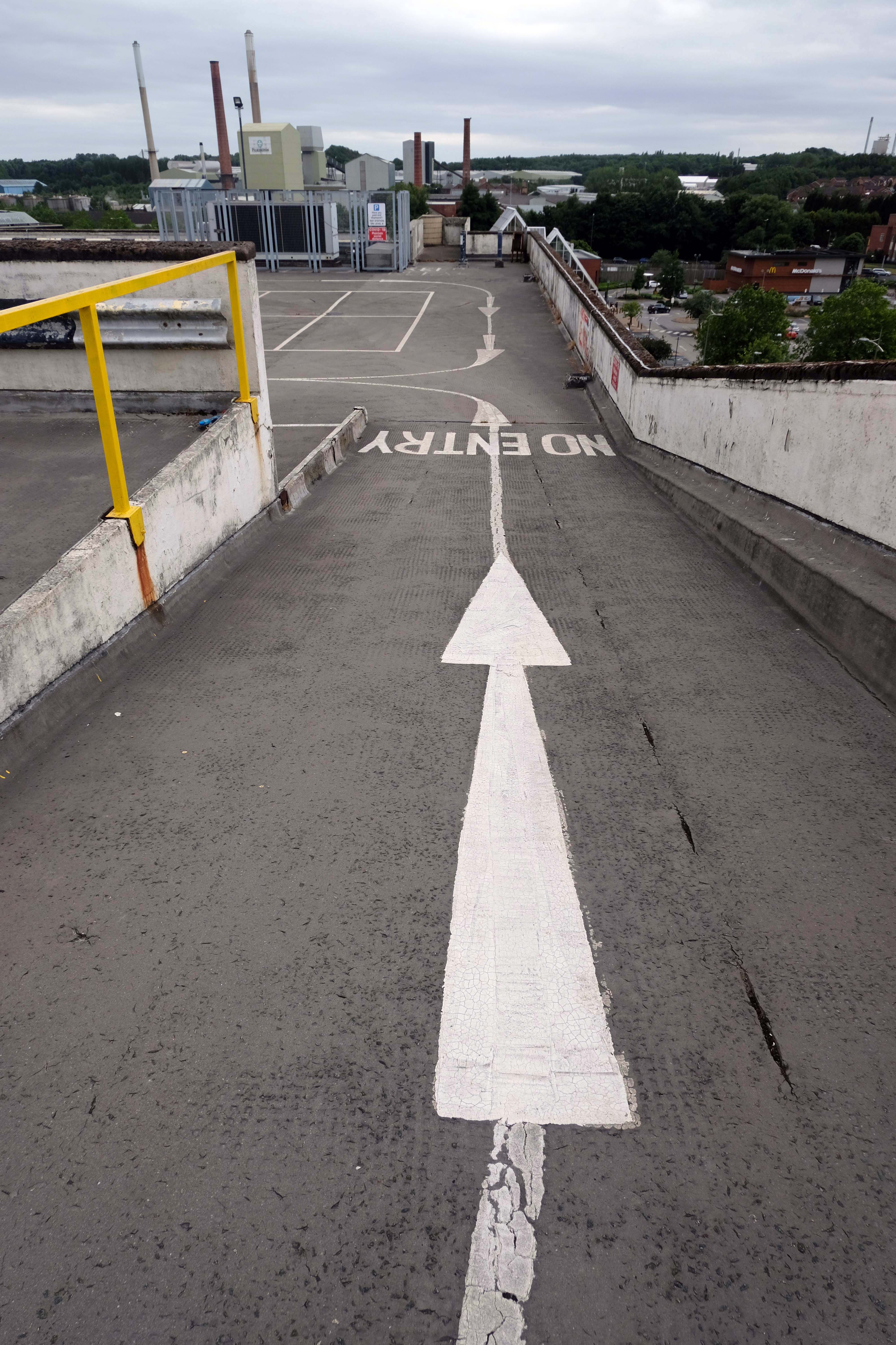
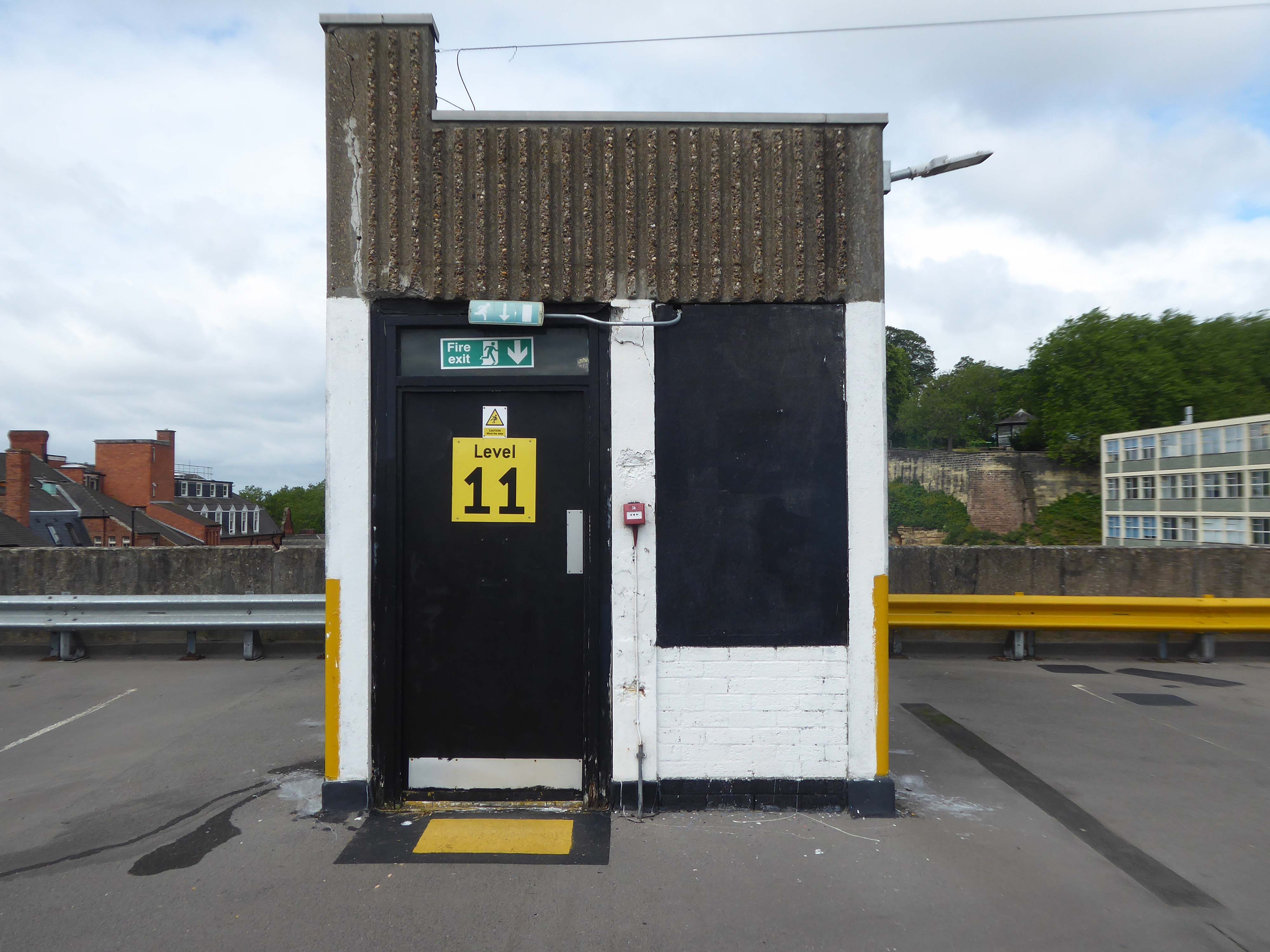
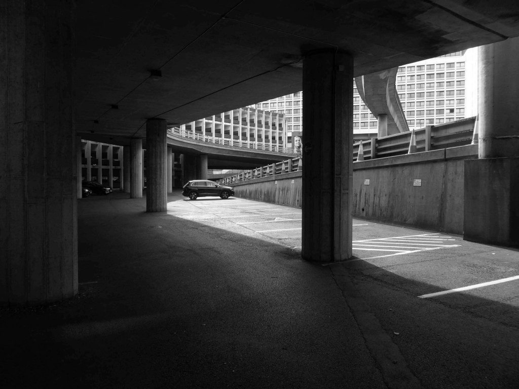
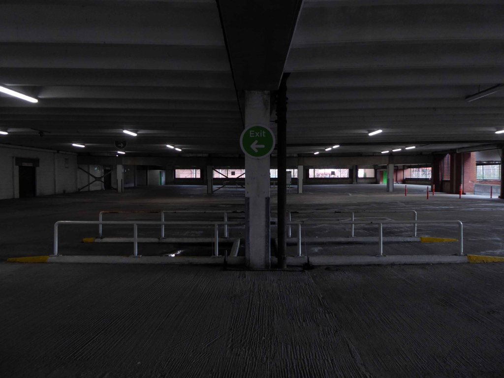
In a one man war against the segregation of traffic and pedestrian I often walk car parks, ramps and all.
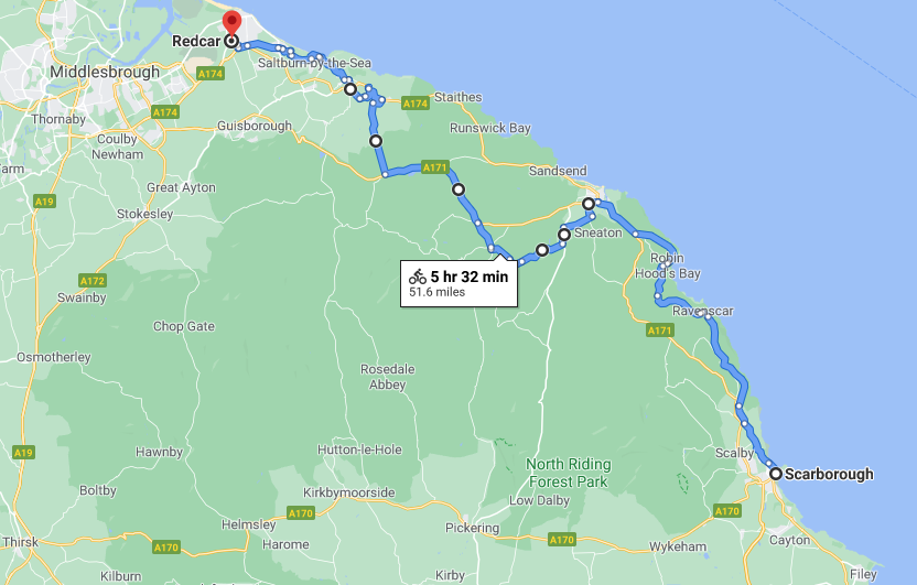
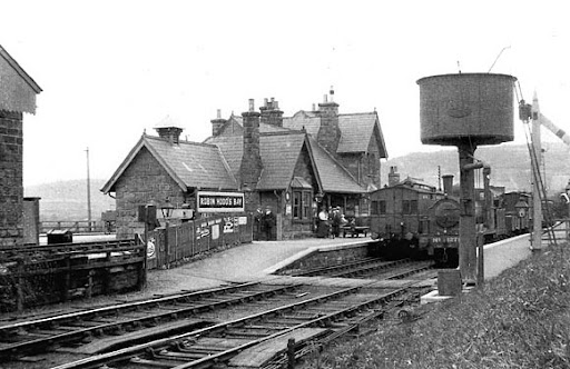
Formerly the Scarbough to Whitby Railway – the line opened in 1885 and closed in 1965 as part of the Beeching Axe.
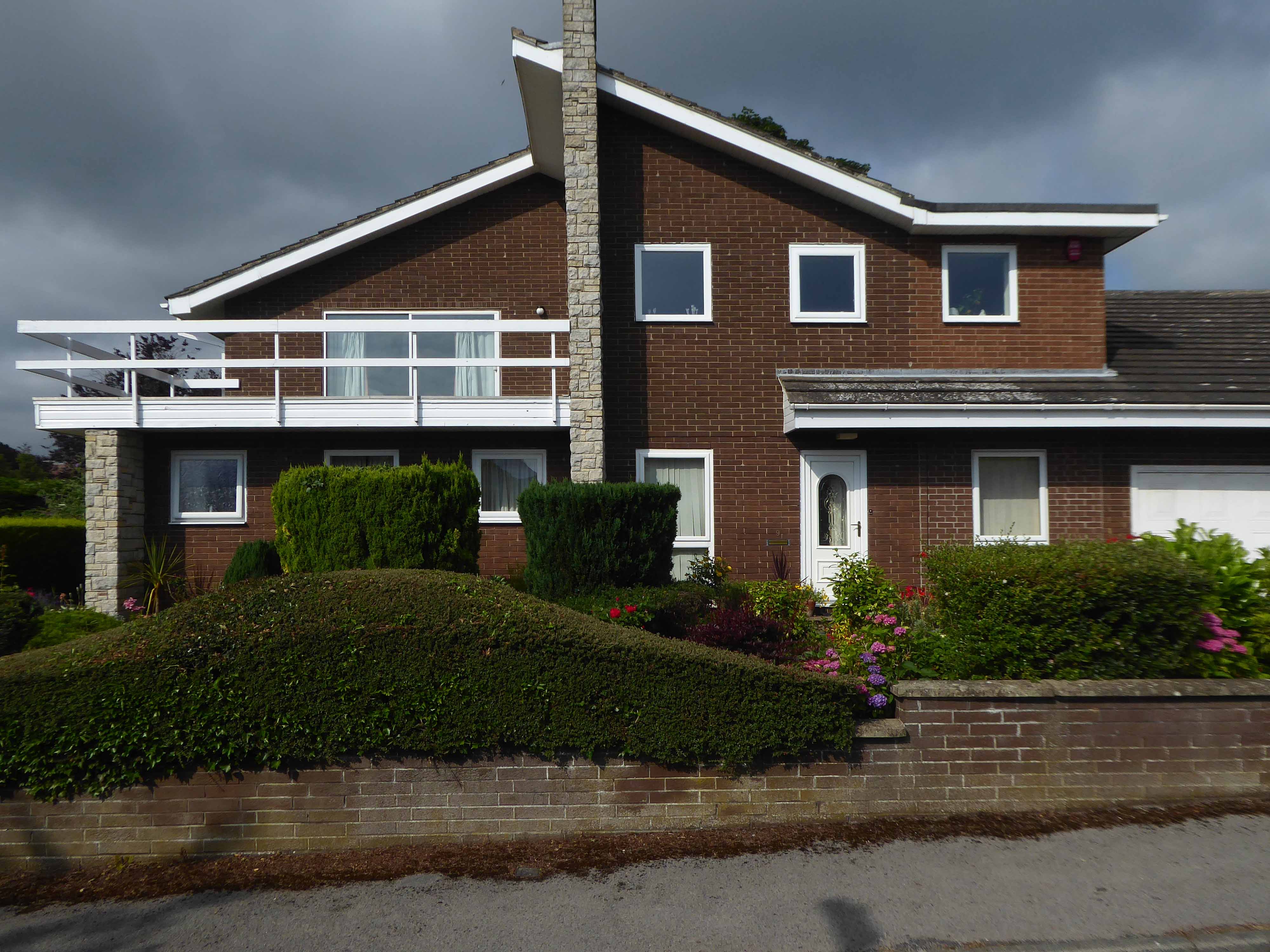
Yet again I chance upon a delightful post-war home.
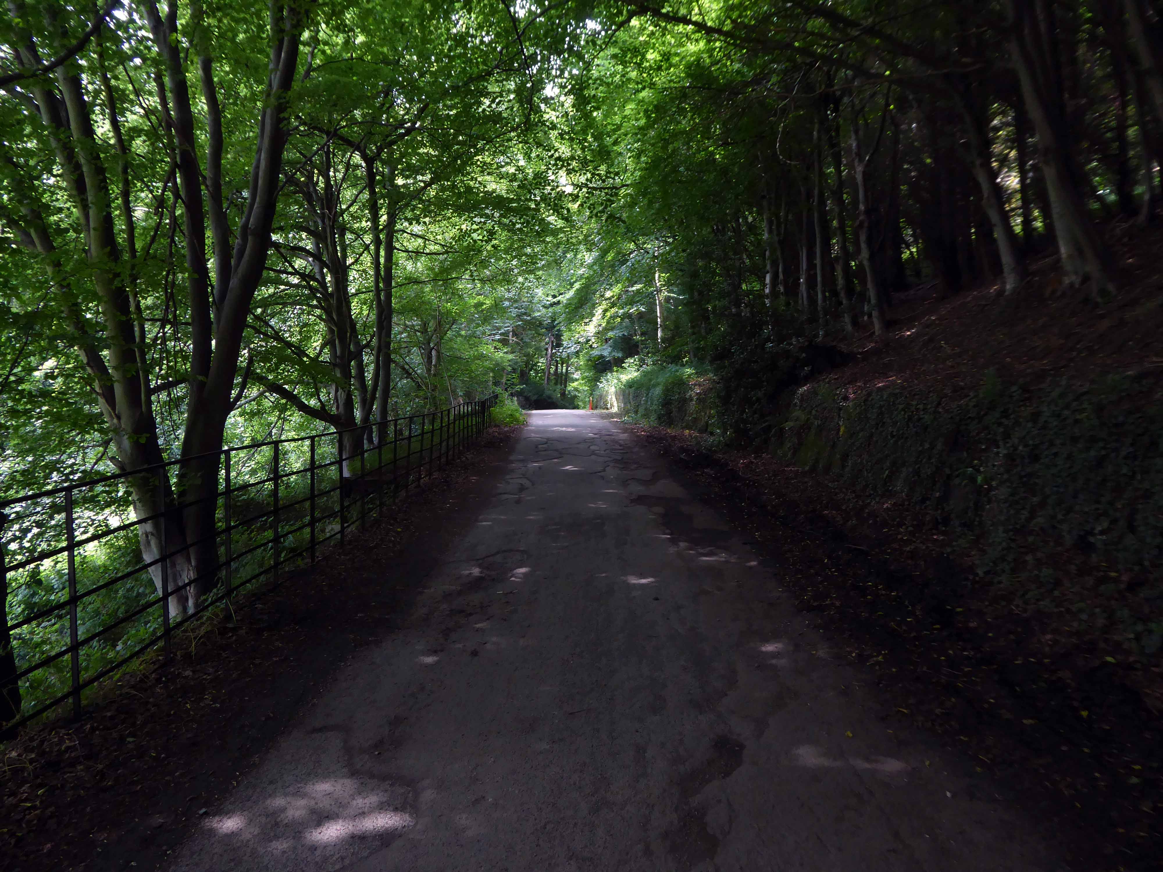
I parted company with the track dropping down to the Esk Valley from the Larpool Viaduct.
Construction began in October 1882 and was complete by October 1884.
Two men fell from the piers during construction, but recovered.
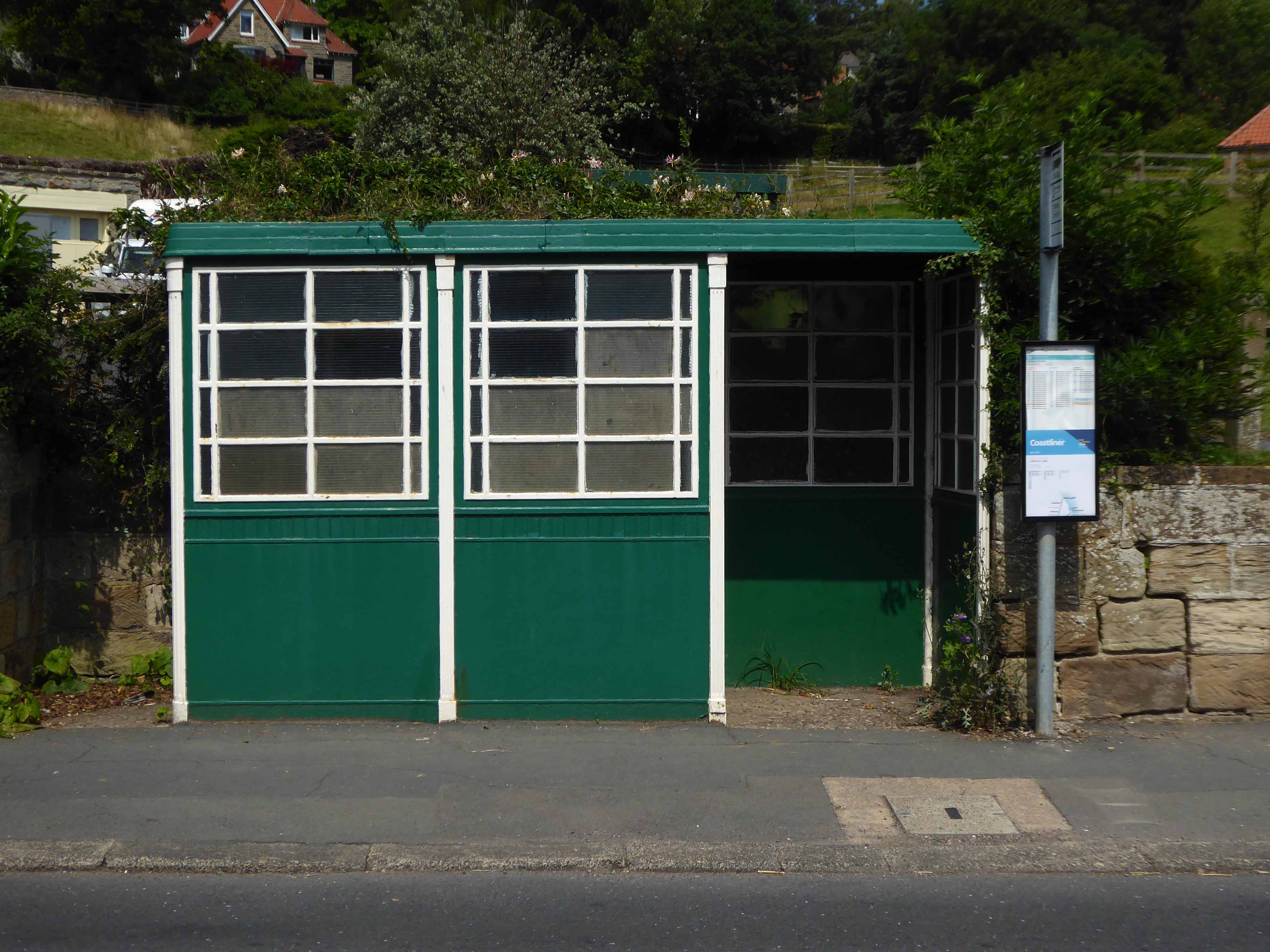
I found myself in Ruswarp, home to this enchanting bus shelter.
I bombed along the main road to Sleights.
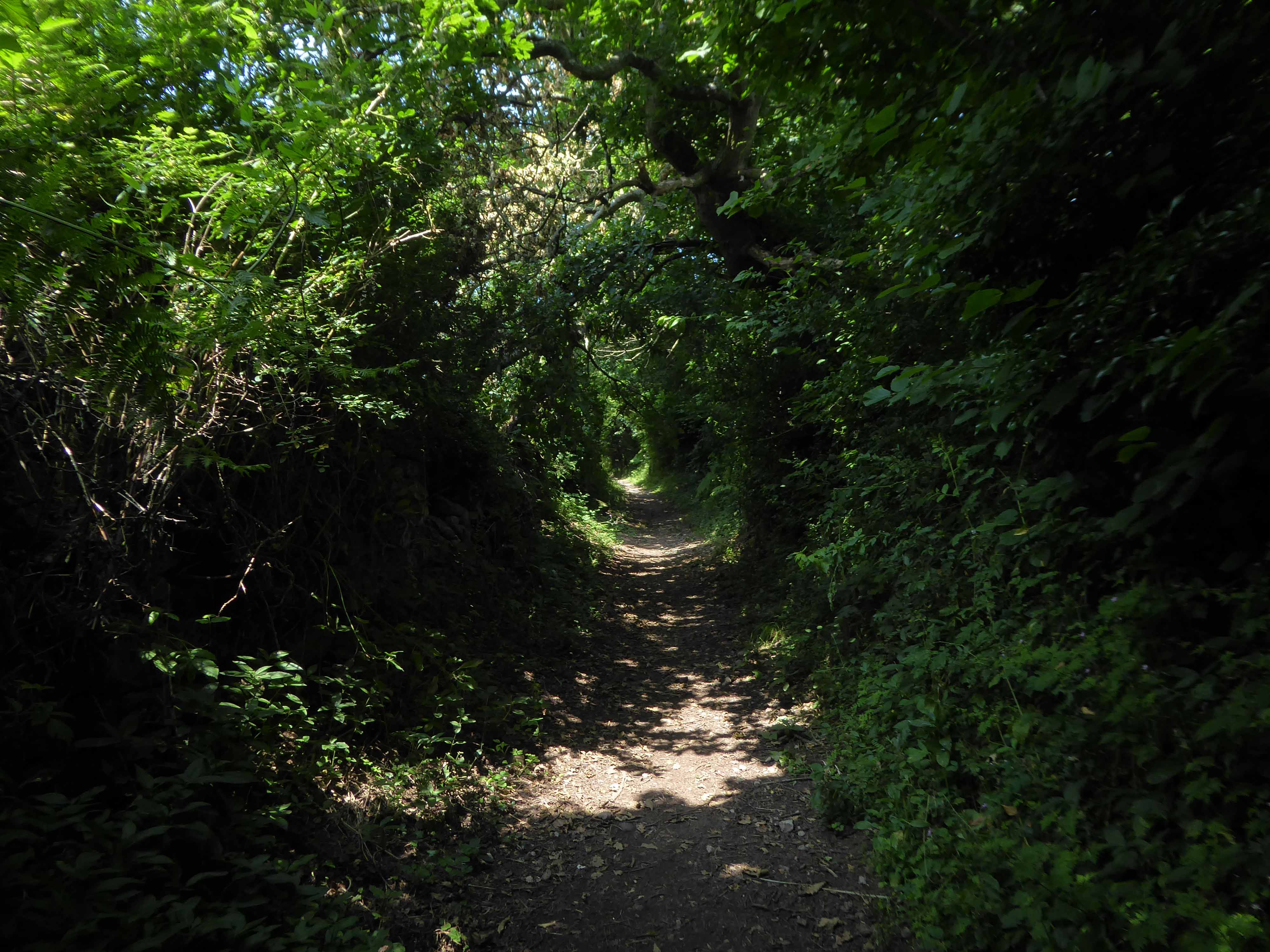
There then followed a hesitant ascent, descent, ascent along a badly signed bridleway, fearing that I had climbed the hill in error I retraced, then retraced.
A difficult push ensued, a precipitous path, rough and untended, rising ever higher and higher.
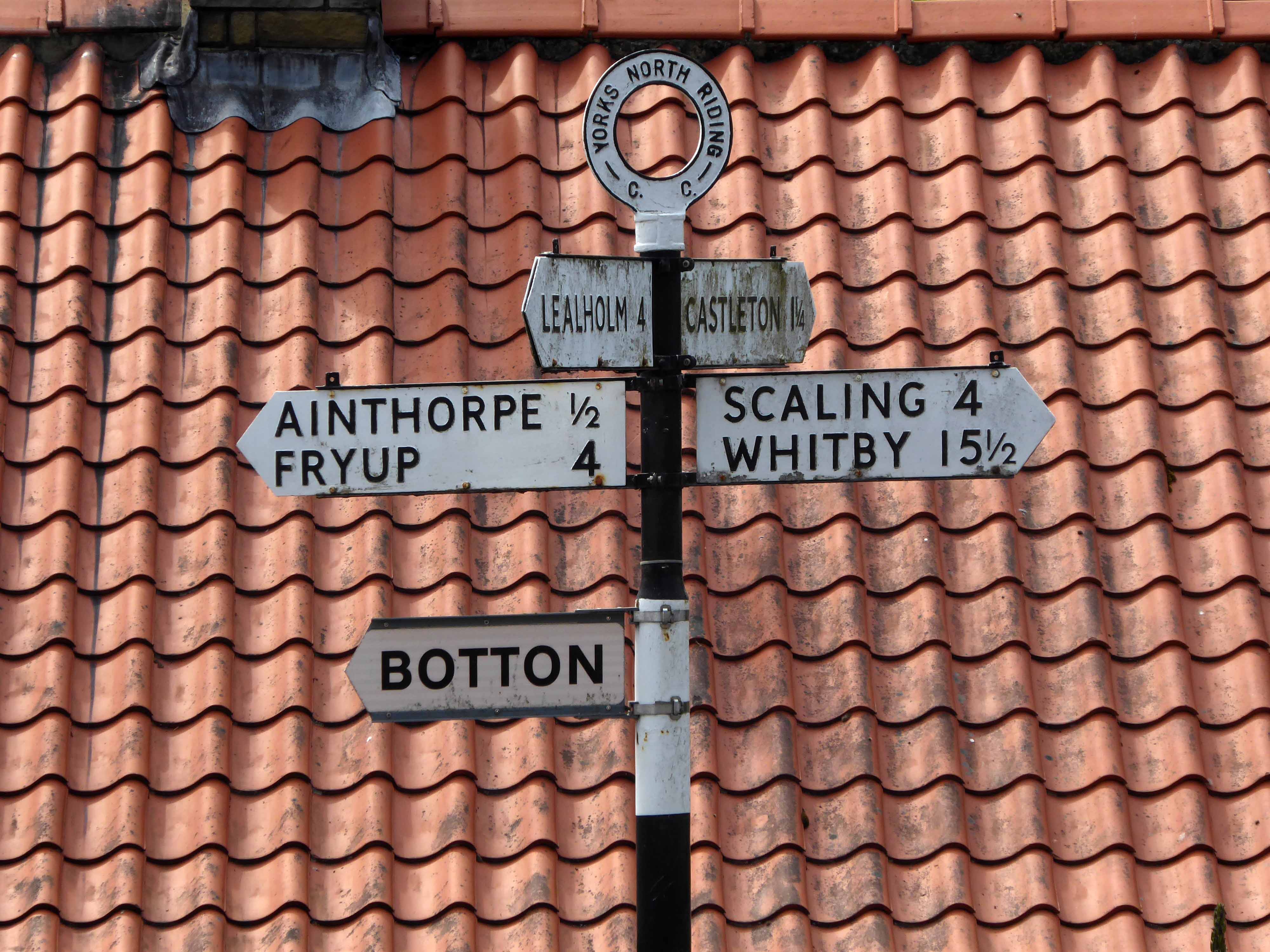
Finally arriving at Aislaby, more than somewhat exhausted – the village is mentioned in the Domesday Book as Asuluesbi.
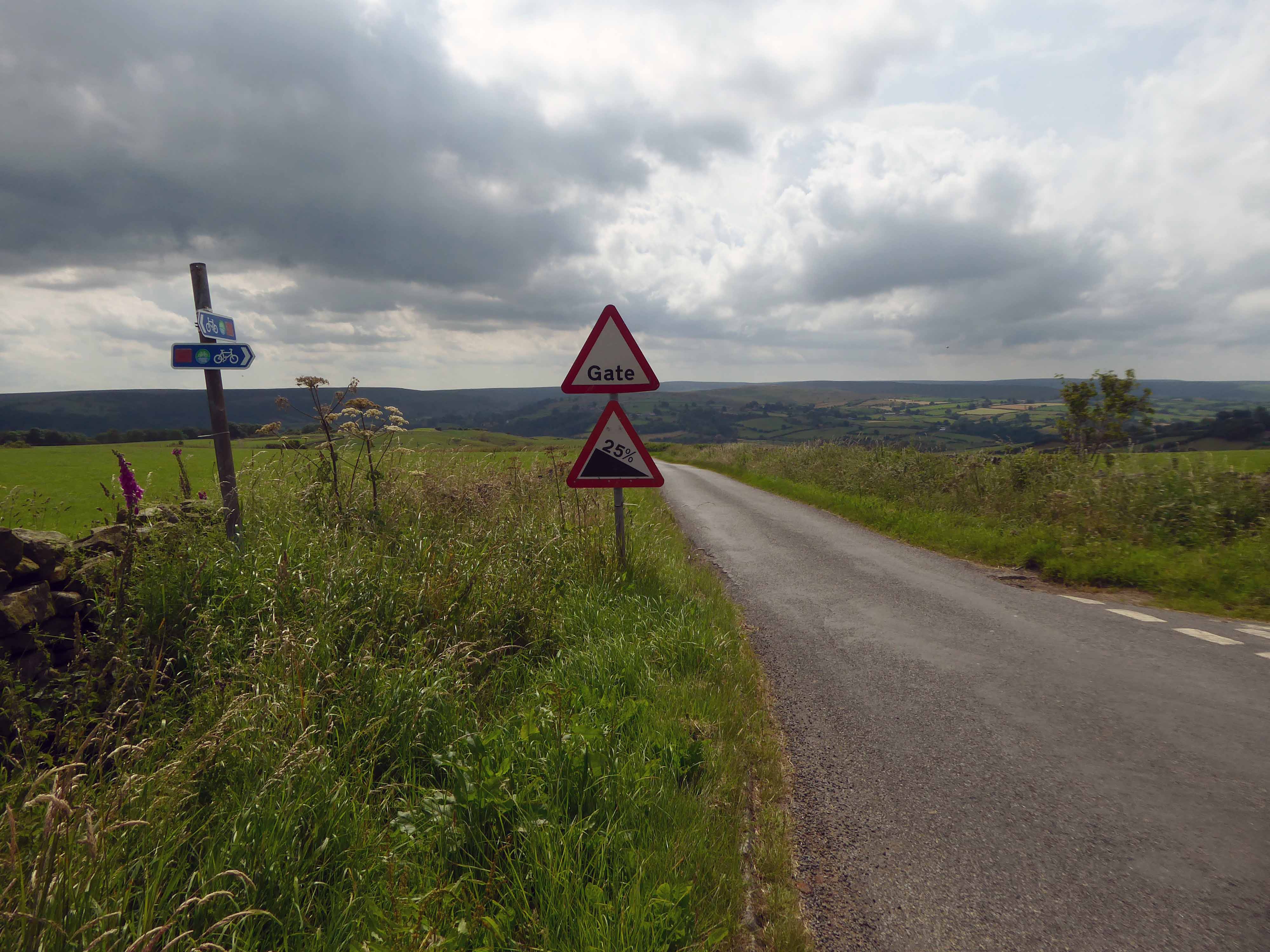
Pausing to catch my breath I took the wildly undulating road to Egton – along the way I was alerted to the presence of a tea stop by two touring cyclists from Nottingham.
The curious name Fryup probably derives from the Old English reconstruction Frige-hop: Frige was an Anglo-Saxon goddess equated with the Old Norse Frigg; hop denoted a small valley.
An old woman at Fryup was well known locally for keeping the Mark’s e’en watch – 24 April, as she lived alongside a corpse road known as Old Hell Road.
The practice involved a village seer holding vigil between 11pm and 1am to watch for the wraiths of those who would die in the following 12 months.
Castleton Moor ghost.
In the village I was given further directions by two elderly gents, who had been engaged in a discussion concerning their long term mapping of acid rain levels in the area.
One was wearing a Marshall Jefferson t-shirt.
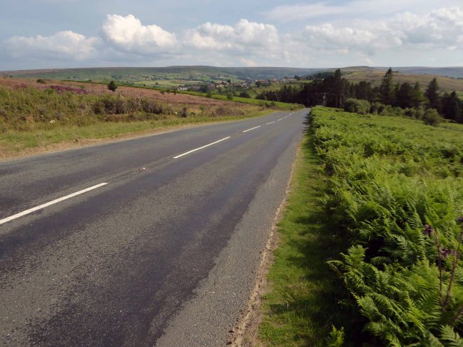
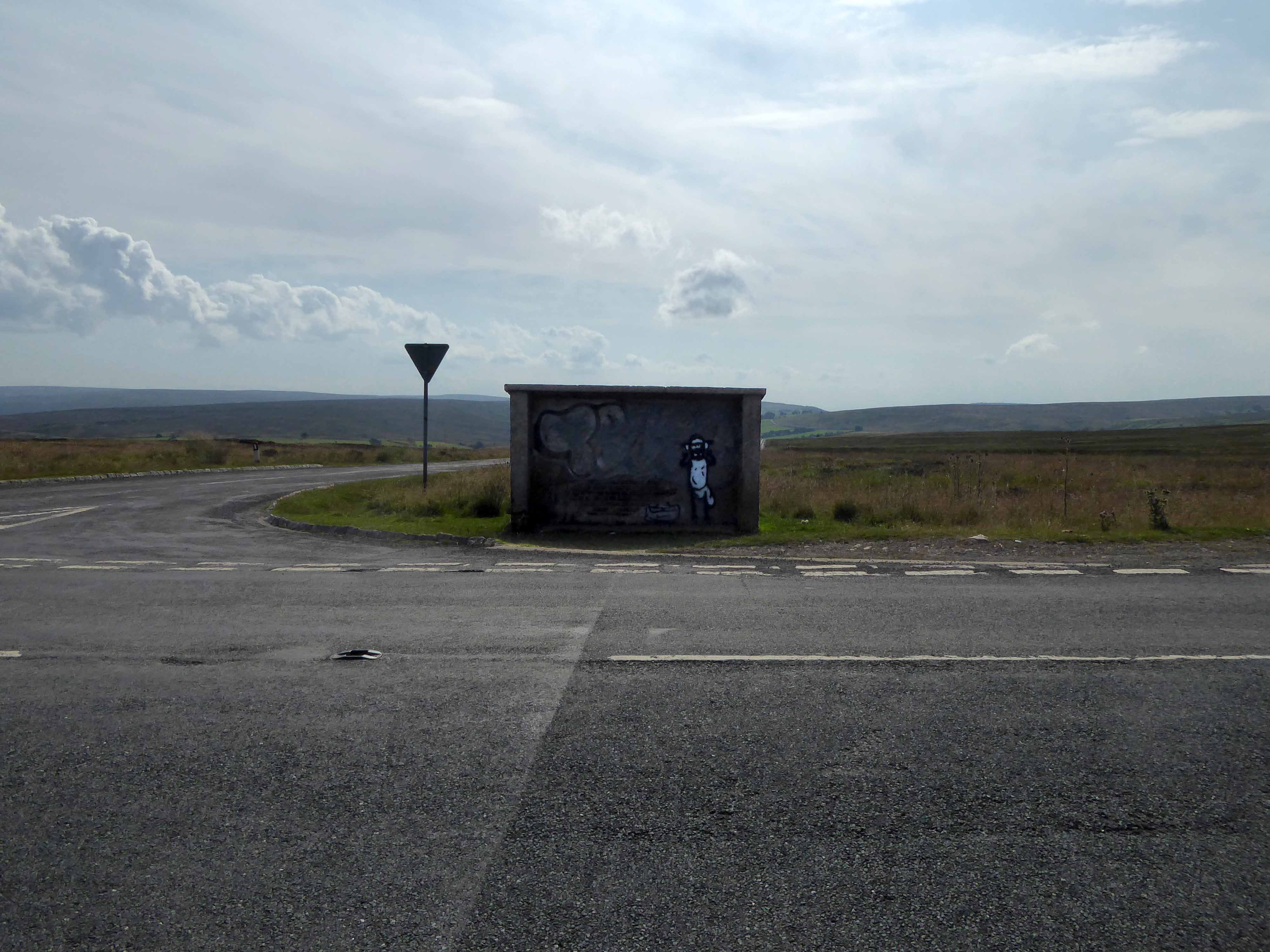
I climbed Langburn Bank onto the flatish open moorland.
Taking a brief break to snap this concrete shelter.
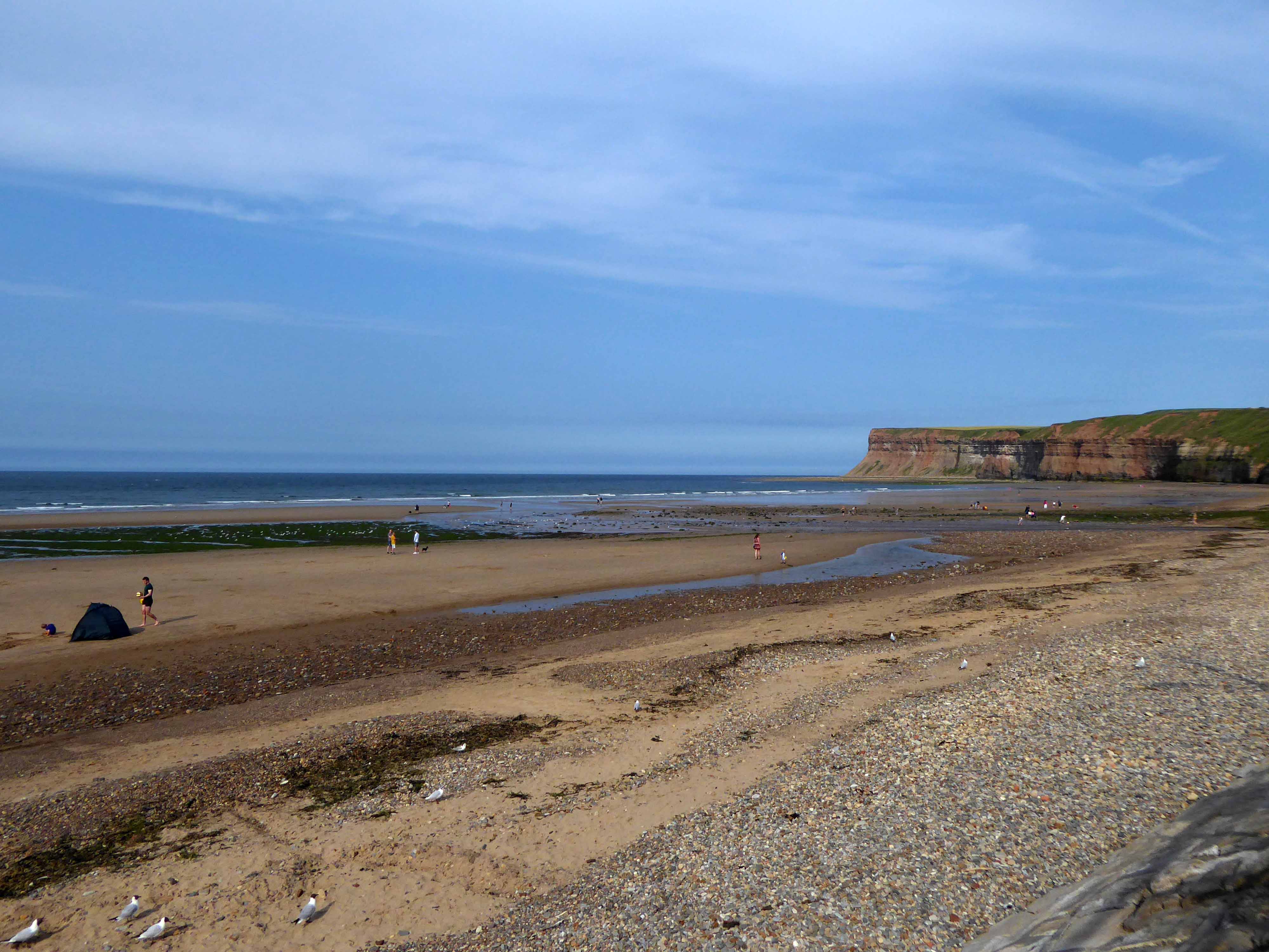
There then followed a hair stirring series of hairpin descents to the coast at Saltburn.
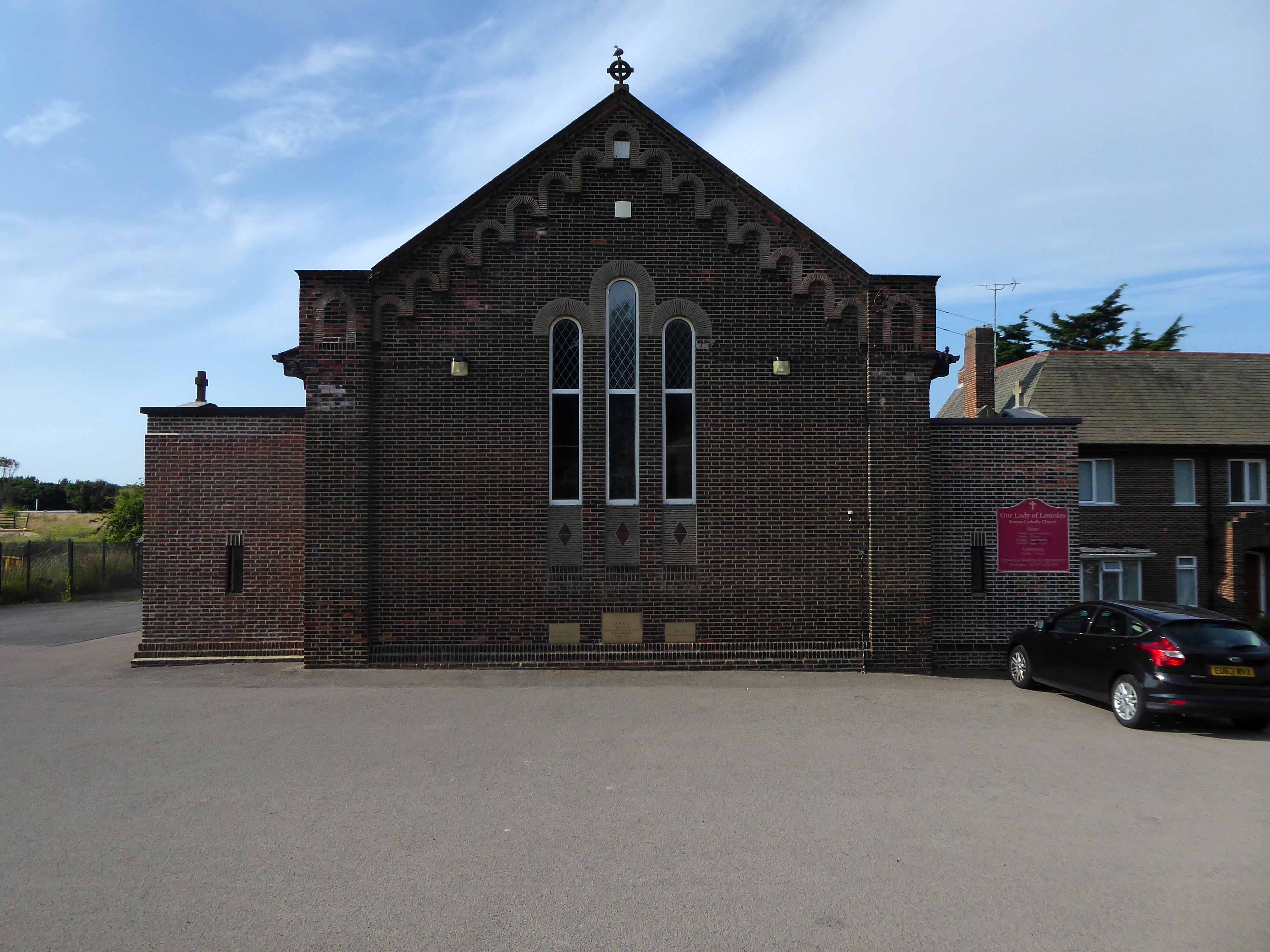
Built in 1928, this church was designed with some care and is an attractive, if fairly modest, Lombard Romanesque-style essay in brick. The use of a semi-circular apse, narrow brickwork and use of tile for decorative effect give it a pleasing appearance, typical of restrained but elegant work between the wars.
I arrived and took a look around, first time in town, here’s what I found.
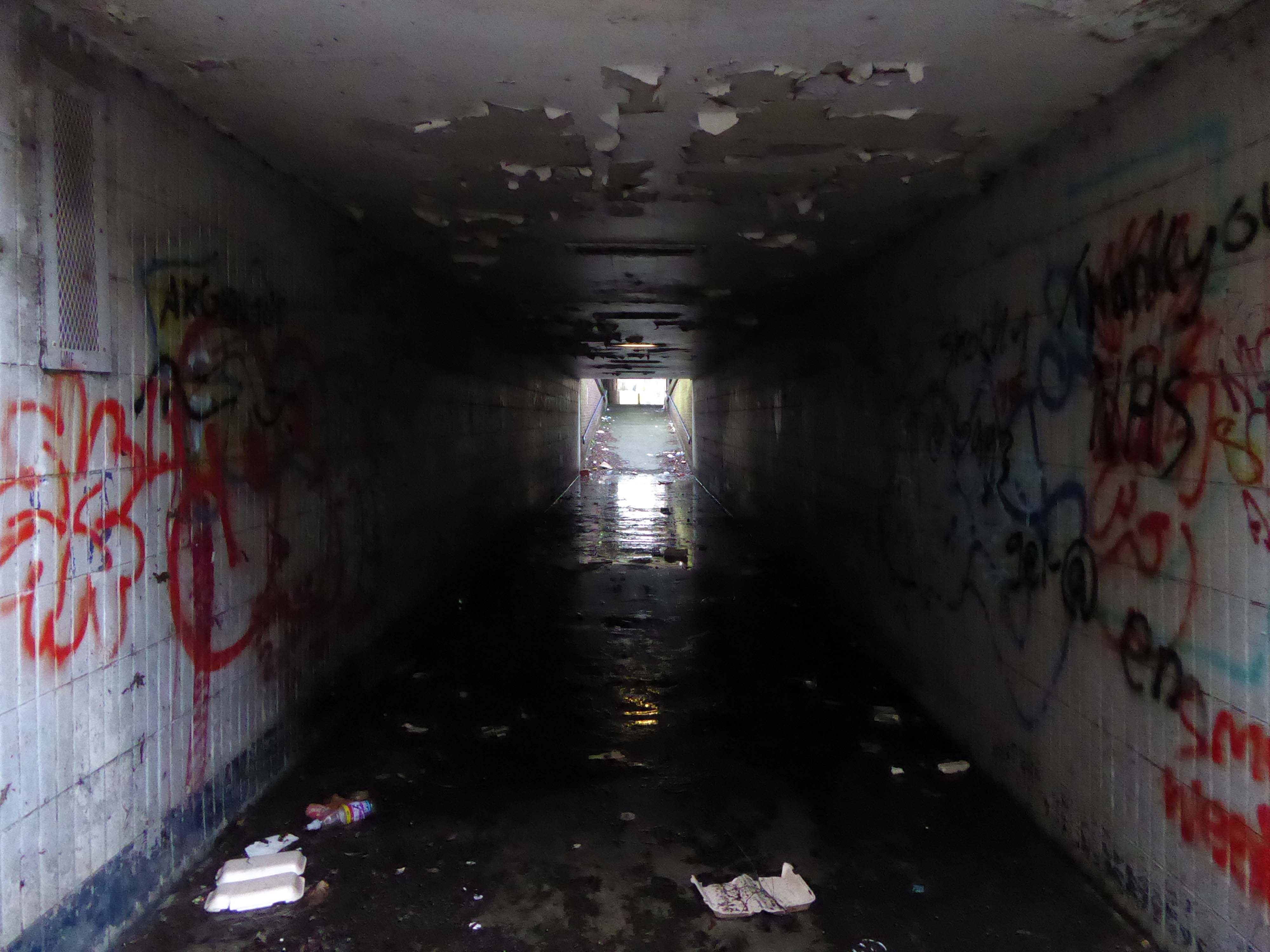
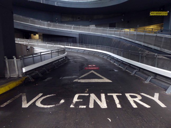
It’s addictive passing the no access signs, onwards into the abyss.
He hated all this, and somehow he couldn’t get away.
Joseph Conrad – Heart of Darkness
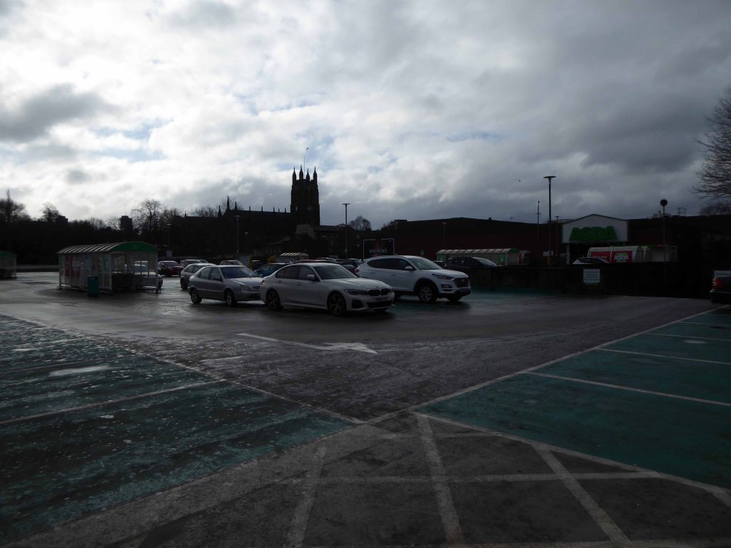
Asda Stores Ltd is a British supermarket chain. It is headquartered in Leeds. The company was founded in 1949 when the Asquith family merged their retail business with the Associated Dairies company of Yorkshire.
It was listed on the London Stock Exchange until 1999 when it was acquired by Walmart for £6.7 billion.
In February 2021, EG Group – led by the Issa brothers and TDR Capital, acquired Asda.
The company was fined £850,000 in 2006 for offering 340 staff at a Dartford depot a pay rise in return for giving up a union collective bargaining agreement. Poor relations continued as Asda management attempted to introduce new rights and working practices shortly thereafter at another centre in Washington, Tyne and Wear.
Let’s hope that the new owners having been ruled against in an equal pay dispute, attempt to forge better labour relations.
In March 2021 the employees won a Supreme Court ruling upholding an earlier court ruling permitting the action, and enabling employment tribunal action to decide equal value claims.
Asda stated: This ruling relates to one stage of a complex case that is likely to take several years to reach a conclusion.
The claim could lead to about £500 million of compensation to lower paid employees.
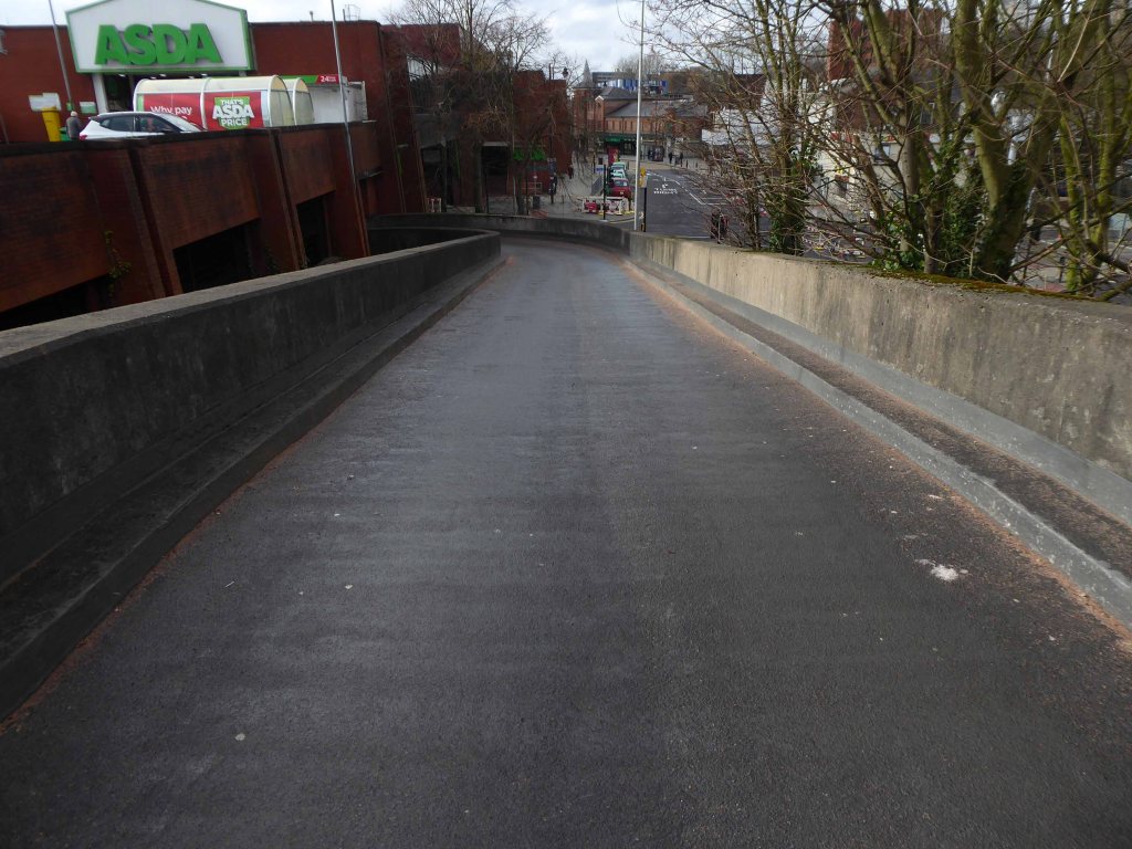
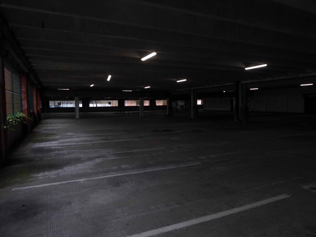
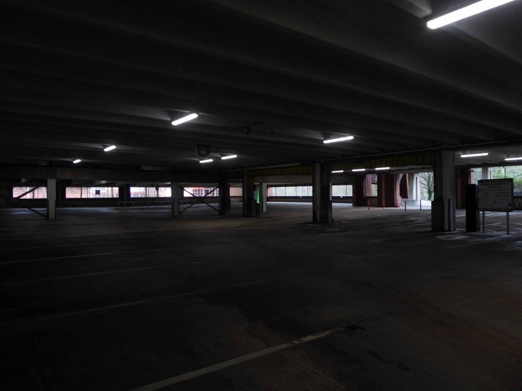
All that aside, let’s have a look at what the car park is like.
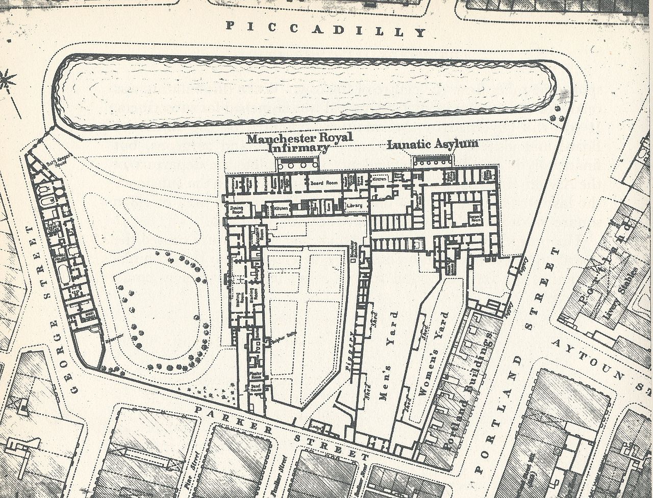
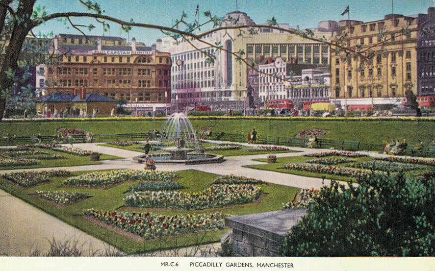
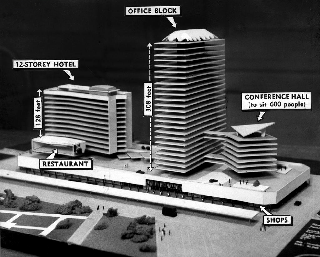
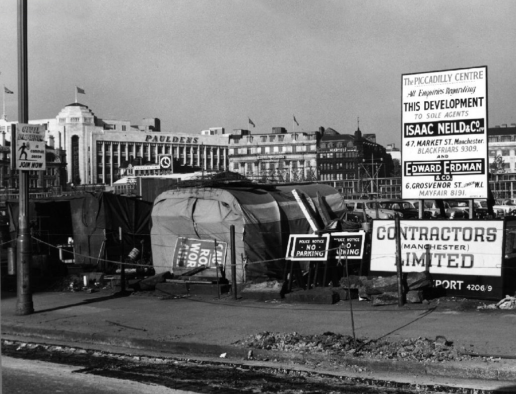
Well not a great deal, it’s 1772 and the Gardens and Plaza, are as yet undreamt of – the area was occupied by water-filled clay pits called the Daub Holes, eventually the pits were replaced by a fine ornamental pond.
In 1755 the Infirmary was built here; on what was then called Lever’s Row, in 1763 the Manchester Royal Lunatic Asylum was added.
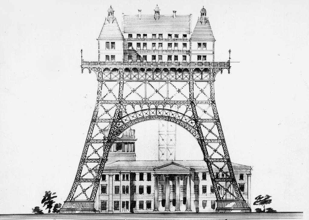
There were grander unrealised plans.
Including an aerial asylum.
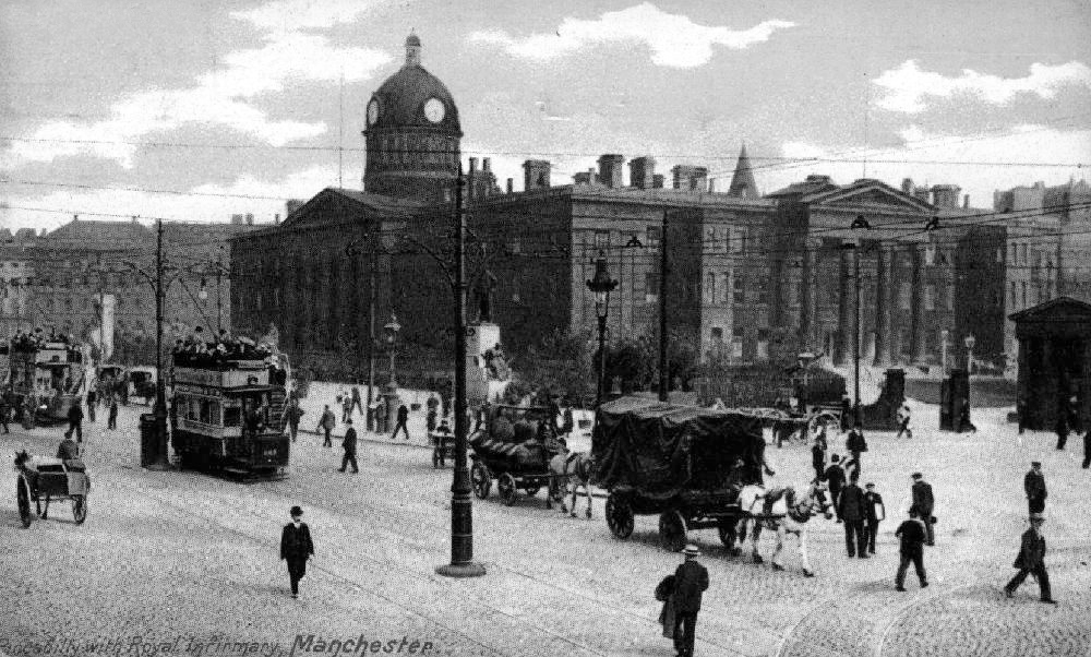
The Manchester Royal Infirmary moved to its current site on Oxford Road in 1908. The hospital buildings were completely demolished by April 1910 apart from the outpatient department, which continued to deal with minor injuries and dispense medication until the 1930s.
After several years in which the Manchester Corporation tried to decide how to develop the site, it was left and made into the largest open green space in the city centre. The Manchester Public Free Library Reference Department was housed on the site for a number of years before the move to Manchester Central Library.
The sunken garden was a remnant of the hospital’s basement.
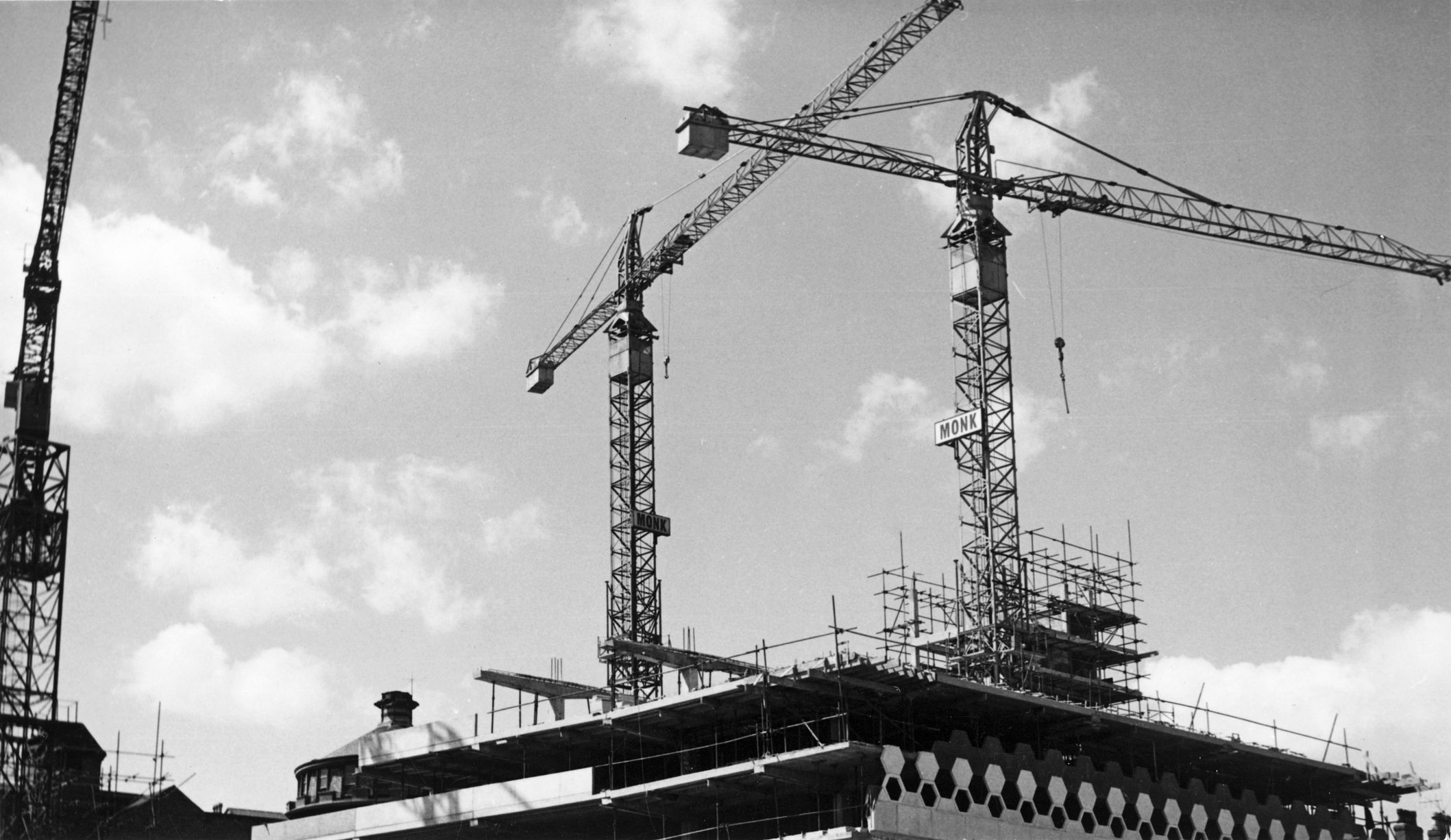
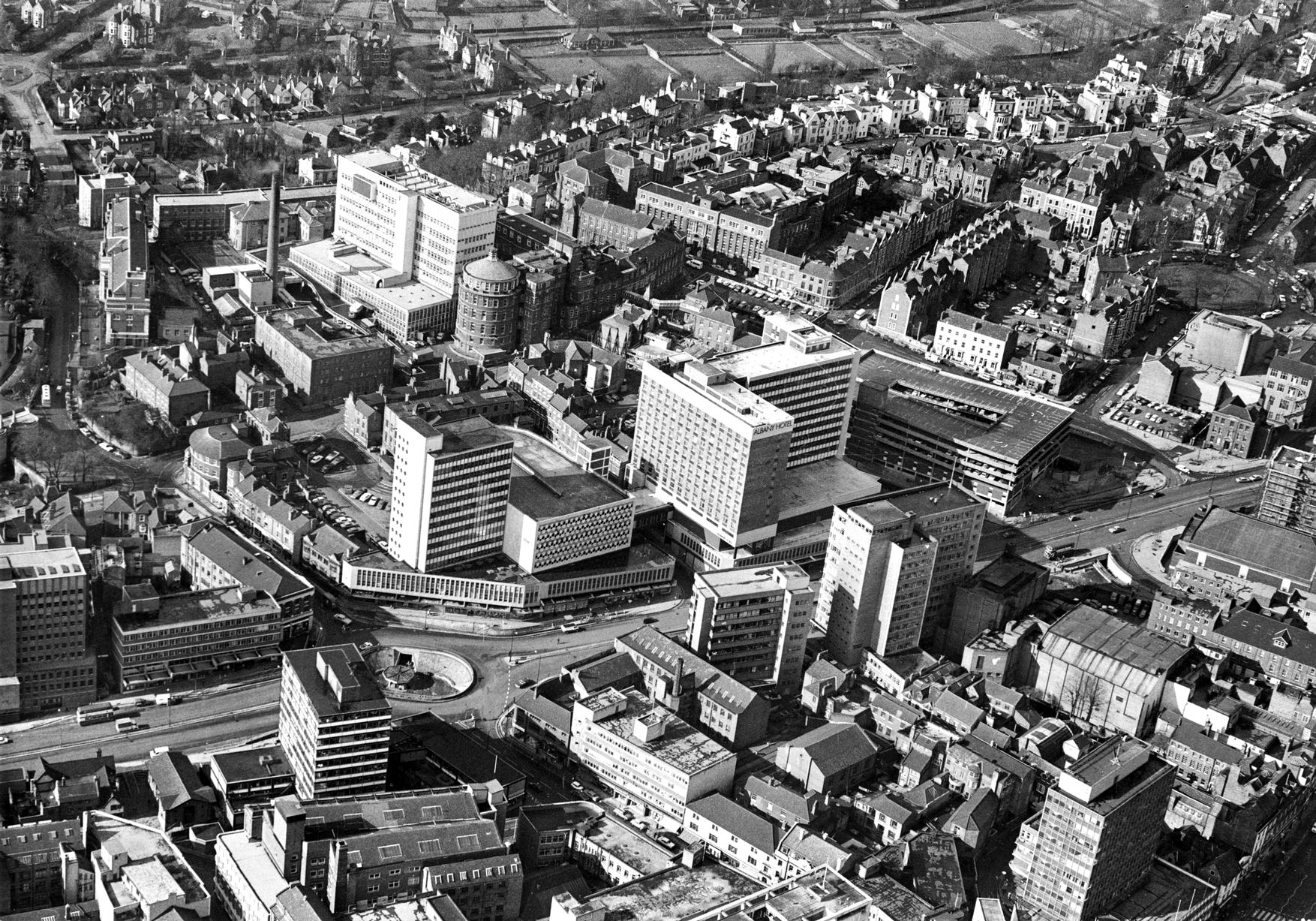
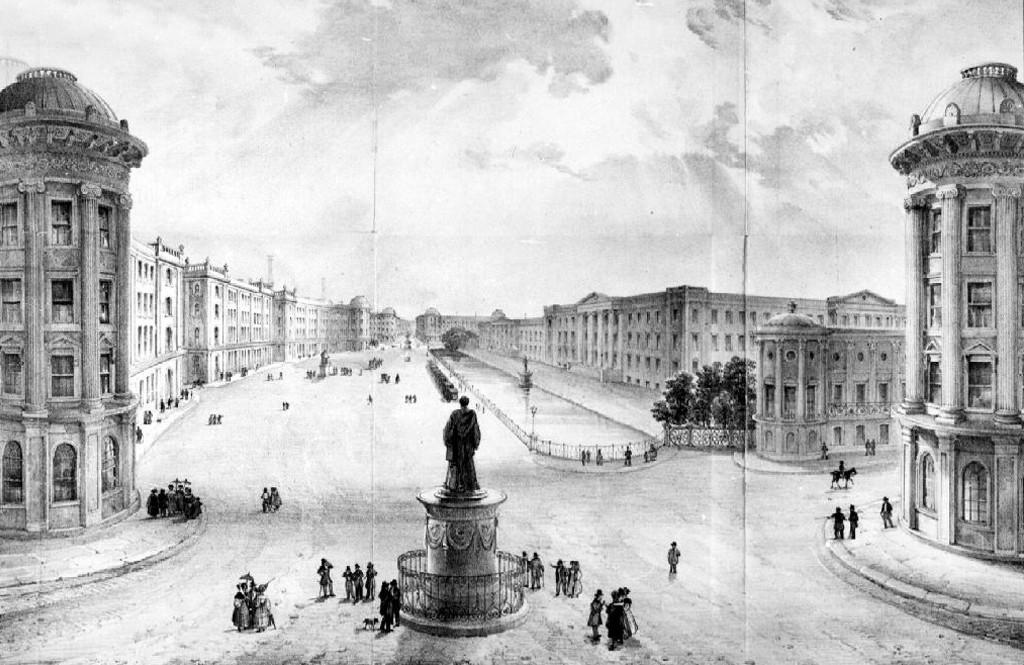
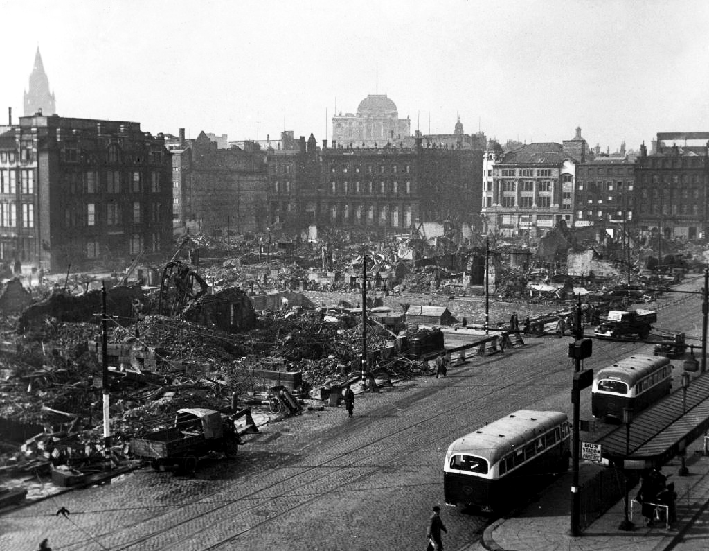
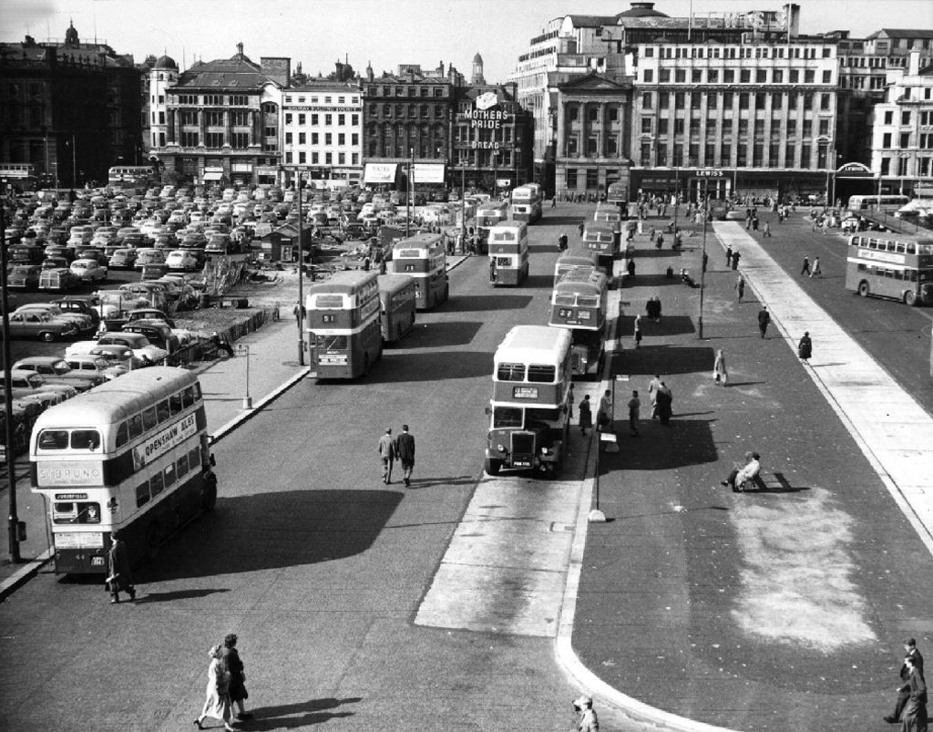
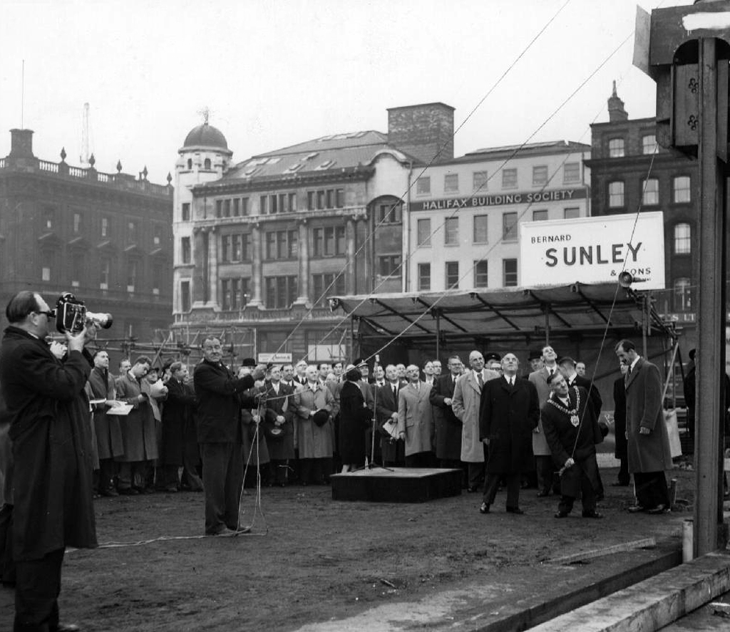
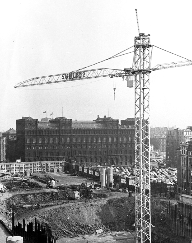
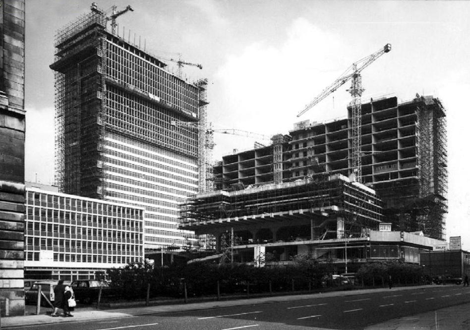
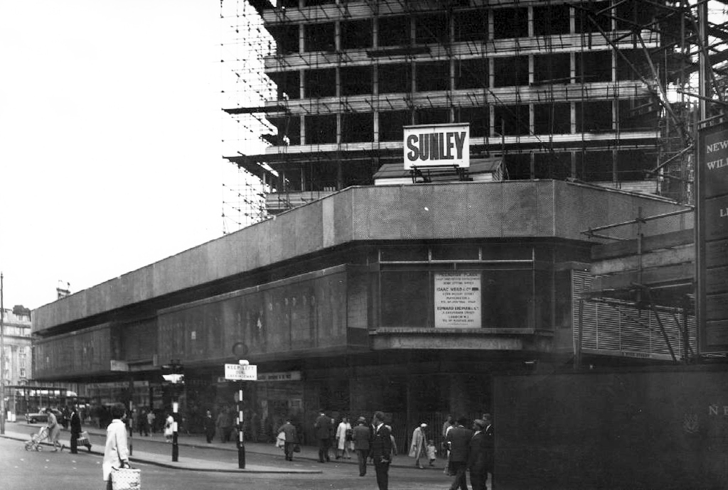
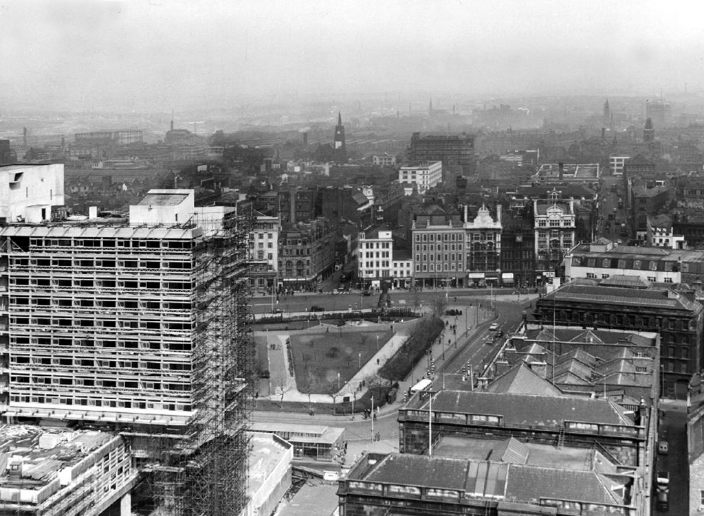
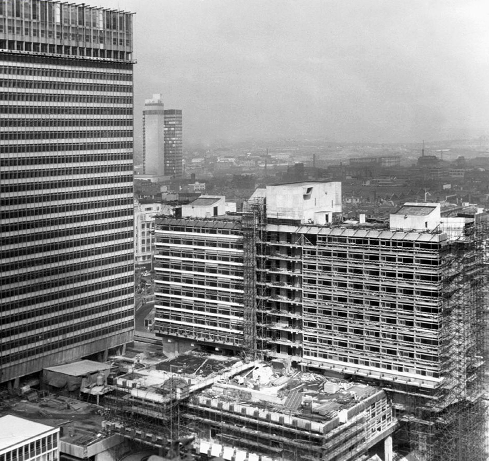
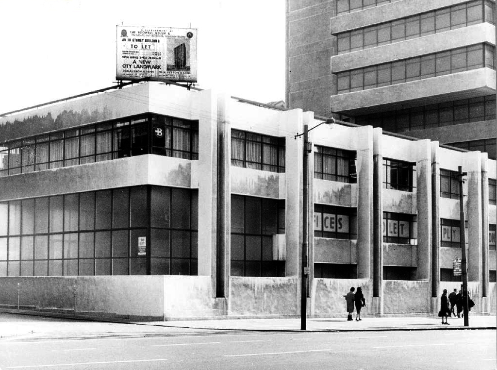
Towering cranes tower over the town, deep holes are dug with both skill and alacrity.
A Plaza begins to take shape, take a look.
Nearly done.
All we need now are tenants.
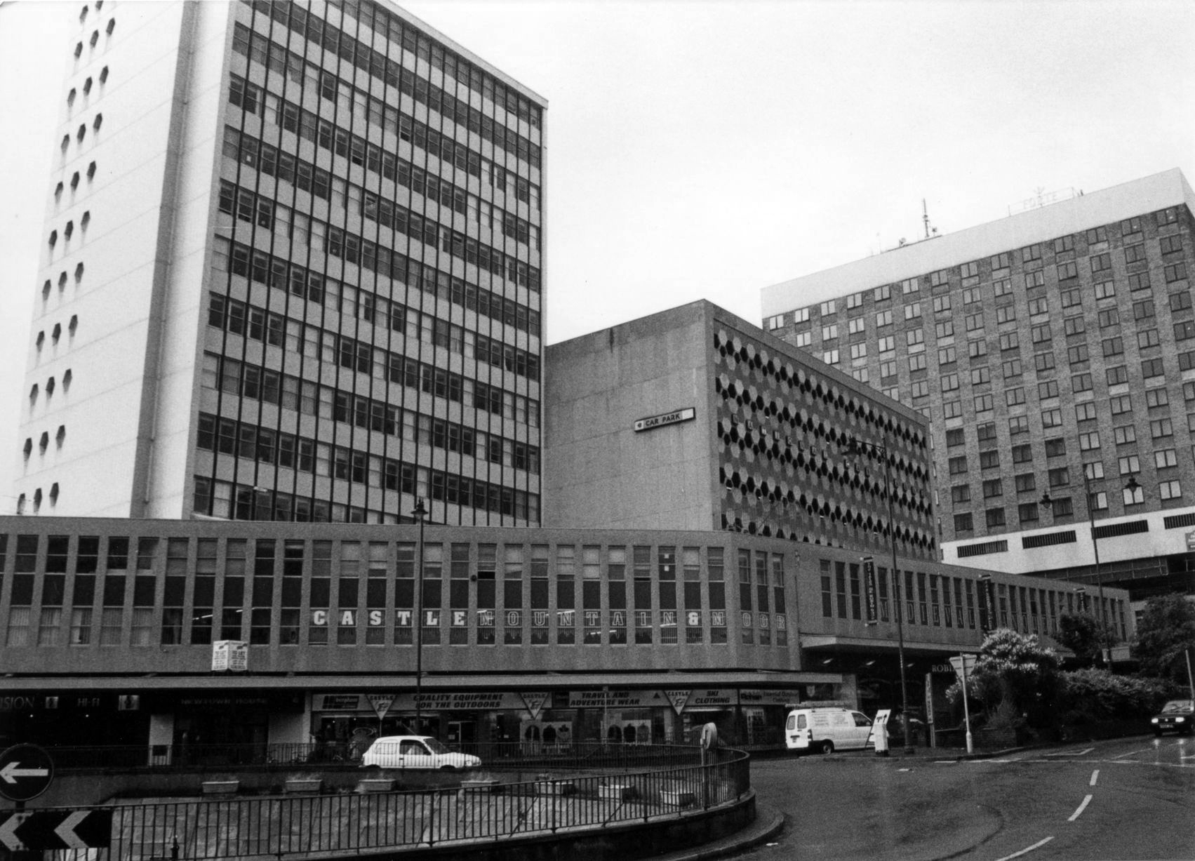
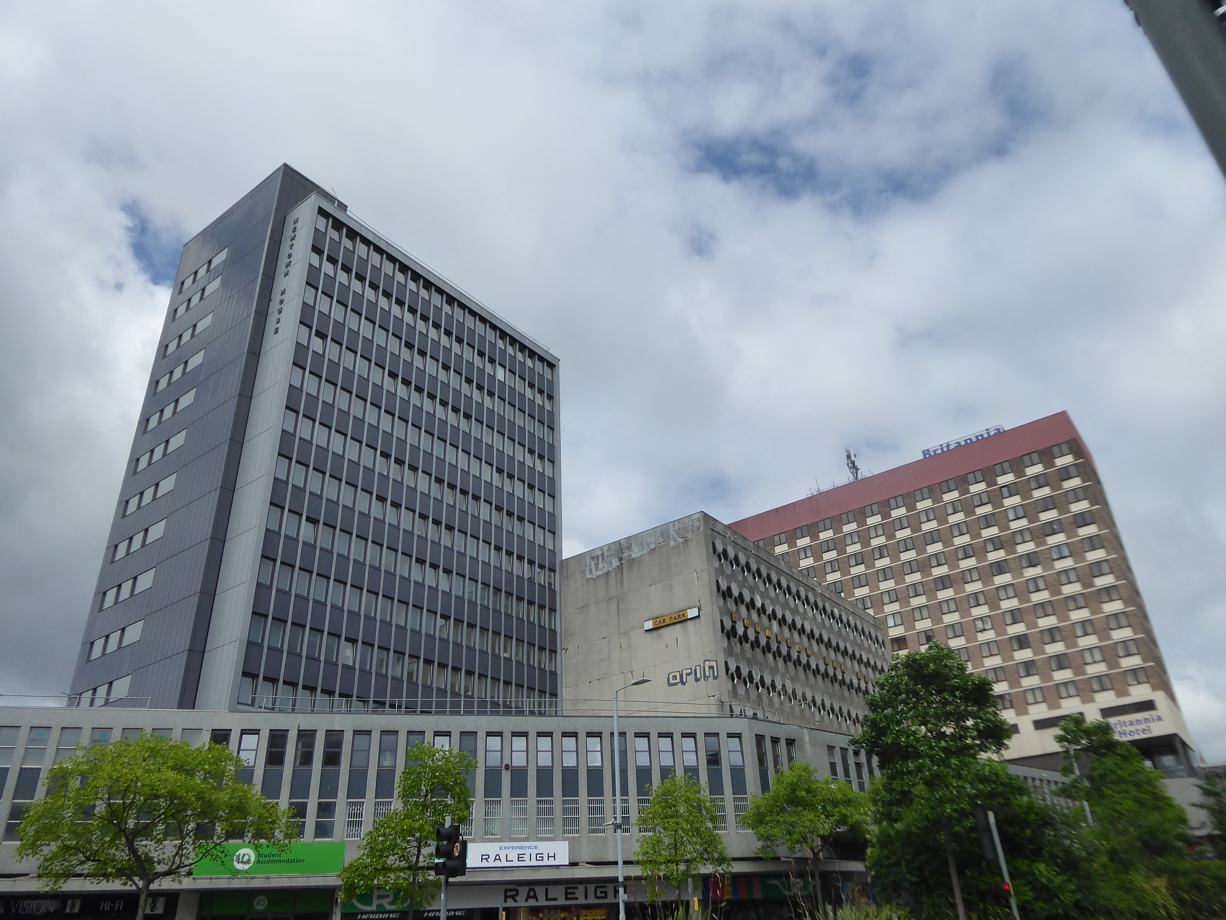
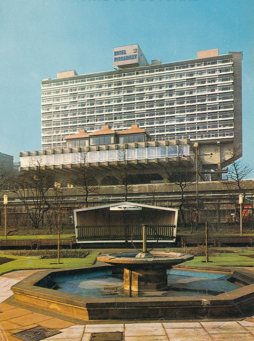
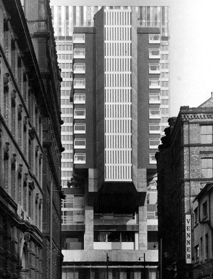
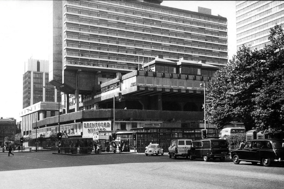
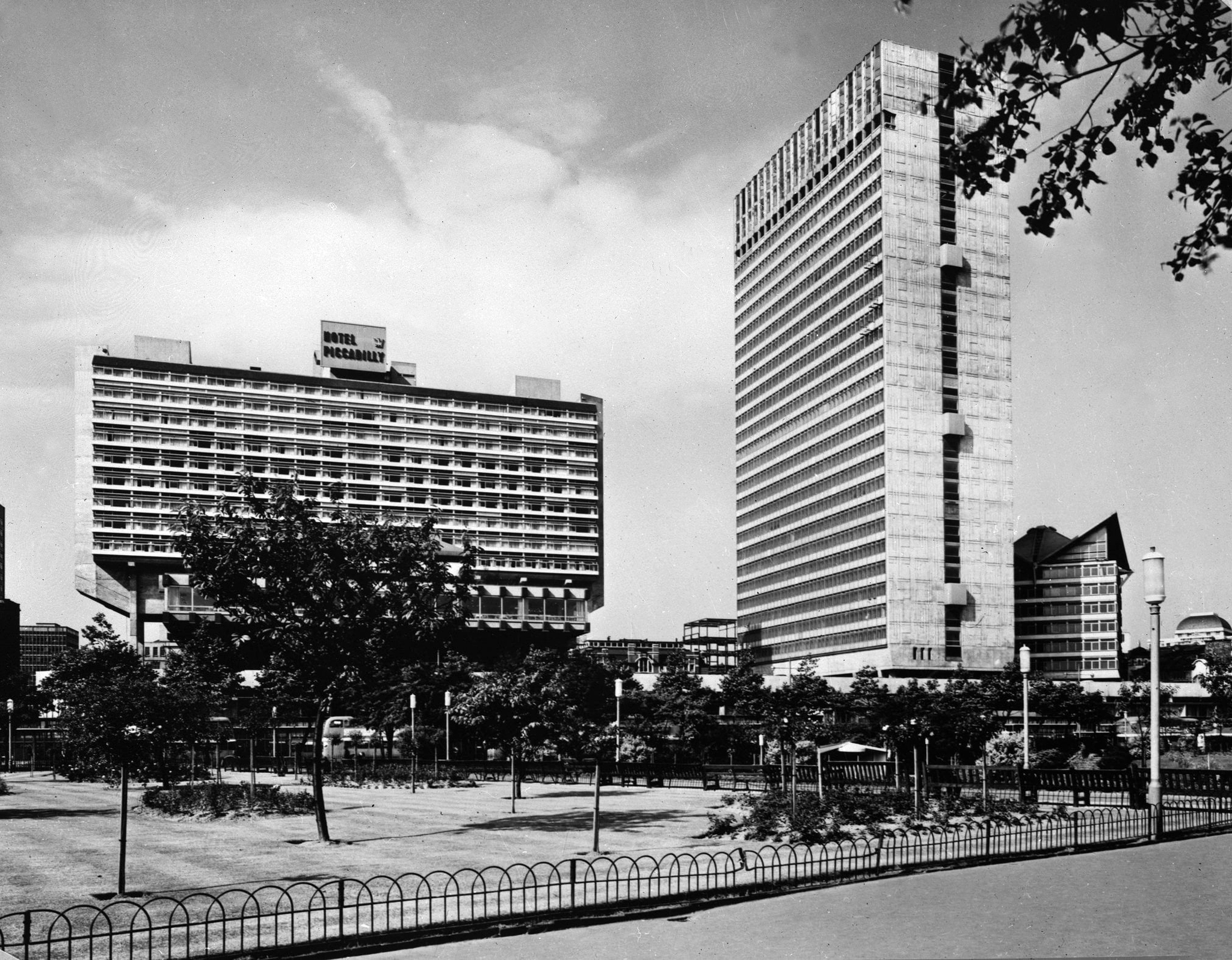
Piccadilly Plaza now contains the renovated Mercure Hotel it was formerly known as the Ramada Manchester Piccadilly and Jarvis Piccadilly Hotel; the refurbishment was completed in 2008.
The retail units famously contained Brentford Nylons.
The company was eventually sold at a knock-down price and the new owner did not think the name worth having.
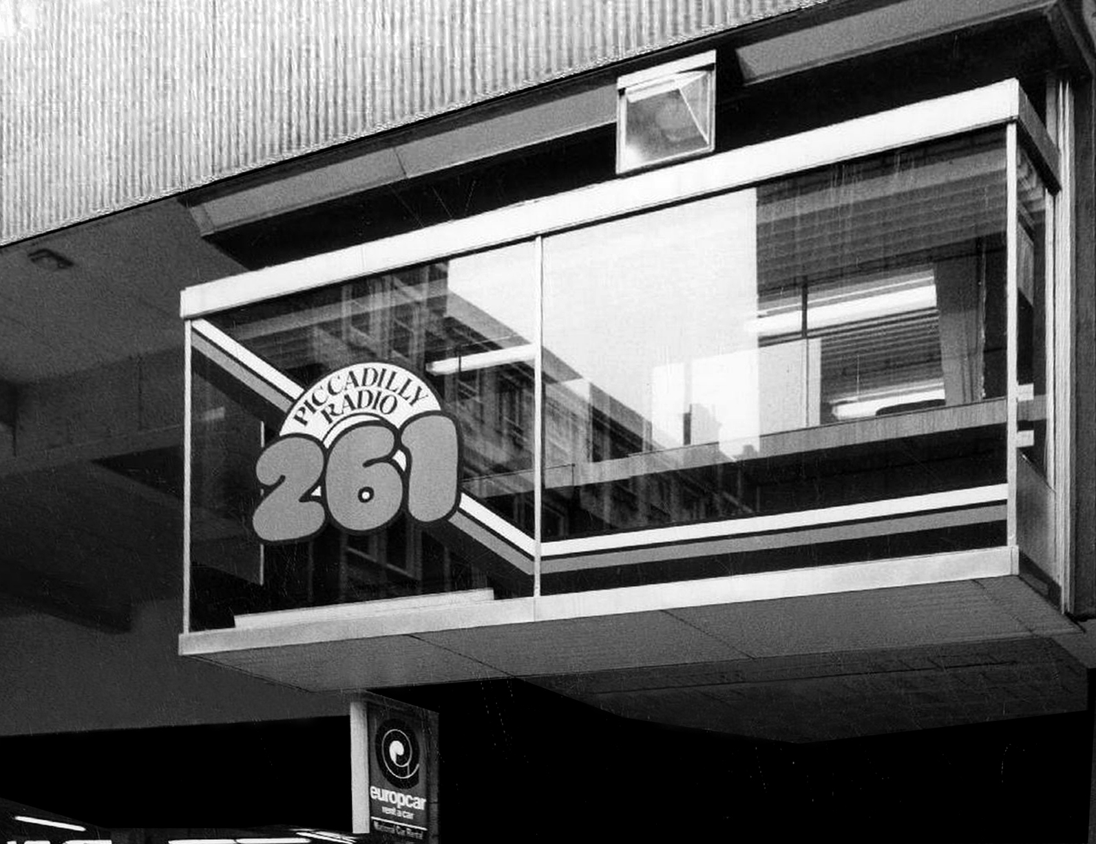
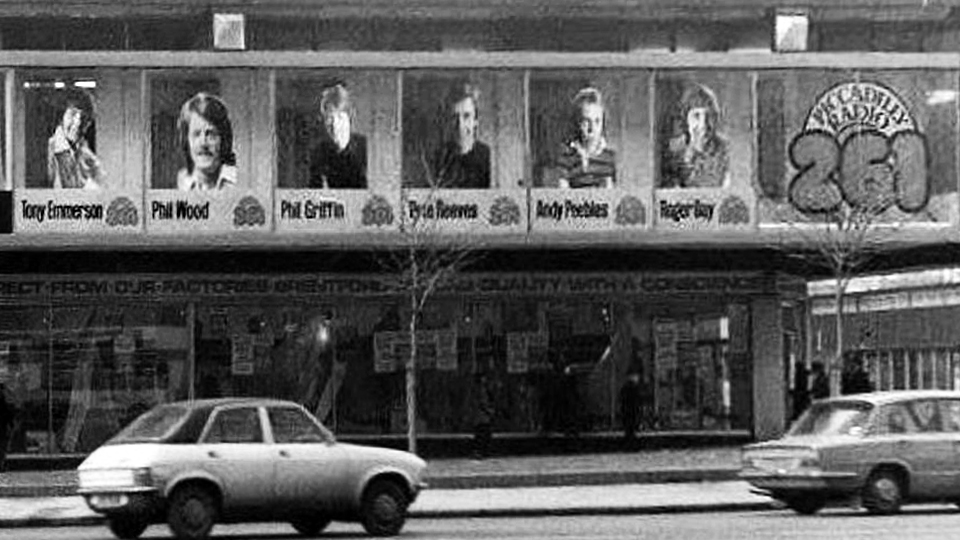
The noisy upstairs neighbours were Piccadilly Radio.
The first broadcast was at 5am on April 2nd 1974, it was undertaken by Roger Day, with his first words to the Manchester audience: “It gives me great pleasure for the very first time to say a good Tuesday morning to you… Hit music for the North West…we are Piccadilly Radio” before spinning Good Vibrations.
It was the first commercial radio station to broadcast in the city, and went on to launch the careers of a host of star DJs, the likes of Gary Davies, Chris Evans, Andy Peebles, Timmy Mallett, Mike Sweeney, Pete Mitchell, James Stannage, Steve Penk and James H Reeve.
Waiting for a mate who worked at Piccadilly Radio we ventured down the stairs next door to get a drink and because of our clothes/leather jackets we were chucked back up the steps. We should of stood our ground like one of my mates who was told he could stay if he turned his jacket inside out, thinking he wouldnt do it, but he did and had a drink with his red quilted lining on the outside.
“Food served at the table within ten minutes of ordering and with atomic age efficiency. No cutlery needed or given. Drinks served in a bottle with a straw. Condiments in pre-packaged single serving packets.”
In addition to familiar Wimpy burgers and milkshakes, the British franchise had served ham or sardine rolls called torpedoes and a cold frankfurter with pickled cucumber sandwiches called Freddies.
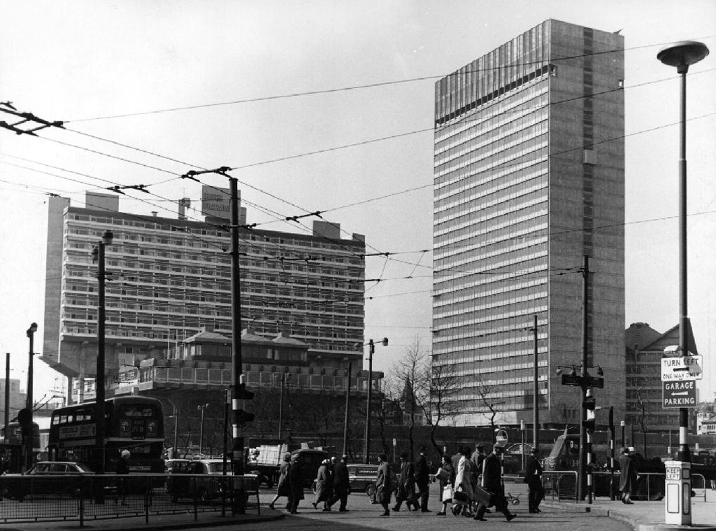
Even on the greyest days the Plaza was a beacon of Modernity.
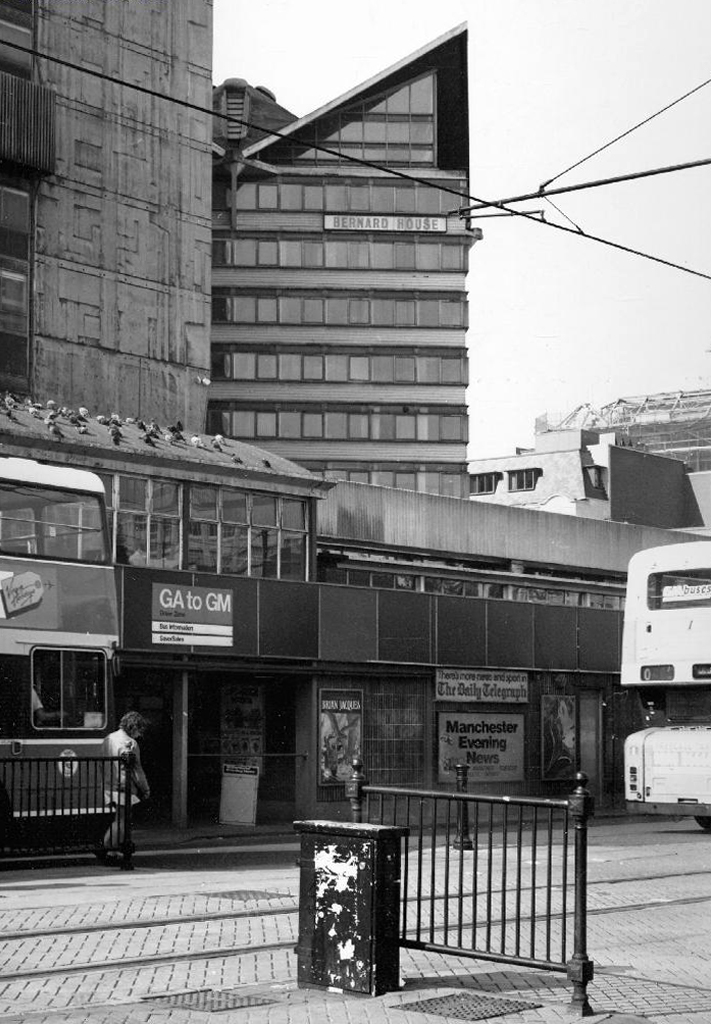
Though sadly we eventually lost Bernard House.
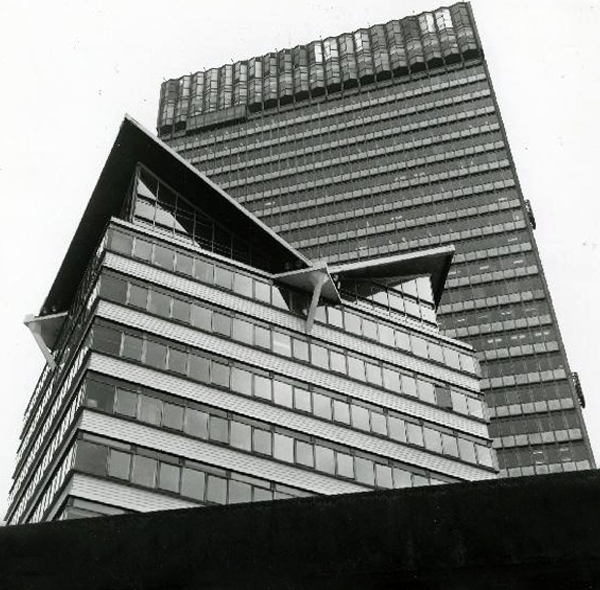
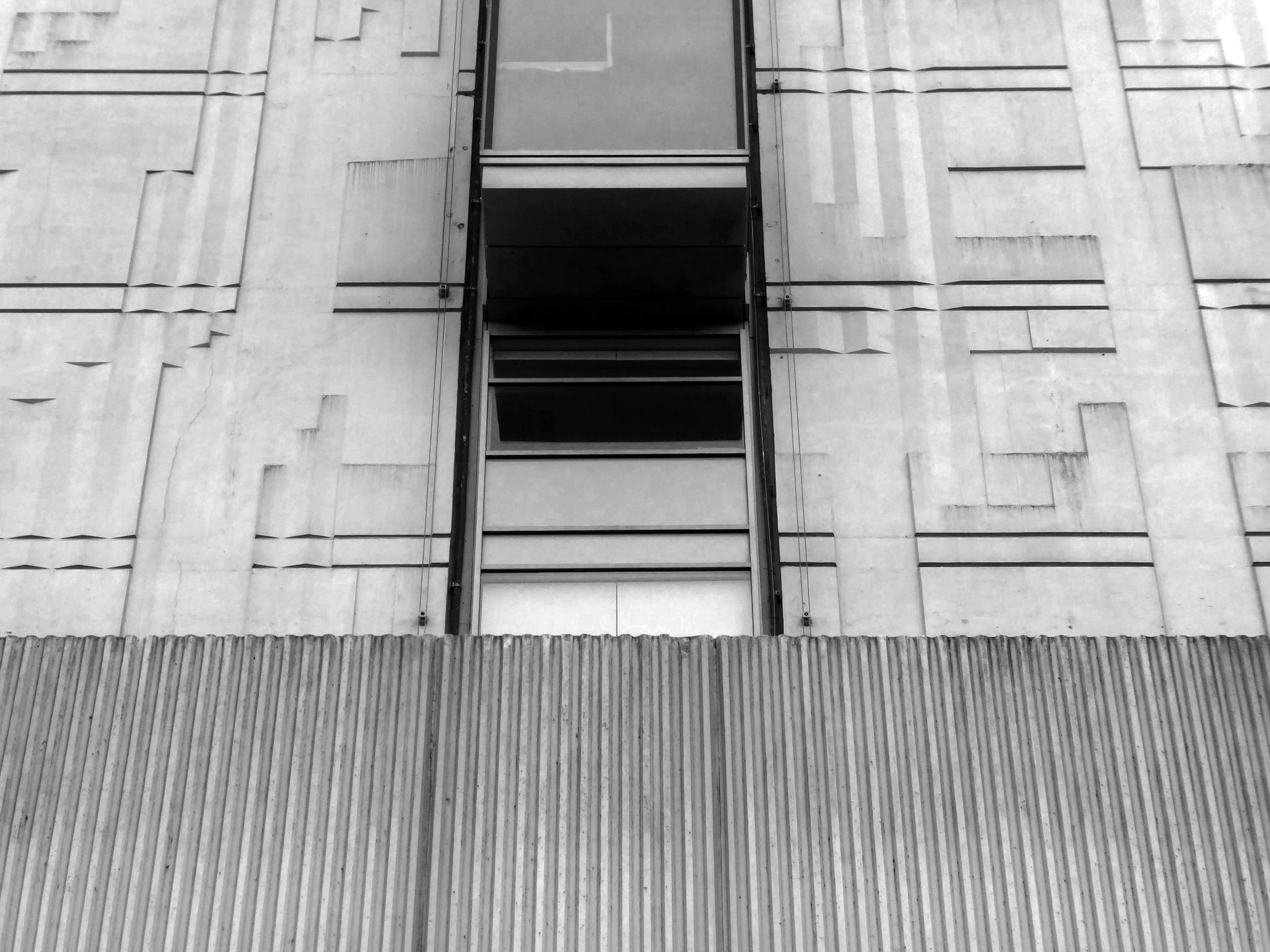
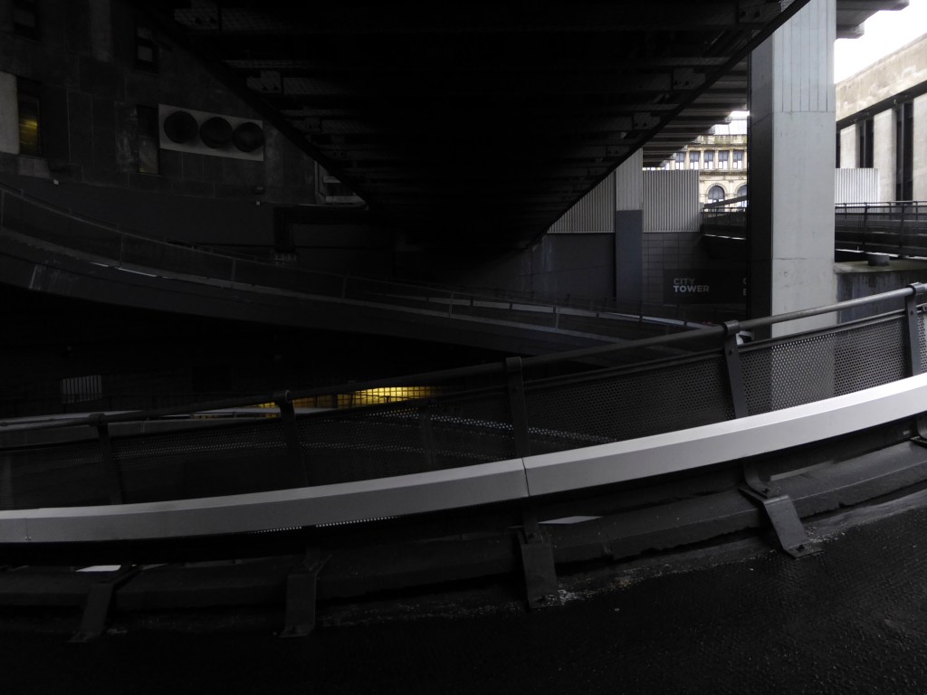
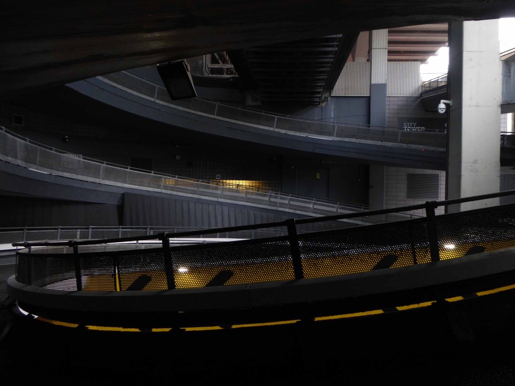
However, City Tower still prevails as a mixed use office block, adorned east and west with big bold William Mitchell panels.
Which were to be illuminated by ever changing images, produced by photo electric cells – sadly unrealised.
So goodbye Piccadilly – farewell Leicester Square? – it’s a long, long way to the future, and we’re barely half way there.
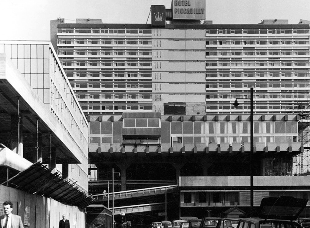
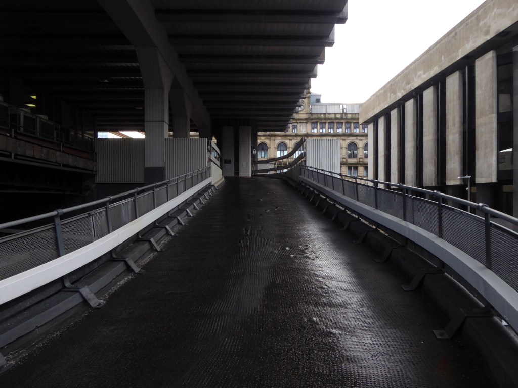
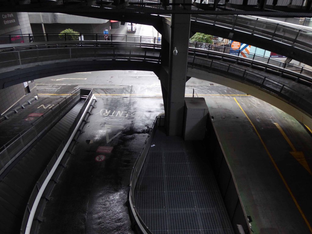
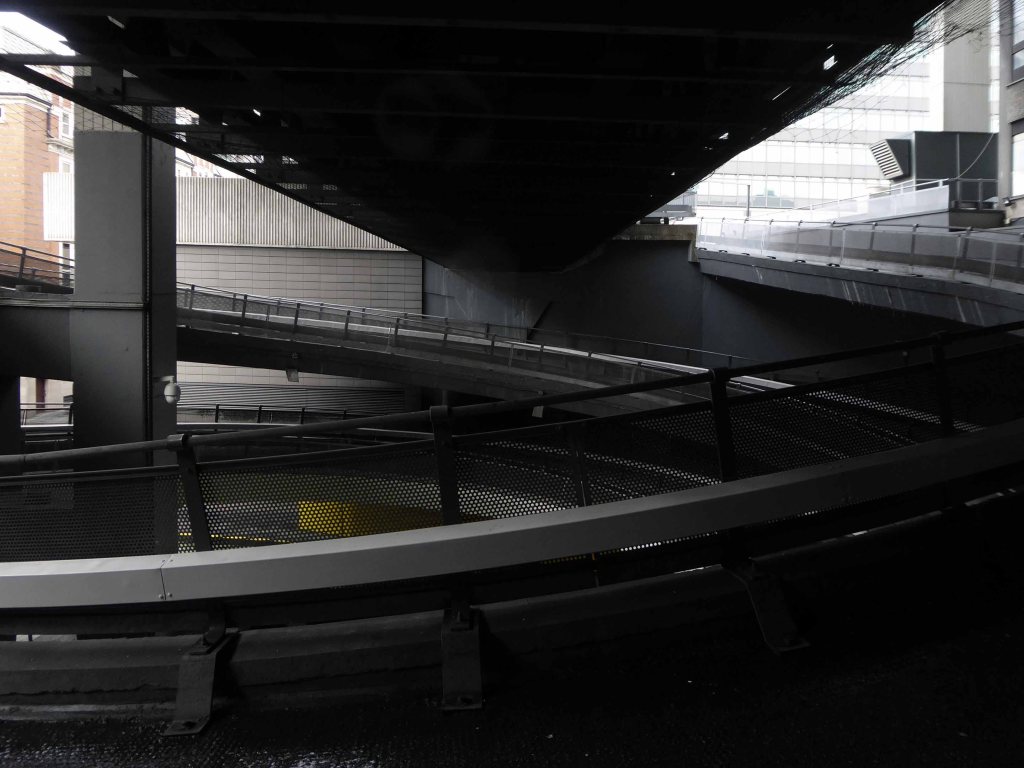
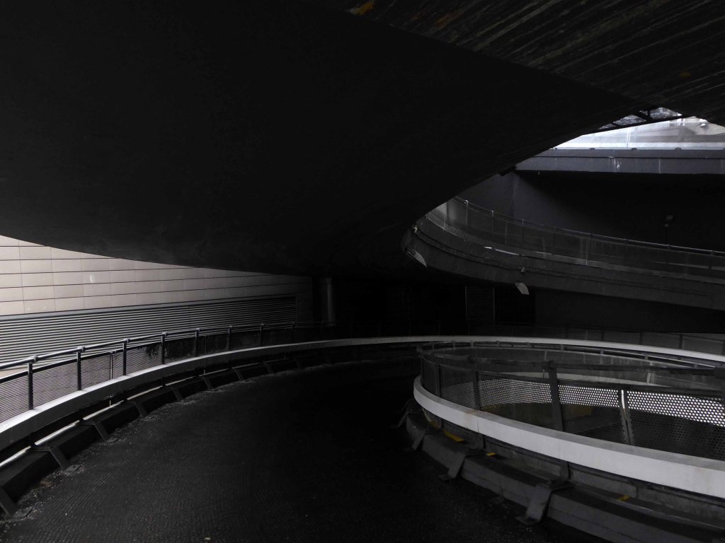
While we’re in the vicinity take a quick trip up and down the car park ramp.
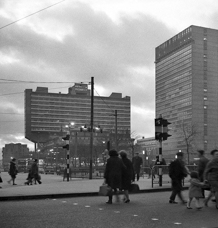
Notably the entrance to the Hotel Piccadilly was on the first floor, accessed by non-existent highways in the sky – sweet dreams.
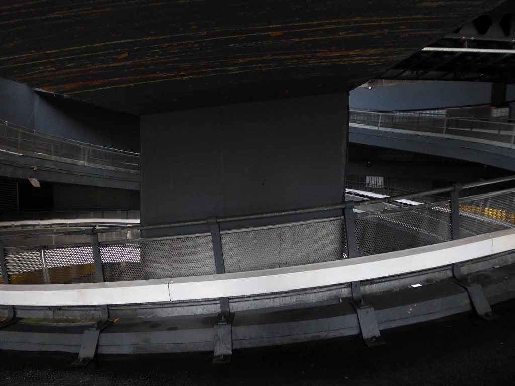
Here we are again – in a spin, oh what a spin that I’m in.
Up and down the spiral ramp, the eternal allure of the unknown and forbidden, walking the way of the motor car.
I was in town on an overcast day, prior to a Covid jab appointment, what better way to relax and reflect on our current condition, here on this whirling sphere.
A transgressive trip to a twisted world of spiral delights.
Stockport, Hull and London have all been previously explored – here we are now going up the back of the Plaza.
The work of architects Covell-Matthews Partners, further details here at Mainstream Modern.
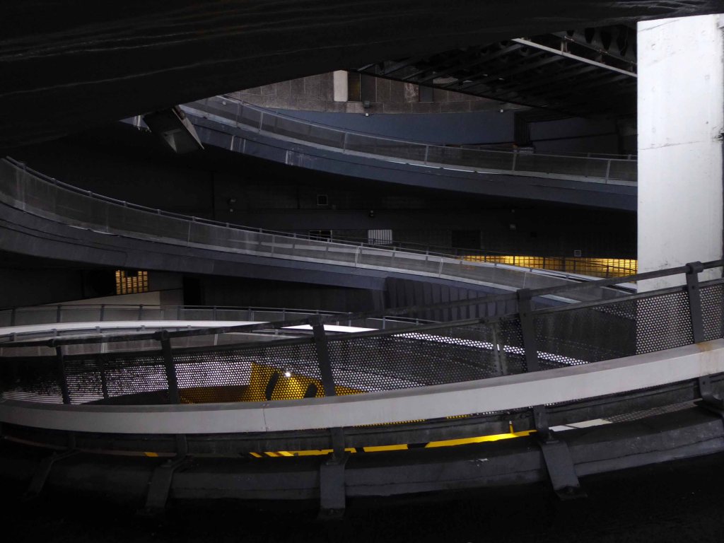
The car park ramp serviced the Piccadilly, now Mercure Piccadilly Hotel; one of the three main elements of Piccadilly Plaza, along with City Tower and the late lamented Bernard House.
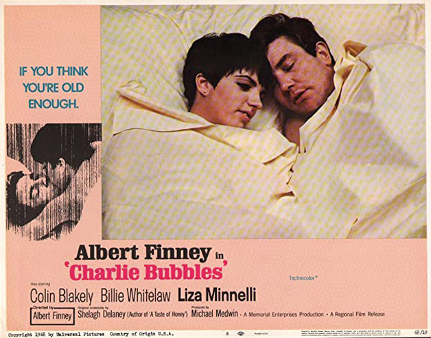
In its day, synonymous with Manchester’s emergent manifestly modern image – scene of Albert Finney’s homecoming, in the film Charlie Bubbles.
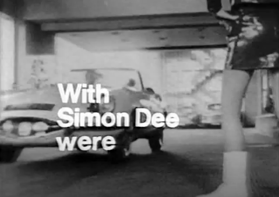
And also used, in the then fabulously glamorous Dee Time – host Simon Dee descending the ramp in his ‘E Type’ Jaguar.
Legend has it, that the ramp was the location for an unlikely encounter between architect Louis Kahn and top pop combo The Commodores.
The reception drop off was at first floor level and was accessed from street level by a helical ramp. My father’s dilapidated Renault 4 van gave up just near the top. Extremely embarrassed, my father asked Kahn to move over to the driver’s seat and steer, whilst he attempted to push the van the rest of the way. As he began to push a people carrier pulled up behind and out stepped a group of men who began to help. Soon the van was outside the reception and my father and Kahn thanked the men.
The young female receptionist was very excited: ‘Do you know who just pushed your car up the ramp? The Commodores!’
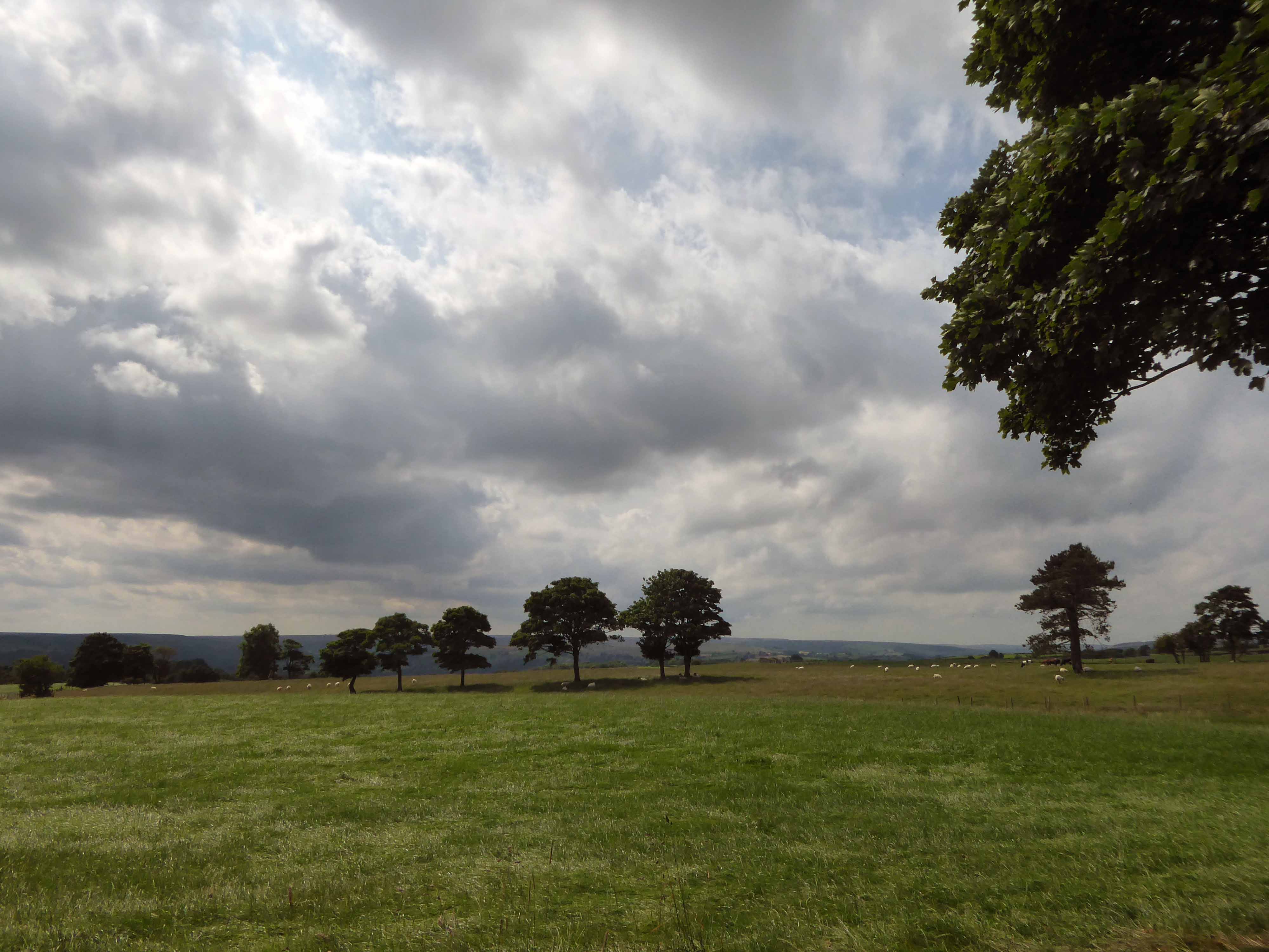
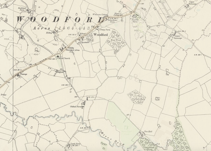
We begin at the beginning of the end – fields full of fields
Dotted with farm buildings – then, along comes an Aerodrome.
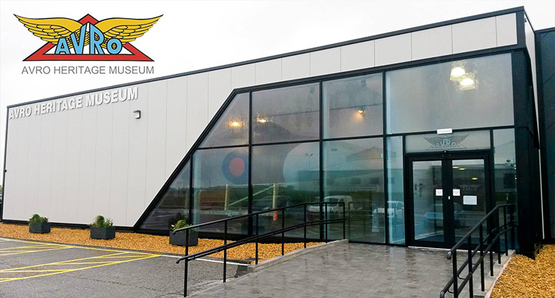
A serious problem arose in 1924 when Avro was notified that the current airfield used by the company at Alexandra Park would be closing. After a hurried search to find an alternative location, Avro settled on New Hall Farm at Woodford and completed the move later that year.
In 1999, Woodford became part of BAE Systems as a result of the merging of British Aerospace with Marconi Electronic Systems. Plans to build the Avro RJX airliner at Woodford were shelved in 2001 which left production of the Nimrod MRA4 as the only active project at the site. Woodford Aerodrome finally closed in 2011 when the Nimrod MRA4 project was cancelled, ending almost 80 years of almost continual aircraft manufacture at the site.
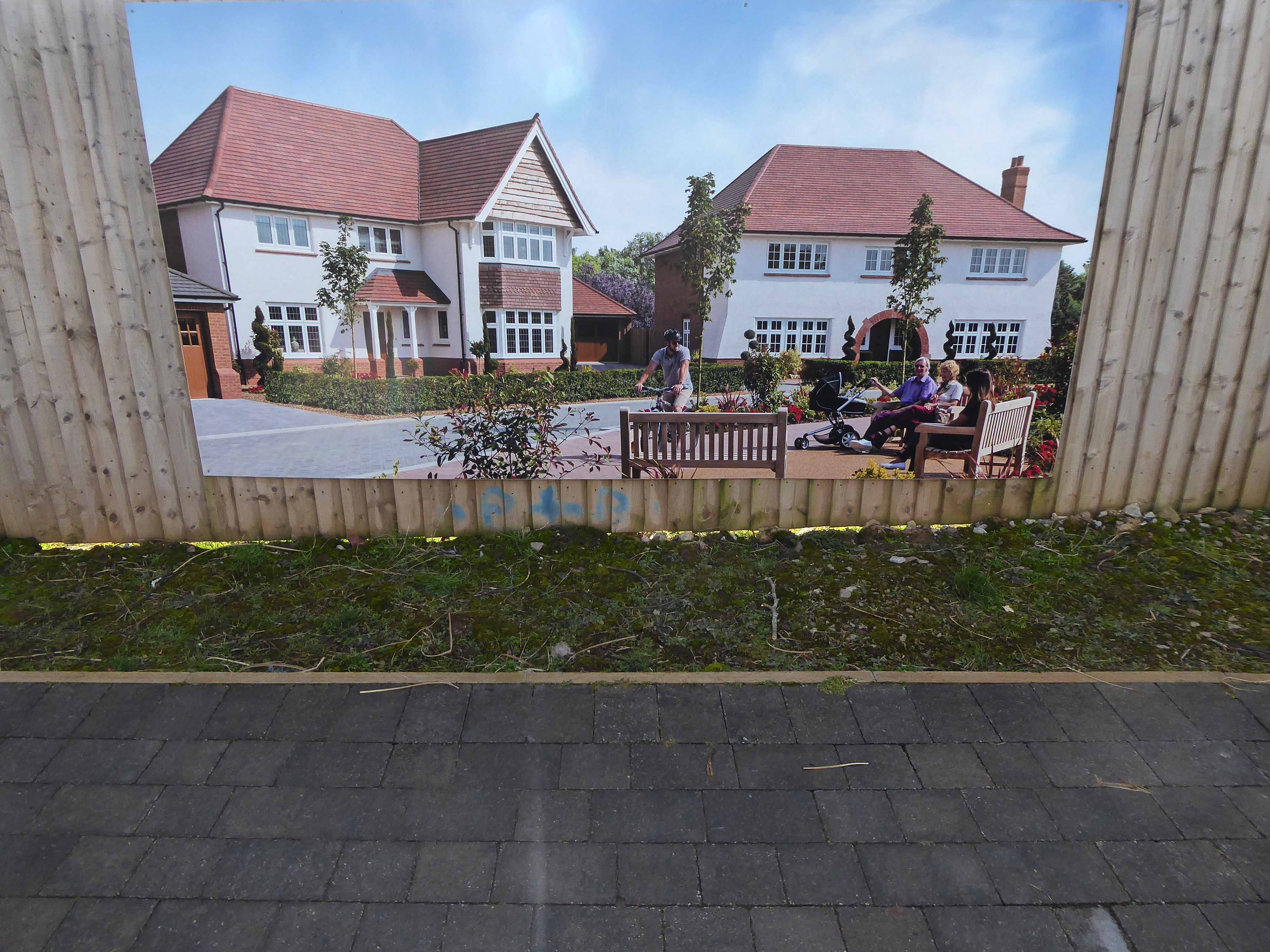
Redrow has started construction on the first phase of 950 homes at the 500-acre former Woodford Aerodrome site near Stockport, nearly two years after planning consent was granted.
Preparatory works are underway and sales of the houses are expected to launch in June with the opening of show homes on the site.
The redevelopment of the 500-acre site, which is being brought forward by a joint venture between Harrow Estates, part of Redrow, and Avro Heritage, will also feature a primary school, employment area, pub, shops, community facilities, and areas of open and recreational space.
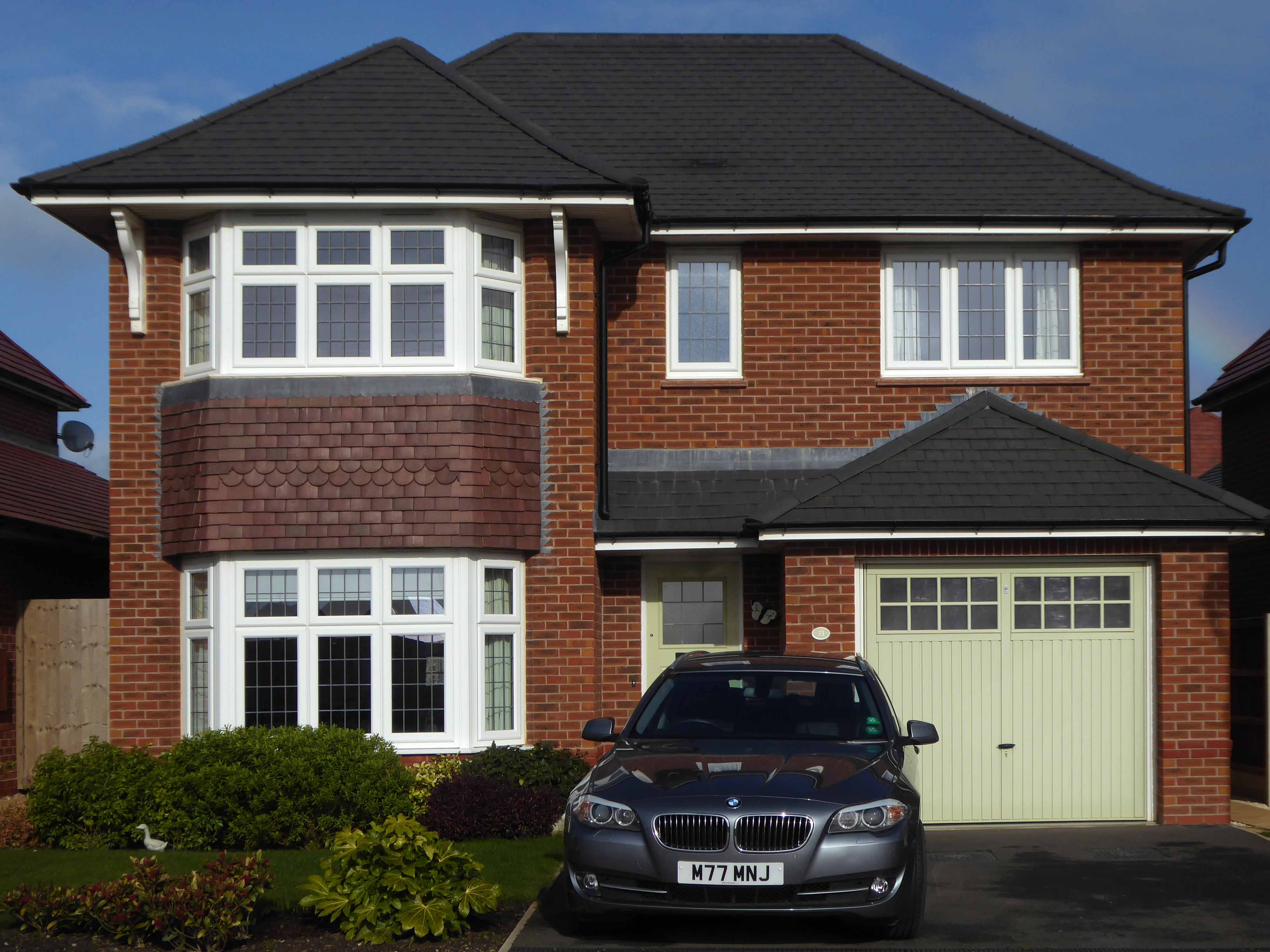
However, the architectural style owes more to Baron Hardup, than Flash Gordon.
The Tudor-Bethan style of Metro-Land, that oh so very, very English pantomime tradition of the village green, merry boys and girls dancing around Maypoles clutching wicker baskets, full of plastic daffodils.
For every raw obscenity Must have its small ‘amenity,’ Its patch of shaven green, And hoardings look a wonder In banks of floribunda With floodlights in between.
This is progress realised as regression, a pastiche of a pastiche, of a pastiche, of a pastiche.
Finding some small comfort in the imitation game, hurtling along radial roads, encased in the biggest, live now pay later motors, which borrowed money can buy.
Seeking succour in the certainty of an illusory past, whilst peering through the nets and blinds, at a seriously uncertain future.
You’re as pretty as a picture, a picture torn from a yellowing scrapbook, scanned and enhanced, to remove any unseemly rough edges and/or ruffians.
This was tomorrow calling, wishing you weren’t here.
Work is still underway and the surrounding landscape feels raw, windswept and wounded.
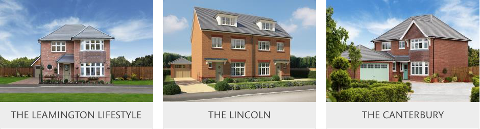
All of the plots on this phase are now reserved, but don’t miss out on the available homes on our other phases!
Just minutes from Wilmslow, Poynton and Bramhall, and within easy reach of Manchester for both work and leisure, Woodford is perfectly placed to offer the best of both the thriving city and the glorious Cheshire countryside. This makes it the perfect location for our high-quality Heritage Collection homes, which combine the very best of classic Arts & Crafts architecture with modern, family friendly interiors of the very highest specification.
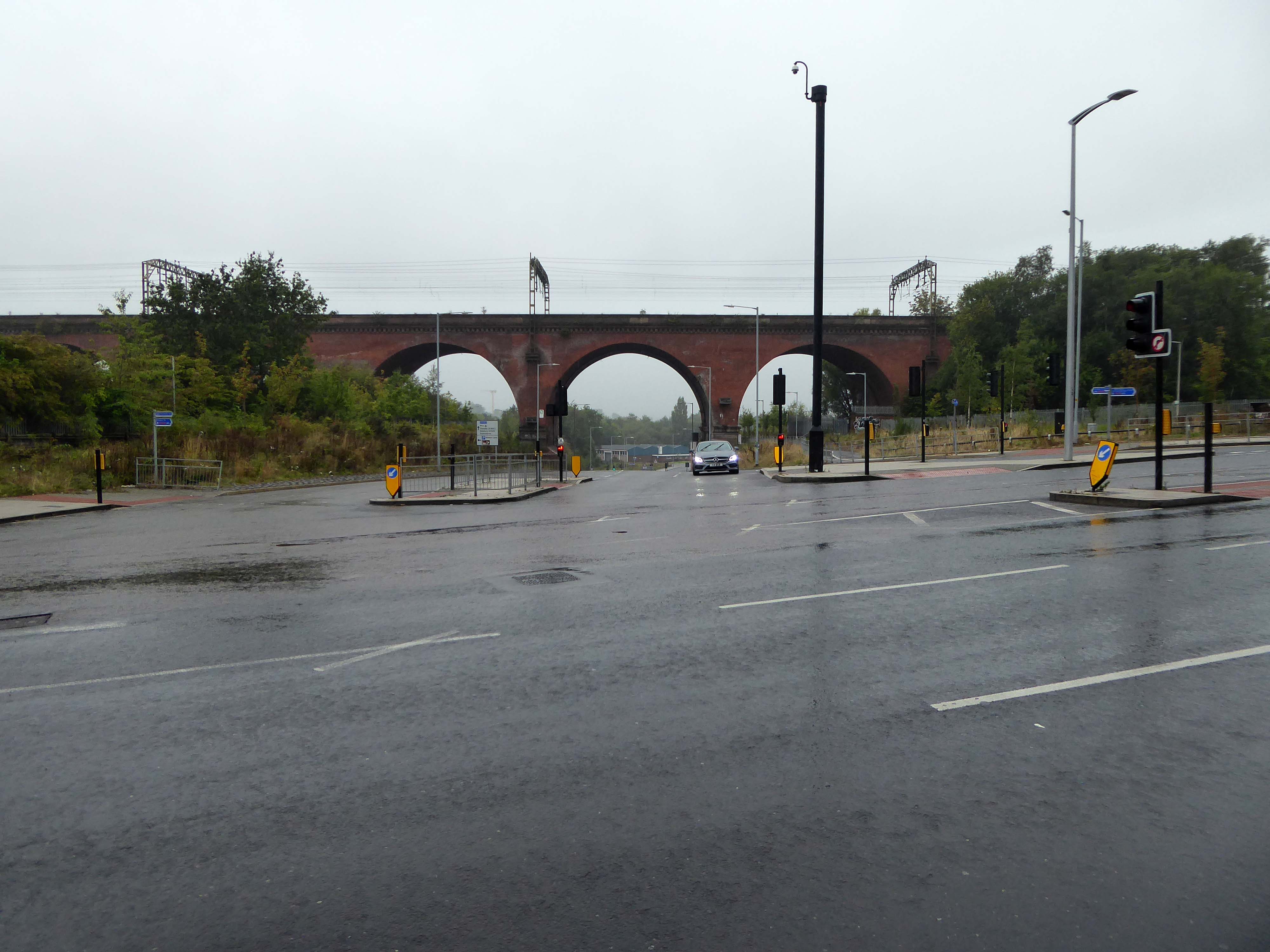
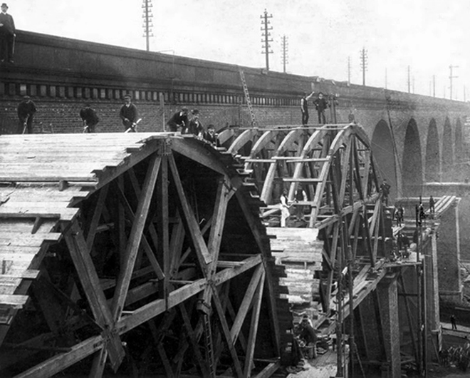
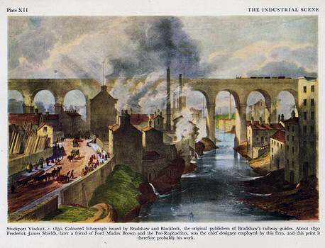
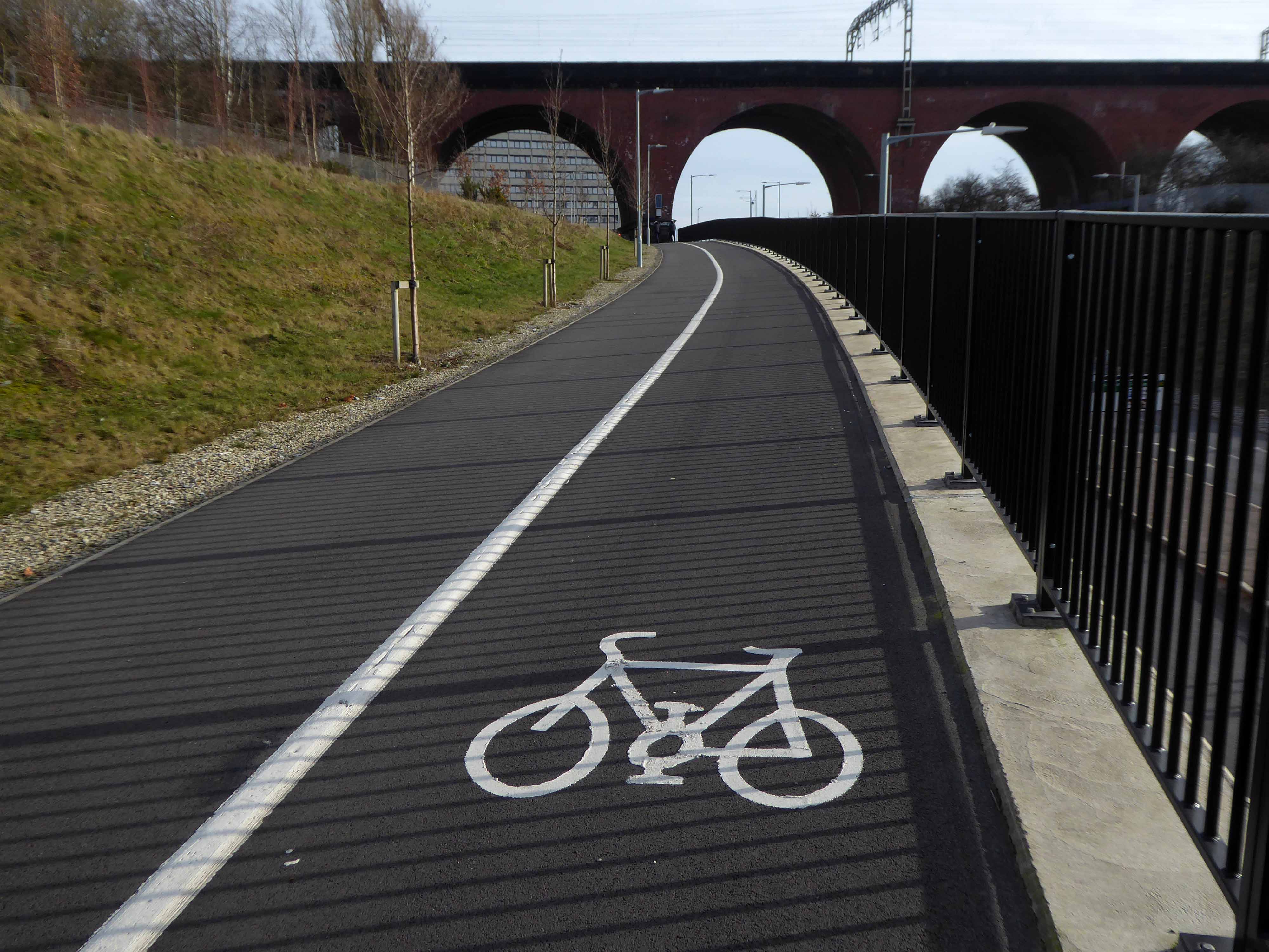
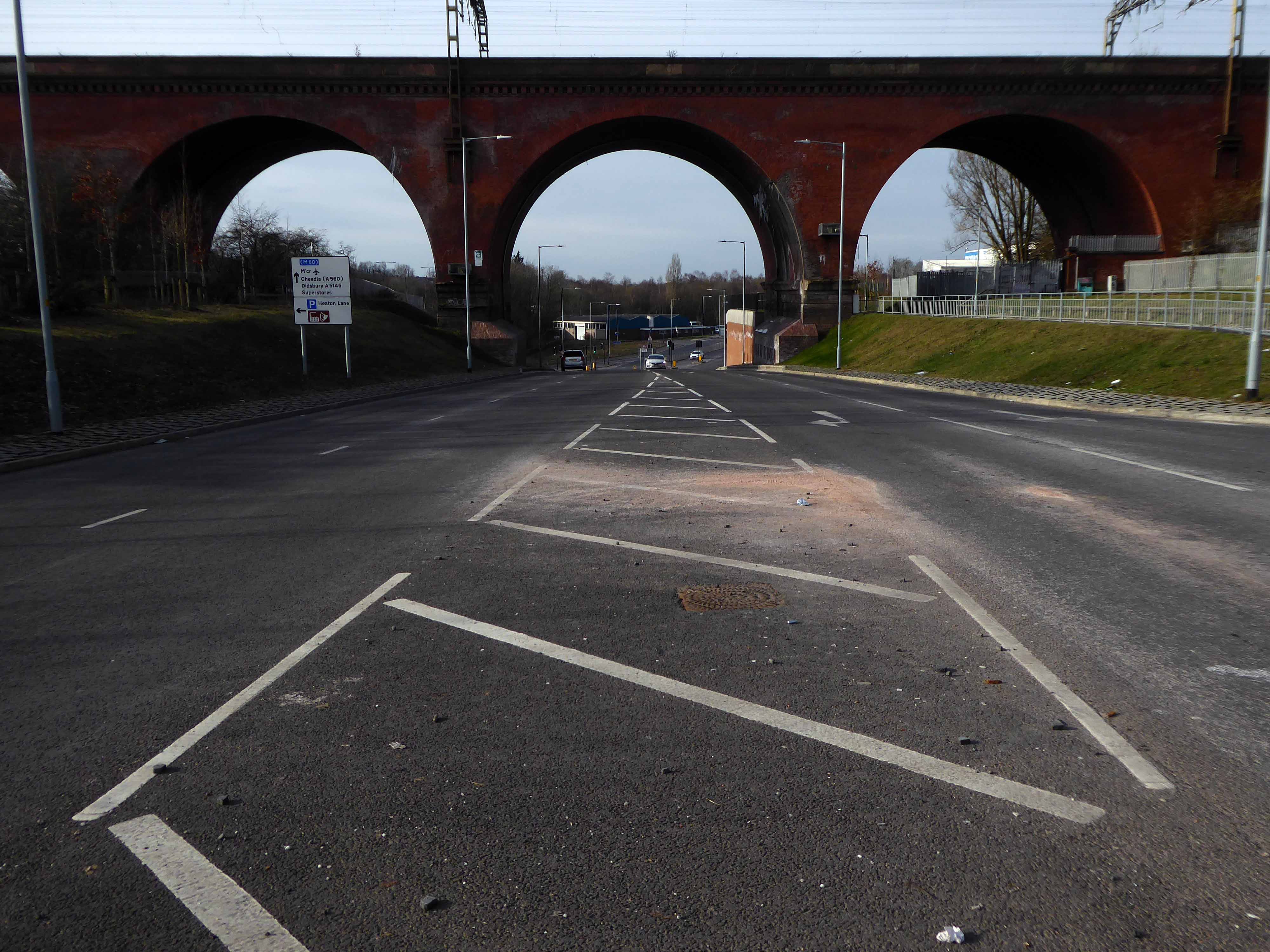
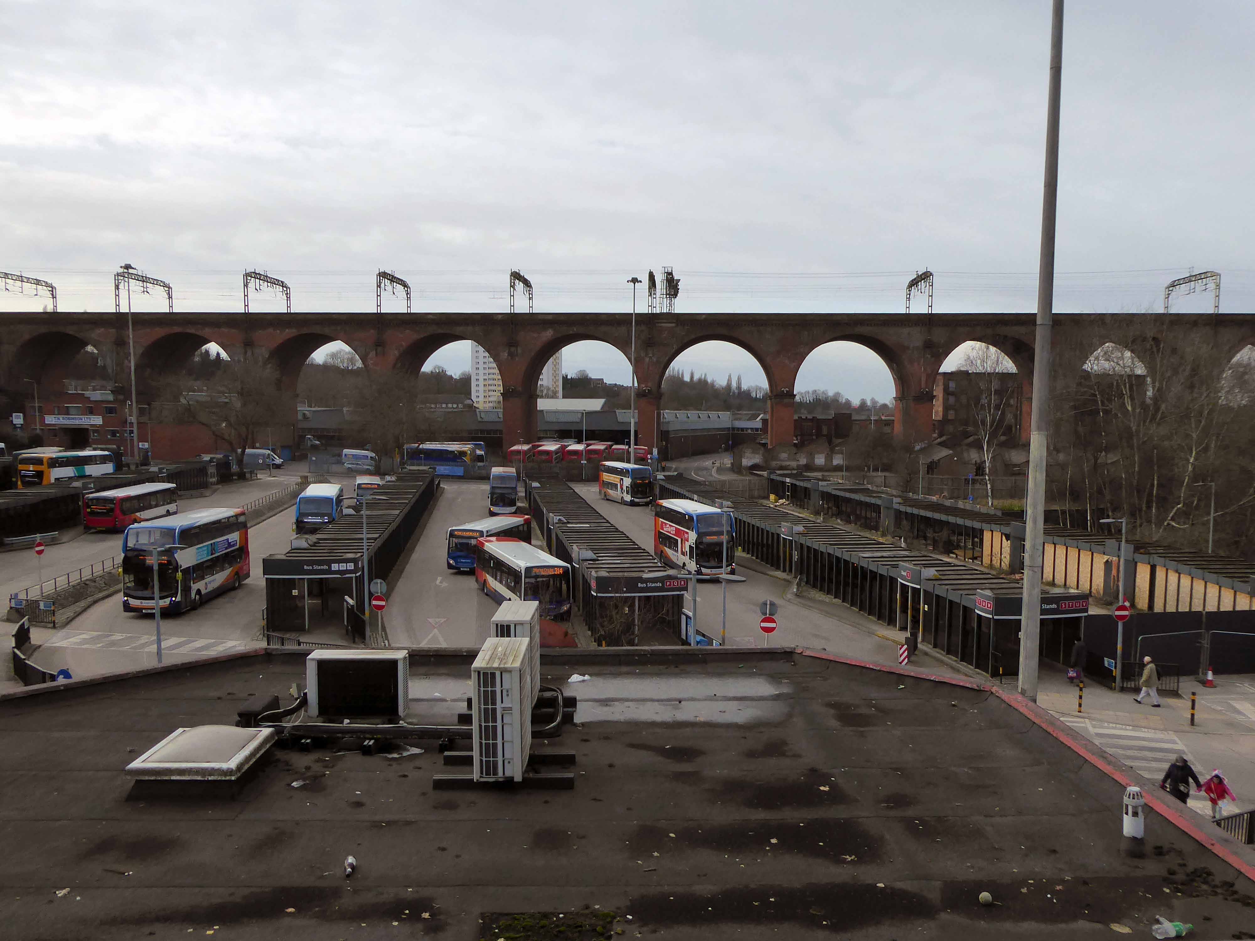
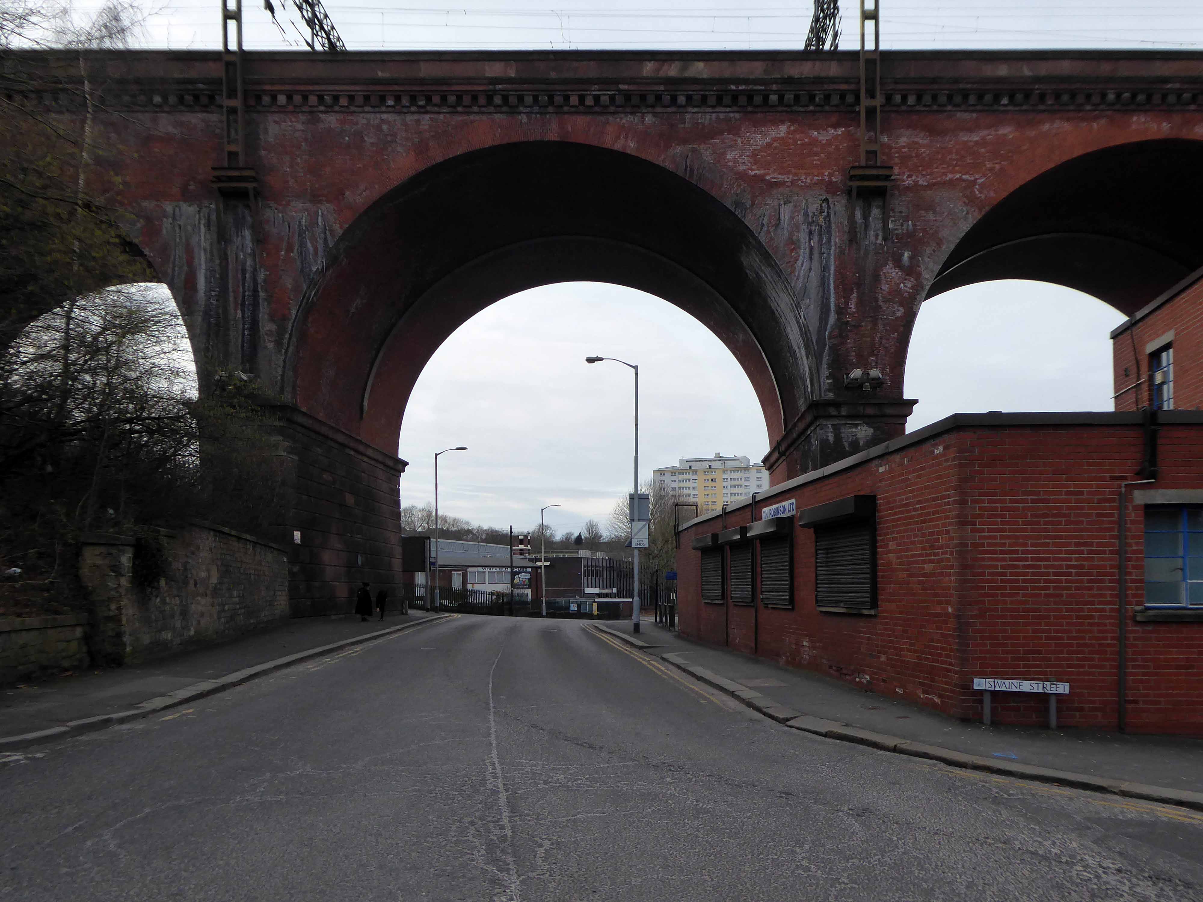
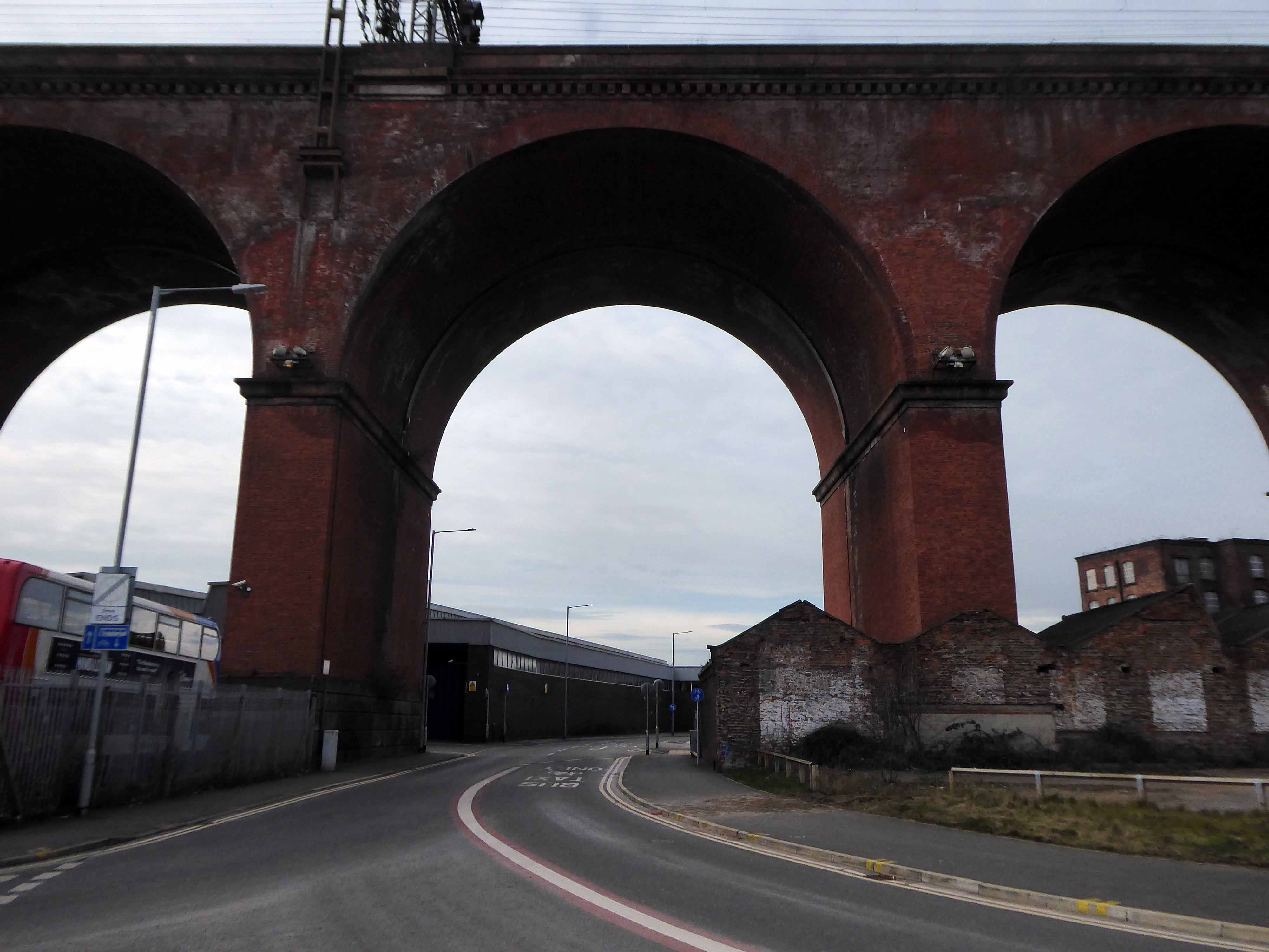
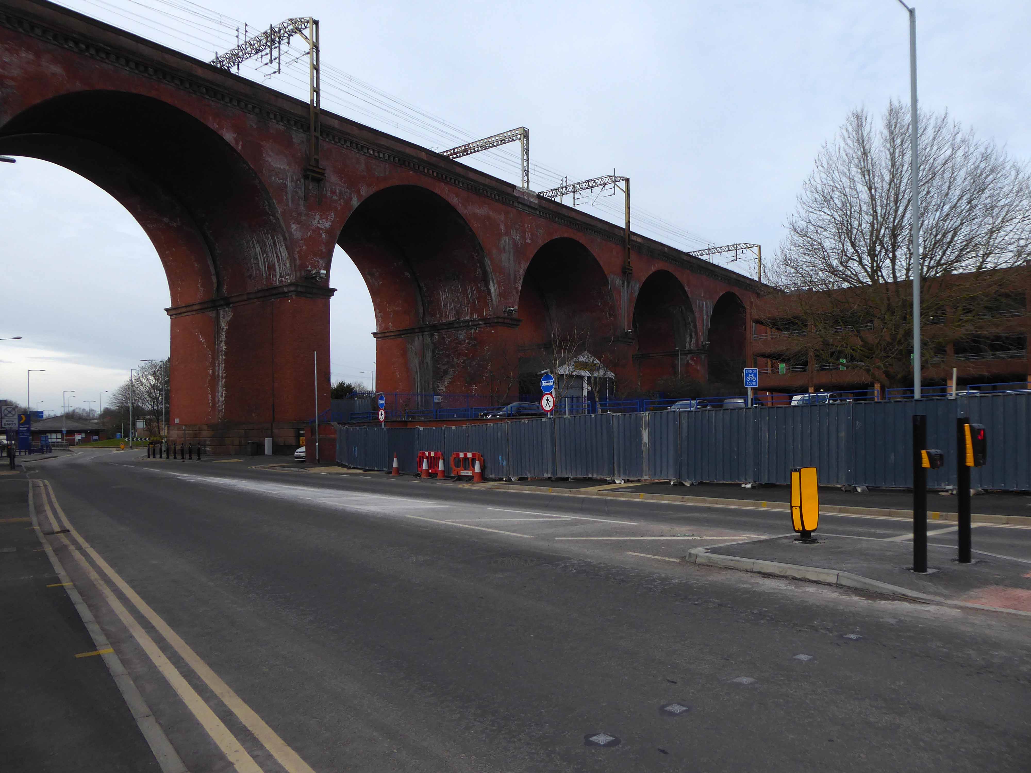
Stockport Viaduct, carries the West Coast Main Line across the valley of the River Mersey in Stockport, Greater Manchester, England. It is one of the largest brick structures in the United Kingdom, as well as a major pioneering structure of the early railway age.
Stockport Viaduct was designed by George Watson Buck for the Manchester and Birmingham Railway. Work began in 1839 and was completed in 1840. Roughly 11 million bricks were used in its construction; at the time of its completion, it was the world’s largest viaduct and a major feat of engineering. The viaduct is 33.85 metres high.Stockport Viaduct is a Grade II* listed structure and remains one of the world’s biggest brick structures.
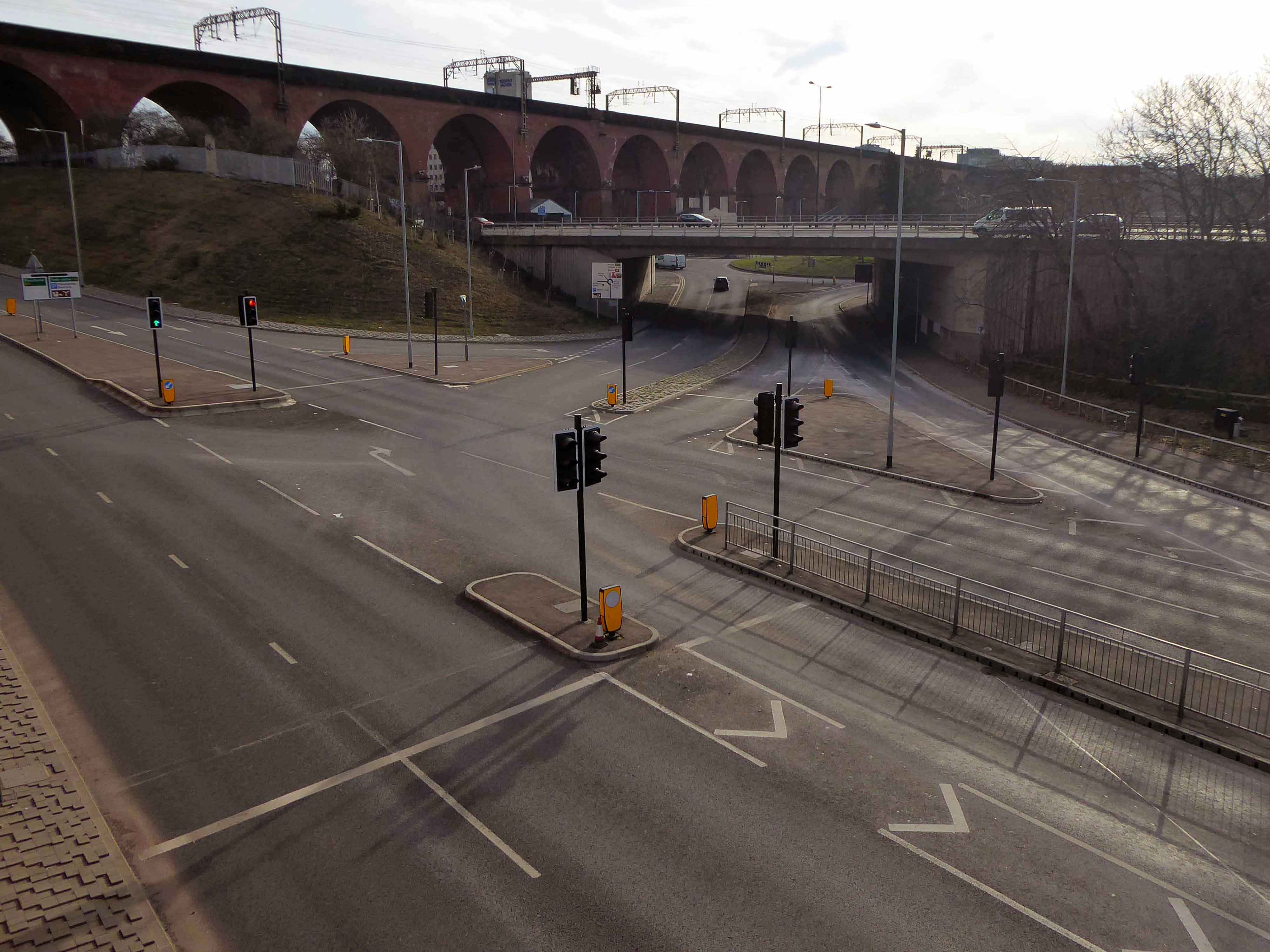
In the late 1880s, the viaduct was widened to accommodate four tracks instead of two. In the 1960s, overhead catenary lines were installed by British Rail for the West Coast Main Line electrification scheme. In the second half of the twentieth century, the M60 motorway was built, passing through two arches of the viaduct.
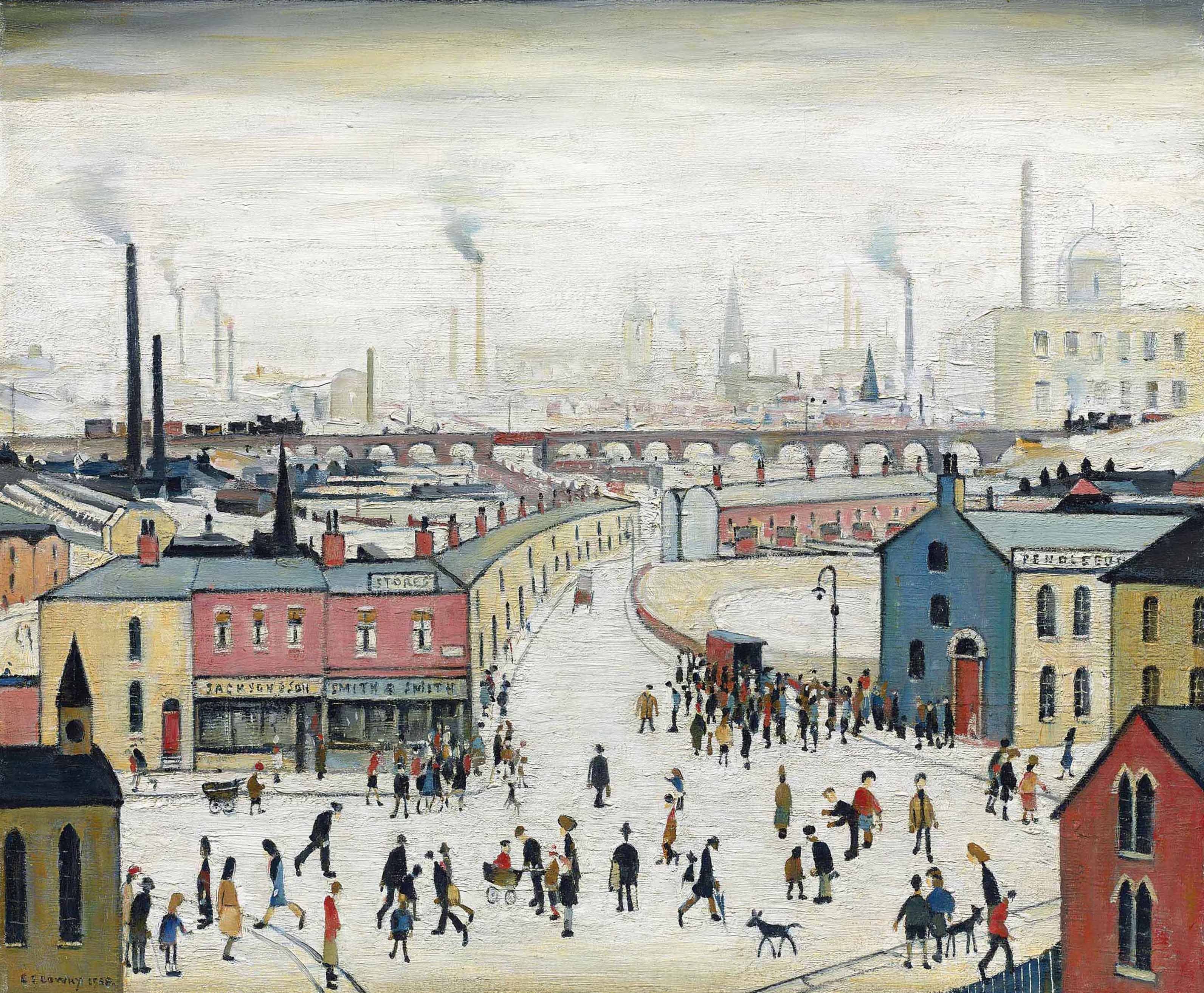
The structure is central to the visual landscape of the town – it has been the subject of both literature and art, most notably in the work of LS Lowry.
I believe that this composite composition of a northern landscape, is firmly embedded in the psyche of Stopfordians.
A notion that we are able to apprehend the whole of the structure in one panoramic sweep.
Our present perceptions are inextricably linked to past experience, possibly an illusory past.
My photograph below, was taken before access was prohibited.
Though has this uncluttered view ever actually existed?
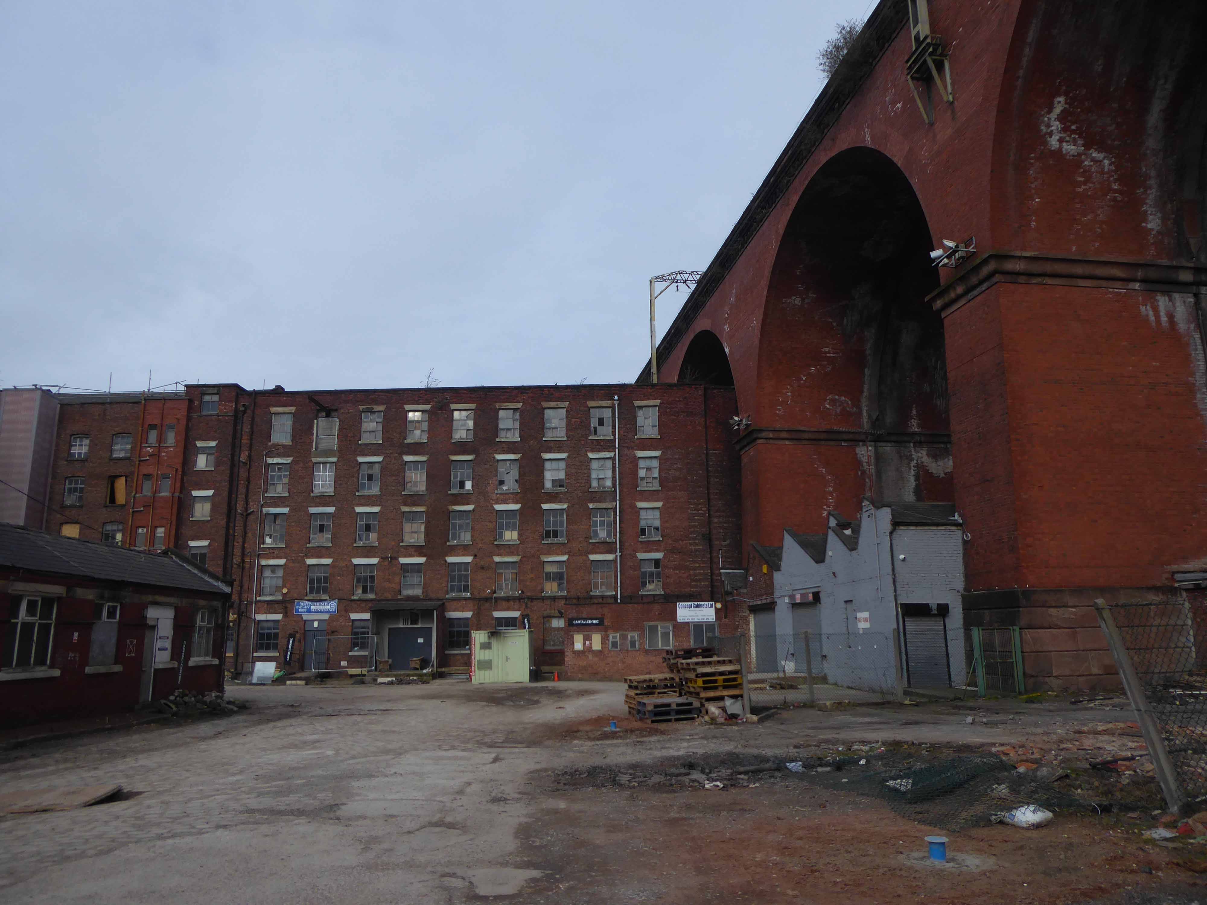
The area has been a constantly evolving jumble of buildings, in, under and around the viaduct.
This raises the question – when did you last see your viaduct?
I live moments away on Didsbury Road – so why not take a look, circumnavigating the site in search of an answer?
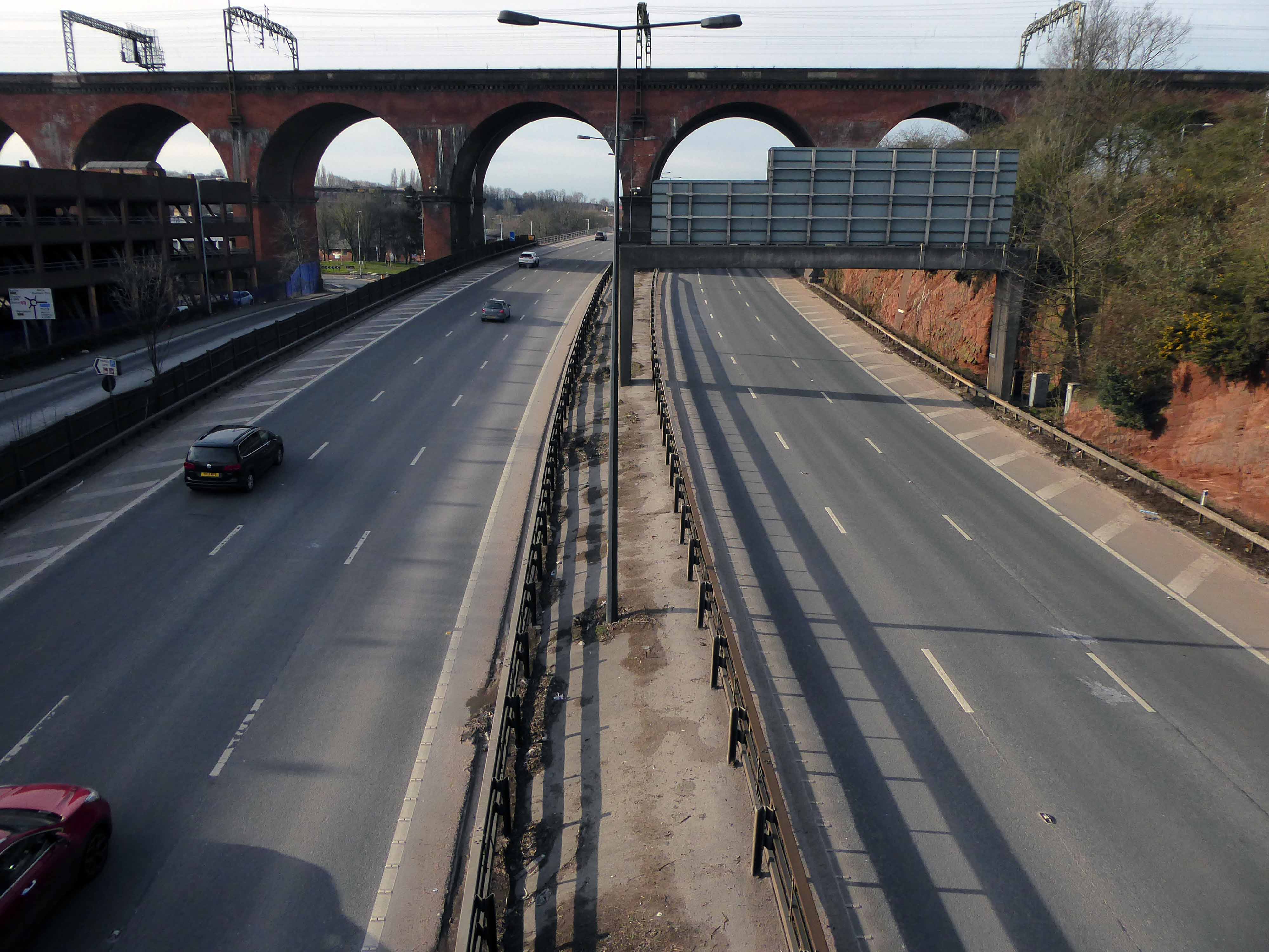
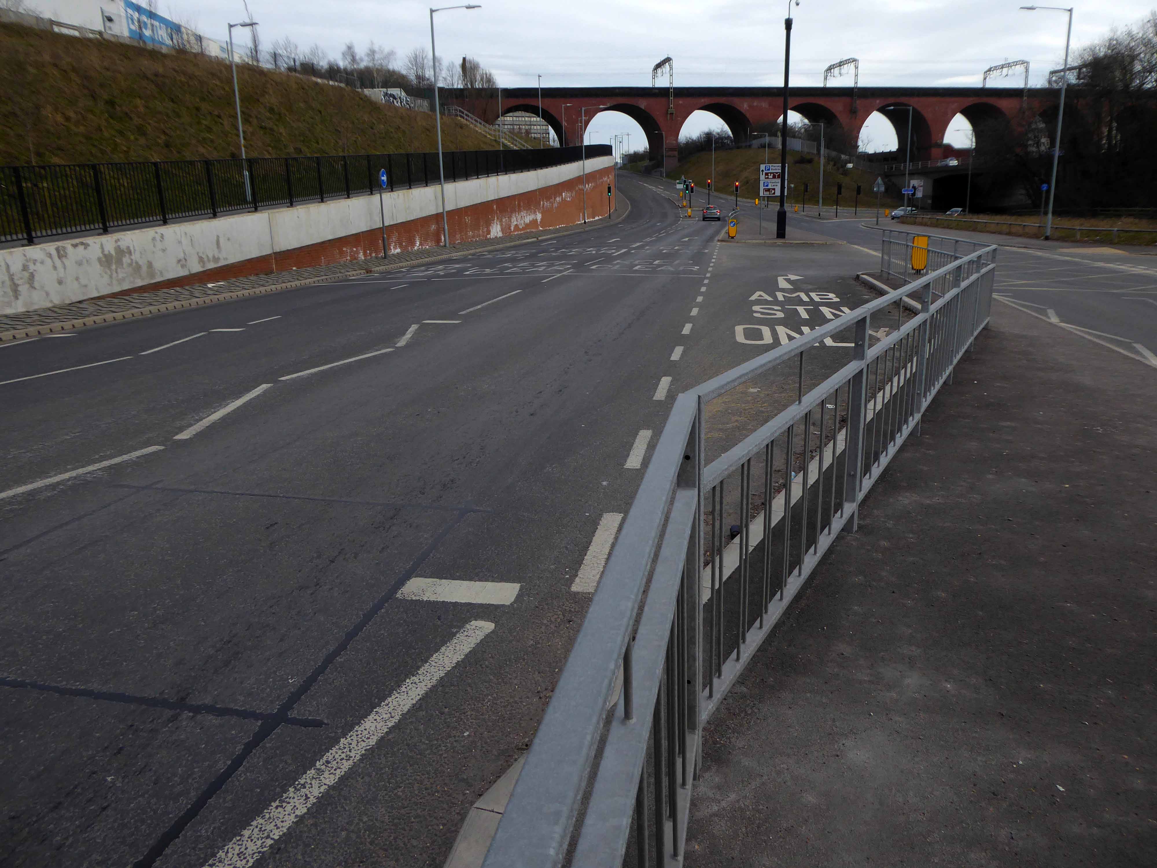
From the recently constructed pedestrian and cycleway a view south across multiple roadways.
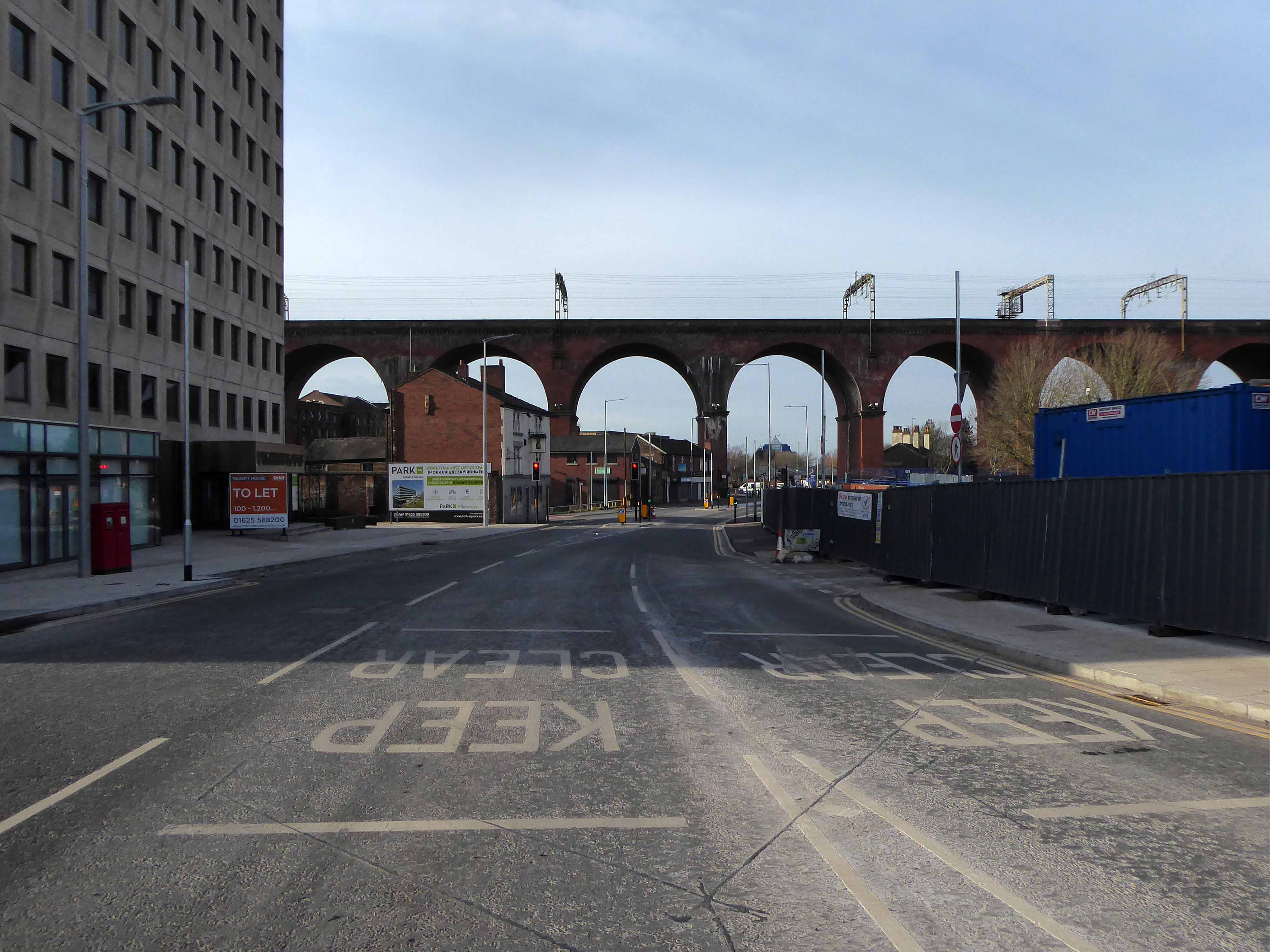
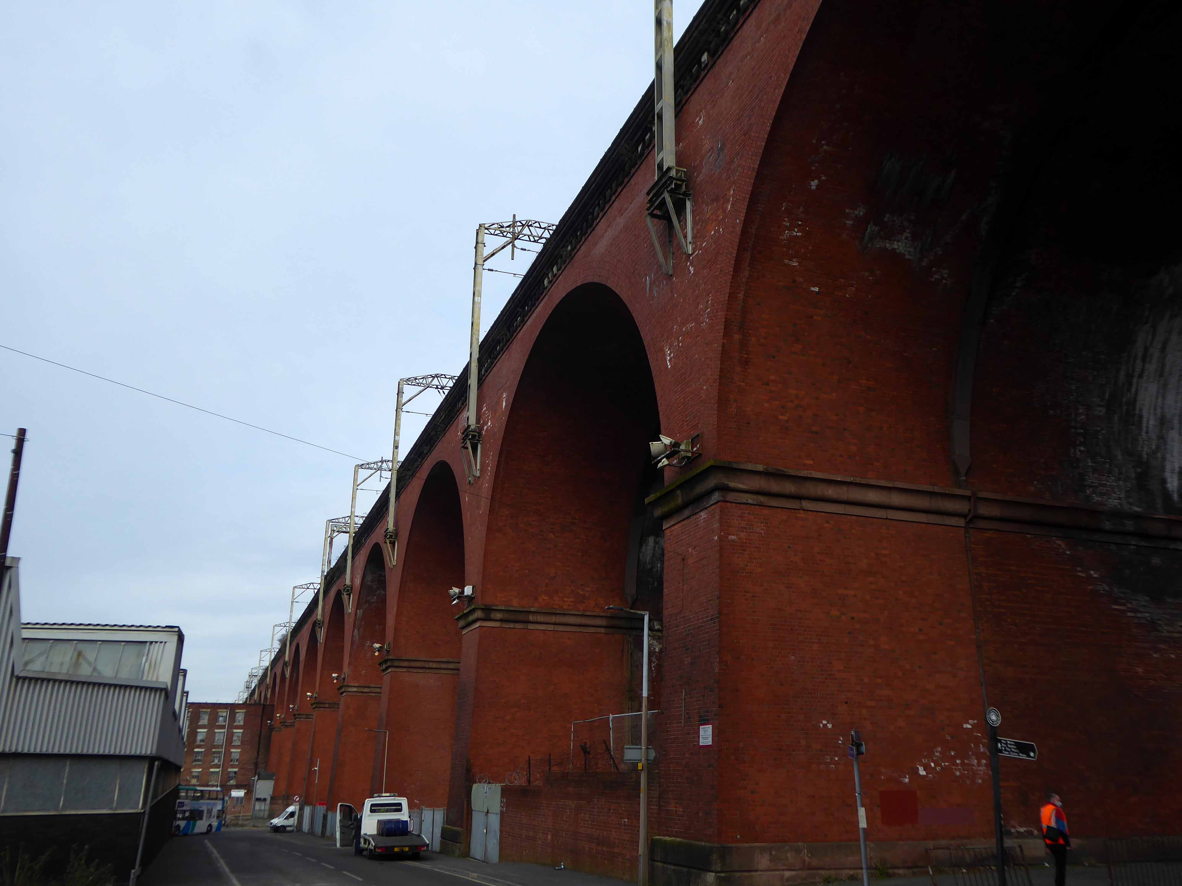
Approaching the arches from the west.
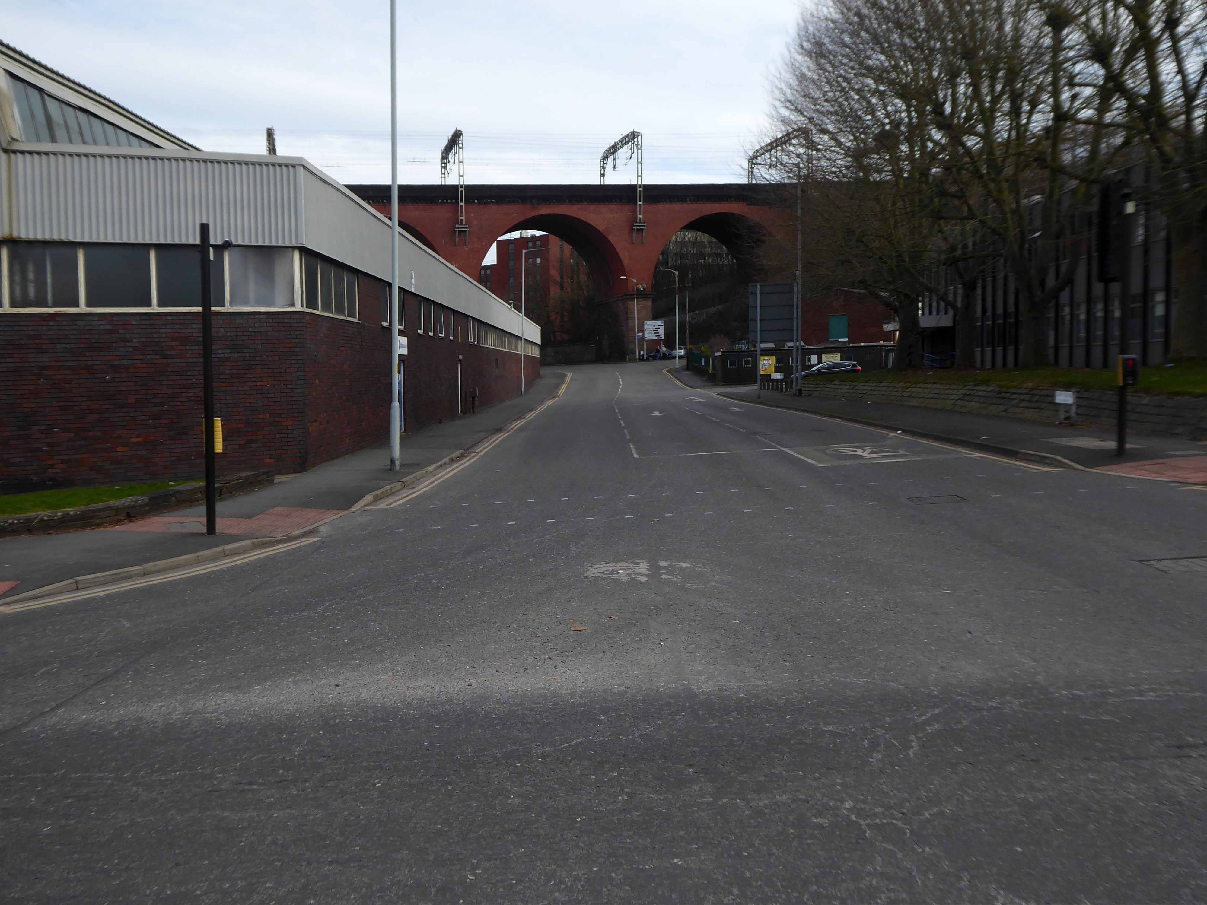
Looking east from Wellington Road North and the newly constructed A5154 link road.
Looking along the M60.
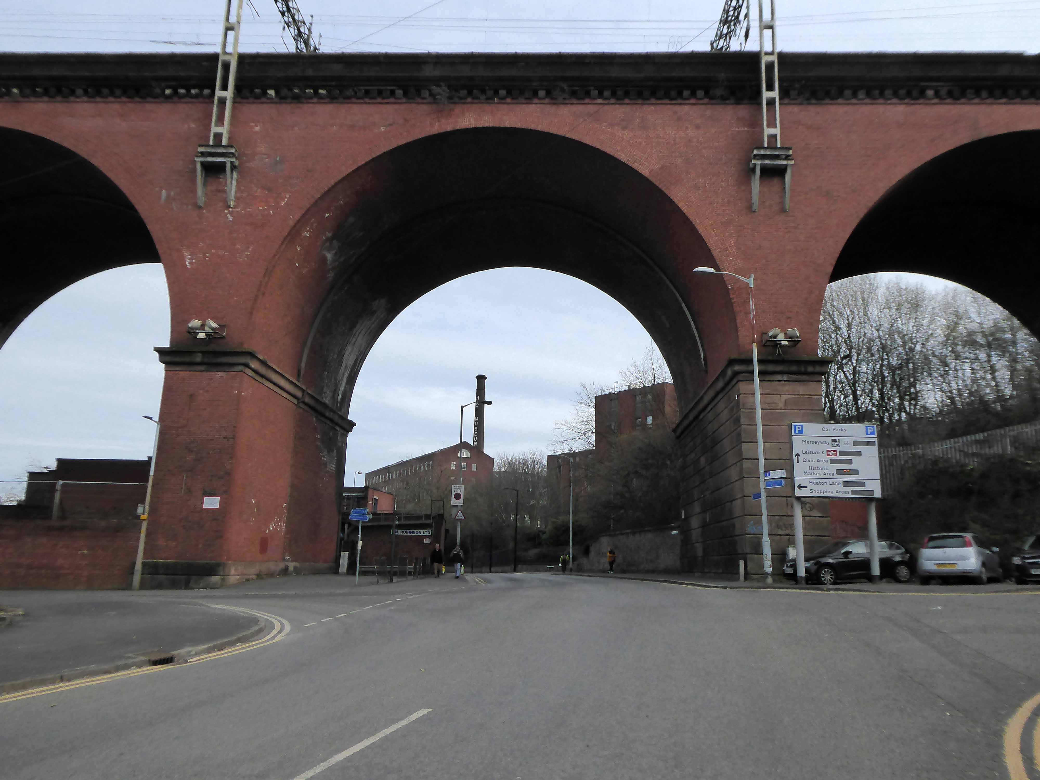
Looking along Heaton Lane, to the left Regent House.
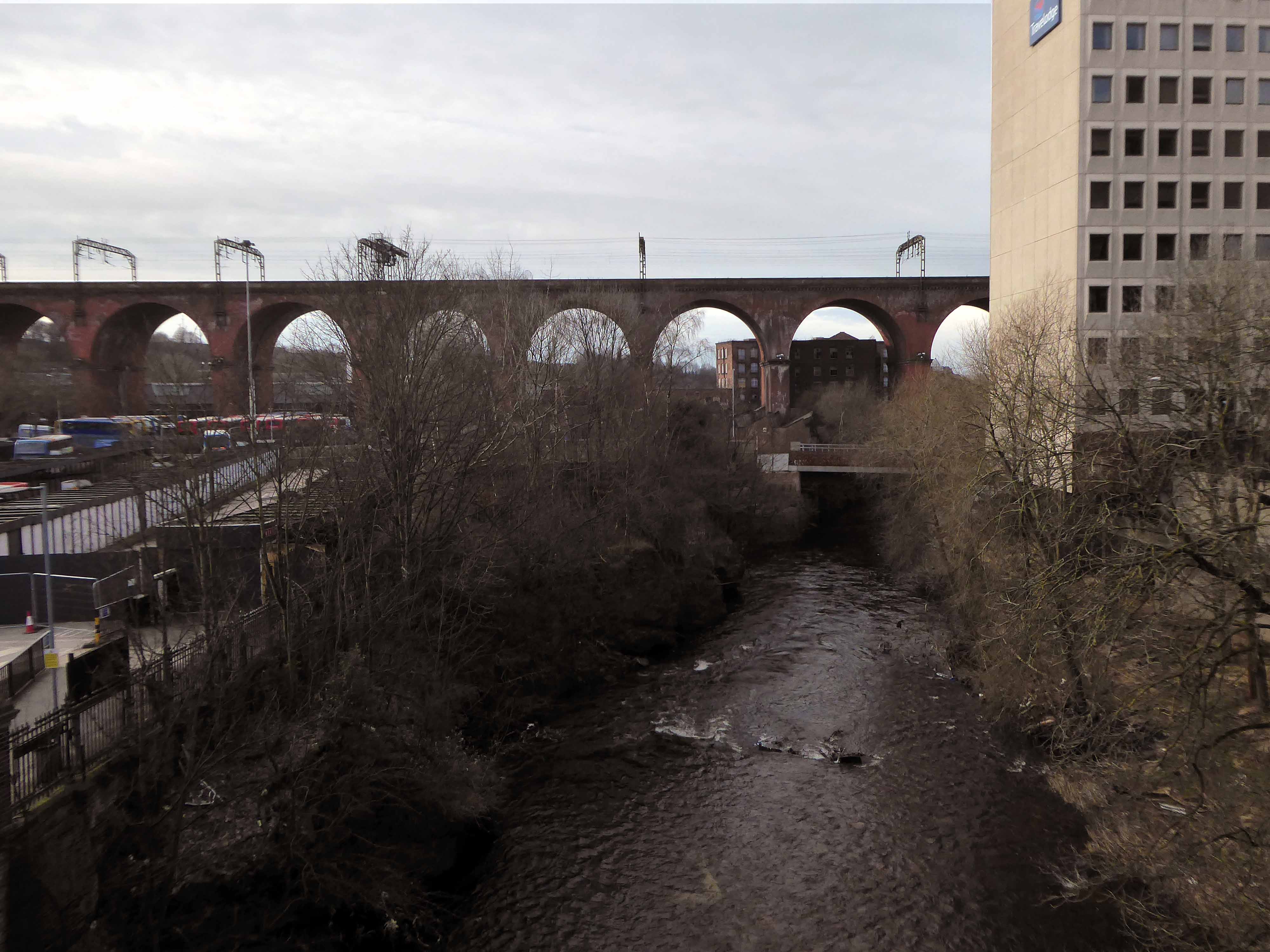
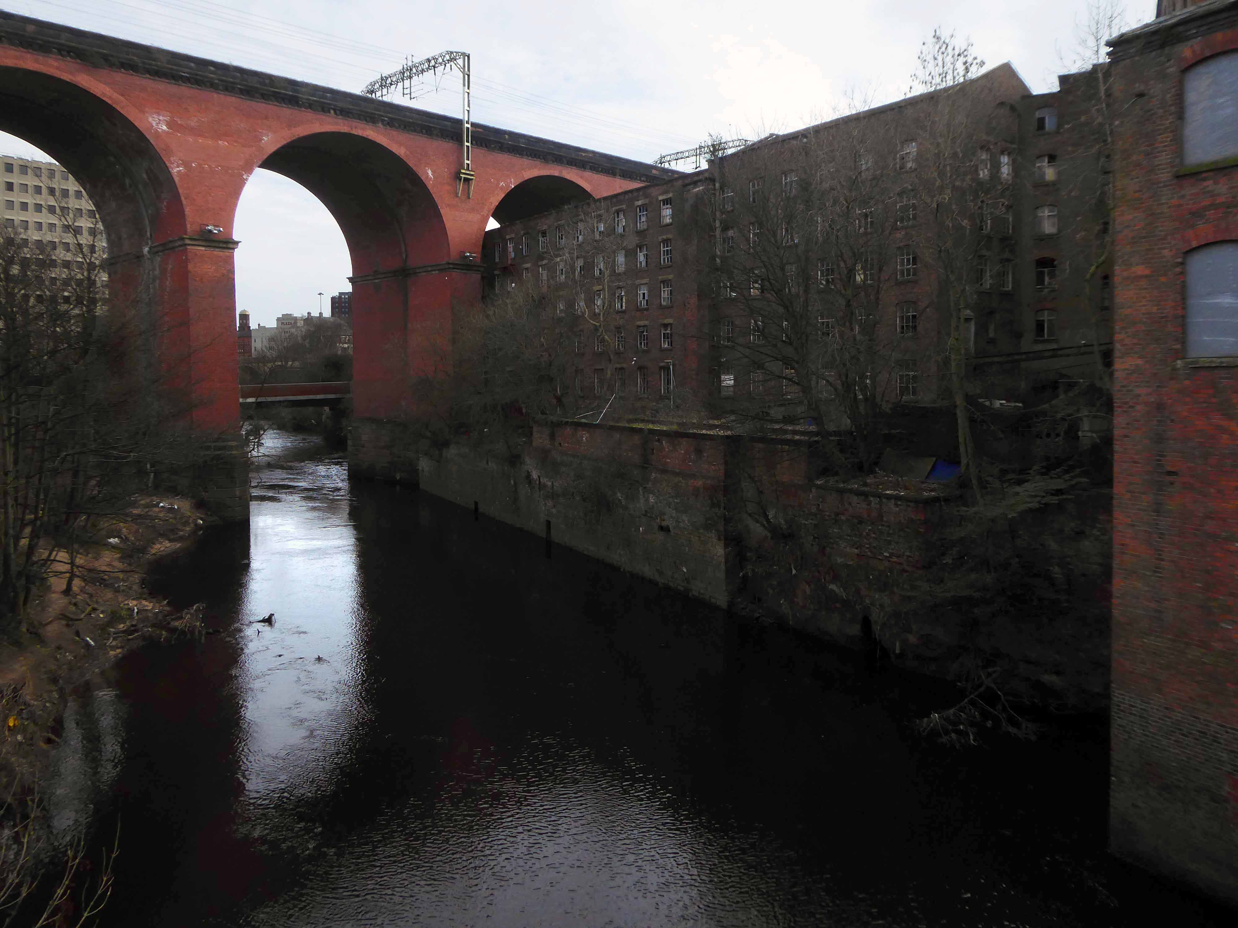
Looking along the River Mersey
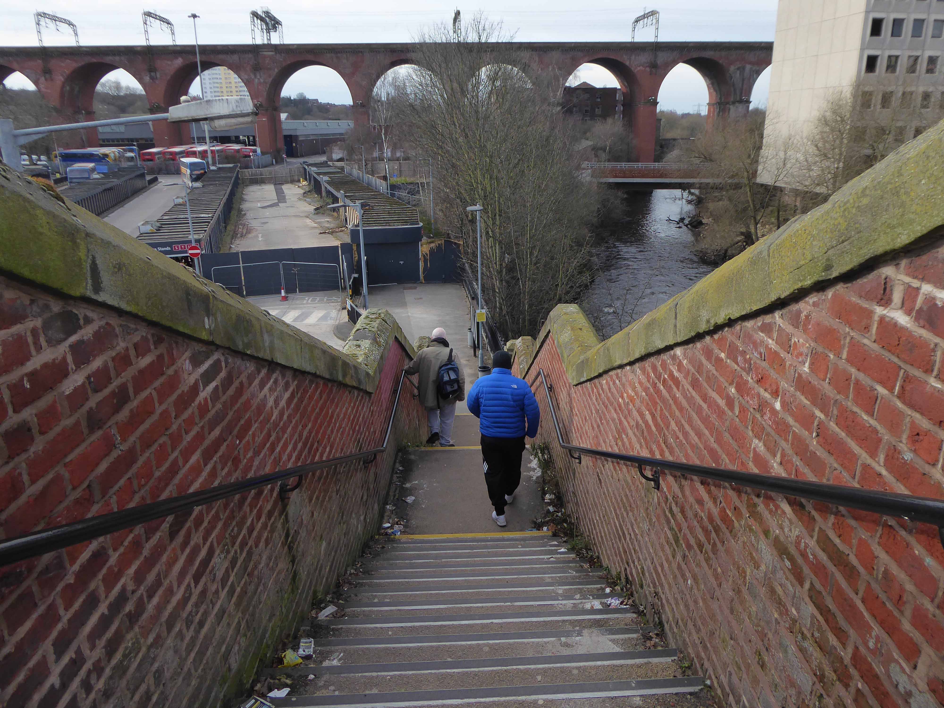
The Lowry Steps.
The view over the soon to be redeveloped Bus Station.
The view along Daw Bank.
One of the most complete perspectives along Swaine Street.
Swaine Street and Astley Street junction.
Crossing the new bridge to Heaton Lane.
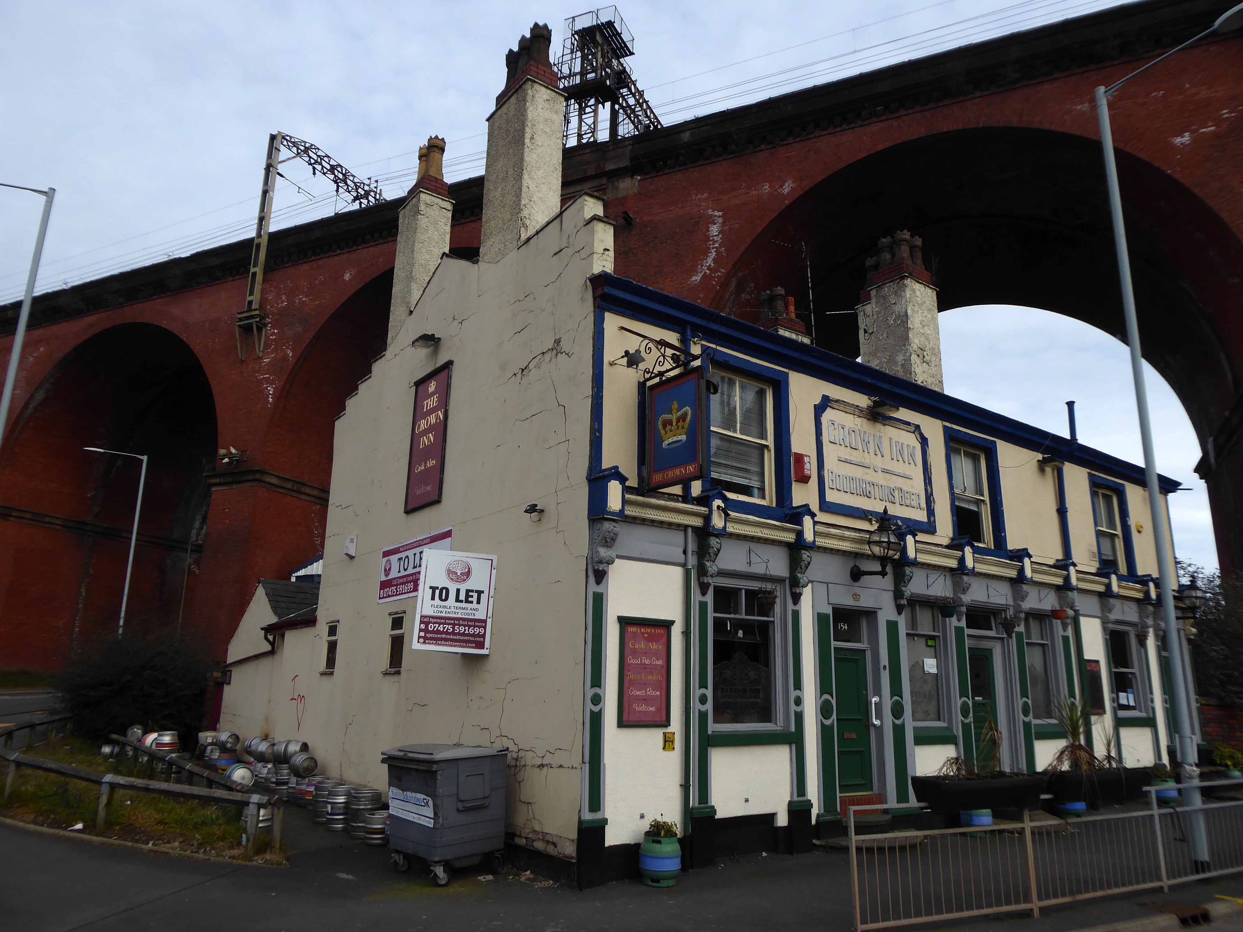
Looking back towards the Crown Inn.
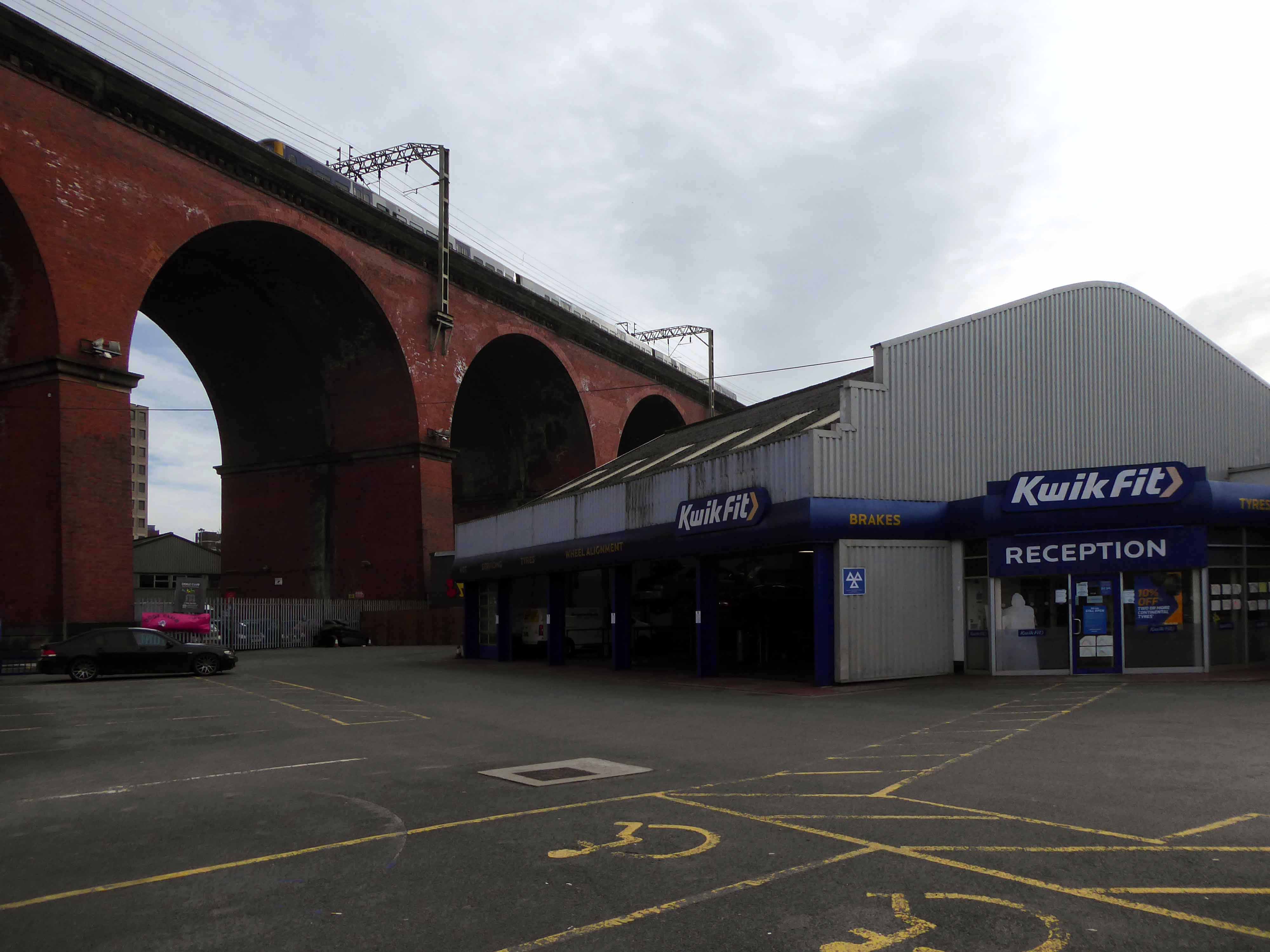
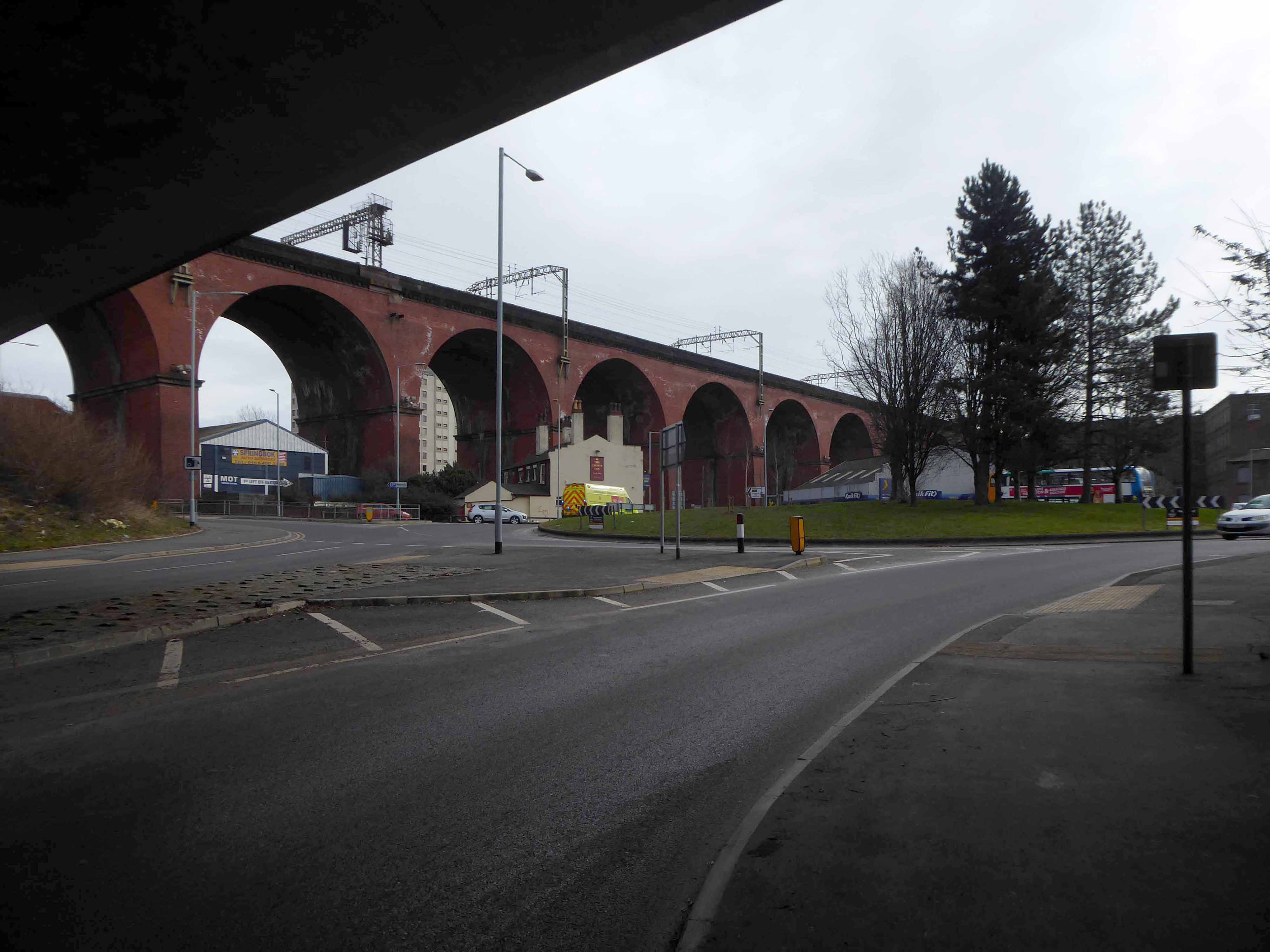
The view over Kwik Fit.
Looking east along the River Mersey, beside the rear of Weir Mill.
The view between the Stagecoach Bus Depots.
Looking east along Daw Bank.
Another clear perspective along Viaduct Street.
Beside Weir Mill.
Beneath the M60.
Looking east along Travis Brow.
This is one cold day in Covid February, the traffic a little lighter, few folk on foot.
Another day would produce another series of views, the light shifts, leaves appear on trees, the regeneration of Stockport sees the built environment shift and shimmy with an alarming regularity.
The landscape formed by the second Ice Age, gouging out a glacial valley and subsequently a conjoined river, is all part of a passing parade; it is acted out over millennia, you yourself are party to but one small part, make the most of it, get out and about take a look.
All this life is but a play, be thou the joyful player.