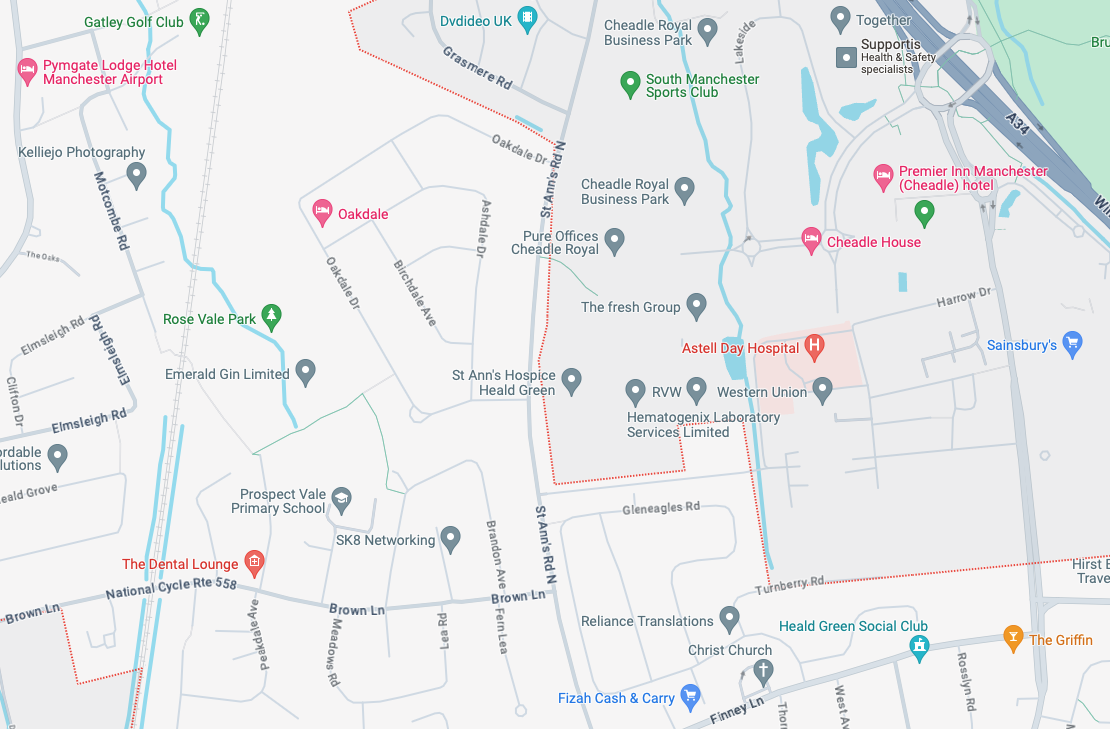
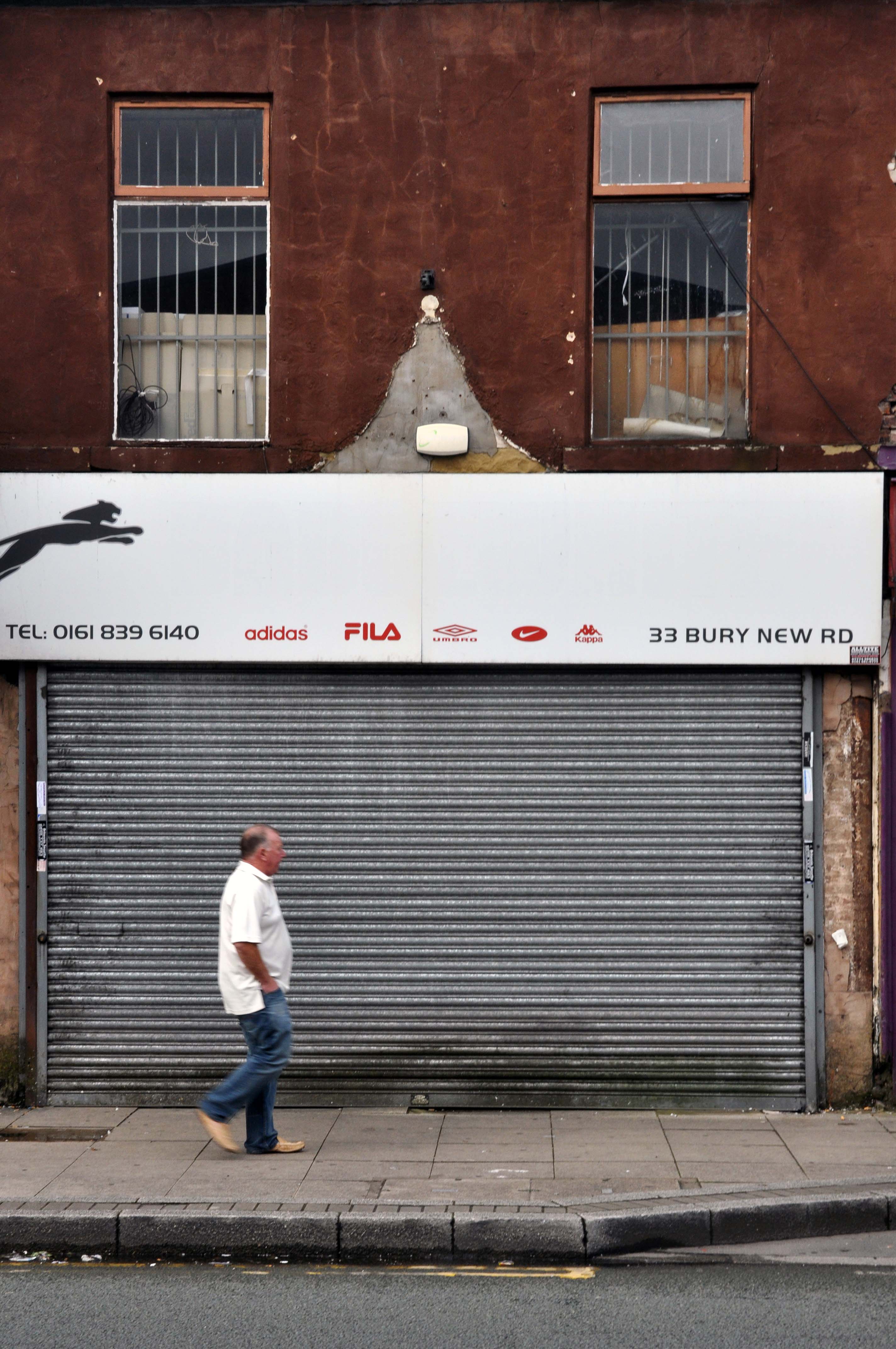
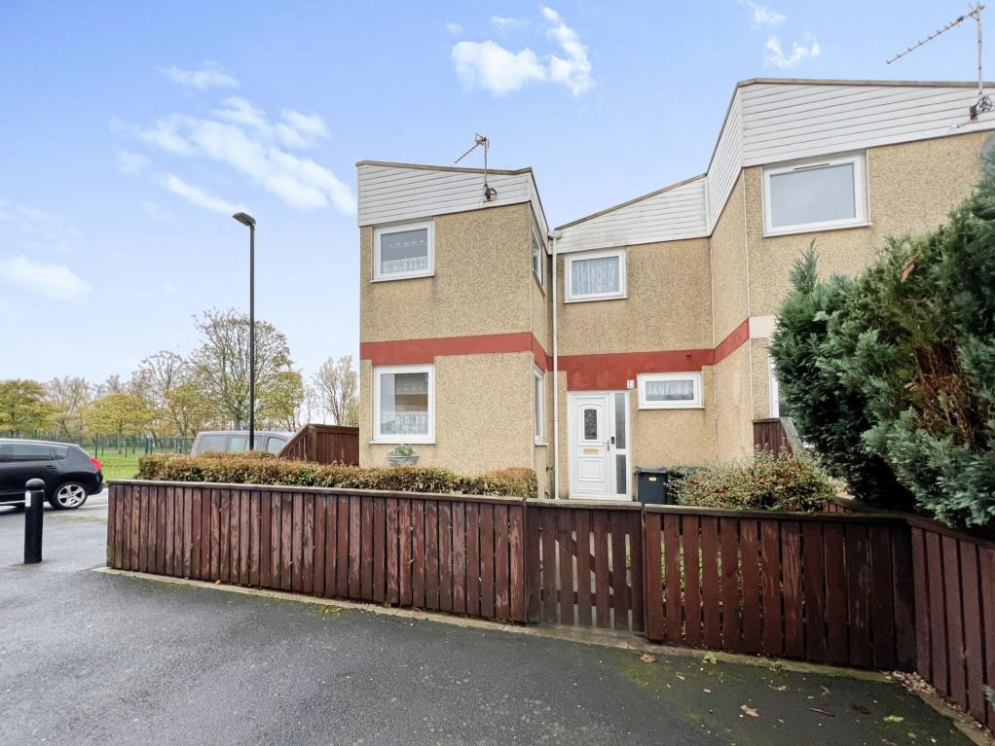
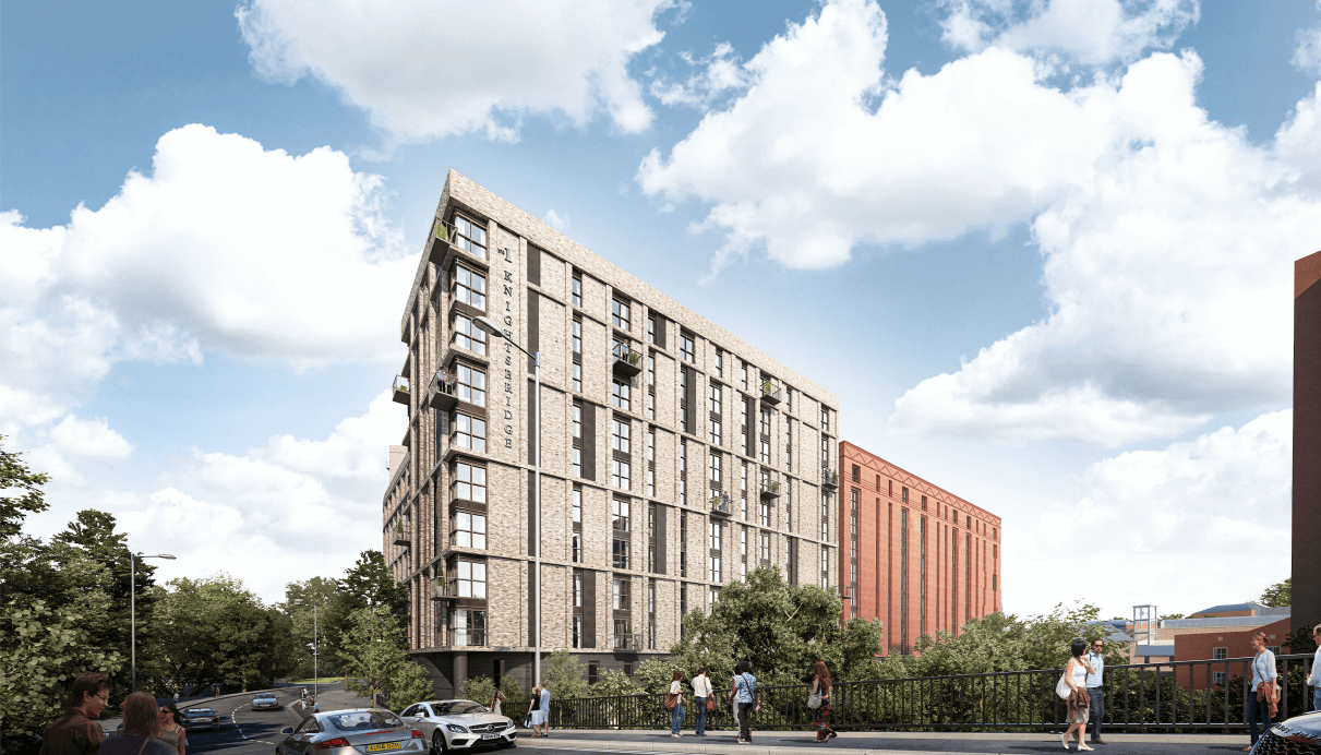
St. Anns Road North in Heald Green is in the North West region of England. The postcode is within the Heald Green ward/electoral division, which is in the constituency of Cheadle.
This area was once described to me as built by Cowboys for Indians – though statistically there are more Pakistani residents.
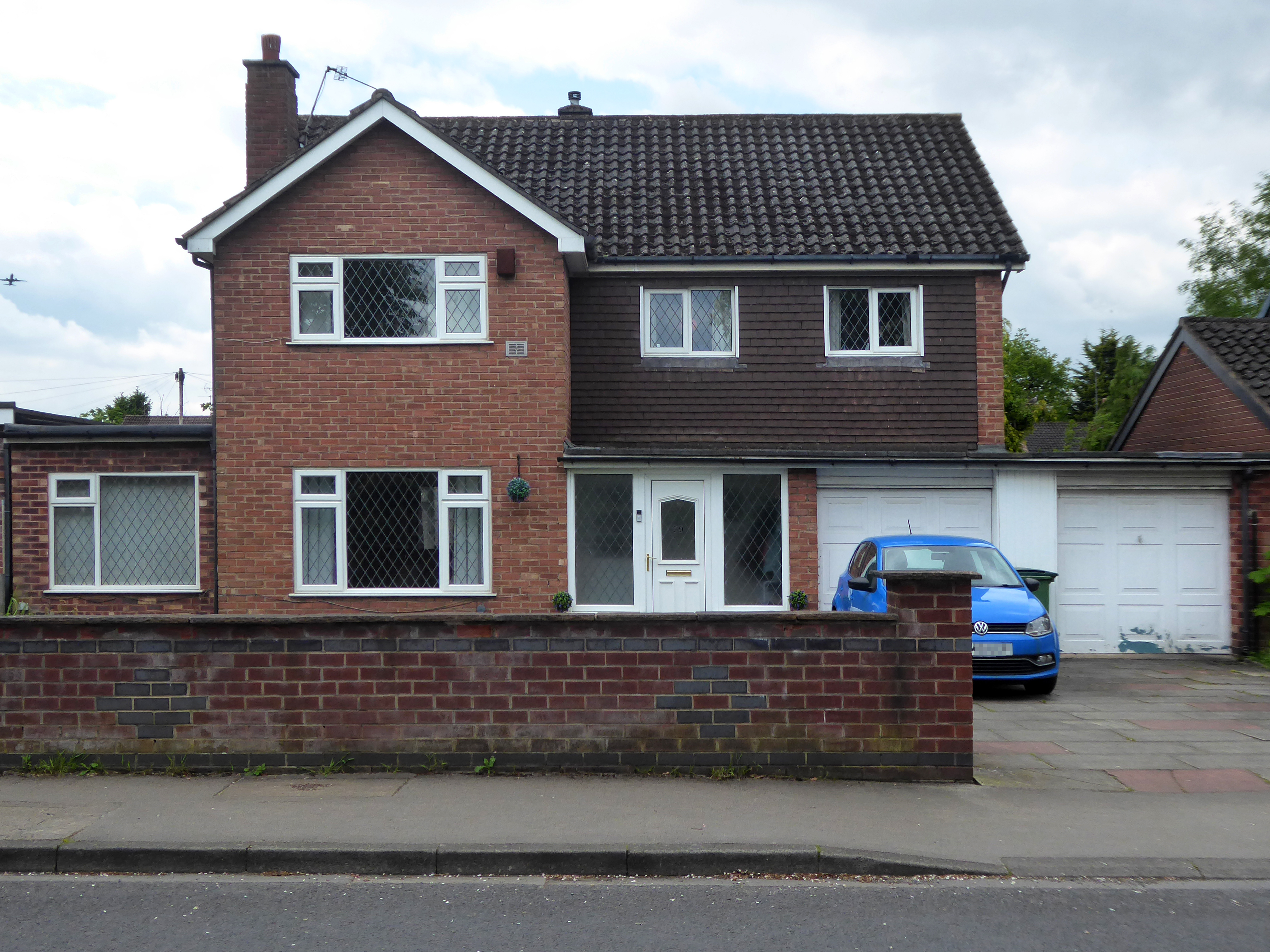
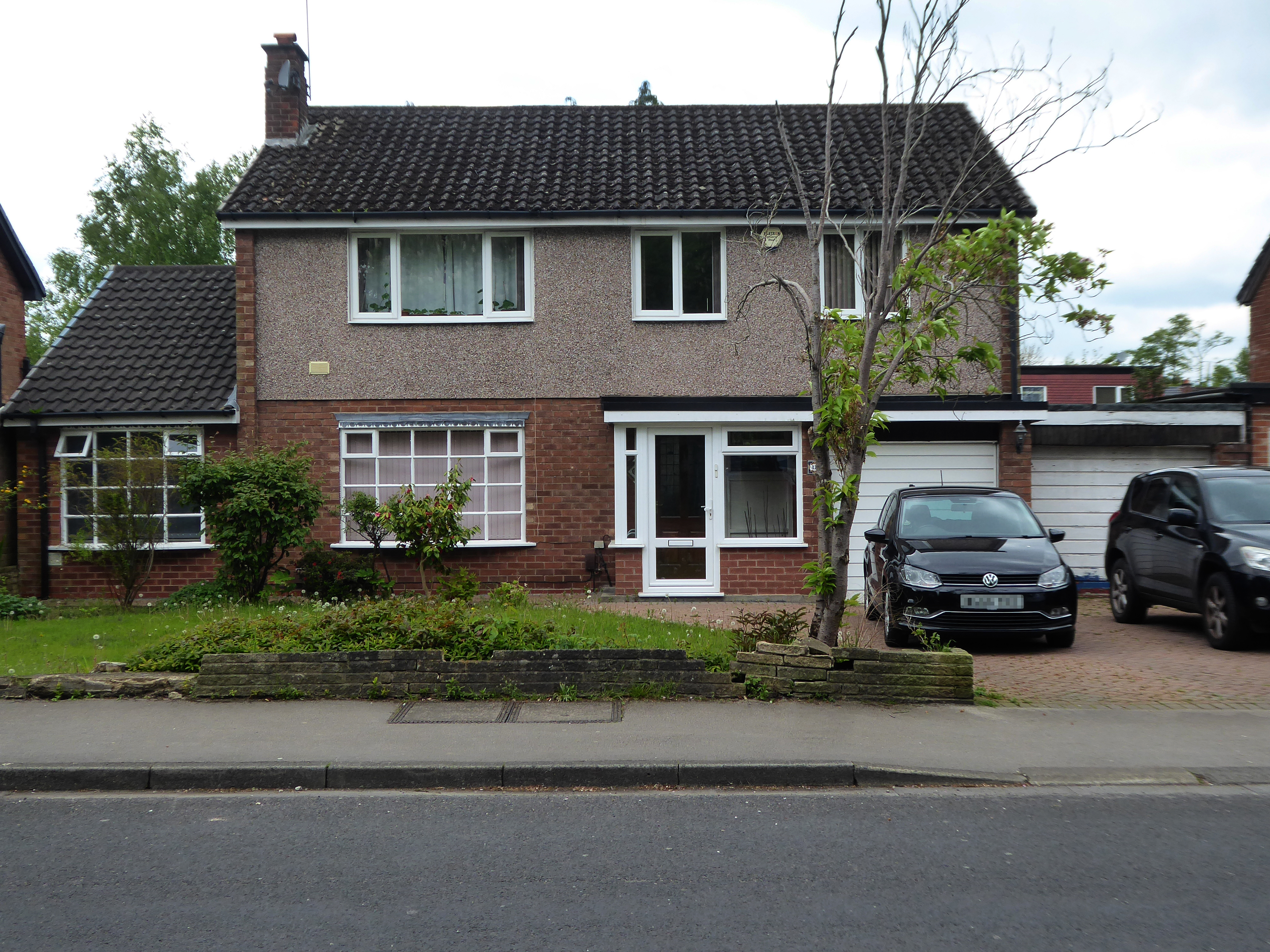
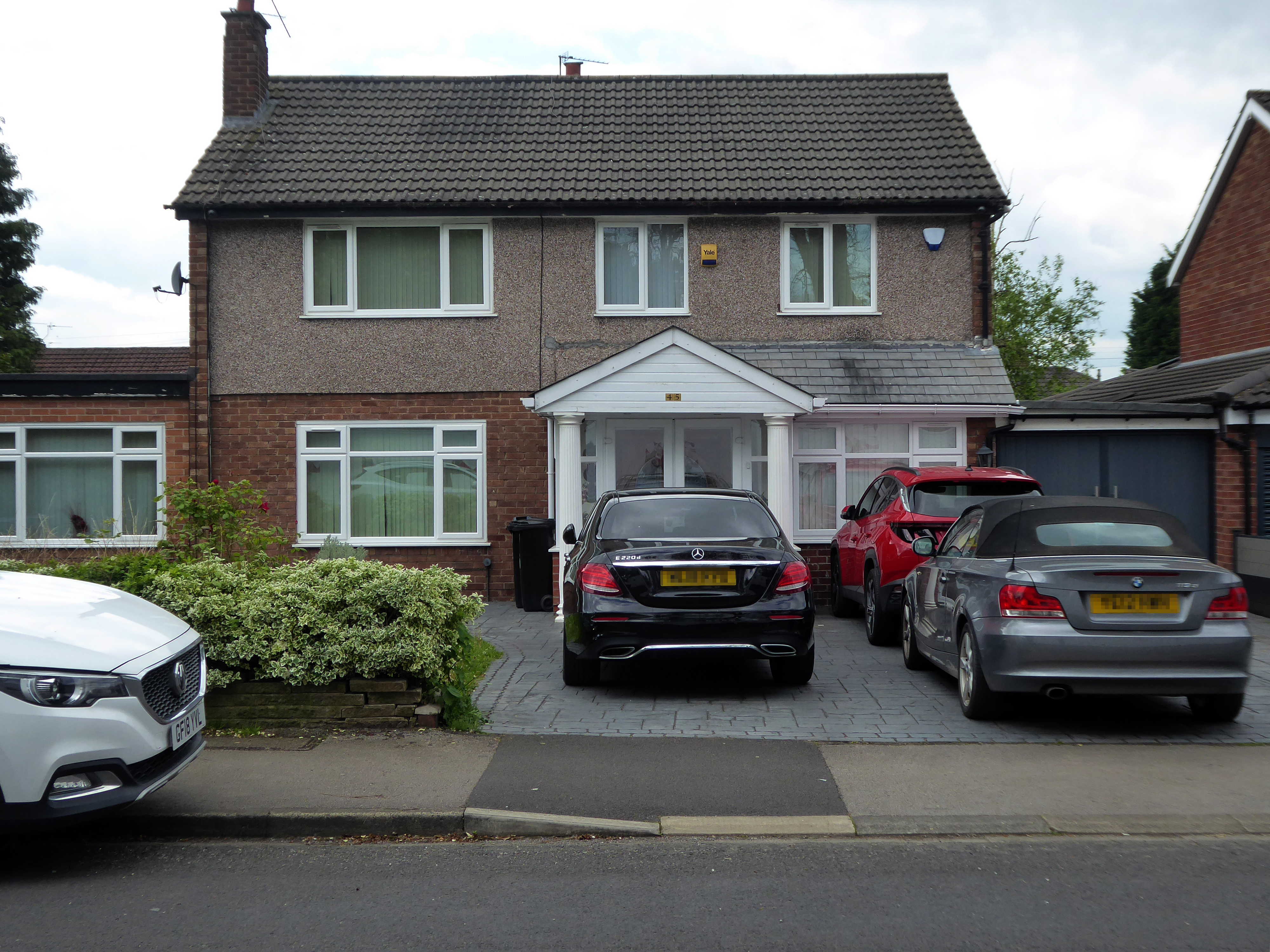
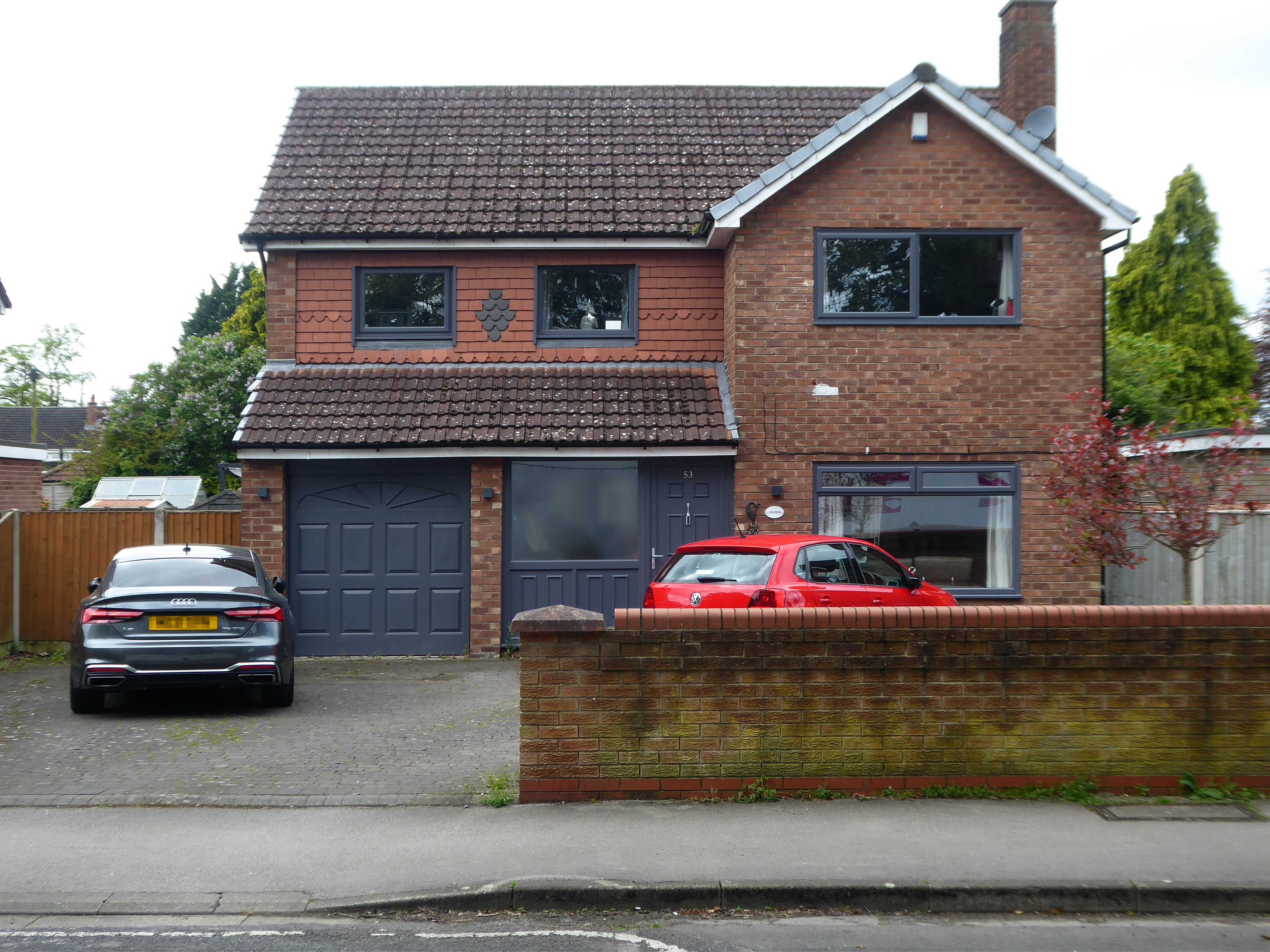
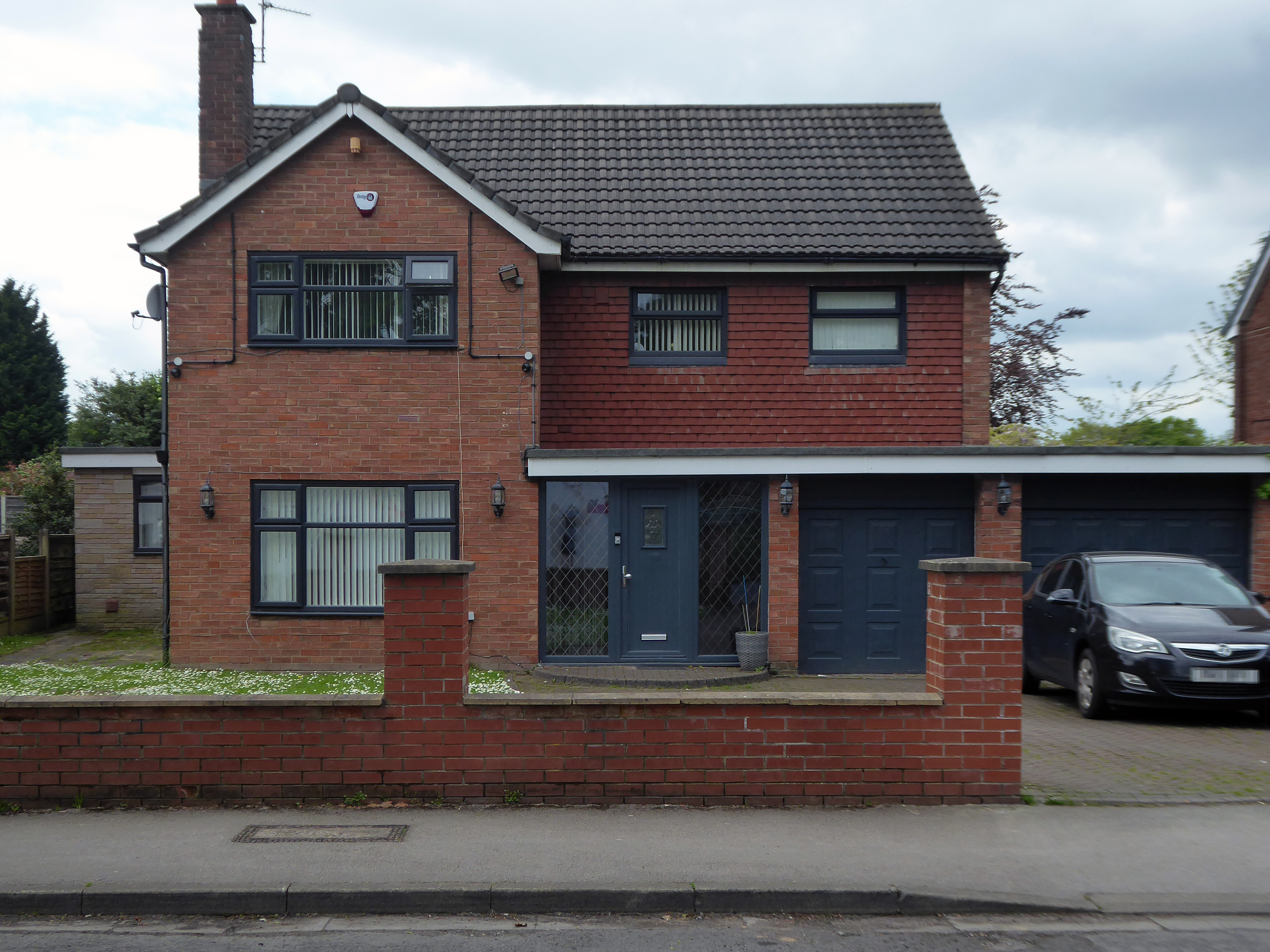
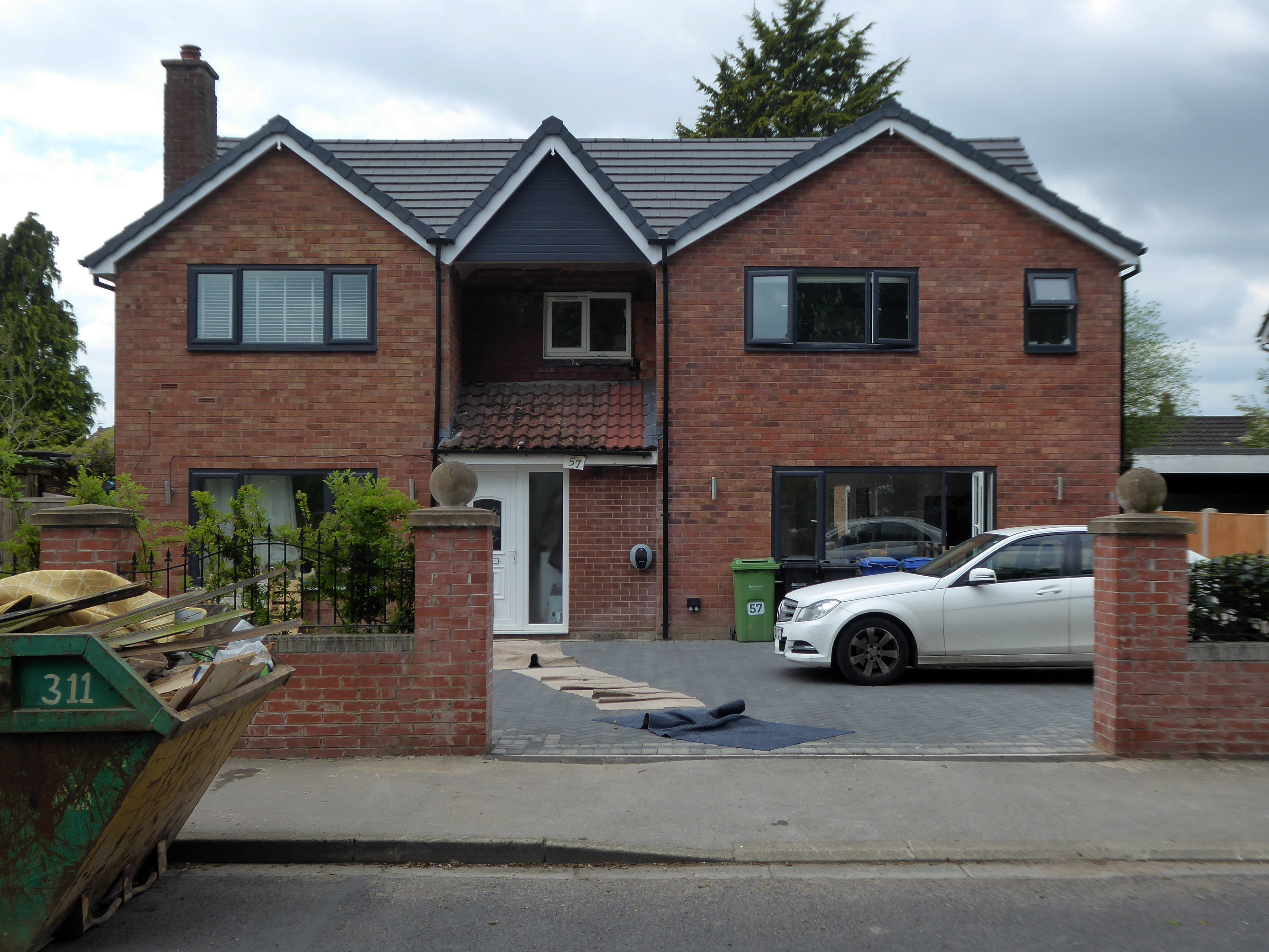
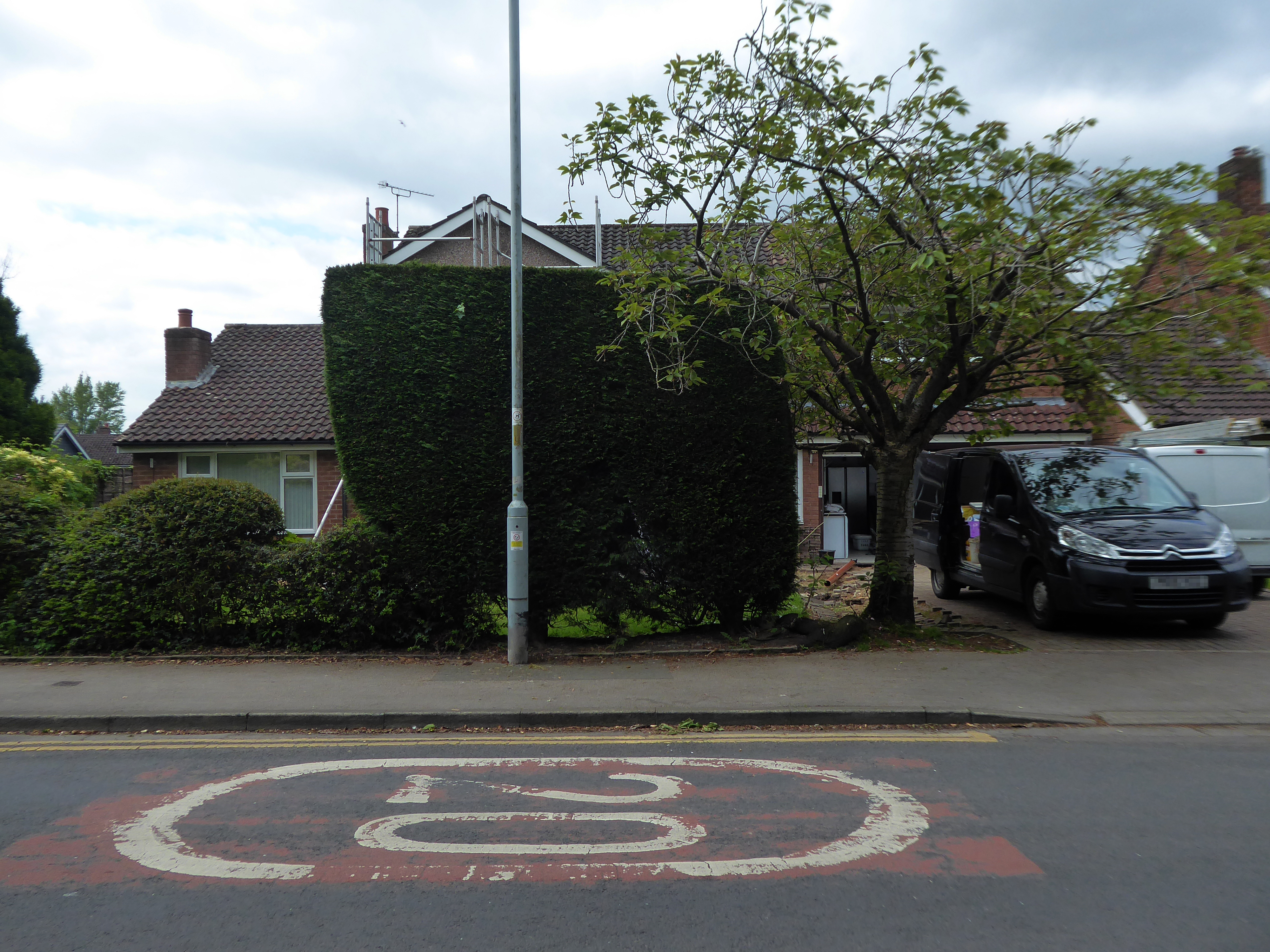
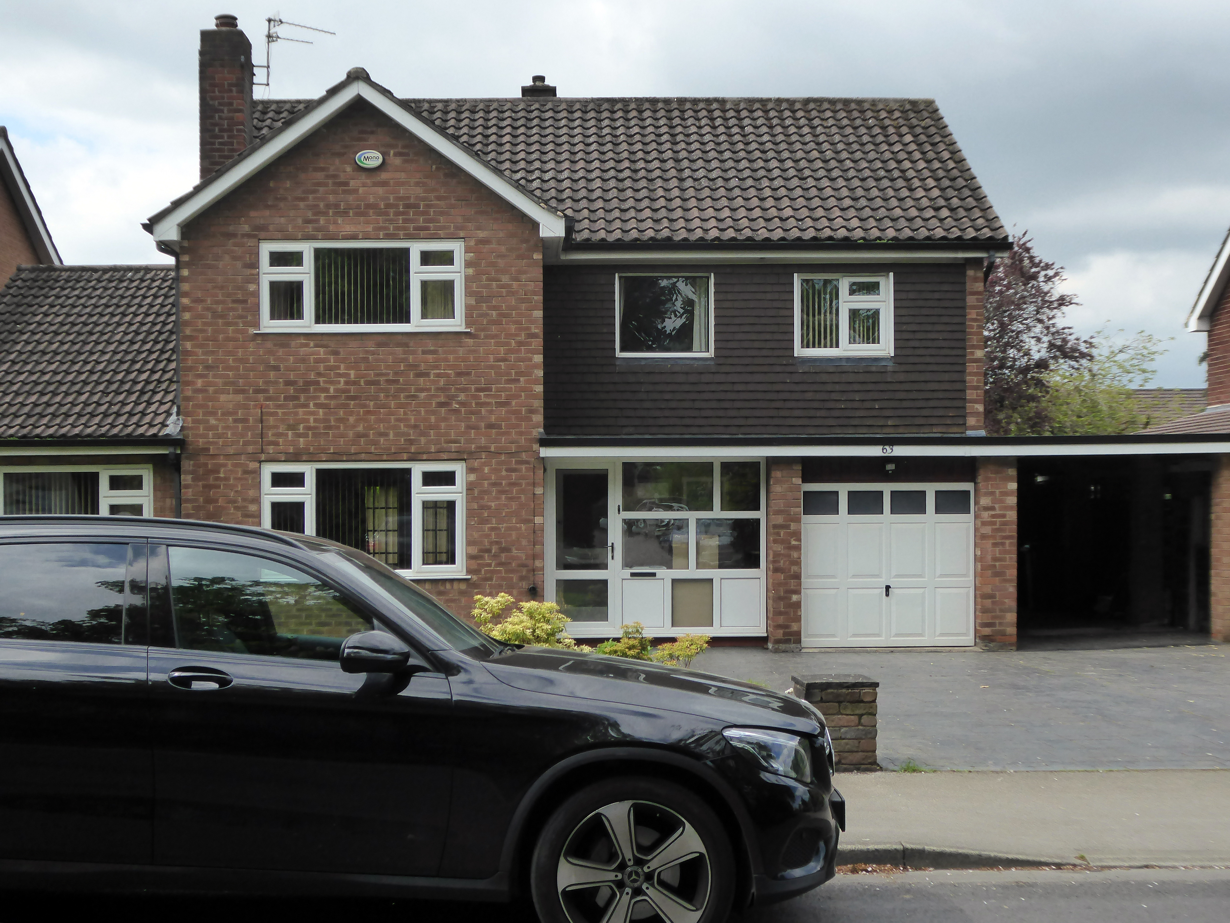
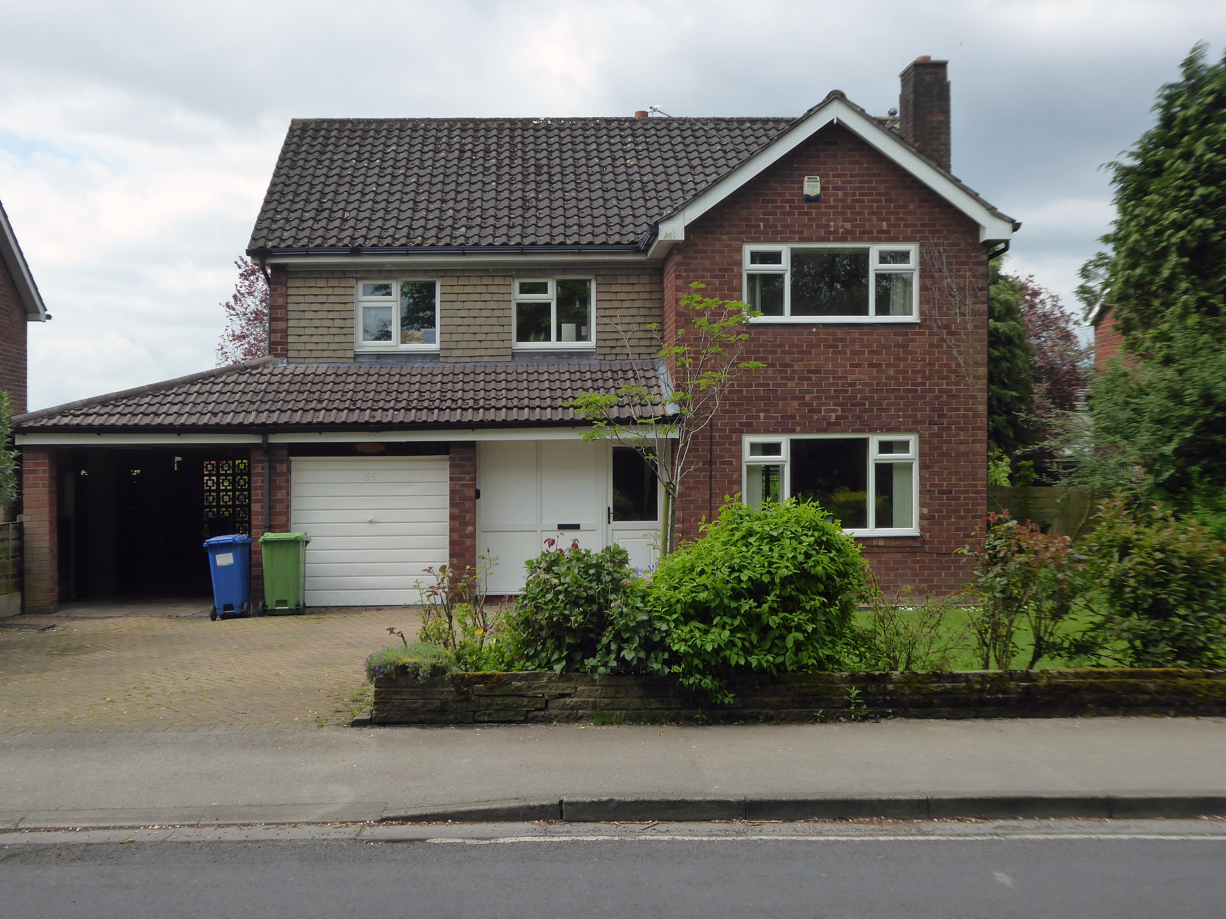
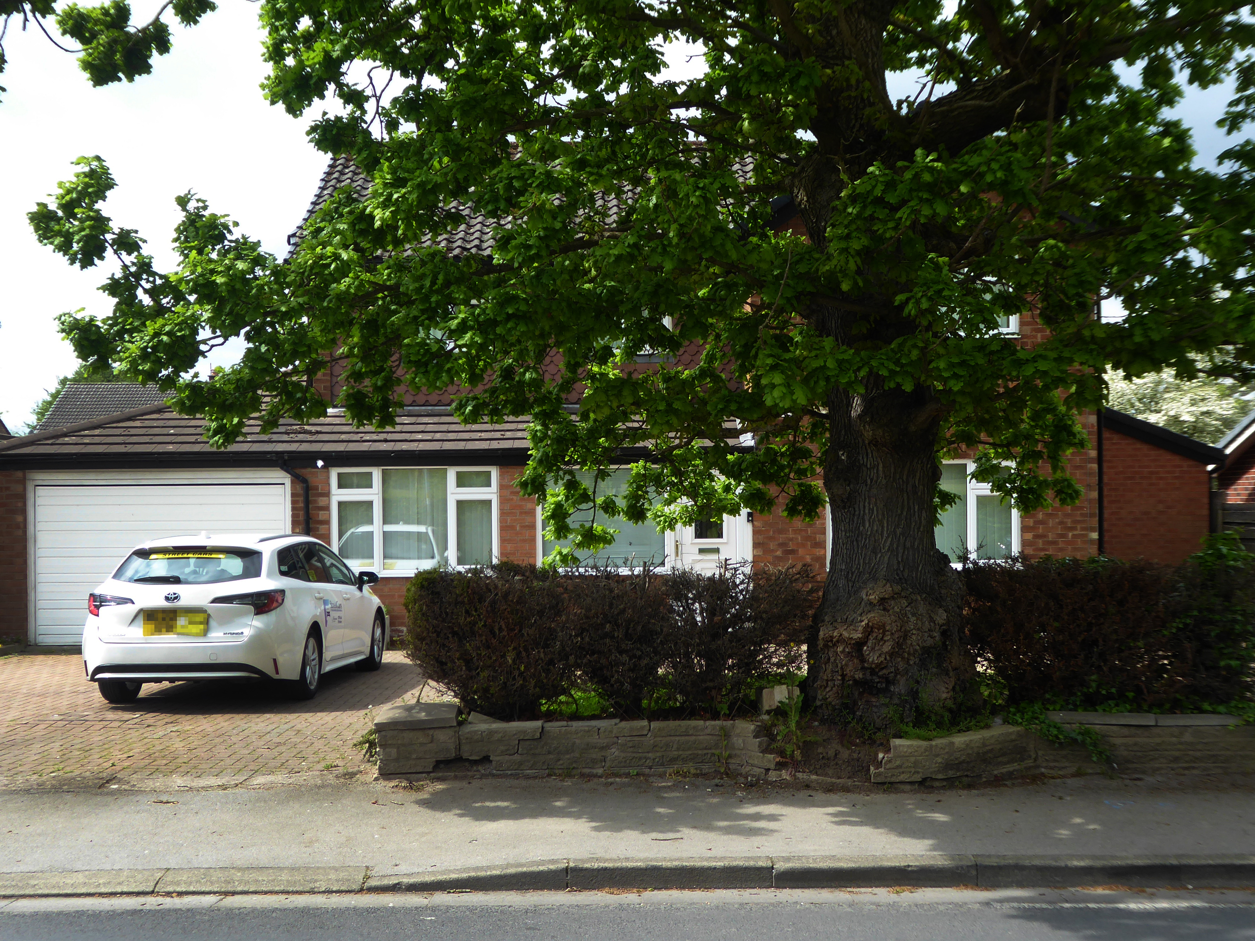
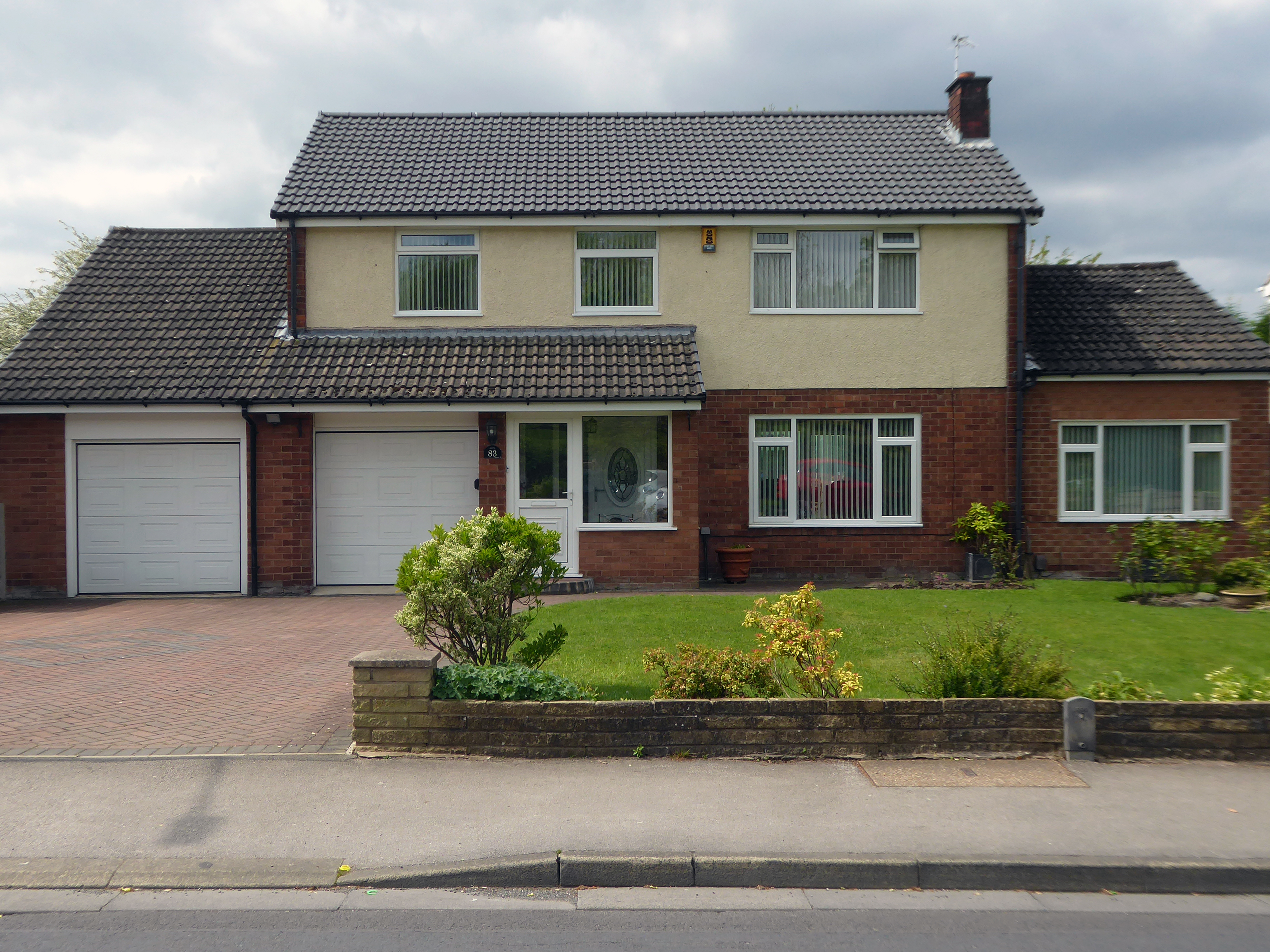
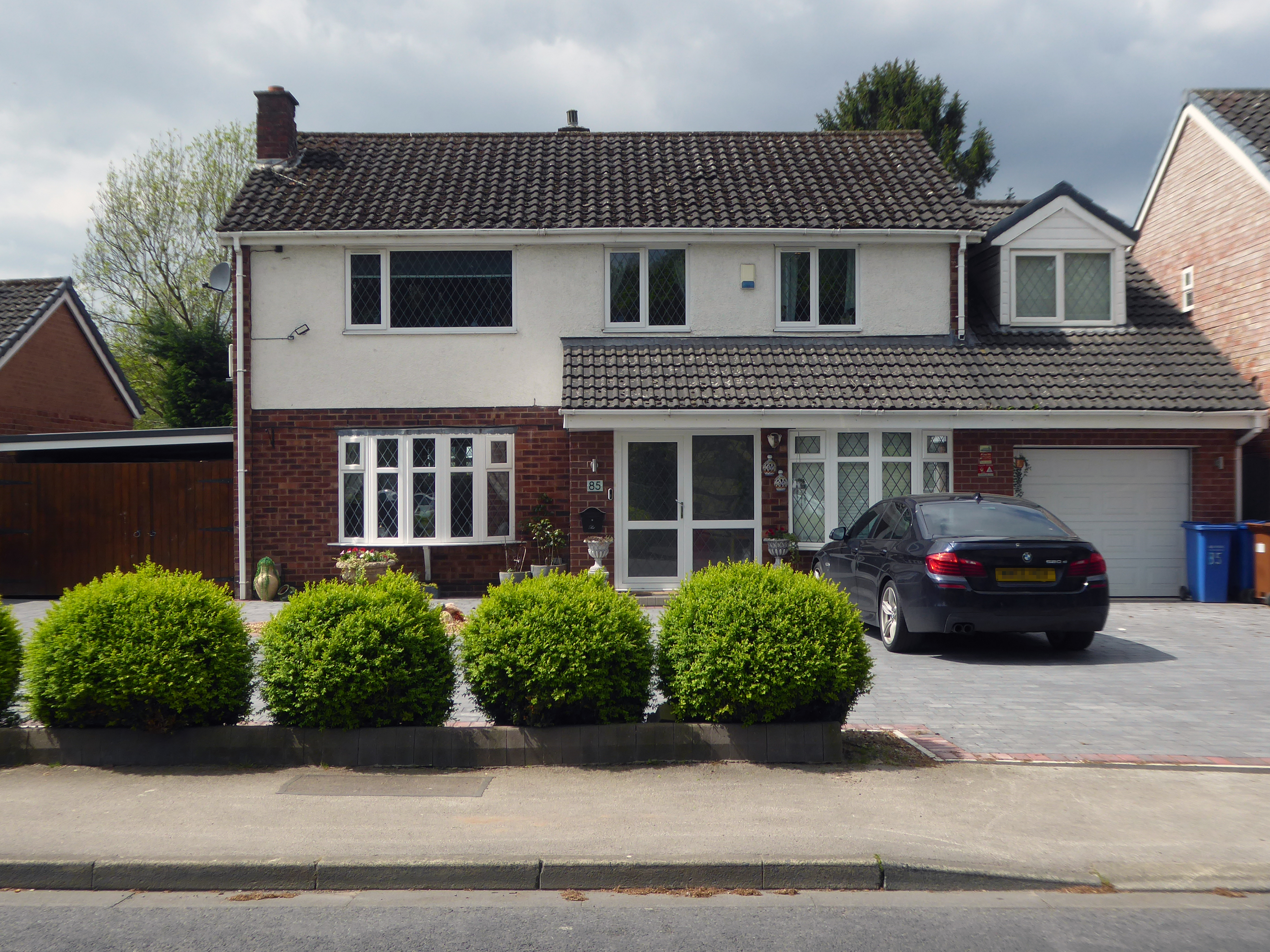
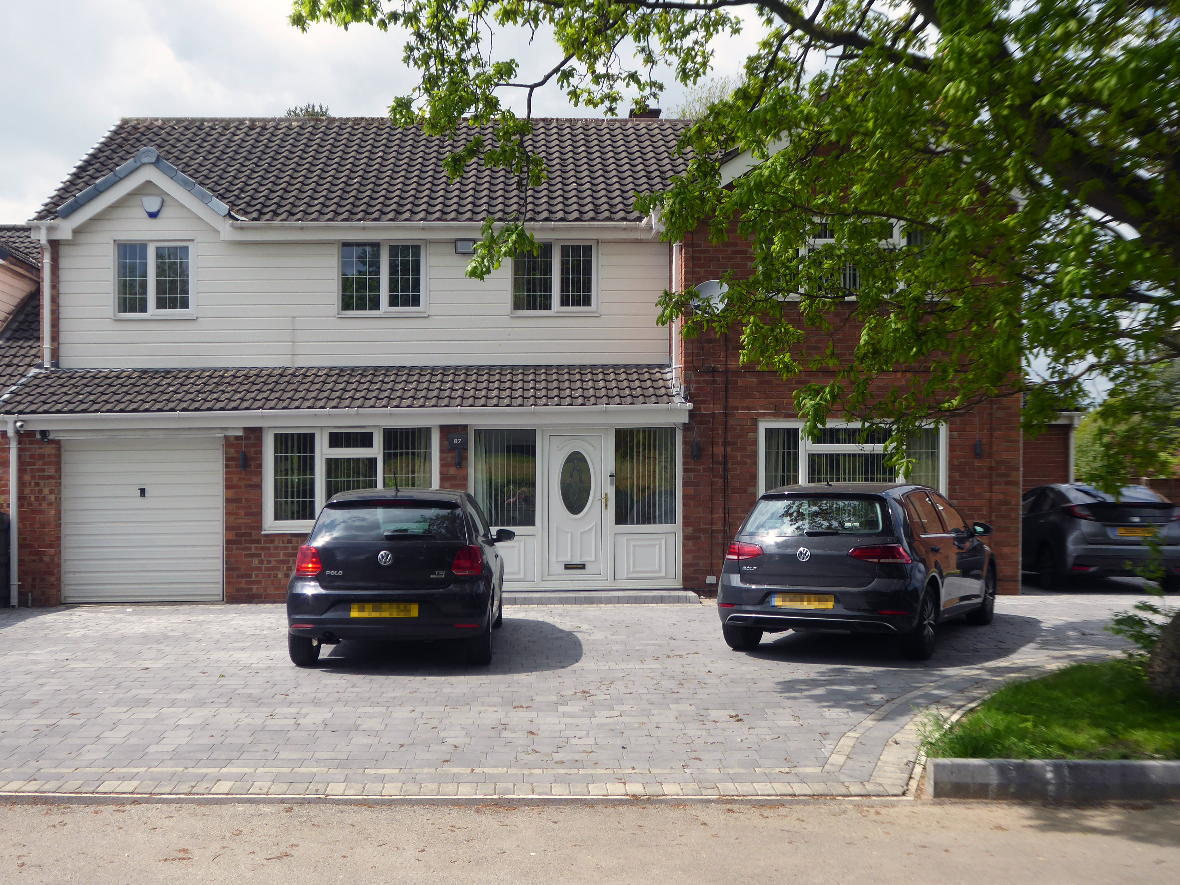
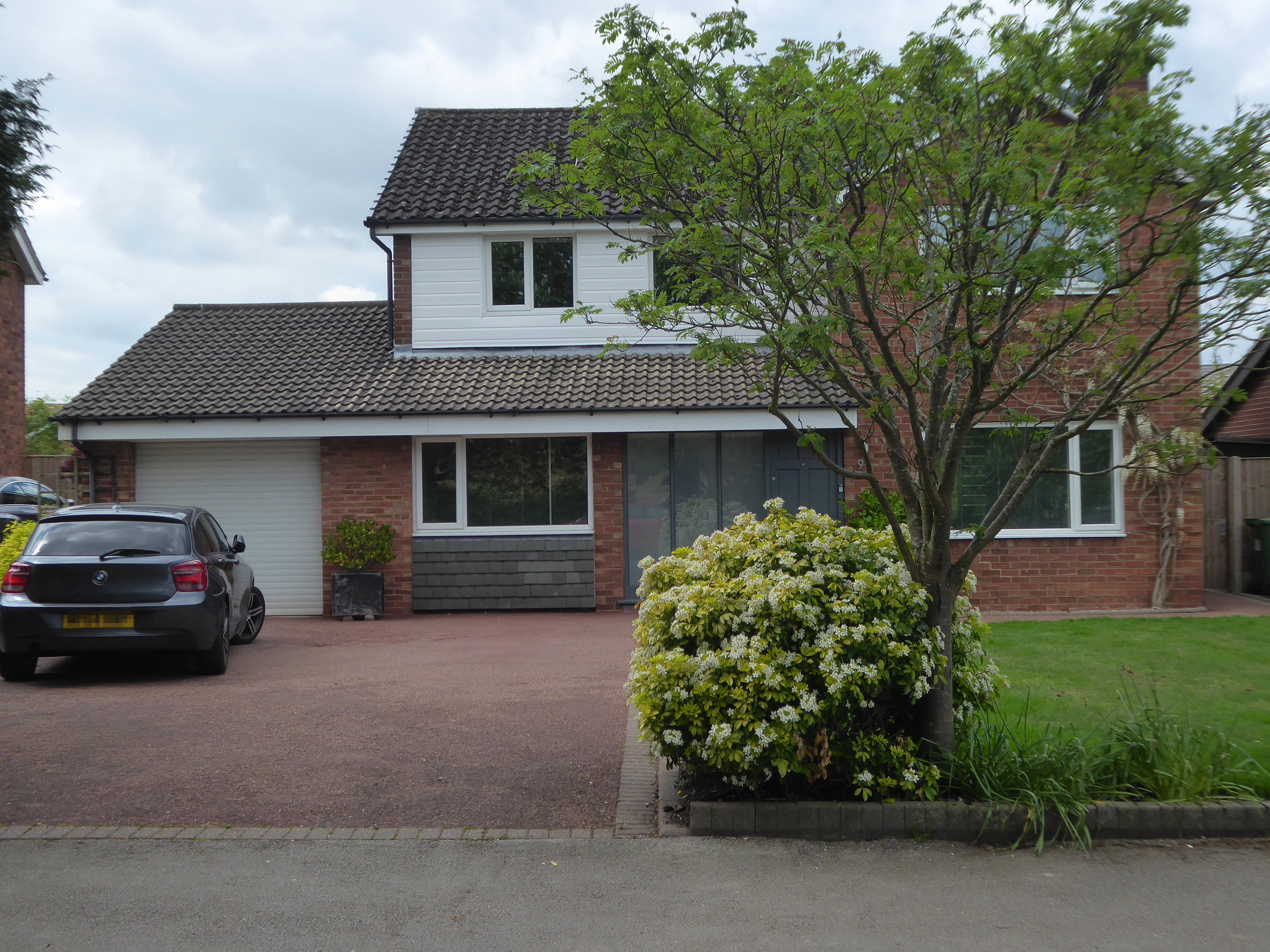
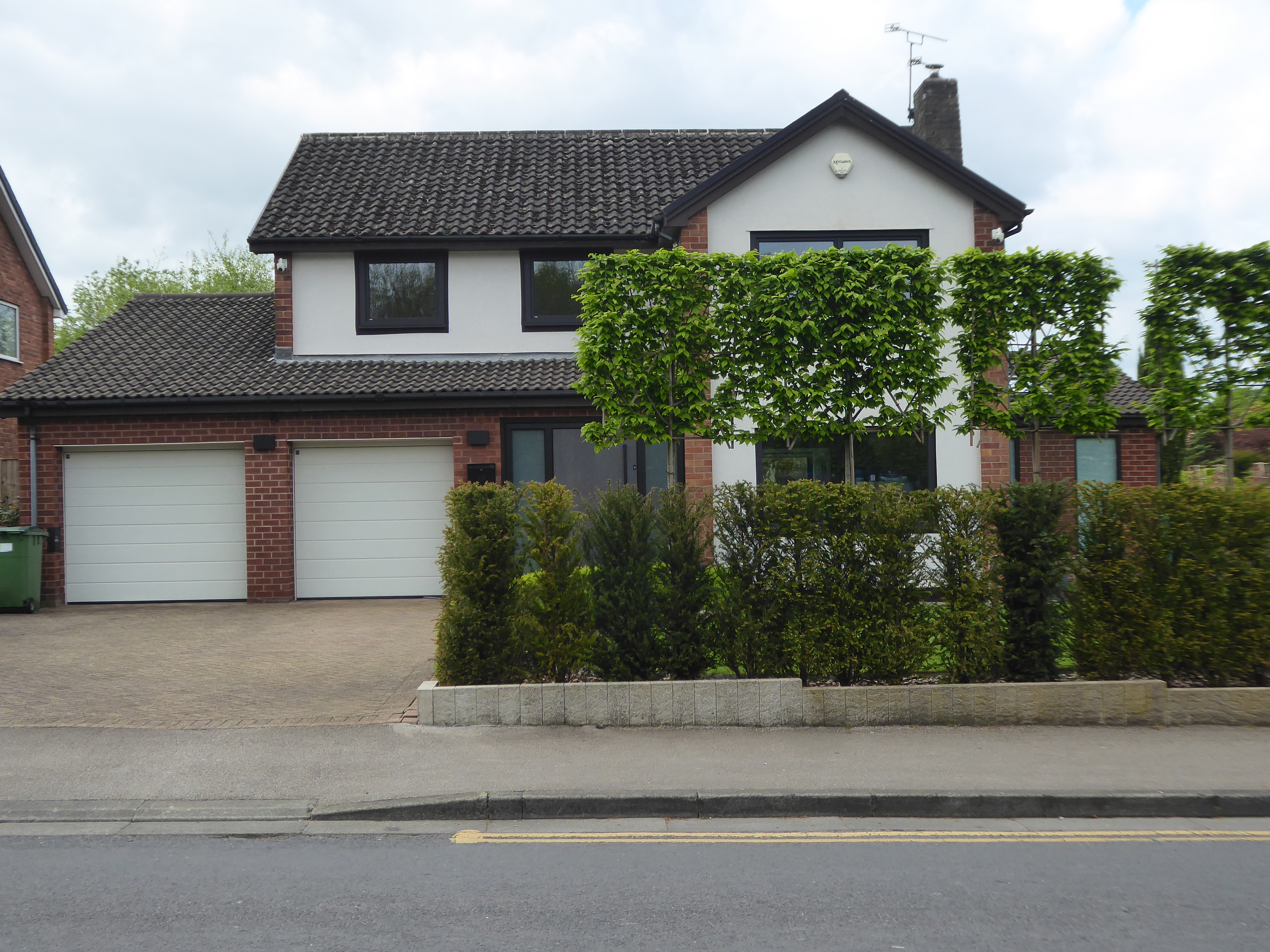
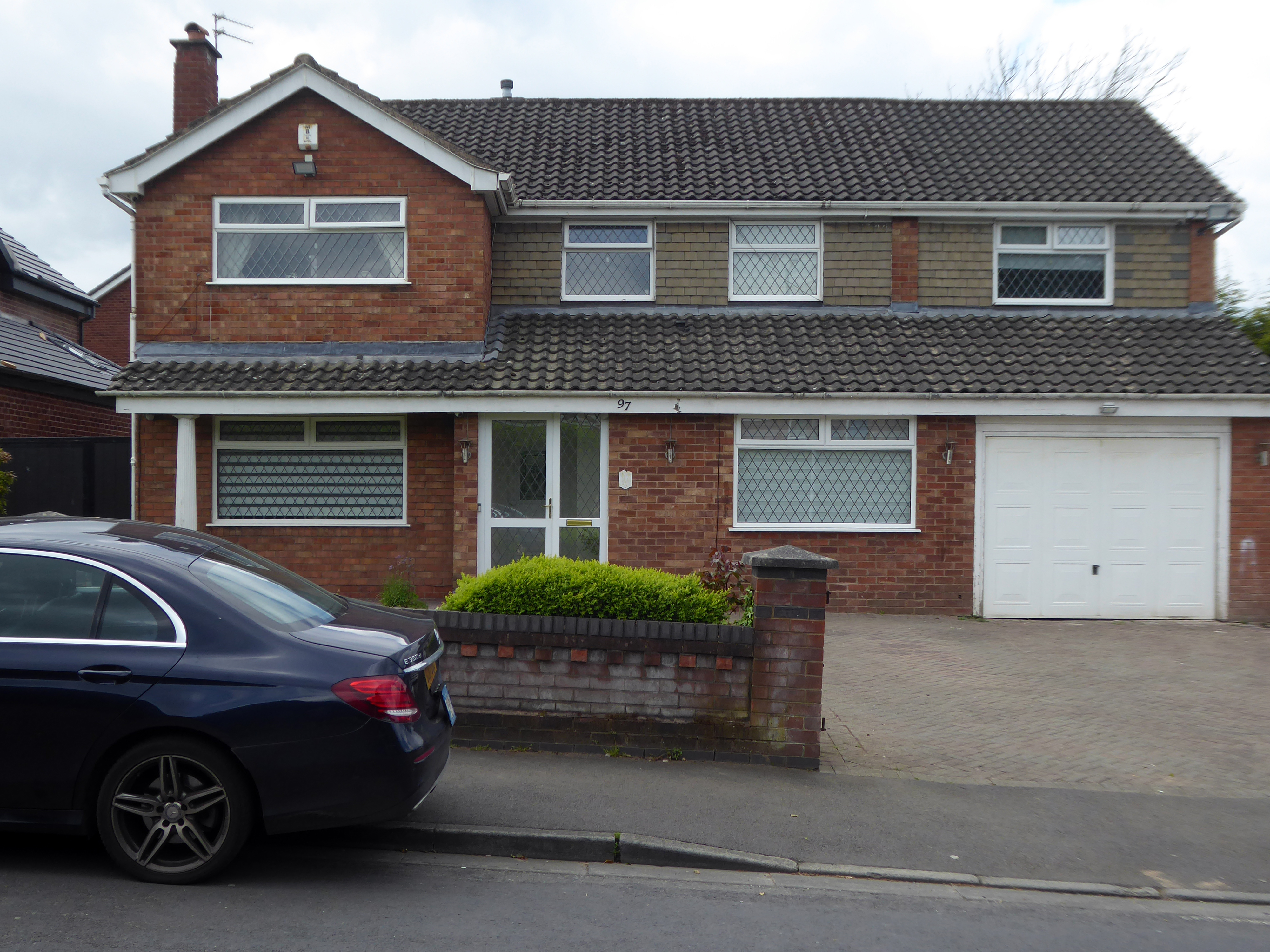
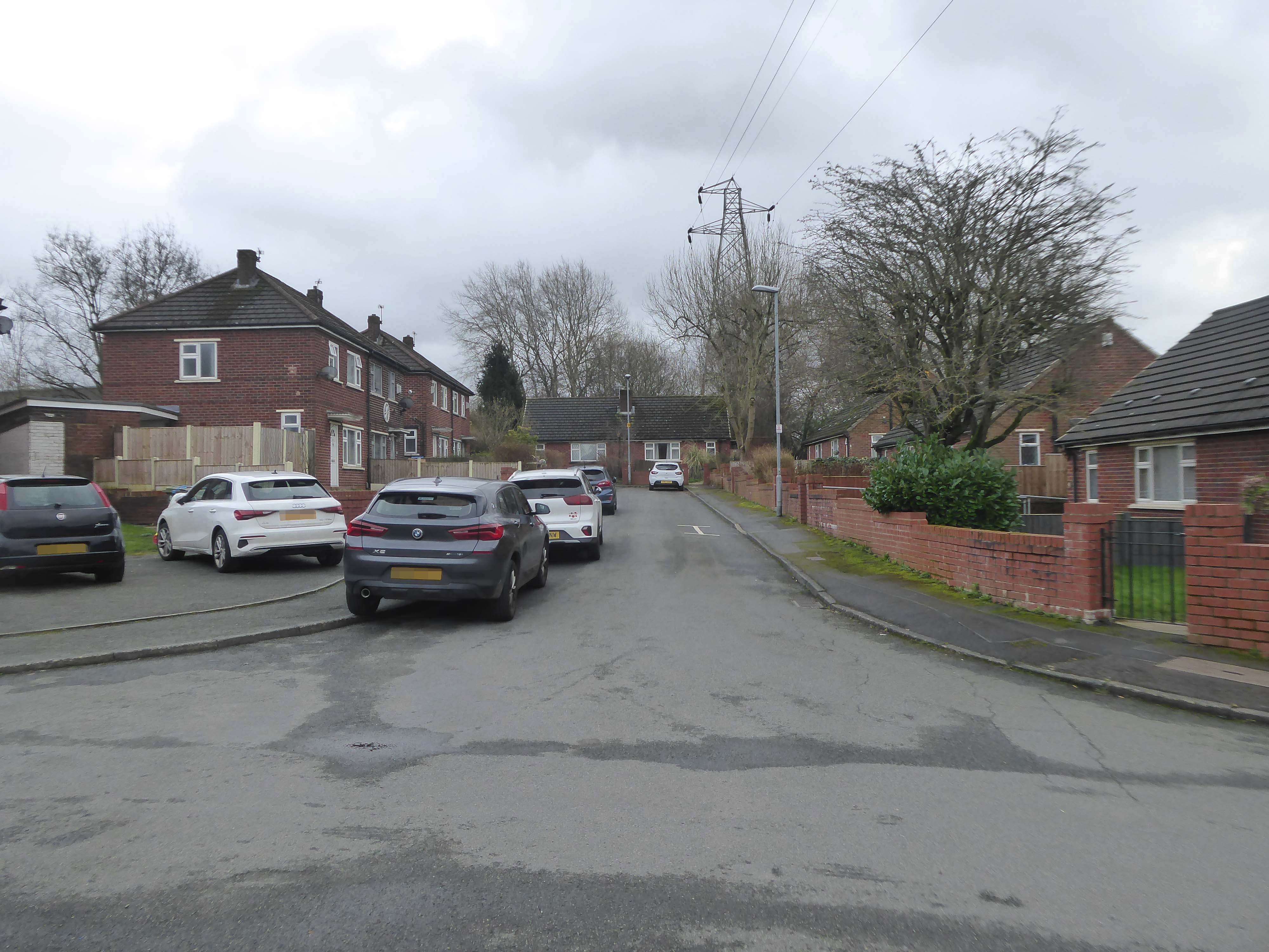
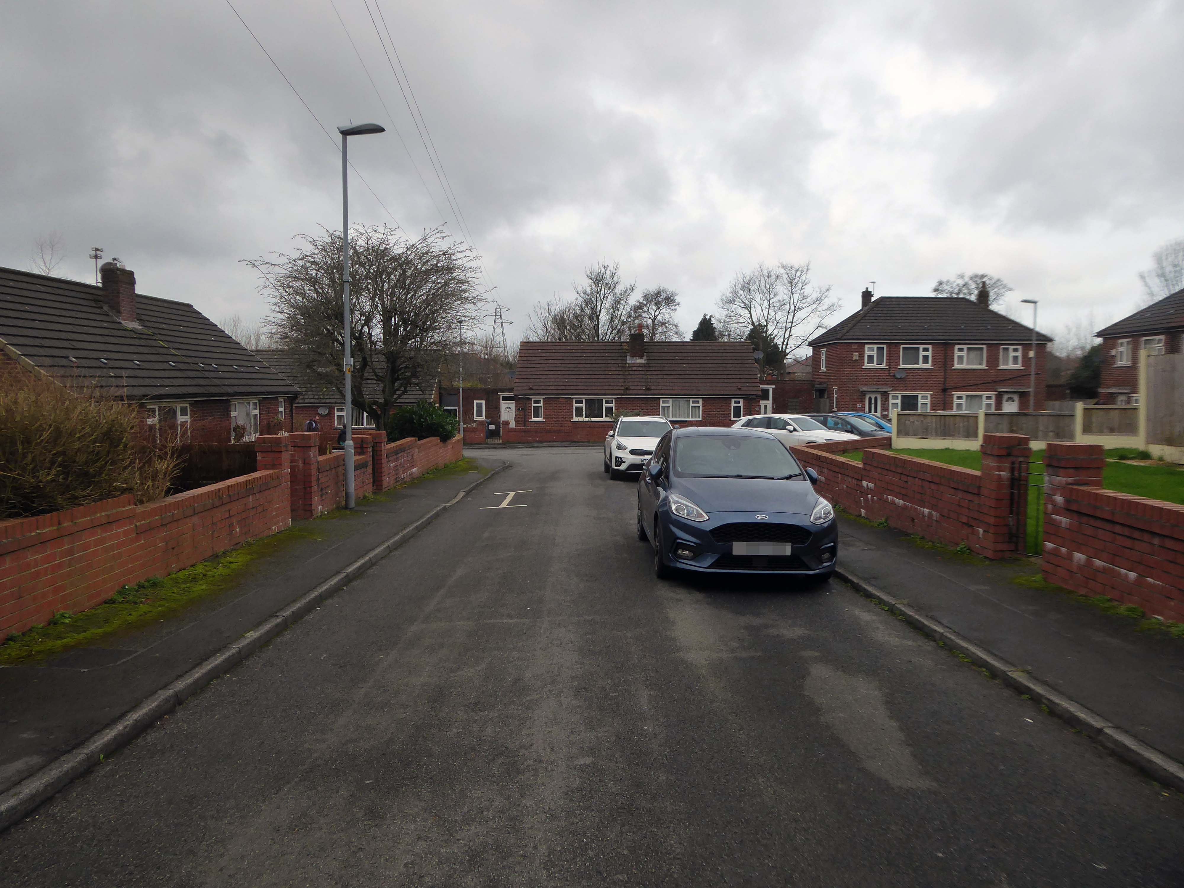
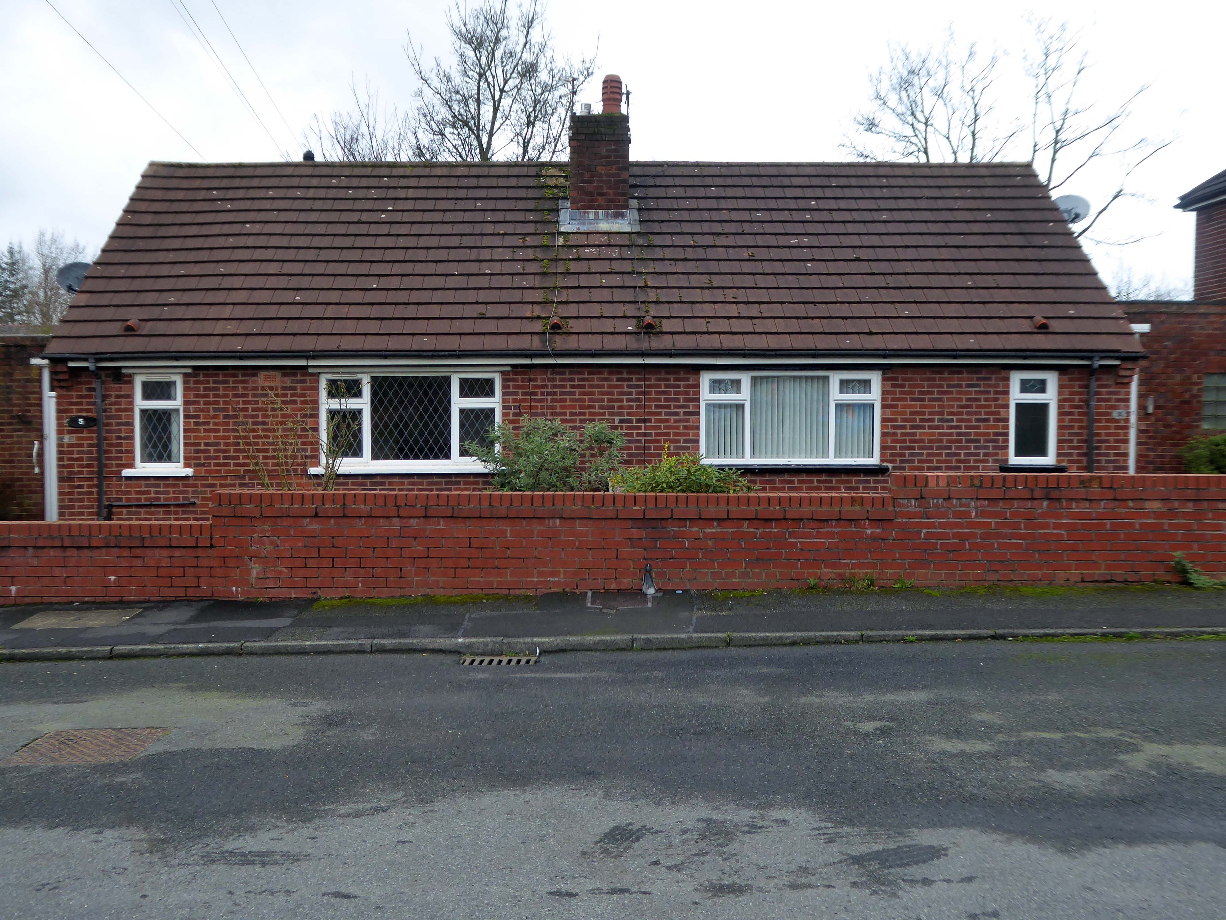
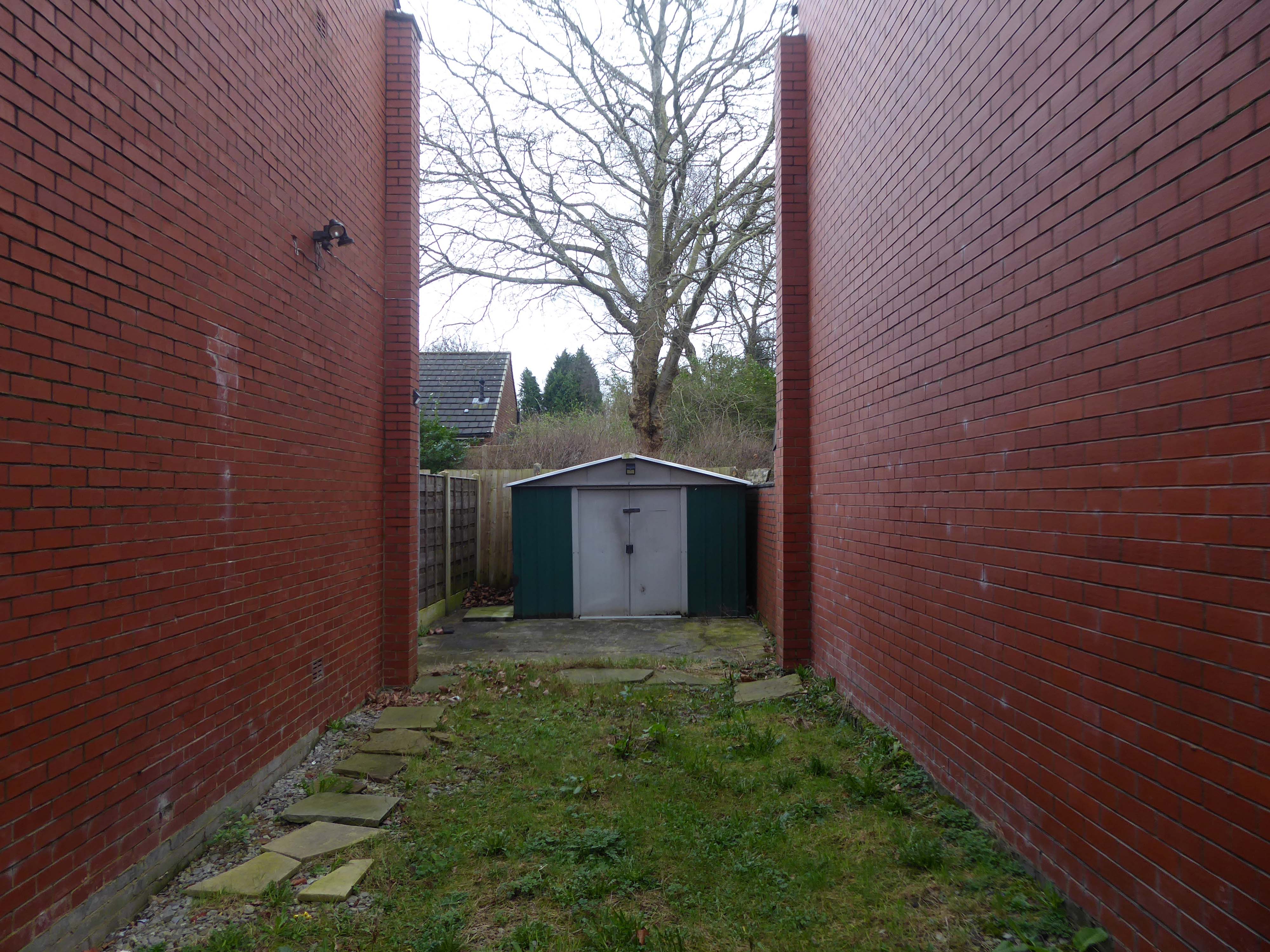
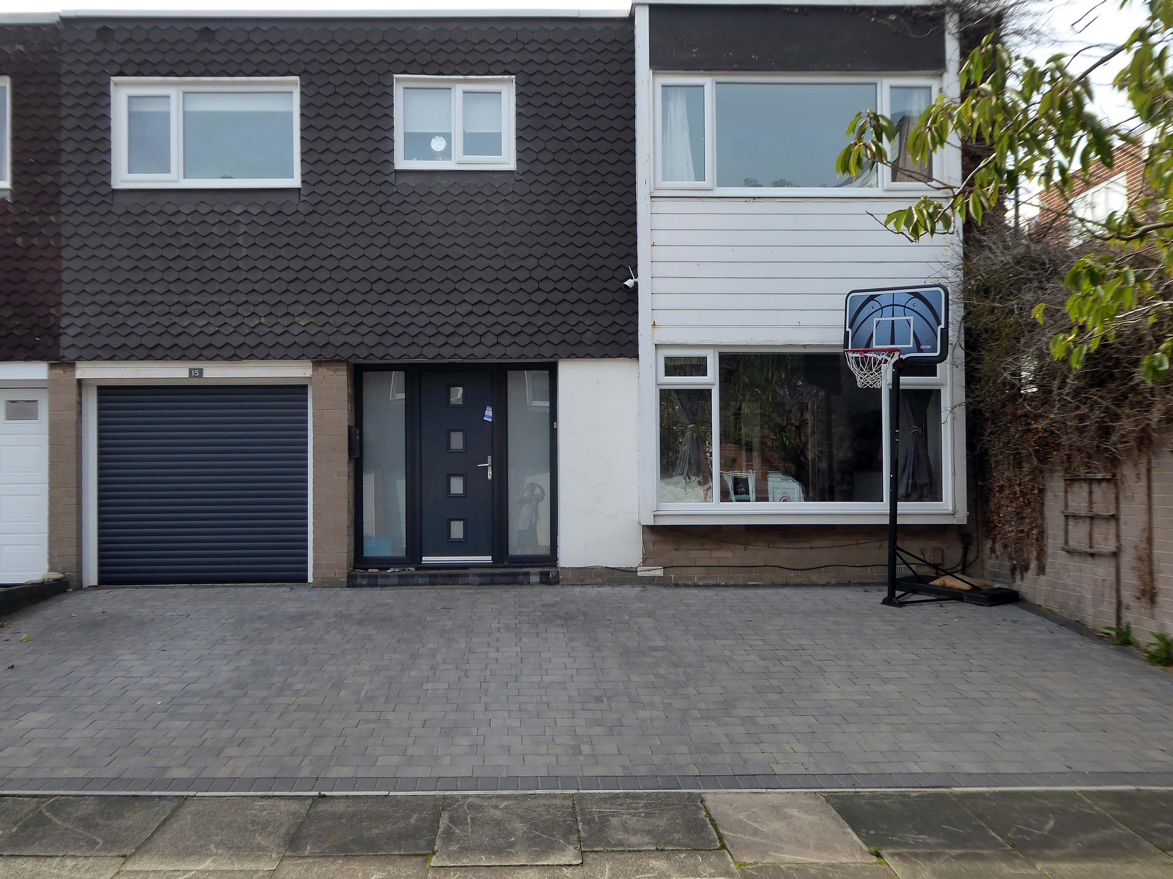
This is a dormitory suburb of Manchester and nearby Stockport and is oh so close to the airport, polite and professional well presented and aspirational.
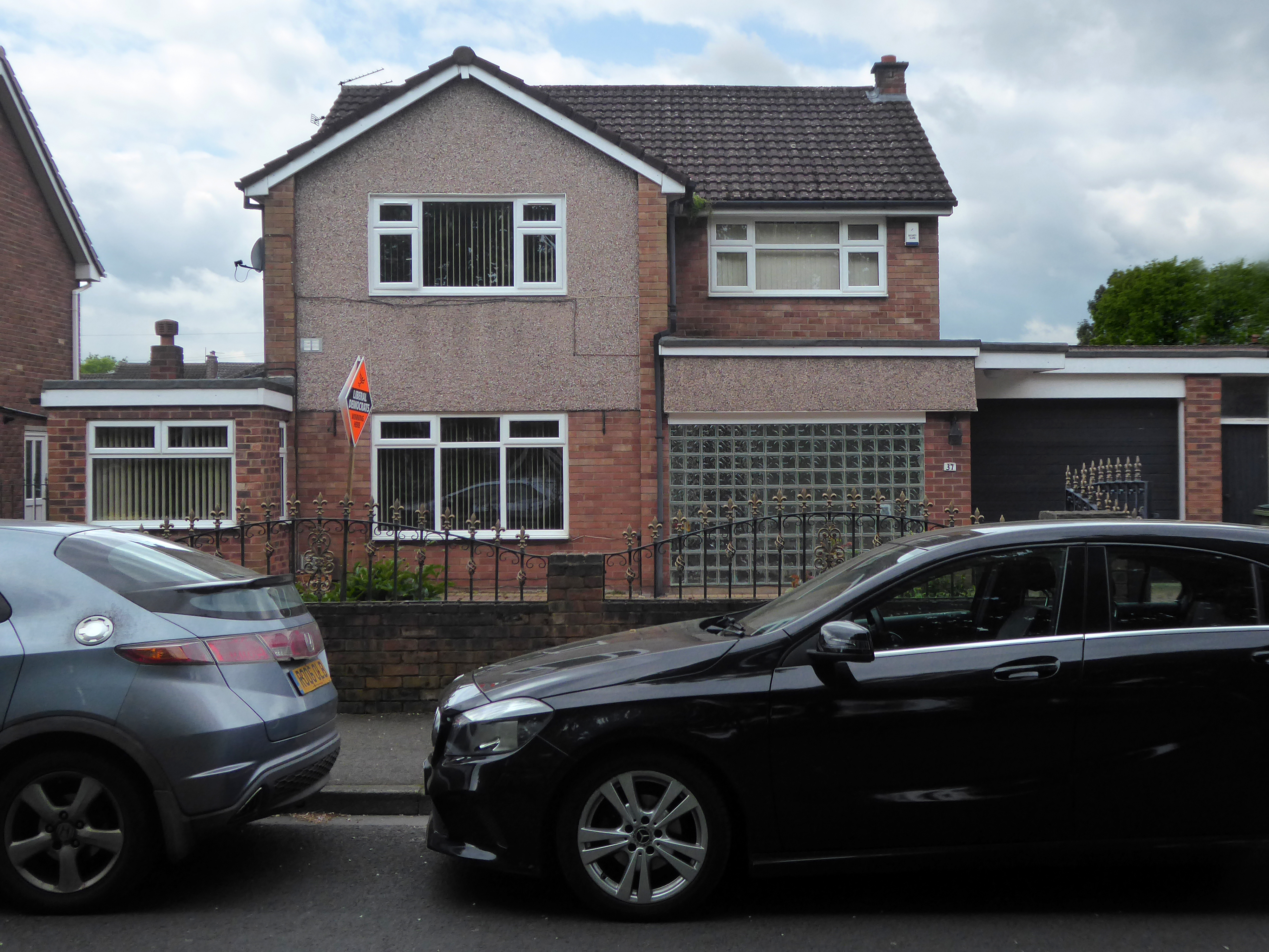
Once this was a Modern paradigm.
Subsequently the plaything of the upwardly mobile – extending in all directions, adding period details way out of period, or embracing the current vogue for the refined and smoothly rendered grey-ification of their homes.
Welcome to the land of the performance vehicle, impressive impressed drive, carriage lamp and bay window, overlooking a well clipped lawn.
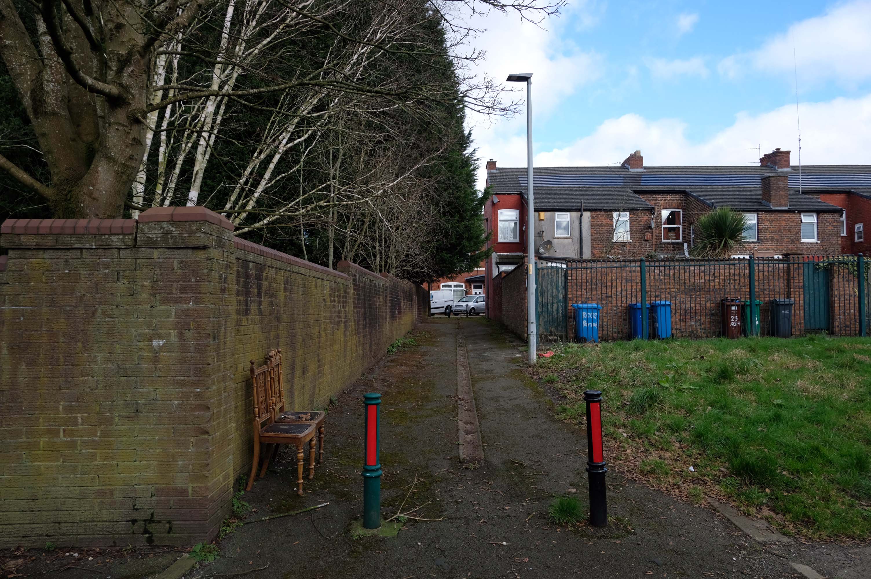
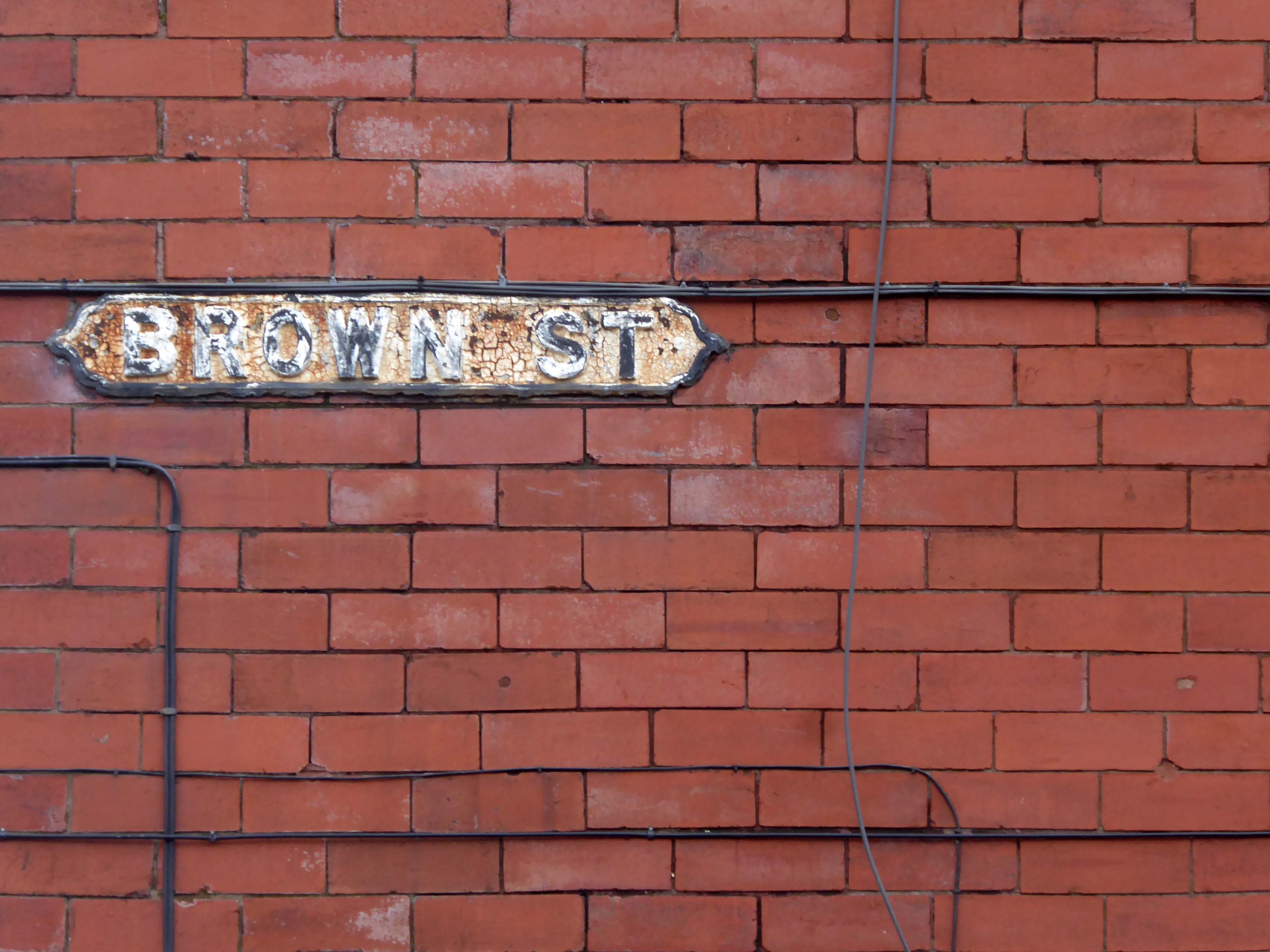
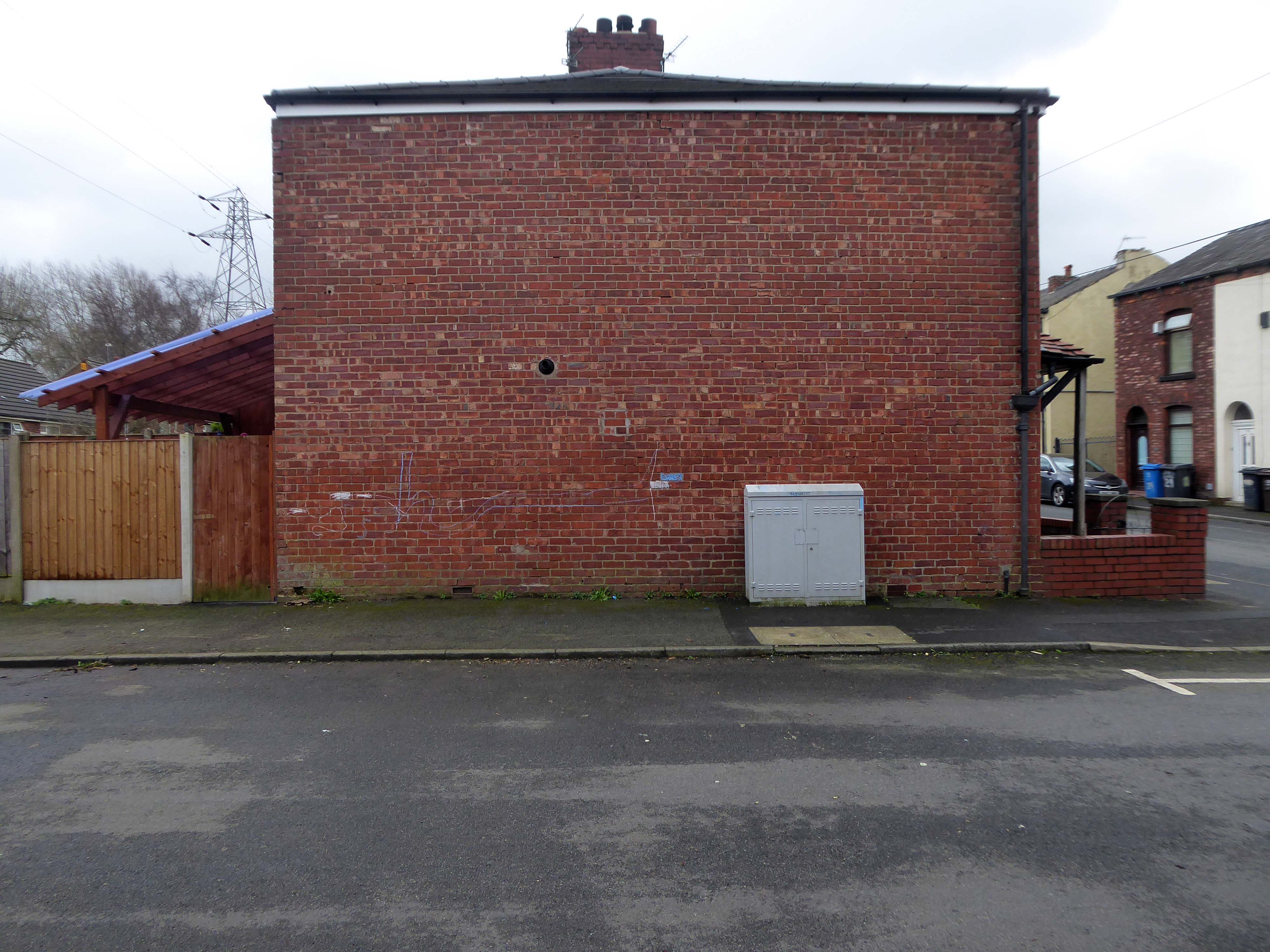
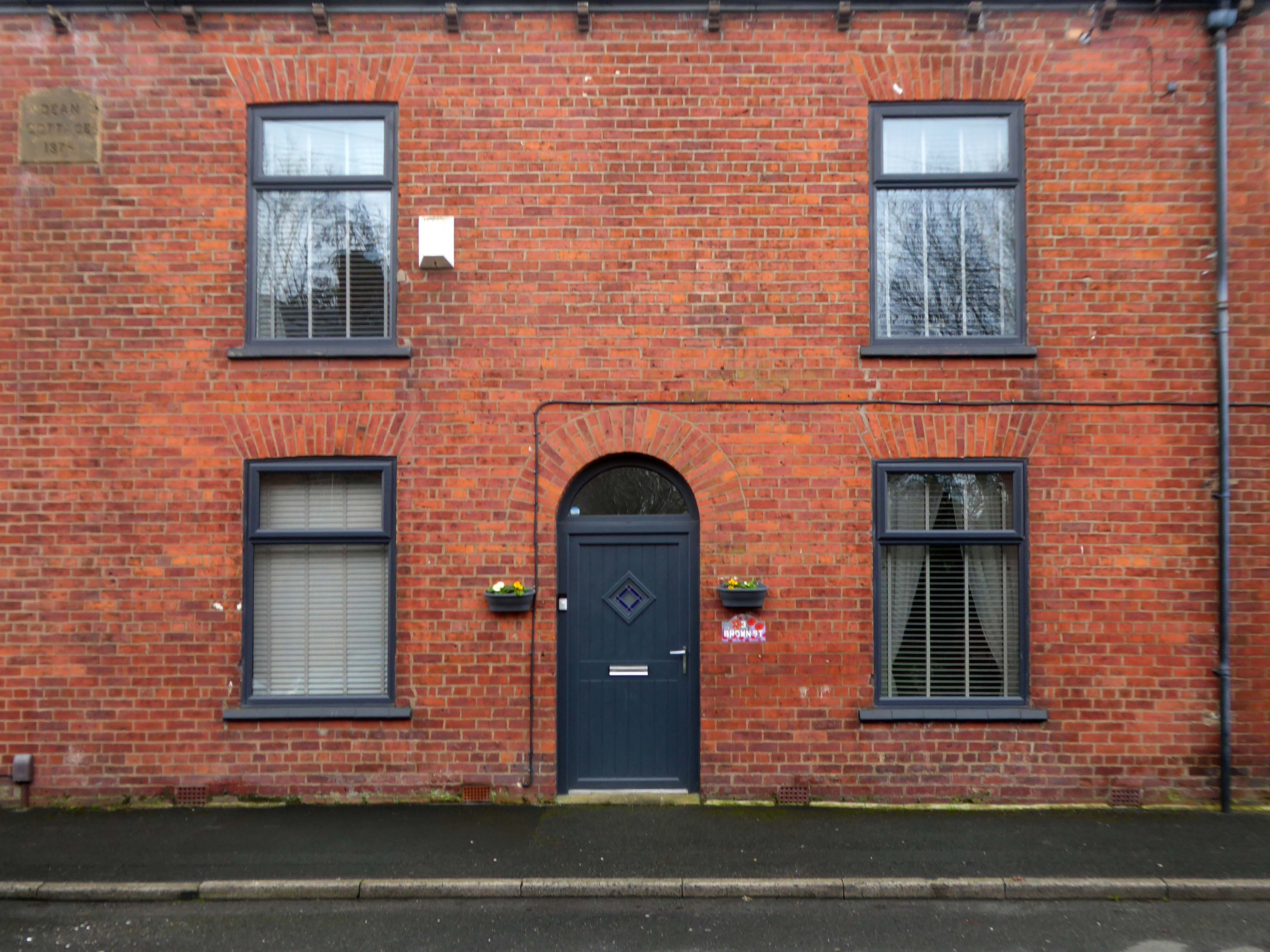
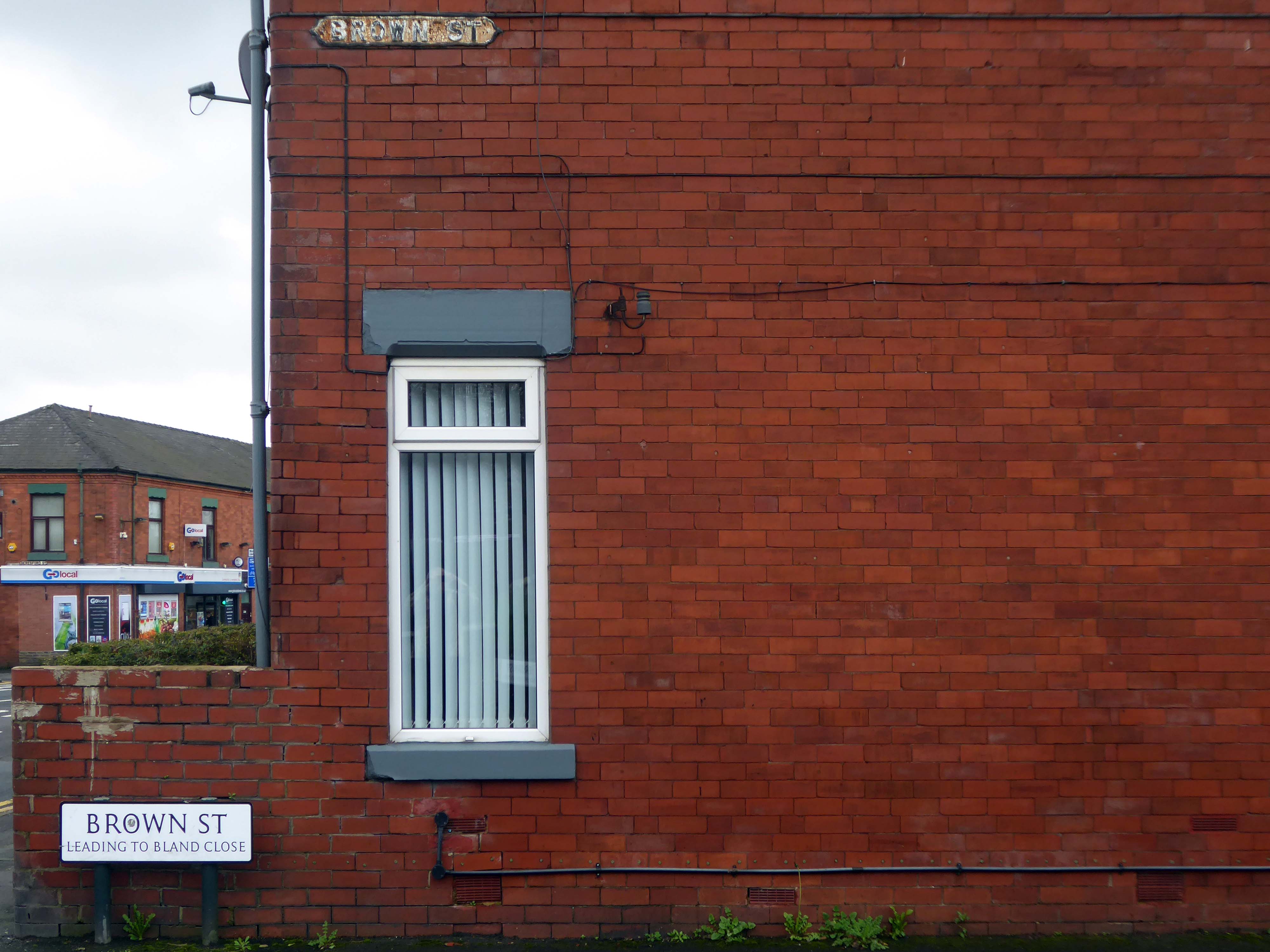
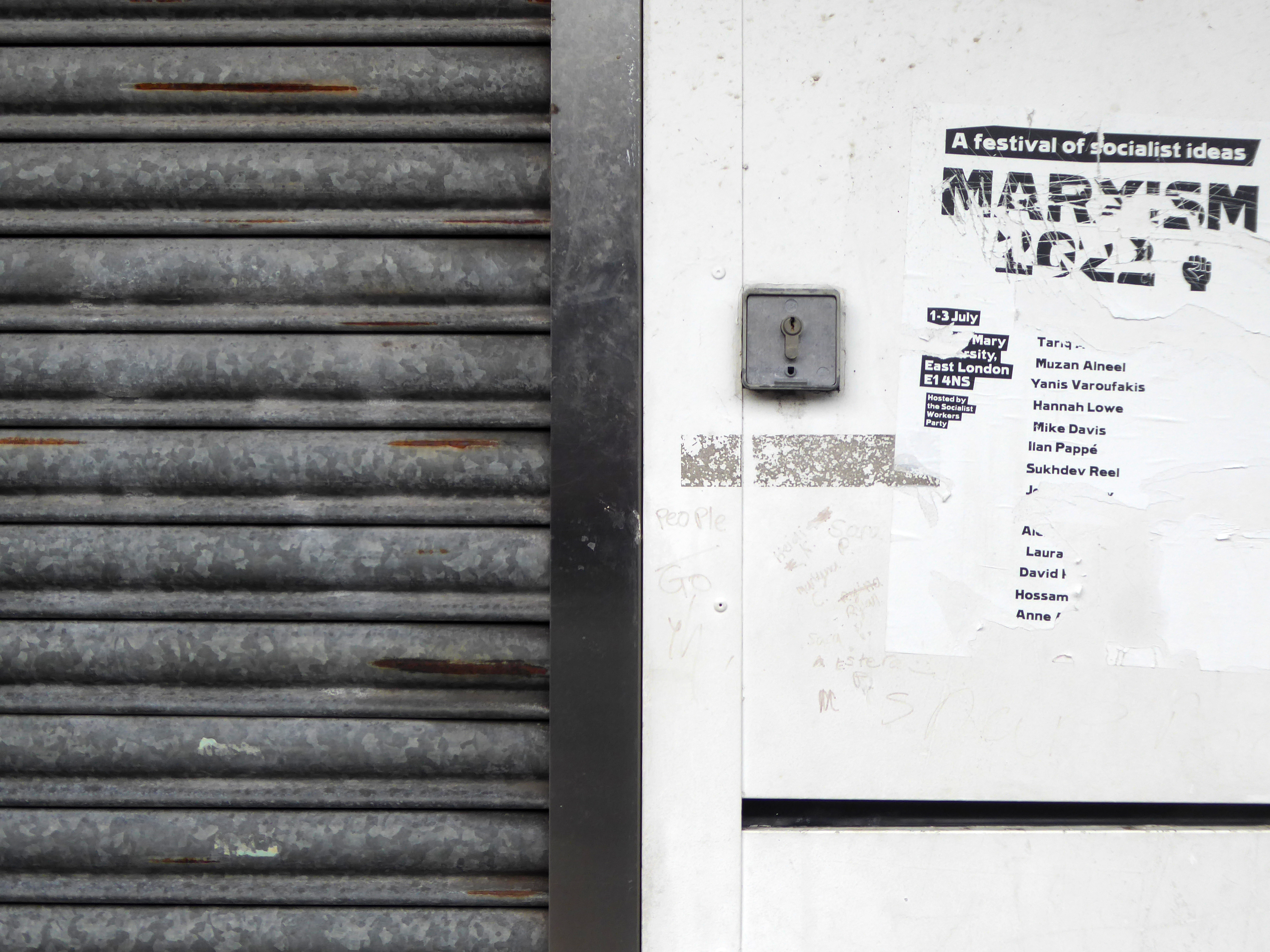
Walking along Rochdale Road yesterday, I was suddenly arrested by the Pleasant Street street sign.
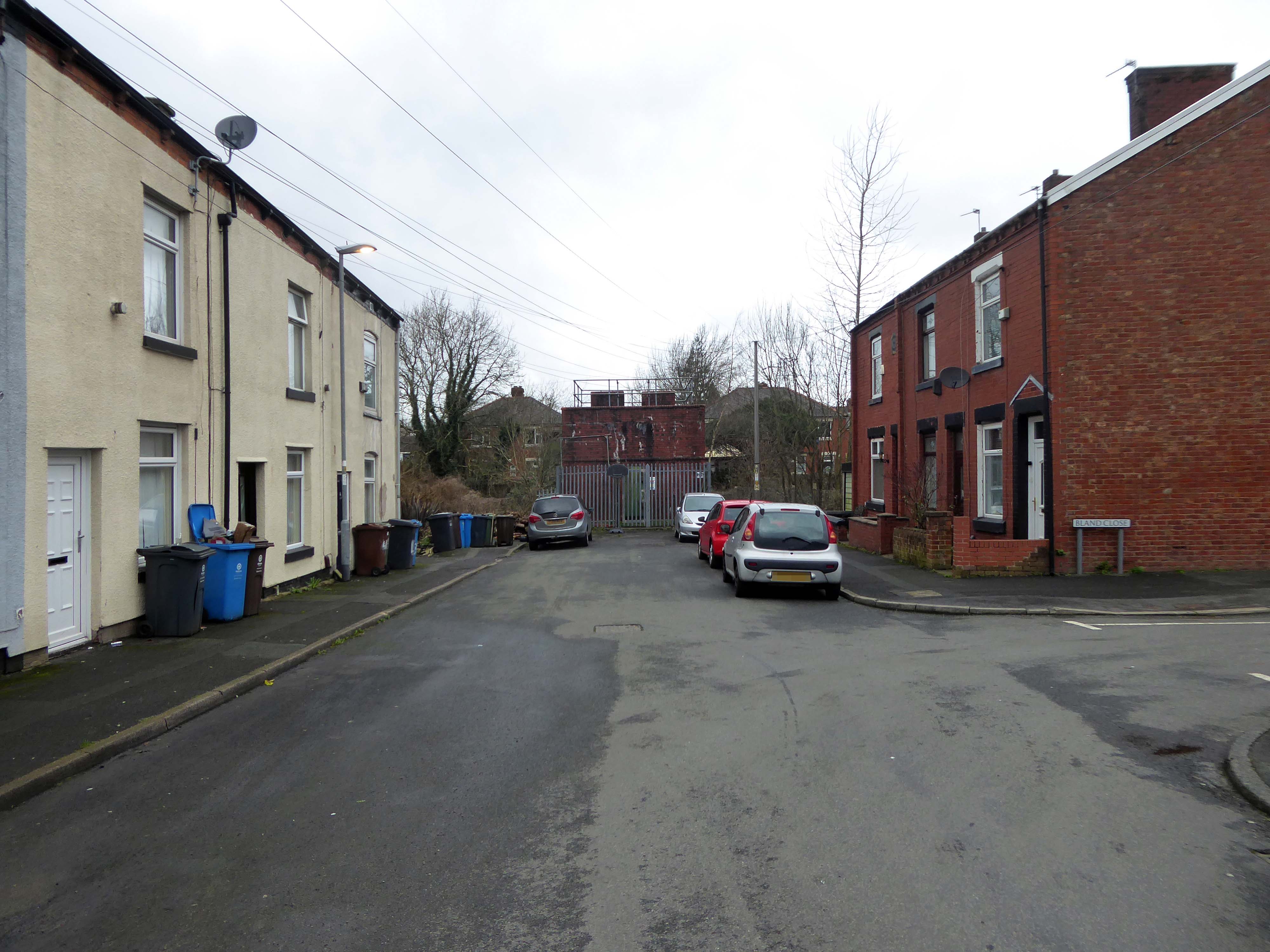
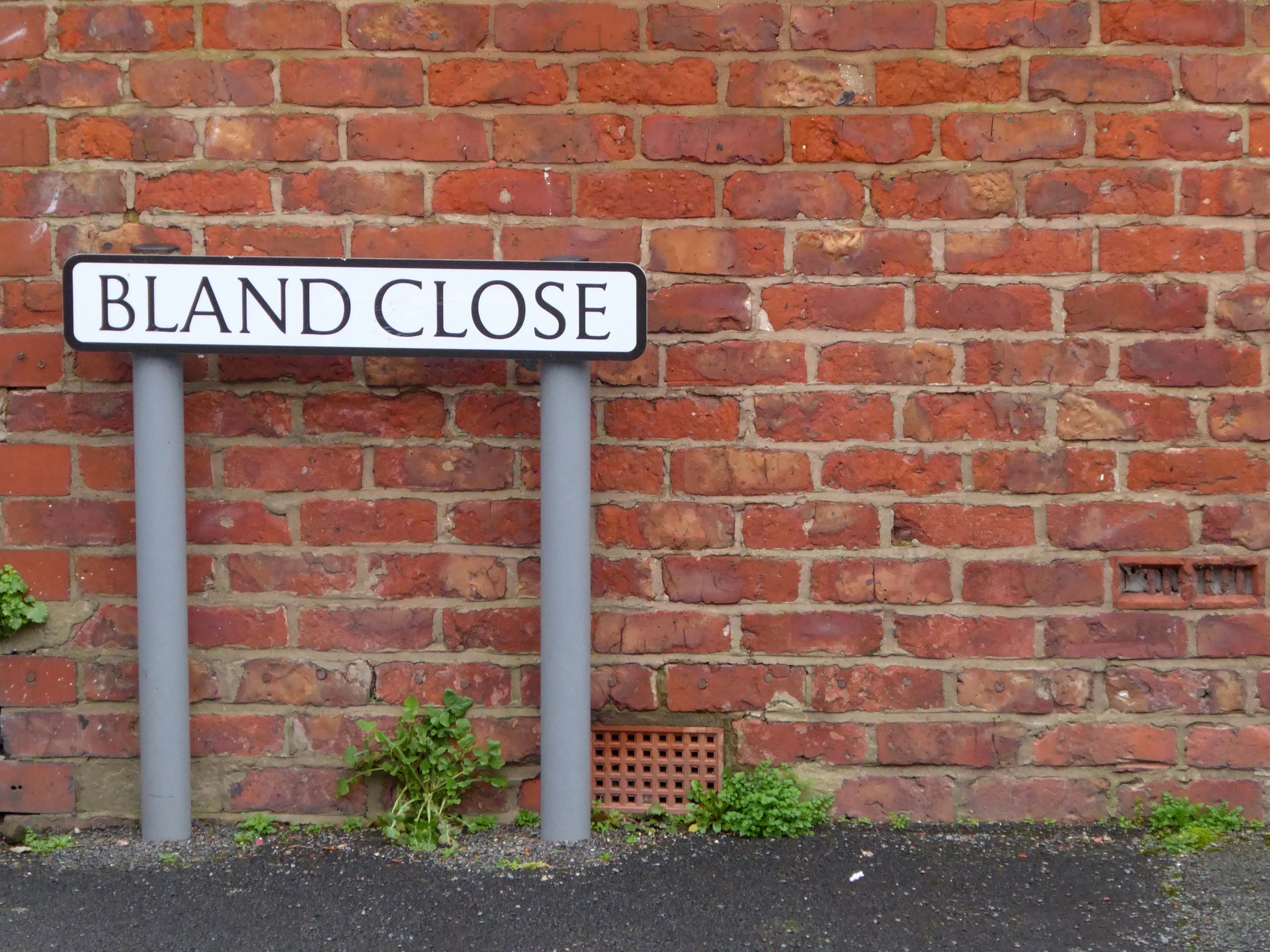
Having already been suddenly arrested last week, by the Bland Close street sign.
With my expectations defined by the above definition, I ventured along the street in search of happy satisfaction.
Coincidentally – The 18th century entrepreneur Josiah Wedgwood pioneered many of the marketing strategies used today, including the satisfaction or you money back guarantee, on the entire range of his pottery products. The money-back guarantee was also a major tool of early US mail order sales pioneers in the United States such as Richard Sears and Powel Crosley Jr. to win the confidence of consumers.
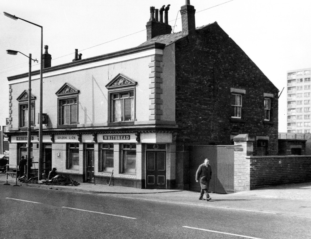
However at someone between 1968 and 2024 the housing had been cleared away – also missing in action is the Golden Lion pub adjoining Pleasant Street on Rochdale Road.
The Golden Lion was a proper old pub on the very busy rochdale road in the Harpurhey area of Manchester. Once inside there was a decent lounge and a basic bar i had a drink in the lounge and this was quite a comfy room.
This pub was a Whitbread tied house and there were two real ales on the bar I had a drink of Chesters bitter and this was a nice drink the other beer was Chesters mild. I thought this was quite a nice pub but sadly this pub has now been pulled down in the name of progress.
So here we are here today – yesterday has long gone and tomorrow never knows no how.
What’s left to see?
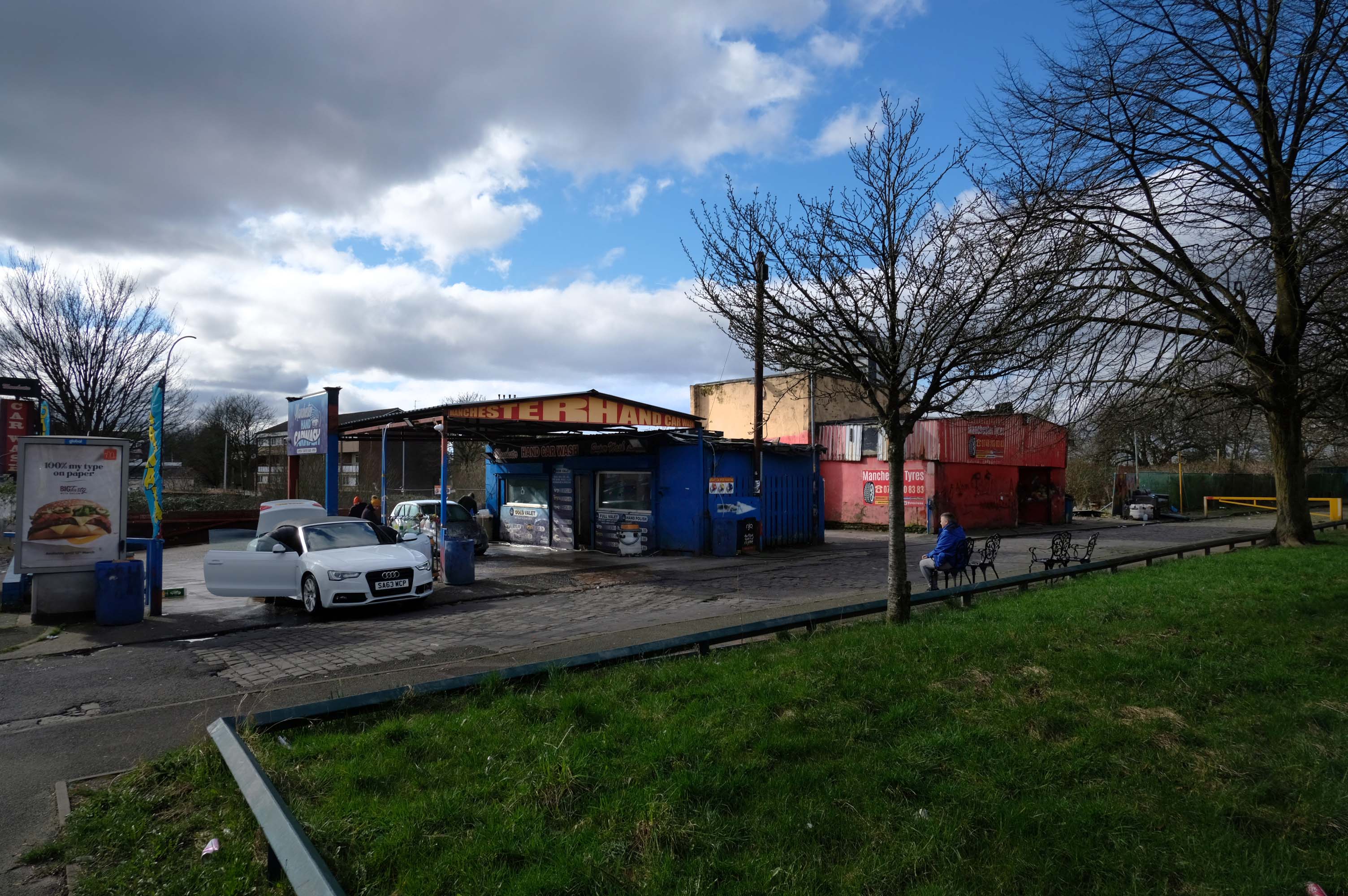
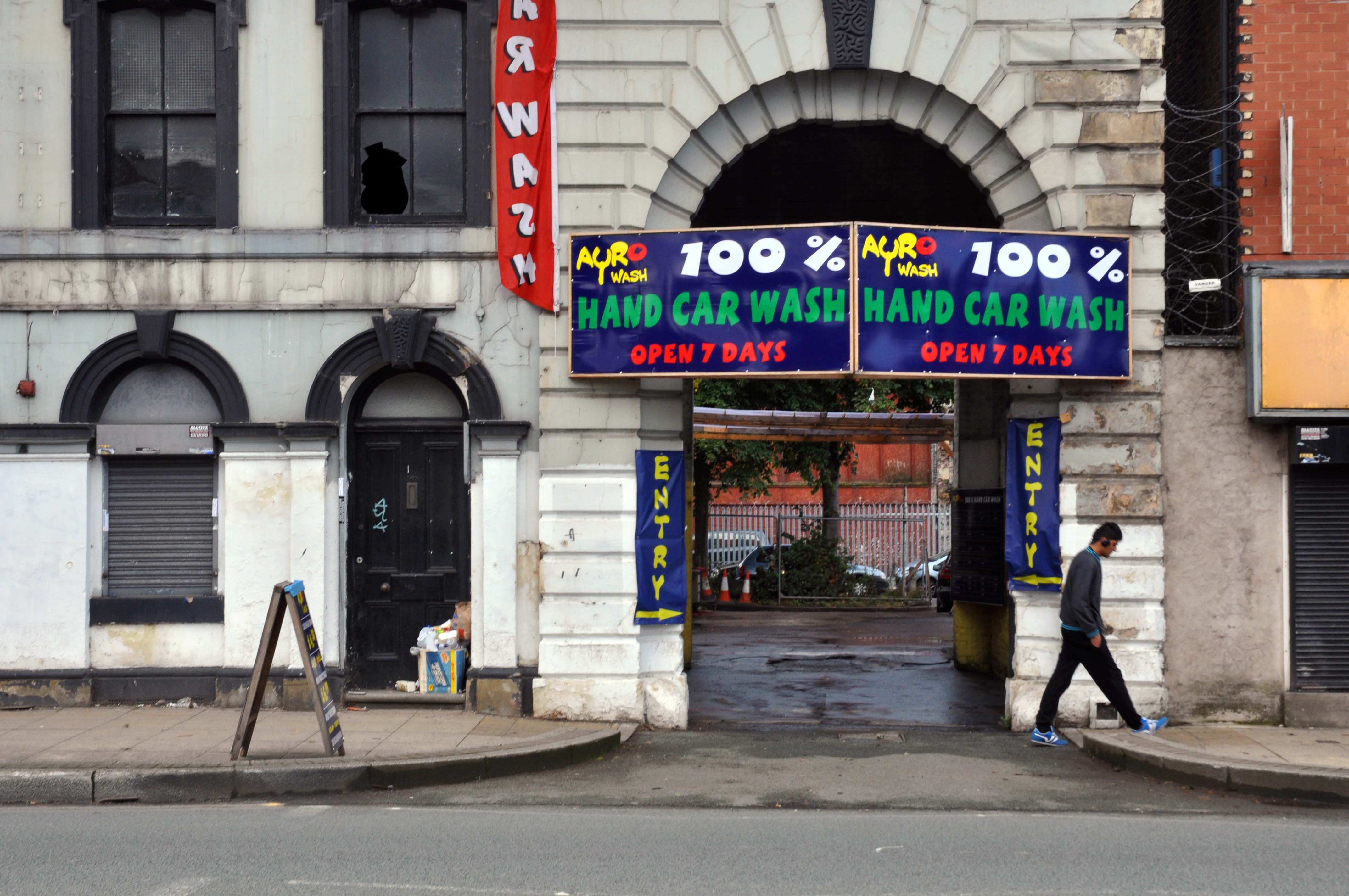
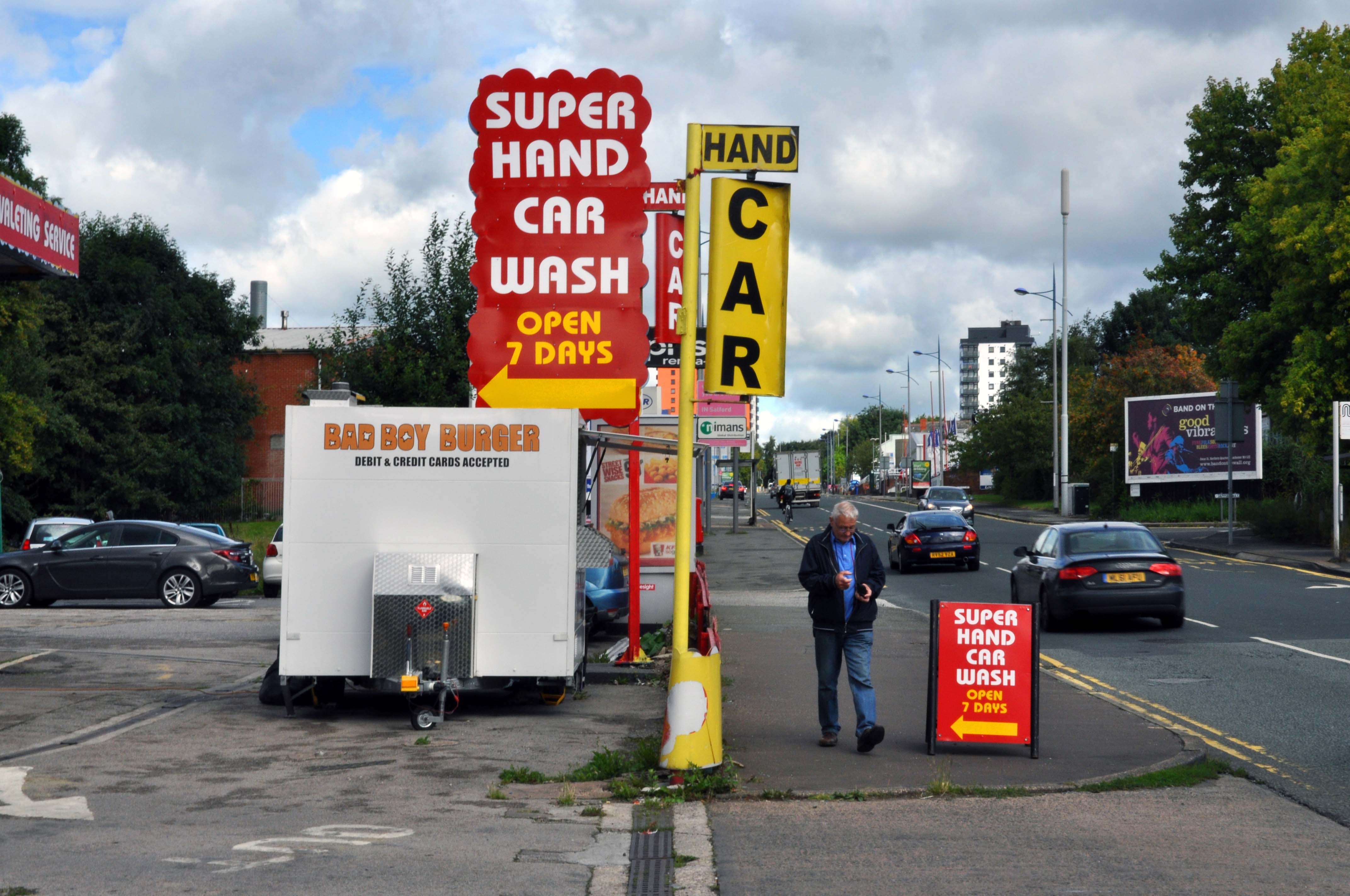
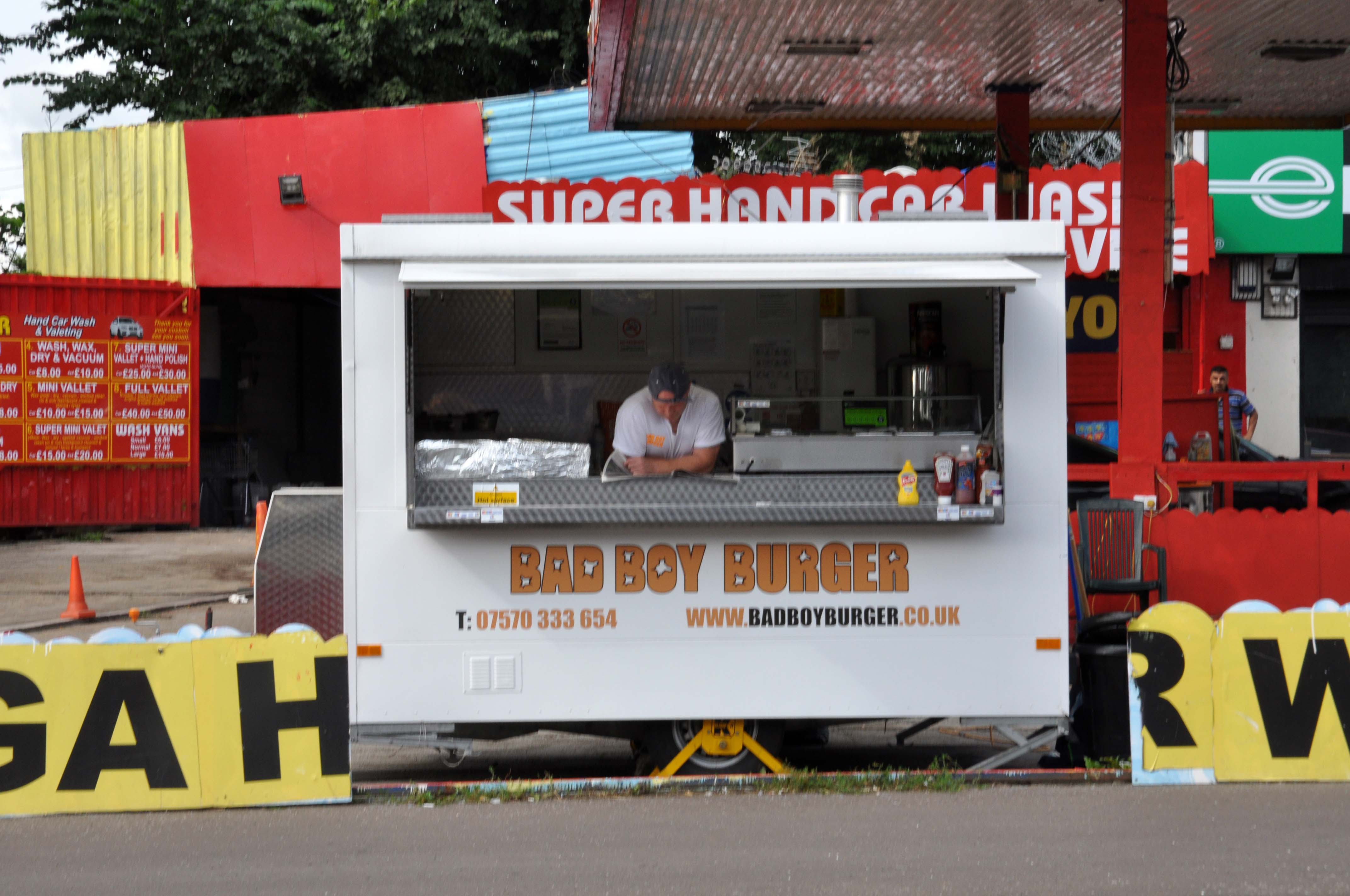
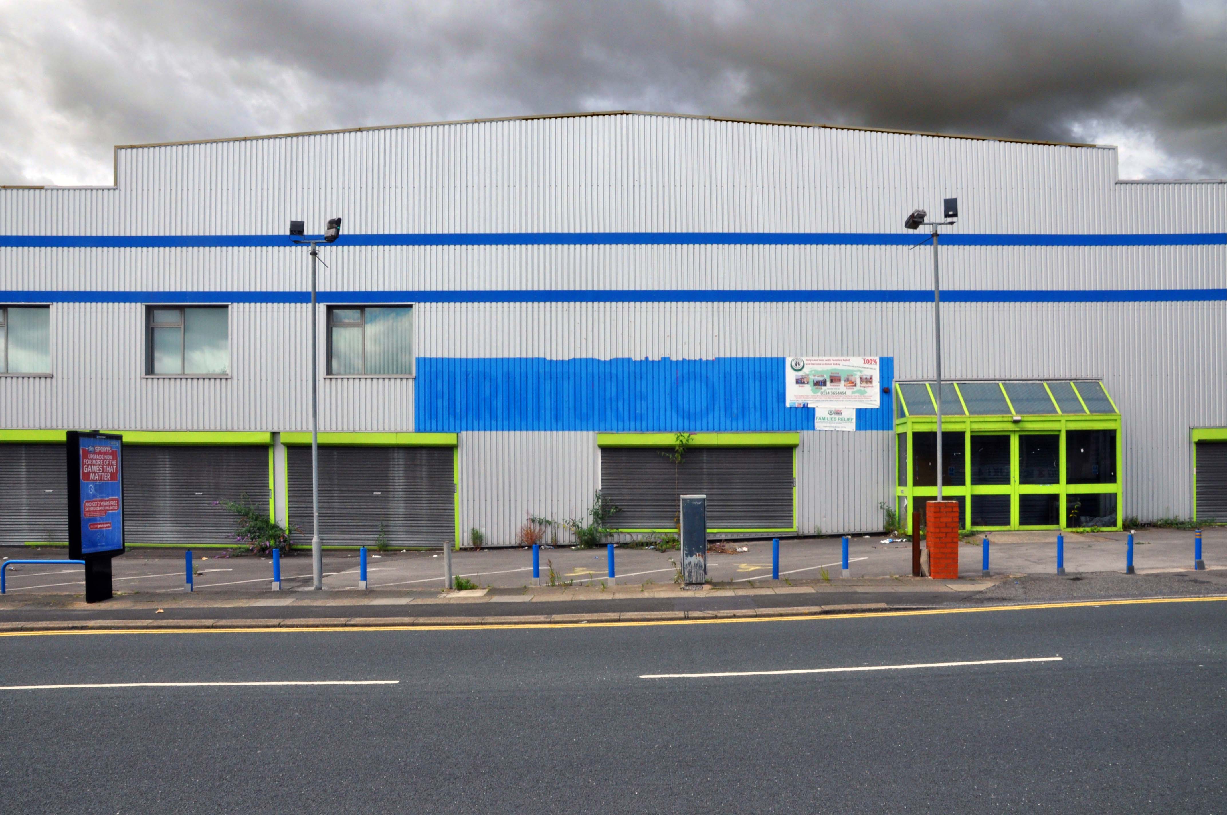
Manchester Hand Car Wash
Manchester Tyres
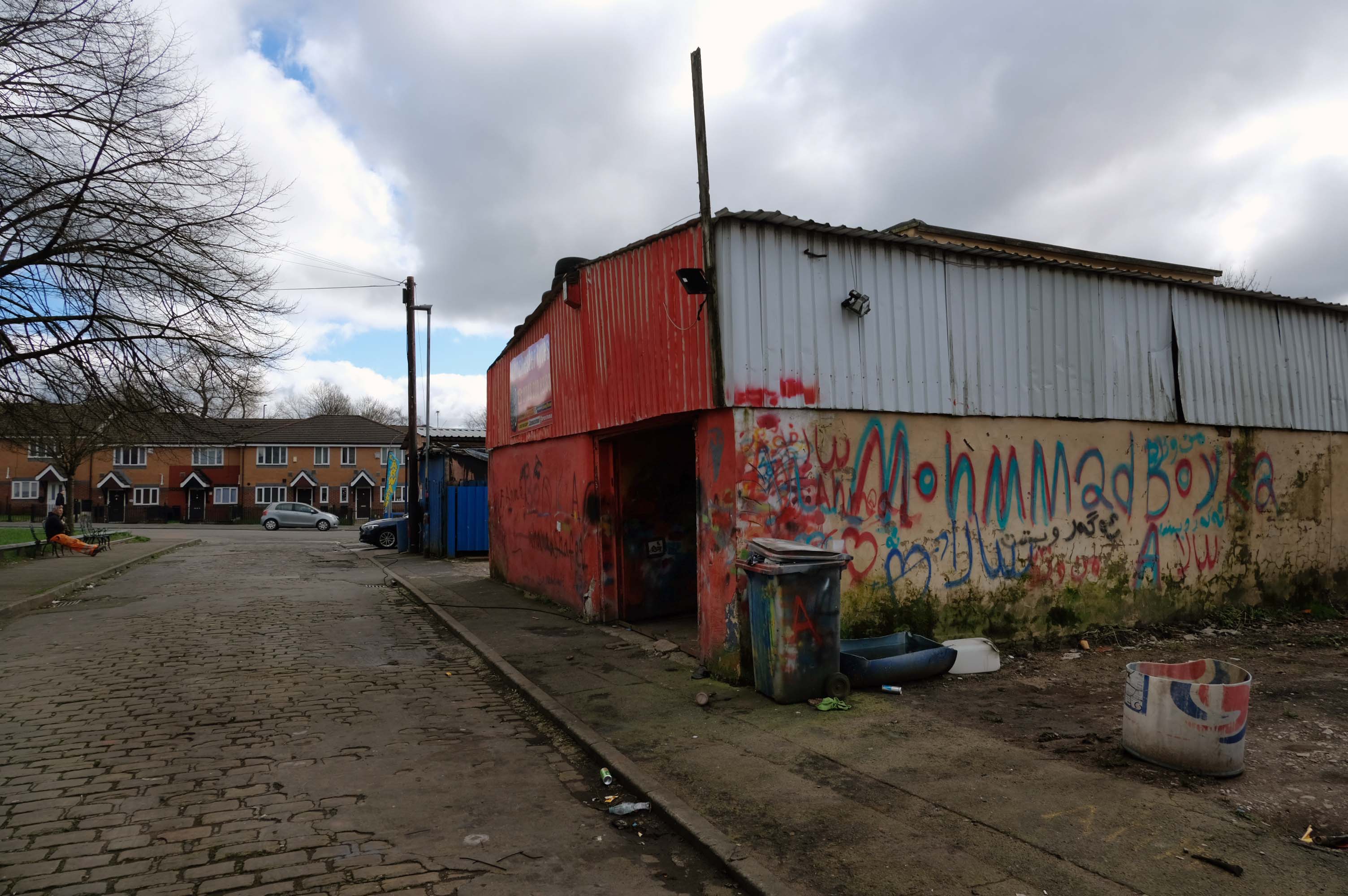
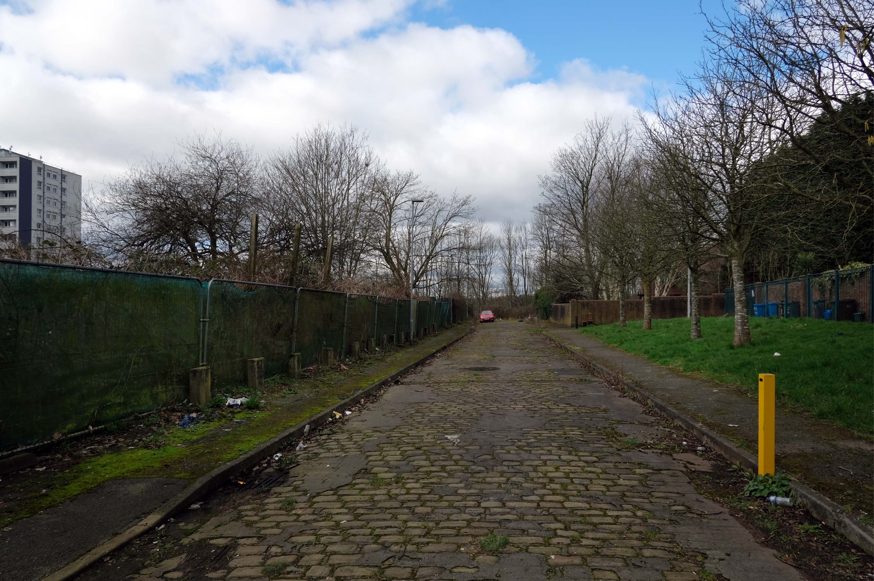
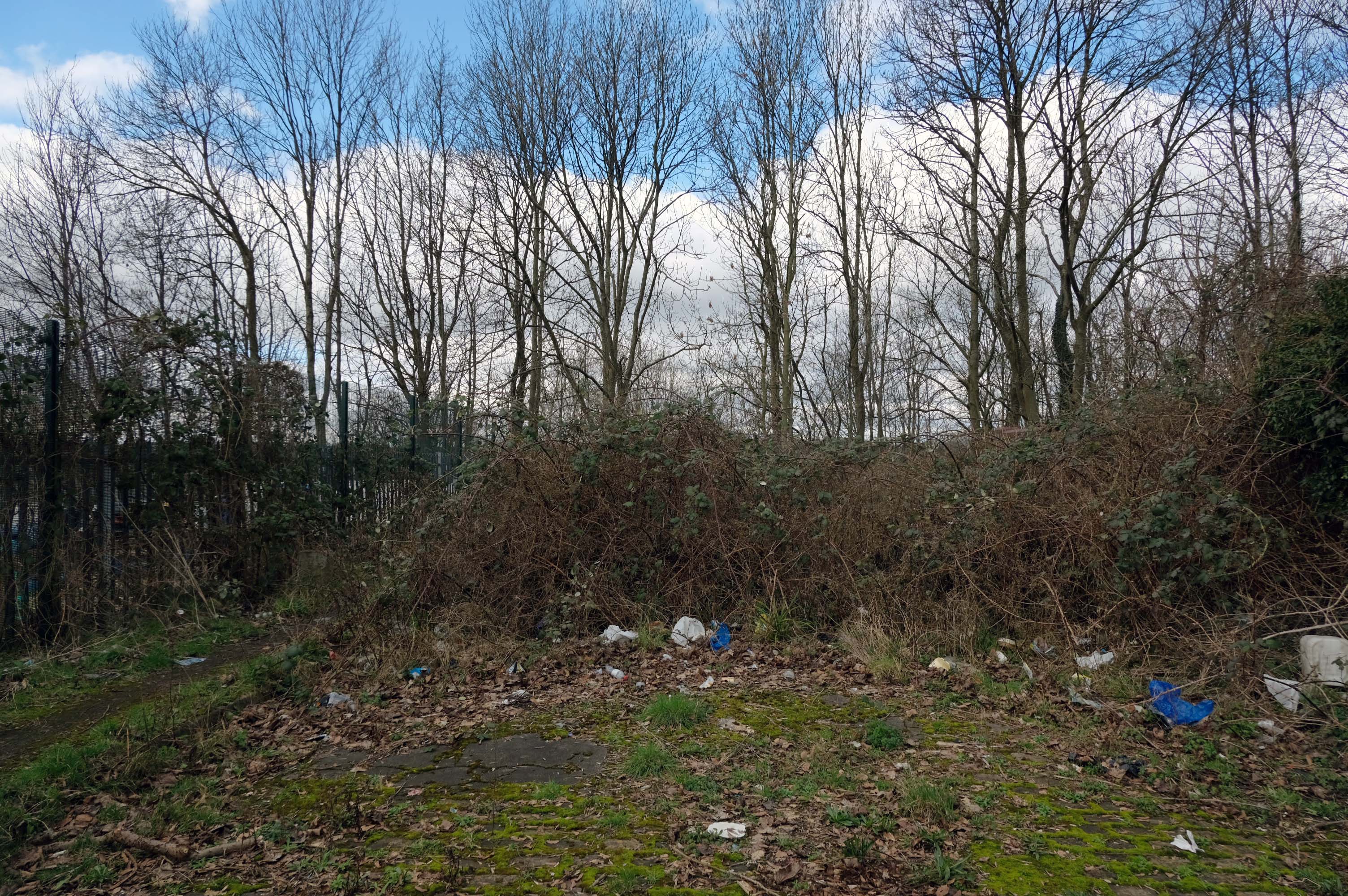
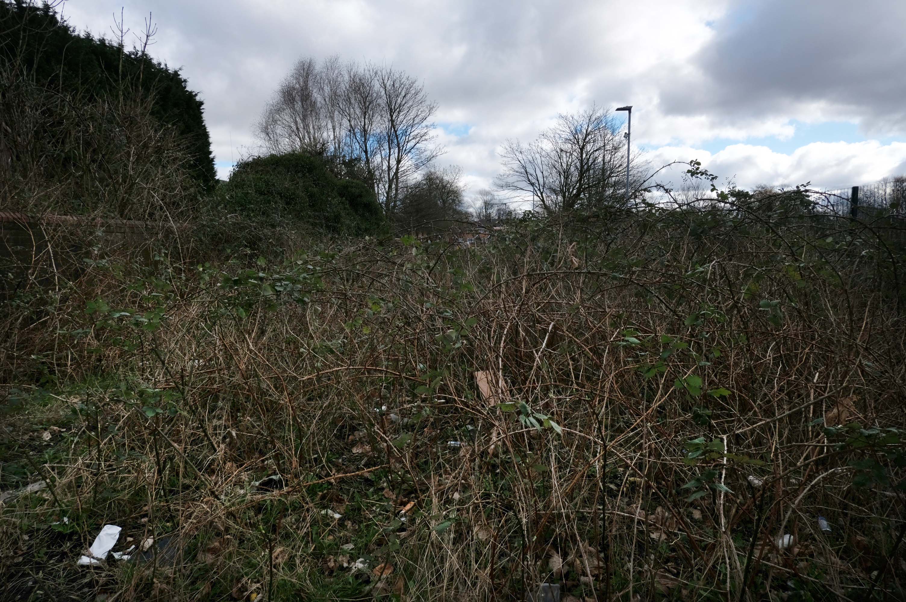
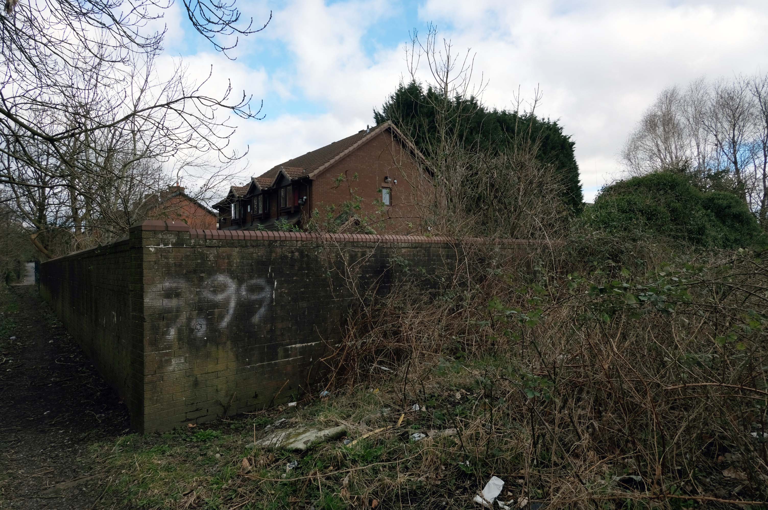
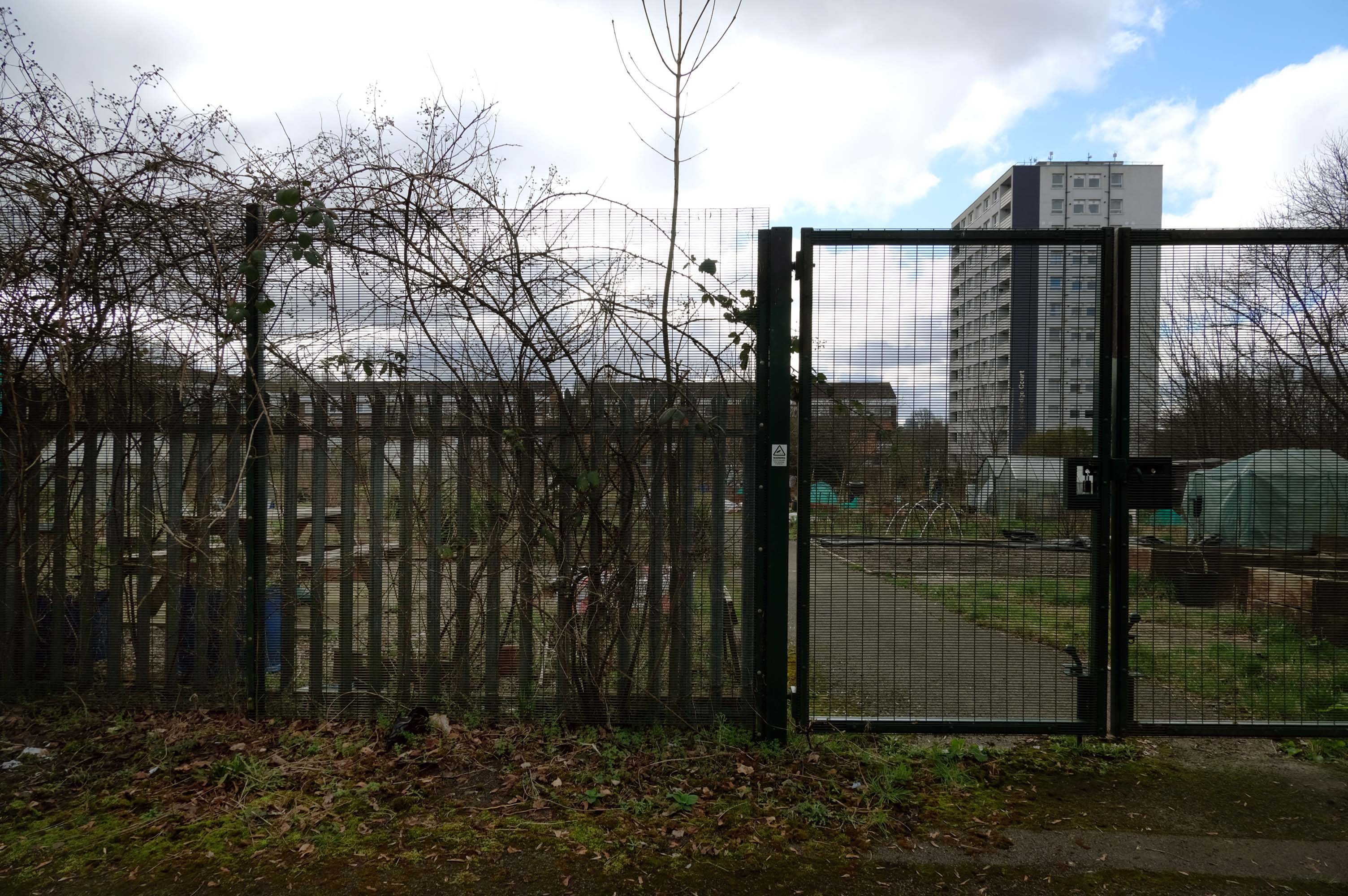
Pleasant Street Allotments
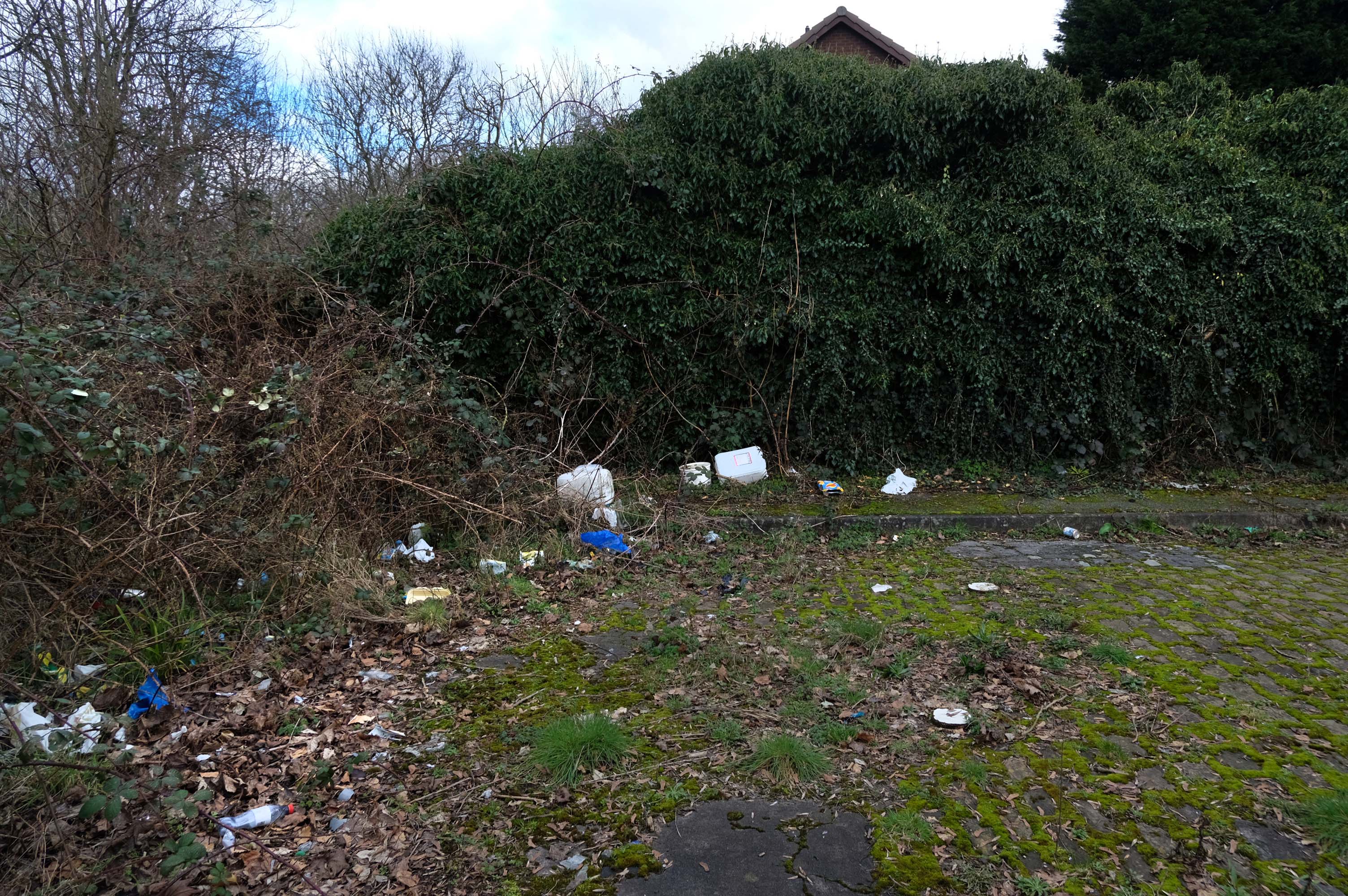
The allotments have had issues with fly tipping back in 2021.
There is now a lockable barrier in place on the cobbled cul-de-sac.
Photo – Howard Bristol
It is understood that the heaps of rubbish, including bin bags full of waste and unwanted wood and cardboard, have been growing in recent weeks.
Howard Bristol, the Secretary of the Pleasant Street allotments committee, said the situation has been ongoing for some time but has worsened since the removal of nearby CCTV cameras.
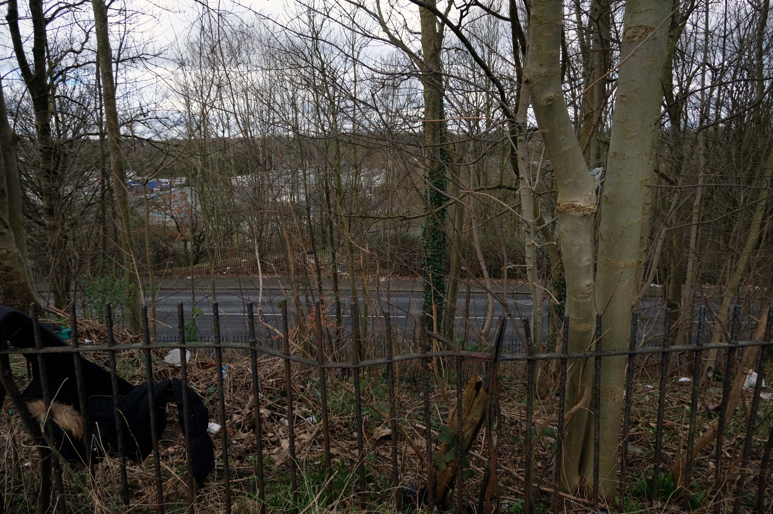
He told the Evening News that the road has been – piling high with rubbish, and that the area also had issues with the woodland behind the allotments being used for drug dealing during summer.
Pat Karney, councillor for Harpurhey tweeted about the flytipping on Sunday, calling it – unbelievable and disgraceful.
He added that those responsible should be – locked up in Strangeways for a long time, before adding that the council will – get it cleared.
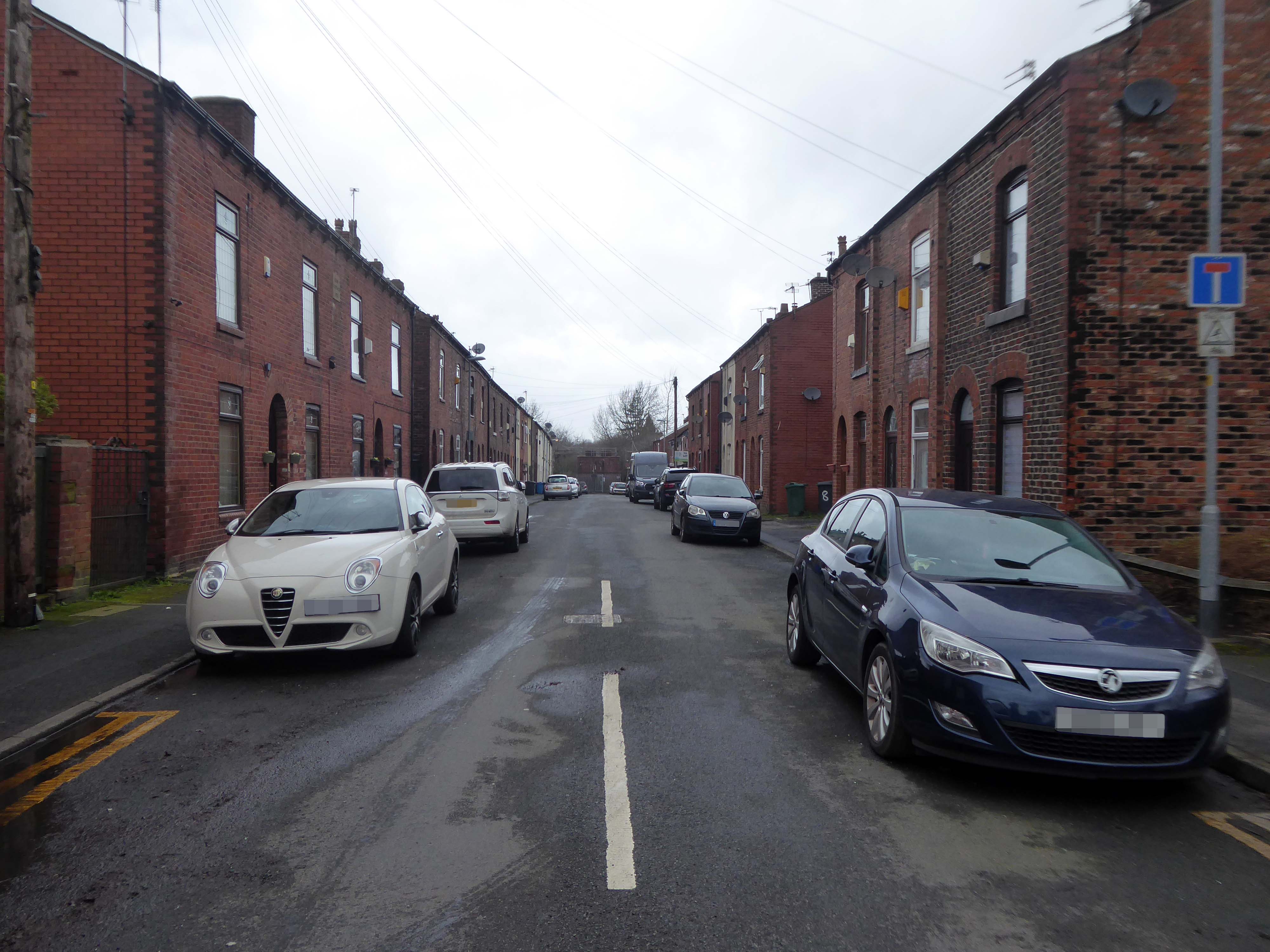
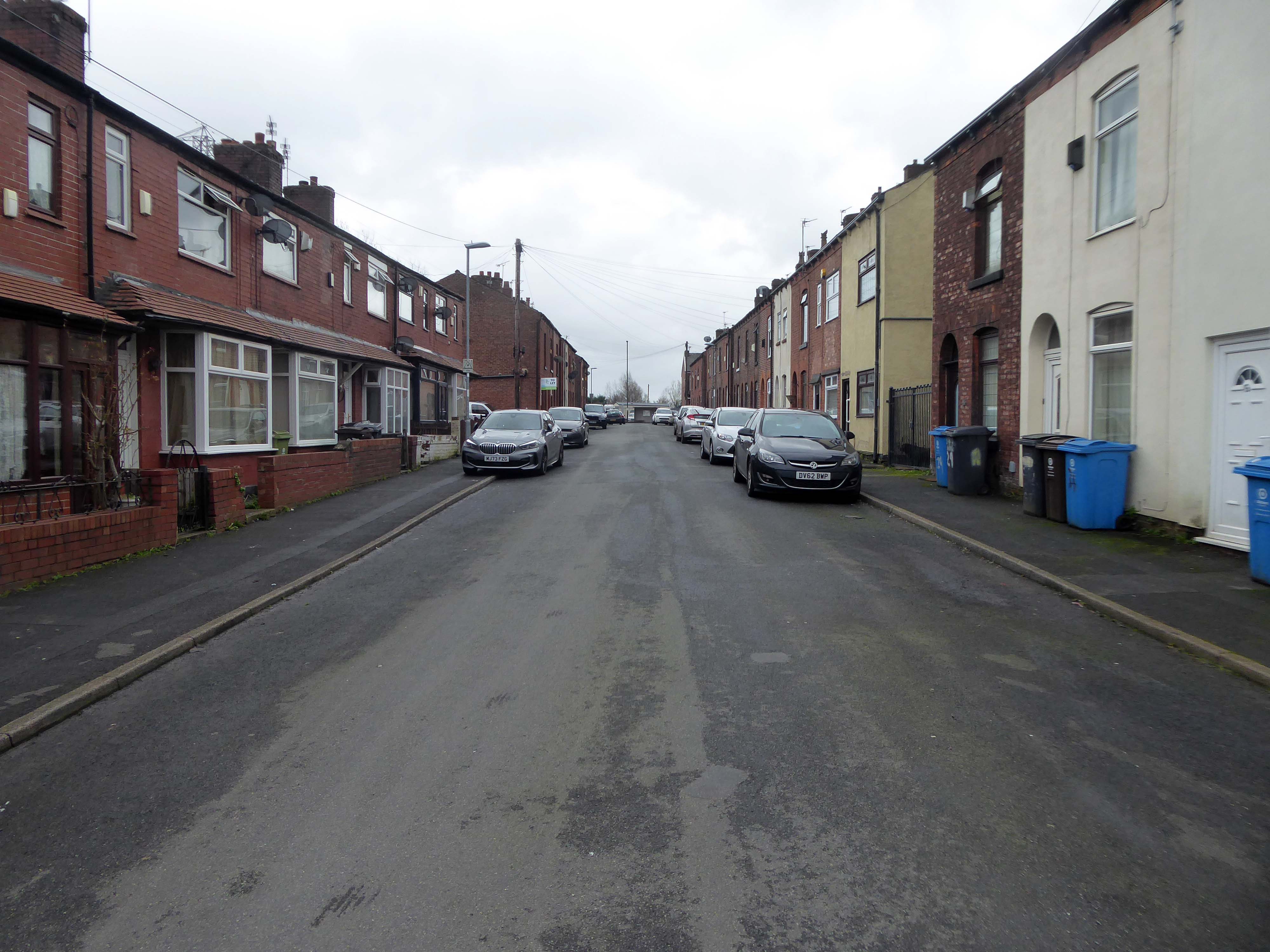
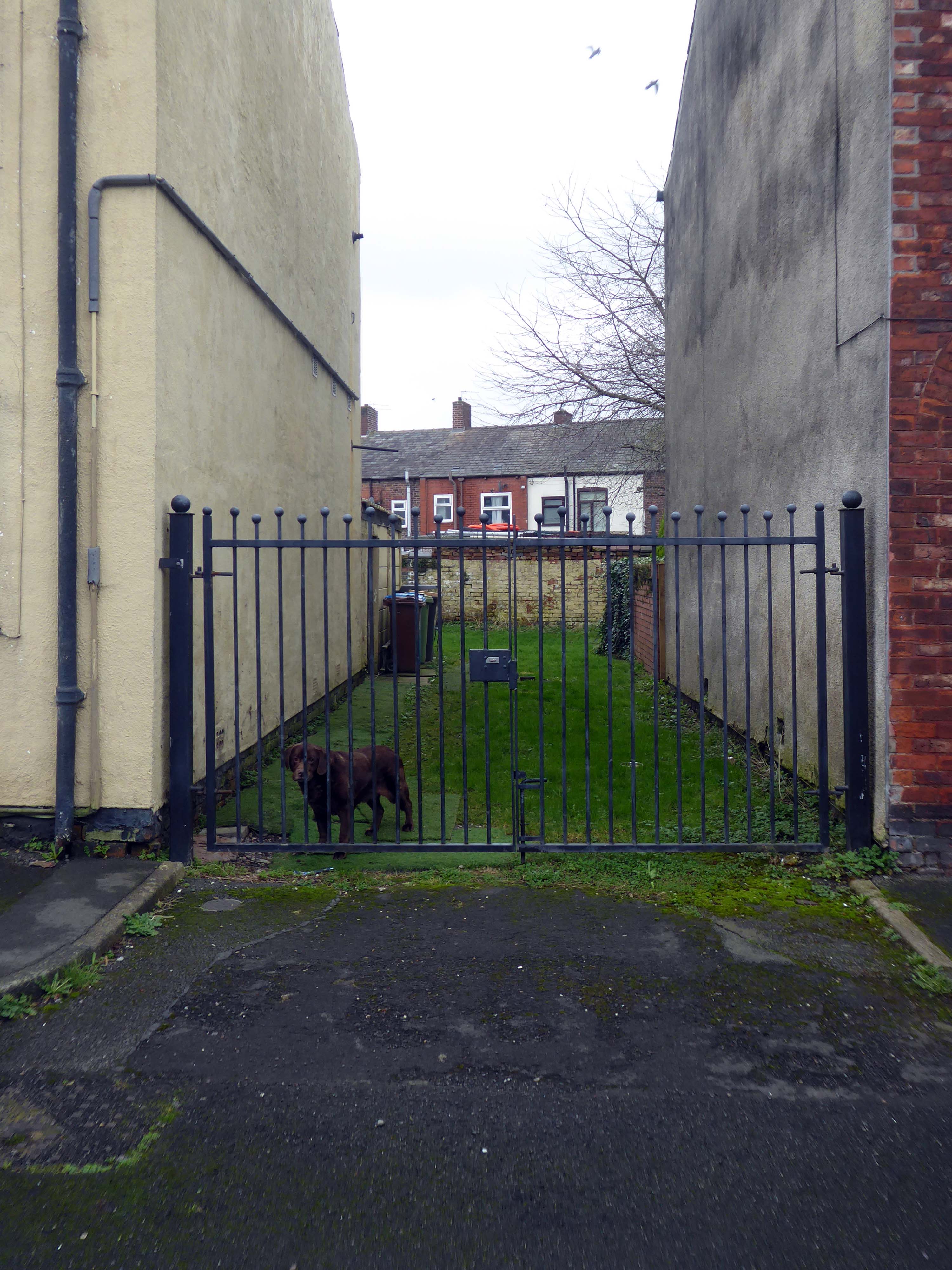
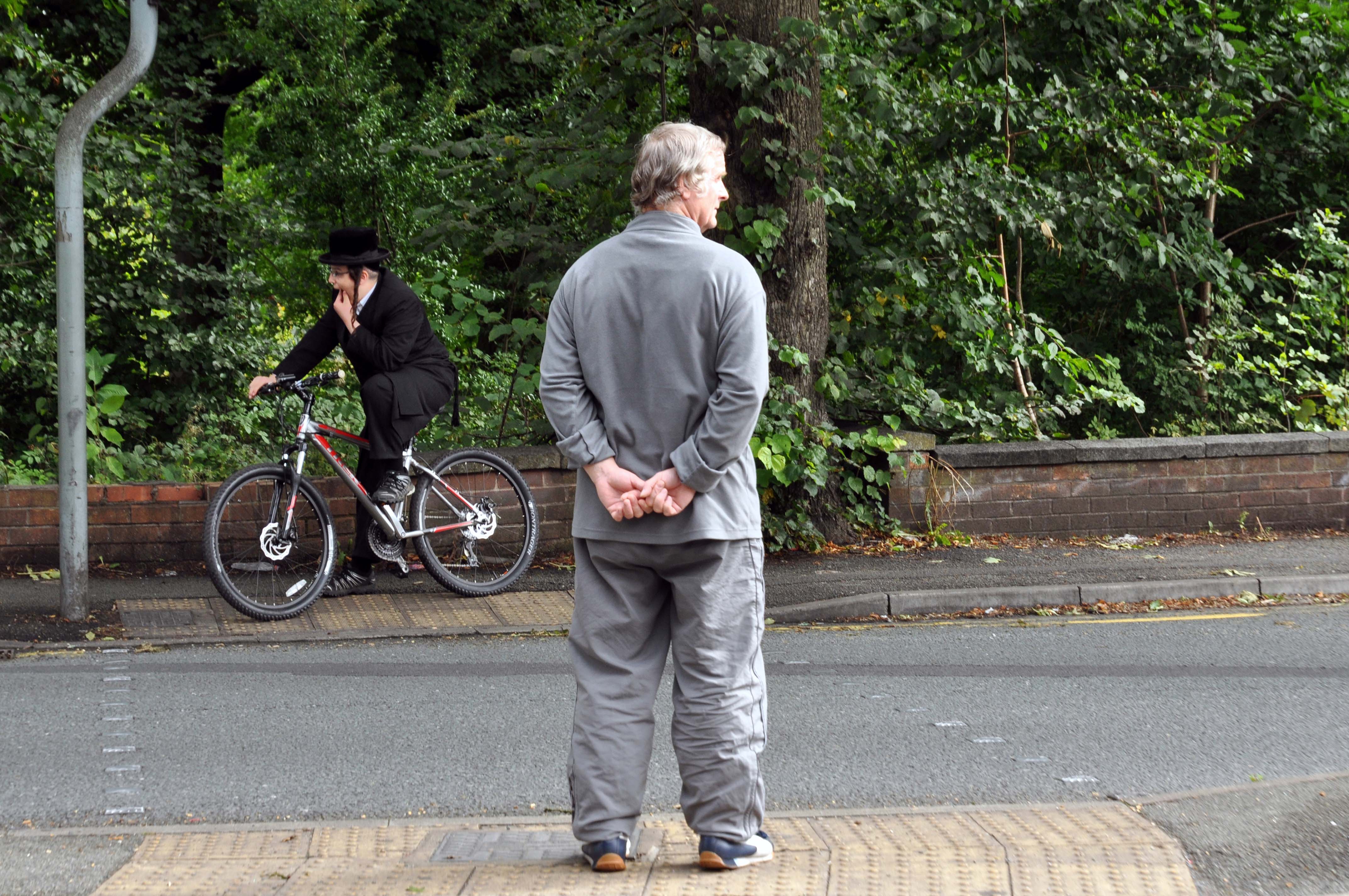
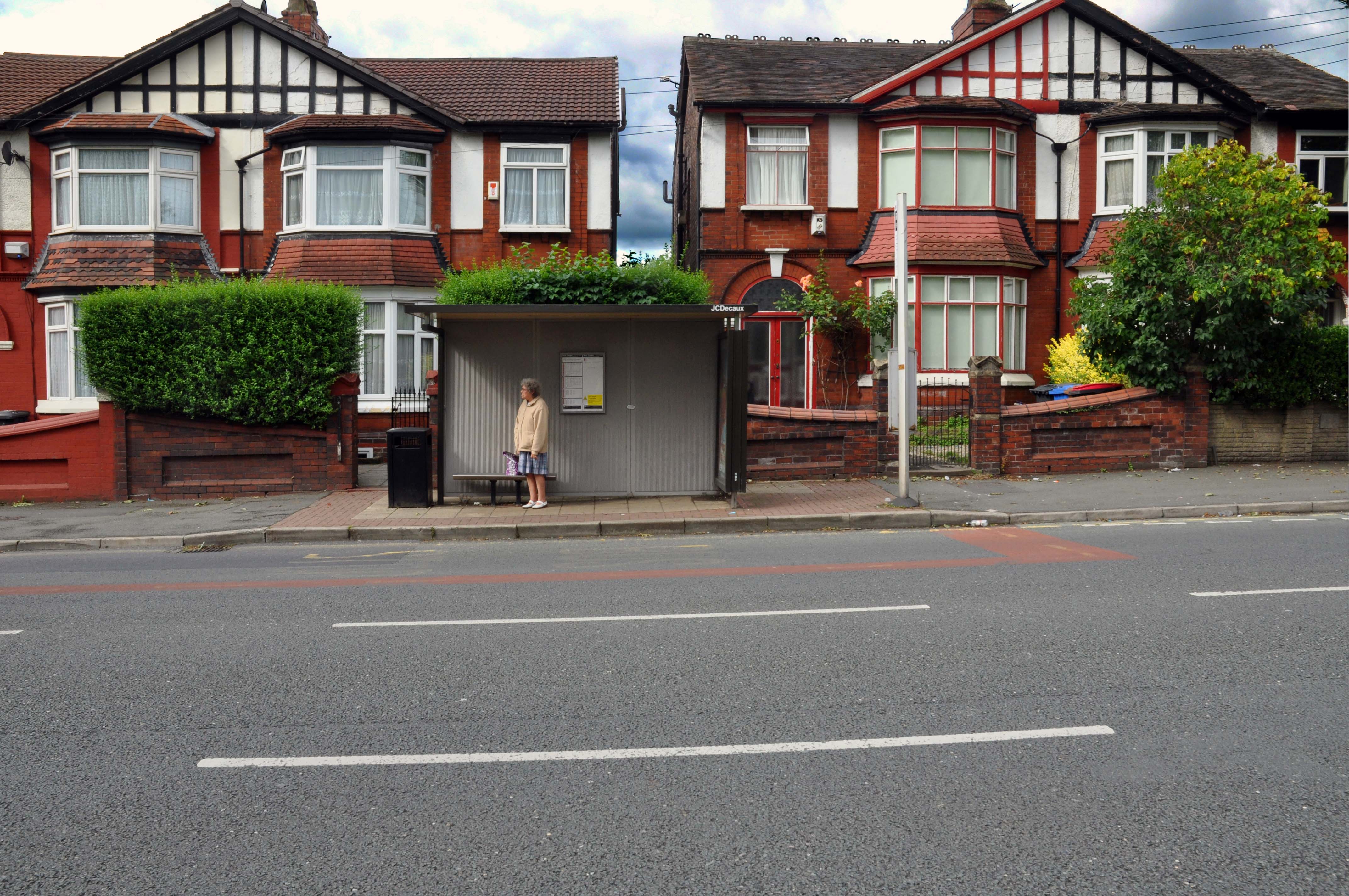
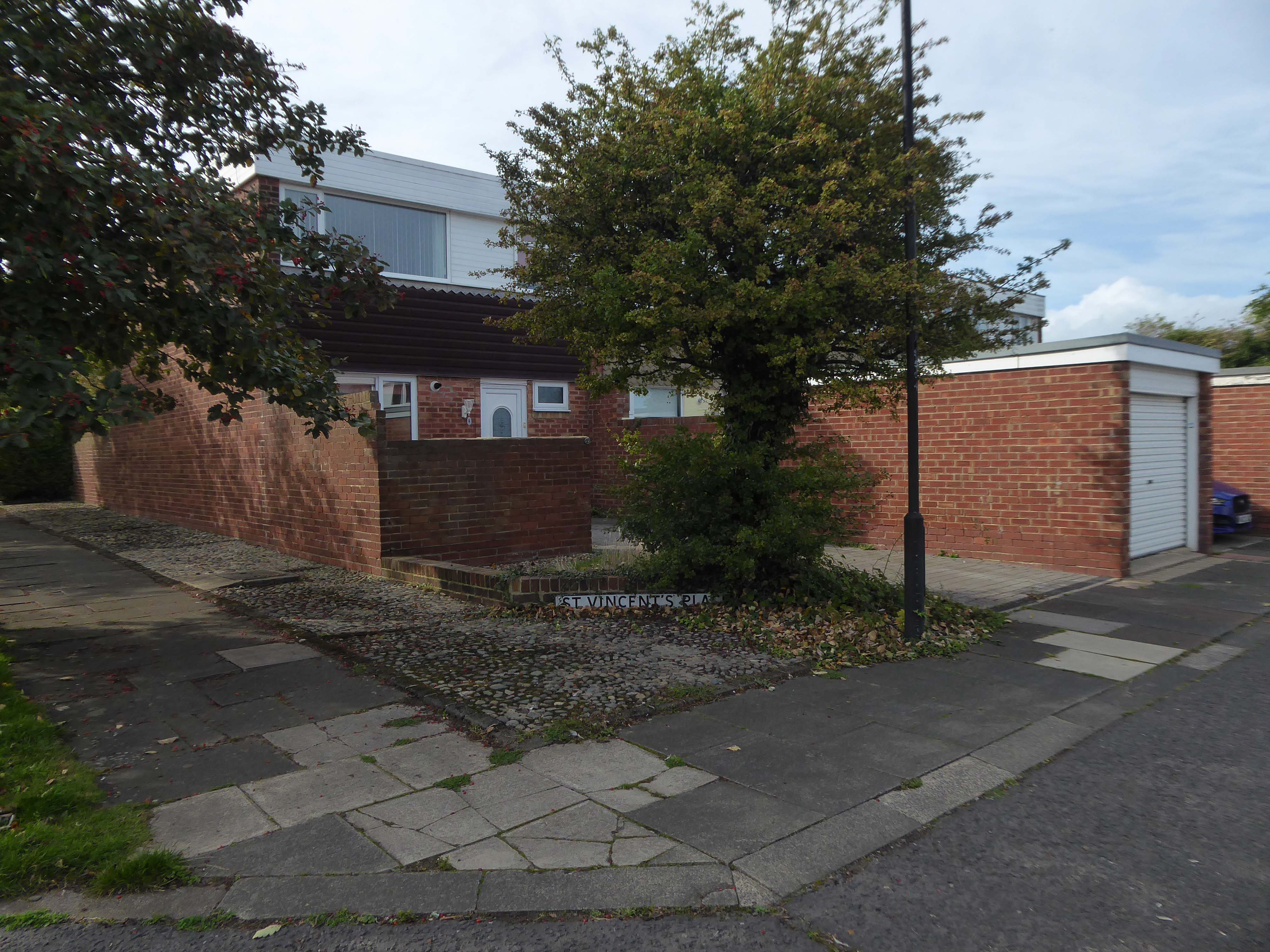
On a February morning the streets were well behaved and consisted of a typical mix of nineteenth century terraces and postwar semis, the residents chatty and welcoming, whilst they went about their business.
There are different causes that can make a street name controversial:
A person, organisation or event who or which was once honoured with a street name is subsequently thought to not or no longer deserve one, for example because that person later turned out to be a criminal.
A group of street names – for example in a residential area, is deemed to be unrepresentative for the population of that place, region or country because some demographics are overrepresented and others underrepresented, for example, because a disproportionate number of streets are named after men, and few after women.
Research has found that if you live on Pear Tree Lane your property is more likely to attract potential buyers and a higher price, than those living in a similar property on Crotch Lane.
What are the guidelines for street naming?
The exclusion or inclusion of certain numbers for cultural or religious reasons
The use of building names without numbers
New building or street names should not begin with The
The use of street names which include numbers that can confuse, for example – 20 Seven Foot Lane sounds the same as 27 Foot Lane
The use of the names of deceased people in the adoption of any street names. The reason for choosing a person’s name should be established in the council’s policy
The use of the name of a living person – it’s not recommended
The adoption of historic connotations by developers – guidance on this should be provided by the council to all developers through close liaison with local historic societies.
The use of national or local historic figures or events
The use of a name with Royal connotations – the Lord Chamberlain’s office must be contacted if a name has any reference to the Royal family or if the word ‘Royal’ is suggested.
The use of names and their combination with numbers that could be considered rude, obscene, and racist or contravene any aspect of the council’s equal opportunities policies
The use of names and their combination with numbers that could be easily vandalised or changed into any of the above, for example – Canal Turn
The use of names that can cause spelling or pronunciation problems
The use of names that can be construed to be used for advertising or commercial gain
The use of names would lead to variations in the use of punctuation as these can confuse or result in early demands for a change of address from occupiers.
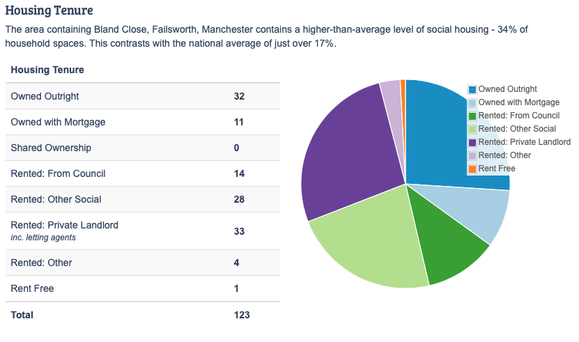
So in summary the name Bland does not in my opinion represent the close’s appearance and may in fact detract from the value of the property and possibly the perception of the area.
The A34 is a major route from the ports on the South Coast of England to the Midlands and the North West, with the standard varying from rural dual carriageway sections in the south to urban single carriageway in the north, and everything else in between.
Slade Lane junction, Rushford Park to Parr’s Wood, East Didsbury – to connect to Manchester Road to Cheadle. It continued on to Laneside Road as a residential road. Opened on 11 April 1923 by Mary Cundiff, Lady Mayoress, and Margaret Turnbull, daughter of Alderman Turnbull, Chairman of Manchester Town Planning Committee. Width was 100 feet and it was designed for tram tracks in the central reservation. The dual road carriageways were 20 feet wide. Manchester’s tram system was closed in 1949. The carriageways were widened and central reservation grassed over. Originally opened as A5079.
Laneside Road, East Didsbury to Schools Hill/ Wilmslow Road junction, Cheadle. Opened on 12 October 1959. The official opening was on 15 October 1959. Planning for the bypass had been halted by the war. In December 1949 Manchester Corporation stated that it was not a priority since the Corporation was only responsible for the 200 yards to the proposed bridge over the River Mersey and Cheshire County Council had not asked for a joint approach to Ministry of Transport to build it. Work was finally authorised in January 1957 and started in the June. Width was 90 feet with dual 24 foot carriageways. Expected cost was £600,000 to £700,000.
The road now begins slightly further south than it used to. Instead of starting on Fairfield Street in Manchester city centre, it begins immediately as the Mancunian Way ends, which at this point is the unsigned A635(M). The motorway flows directly into our route. There’s a TOTSO right at a set of lights, and we pick up the old alignment, which now starts as the B6469.
We can see the new City of Manchester Stadium on the left, site of the 2002 Commonwealth Games and now home to Manchester City FC. The road switches between S2 and S4 as it passes through the rather run-down urban areas of Ardwick and Gorton. A short one-way system at a triangular-shaped junction with the A662 leads onto a wider stretch as we near the M60 junction. This area is set to see significant industrial growth, with whole swathes of land either side of the now D3 road cleared and ready for development.
The A62, which runs from Manchester to Leeds, via Oldham and Huddersfield, was once the main route across the Pennines, connecting the largest city in Lancashire with Yorkshire’s largest city. However with the completion of the M62 towards Leeds in the early 1970s it lost much of its importance and traffic to the motorway, which runs a few miles to the north. These days, the A62 serves as a busy primary route between Manchester and Oldham, an extremely very quiet route over the Pennines, and then a fairly busy local road linking Huddersfield with Leeds.
Most maps show that the A62 starts its journey in the middle of Manchester by leaving the A6 Piccadilly and running along Lever Street – the original route was the parallel Oldham Street. However, owing to a bus gate Lever Street is not generally accessible from Piccadilly. We head out easterly on a busy street – non–primary, until we meet the Ring Road where we pick up primary status that we retain until Oldham. We turn left at this point and then immediately right to start the A62 proper.
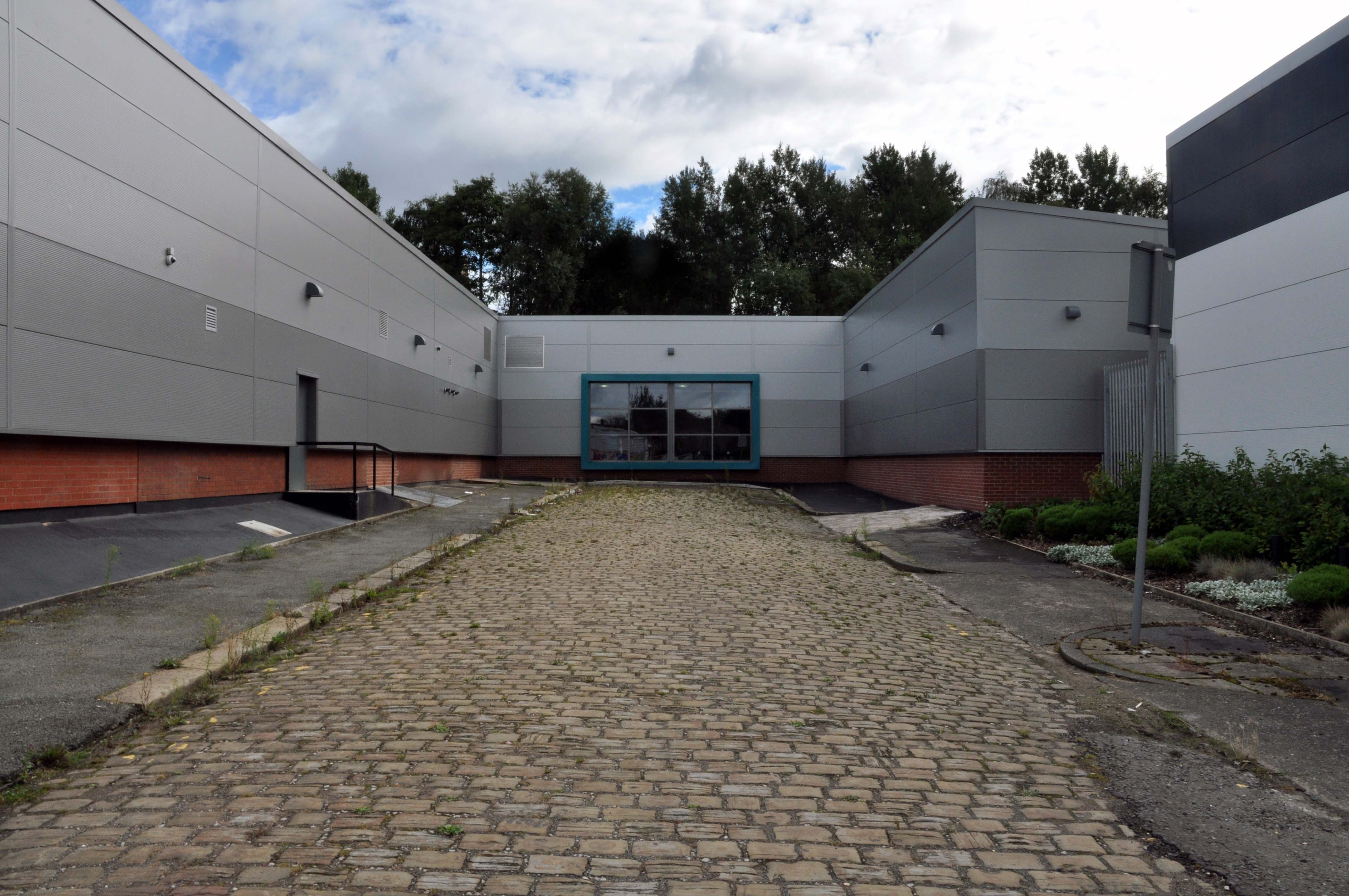
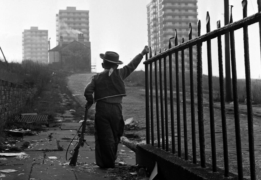
In 2014, having taken early retirement from teaching photography, I embarked on a series of walks along the arterial roads of Manchester.
This whole undertaking was prompted in part by Charlie Meecham’s 1980’s Oldham Road project.
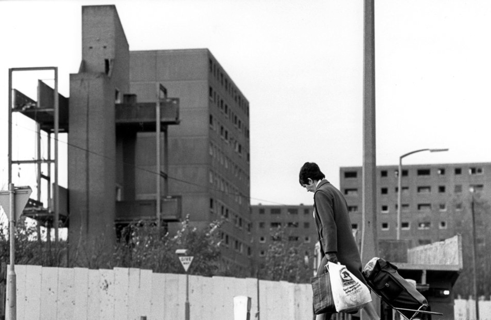
The work questions whether a sense of local identity can be maintained in an area of constant redevelopment and community displacement.
This area was first developed in the 19th century for cotton manufacture, coal extraction and later electrical and heavy engineering. The road was lined with shops and there was a vibrant community.
When I first started working on the project, most of the early industry had ceased operating and the mills were either abandoned or being dismantled. However, some had been refurbished either for new industrial use or later, made into apartments. Some run down areas were cleared making way for new housing. Clearance also provided opportunity to build new schools, trading estates and create green space. Most of the older community centres such as theatres and cinemas along the road were also abandoned and later cleared.
Cheetham Hill Road is part of the designated A665. Cheetham Hill Road starts at the junction of the A6042 Corporation Street and the A665 Miller Street. It crosses the culverted River Irk to the east of Victoria Station. At its junction with New Bridge Street, it turns north-northeast and is straight for 1 km, to the A6010 Queen’s Road . This stretch was called York Street until about 1900. Cheetham Hill Road leads from here to the community of Cheetham Hill, where at Bourget Street and Crescent Road – formerly Sandy Lane, Cheetham Hill Road becomes Bury Old Road.
First crossing the M60 Manchester Outer Ring Road at Junction 7 into Stretford.
The A56 takes the name of Chester Road and continues north-eastwards through Stretford and Hulme into Manchester city centre, where it takes on the name Deansgate, one of Manchester’s main shopping streets and thoroughfares. At the end of Deansgate, the A56 takes on the name of Victoria Street as it passes Manchester Victoria railway station. Since 2012, most of Victoria Street has been pedestrianised with planters, but the road markings still remain underneath.
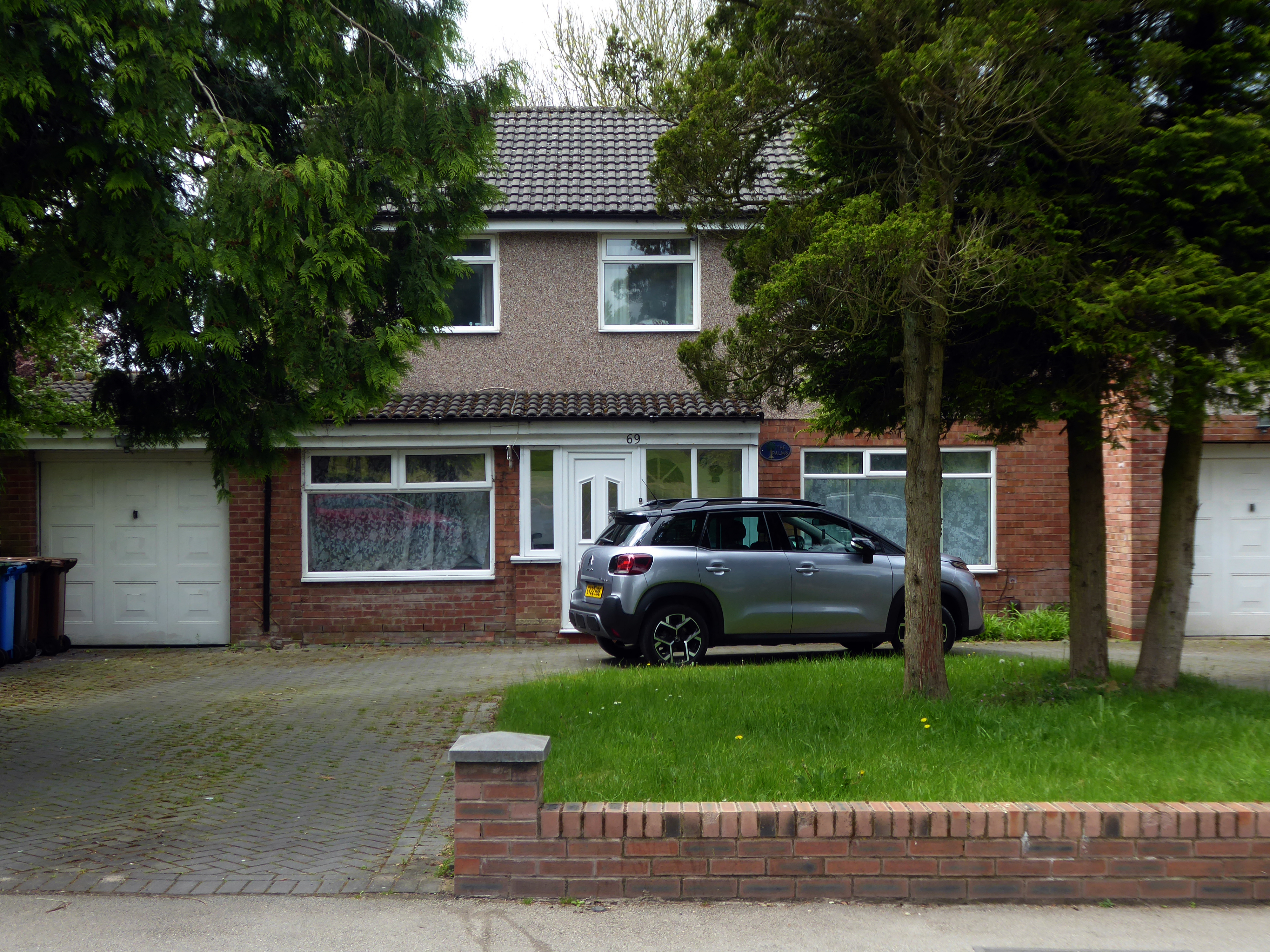
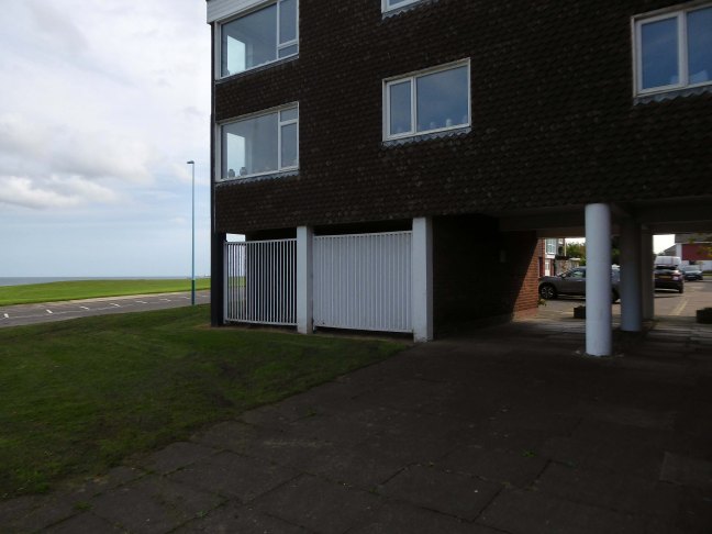
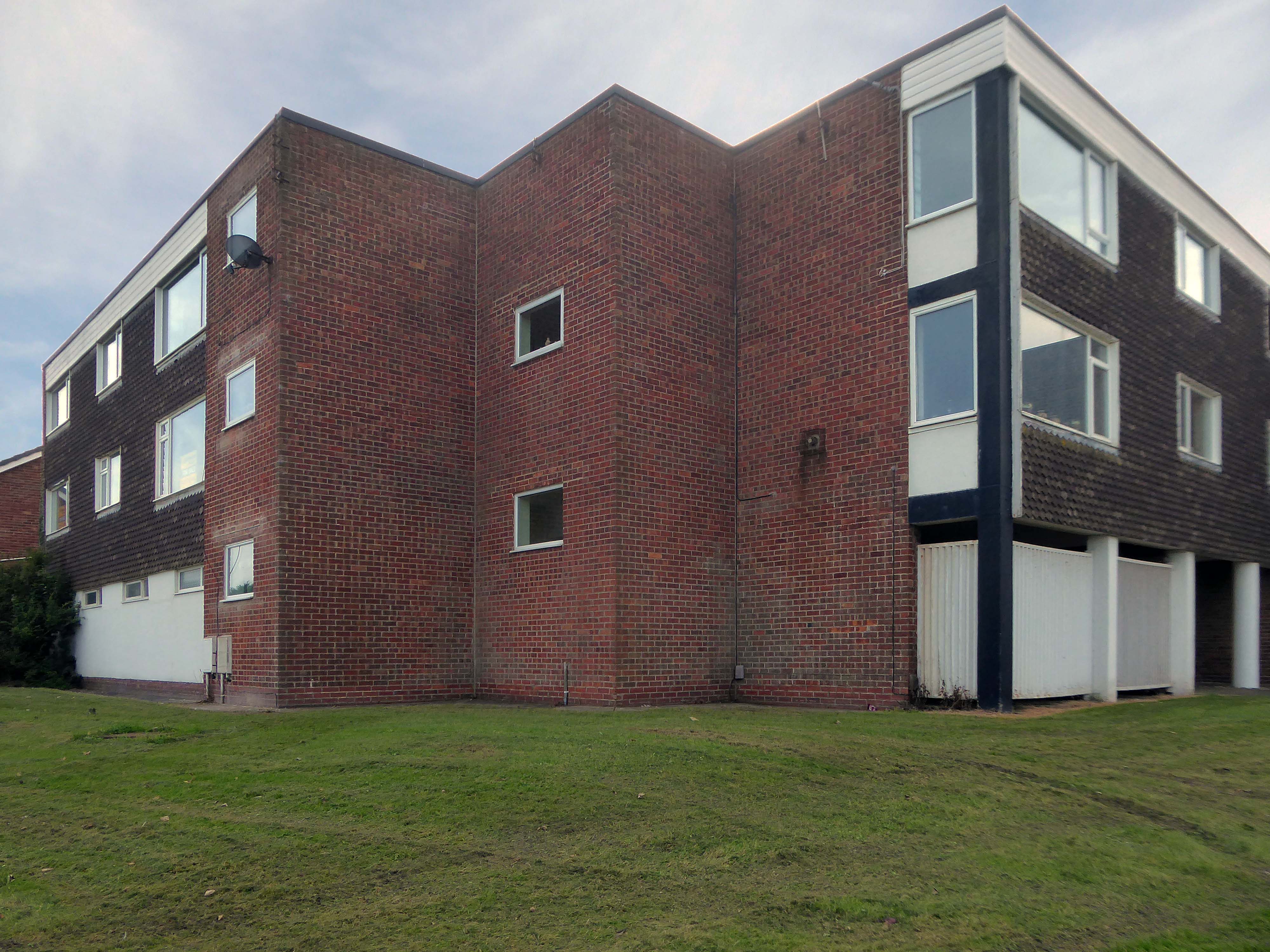
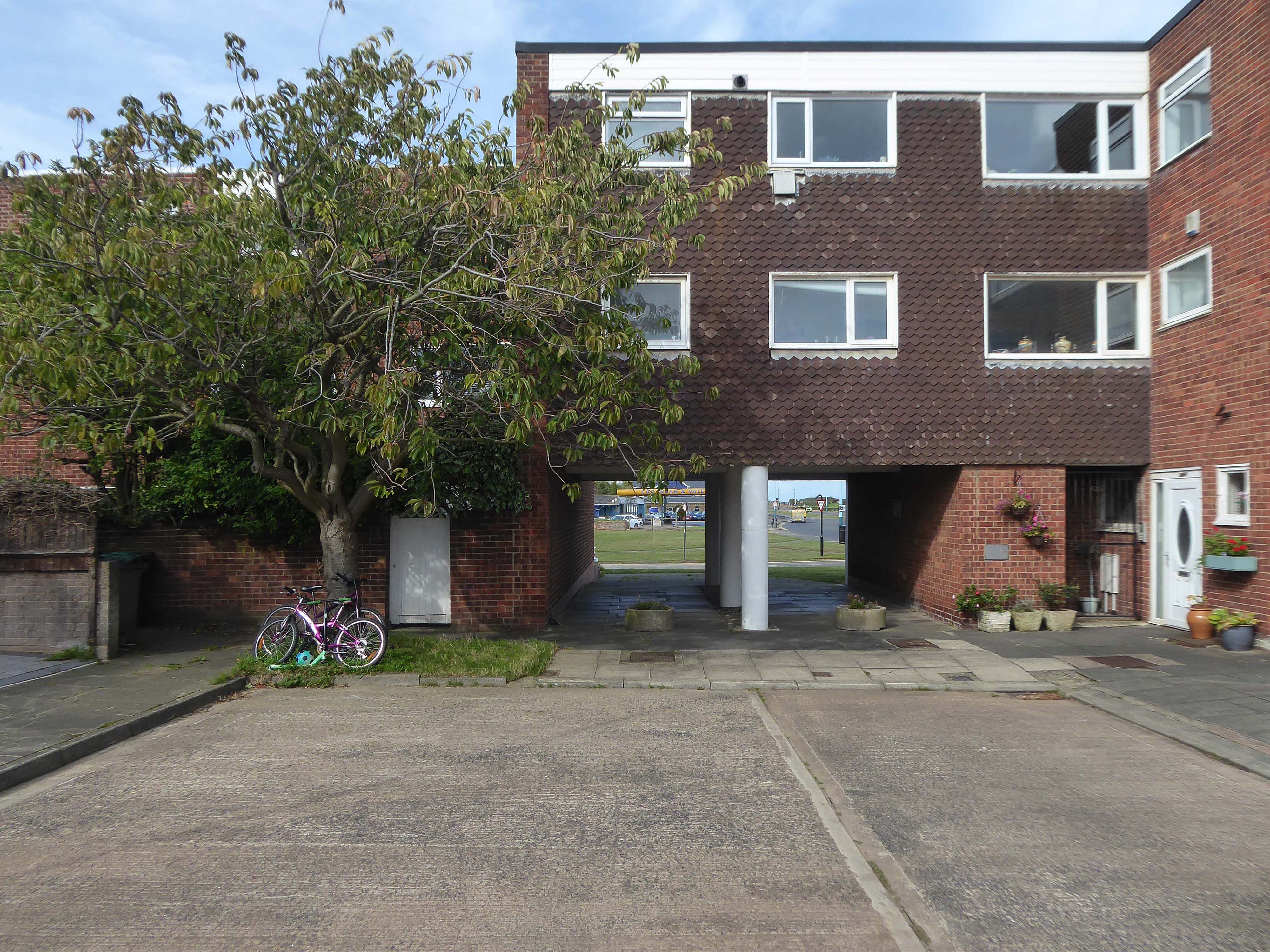
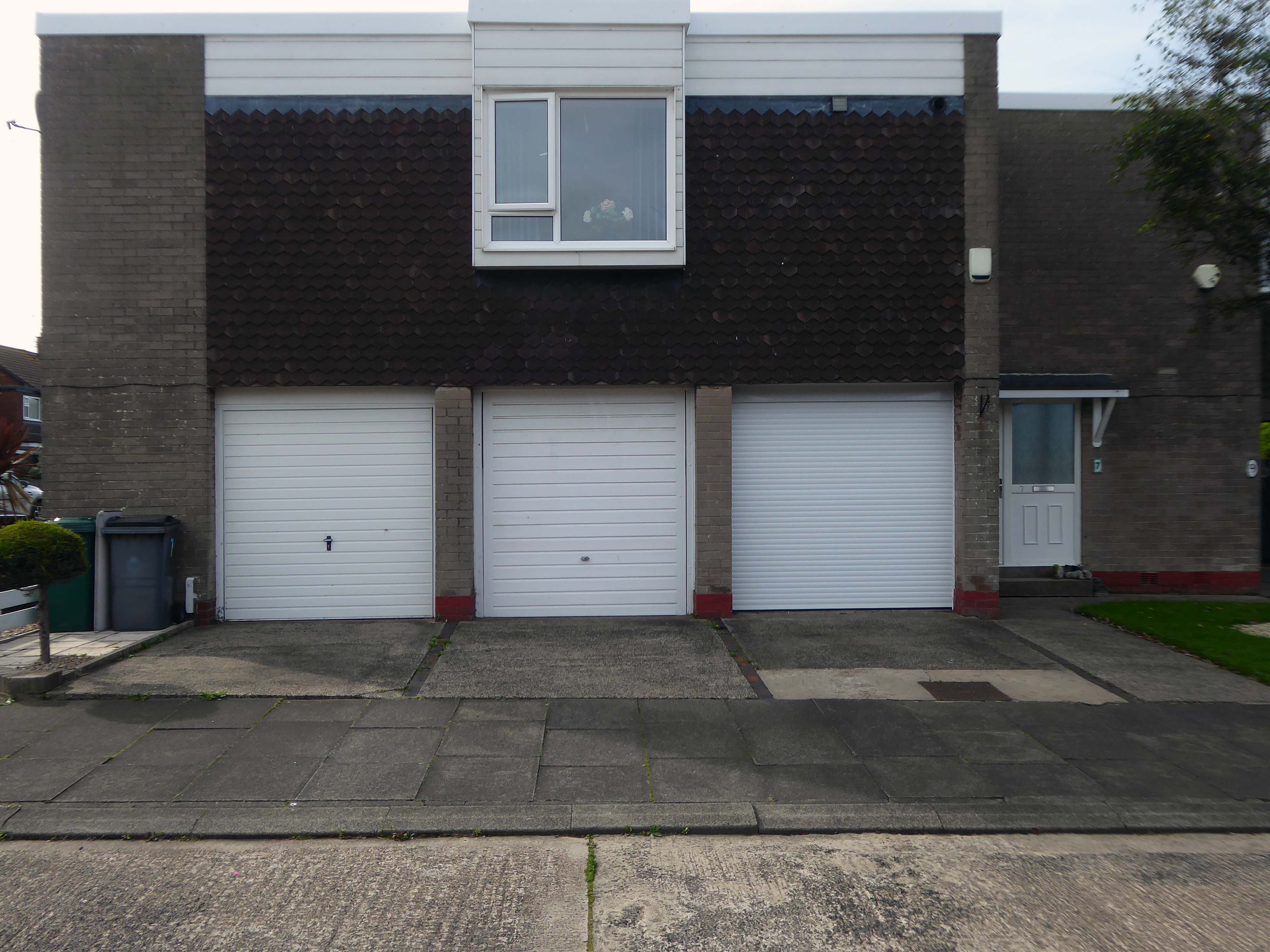
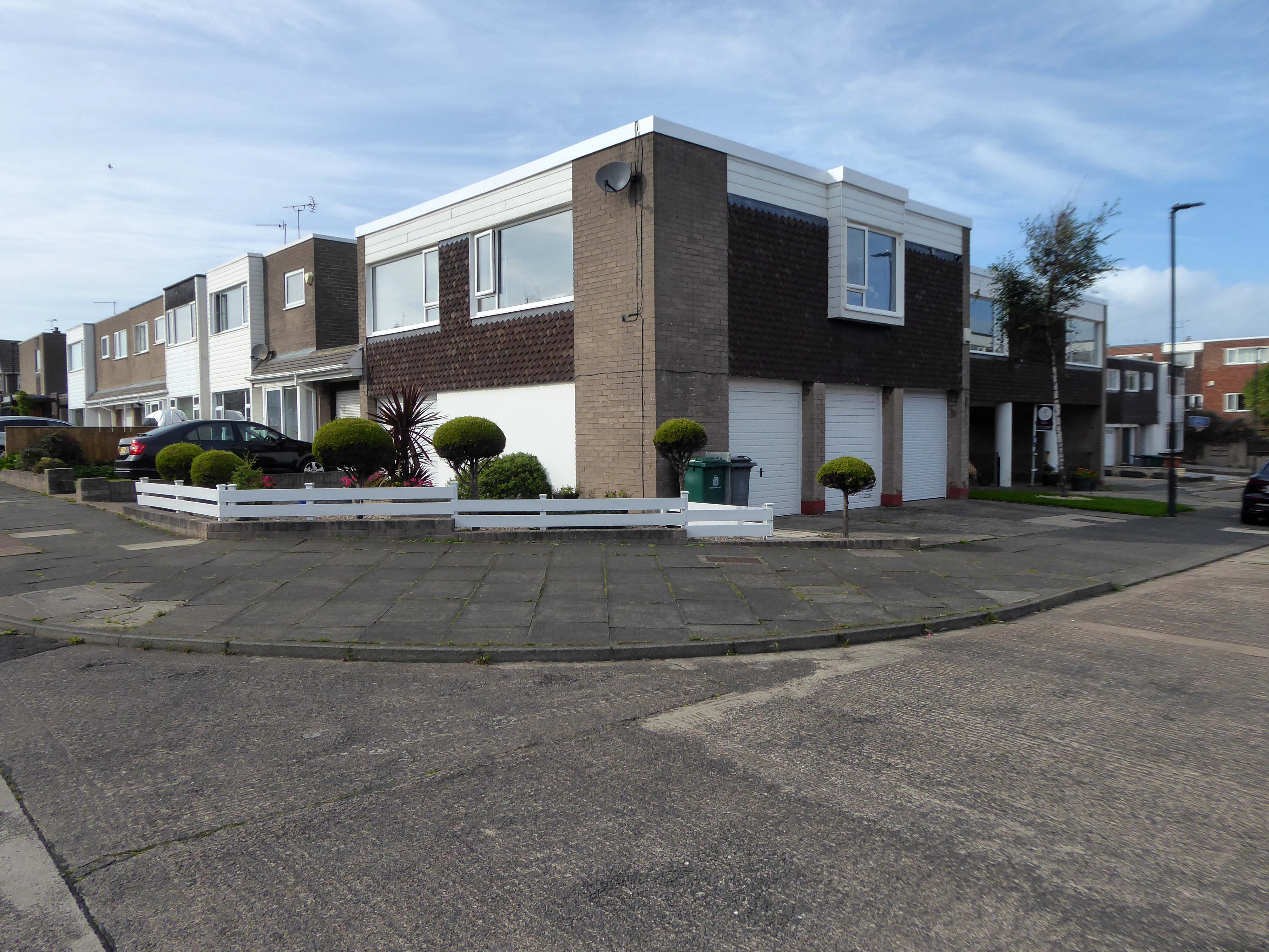
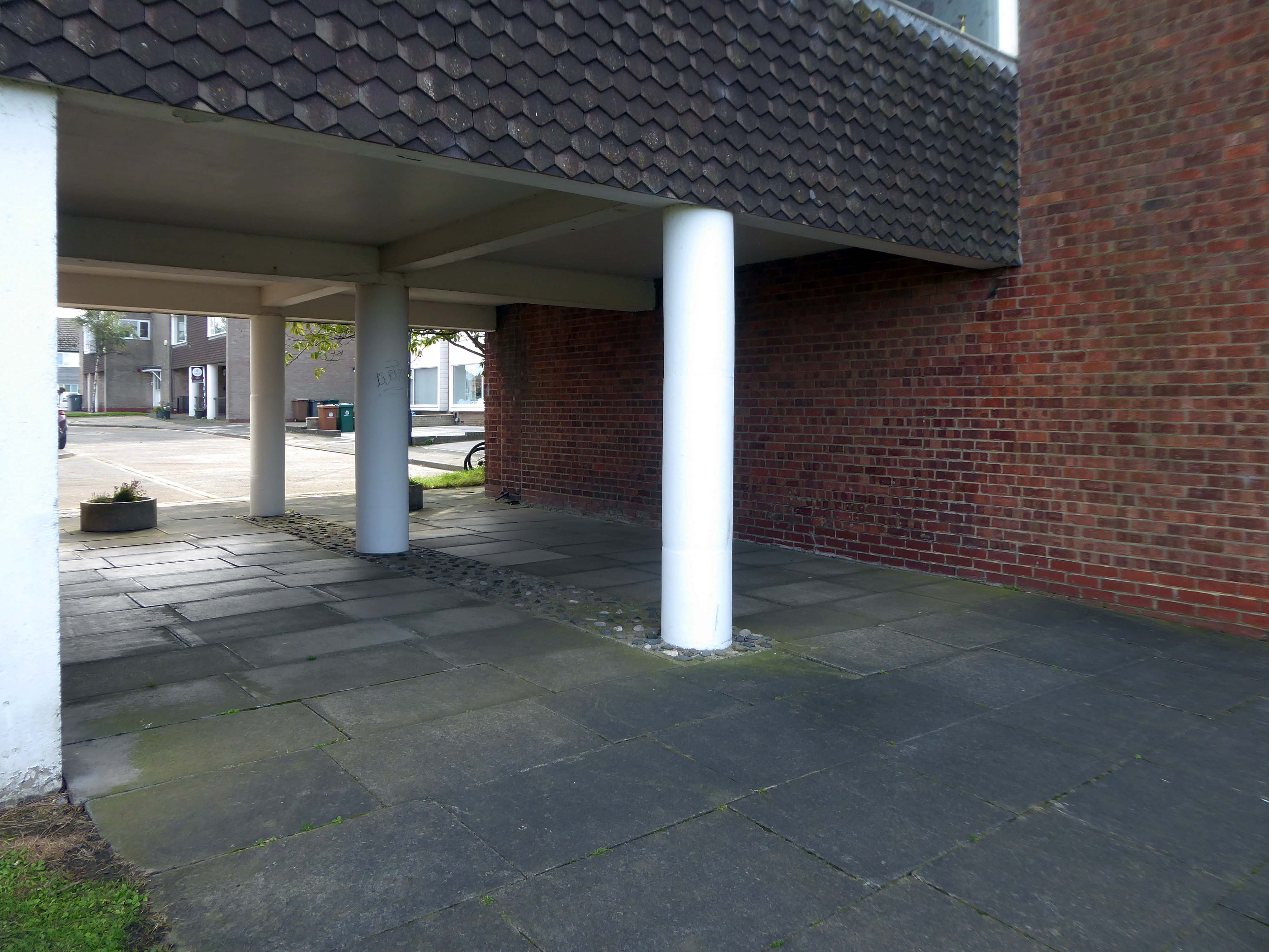
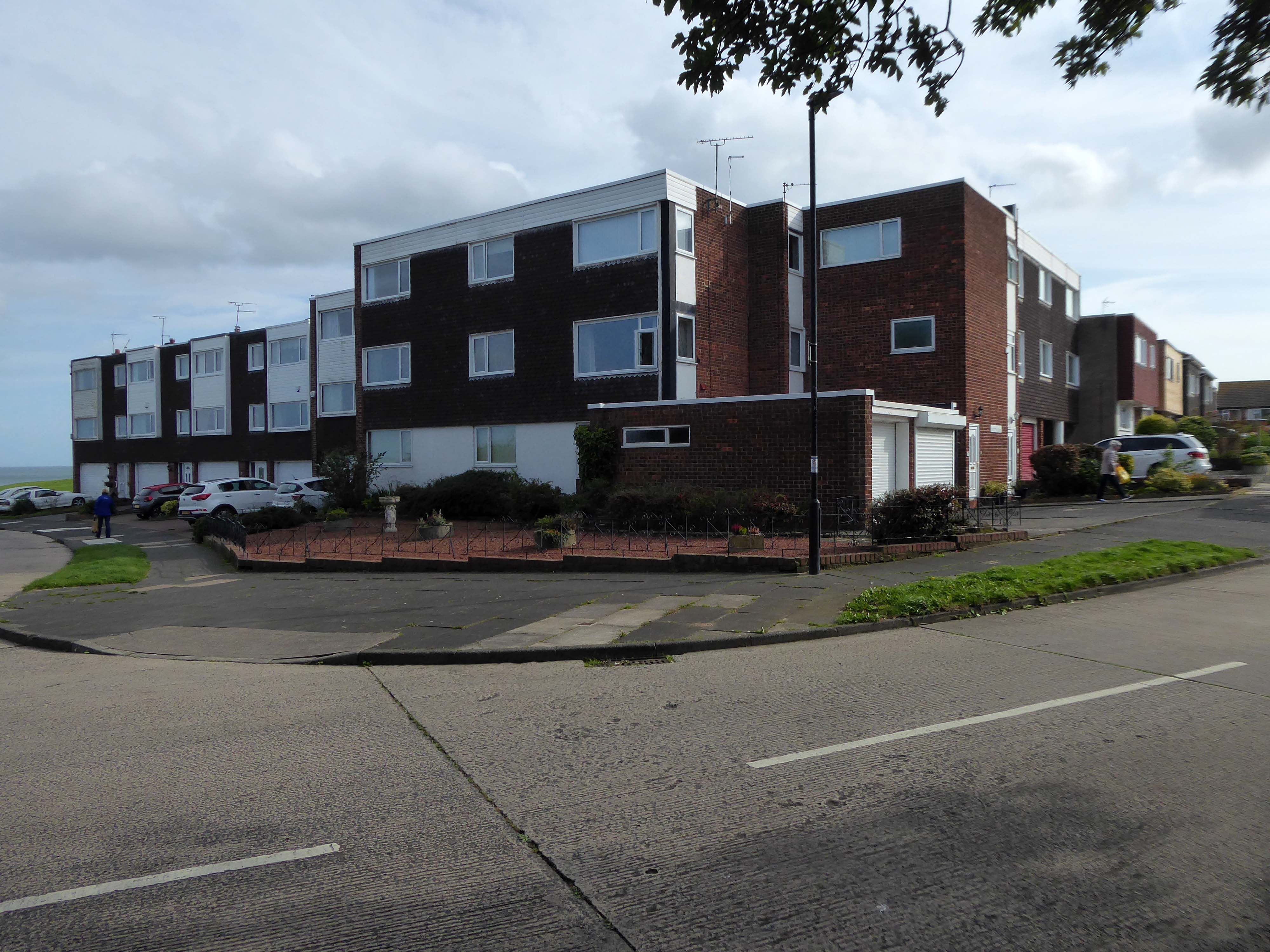
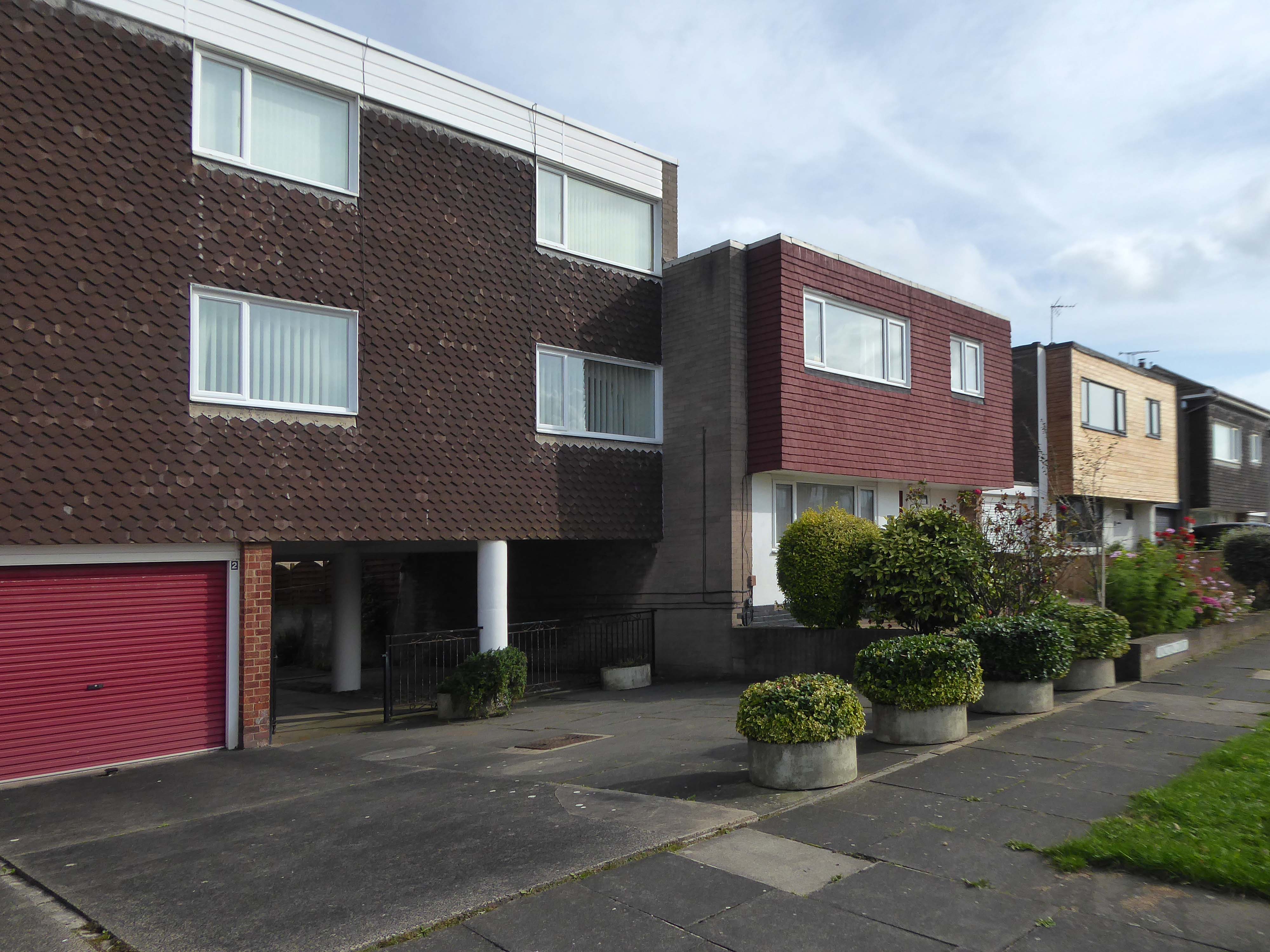
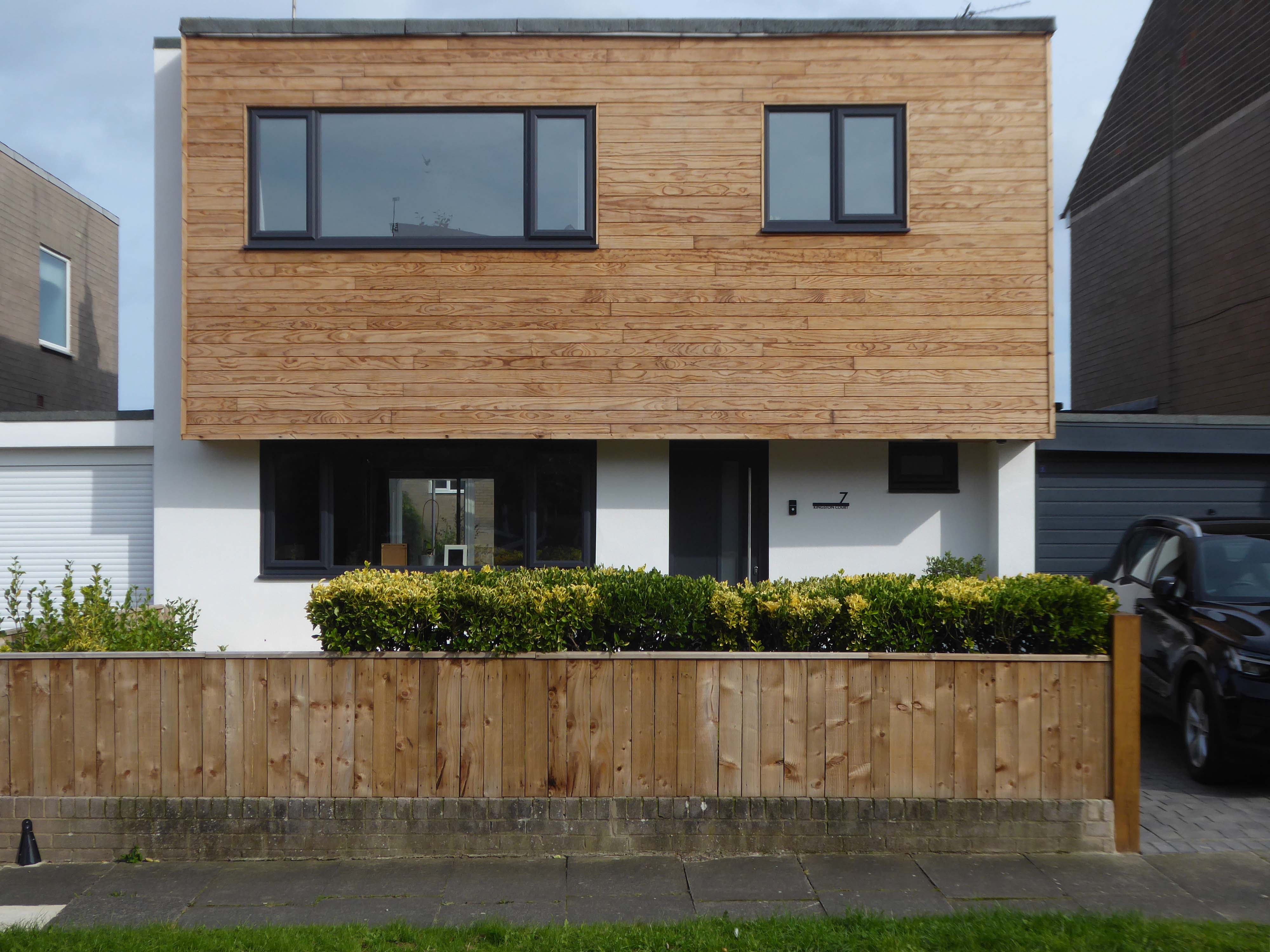
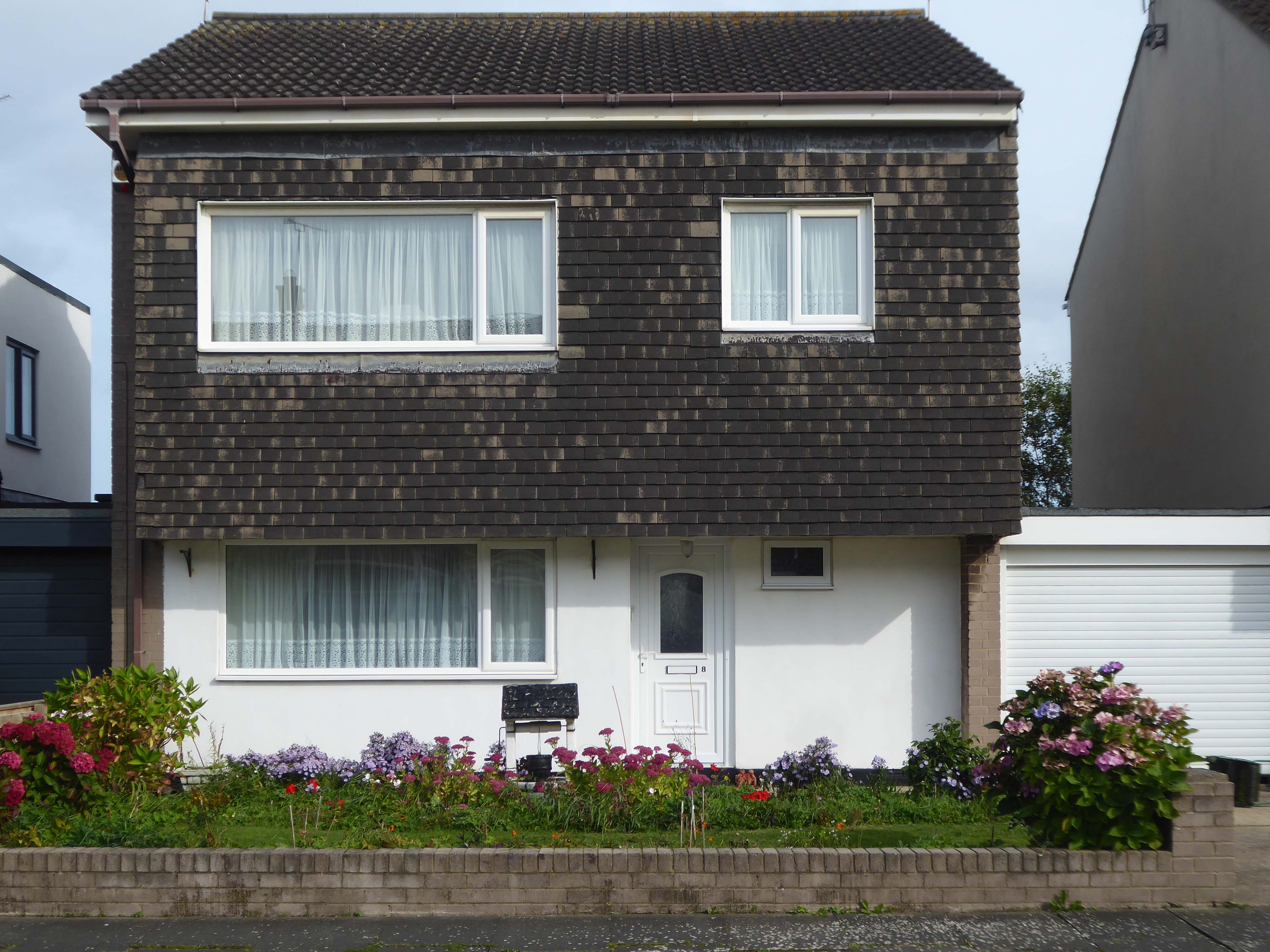
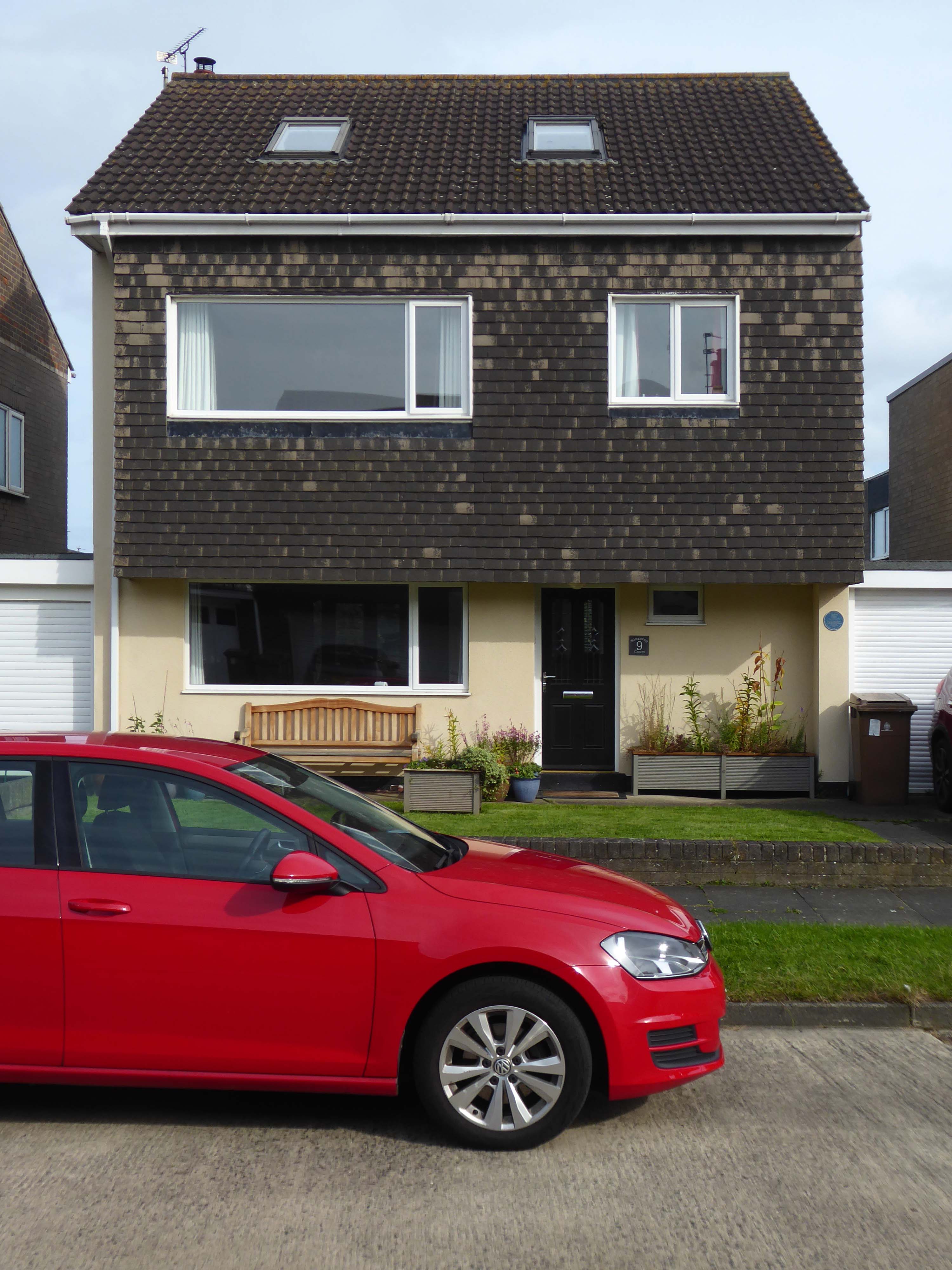
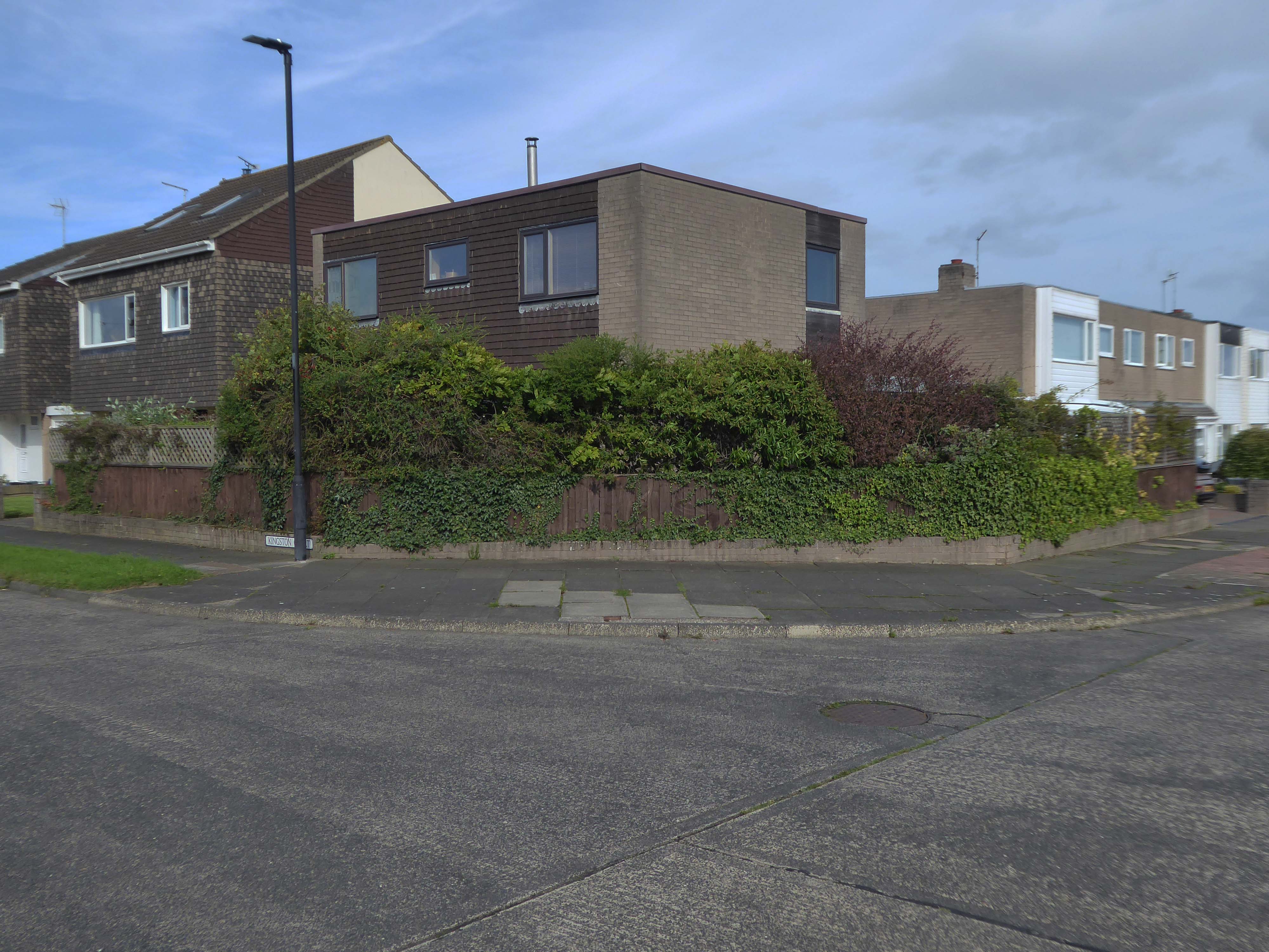
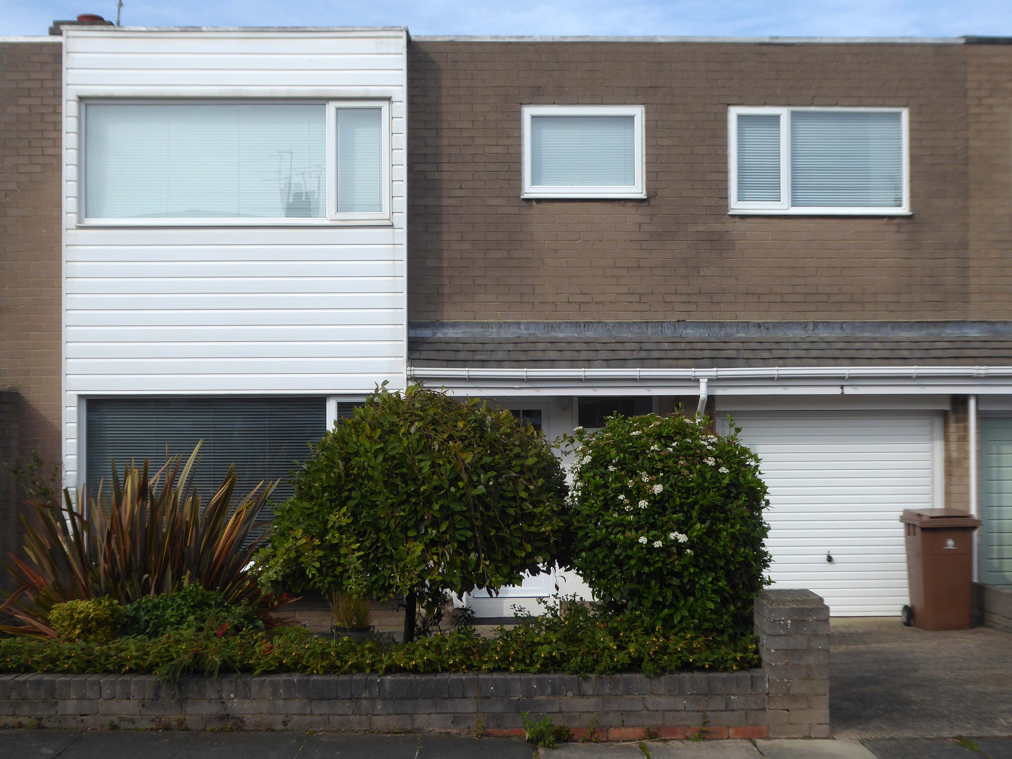
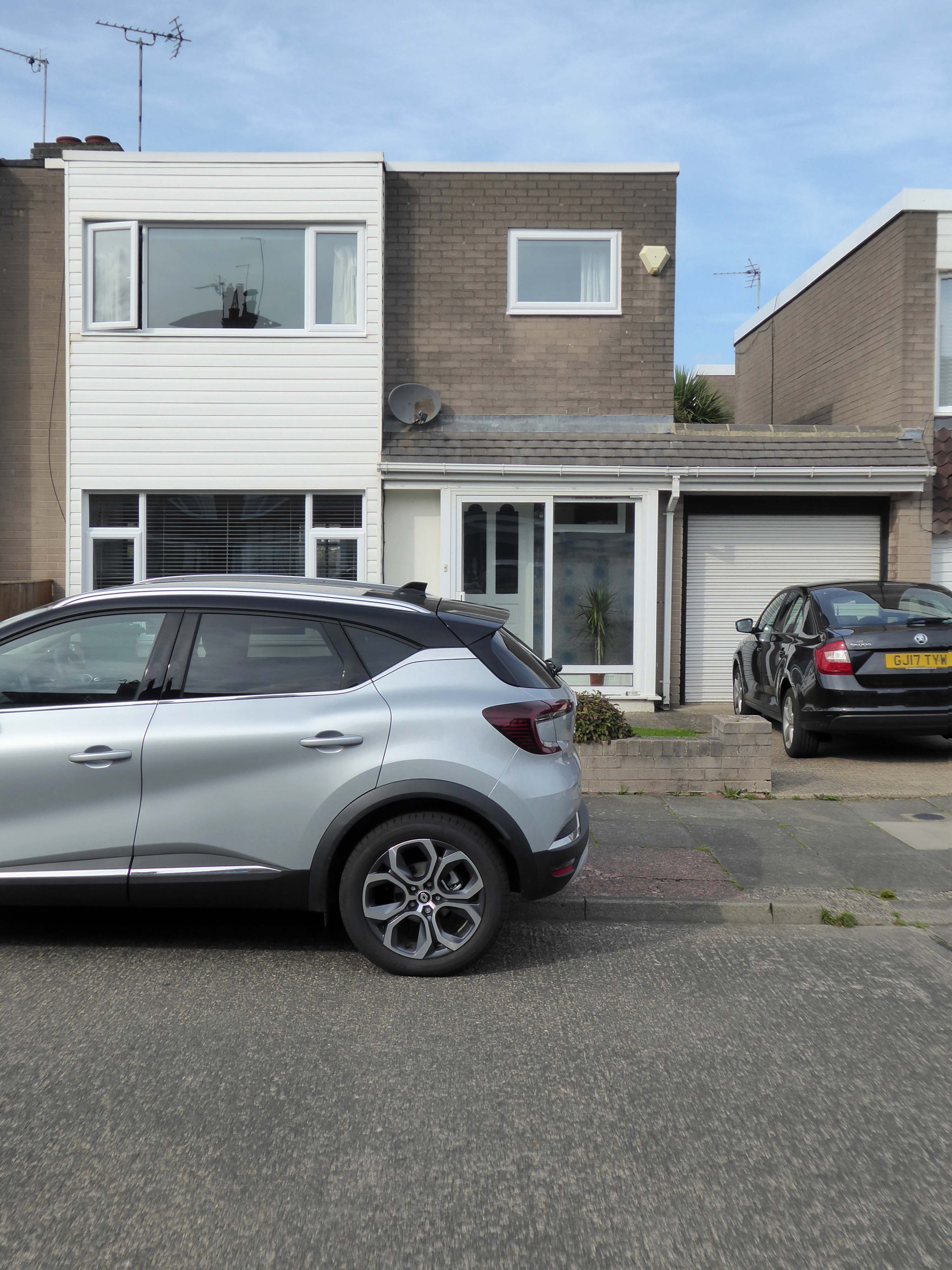
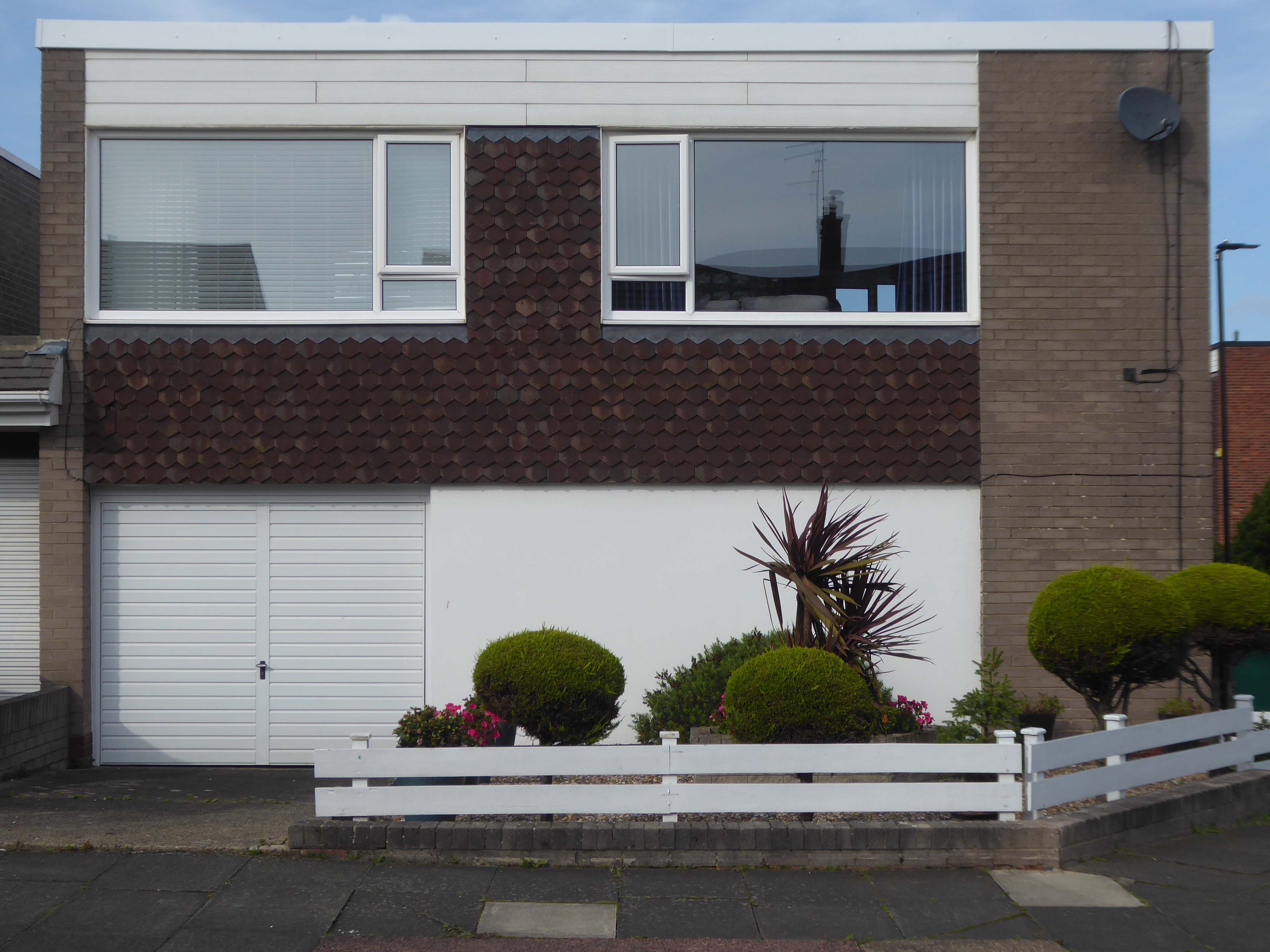
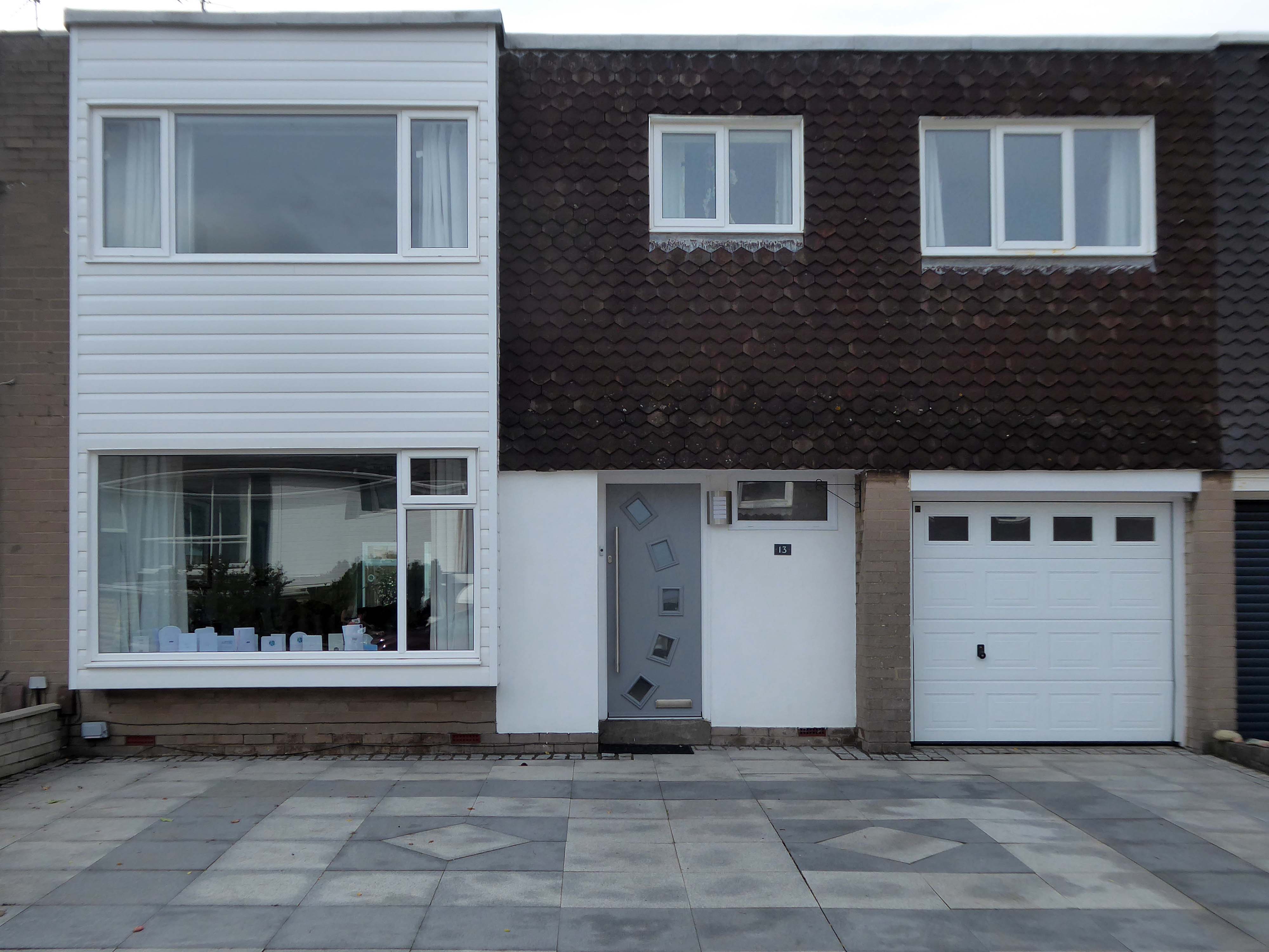
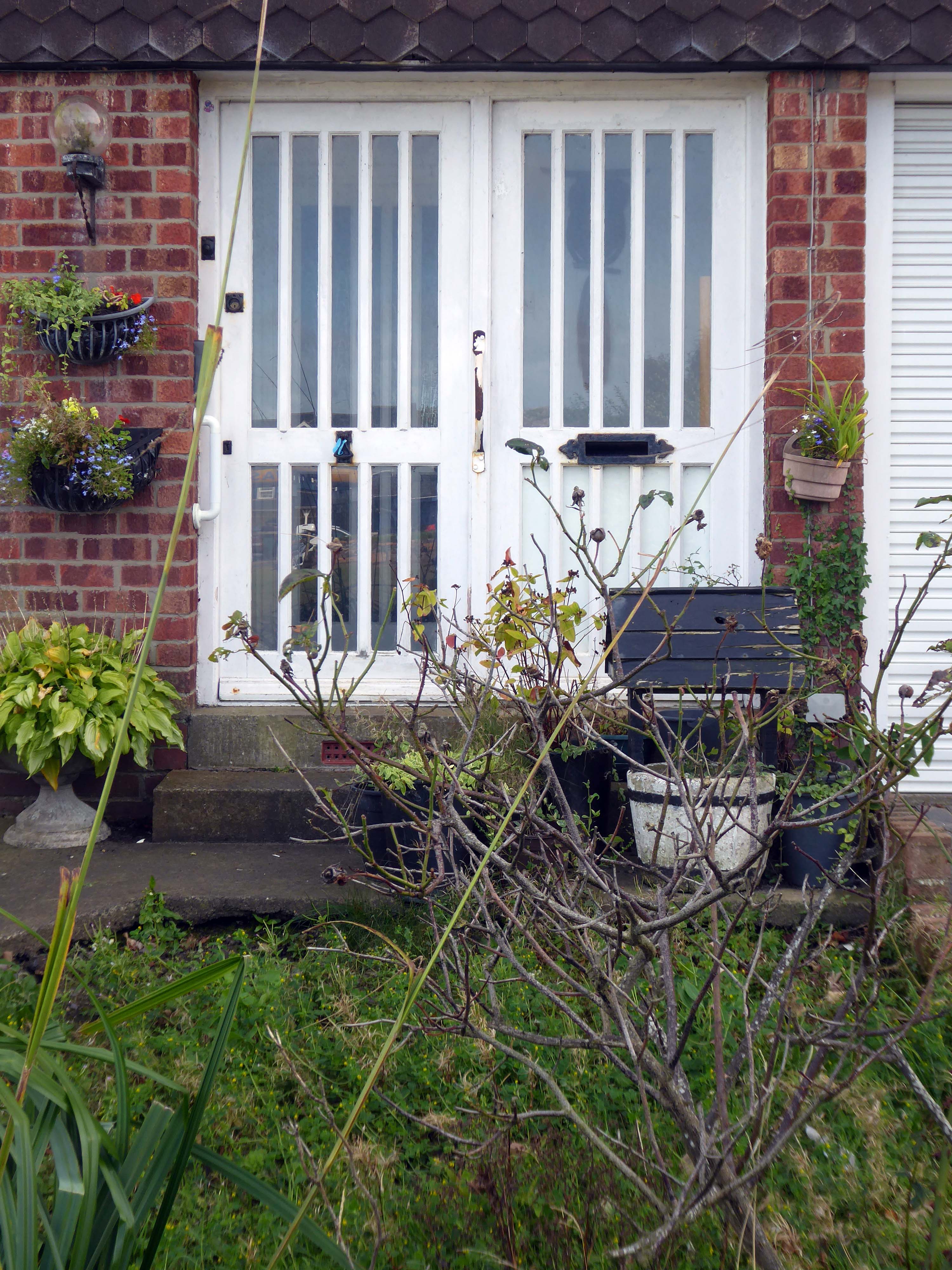
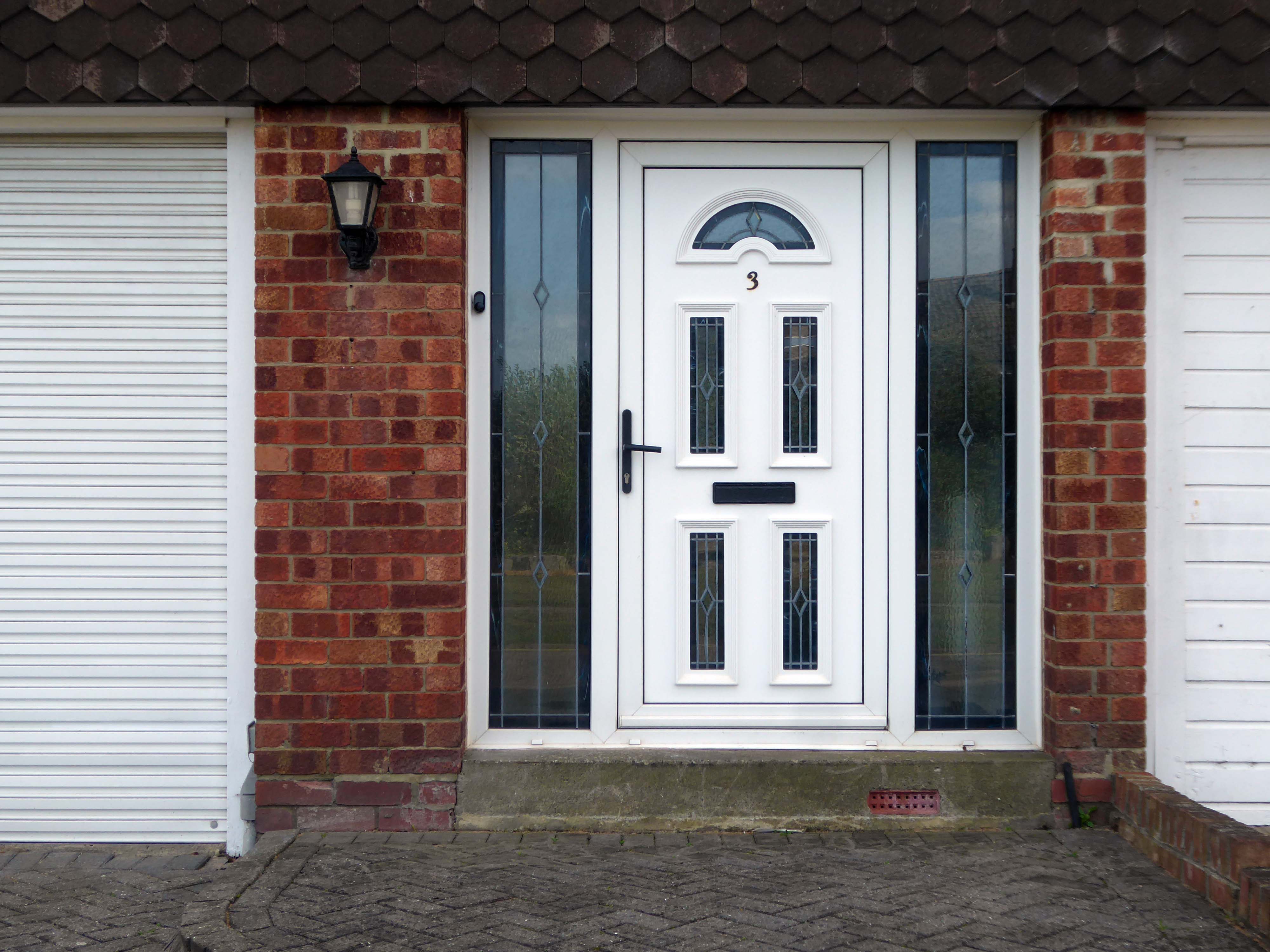
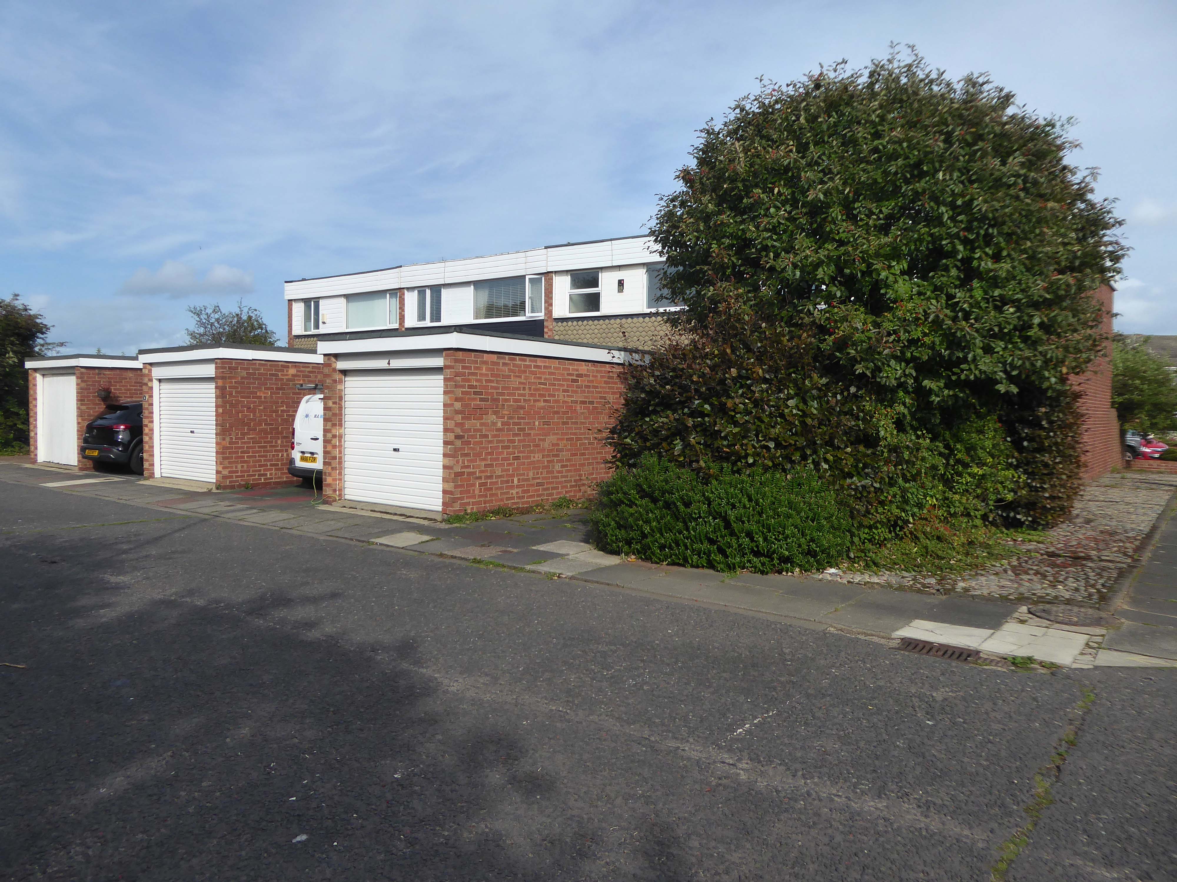
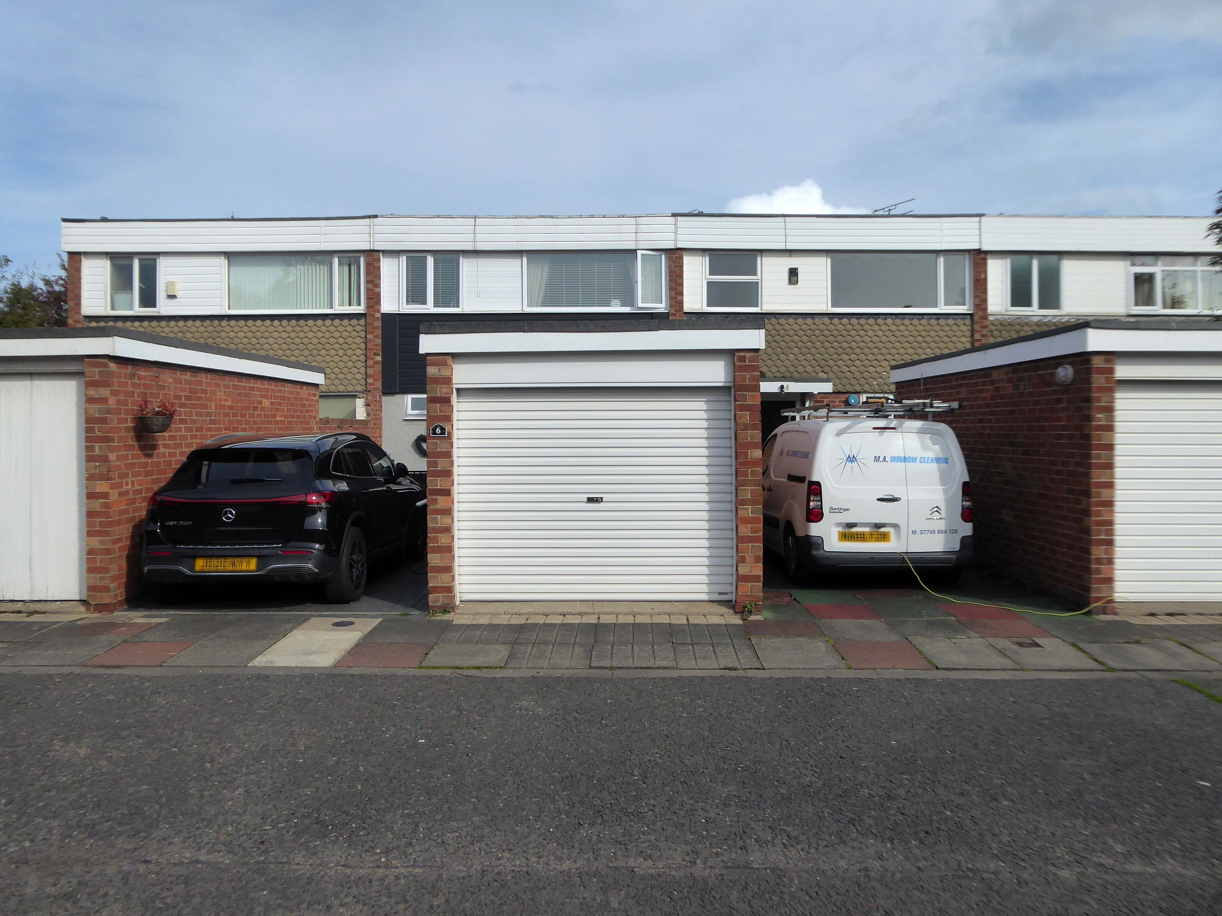
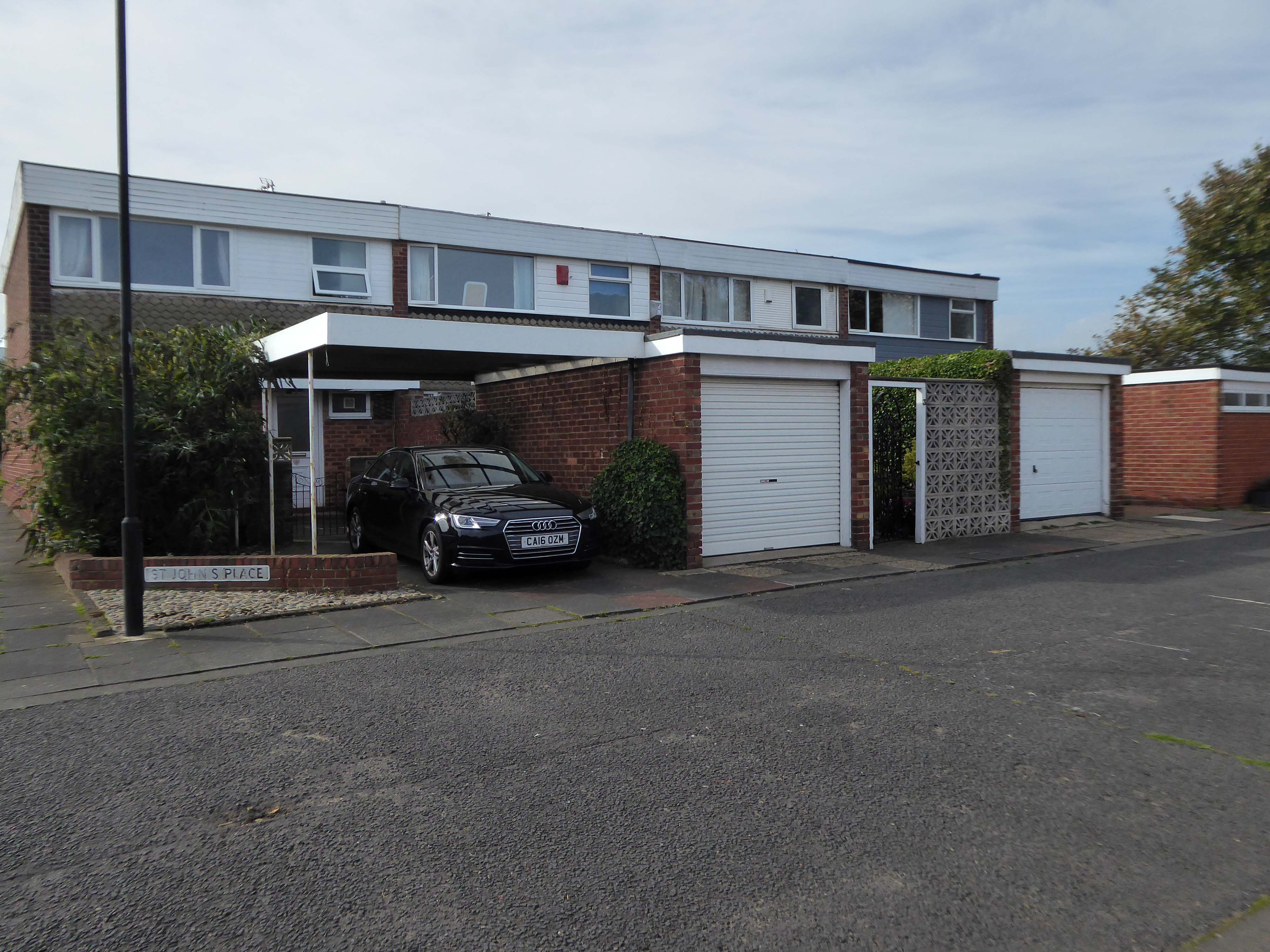
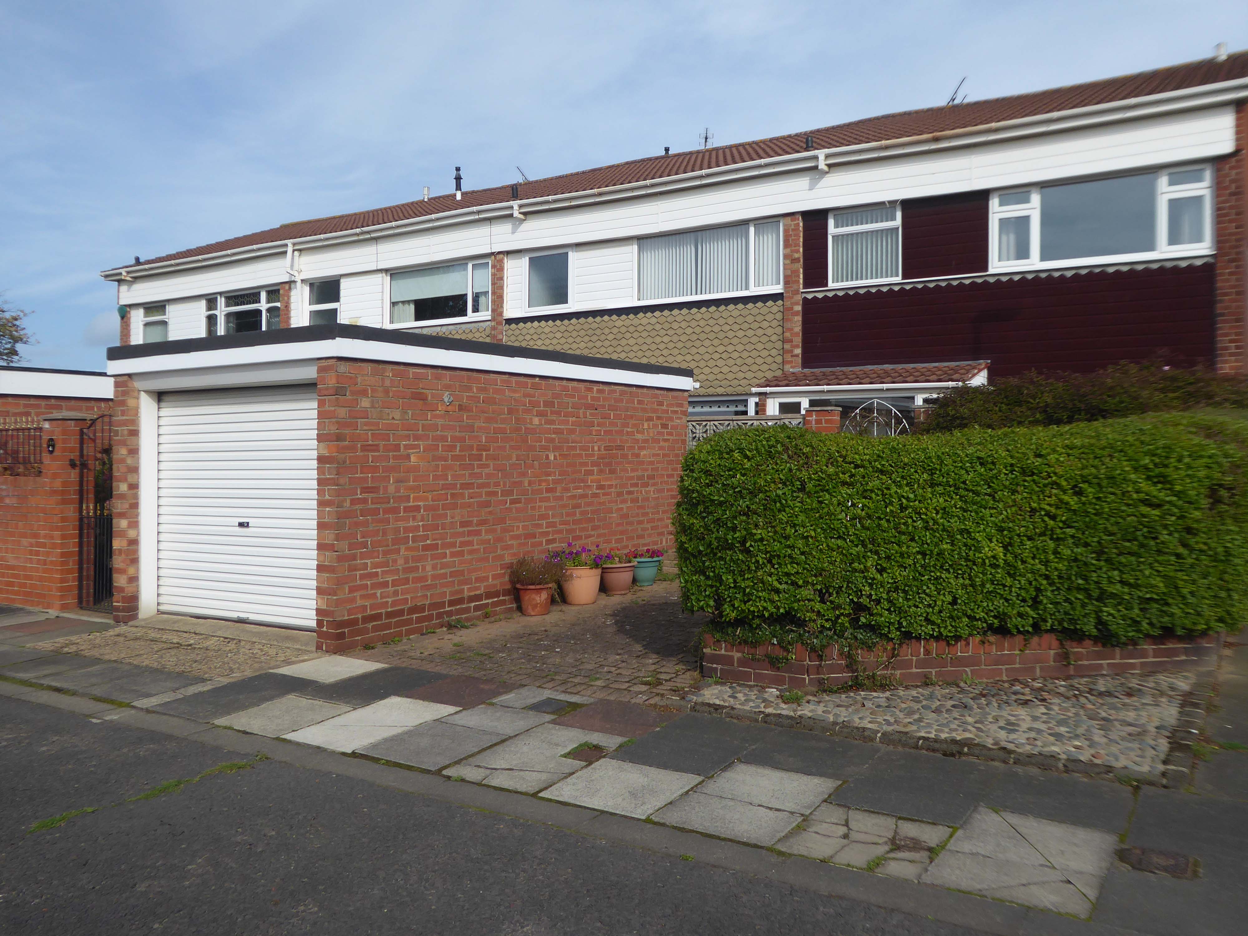
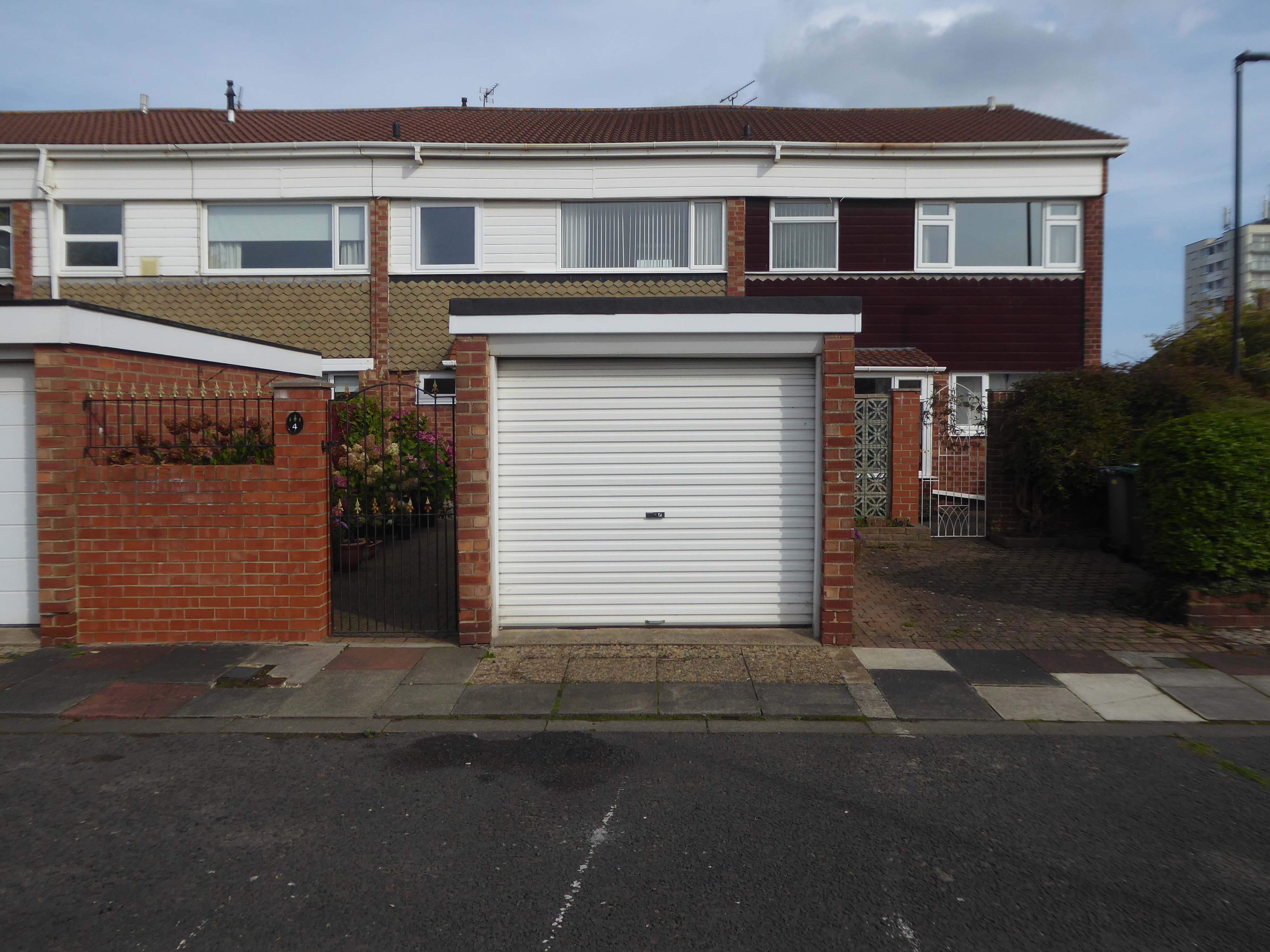
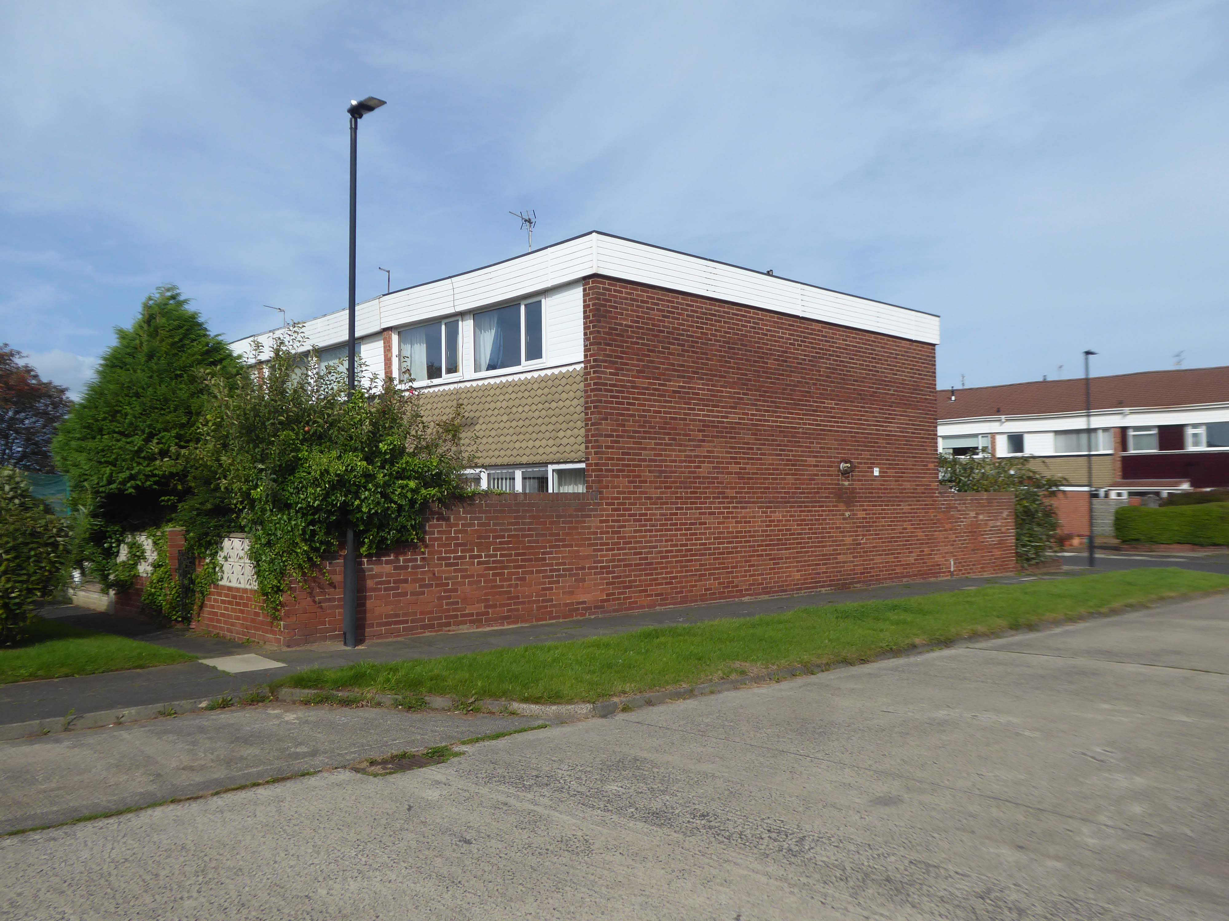
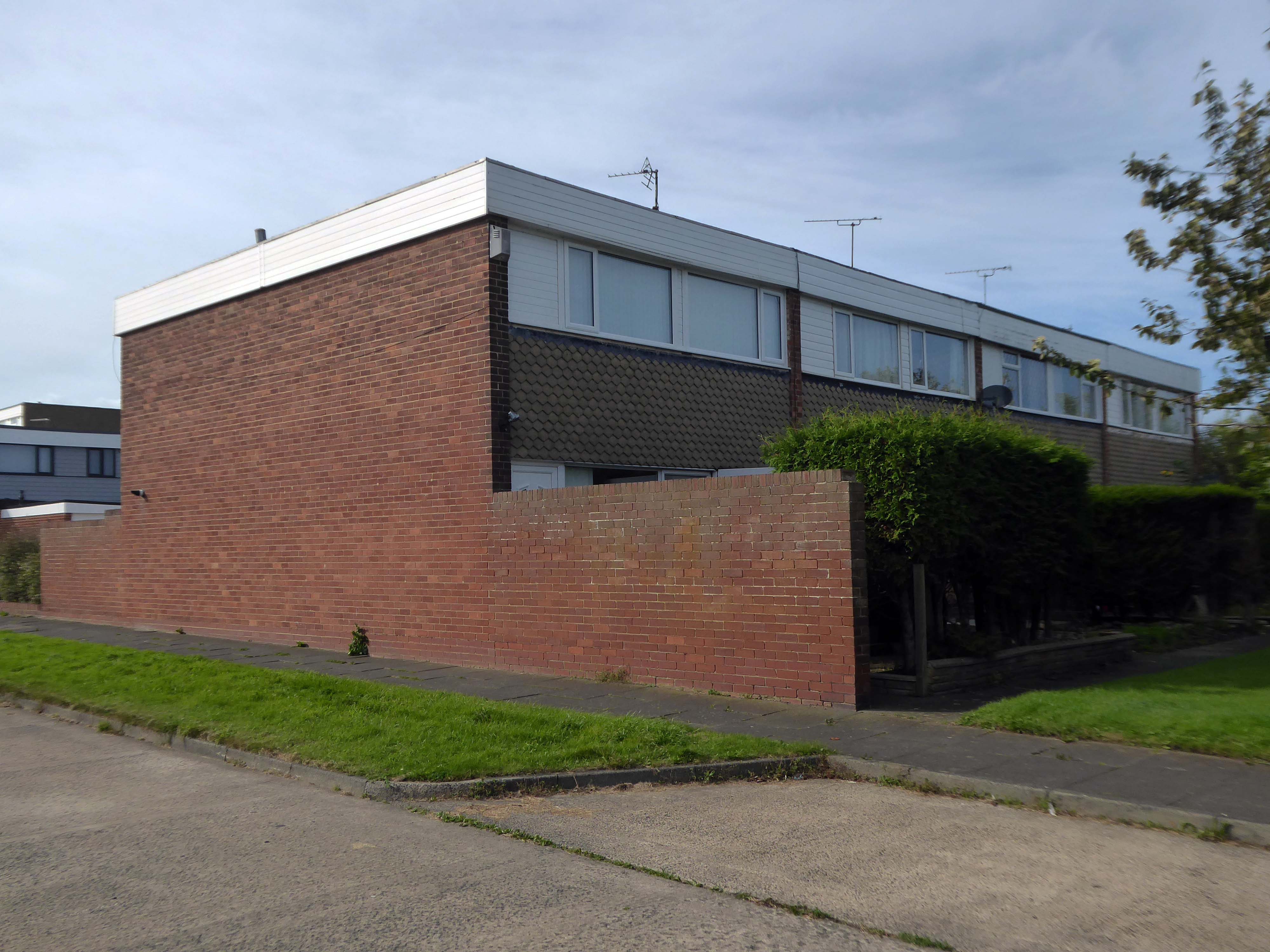
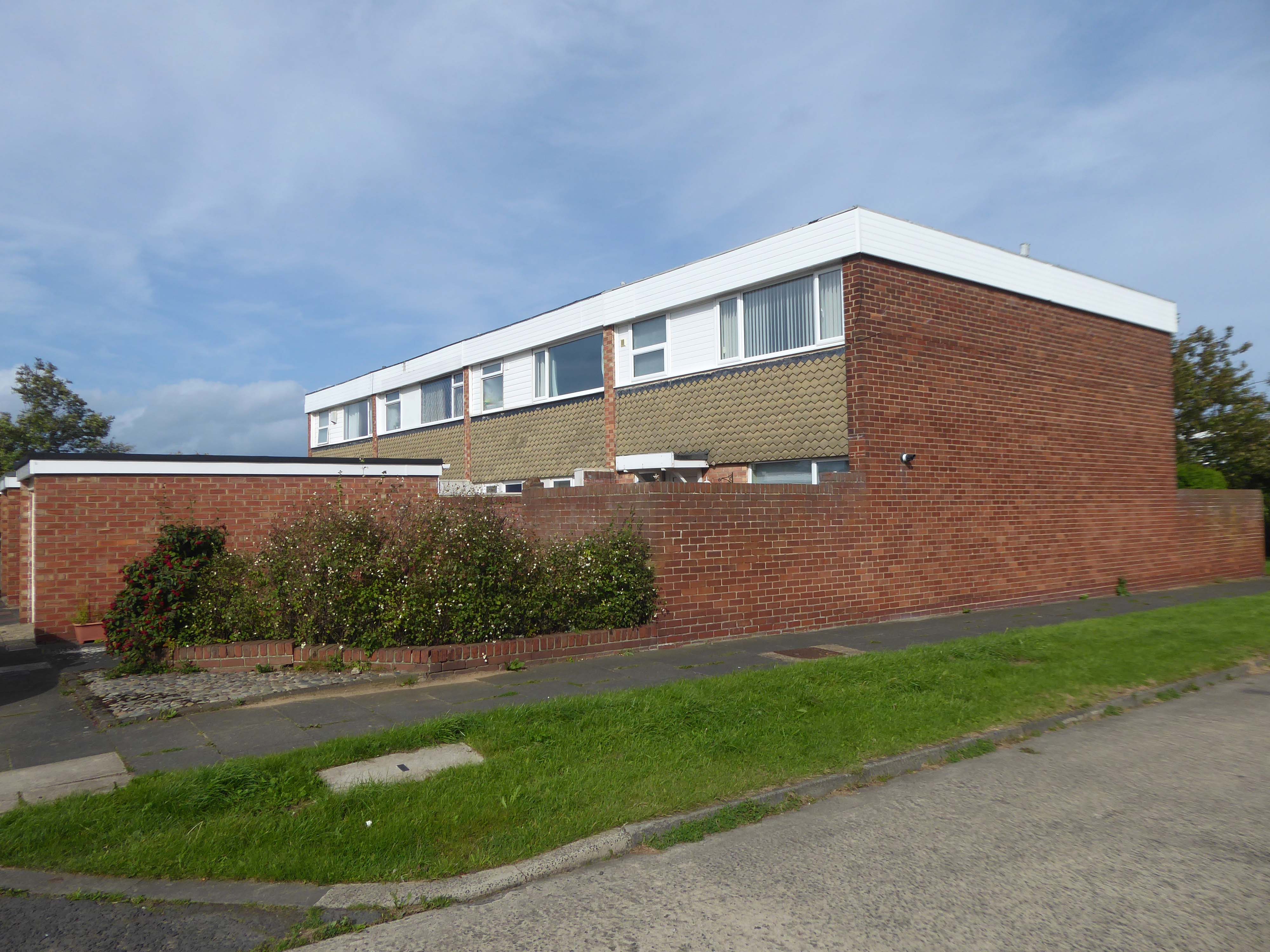
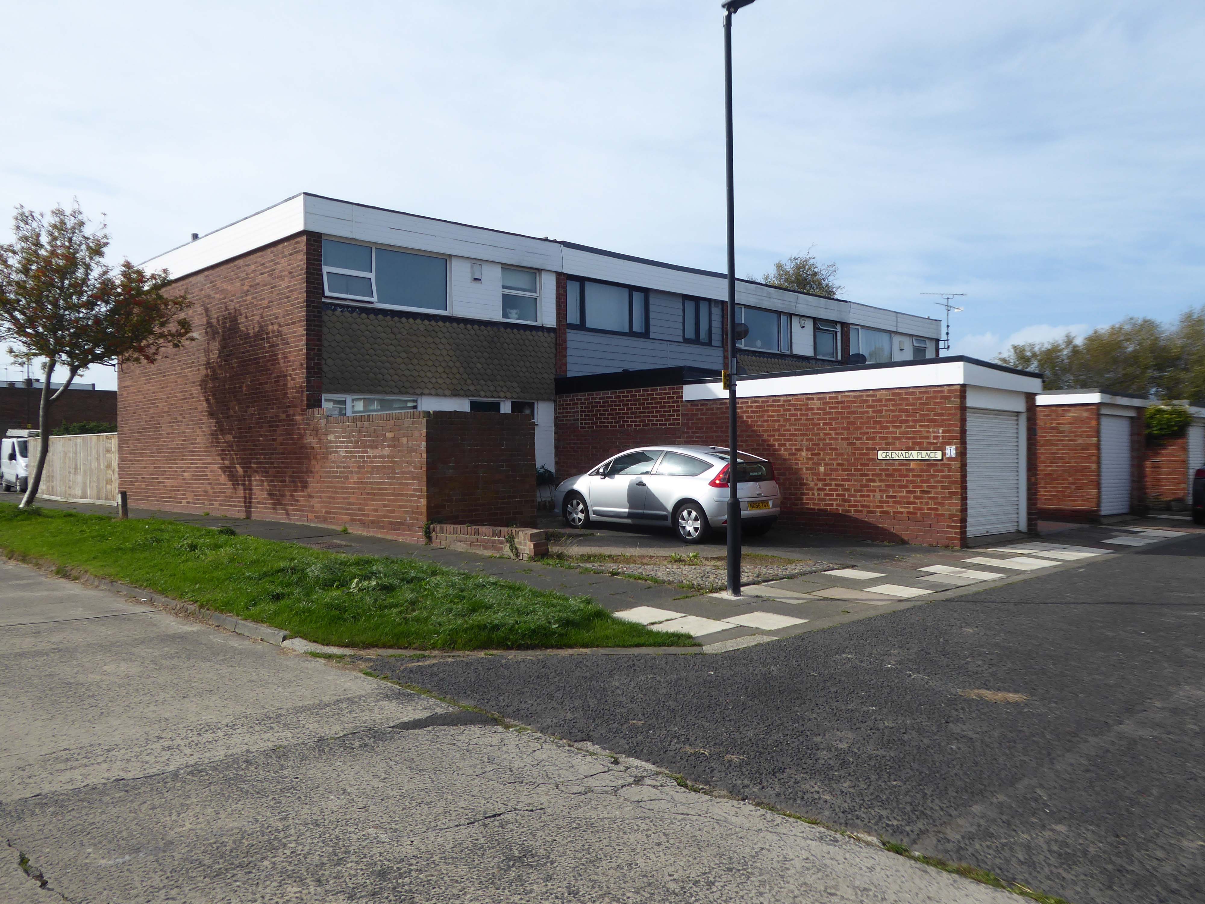
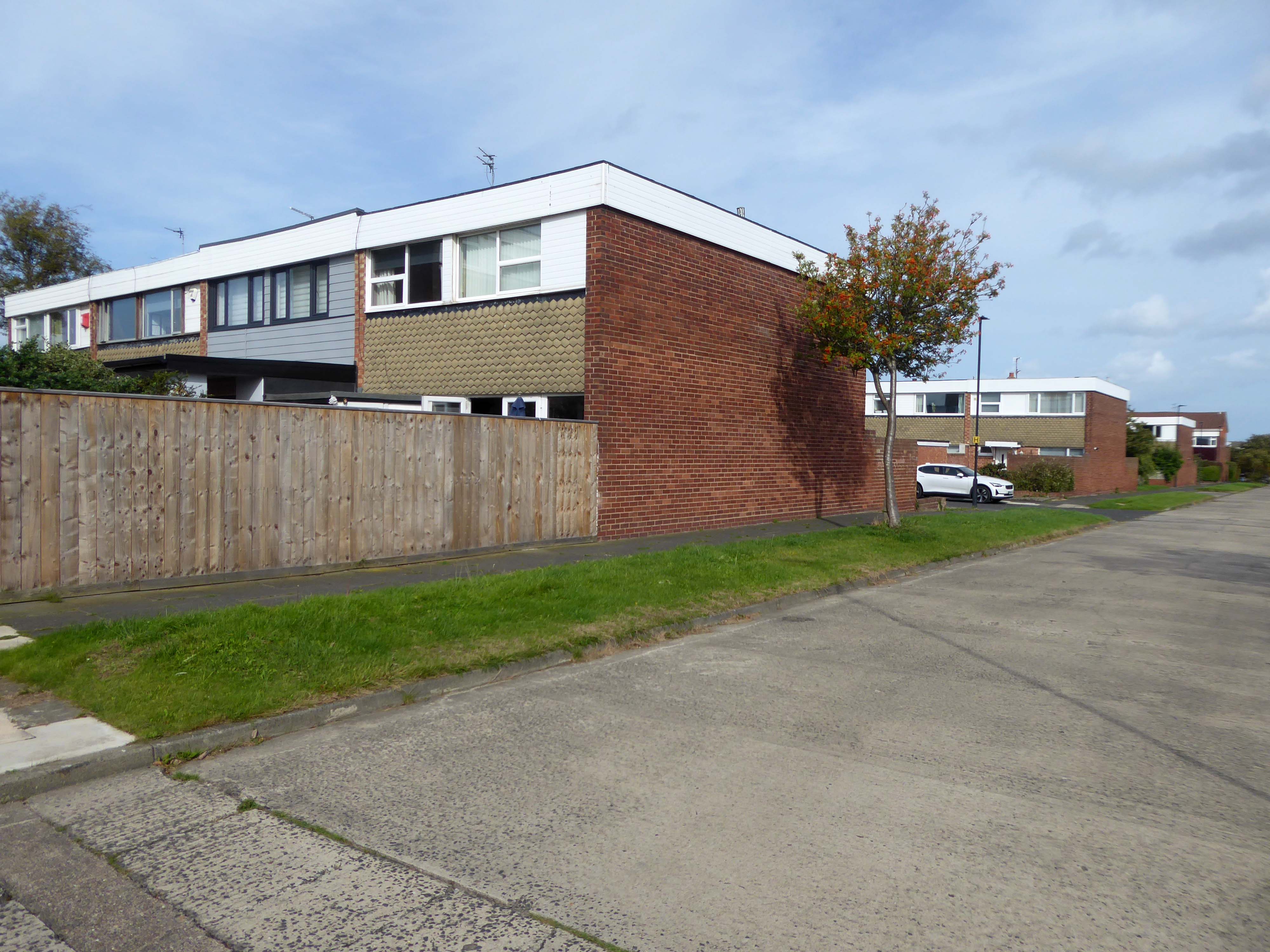
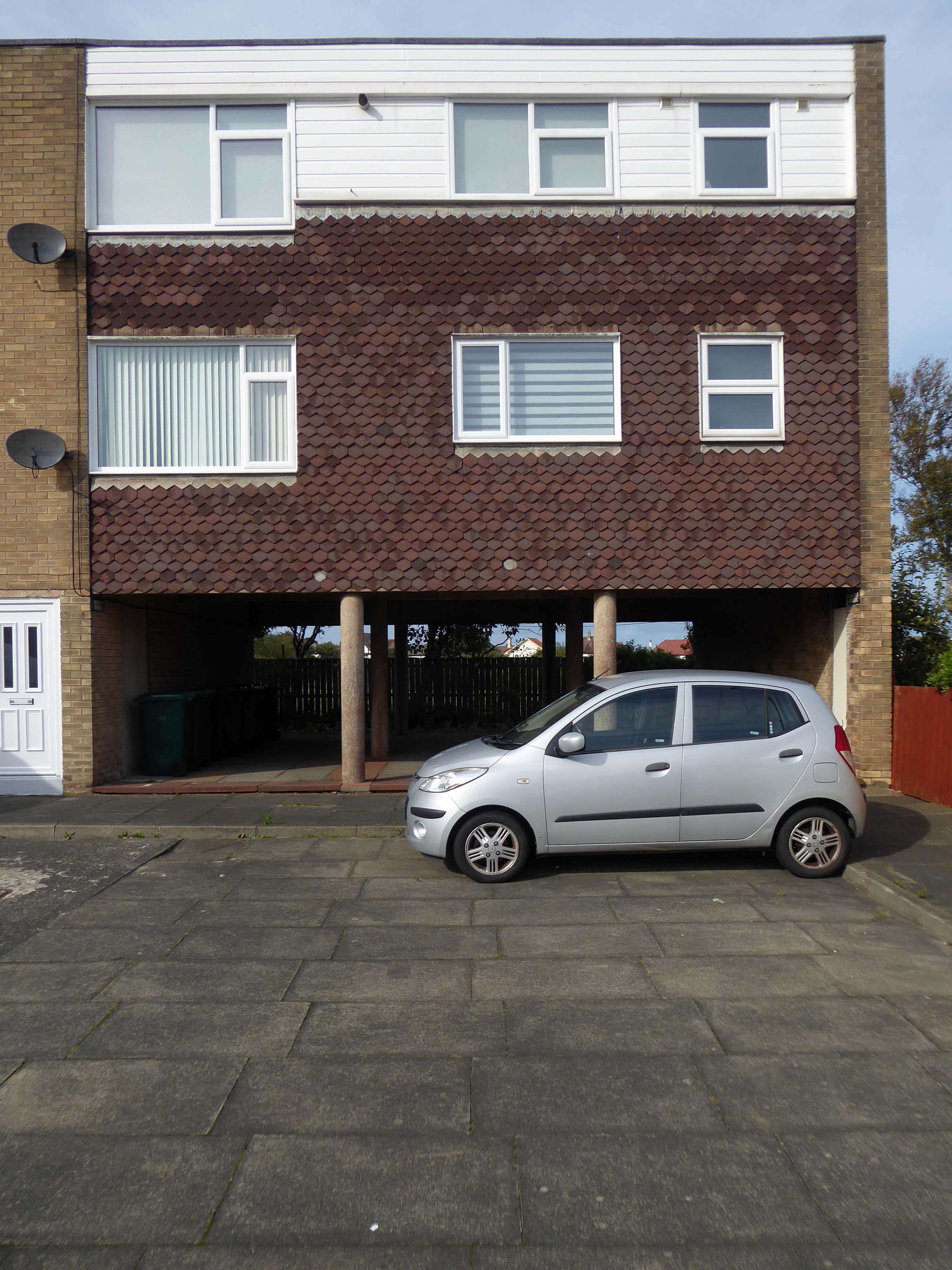
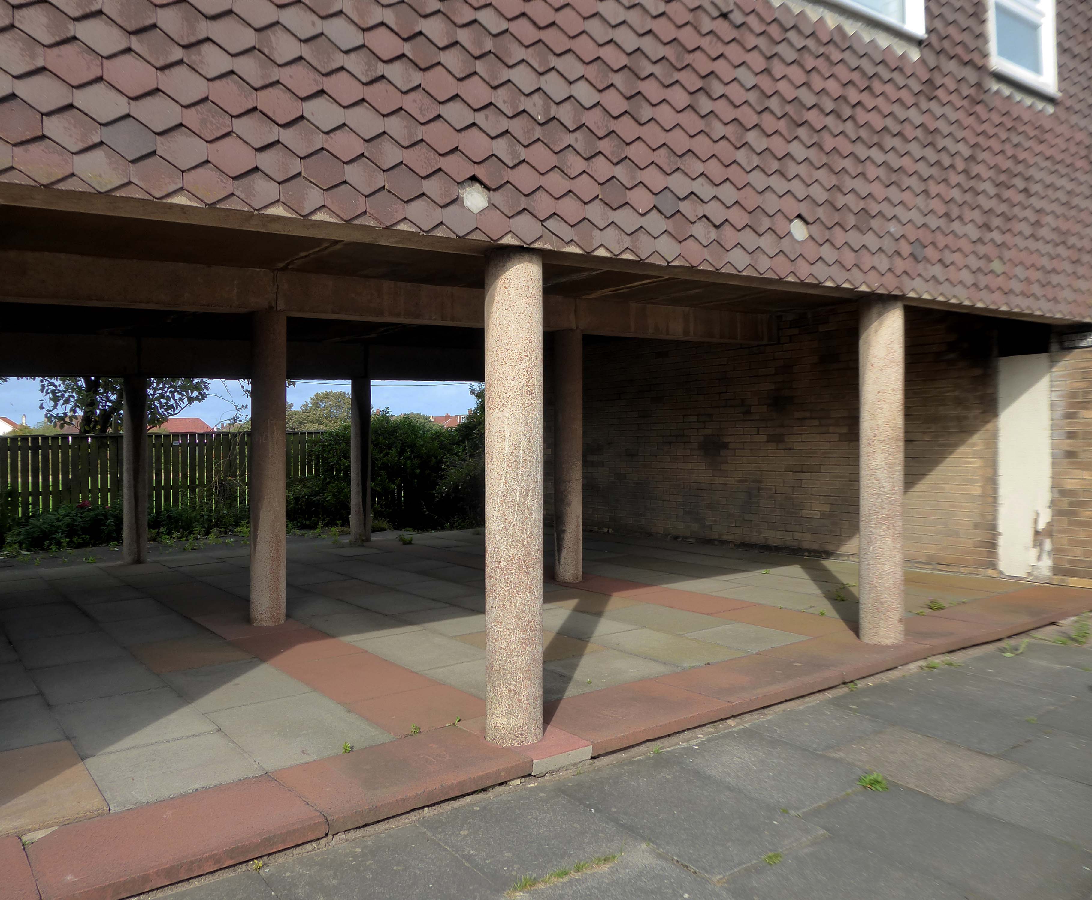
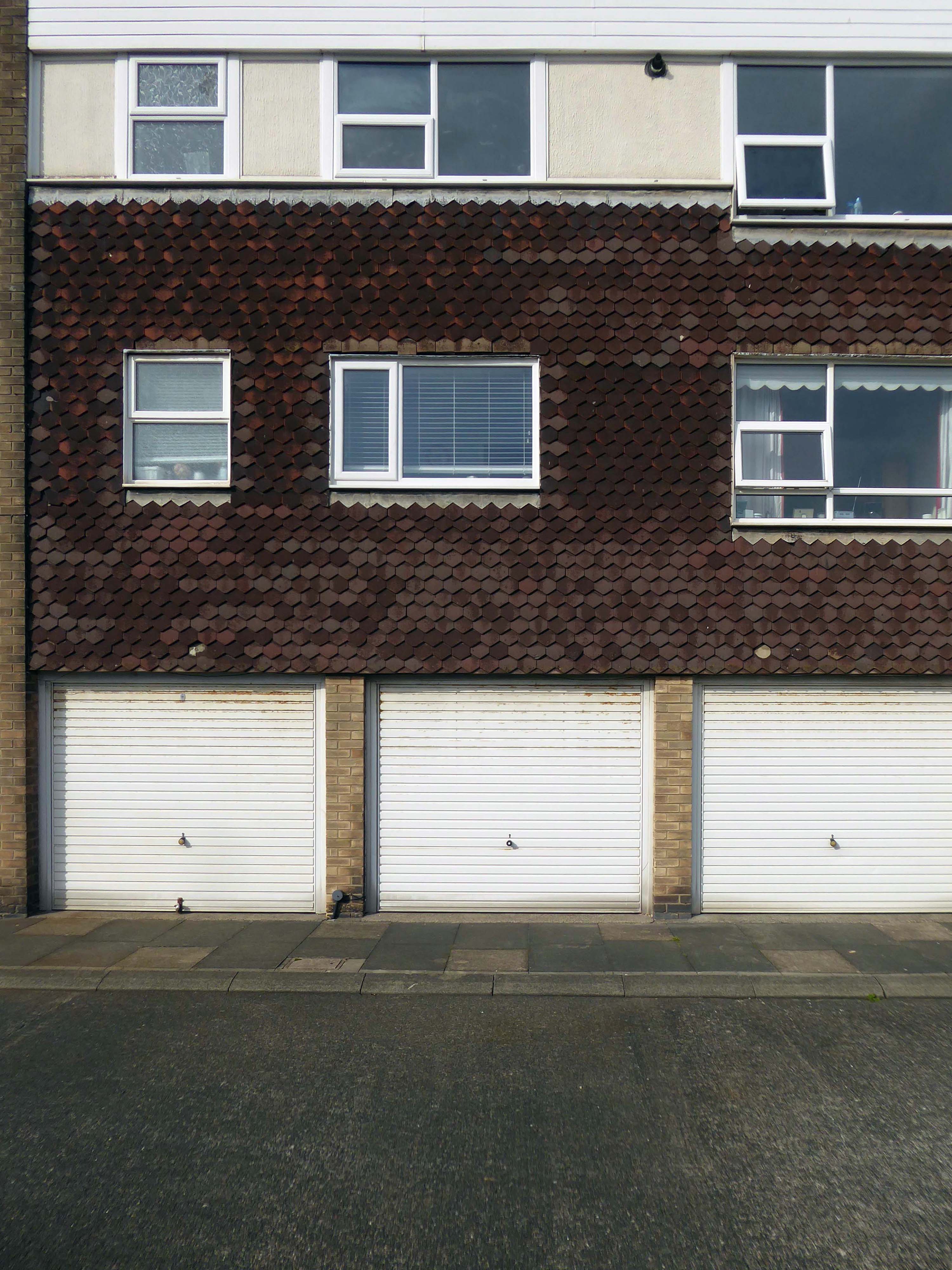
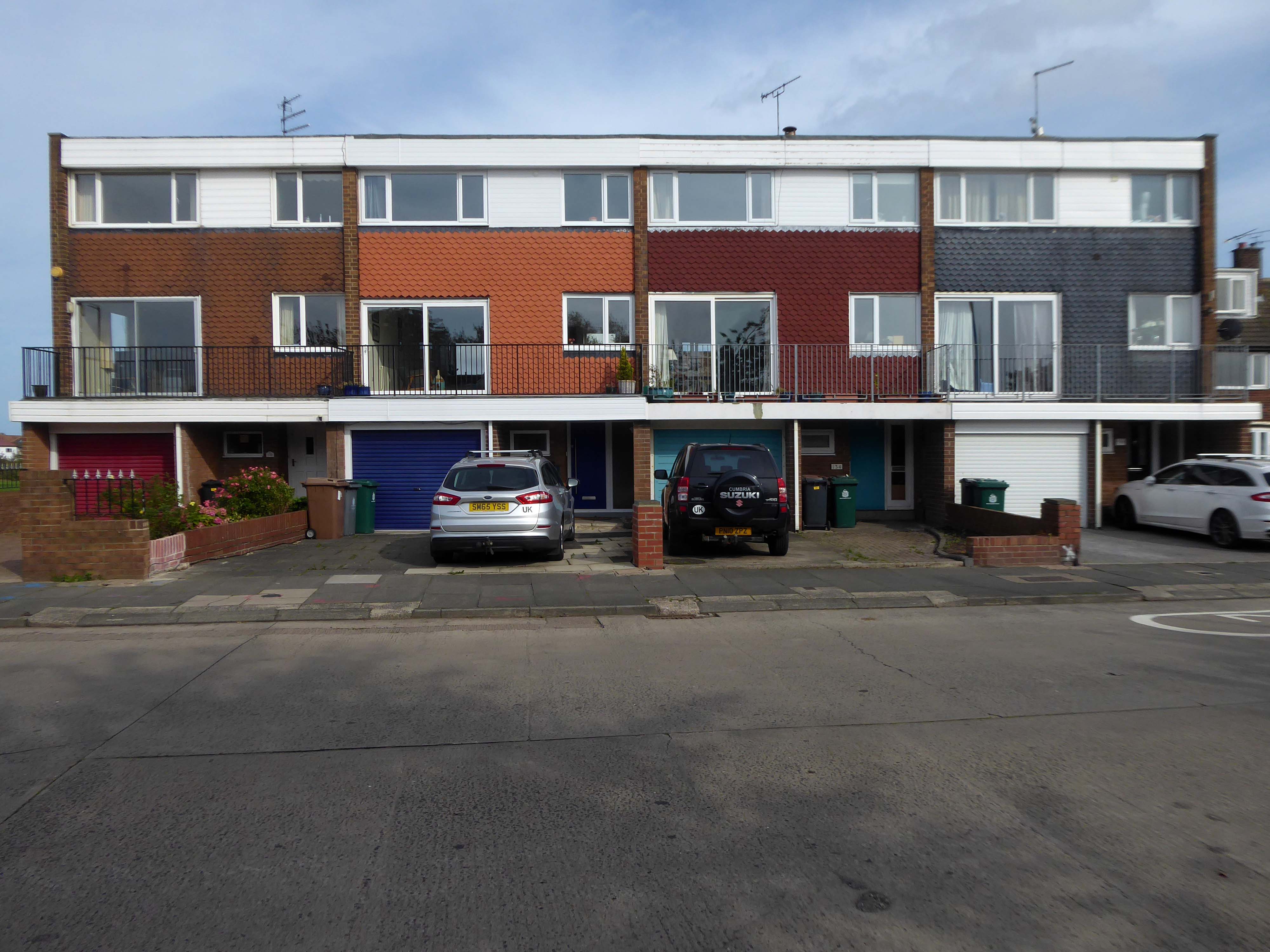
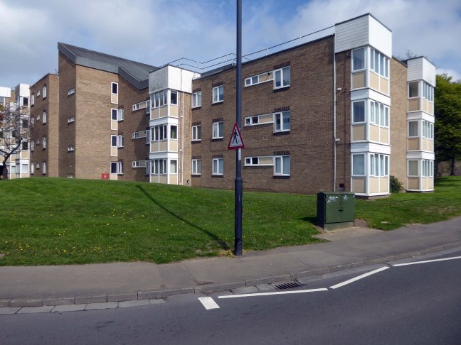
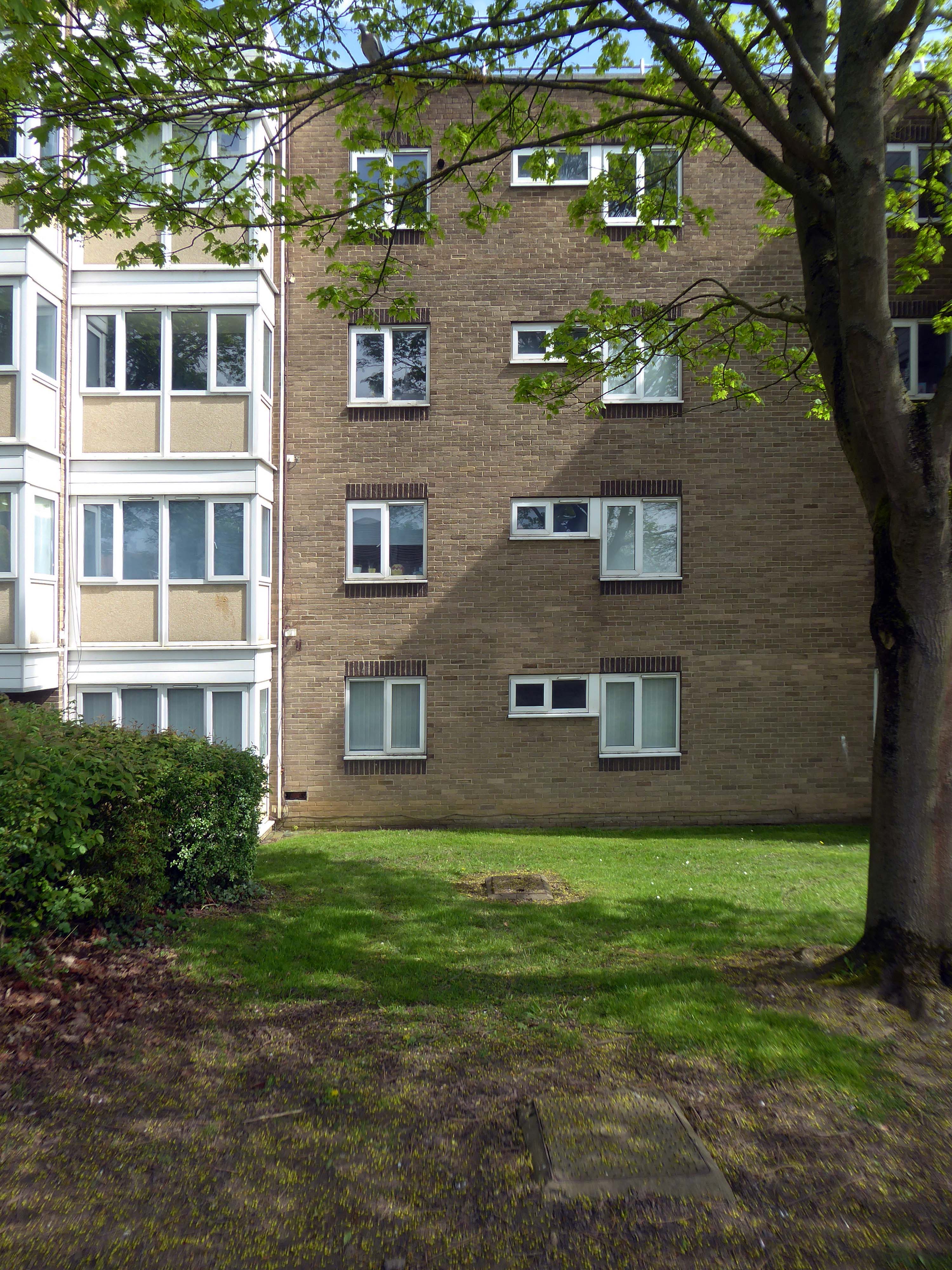
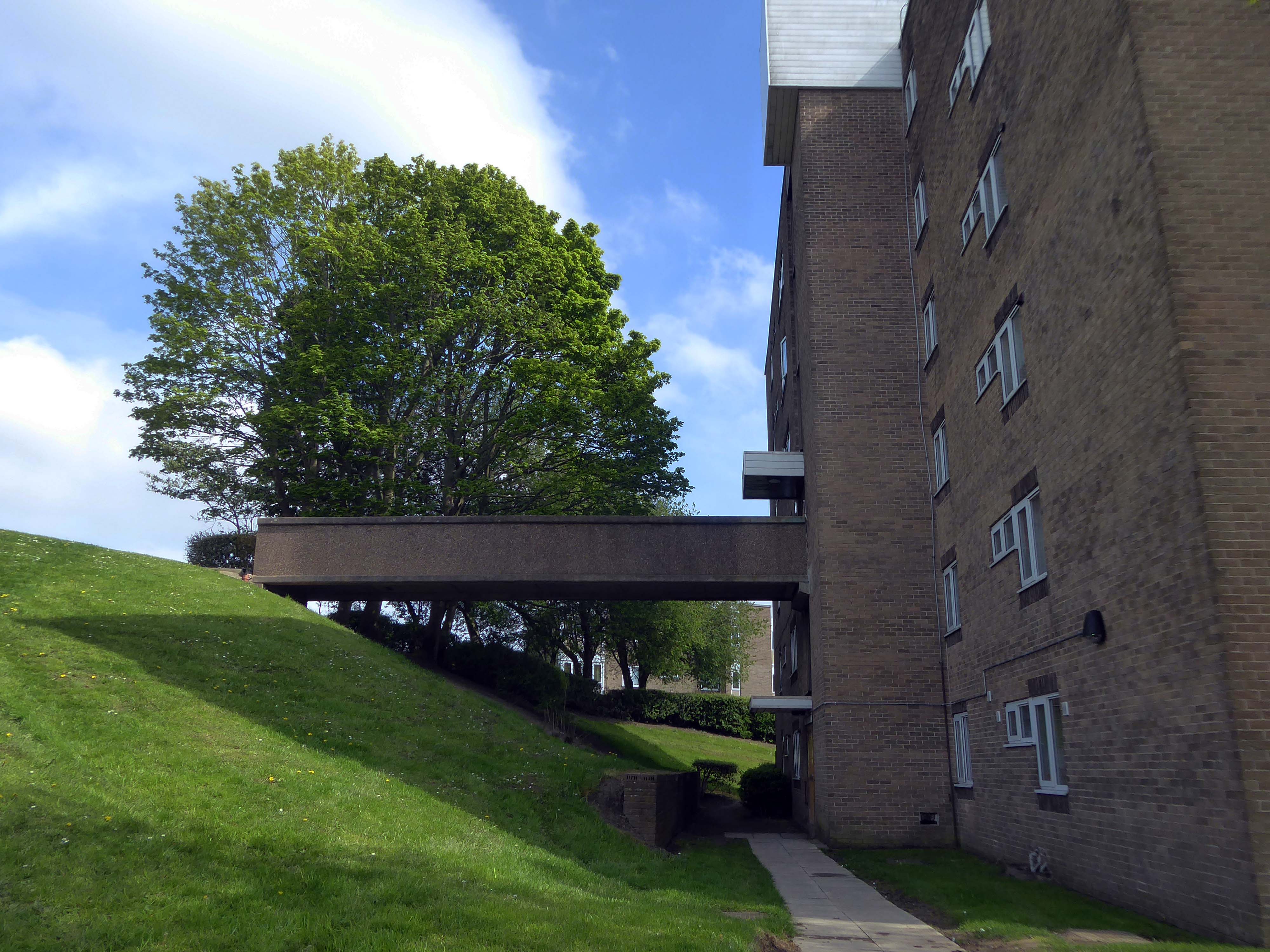
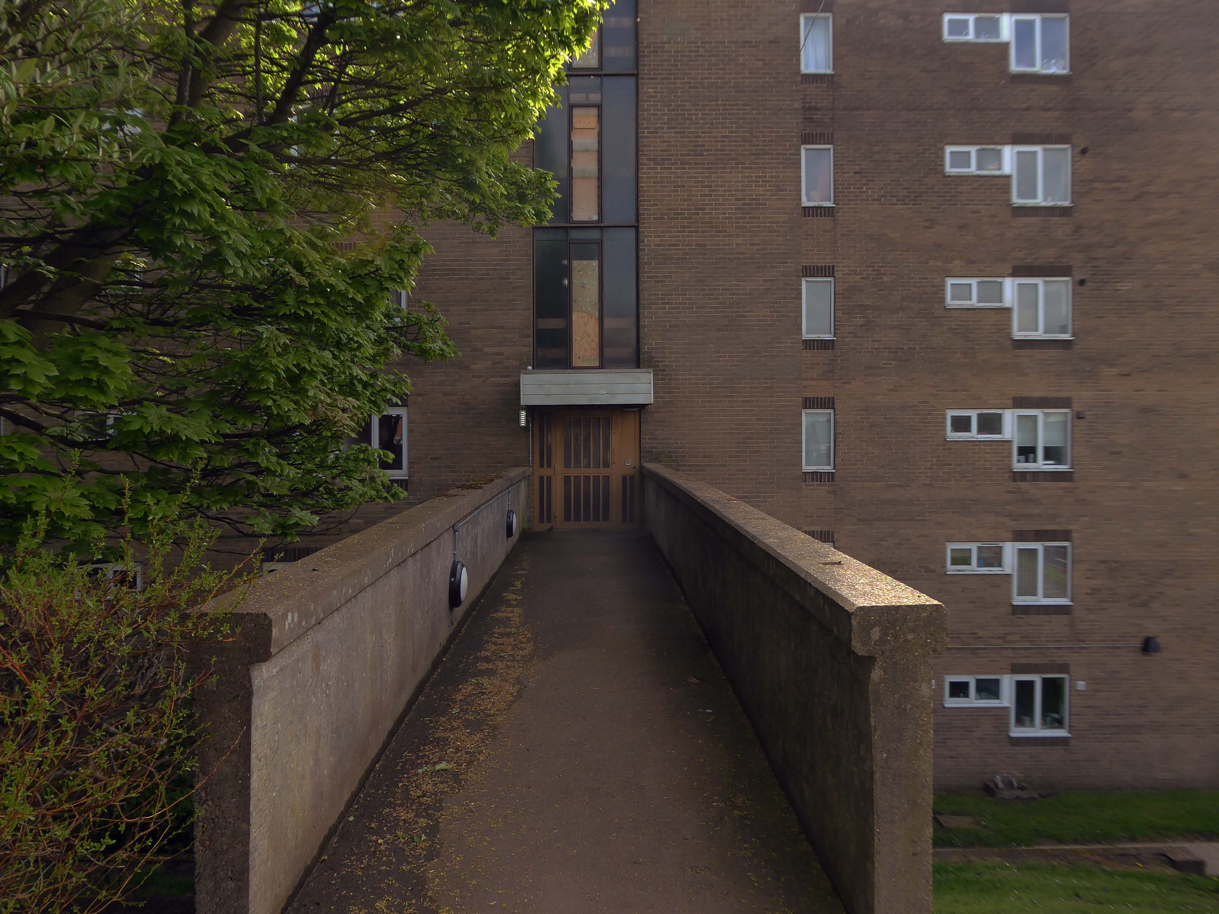
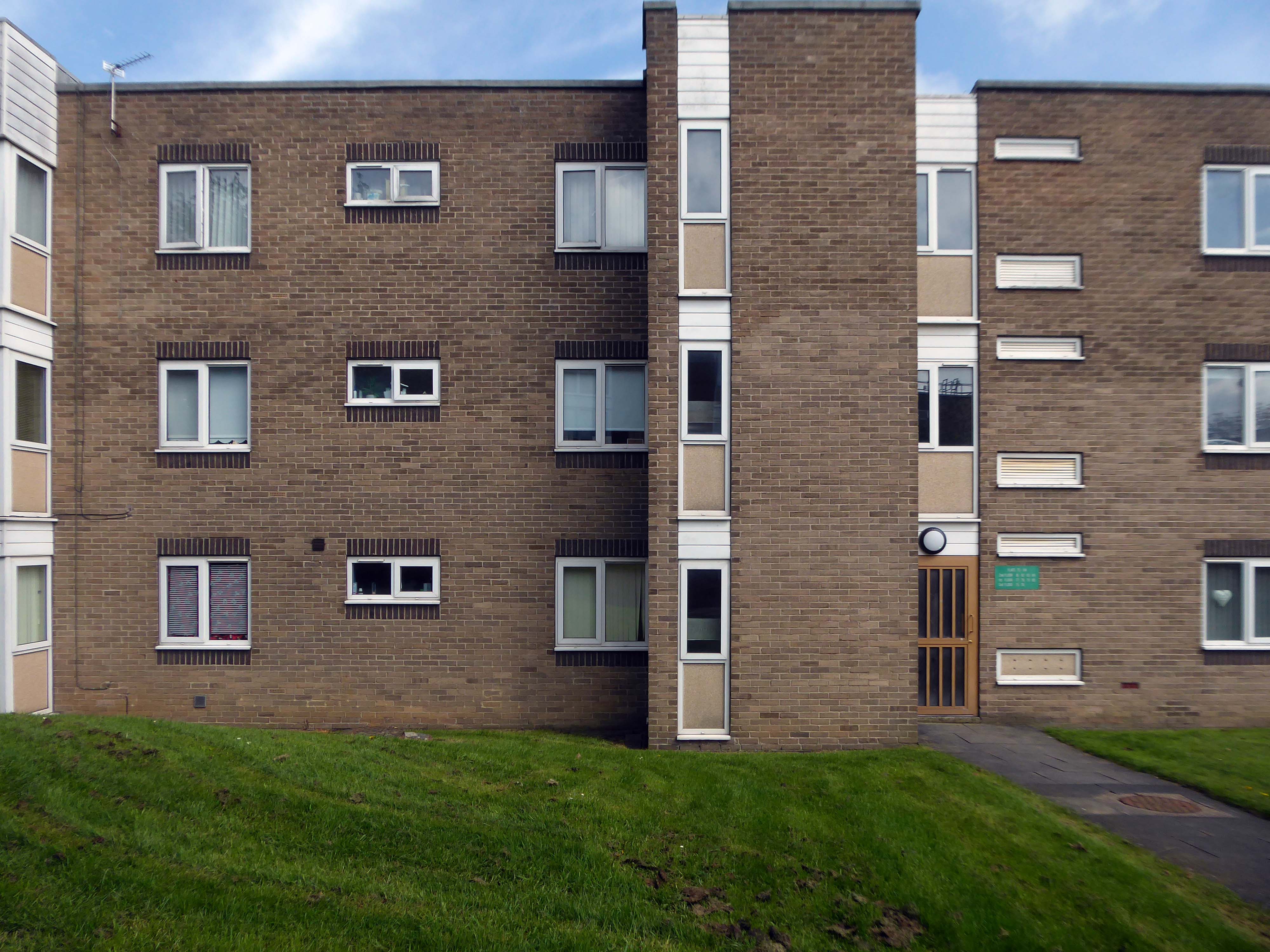
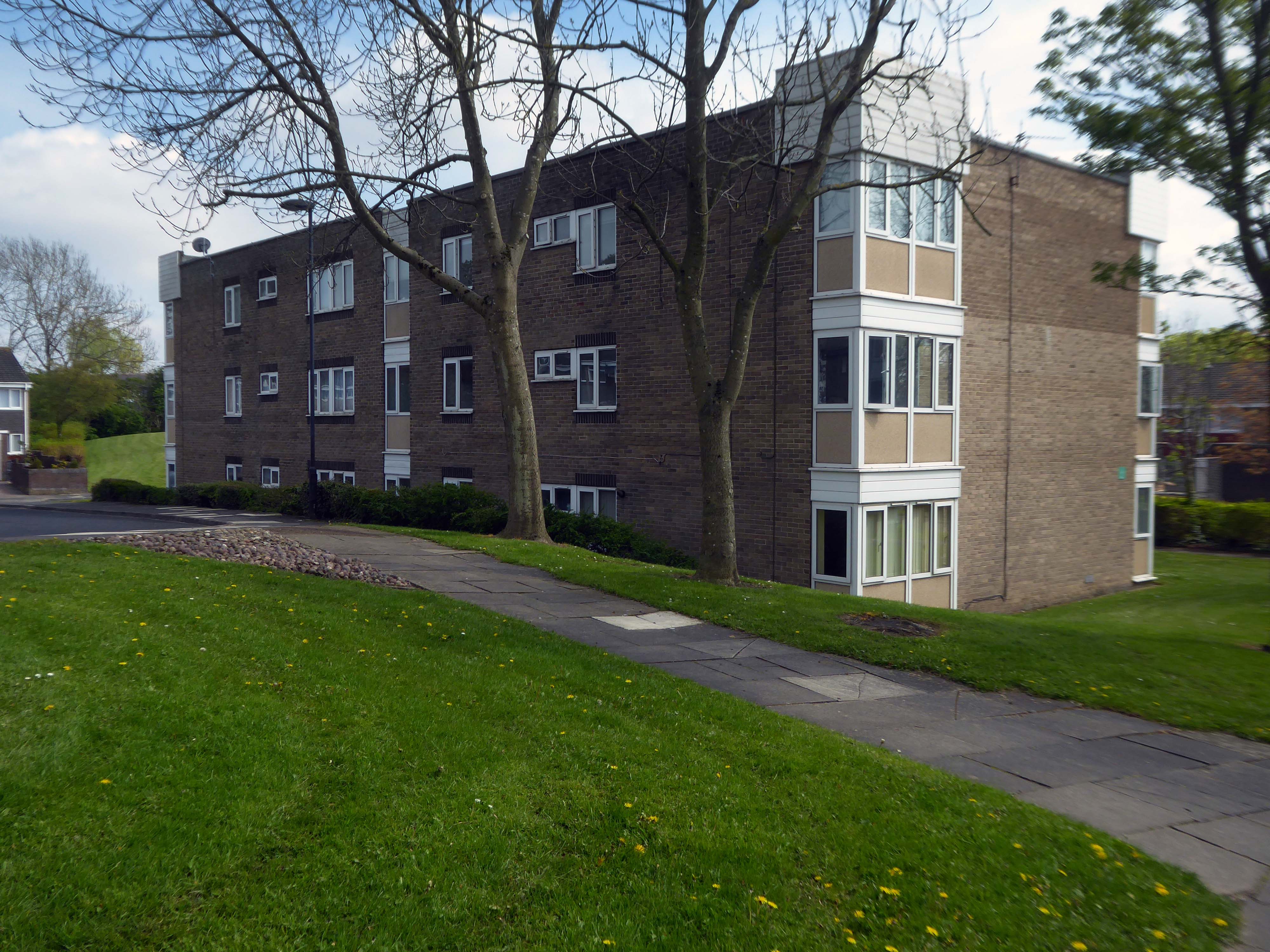
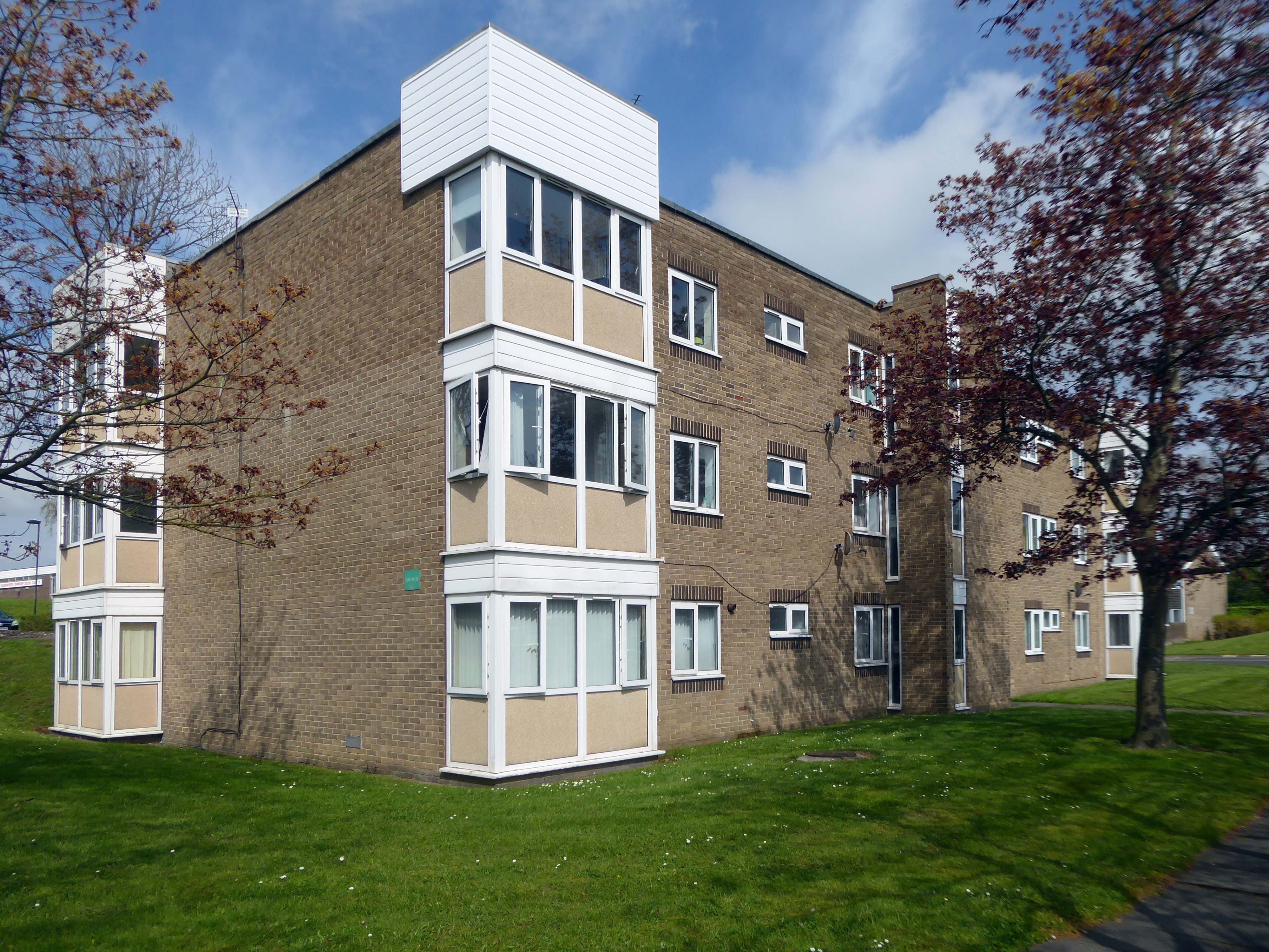
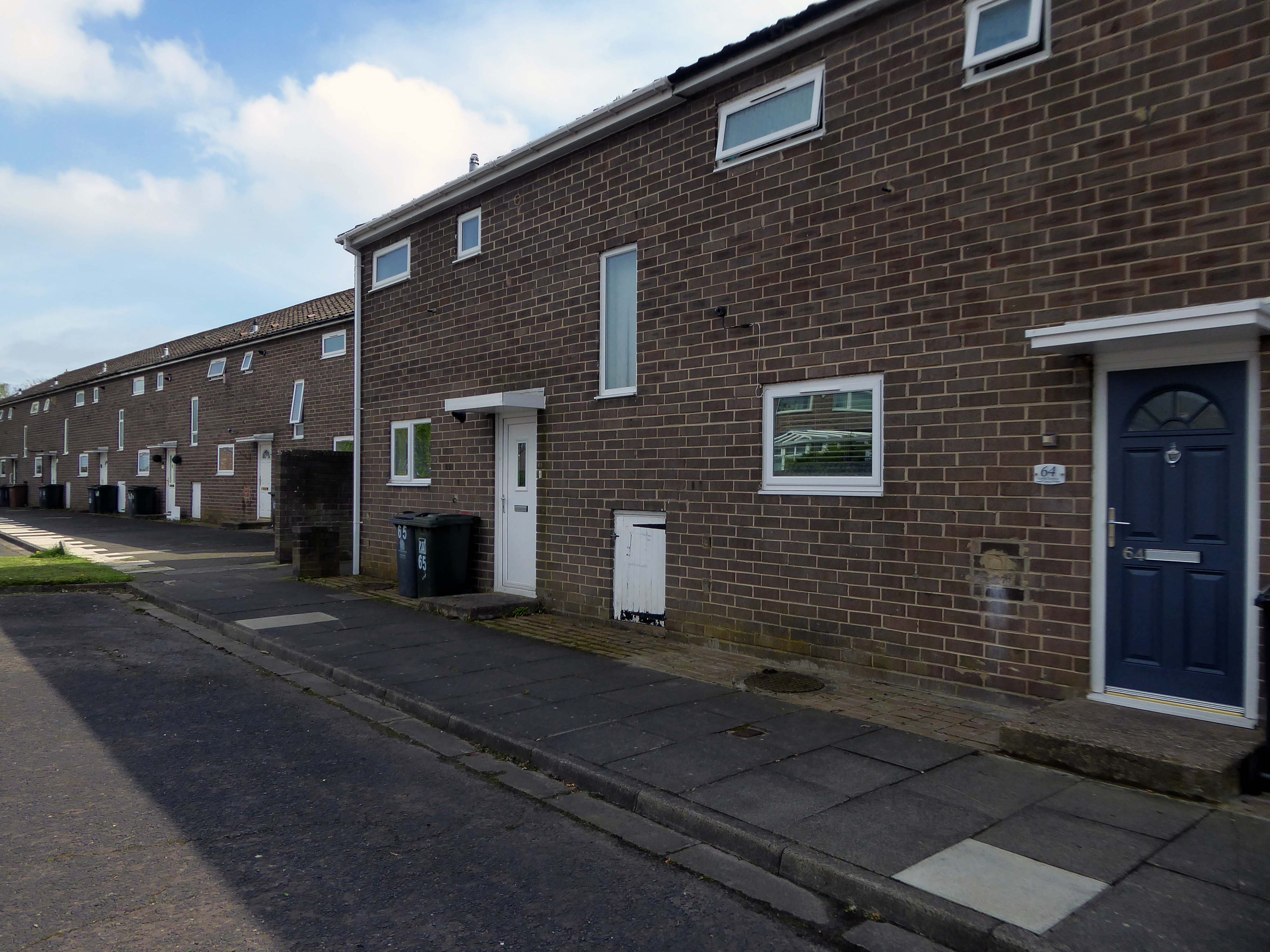
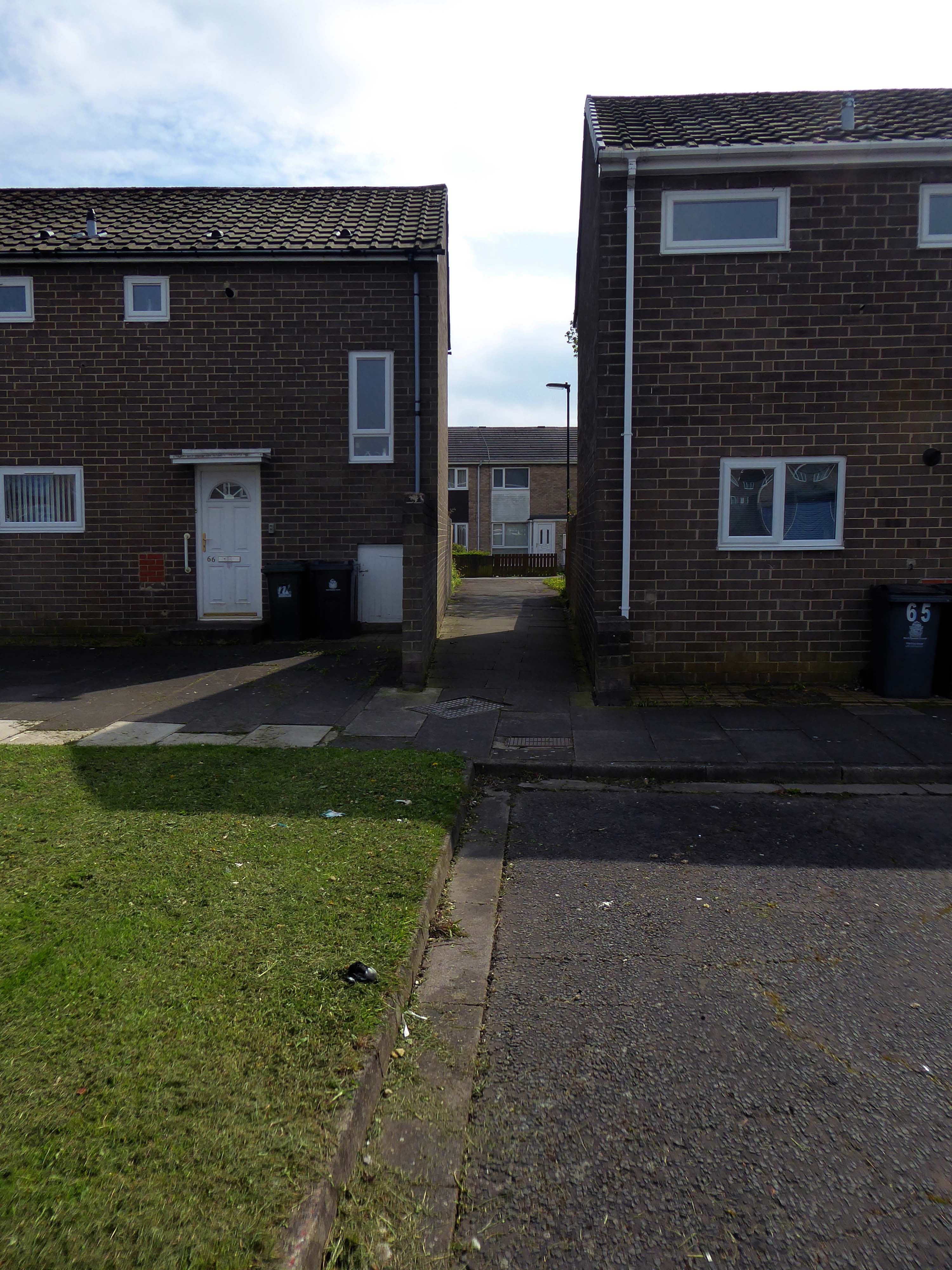
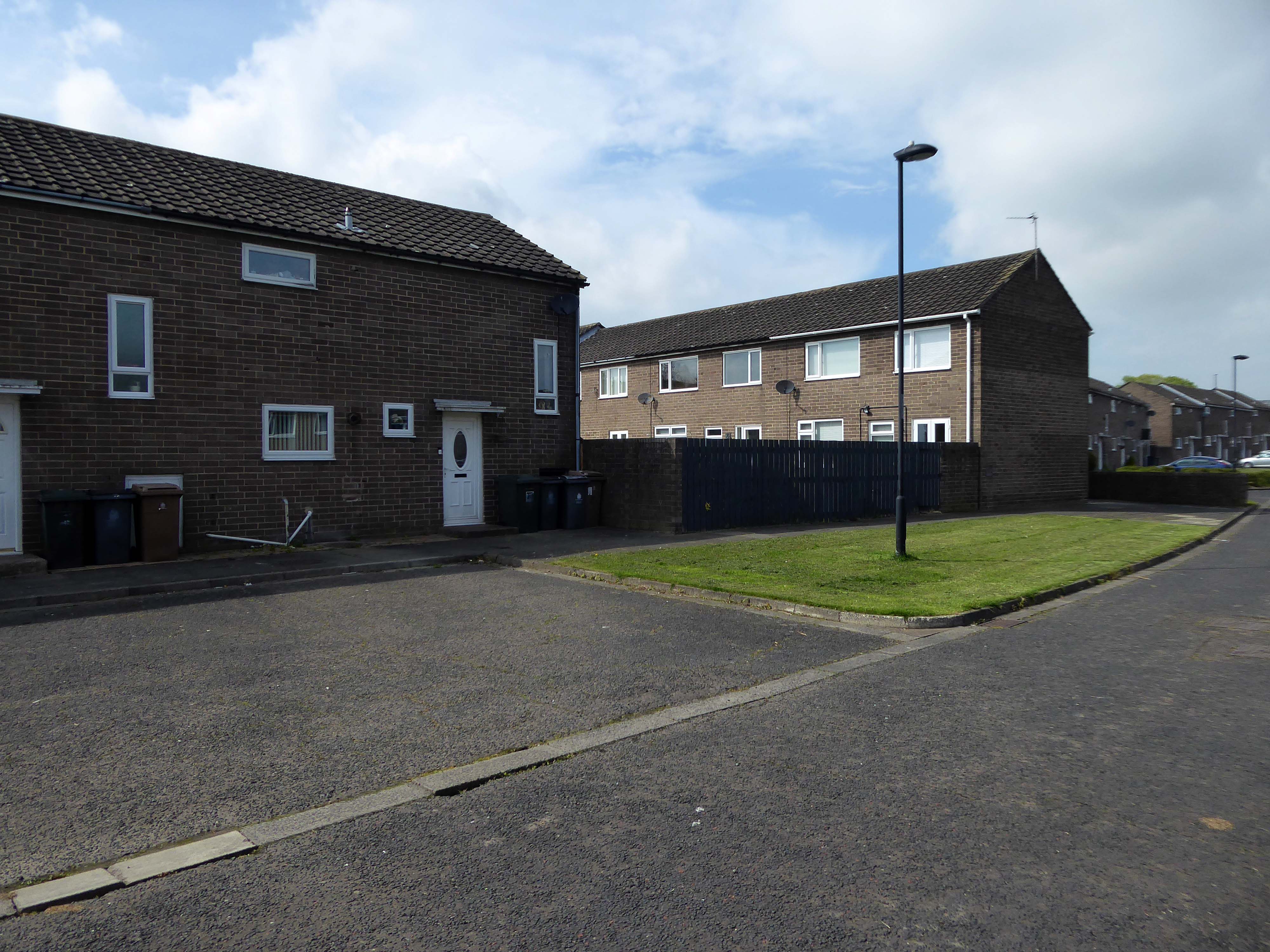
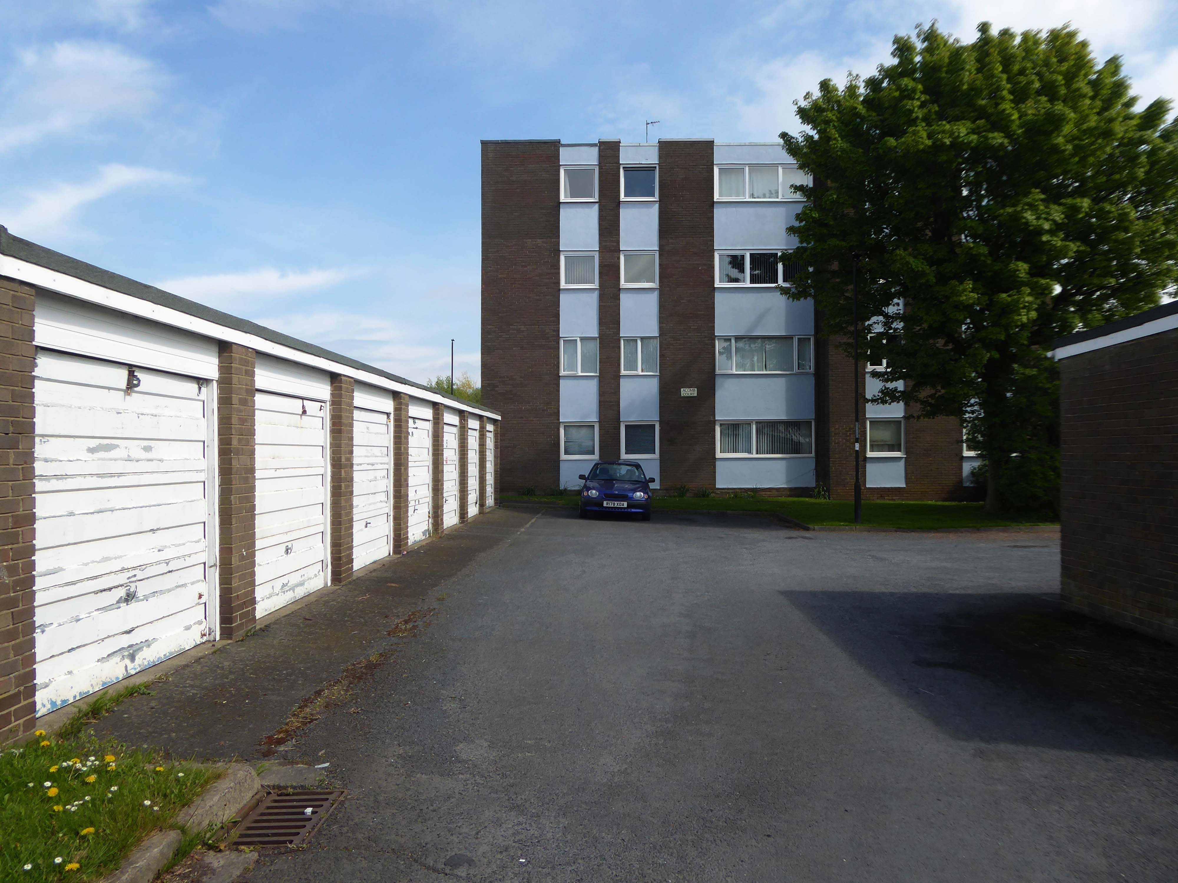
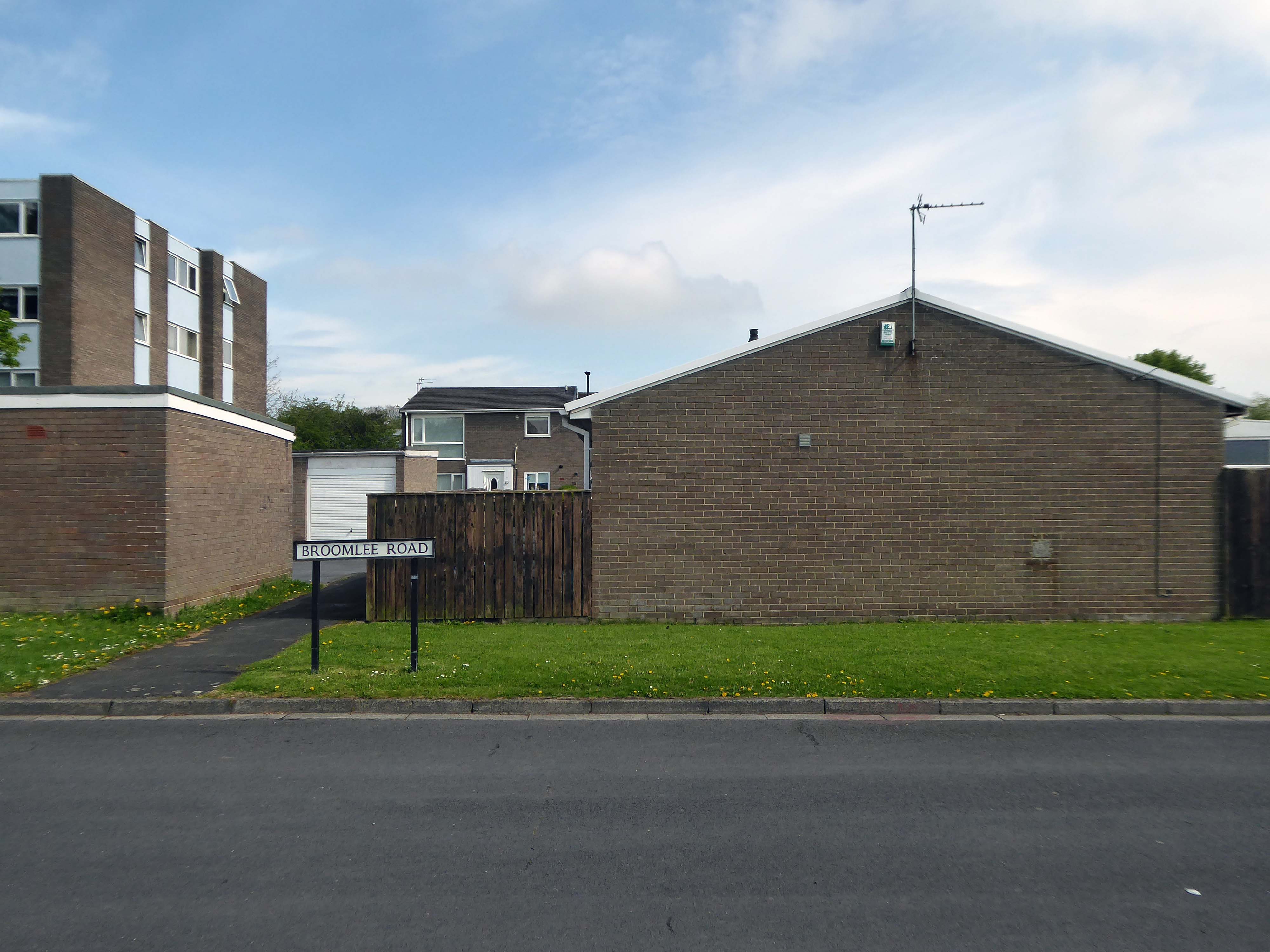
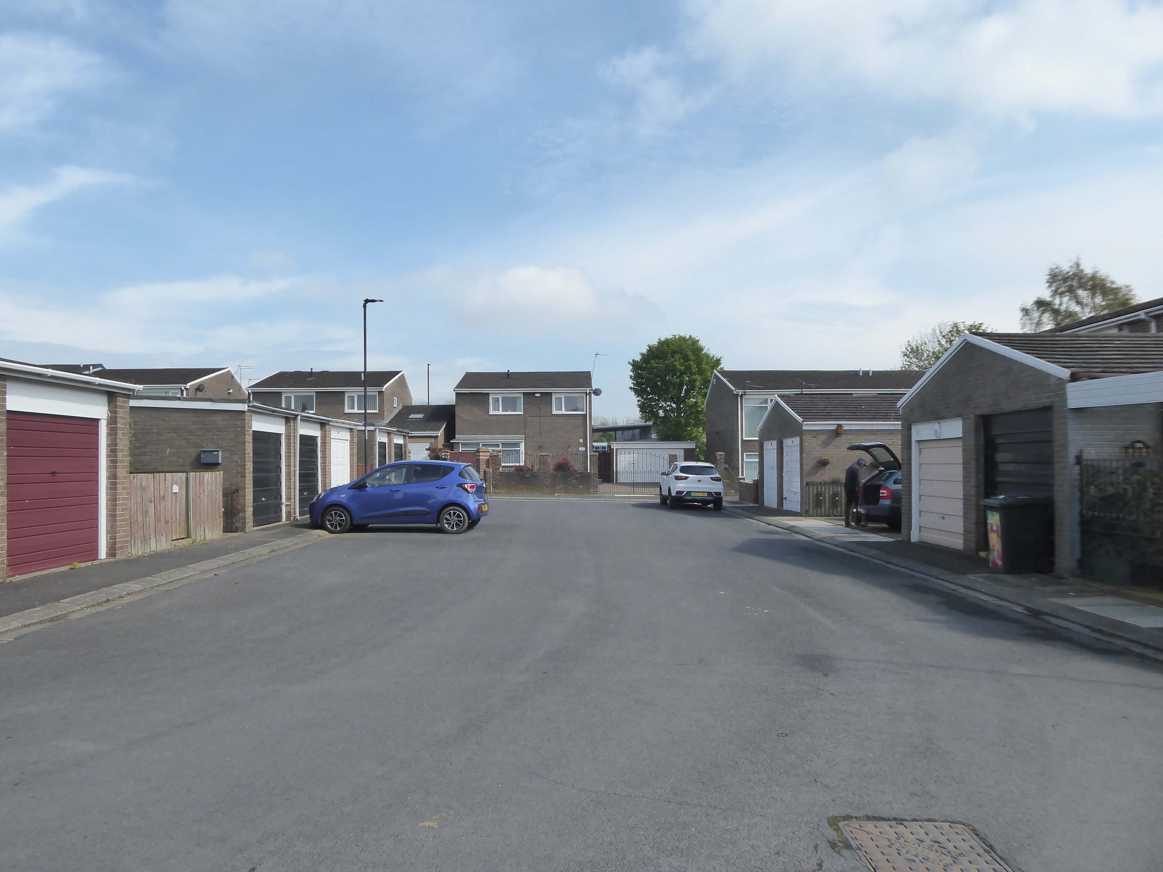
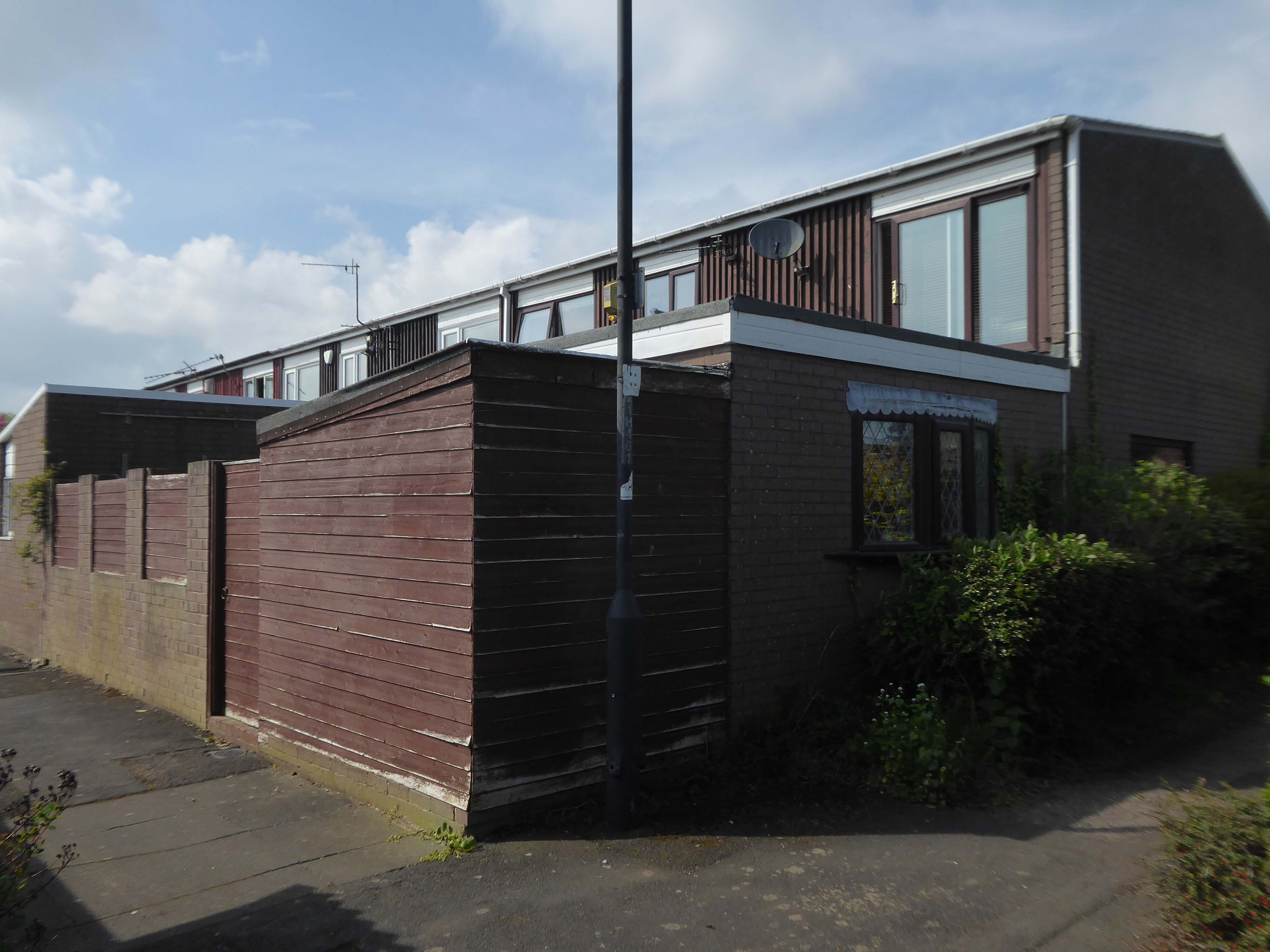
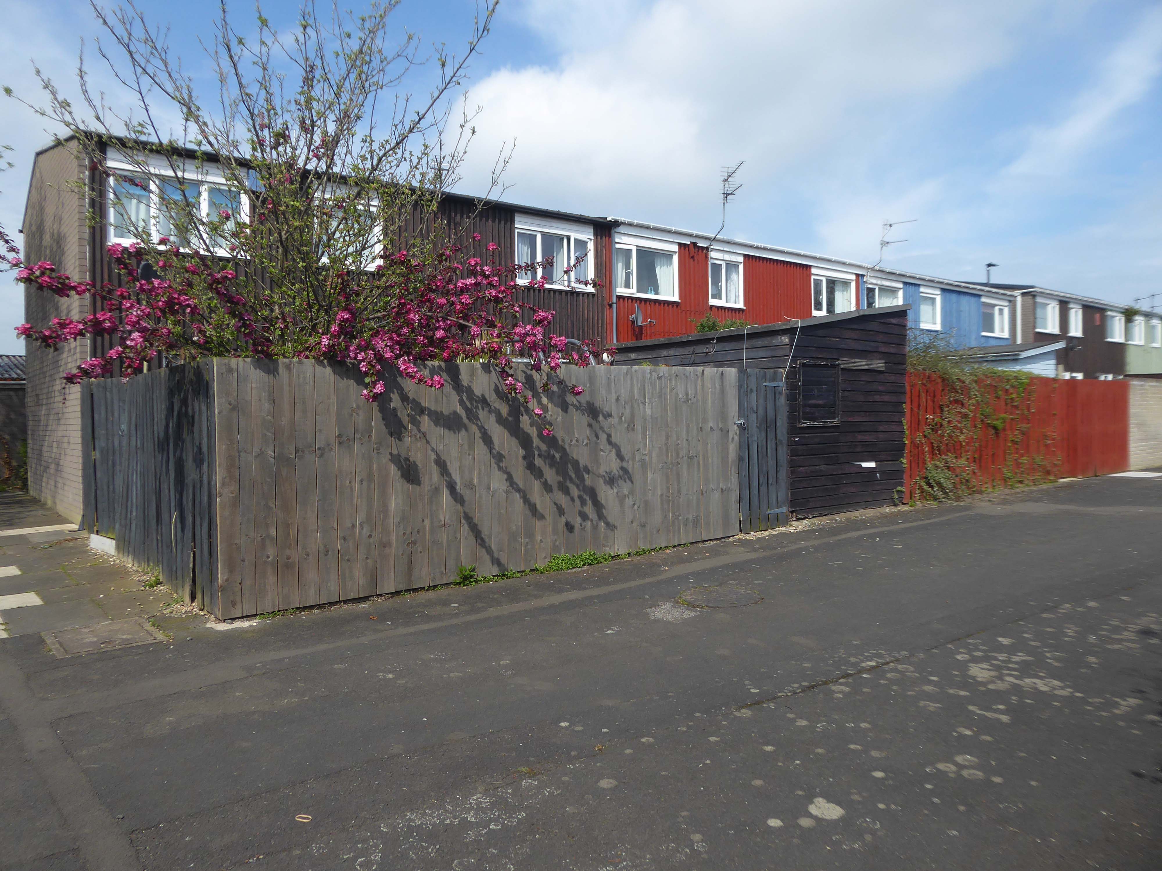
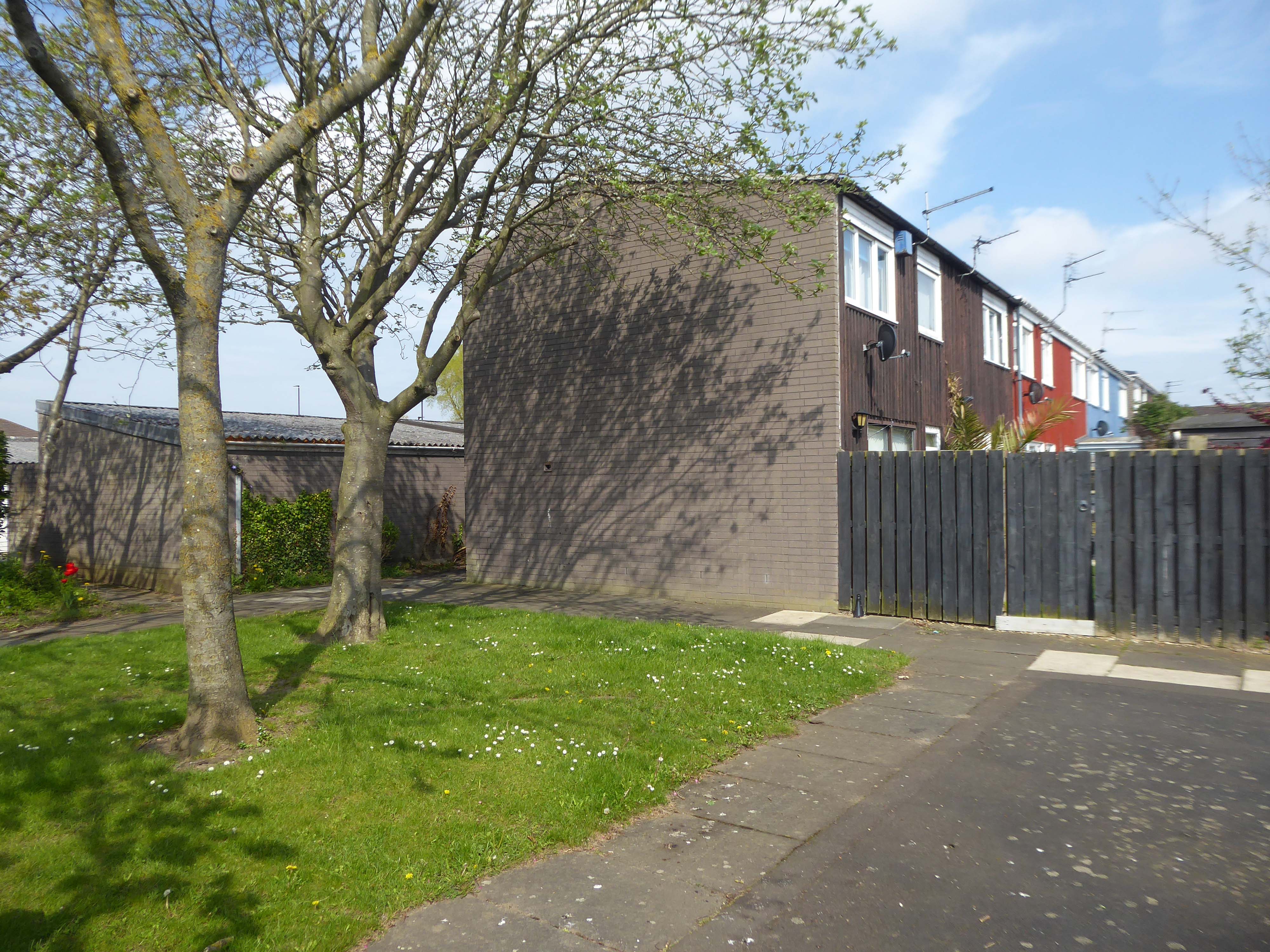
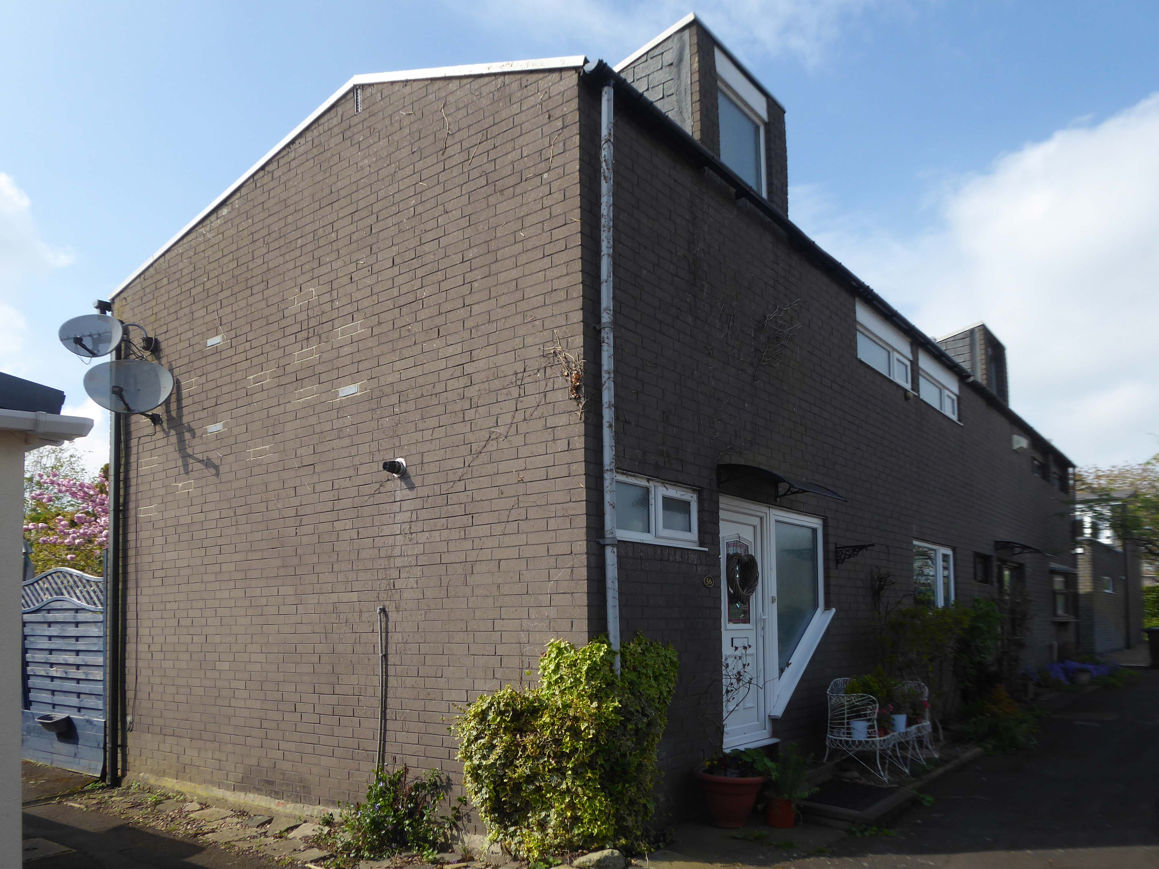
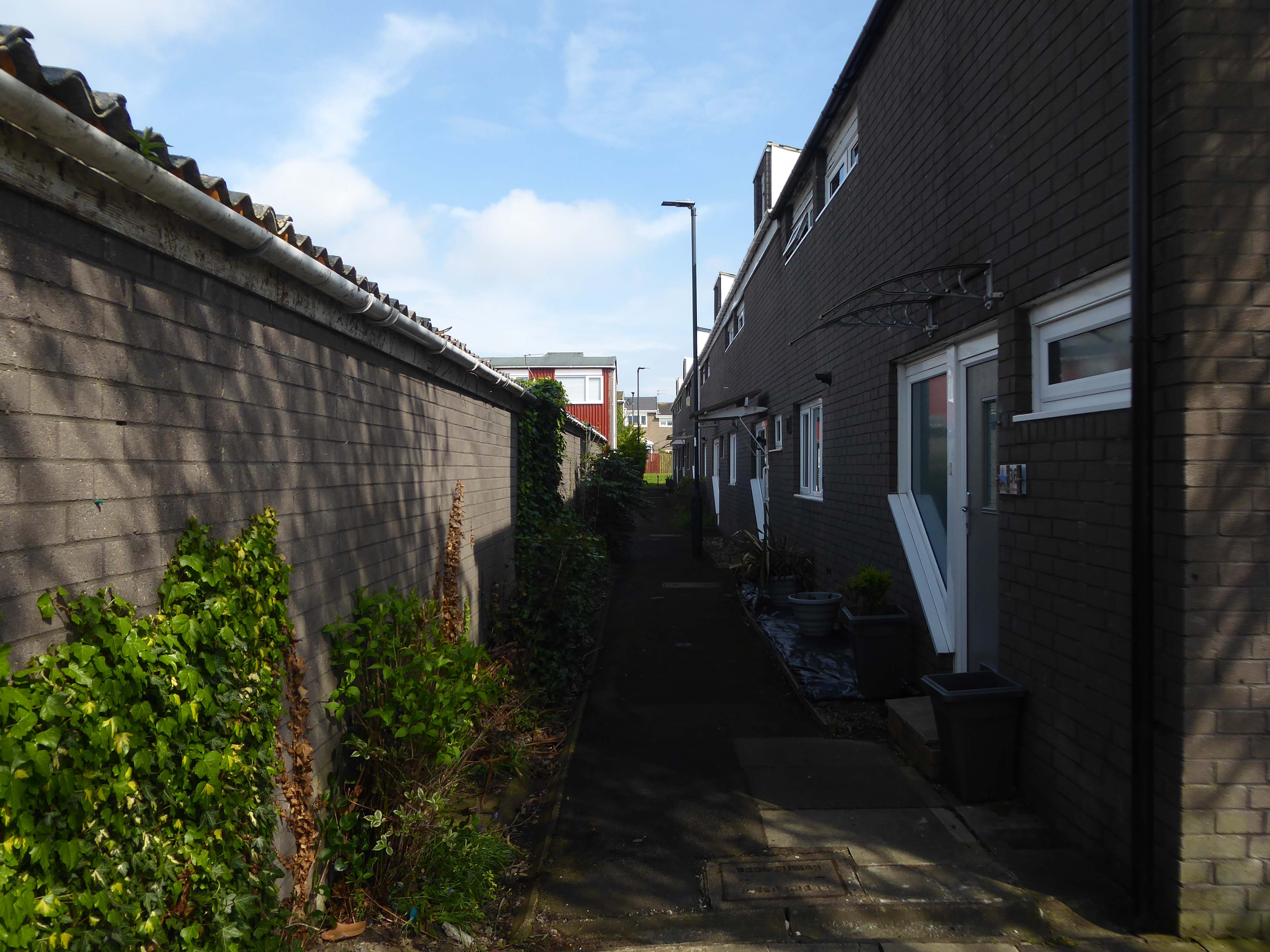
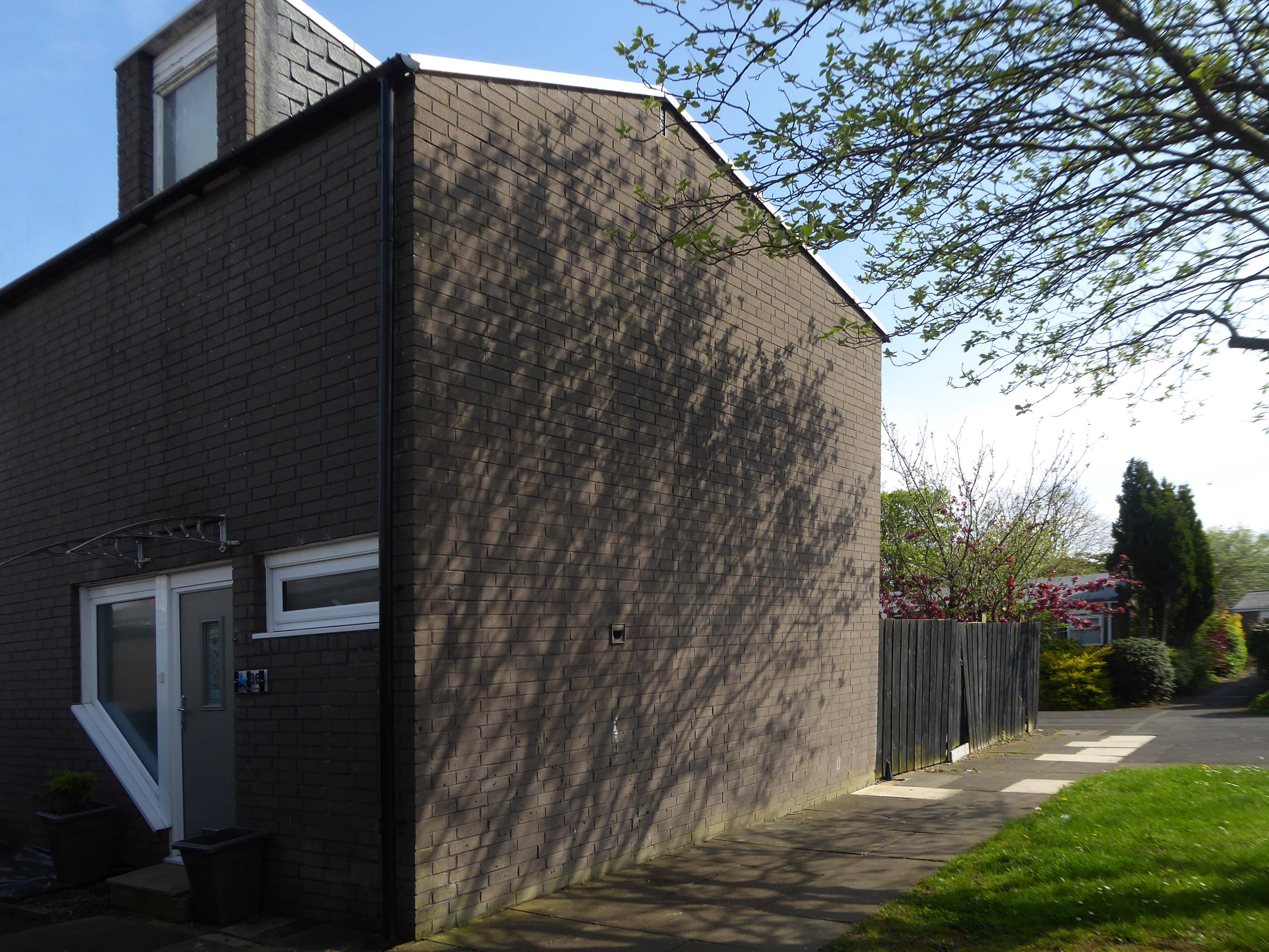
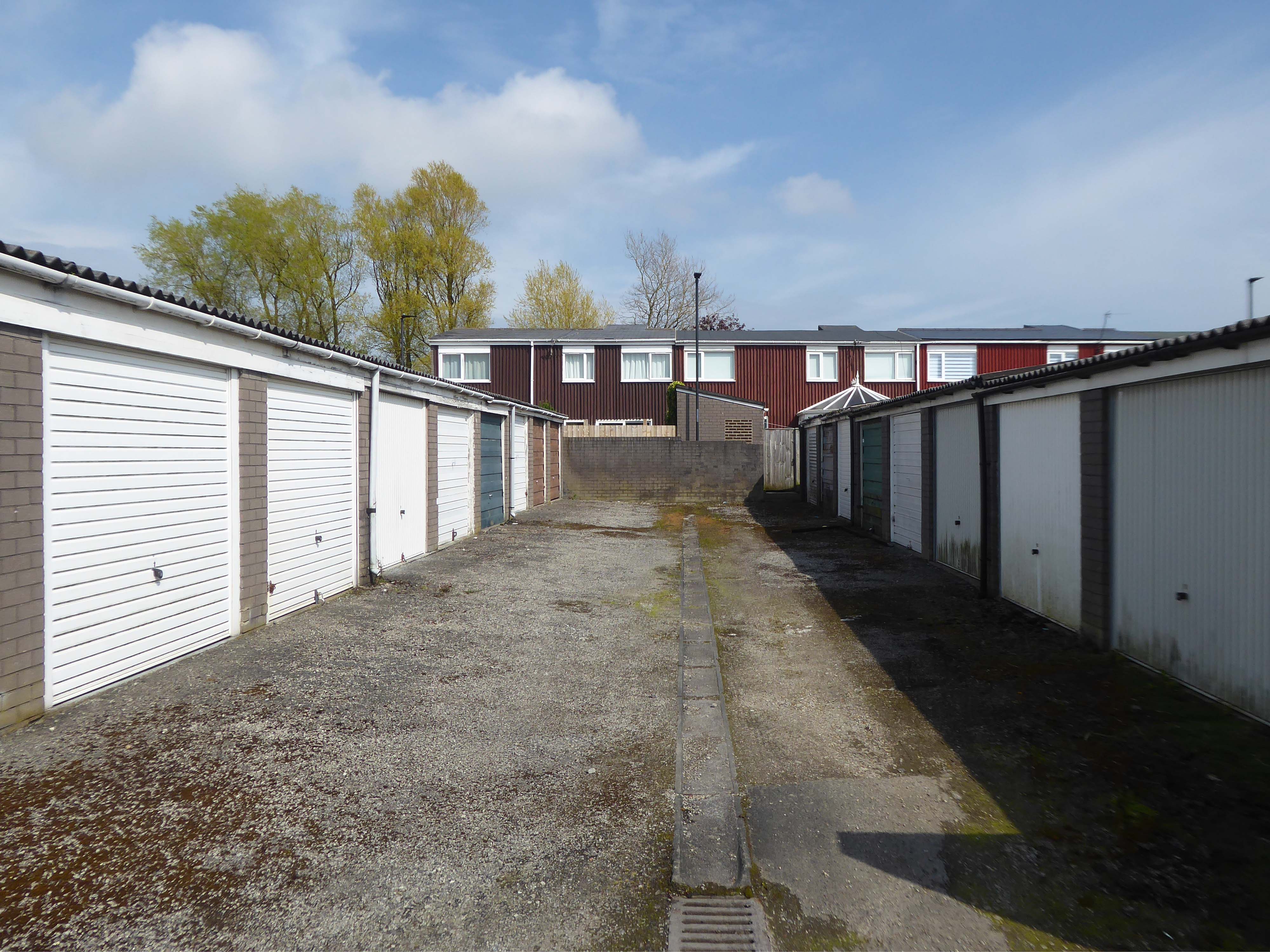
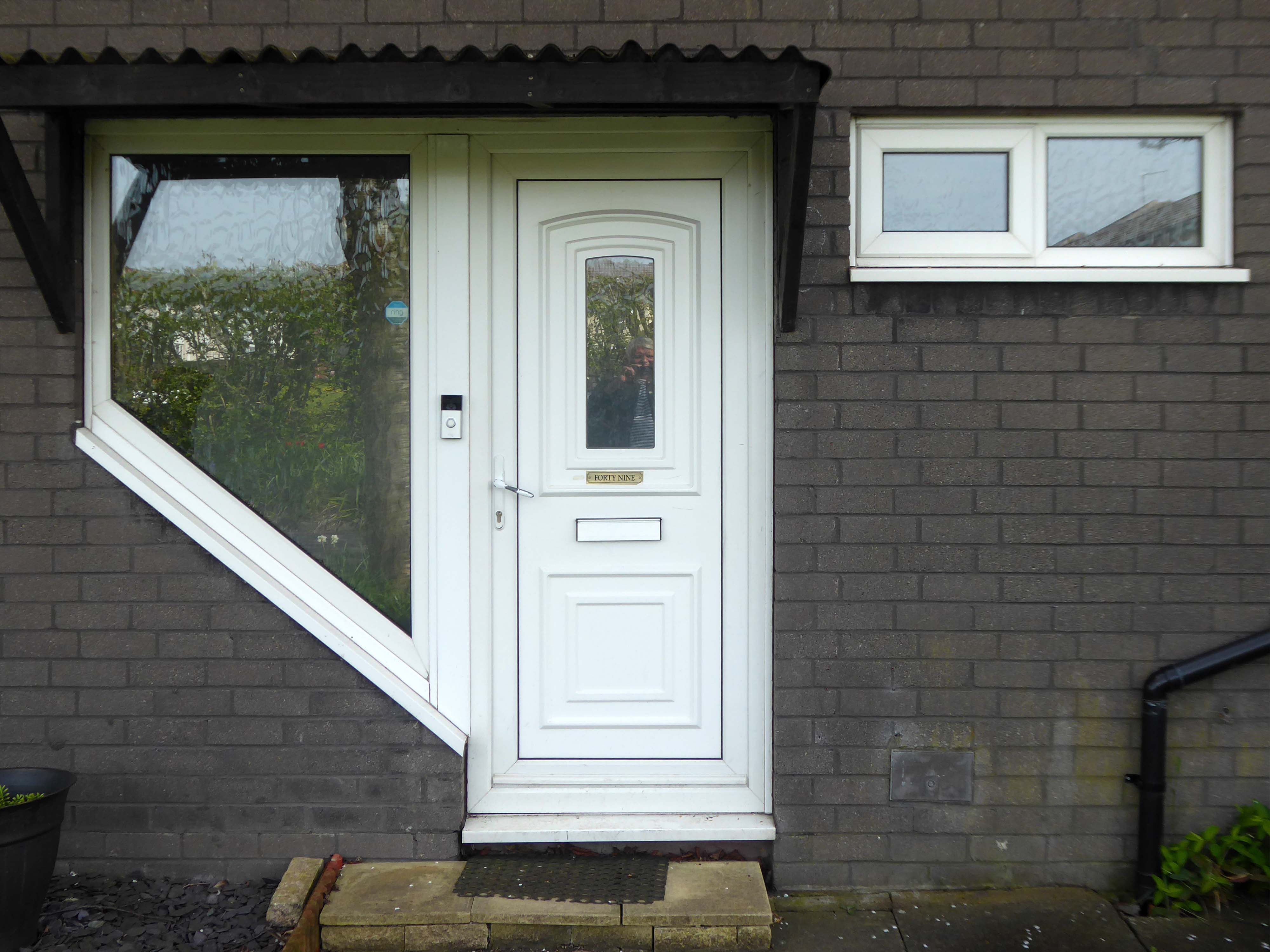
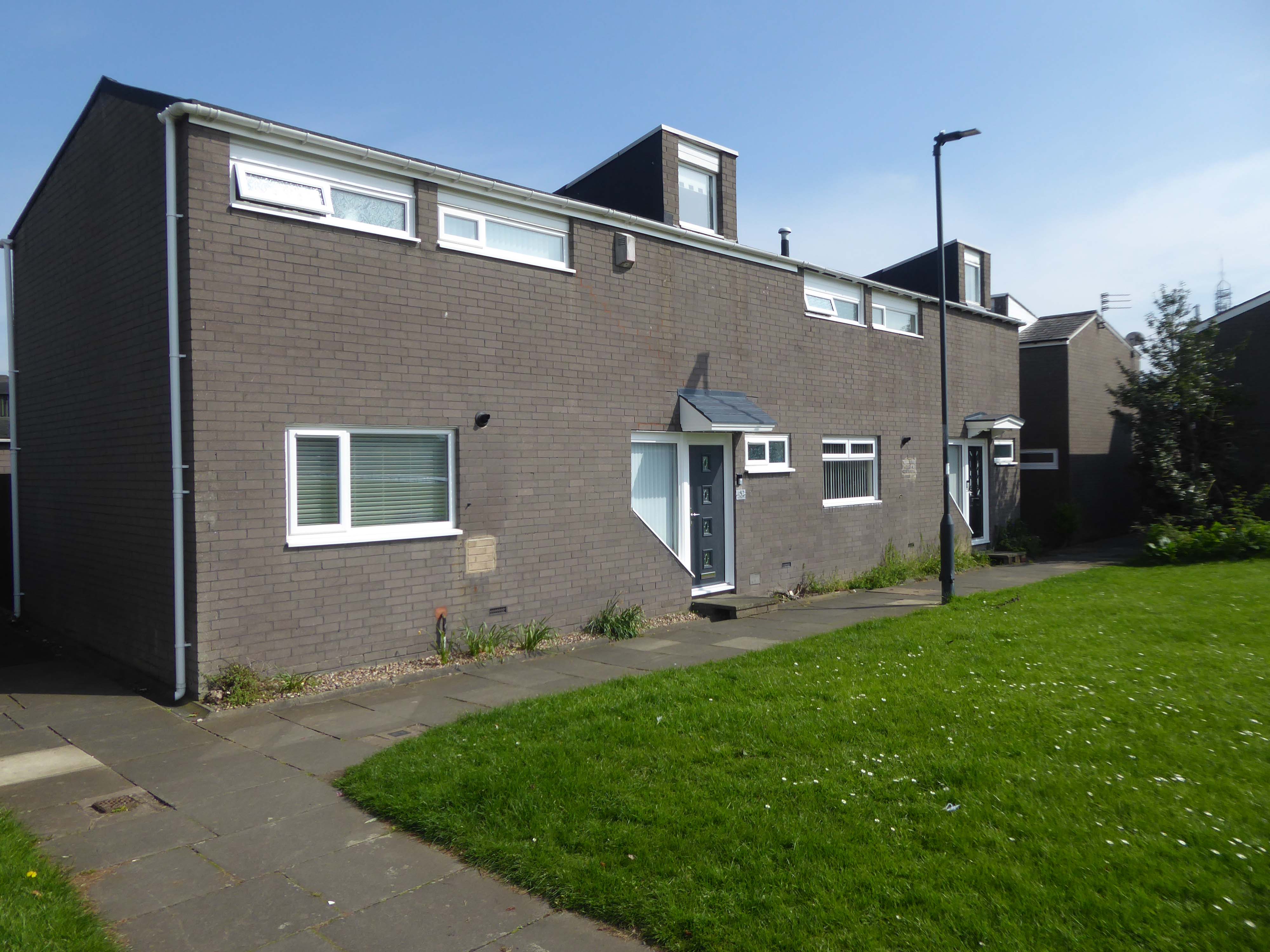
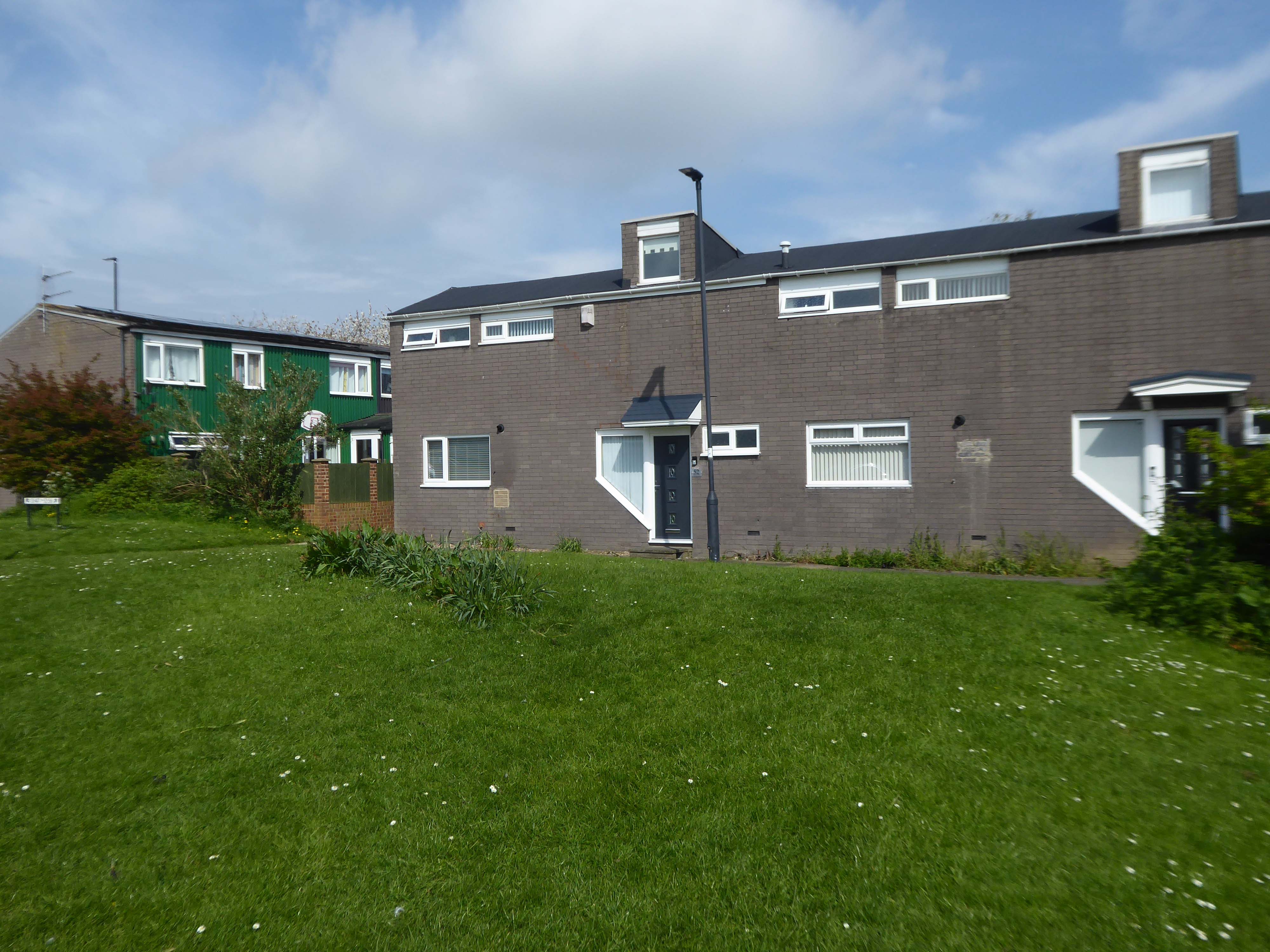
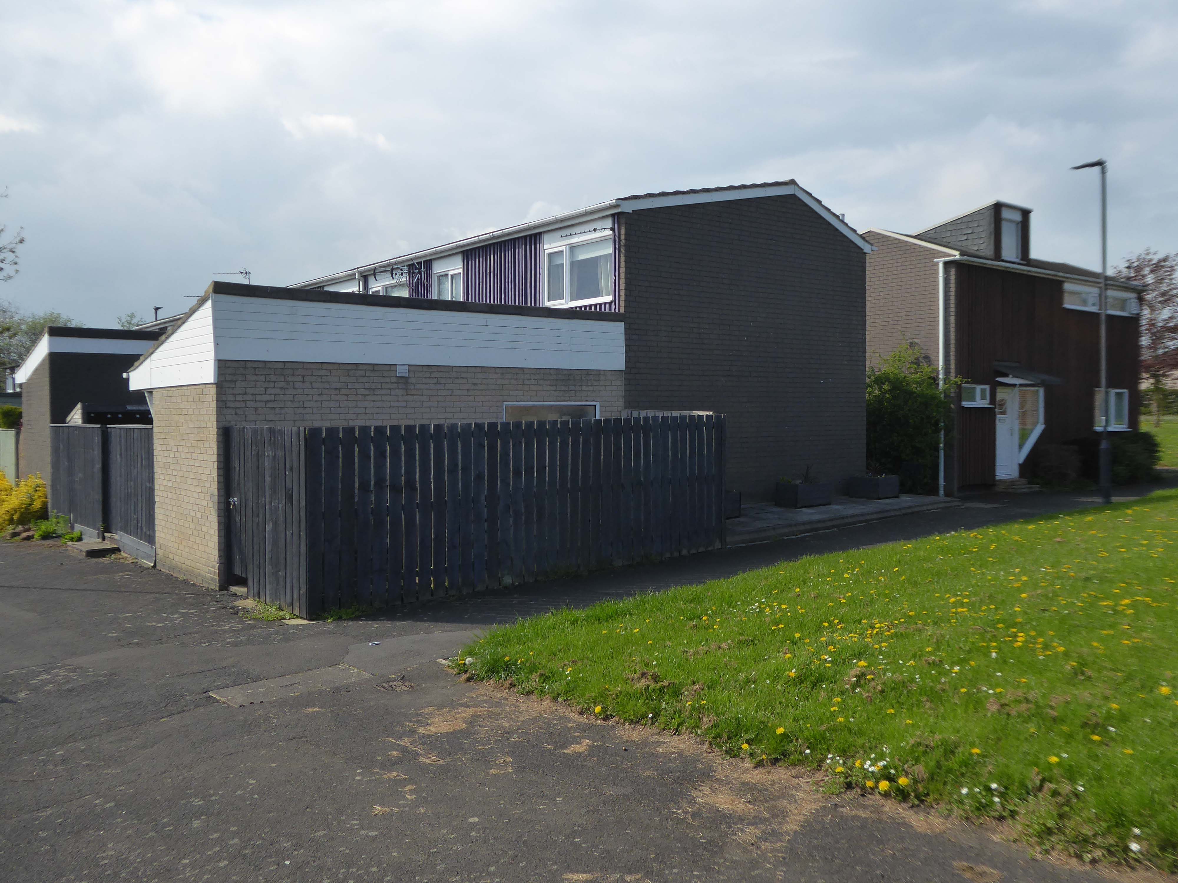
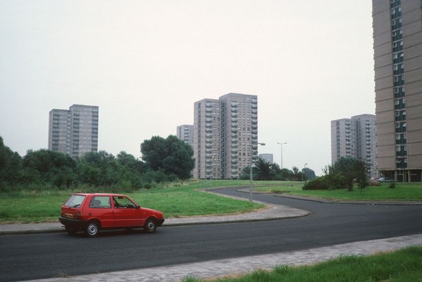
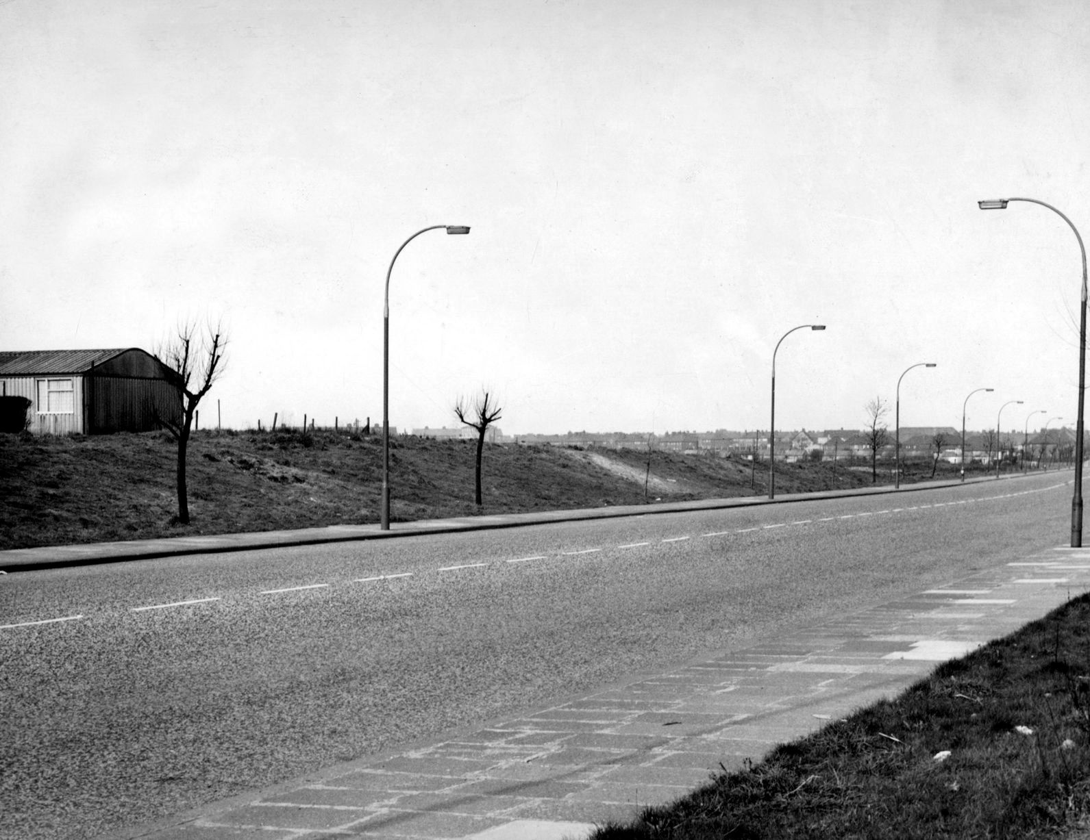
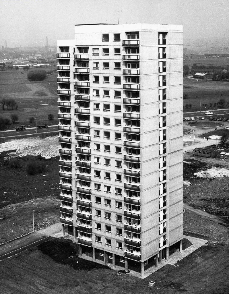
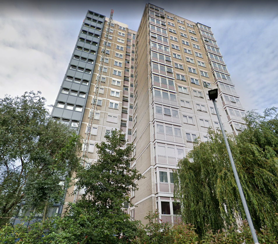
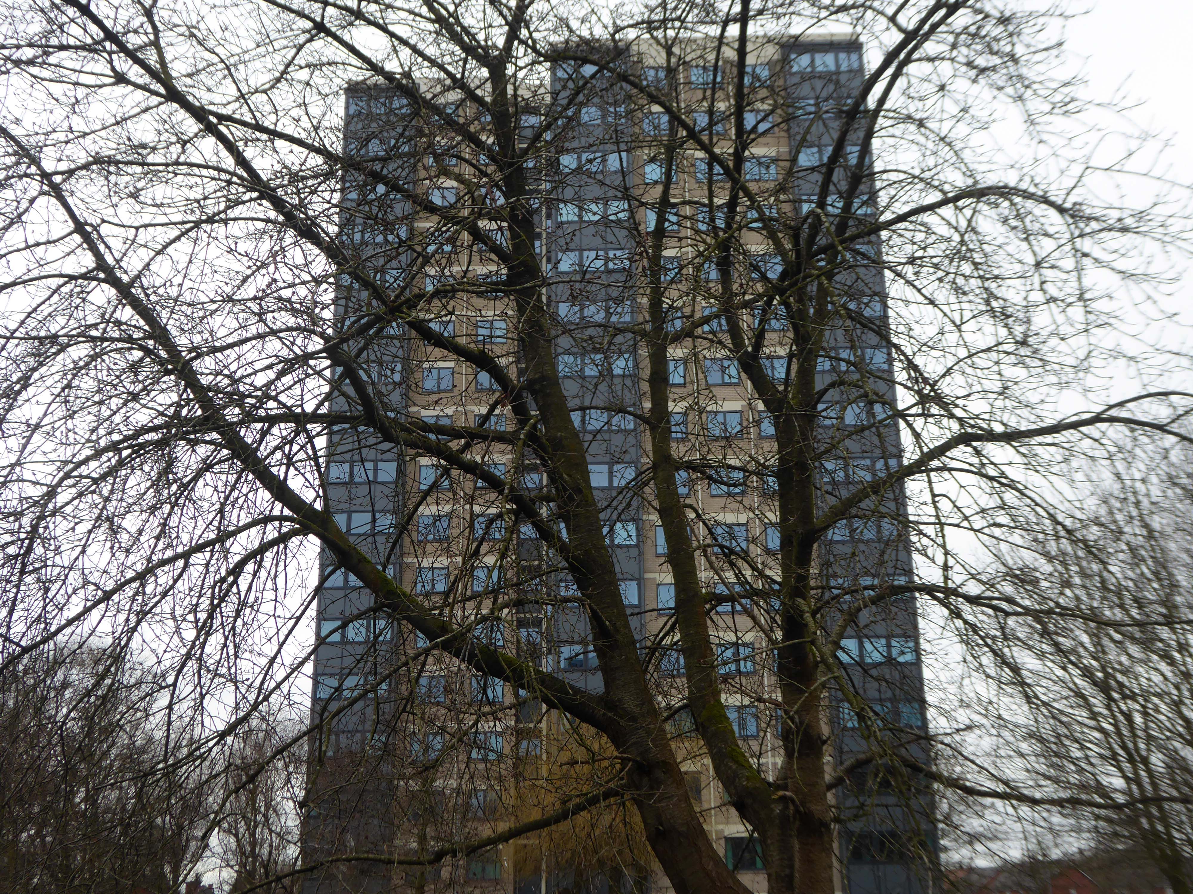
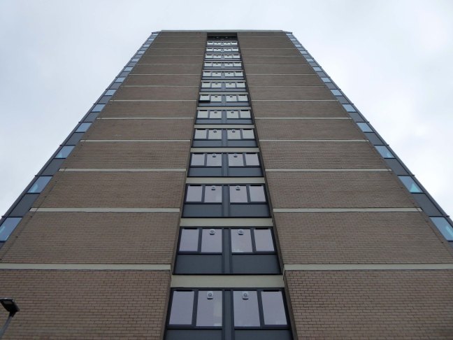
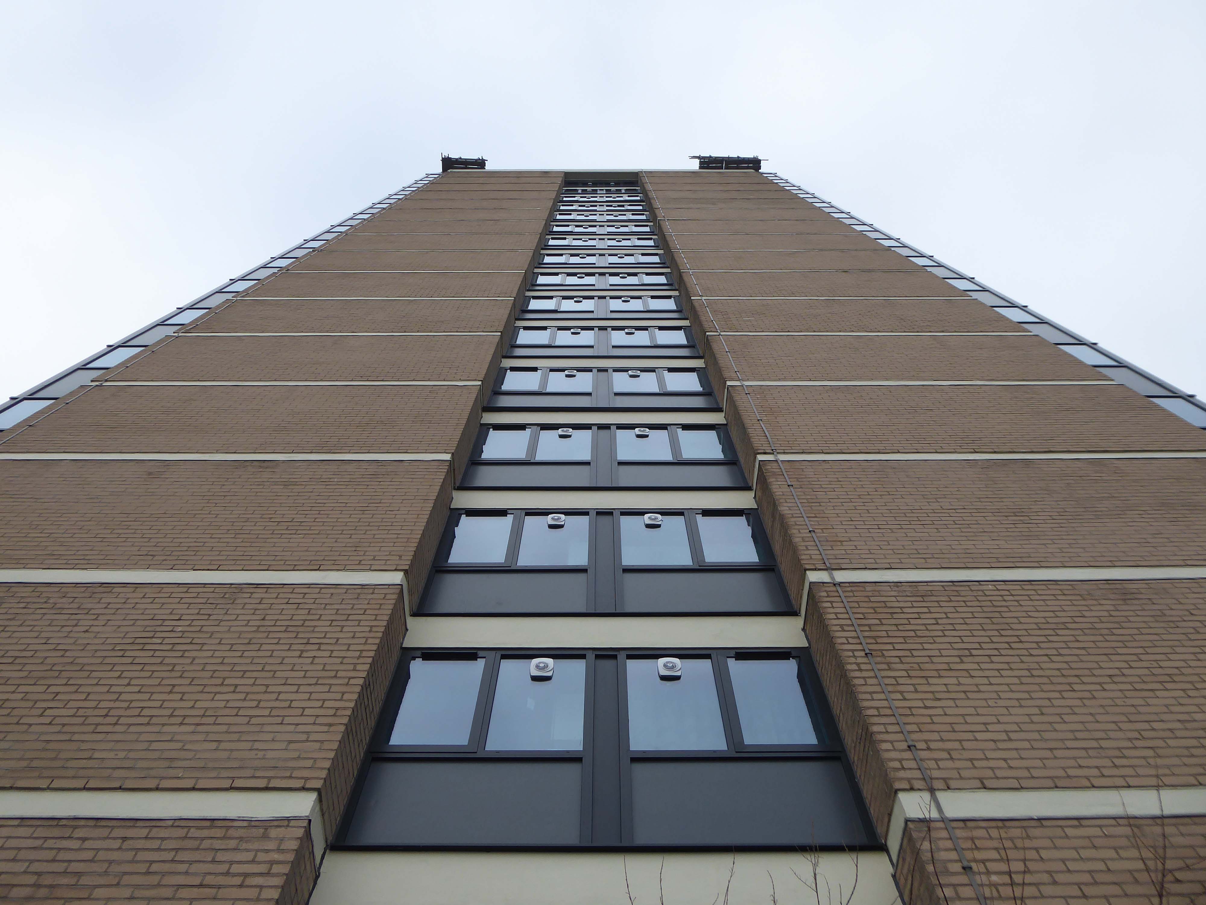
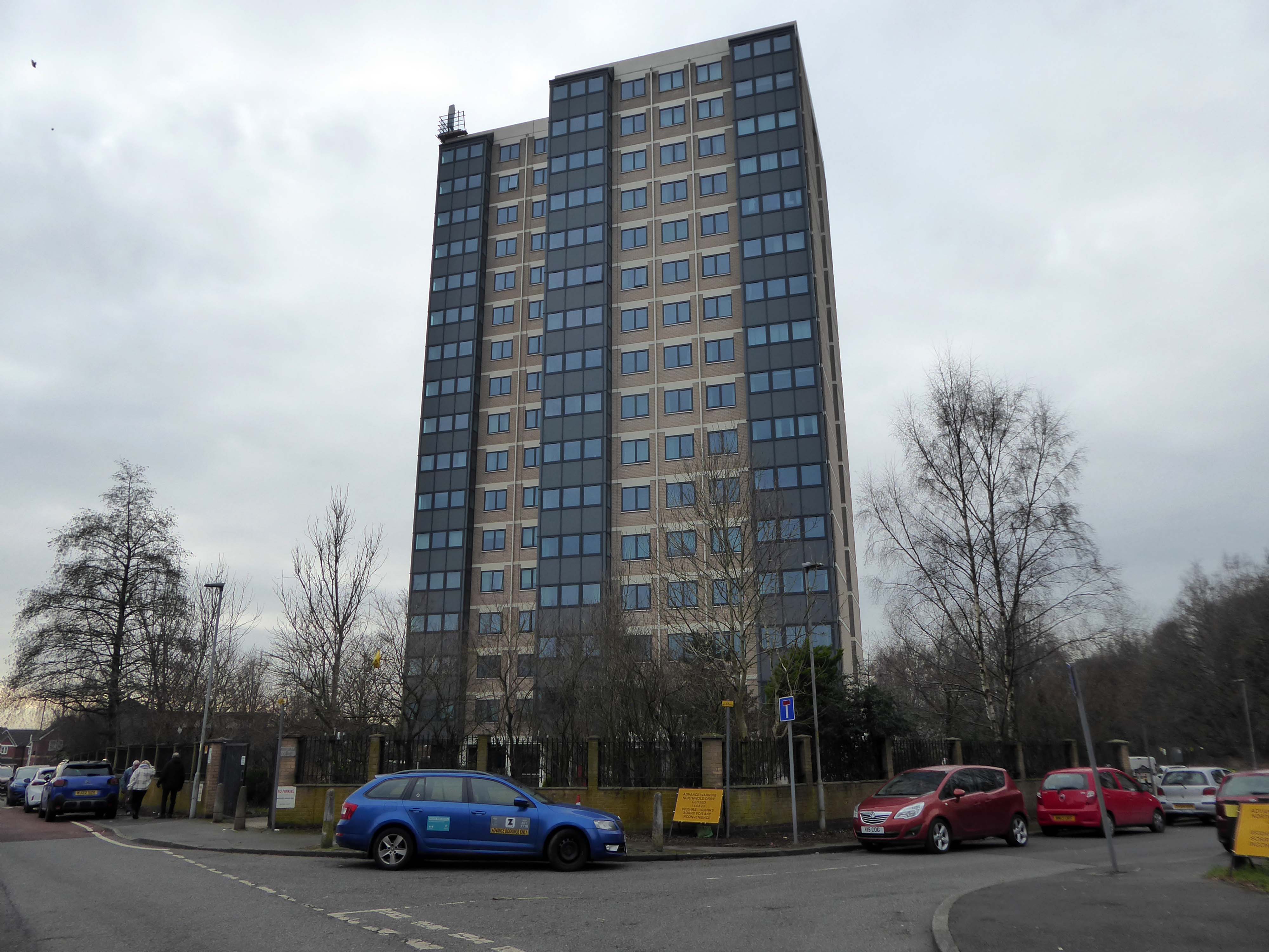
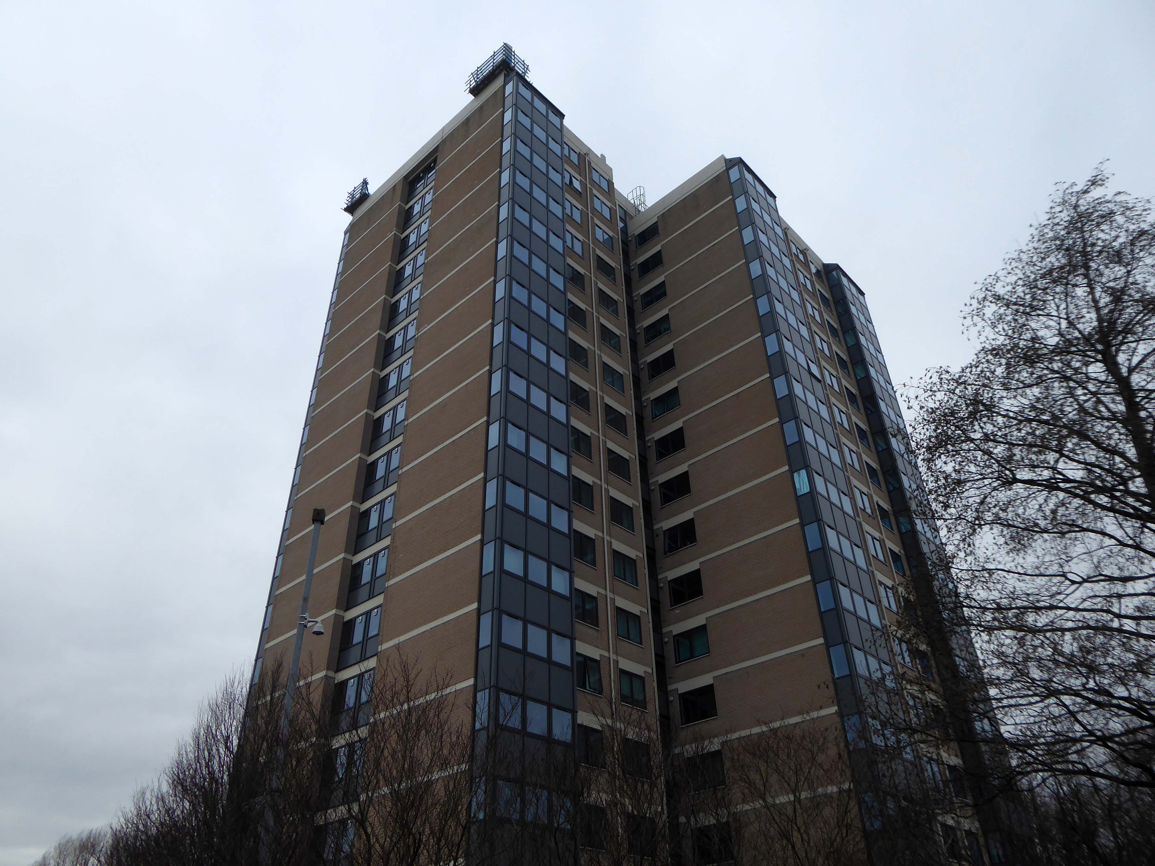
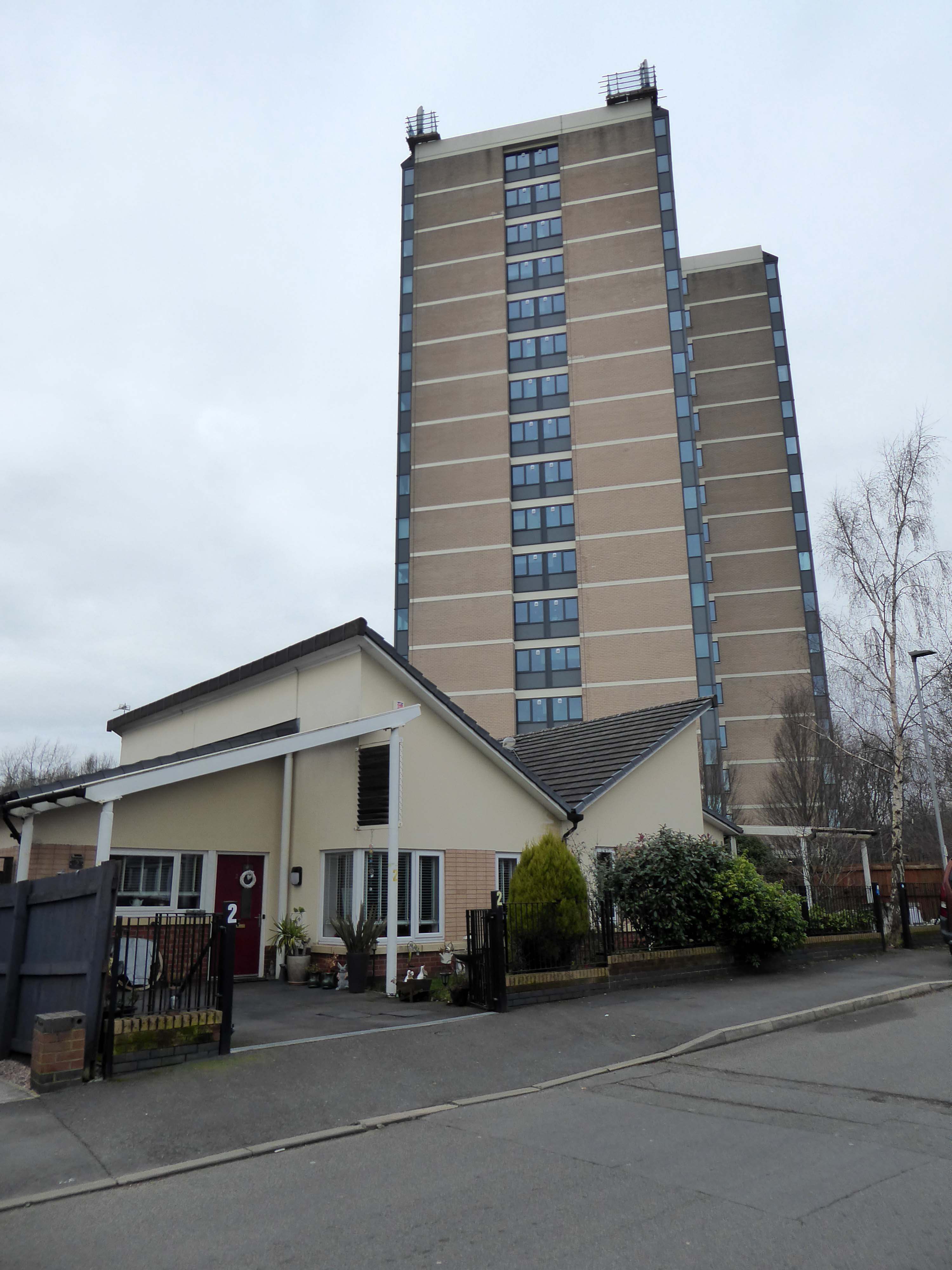
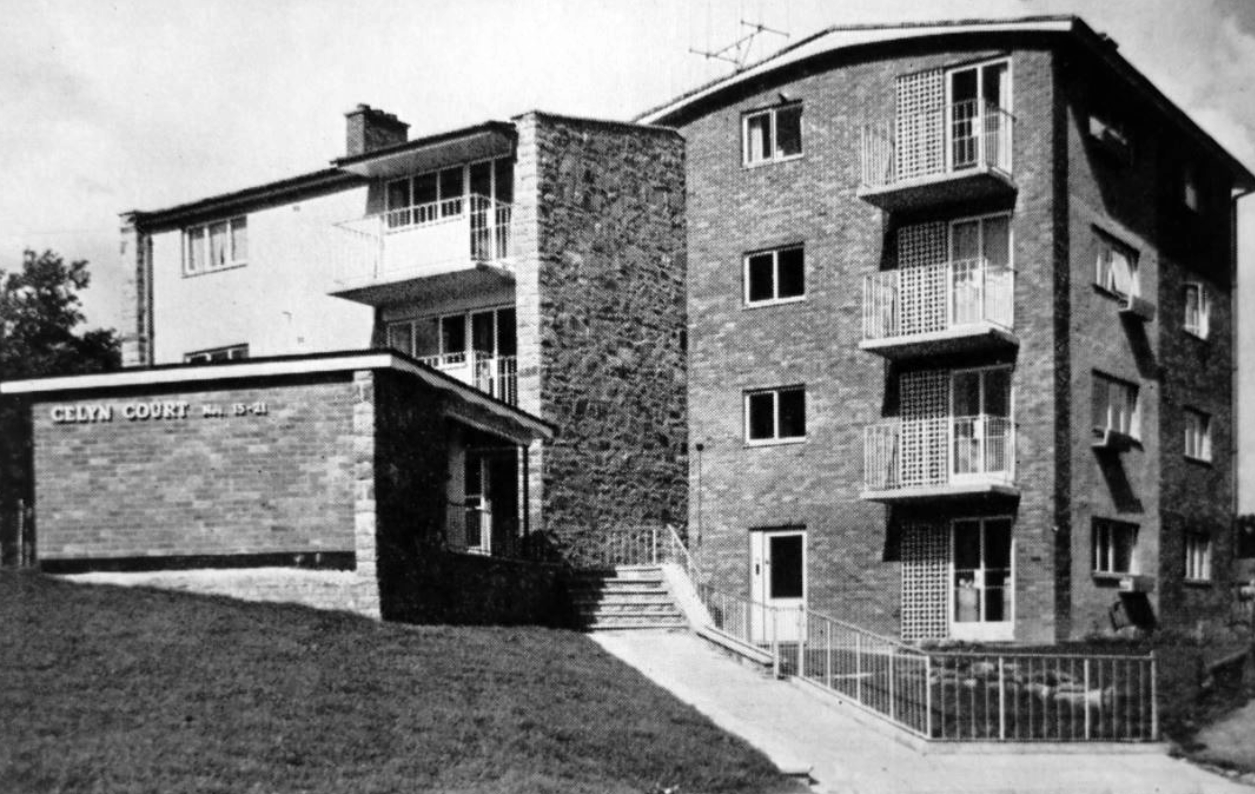
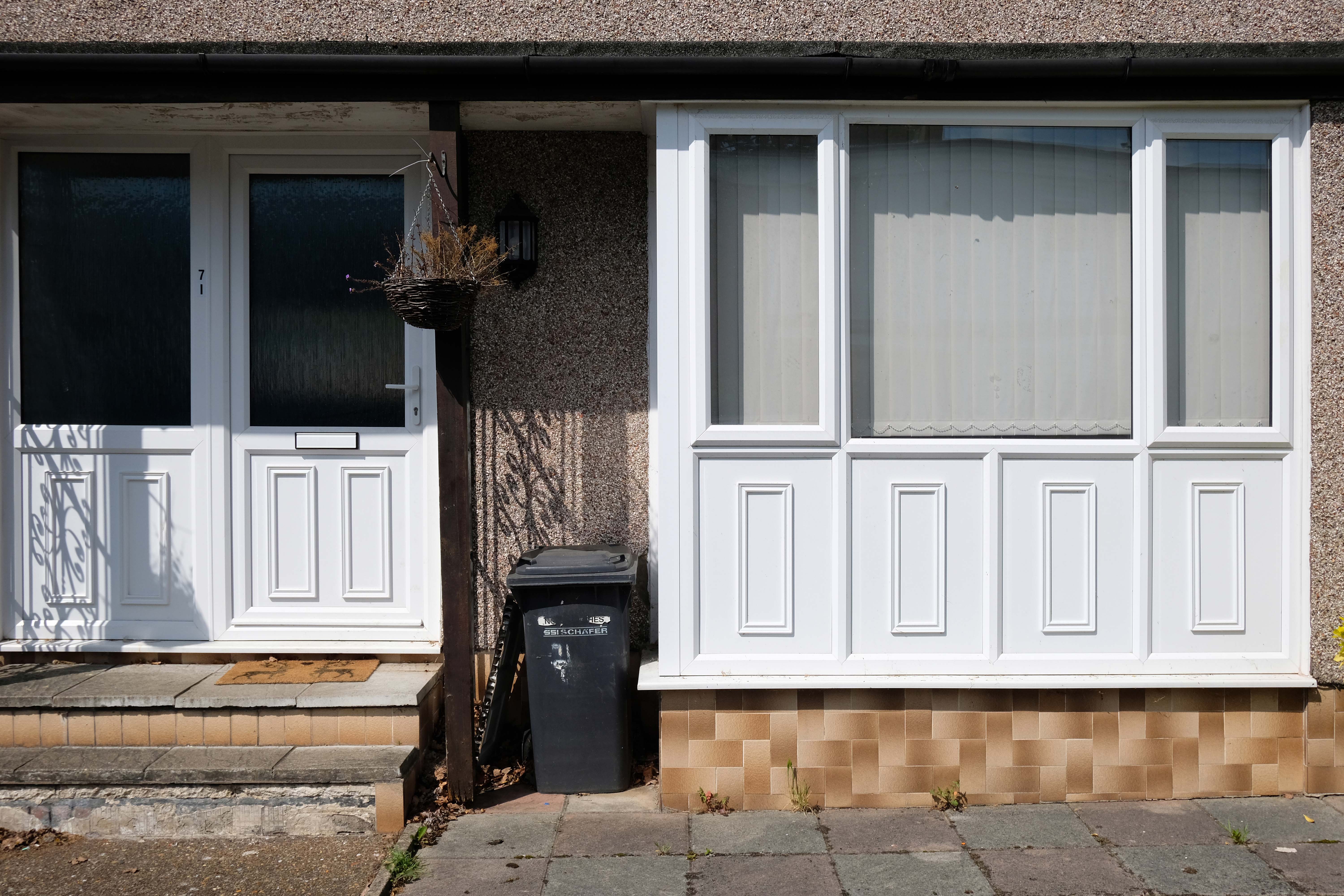
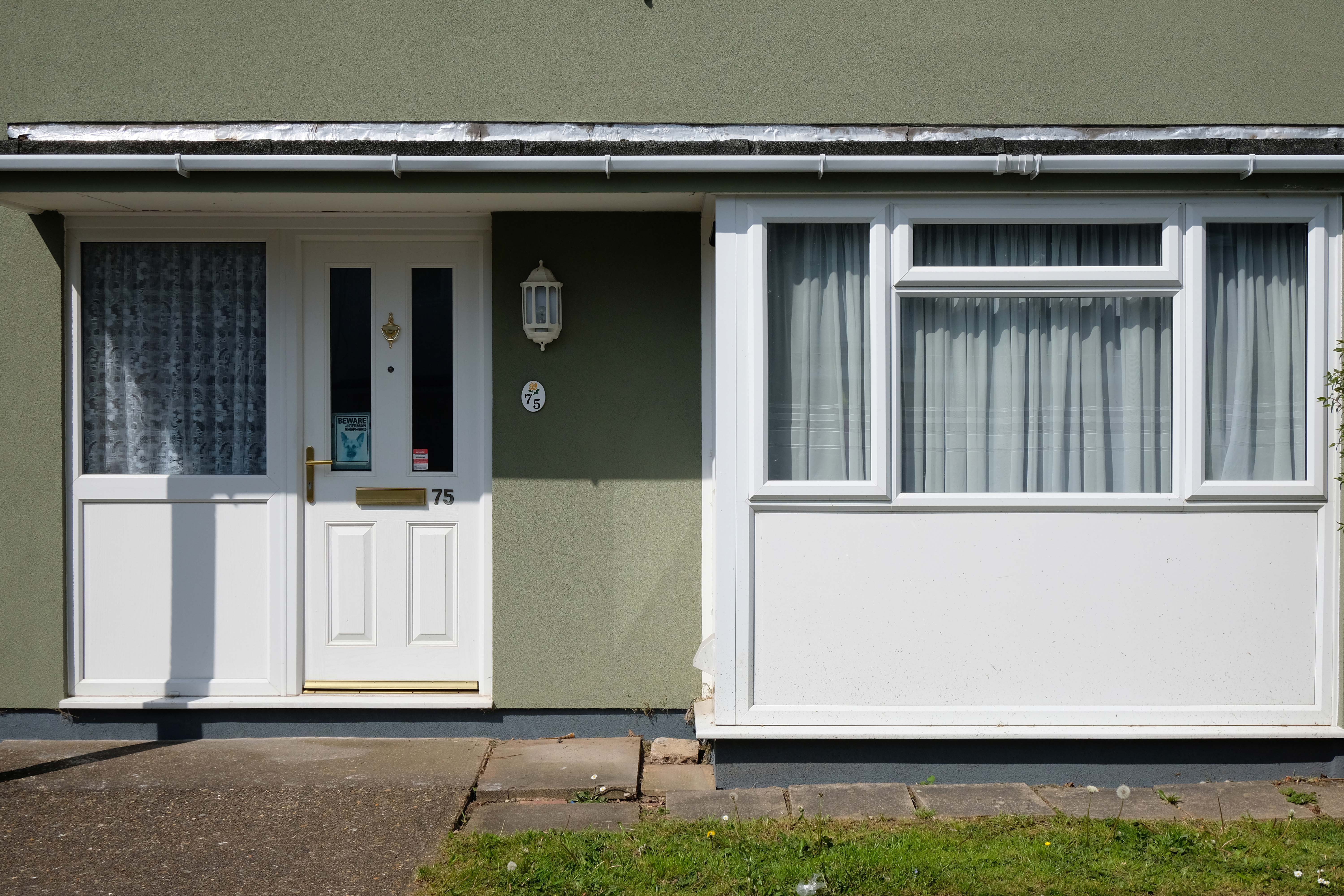
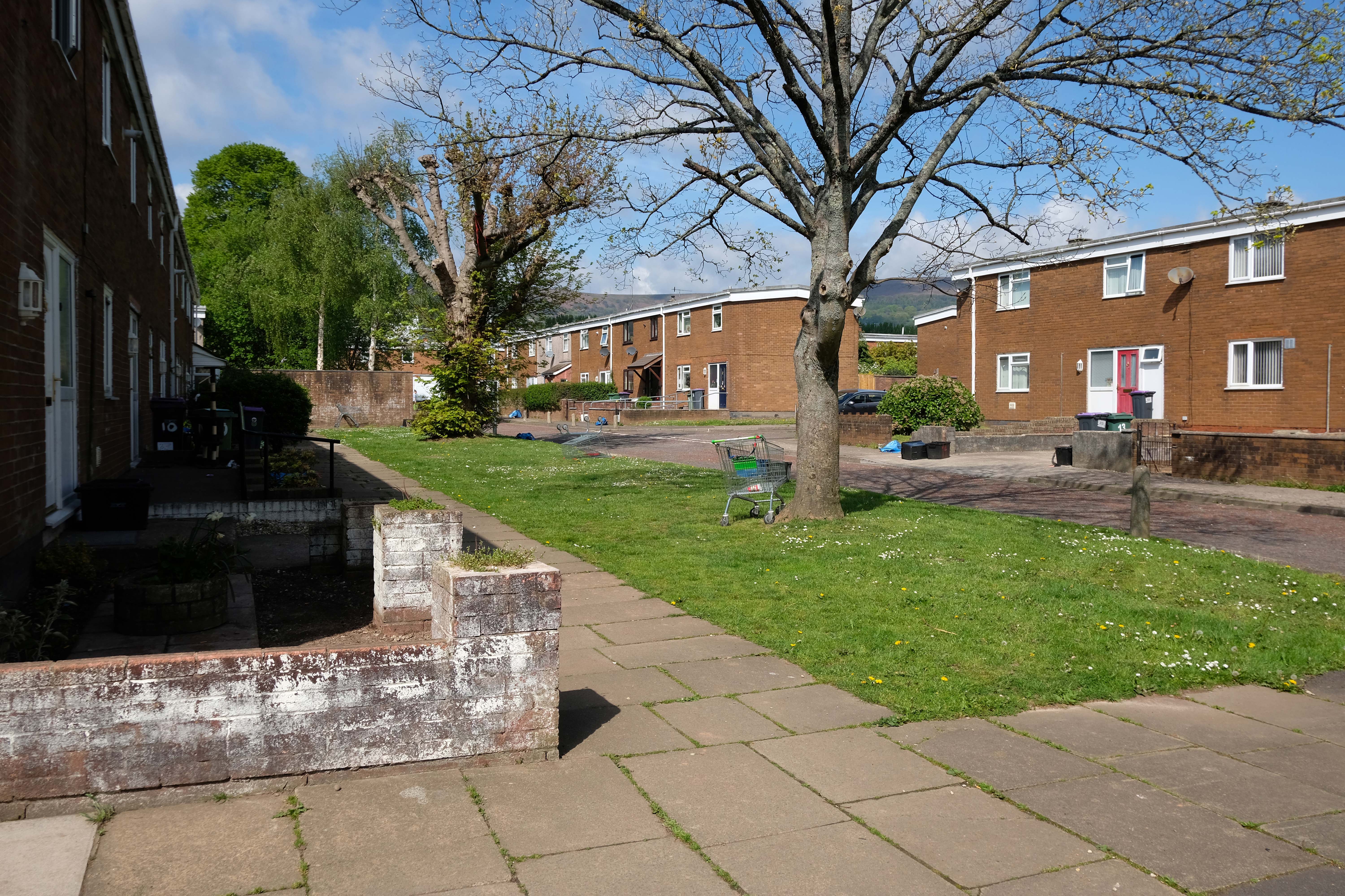
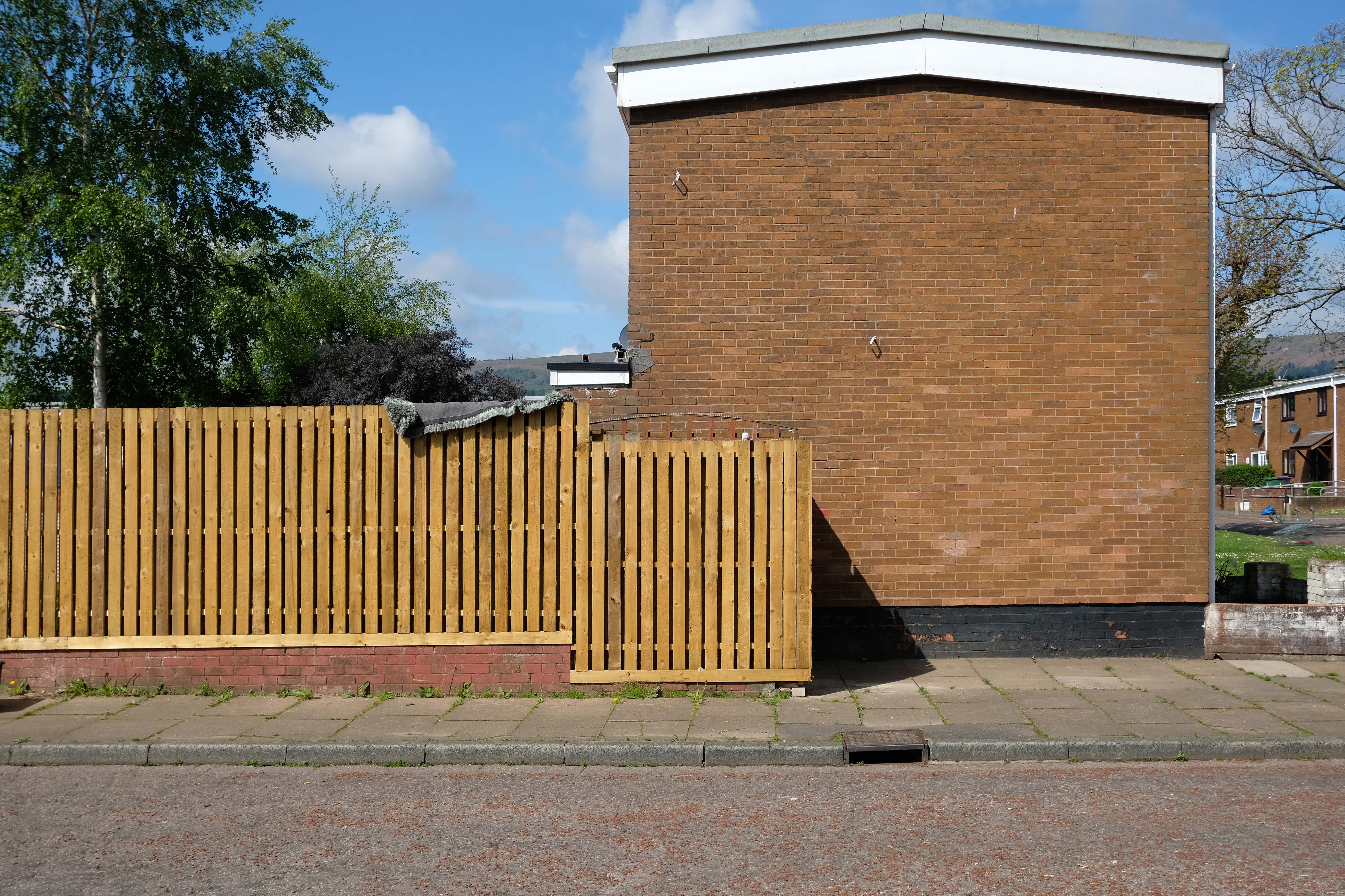
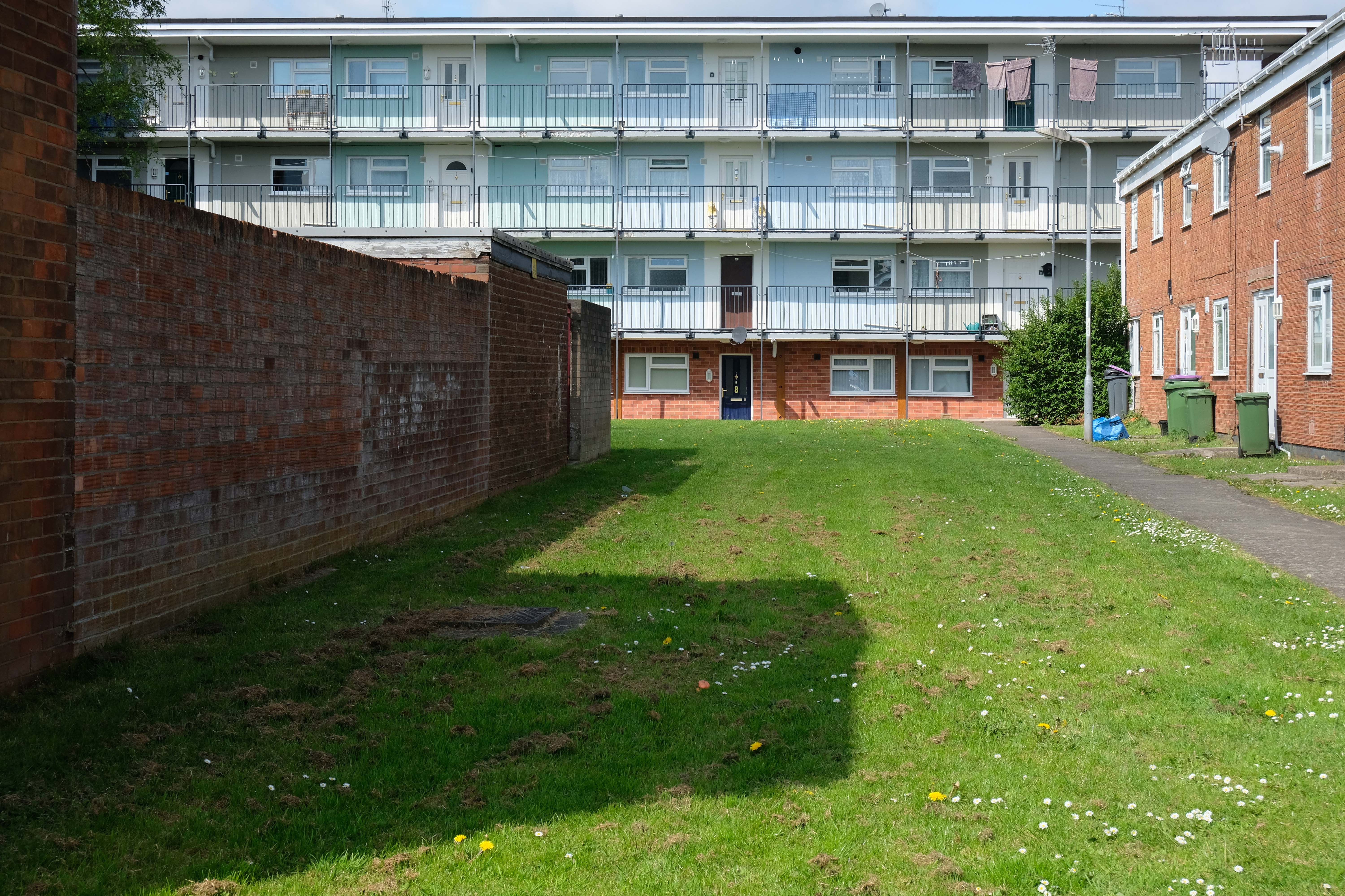
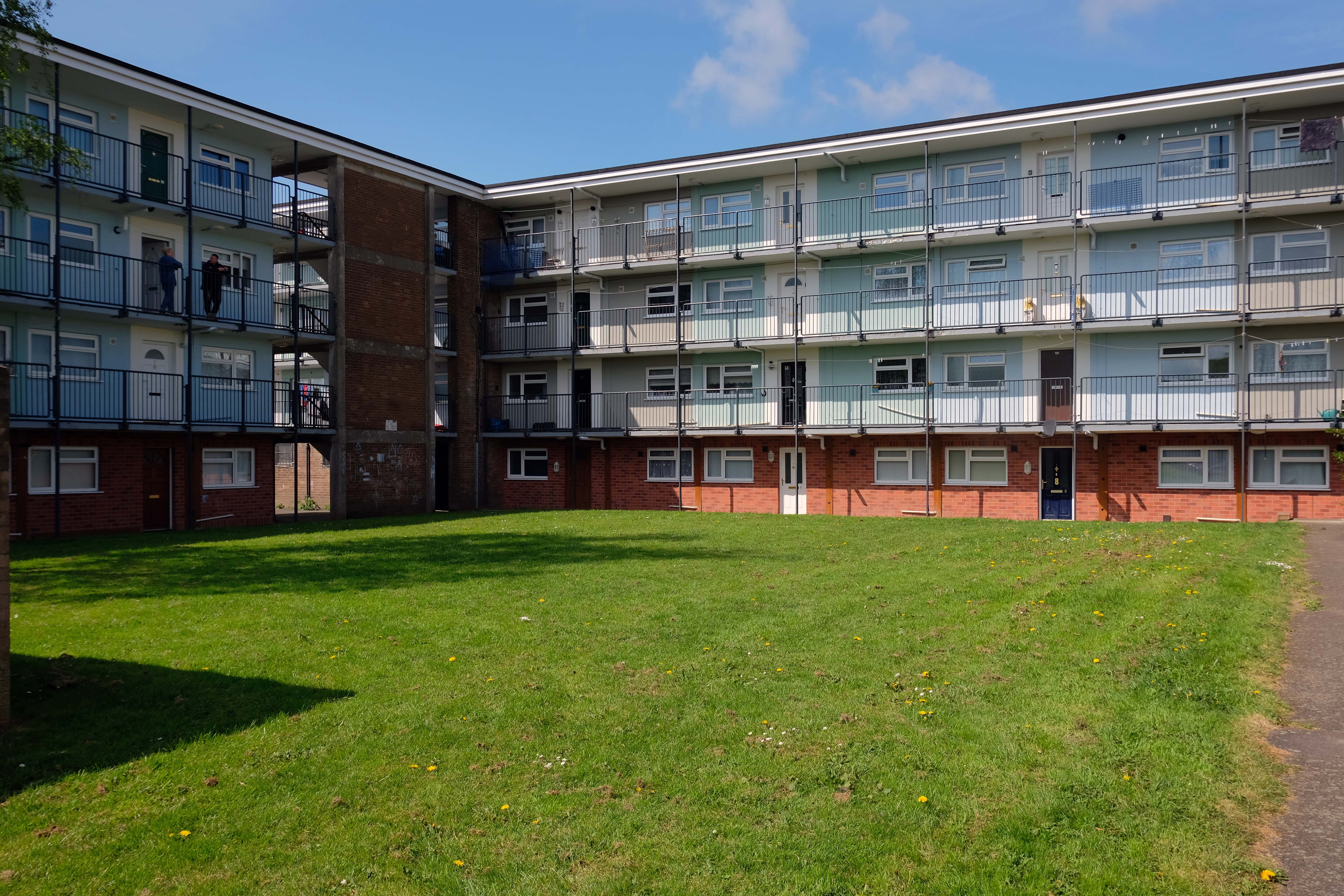
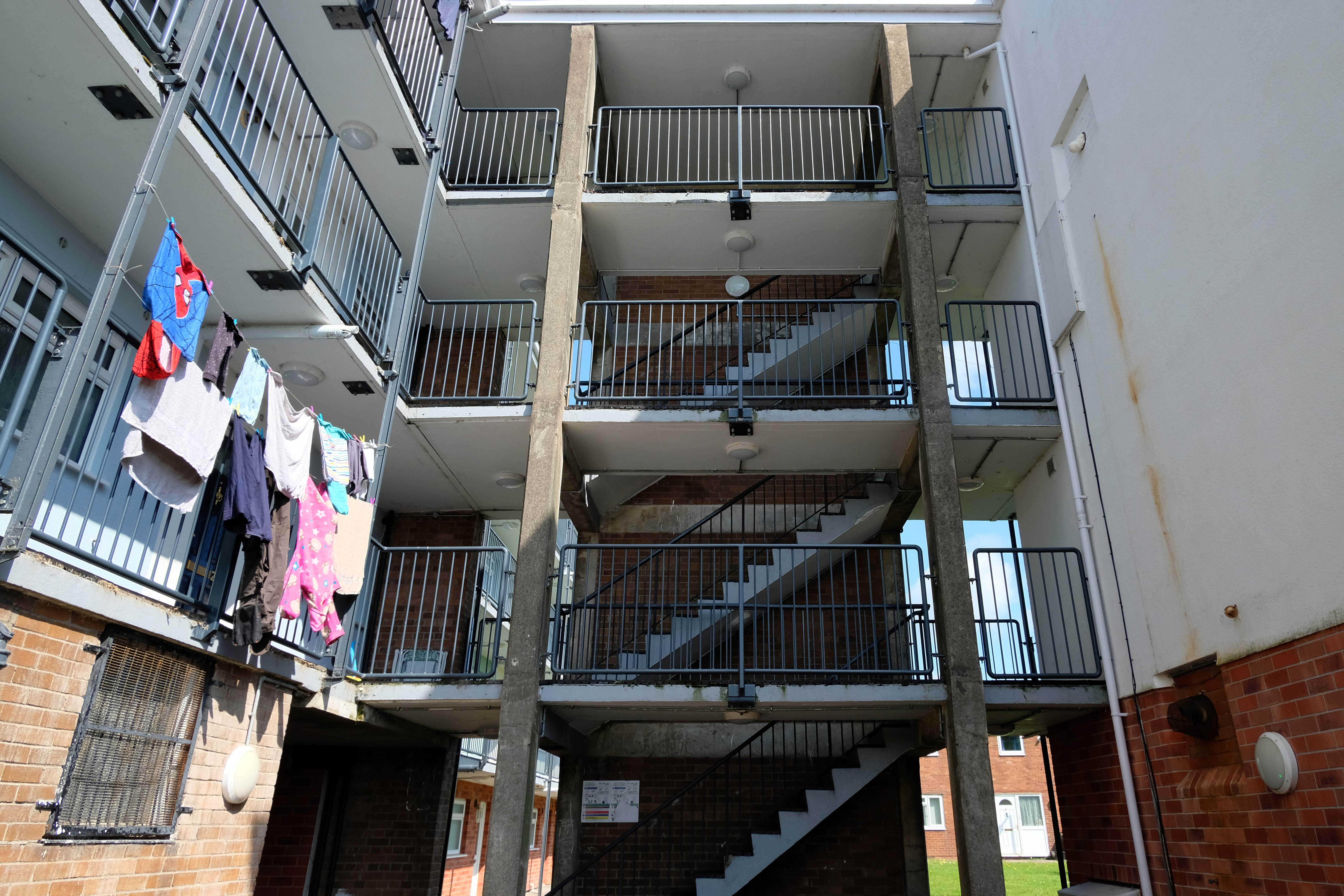
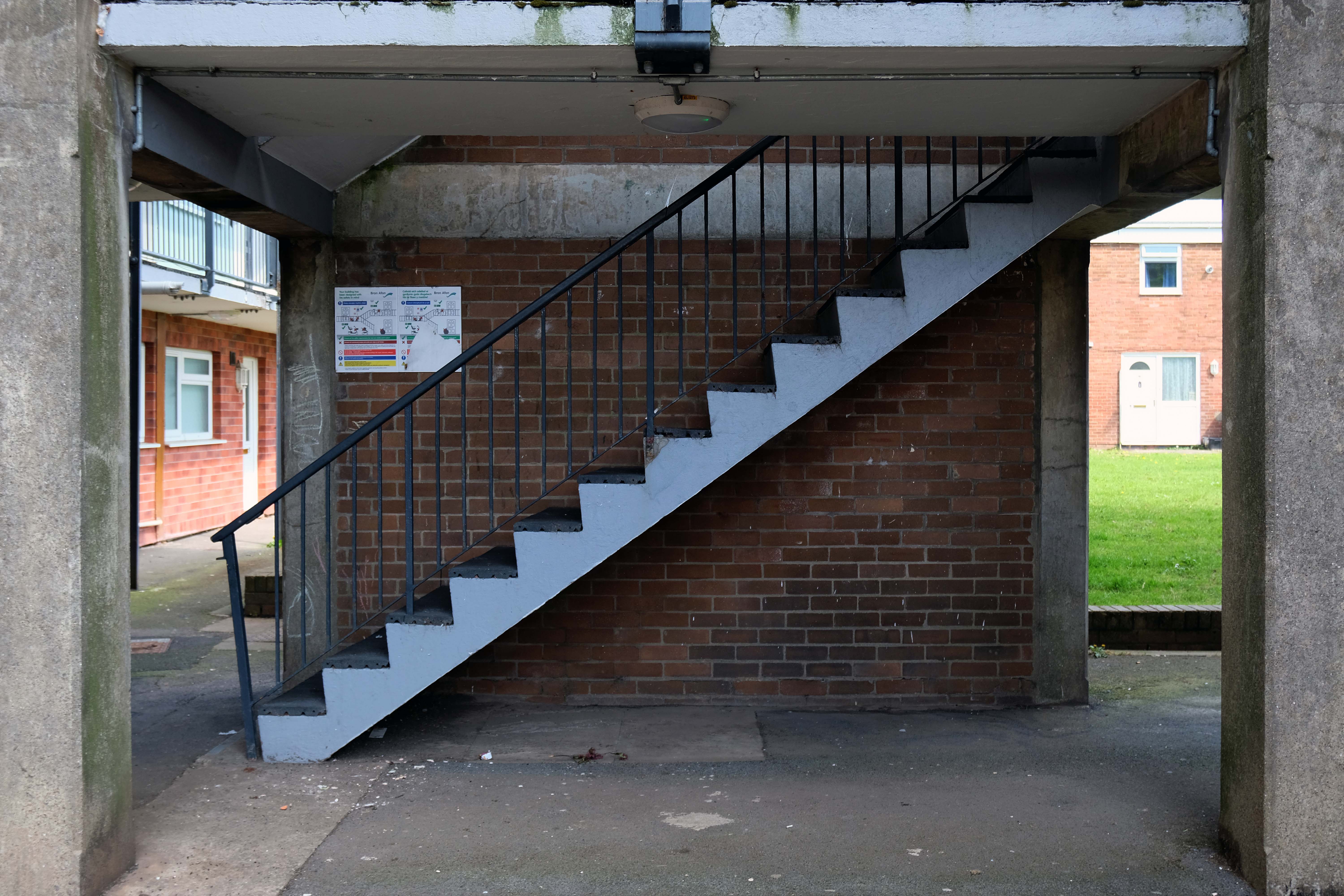
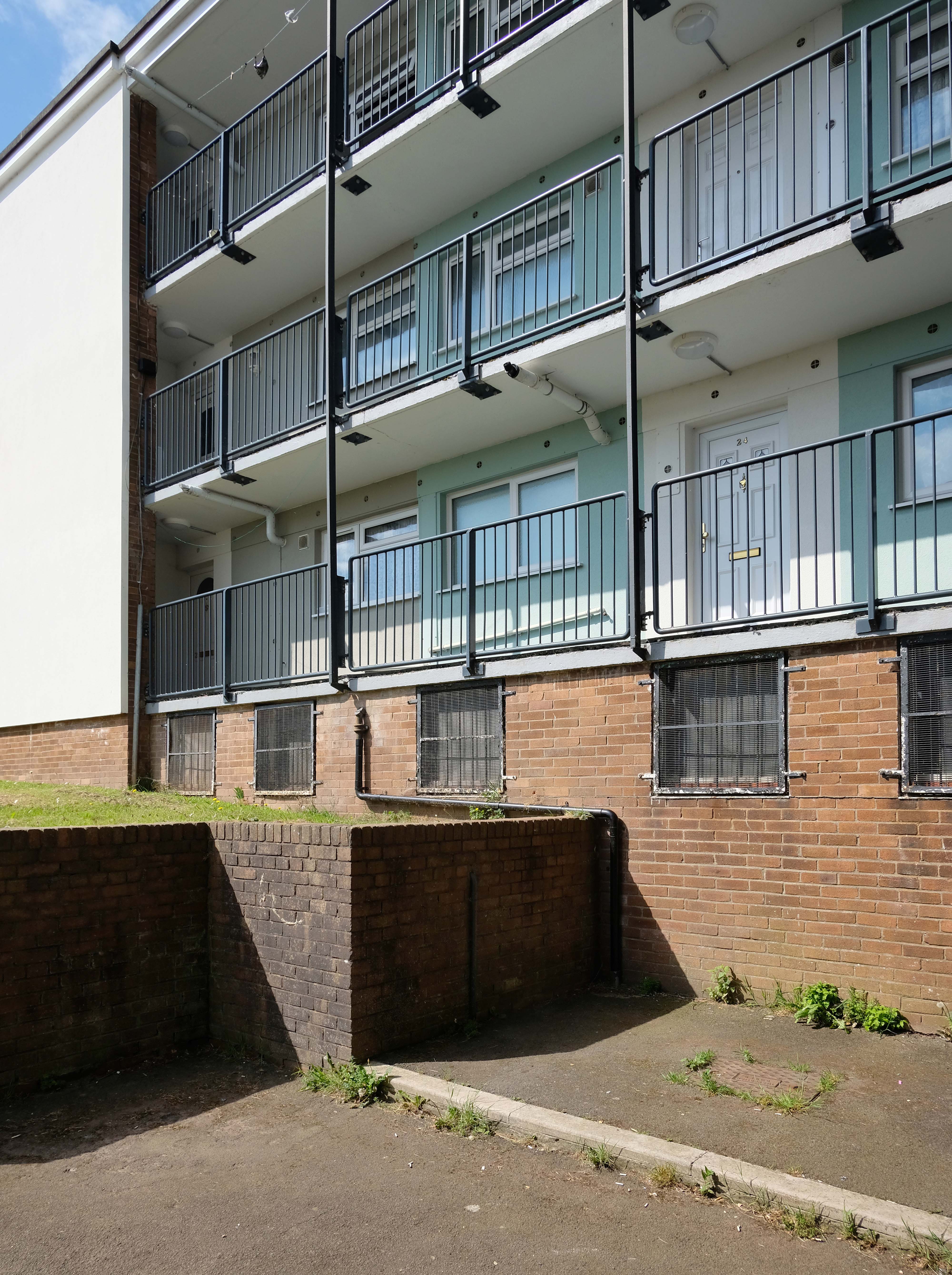
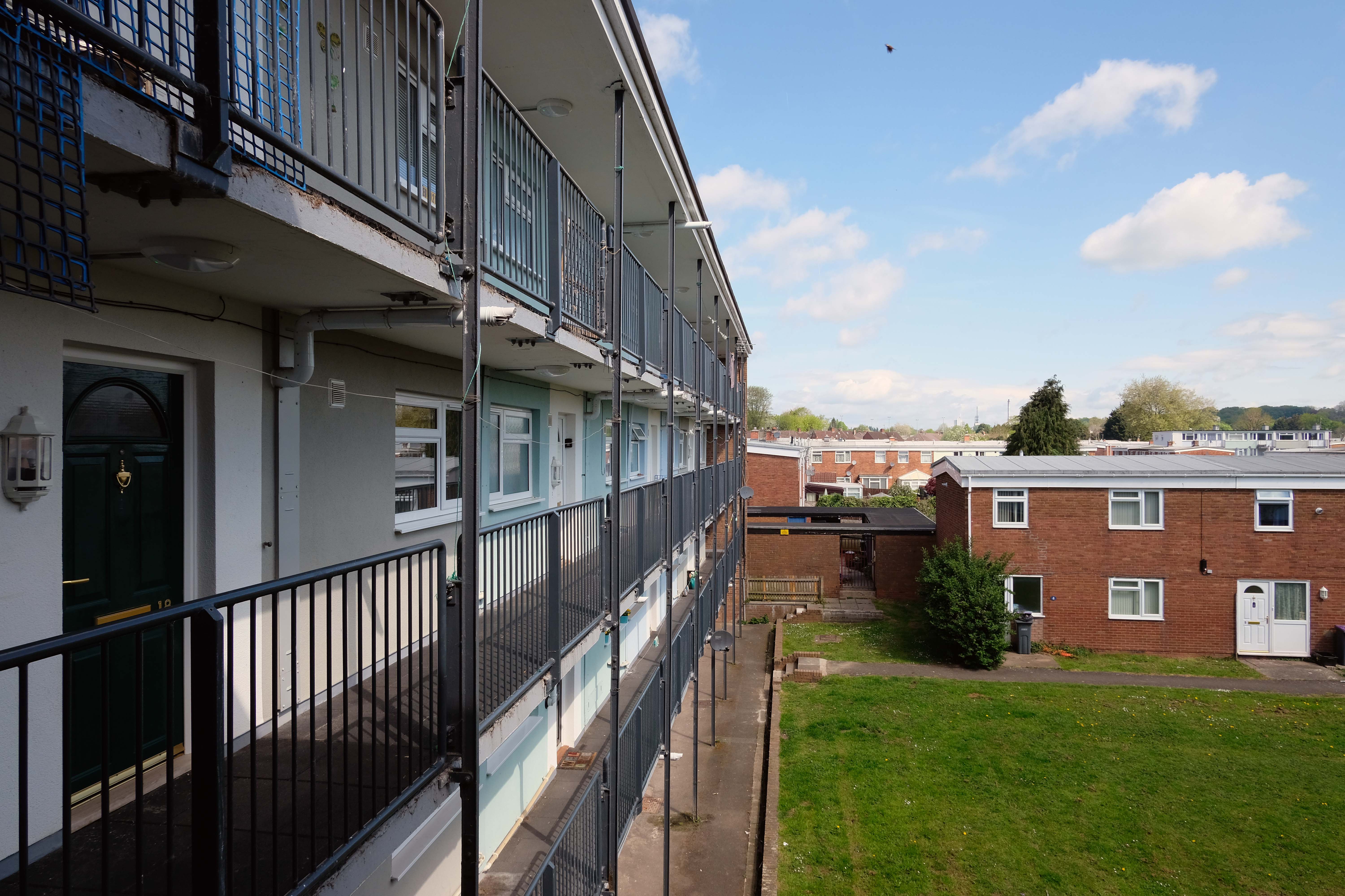
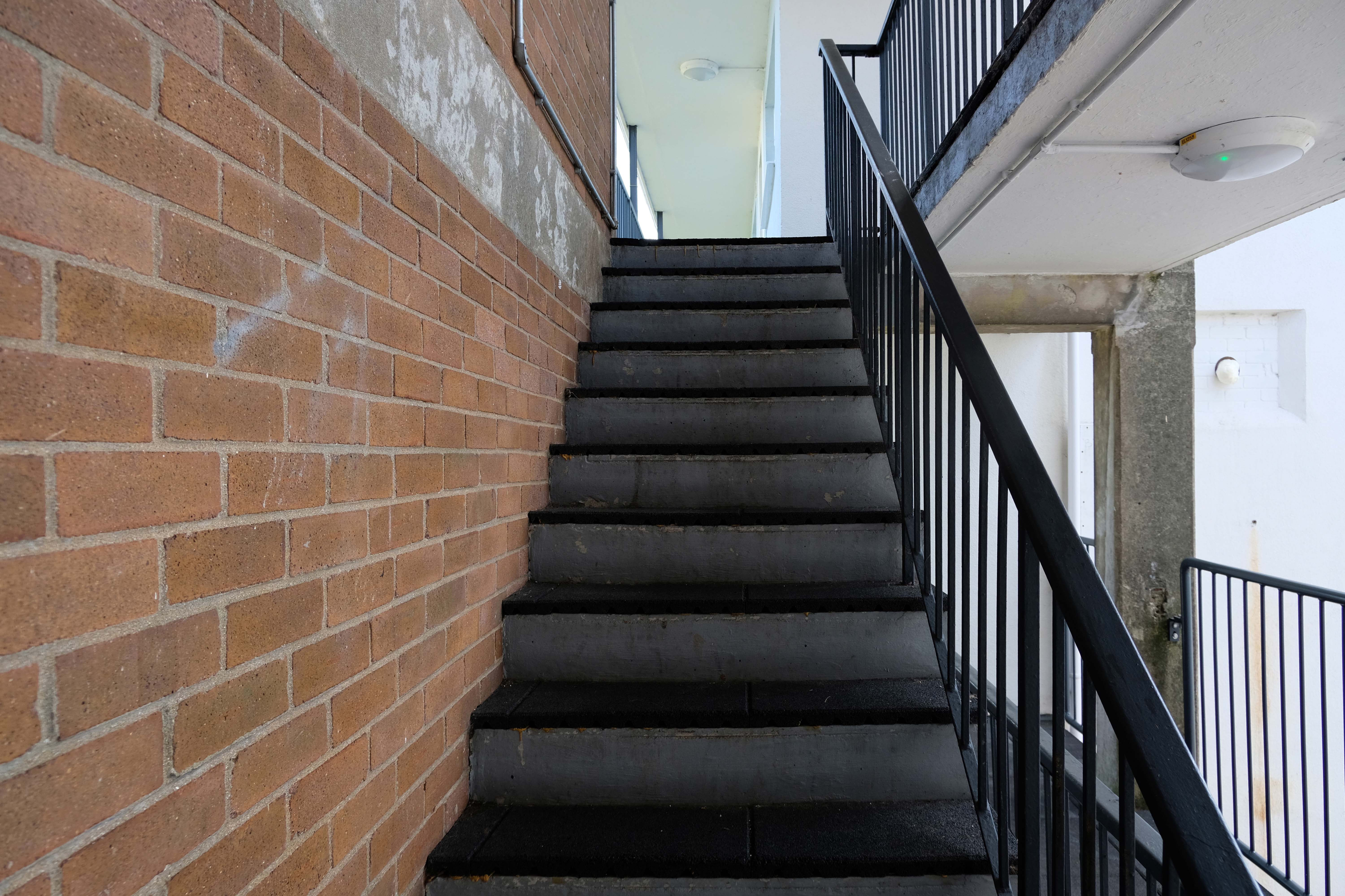
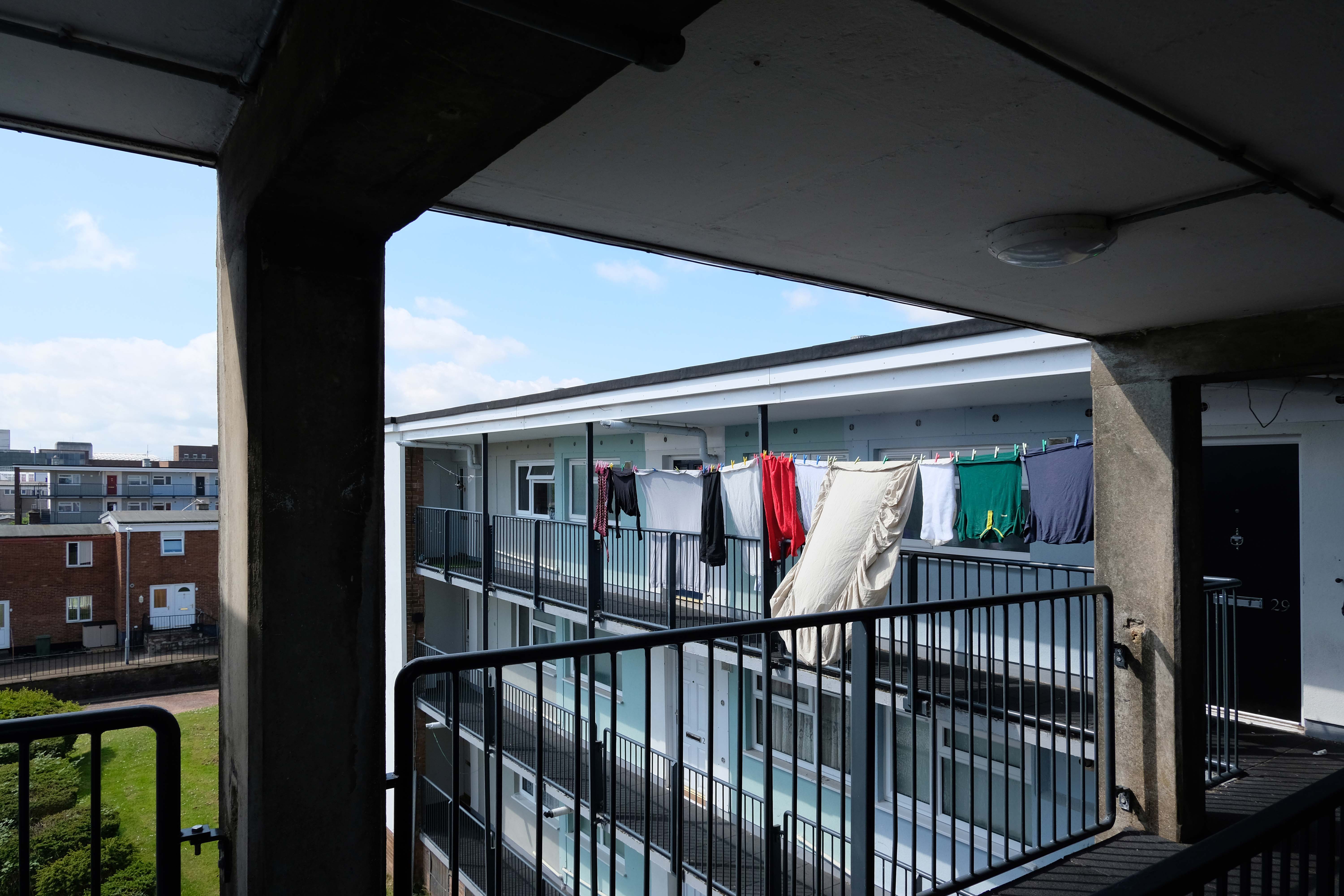
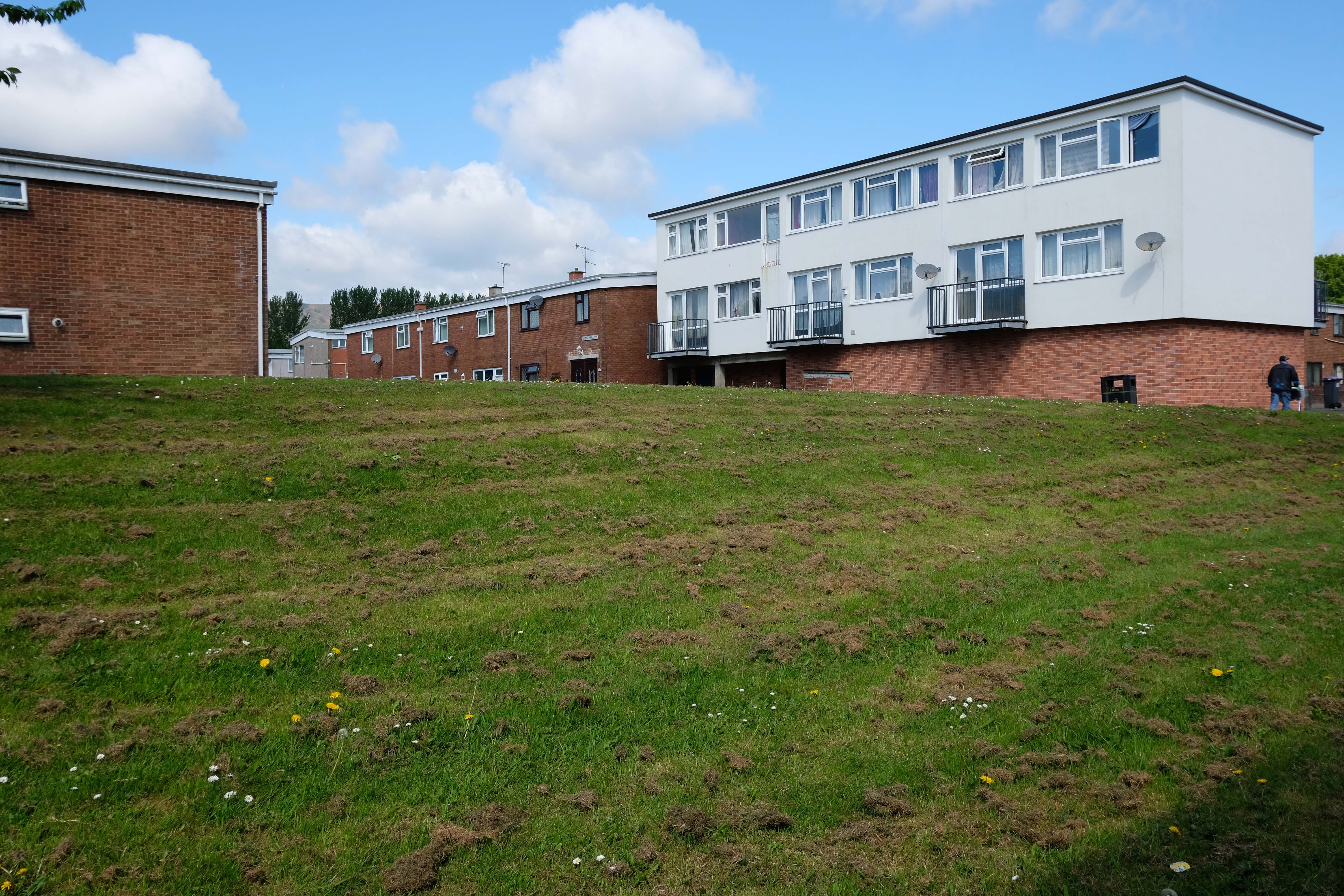
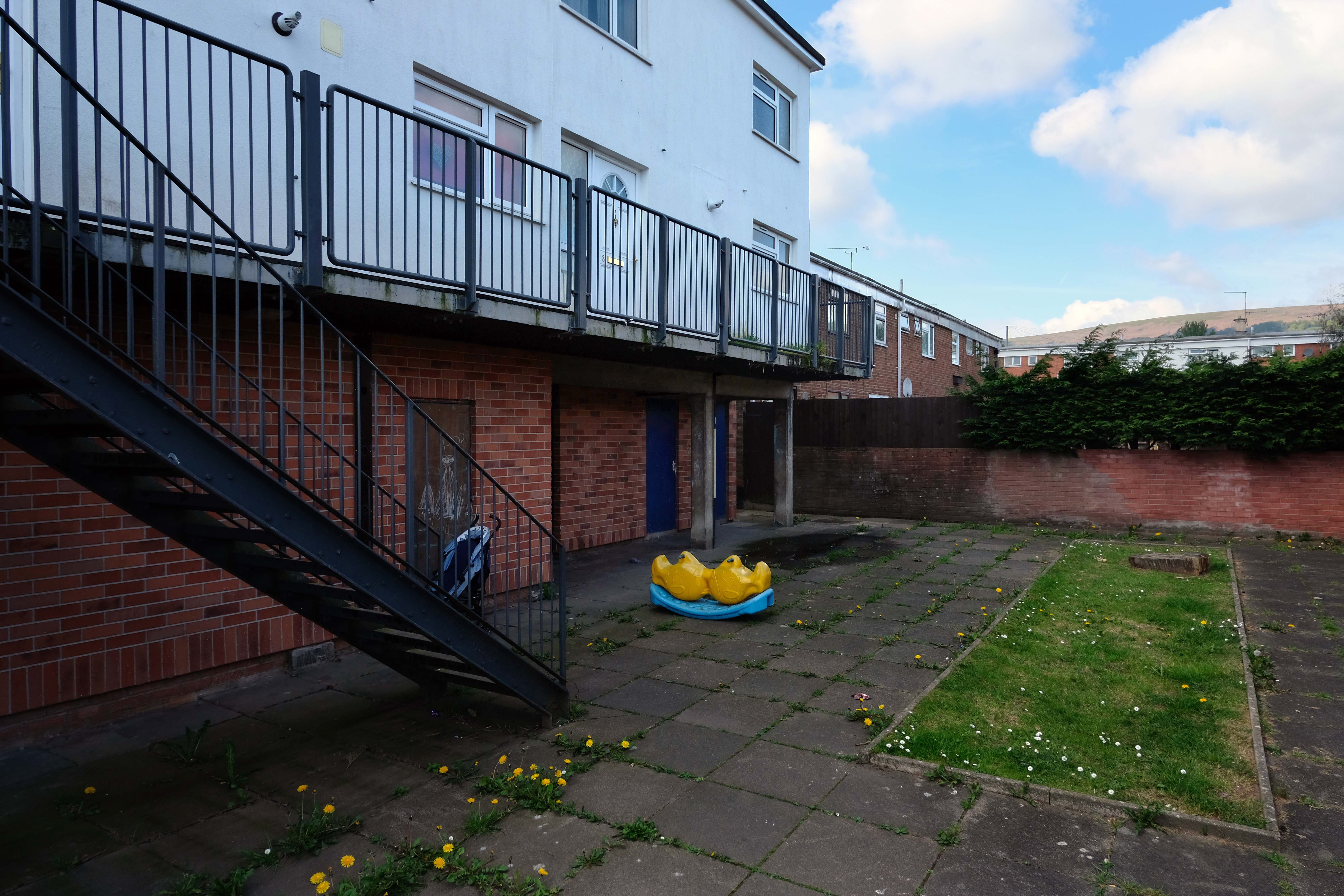
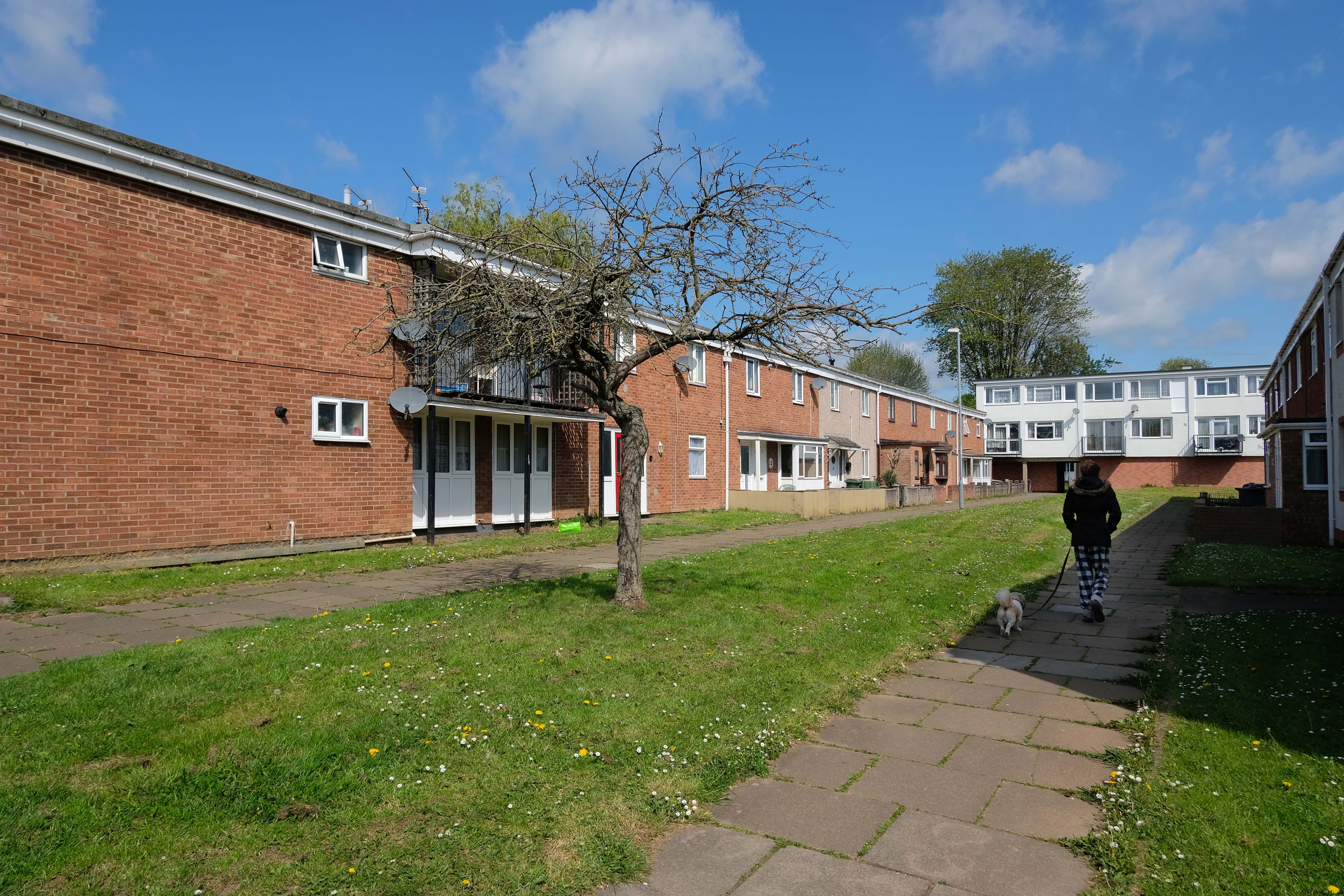
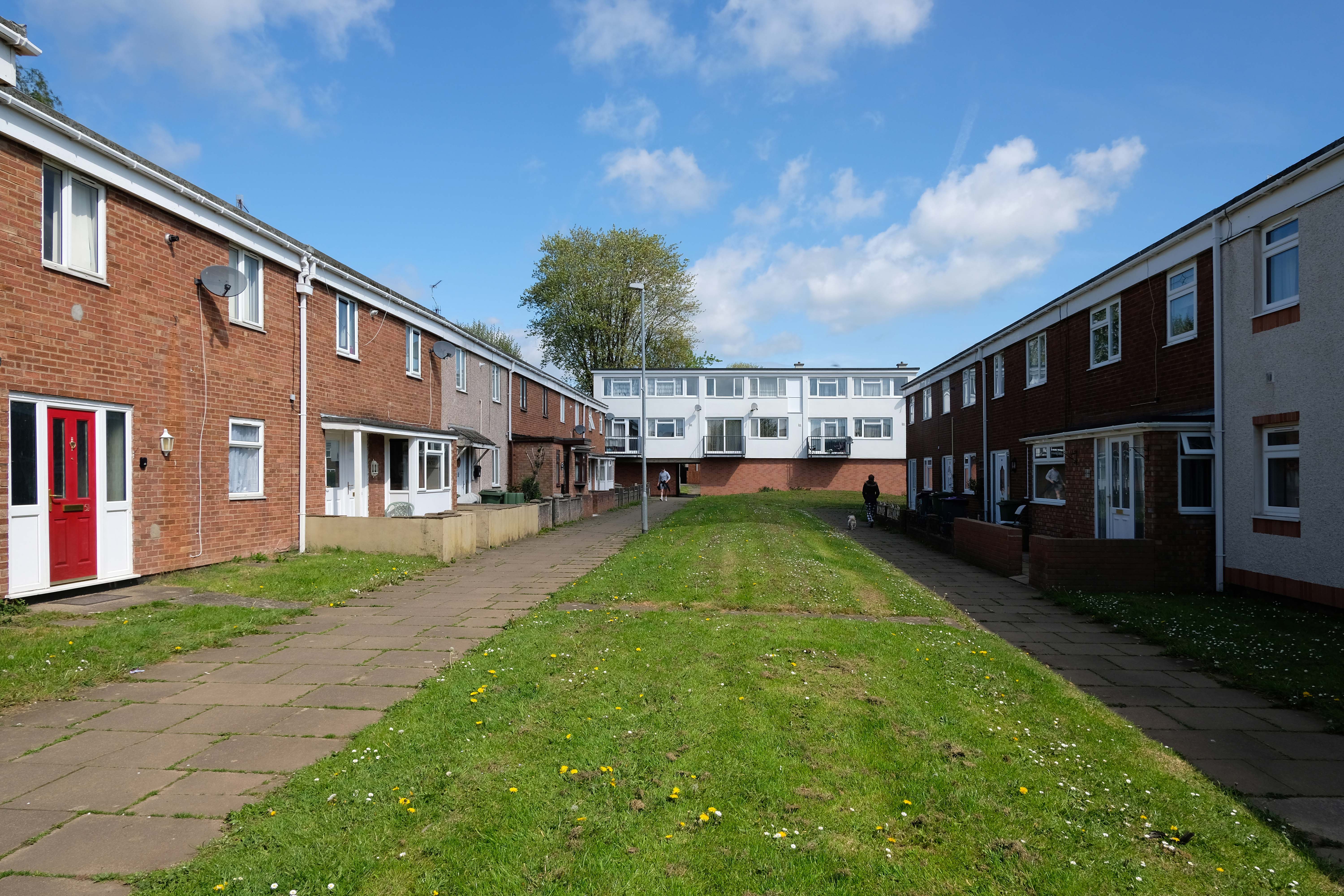
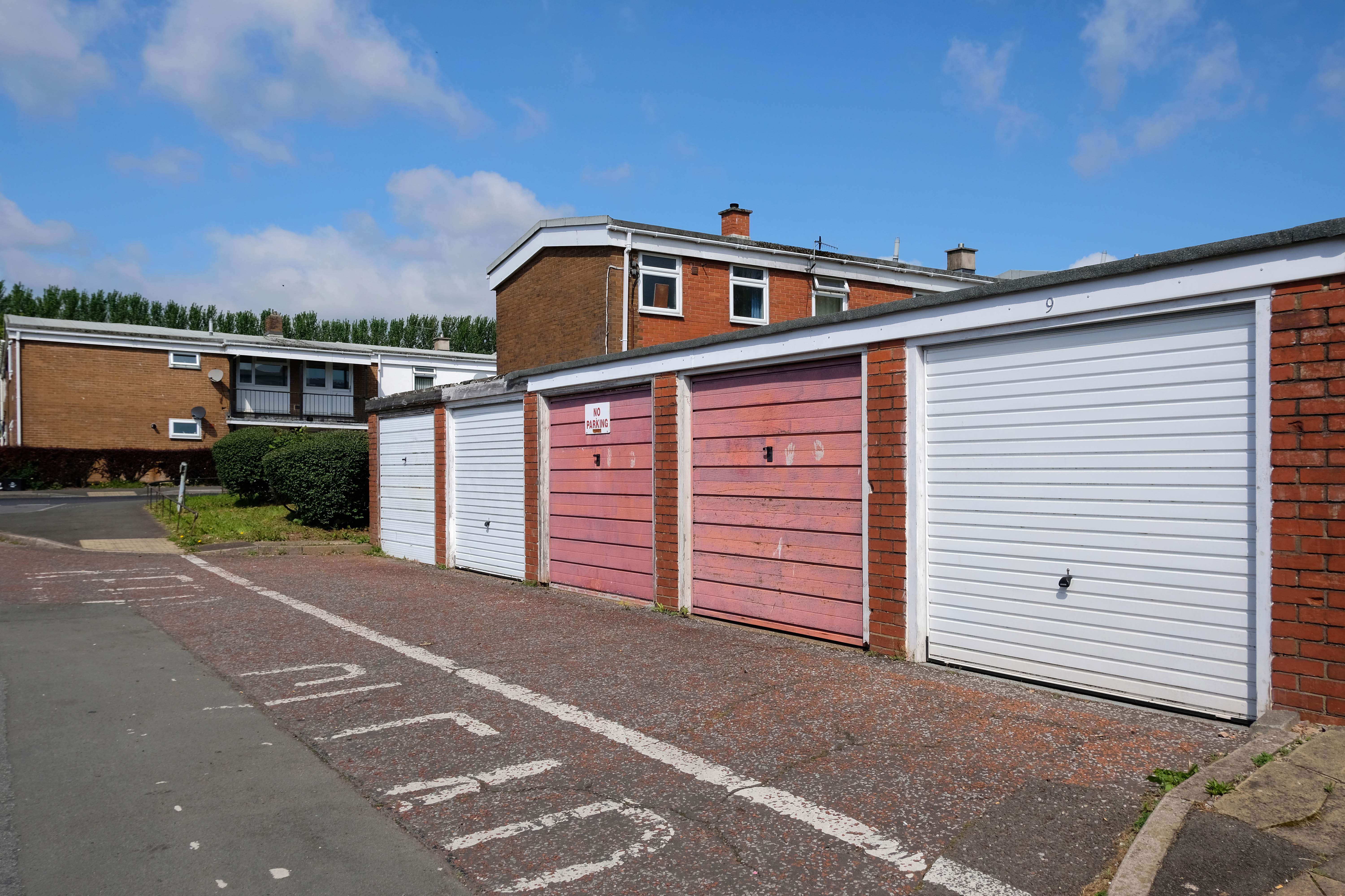
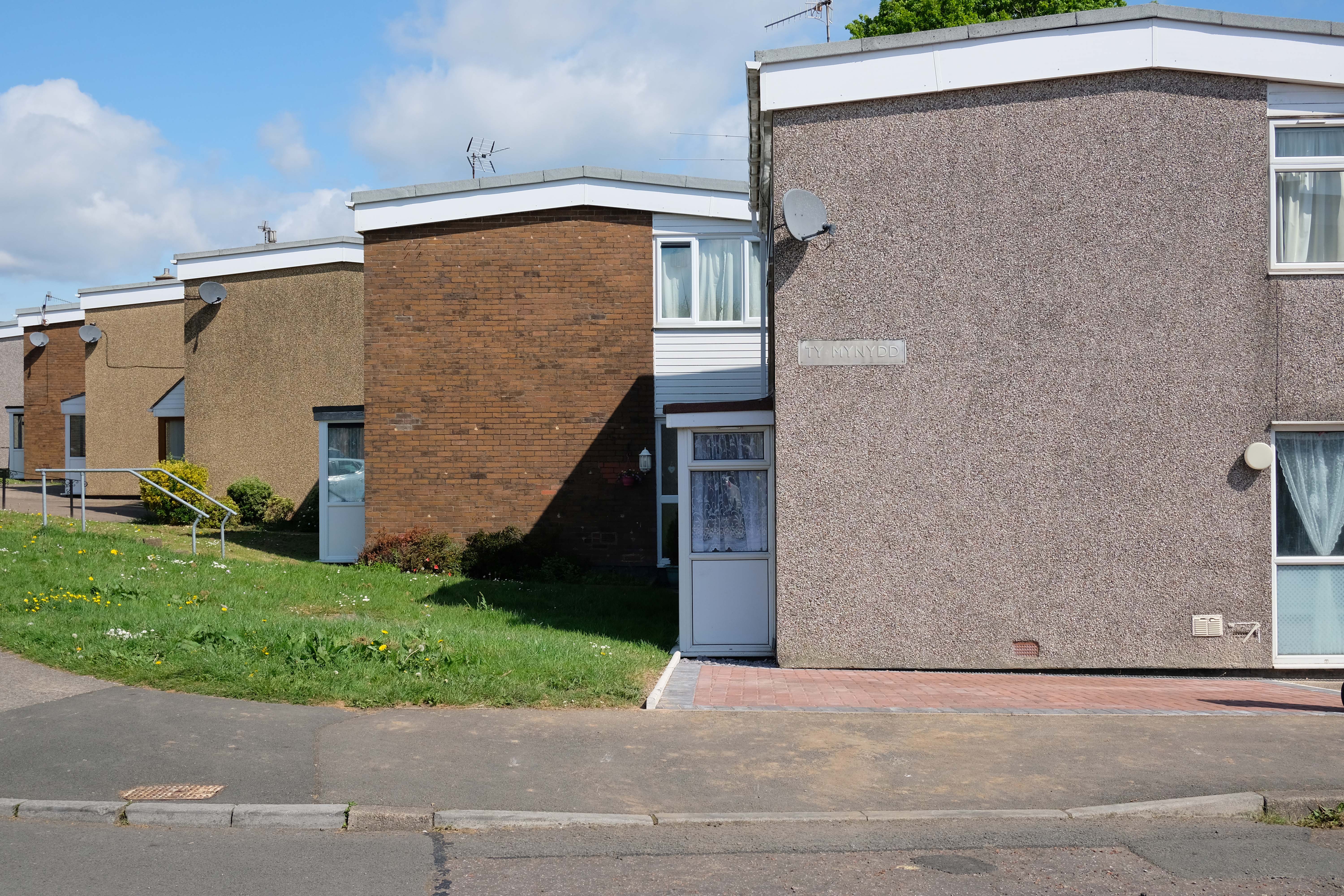
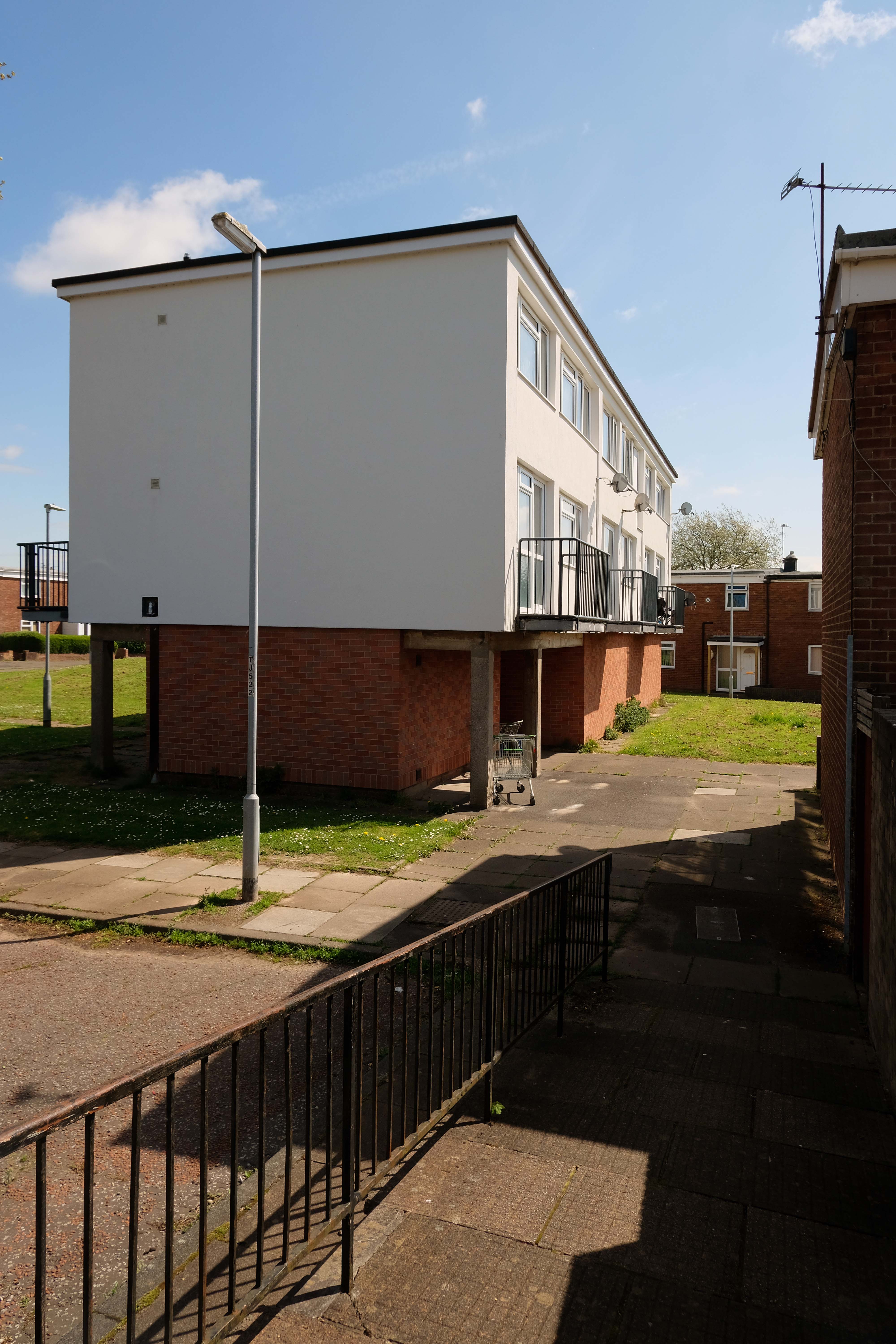
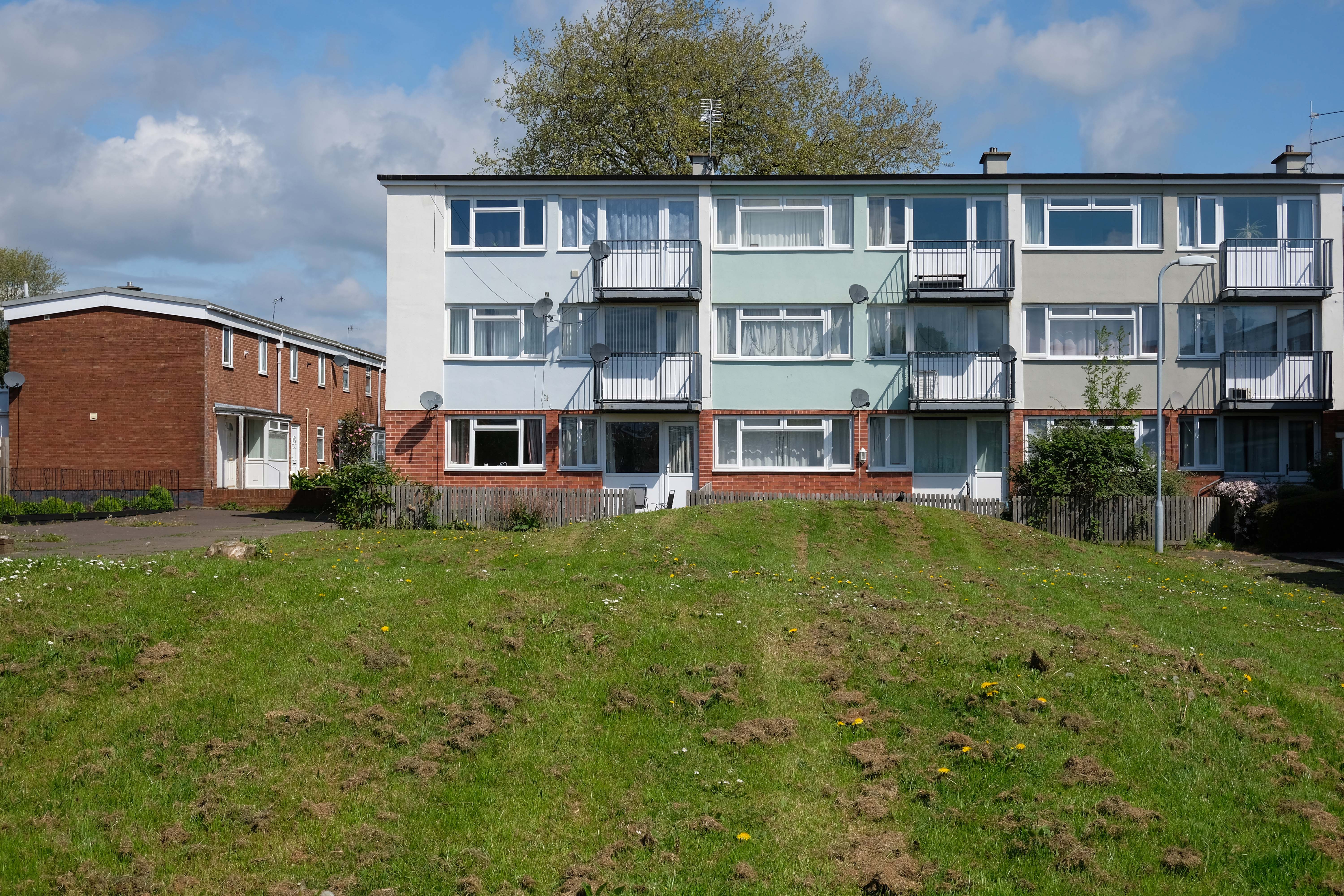
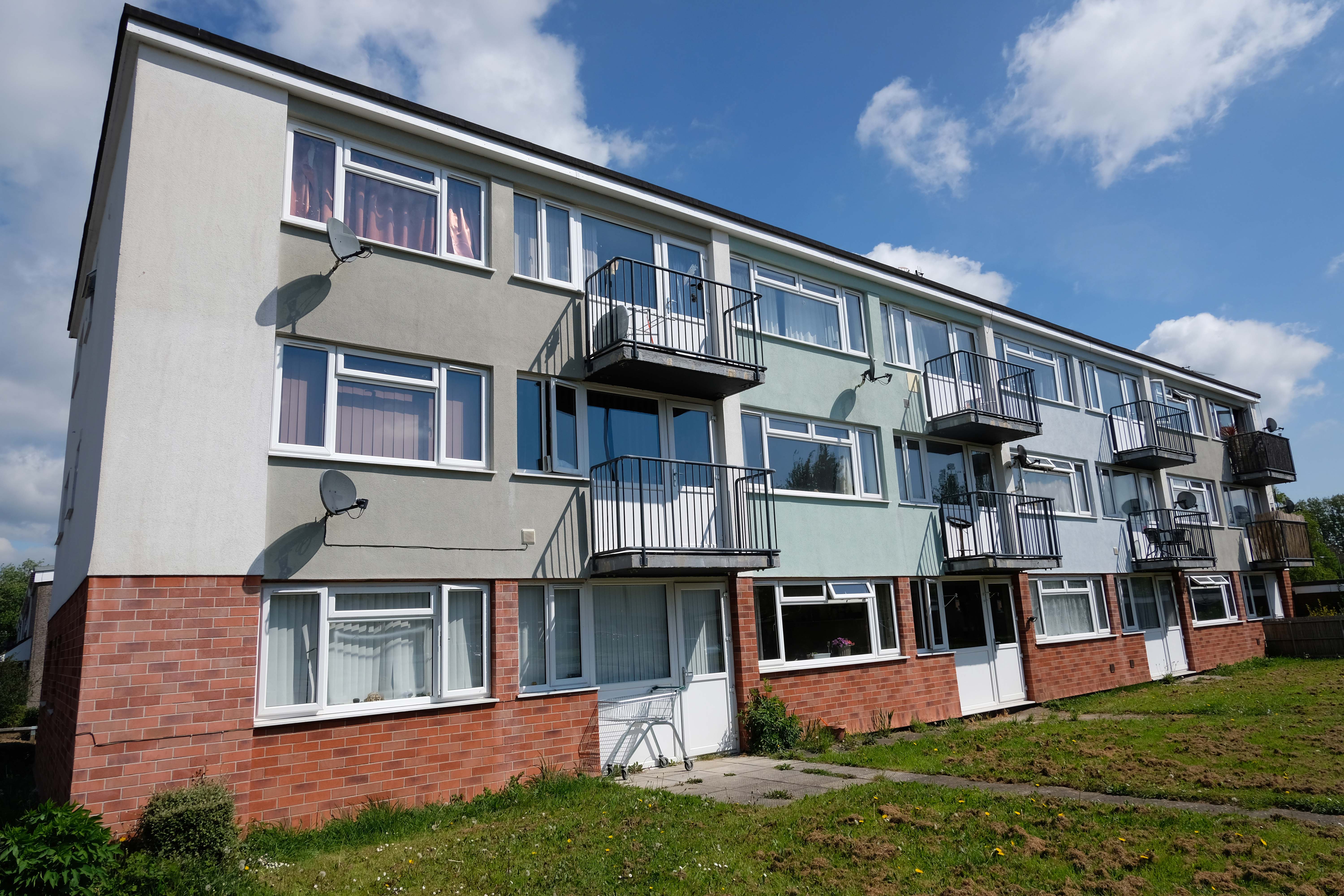
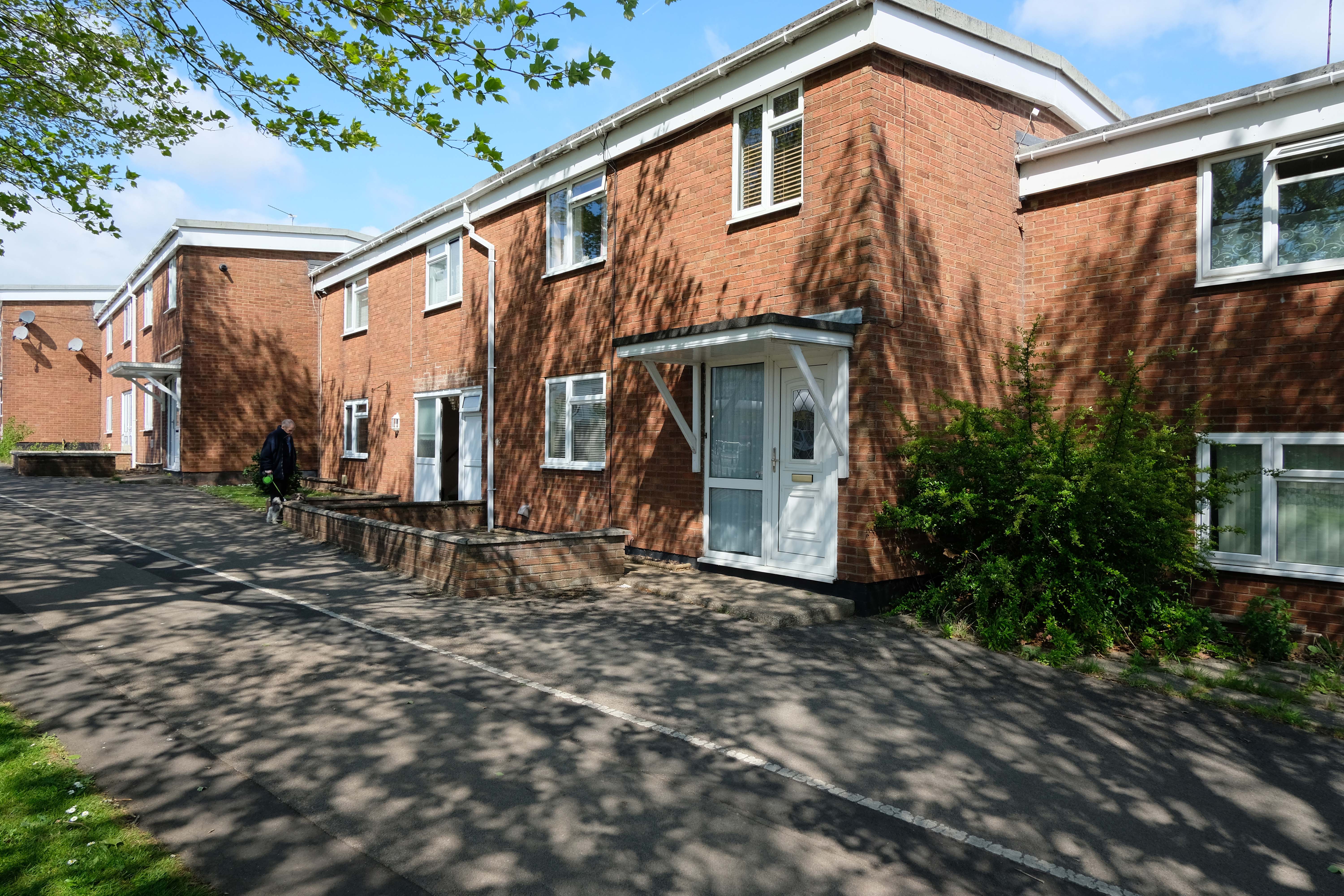
This time around I came to views the surrounding housing on Whitley Lodge Estate.
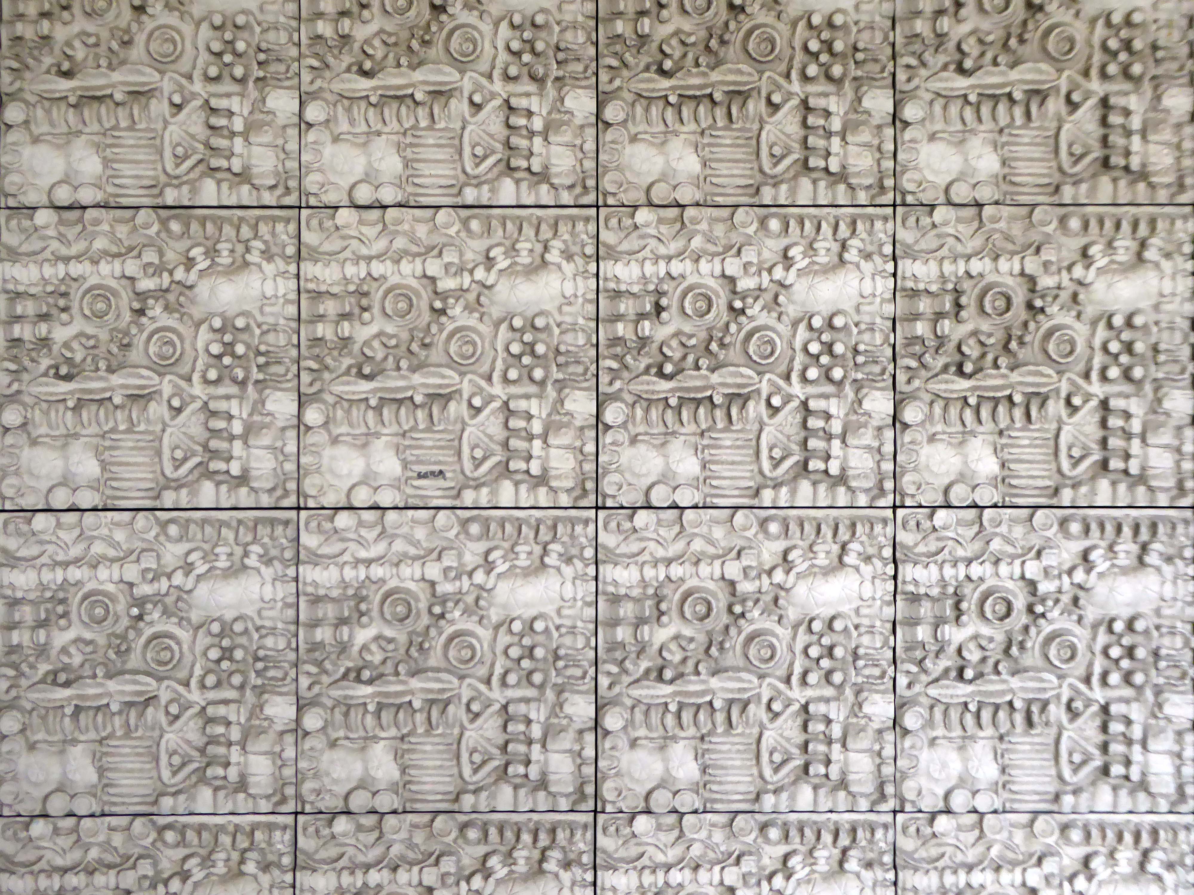
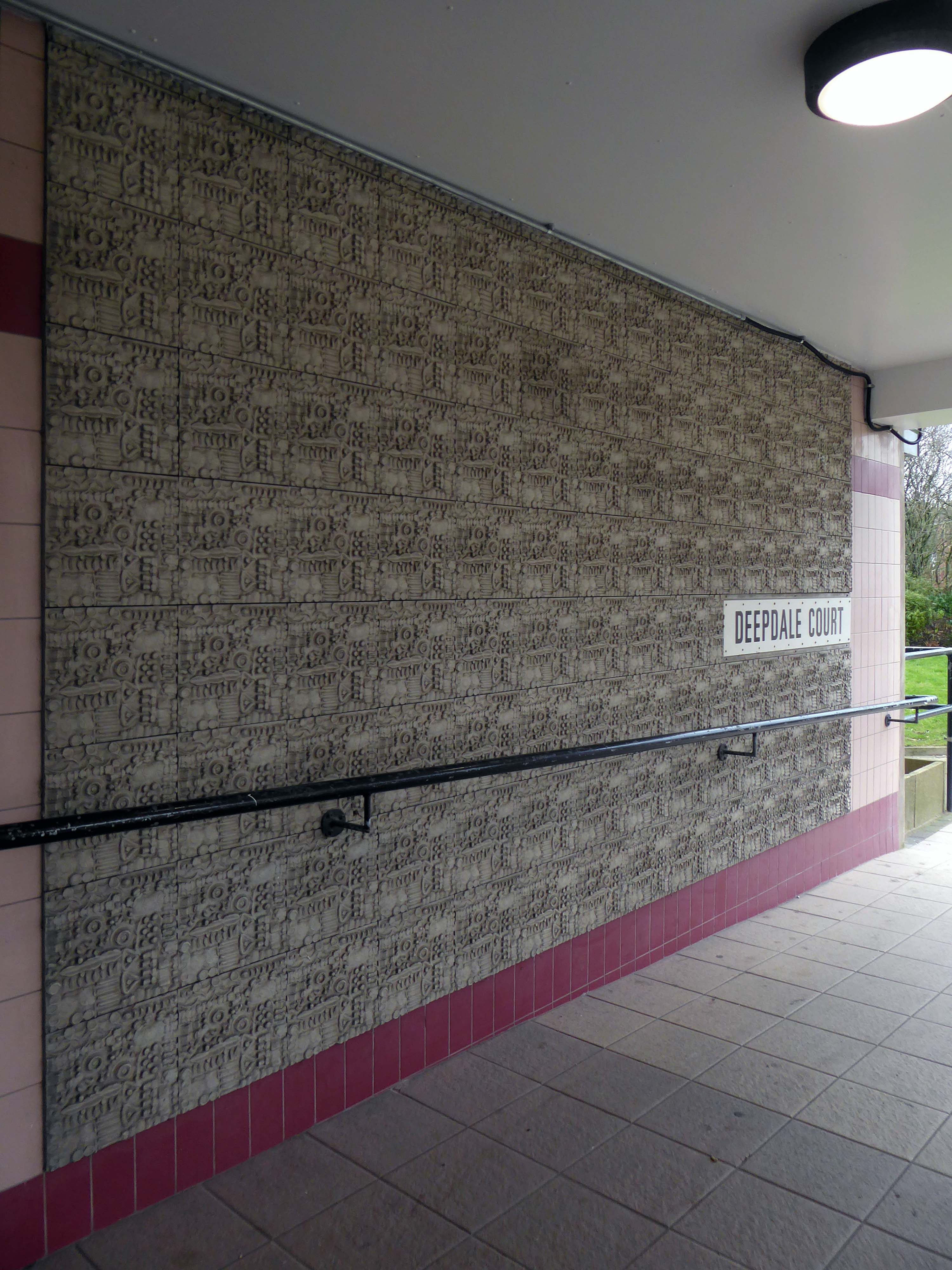
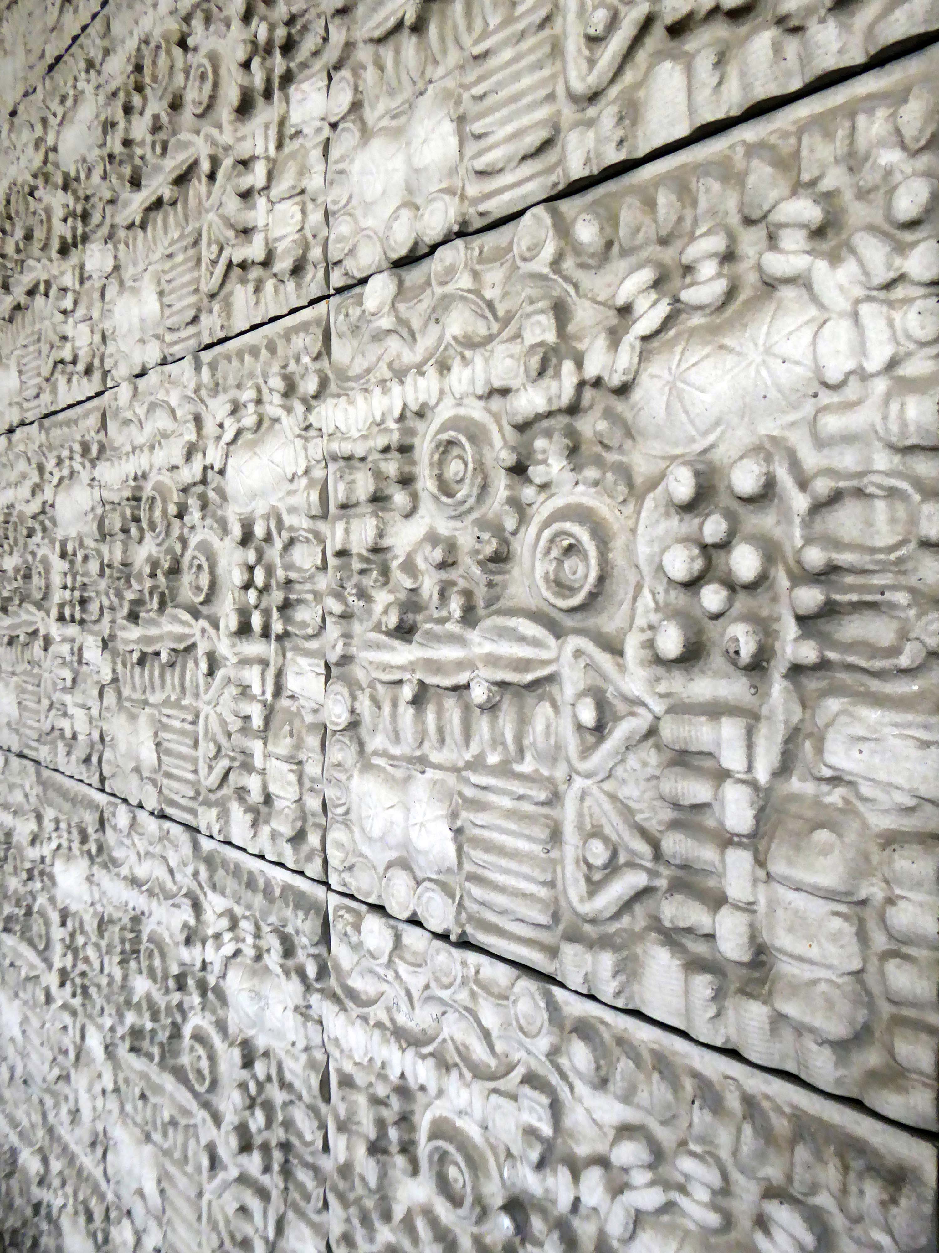
A mix of 1960s flat-roofed brick low rise, maisonettes and terraces with mathematical tiles, linked by concrete roads. Each home with its distinctive modifications, which express a longing for the comfort of a past which reaches back further than the 1960s.
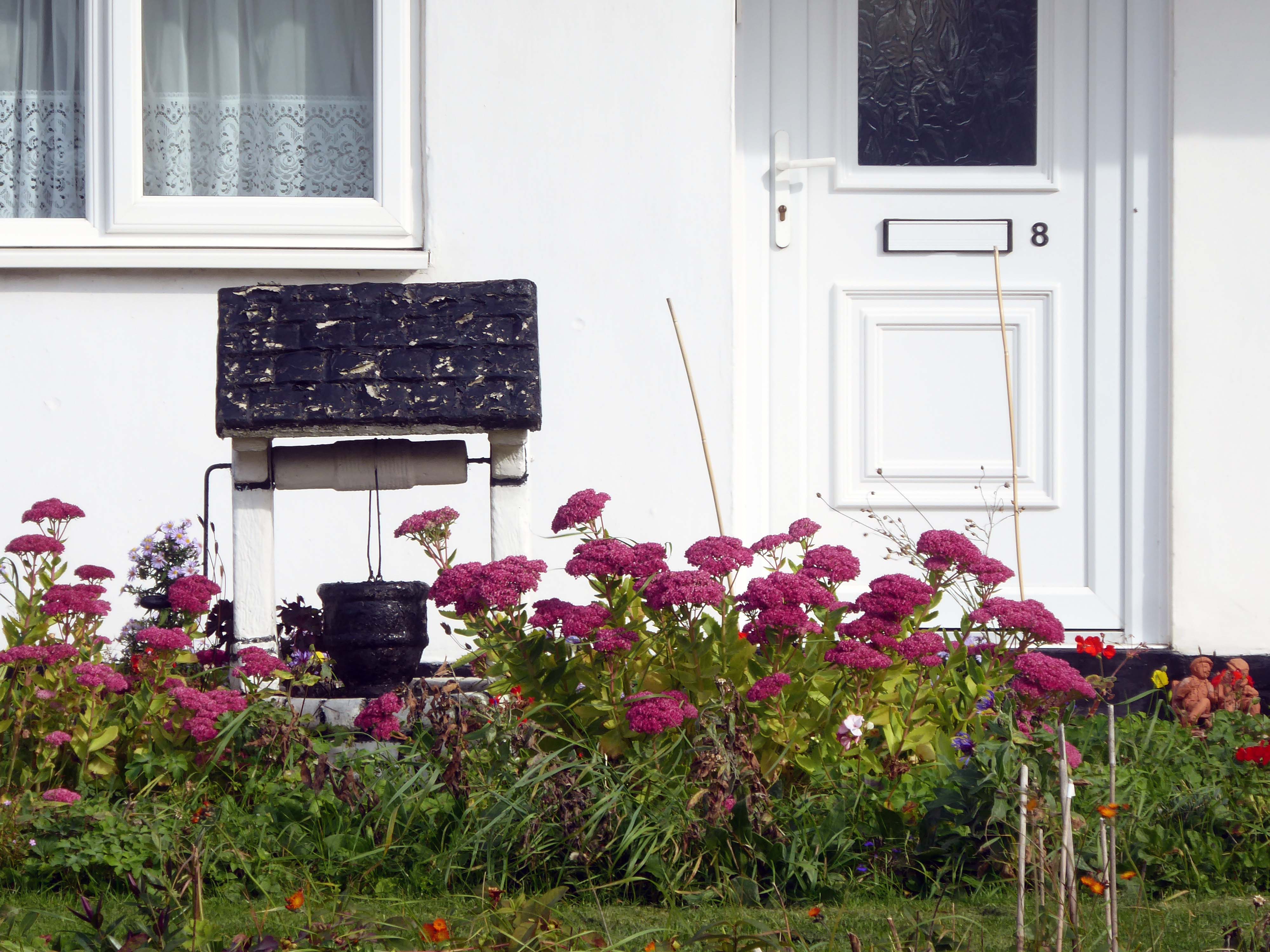
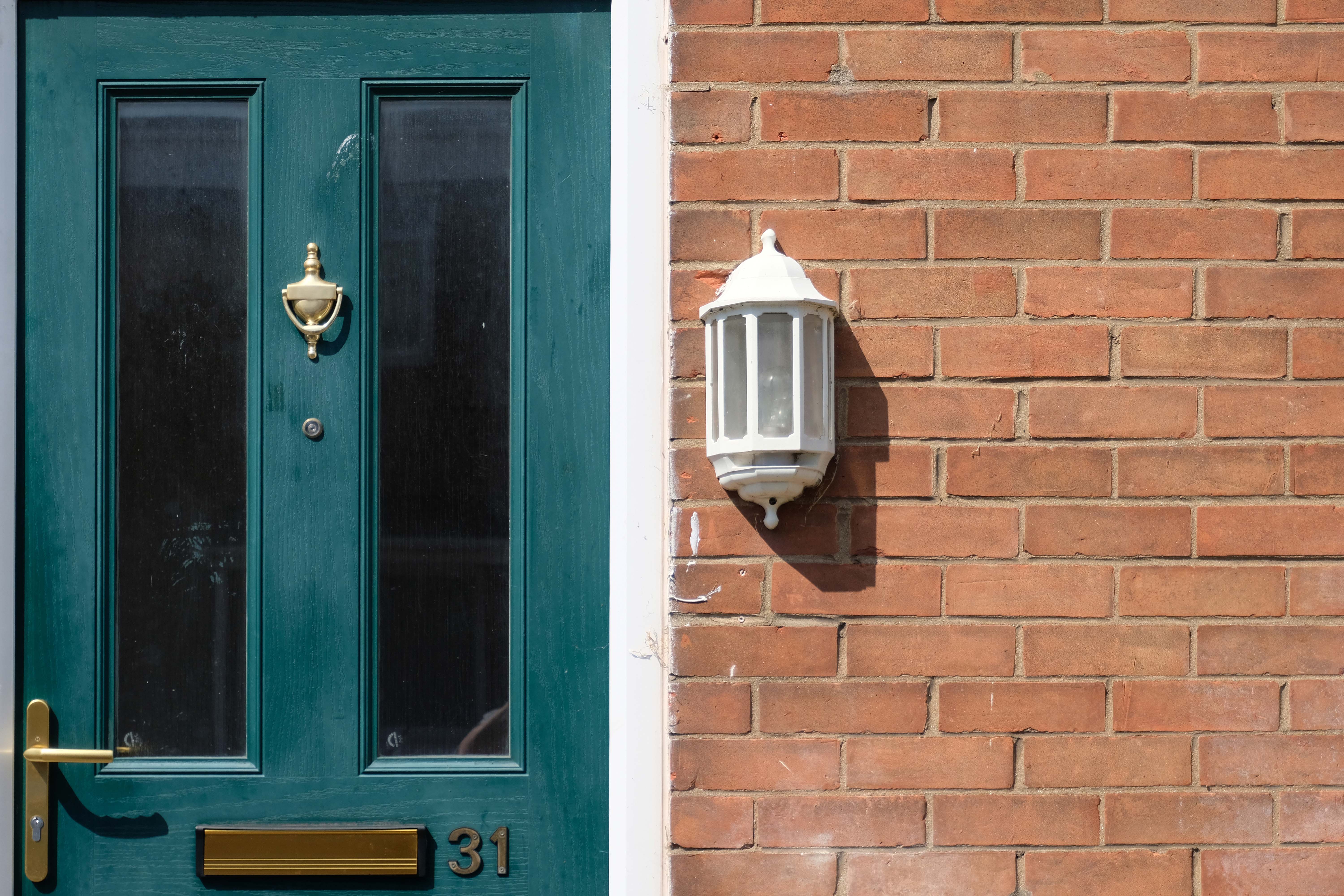
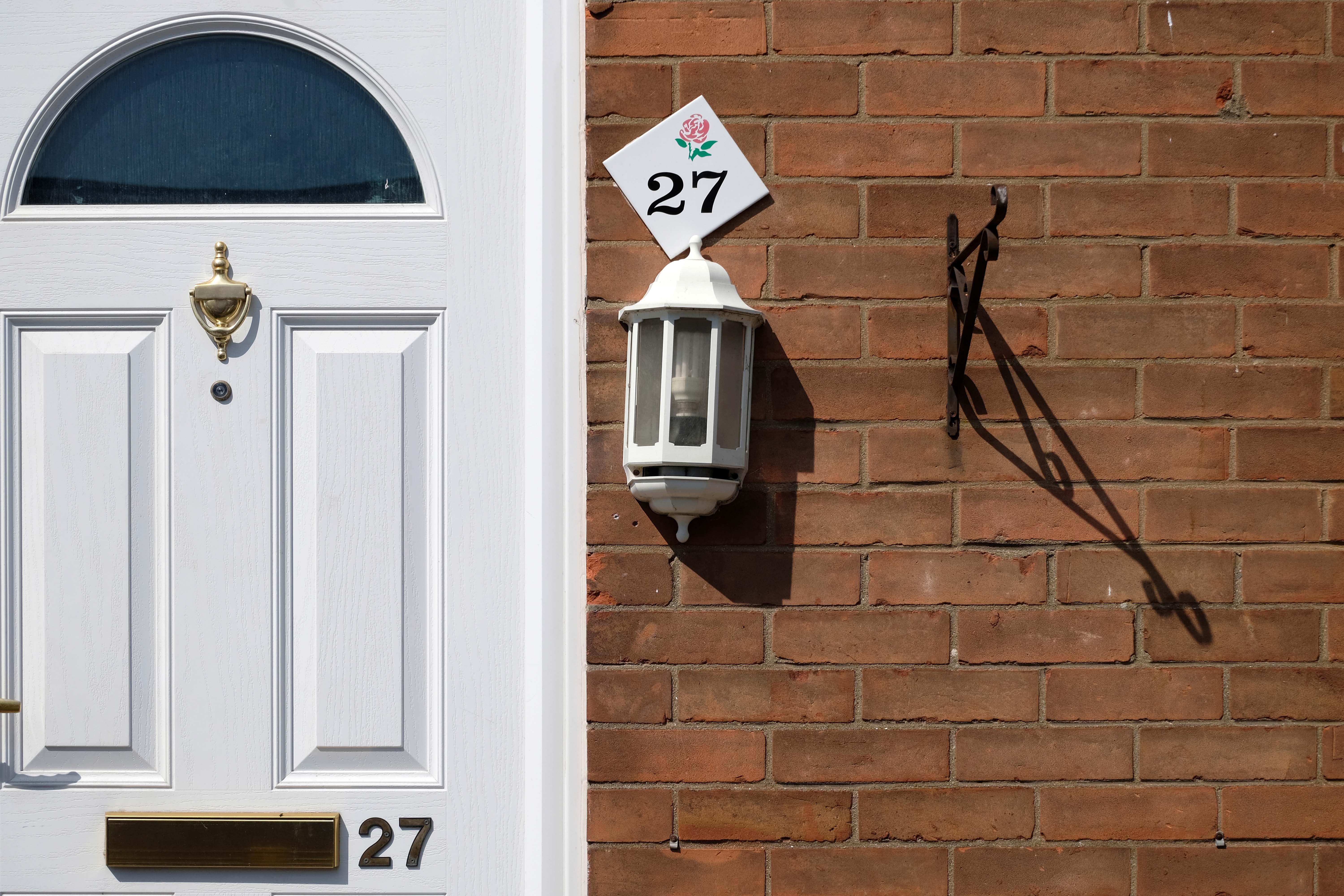
We live in a land of Victorian carriage lamps, wishing wells and faux Georgian doors and door knockers.
Along with replacement windows, multiple cars and the over-cladding of cladding.
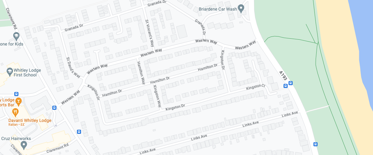
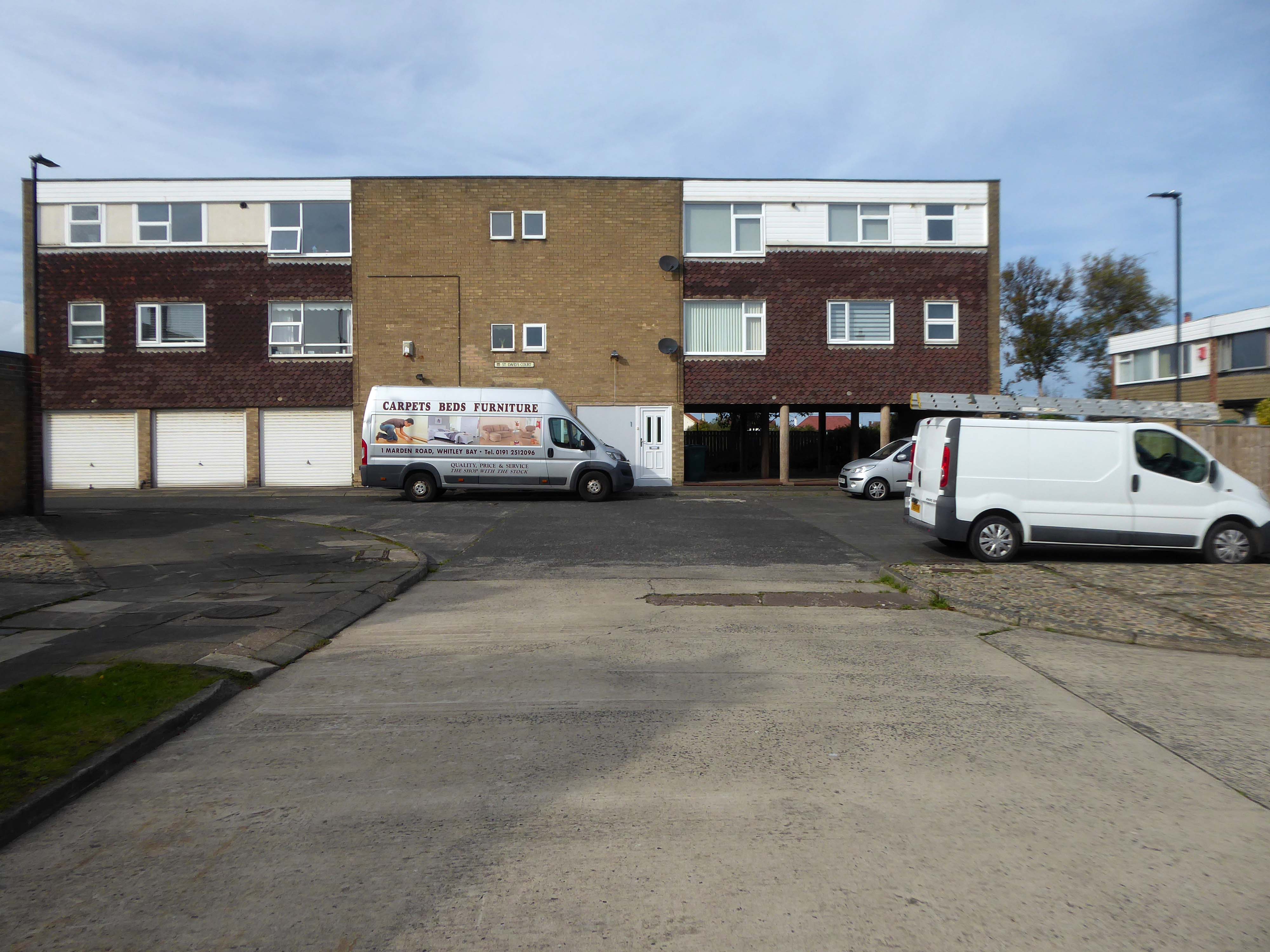
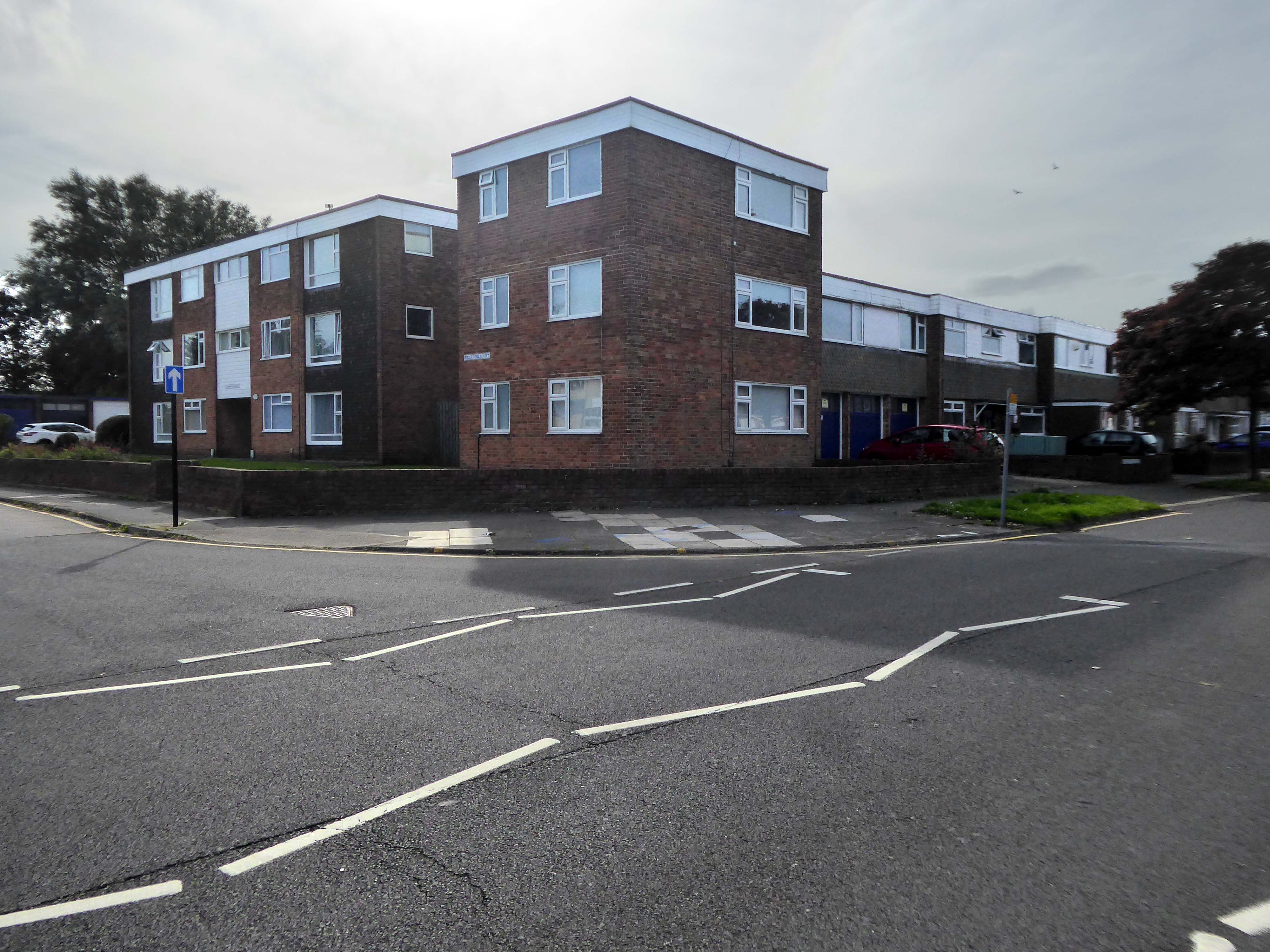
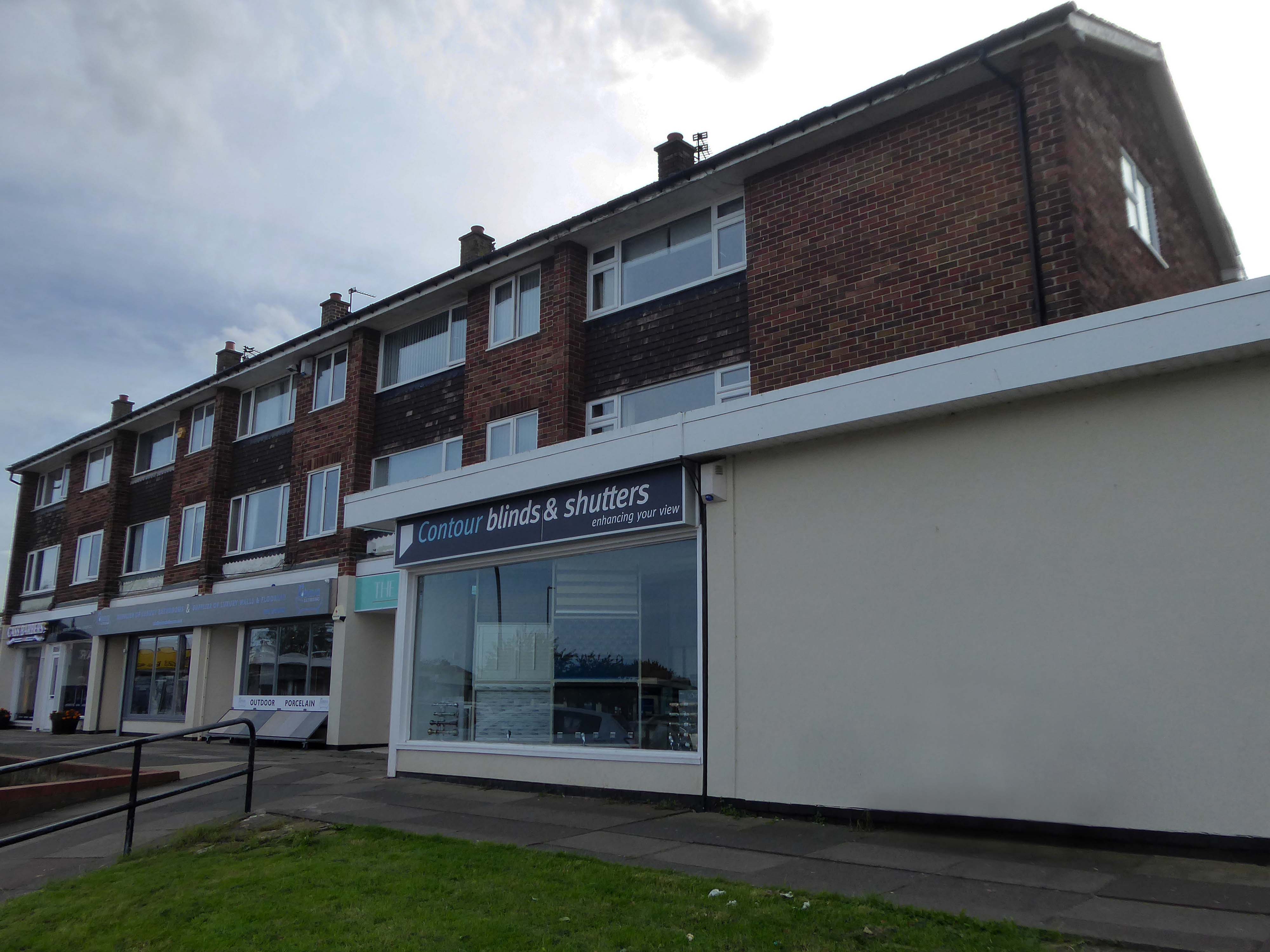
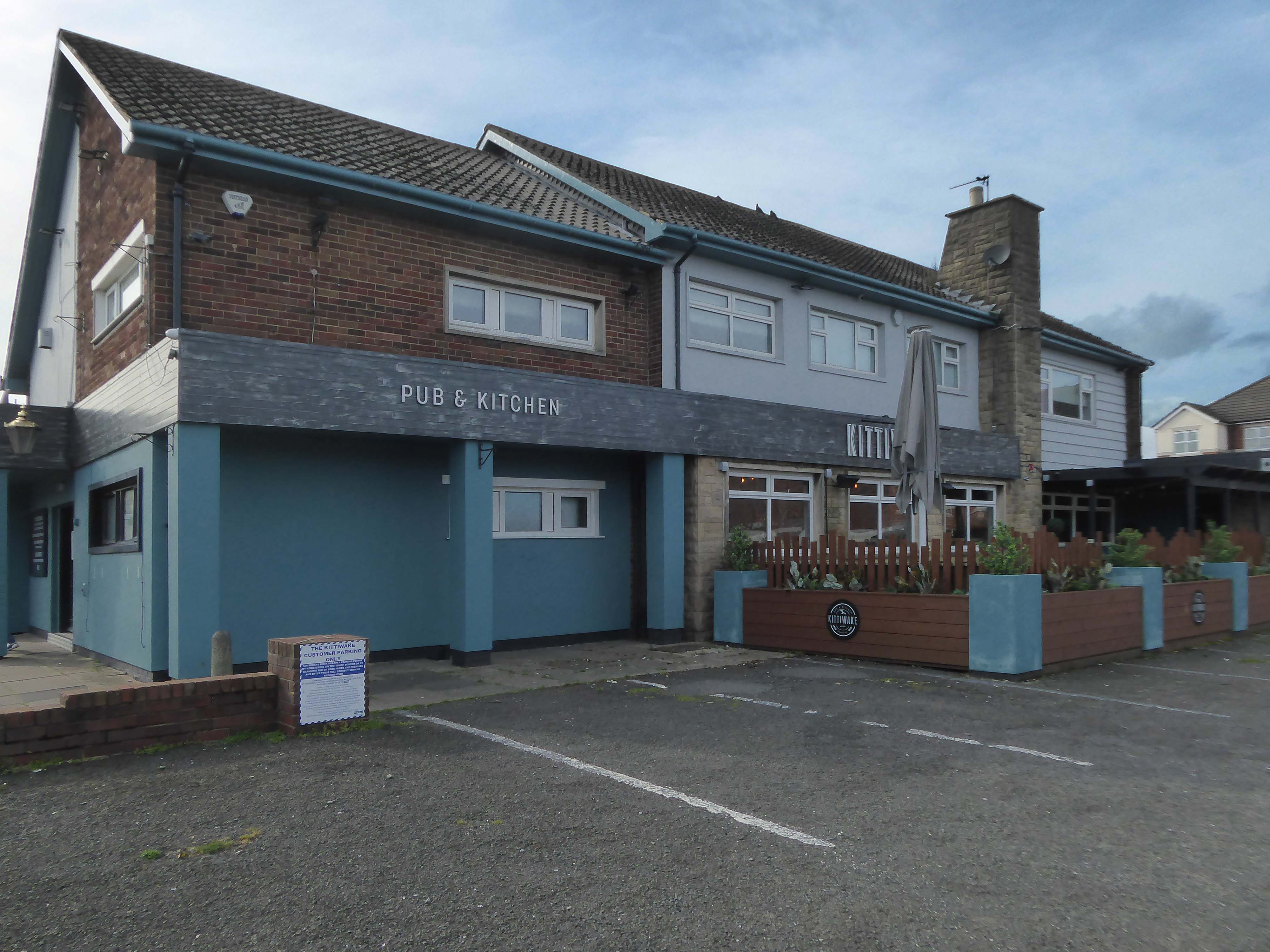
Whitley Lodge consists of a housing estate, the Whitley Lodge Shopping Centre – classified as a District Centre in planning terms and Whitley Lodge First School. The school is home to the Whitley Lodge Baptist Church which was established in 2007.
At the centre of Whitley Lodge is its shopping centre, which includes a snooker club, post office, estate agency, newsagent, soft play area, cafe, barber shop, fitness centre, Italian restaurant Davanti, the Kittiwake pub, Contour Blinds – window blind, shutter, awning and curtain specialists and a Tesco Express. The centre is also home to various takeaway establishments, including Tandoori Take Away, New Claremont Chinese takeaway, Dimitri Takeaway, and a Fish and Chip Shop.
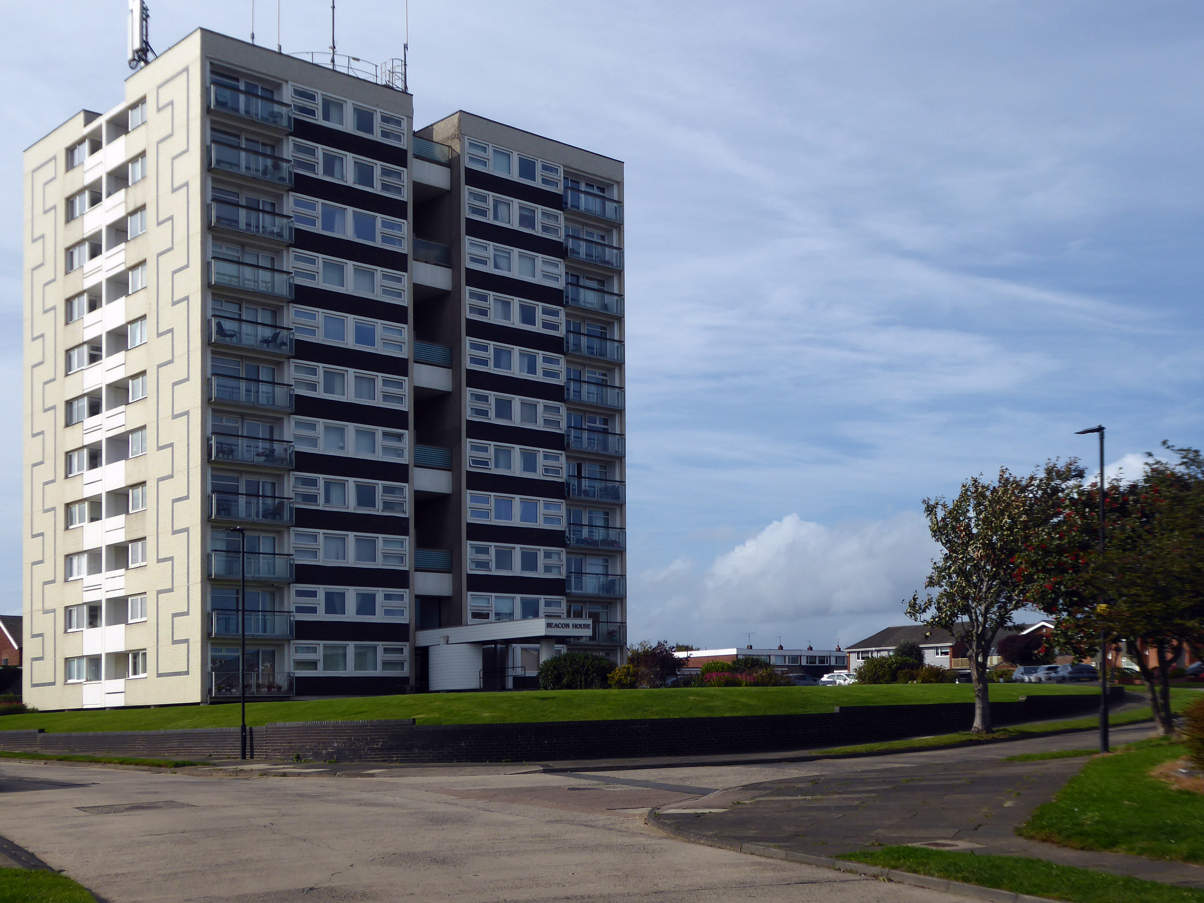
I am oh so fond of 60s seaside estates, having visited Penrhyn Bay again and again
I have to admit that I’m fascinated by the manicured homes of this long sweep of road reaching from the base of the Little Orme.
It was fascination, I know And it might have ended right then, at the start Just a passing glance, just a brief romance And I might have gone on my way, empty hearted
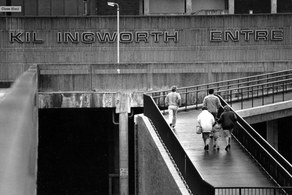
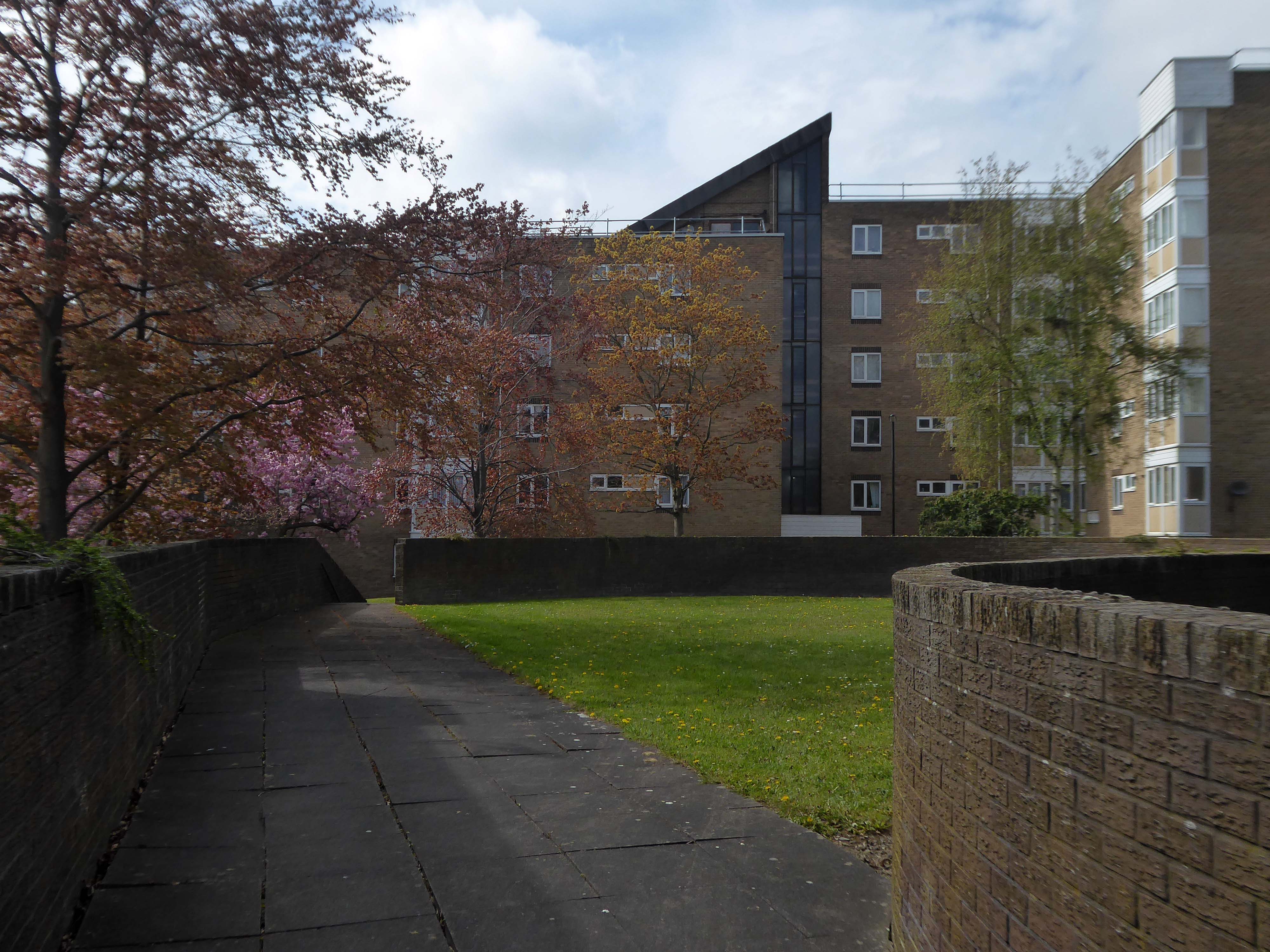
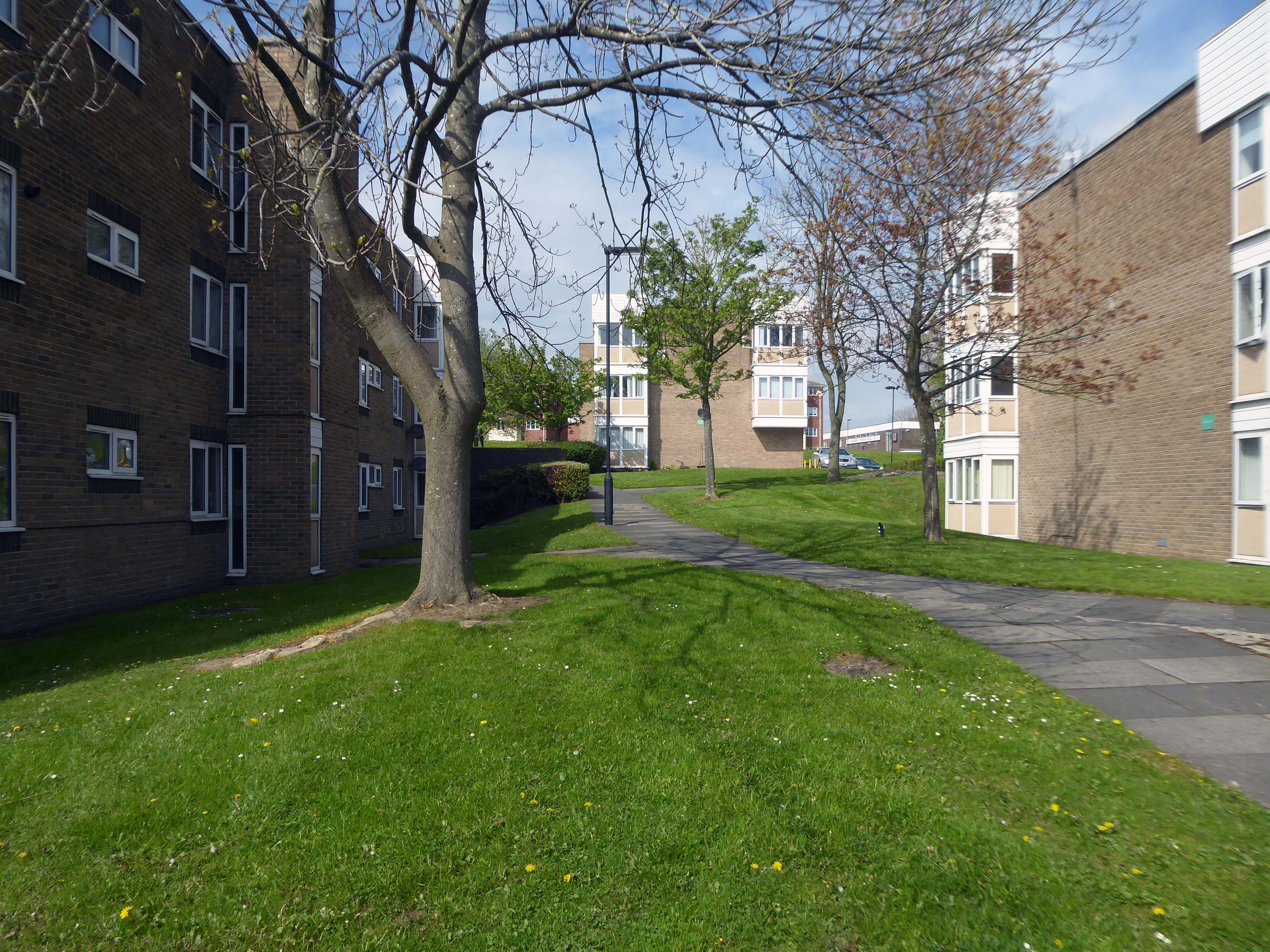
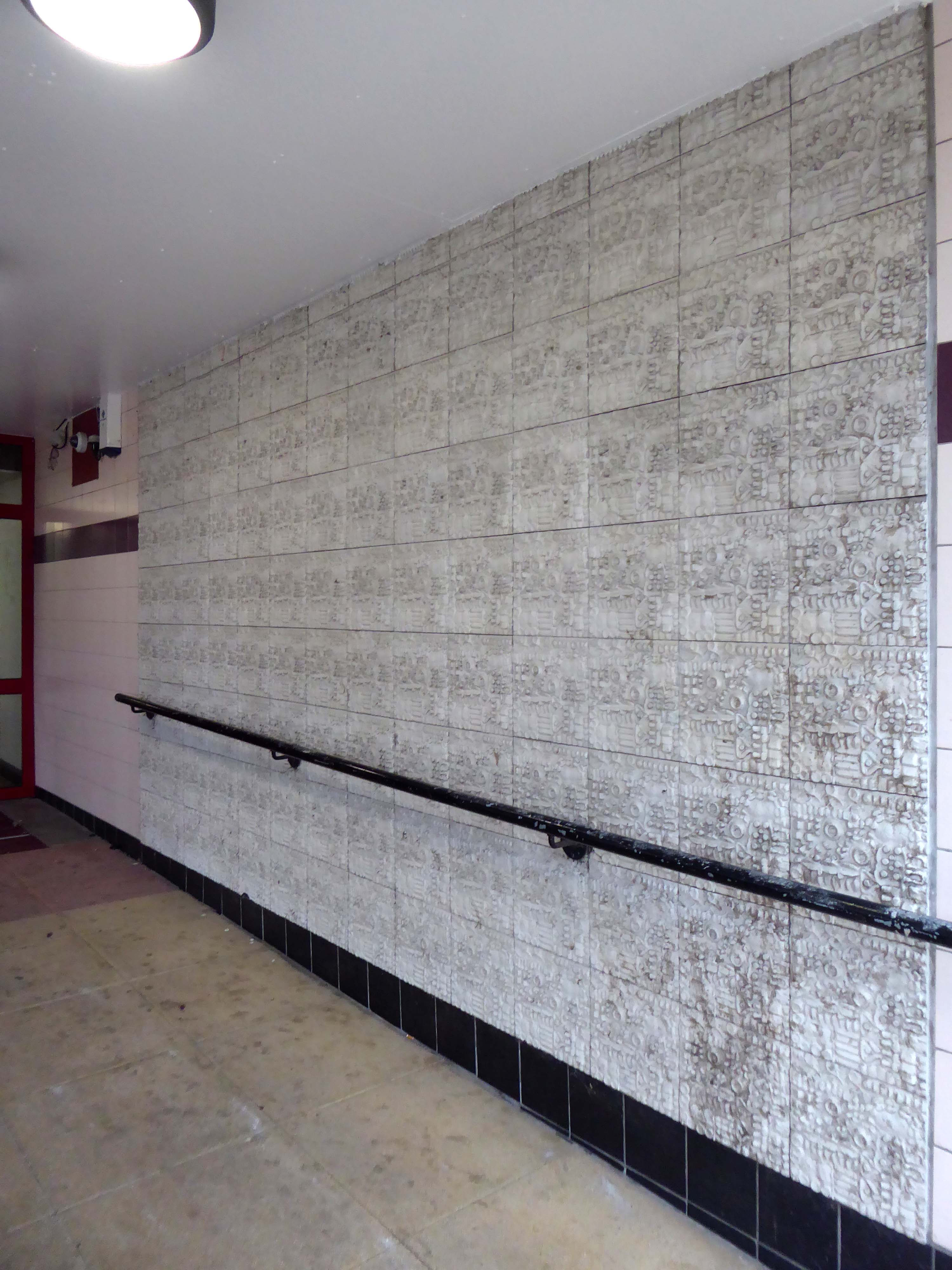
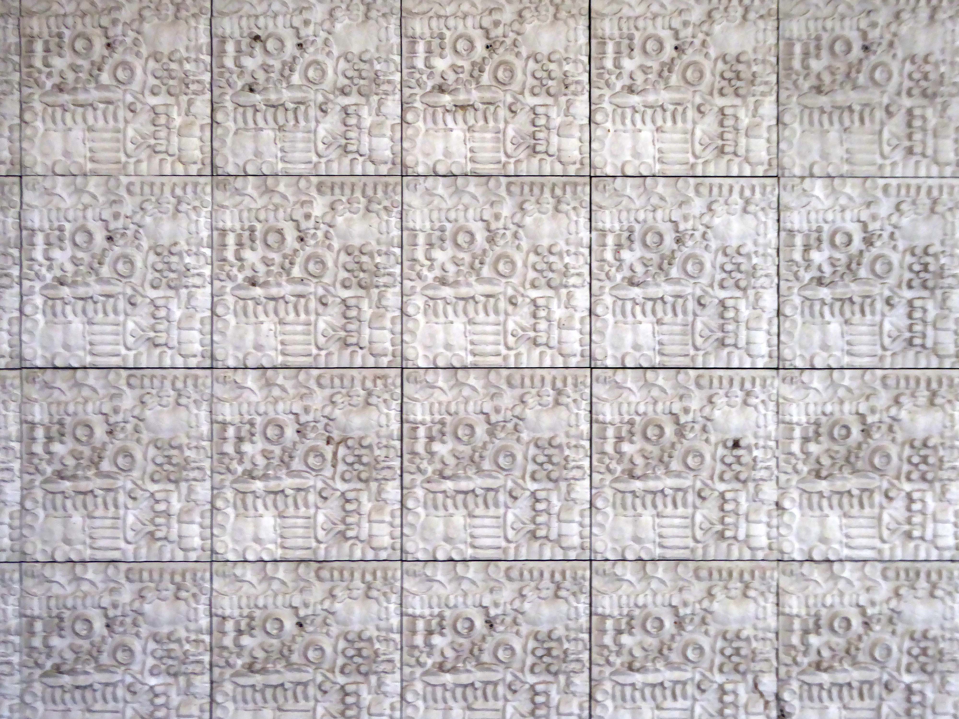
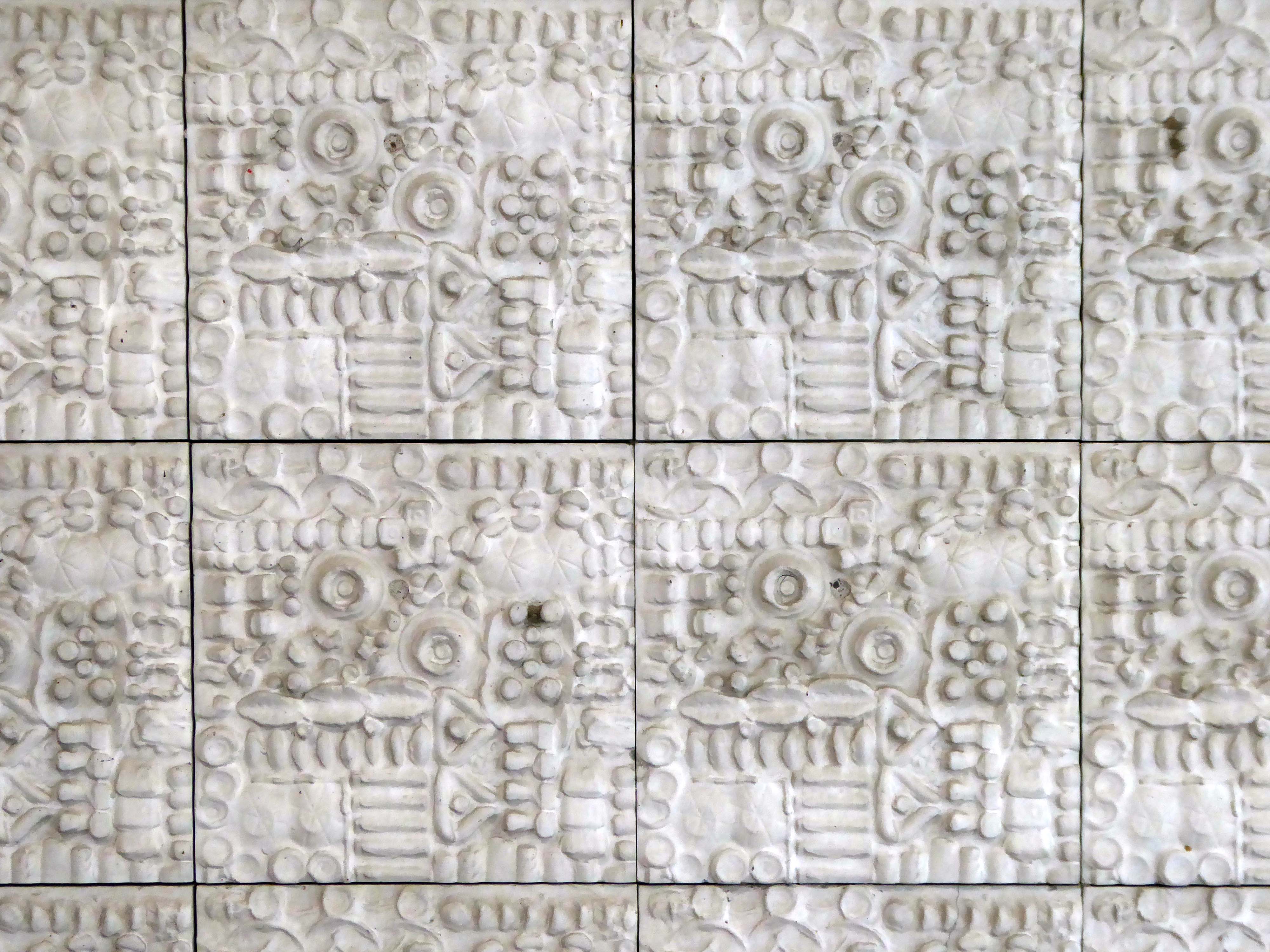
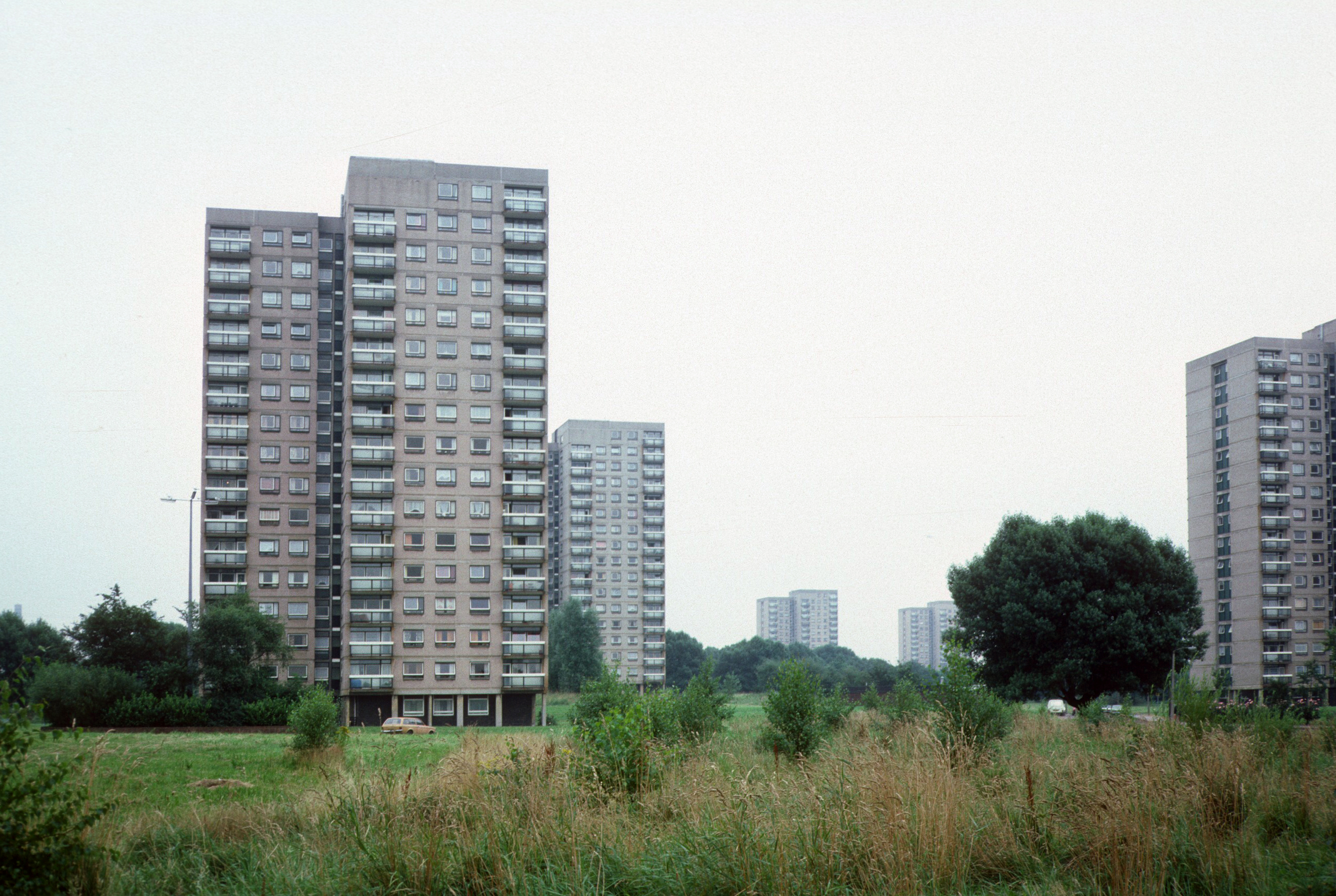
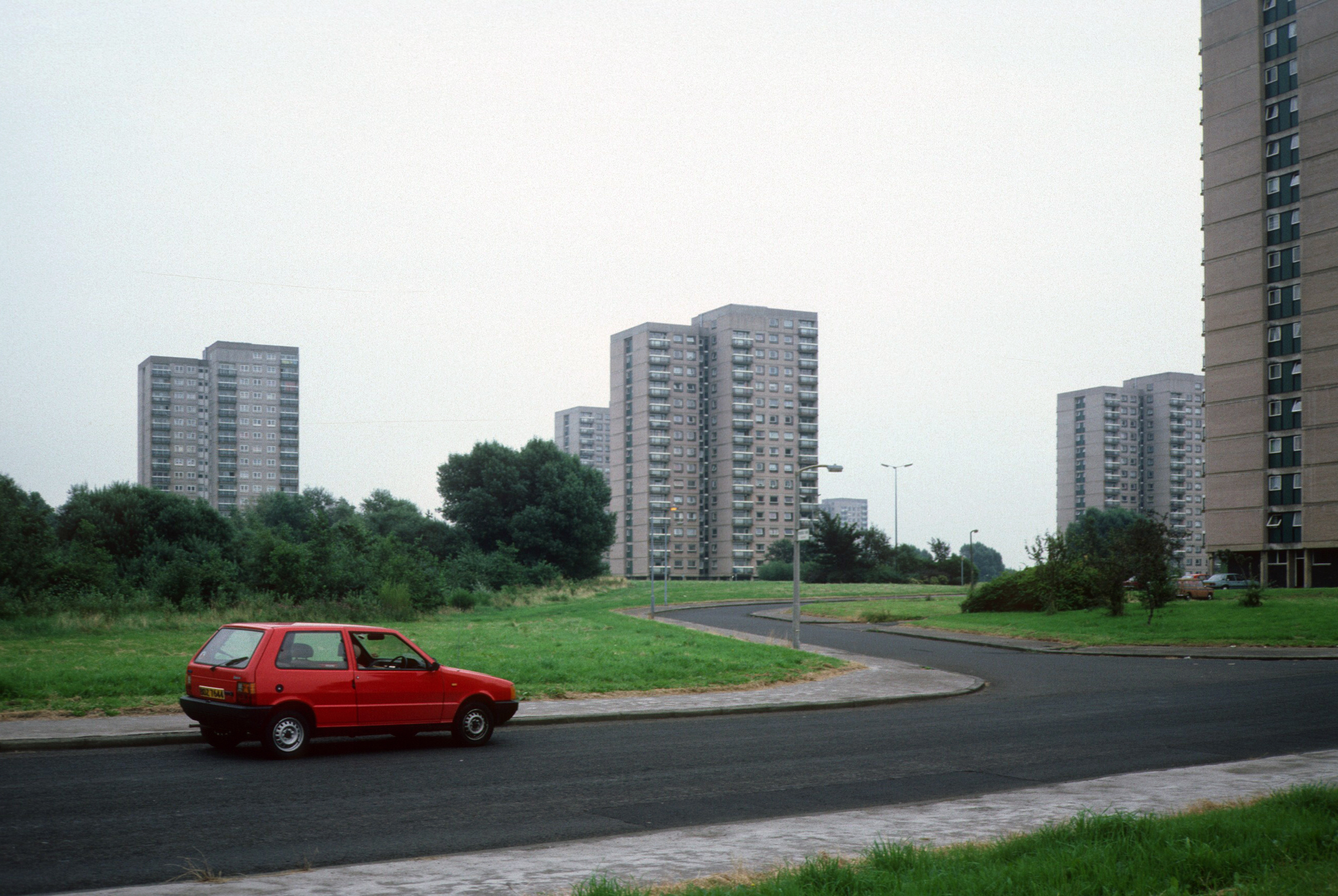
Construction of Killingworth, a new town, began in 1963. Intended for 20,000 people, it was a former mining community, formed on seven hundred and sixty acres of derelict colliery land near Killingworth Village. The building of Killingworth Township was undertaken by Northumberland County Council and was not formally a New Town sponsored by the Government.
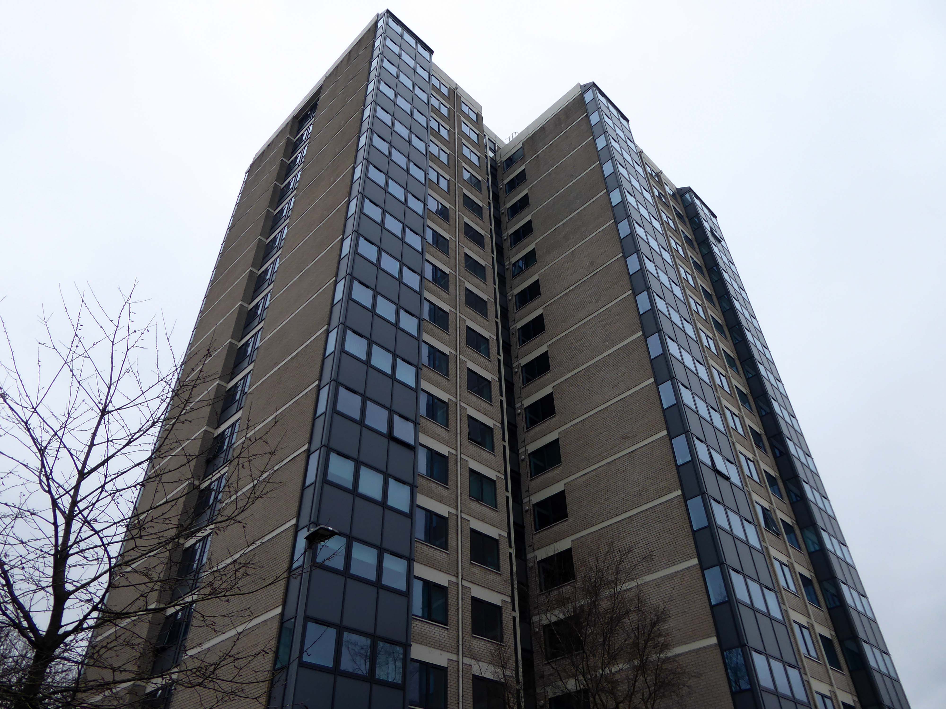
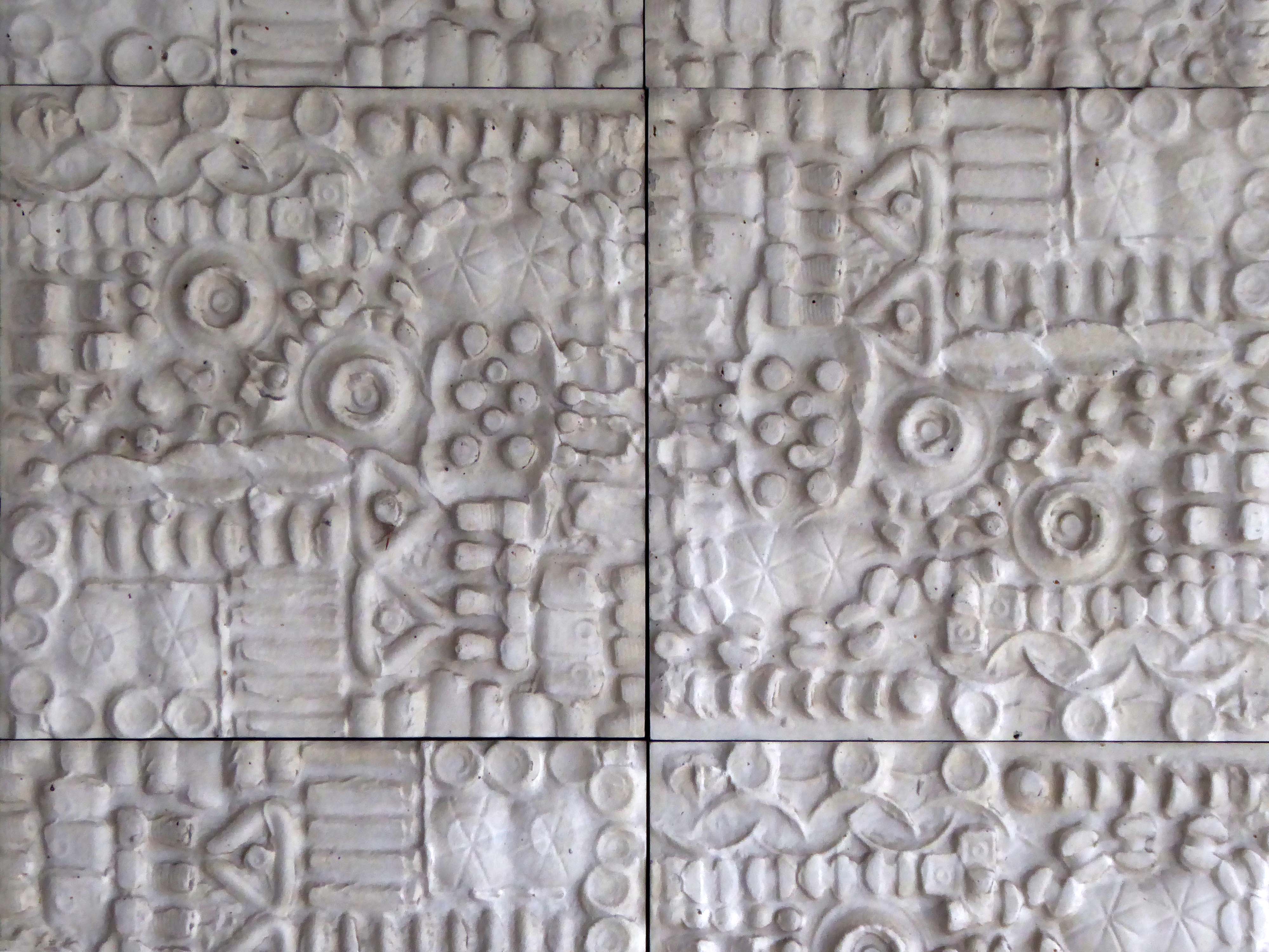
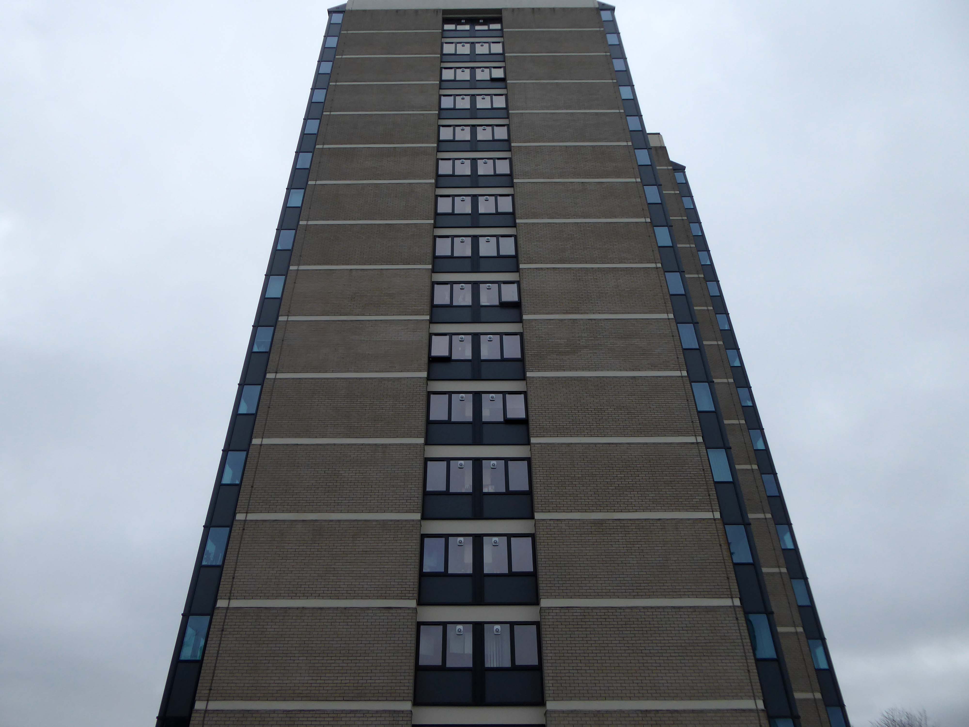
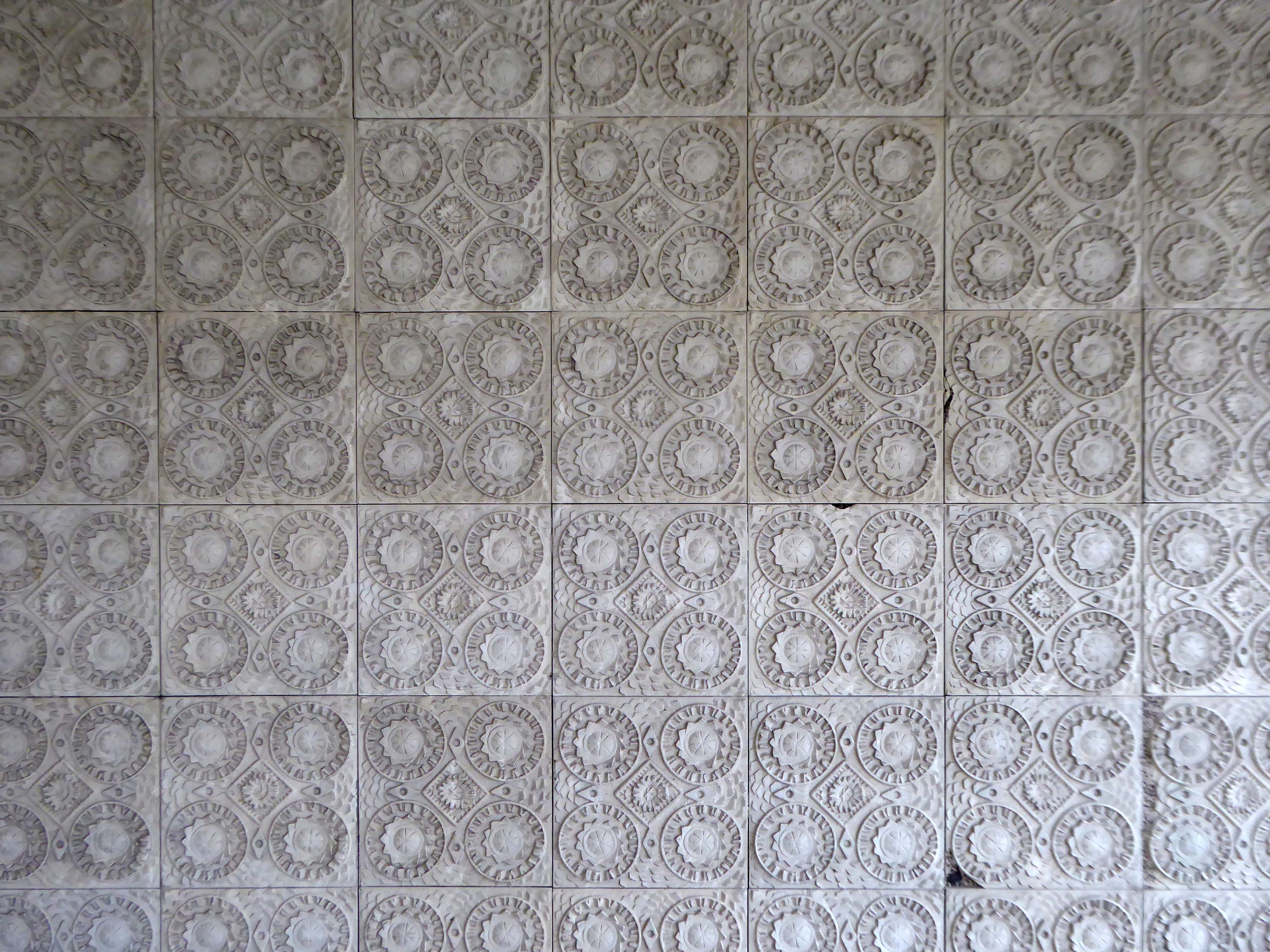
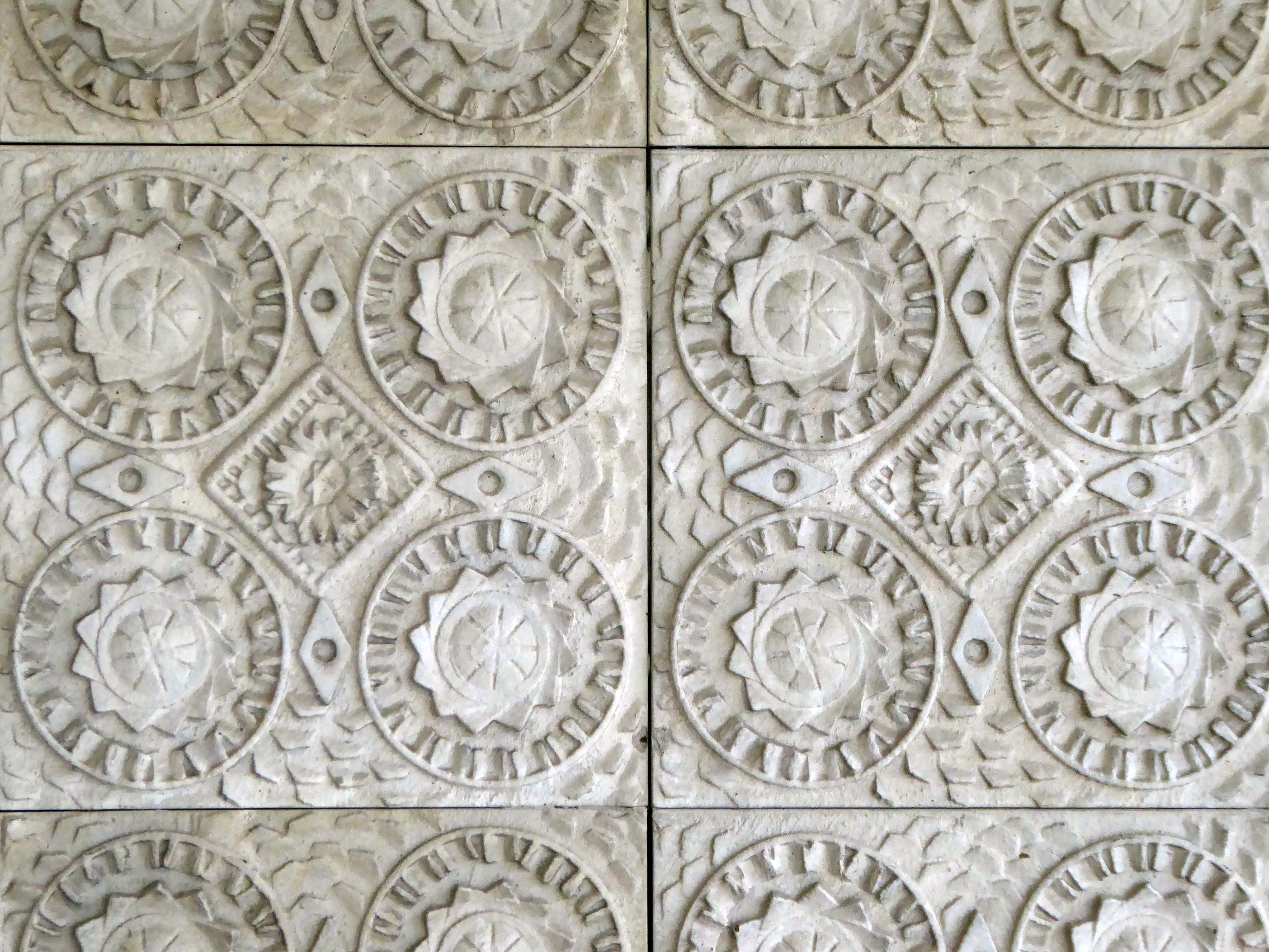
Unlike that town, Killingworth’s planners adopted a radical approach to town centre design, resulting in relatively high-rise buildings in an avant-garde and brutalist style that won awards for architecture, dynamic industry and attractive environment.
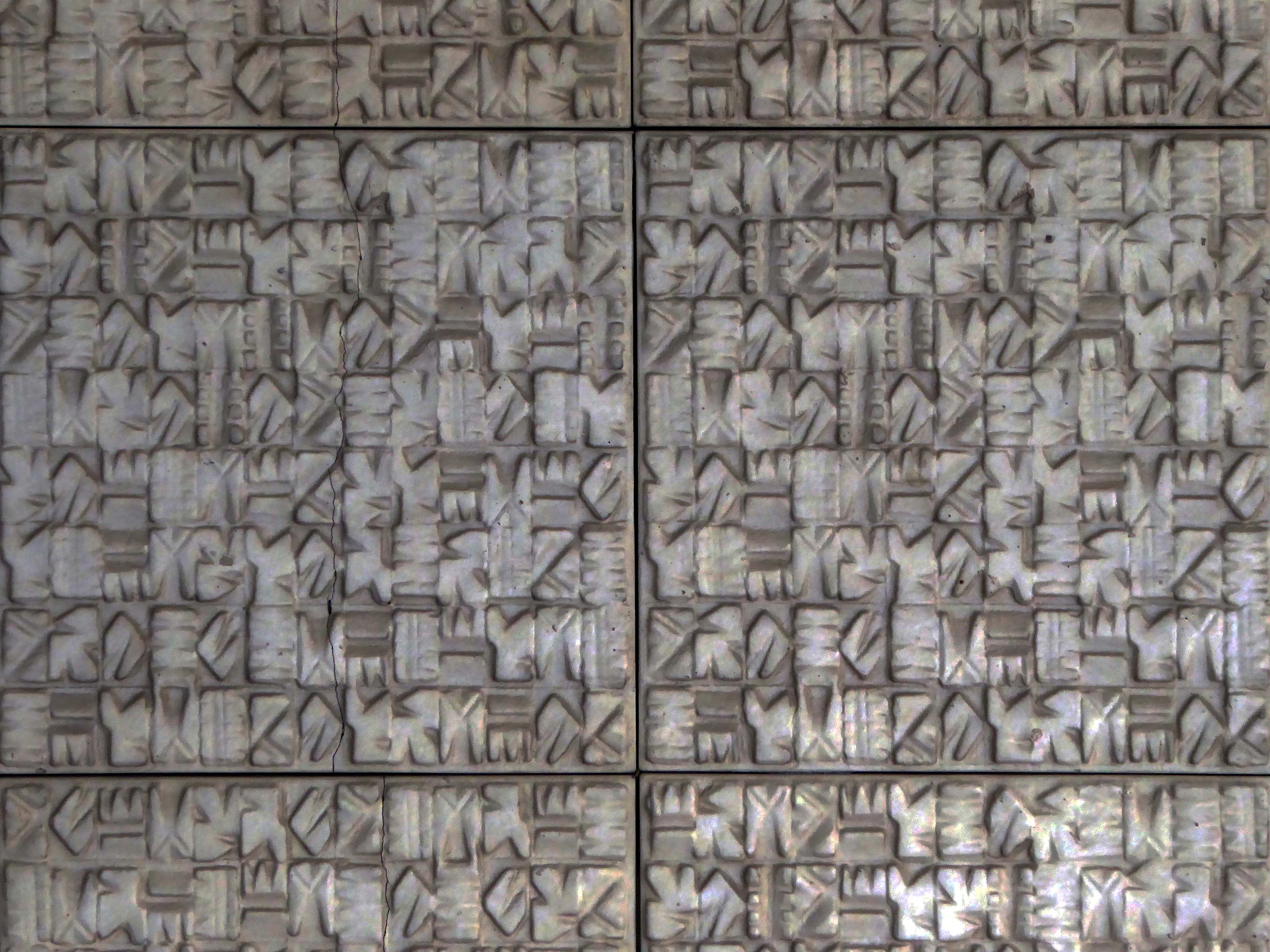
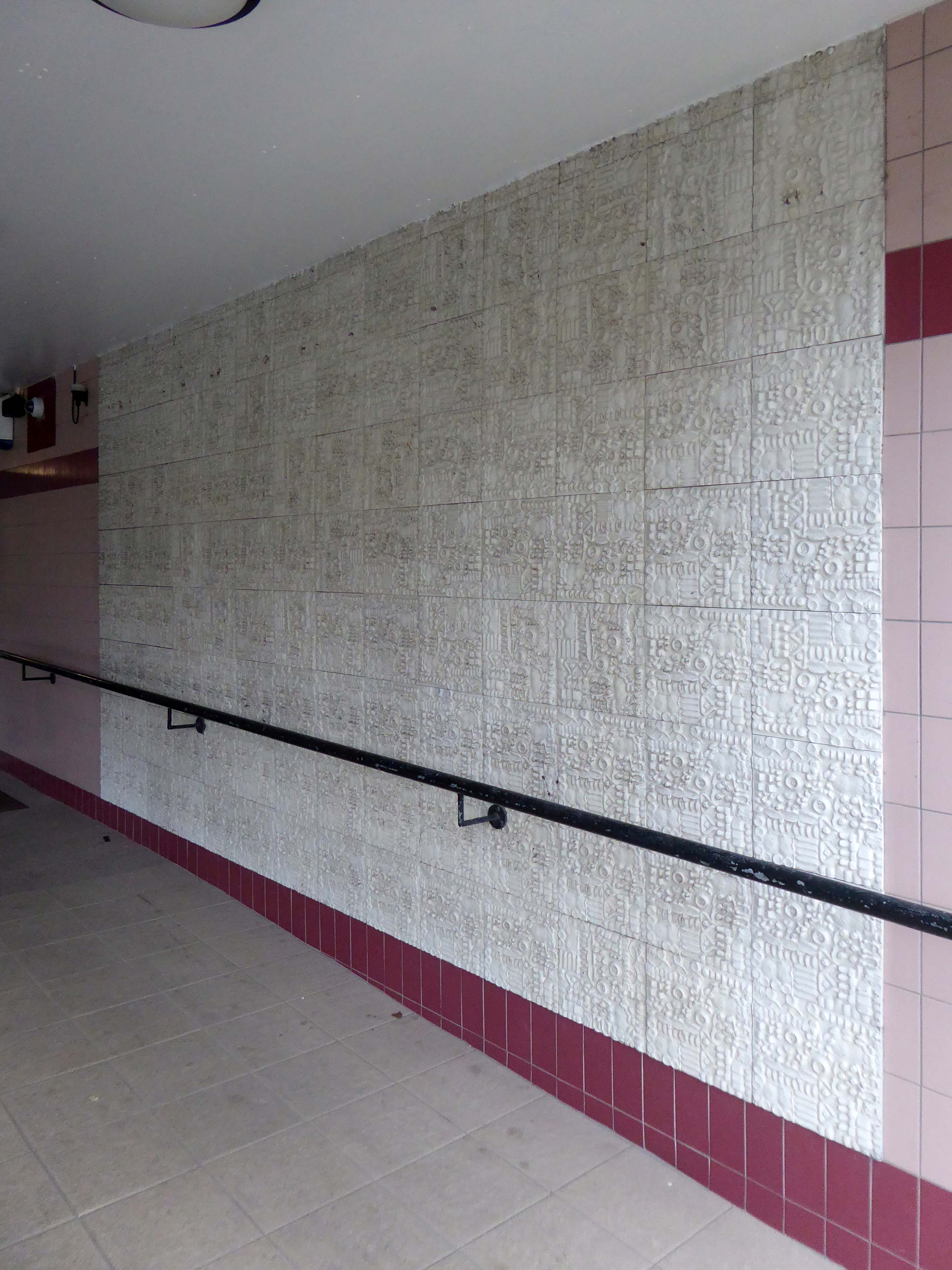
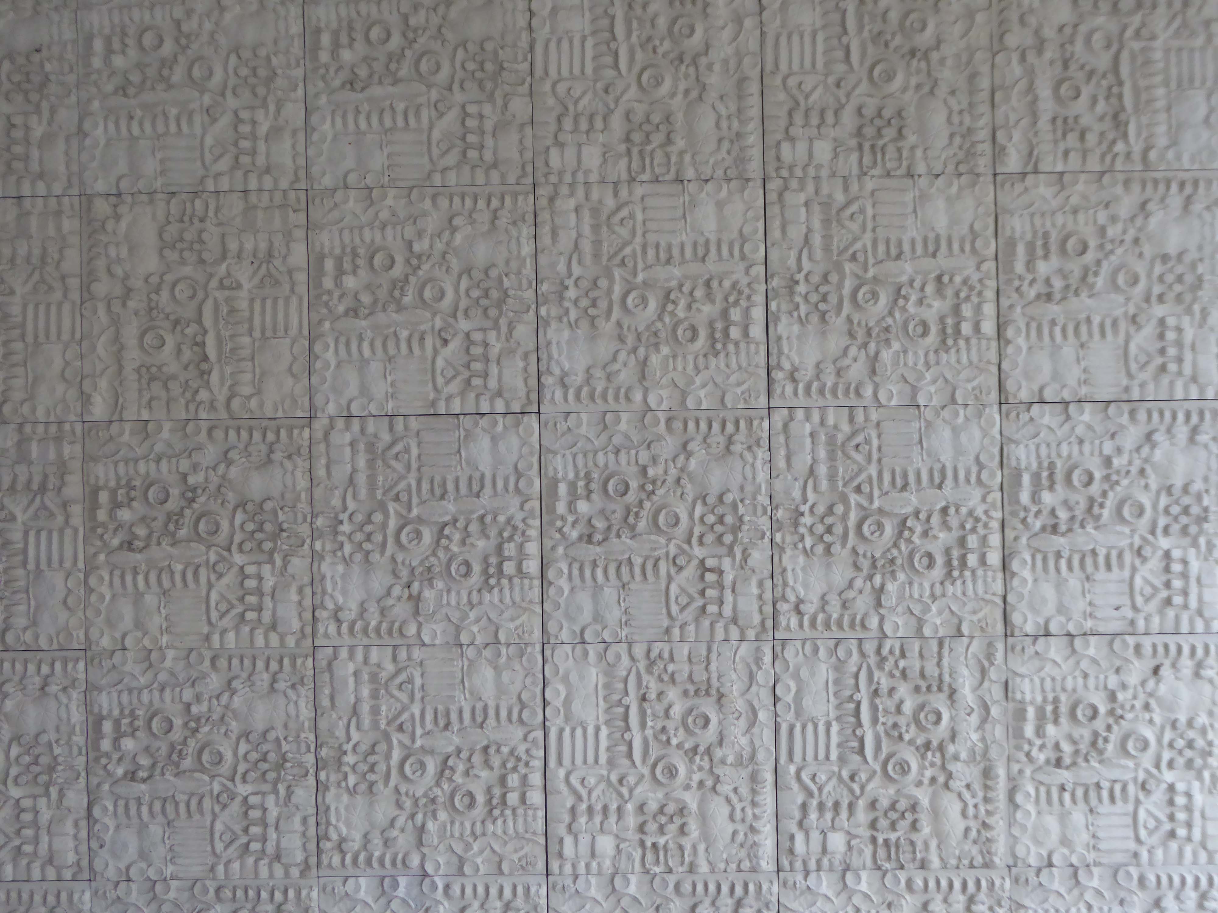
This new town centre consisted of pre-cast concrete houses, with millions of small crustacean shells unusually embedded into their external walls, five to ten storey flats, offices, industrial units and service buildings, which often consisted of artistic non-functional characteristics, shops and residential multi-storey car parks, interconnected by ramps and walkways. These made up a deck system of access to shopping and other facilities, employing the Swedish Skarne method of construction.
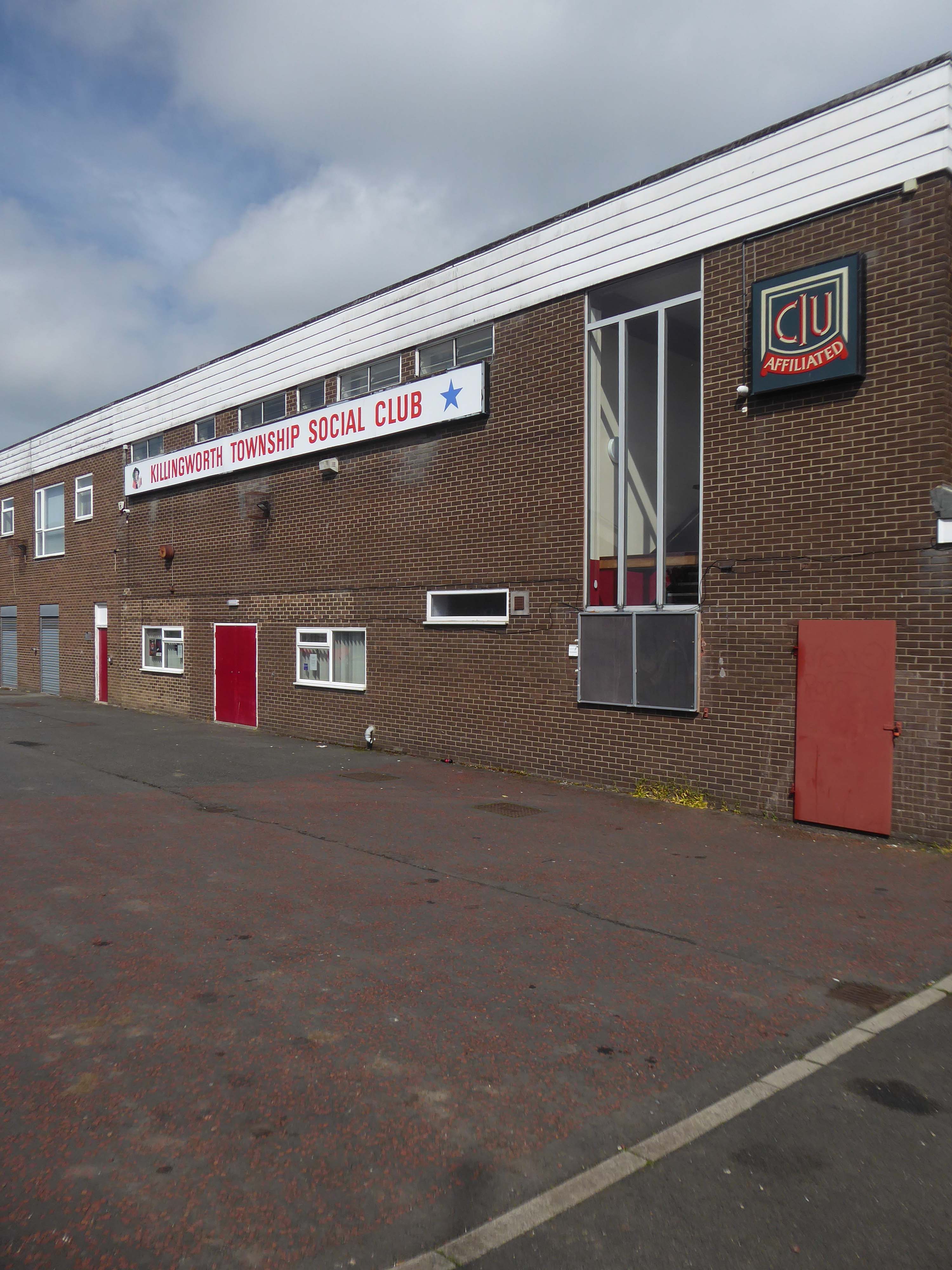
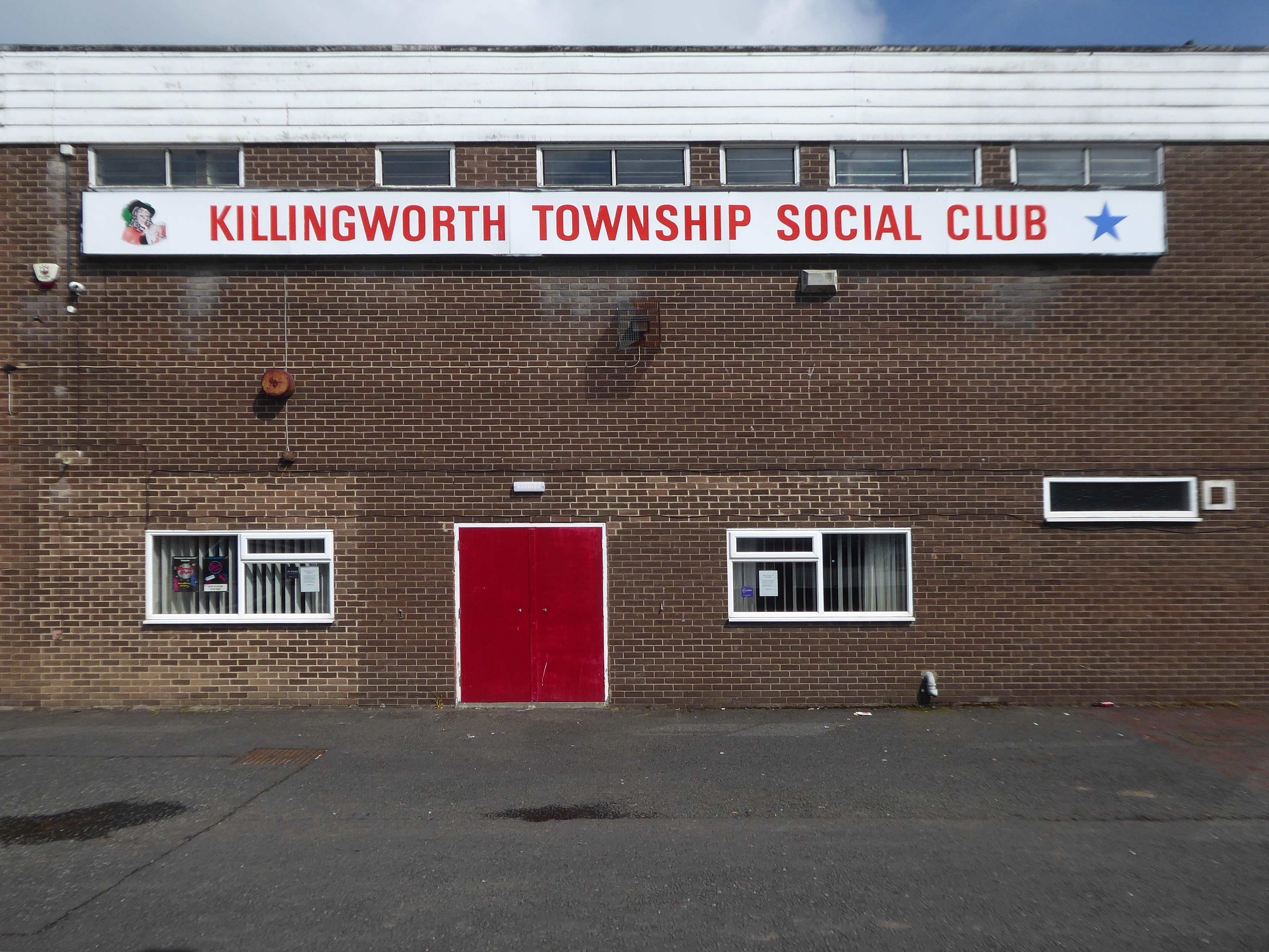
Originally named Killingworth Township, the latter part was quickly dropped through lack of colloquial use.
Killingworth is referred to as Killy by many residents of the town and surrounding areas.
Around 1964, during the reclamation of the derelict pit sites, a fifteen acre lake south of the town centre was created; spoil heaps were levelled, seeded and planted with semi-mature trees.
Having taken a particular interest in this particular piece of public art for some time – I need to go and take a little look.
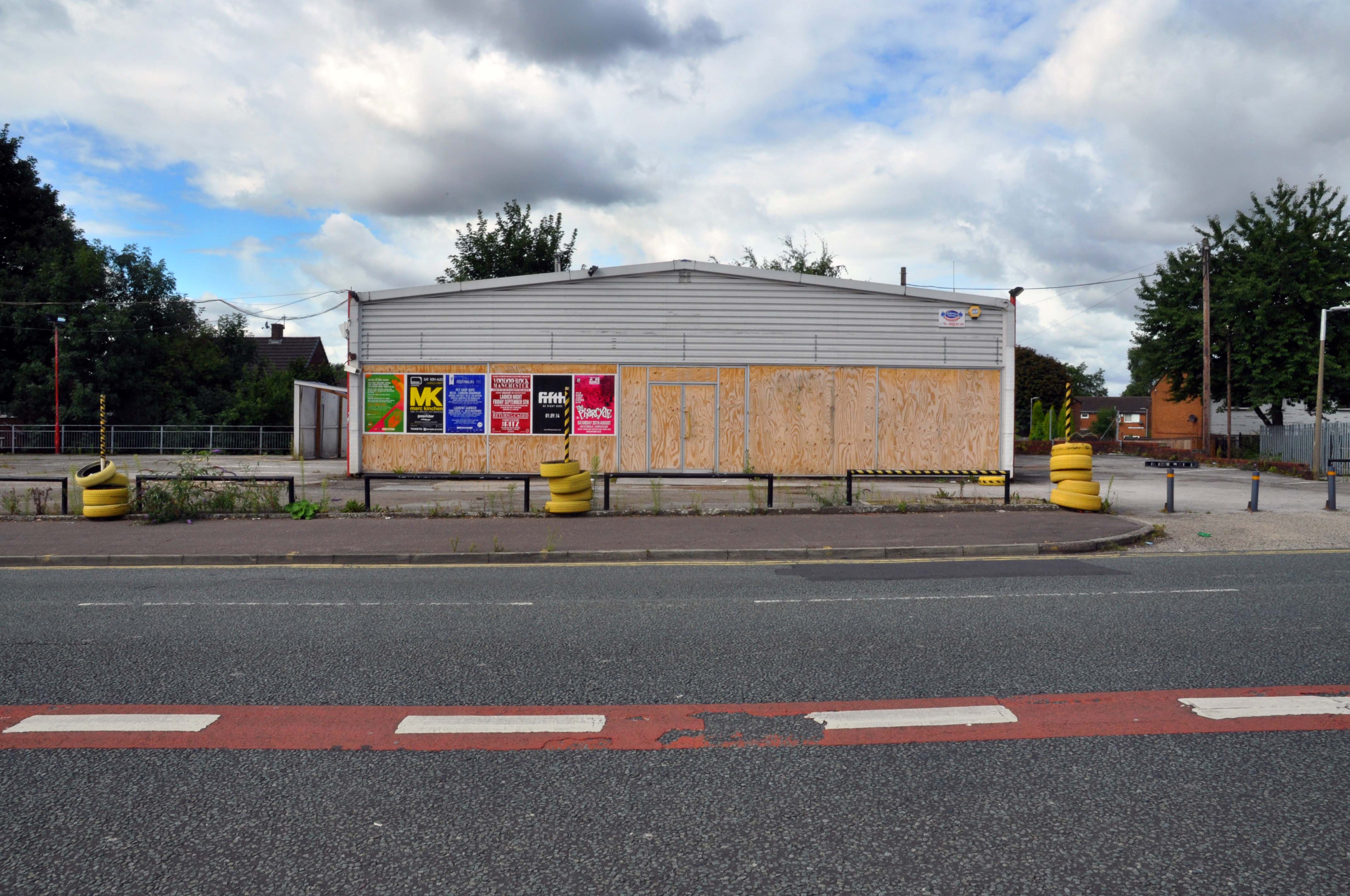
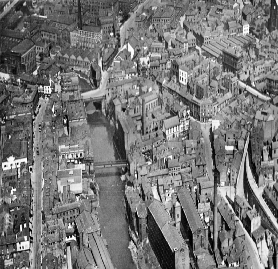
But what will we see along the way, as we hasten along Rochdale Road?
Which once looked like this, way back when in 1904.
Though some things inevitably come and go, as some things are prone to do.
The city is undergoing yet another reinvention as Manchester becomes – an attractive place to invest and do business.
See, I am doing a new thing!
Now it springs up; do you not perceive it?
I am making a way in the wilderness and streams in the wasteland.
Isaiah 43:19
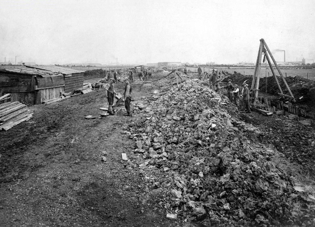
Once there was a gas works here – adjoining Gould Street, seen here in 1958.
The Gould Street Gas Works was a gas manufacturing plant located in Manchester, England. Originally built in 1824, the plant was operated by the Manchester Corporation Gas Department and was in operation from 1833 to 1969. It was named after the street on which it was located, which was named after John Gould, who was a prominent Manchester businessman in the 19th century.
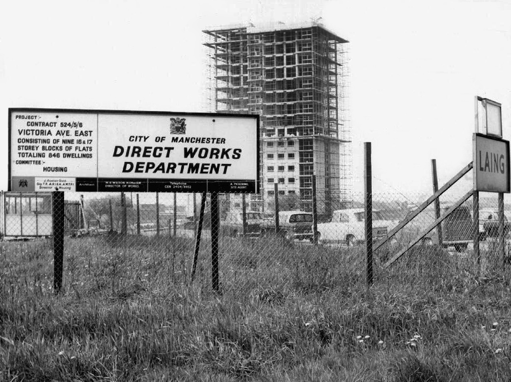
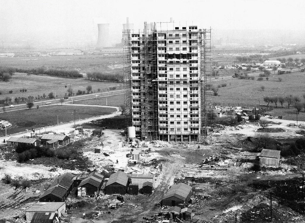
The Gasworks New Town neighbourhood is one of seven envisioned by the £4bn Victoria North masterplan. It will feature nine buildings ranging from 8 to 34 storeys. The 6.6-acre site has most recently been home to a car park but the green development will overwhelmingly prioritise walking and cycling over driving. It will result in tens of millions of pounds being pumped into the city’s economy over the lifetime of the development.
Plans for a trailblazing city centre regeneration scheme that will create more than 1200 homes has been approved by Manchester City Council.
A total of 85 of the 1200, will be affordable homes available through Shared Ownership.
Though as of March 31st 2023 ground is yet to be broken, no signs of the:
New centre of gravity for central Manchester that will create thousands of jobs and inject tens of millions of pounds into the city’s economy.
So you zig-zag wanderers, make the most of these wide open expanses of affordable car parking, while you can.
The future may yet be here today – or the next.
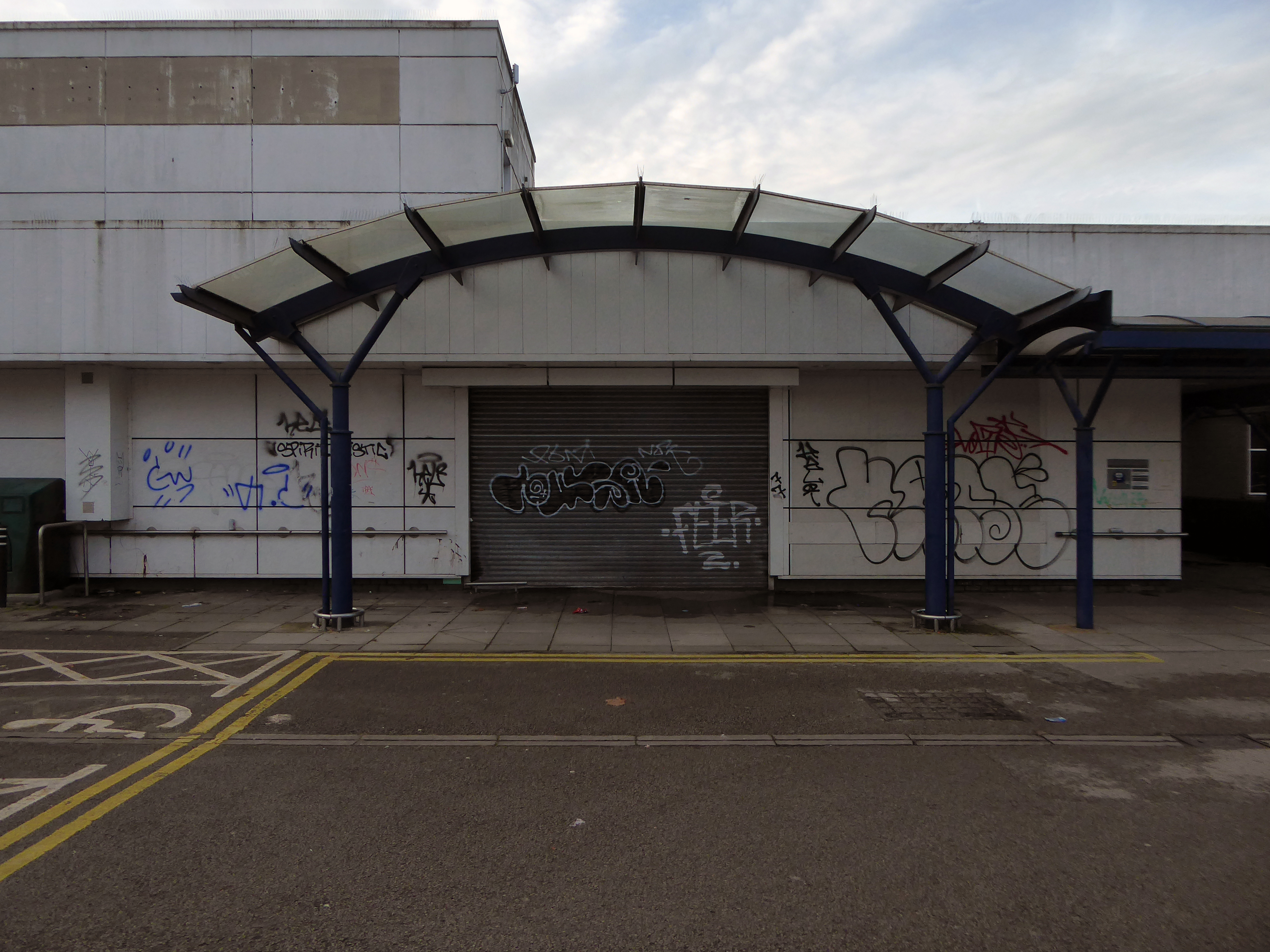
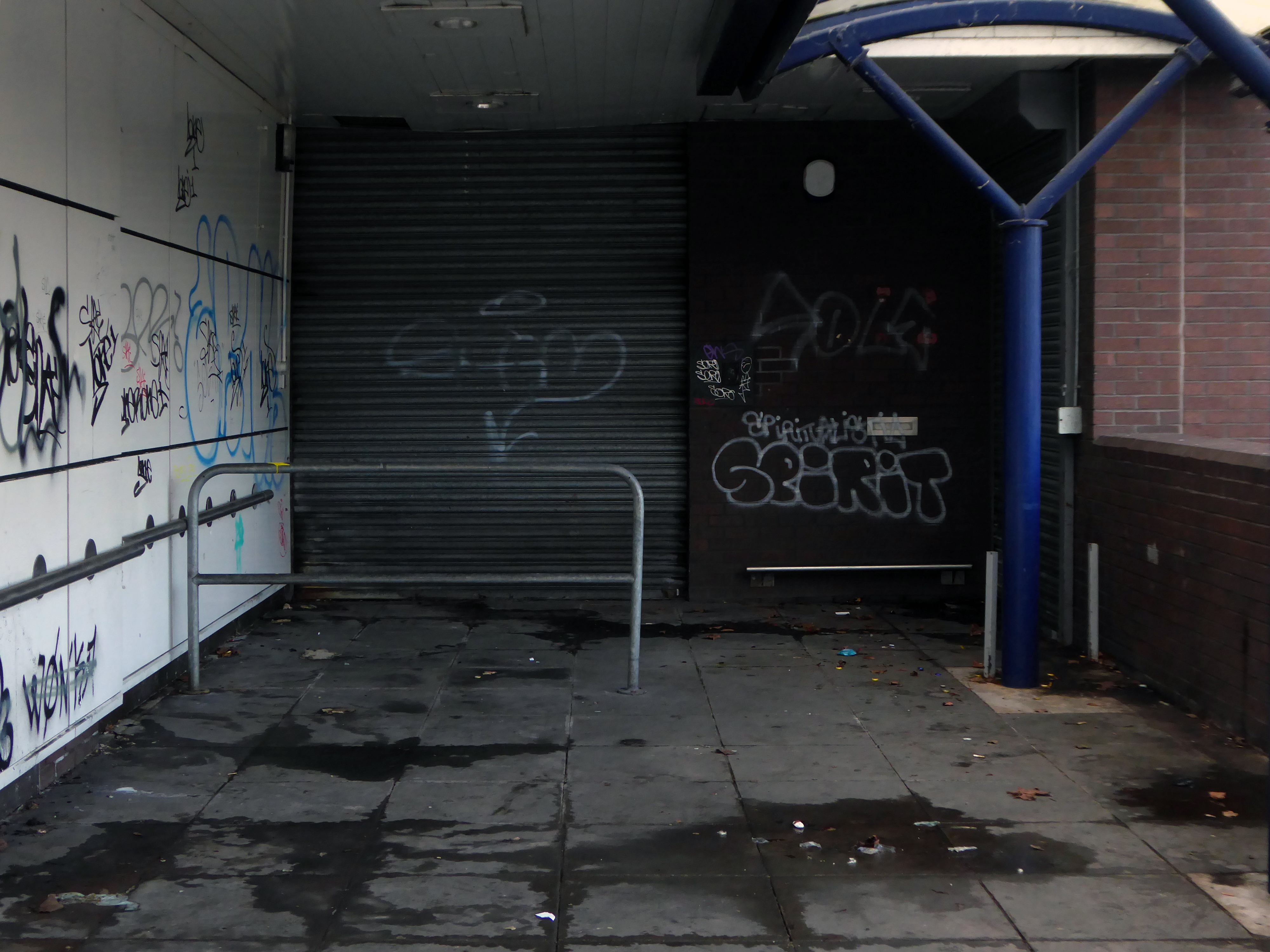
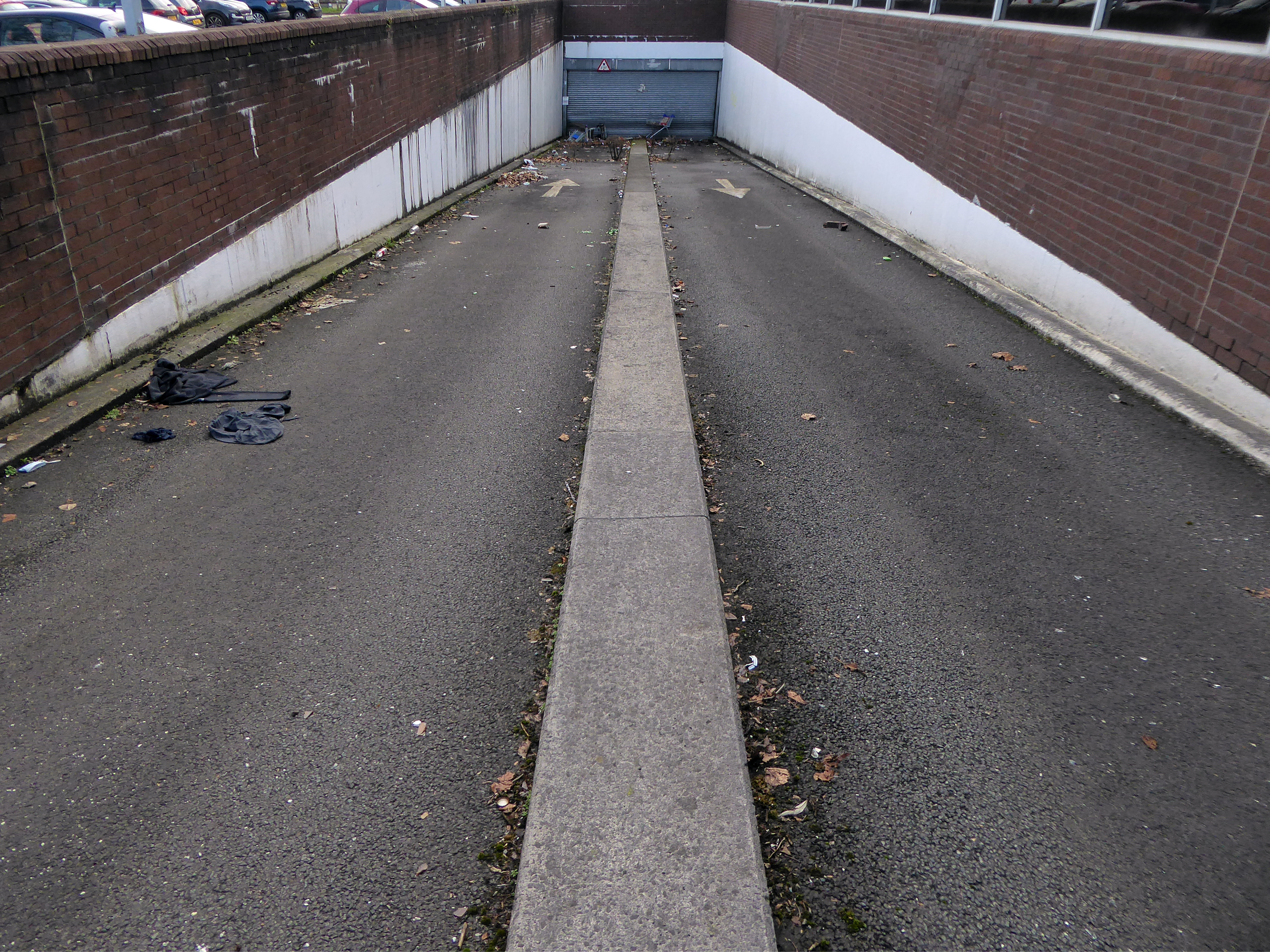
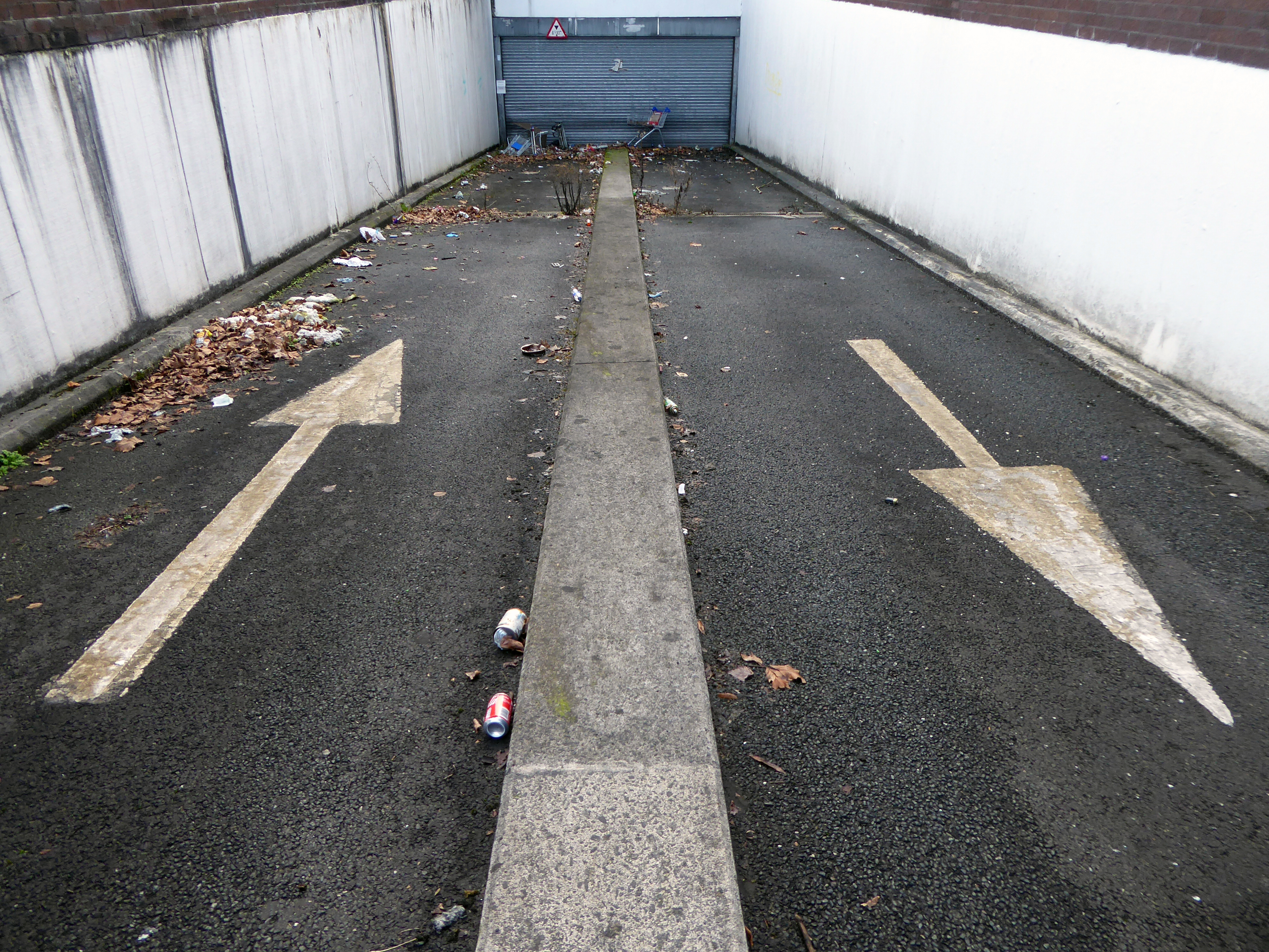
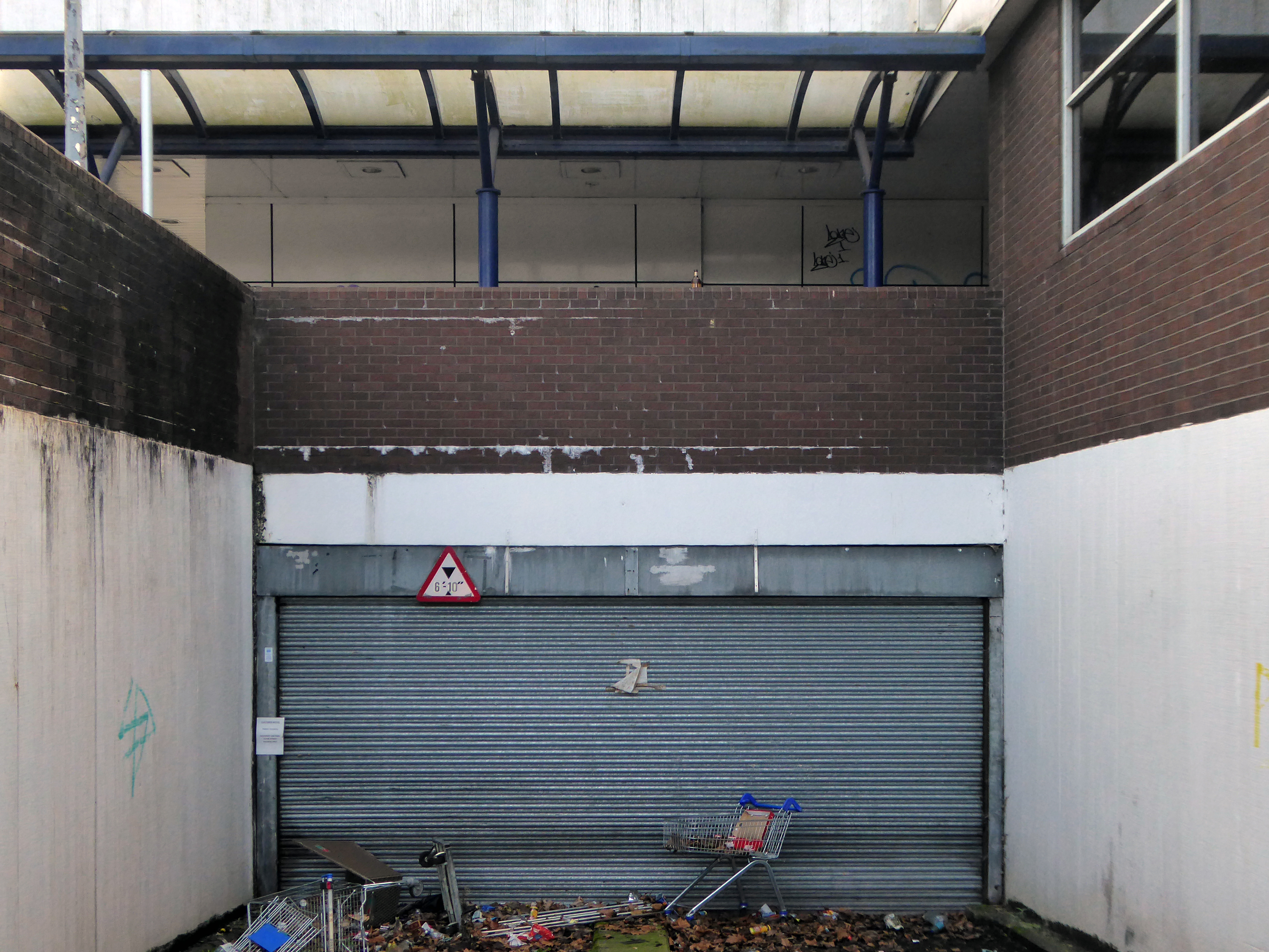
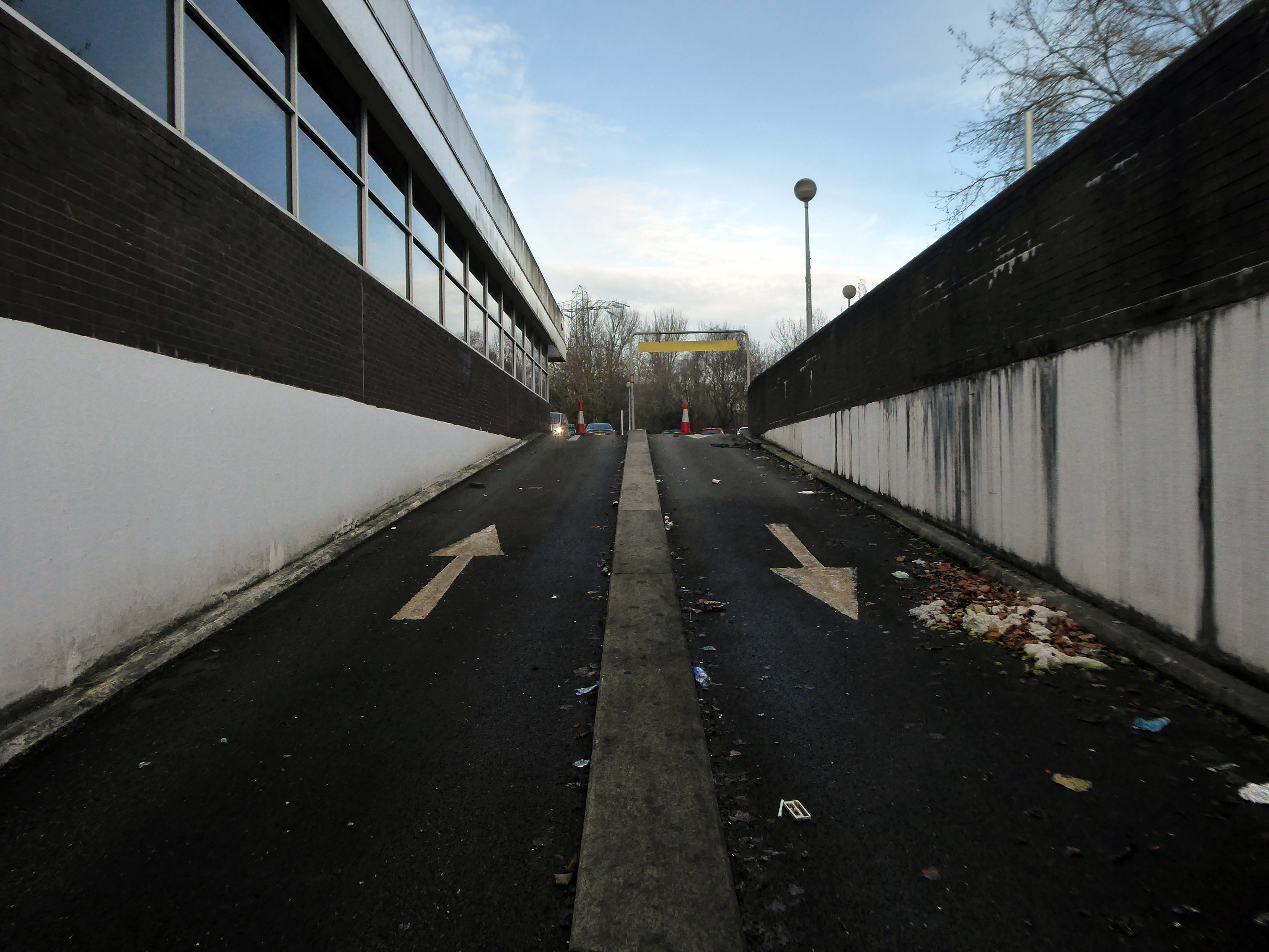
Let’s duck under the railway, through this sad damp pedestrian tunnel – the domain of the cash strapped daytime drinker, transient tagger and disaffected leaflet distributor.
Next thing you know you have emerged into the daylight on Dalton Street – we have been here before seeking the Collyhurst Cowboy.
Photograph: Dennis Hussey
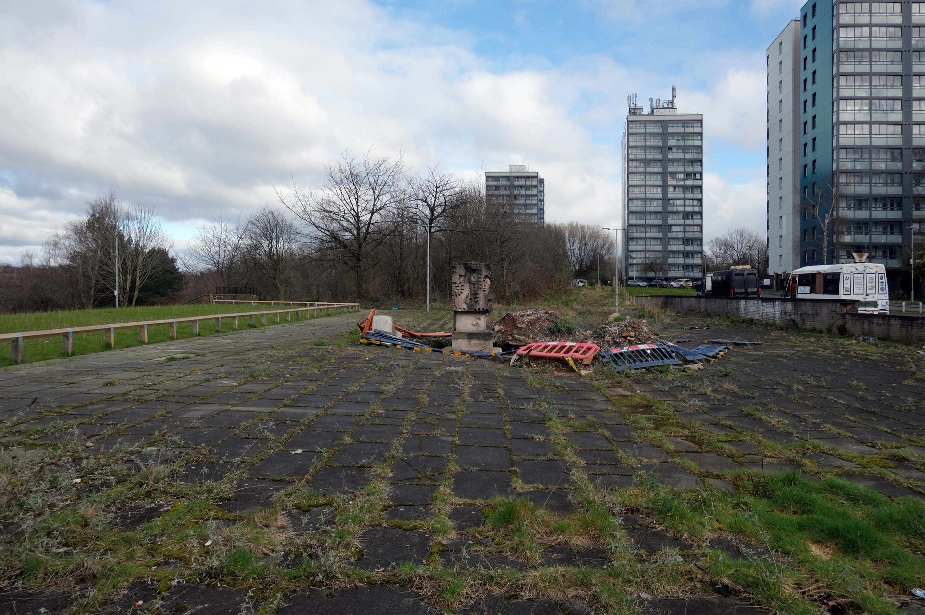
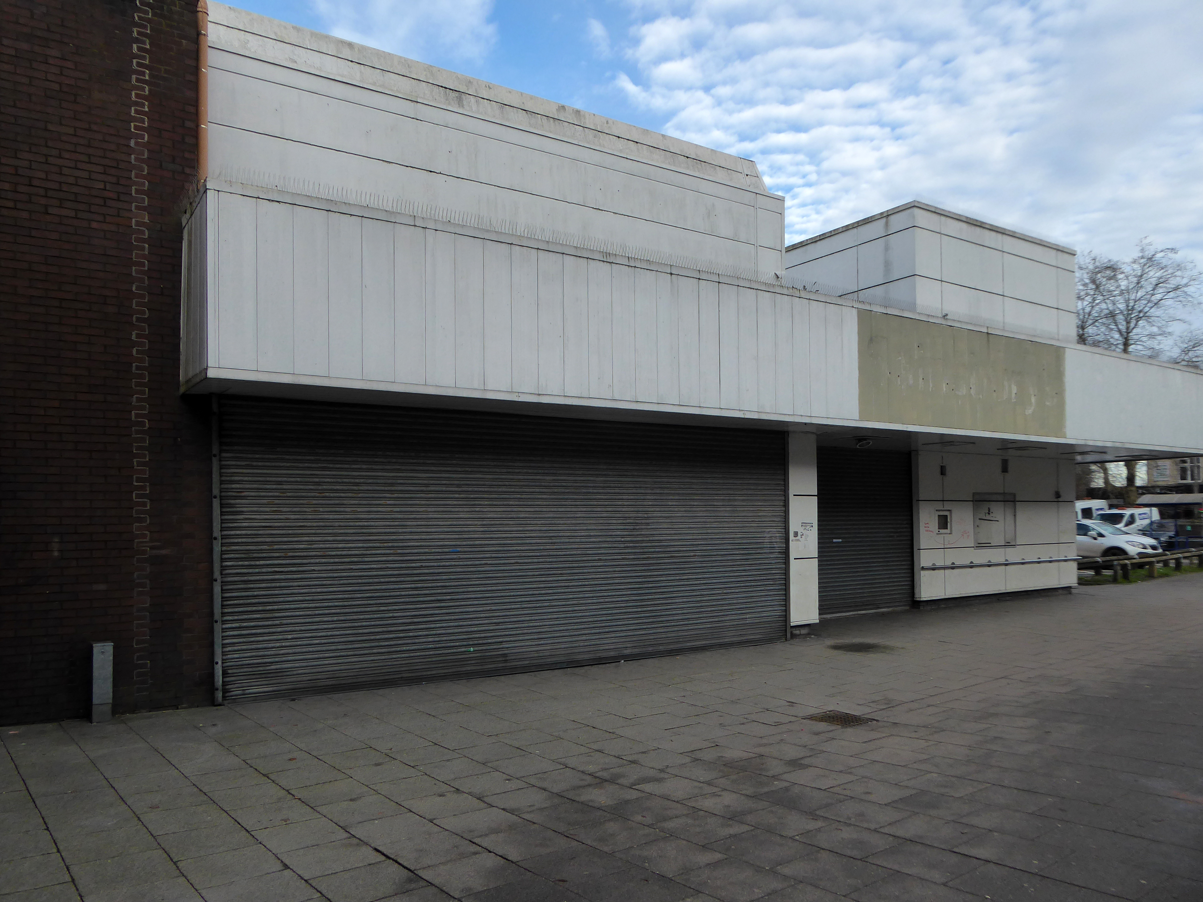
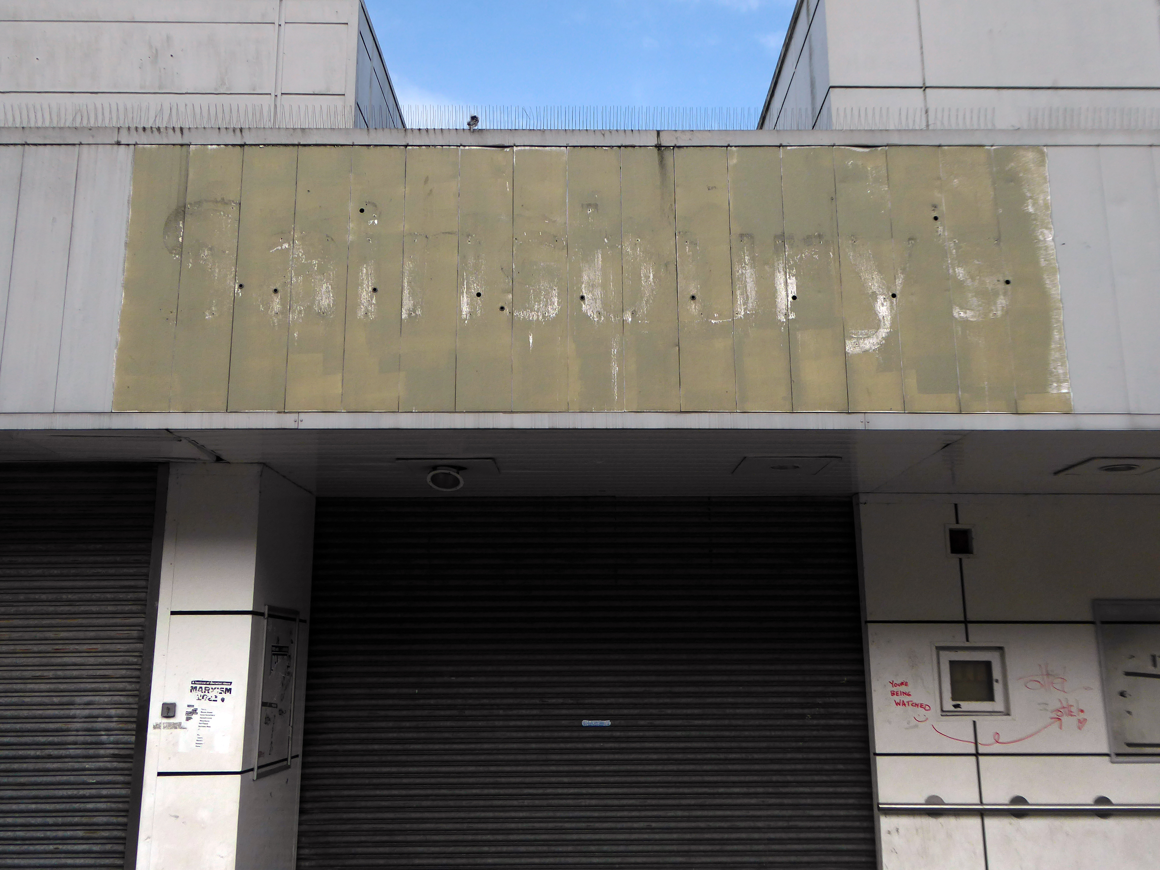
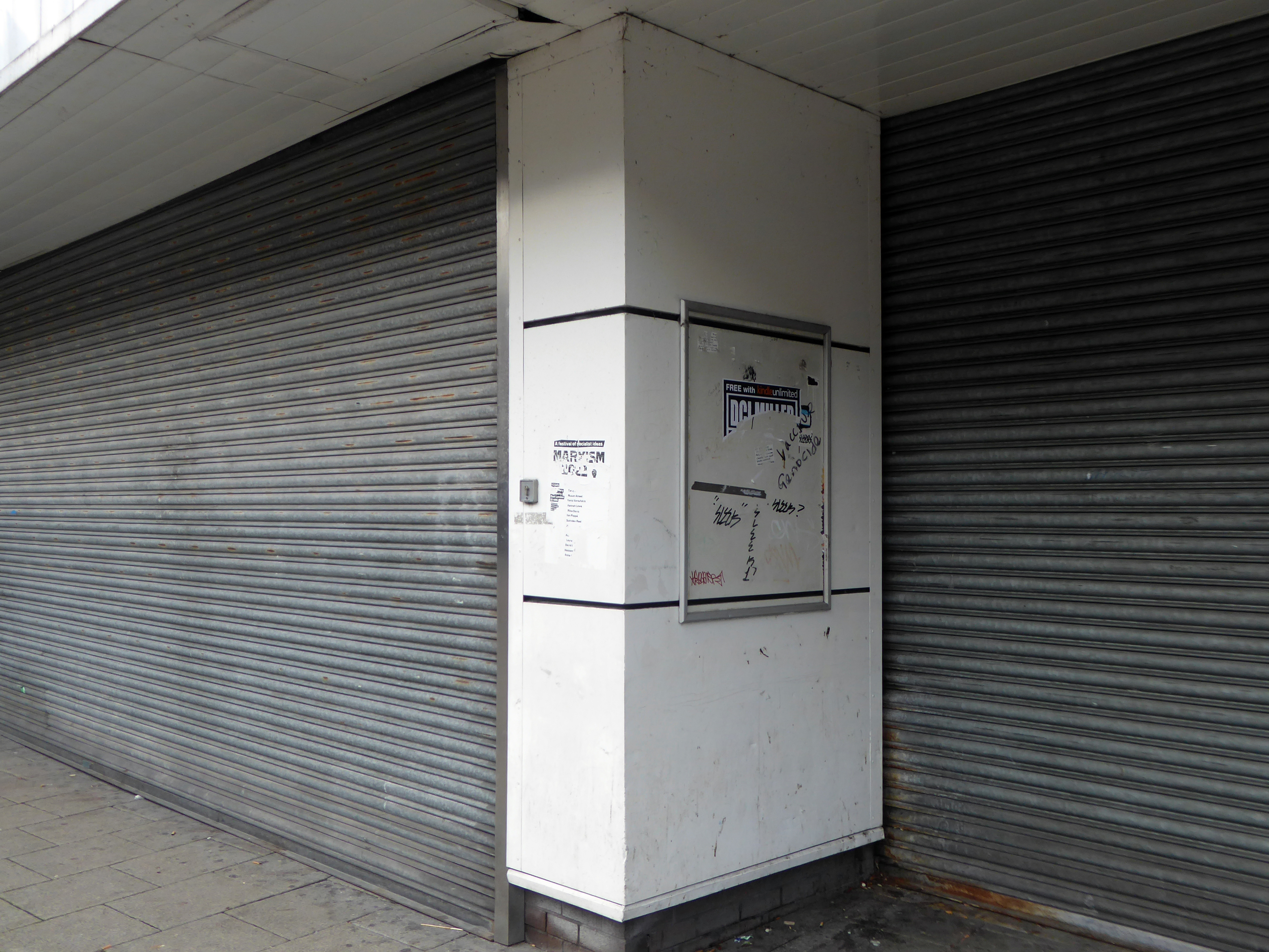
Onwards to Eastford Square.
The shops and maisonettes are due to be demolished any day now – no longer to gaze open-eyed upon the former quarry of Sandhills.
Around the front the diggers have been a digging – digging up around the base of the totem.
The work is to be re-sited by the nearby tower blocks.
The end is nigh.
Heading now for Collyhurst Road and the Irk Valley – seen here in 1960.
Looking back on the Square and the Dalton Street flats – Humphries, Dalton, Roach, Vauxhall and Moss Brook Courts under construction.
Vauxhall Street now but a shadow of its former self – the last traces of industry long gone.
Reclaimed over time by trees and dense underbrush.
Crossing Collyhurst Road and up and over the railway via Barney’s Steps also known as the Lowry Steps.
LS Lowry
By the late 1950’s the whole of this area which we called Barney’s Tip became a refuse tip for Manchester City Council.
The area is in the process of being reconfigured as a delightful country park.
The investment will also help develop an initial phase of the planned City River Park incorporating St Catherine’s Wood as part of a network of public open space, including improvements along the River Irk and works to improve flood resilience, unlocking the potential of the Irk Valley that will characterise the wider Northern Gateway project.
The first phase of the City River Park will begin work to transform former railway architecture to develop the new Viaduct Linear Park north of Victoria Train Station, new stepped public realm space – Red Bank Terraces, along with new green space by the River Irk and the key improvements to St Catherine’s Wood.
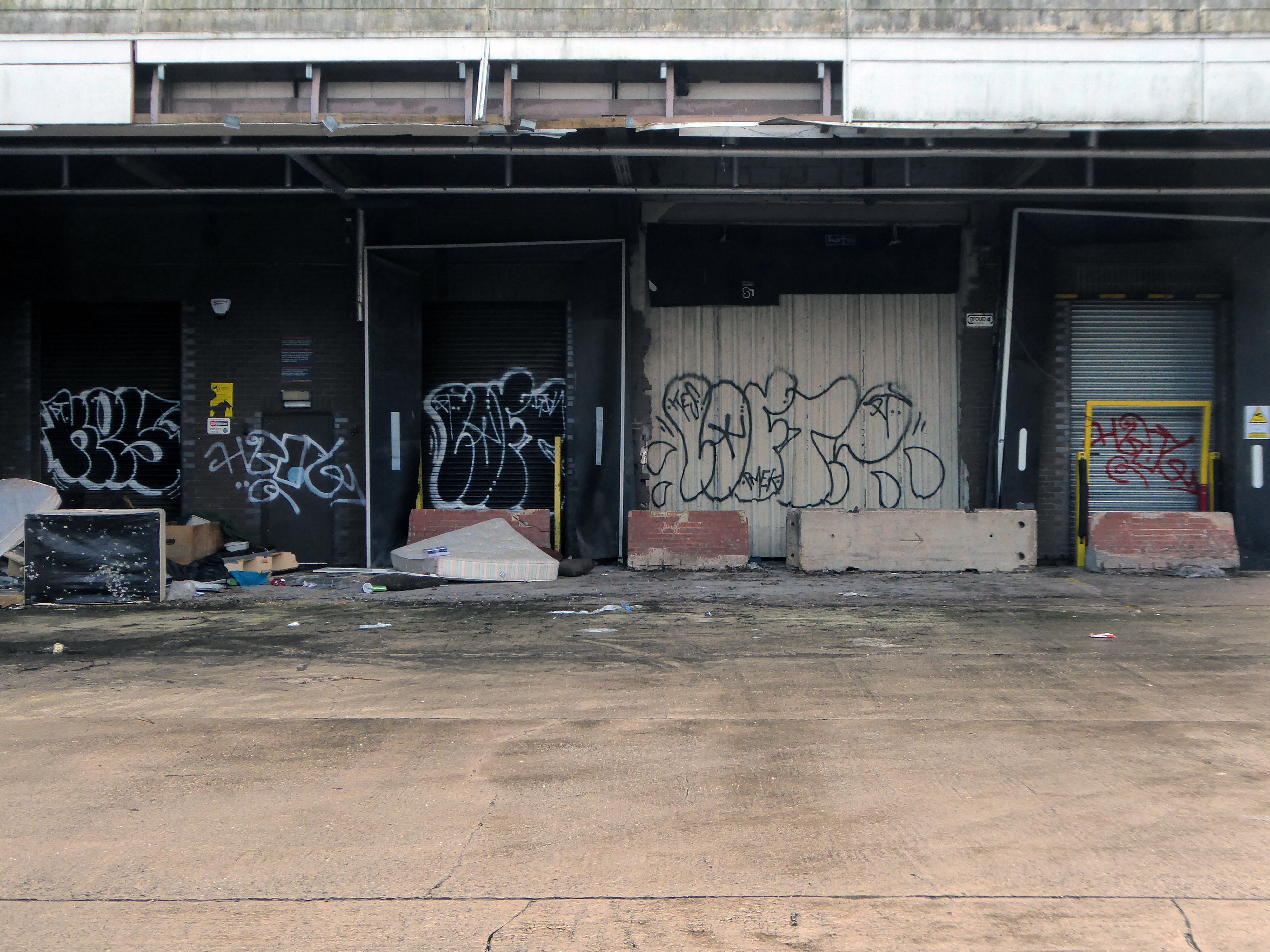
Collingham Street is lined with trucks, trailers, stalls and mobile homes.
But there’s nothing temporary about this Cheetham Hill neighbourhood; most residents have lived here for years and many plan to spend the rest of their lives here.
Founded more than forty years ago, it was created by the Showman’s Guild of Great Britain – and it’s reserved exclusively for fairground workers both retired and current.
Built on Queens Road tip, a former rubbish dump, and rented out by Manchester Council, many of the 52 homes belong to older retired showmen or families for whom an itinerant lifestyle has become more challenging.
It’s a close-knit community with a unique shared history.
Though not without its own particular issues it would seem, according to the MEN.
The licensing out of hours team has received noise complaints relating to the premises which was found to be open beyond permitted hours when visited. Officers also identified breaches of the Health Act during inspections in which people were seen smoking shisha pipes in an enclosed extension at the back.
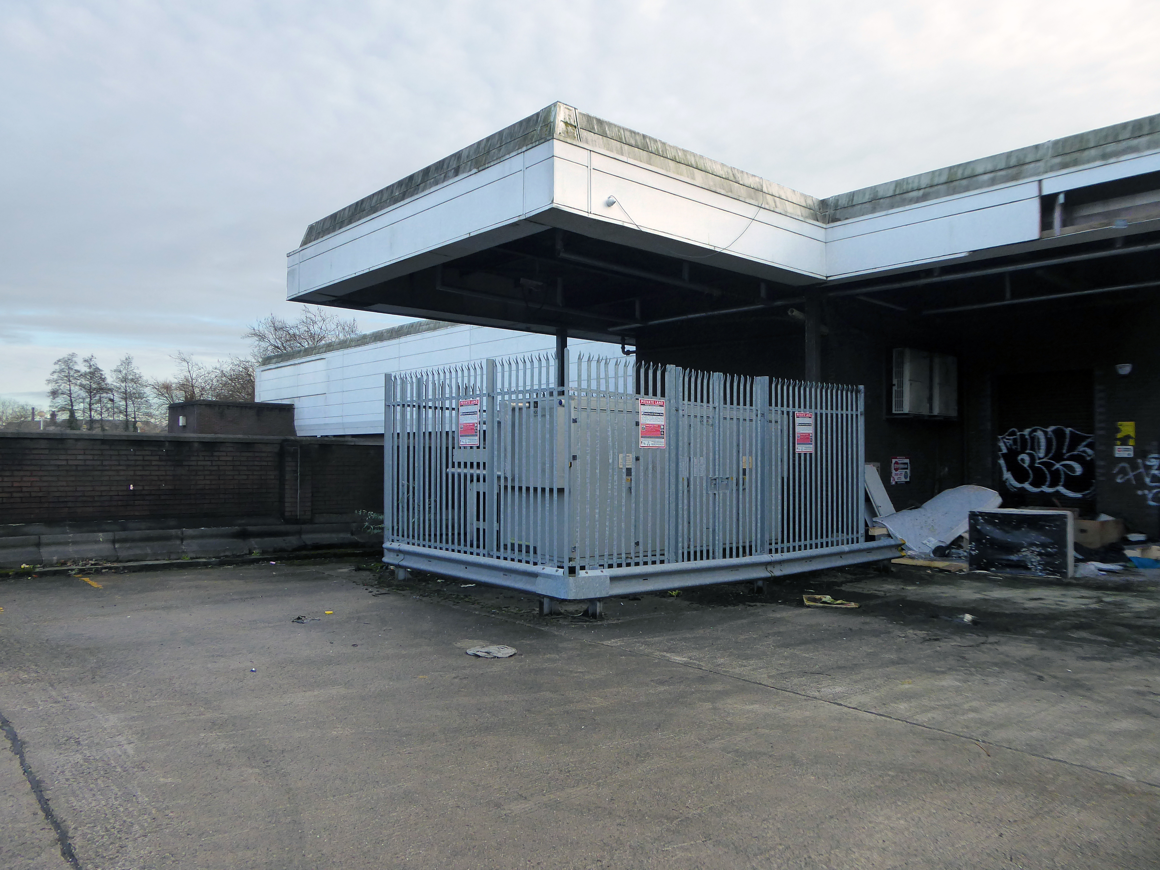
We will leave the Flamingo be and head back into town – but not without giving a nod to this confusing collision between this self-made scrapyard-man chic gate and the ever changing skyline of overheated urban regeneration.
The new creation has come: The old has gone, the new is here!
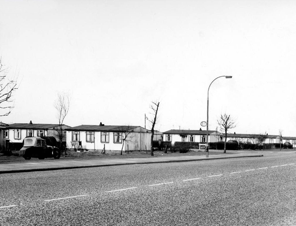
Manchester City Council agreed to use the Phoenixmodel for their prefab estates.
A total of 43,206 Phoenix prefabs were built across the country, each one designed by the John Laing Group.
The Phoenix, designed by Laing and built by themselves as well as partners McAlpine and Henry Boot, looked much like an AIROH with a central front door. It was a two-bedroom in-situ preform design with steel frame, asbestos clad walls and an innovative roof of tubular steel poles with steel panels attached. Like all designs, it came pre-painted in magnolia, with green highlights on frames and skirting.
Phoenix prefabs cost £1,200 each constructed onsite, while the specially insulated version designed for use on the Isle of Lewis in the Hebrides cost £2,000.
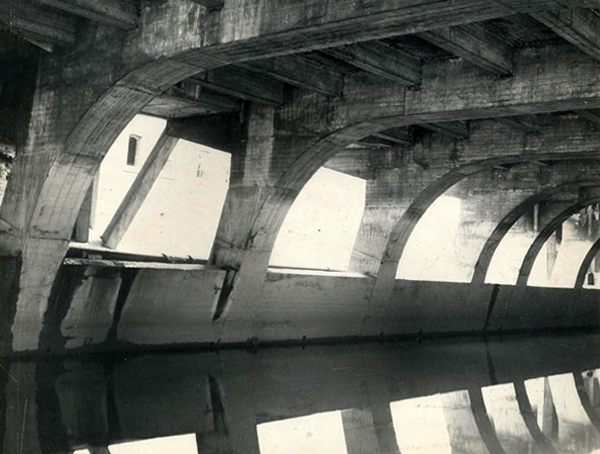
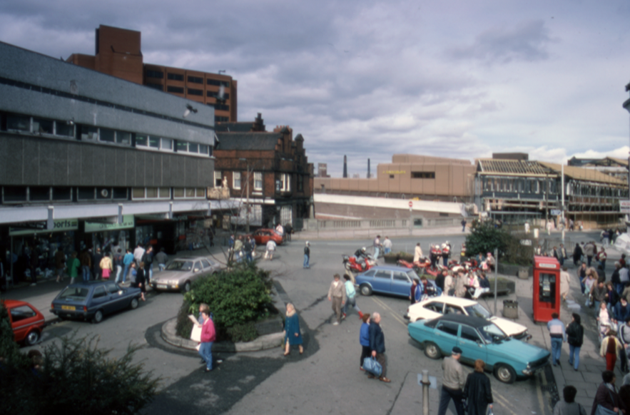
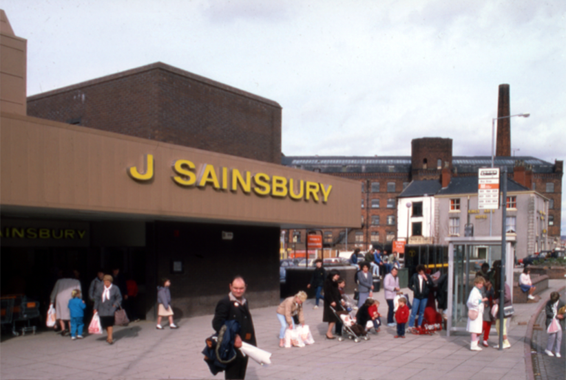
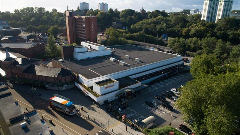
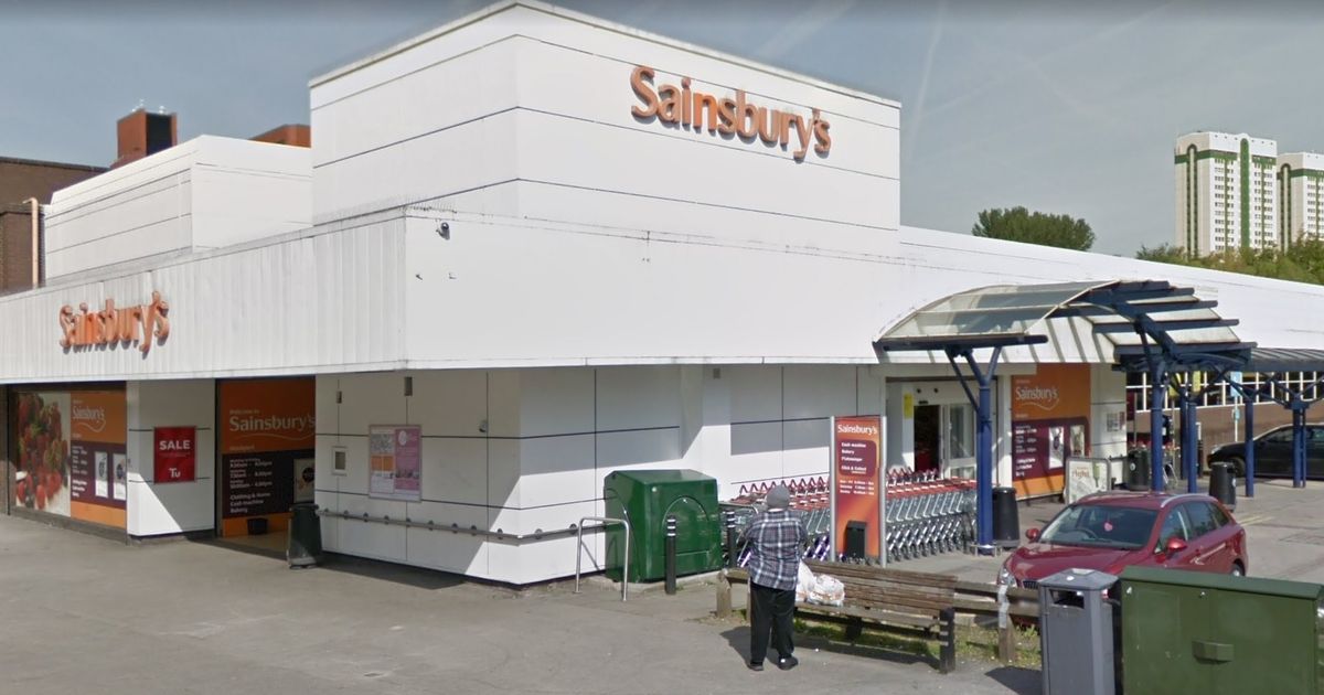
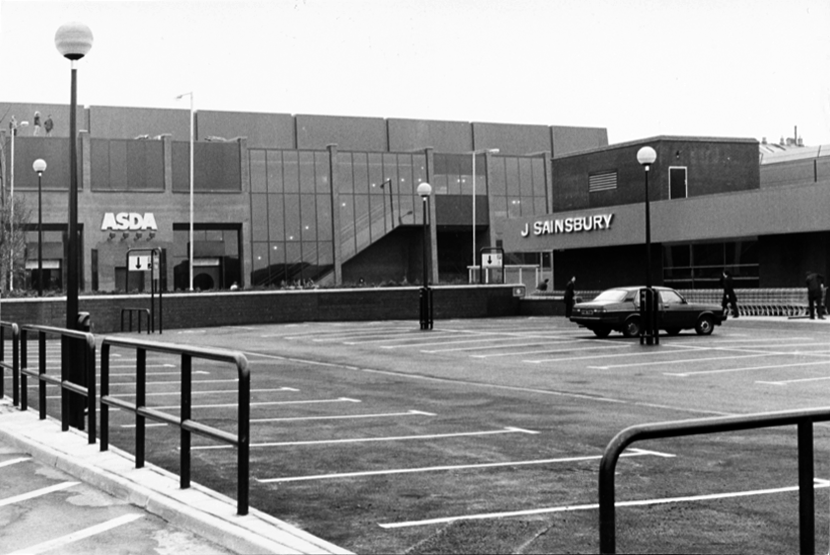
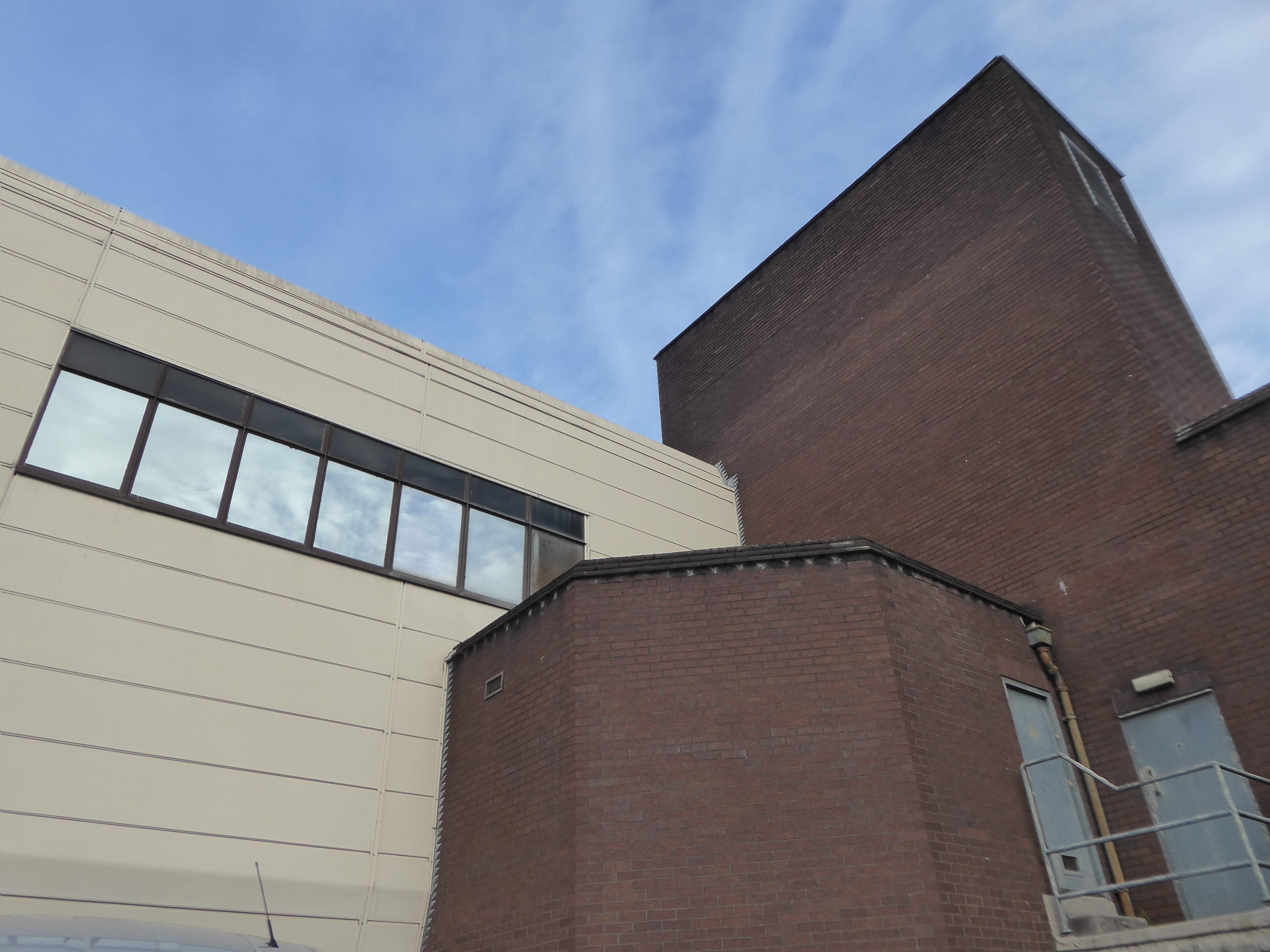
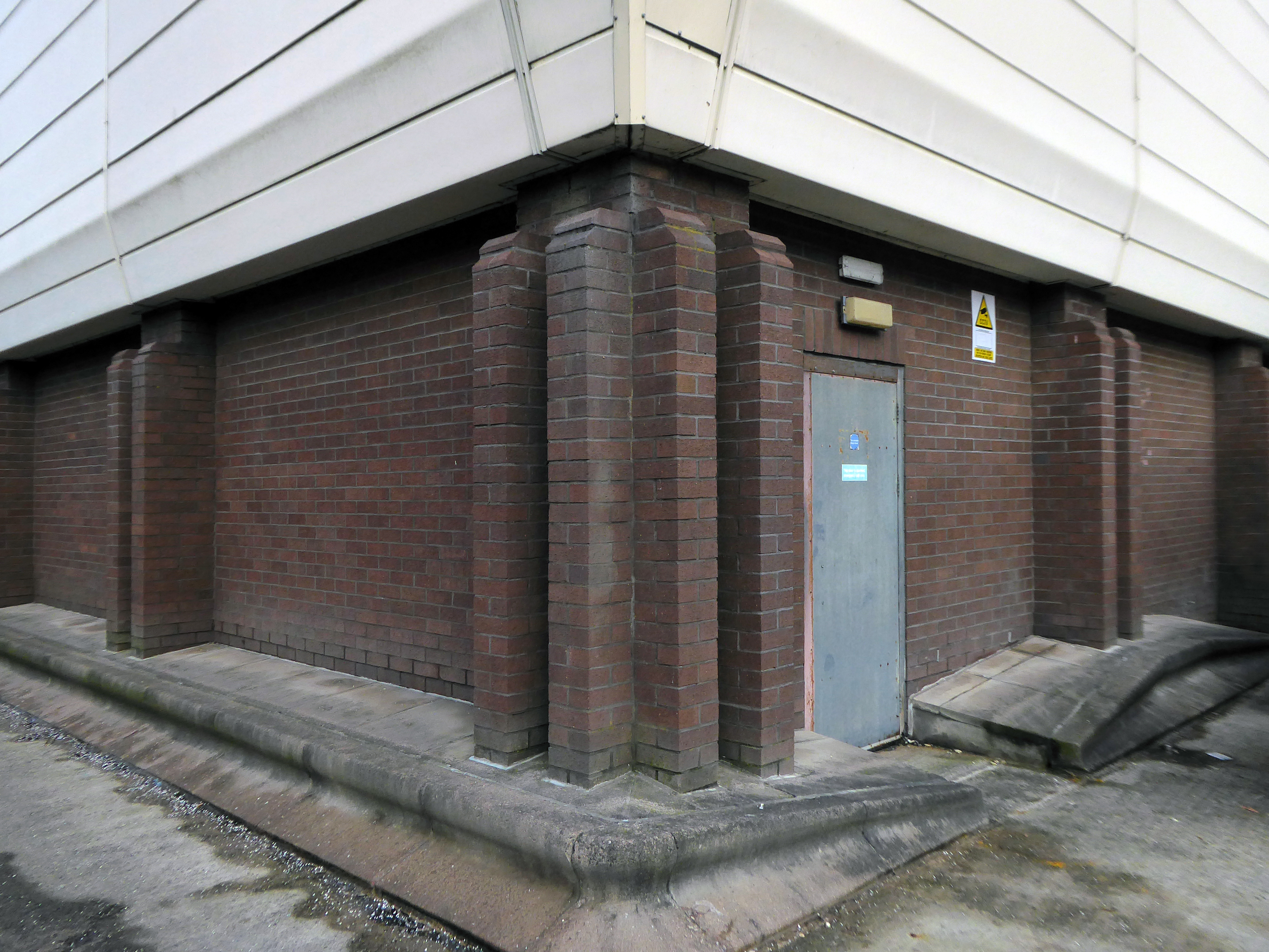
Warren Street Stockport, north of Lancashire Bridge beside the Mersey – seen here in the 1920s a mix of retail, dwellings and industry as was most of the town centre.
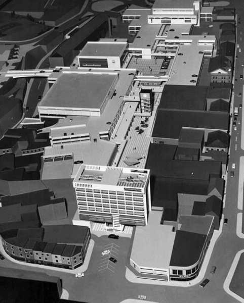
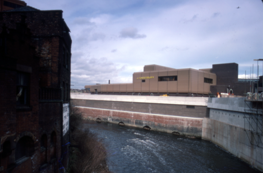
Plans to build hundreds of new homes – including a 15-storey tower block – on a vacant Sainsbury’s site in Stockport town centre are set to get the go-ahead.
Proposals that would bring more than 500 flats and 34 townhouses to the three-acre plot, in Warren Street, are set to go before the council’s planning committee next Thursday night. The 573 homes would be spread across a trio of buildings – rising in height from five to 15 storeys. Two of these would also have space for a range of potential uses, ranging from shops and cafes to gyms and creches.
Martin Halsey, operations director at Amstone Ventures, added:
We can see that Stockport has untapped demand for quality homes within its town centre, offering a vibrant lifestyle and everything Stockport town centre has to offer, all on the doorstep.”
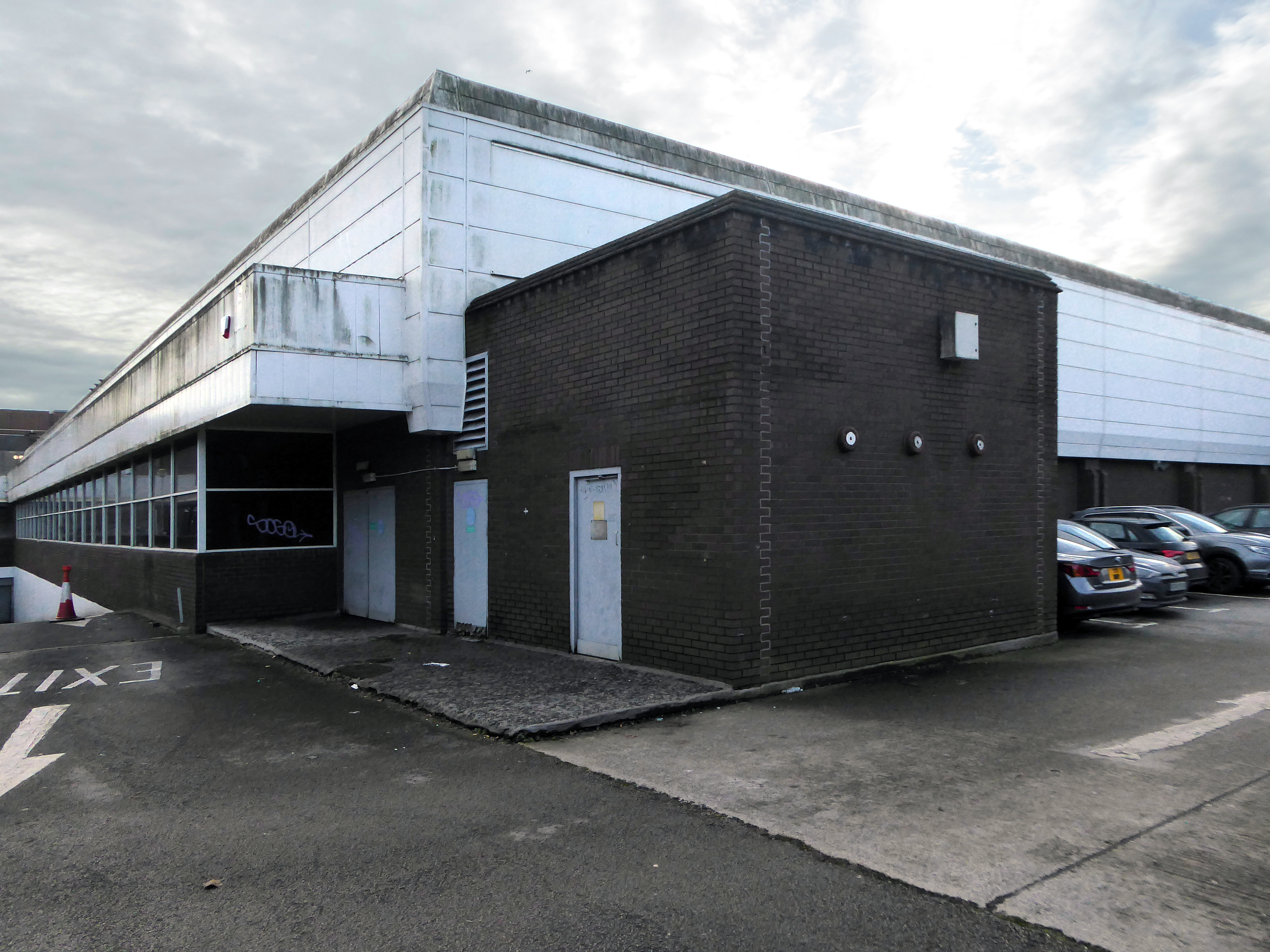
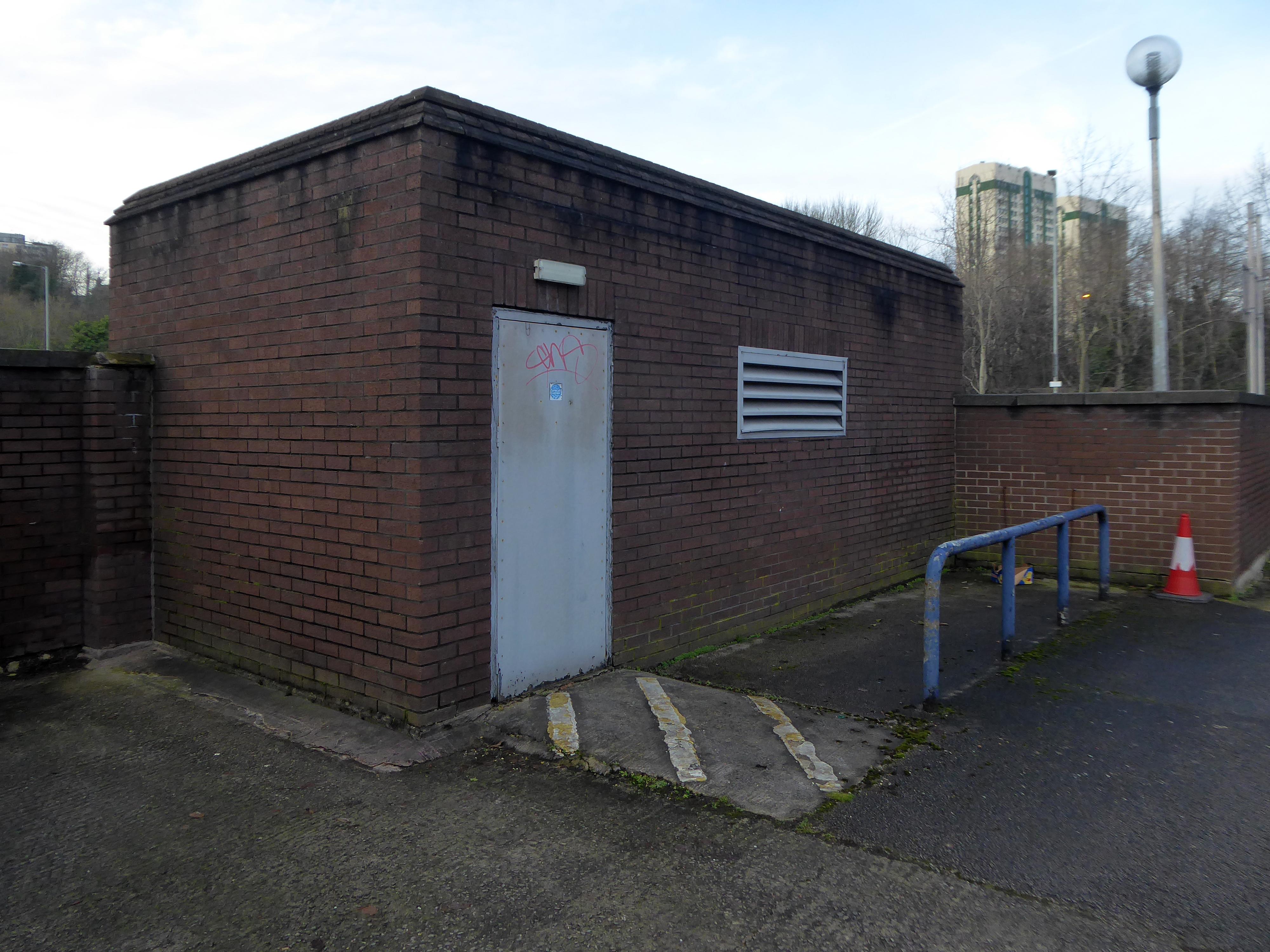
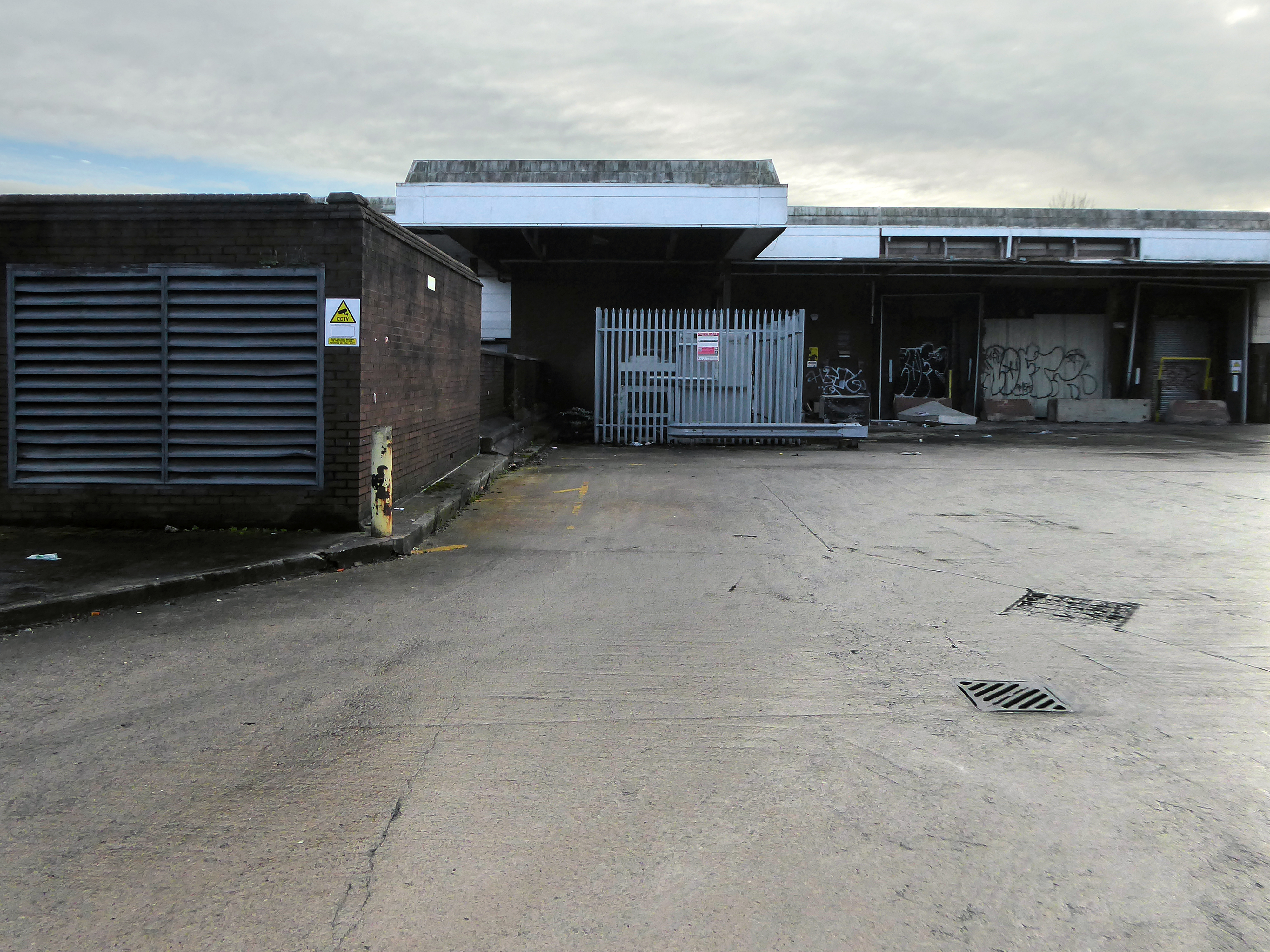
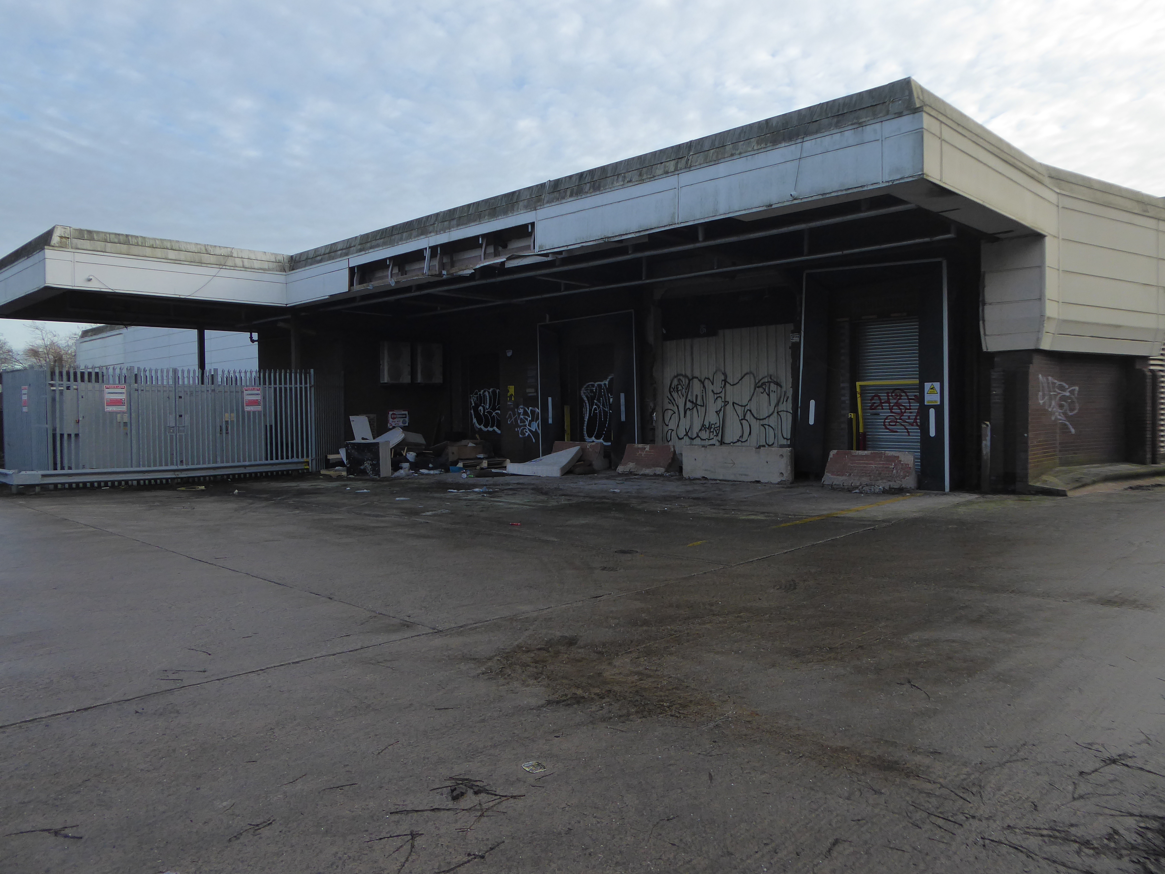
Took a look around the site before it’s no longer possible to look around the site.
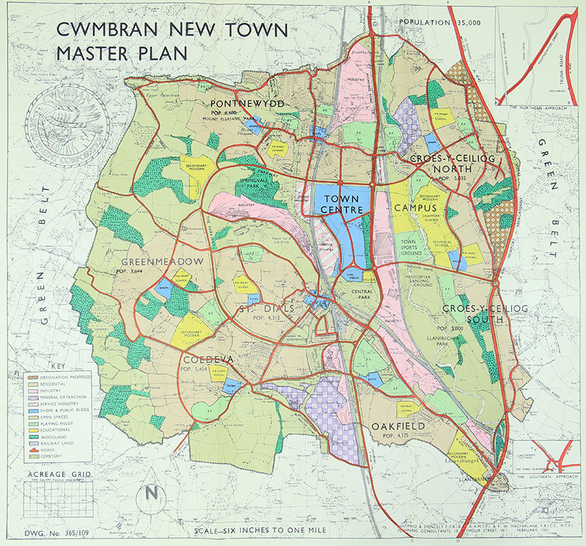
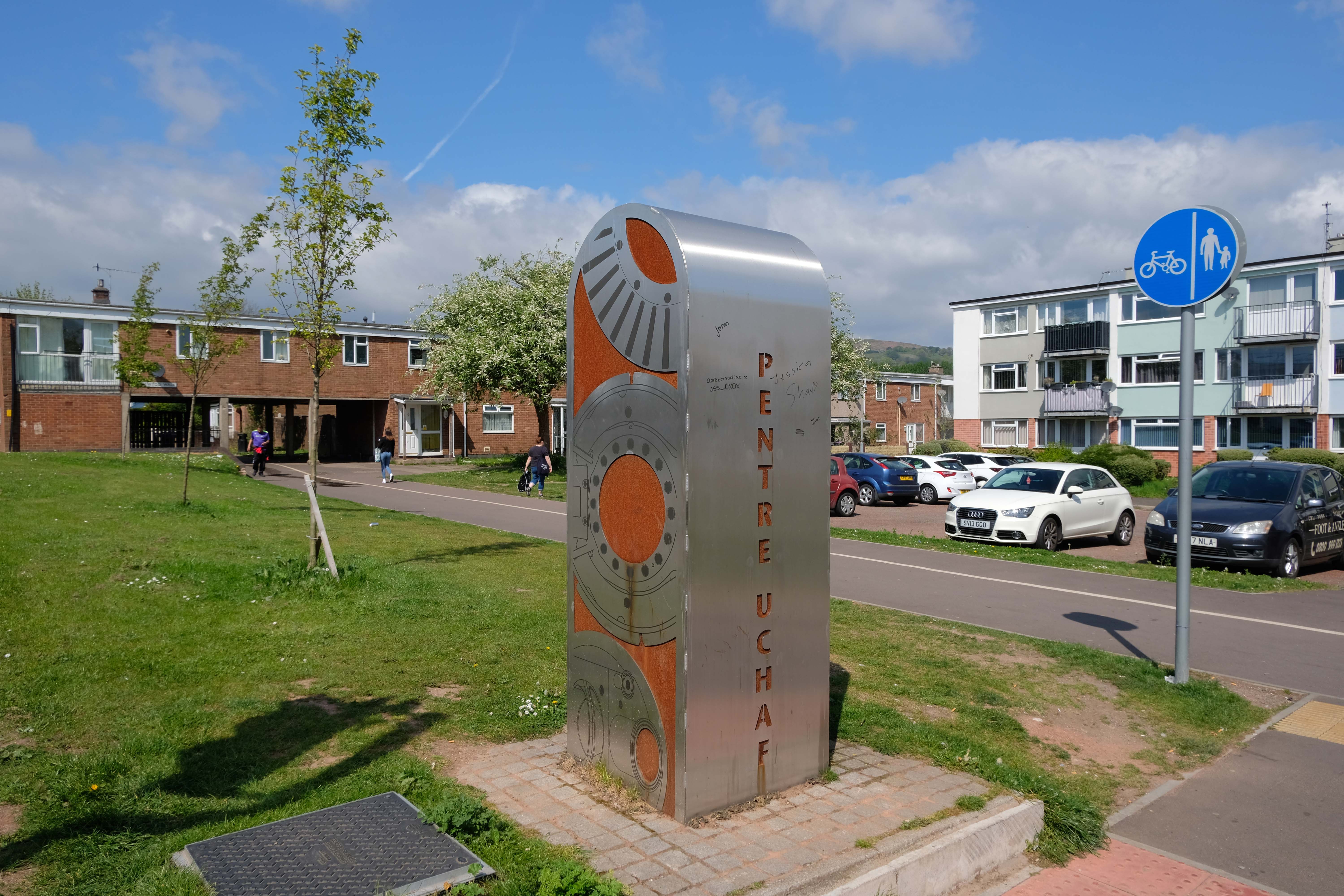
Cwmbran was founded in 1949 as a new town, to provide new employment opportunities in the south eastern portion of the South Wales Coalfield, but the area has a long history.
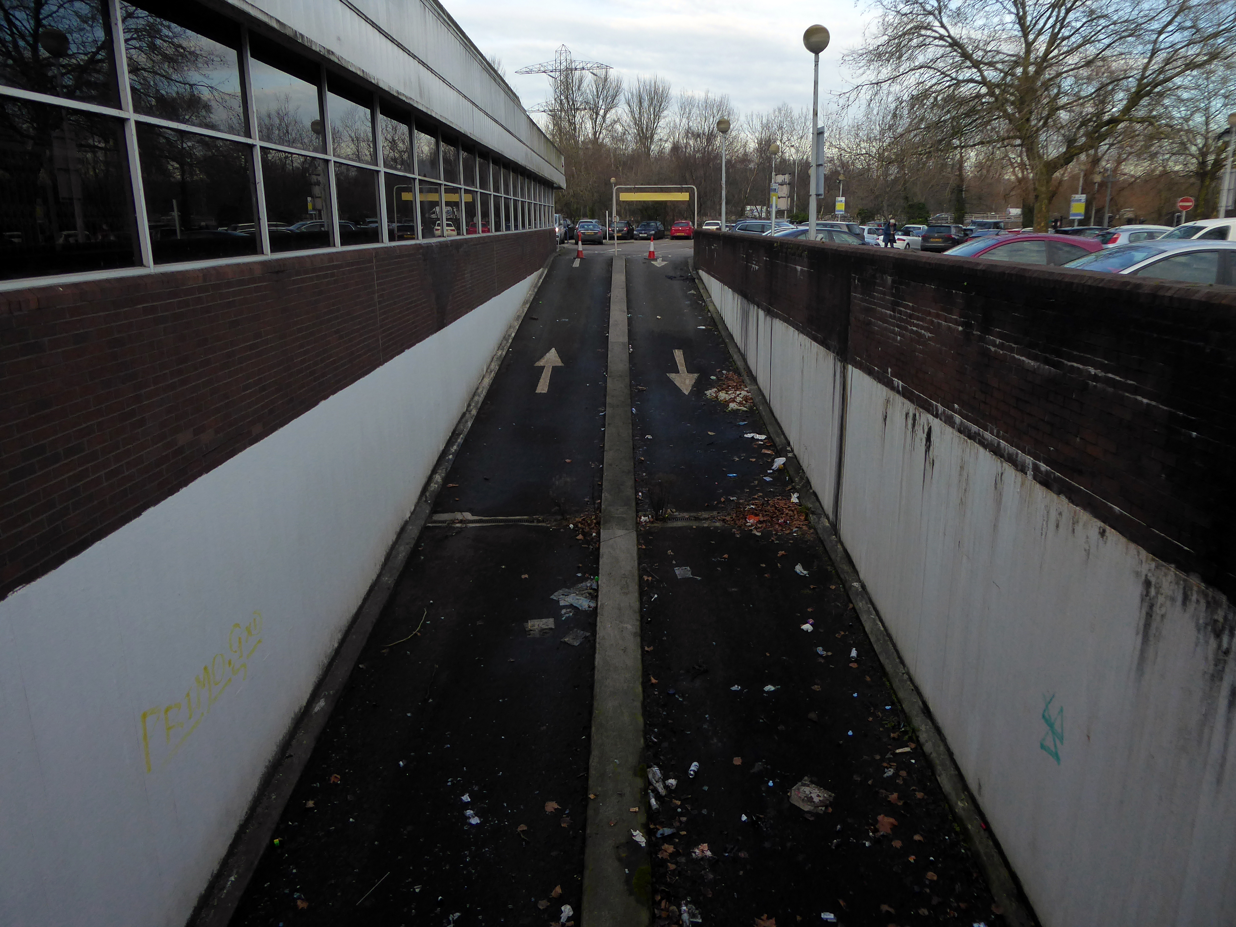
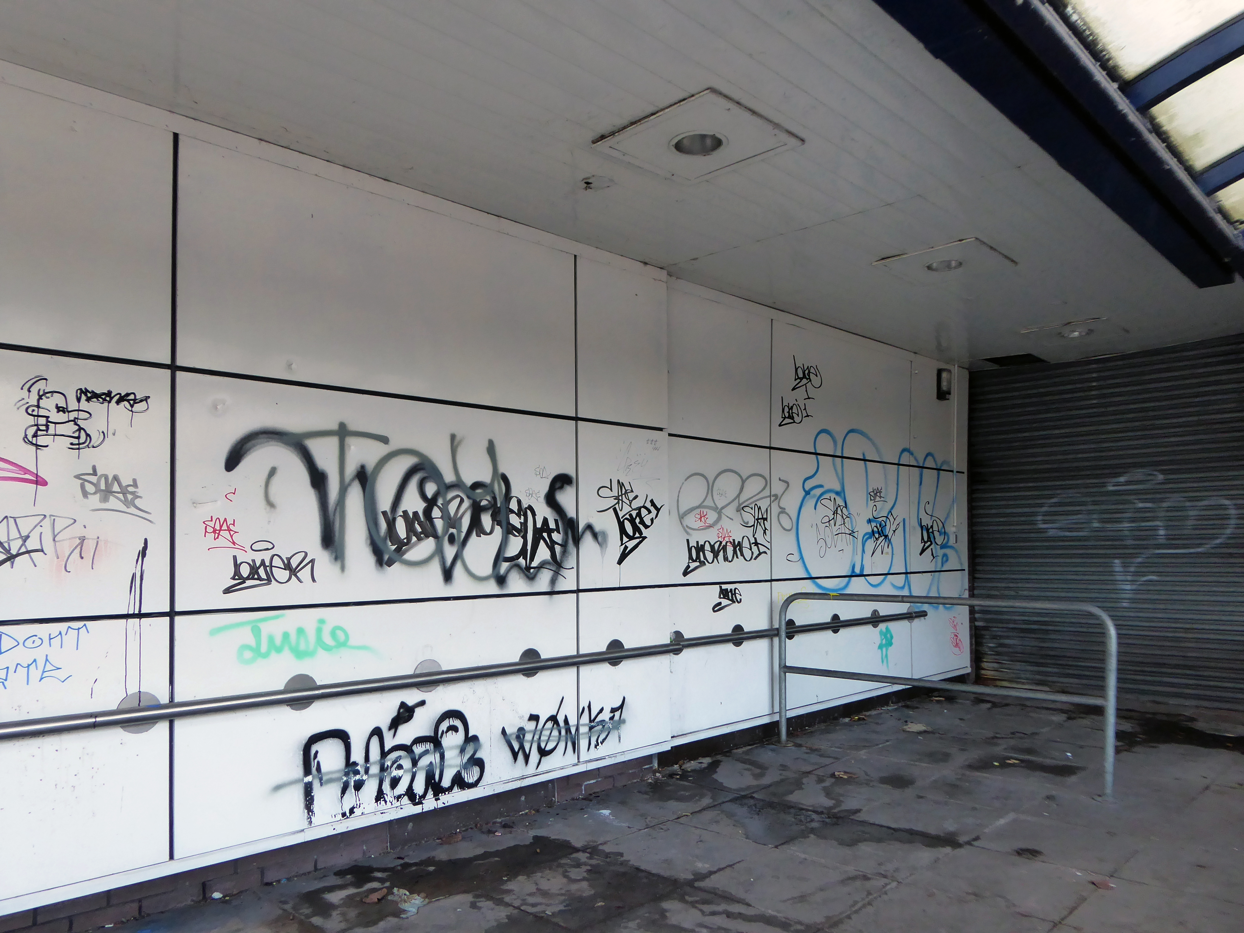
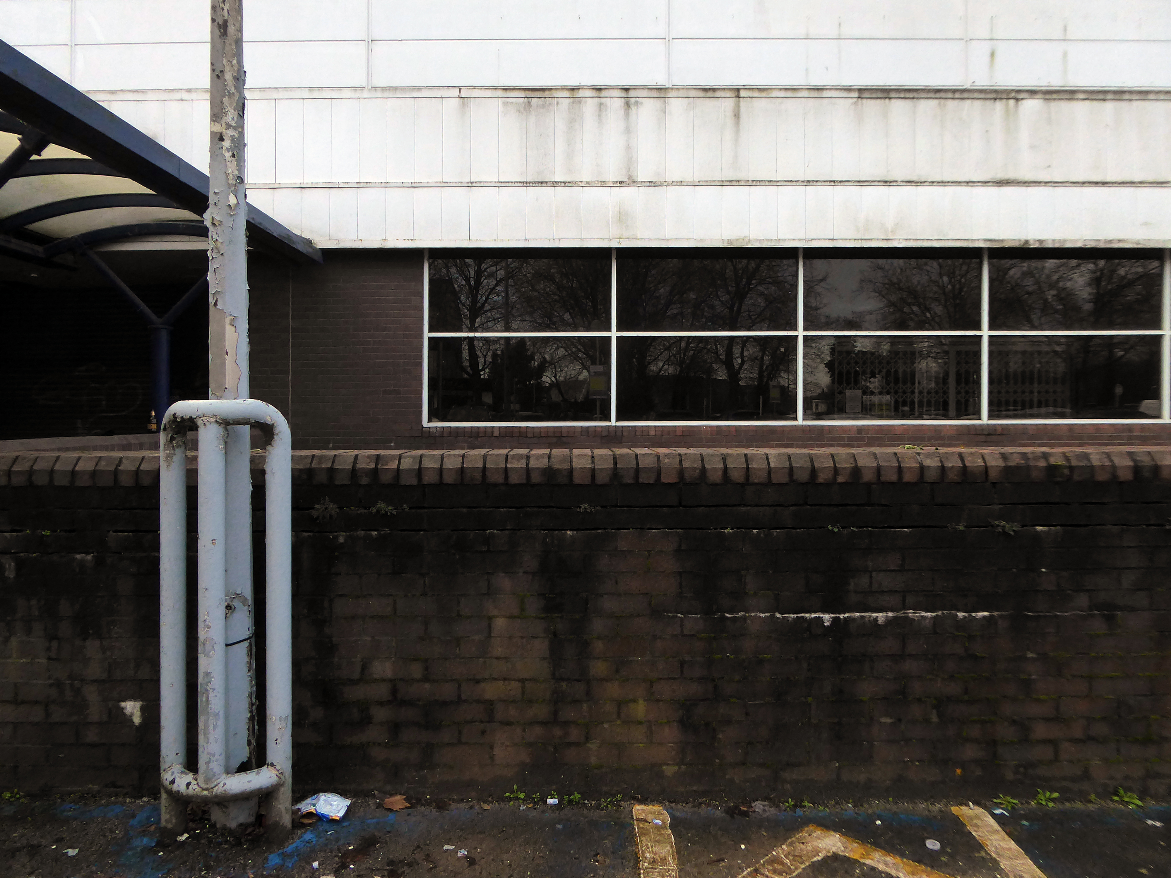
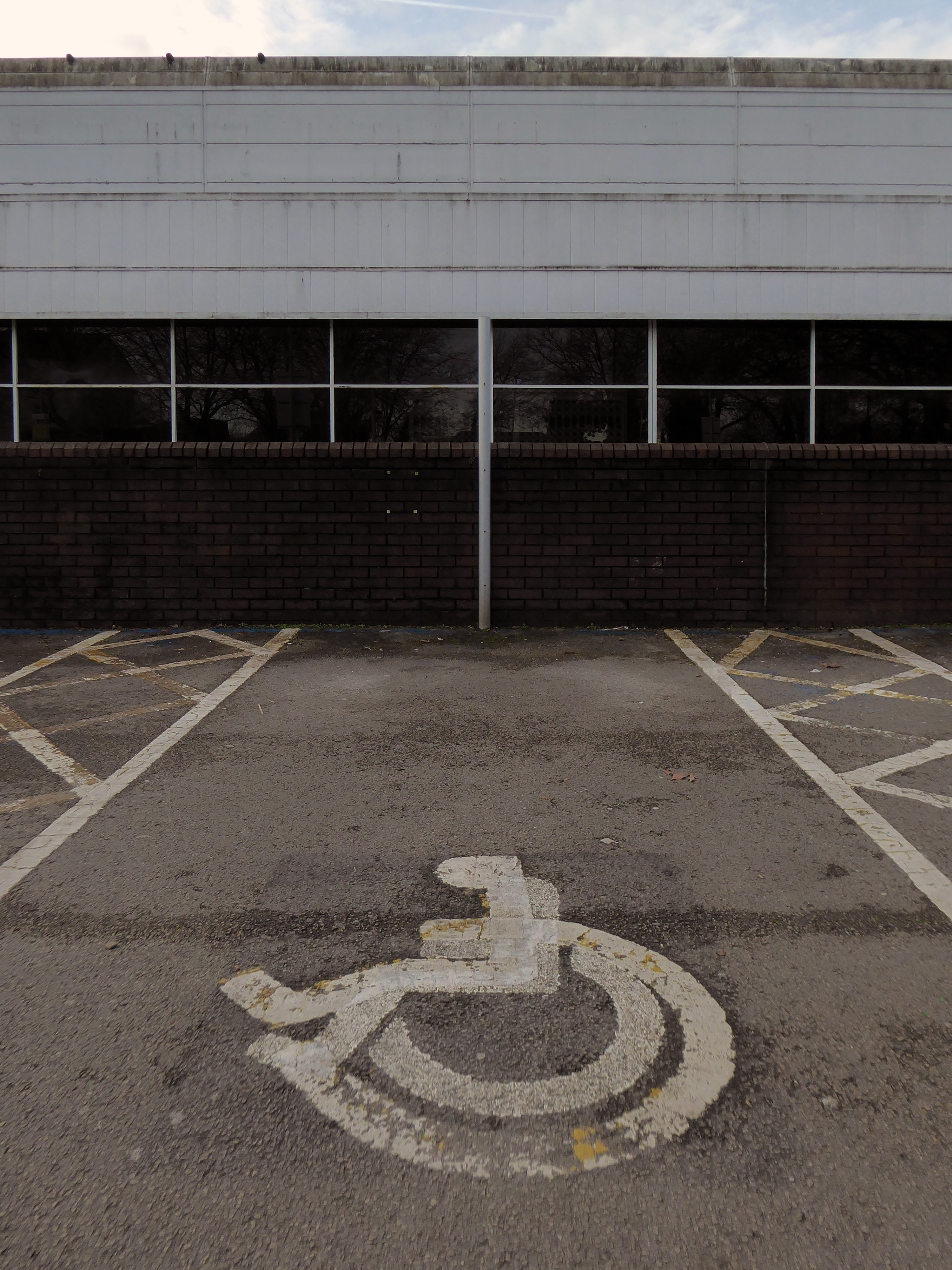
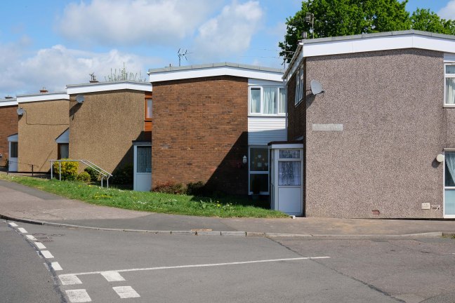
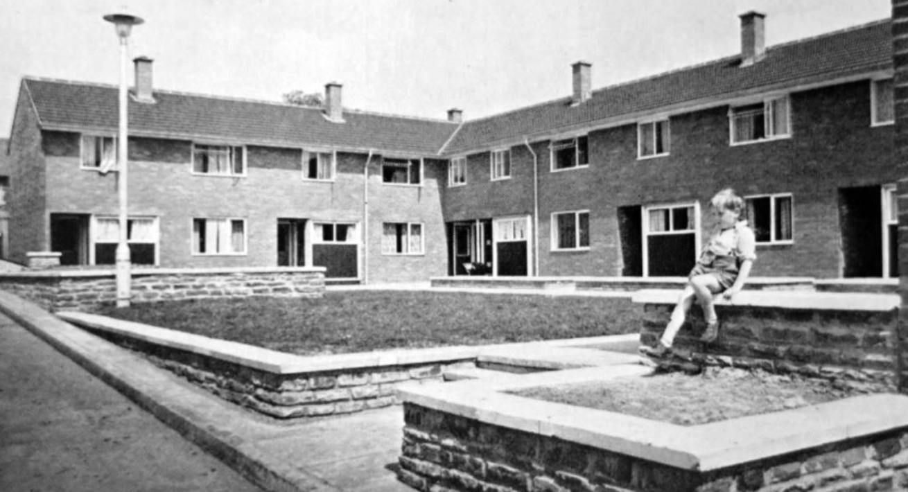
We shall now explore the housing framed by the railway and shopping centre.
From Cleeve Barr’sPublic Authority Housing – published in 1958.
A mix of pedestrianised terraces and low rise blocks, set in a loose grid of roads and rolling, tree-lined, grassed areas.
Over time there has been the addition of uPVC and the revisionist intrusion of the ahistorical carriage lamp.
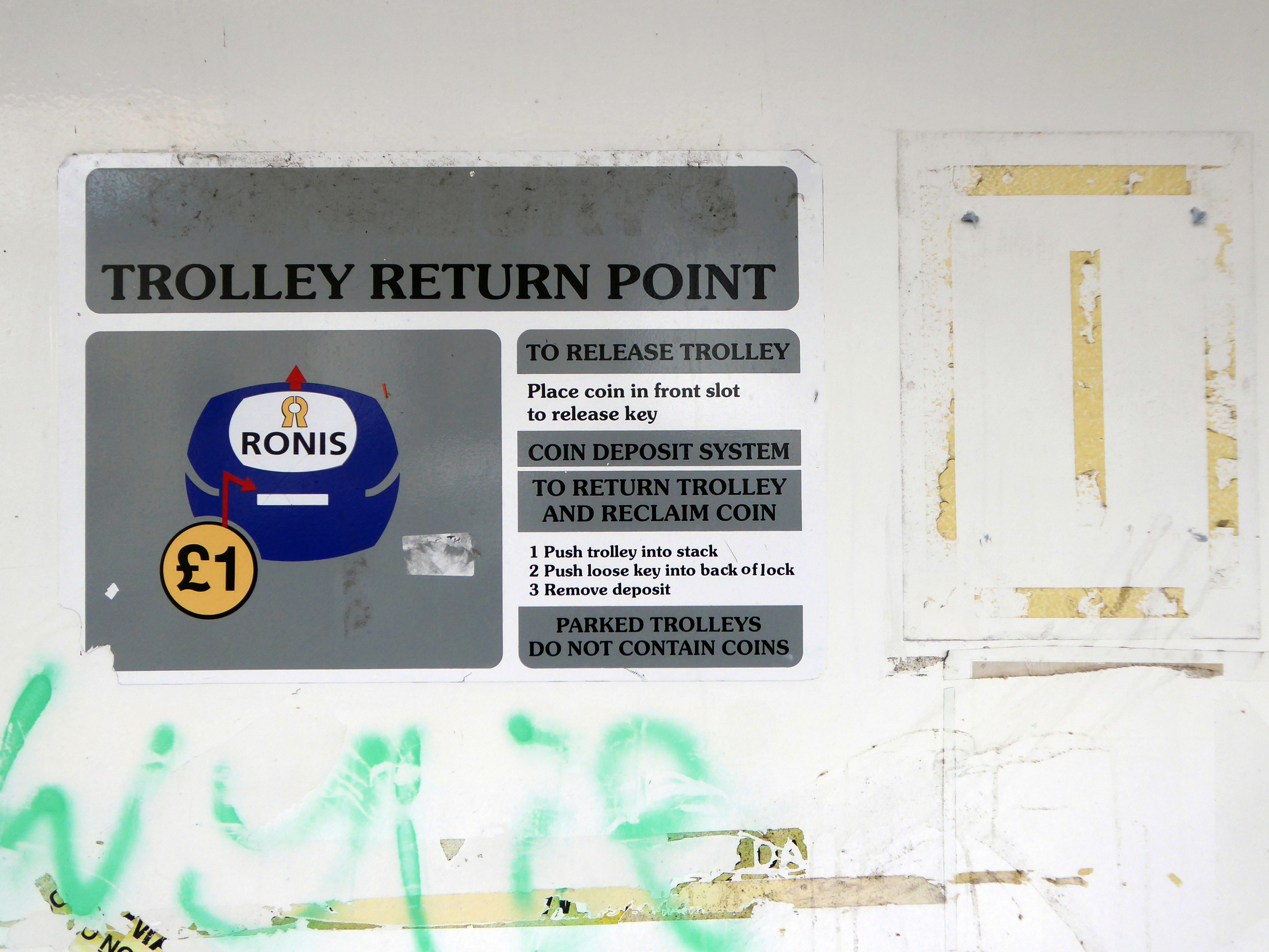
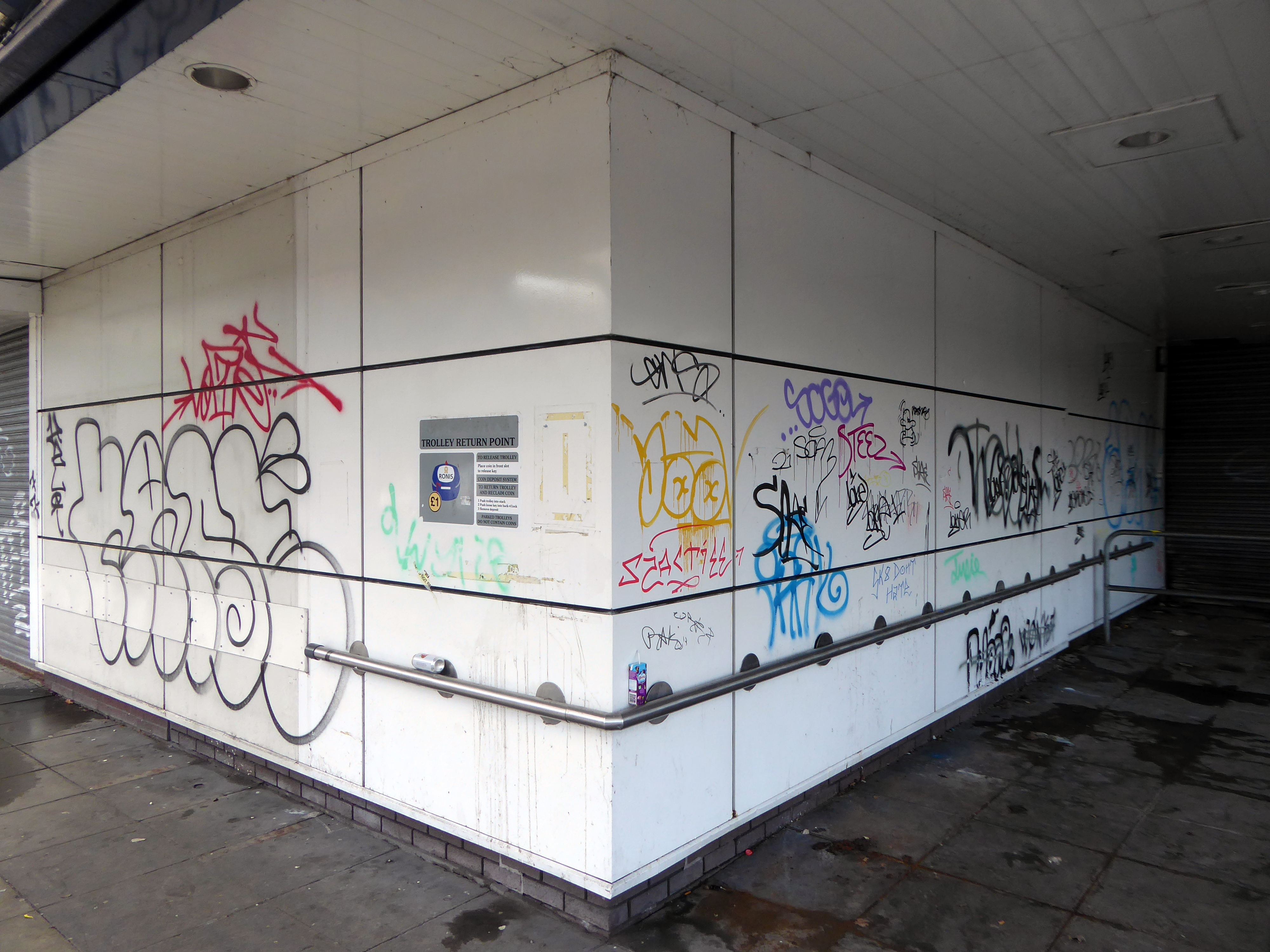
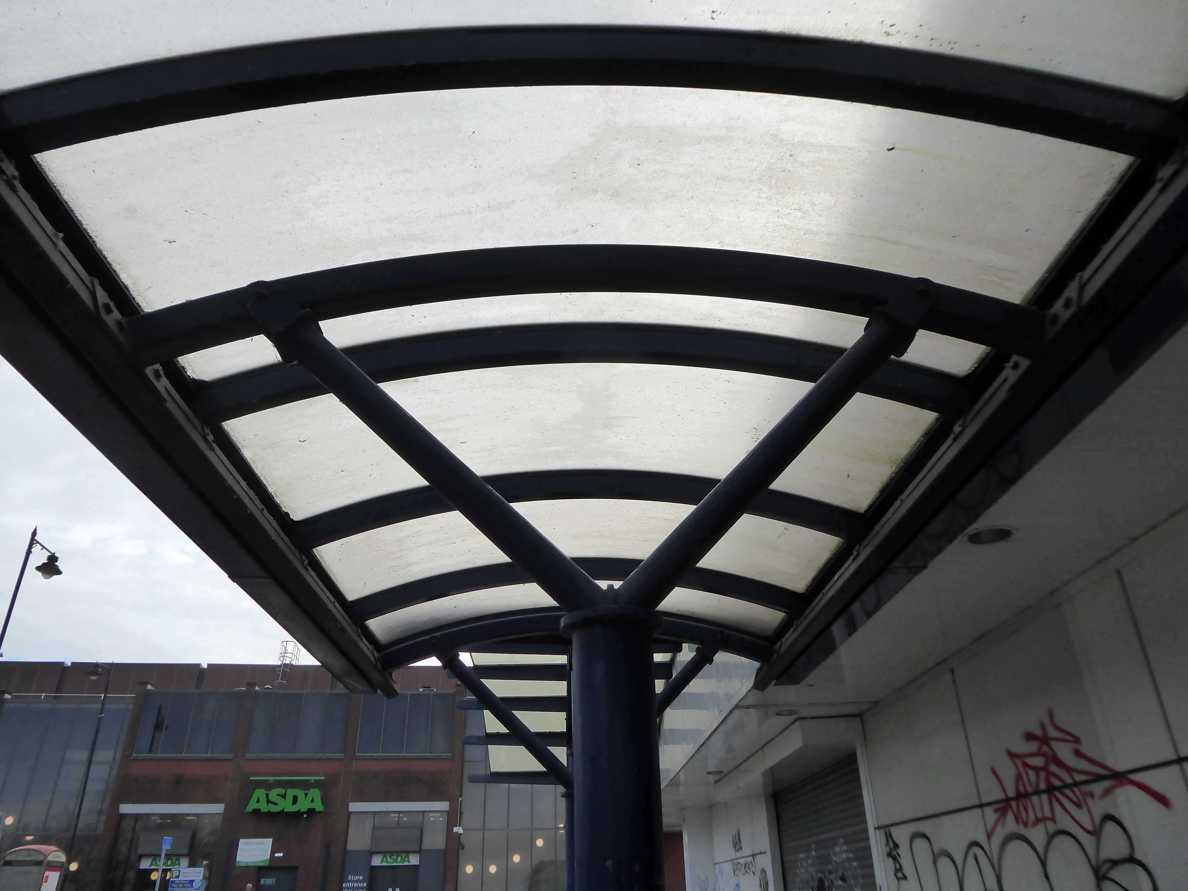
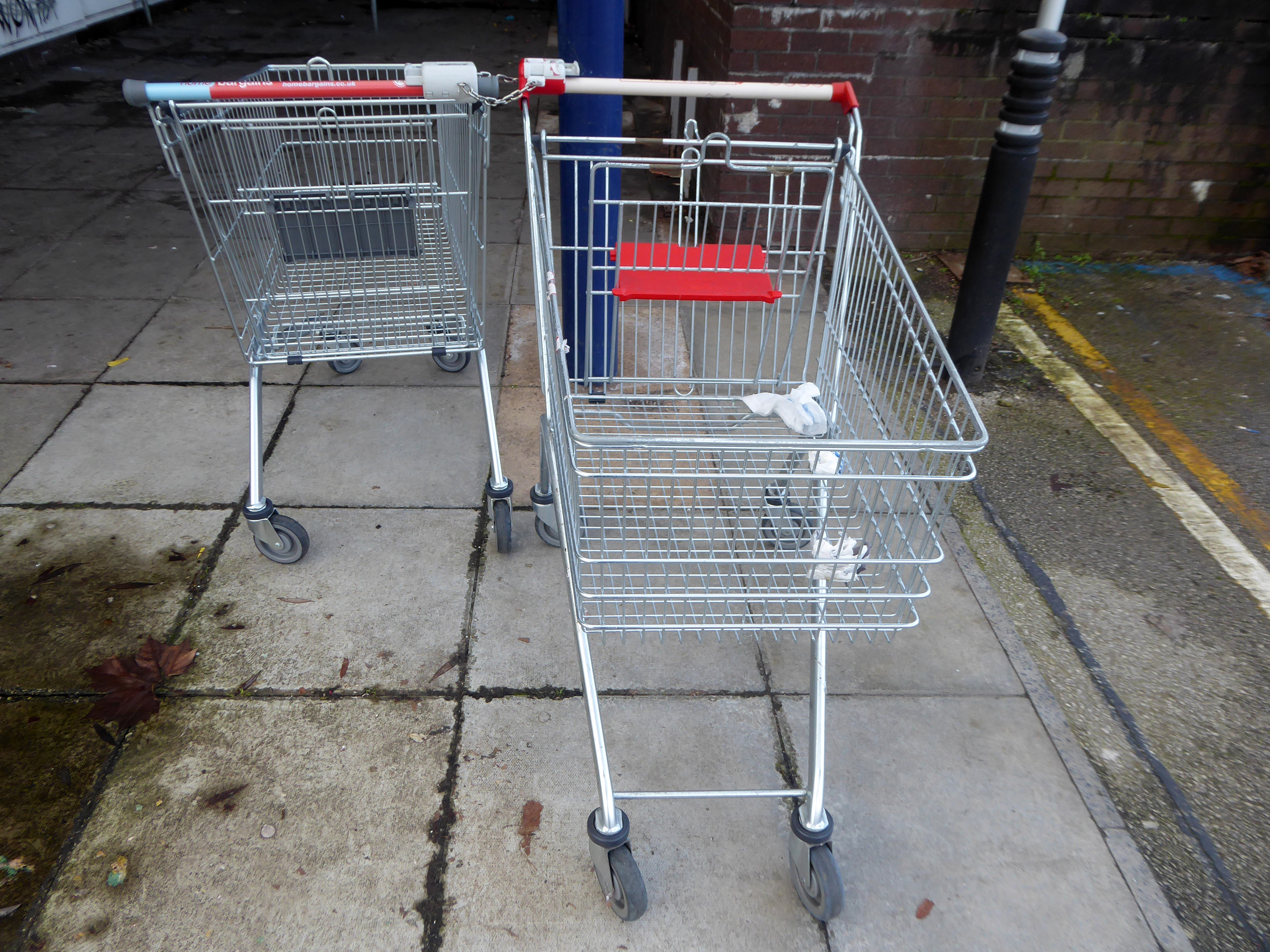
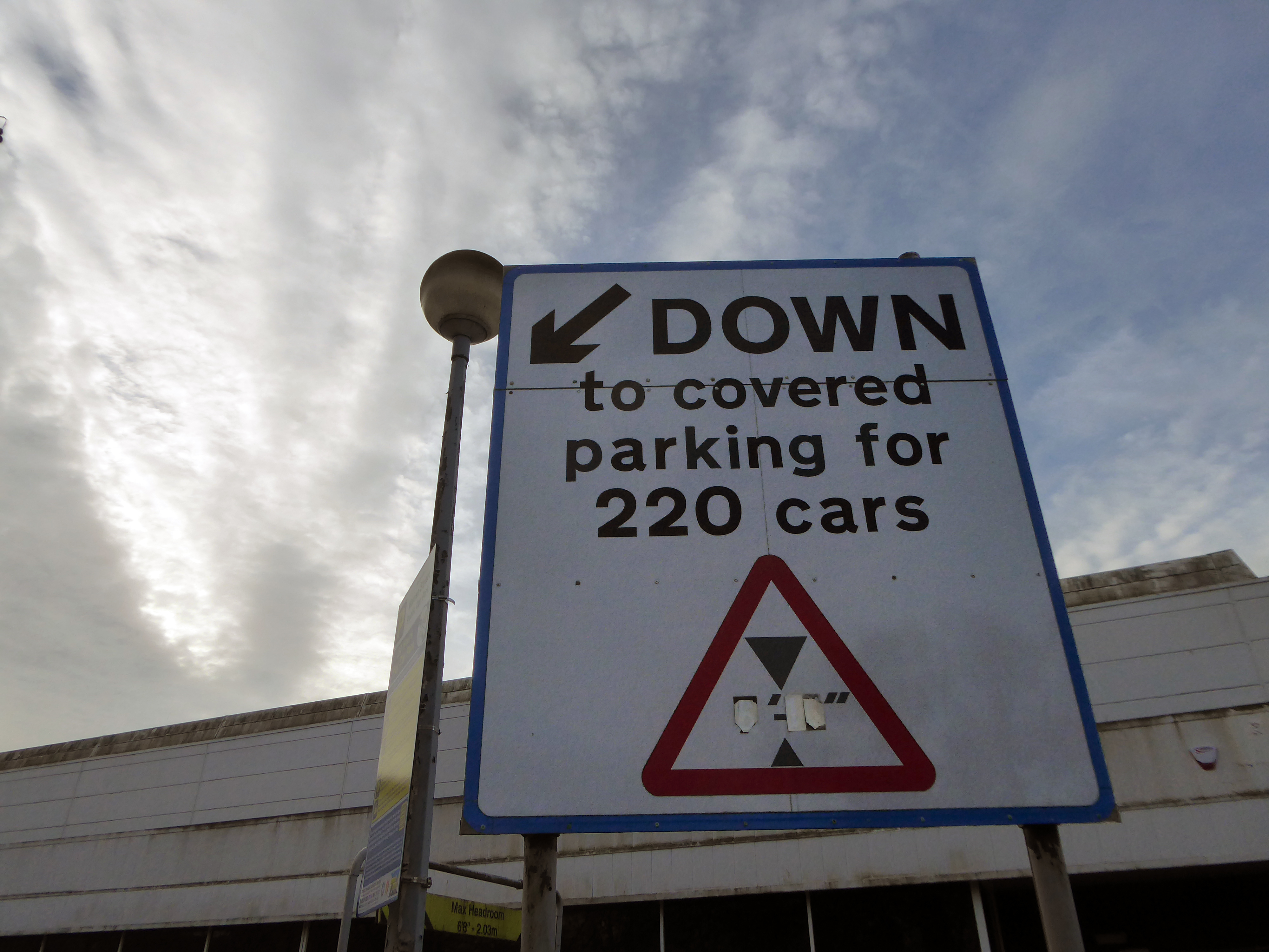
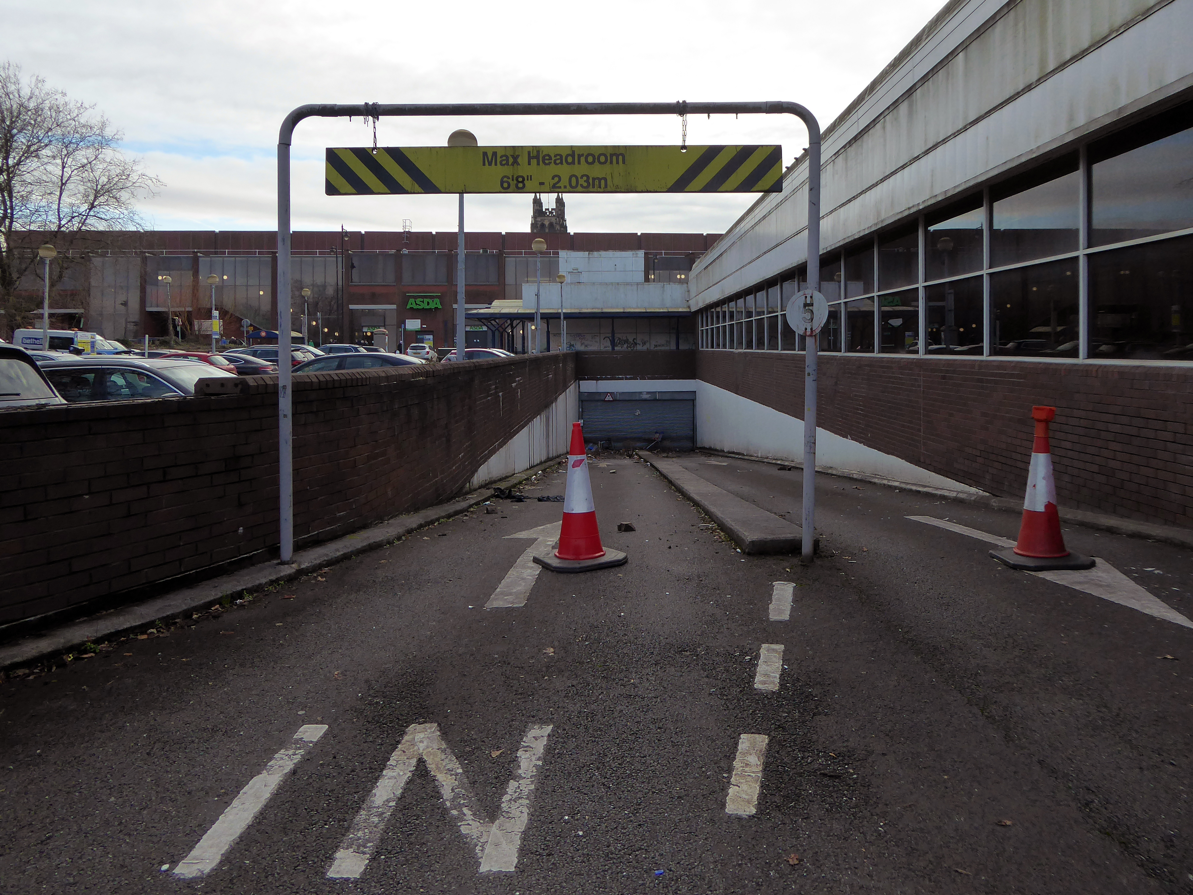
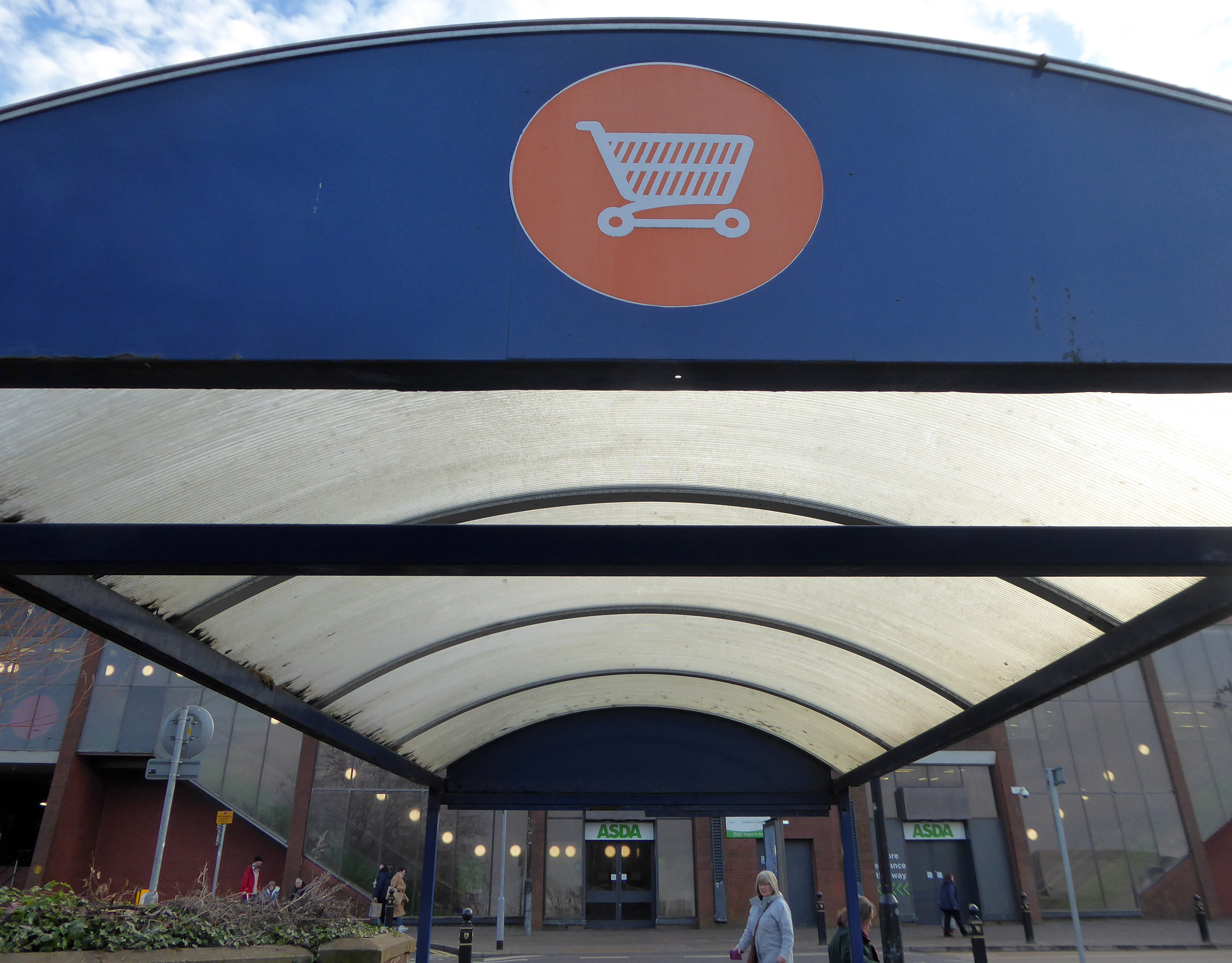
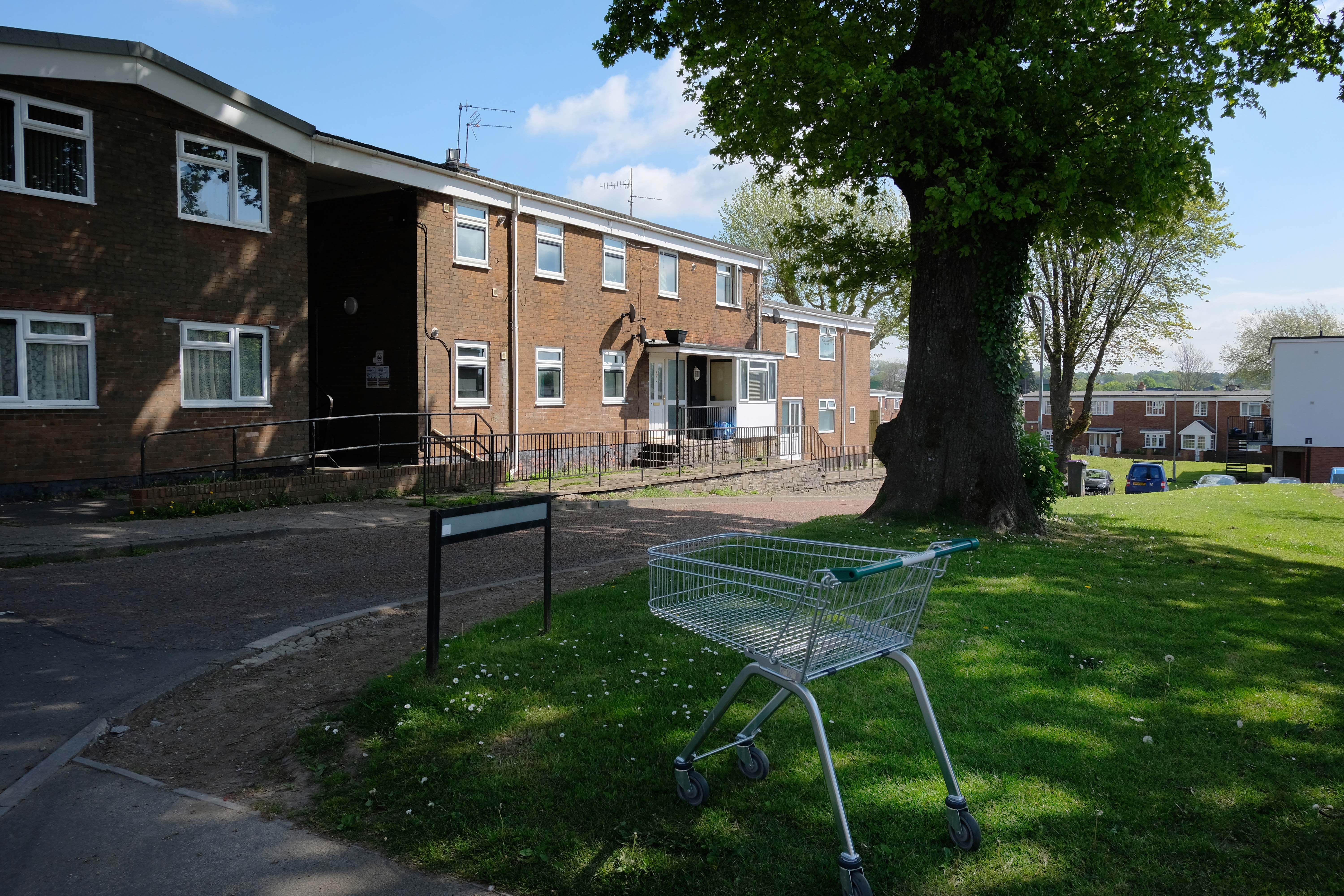
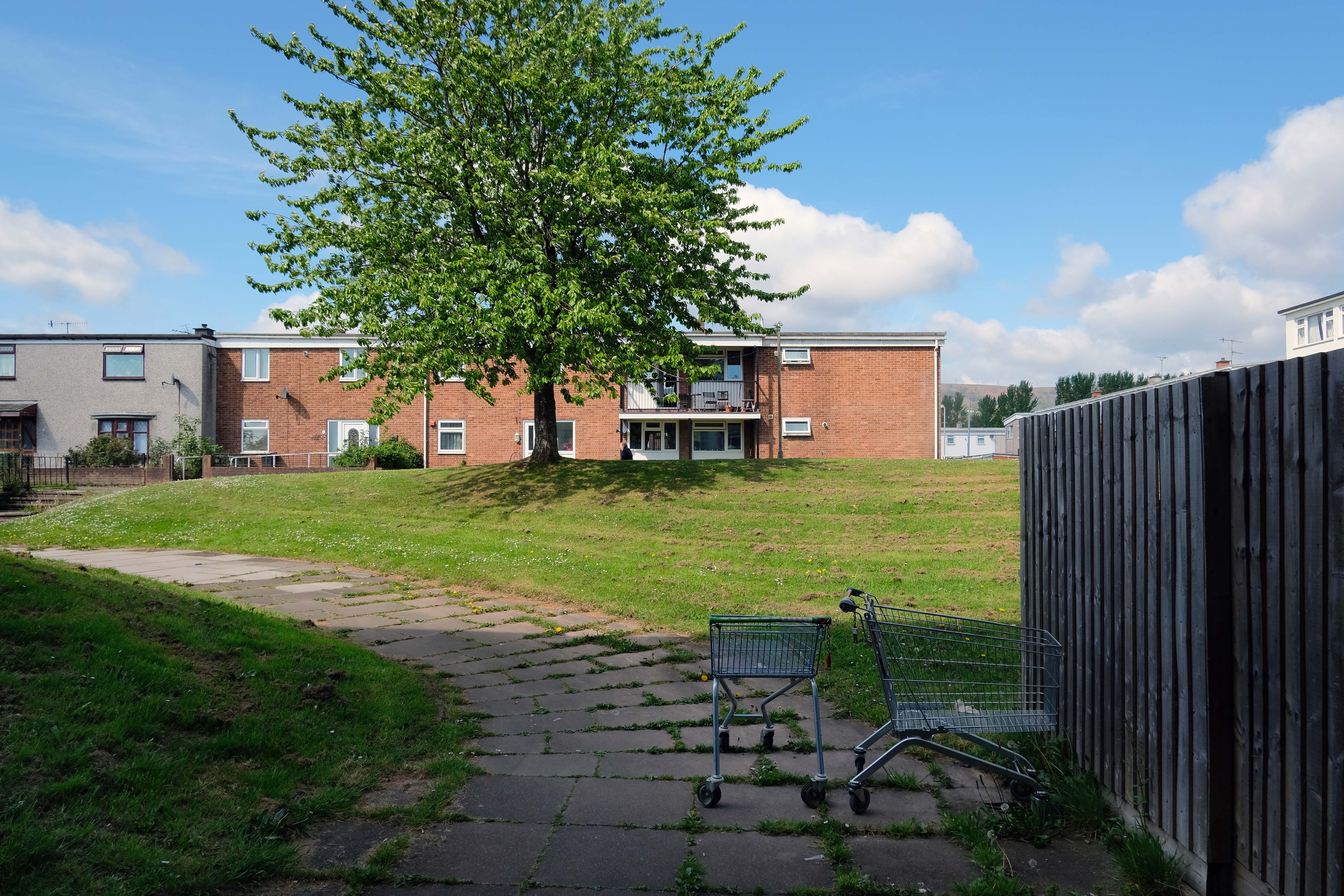
Incidentally an area with more al fresco shopping trolleys than I had ever seen, I assume that the big Asda, located within walking distance of the homes, to be the progenitor of such a notable proliferation.
It remains, generally speaking a well kept lived in area – let’s take a look.


