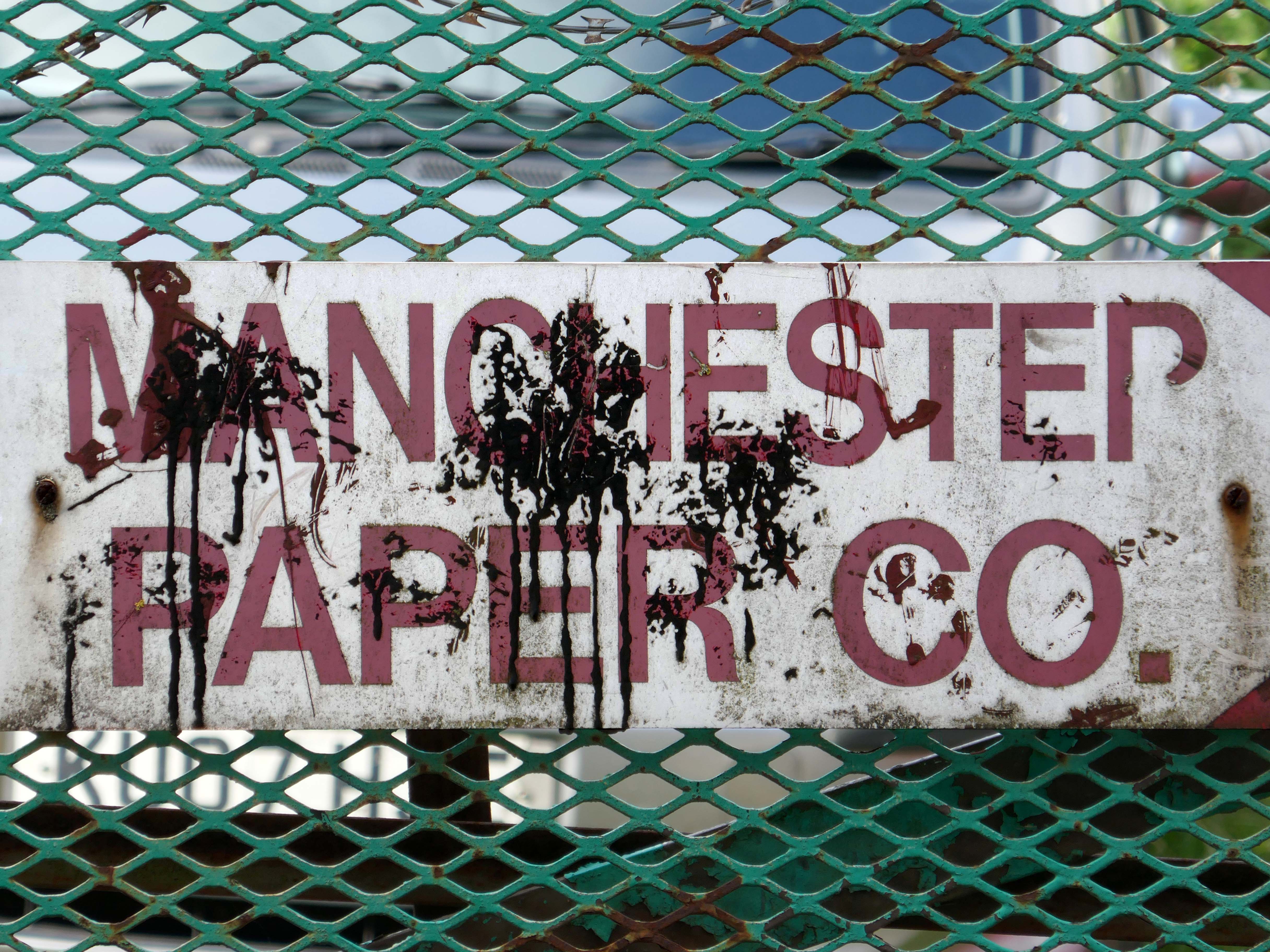
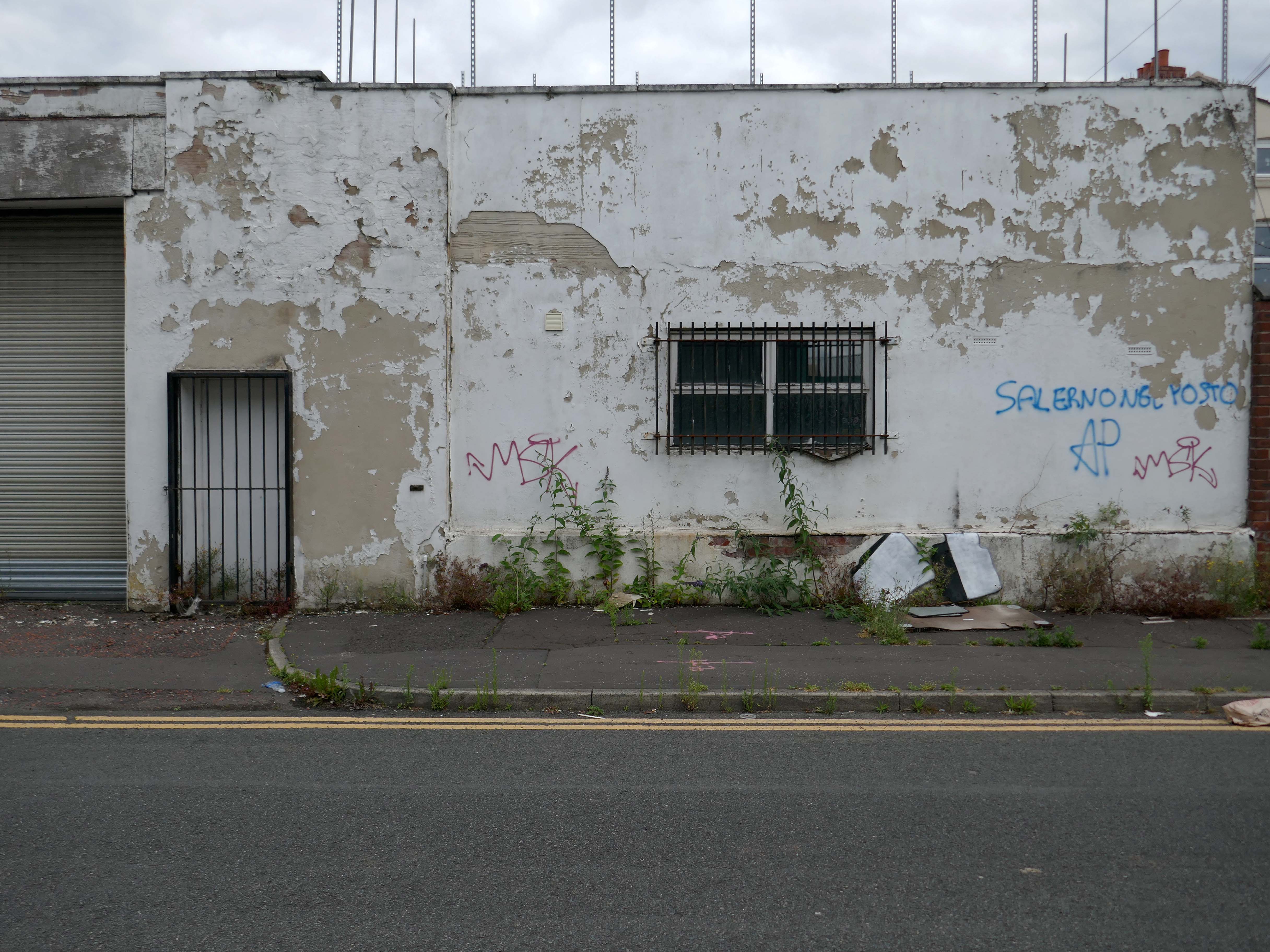
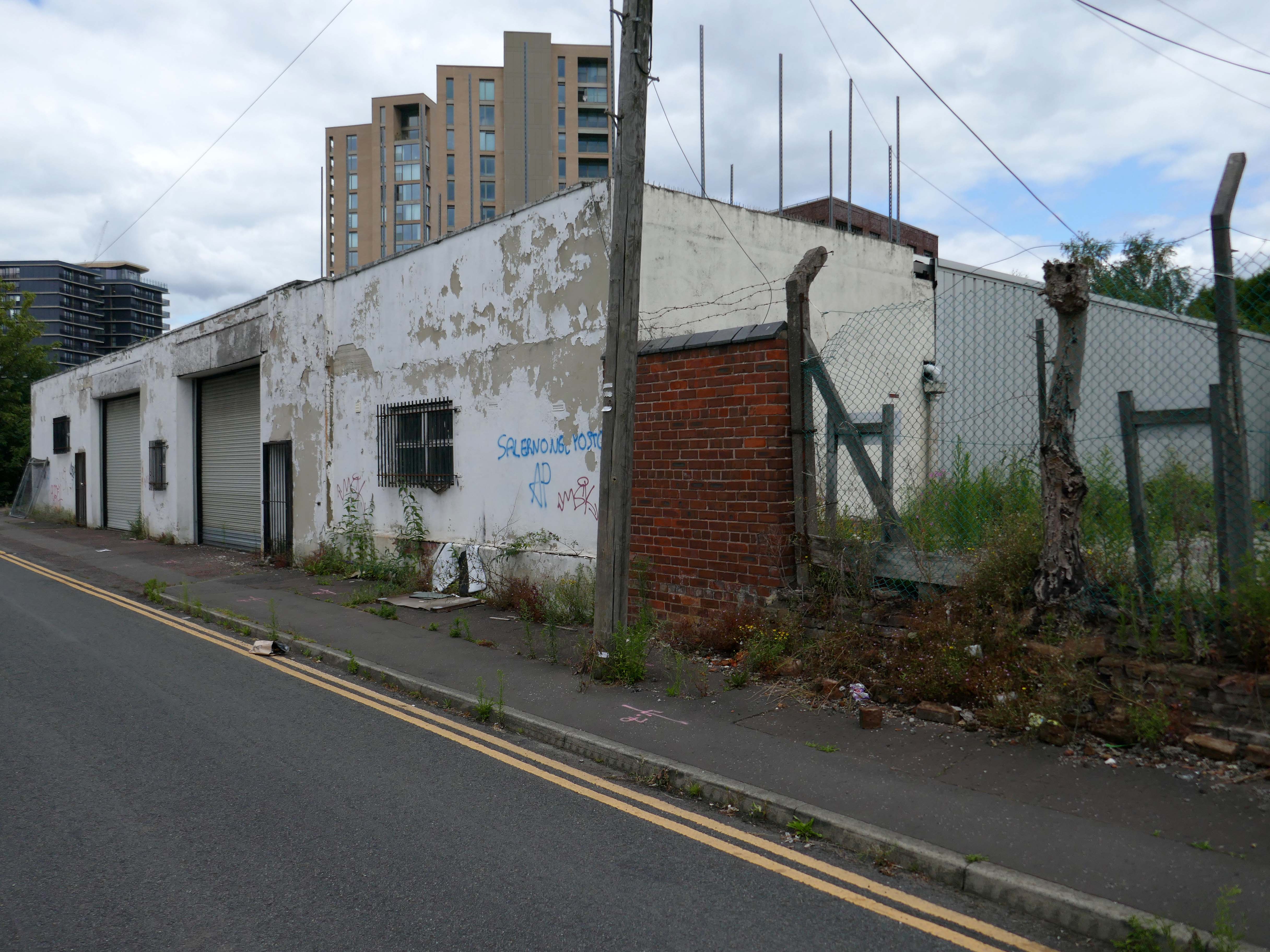
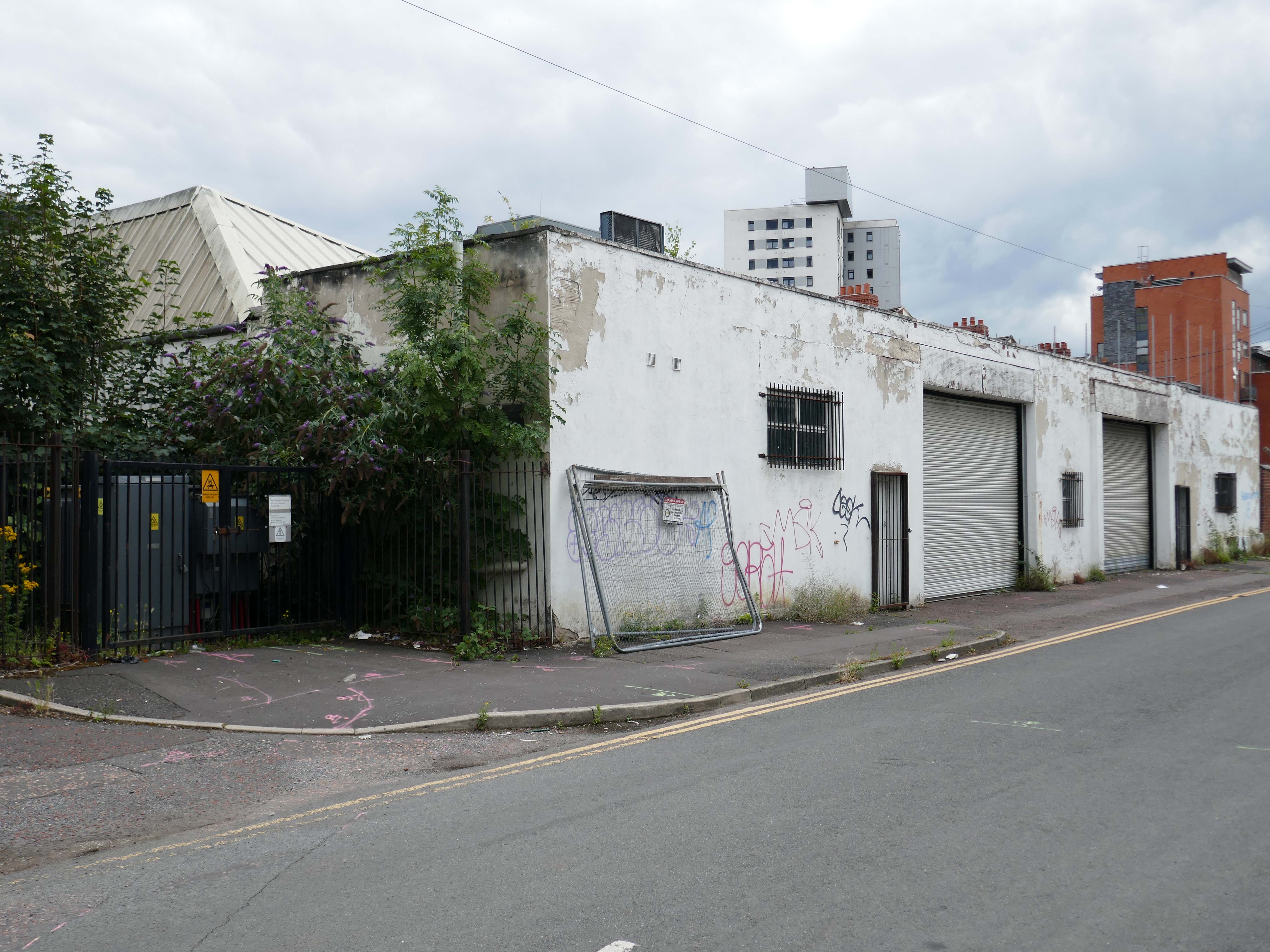
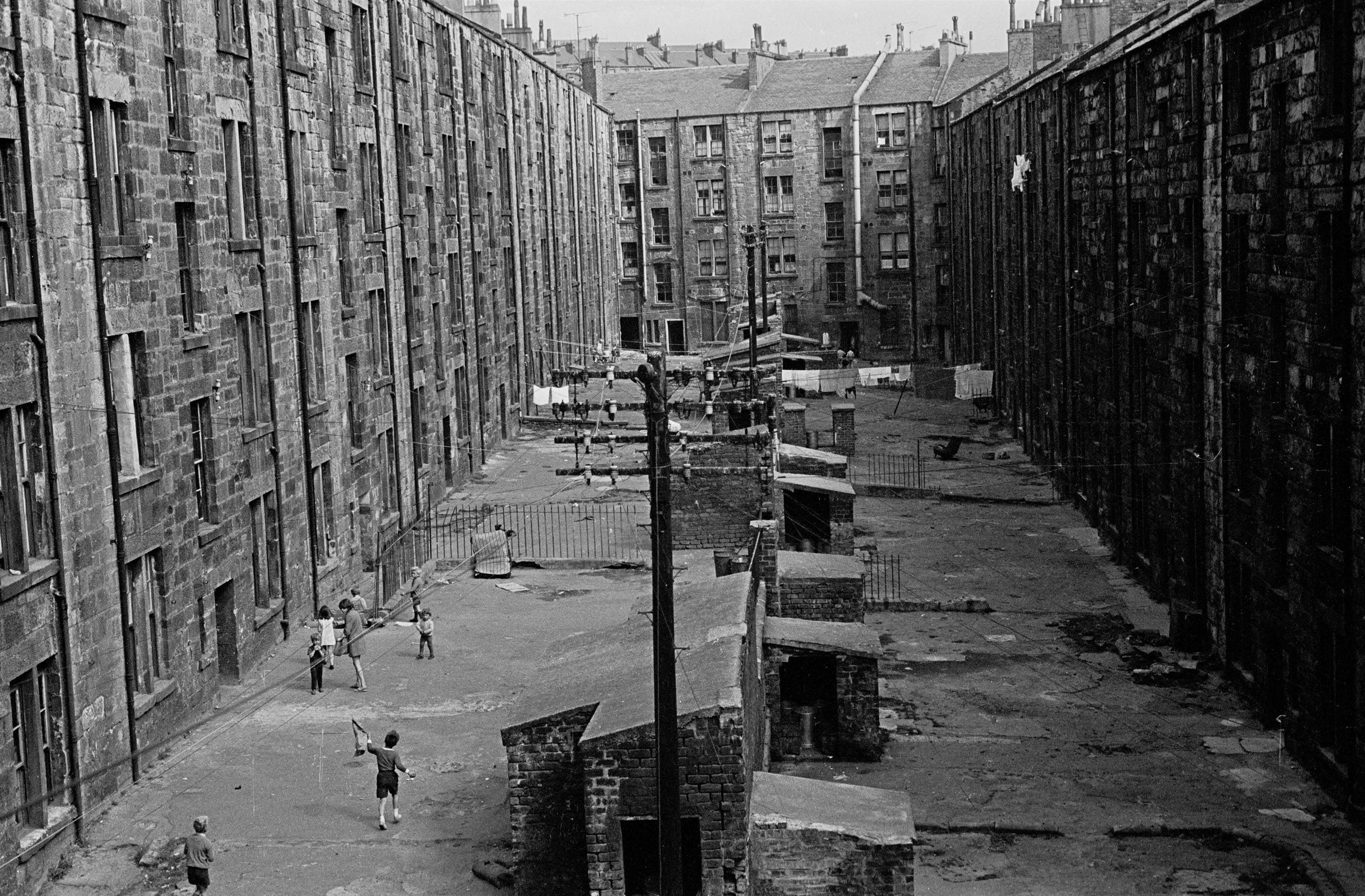
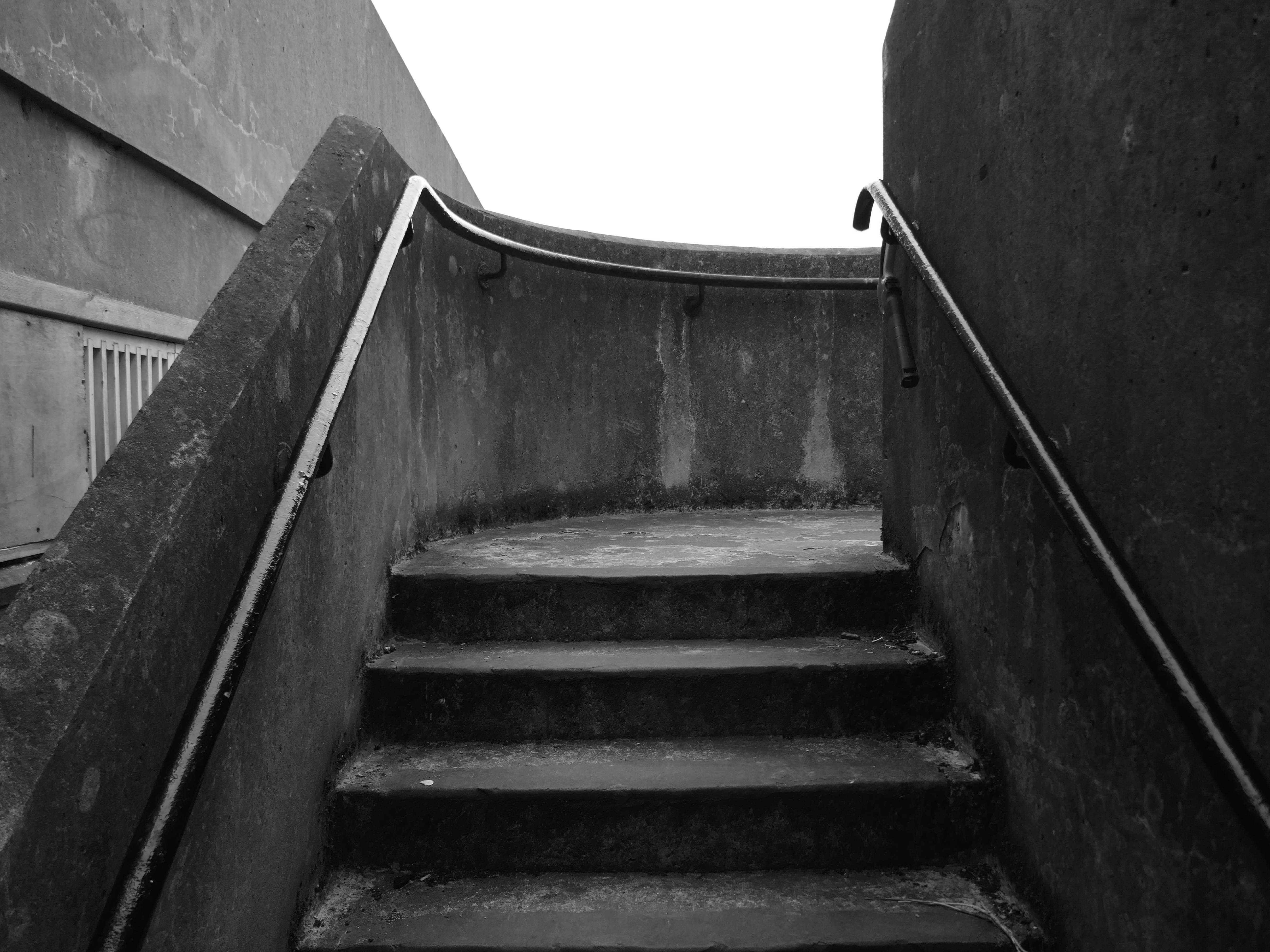
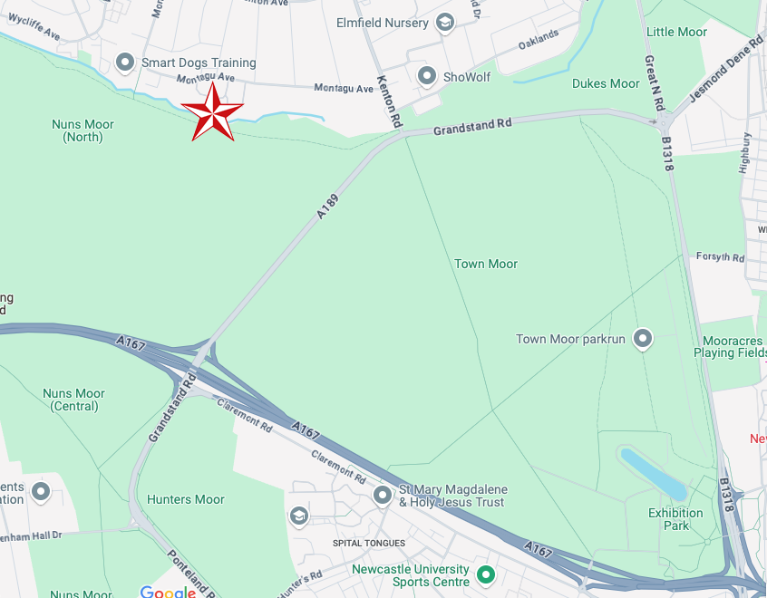
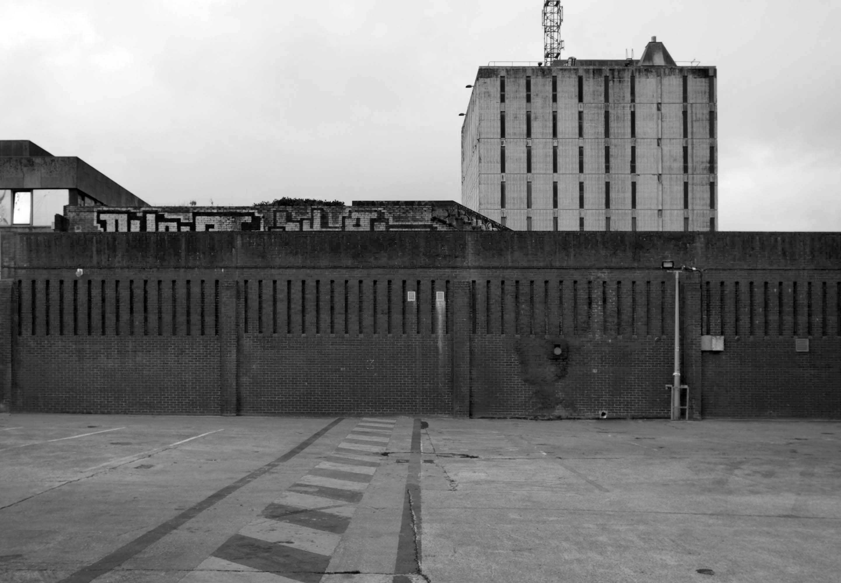
I have been here before recording the history ofManchester City FC on this site.
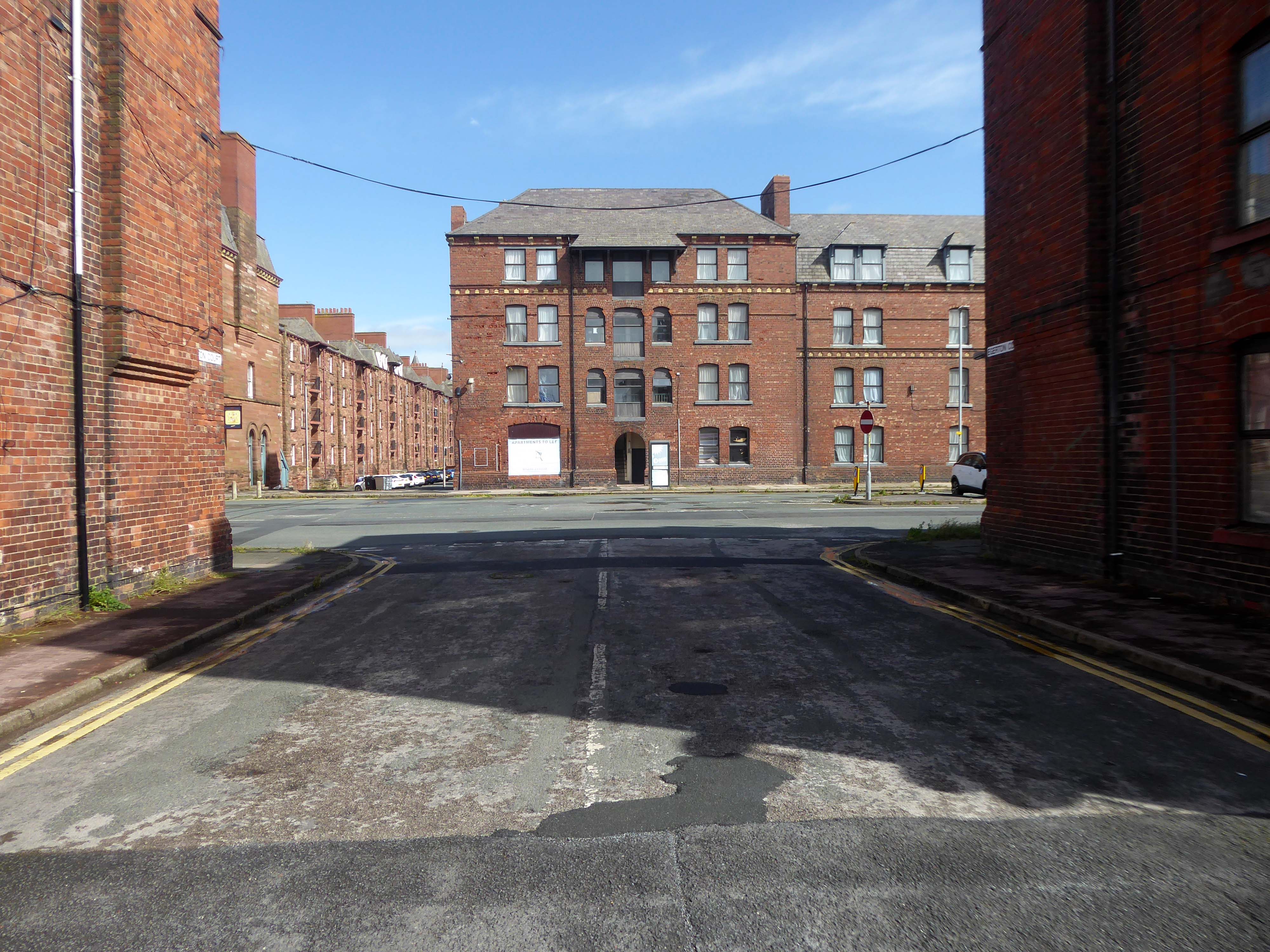
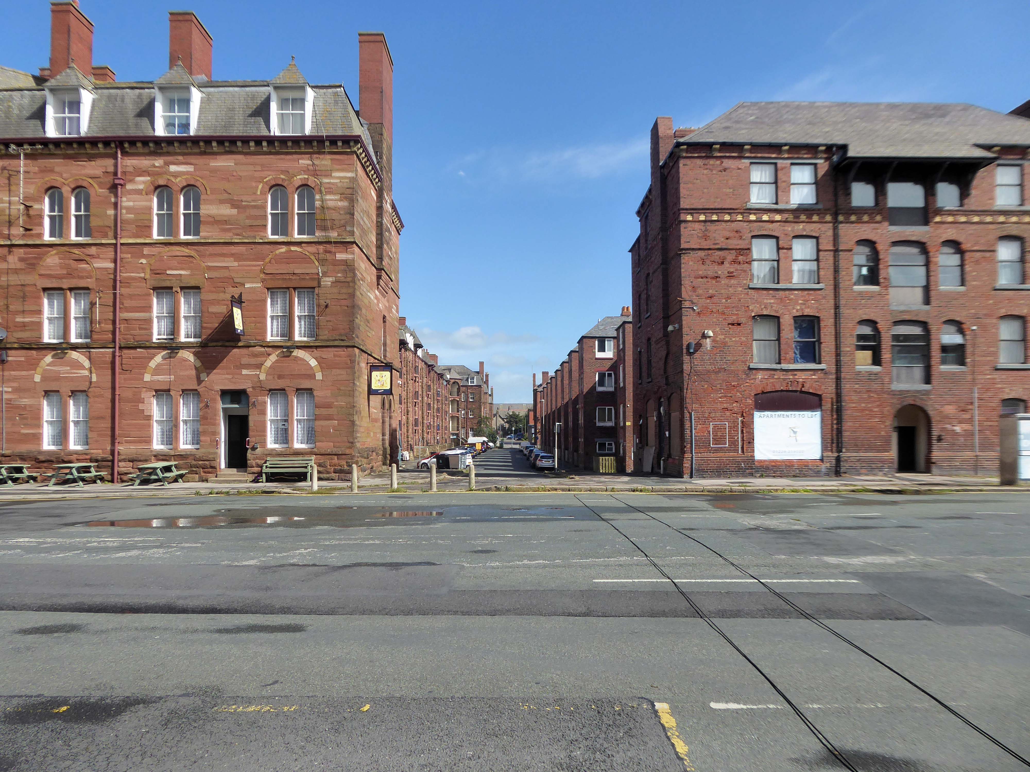
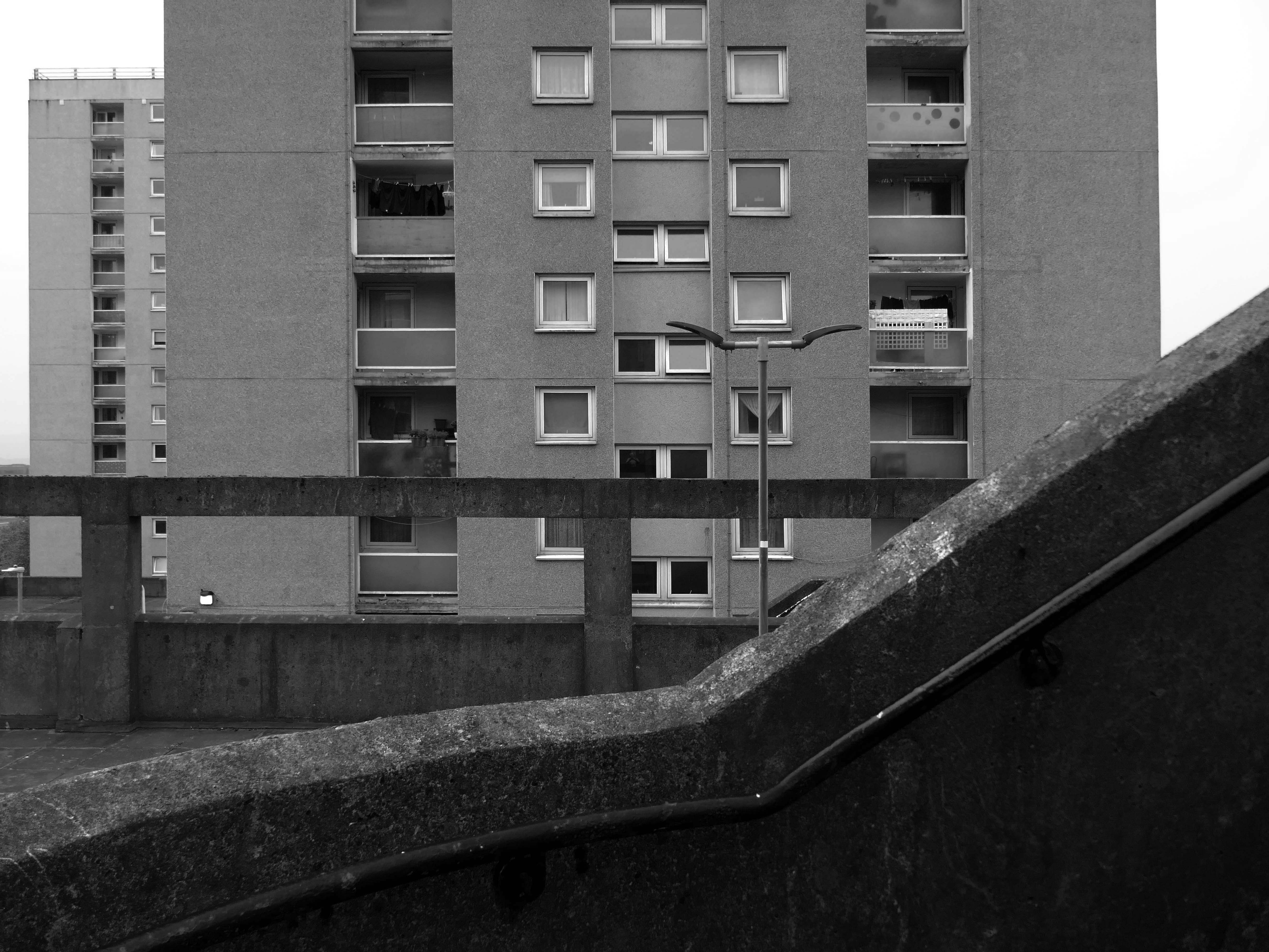
A football stadium surrounded by railways, roads, homes and industry.
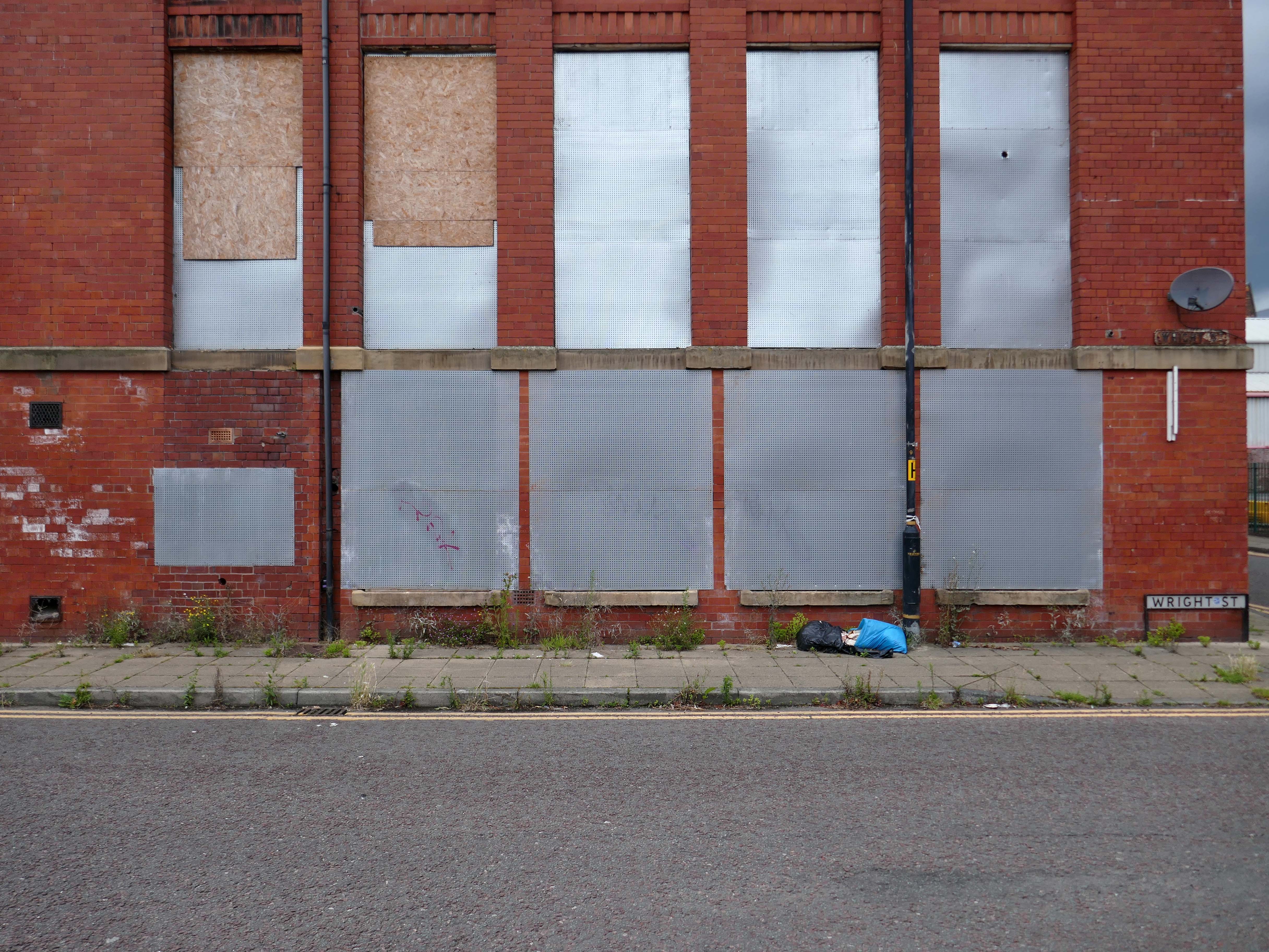
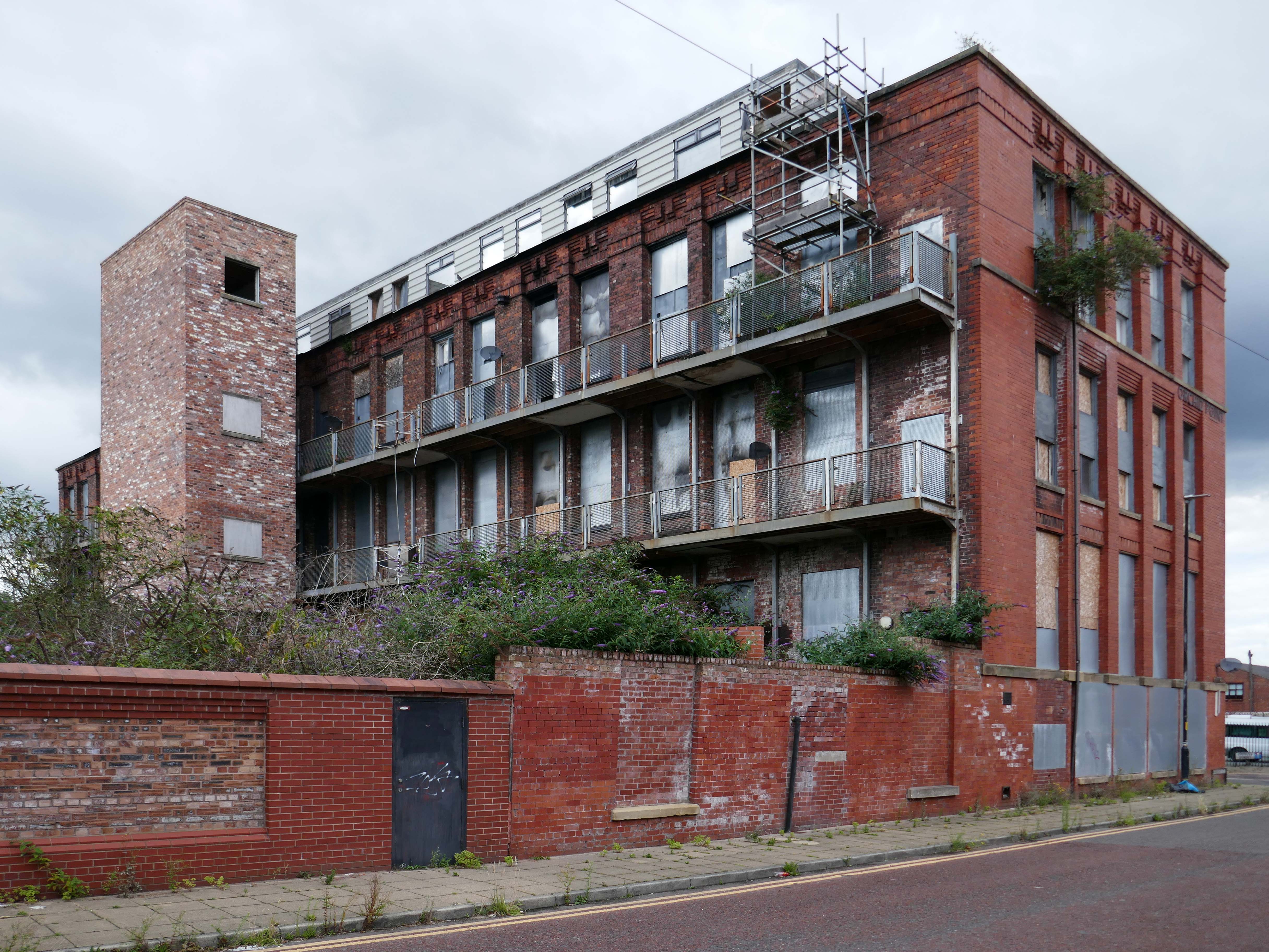
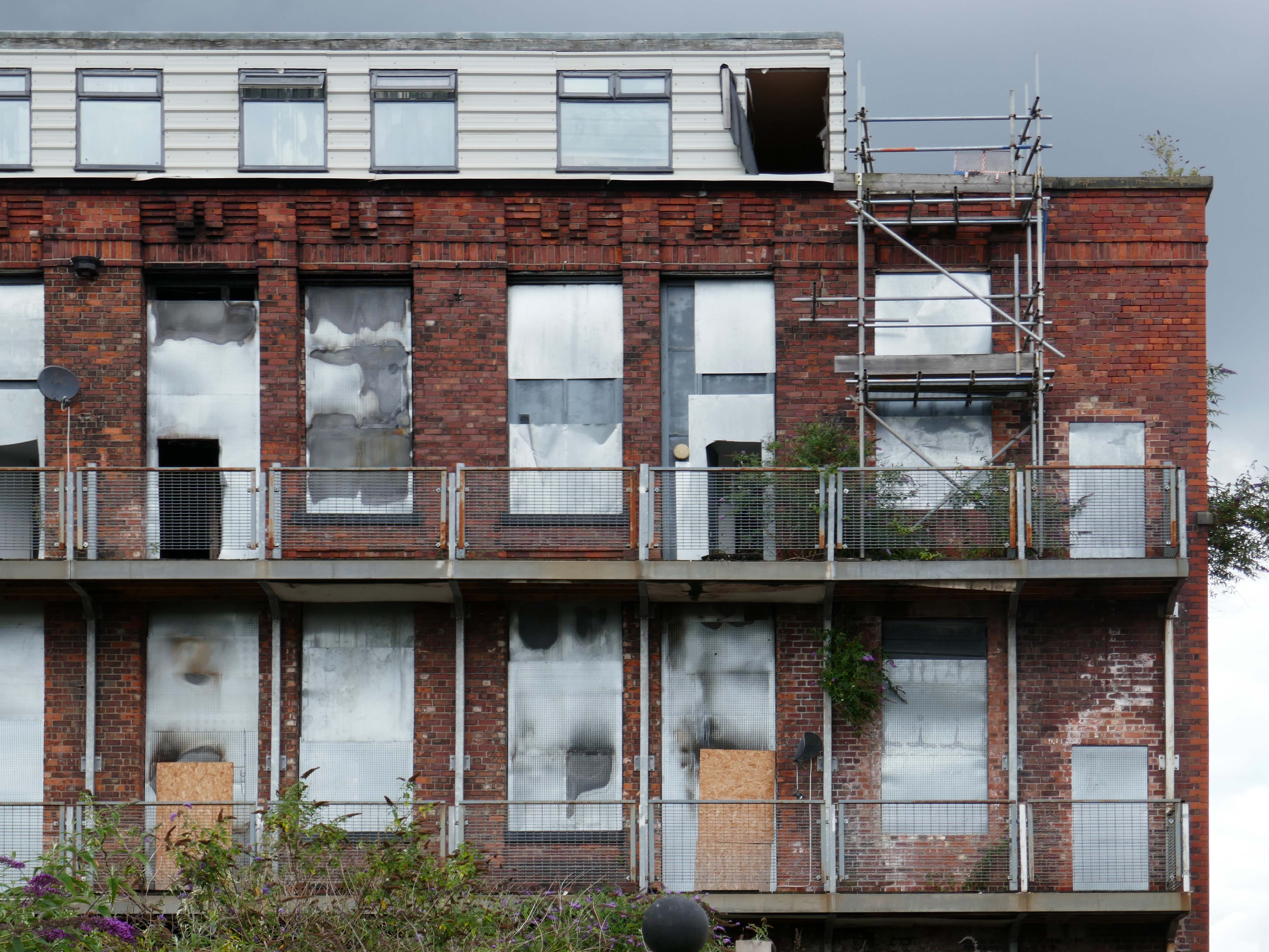
The area is now much changed, though the railways and roads remain, the homes are in a state of flux.
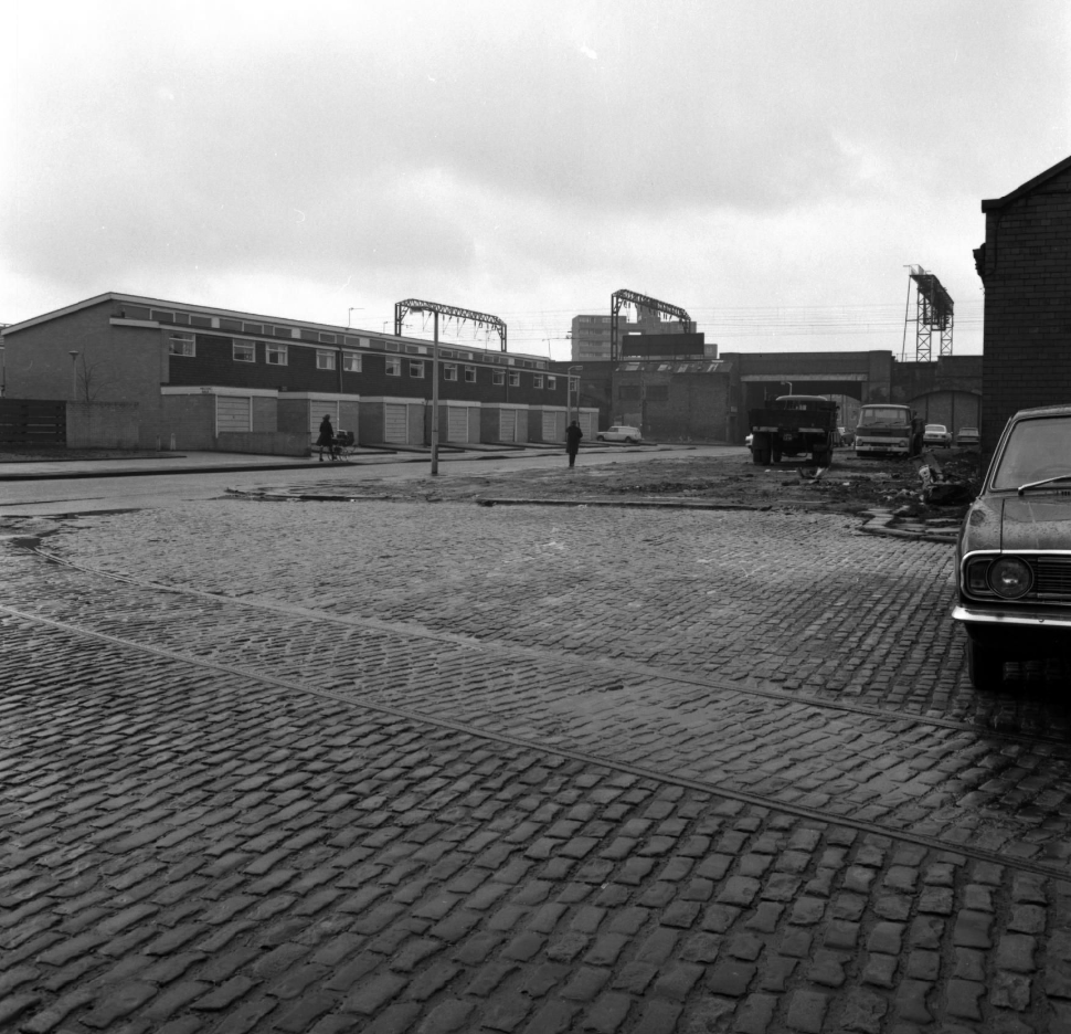
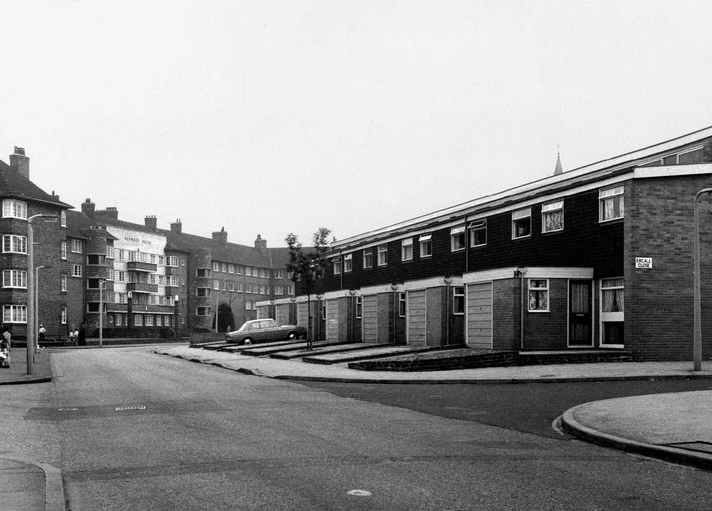
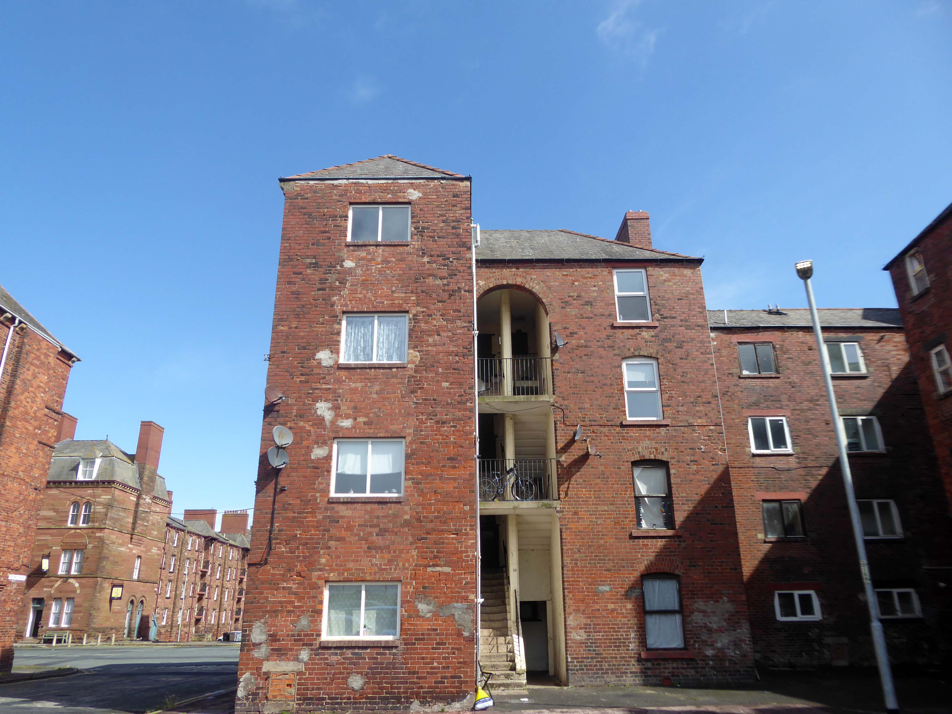
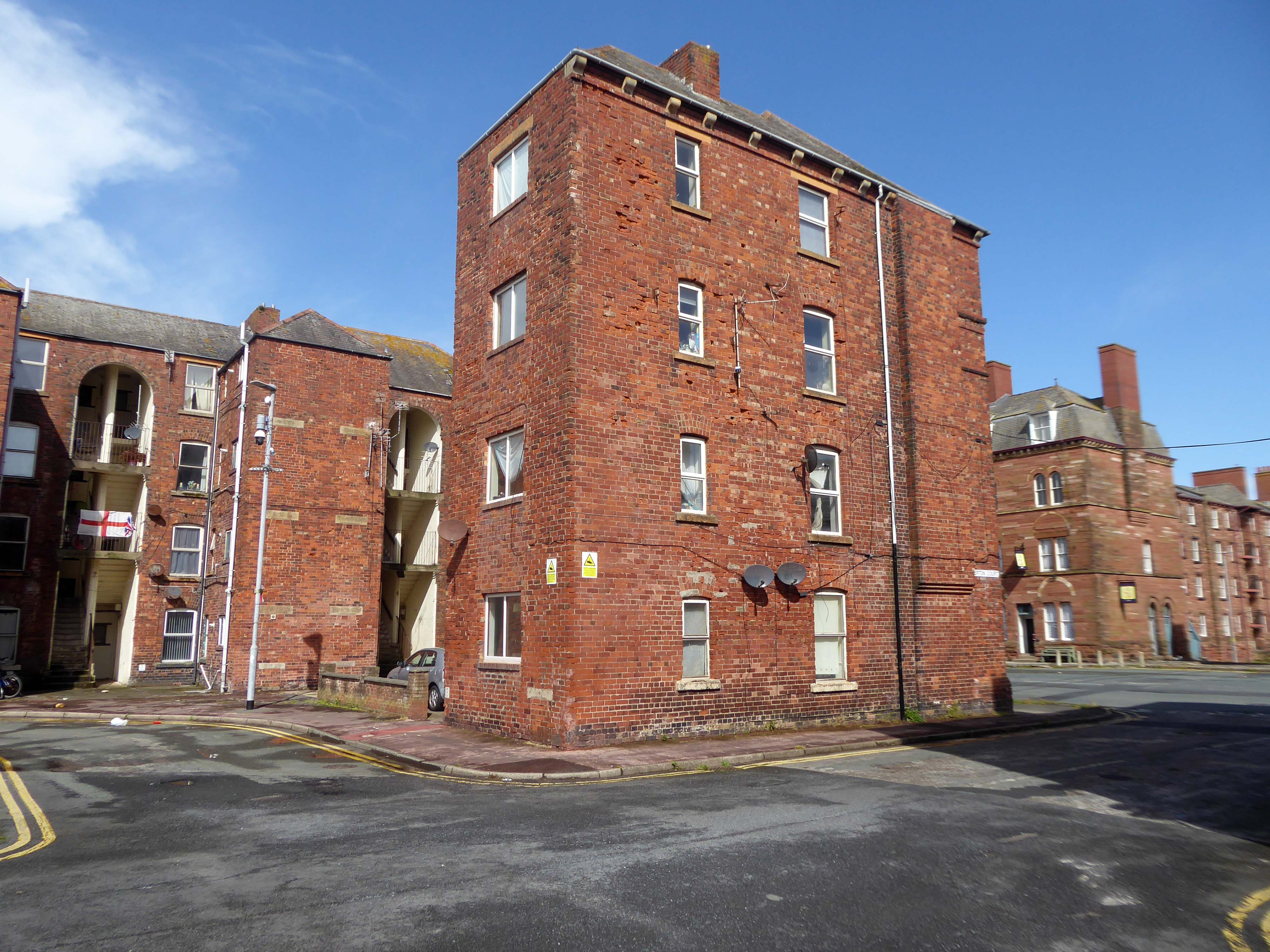
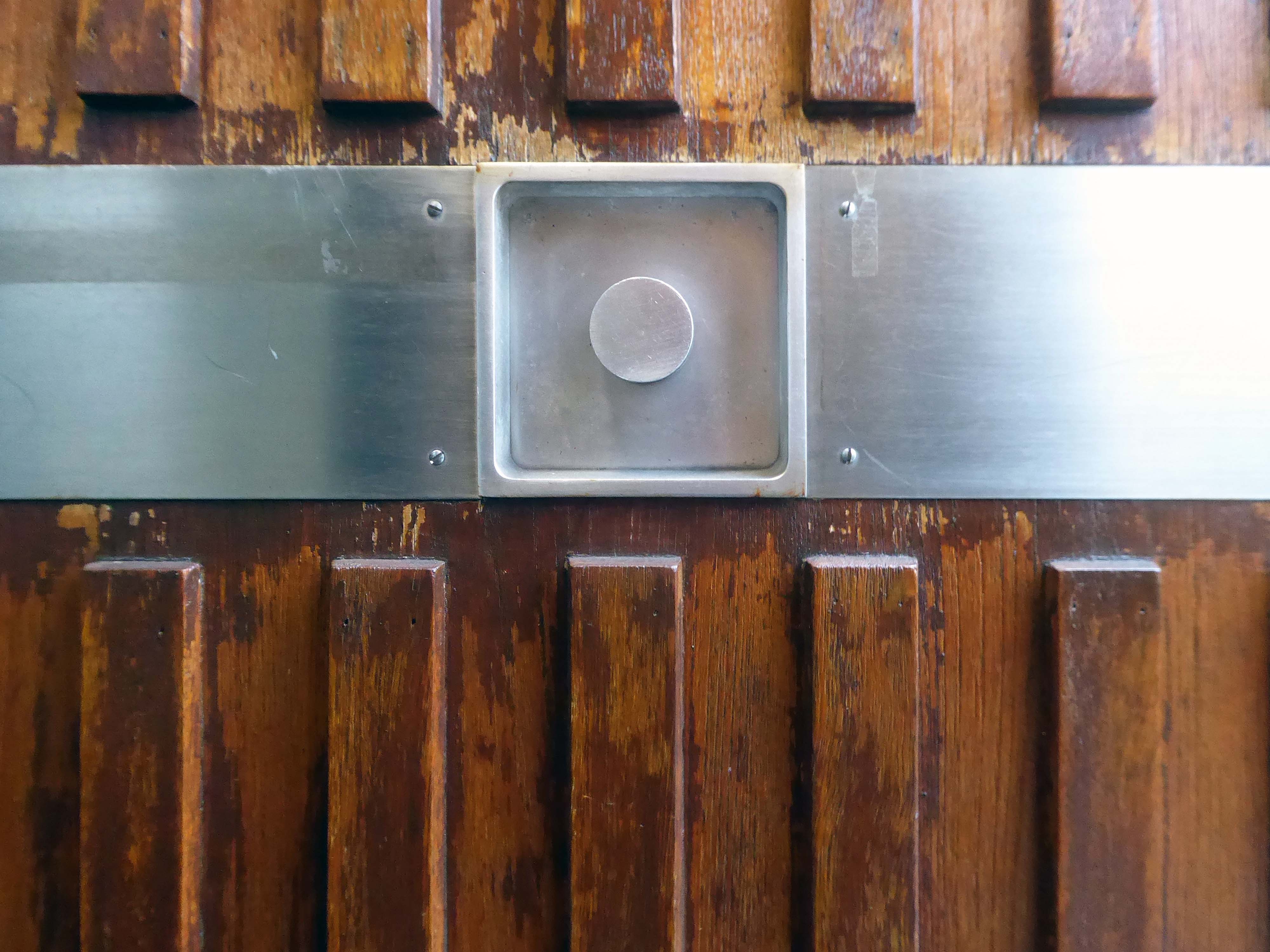
Local Image Collection: Bennett Street with Heywood House 1972 – photo Anne Jackson.
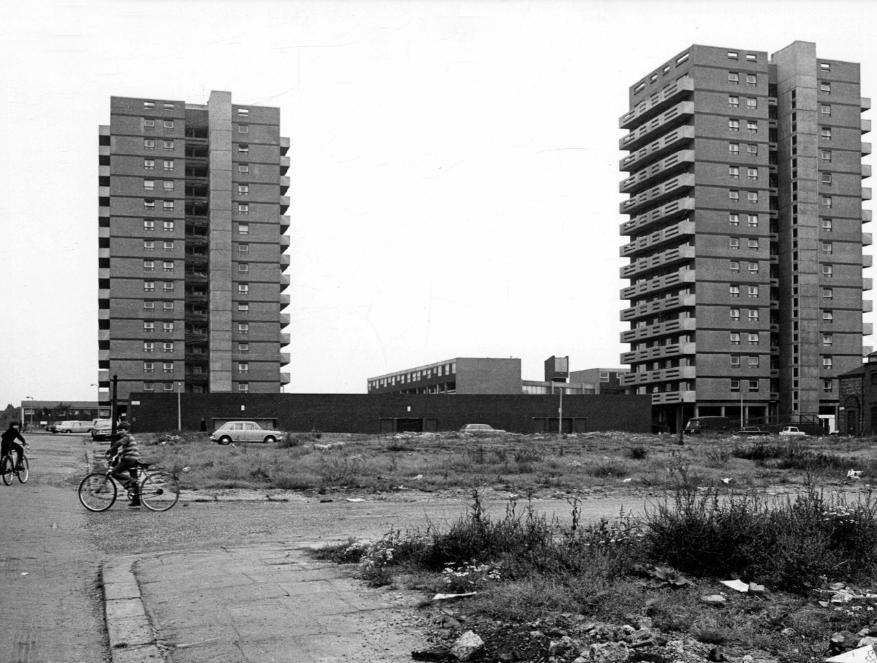
Local Image Collection: Wenlock Way flats taken from Bennett Street – Photo Ben Garth 1972
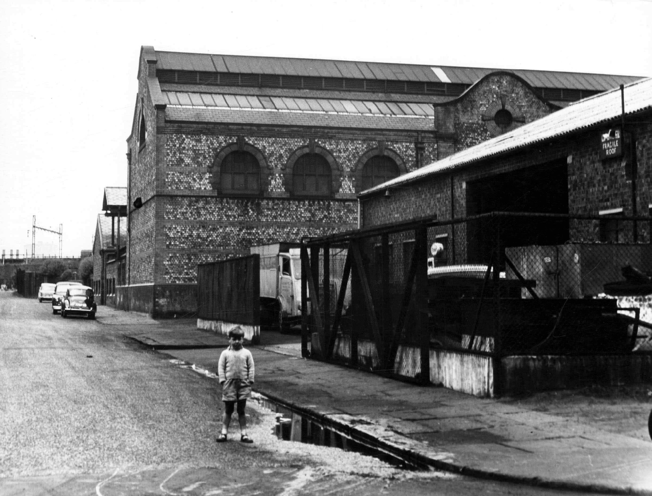
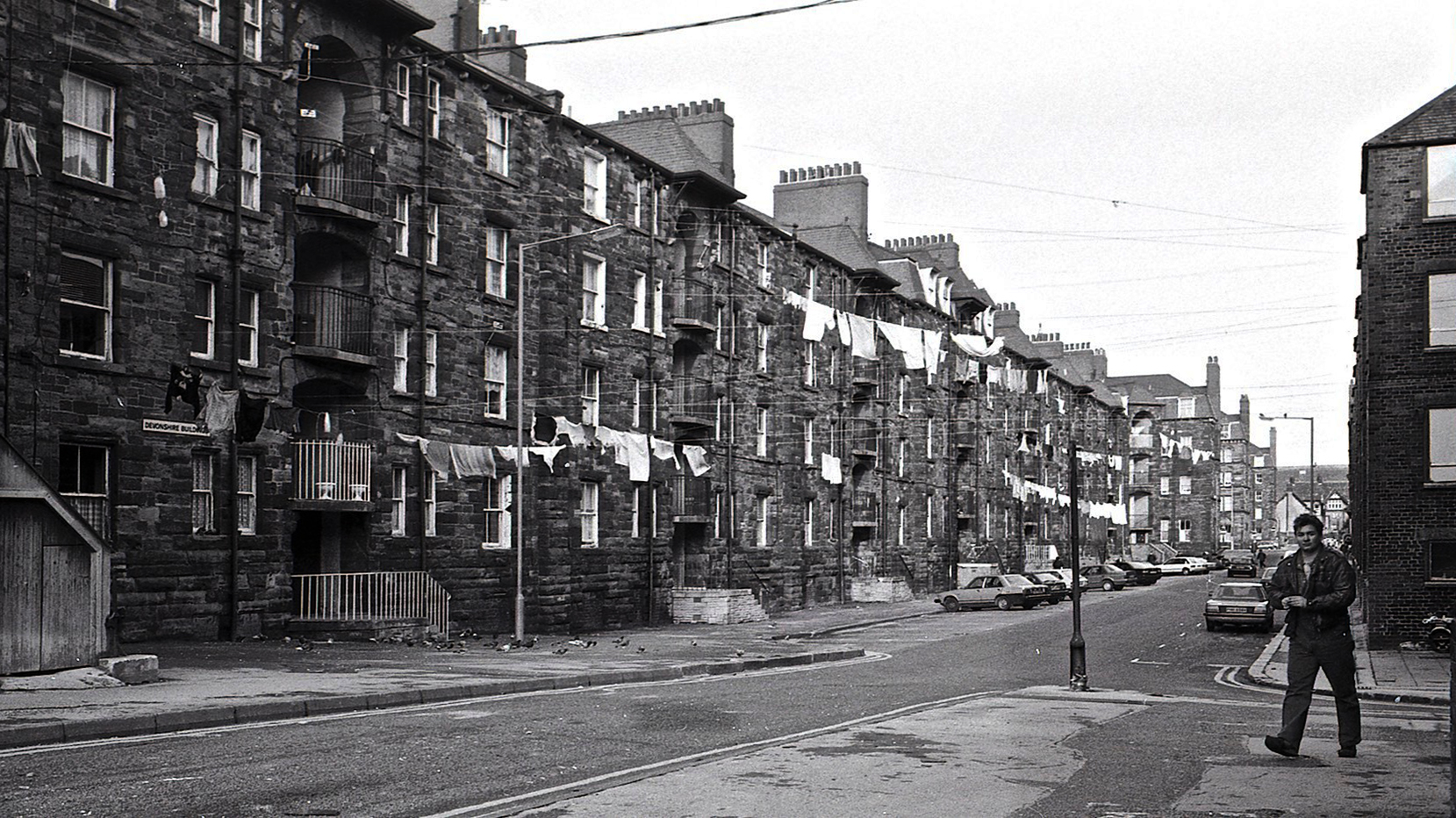
Local Image Collection: Matthews Street from Bennett Street 1964 – Photo Thomas Brooks
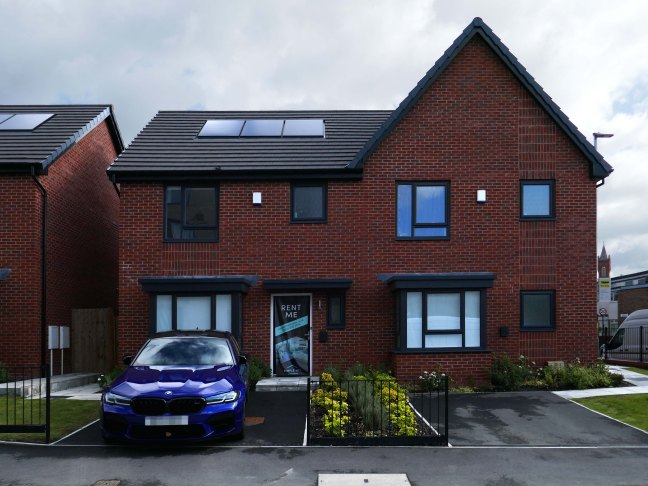
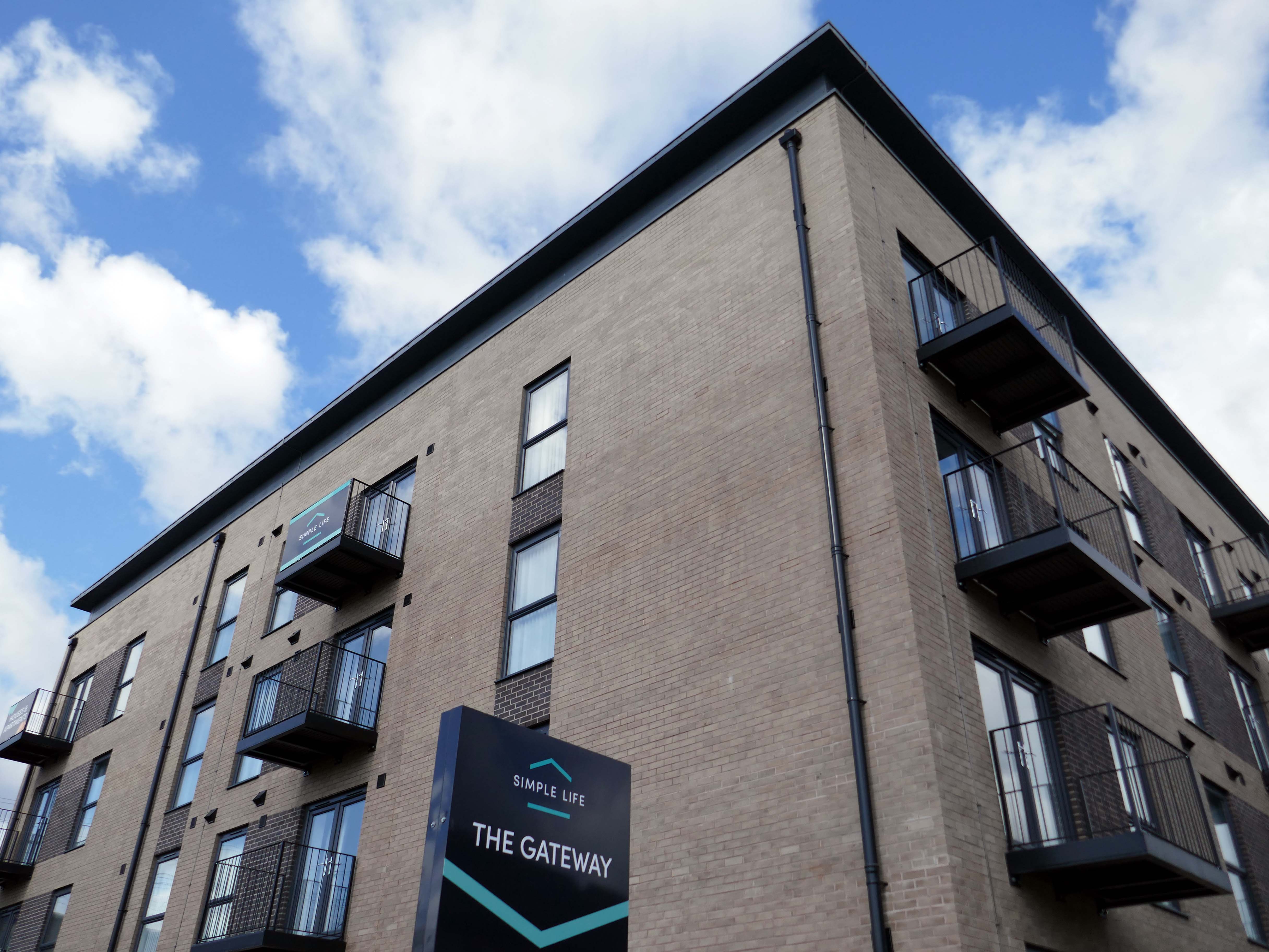
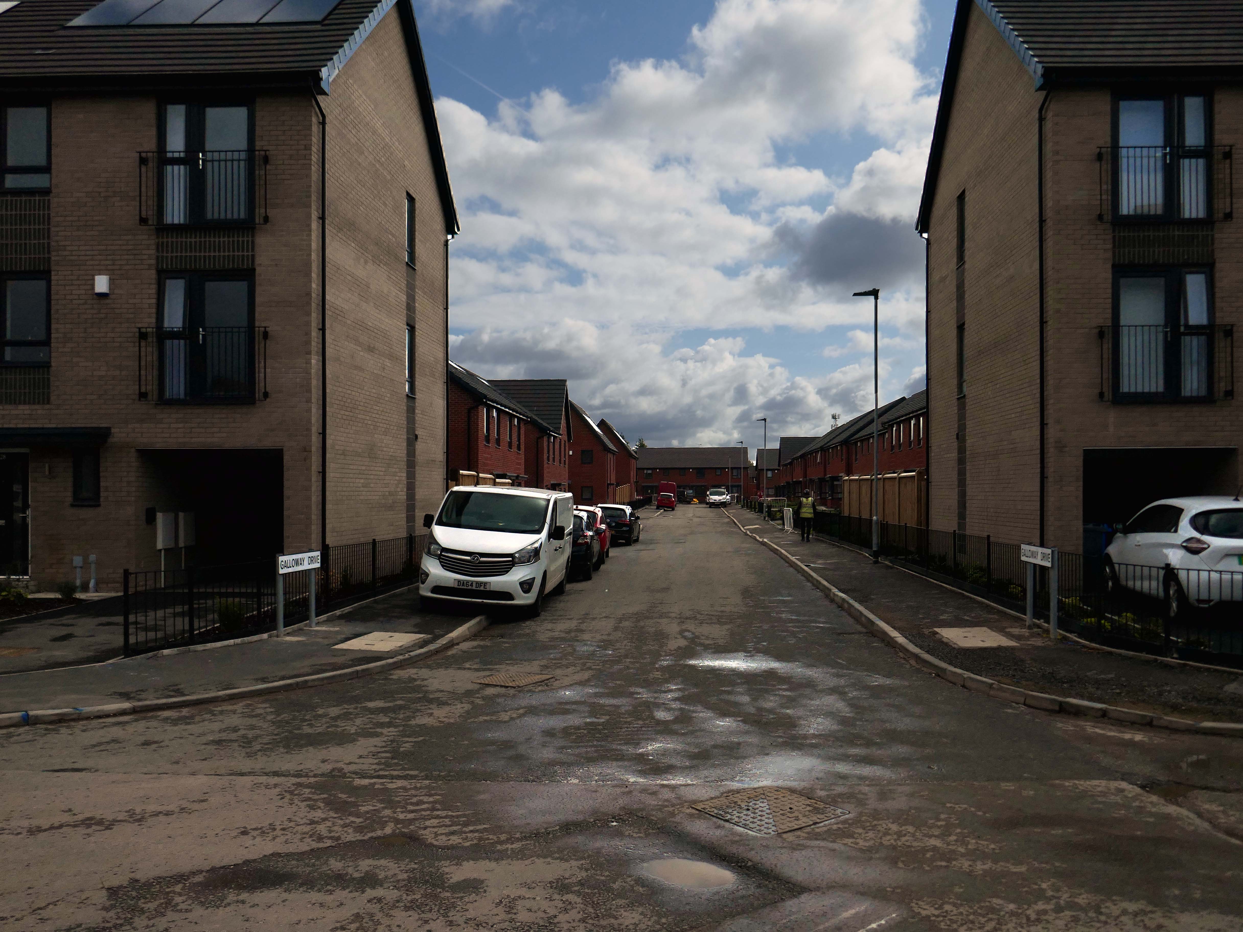
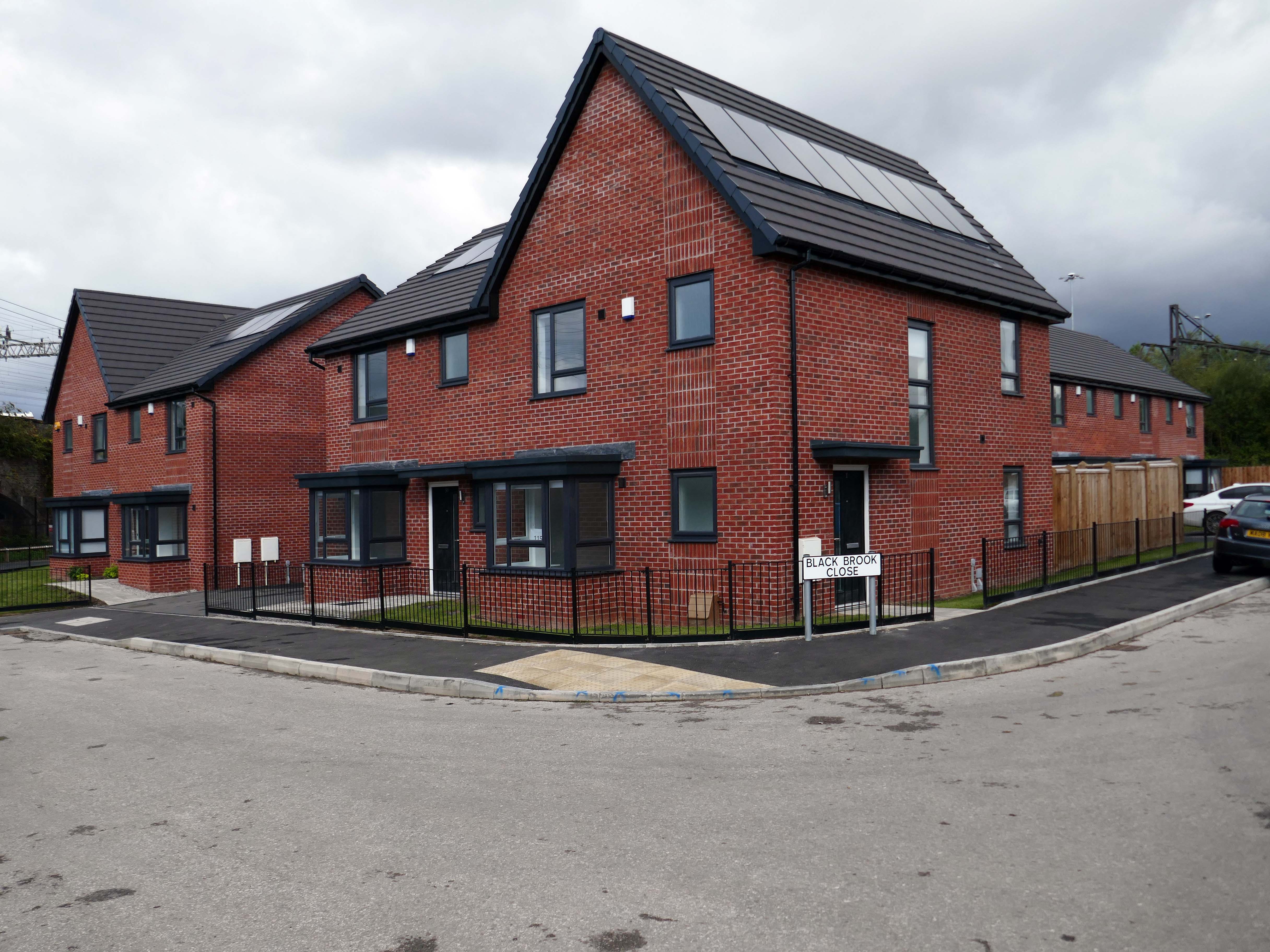
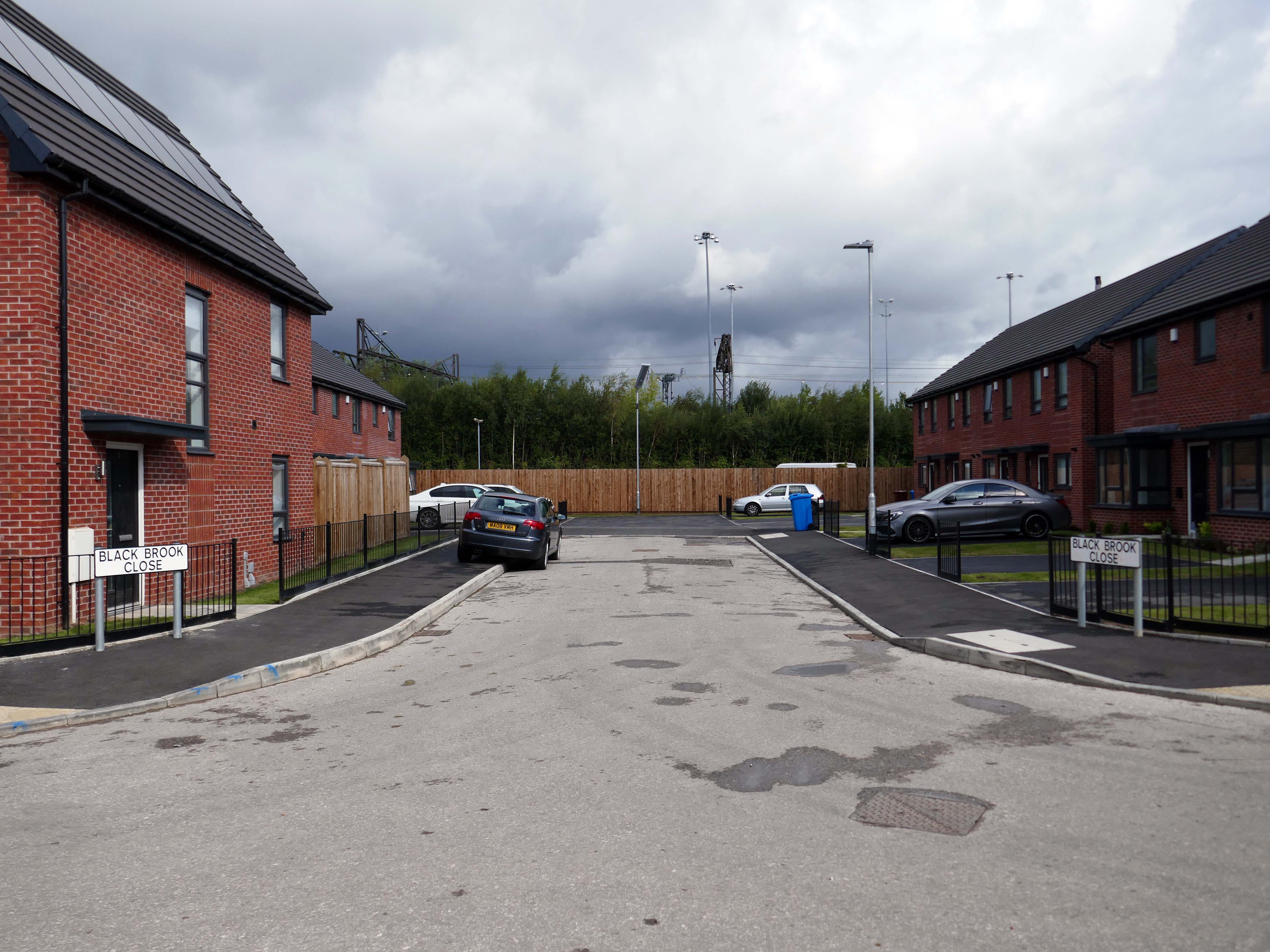
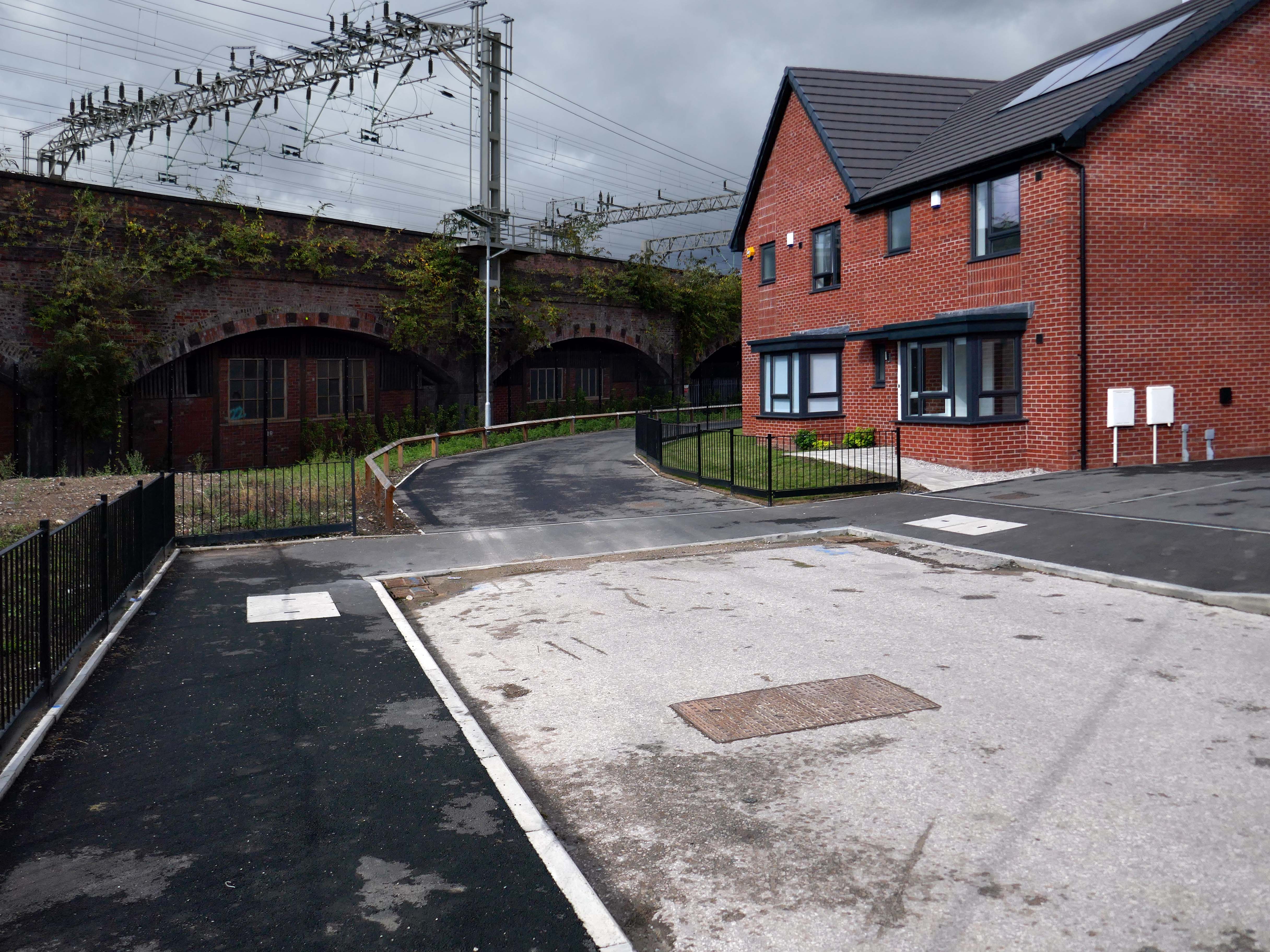
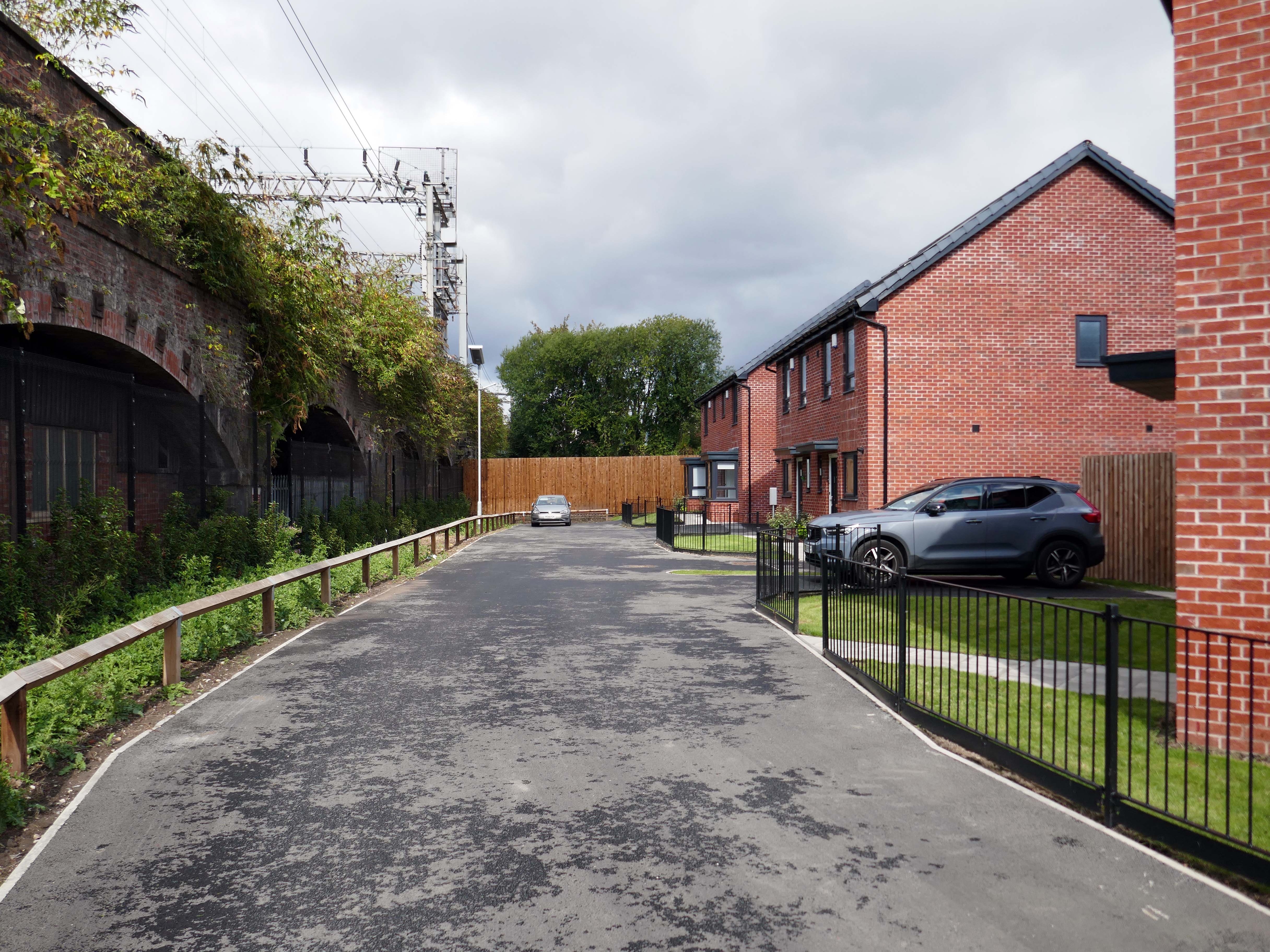
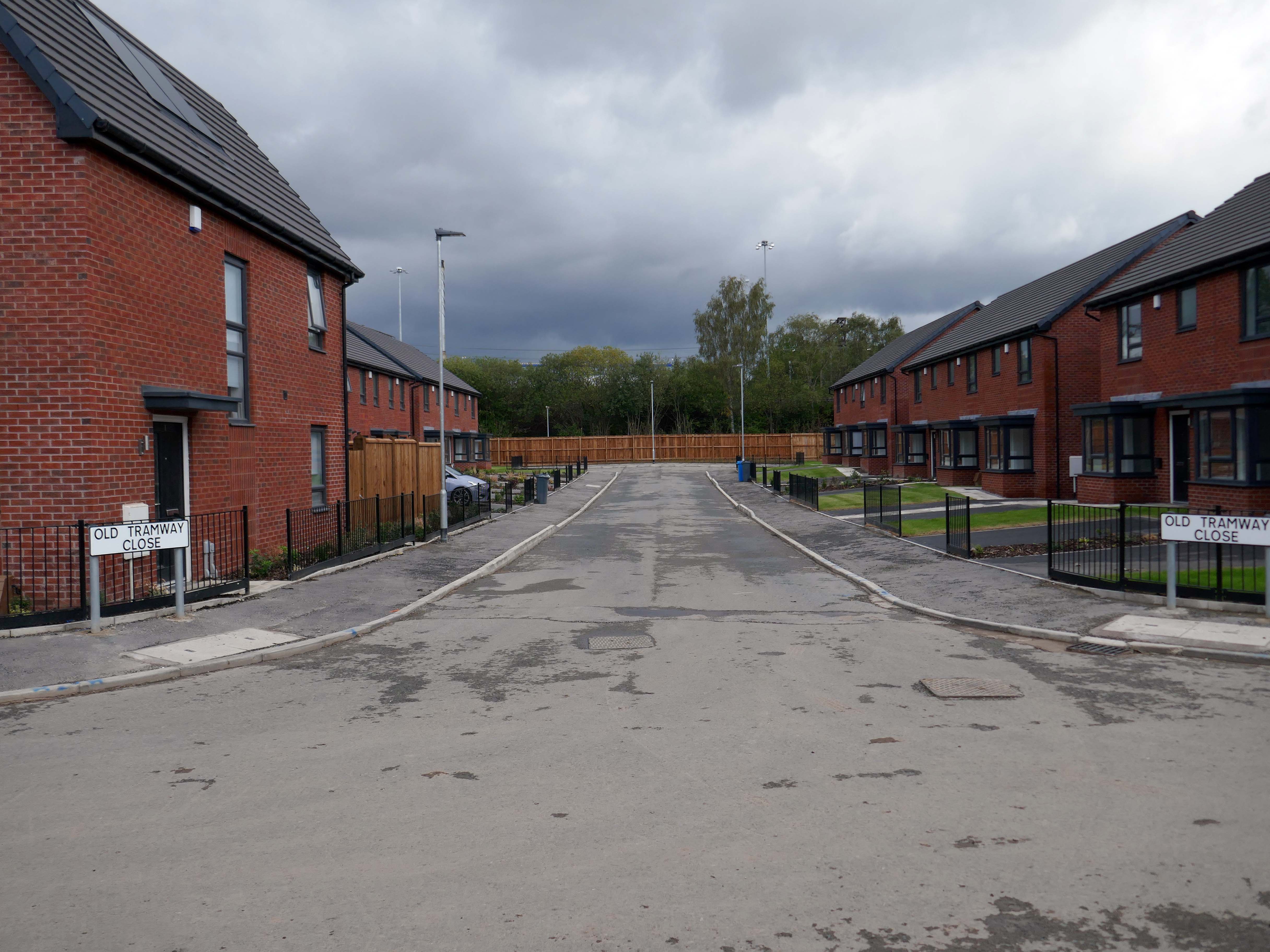
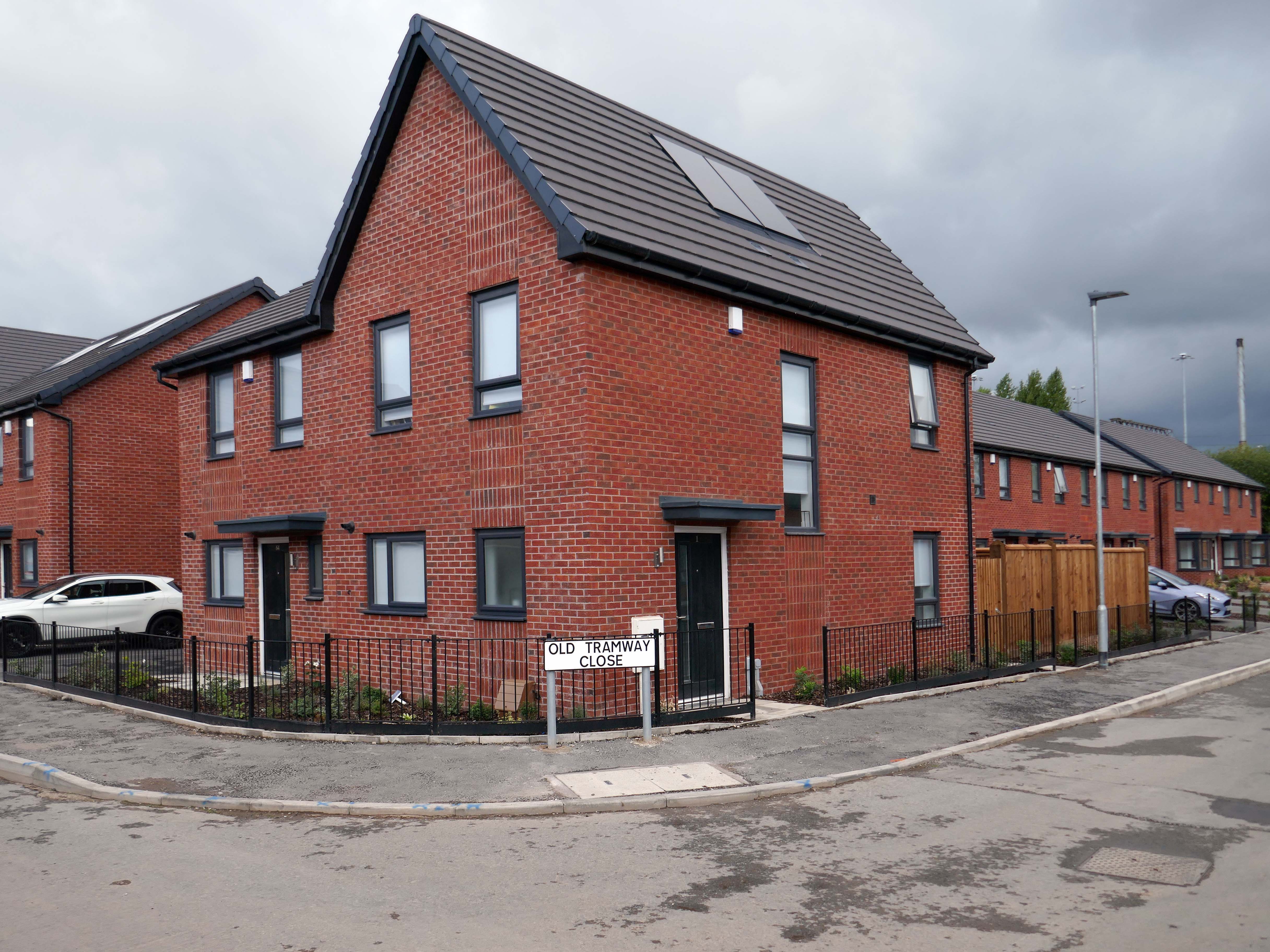
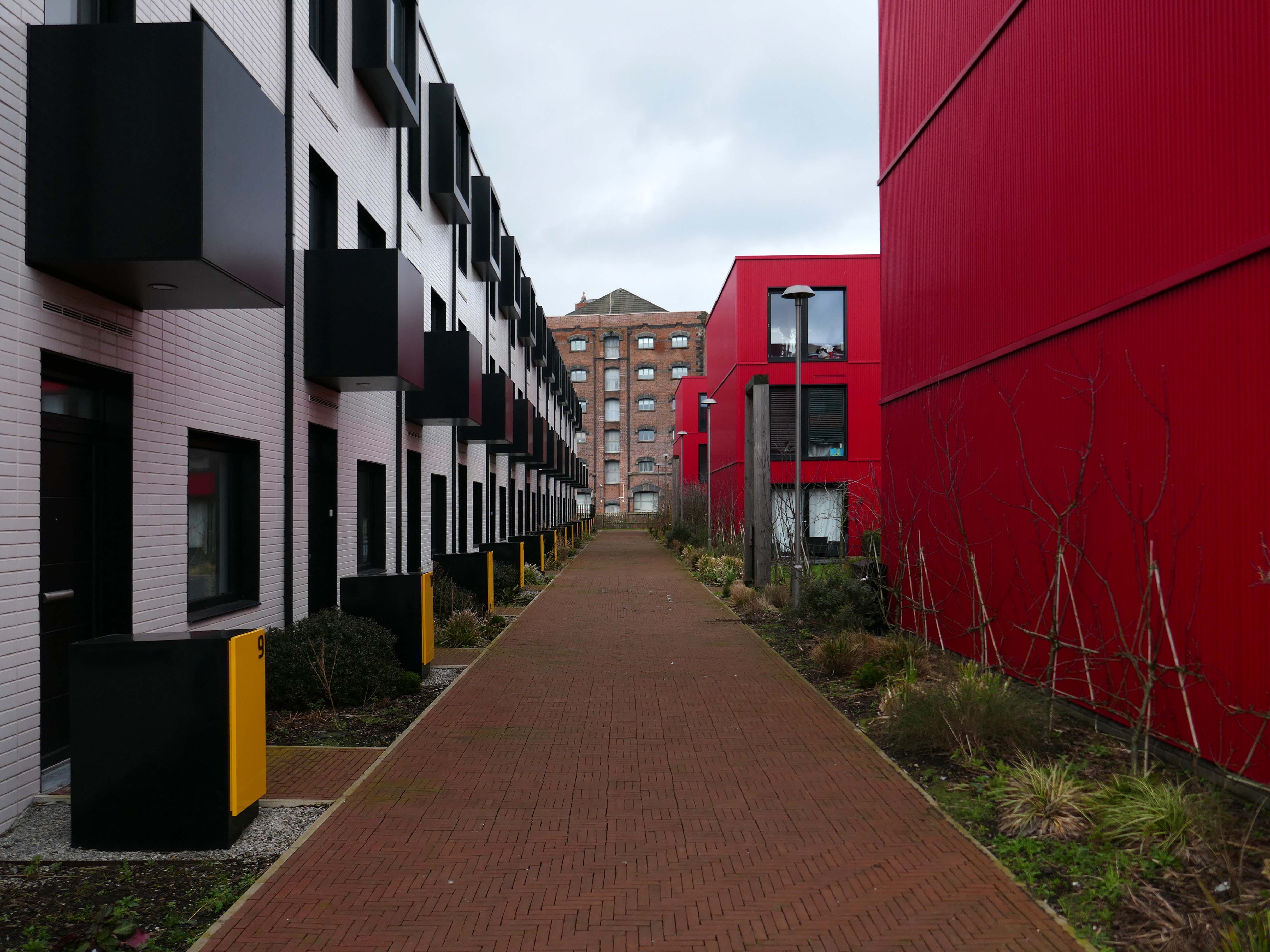
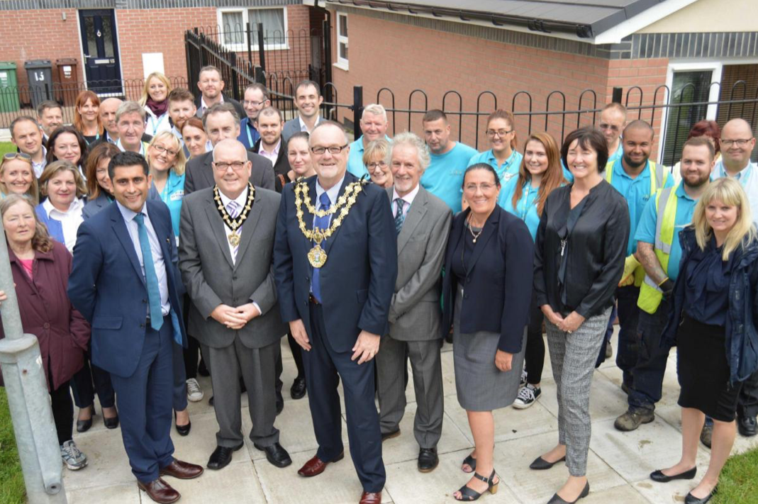
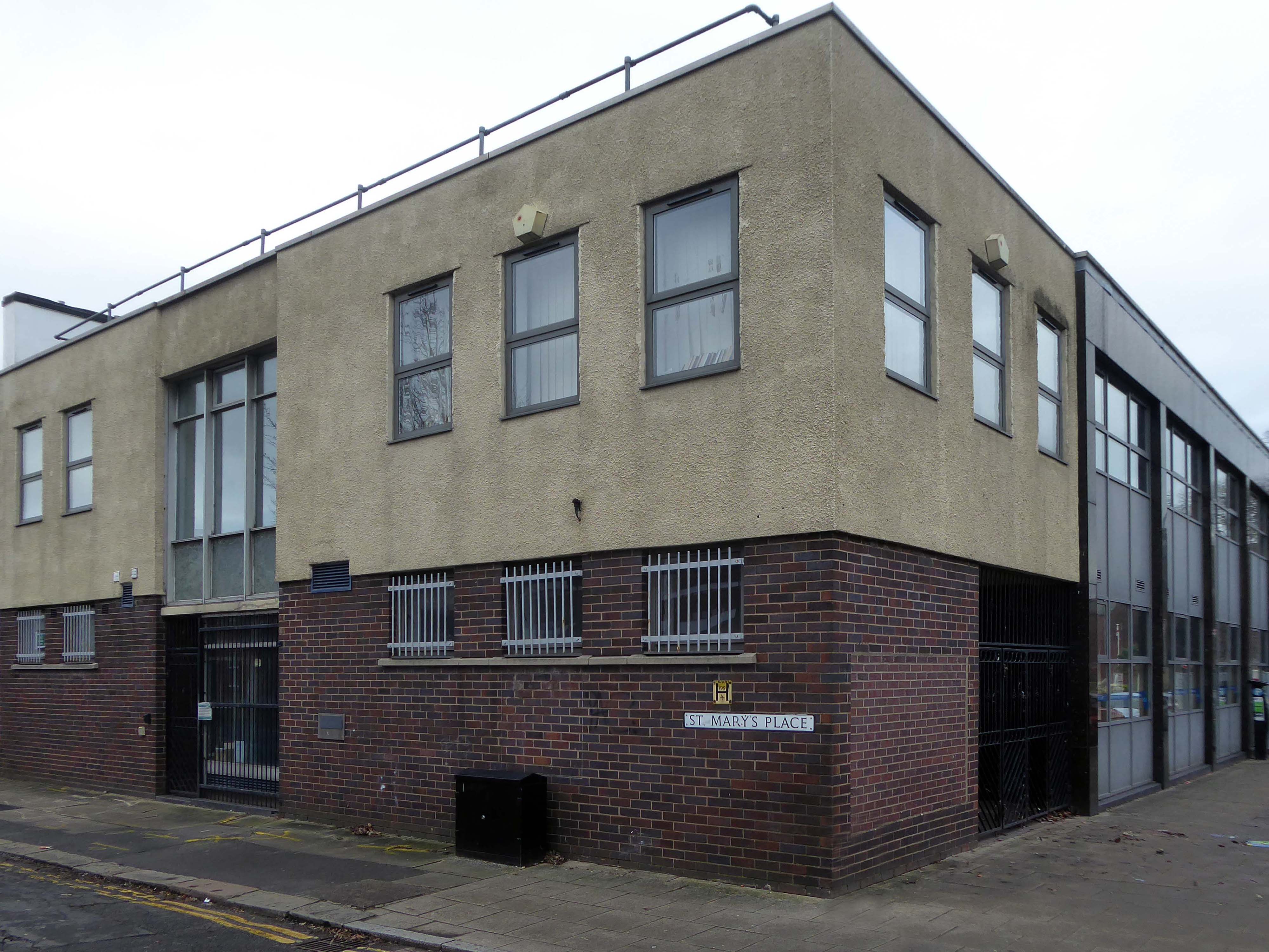
The Gateway to the Simple Life is here.
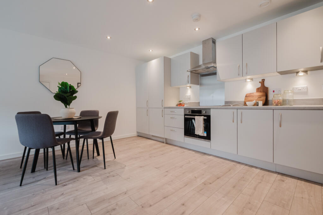
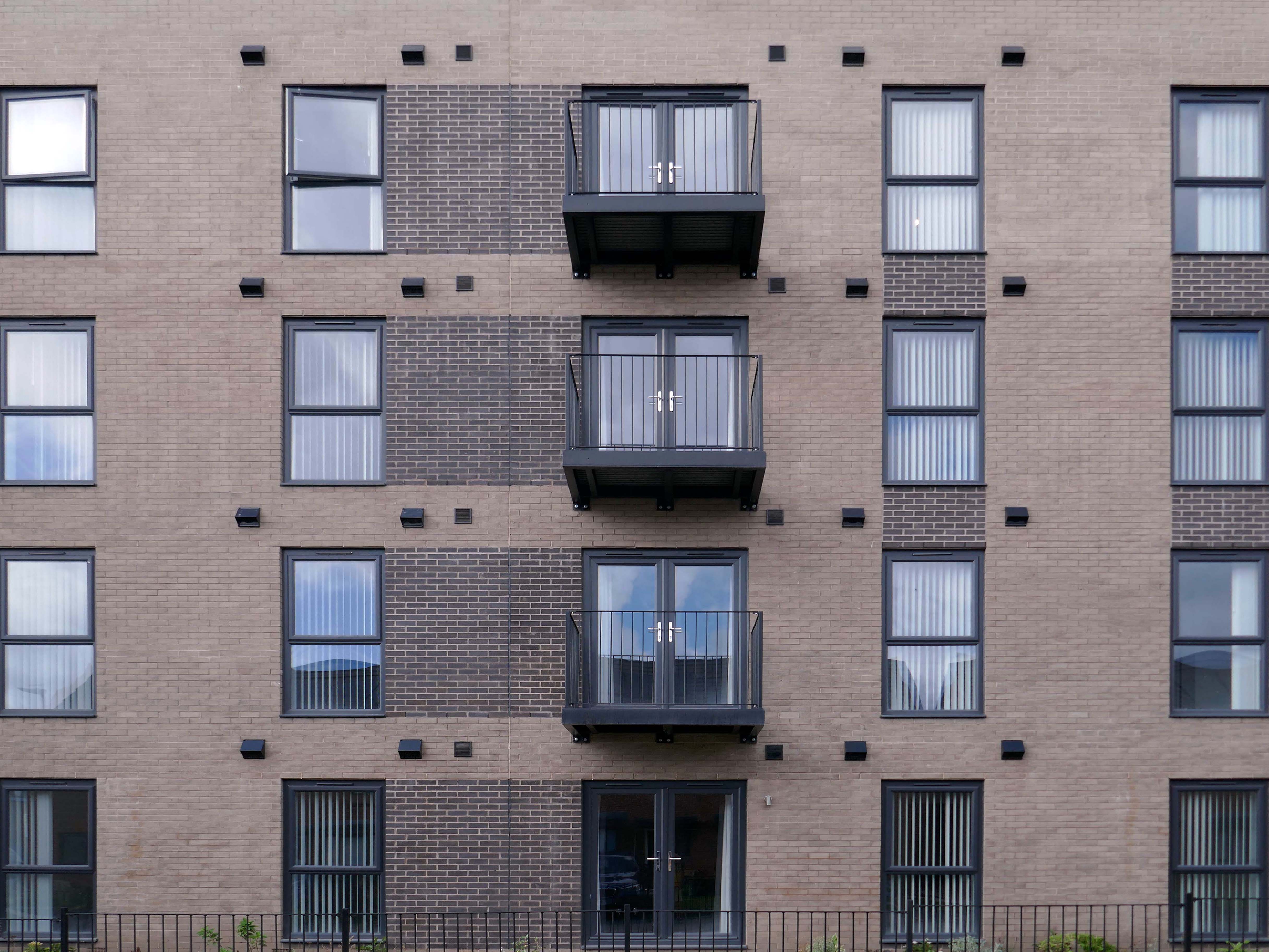
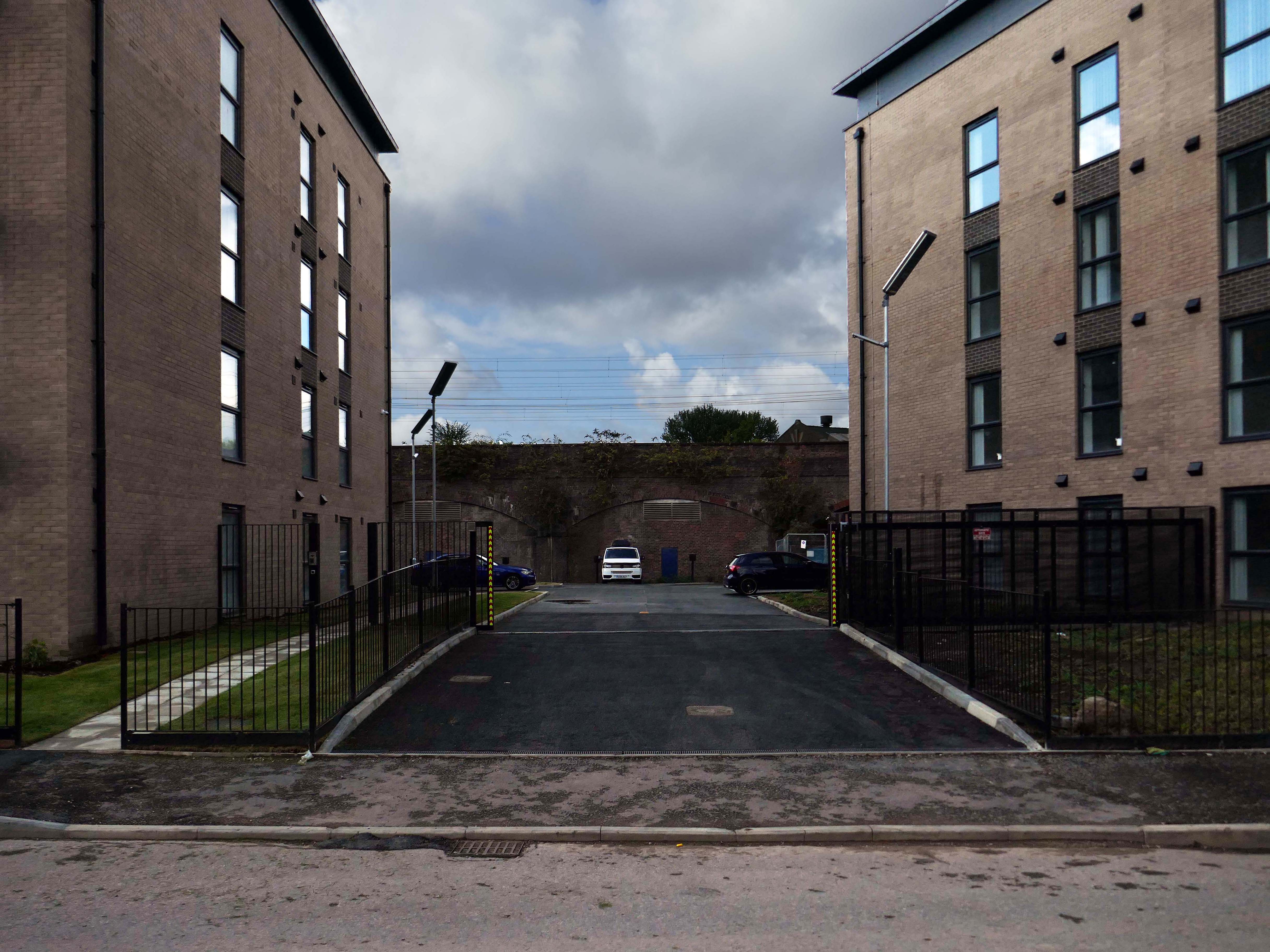
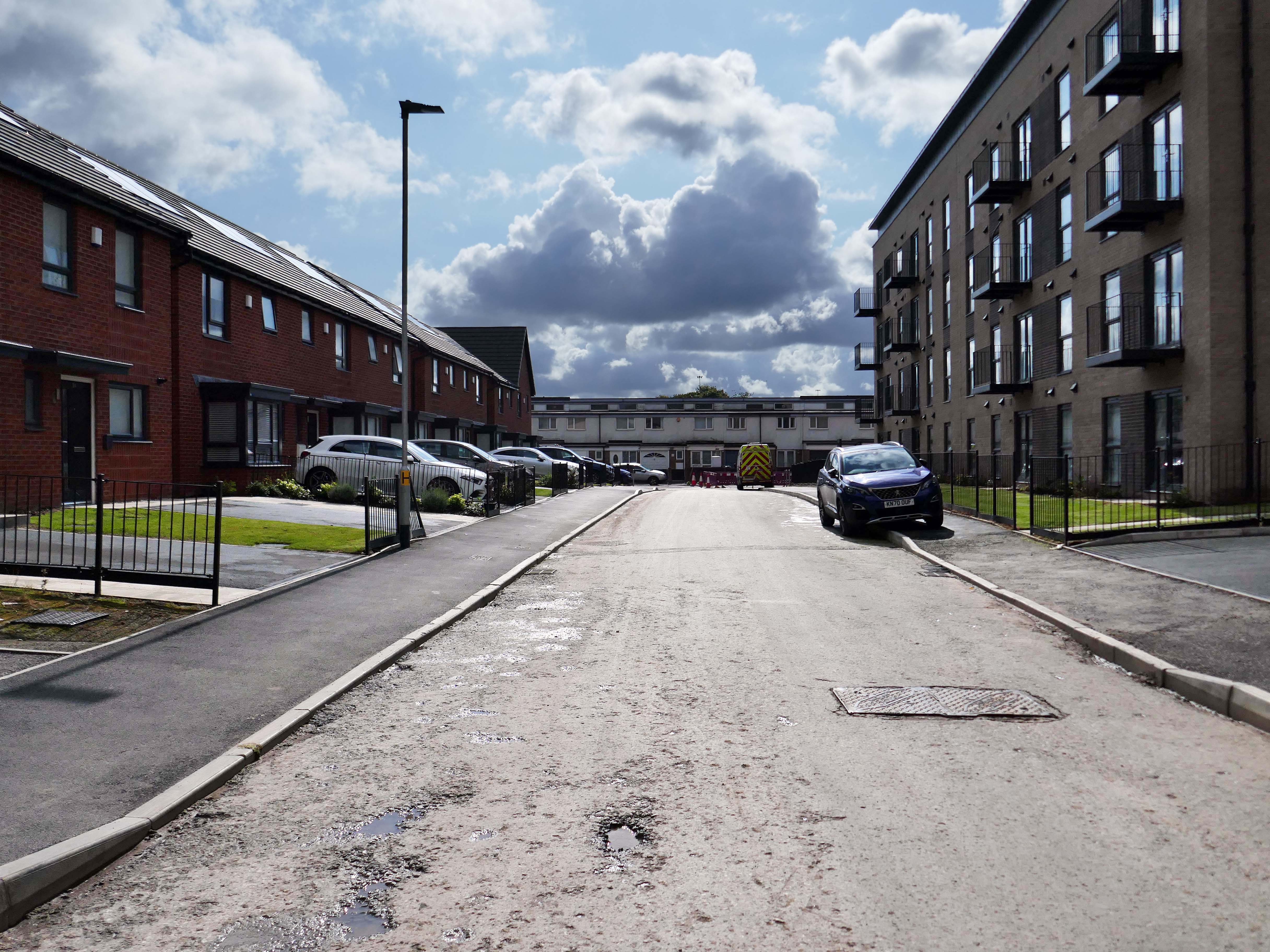
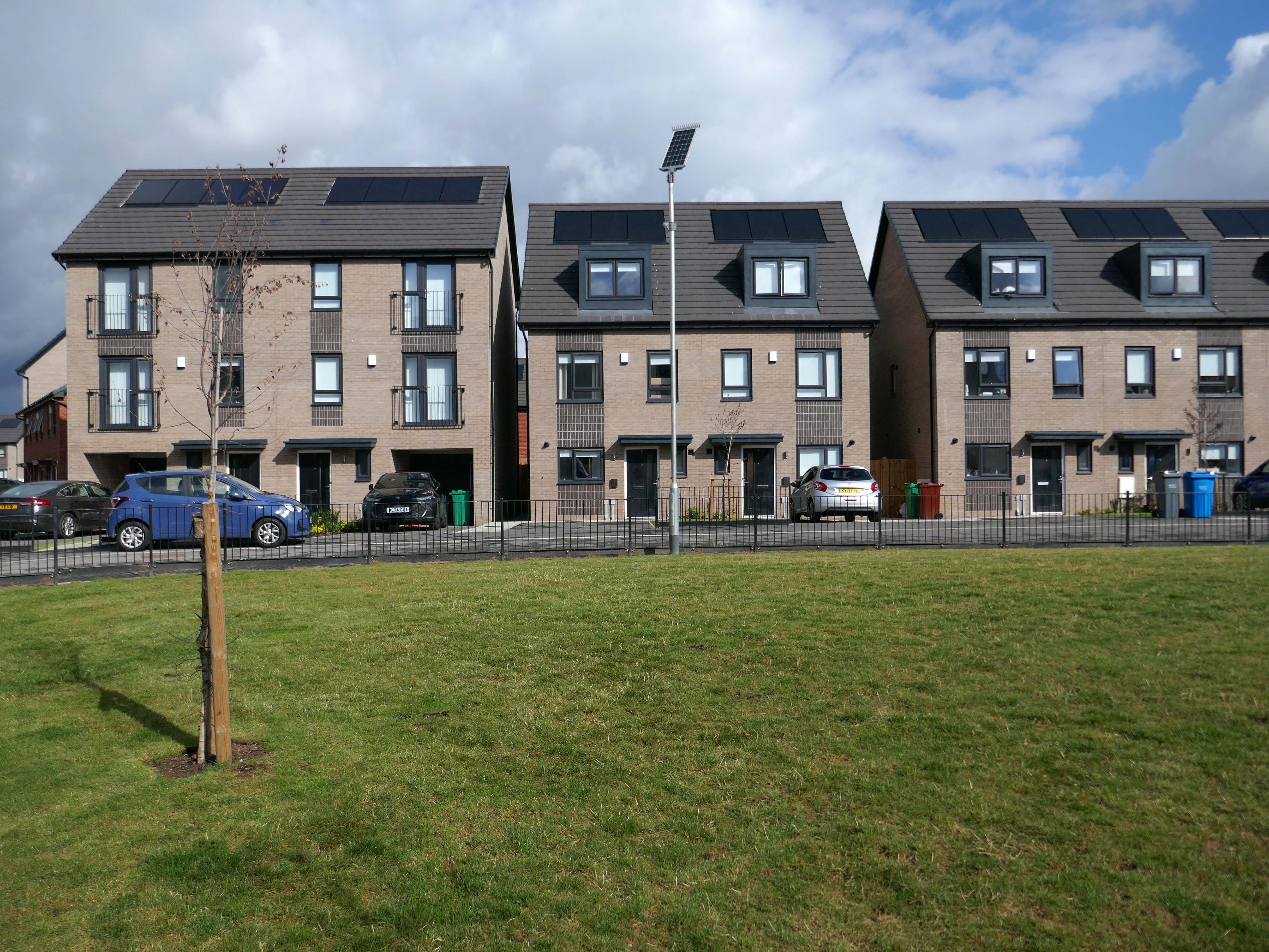
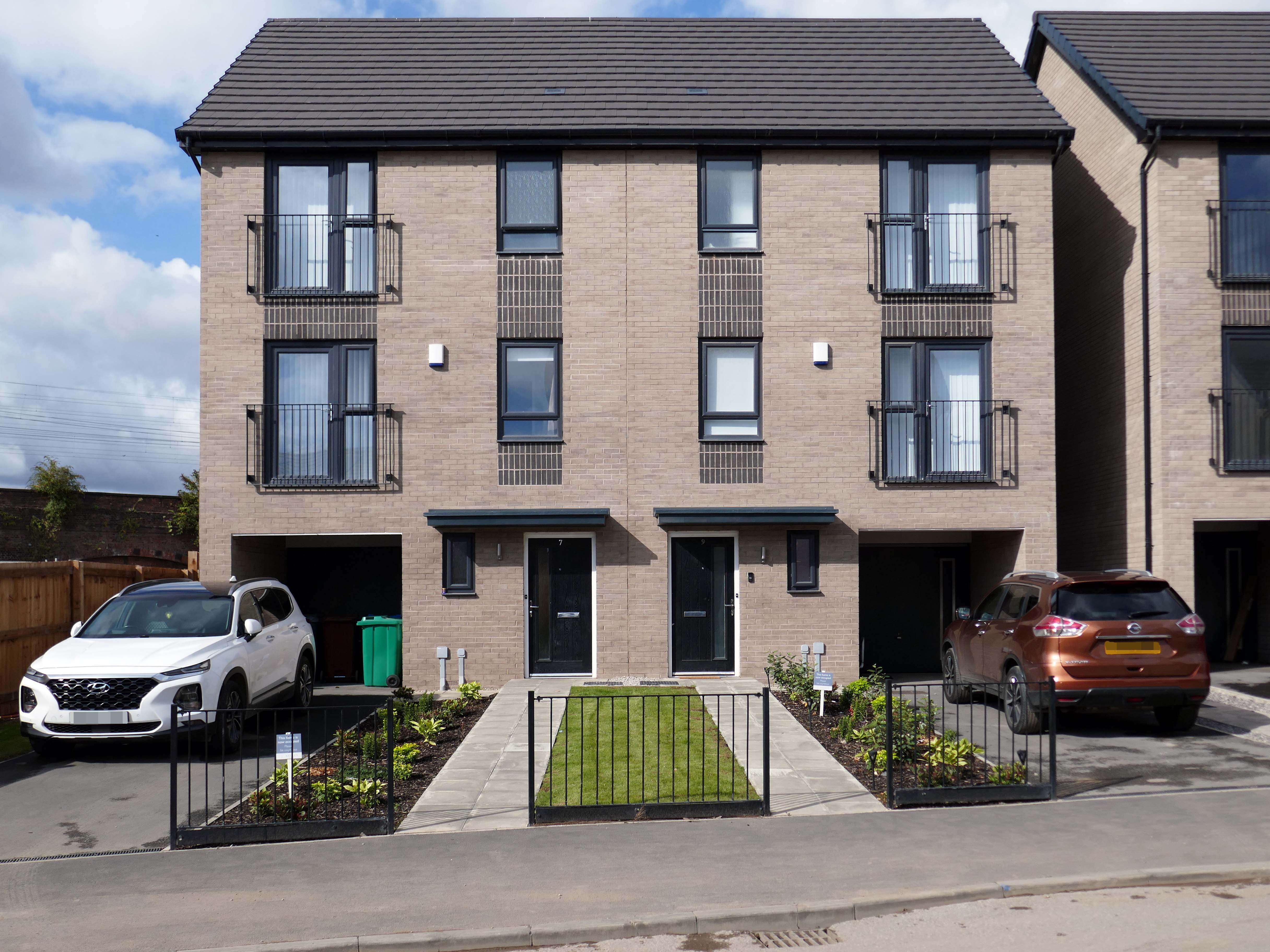
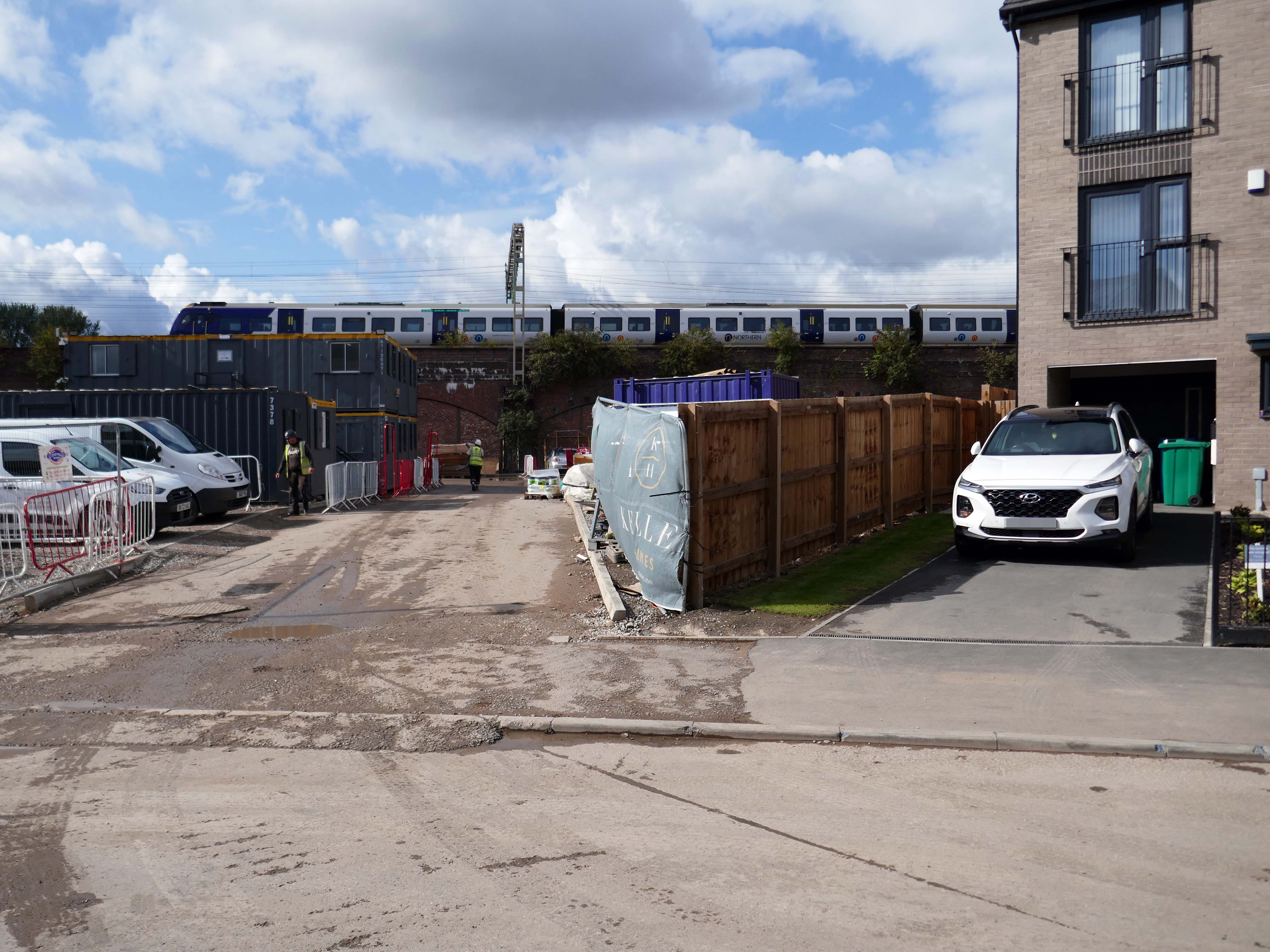
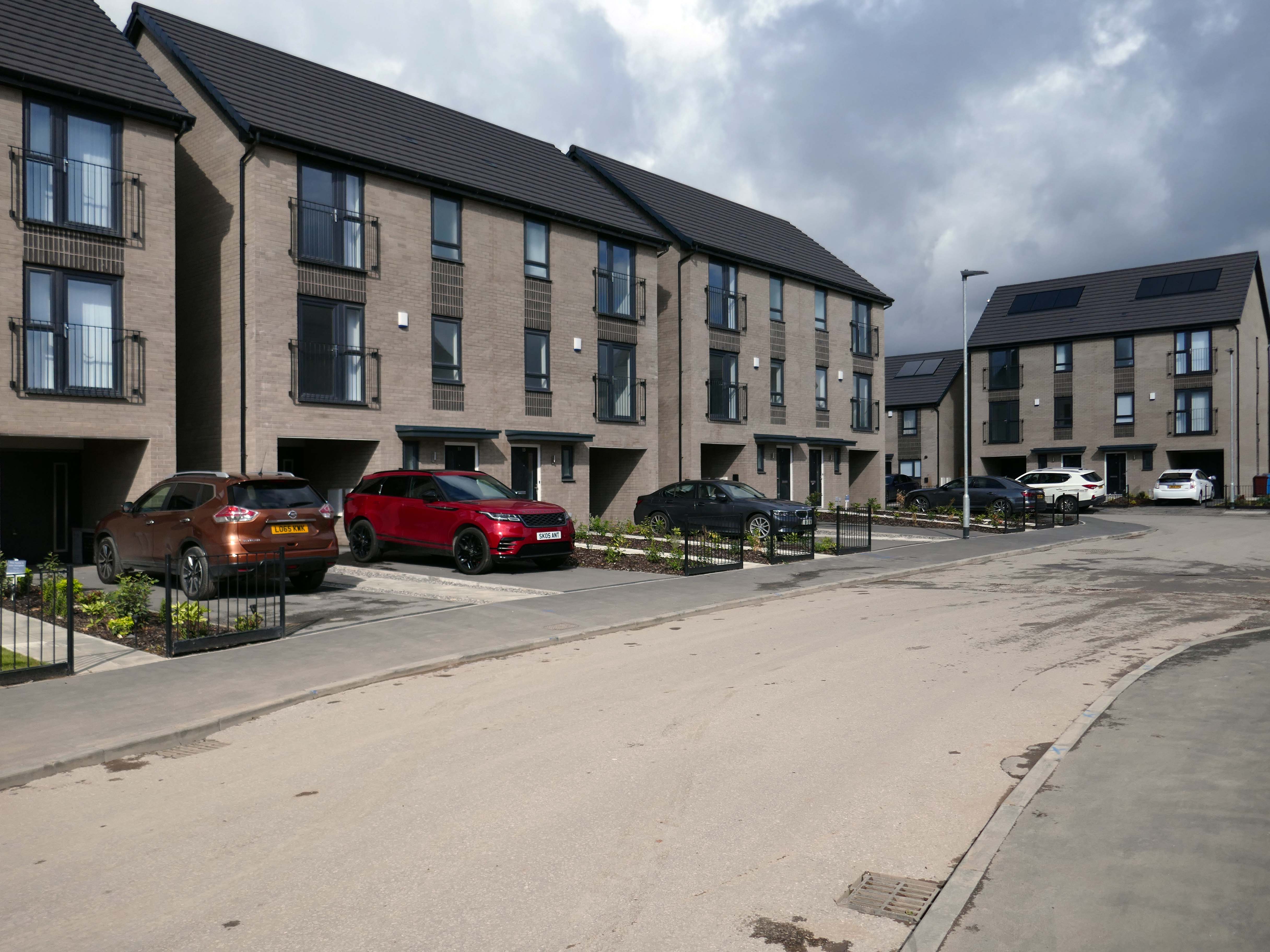
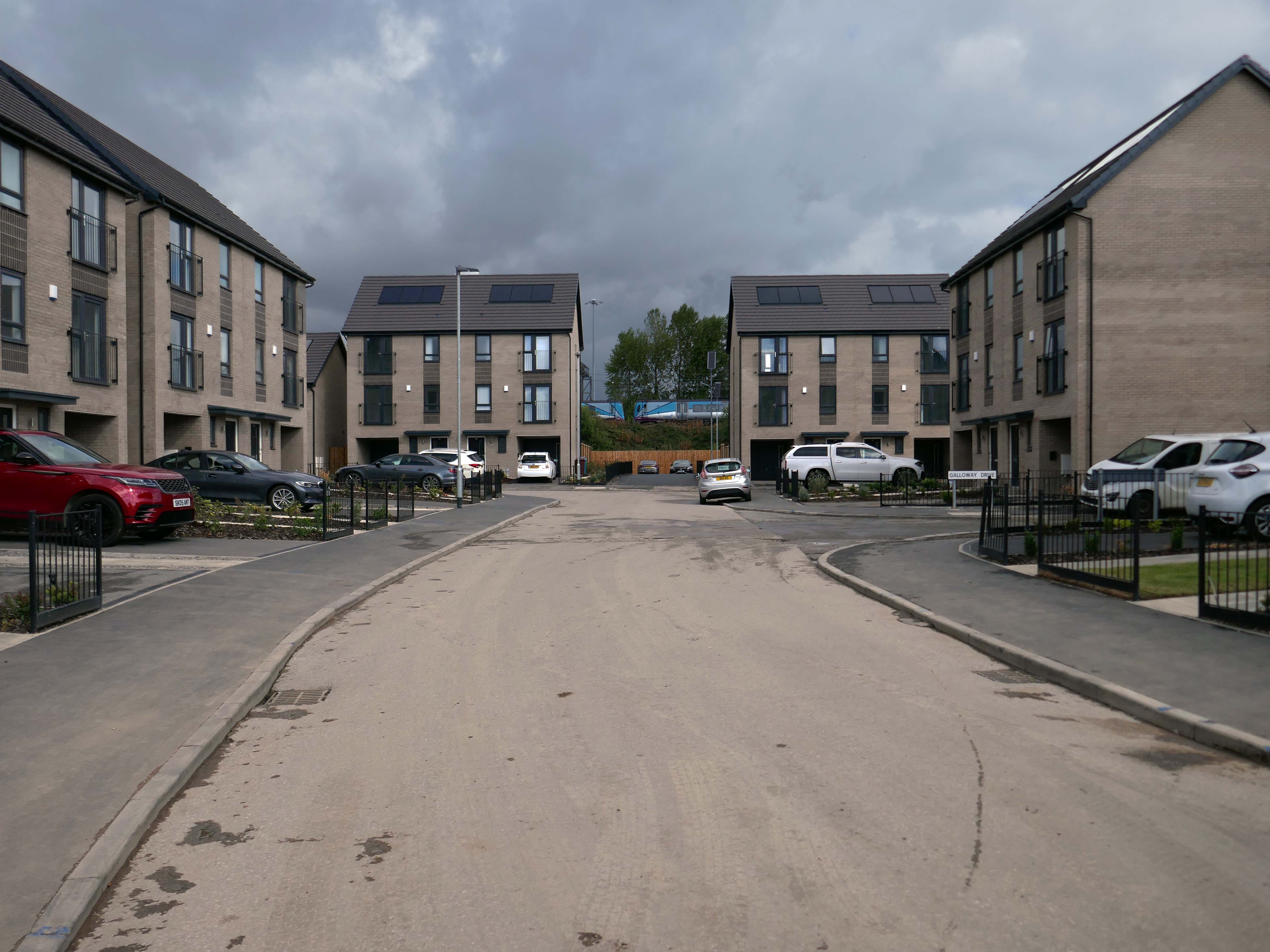
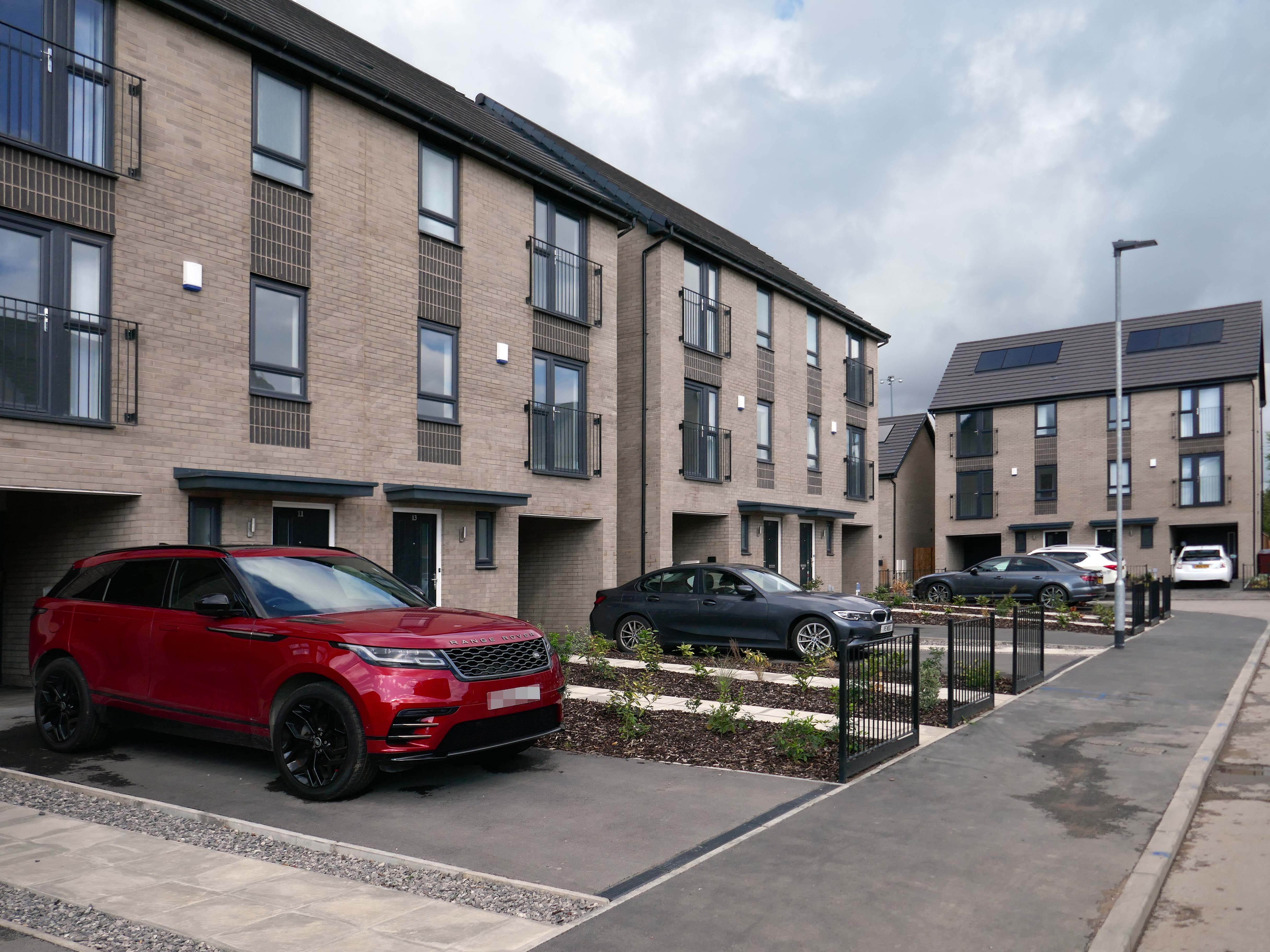
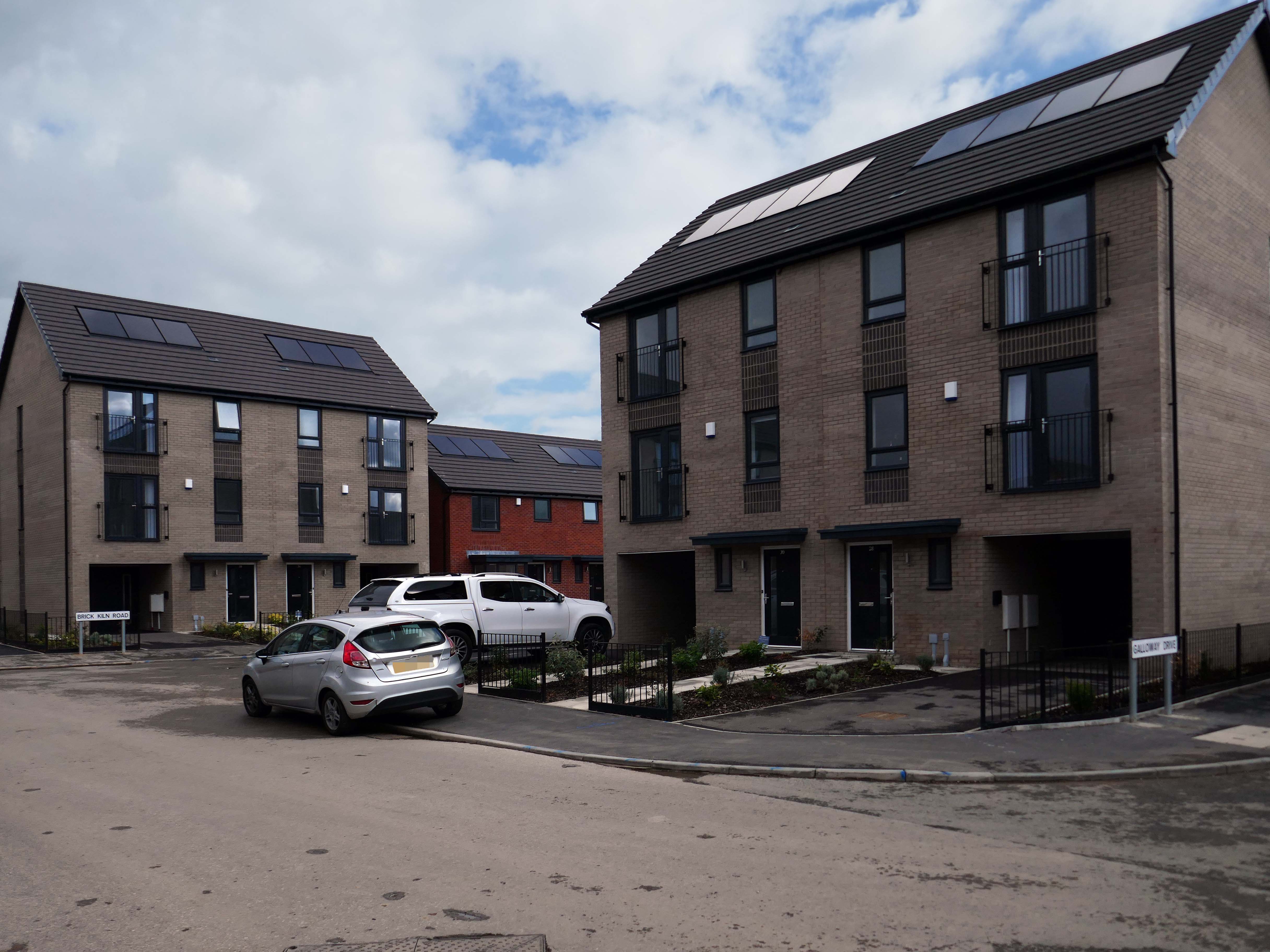
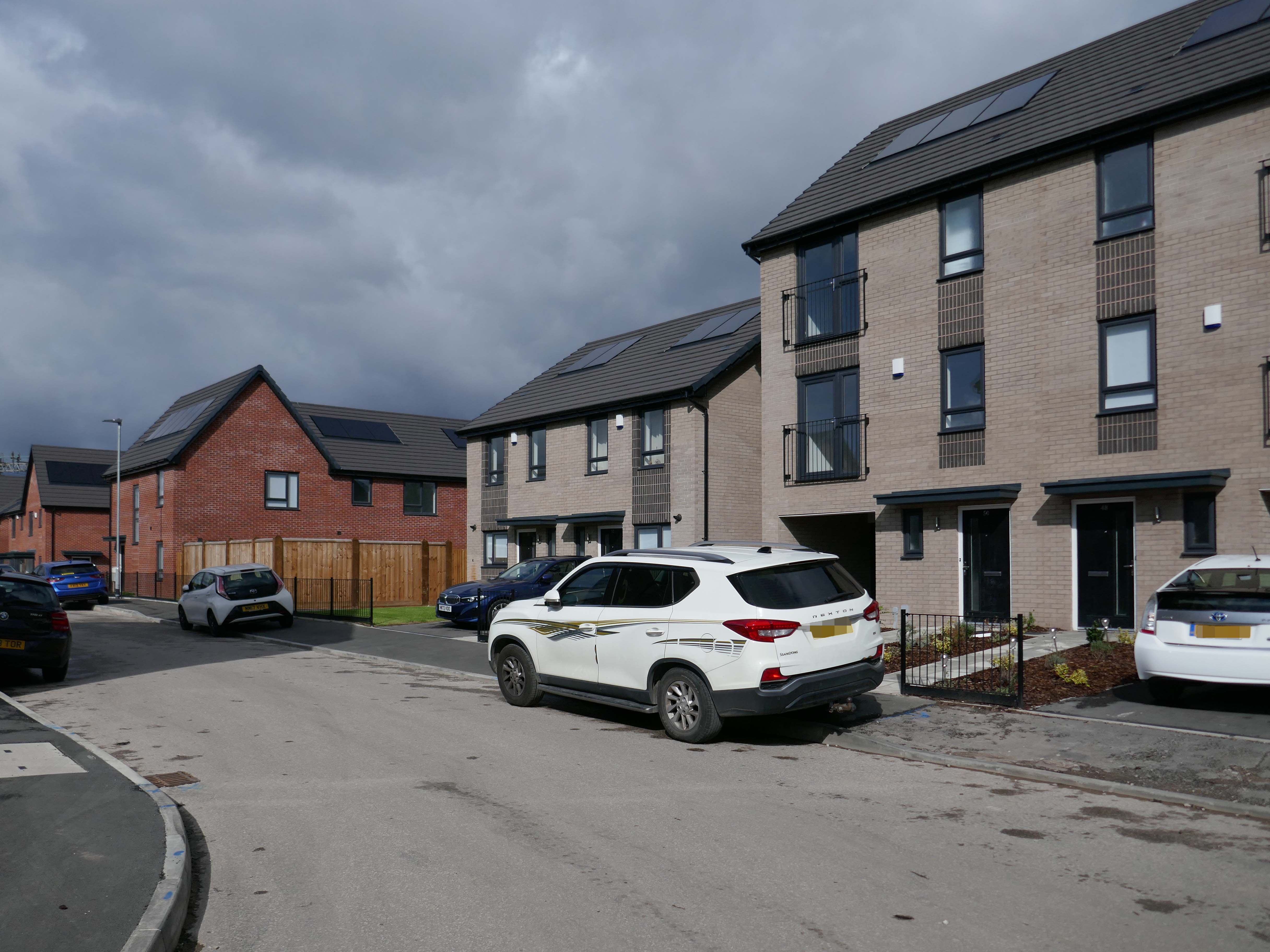
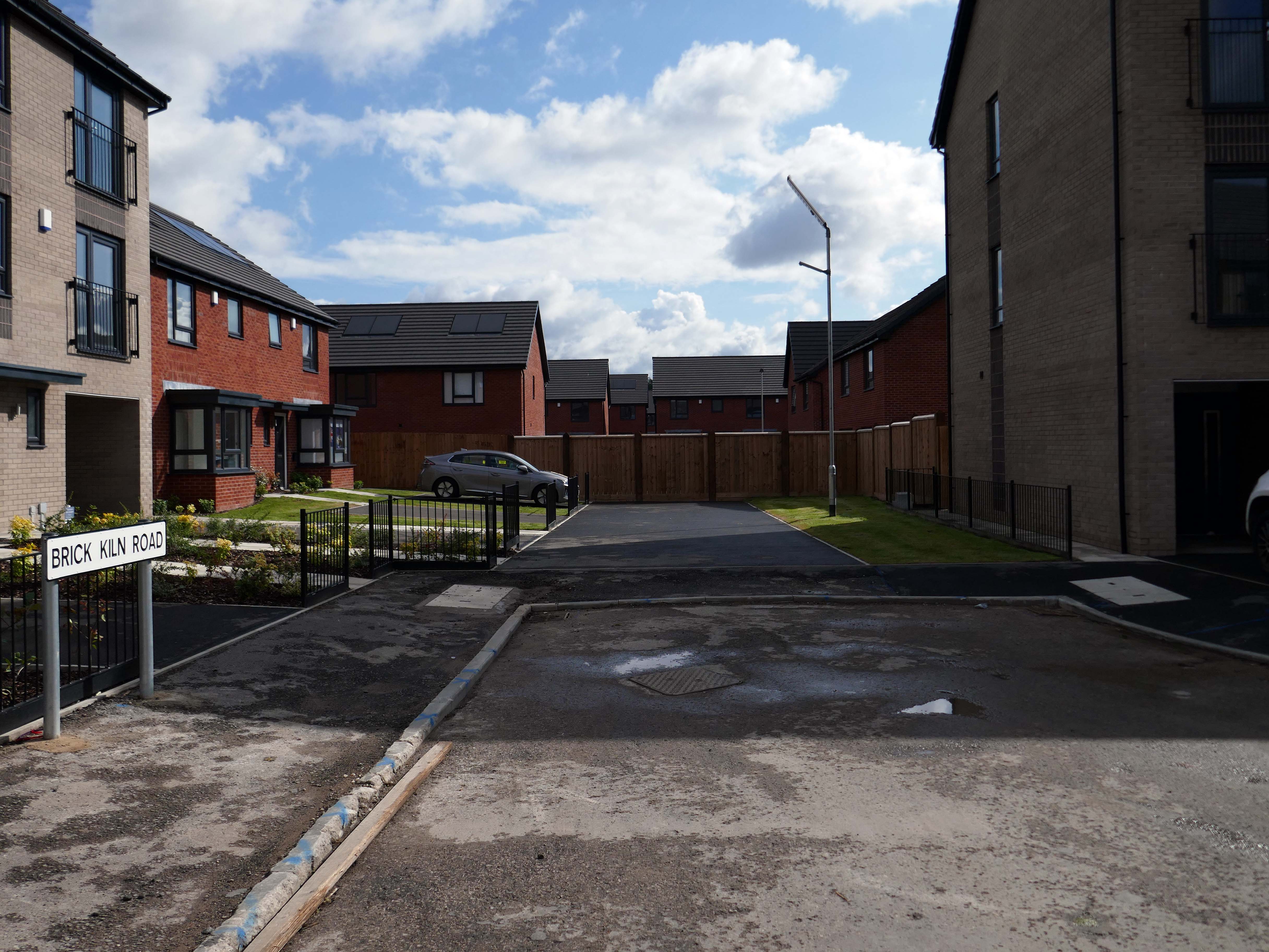
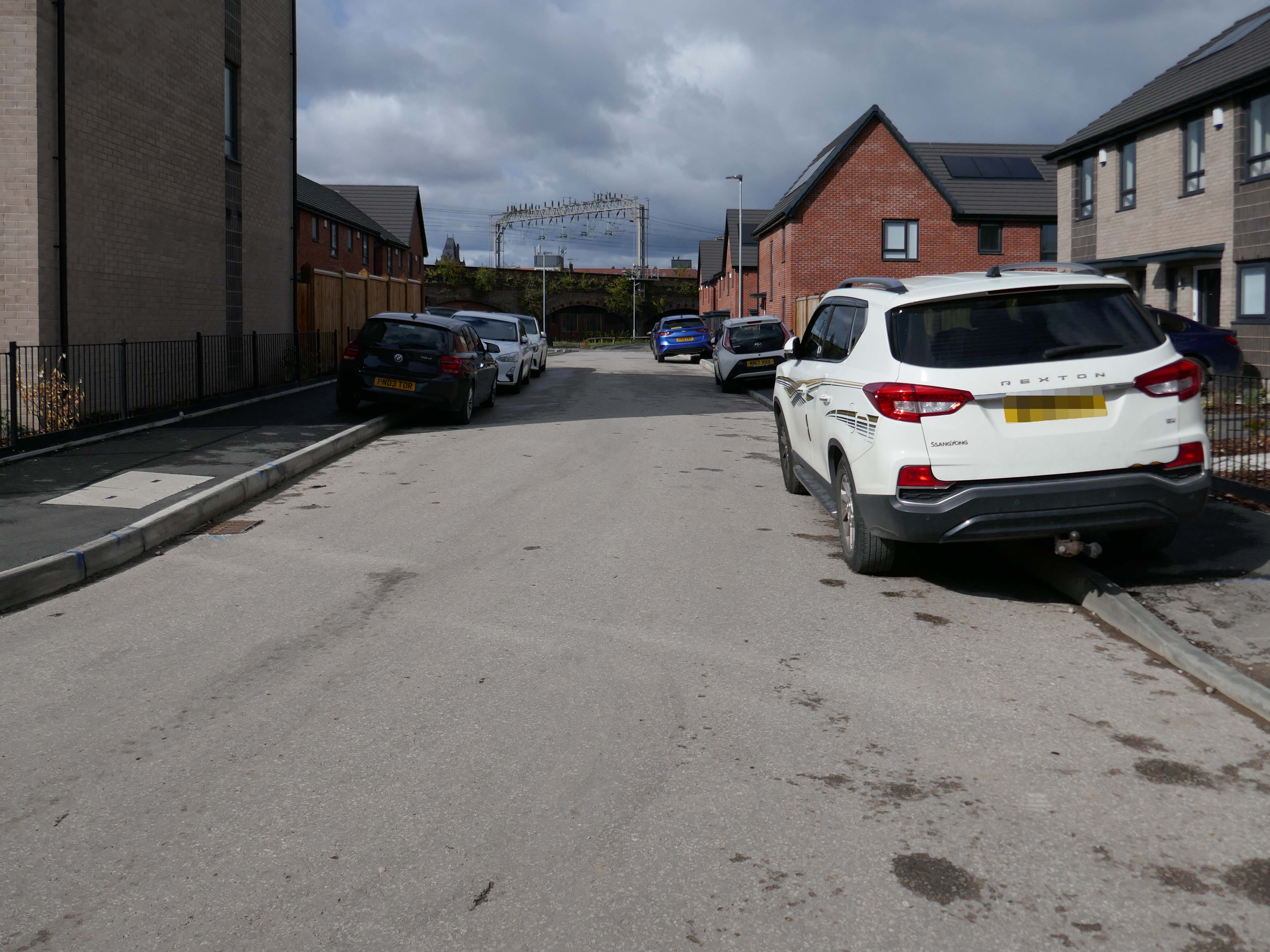
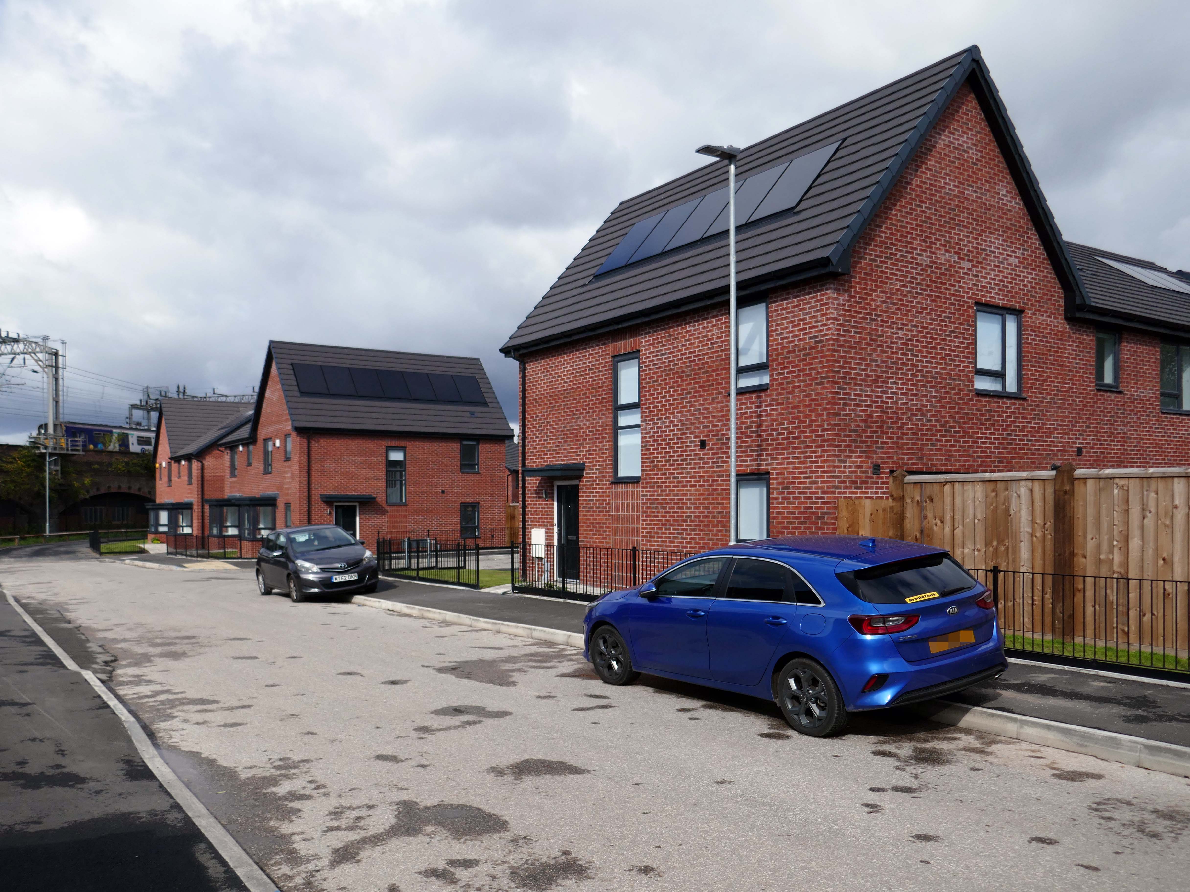
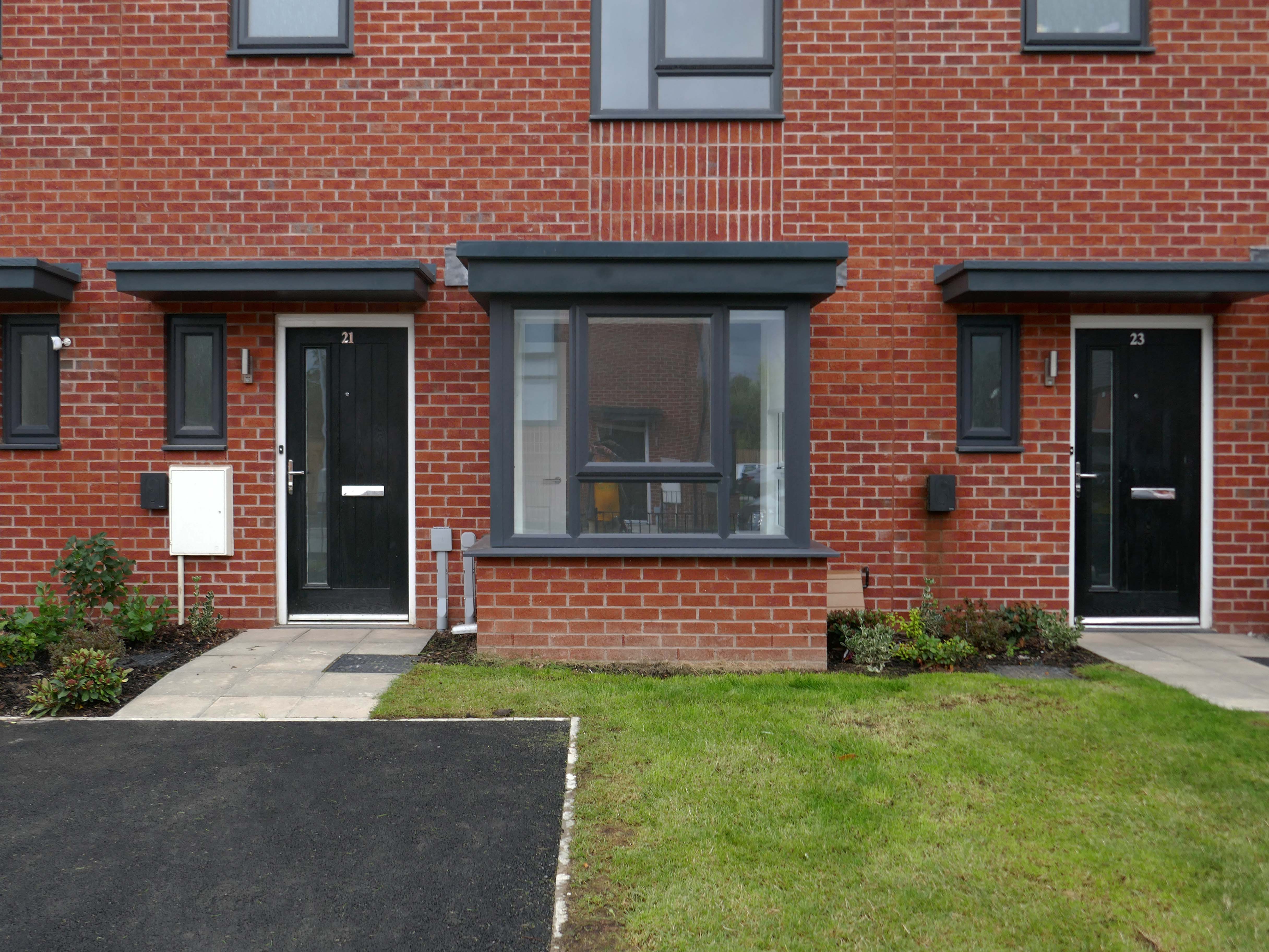
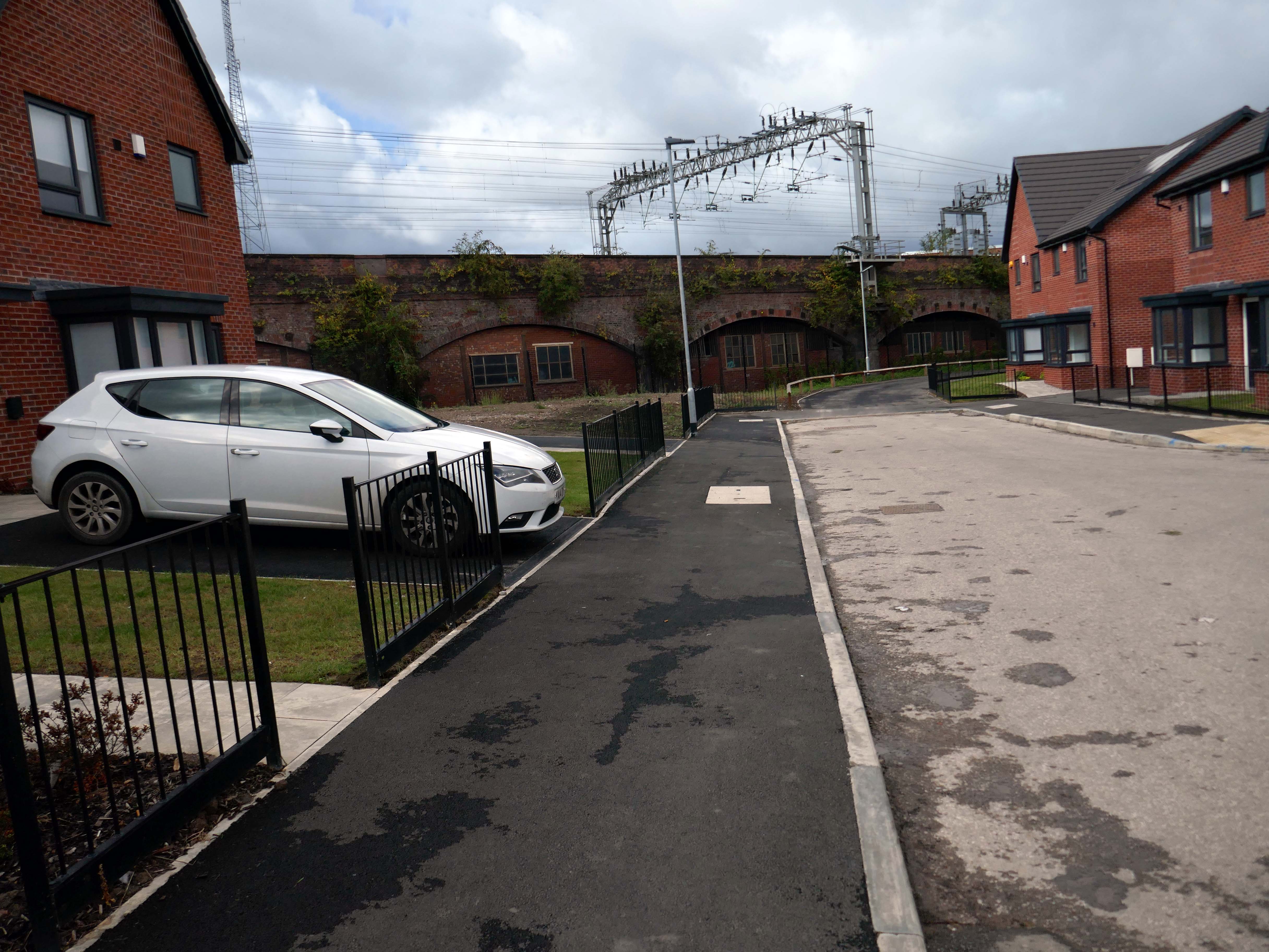
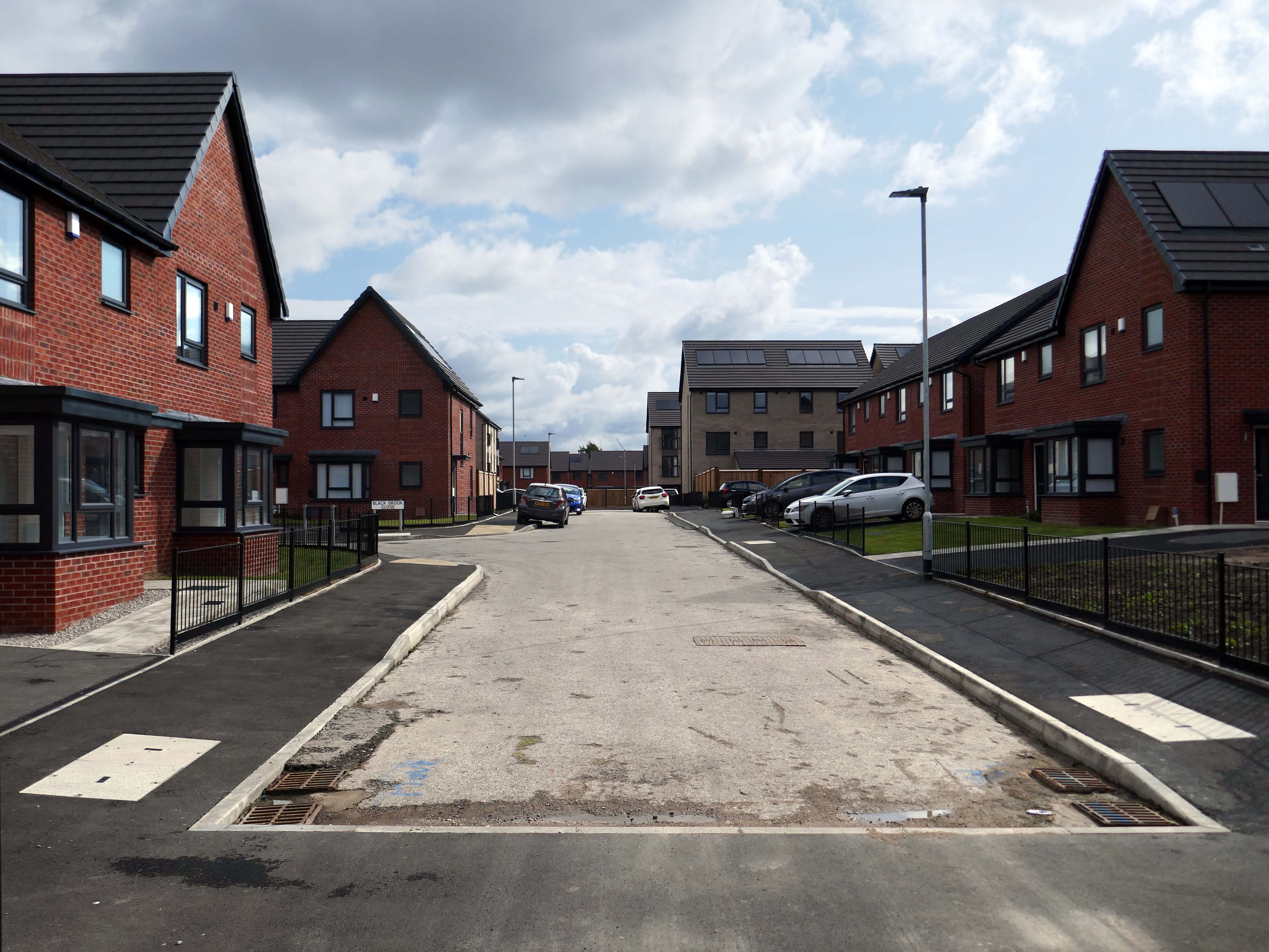
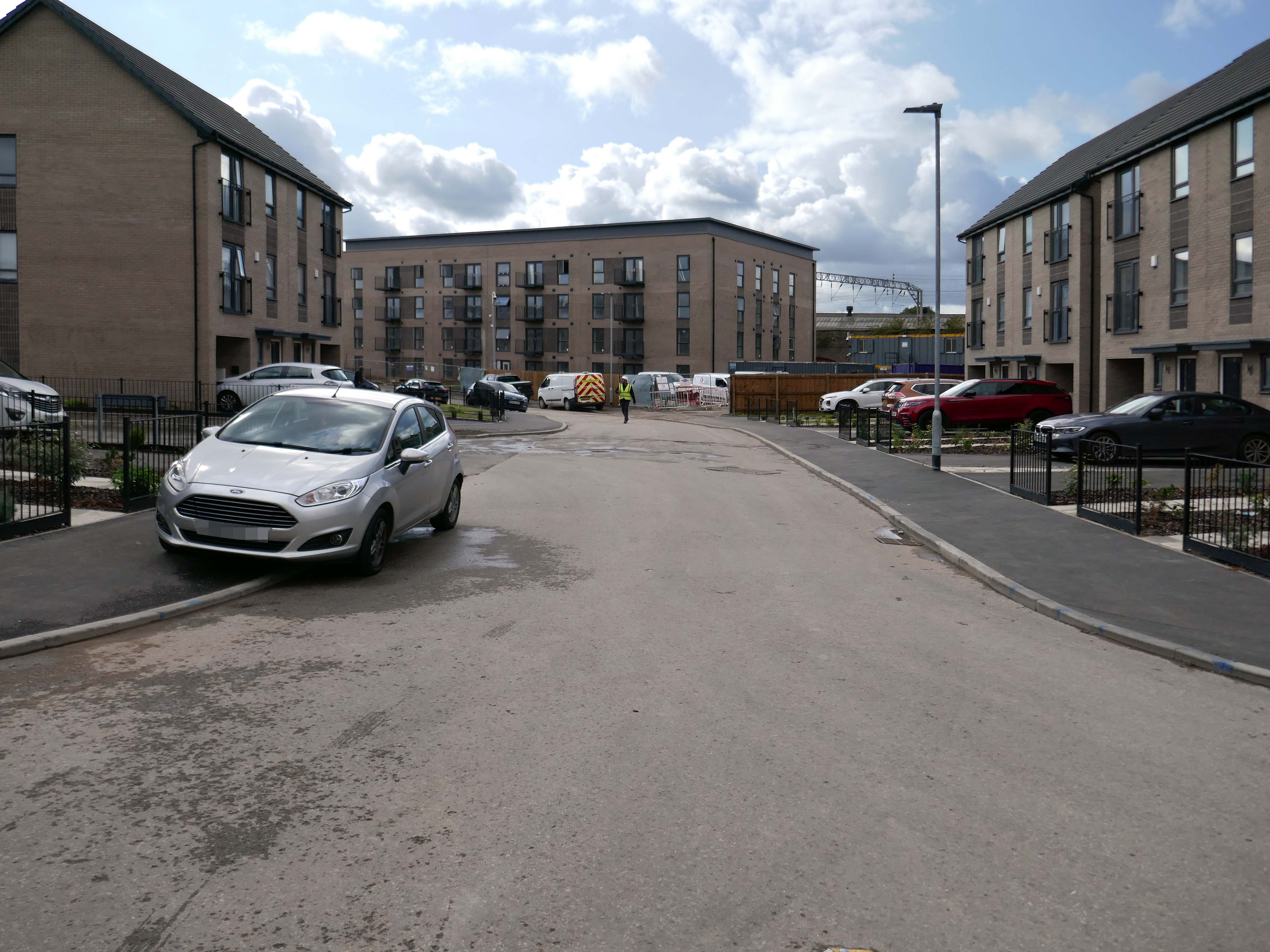
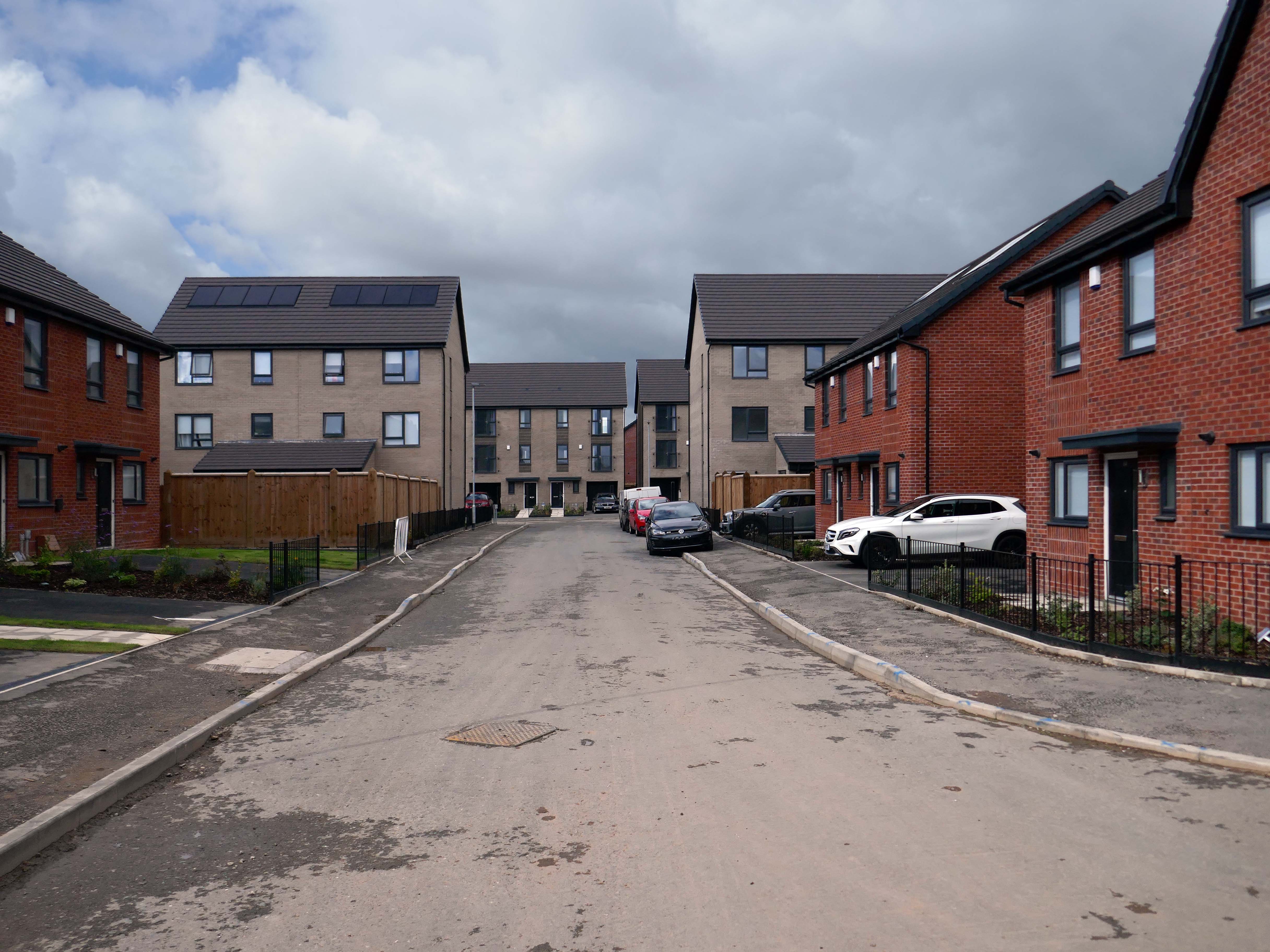
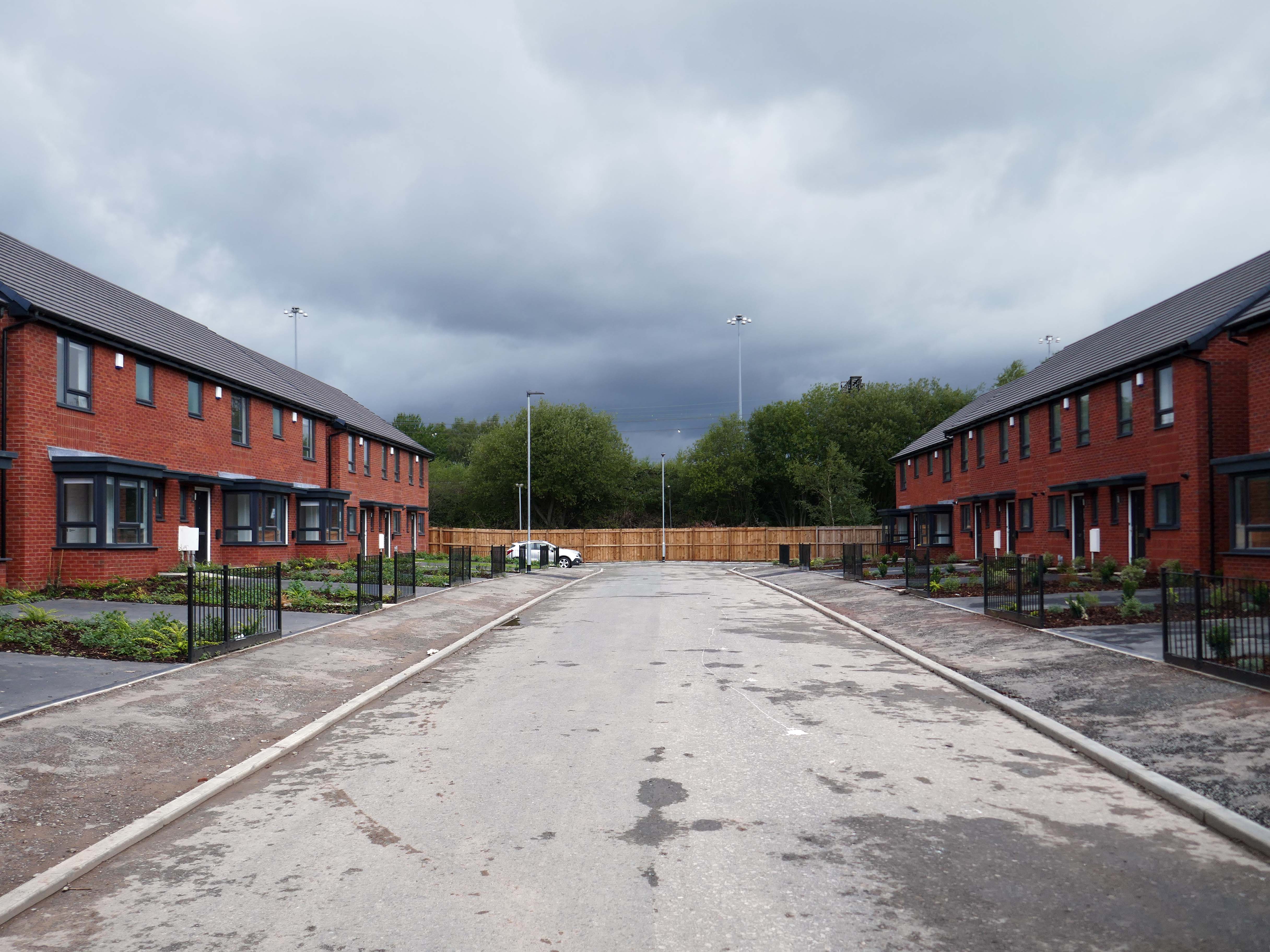
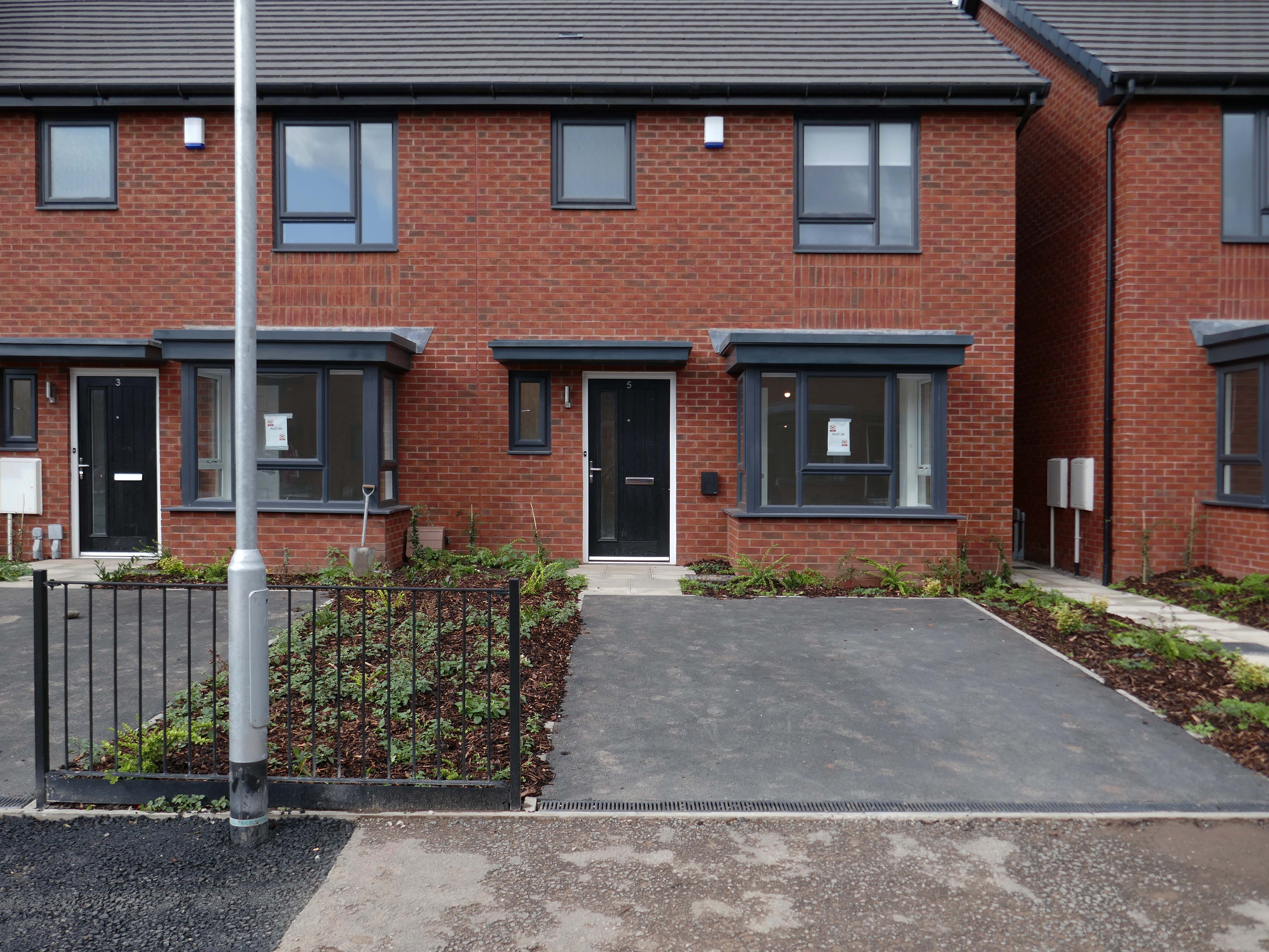
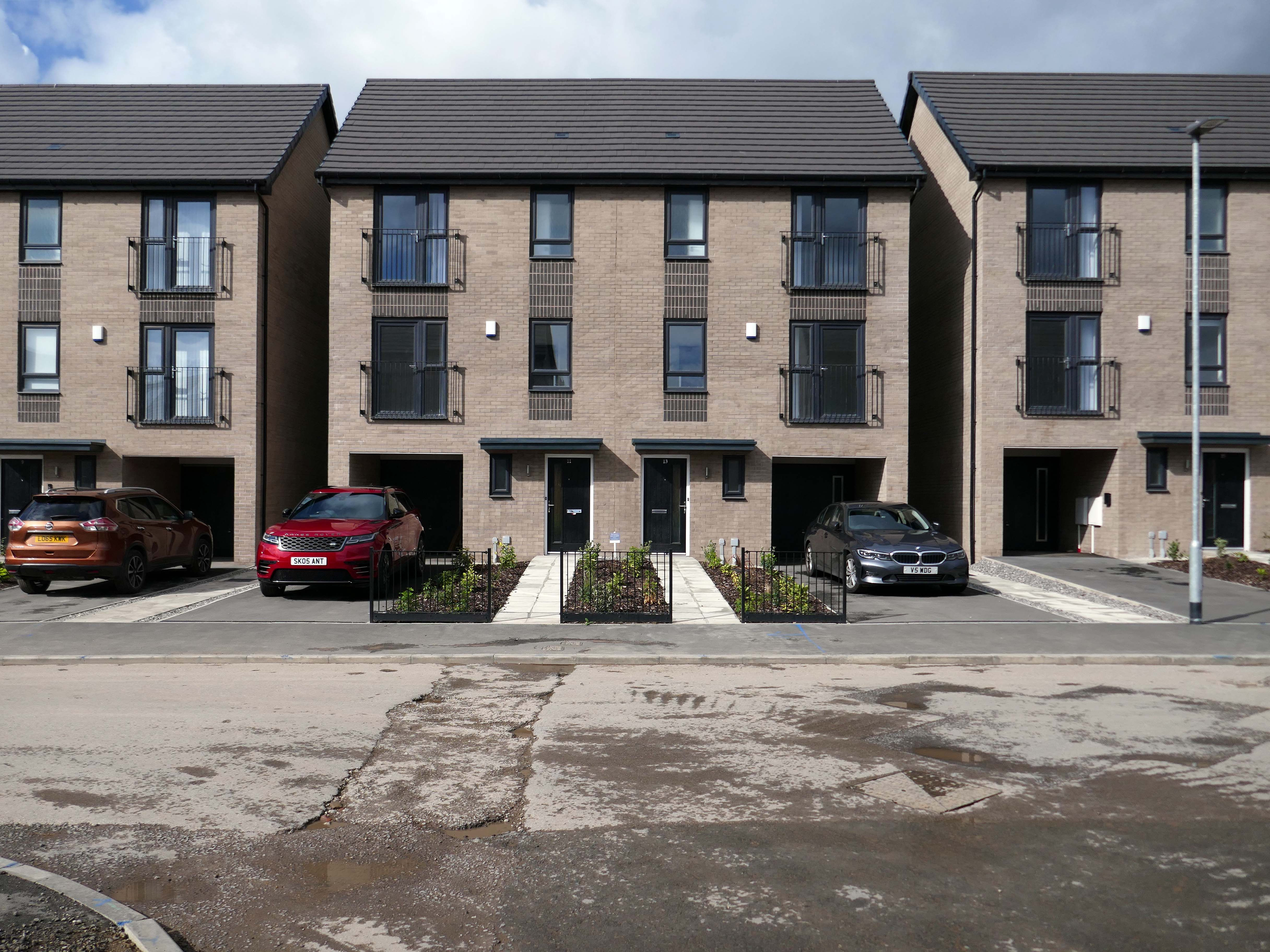
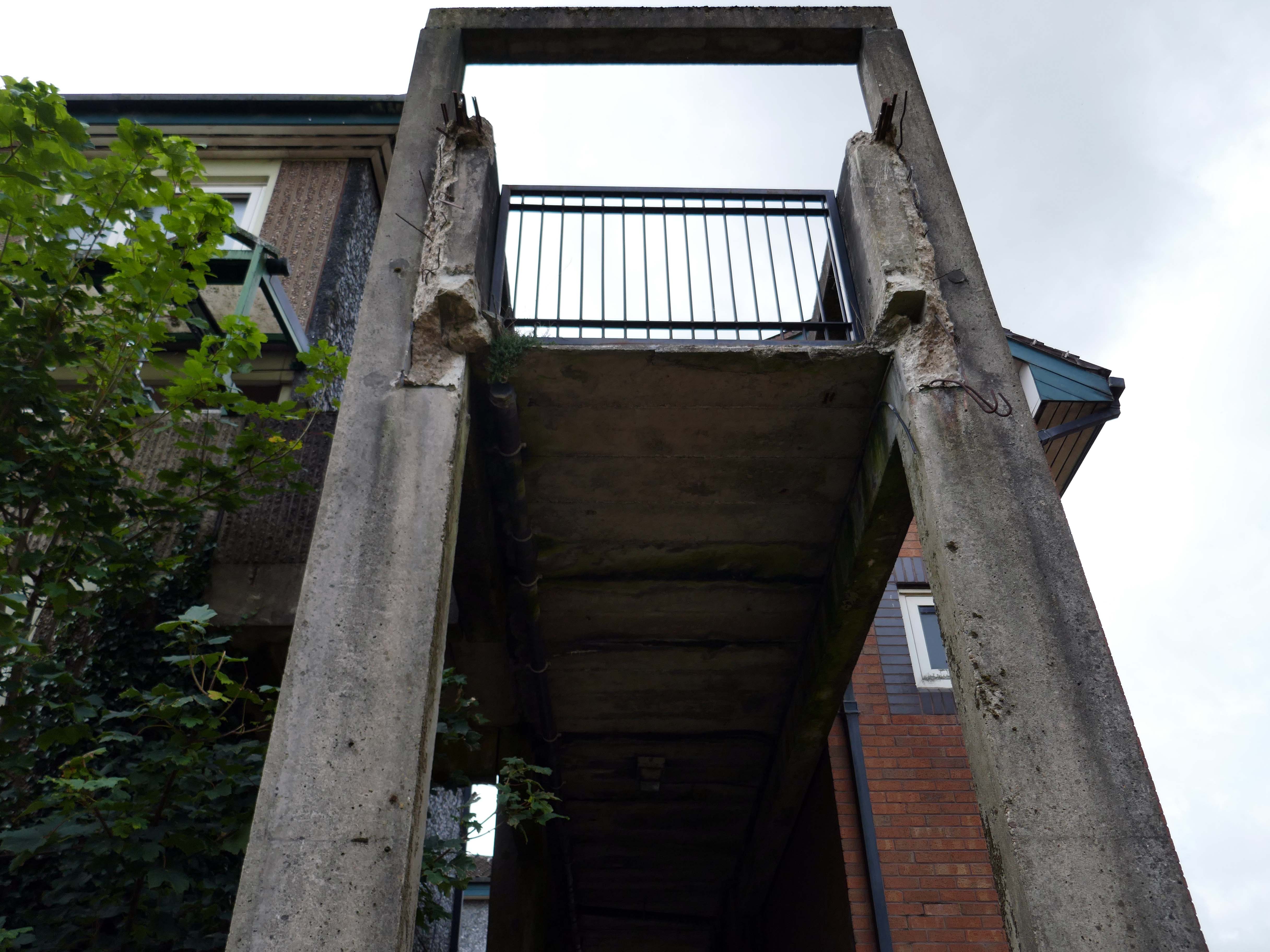
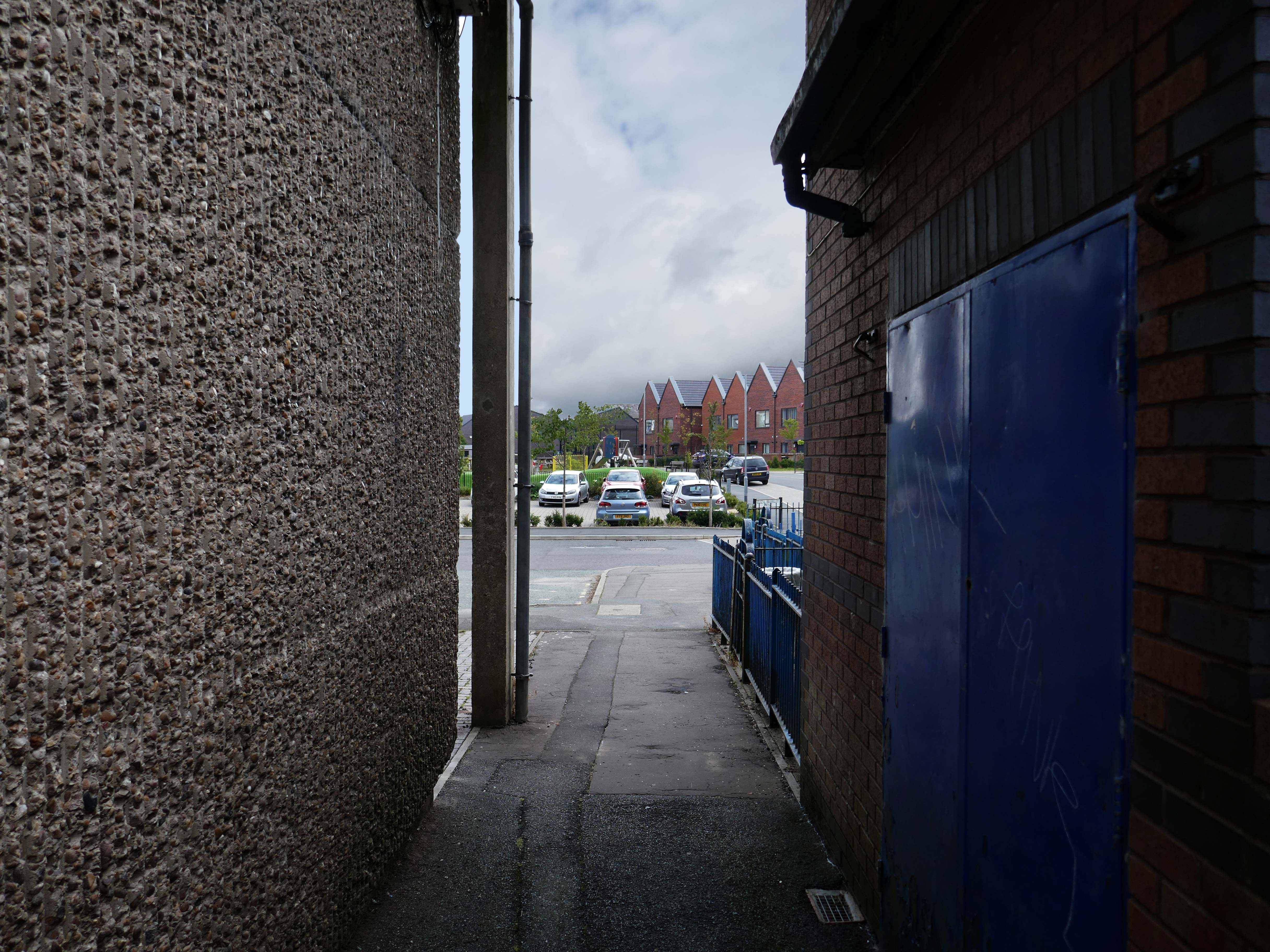
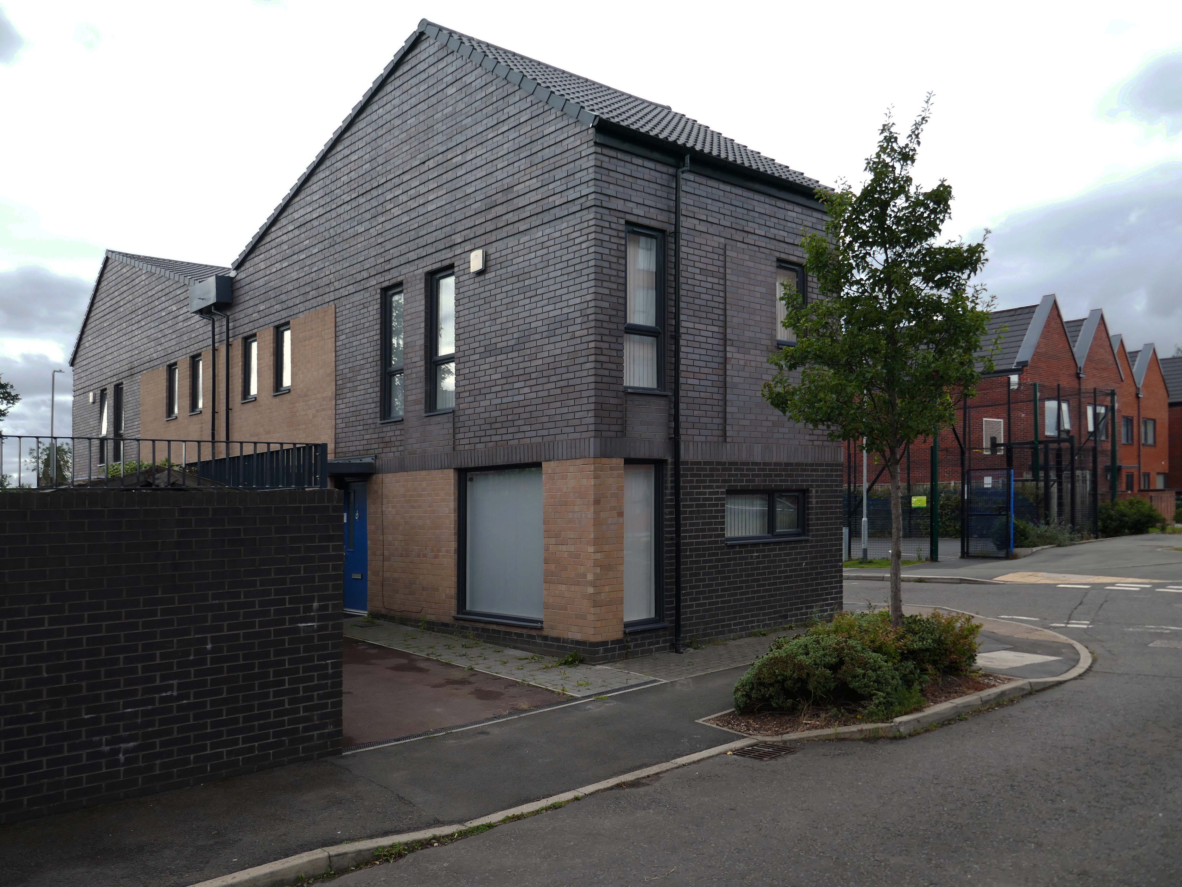
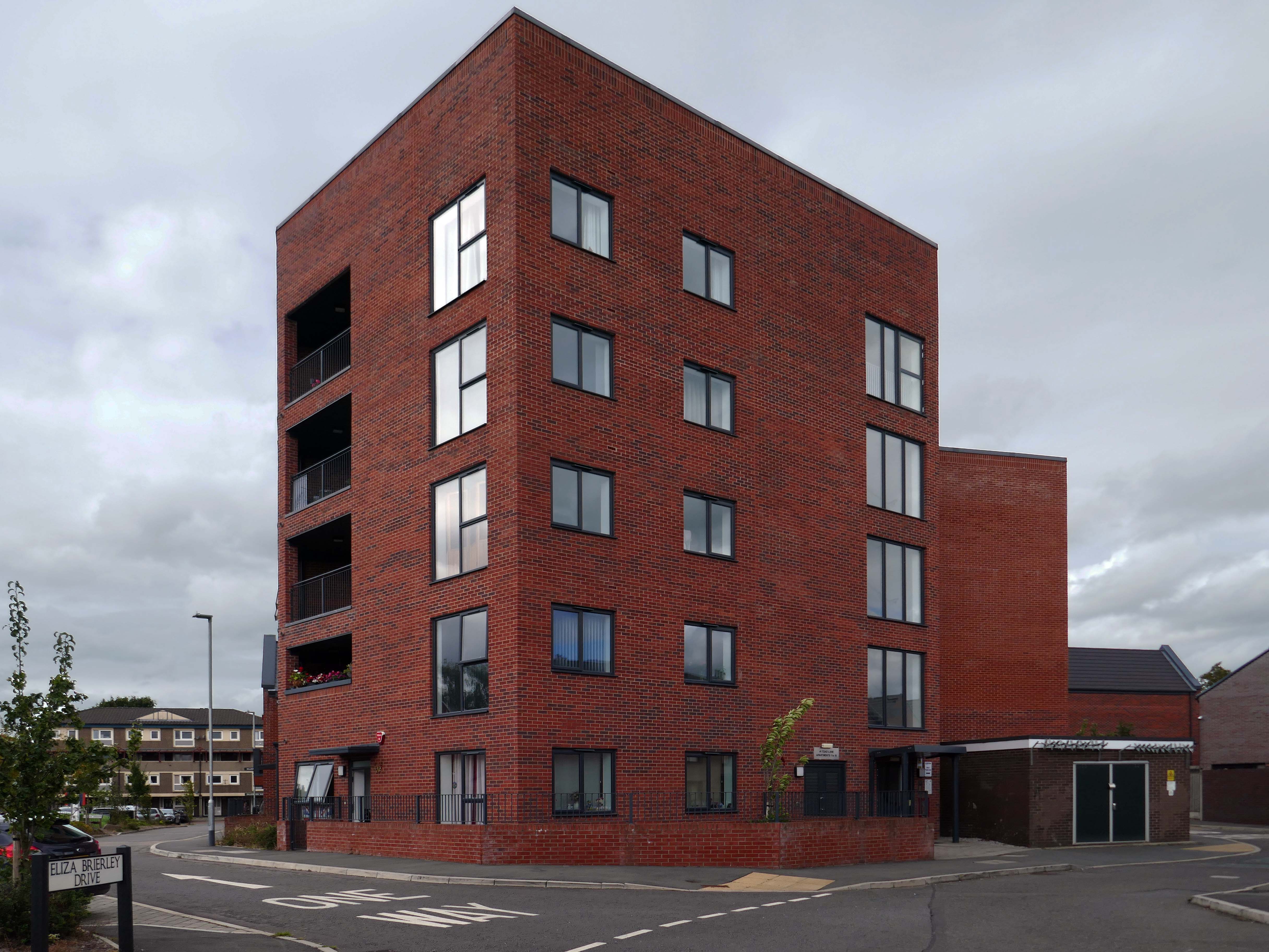
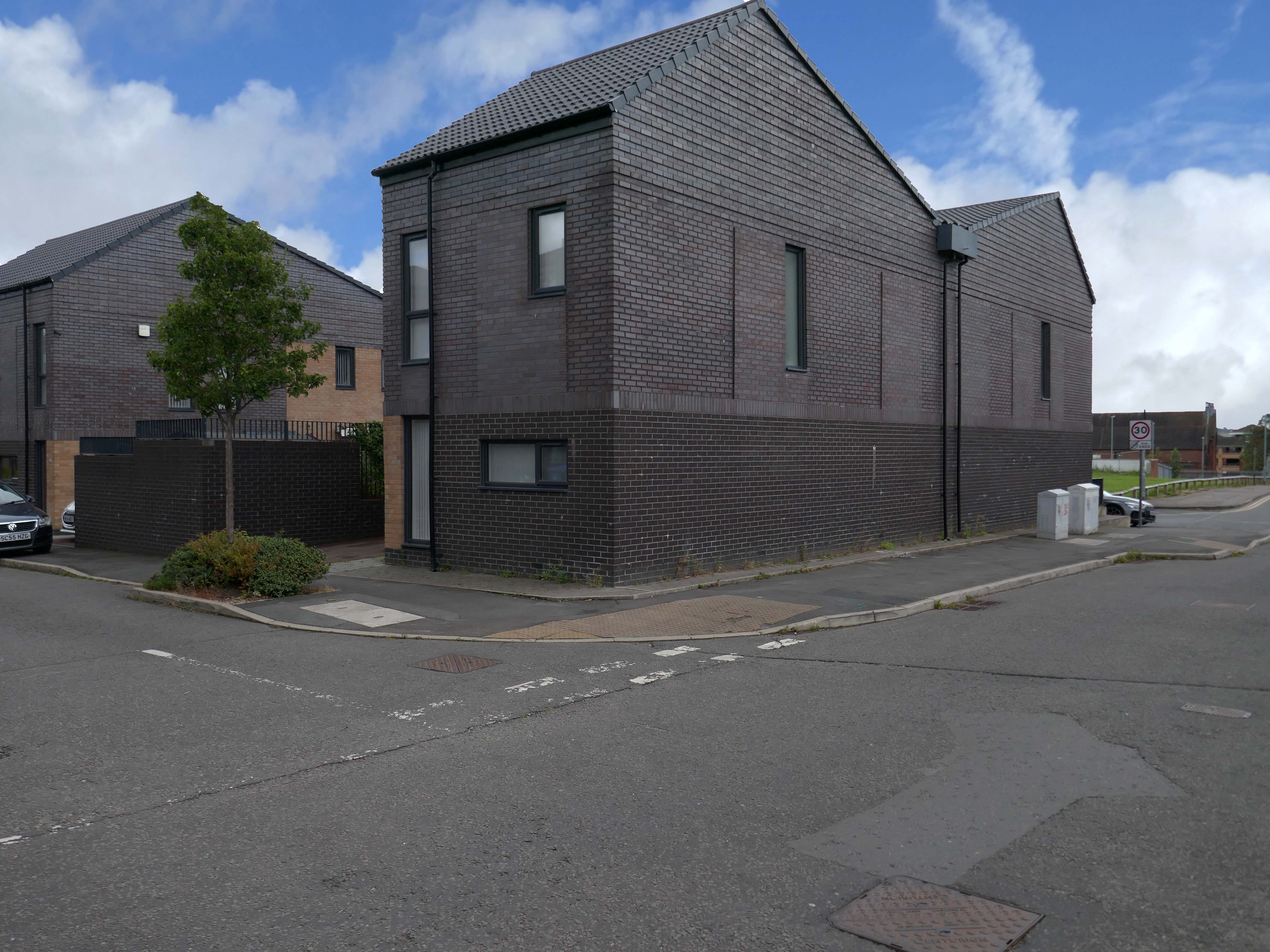
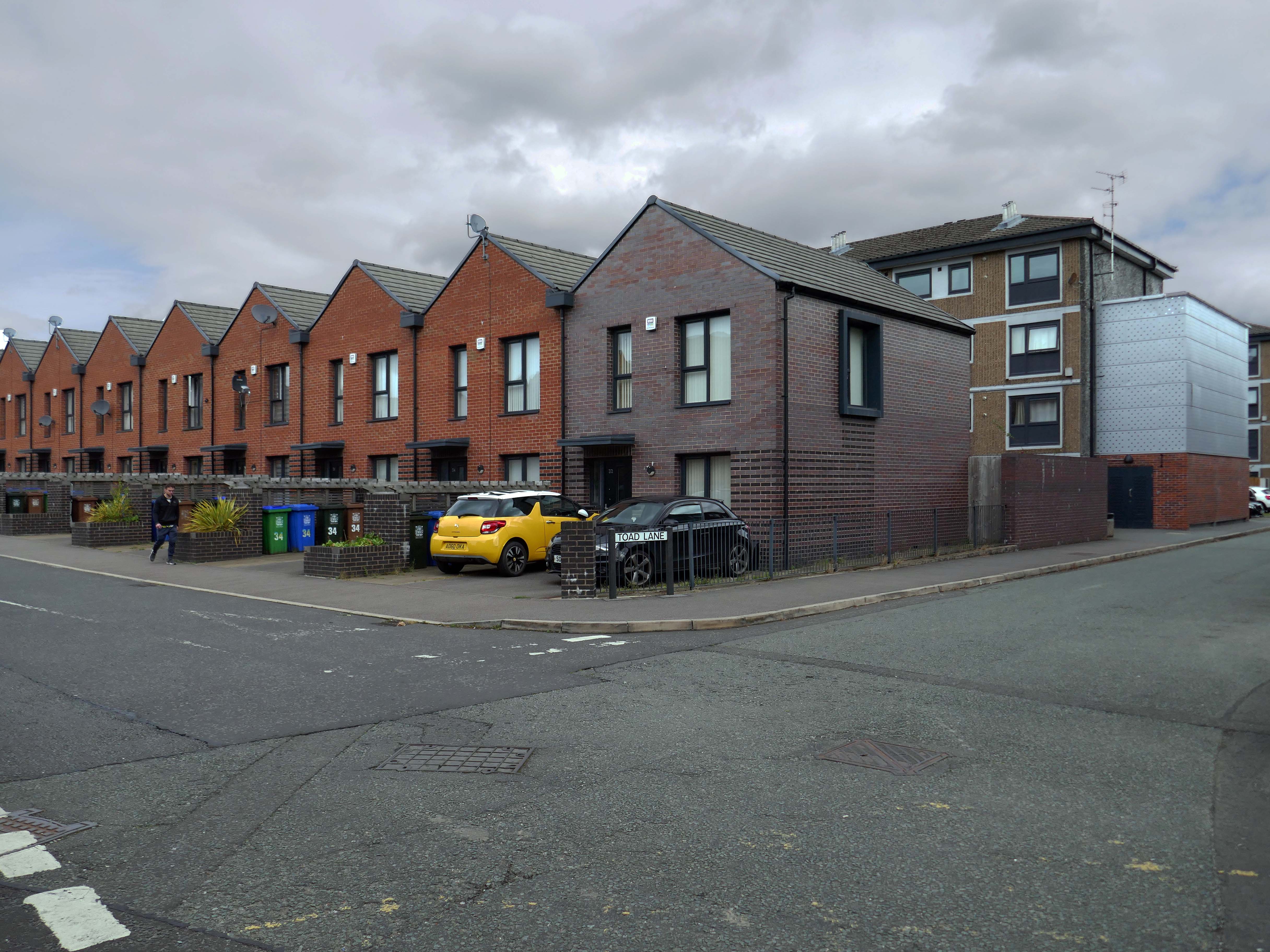
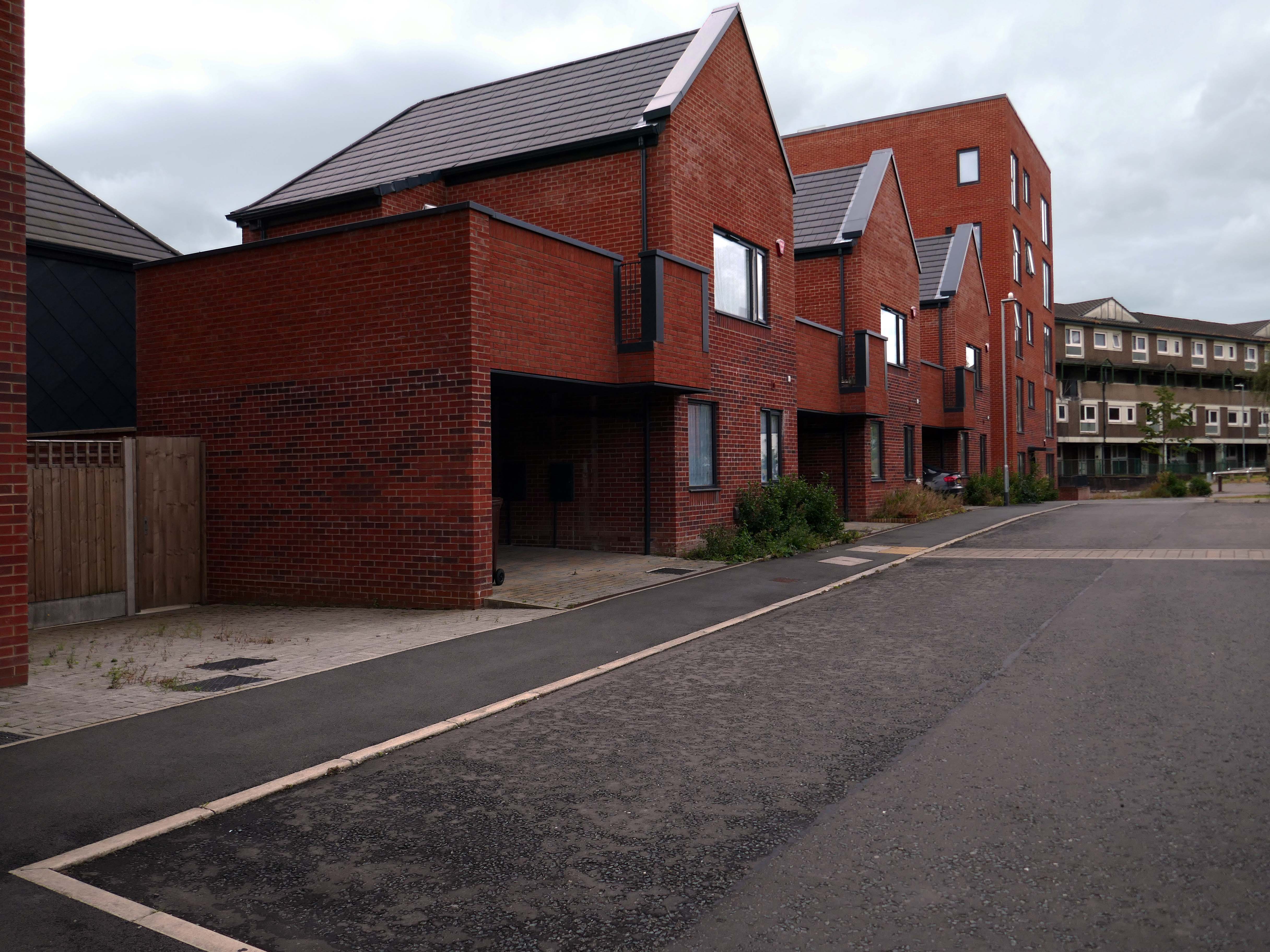
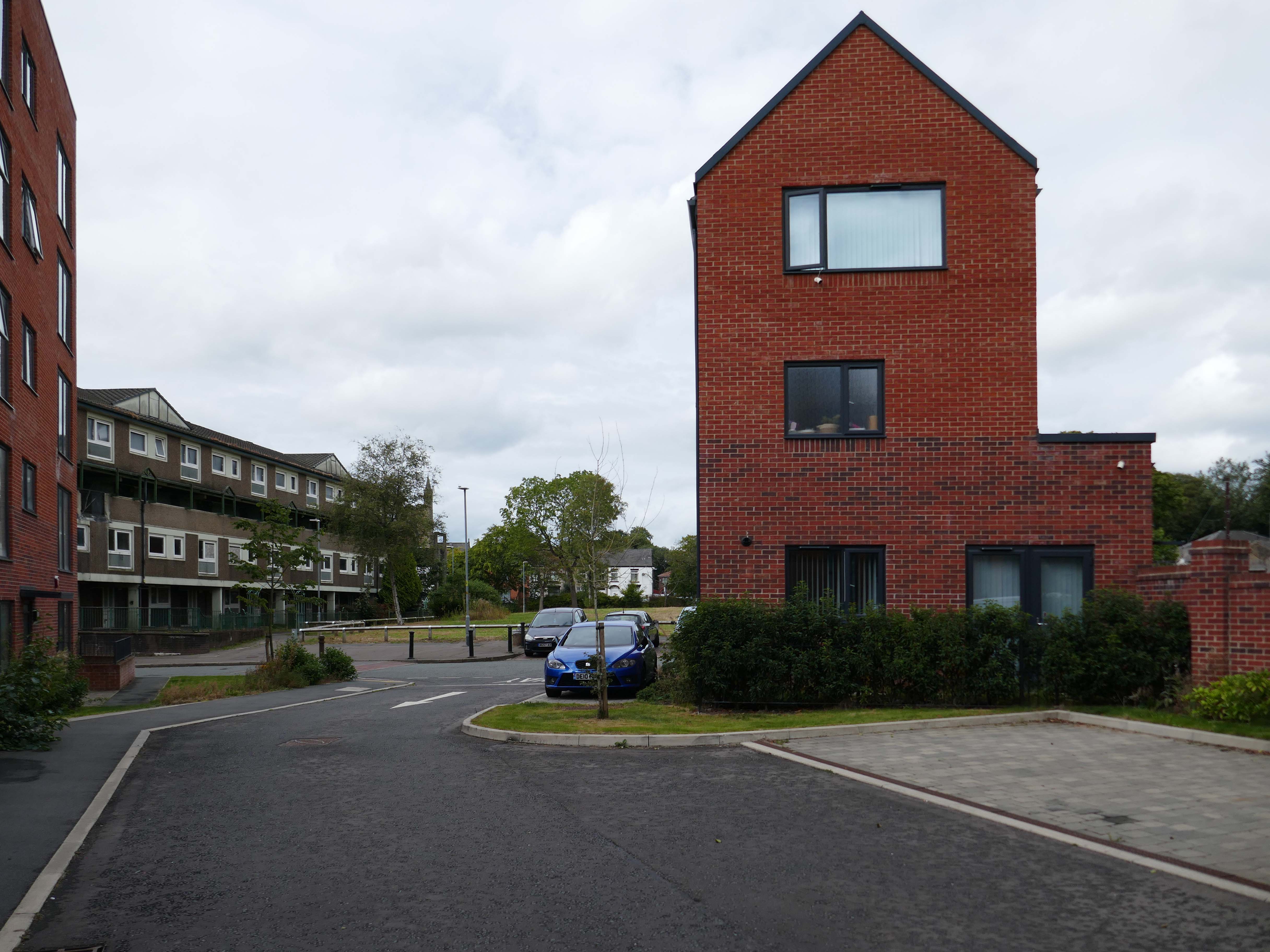
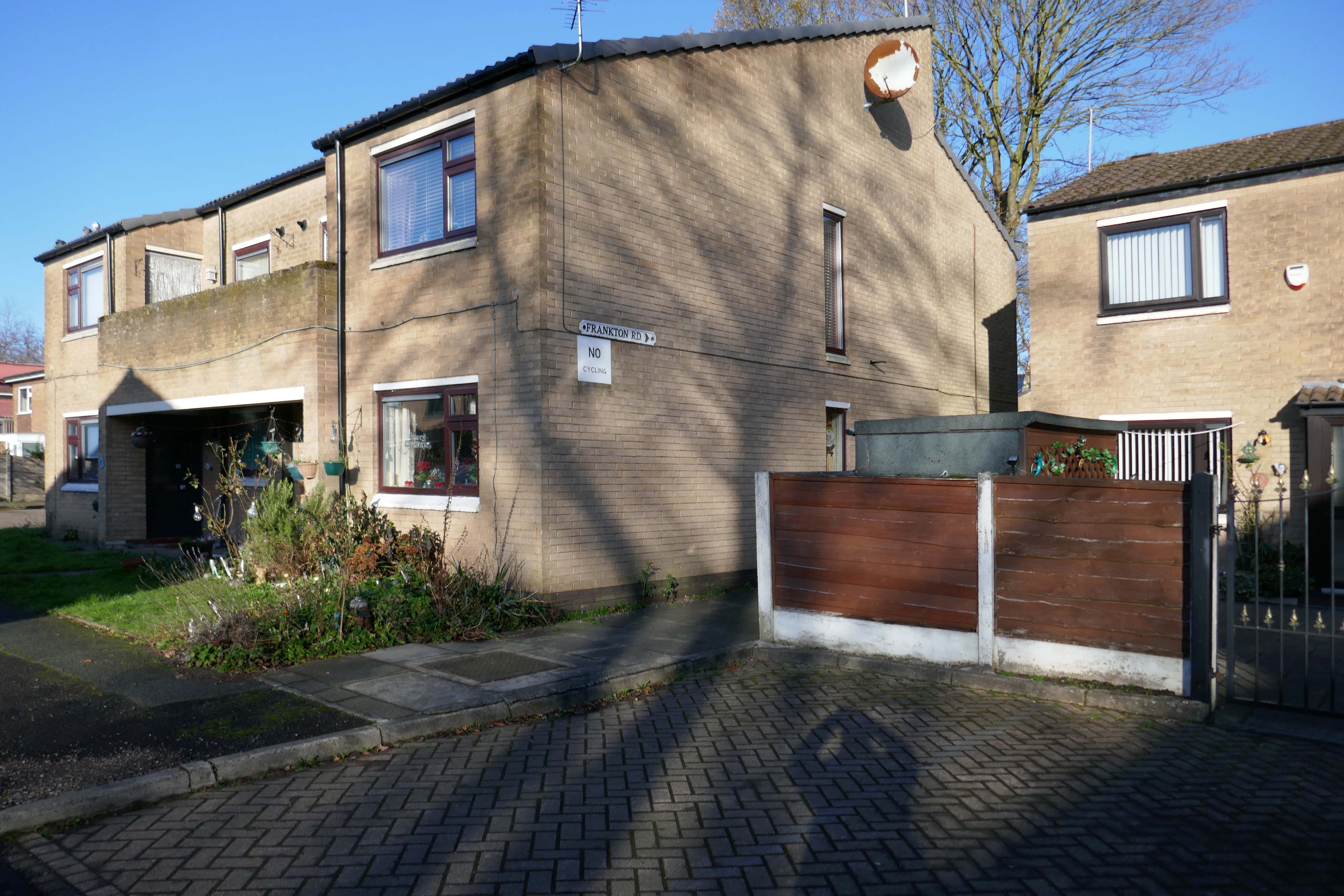
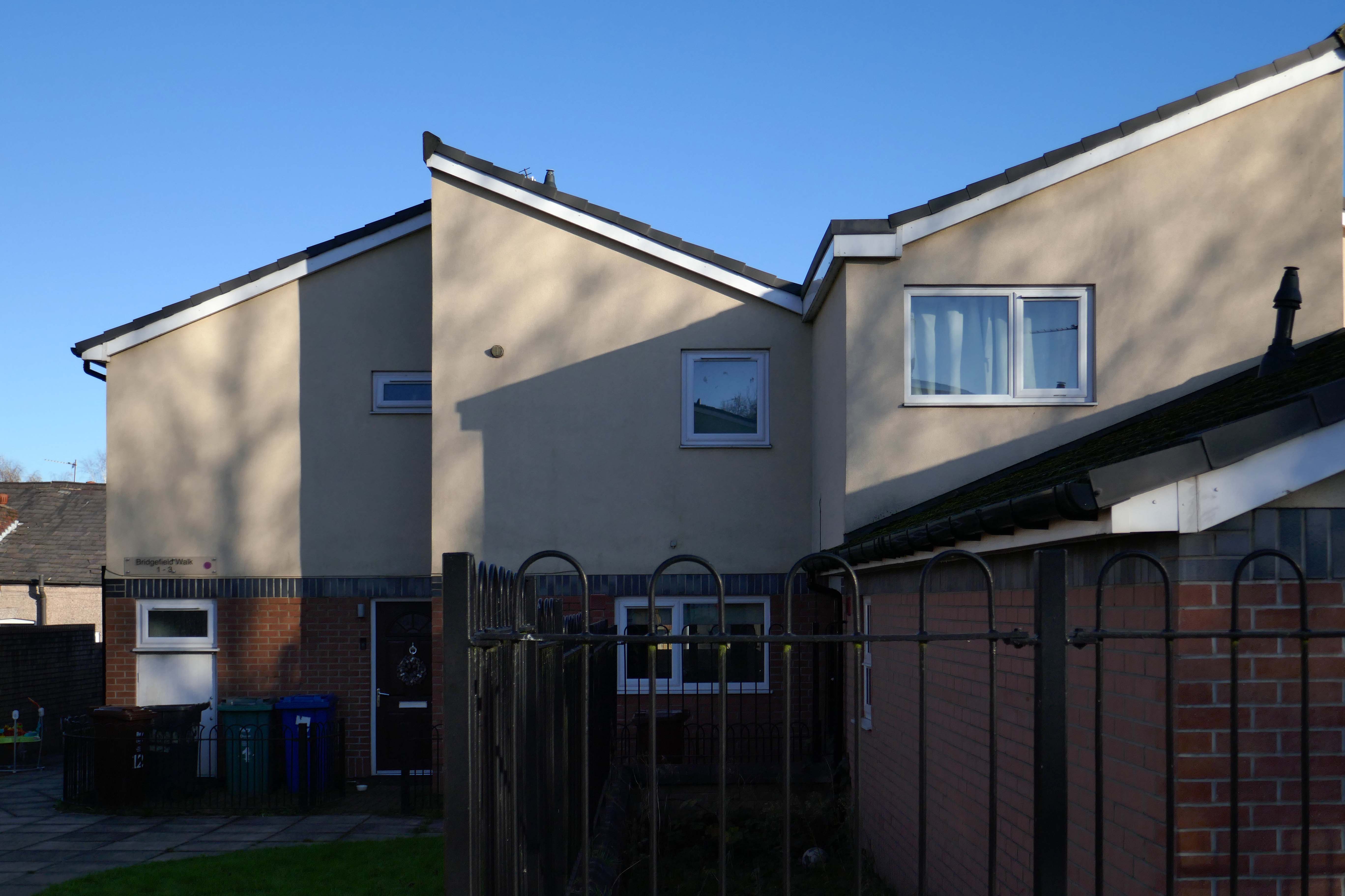
Situated in Ardwick, one mile outside of Manchester’s vibrant city centre, The Gateway is a distinctive development offering a collection of homes and apartments to rent.
Enjoy living in the prime location of Manchester’s bustling city centre, where there is a vast range of employment opportunities, cafes, bars and restaurants. All year round, you can benefit from various fun days out with events and activities available on your doorstep.
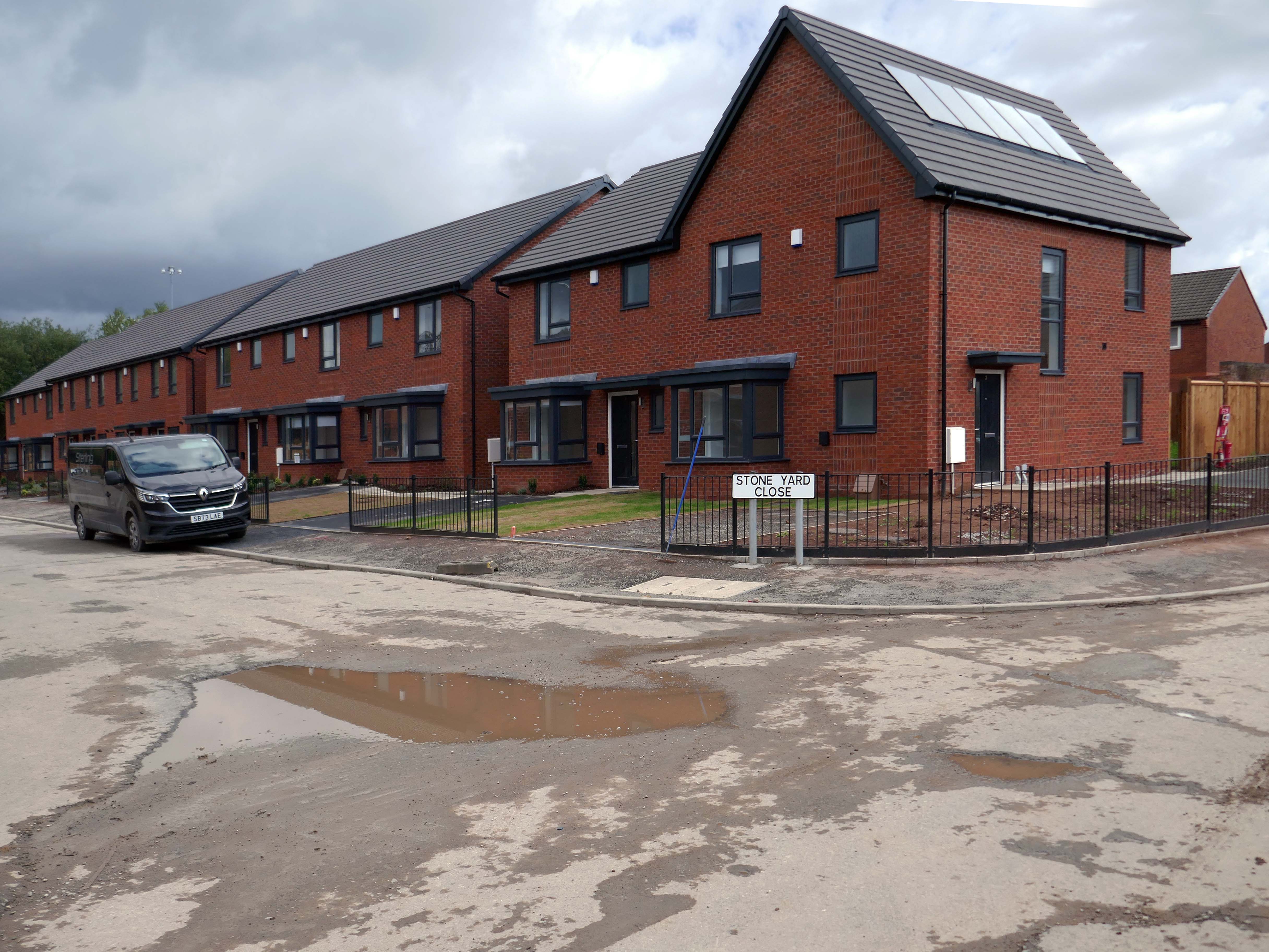
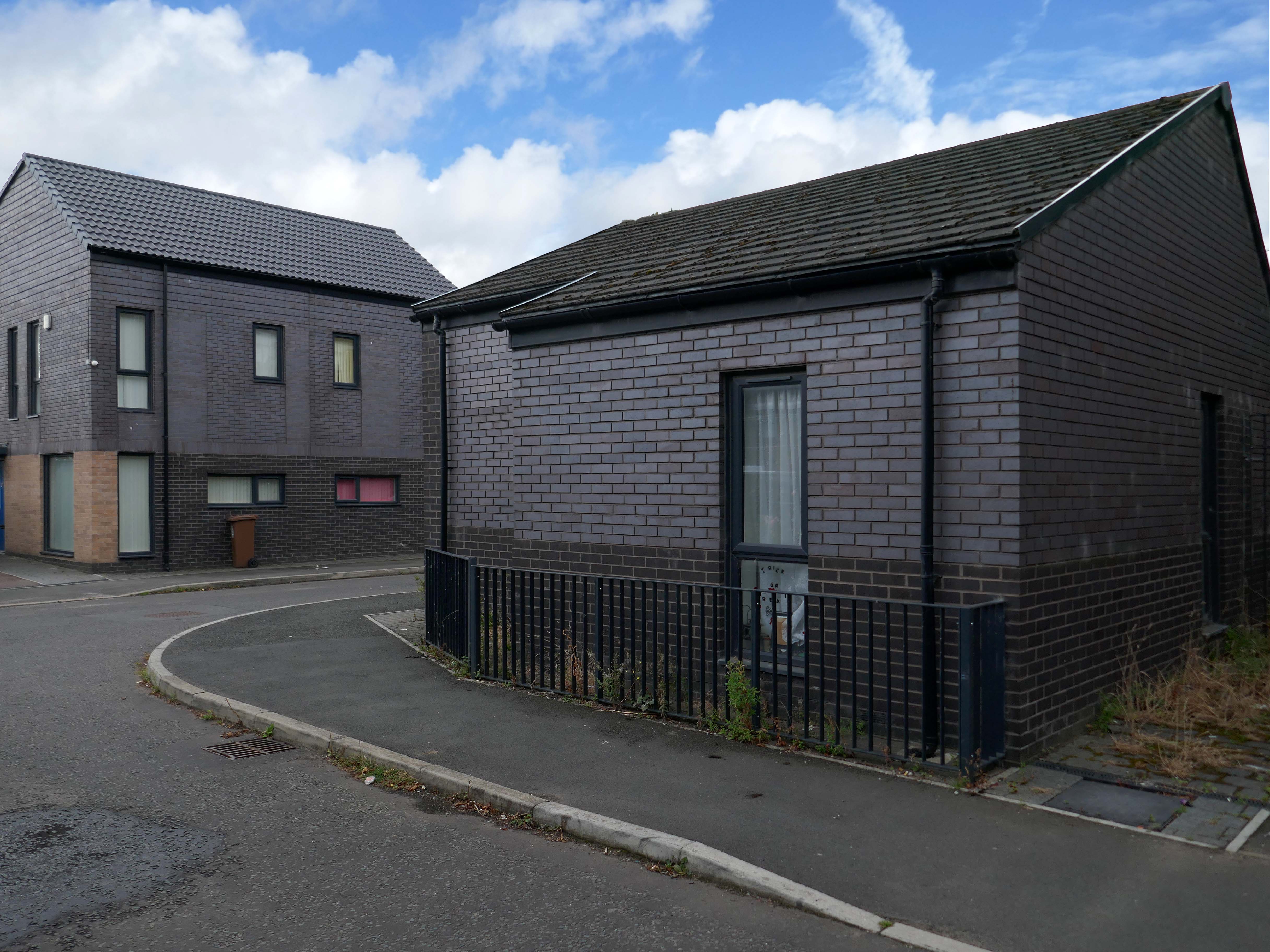
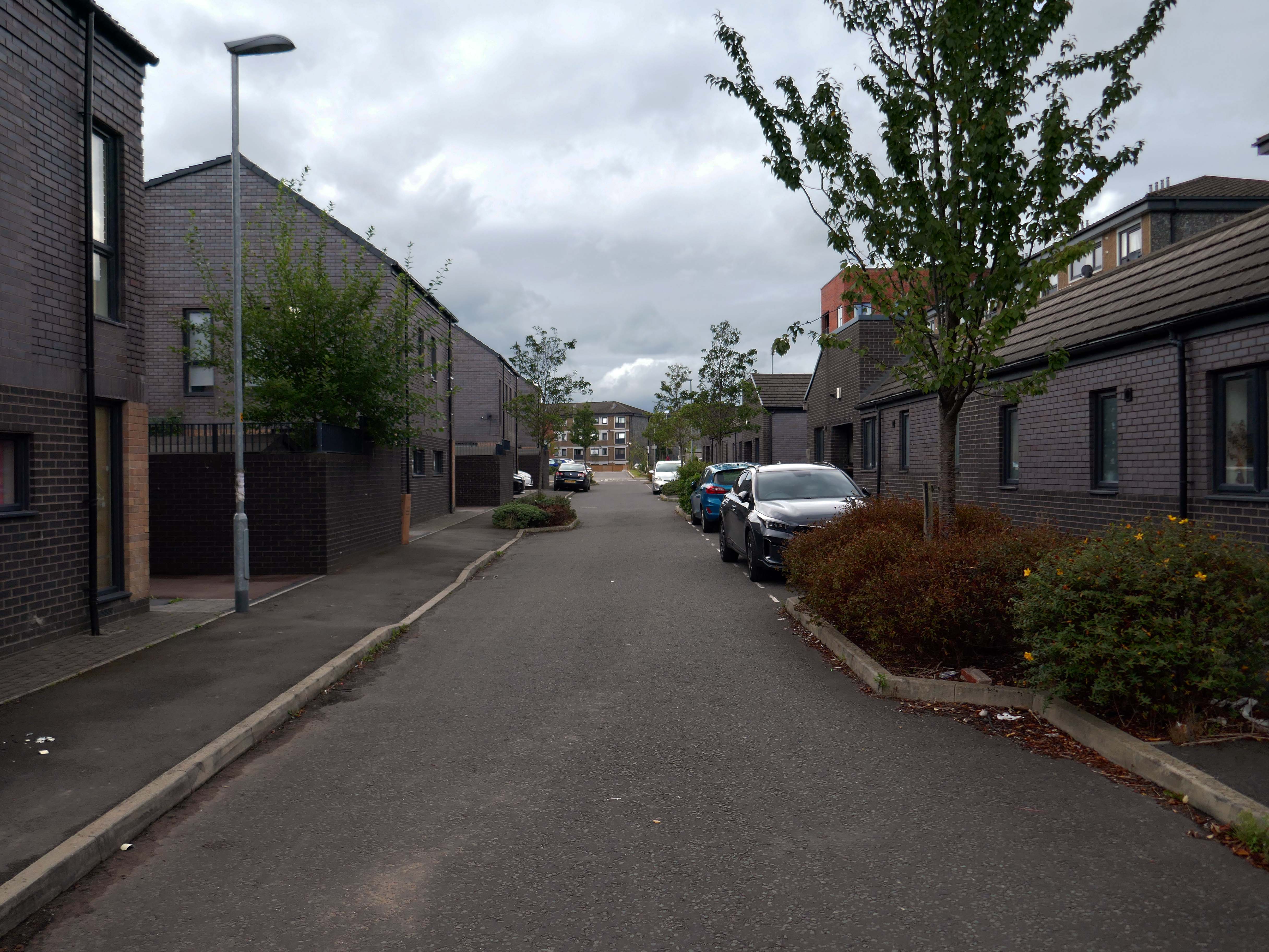
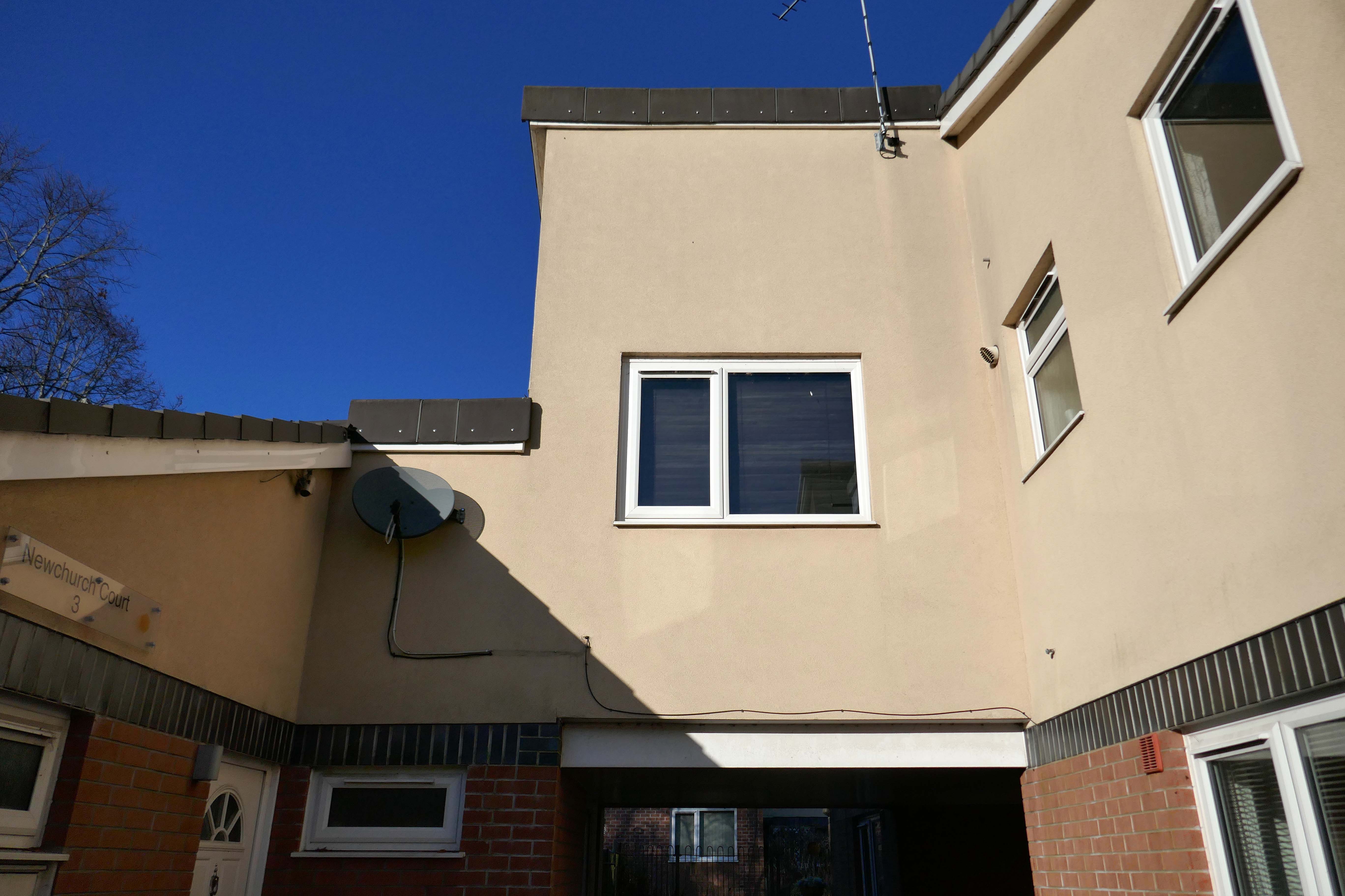
In addition to the apartments there is a mixed development of terraced, detached and semi-detached homes.
We pride ourselves on building places you can call your forever home, knowing it won’t be sold from beneath your feet. We offer renters a whole new experience which brings together the best of both worlds – all the perks of a private rental with the added excitement for customers at the start of a development to choose their own plot and watch it being built.
With home ownership becoming unaffordable for some and an unappealing lifestyle choice for others, we meet the need for a high quality home which still feels secure in the long term.
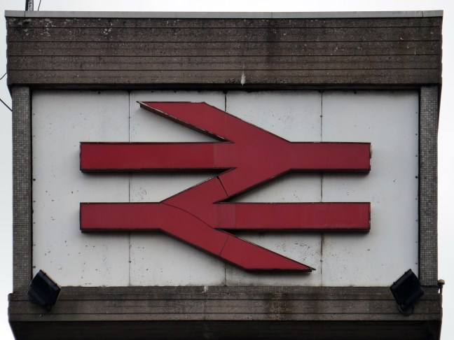
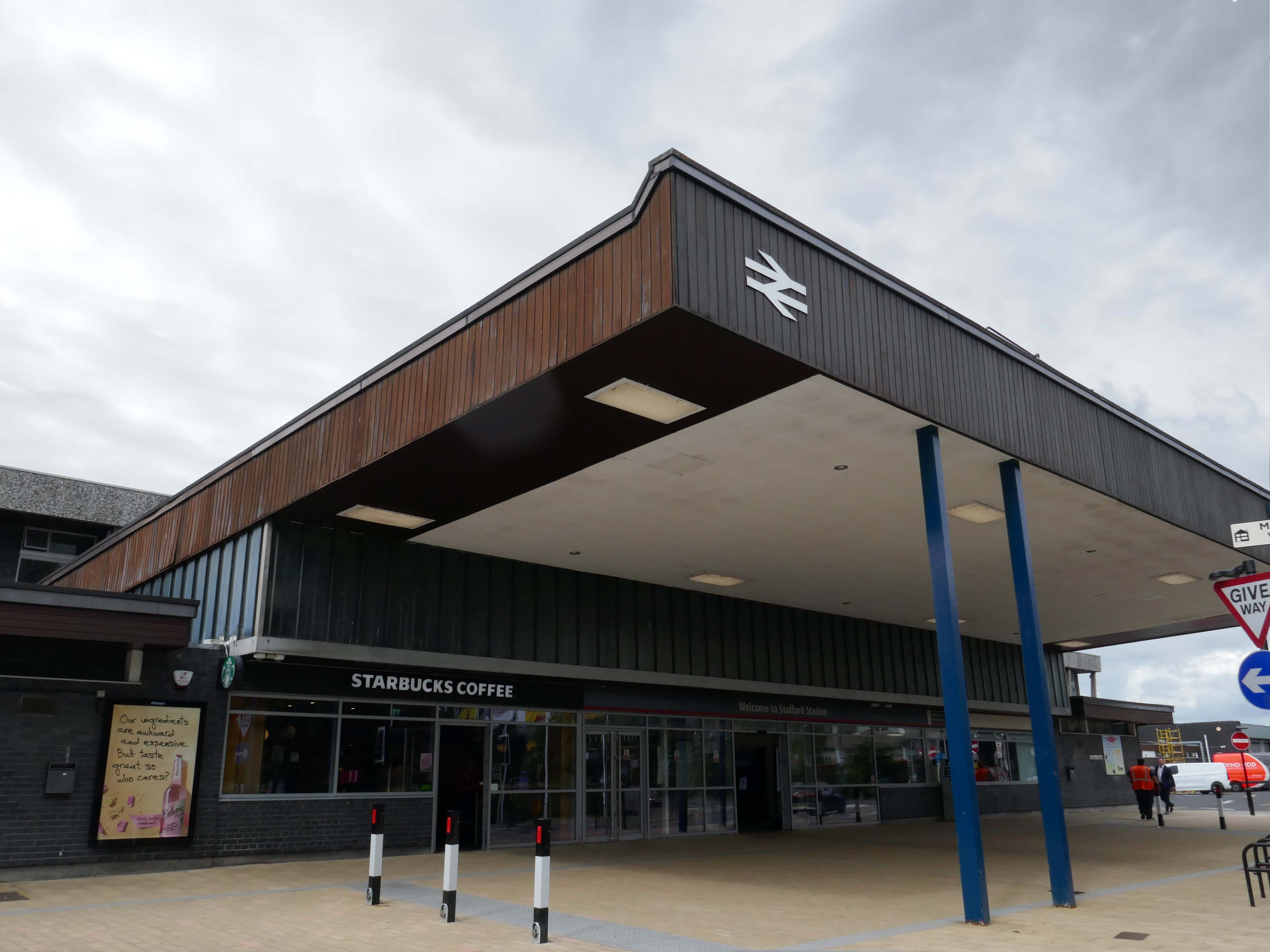
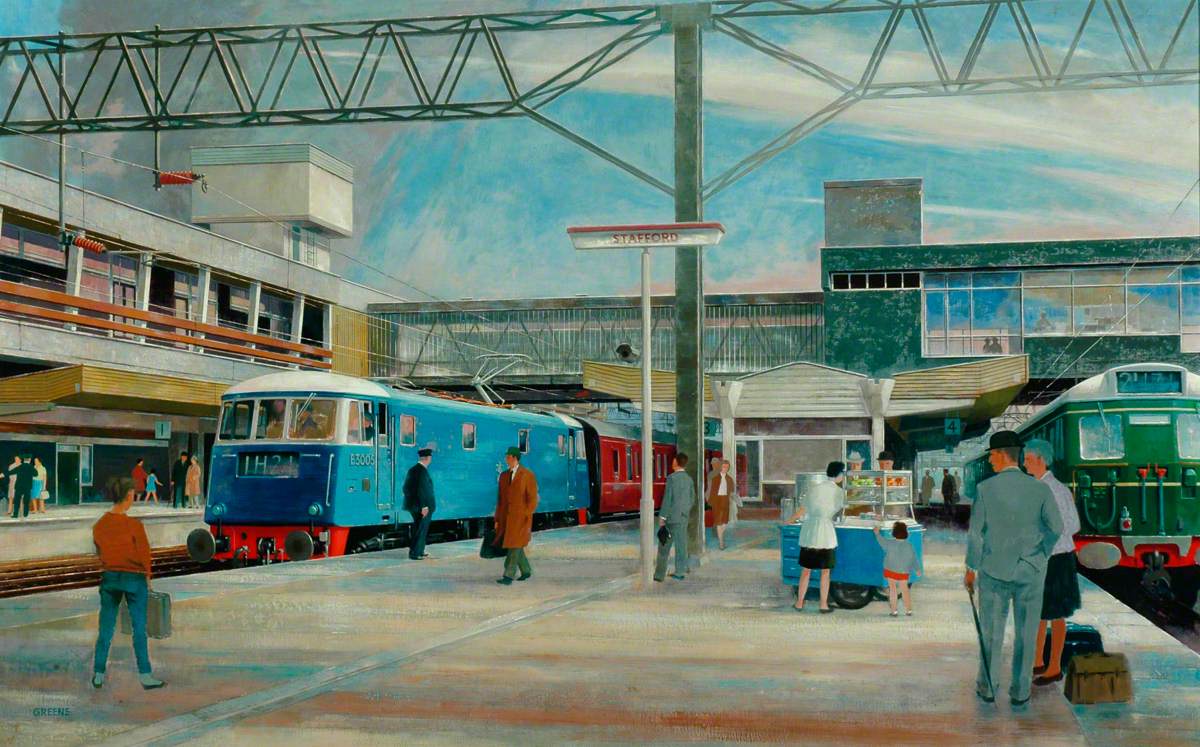
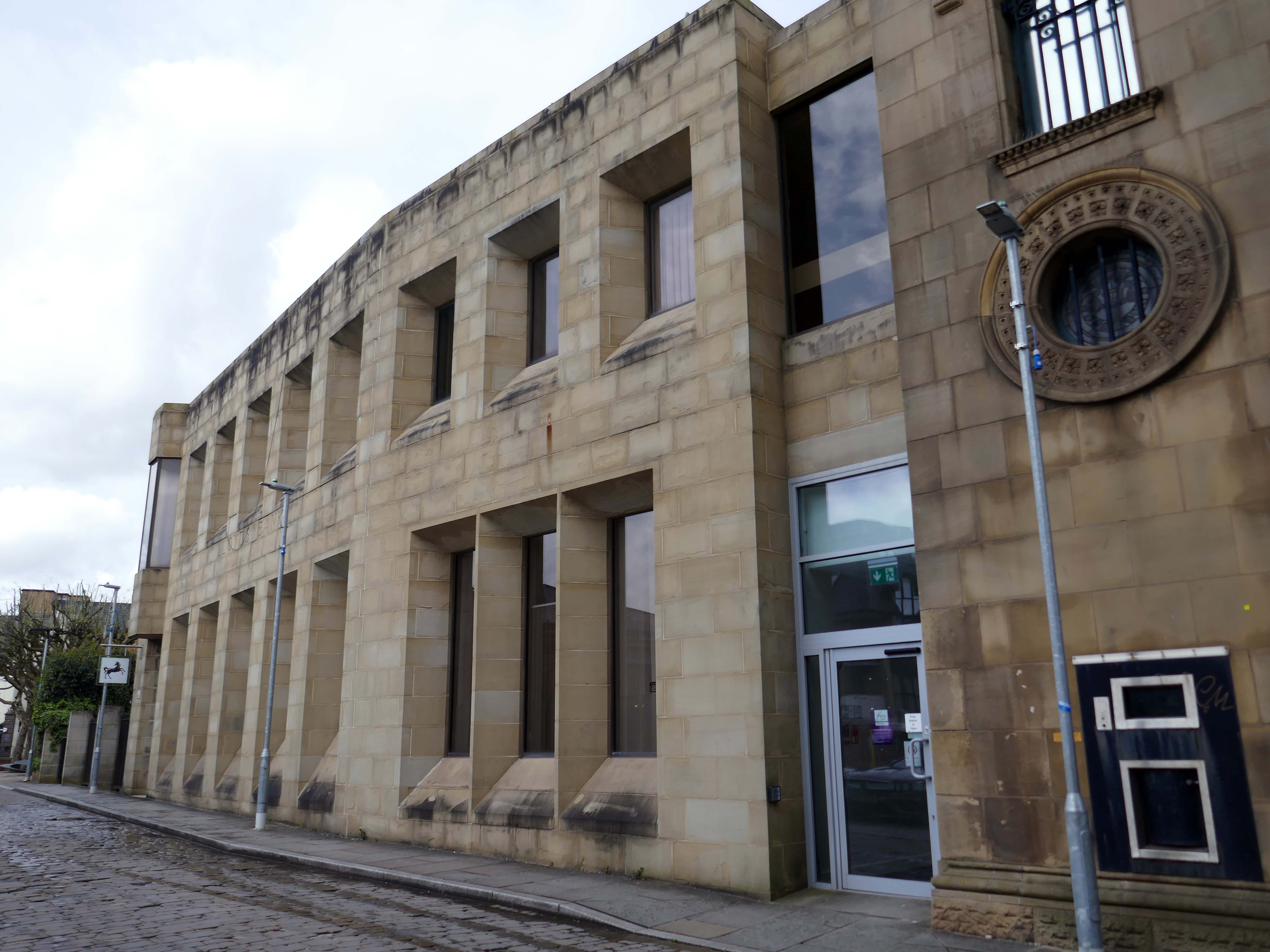
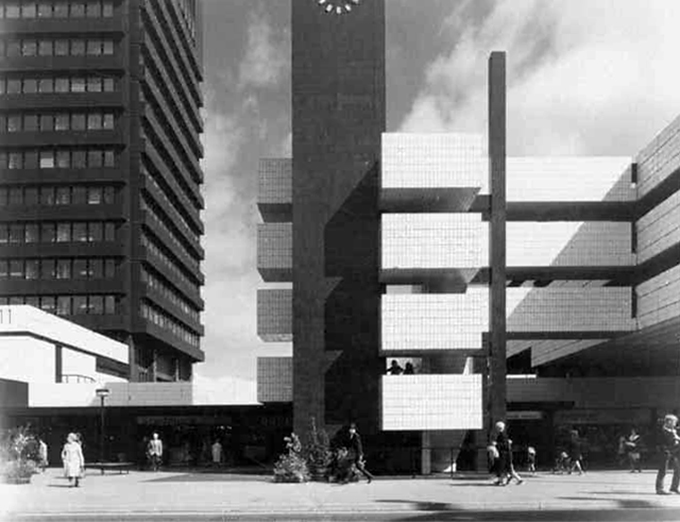
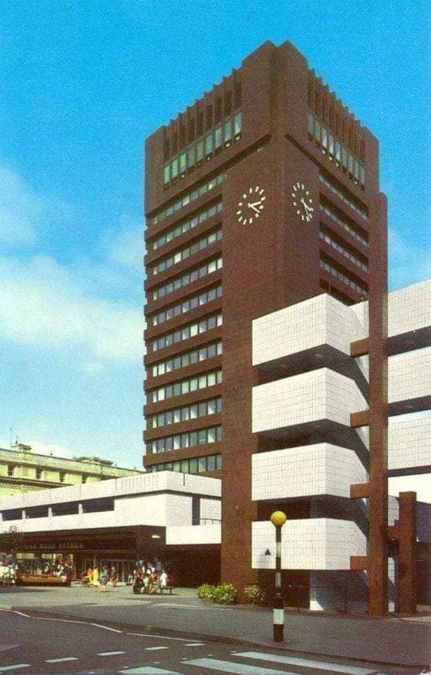
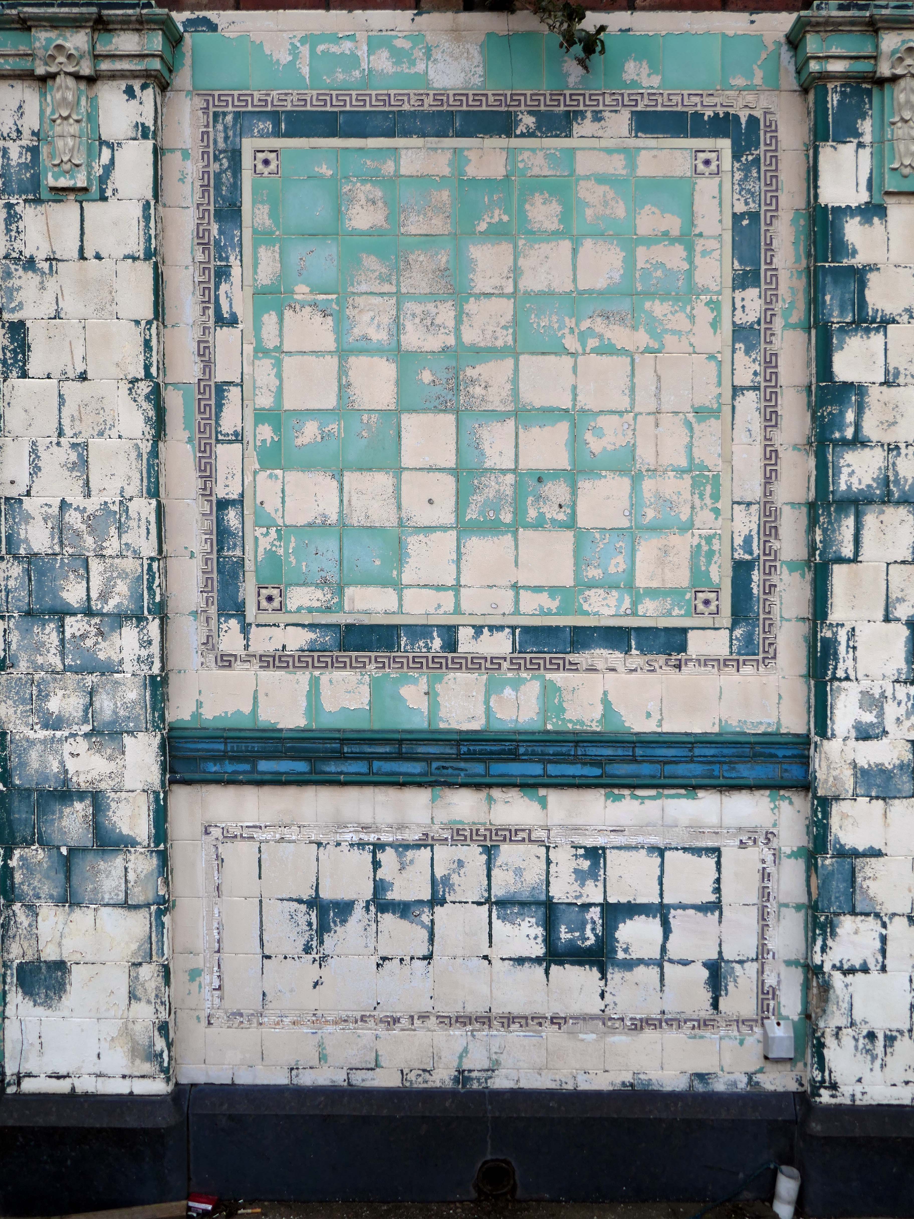
The current station was built in 1962, by the architect William Robert Headley, as part of the modernisation programme which saw the electrification of the West Coast Main Line.
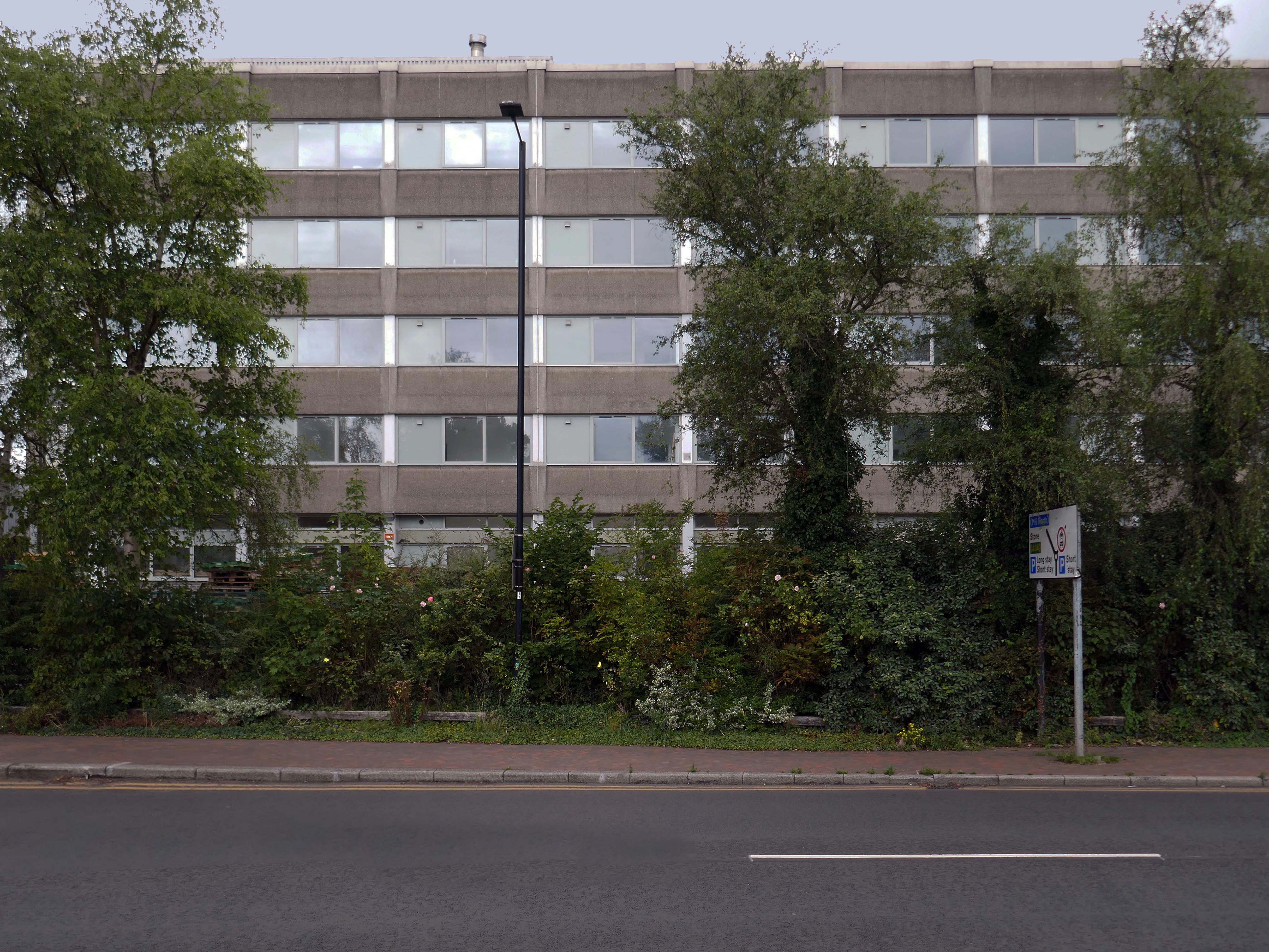
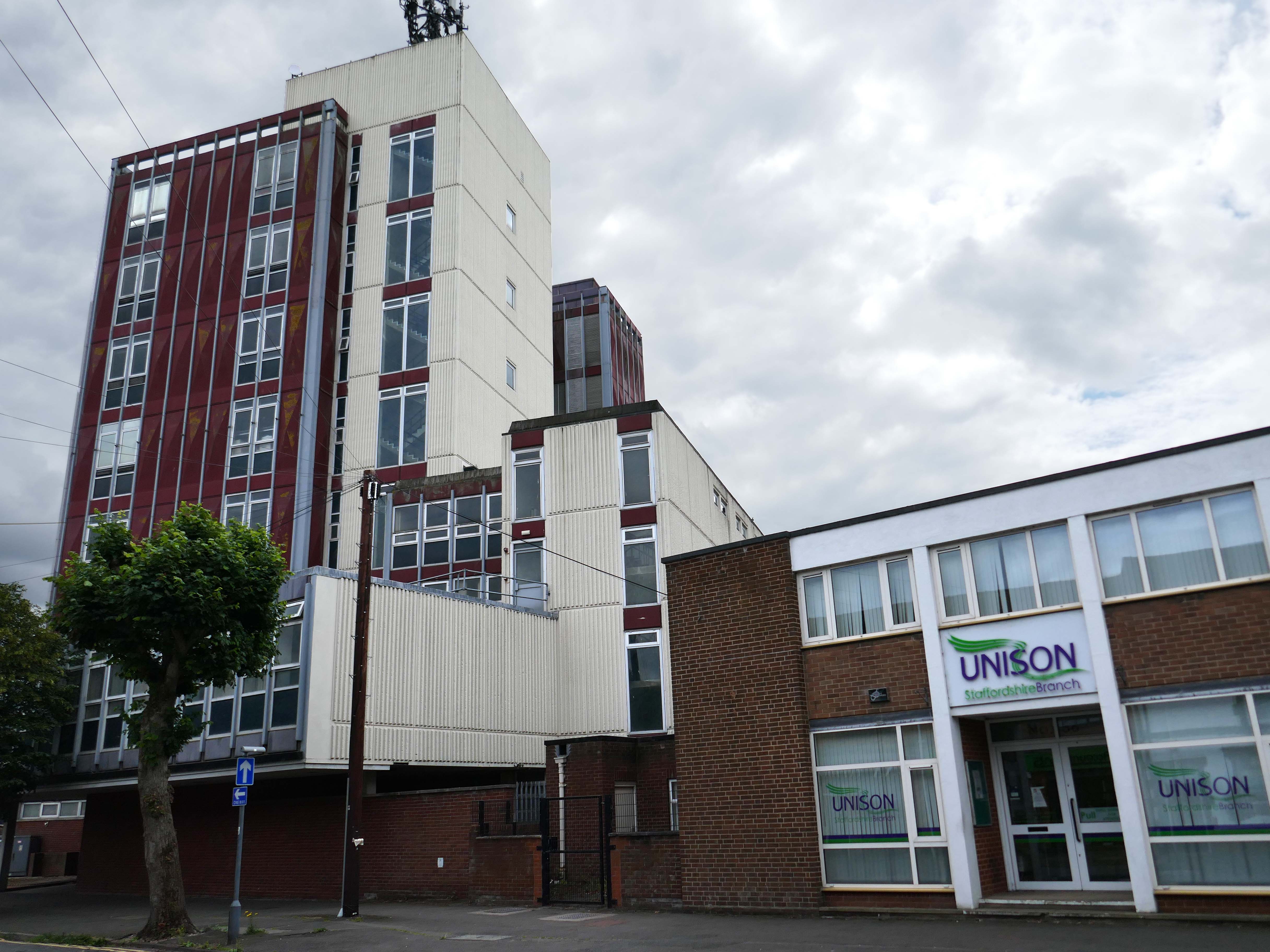
On leaving the station there is an as yet partially un-let Sixties office block to let – Victoria Park House.
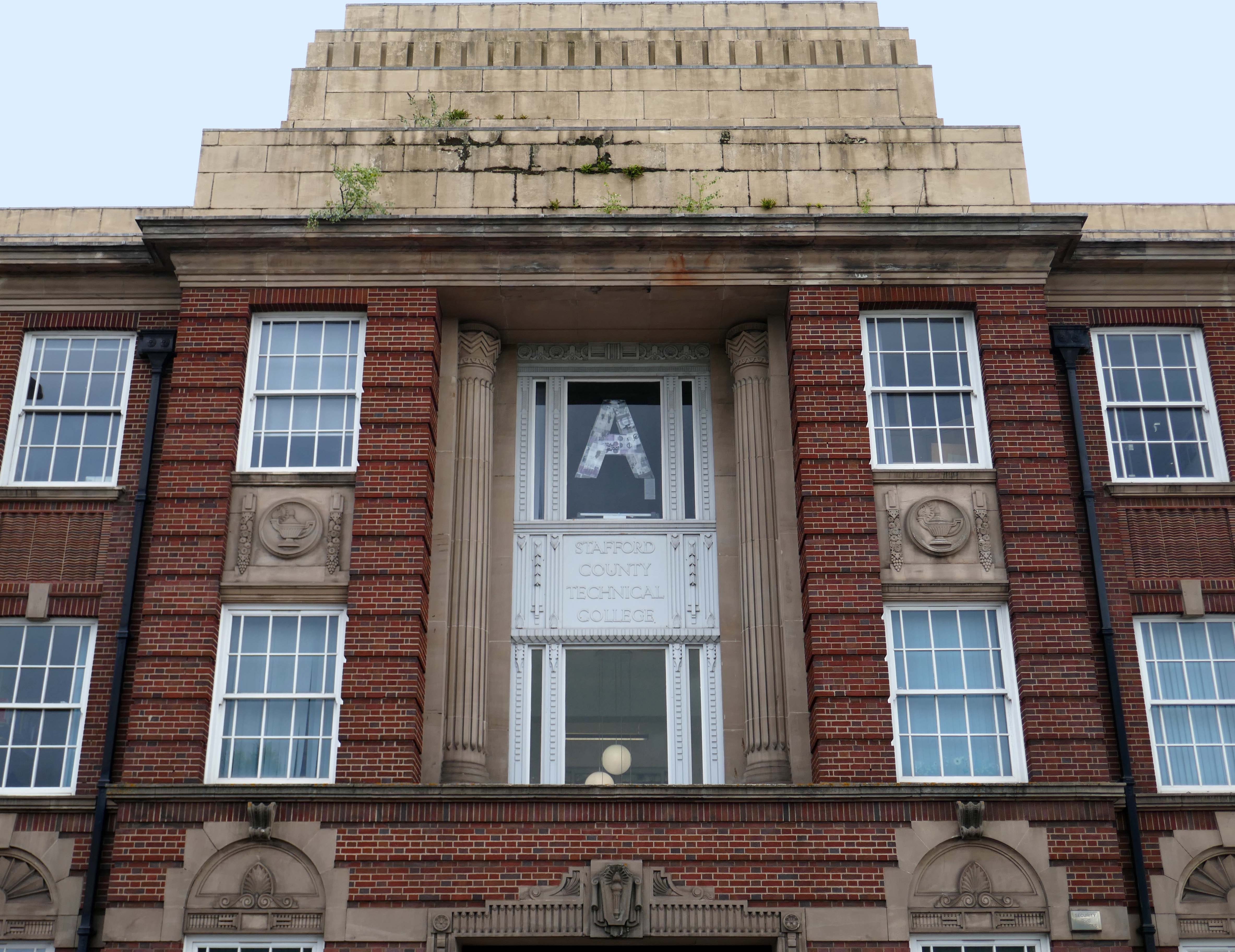
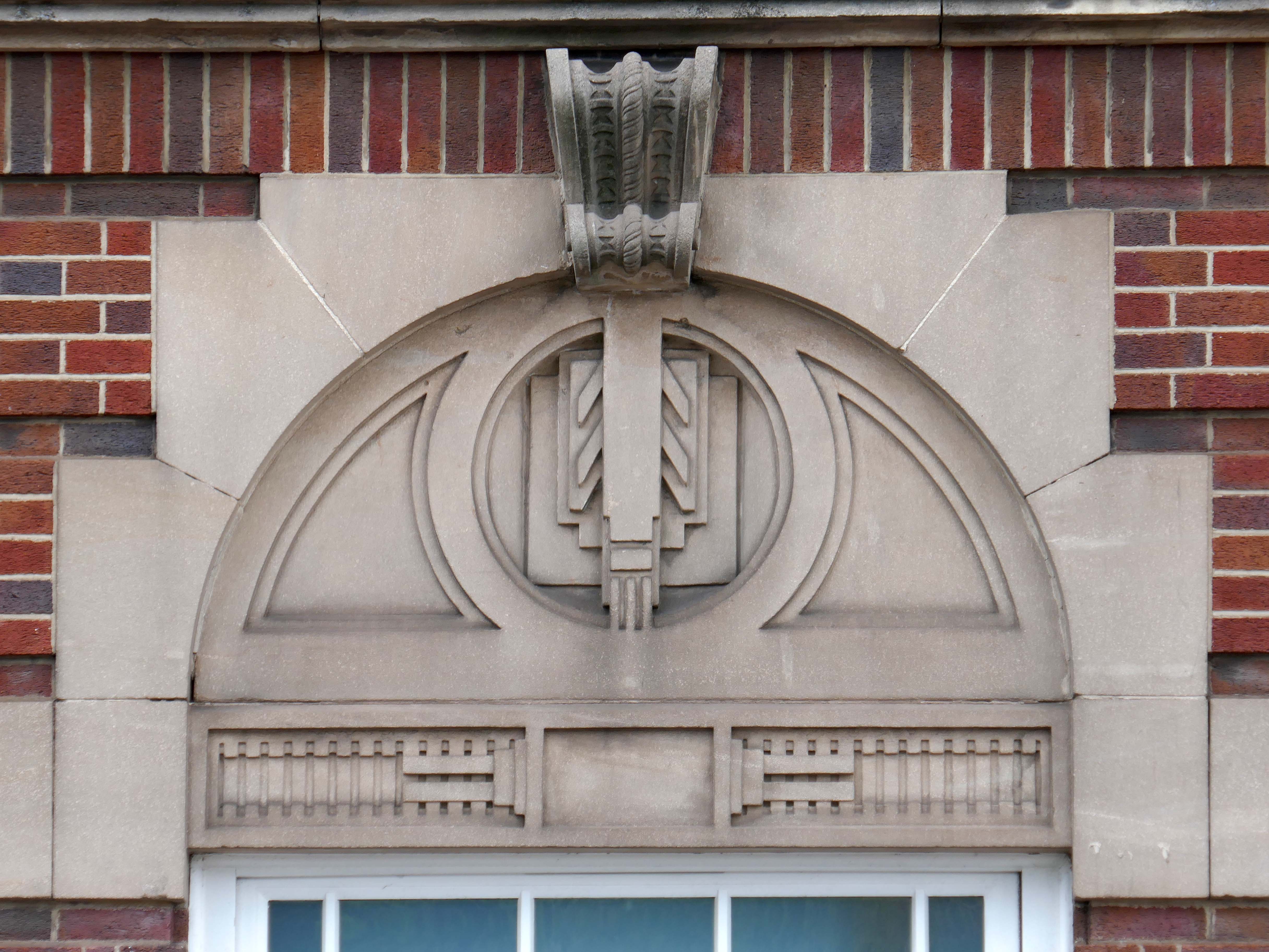
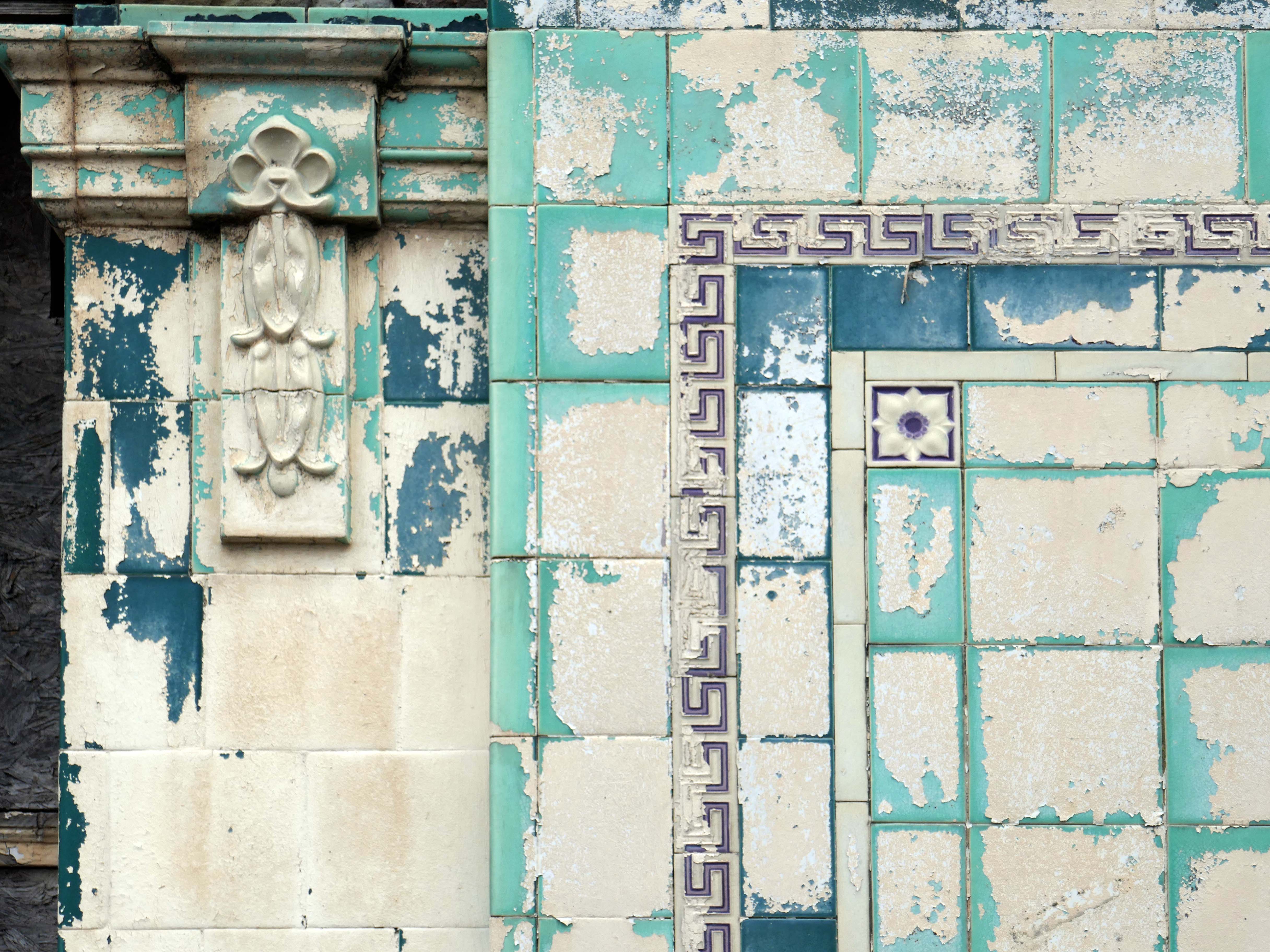
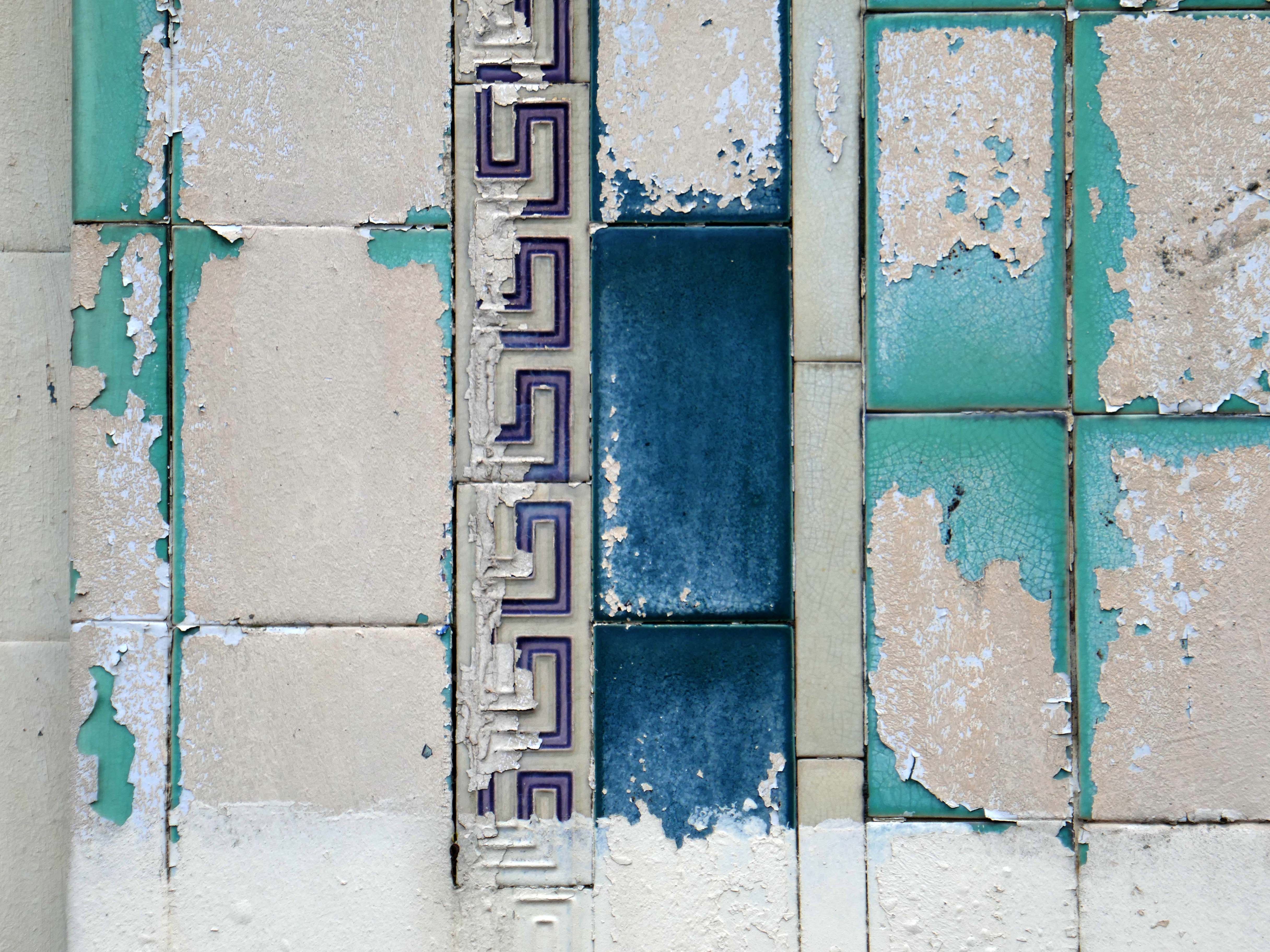
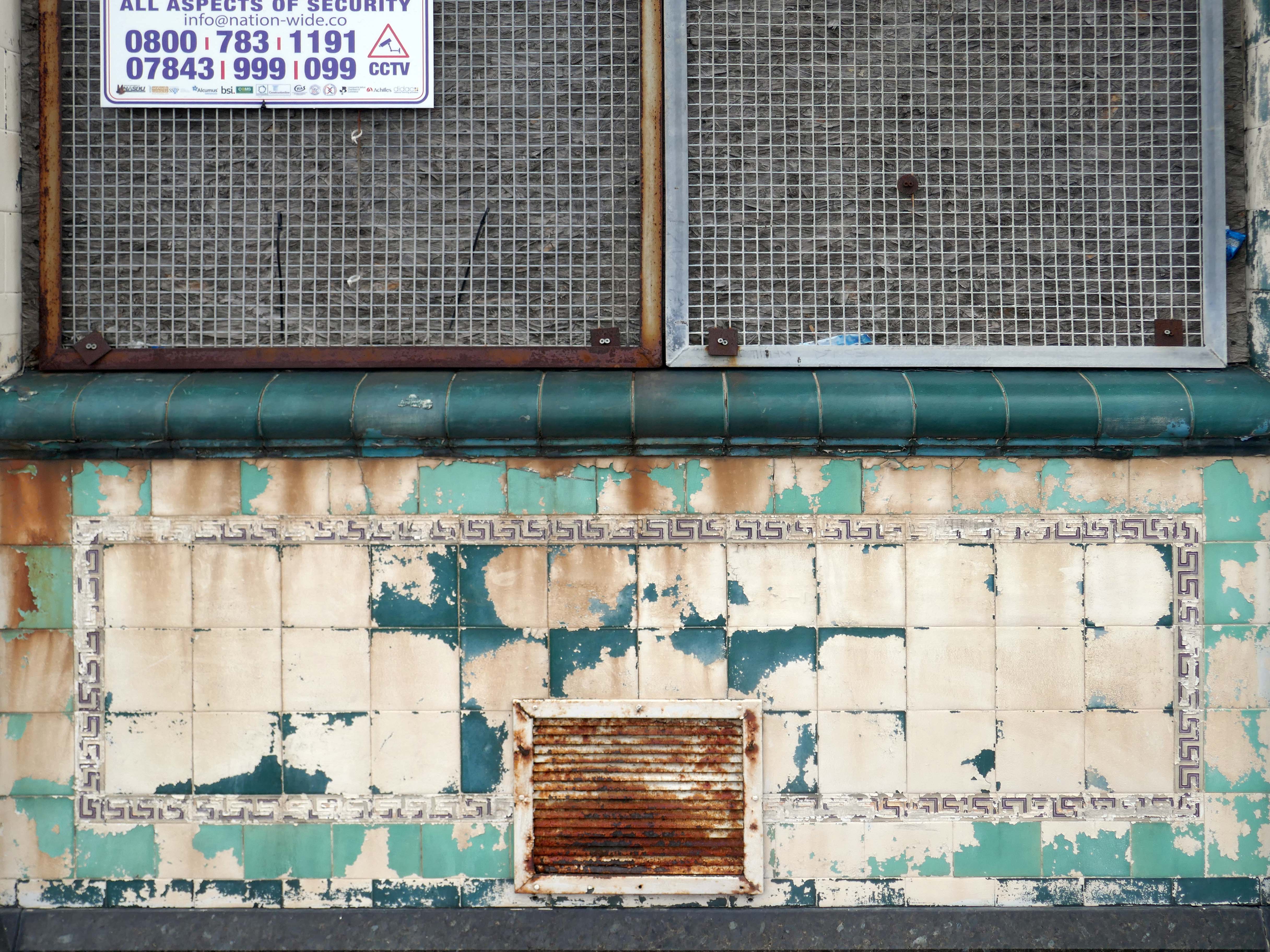
Onward to the County Technical College 1937 Grade II Listed – interior completed 1946.
The shell of the building was completed in 1937, after which it was used as an American army hospital during the war, then completed afterwards.
Heavily loaded with Art Deco details.
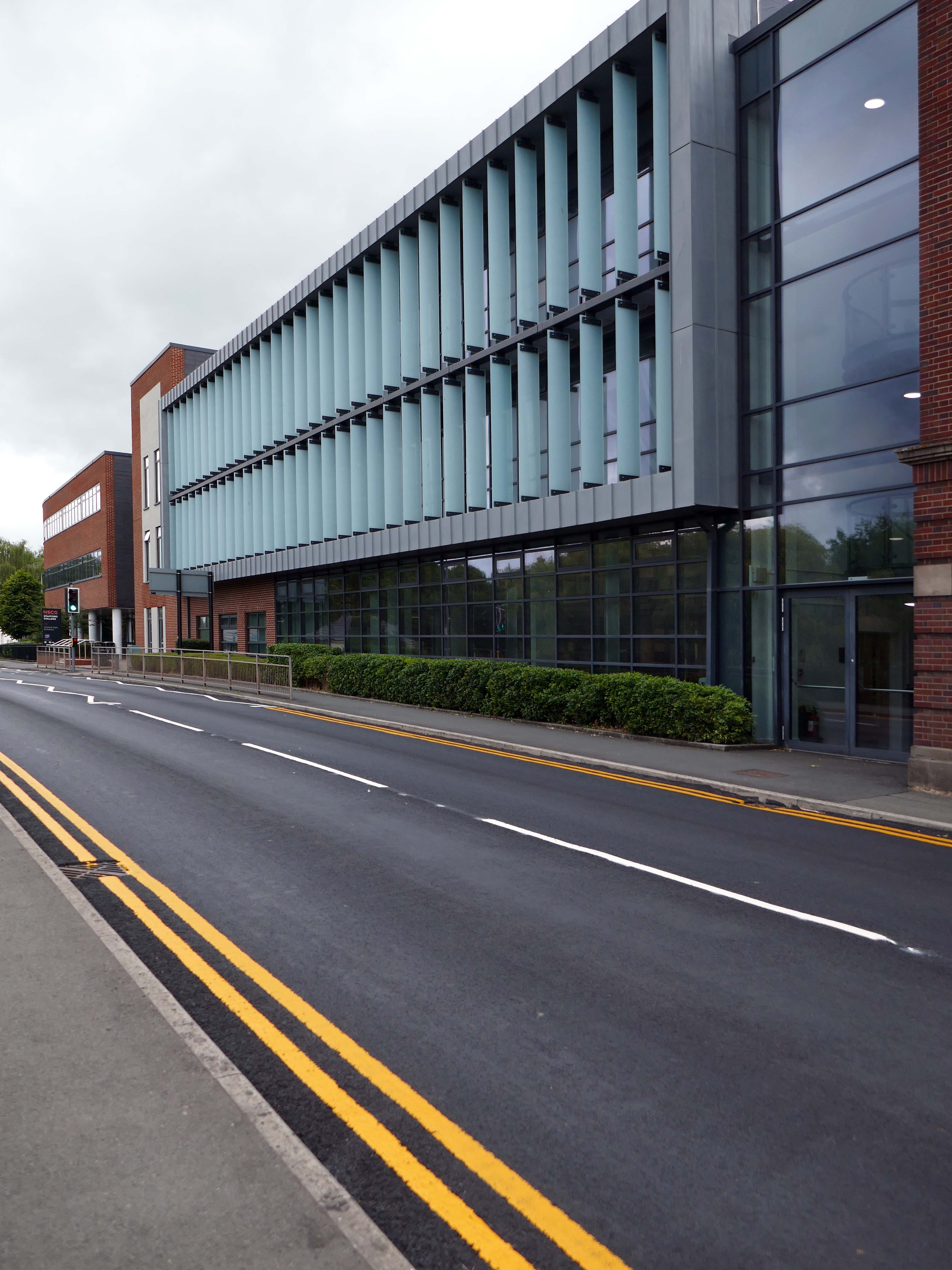
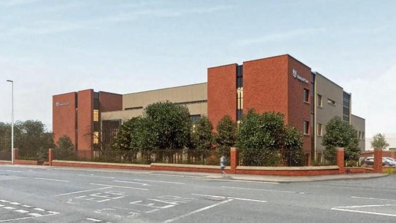
The new £28m three-storey Skills & Innovation Centre at Stafford College, completed in August 2023, was one of the first further education college schemes to be delivered under the DfE framework and a pathfinder scheme for delivery in accordance with the Further Education Output Specification. The new Centre is equipped with cutting-edge equipment and state-of-the-art facilities for construction, engineering and hybrid / electric vehicle maintenance facilities, as well as IT rich seminar suites and open learning break-out spaces along with a 4-court sports hall, a fully-equipped gym and a flexible 300-seat auditorium.
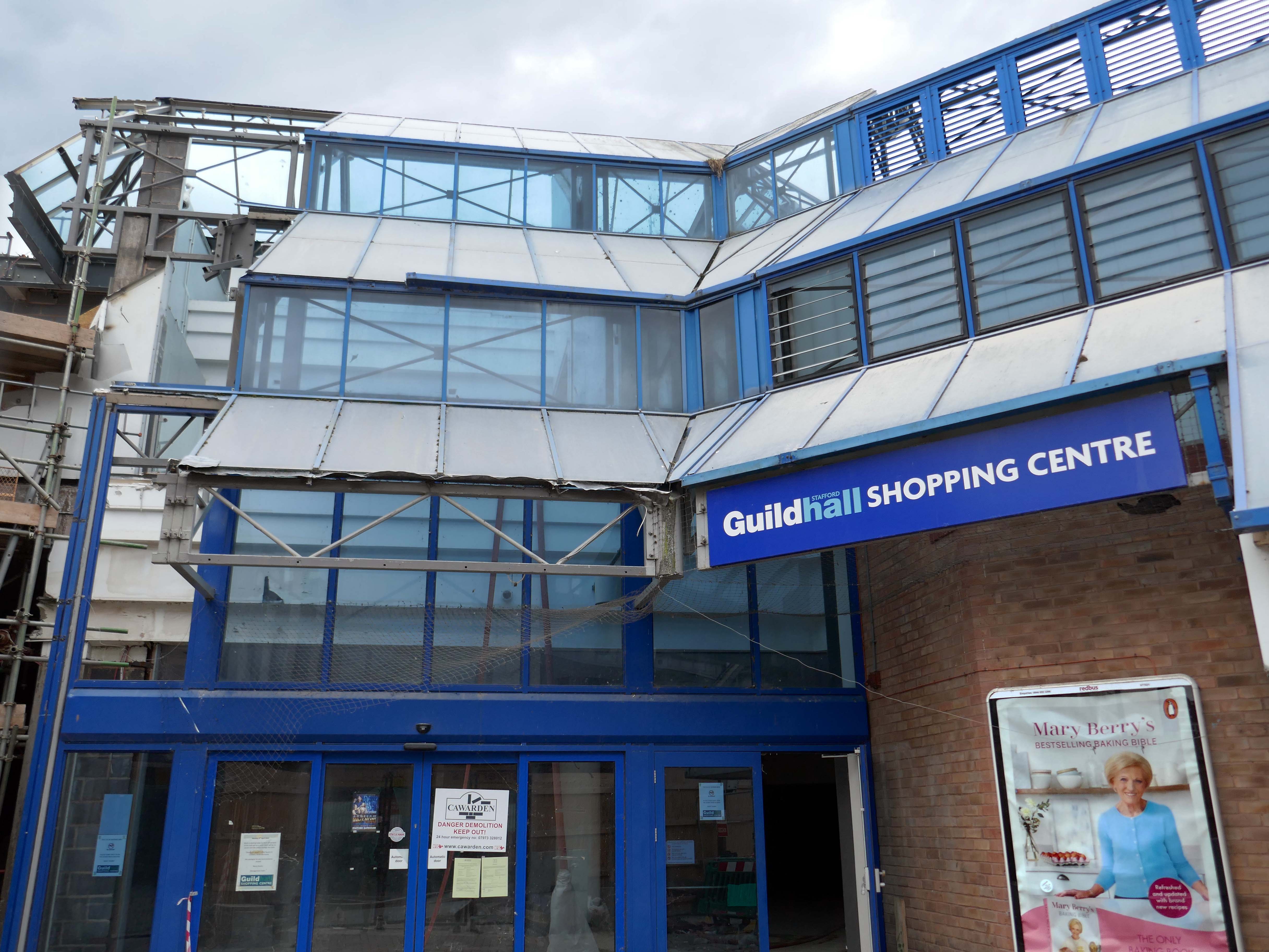
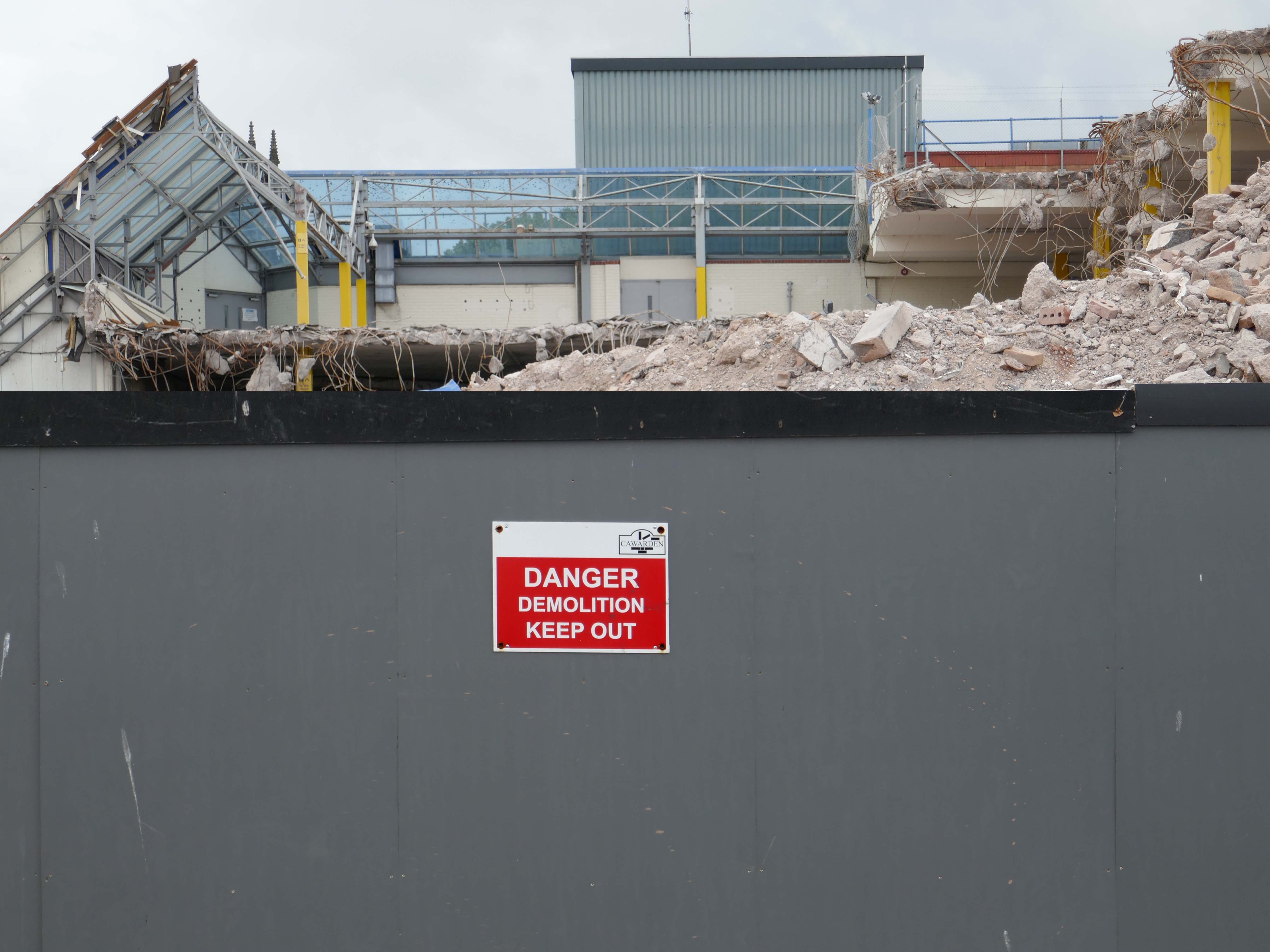
A 1970’s block was demolished to make way for the new development.
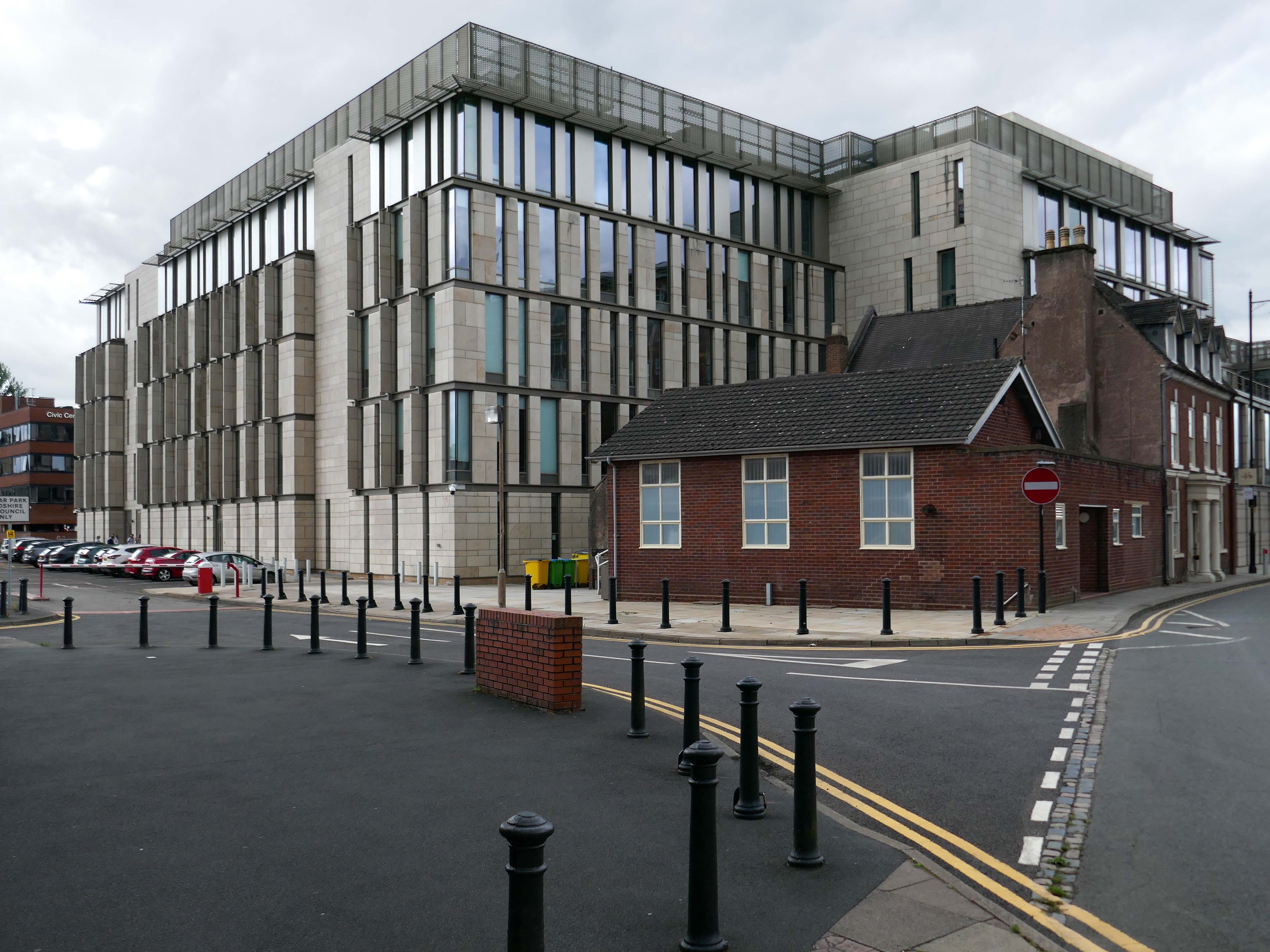
Almost everywhere we go we find a PoMo Crown Courts 1991 – architects: Associated Architects of Birmingham, cost of £10.4 million.
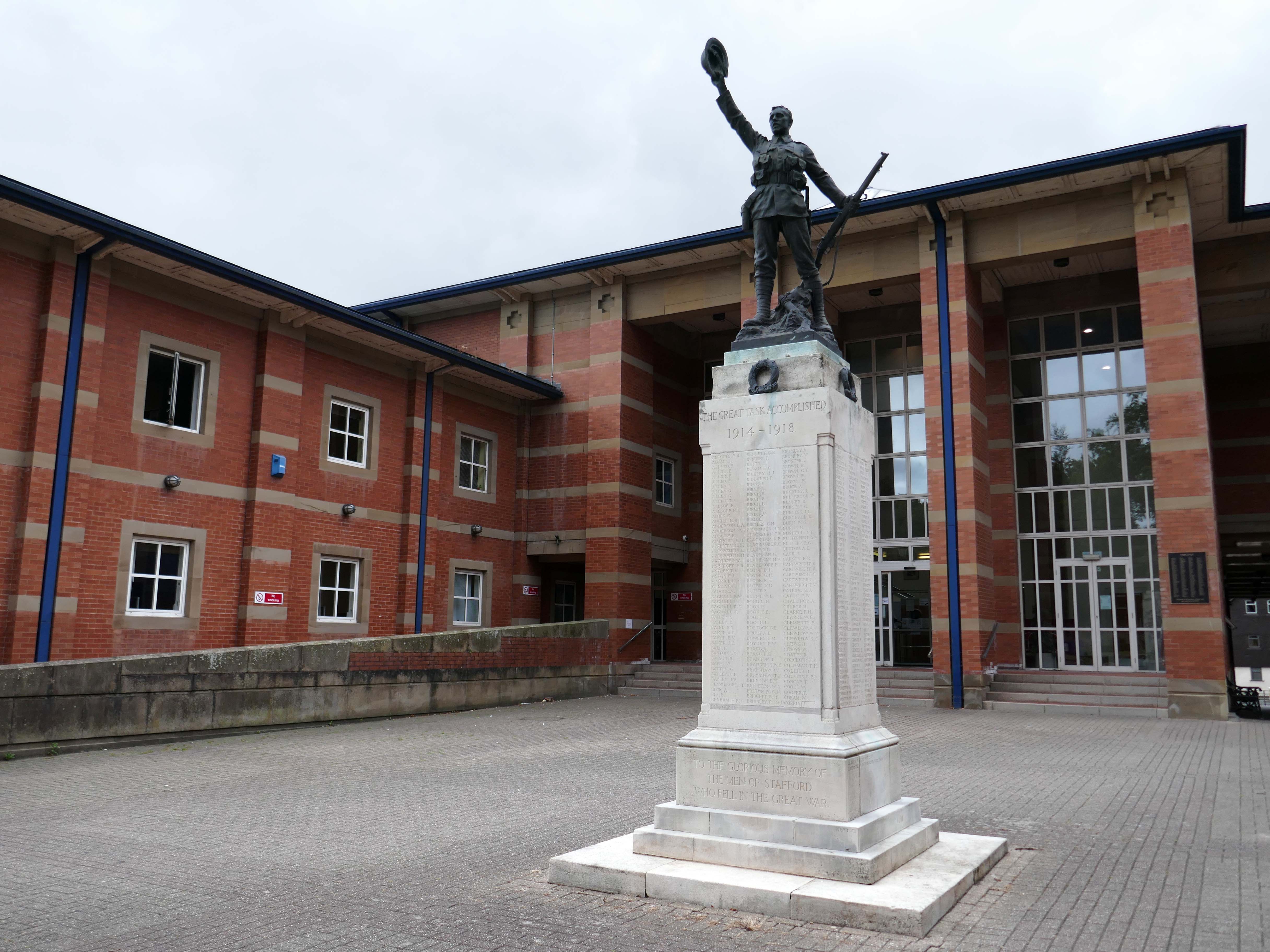
The war memorial of 1922 is by Joseph James Whitehead.
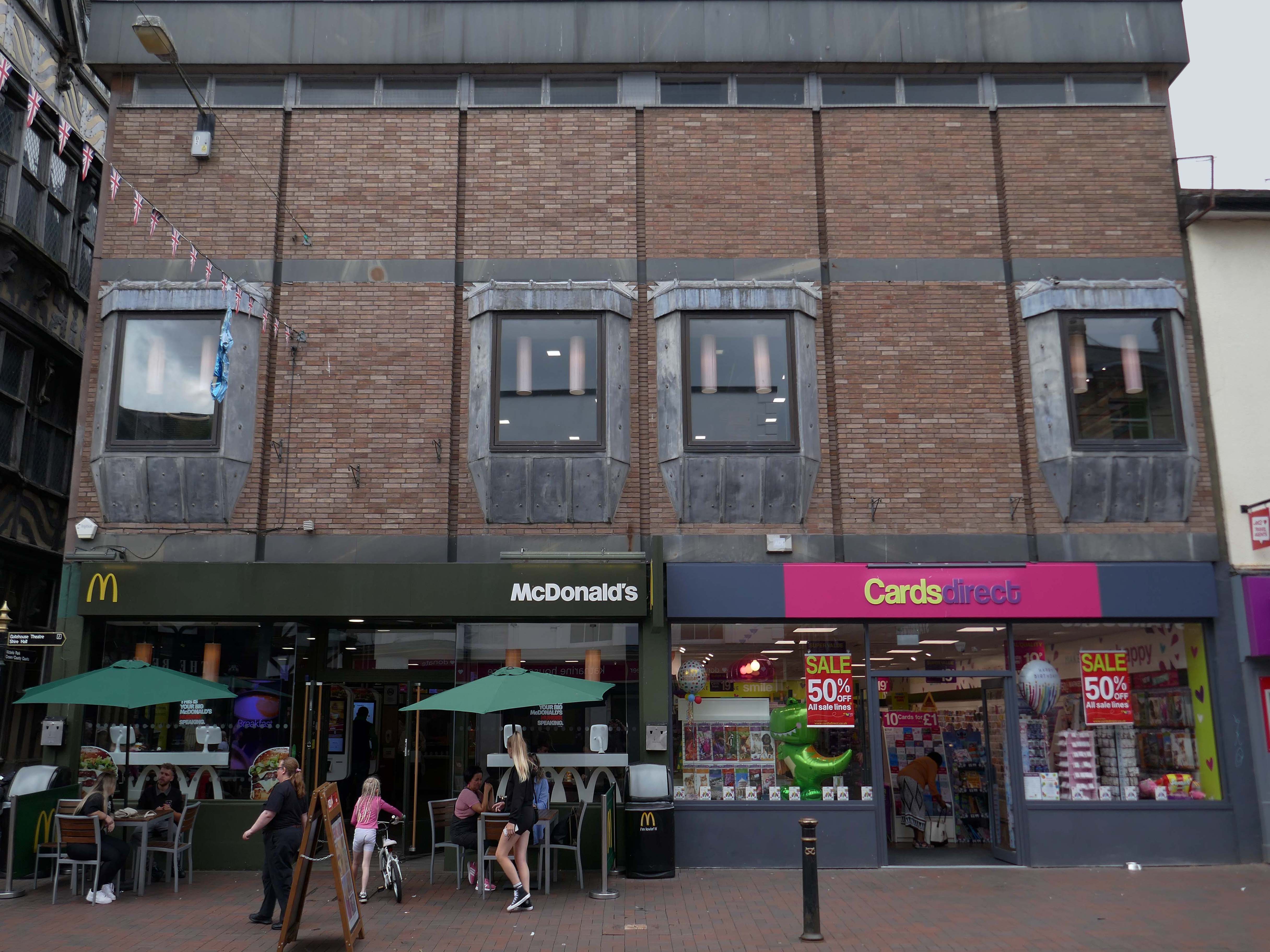
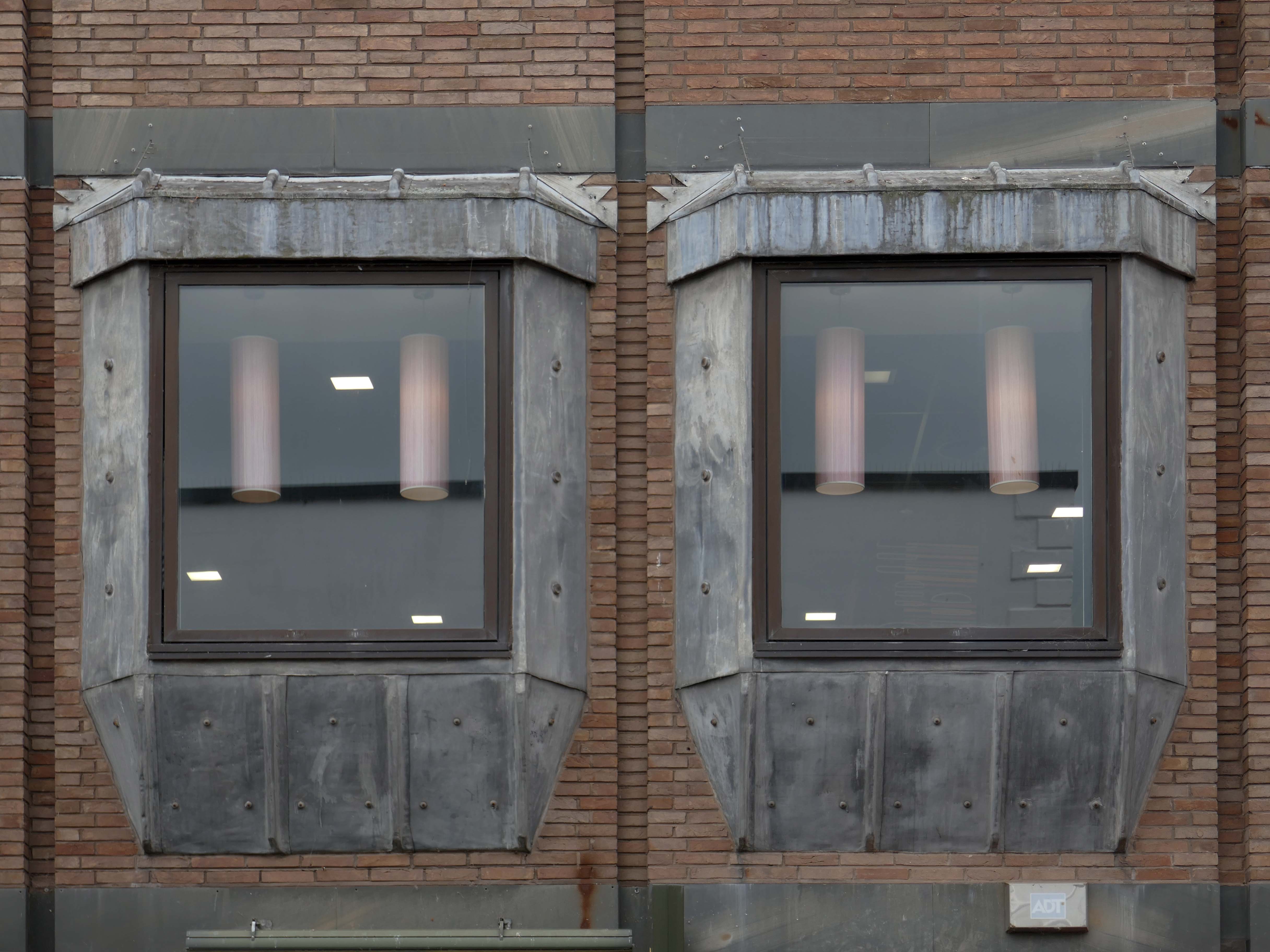
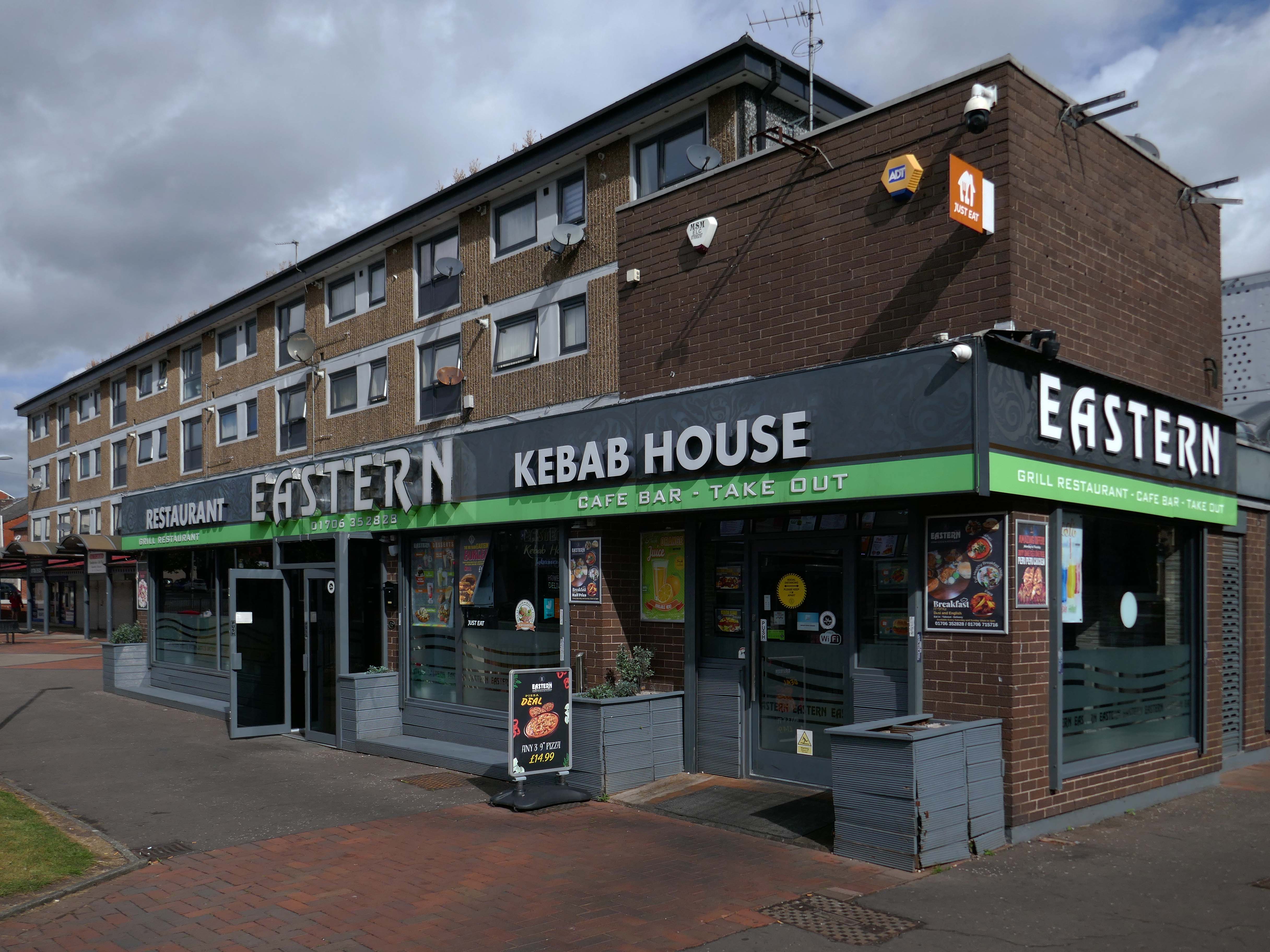
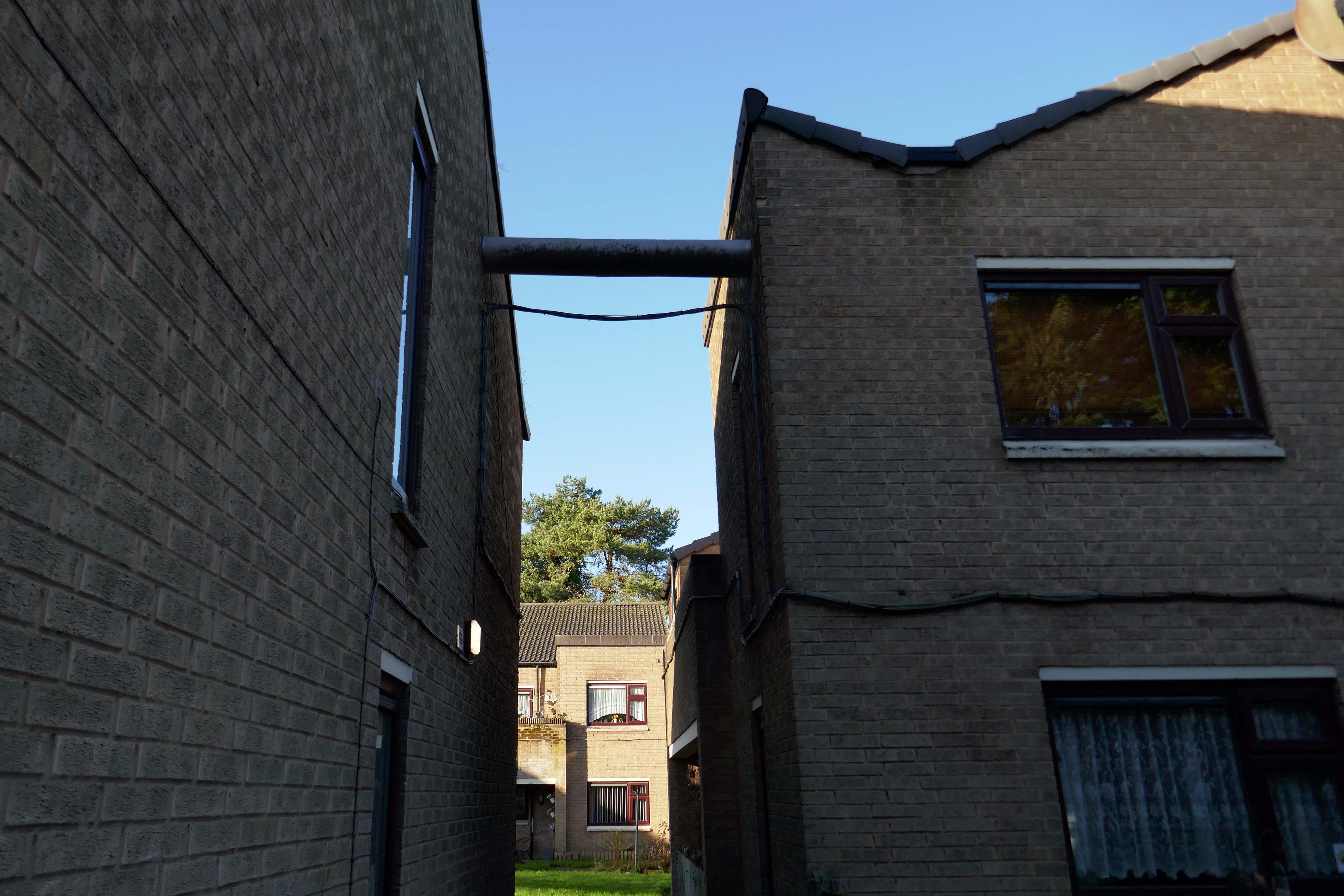
Sneaking through the alley to and before the McDonalds – one many more recent buildings with jetted lead clad bays.
Keeping the town Tudor one bay at a time..
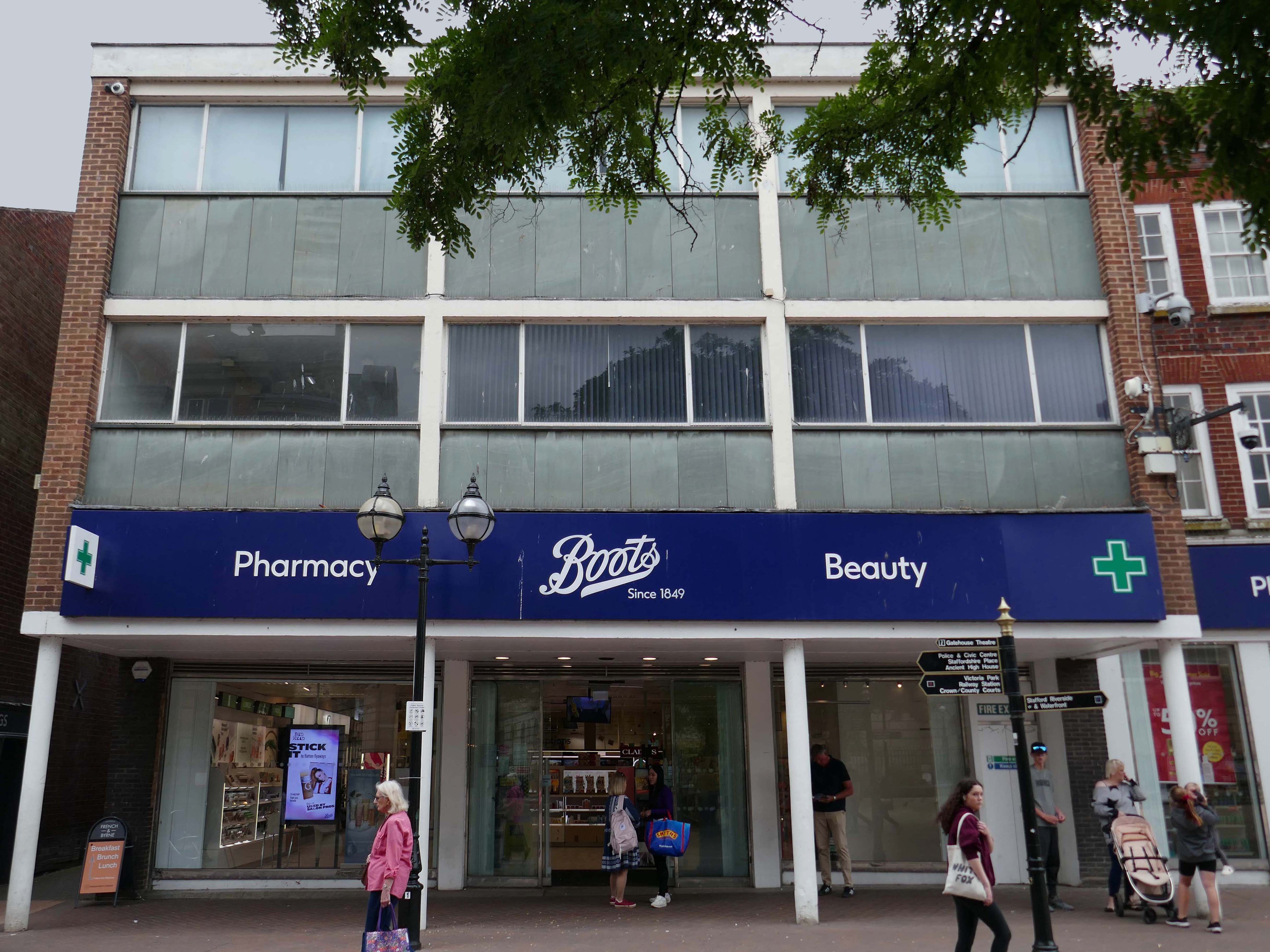
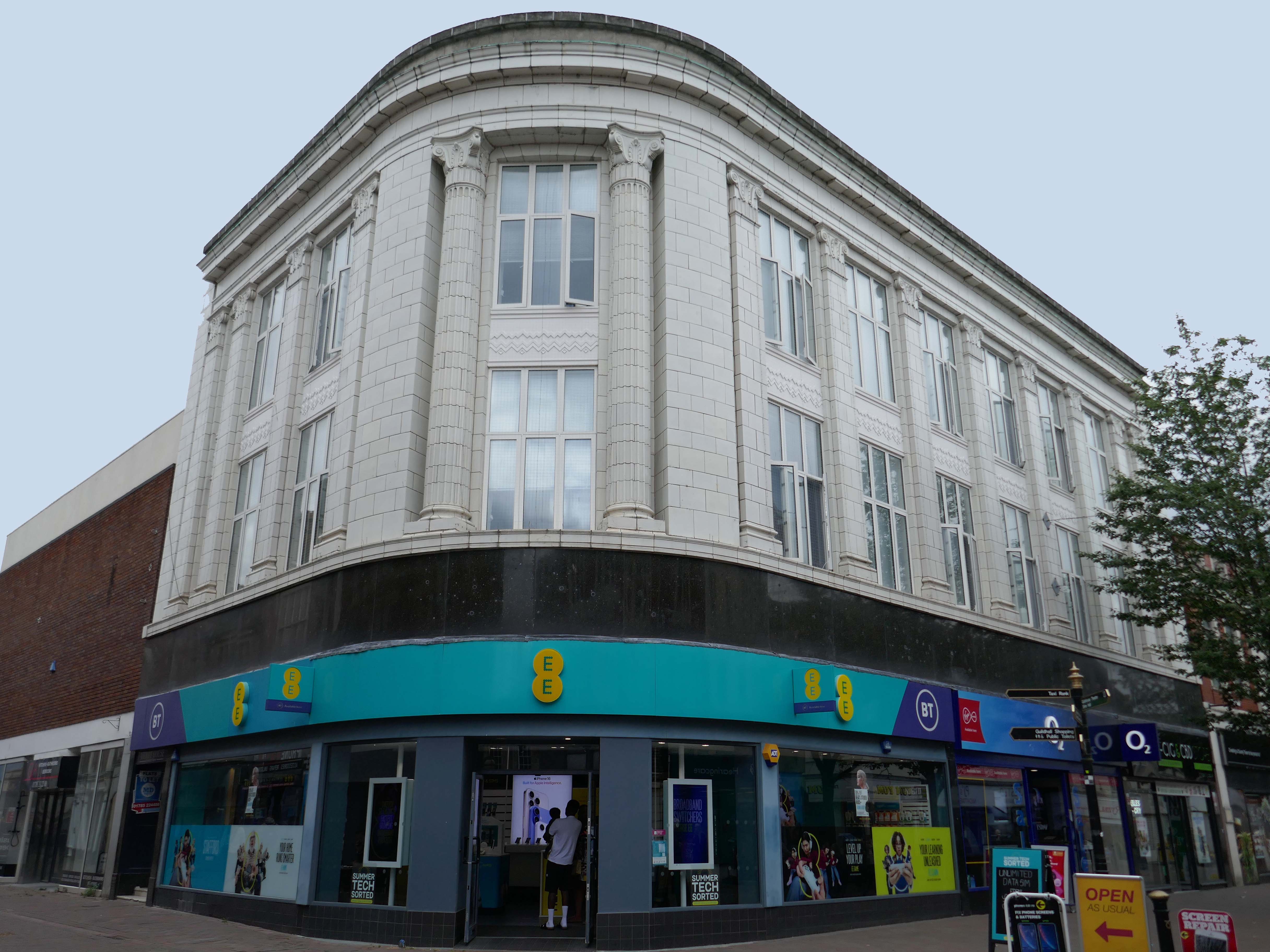
Further along a Sixties Boots.
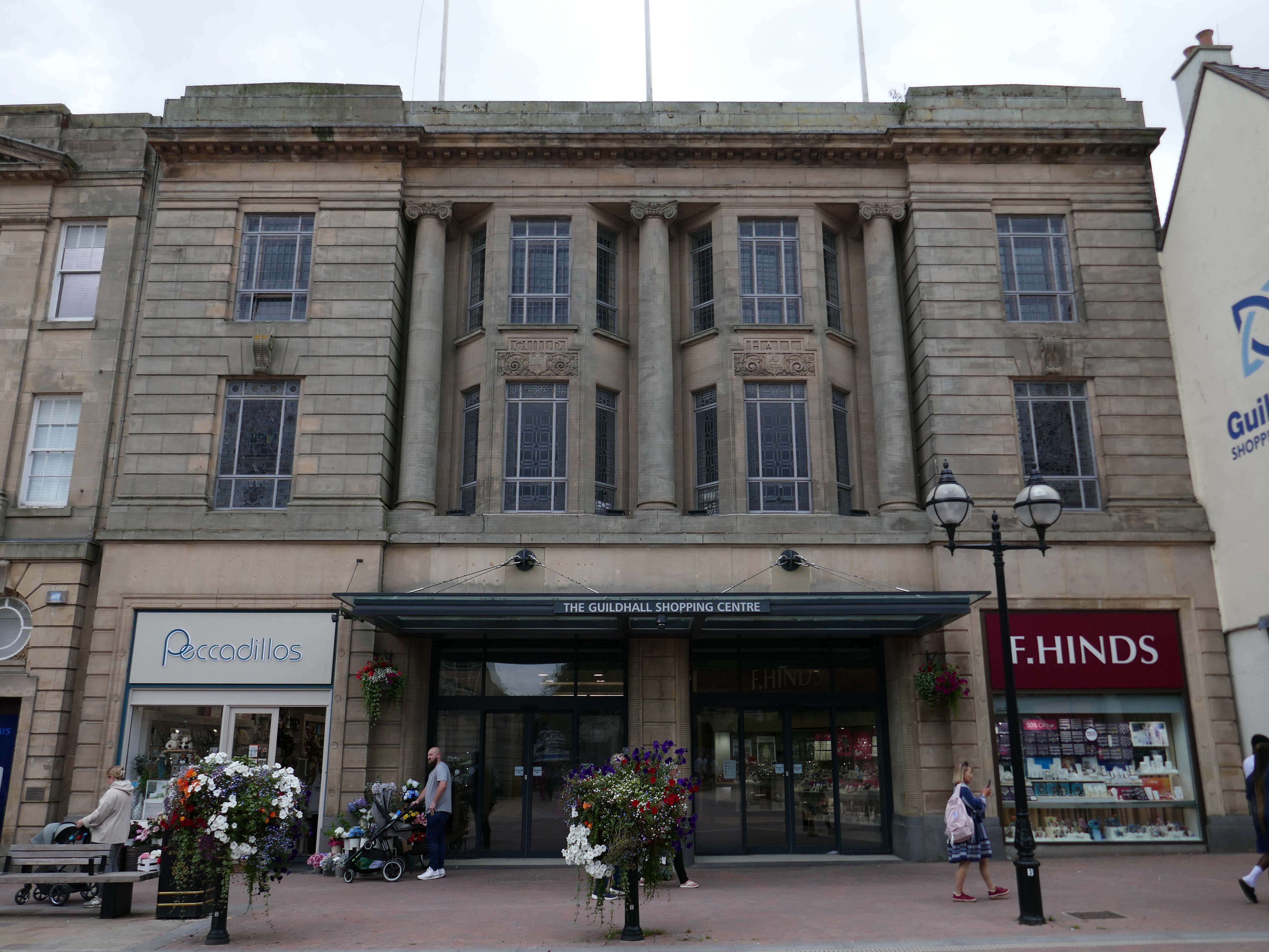
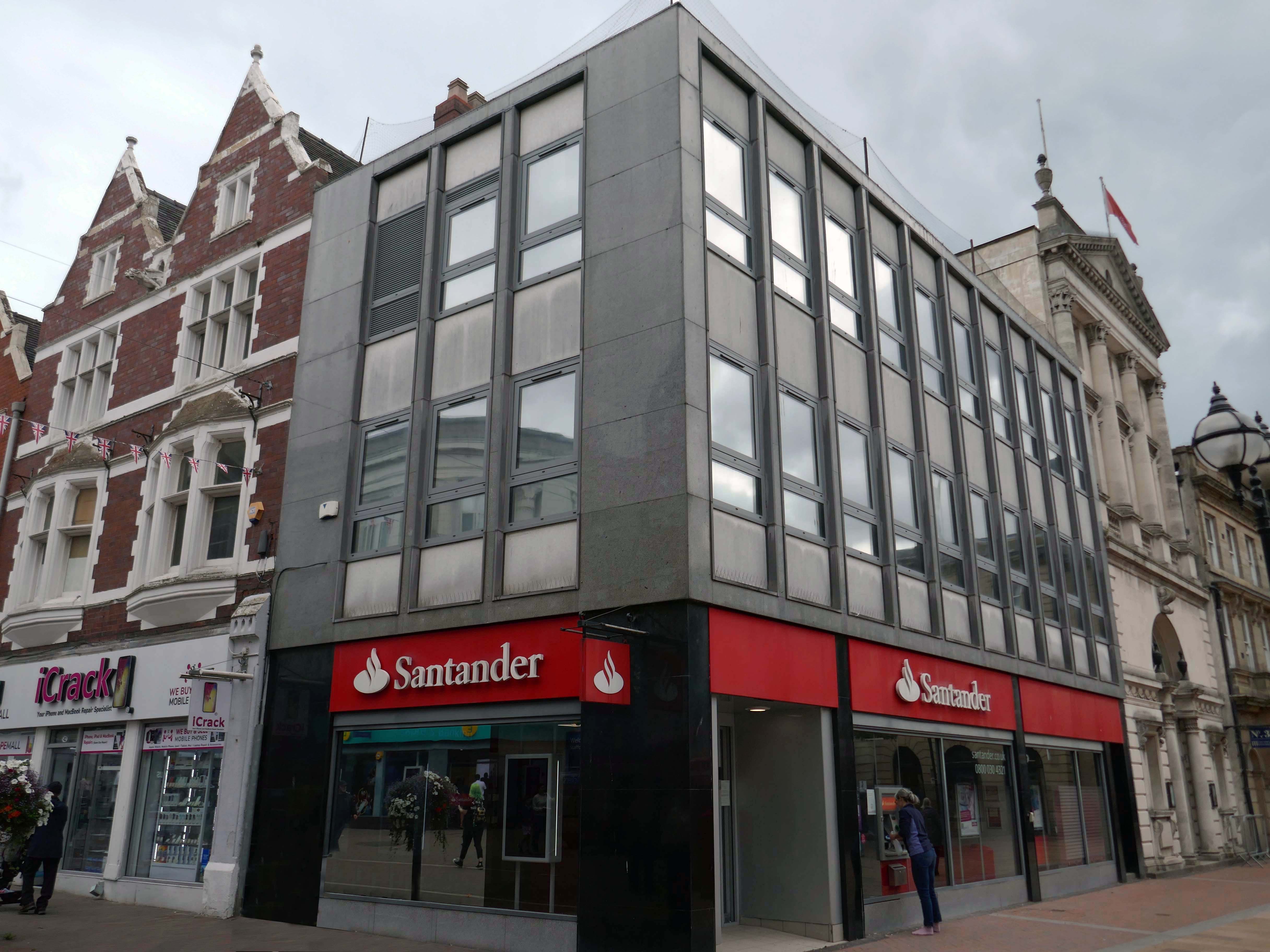
The Classical stone frontage of the Guildhall Shopping Centre.
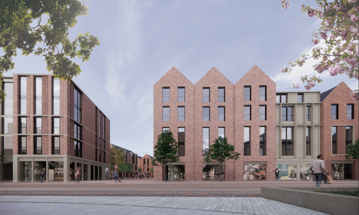
Working with Mercia Real Estate, Glancy Nicholls Architects have designed a contextual mixed-use scheme in the heart of Stafford Town Centre, within the footprint of a disused shopping centre. This includes the regeneration of the 1930’s Guildhall building that serves as the main entrance to the shopping centre and the listed Market Square building.
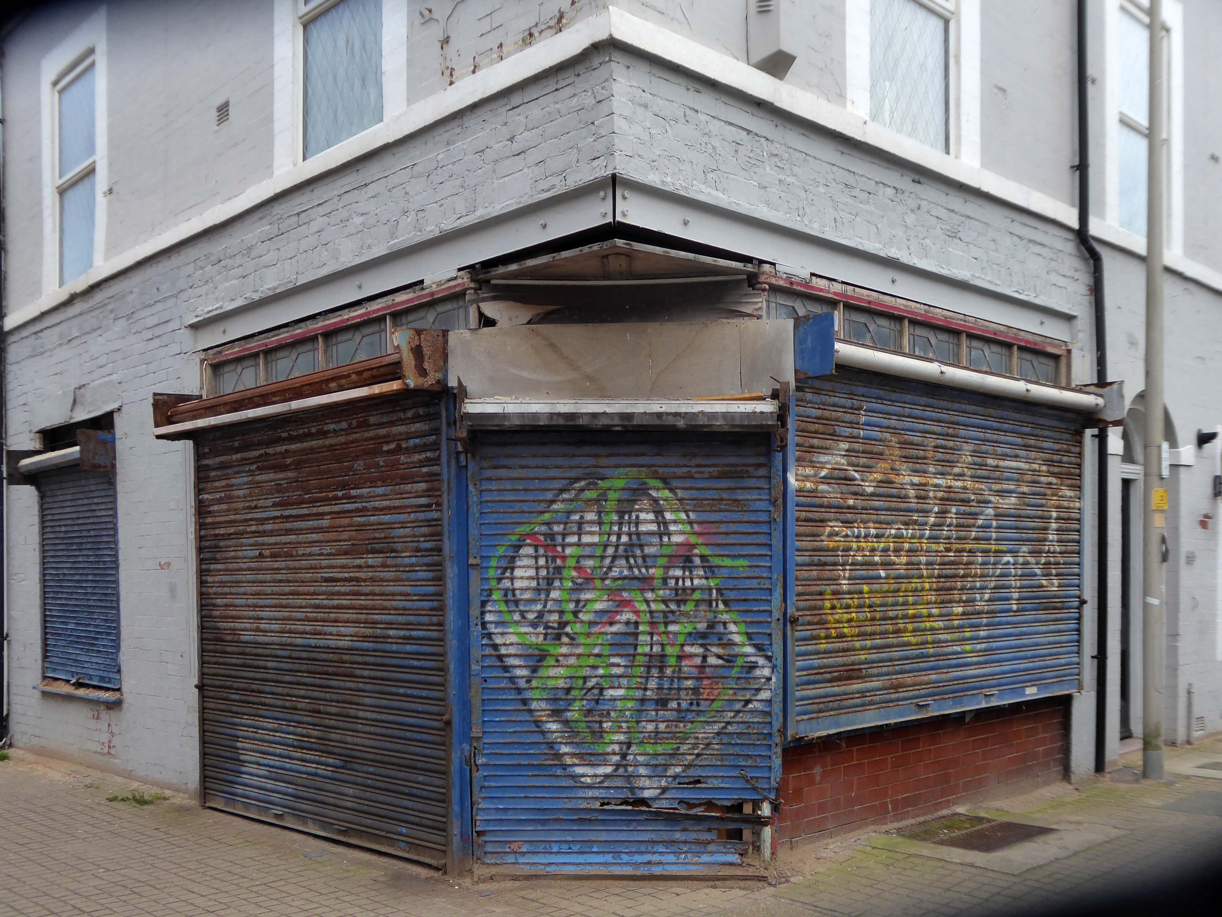
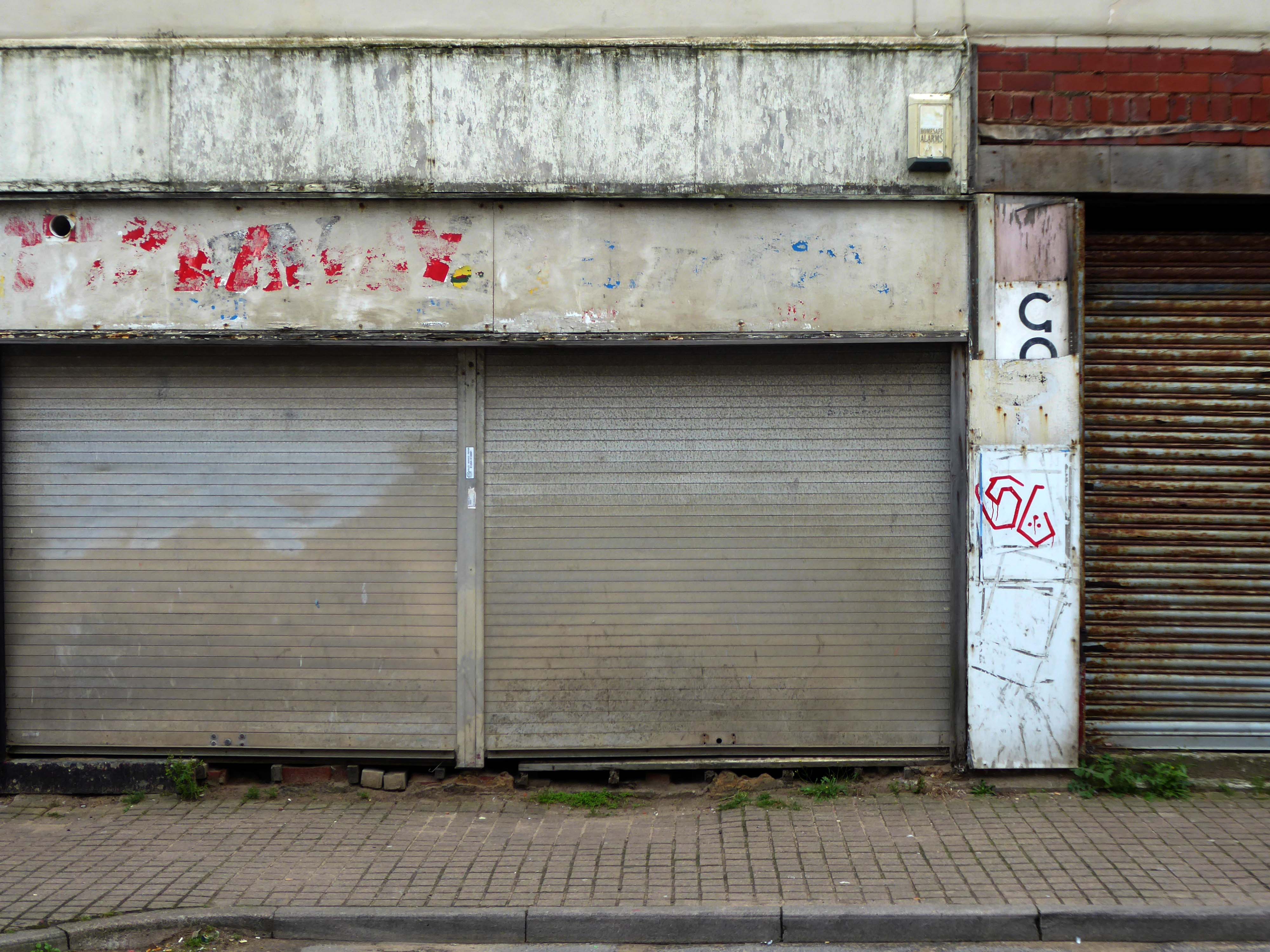
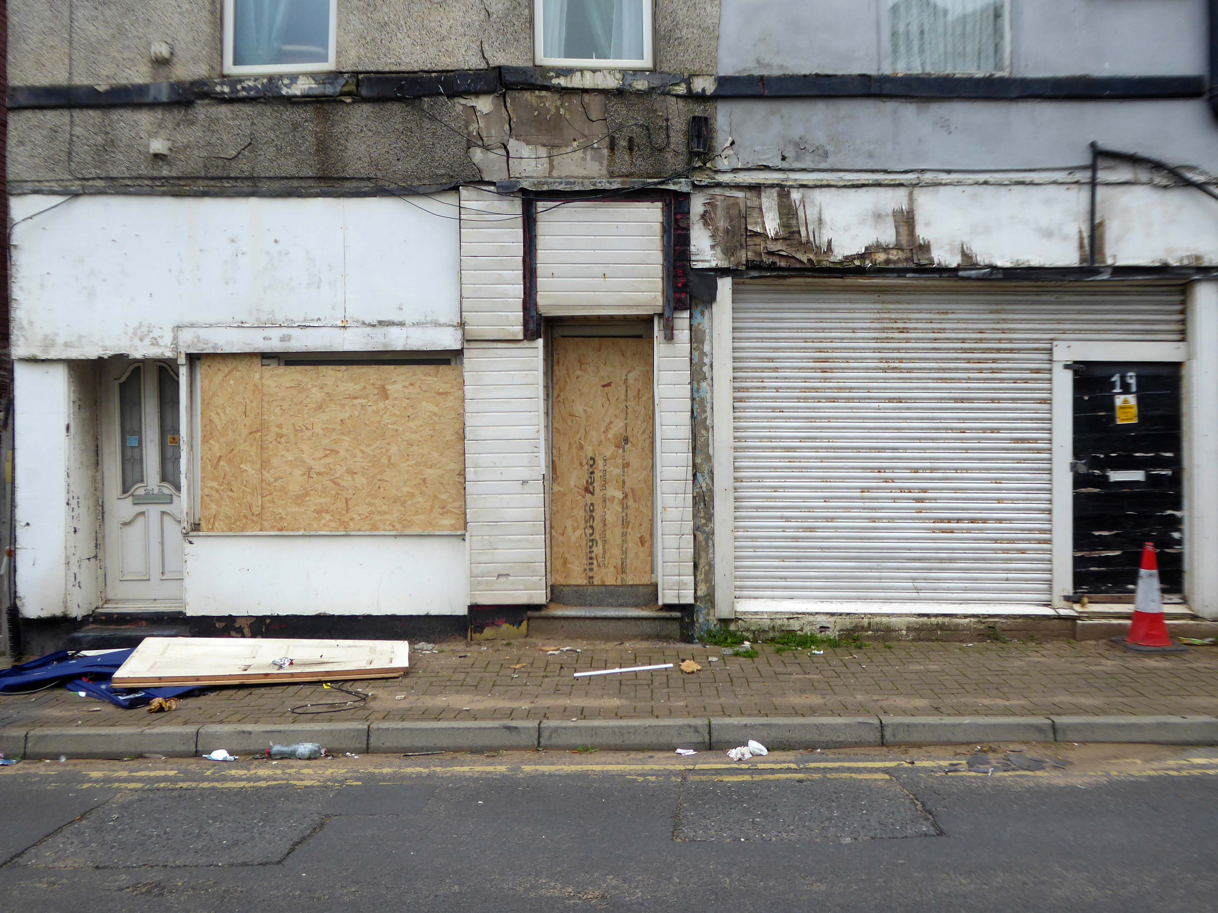
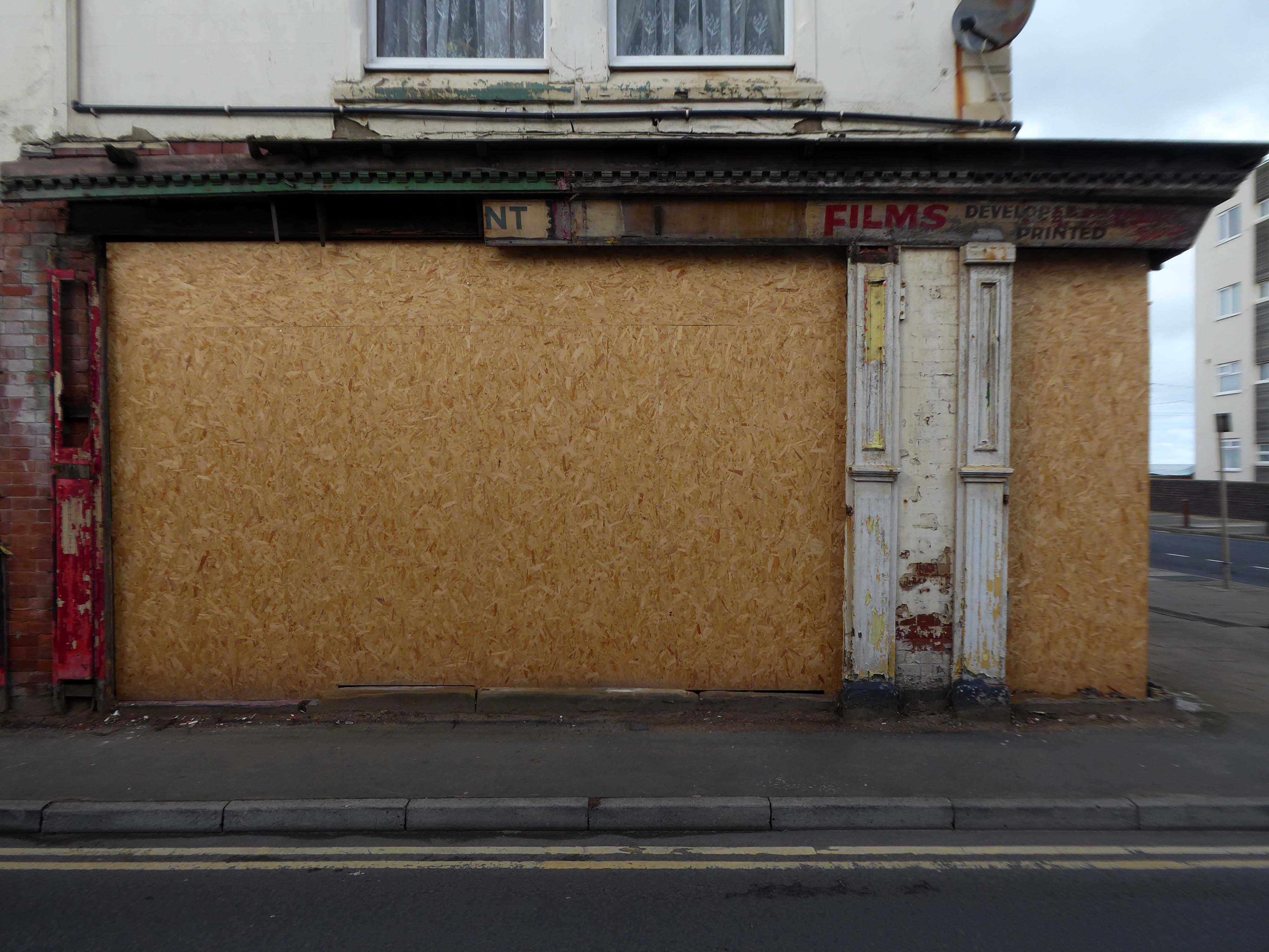
Around the corner a somewhat neglected retail development.
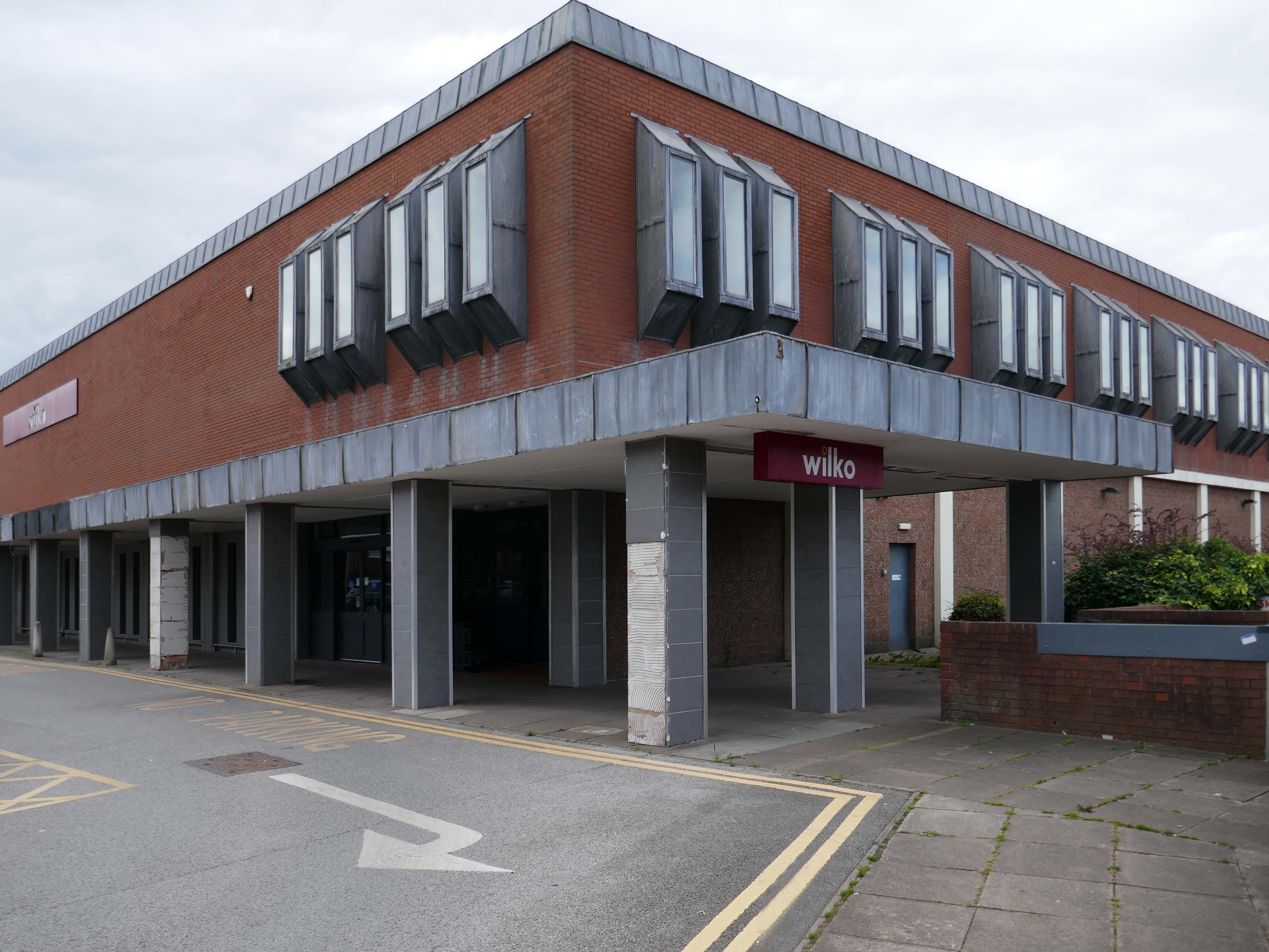
And a long lost Wilko.
Amidst it all the curious time warp that is Trinity Church 1988.
It is used by Methodist and United Reformed Church congregations.
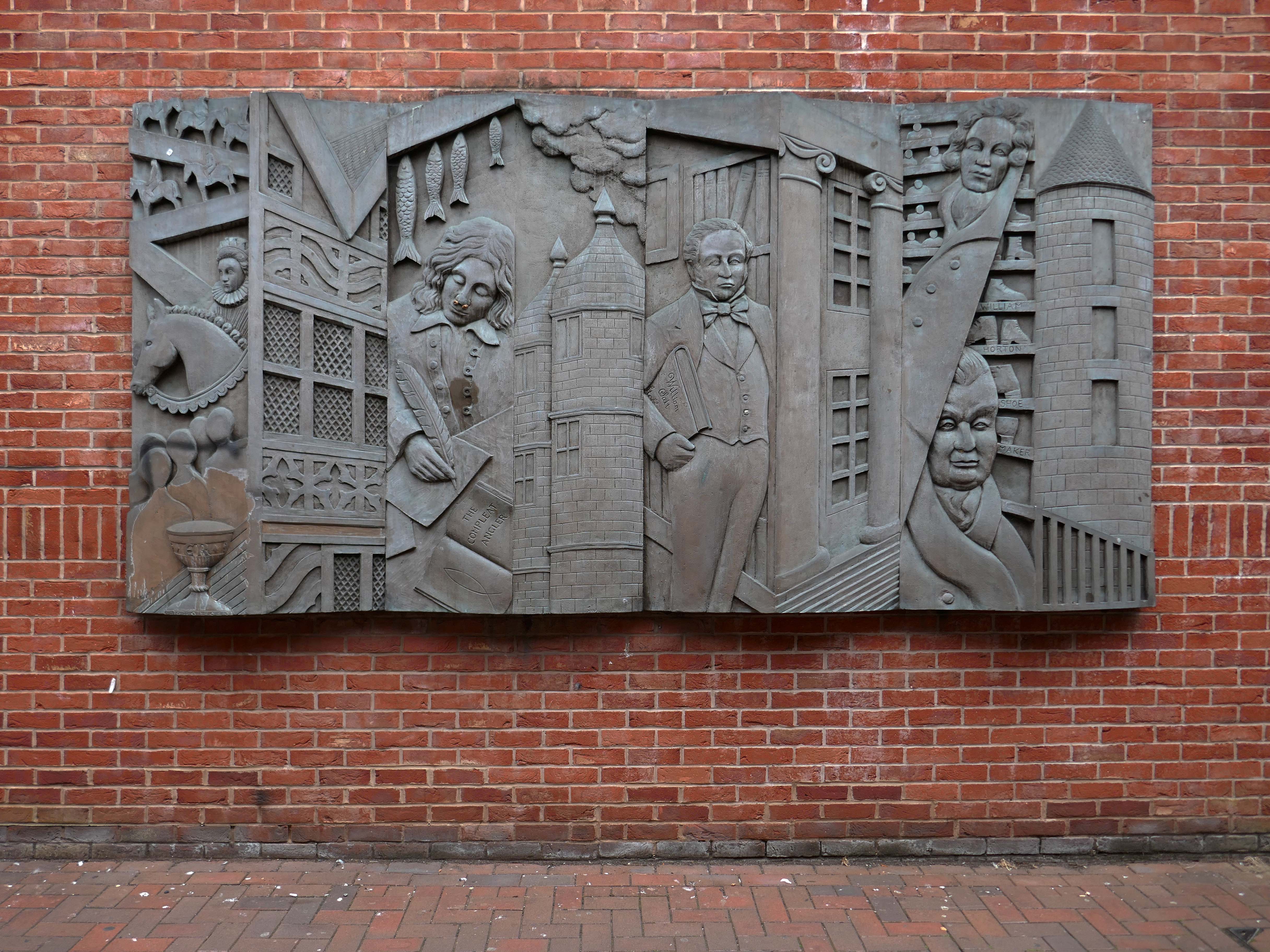
Tucked away in a minor maze of retail a piece of figurative commemorative public art by Glynis Owen Jones, entitled Stafford Faces.
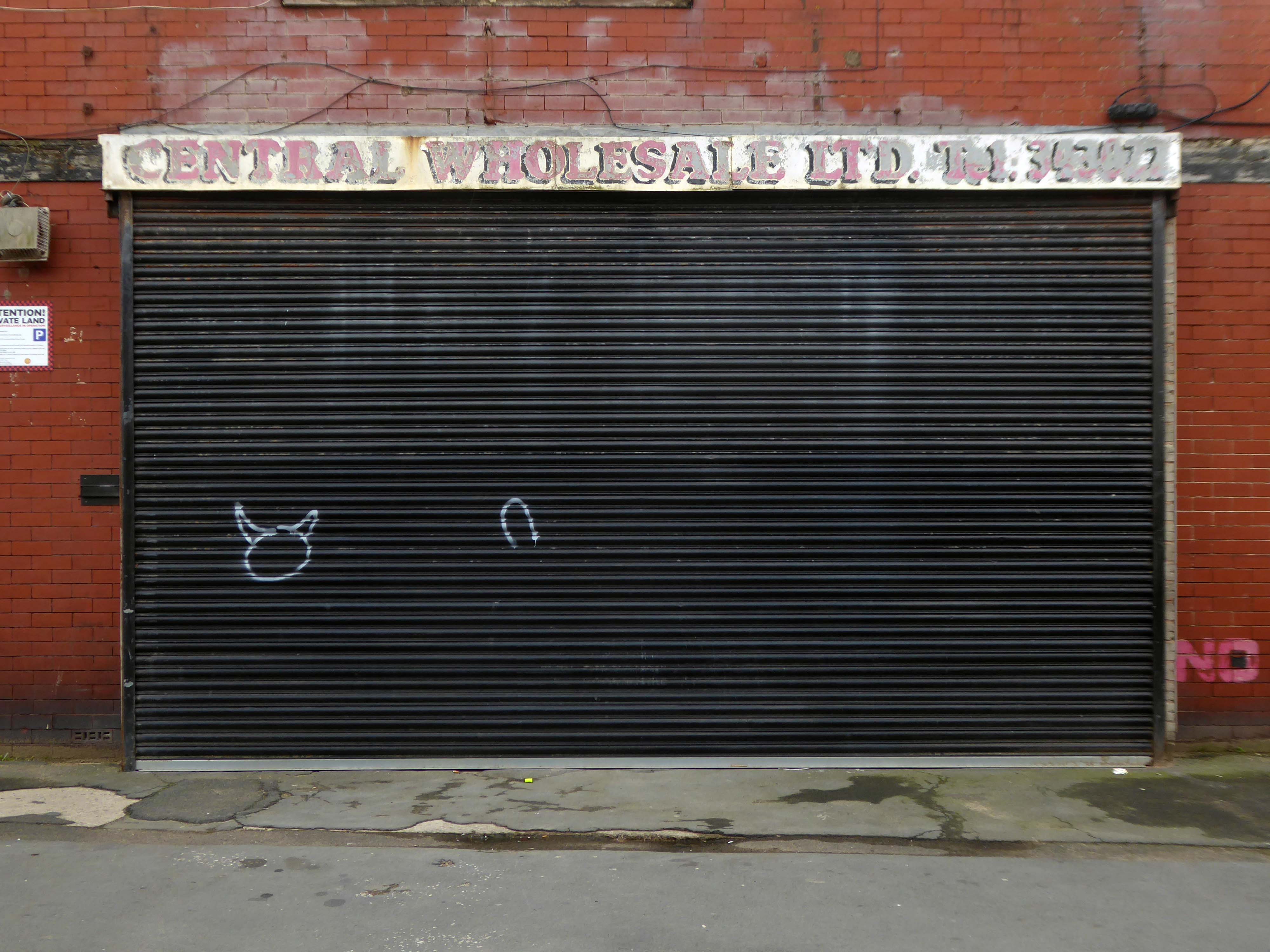
Around the corner a big B&M.
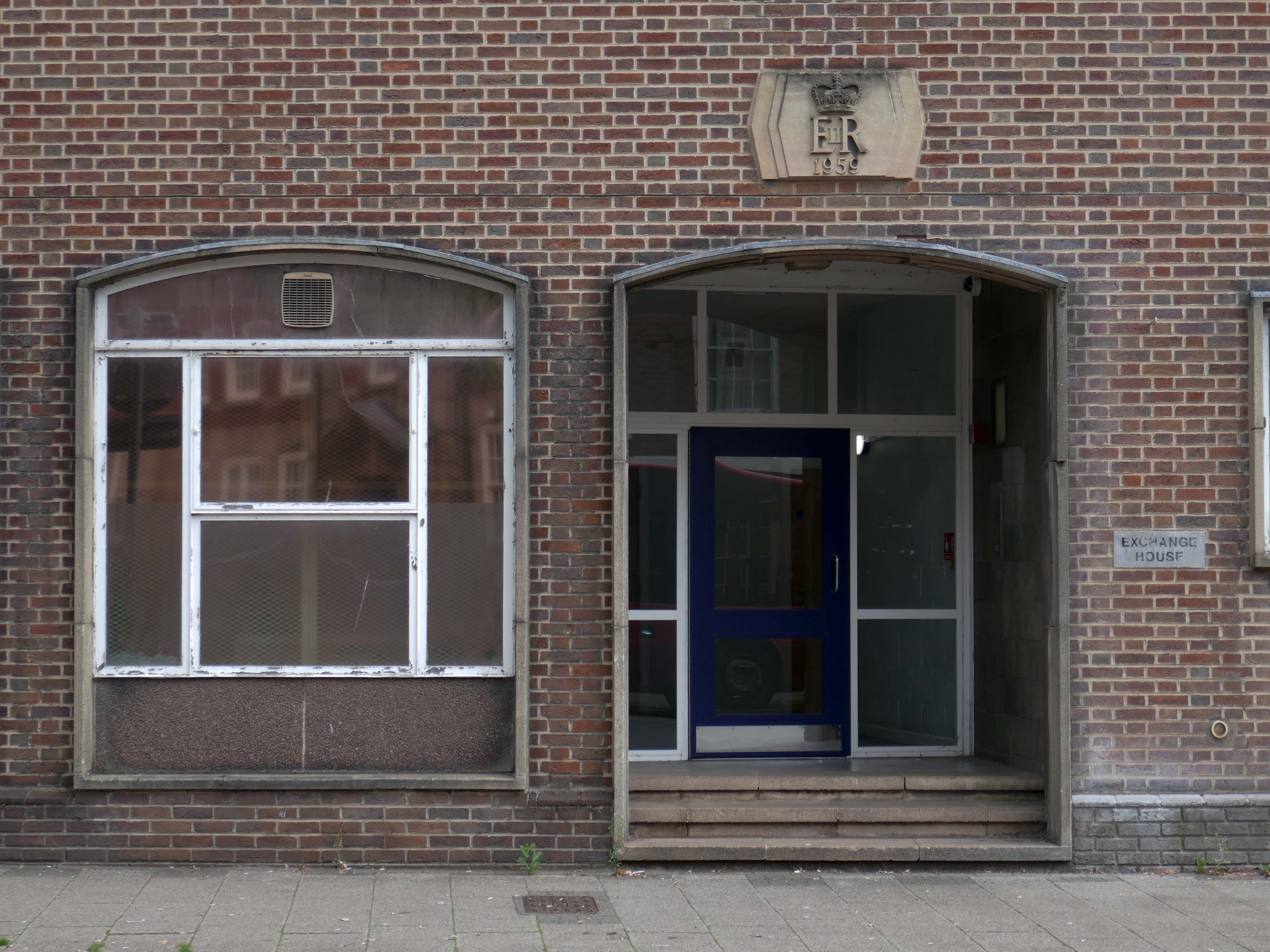
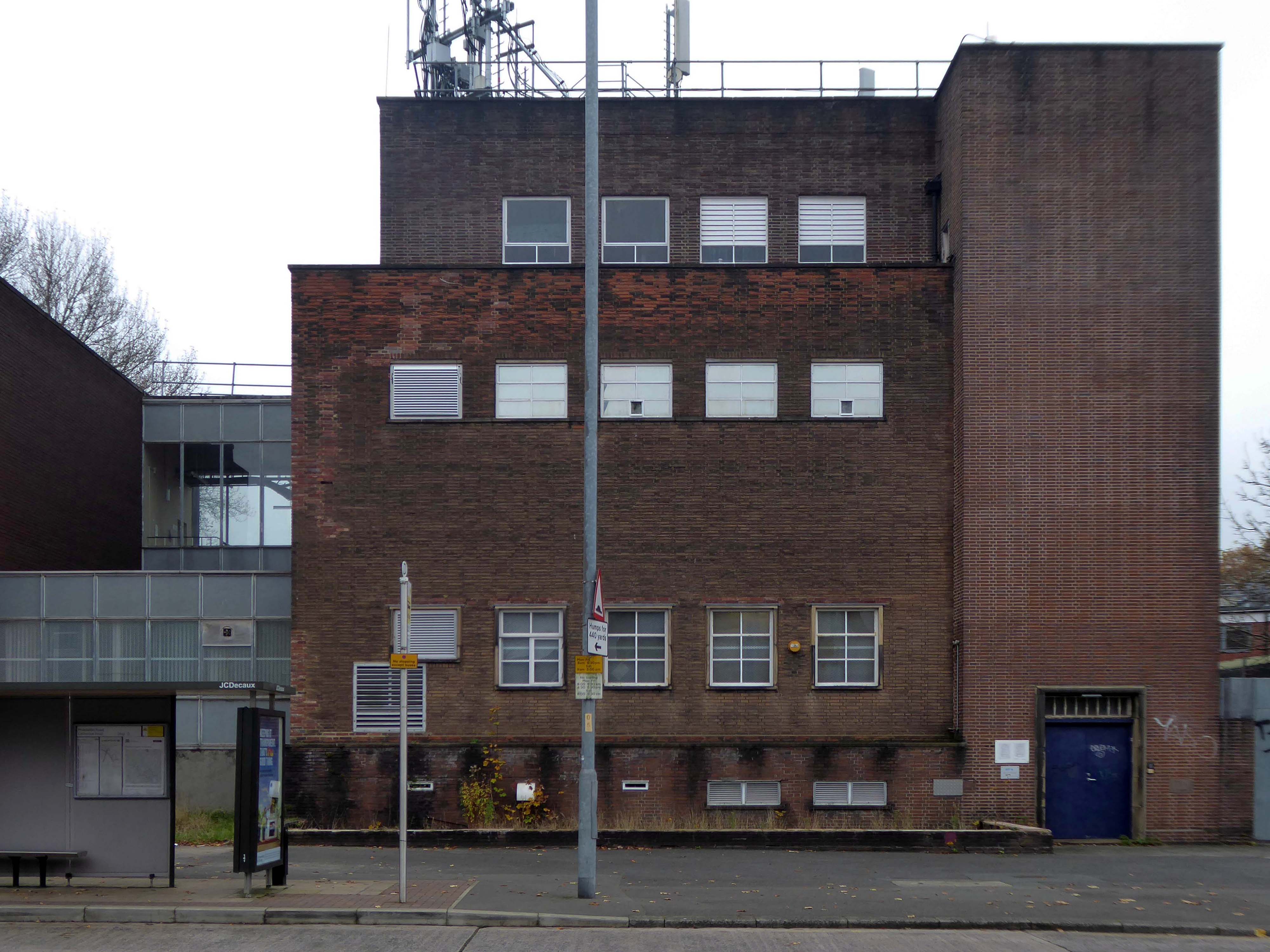
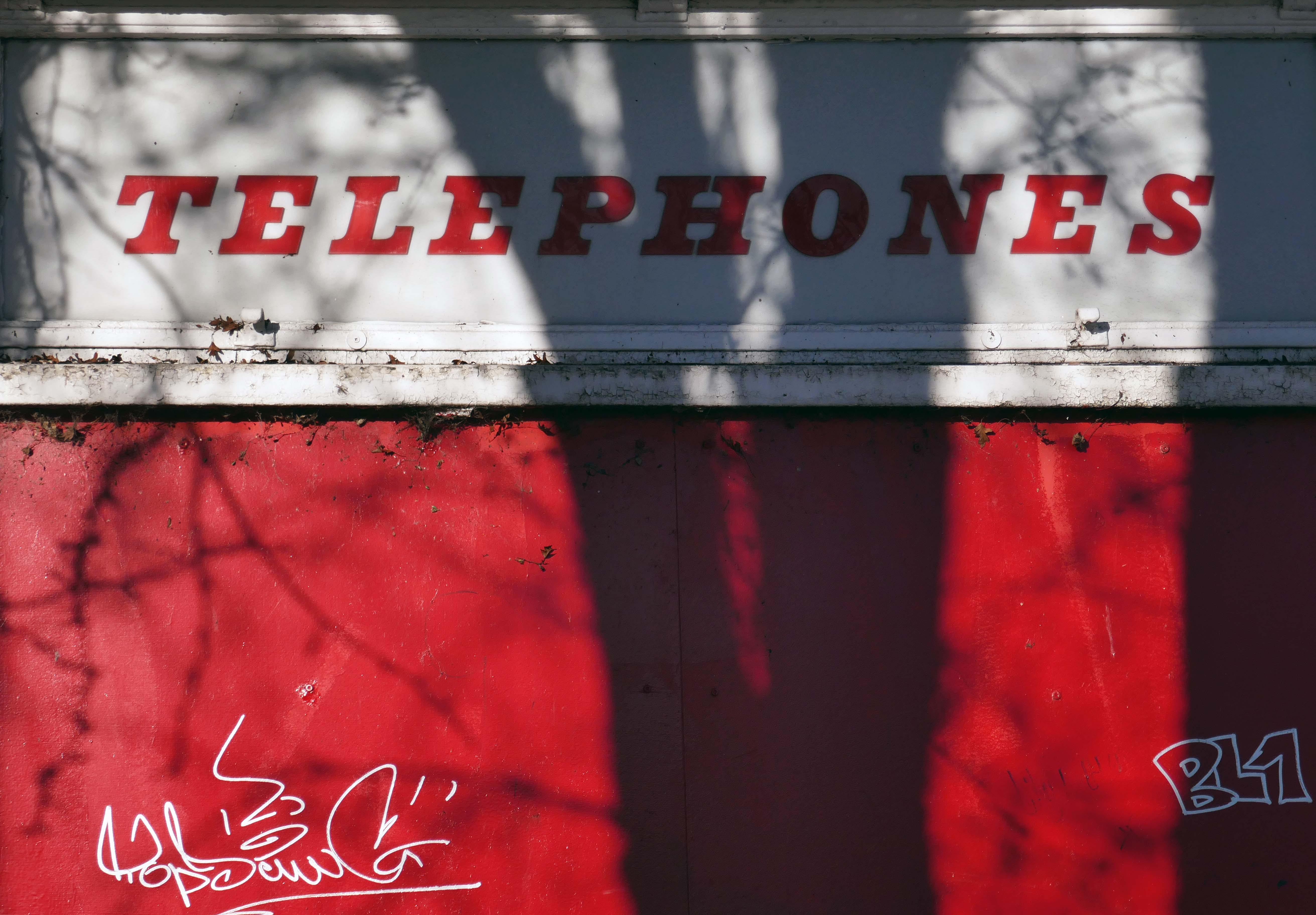
Further along a brick FoB Telephone Exchange of 1959.
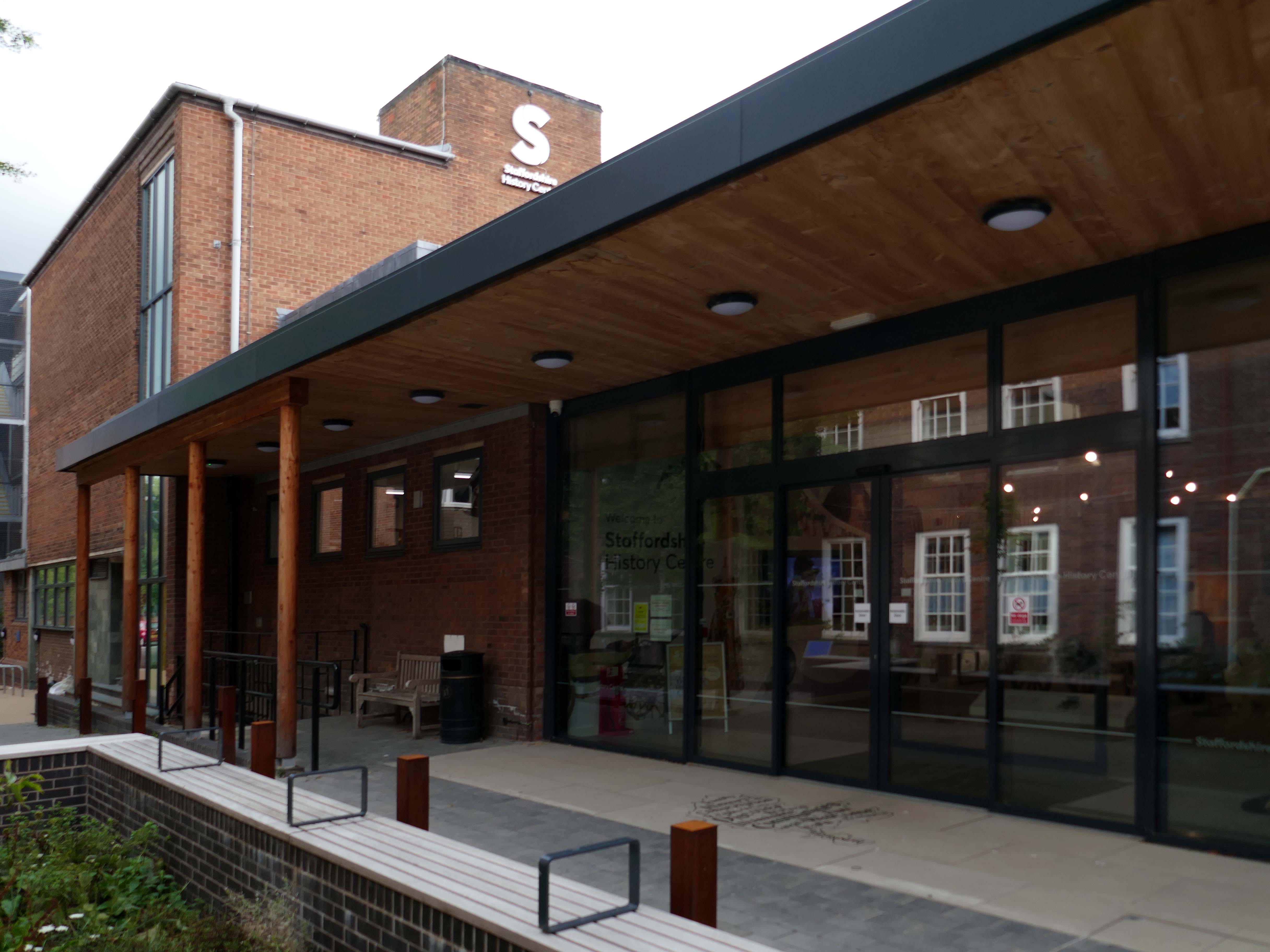
Adjoined by the County Records building.
Pringle Richards Sharratt Architects have been appointed by Staffordshire County Council to create a new History Centre for Staffordshire and Stoke on Trent.
The new £4m centre will be located on Eastgate Street in Stafford and will hold historical records and collections up to 1,000 years old.
The scheme will help to provide a rejuvenated service combining the existing Records Office building and William Salt Library, in Stafford and provide a welcoming destination for all of those with an interest in local history. This will include bringing on to the Stafford site the Lichfield Records Office and aspects of the County museum.
Further FoB in the Civic Building.
Close by the Staffordshire Place a civic and retail mixed use development.
Our scheme delivers 135,000 ft2 of high quality contemporary office space across two buildings linked by a new town square. The ground floor incorporates a mix of retail and leisure uses around a sequence of smaller public spaces to maximise the amount of visible active frontage and create a natural extension to the town centre.
Sustainability issues fundamentally informed the design approach, from mitigating energy consumption to ‘future proofing’ the finished building. The building achieves a BREEAM ‘Excellent’ rating and a European Energy Performance of Buildings Directive Rating ‘A’.
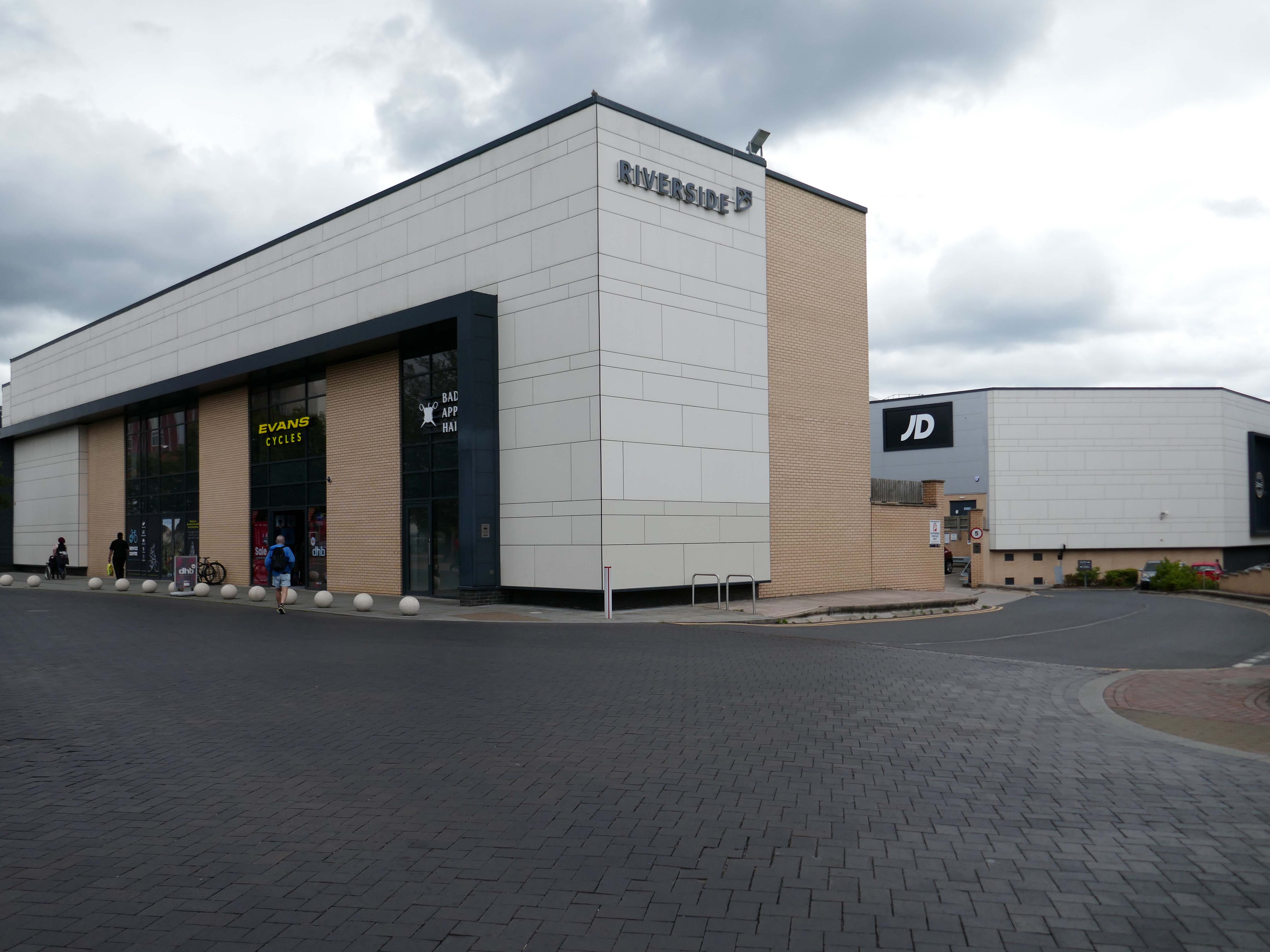
Surprise surprise another retail development Riverside.
£70m riverside town centre retail and leisure development in the heart of Stafford. The 230,000 sq. ft. scheme anchored by M&S will deliver 18 retail units arranged over ground and first floors, five leisure units and a six-screen cinema to complement and strengthen the town centre economy and create new businesses and jobs.
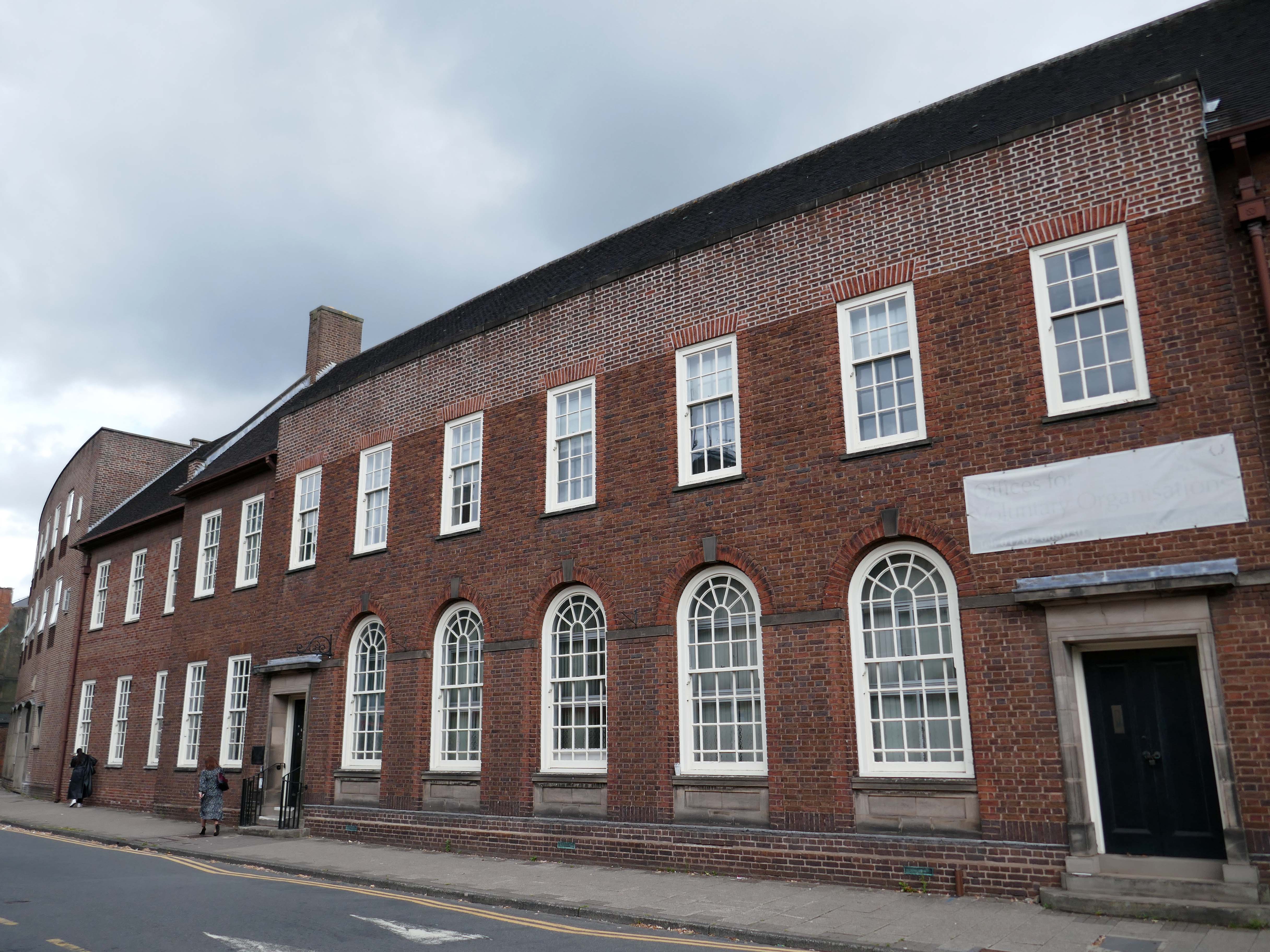
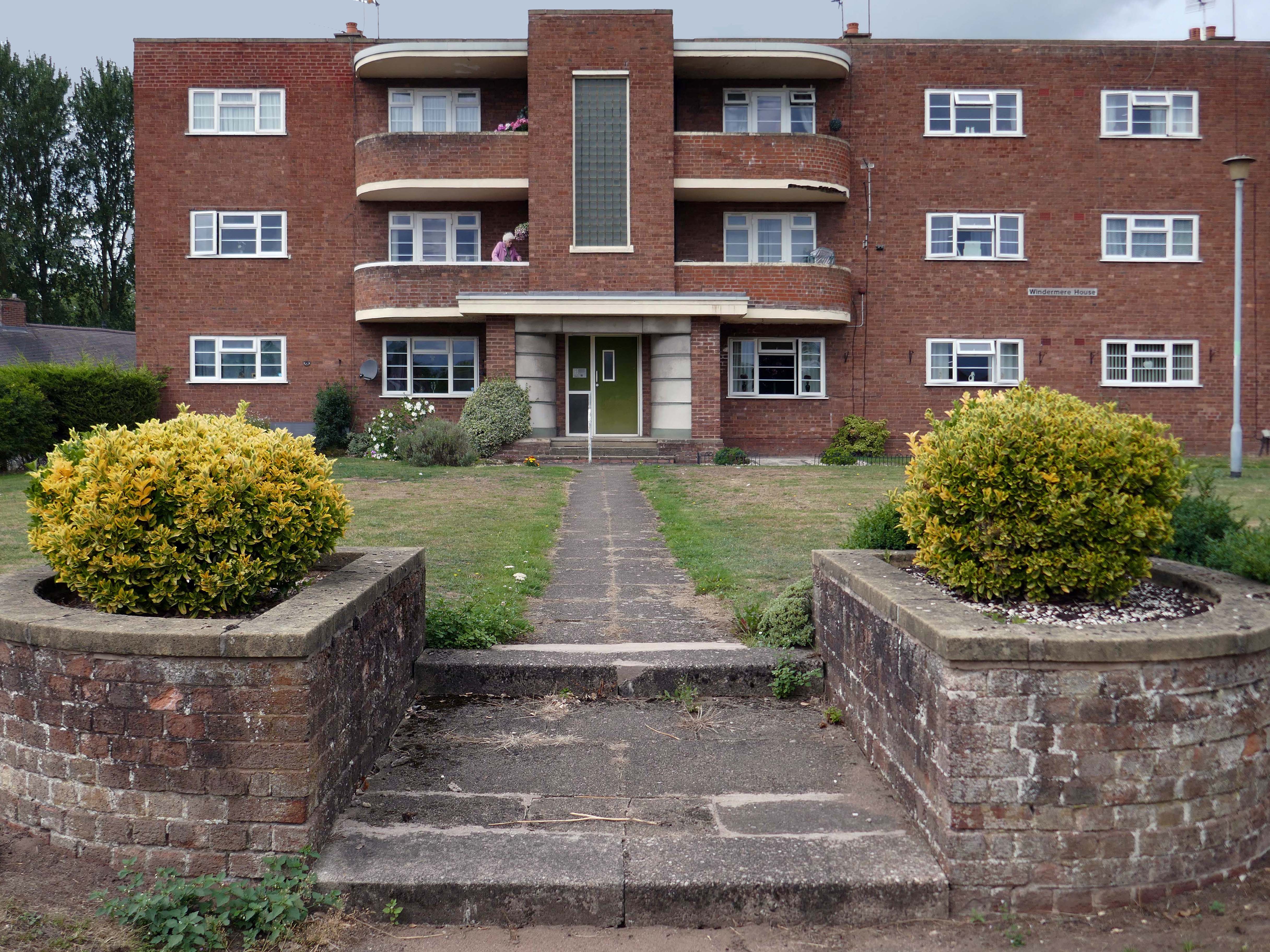
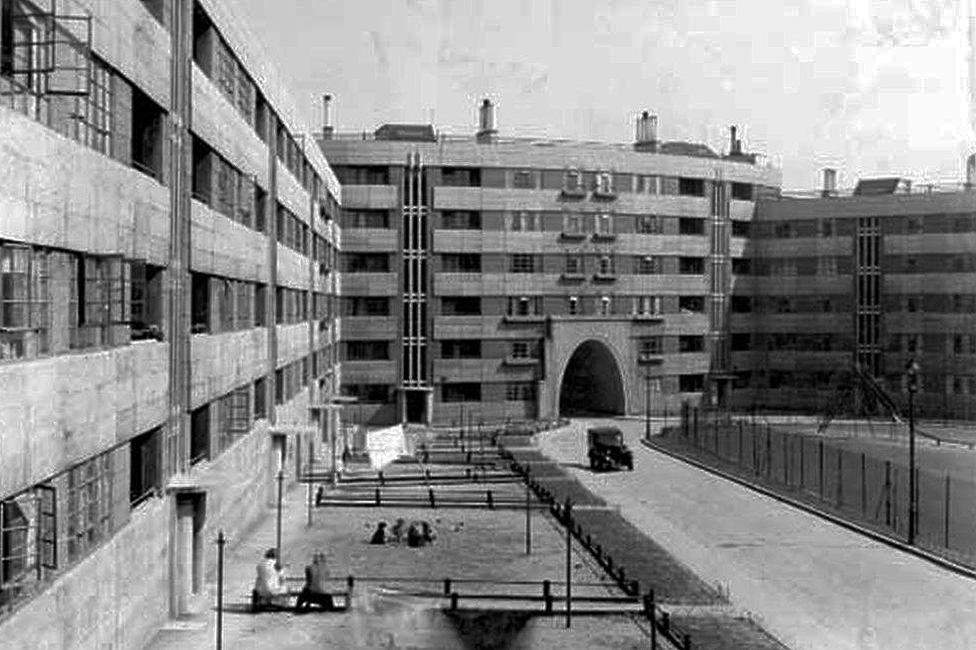
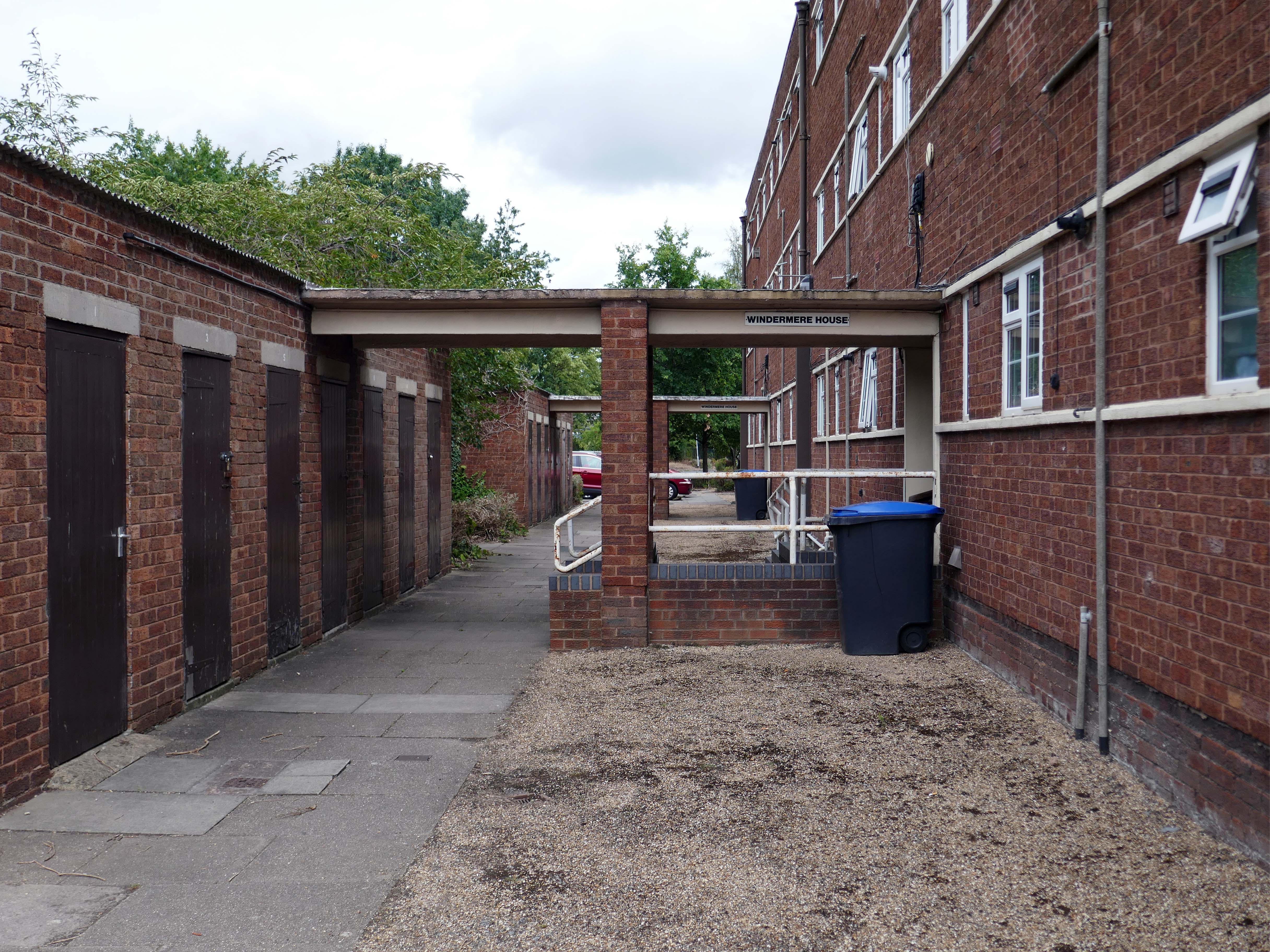
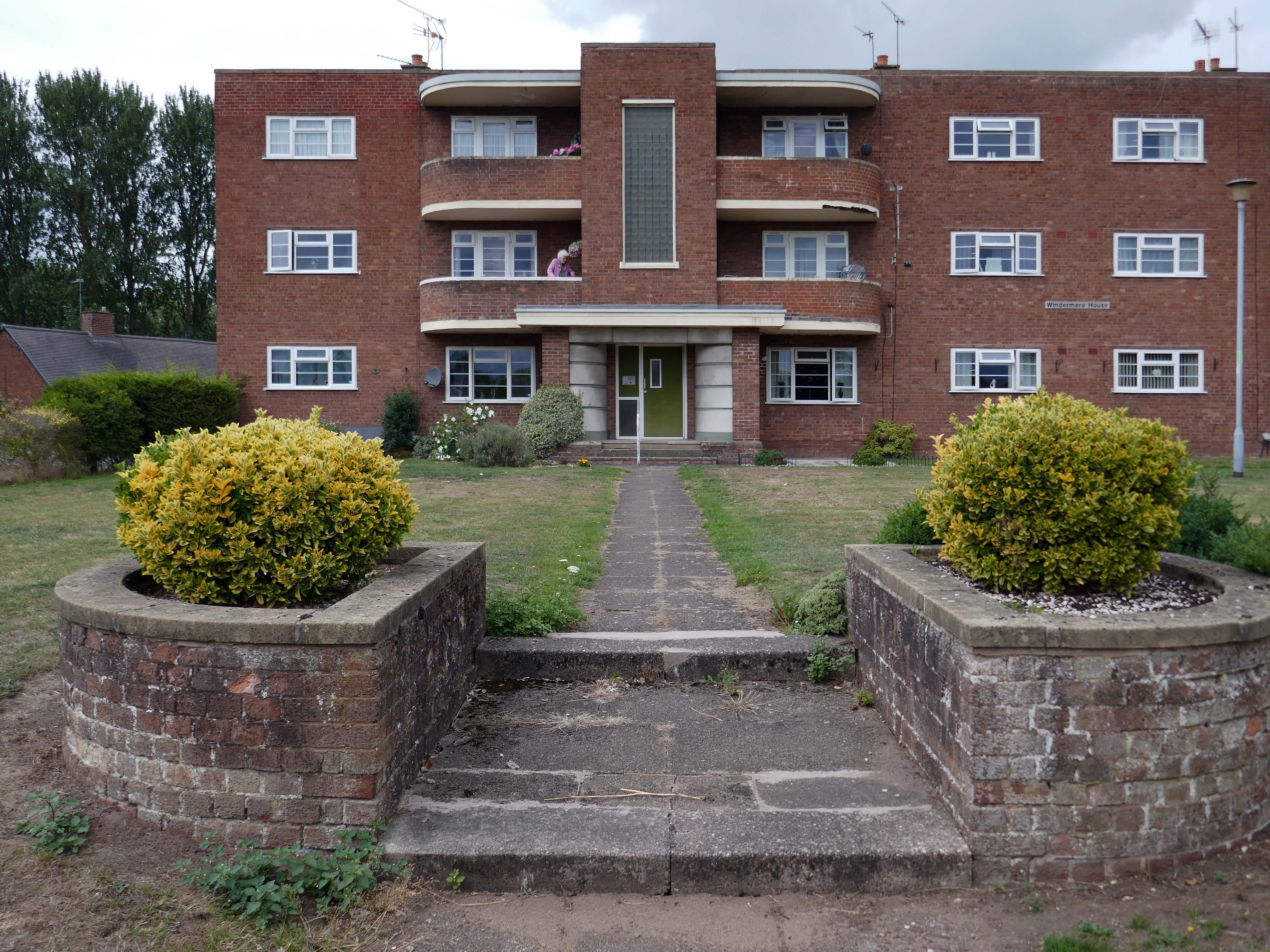
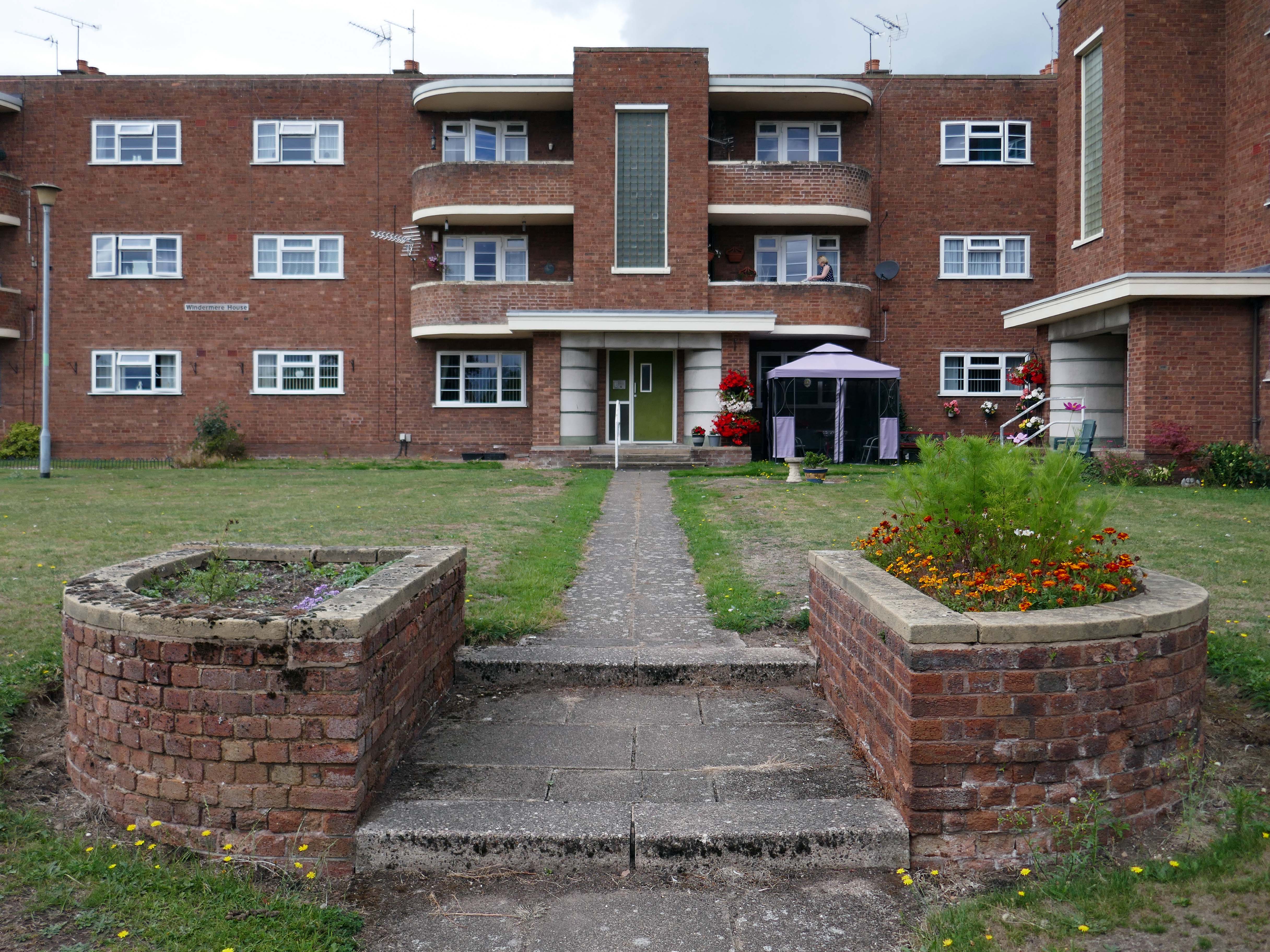
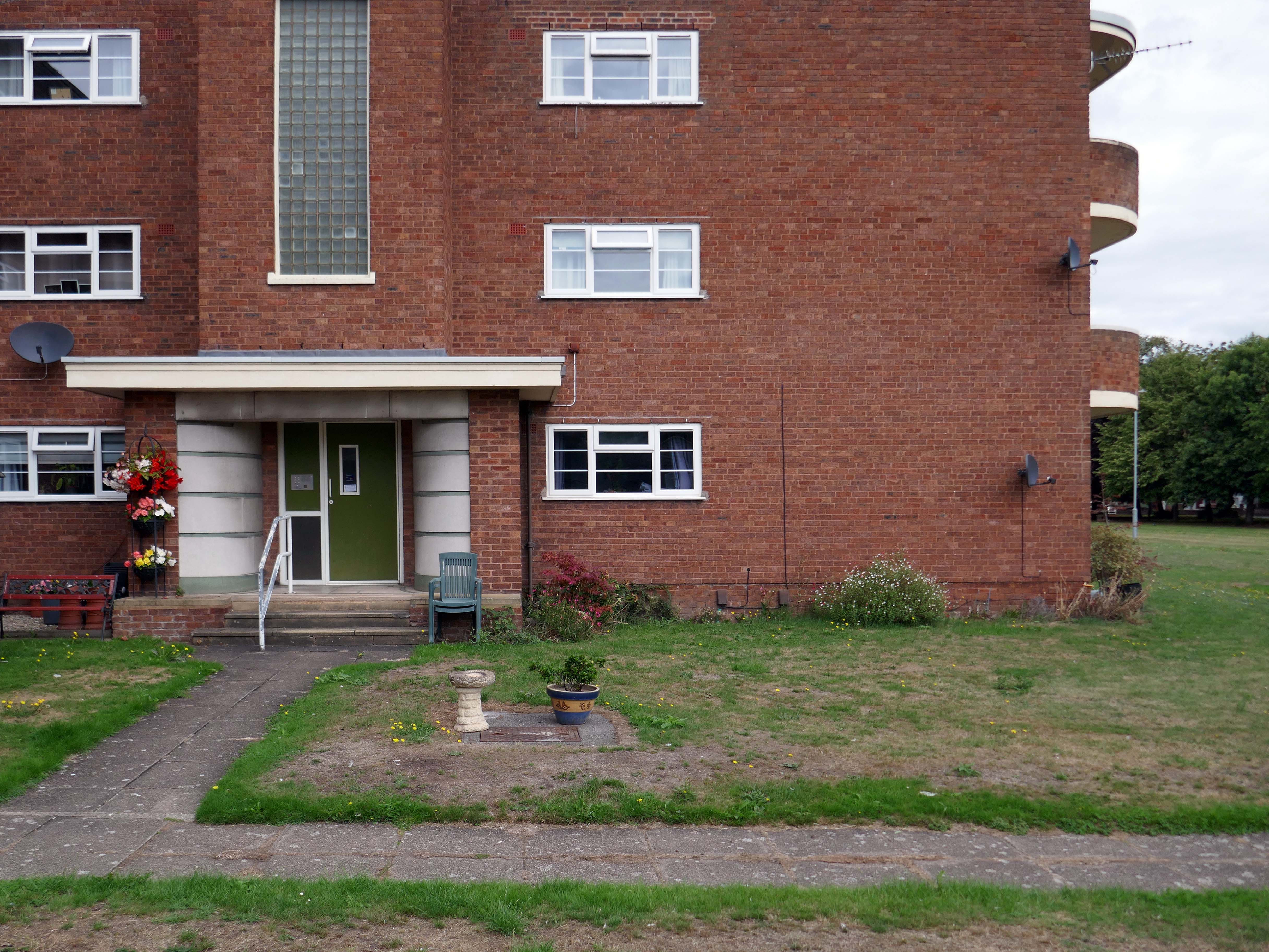
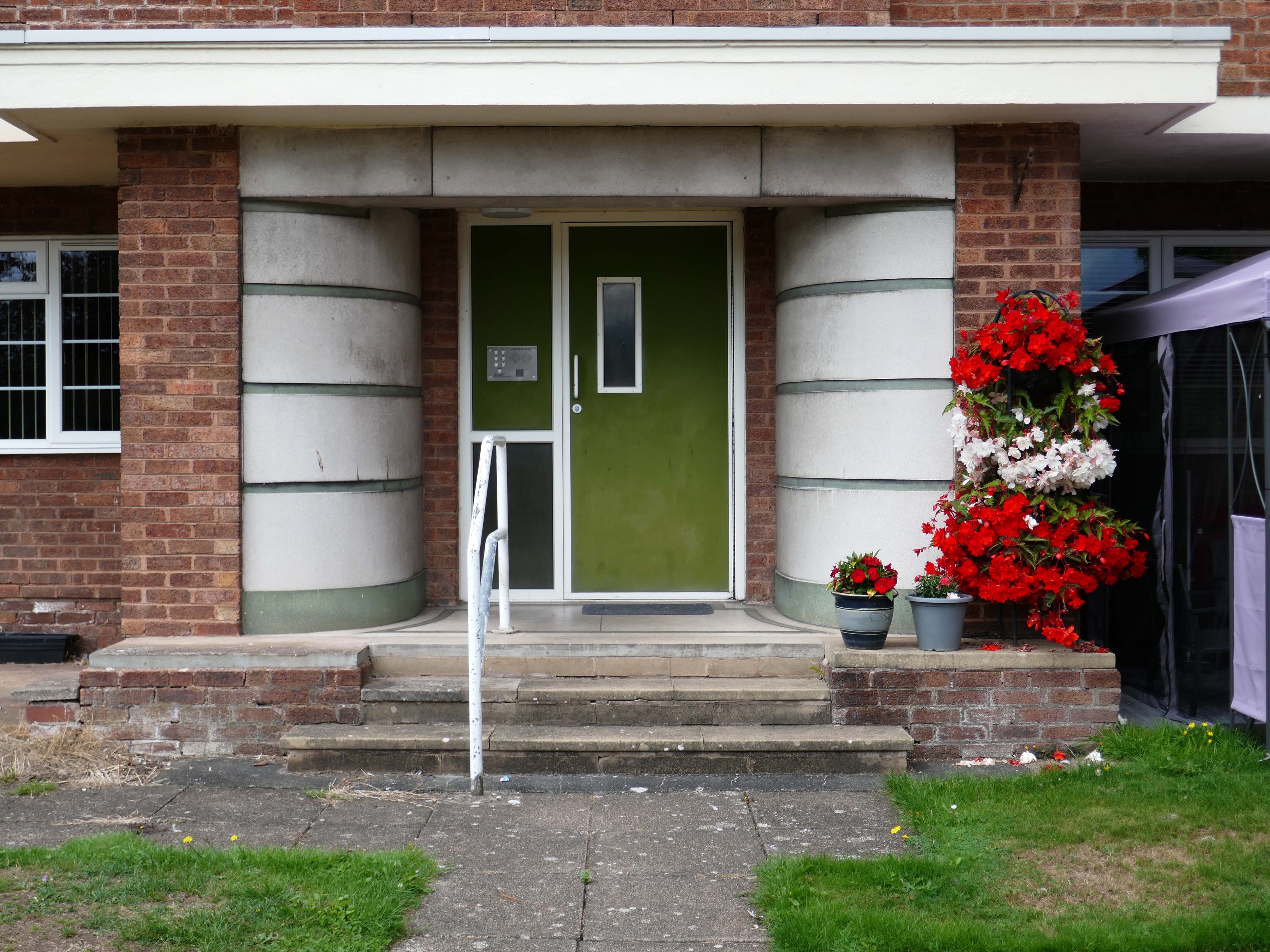
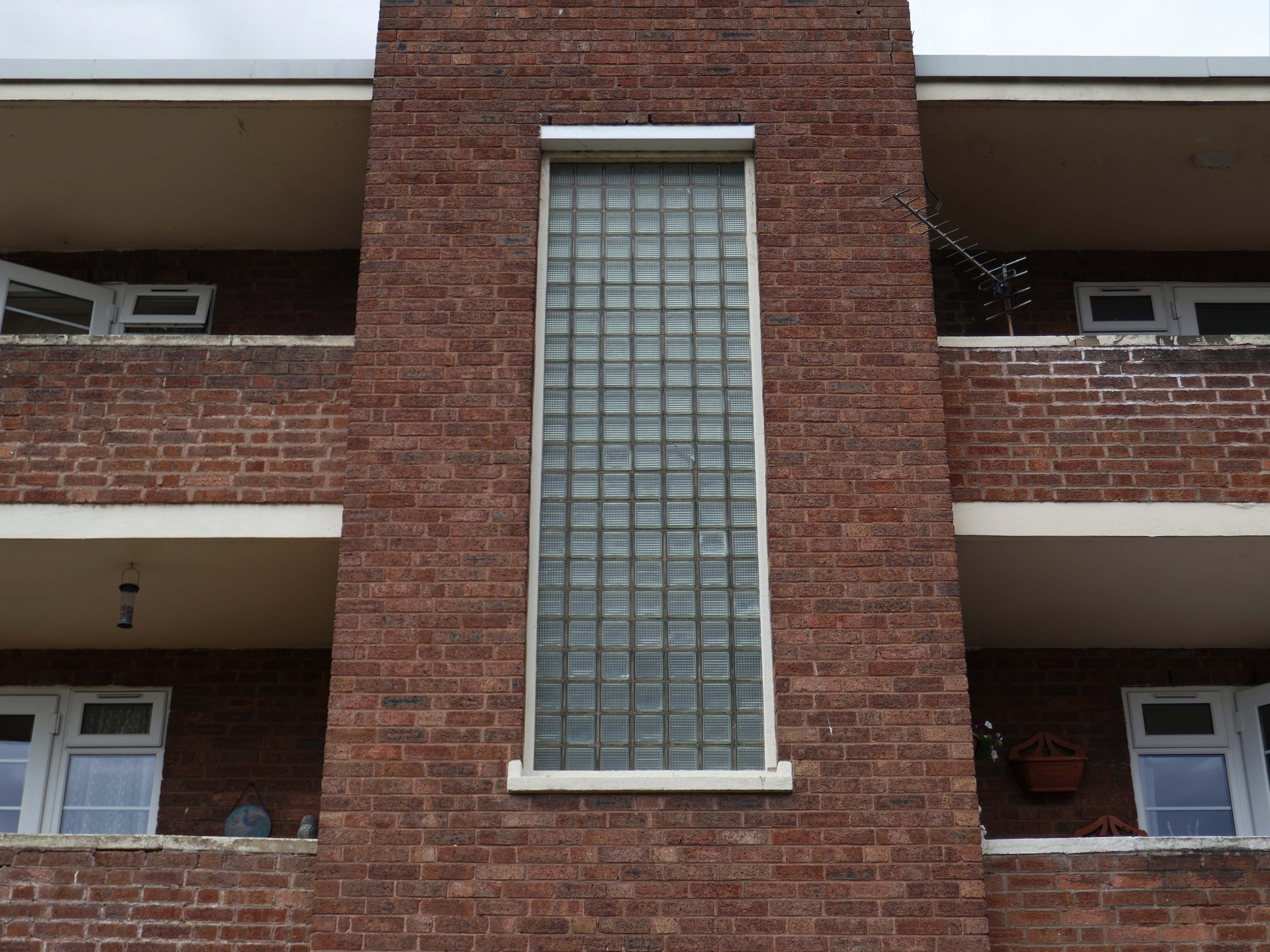
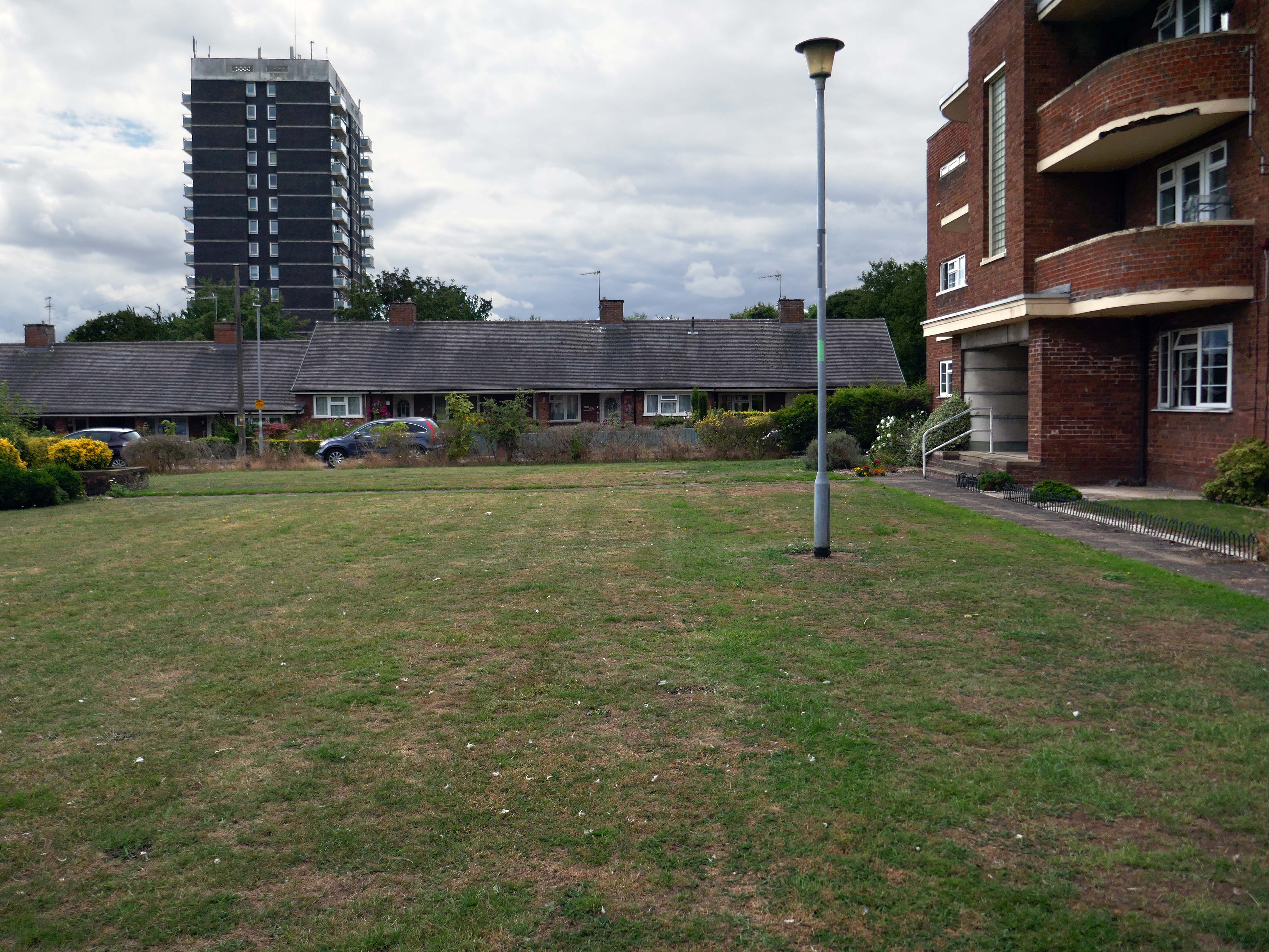
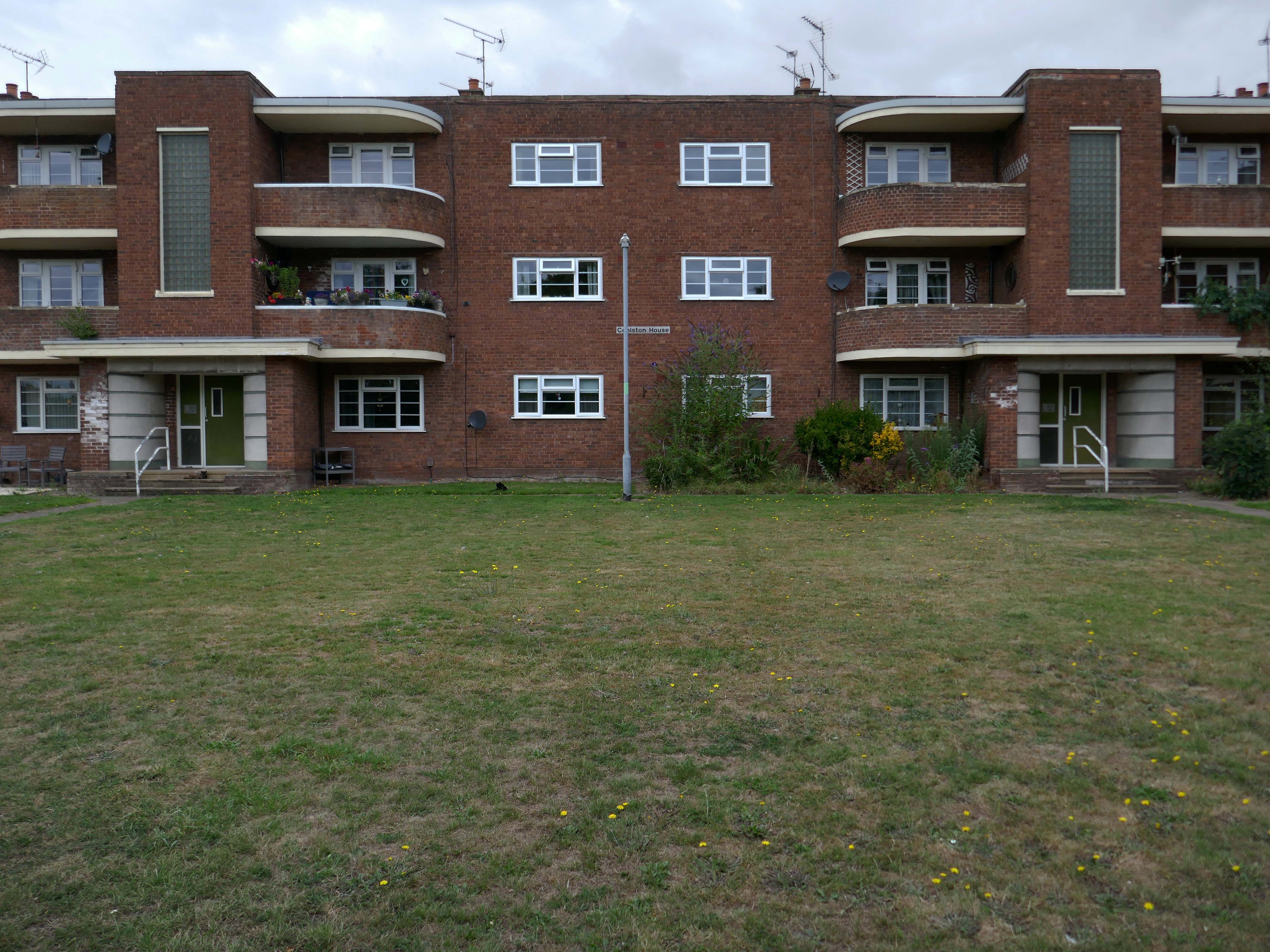
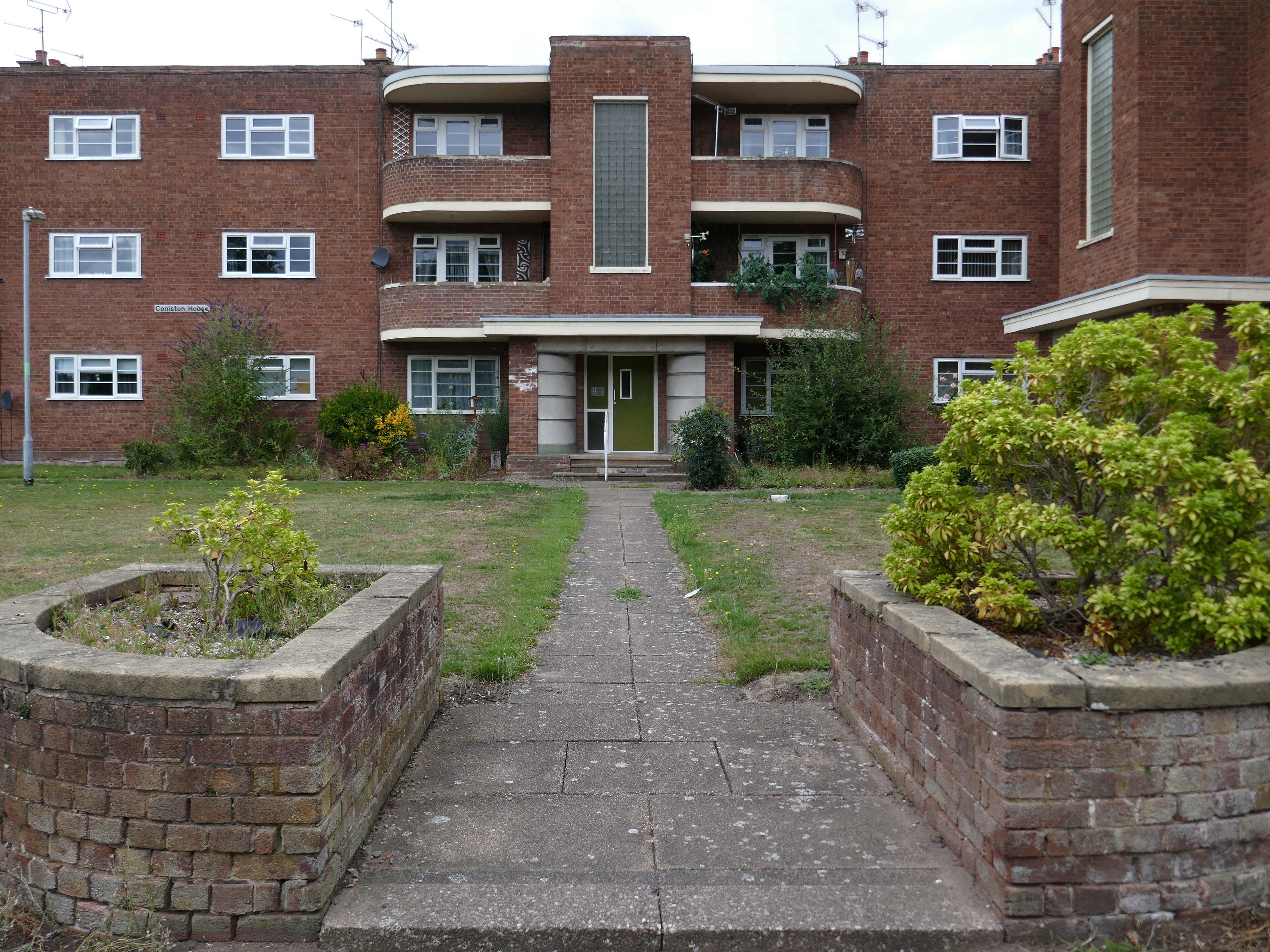
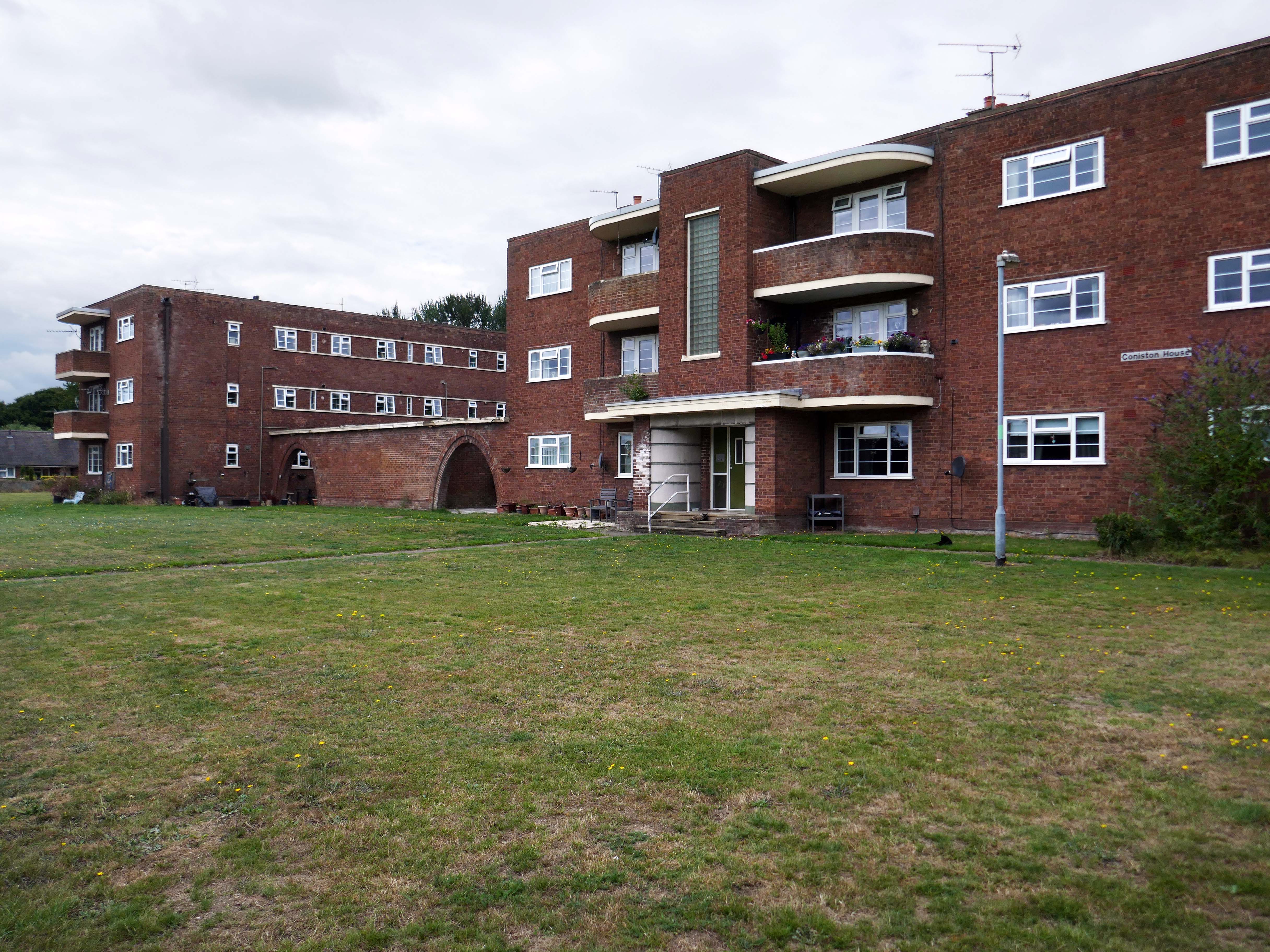
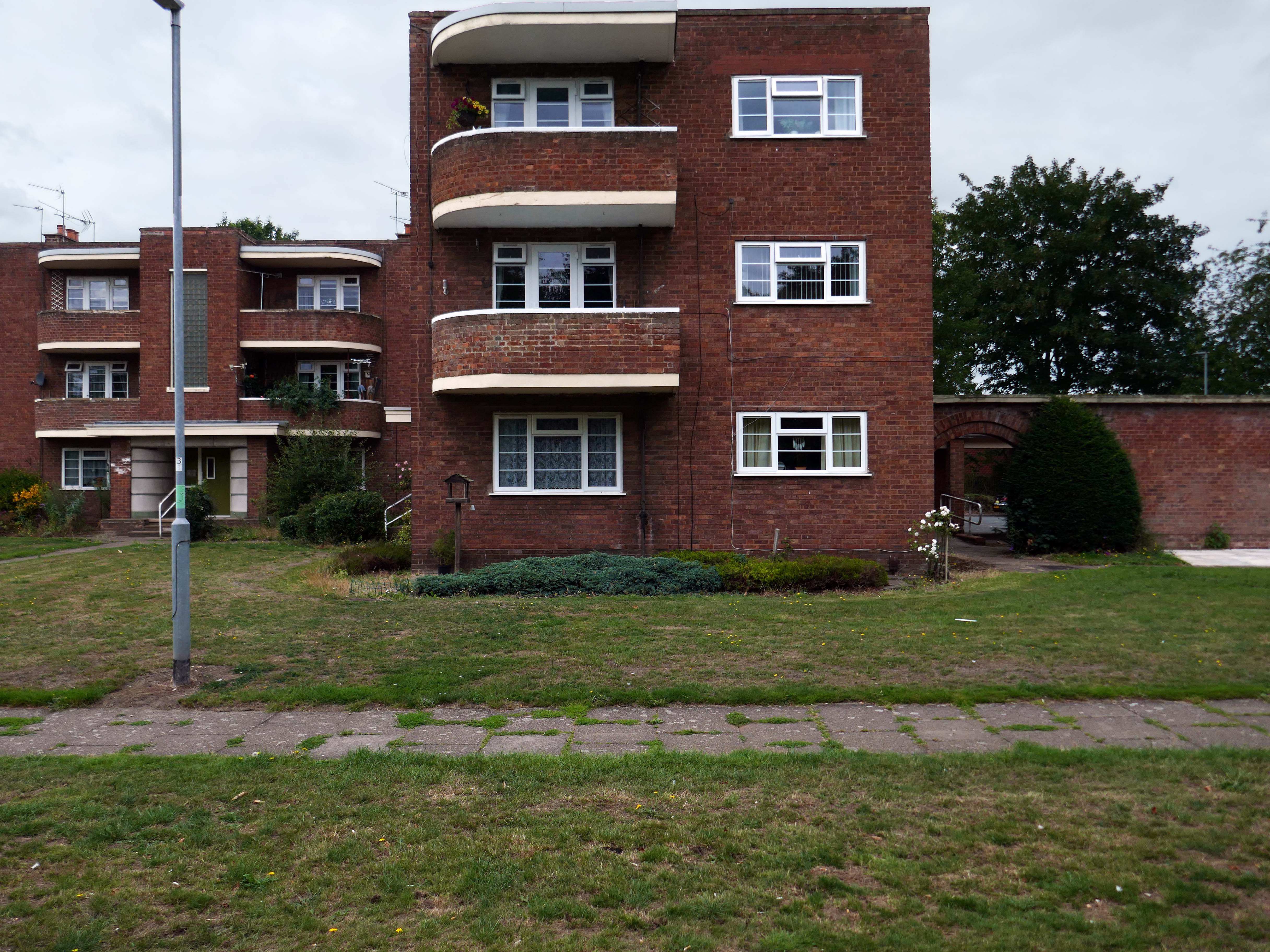
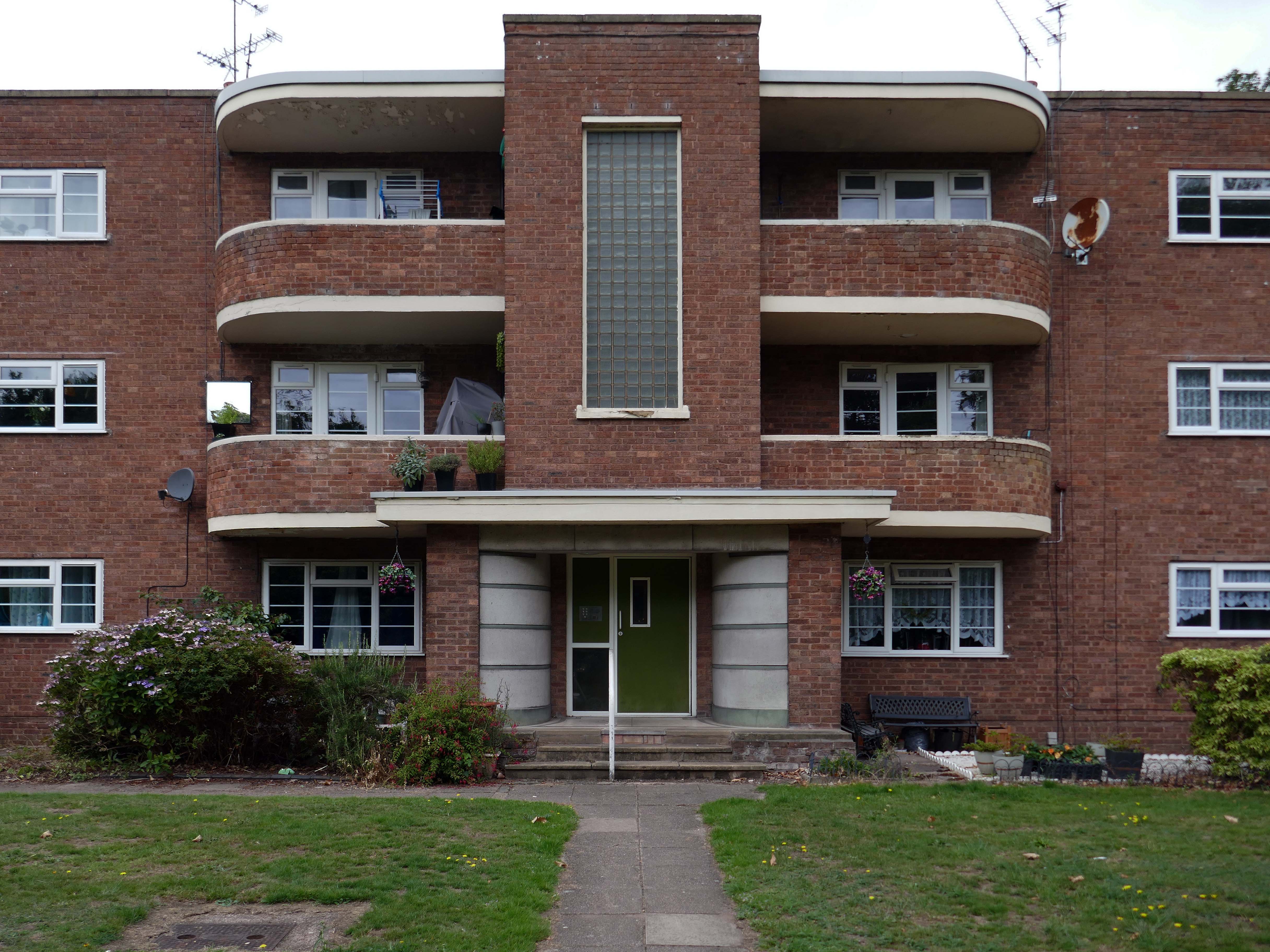
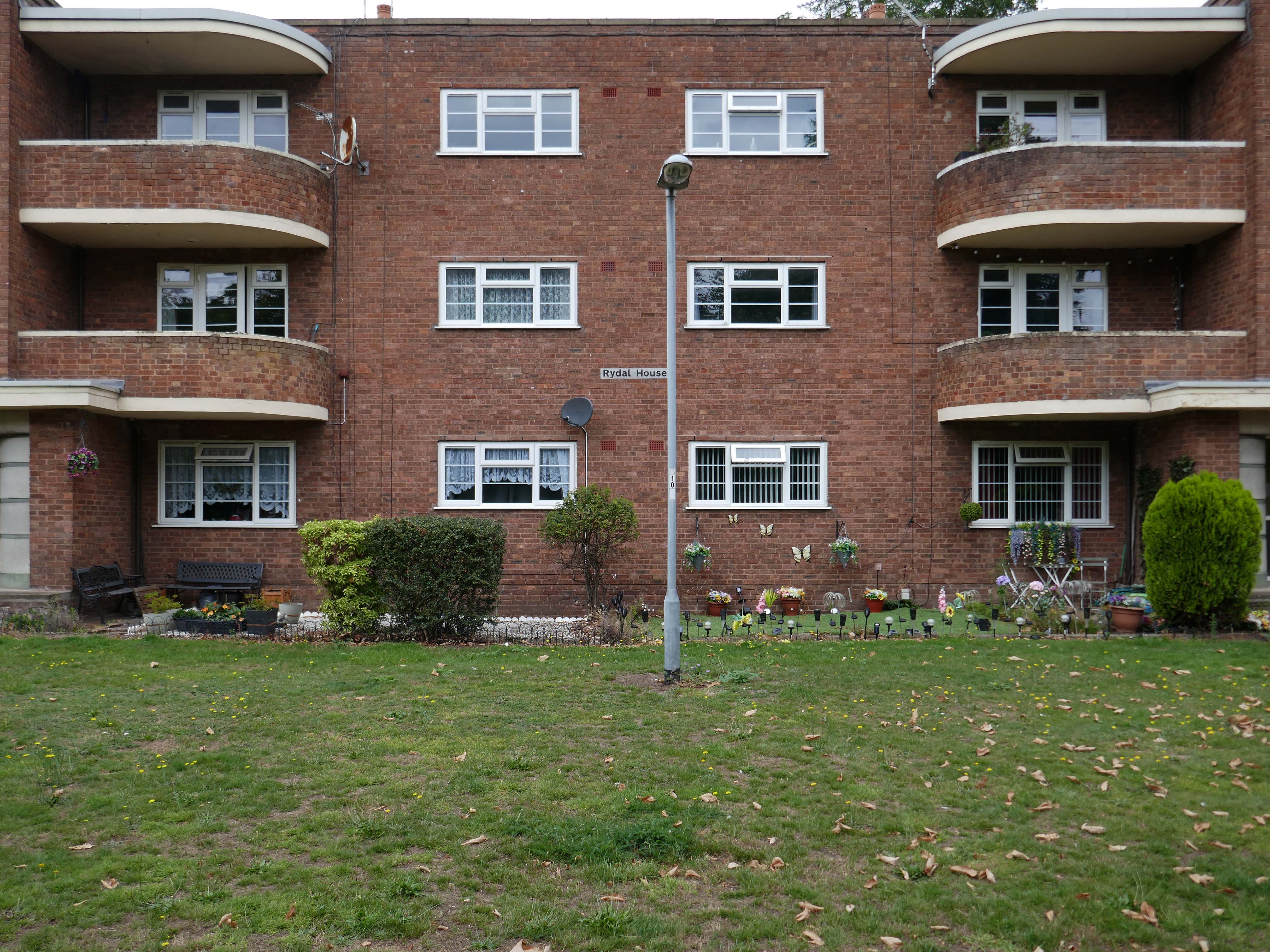
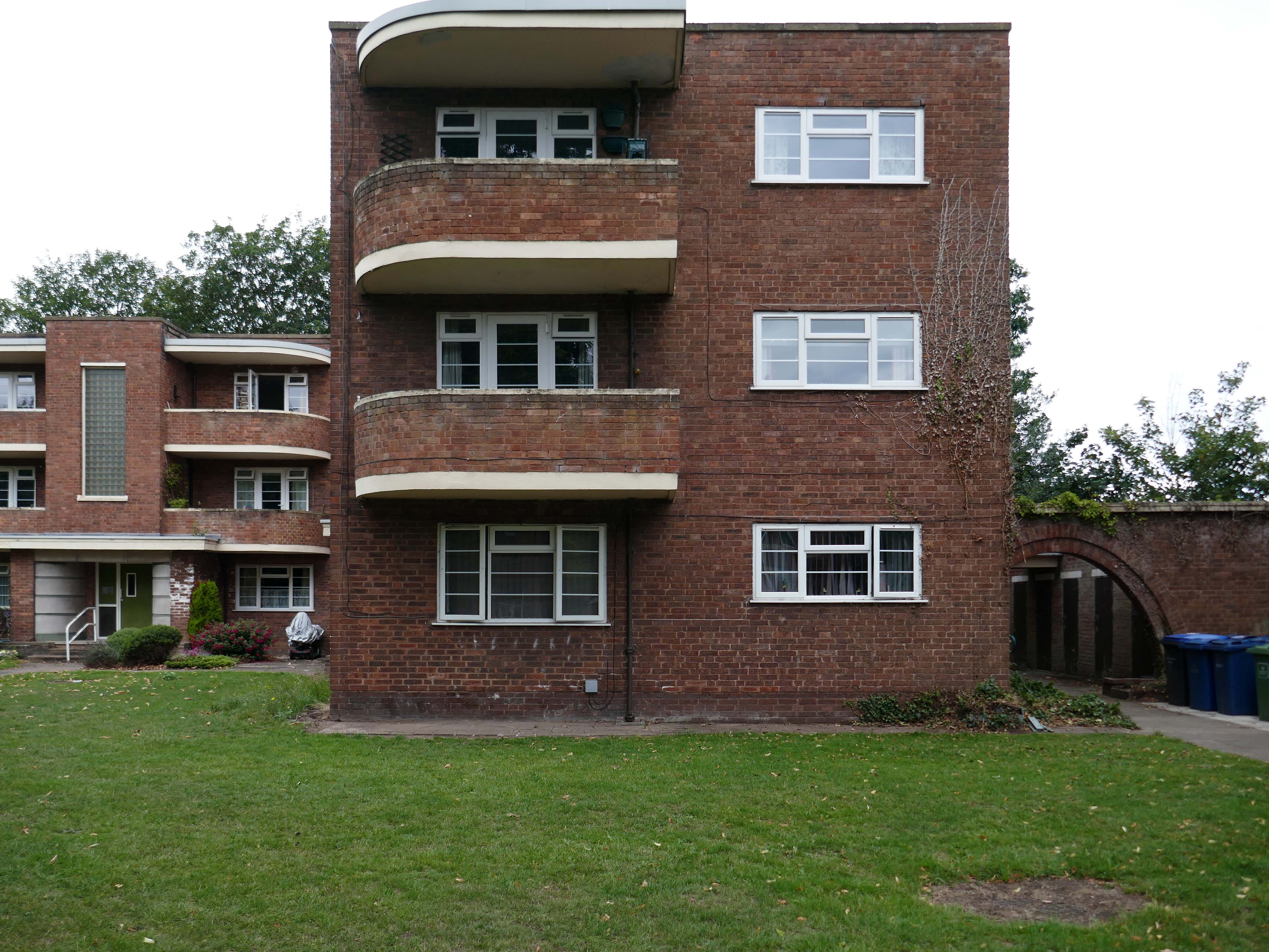
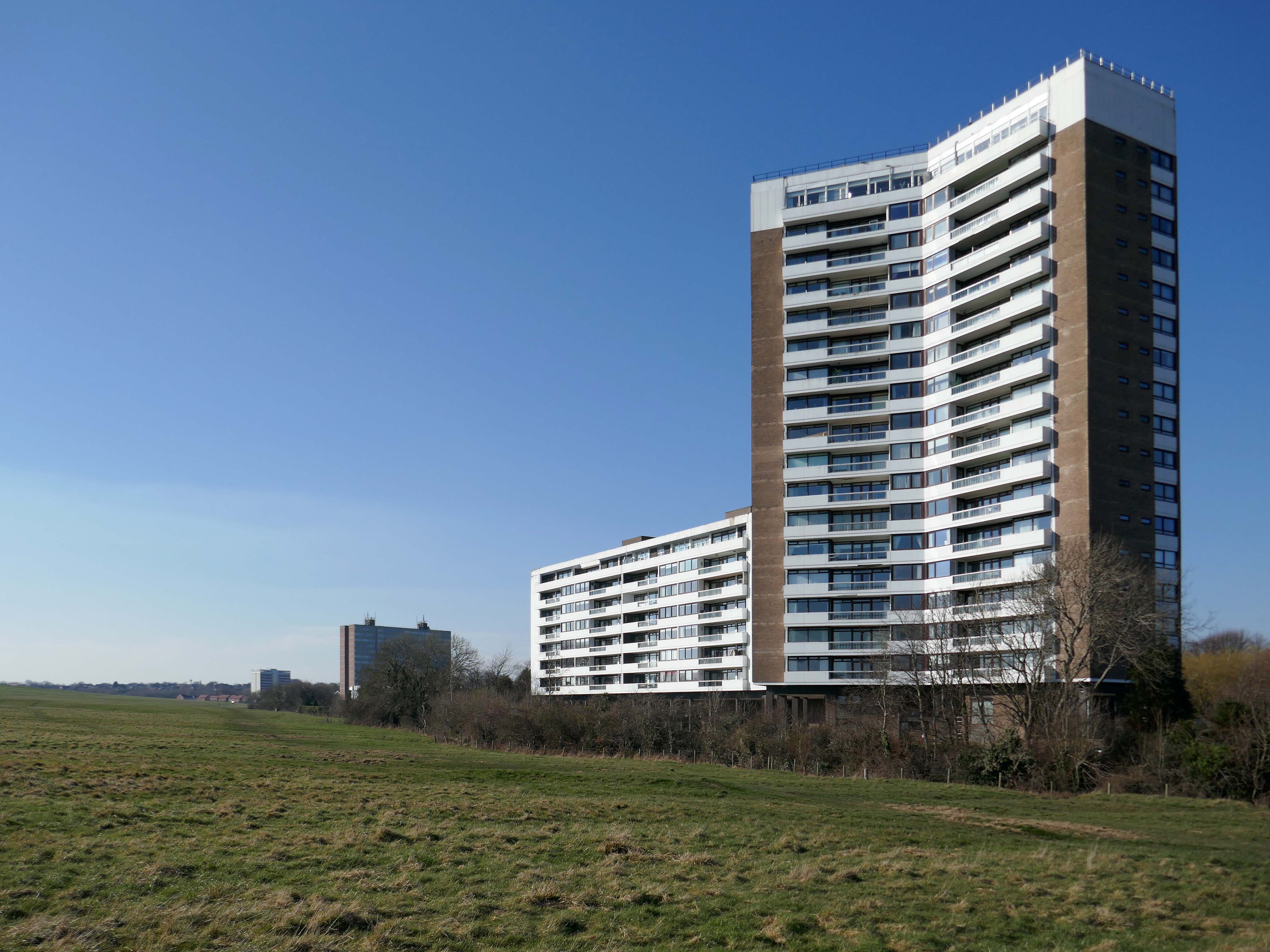
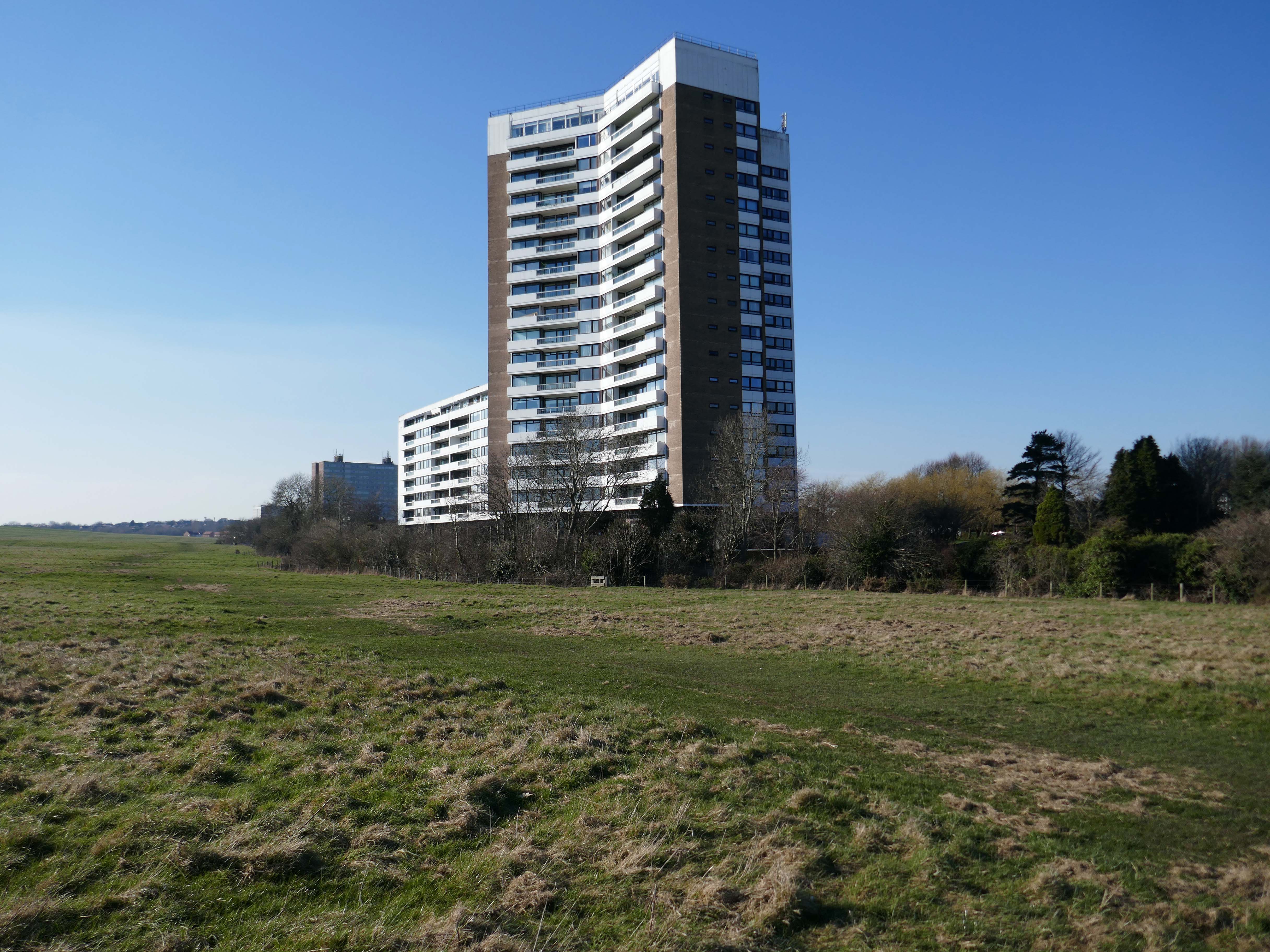
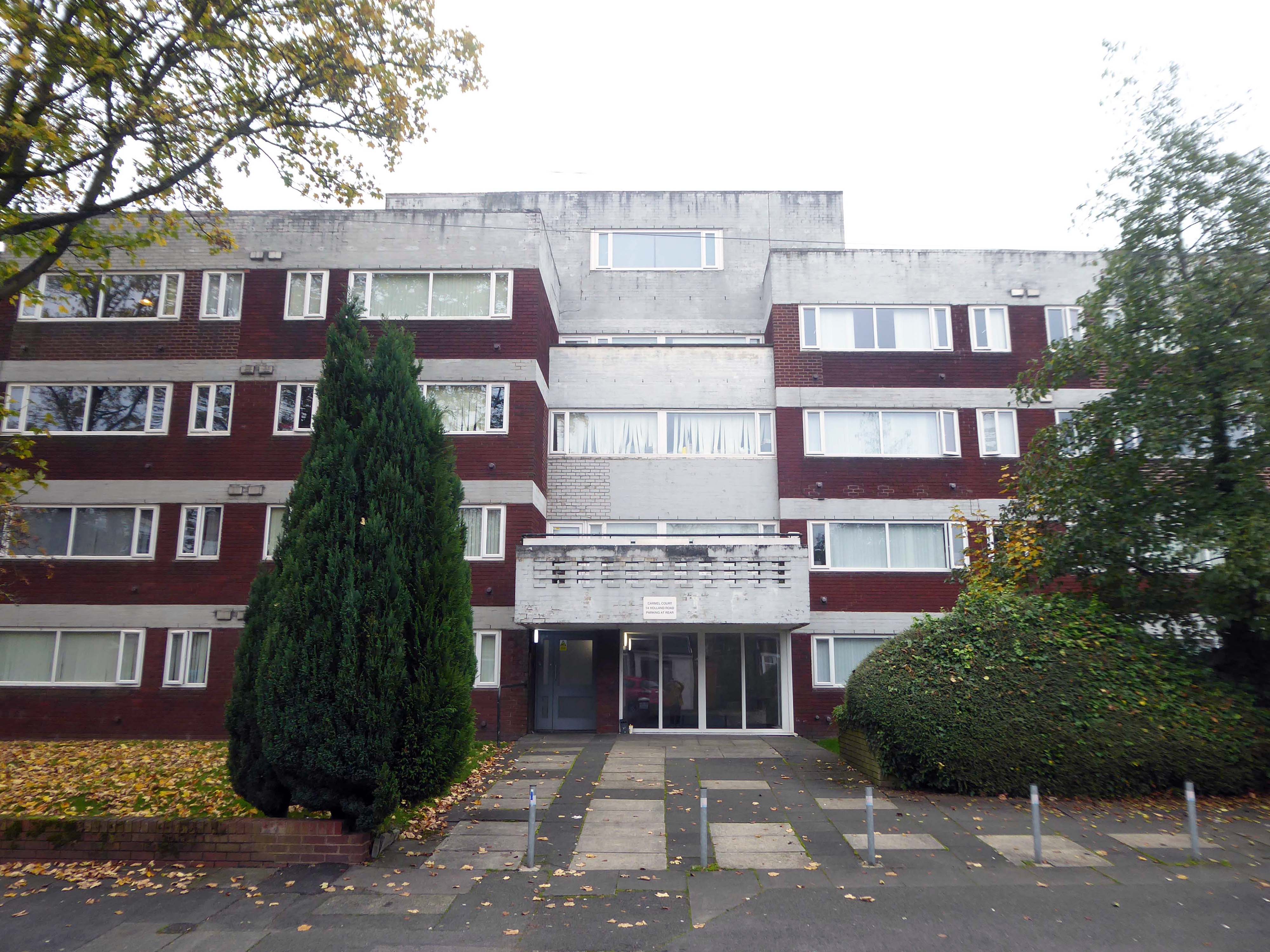
Coniston, Windemere and Rydal were among the first council homes to be built in Stafford, between 1951-52, under the direction of County Architect CM Coombes.
The flats were built as a result of The Housing – Financial and Miscellaneous Provisions Act 1946, which gave subsidies to local authorities to provide social housing. The expansion of the Borough Council’s civic duties included the employment of County Architects, in this case CM Coombes FRIBA, to whom these flats are attributed.
54 flats were built in total, to a distinctly Modernist design, and their appearance and setting are very well preserved.
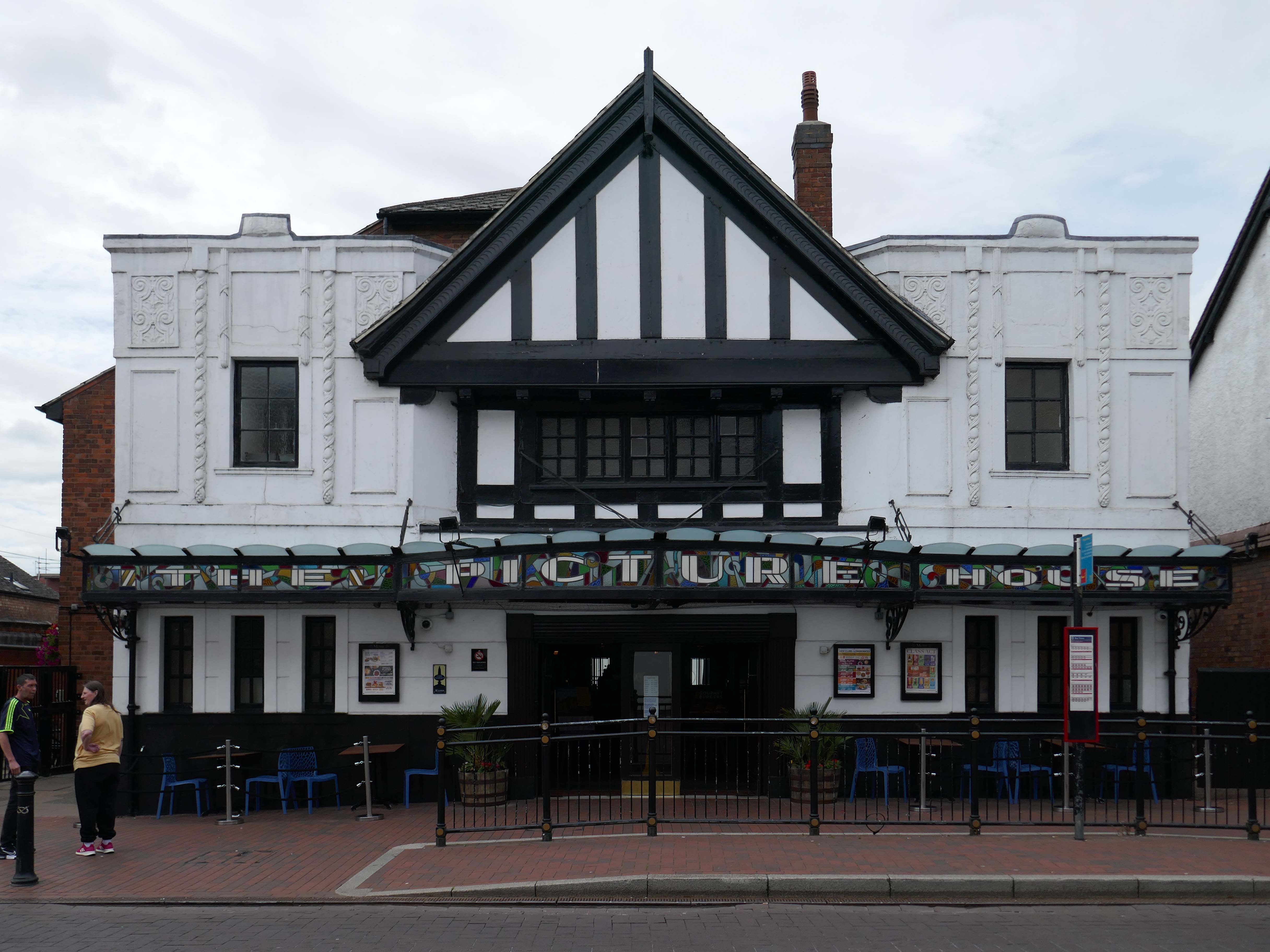
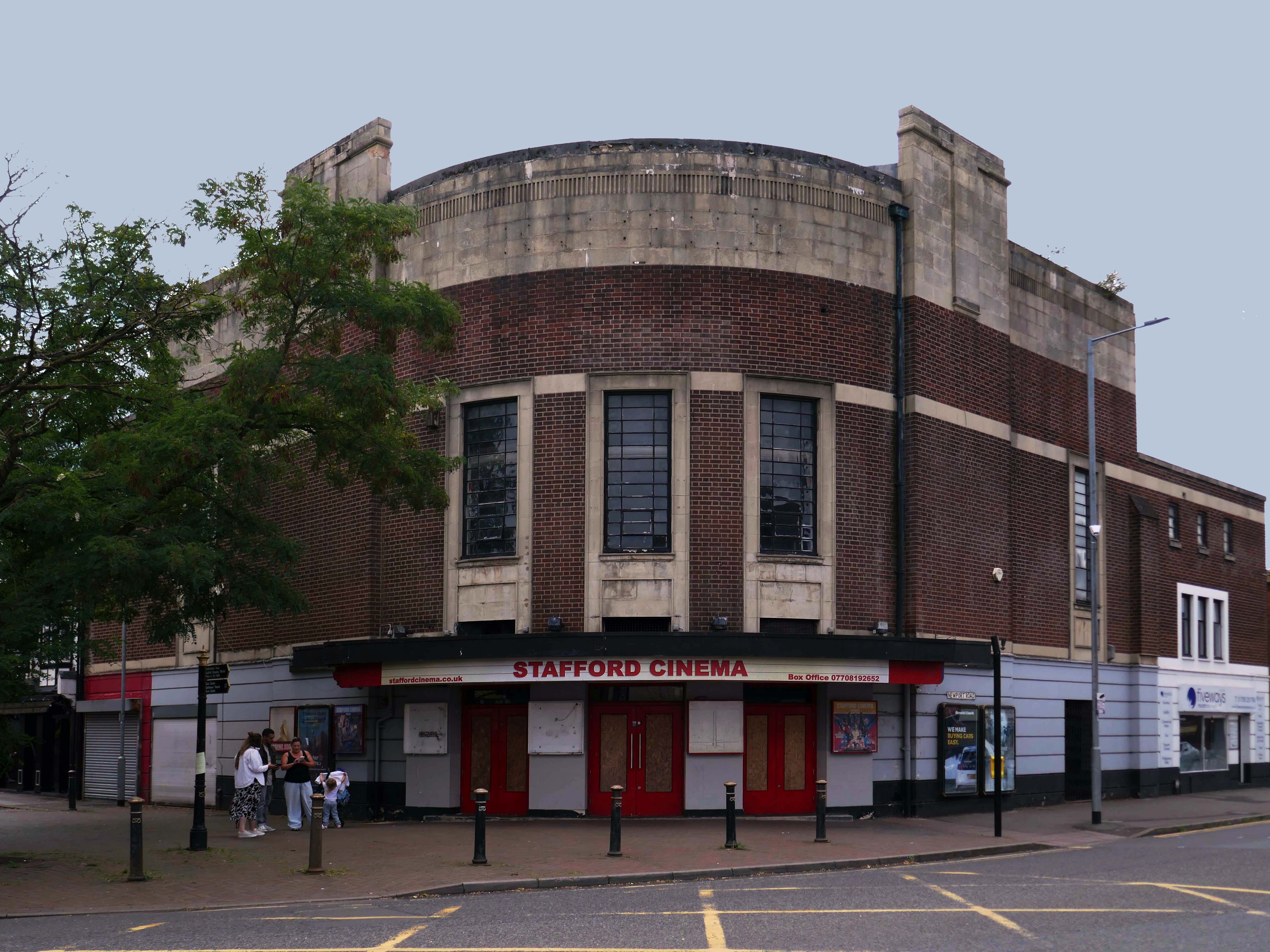
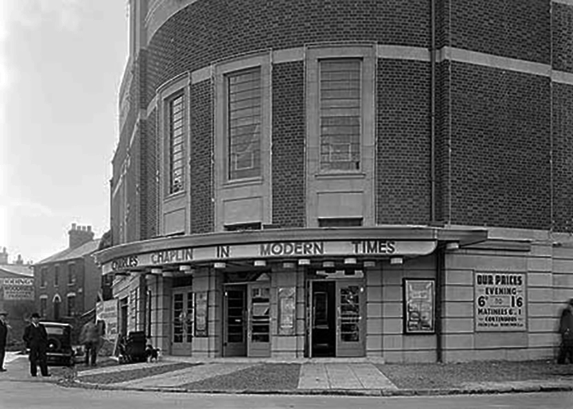
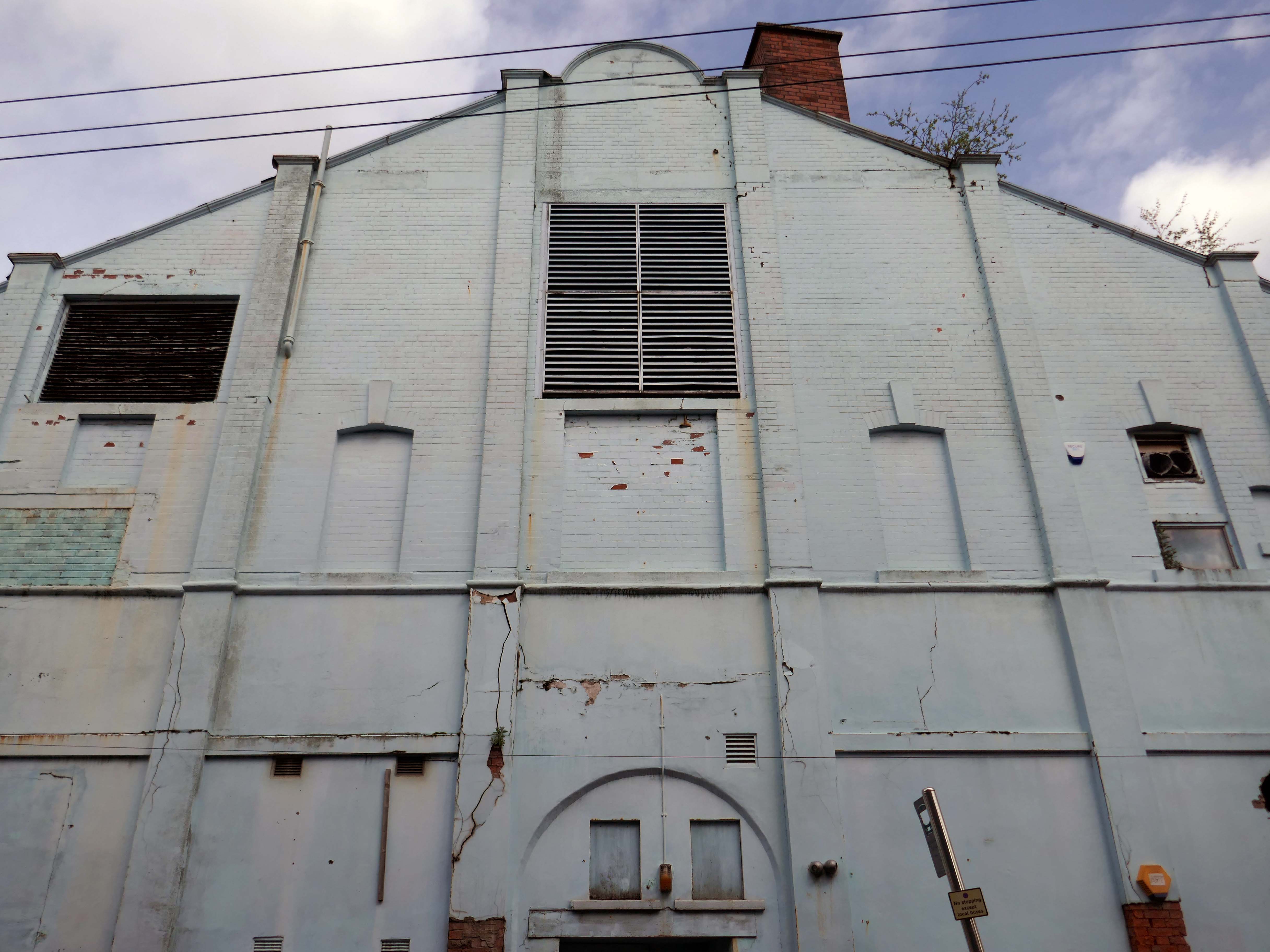
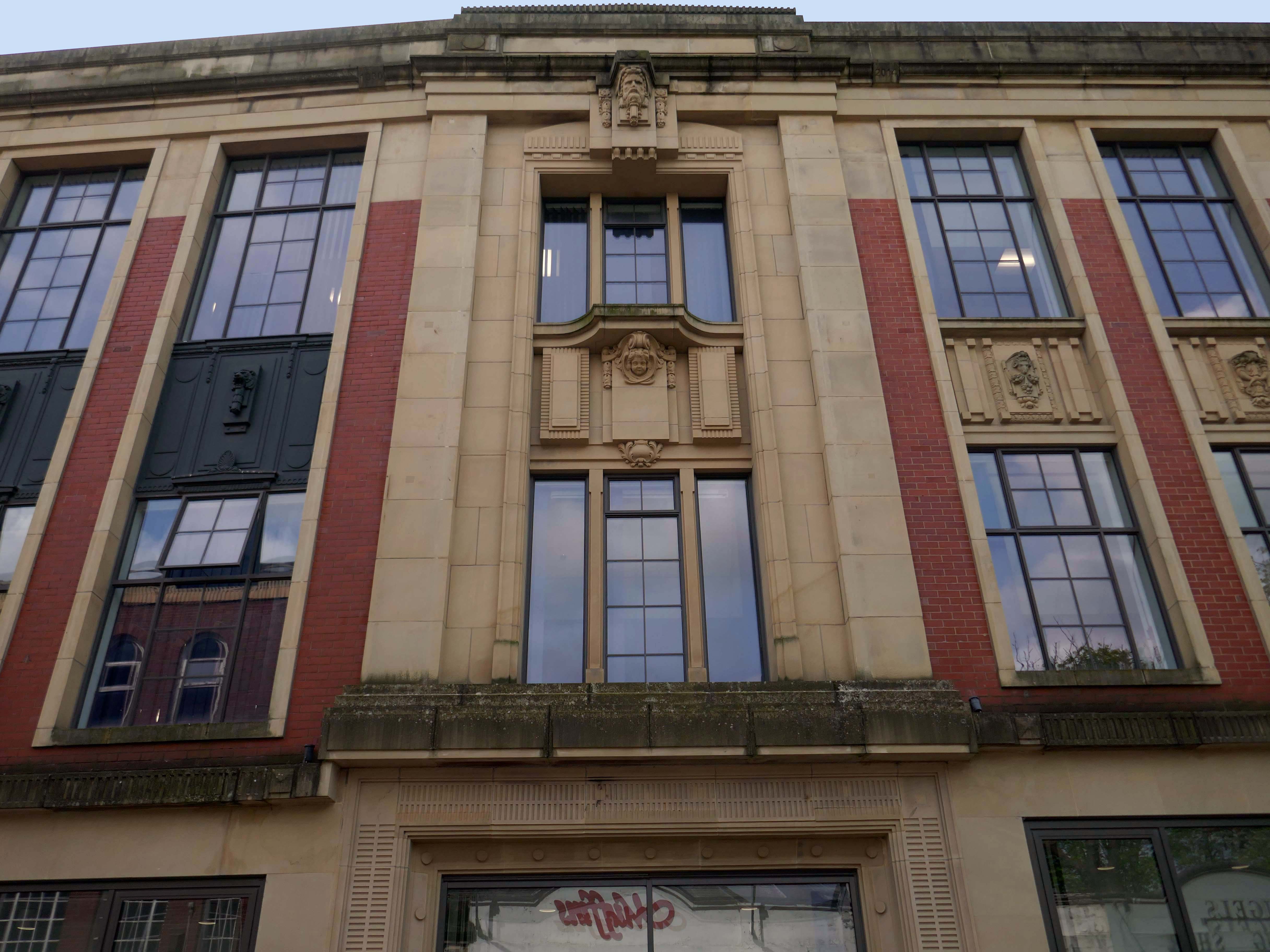
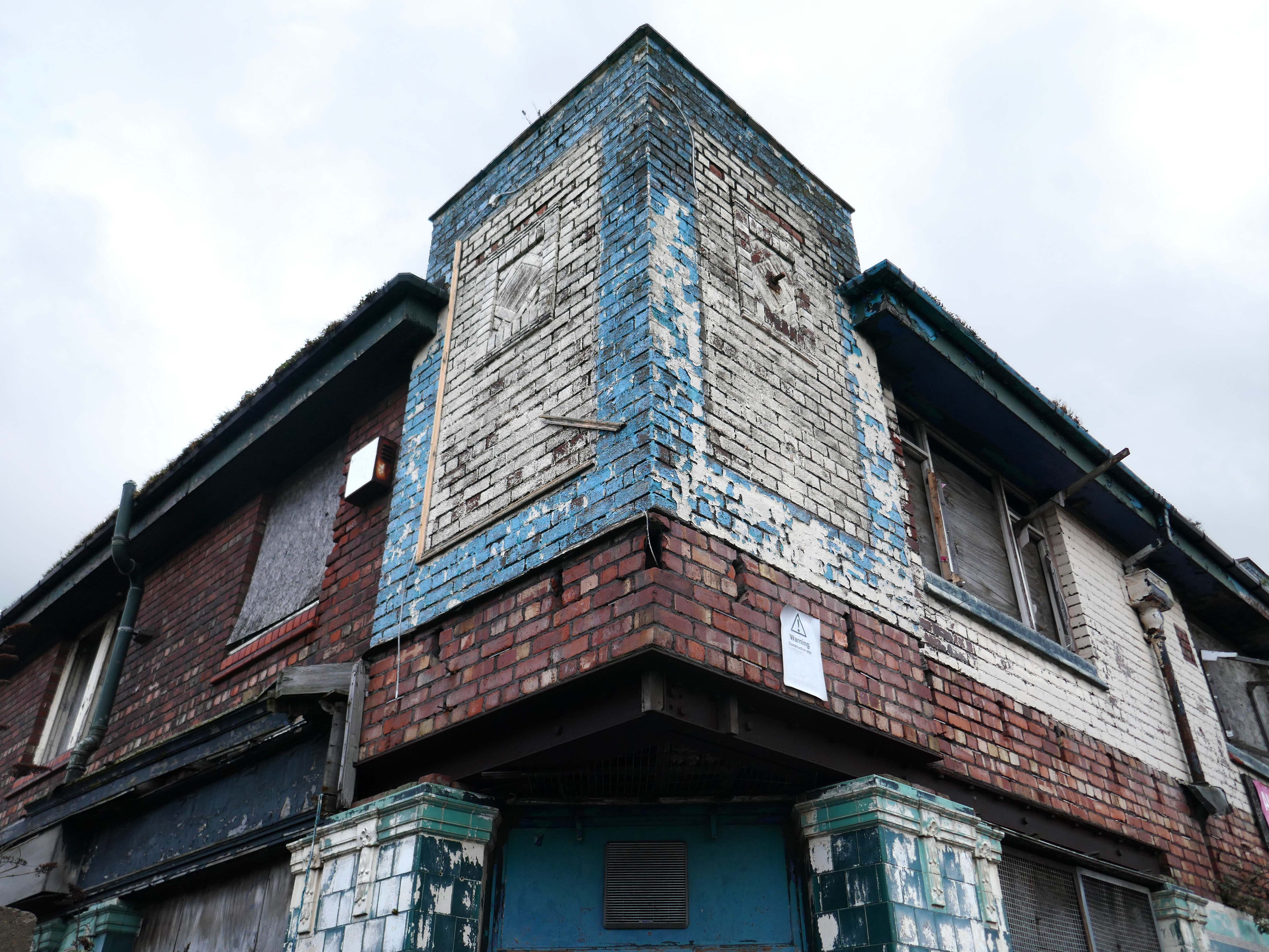
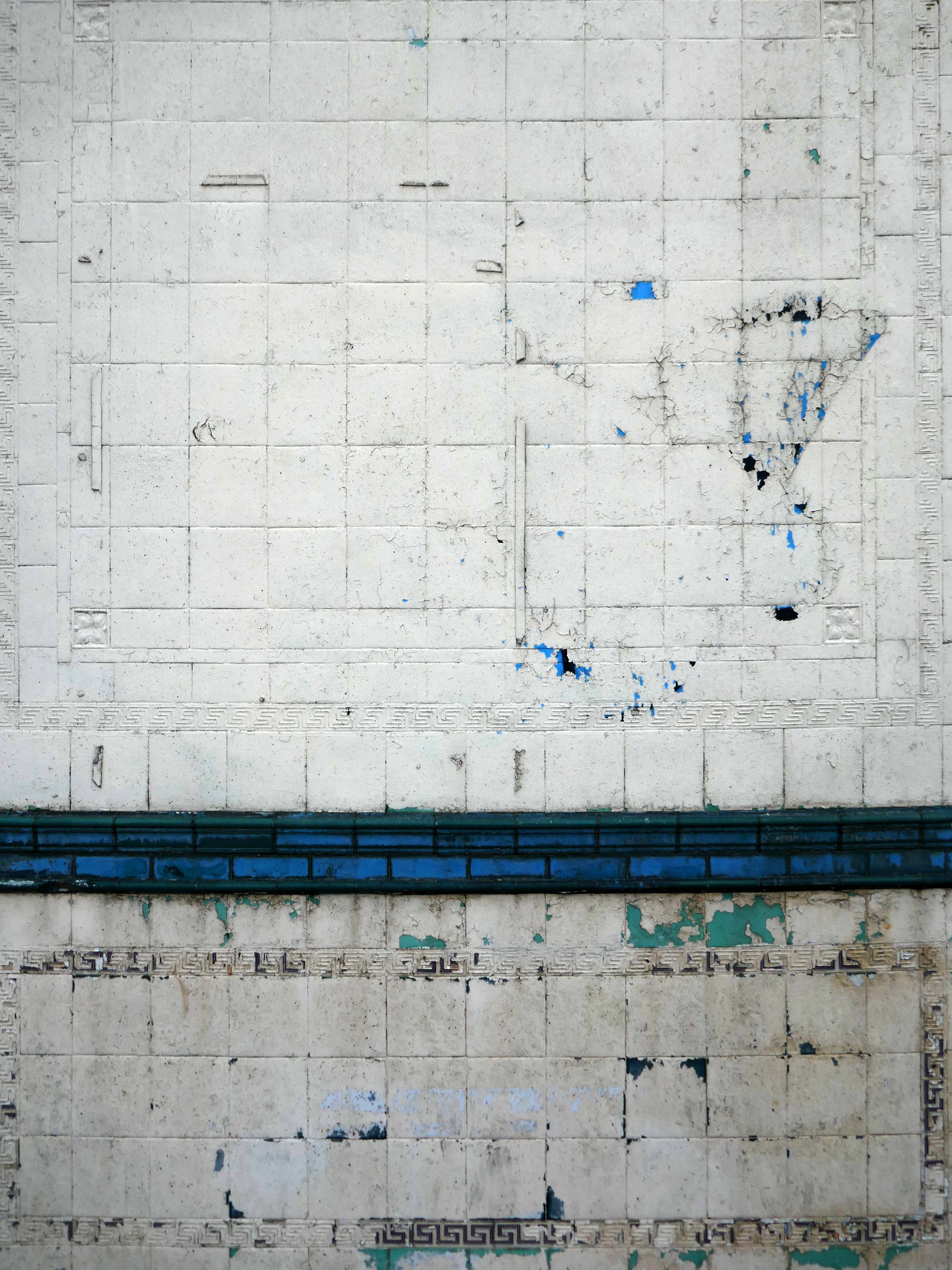
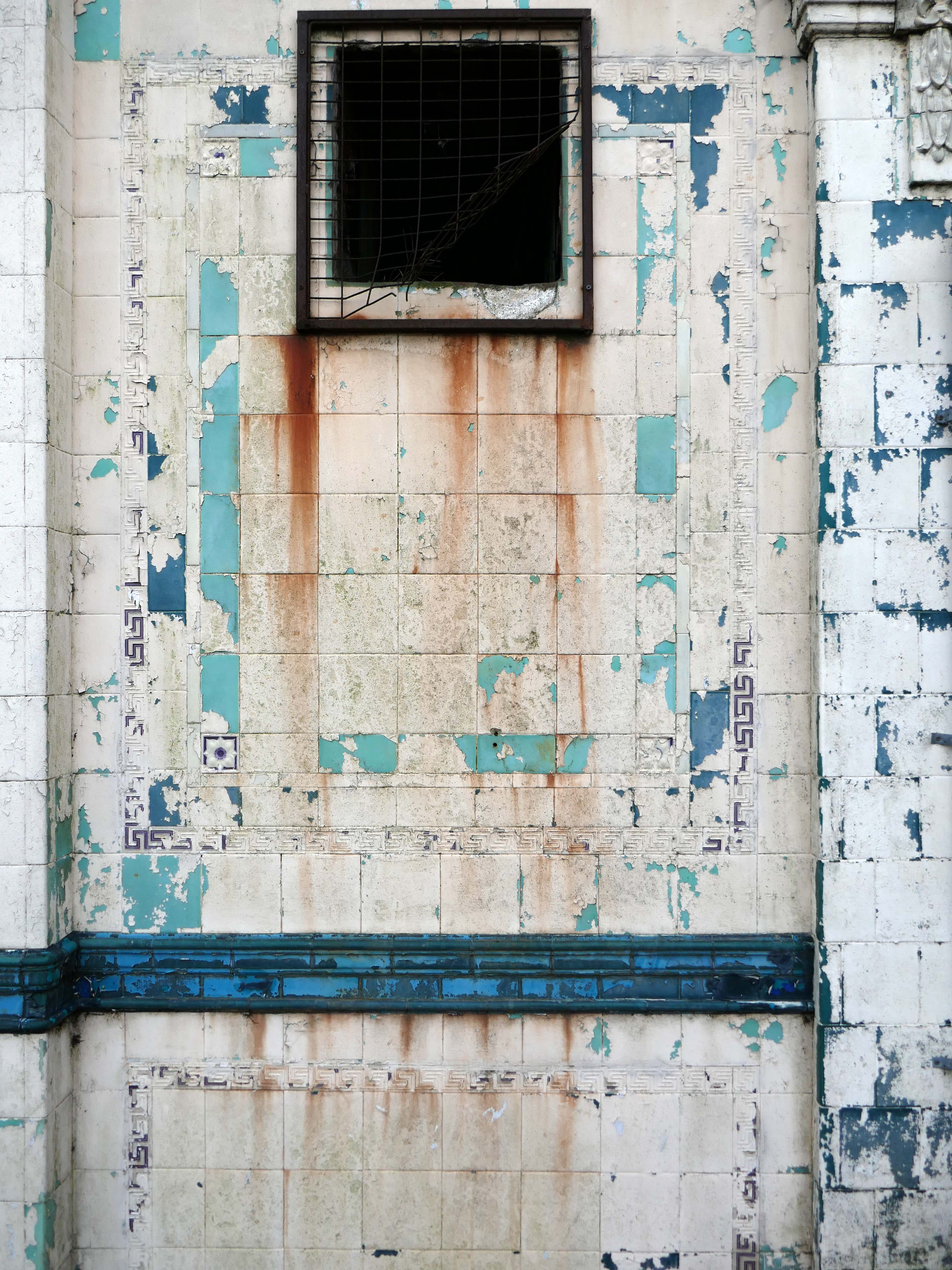
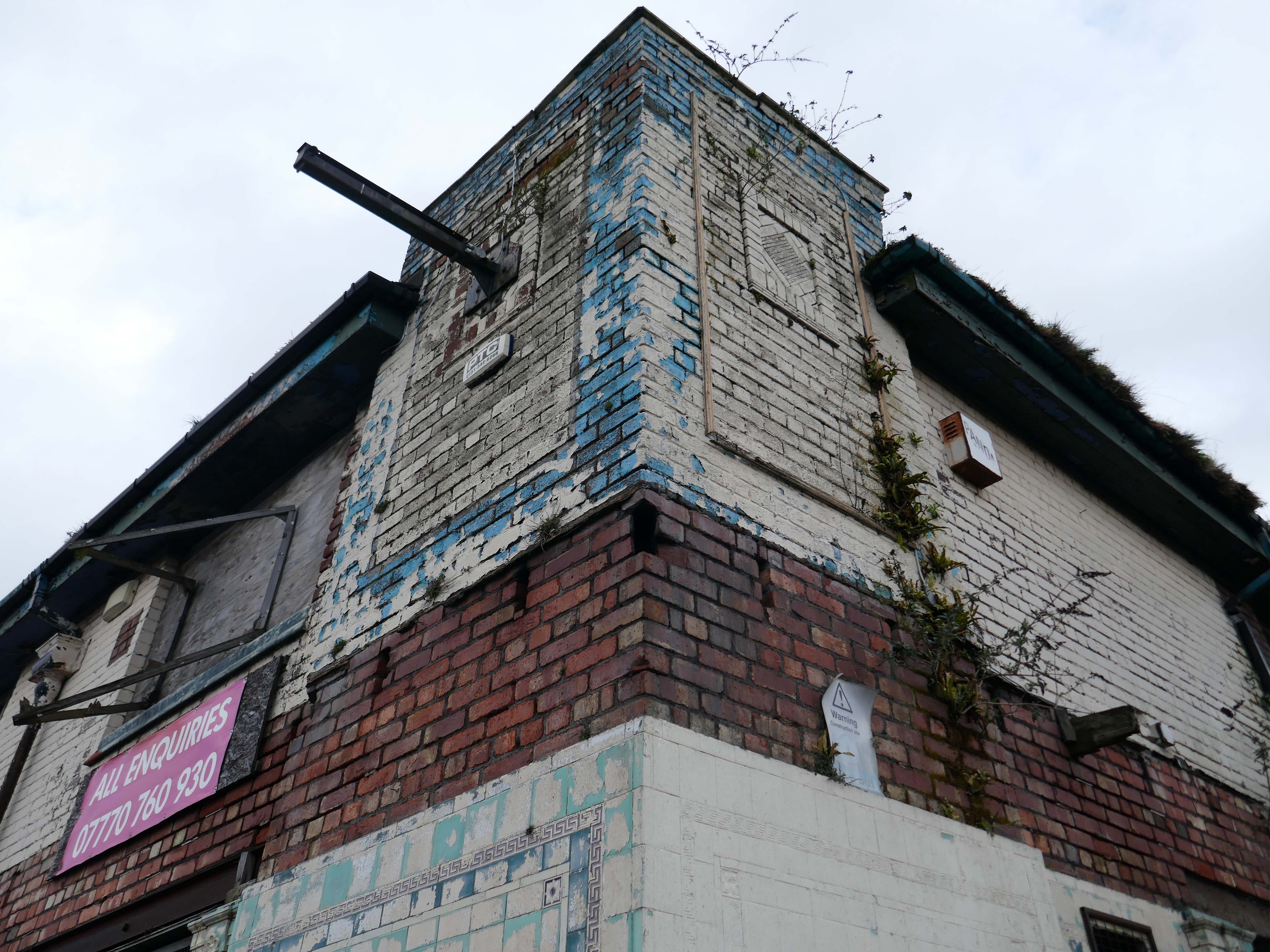
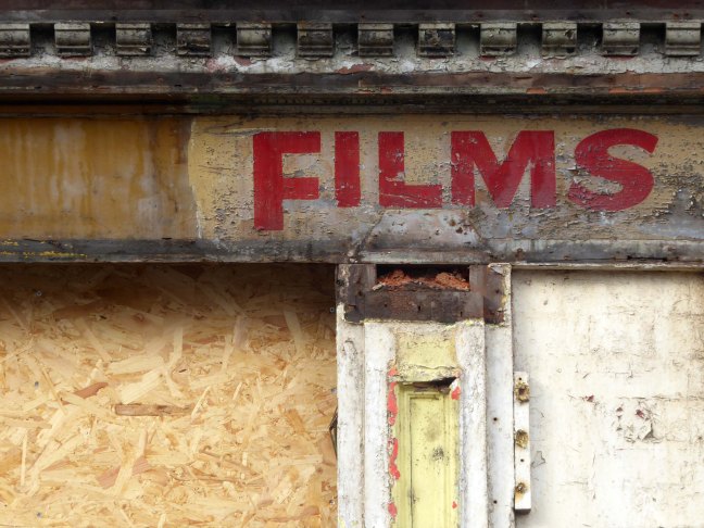
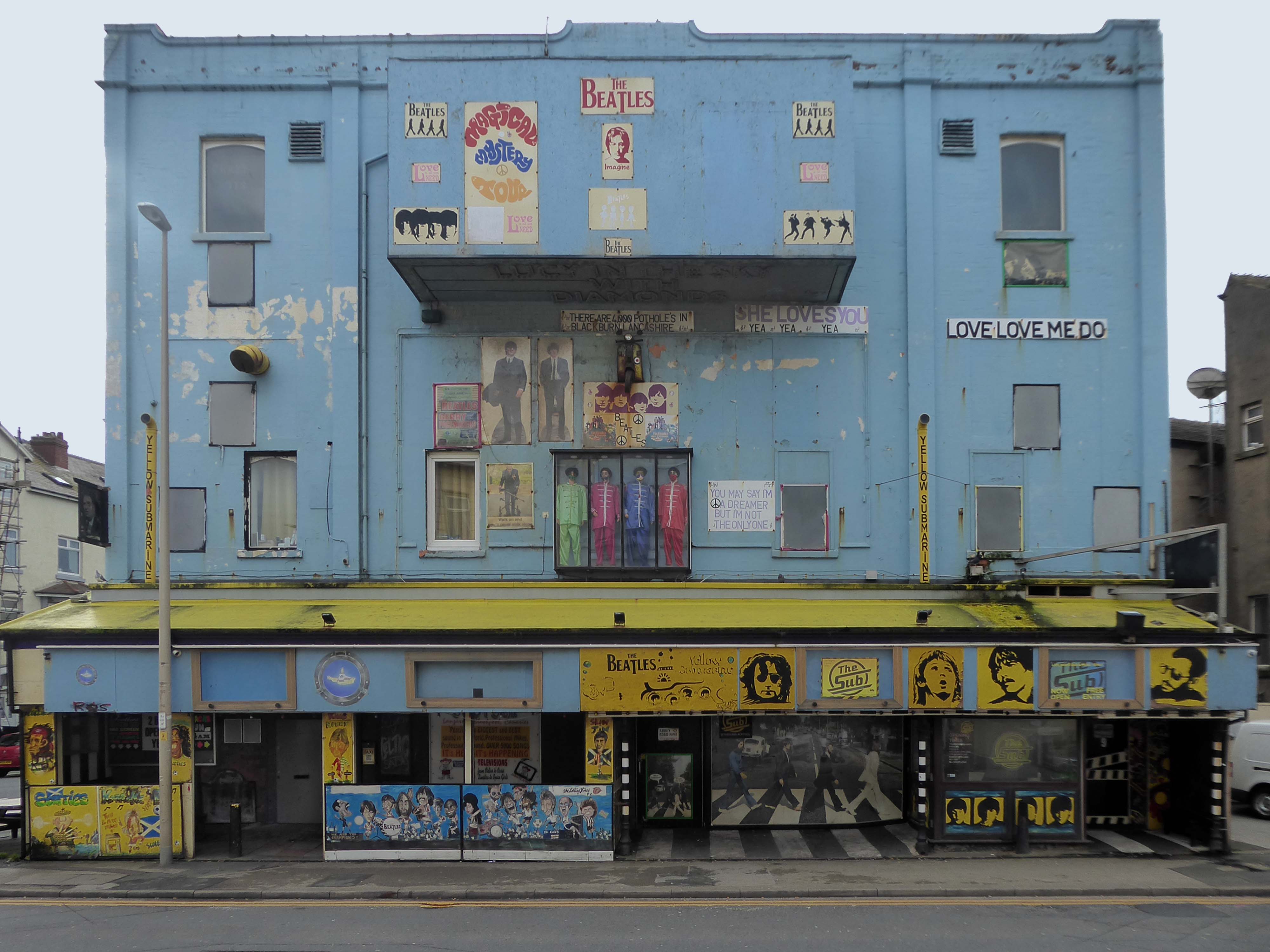
Let’s head back into the town centre – to the Grade II ListedPicture House 1914
The Picture House was closed on 30th March 1995 after a three week run of Disclosure starring Michael Douglas, there were seventy eight attending the final performance.
It was disposed of by the Rank Organisation in July 1981 and was taken over by the Hutchinson Leisure Group who re-named it Astra Cinema. In December 1981 it was tripled with 435 seats in the former stalls and two mini cinemas in the former circle seating 170 and 168.
In 1988 it was taken over by Apollo Cinemas and re-named Apollo Cinema. The downstairs cinema was closed and became a bingo club for a couple of years, during which time the two mini cinemas in the former circle remained open. The bingo operation gave way to films again in 1990 and all three screens were again open, with seating for 305, 170 and 164. In January 2014 it was taken over by the Curzon Cinemas chain and renamed Stafford Cinema.
It was closed on 18th December 2017 with Star Wars:The Last Jedi.
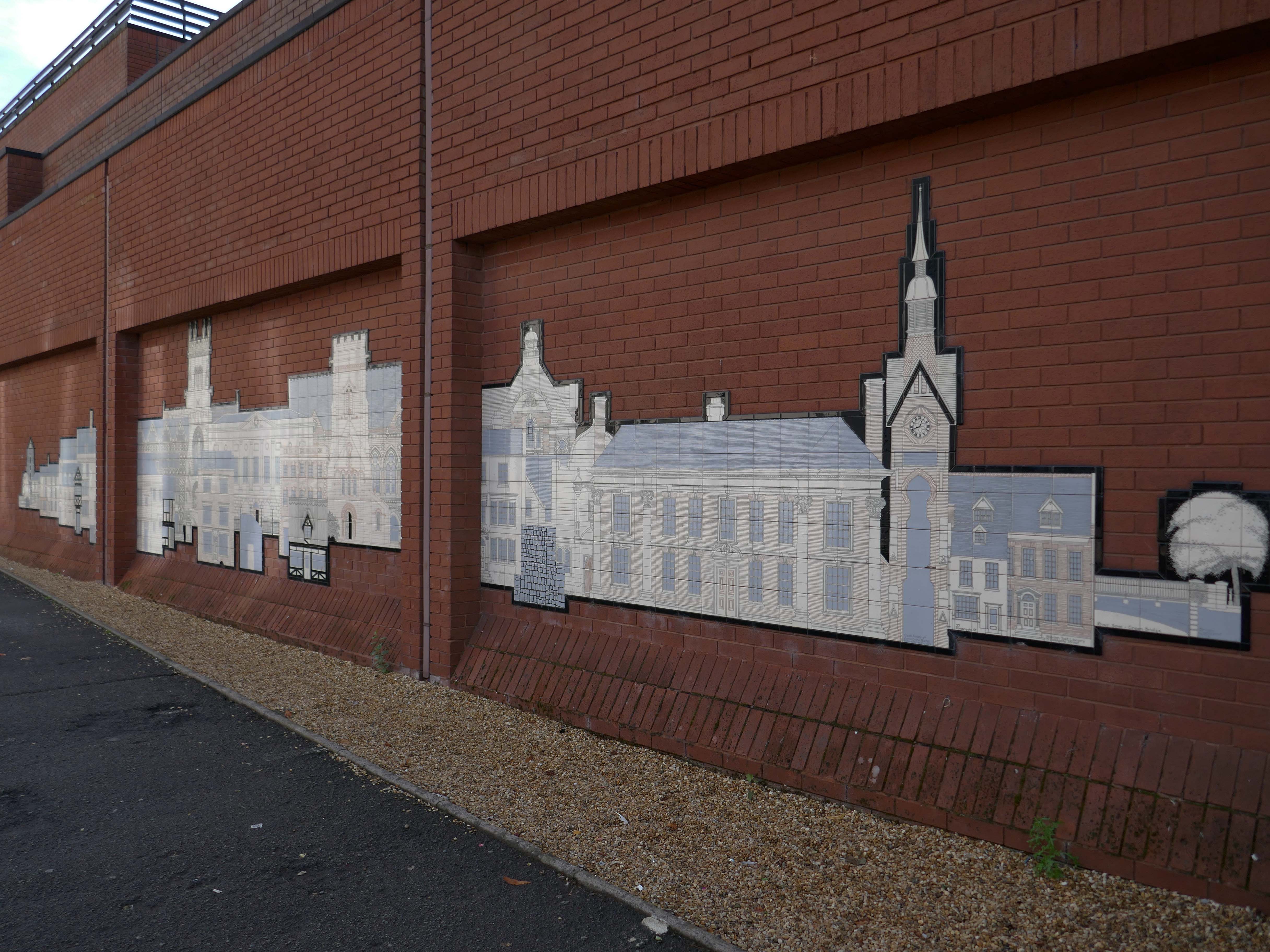
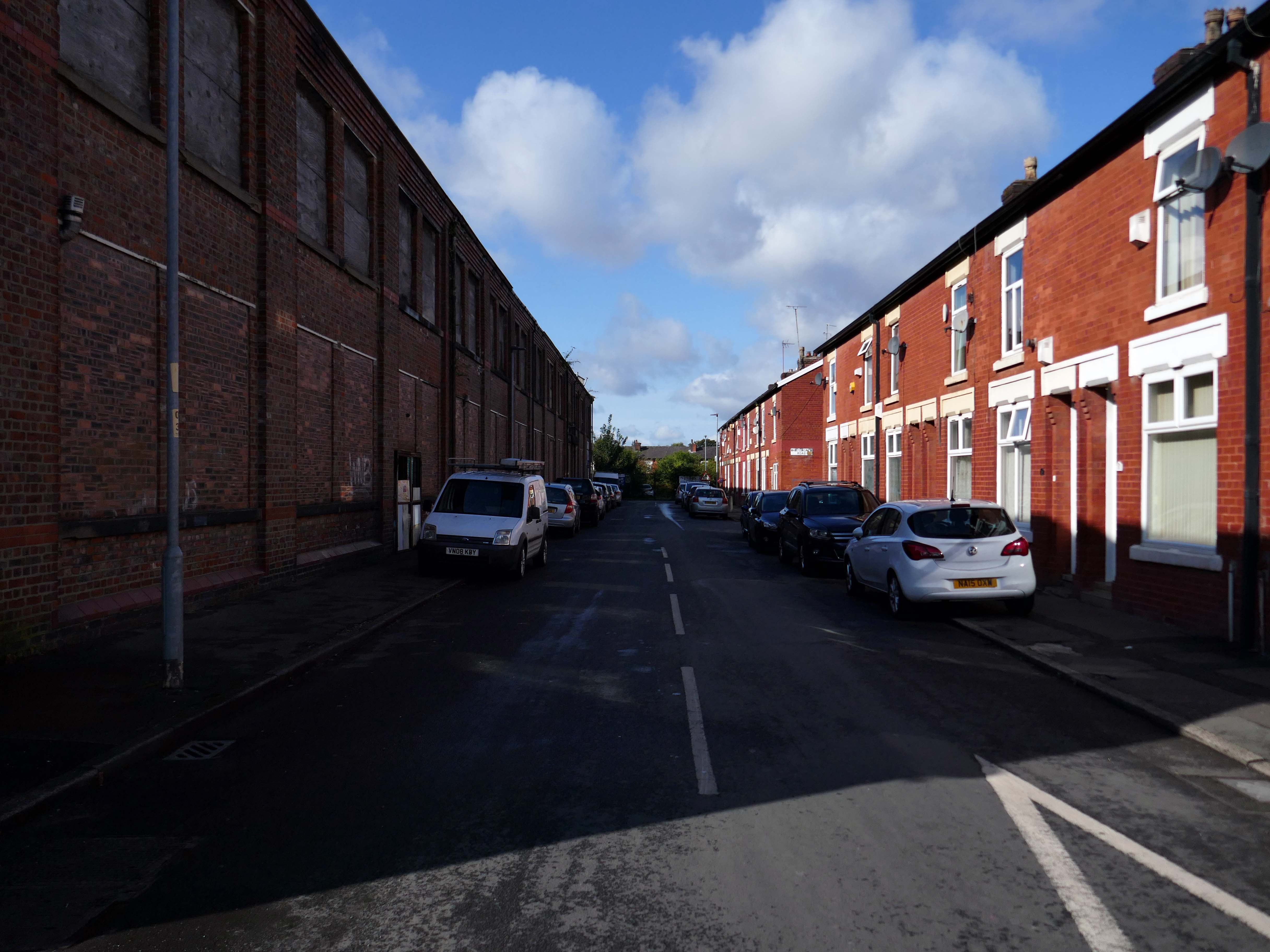
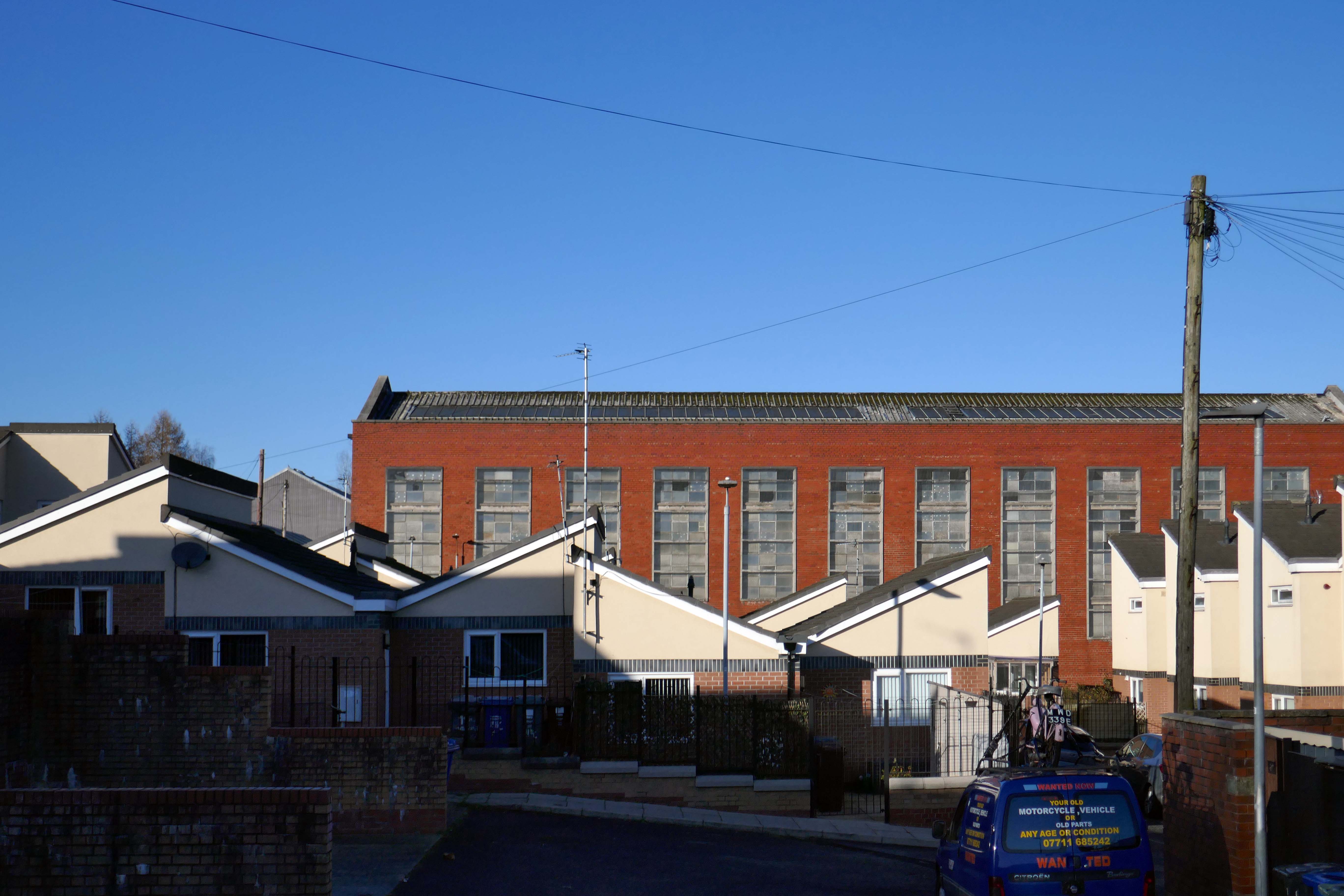
This was a world of heavy and light engineering, which reached in a broad swathe across Greater Manchester, from Stockport to Cheetham Hill and beyond.
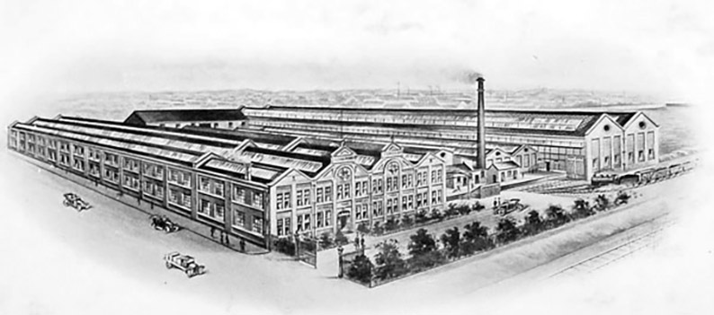
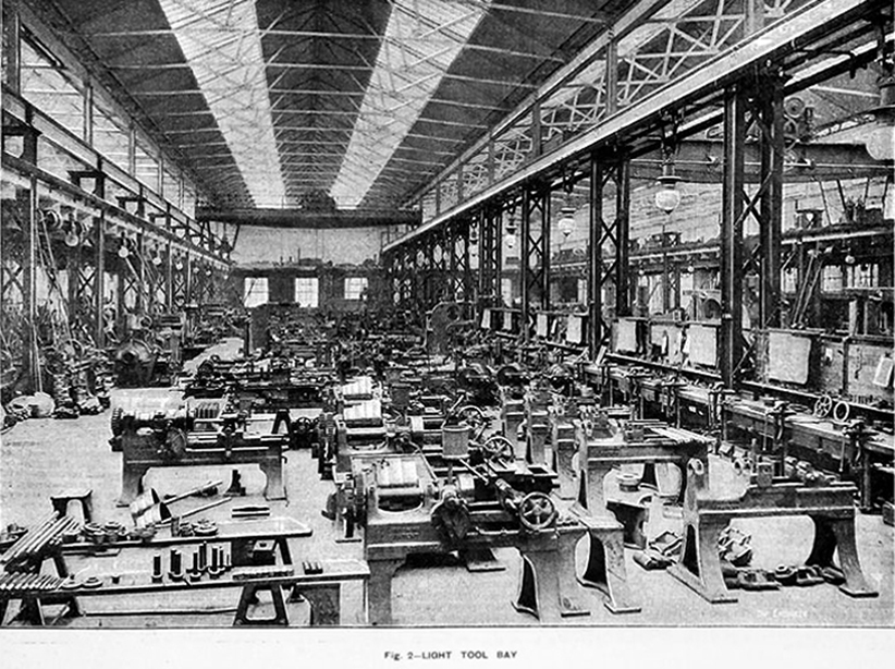
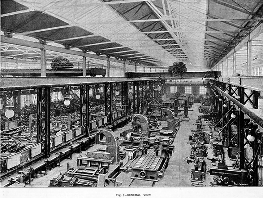
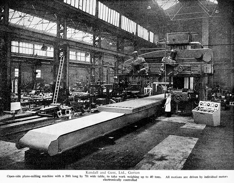
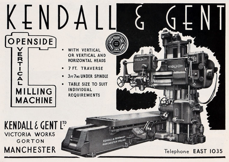
This is the Gorton Works – illustrations taken from Graces Guide.
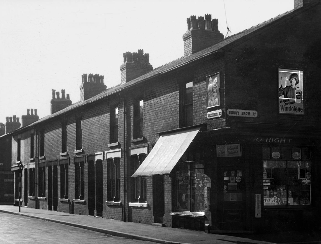
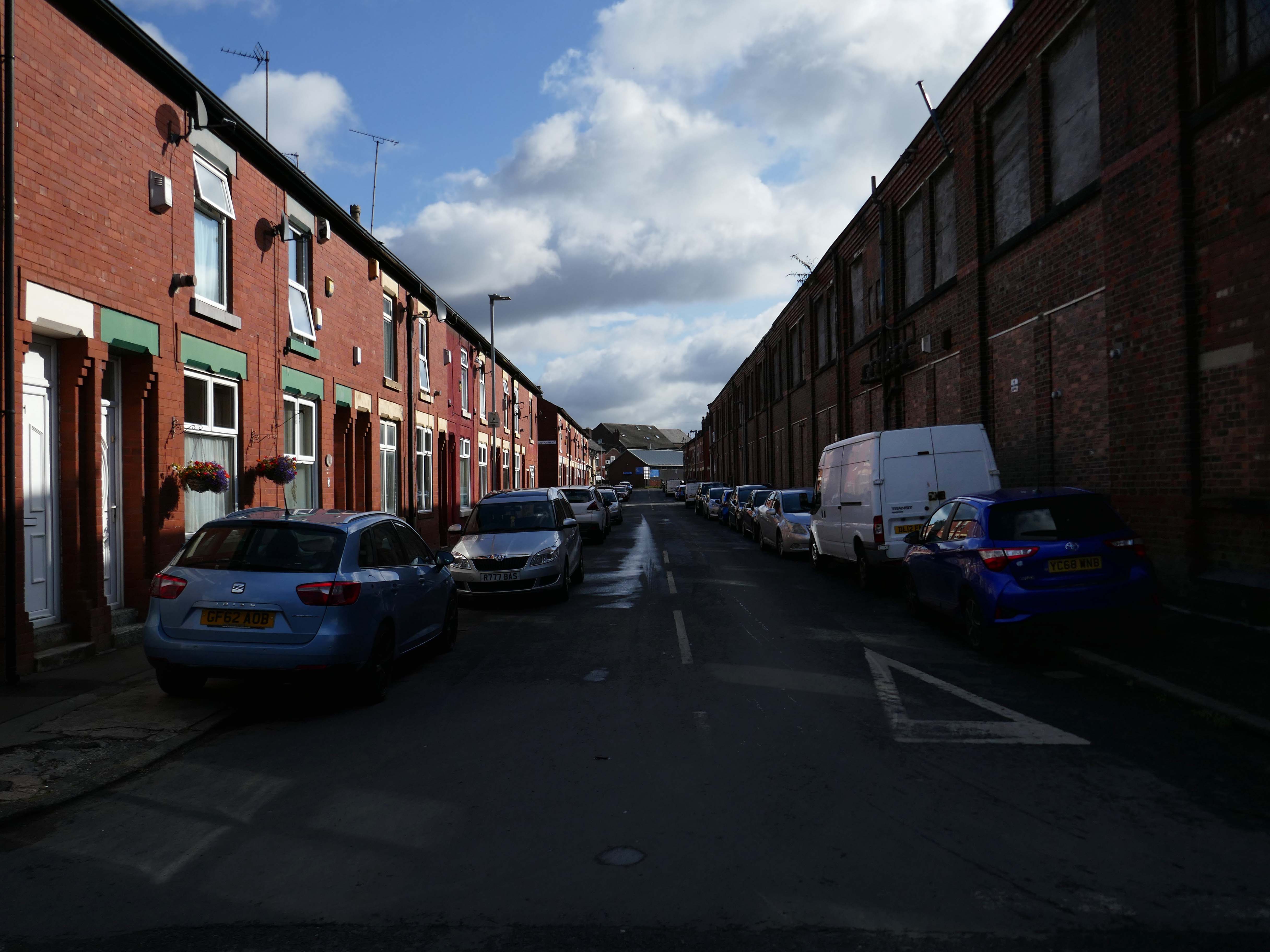
This was a world of terraced houses and corner shops, side by side with the local works.
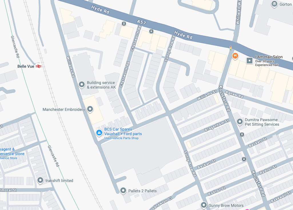
This is that corner of Williams Street and Sunny Brow Road today.
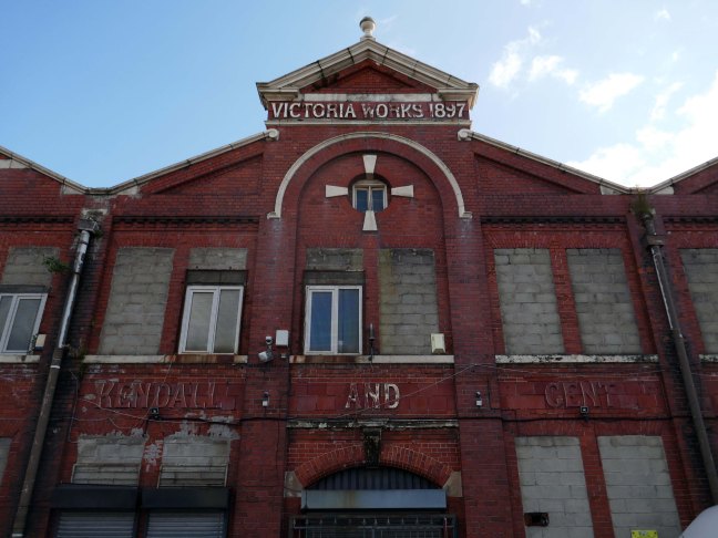
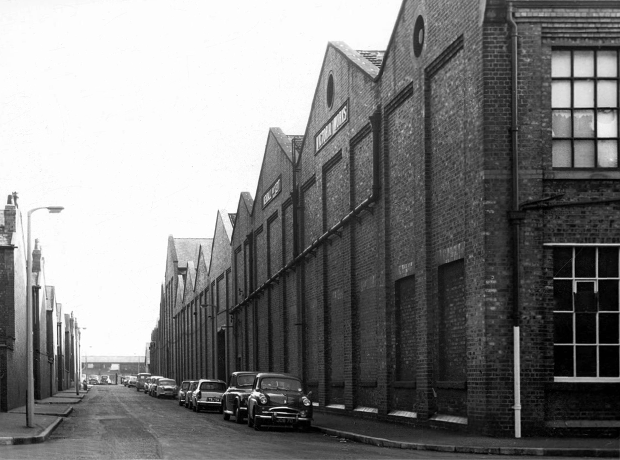
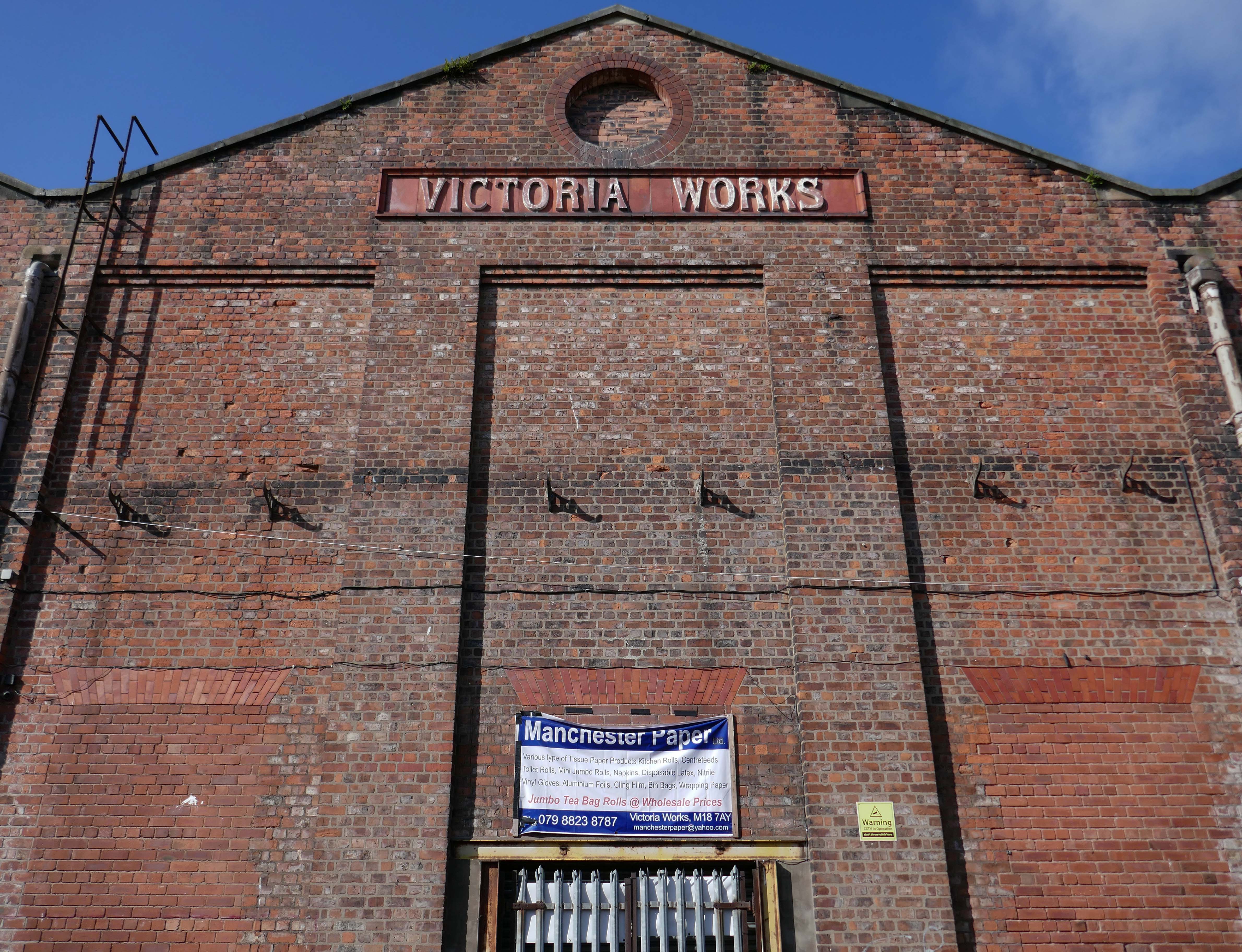
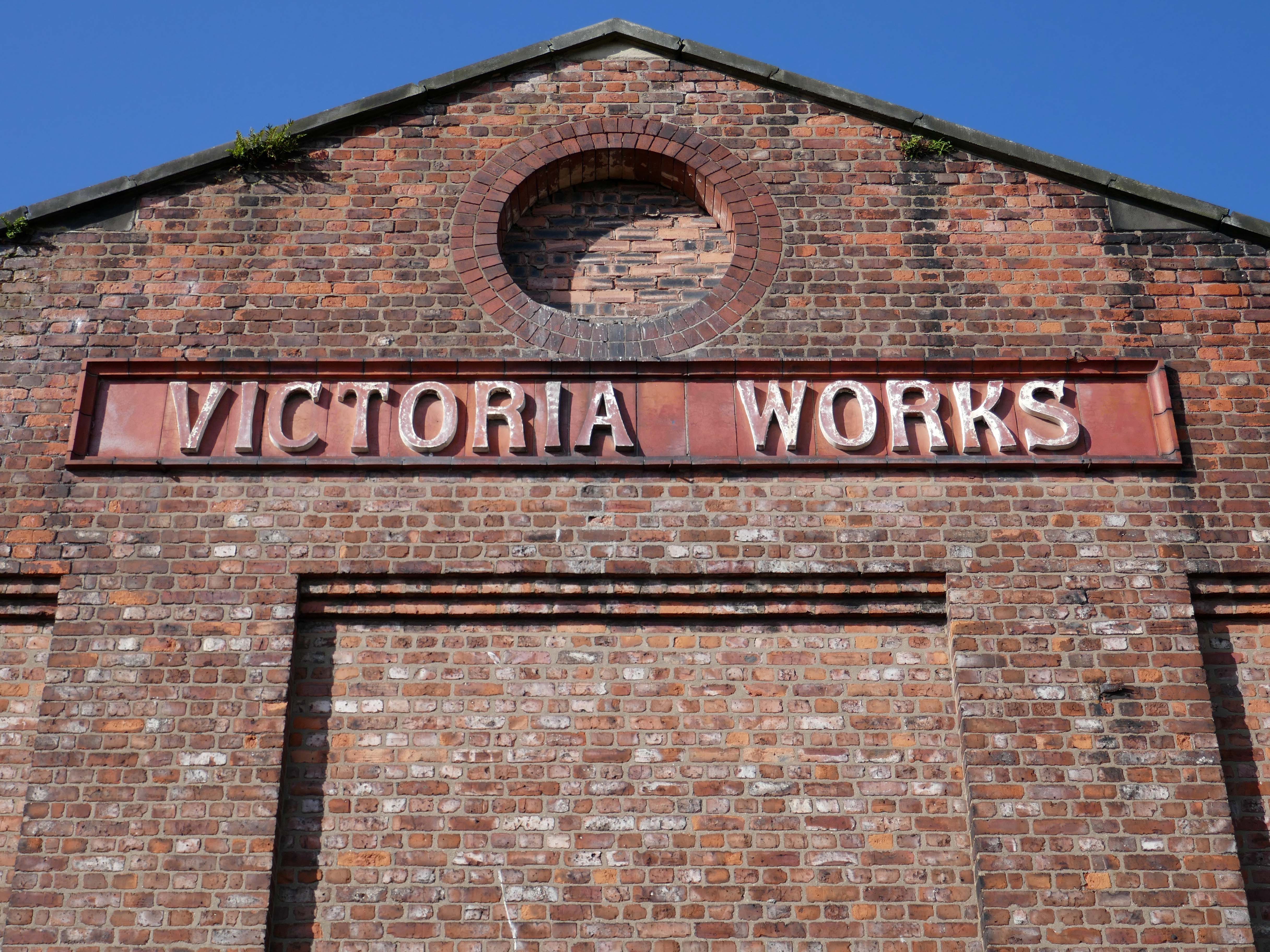
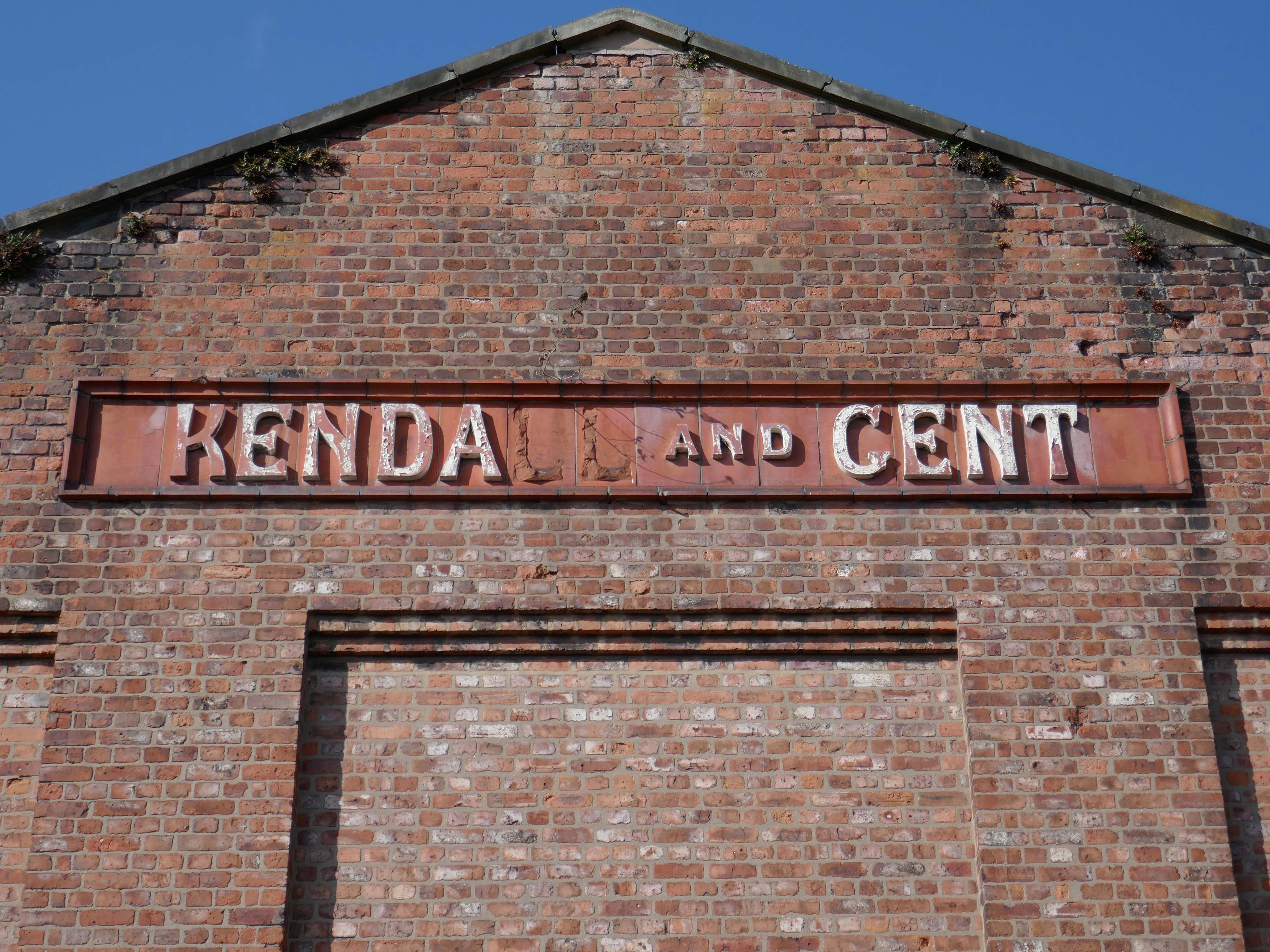
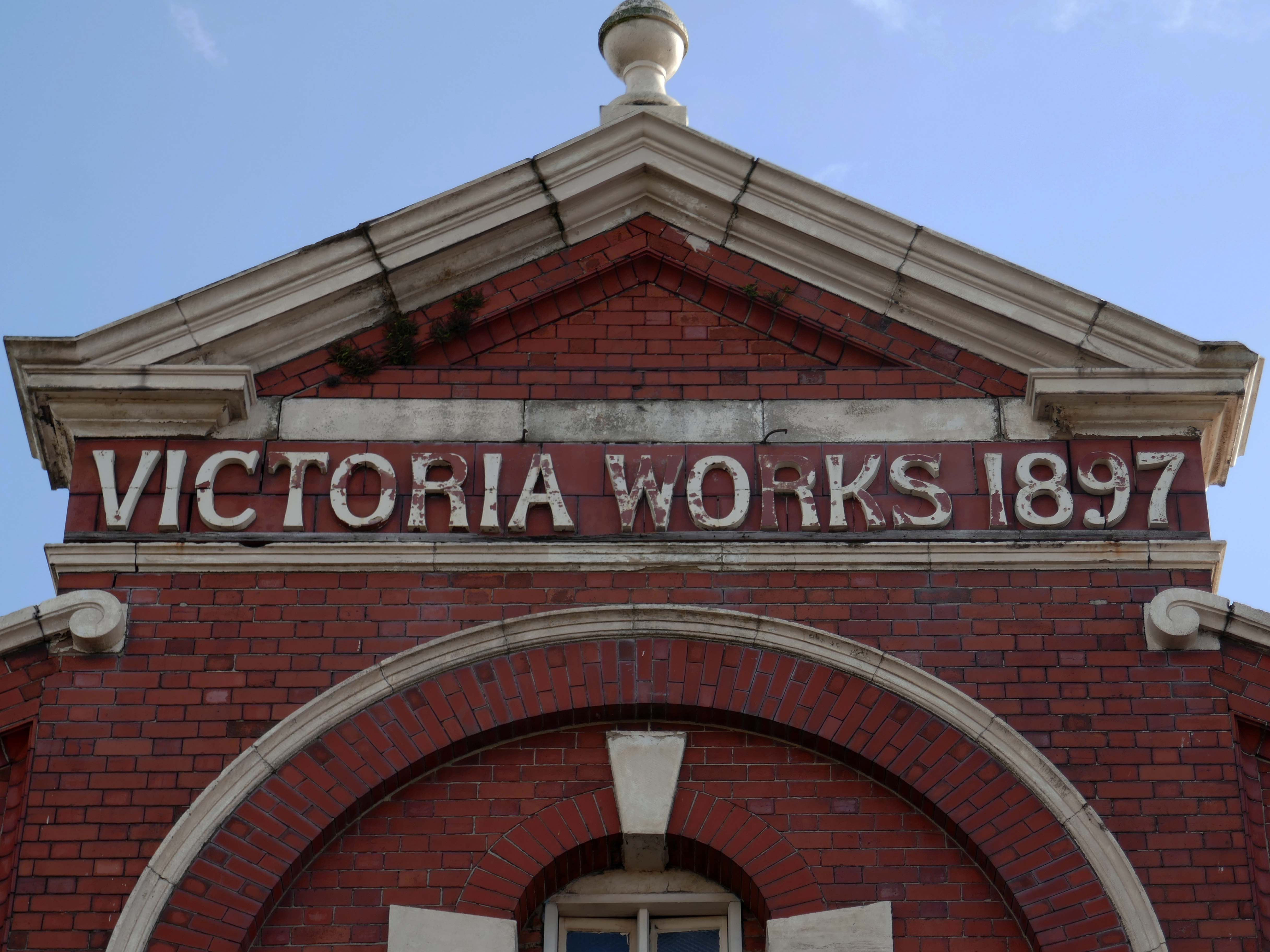
Victoria Works Sunny Brow Road.
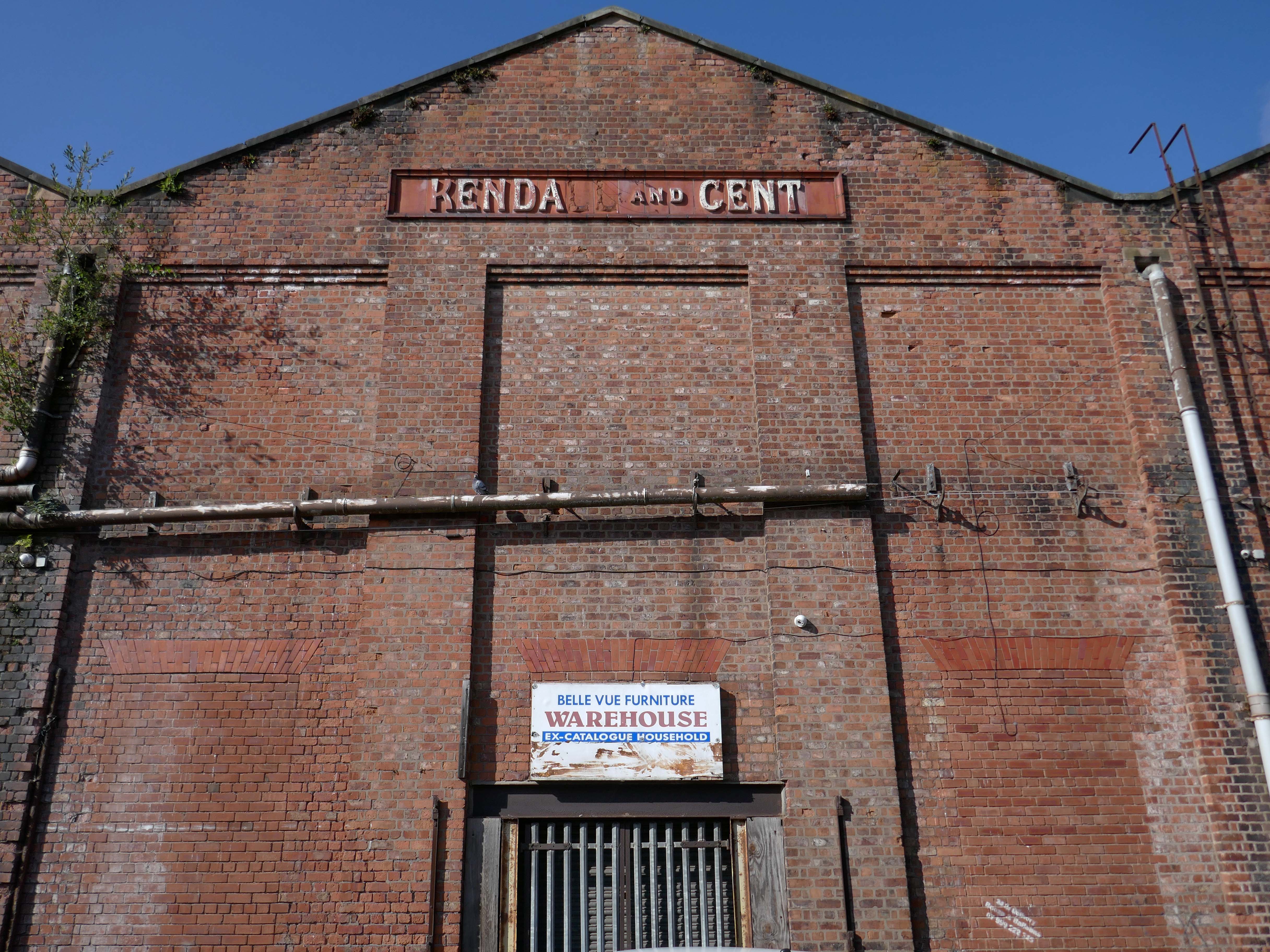
Victoria Works Williams Street
Victoria Works Williams Road
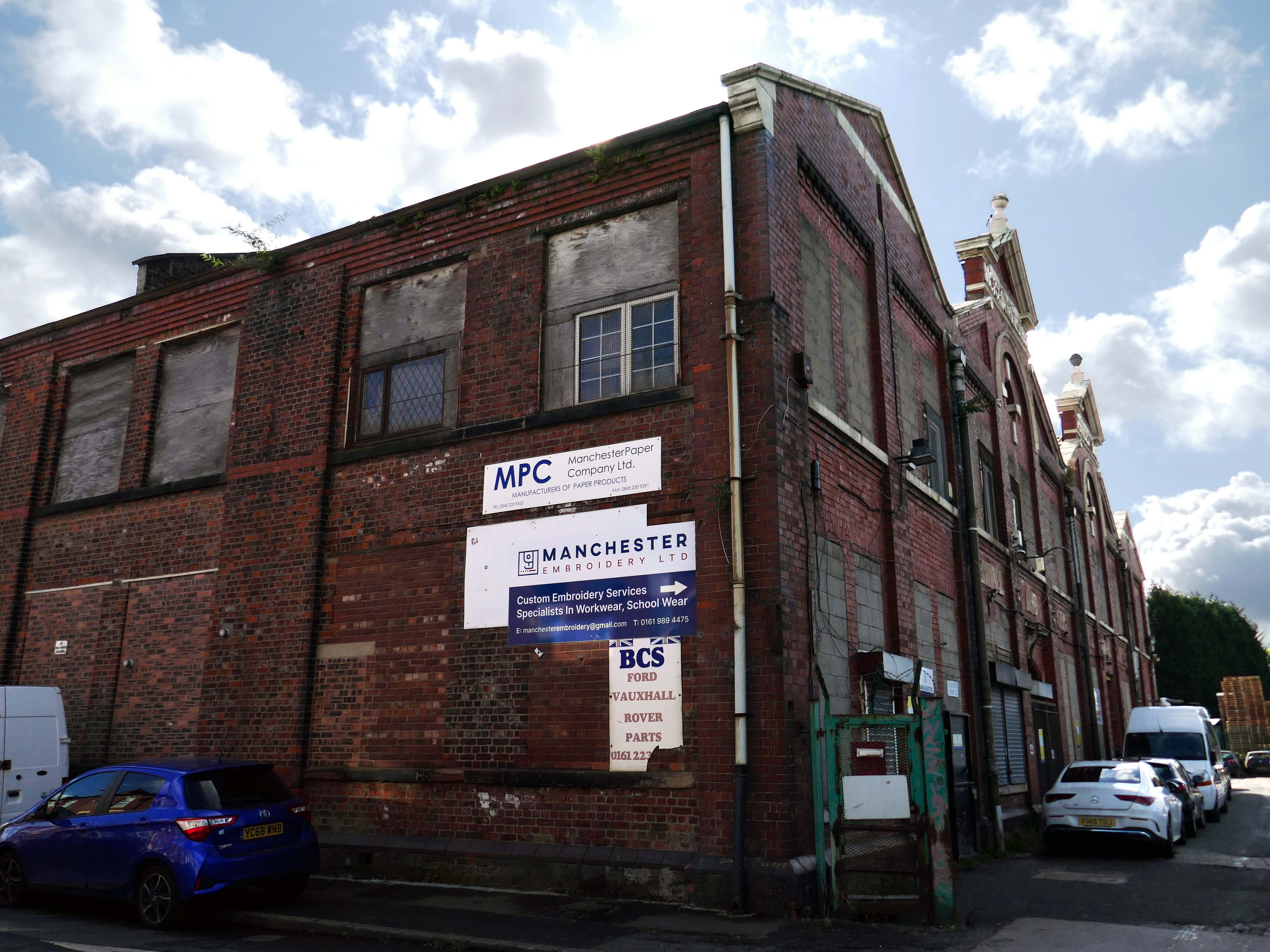
Manchester’s engineering industry has subsequently been seriously diminished.
The building became a base for toilet paper manufacturing and distribution.
But the metal beat goes on in both Wolverhampton and Florida.
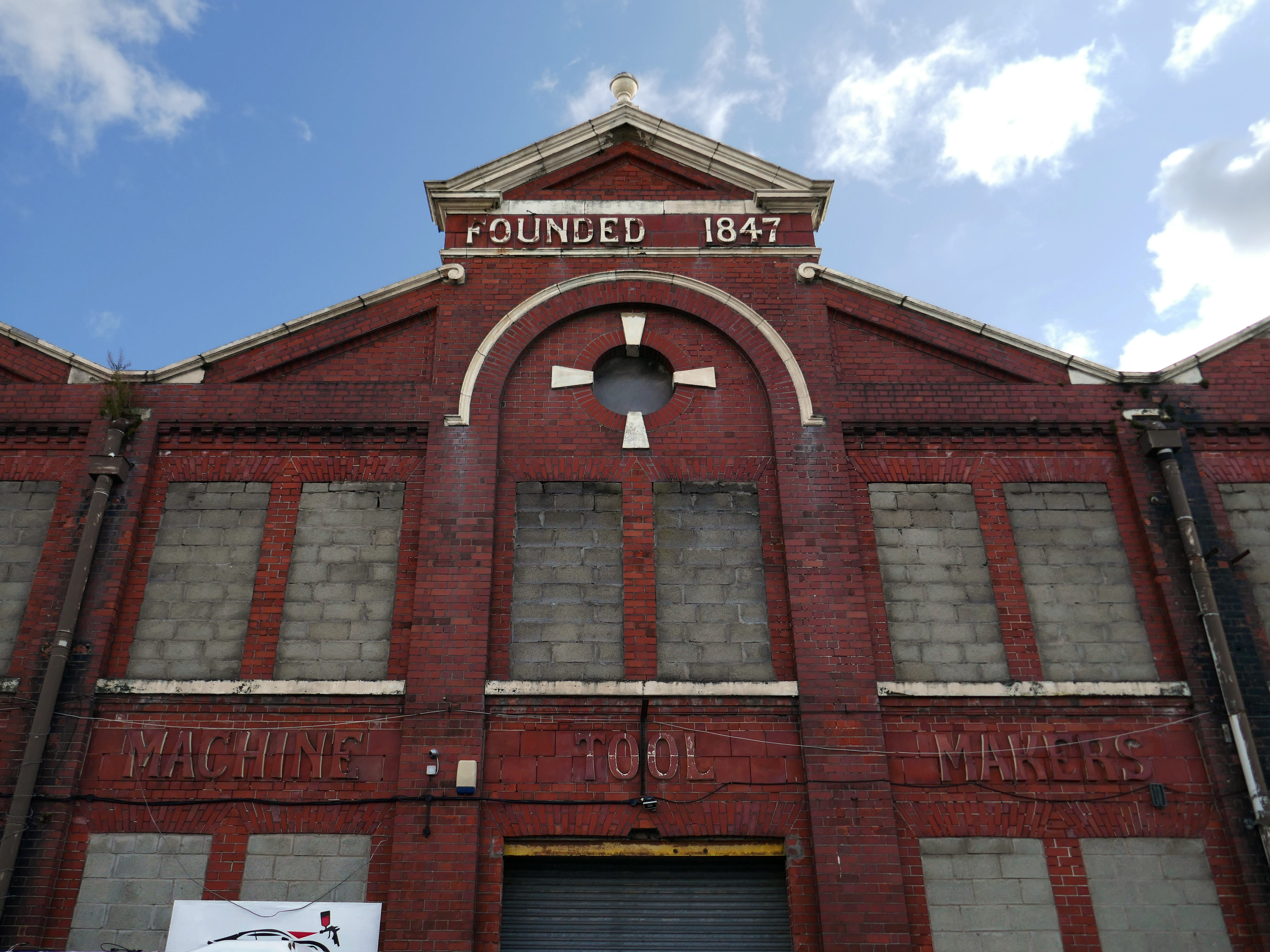
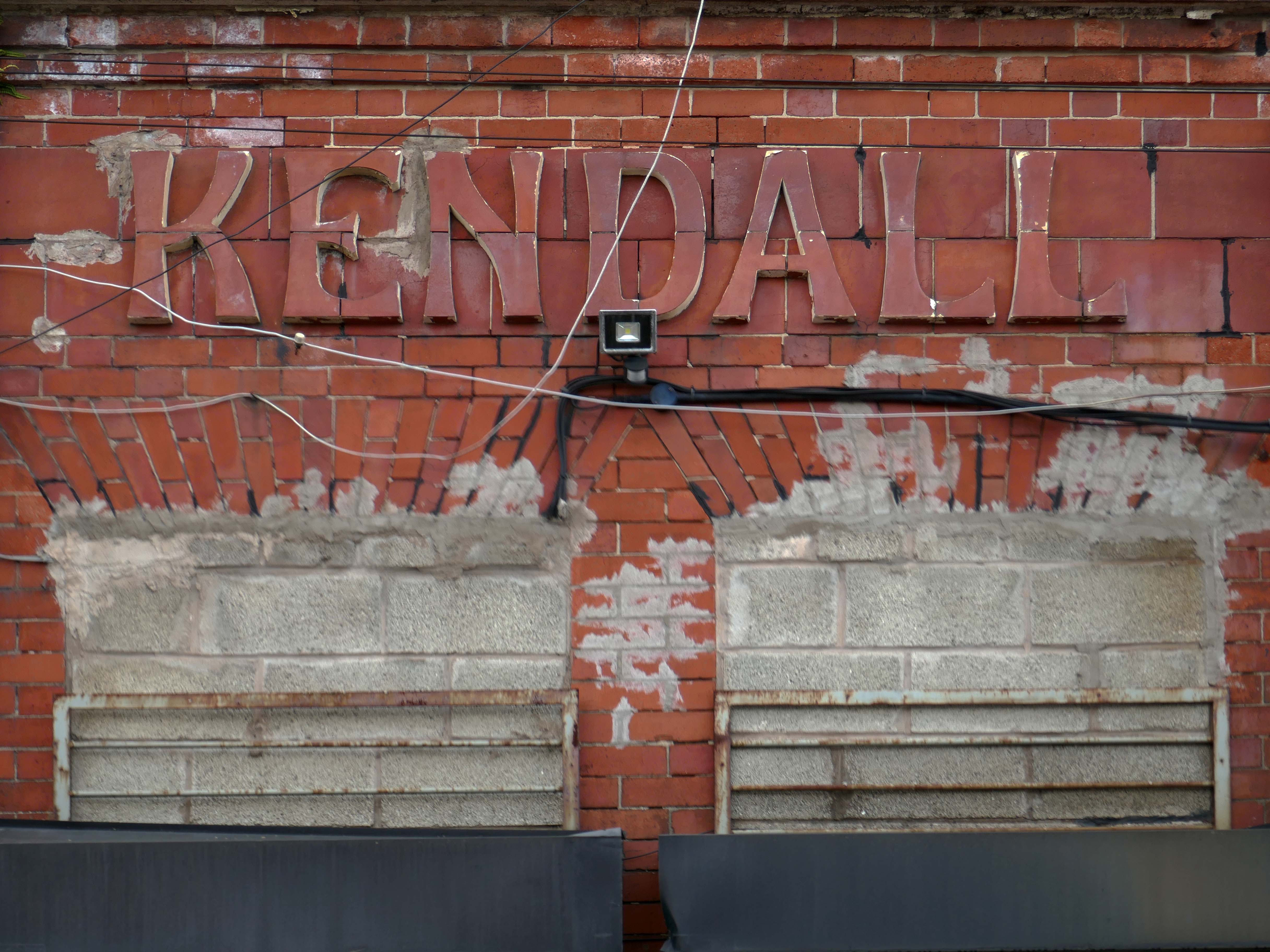
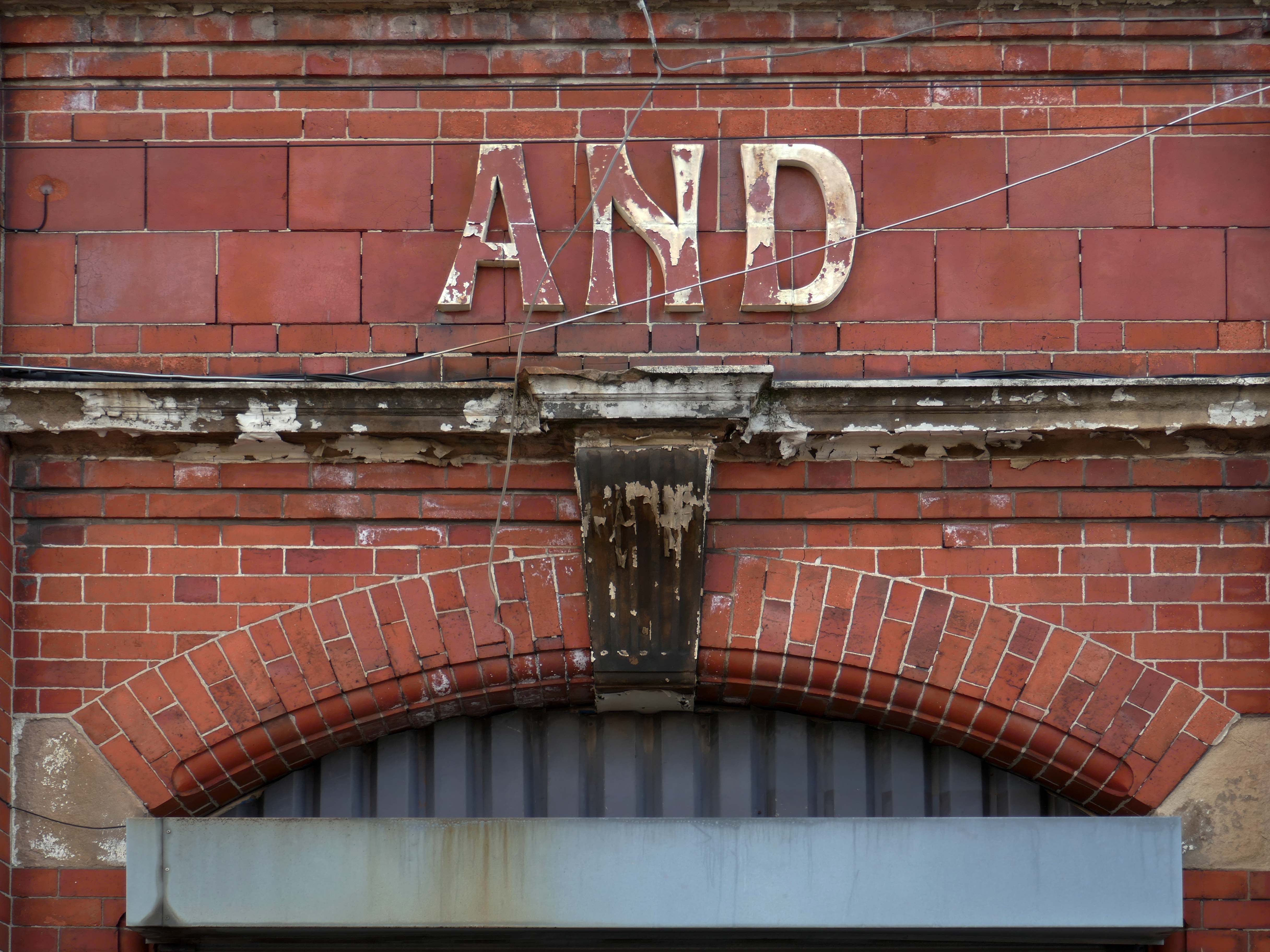
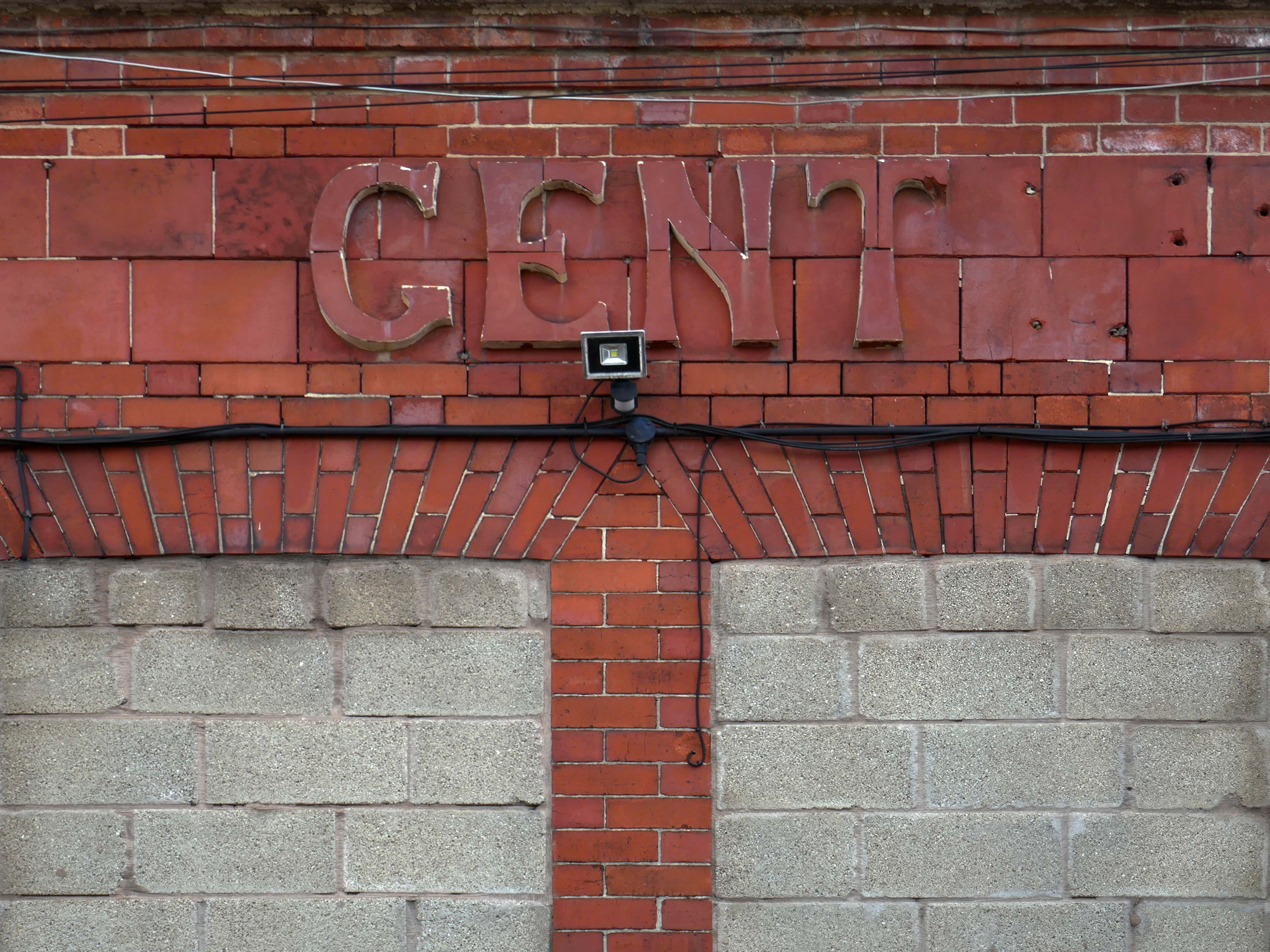
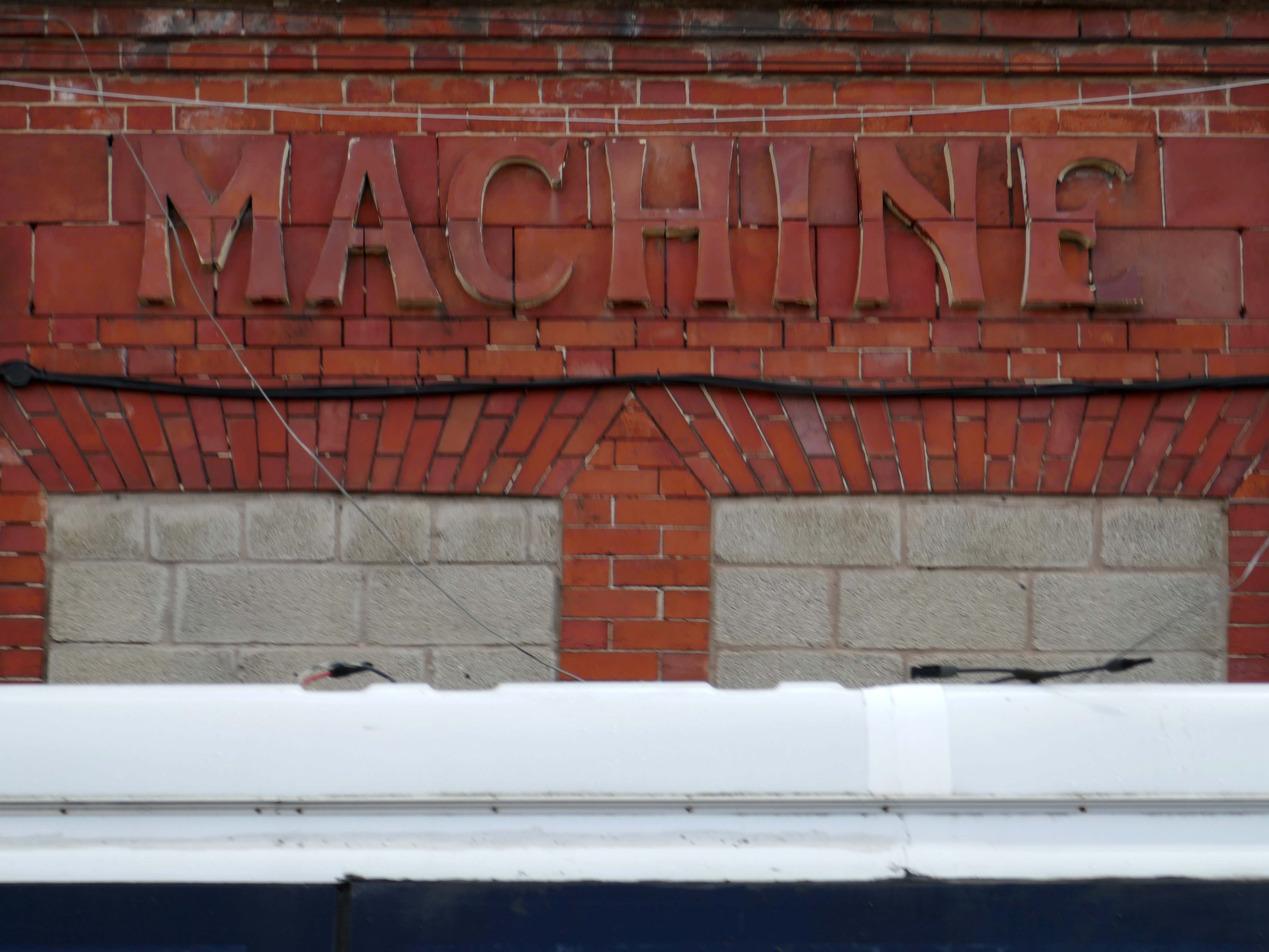
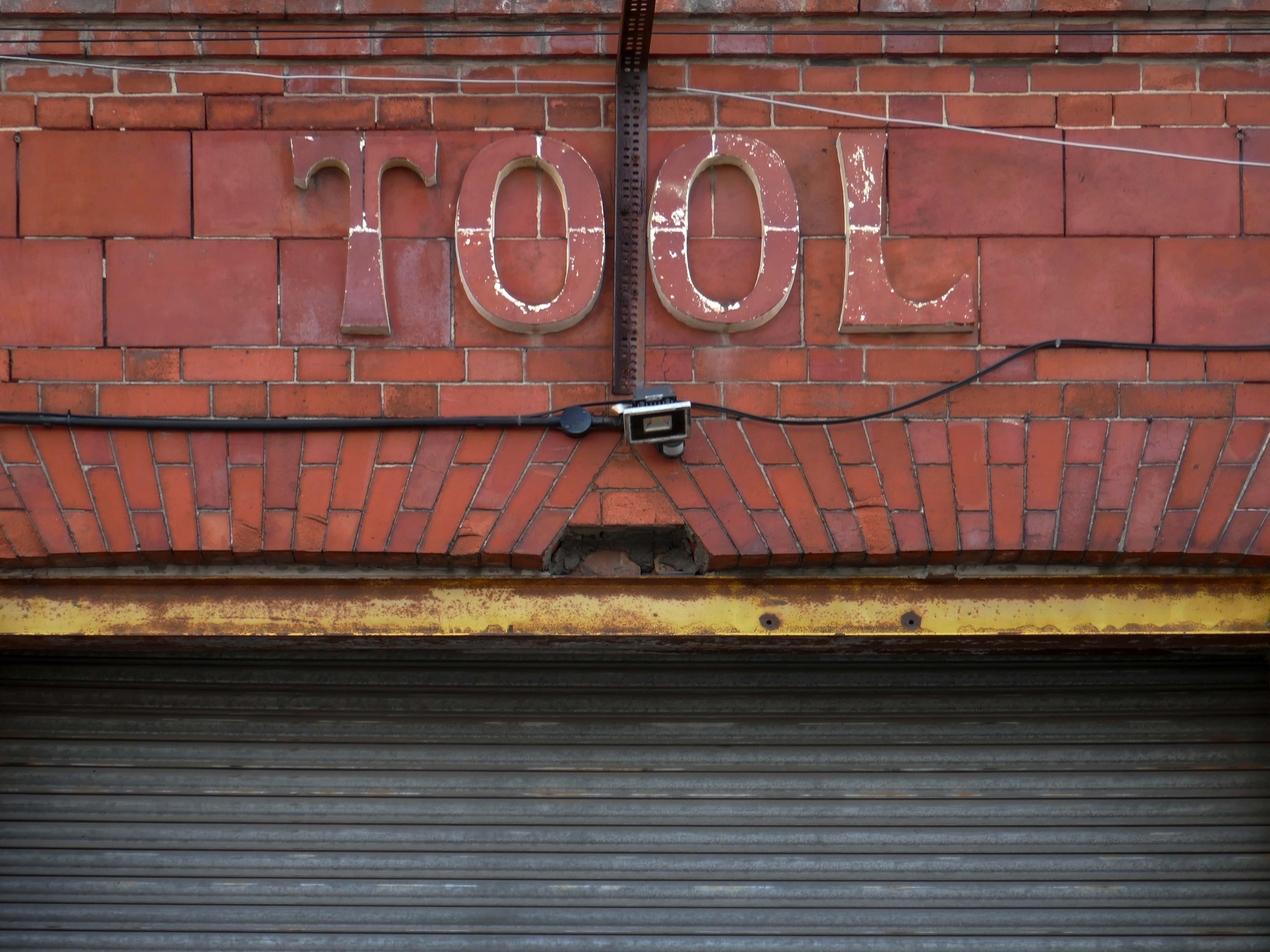
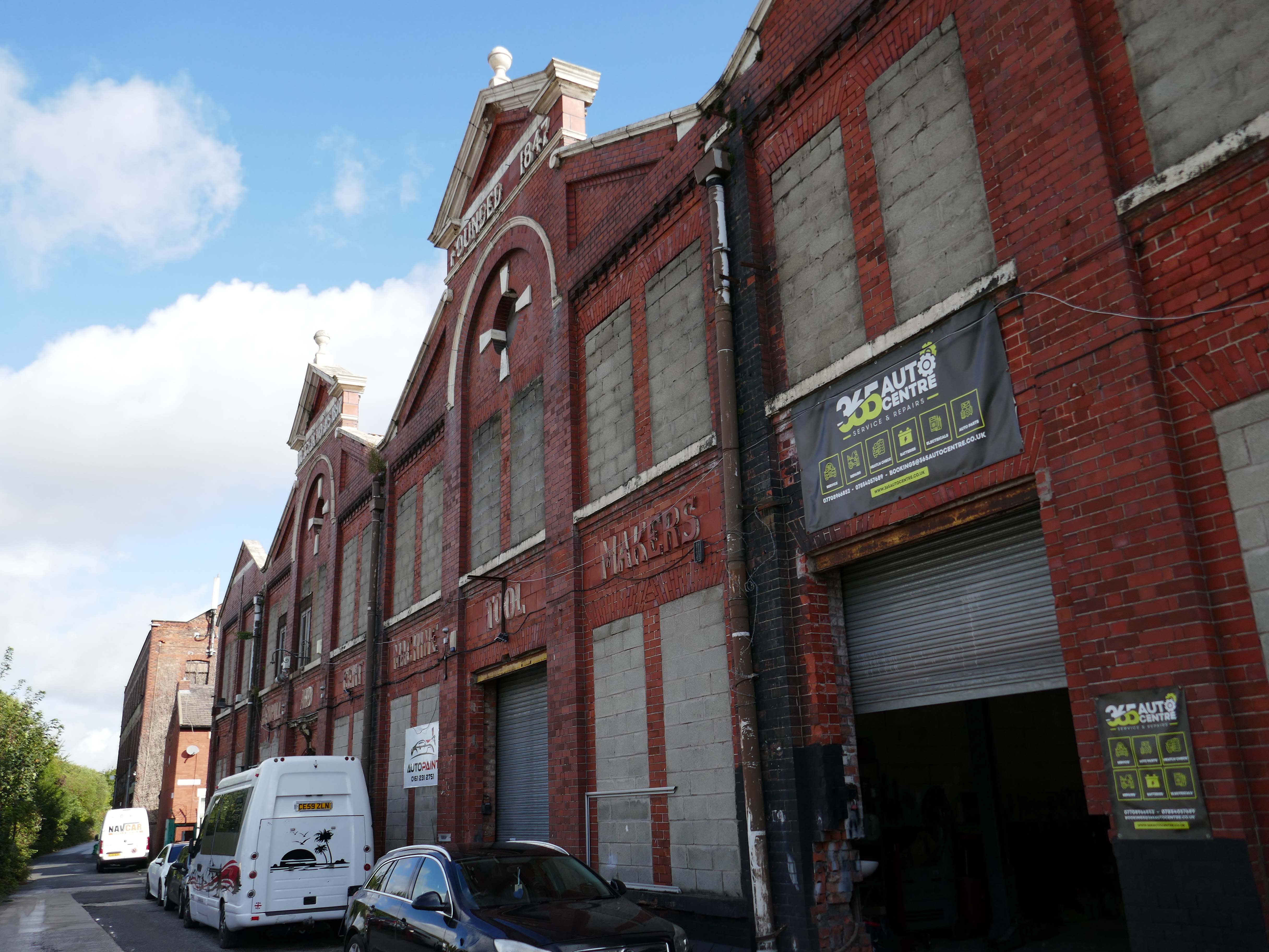
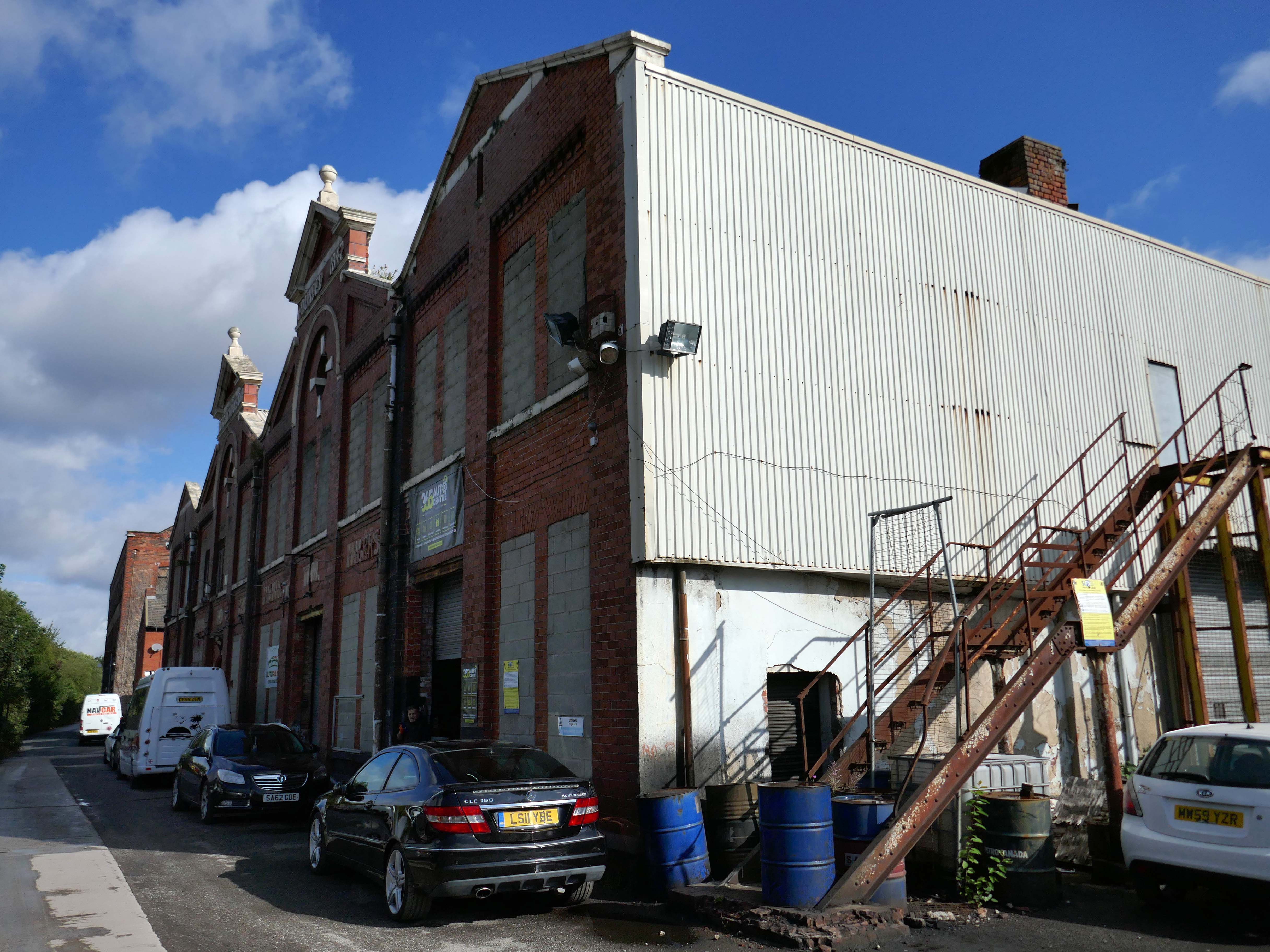
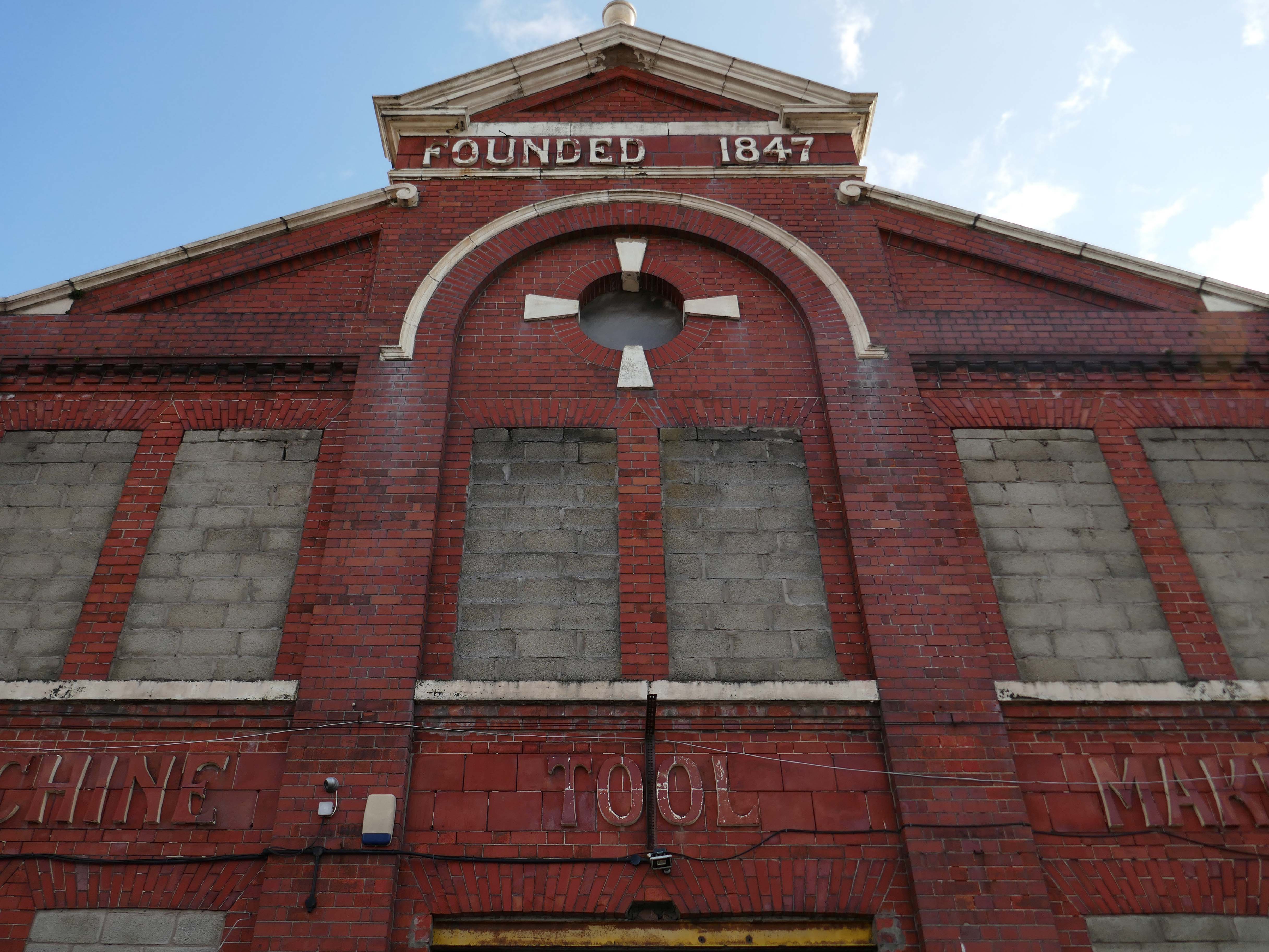
Originally formed in 1847, Kendall and Gent enjoyed many years as one of the biggest machine tool manufacturers in the UK, producing many large machines which are still in production today. Many of the tangential threading machines are still used in pipe, bolt and stud threading.
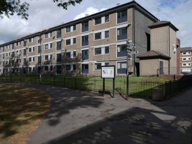
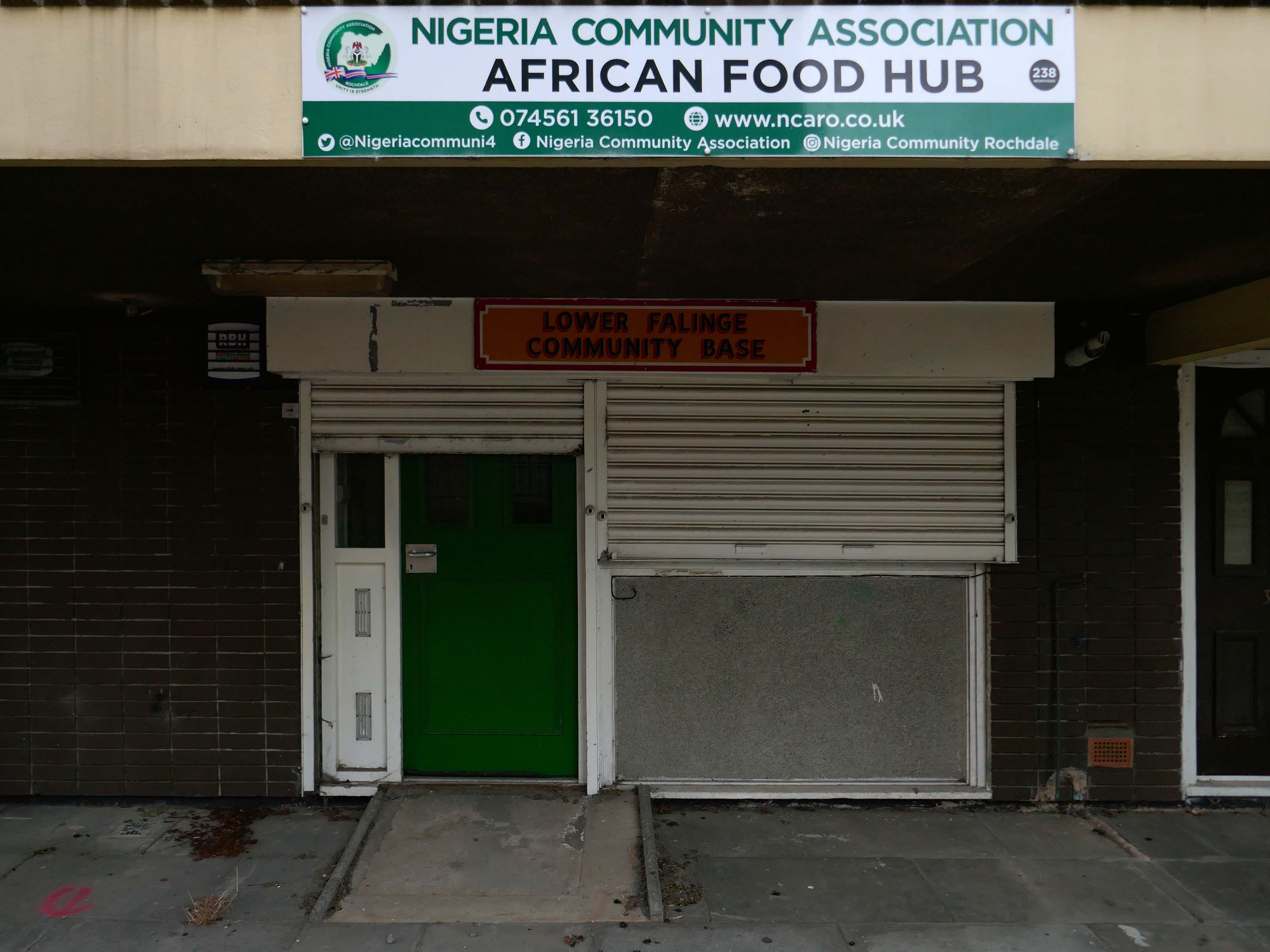
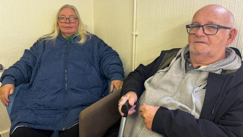
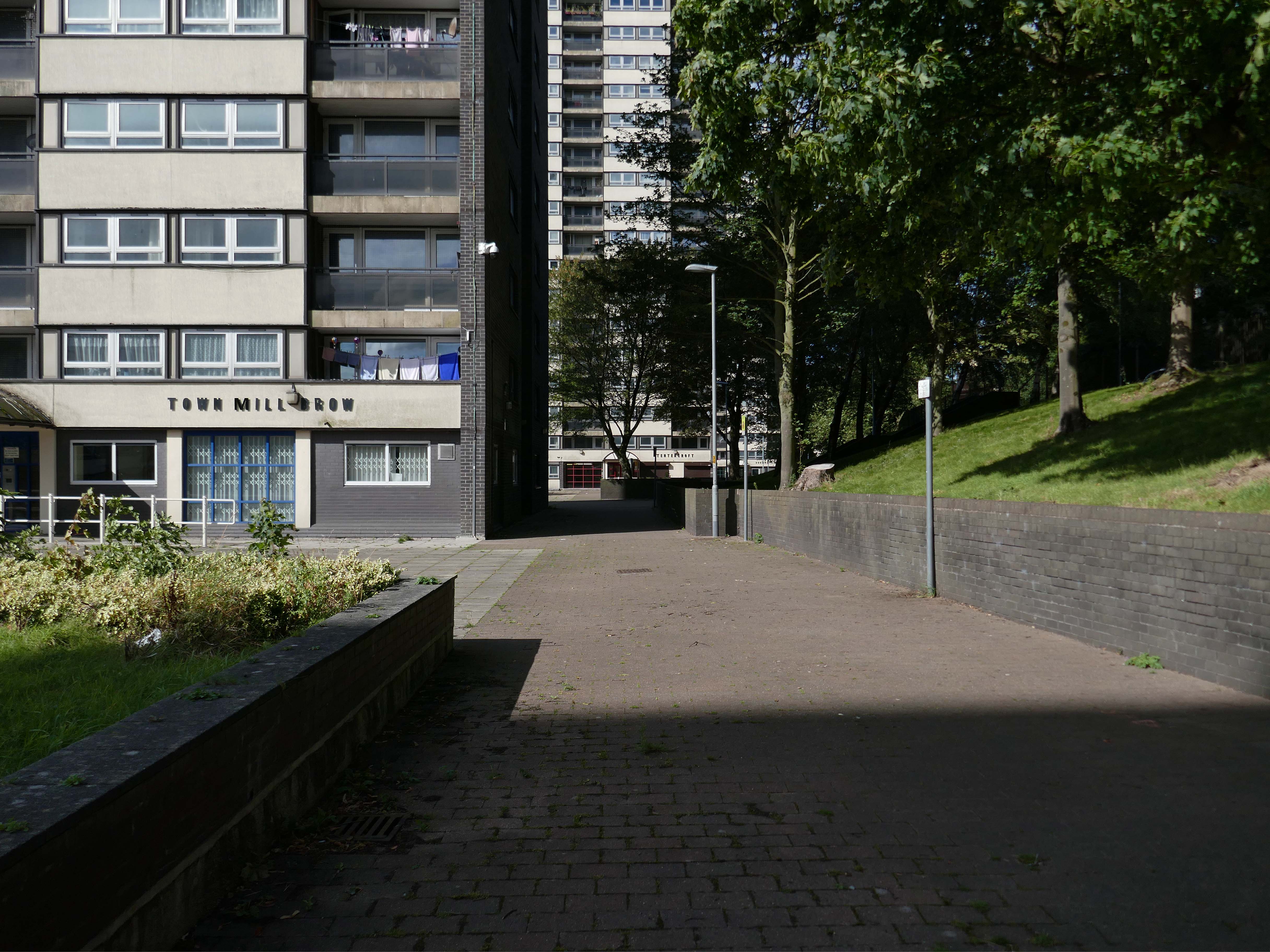
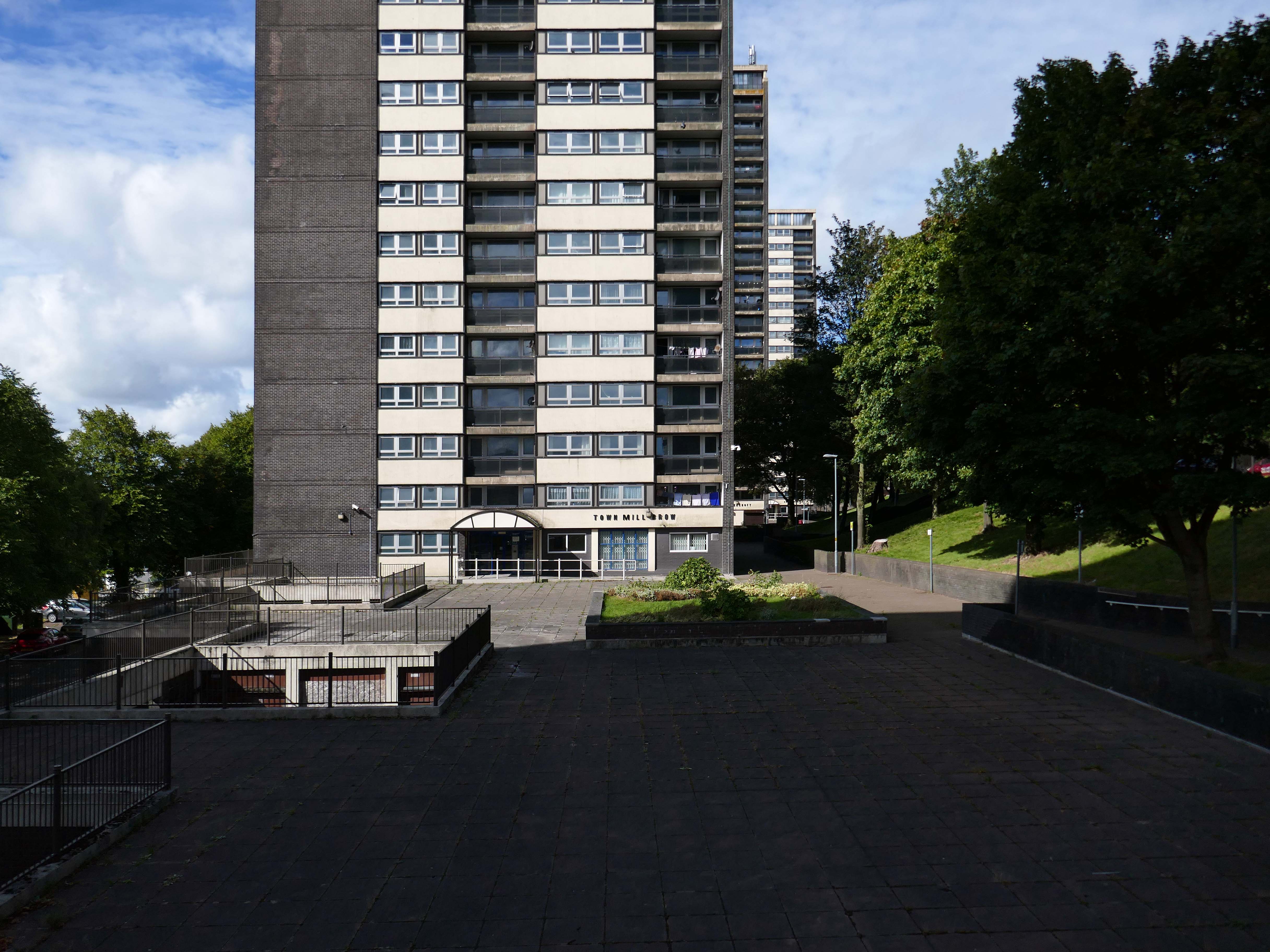
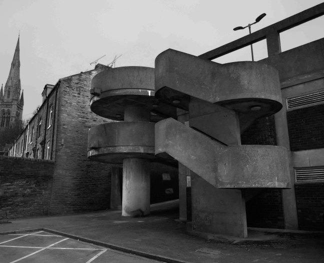
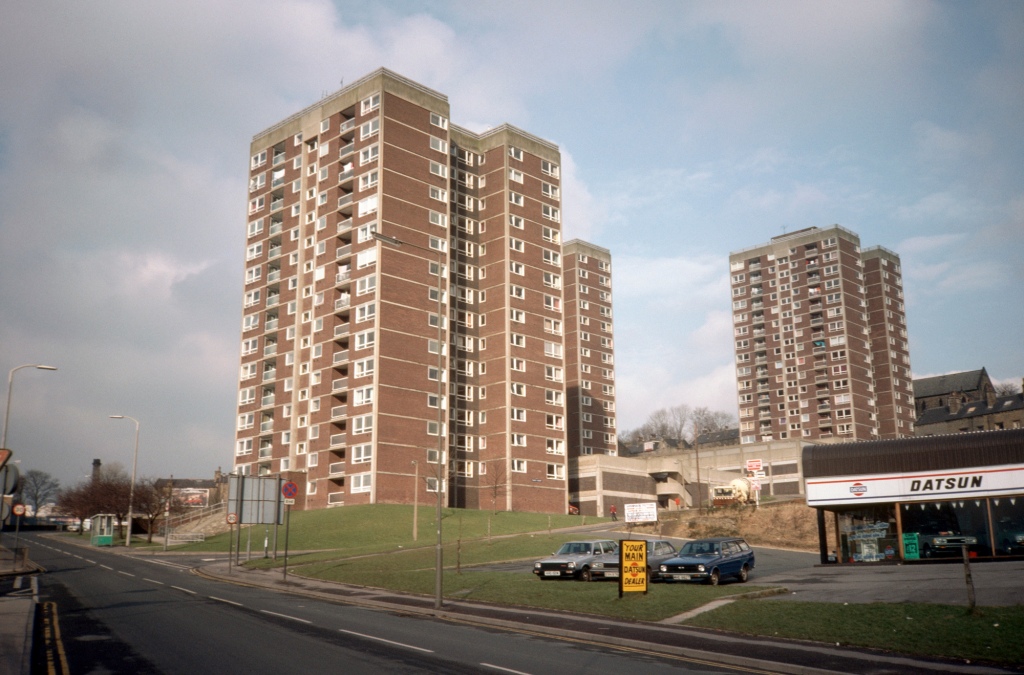
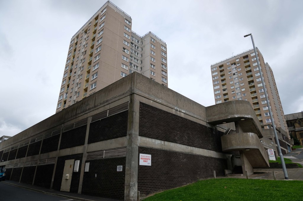
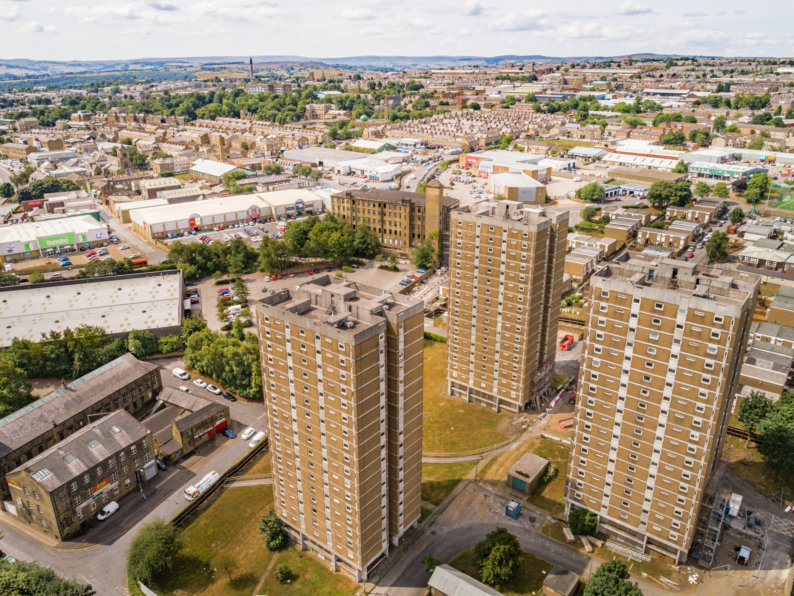
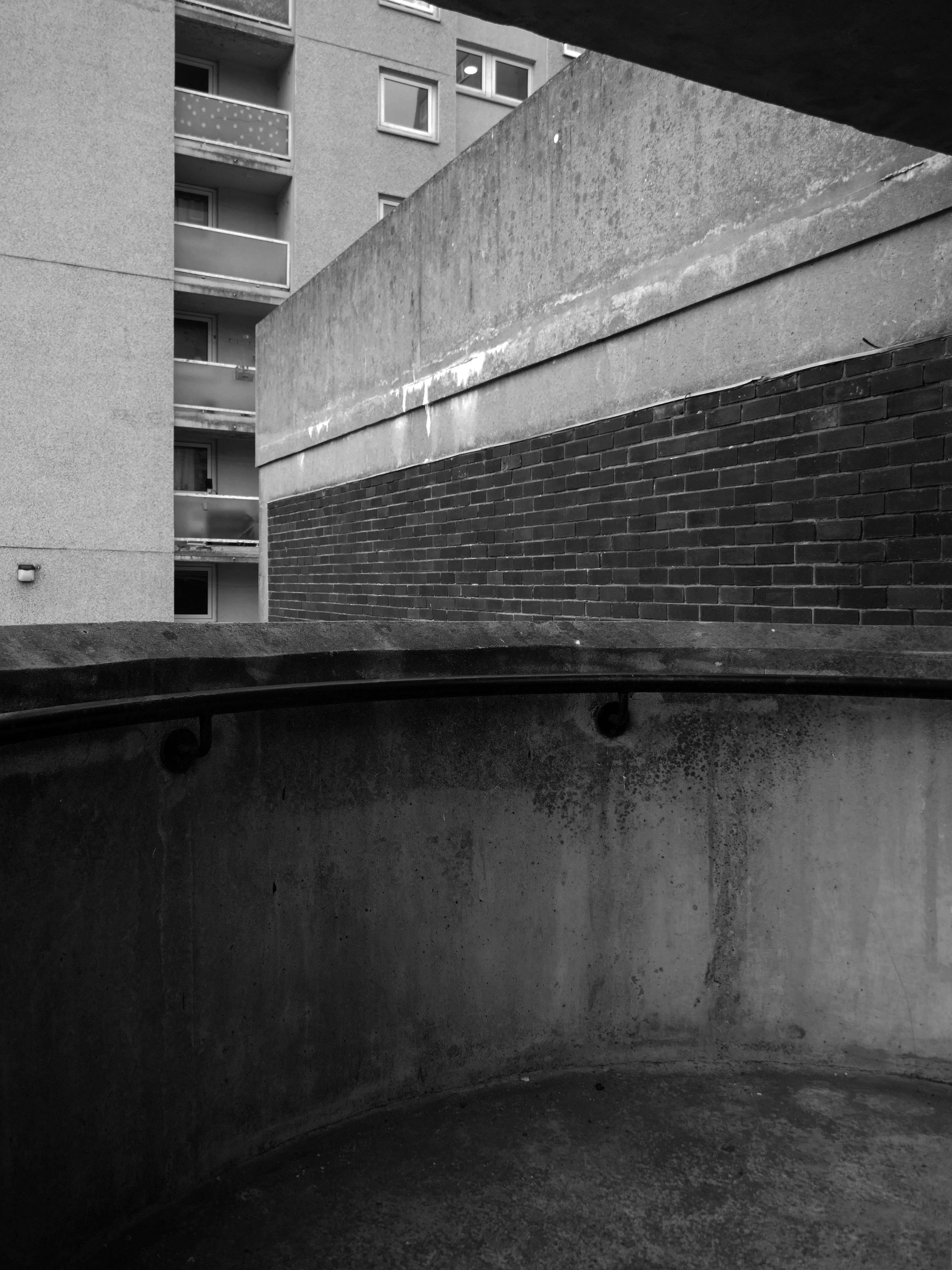
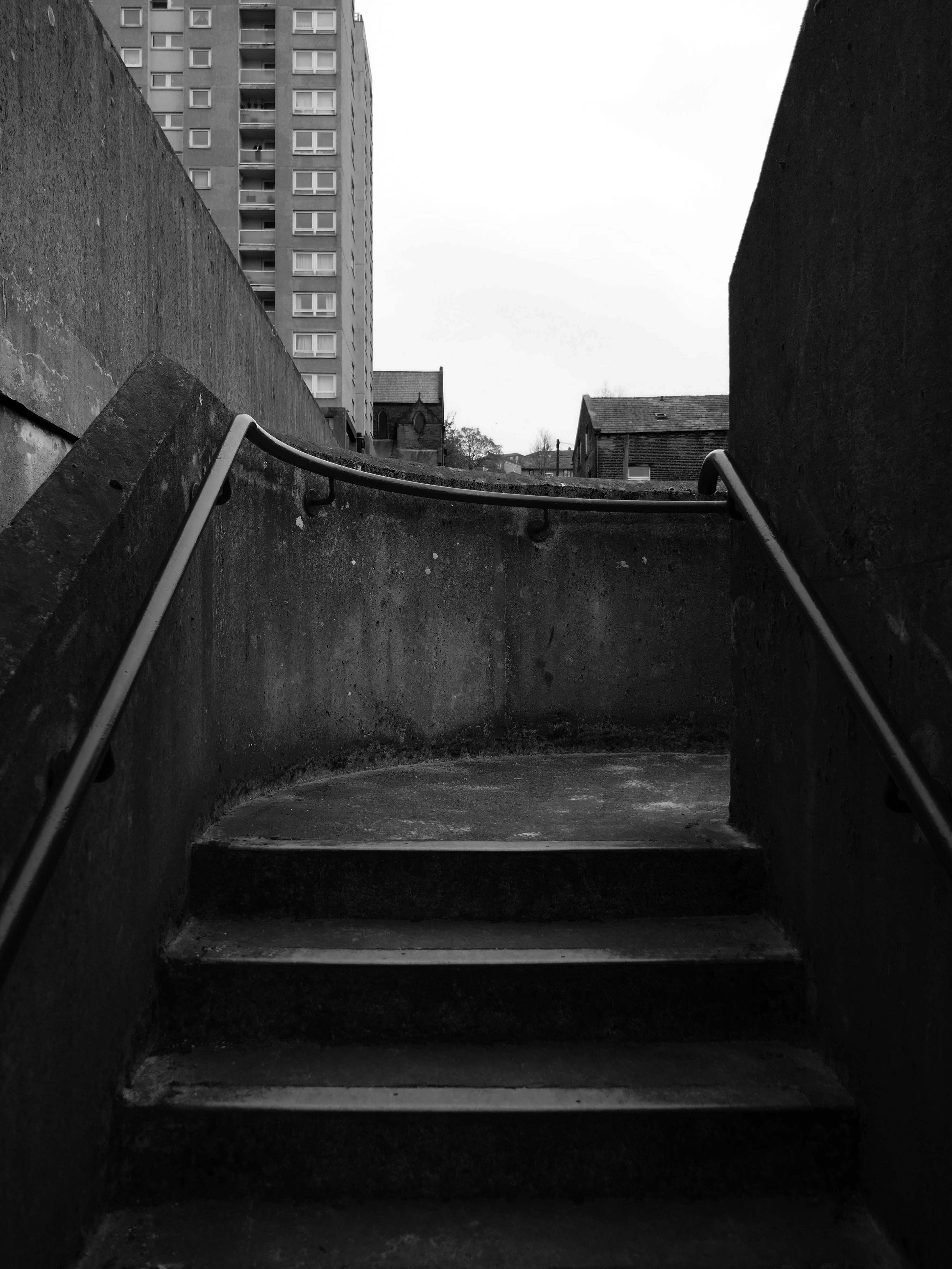
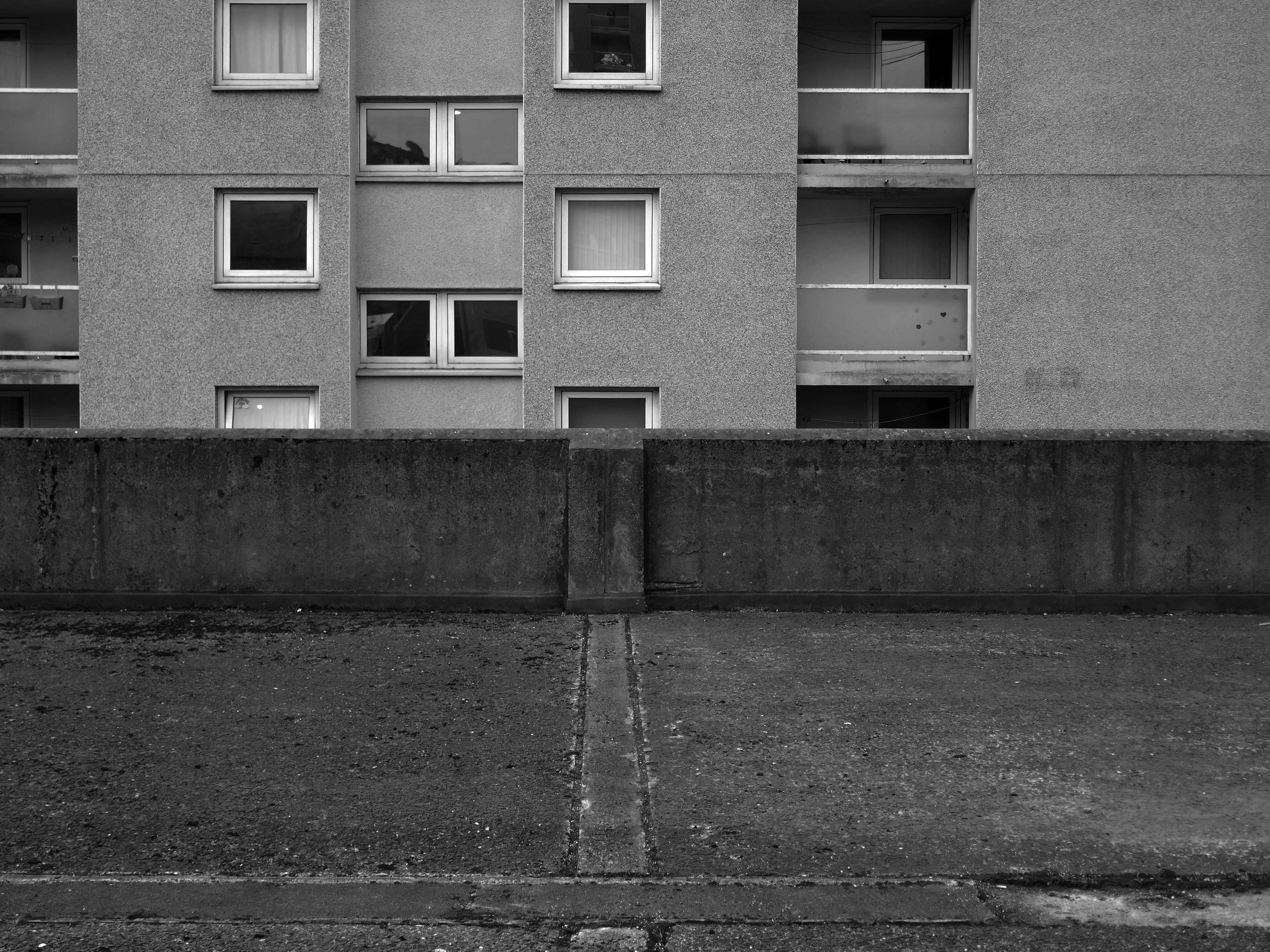
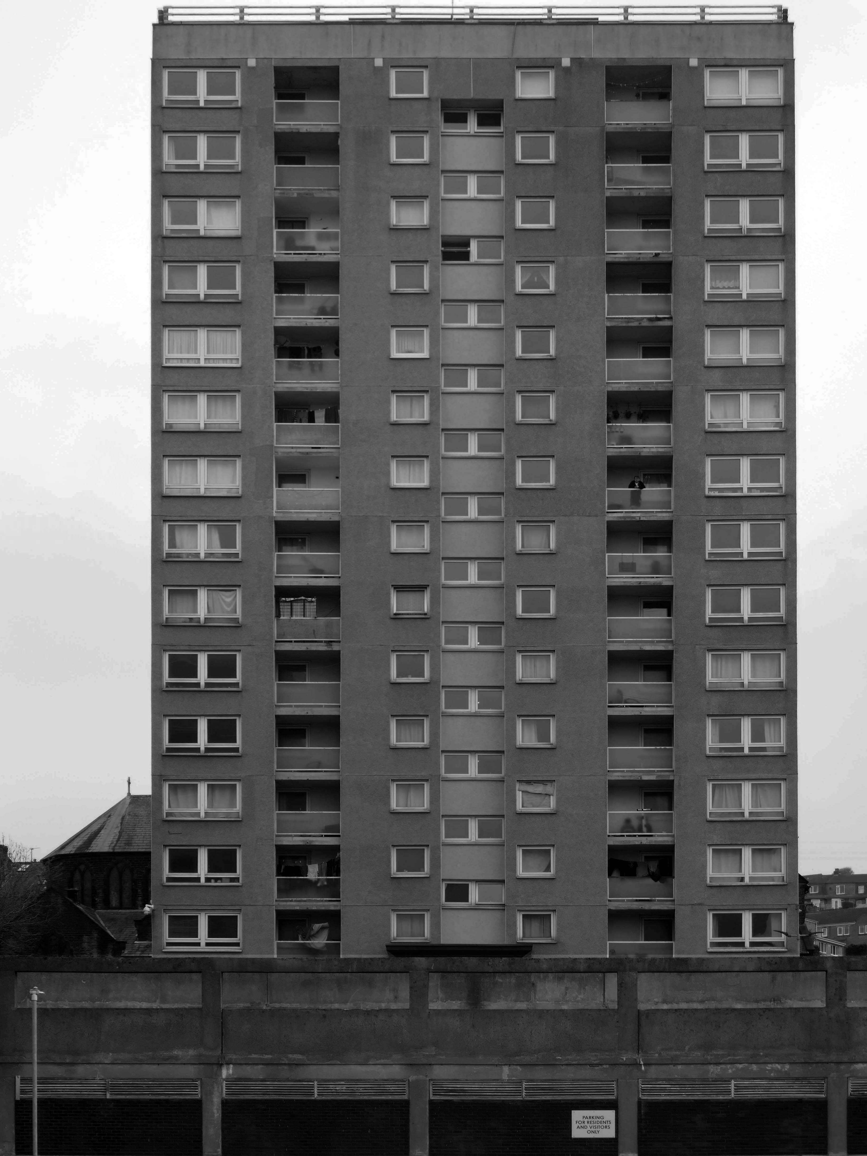
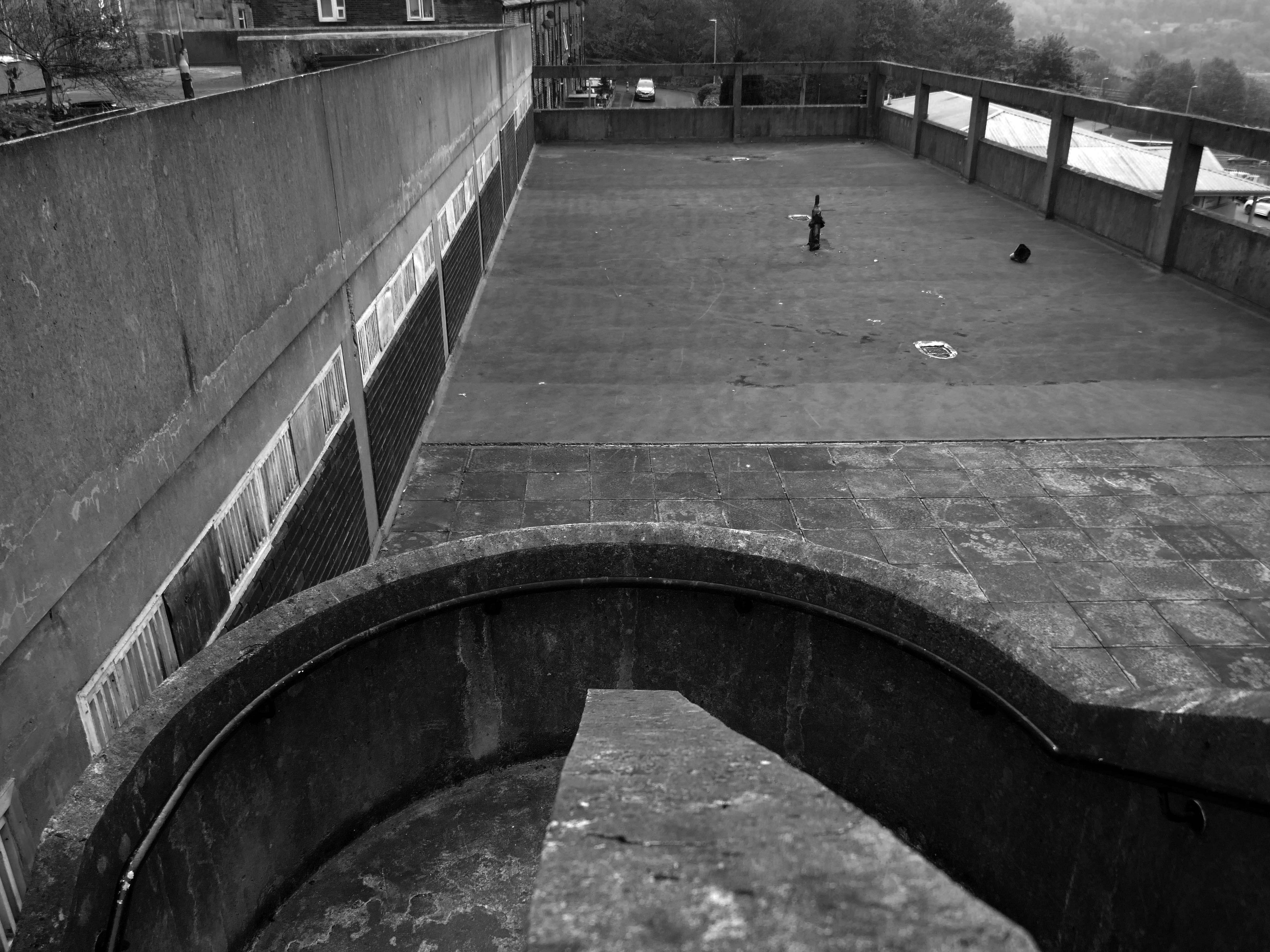
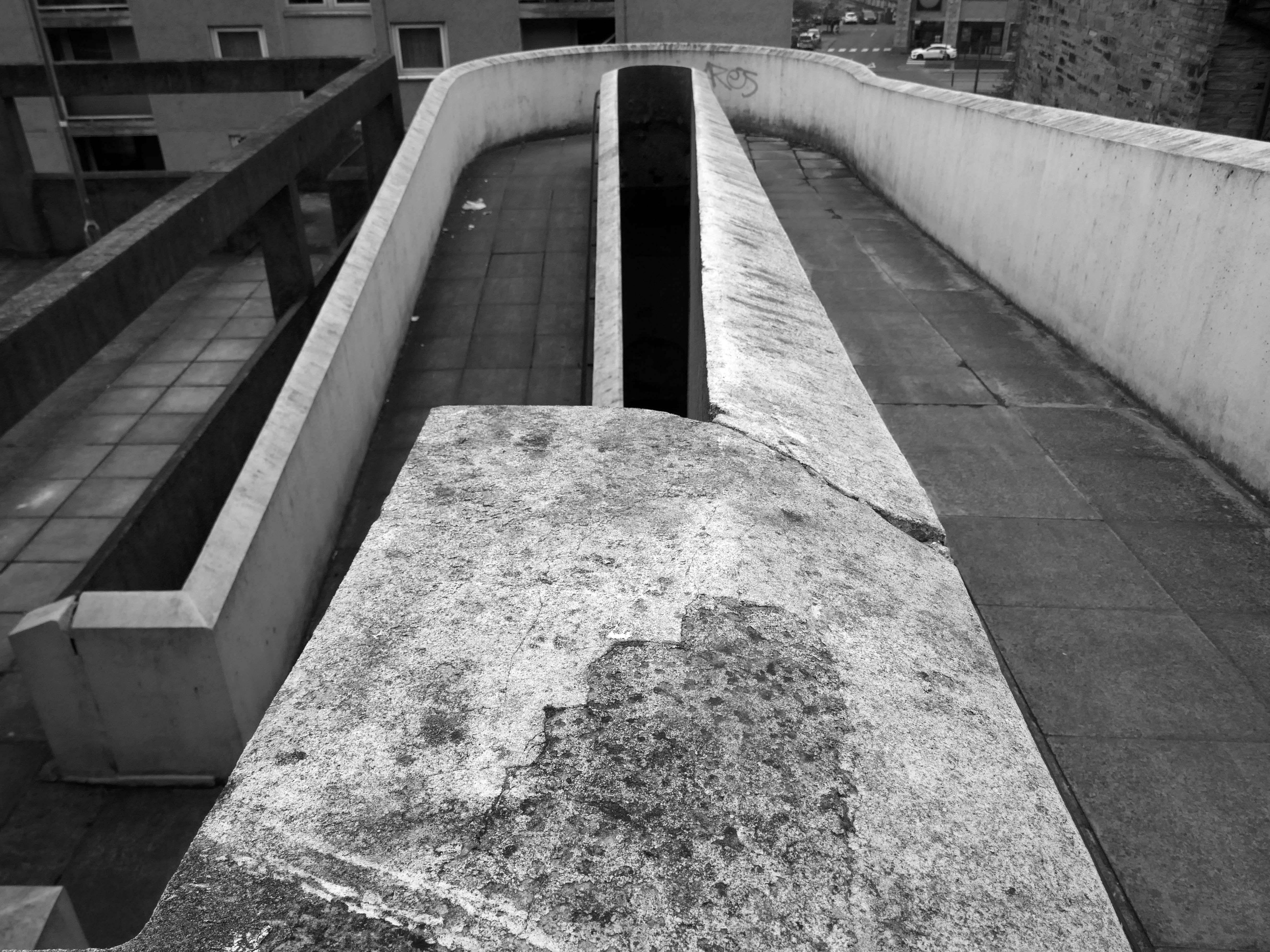
I came along to take a look aroundin 2017 – at this point all of the homes are occupied.
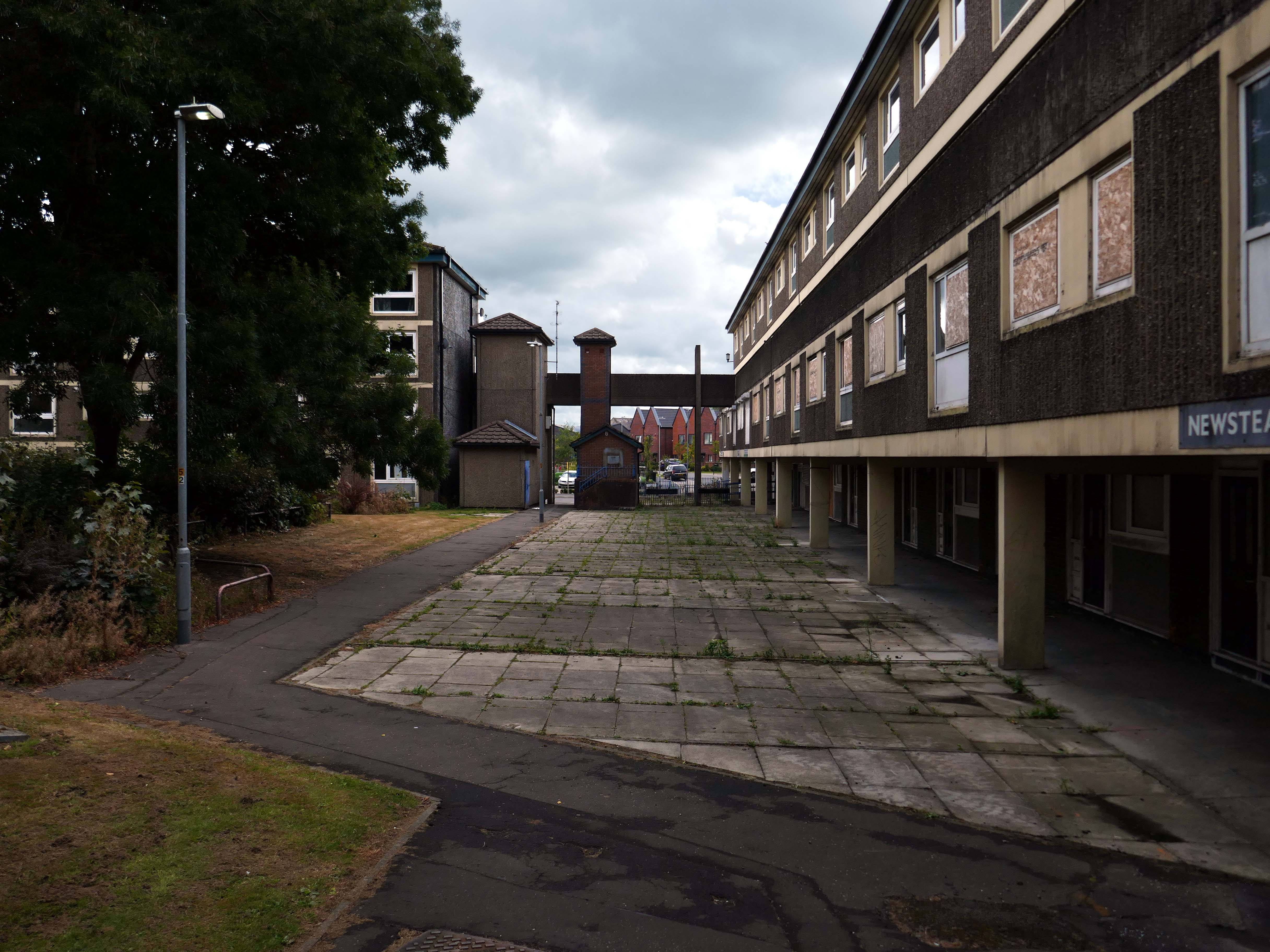
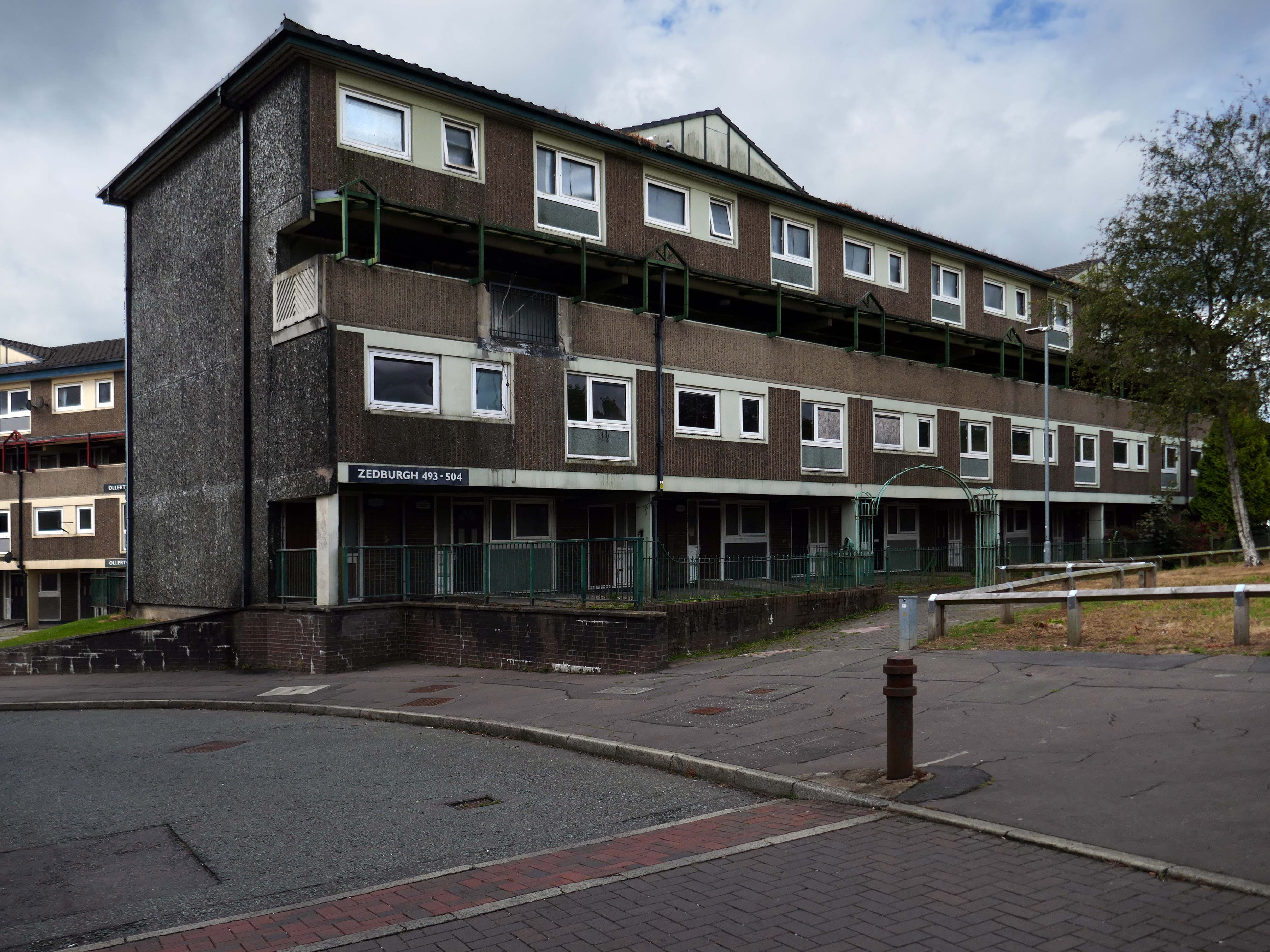
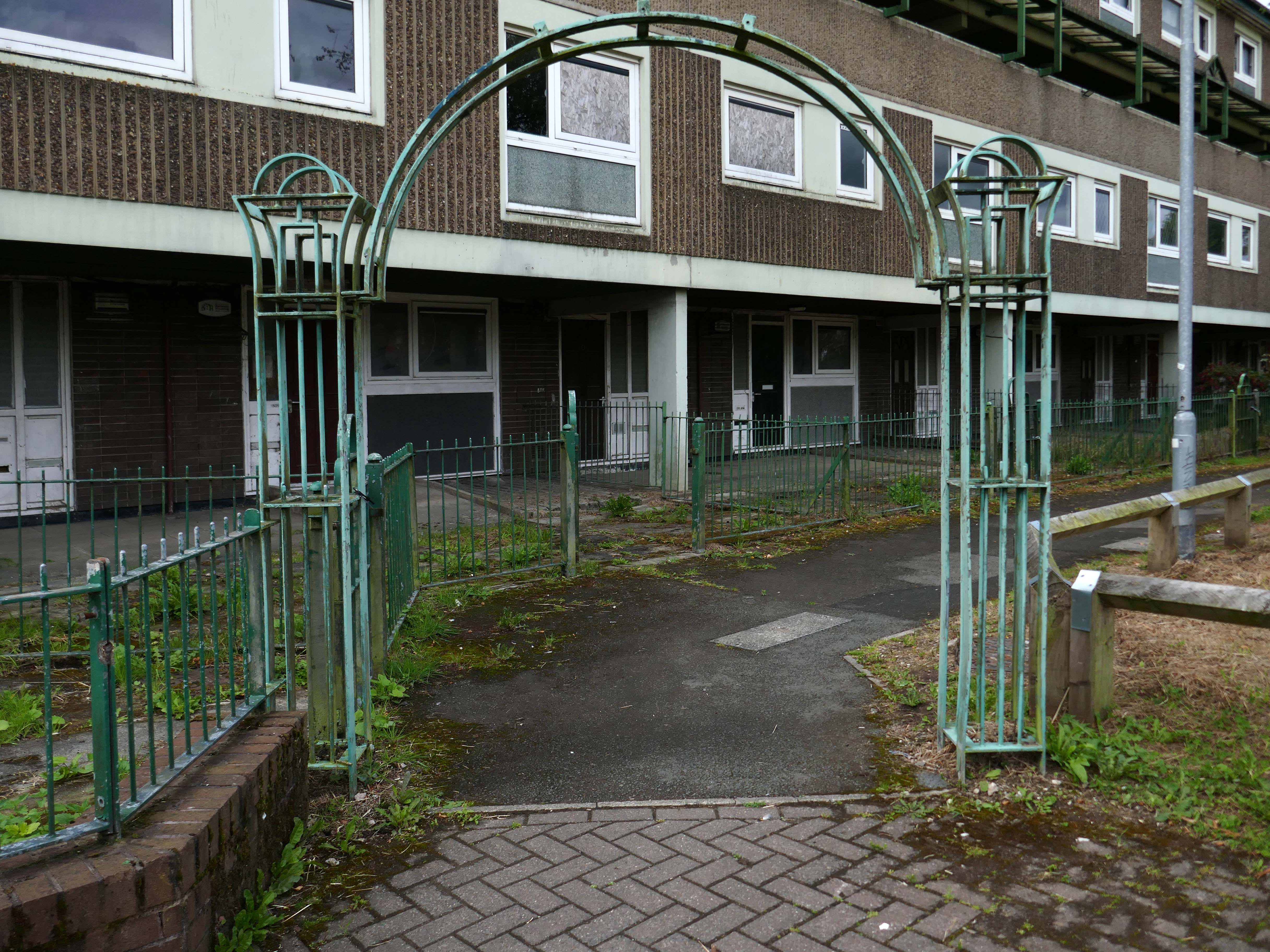
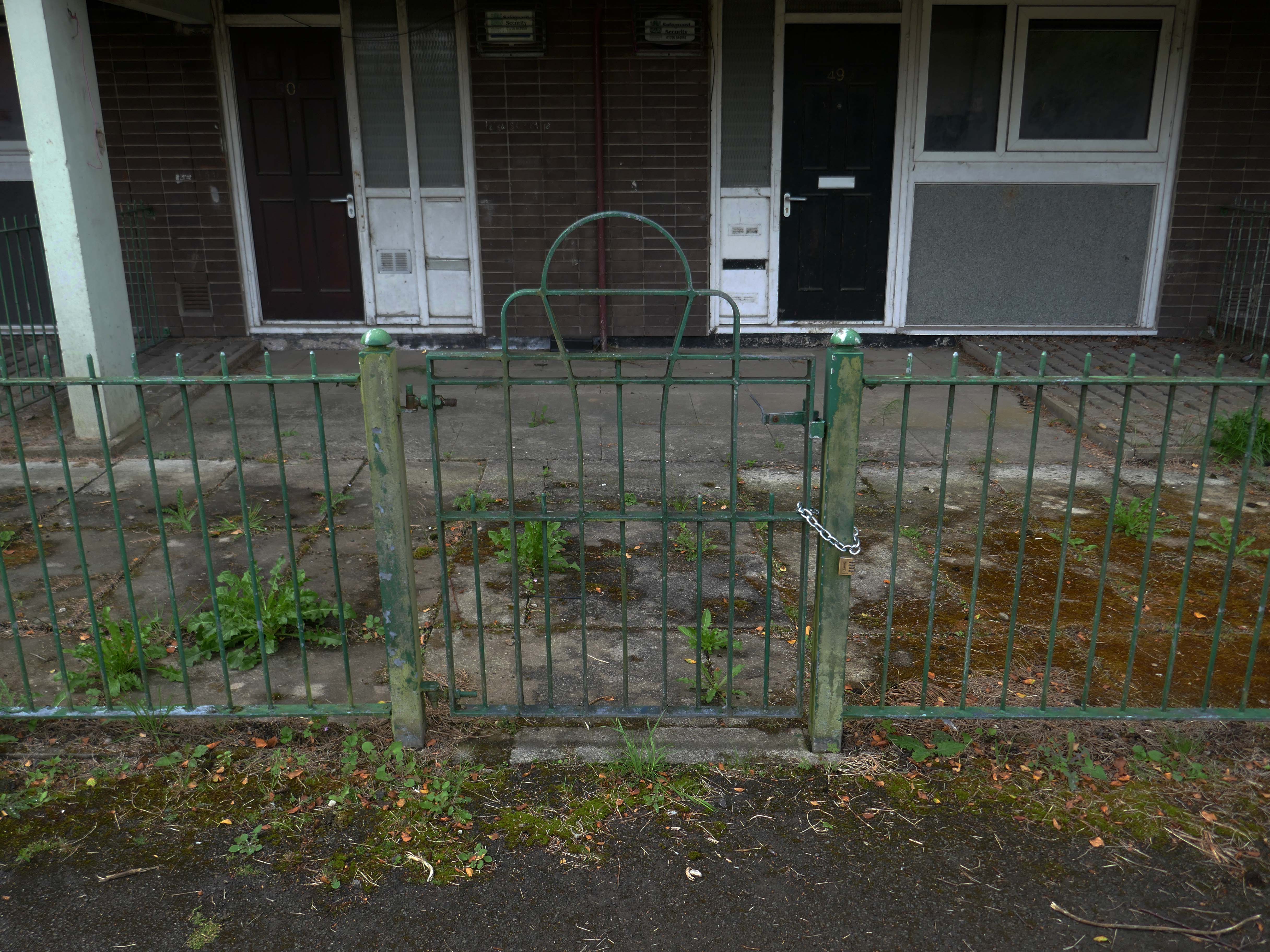
Fast forward to 2025 and the estate looks very different, a minority of the blocks have been refurbished.
The remainder have been, or are to be demolished.
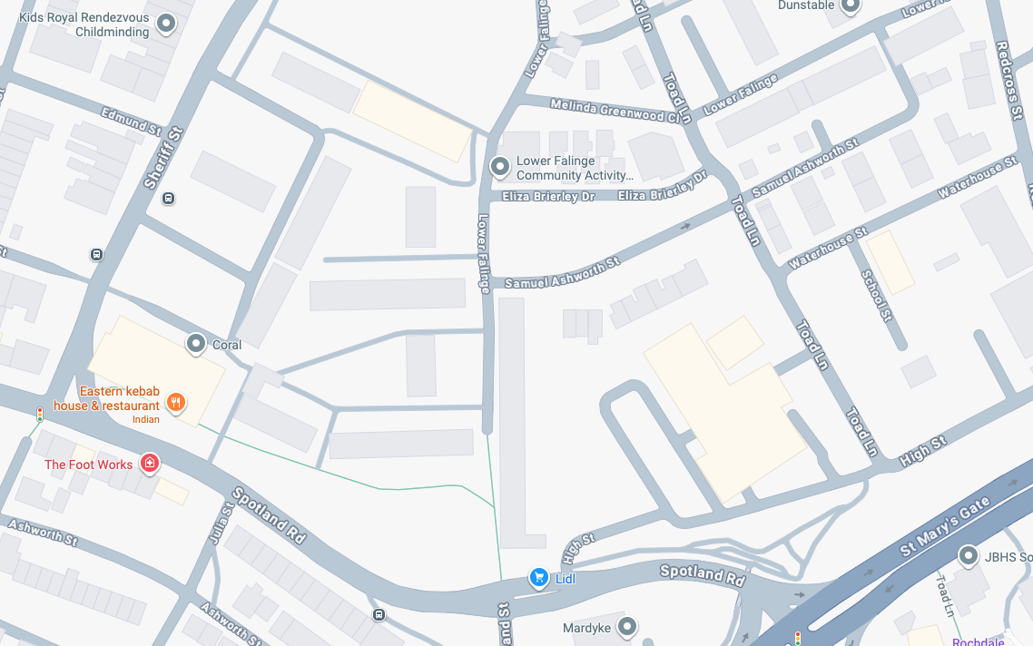
Rochdale’s 2021 planning statement for Lower Falinge is beguiling in its talk of ‘a better quality and mix’ of housing, better public space and better links with surrounding areas. It goes on to say that the ‘the delivery of market housing within this area is required to deliver this diversification and to ensure the sustainability of retained affordable housing in the area’ – a sentence containing the claim that a tenure mix of public and owner-occupied housing is a good in itself, whilst also acknowledging contradictorily that affordable housing (how affordable?) is only possible by cross-subsidy from market sales’
Some 560 new homes were proposed in Lower Falinge. The plans as a whole proposed the loss of 720 primarily social rent homes and their replacement by 560 new homes of indeterminate tenure.
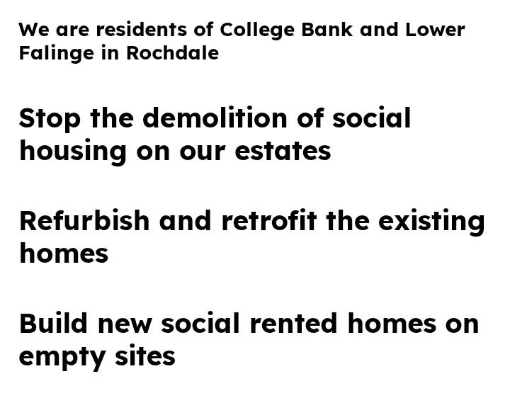
The tenants in the refurbished blocks with whom I chatted were convinced that demolition was not the answer, further renewal could take place, Rochdale Boroughwide Housing, despite a well prepared save our homes campaign thought not.
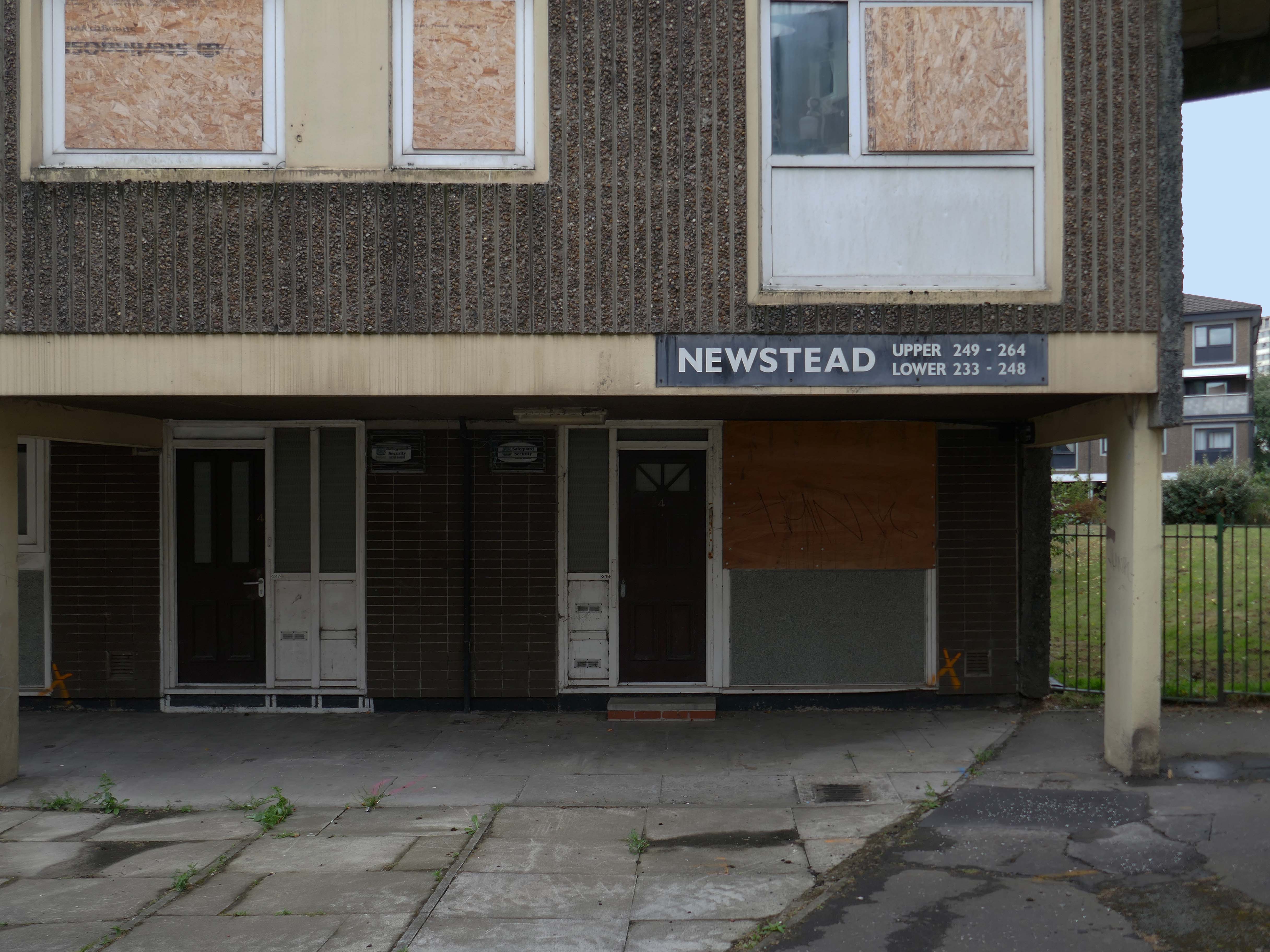
In March, we told you that we planned to demolish the six empty maisonette blocks – Ollerton, Newstead, Romsey, Quinton, Ullesthorpe, and Vaynor, in Lower Falinge, as well as the former RSPCA buildings and the former car wash on High Street, within the next 12 months. This will make way for the development of new family homes across a larger site that we will work with the community on designing.
Our beautiful mature greenery here on Lower Falinge is showcased in this wonderful video. We are proud of living here surrounded by all this nature – it really is like living in a park.
Unfortunately our urban oasis of calm is at risk of being destroyed if RBH demolish 128 homes and eventually build on the land.
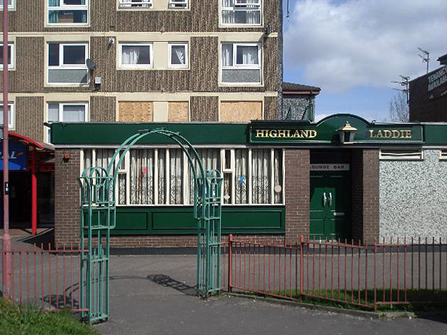
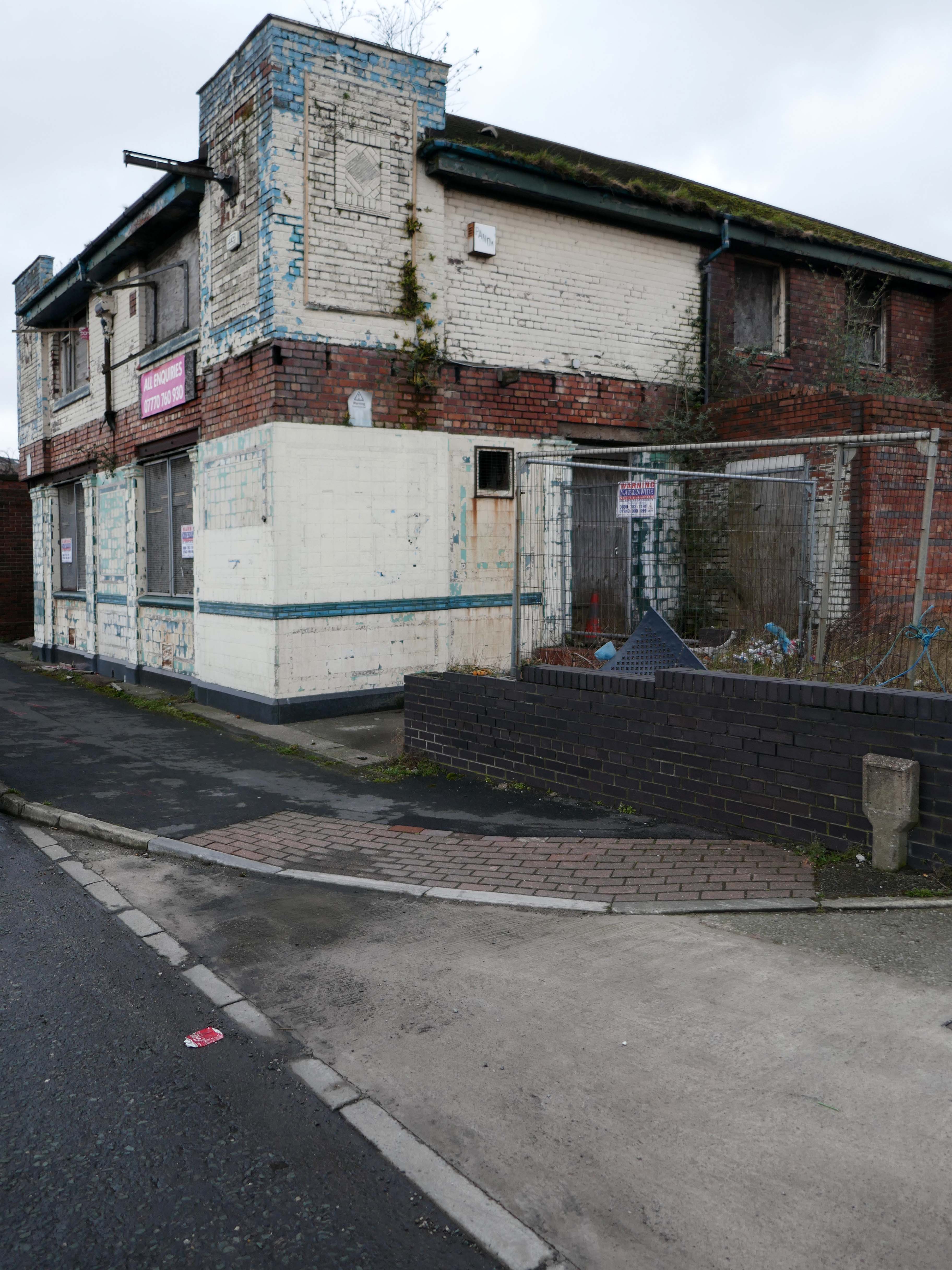
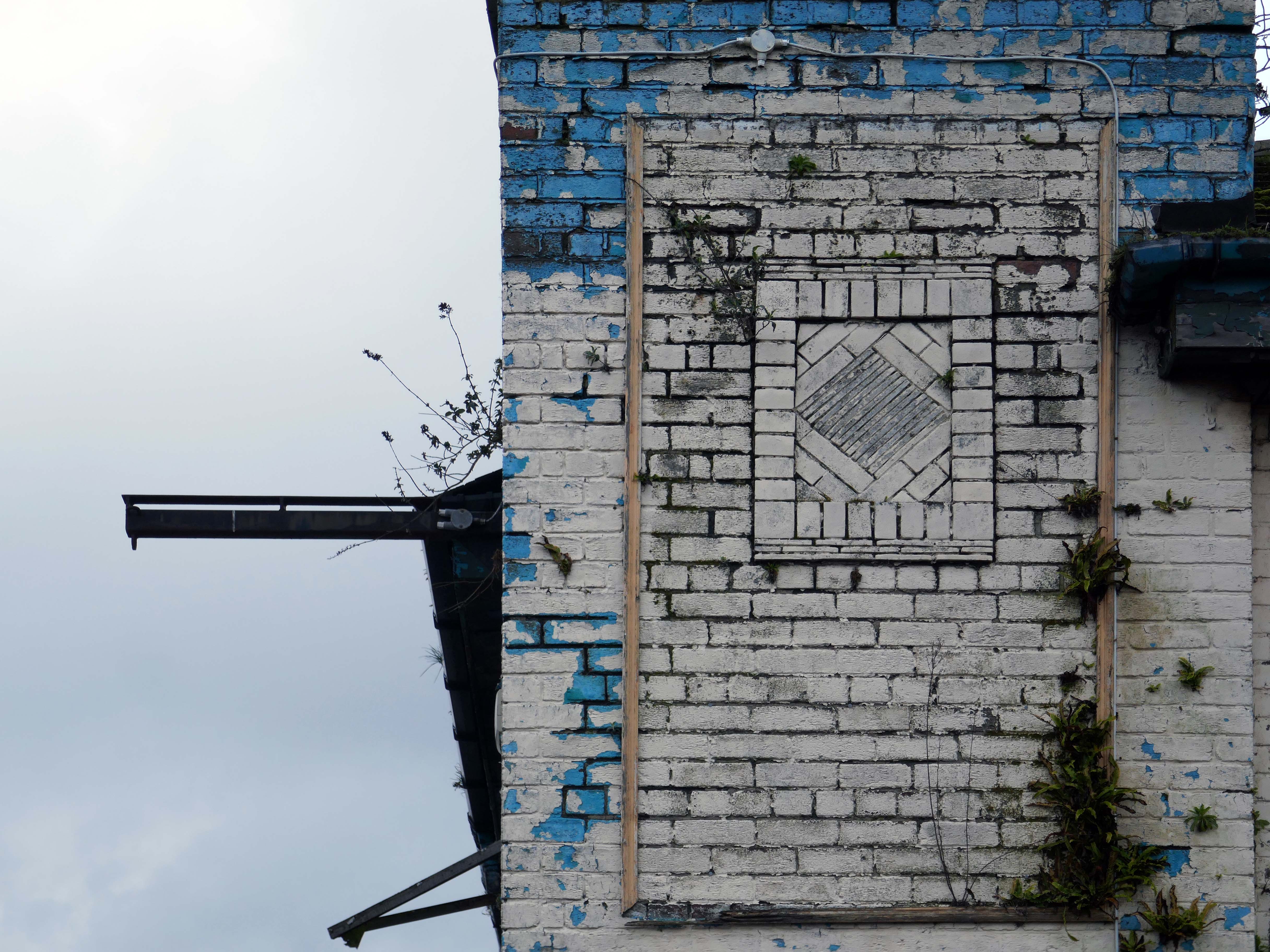
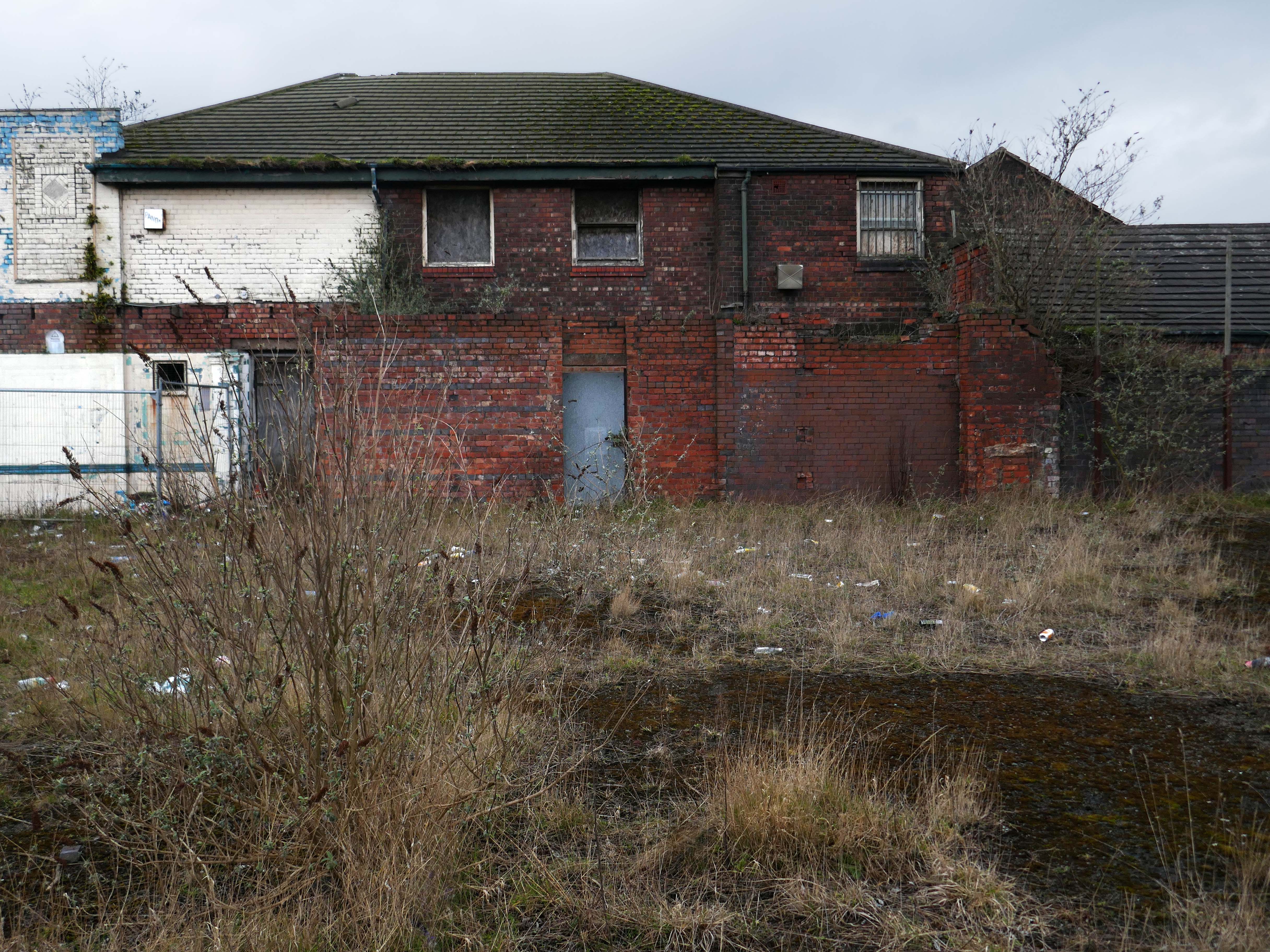
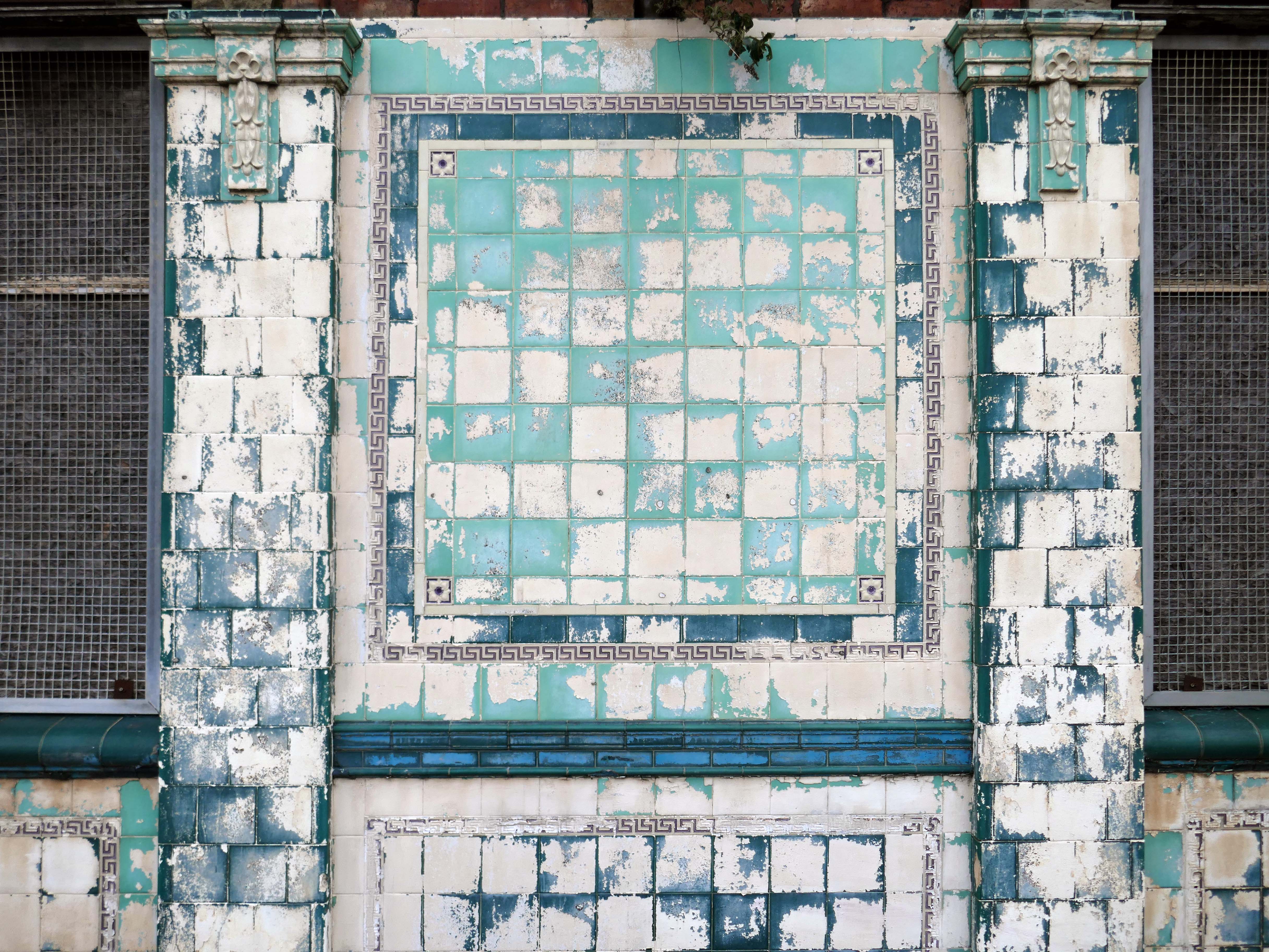
Once home to the Highland Laddie pub which closed in 2010.
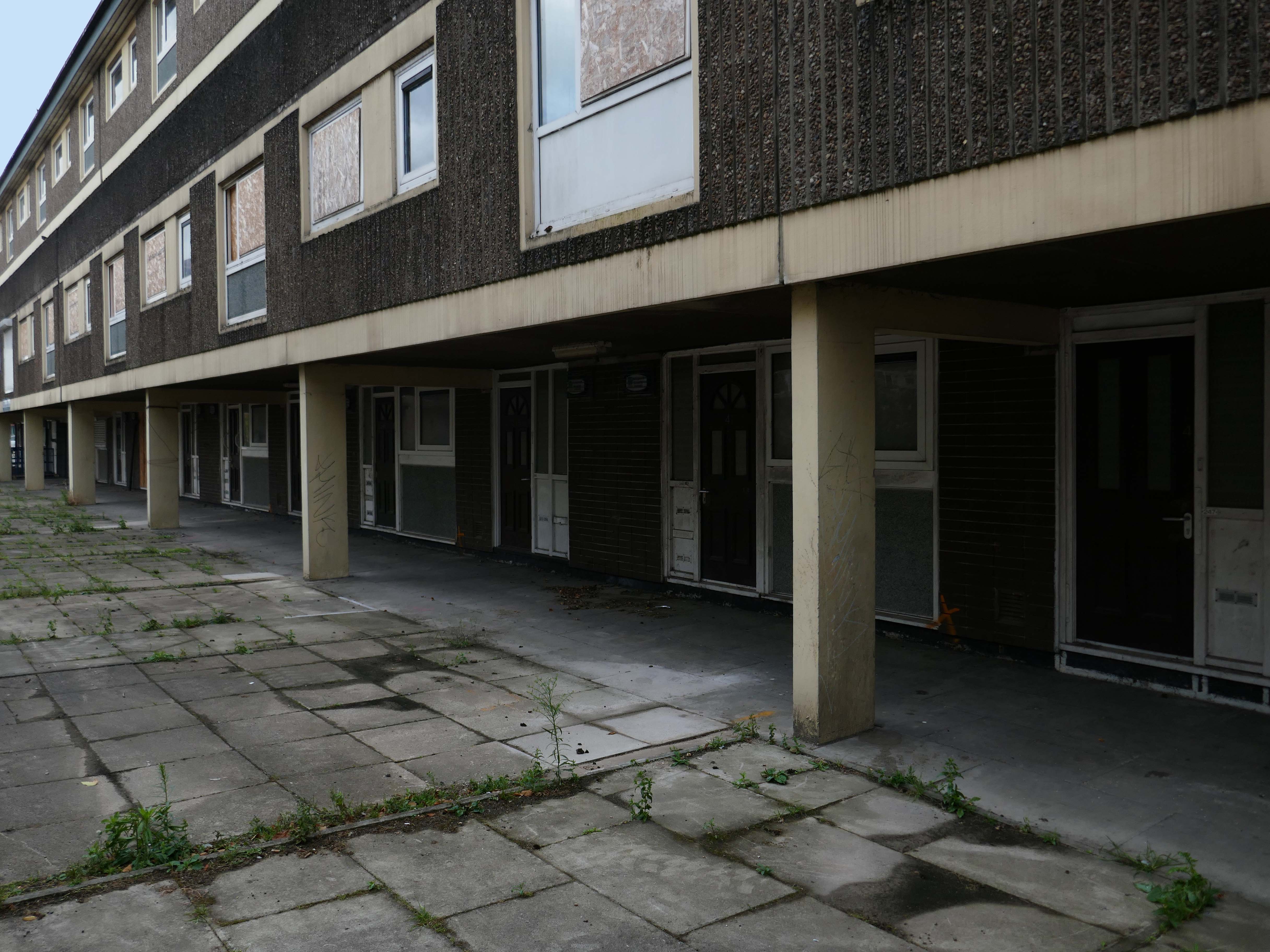
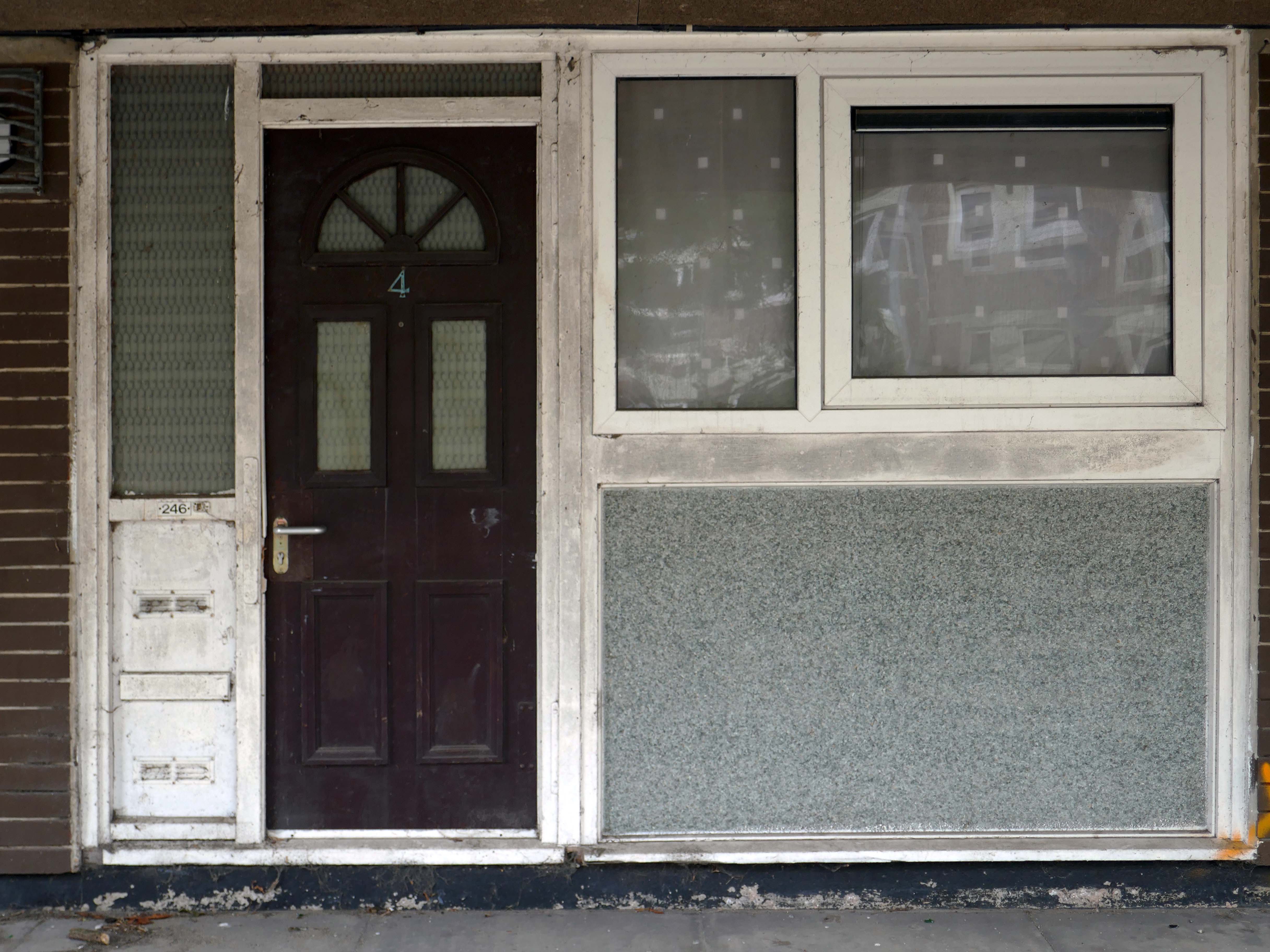
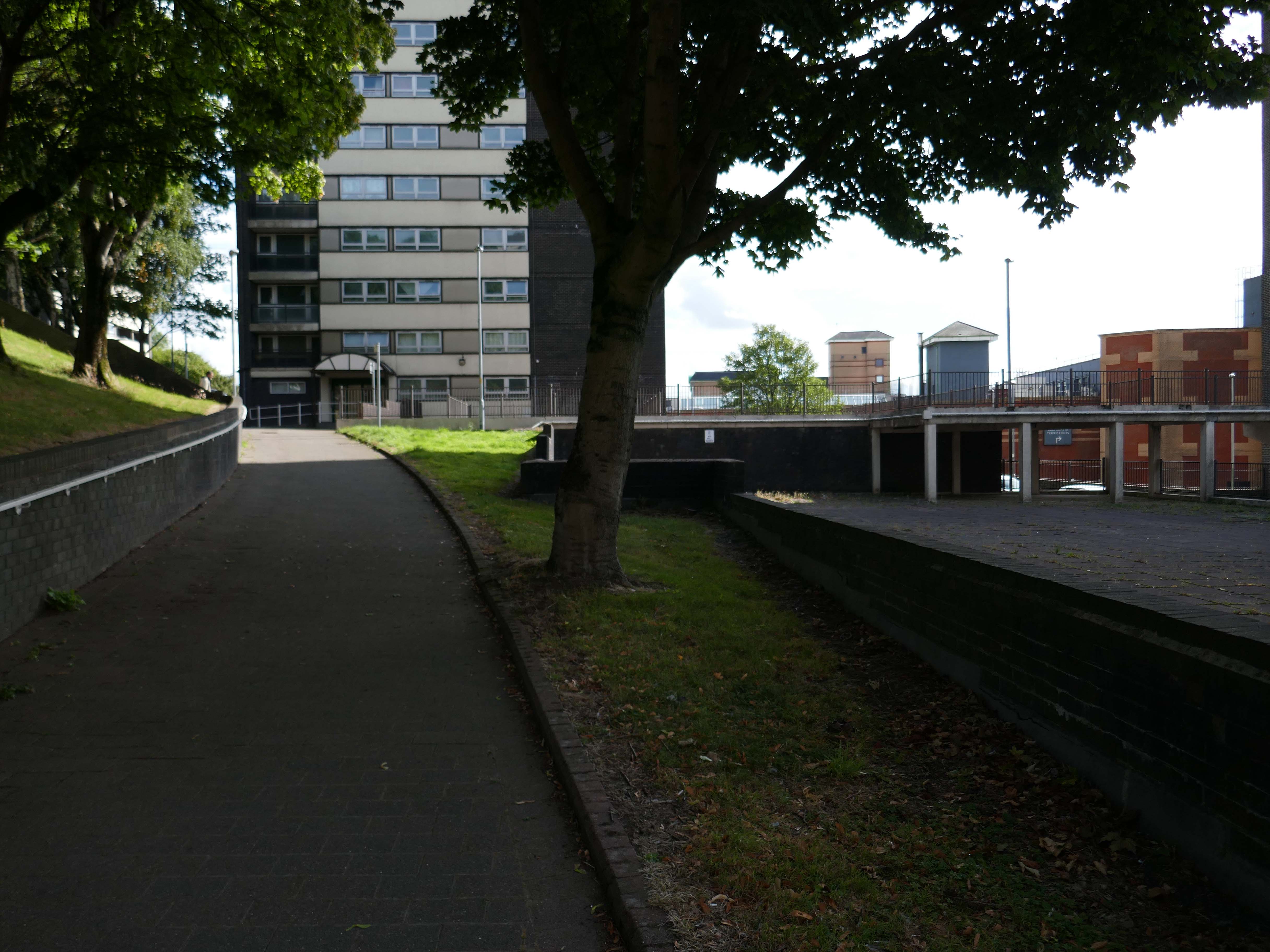
The remainder of the estate remains in limbo.
Next door the new homes have been built.
A major housing regeneration scheme which includes the construction of 30 energy efficient, affordable homes is breathing new life into the Lower Falinge neighbourhood in Rochdale.
The project is being carried out for Rochdale Boroughwide Housing by Rochdale-based main contractor The Casey Group with OMI Architects. This is the largest of 3 schemes that Casey has carried out for RBH.
In recent years these homes have been under threat of both demolition and refurbishment.
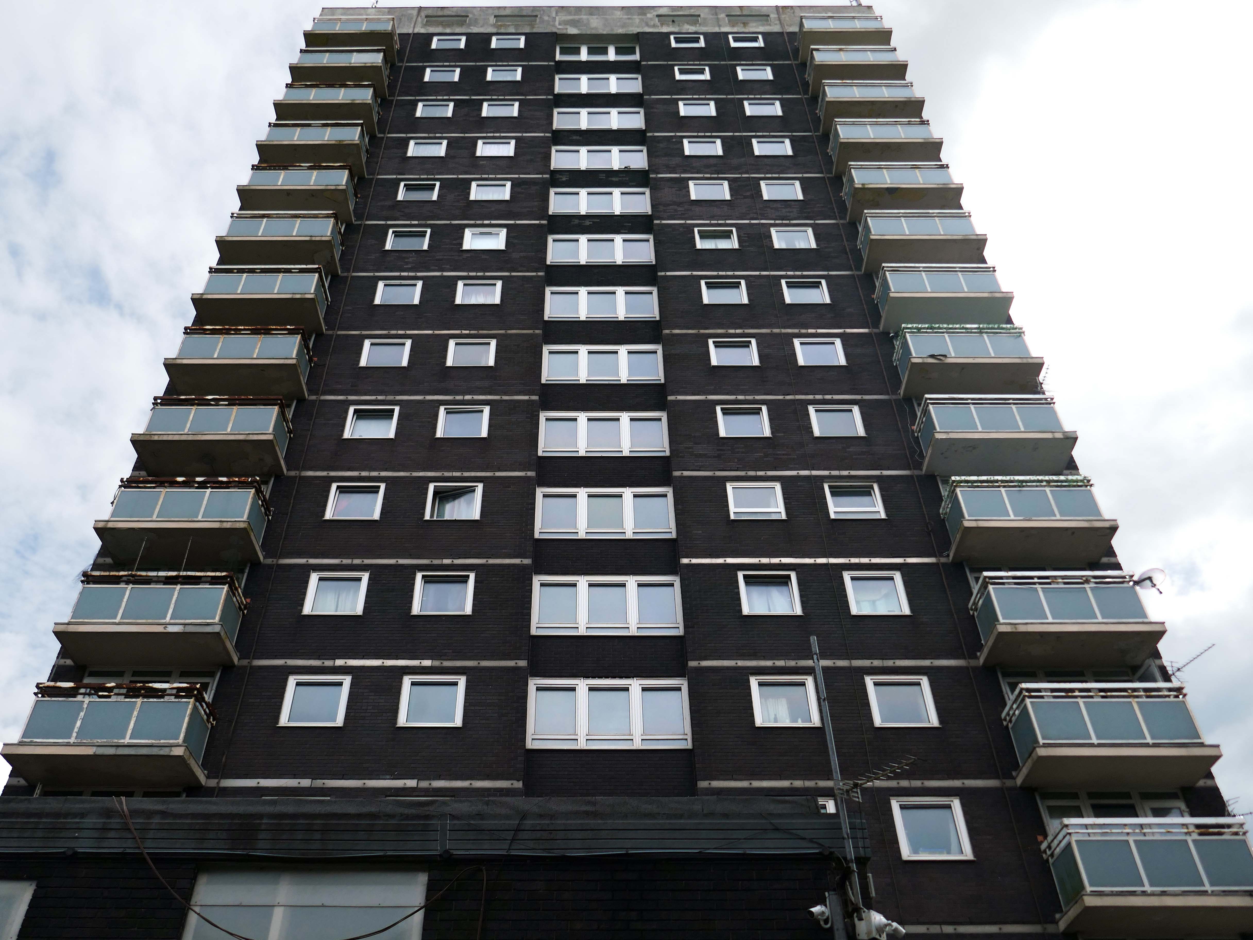
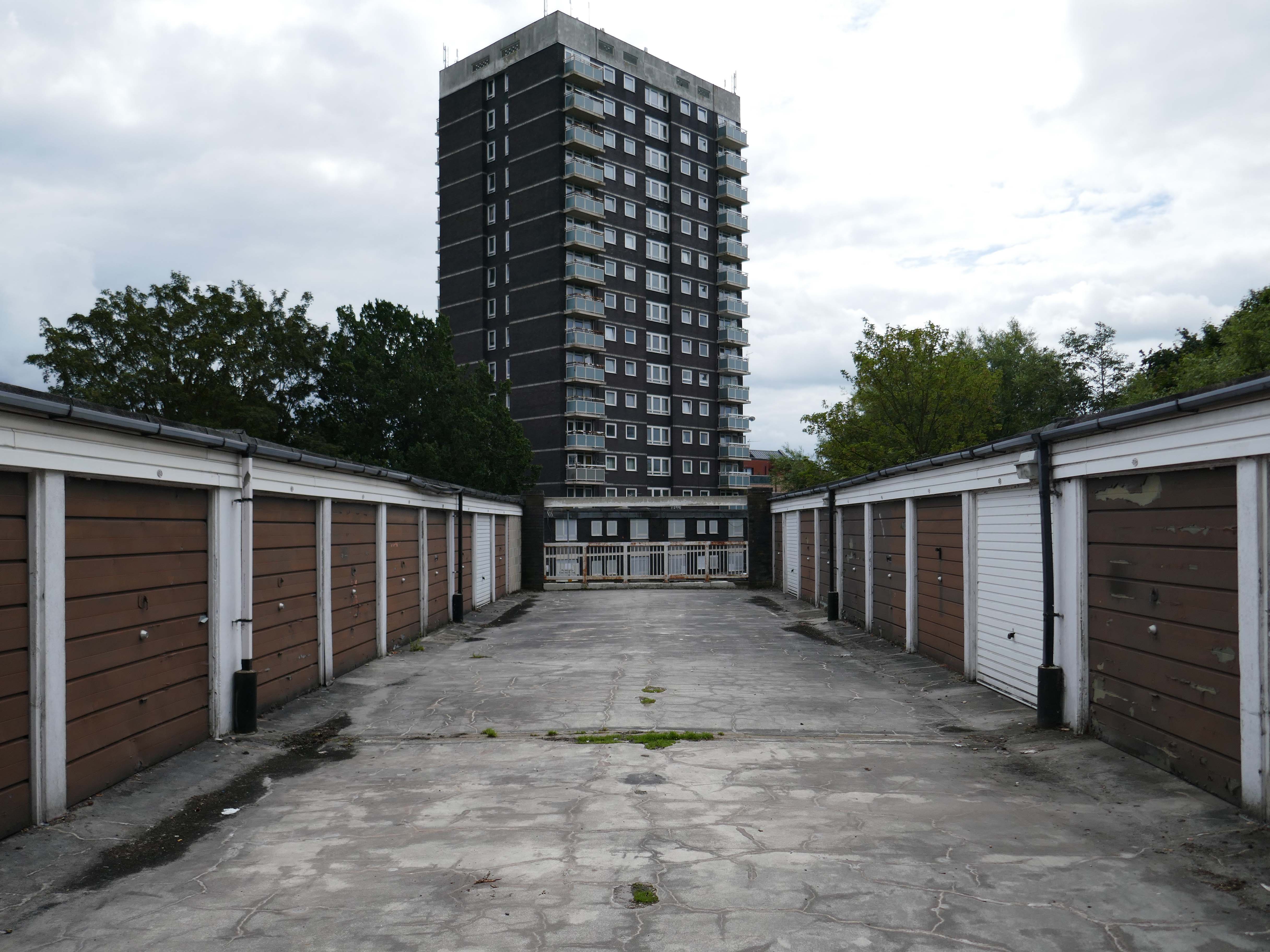
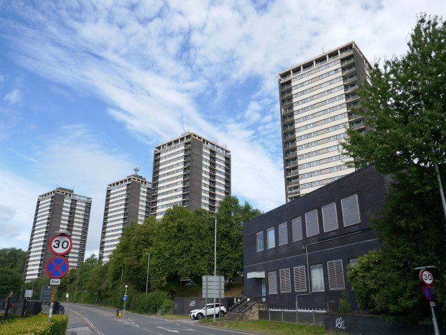
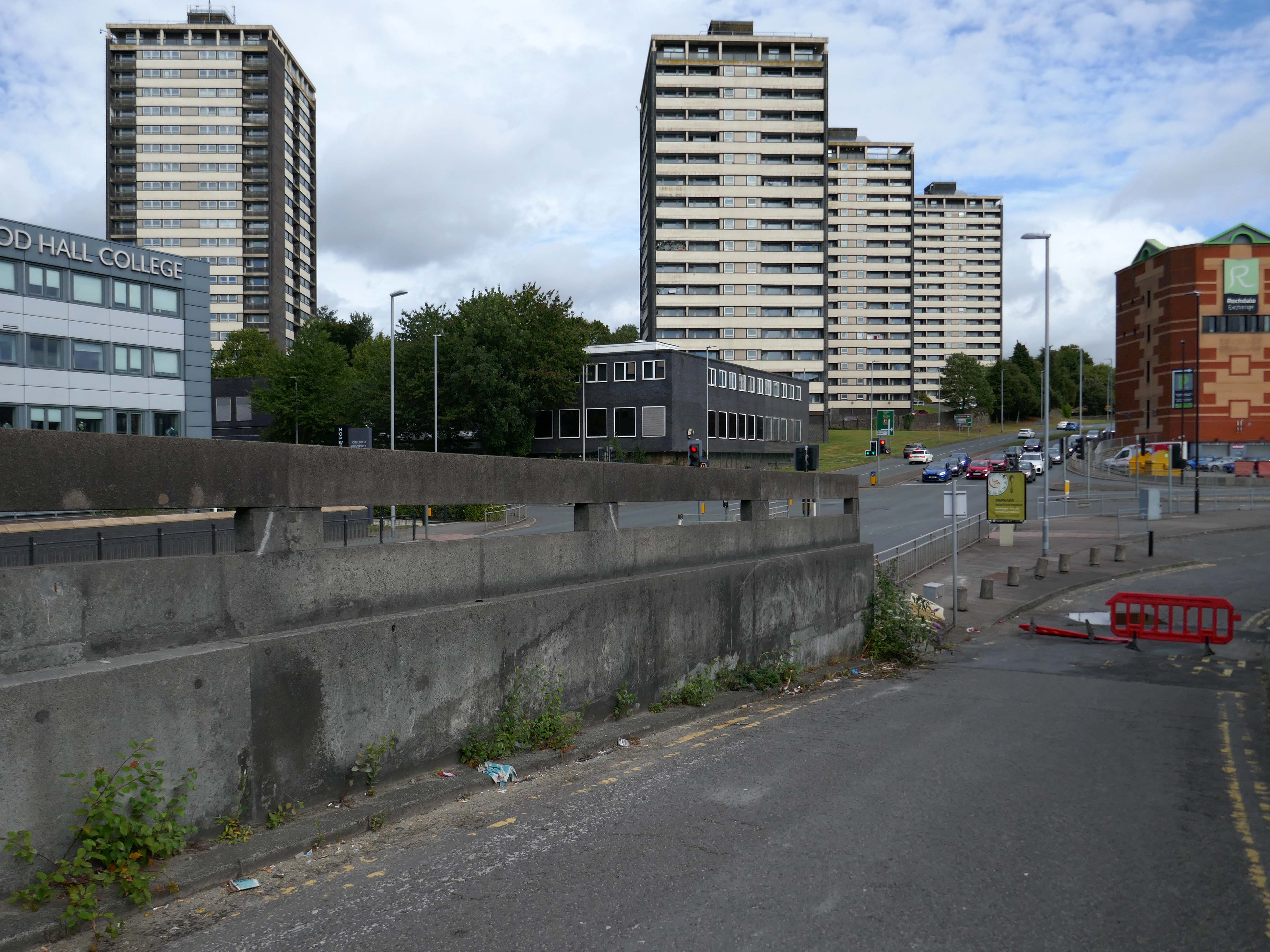
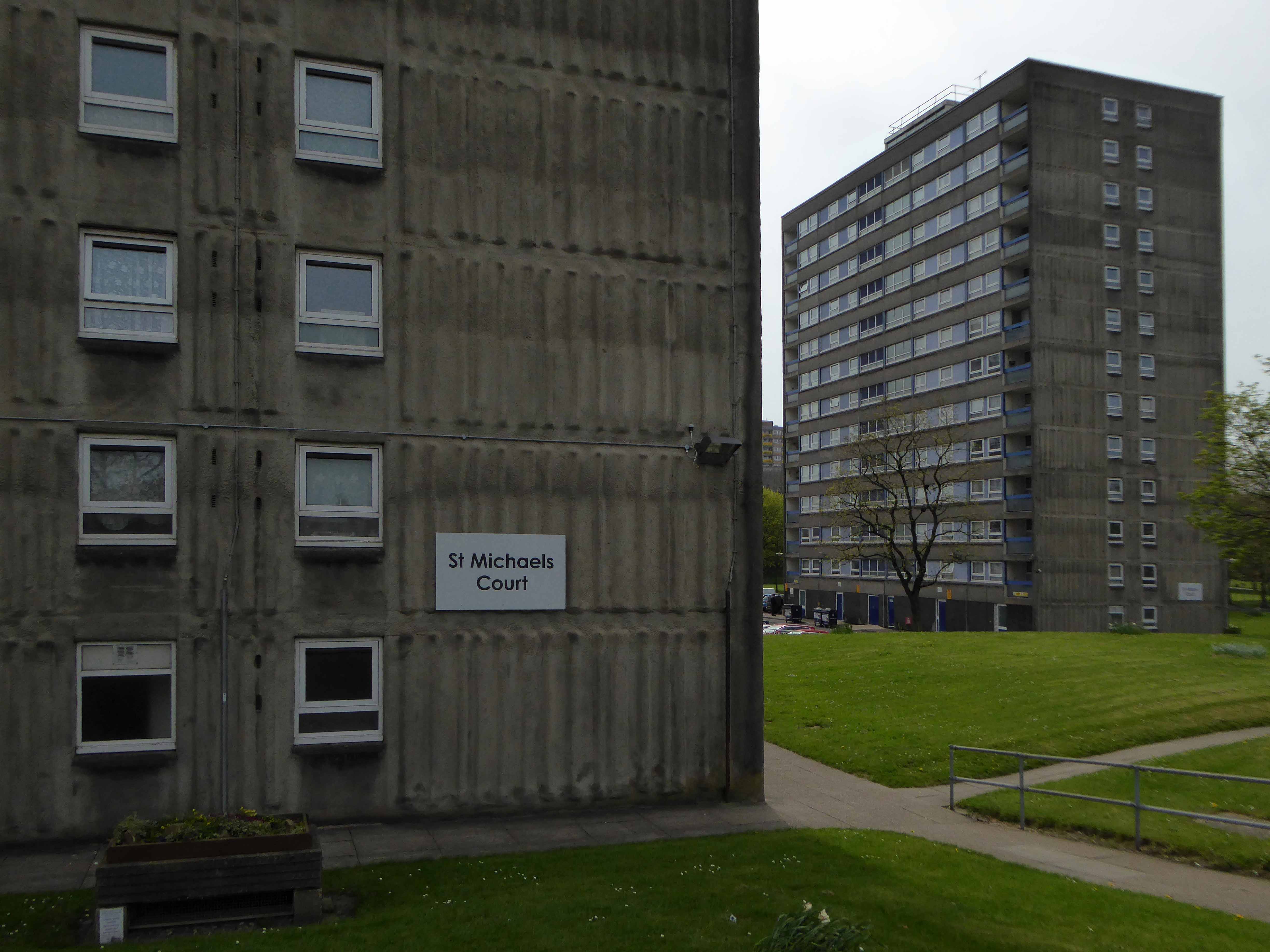
Rochdale Boroughwide Housing – RBH had sought help from a developer to pay for its £107m plans to refurbish the College Bank high-rise apartments, known in the town as the Seven Sisters.
But the social housing landlord has been unable to reach a commercially viable agreement to help improve the blocks where 250 people live.
Amanda Newton, RBH chief executive said the lack of a deal was disappointing but all options for the future of the site would still be explored.
Many of the apartments spread across the Seven Sisters remain unoccupied after a plan was announced to demolish four of the blocks in 2017, leading to an exodus of hundreds of tenants. RBH later reconsidered the plan, and instead signed a deal with developer Legal & General Affordable Housing last year, to find a viable way of refurbishing the apartments.
All 700 flats in the 1960s blocks were set to be redeveloped under the plans, but the pair’s agreement has now come to an end without a solution emerging.
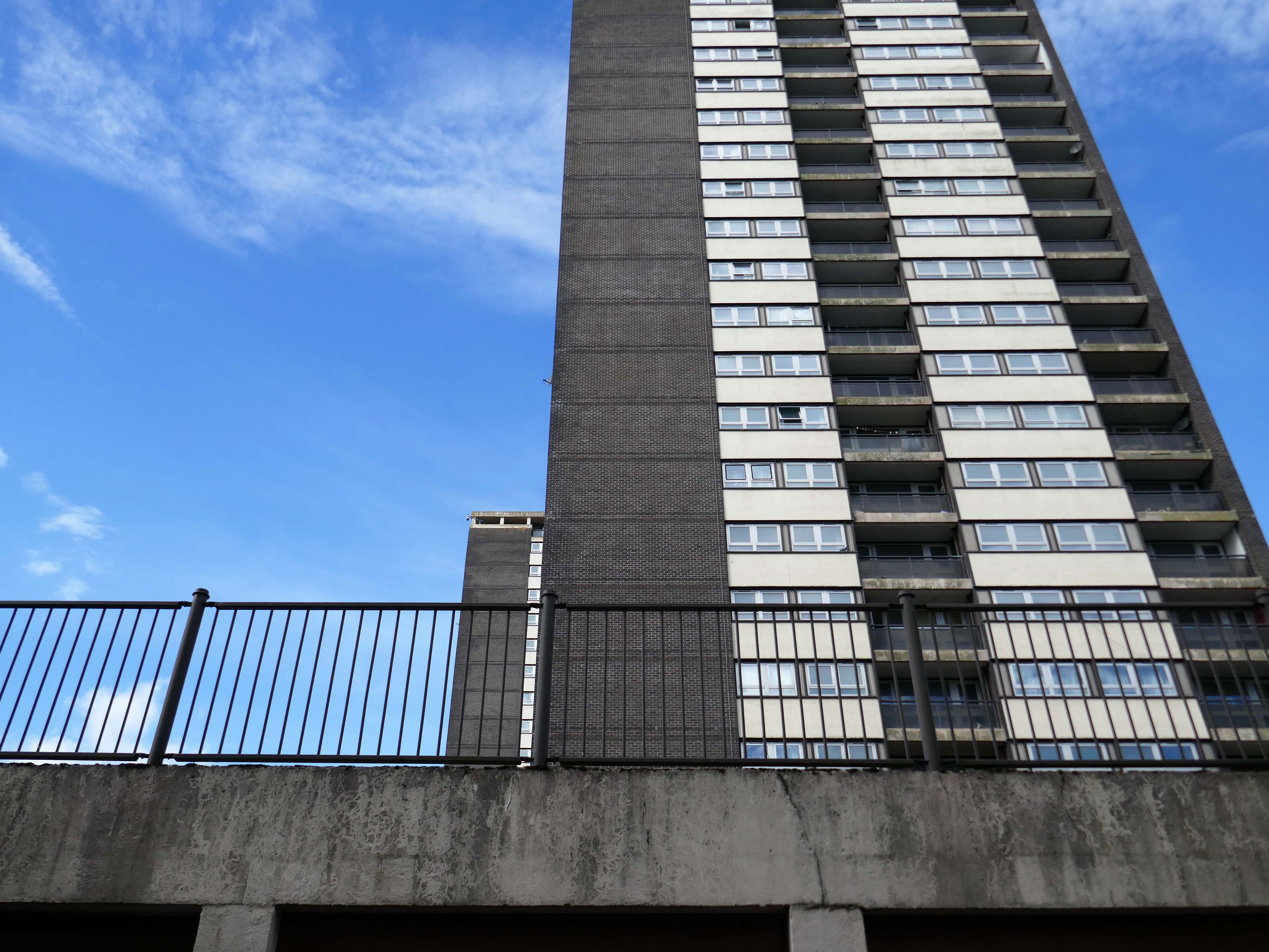
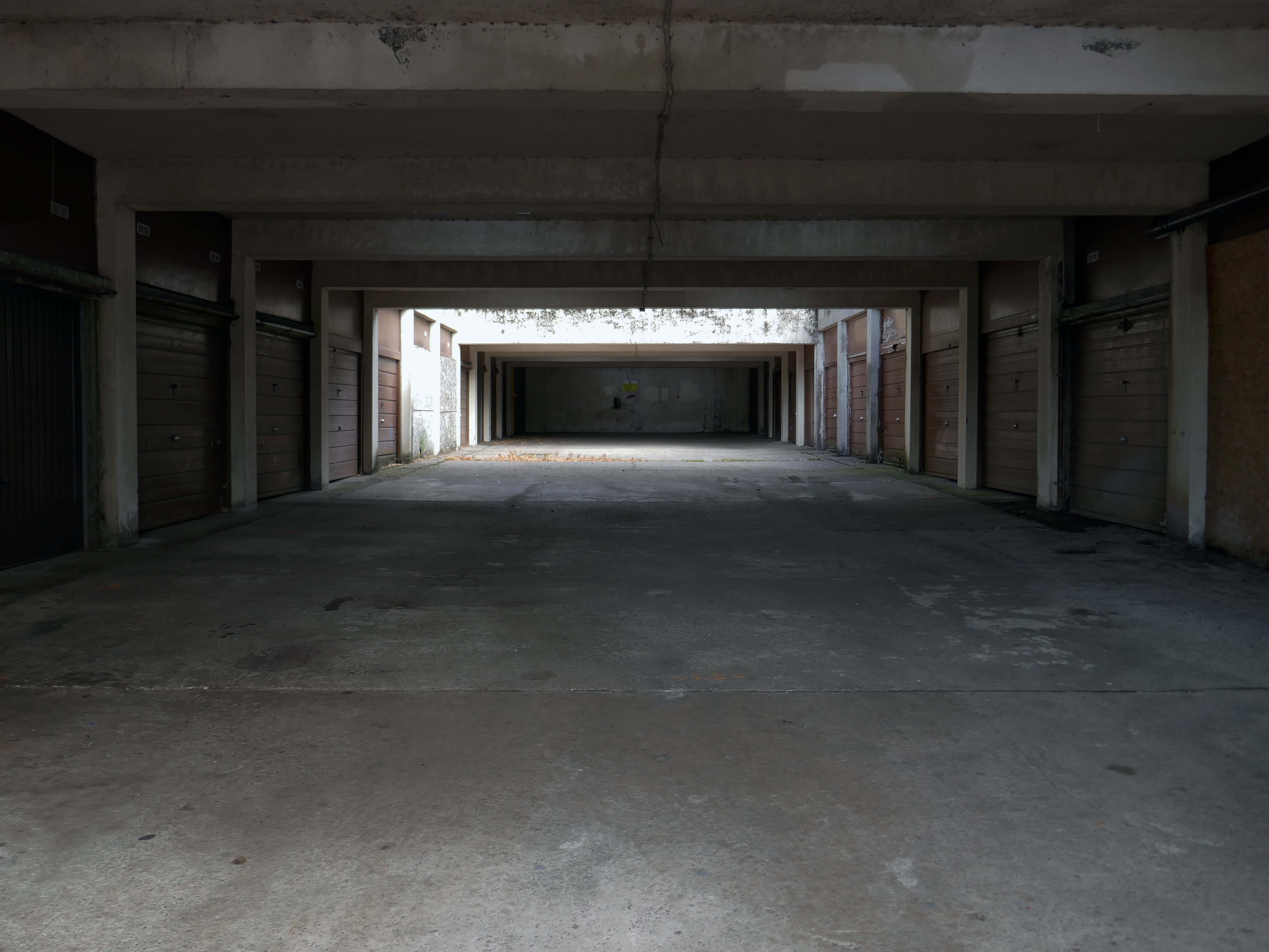
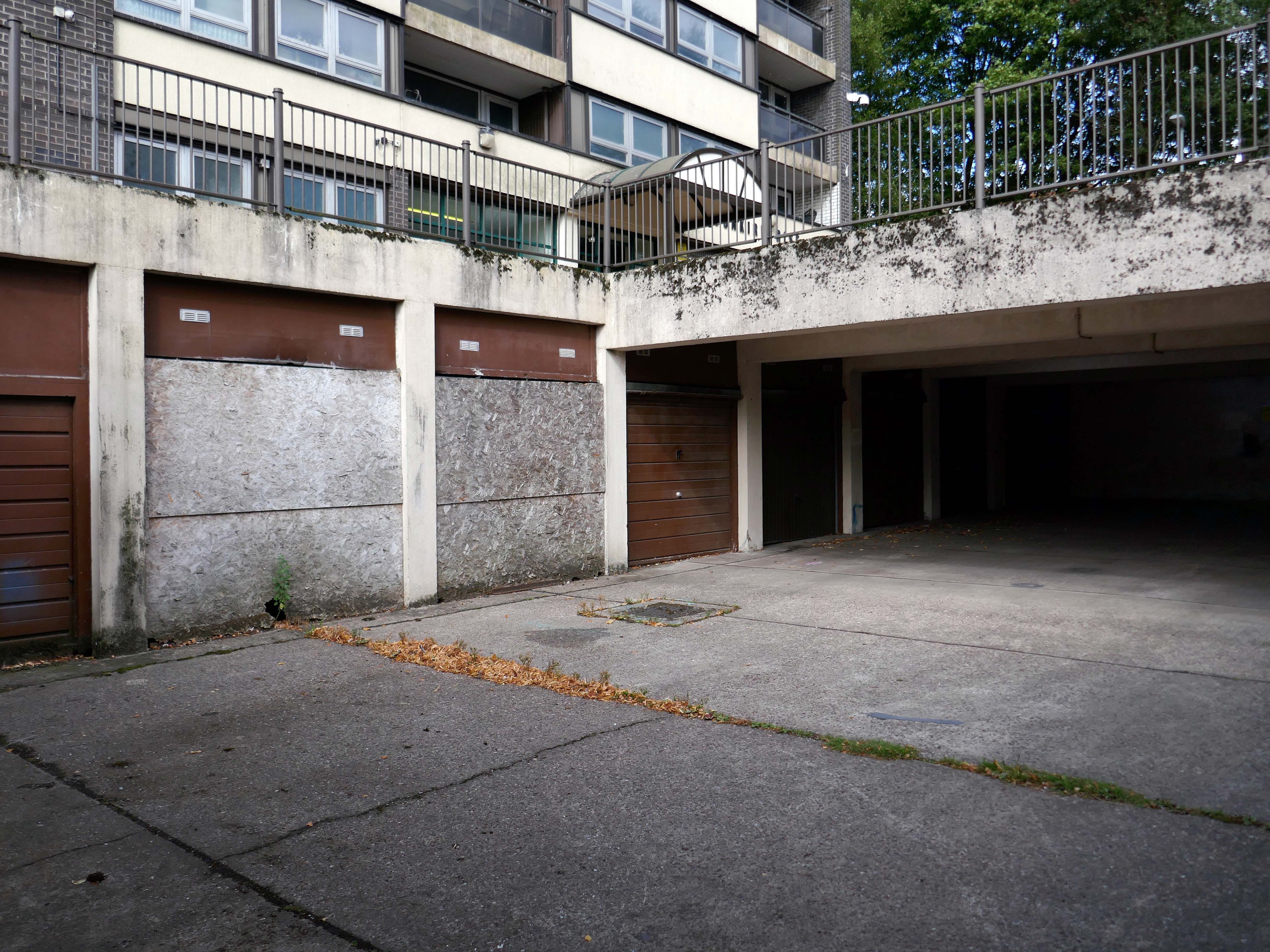
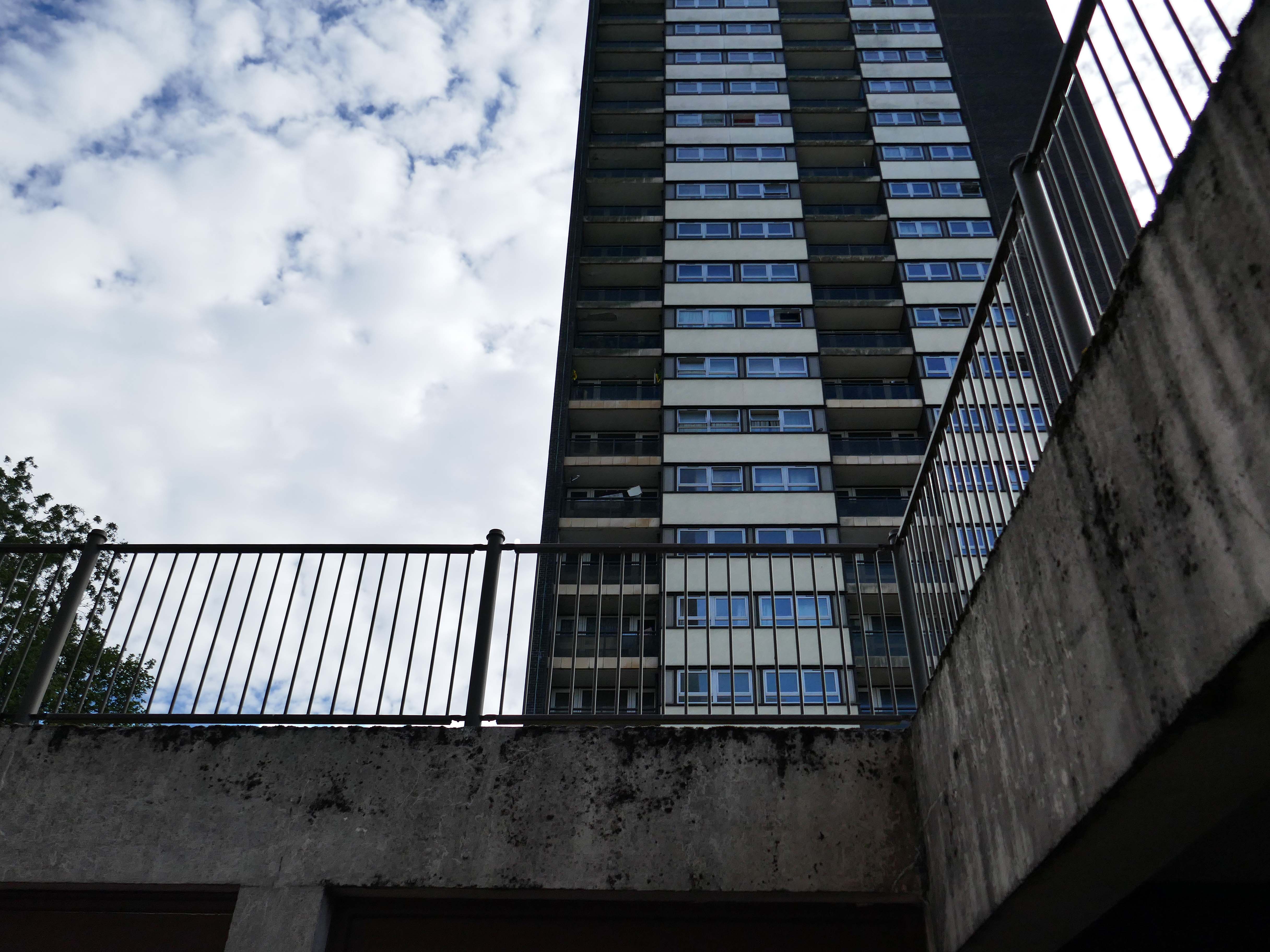
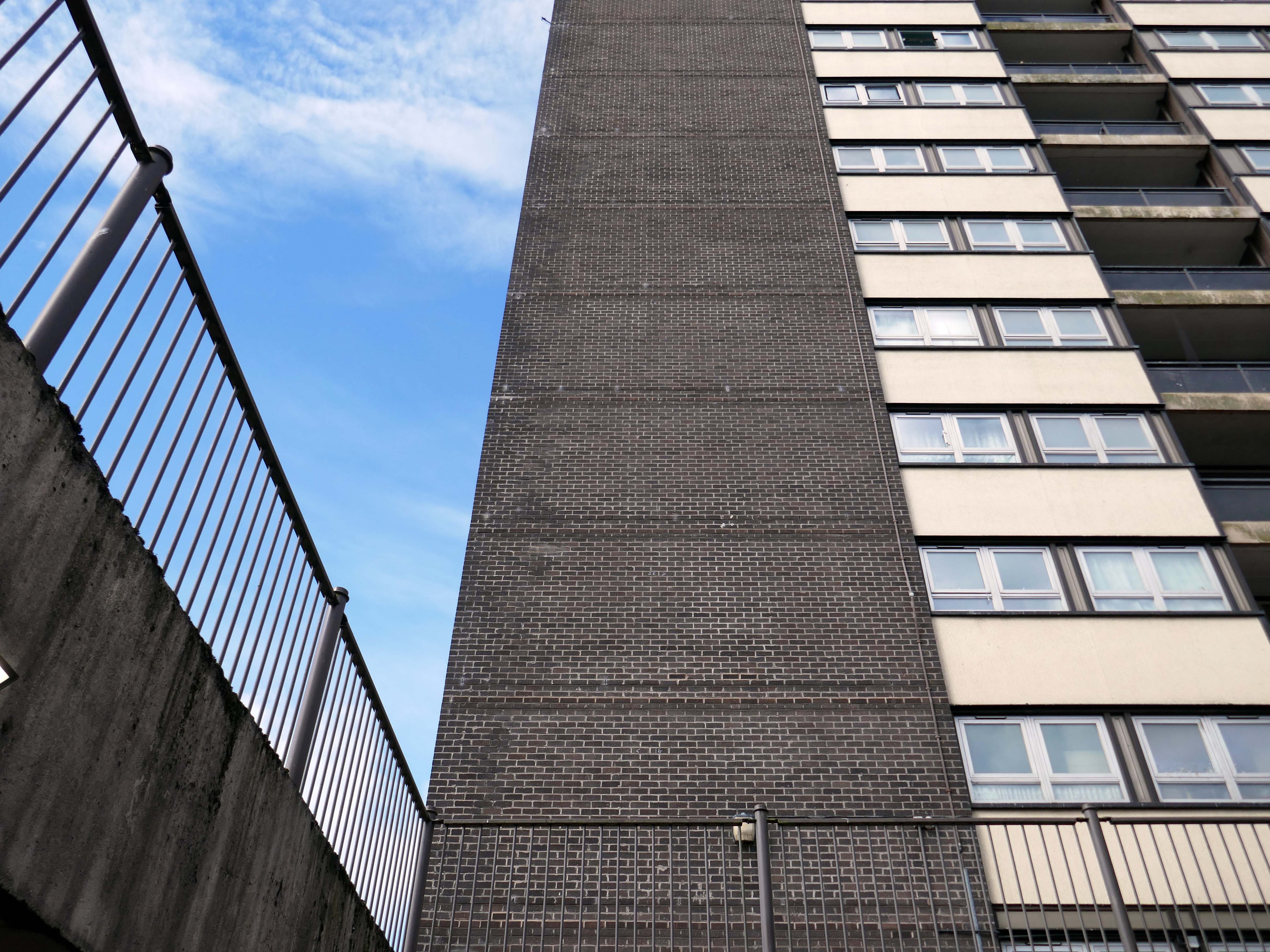
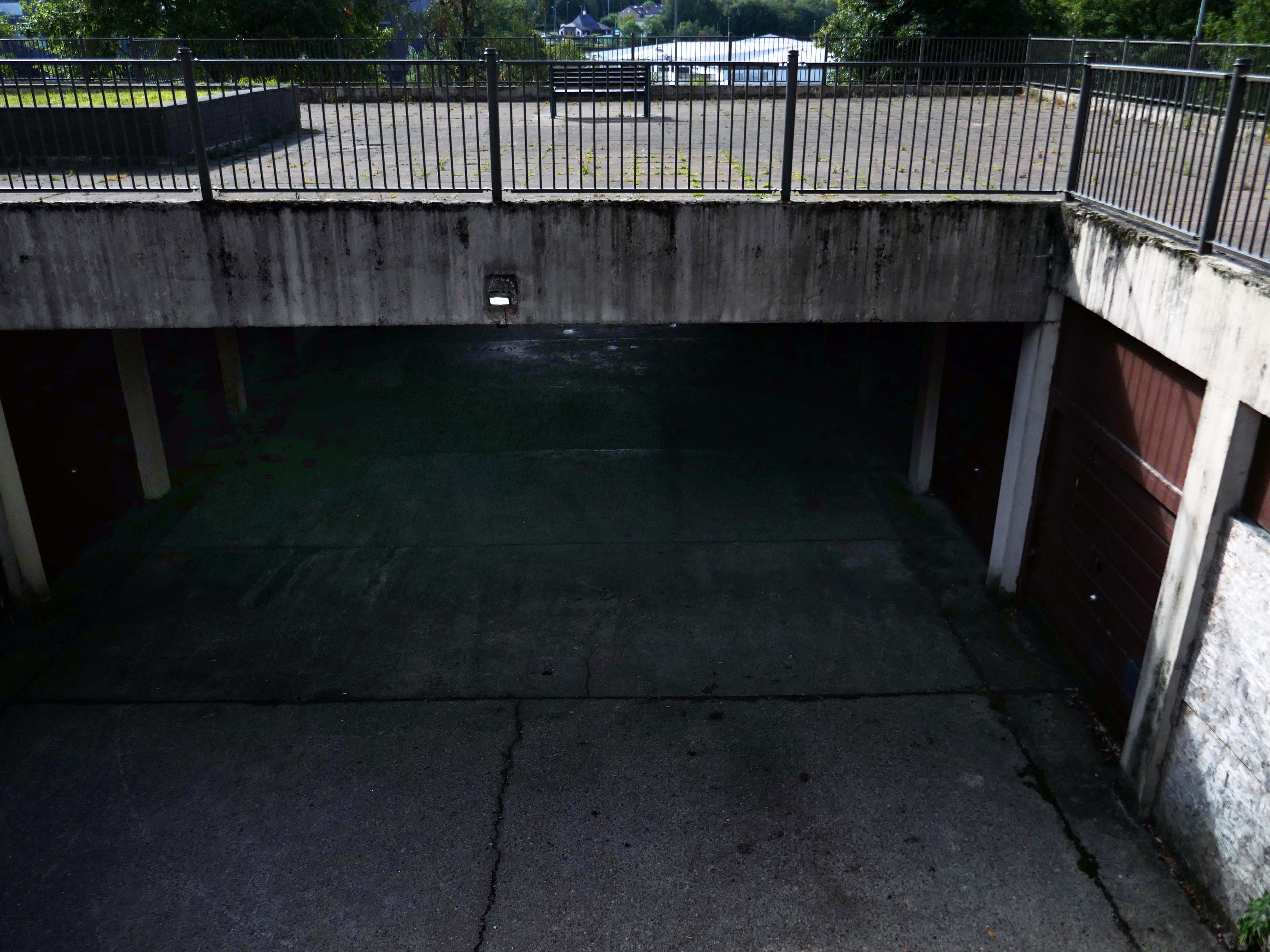
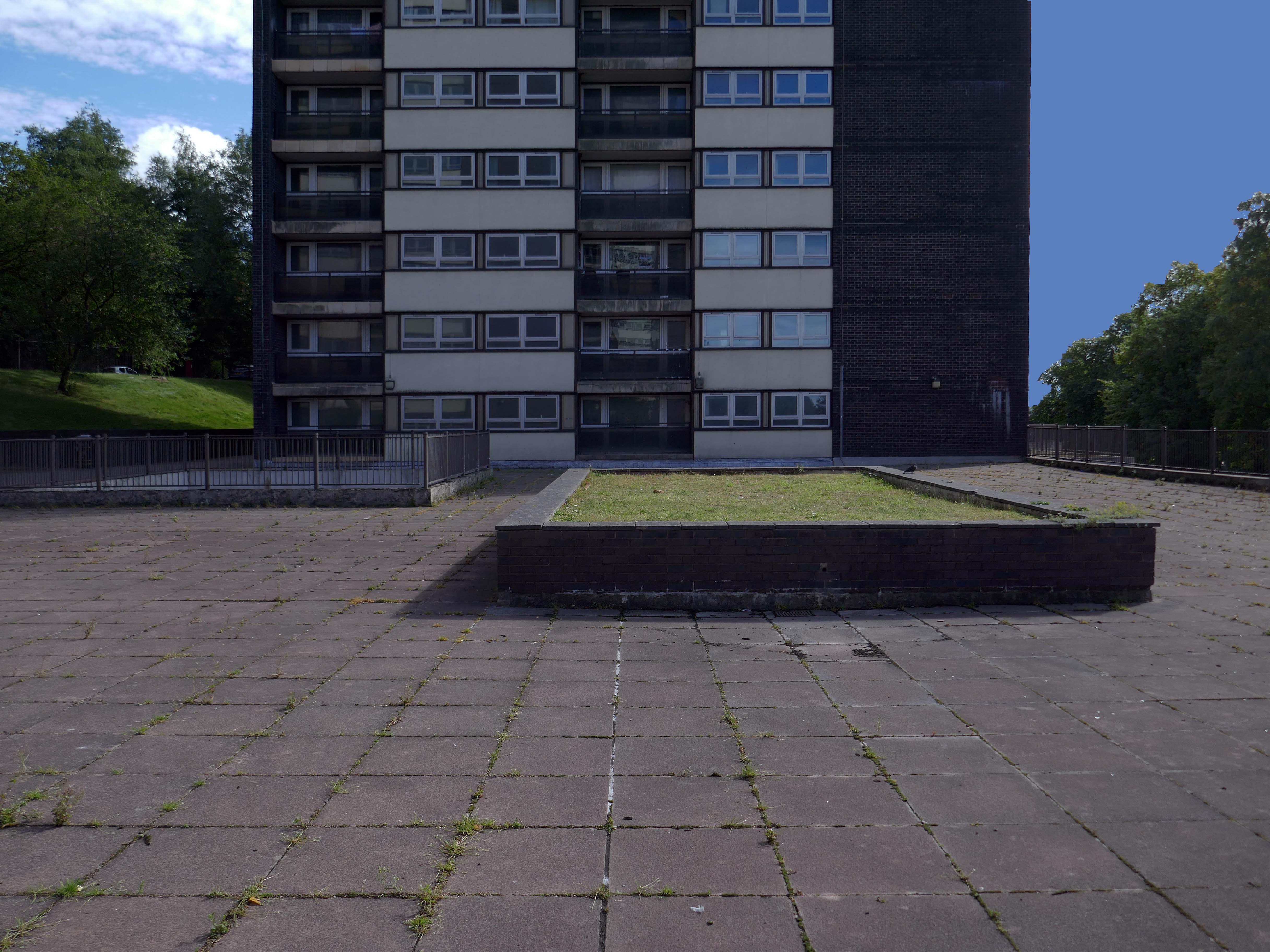
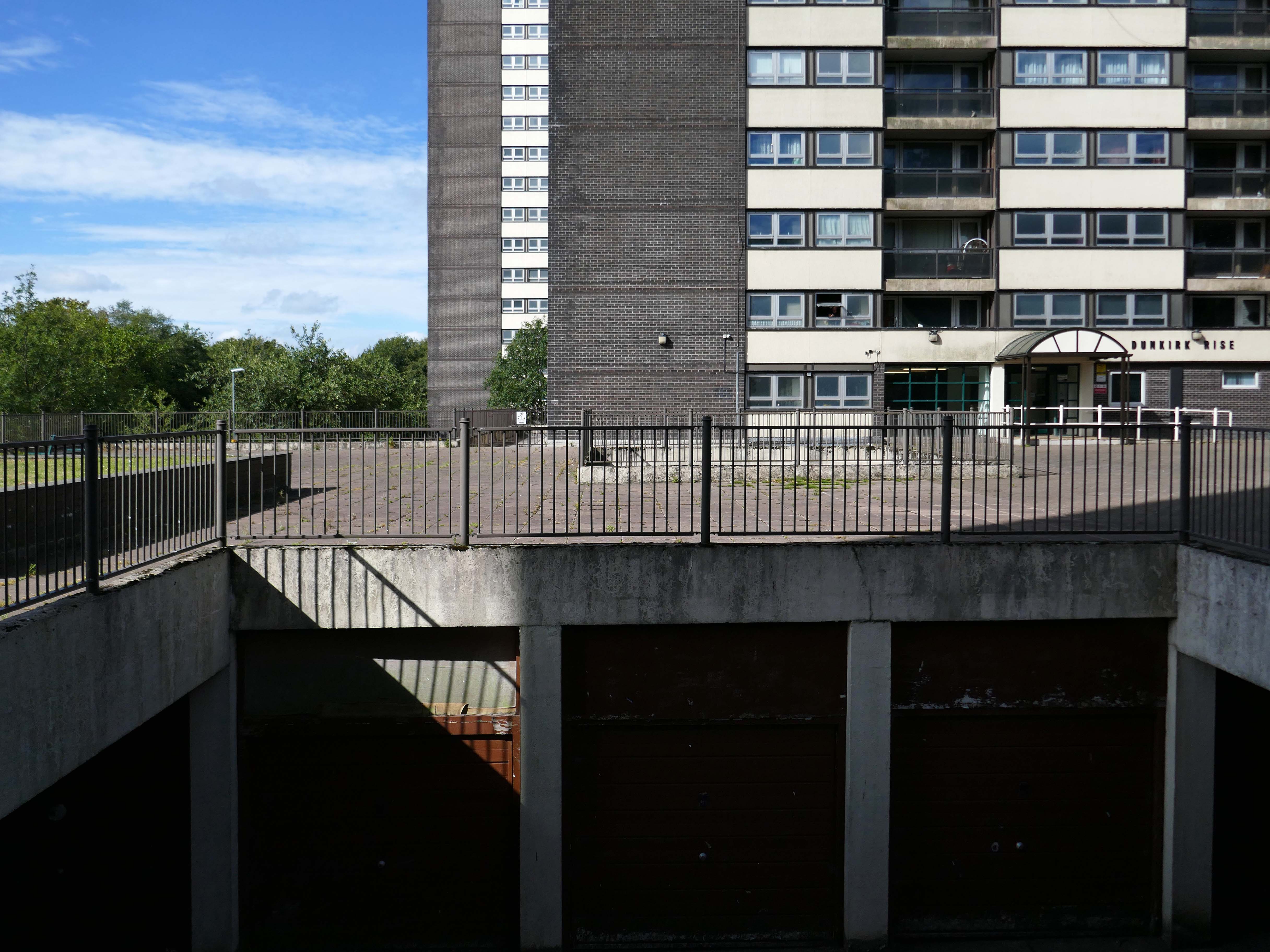
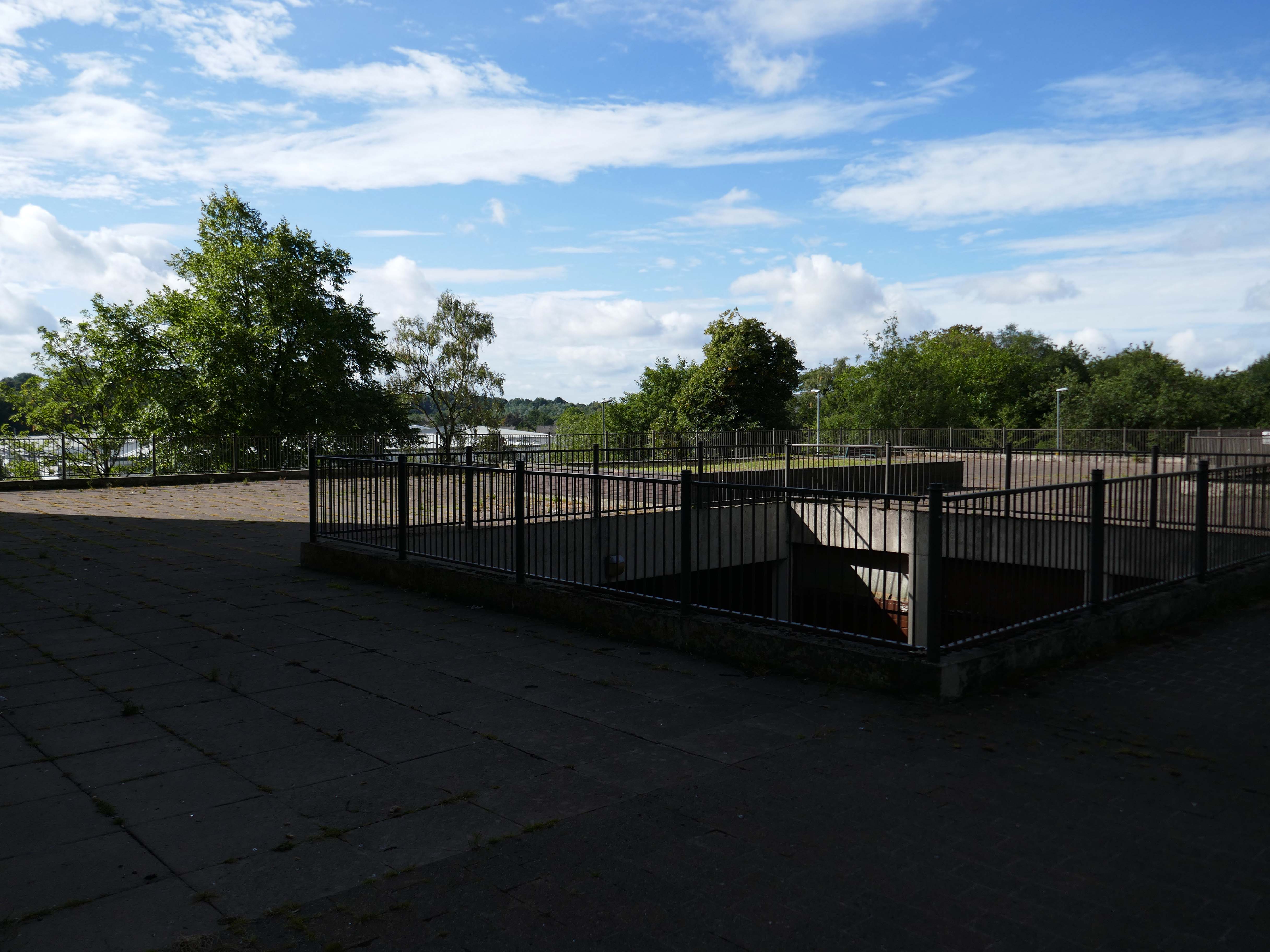
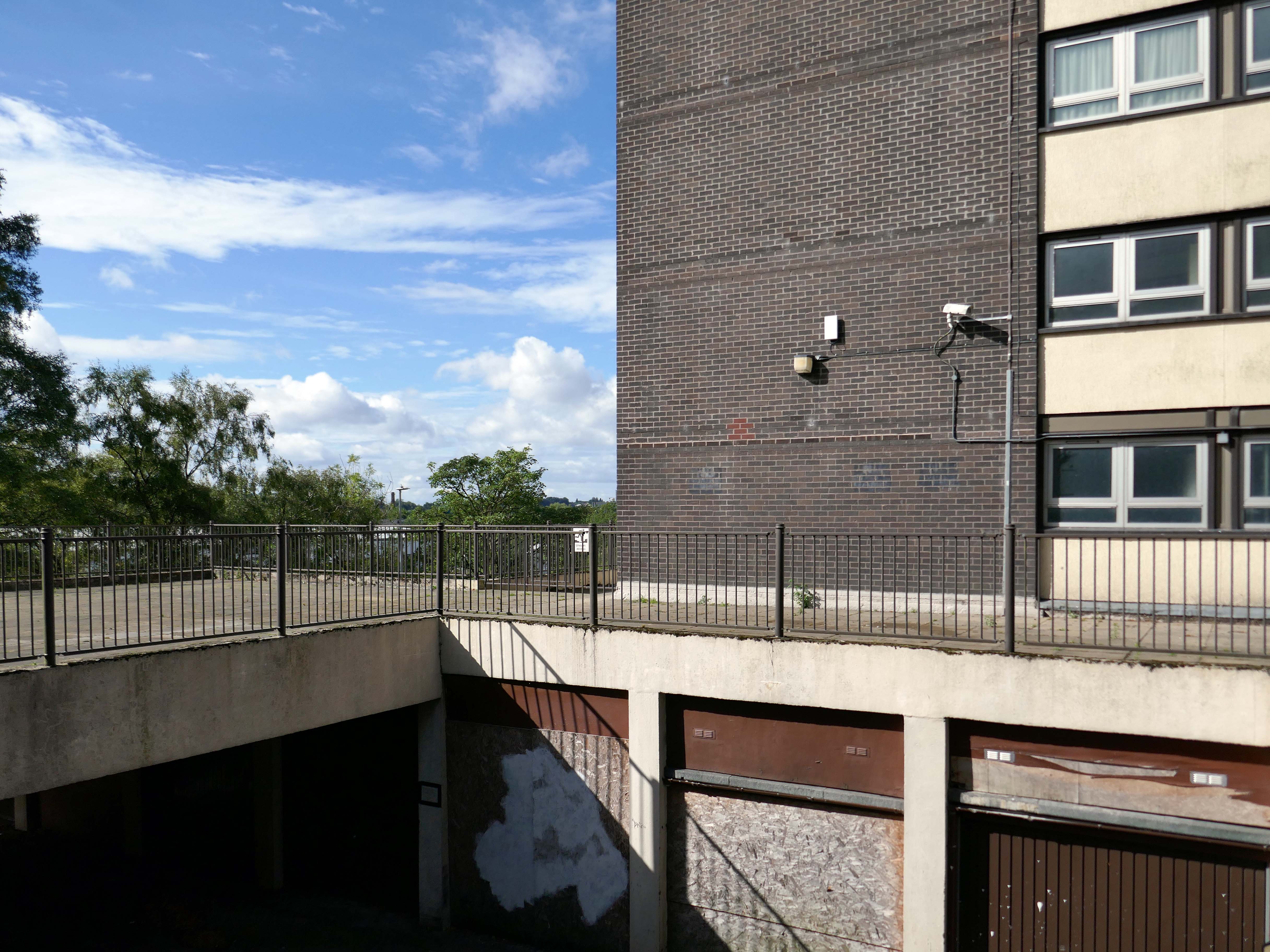
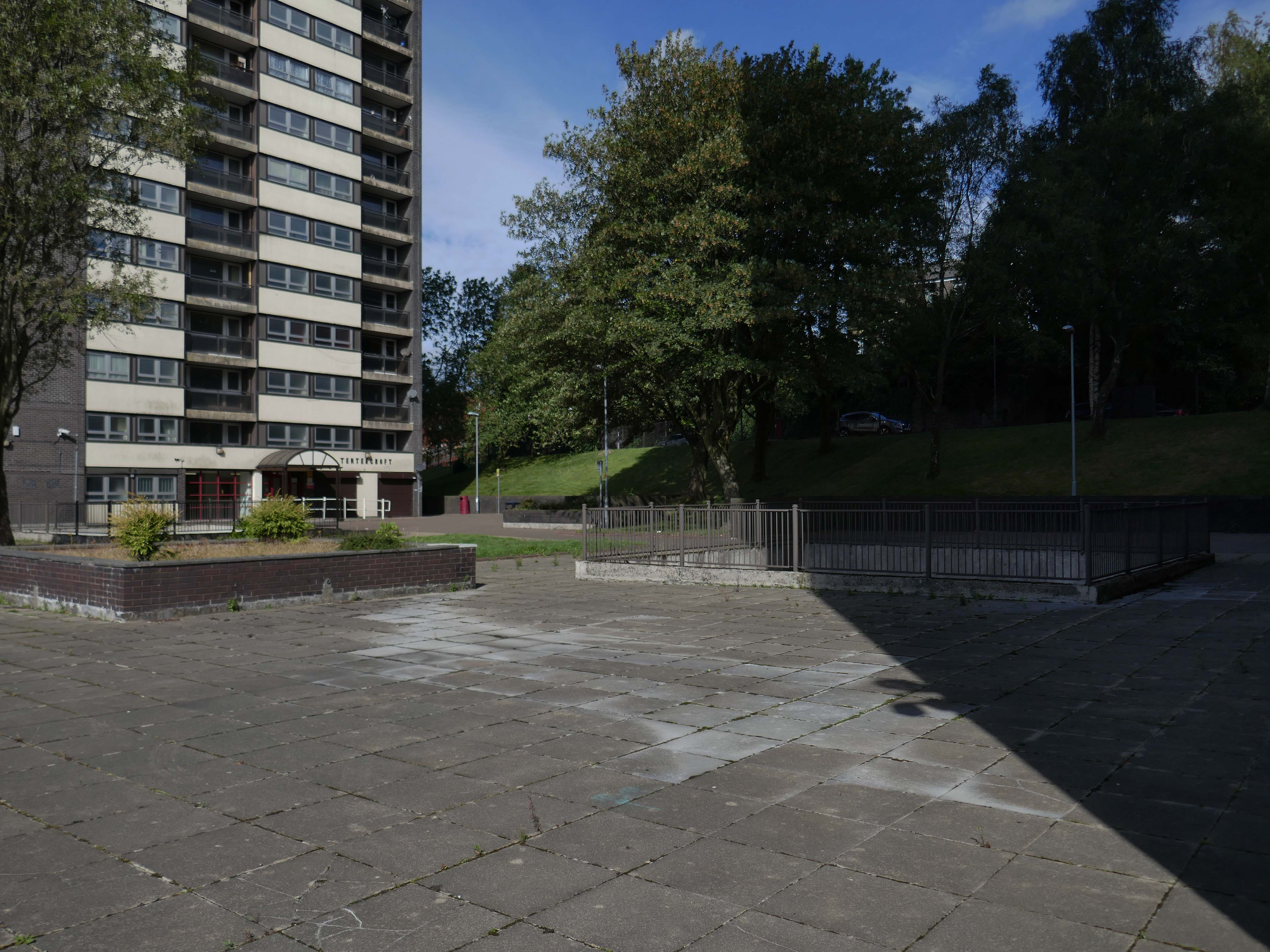
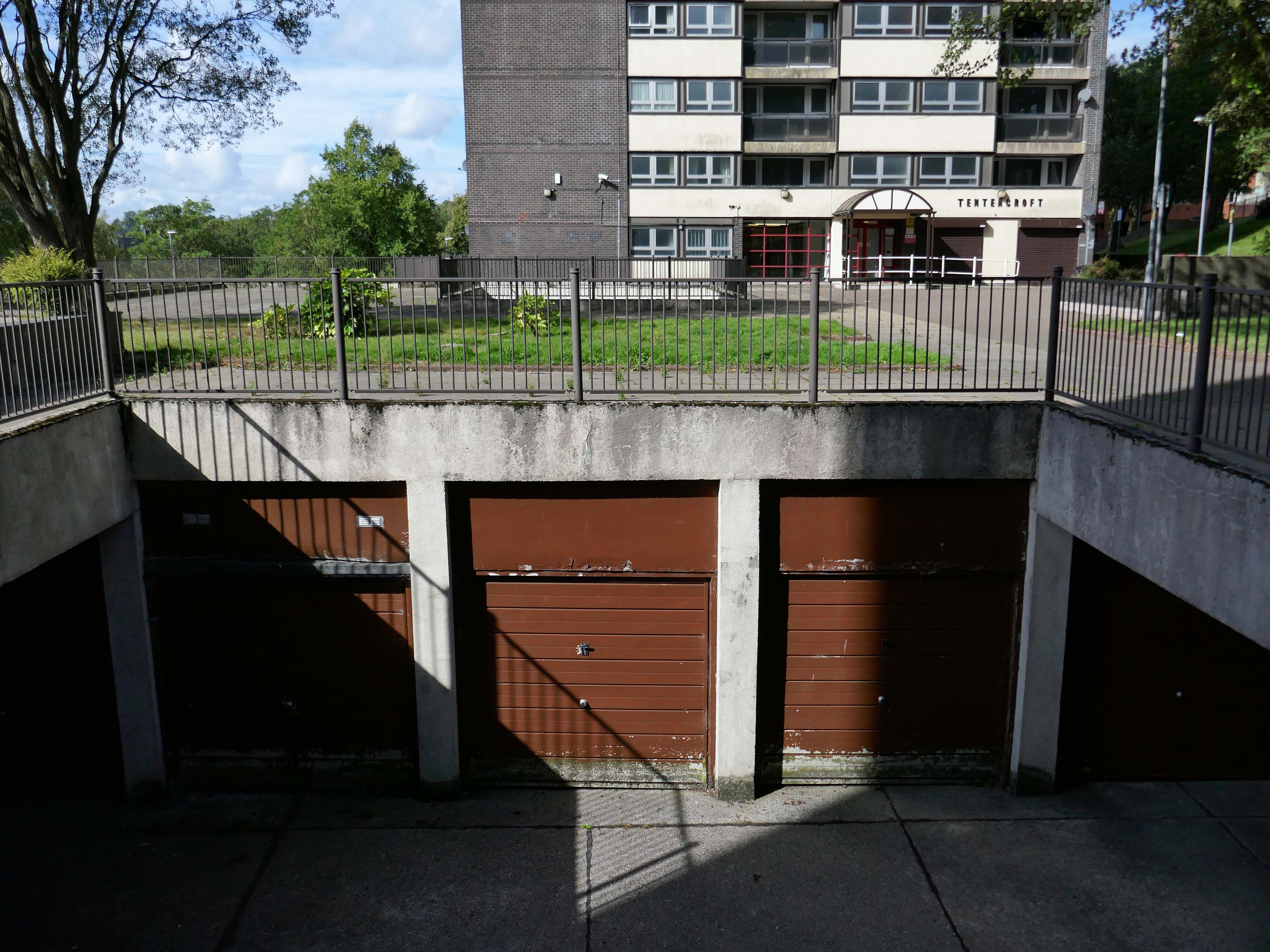
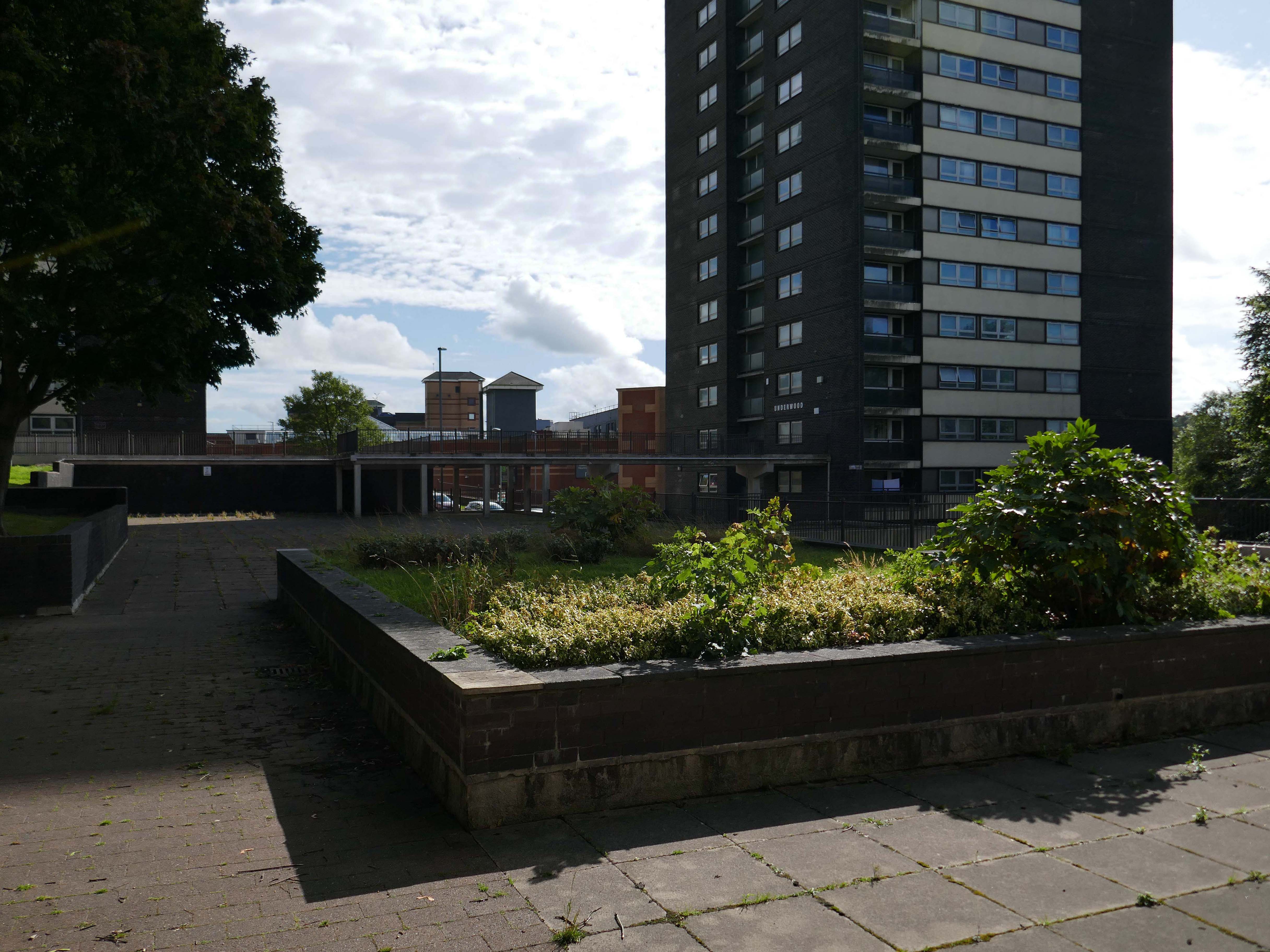
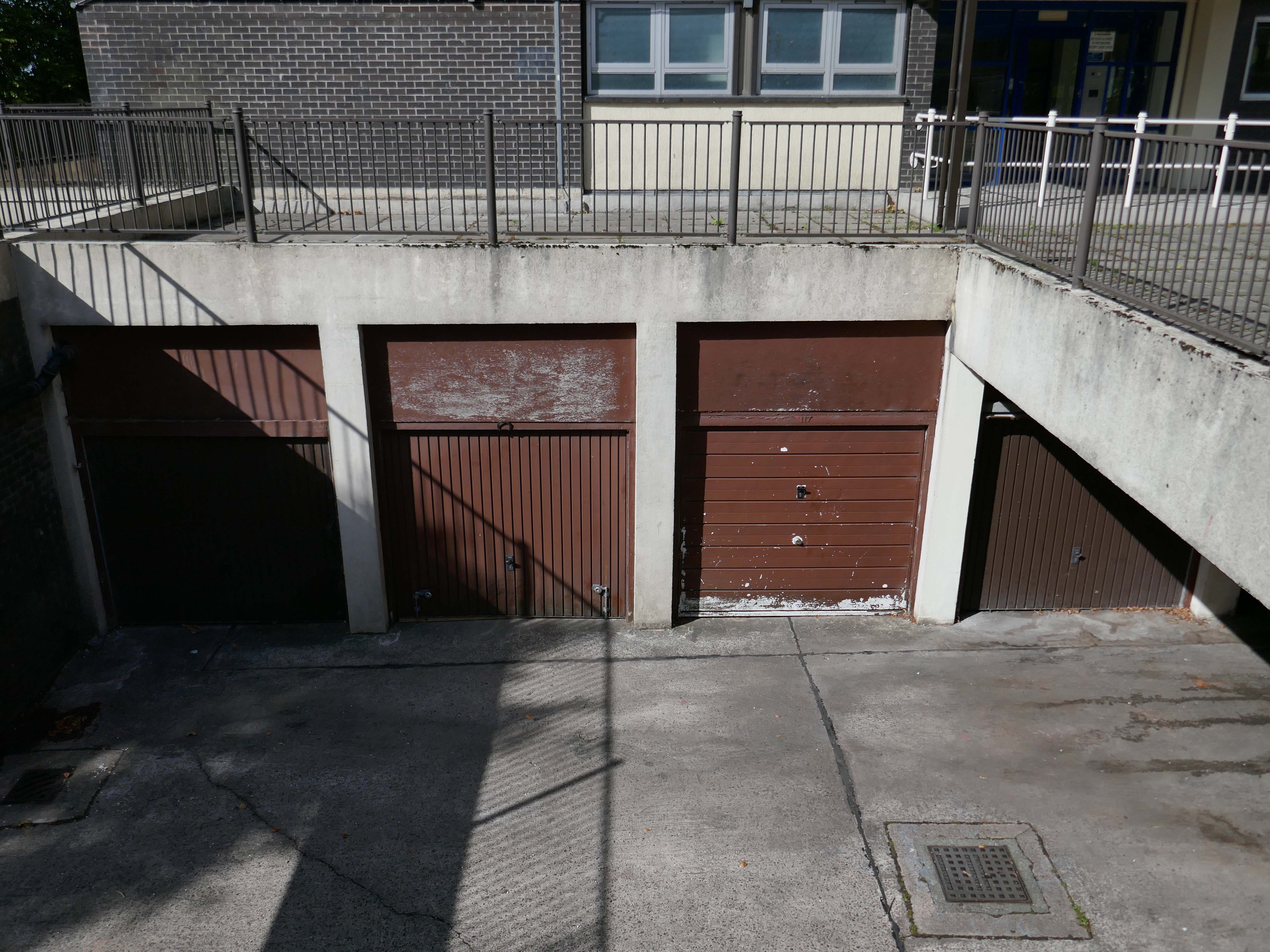
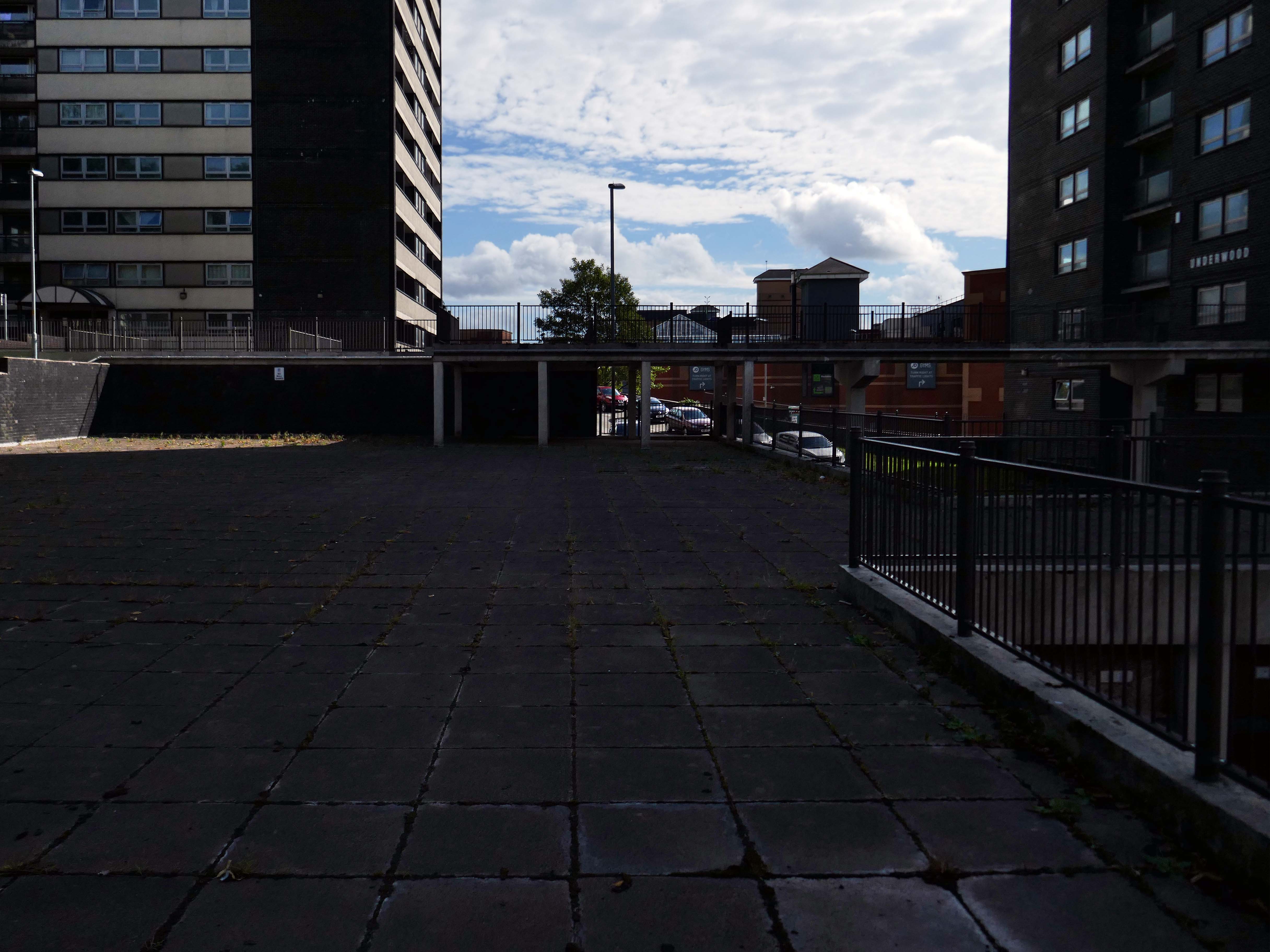
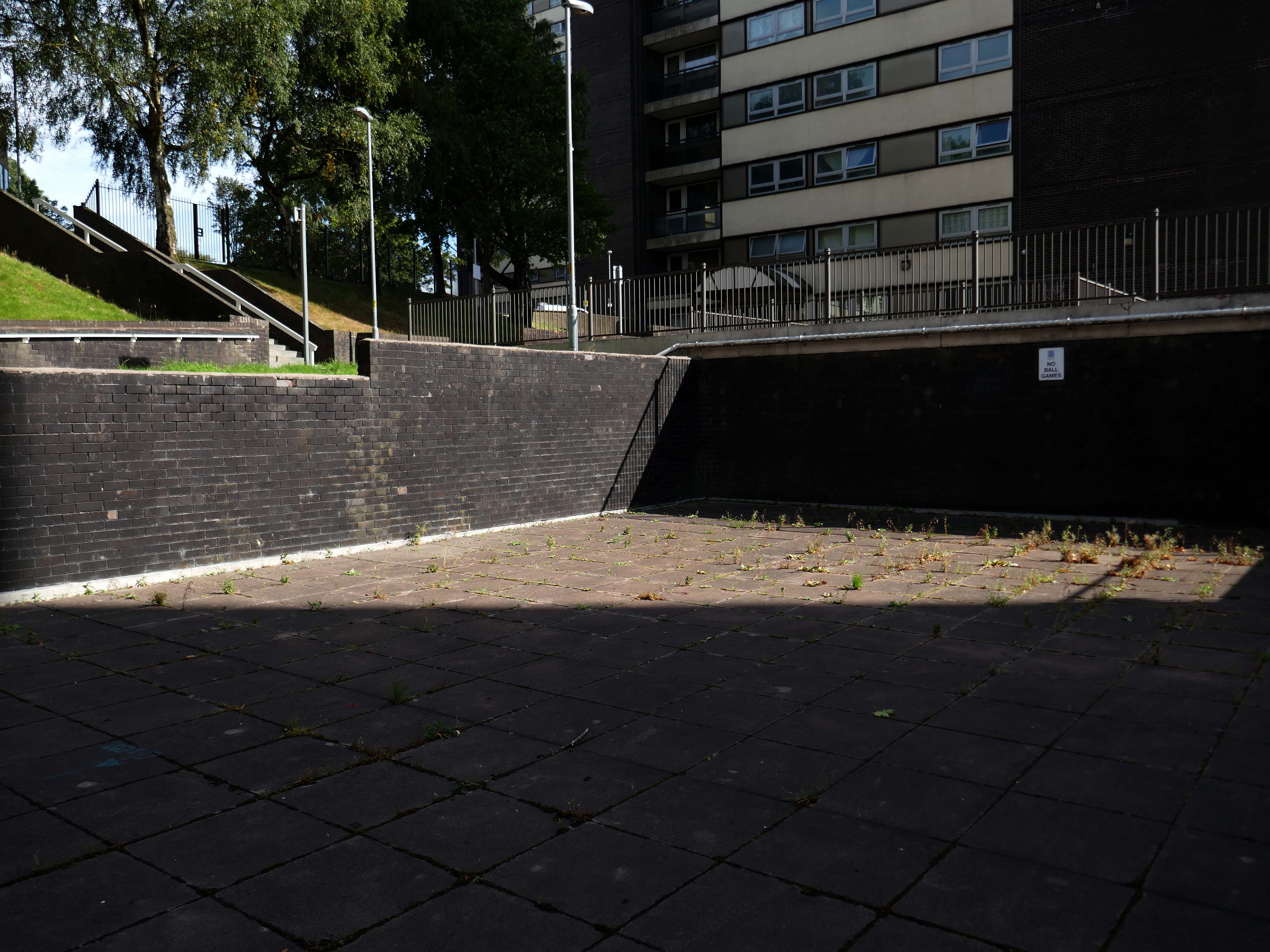
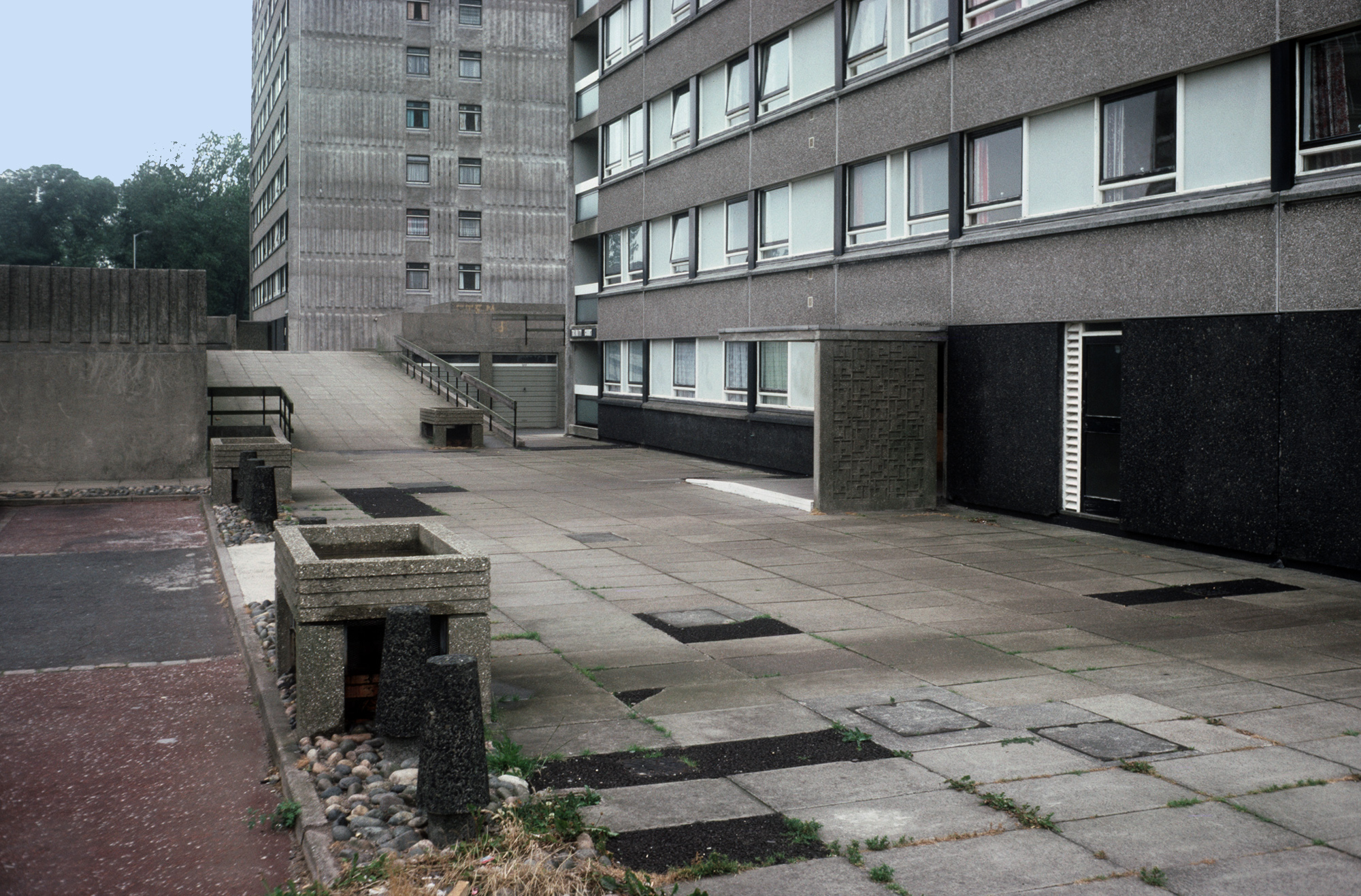
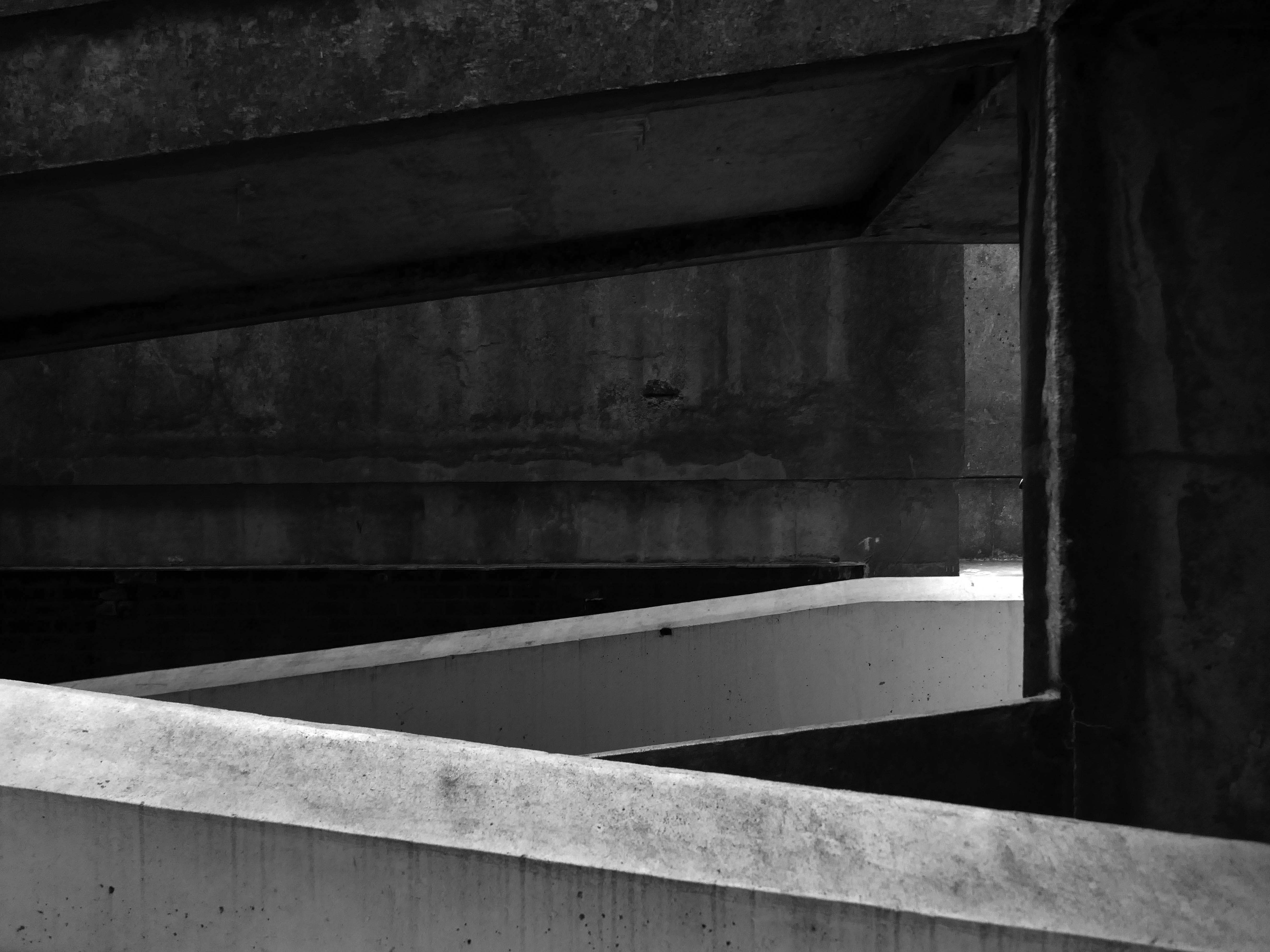
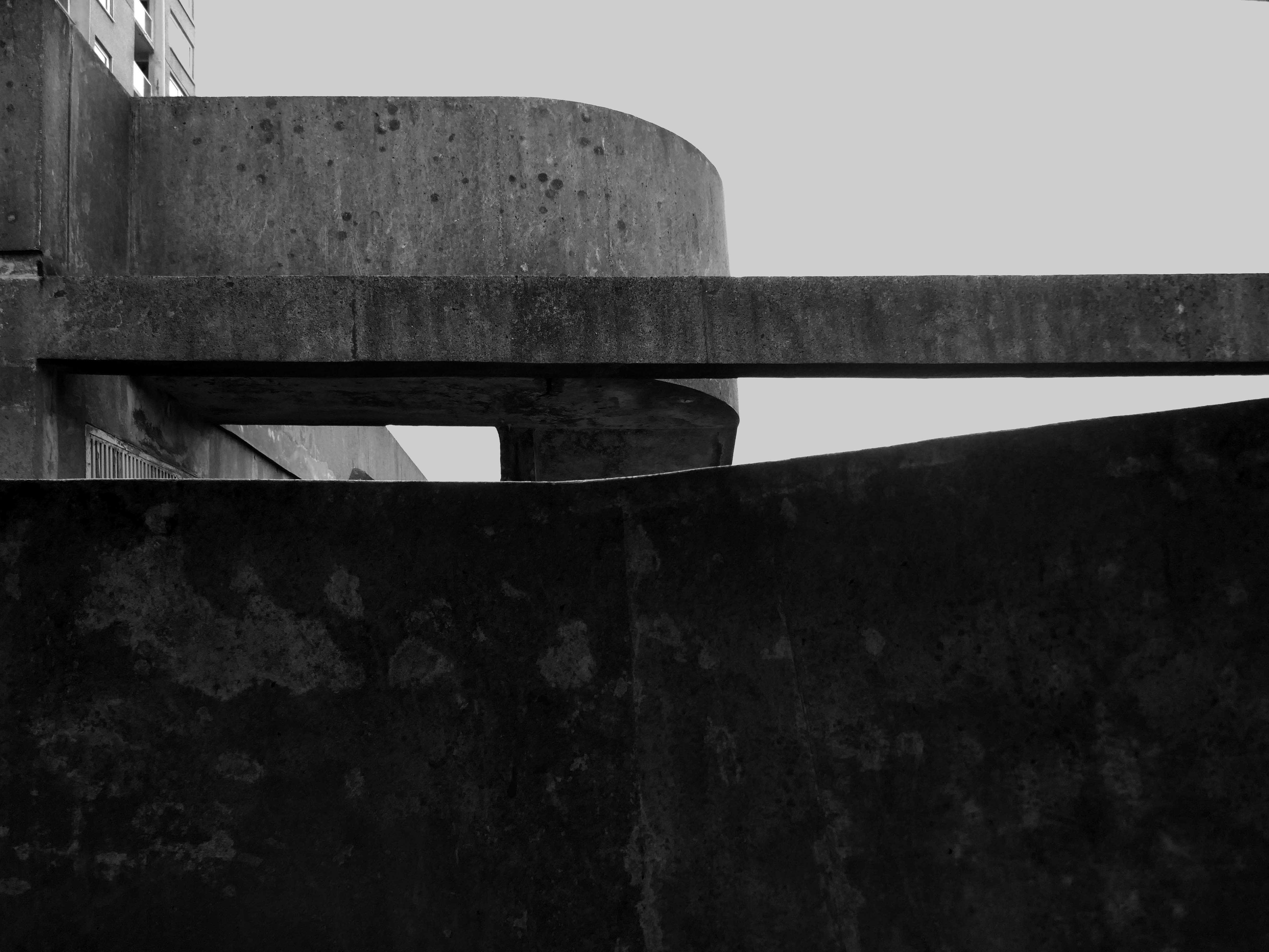
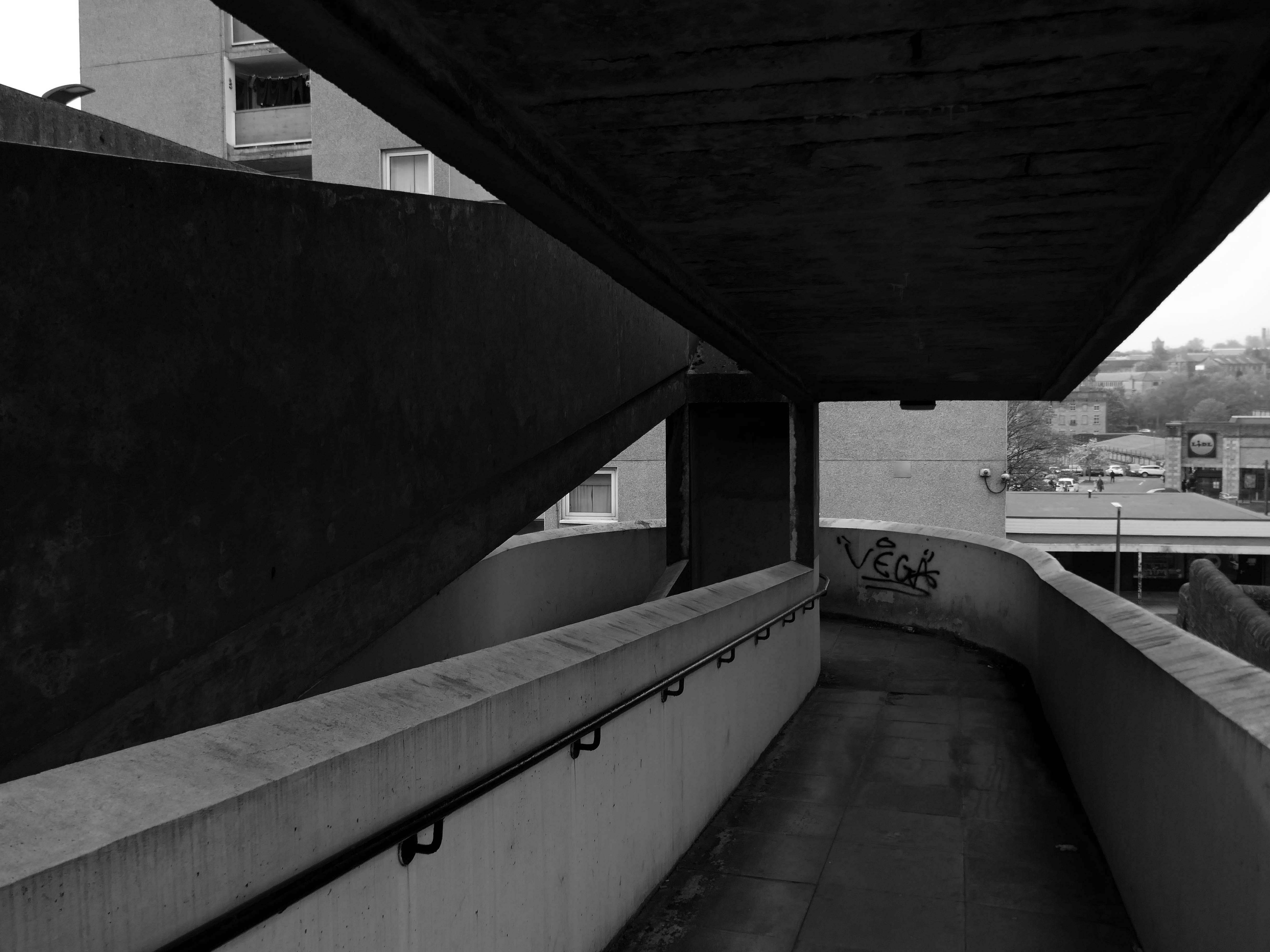
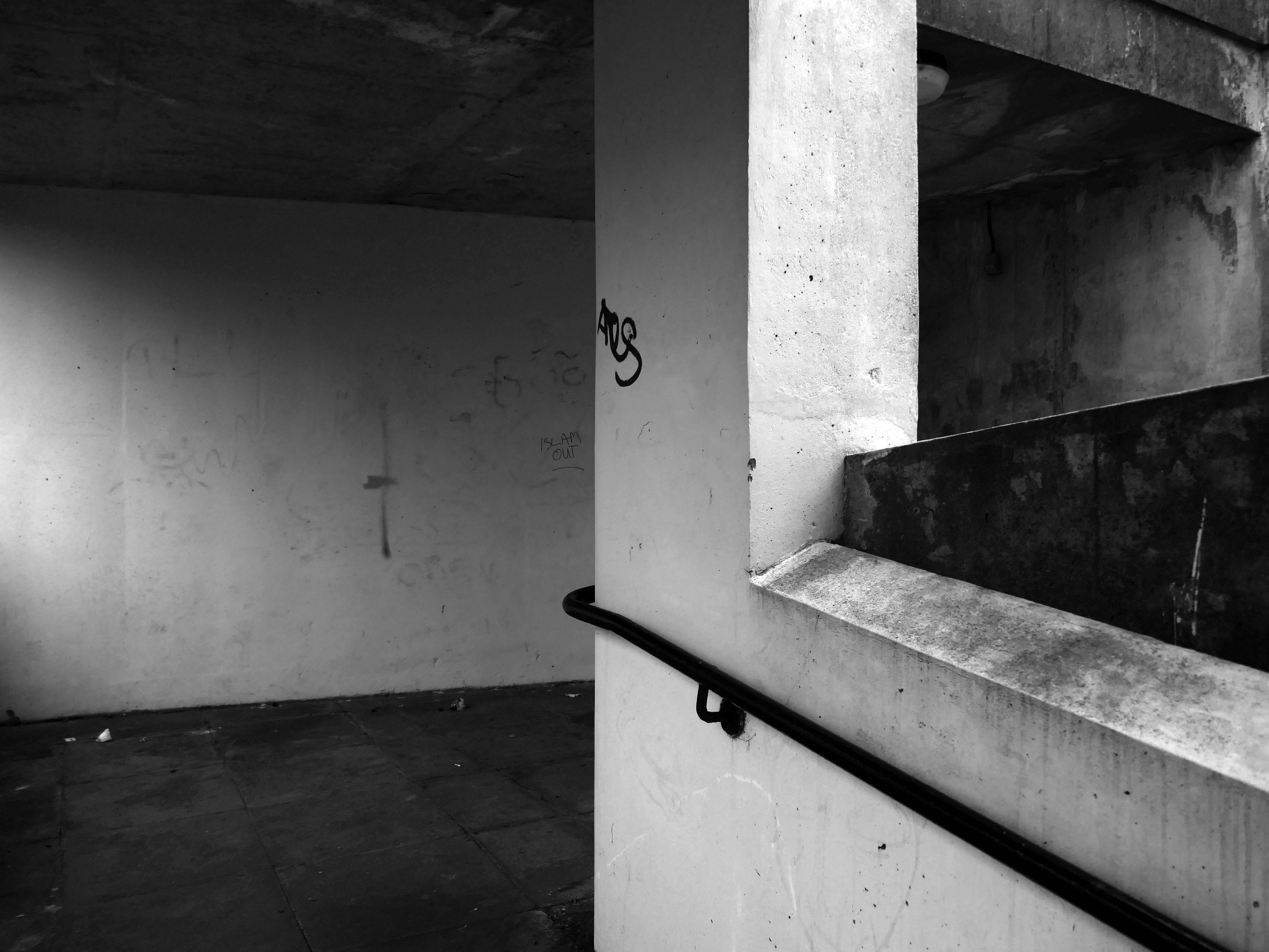
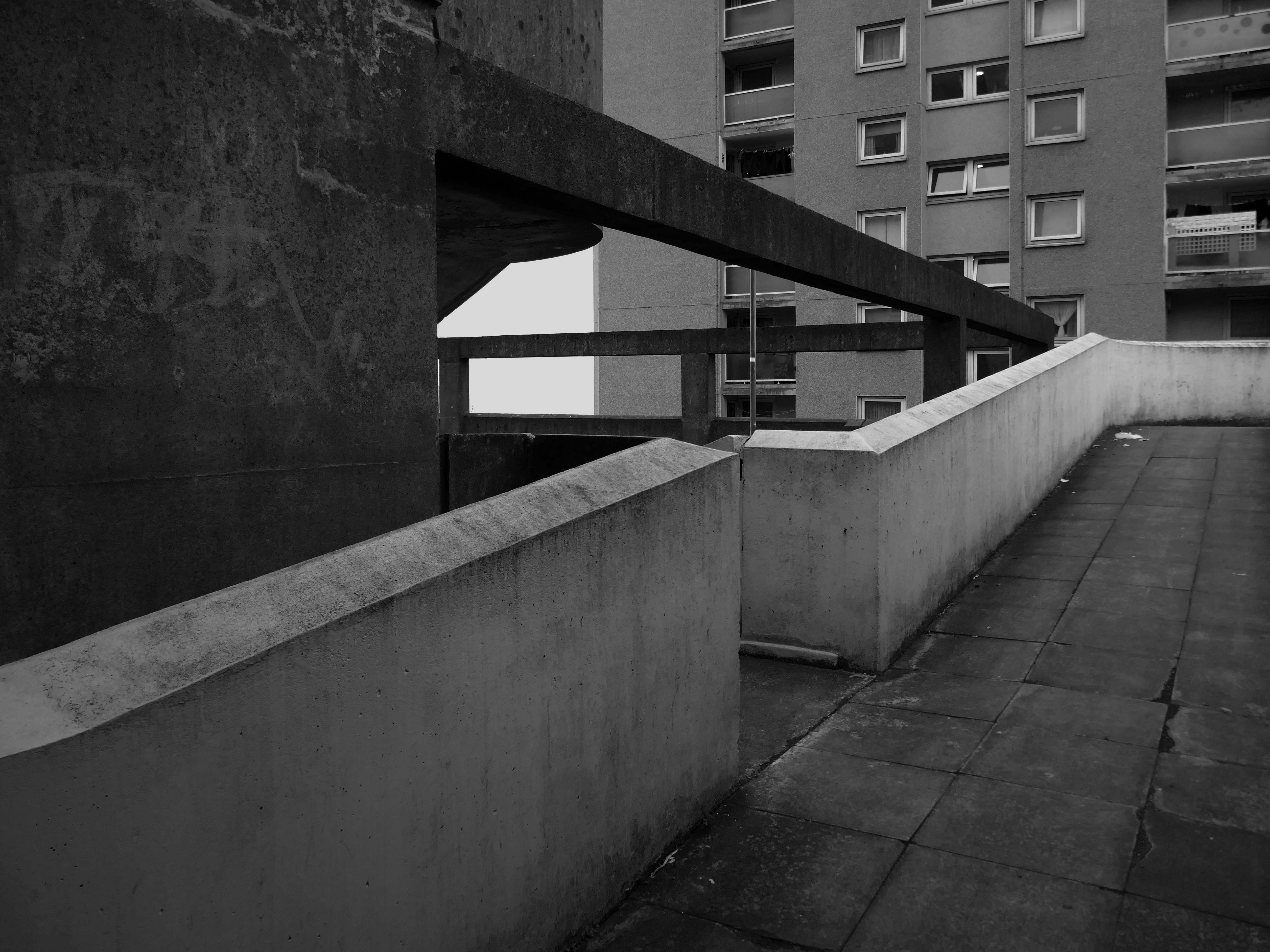
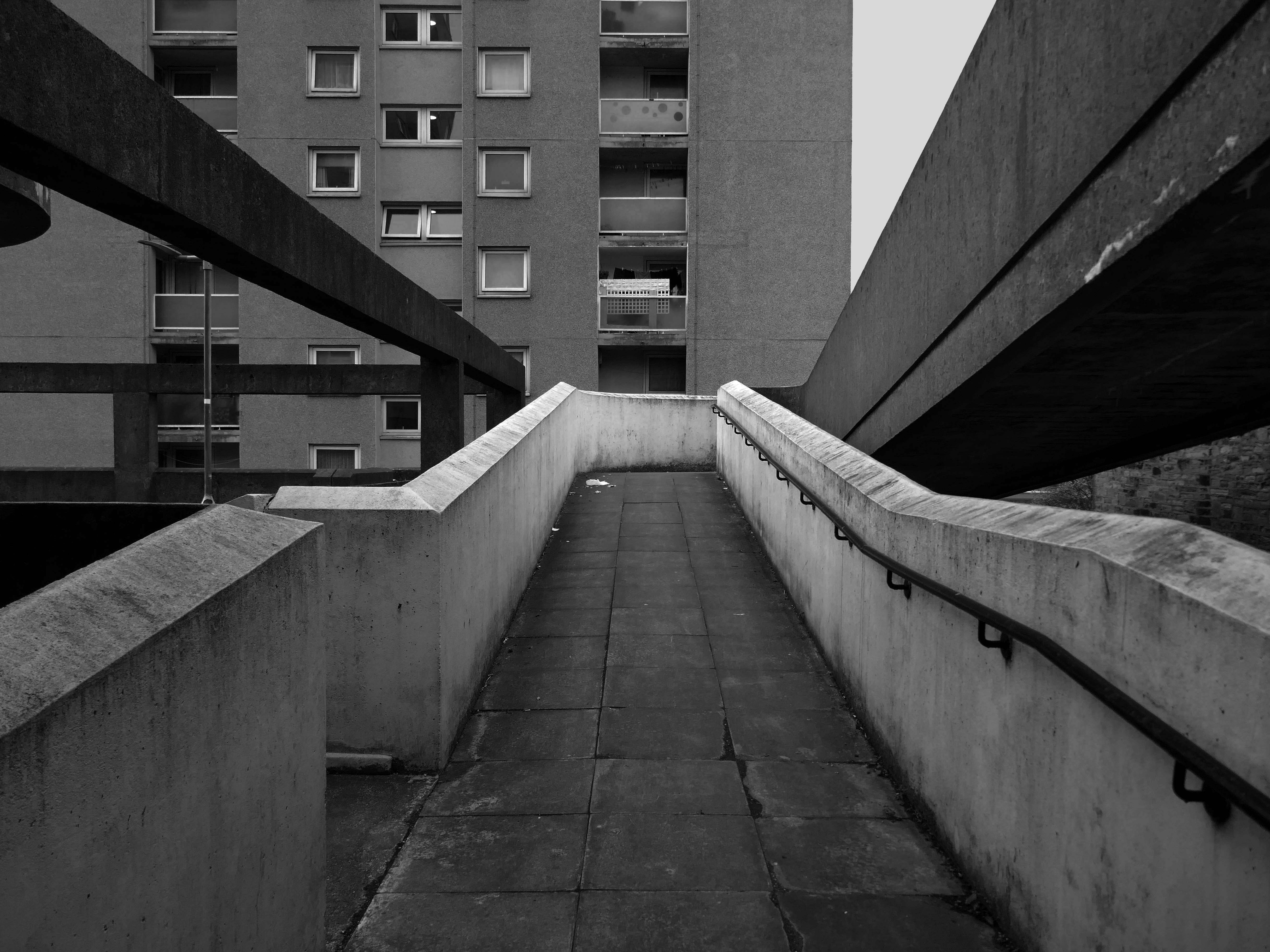
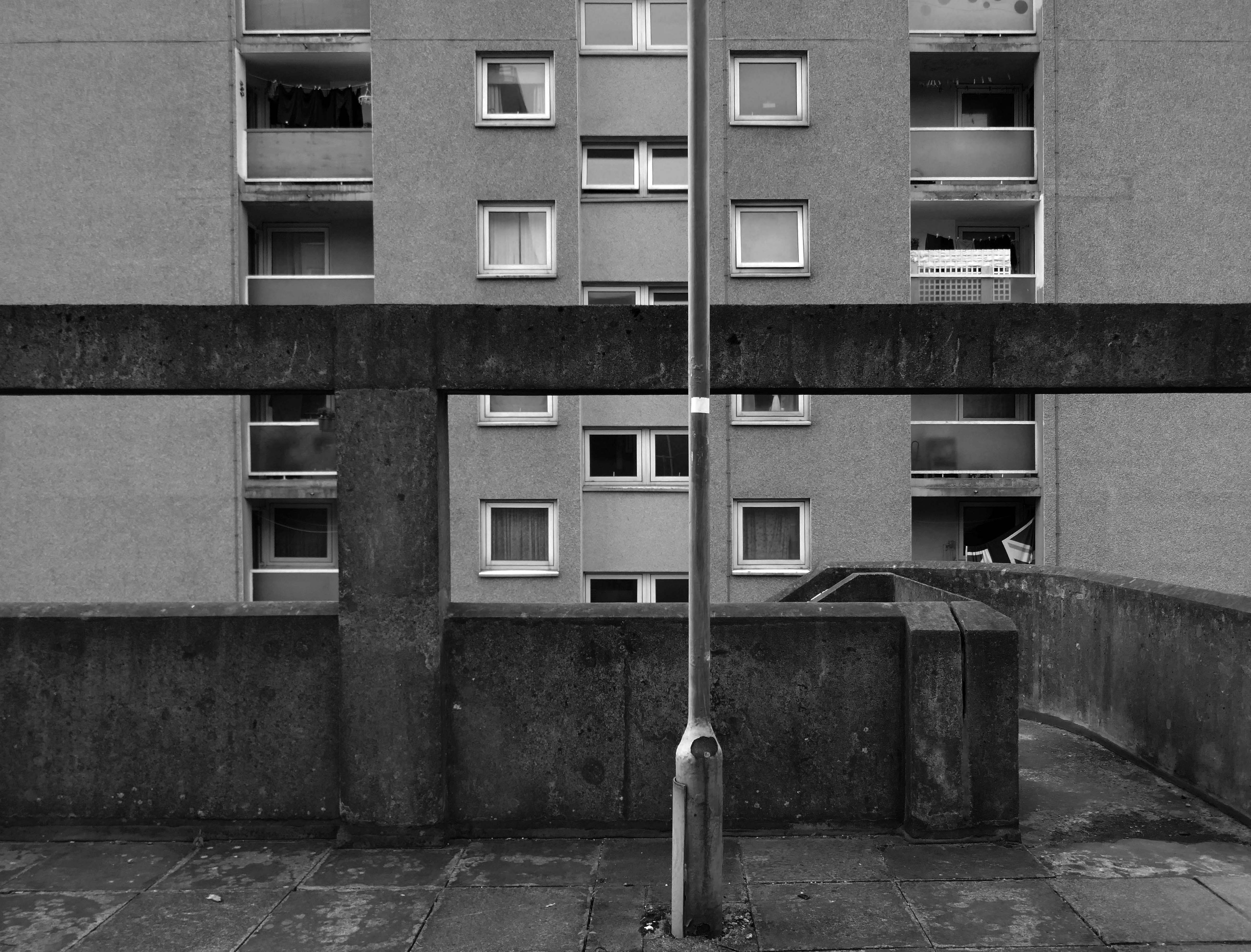
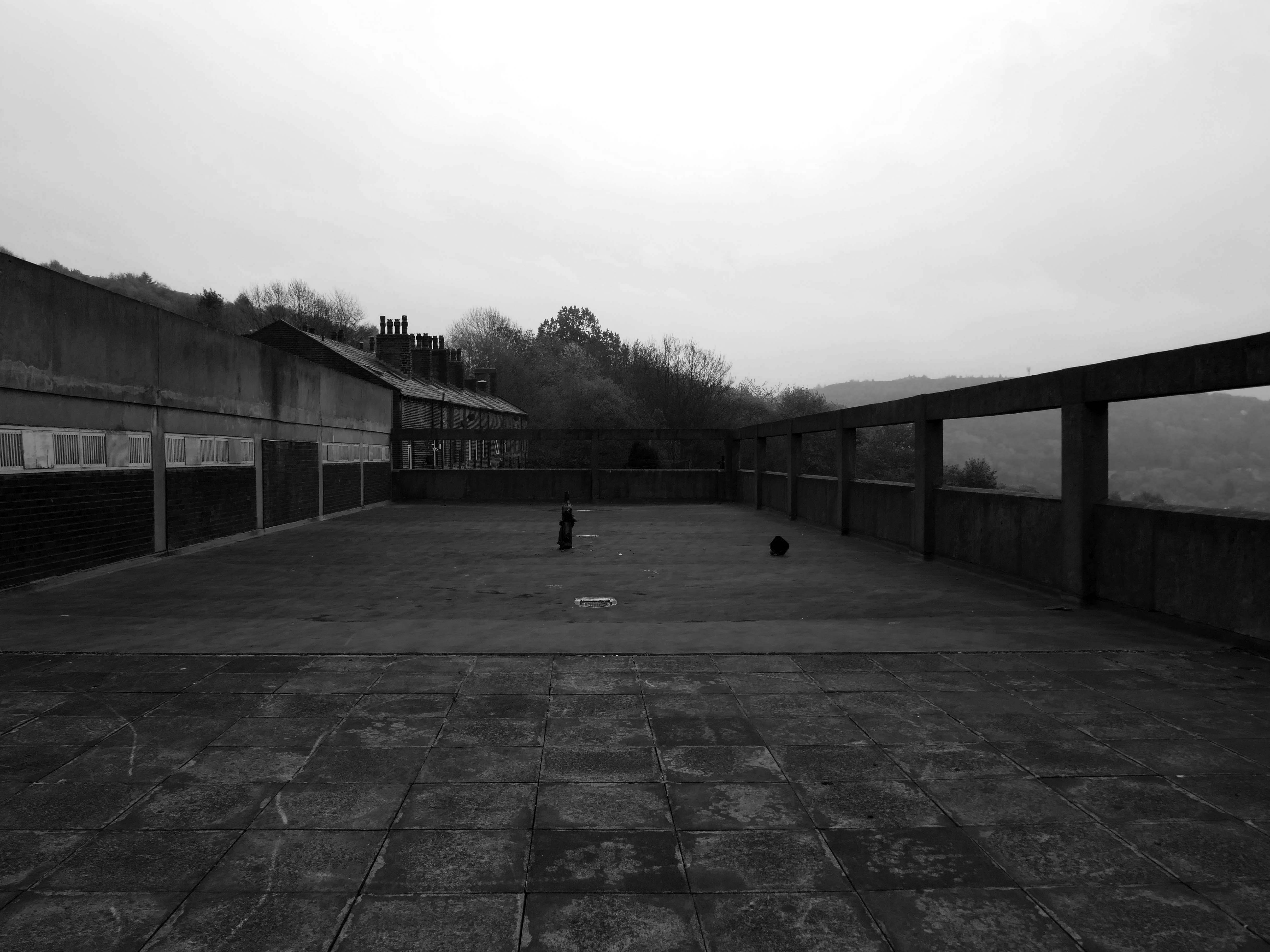
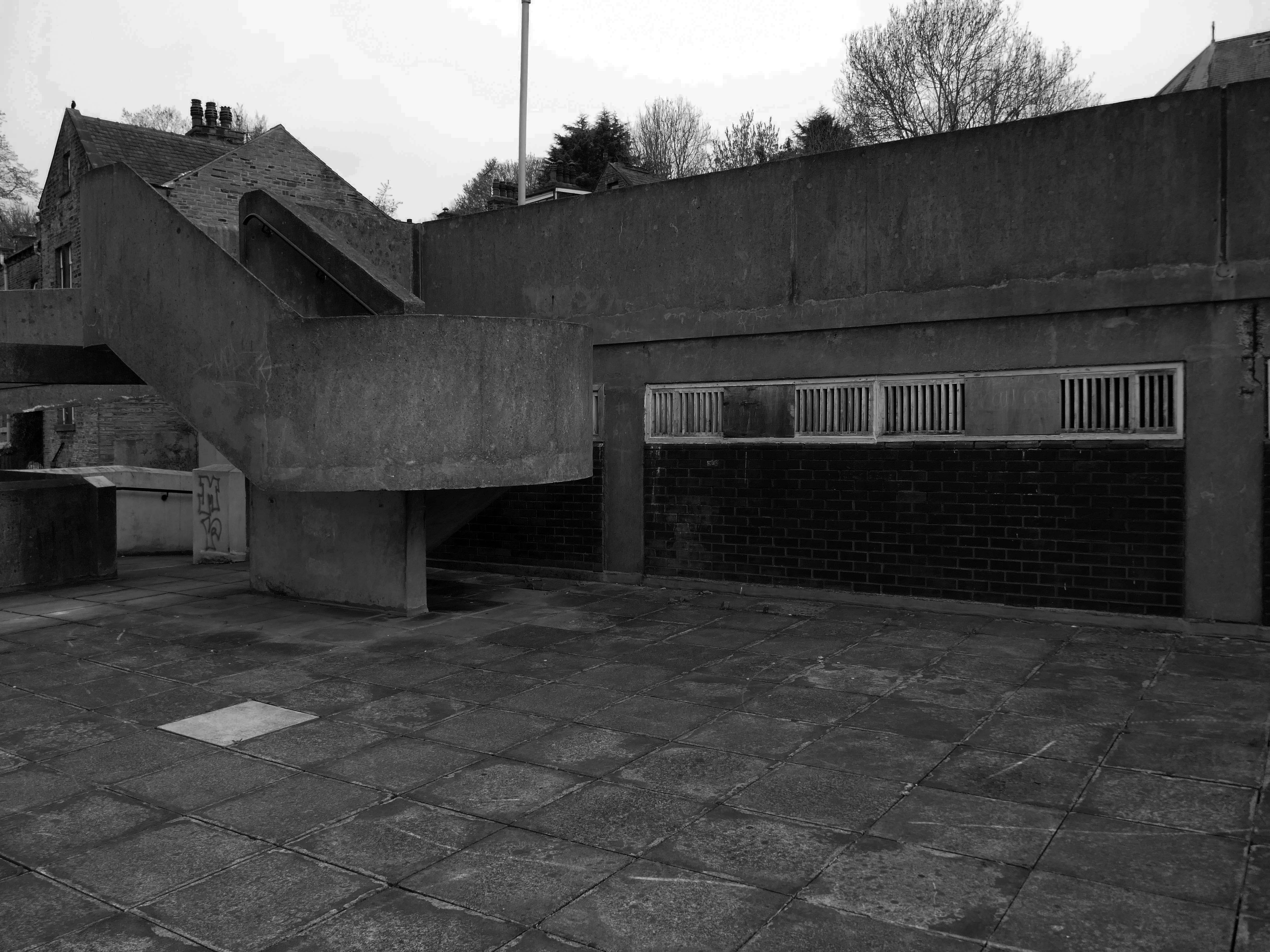
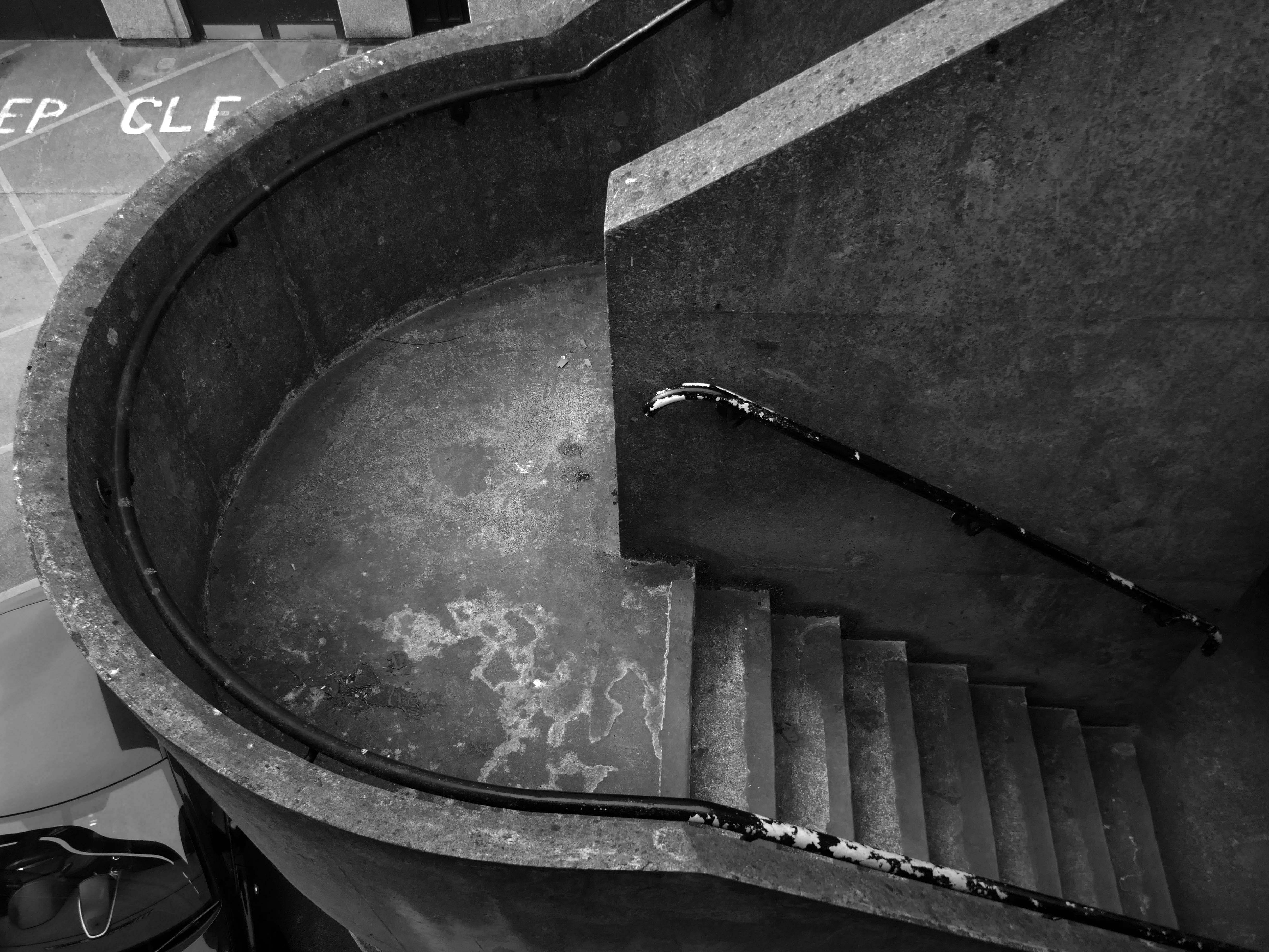
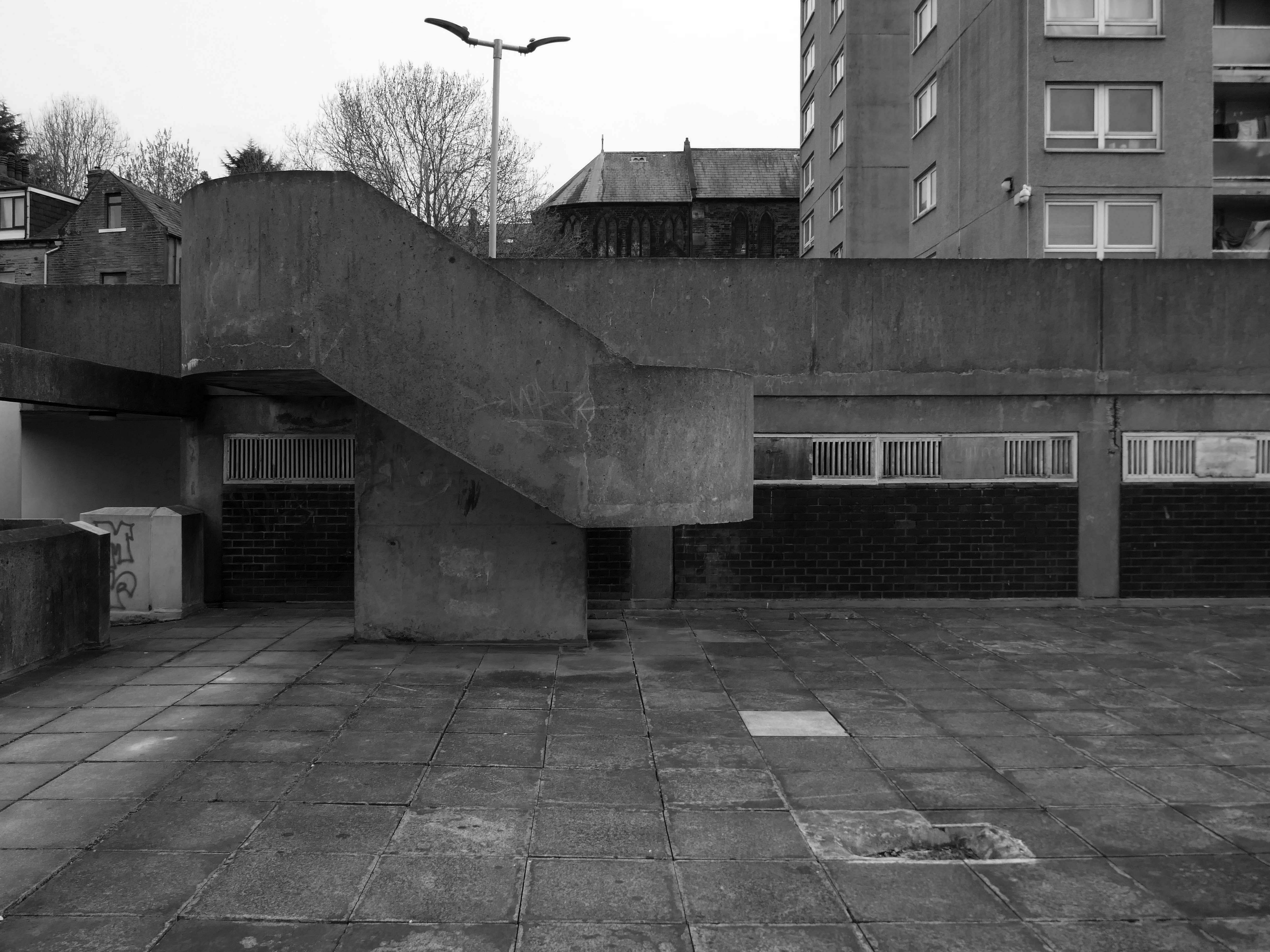
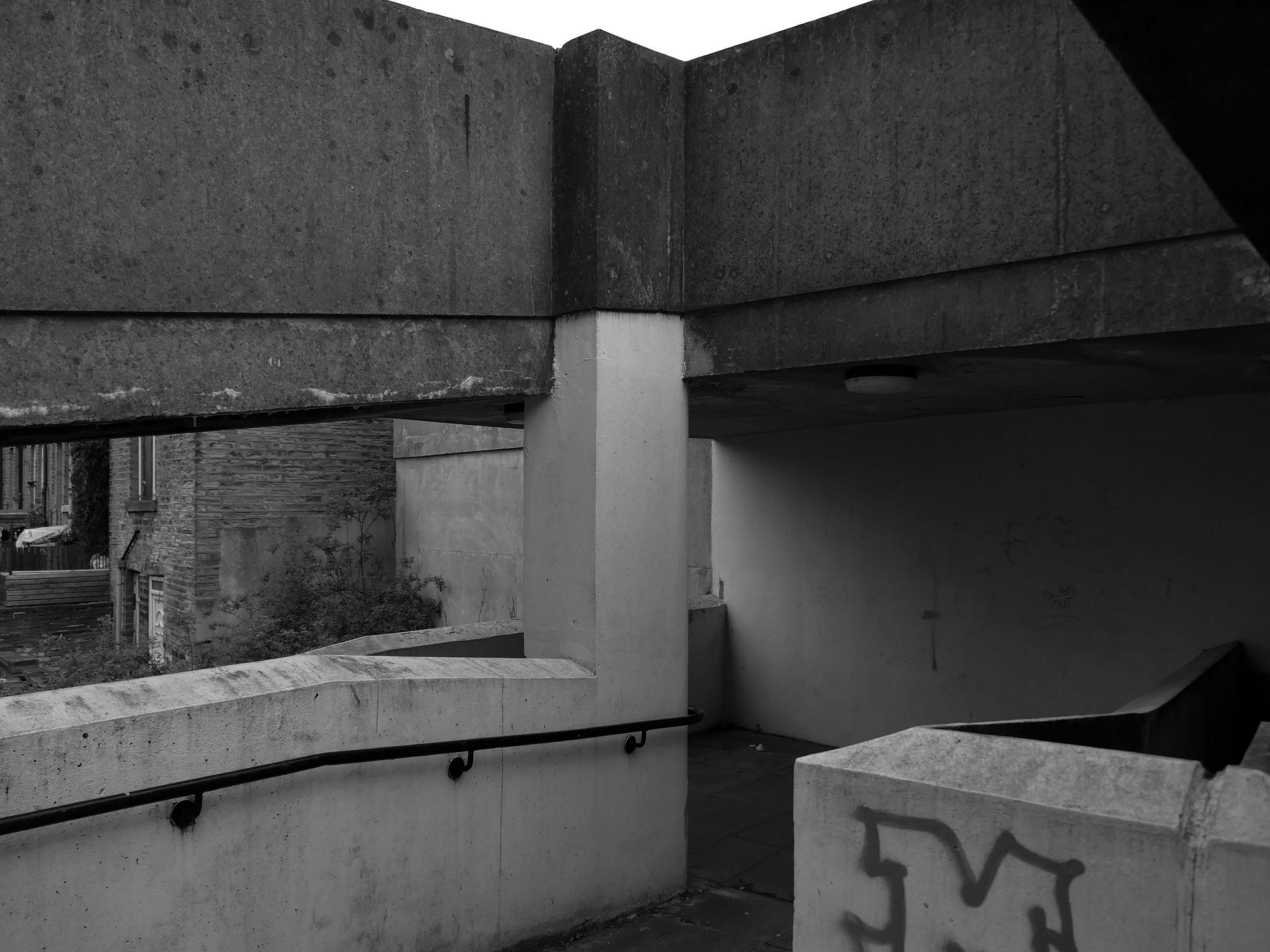
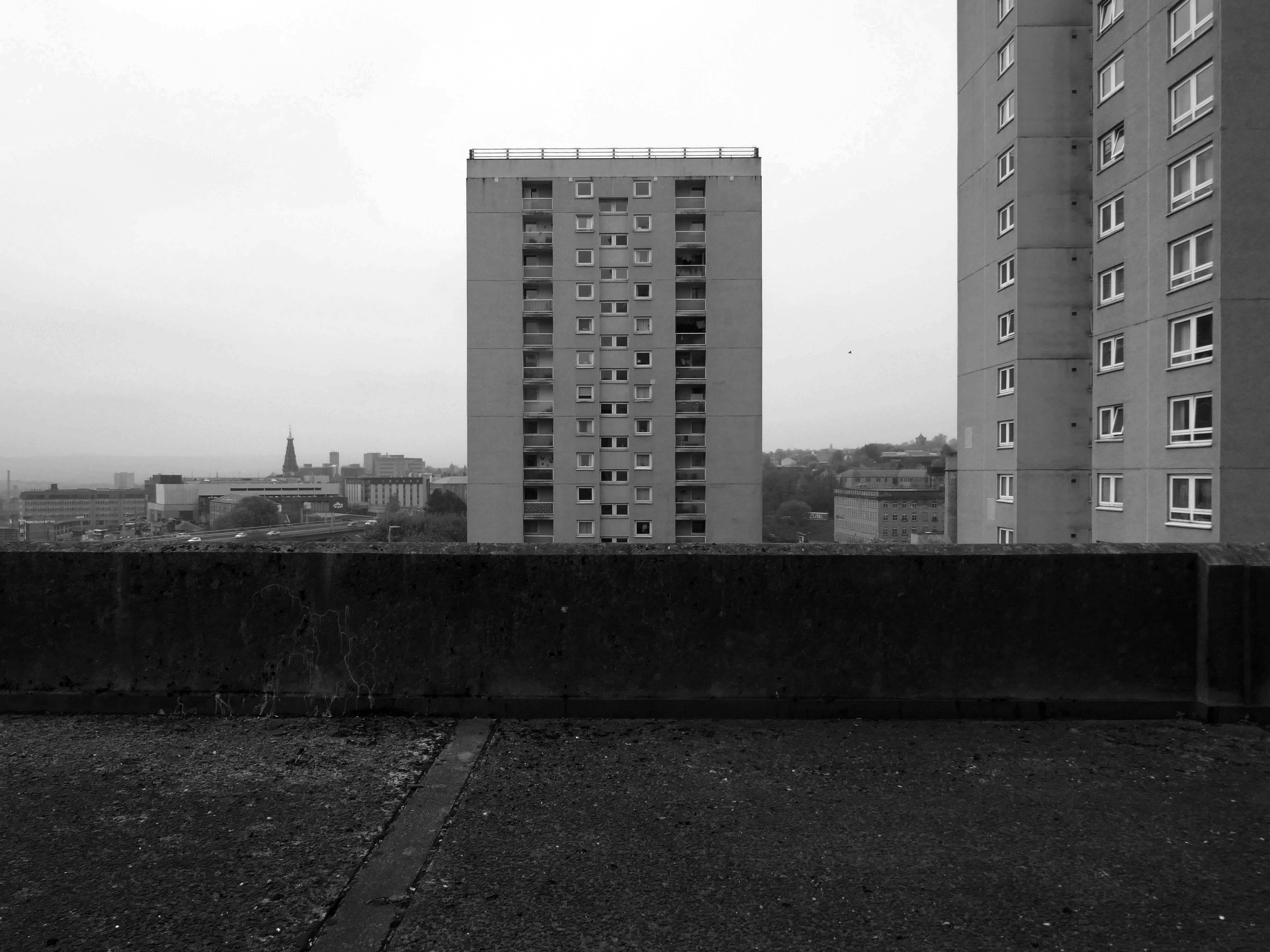
So an unsatisfactory stasis prevails across the windswept piazzas, podium garages and towering towers.
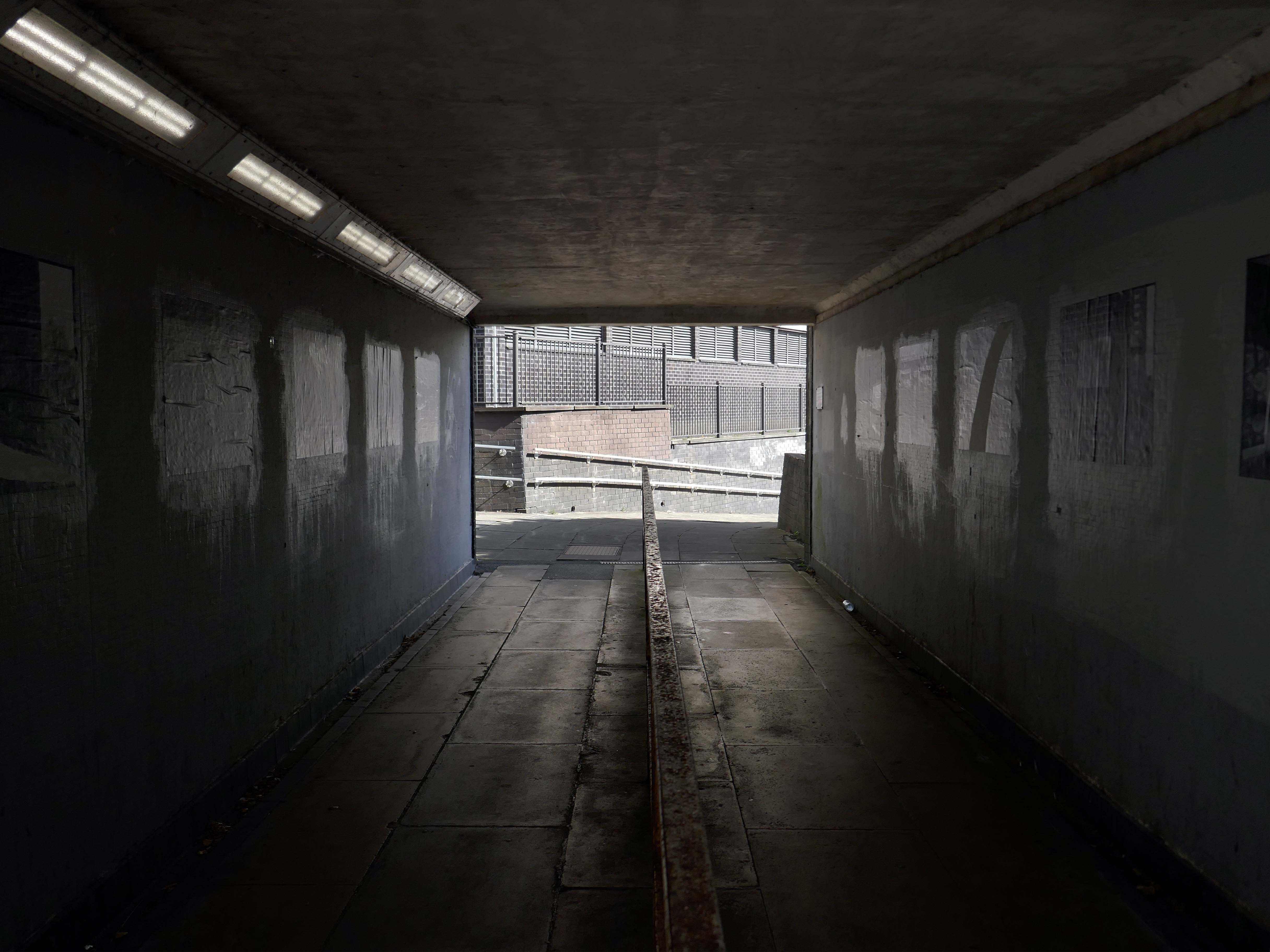
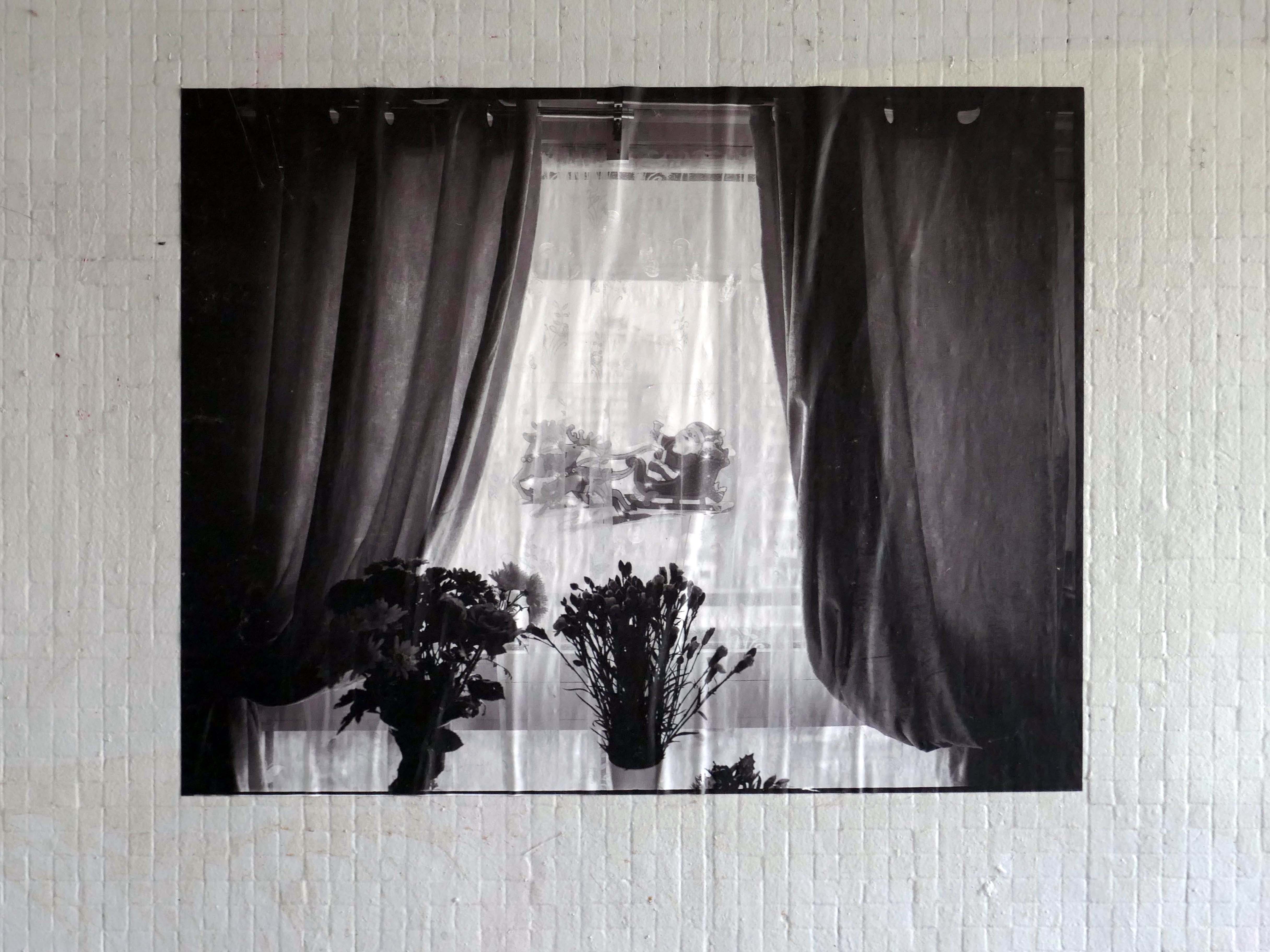
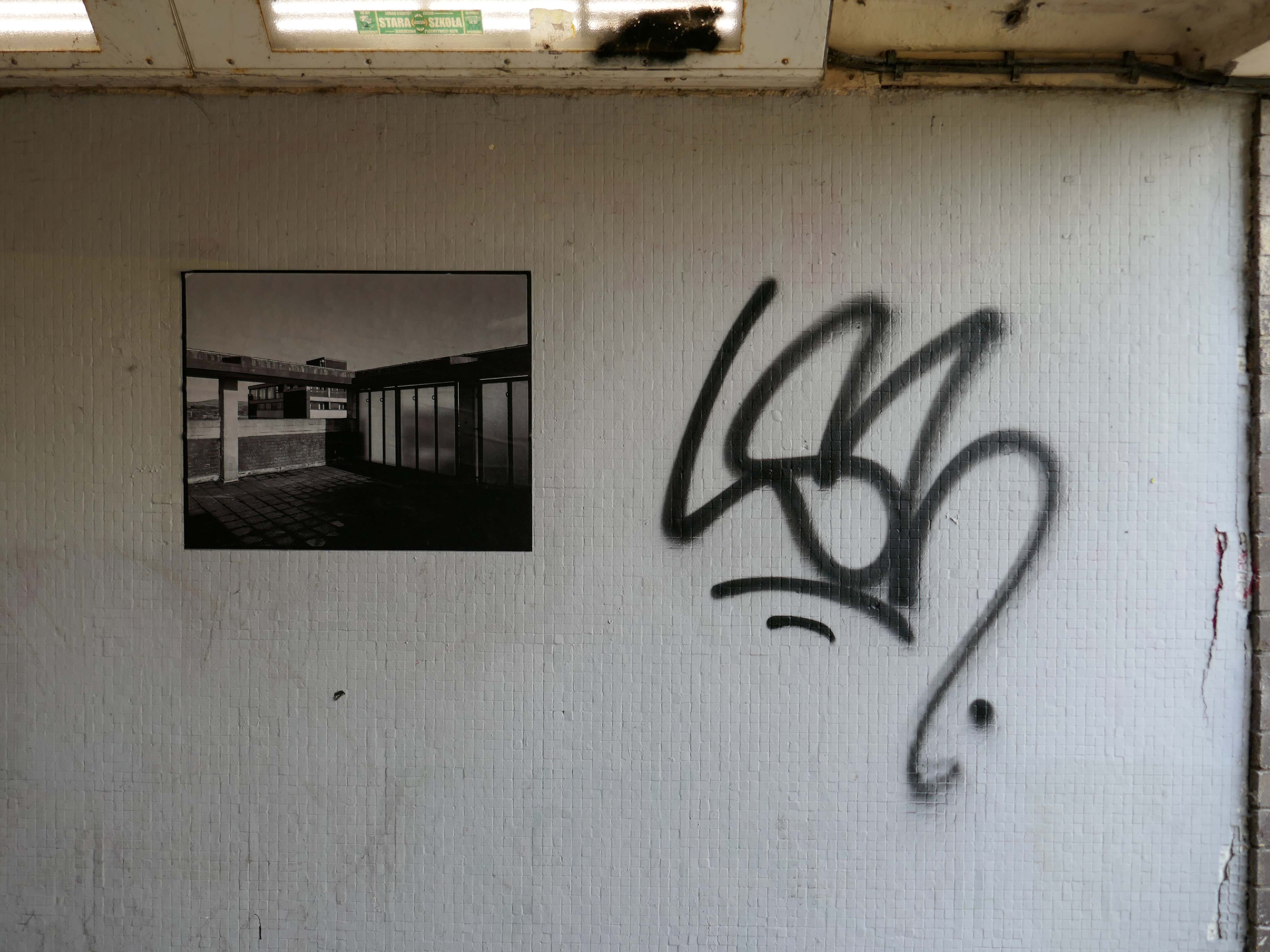
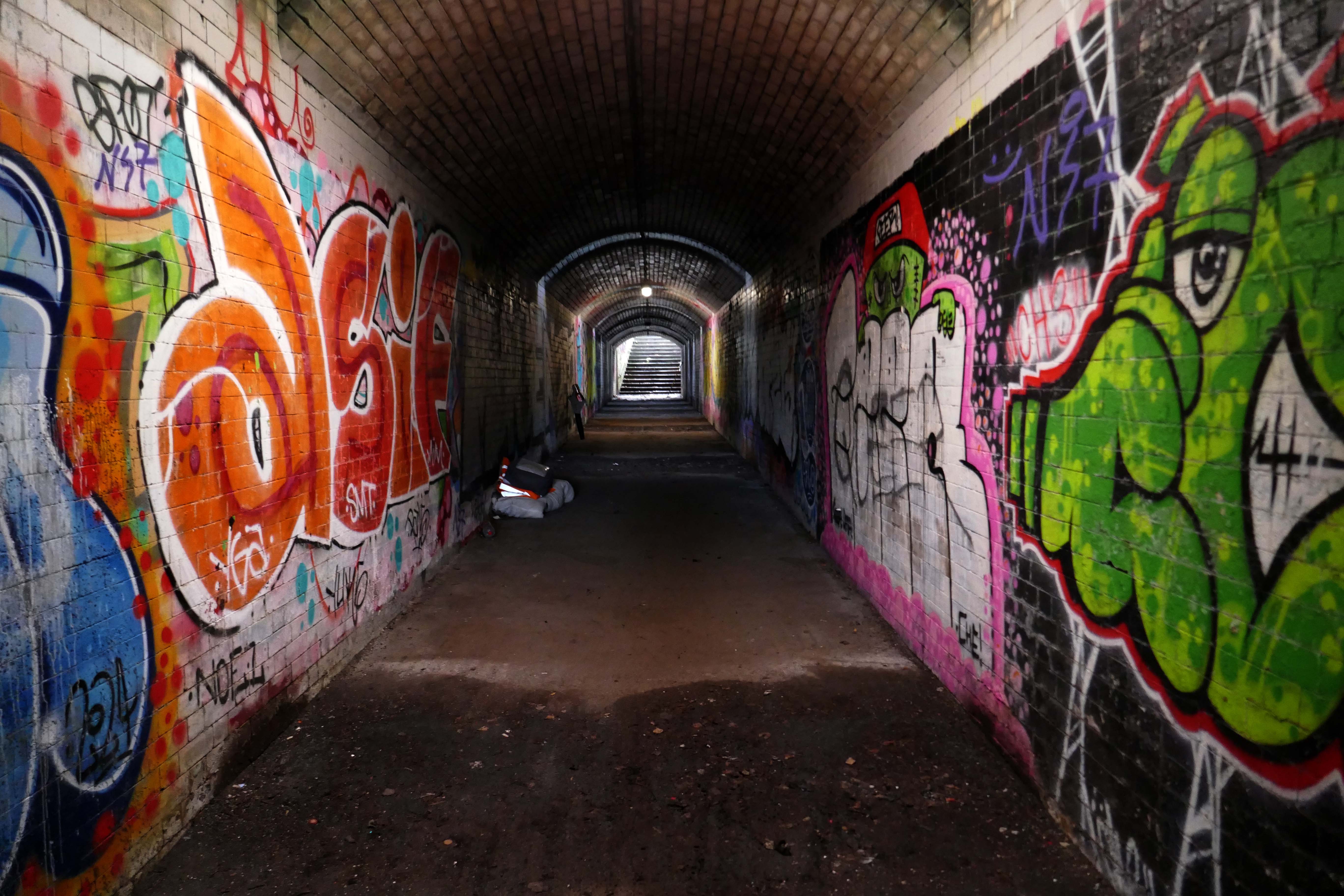
Local photographer Ellie Waters has her pictures of the flats displayed in the underpass.
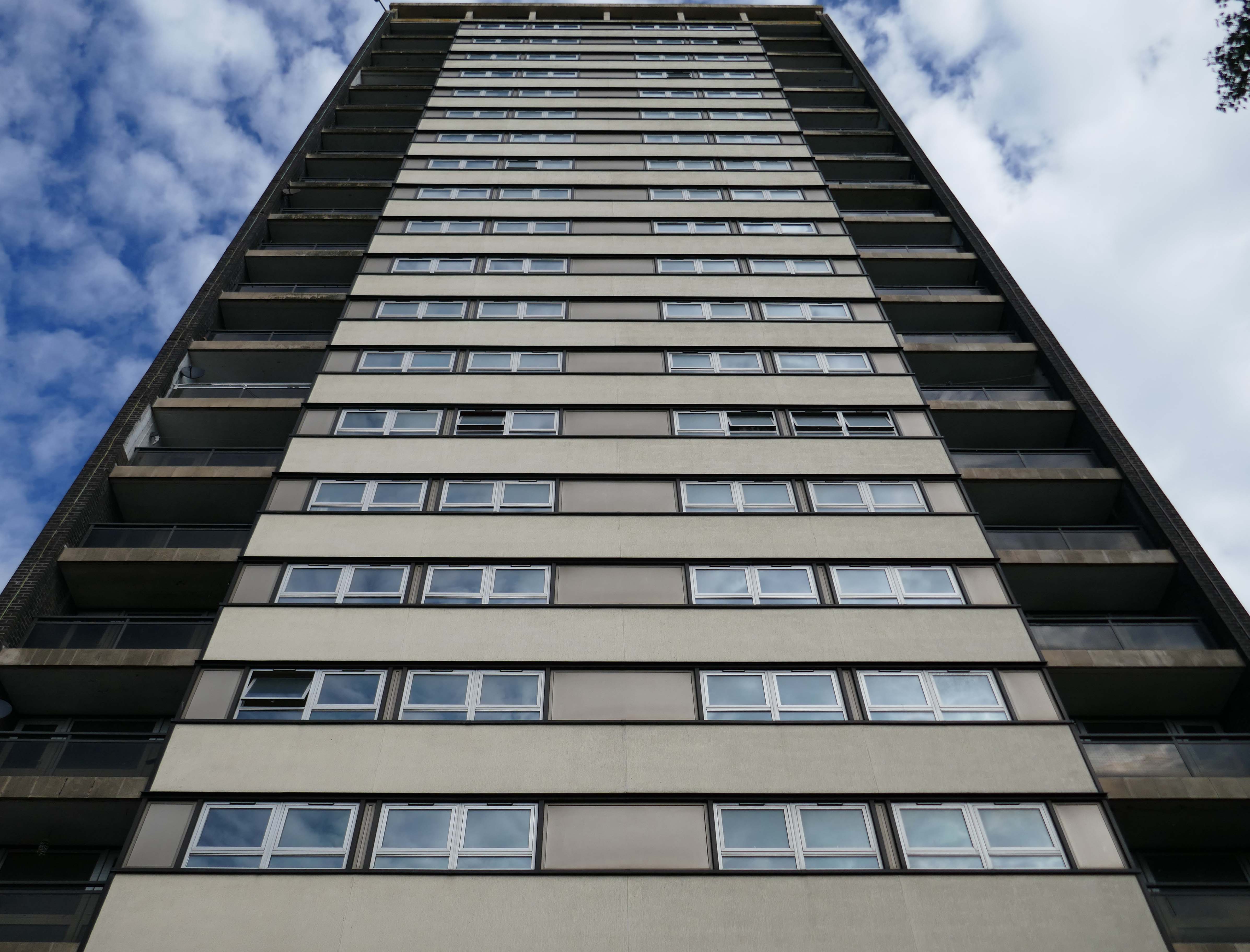
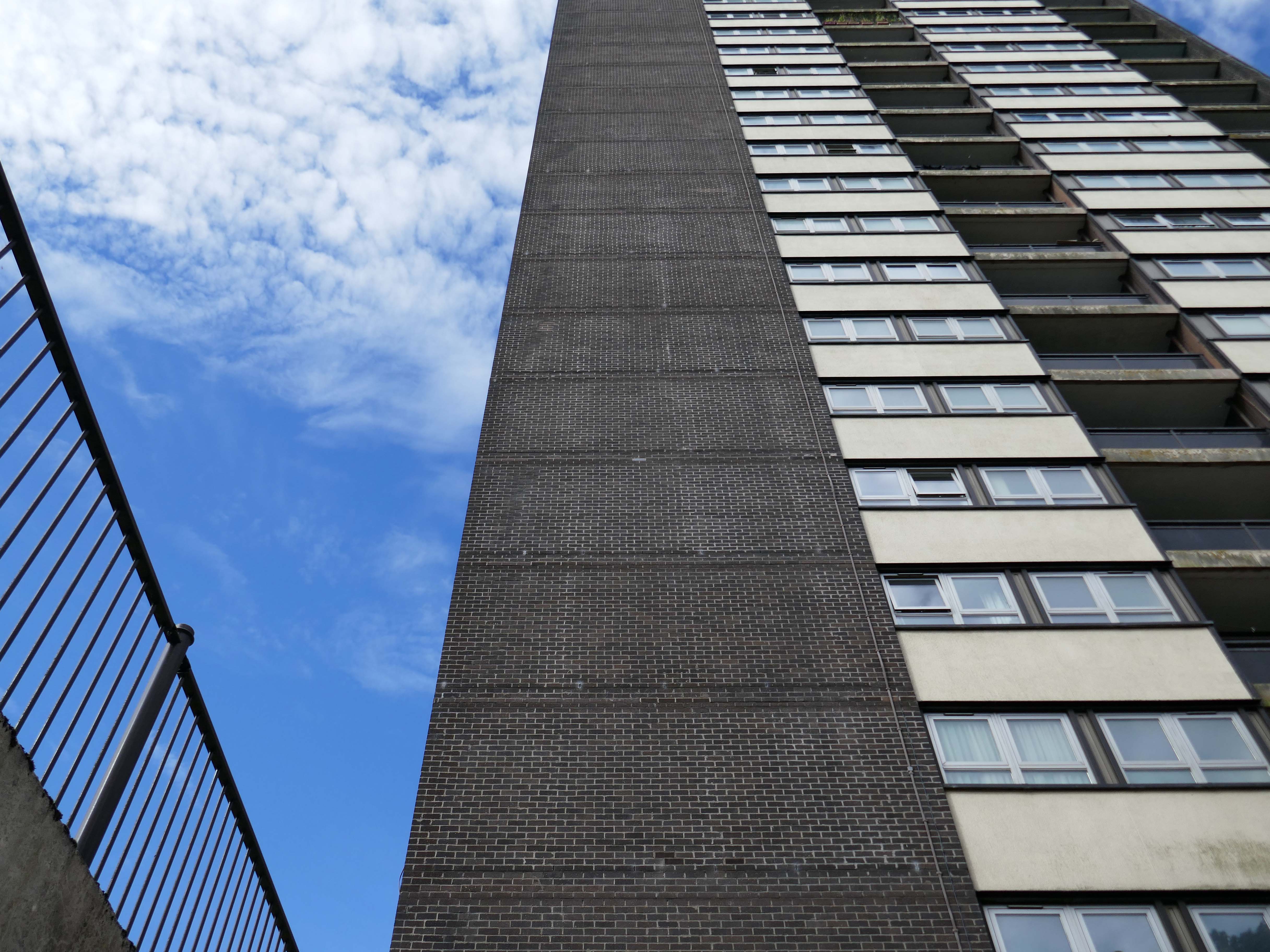
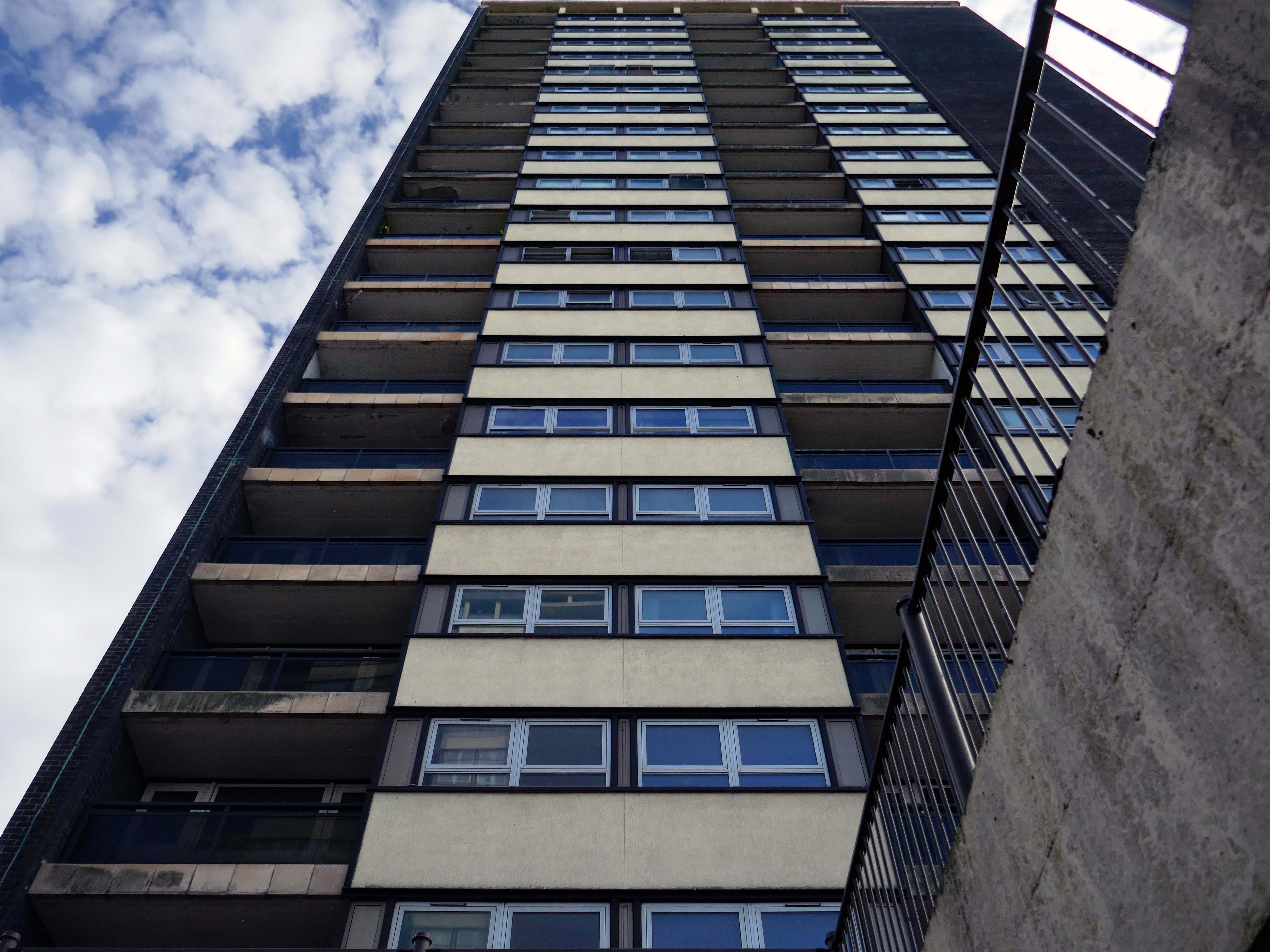
Notes From College Bank is an ongoing project which documents the College Bank buildings in Rochdale, Greater Manchester. Known locally as ‘The Seven Sisters’, College Bank is formed of seven high-rise social housing blocks, four of which have come under recent threat of demolition.
Drawing from found imagery and photographs taken by my late Grandfather – M J Burgess – who like me grew up in Rochdale, I’ve been working with past and present residents to create a collective record of life in and around College Bank.
This project is ongoing, if you would like to share your stories of College Bank please get in touch via email – notesfromcollegebank@gmail.com
Here is a recent post from Municipal Dreams outlining the history state of play – Rochdale Housing Part II.
Fast forward to the present, the Seven Sisters still stand – an impressive architectural statement in the heart of Rochdale and, to my mind, as powerful a testament to municipal endeavour and aspiration as the town’s nearby town hall. But much has changed. In the slow evolution that affected council housing more broadly, the flats became less desirable, even, in some eyes, a ‘sink estate’. In Robin Parker’s view, the Council started re-housing people in the blocks ‘not suitable for high-rise living’ – a typical occurrence when the most vulnerable on the waiting list and those with least choice are allocated to so-called ‘hard to let’ estates.
Well well here we are again, third time around following a visit in 2018 and later in 2021.
Almost inevitably, changes have taken place.
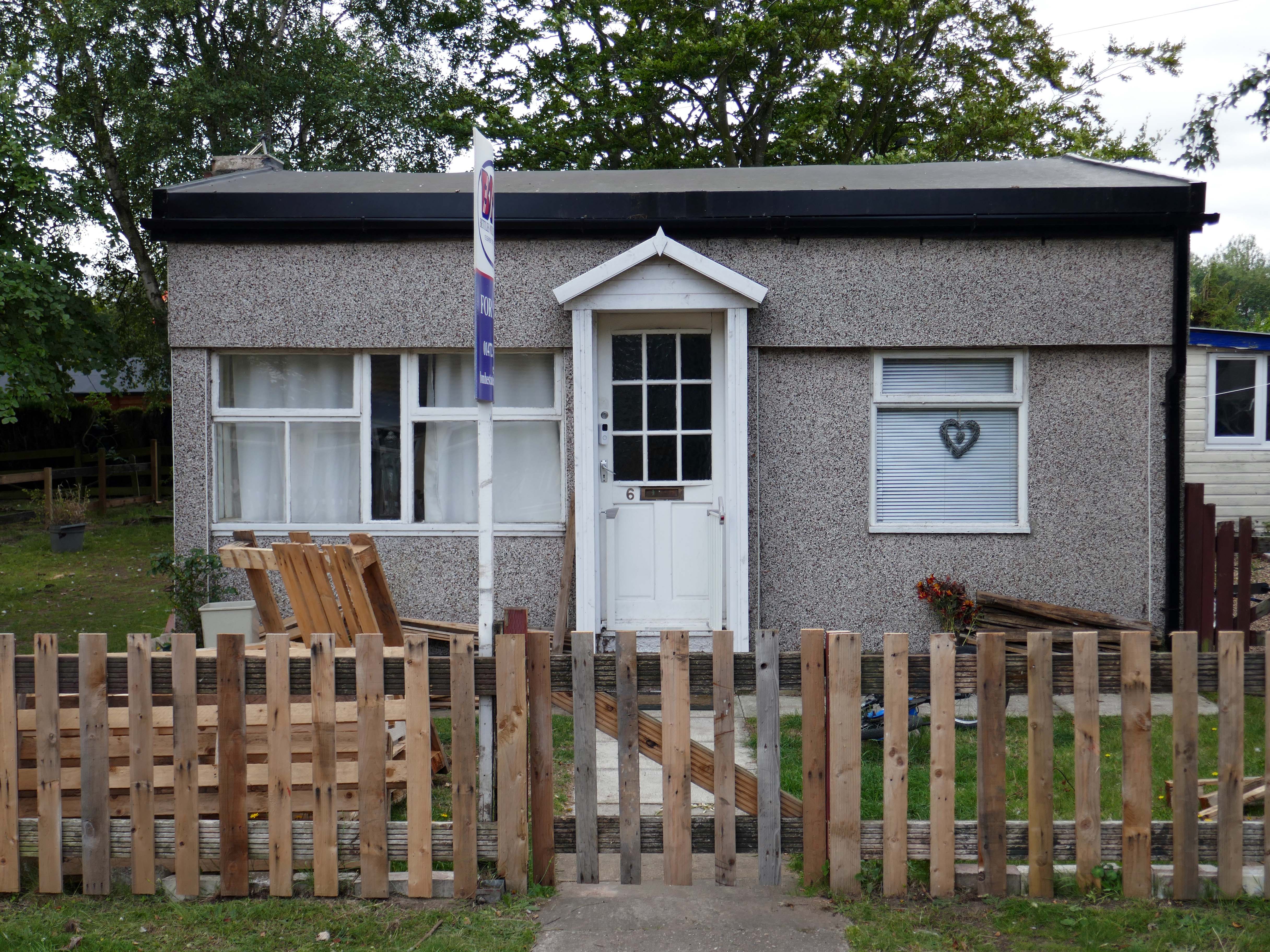
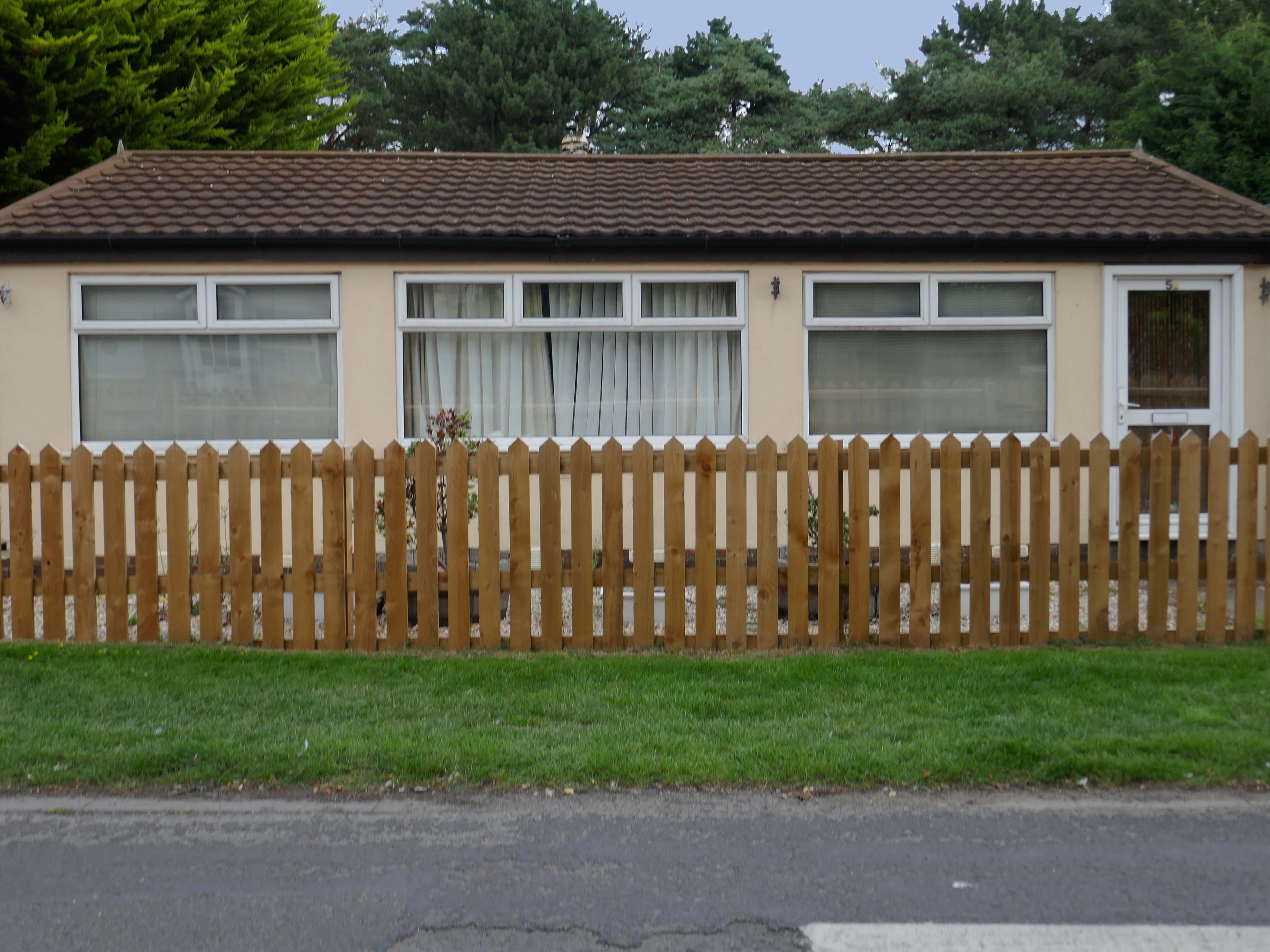
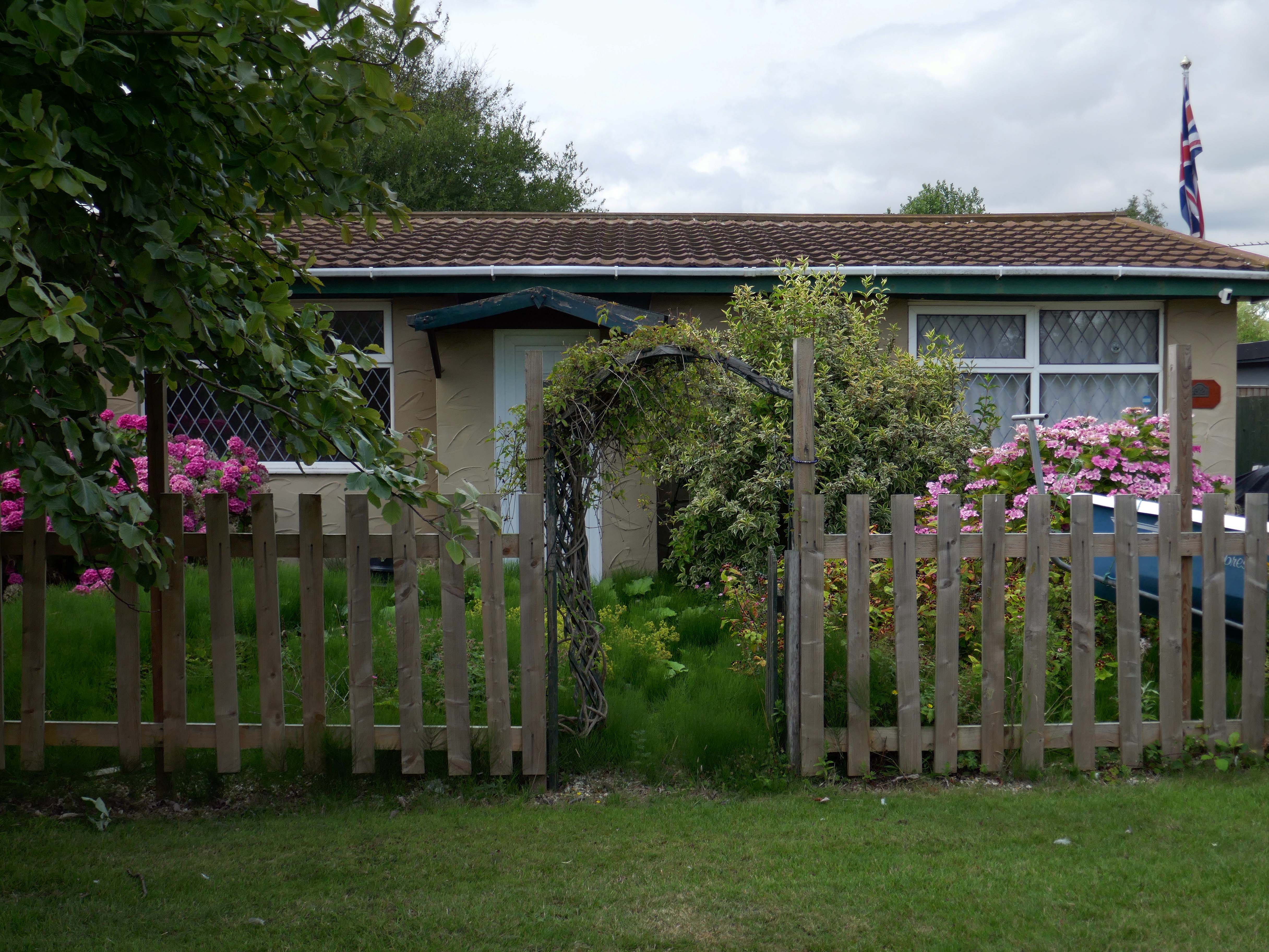
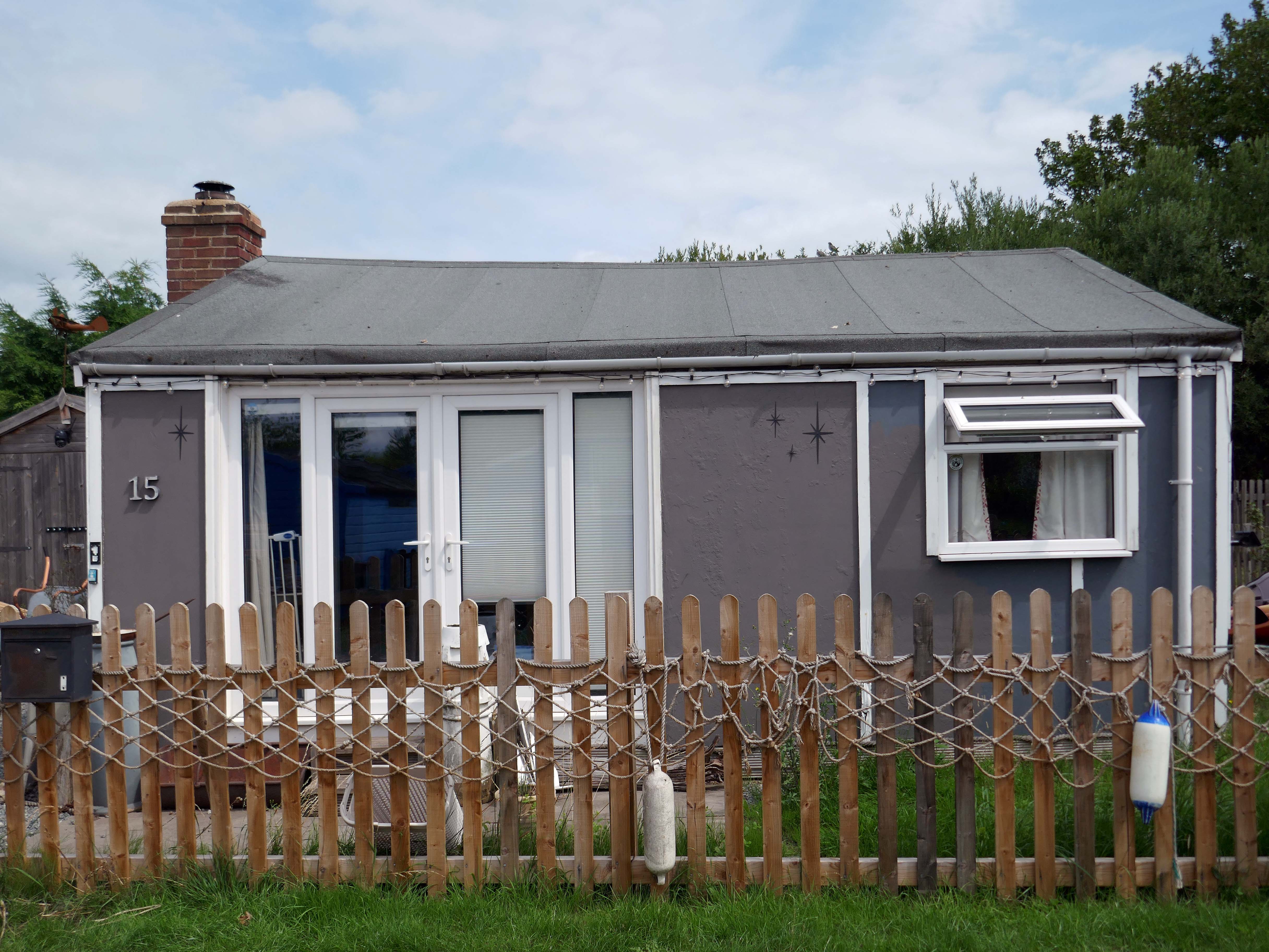
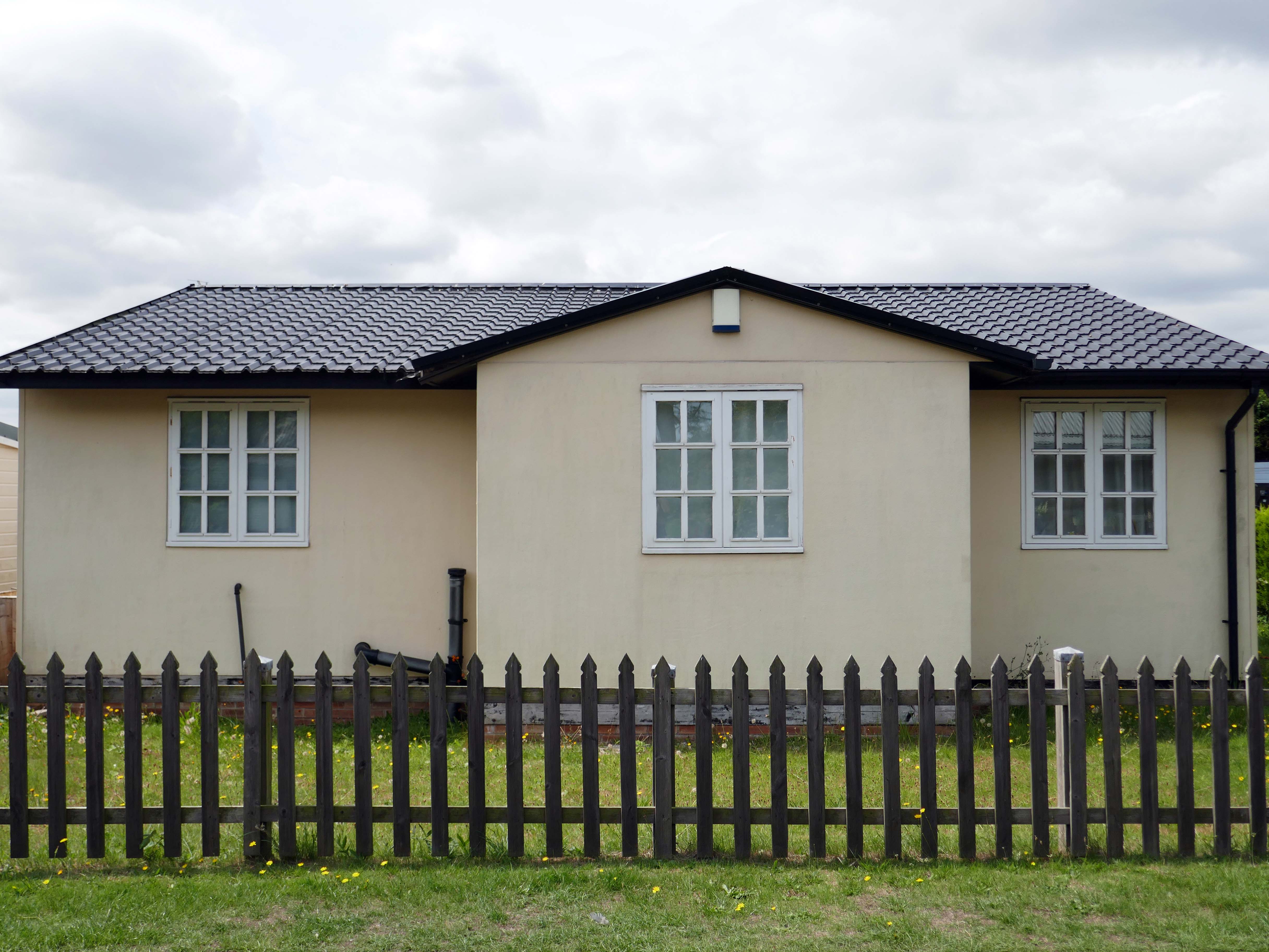
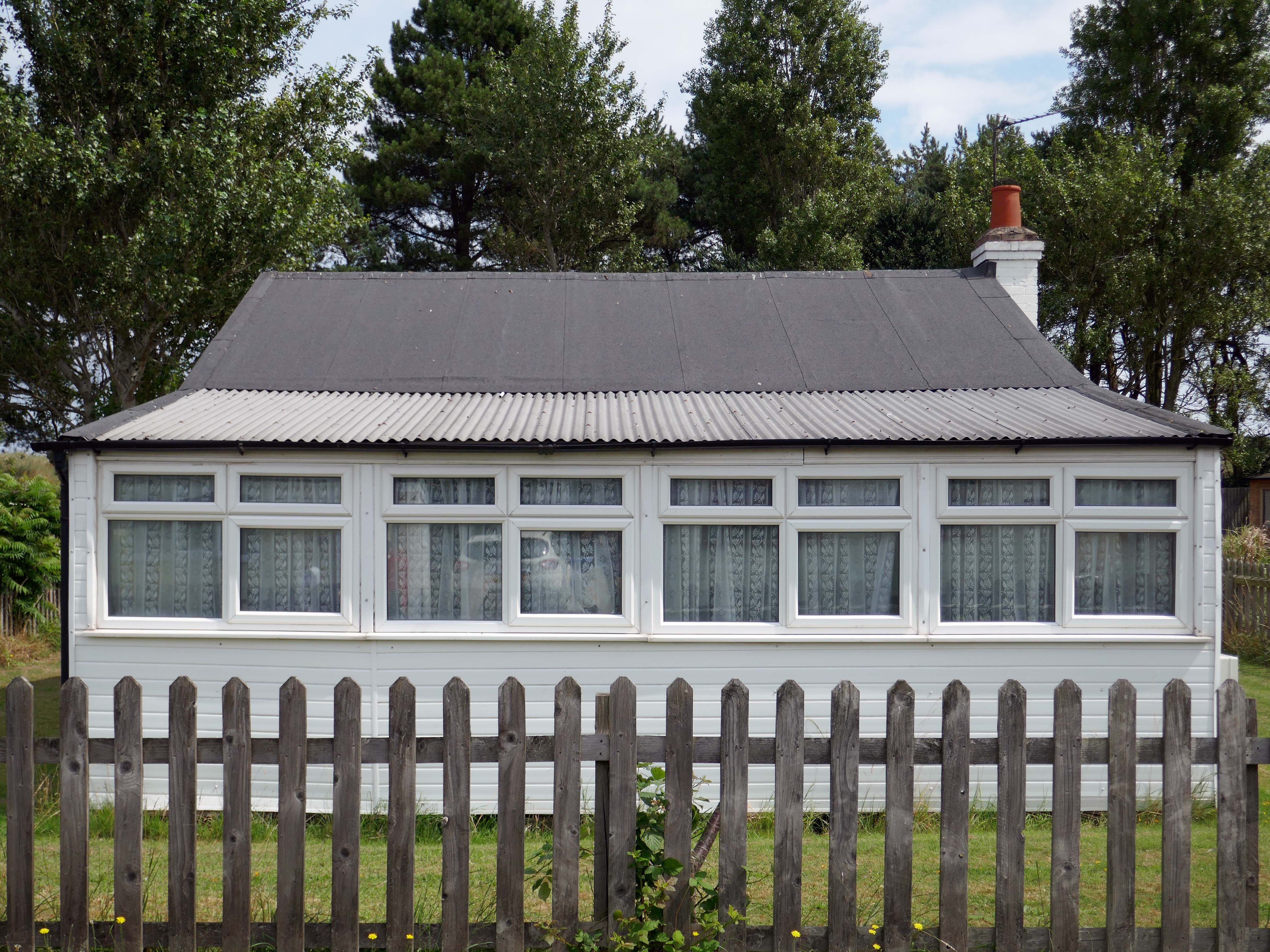
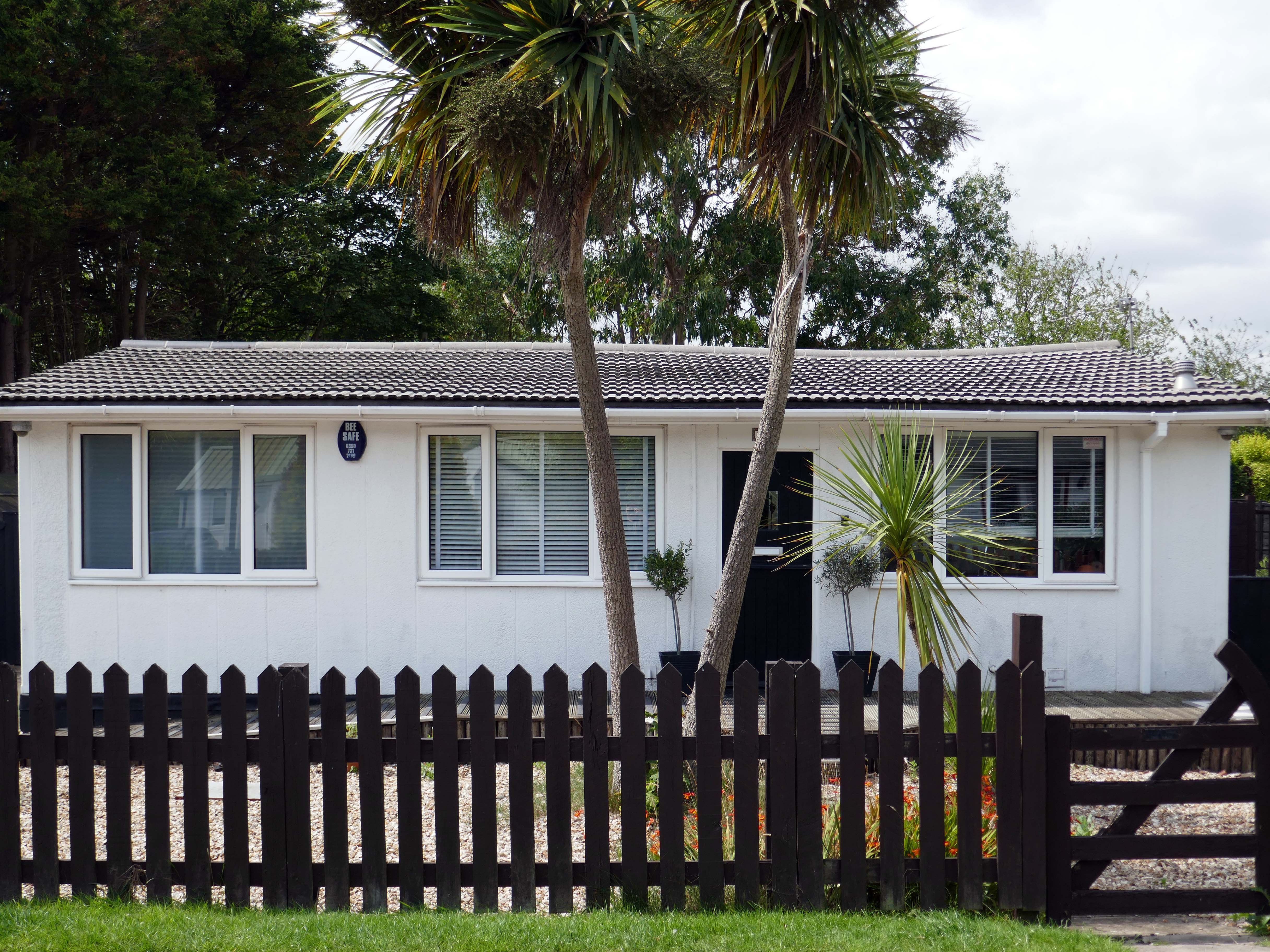
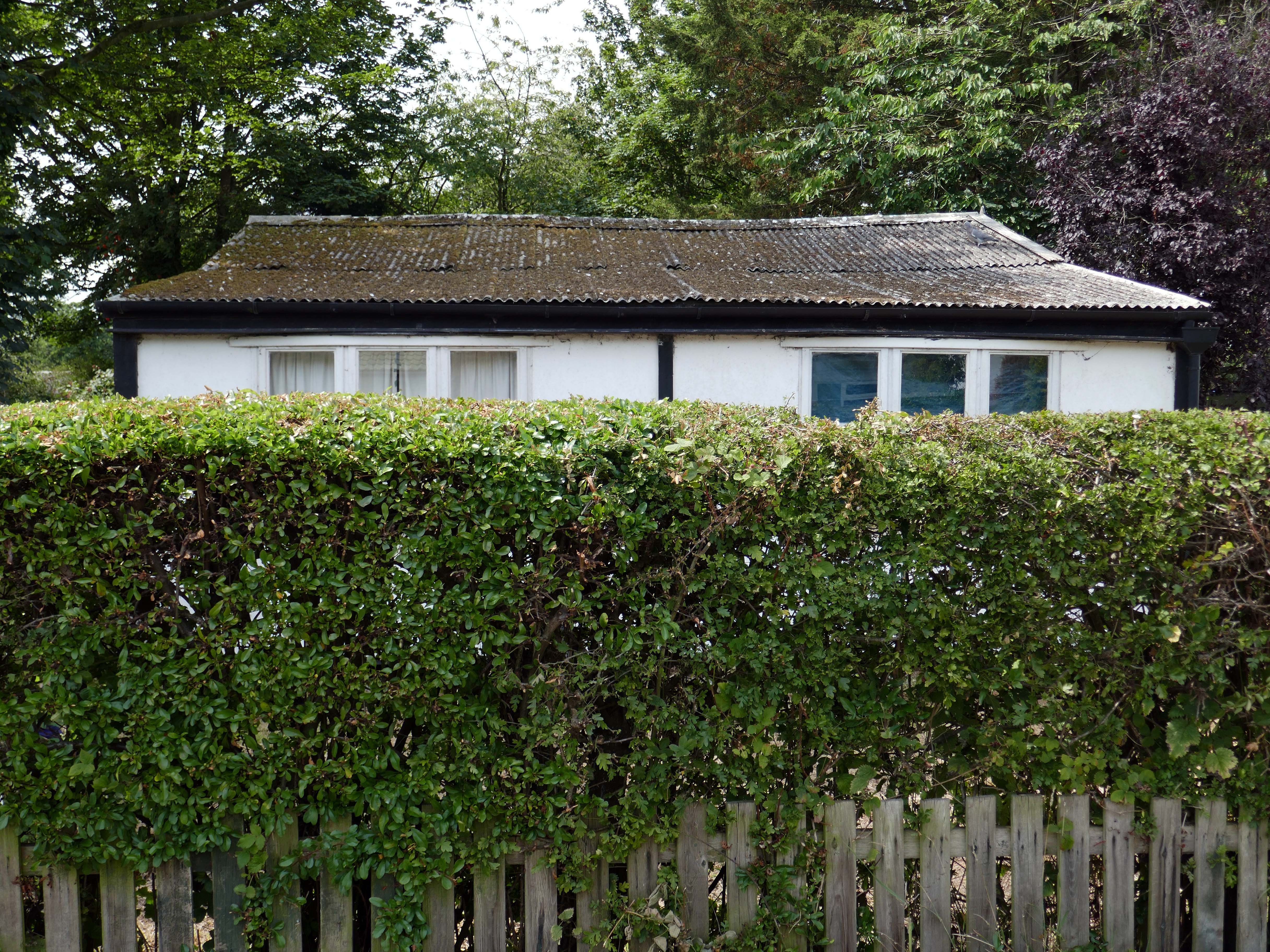
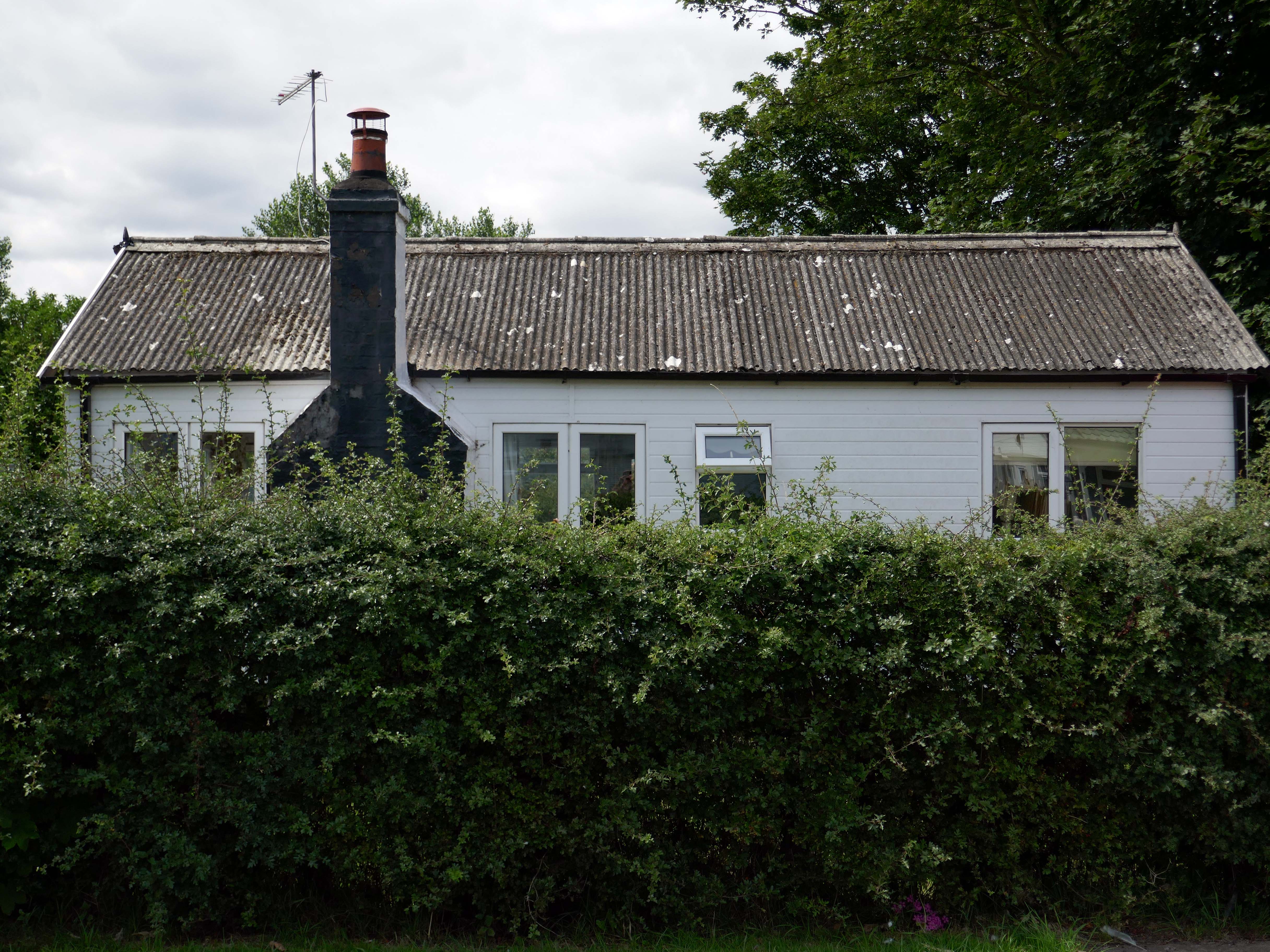
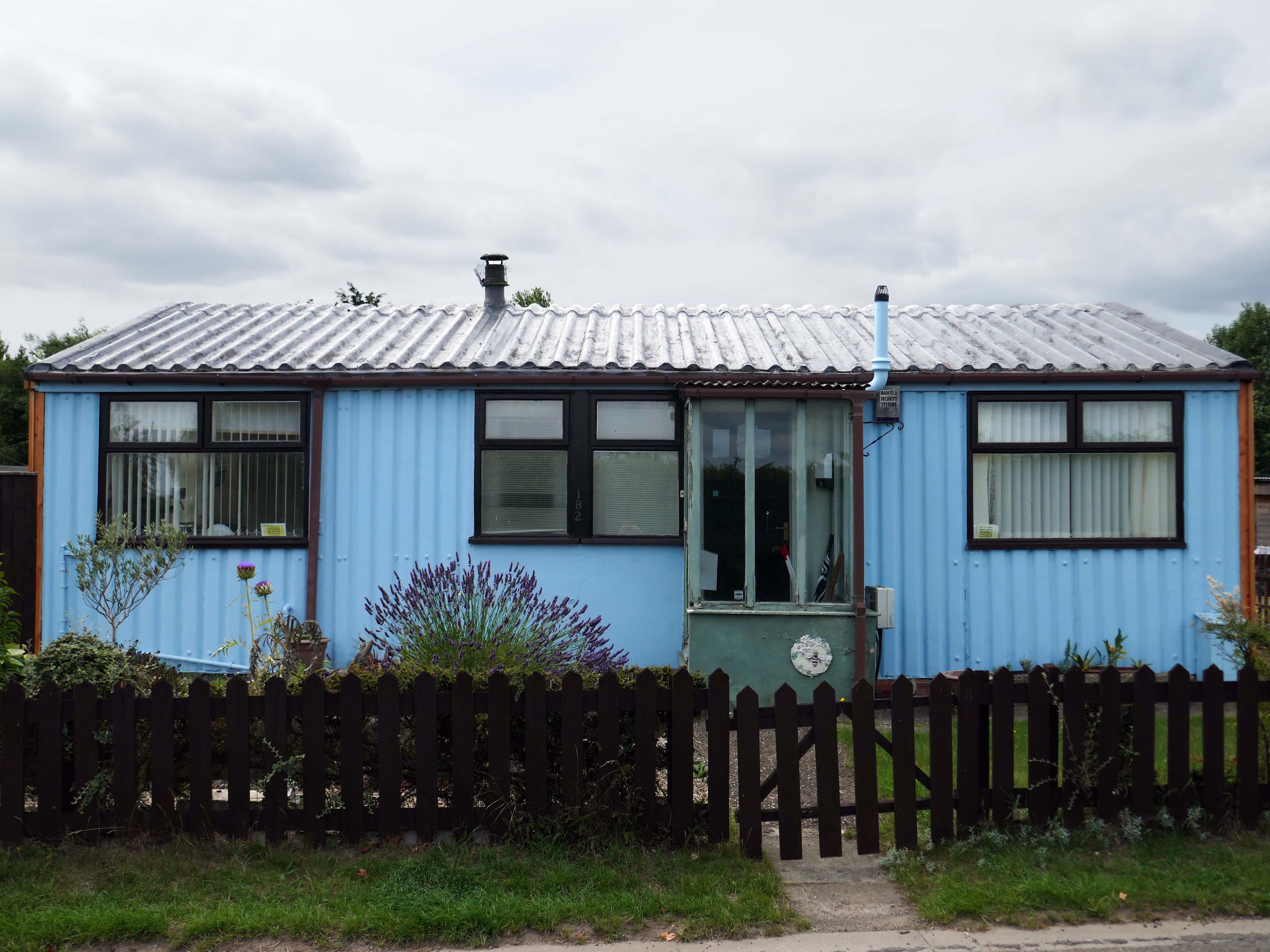
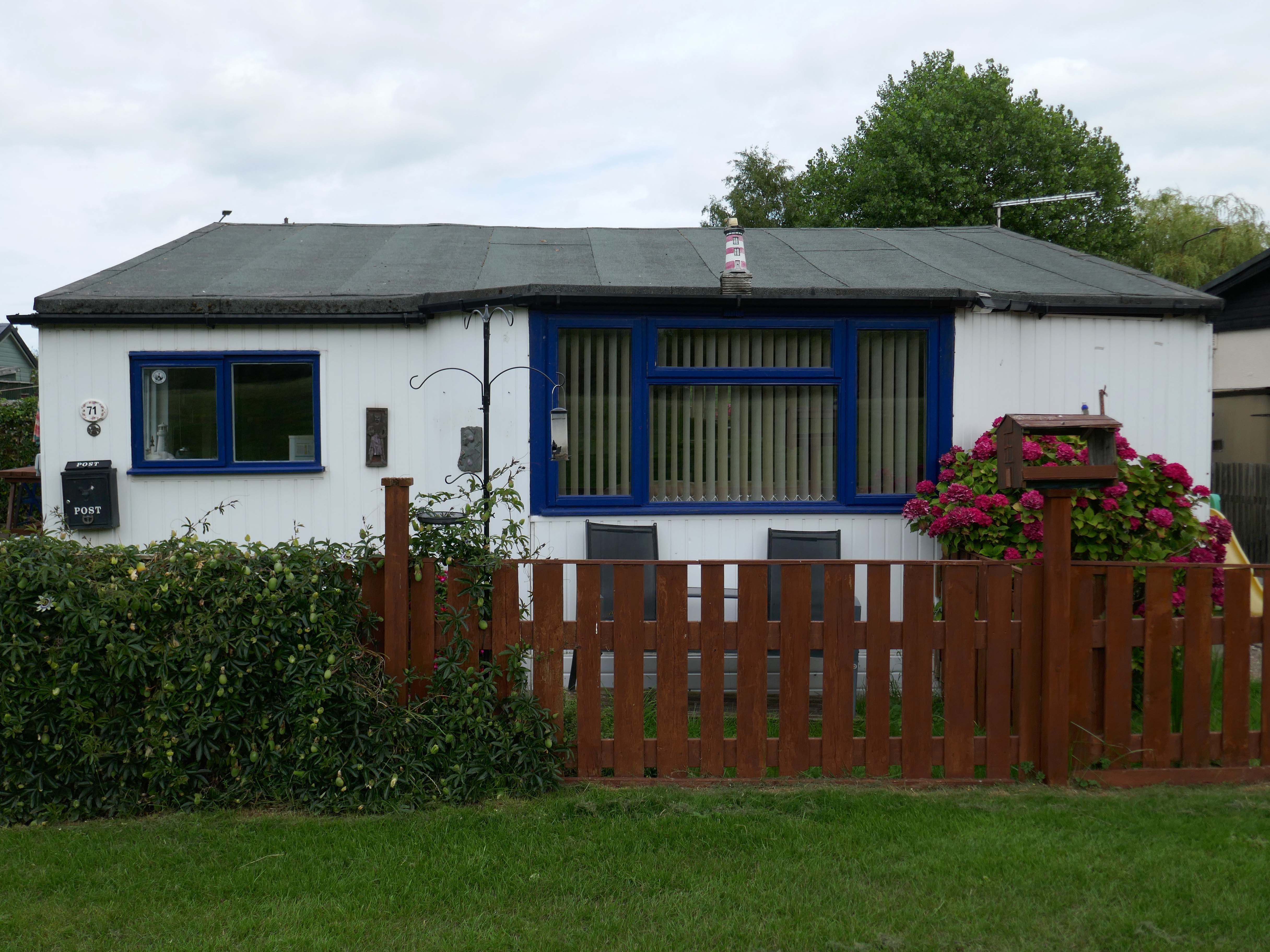
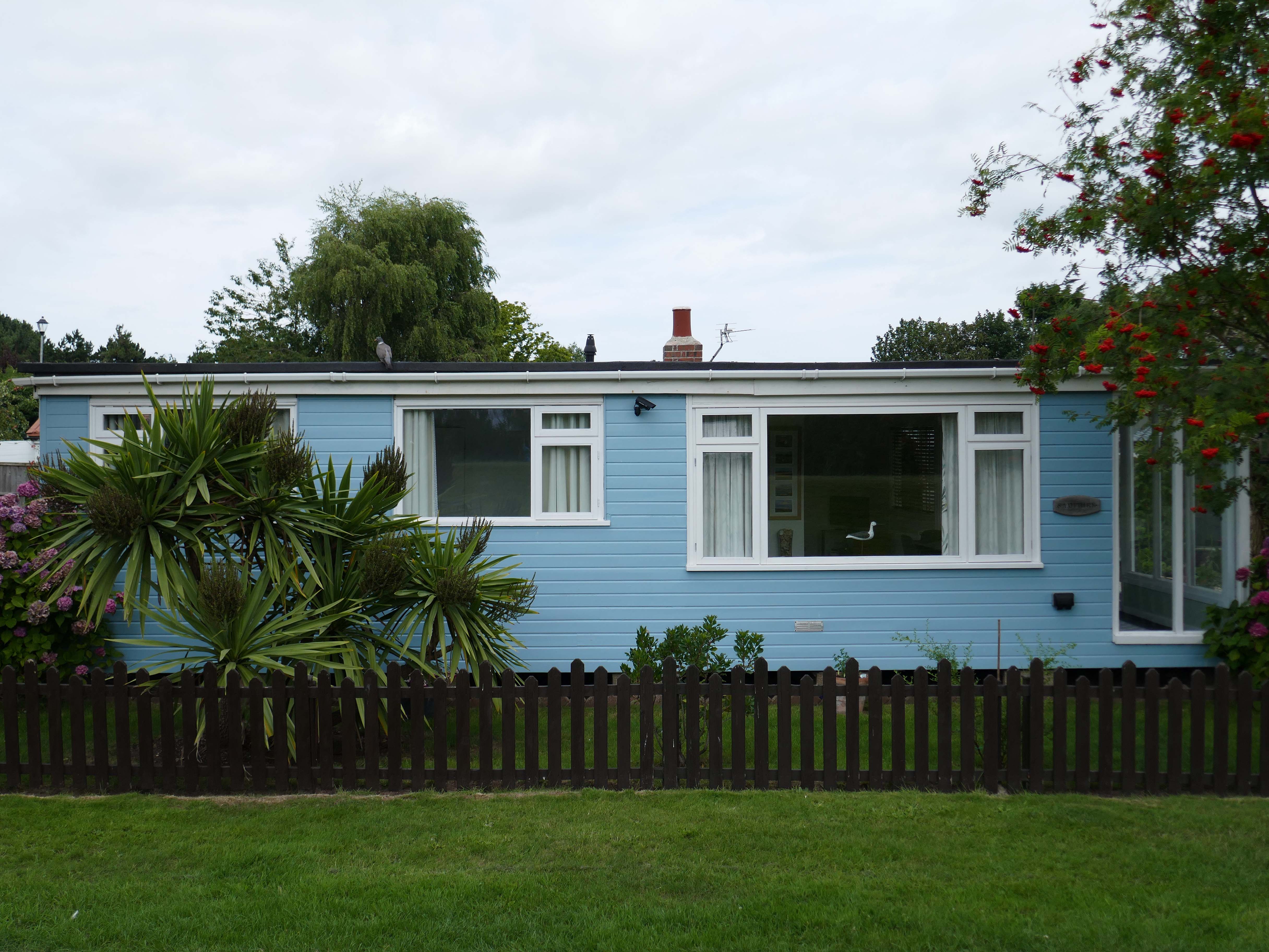
There is an almost constant tension between order and/or disorder.
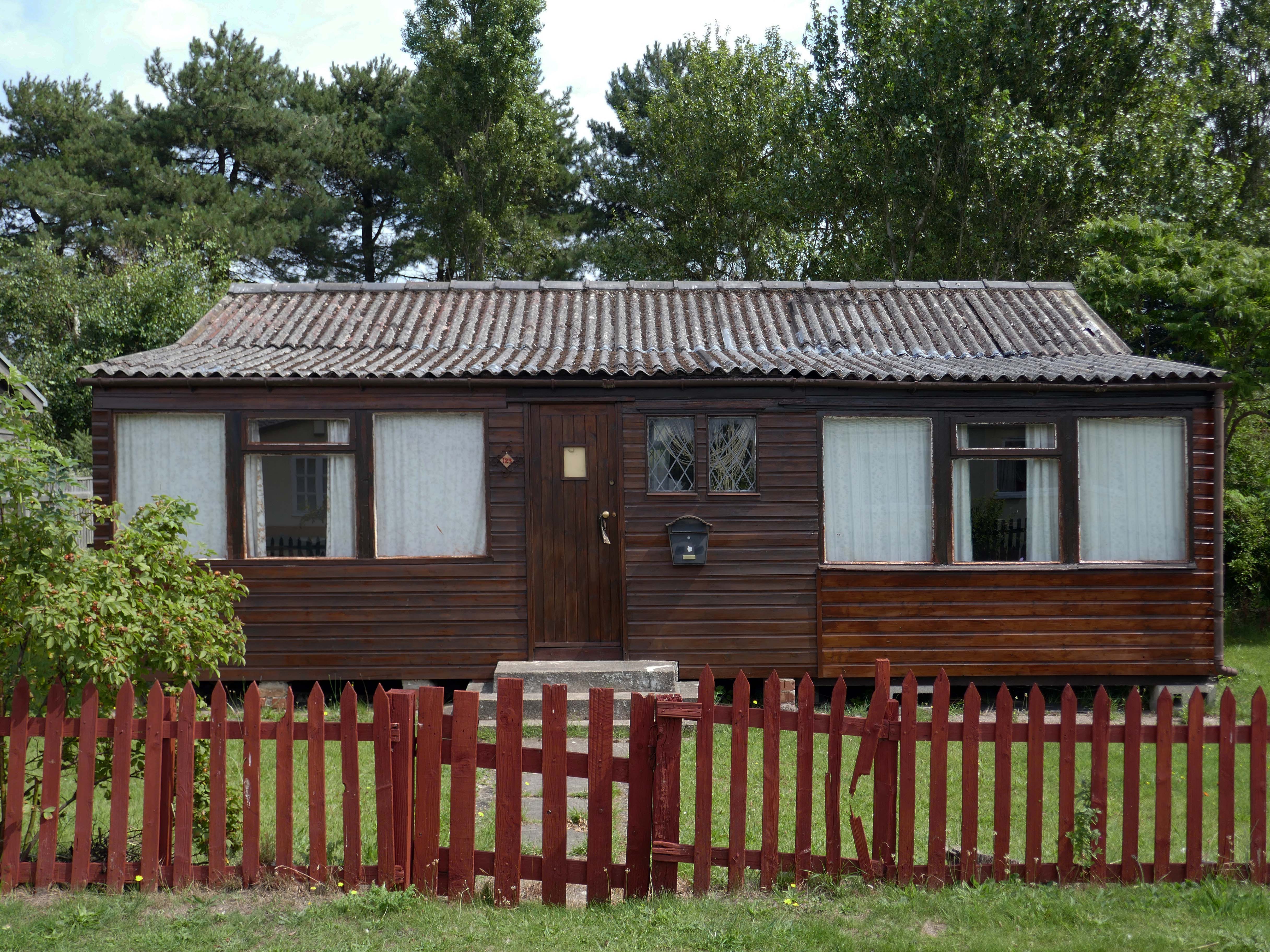
Between those who prefer the shambolic aesthetic of the shotgun shack, and those whose hearts and minds are in the double spread of Homes and Gardens.
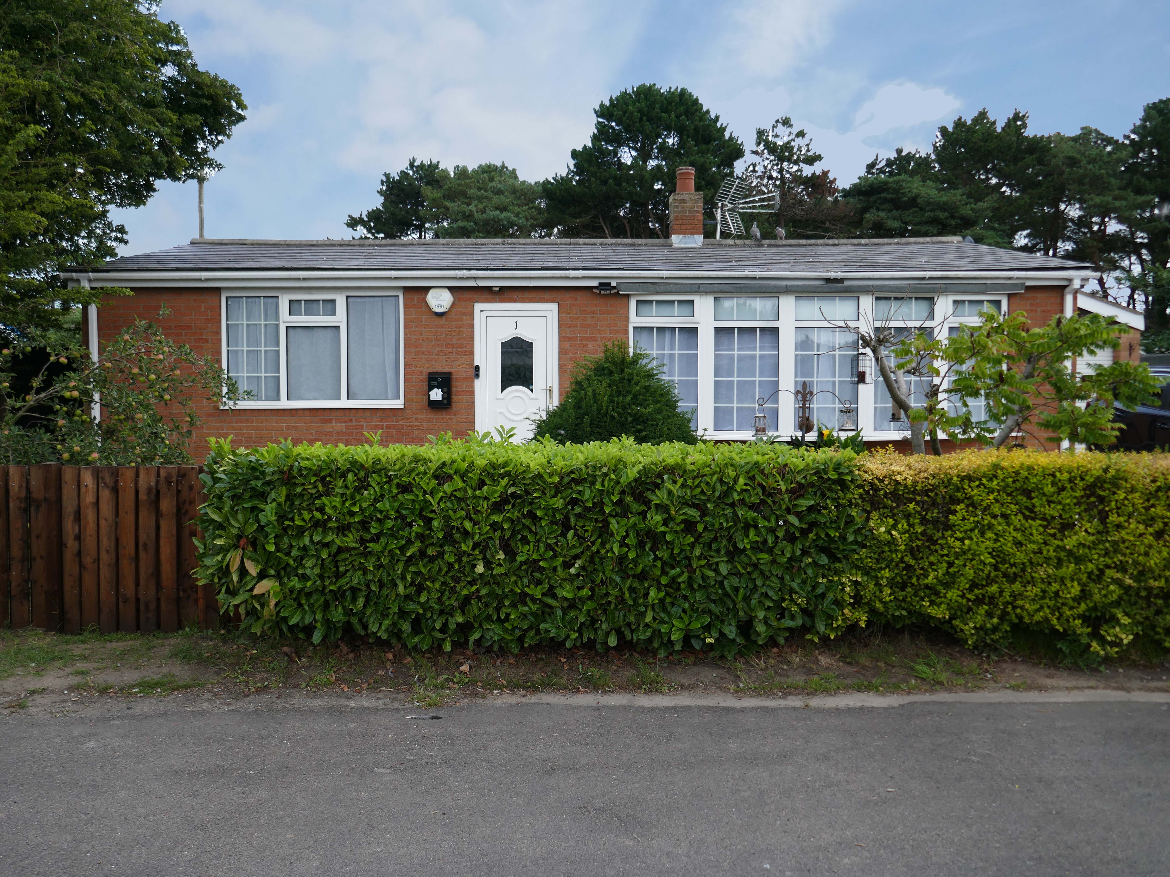
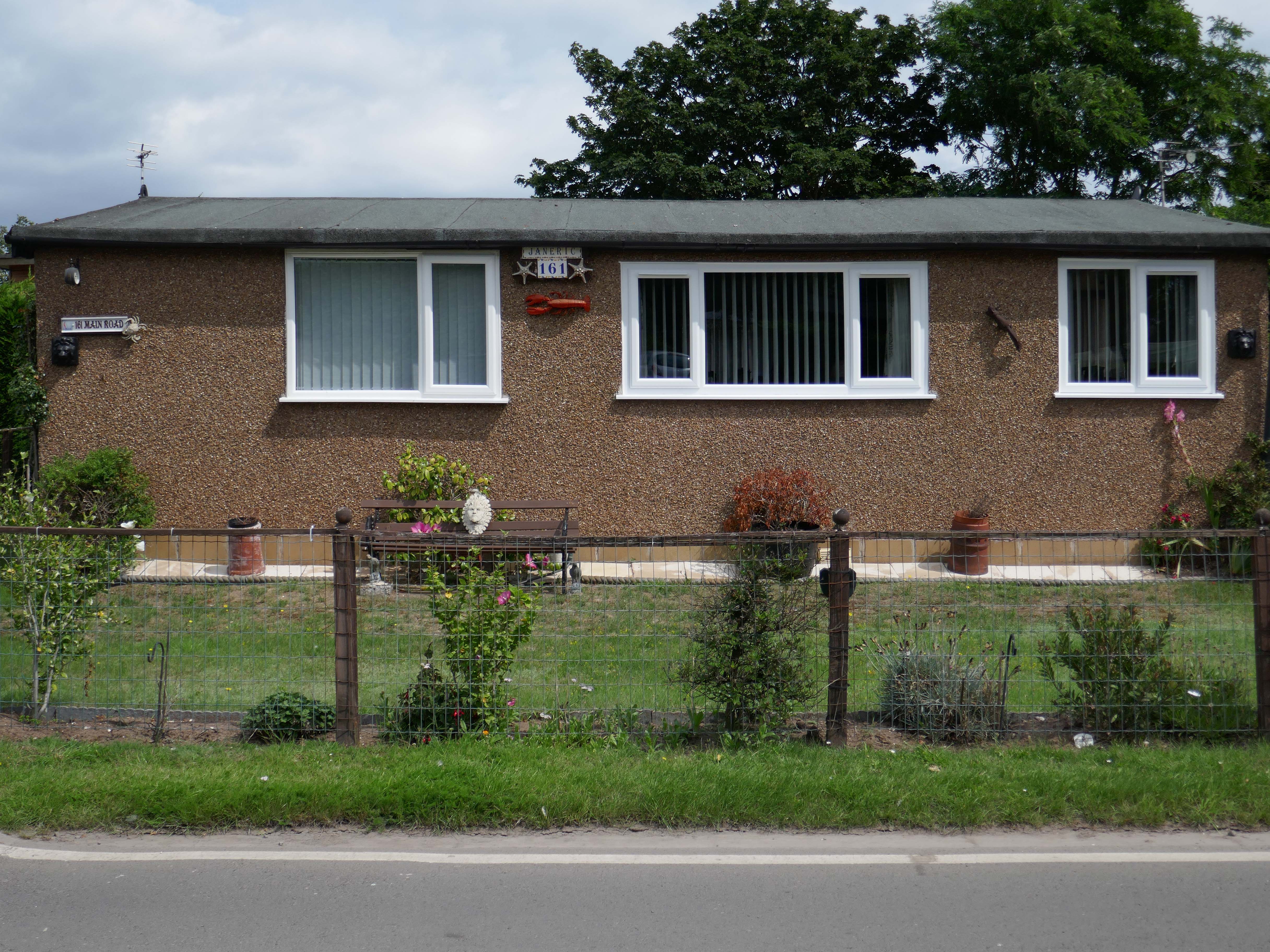
It’s also a question of economics, there are those with capital who may wish to make investments in property. Buy to let, second homes that yield a return above the current savings’ rates. Thus raising the cost of housing, both ordered and disordered.
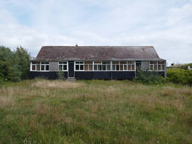
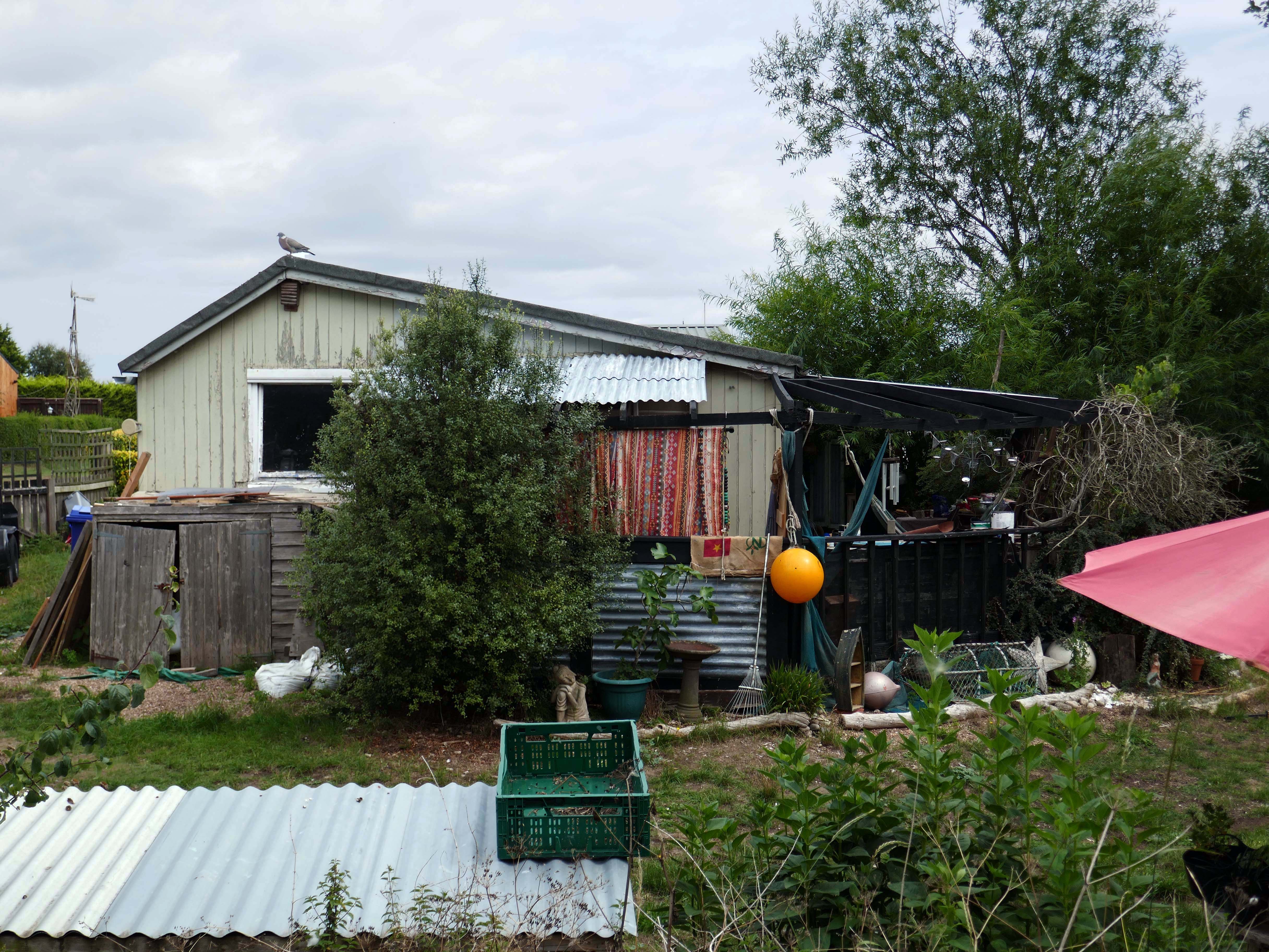
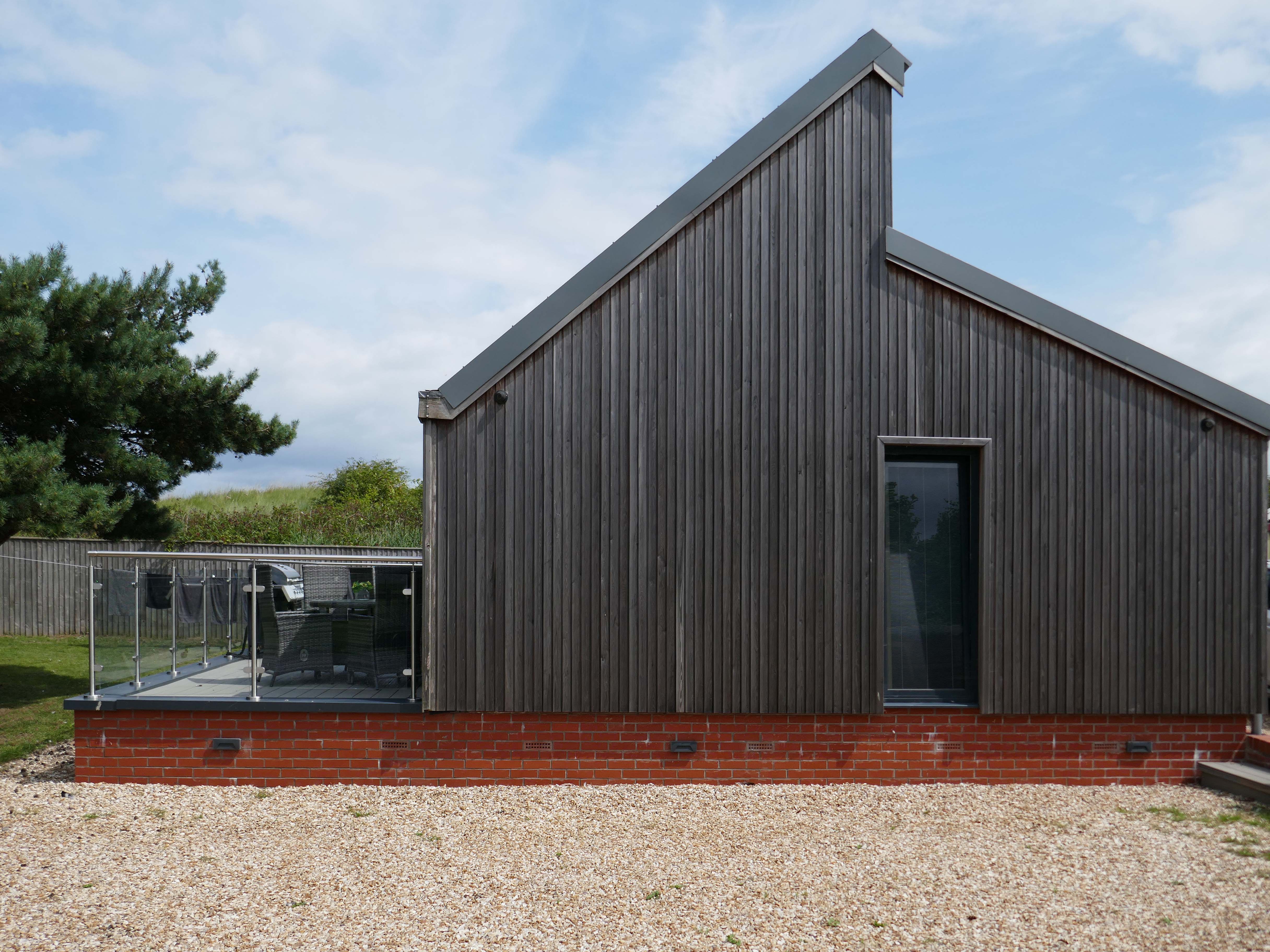
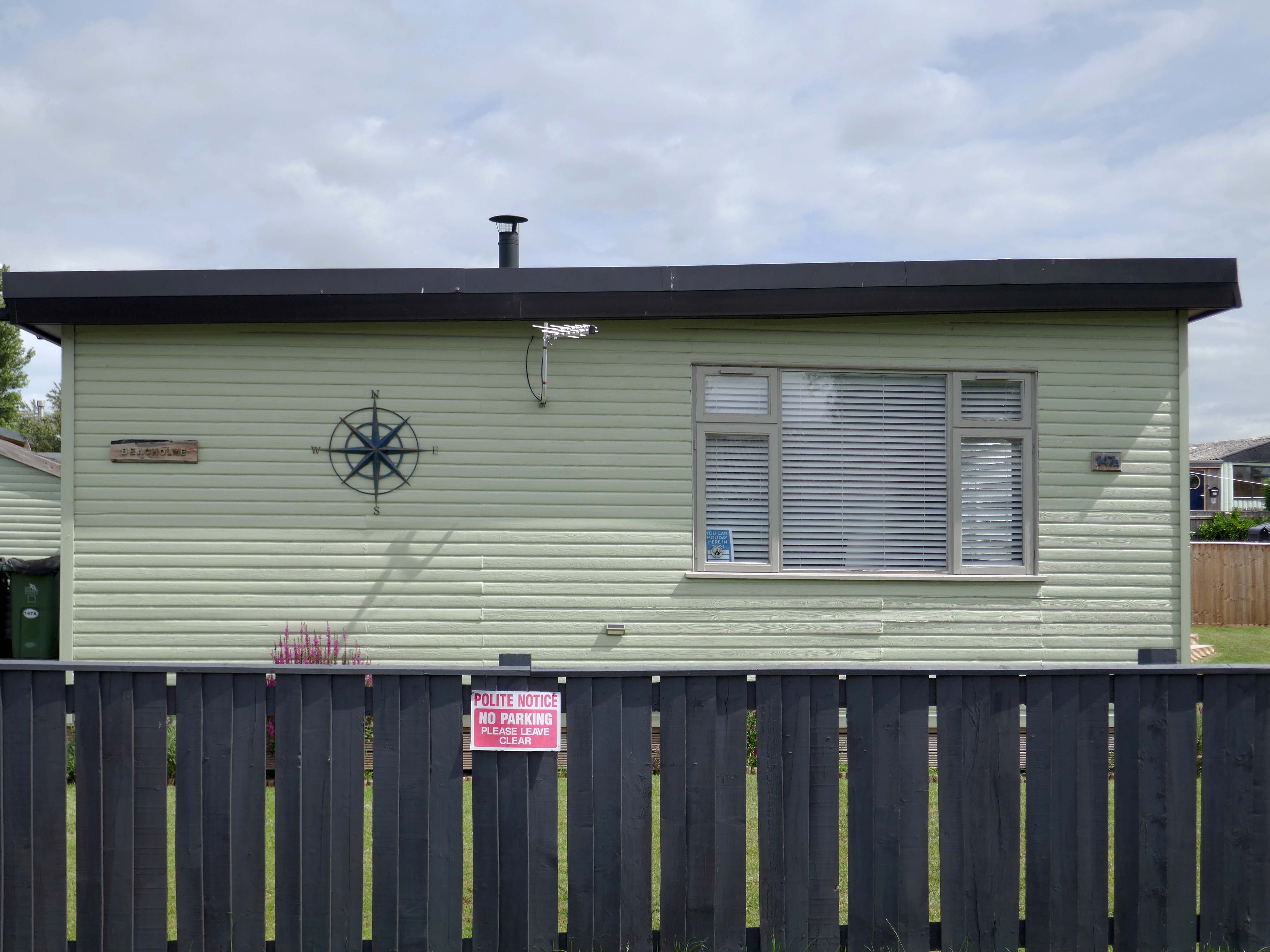
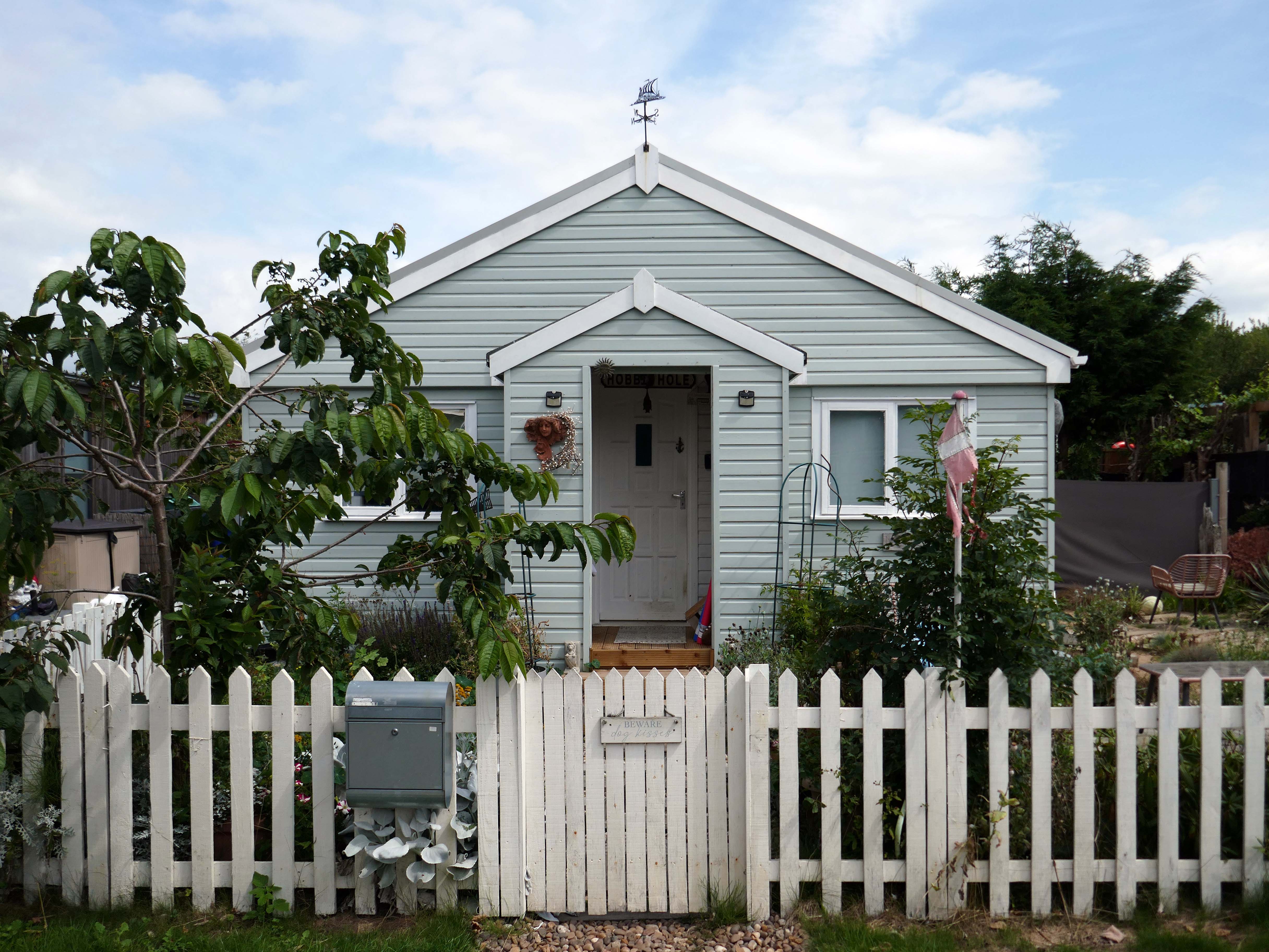
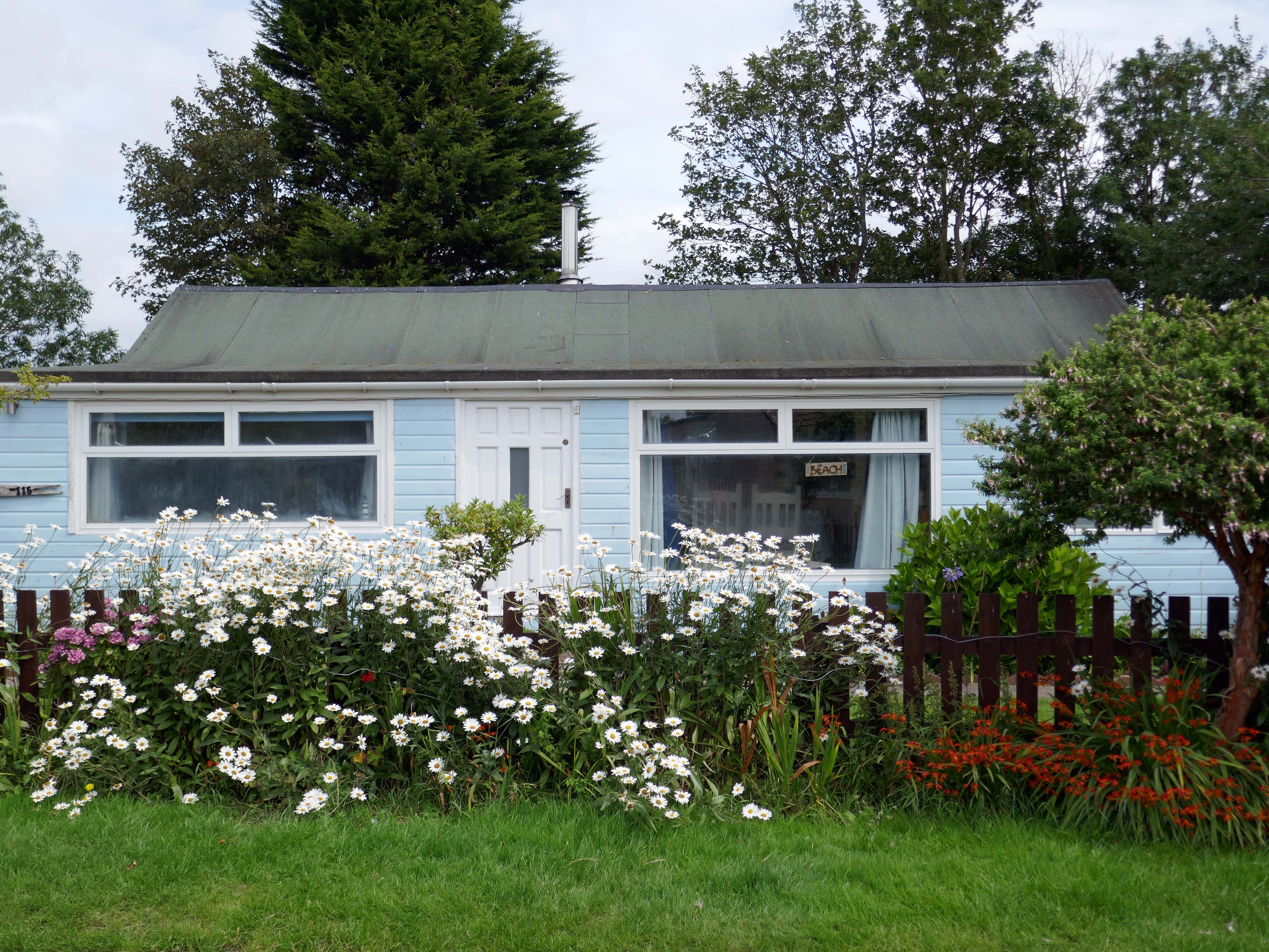
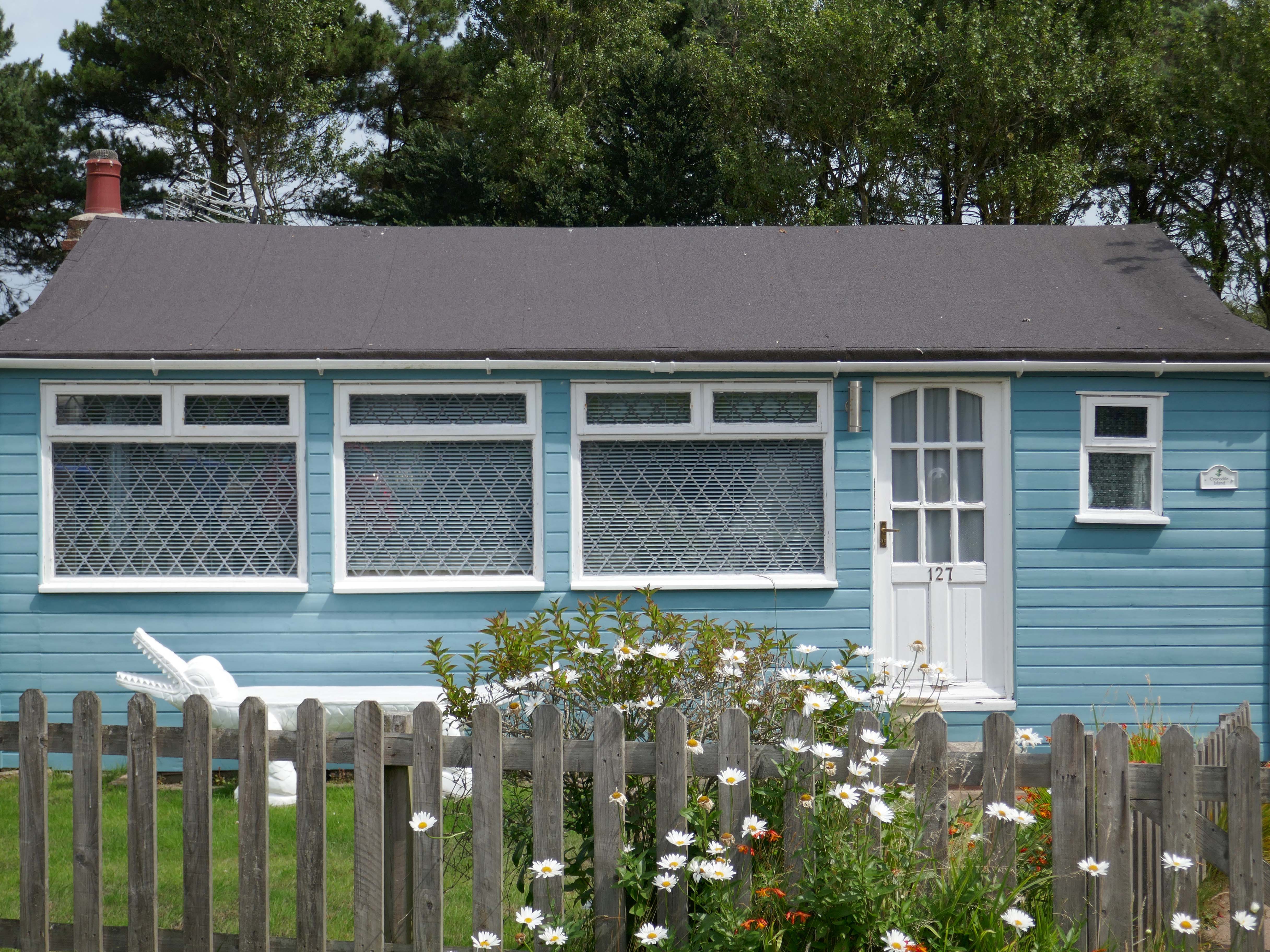
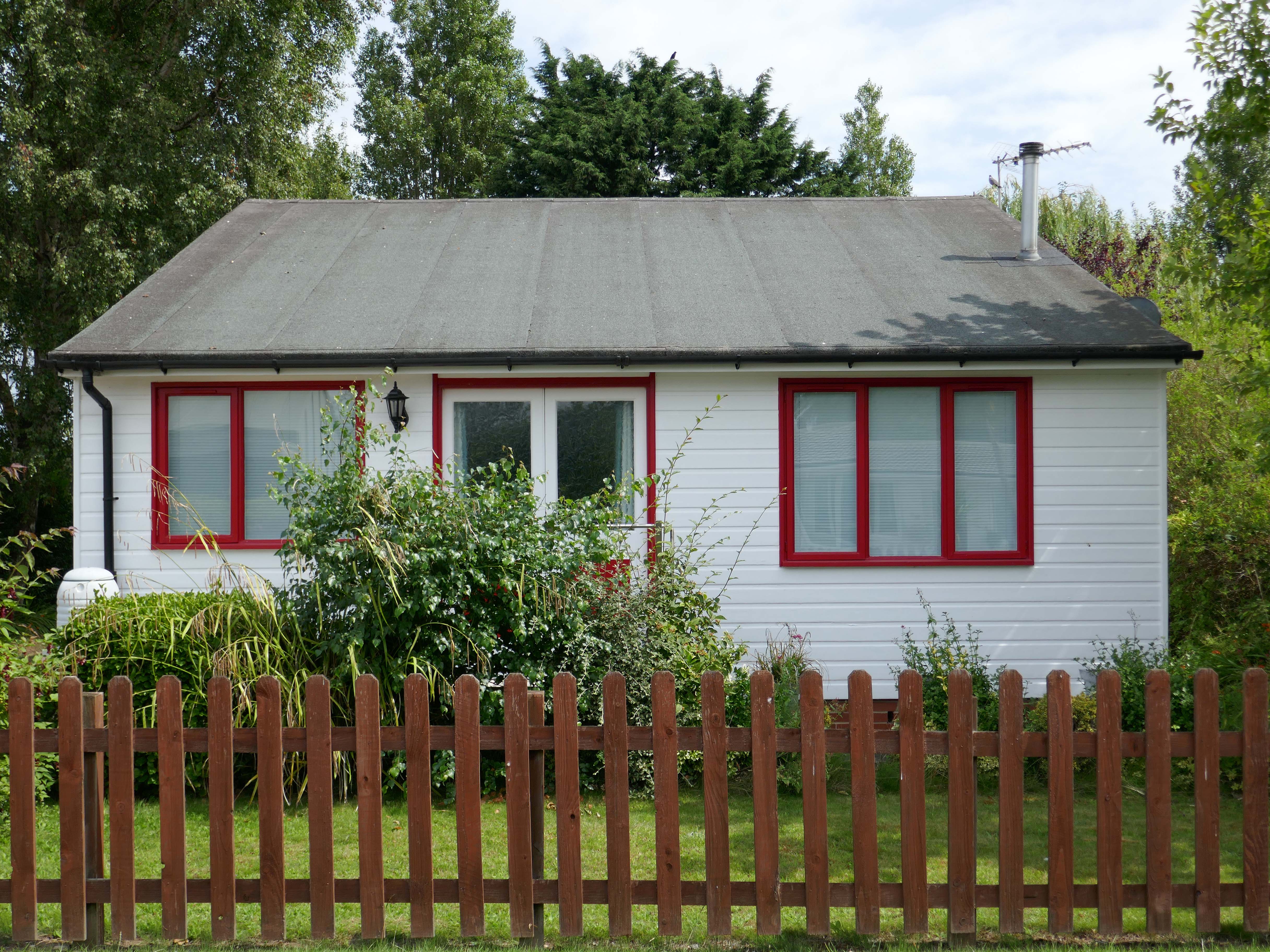
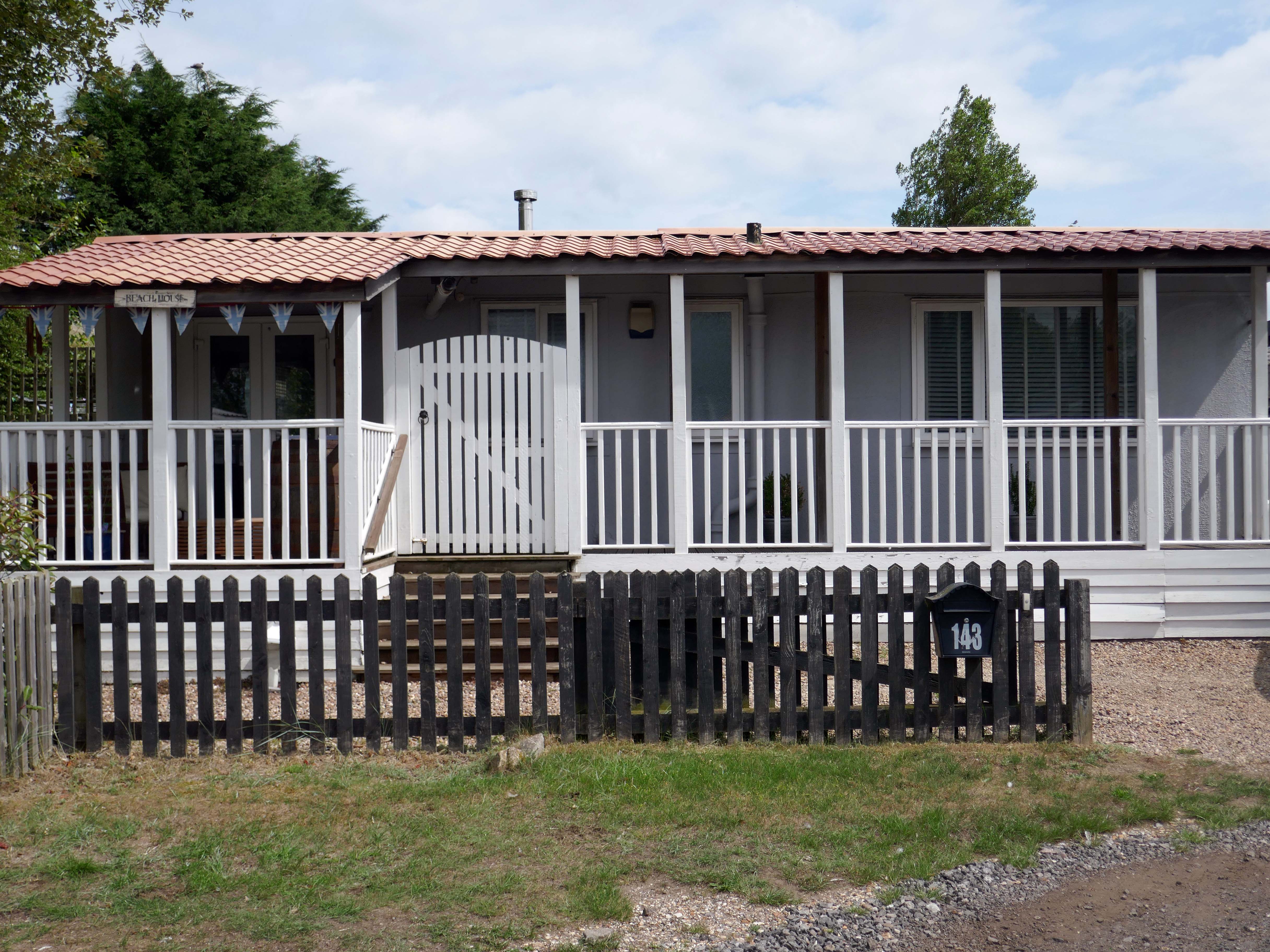
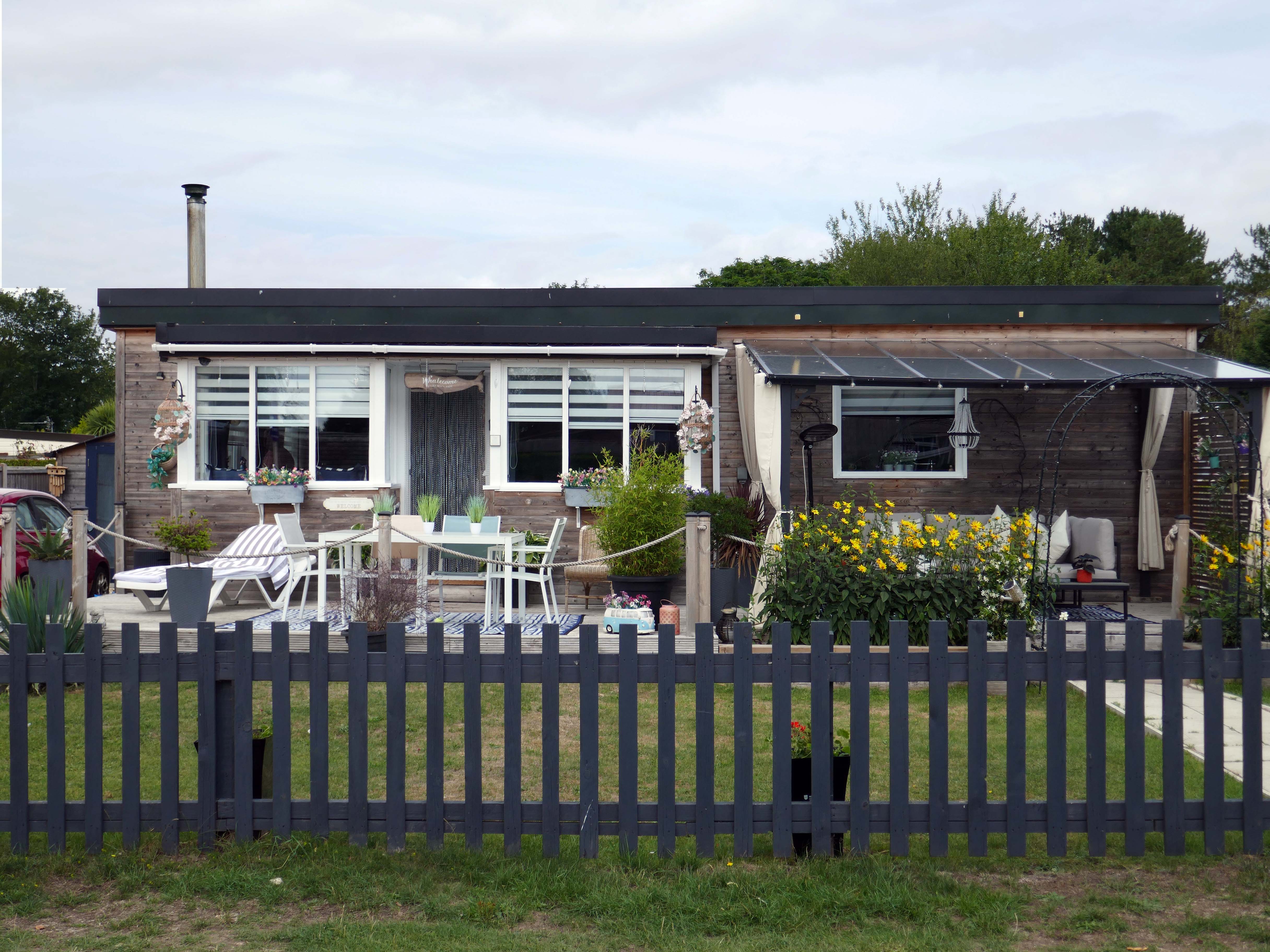
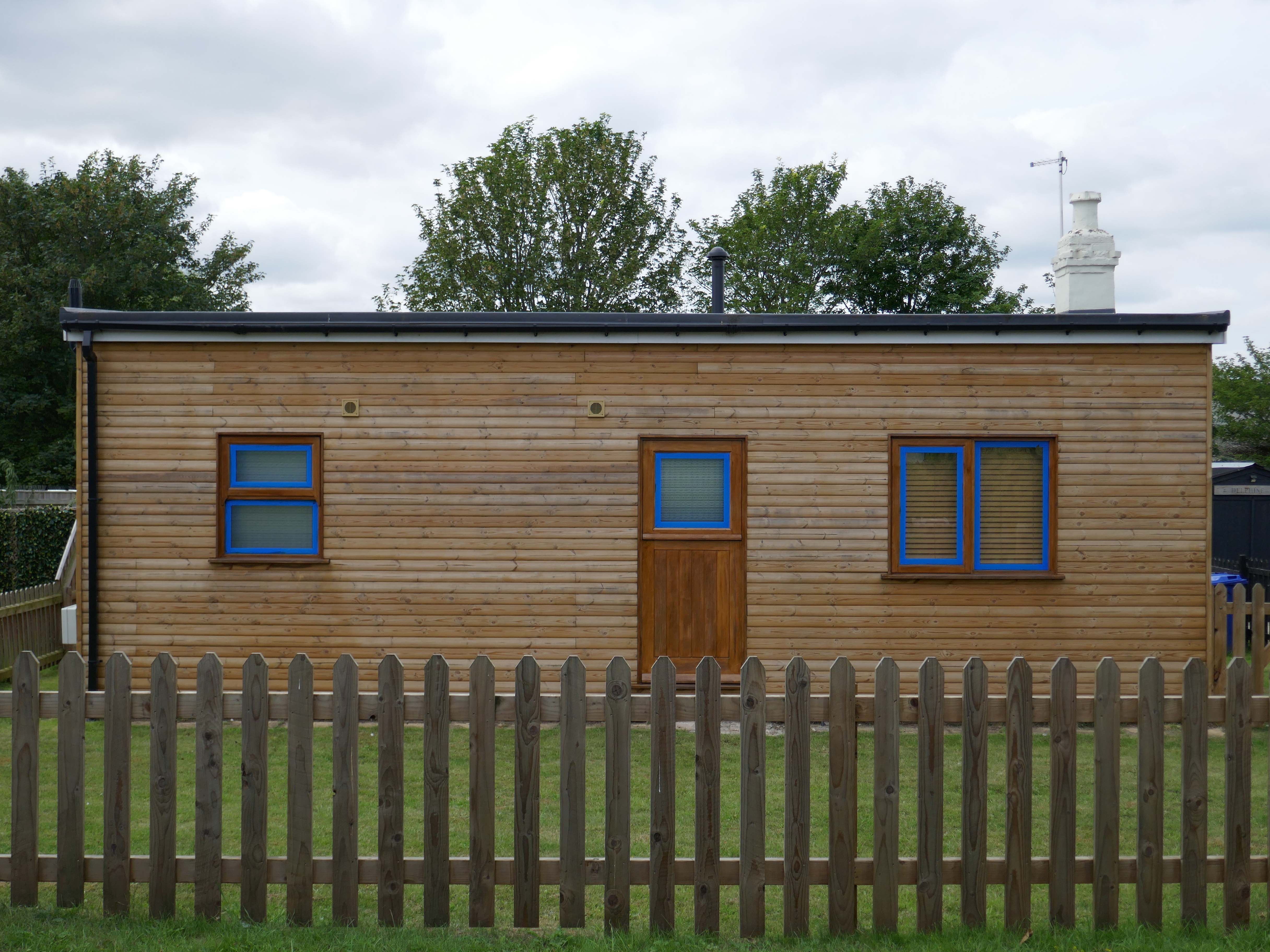
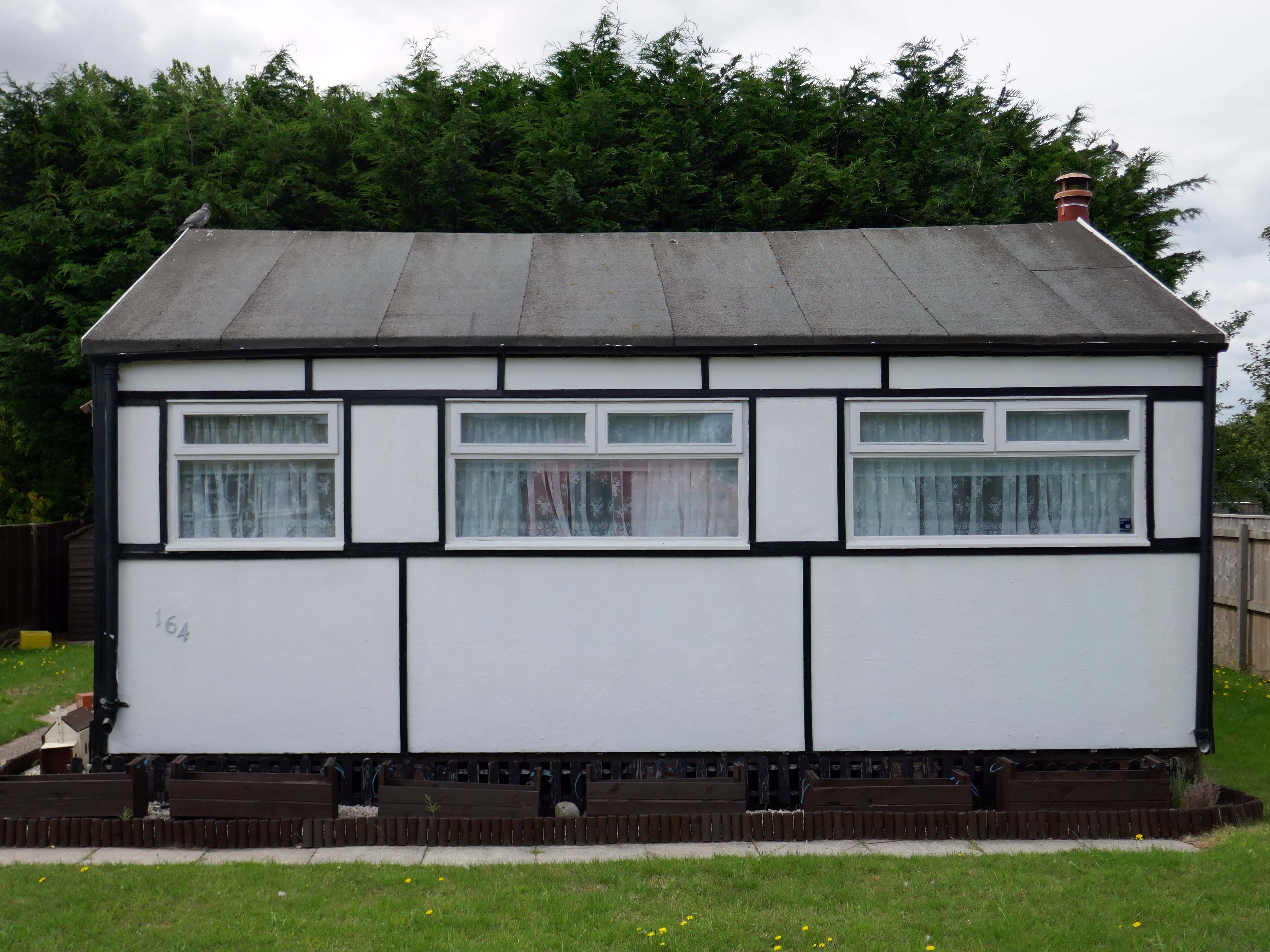
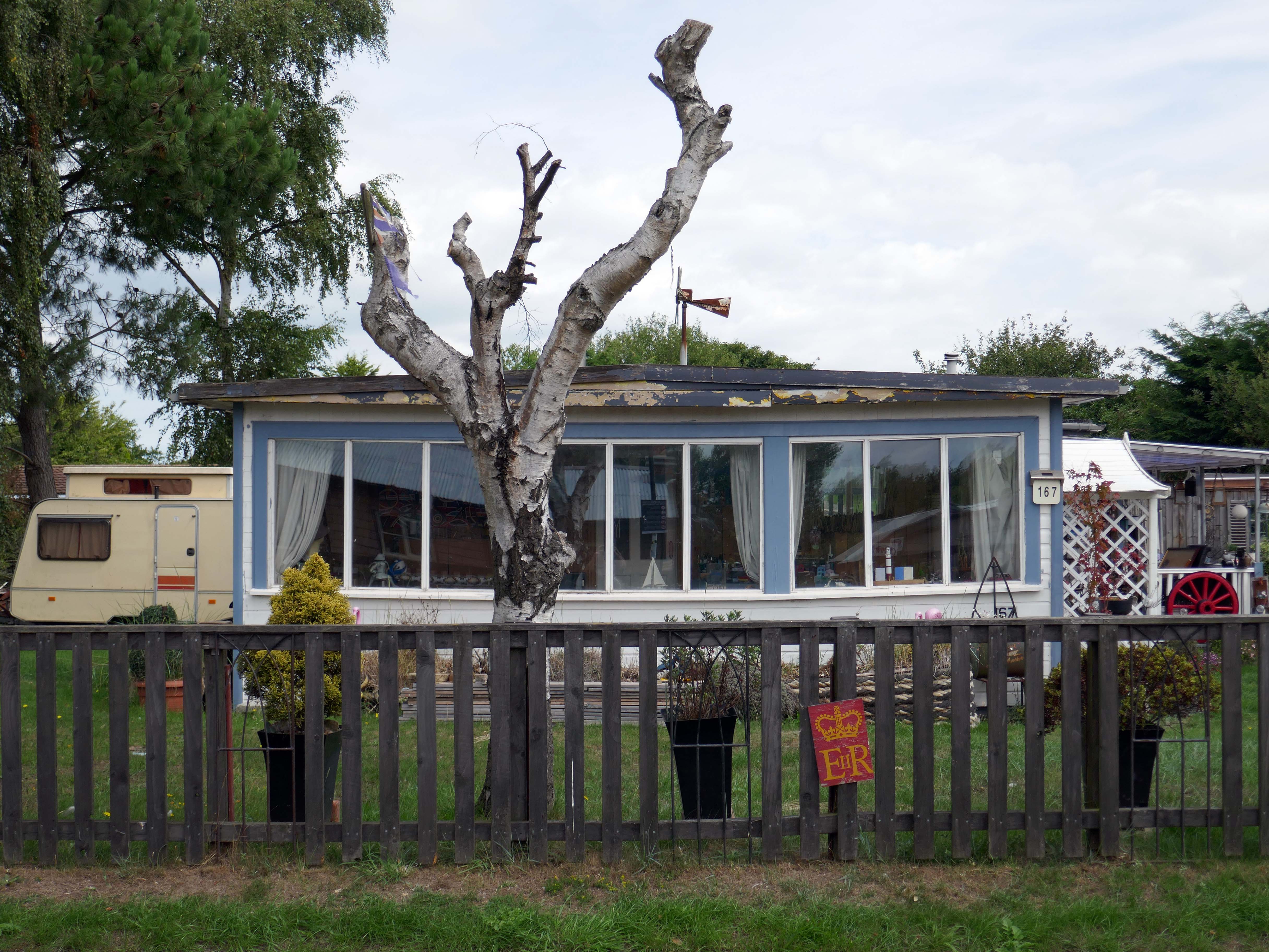
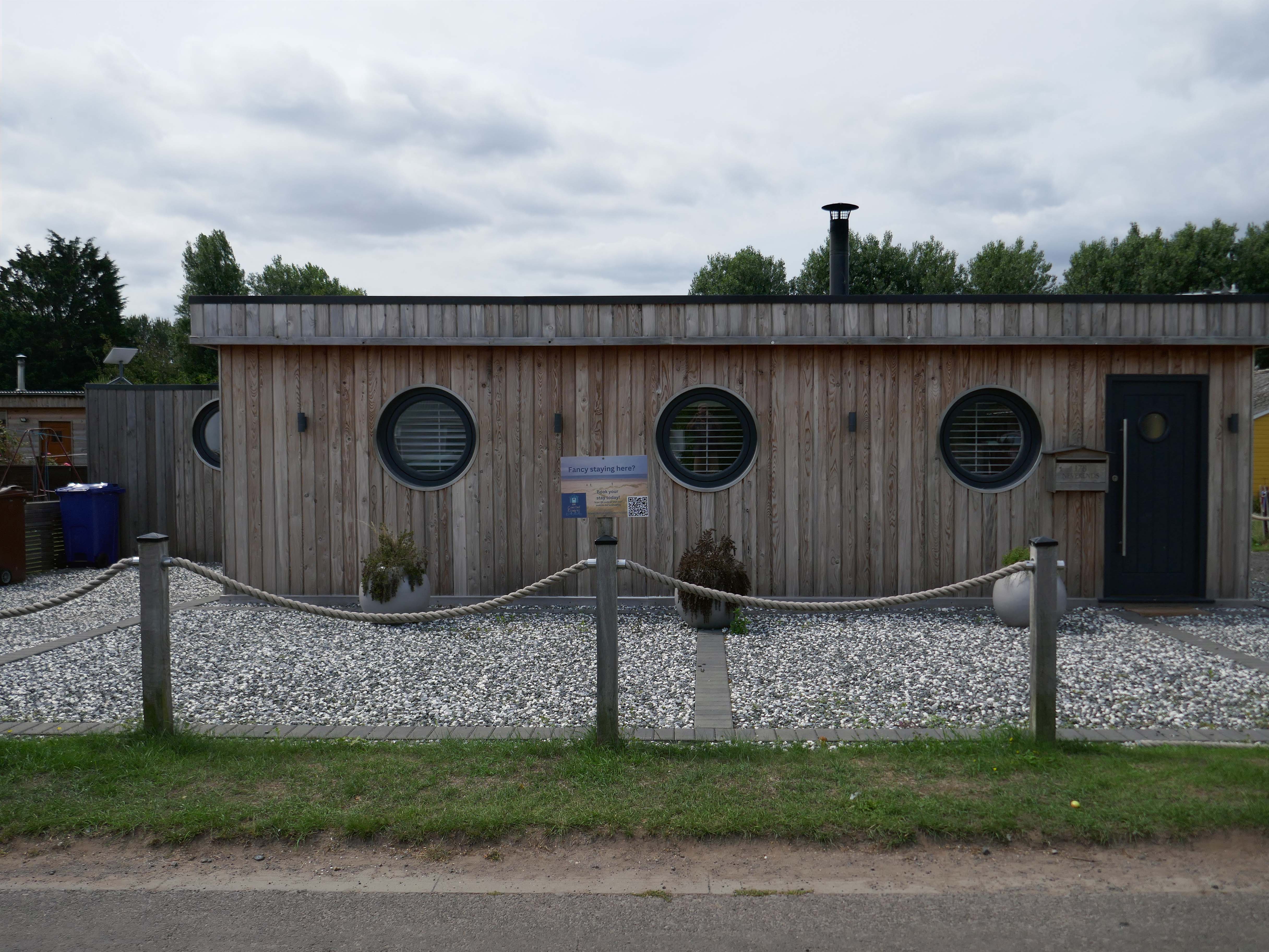
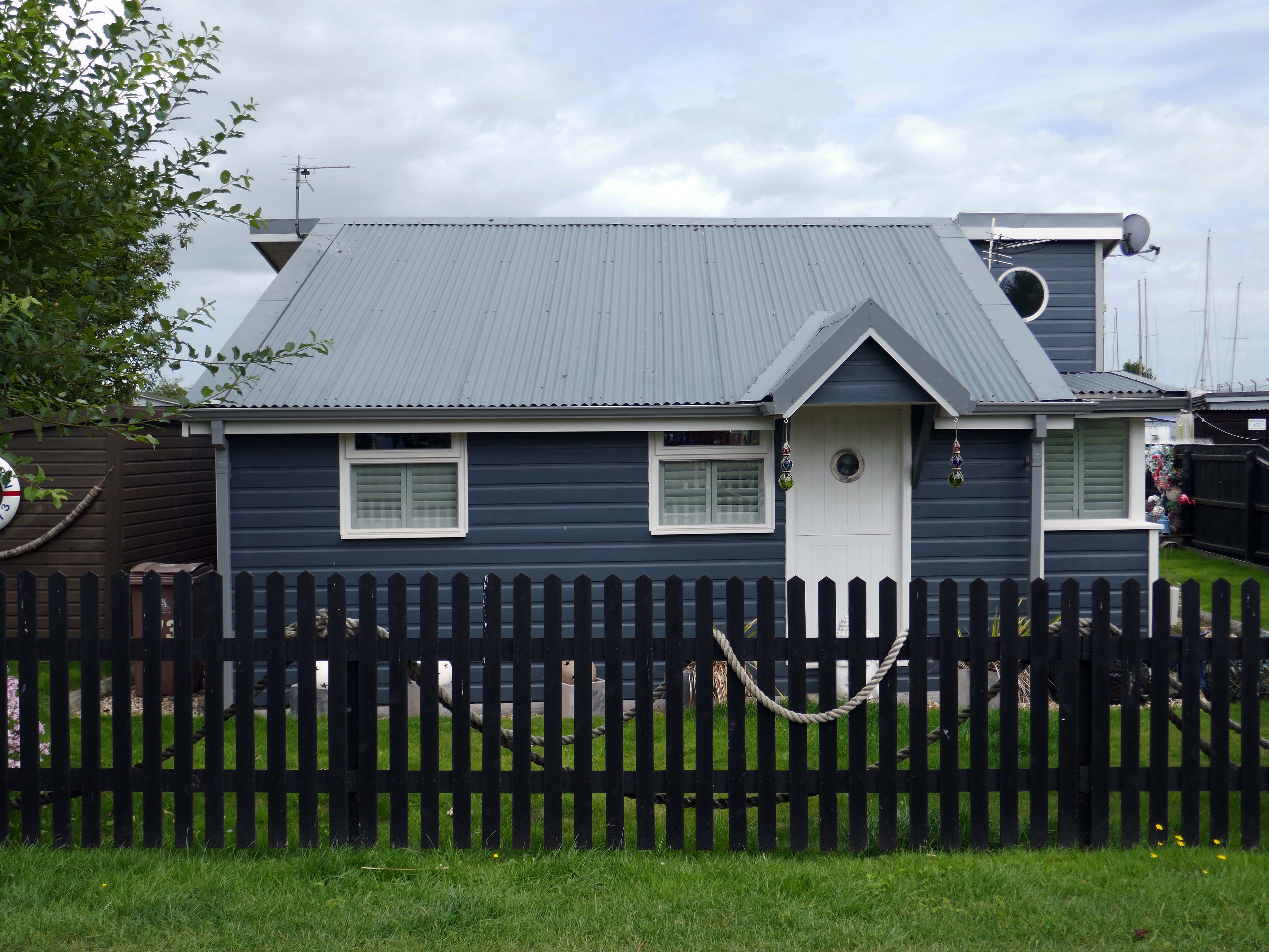
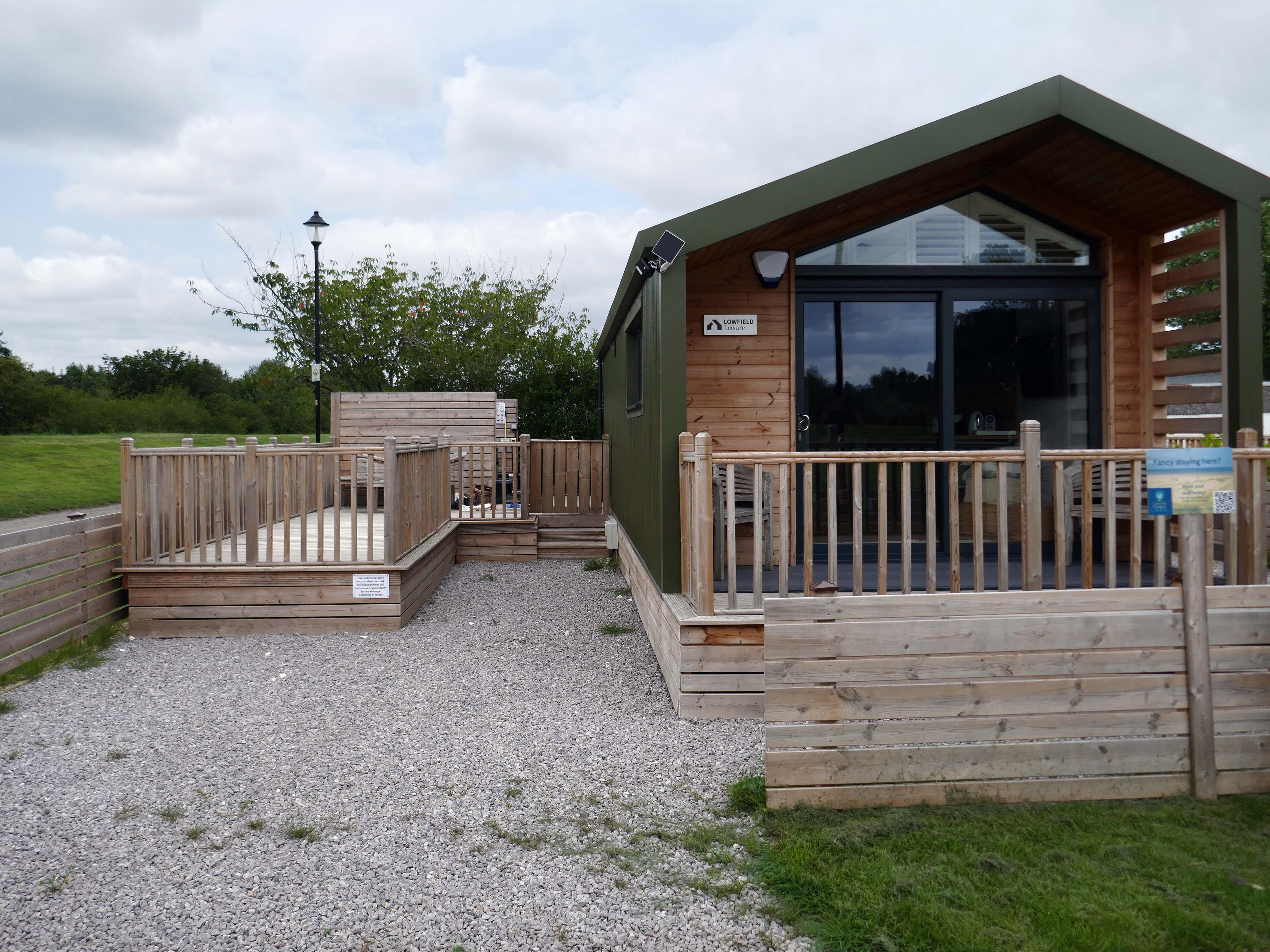
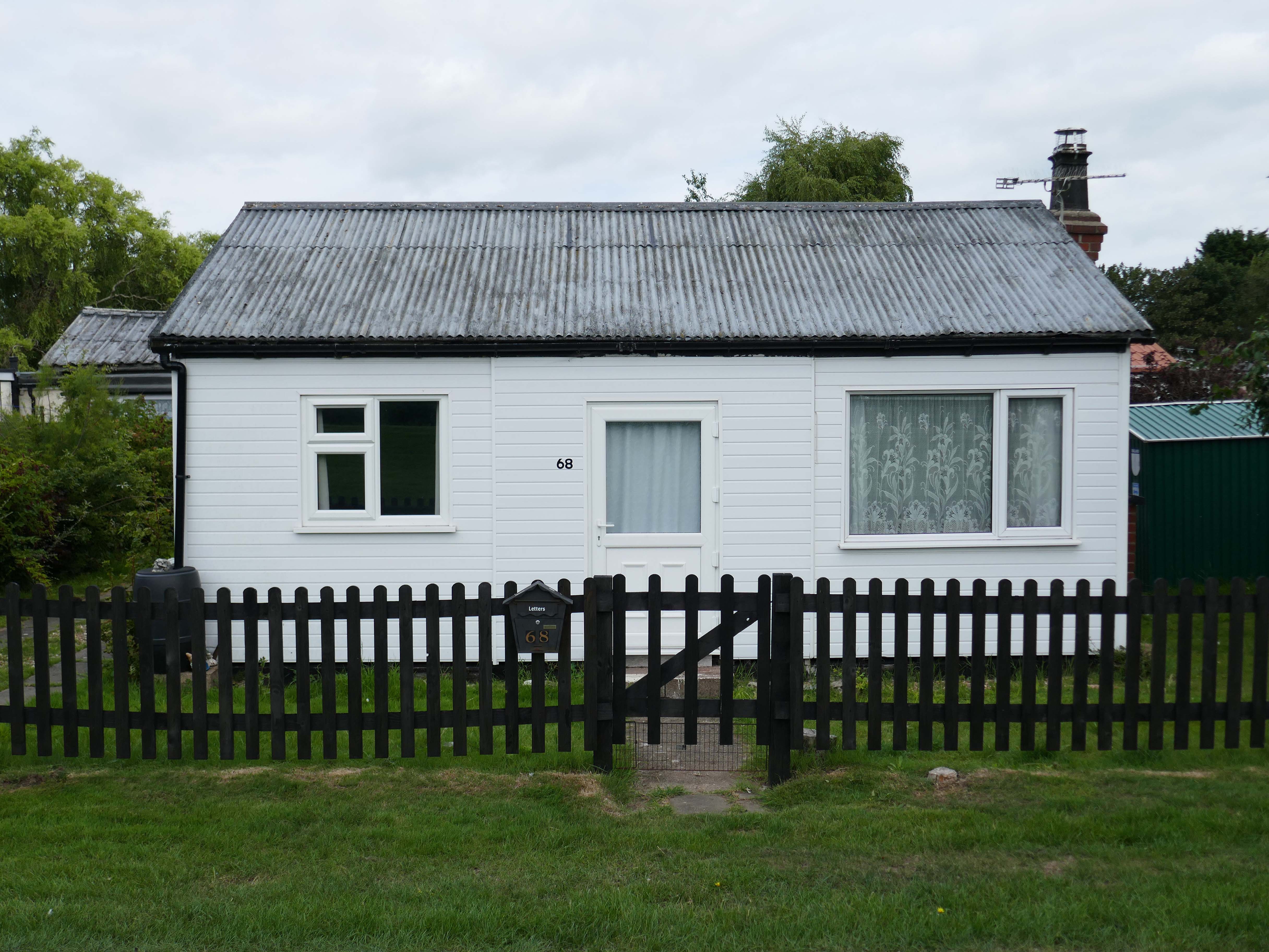
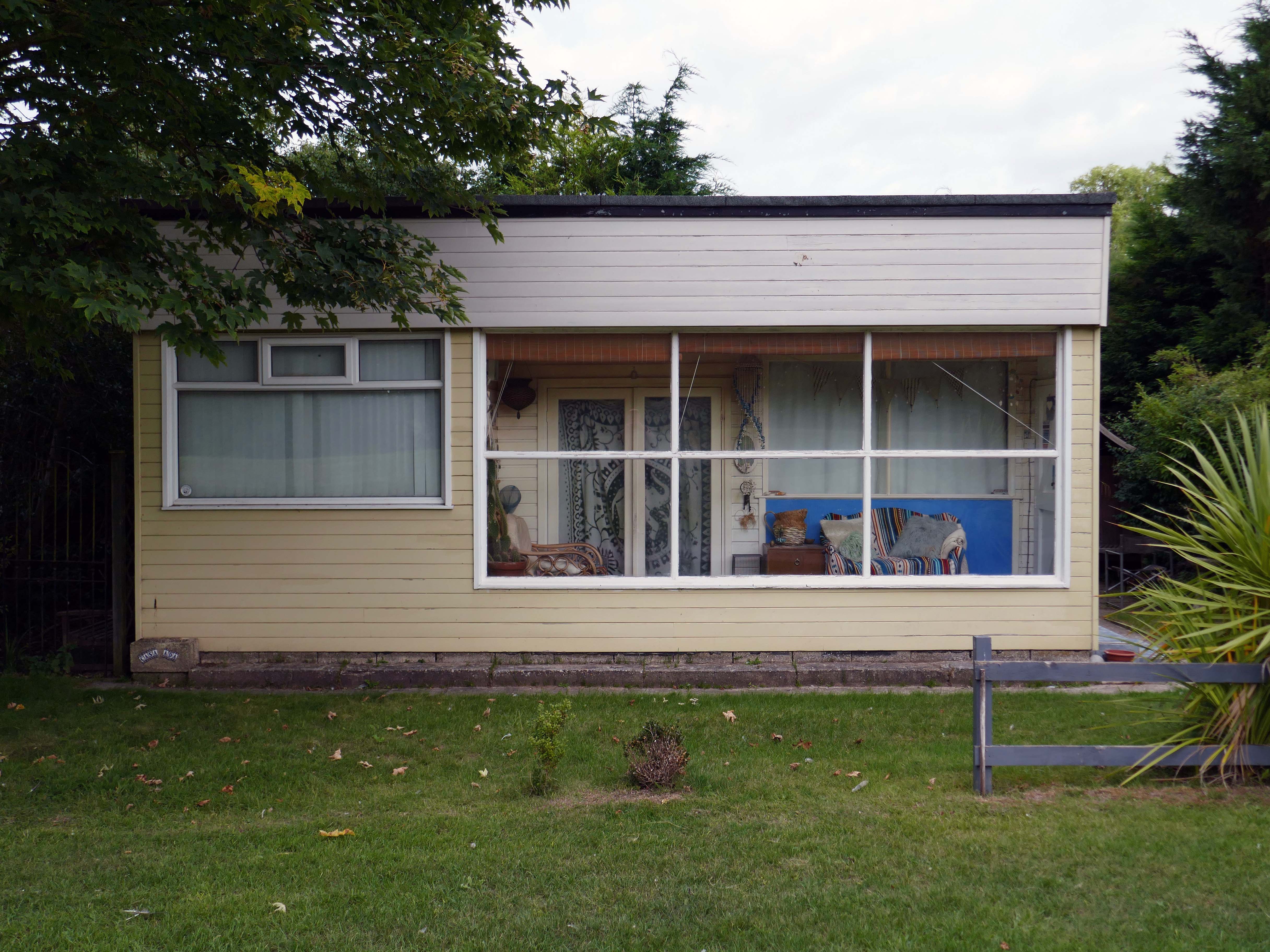
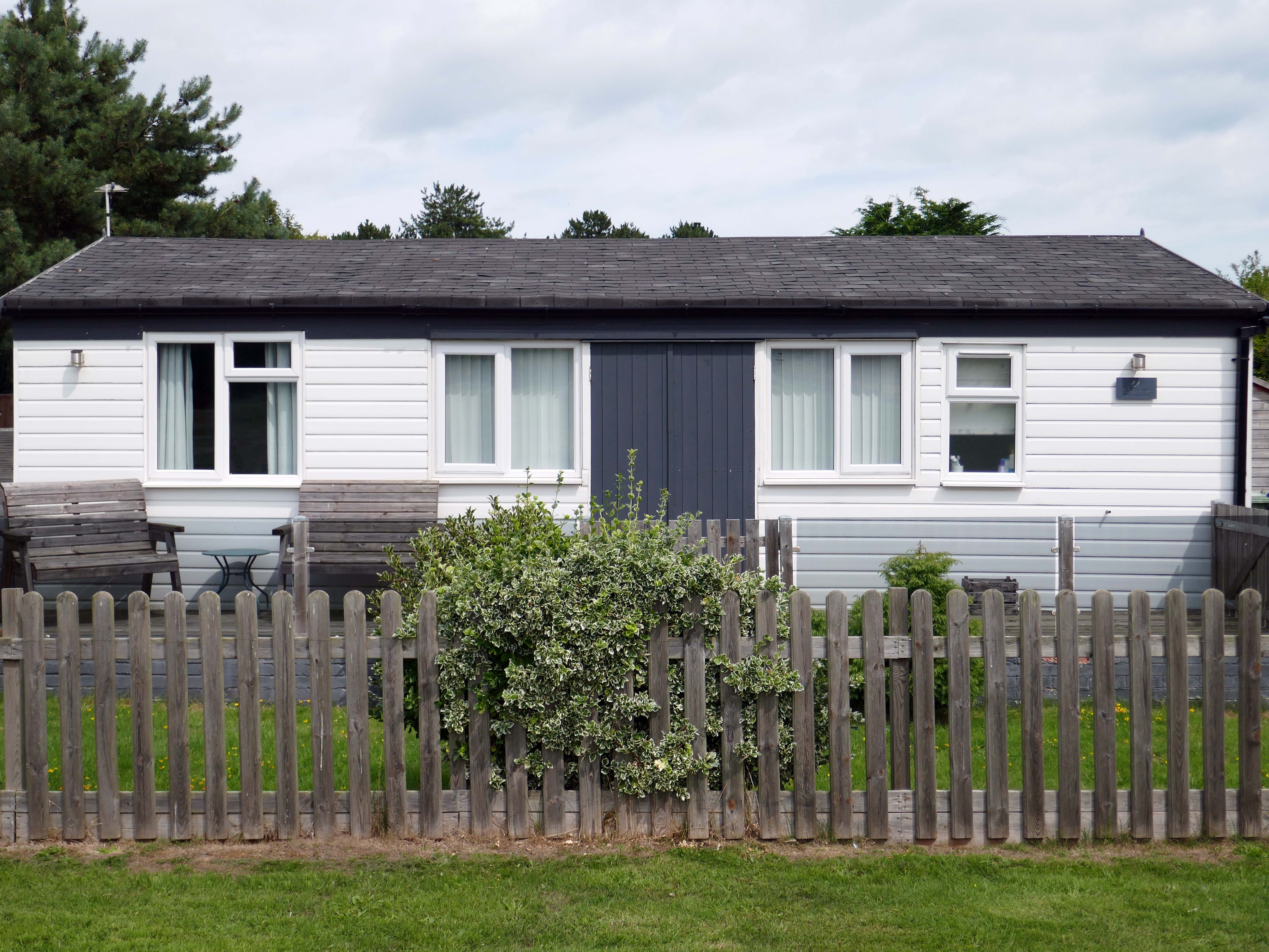
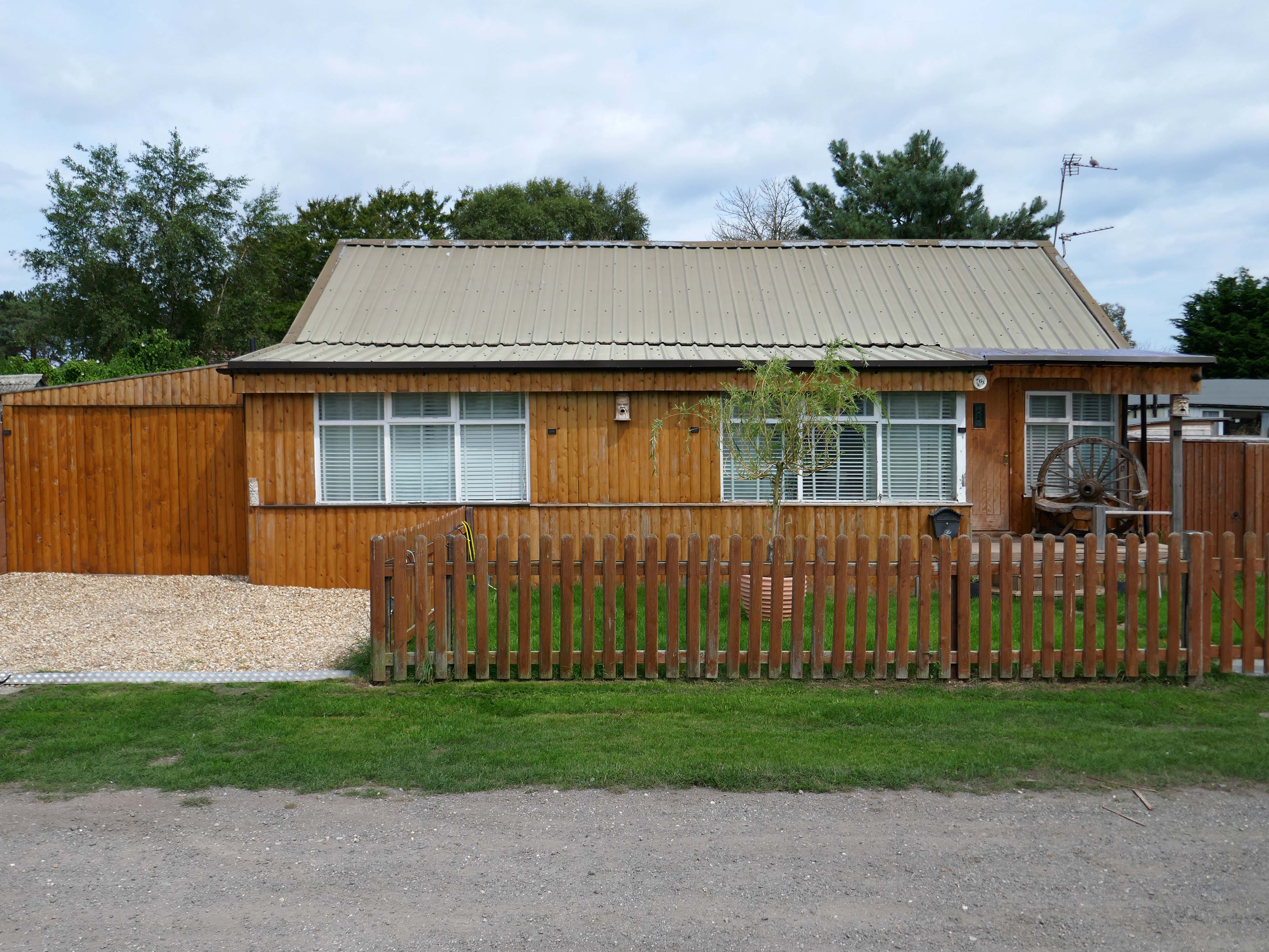
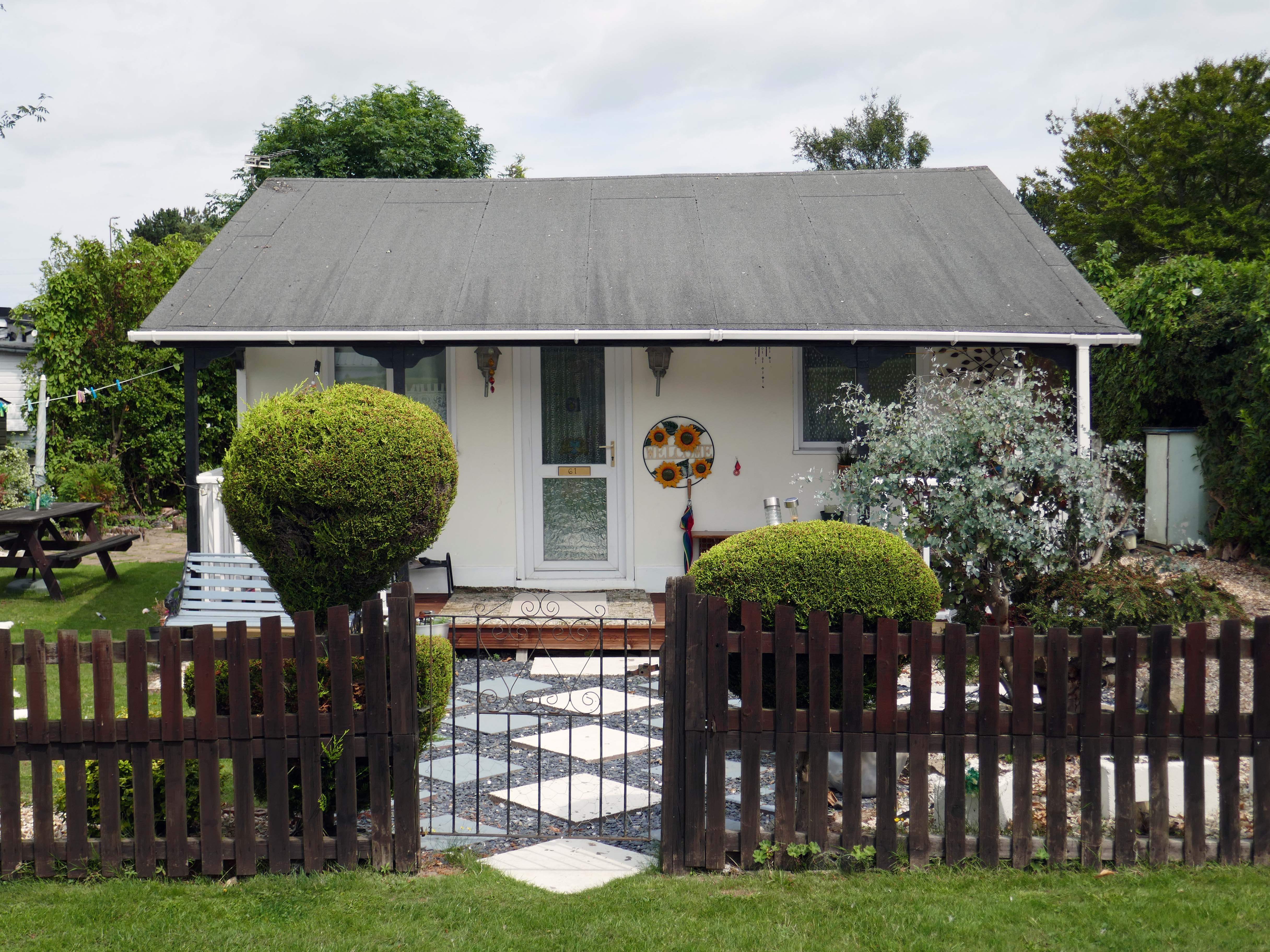
The chalet is a unique wooden clad cabin painted in lovely complimentary colours of Cream and Seaspray Green. A porthole window peers into a generous open plan living room and adjoined kitchen with subtle seaside touches of stripes, driftwood, shells, all quality wooden furniture and large comfy corner sofa plus two relaxing reading chairs with plenty of blankets to snuggle up in.
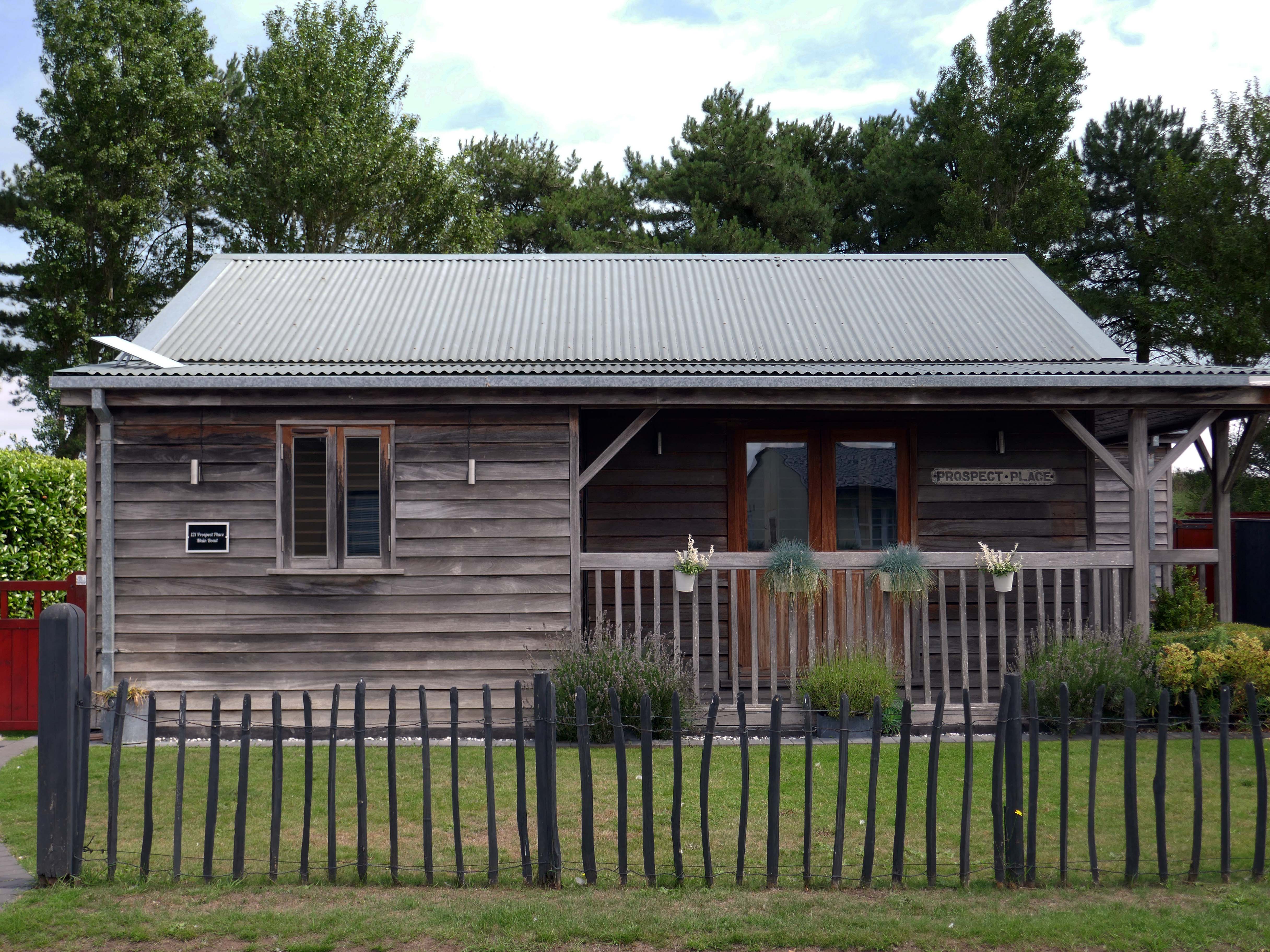
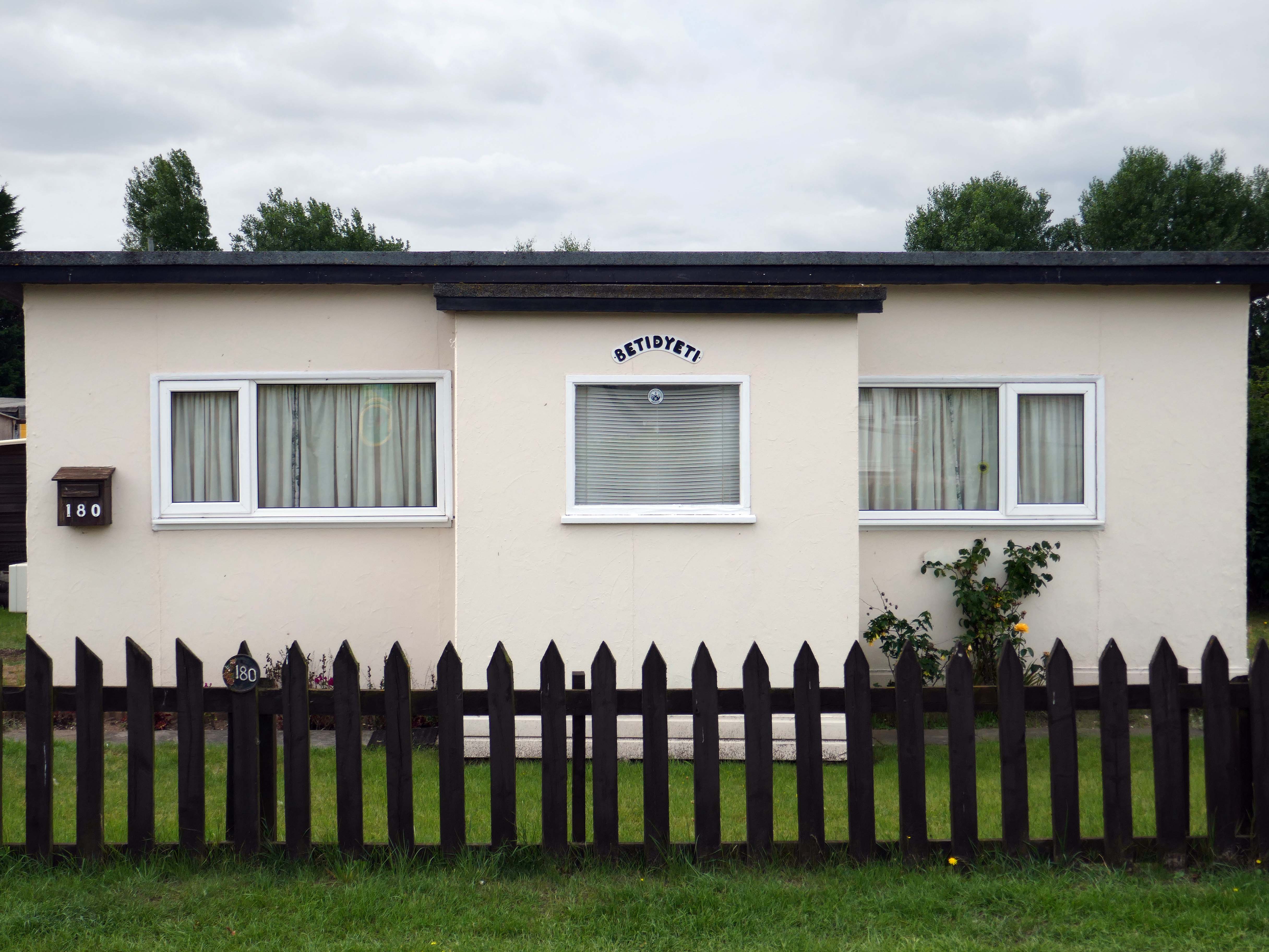
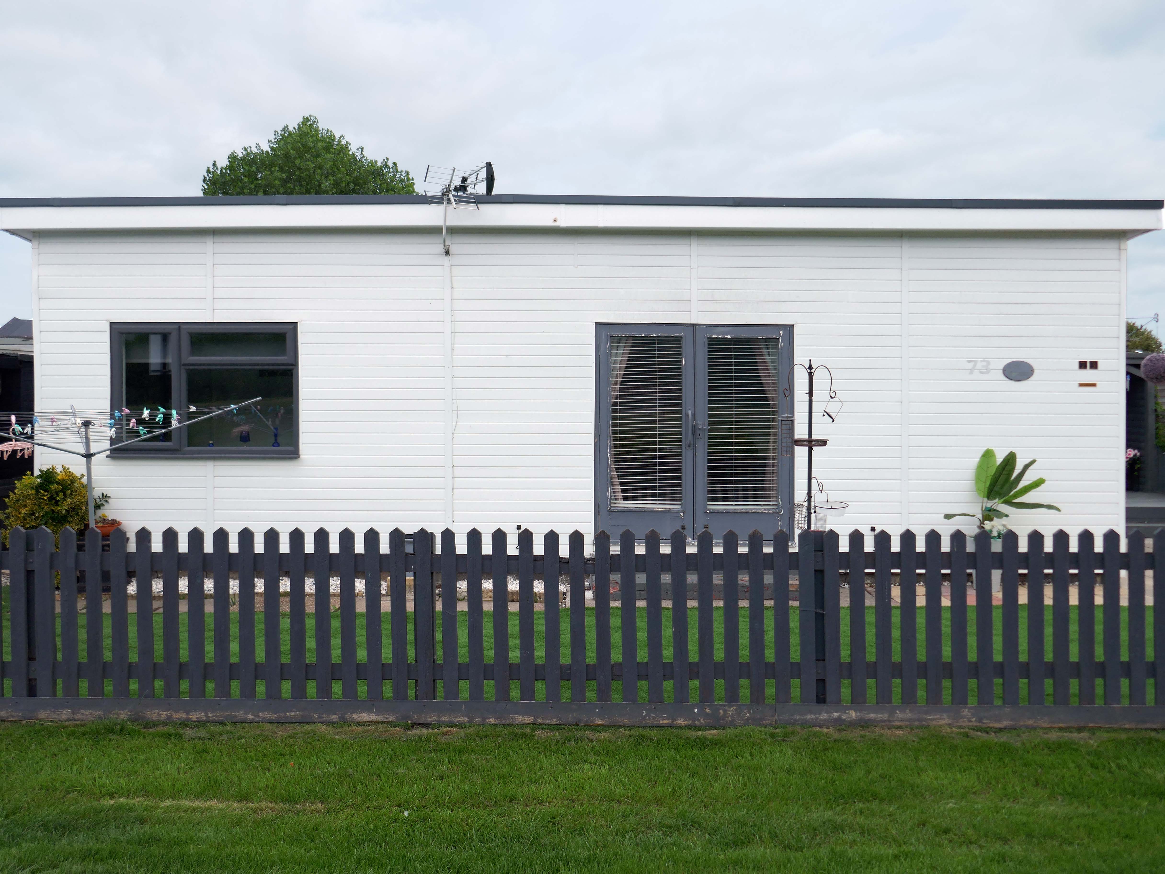
So the march of big money heralds the arrival of complementary after dinner mints, uPVC cladding, tasteful nautical bric a brac, prohibitive signs, off road parking and a Hampton’s aesthetic – a little bit of New England inna little bit of England.
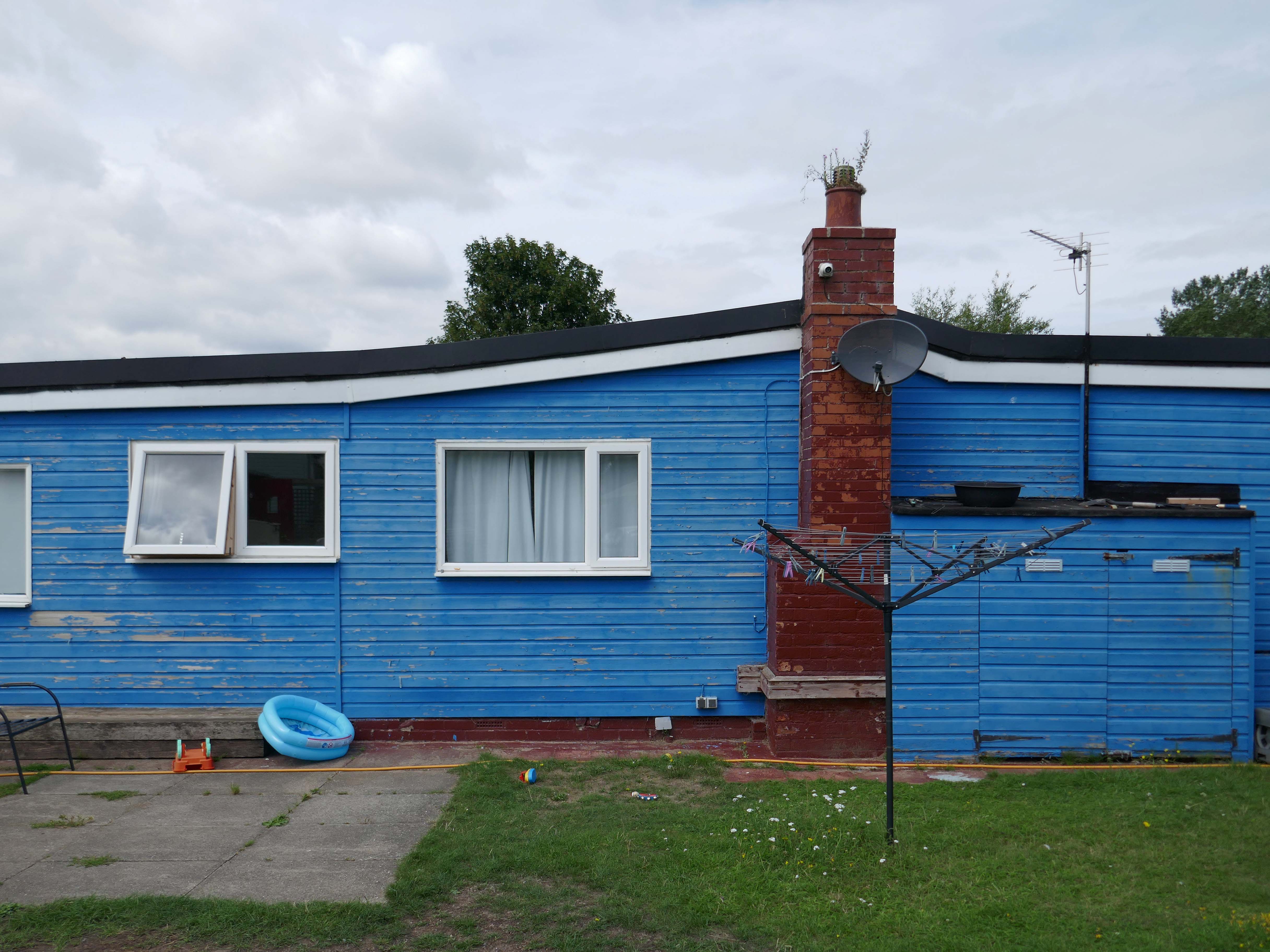
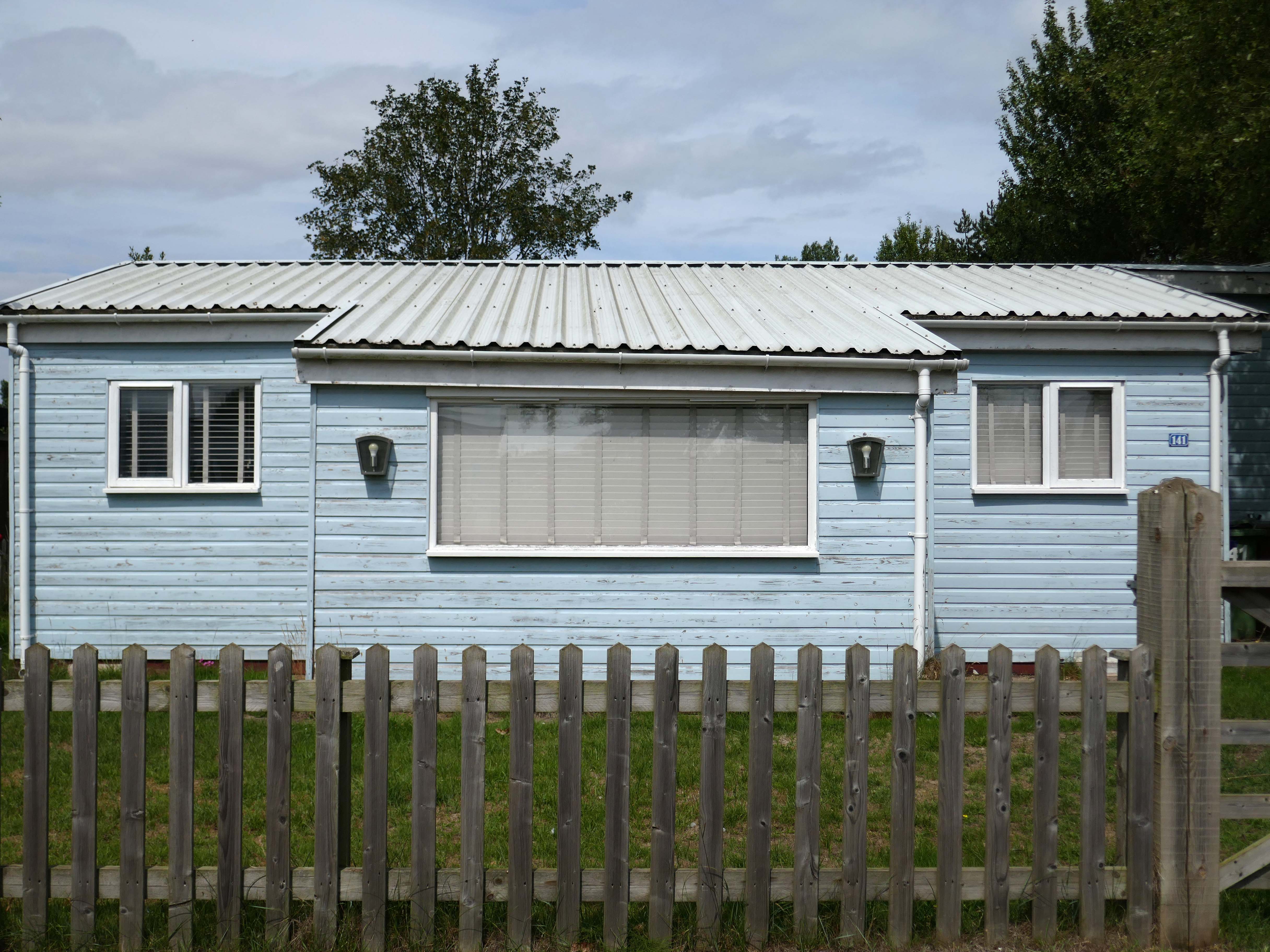
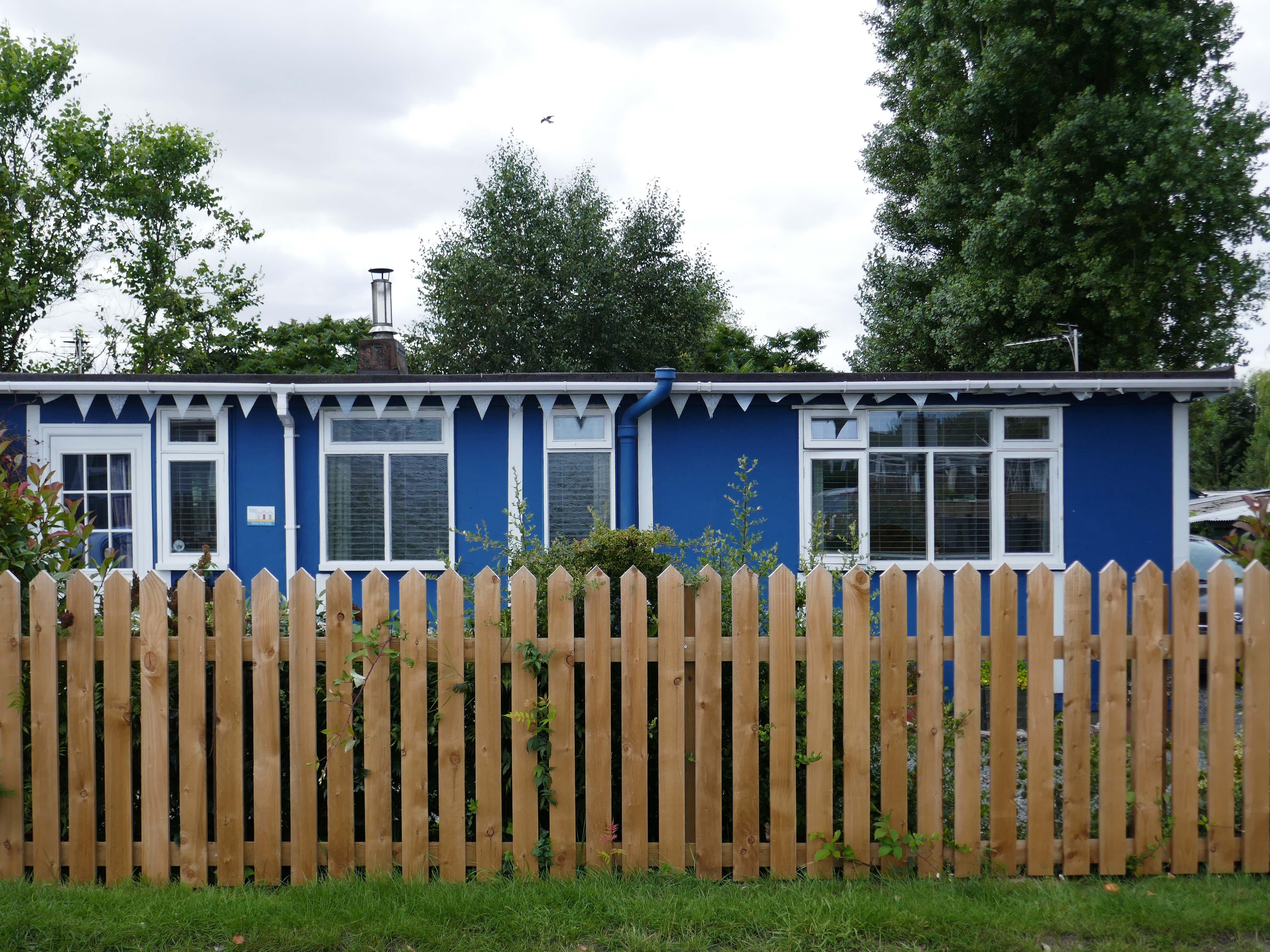
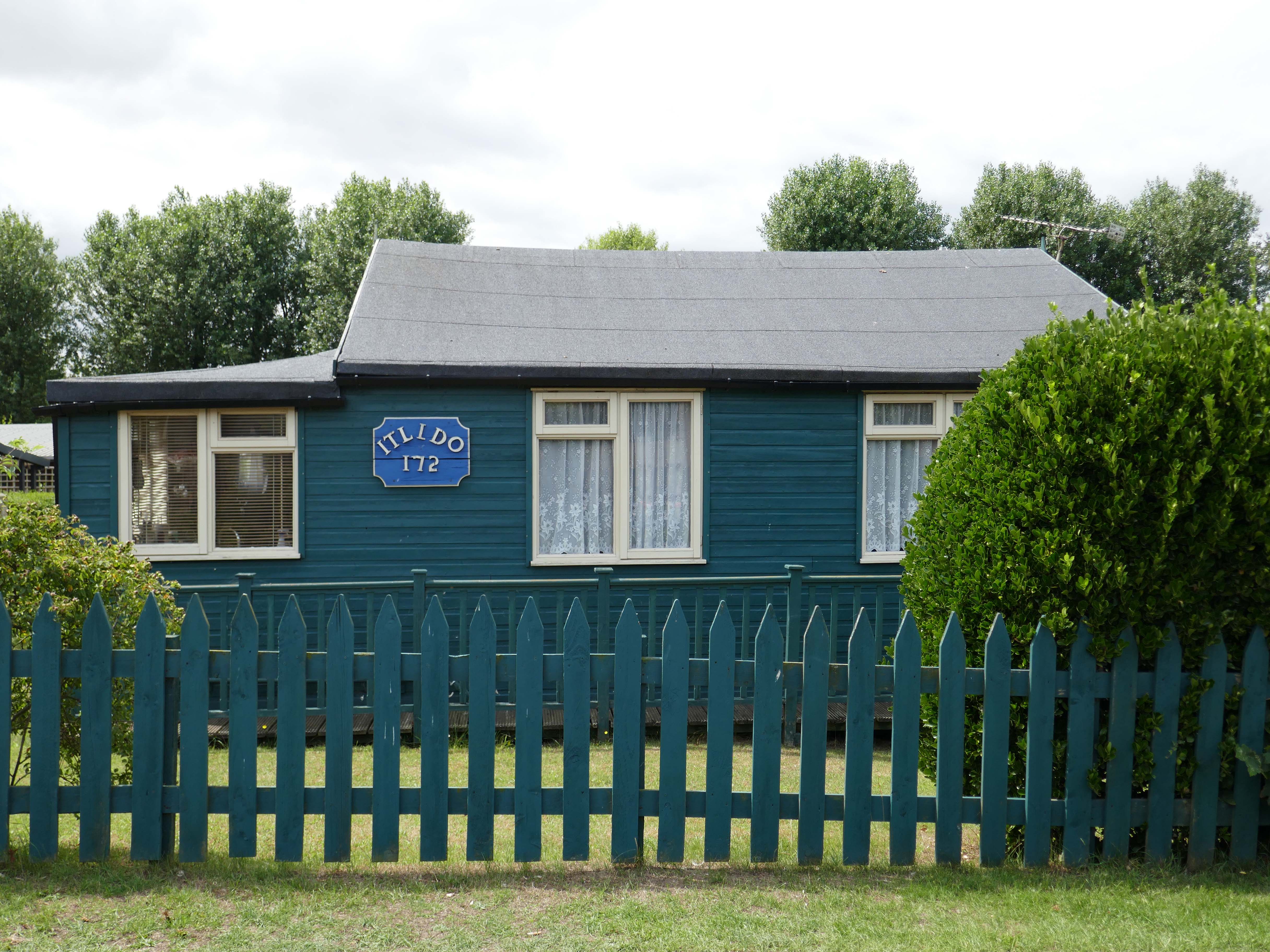
Despite the incursion of those folks on a week long excursion, there is still an air of lukewarm anarchy which pervades the Fitties. An array of wonky homemade fences constantly askew, refusing to be aligned to the orthogonal.
Mañana never comes here on this little stretch of the Lincolnshire coast, get it while you can.
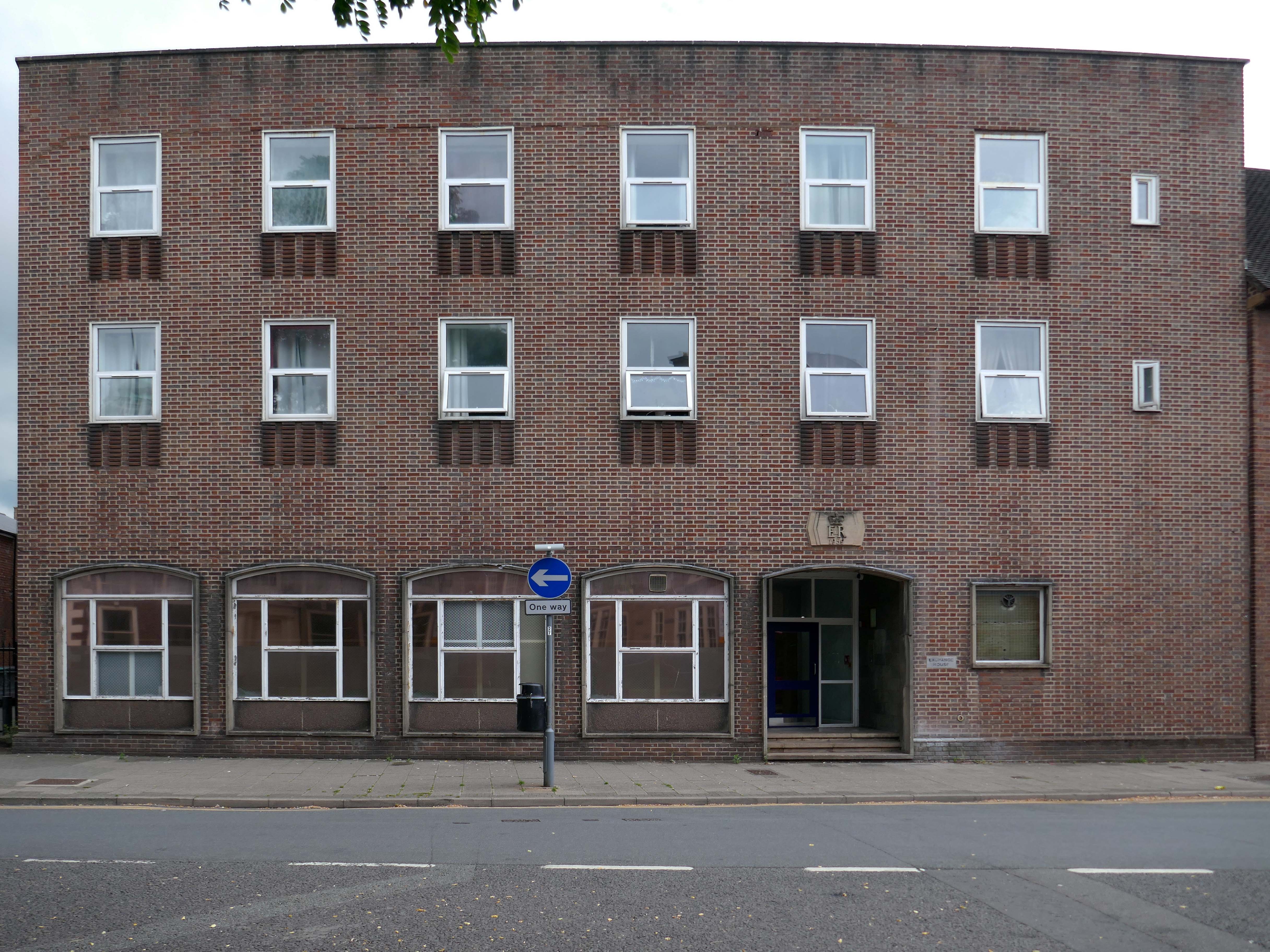
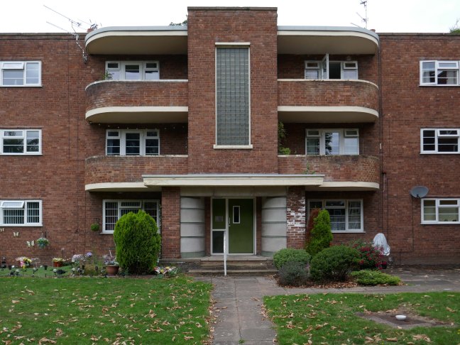
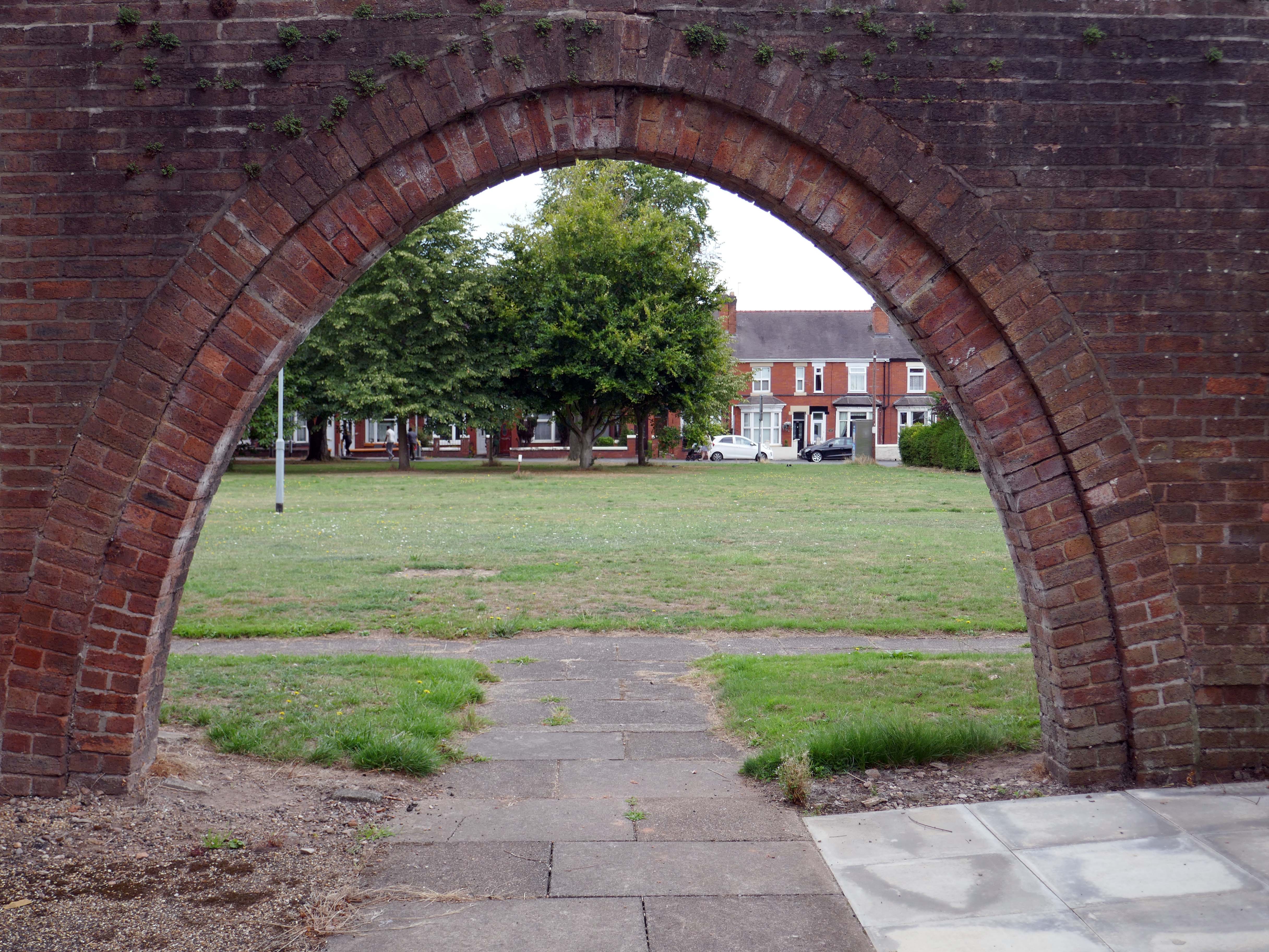
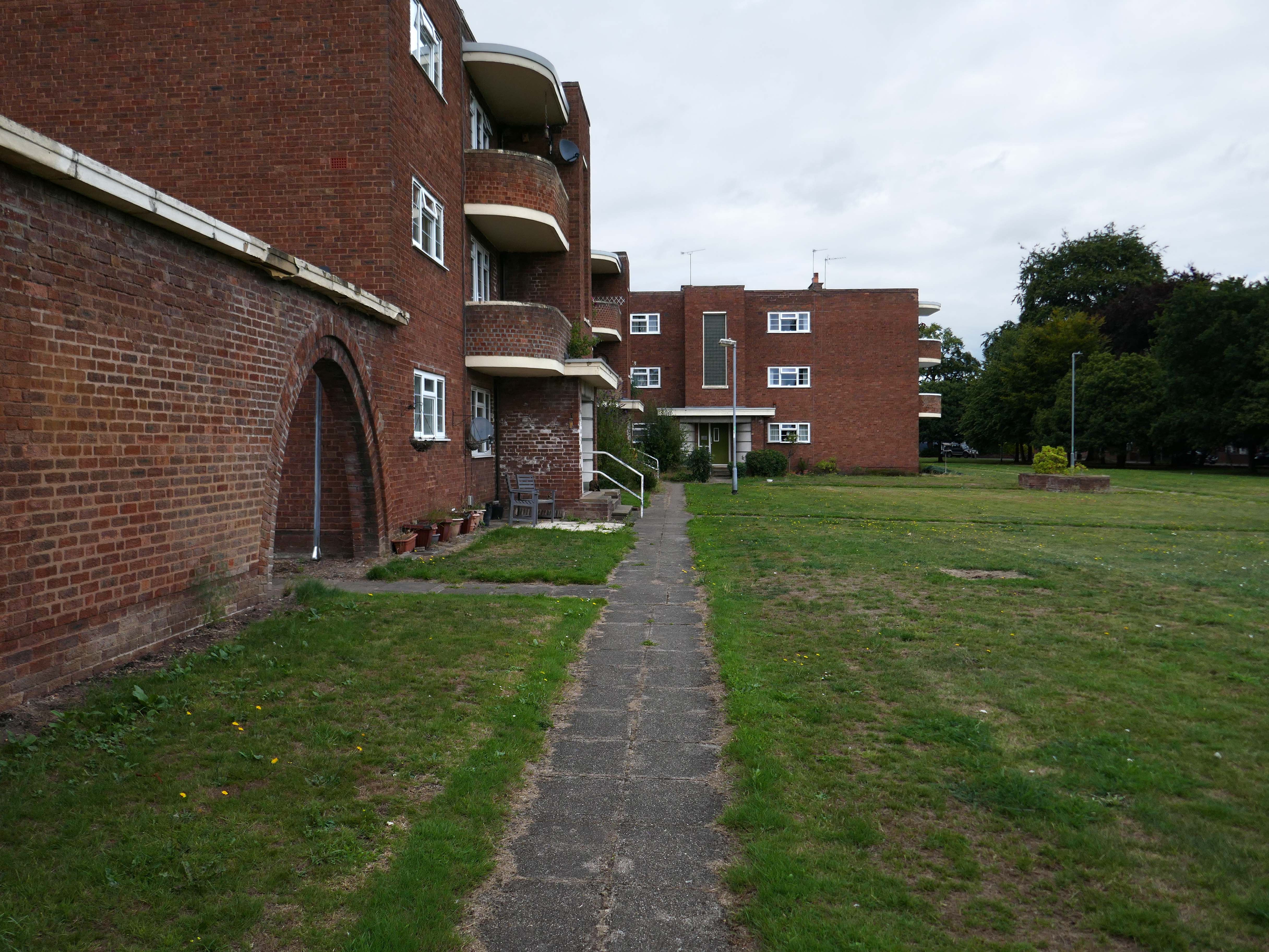
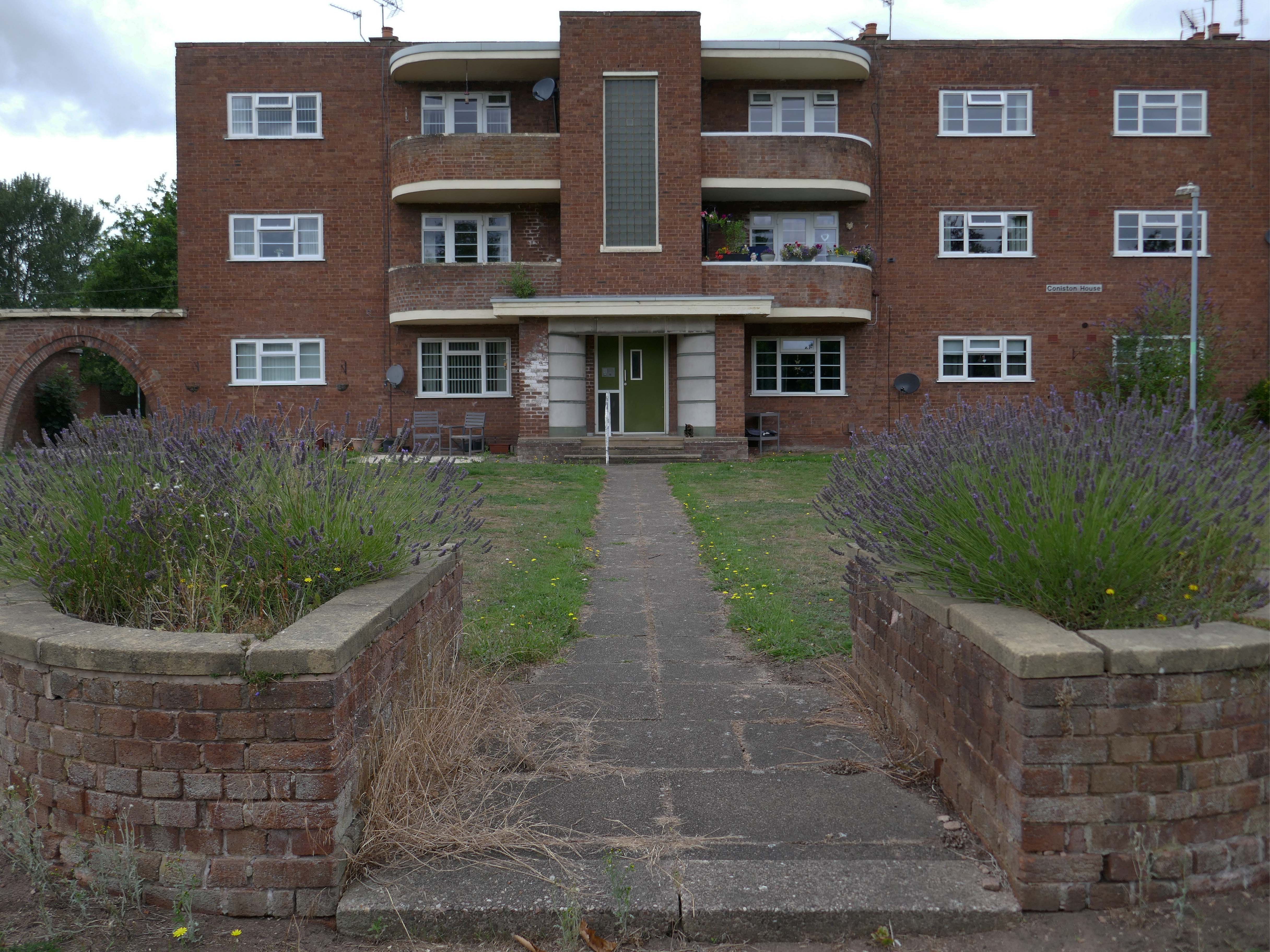
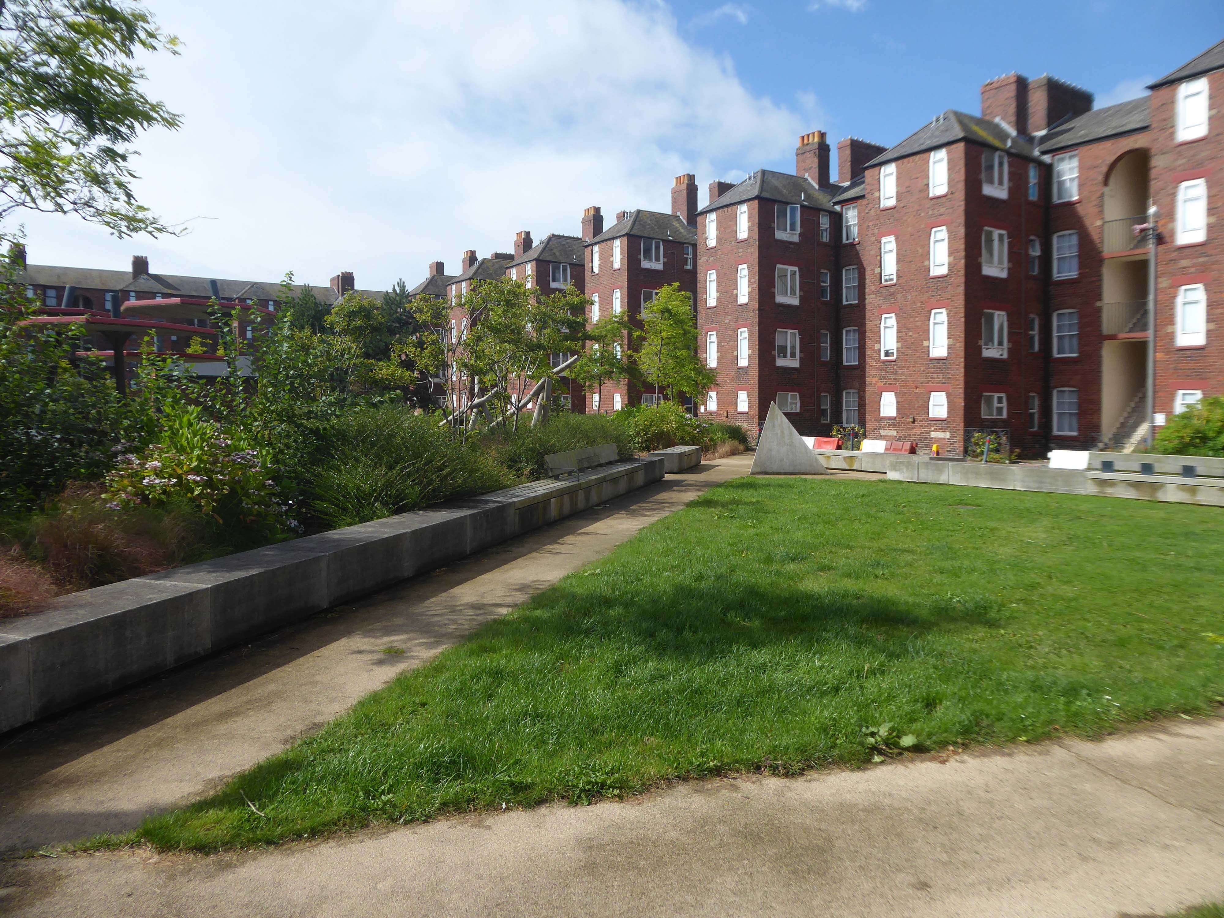
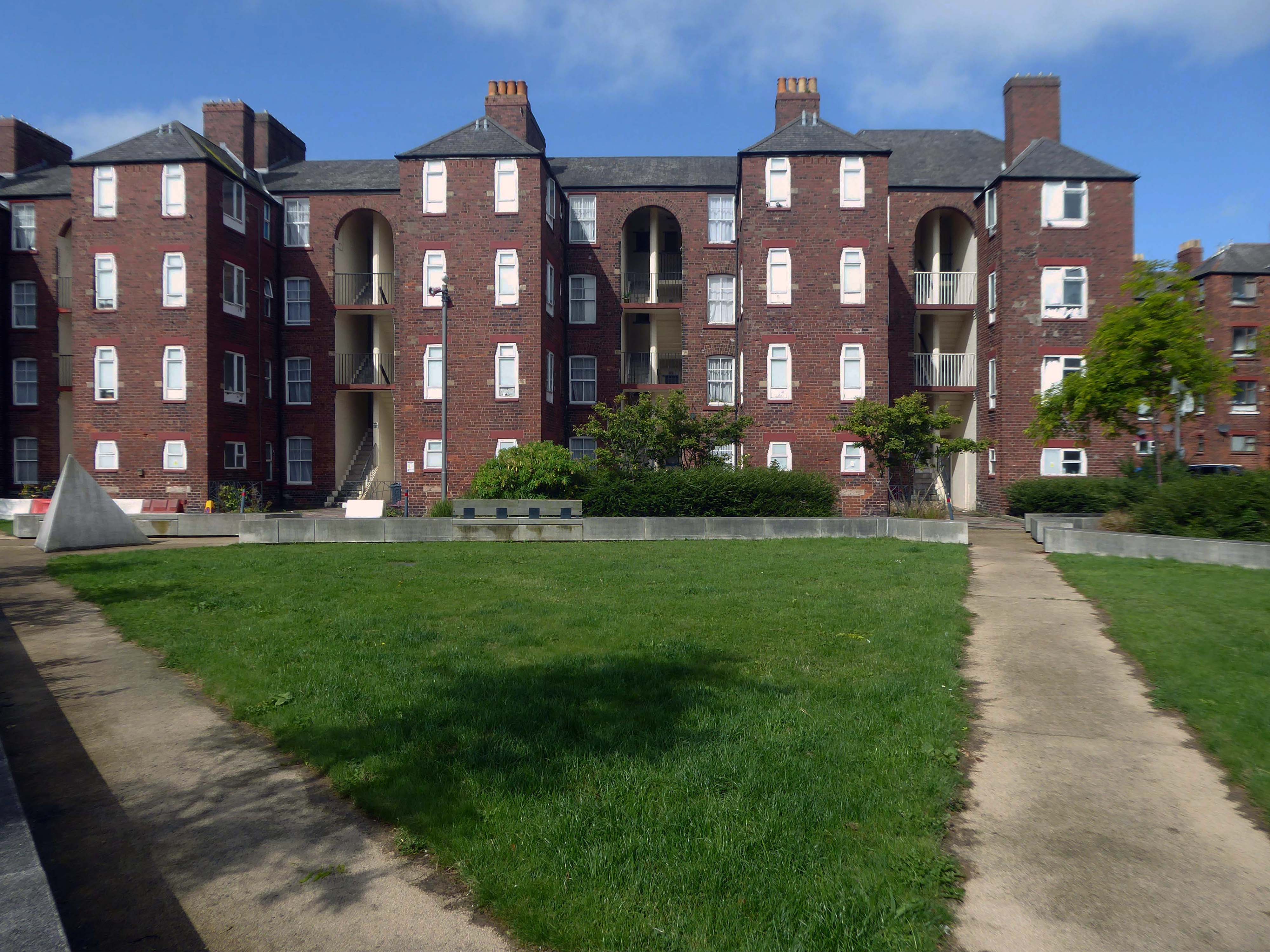
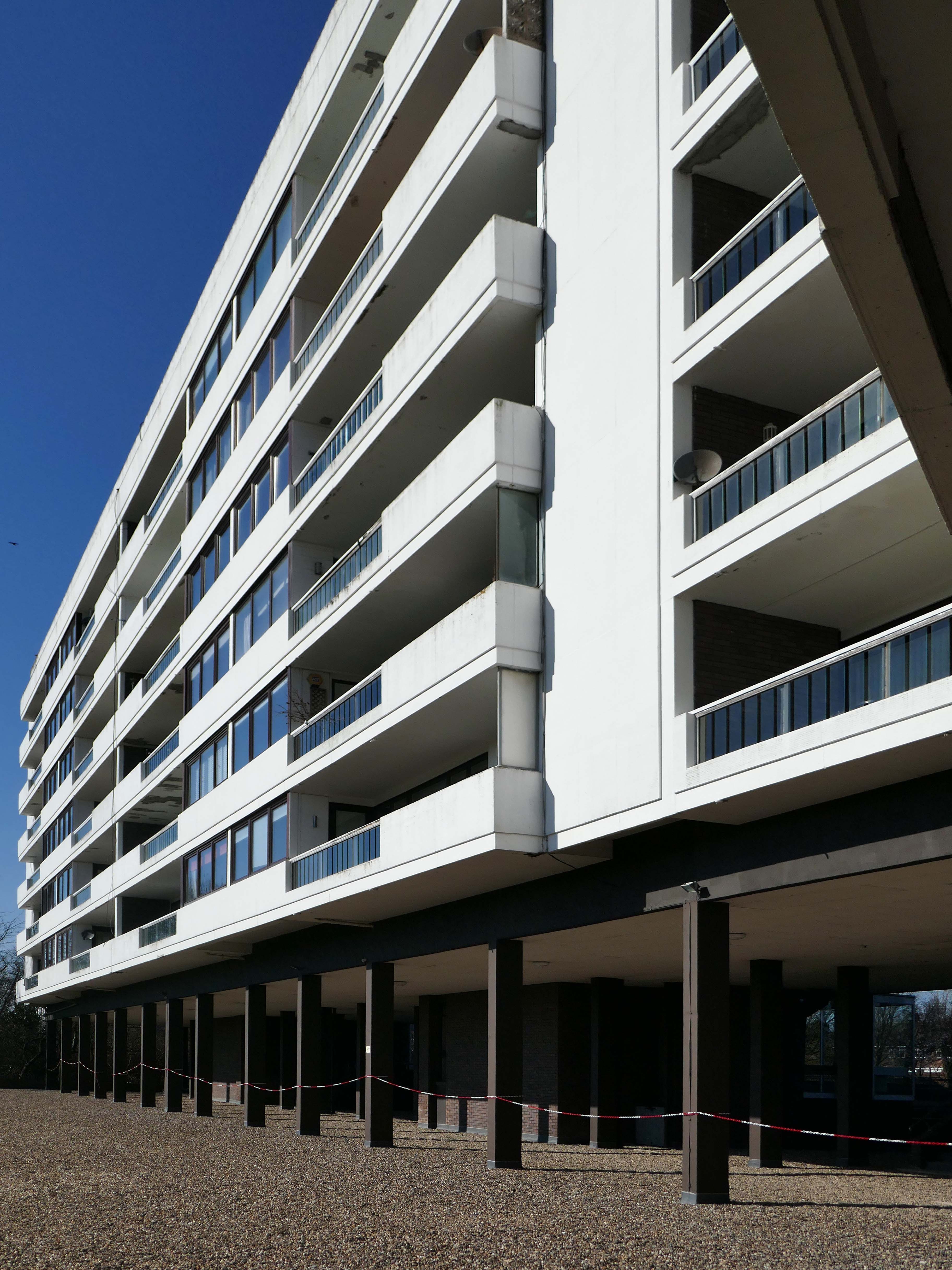
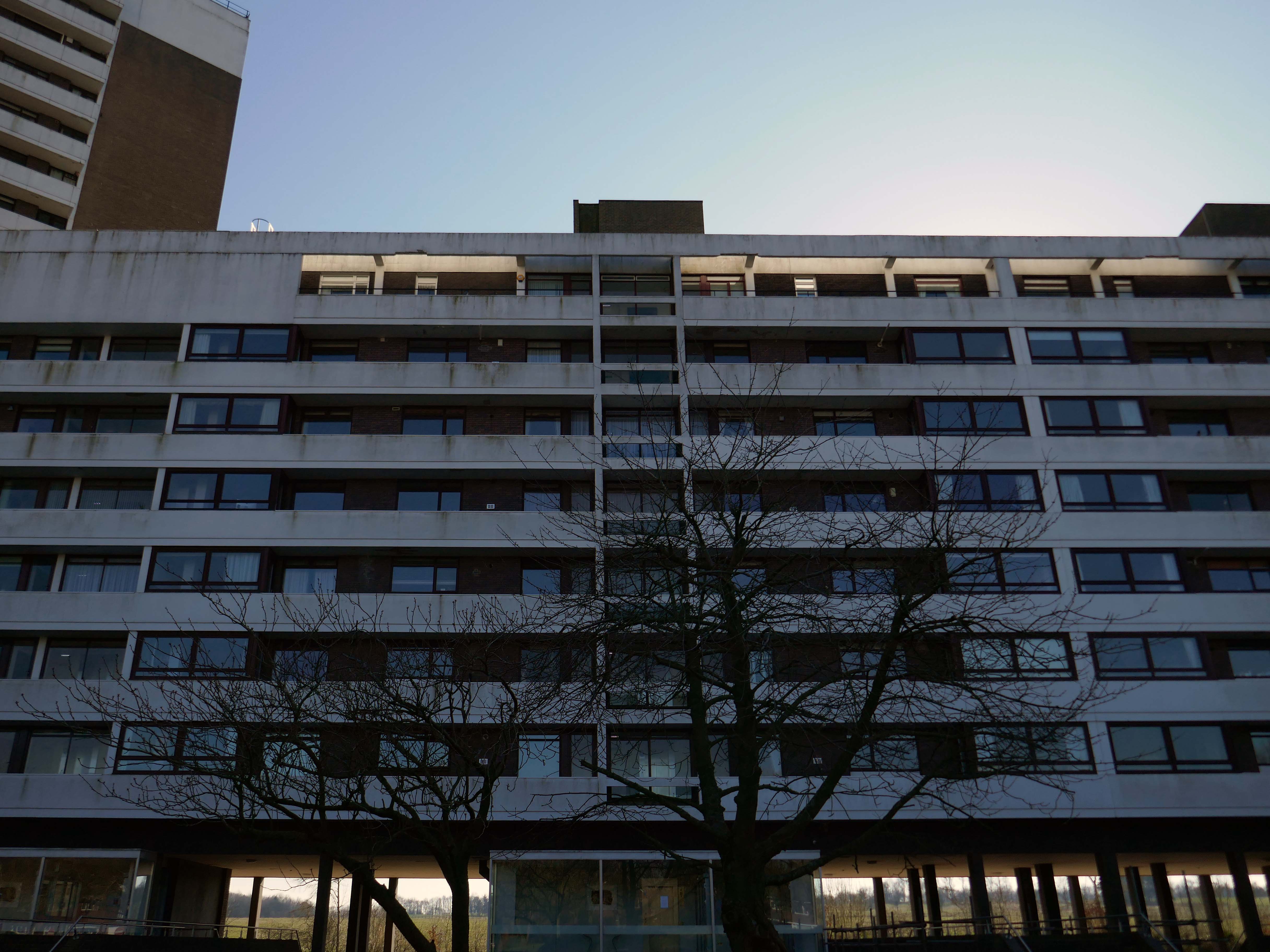
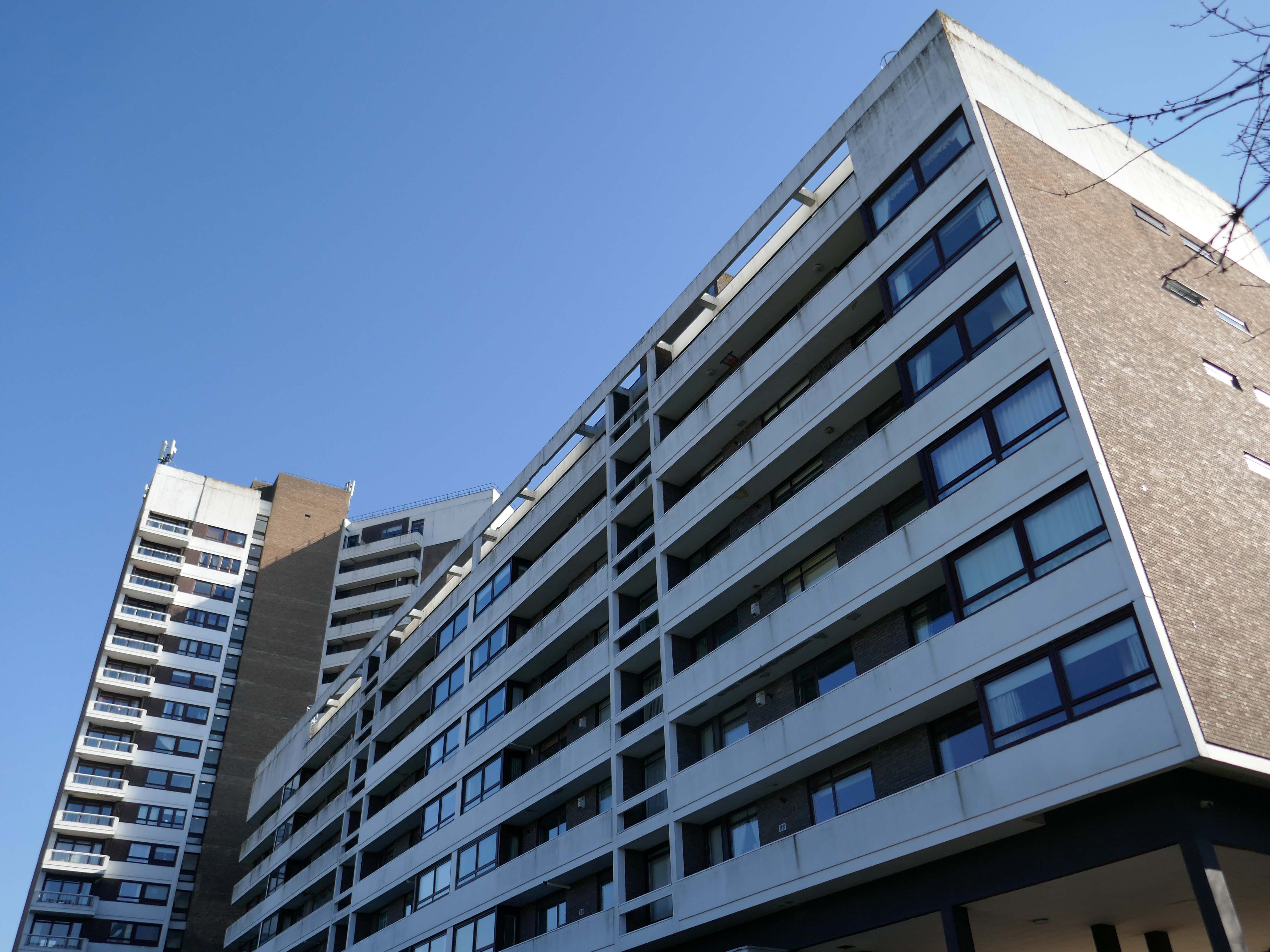
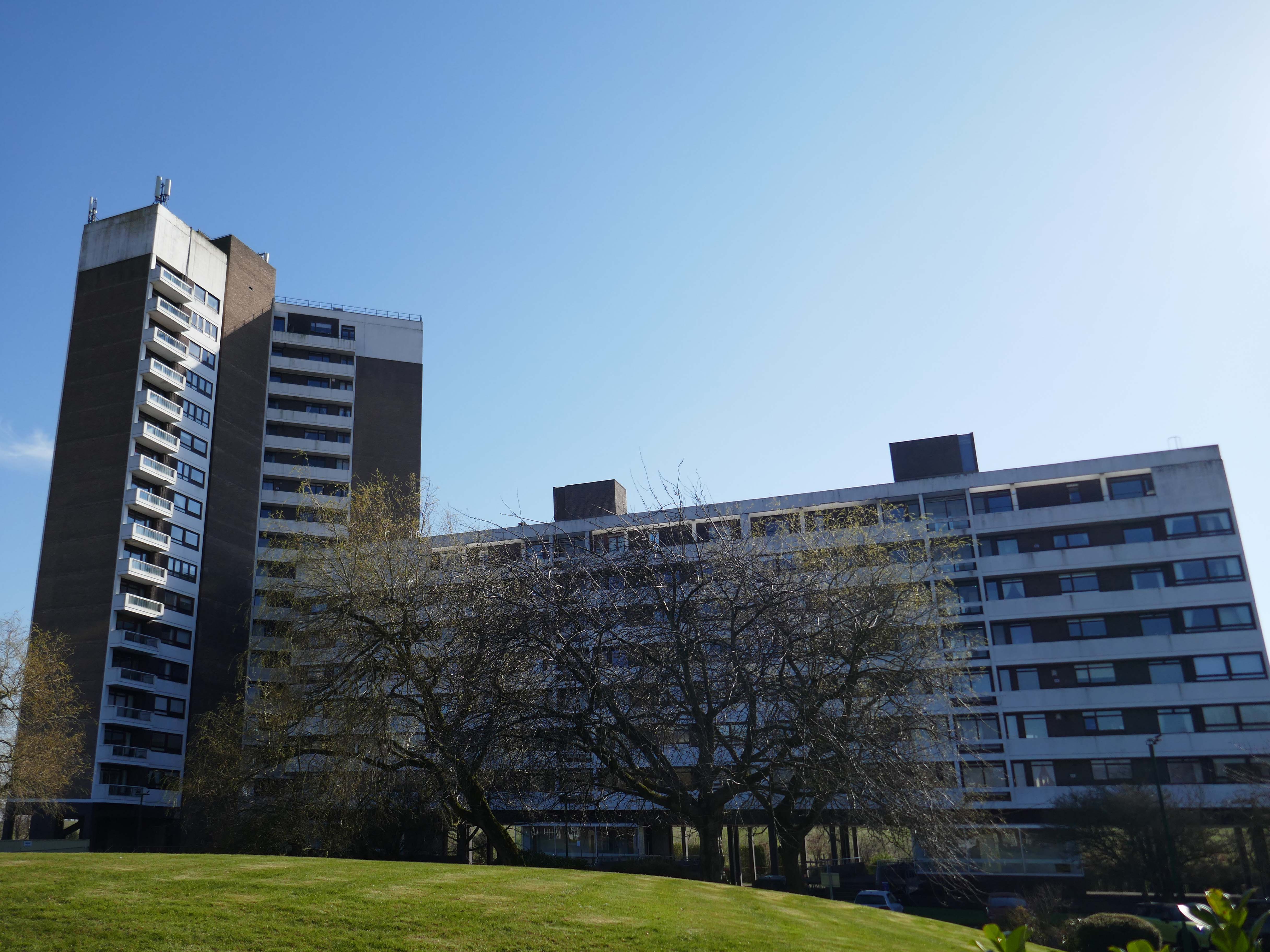
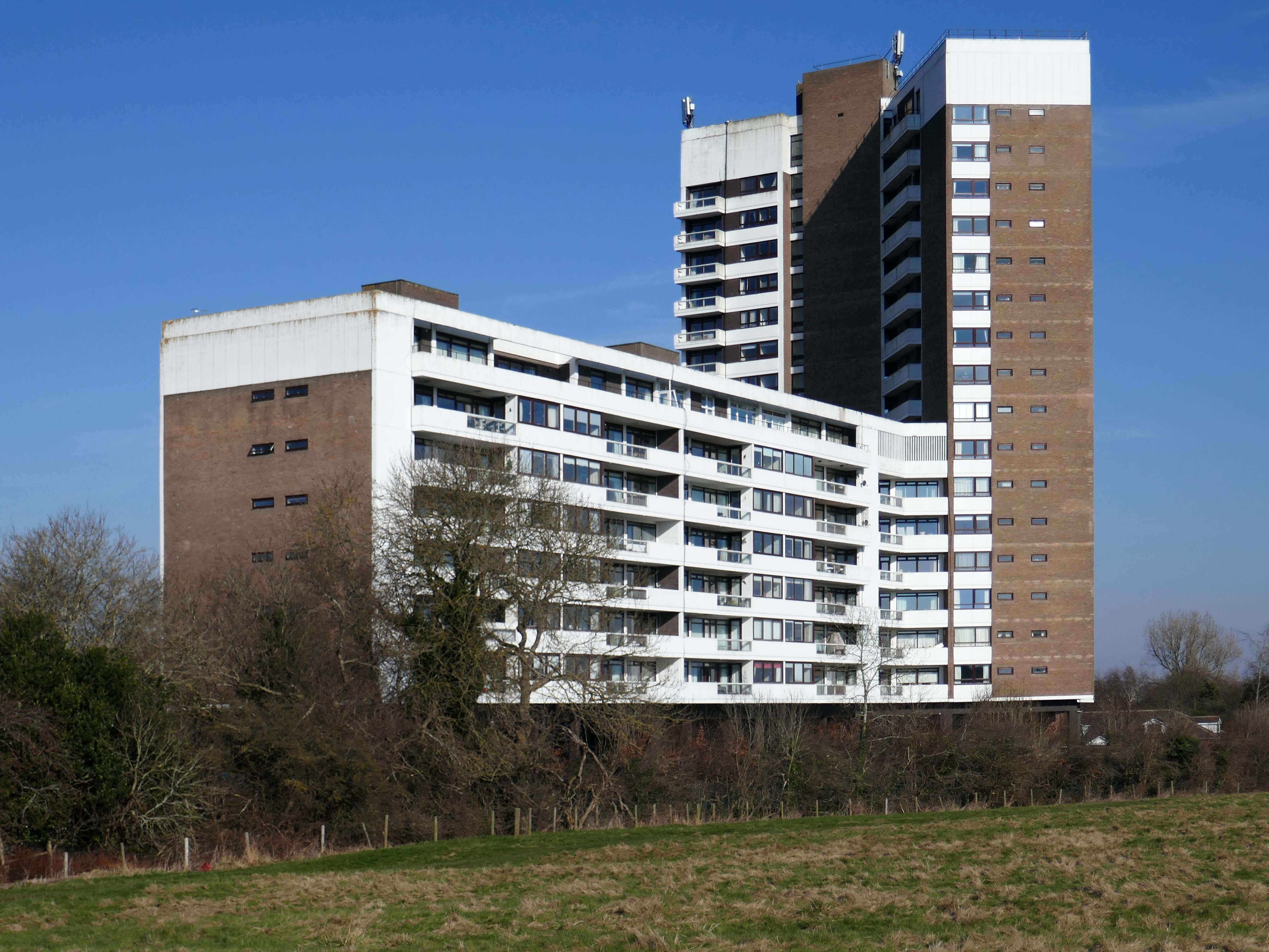
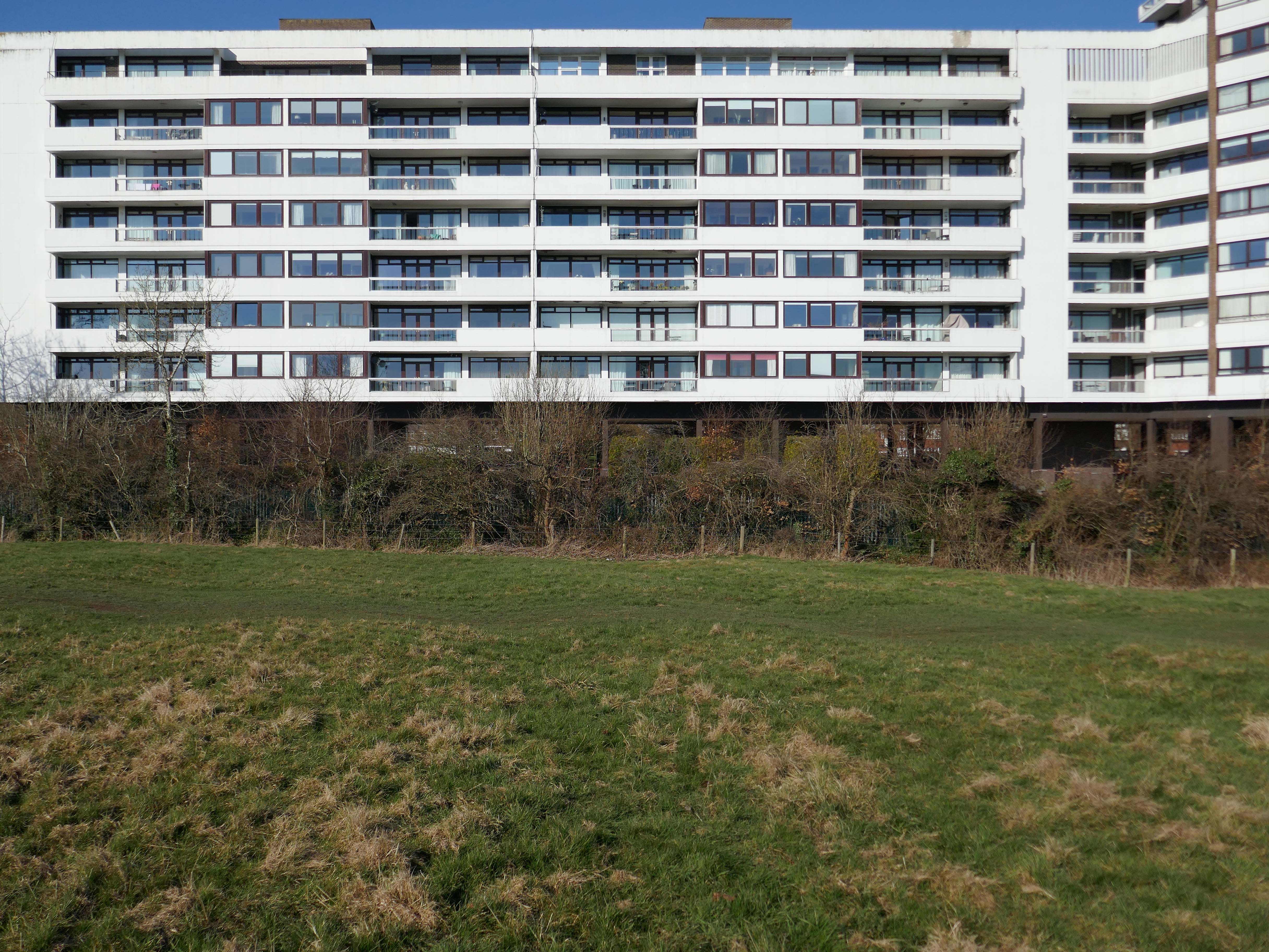
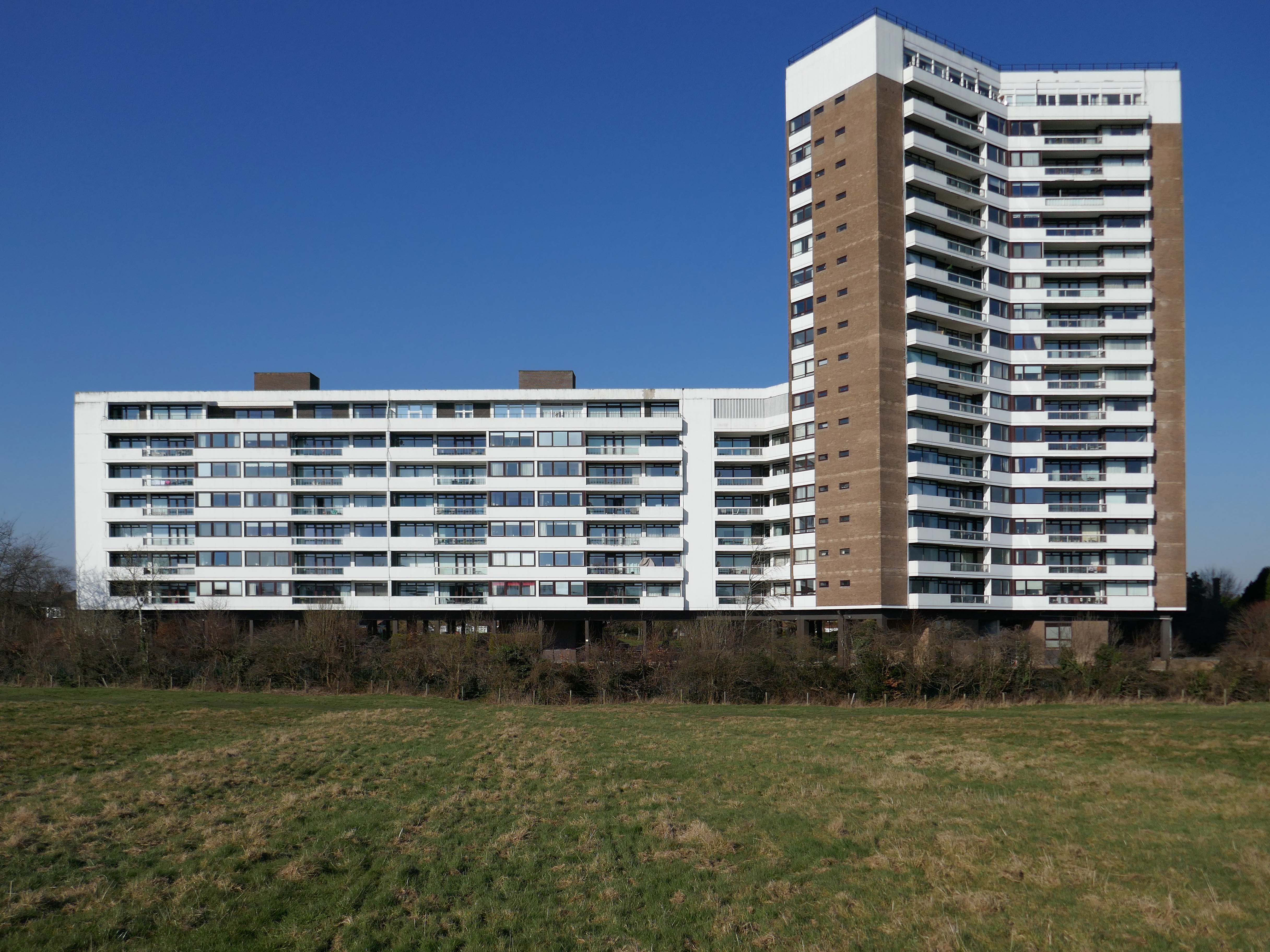
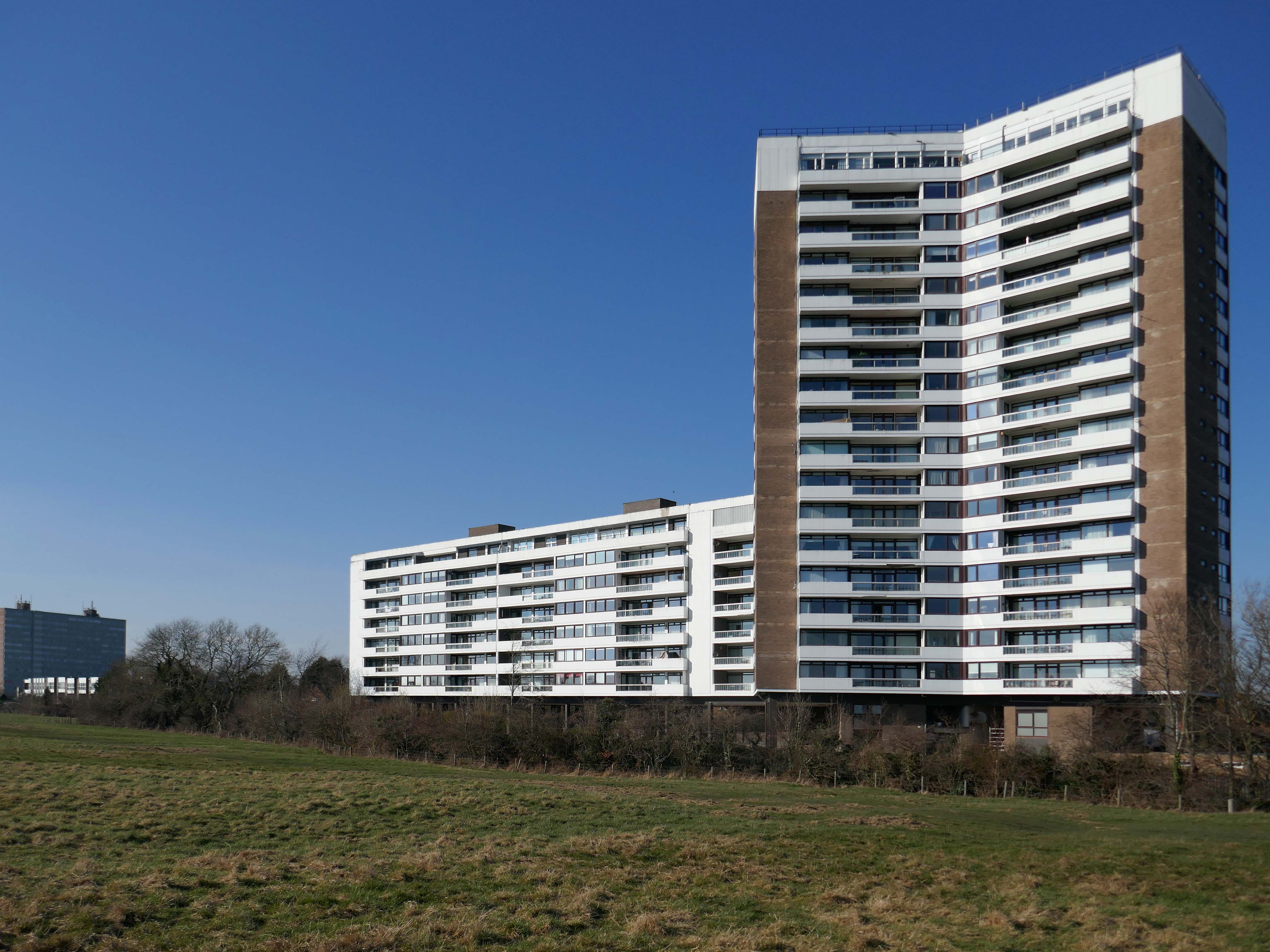
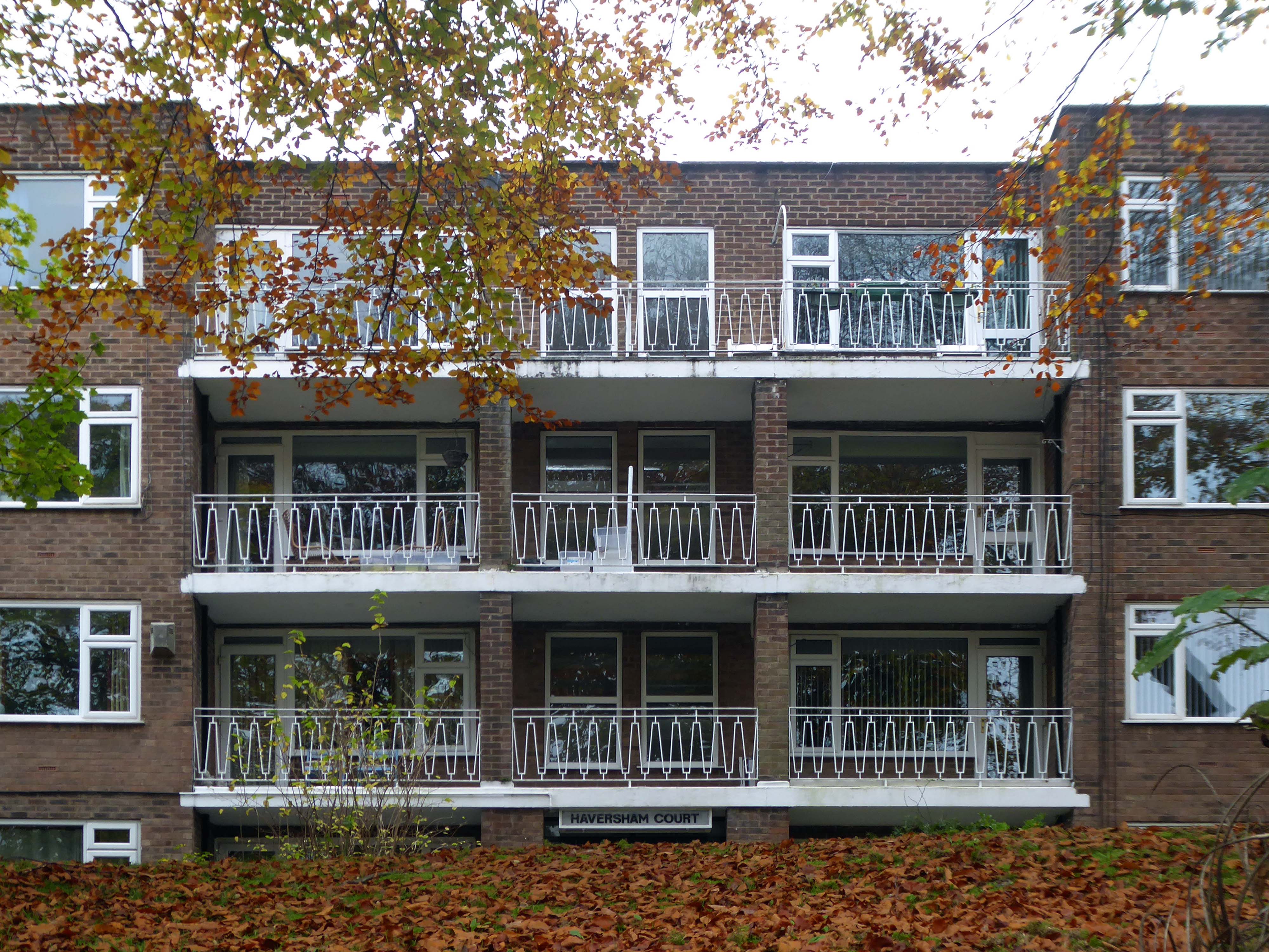
Coniston, Windemere and Rydal were among the first council homes to be built in Stafford, between 1951-52, under the direction of County Architect CM Coombes.
The flats were built as a result of The Housing – Financial and Miscellaneous Provisions Act 1946, which gave subsidies to local authorities to provide social housing. The expansion of the Borough Council’s civic duties included the employment of County Architects, in this case CM Coombes FRIBA, to whom these flats are attributed.
54 flats were built in total, to a distinctly Modernist design, and their appearance and setting are very well preserved.
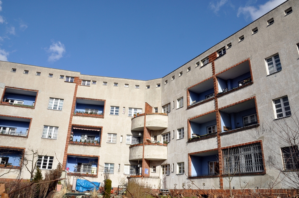
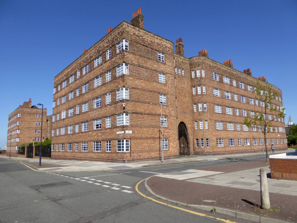
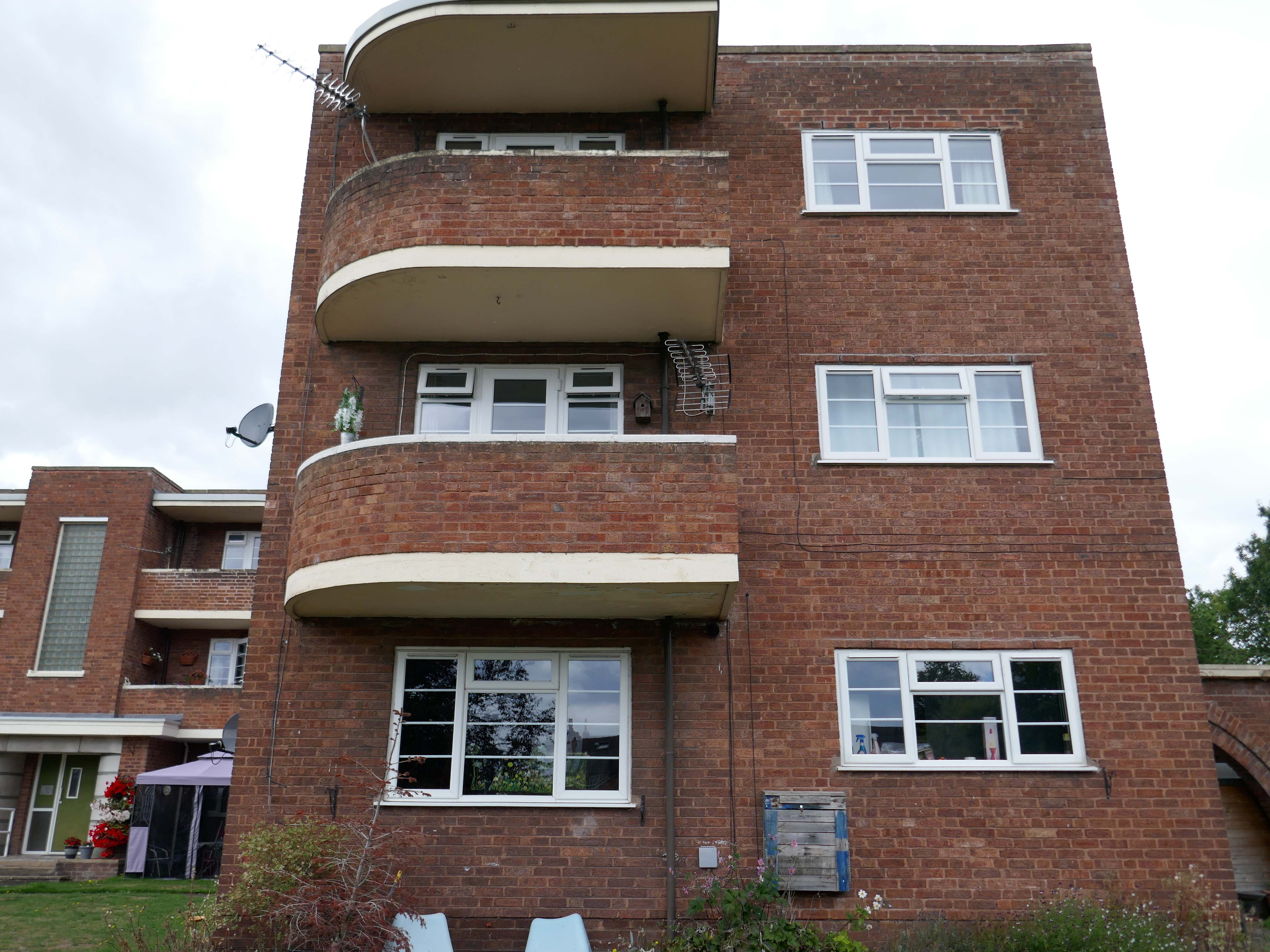
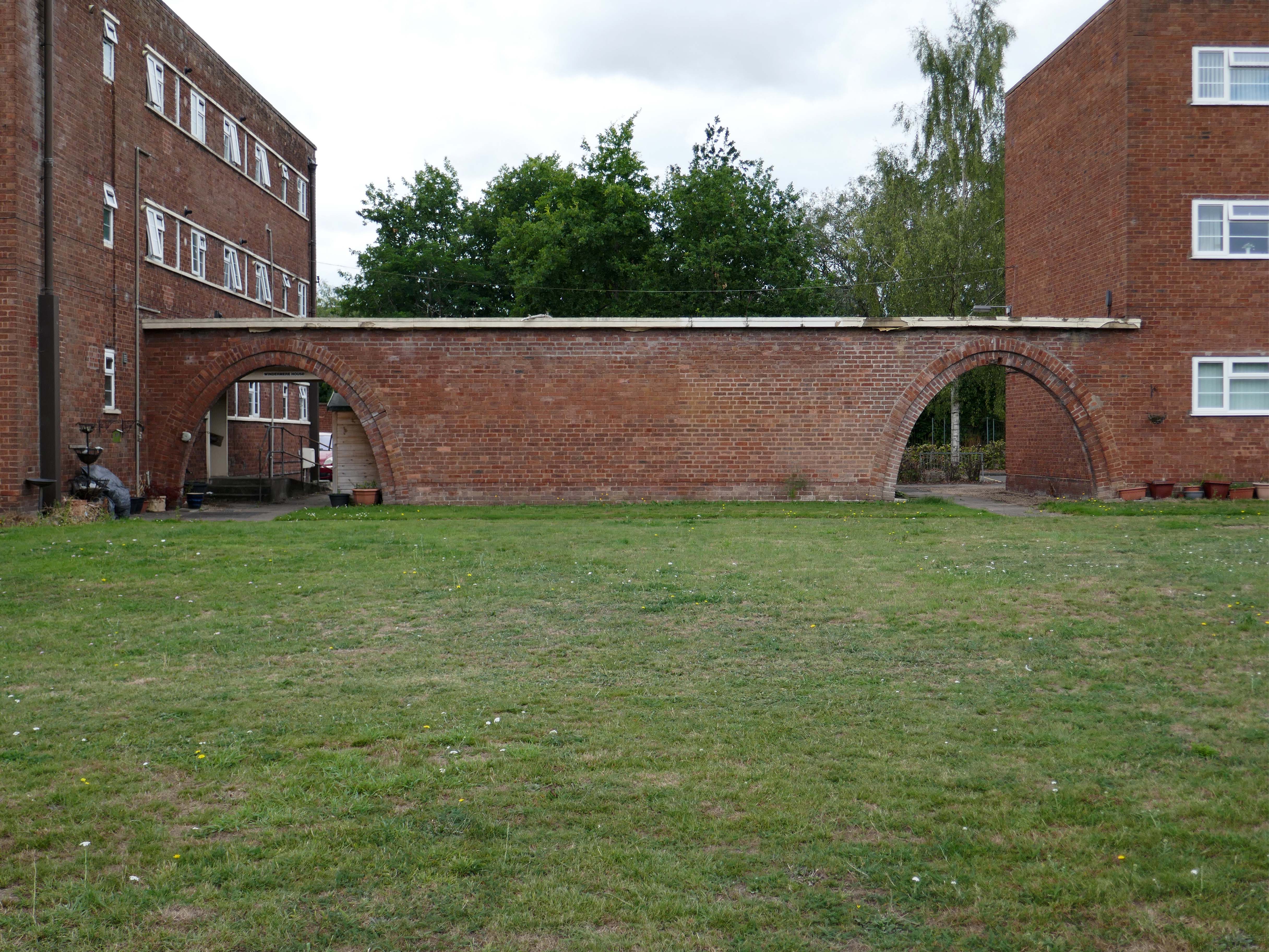
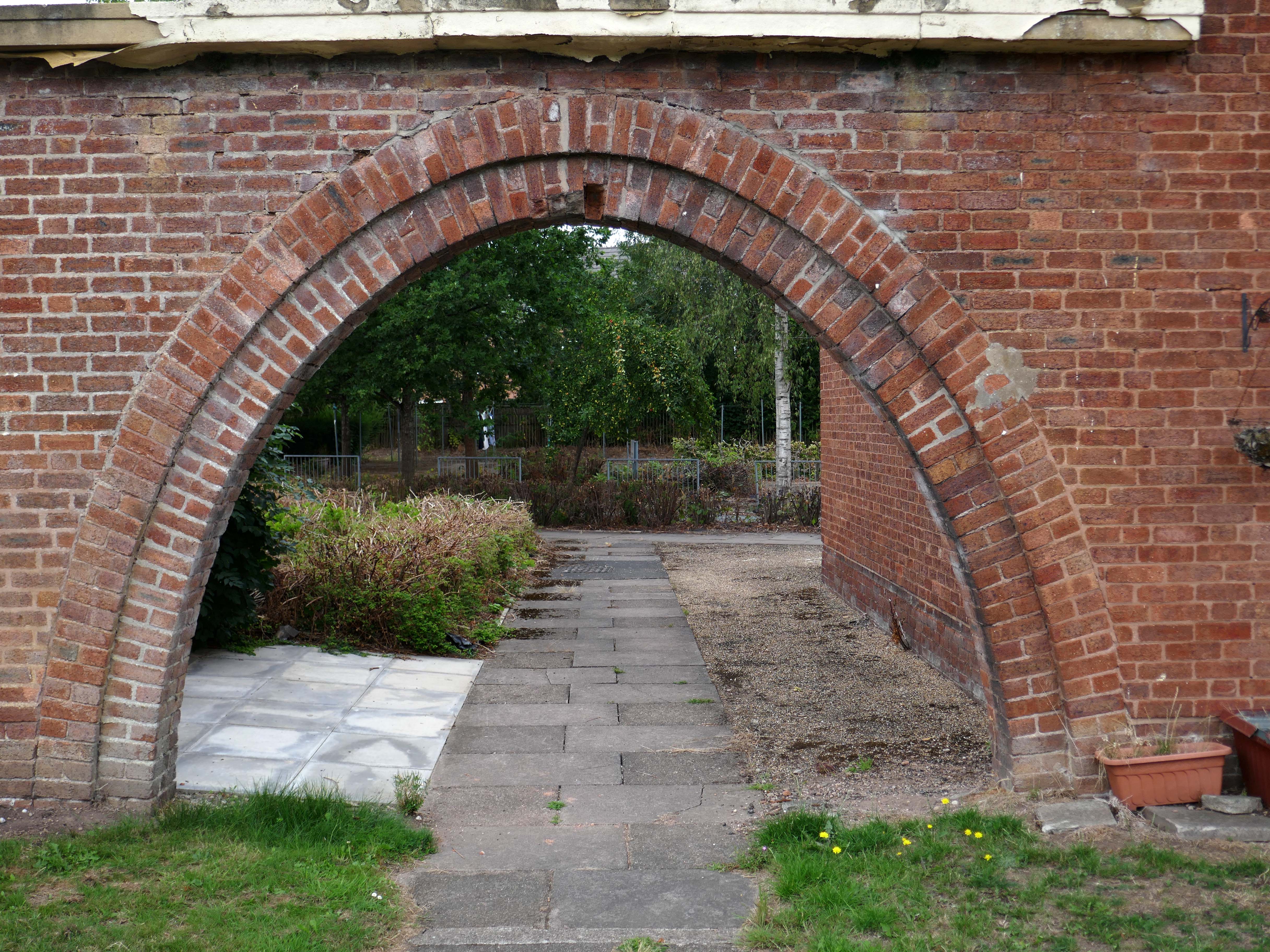
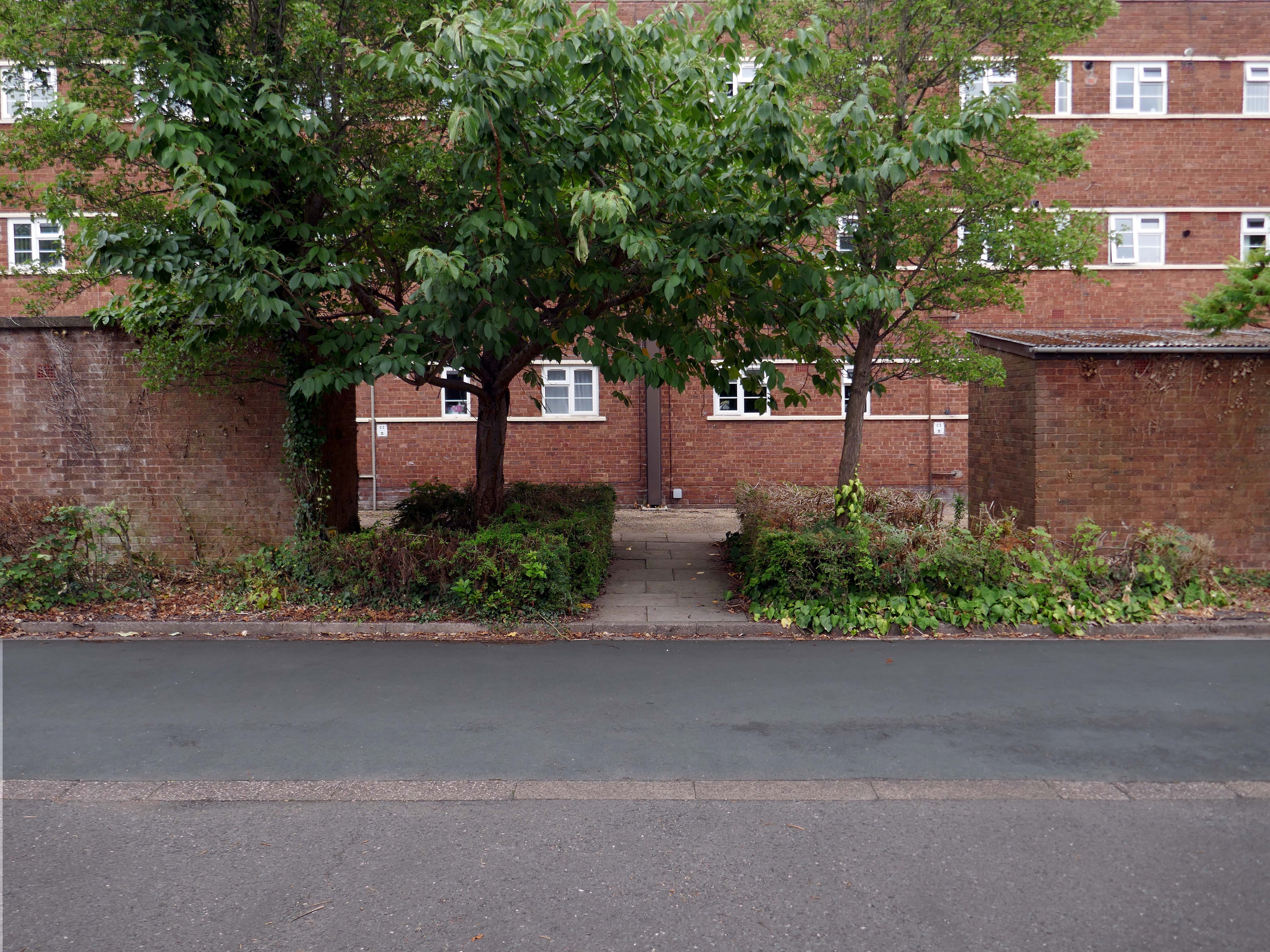
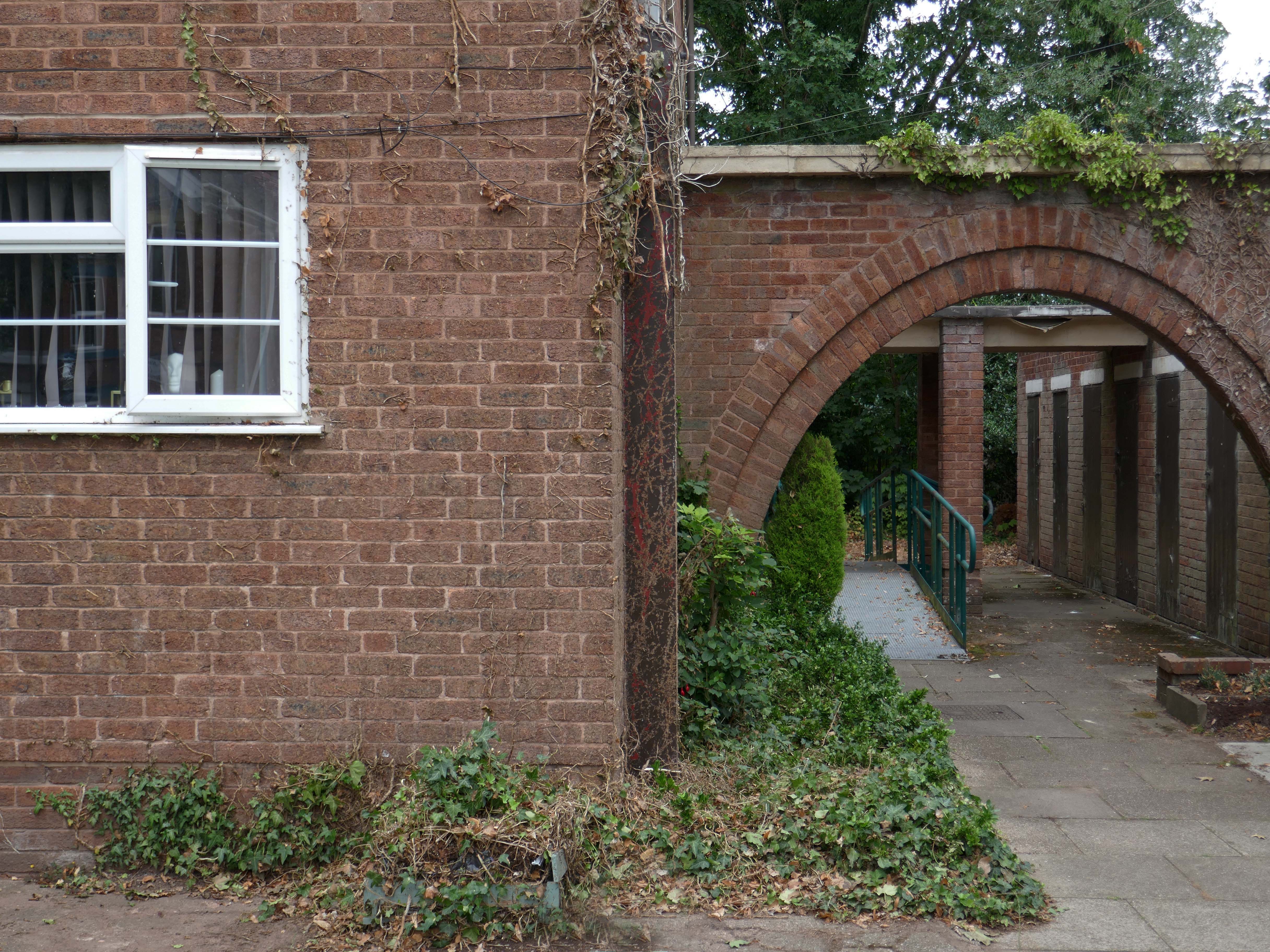
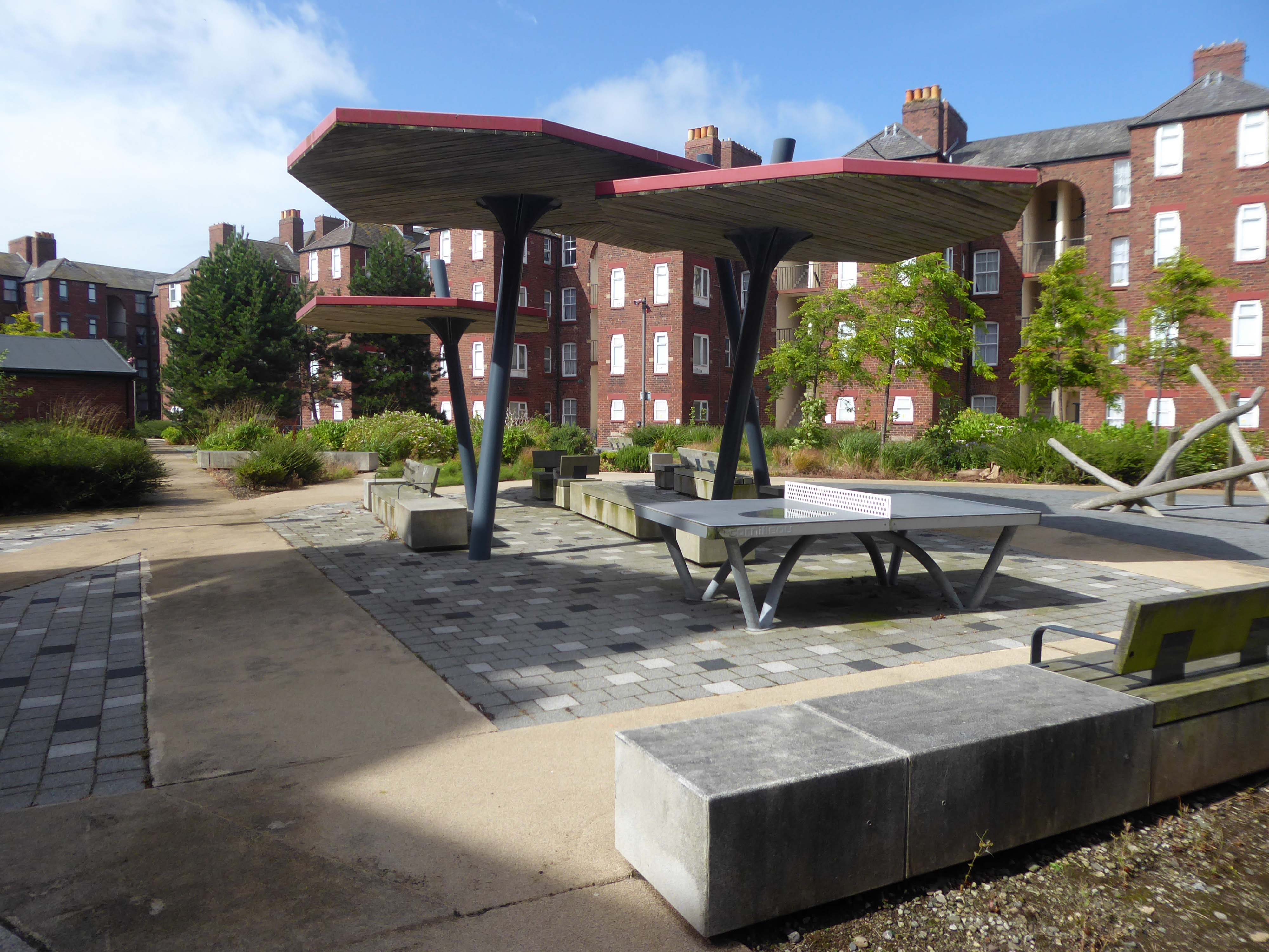
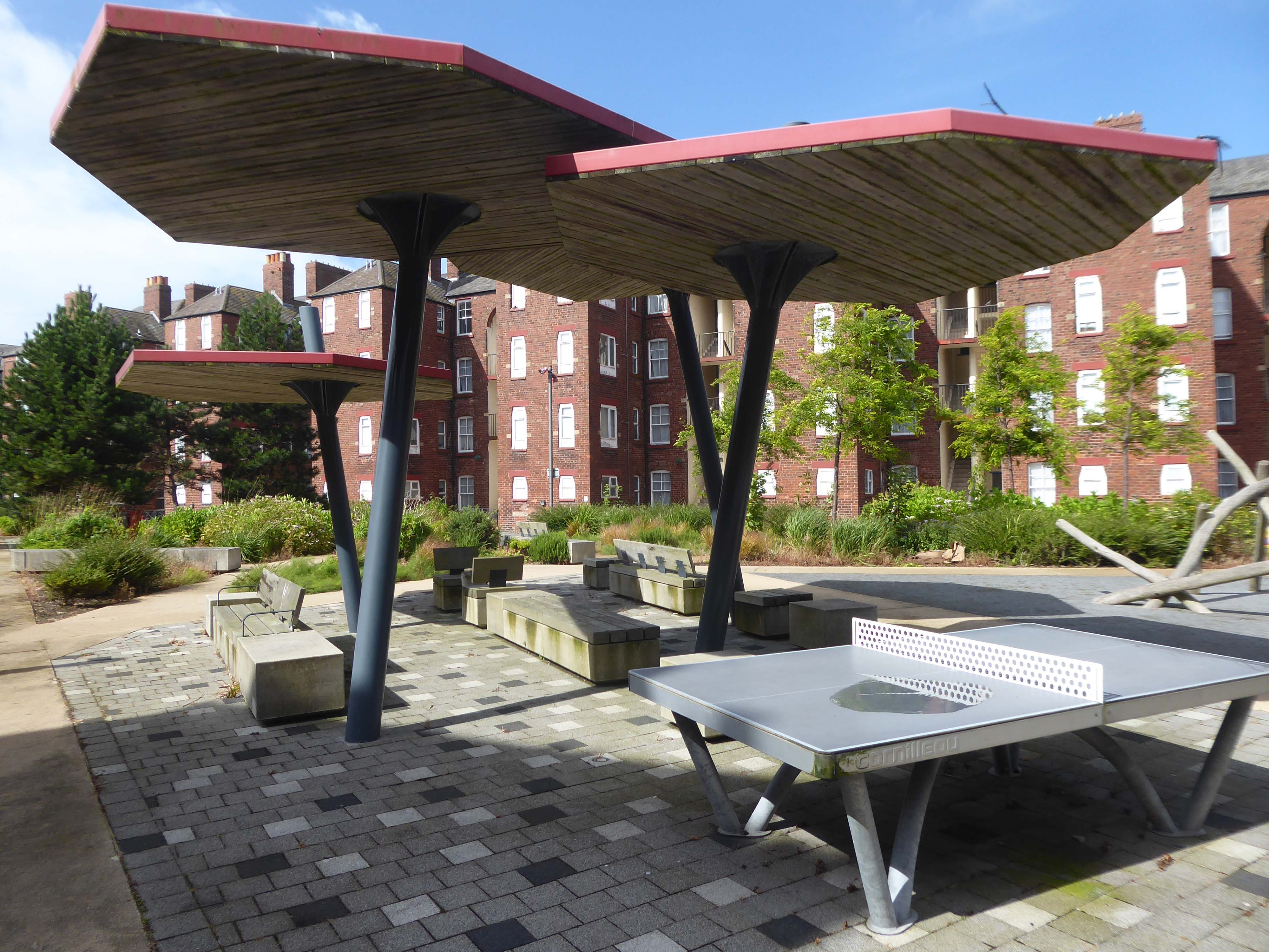
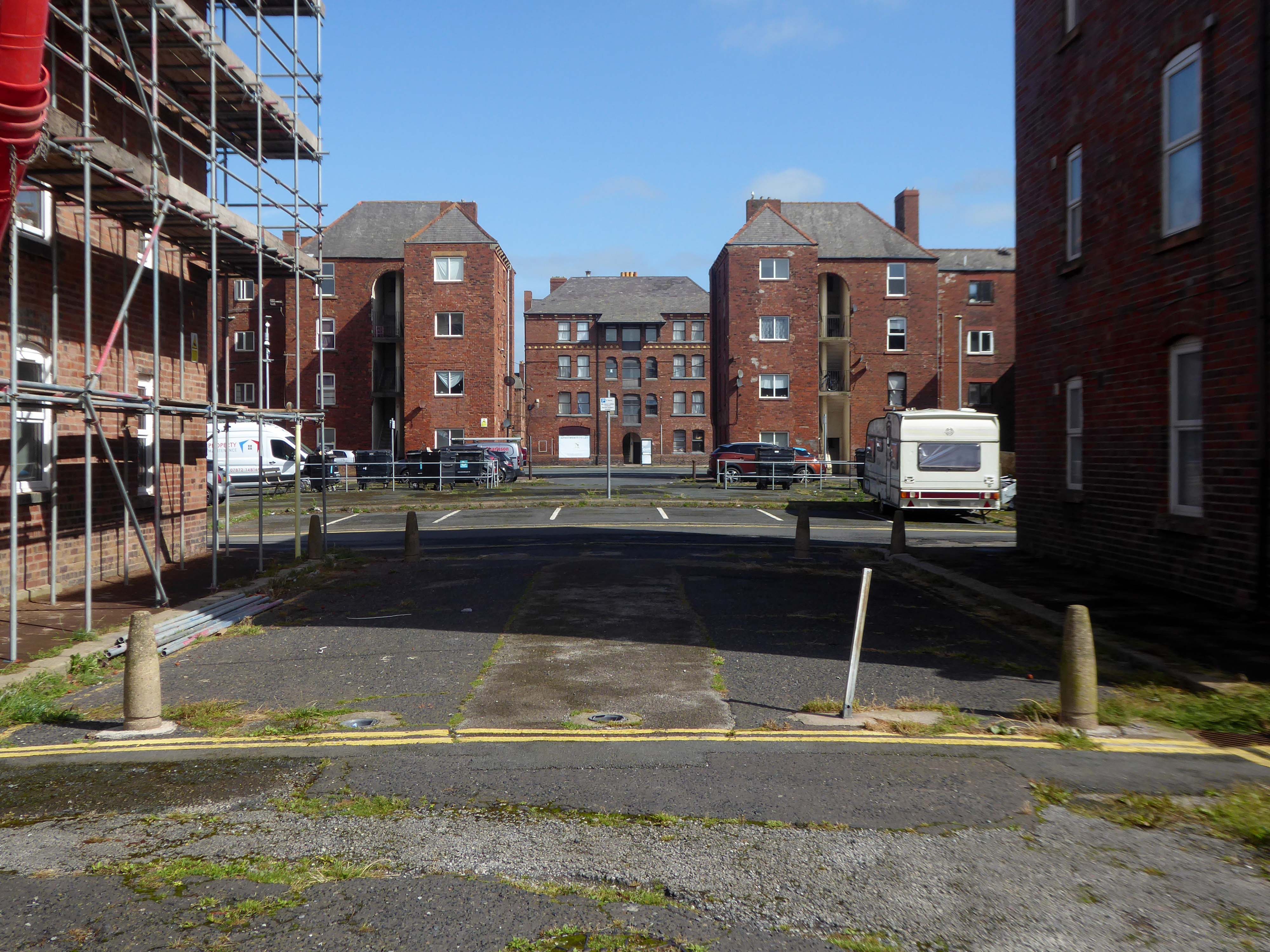
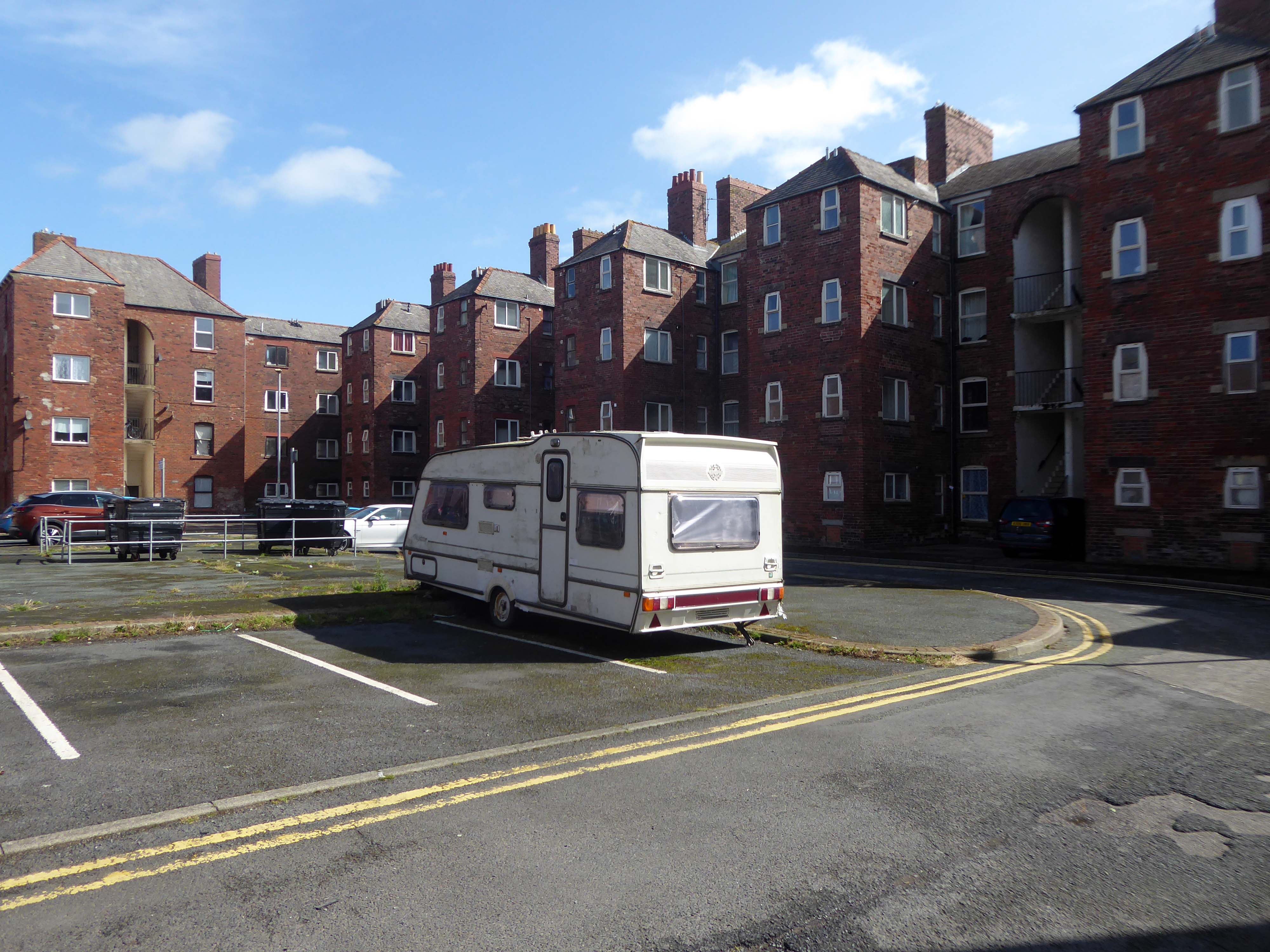
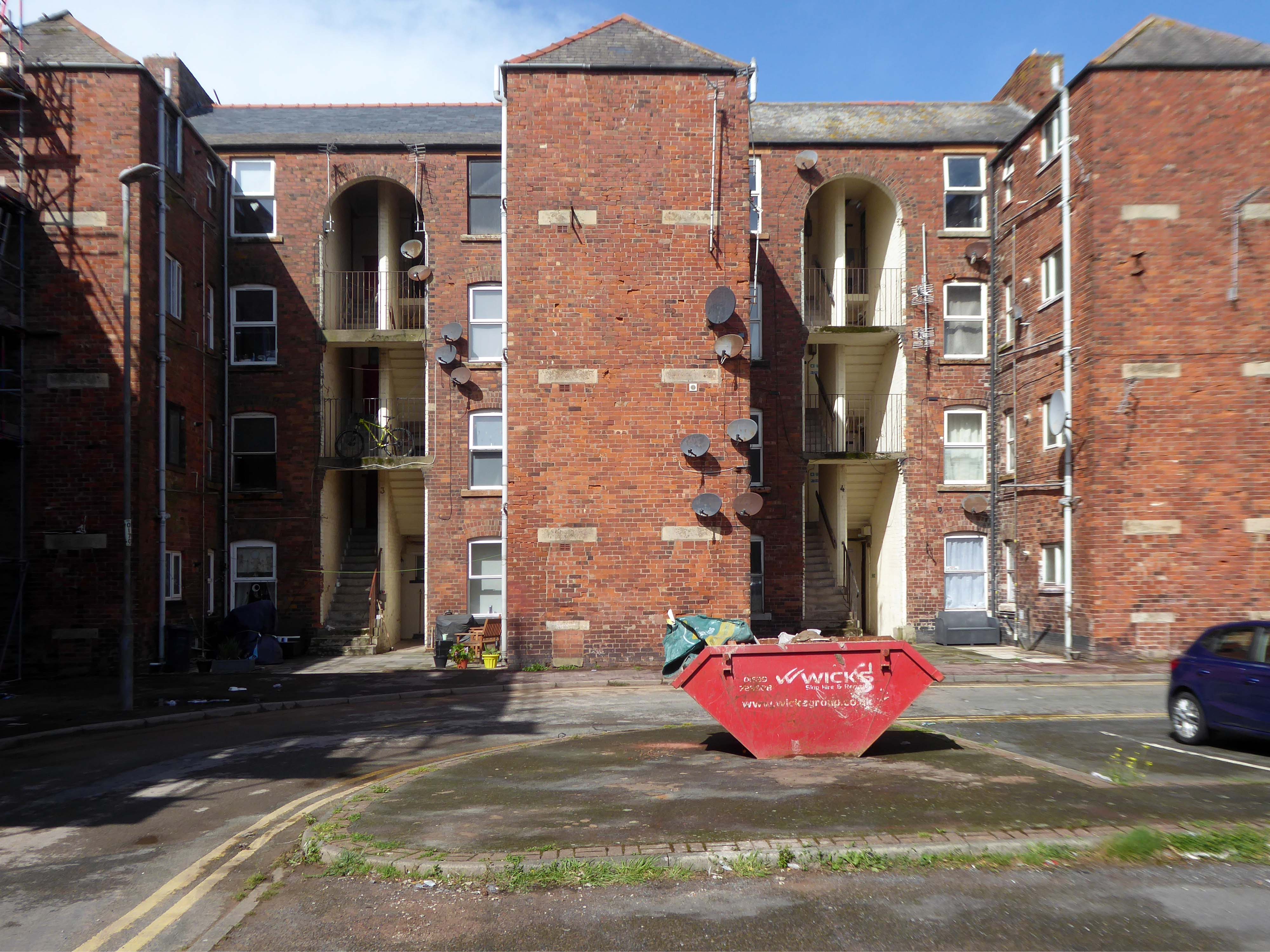
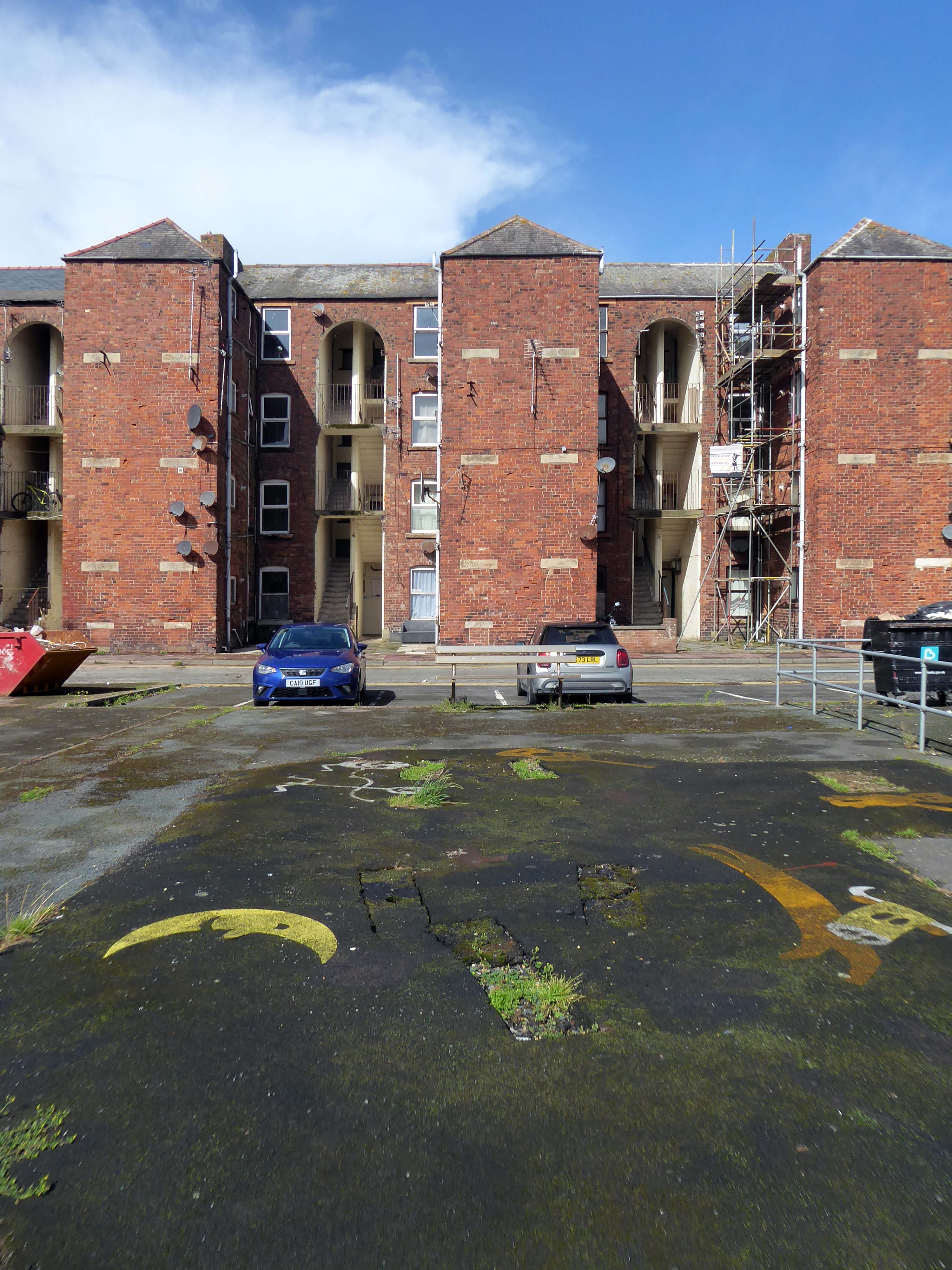
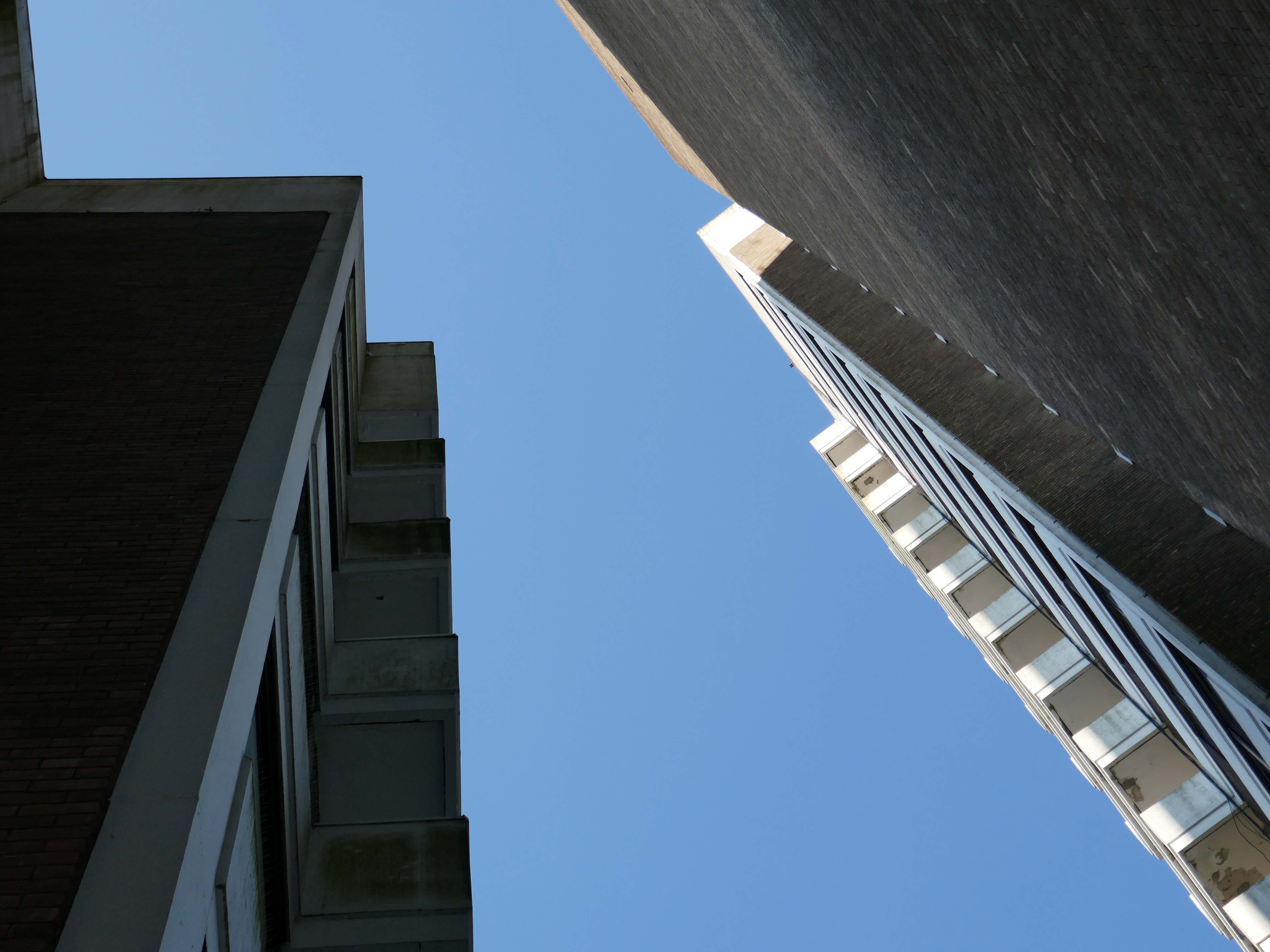
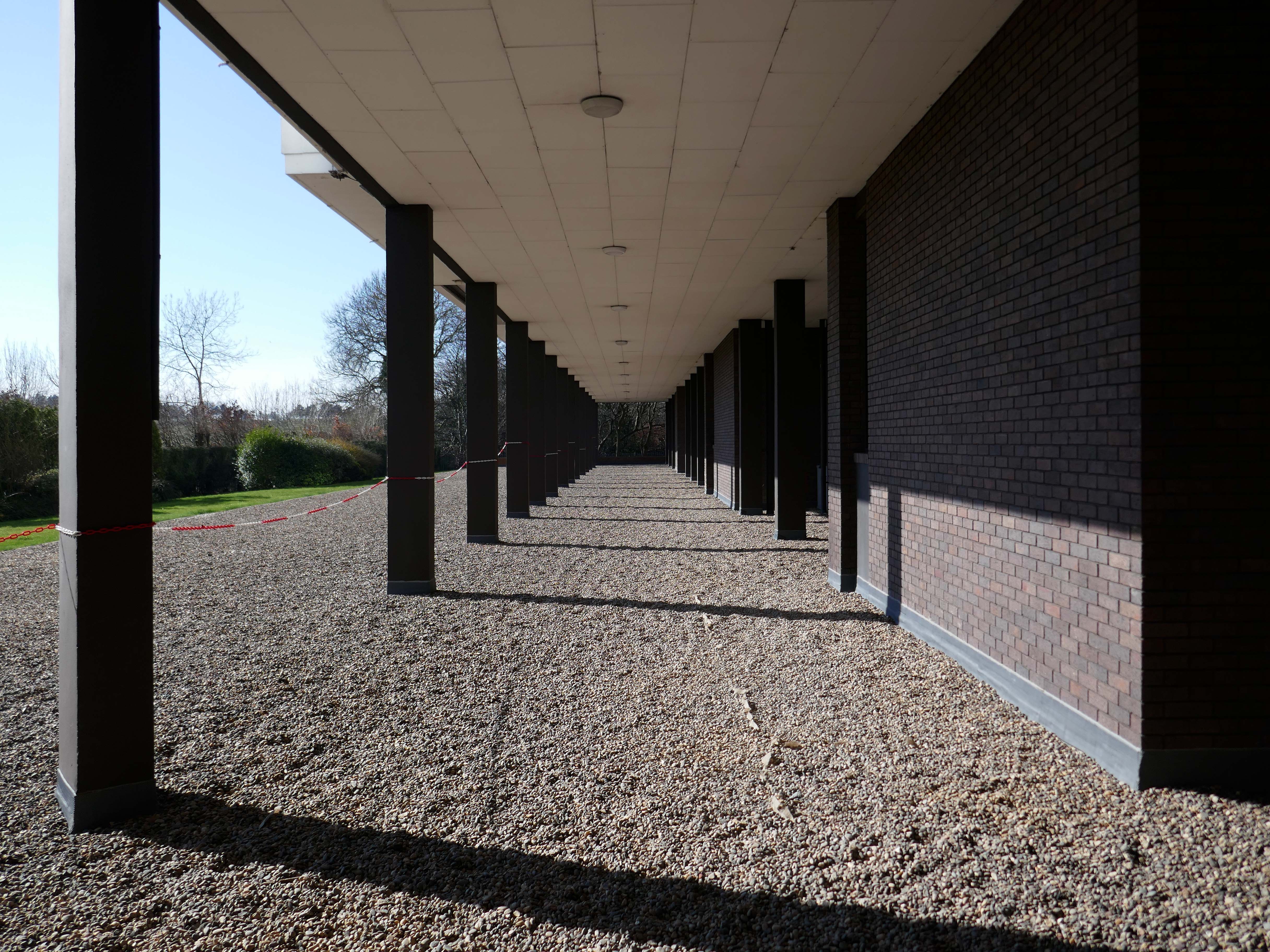
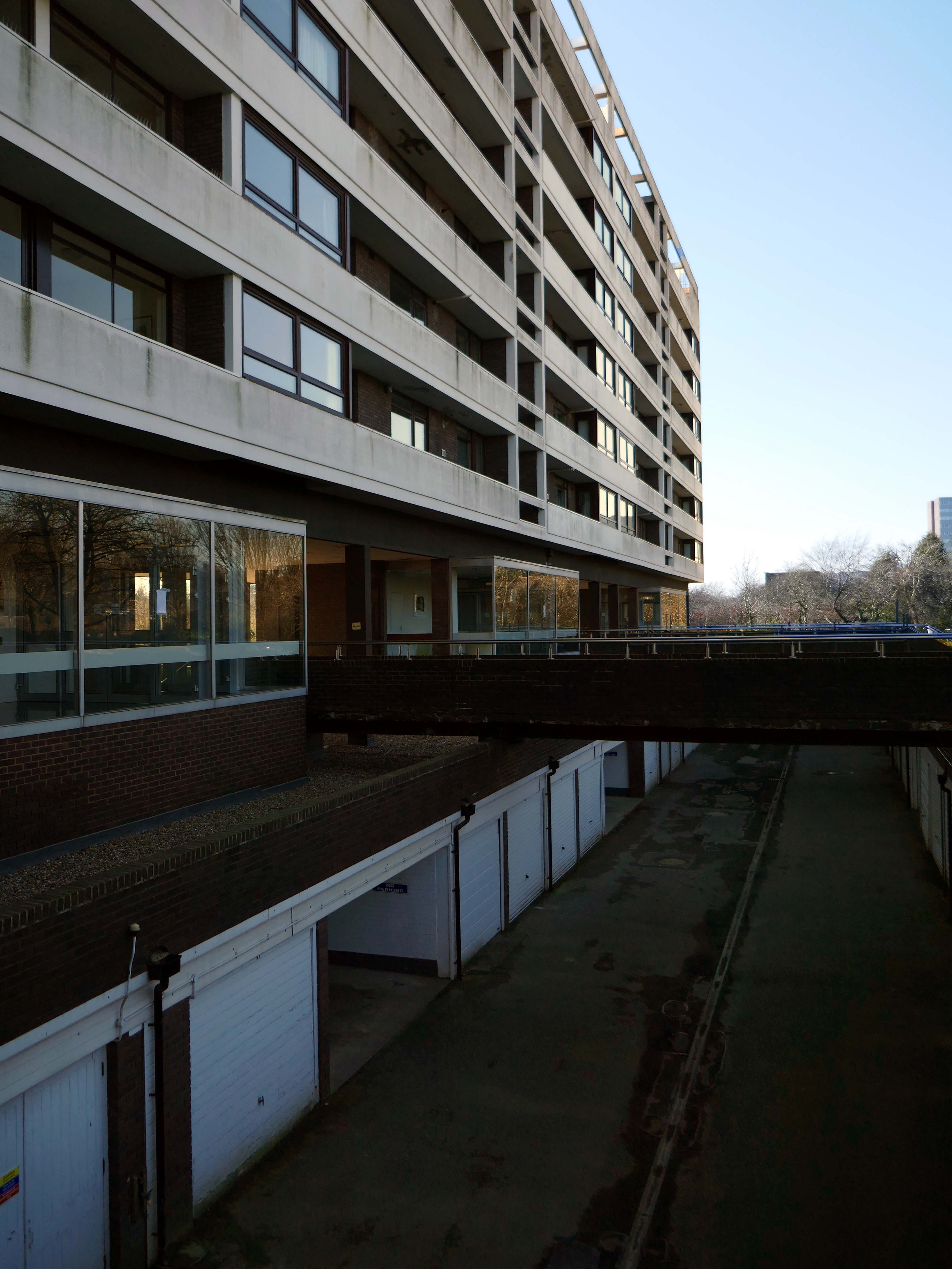
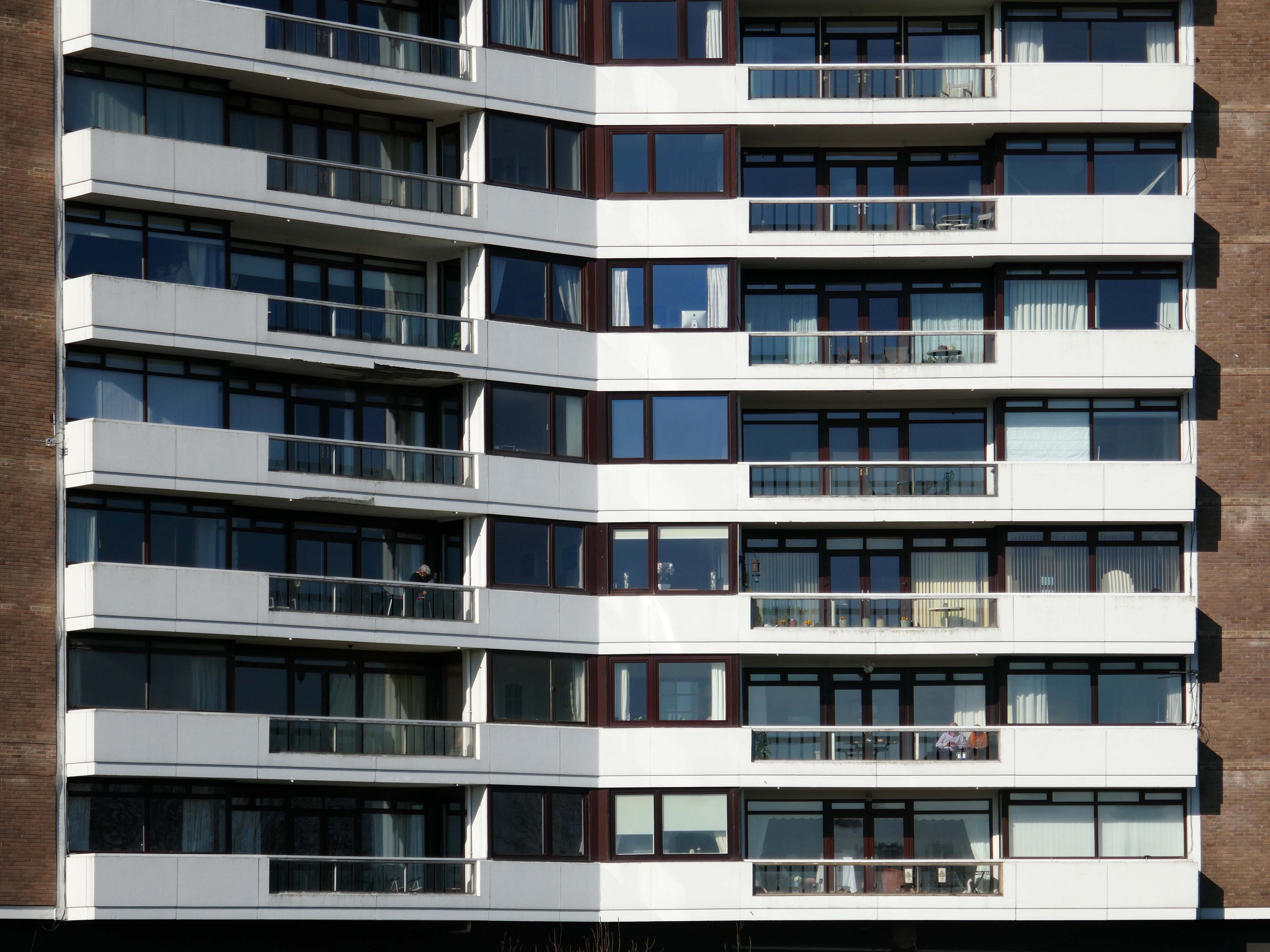
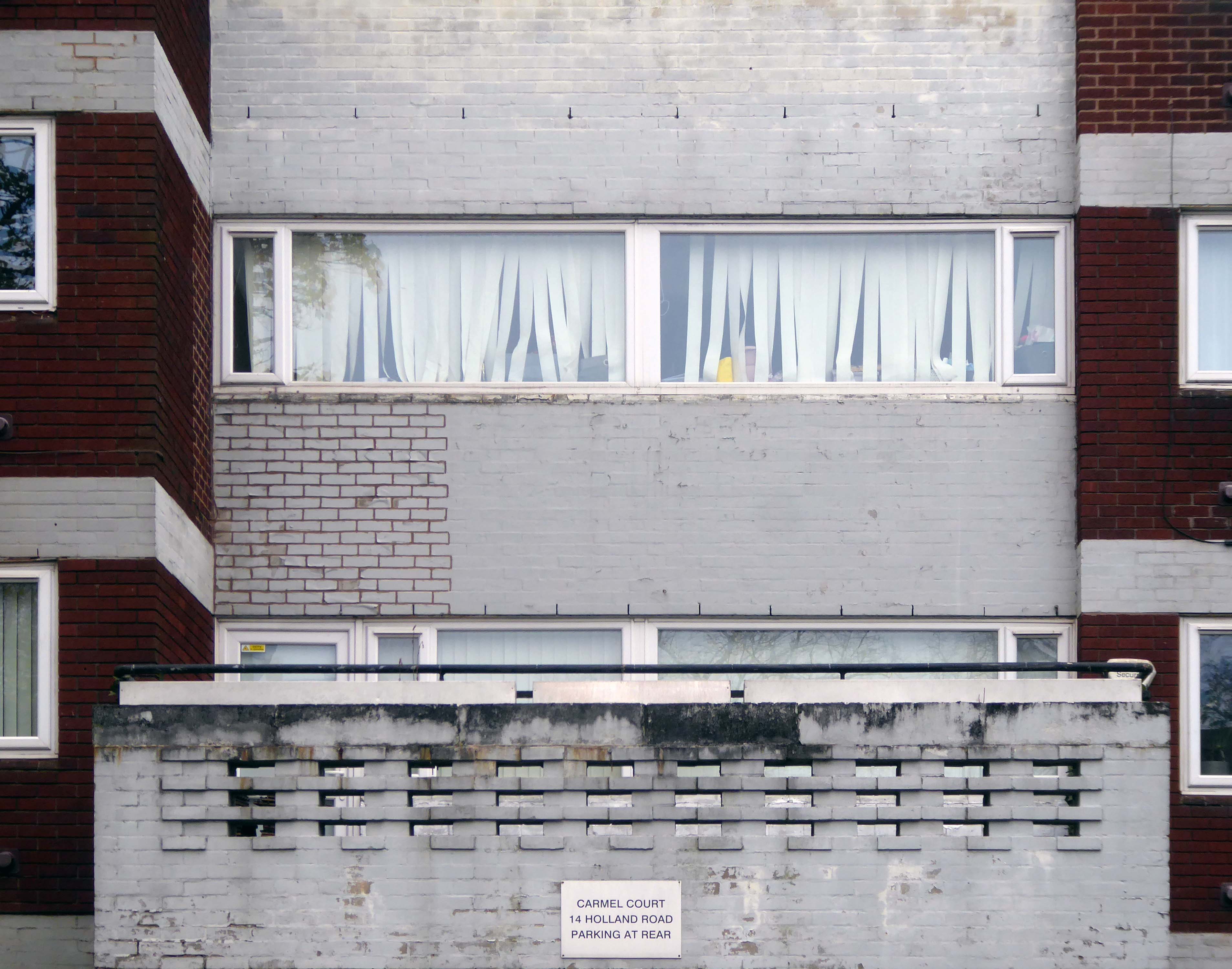
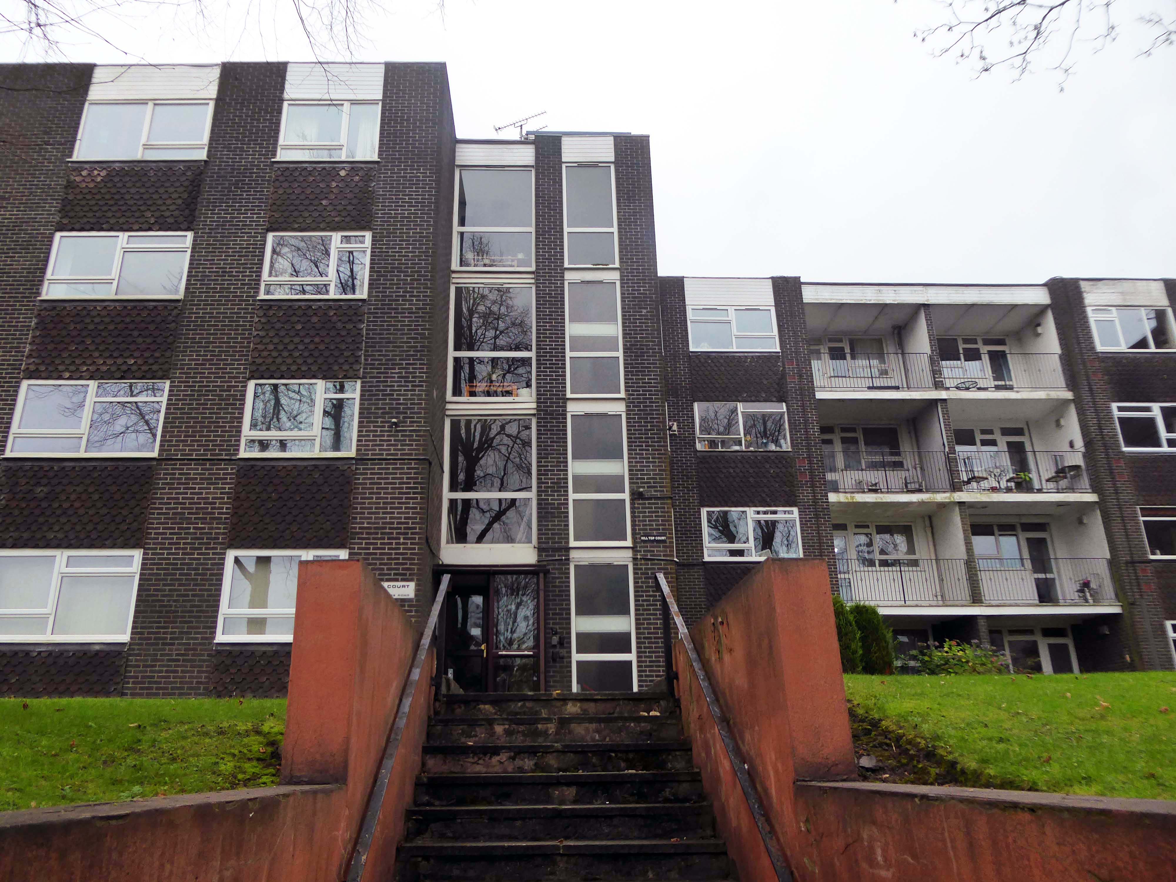
Whilst there are some common stylistic characteristics the Corporation Street Flats are of a more modest order. There are communal areas and a grassed apron, balconies and arched passages.
Over time the standard of maintenance seems to have declined, and the Crittall Windows have been replaced by white uPvc, where once there was a bowling green, this is now roughly mown and unused.
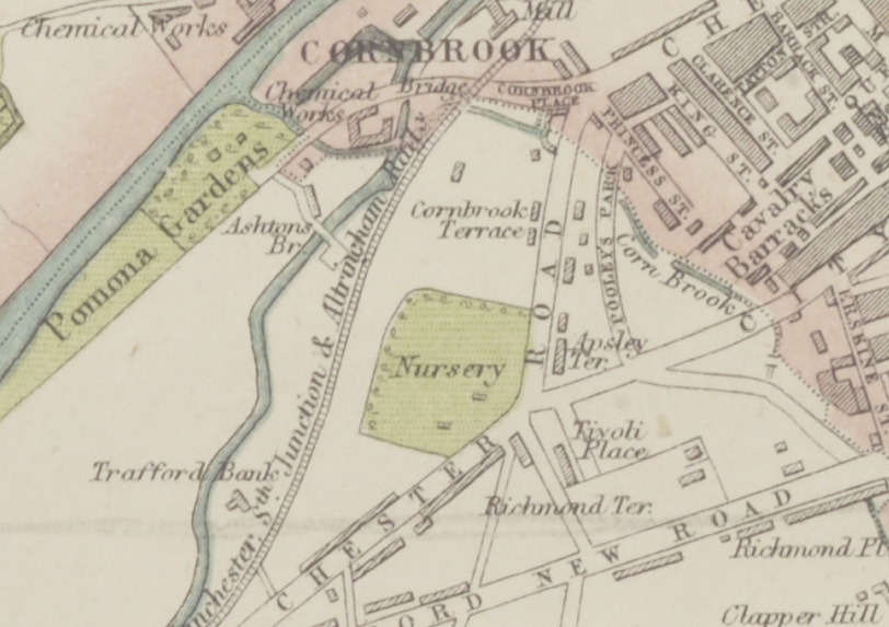
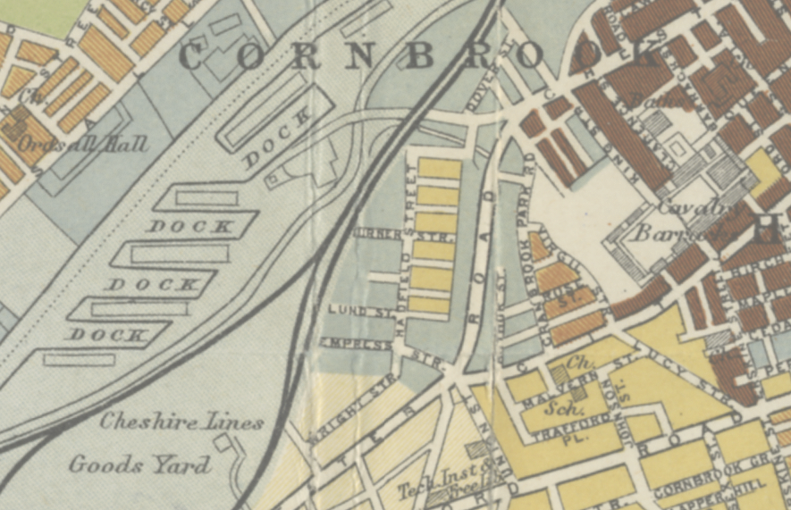
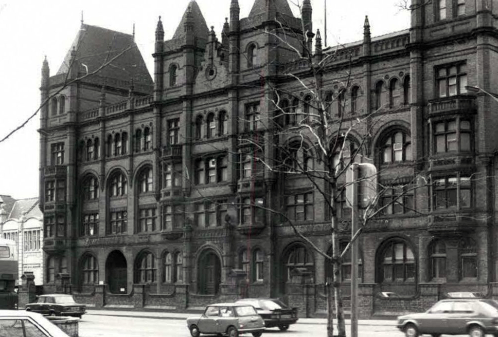
In 1870 the street pattern has yet to be established, between the South Junction railway and Chester Road. The area is occupied by a Nursery. Pomona Gardens sits beside the river, and the Corn Brook is clearly visible. To the right are the Hulme Barracks, closed and demolished in 1914.
Corn Brook Textile Street 1947
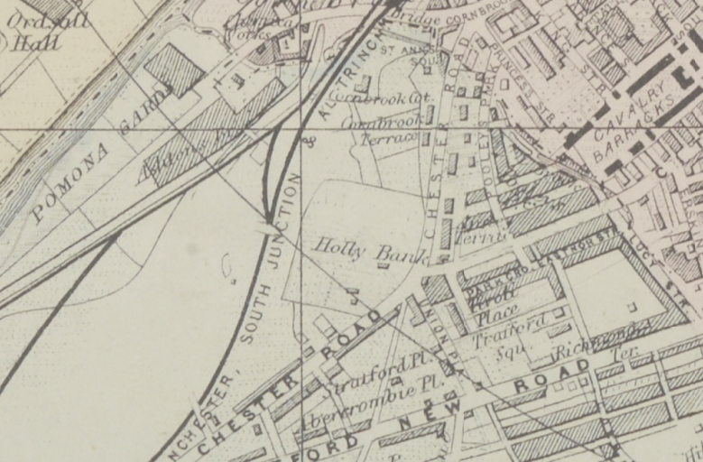
In 1884 there is new housing to the right of Chester Road.
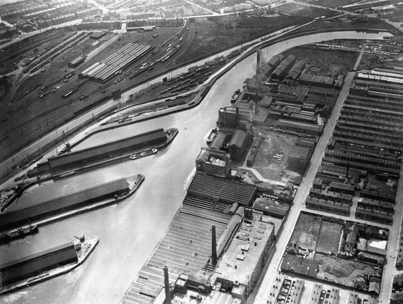
In 1904 the Pomona Docks have been established and the are around Hadfield Street fully developed.
Pomona Docks 1923
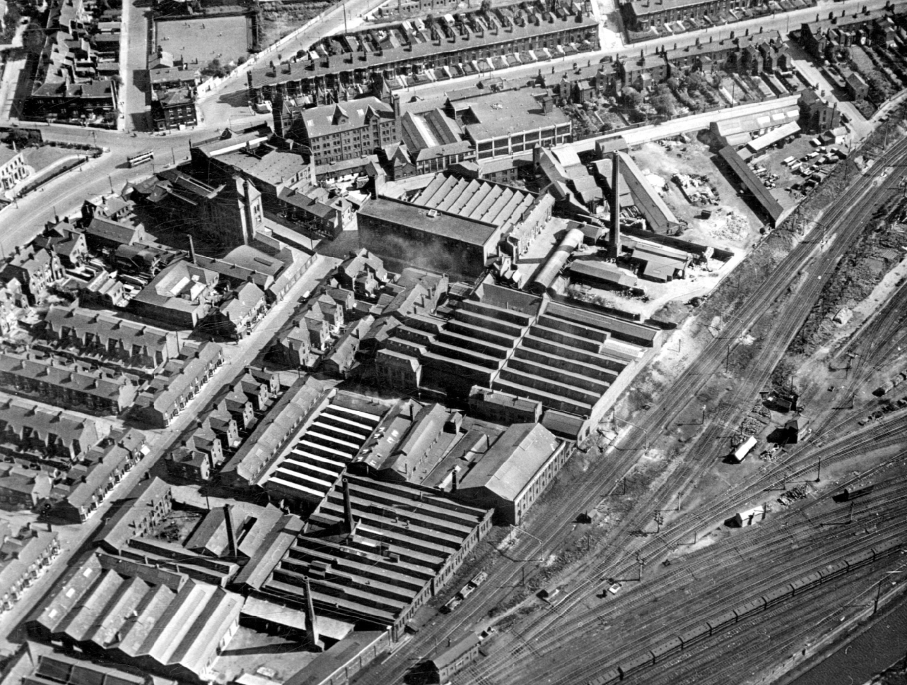
This is an aerial view from 1930, there area is now a dense network of streets to the north of Chester Road, transport infrastructure, housing and industry sit side by side.
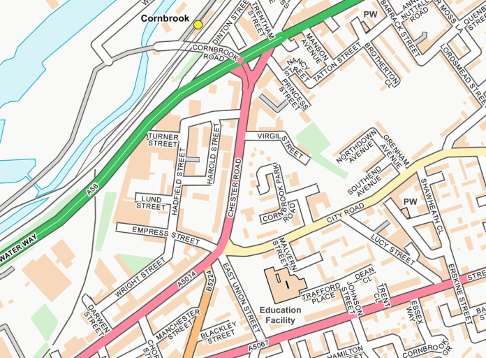
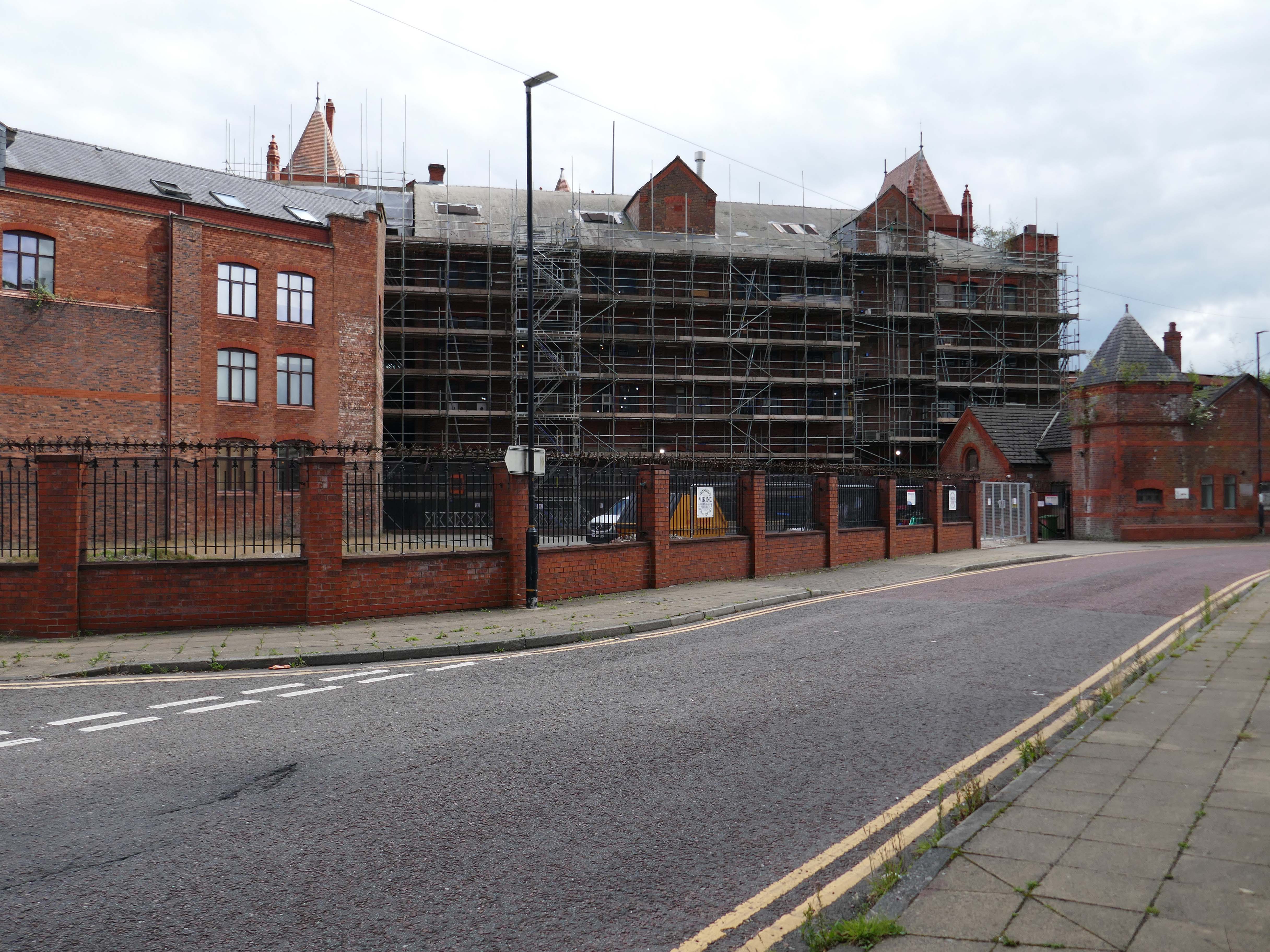
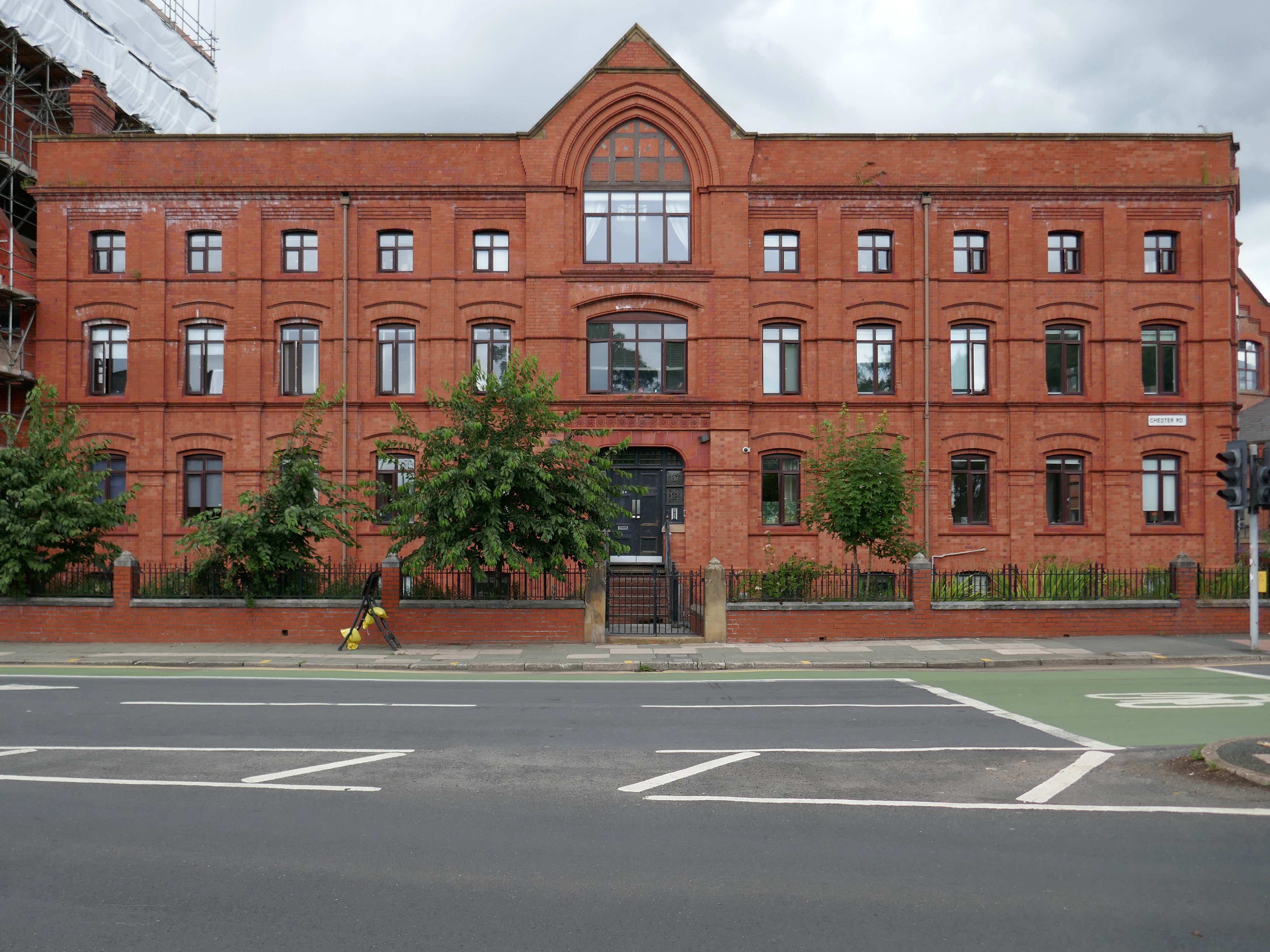
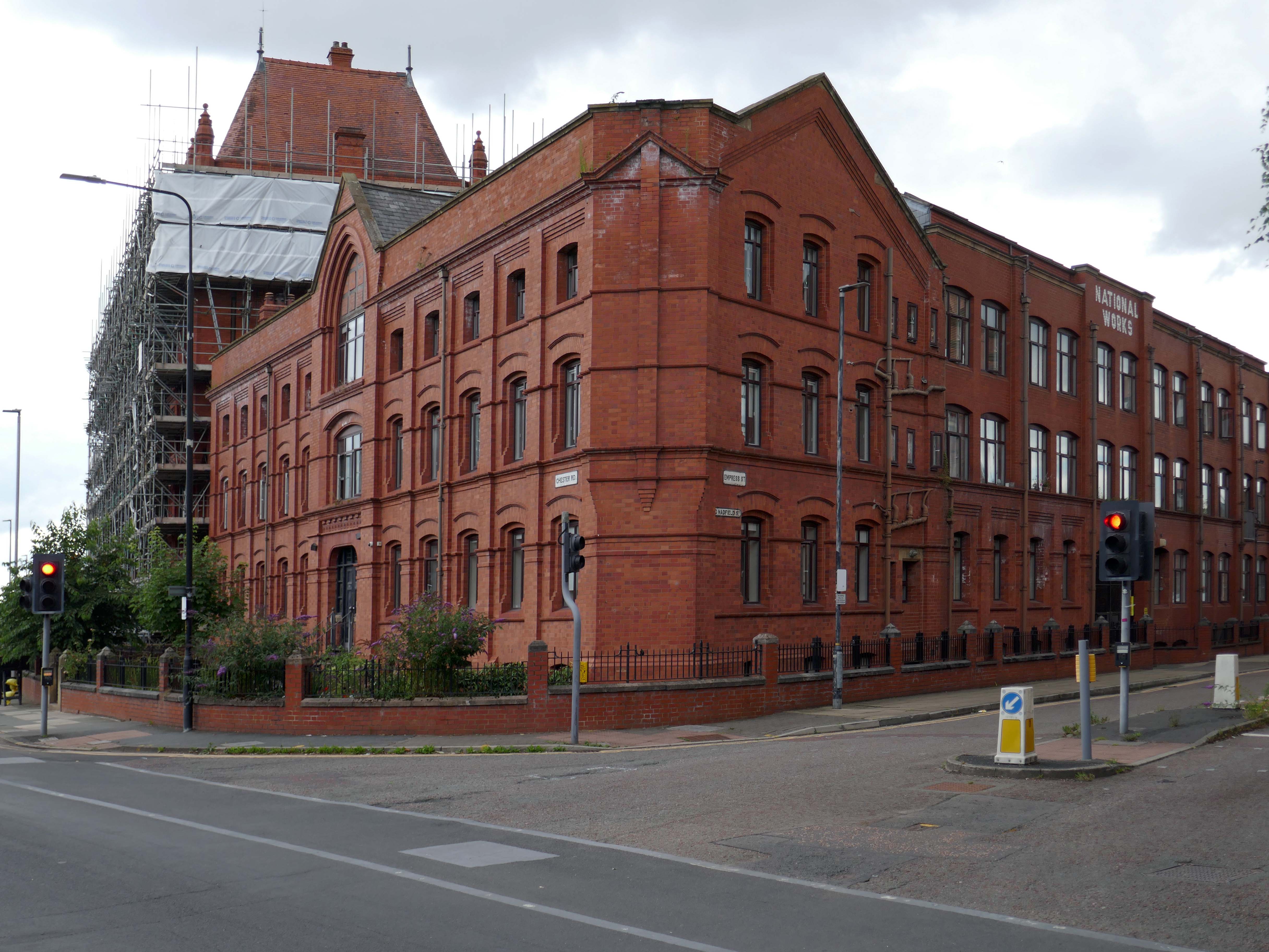
2025 the street pattern is still extant – but what has survived?
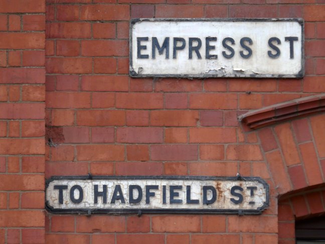
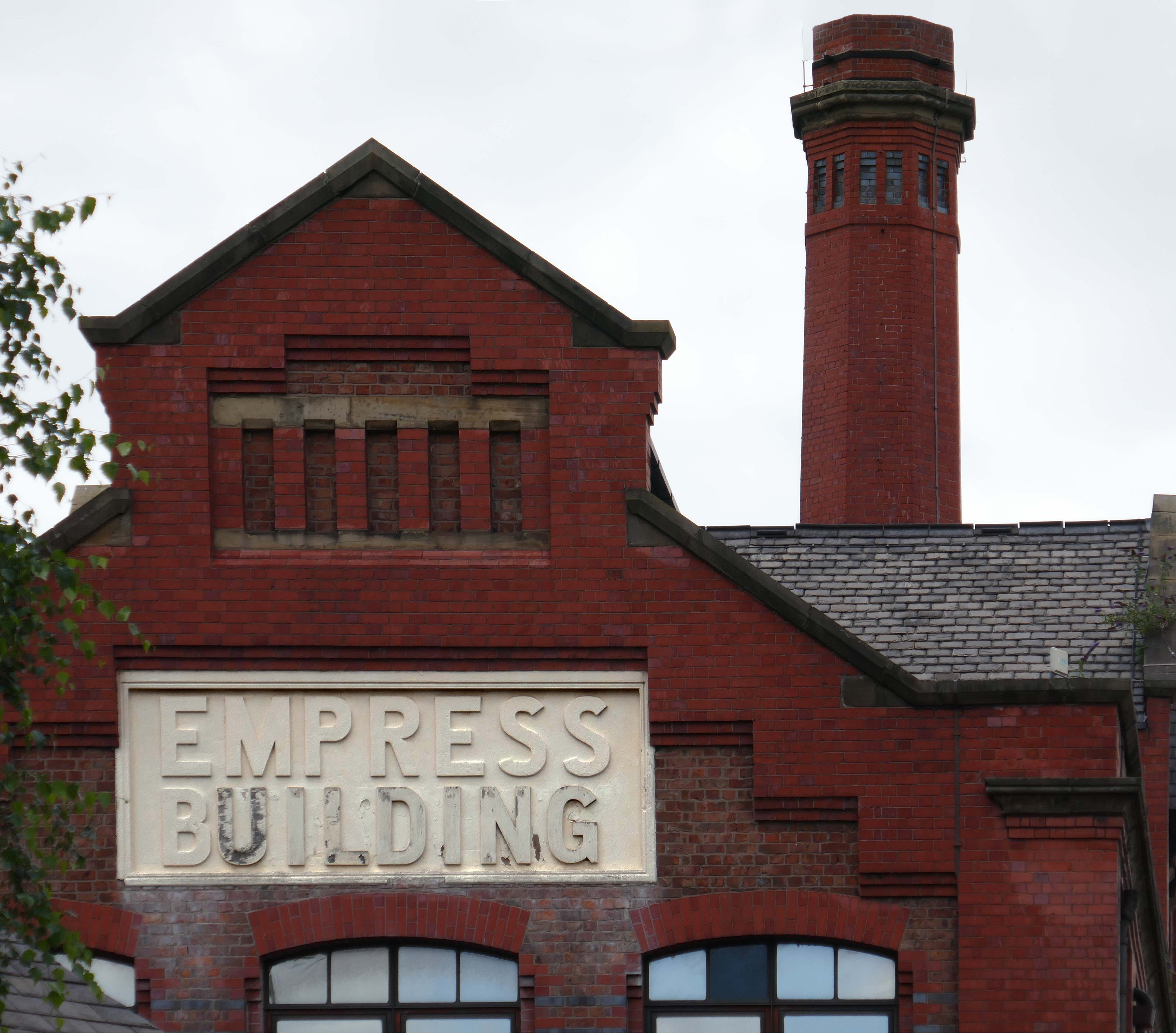
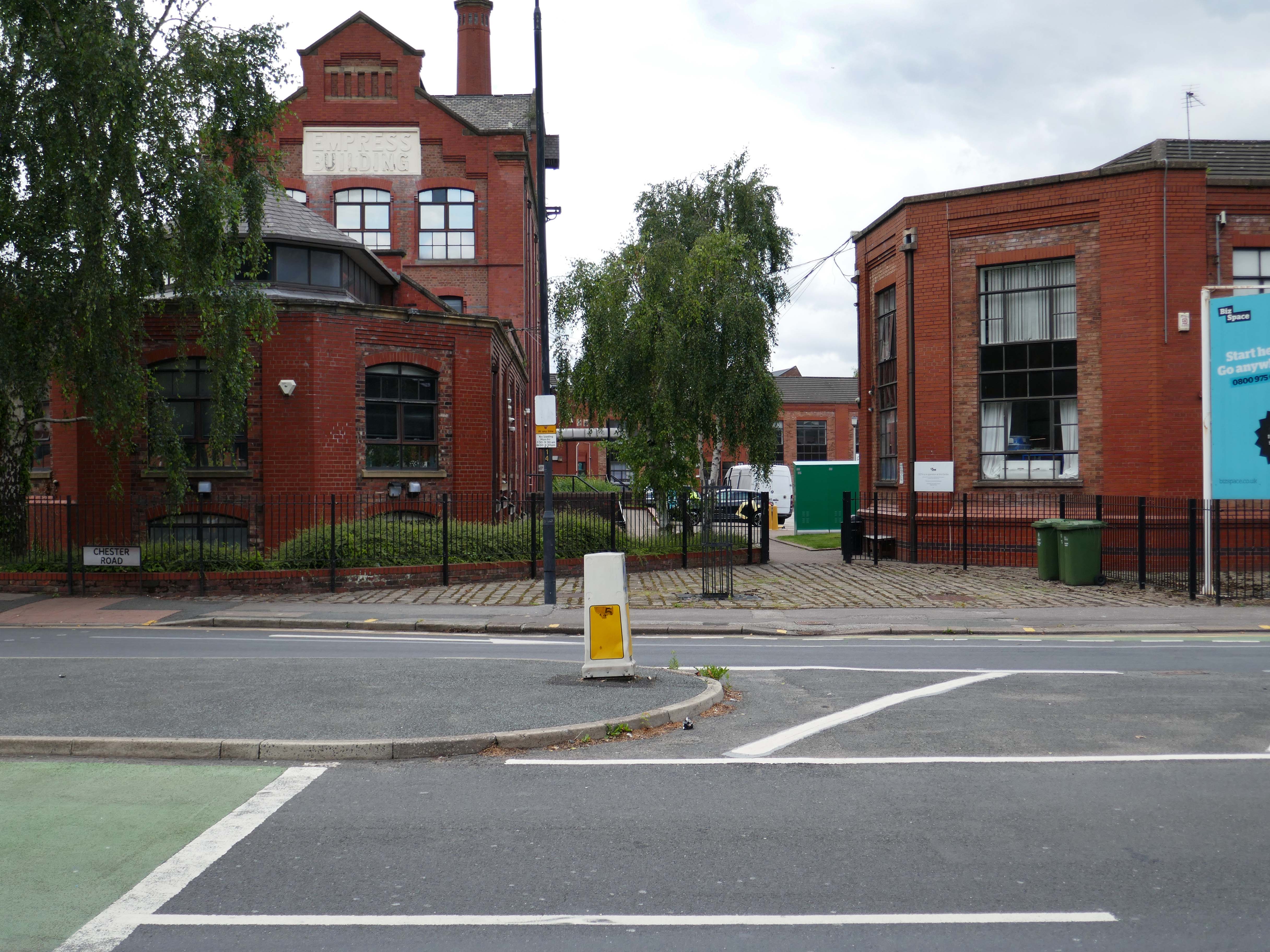
The Empress Brewery as seen on the previous Chester Road post.
The Empress Brewing Company was established by Charles Dawes in c. 1880, the brewery closed in 1955.
The building was converted into offices in 1992 as part of the development of the Empress Business Centre, which saw new office and business units built to form a courtyard.
24 Design Ltd Hadfield Street – an exhibition design and build practice, working extensively within the museum and heritage sector.
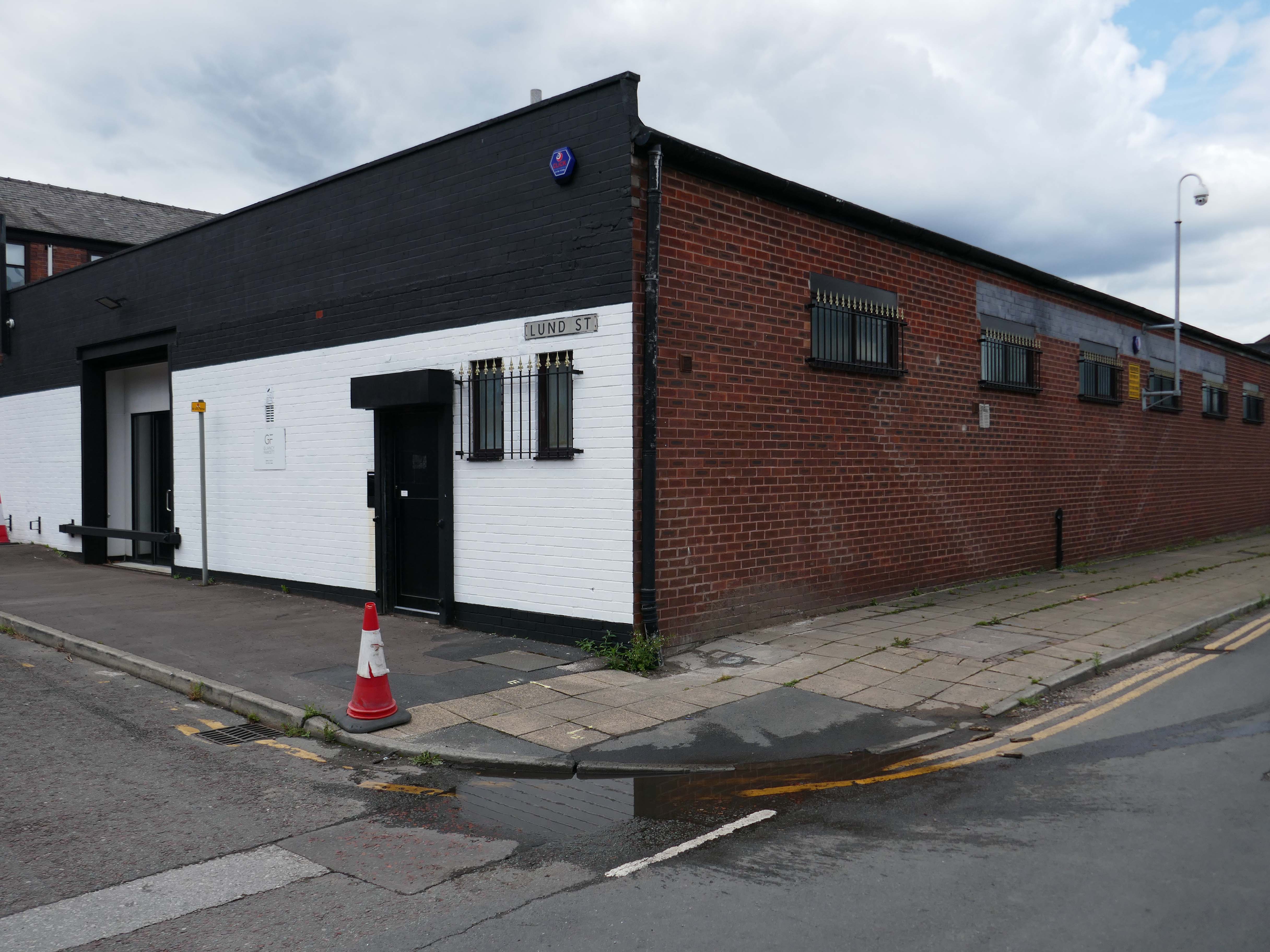
Glancy Fawcett Lund Street, A project-based, luxury lifestyle supplier delivering exquisite homeware for superyachts, residences and private jets.
Concept Life Sciences Hadfield Street, your trusted partner from concept to clinic. We are your integrated drug discovery and development partner for complex challenges, renowned scientific knowledge, and strategic execution across all modalities from small molecule and biologics to cell and gene therapies.
They seem to have left the building.
J Parker‘sLtd Hadfield Street, Dutch bulb importers – competitive prices across all our garden plant and bulb ranges, huge range, unbeatable prices, established 1933.
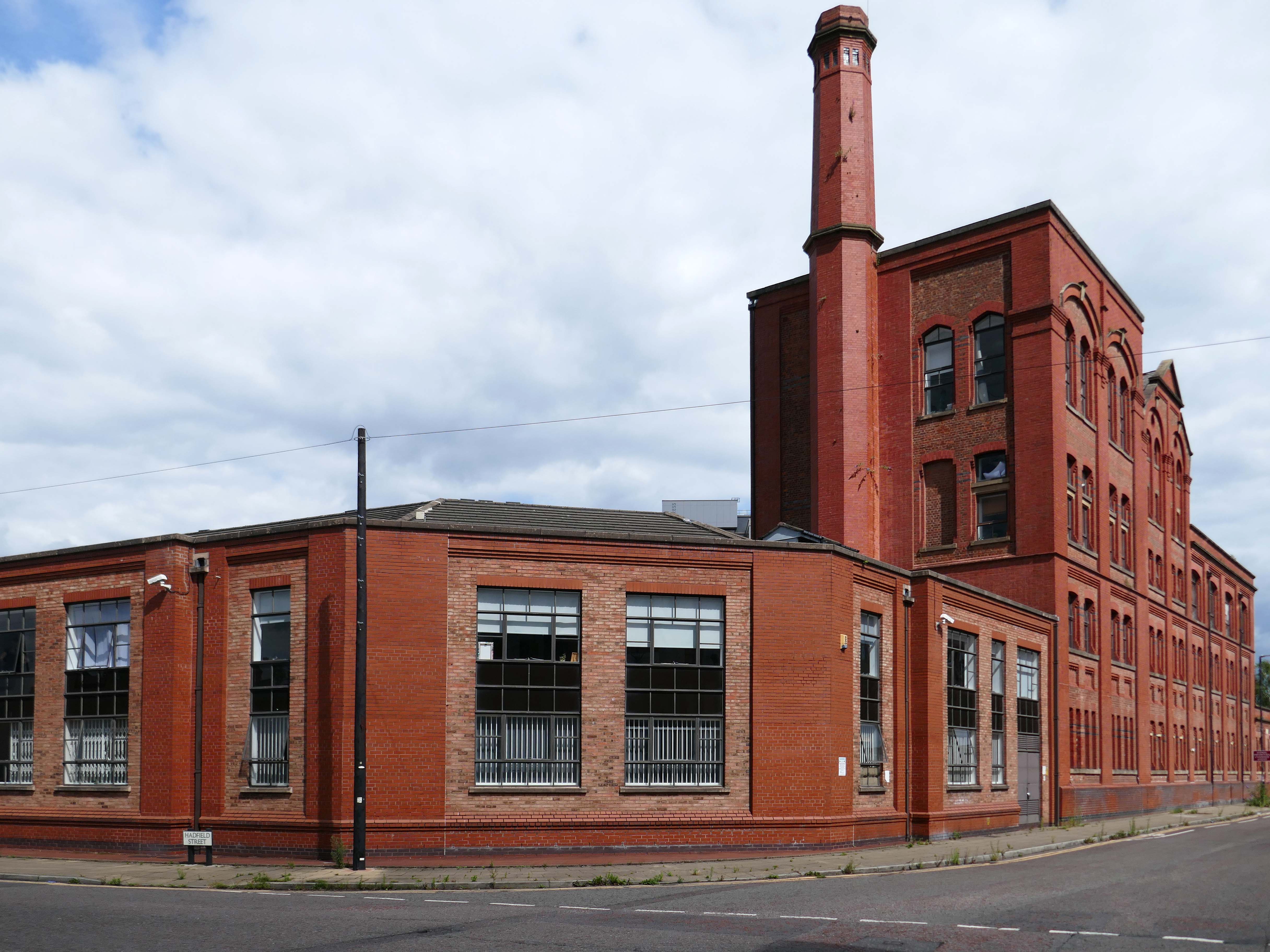
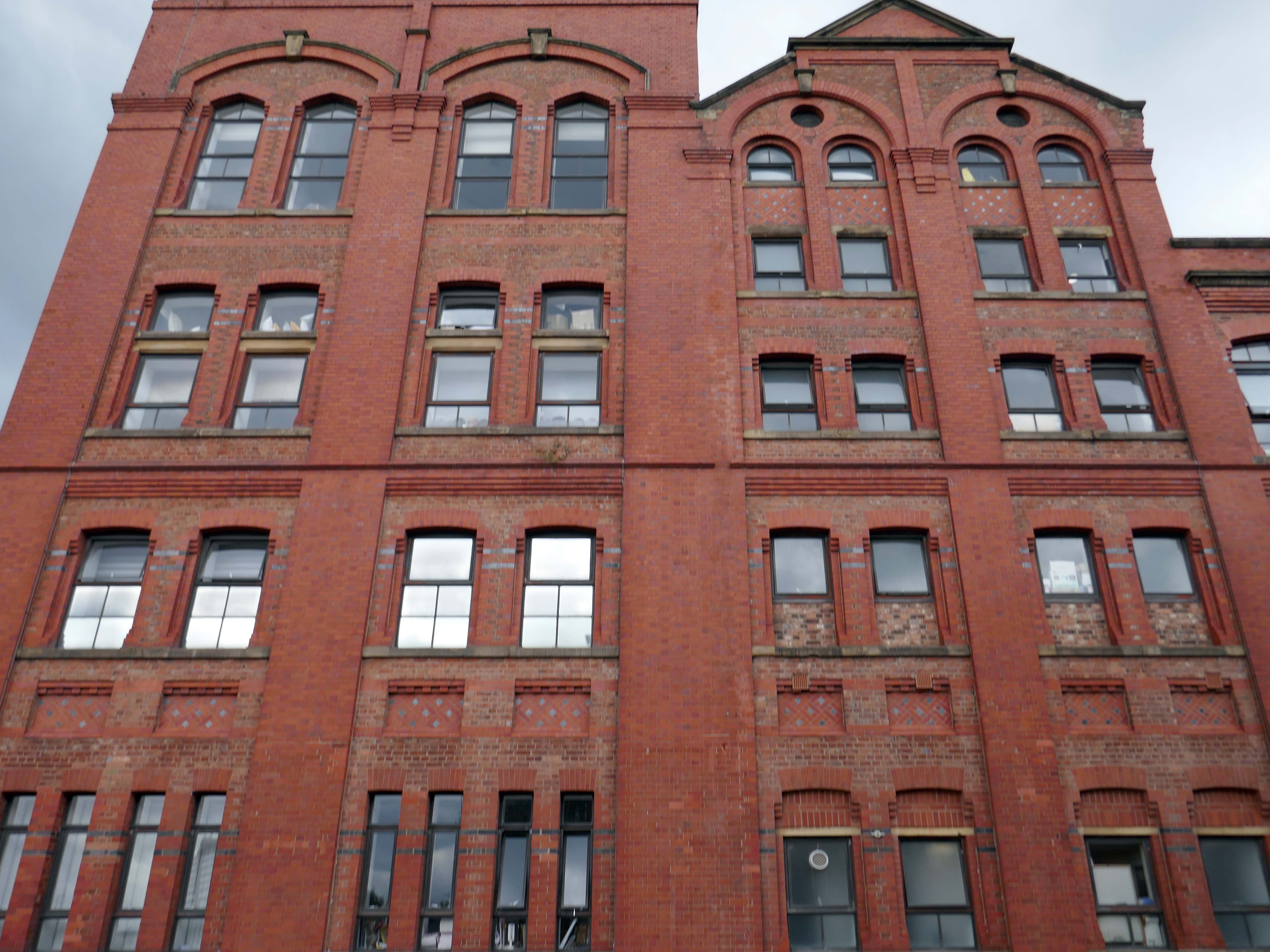
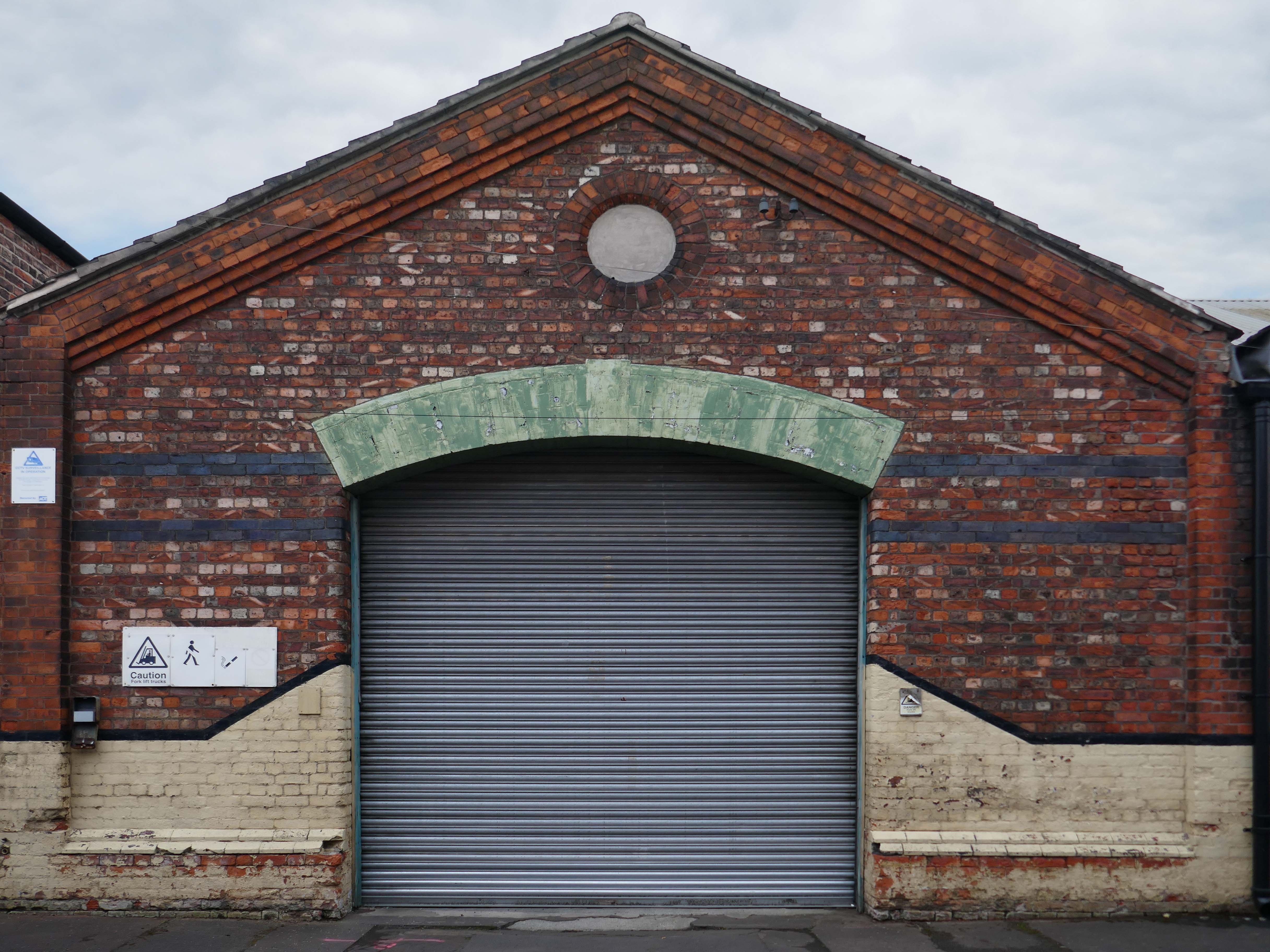
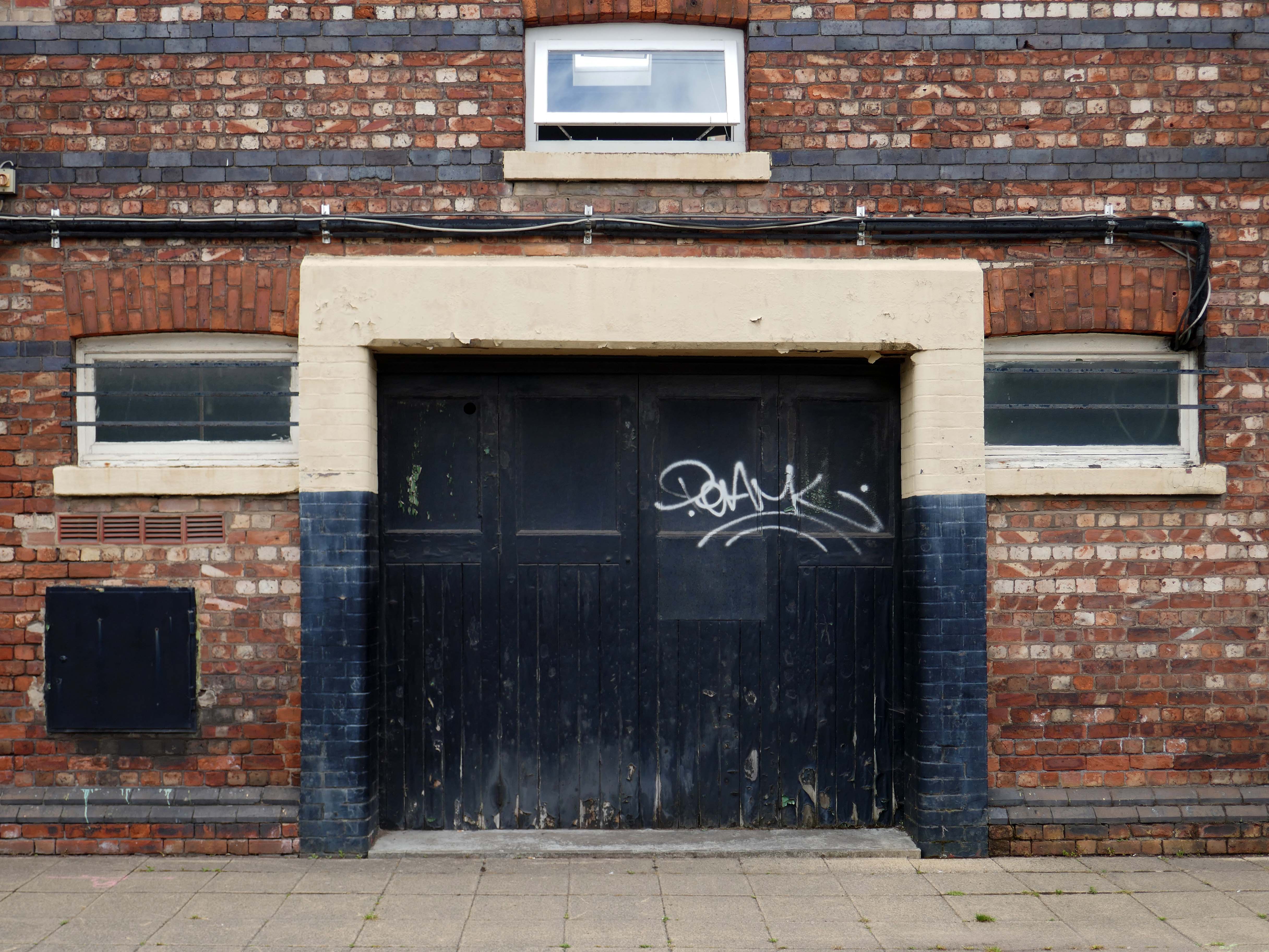
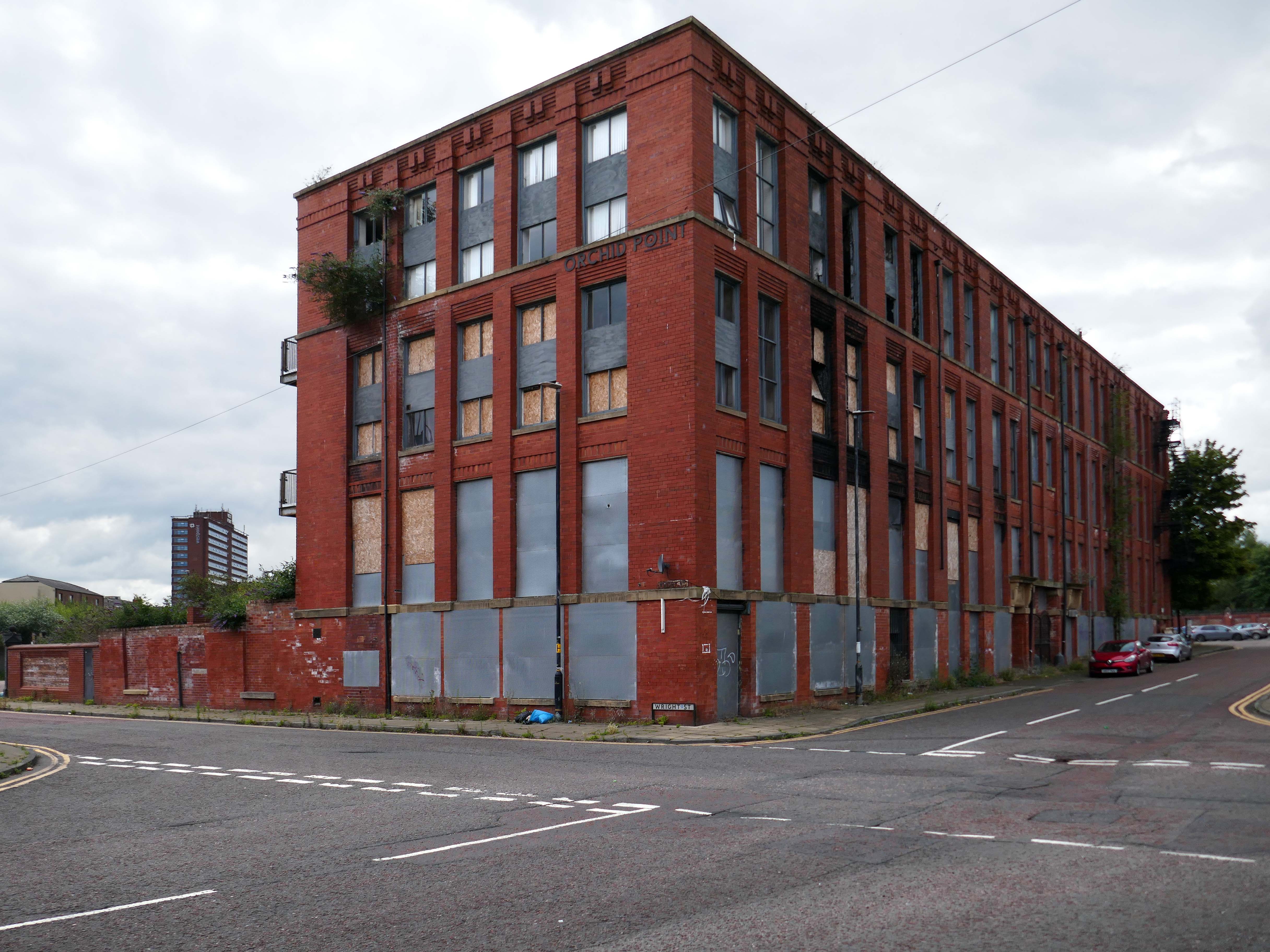
Empress Mill latterly Orchid Point Empress Street.
Built between 1903 and 1909, it echoes the industrial character of the larger industrial buildings on Chester Road and Empress Street. The property is listed as a smallware factory in the occupation of Woolf & Higham manufacturers of small wares, upholsterers’ trimmings, worsted bindings, woven venetian ladder tapes, cotton and linen venetian blind webs, spindle bandings, window blind cords, carpet bindings, bed laces. The works is shown on the Ordnance Survey of 1955 as an Engineering Works – Printing Machinery.
Local Heritage List
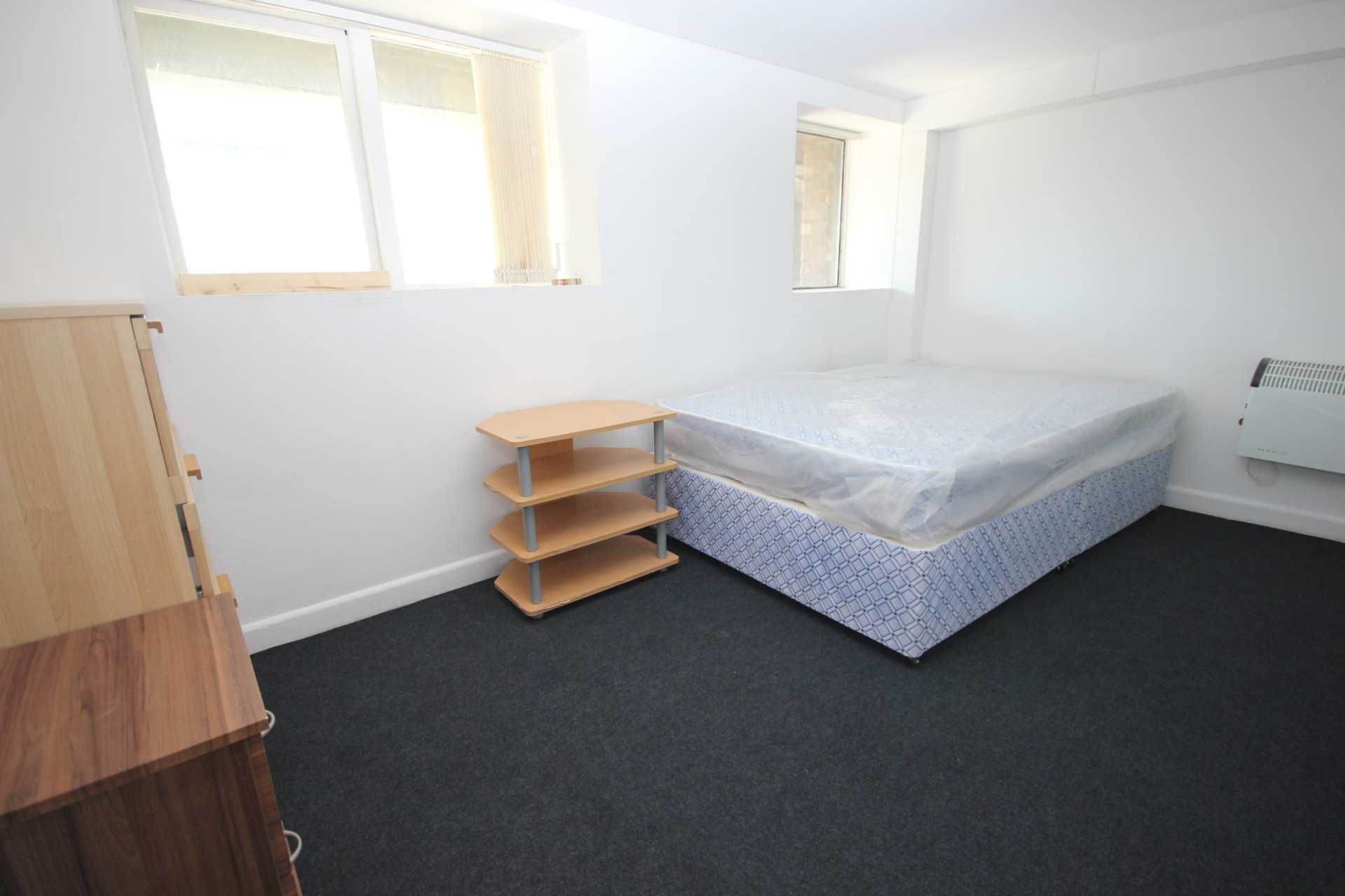
In 2011, FreshStart Living purchased the building, alongside others nearby, as part of a £9 million development ‘breathing new life’ into this corner of Old Trafford with 116 one and two-bedroom apartments. But, on the inside, leaking roofs, mould, exposed electrical wires and a dodgy gas connection paint a completely different picture.
Not long after purchasing it, we discovered the entire building was being powered by a generator.
Empress Mill was turned into an apartment block as part of a development called Orchid Point. It is understood some residents were allowed to move in twelve years ago, but these residents were asked to move out after a number of years due to safety issues.
On February 20th 2023, the Empress Mill was one of a number of buildings described as unsafe and unsecure by Trafford Council.
The emergency services were called to Empress Mill at 5.15am on Friday. Ten appliances from across the region, including specialist appliances called a stinger and a scorpion, attended the abandoned mill turned apartment block off Chester Road and firefighters battled the blaze into the afternoon.
Officers from Trafford Council have taken firm action to put a stop to anti-social behaviour at a vacant block of flats in the Old Trafford area.
Drug addicts and thieves have descended on Aura Court since much of it was closed in August 2020 by Greater Manchester Fire Service due to a decaying non-compliant fire escape.
The site along with Venos and Progress House is up for sale.
A rare development opportunity in Central Manchester with excellent access to Manchester City Centre Close to Salford Quays, Old Trafford Football and Cricket Grounds along with White City Retail Park The total site covers an area of approximately 2.10 Acres, historic planning consents granted on the site for in excess of 200 flats plus additional commercial accommodation.
Duckworth’s specialised in the manufacture of concentrated soluble essences, essential oils and colours supplied to the aerated water trade – local ‘pop’ men. They were leaders in the field, supplying flavours and essences around the world and developing products tailored to specific markets.
Duckworth & Co was acquired by Cargill Flavor Systems Ltd in 2003, the company vacated the Chester Road premises in 2006.
After buying the building in 2007 for a reported £3.6m, the Church of Scientology planned to re-open the building by either 2010 or 2011.
Leaders of the religious group have submitted a new application to carry out external and internal works. A design and access statement written on behalf of the church by NJSR Chartered Architects proposes a comprehensive revamp of the building.
The overall aim of the project is the refurbishment and conversion of the Duckworth Essences Building into a place of religious study and worship.
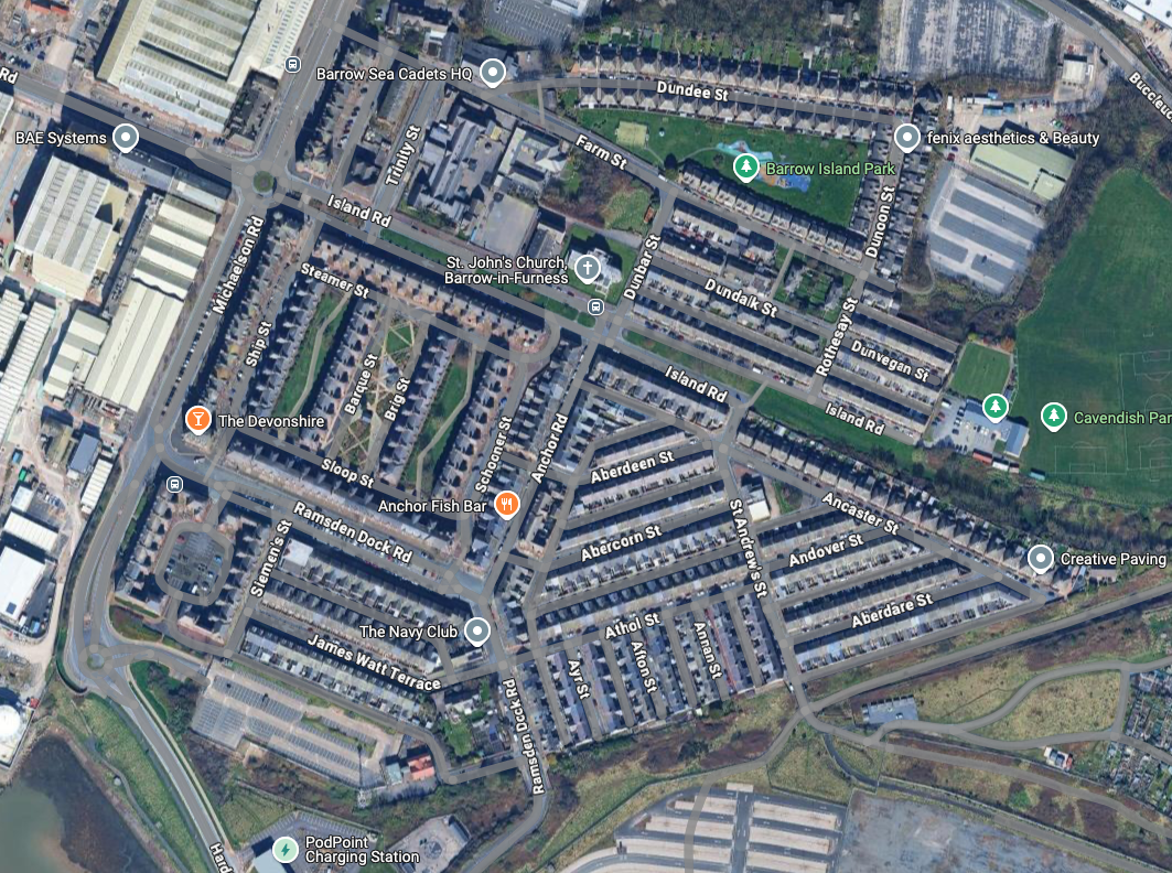
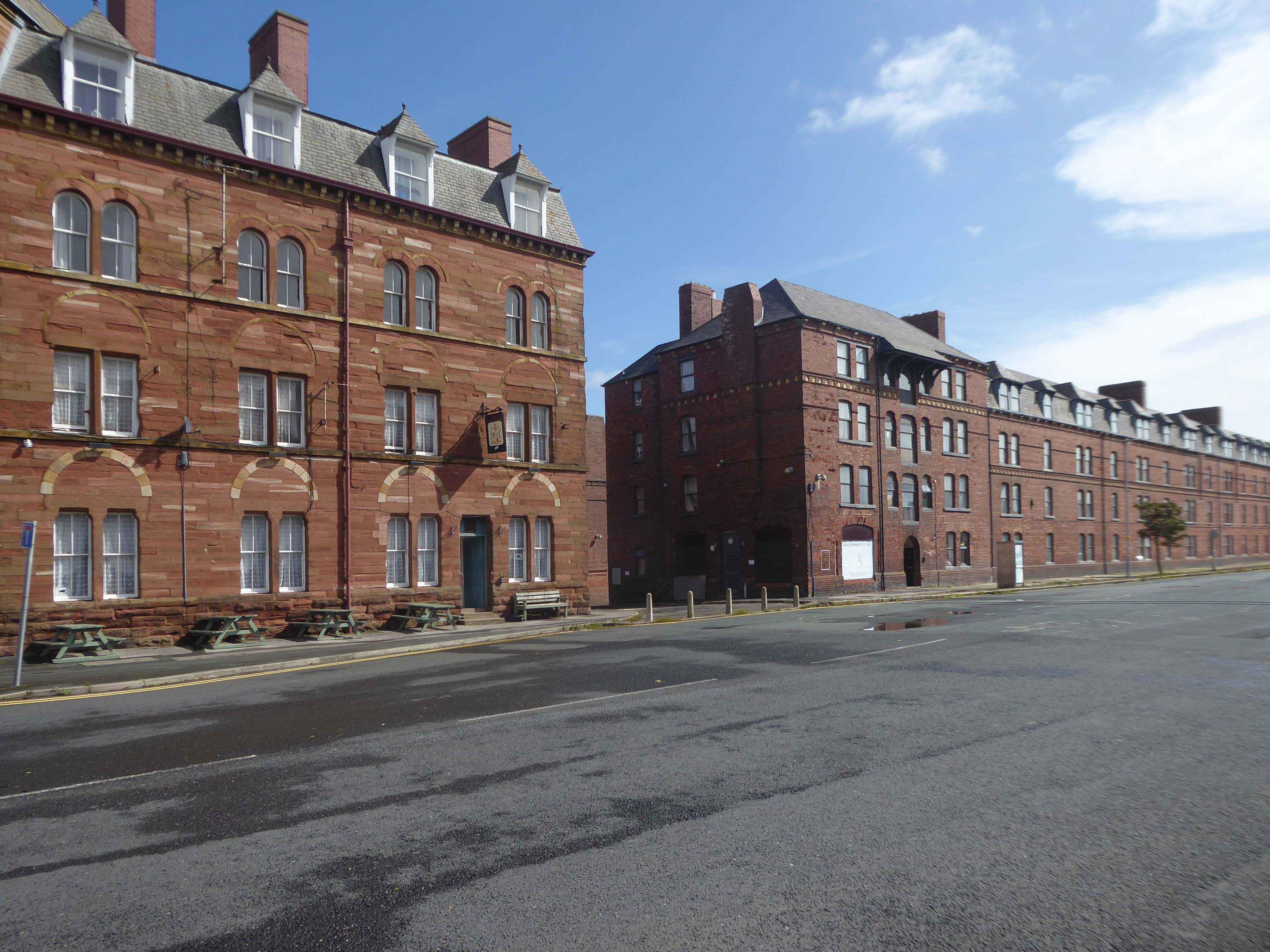
Following the rapid growth of the town of Barrow-in-Furness, the construction of the Furness Railway following the discovery of deposits of iron ore in the Furness peninsular, and the development of industries using iron as a raw material resulted in many commissions for the practice – the population of Barrow doubled between 1851 and 1861, and doubled again in the next decade.
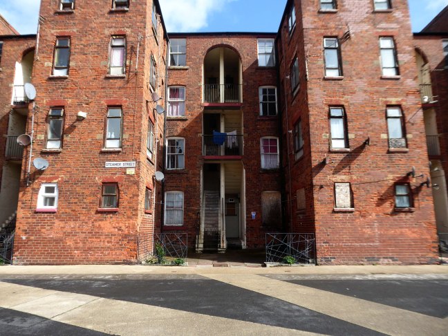
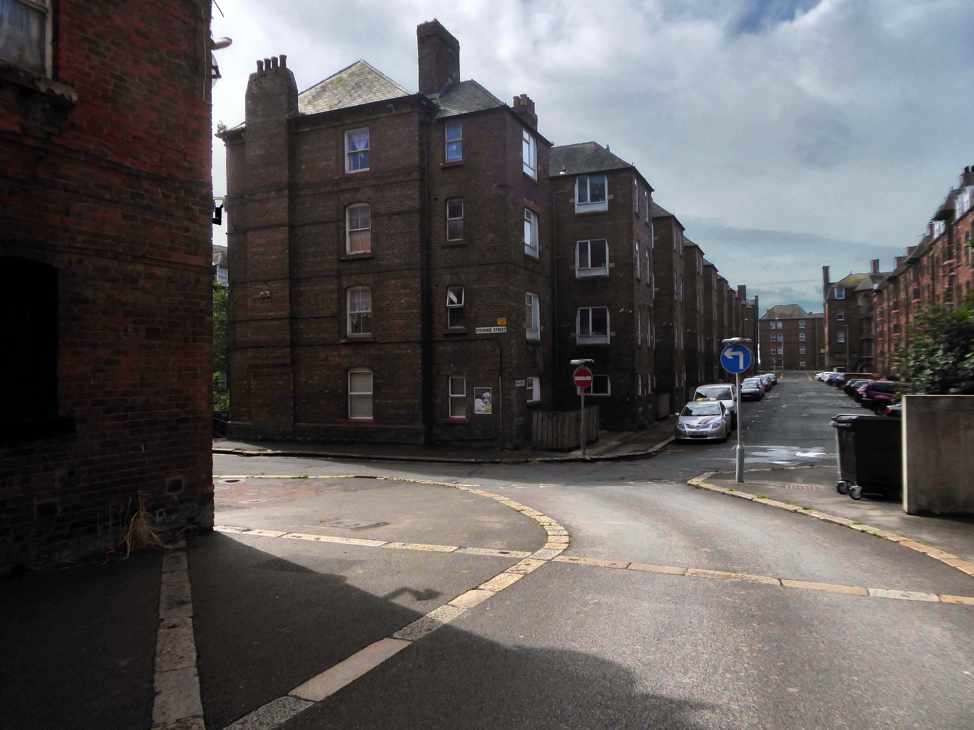
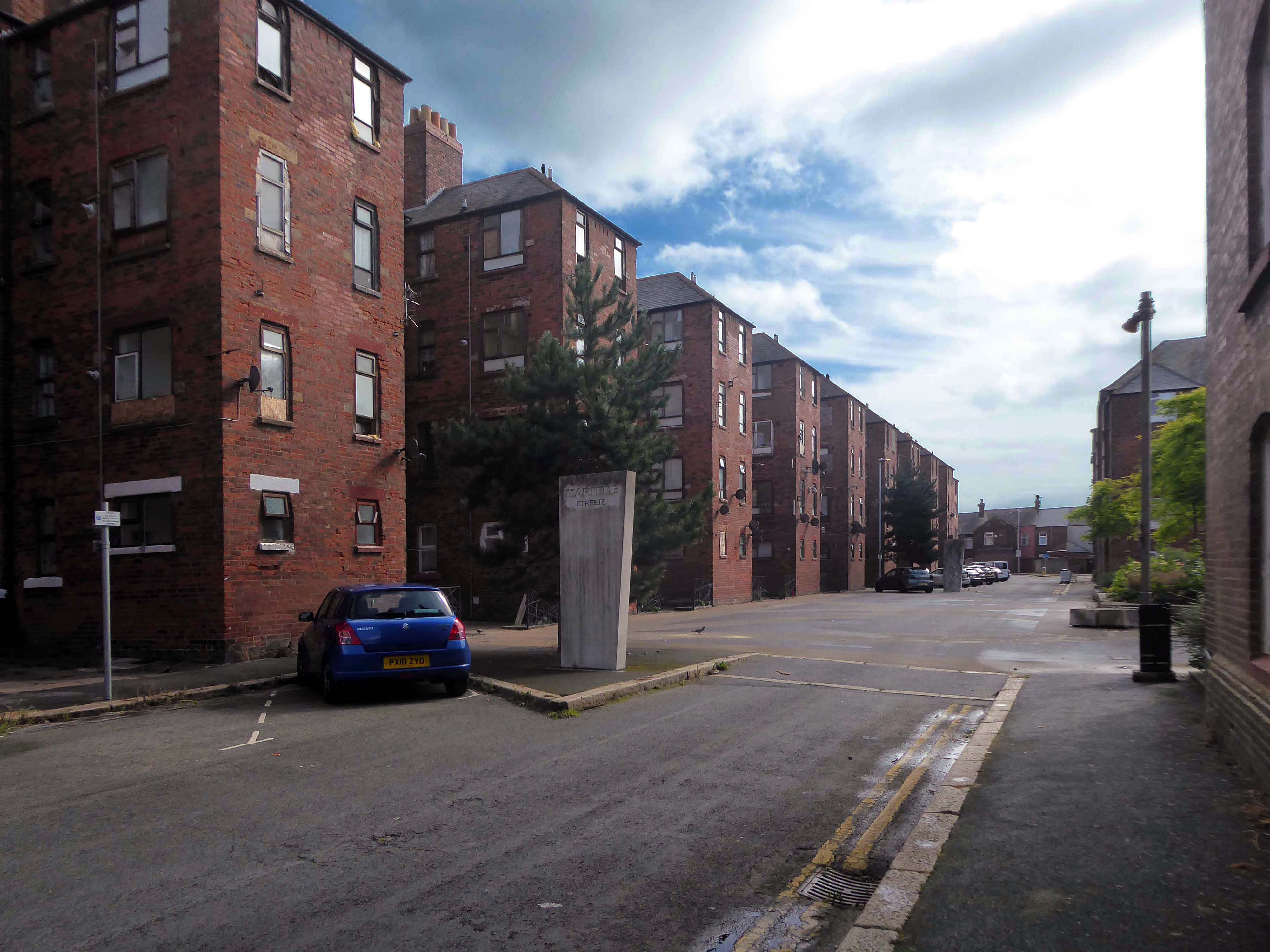
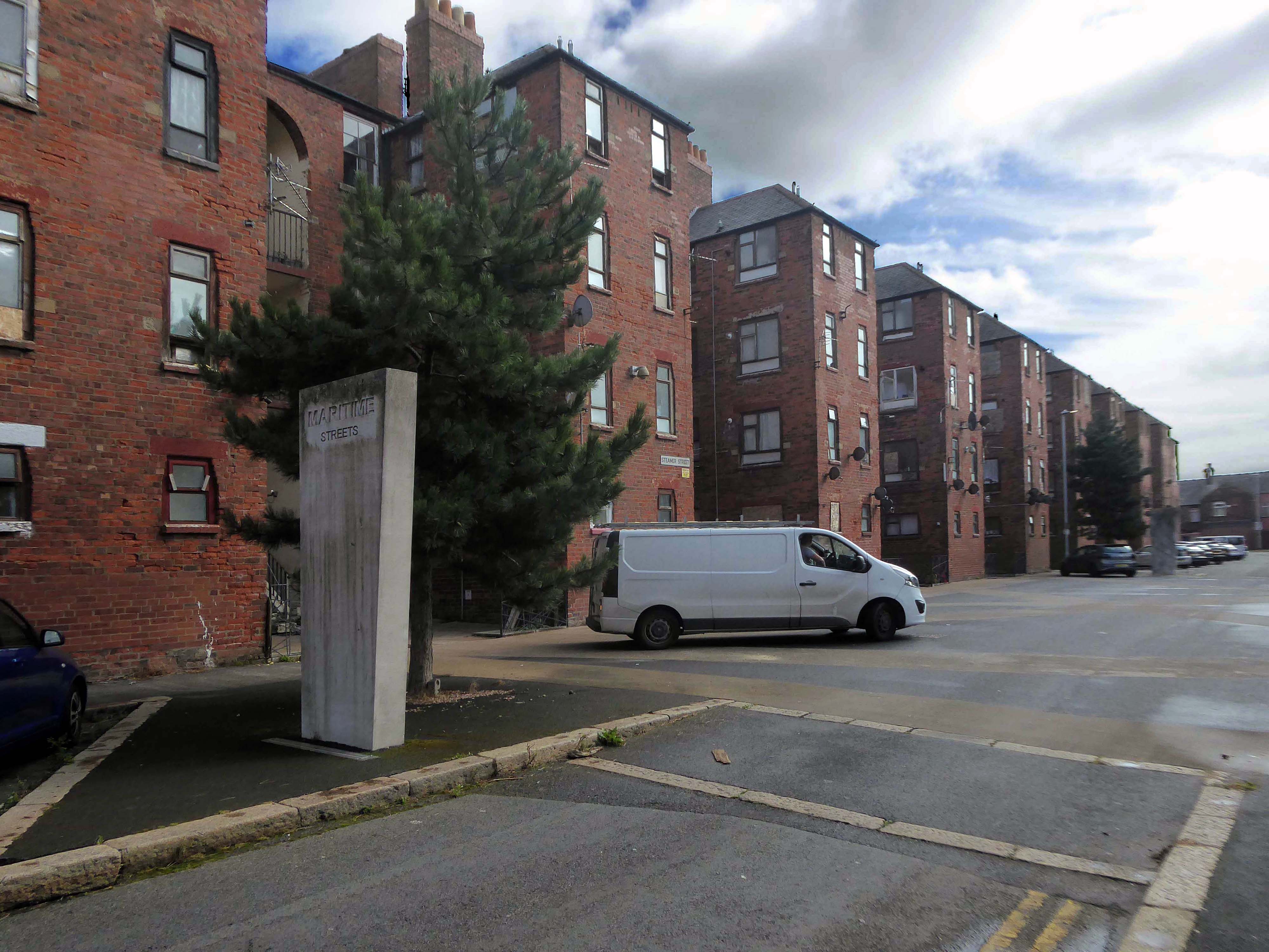
There’s a tight knit group of roads, where the housing is redolent of Scottish tenements.
These are the Ship Street Tenements brick built in 1881-84, for the Furness Railway Company, they are Grade II Listed.
Architects Paley and Austin of Lancaster, the main contractors Smith and Caird of Dundee.
They provided accommodation for the families of employees in the Furness Railway Company’s nearby shipbuilding works, they consist of two identical four-storey blocks of nine tenements, making eighteen tenements in total.
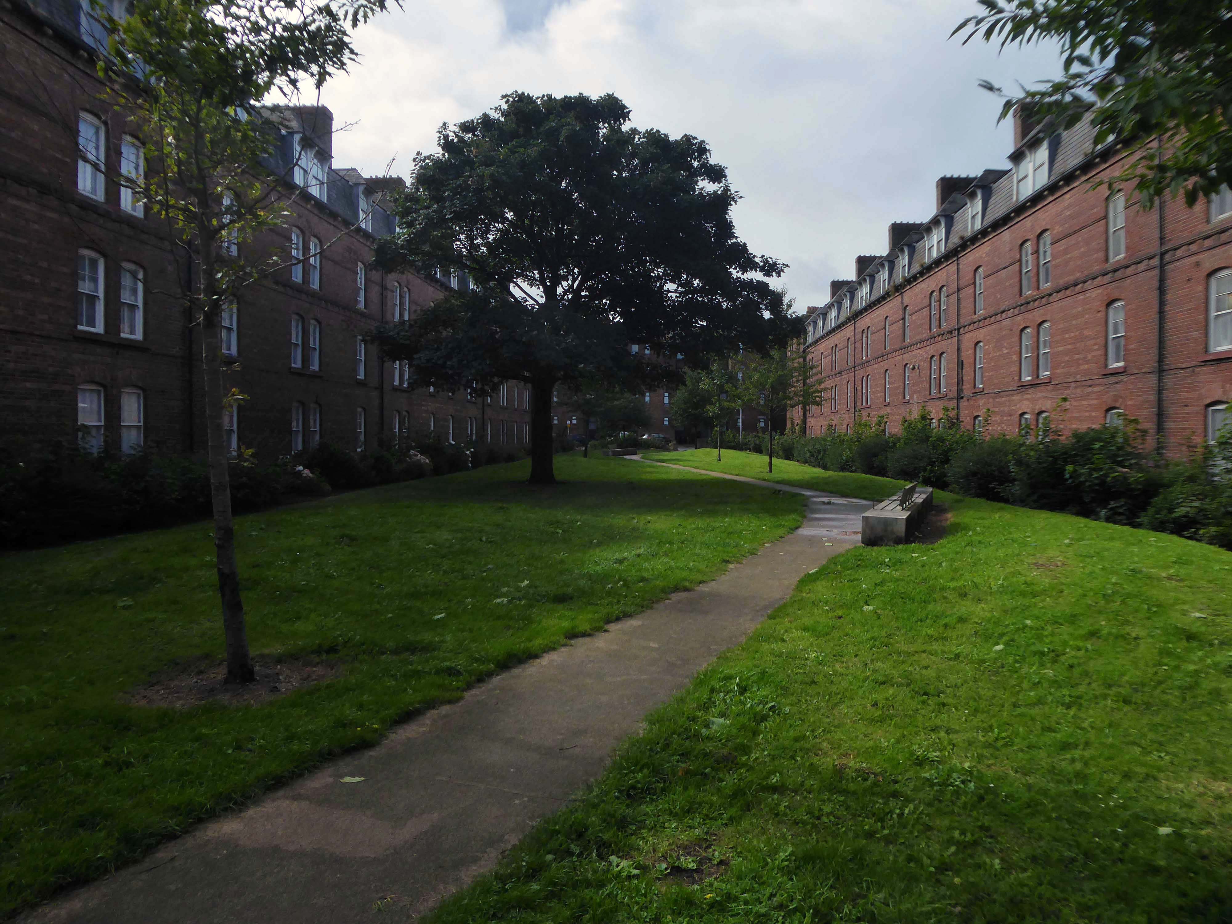
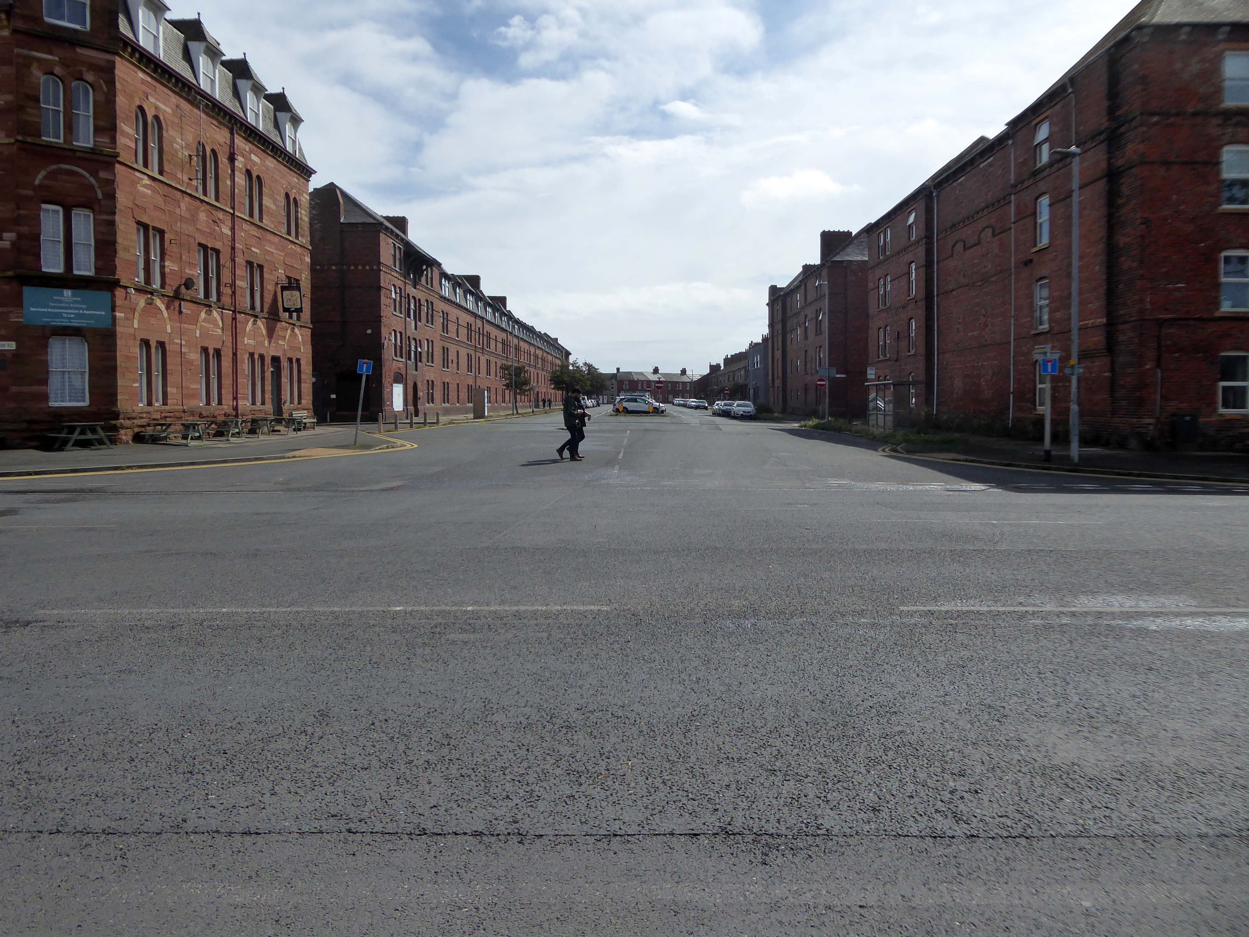
The area has been revitalised and improved in recent years and rebranded.
This beautiful and inviting public realm has acted as a catalyst for renewal of this neighbourhood in Barrow-in-Furness. The inspirational scheme won the award for Best Commercial Landscape Design at the Northern Design Awards in 2017 as well as winning the Adding Value Through Landscape award at the Landscape Institute Awards 2018 and it’s easy to see why.
The newly named Maritime Apartments are now advertised for short stays, demonstrating the increased desirability of the neighbourhood. Lisa Hart Pearce, Manager of Maritime Apartments has said: “The new landscape has transformed Maritime Streets, not only visually but holistically. People now have a happy, modern, green space to enjoy; full of colour and beauty. There is no doubt in my mind that the wellbeing of the local community has been positively encouraged by the regeneration of the area and I hope it will continue through generations.”
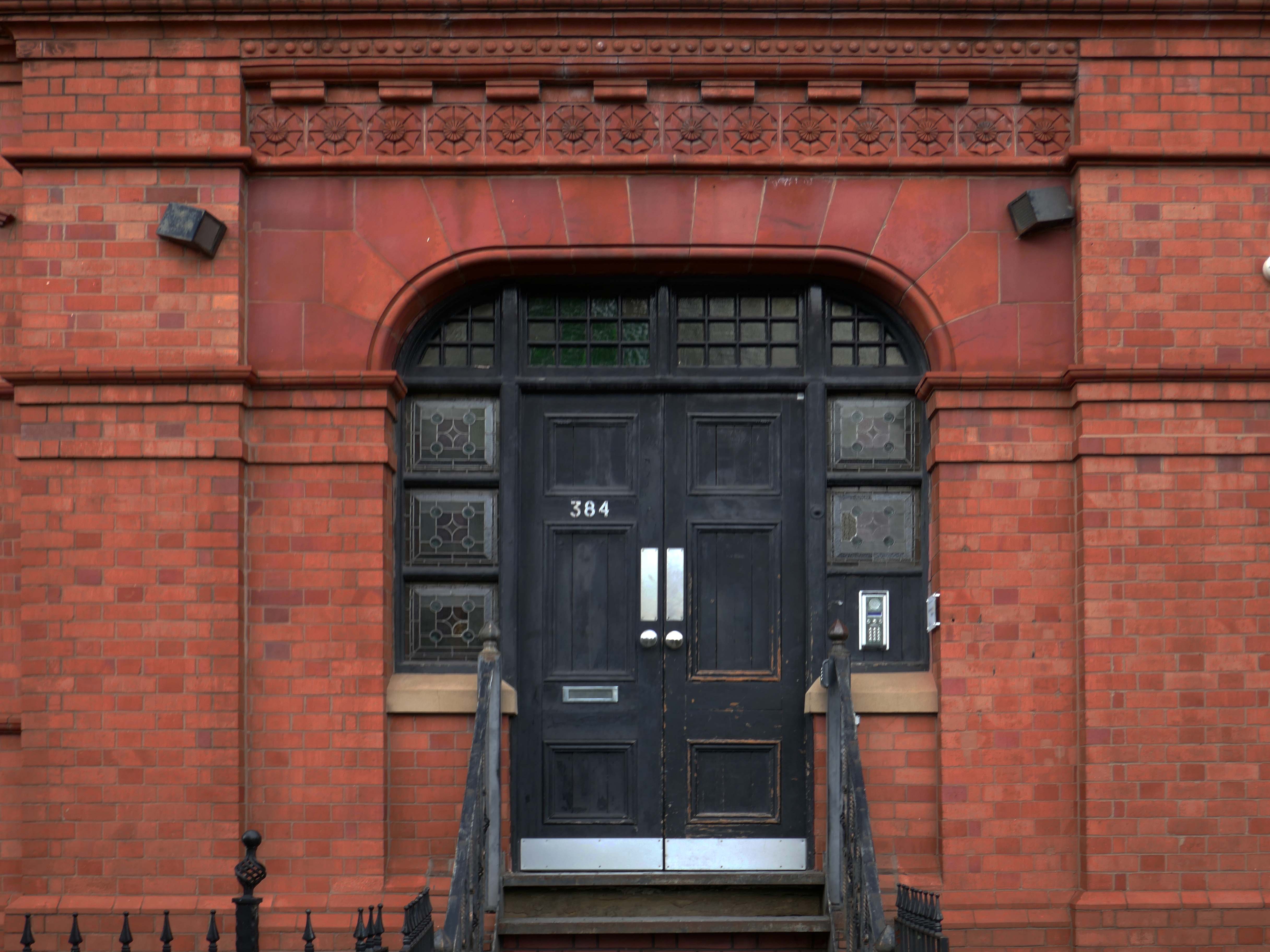
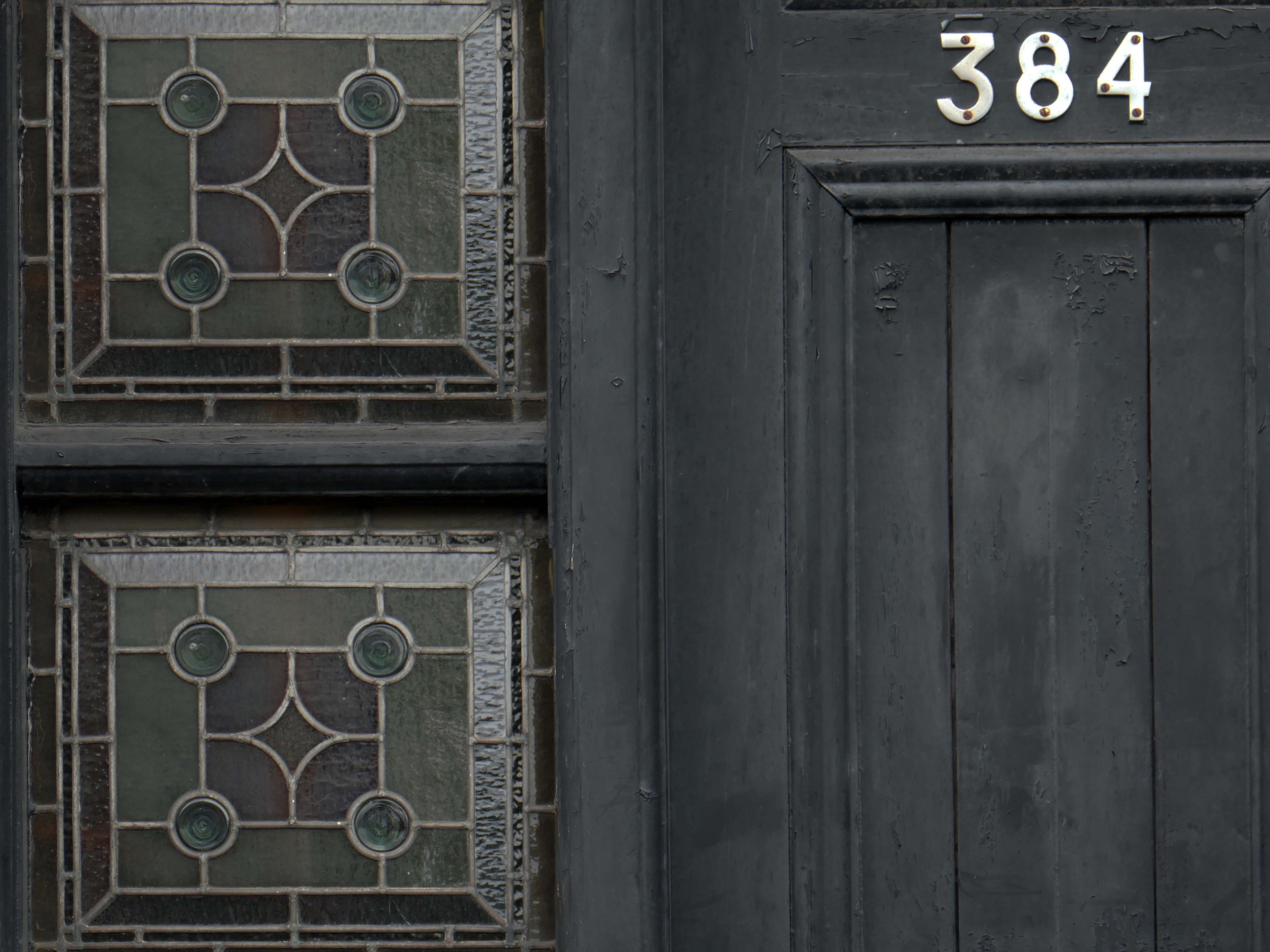
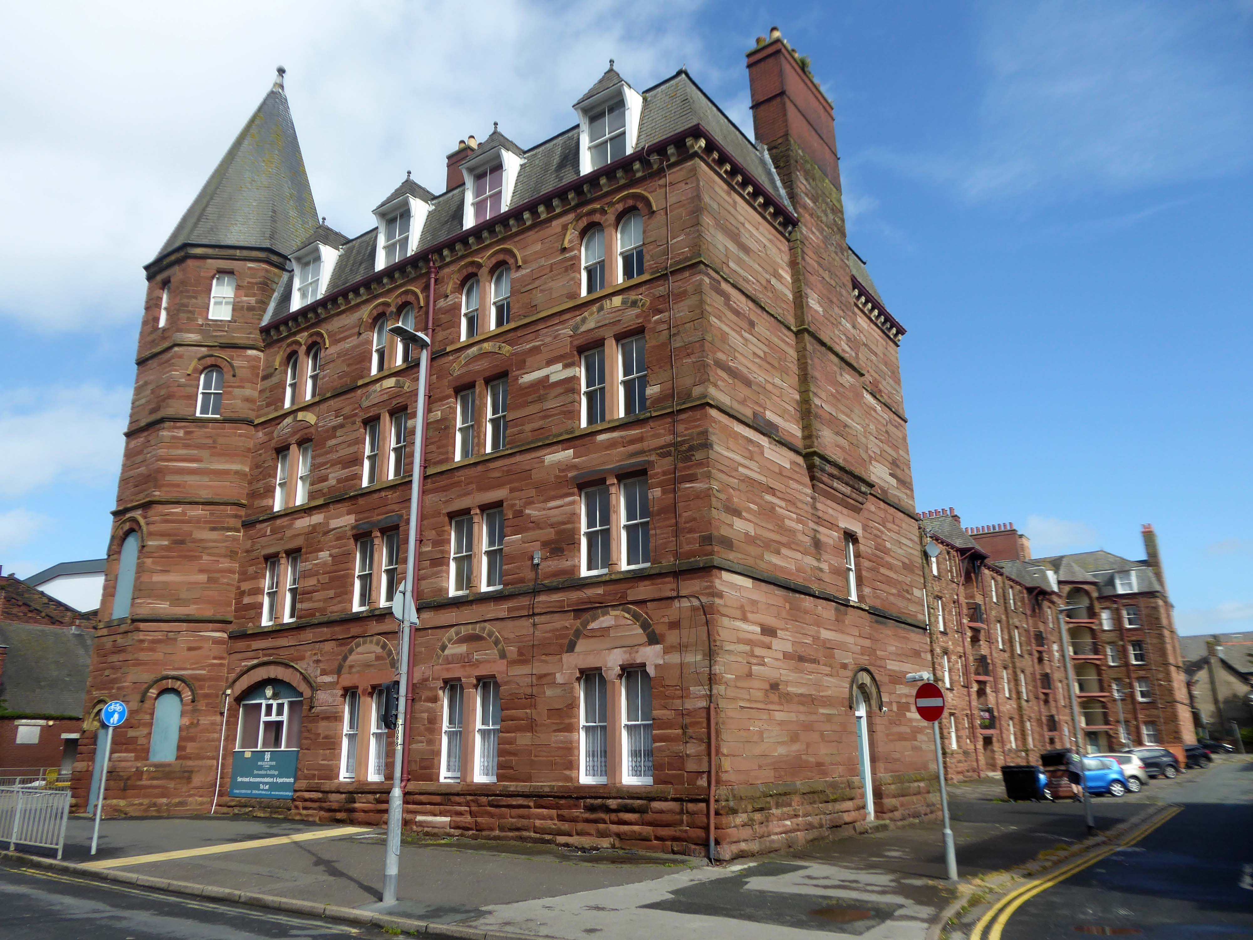
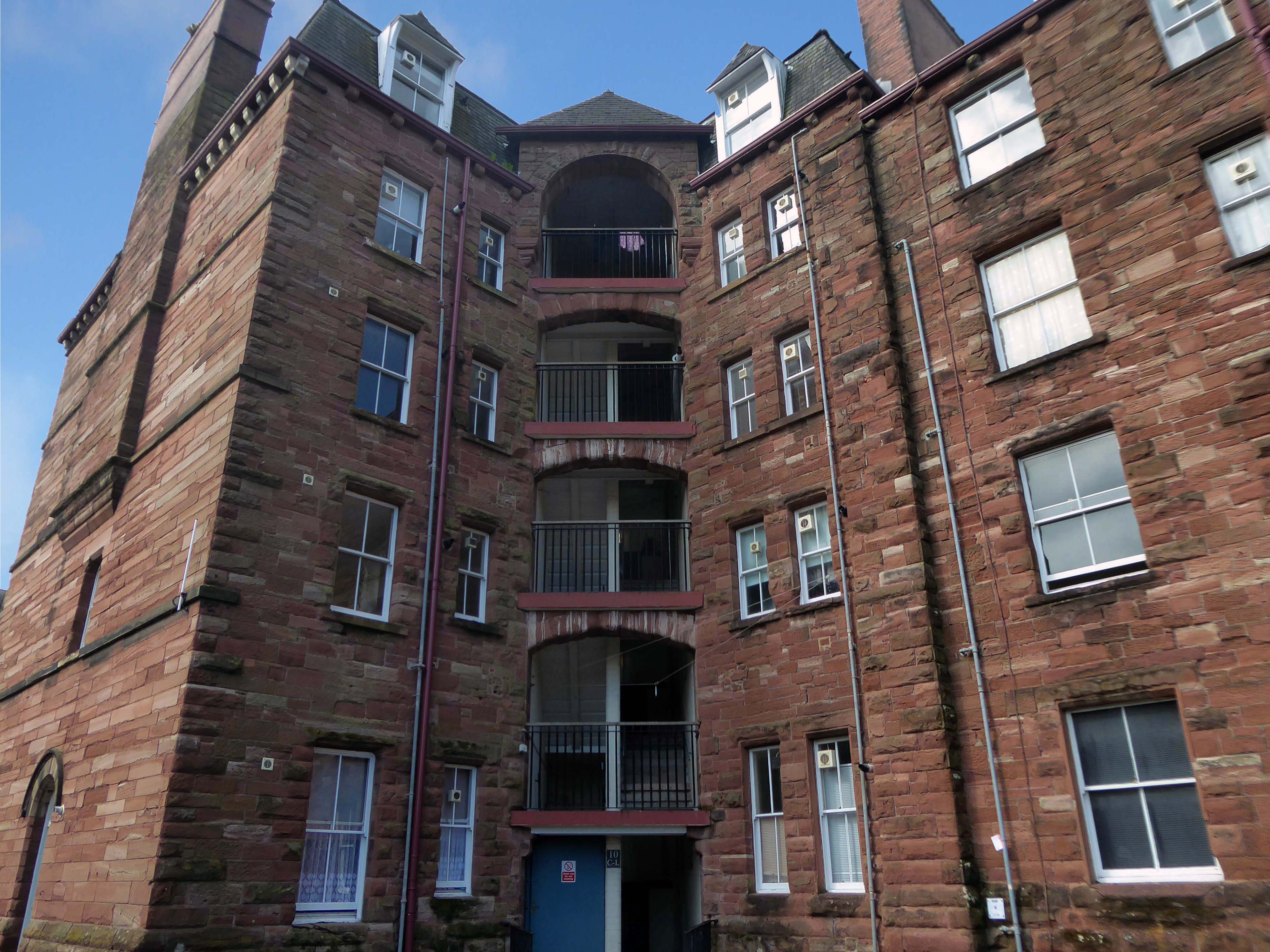
Next door are the adjacent sandstone Devonshire Buildings of old, constructed in the 1870s for the Barrow Iron Ship Building Company, by the Duke of Devonshire at a cost of £50,000, to house local shipyard workers, and recently refurbished by Holker Estate.
The buildings are currently for sale for offers in the region of £4,950,000.
Having once provided homes for the traditional shipbuilders, they now offer lets to the employers of BAE Systems.
Home to our pioneering Submarines Academy for Skills and Knowledge, Barrow-in-Furness is a hub for learning and innovation. We’re not just building the next generation of nuclear submarines here. We’re developing the next generation of engineering talent.
We’re always looking for talented individuals to join our team in Barrow-in-Furness. Whether you’re looking to start your career, or you’re an experienced professional looking for a new challenge, we might have a job for you.
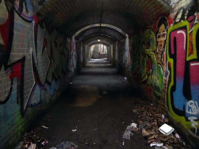
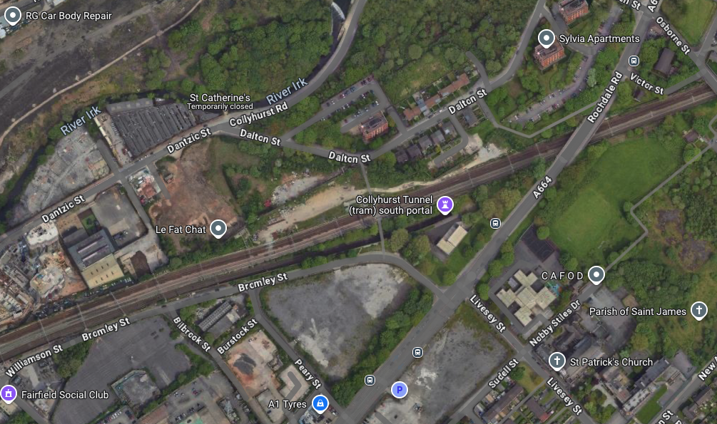
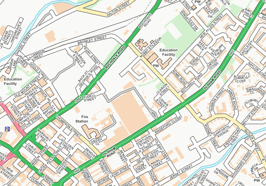
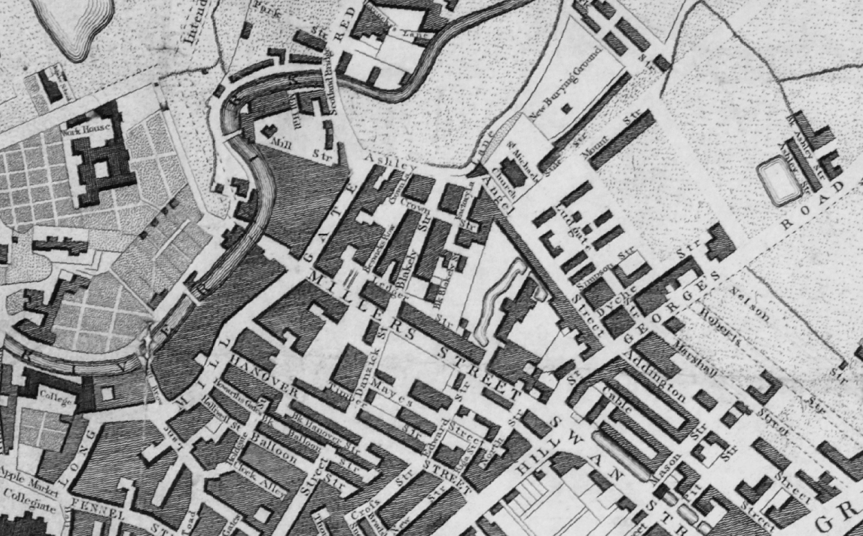
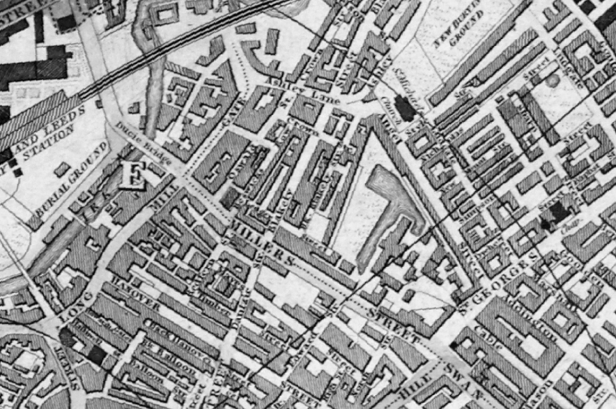
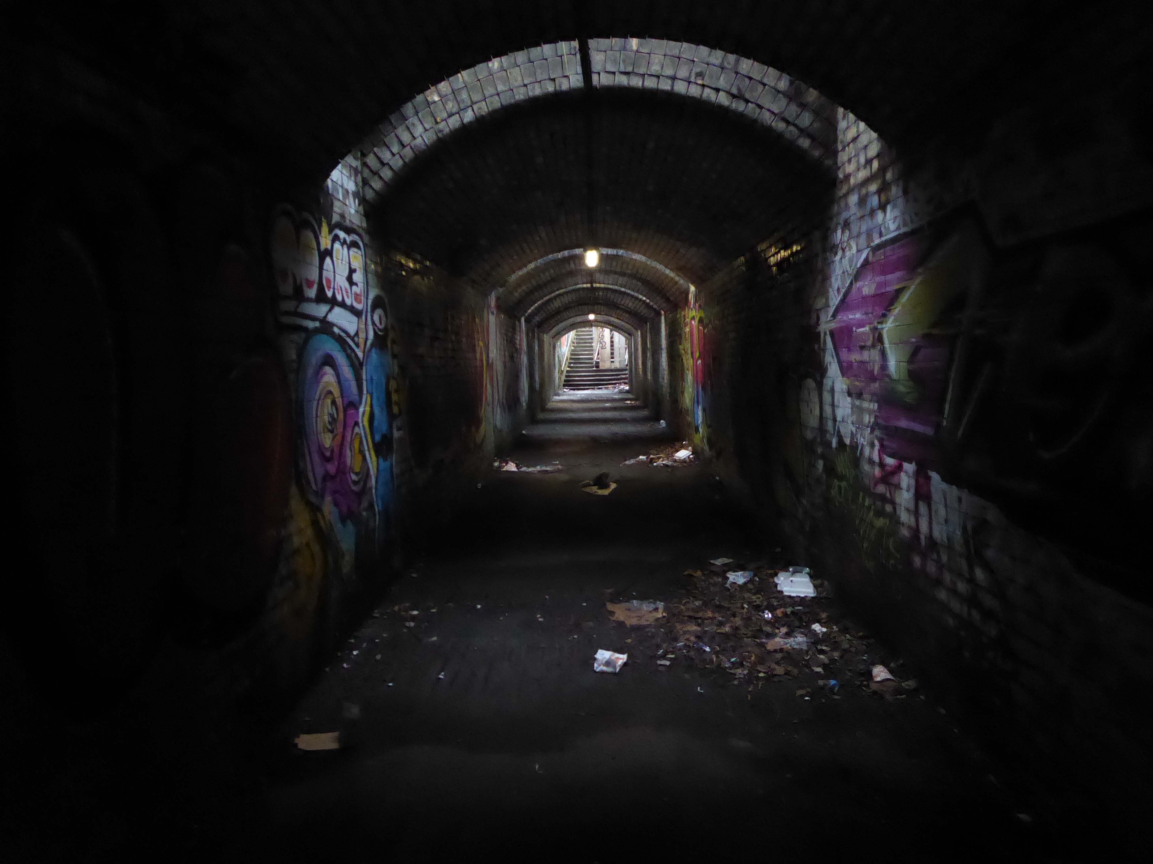
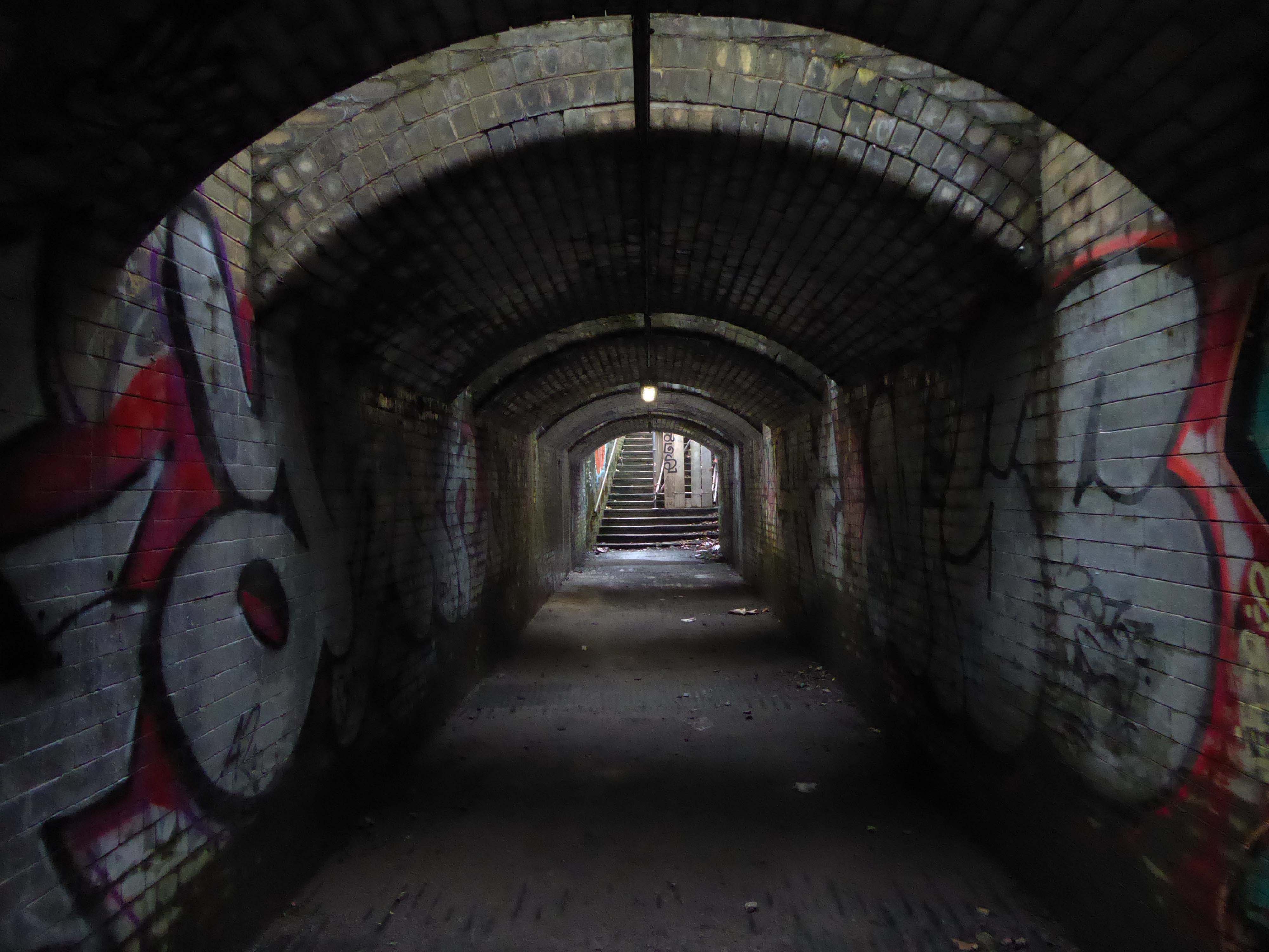
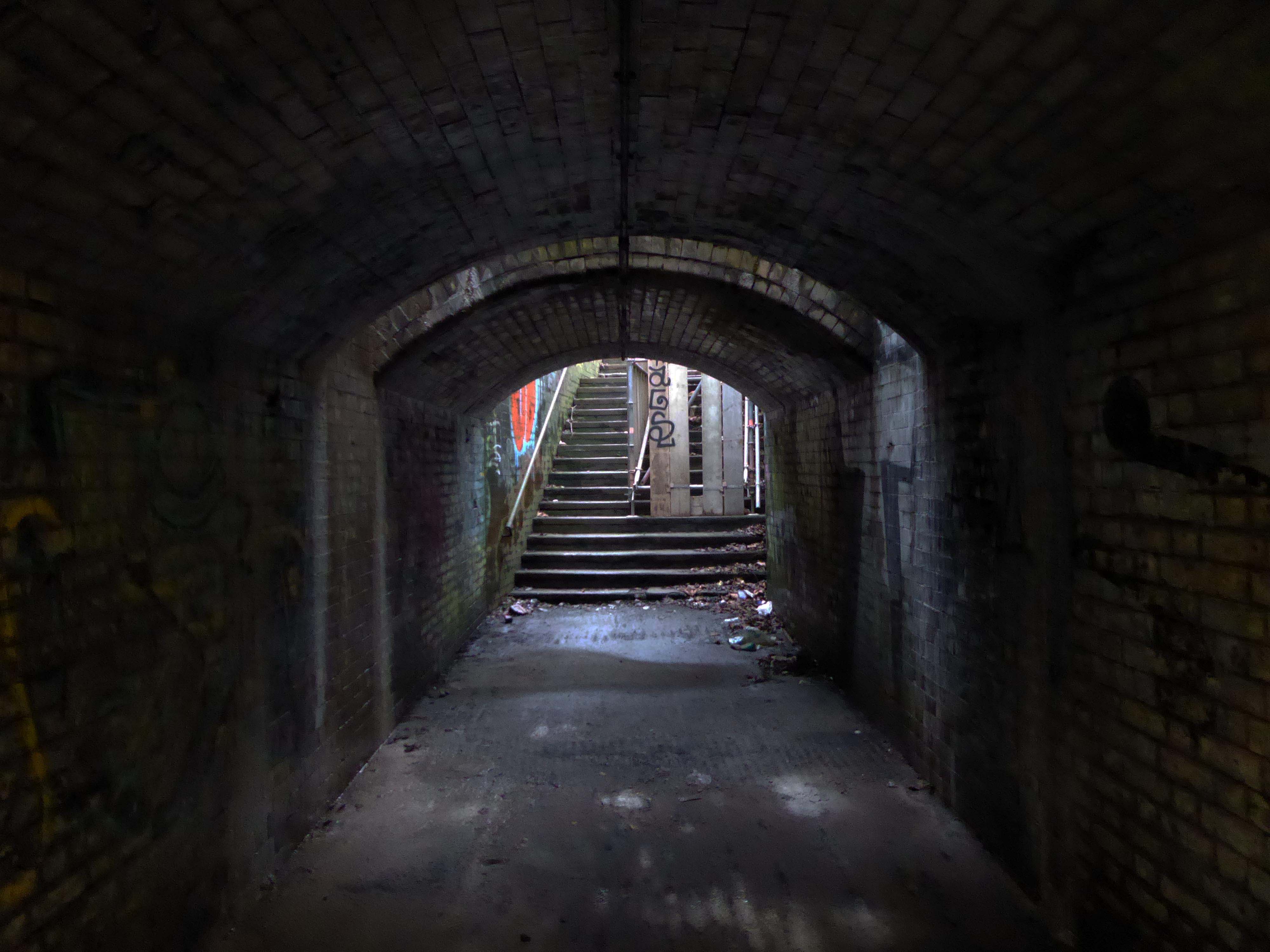
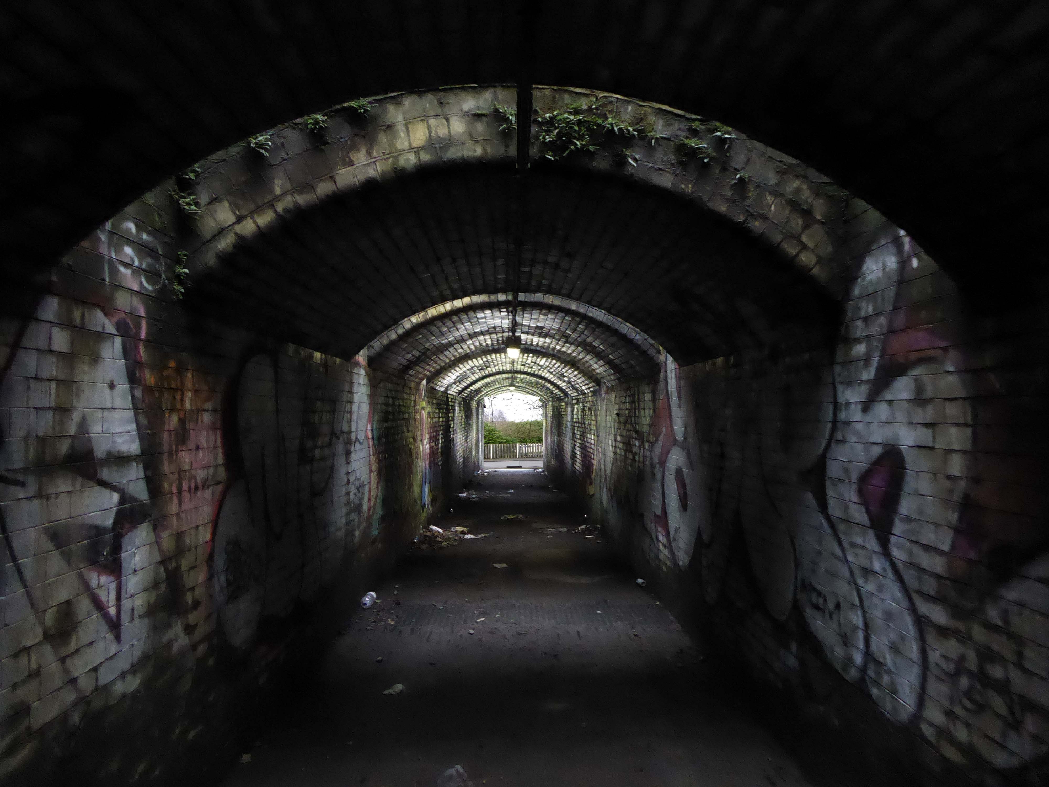
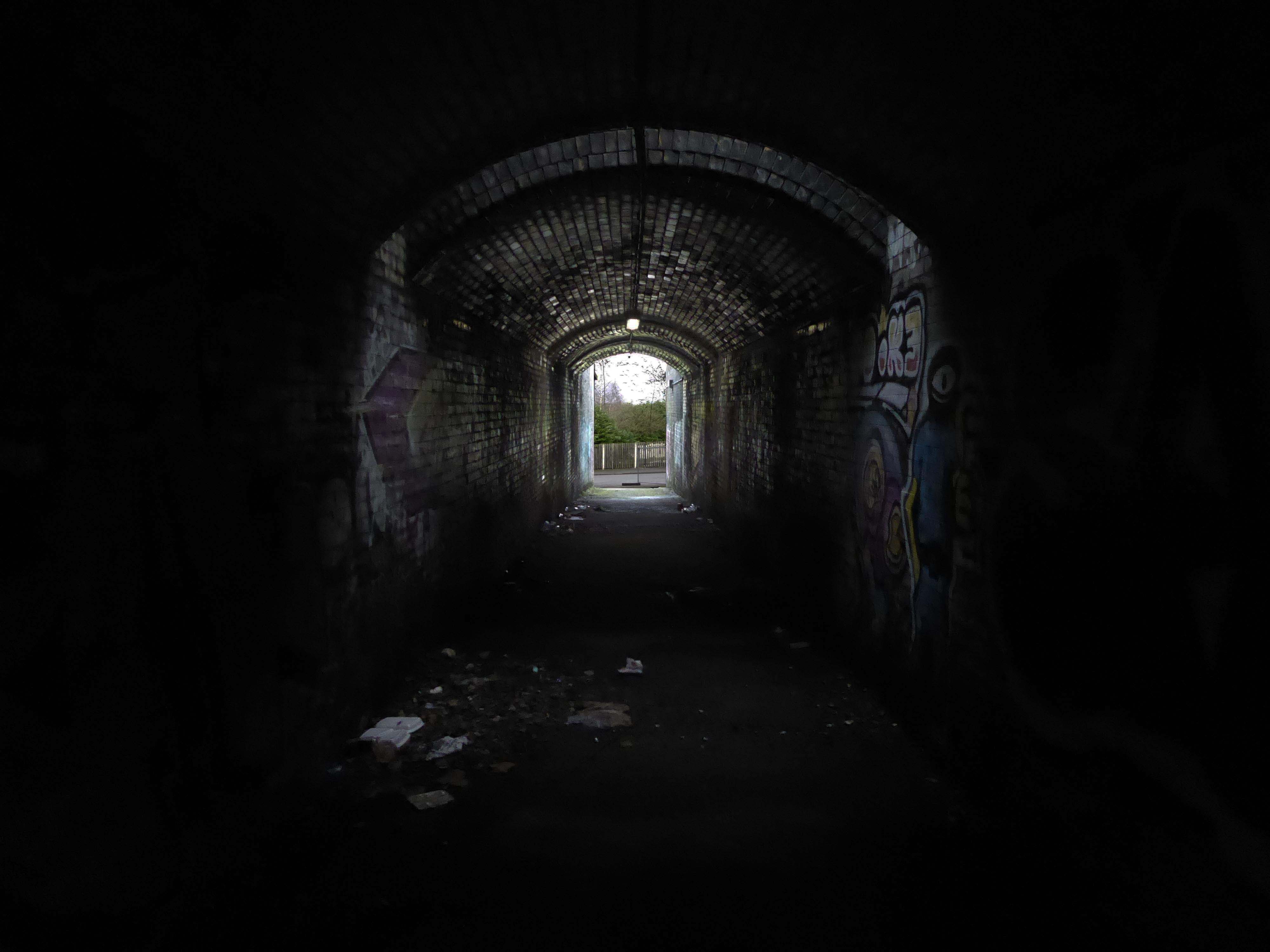
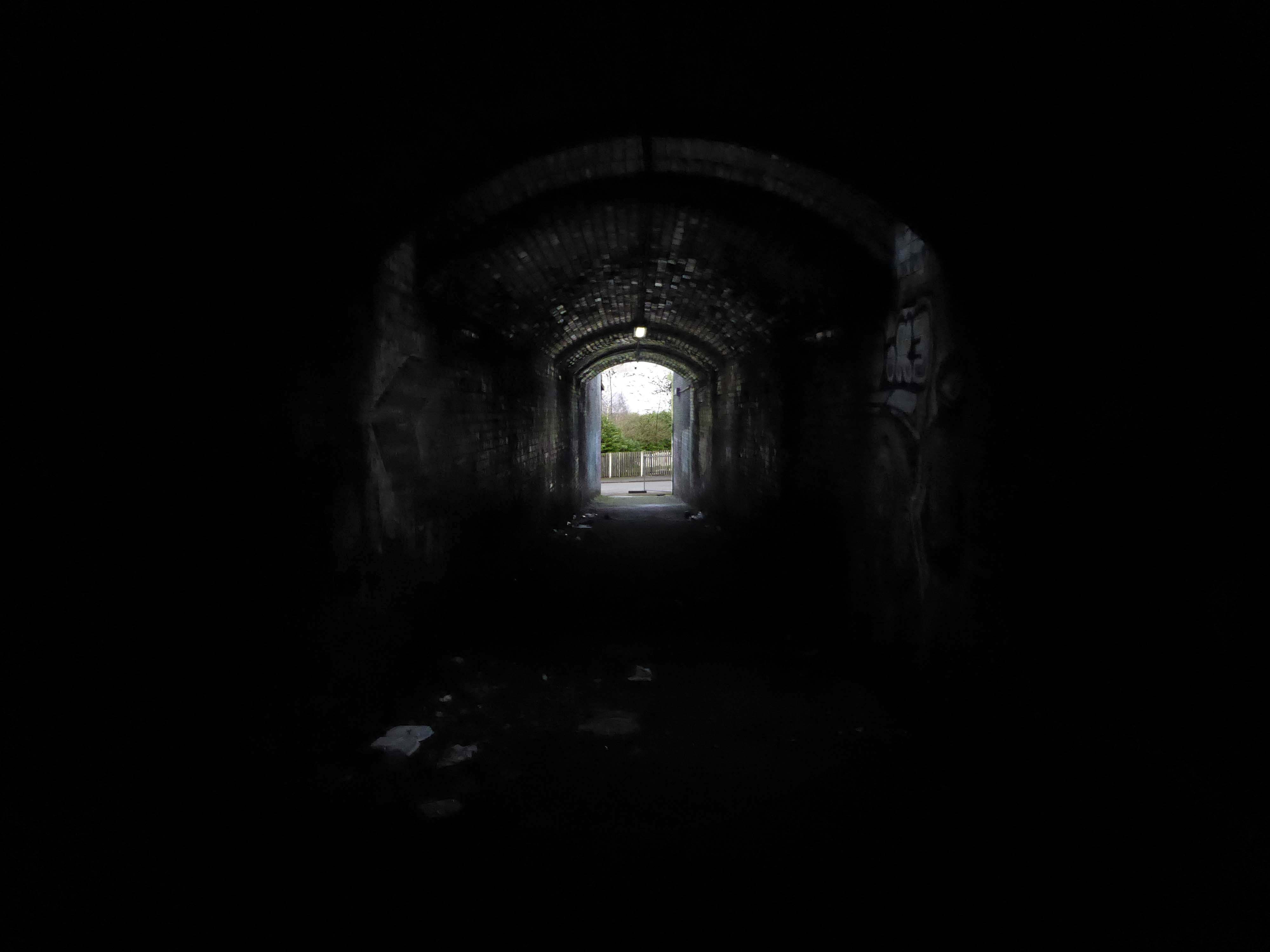
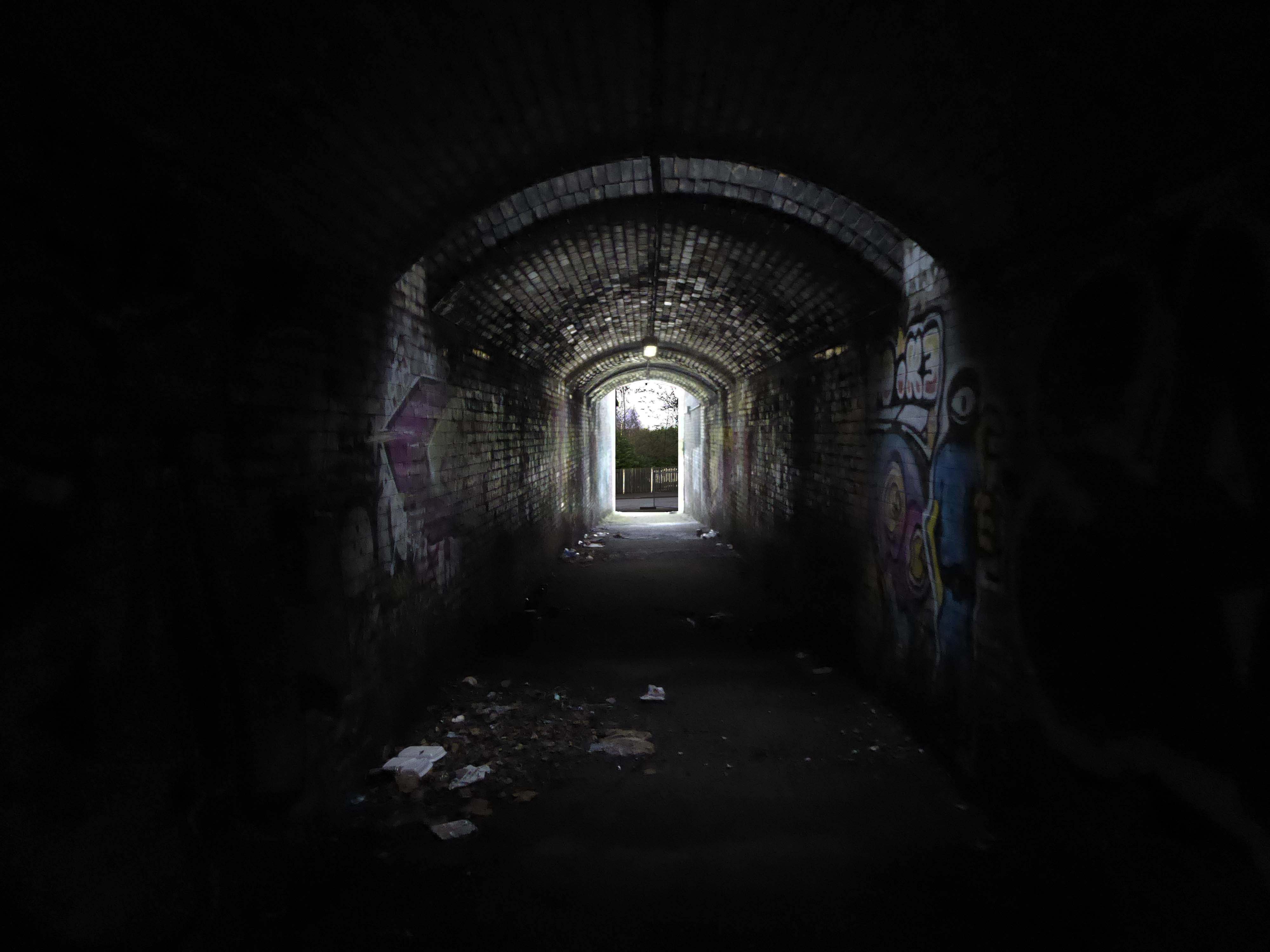
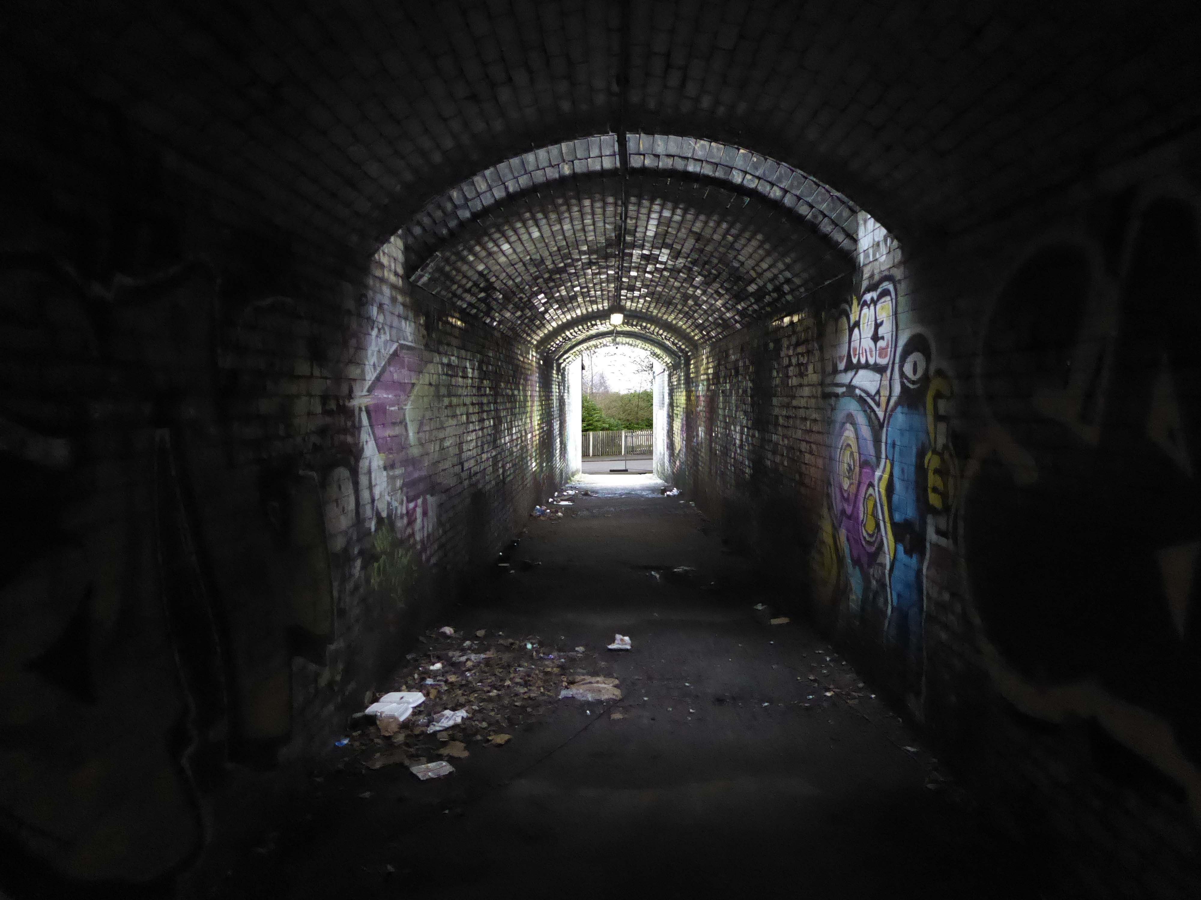
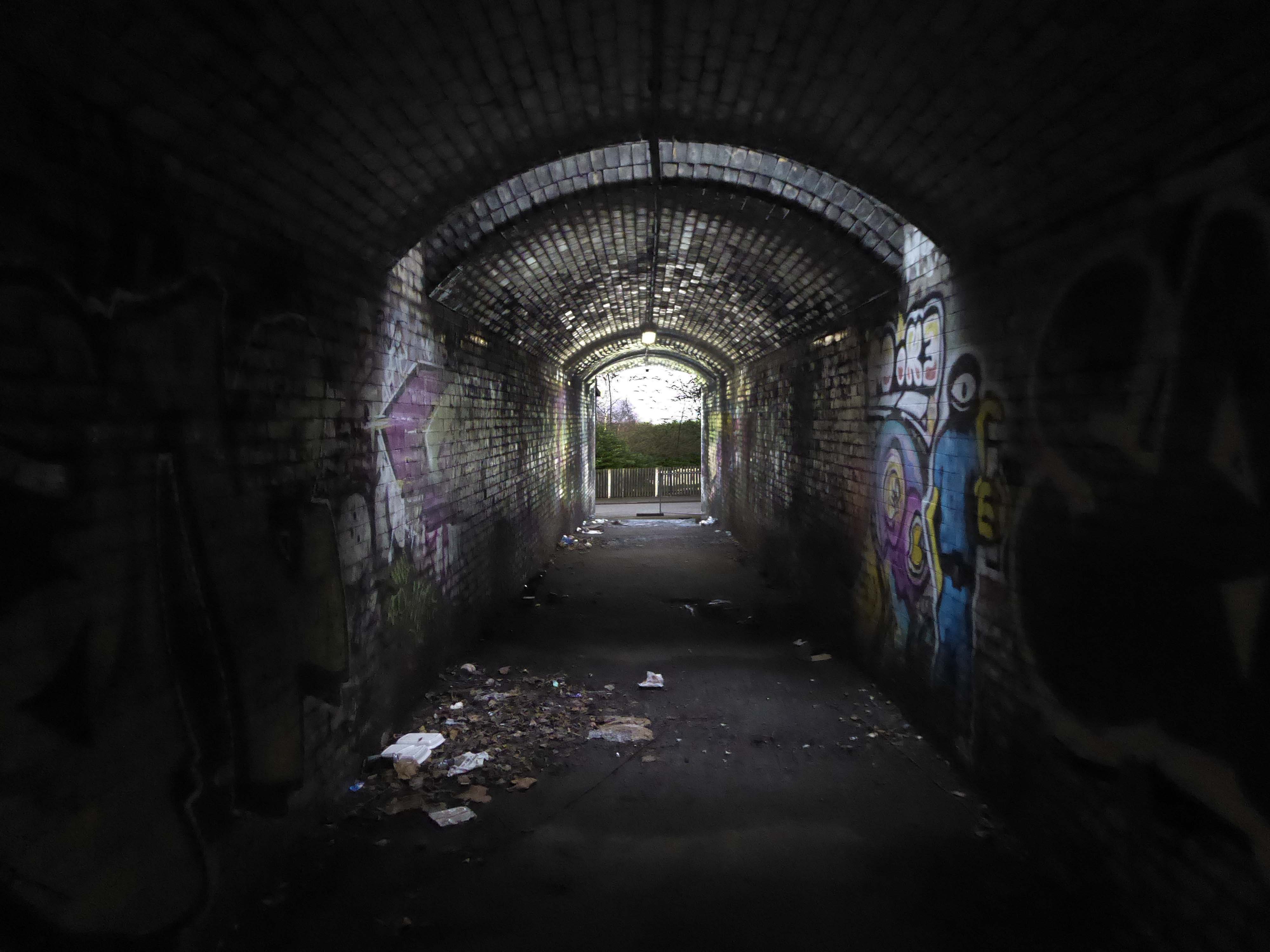
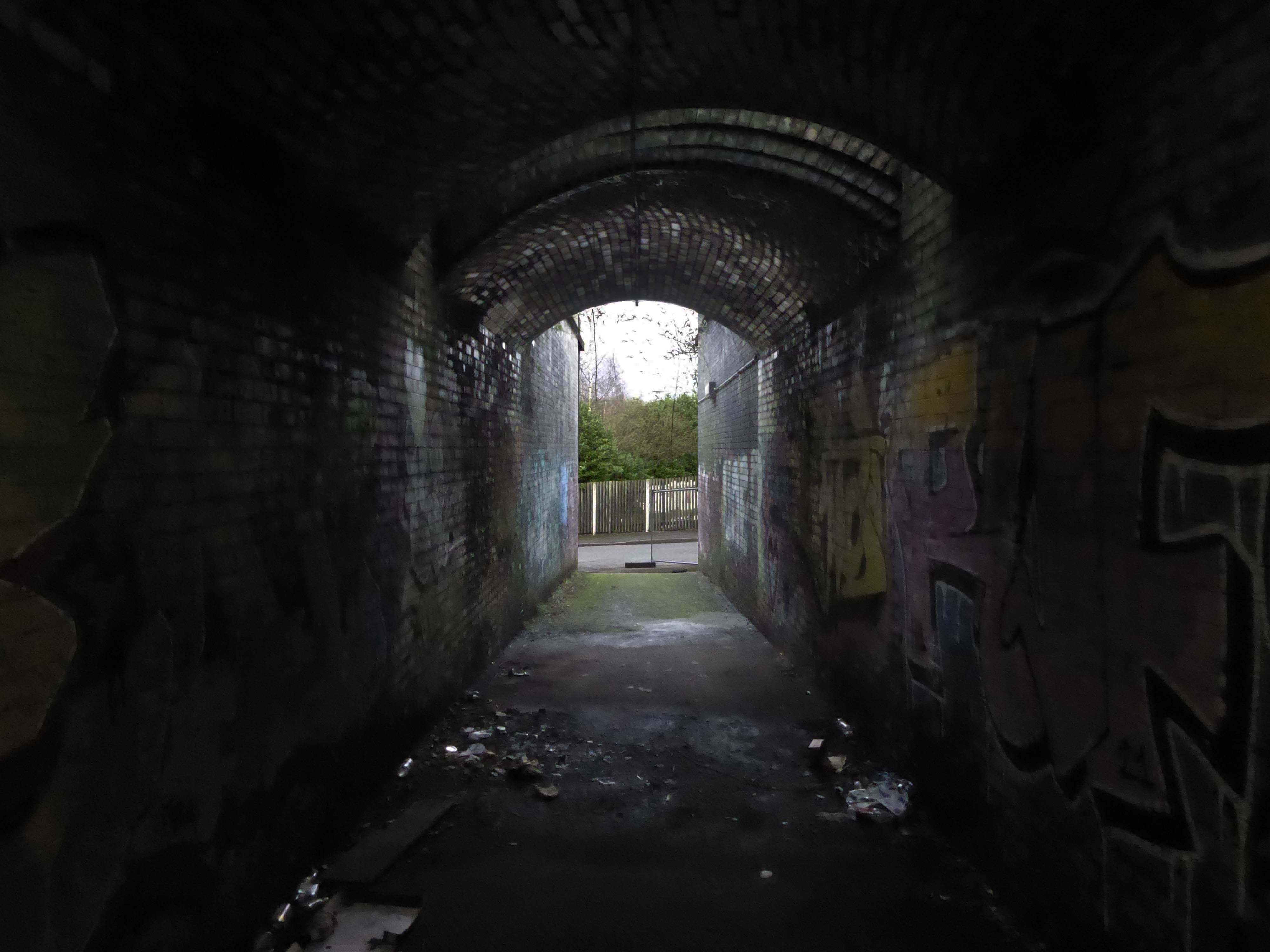
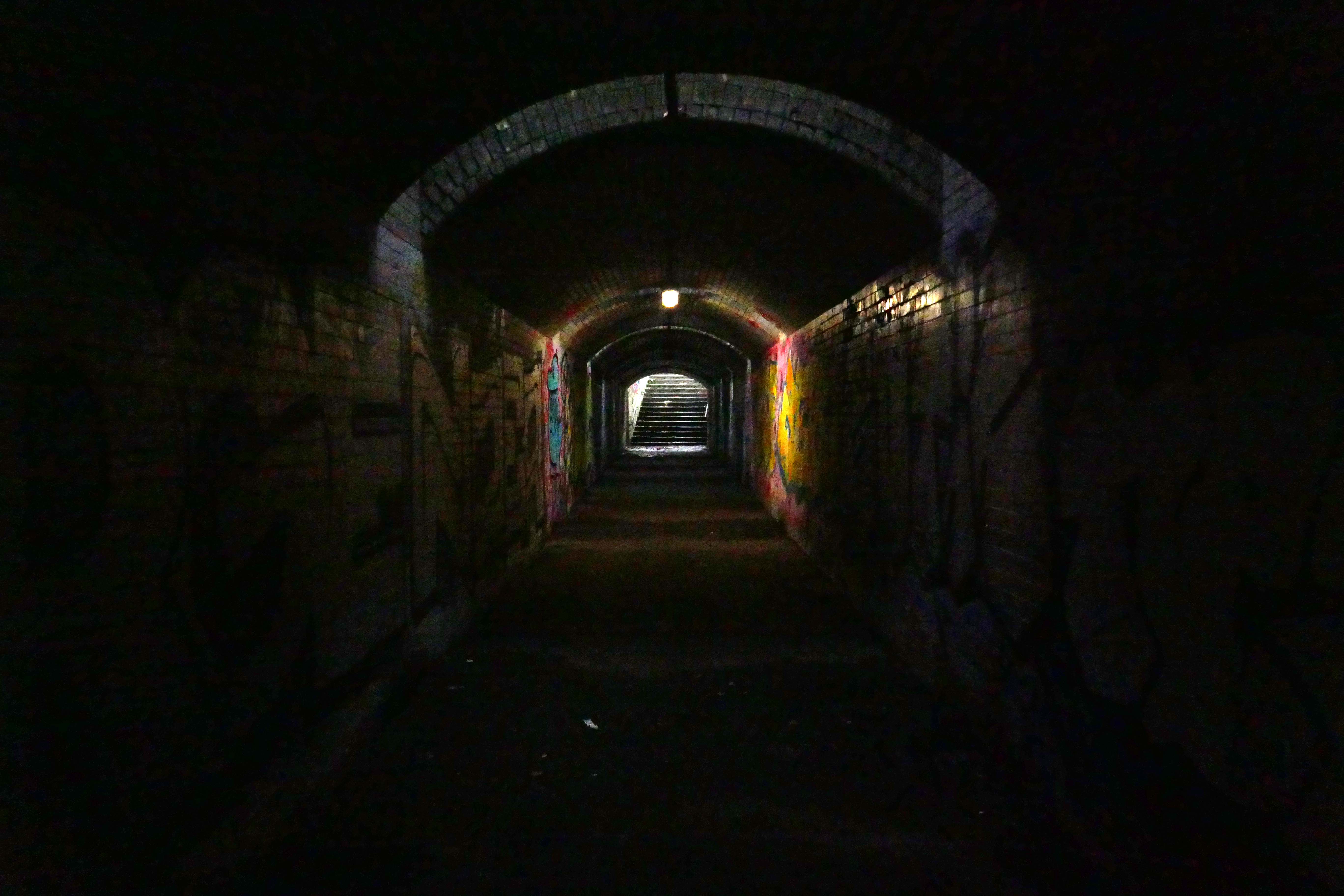
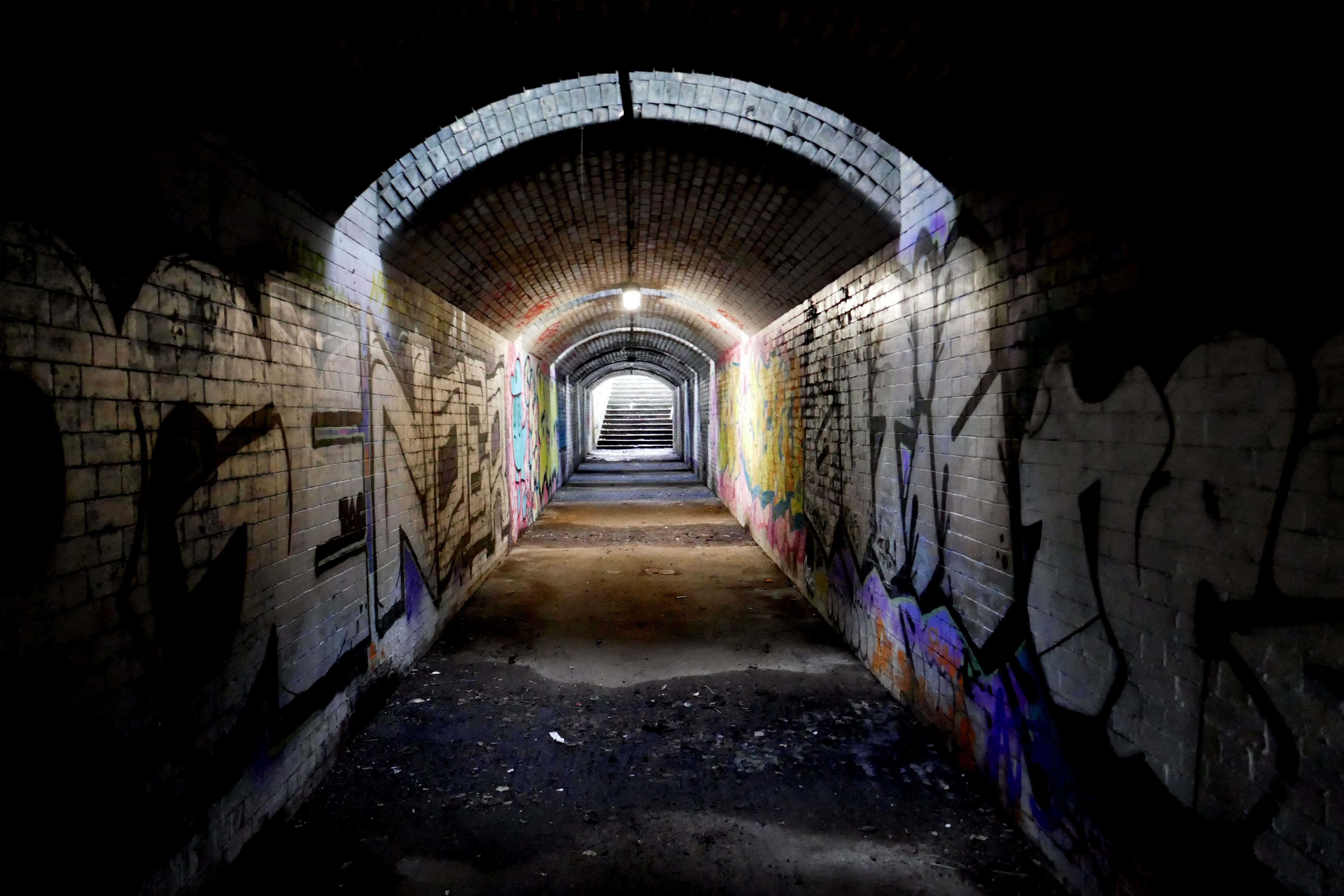
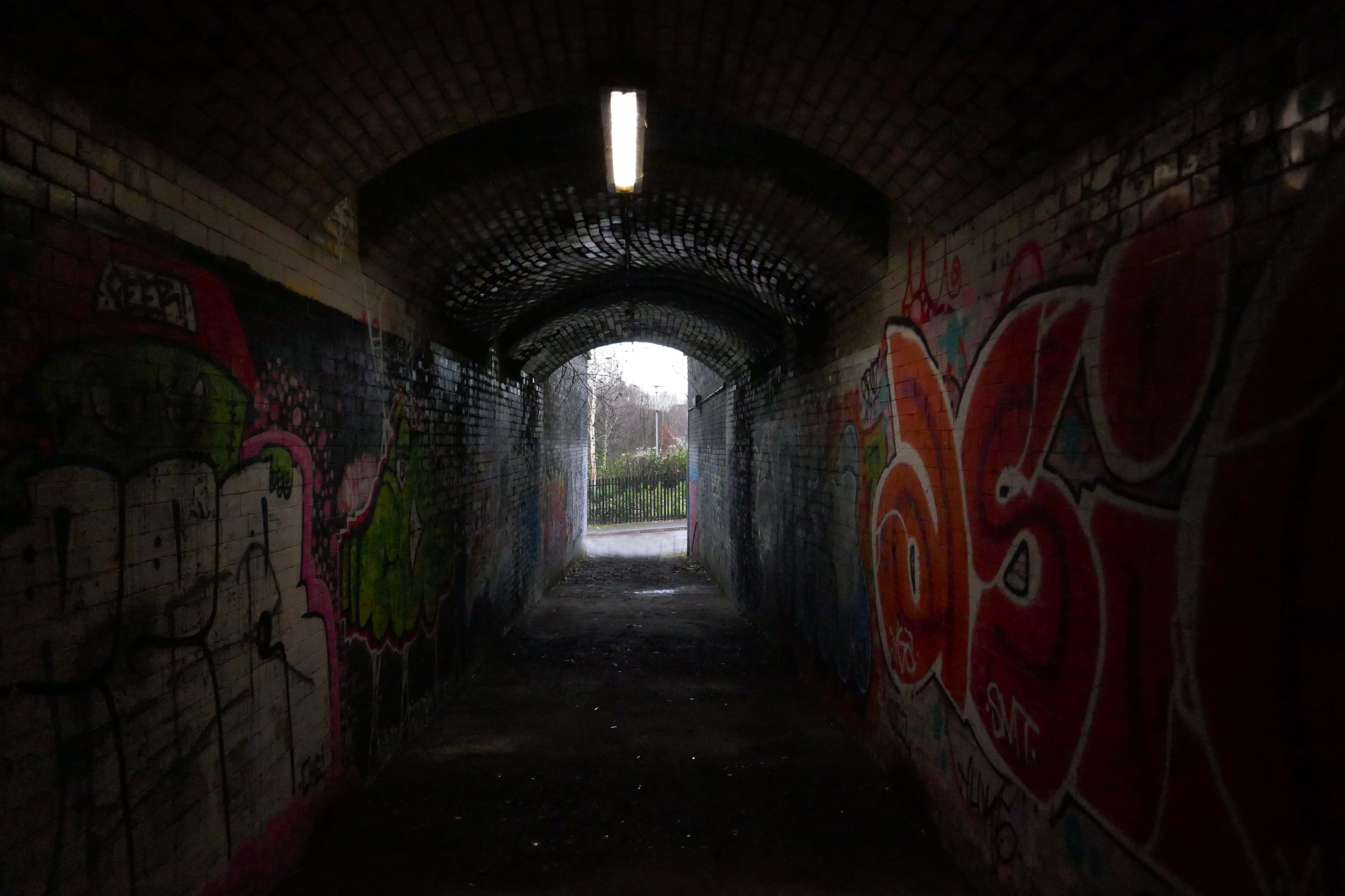
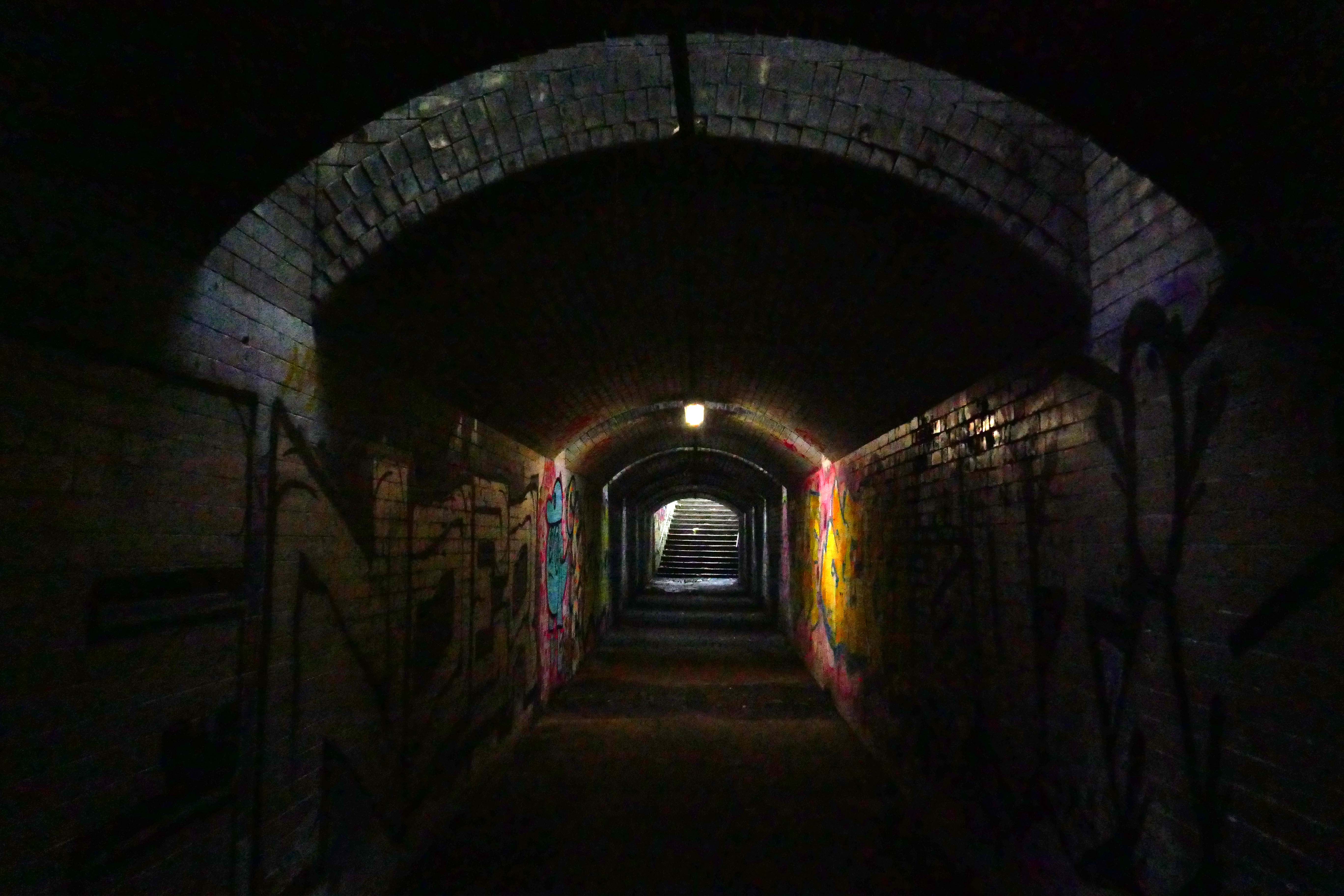
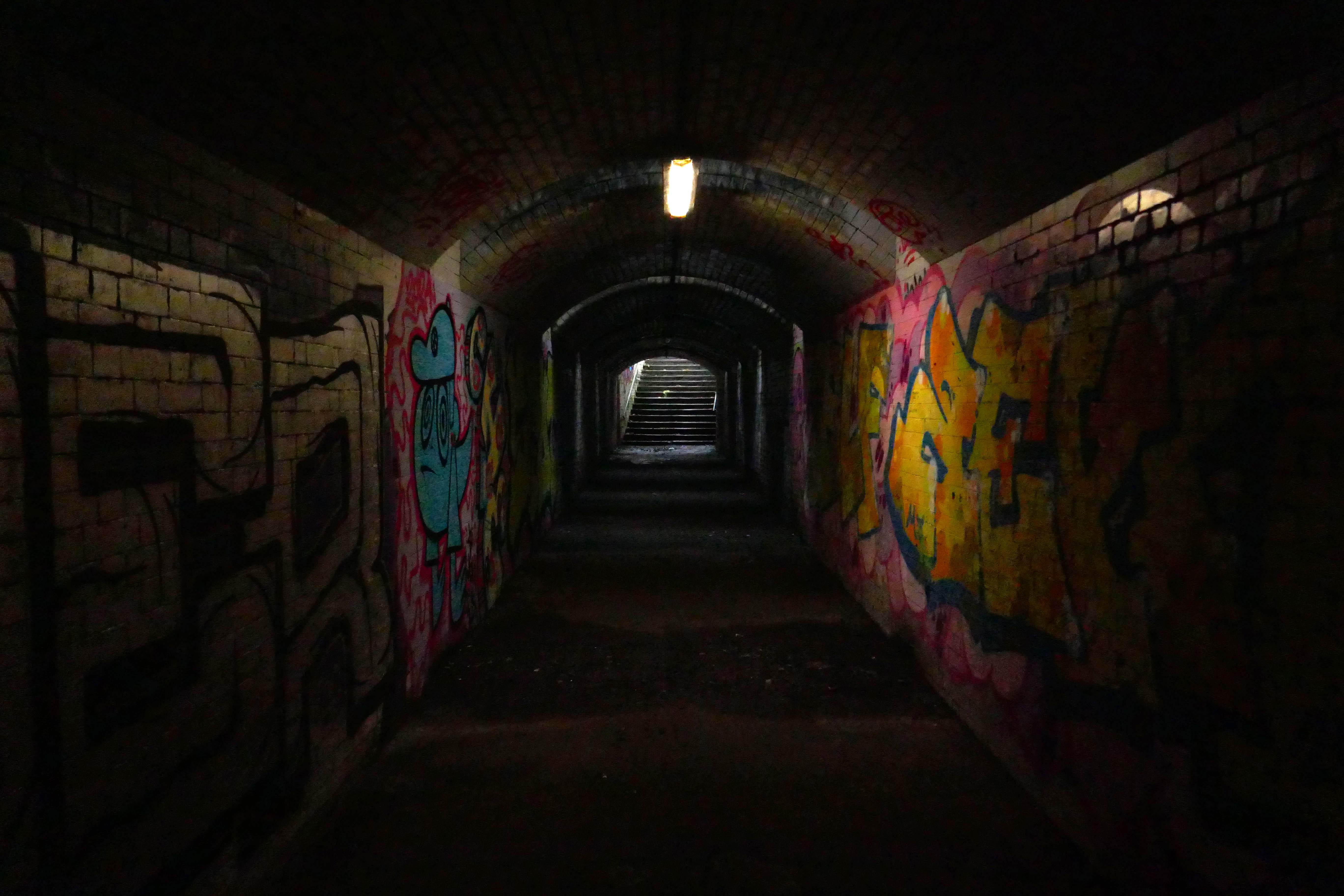
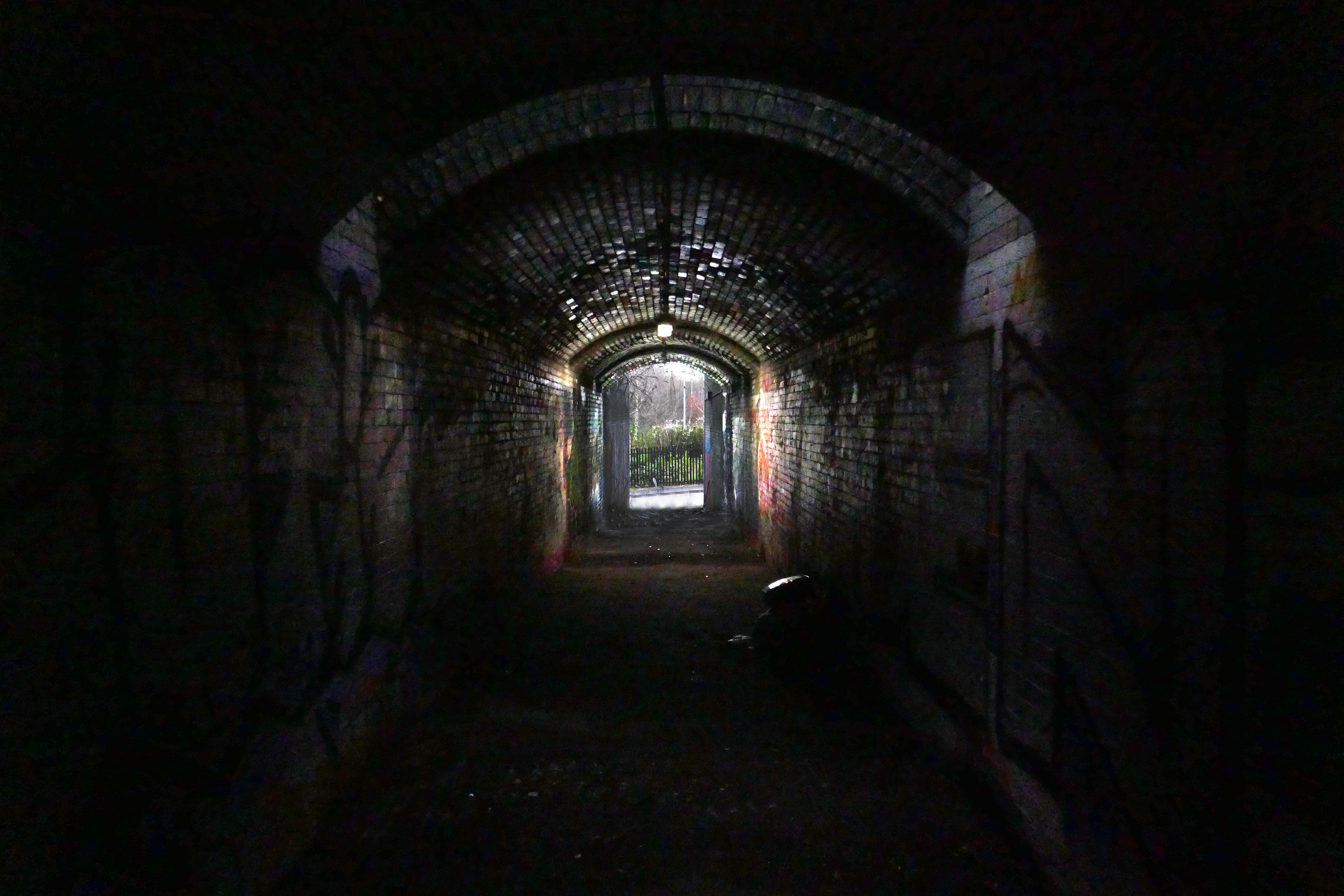
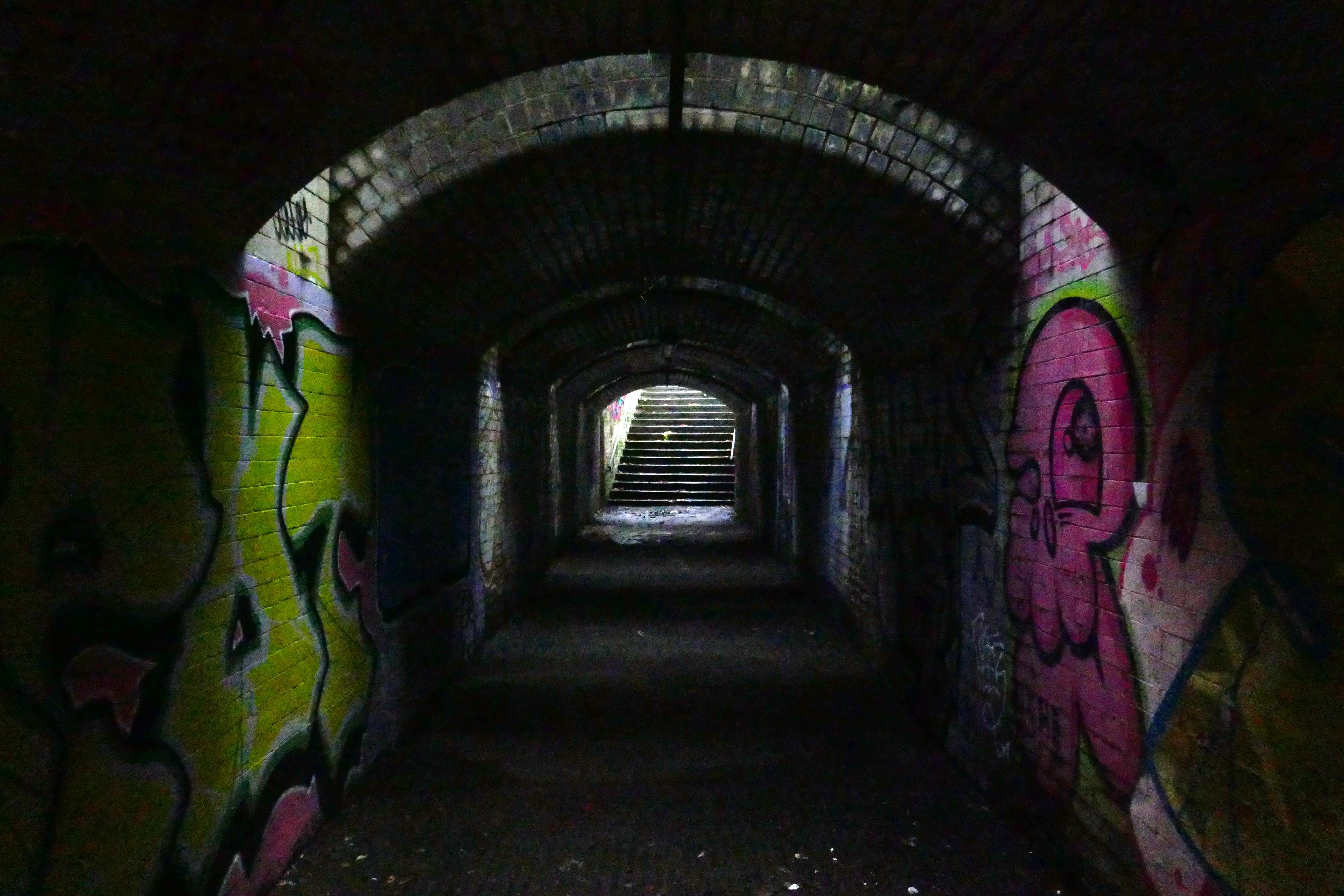
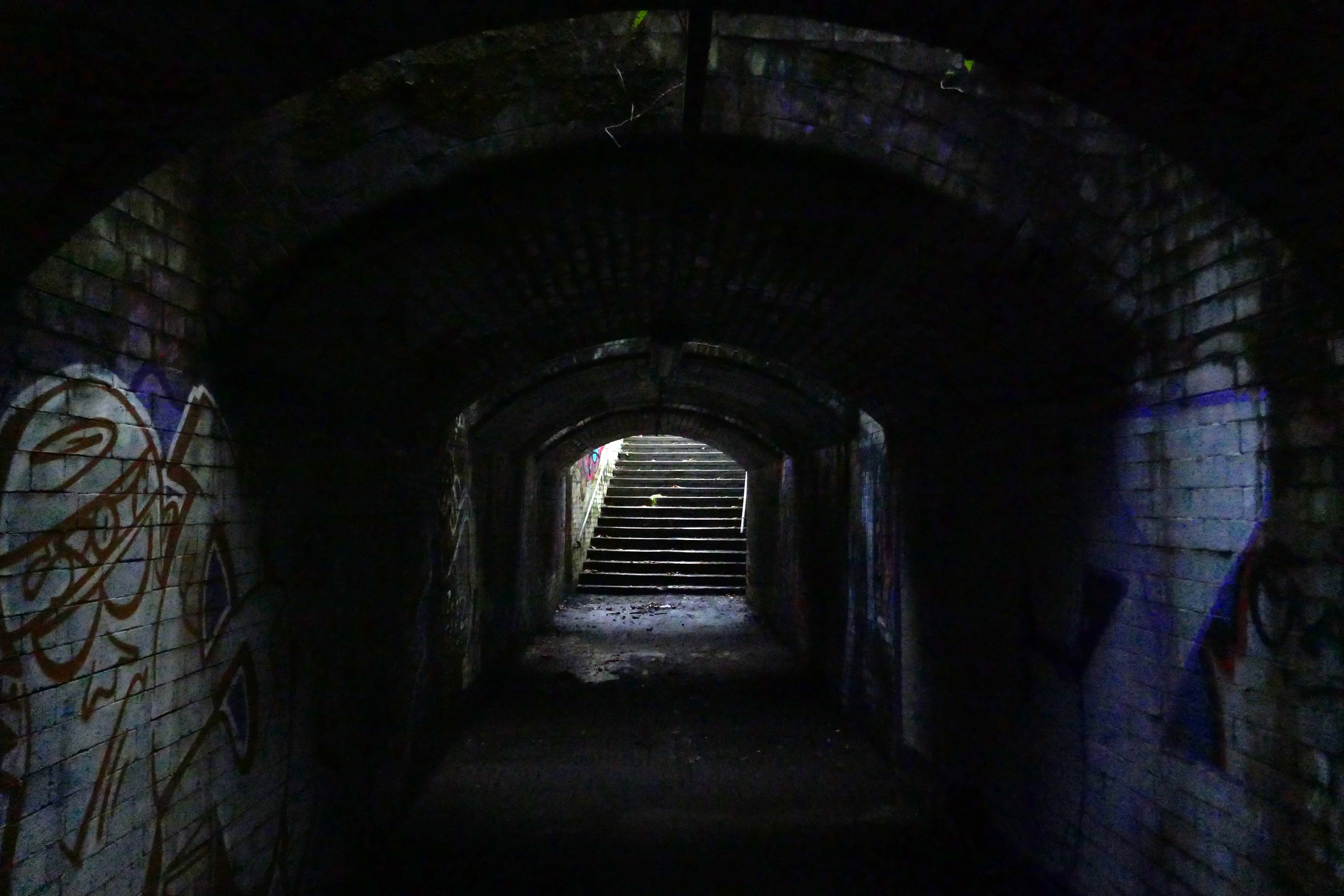
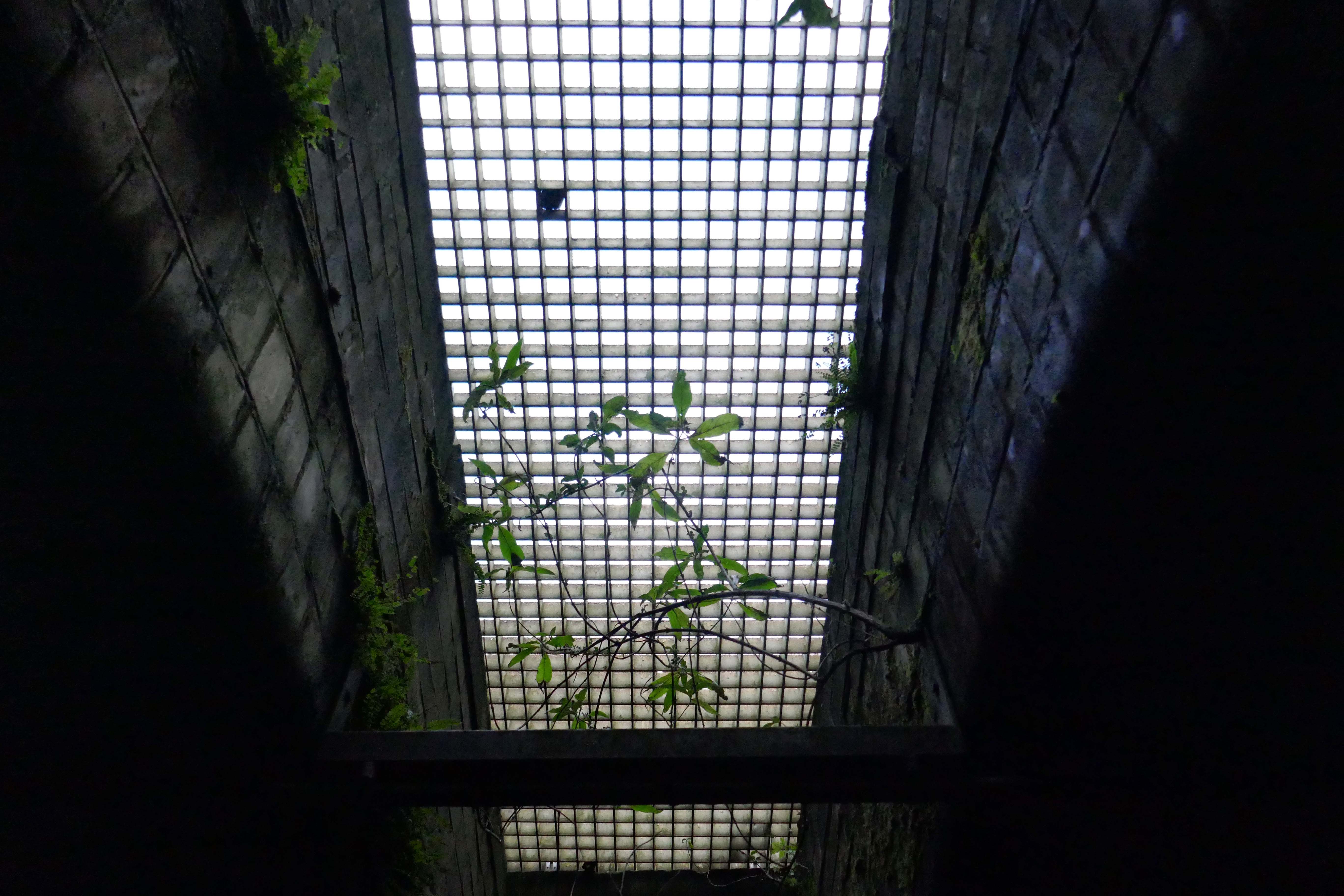
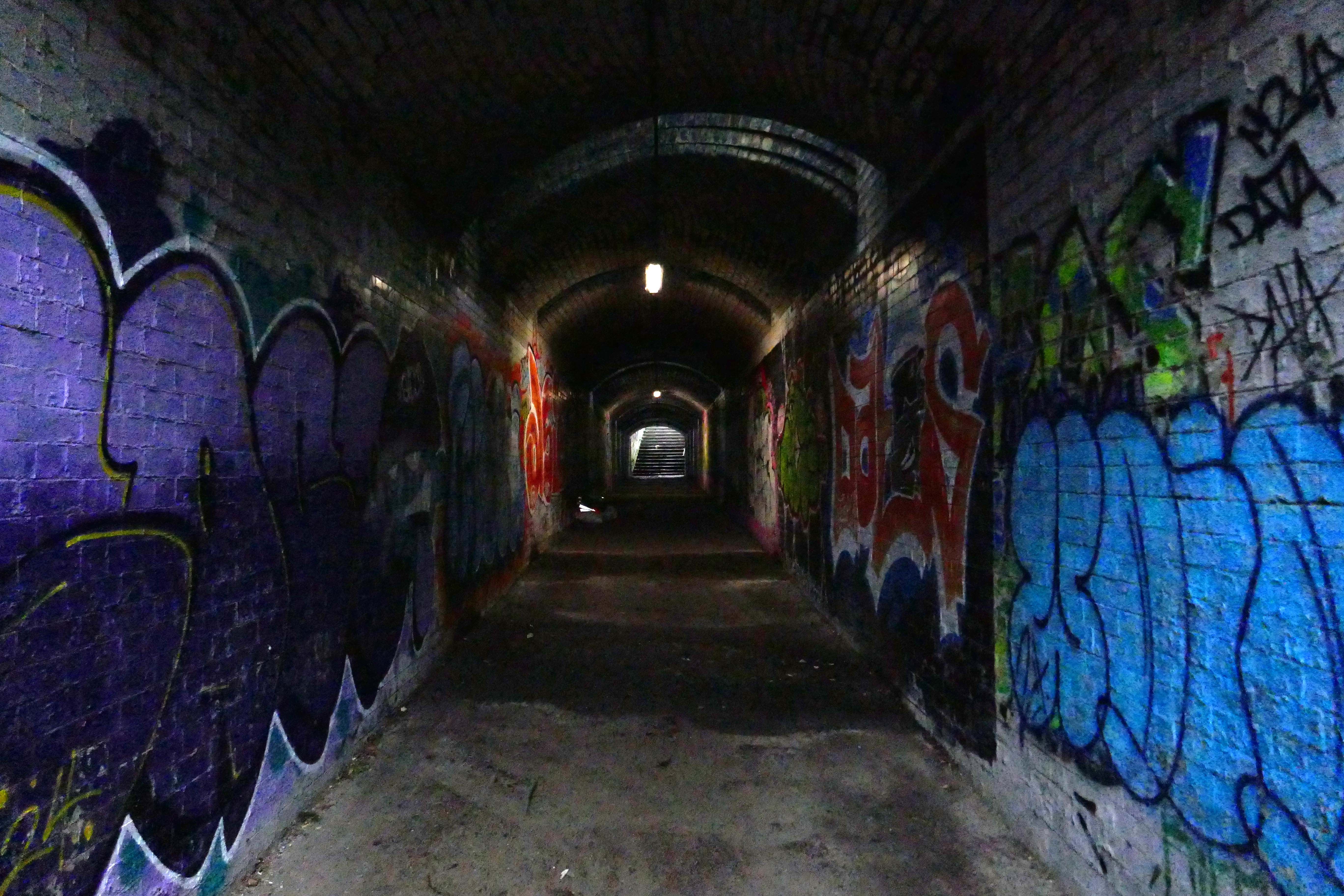
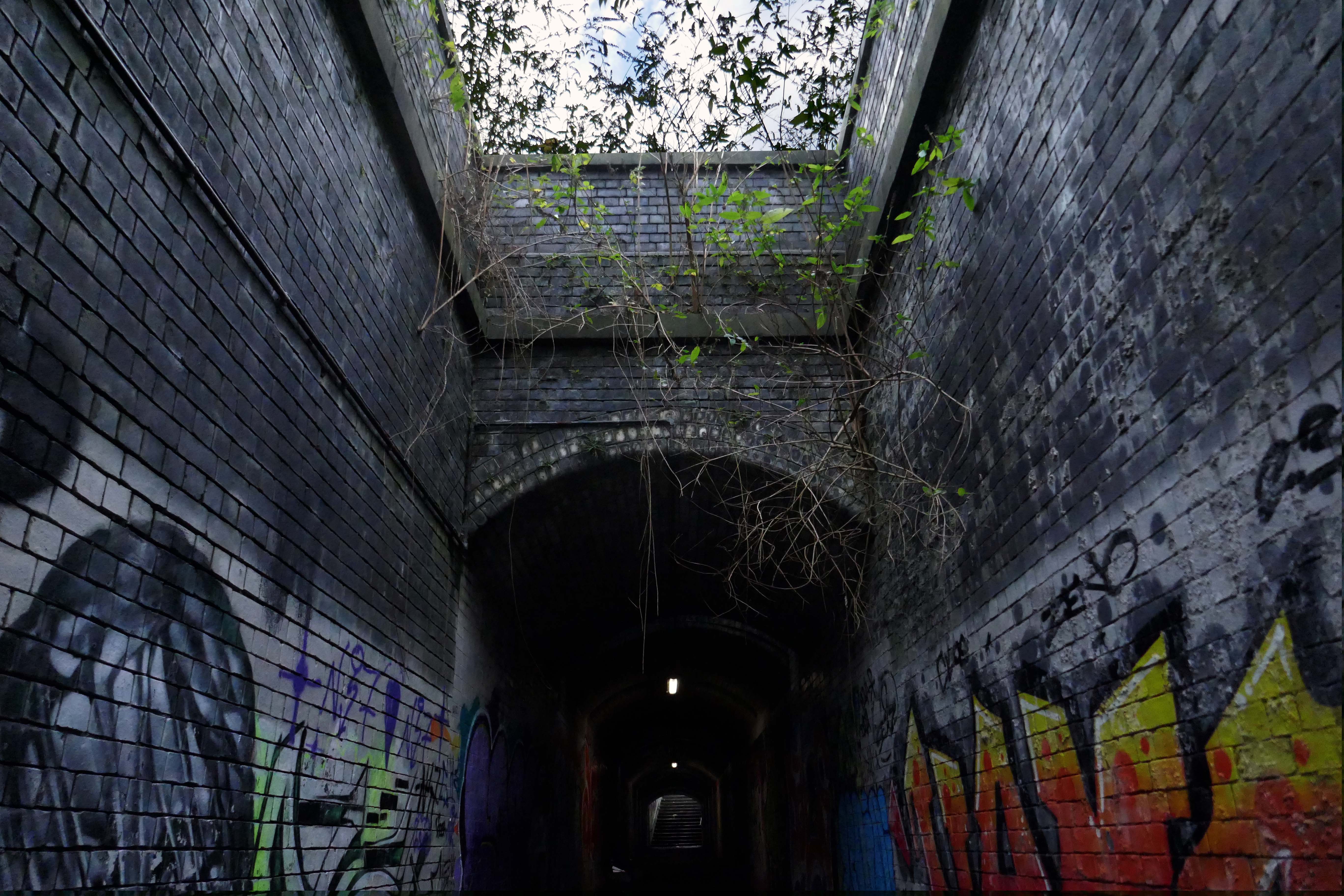
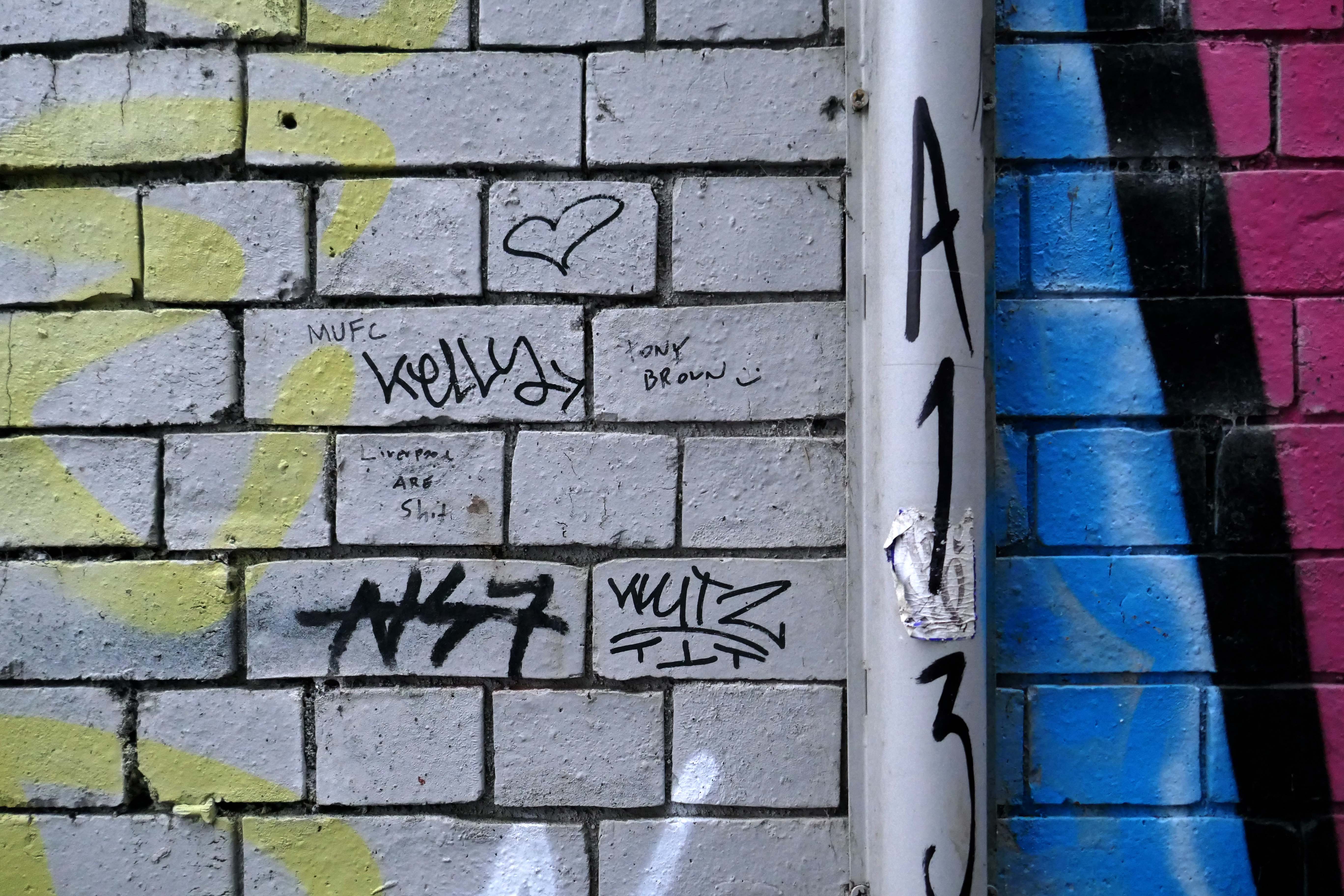
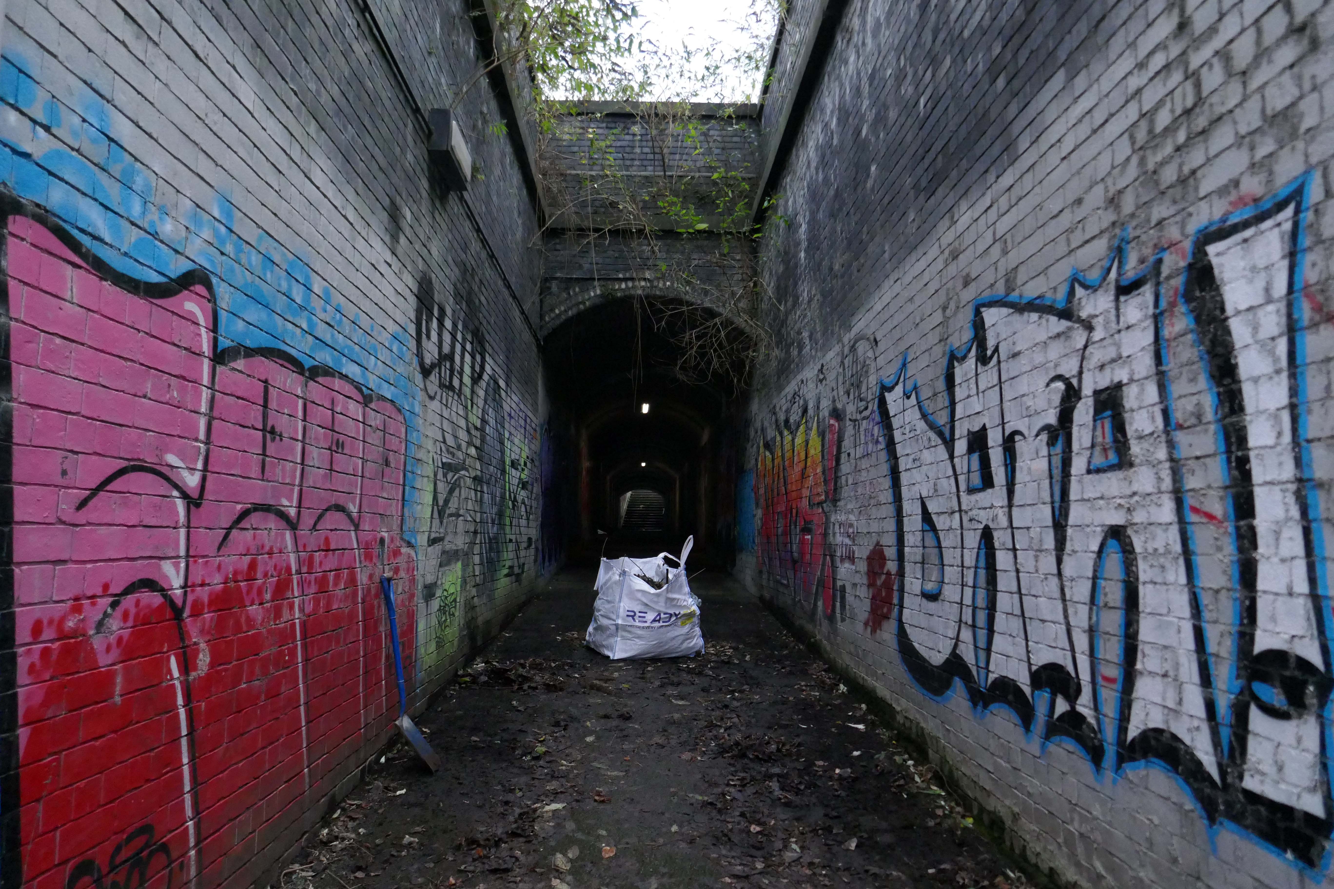
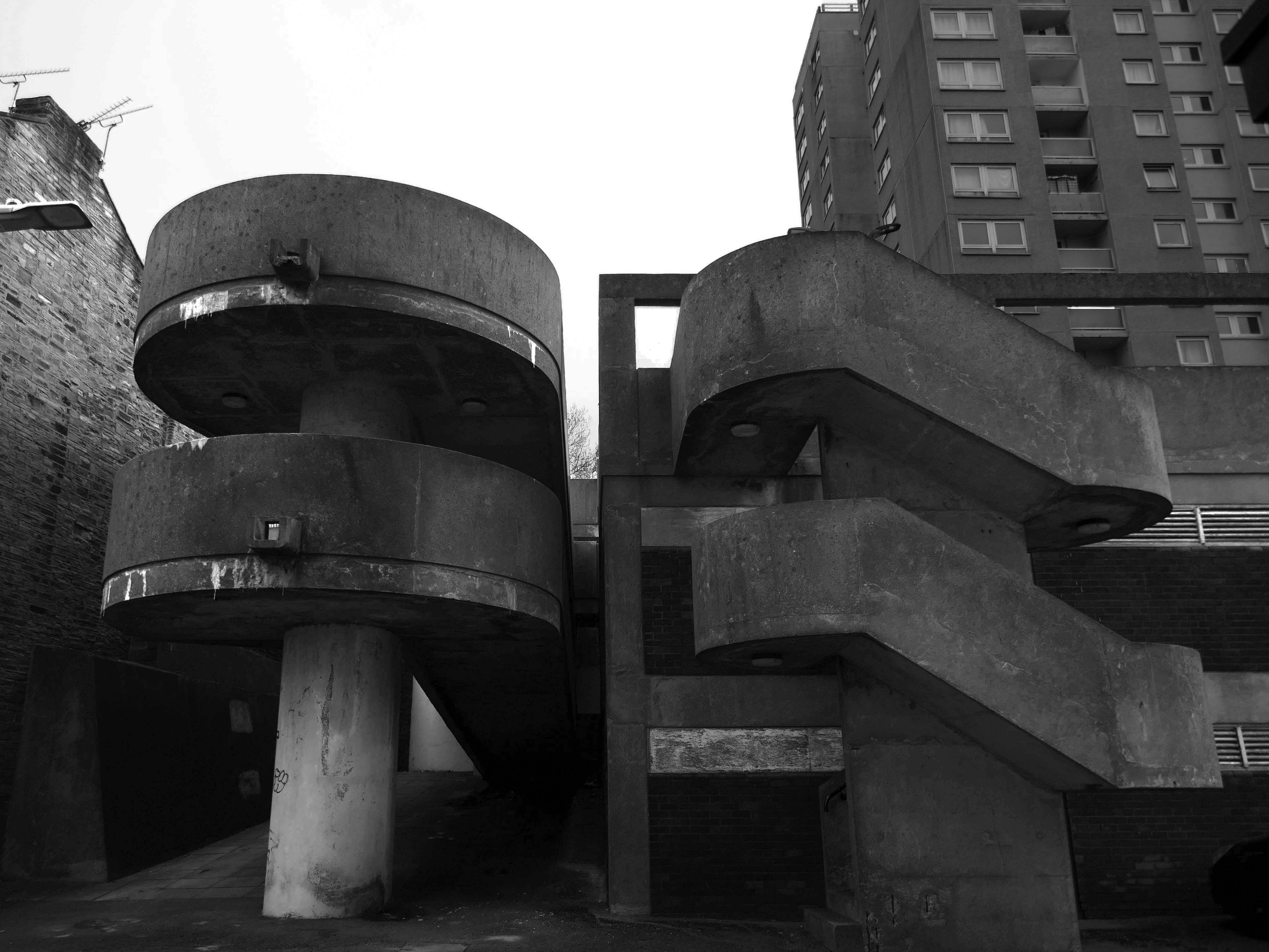
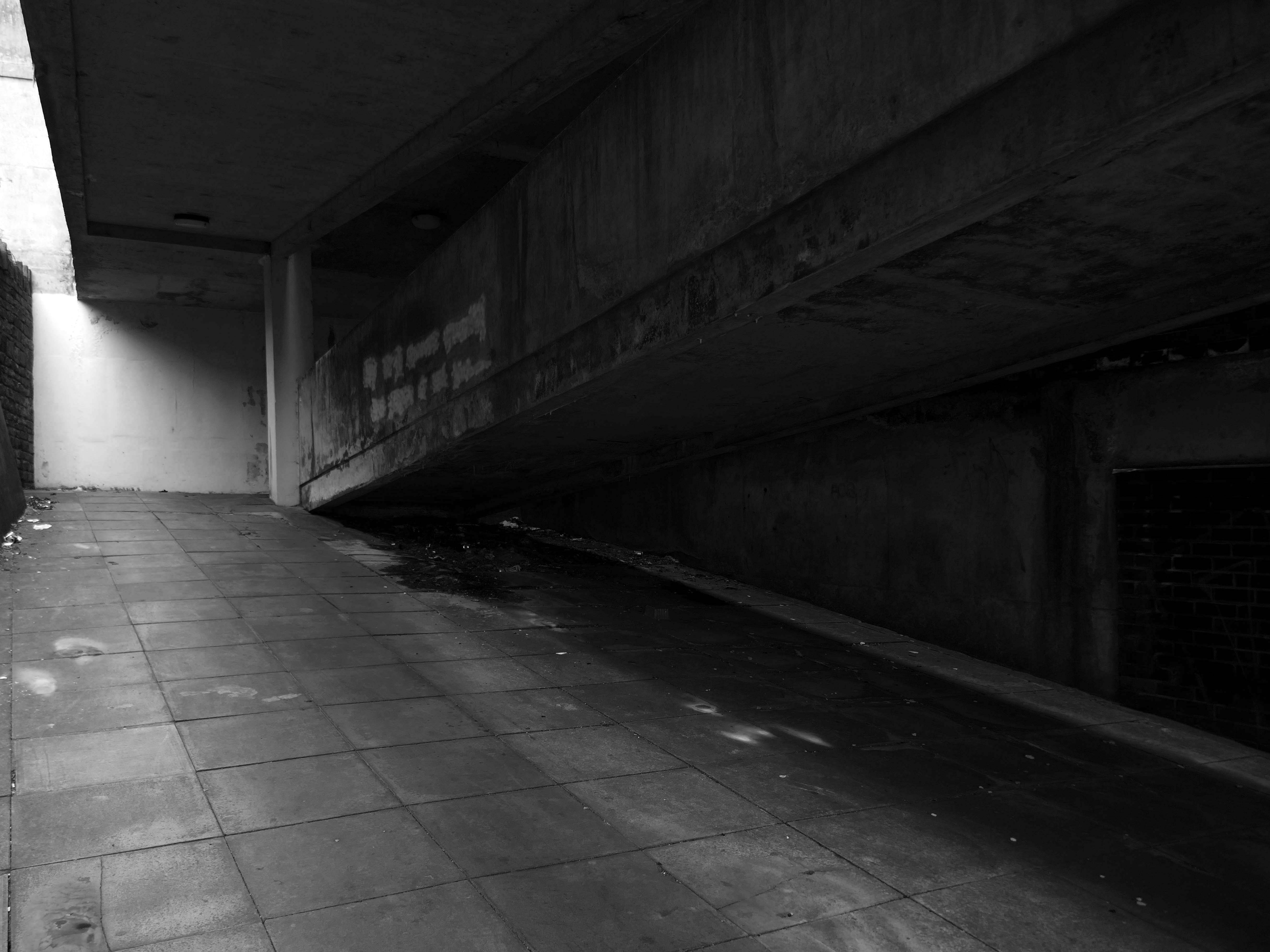
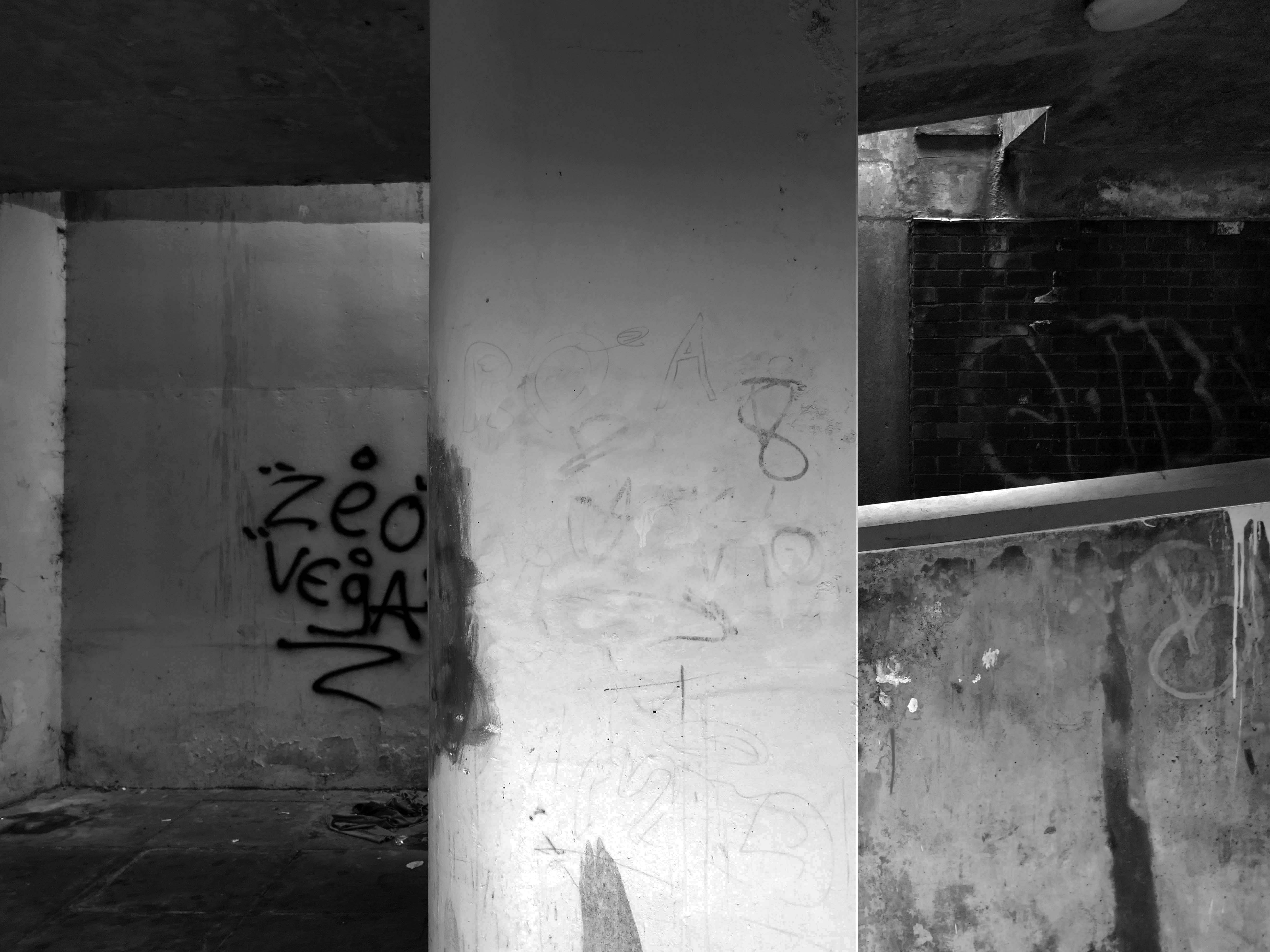
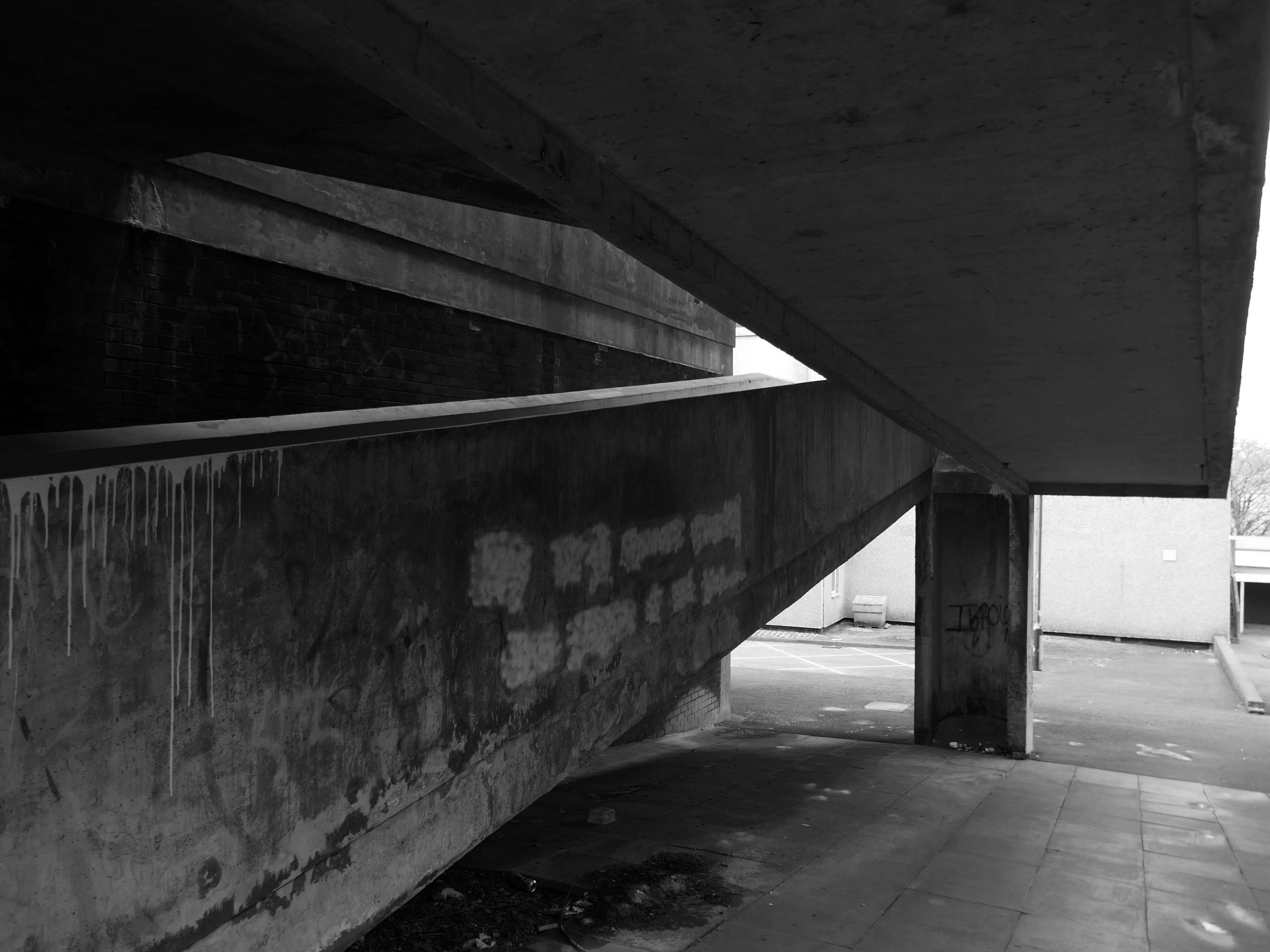
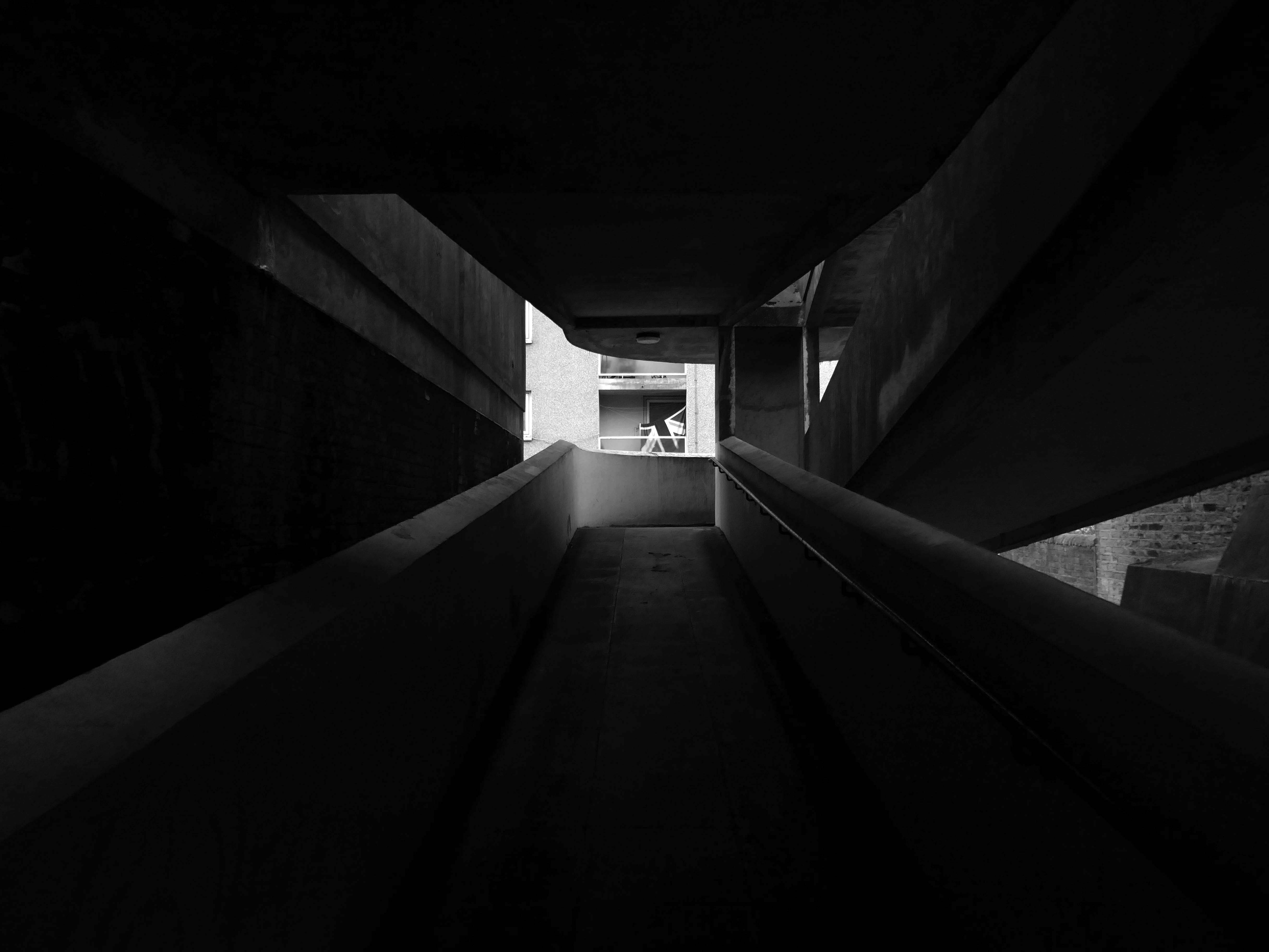
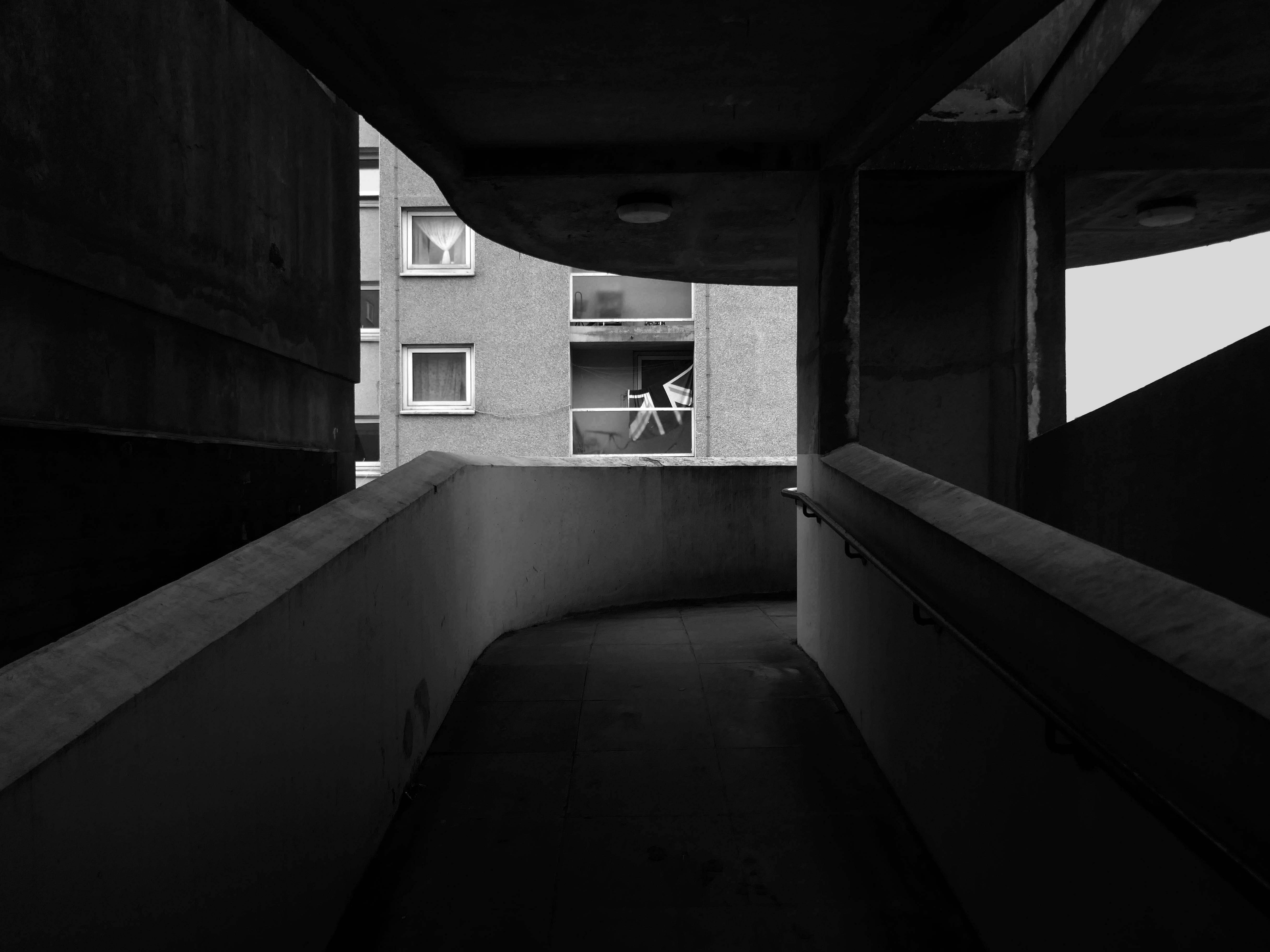
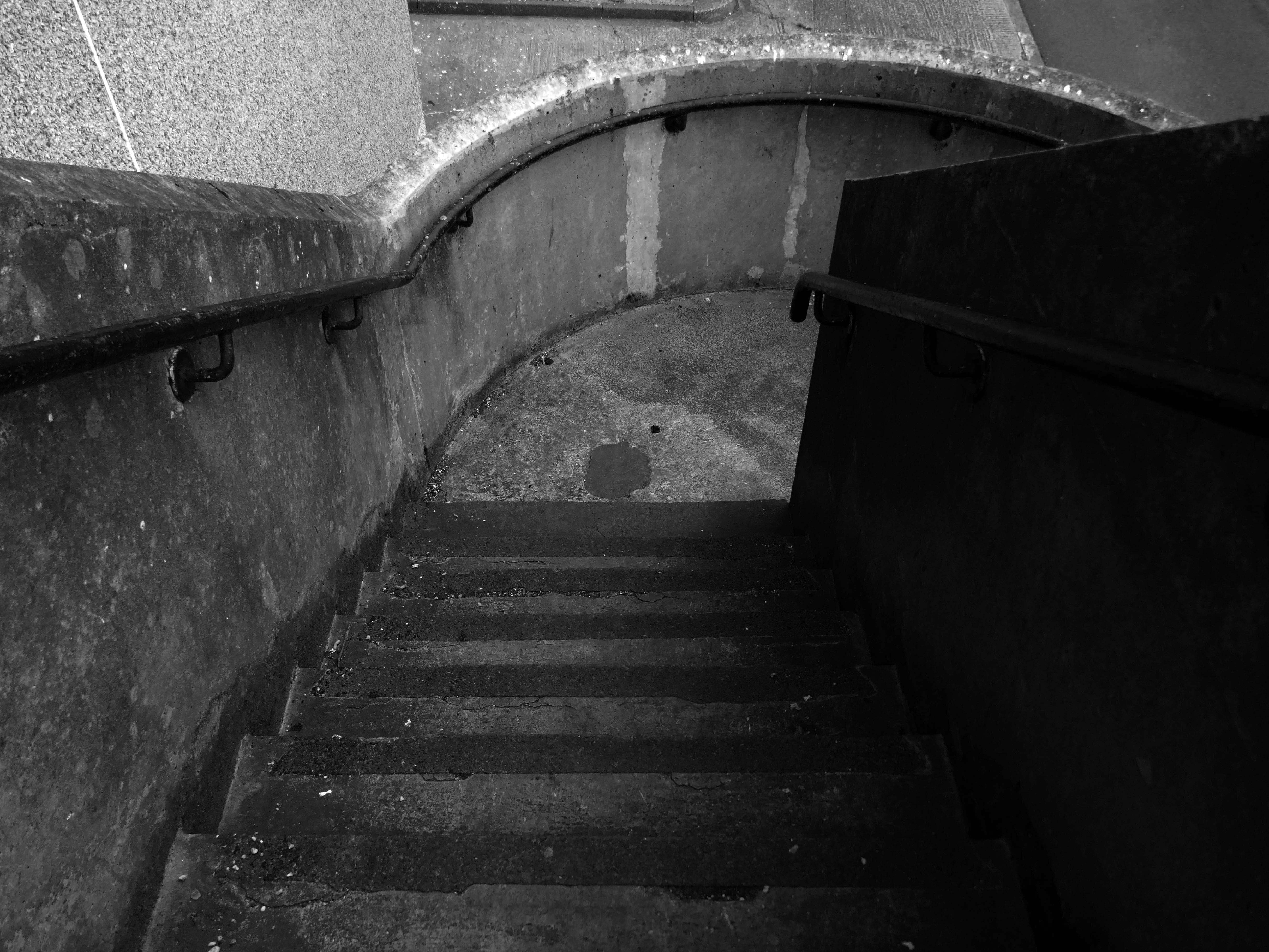
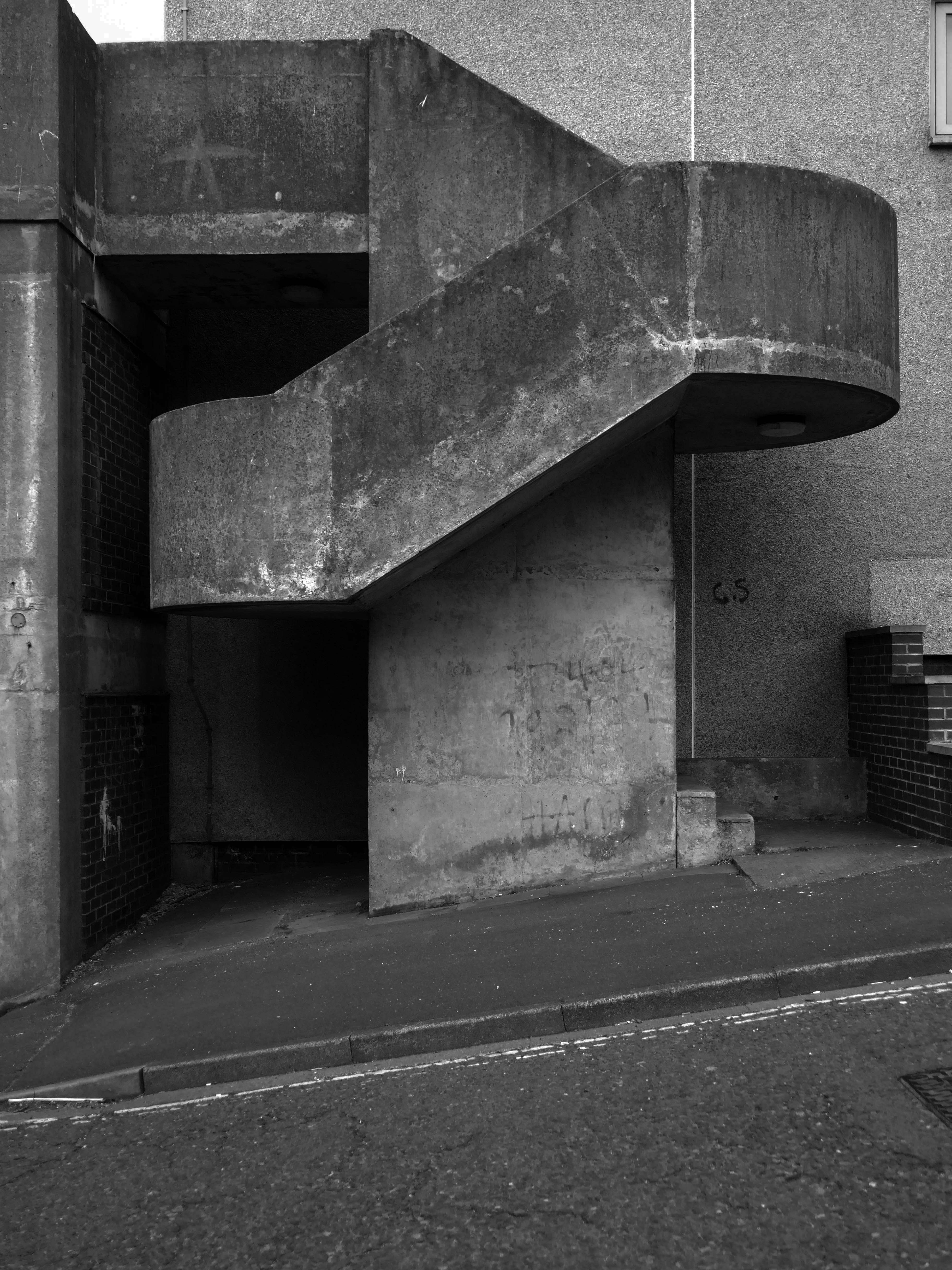
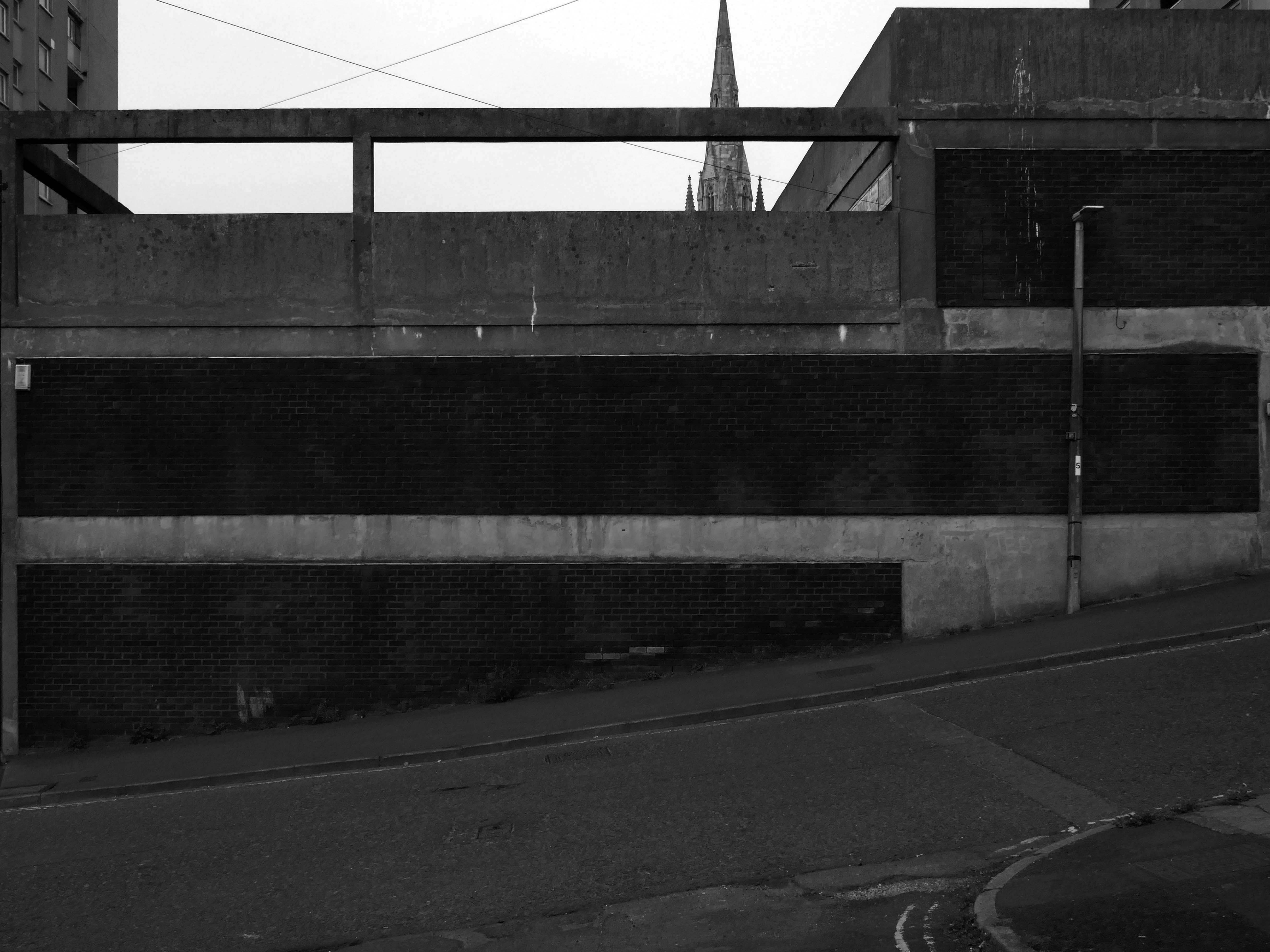
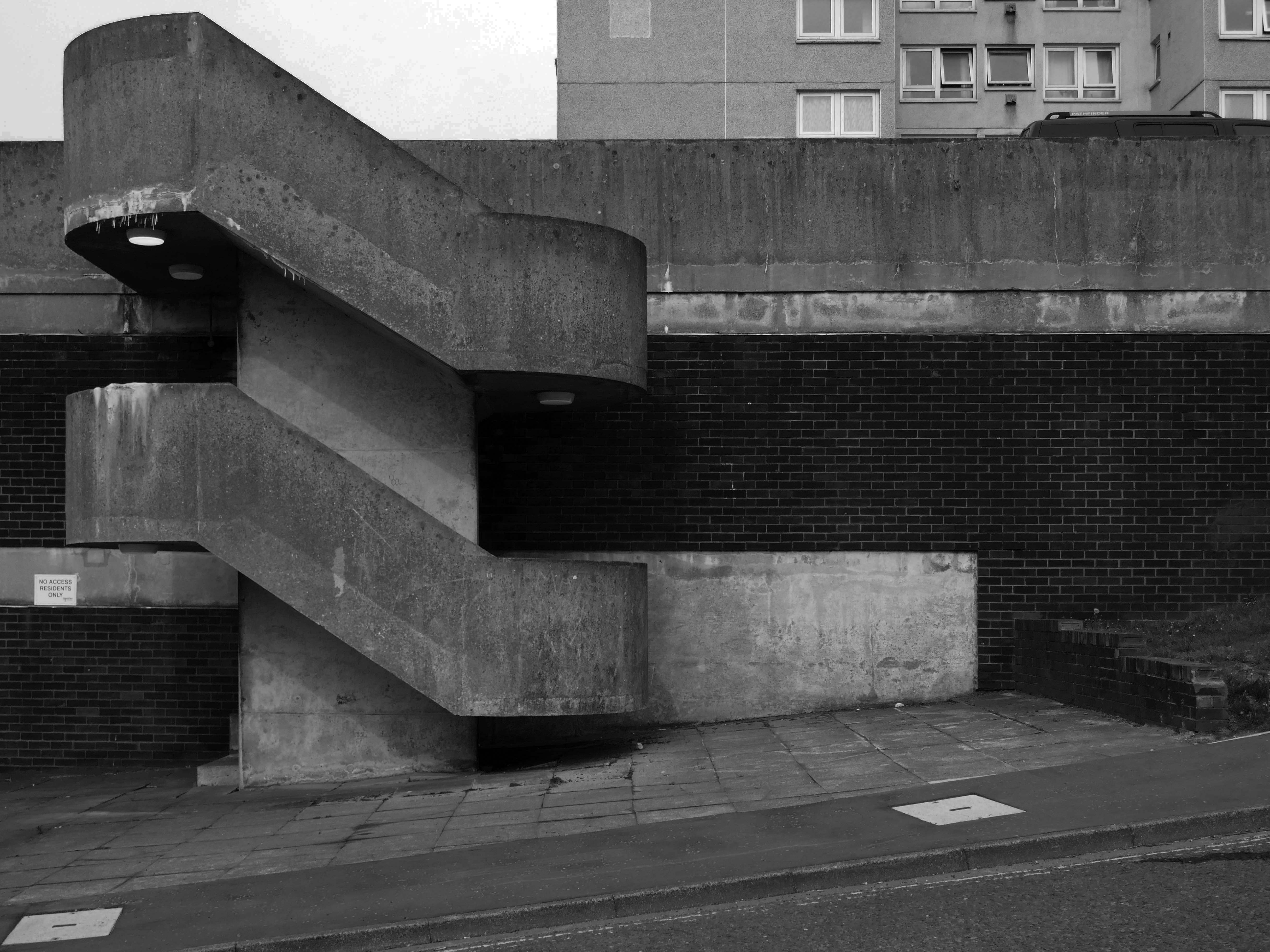
Passing between Dalton Street and Bromley Street is a pedestrian underpass, subway or tunnel.
Beneath both the Bury and Rochdale tram lines.
Once upon a time in 1807, it wasn’t there at all.
Then in 1848, it was there, as the L&Y had established a rail route.
Studying historical maps, we can see the development of dense patches of housing, matching the city’s industrial growth, this is followed by a thinning of housing up to the present day – matching the city’s industrial decline.
There is yet another twist in the tale, as the development of Collyhurst Village and Victoria North, are adding another layer of housing history.
I have walked this area for several years now, recording the relentless but gradual change.
Including the pedestrian underpass, subway or tunnel.
On my most recent visit there were works cleaning the pedestrian underpass, subway or tunnel.
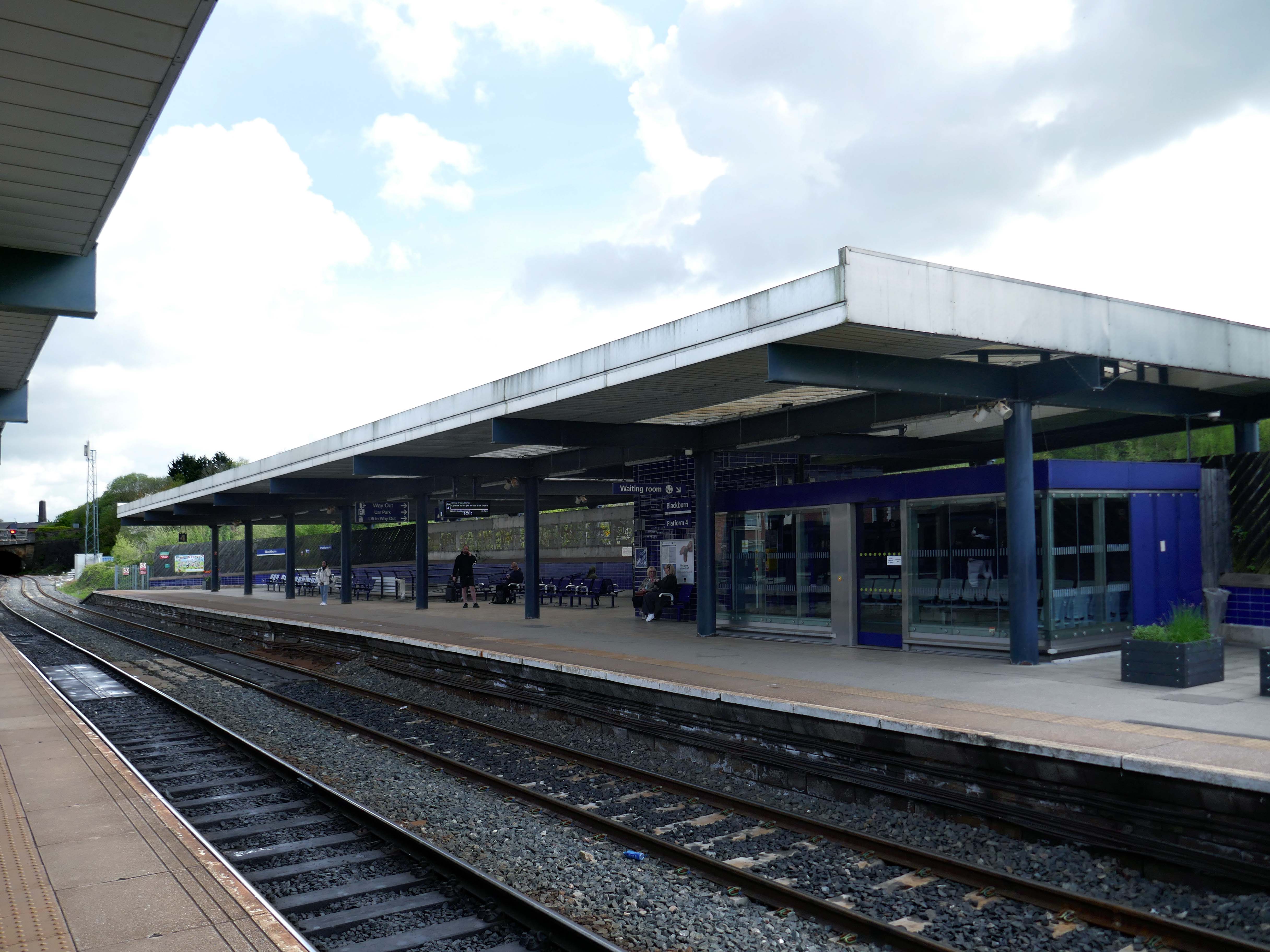
The station was covered by twin train sheds, an architecturally detailed canopy that covered all platforms. In 2000, due to its decaying state, it was removed, changing the nature of the station in a £35 million regeneration project. A new building was built on the main island platform. The Grade II listed original entrance built in the 1880s,including the station buffet and former booking hall, was retained and refurbished.
Facing the station the 2015 development of hotel and office space.
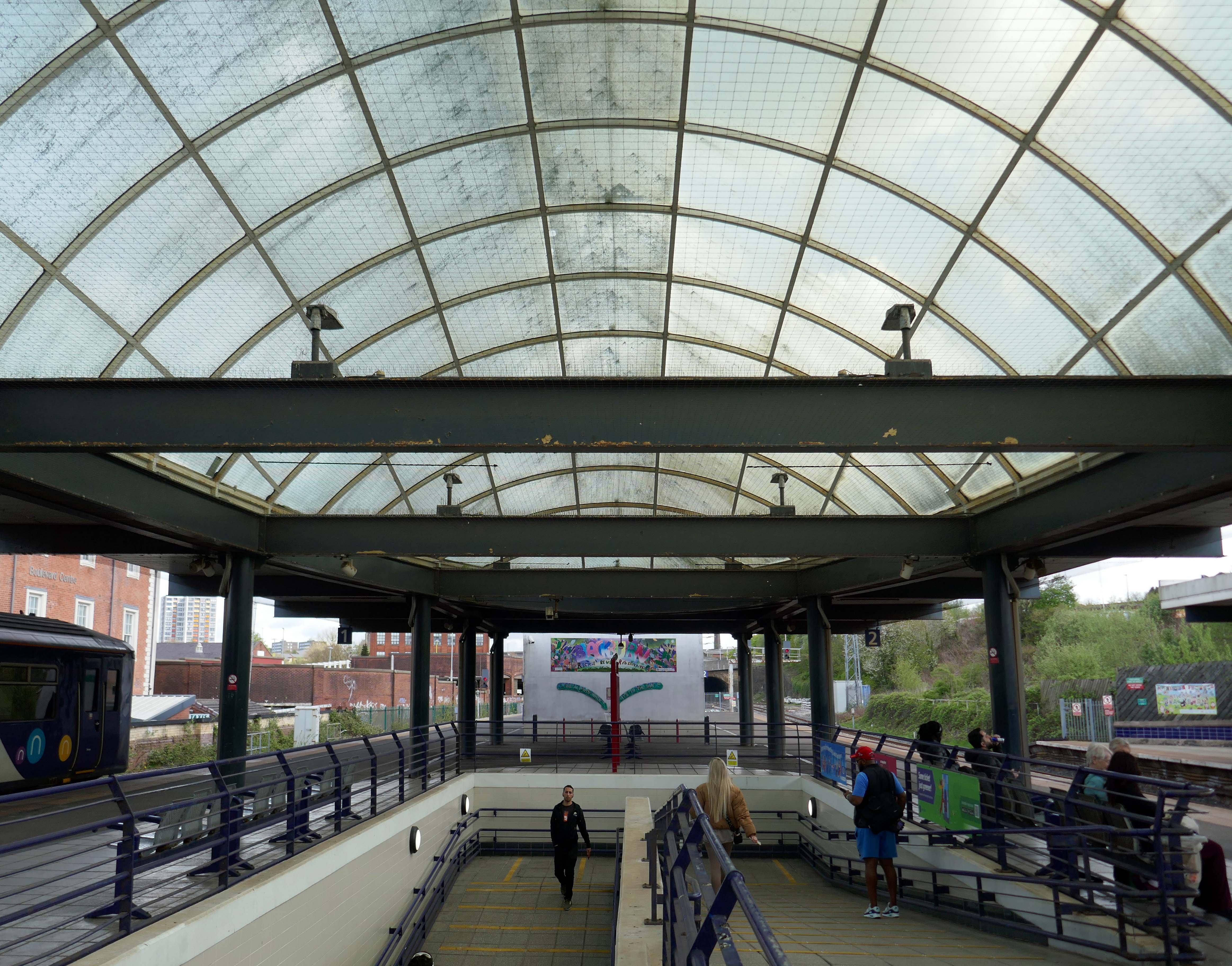
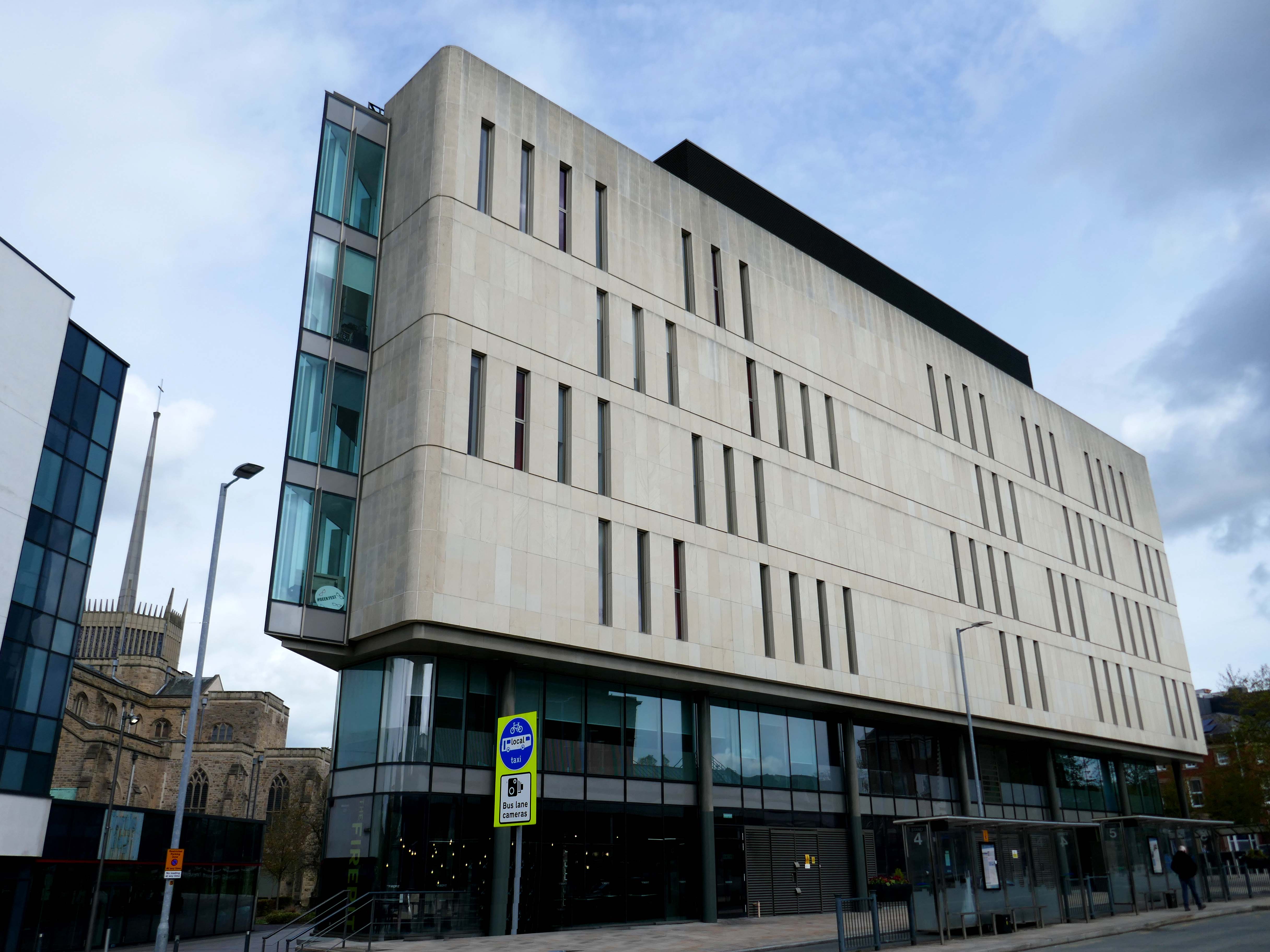
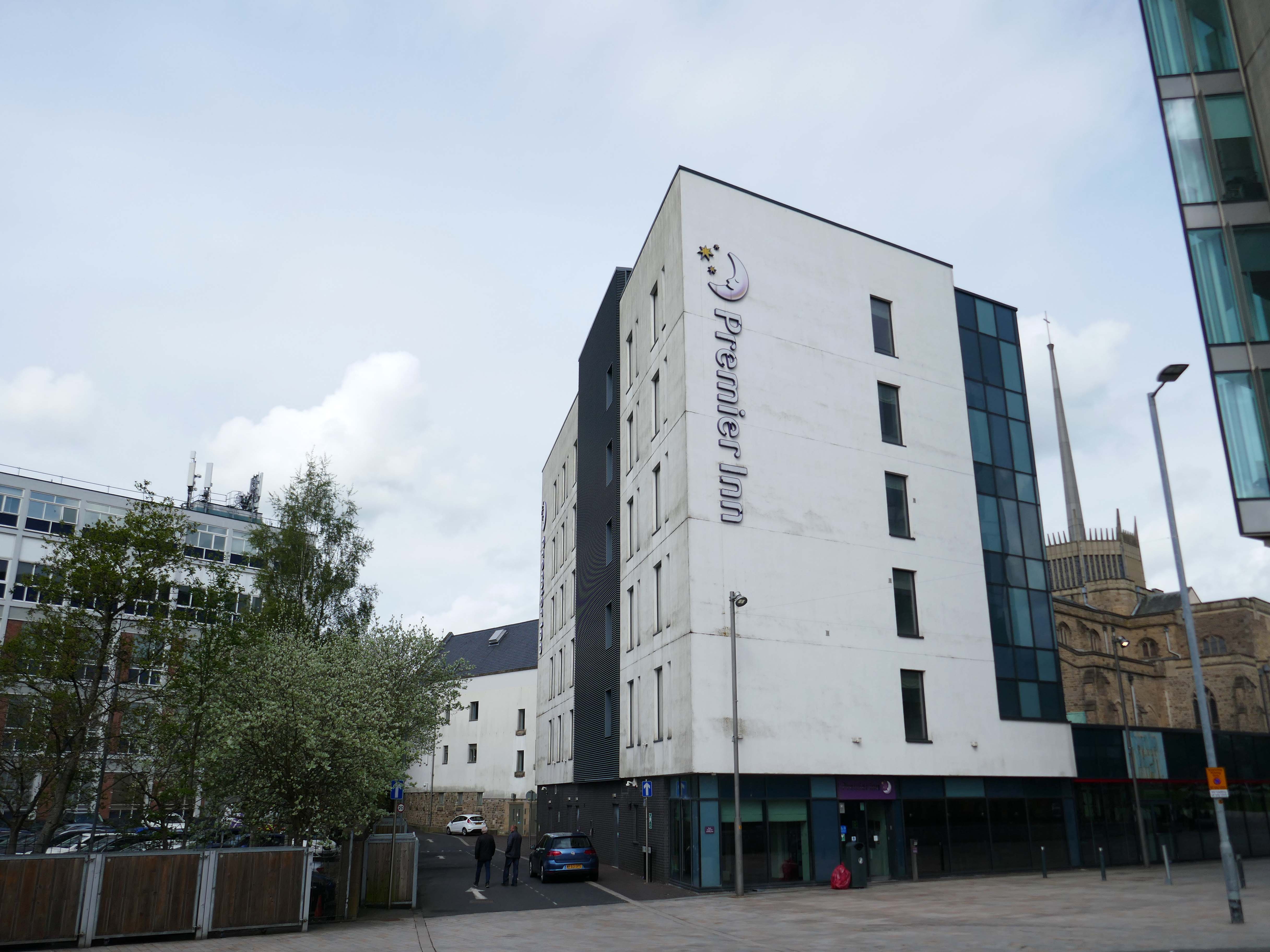
Arriving by train into Blackburn Rail Station, visitors get the full impact of this carefully planned but ambitious regeneration project. Maple Grove’s aspiration was to offer something befitting of a city centre in one of the region’s largest towns. Cathedral Square comprises a six storey BREEAM Excellent office building, designed by BDP, a Premier Inn Hotel, restaurants and cafes positioned around a new public square that acts as a link between the rail station, cathedral and beyond to the shopping centre.
Left onto Jubilee Street where we find the Telephone Exchange.
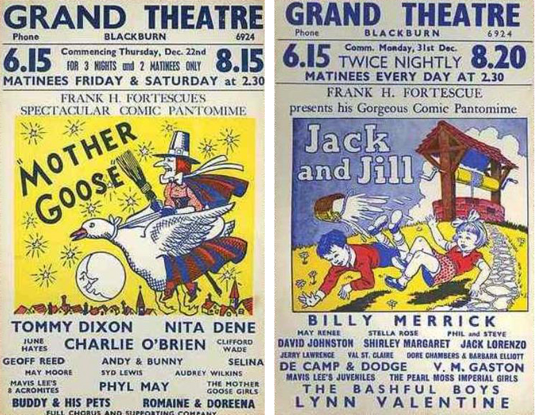
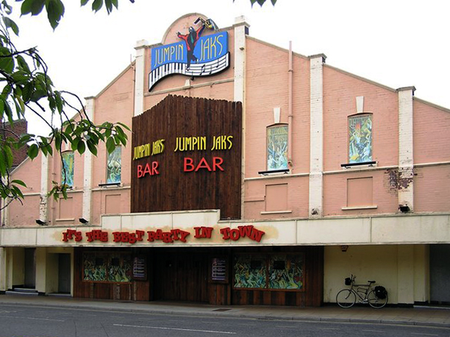
The site was formerly occupied by the Grand Theatre – in the 1950’s, Blackburn had no fewer than fourteen cinemas. The Grand carried on being a live venue until its closure in 1956, before finally being demolished in 1958.
Further down the road the rear of another former cinema – The Olympia
The Olympia was opened on 19th May 1909 as a roller skating rink. It was a short lived venture and closed in November 1911. It was converted into the Olympia Theatre, presenting music hall/variety, opening on 12th December 1911. Seating was provided for 2,000, many on long wooden benches. The proscenium was 32 feet wide and the stage 50 feet deep. It was soon screening films as part of the programme.
It was converted into a full time cinema in 1921, although there were still some variety acts on the programme. All the original wooden benches used for seating in the theatre were removed and replaced by regular tip-up seats, reducing the seating capacity to 1,360. During the 1940’s, the Olympia Cinema boasted a café for the convenience of its patrons and it was operated by Jacksons’ Amusements, Ltd.
The Olympia Cinema was mainly independently operated, and closed in 1957. It stood empty for two years, then in 1959, it was taken over by Mecca Ltd, and converted into the Locarno Ballroom, later becoming a Mecca Bingo Club. It later became the Golden Palms Nightclub, Jumpin’ Jax, and since 2009 it operated as a trendy nightclub named Liquid & Envy.
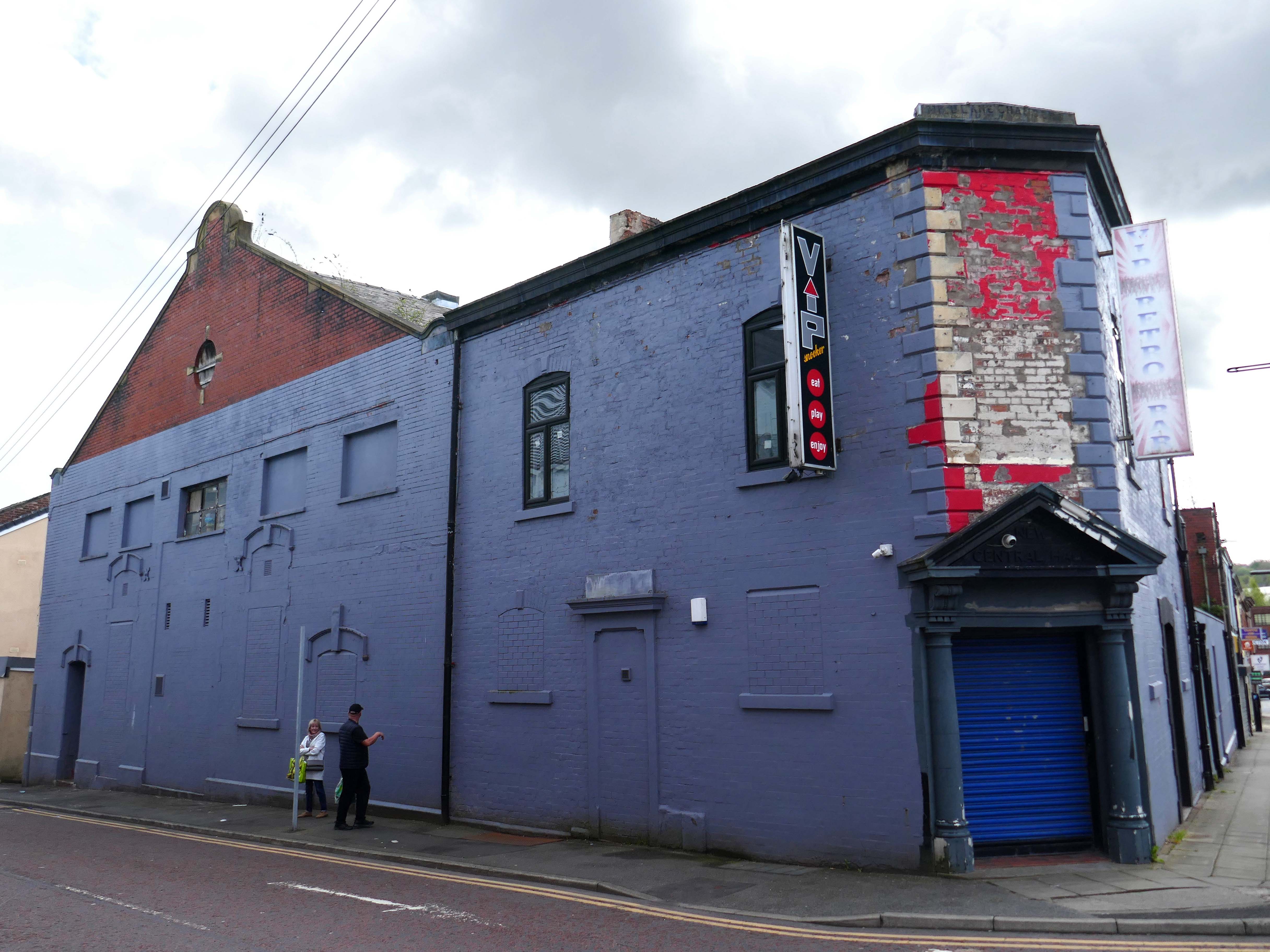
Previous to 1900 the site at the corner of Mincing Lane and Mill Lane had housed a temporary circus, known as Ohmy’s Circus. The New Central Hall was built and opened in April 1900, and was used as a roller skating rink until November 1909, when it was converted into the 1,000-seat Central Hall Cinema.
Altered and enlarged to 1,372 seats in 1923, it was re-named New Central Hall Cinema. The proscenium was 20 feet wide, later enlarged to 22 feet.
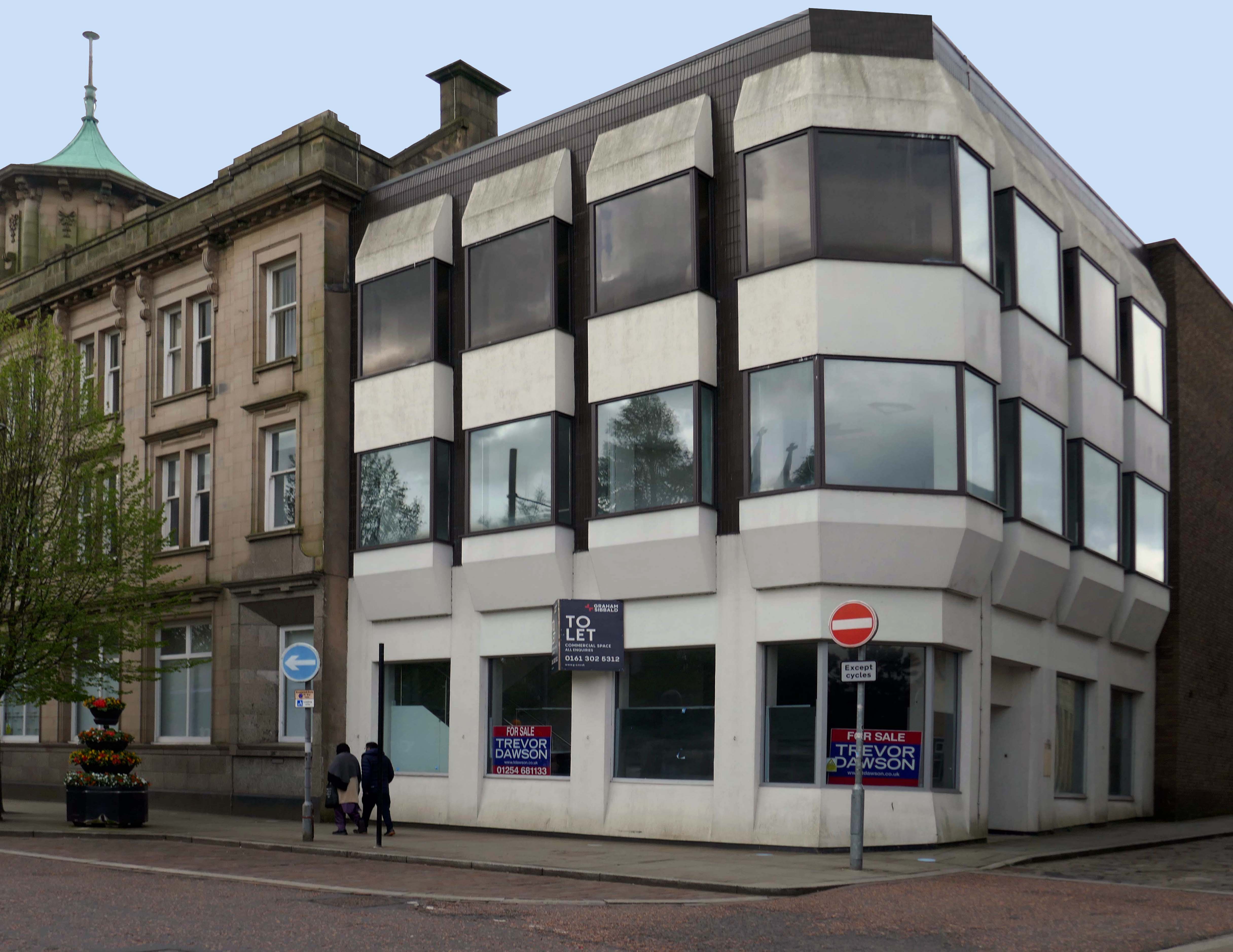
The Central Cinema was closed in January 1957. Then in 1974, it was renovated and was converted into a Walkers Bingo Club, which remained open until at least 1995. It recently operated as a Riley’s American Pool and Snooker Club until early 2009. In November 2009 after a refurbishment, it re-opened as the VIP Snooker Club.
Turn right into Darwen Street along to the former Barclays Bank.
Next door Lloyd’s Bank extension.
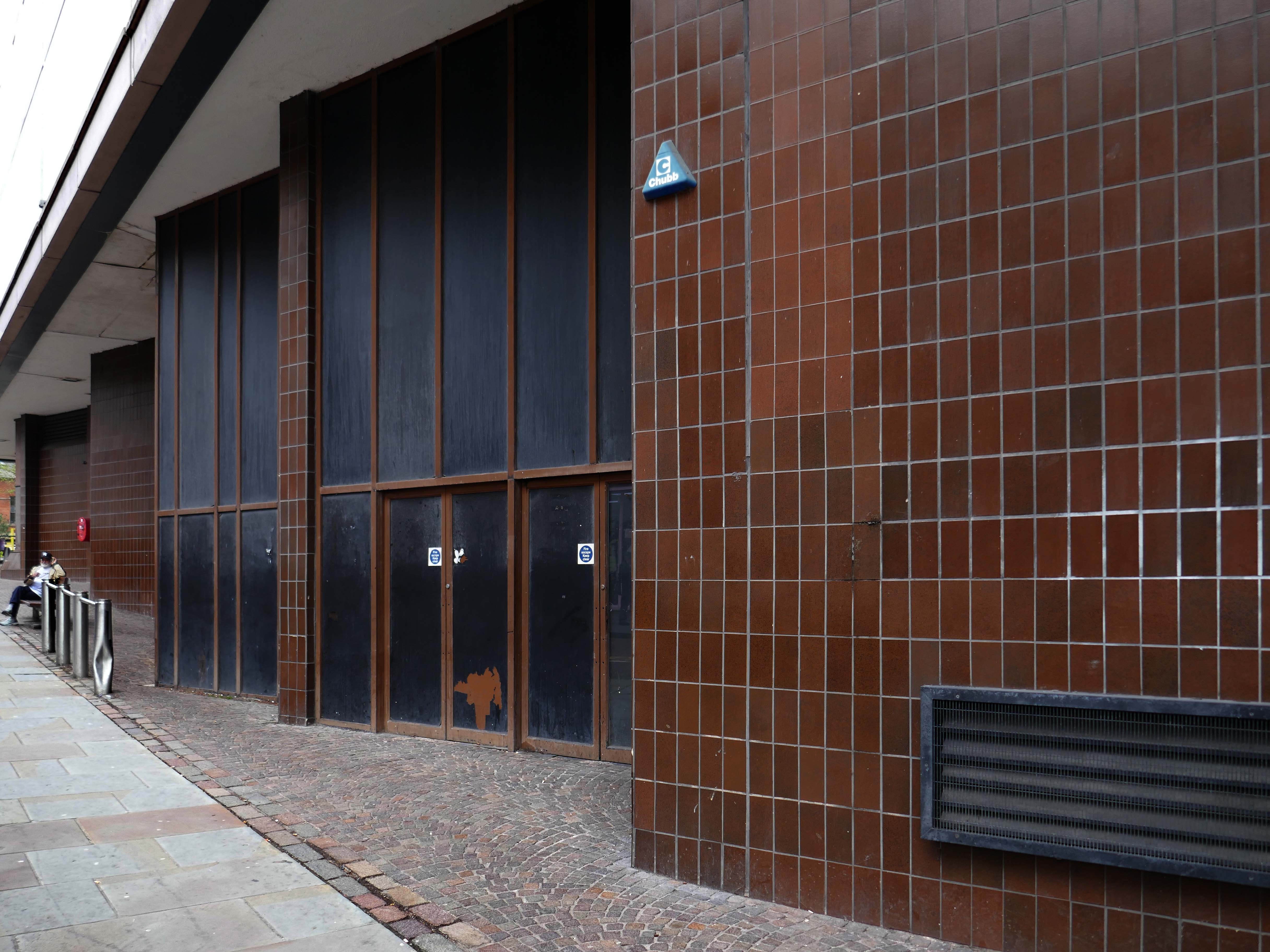
On Astley Gate the brown tiled remains of the Shopping Centre now known as The Mall.
The shopping centre was built in three phases, with the final phase opening in 1979. The centre was refurbished in 1995, during which the lower floor of the former Co-Operative Department Store was transformed into the Ainsworth Mall.
The centre was bought by Standard Life in 1993 and its name was subsequently changed to Blackburn Shopping Centre. Standard Life sold the centre in 2003 to Reit Asset Management.
In 2004, Reit Asset Management sold the centre to The Mall Fund. The centre was sold again in 2022 to the Adhan Group from The Mall Fund for £40 million.
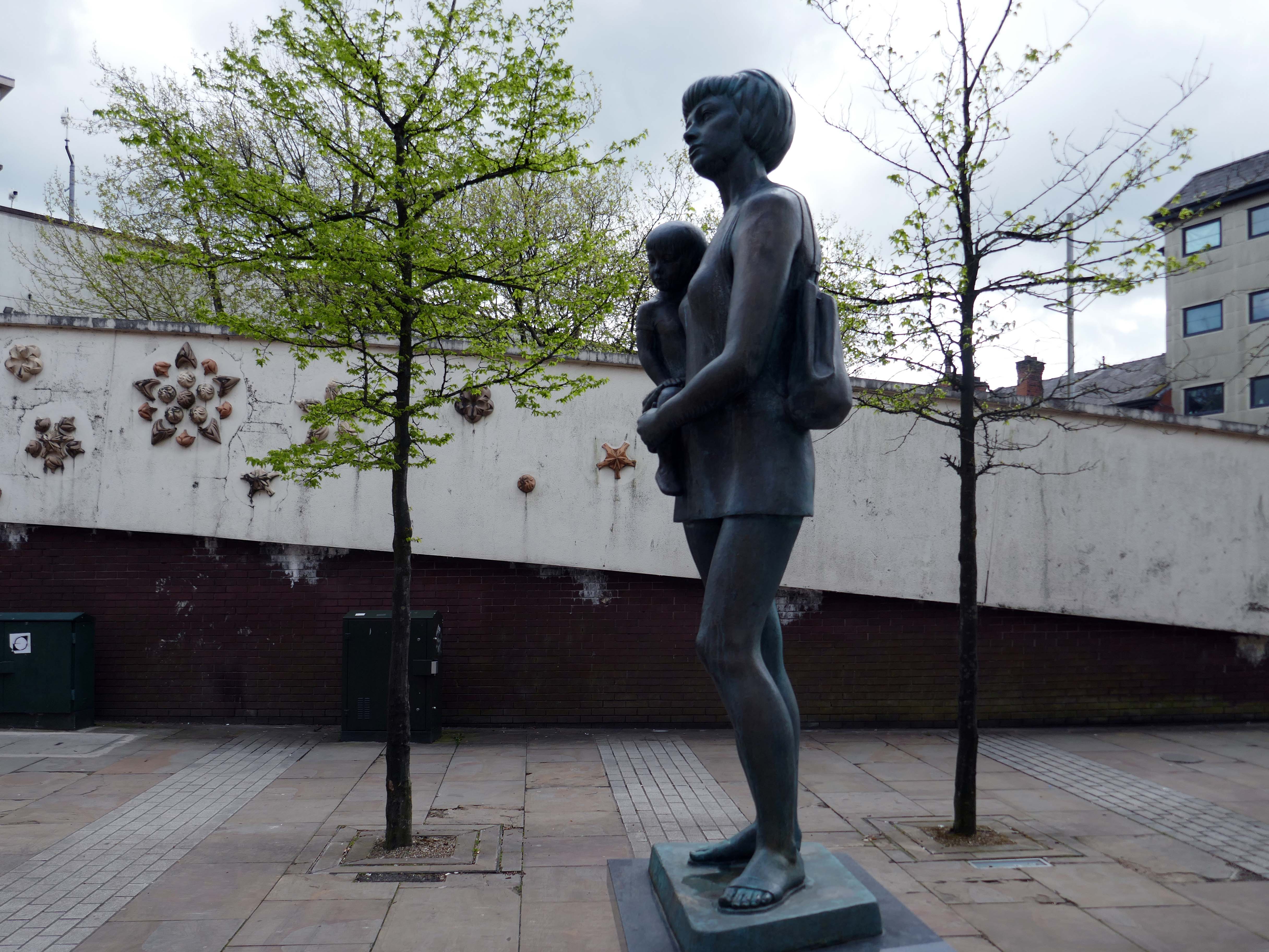
Around the corner the Mother and Child monument, created by Welsh sculptor Robert Thomas in 1974, who used his wife and child as models.
In 1974 the statue was placed in Lord Square, removed in 2007 and placed in storage, it was placed in Cardwell Place in 2012.
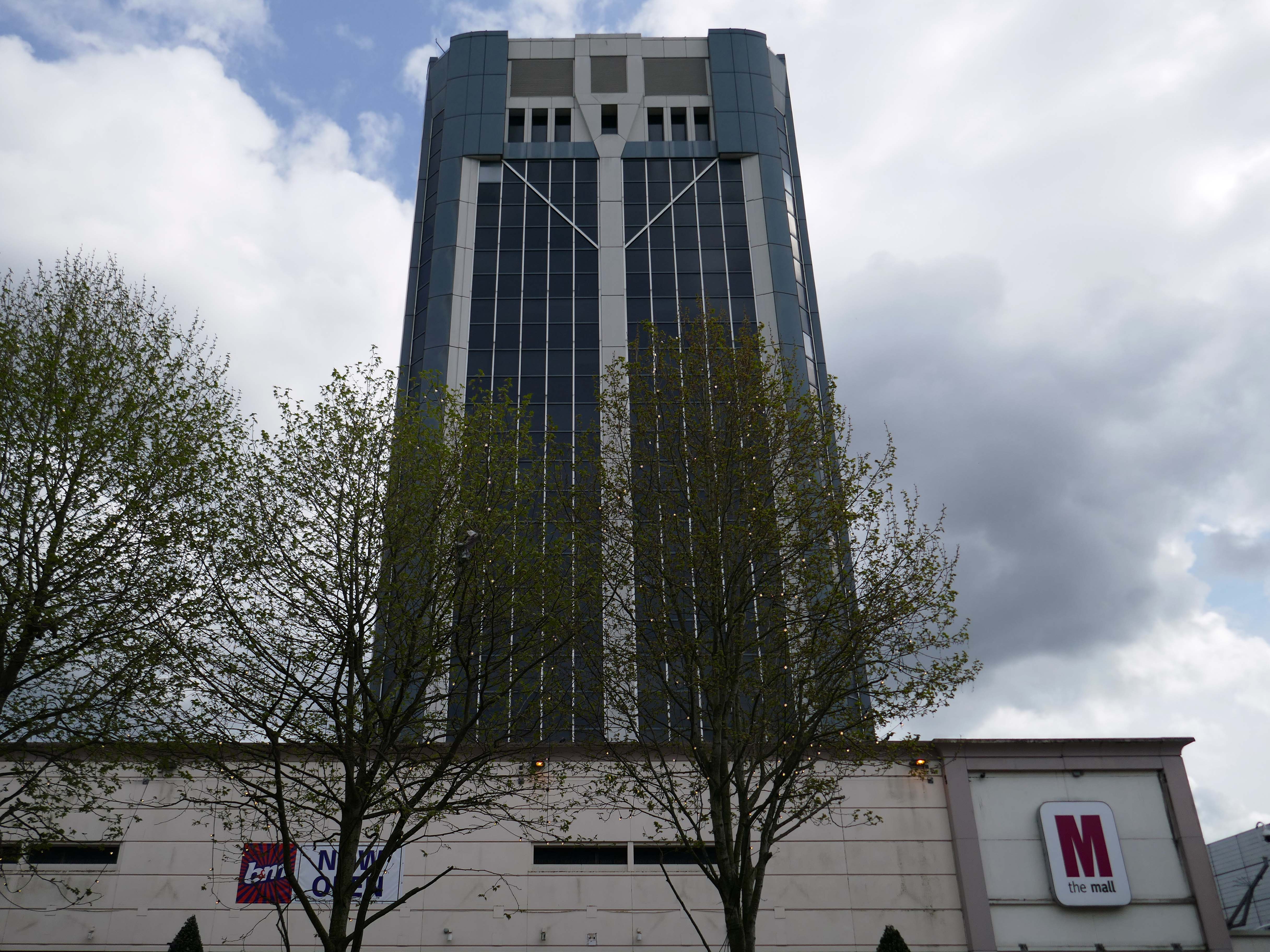
The Mall has been significantly remodelled, along with the adjacent Tower Block.
Above the Mall is a dizzying array of multi storey car parks – reflecting the various stages of development.
Next to the Central Library, the former Co-op Emporium by Walter Stirrup in Town Hall Street, opened in 1930, was converted into a £1m library by BDP, it opened on September 1st 1975.
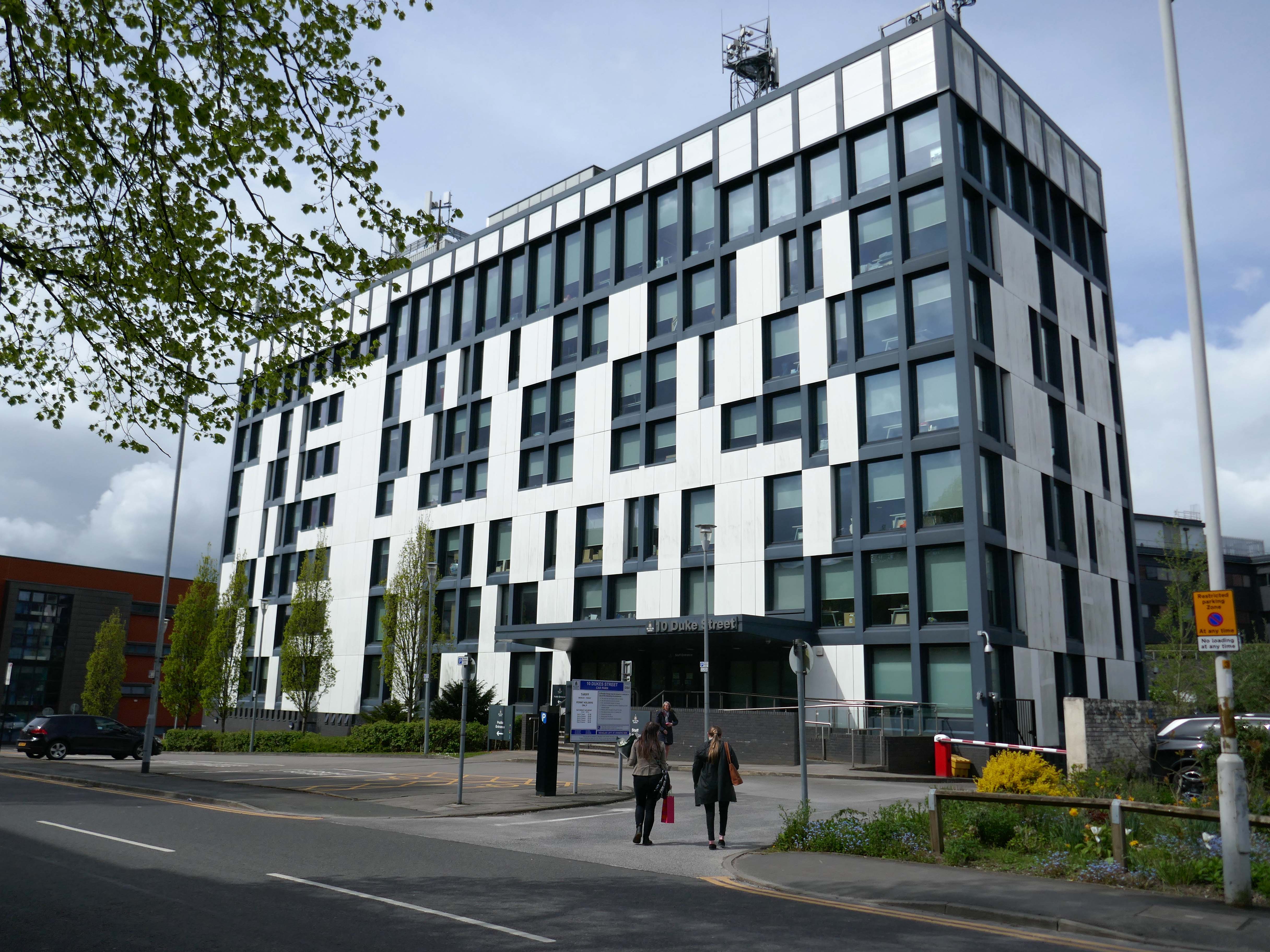
Onward to 10 Duke Street – home to council offices and the NHS, the Tower Block is now no longer in use.
Blackburn’s former town hall tower block has over the years become one of our most recognisable buildings. Sadly it is now starting to be given derogatory names, such as the ‘Big Empty’ and ‘Mothballed Monolith’. But compared to how it looked some years ago, before being reclad in today’s design, it still impresses many visitors to our town. Wouldn’t it be great if Blackburn’s ‘Big Empty’ could become full again.
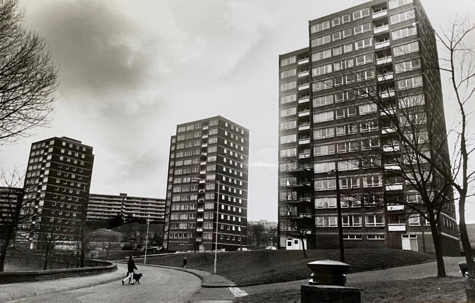
These tower blocks were the flats at Queens Park and in the background you can see the co-called ‘deck-access’ flats at Shadsworth.
Bowland House was one of three tower blocks built in 1963 and the only one still standing after the others, Ribble and Pendle, were torn down in 2001 to be replaced by homes.
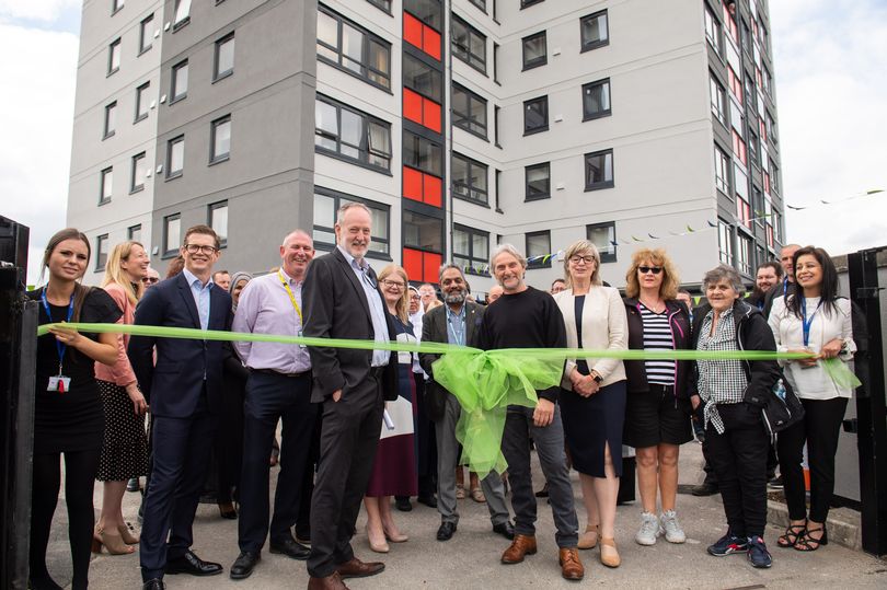
In 2022 Bowland House was refurbished.
Former four-time World Superbike champion Carl Fogarty was the guest of honour as Great Places’ Bowland House in Blackburn was officially unveiled.
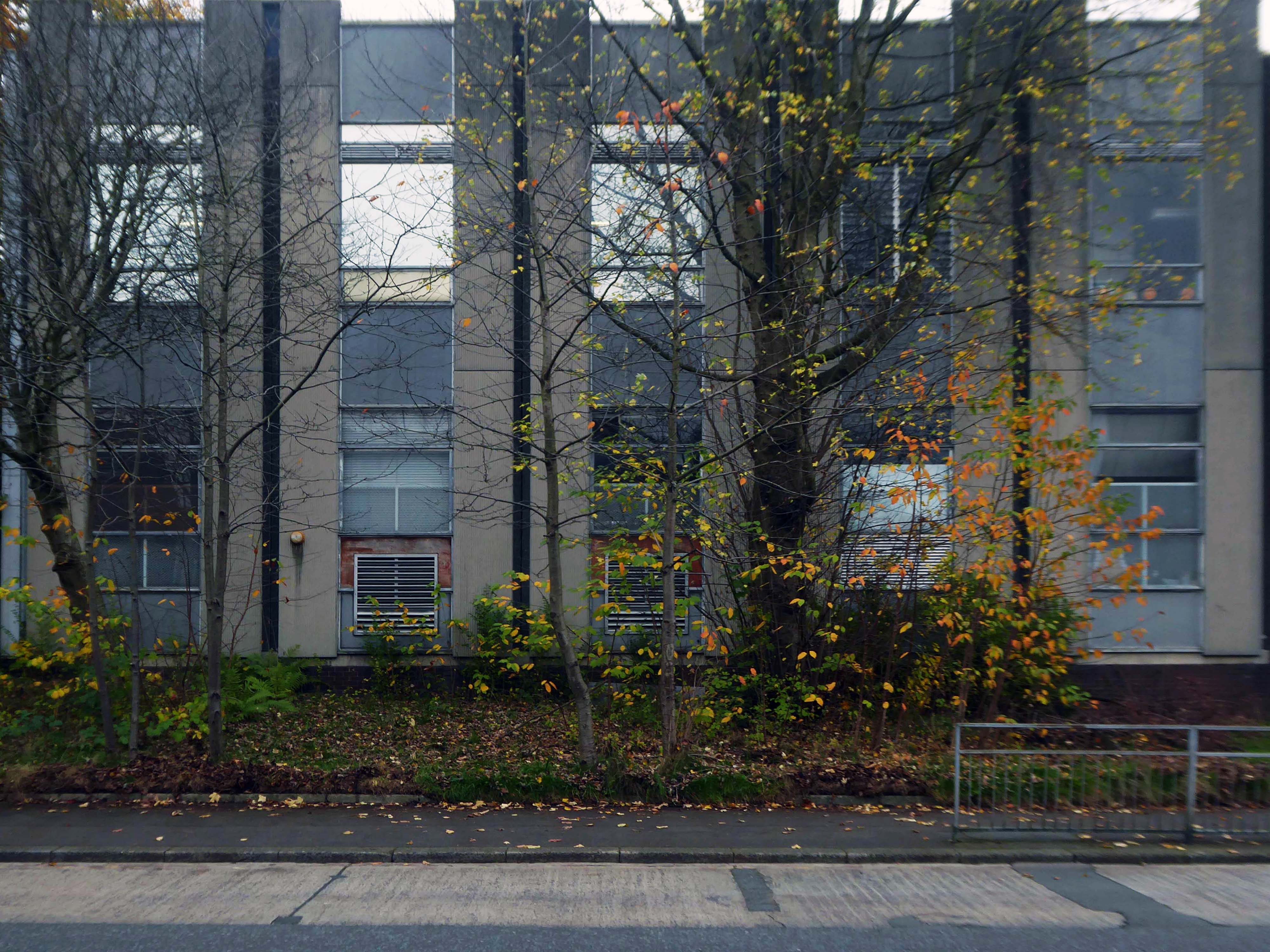
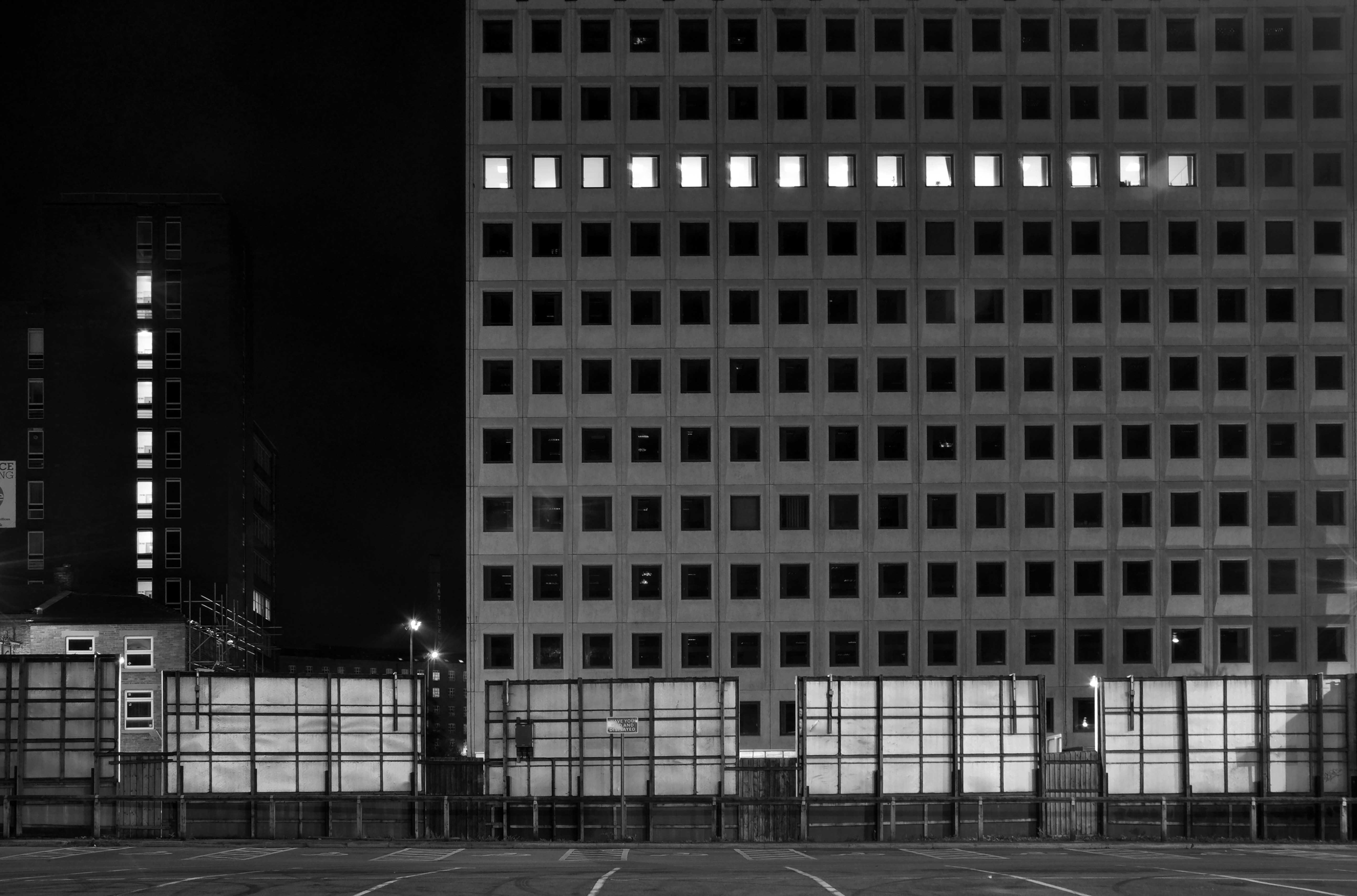
Three thirteen-storey slab blocks built as public housing using the Sectra industrialised building system. The blocks contain 183 dwellings in total, consisting of 72 one-bedroom flats and 111 two-bedroom flats. The blocks are of storiform construction clad with precast concrete panels. The panels are faced with exposed white Cornish aggregate. Spandrel panels set with black Shap granite aggregate are used under the gable kitchen windows. The blocks were designed by the Borough architect in association with Sydney Greenwood. Construction was approved by committee in 1966.
1987 view of Birley Street development, with Trinity Court in the foreground: Tower Block
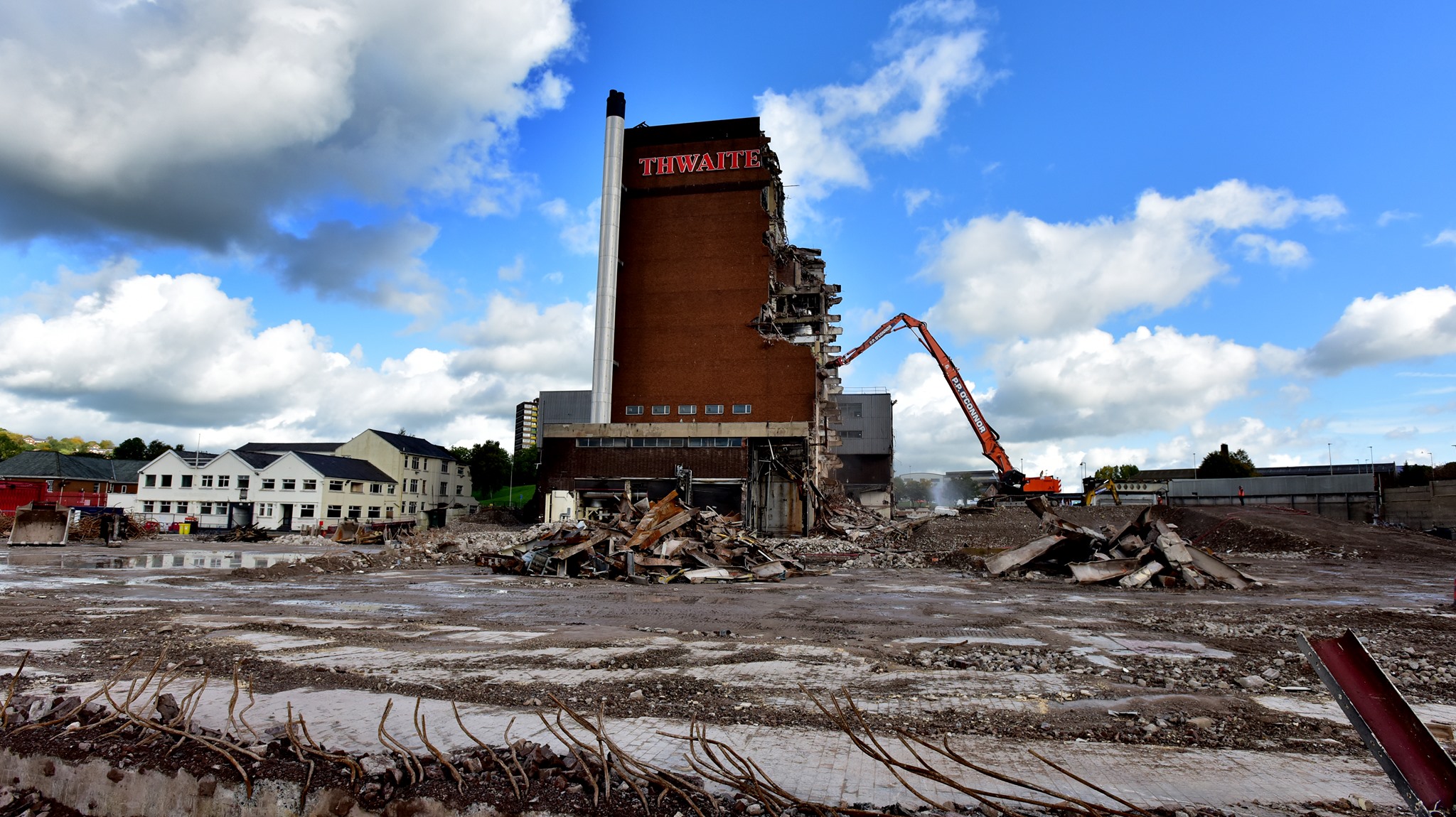
Back now into the centre – passing the now empty site of Thwaites Brewery, demolished in 2019.
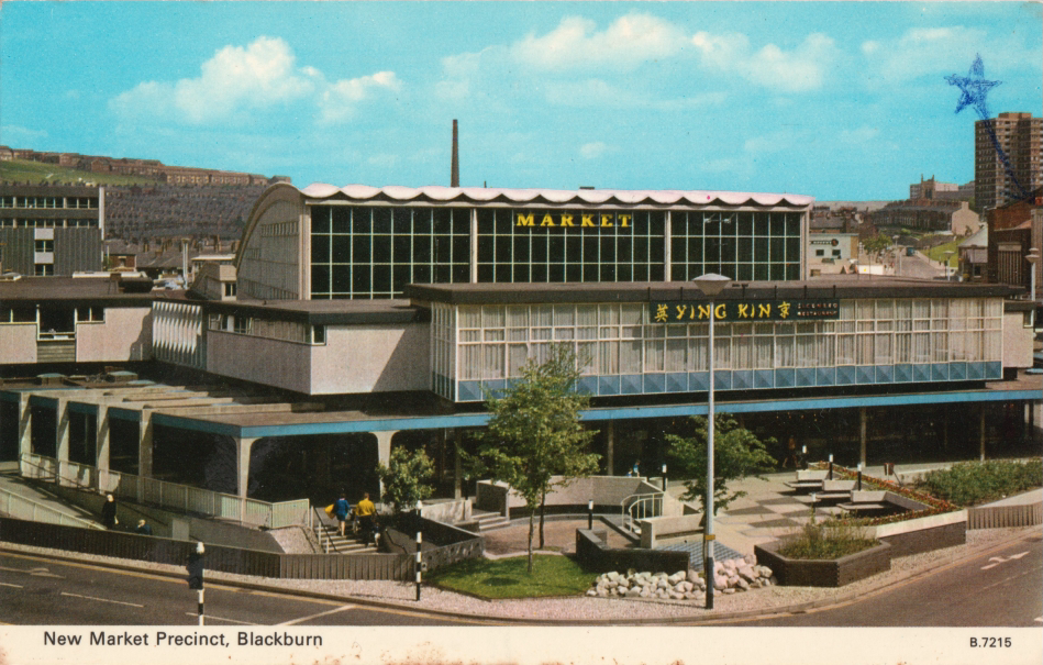
Also missing in action is the 1960’s Market Hall – architect Tom Brennan.
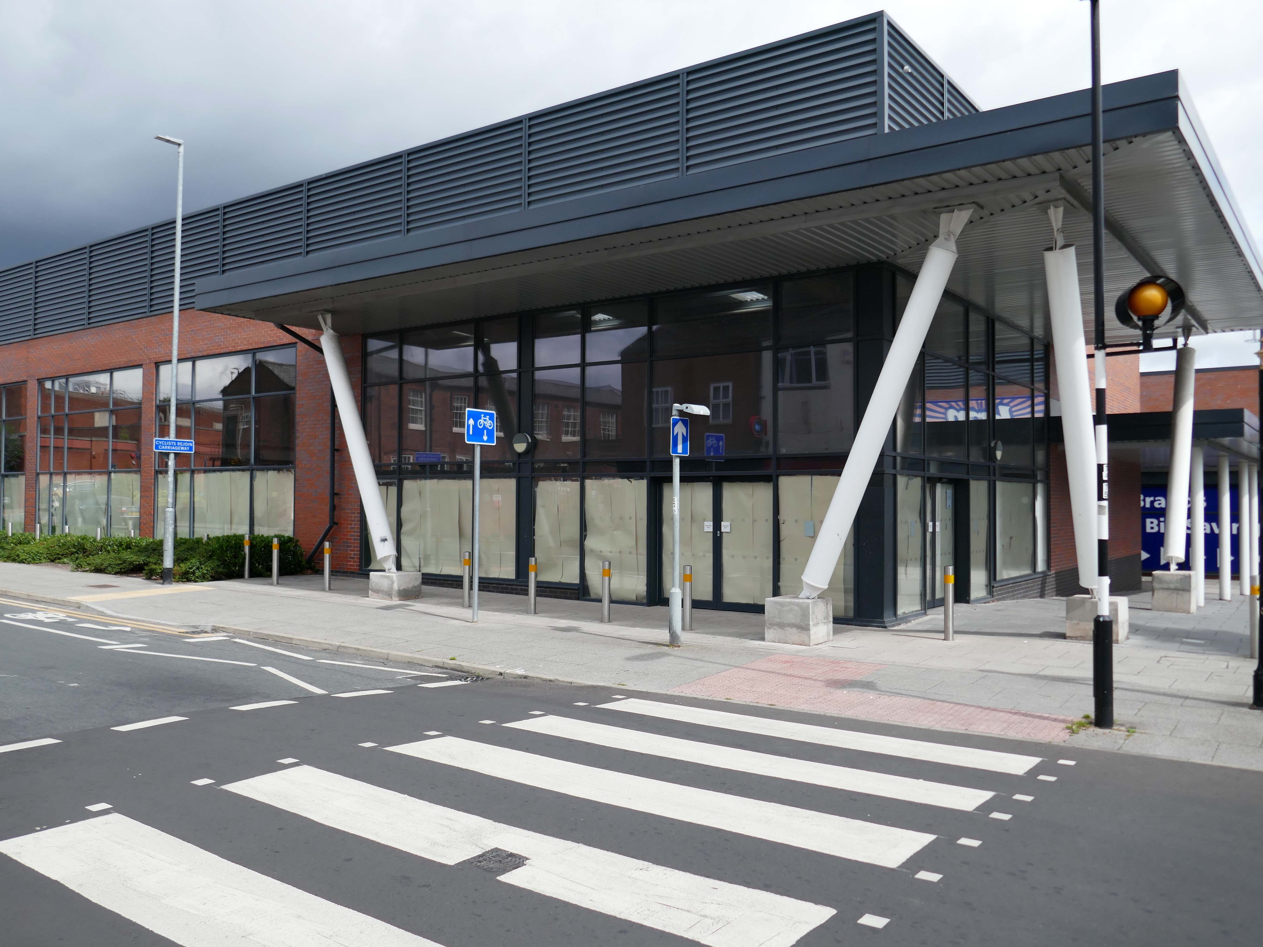
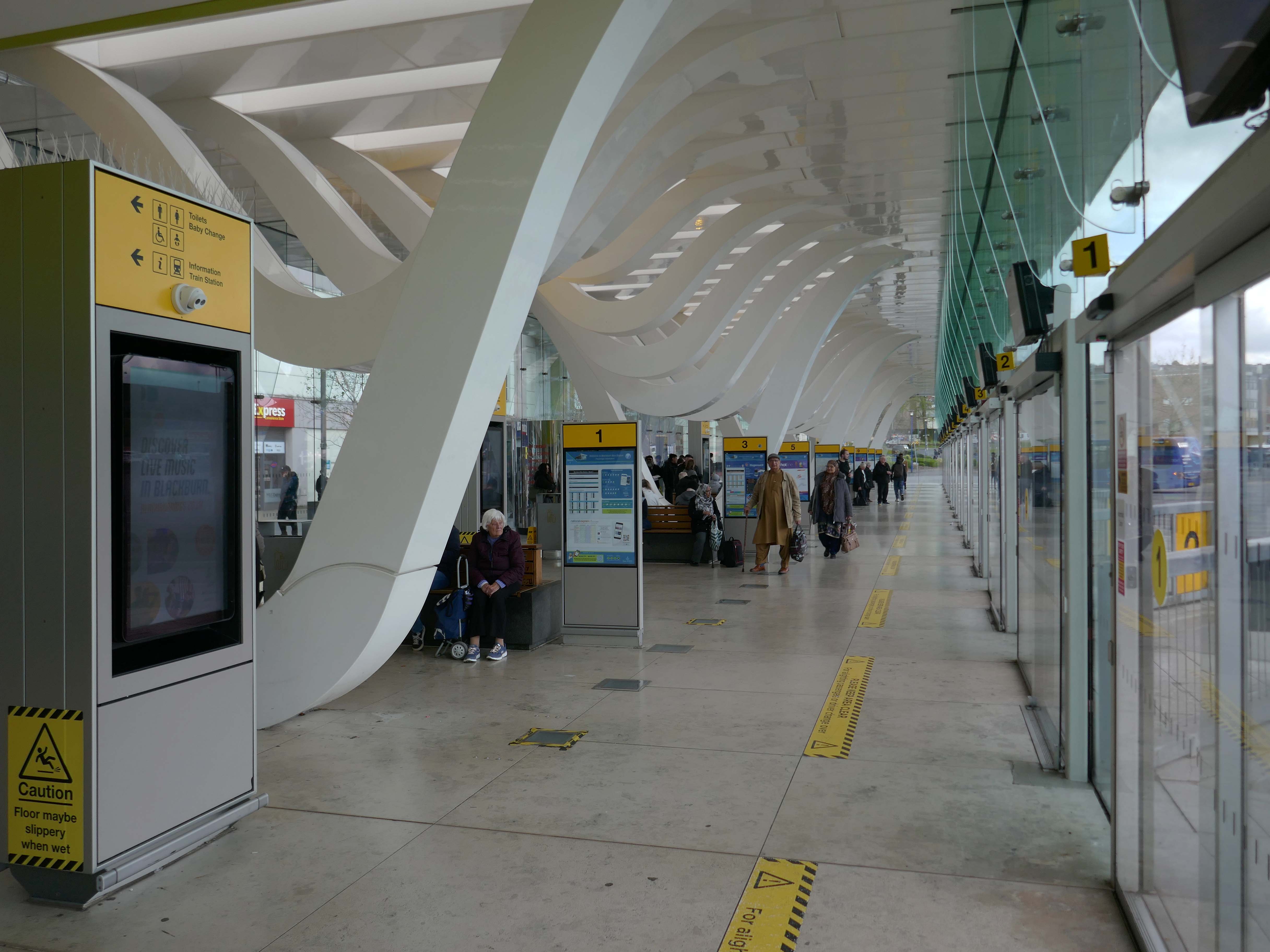
The new Bus Station designed by Capita Symonds – replacing the old bus station.
The outward facing elements of the building are flat and orthogonal. In contrast, the underside of the canopy is free flowing and consists of a number of glazed slots cut in the canopy to allow daylight to penetrate onto the concourse area. Directly below each of the slots is a hanging loop which appears to be pulled down from the canopy to reveal a glazed opening. The composition of these draws inspiration from the cotton weaving looms, and drying cotton bundles, a reference to the town’s industrial past.
There are four loop types (A, B, C & D) which are arranged to alter the scale of the concourse and create a rhythm of peaks and troughs along its length. Loop A is designed to provide support to the whole canopy allowing the canopy to appear as one floating unified element.
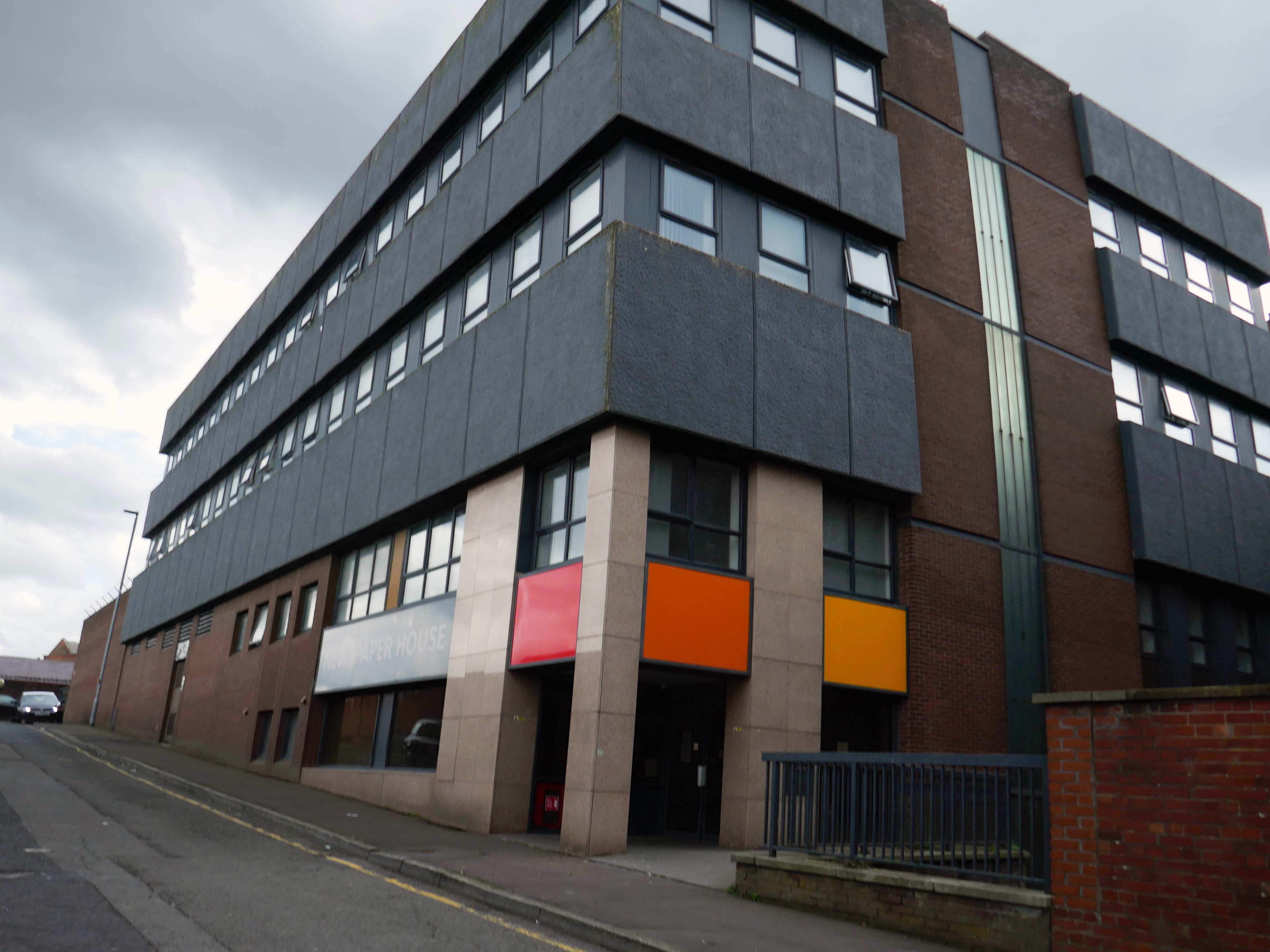
Newspaper House – once the home to the LancashireTelegraph, converted to apartments in 2017.
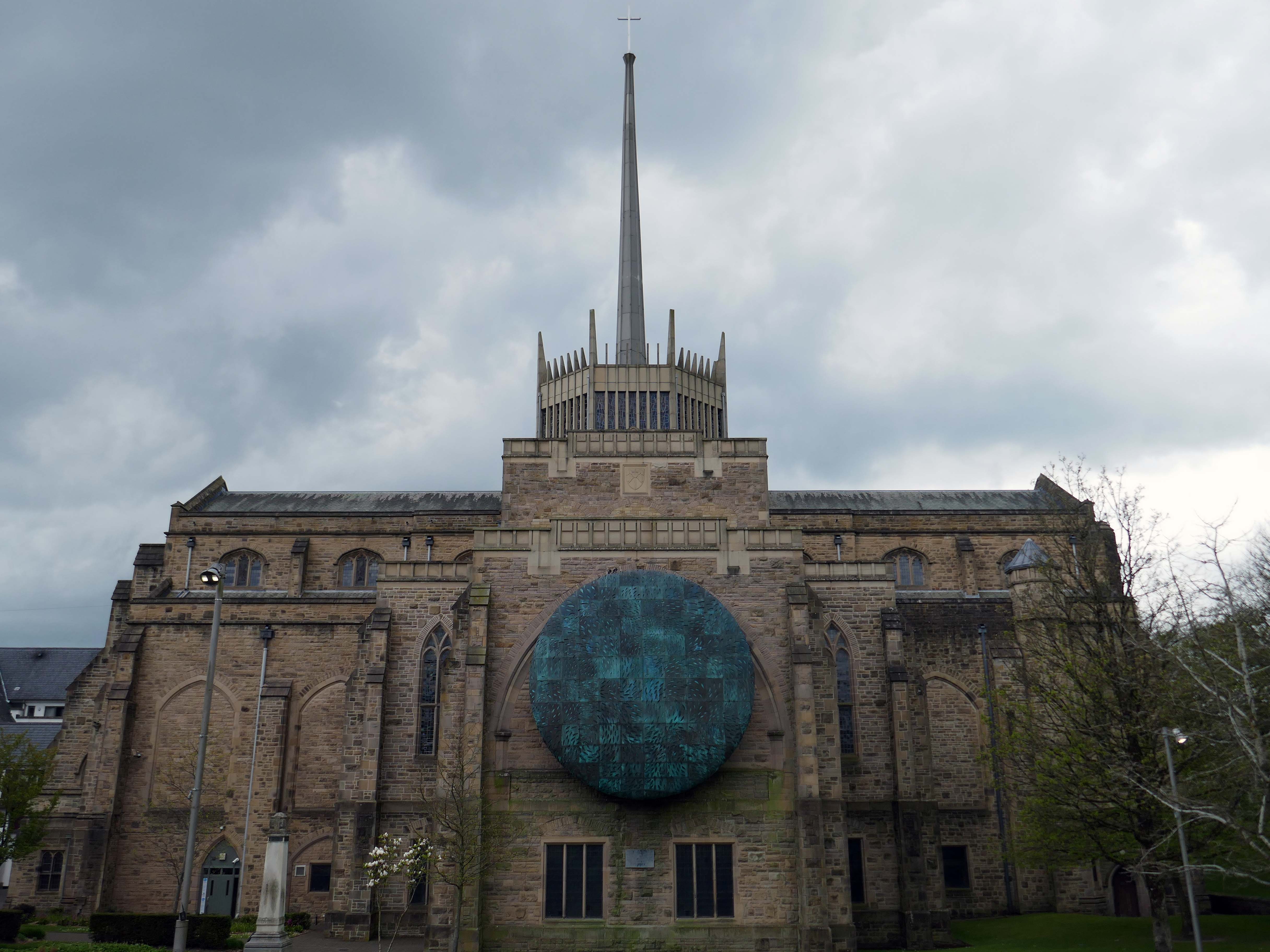
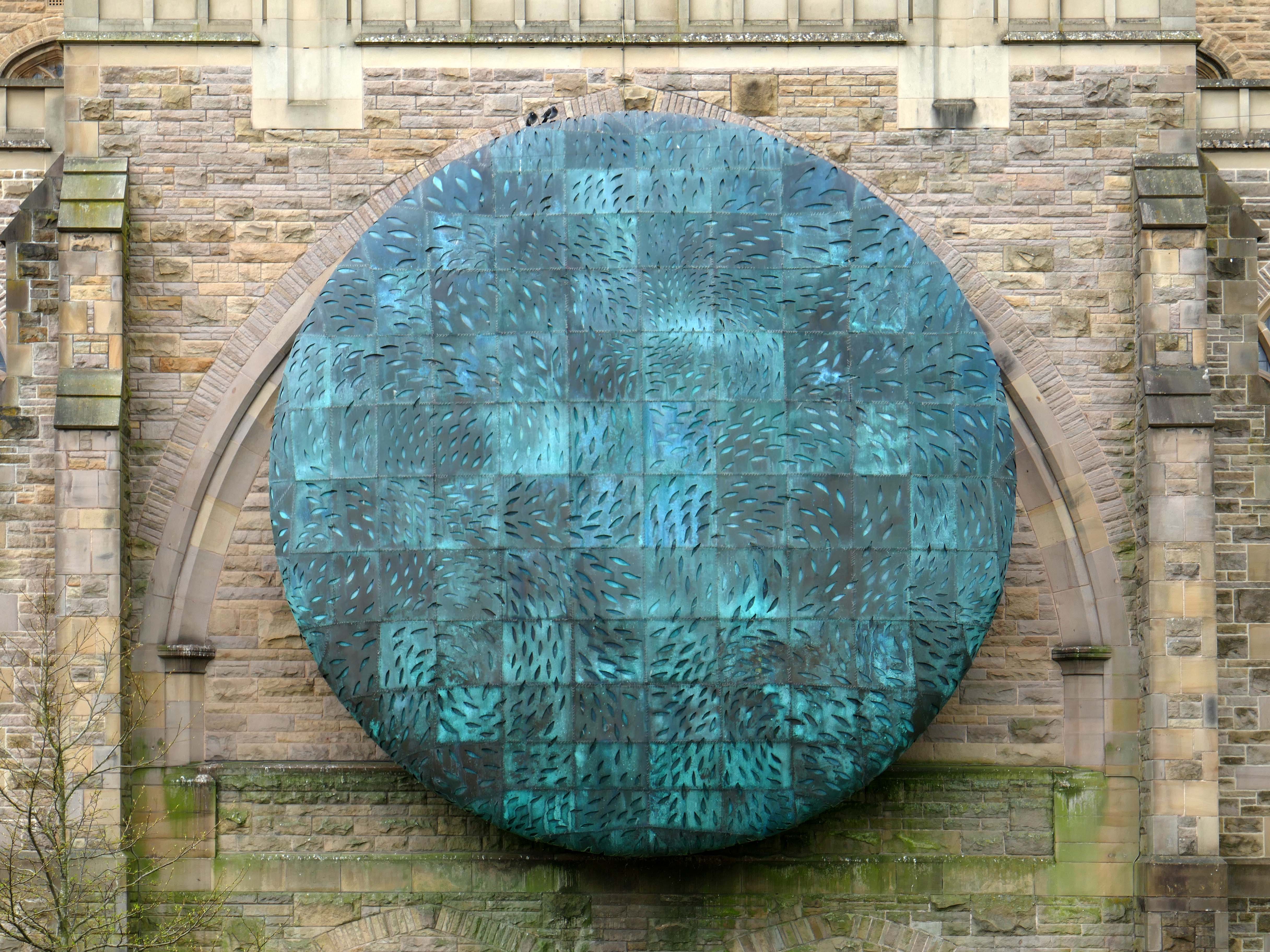
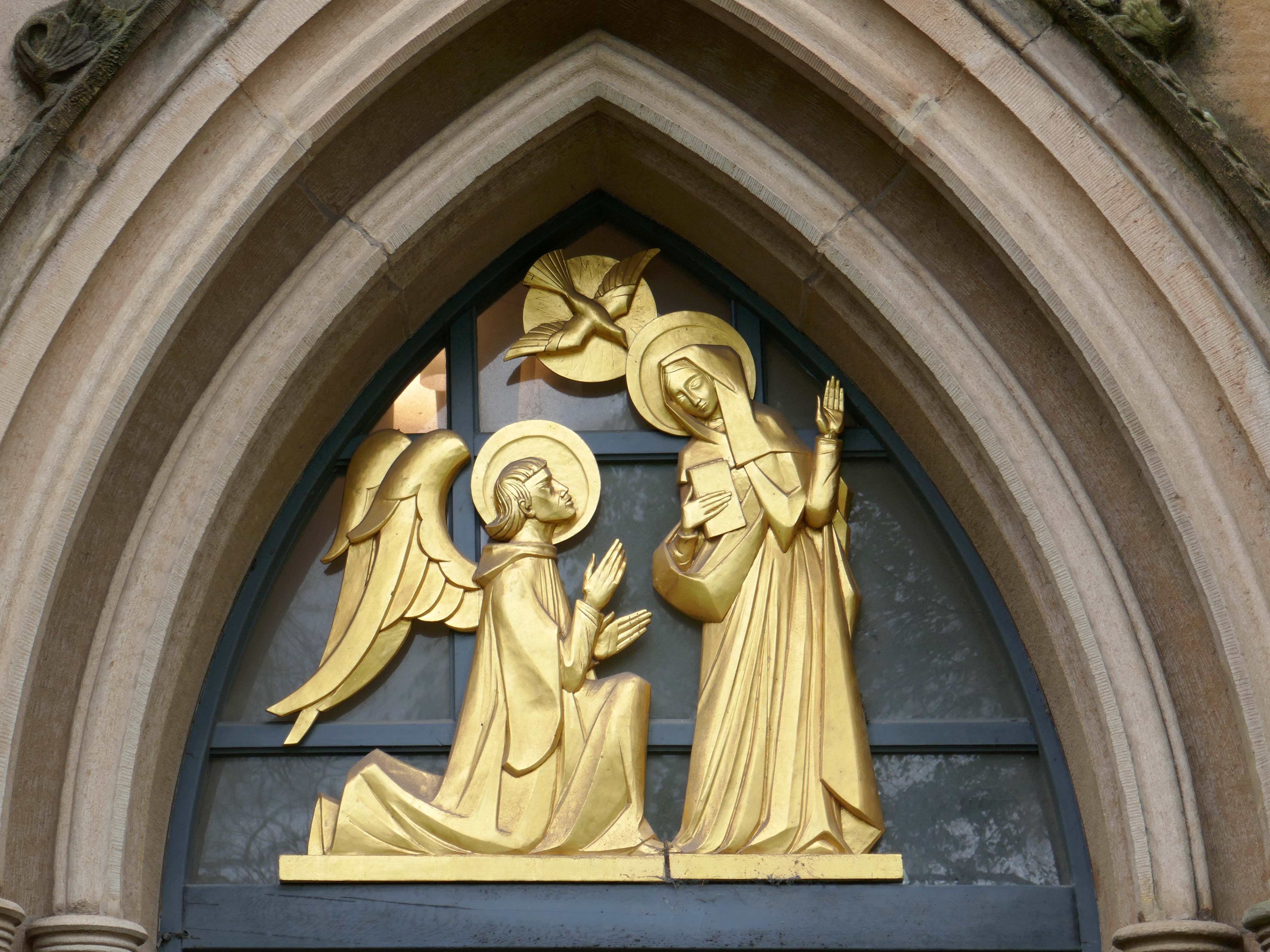
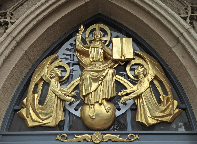
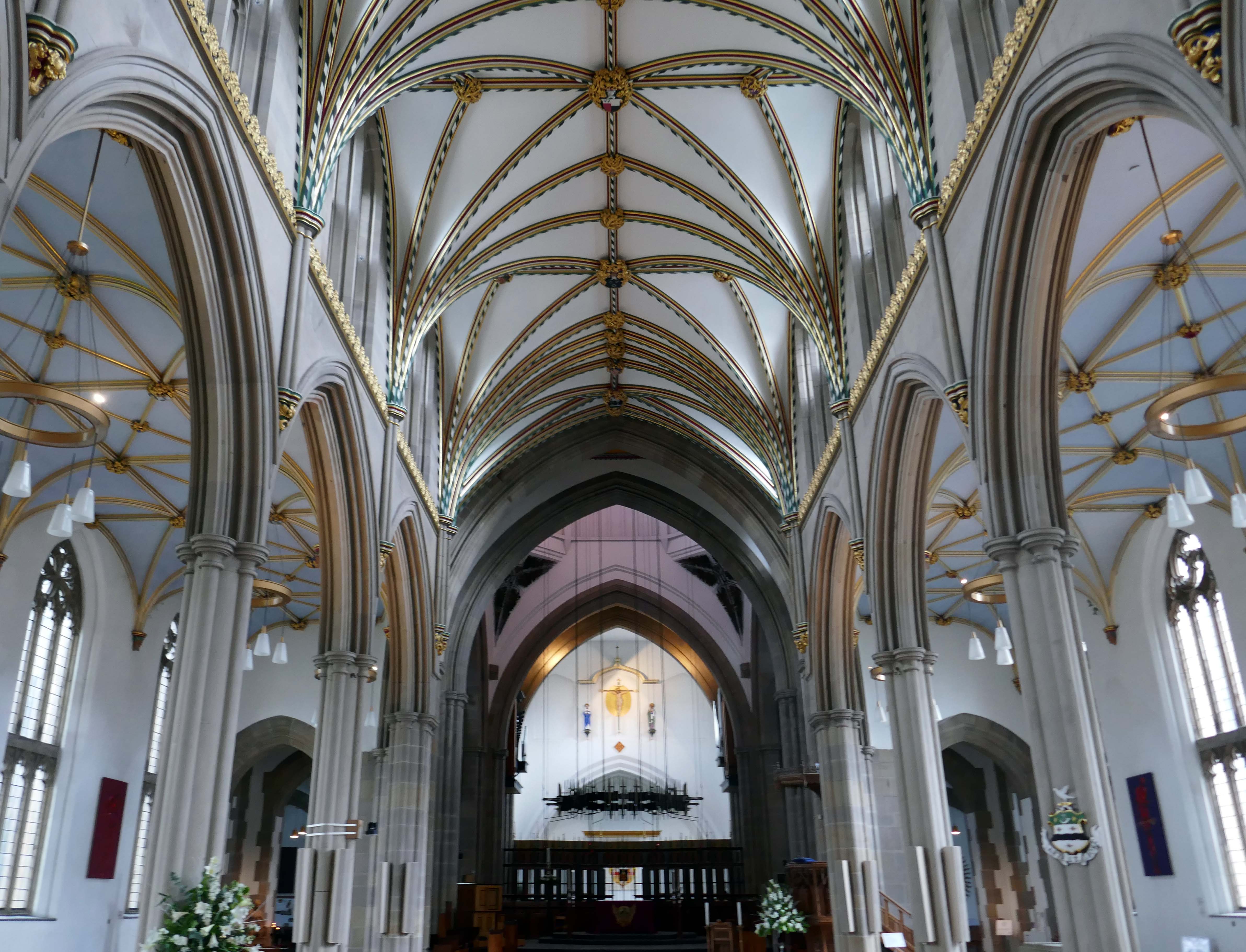
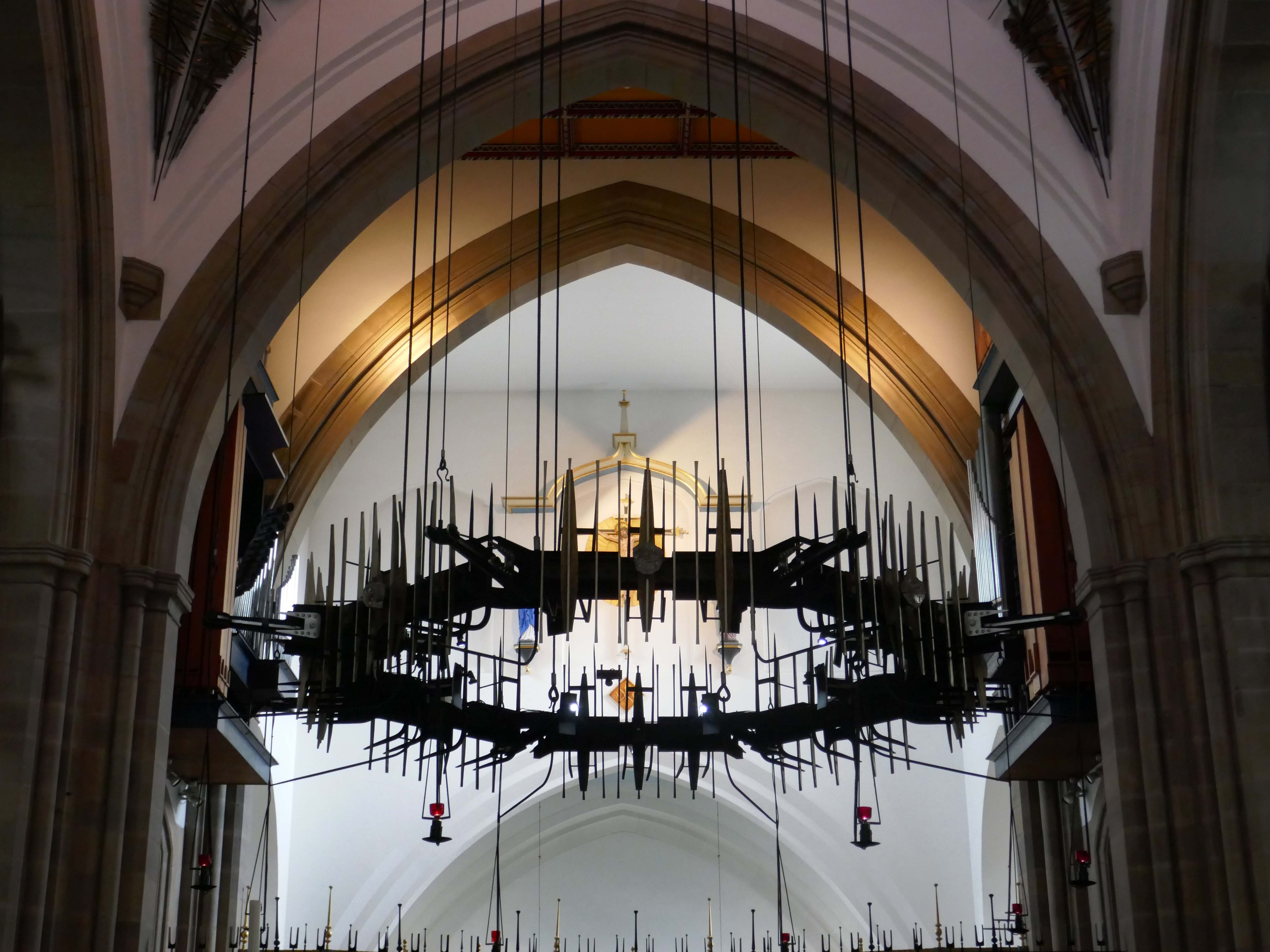
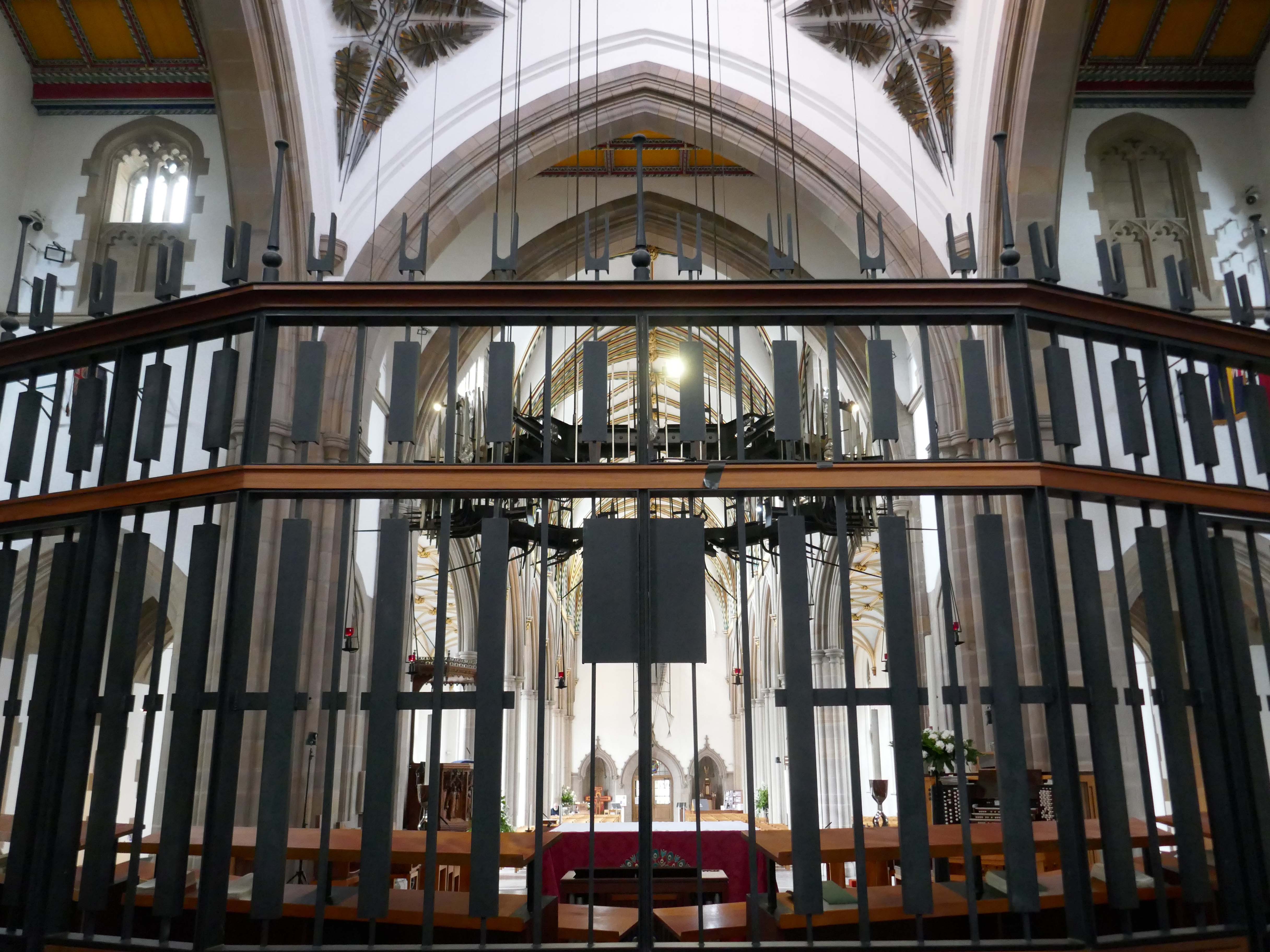
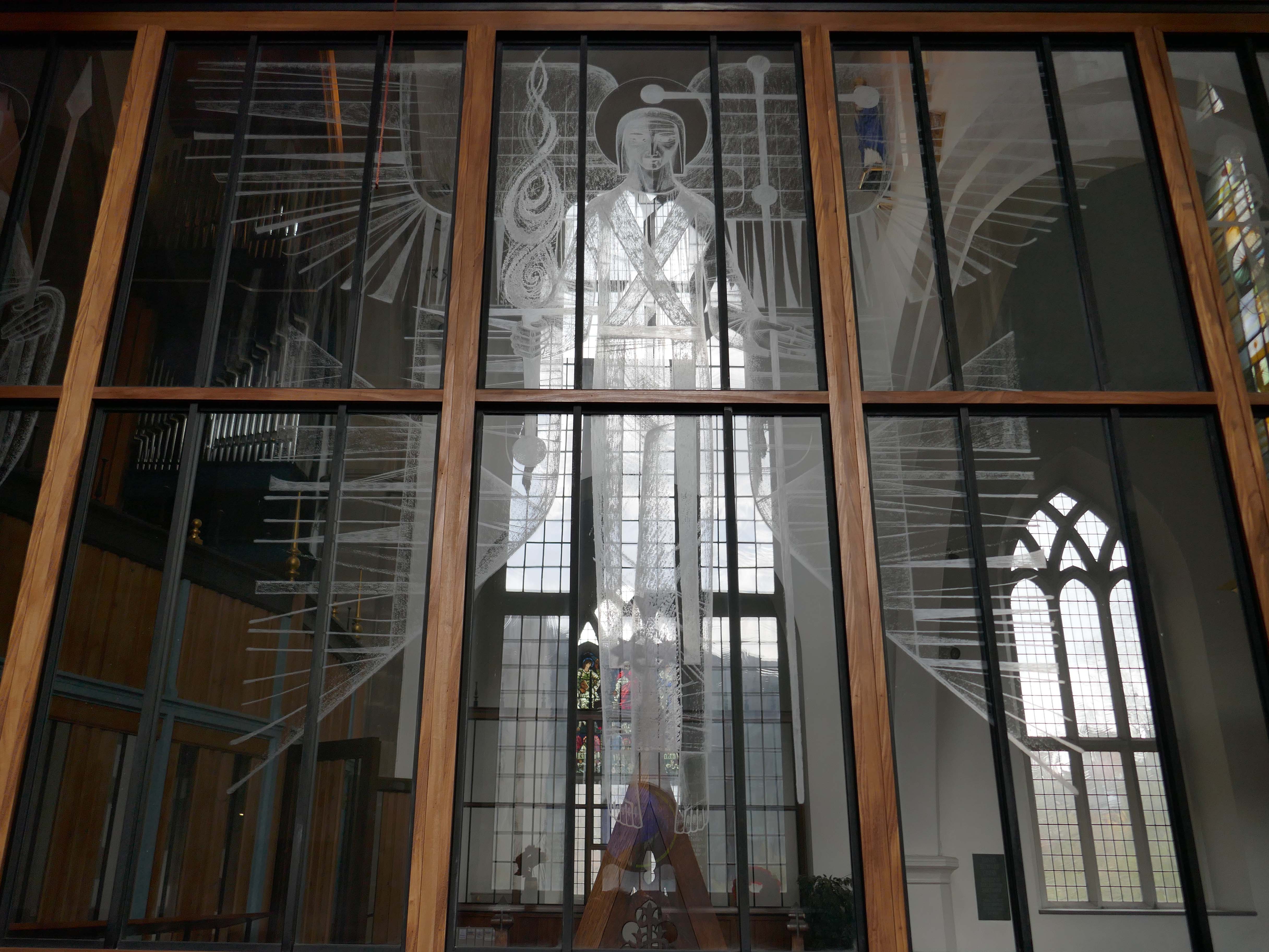
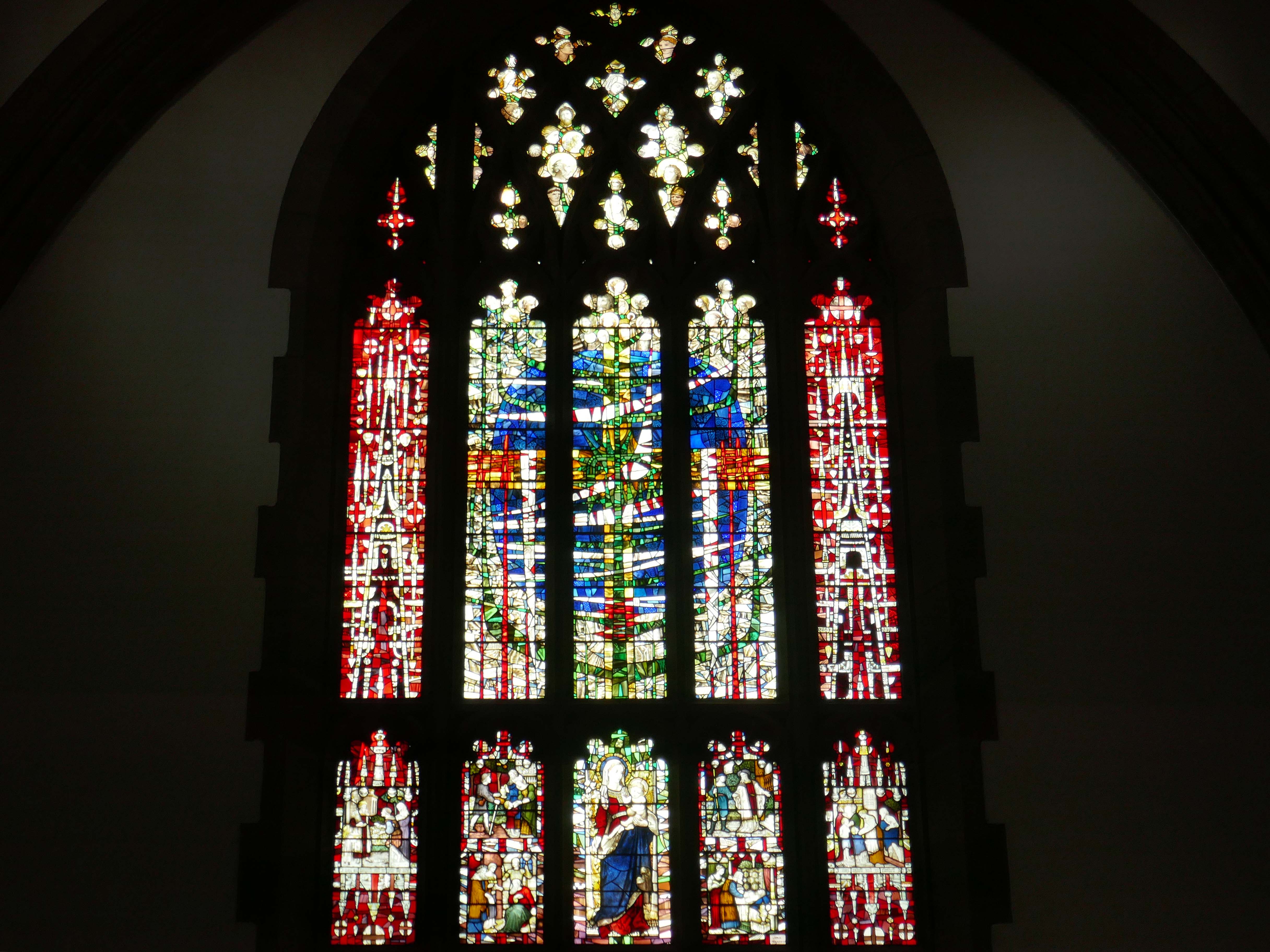
Finally to the Garde II* listed BlackburnCathedralchurch – since 1926, formerly parish church, 1820-6 by John Palmer of Manchester.
Central concrete corona by Lawrence King 1961 – it was rebuilt in stone by Brian Lowe in 1998.
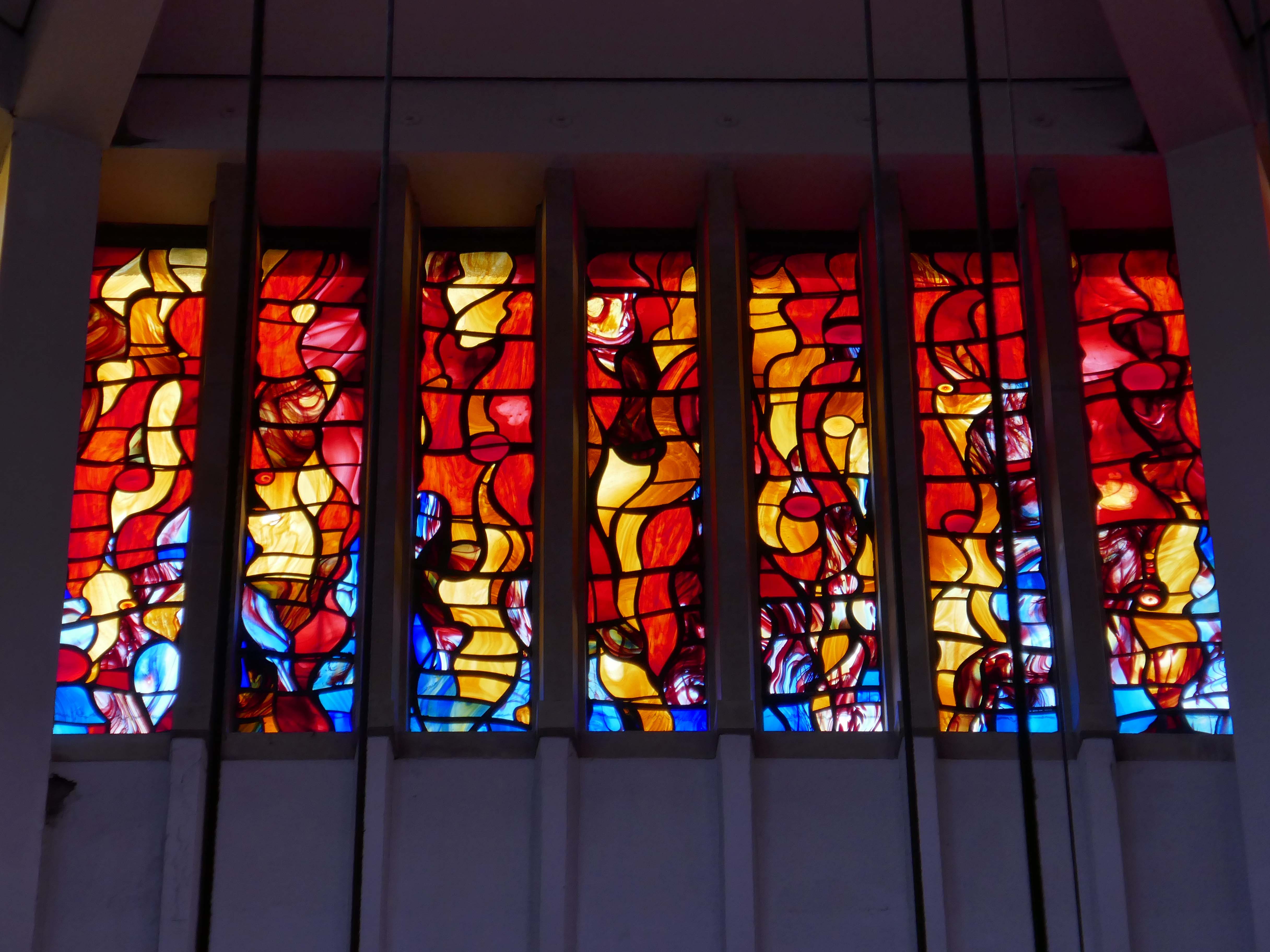
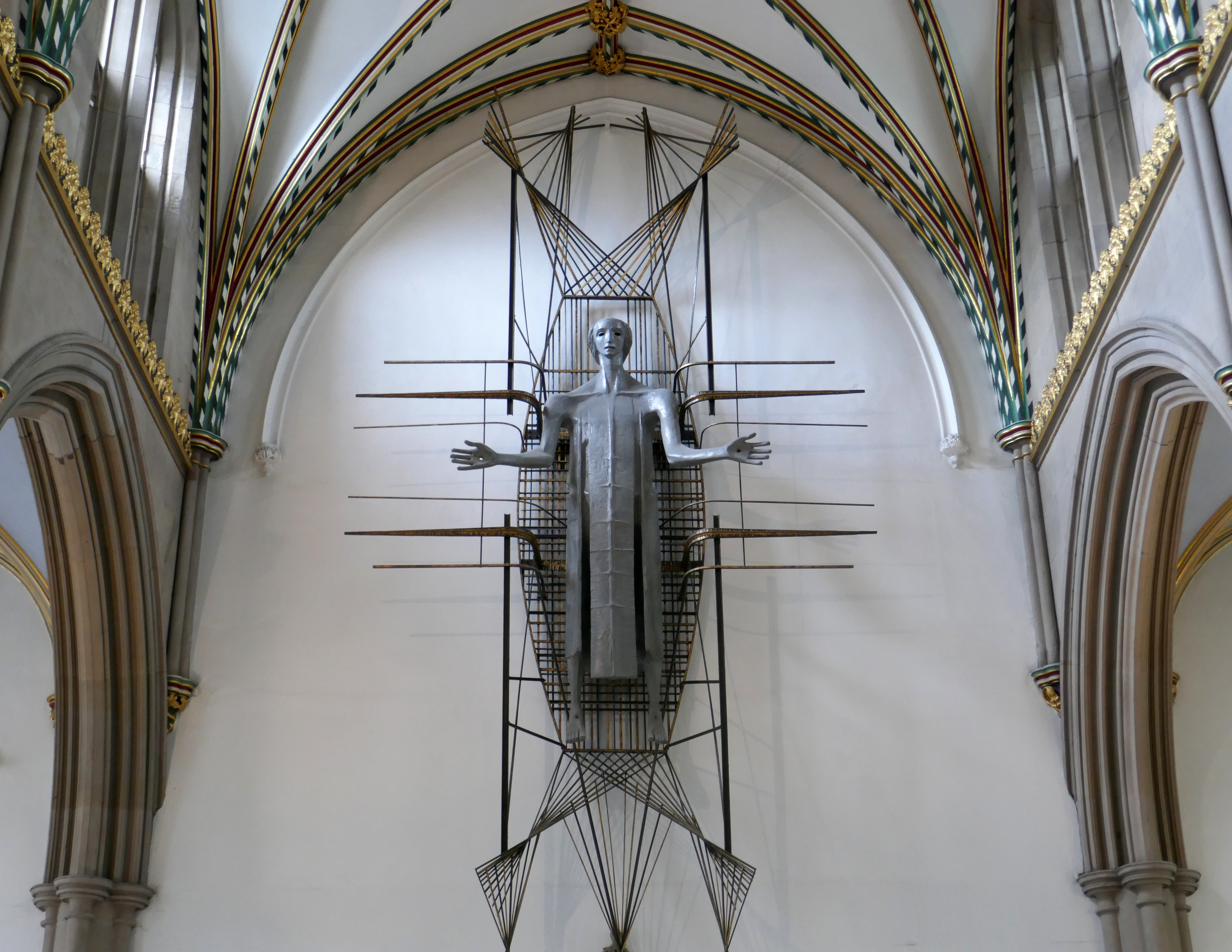
The Healing of Nations in steel and copper by Mark Jalland 2001.
It is a reflection on the opening of chapter 22 of the book of Revelation, new Jerusalem, and ‘the leaves of the tree are for the healing of the nations’.
Traditionally a stained-glass window at the east end of a cathedral would reflect a spectrum of light into the building but this sculpture projects the light out in a kaleidoscope of colour reminding us of Jesus the light of the world and the hope that we have in him.
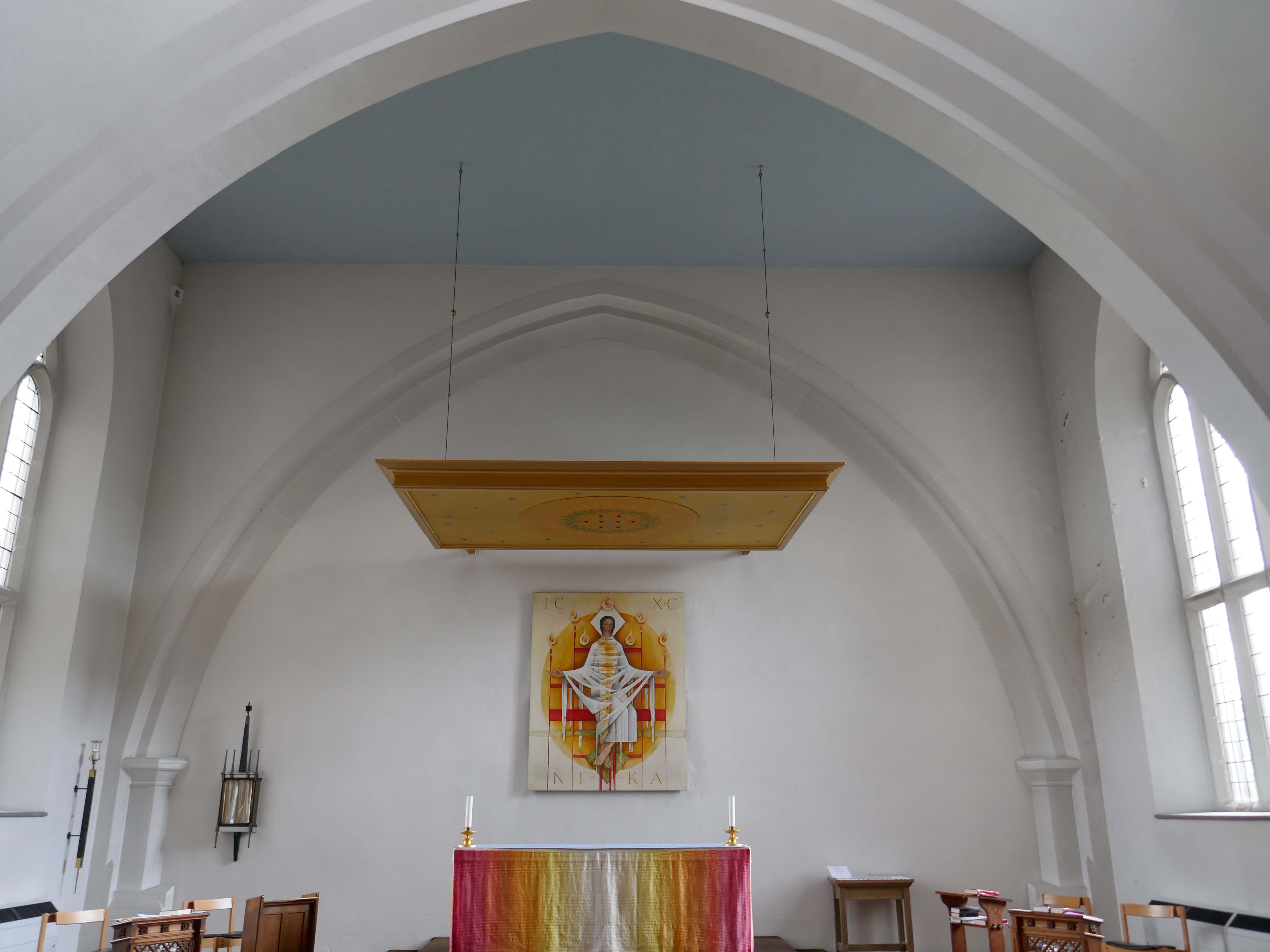
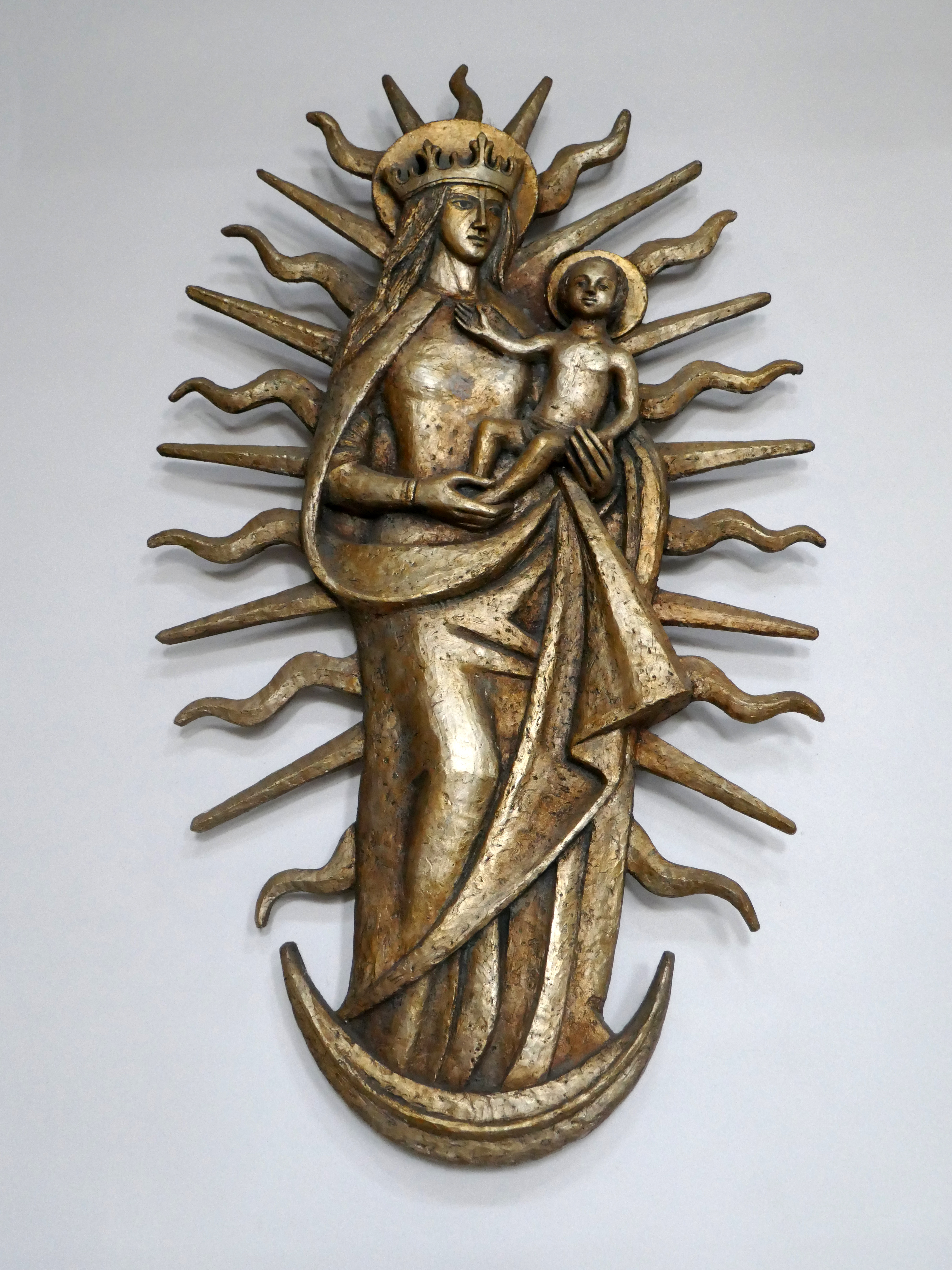
Annunciation and Christ in Majesty sculptures by Siegfried Pietsch 1965.
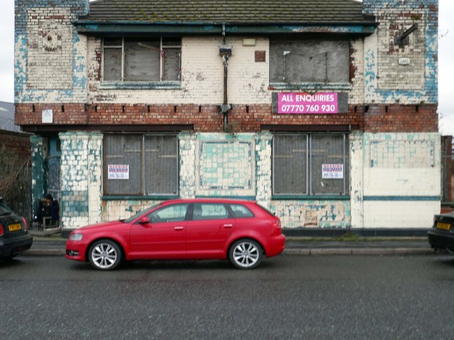
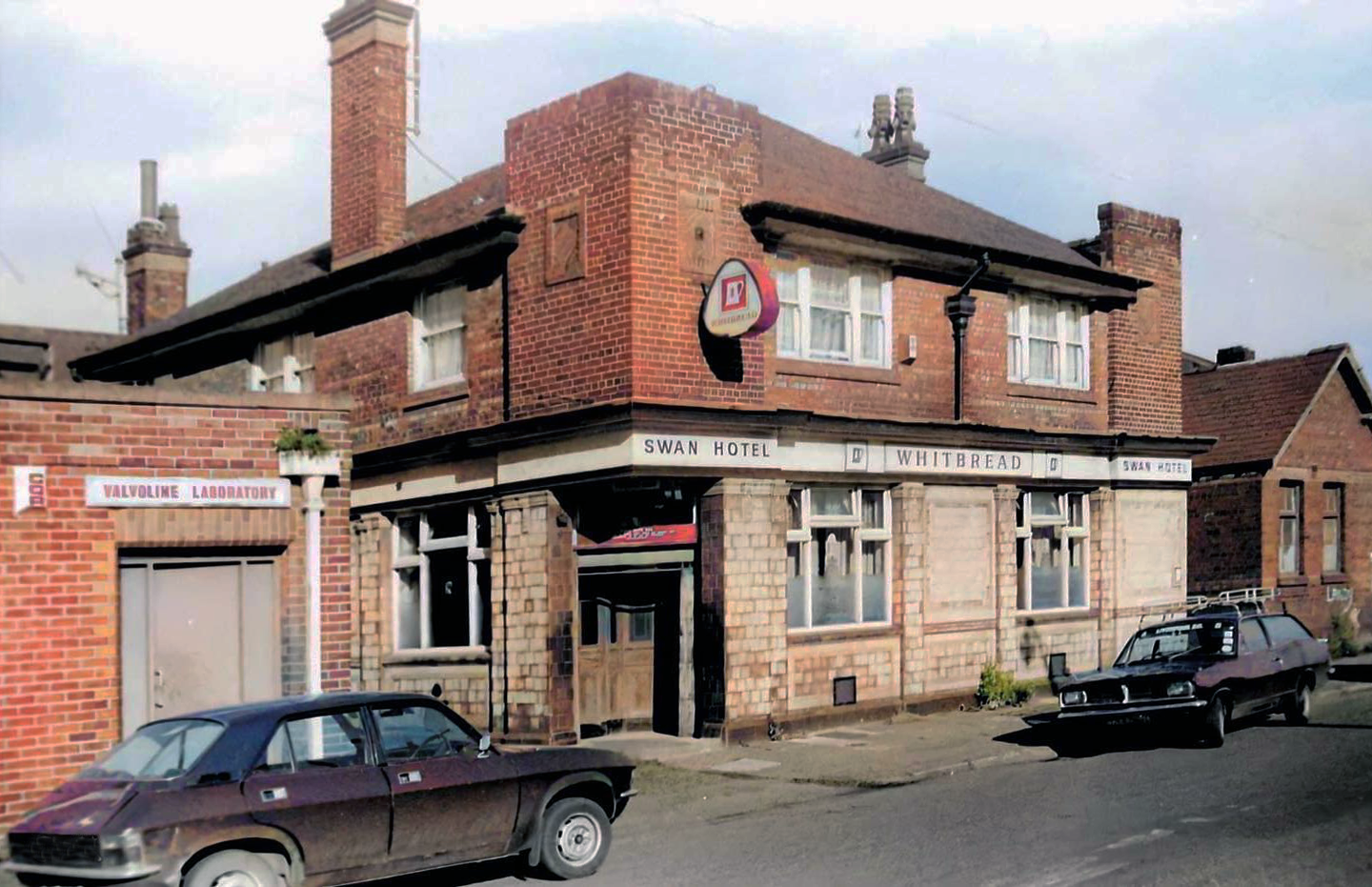
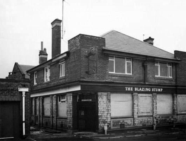
At one time named the Royal Swan, in the later years its name was changed to the Blazing Stump and before closure became a night club known as Bonkers.
A lost venue once loved for being the “wackiest fun pub” in the 1980s.
Date of closure unknown but thought to be late 1980s or early 1990s.
On the Dock Road was the ‘Swan Hotel which also opened in 1878. The nickname of the Swan Hotel was ‘The Blazing Stump’ and the story goes that an old seadog with a wooden leg used it to poke the fire. In those days pitch was used as a wood preservative, which is probably why his wooden leg caught fire when poking the fire one time too many – hence ‘The Blazing Stump.’
Due to its location near the Wallasey Docks majority of the customers who visited the pub came off the grain or ore boats. The pub would be thronged with Norwegians, Greeks, Germans, Swedes and Arabs and local people. When the pub was full the place had an unusual and interesting flavour because of this rare variety of people.
The ‘Stump’s’ days were numbered when less and less ships visited the Wallasey docks. The building still stands but remains unused, with the owner looking for a big payout sale. Or who knows, the doors may just open once more.
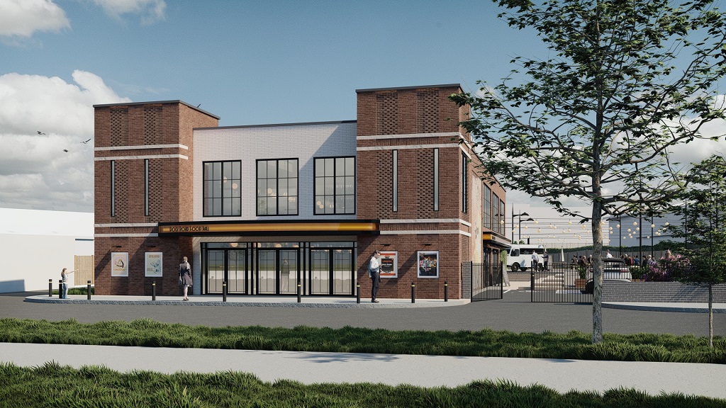
Now construction company AP Mitchell and Evoke Architecture have submitted plans to Wirral Council to completely turn the site around.
The plans include outdoor seating areas with benches, an outdoor event space, food and drinks vendors, and a large bar. A private function space will sit inside the new building which will be called the Dock Road Food Hall.
The design works carefully to balance modern design with reminiscent character features, sympathetic to the original building and surrounding historic buildings of similar style. The result is a contemporary structure that aligns with the evolving character of Dock Road and the Wirral Waters masterplan.
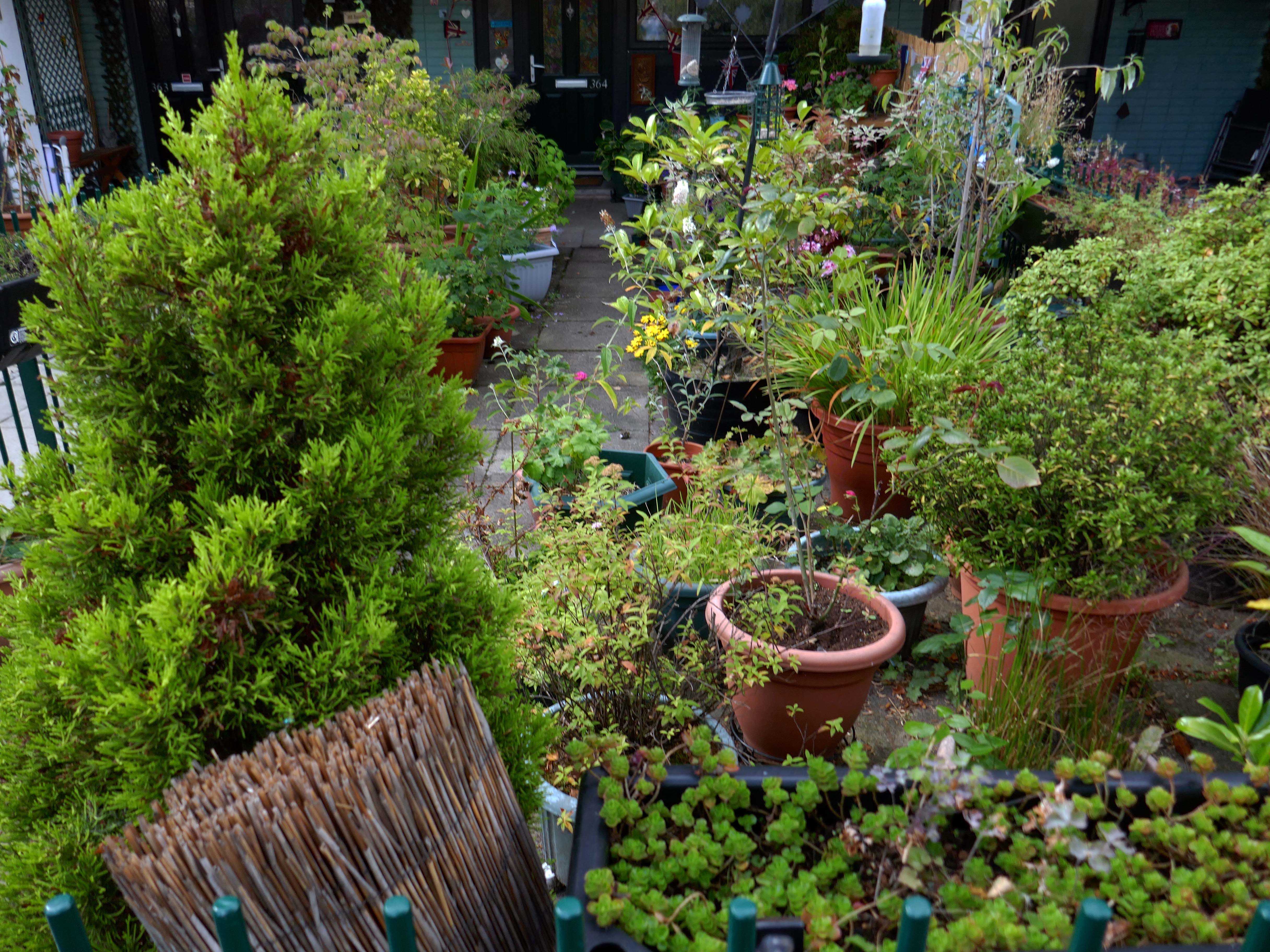
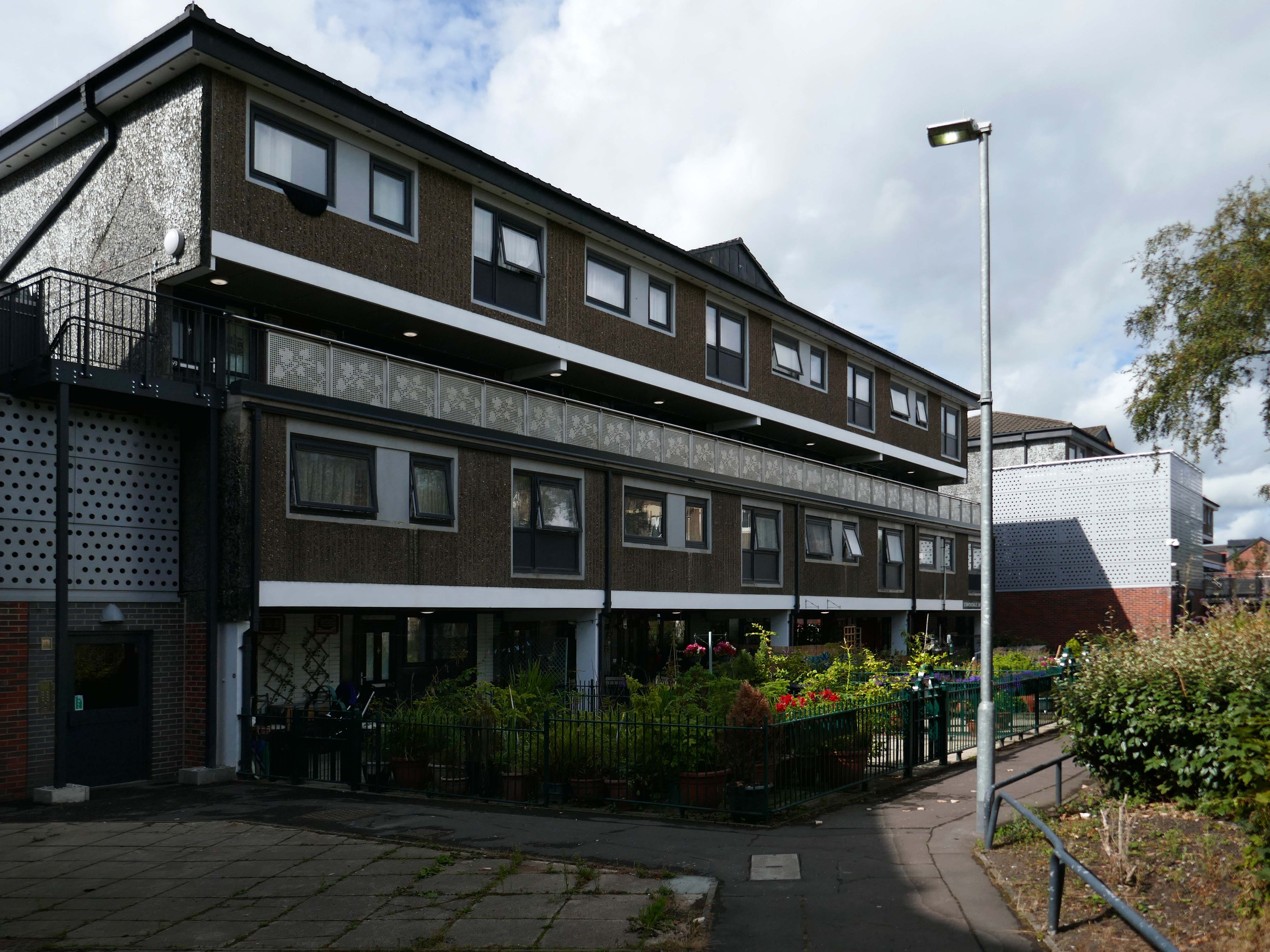
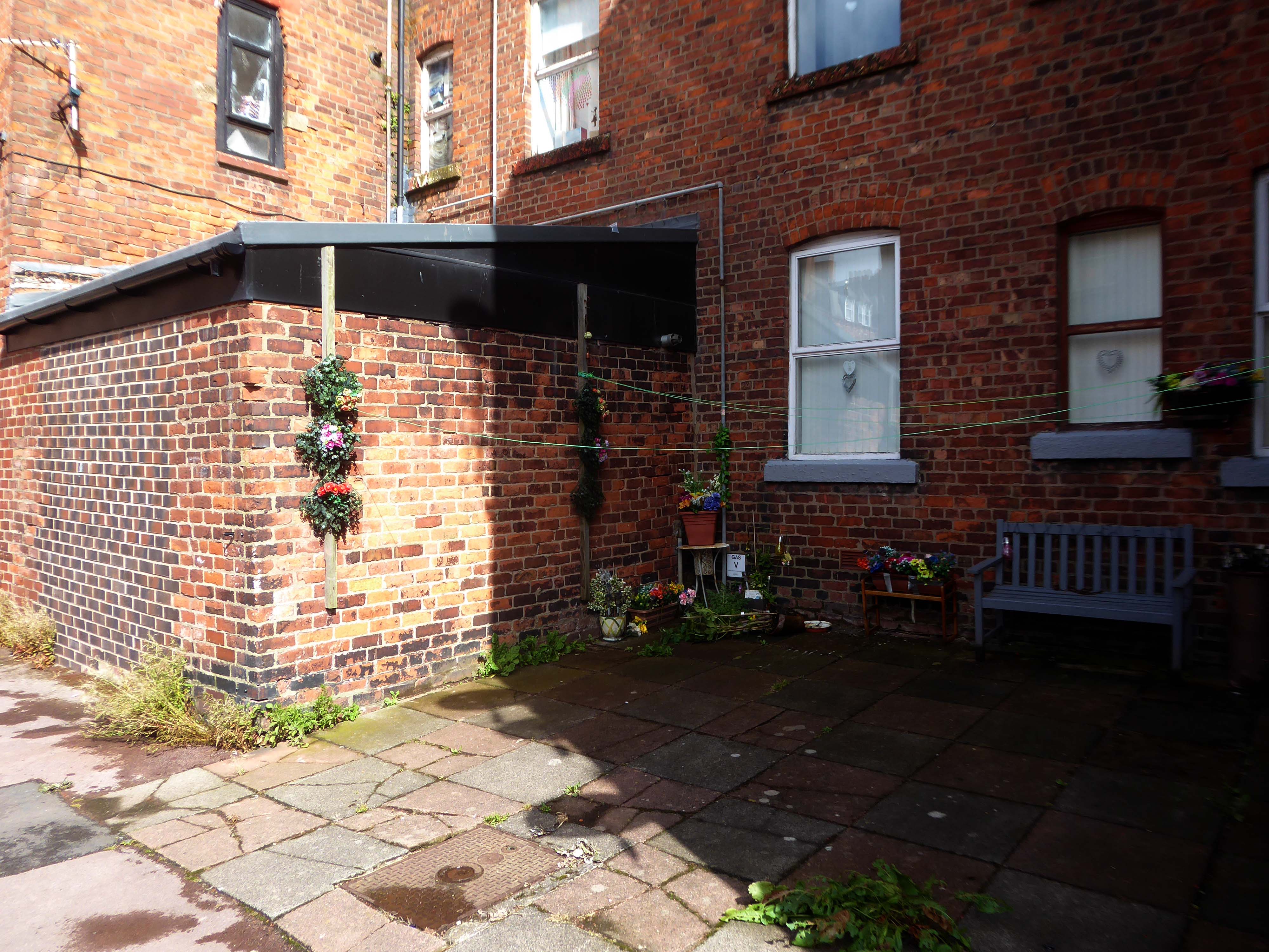
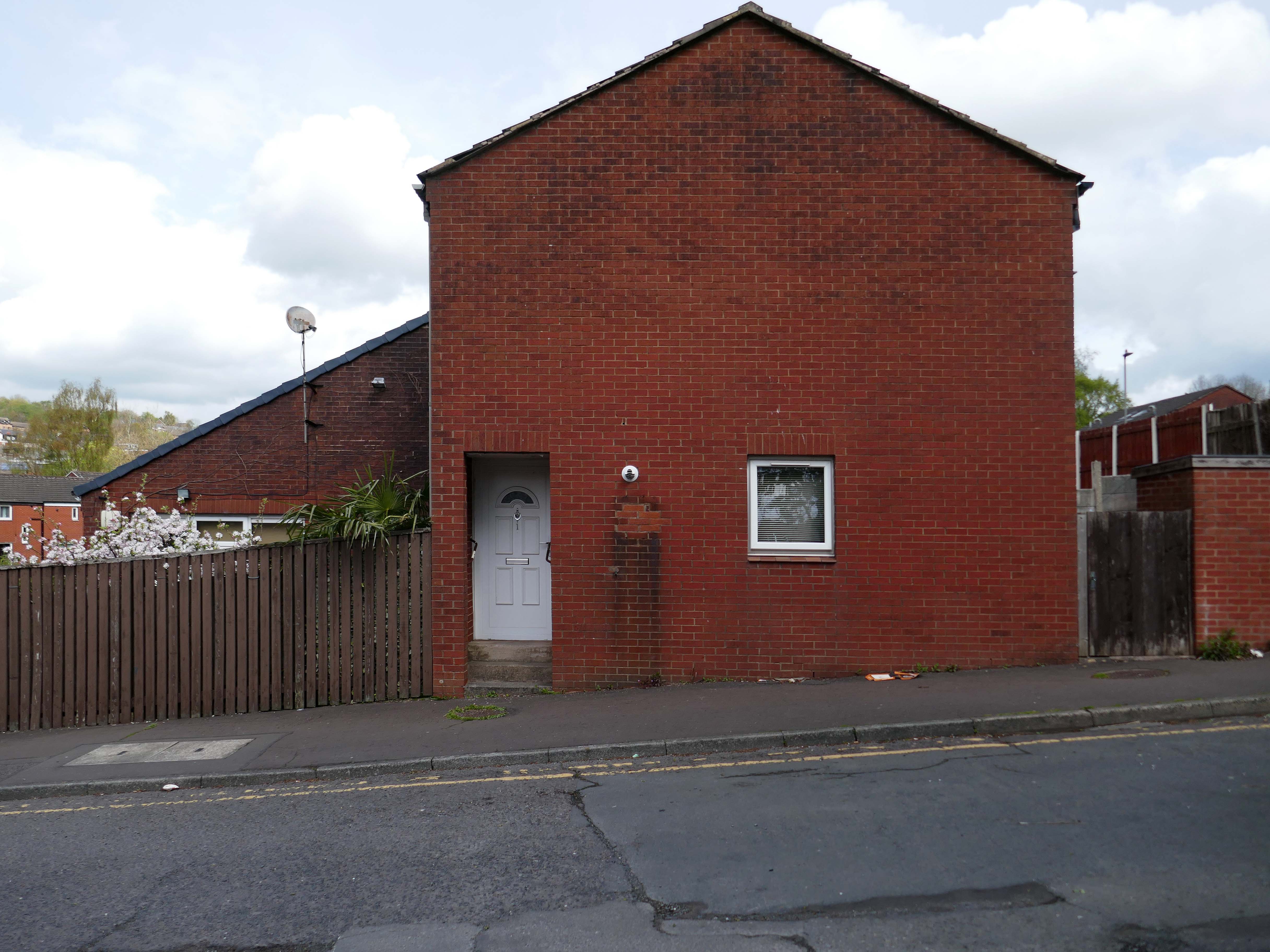
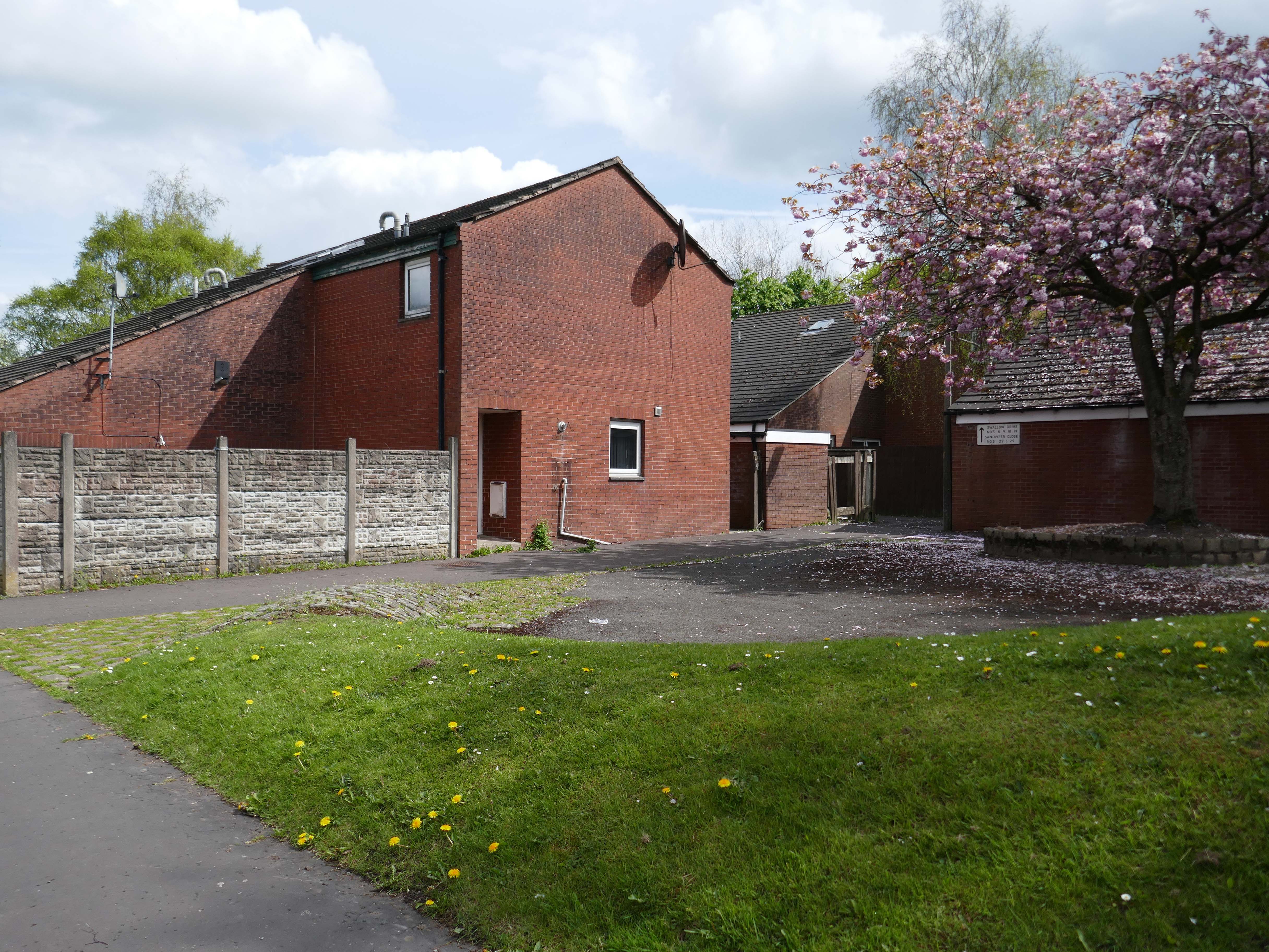
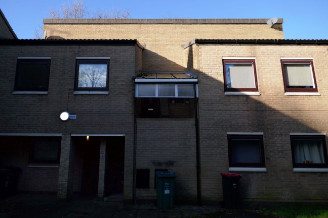
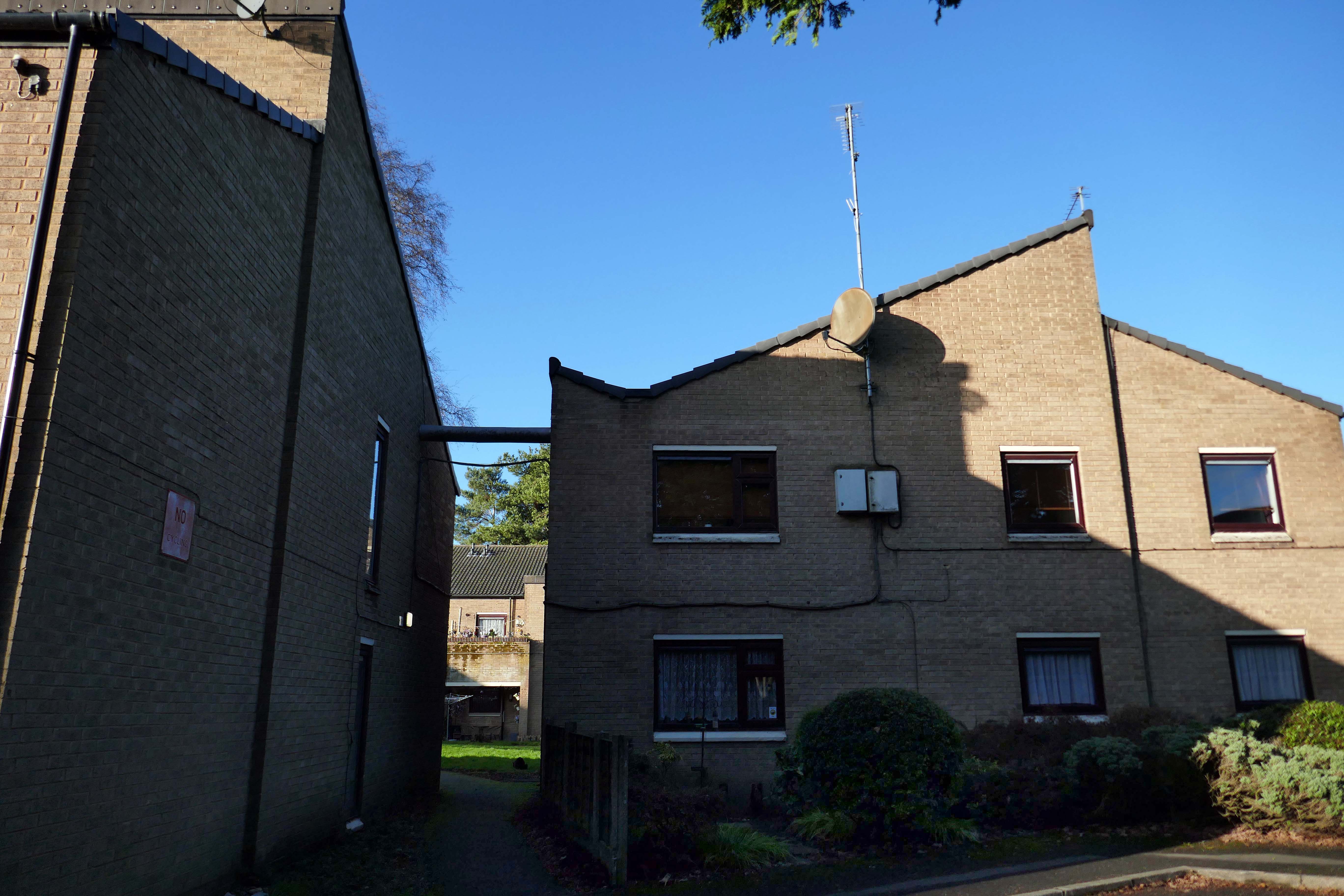
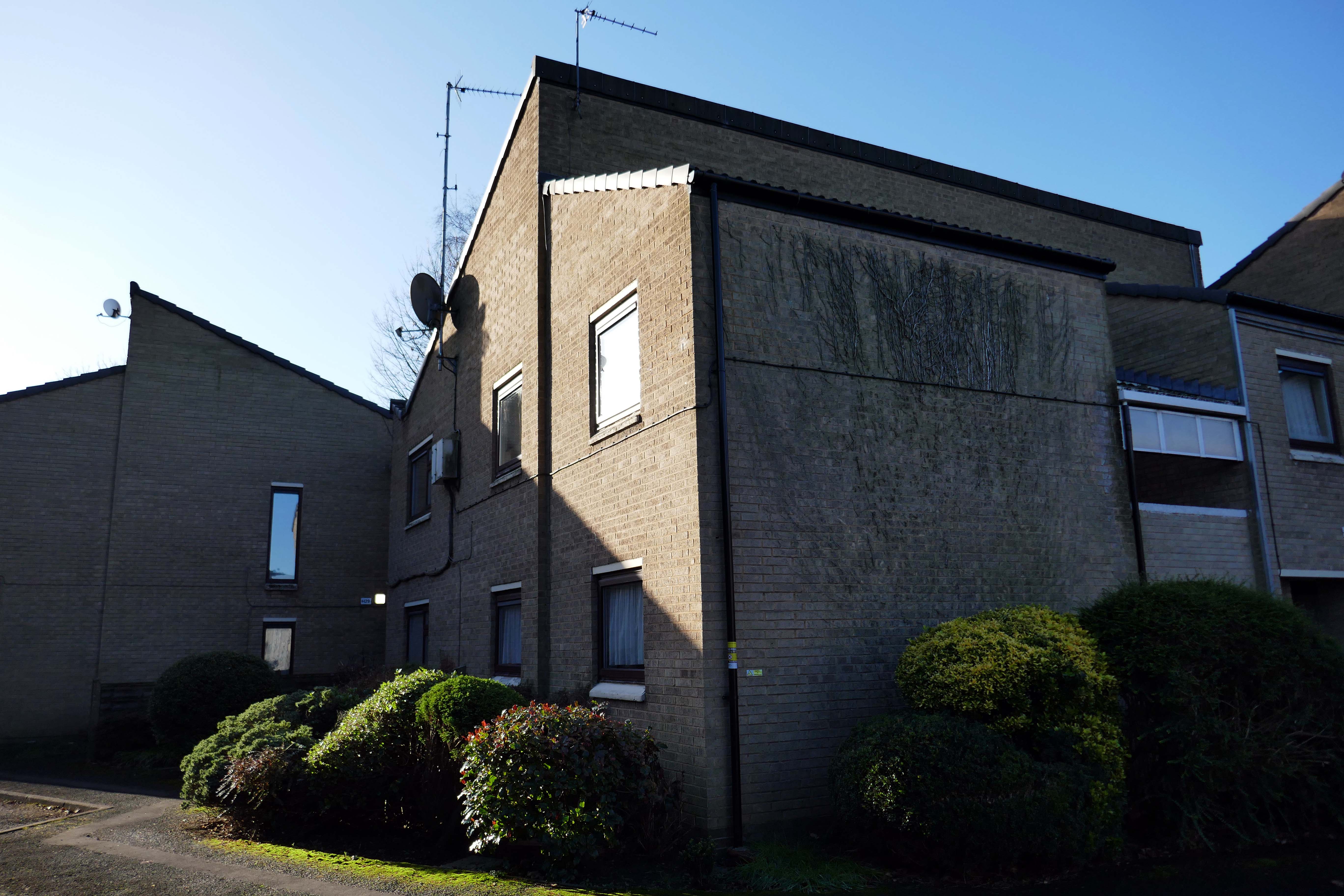
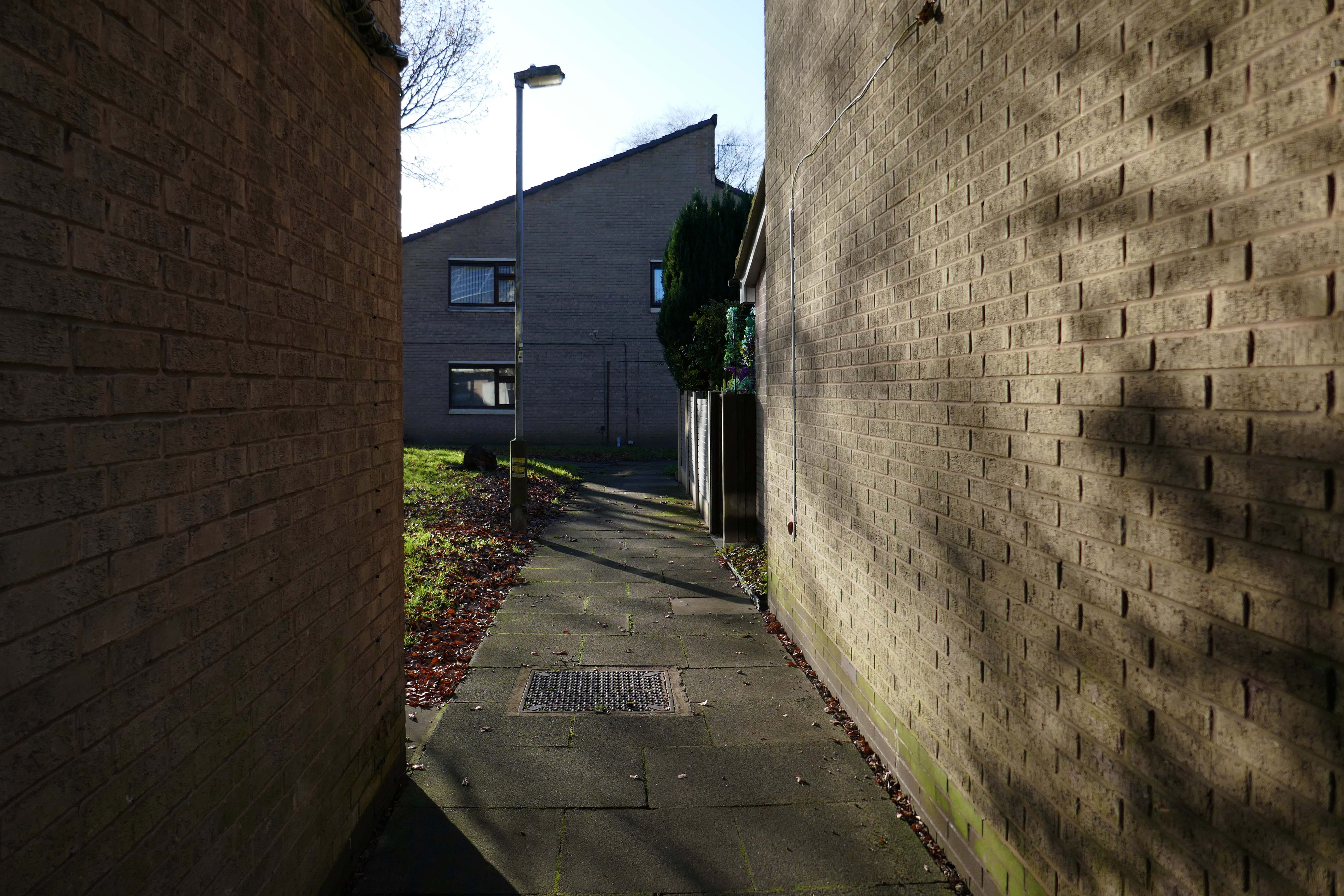
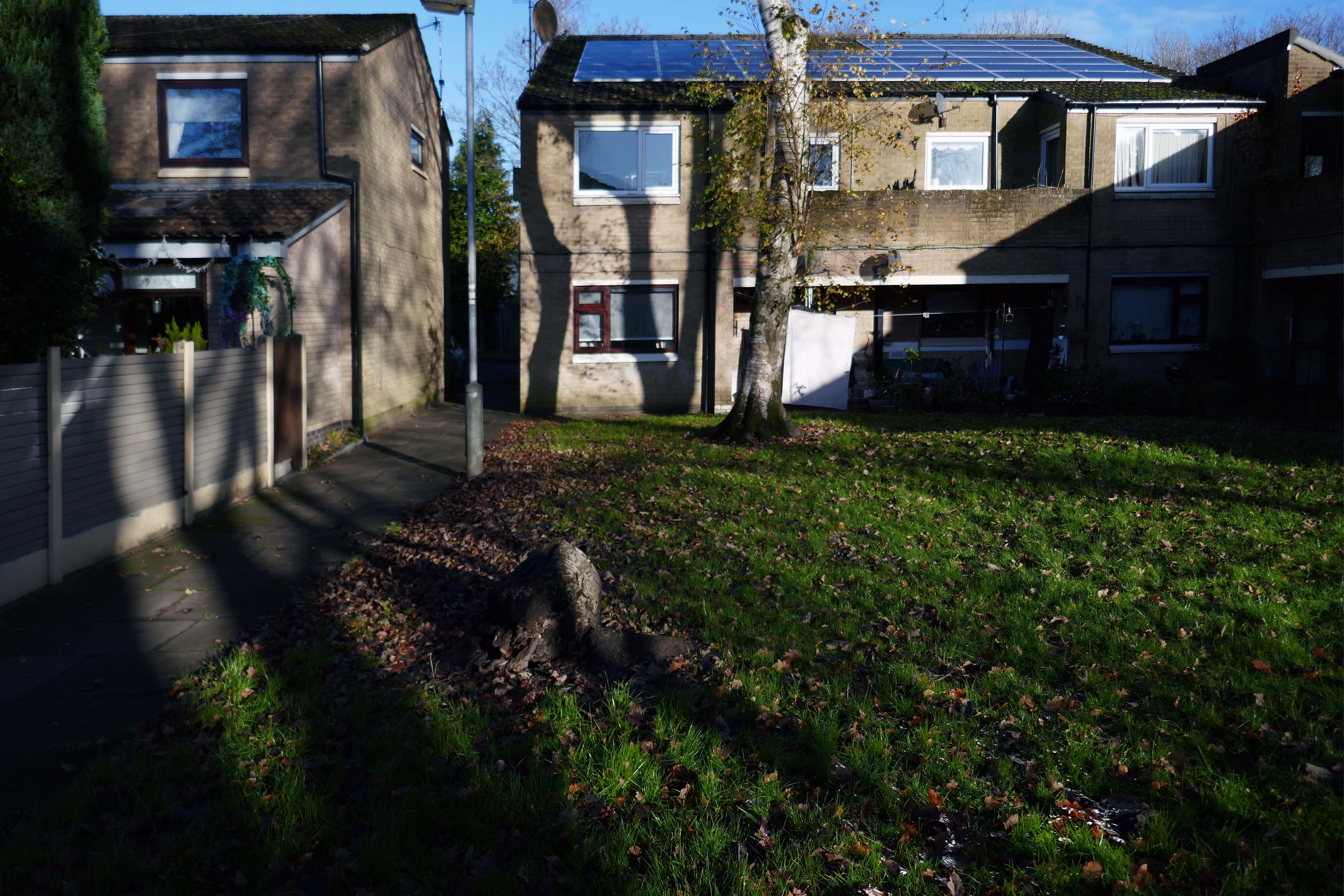
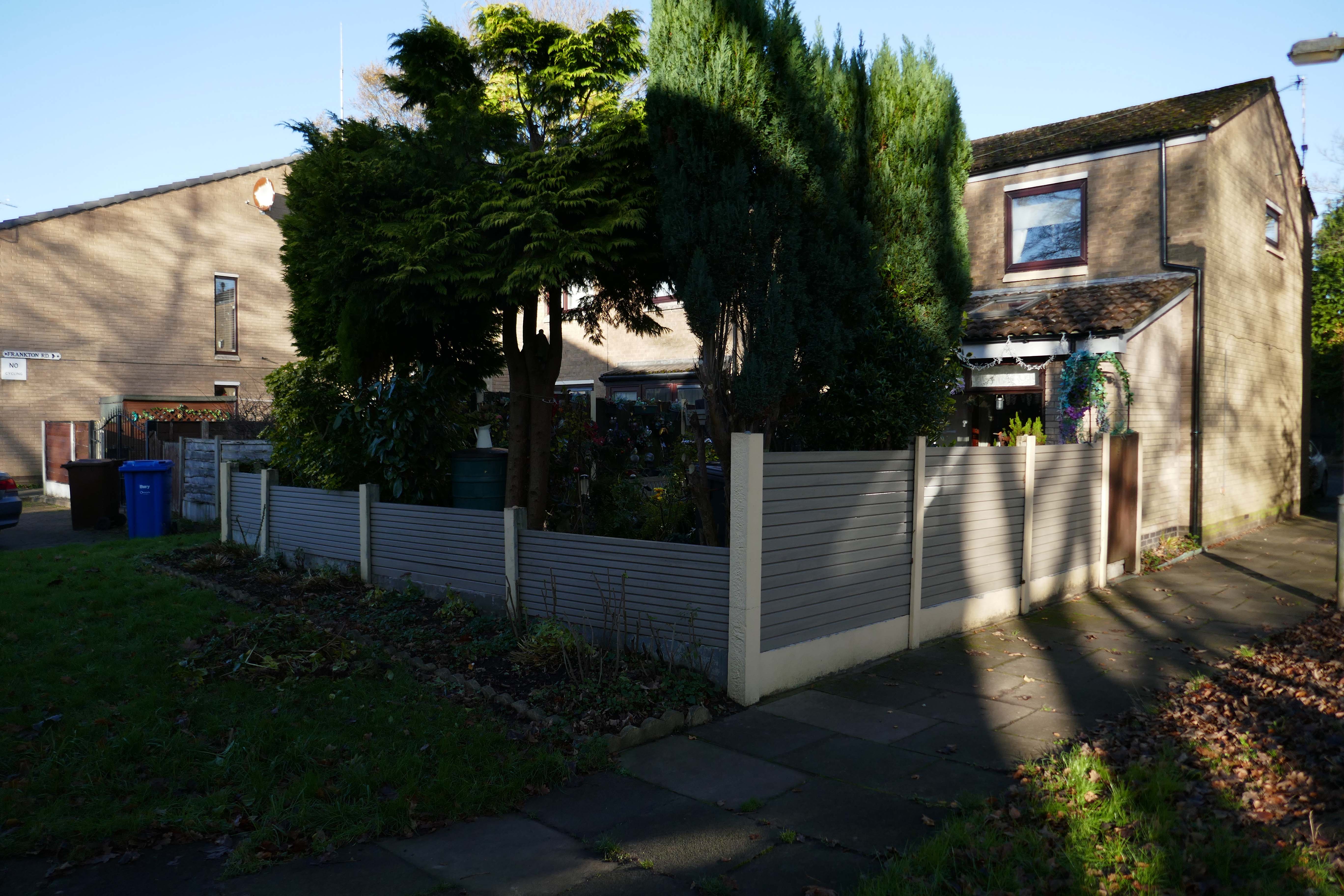
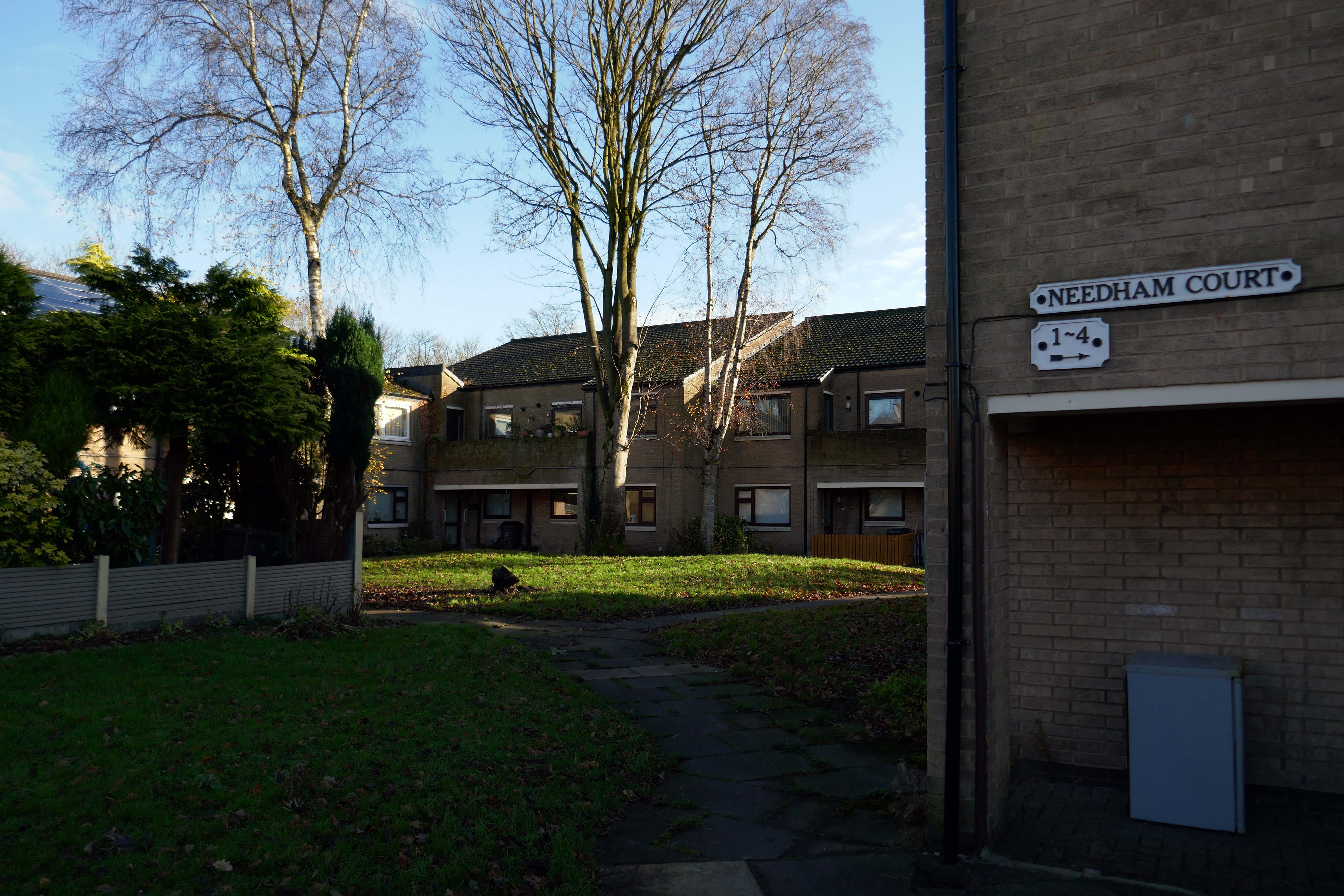
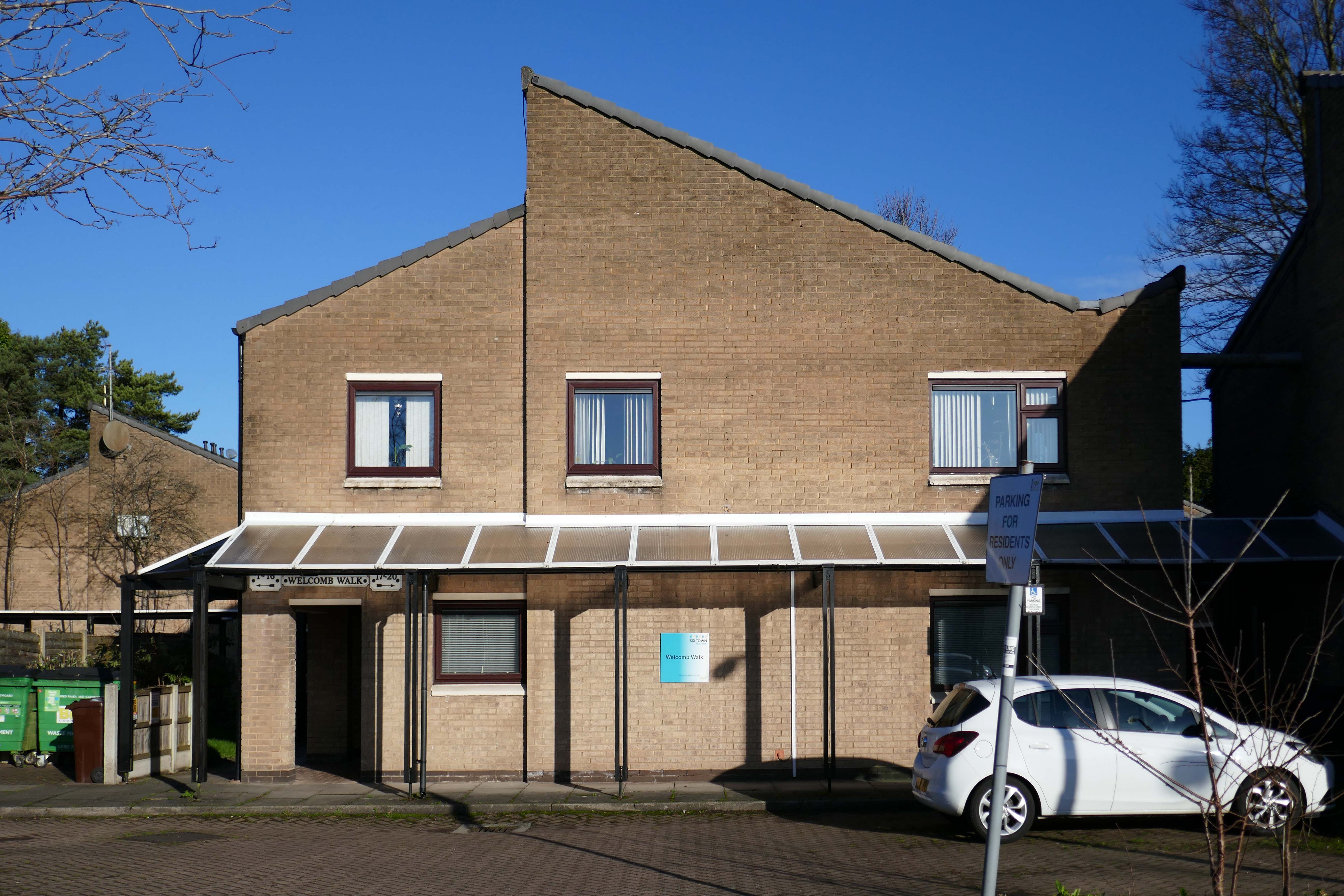
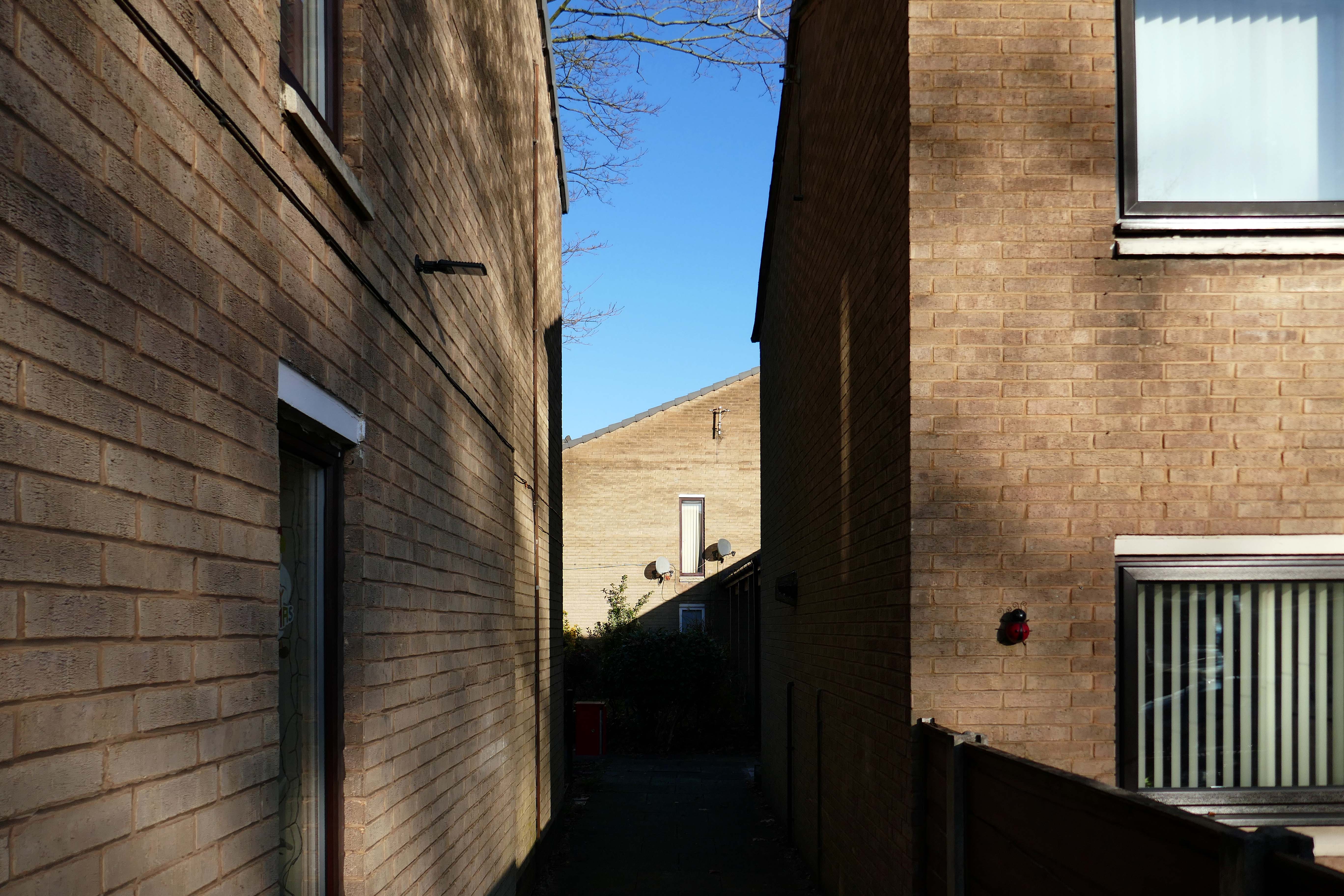
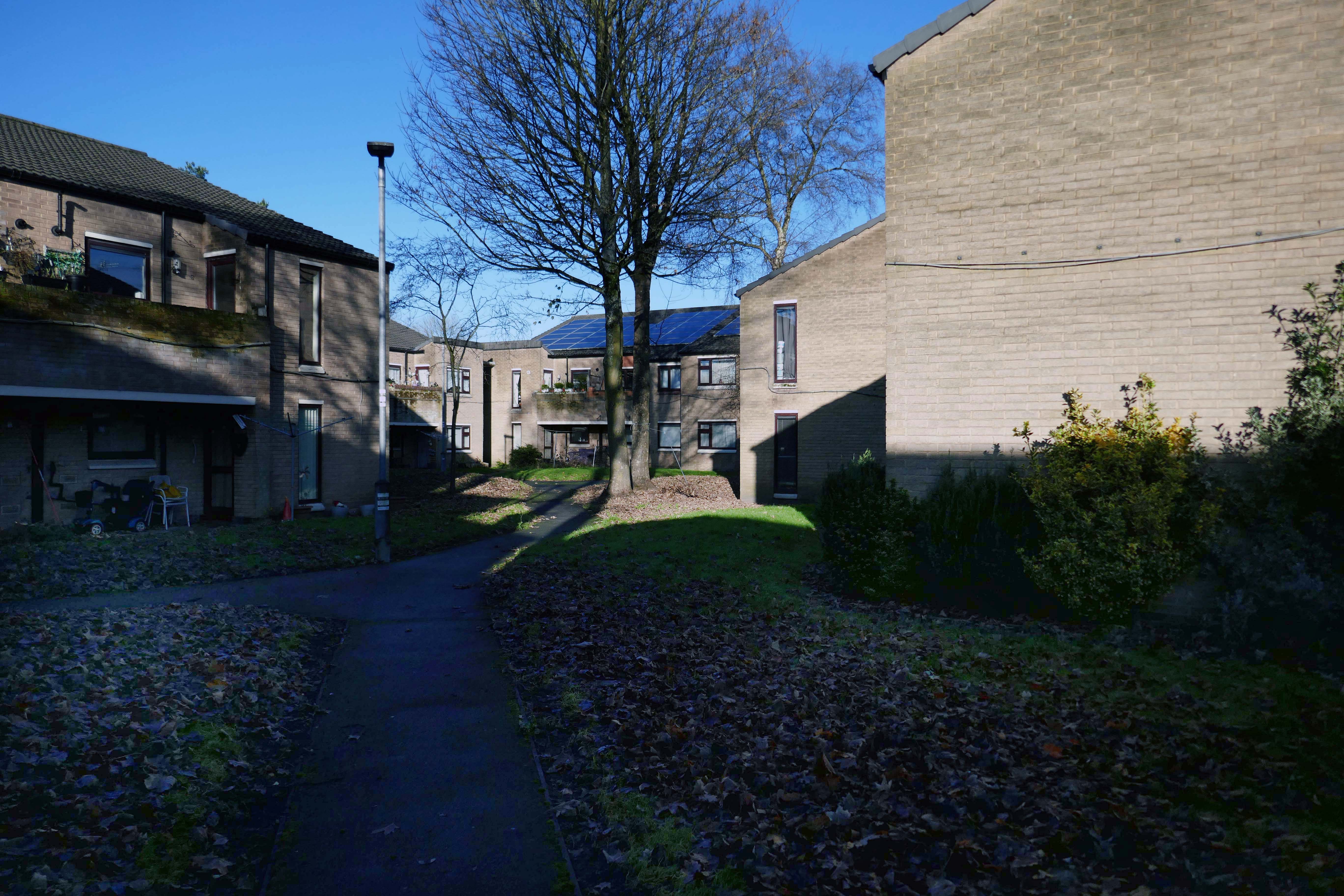
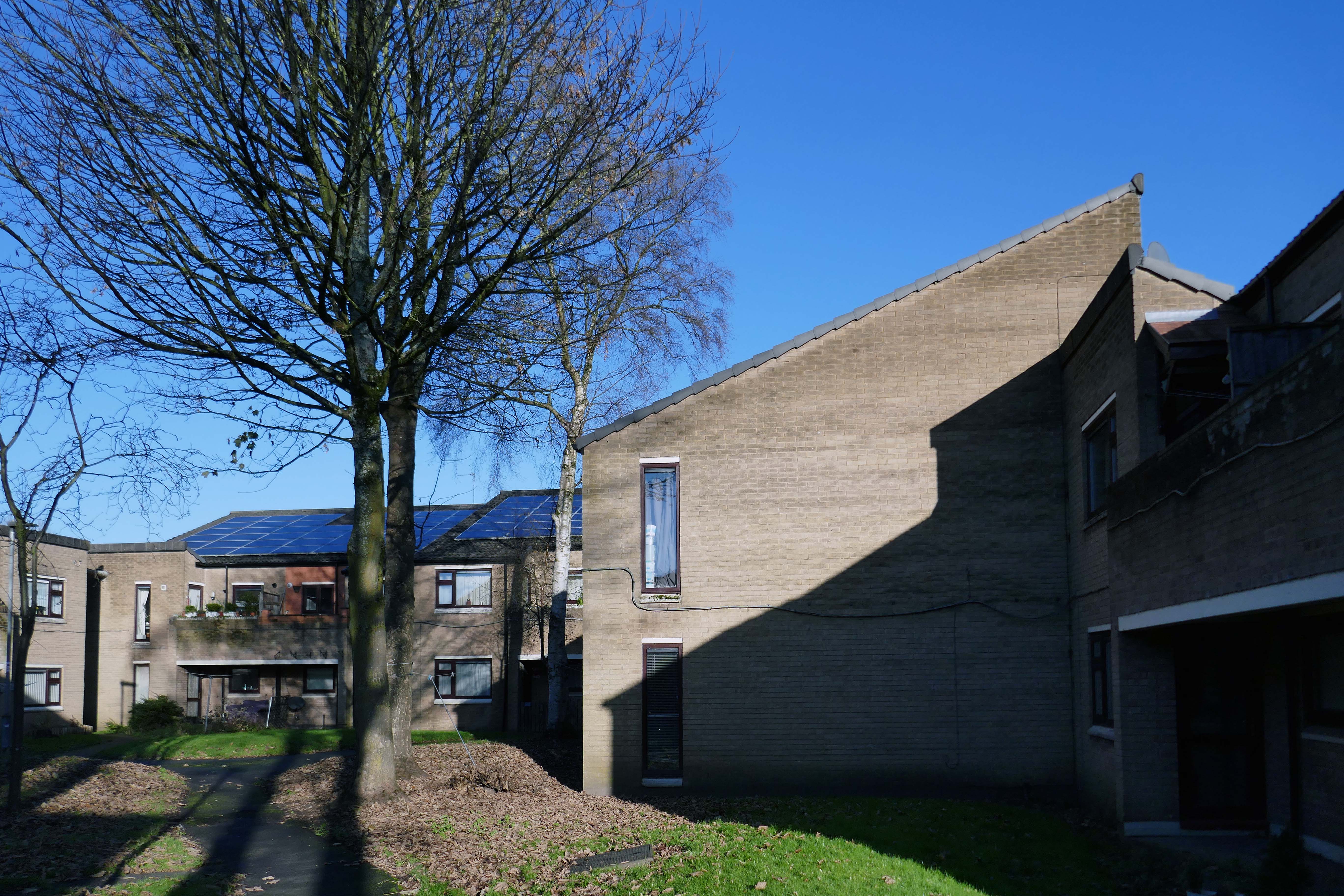
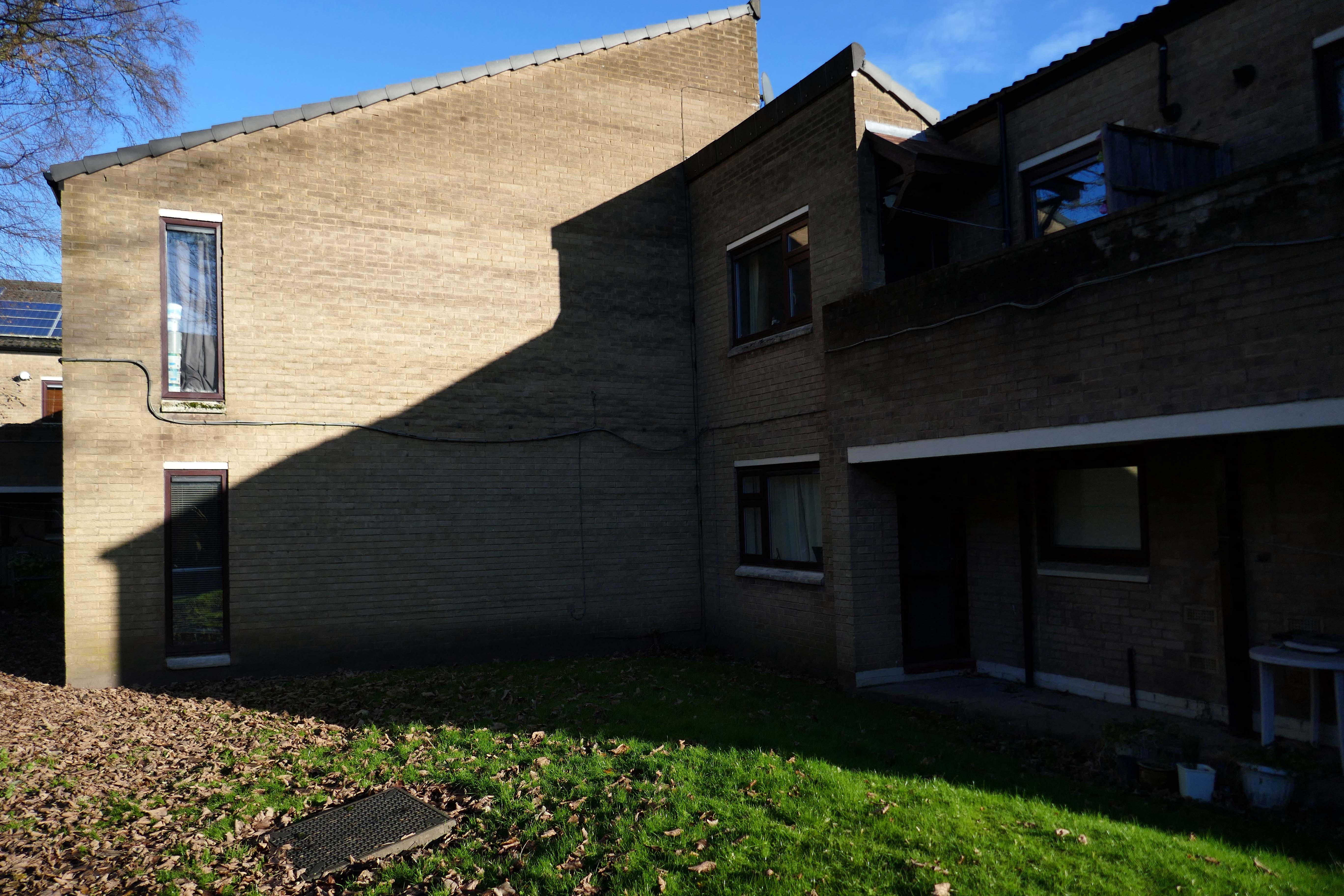
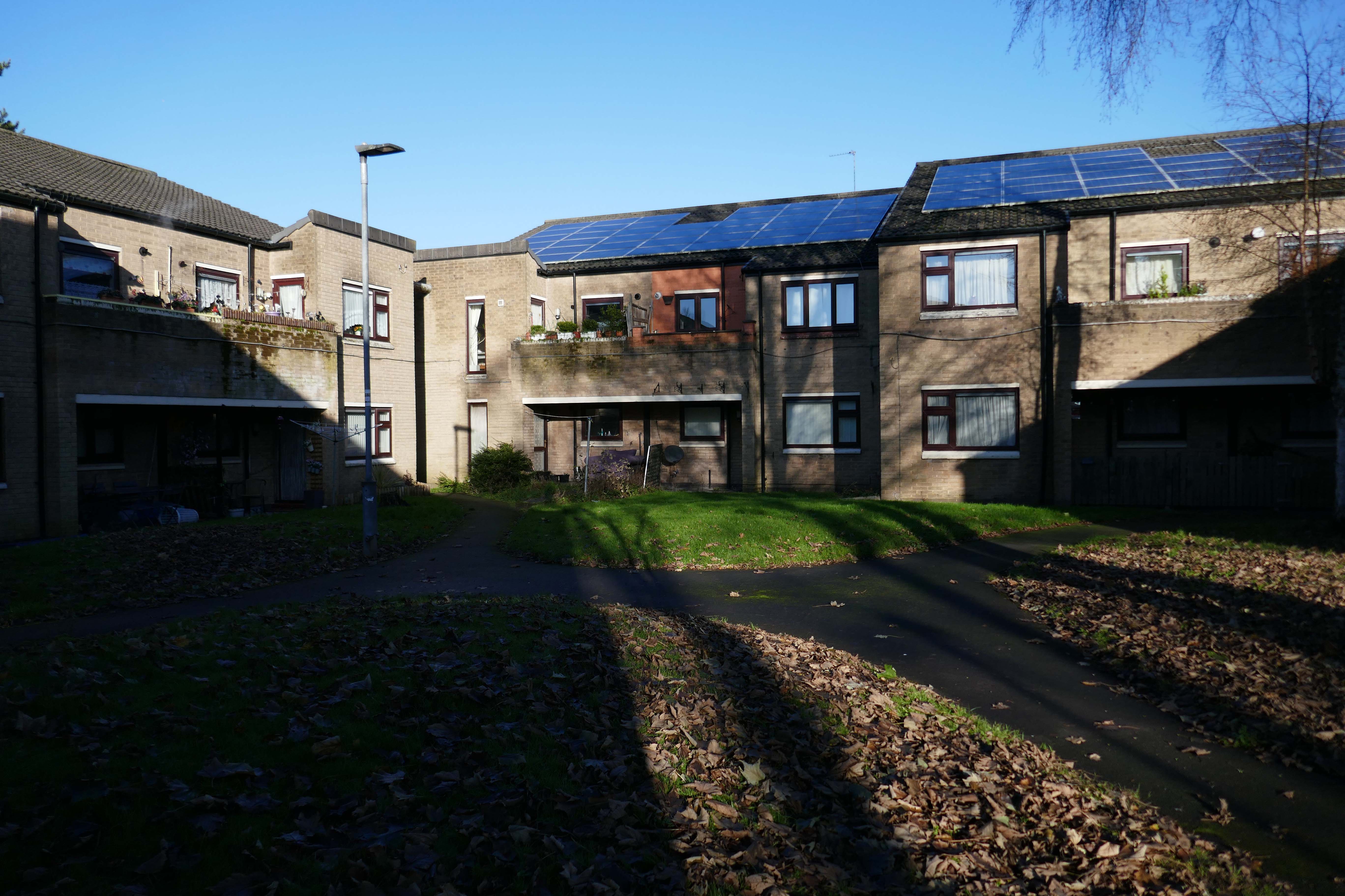
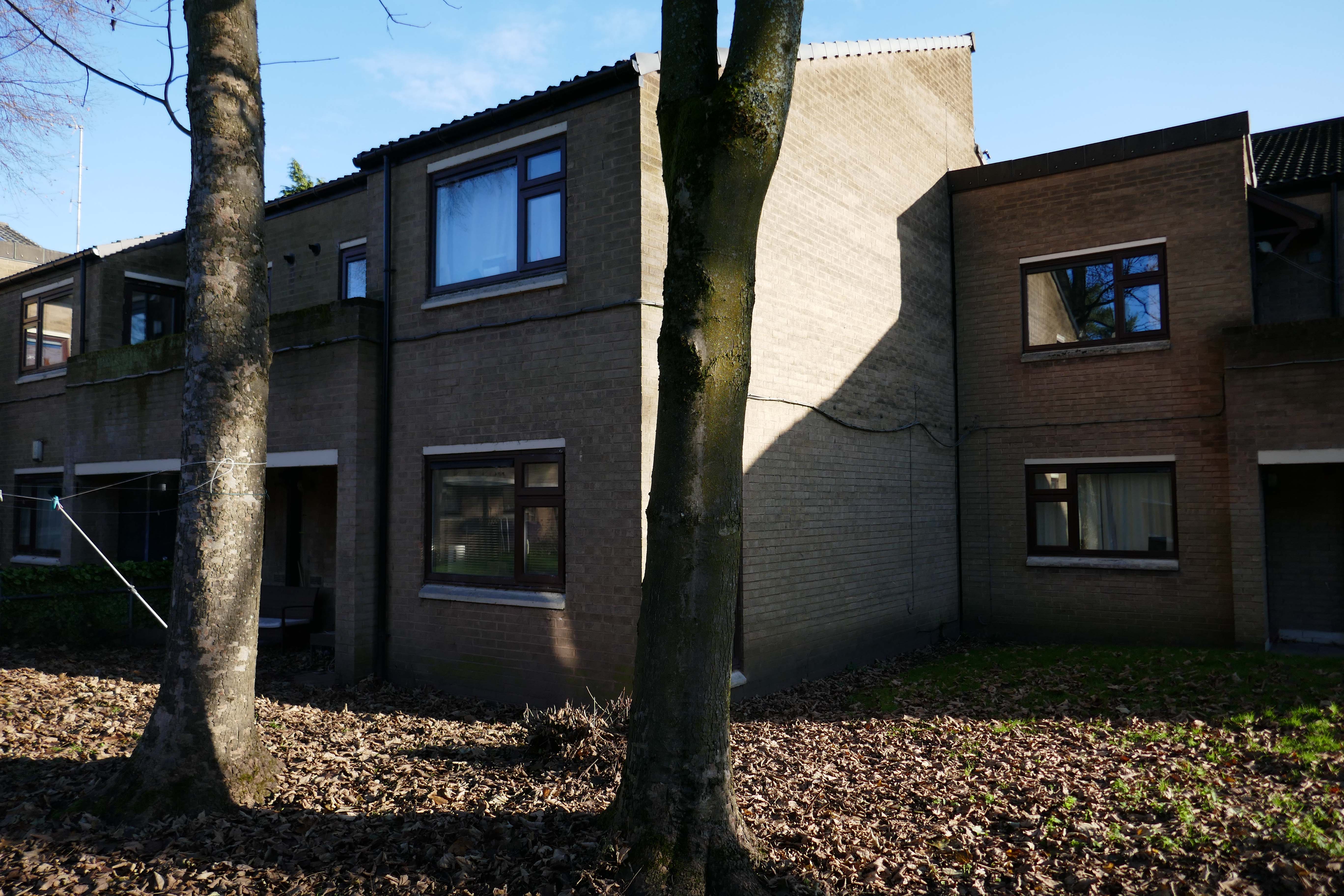
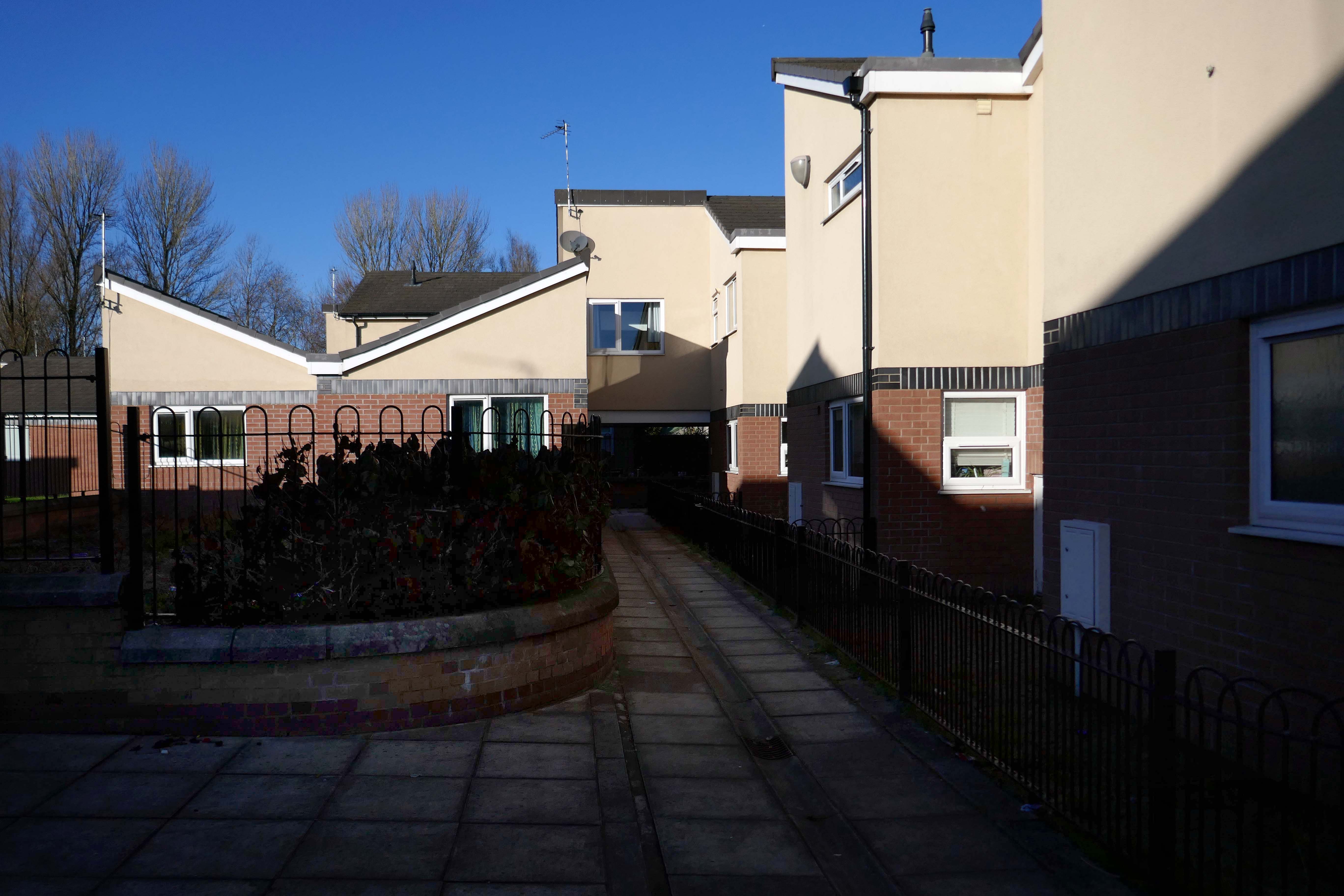
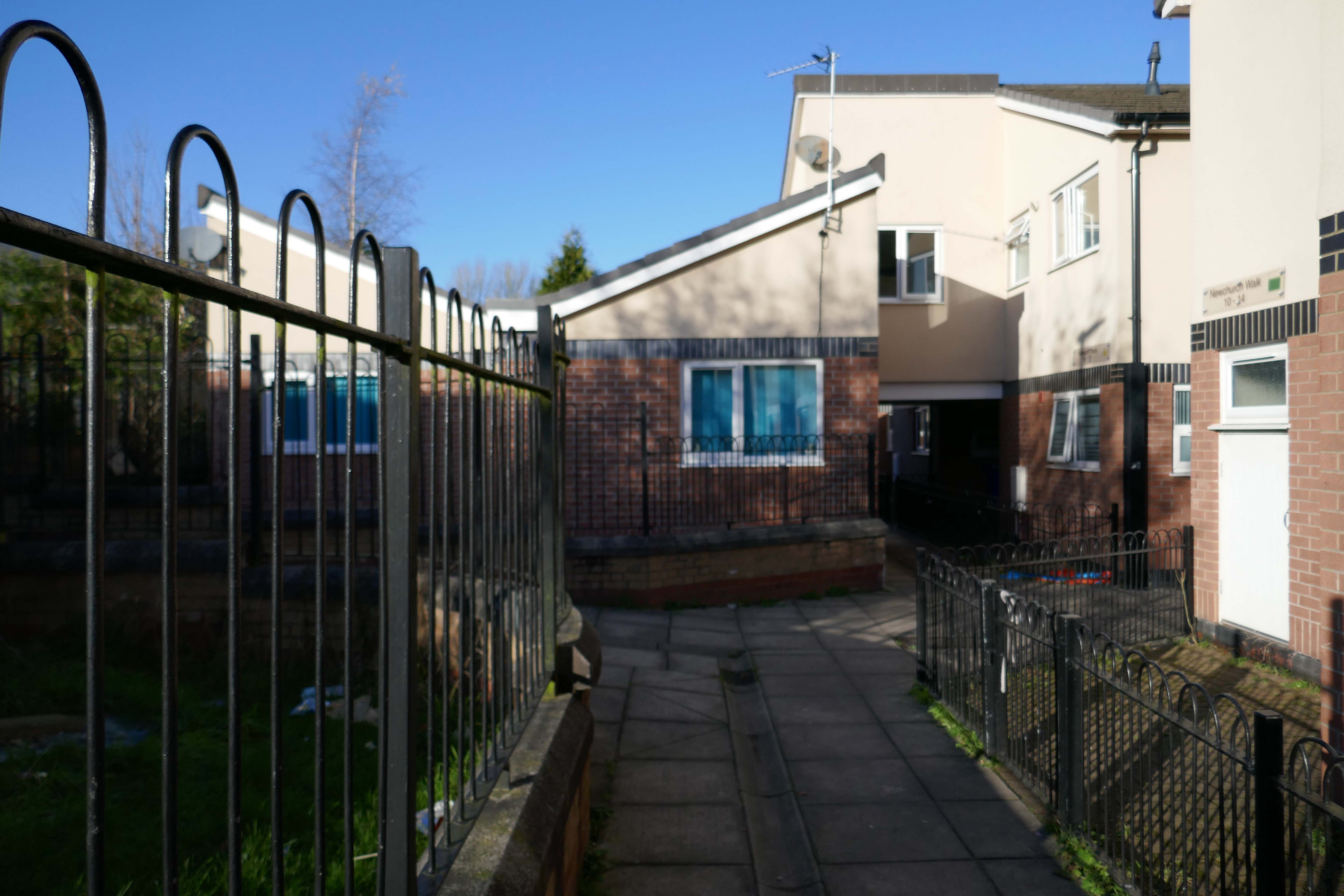
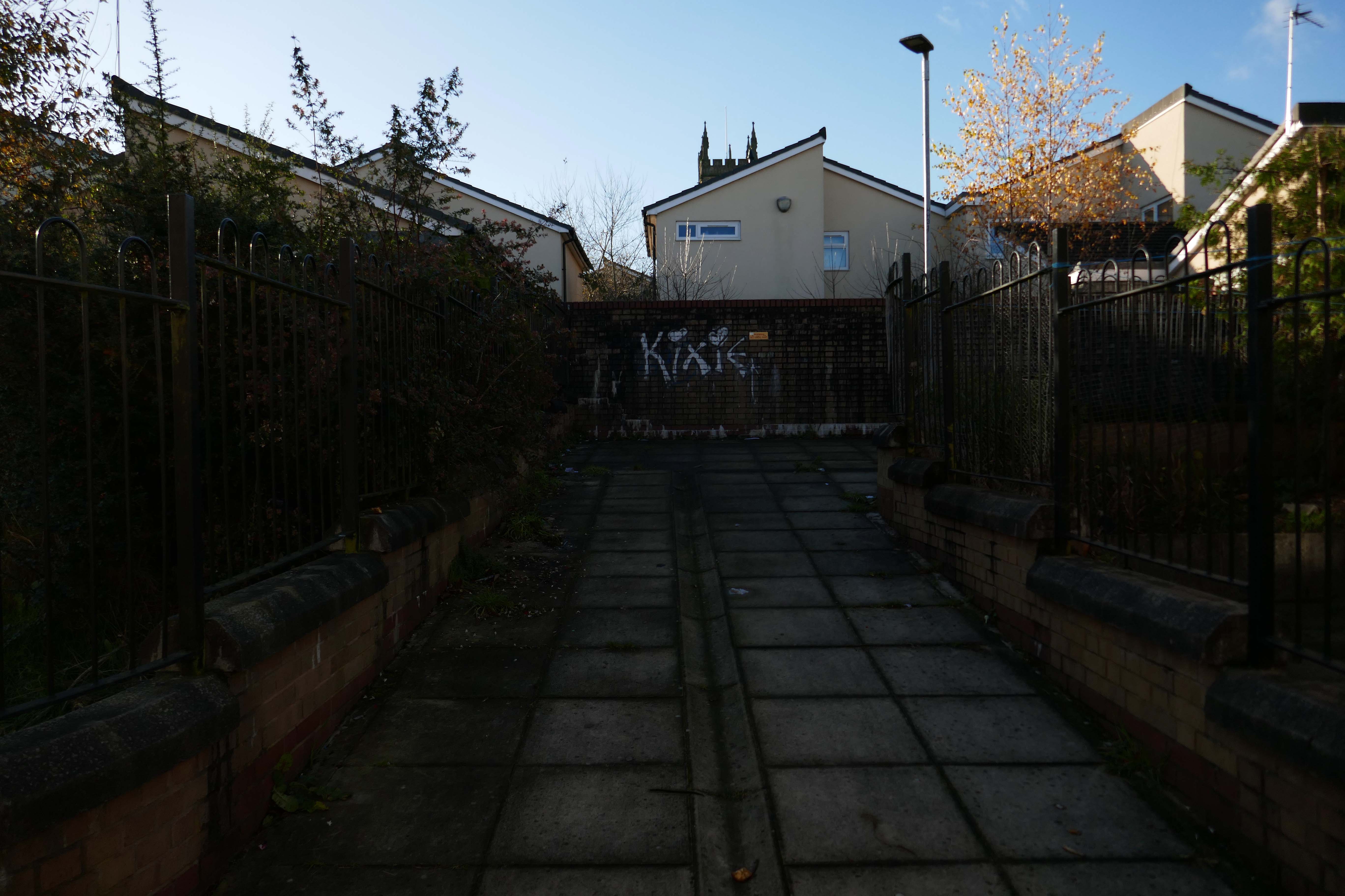
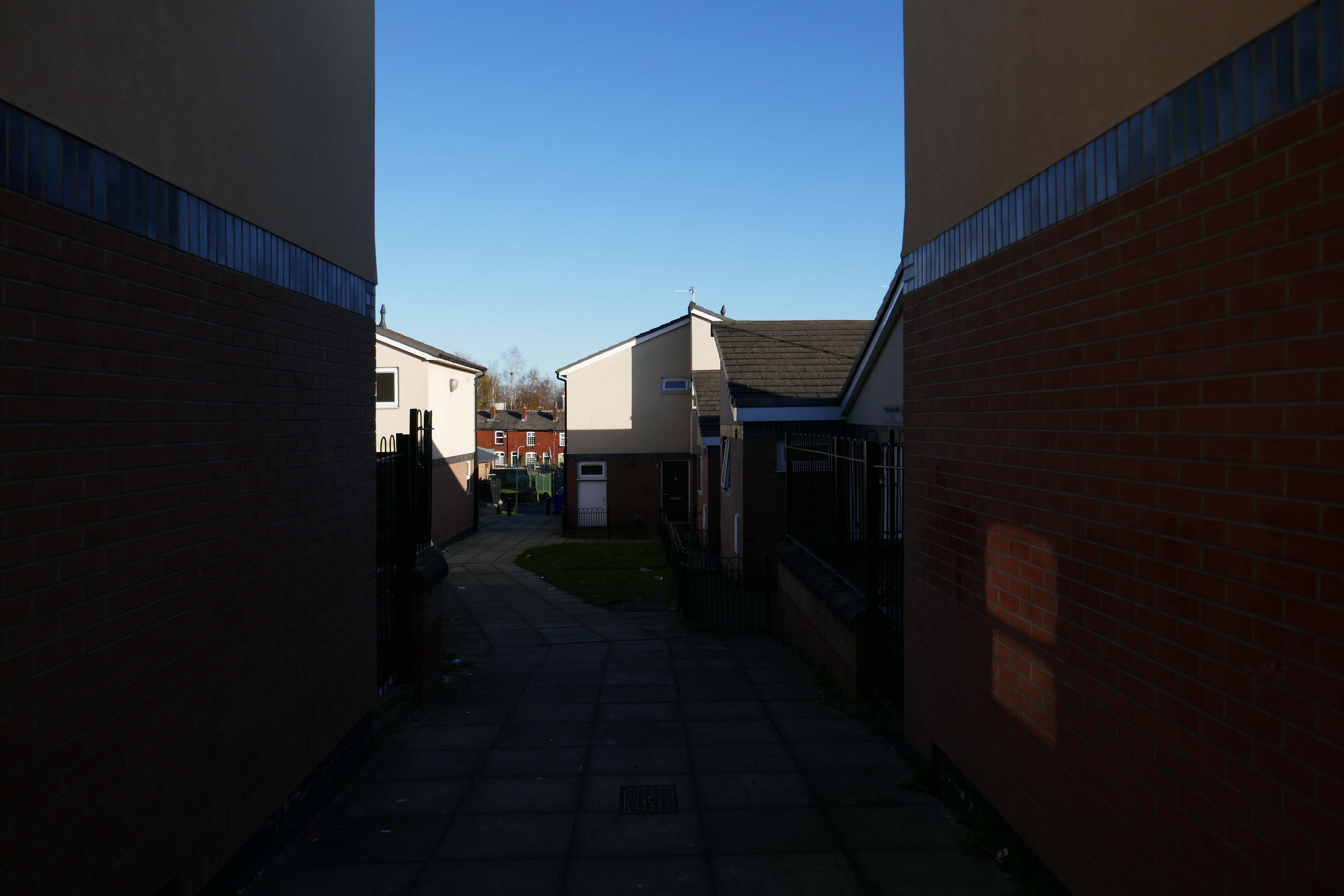
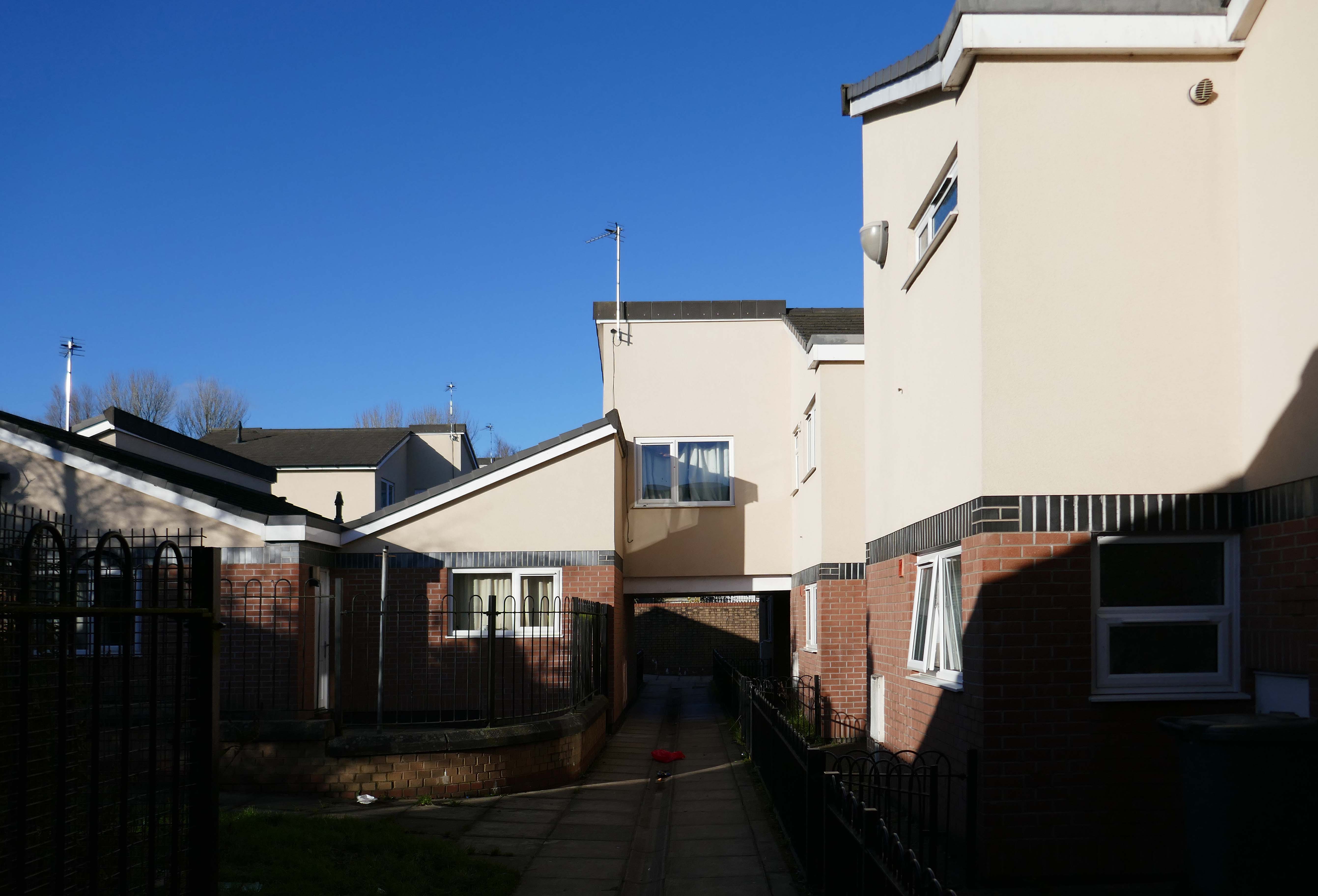
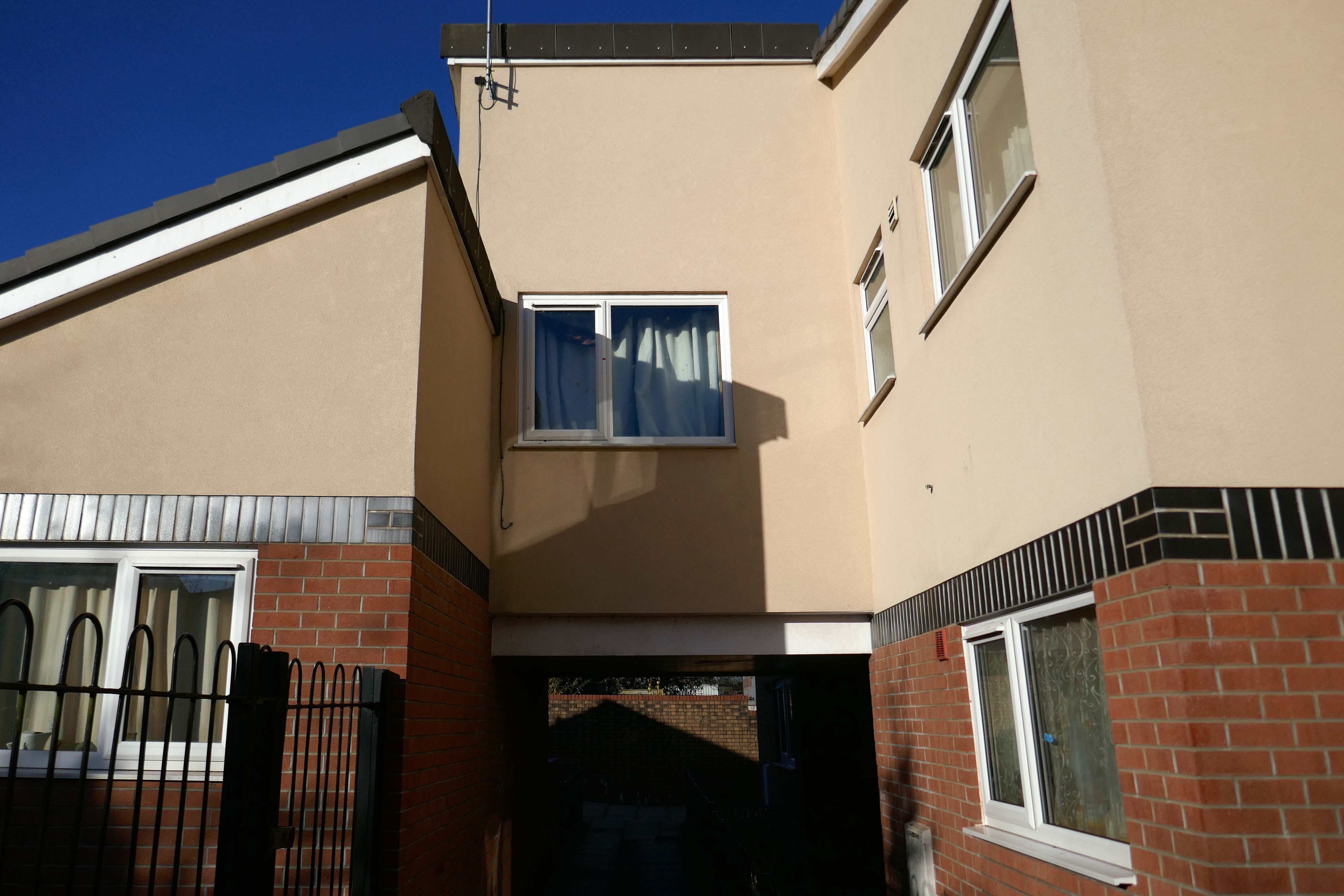
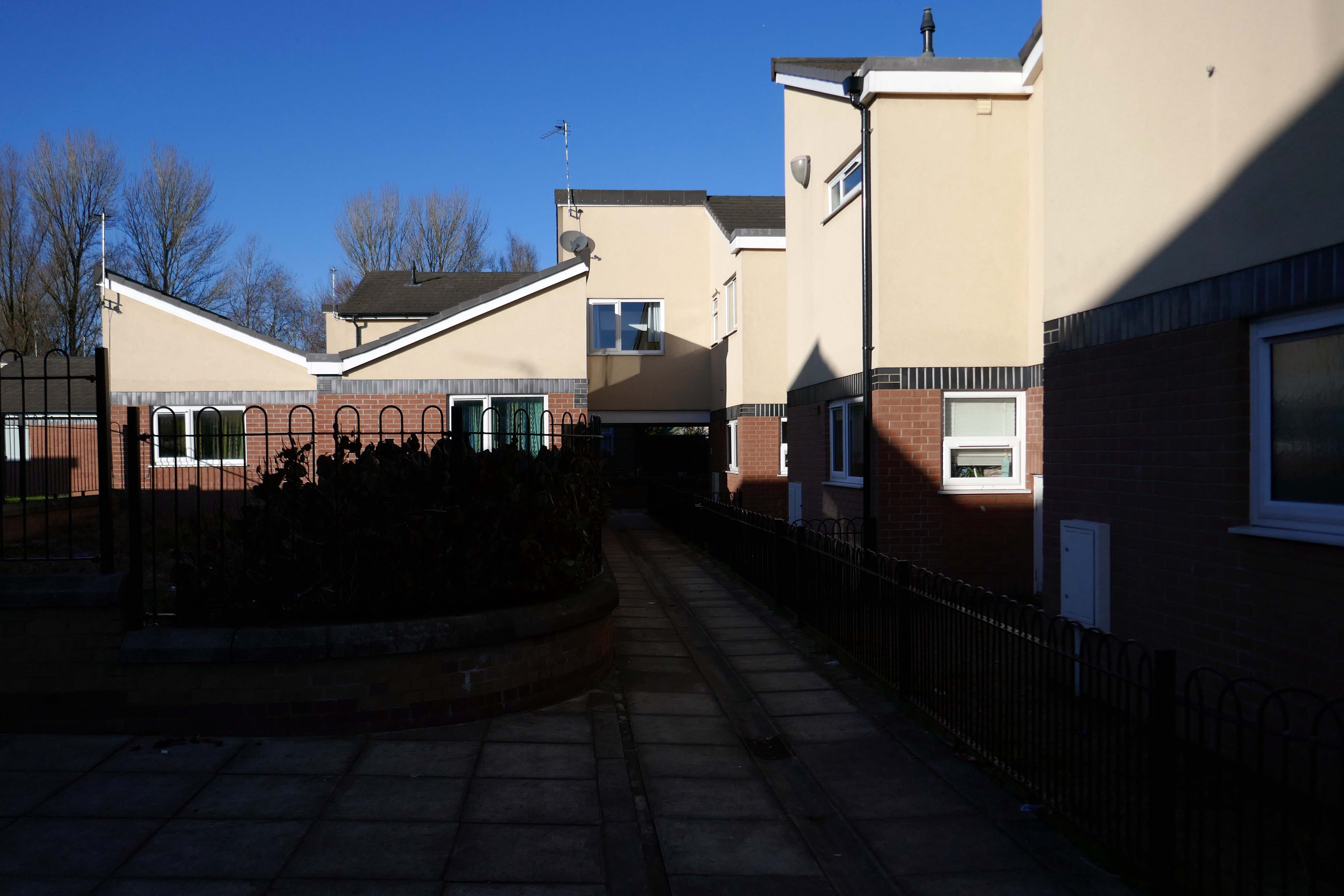
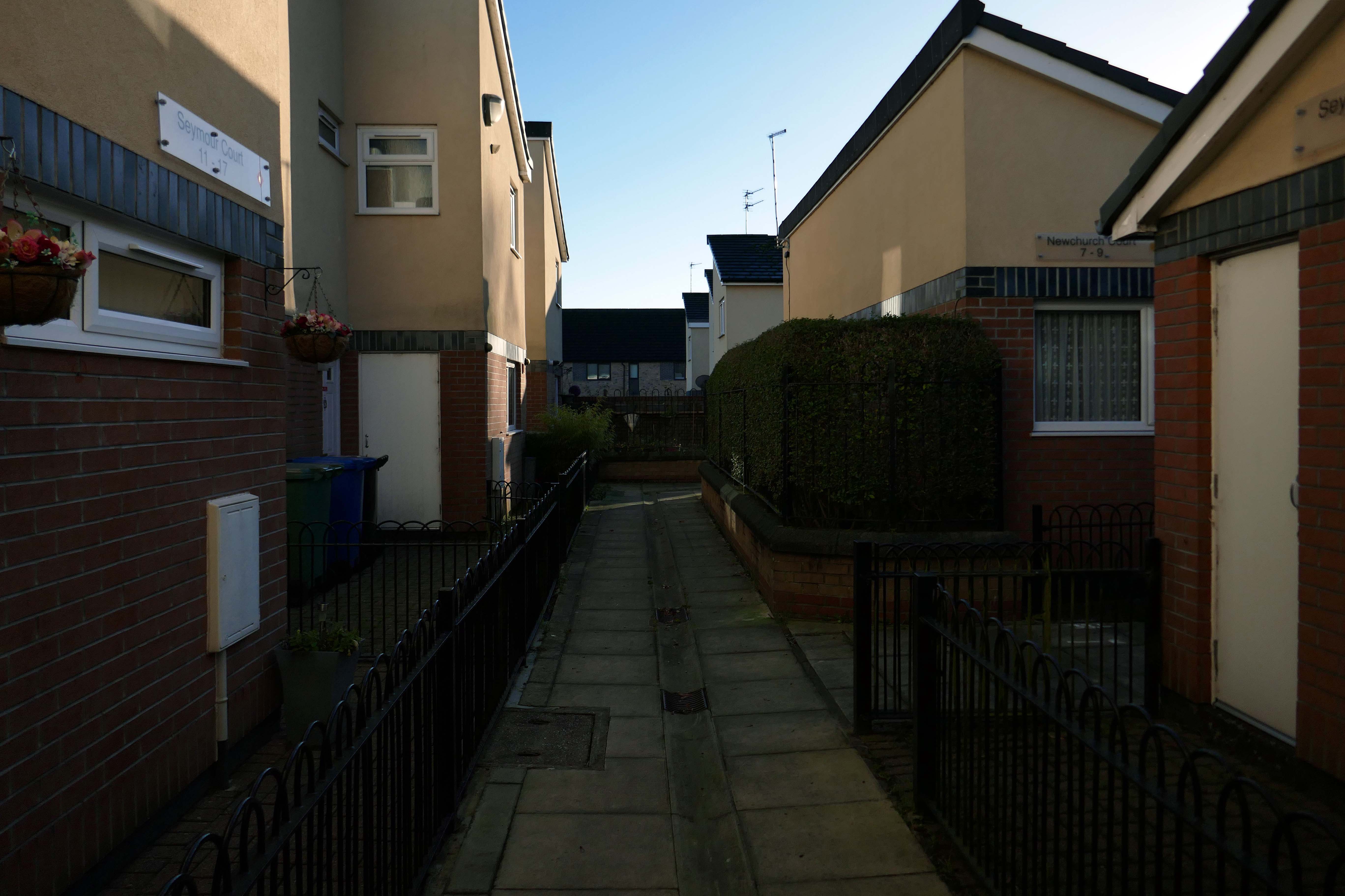
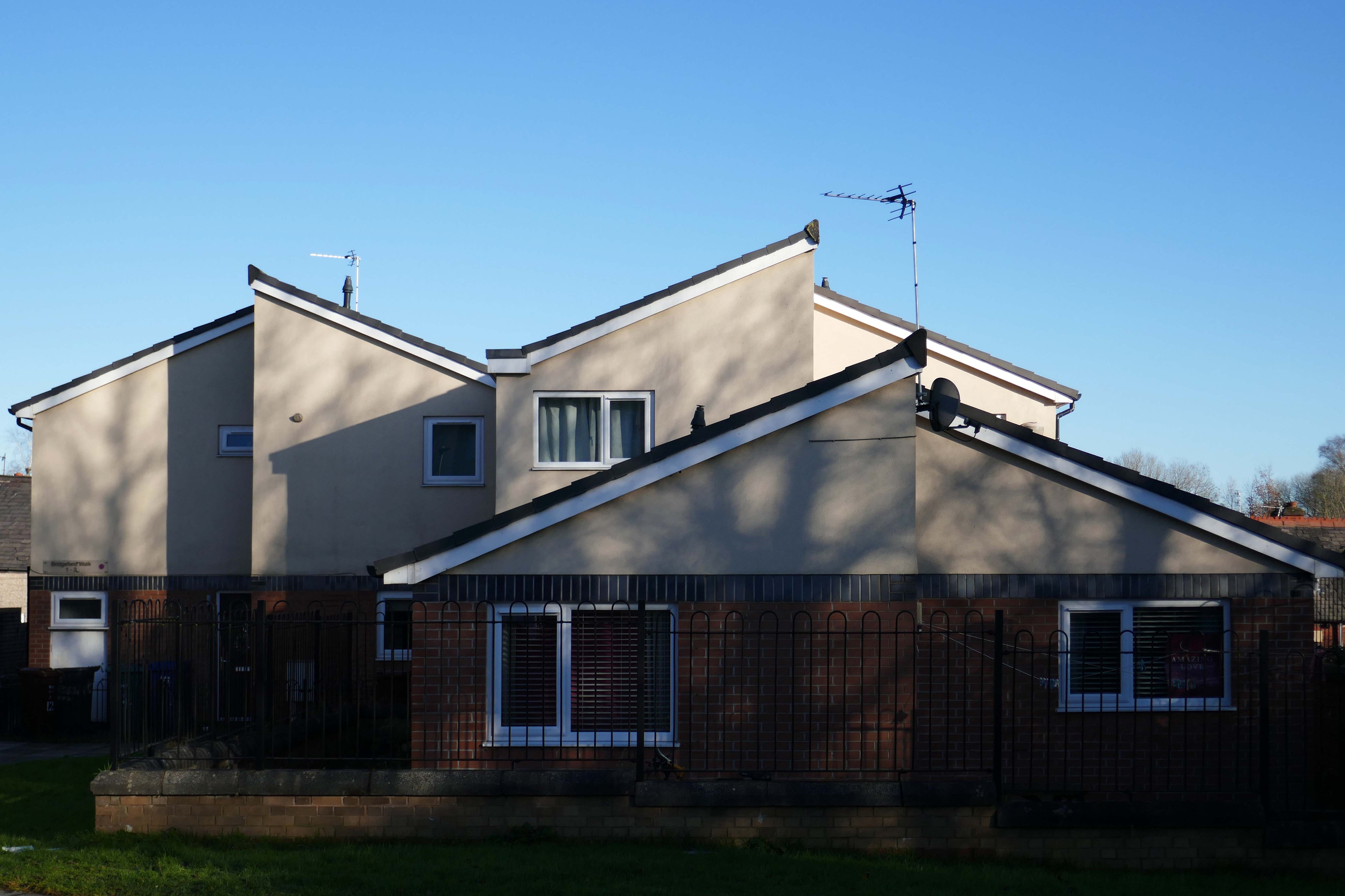
Whilst not seeking sheltered housing for my good self, I am always intrigued by small developments of interesting social housing, grouped around pedestrian walk ways and green space.
The residents with whom I chatted seems content with their homes and the management thereof.
I bade them adieu and went about my way, taking these few snaps.
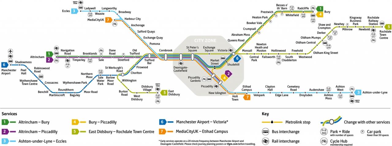
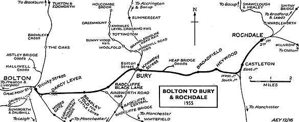
I was cordially requested to produce tram based walk, by the good folk at the modernist – travelling from Victoria Station to Bury. Alighting at each stop and seeing what could be seen, by way of modern buildings along the byways.
By the way, I do have previous experience, having undertaken a similar task travelling to Ashton.
So I set off as instructed, clutching my GMPTE senior concessionary travel pass.
Queens Road
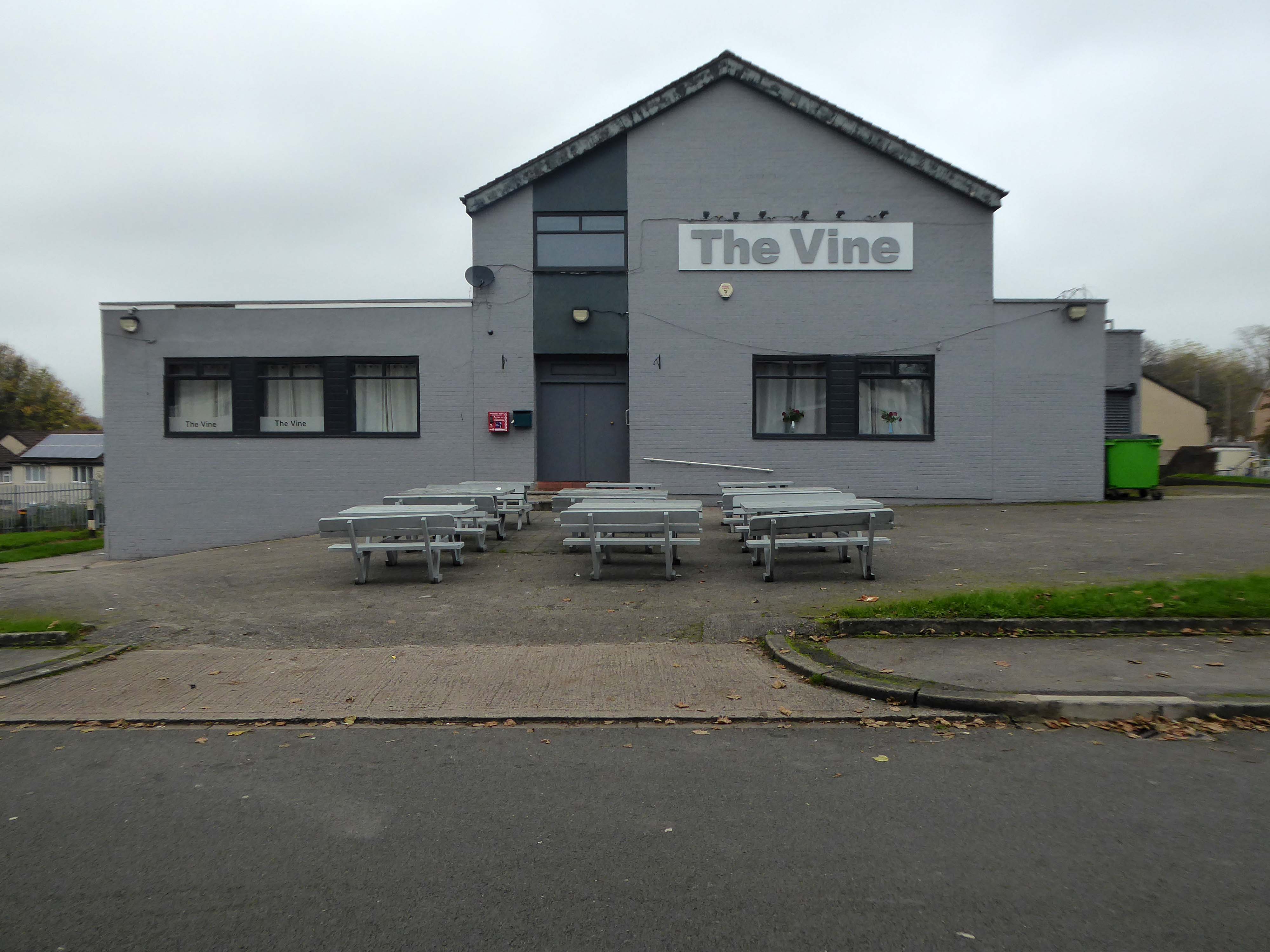
Turn right on leaving the station, right then left – you have reached The Vine.
Glendower Dr, Manchester, Greater Manchester M40 7TD.
Head for Rochdale Road and turn right back toward the city centre, you have reached Eastford Square.
Turn left from the station along Bury Old Road until you reach Heywood Road on your right.
Heywood Road, Prestwich, Manchester M25 2GT
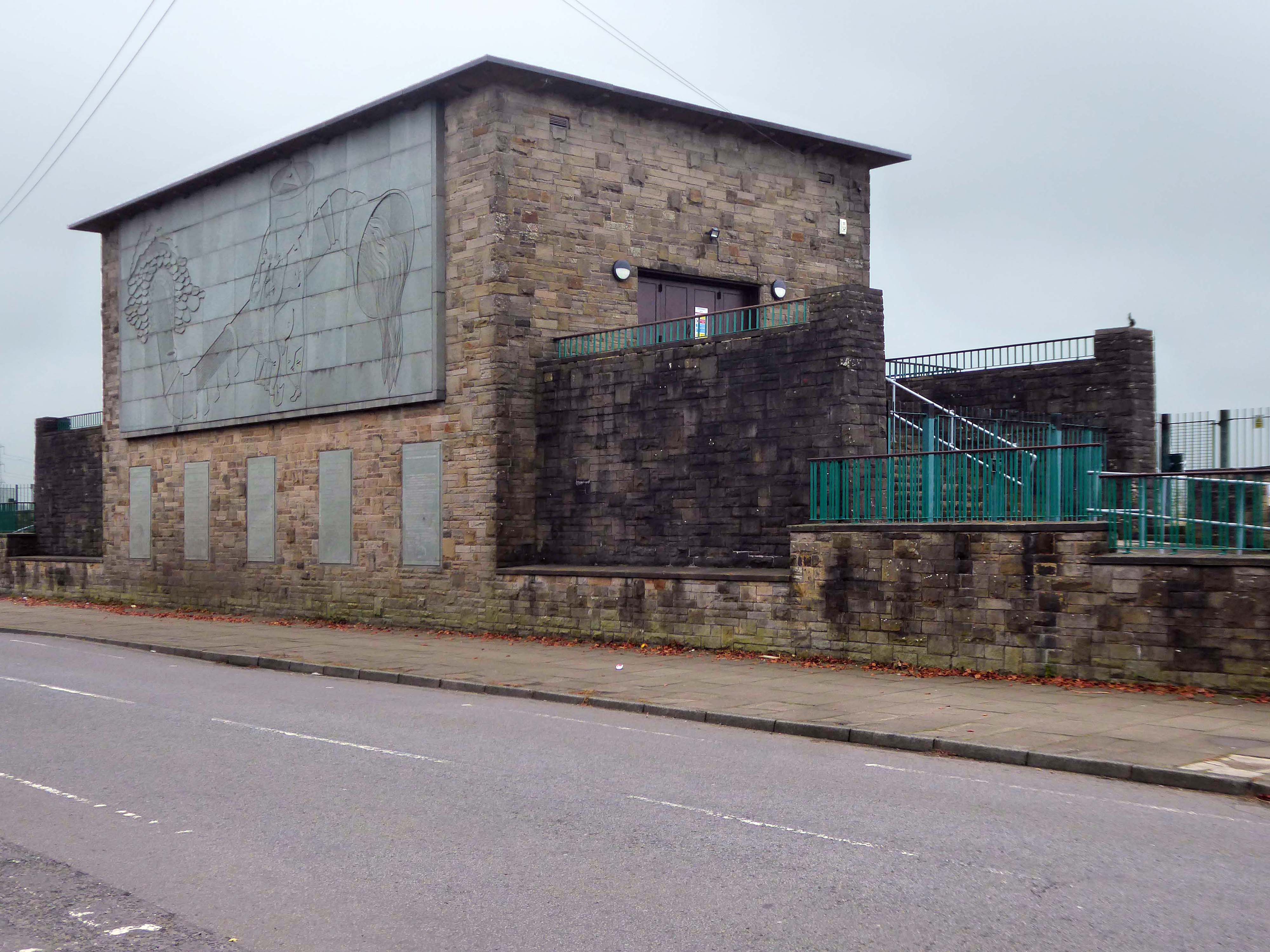
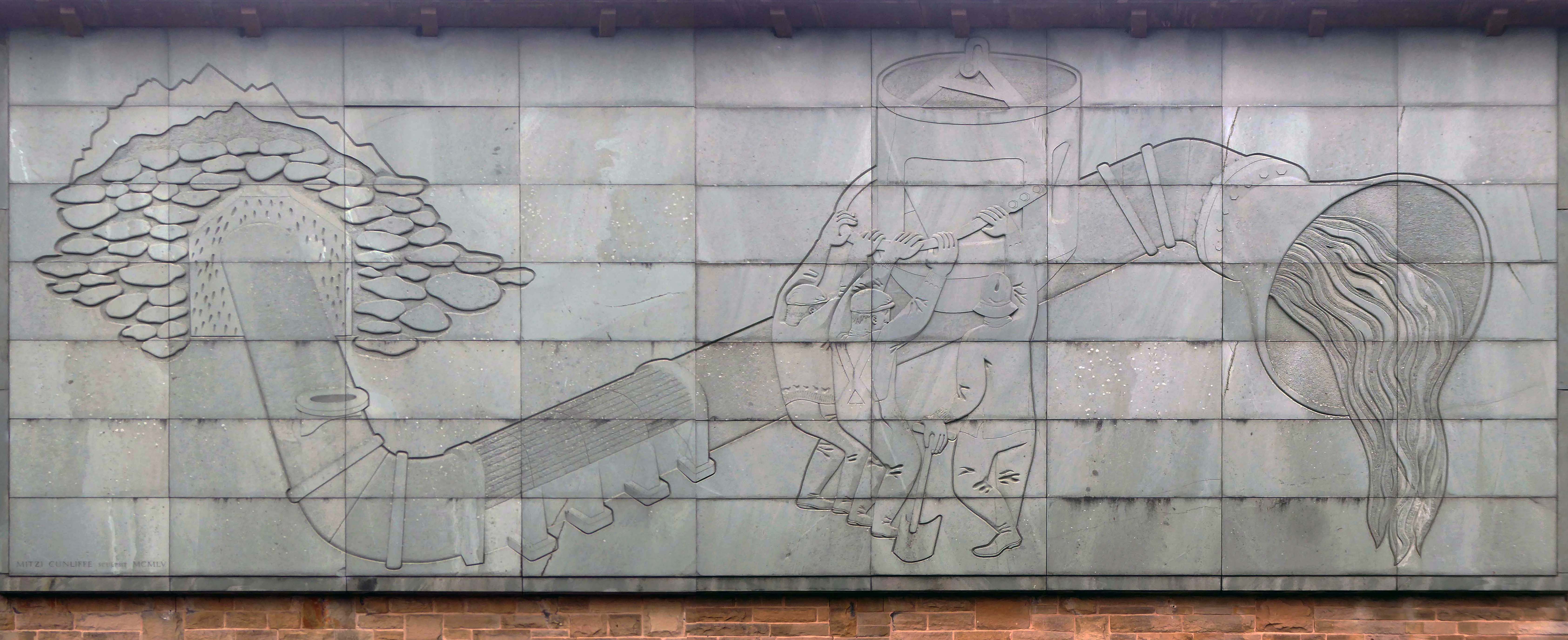
1954-5 by the Manchester City Architect’s Department, Chief Architect Leonard C Howitt, for the Manchester Corporation Waterworks. Alan Atkinson, engineer. Incorporates large relief by Mitzi Cunliffe, signed and dated 1955.
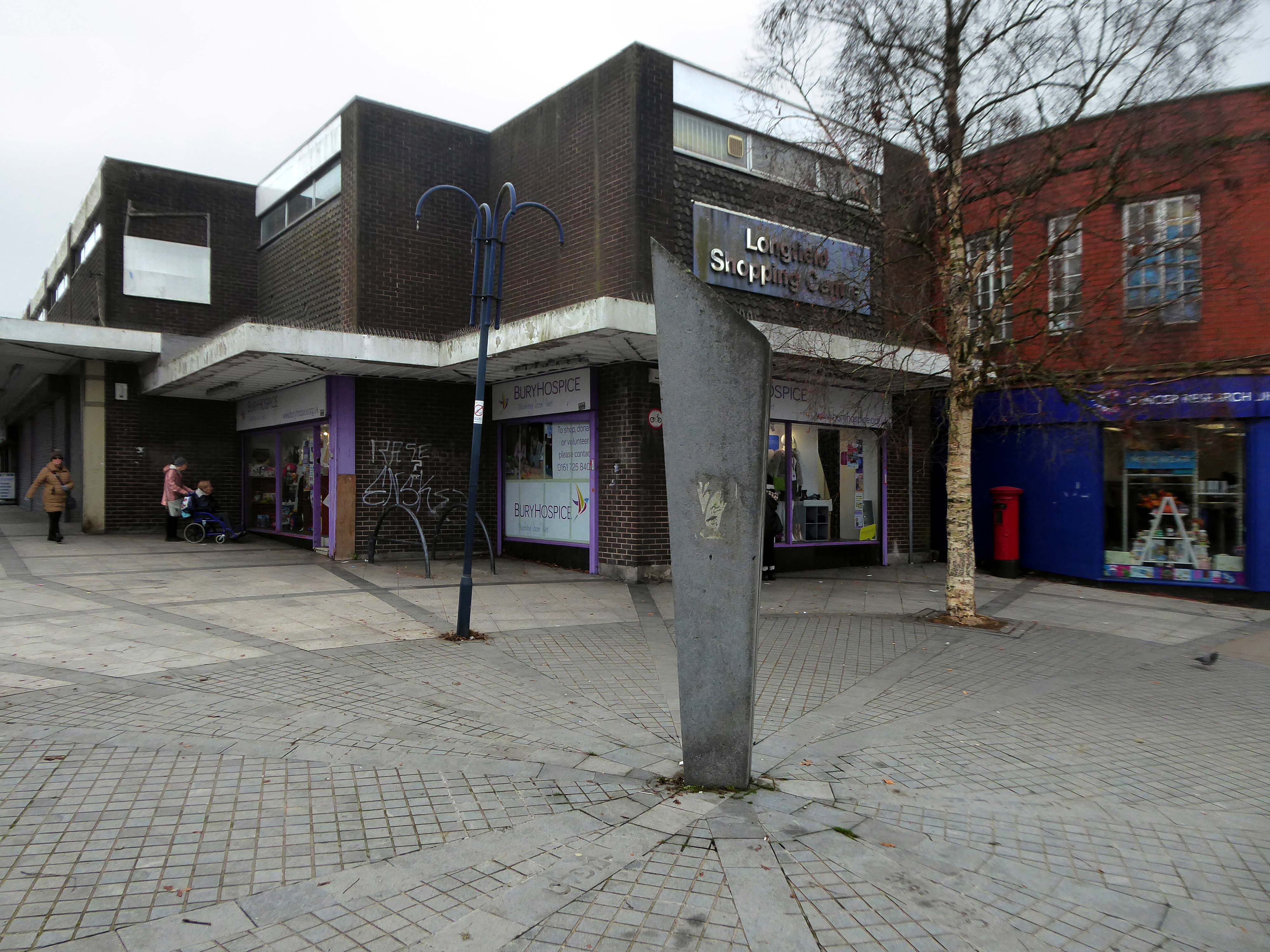
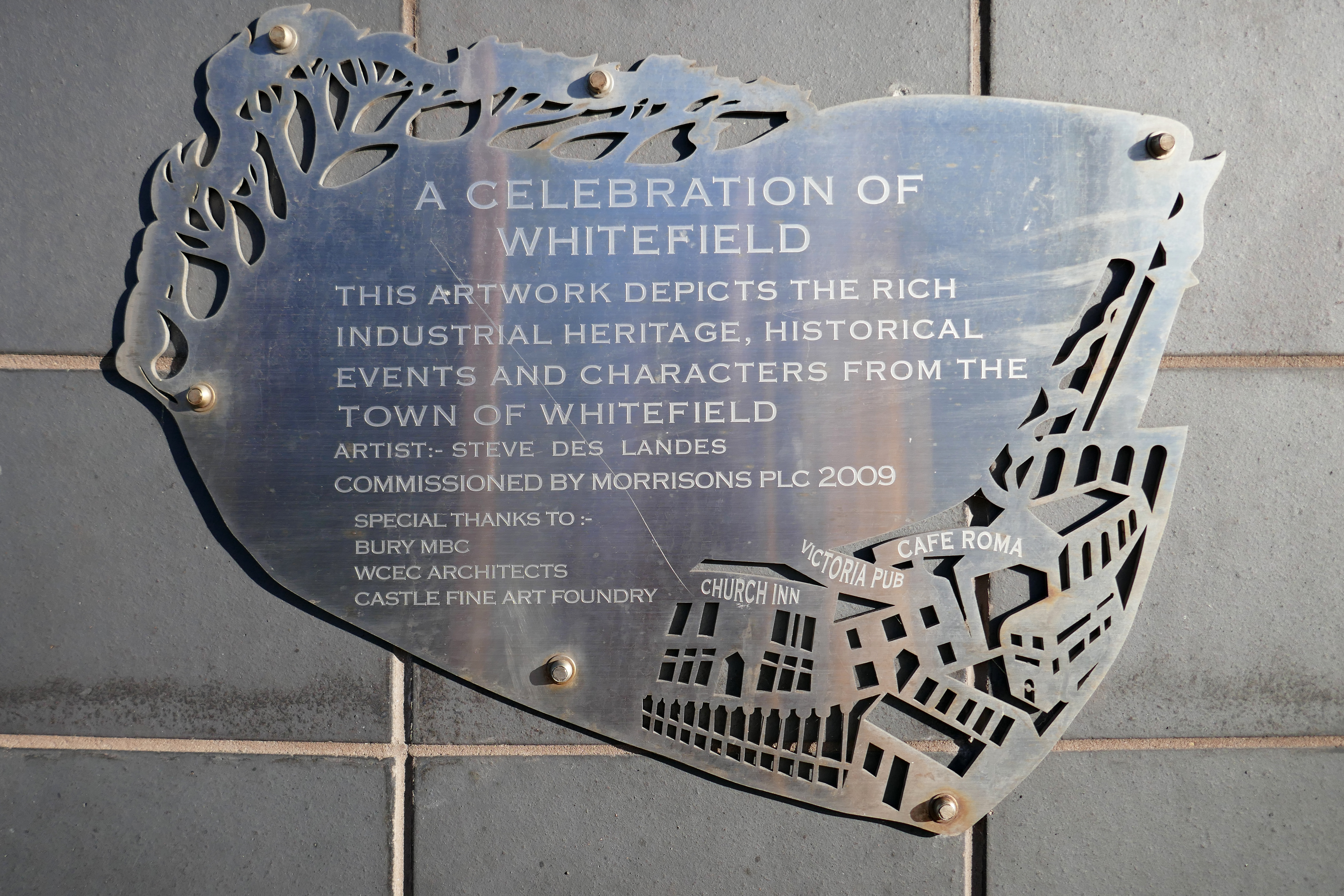
After months of public consultation, the joint venture has firmed up its proposals for the redevelopment of the Longfield Centre and is aiming to be on site before the end of the year.
Muse and Bury Council have submitted a hybrid application to transform six acres of Prestwich town centre.
The Strategic Regeneration Framework is the guide that is shaping the direction of Radcliffe’s growth over the next 15 years with a series of realistic short, medium, and longer-term actions. It is also shaping the direction of future council investment, supporting bids for central governmental funding and providing certainty for third parties wanting to invest in town.
Work has begun on Strategic Regeneration Framework’s priority projects, these include:
A new civic hub in central Radcliffe, which will bring together a mix of functions at the heart of the town
Refurbishment of the market basement and the revamping of market chambers
New leisure facilities
A secondary school on the Coney Green site
A “whole town approach” to housing, bringing forward a comprehensive approach to residential development in Radcliffe
A transportation strategy, which will consider matters such as active travel and car parking
I began walking when quite young, then like Felix, I kept on walking, walking still.
The photograph was taking during the Whit Walks in 1958 – aged three, I was engaged in religious pilgrimage, as we know there are many reasons for walking, this is but one.
I was fortunate to grow up at a time when youngsters were permitted to roam freely, less traffic, less anxiety, gave me access to a wider axis of exploration.
The photograph would have been taken I assume, by my mam, on the Brownie 127. When aged nine I wandered alone through the local woods and exposed twelve frames of 44mm 127 film, the prints are long gone, yet I remember each of the photographs and locations clearly.
I went to school, then I didn’t, then I went to Art School, eventually becoming a teenage Constructivist, tutored by Jeffrey Steele, a leading light in the British Systems movement.
The rigidity of the grid, symmetry and orthogonal framing have stayed with me.
Then I went to work for a very long time indeed, then all of a sudden I didn’t. Taking early retirement aged 59 some ten years ago, subsequently taking to the roads, streets and hills of Britain in search of nothing in particular.
In recent years there has been a rapid development in the culture of walking, theories, films, guides, songs and literature. I am fully cognisant of such, yet believe at heart that walking can be free of such baggage, we can stride unhindered, atavistic and carefree/less.
Walk tall, walk straight and look the world right in the eye.
Getting lost is about the unfamiliar appearing.
In my own small way, I have become part of that baggage, having been asked to lead a walk around Stockport by the the modernist neé Manchester Modernist Society.
The photograph depicts Alan Boyson’s concrete screen wall, attached to the former Cooperative super store designed by Philip Andrew. The two worked to gather on the Hull Cooperative store, which is adorned by Alan’s huge Three Ships mosaic.
Philip was a childhood friend of Alan Boyson and it was Alan’s father, manager of the Marple Co-operative Society, that recommended Philip for an apprenticeship job in 1951 to the chief architect at the CWS in Manchester HQ.
In preparation for the tour, I visited the town’s Local Heritage Library and read extensively from serendipitous charity shop finds.
The two hour route was designed around an economy of distance and elevation, allowing time for others to take in, what may be for them unfamiliar surroundings. A group of around twenty or so folk became sociable and engaged, with a suitably concise and apposite contribution from myself. There are those who busied themselves taking snaps along the way, chatting amiably or simply gazing in amazement.
The service building above the former Debenham’s store.
Famed as an imaginary TV police station, this civic building is a civic building I simply can’t resist. I return on a regular basis to wander and snap. This is an open public space that seems little loved and has few visitors.
From then onwards I have been taking folks on Modernist Mooches on a regular basis, two or so a month, during the less inclement times of year.
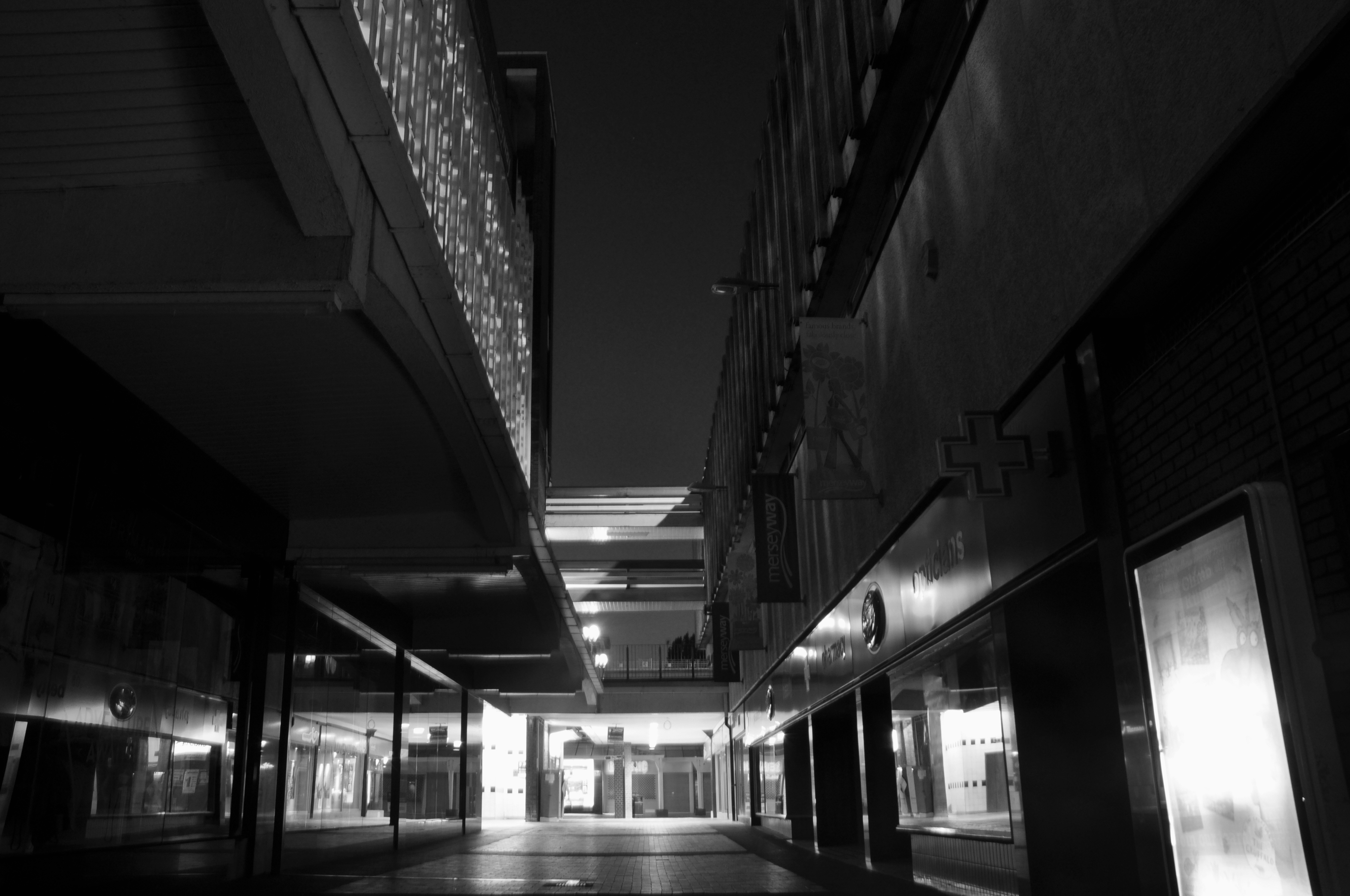
At about the same time I was asked to exhibit my photographs in Stockport, I chose to mooch about at night. Walking around an almost deserted town, avoiding the glare of streetlights, there is a mild frisson to be about when nobody else is about. The air feels different, exposures are longer, the almost waking world feels arrested, by the low available light.
My local shopping centre and as such part of my weekly walking and shopping life.
NCP Car Park located on Stockport Station approach.
Regent House
Asda superstore
I found a copy of Charlie Meecham’s book Oldham Road in a charity shop.
Inspiring me in 2014, to walk in mostly straight lines, though often as not zig zagging along the main arterial roads of Manchester.
Taking pictures on Sunday mornings, in order to avoid traffic, mildly amused to be ignoring the primary function of the routes.
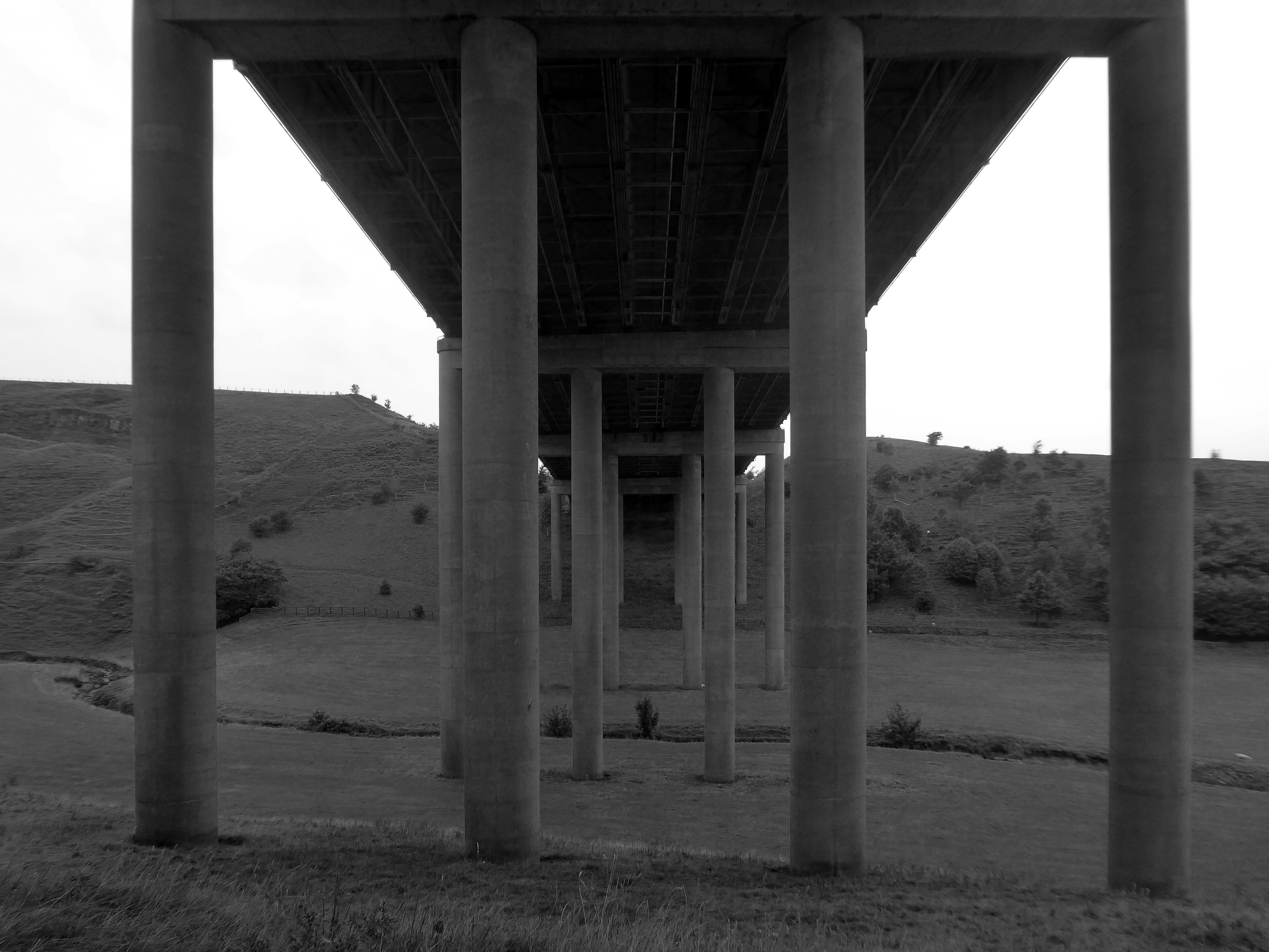
This is one of the more familiar roads, having walked up and down several times over several years. It was to have been an extension of the Mancunian Way, forming a trans-pennine motorway. Much of the property lining the route was cleared in preparation, it was never built, and for years a strange semi-deserted ambience hung over the A57.
Bus Depot
Railway Bridge
The car showrooms which later became an African Evangalist church.
Having cleared away both Victorian and Sixties housing, new architectural forms arose in West Gorton.
Now, everywhere I go, I see launderettes – so arriving in Hanley with time on my hands, wandering around I found this exemplary example.
Having a blog entitled Manchester Estate Pubs, the national media became interested in my photographs. I had spent quite some time, wandering around in search of this endangered architectural typology.
This was Billy Greens in Collyhurst, named for a local boxer, now demolished.
Which in turn became the second modernist calendar.
Followed the following year by fish and chip shops.
So building a vocabulary for my mooching, discovering yet another chippy, laundry, pub, Burton’s, telephone exchange, glazed stairway or underpass.
These things find you, yearning for some small amount of attention and affection.
The Trawl – my favourite peg board menu, my favourite Bridlington chippy.
We are now coming to the end of the car park year – seen here on the wall of my command centre.
Home to William Mitchell’s Totem, the homes long gone and the Council pledged to move the totem too.
The state of play this week, the detritus removed and the base filled in, repaved and safe for a while.
Off now to the Weaver Valley another day another river, passing under Weaver Viaduct
The looking toward KouraGlobal – leader in the development, manufacture, and supply of fluoro products and technologies, opened a new HFA 152a production facility at their Runcorn site in the UK.
Further rural Modernism as we pass under and traverse the M62, whilst walking around the Piethorn Valley
The newest of the Modernist Mooches was to Burnley where we visited the Keirby Hotel.
The former GUS Offices with a mural by Diane and William Morris.
Plus the Charles Anderson concrete relief at the Crow Wood Hotel.
Finally a little light relief – a visit to the Boots factory in Nottingham.
Having innocently board a bus outside the station with a Boots head code , I alighted within the factory gates. Then innocently walking around taking snaps, unheeded until the men in the van stopped me in my tracks.
Who are you, what are you doing?
I am the Modern Moocher going about my business – well it turns out this was not permitted and I was red carded by the earnest security guards and asked to leave forthwith. Suitably rebuked, I politely bade them farewell and headed for the gates.
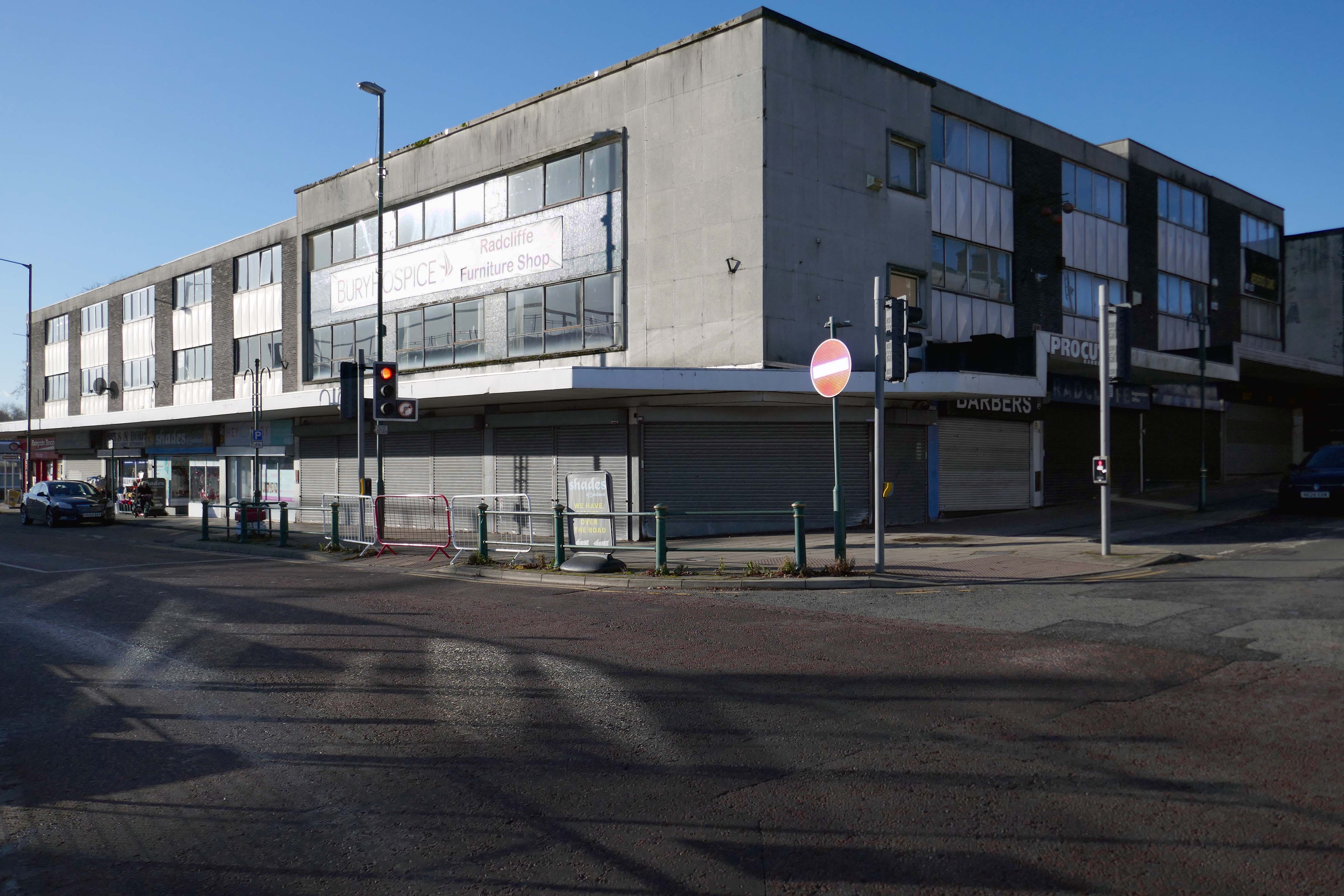
The masterplan states that Radcliffe has many unattractive buildings and few architectural assets. But this could work to its advantage as a lack of protected or noteworthy buildings makes it easier to replace them with contemporary structures.
This could include demolishing the “unwelcoming” St Thomas Estate and replacing it with a mix of private and social housing on the old street layout. Existing tenants would be rehoused in the new houses so that the community would not be broken up.
During his term, Sheffield’s housing grew upwards with multi-storey flats constructed at Low Edges, Park Hill, Hyde Park, Netherthorpe and Woodside. It was Womersley’s response to 13,000 families on the council’s waiting list and 10,000 condemned properties waiting to be demolished.
In the space of a decade they shaped Manchester’s urban fabric, leaving a questionable legacy. The technical quality of their buildings was undoubtedly poor, but their qualities – bold forms, monolithic materiality and streets-in-the-sky – were of the moment, and captured a particular brand of urban renewal, imported from North America and inflected through British post-war planning.
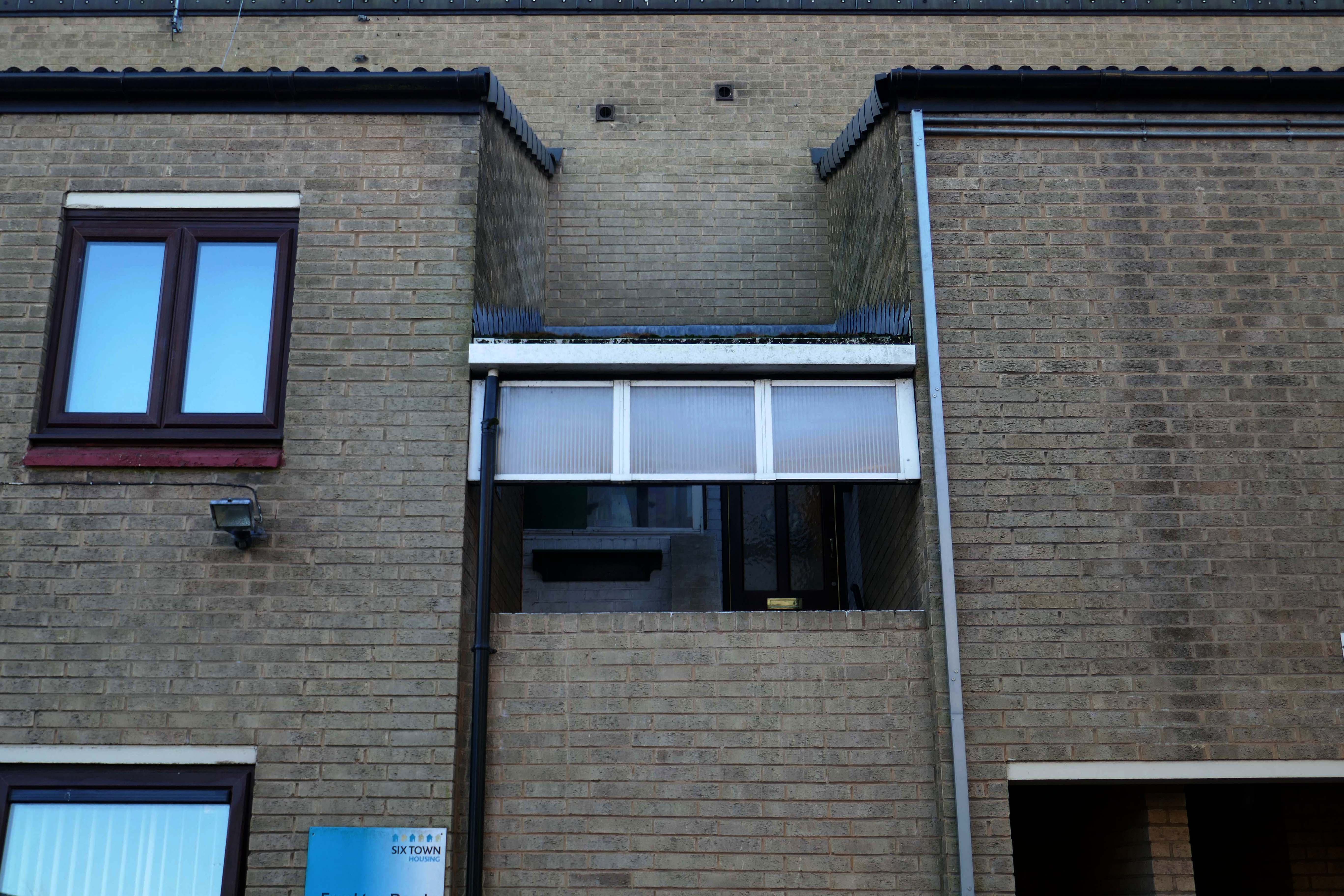
Social housing has been, and continues to be, a contentious arena. This seemingly well-constructed estate was once deemed unfit for habitation by its residents.
Tenants of the St Thomas’ Estate in the town centre allege they have been forgotten by Six Town Housing, which manages the properties.
Magda Csatlos, former chairman of the now disbanded Tenants and Residents Association said rotten bricks with visible gaps between them, badly-designed leaking roofs and damp and mouldy conditions plague many of the 90 homes.
Happily the Local Authority are able to remedy the problem.
After some residents on the estate, who were visited by Bury South MP Ivan Lewis, called for the properties to be “condemned”, the Council agreed to invest £2 million to bring the homes up to standard.
A total of 90 social housing properties on St Thomas Estate have been provided with new external rendering, roofing, windows, doors, insulation and brick cladding.
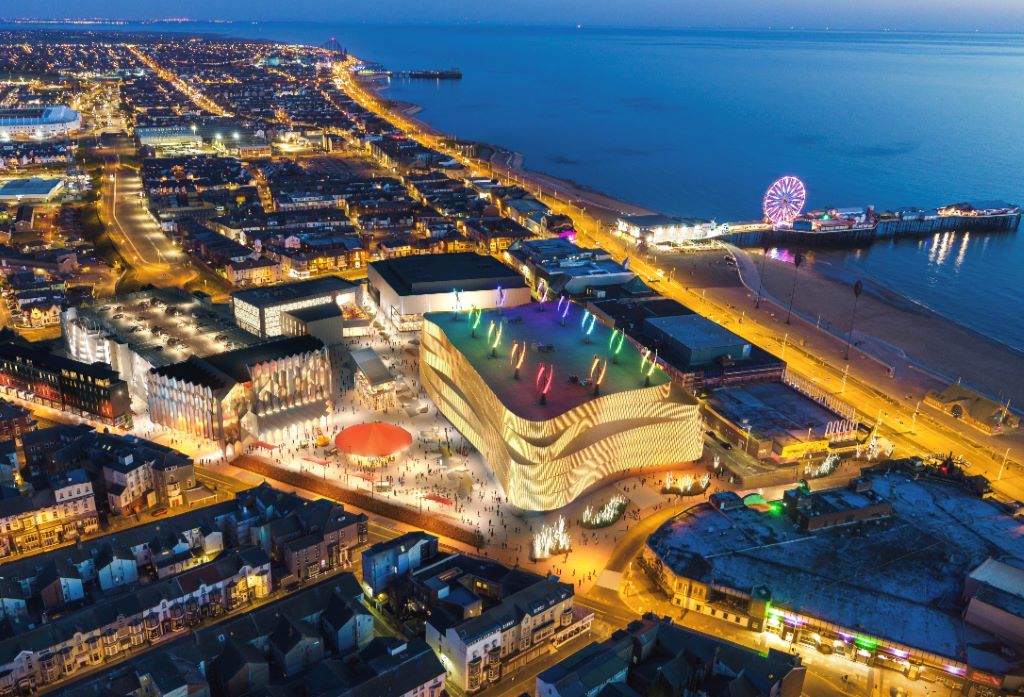
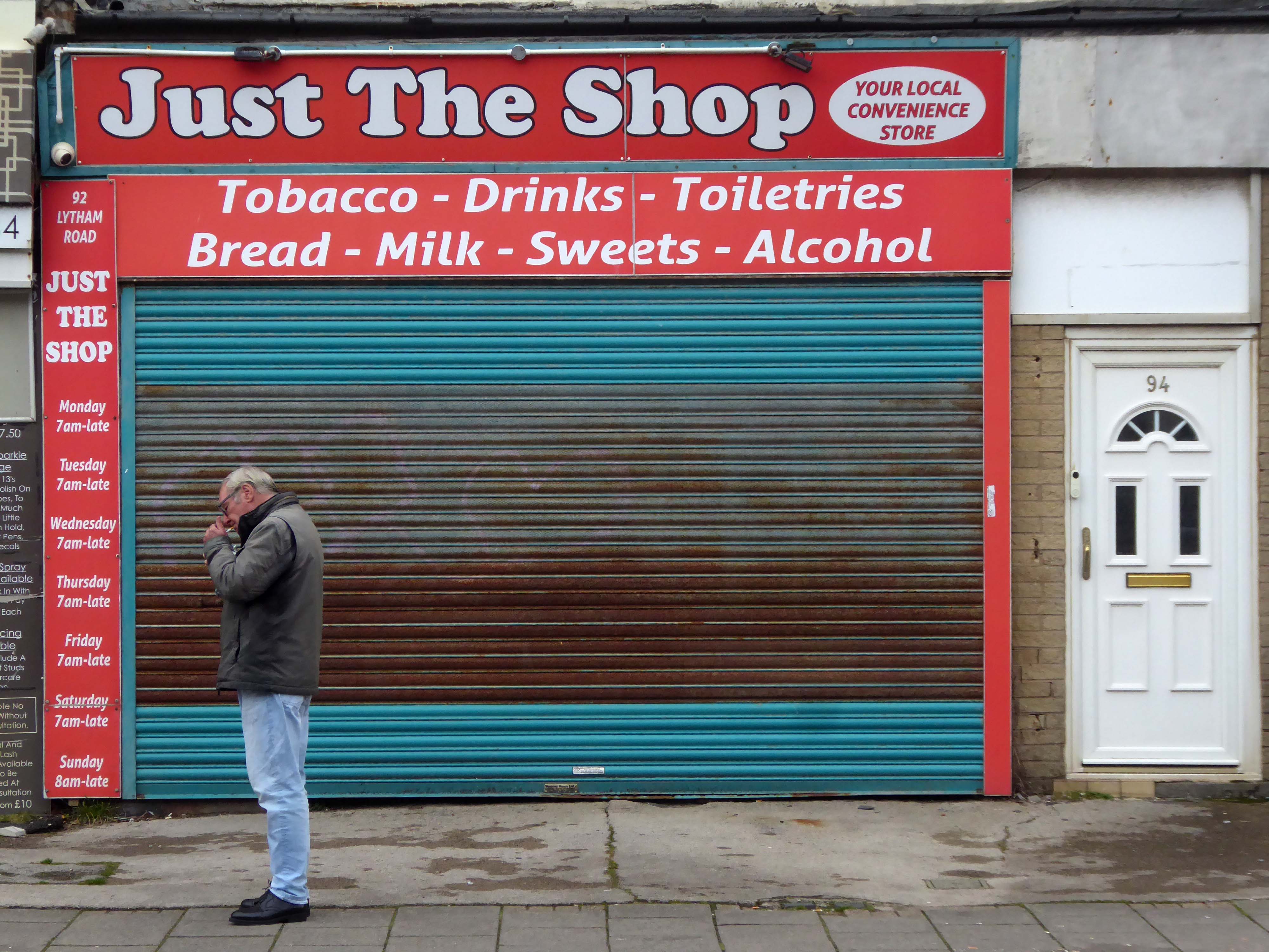
Blackpool Council says it remains committed to the Blackpool Central project amid the potential collapse of the developer leading the works.
But warning alarms sounded this week when Nikal – which was hired to oversee the project – filed a notice of intent to appoint administrators.
The £300m Blackpool Central development is billed as the biggest single investment in the town in more than a century and is planned to involve a “world-class leisure development” which would create 1,000 new jobs, bring an extra 600,000 visitors per year, and boost annual spend in the town by around £75m.
A spokesperson for Blackpool Council told the Blackpool Lead:
We have been working on the enabling phase of Blackpool Central over the last few years. The new multi-storey car park opened earlier this summer and we are currently completing preparations to demolish the old police station and courts building early in the New Year.
The proposals for the Bonny Street area can be seen here.
Plans for the area have hit further problems.
A new £40m magistrates courthouse is facing building delays after the project’s main contractor collapsed.Blackpool’s magistrates court was one of twenty two projects belonging to construction giant ISG, which was working on the scheme for the Ministry of Justice.
But the firm went into administration in September, leaving two thousand two hundred workers at risk of redundancy, the Local Democracy Reporting Service said.
Work was due to start early next year with a completion date expected in 2026.
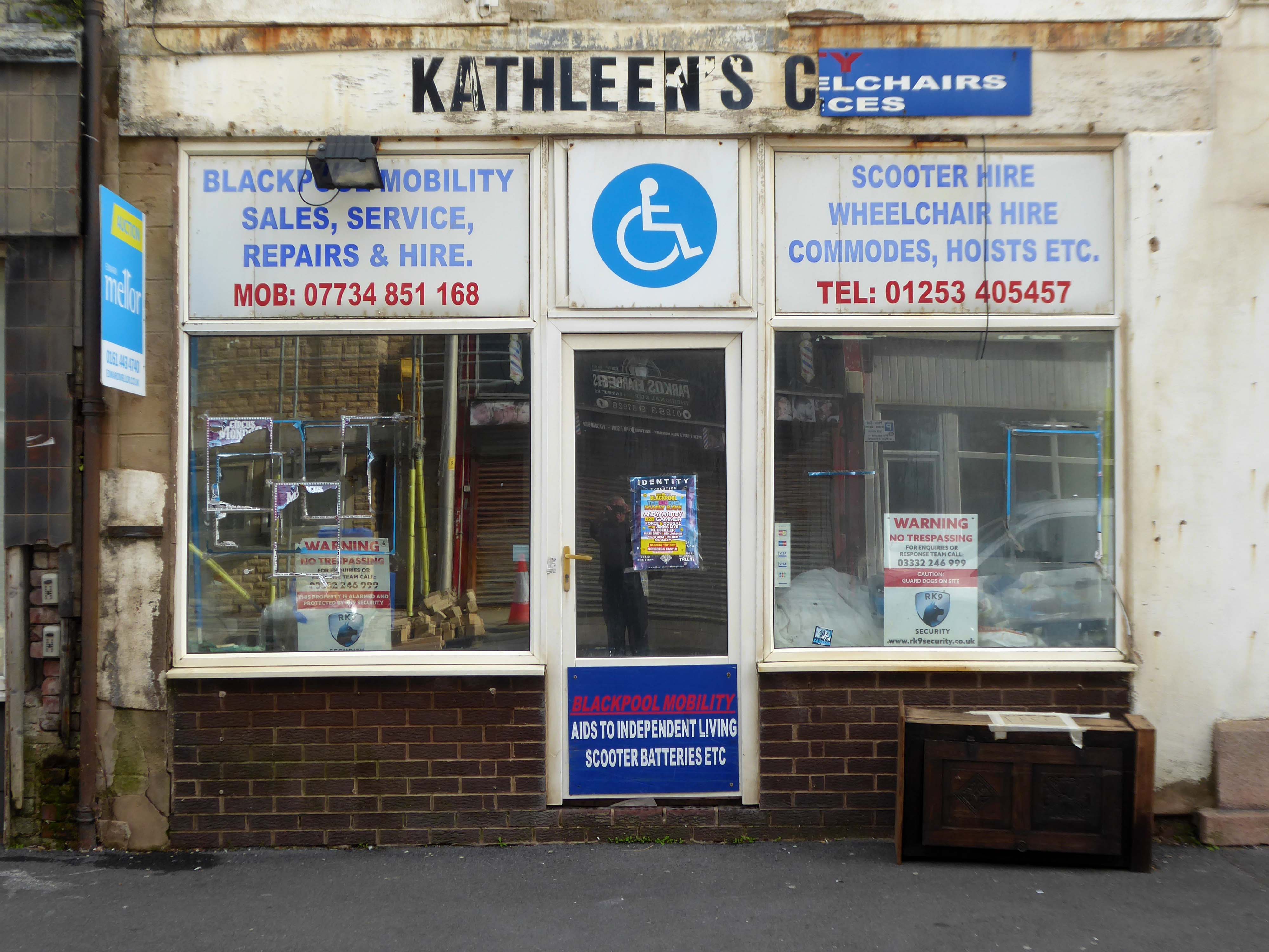
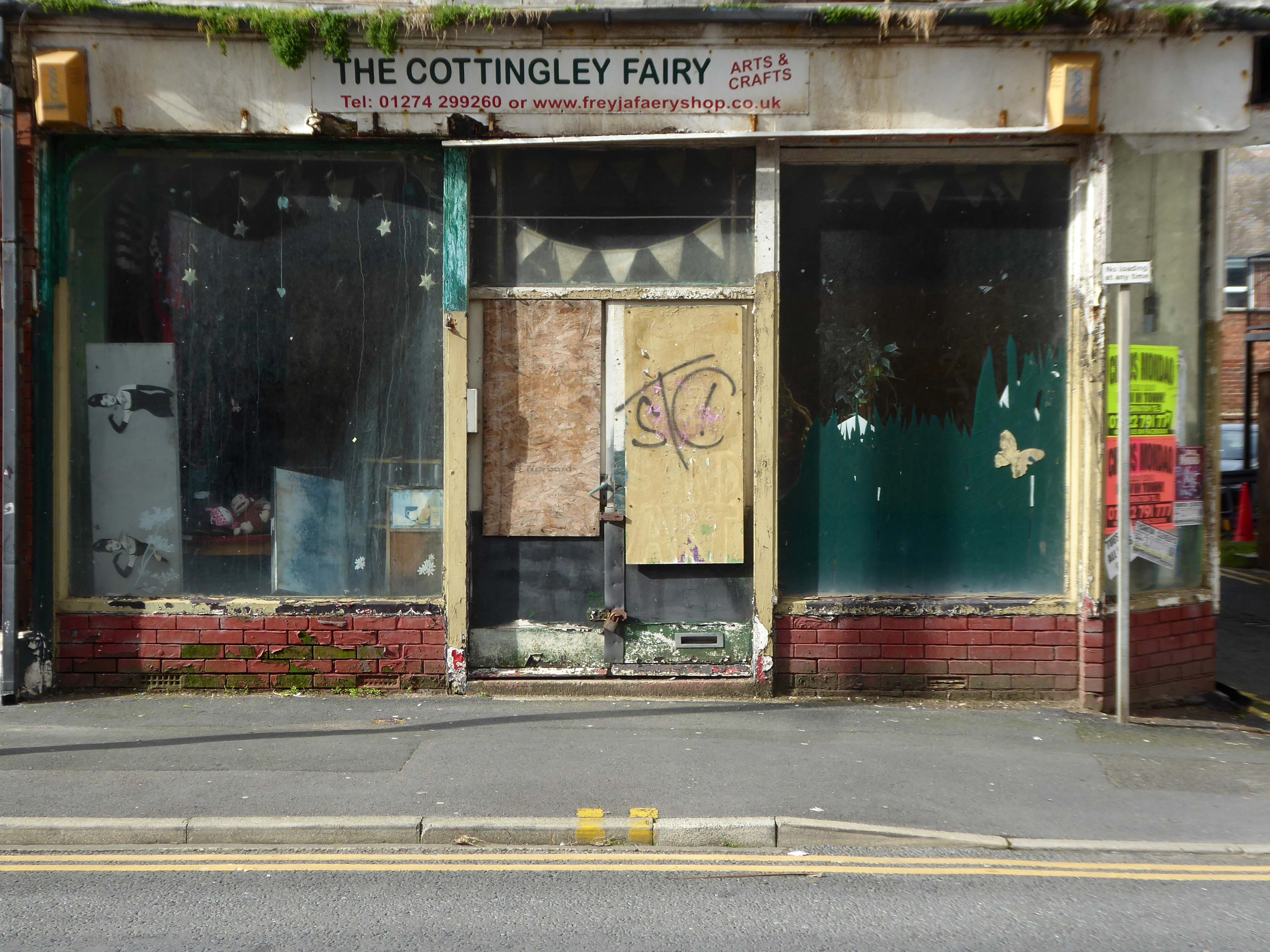
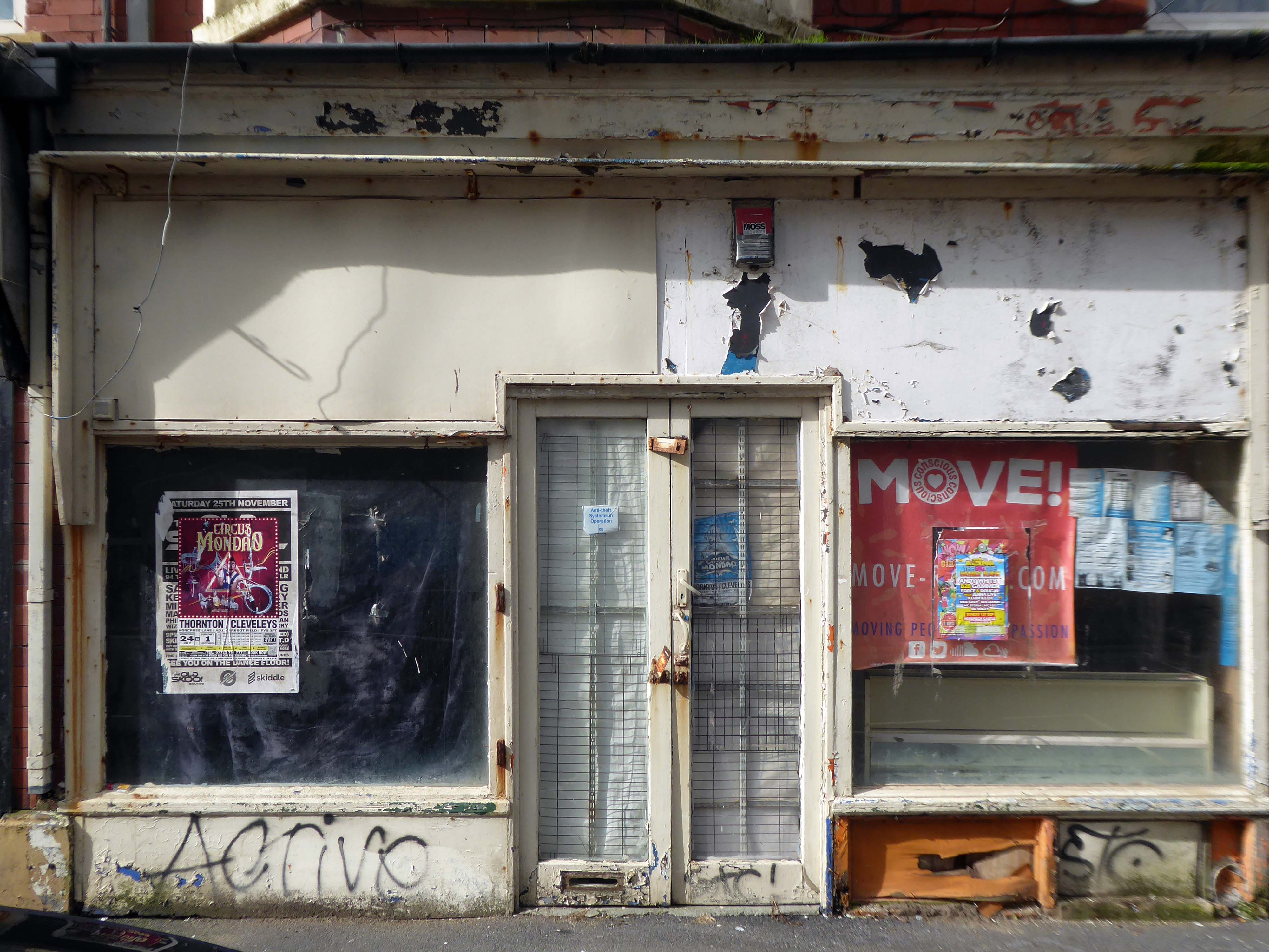
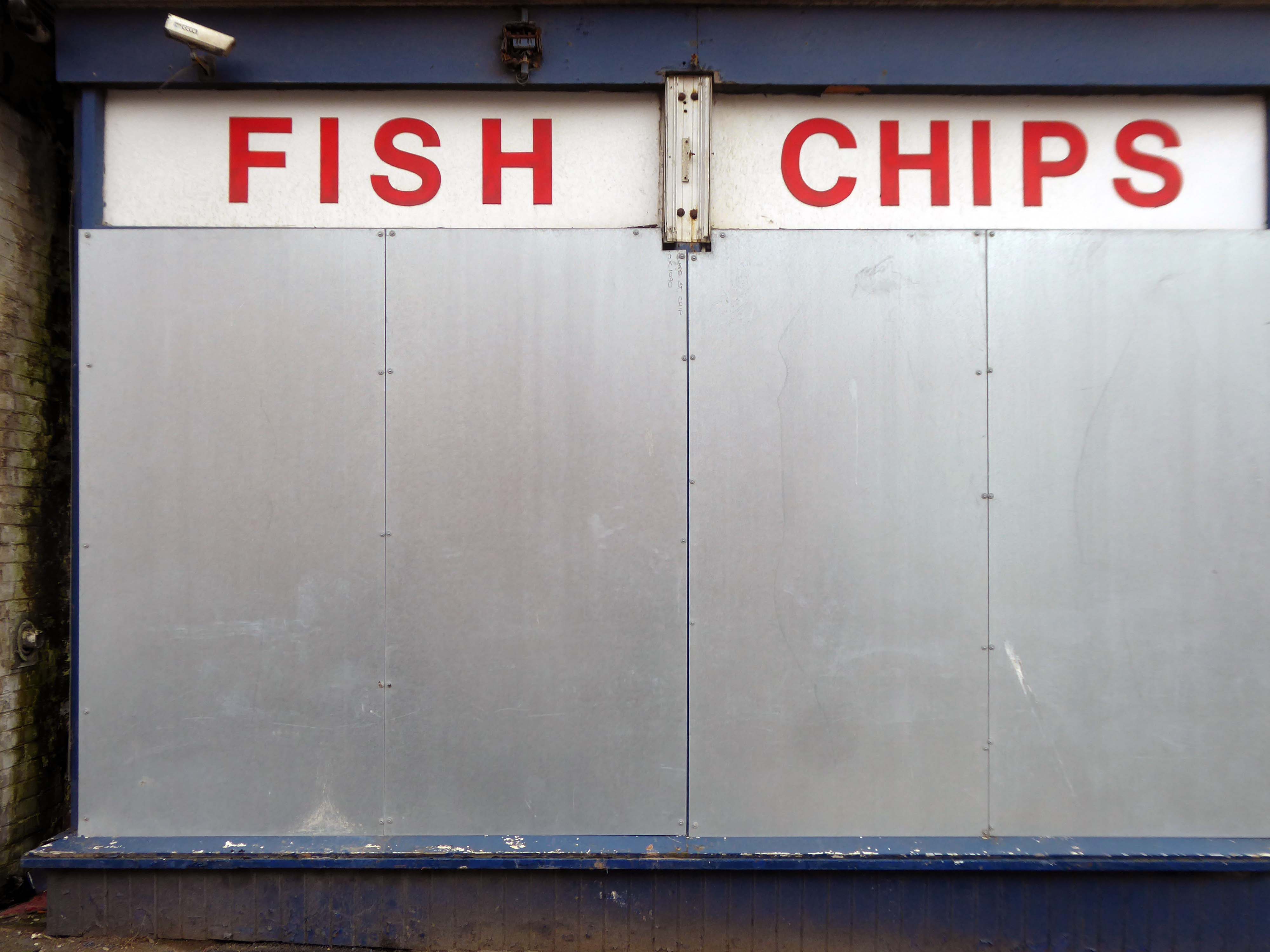
The town needs all the help it can get, time has not been too kind, whilst efforts have been made to invigorate the area around Blackpool North and the promenade, the back streets reflect the legacy of years of deprivation.
Blackpool ranks as one of the most deprived areas in the UK. Many people were already in poverty, and the cost of living pressures are having the biggest impact on this group, who need to spend a greater proportion of their incomes on household essentials. It is also affecting people on low and middle incomes, often surviving by having several jobs, who are being pushed into poverty. More people are turning to services for support, and as the winter progresses this is a serious concern.
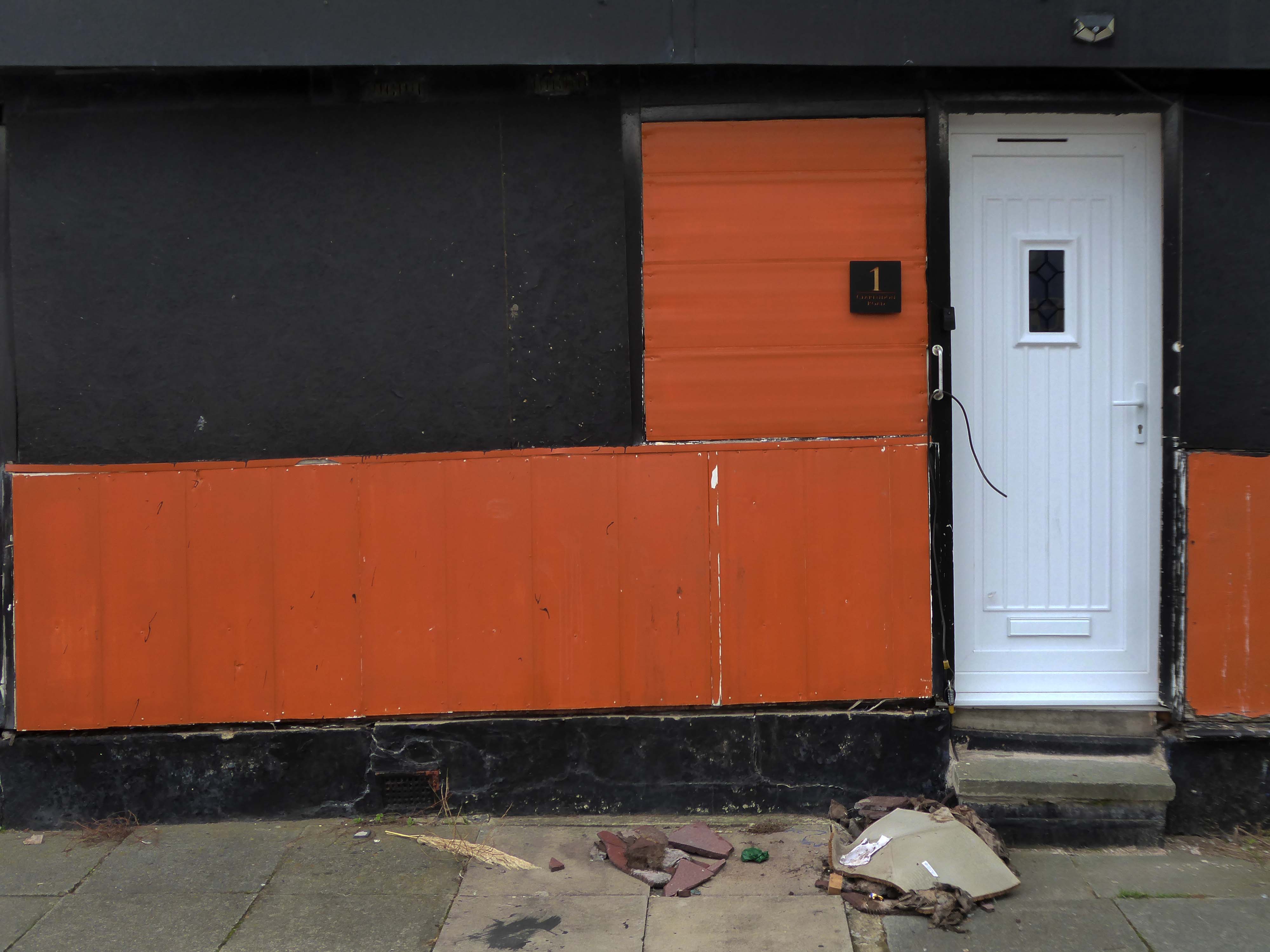
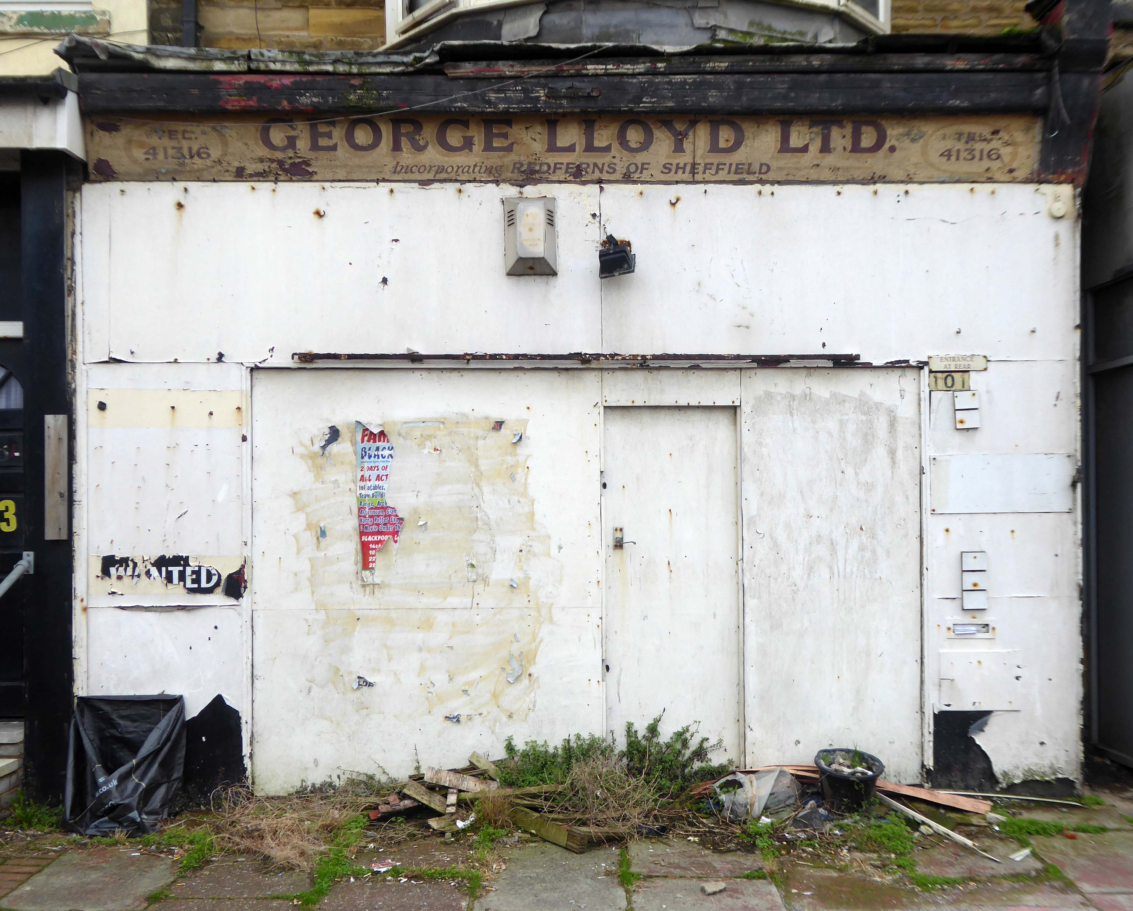
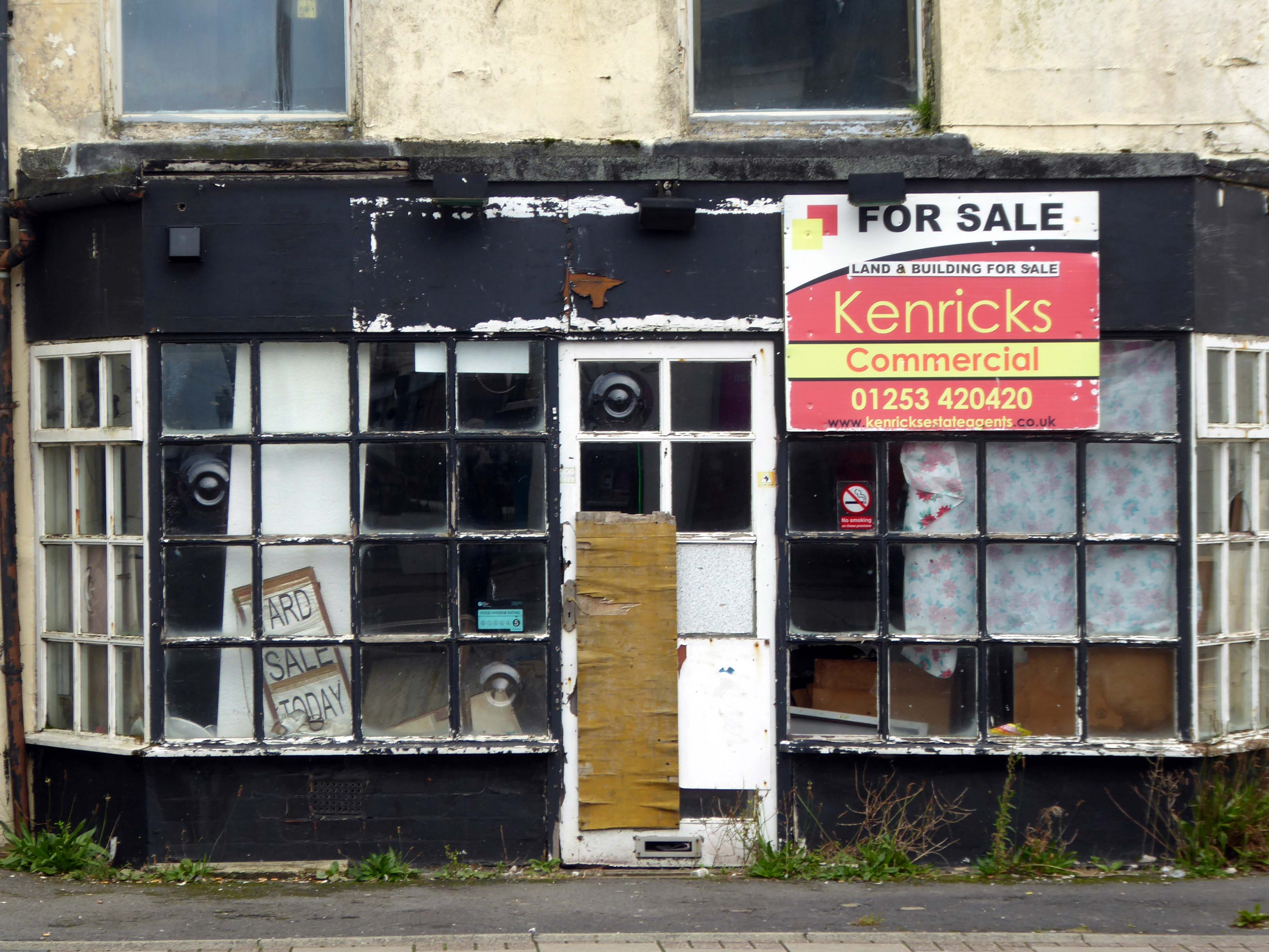
I have no wish to poor scorn on the area – but a short walk around the streets approximate to the coast tells a tale of failed businesses, decay and decline.
Happily there are the seeds of recovery in evidence, in the form of newly built housing.
The executive report outlines an area of regeneration to the South of the town centre. It lies broadly between Chapel Street and Rigby Road, and the Promenade and Central Drive. These have been identified as the initial areas of focus for detailed scheme development, community engagement and property acquisitions in preparation for future development.
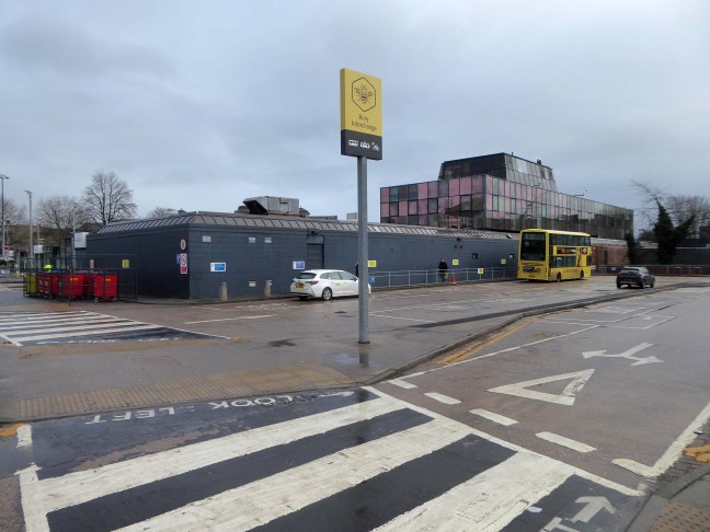
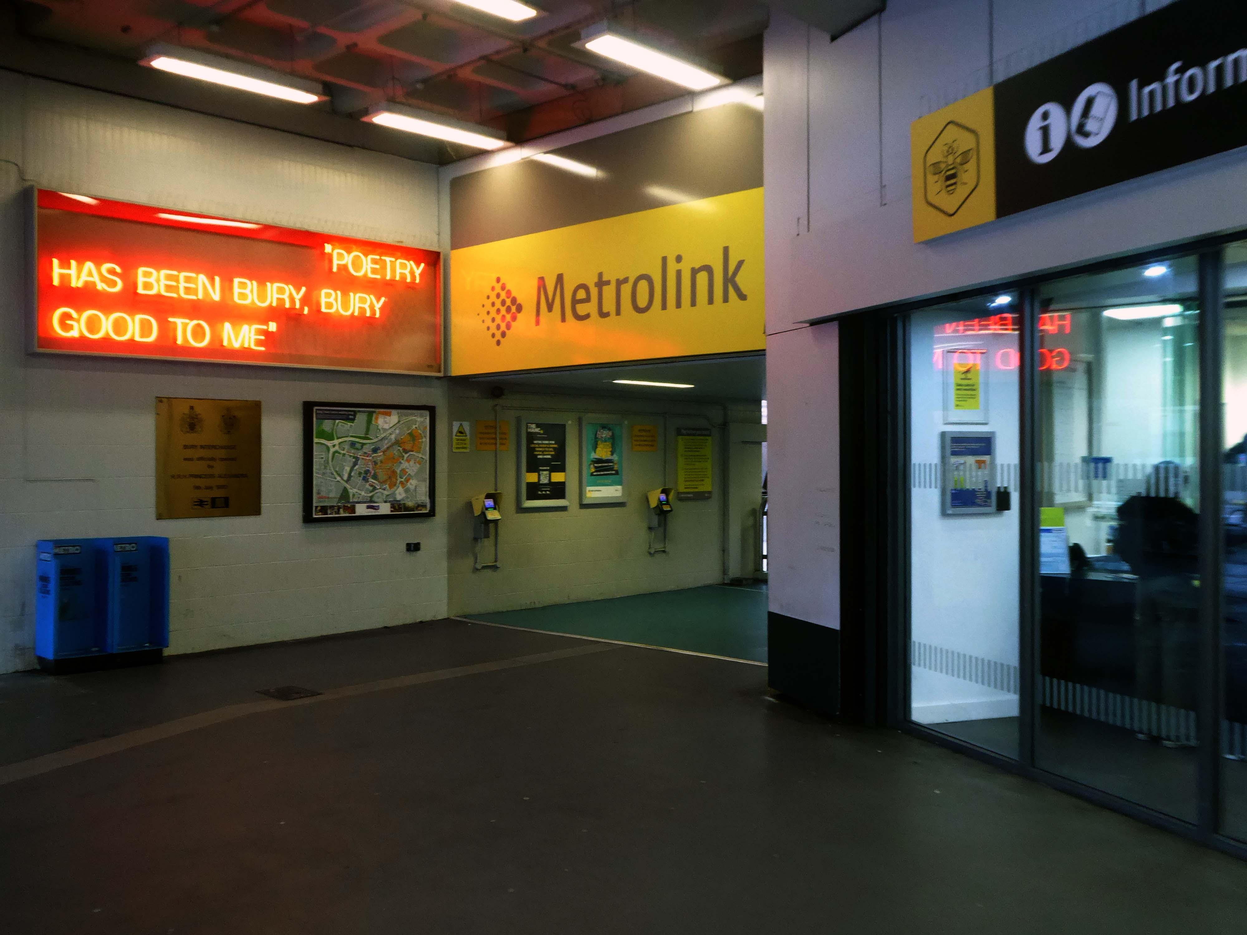
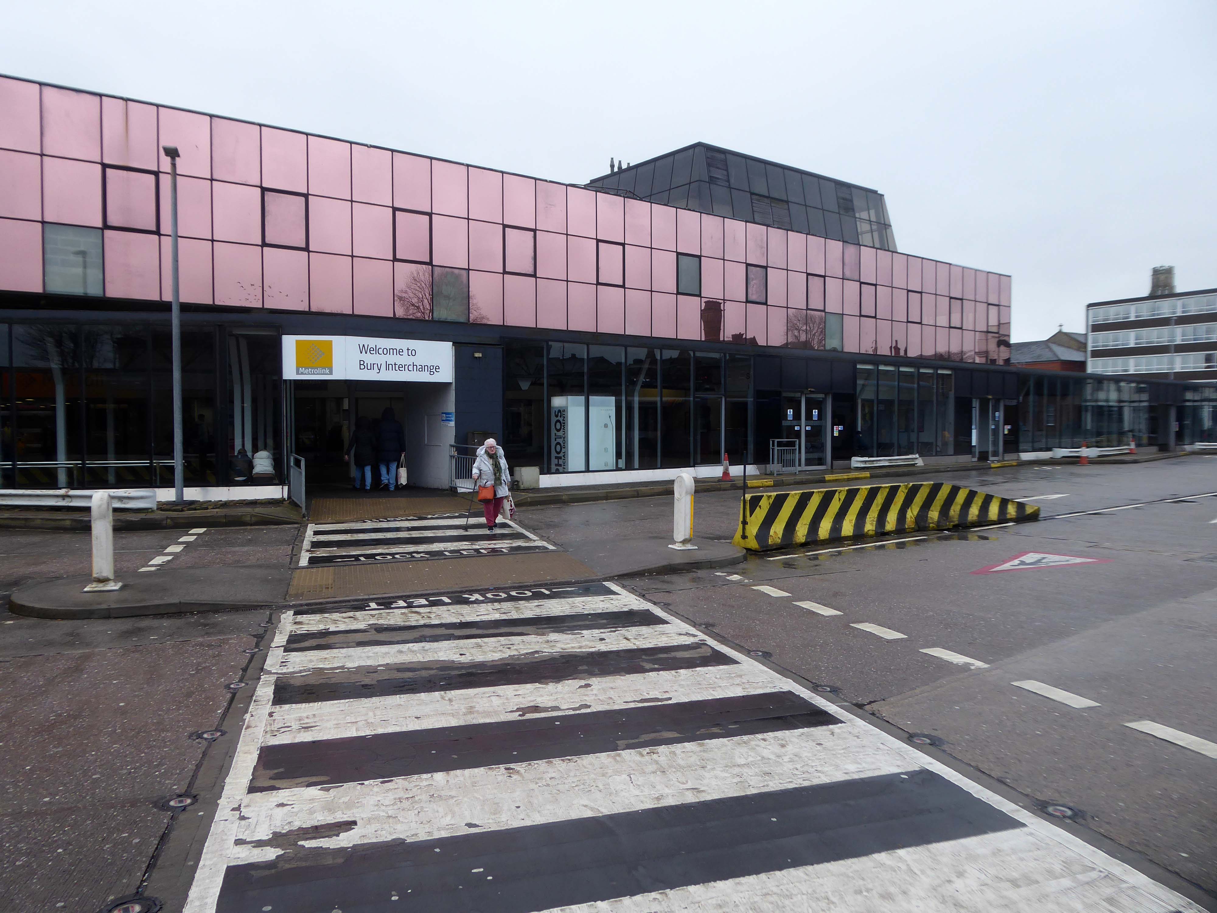
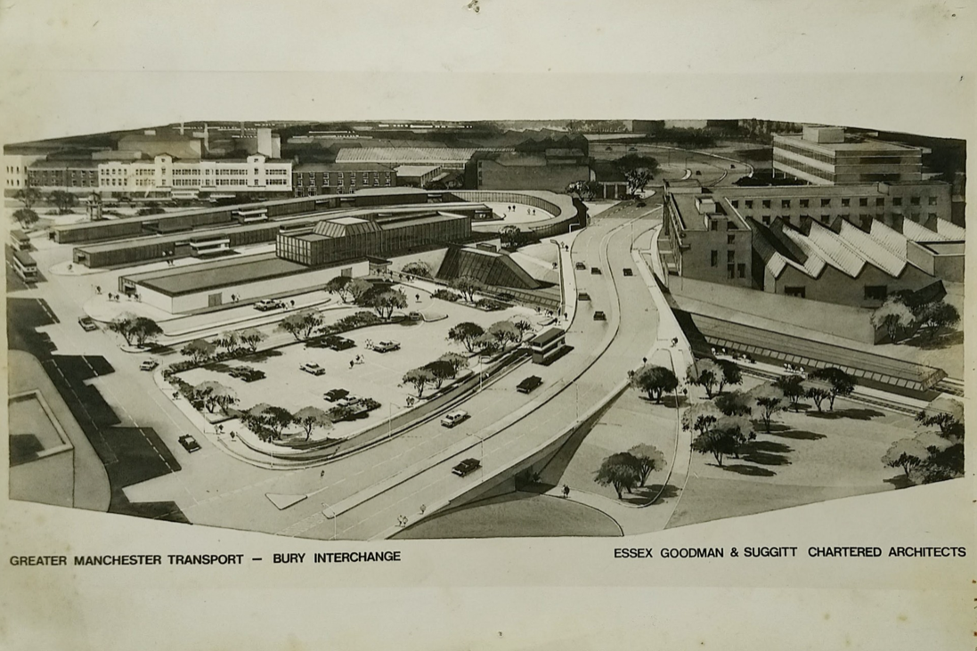
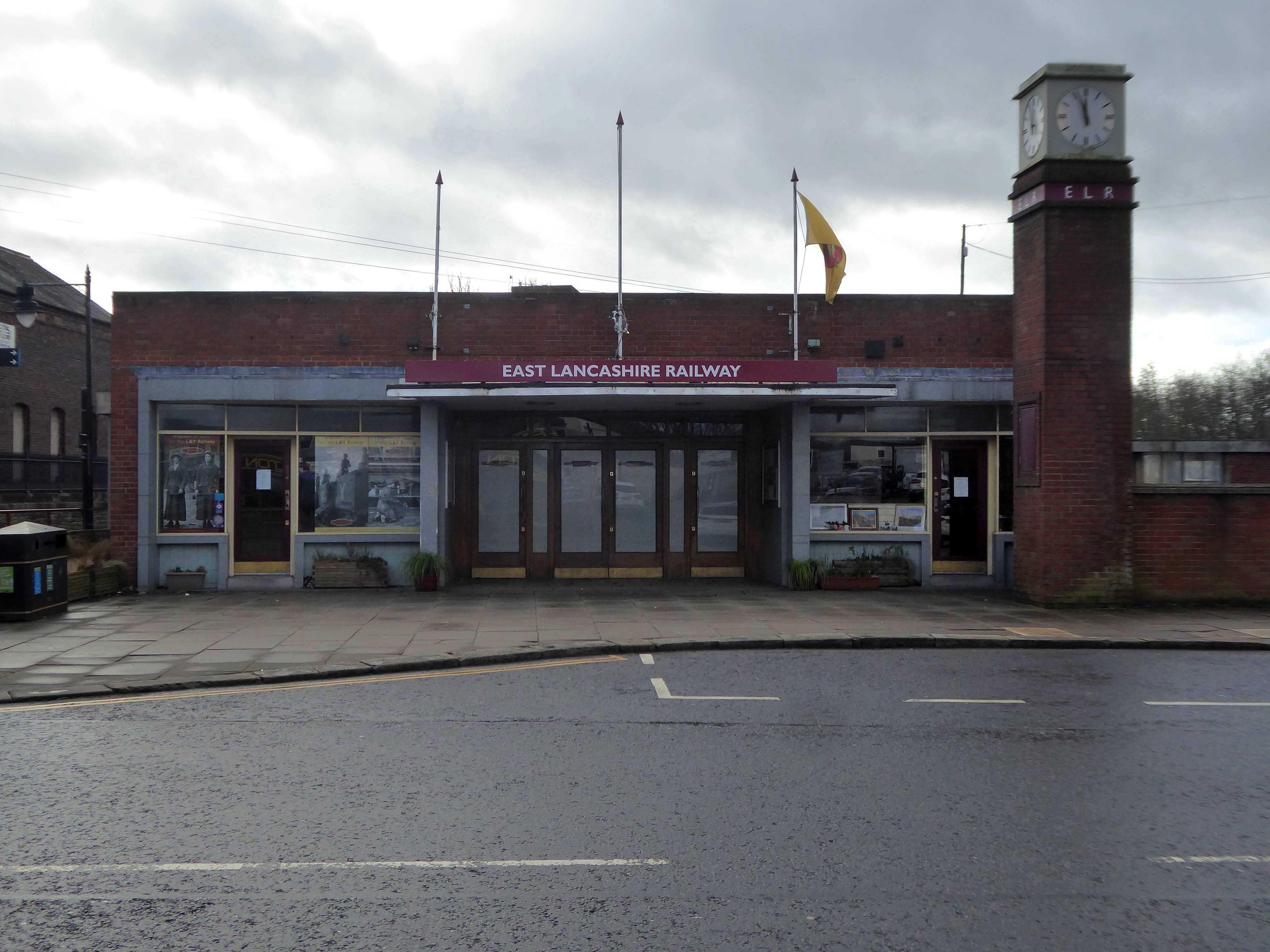
Arriving at and looking around the Interchange – 1980 architects: Essex Goodman & Suggitt
It is the northern terminus of the Manchester Metrolink’s Bury Line, which prior to 1992 was a heavy-rail line.
A new short spur line was constructed to connect the new station. The railway had originally run into Bury Bolton Street which was further away from the town centre, and was closed by British Rail on the same day that Bury Interchange opened.
It also incorporates a bus station.
Bury Interchange replaced the bus termini scattered around Bury town centre, notably around Kay Gardens.
An £80m transformation is coming to the Bury Interchange, which will see step-free access at the Metrolink, a “vertical circulation core” to better connect the Metrolink with the bus facility, and an integrated travel hub with spaces for cycle storage.
The work is much-needed, explained Transport for Greater Manchester’s Alan Lowe, he said that the interchange was built in the 1980s and very much is of its time.
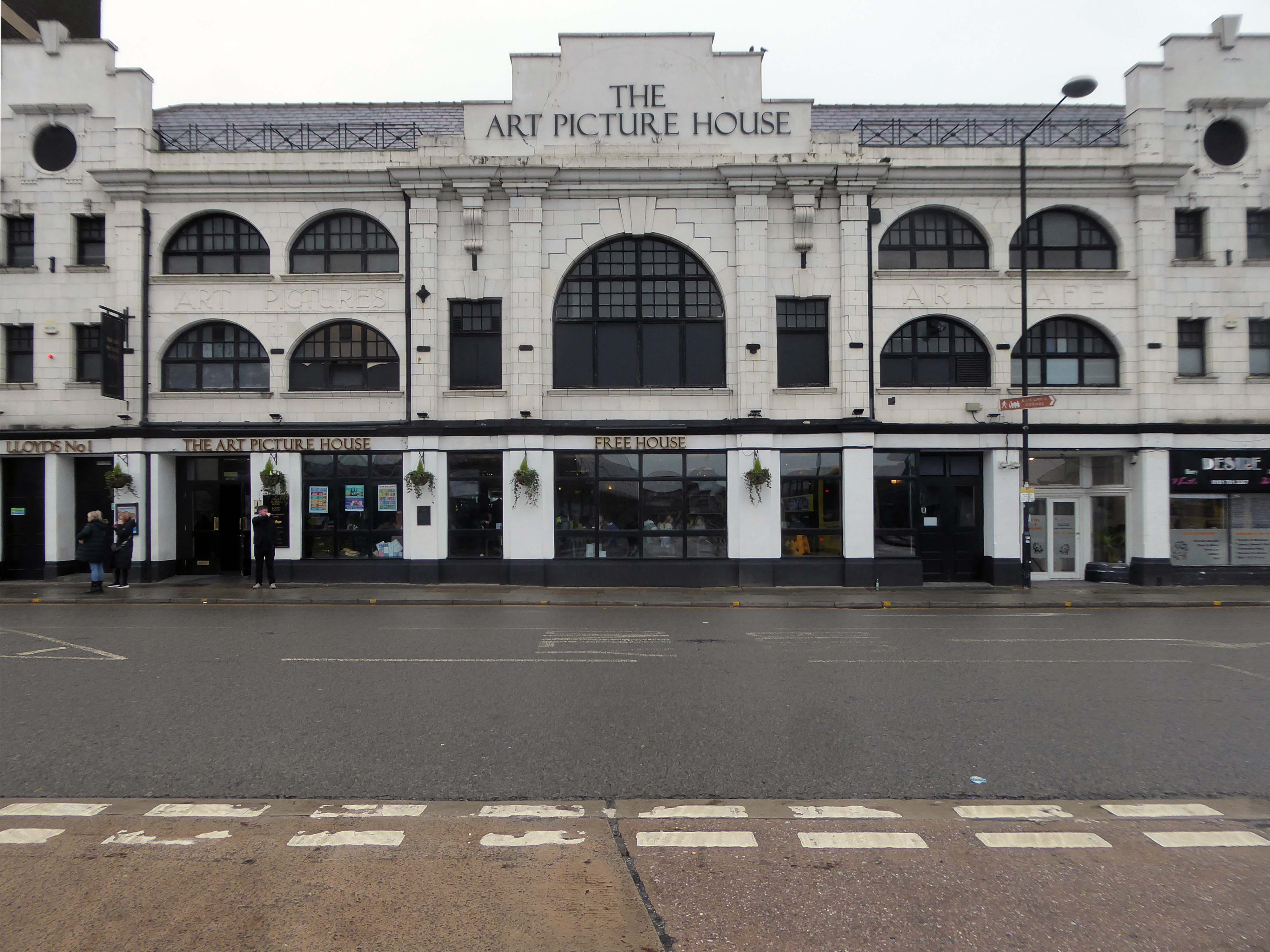
The Art Picture Palace was a 1923 rebuild of the earlier Art Picture Hall both designed by architect Albert Winstanley. The Art Picture Palace was opened on 26th January 1923. A remarkably complete survivor of a 1920’s cine-variety house executed in an elaborate style.
Films ceased in February 1965 and it became a bingo club. Later converted into a billiard hall until 19th May 1991 when it became a bingo club again, it later became a Chicago Rock Cafe.
Cinema Treasures
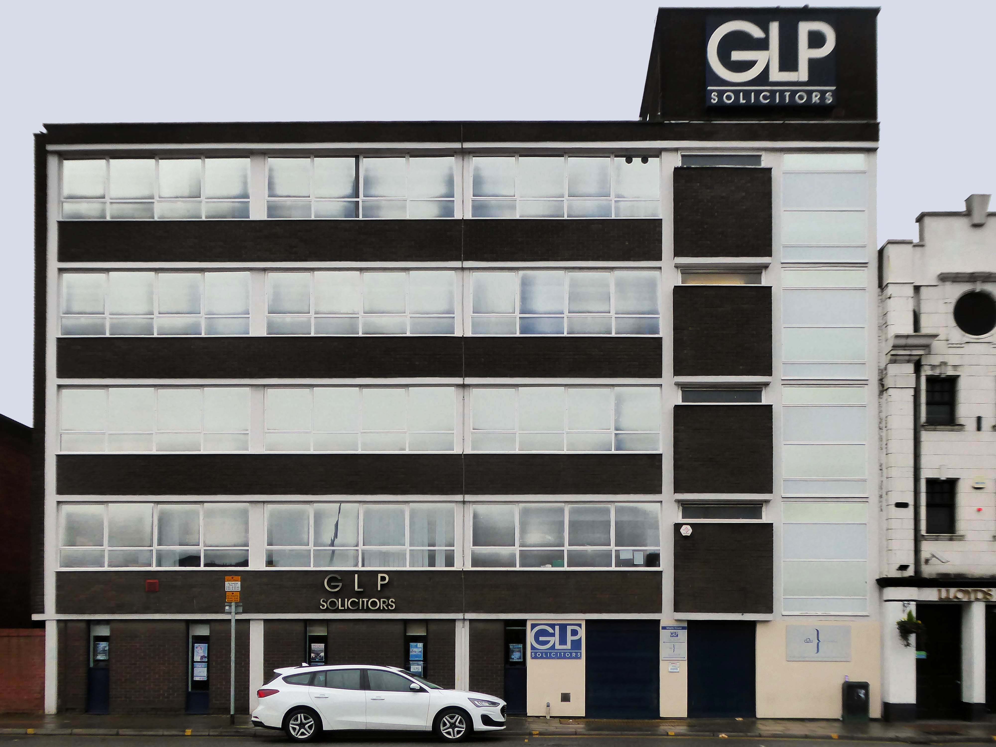
Next door a typical steel glass and brick banded office block Maple House.
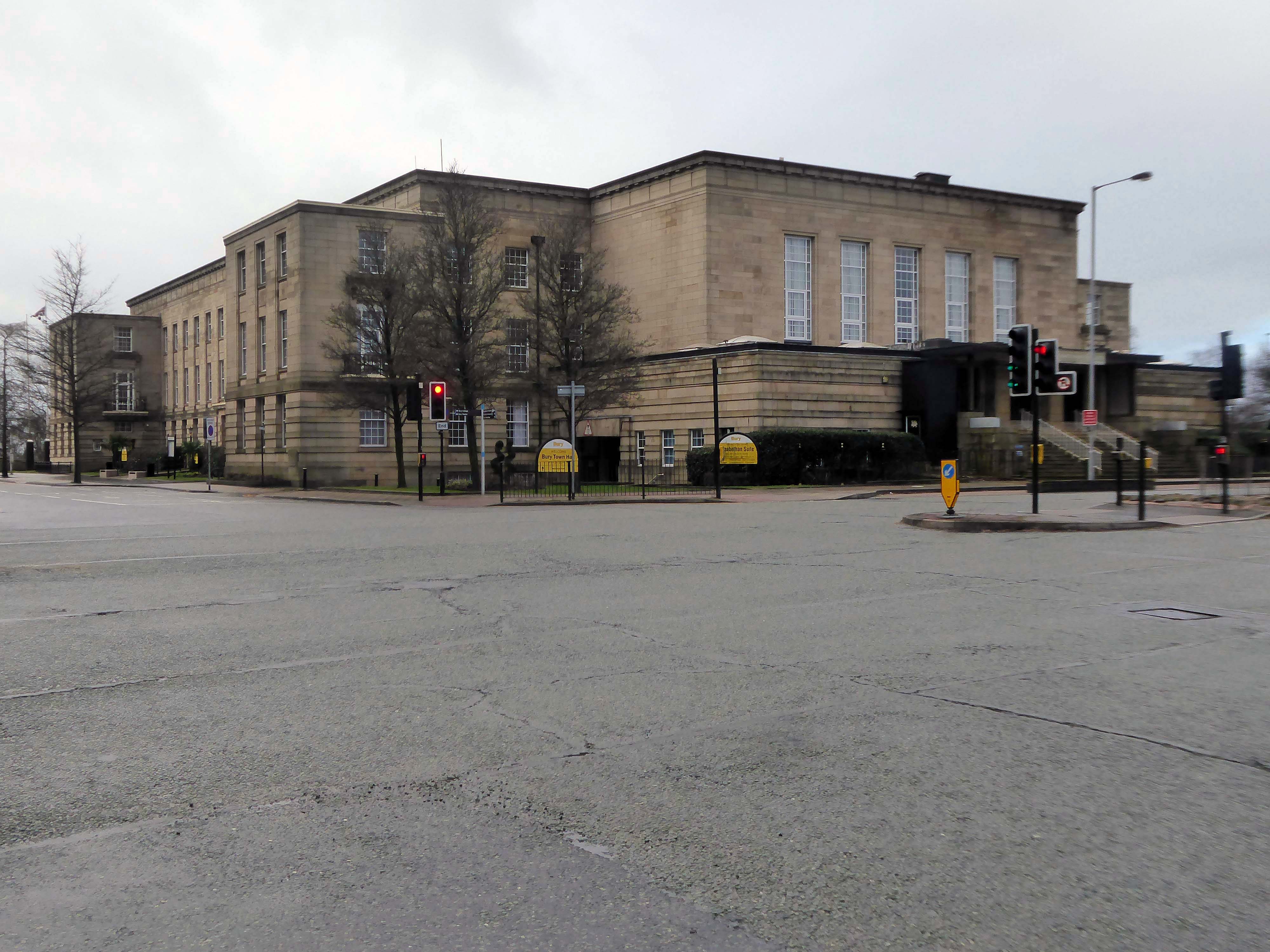
Around the corner and over the road to the Town Hall 1939-40 architects: Reginald Edmonds of Jackson & Edmonds then 1947-54.
Large and Dull – Niklaus Pevsner.
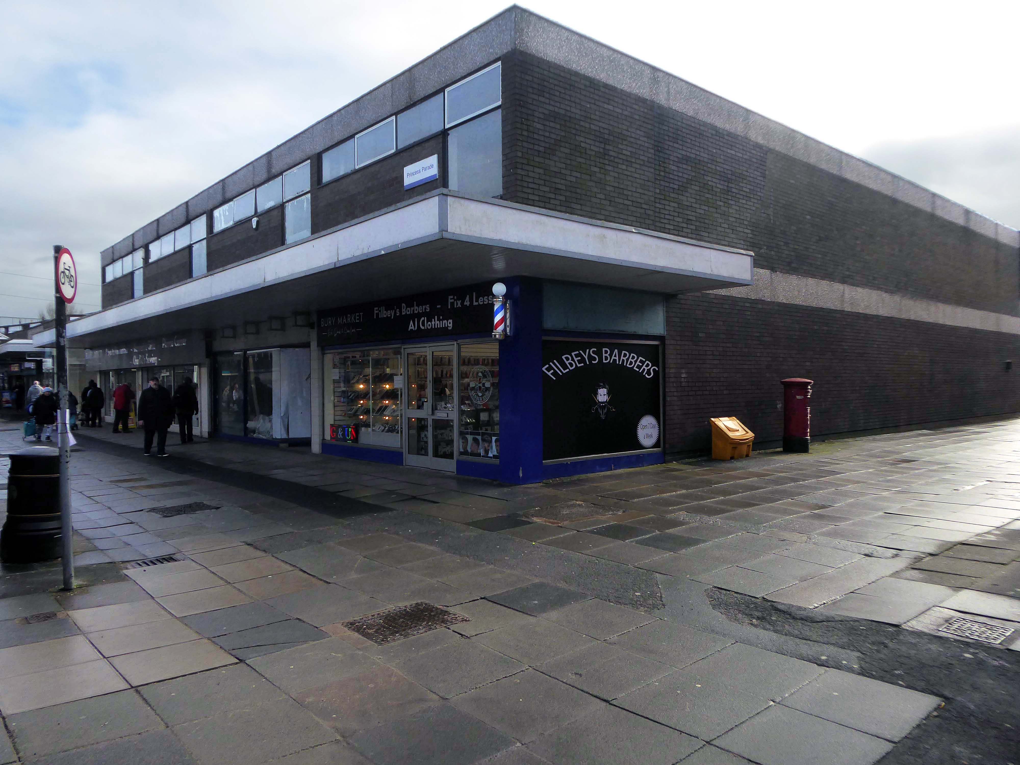
Back through the Interchange to the former Cooperative Store of the 1930’s.
The Portland Stone towers still visible – the elevation largely retro-clad in glass.
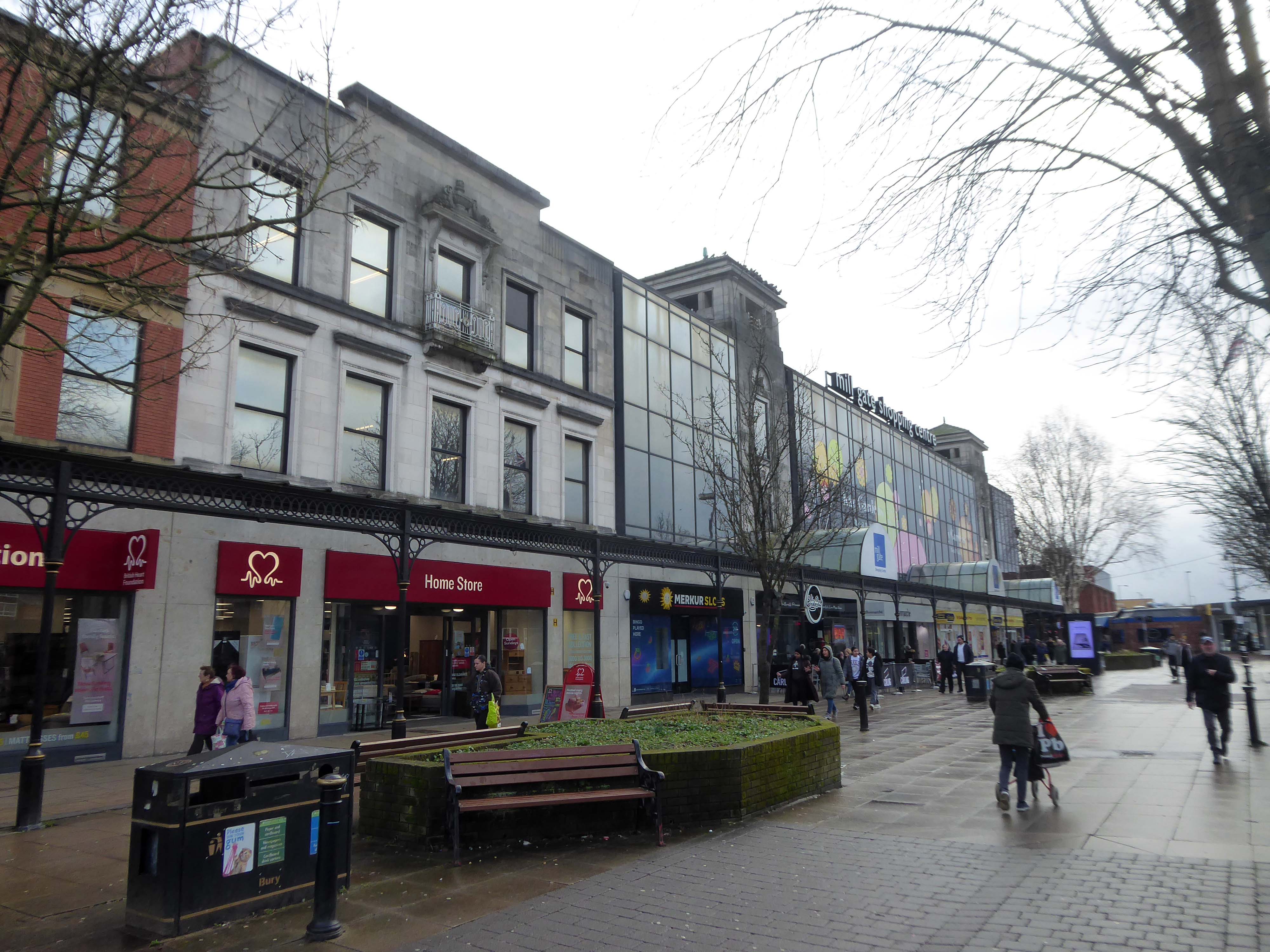
Passing through the Millgate Shopping Centre of the 1980’s.
Unambitious but successful, the floors cheerfully tiled – Niklaus Pevsner.
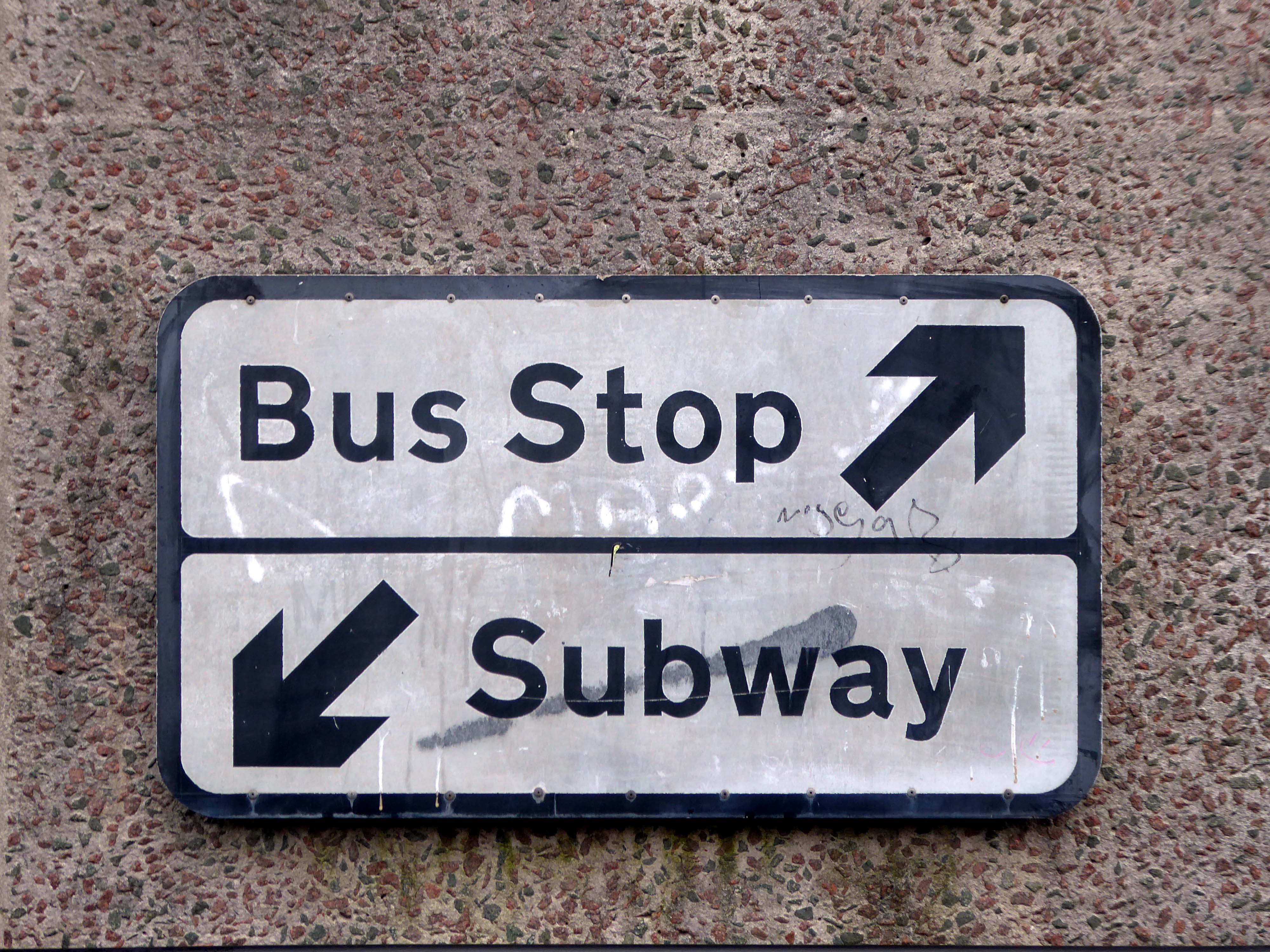
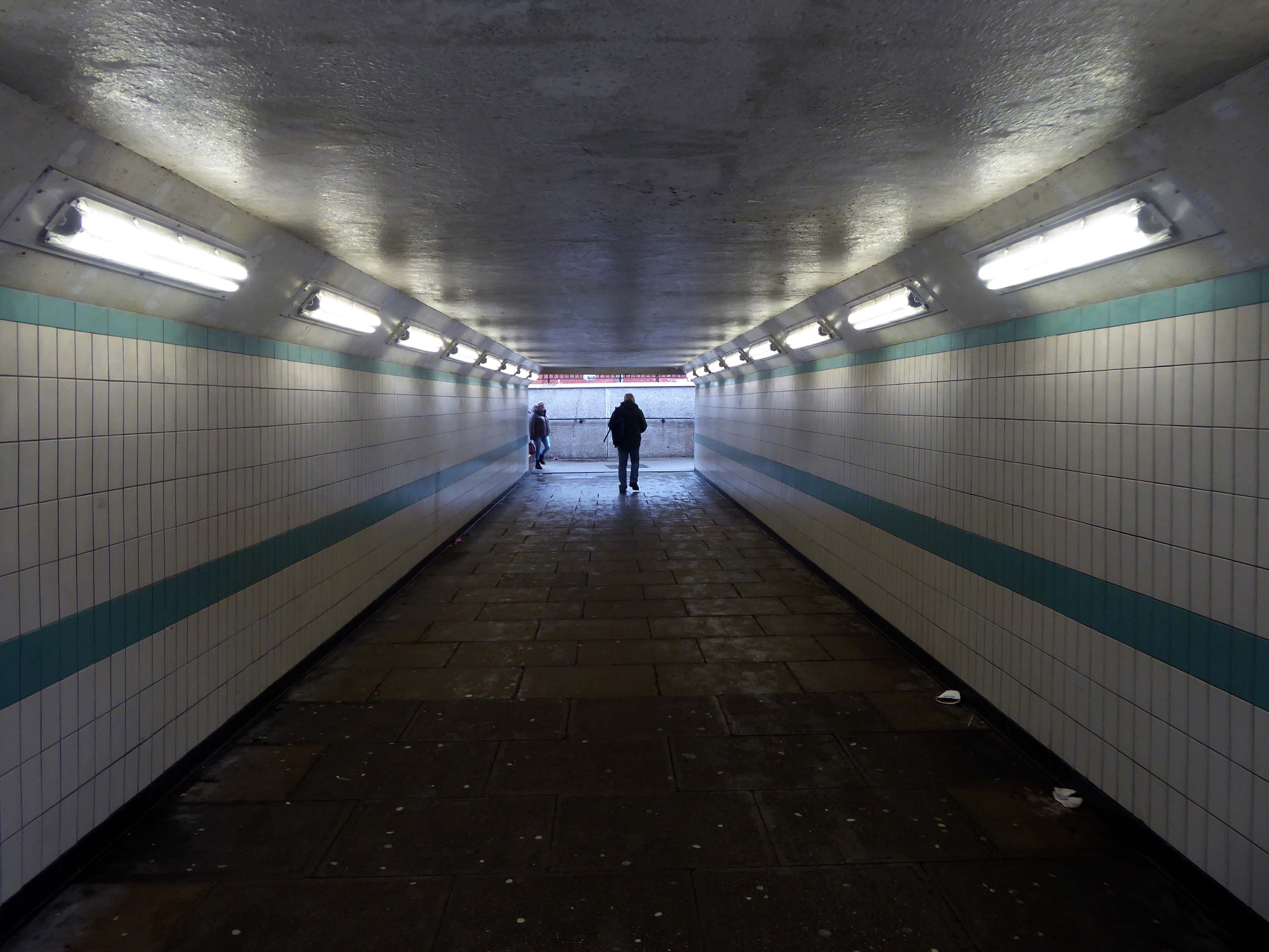
Down in the subway at midday.
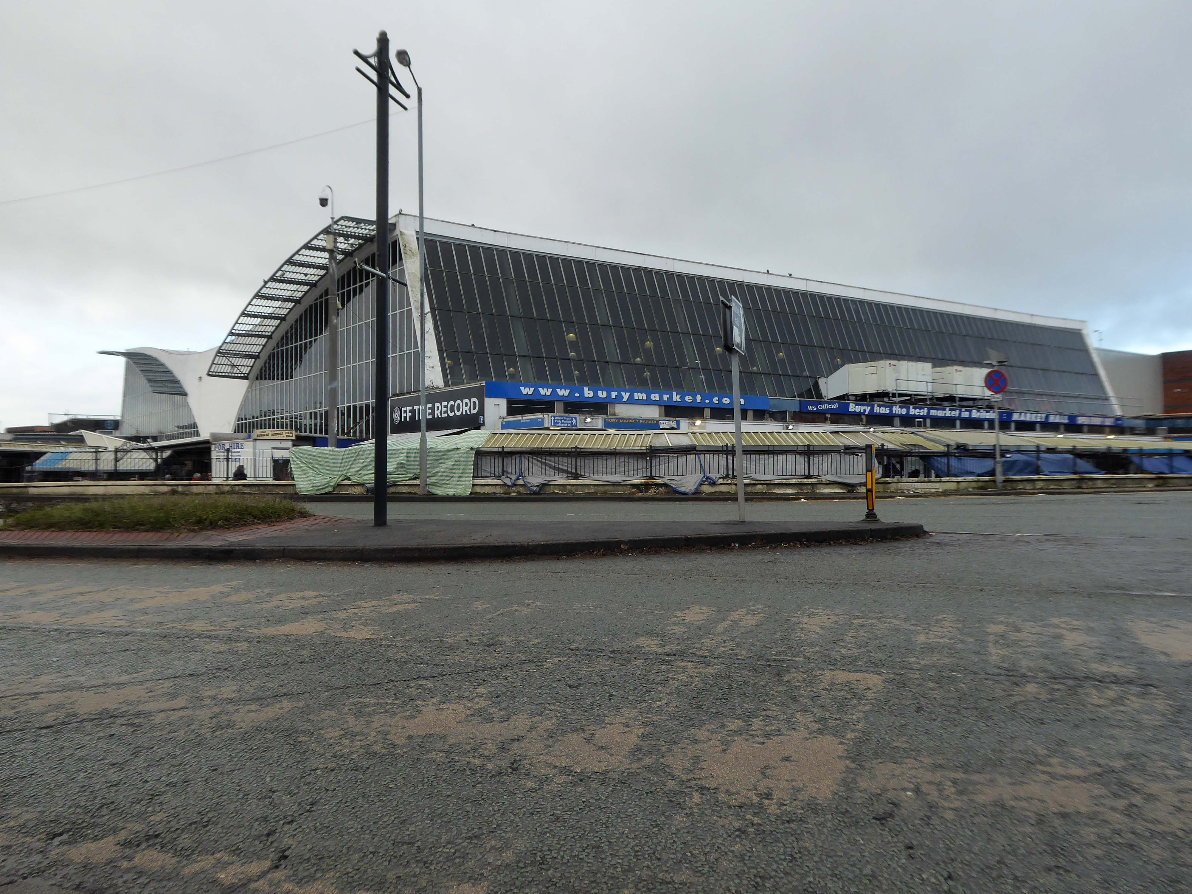
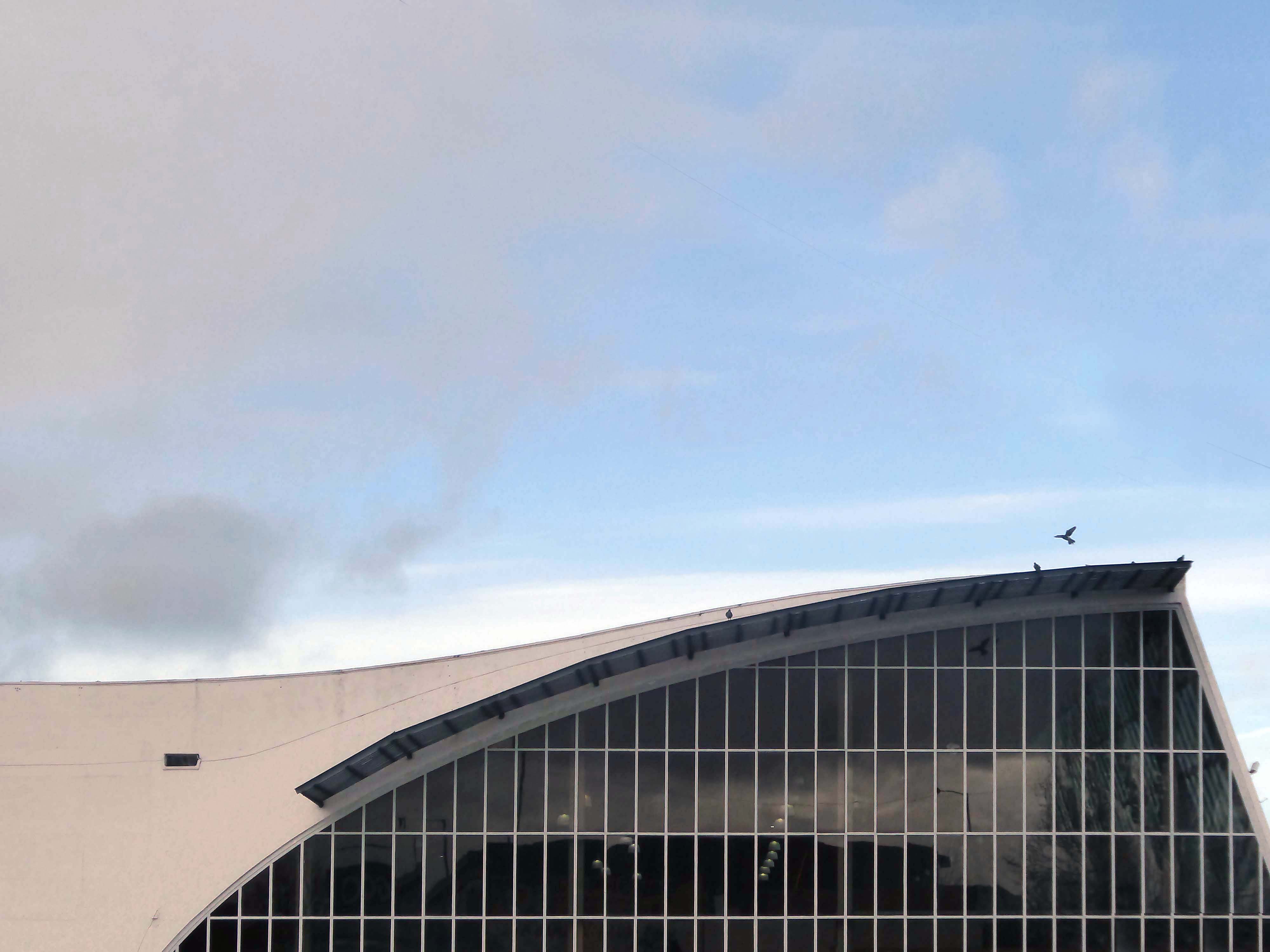
The better to get a view of the Market Hall 1971 – architects: Harry S Fairhurst.
The Indoor Market Hall is currently closed due to the discovery of Reinforced Autoclaved Aerated Concrete – within the building structure. RAAC is a lightweight type of building material that was used between the 1950s and 1990s.
Back under the road – where we find a delightful Telephone Exchange.
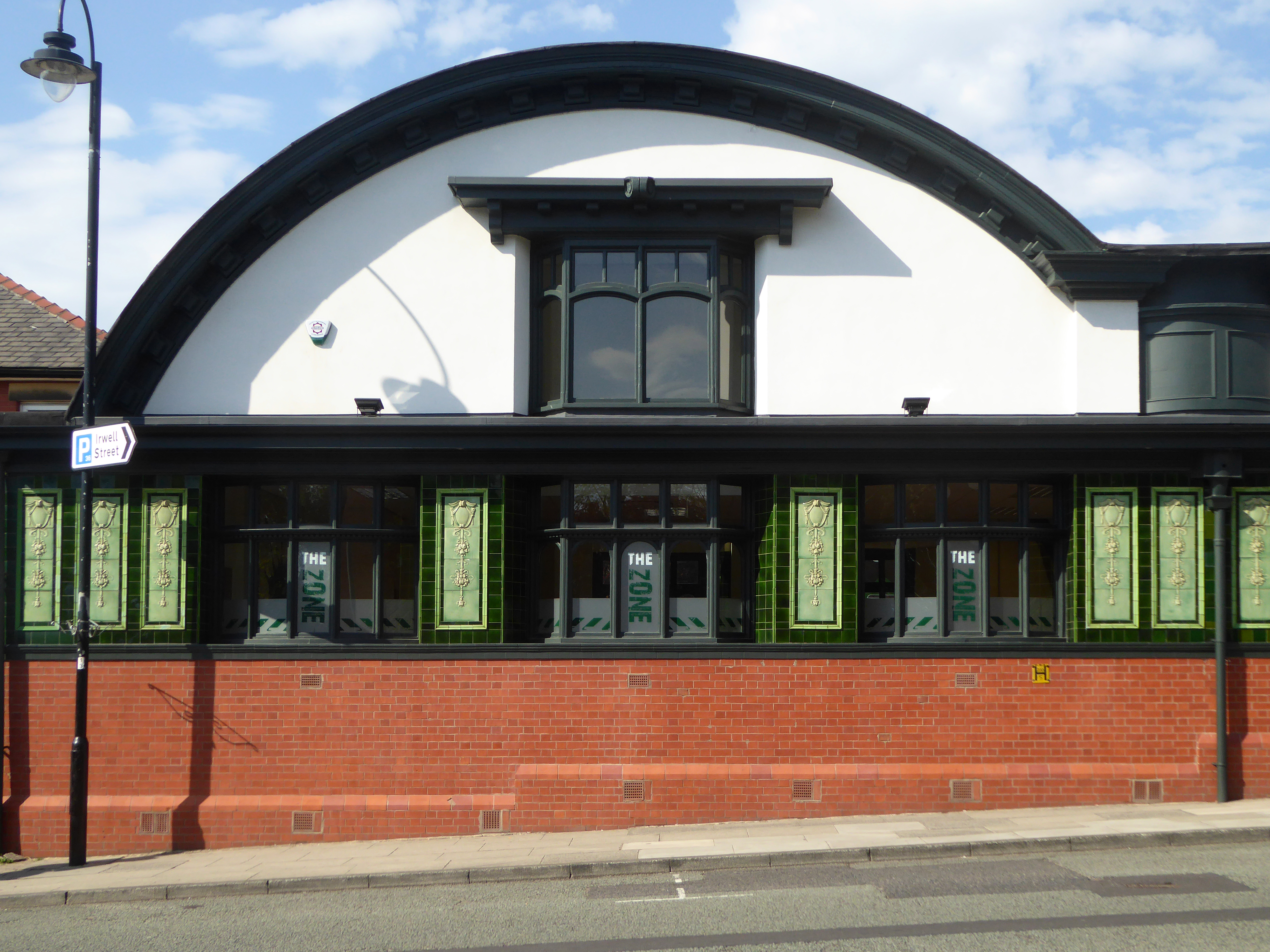
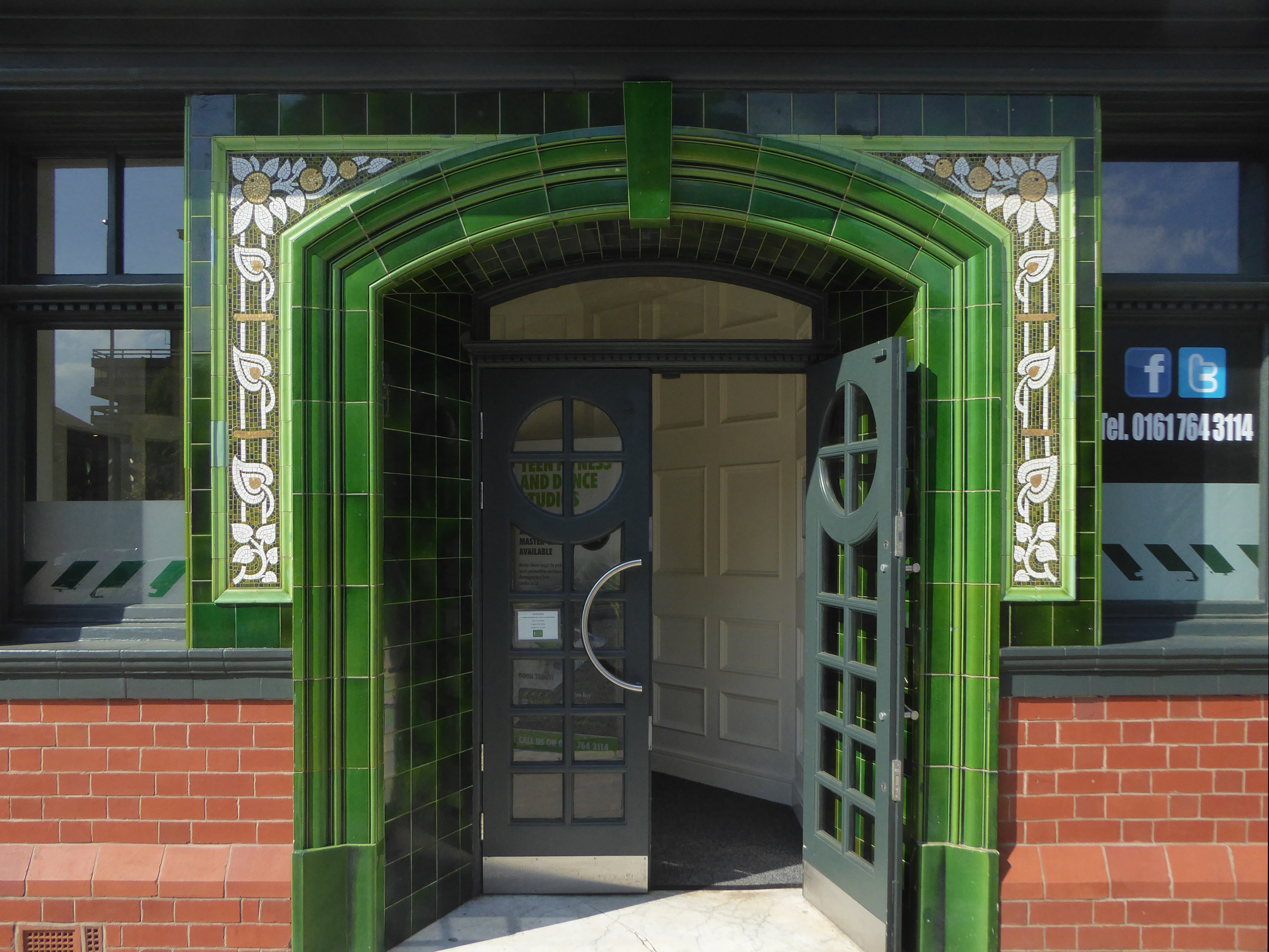
The Rock is a vibrant retail and leisure centre which is home to a range of high street fashion brands, independent retailers, tantalising eateries and fantastic entertainment – it’s the perfect place to visit any day of the week.
It is the work of architects BDP – completed in 2010 at a cost of £350 million.
Our masterplan for The Rock took into account the historical street pattern and public realm context to give the scheme its own identity, and make visual connections to local landmarks.
The retail and leisure scheme brings many exciting brands to Bury for the first time.
New pedestrian streets rejuvenate and improve connections to adjacent areas stitching the town back together.
The development will also contain 408 one and two-bedroom apartments.
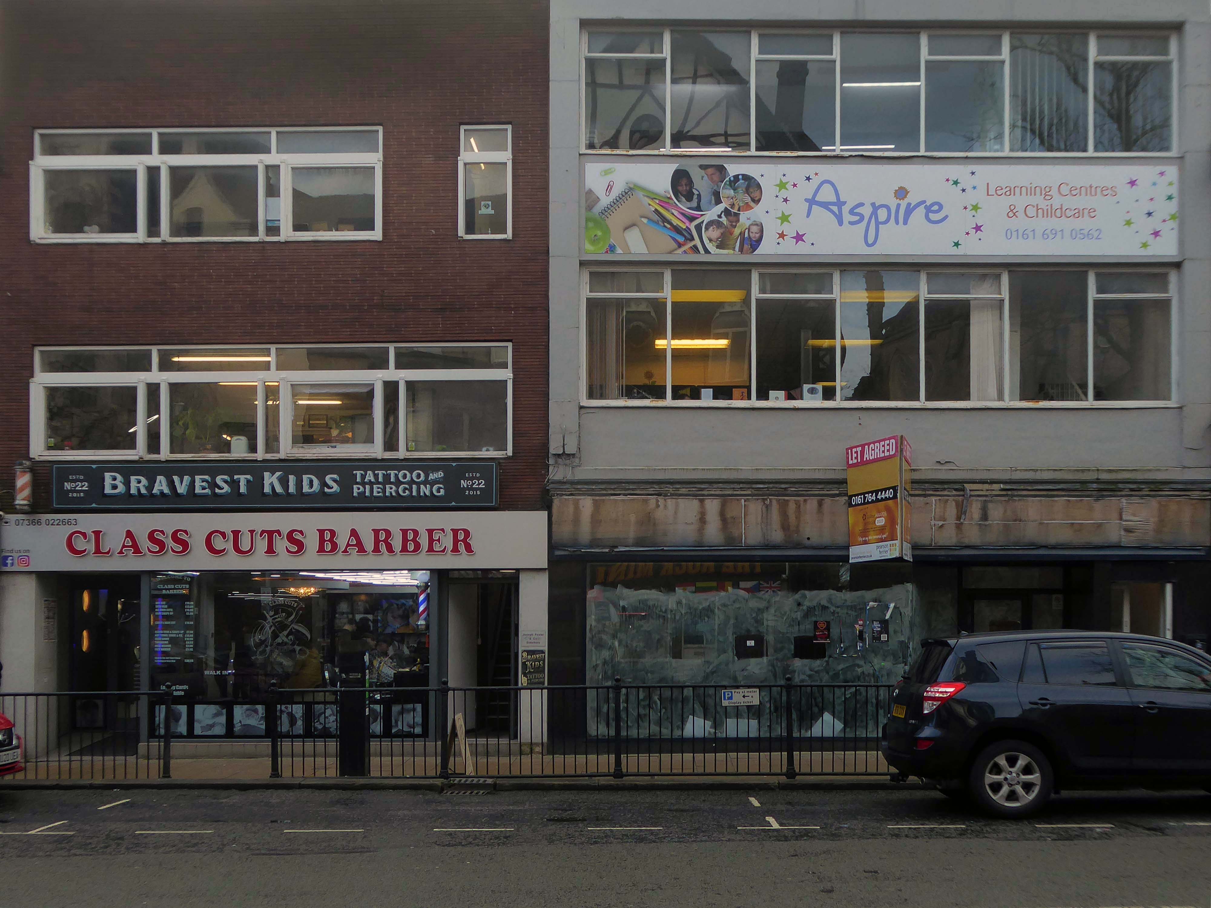
Back to basics at a former Burton’s hiding its faience facade.
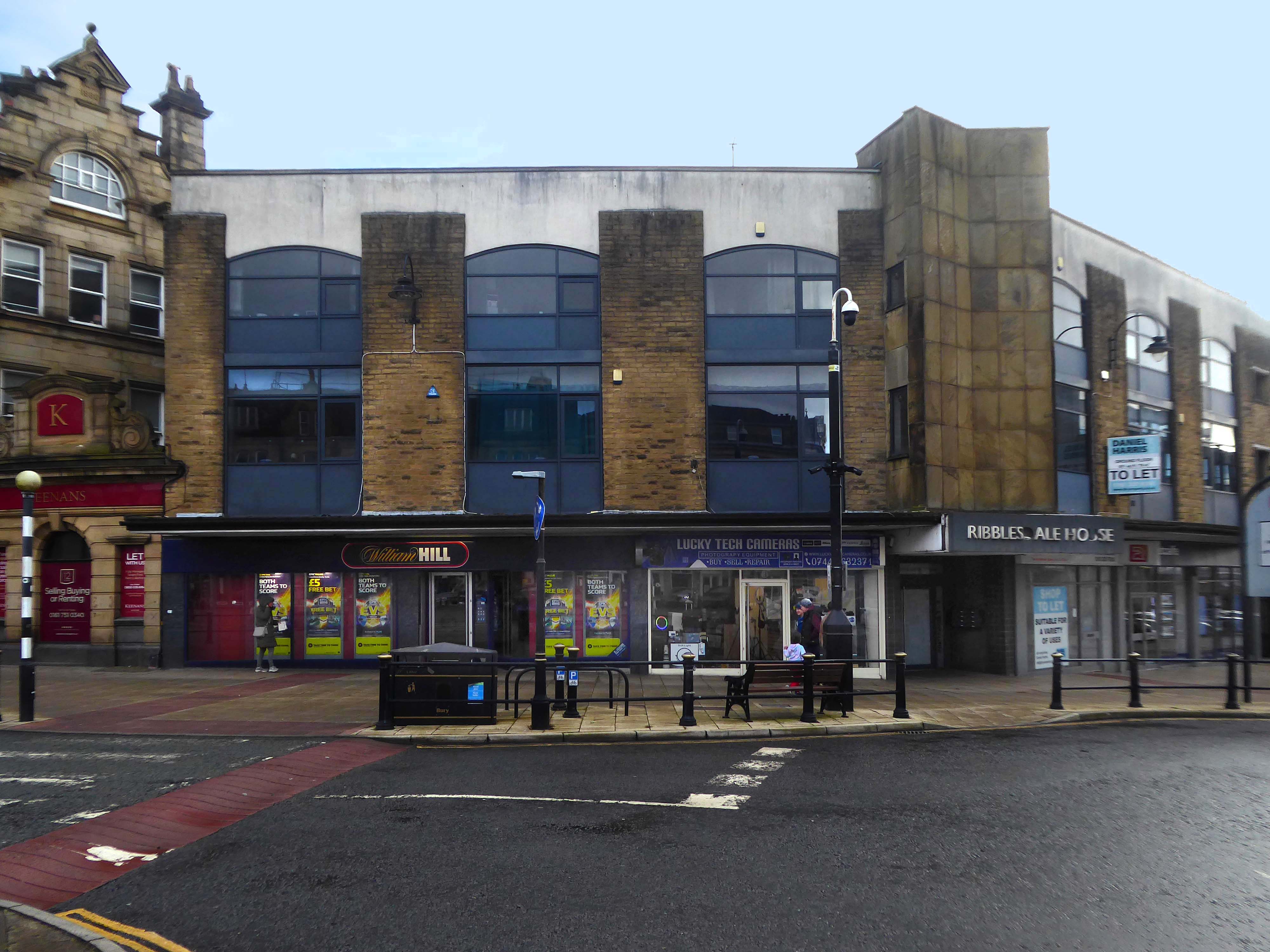
Typical inter-war infill on our crazy mixed up mongrel high streets.
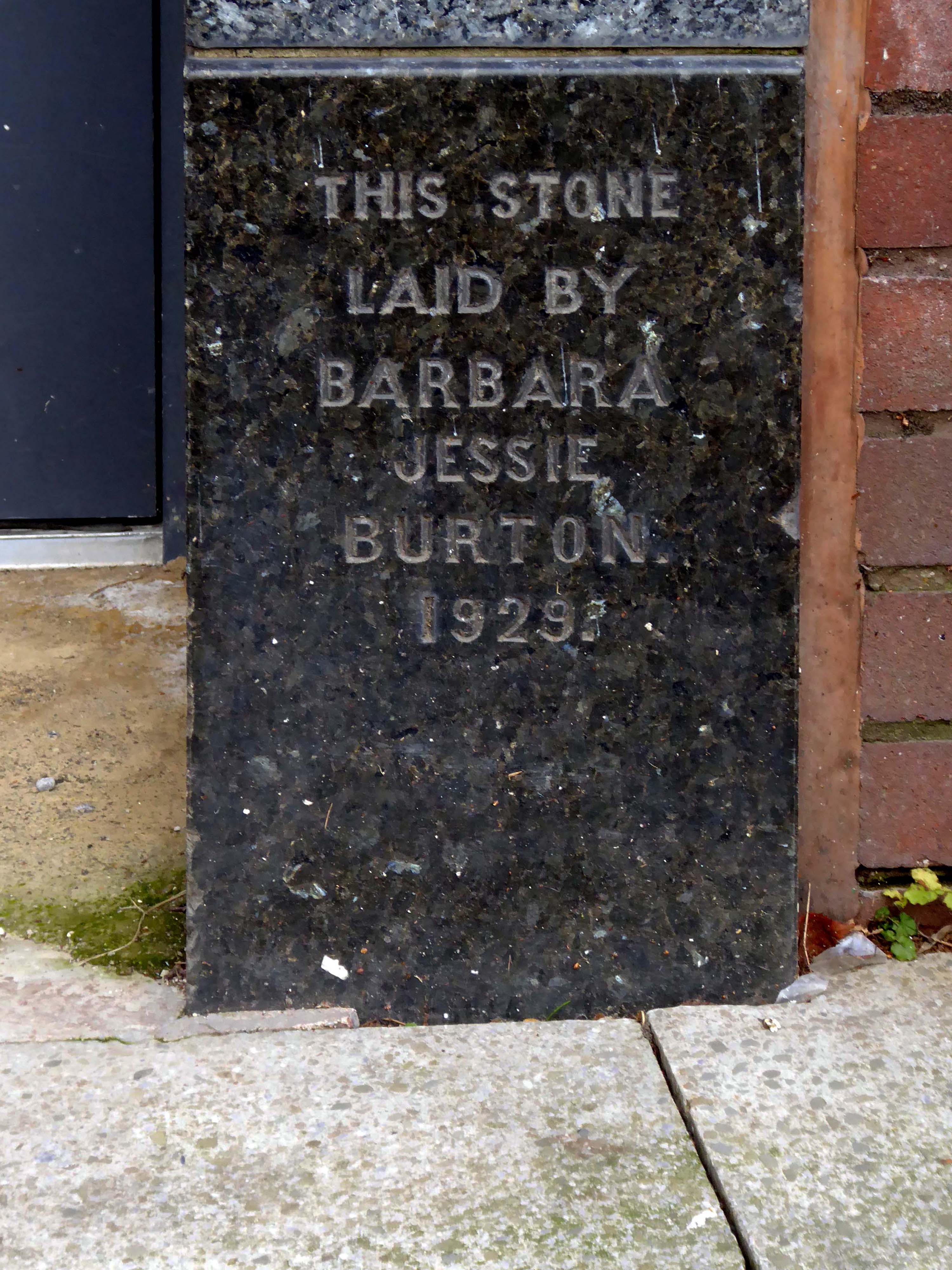
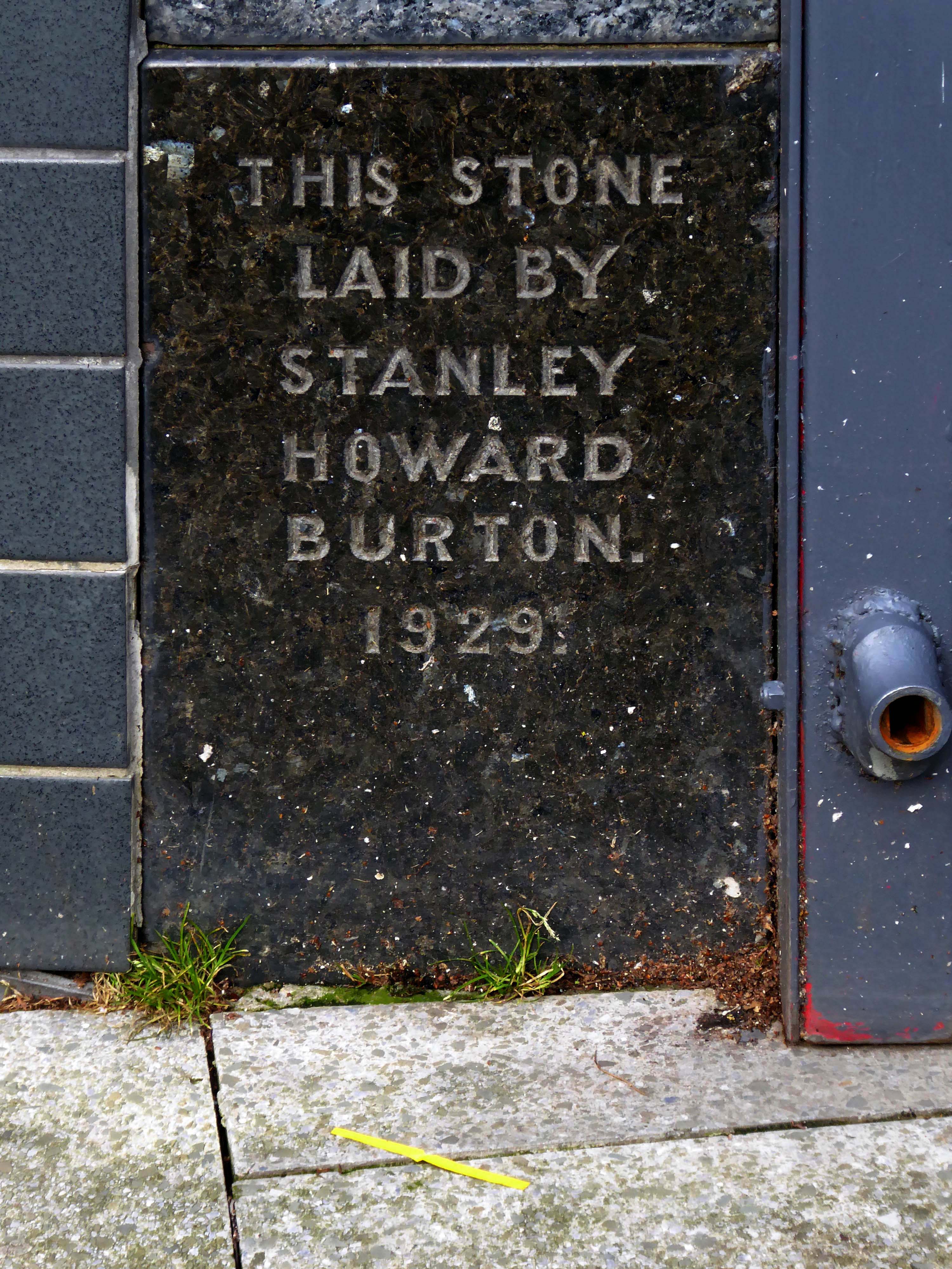
Ribblesdale House
Application by Shop and Store Developments Ltd submitted August 1965. Architect on application was Samuel Jackson and Son of Ocean Chambers in Bradford but during the application process this changed to John Brunton & Partners – Brunton was a partner in Jackson’s firm, at the same address. It had a restaurant and shops on the first floor.
The street level buildings were destroyed by fire on 14 May 1947 and were replaced with a new brick and concrete entrance and footbridge in 1952.
British Rail closed the station on 17 March 1980, when it was replaced by a new bus/rail interchange station further east into the town centre. Bury Interchange railway station served up until 1991 before the entire Bury Line was converted to light rail operation. It reopened in 1992 for Metrolink operation.
Bury was once the centre of multiple train links and the lost station of Knowsley Street.
Over the road the former Temperance Billiard Hall 1910 architect Norman Evans.
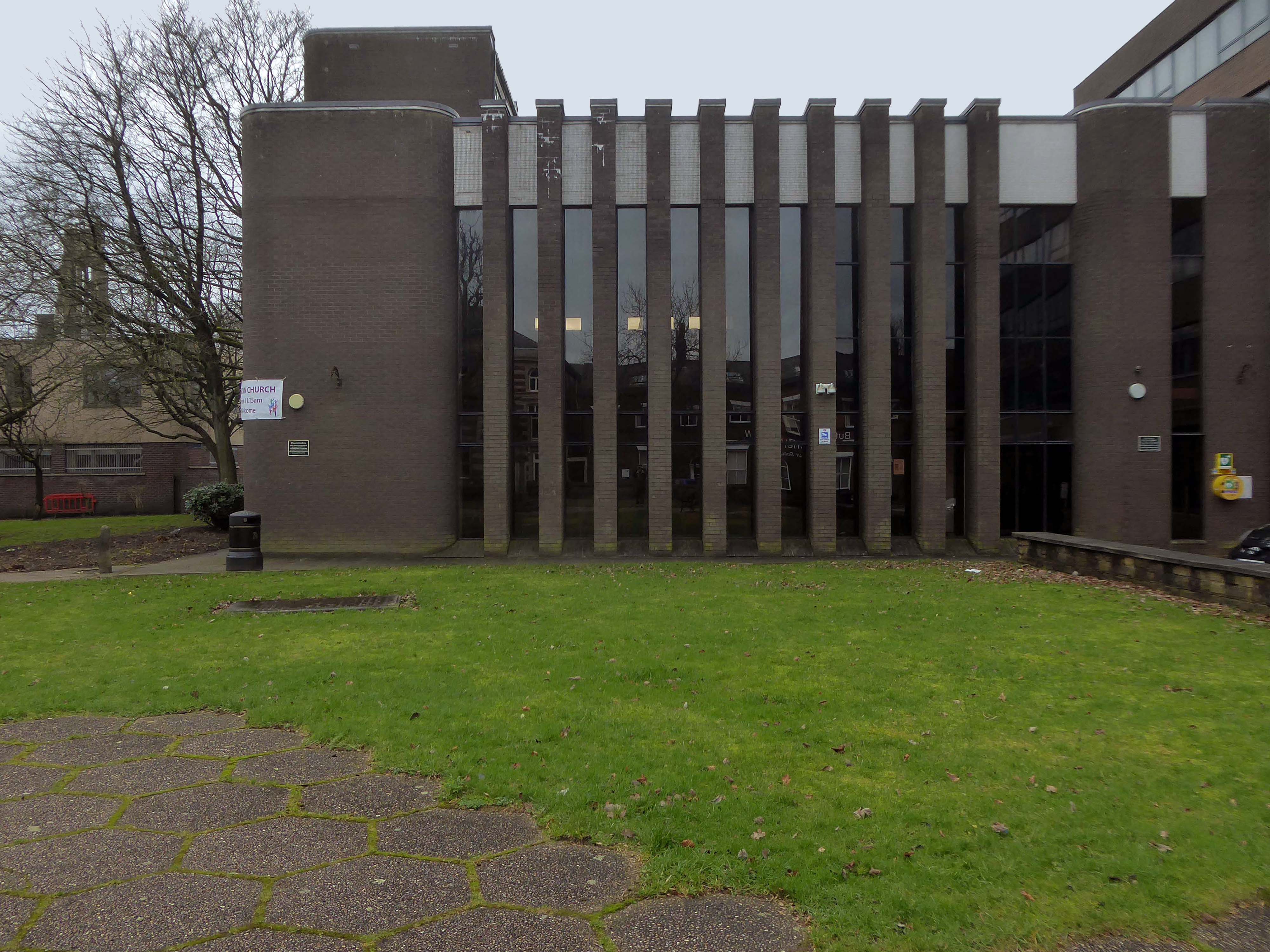
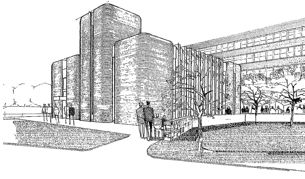
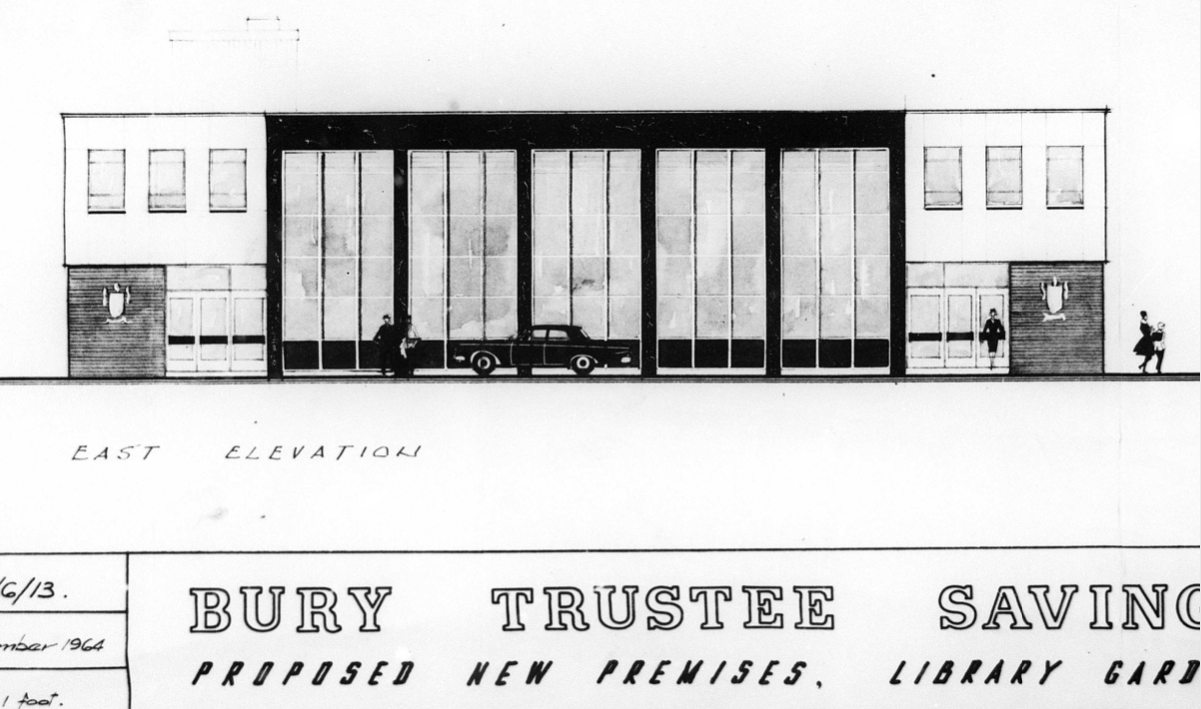
Planning application January 1965 – work started in June 1965. The architectural firm was Richard Byrom, Hill and partners. Richard Byrom was submitting building applications in the 1930s in Bury and locally.
The rendering on the building is original but the windows have been changed. The Job Centre took over the building in 1993. It is in a conservation area and the Civic Trust had some concerns!
Many thanks to David French for the above information.