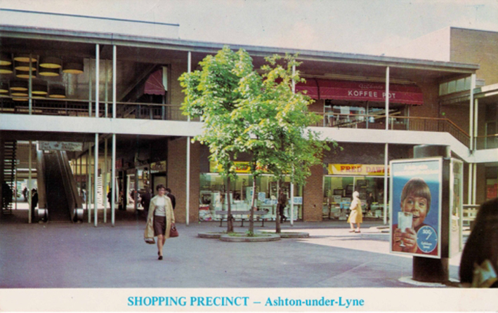
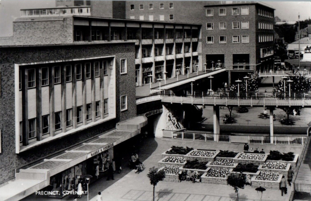
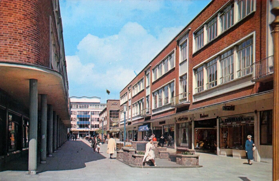
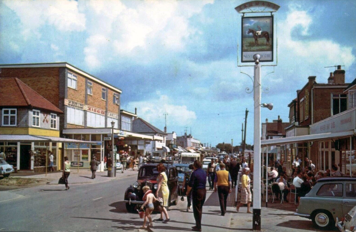
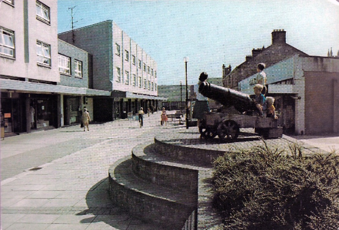
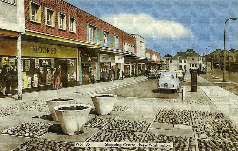
It all began way back when I was a raw youth living in Ashton under Lyne – the precinct was our playground, cycling and running, often against the grain, up and down the travelator.
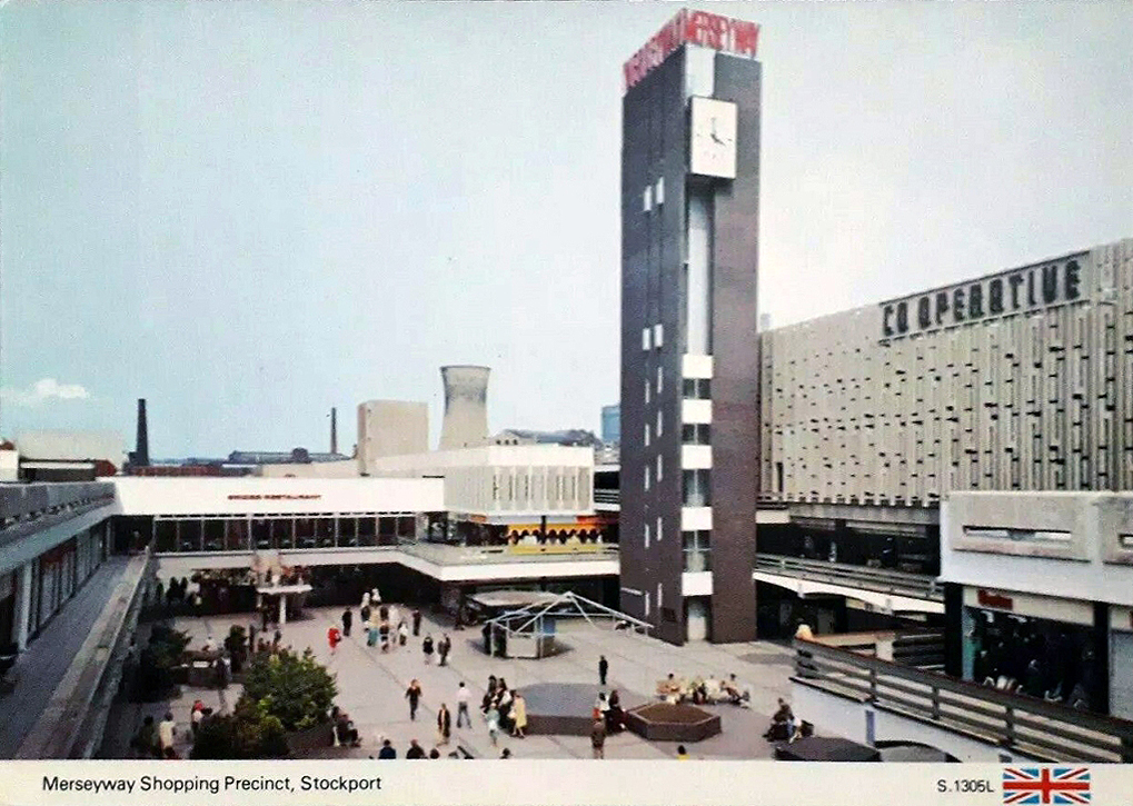
Some sixty years later I am still enthralled by the nation’s shopping precincts – including the very local Merseyway.
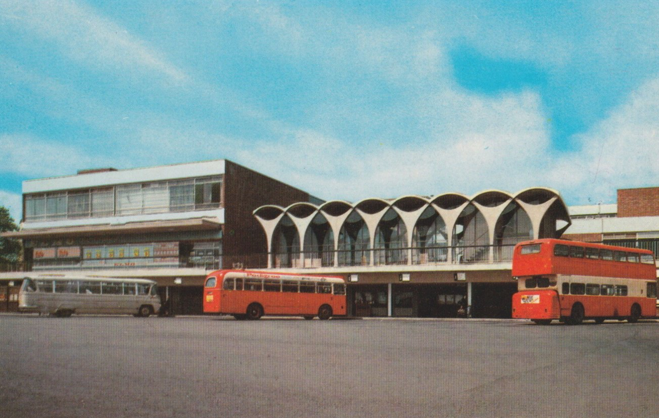
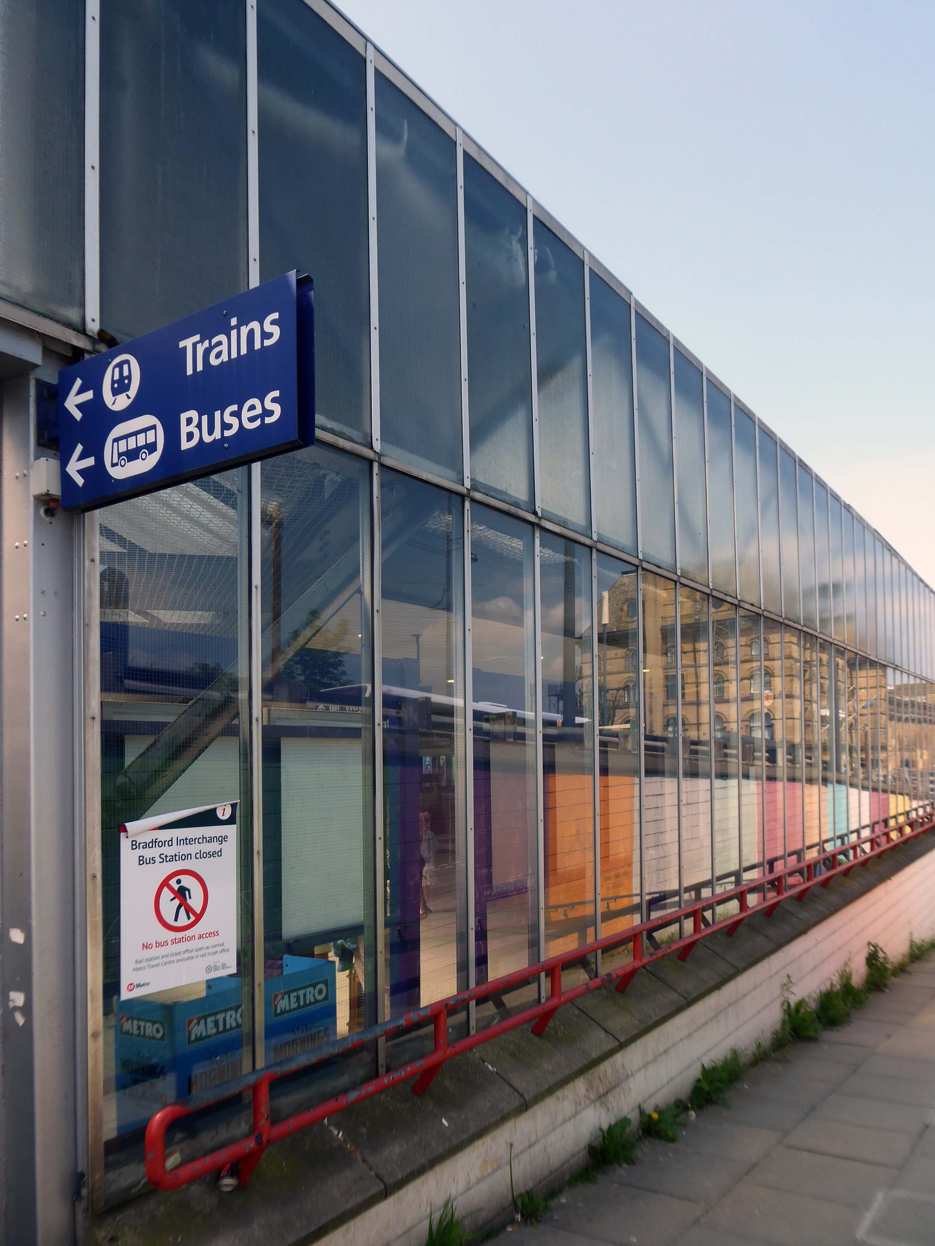
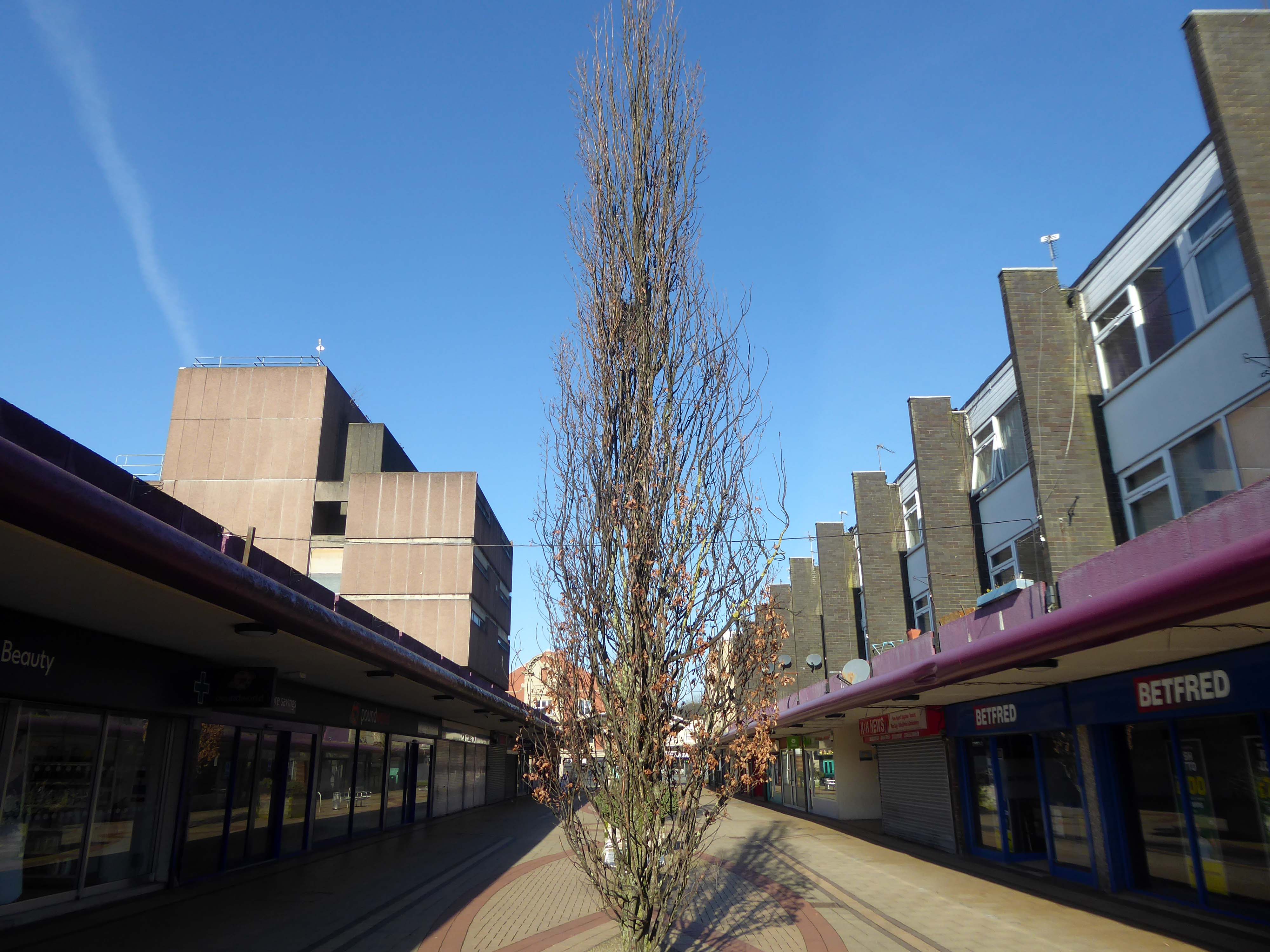
We arrive at and begin our journey at the Interchange – the bus station is closed, along with the station entrance.
Bradford accepts that it is a part of the Northern Supercity stretching from Coast to Coast – Liverpool to Hull. Every existing town and new settlement must be unique. People belong to their own hotspot as well as Coast to Coast. Bradford as a dispersed centre will give it individuality as well as becoming synonymous with the whole new city. Bradford is a mini version of the whole. It is composed of a series of mini hotspots which will each act as a focus for each square kilometre.
Bradford has the topography to allow every citizen to wake up to a view – both physical and mental. Their collective ambition can create a place of extraordinary difference.
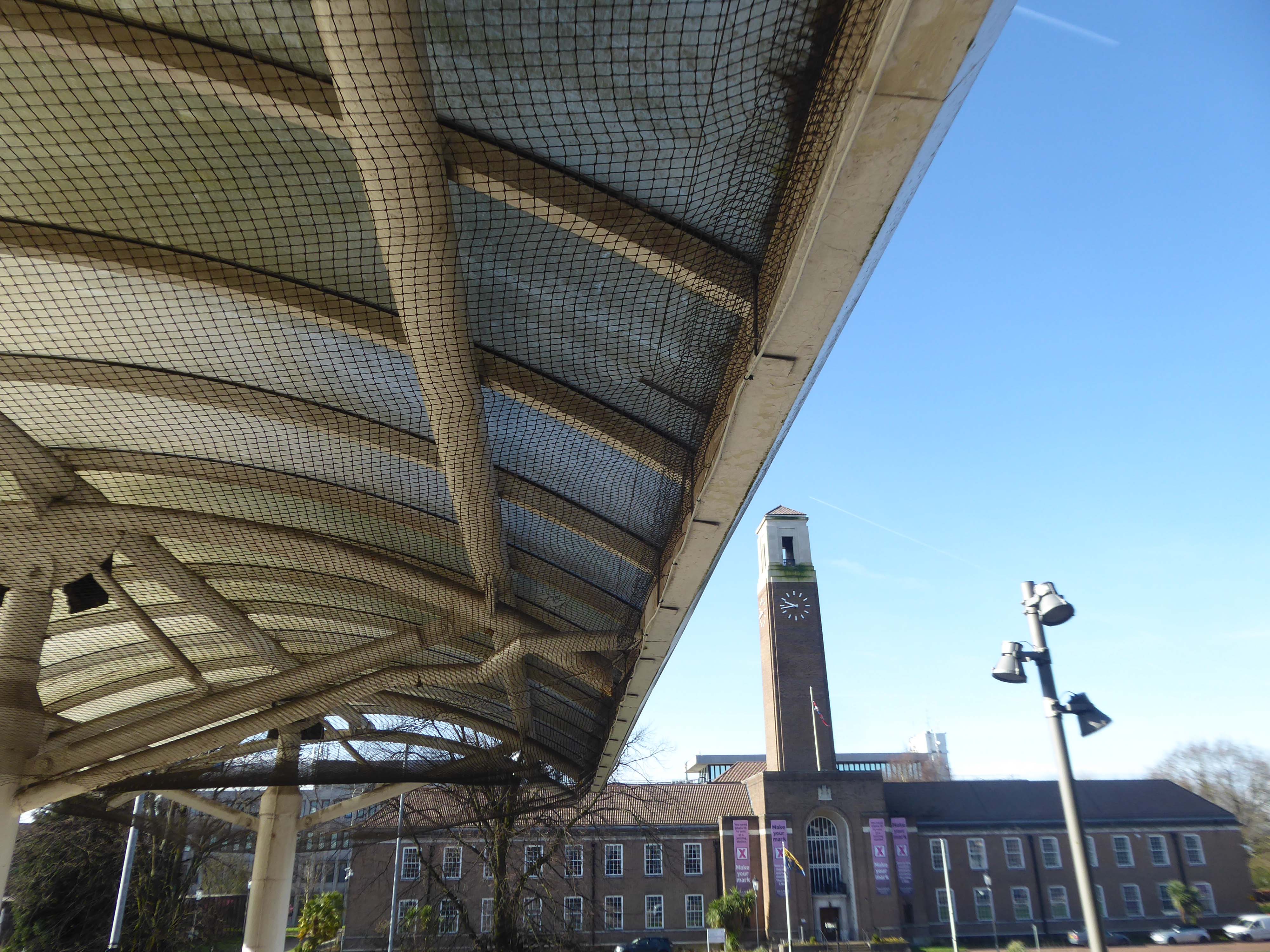
The Interchange opened in 1971 was the first of its kind in the country, designed by the BR regional team headed by RL Moorcroft and the City Architect.
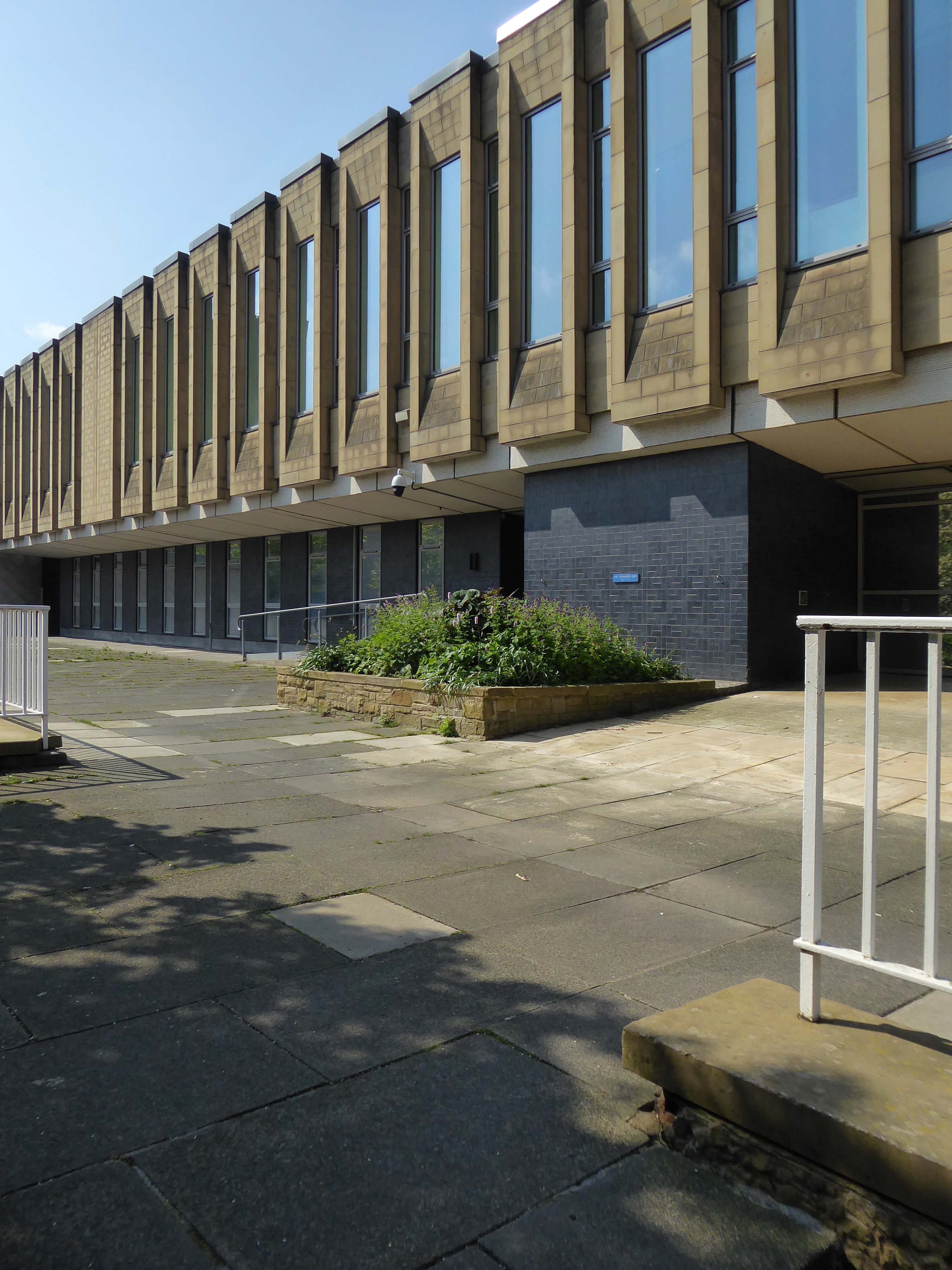
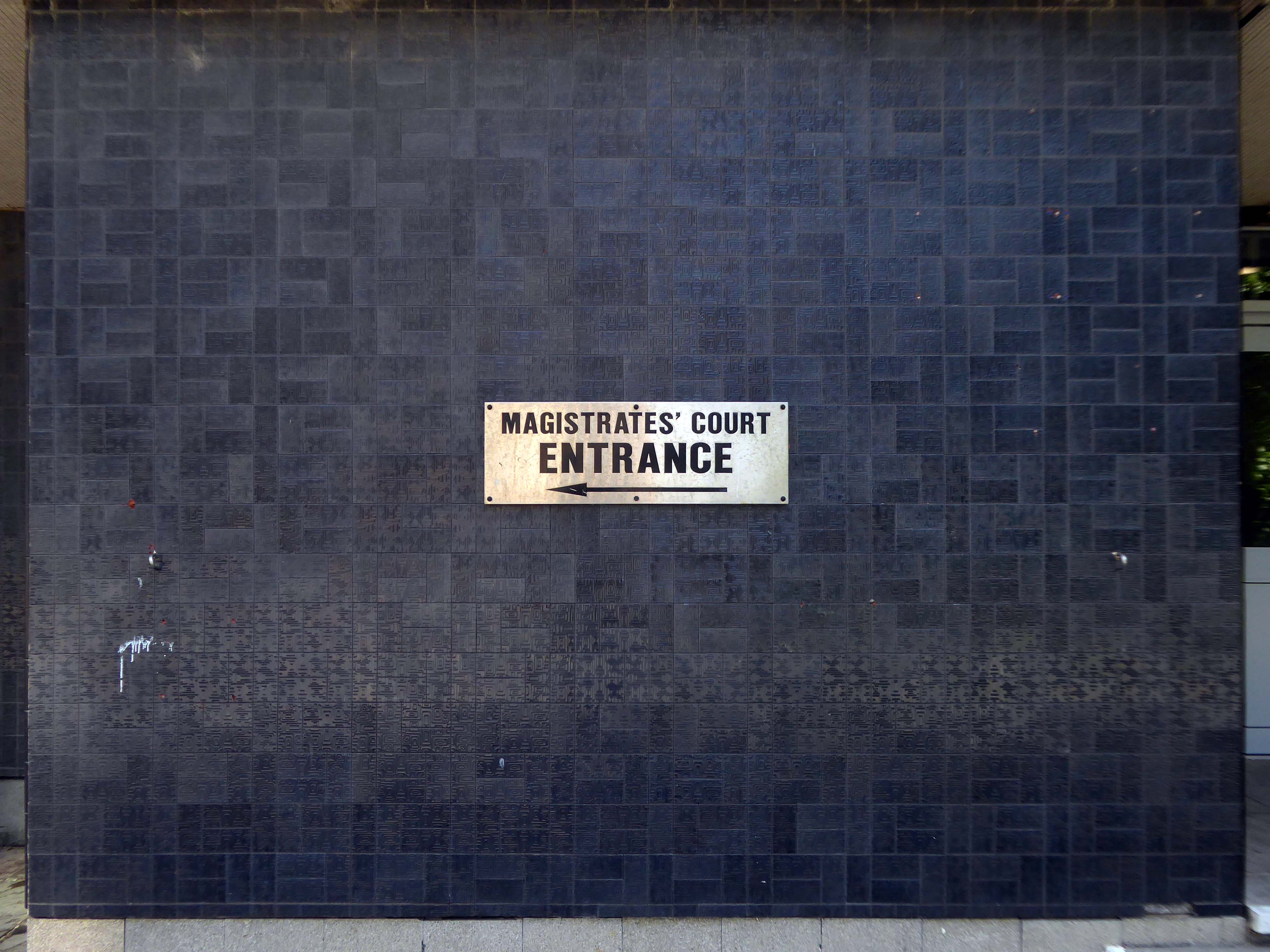
Onward to the Magistrates’ Courts designed by City Architect Clifford Brown in 1972.
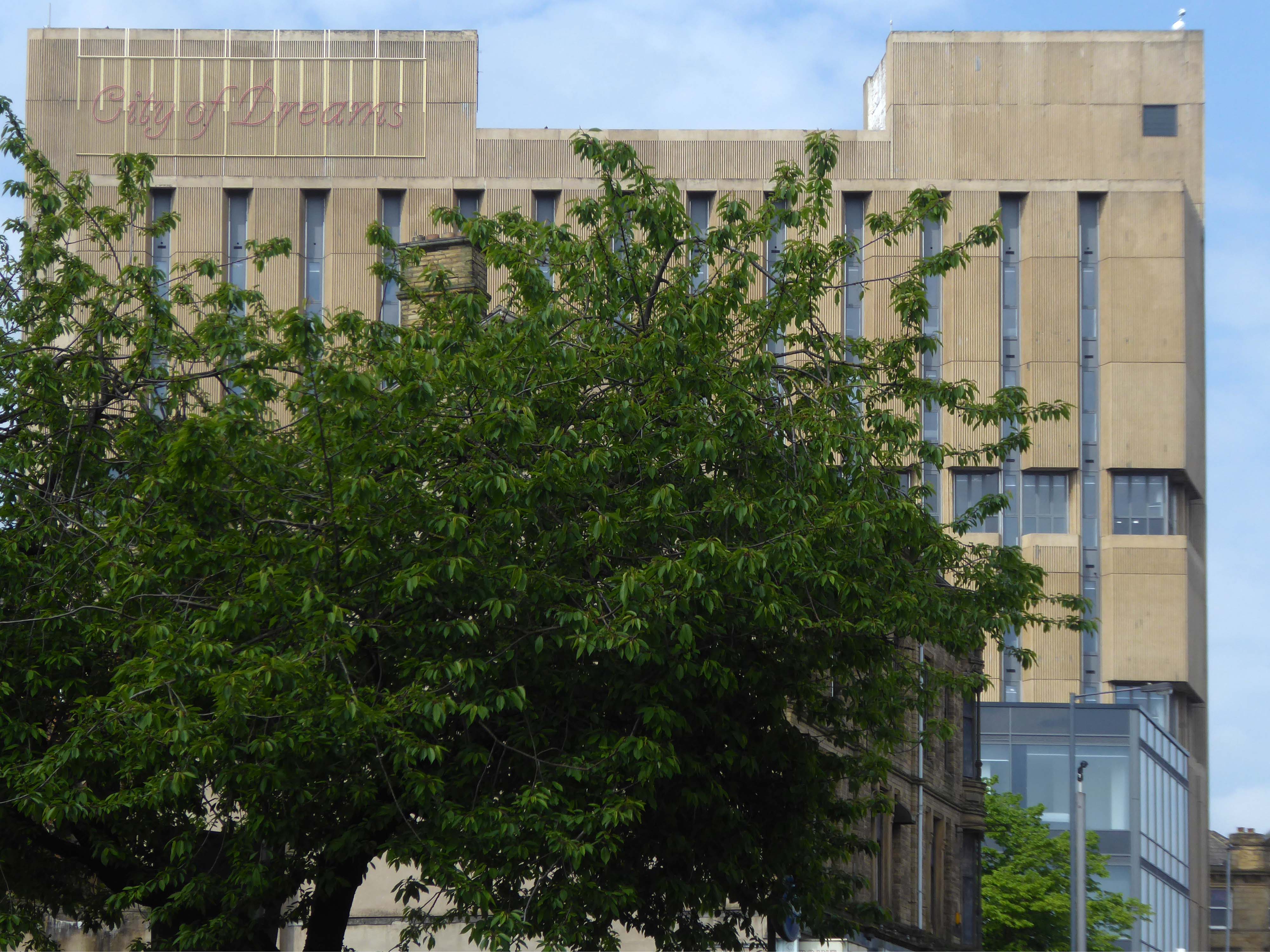
Bradford is in the process of paving and puzzling pedestrians, as it becomes City of Culture in 2025.
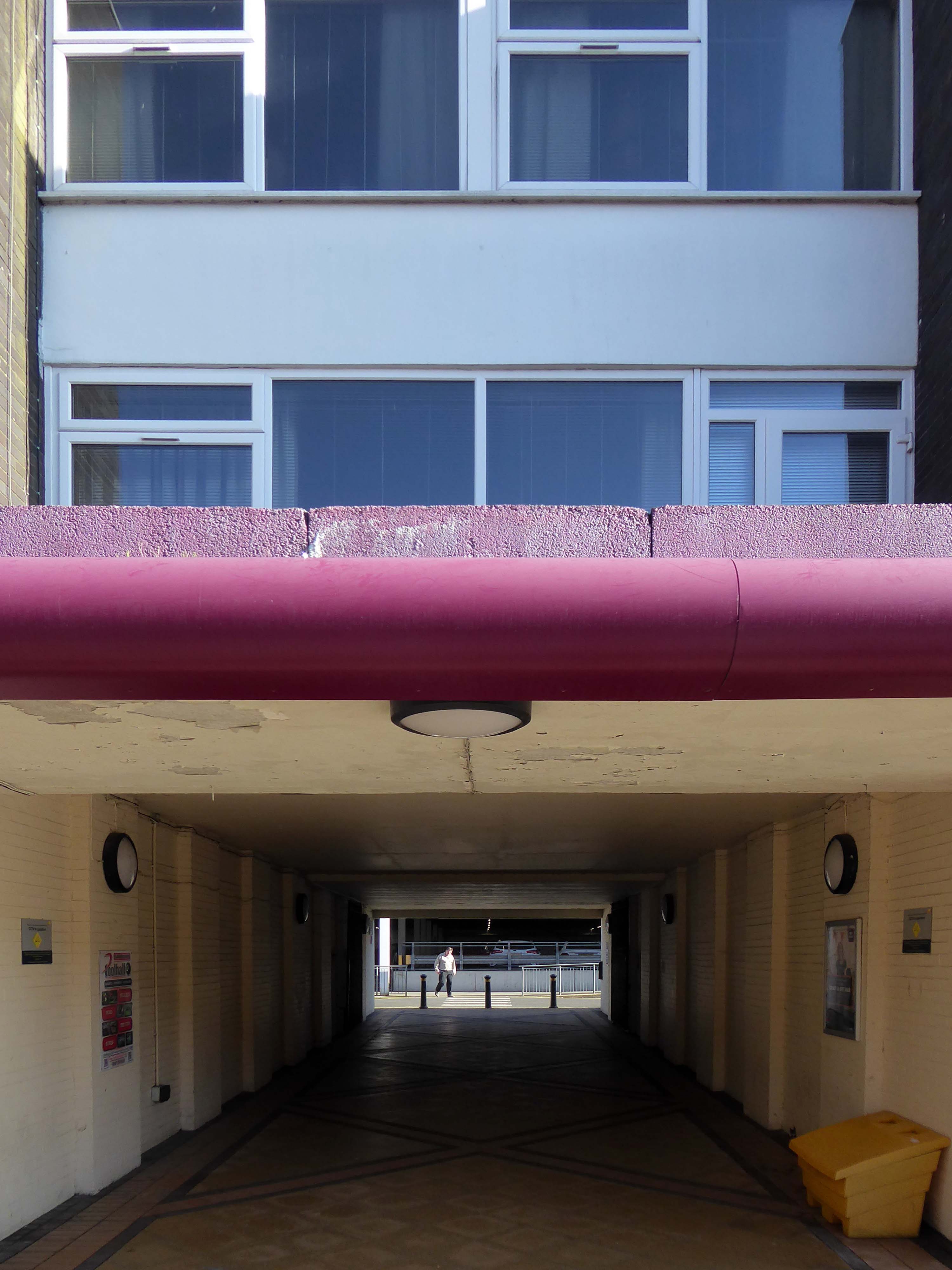
So we wind our way over the inner ring road, advisedly avoiding the filled in underpasses.
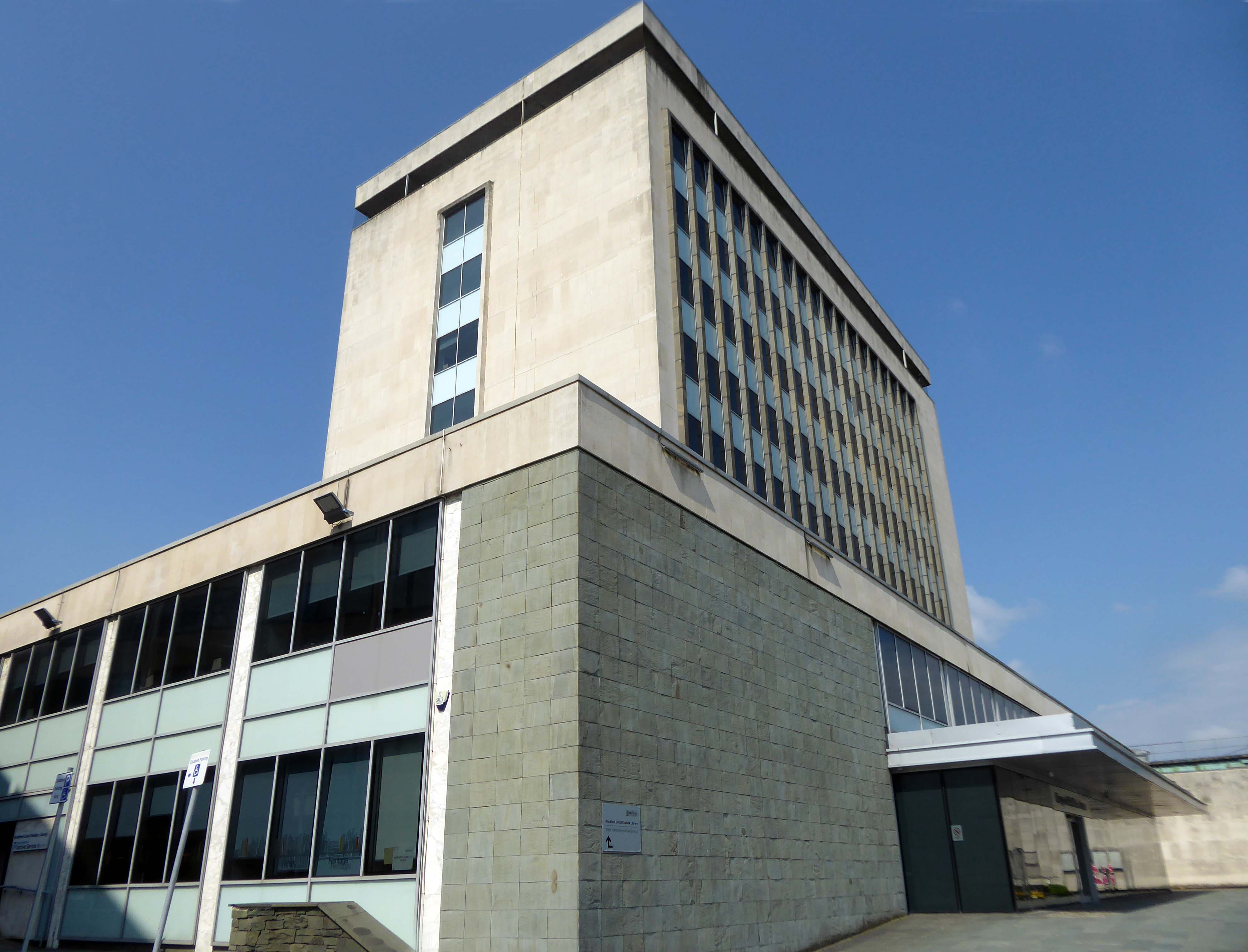
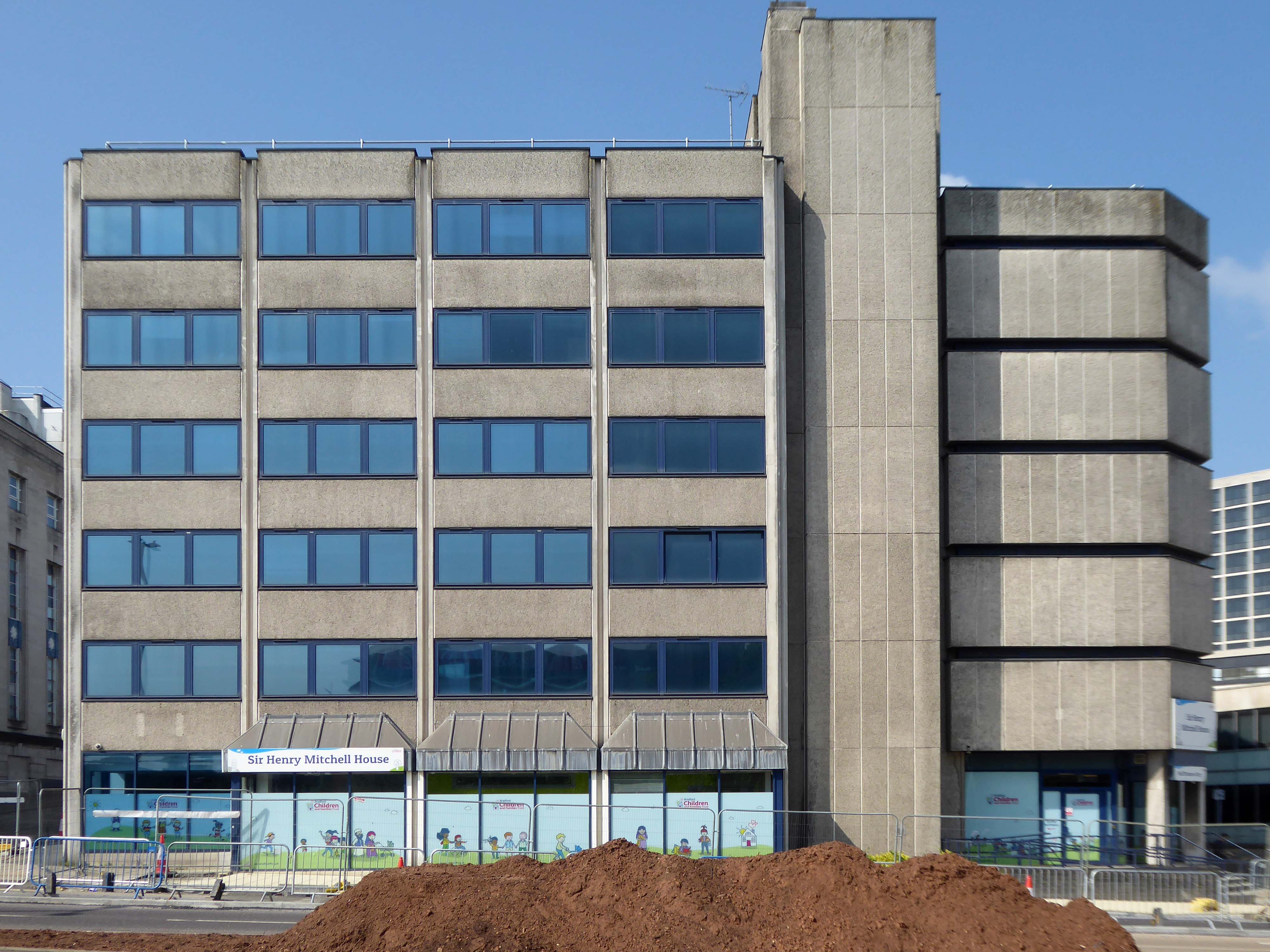
The former Central Library awaits us, designed in 1965 by Clifford Brown – a striking podium and tower, currently home to council offices.
Next door the Sir Henry Mitchell House home to the Children’s Services.
Sir Henry Mitchell 1824 1898 was a mill owner and Mayor.
Moving further along the Telephone Exchange of 1936, design by architect FA Key.
Partner to the Telephone Exchange of 1976 by architect Trevor H Hanson for PSA
The gates were open and we were afforded a view of these delightful vents.
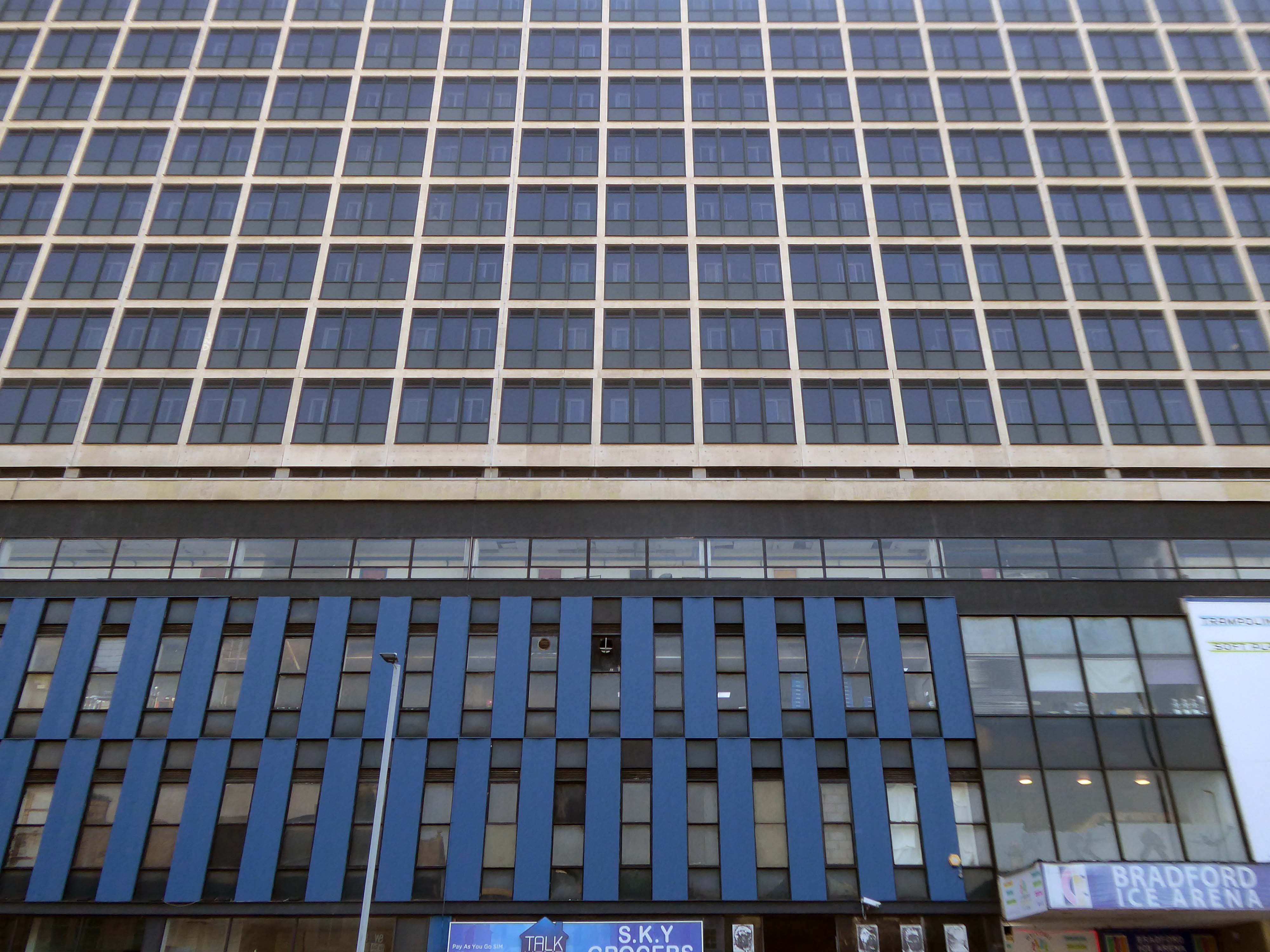
Next to the Ice Arena topped off with Wardley House – Sanctuary accommodation for key workers and students.
Wardley House is equipped with all the modern amenities you need for a comfortable and connected life as a key worker. The rent includes high-speed broadband and building-wide Wi-Fi, utility bills, and contents insurance. Our top-notch facilities comprise a large common room with a pool table, flat-screen TV, and live BT Sport – the perfect social space.
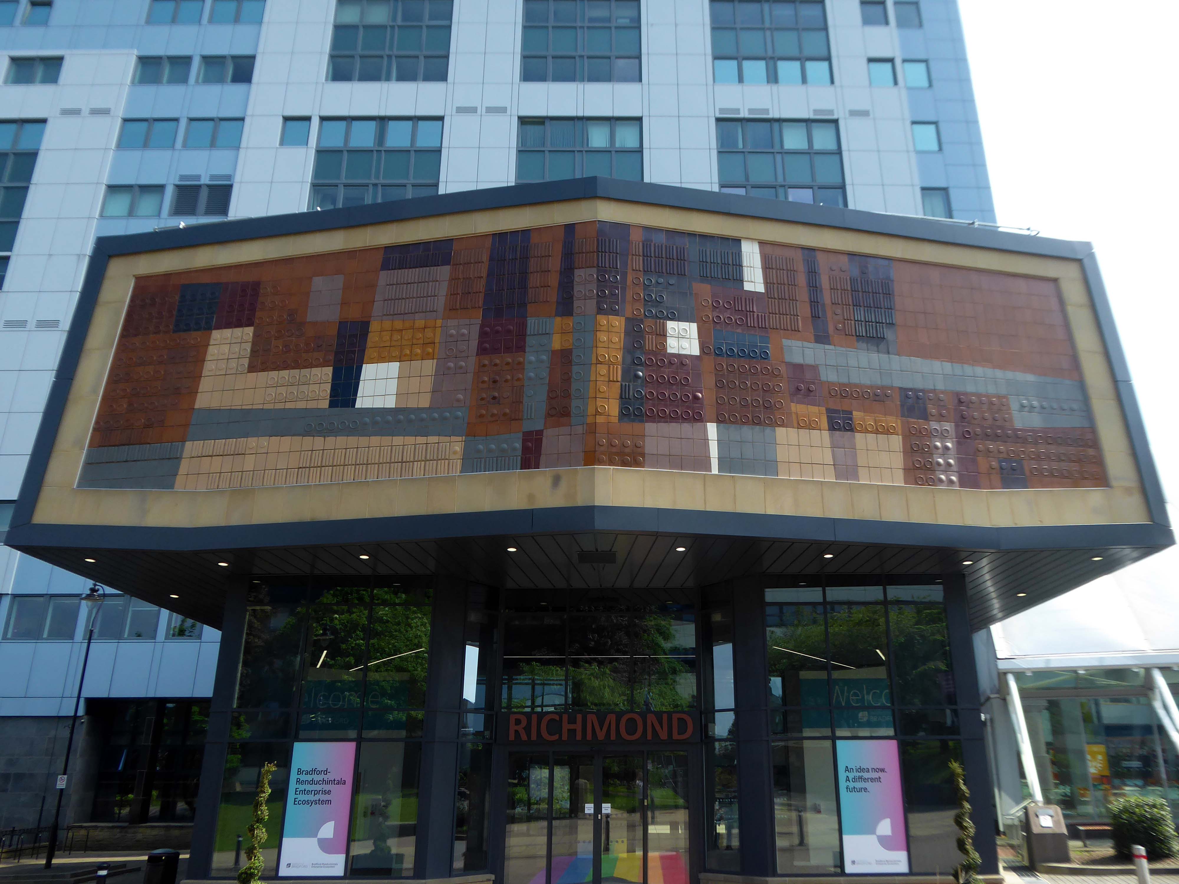
Up the hill and around the bend totheUniversity of Bradford – the main Richmond Building fronted by Joe Mayo’s tiles.
At the University of Bradford our focus is oncreating the conditions for social, cultural and economic impact. We will achieve this by using our proud heritage as a springboard and remaining steadfast in our commitment to equality, diversity and inclusion. We will harness our strengths in research, innovation, teaching and partnerships to extend our reputation, influence and impact. All of this will create a values-led culture that is inclusive and effective in enriching lives and benefitting society.
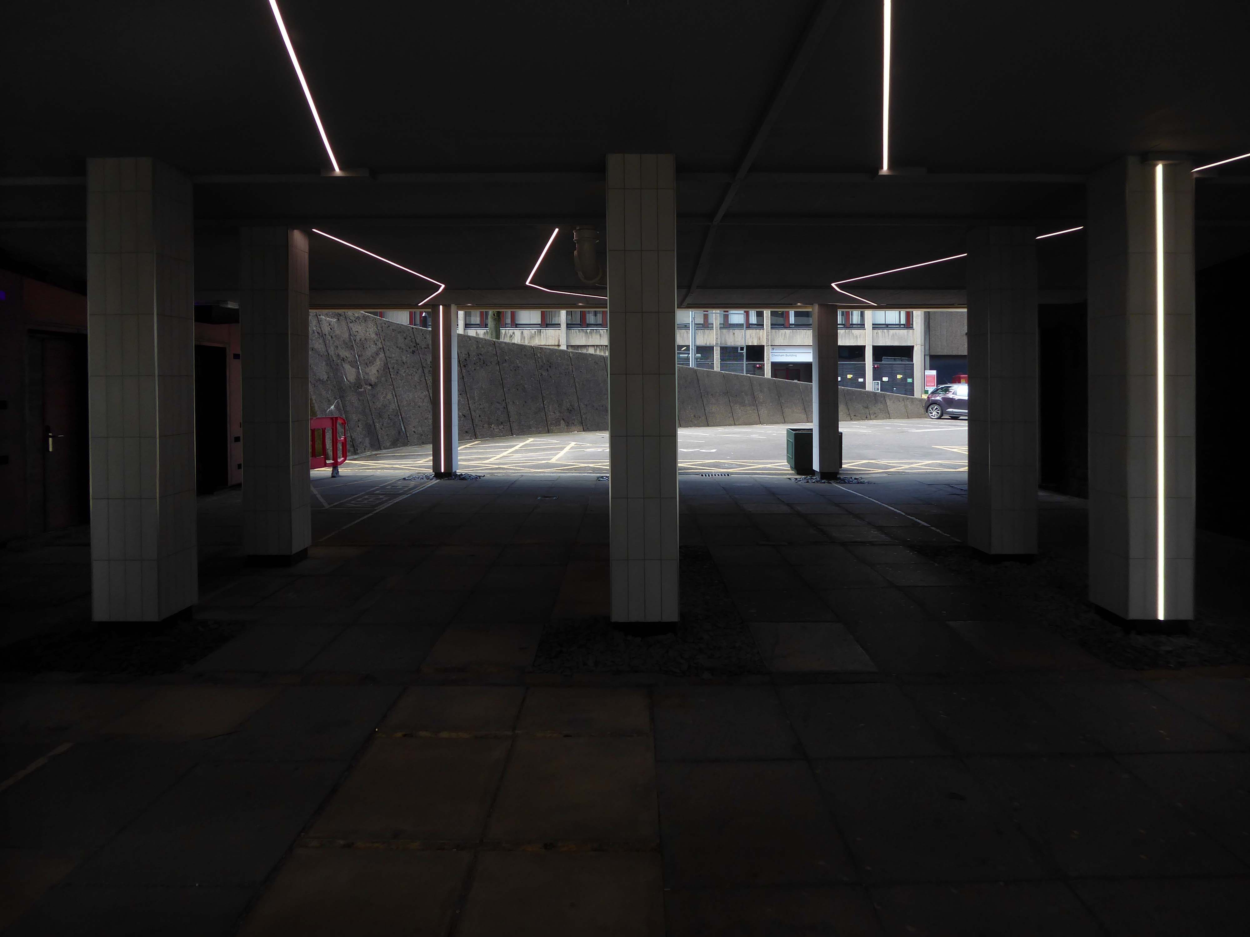
The undercroft has undergone a major refurb rethink – transformed into a Goth Disco.
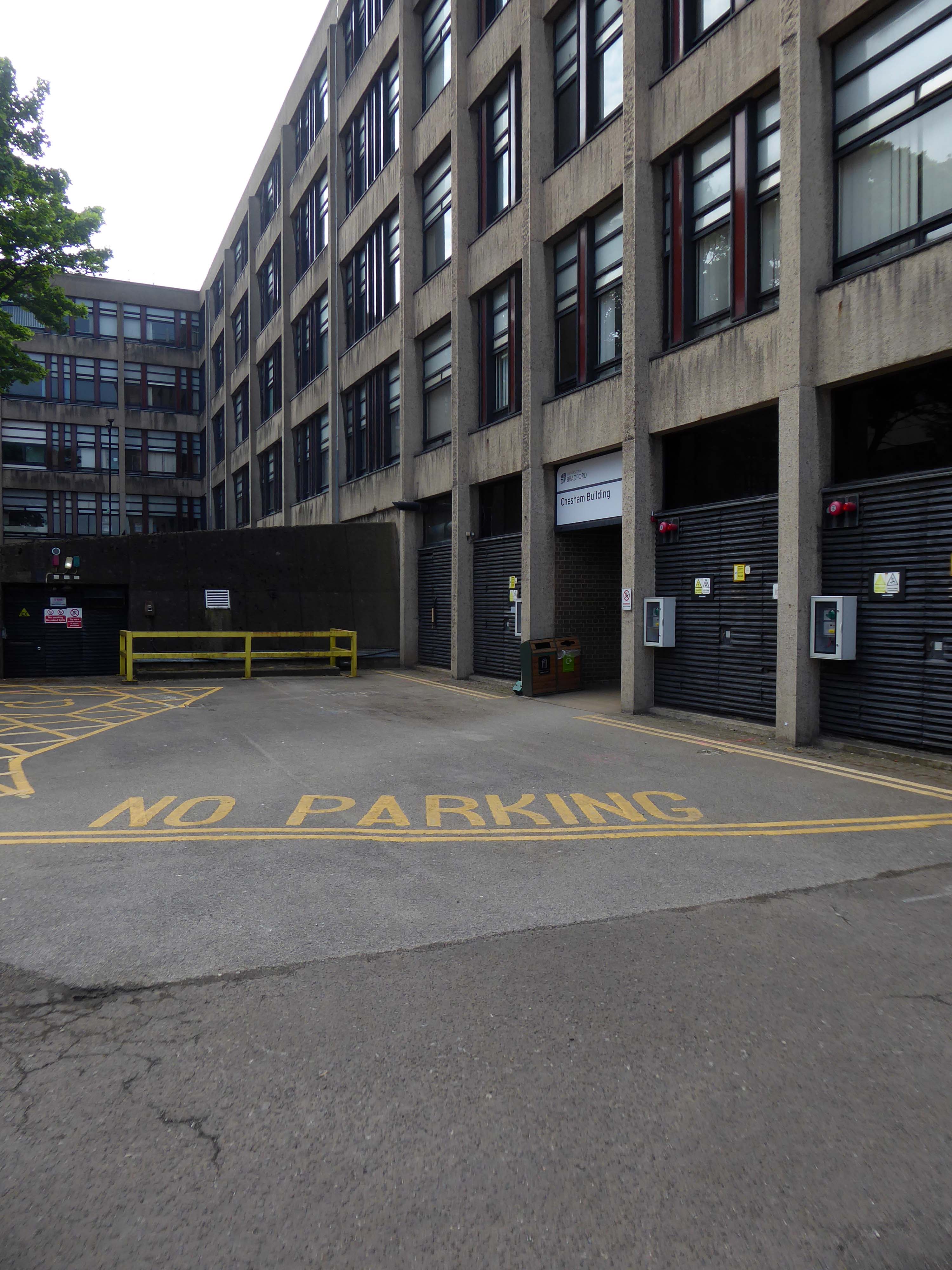
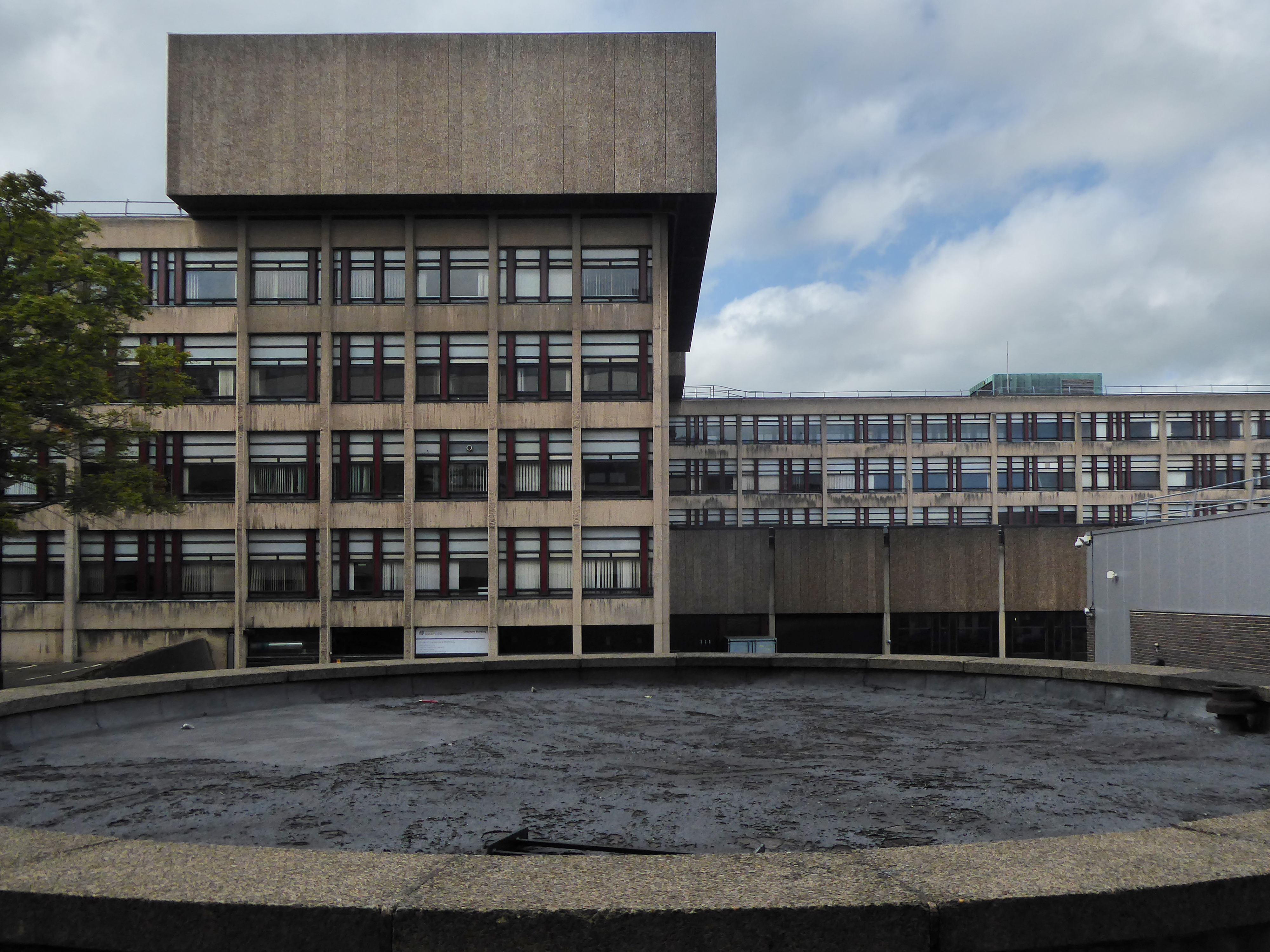
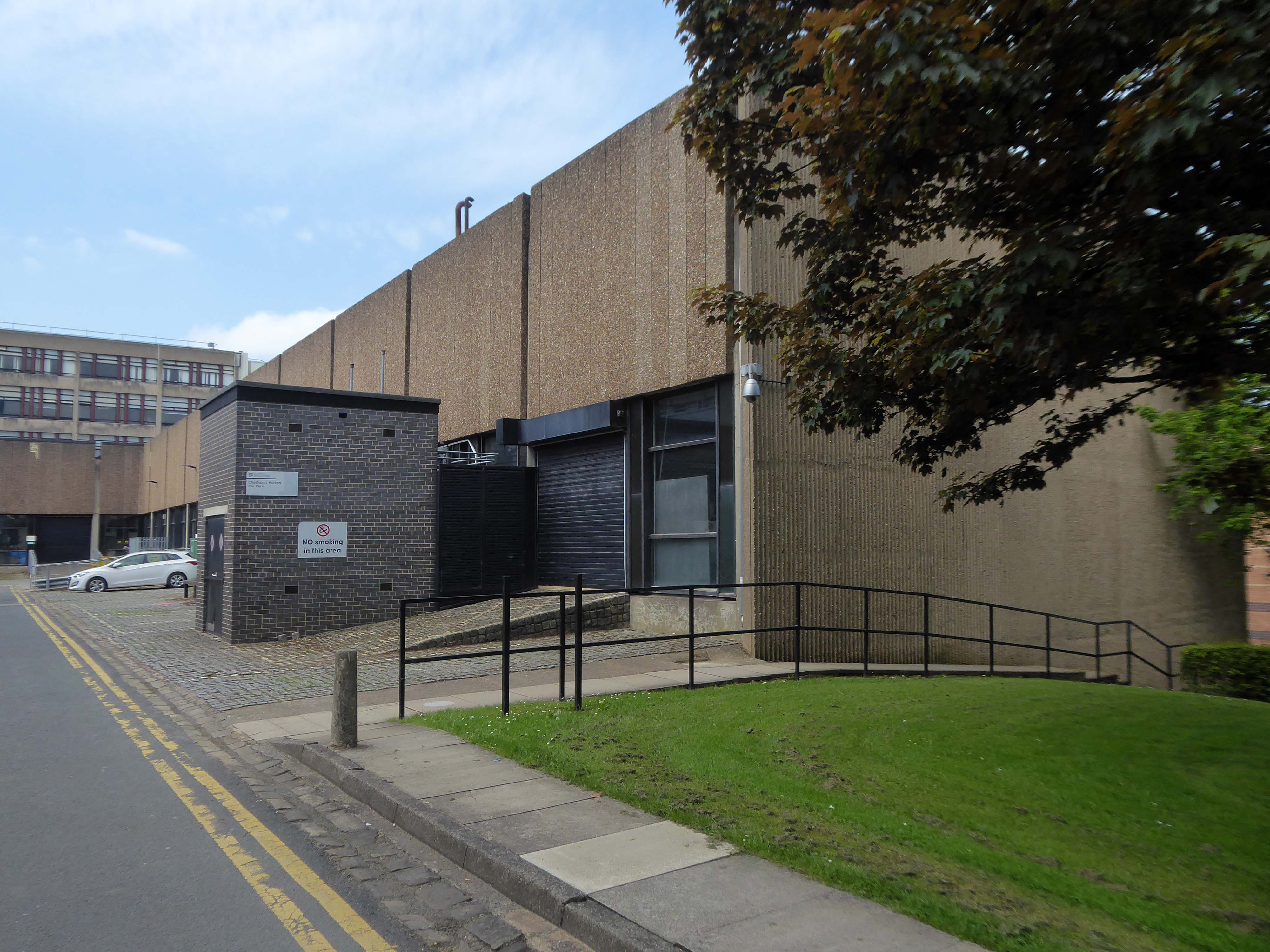
We emerge unscathed into the clear light of day and the BDP designed Chesham and Horton blocks.
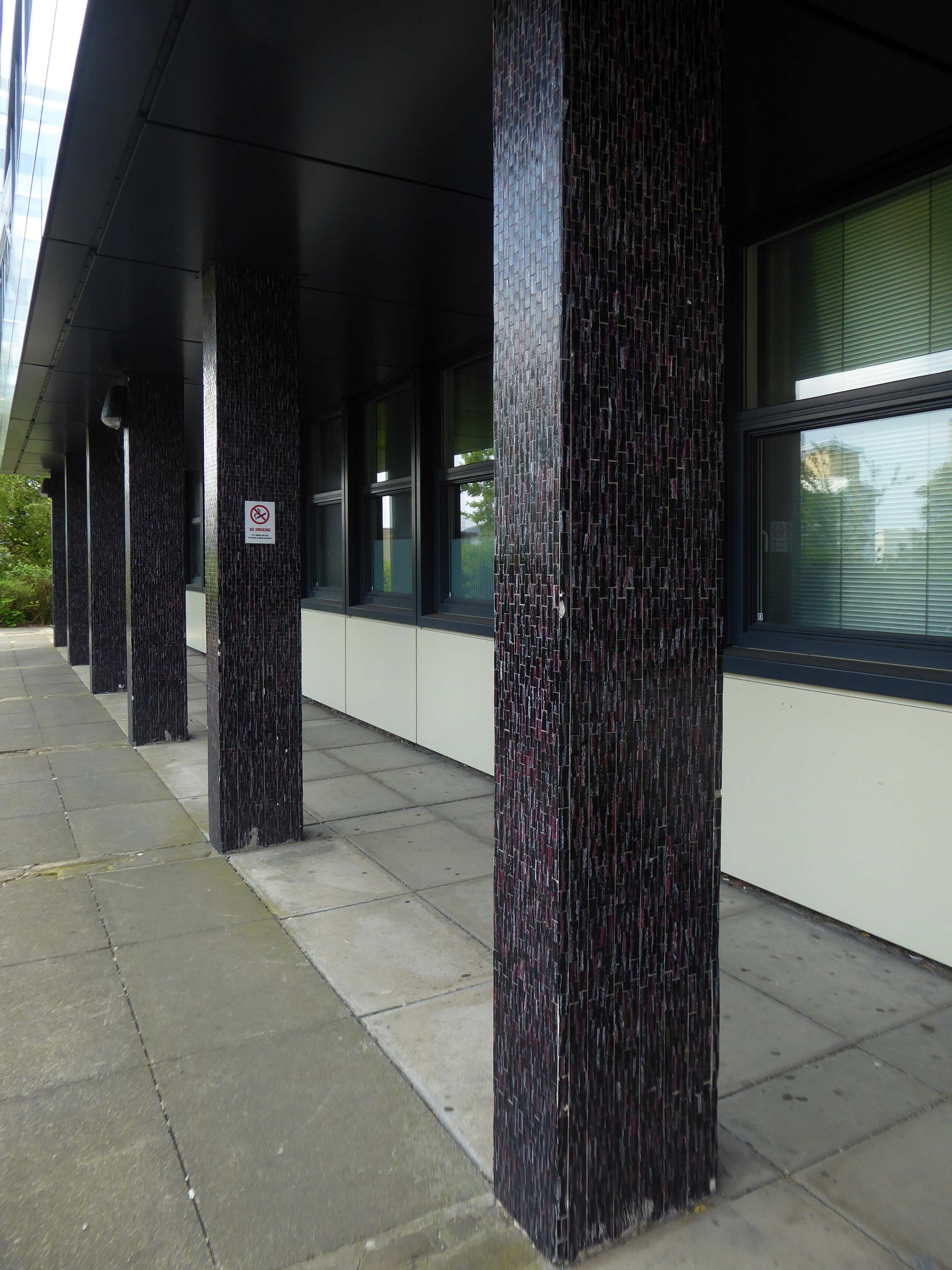
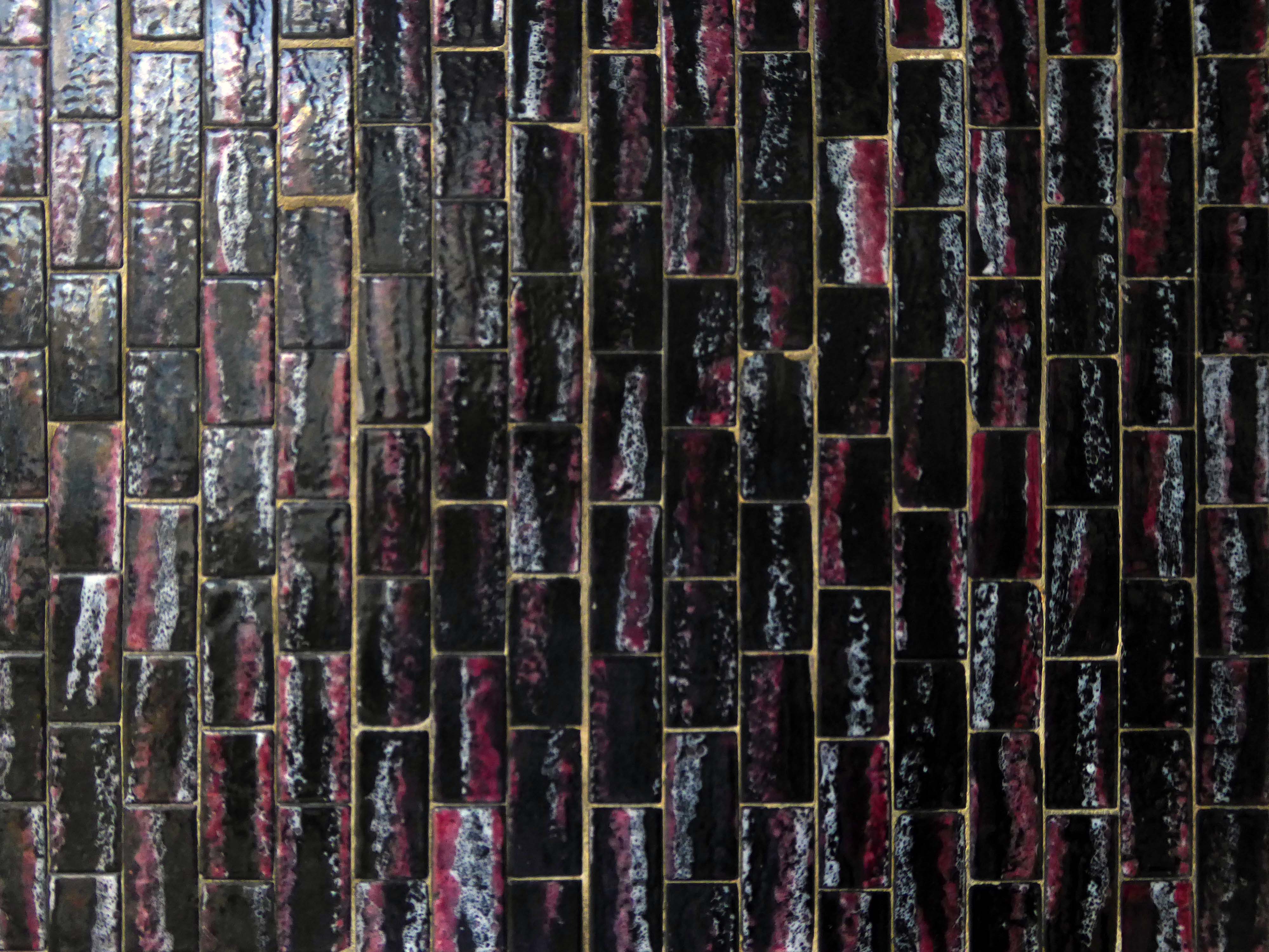
The mosaic covered columns remain unclad.
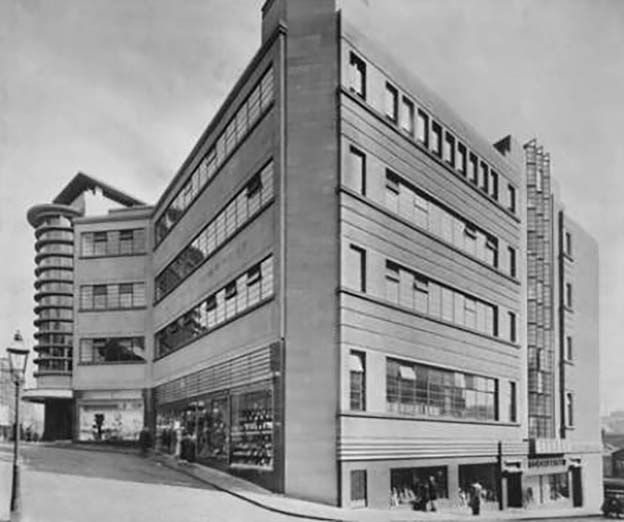
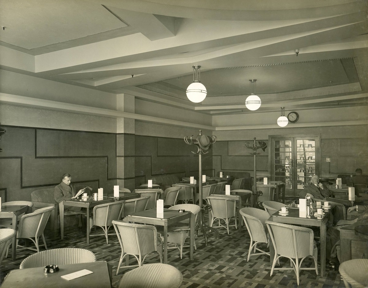
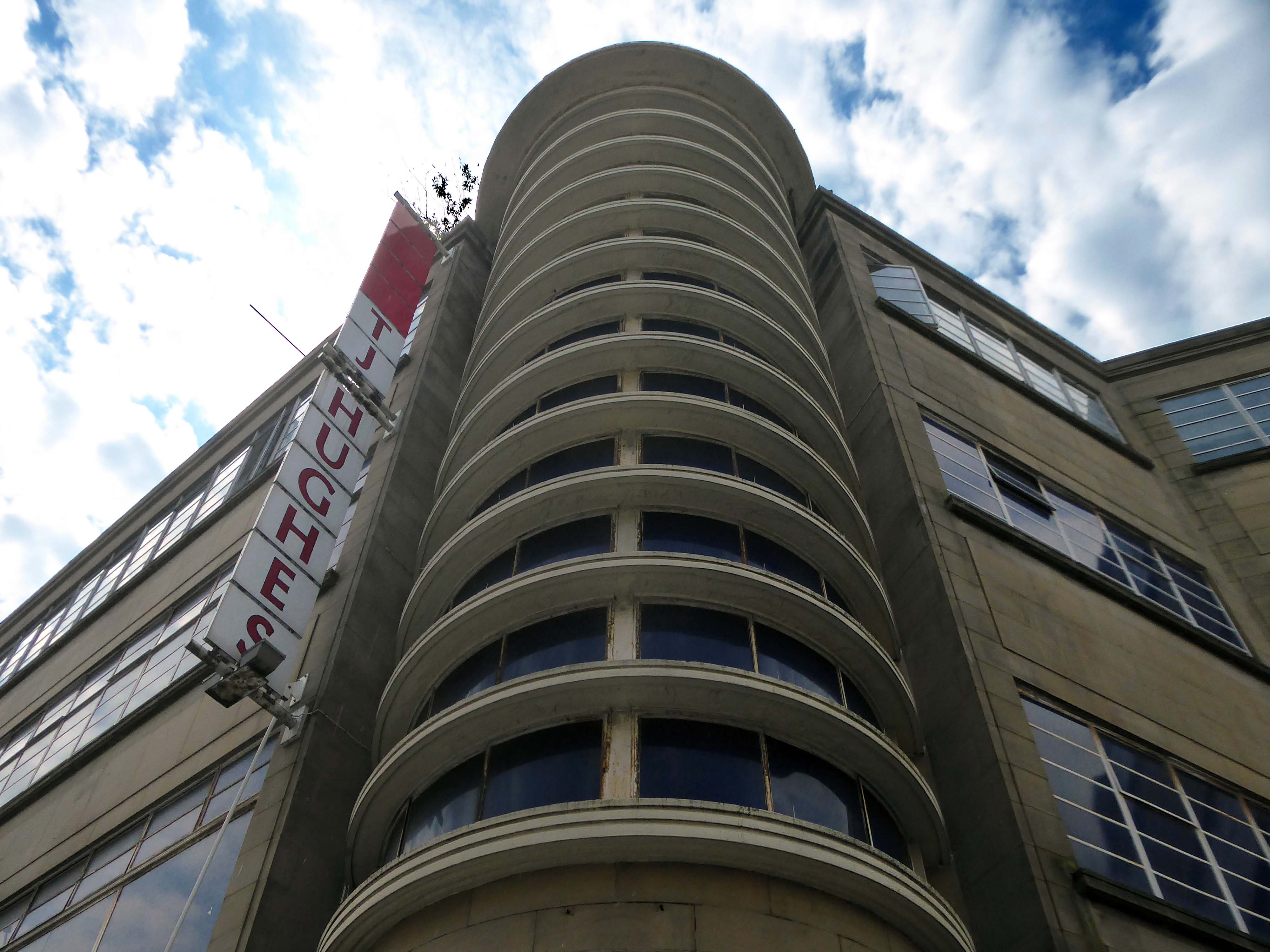
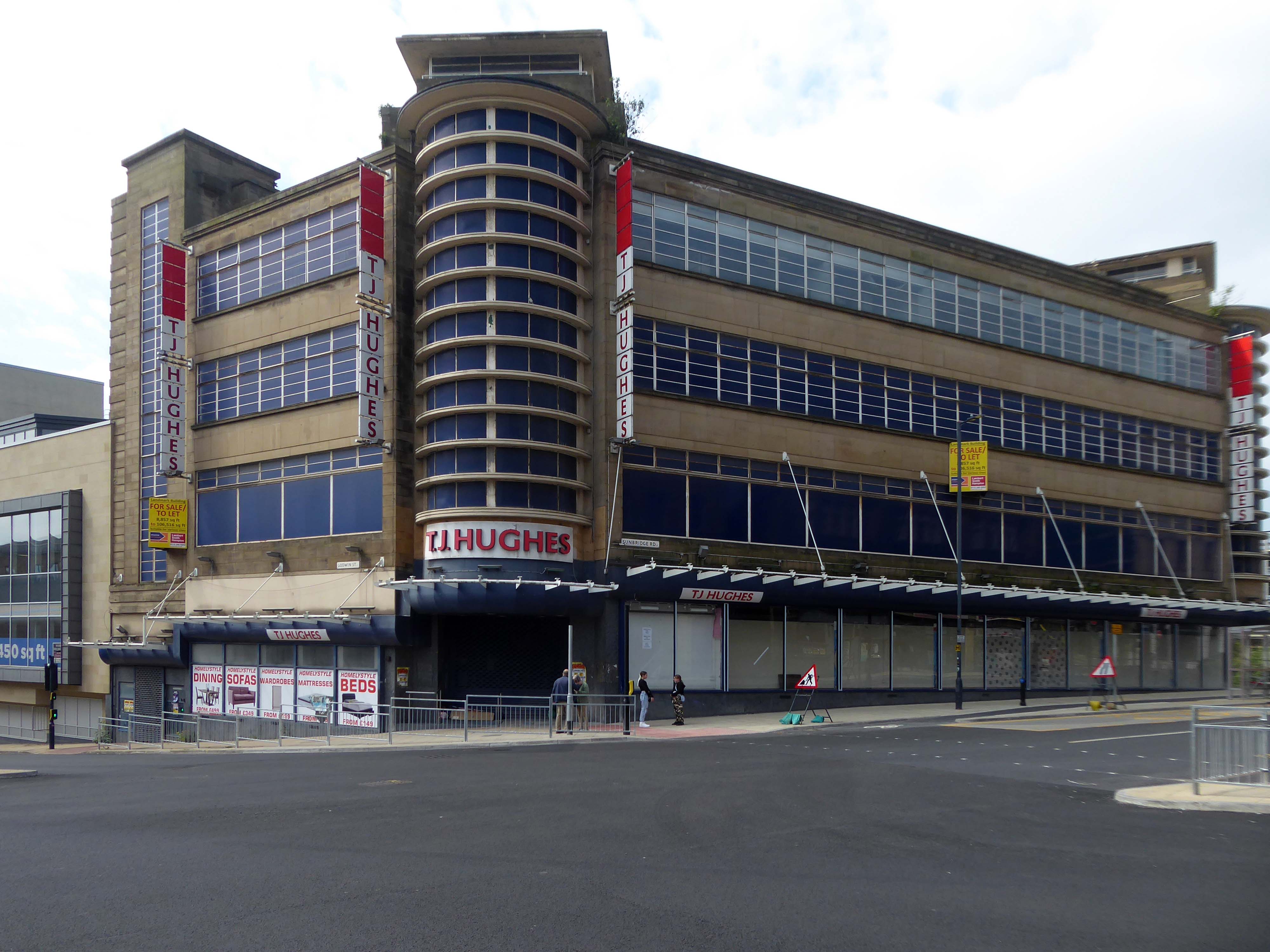
Let’s hop to the Grade II-listedCo-op designed by CWS in house architect WA Johnson and JW Cropper in 1935.
Architect W A Johnson worked for the Cooperative Wholesale Society from 1899 until 1950. He was heavily influenced by the German architect Erich Mendelsohn after 1930, evident in his embrace of the International Modernist style. Johnson travelled widely in Germany and Holland, and Mendelsohn’s Schocken store in Stuttgart 1928 is quoted as being a particular inspiration for the Bradford Co-op.
Demolished despite protests in 1960.
In 2019 the Architectural Heritage Fund announced a £5,000 Project Viability Grant to Freedom Studios Ltd.
The money funded a viability study to investigate the potential of building becoming a multi-use cultural hub.
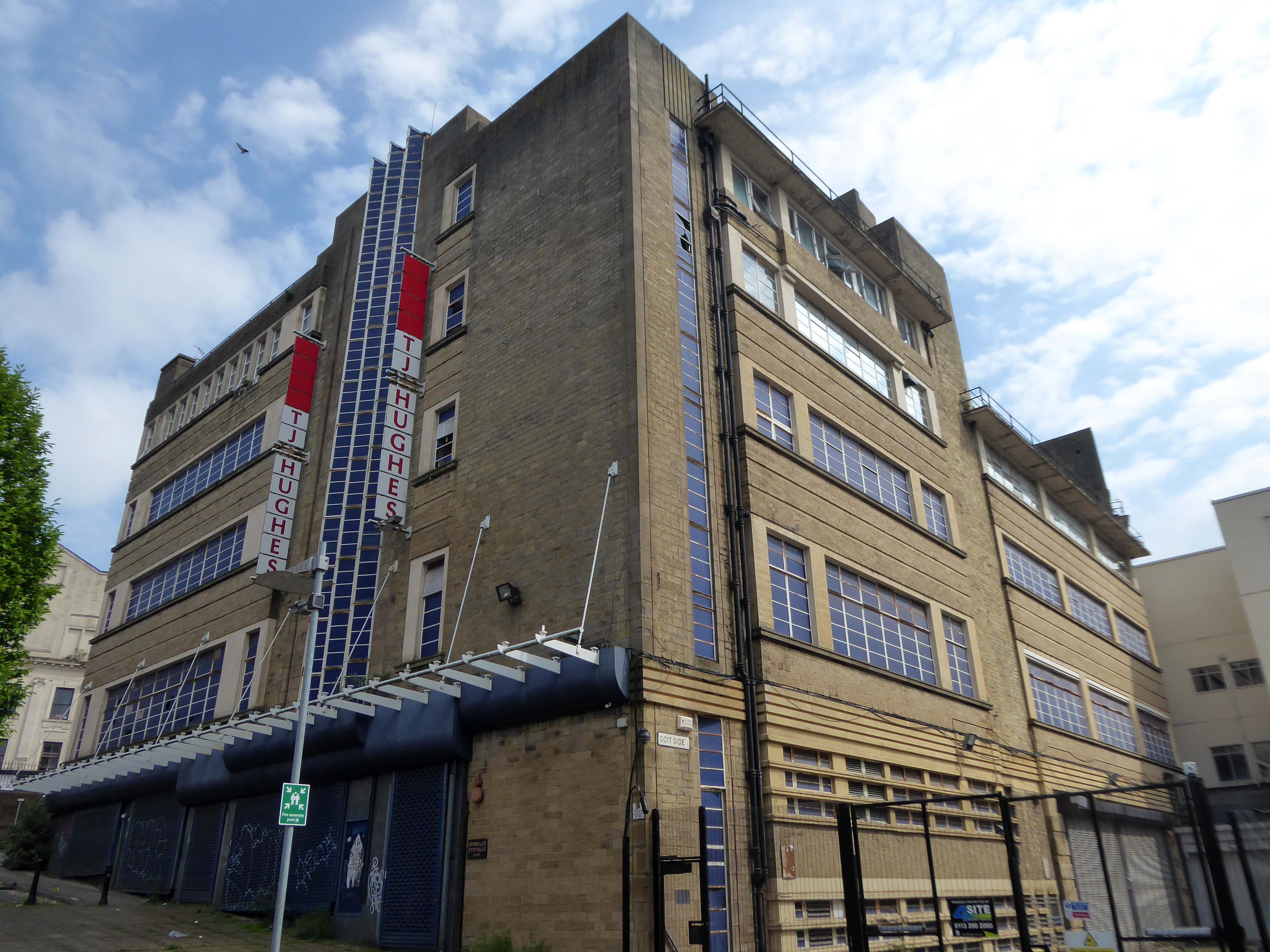
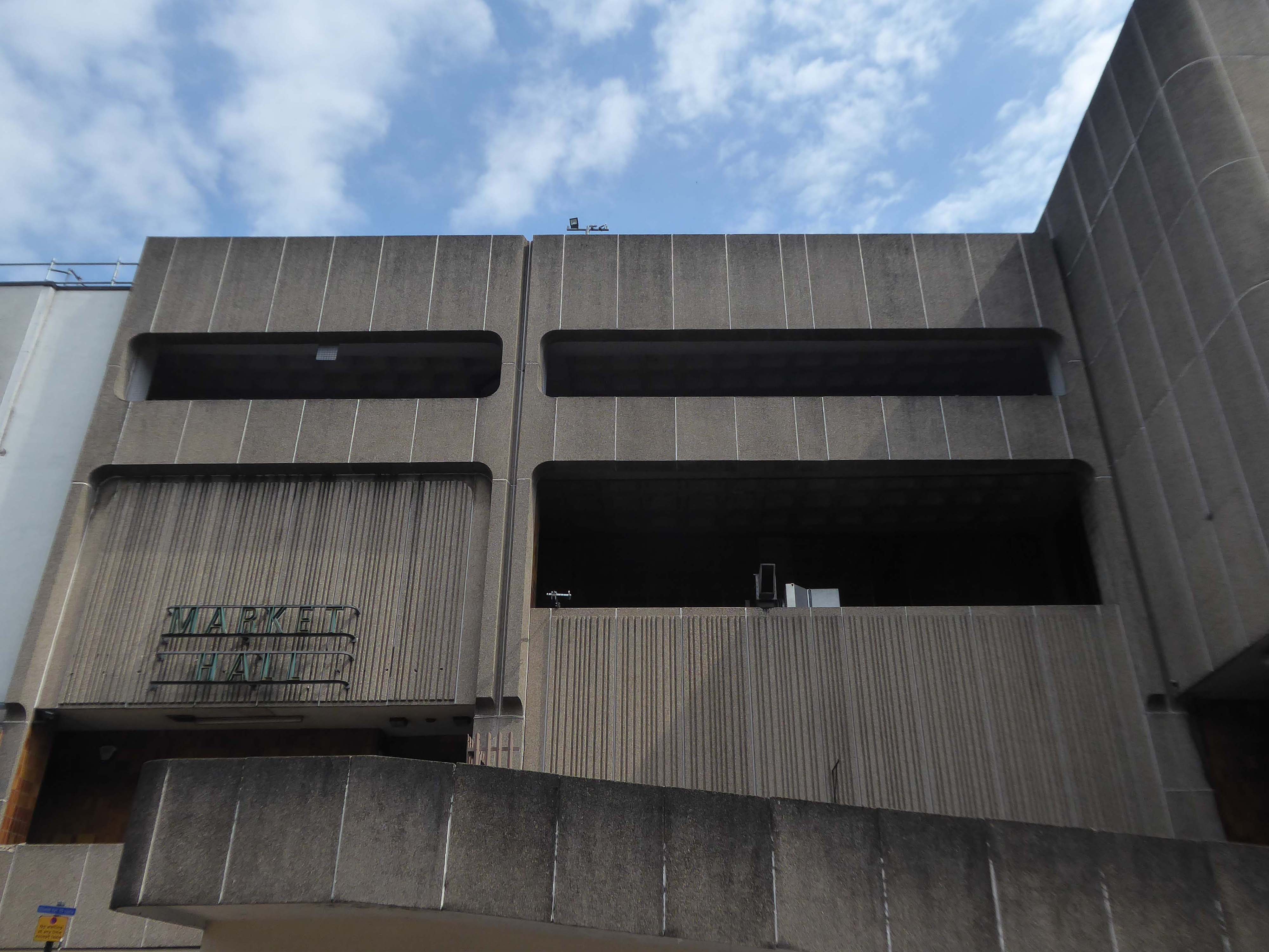
In 1979, the building won a European award from the International Council of Shopping Centres.
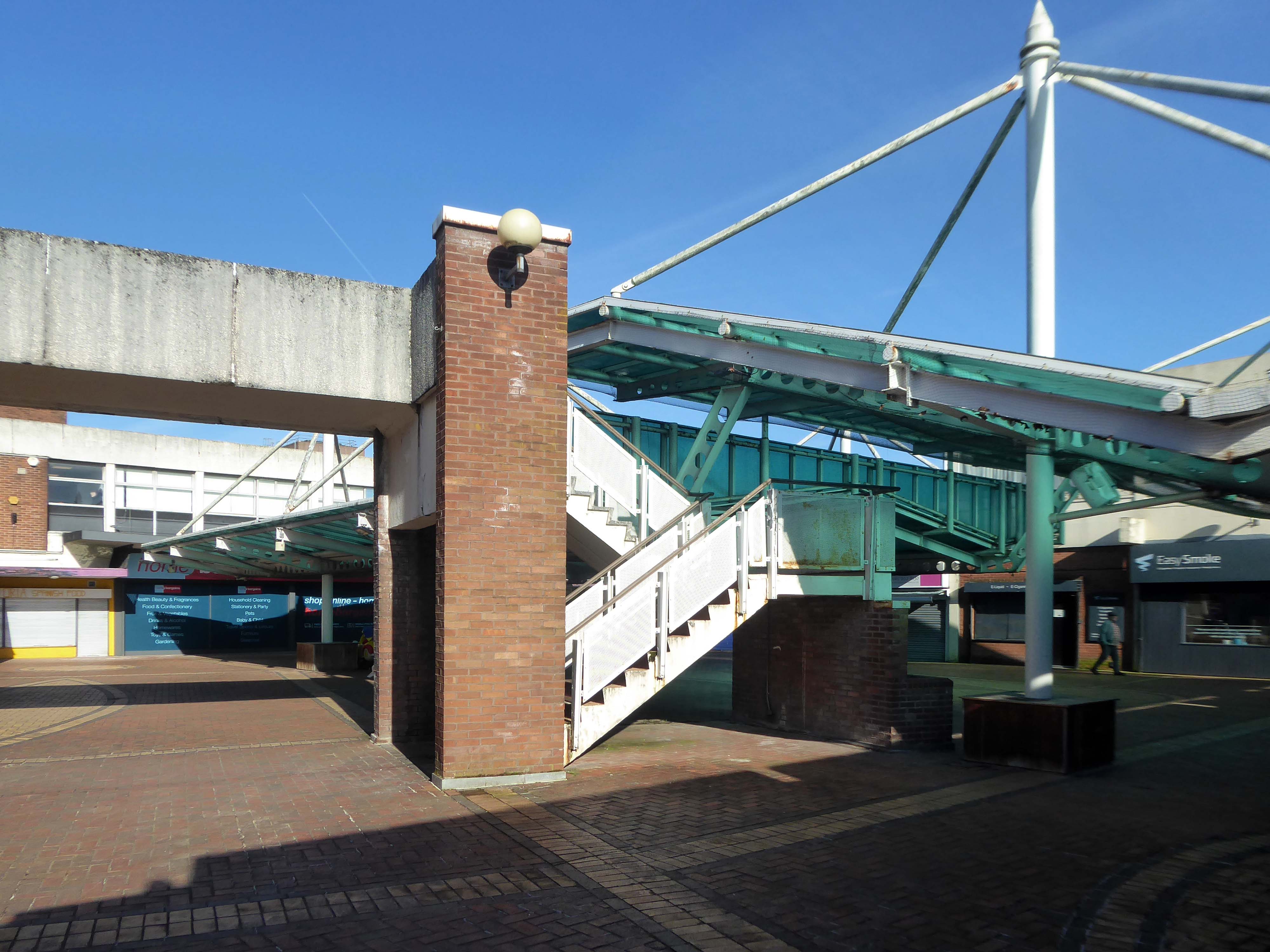
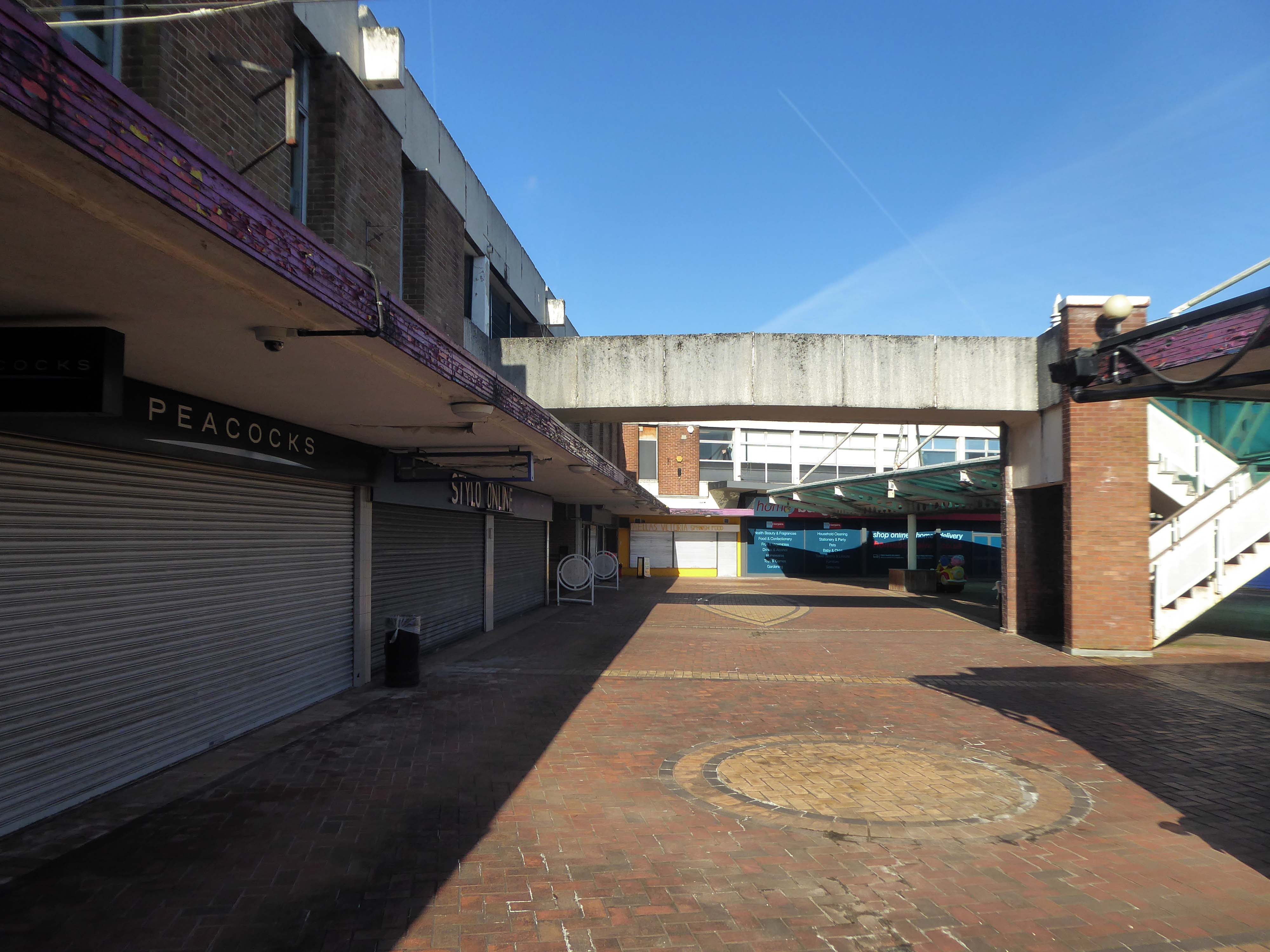
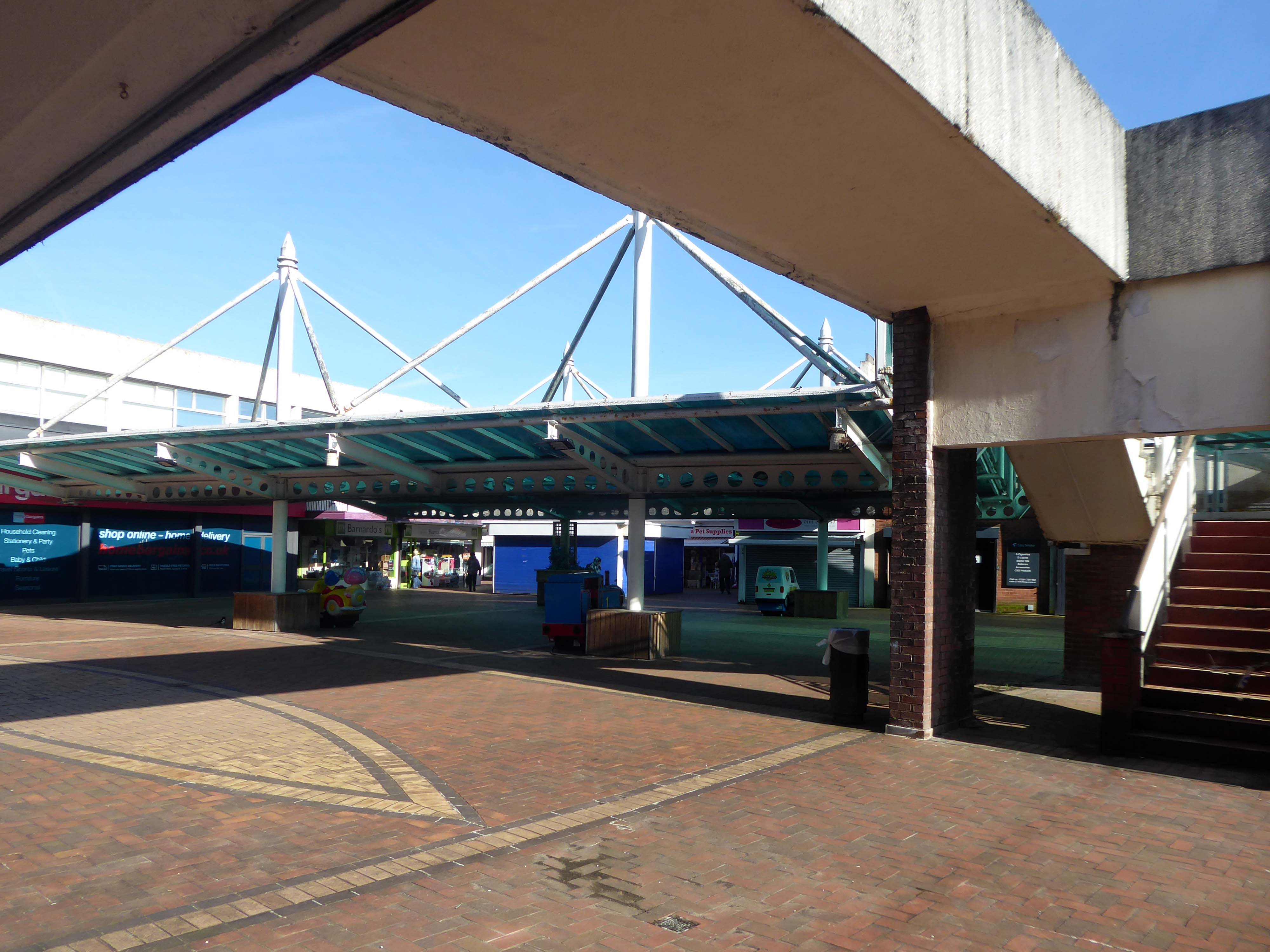
But the Historic England report described its design as mundane and repetitive.
Janice Ivory and Lisa Donison didn’t hold back in their criticism of the centre in its current state.
Thank God for that, was Janice’s reaction to the news the building was set to be bulldozed, although an exact date for its closure remains unknown.
It’s just a concrete monstrosity, she said of its design, which Historic England said was lacking architectural flair.
It’s just an ugly building, added Lisa.
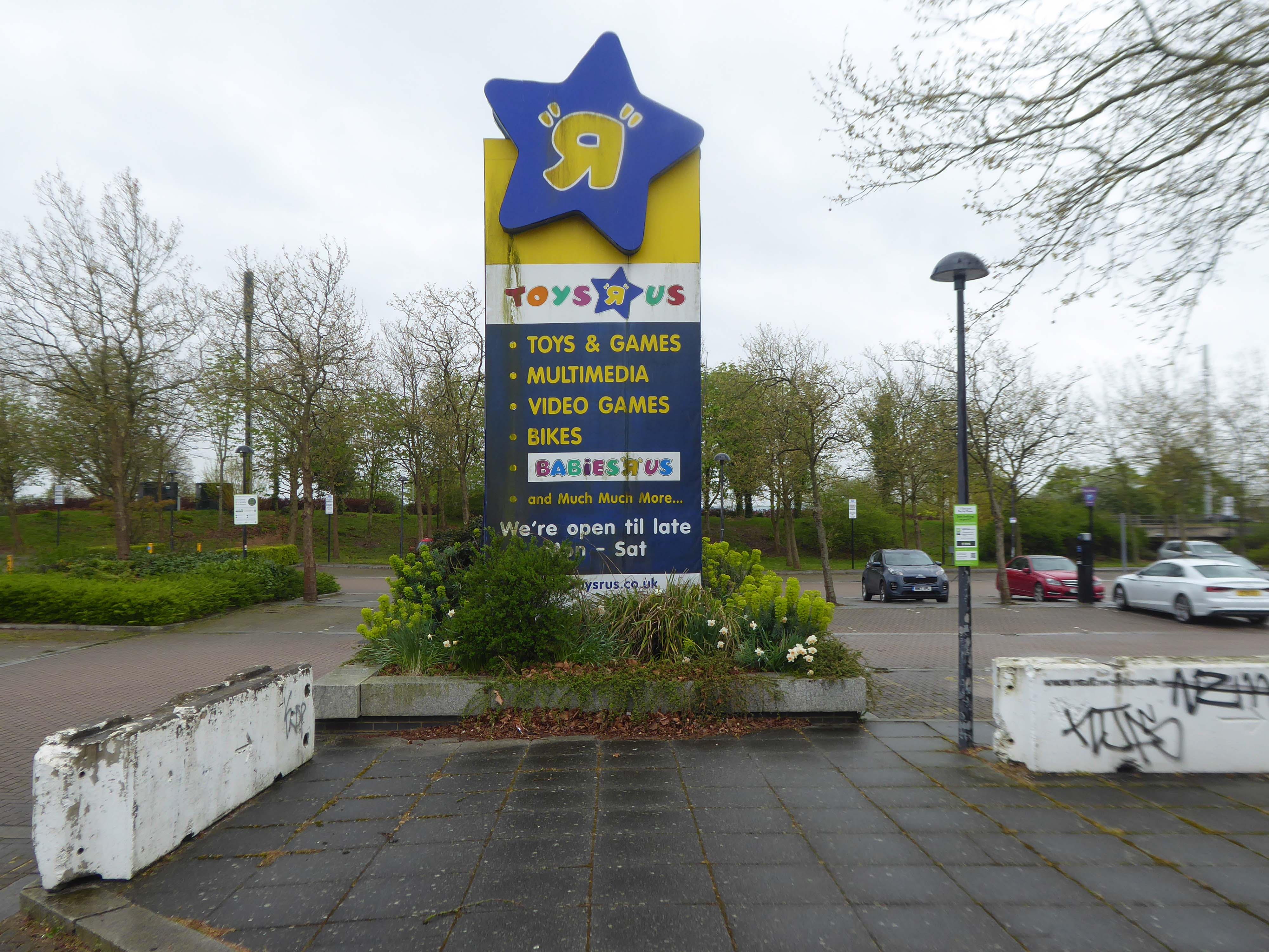
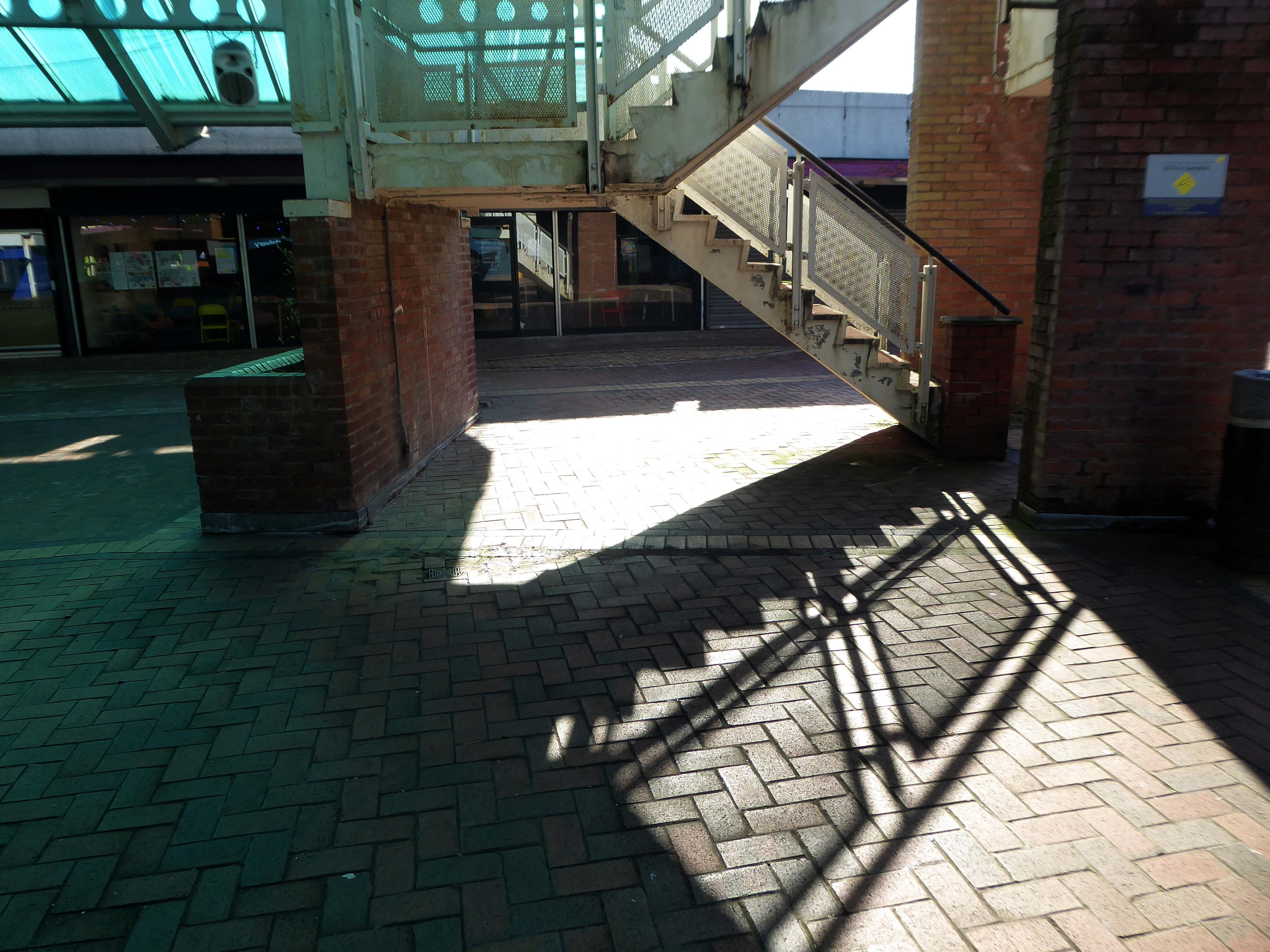
Once dubbed Bradford’s space age retail destination, Kirkgate Shopping Centre will soon be no more.
The city centre landmark, which opened for business as an Arndale in 1976, has been denied listed status by Historic England – paving the way for its demolition.
Geoffrey Cowley from Wibsey, who was in town for an eye appointment, said demolishing it:
Might be the right thing to do.
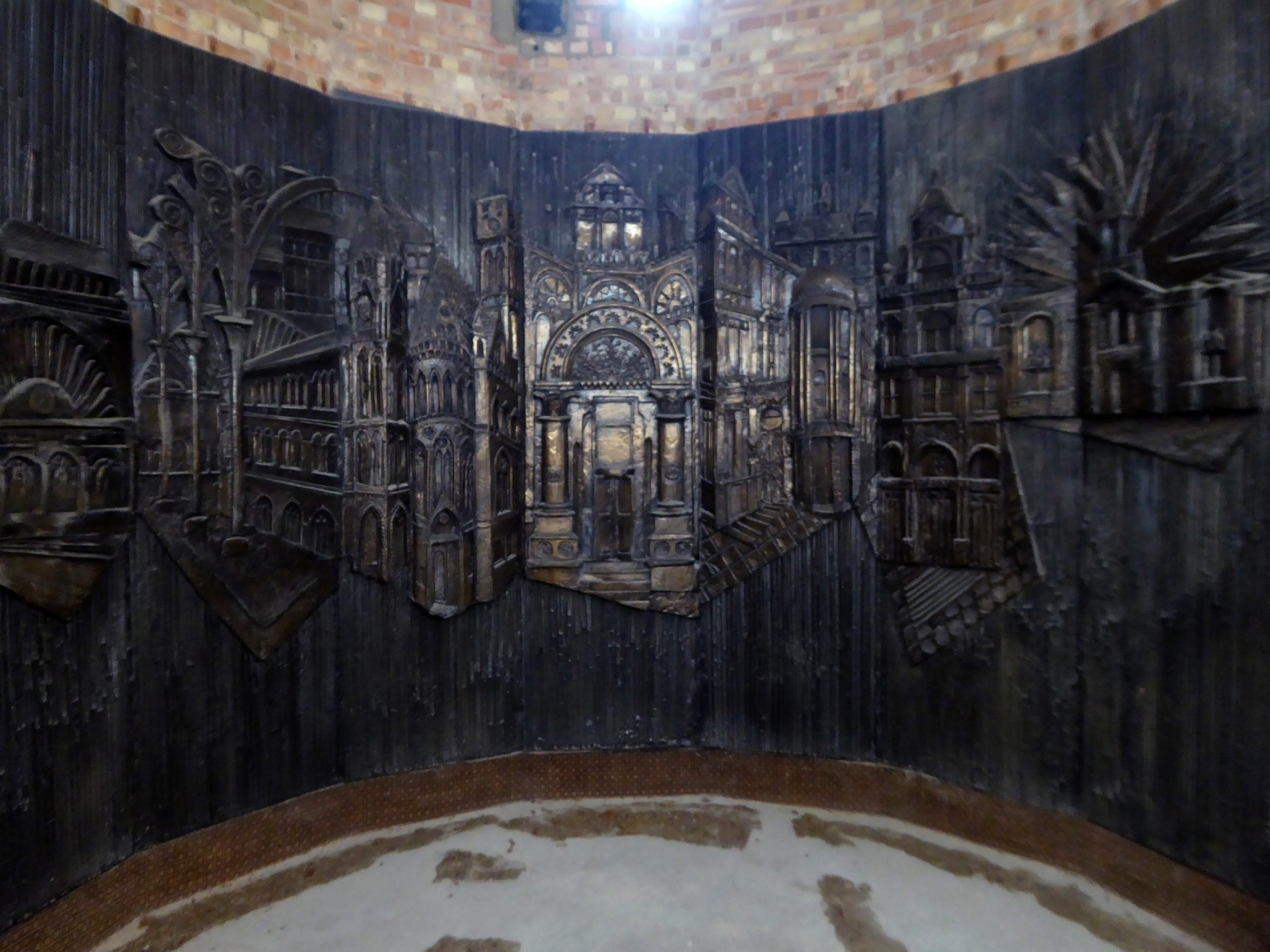
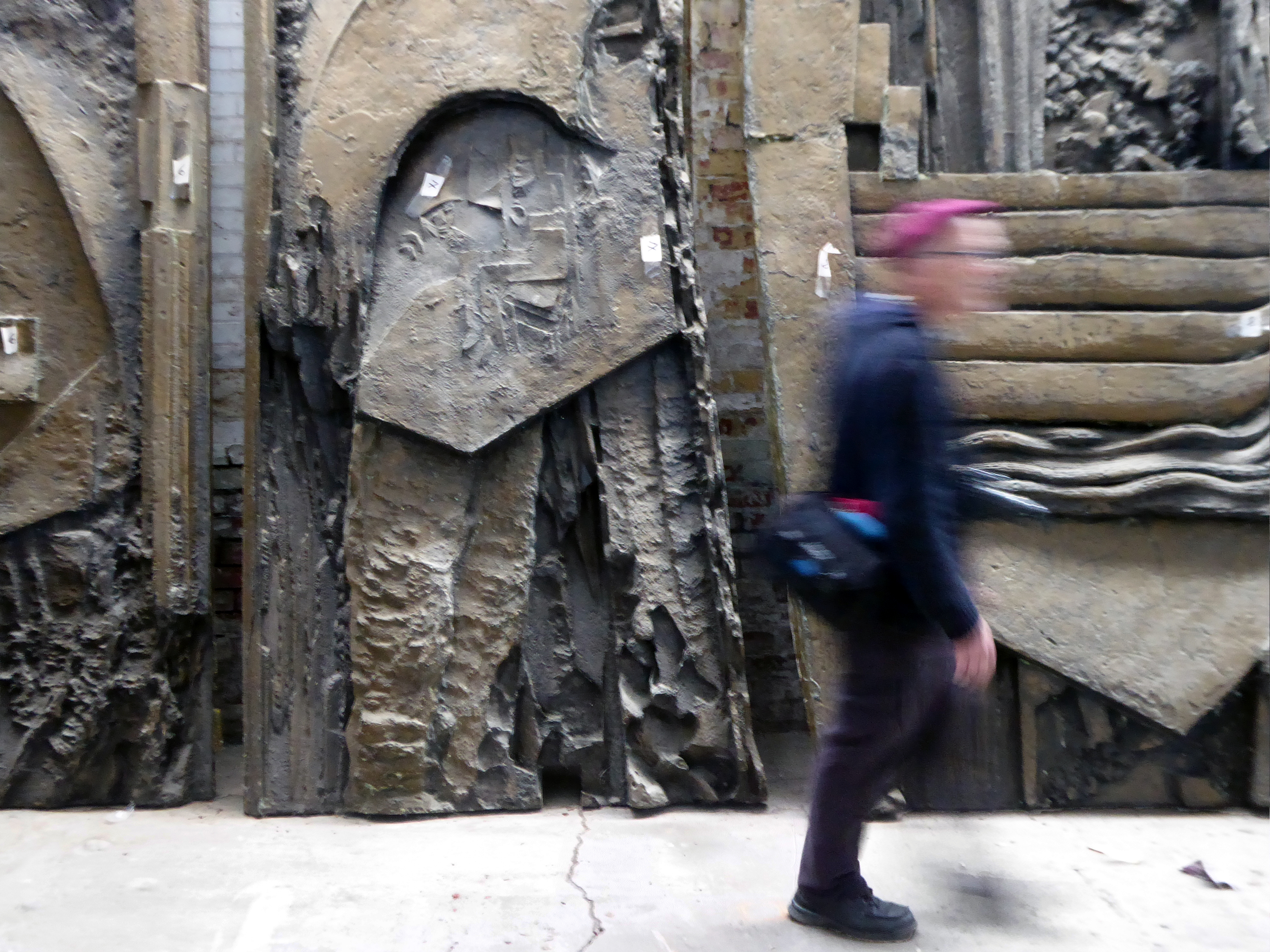
There are plans to remove and display the William Mitchell panels along with these other examples of his work.
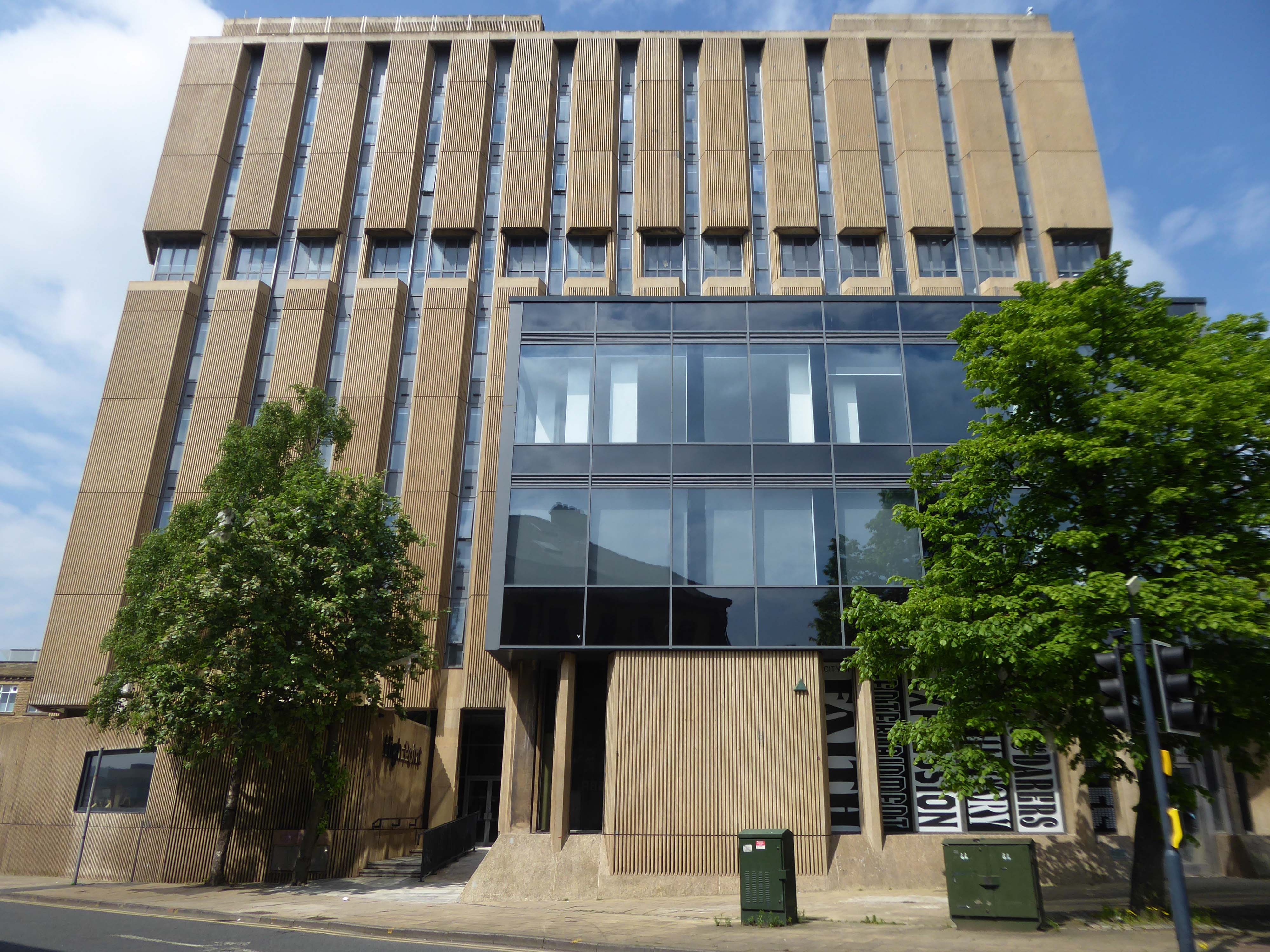
In-situ at Highpoint.
In storage – removed from the Bradford And Bingley Building Society.
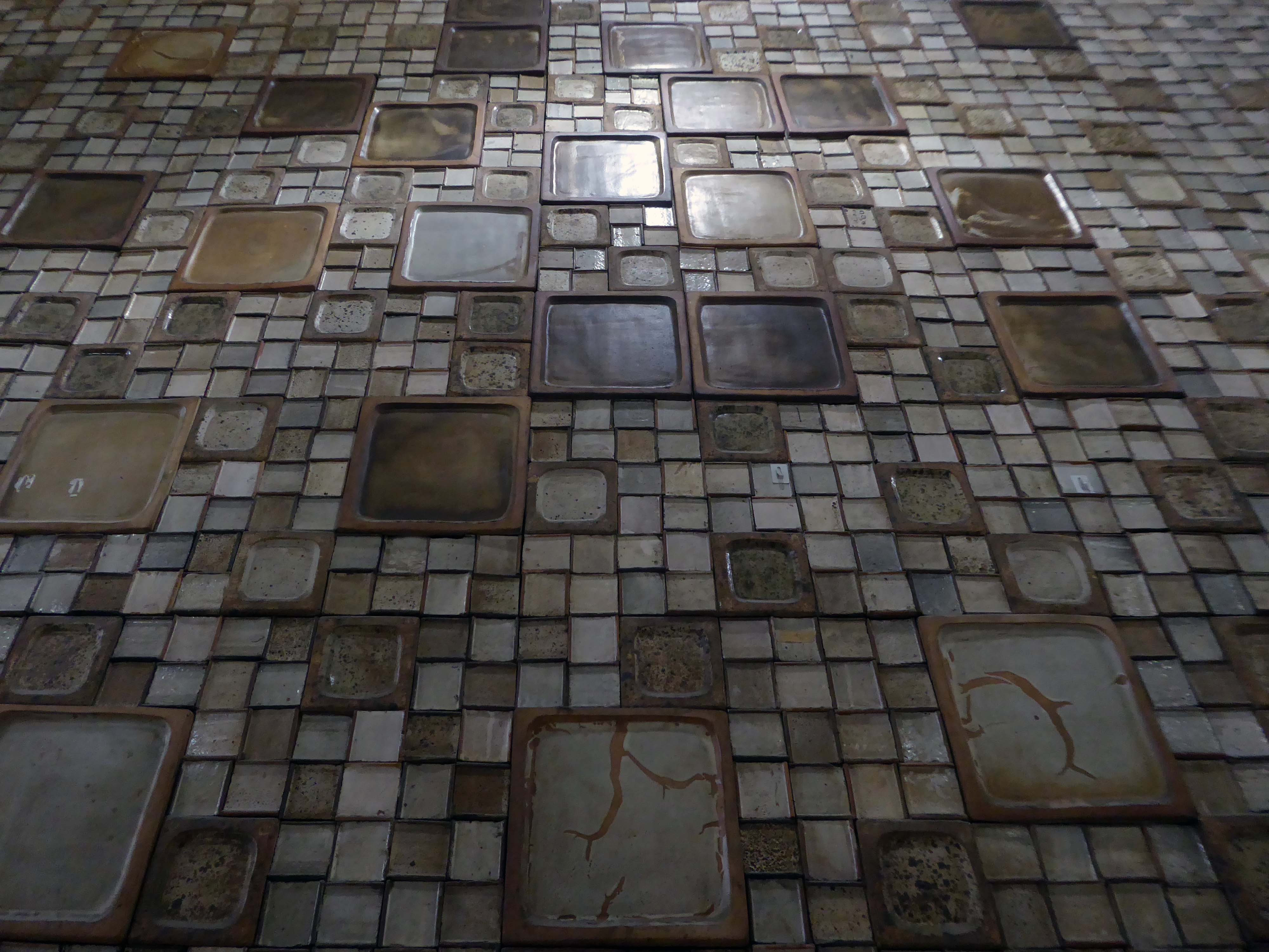
Artist Bernd Trasberger plans an artistic project, which involves repurposing Fritz Steller’s tile works.
As Ken Kesey so rightly said – Further!
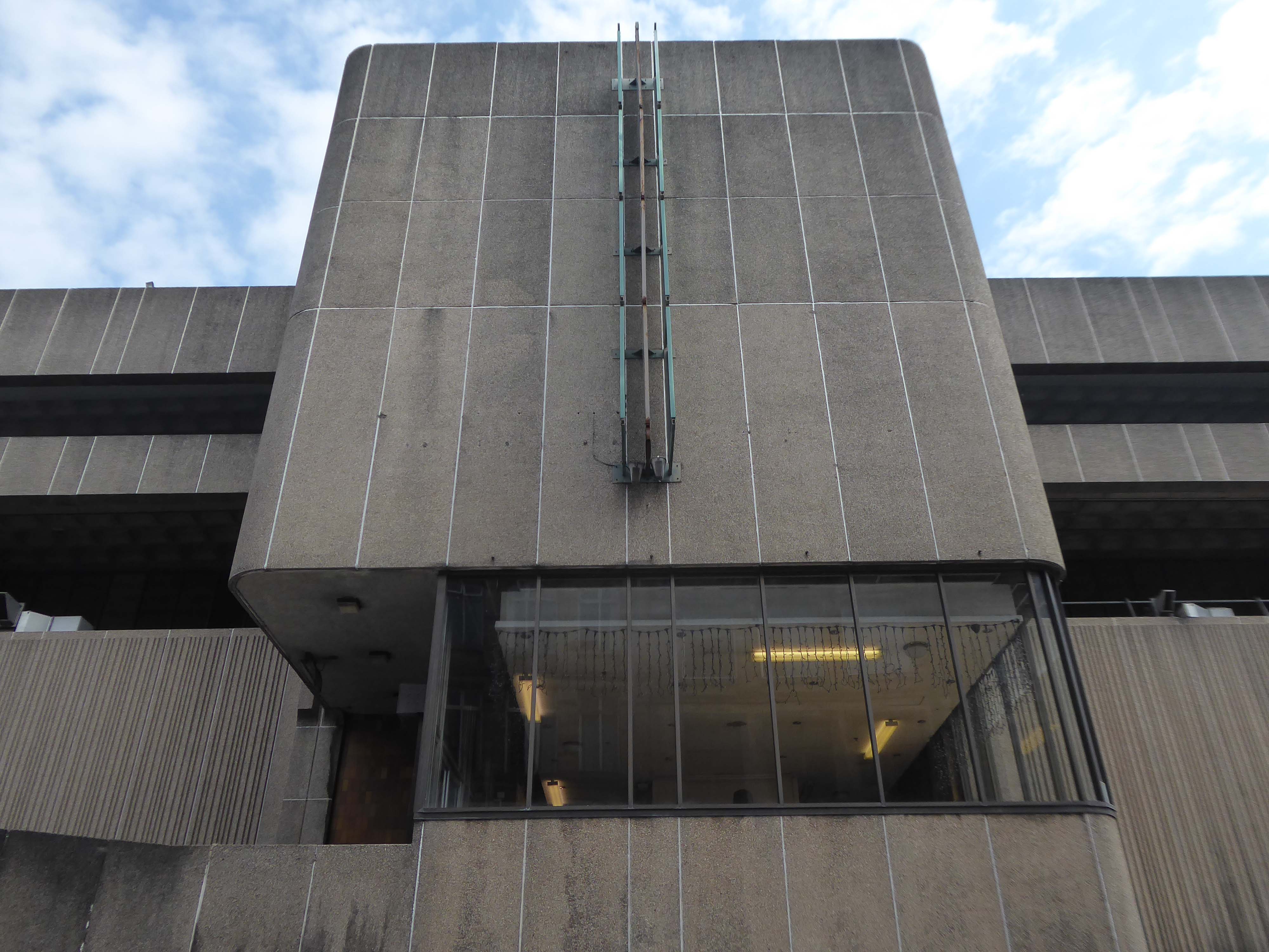
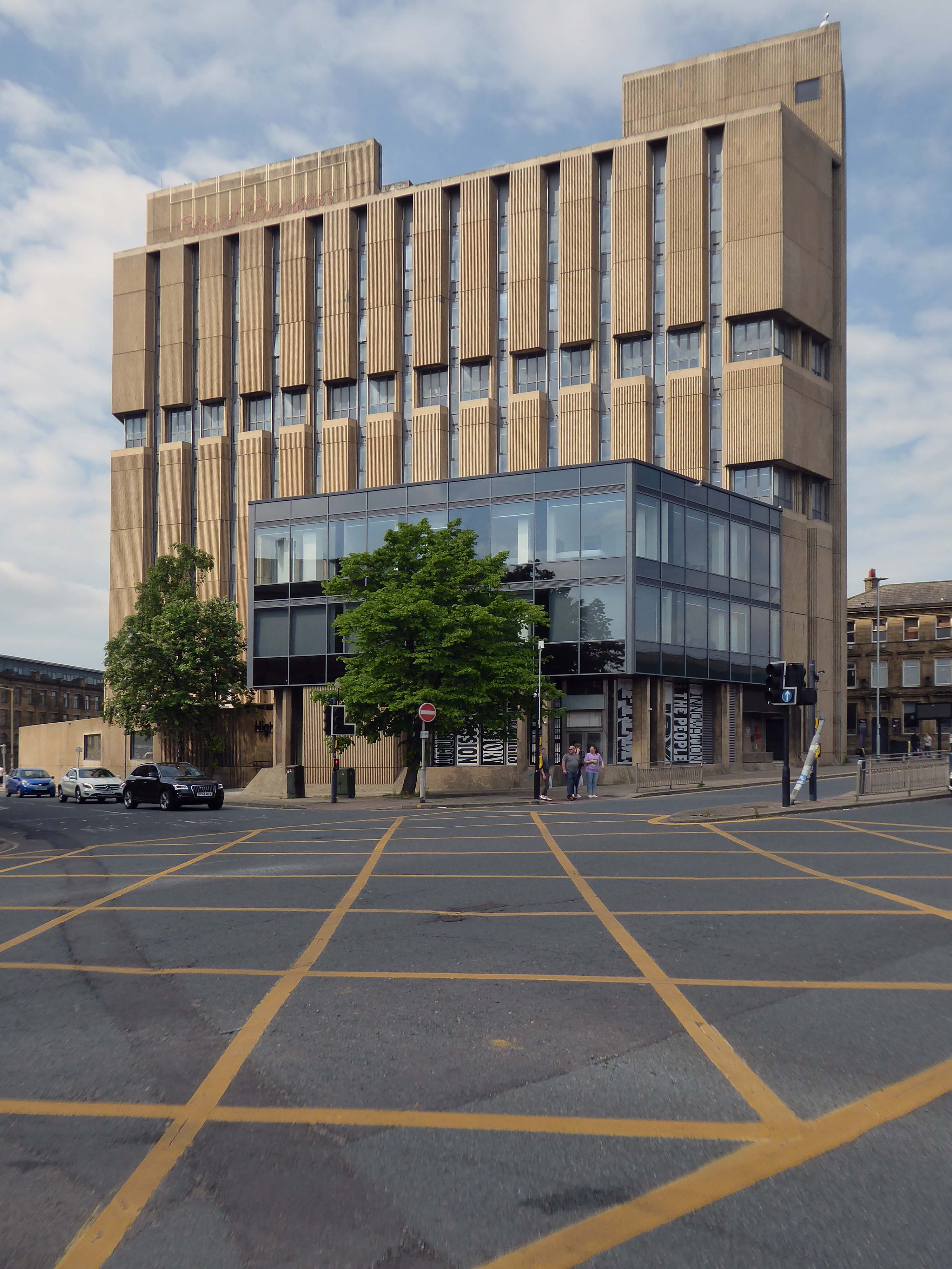
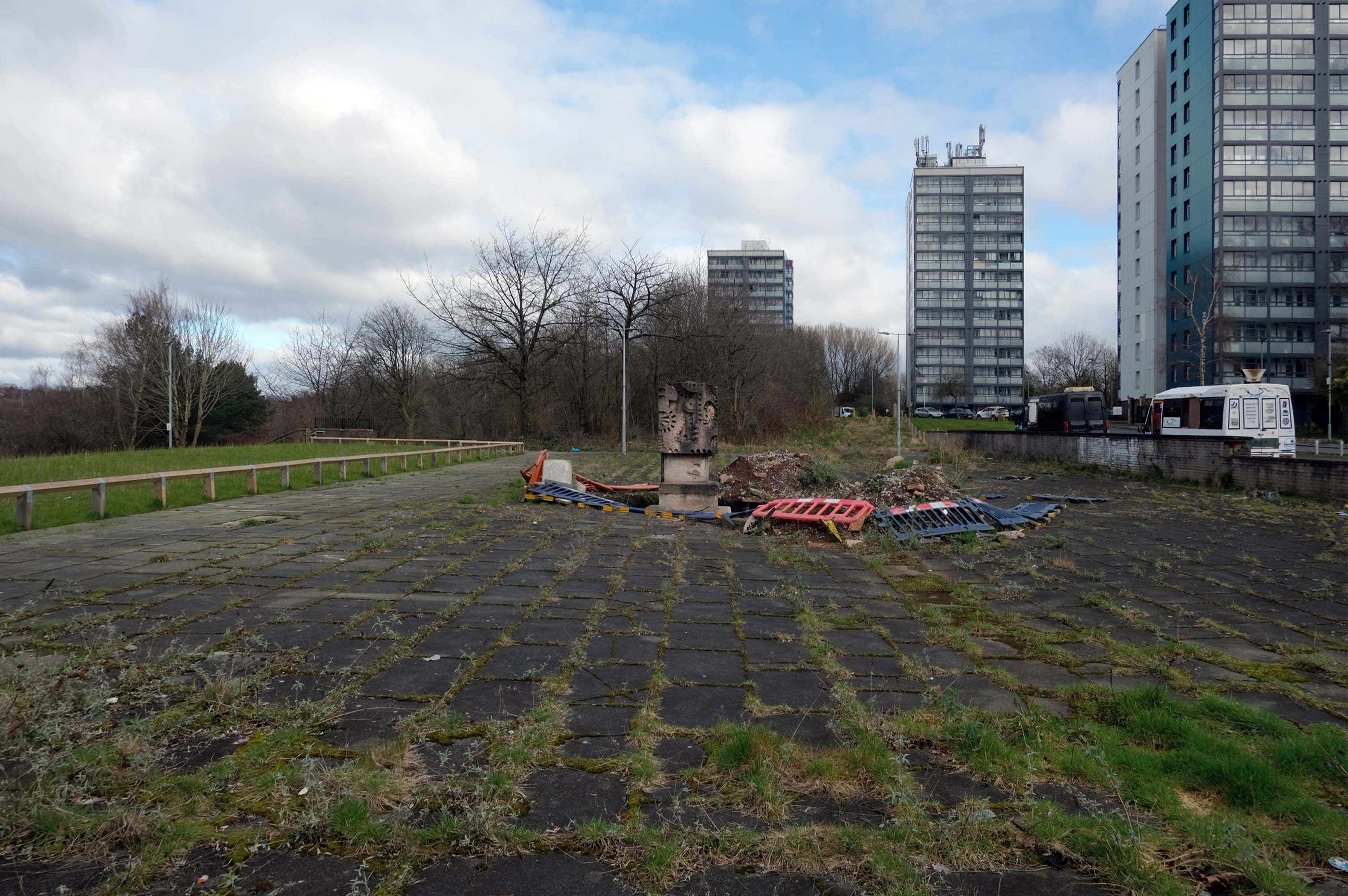
Up to Highpoint designed by John Brunton and Partners 1973.
The derelict former headquarters of Yorkshire Building Society, on one of the highest parts of the city centre, looms over the city centre, and to many people is the city’s ugliest building.
High Point is the perfect site for the first Radii development. Now perceived as an exemplar of the Brutalist style, this eight-storey titan, has languished derelict and in disrepair for many years in the heart of Bradford City Centre.
Our regeneration of High Point into an innovative residential apartment complex with a community at its heart, embraces ideas of sustainability, preservation, and rejuvenation that will bring a new lease of life to this abandoned landmark.
Sharp, chic and spacious apartments available. Furnished to the highest standards throughout and with the flex to provide you with office space if required – this is modern city living that’s easy on your eye and your pocket.
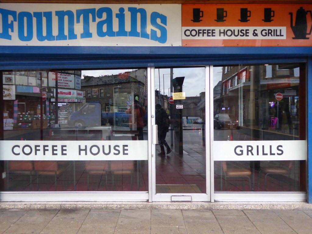
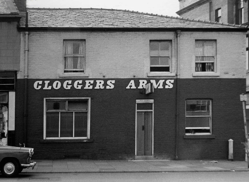
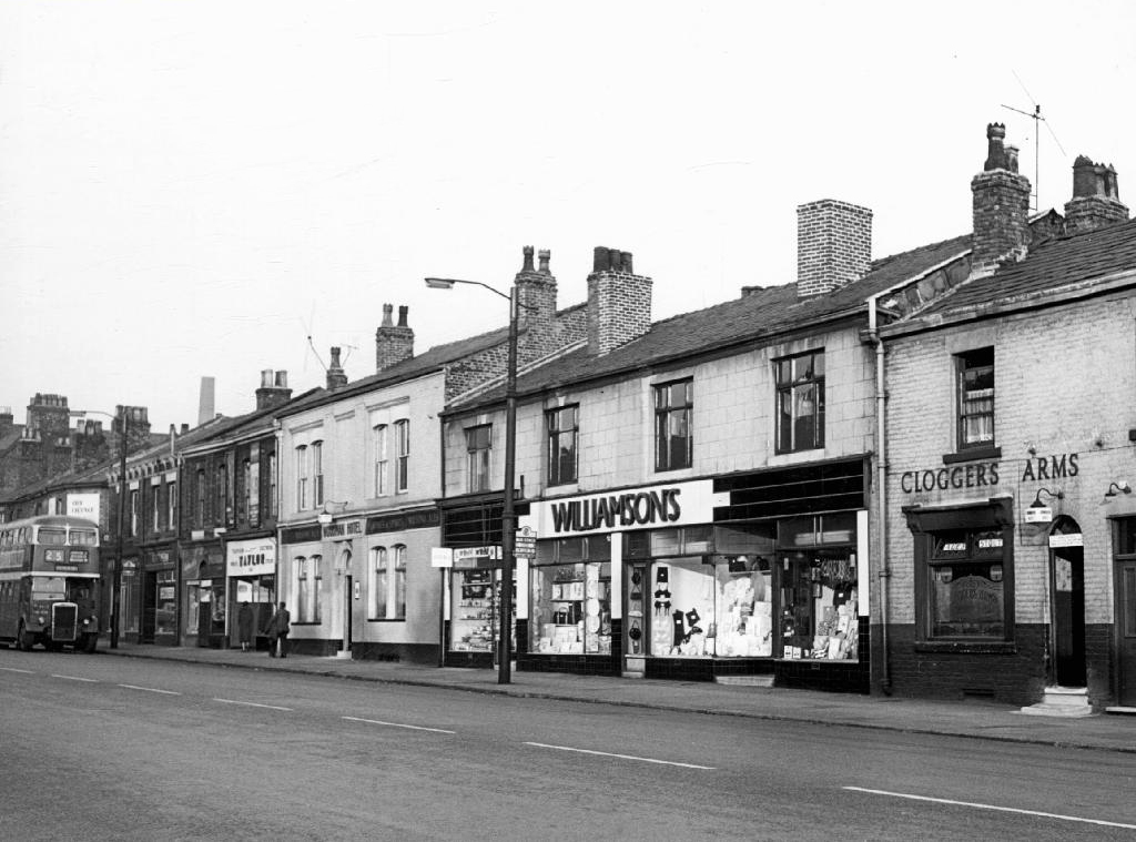
And finally the cafe that is not a cafe – Fountains, where the griddle no longer grills, the lights are always out and the shutters tightly shut, ain’t nobody home.
Wishing nothing but well for this West Riding gem – Bradford City of Culture and cultures and culture.
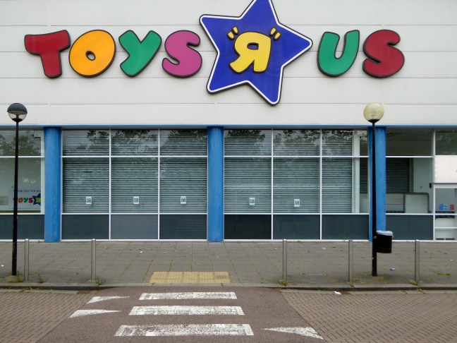
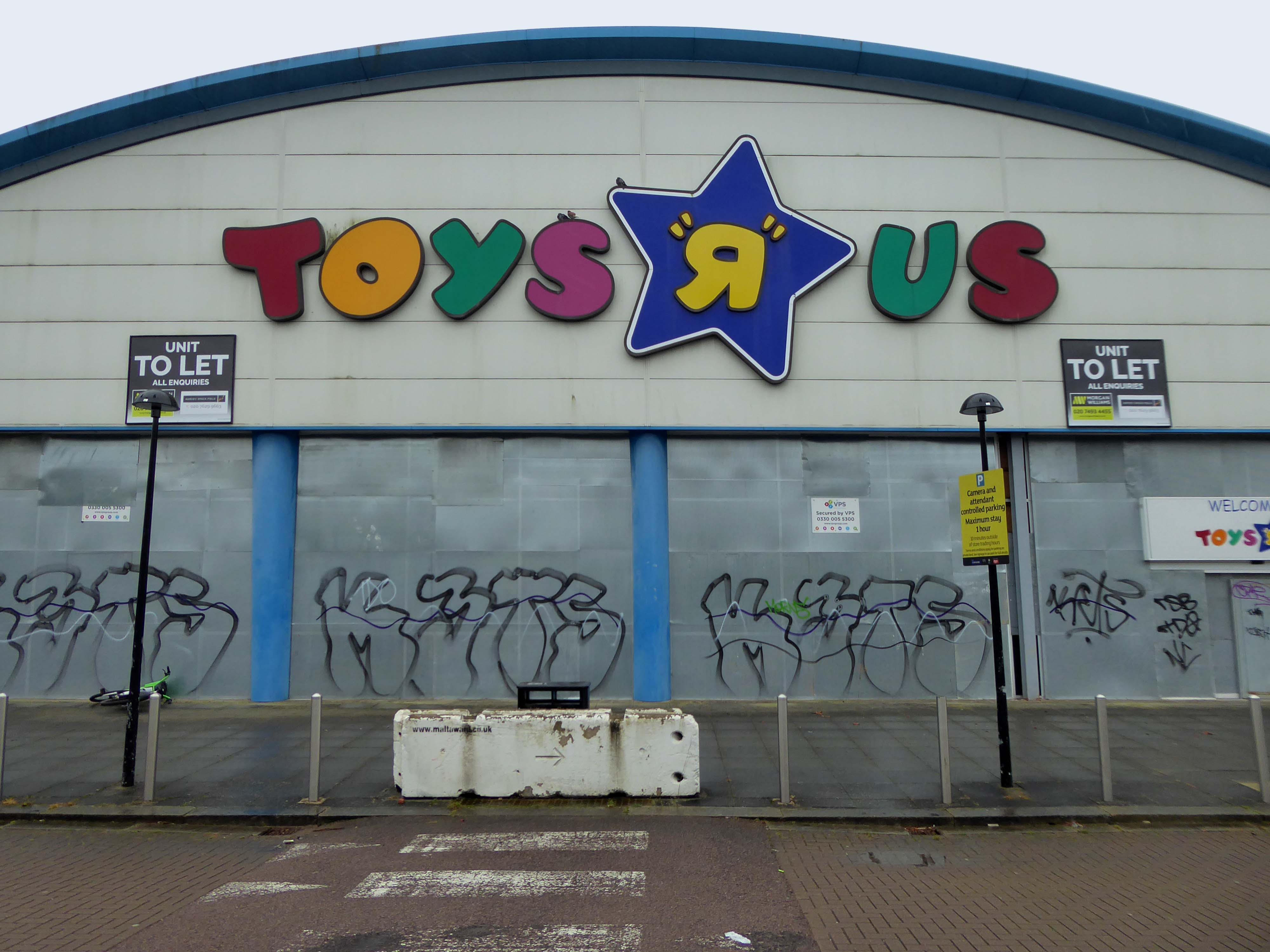
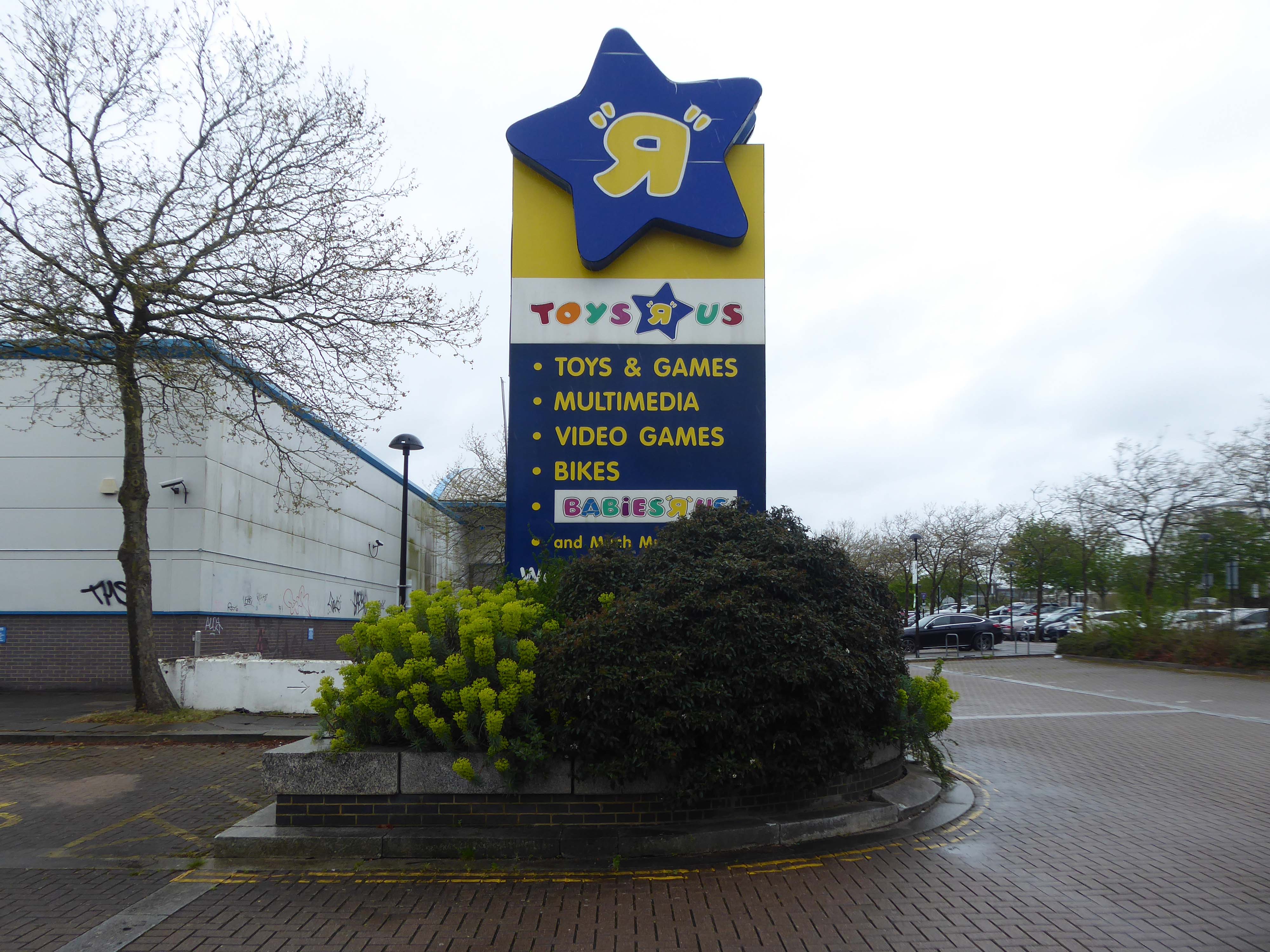
While originally considered a category killer, the rise of mass merchants and online retailers cost Toys “R” Us its share of the toy market. The company was further hampered by a significant debt load, the result of a leveraged buyout organized by private equity firms.
The toy retailer filed for bankruptcy in 2017 and in March 2018 announced it would be closing all its UK stores.
There were more than 100 Toys ‘R’ Us stores in the UK at the time.
A nipper, named only as Andrew penned a heartfelt 3-point letter to the judge handling the company’s bankruptcy case, and pleaded with him not to allow his fave shop to close down.
Andrew’s hand-written note to Judge Keith Phillips – which was put in the official court file – laid out exactly why he didn’t want the shops to shut.
In April 1948, Charles P Lazarus founded a baby-furniture retailer, Children’s Bargain Town in Washington DC, during the postwar baby boom. It was acquired in 1966 by Interstate Department Stores Inc.
The focus of the store changed in June 1957, and the first Toys “R” Us, dedicated exclusively to toys rather than furniture, was opened by Lazarus in Rockville Maryland. Lazarus also designed and stylized the Toys “R” Us logo, which featured a backwards “R” to give the impression that a child wrote it.
Having grown up in the days of the diminutive local toy shop – noses pressed against the widow admiring those treasures never ever owned, I find the present day retailers to be soulless industrial hangars – designed to extract every ounce of fun and currency from the hapless child and guardians.
Eric Ravilious – inside the model shop.
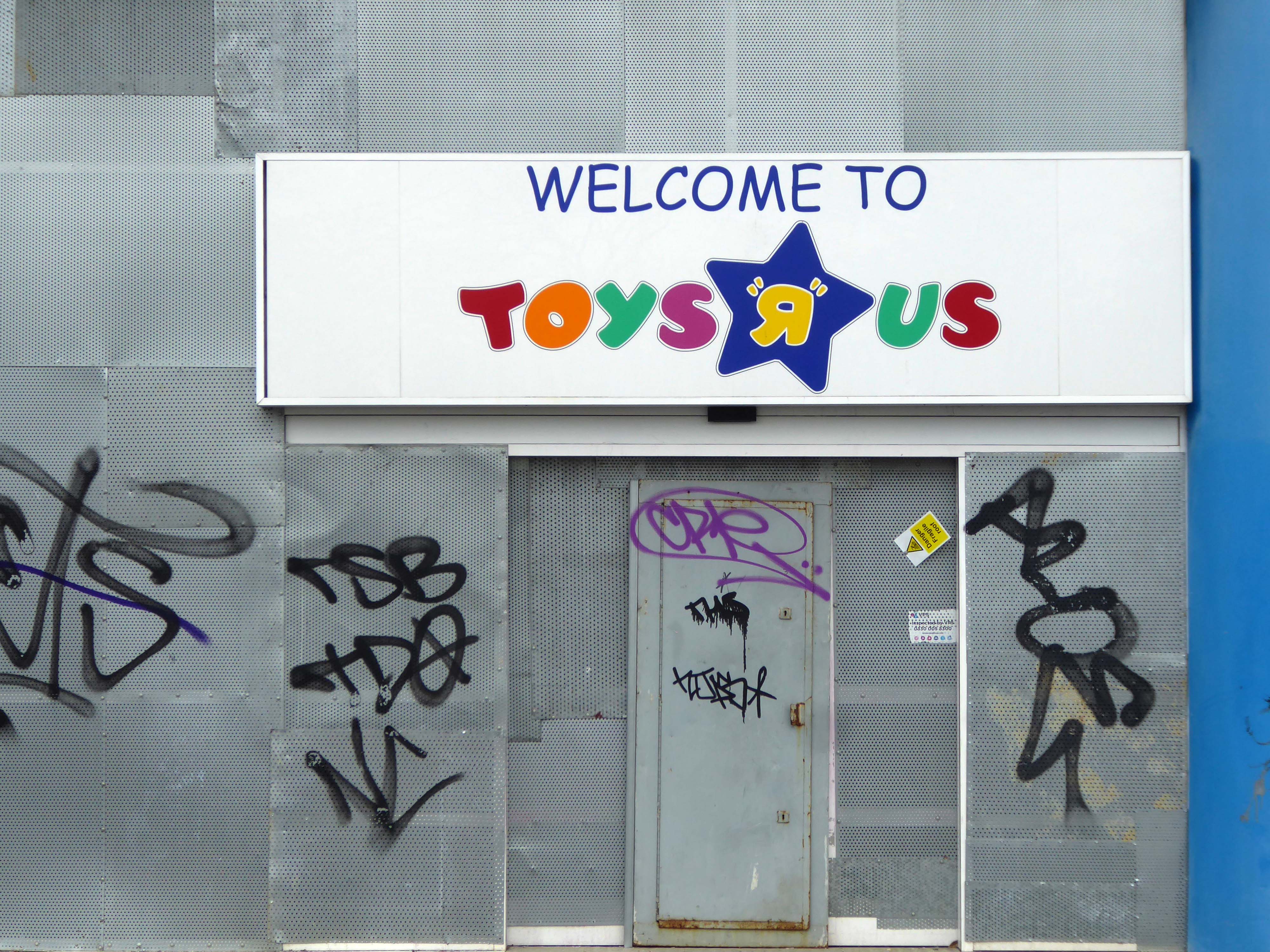
I returned in 2024.
A large To Let sign is now visible above the store, with any interested parties invited to inquire about the large unit. The 47,500sq foot unit is available to lease – in whole or in part, and is described as being immediately available.
The news comes despite previous announcements that WHP Global, the owner of Toys R Us, had plans to re-open some UK stores during 2022. In February, the company said UK Toys R Us stores could open within months, although none have yet done so.
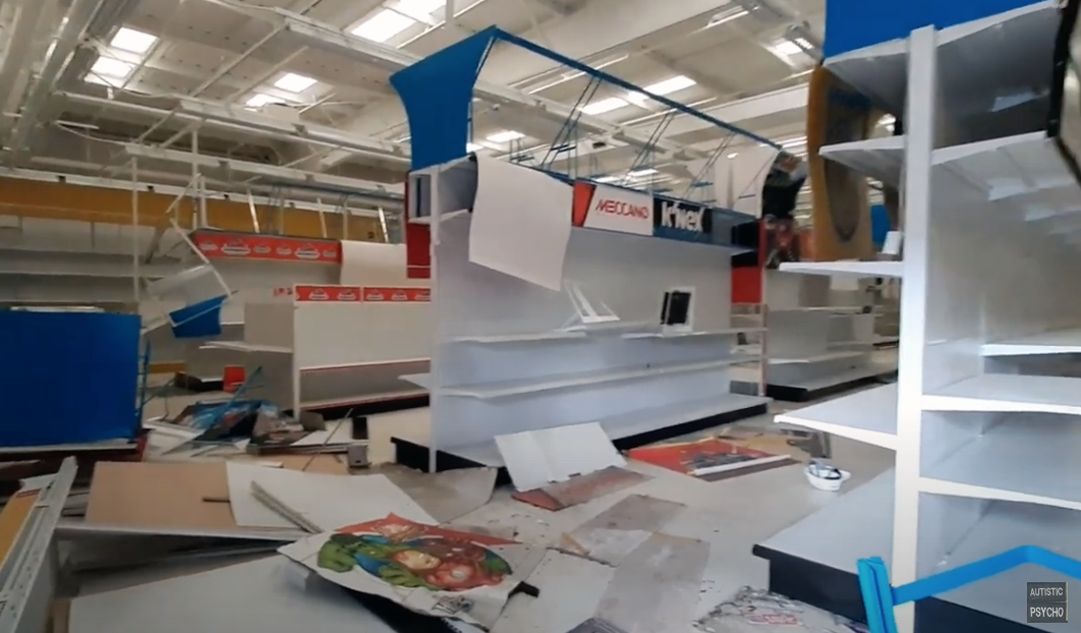
Here is Autistic Psycho’s tour around the deserted store,
Yesterday, Saturday 6th April I was leading a Modernist Mooch around Stoke and Hanley – I arrived five hours before the 1.00 start time and went off to explore nowhere in particular.
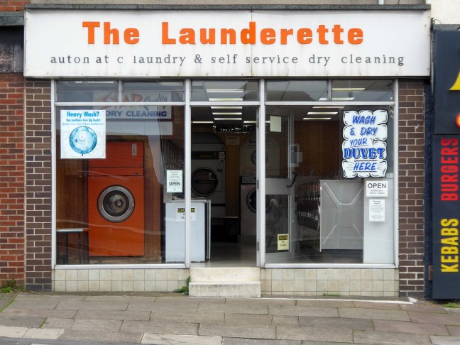
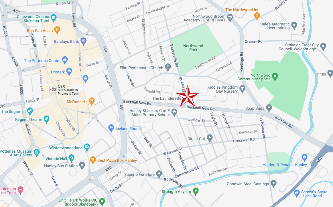
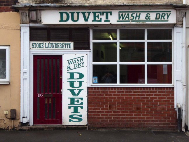
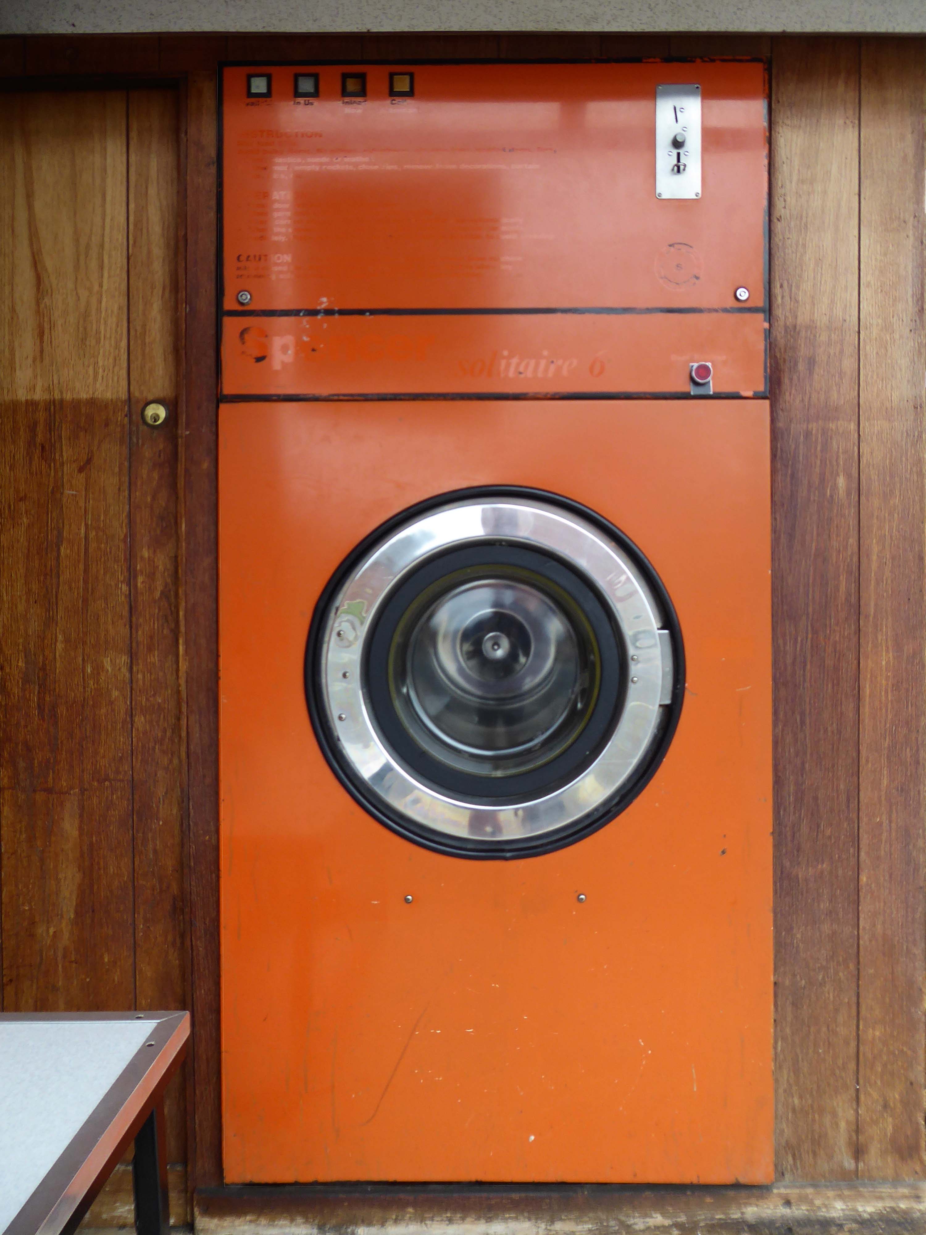
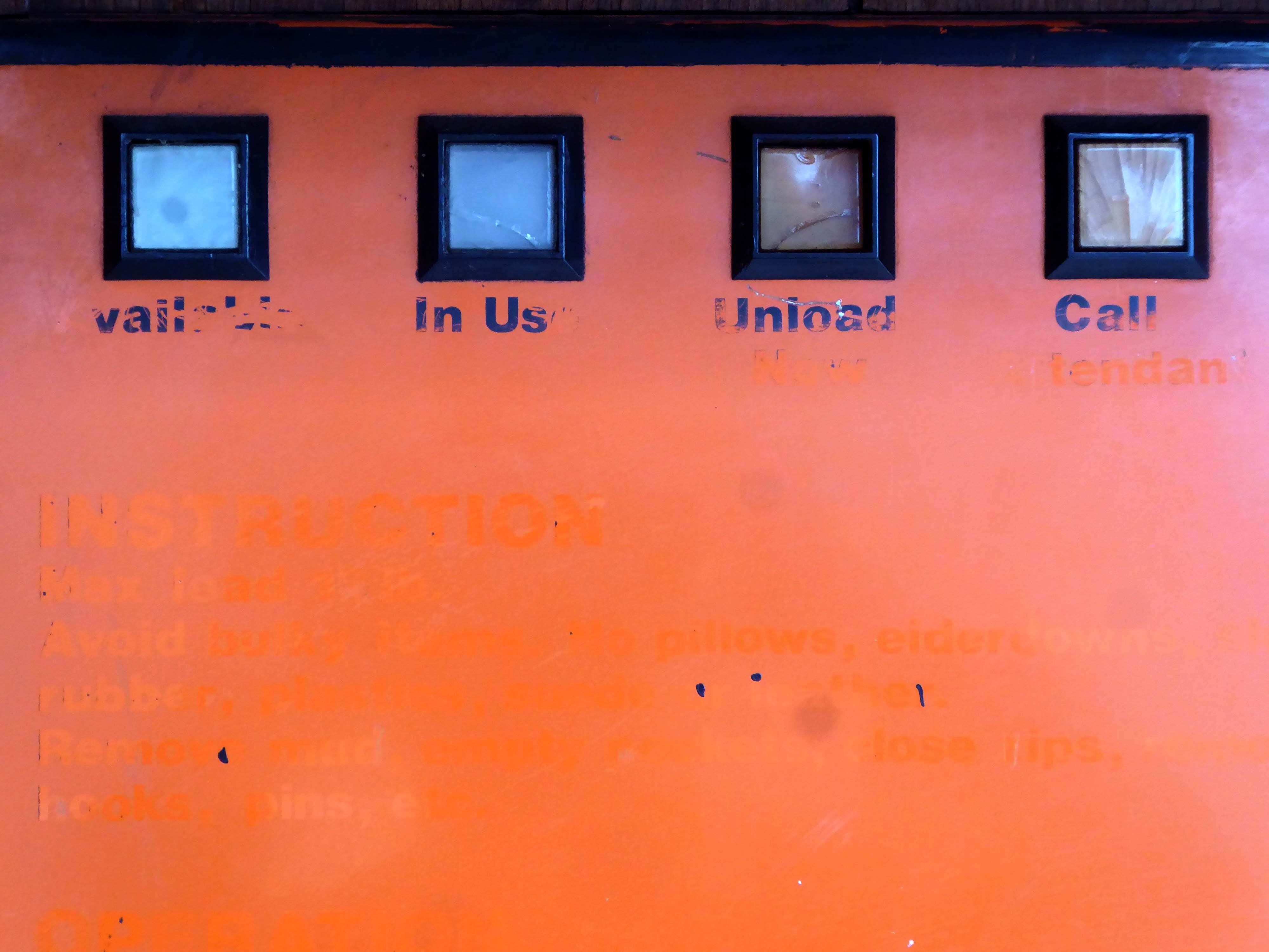
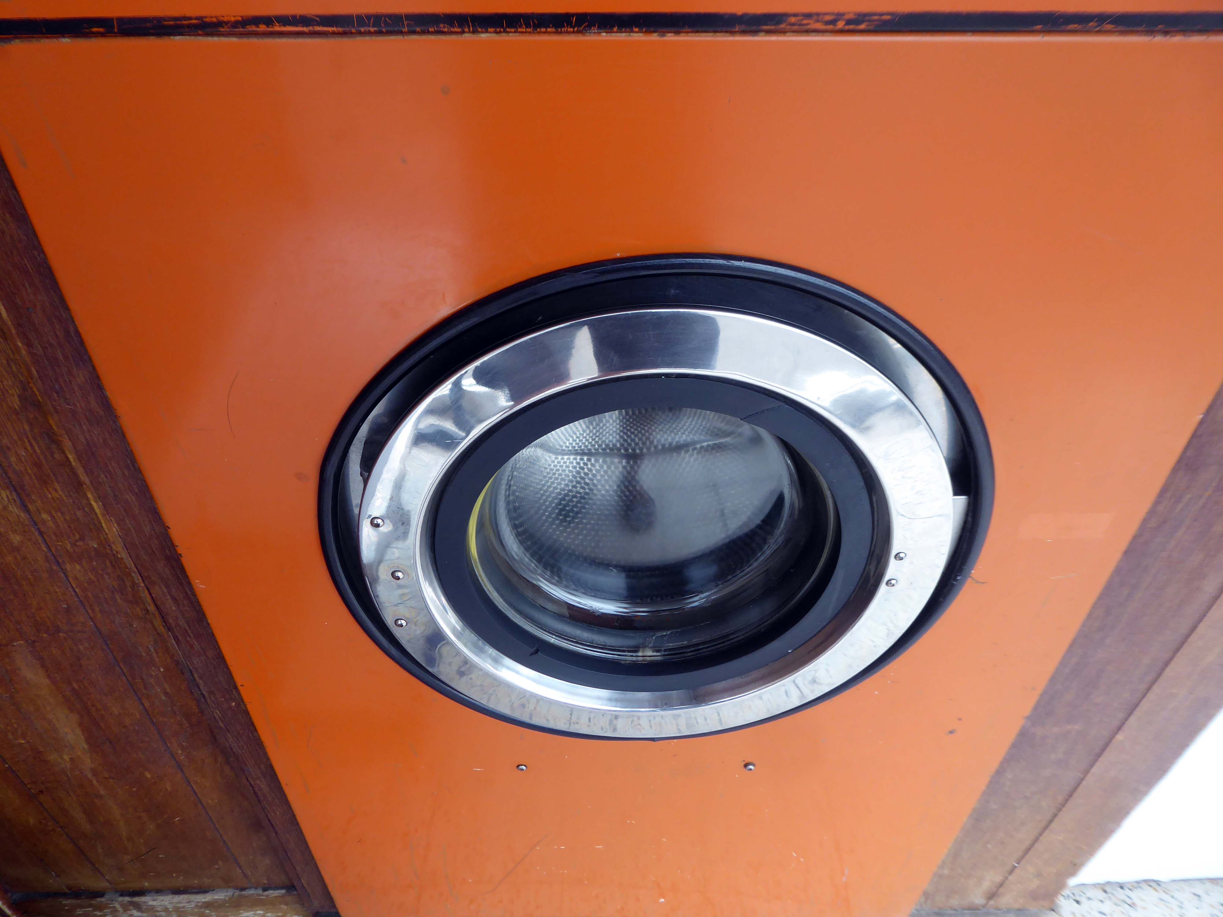
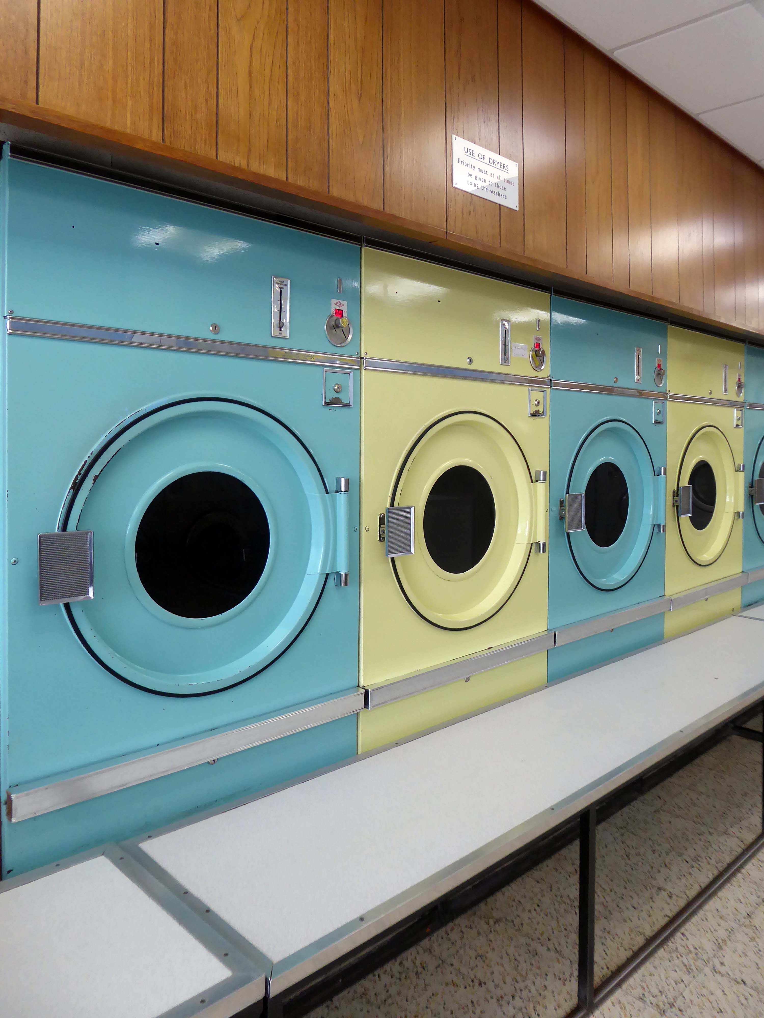
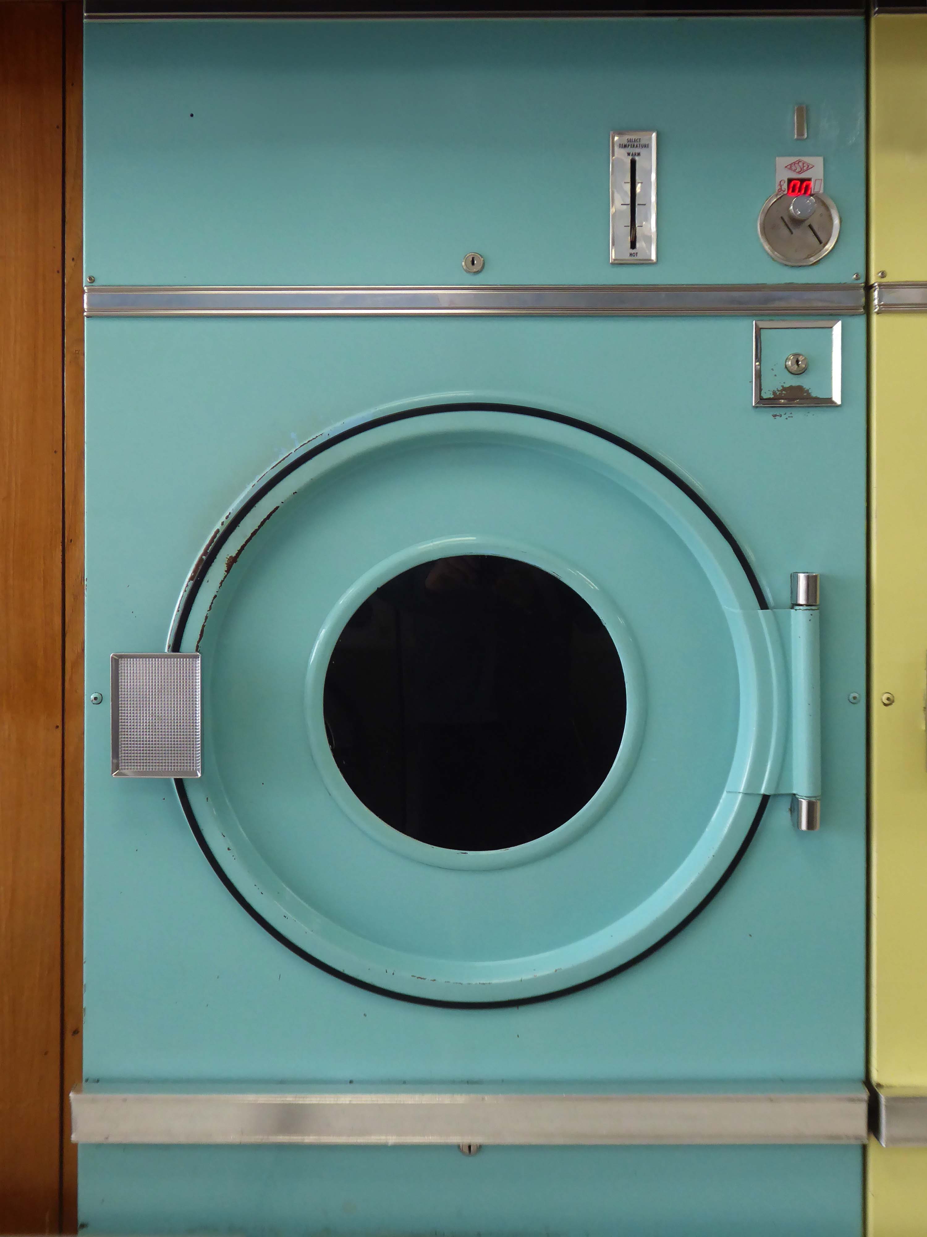
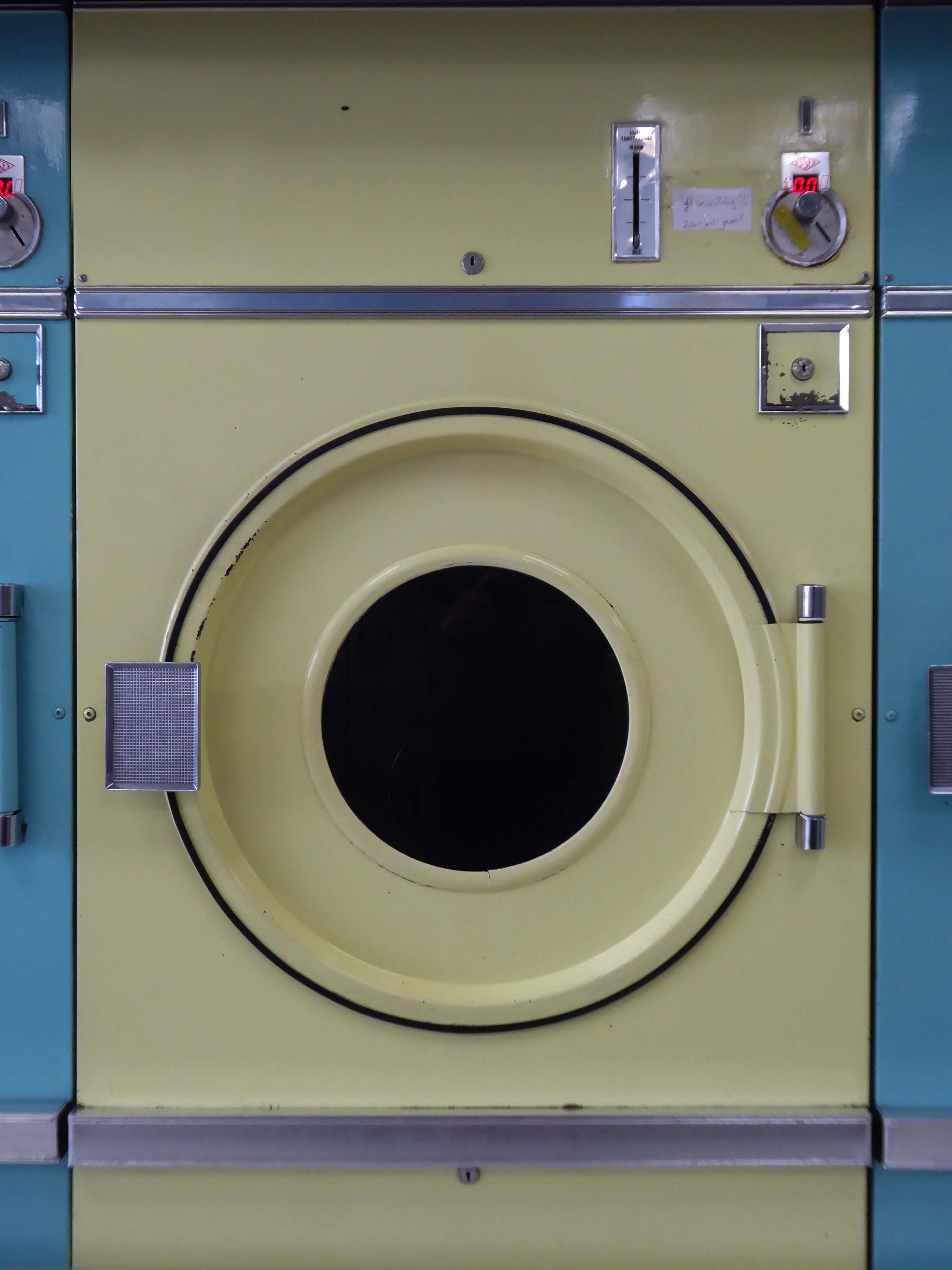
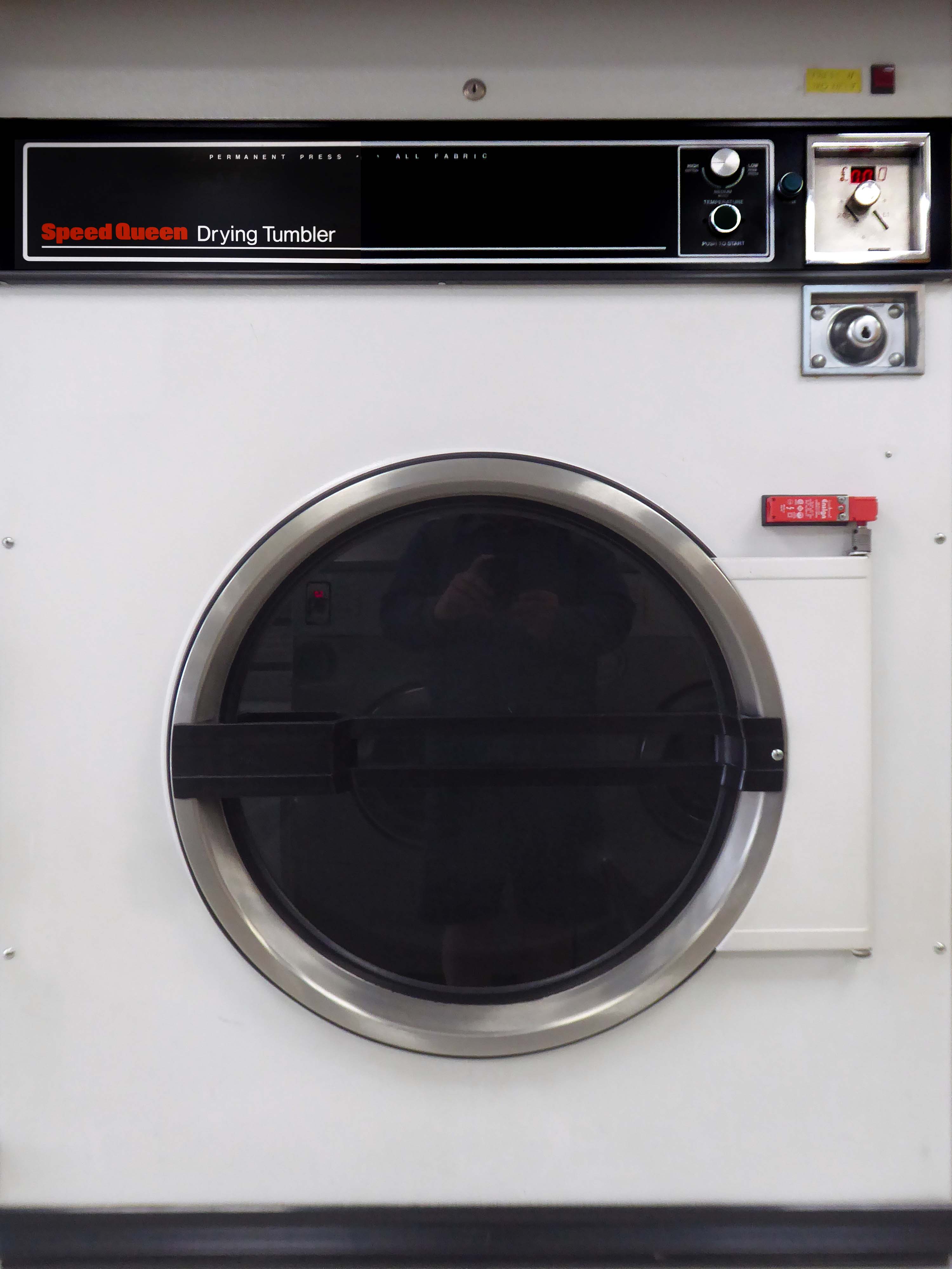
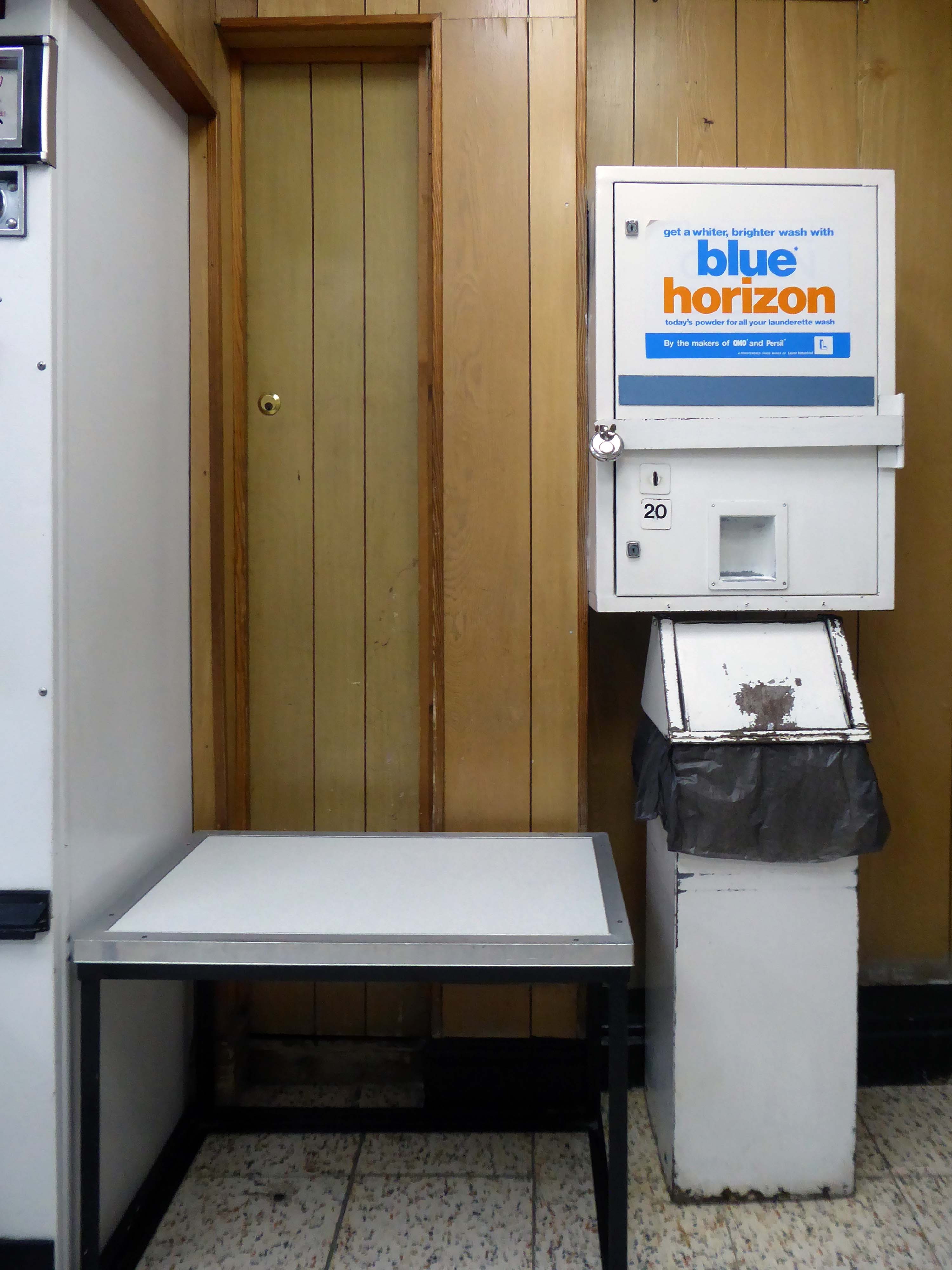
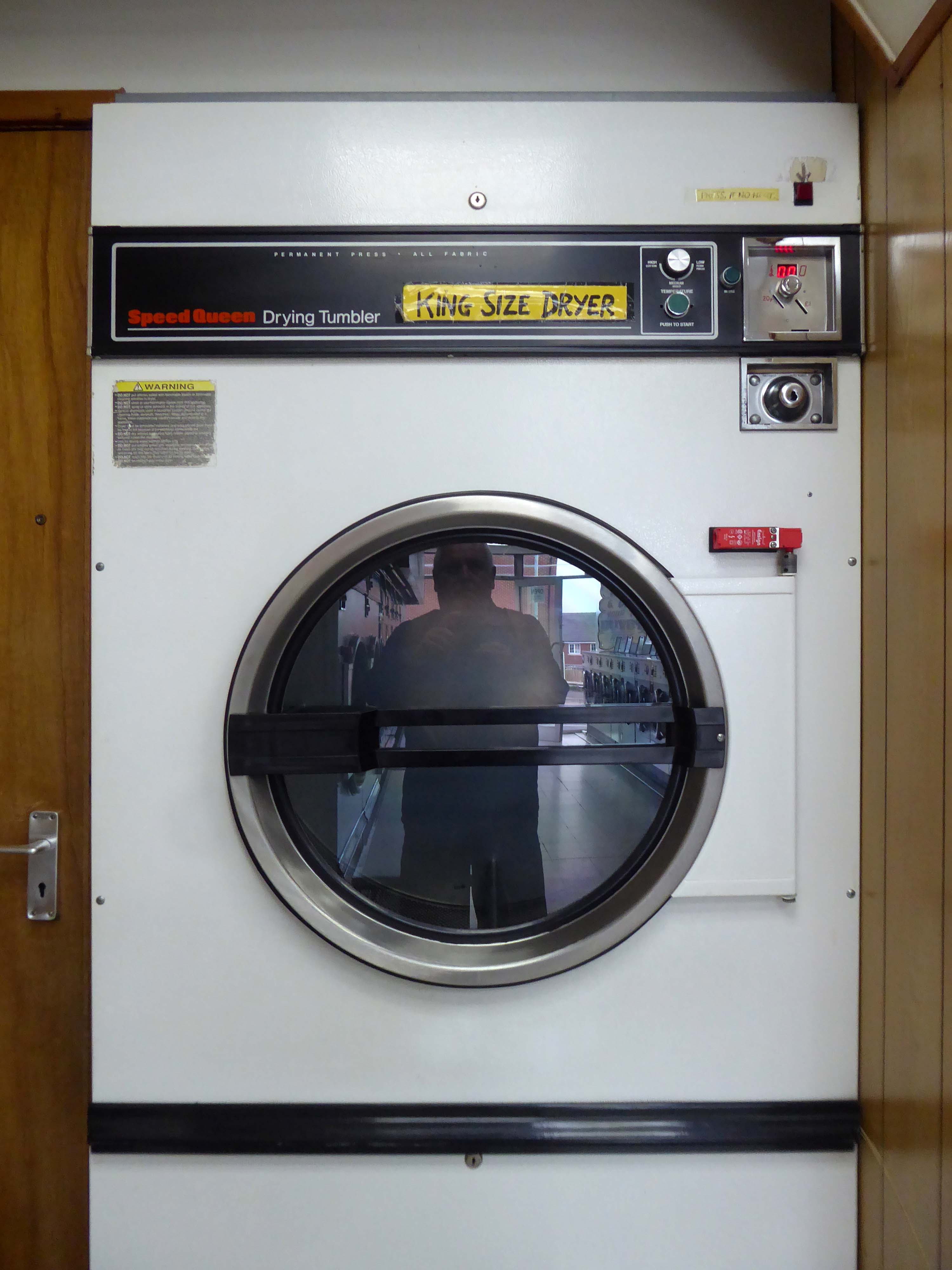
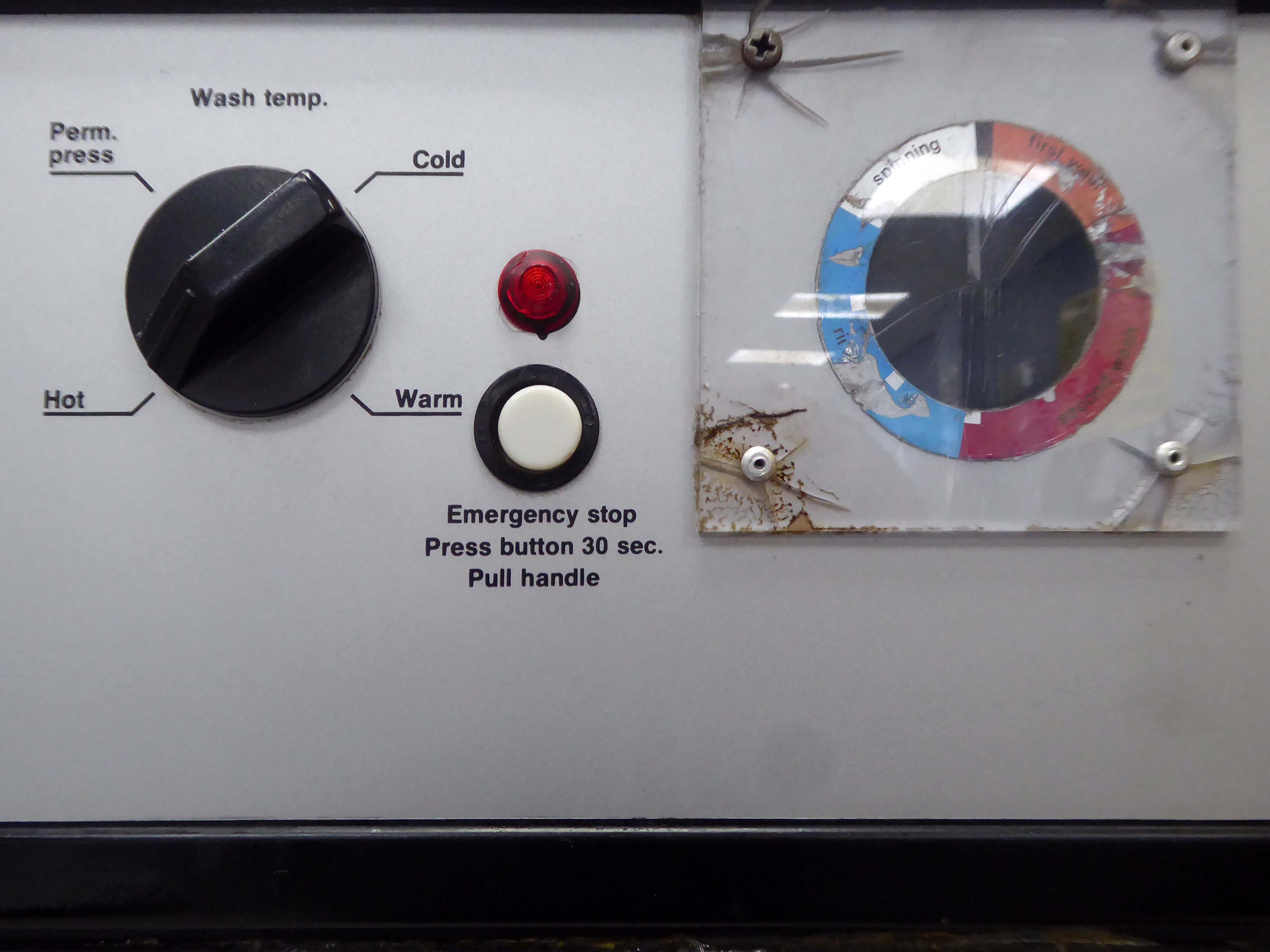
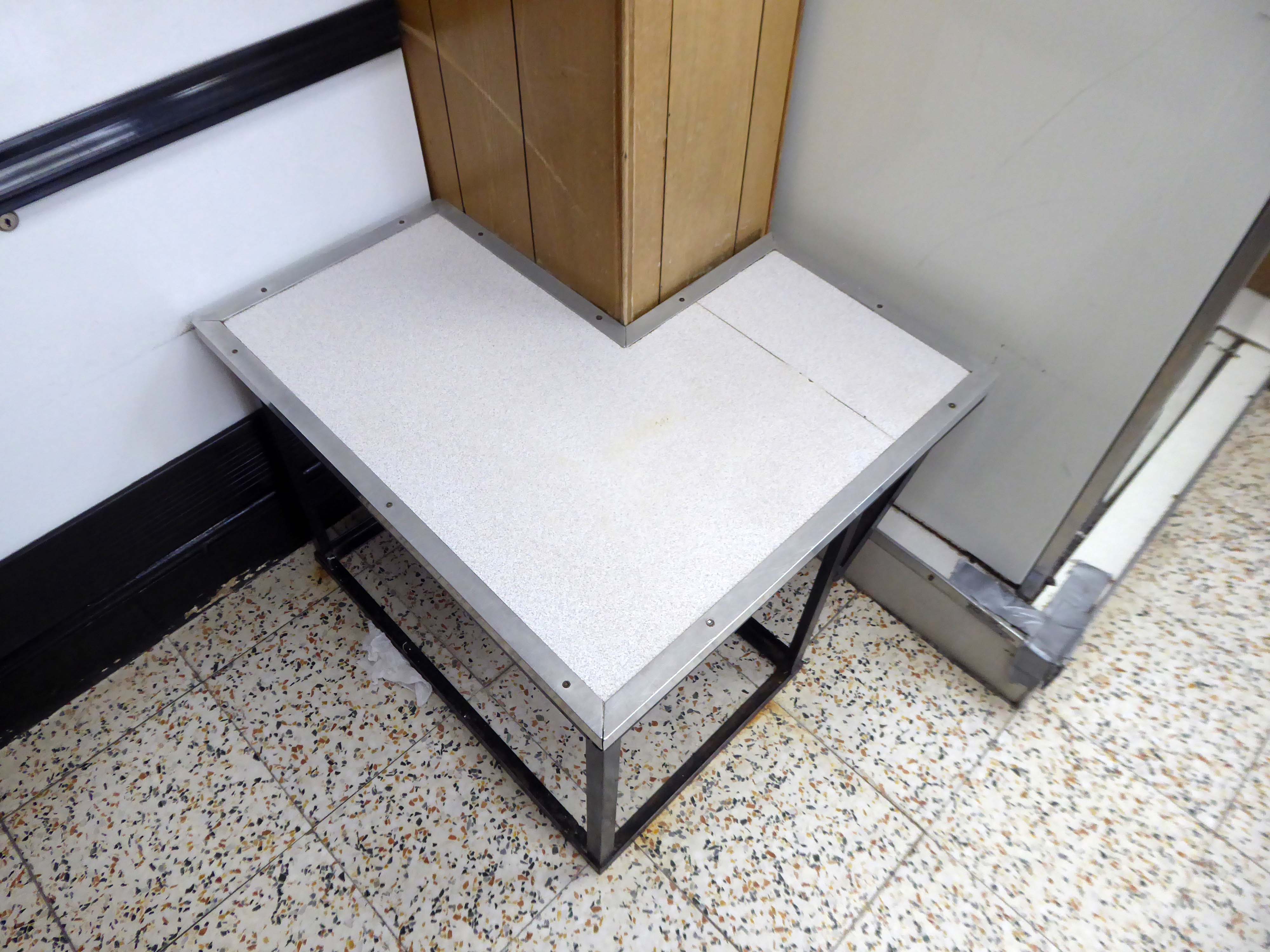
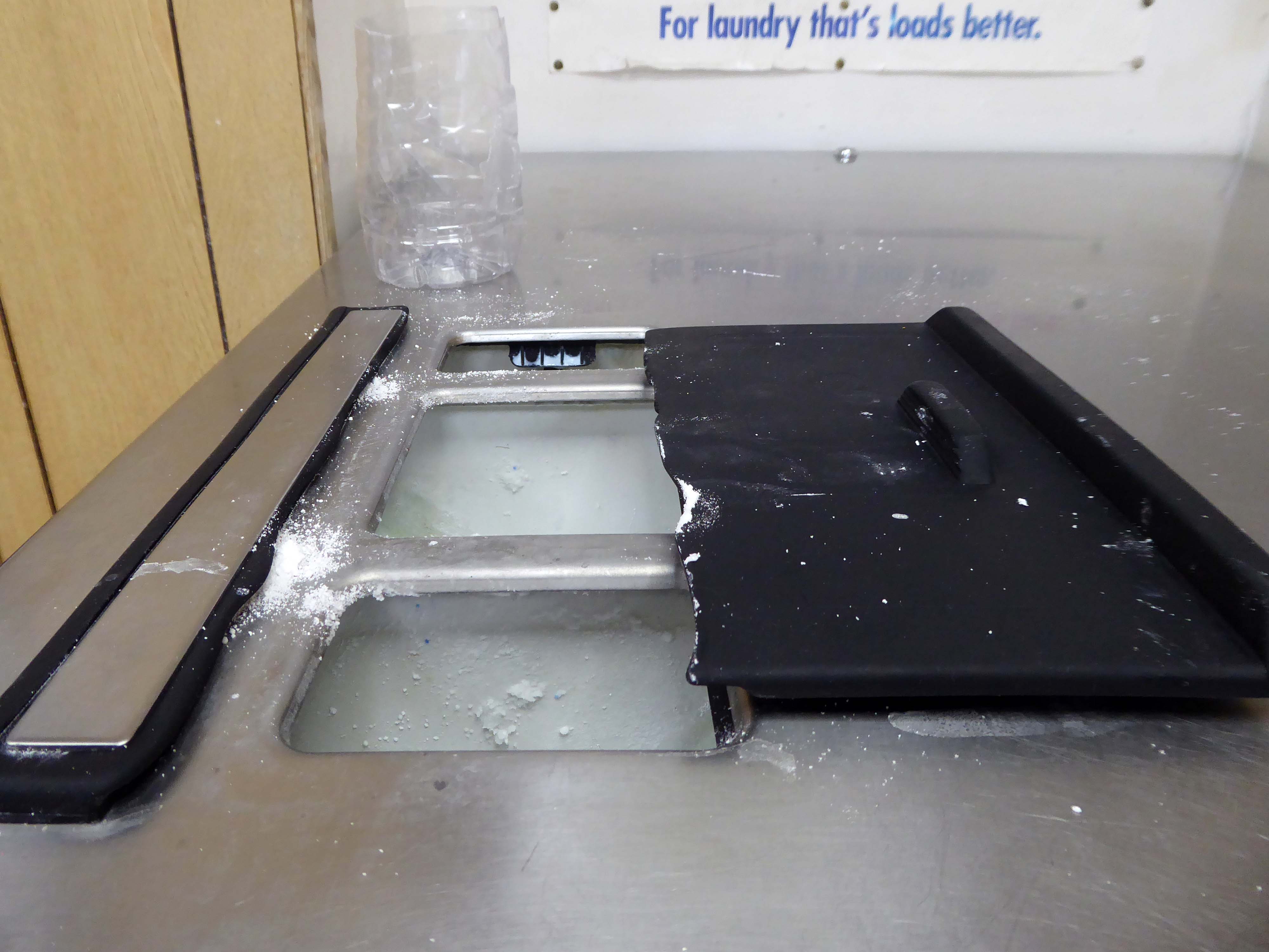
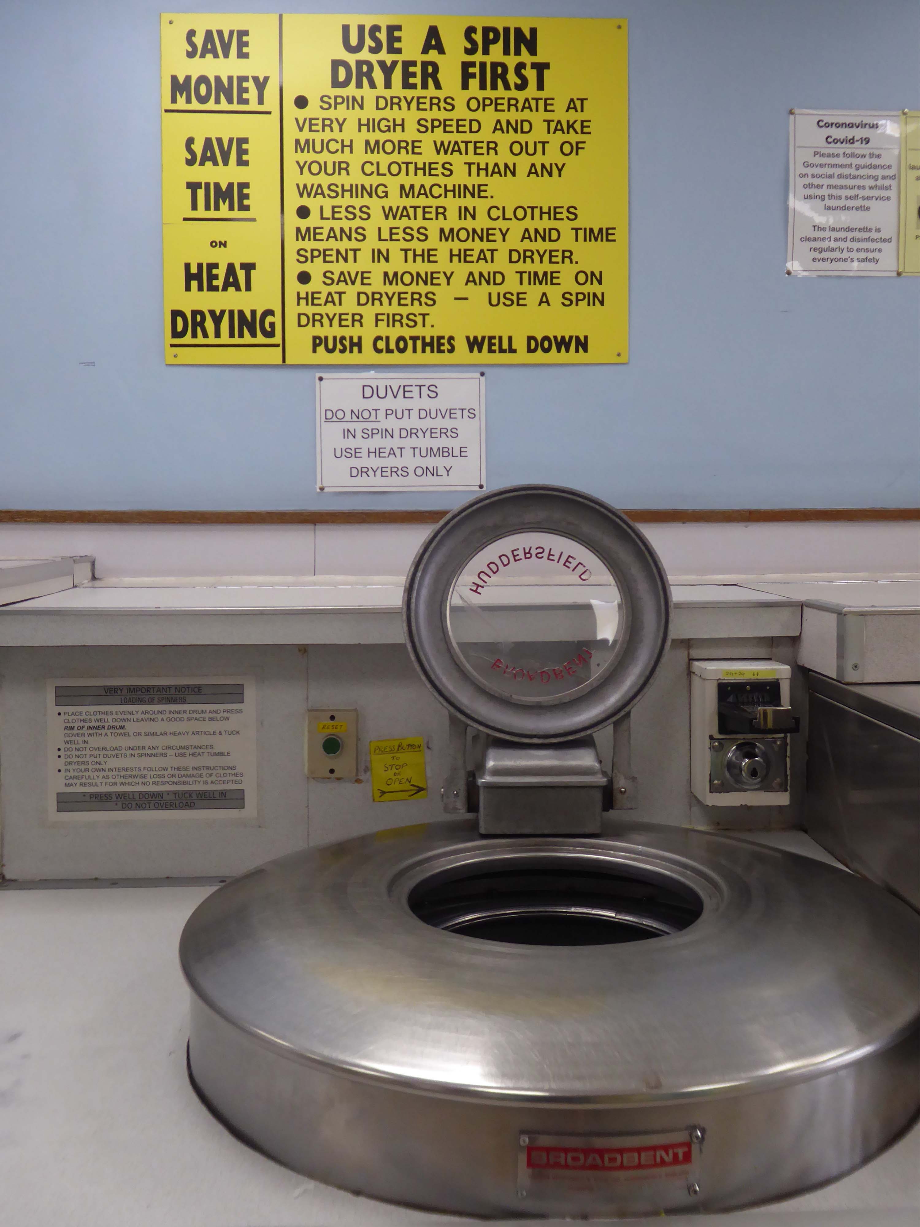
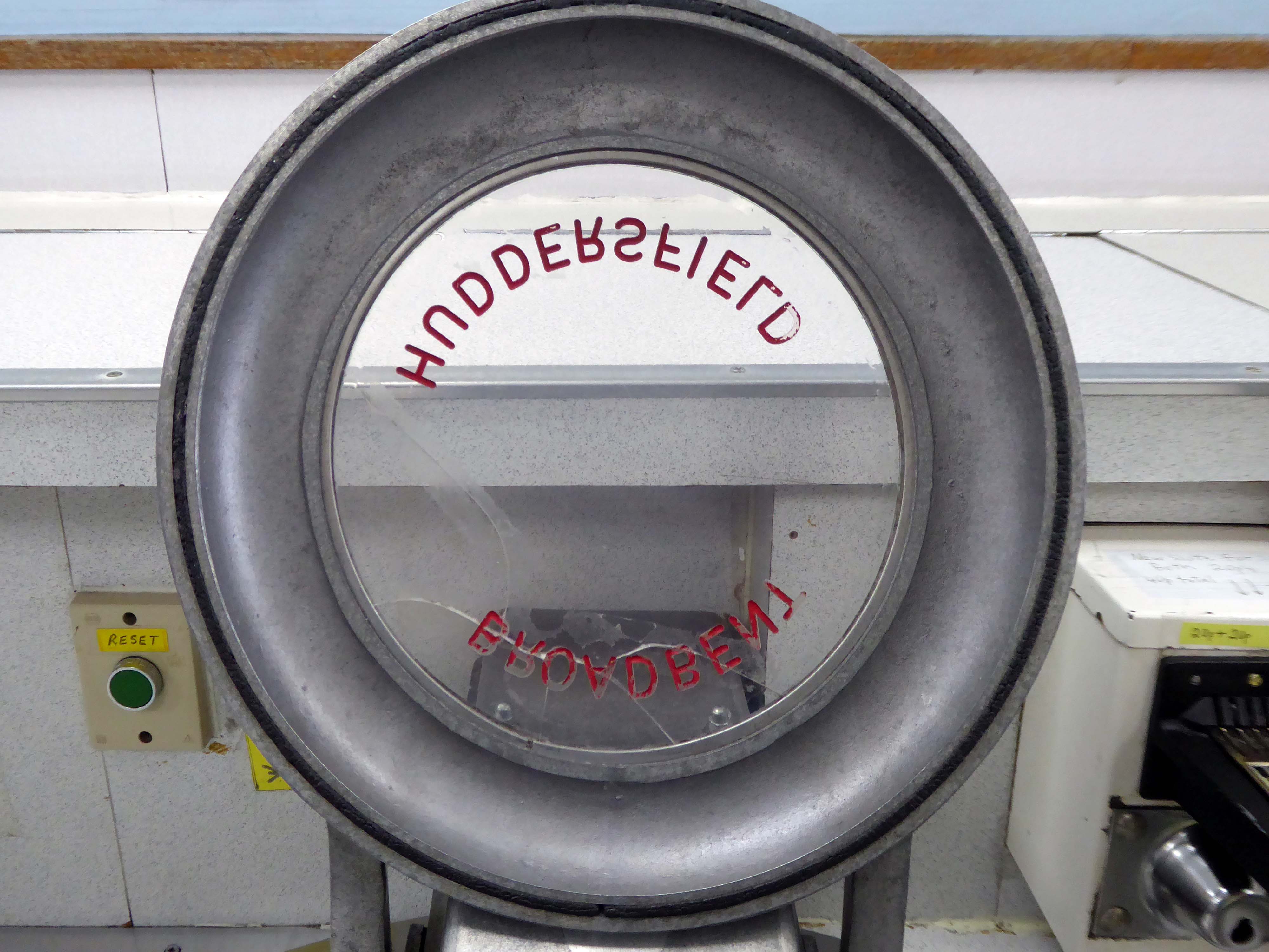
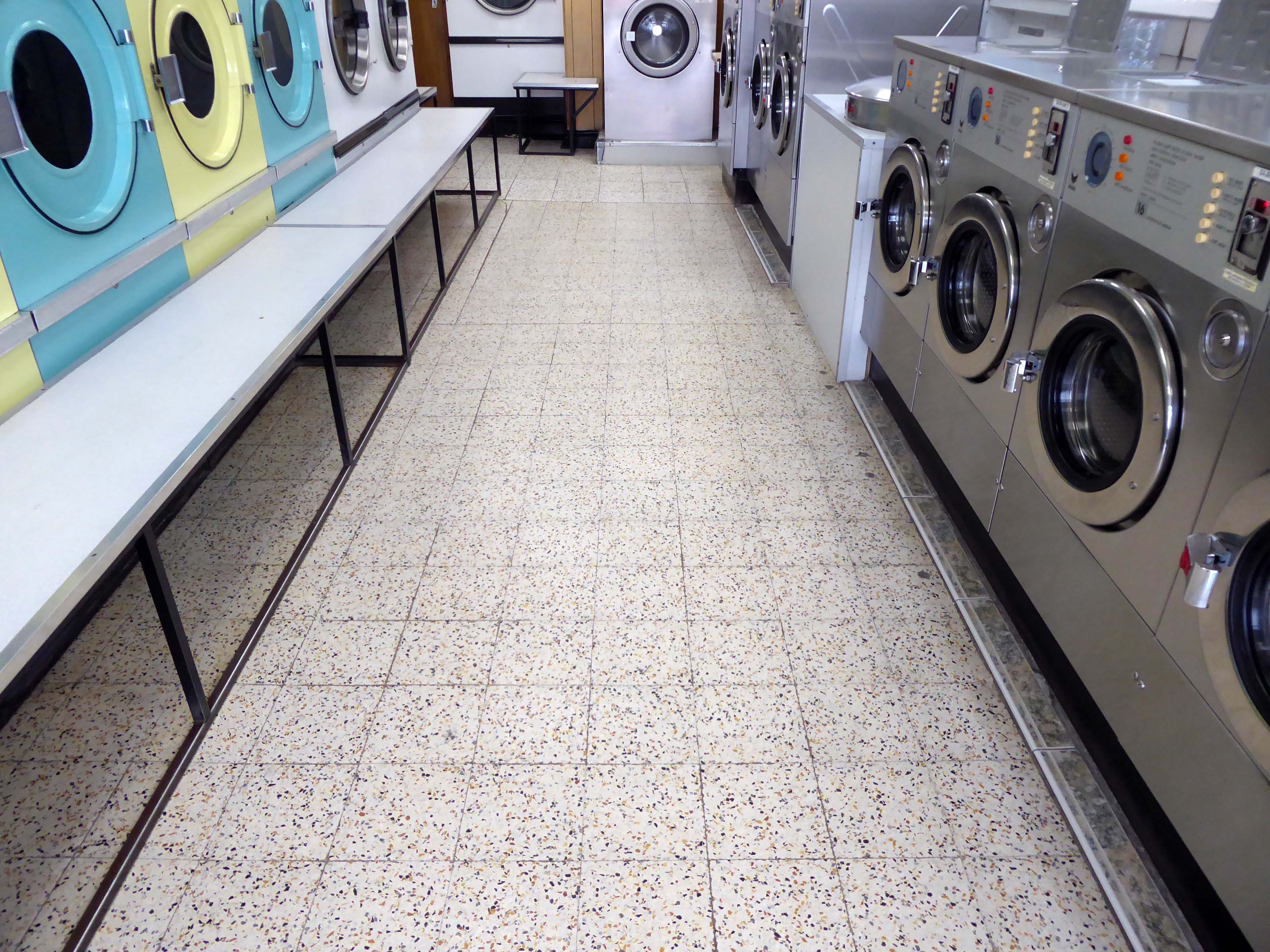
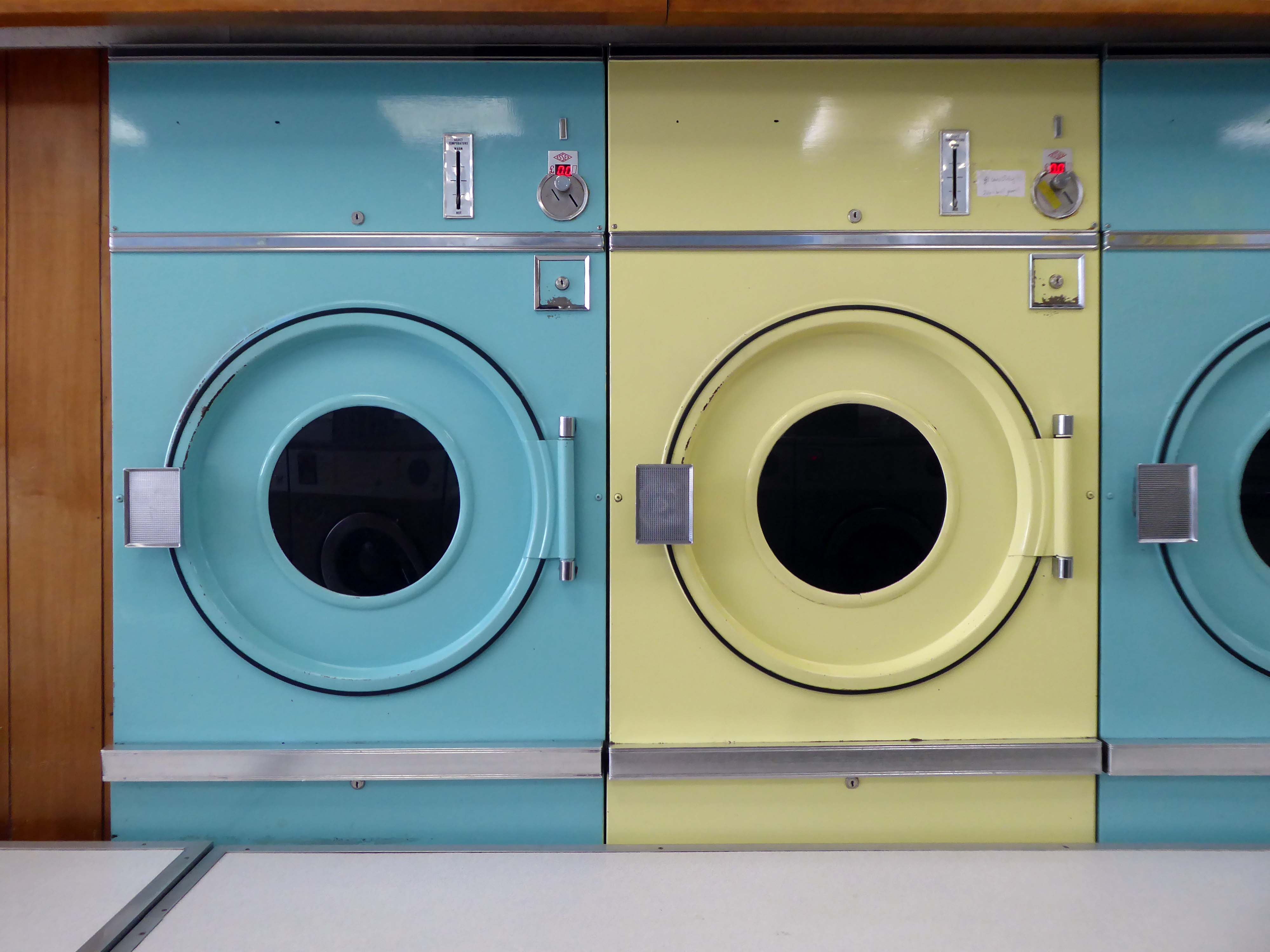
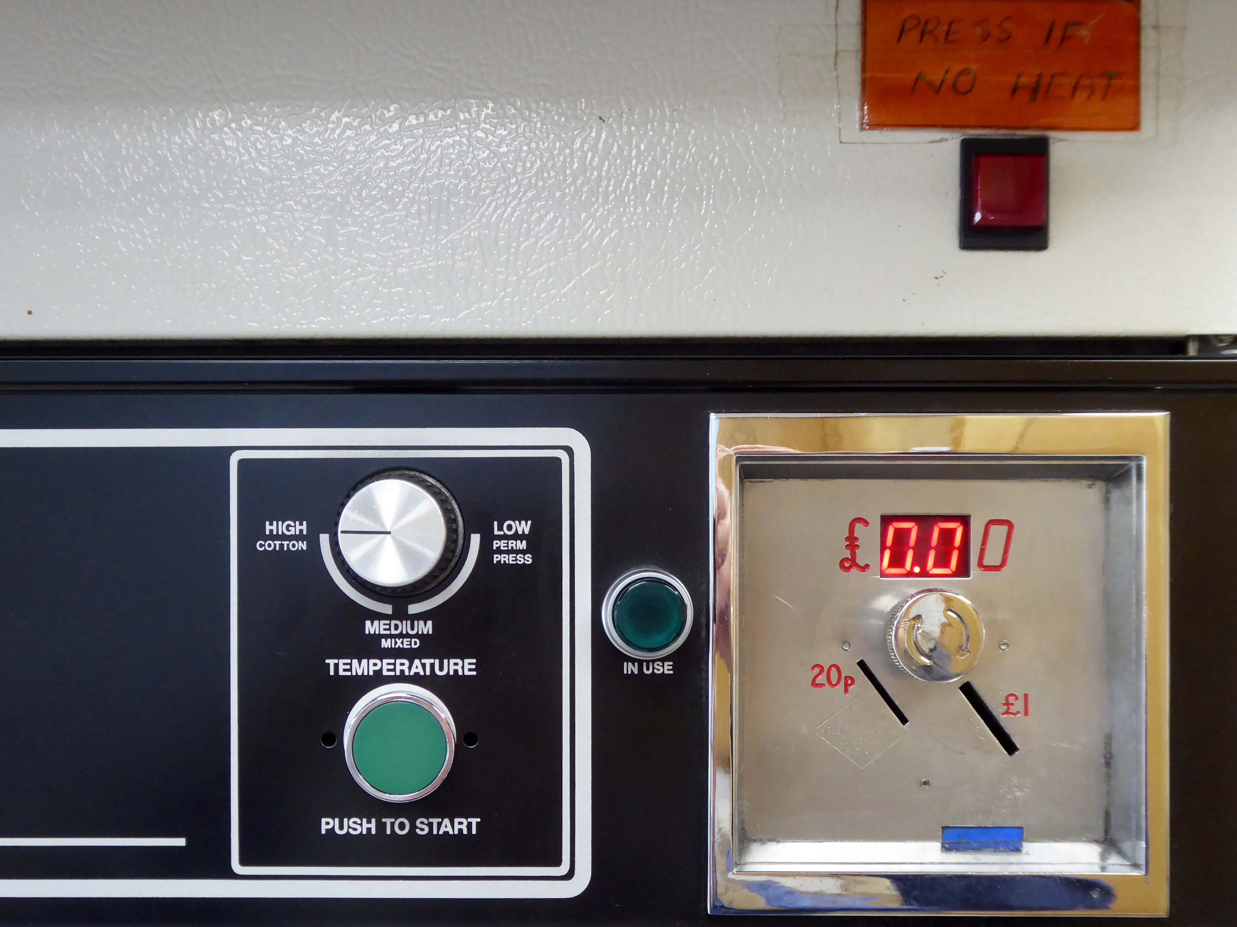
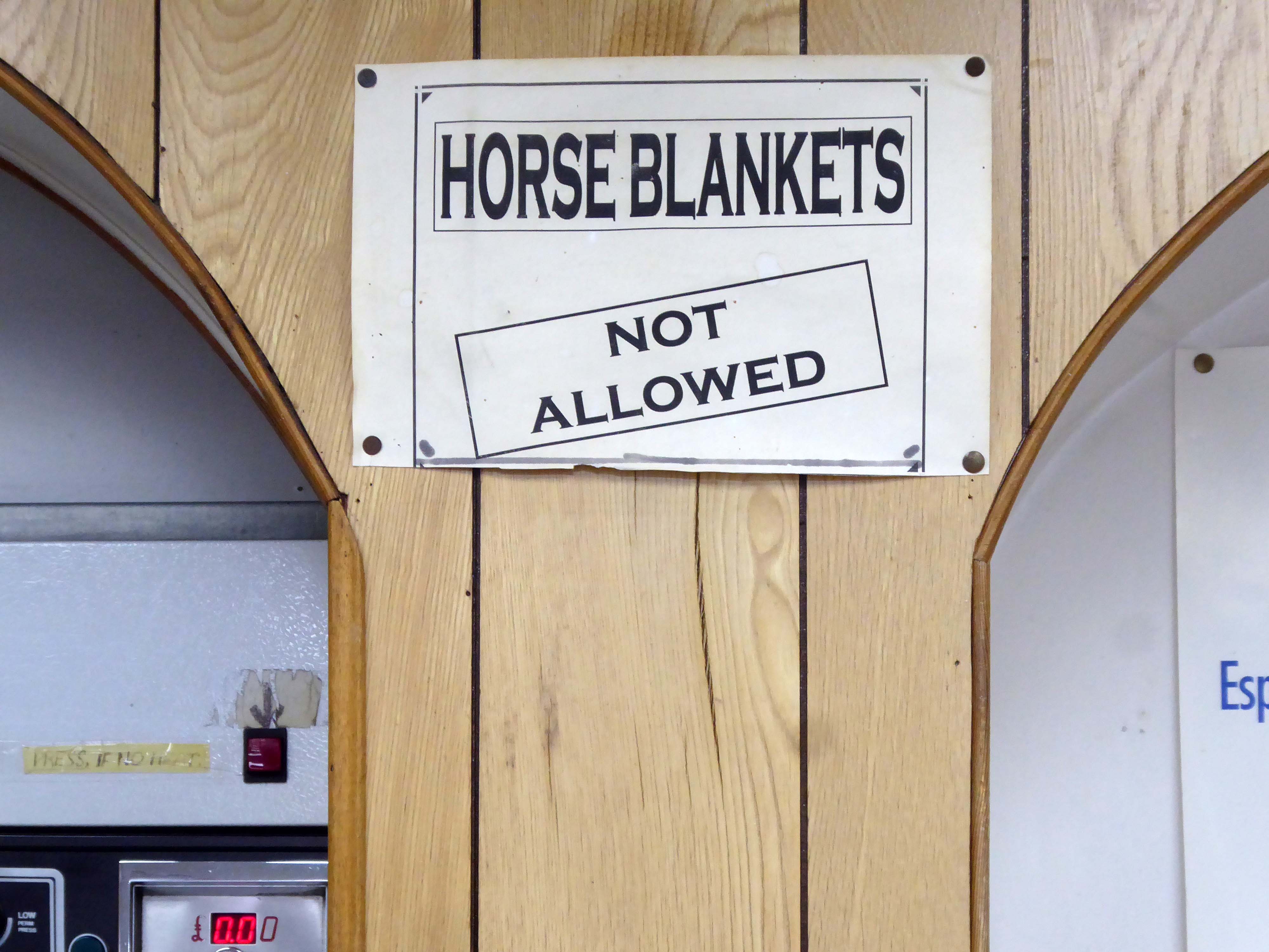
I found myself in the Northwood area of Hanley – ascending the long drag of Bucknall New Road, where I espied a launderette, imaginatively named The Launderette.
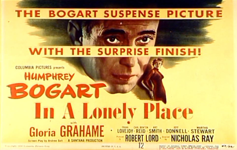
Early morning and short of the odd customer or two, I seized that moment in time to record this lonely public place – seeking that suspense picture with a surprise finish.
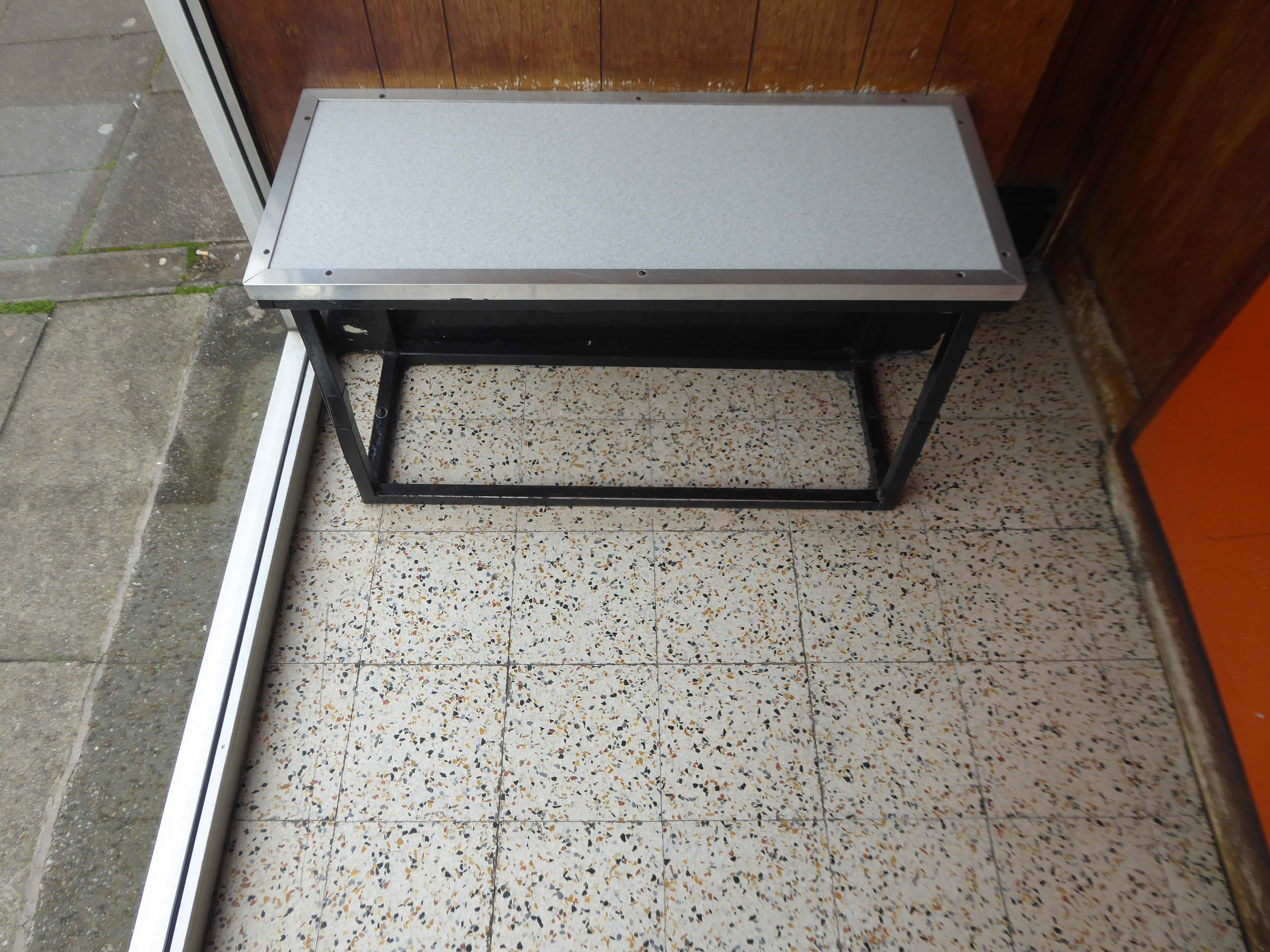
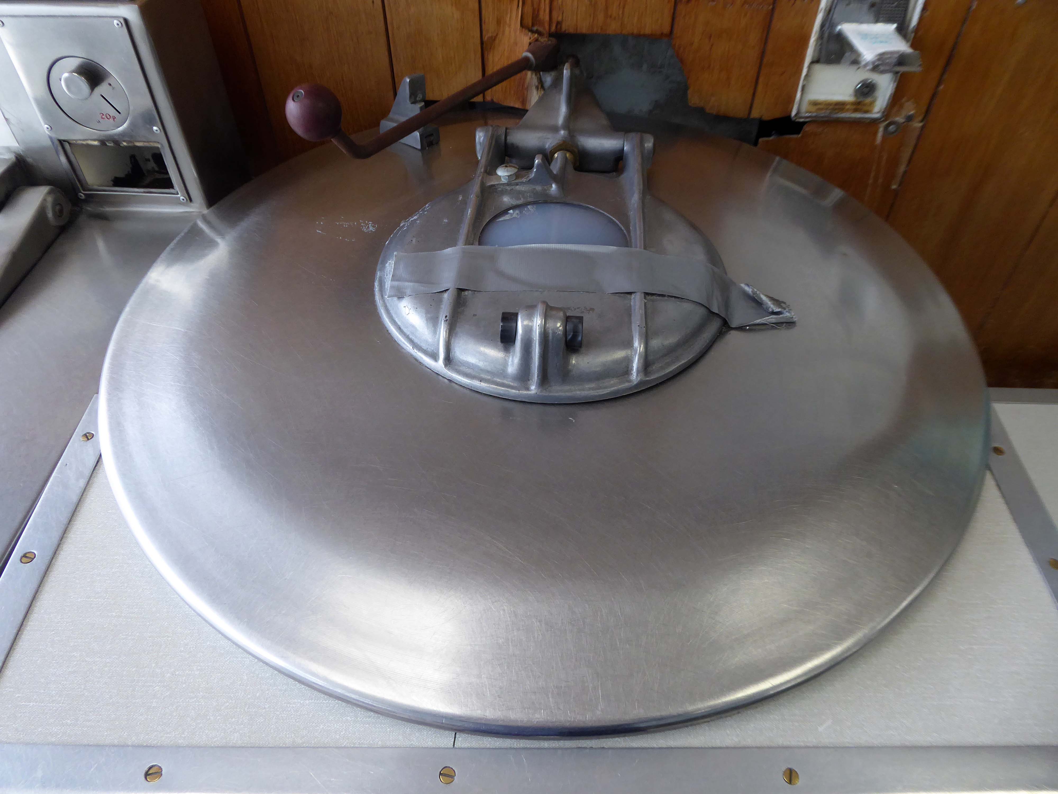
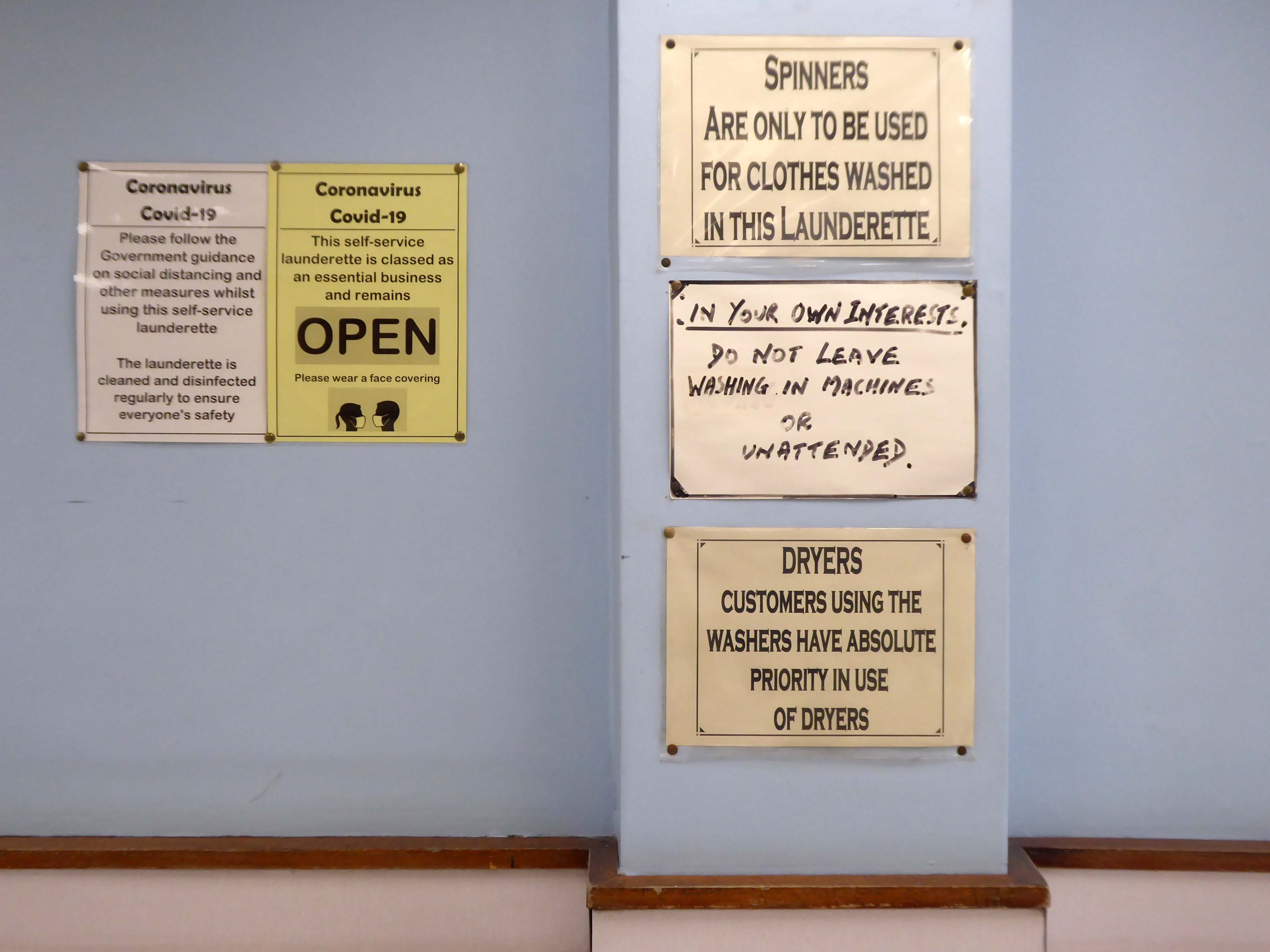
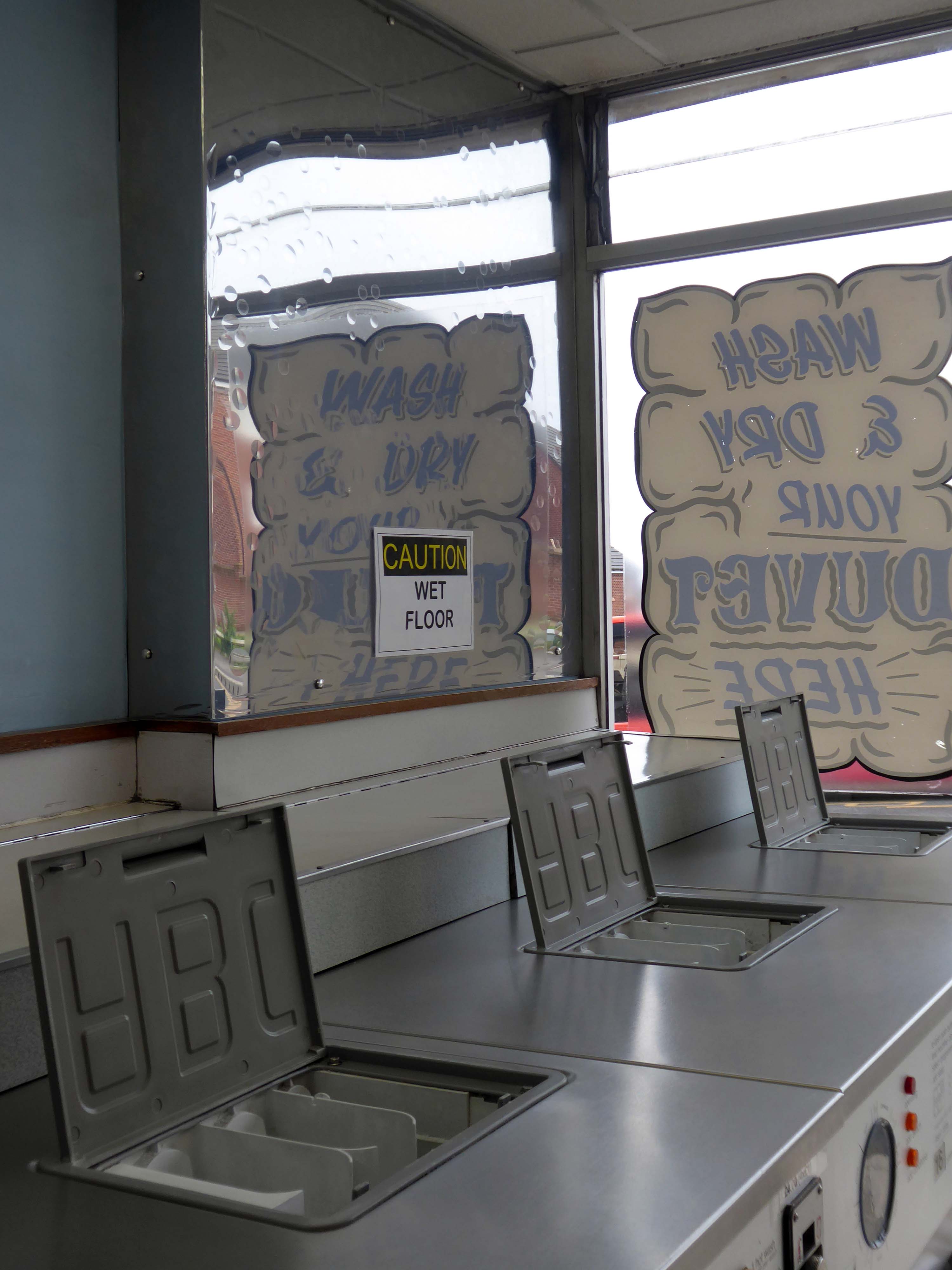
So on a light bright sunny day, I took another look around.
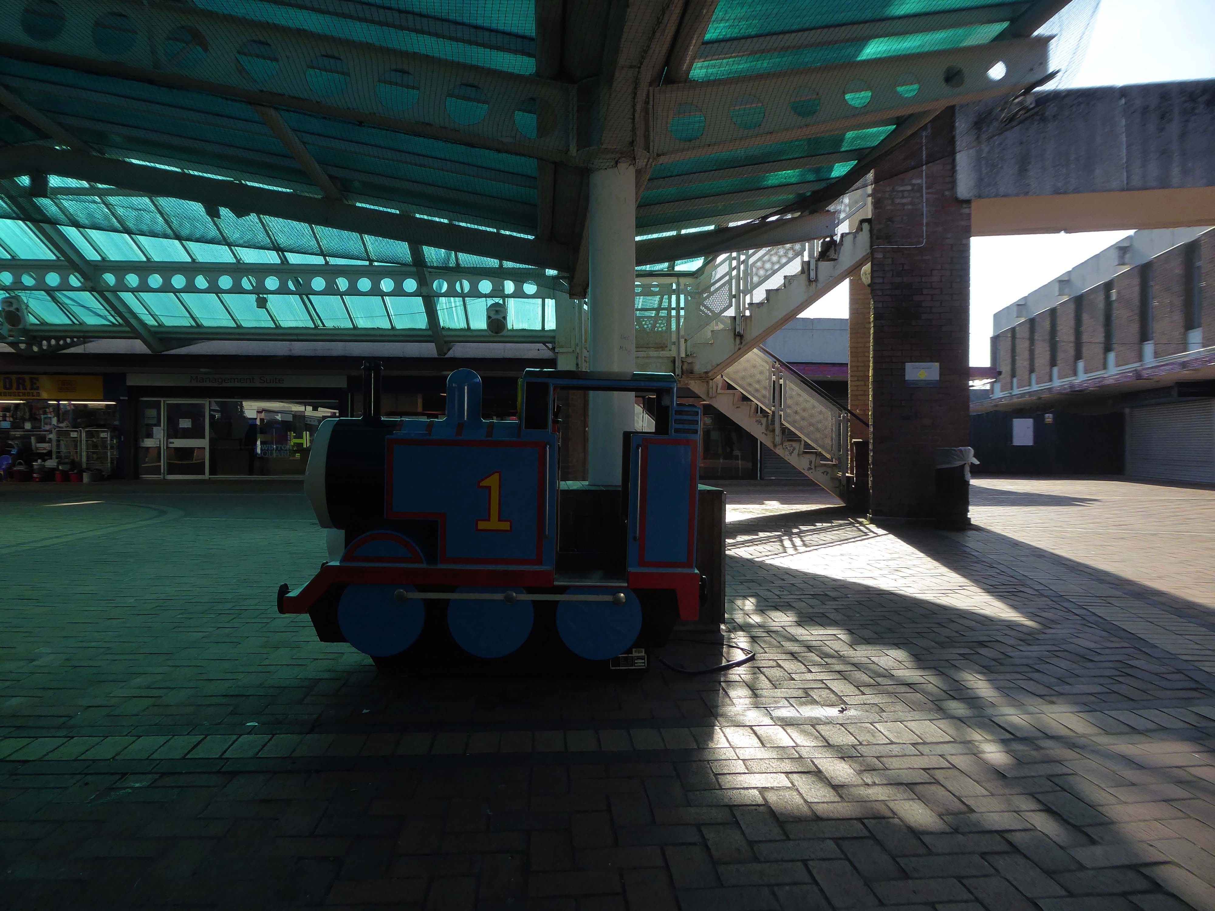
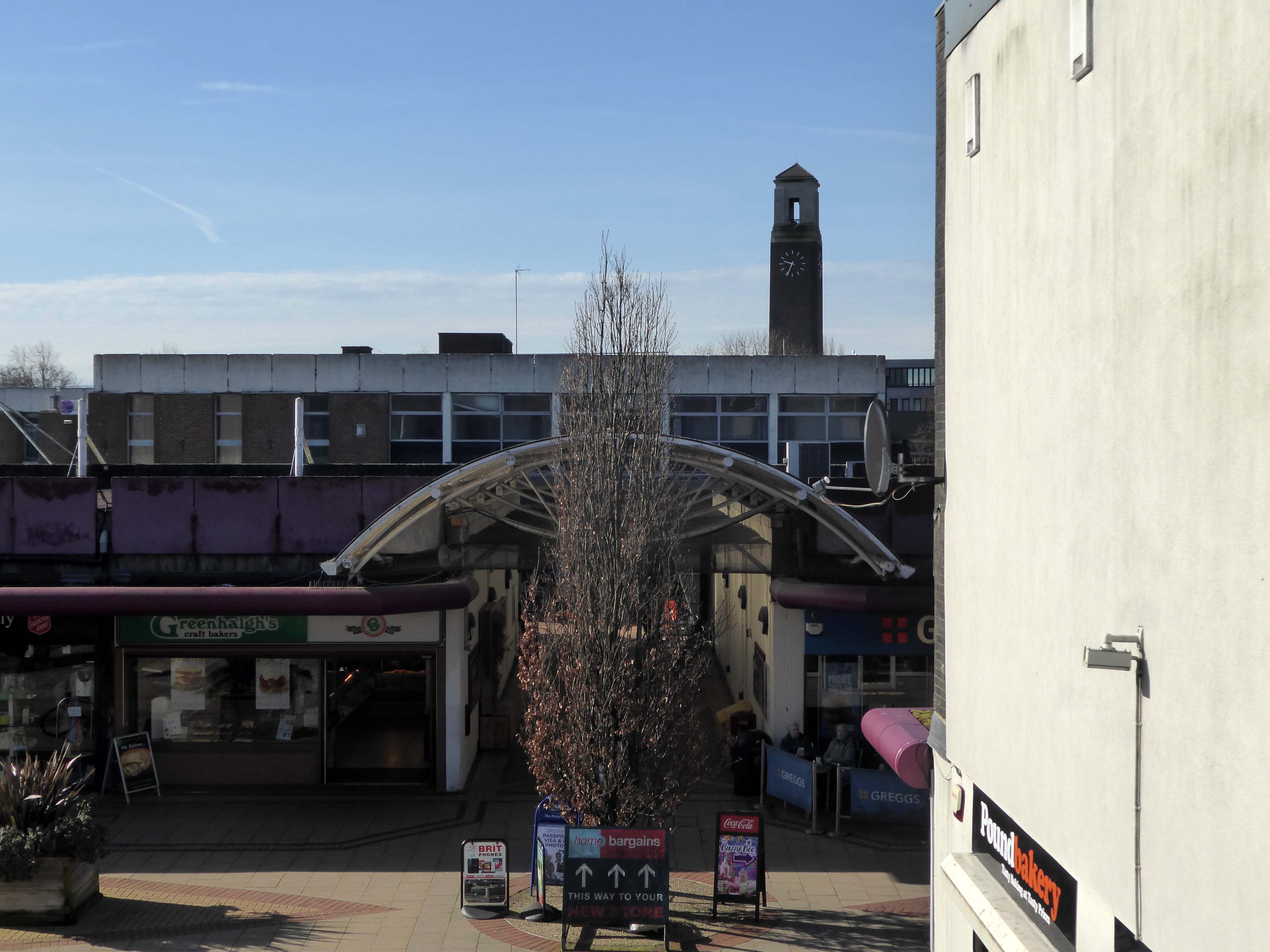
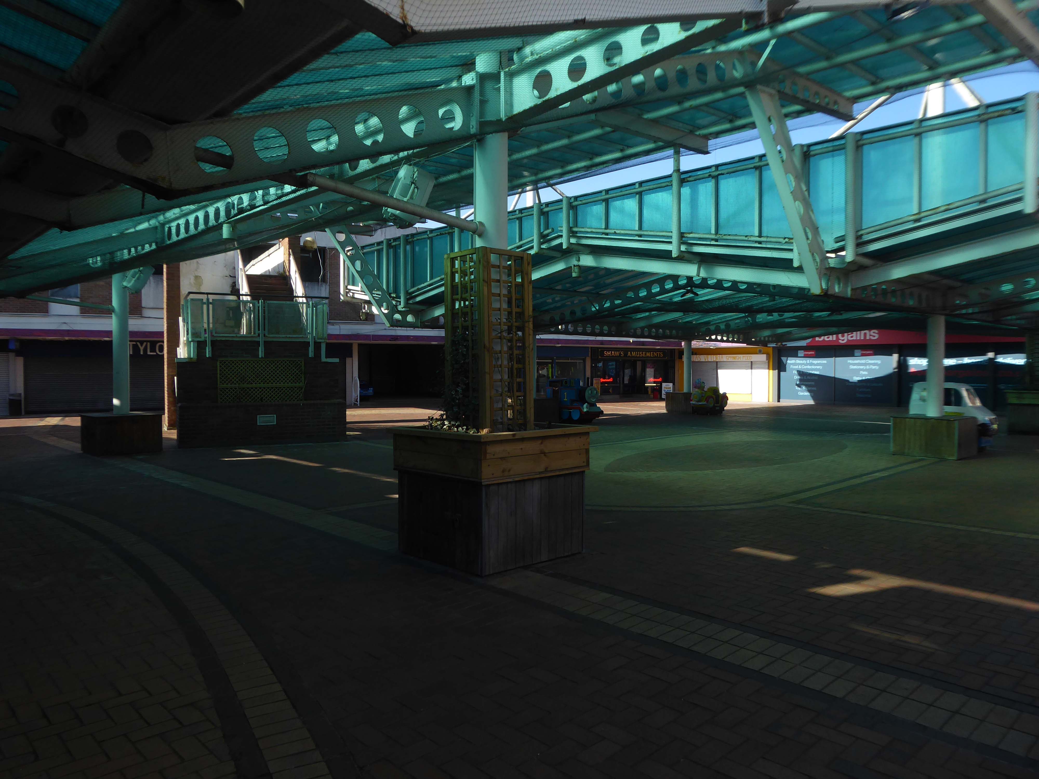
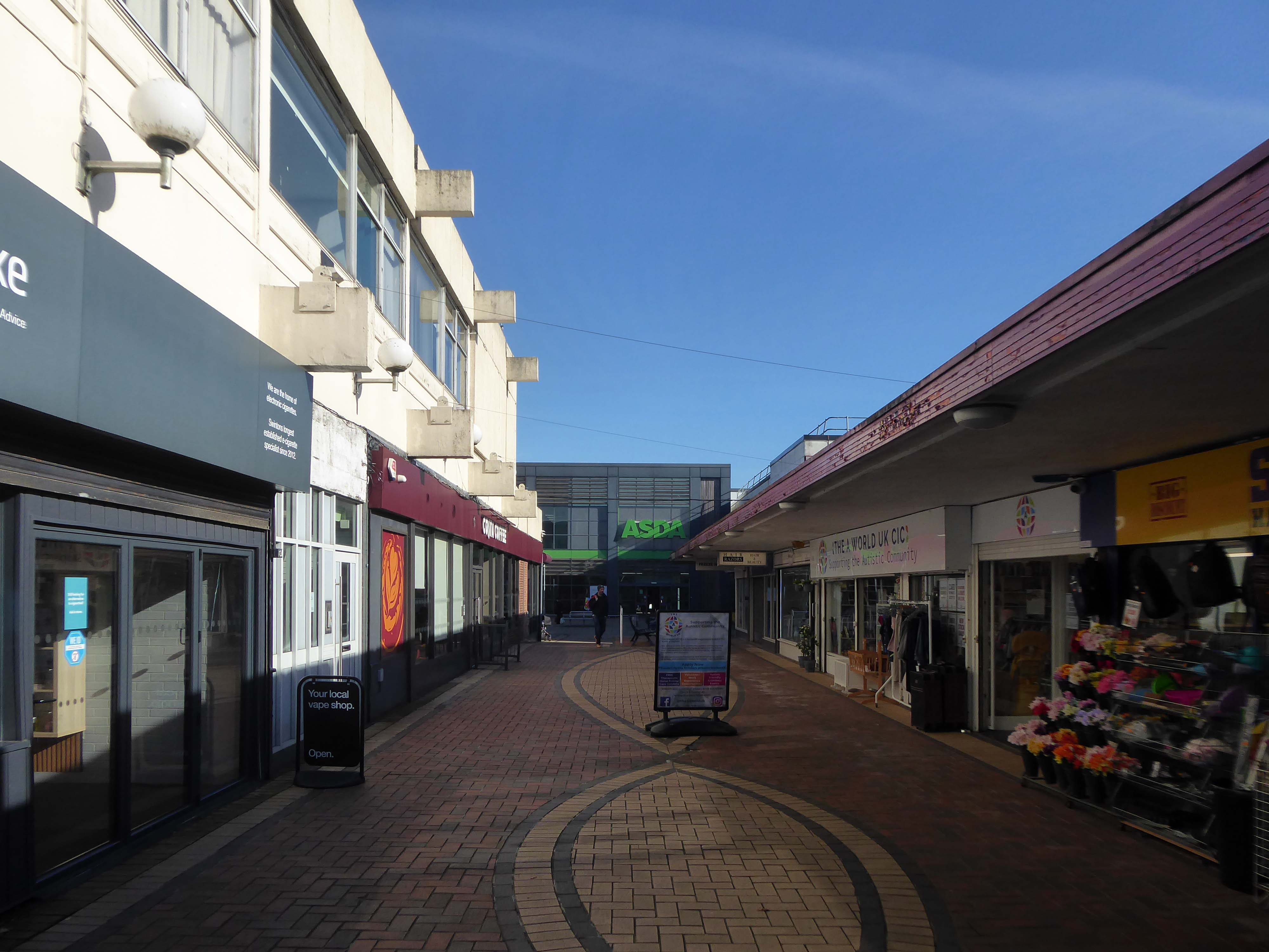
Salford’s town centres are important to the city’s future. They provide employment for local people, retail and leisure opportunities, homes, a sense of community, and a place for local people to interact. However, it is well known that town centres are changing and that they need to adapt and reposition themselves so that they can thrive and meet the needs of the local communities.
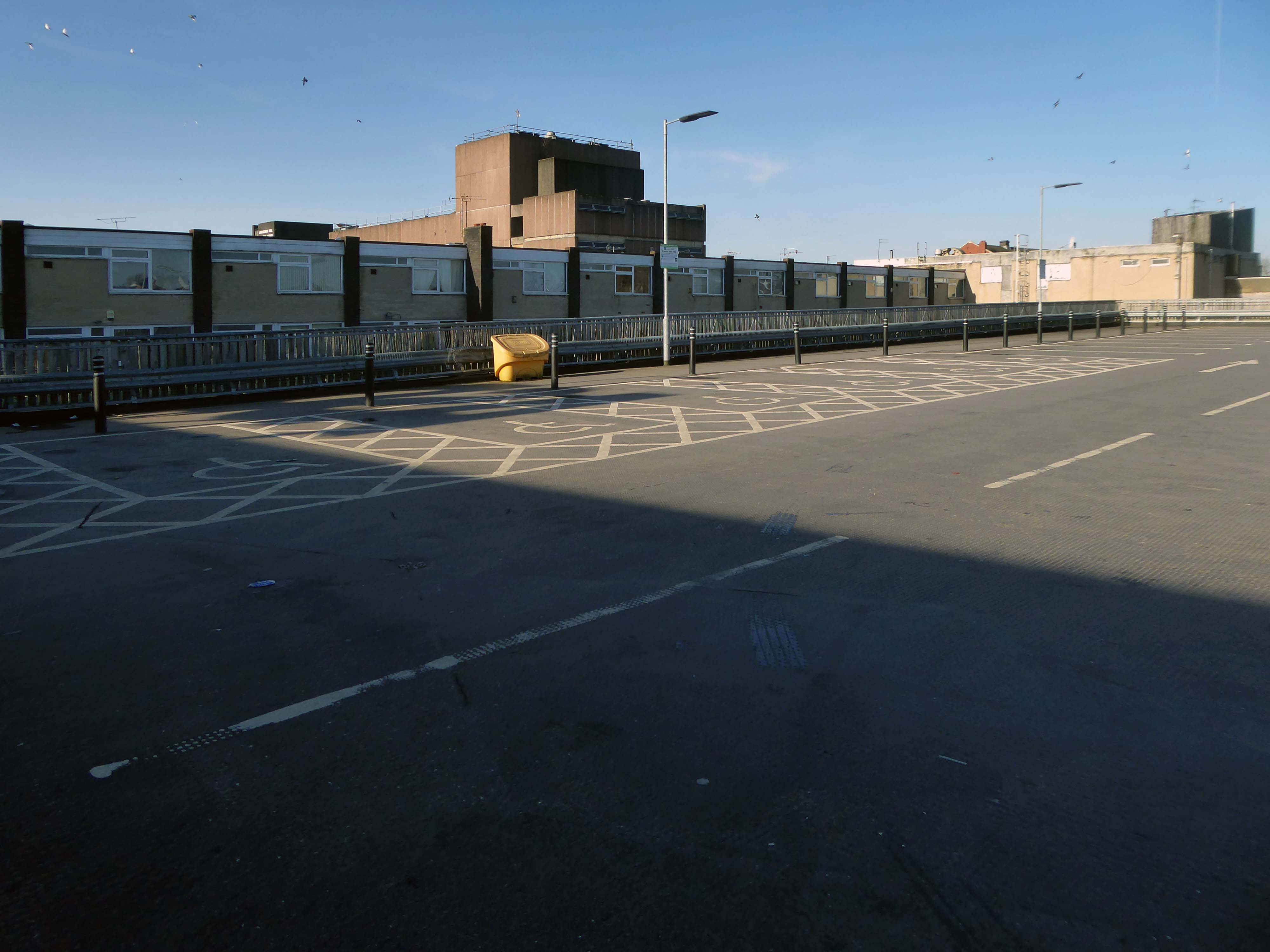
Despite Swinton’s many strengths, it faces similar challenges to other towns. The shopping centre and other buildings in the town centre are dated and in need of investment. Demand for local housing has grown by 23% in the last five years, but there is a lack of high-quality family and affordable housing in the right locations in the area.
The city council has identified Swinton town centre – along with Eccles, as a priority area for regeneration. On that basis, the council has engaged with the community and local stakeholders to establish a clear vision for the town that will help to guide change and future investment, whilst protecting what local people consider important for Swinton.
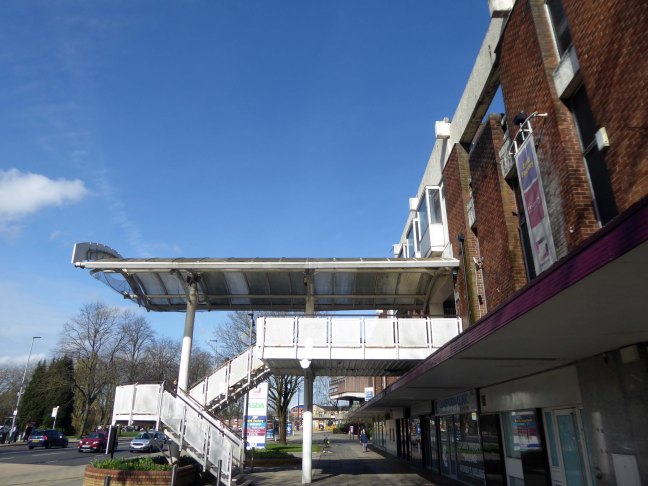
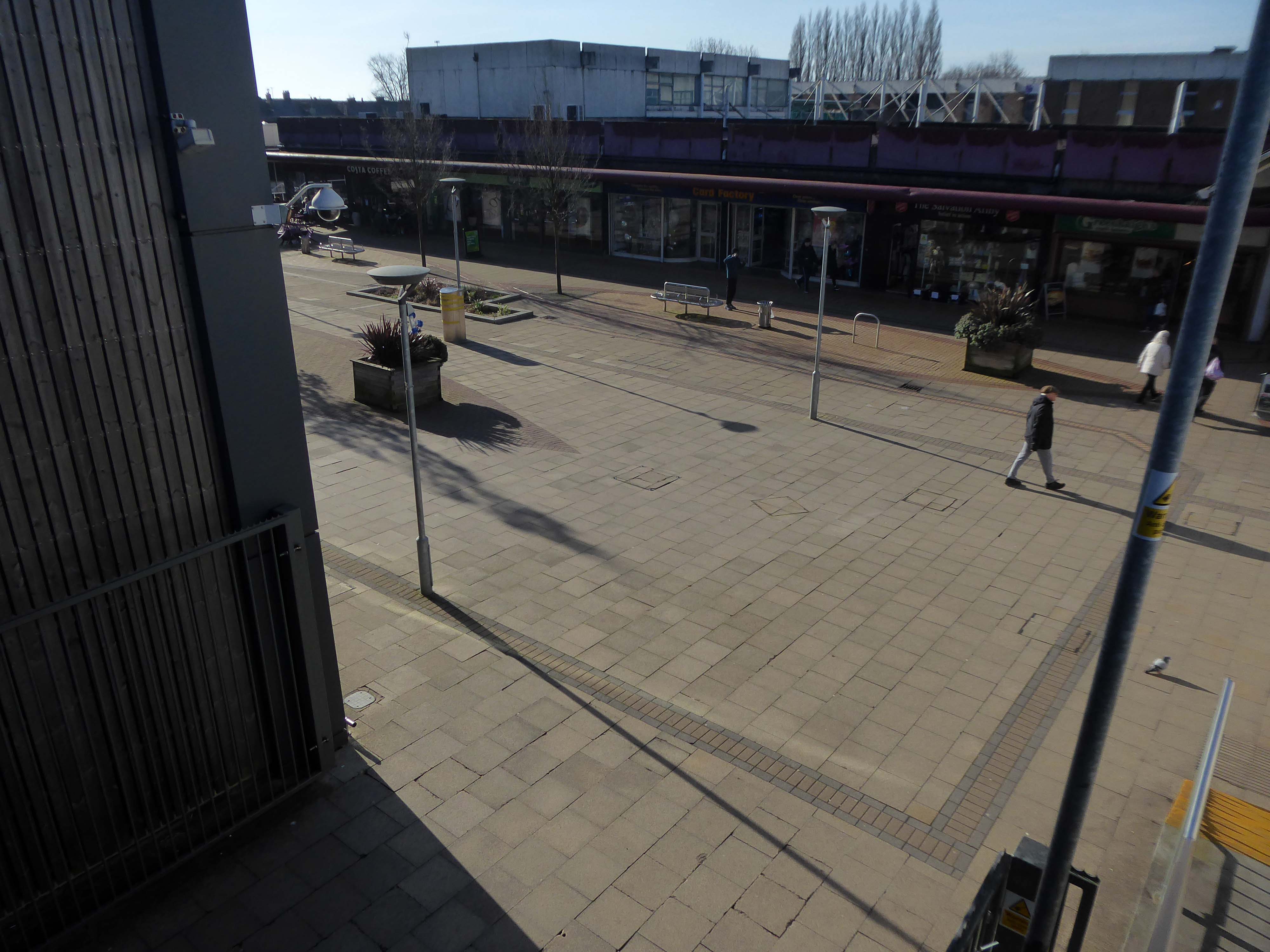
Swinton Square is in private ownership and therefore not something that the council has any direct control over. It is also important to acknowledge that the issues facing Swinton precinct are not unique to Swinton and those challenges are varied but linked to changing shopping habits, decline in the retail offer, competition from out-of-town centres as well as changes in the wider economy.
We do have an open dialogue with the owners of Swinton Square, the West Bromwich Building Society, who are aware of the vision and aspiration for Swinton.
One of the aims of the council’s events and animation programme is to encourage additional footfall and dwell time within the town centre.
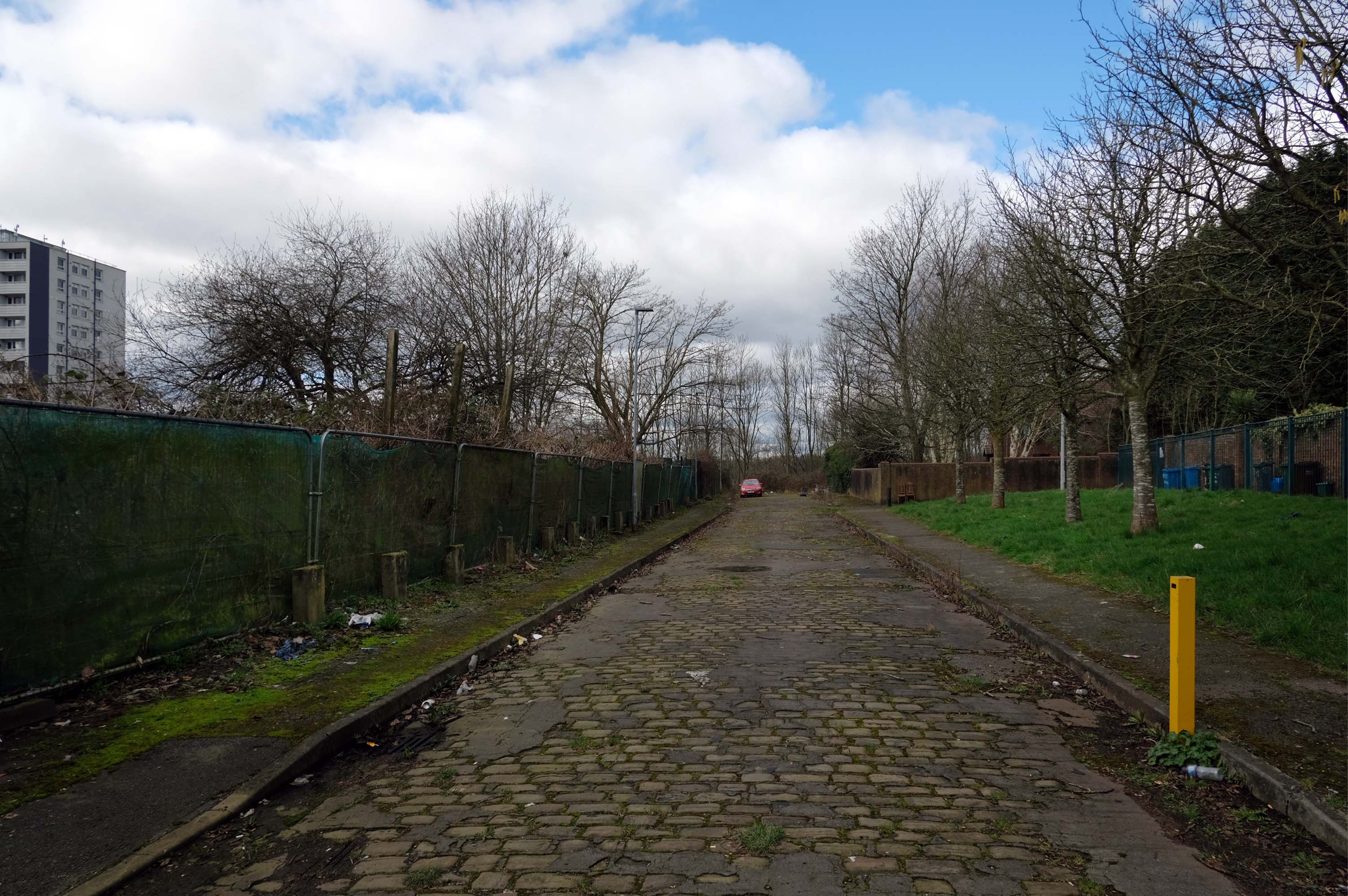
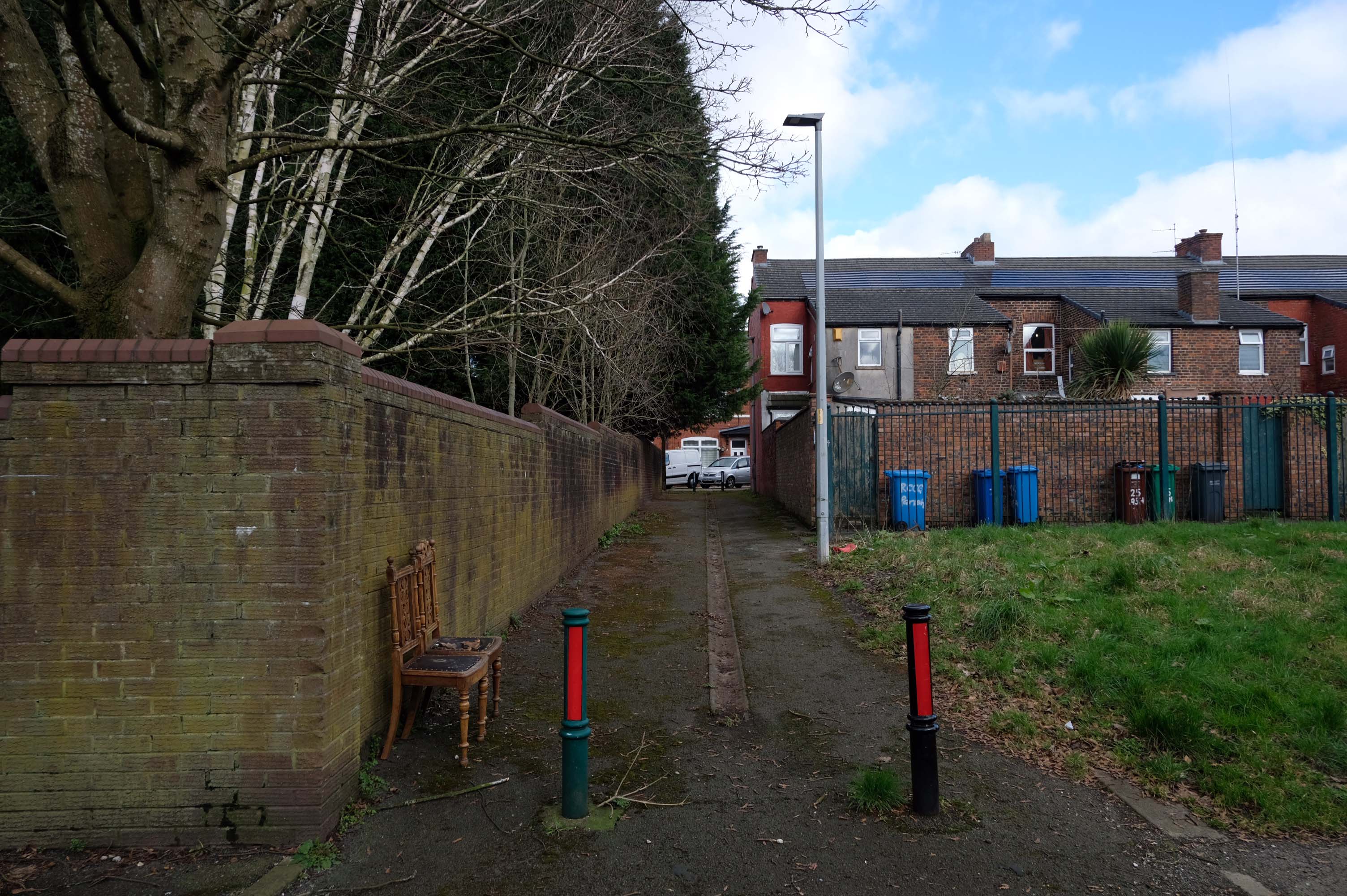
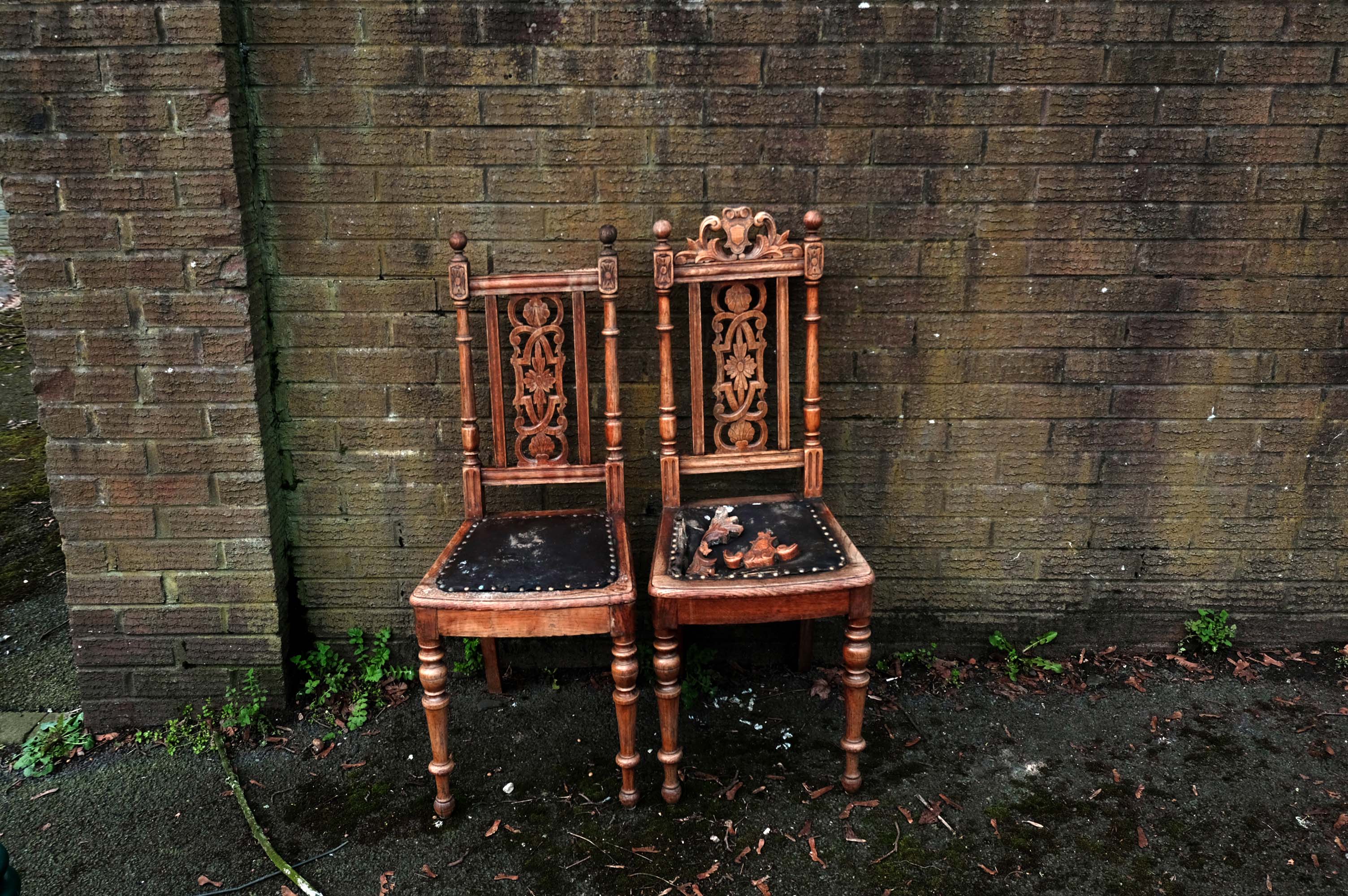
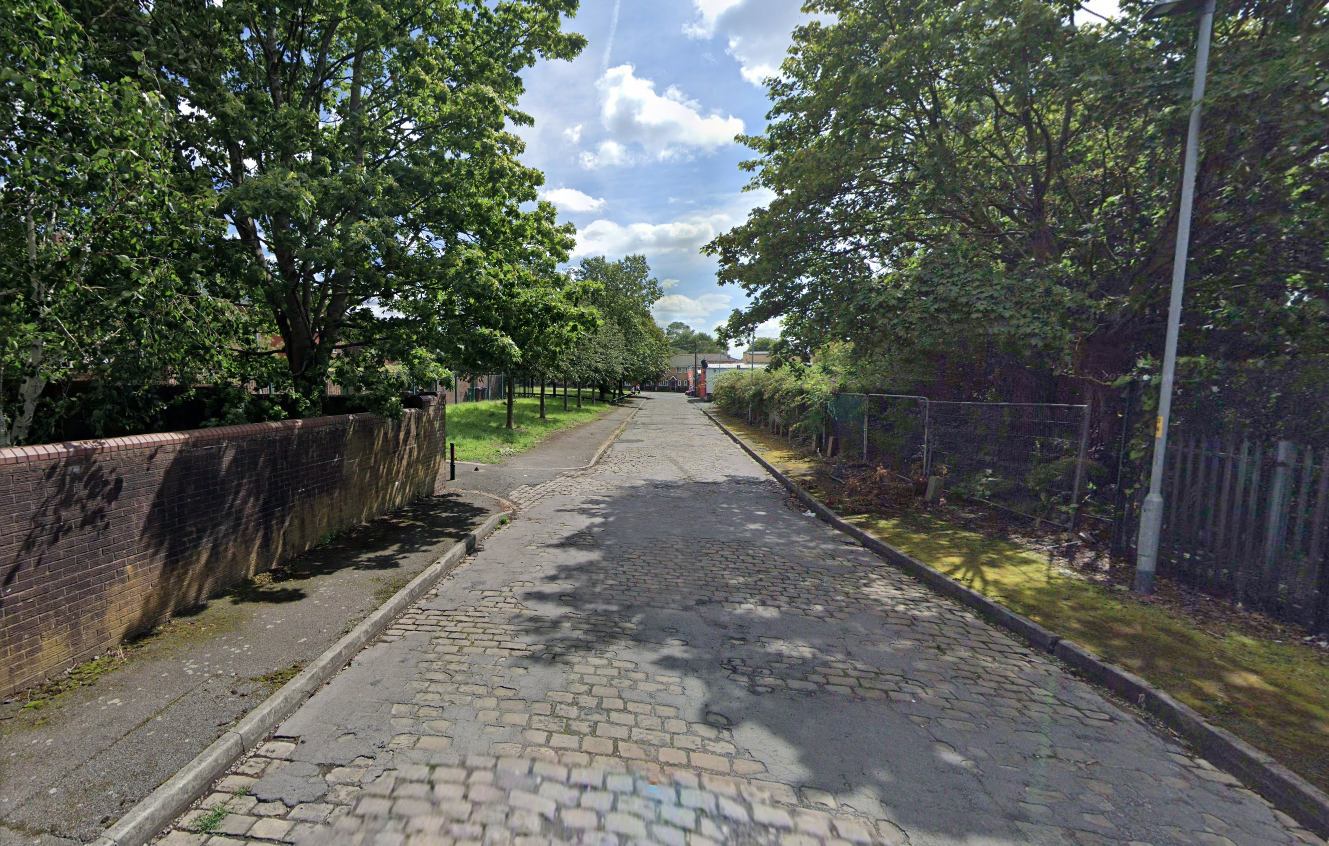
Walking along Rochdale Road yesterday, I was suddenly arrested by the Pleasant Street street sign.
Having already been suddenly arrested last week, by the Bland Close street sign.
With my expectations defined by the above definition, I ventured along the street in search of happy satisfaction.
Coincidentally – The 18th century entrepreneur Josiah Wedgwood pioneered many of the marketing strategies used today, including the satisfaction or you money back guarantee, on the entire range of his pottery products. The money-back guarantee was also a major tool of early US mail order sales pioneers in the United States such as Richard Sears and Powel Crosley Jr. to win the confidence of consumers.
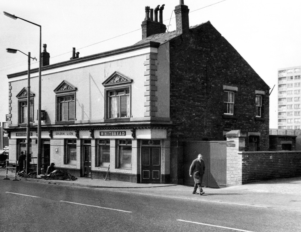
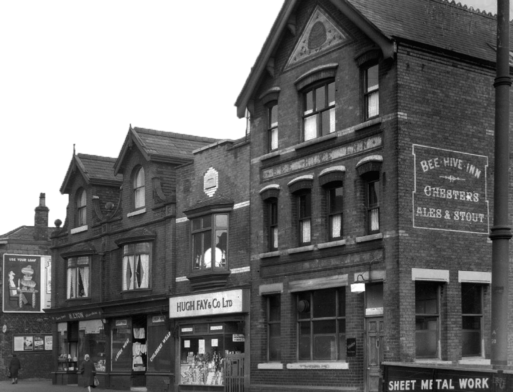
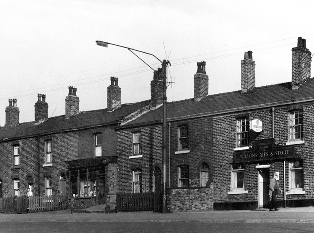
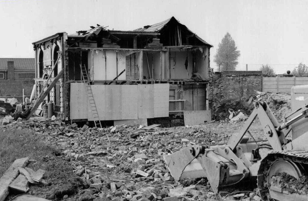
However at someone between 1968 and 2024 the housing had been cleared away – also missing in action is the Golden Lion pub adjoining Pleasant Street on Rochdale Road.
The Golden Lion was a proper old pub on the very busy rochdale road in the Harpurhey area of Manchester. Once inside there was a decent lounge and a basic bar i had a drink in the lounge and this was quite a comfy room.
This pub was a Whitbread tied house and there were two real ales on the bar I had a drink of Chesters bitter and this was a nice drink the other beer was Chesters mild. I thought this was quite a nice pub but sadly this pub has now been pulled down in the name of progress.
So here we are here today – yesterday has long gone and tomorrow never knows no how.
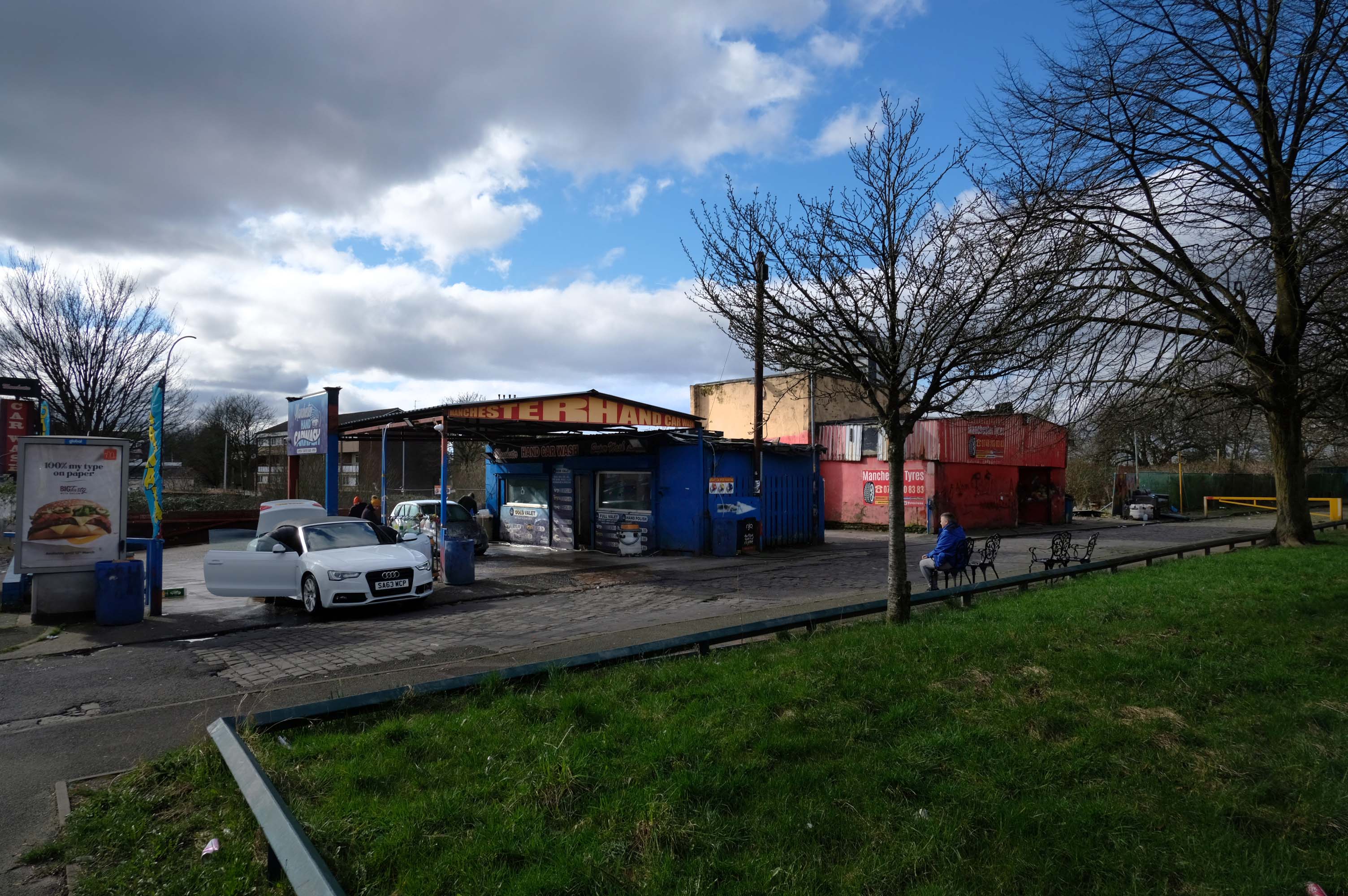
What’s left to see?
Manchester Hand Car Wash
Manchester Tyres
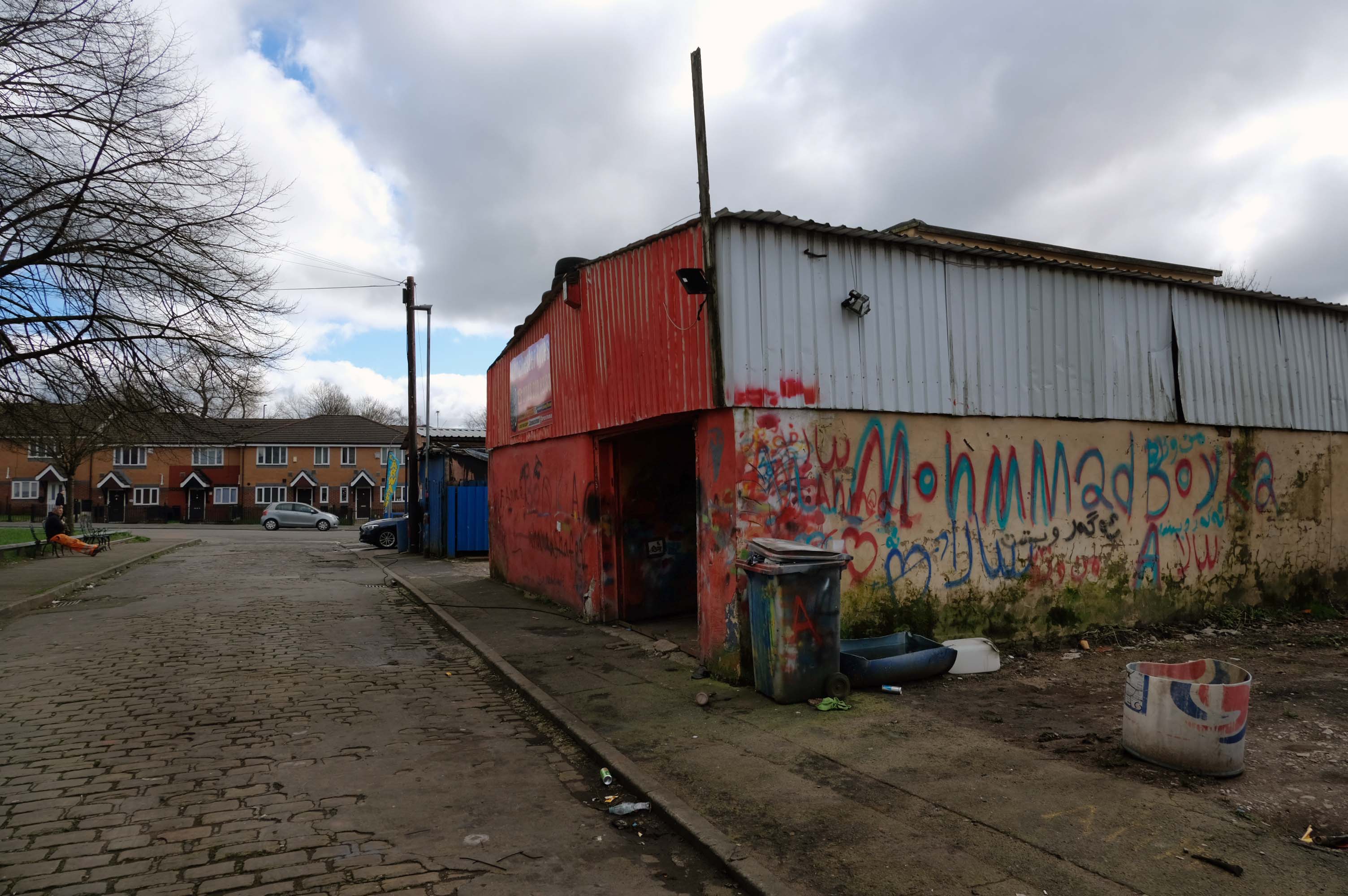
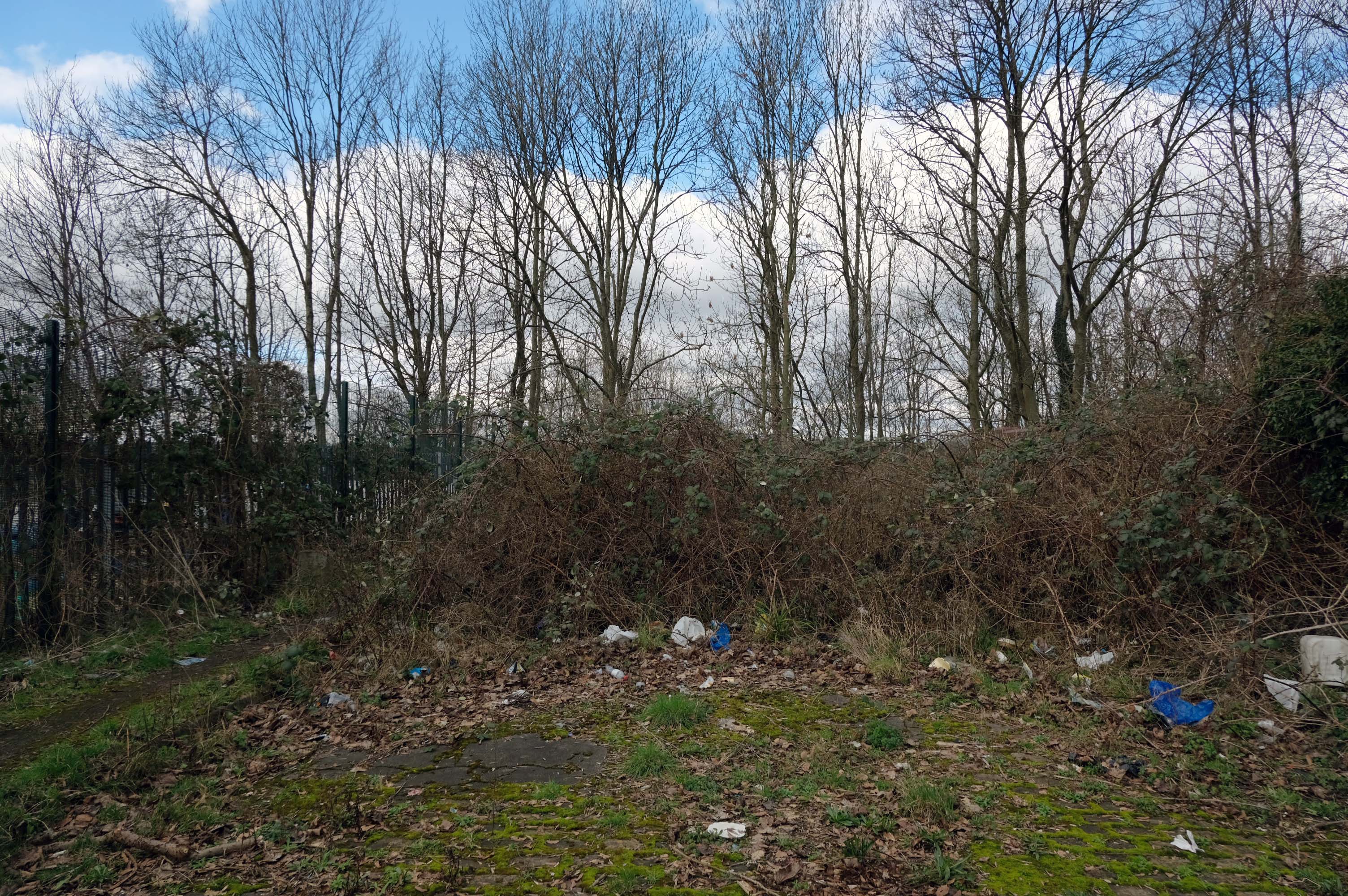
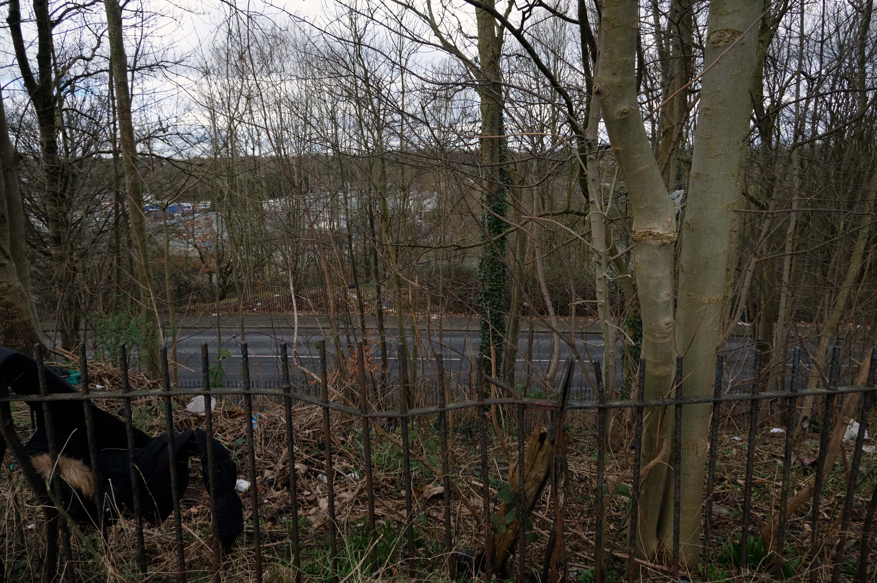
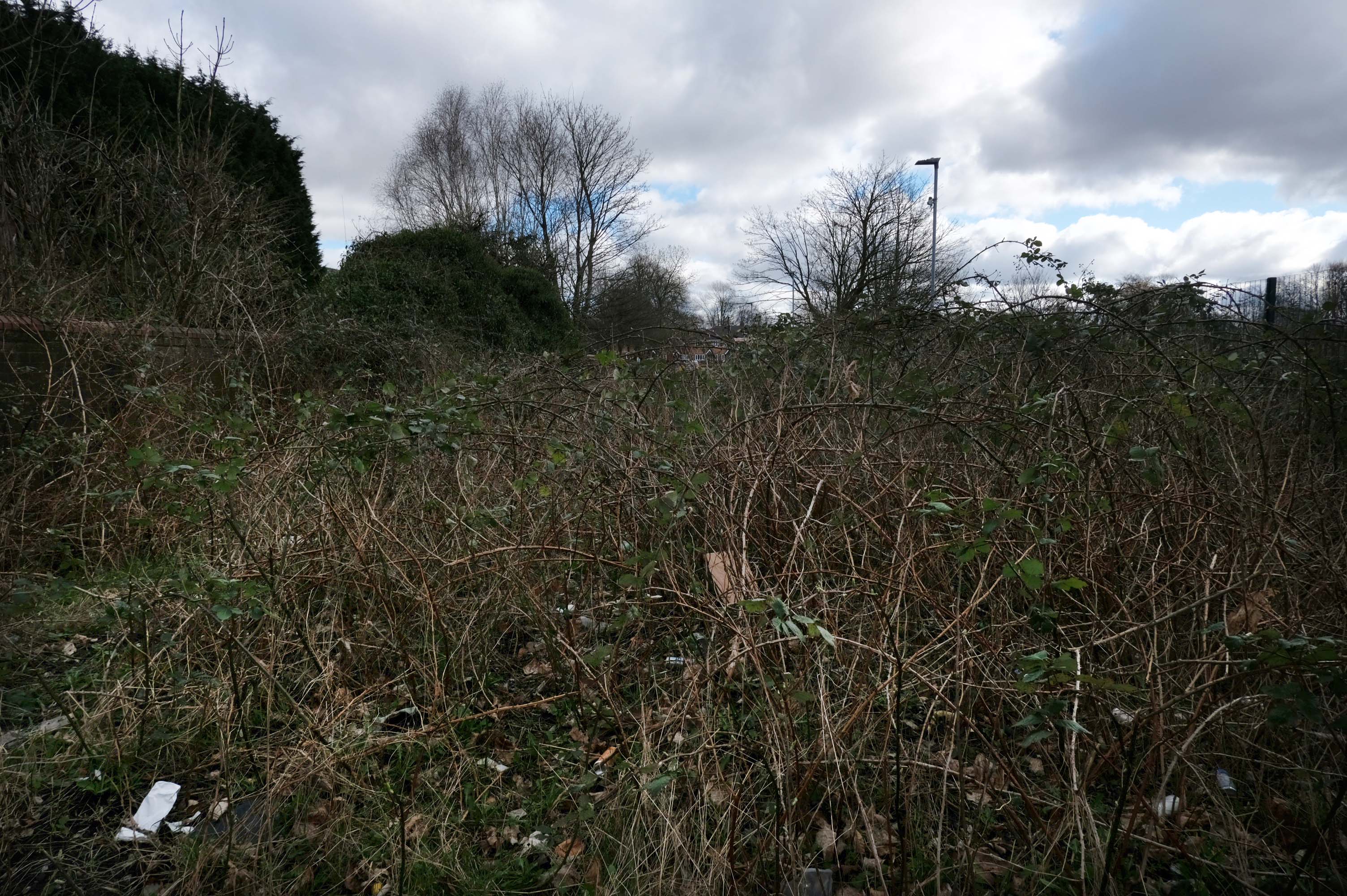
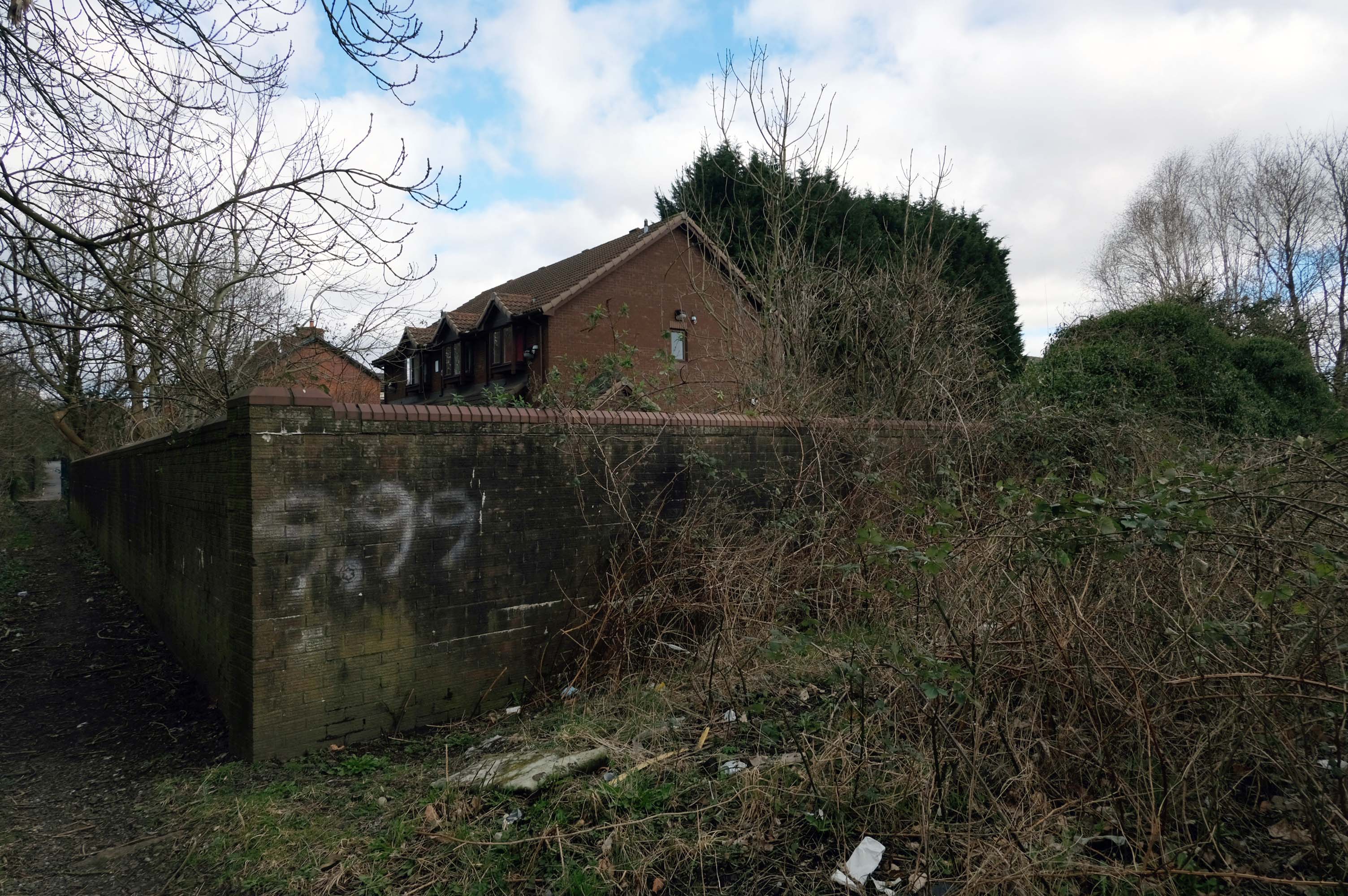
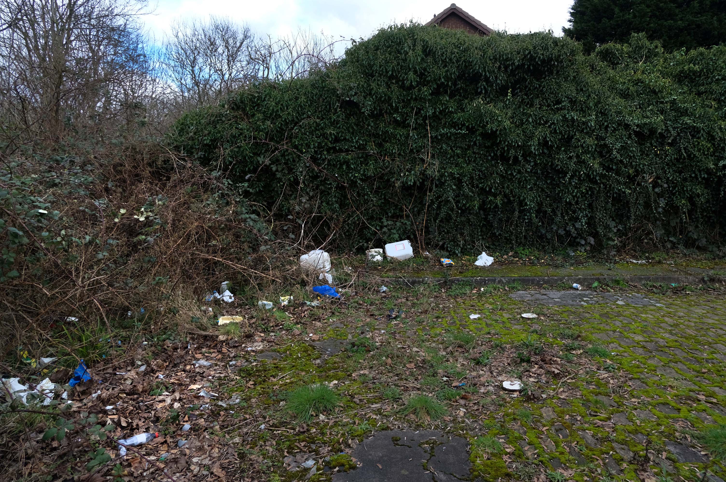
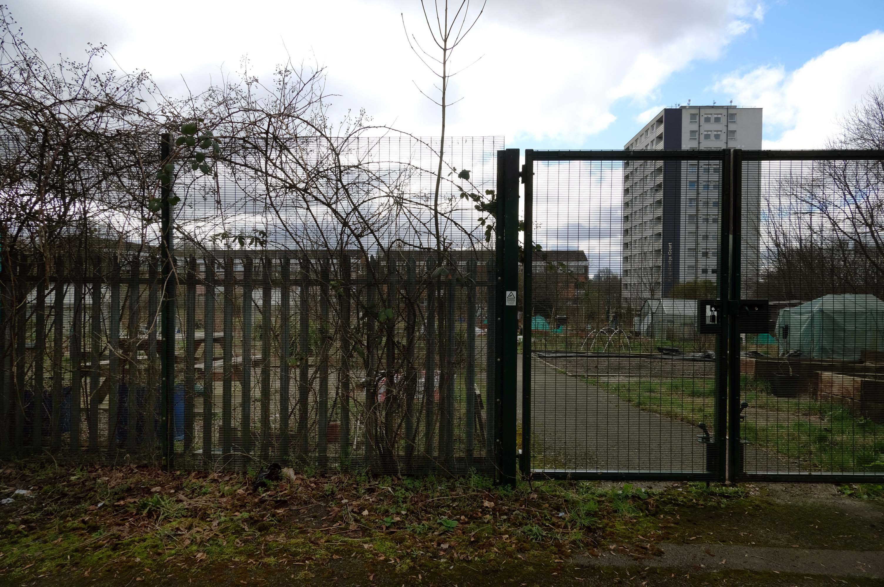
Pleasant Street Allotments
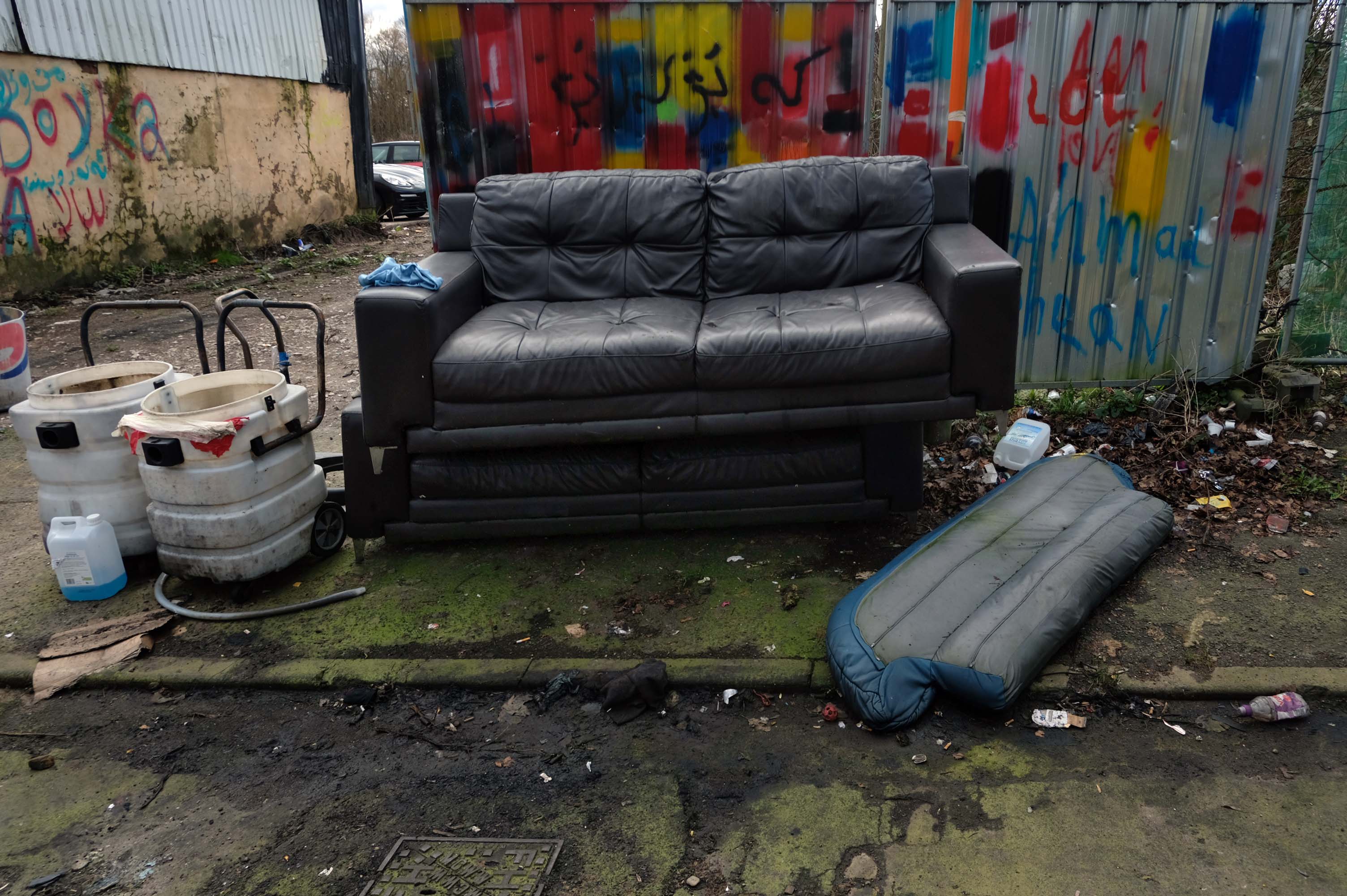
The allotments have had issues with fly tipping back in 2021.
There is now a lockable barrier in place on the cobbled cul-de-sac.
Photo – Howard Bristol
It is understood that the heaps of rubbish, including bin bags full of waste and unwanted wood and cardboard, have been growing in recent weeks.
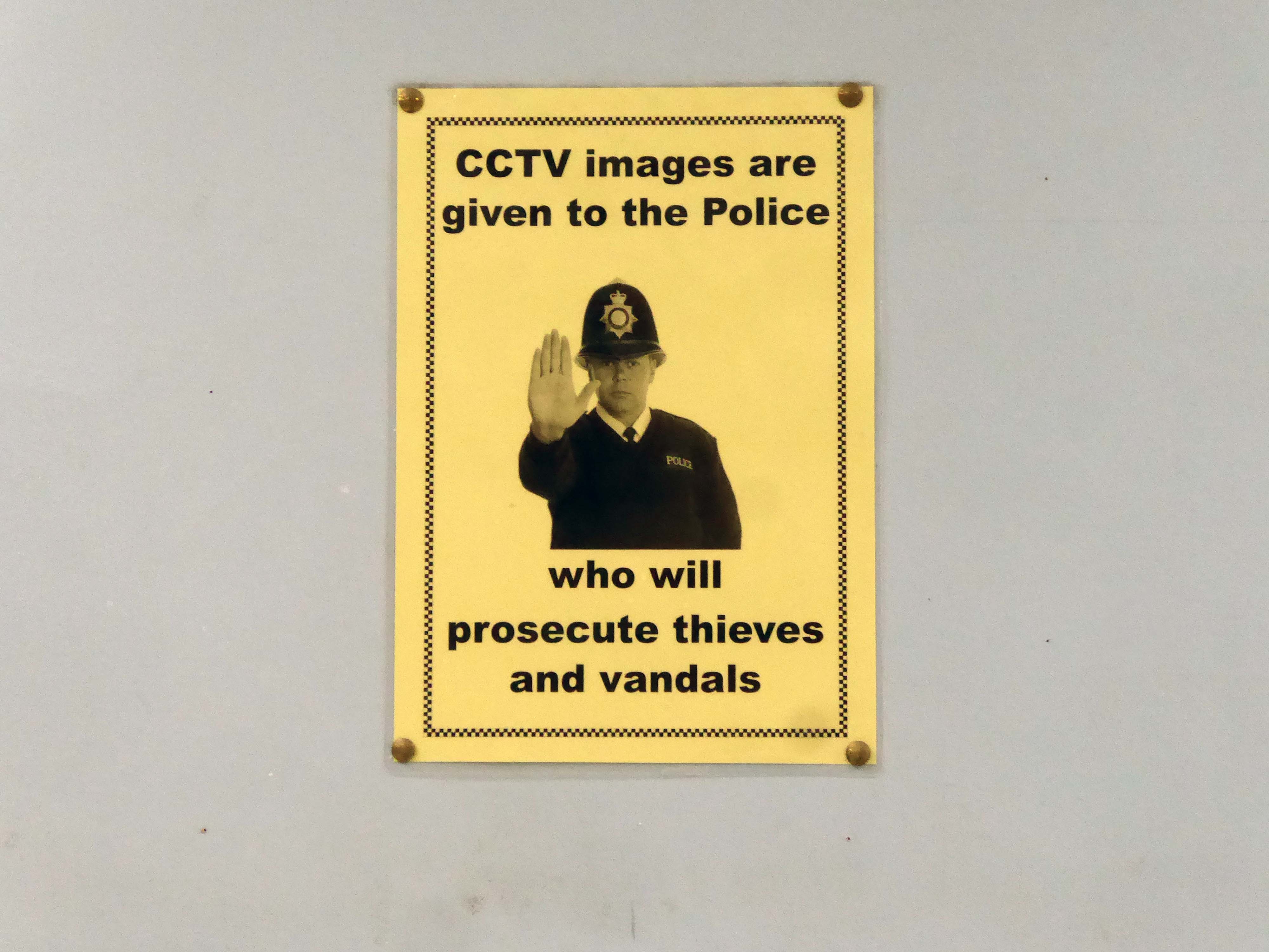
Howard Bristol, the Secretary of the Pleasant Street allotments committee, said the situation has been ongoing for some time but has worsened since the removal of nearby CCTV cameras.
He told the Evening News that the road has been – piling high with rubbish, and that the area also had issues with the woodland behind the allotments being used for drug dealing during summer.
Pat Karney, councillor for Harpurhey tweeted about the flytipping on Sunday, calling it – unbelievable and disgraceful.
He added that those responsible should be – locked up in Strangeways for a long time, before adding that the council will – get it cleared.
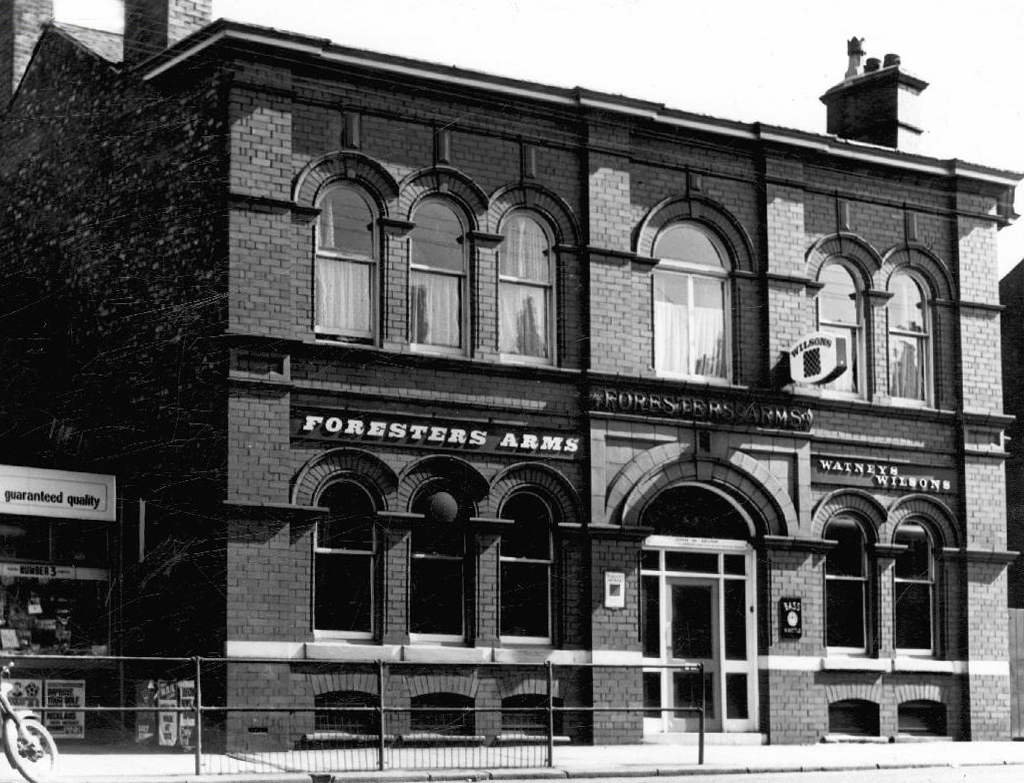
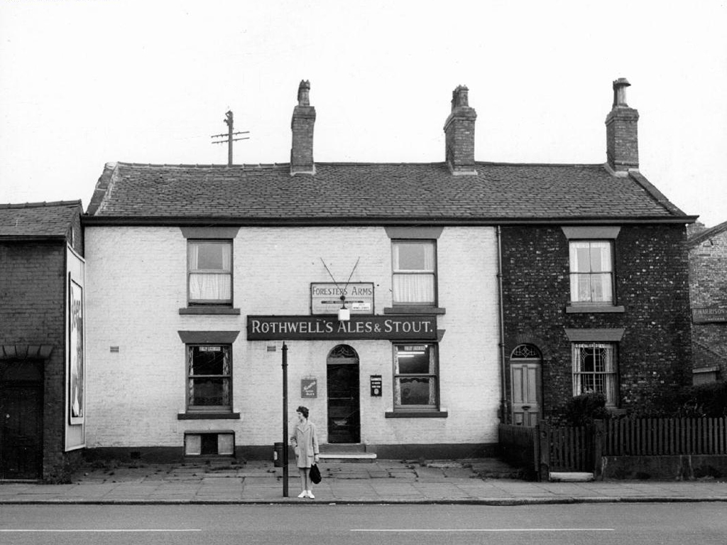
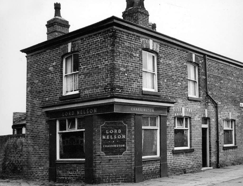
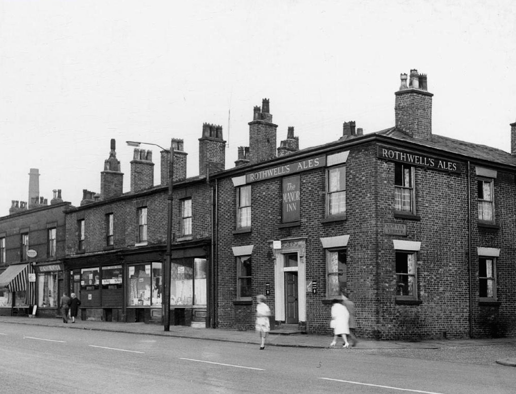
This is Oldham Road Manchester – this also Memory Lane.
Walking from the city centre to Failsworth I noted the absence of public houses, some long since demolished, some now serving other purposes – very few open selling beer.
Many of the breweries no longer trading.
Much of this the consequence of changing economic circumstances, the decline in manufacturing and subsequent serious absence in regular drinkers.
I do remember the huge Winston Churchill relief in the Room and R100 Airship wooden panelling in the lounge. Also of note were the ornate plater work ceilings and pendulous lighting, much damaged as the pub awaited restoration.
The A5103 is a major thoroughfare running south from Piccadilly Gardens in Manchester city centre to the M56 in Northenden. The road is two-lane dual carriageway with a few grade-separated junctions. It is used by many as a link to the airport and to the motorway network south.
The road starts at Piccadilly Gardens where it meets the A6. It heads along Portland Street – at one time it ran along the parallel Mosley Street, past fast-food outlets and off-licences and then meets the A34 Oxford Street. It multiplexes with that road north for 200 yards into St Peter’s Square and then turns left into Lower Mosley Street, initially alongside the tramlines and then past the former Manchester Central station, now a conference centre with the same name. The road becomes Albion Street and goes over the Bridgewater Canal and under the railway line east of Deansgate station. The road then meets the A57(M) Mancunian Way at a roundabout interchange. This is where most of the traffic joins and leaves.
The road is now 2×2 dual carriageway with the name Princess Road. It passes under the Hulme Arch, a grade-separated junction with the A5067, with an unusually large central reservation. This is presumably because of the proposed plans from the 1960s of a motorway. However, after passing under the junction, there are innumerate sets of traffic lights, with the B5219, the A6010 and the A5145, as well as many other unsigned roads. There are also many speed cameras set at 30 mph.
The road picks up pace as we exit the sprawl of South Manchester and the road becomes Princess Parkway, with a 50 mph speed limit. We cross the River Mersey and almost immediately hit the M60 at J5.
Except for the Manchester City Centre section – which was numbered A5068, this road did not exist on classification in 1922. Princess Road was built in 1932 to serve the new southwestern suburbs; initially it ran between the B5219 and A560 and was numbered B5290, with the road later extended north into the A5068 on the southern edge of the city centre and renumbered A5103.
The northern extension through Hulme initially followed previously existing roads, so followed a zigzag route. As part of the road’s upgrade and the reconstruction of Hulme in the 1970s the road was straightened and the original route can no longer be seen. The A5068 was severed around this time with the construction of the A57(M) and the A5103 took on its city-centre section, taking it to the A6.
The A34 is a major route from the ports on the South Coast of England to the Midlands and the North West, with the standard varying from rural dual carriageway sections in the south to urban single carriageway in the north, and everything else in between.
Slade Lane junction, Rushford Park to Parr’s Wood, East Didsbury – to connect to Manchester Road to Cheadle. It continued on to Laneside Road as a residential road. Opened on 11 April 1923 by Mary Cundiff, Lady Mayoress, and Margaret Turnbull, daughter of Alderman Turnbull, Chairman of Manchester Town Planning Committee. Width was 100 feet and it was designed for tram tracks in the central reservation. The dual road carriageways were 20 feet wide. Manchester’s tram system was closed in 1949. The carriageways were widened and central reservation grassed over. Originally opened as A5079.
Laneside Road, East Didsbury to Schools Hill/ Wilmslow Road junction, Cheadle. Opened on 12 October 1959. The official opening was on 15 October 1959. Planning for the bypass had been halted by the war. In December 1949 Manchester Corporation stated that it was not a priority since the Corporation was only responsible for the 200 yards to the proposed bridge over the River Mersey and Cheshire County Council had not asked for a joint approach to Ministry of Transport to build it. Work was finally authorised in January 1957 and started in the June. Width was 90 feet with dual 24 foot carriageways. Expected cost was £600,000 to £700,000.
The A6 is Britain’s fourth longest road. Its route varies greatly from the lower lands of the South East, though the Peak District, right though the heart of Manchester city centre, then onwards towards Preston. It then goes though the historic city of Lancaster before skirting the Eastern fringe of the Lake District before ending in Carlisle, bang on the start of the A7.
North from Stockport towards Manchester, the A6 was a wide, four lane road, but still 30 mph, which usually flowed pretty well. According to Mudge, it looks like it has now been massacred by bus lanes and red paint. Shame. We meet the A57 from the east, just south of the city centre, and multiplex until we reach Mancunian Way, the A57 heading off as a short urban motorway, the A6 heading into the city centre via London Road/Piccadily, where it loses its number and vanishes. It would have gone straight down Piccadily/Market Street to meet Deansgate, and then across the River Irwell into Salford, and up Chapel Street, where the number reappears. Market Street has been pedestrianised for years, so the A6 has long ceased to be a through route.
The A57 was nearly a coast to coast route. It passes through three major city centres (Liverpool, Manchester, and Sheffield – with elevated sections in each) and several smaller ones, multiplexes with the A6 and the A1, follows the banks of two canals and negotiates the remotest part of the Peak District. In one city it part of it is a tram route, whilst in another its former route is also a tram route. After all these adventures, it sadly gives up just 40 miles short of the east coast, Lincoln apparently proving too big an obstacle.
The A57 crosses the River Irwell at Regent Bridge before entering its moment of motorway glory as the A57(M) Mancunian Way skirting the south of Manchester’s city centre on an elevated section and crossing the A56 and A34. This includes a half-completed exit that goes the wrong way up Brook Street – a one way street. The original A57 ran further north through the city centre along Liverpool Road (now the A6143) and Whitworth Street – B6469 as far as the A6 London Road which marked the start of a multiplex.
At the end of Mancunian Way, we reach a TOTSO, straight on being the short unsigned A635(M) and thence the A635 – for Saddleworth Moor, Barnsley and Doncaster whilst the A57 turns south, briefly multiplexing with the A6, and then branching off along Hyde Road. This section of road was extensively cleared for the westward extension for the M67, and consequently has seen a lot of redevelopment.
The road now begins slightly further south than it used to. Instead of starting on Fairfield Street in Manchester city centre, it begins immediately as the Mancunian Way ends, which at this point is the unsigned A635(M). The motorway flows directly into our route. There’s a TOTSO right at a set of lights, and we pick up the old alignment, which now starts as the B6469.
We can see the new City of Manchester Stadium on the left, site of the 2002 Commonwealth Games and now home to Manchester City FC. The road switches between S2 and S4 as it passes through the rather run-down urban areas of Ardwick and Gorton. A short one-way system at a triangular-shaped junction with the A662 leads onto a wider stretch as we near the M60 junction. This area is set to see significant industrial growth, with whole swathes of land either side of the now D3 road cleared and ready for development.
Starting at traffic lights on the A665 the road heads northeastwards, initially with the Metrolink on the left and a factory building on the right. The road then bears right at traffic lights marking the first section of on-street running for the trams, which lasts until just before a bridge over the River Medlock, after which the road passes to the south of the Sportcity complex whilst the tram line runs through the middle.
The A6010 is crossed at traffic lights, after which we see the tram lines on the left once more. We go over the Ashton Canal, then the tram lines at grade before bearing to the right to pass Clayton Park before another section of on-street running for the Metrolink begins, which continues for some distance. Just after crossing the Manchester city limit there is a set of traffic lights, after which the road becomes D2 for a short distance to allow a tram stop – Edge Lane, to be located in the central reservation. The tram leaves the road to the right for the next stop – Cemetery Road, and the stop in Droylsden town centre is once again in the central reservation. In all three cases the street running recommences after the stop.
The A62, which runs from Manchester to Leeds, via Oldham and Huddersfield, was once the main route across the Pennines, connecting the largest city in Lancashire with Yorkshire’s largest city. However with the completion of the M62 towards Leeds in the early 1970s it lost much of its importance and traffic to the motorway, which runs a few miles to the north. These days, the A62 serves as a busy primary route between Manchester and Oldham, an extremely very quiet route over the Pennines, and then a fairly busy local road linking Huddersfield with Leeds.
Most maps show that the A62 starts its journey in the middle of Manchester by leaving the A6 Piccadilly and running along Lever Street – the original route was the parallel Oldham Street. However, owing to a bus gate Lever Street is not generally accessible from Piccadilly. We head out easterly on a busy street – non–primary, until we meet the Ring Road where we pick up primary status that we retain until Oldham. We turn left at this point and then immediately right to start the A62 proper.
In 2014, having taken early retirement from teaching photography, I embarked on a series of walks along the arterial roads of Manchester.
This whole undertaking was prompted in part by Charlie Meecham’s 1980’s Oldham Road project.
The work questions whether a sense of local identity can be maintained in an area of constant redevelopment and community displacement.
This area was first developed in the 19th century for cotton manufacture, coal extraction and later electrical and heavy engineering. The road was lined with shops and there was a vibrant community.
When I first started working on the project, most of the early industry had ceased operating and the mills were either abandoned or being dismantled. However, some had been refurbished either for new industrial use or later, made into apartments. Some run down areas were cleared making way for new housing. Clearance also provided opportunity to build new schools, trading estates and create green space. Most of the older community centres such as theatres and cinemas along the road were also abandoned and later cleared.
The obvious place for the A664 to start is on the A665 Manchester & Salford Inner Relief Route, which at this point is actually two parallel one-way streets. However, many maps show the road continuing a short distance into the city centre to end at traffic lights by the Shudehill Interchange – this is presumably for historic reasons: the road originally continued along the High Street to its terminus on the A6 Market Street.
The road heads northeastwards through the suburbs, the street name Rochdale Road, already emphasising its destination. Initially dual, the road narrows just before crossing the bridge over the railway line east of Victoria station. It continues through Collyhurst and widens again just before crossing the A6010 Intermediate Ring Road, which here is made up of two parallel one-way streets, requiring two separate sets of traffic lights to cross.
Now non-primary – but still dual for a short distance more, the road runs in a more northerly direction through Blackley, where it becomes wooded for a short distance as it passes the Boggart Hole Clough park. Slightly further on the road has been straightened, after which it bears right to widen considerably and cross the A6104 at traffic lights just before M60 J20, which only has west-facing sliproads. The road narrows again on the far side of the motorway and leaves Manchester for Rochdale at the same point.