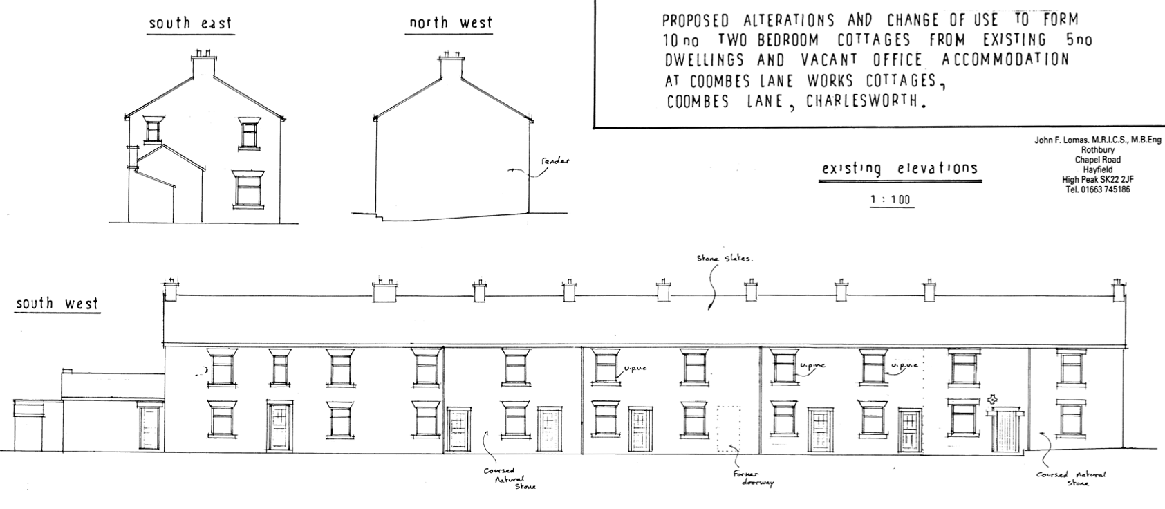
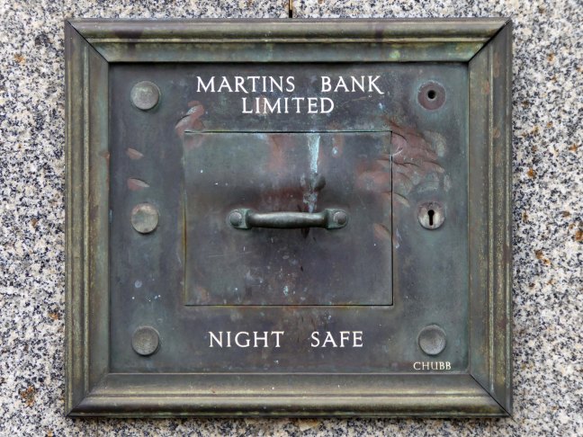
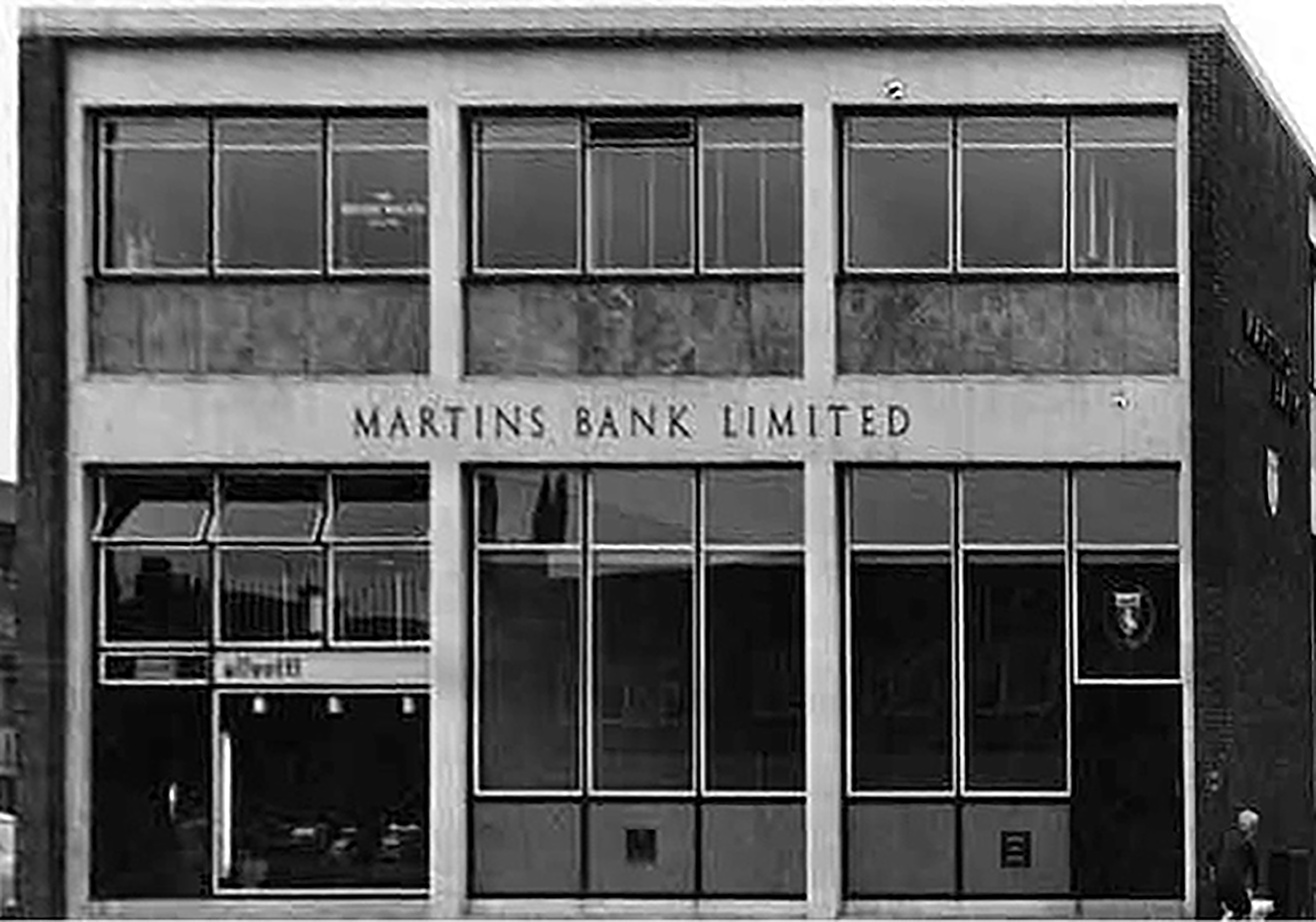
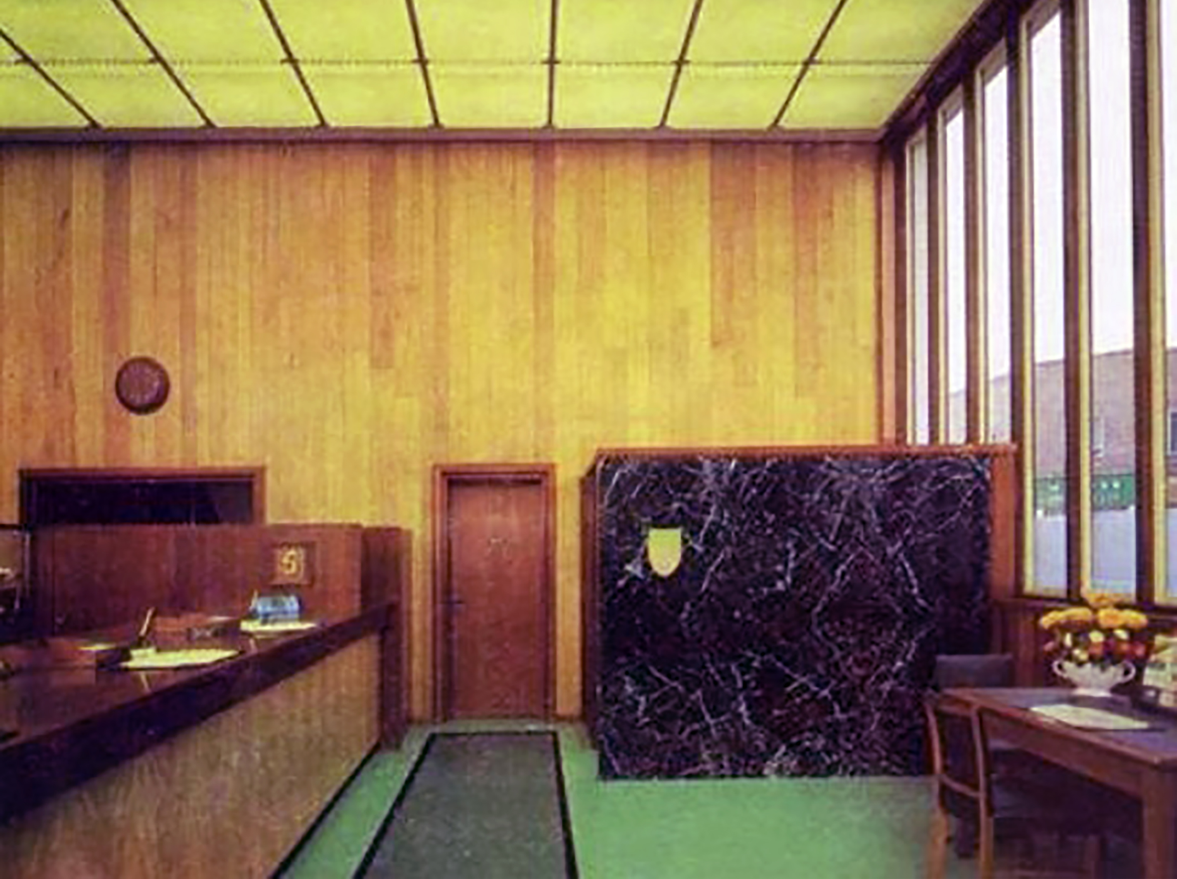
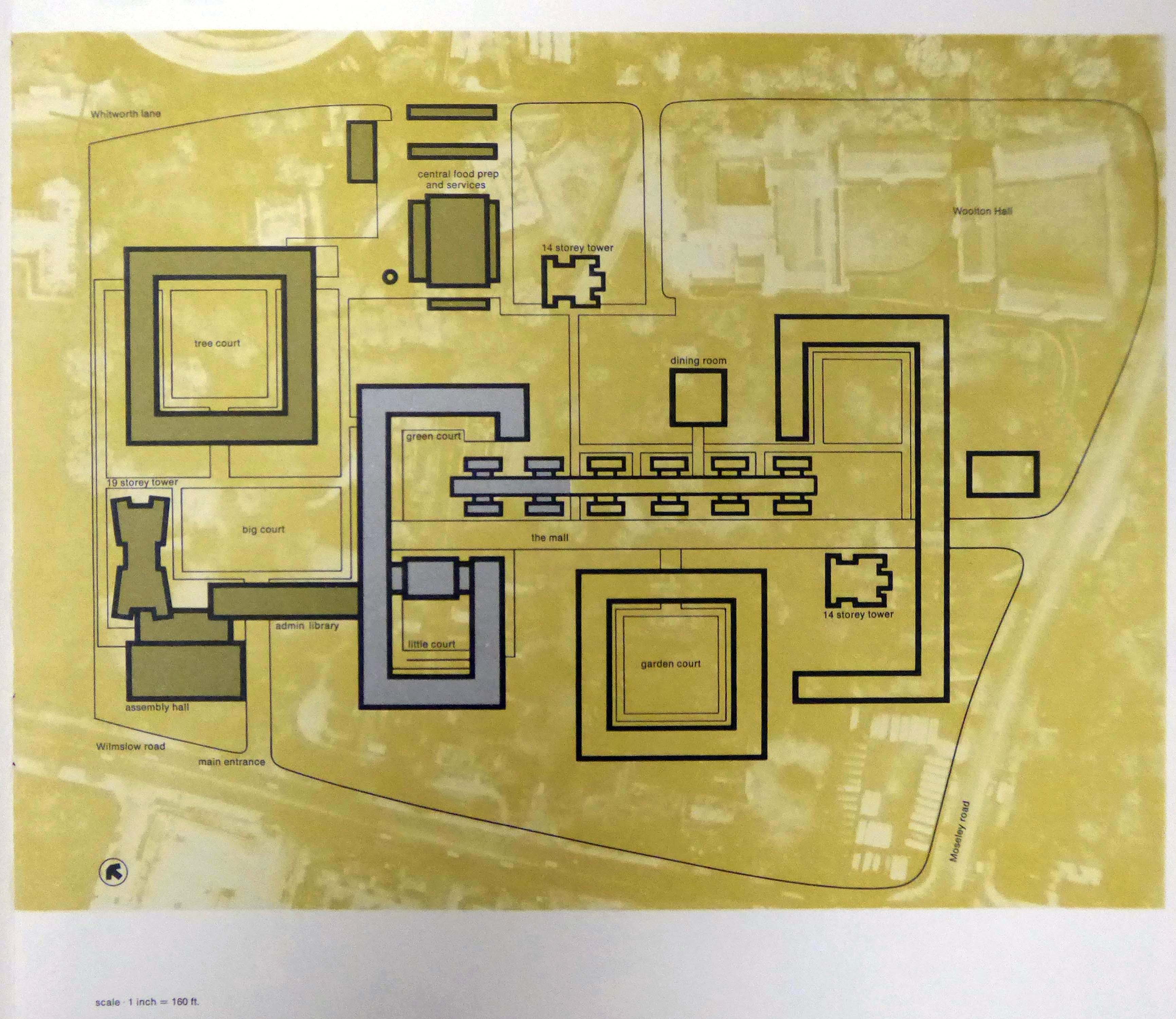
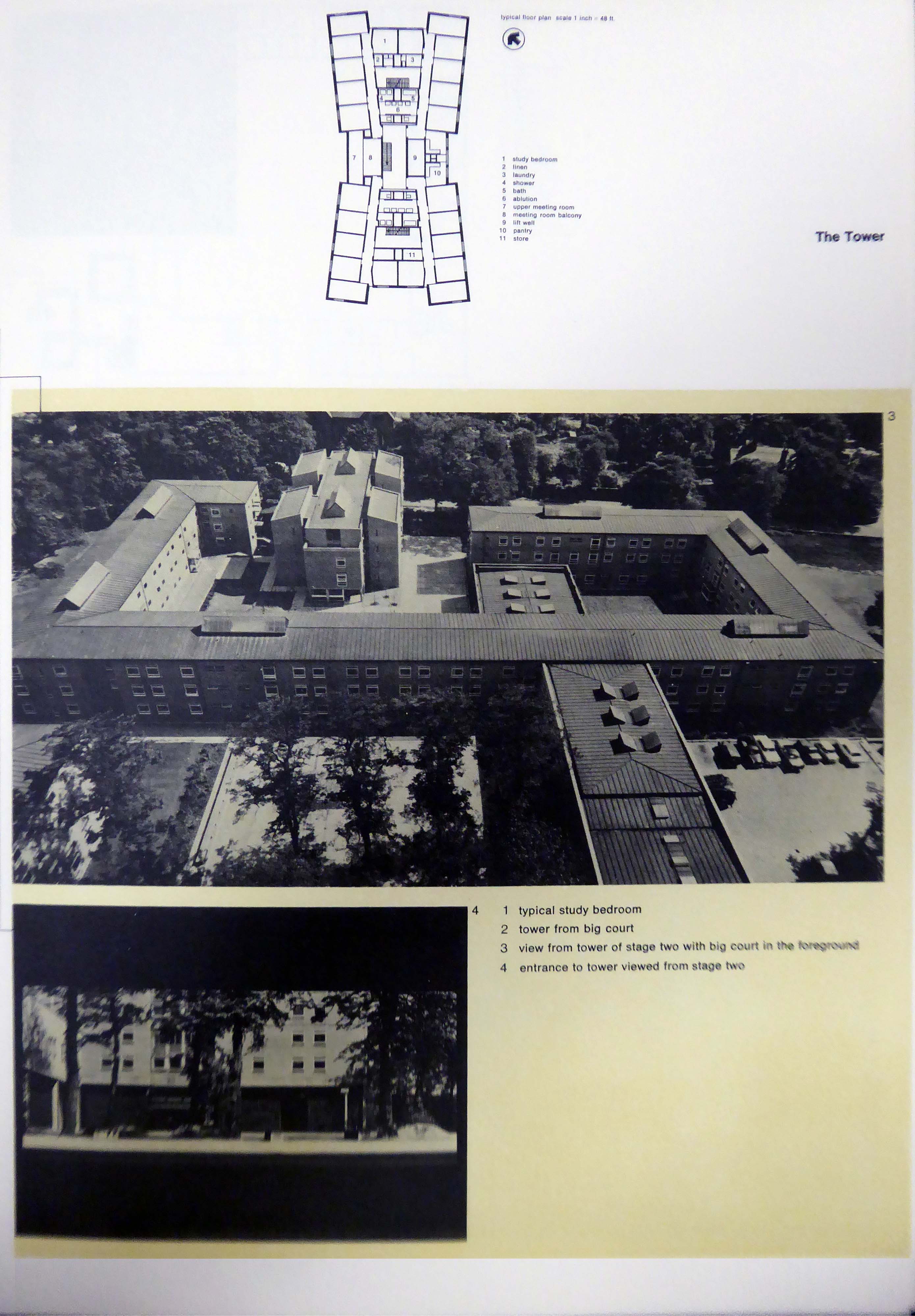
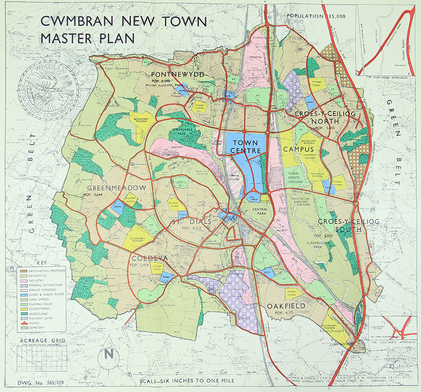
The A57 was nearly a coast to coast route. It passes through three major city centres (Liverpool, Manchester, and Sheffield – with elevated sections in each) and several smaller ones, multiplexes with the A6 and the A1, follows the banks of two canals and negotiates the remotest part of the Peak District. In one city it part of it is a tram route, whilst in another its former route is also a tram route. After all these adventures, it sadly gives up just 40 miles short of the east coast, Lincoln apparently proving too big an obstacle.
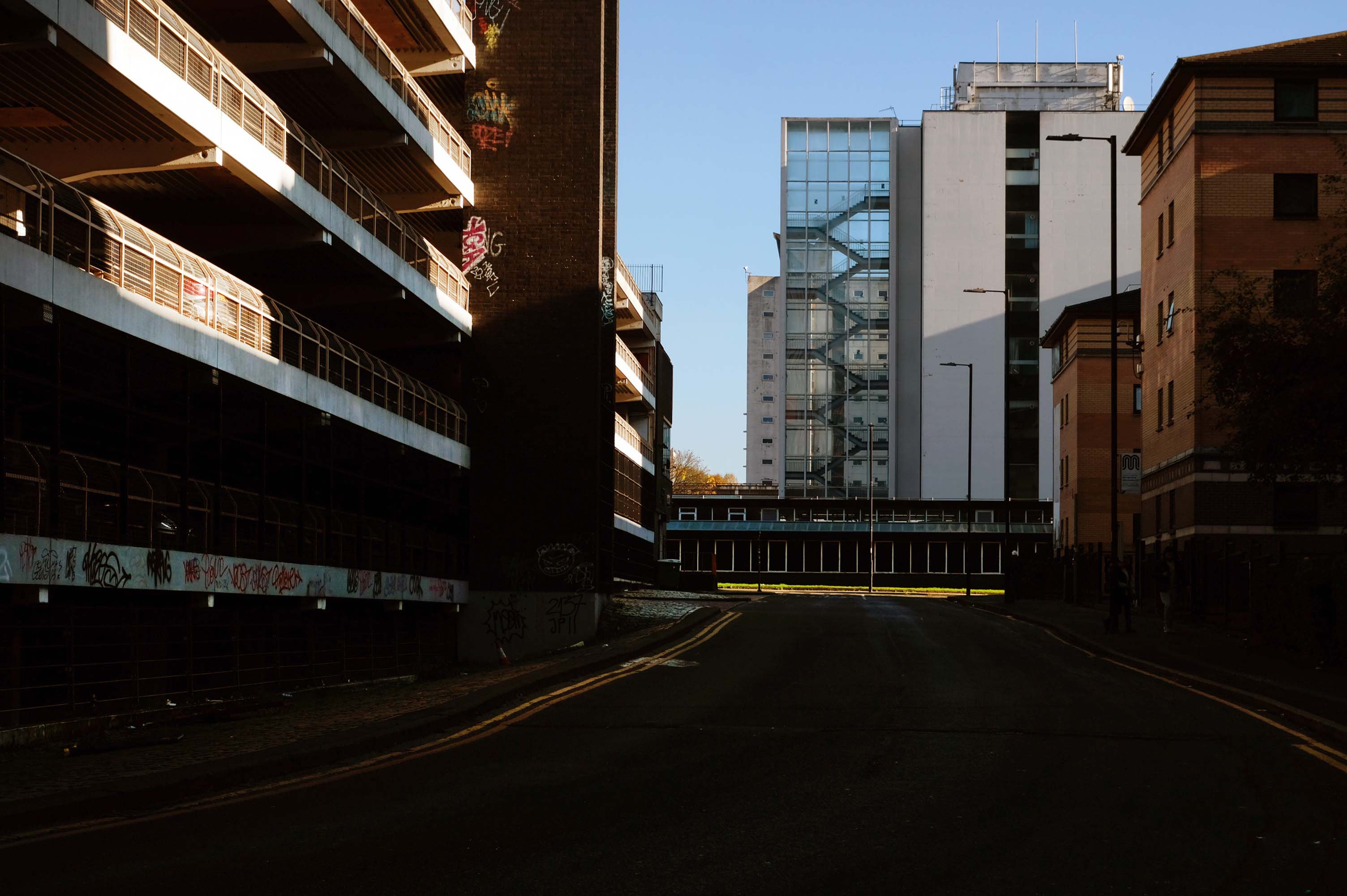
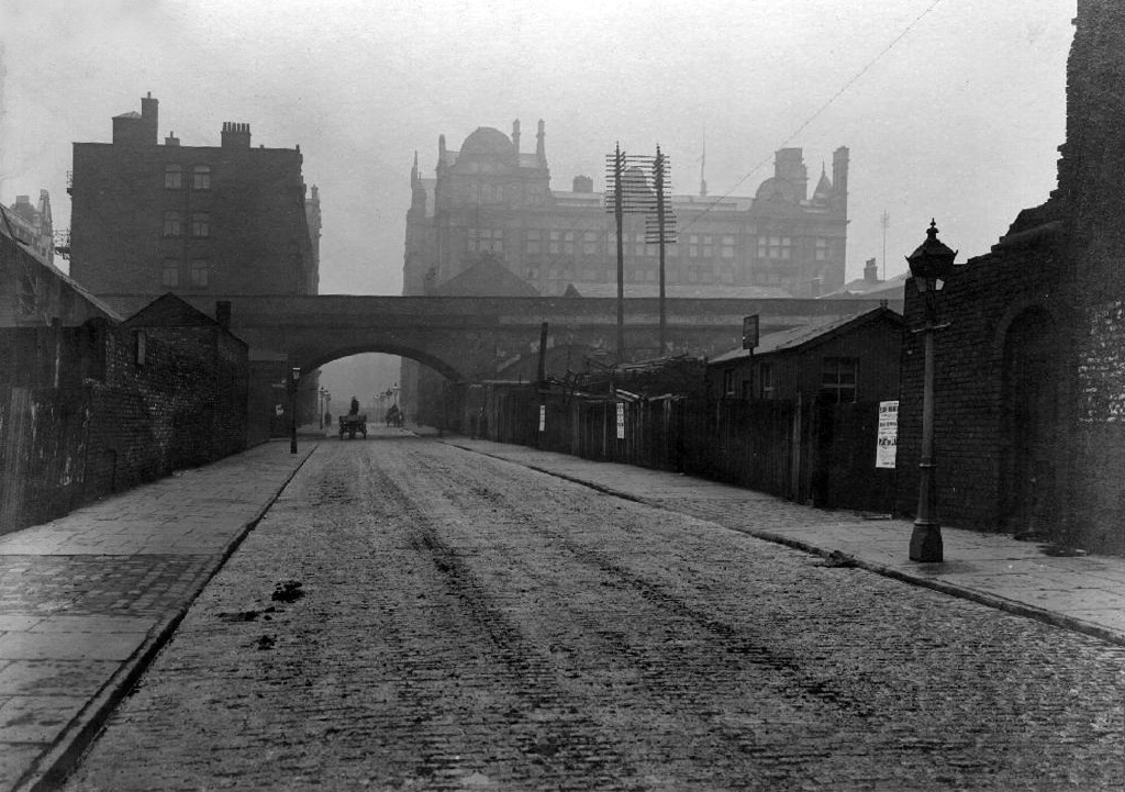
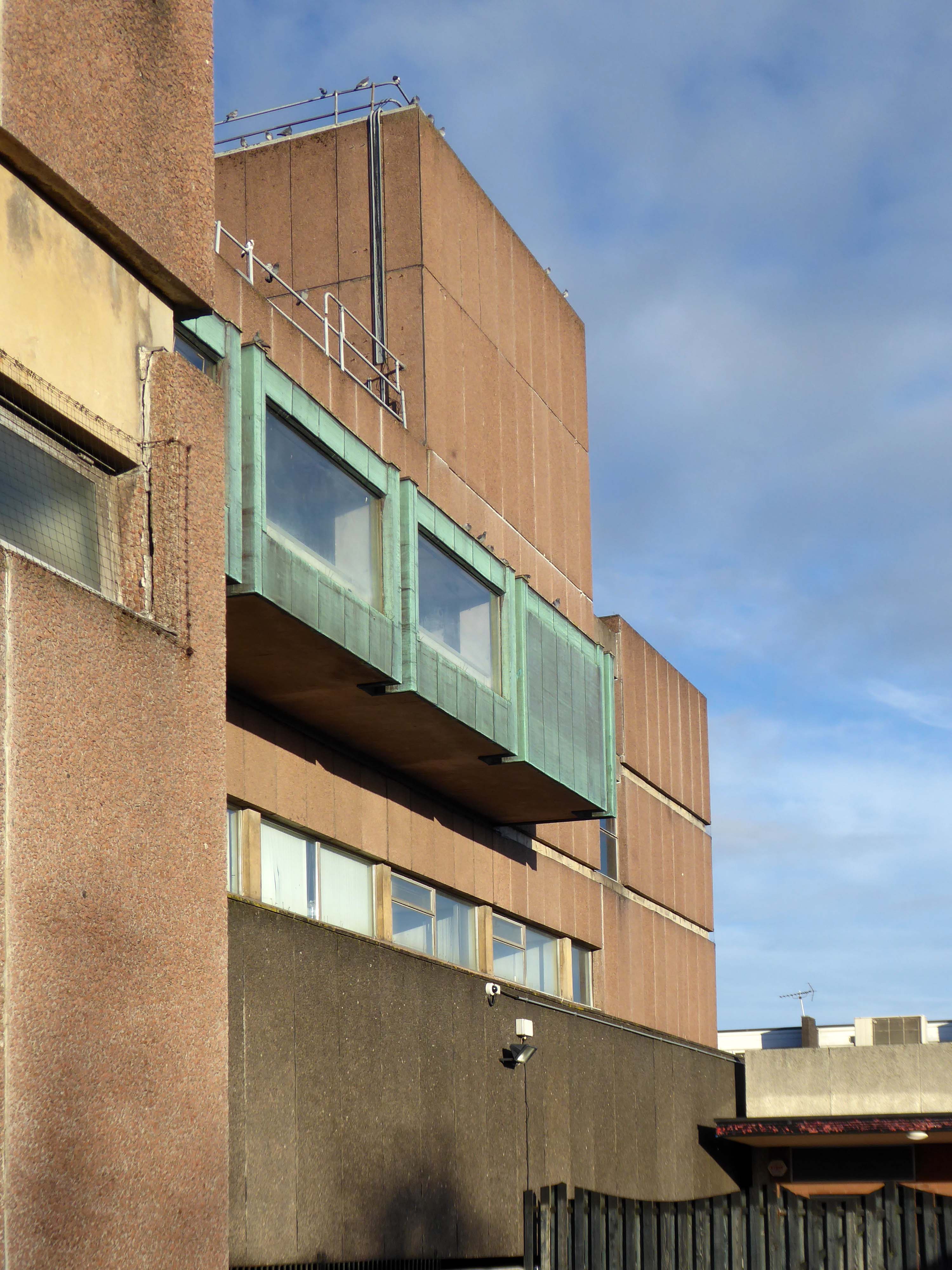
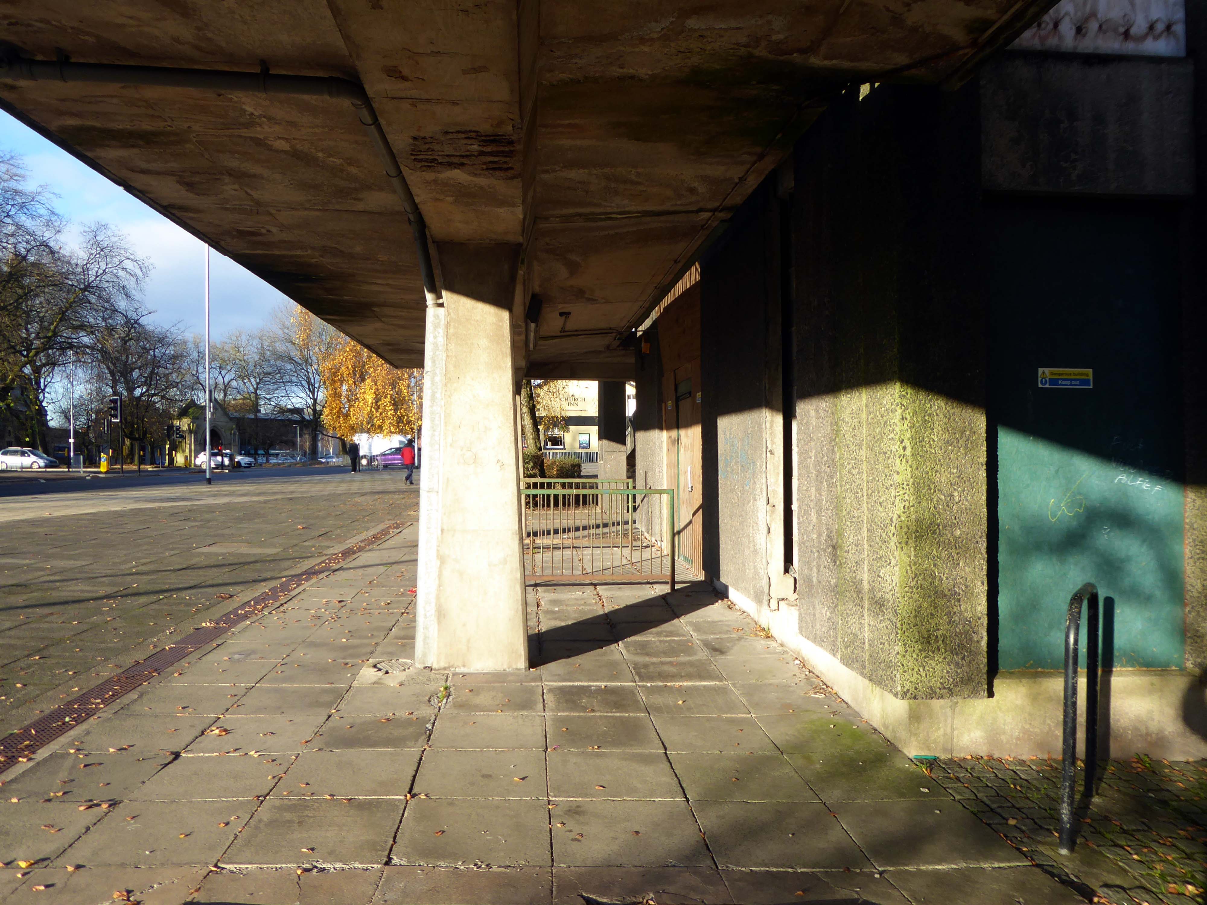
The A57 crosses the River Irwell at Regent Bridge before entering its moment of motorway glory as the A57(M) Mancunian Way skirting the south of Manchester’s city centre on an elevated section and crossing the A56 and A34. This includes a half-completed exit that goes the wrong way up Brook Street – a one way street. The original A57 ran further north through the city centre along Liverpool Road (now the A6143) and Whitworth Street – B6469 as far as the A6 London Road which marked the start of a multiplex.
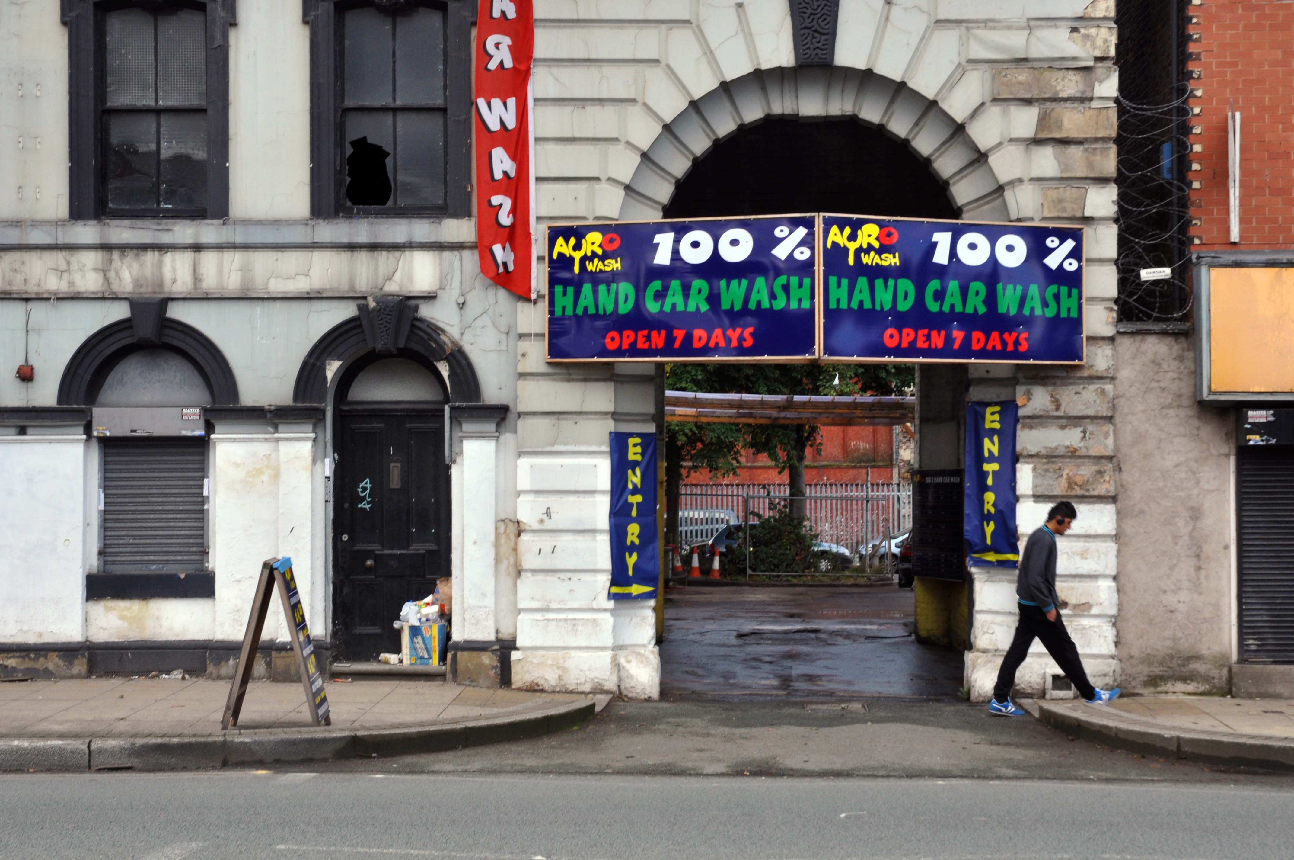
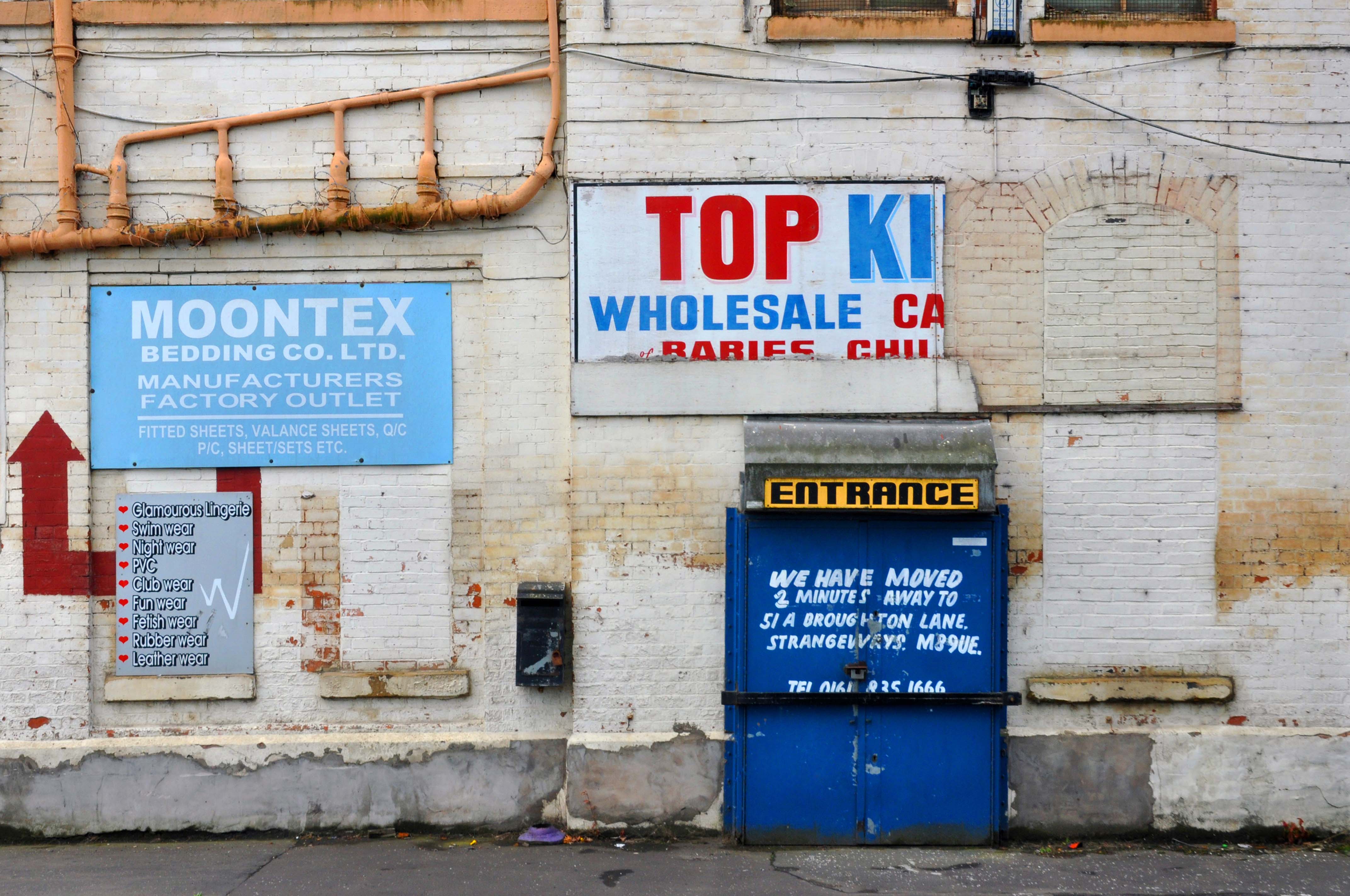
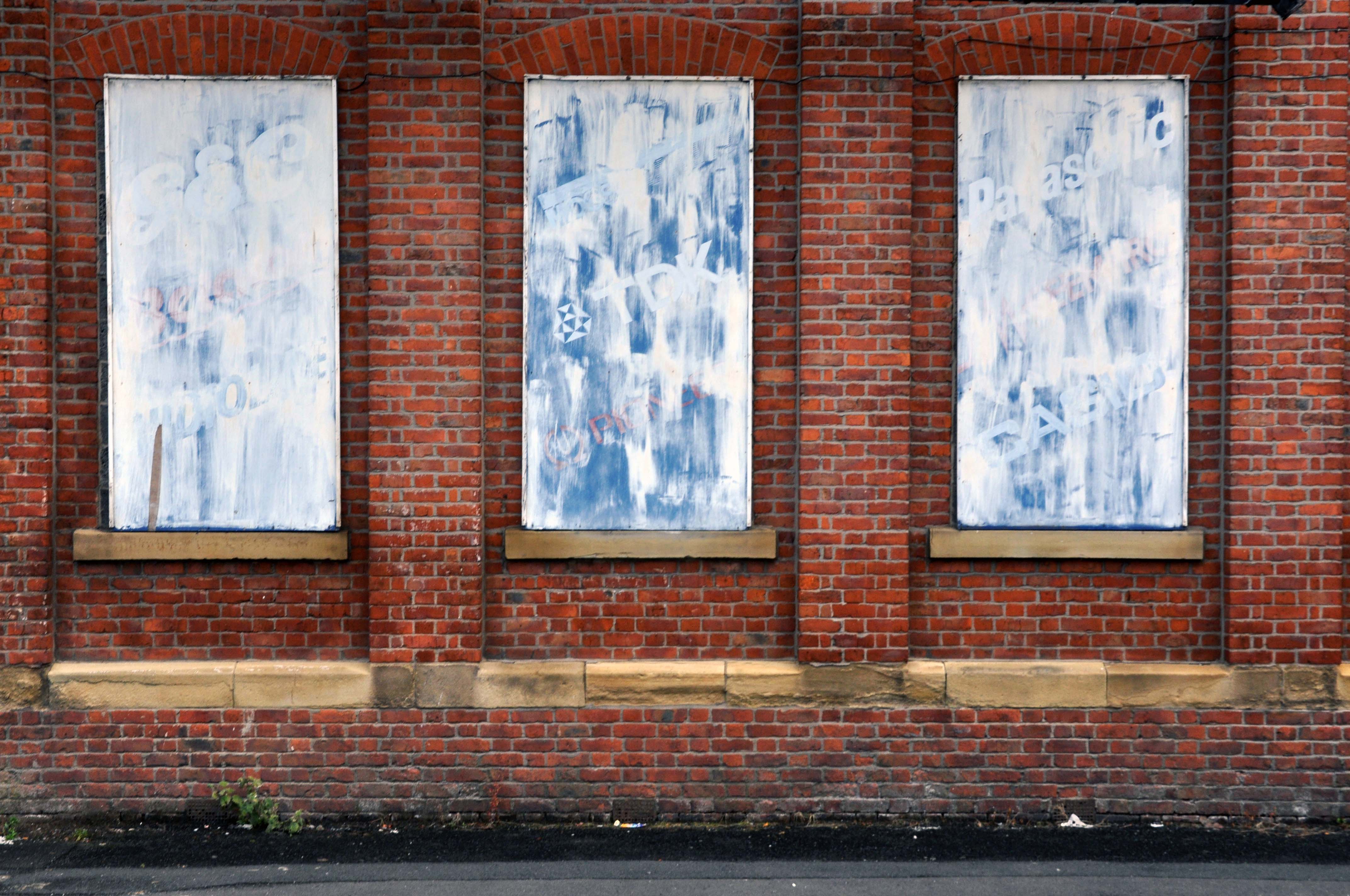
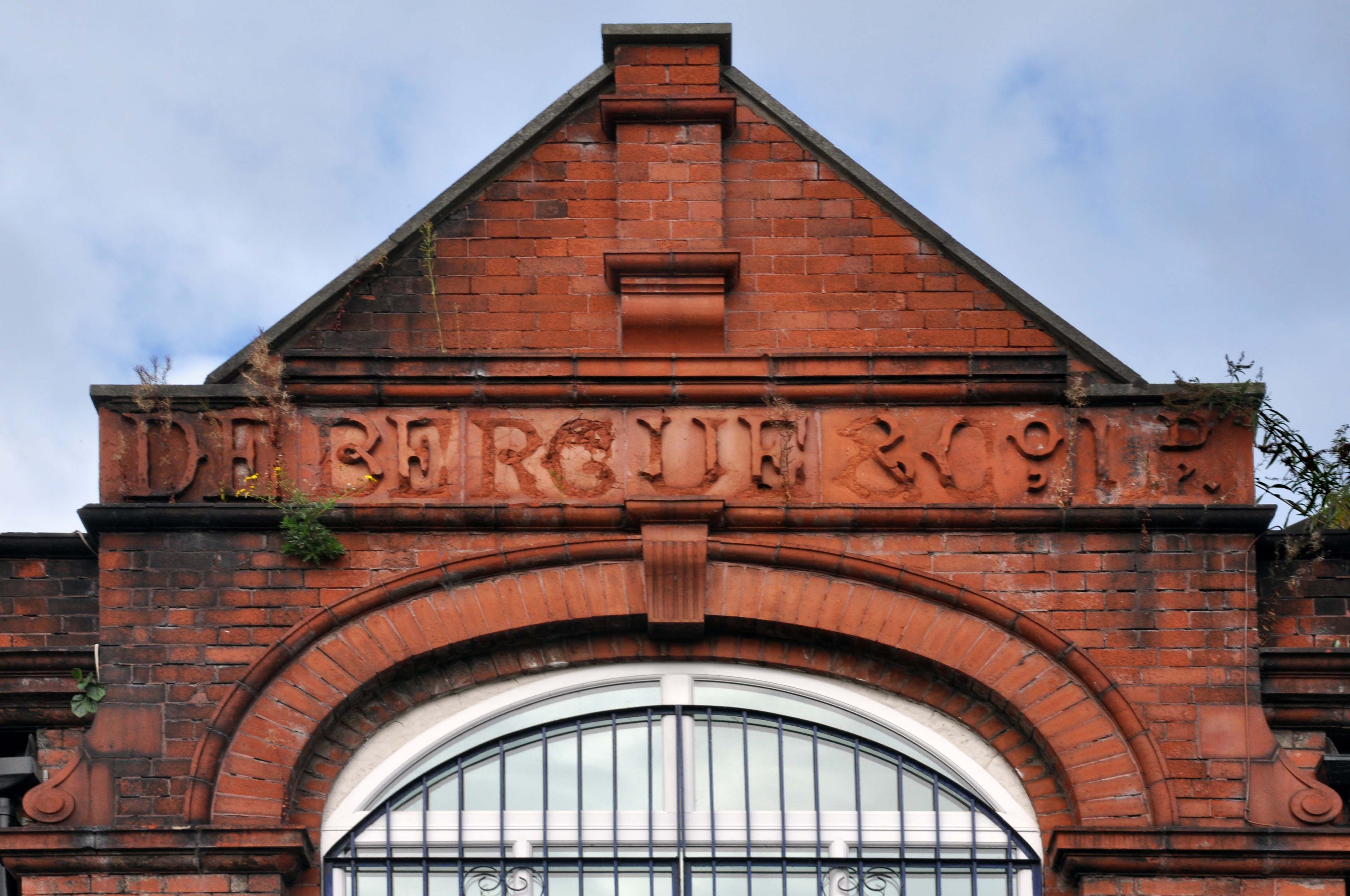
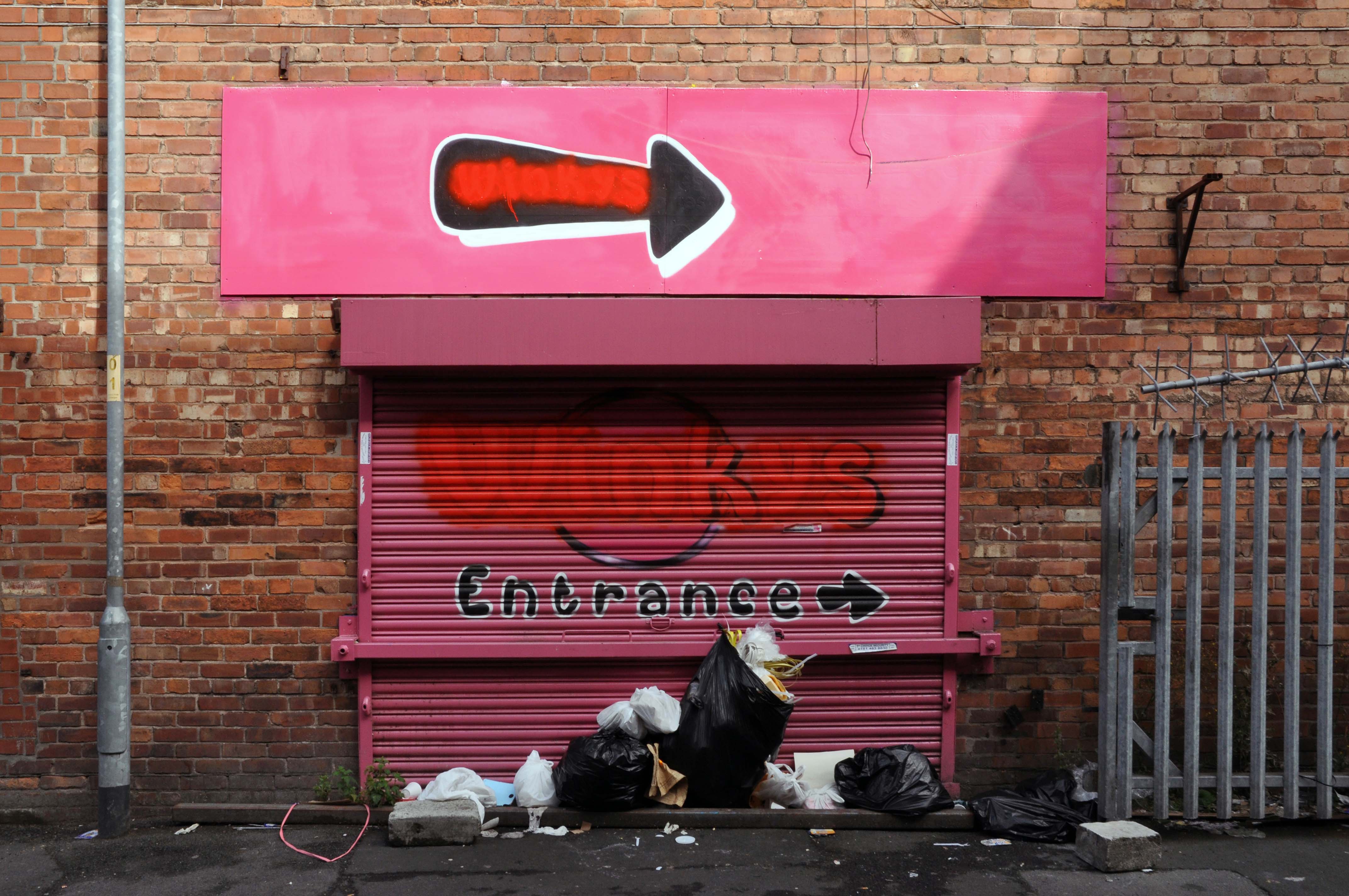
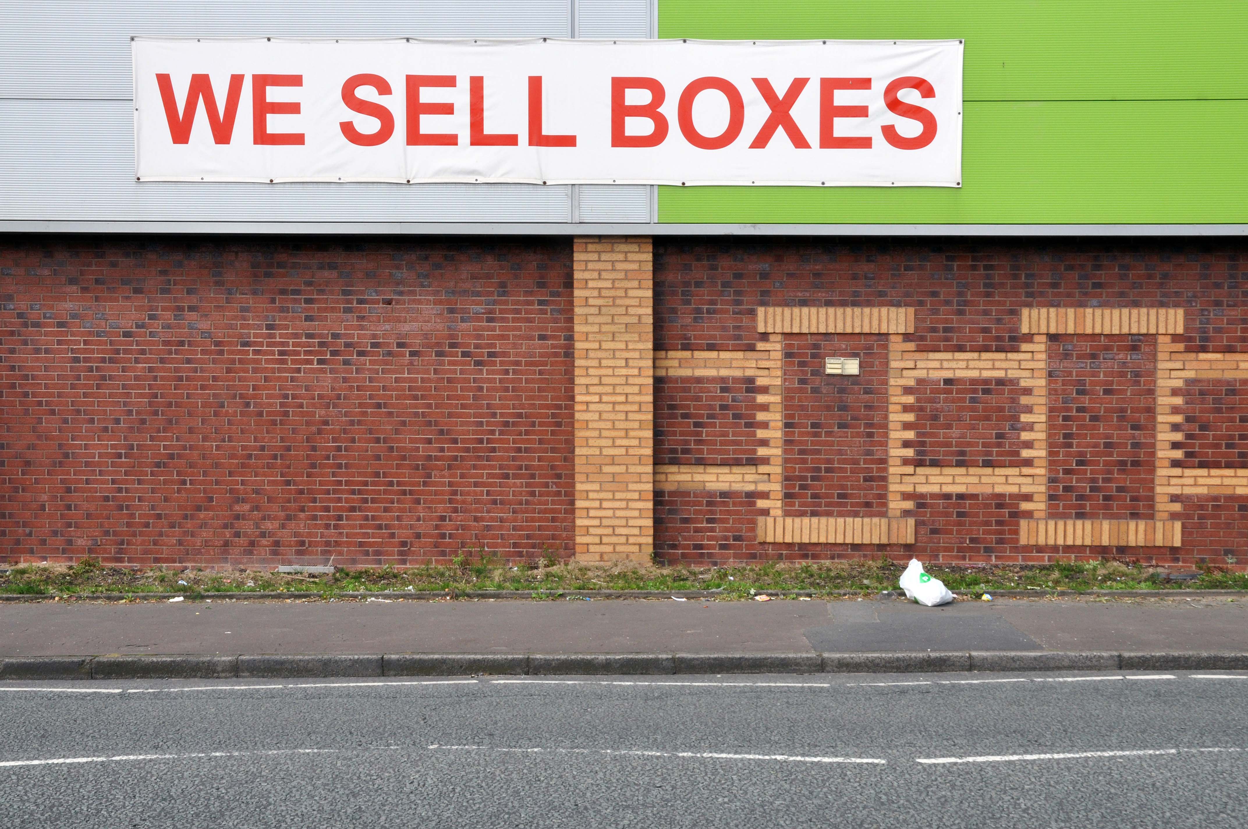
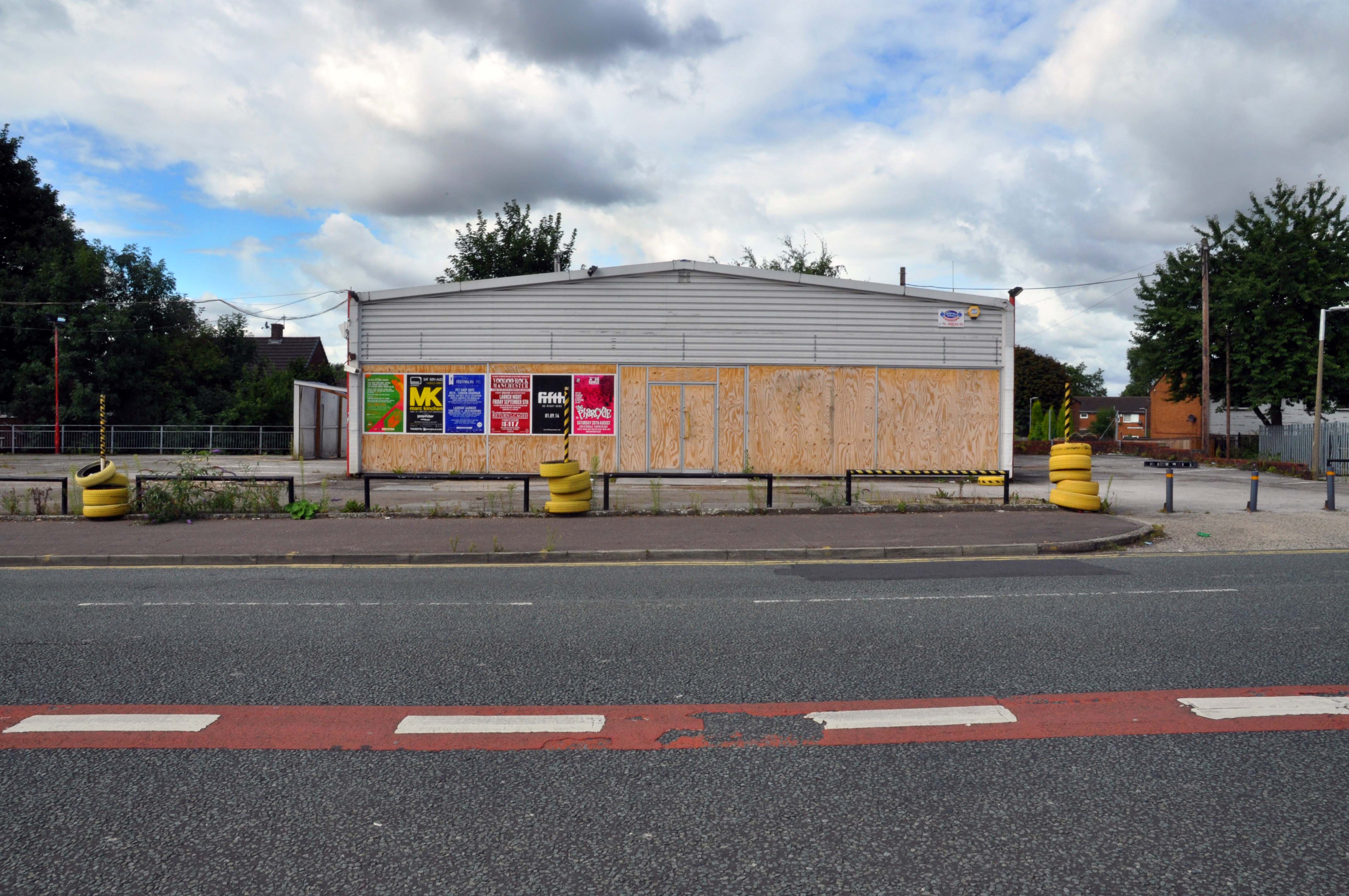
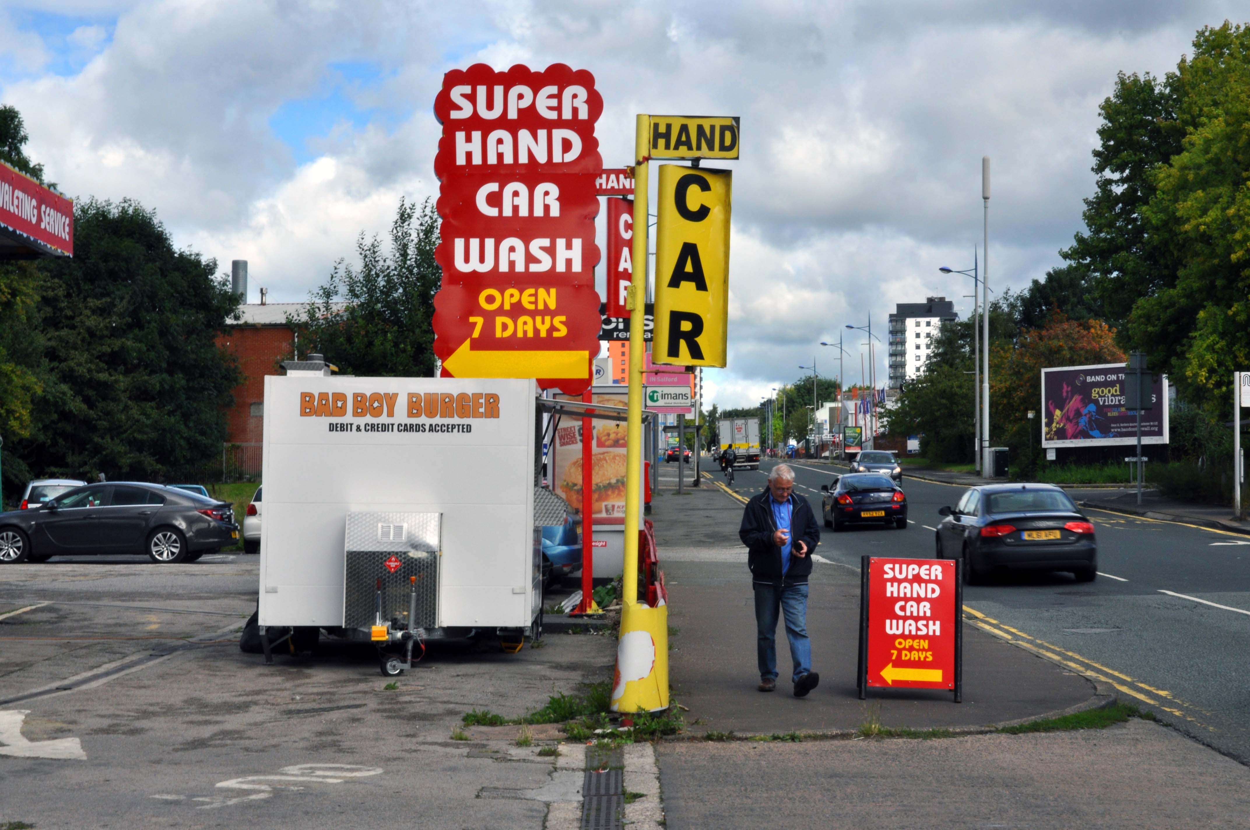
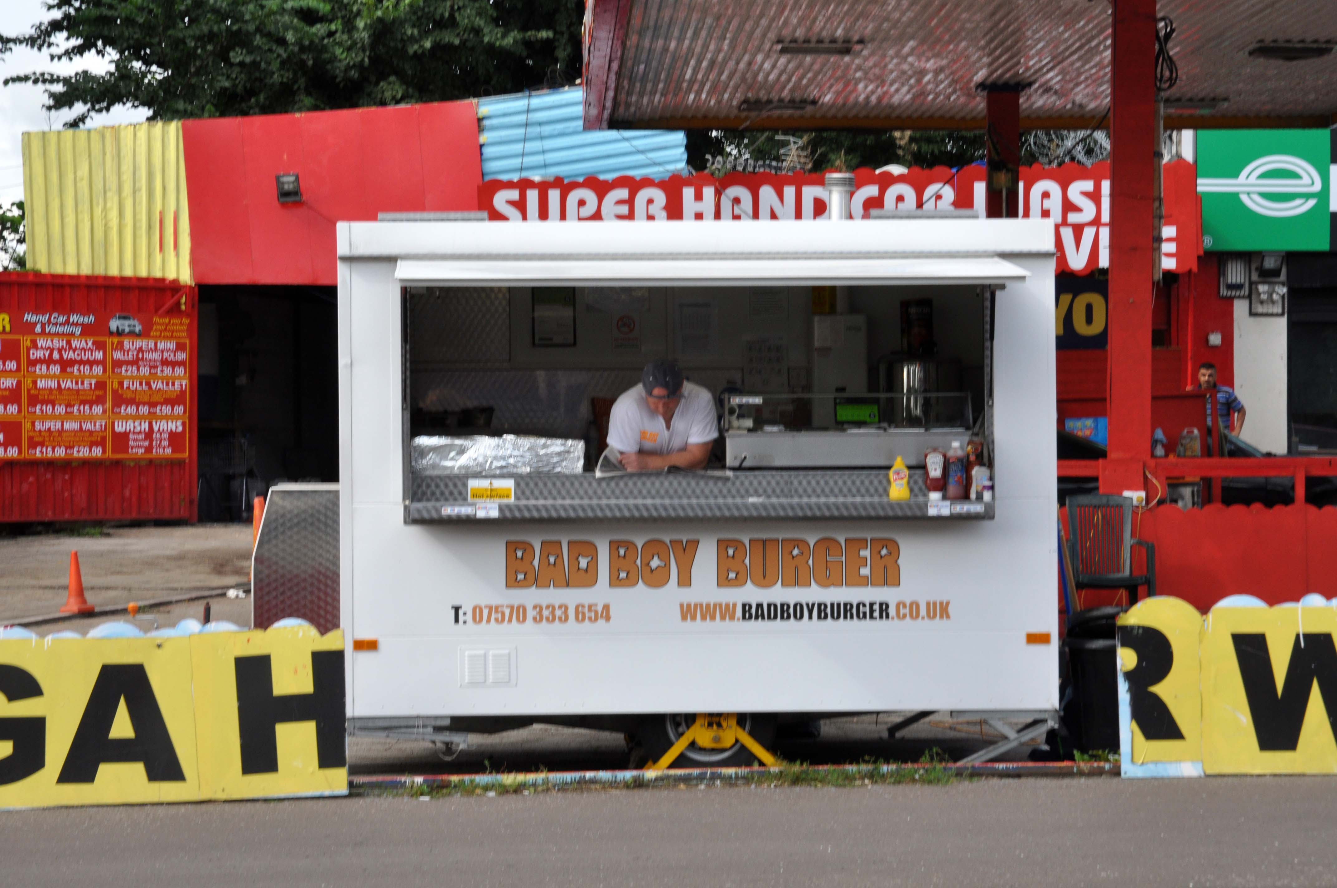
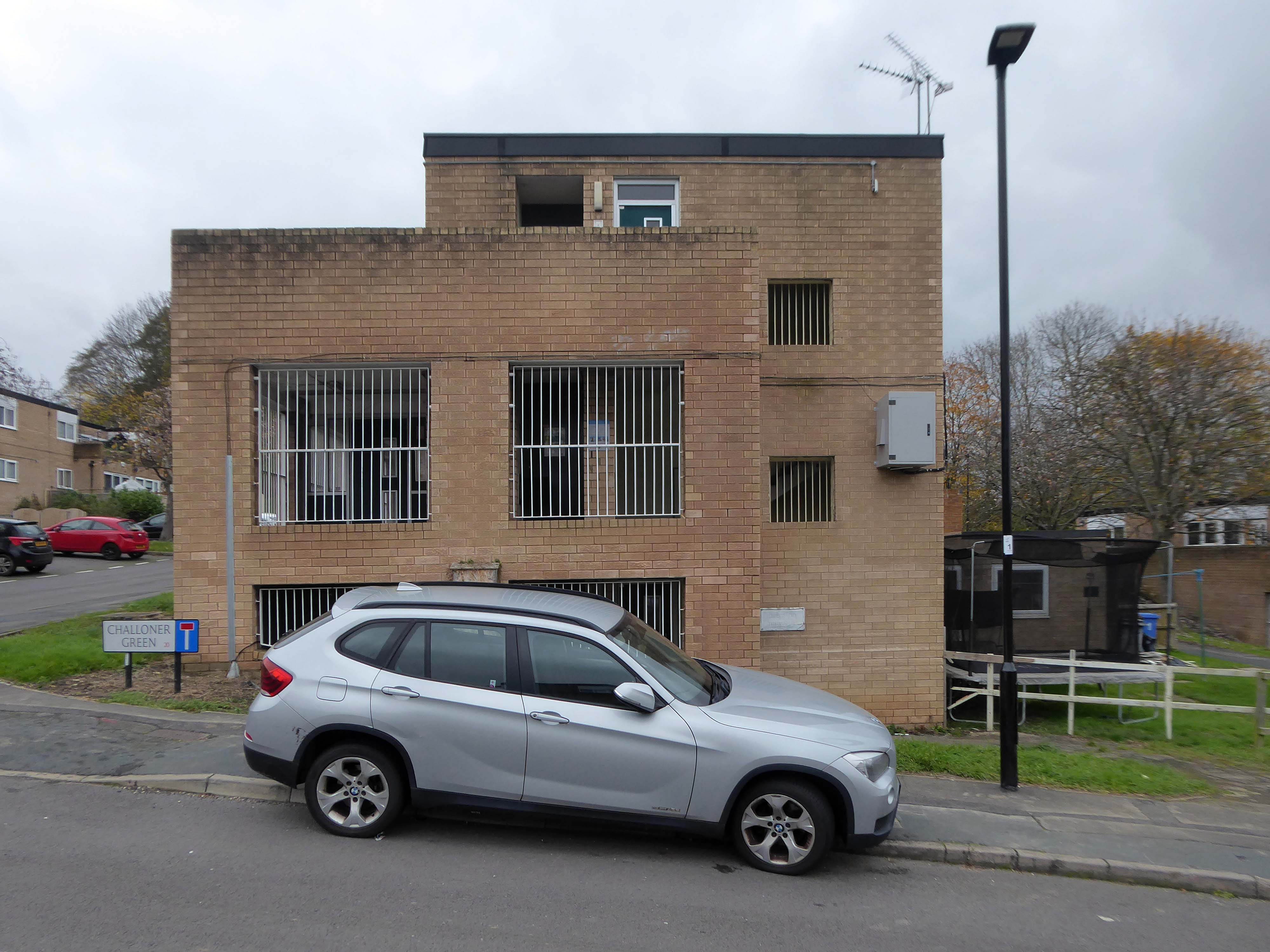
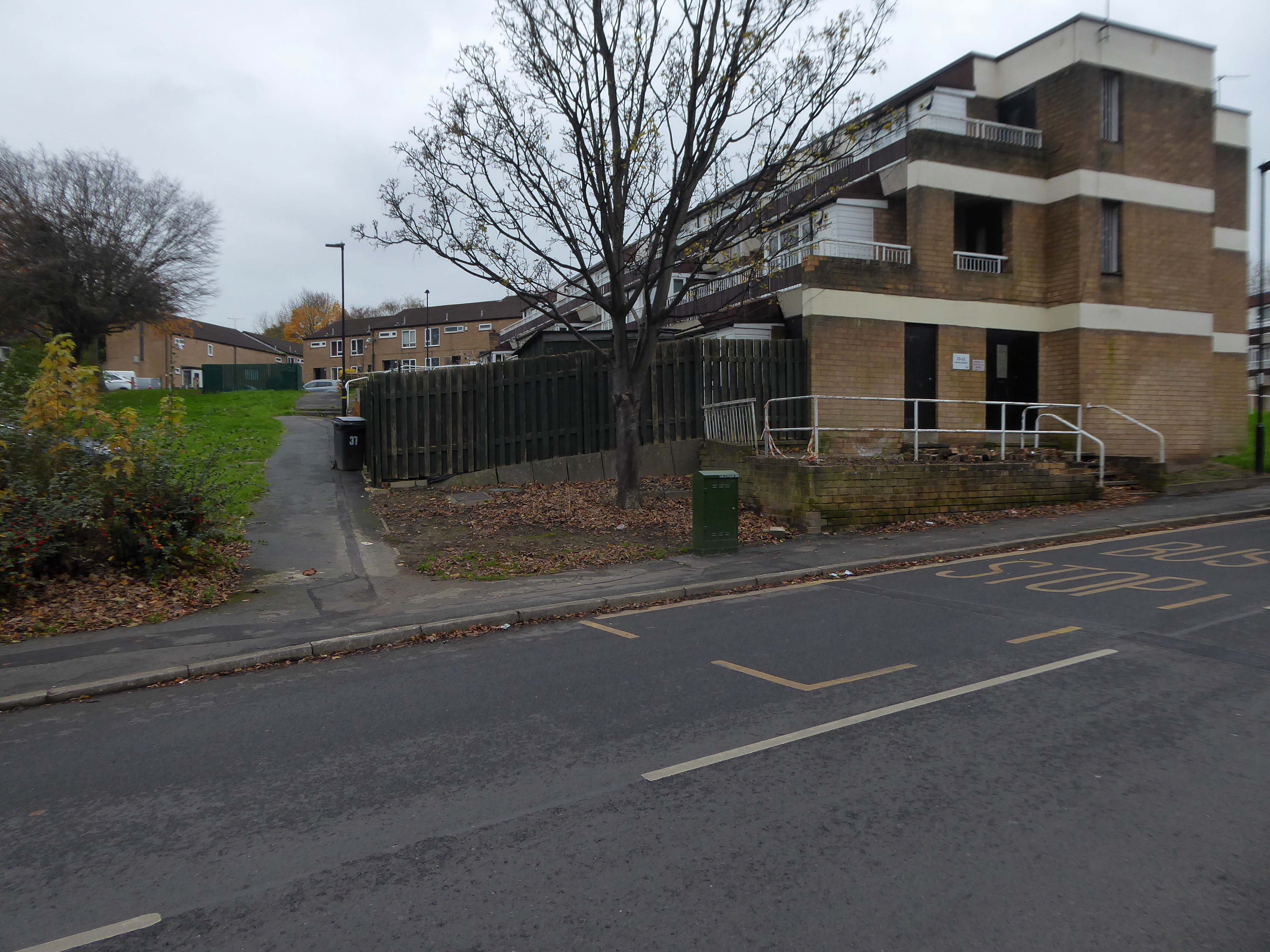
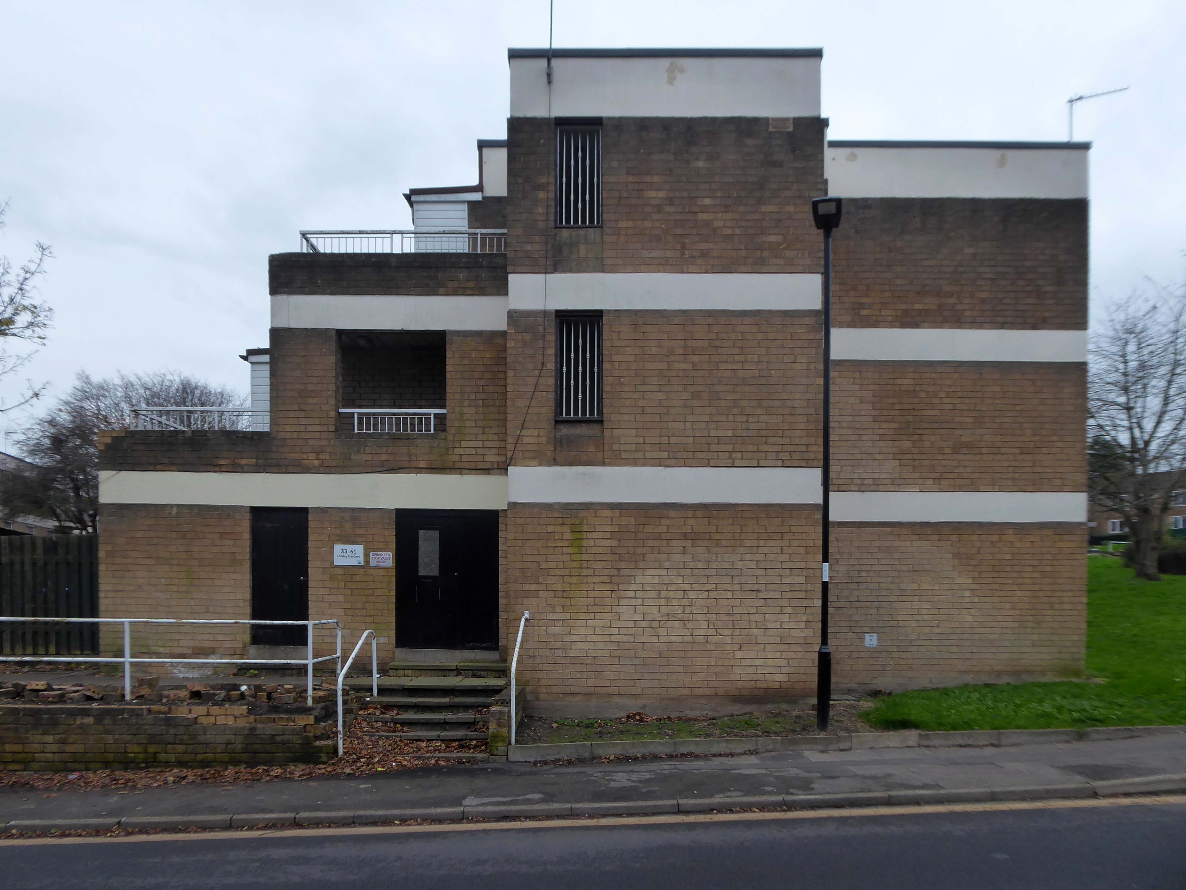
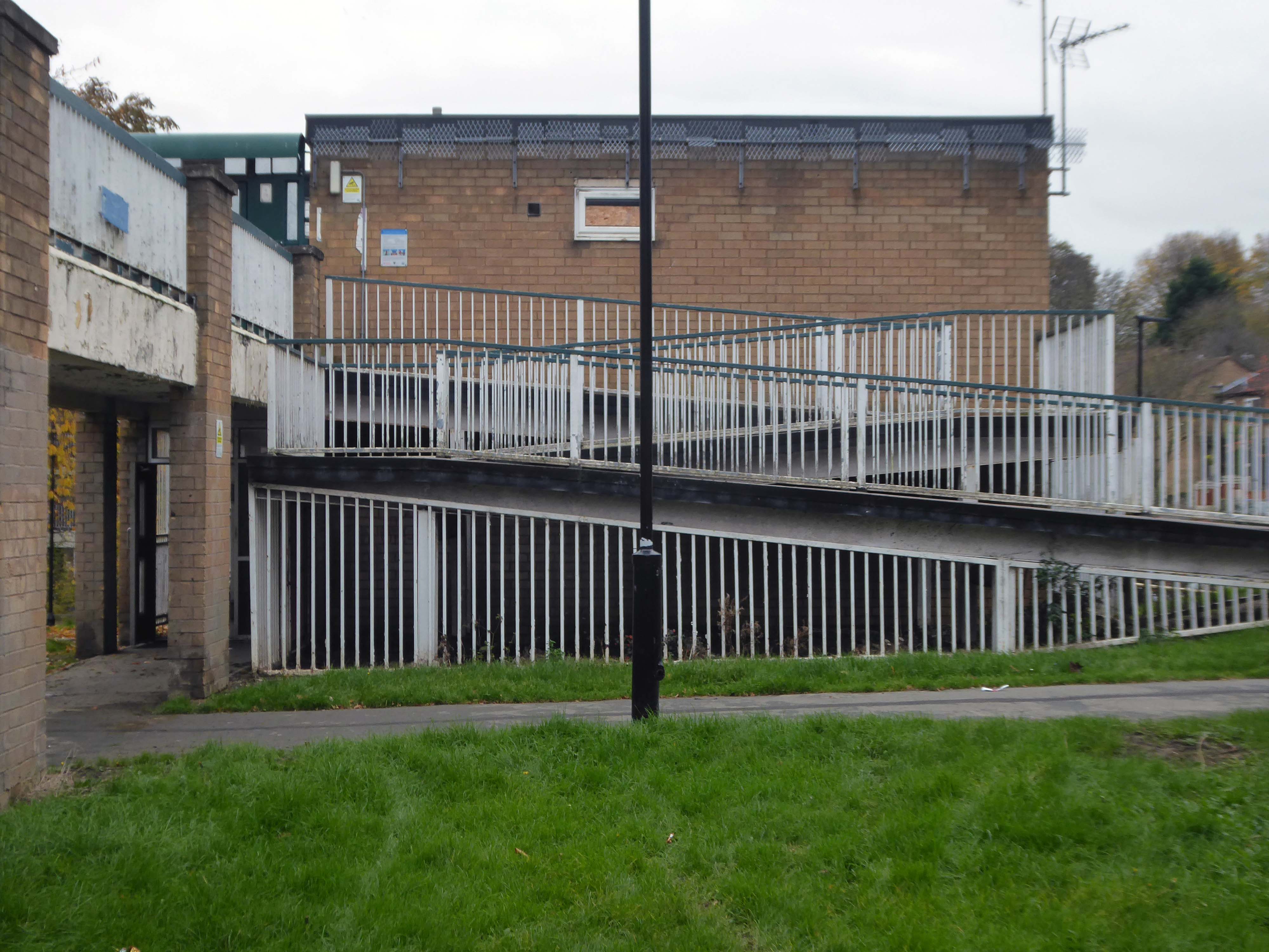
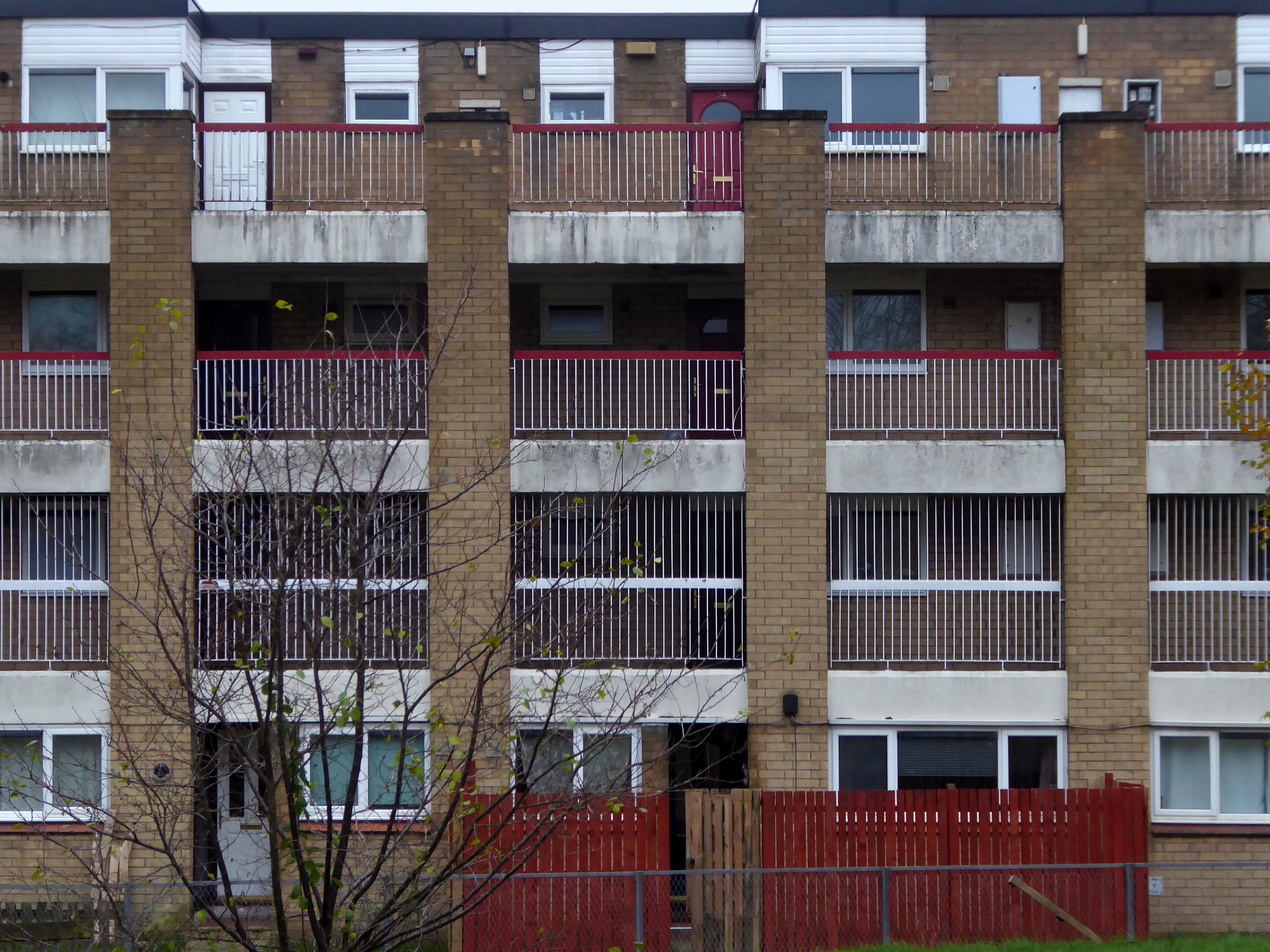
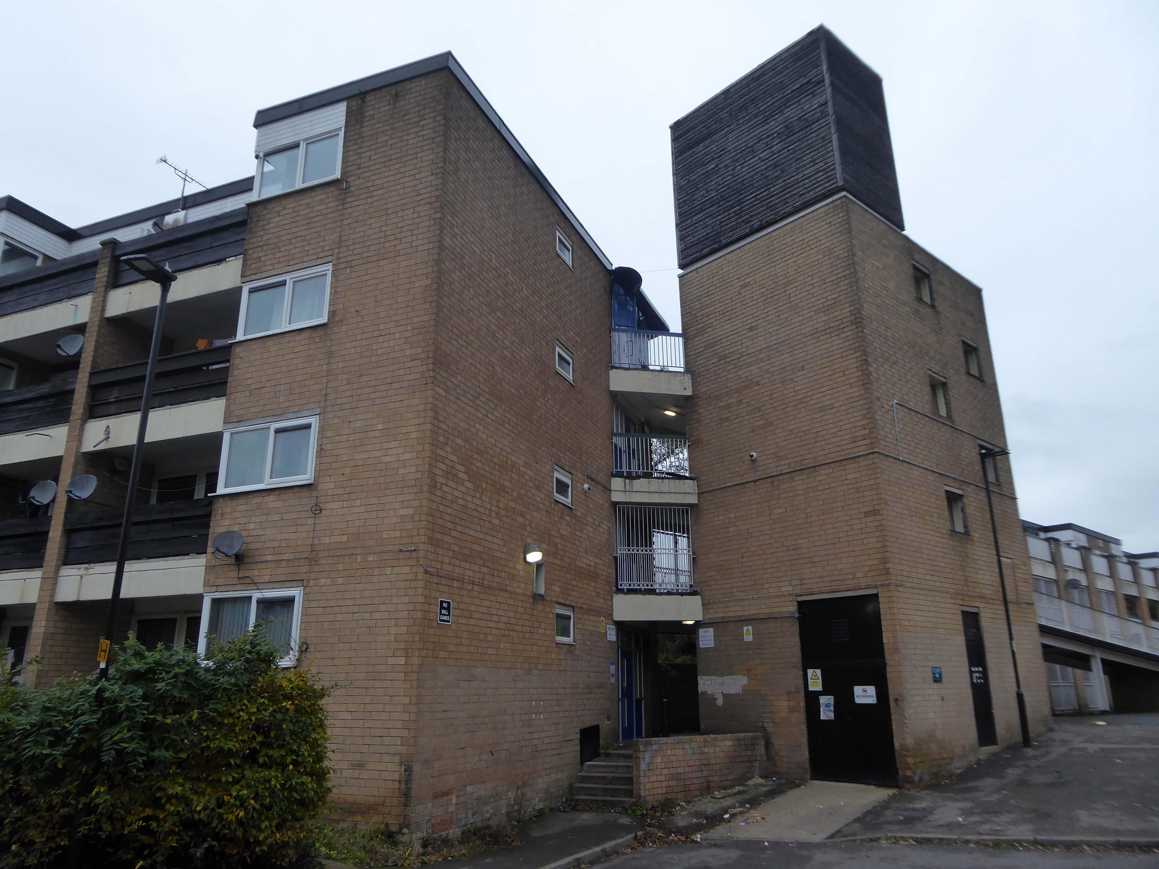
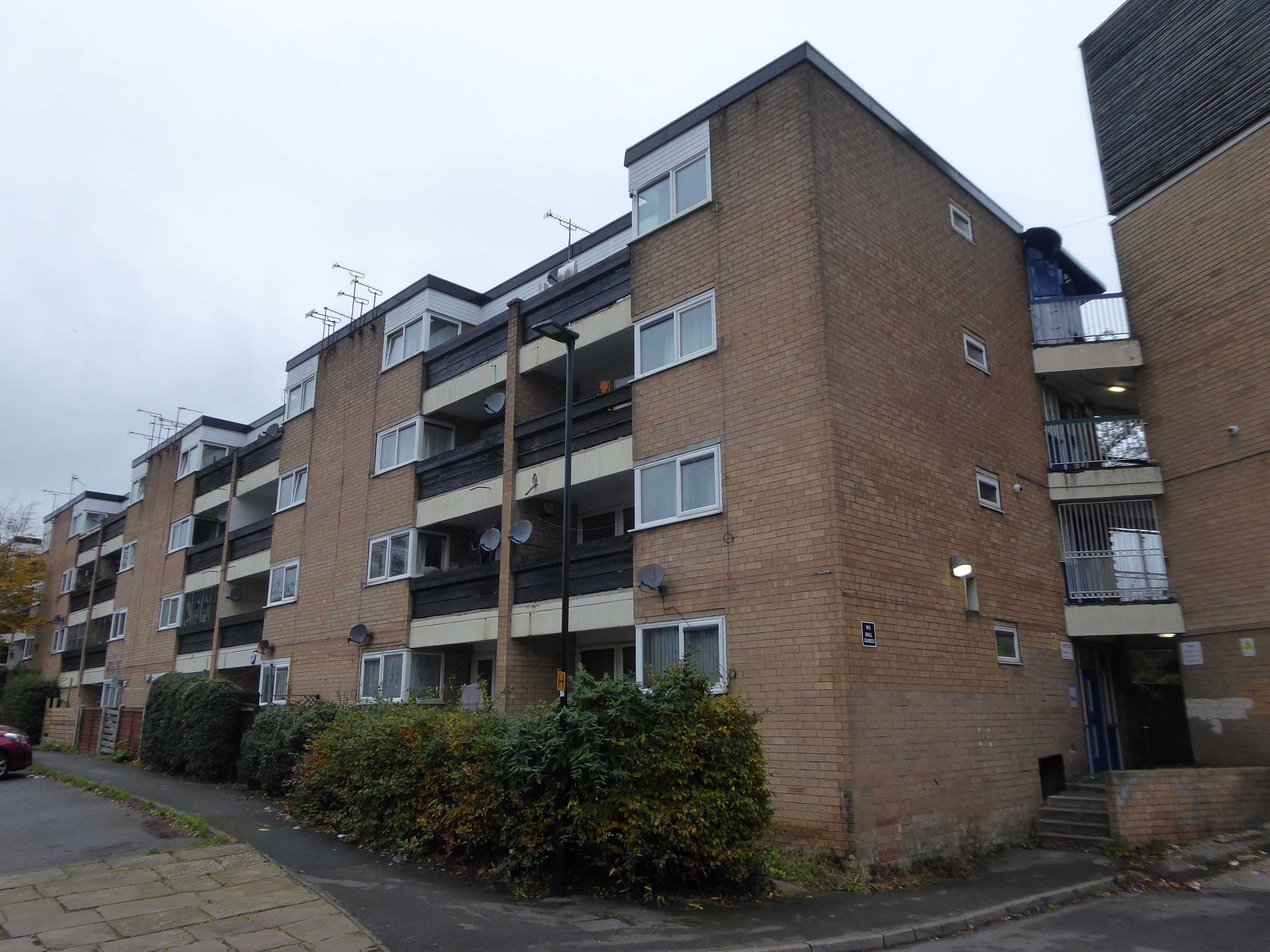
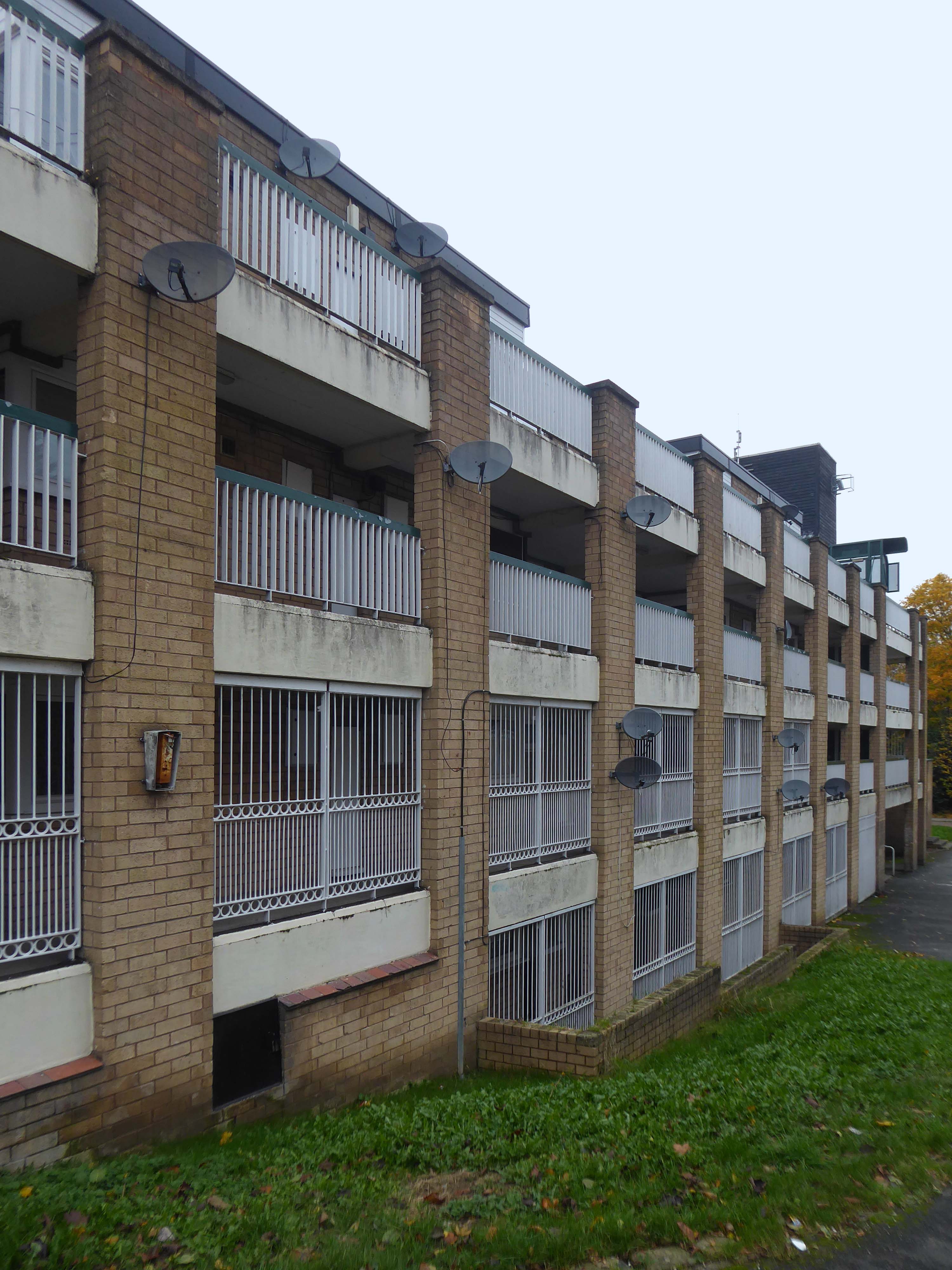
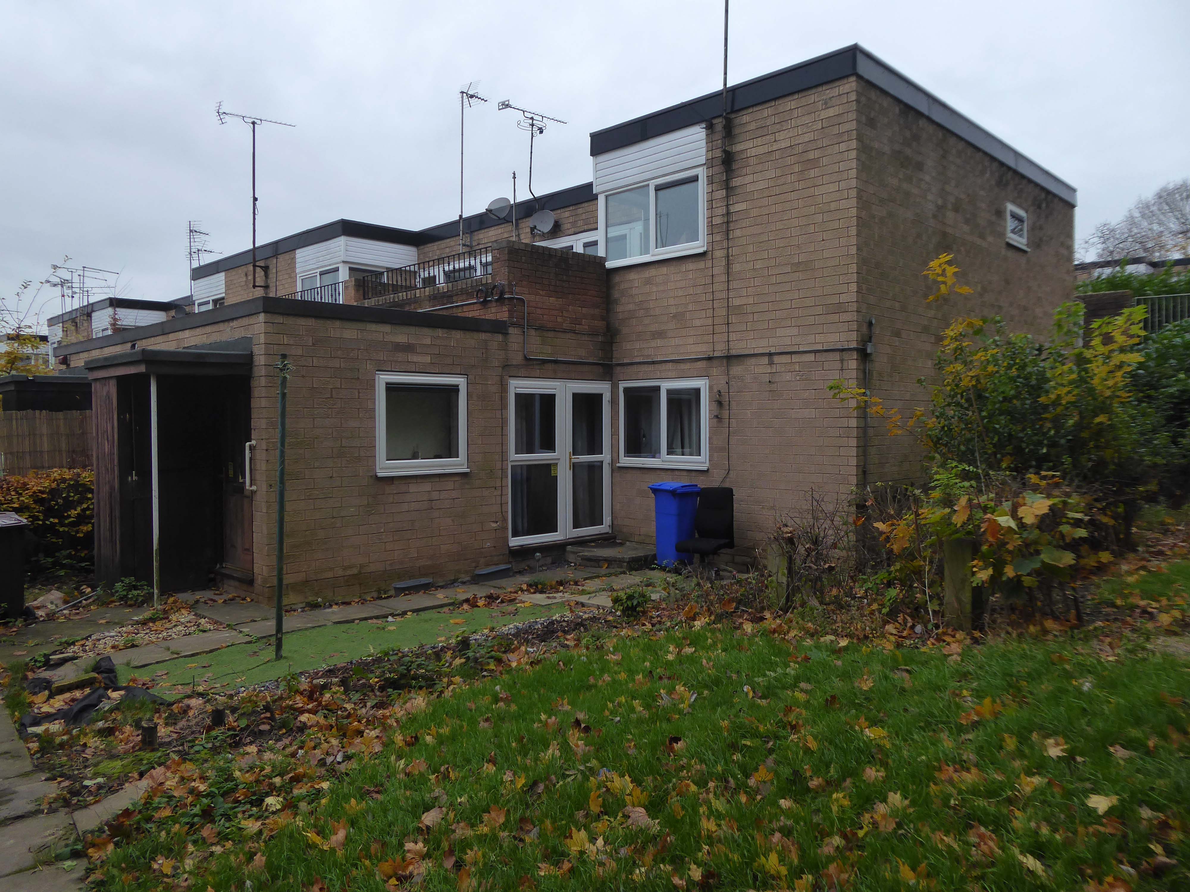
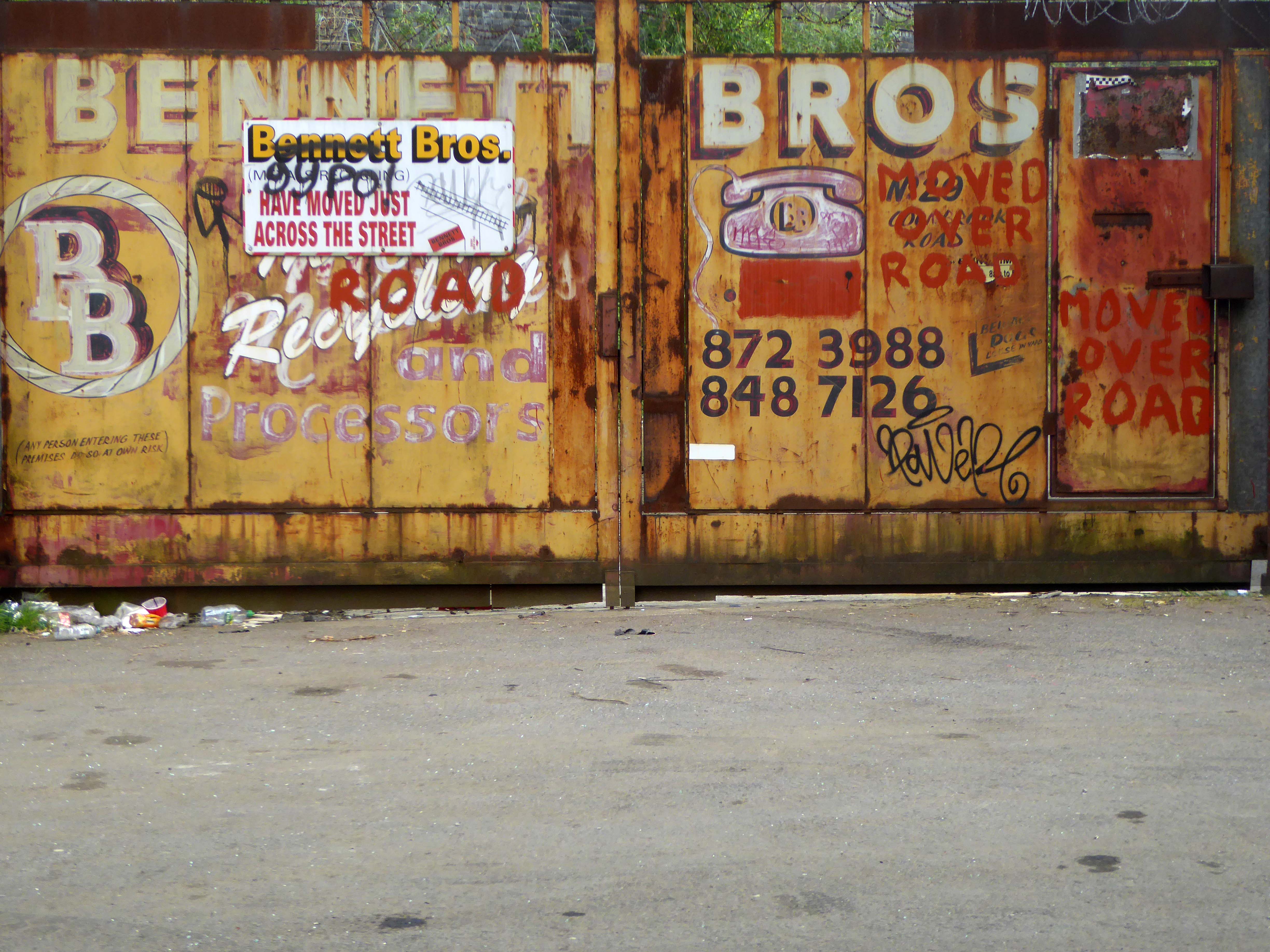
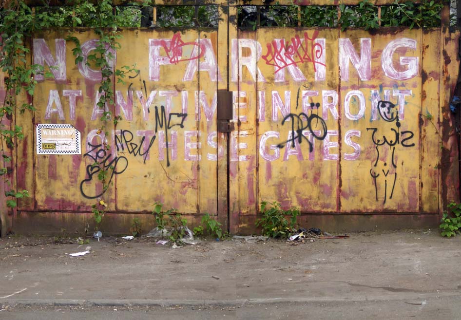
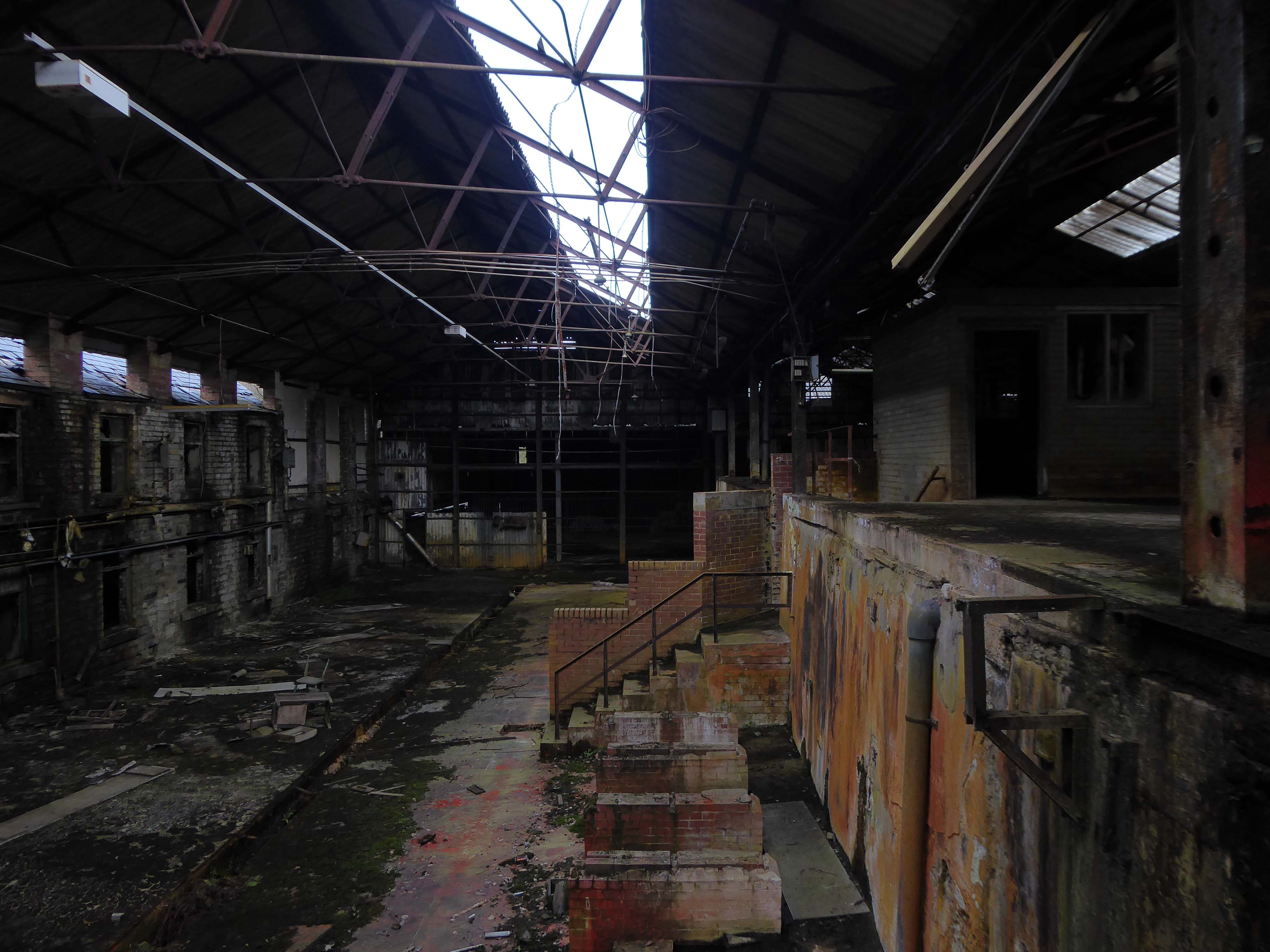
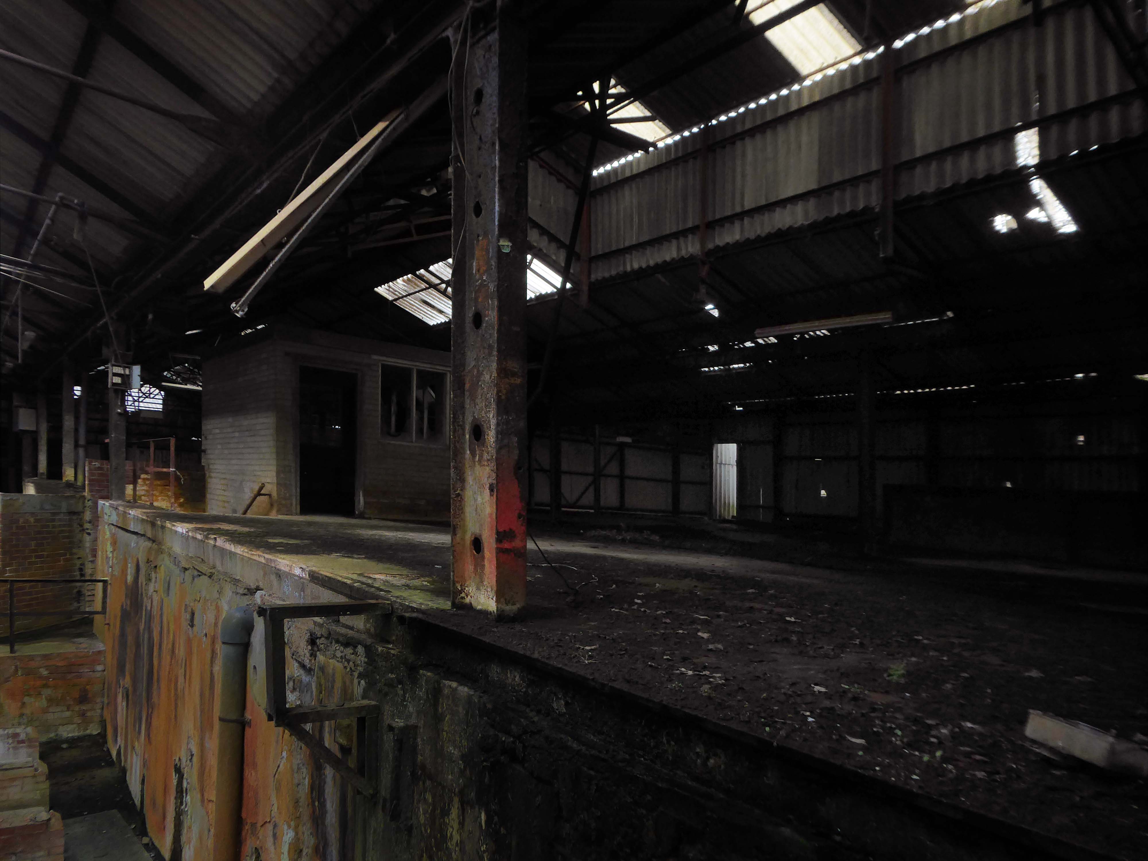
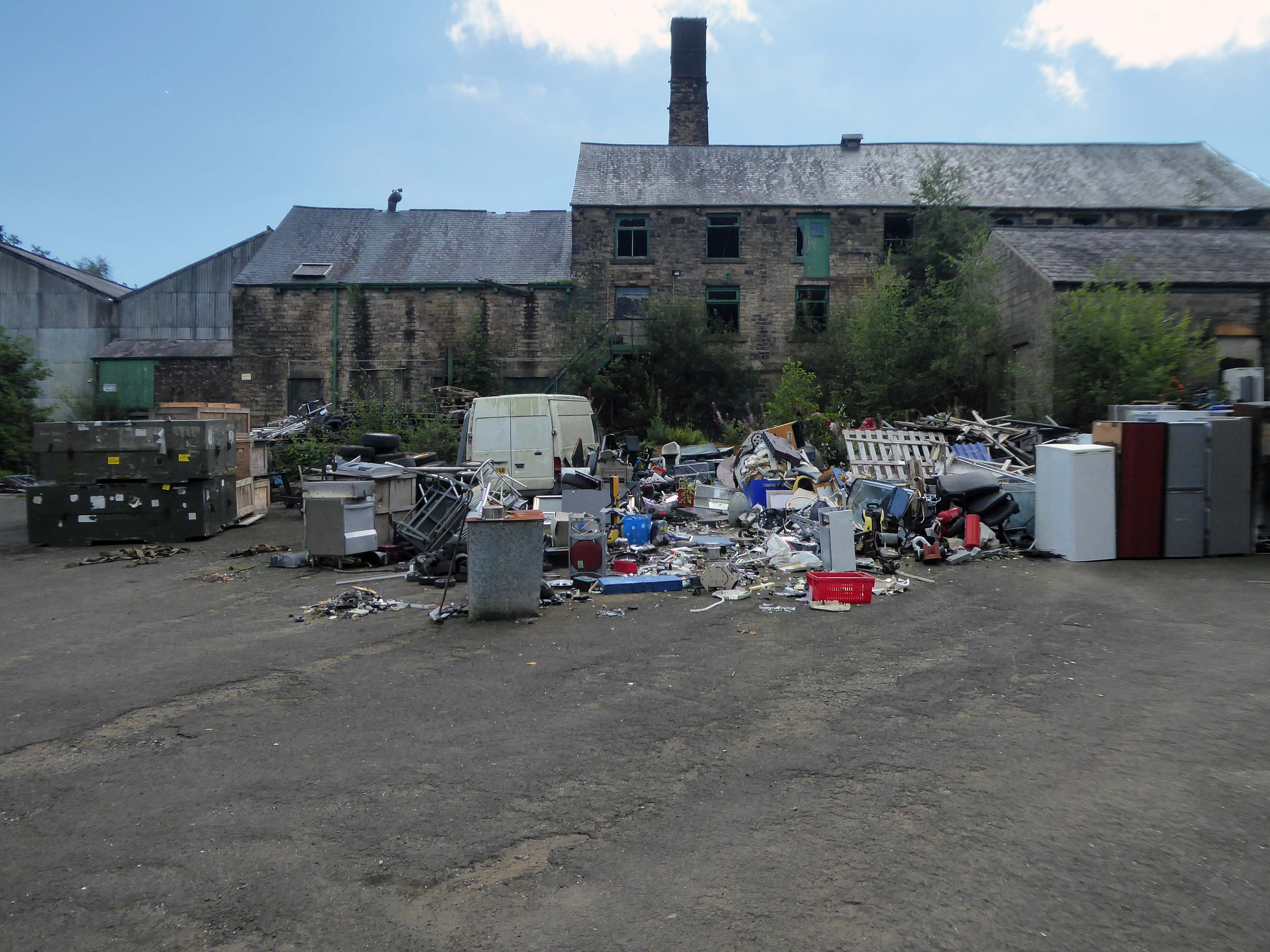
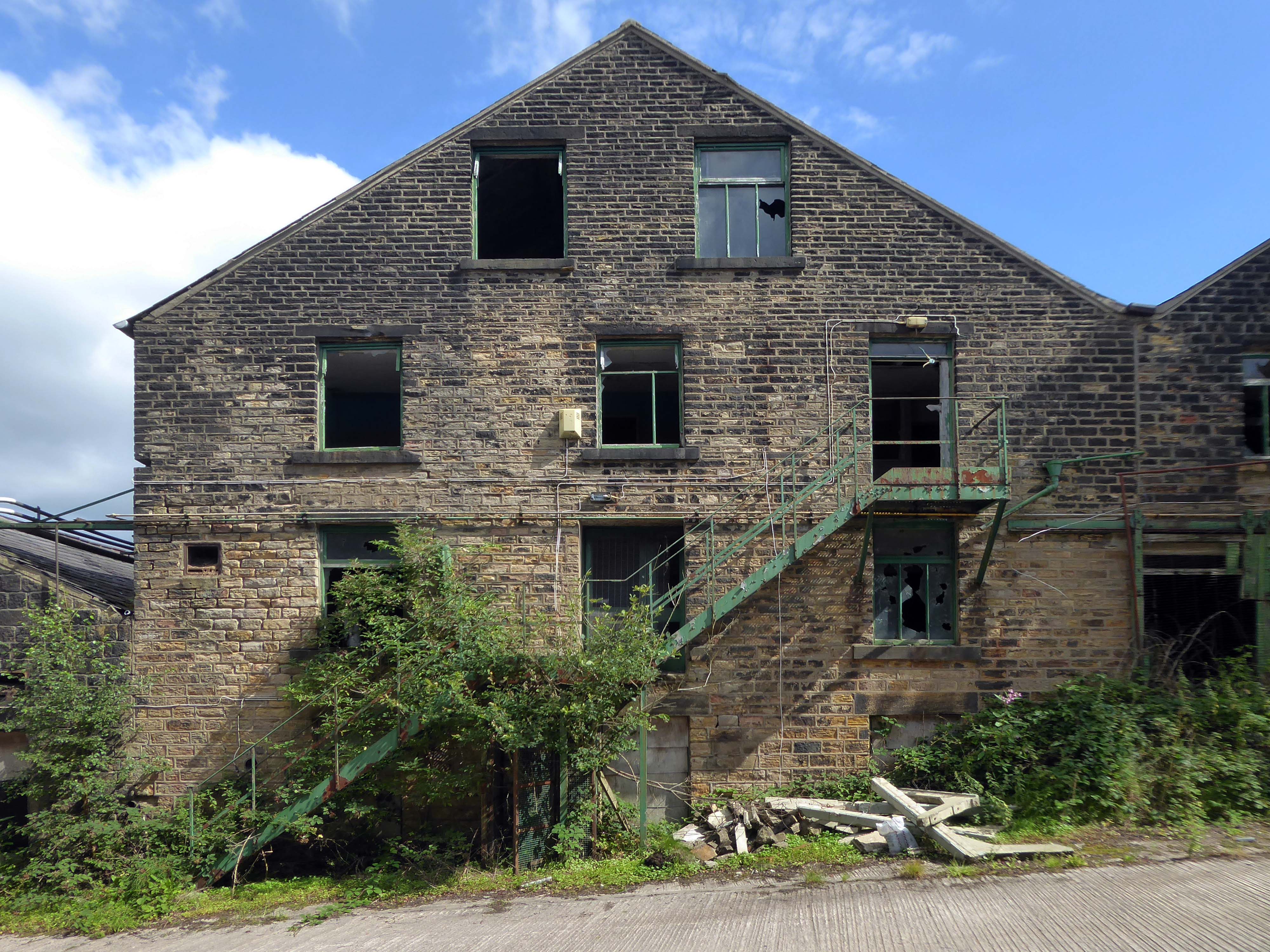
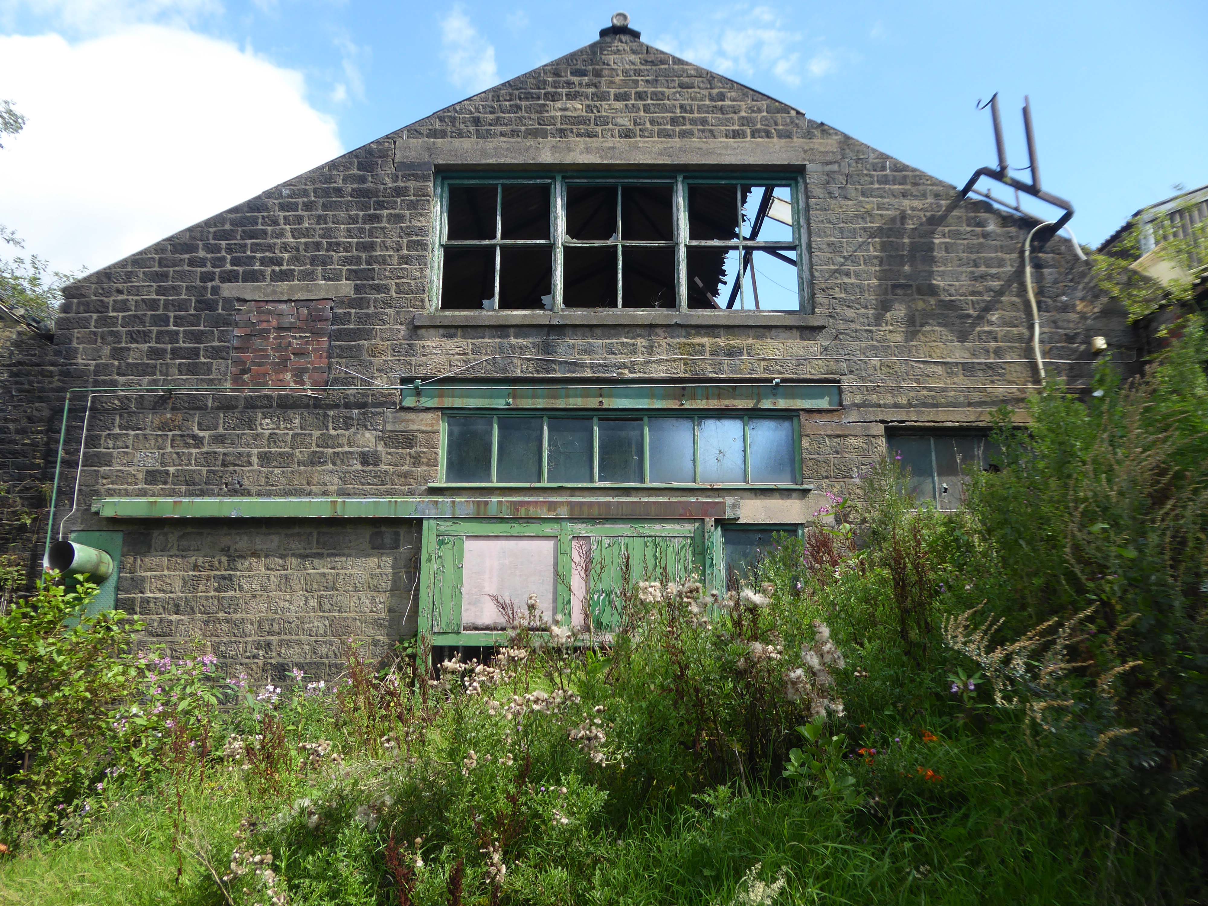
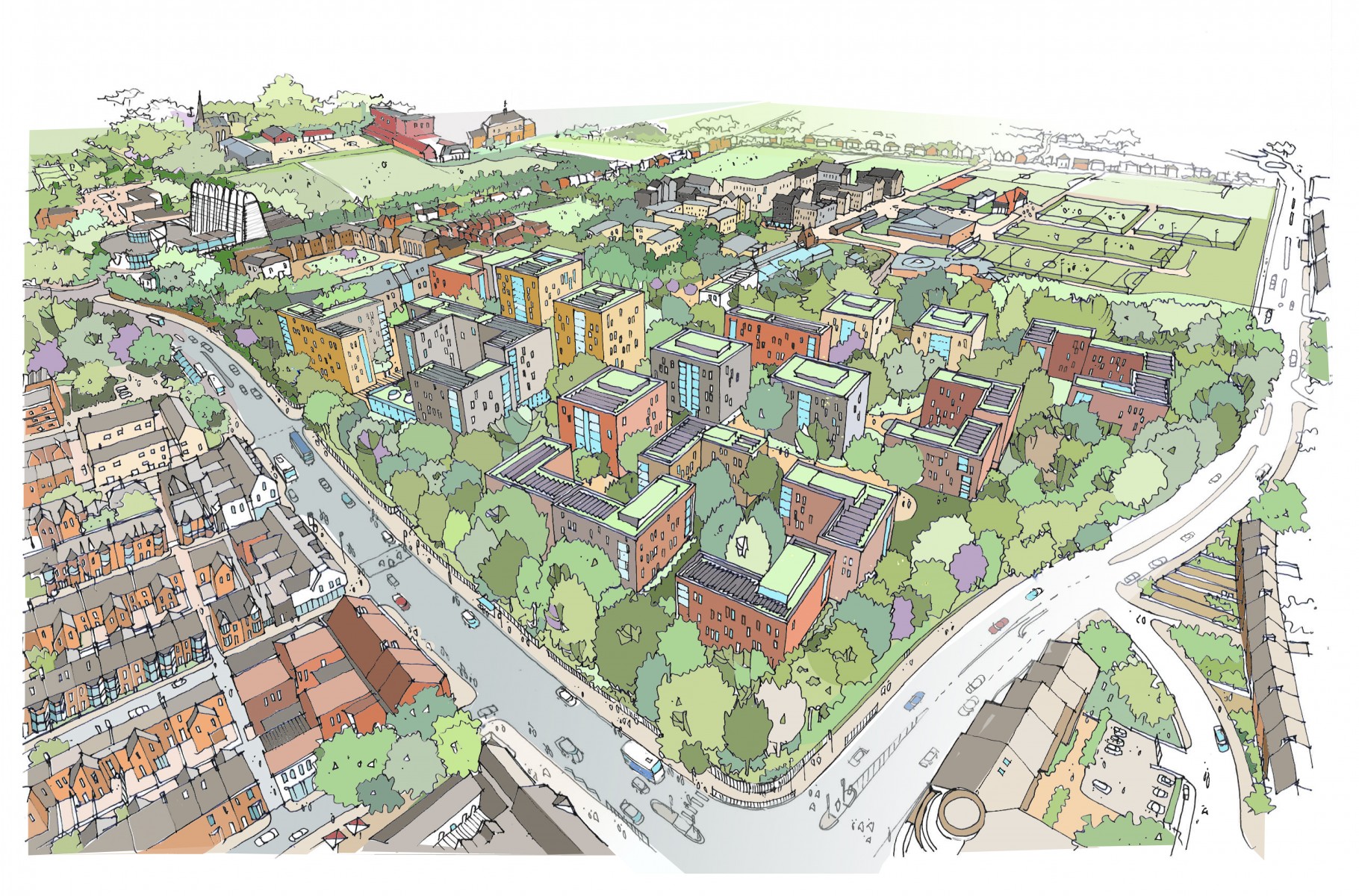
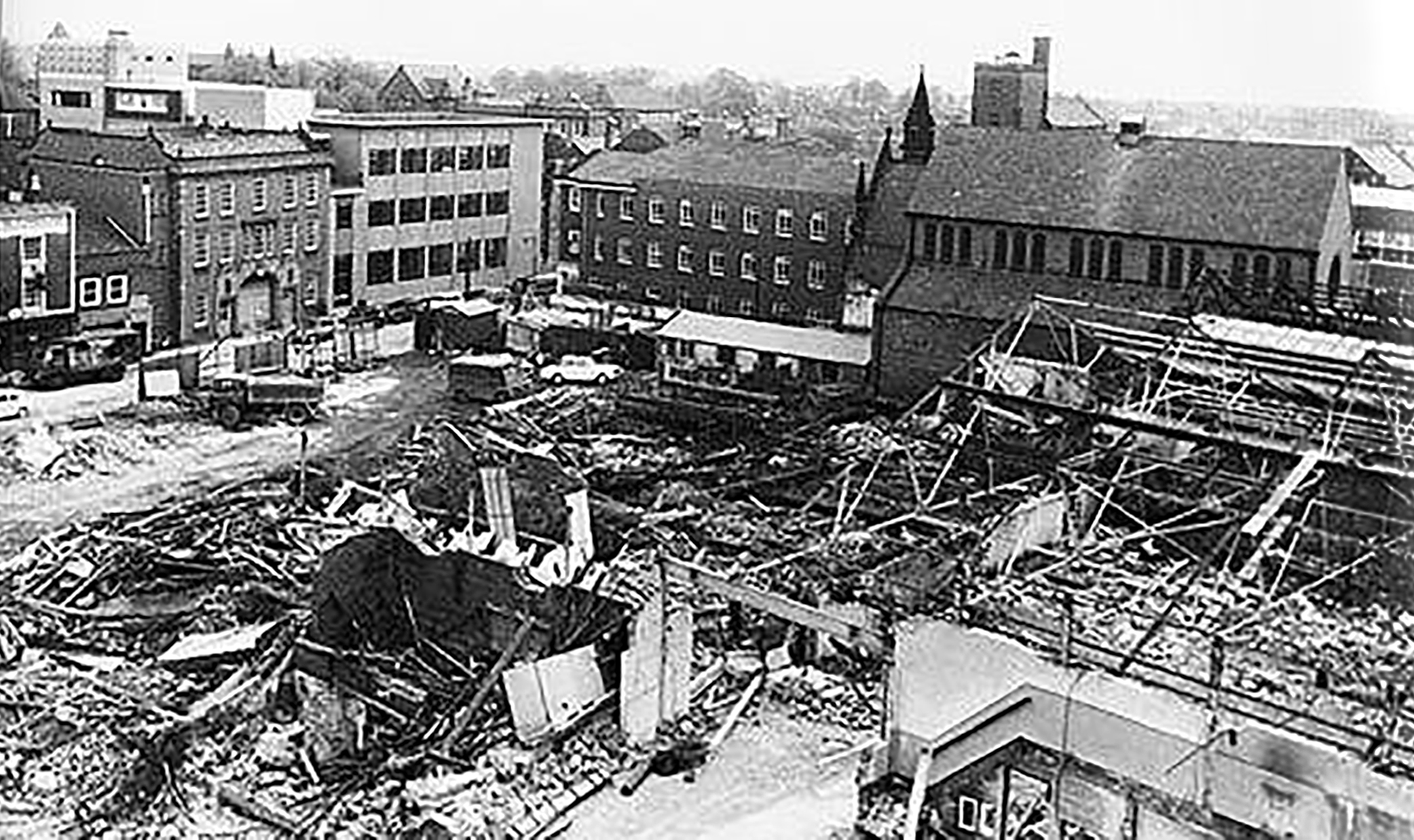
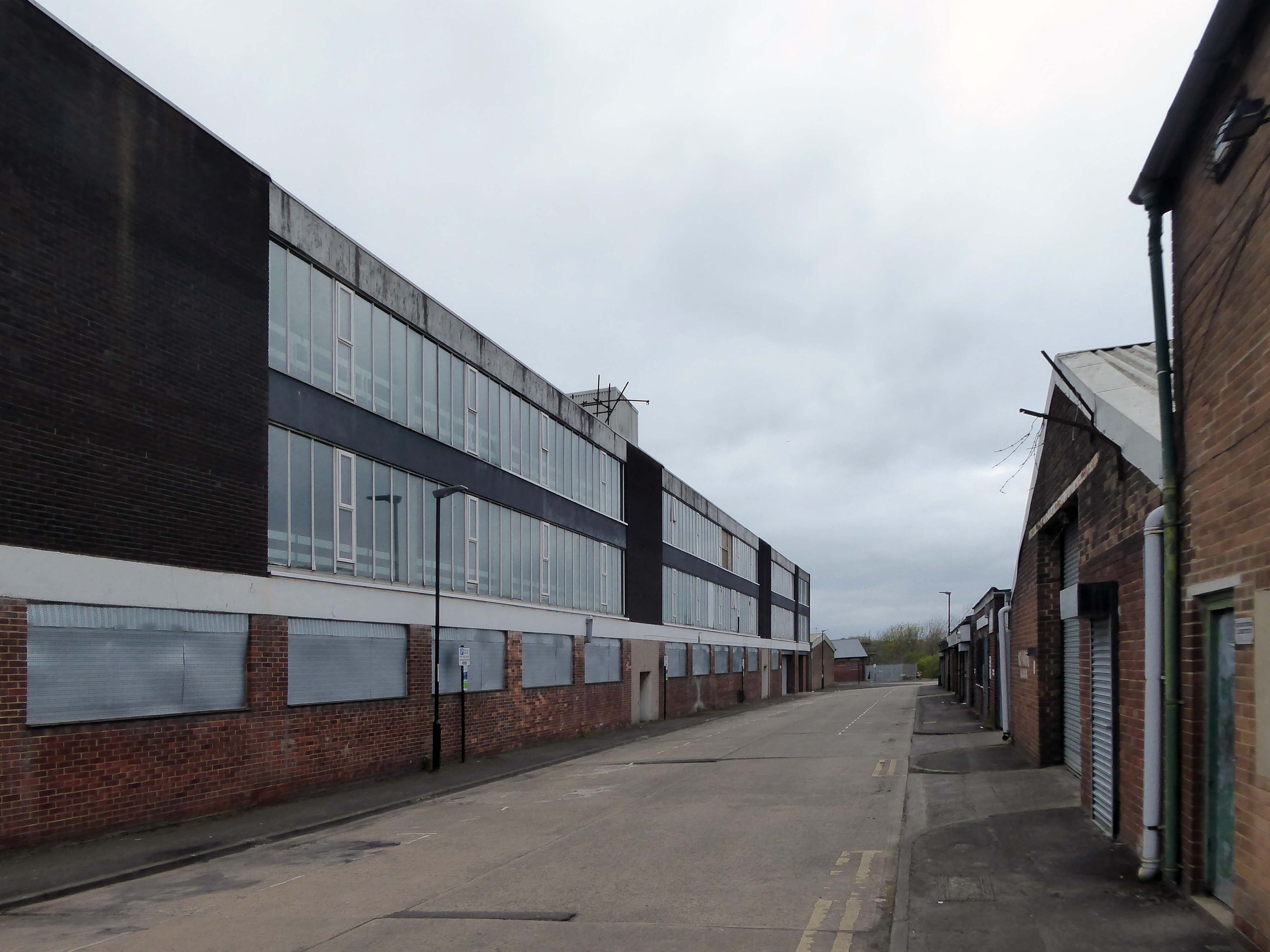
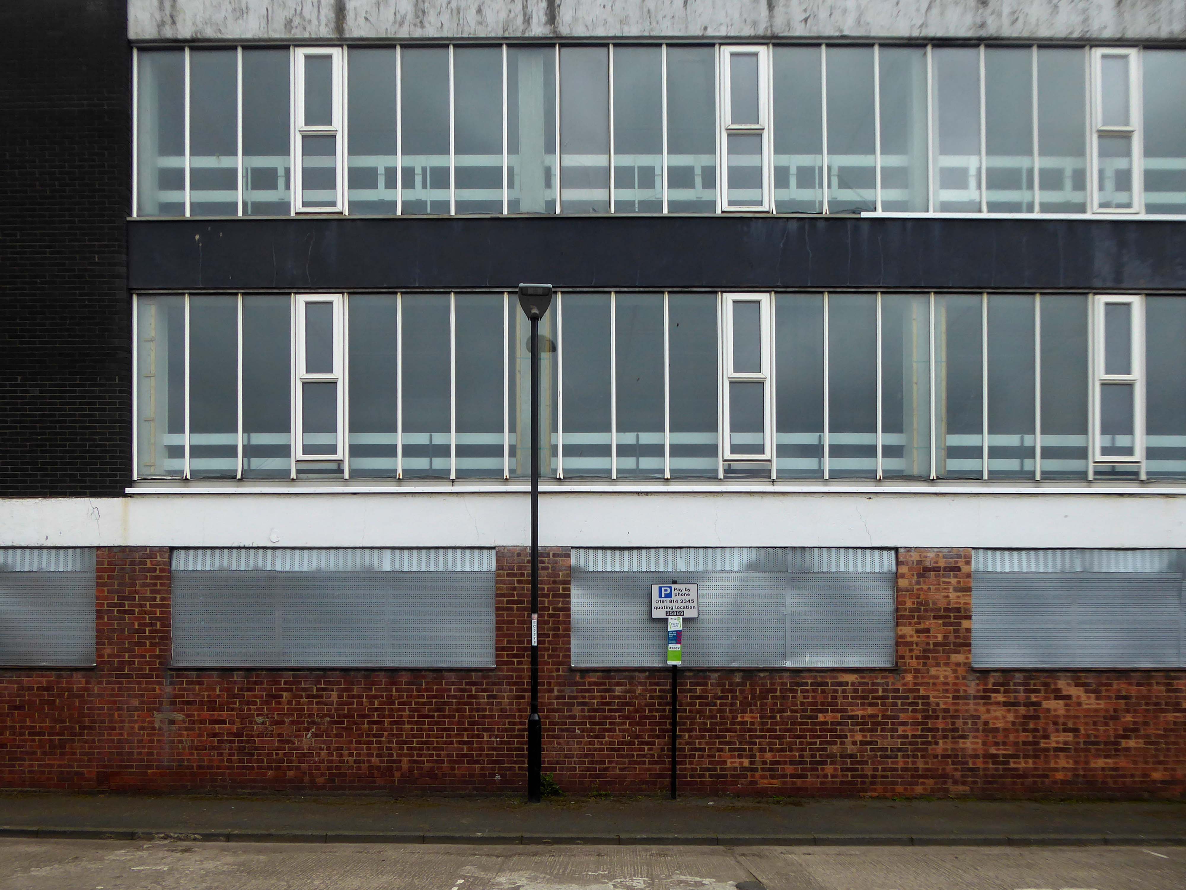
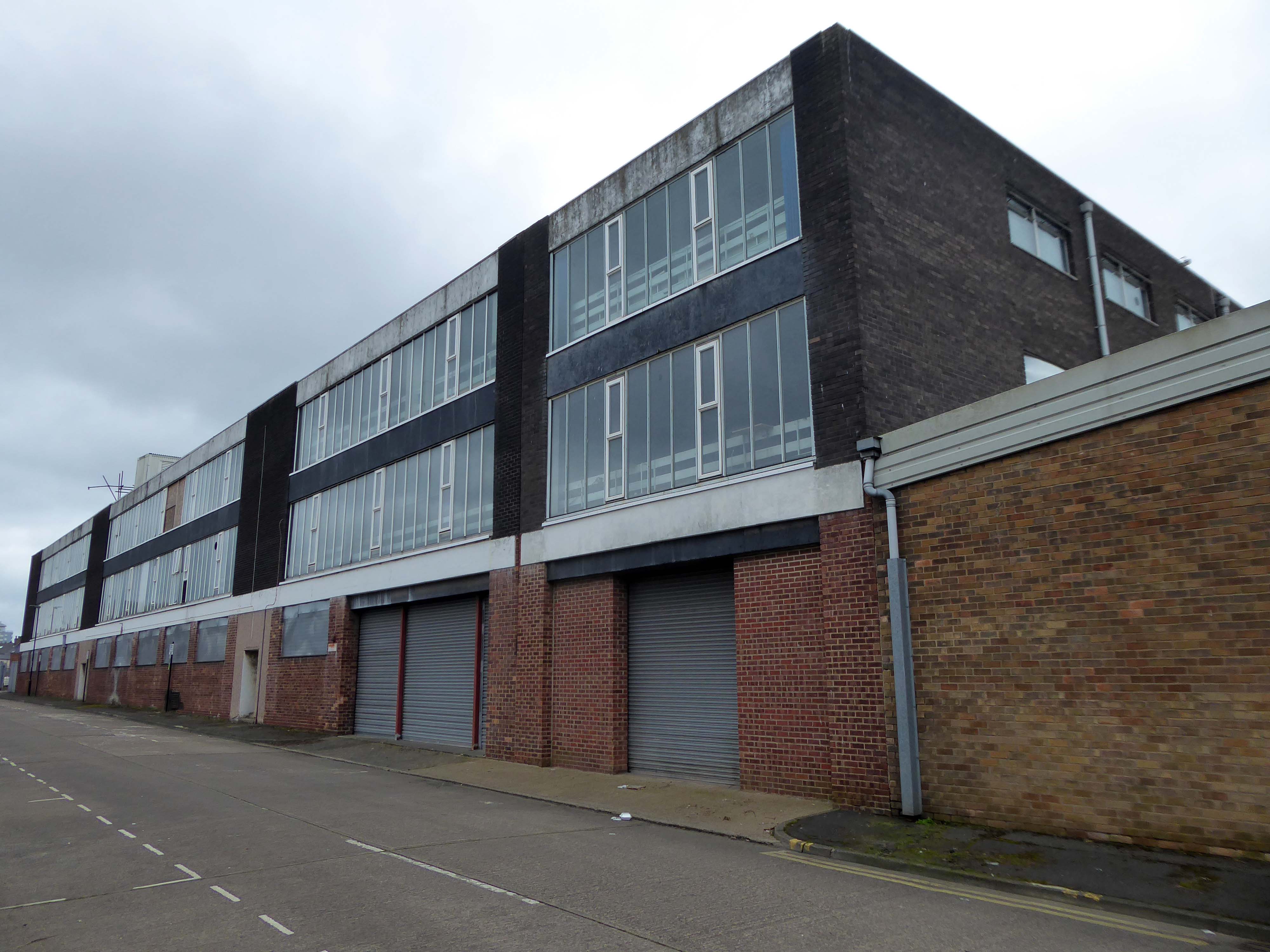
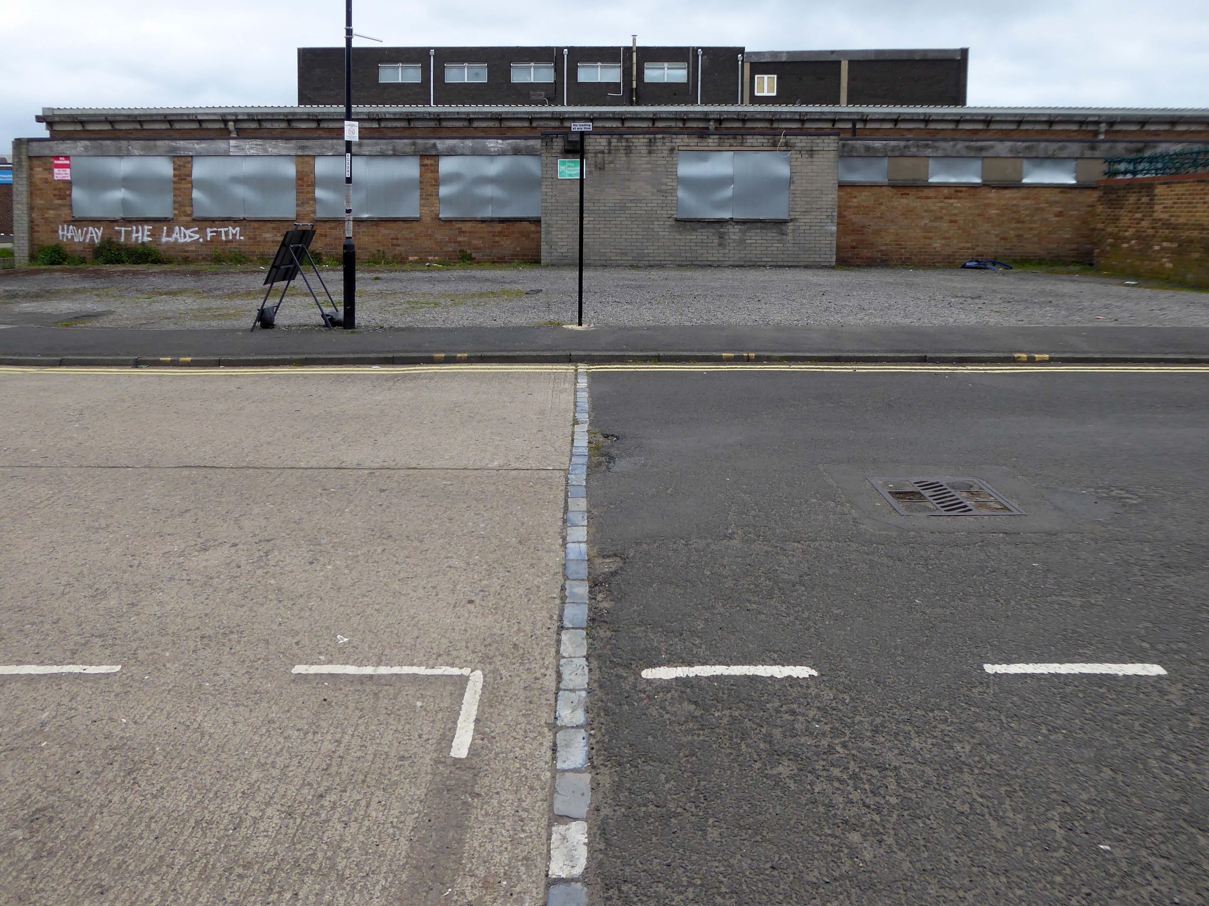
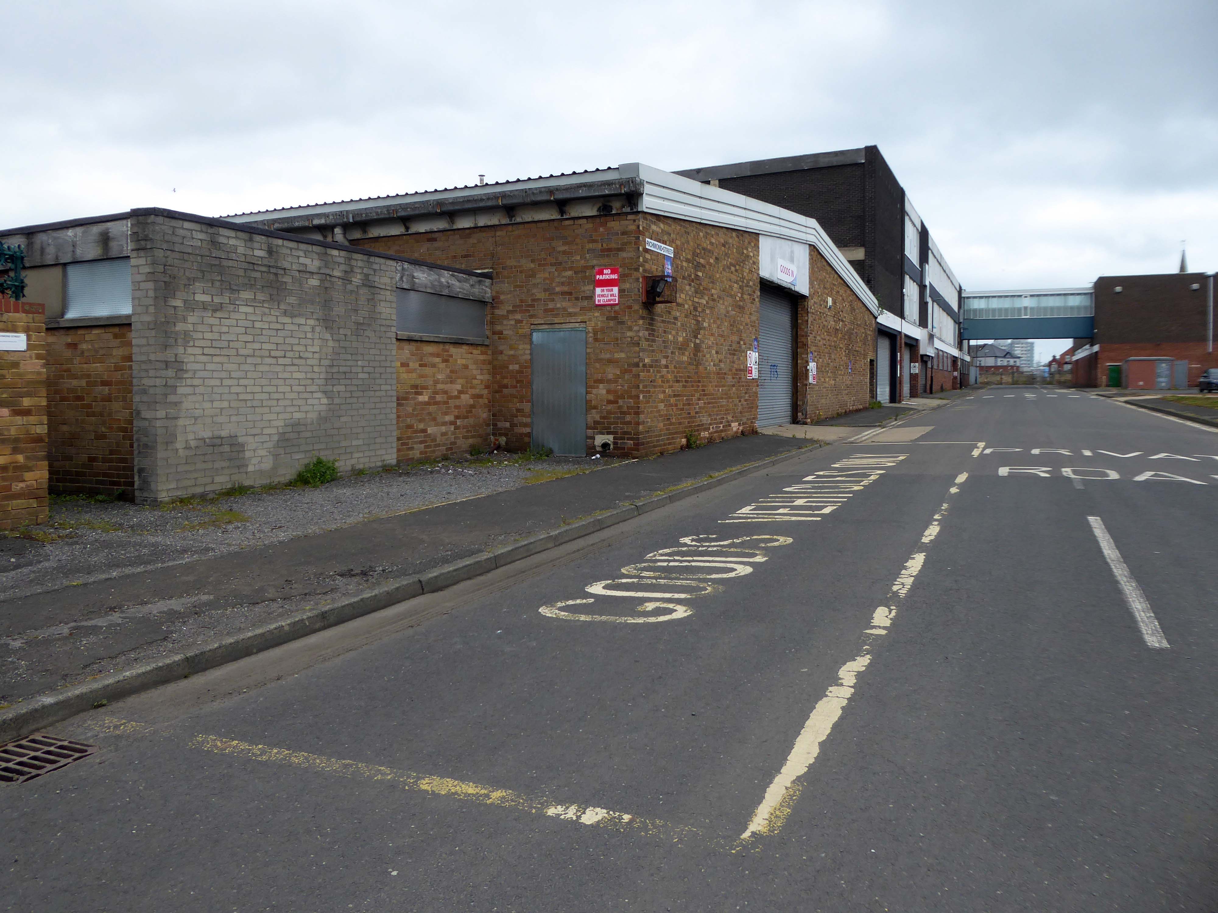
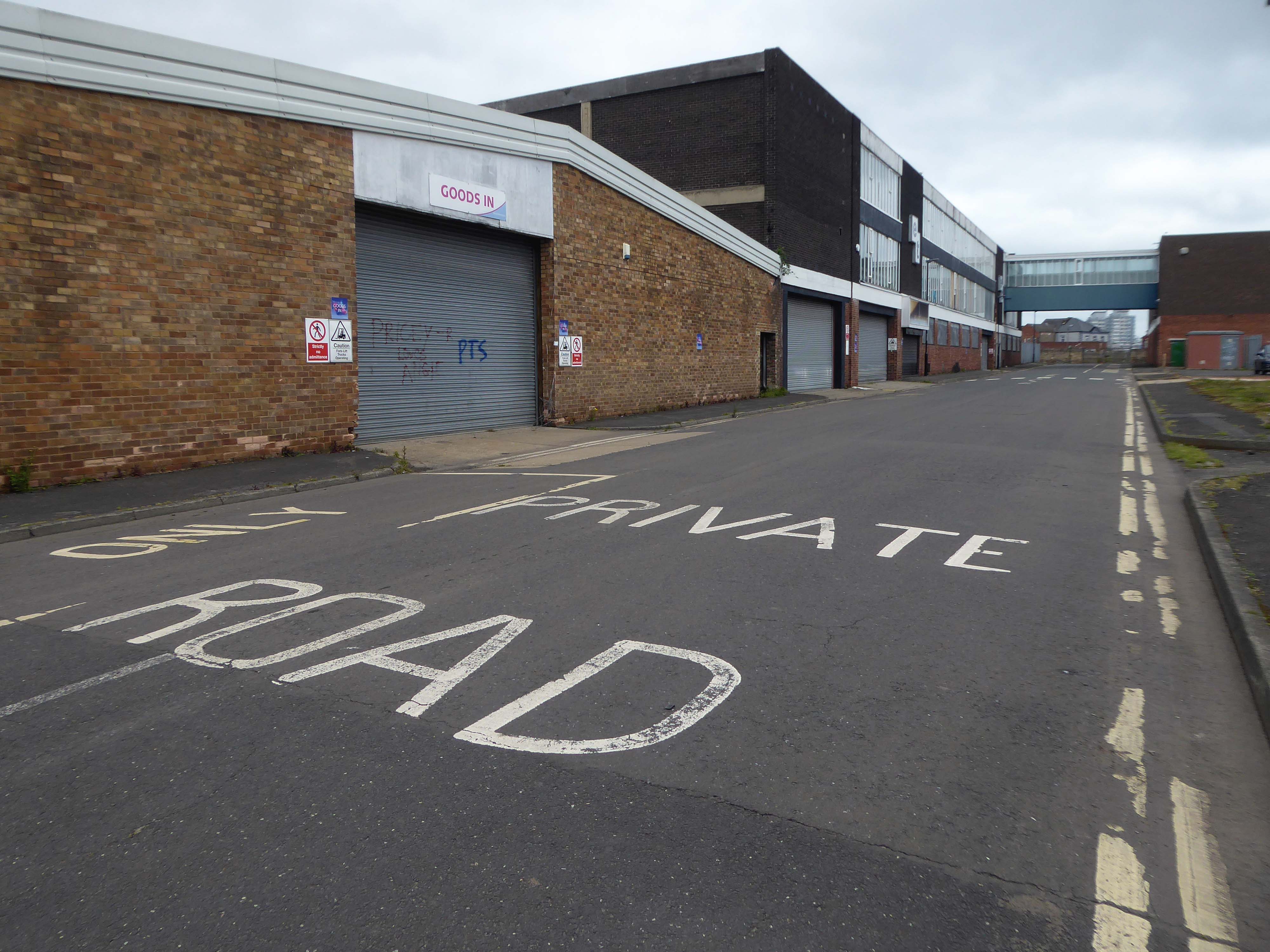
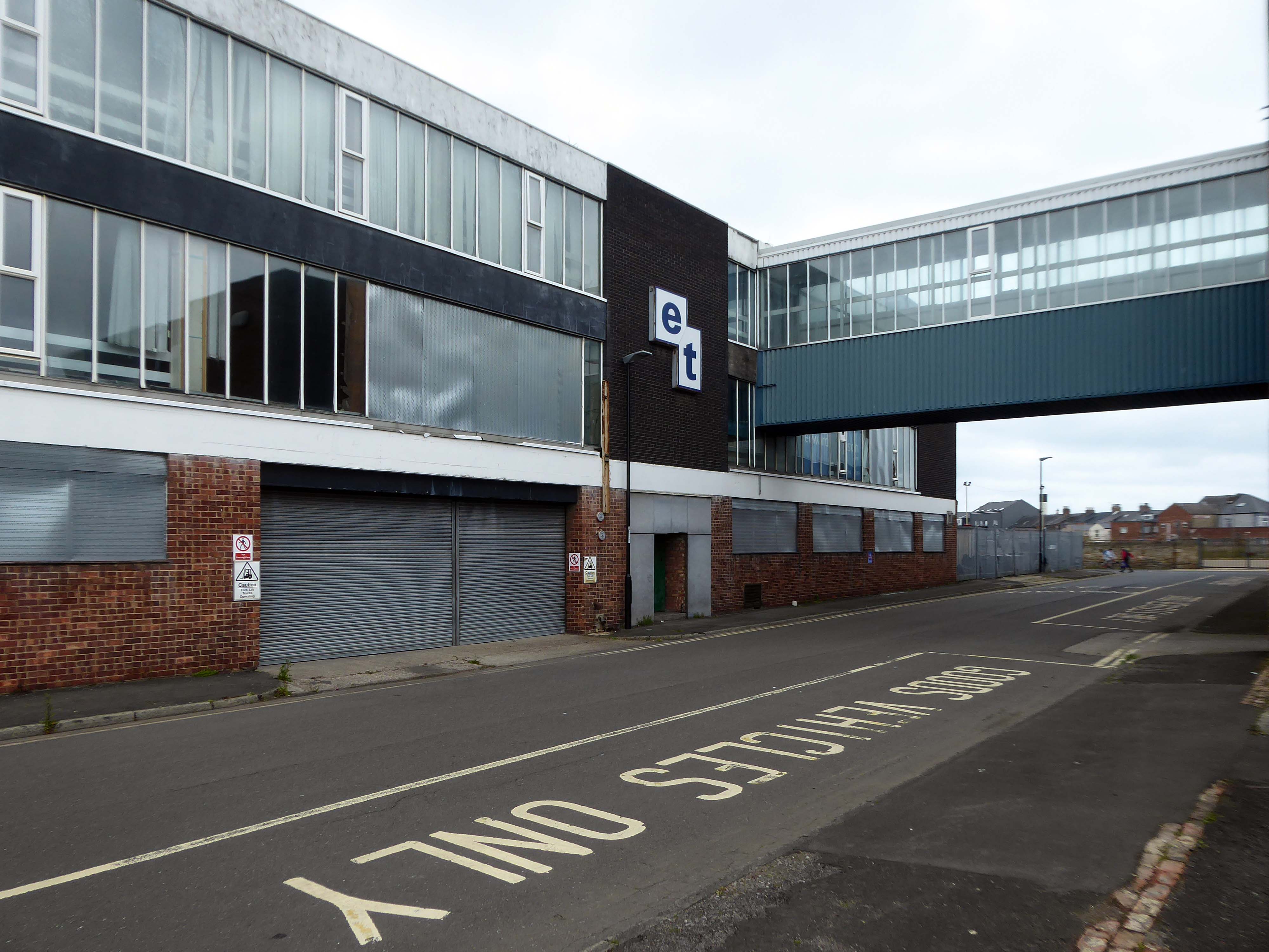
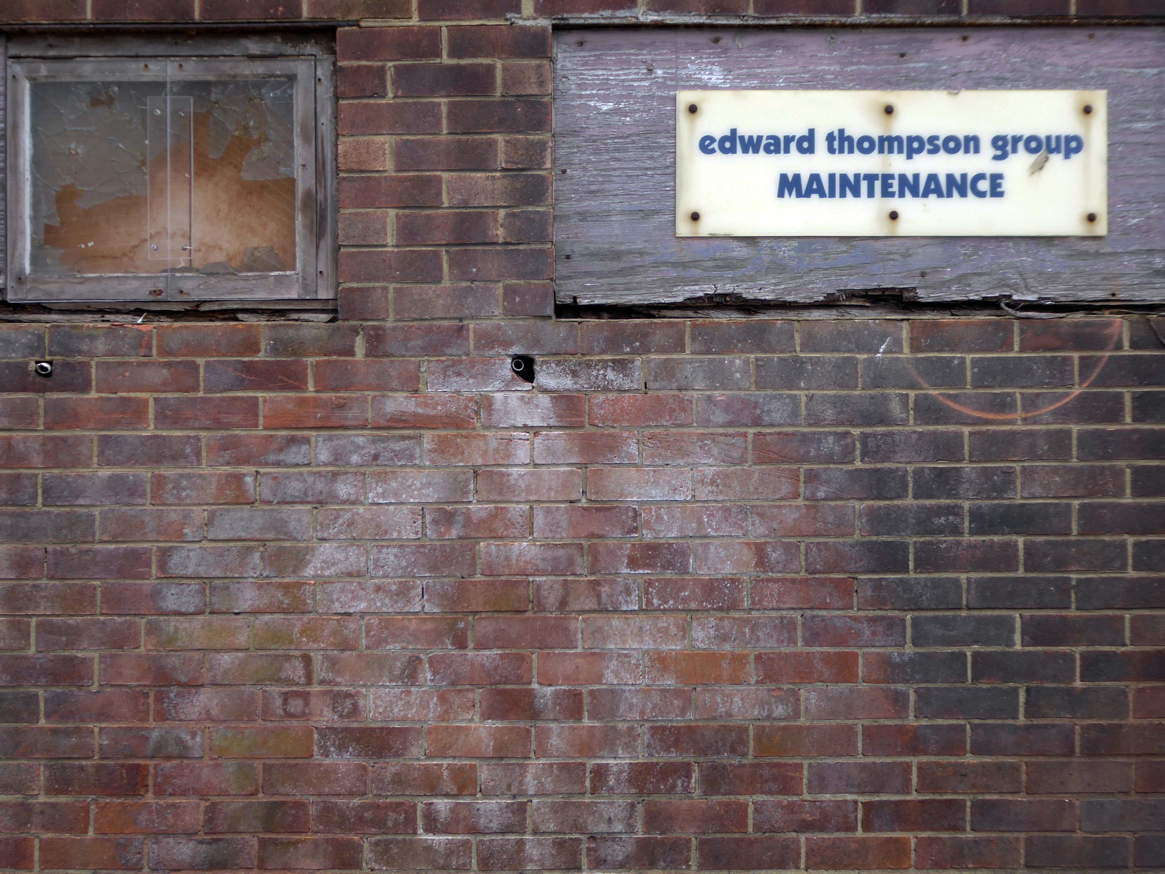
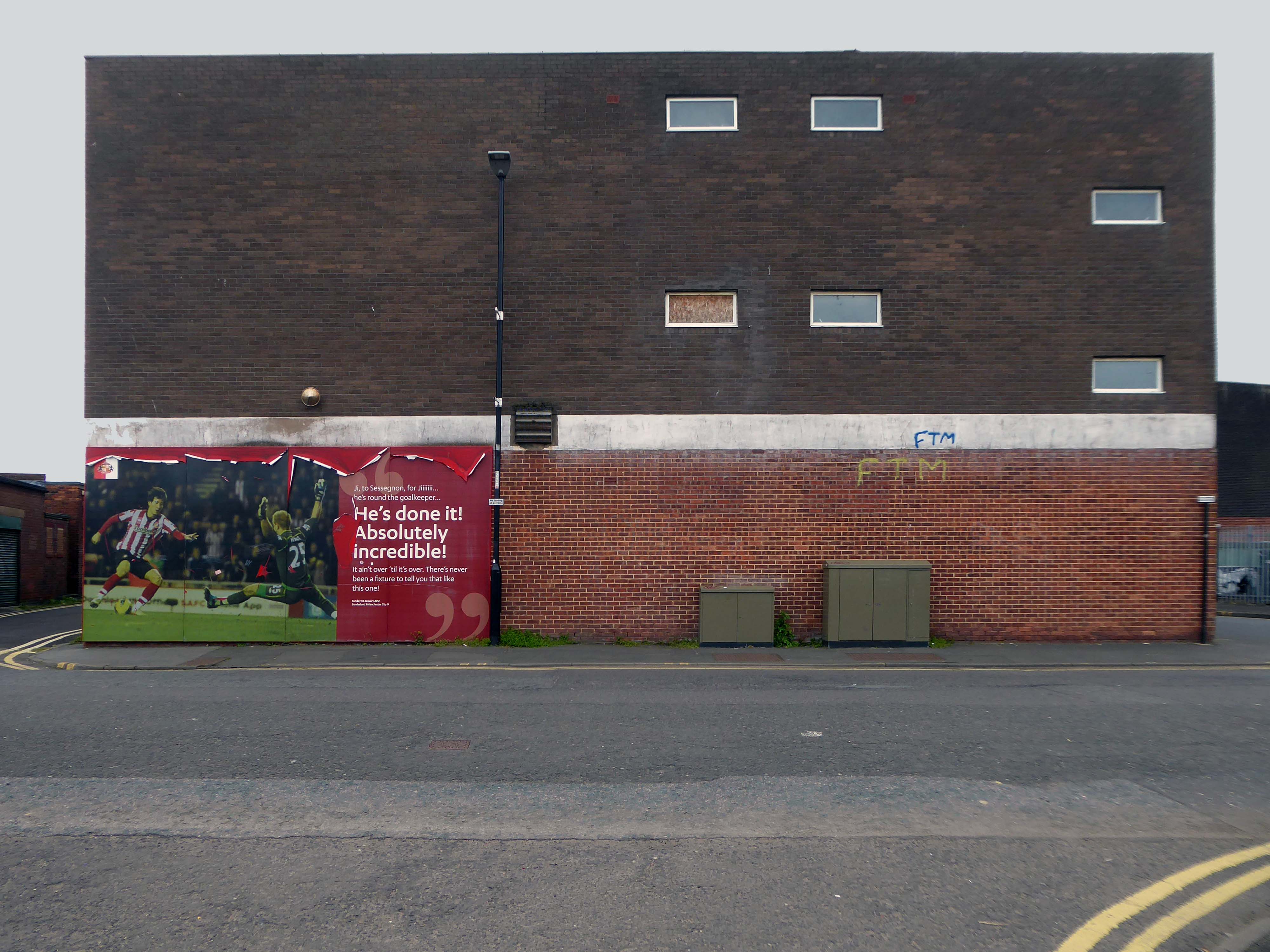
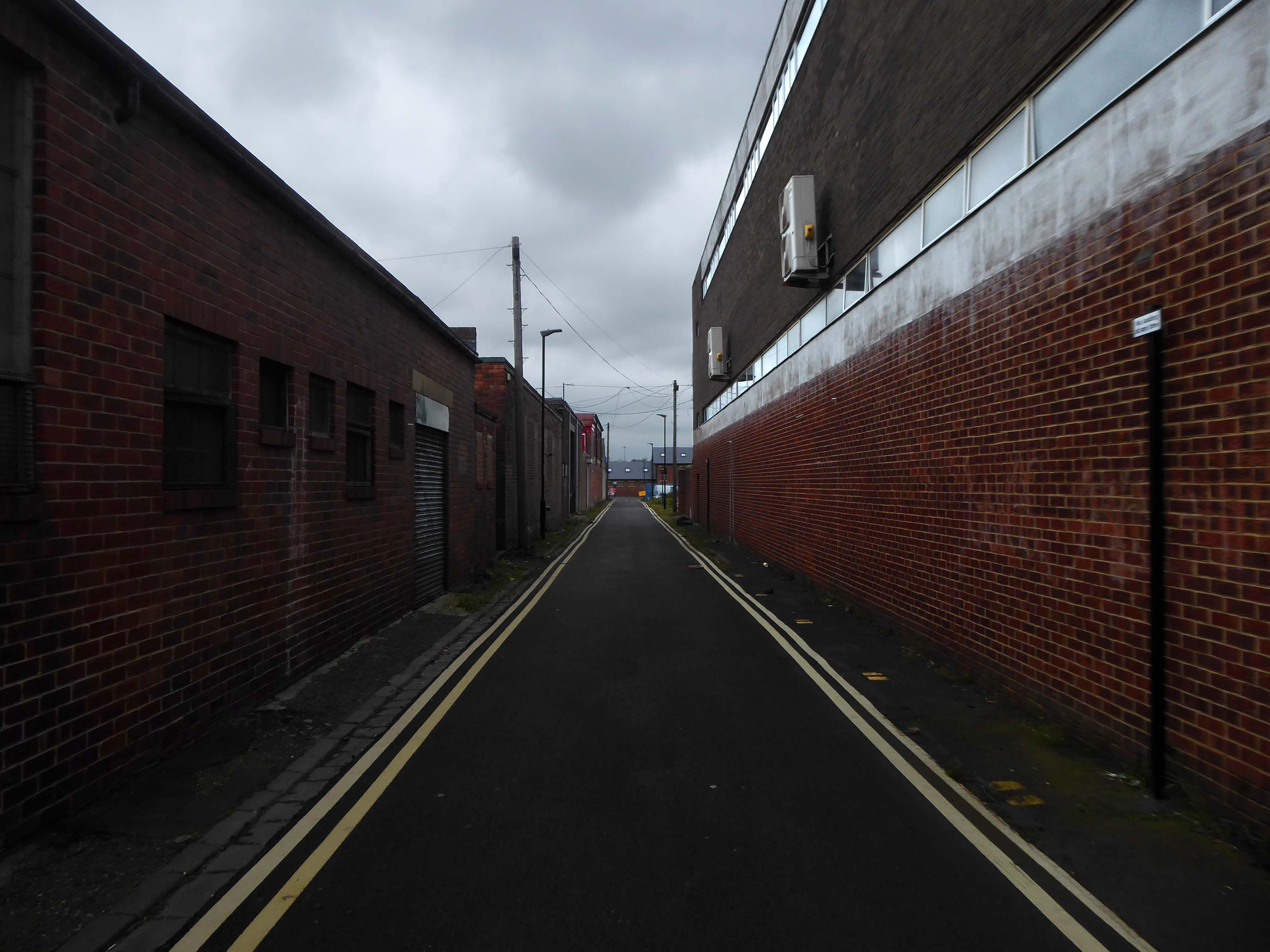
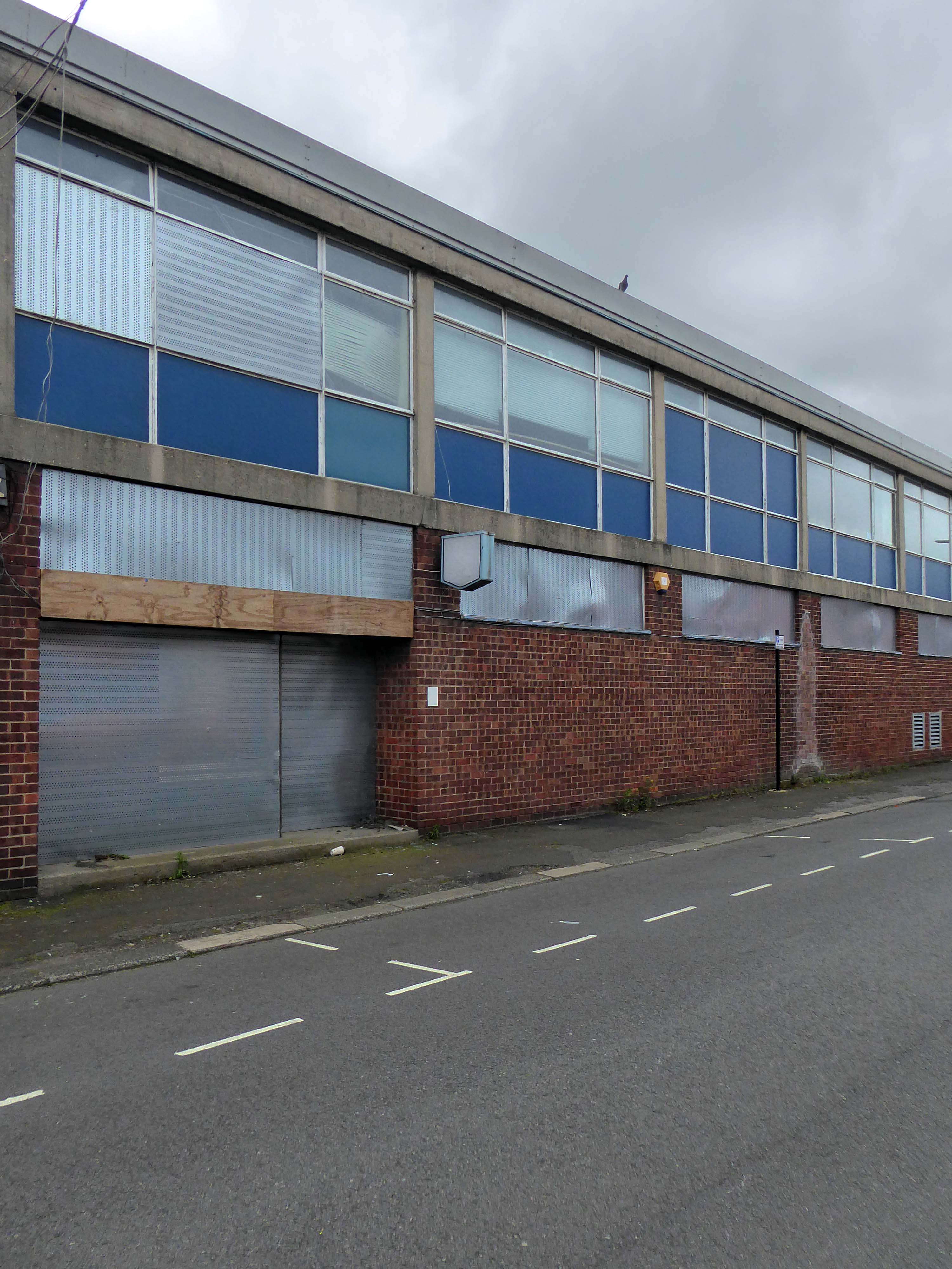
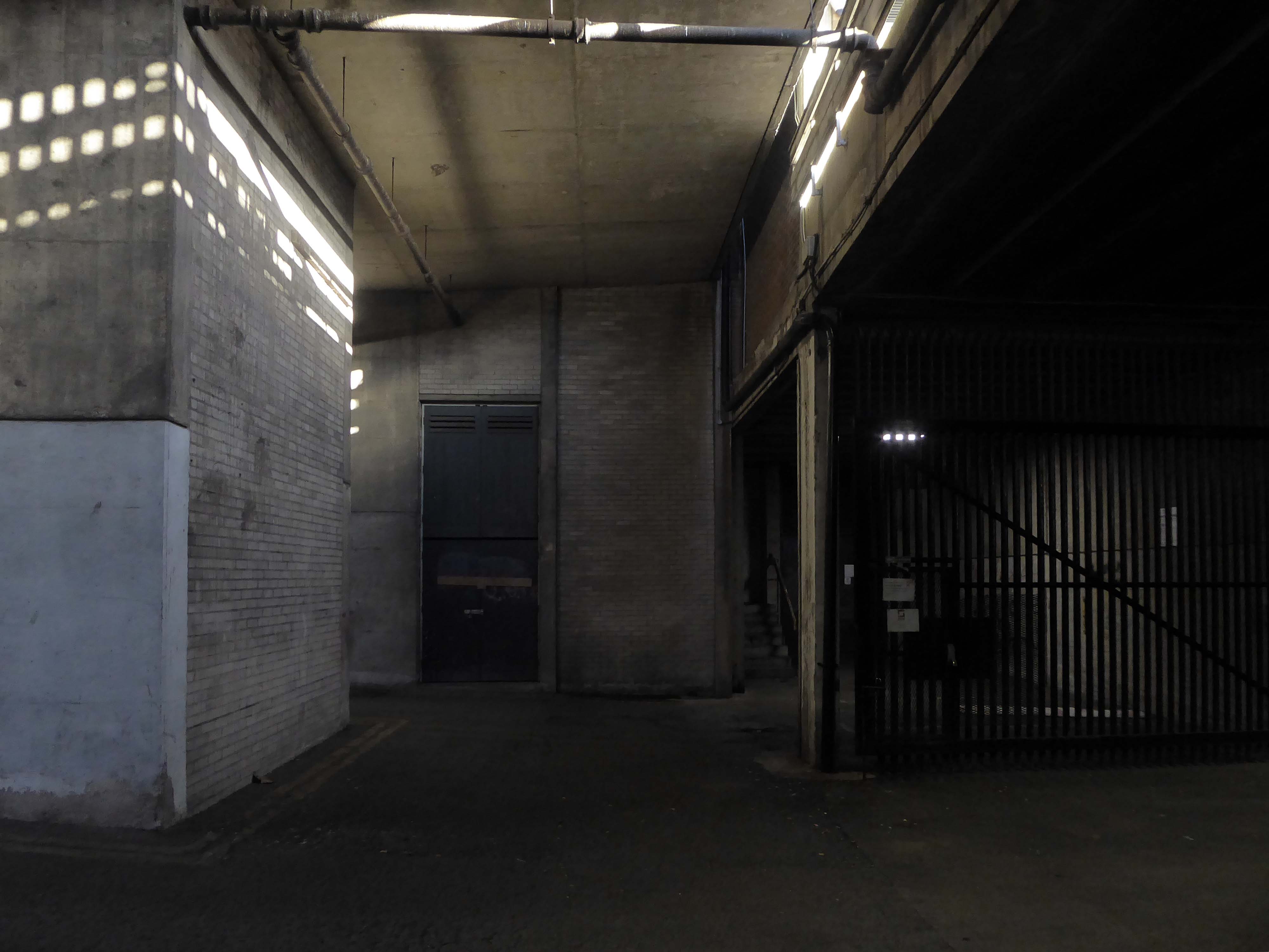
At the end of Mancunian Way, we reach a TOTSO, straight on being the short unsigned A635(M) and thence the A635 – for Saddleworth Moor, Barnsley and Doncaster whilst the A57 turns south, briefly multiplexing with the A6, and then branching off along Hyde Road. This section of road was extensively cleared for the westward extension for the M67, and consequently has seen a lot of redevelopment.
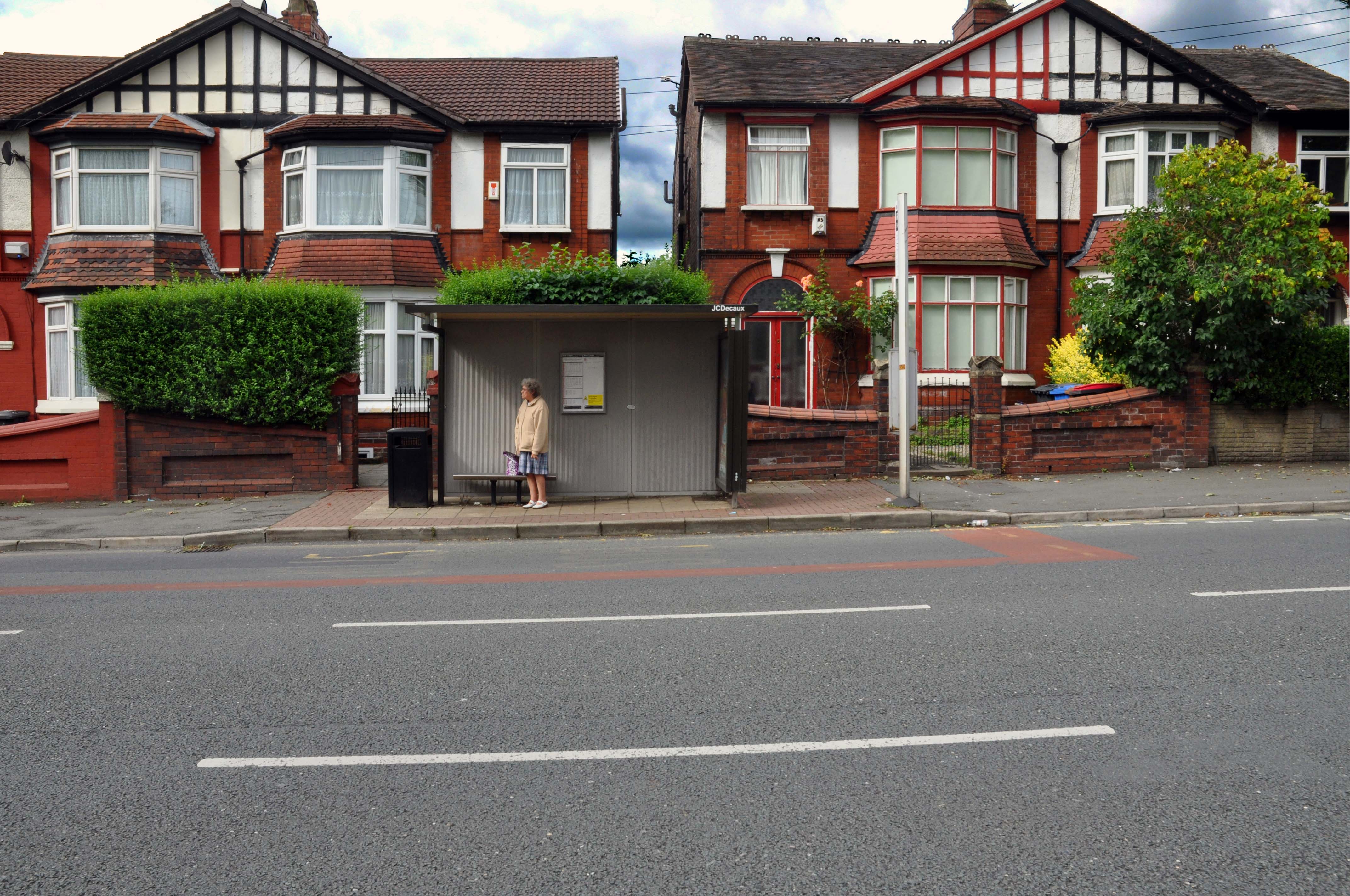
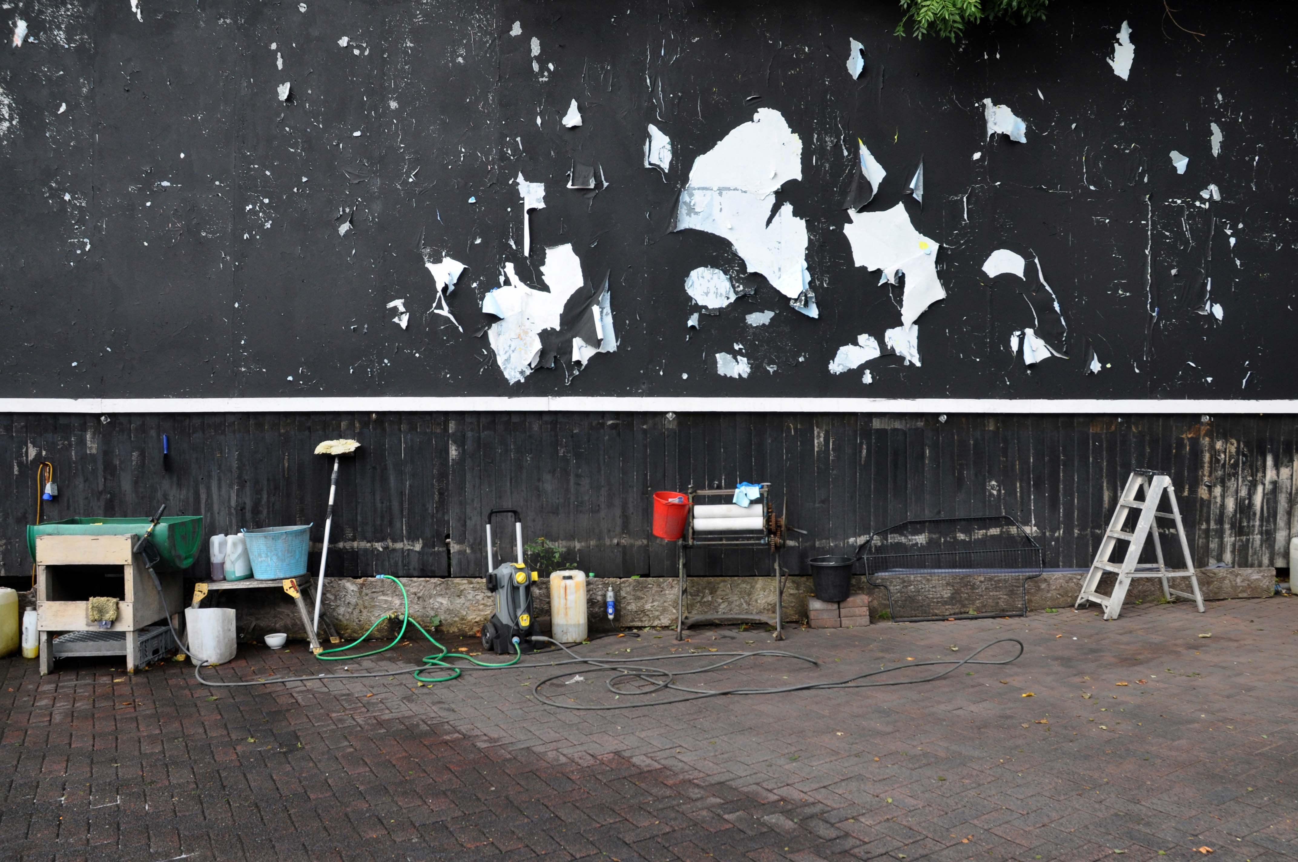
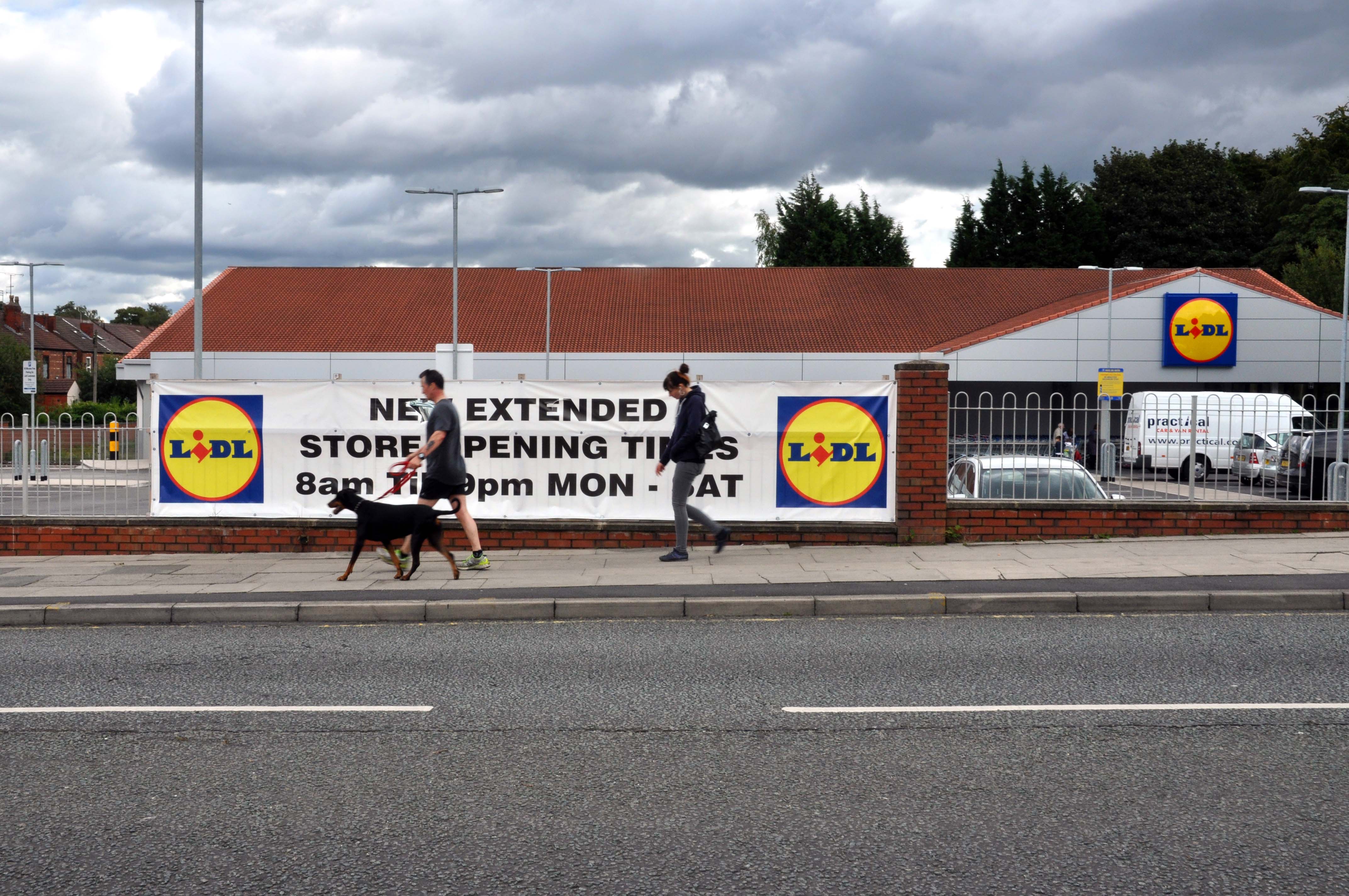
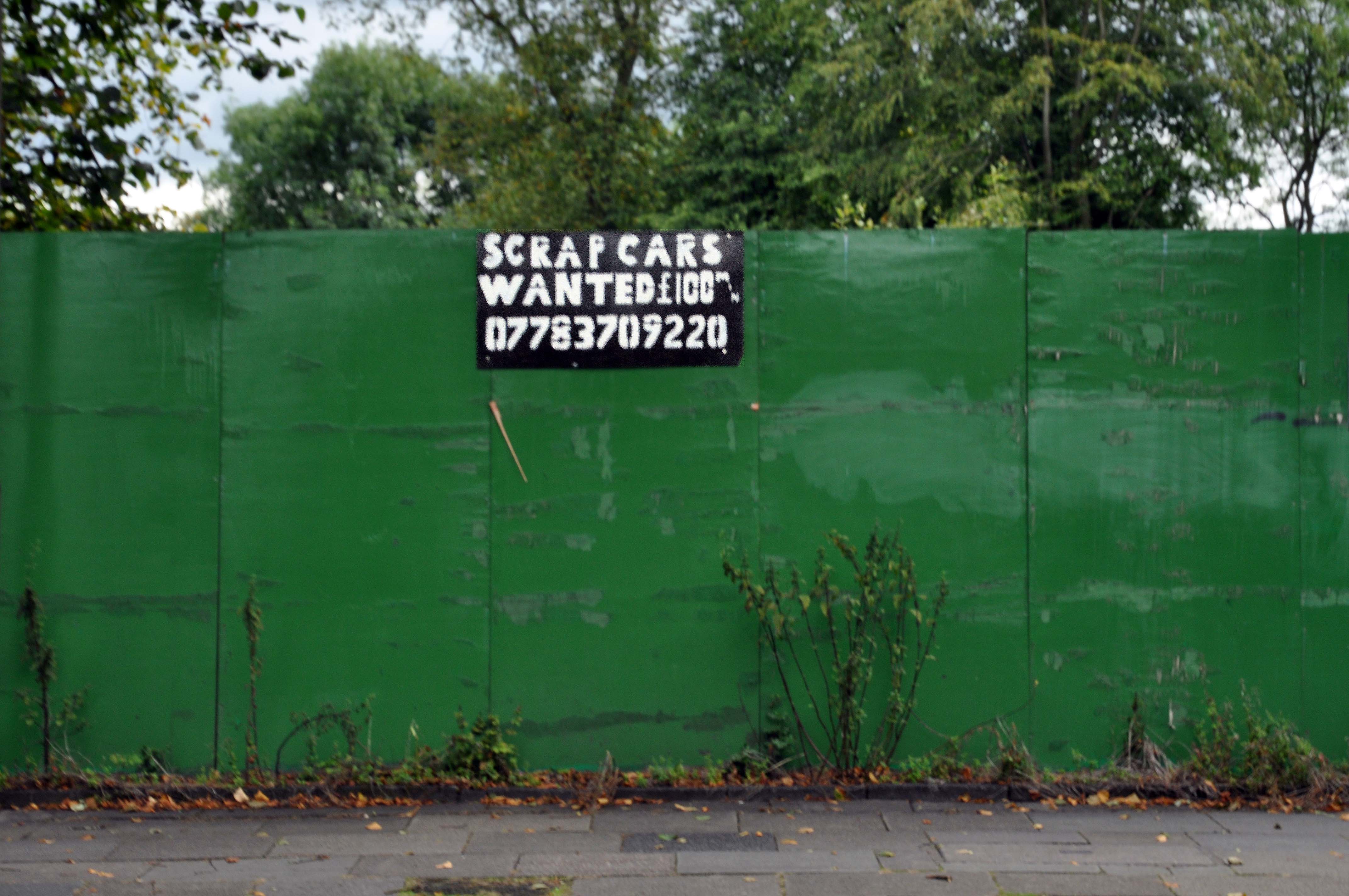
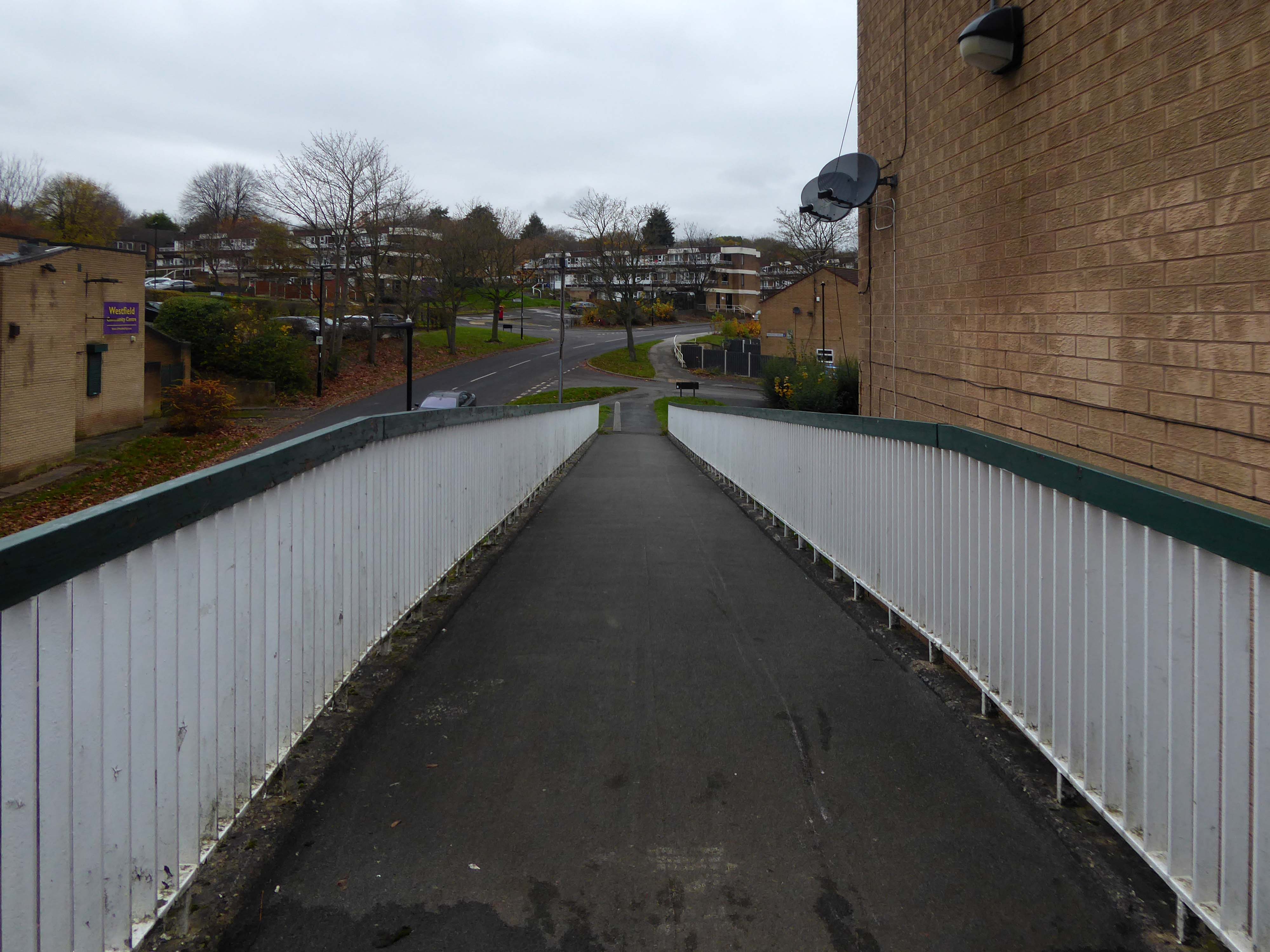
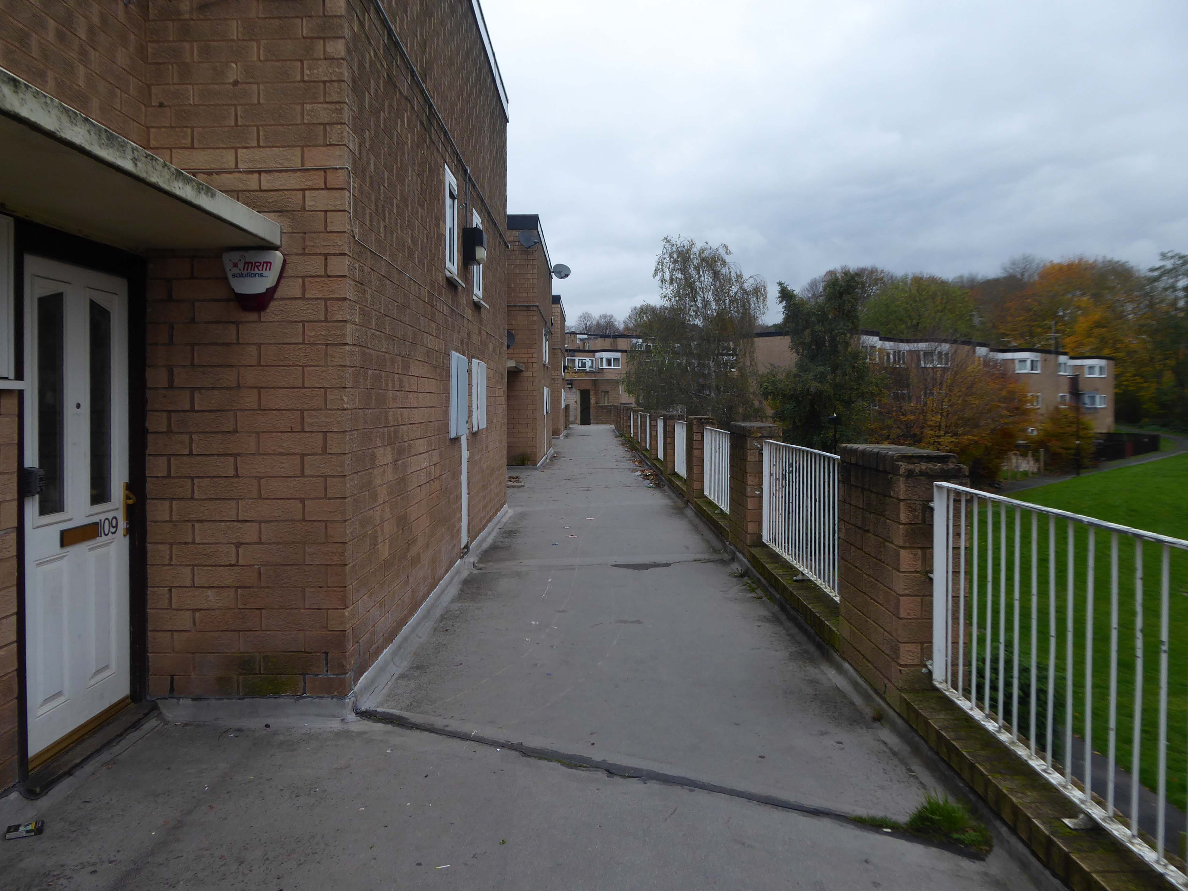
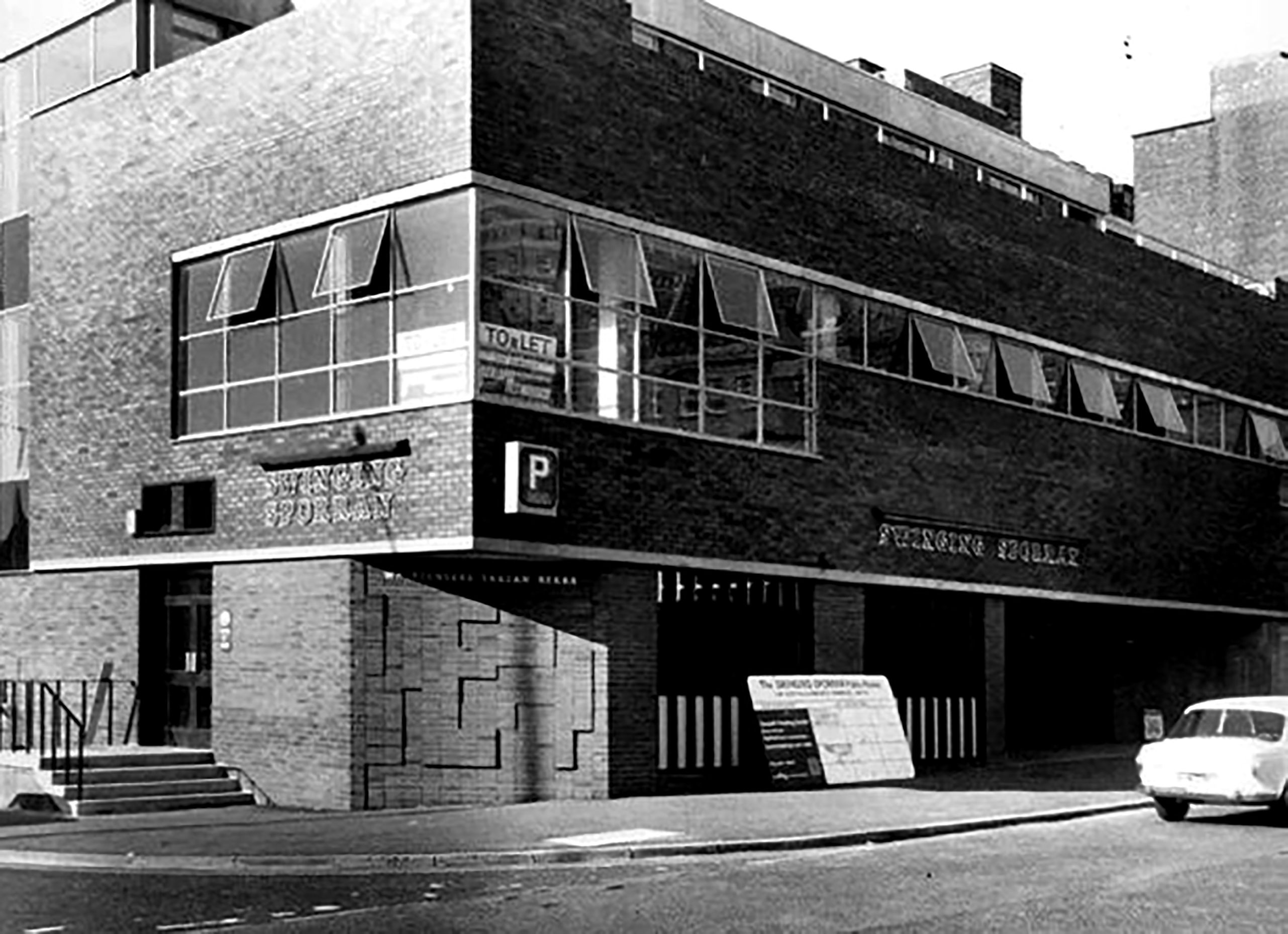
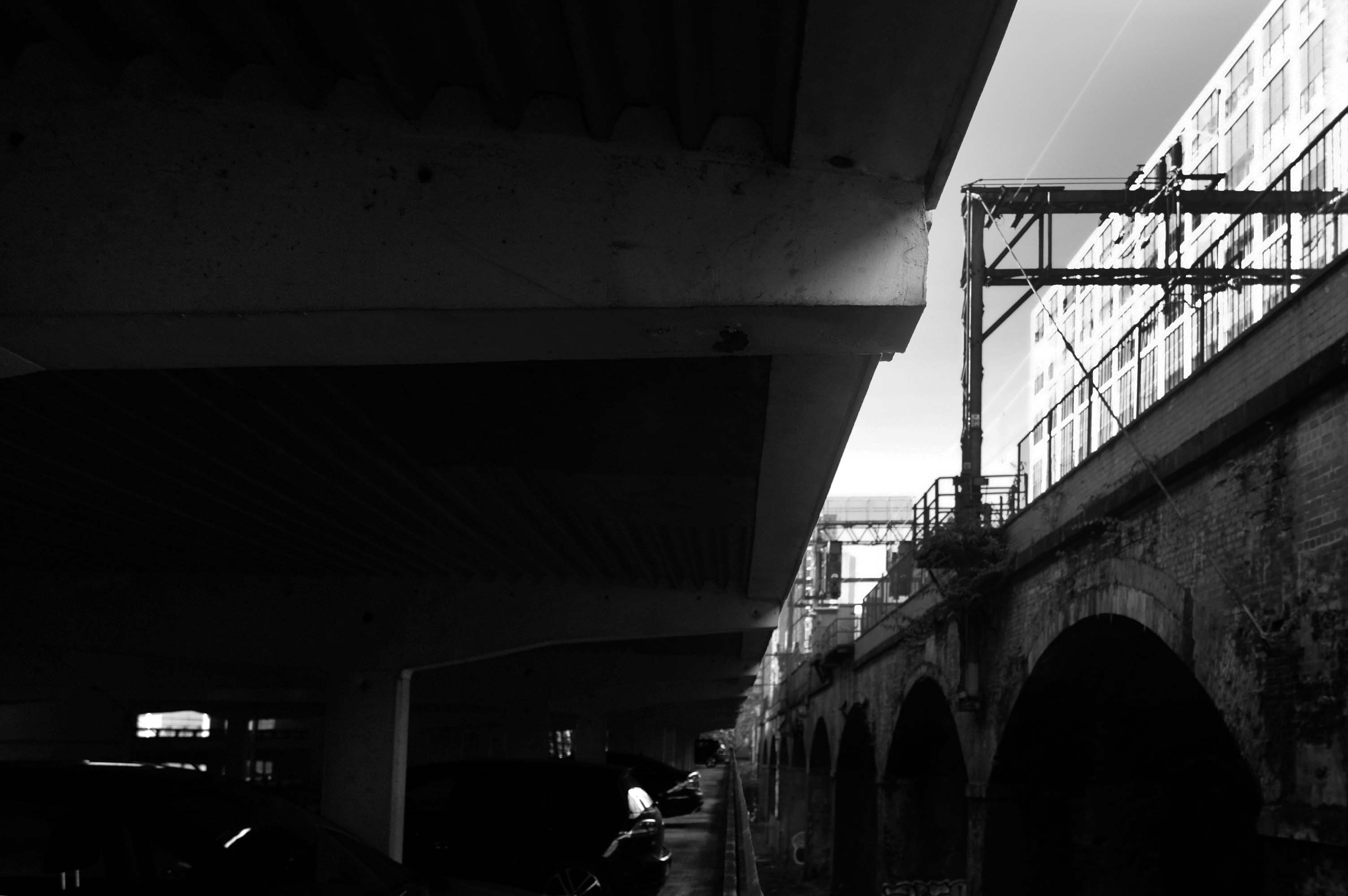
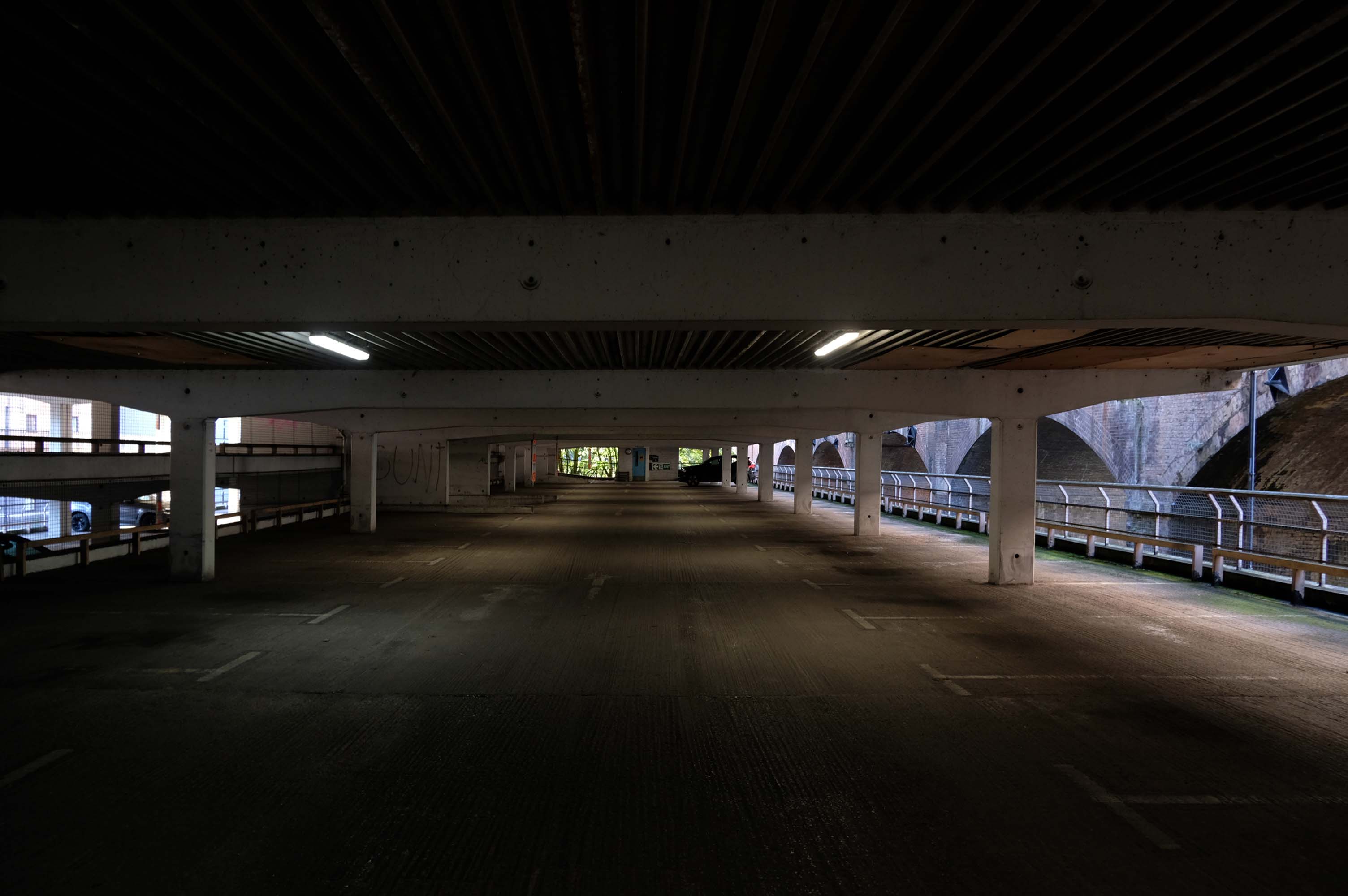
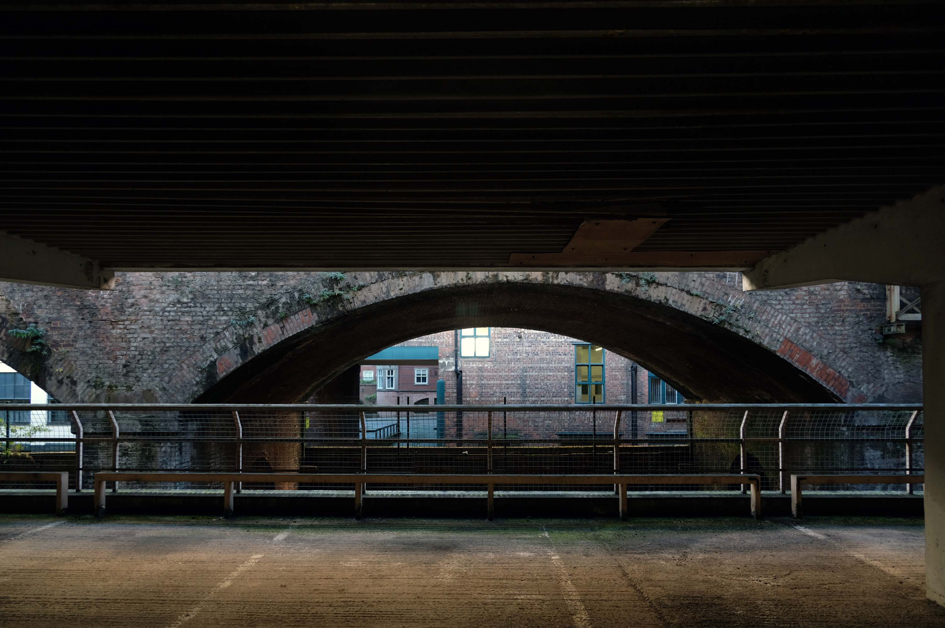
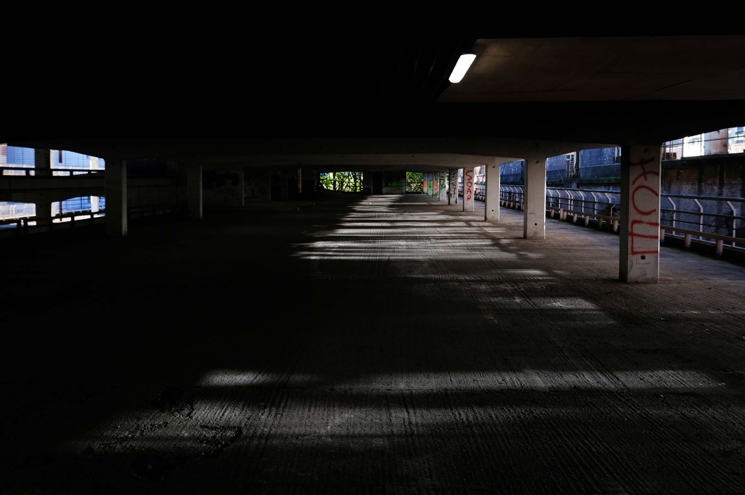
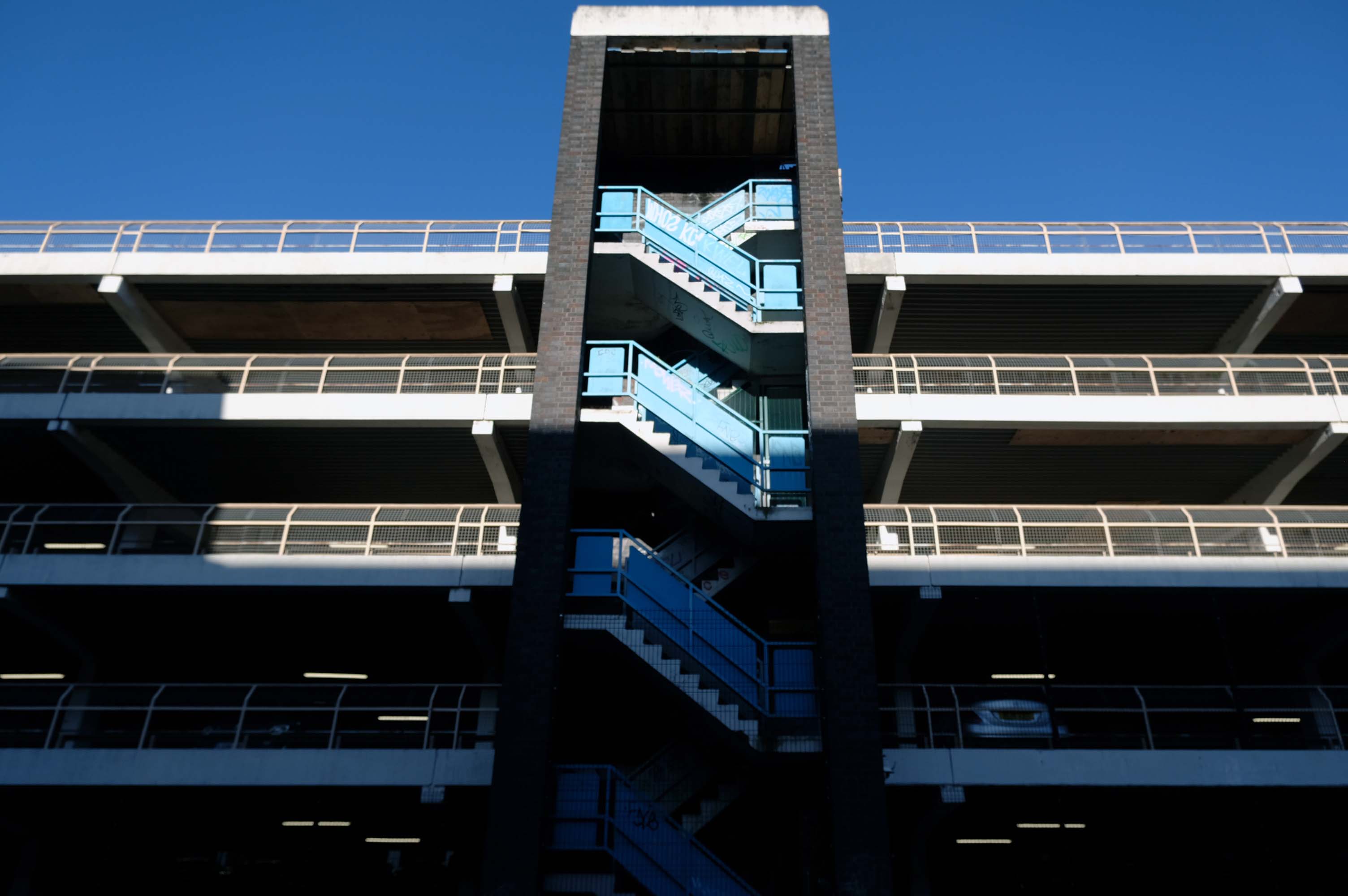
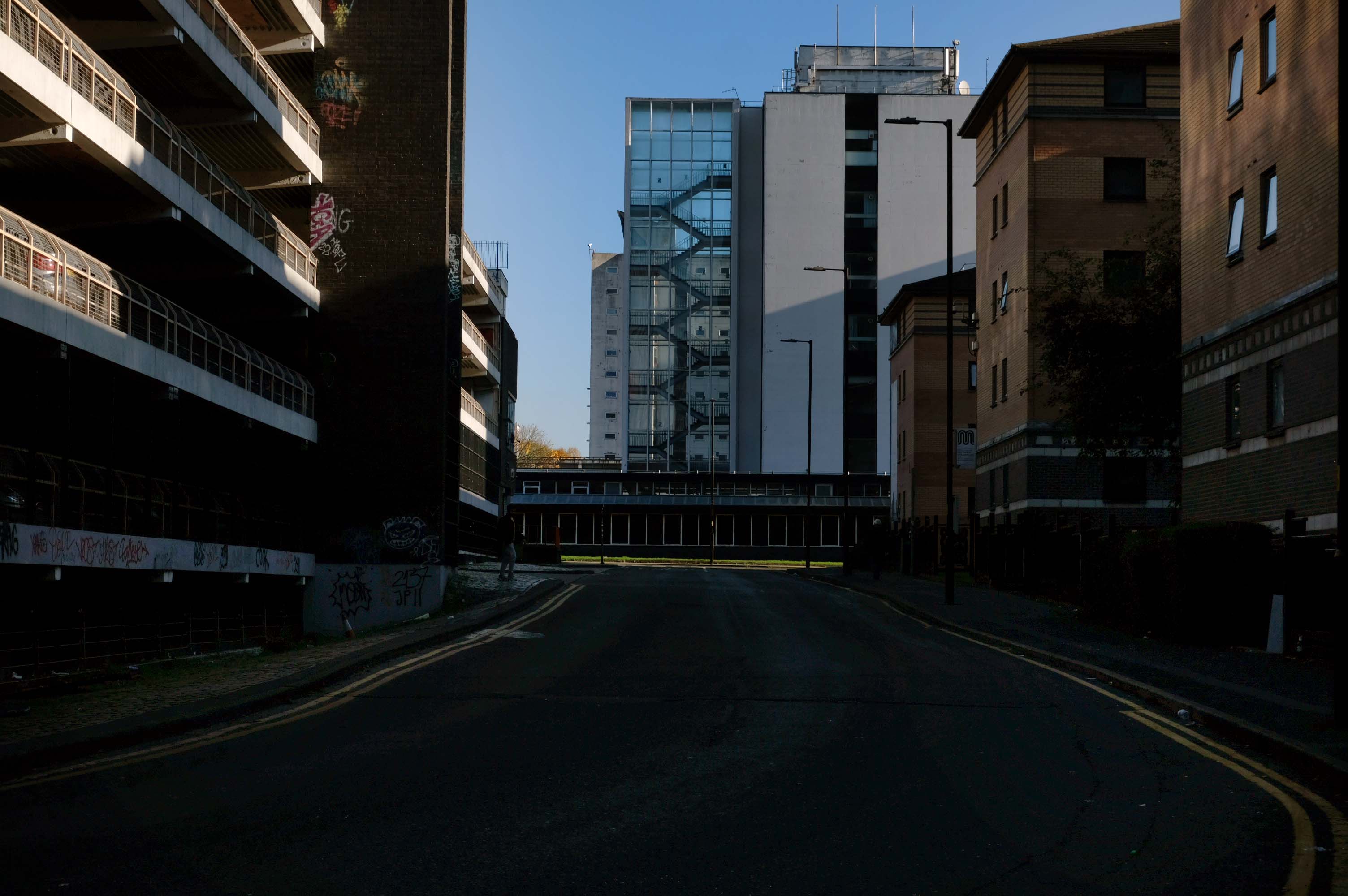
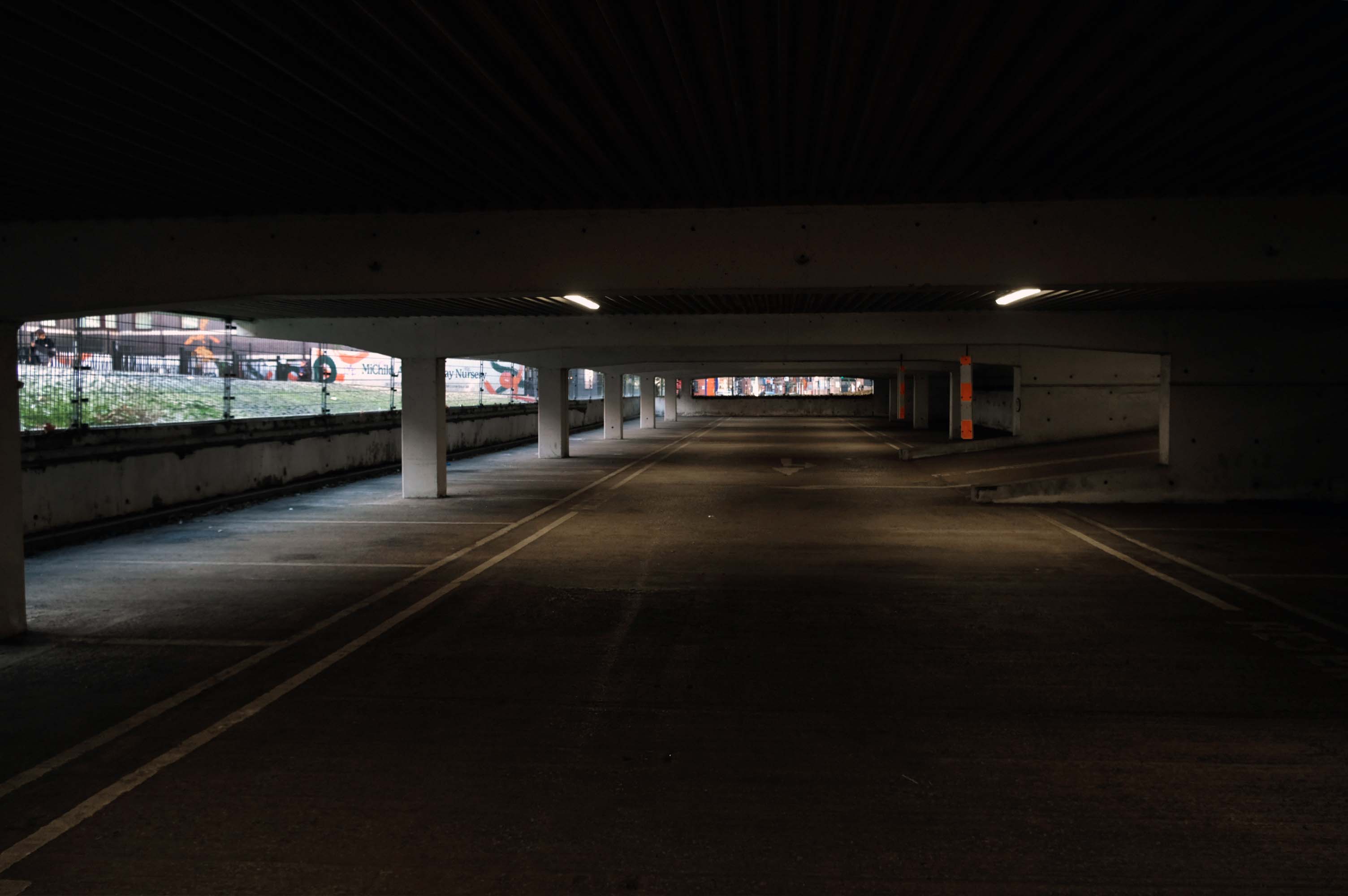
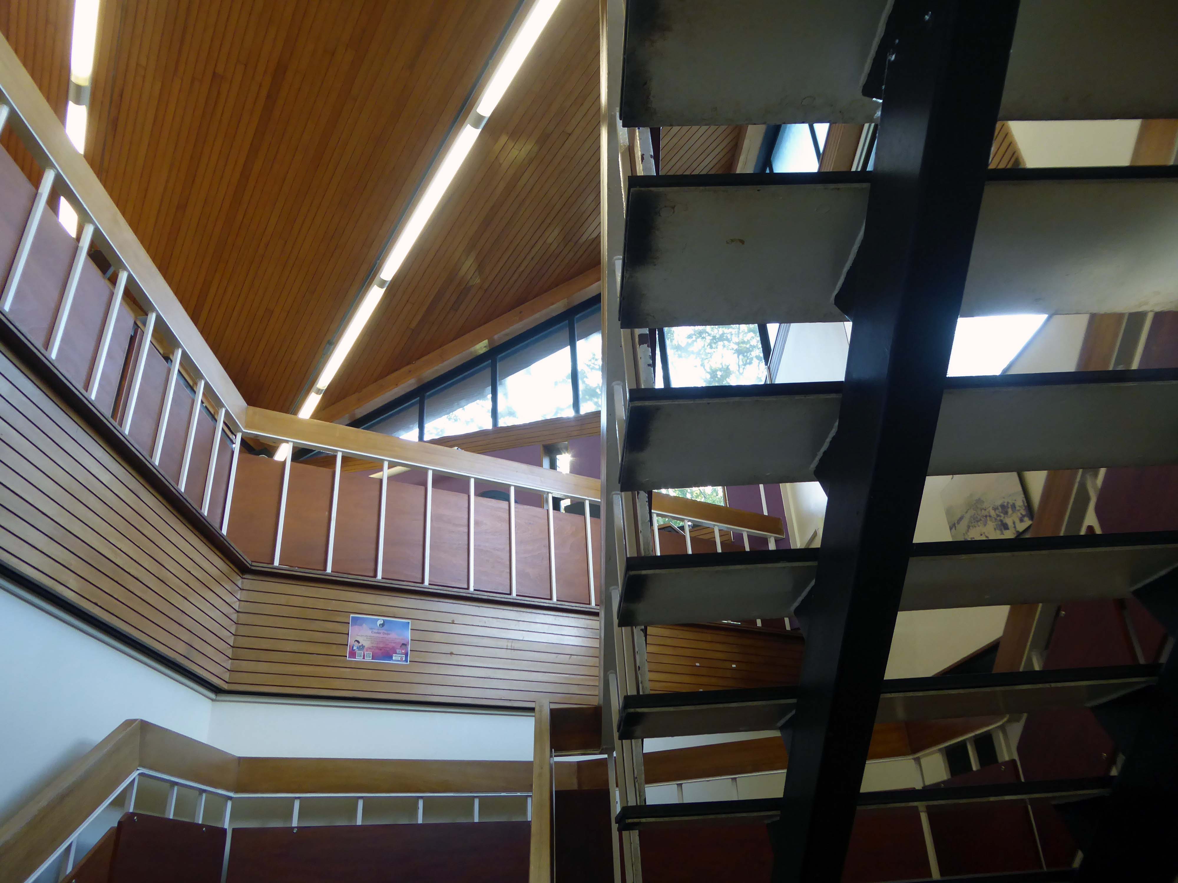
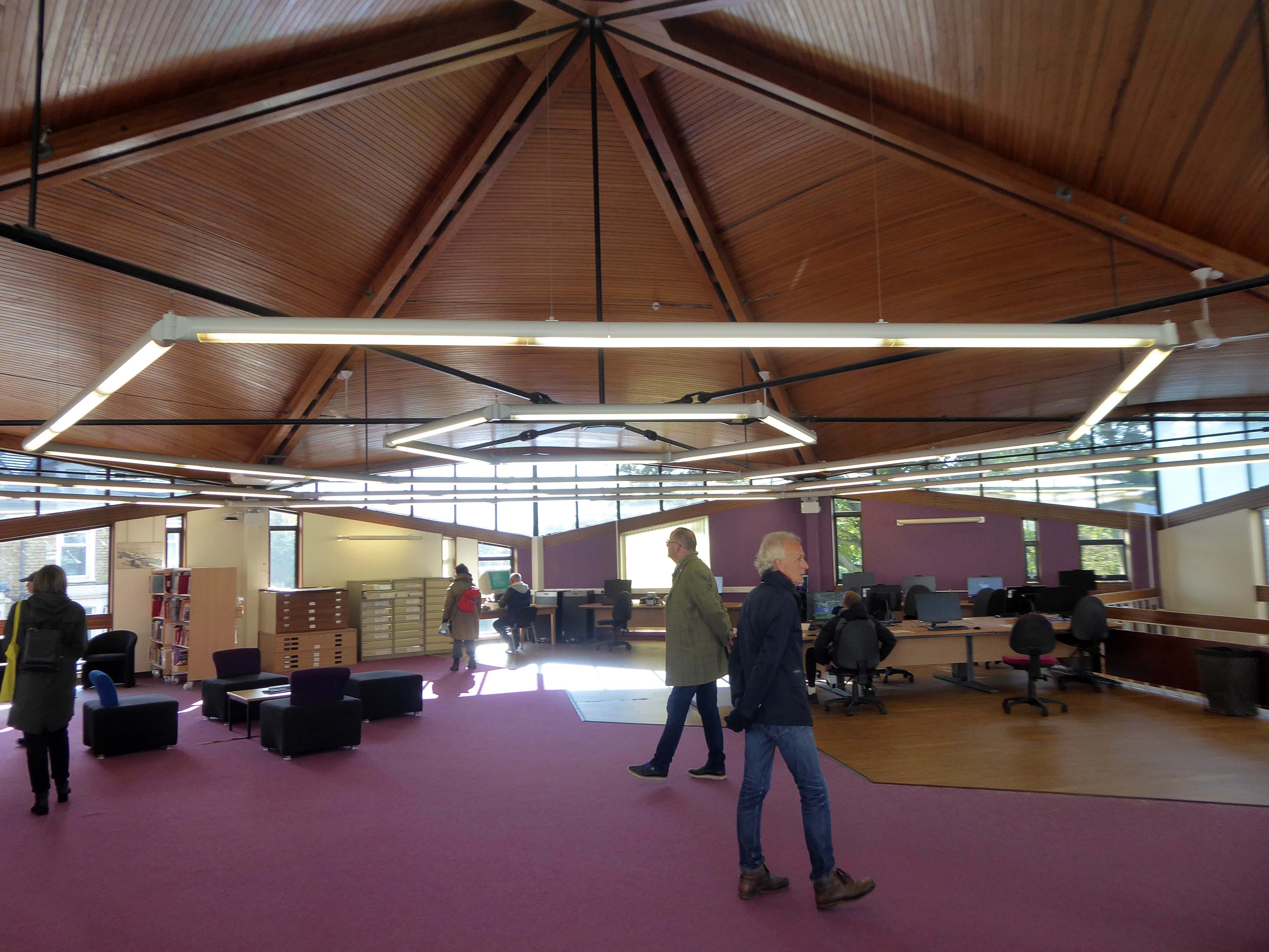
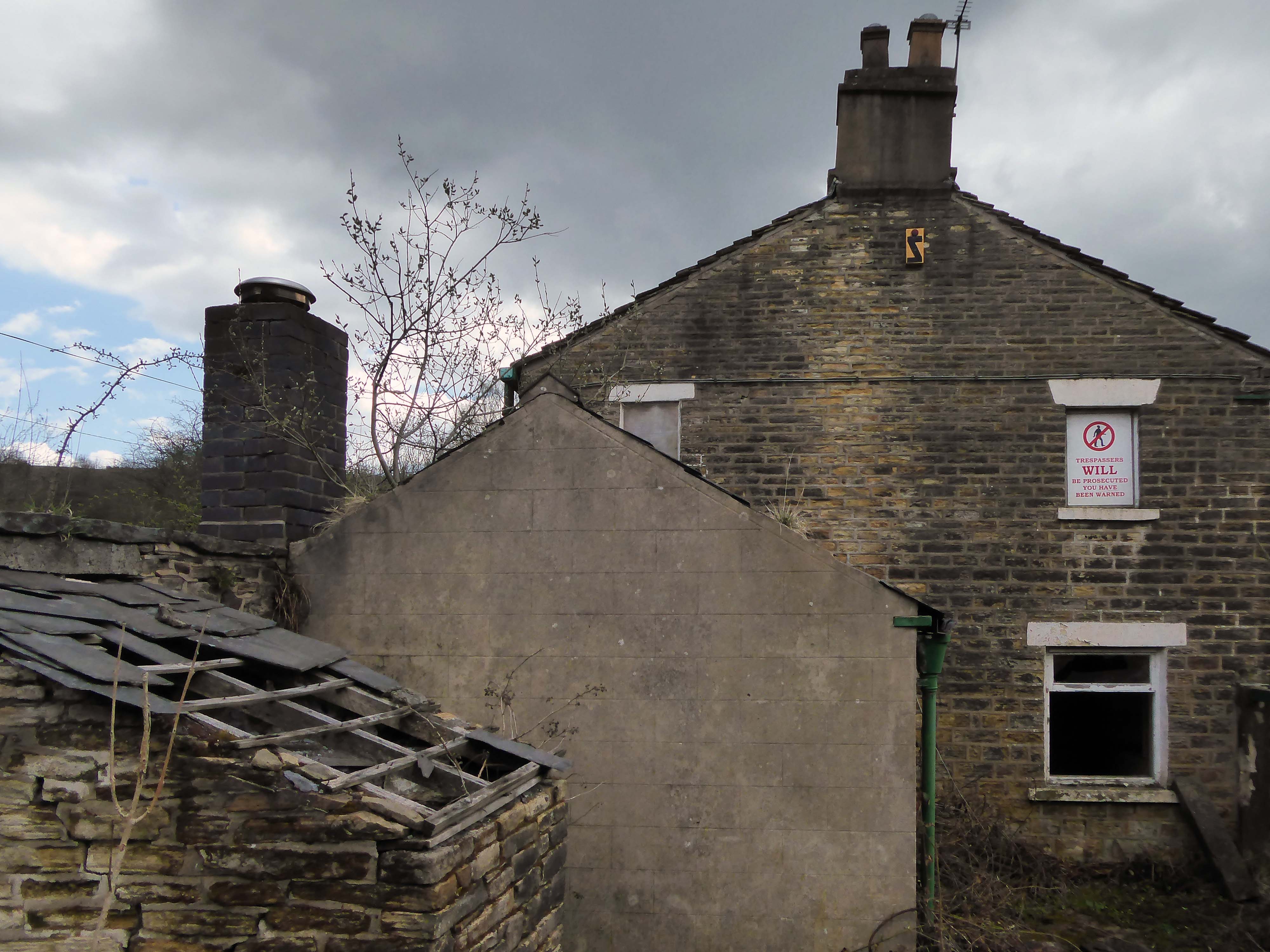
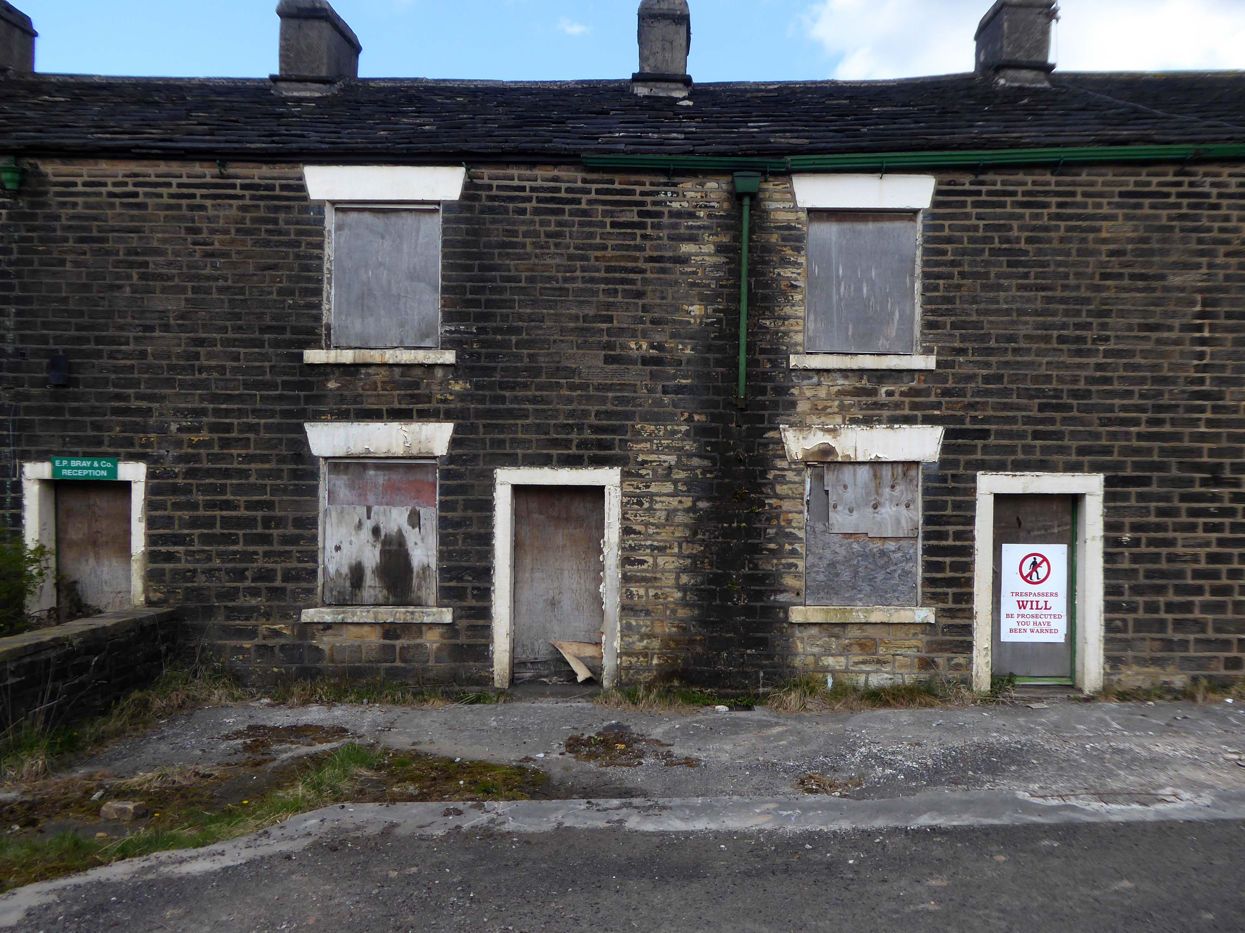
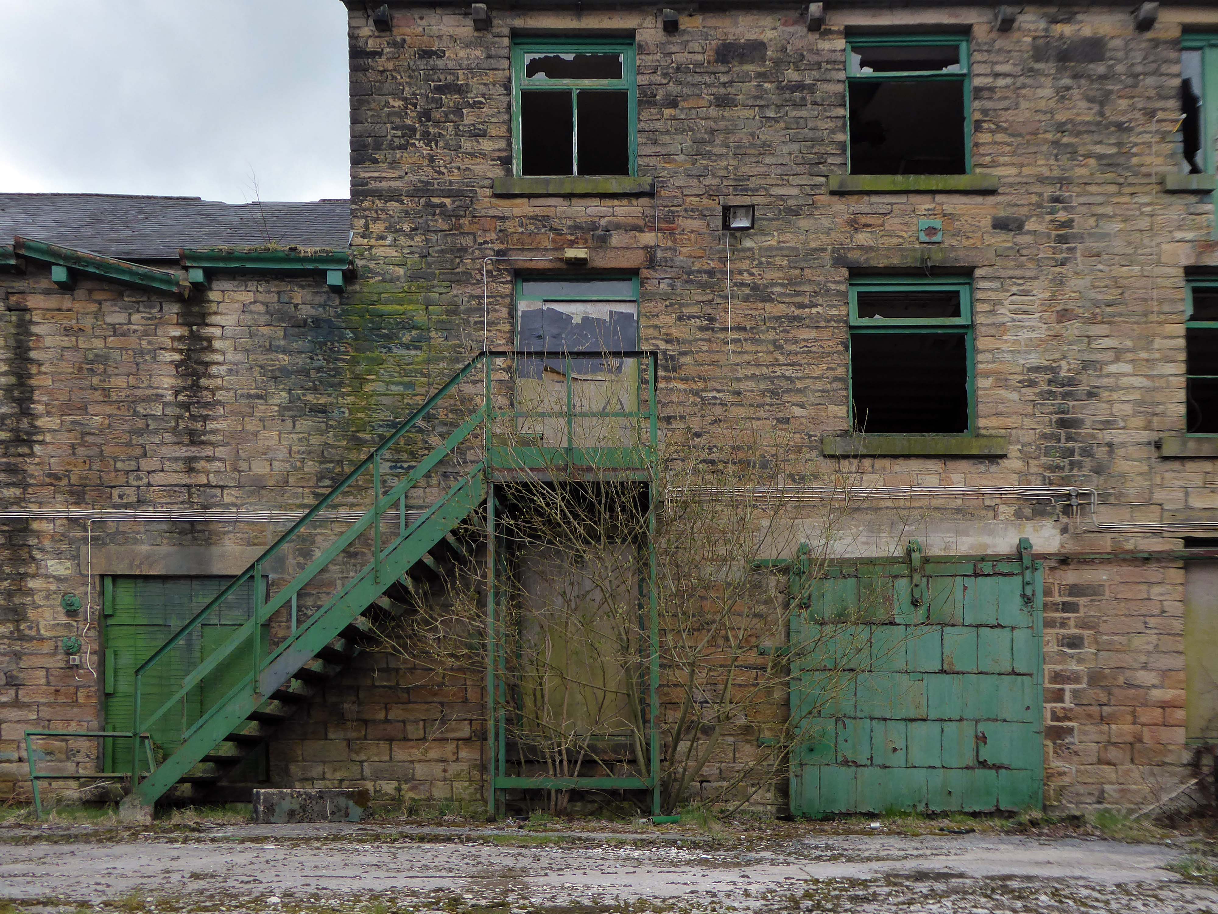
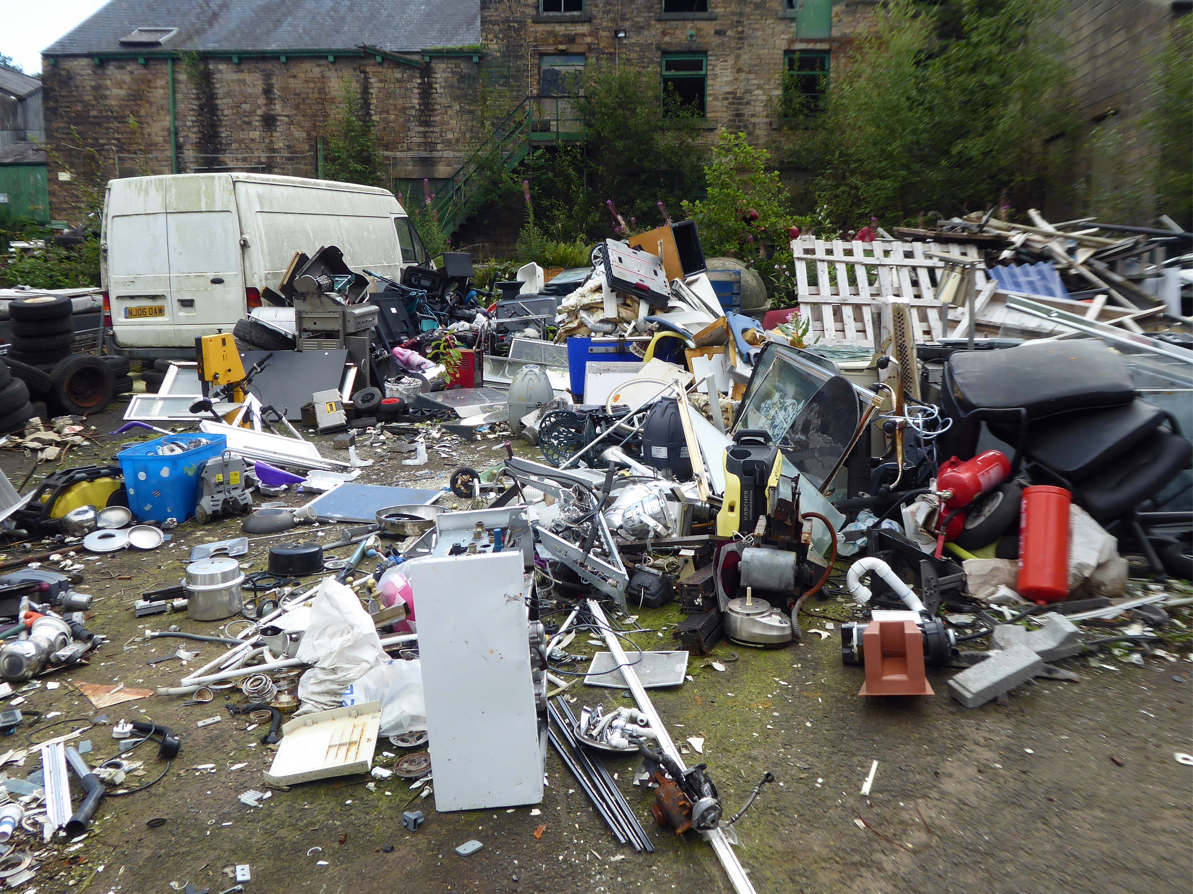
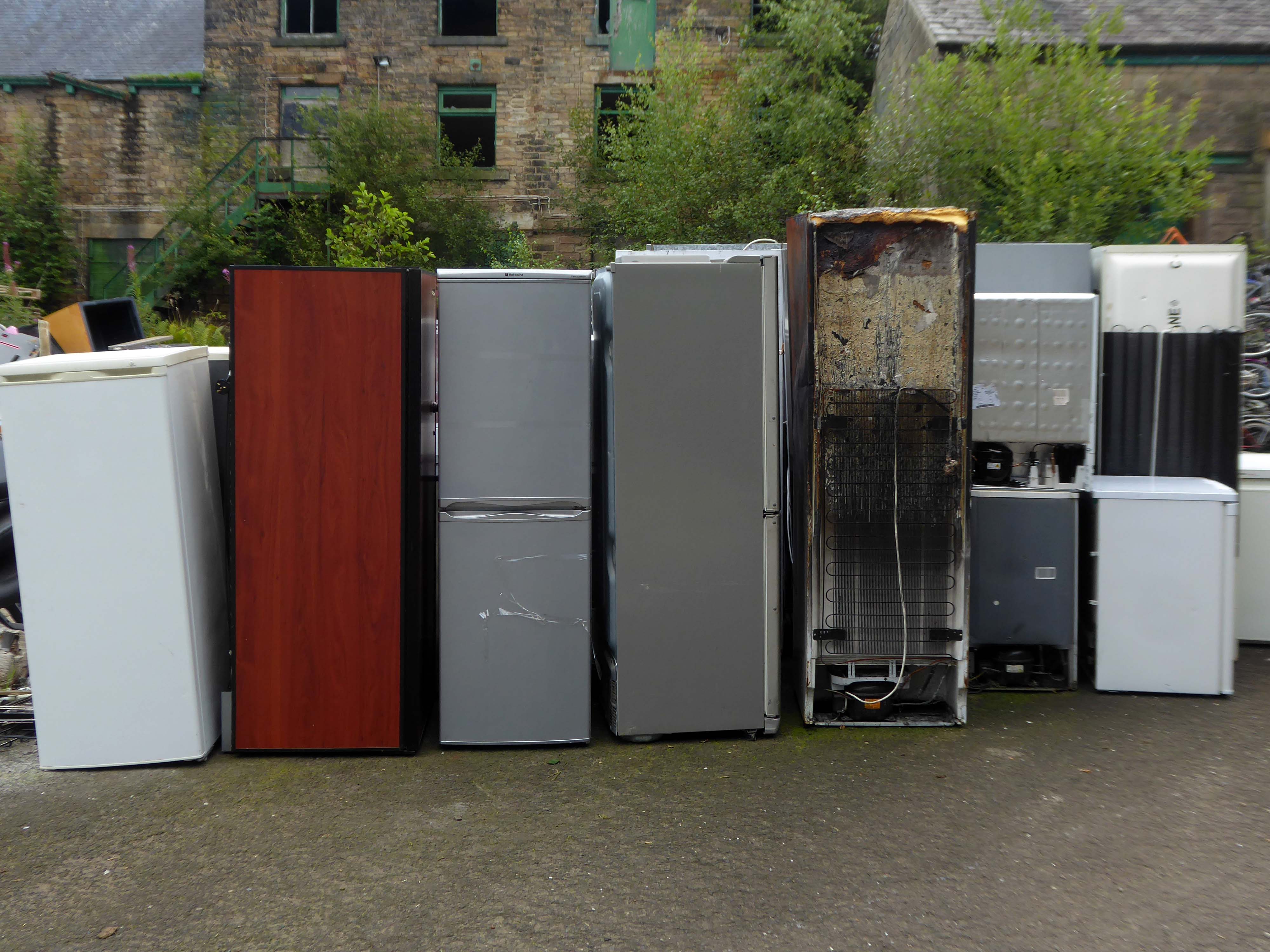
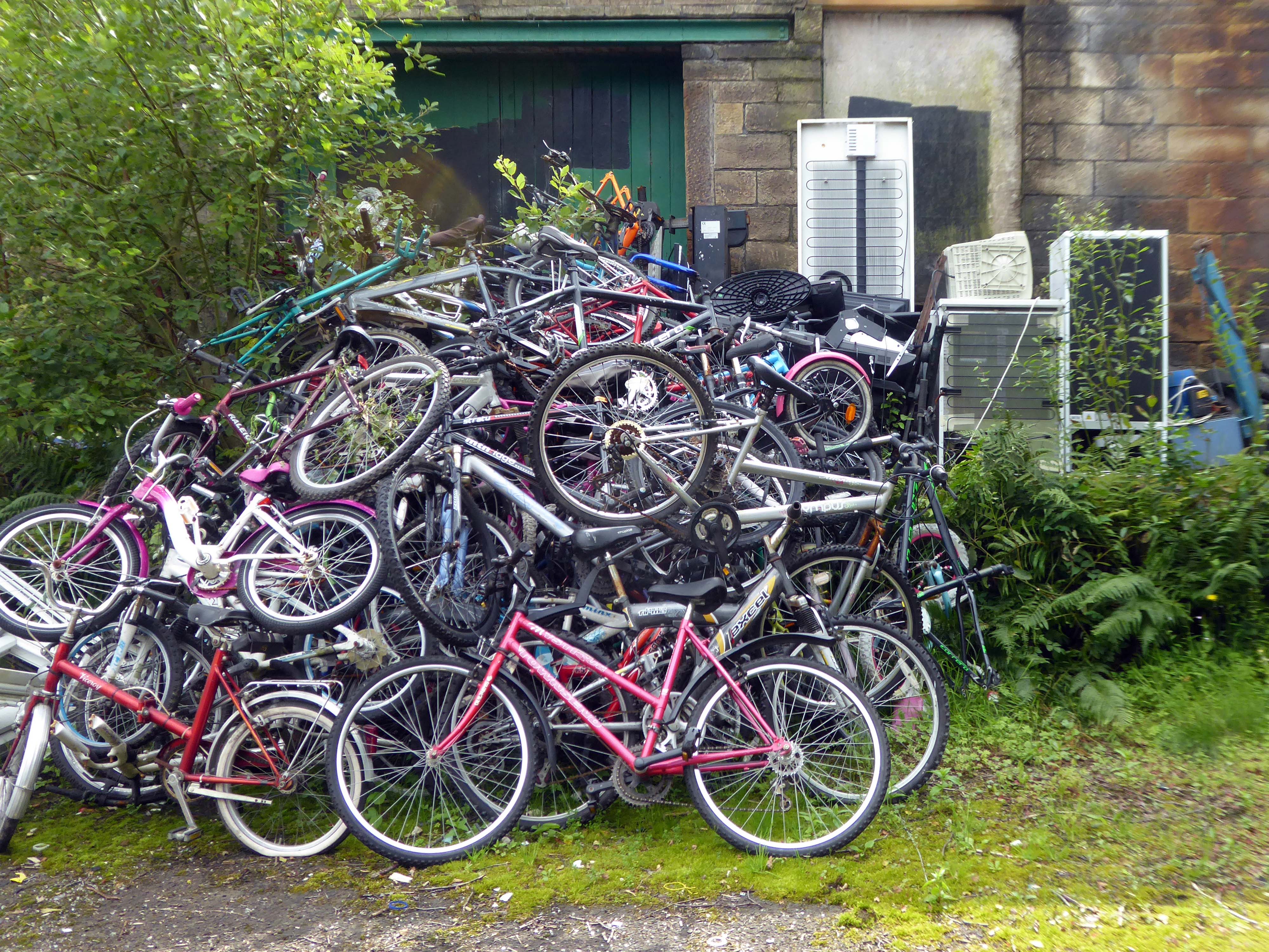
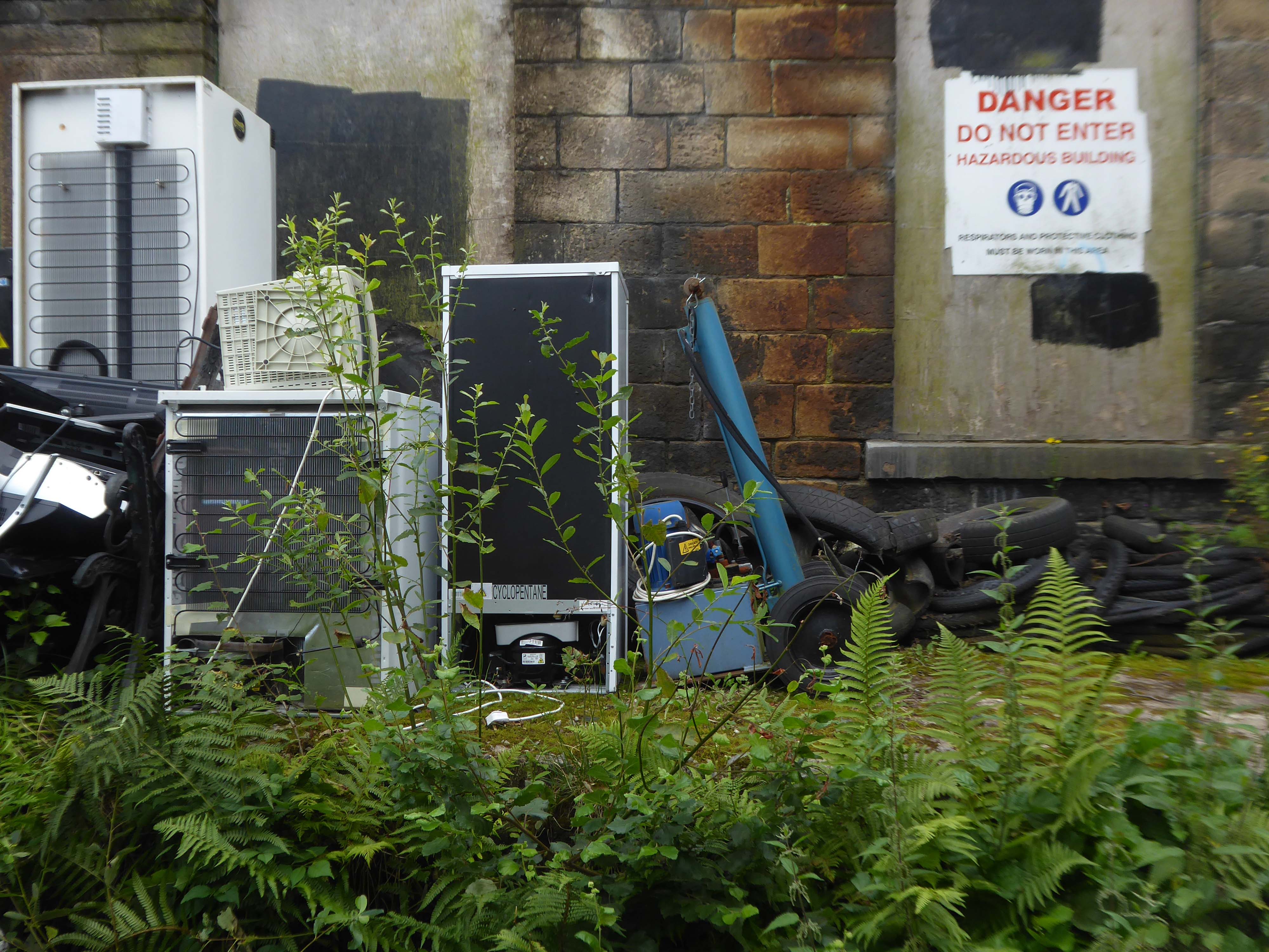
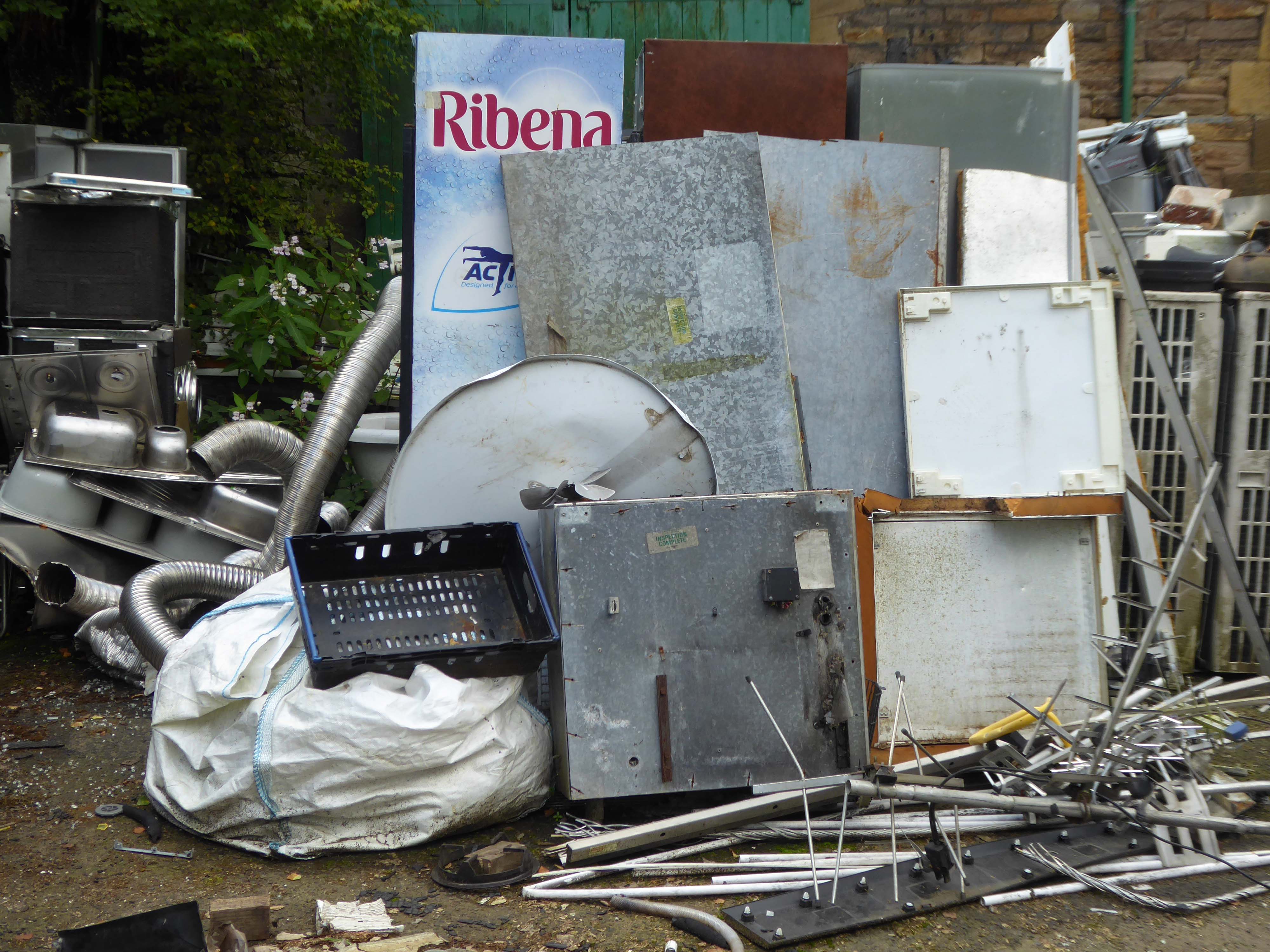
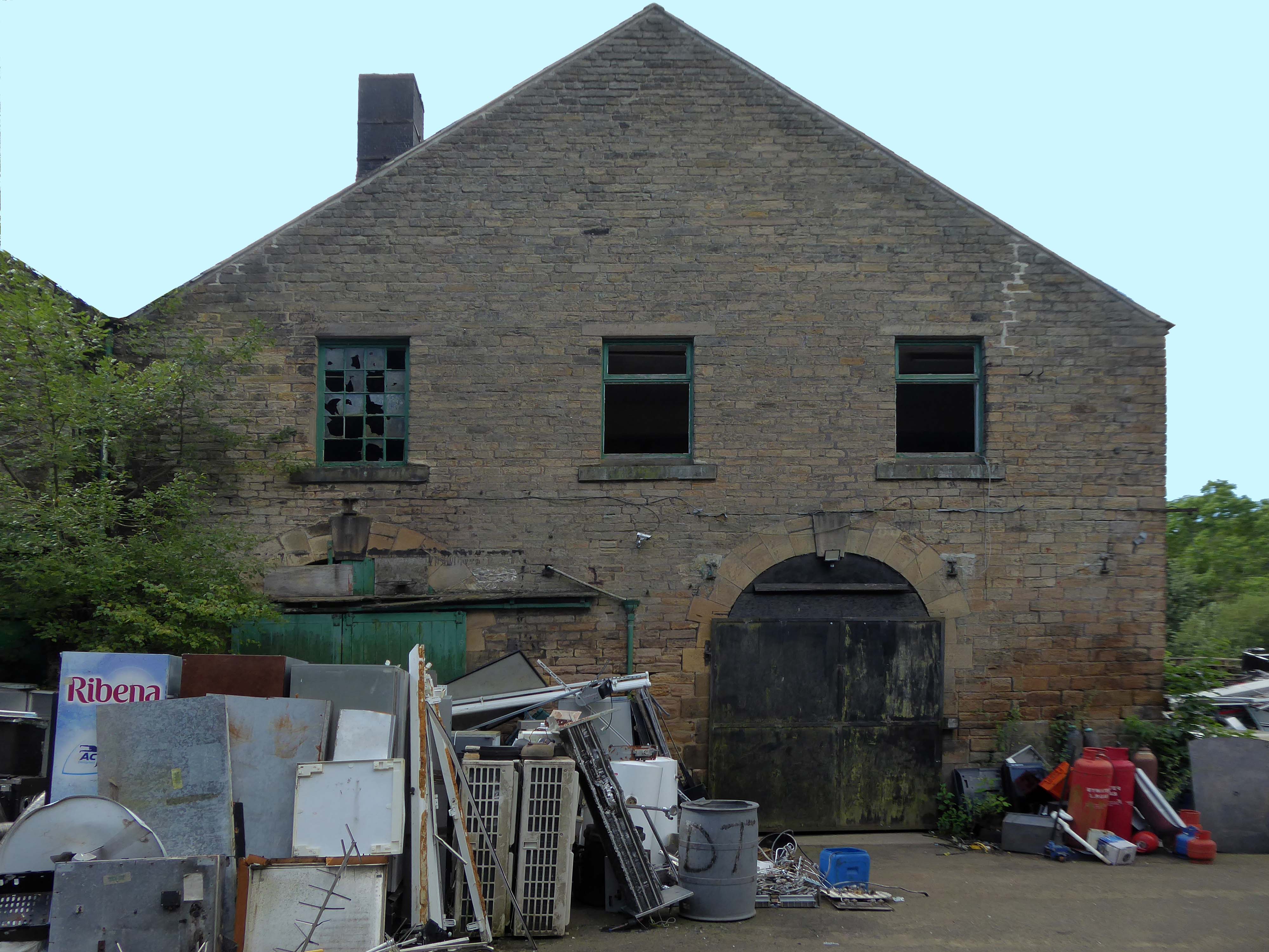
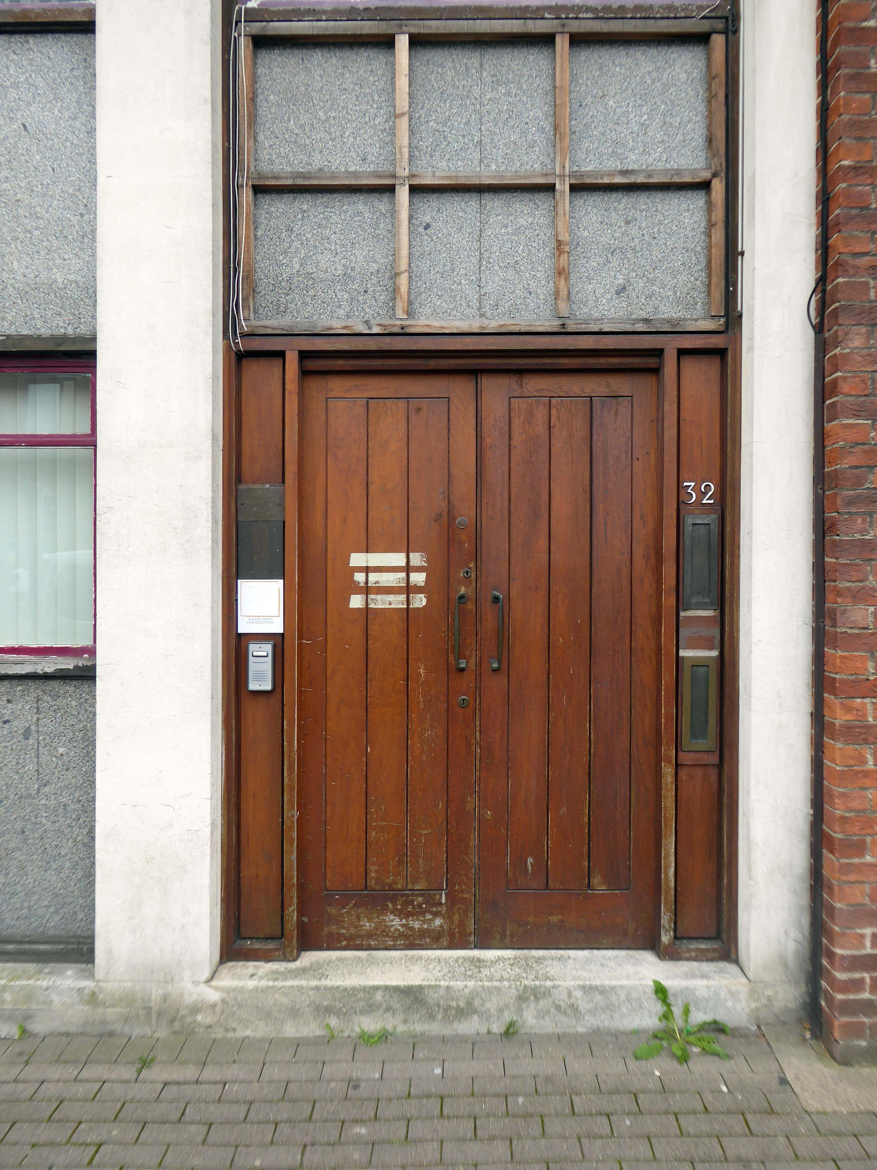
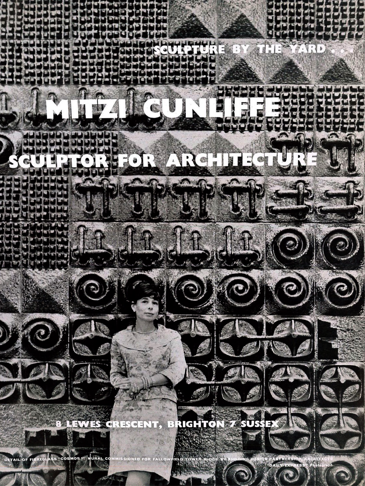
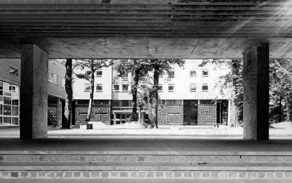
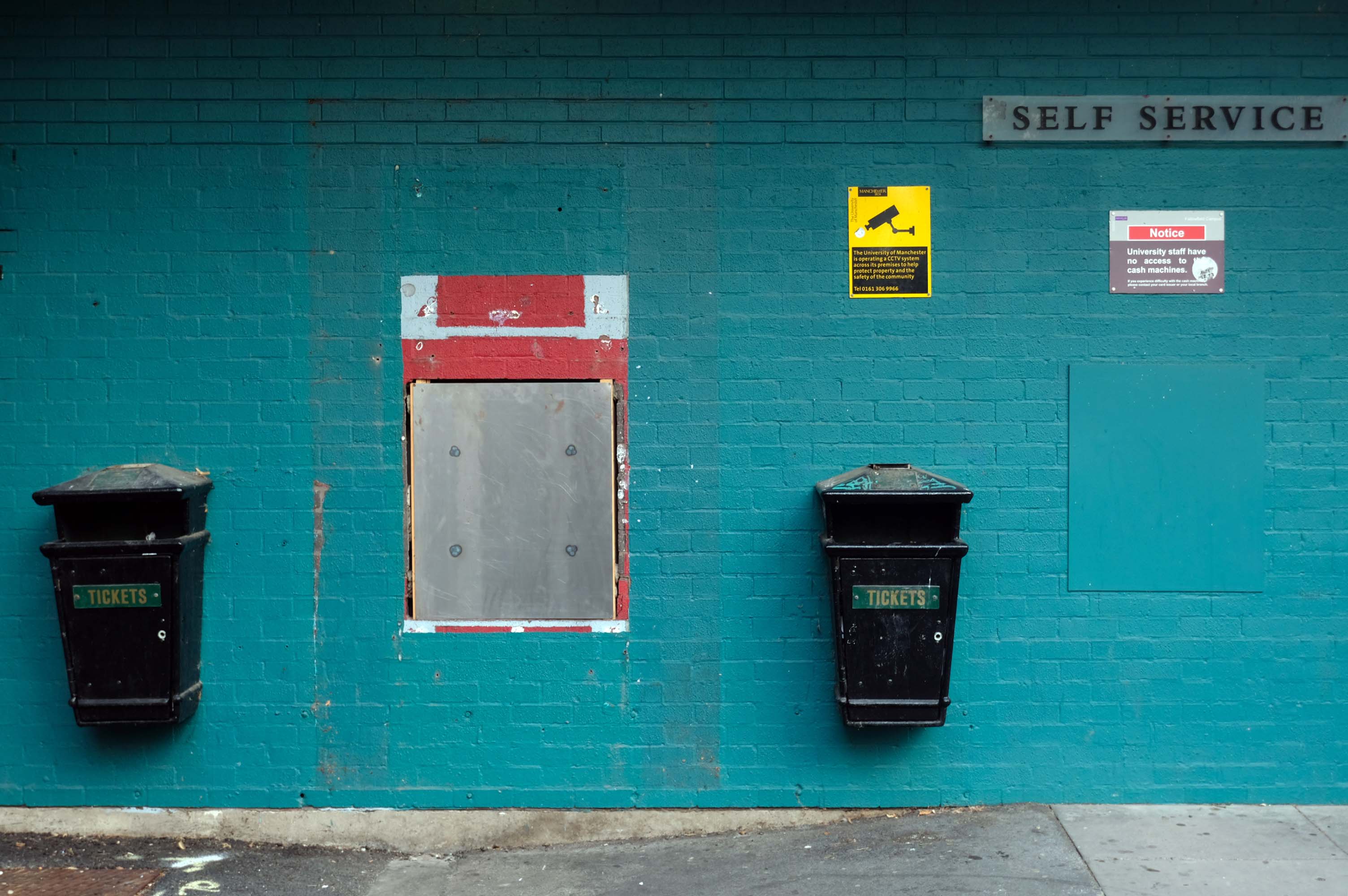
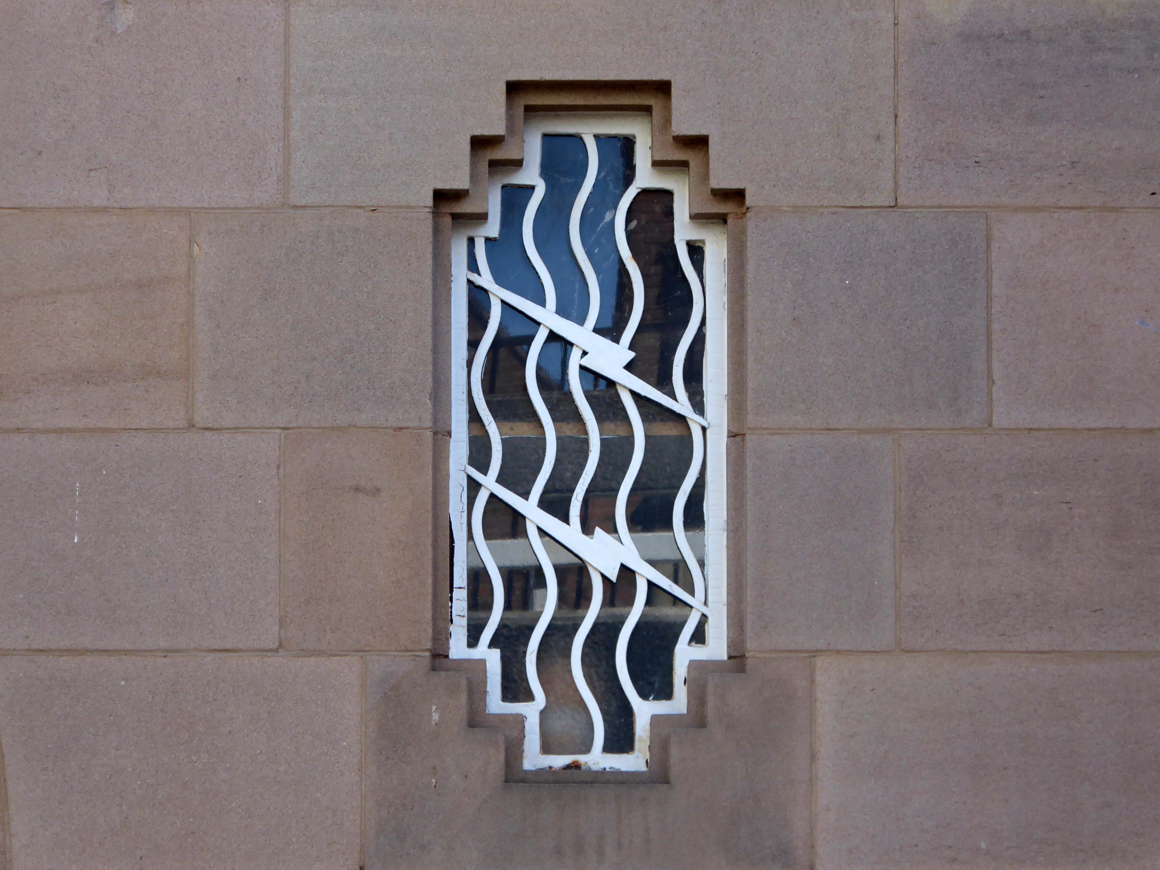
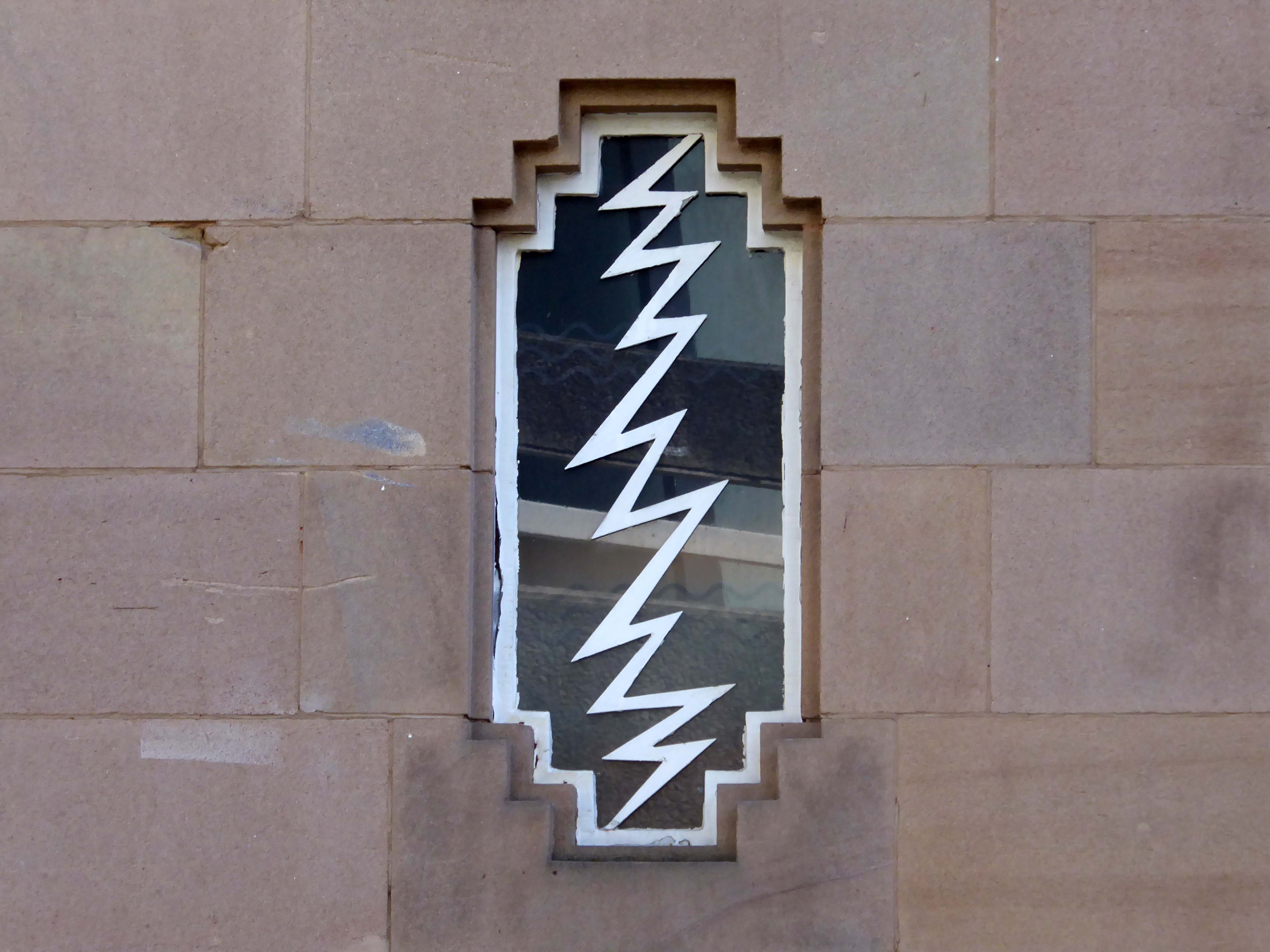
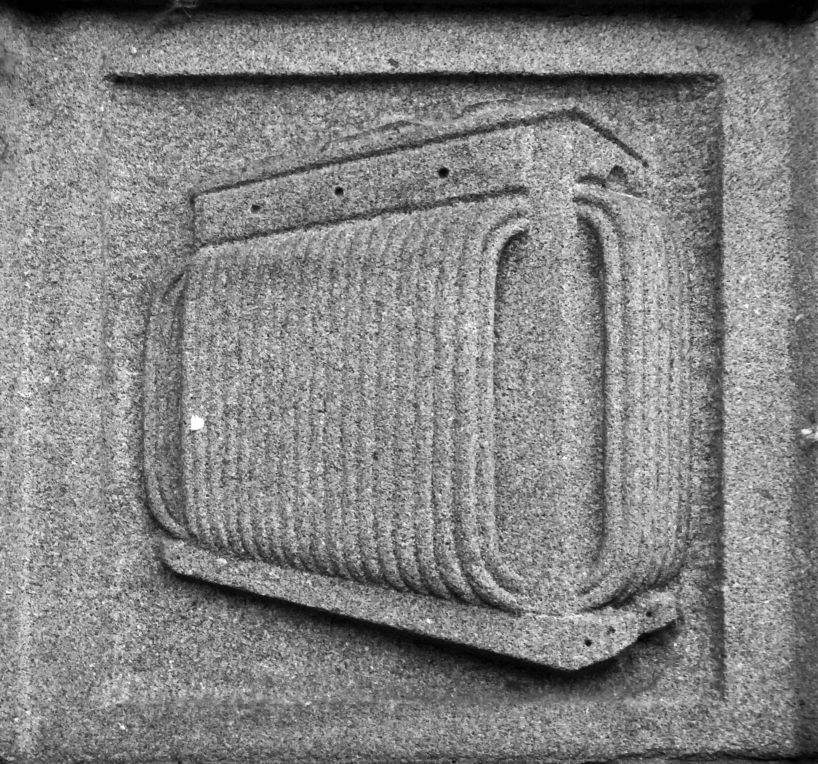
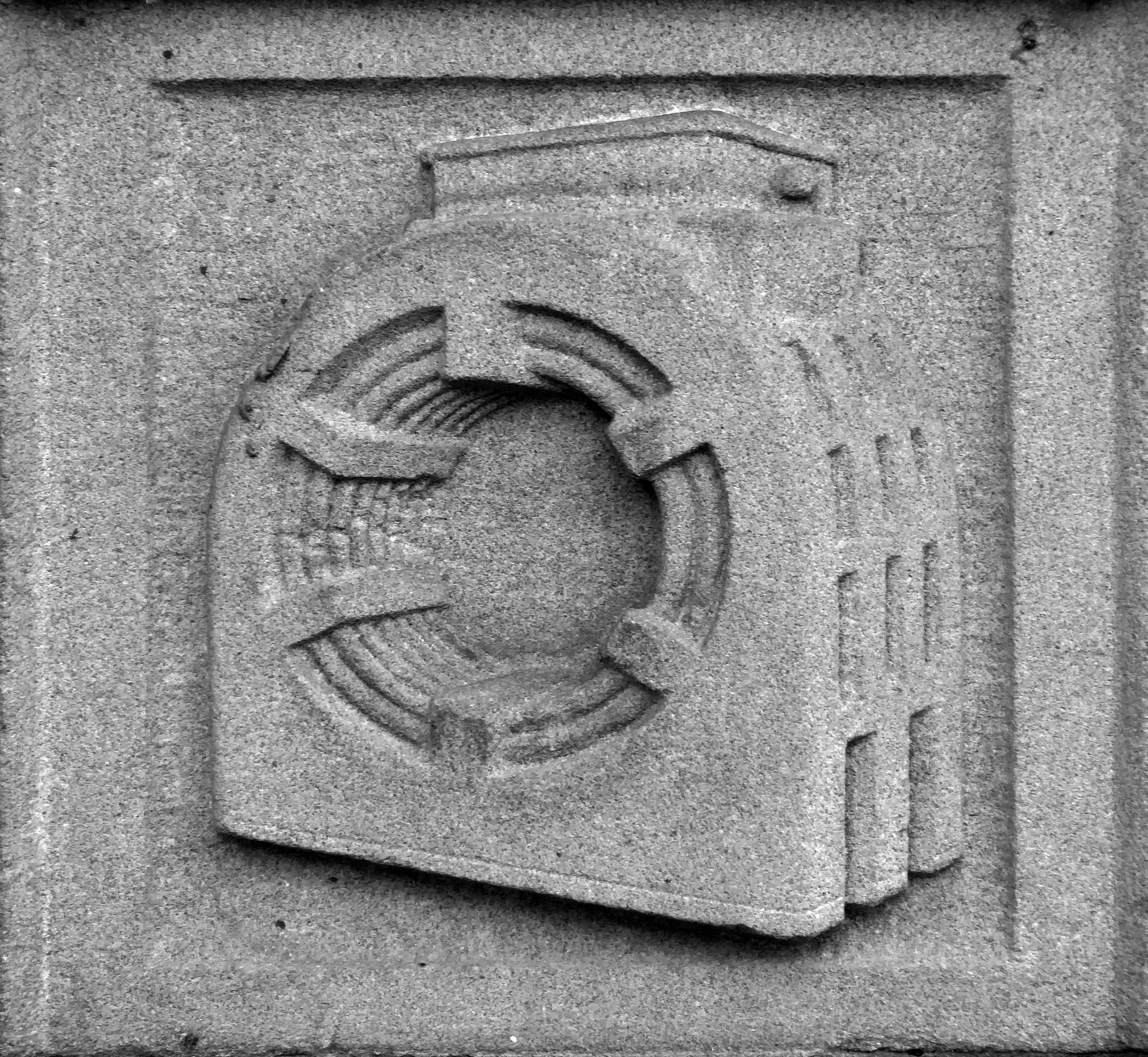
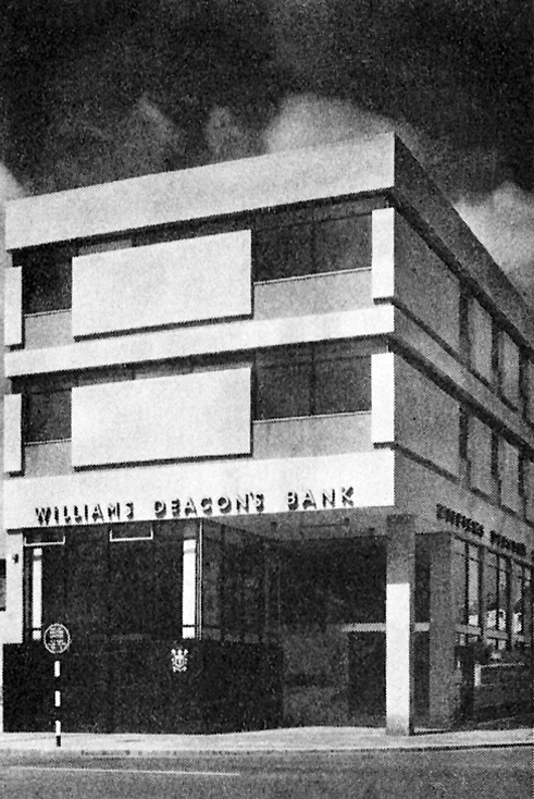
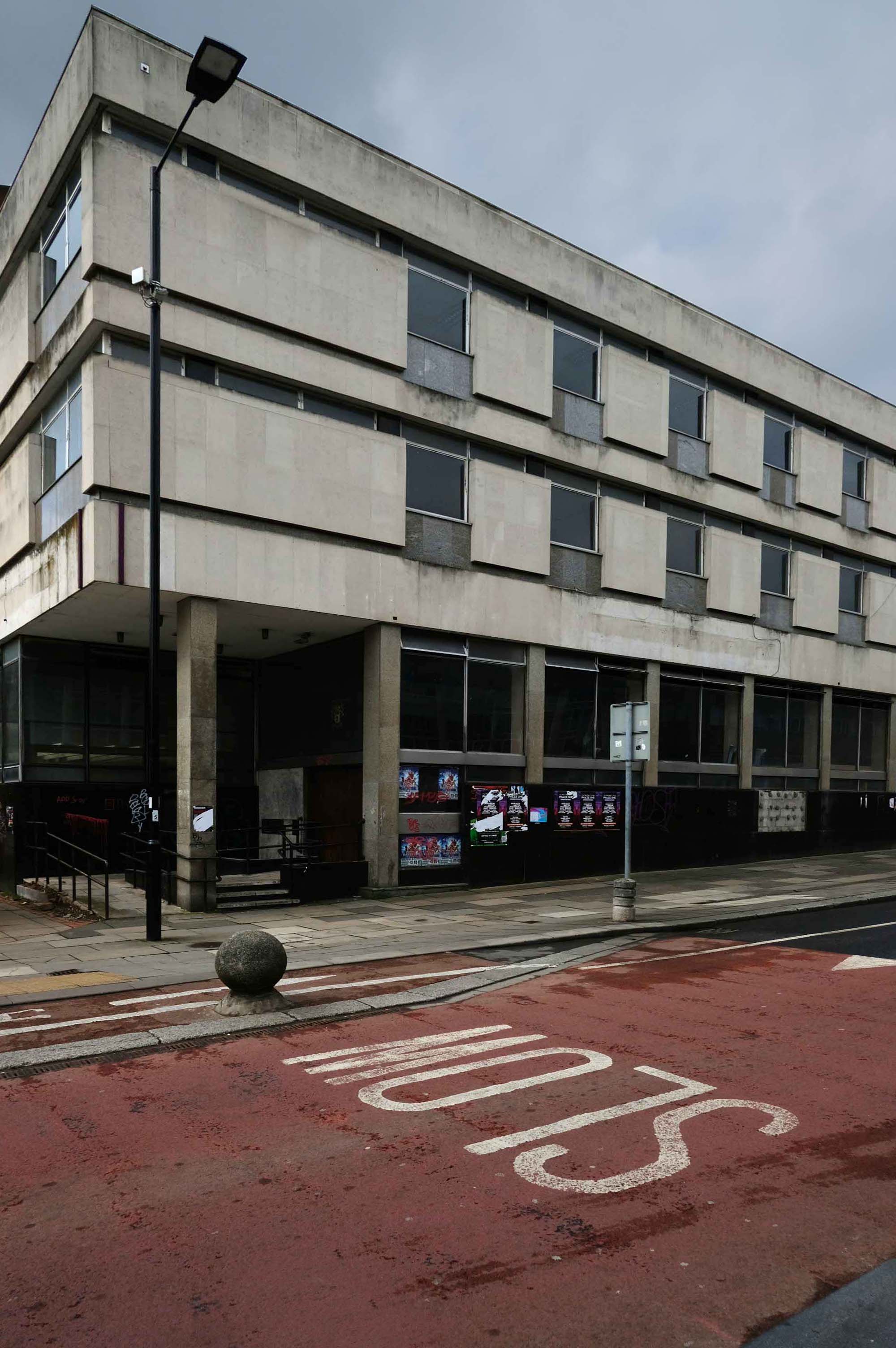
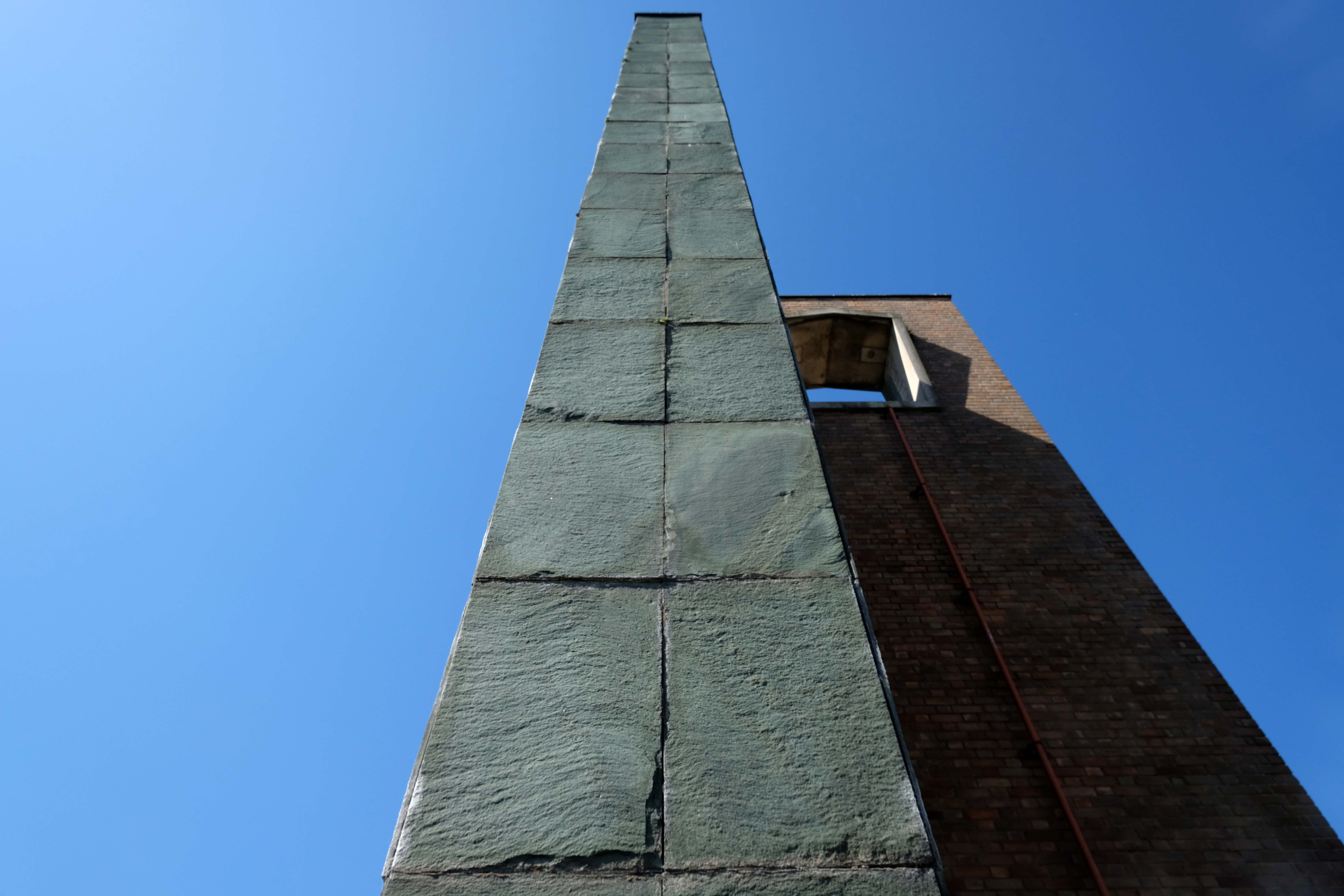
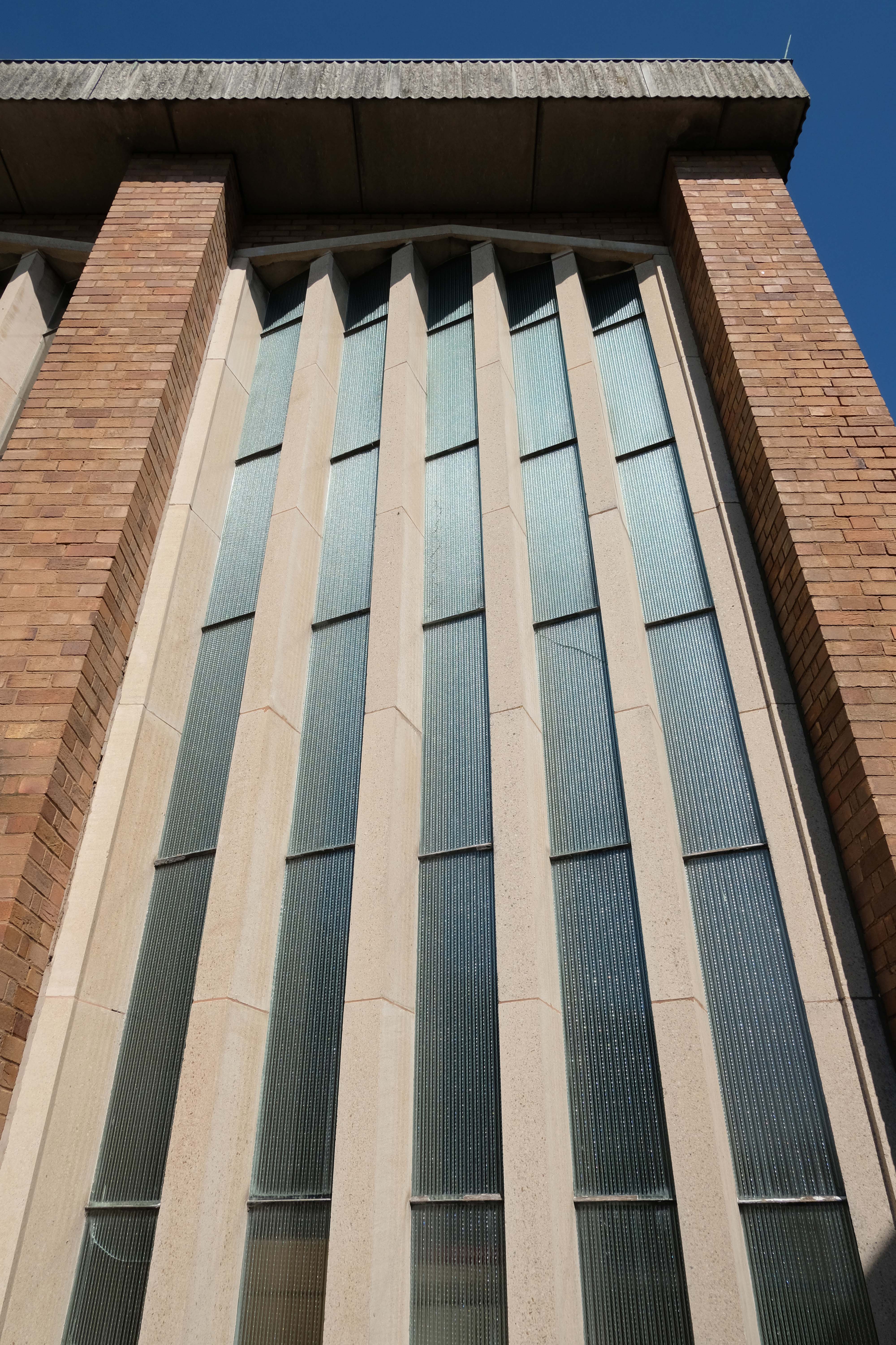
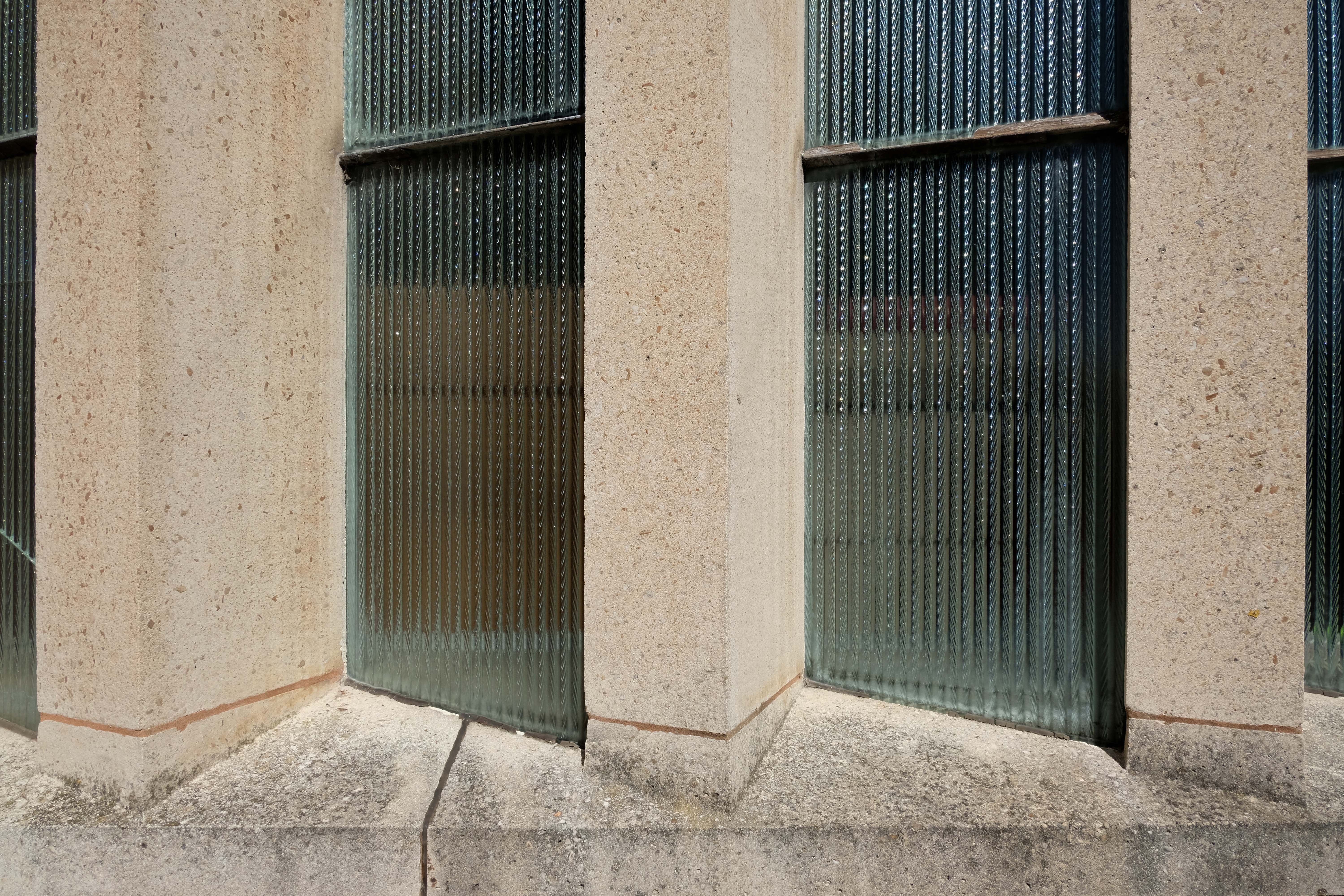
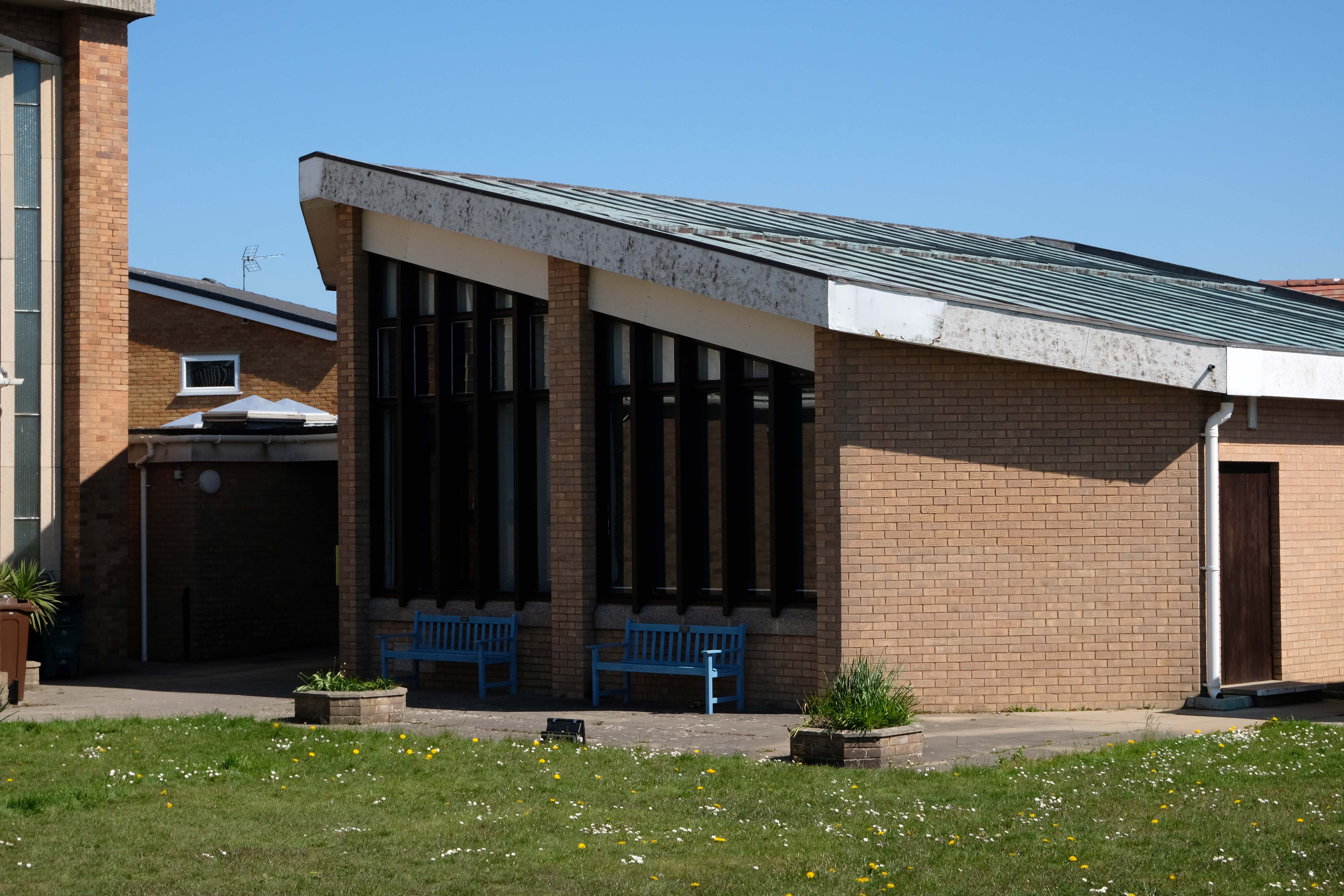
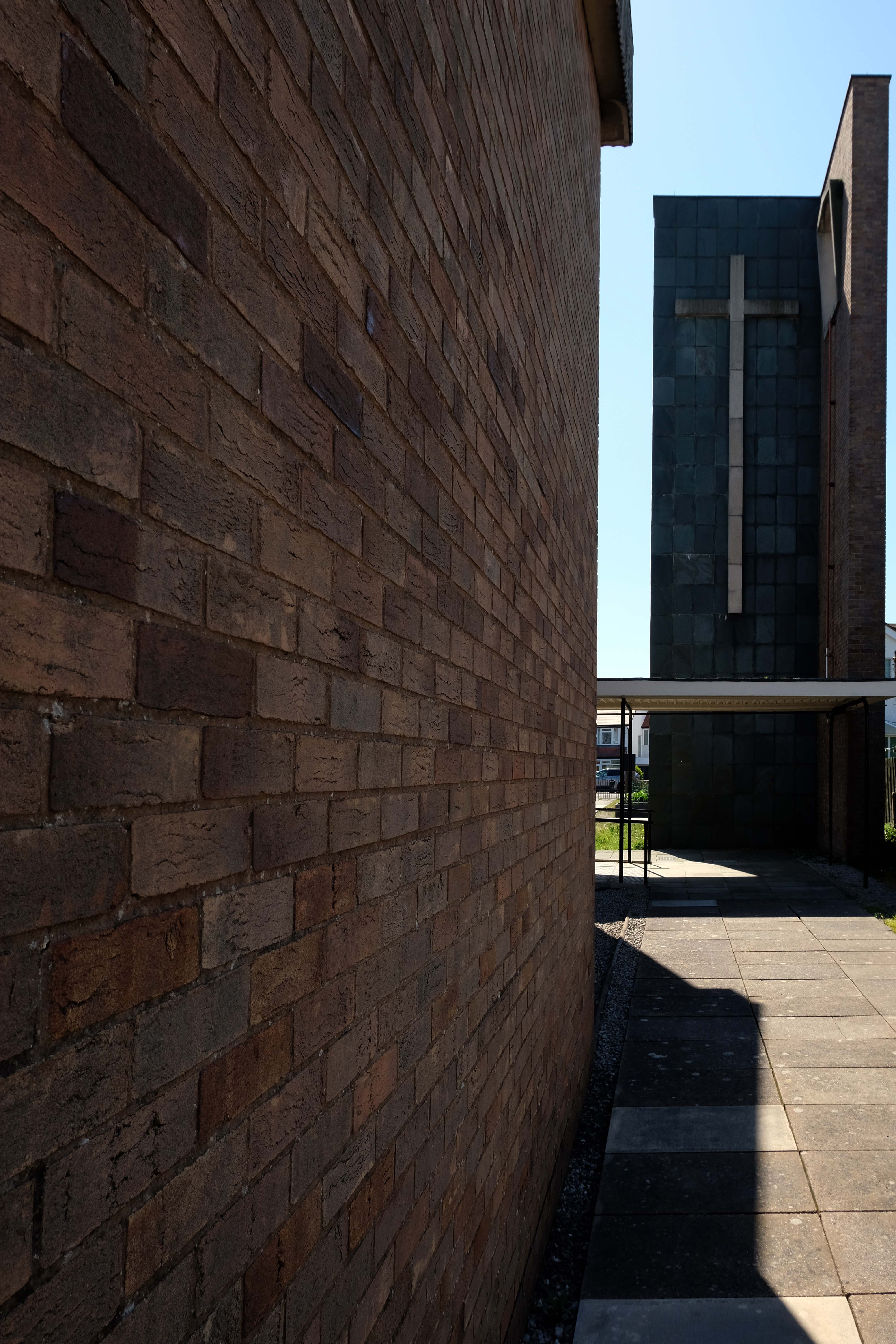
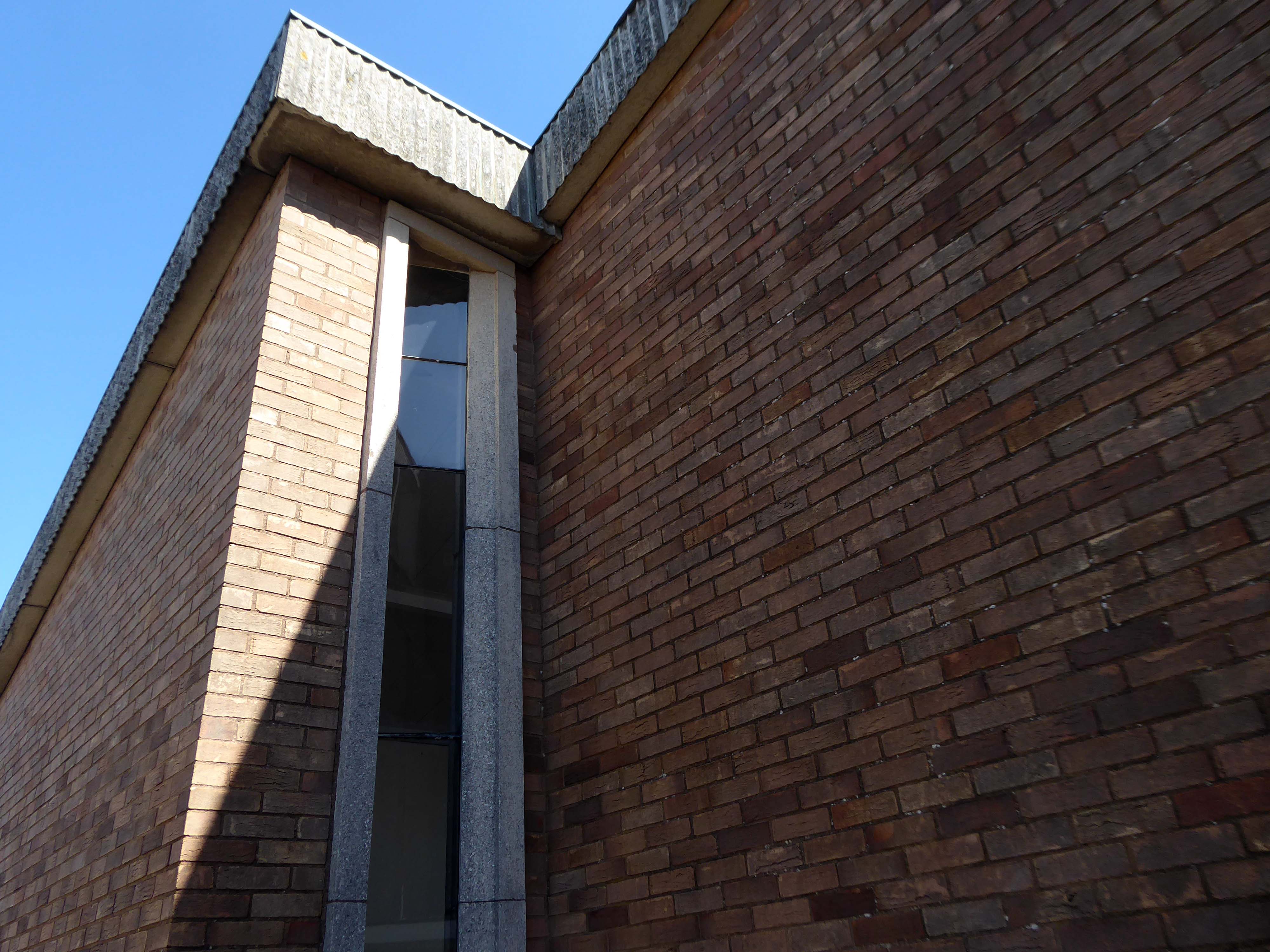
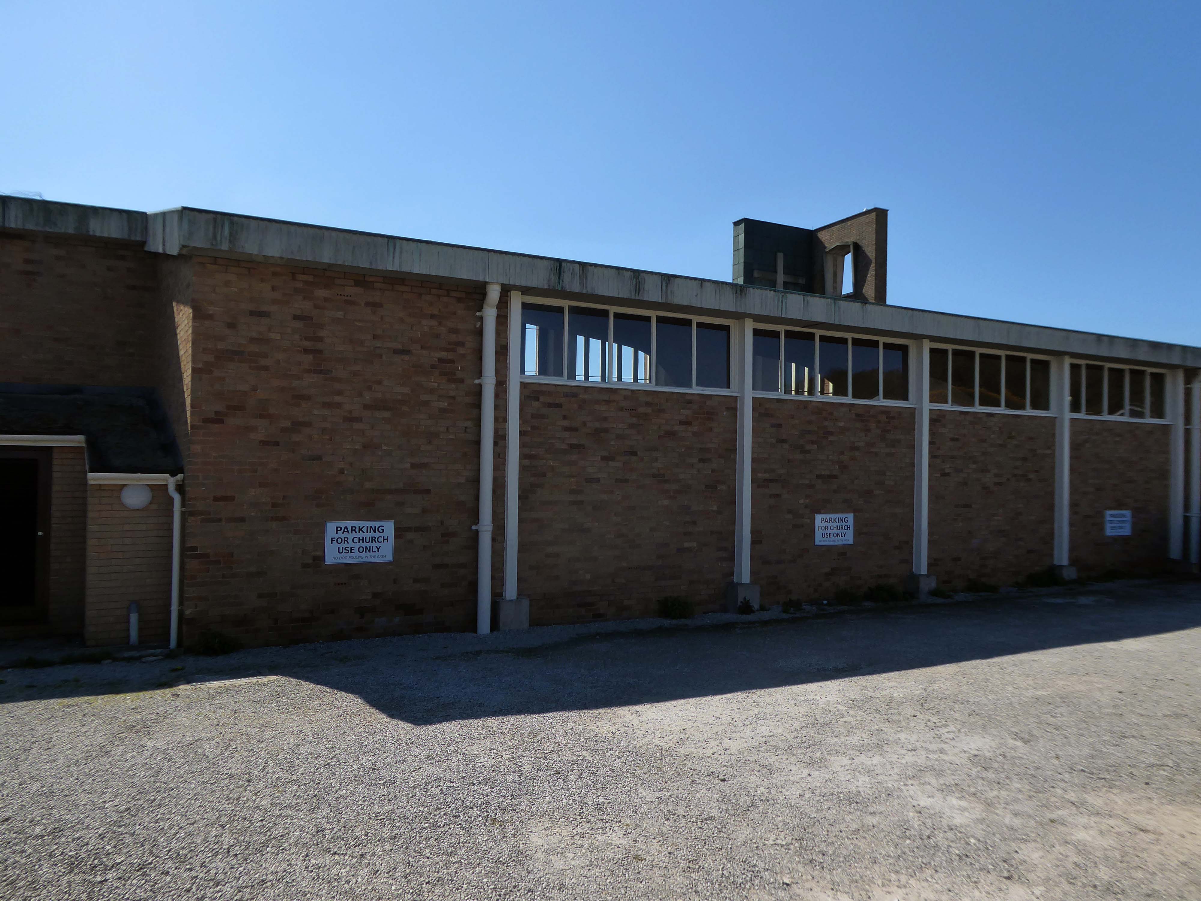
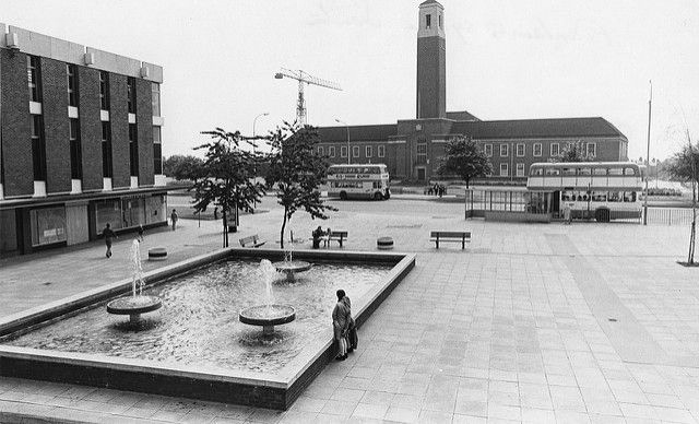
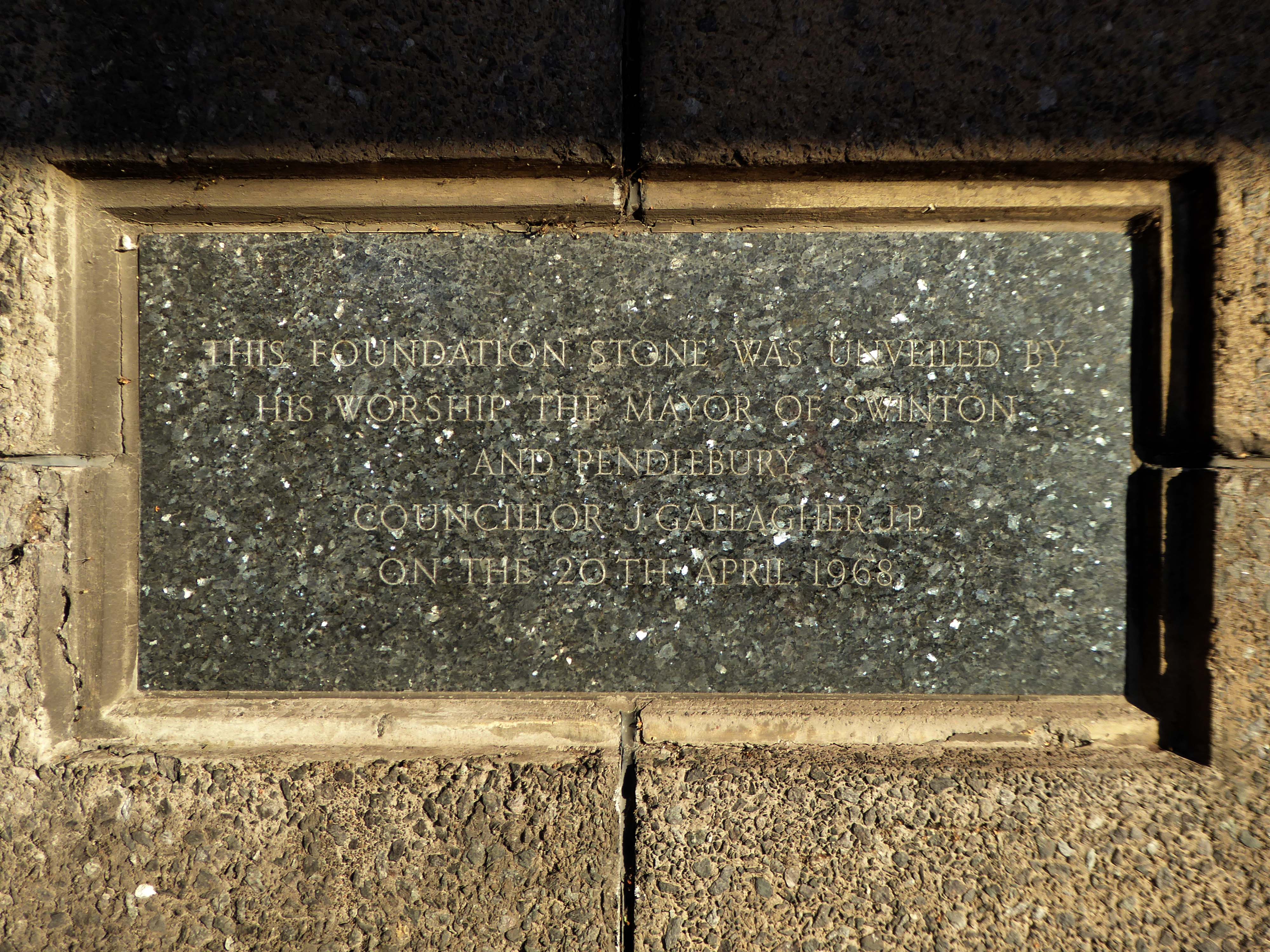
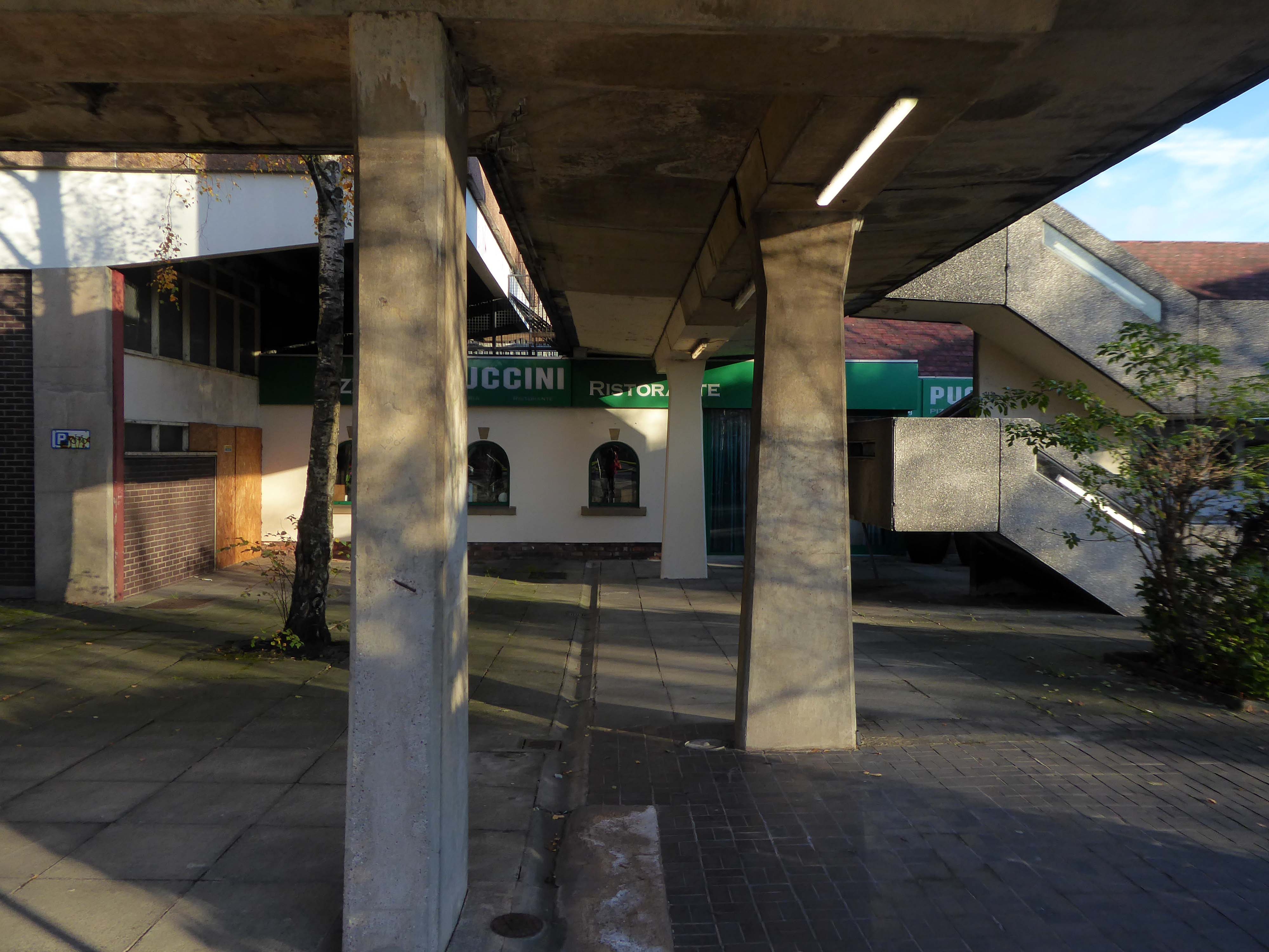
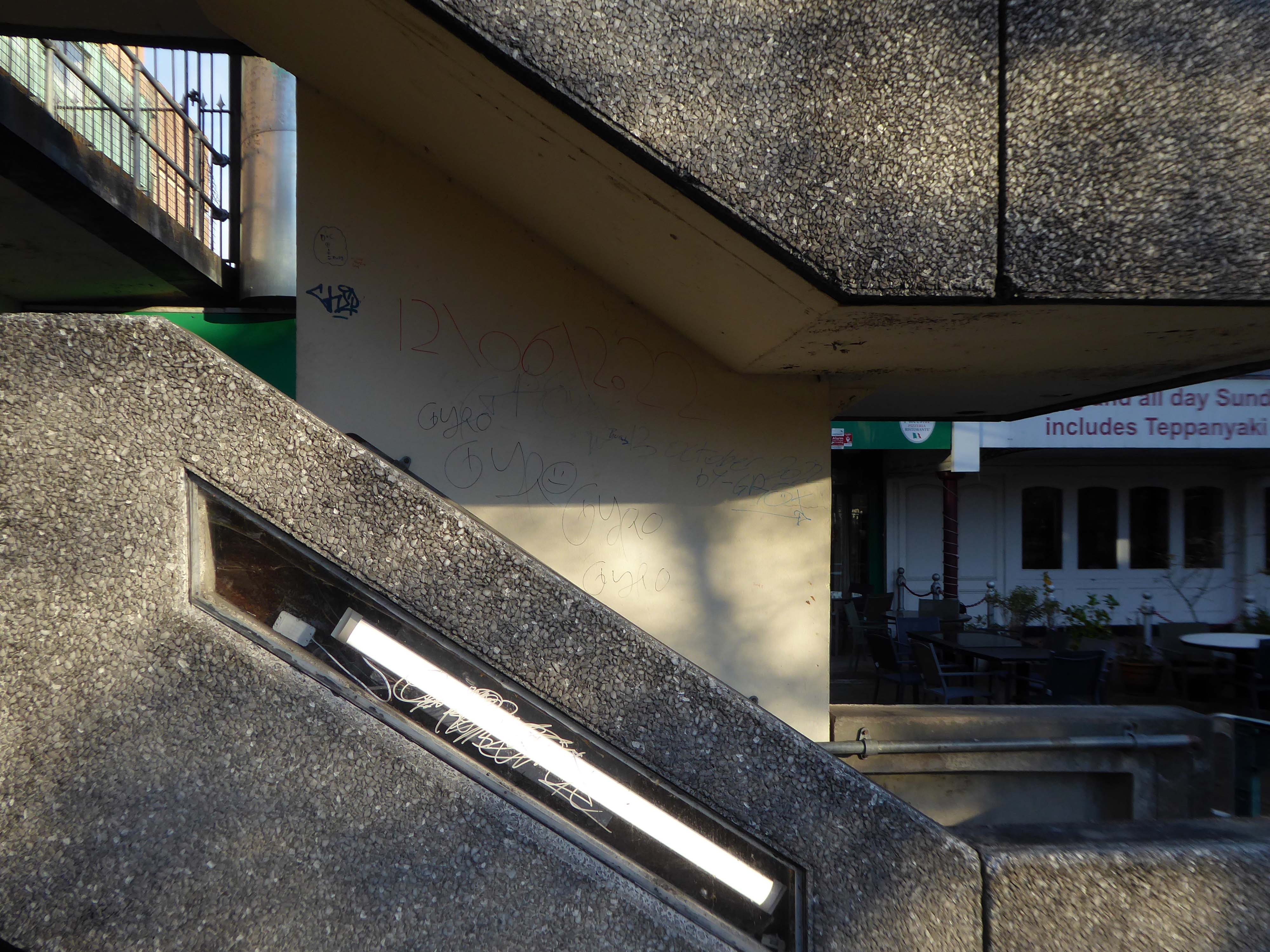
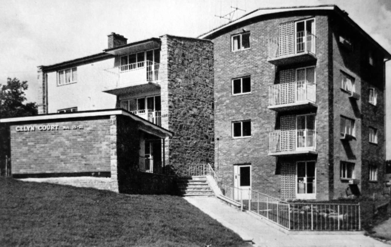
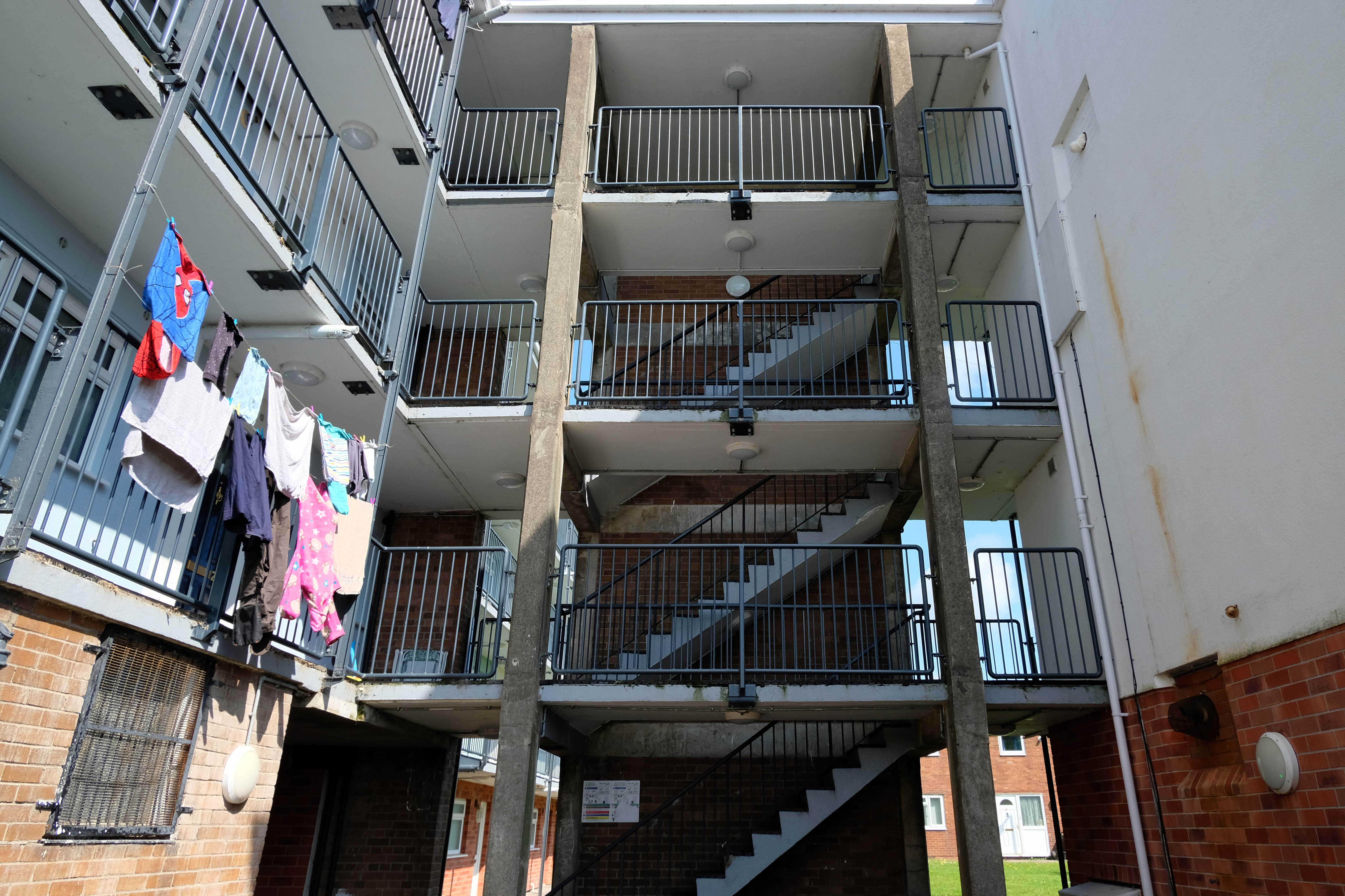
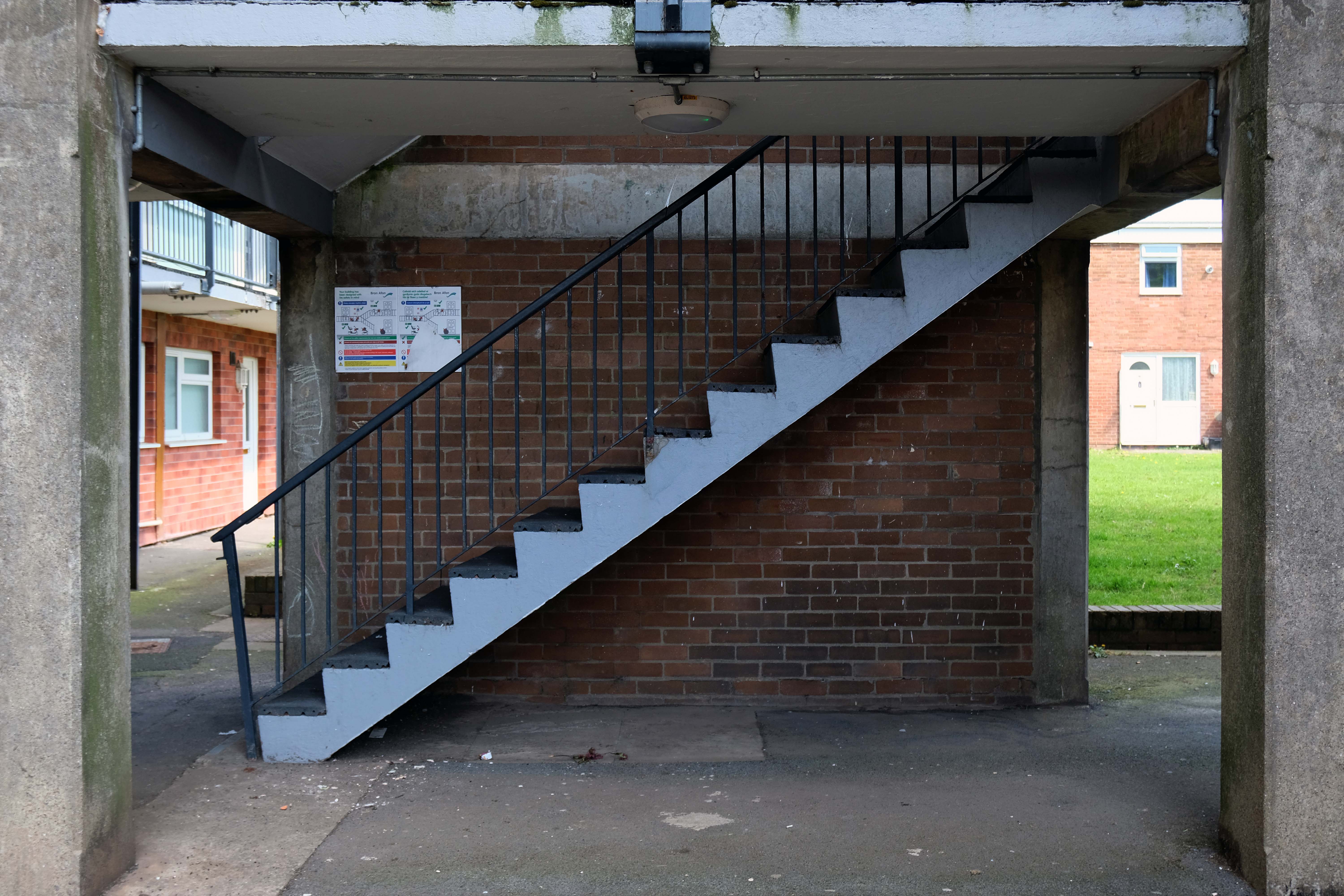
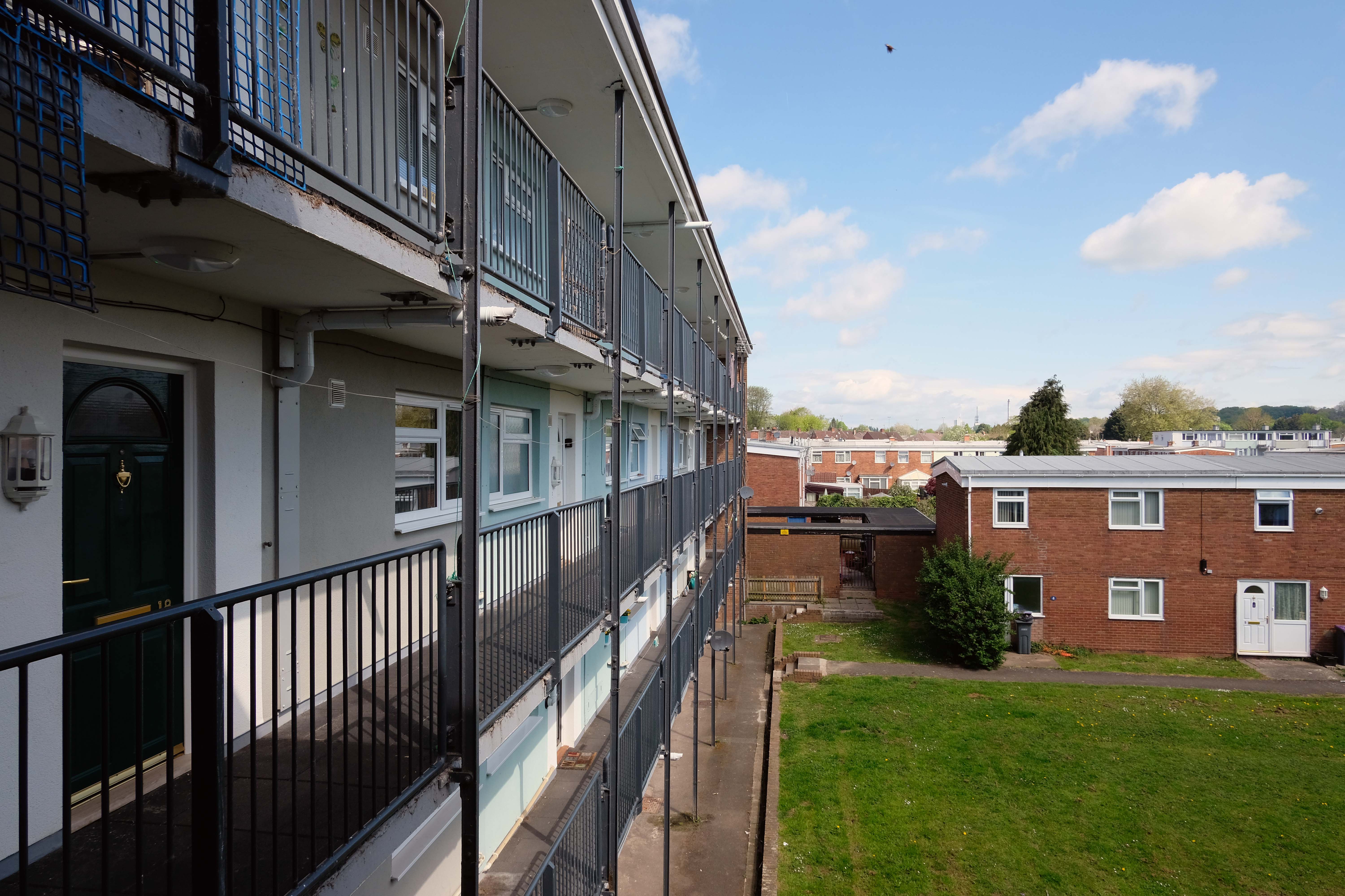
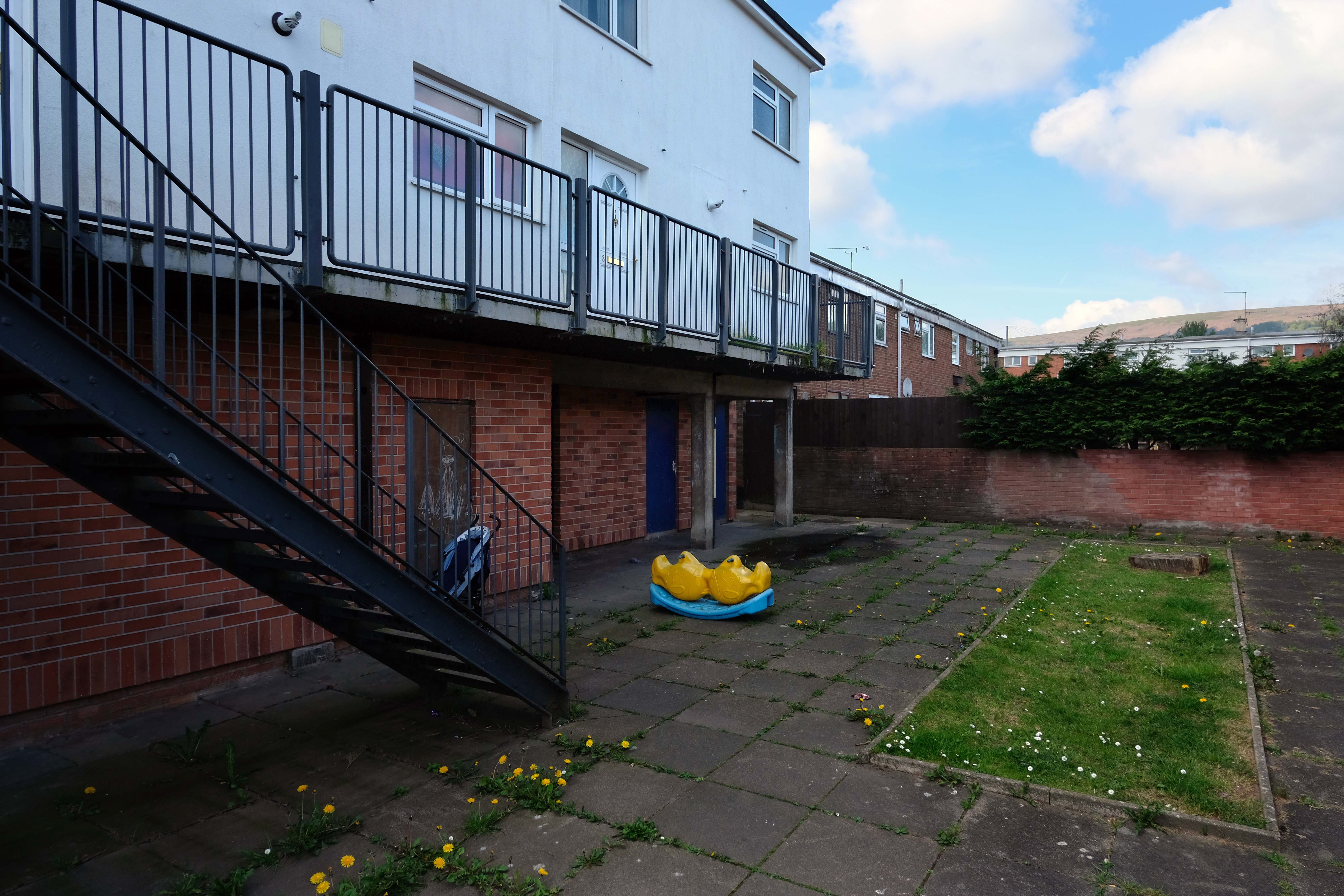
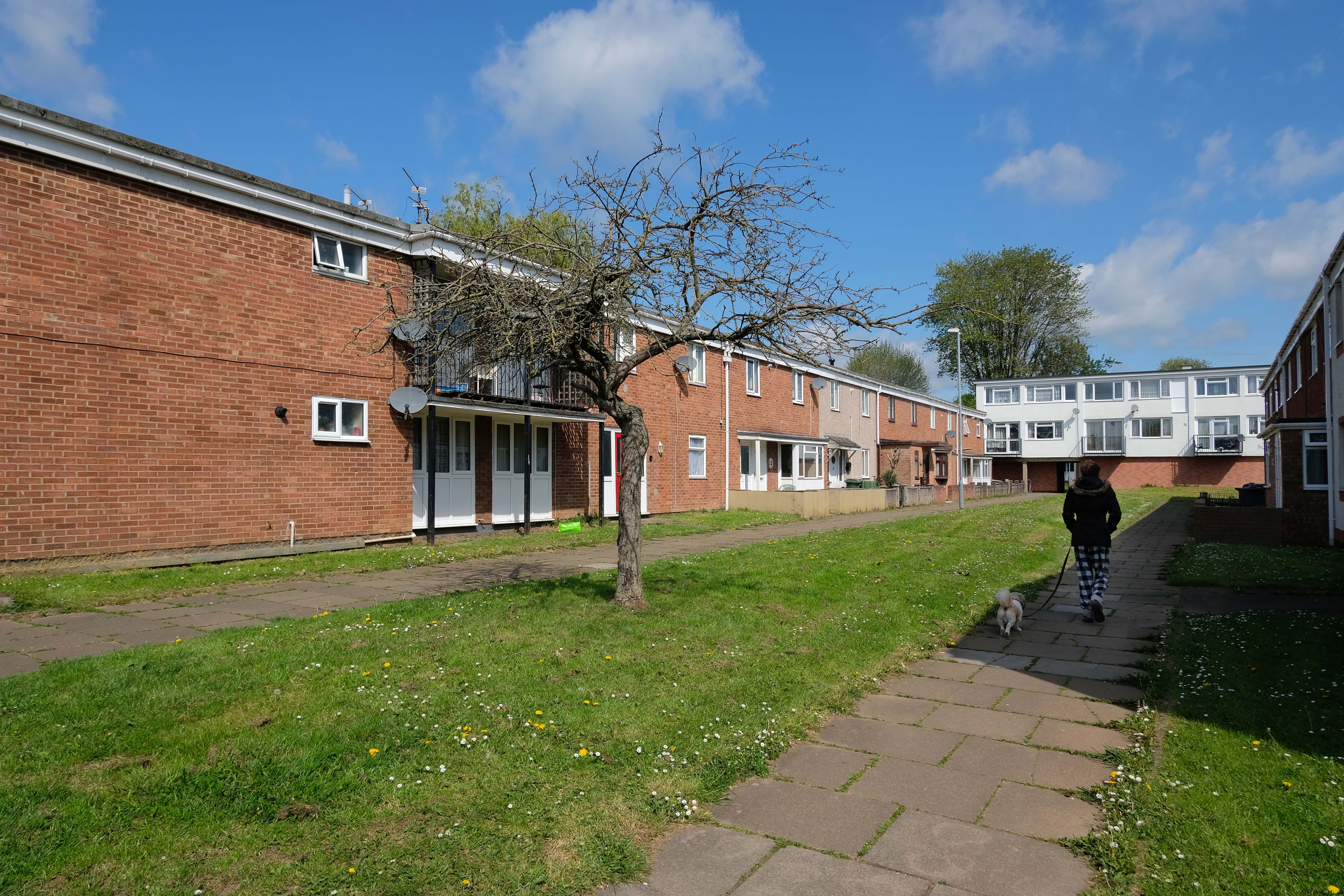
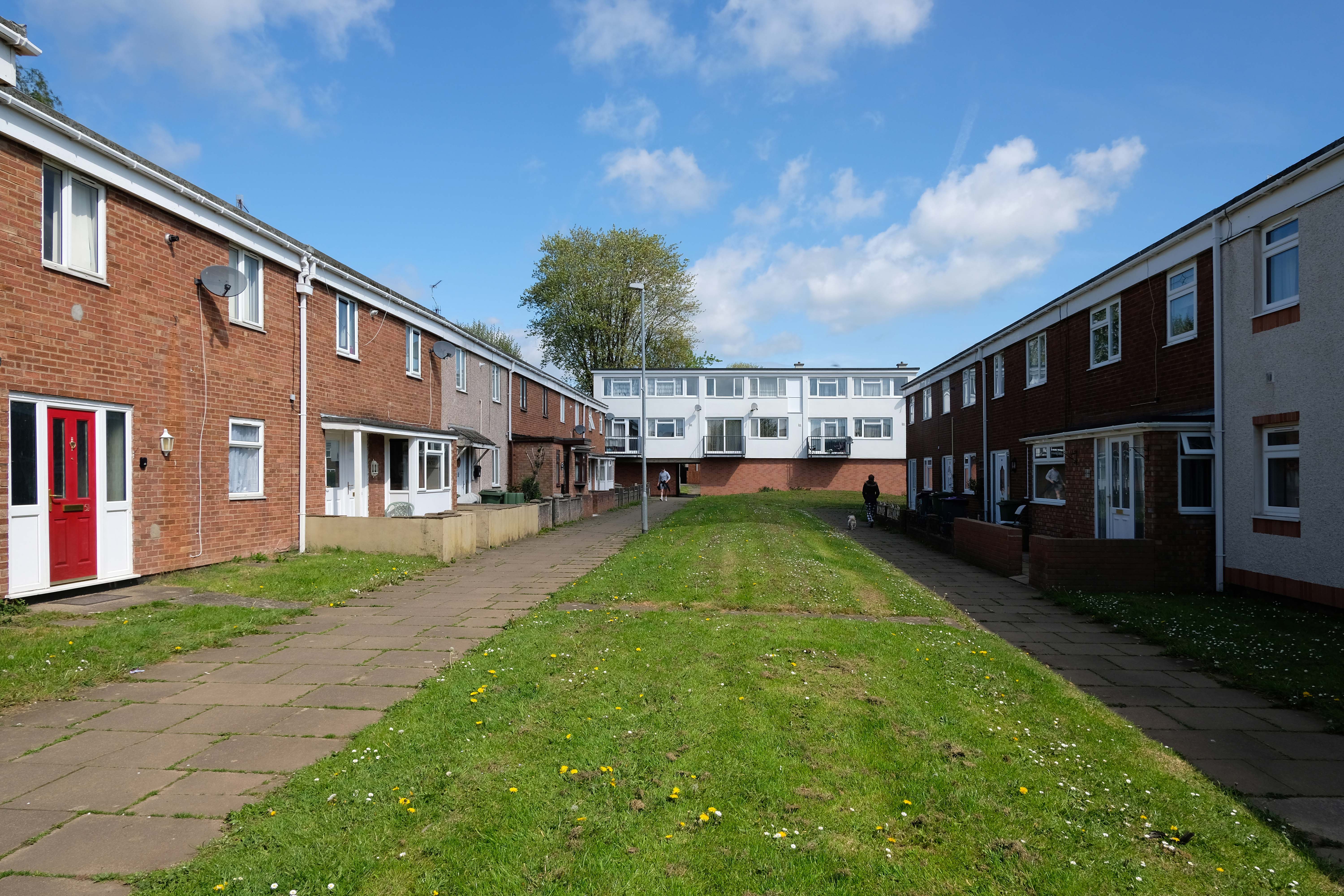
In 2014, having taken early retirement from teaching photography, I embarked on a series of walks along the arterial roads of Manchester.


See also Bury New Road and Cheetham Hill Road and Rochdale Road and Oldham Road and Ashton New Road and Ashton Old Road.