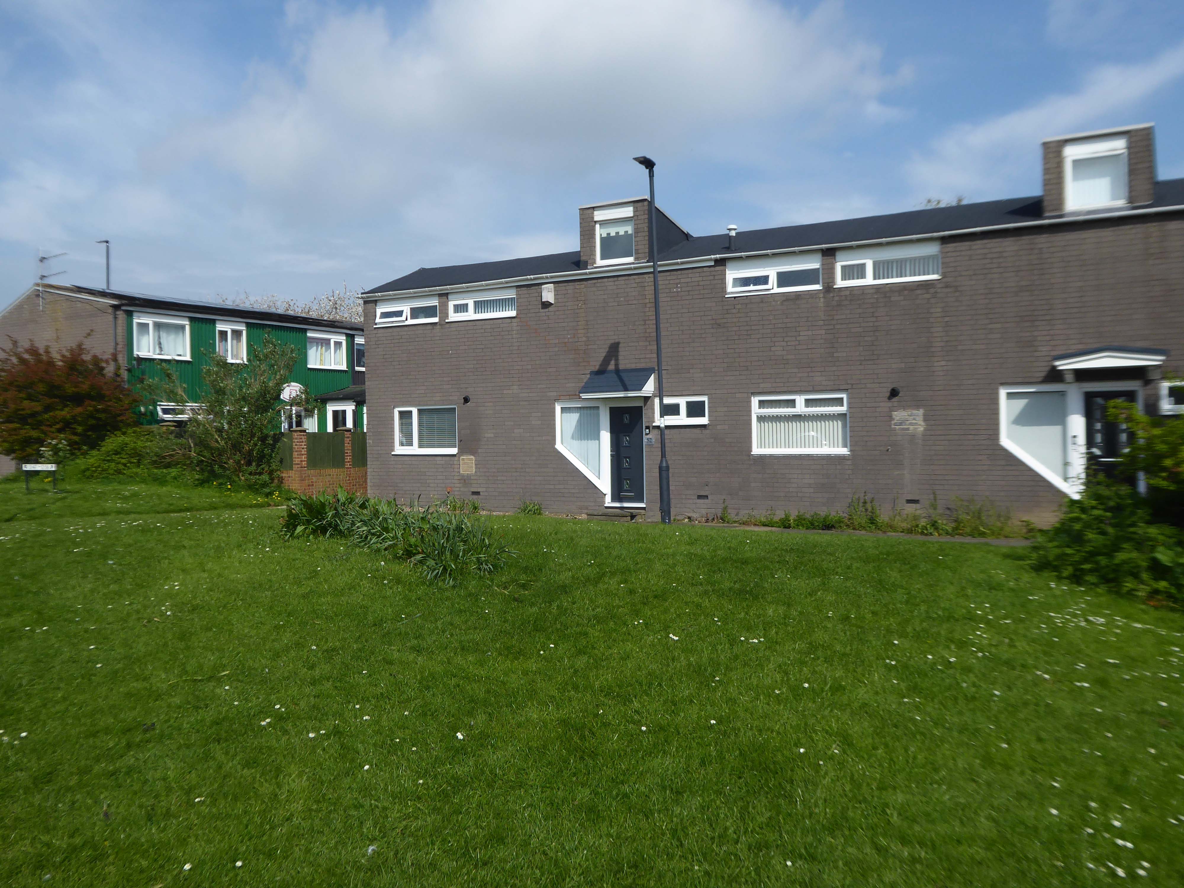
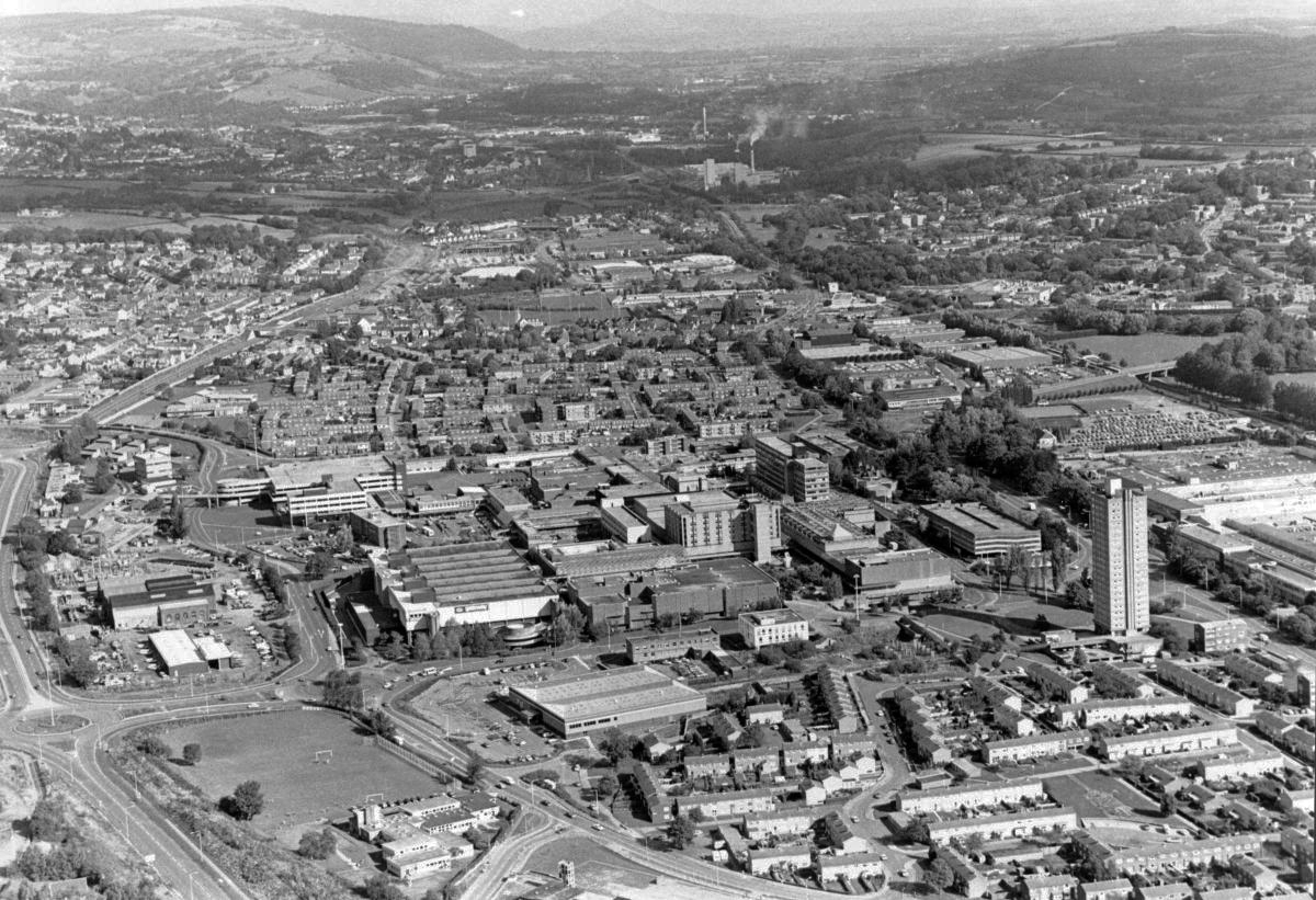
The A6 is Britain’s fourth longest road. Its route varies greatly from the lower lands of the South East, though the Peak District, right though the heart of Manchester city centre, then onwards towards Preston. It then goes though the historic city of Lancaster before skirting the Eastern fringe of the Lake District before ending in Carlisle, bang on the start of the A7.
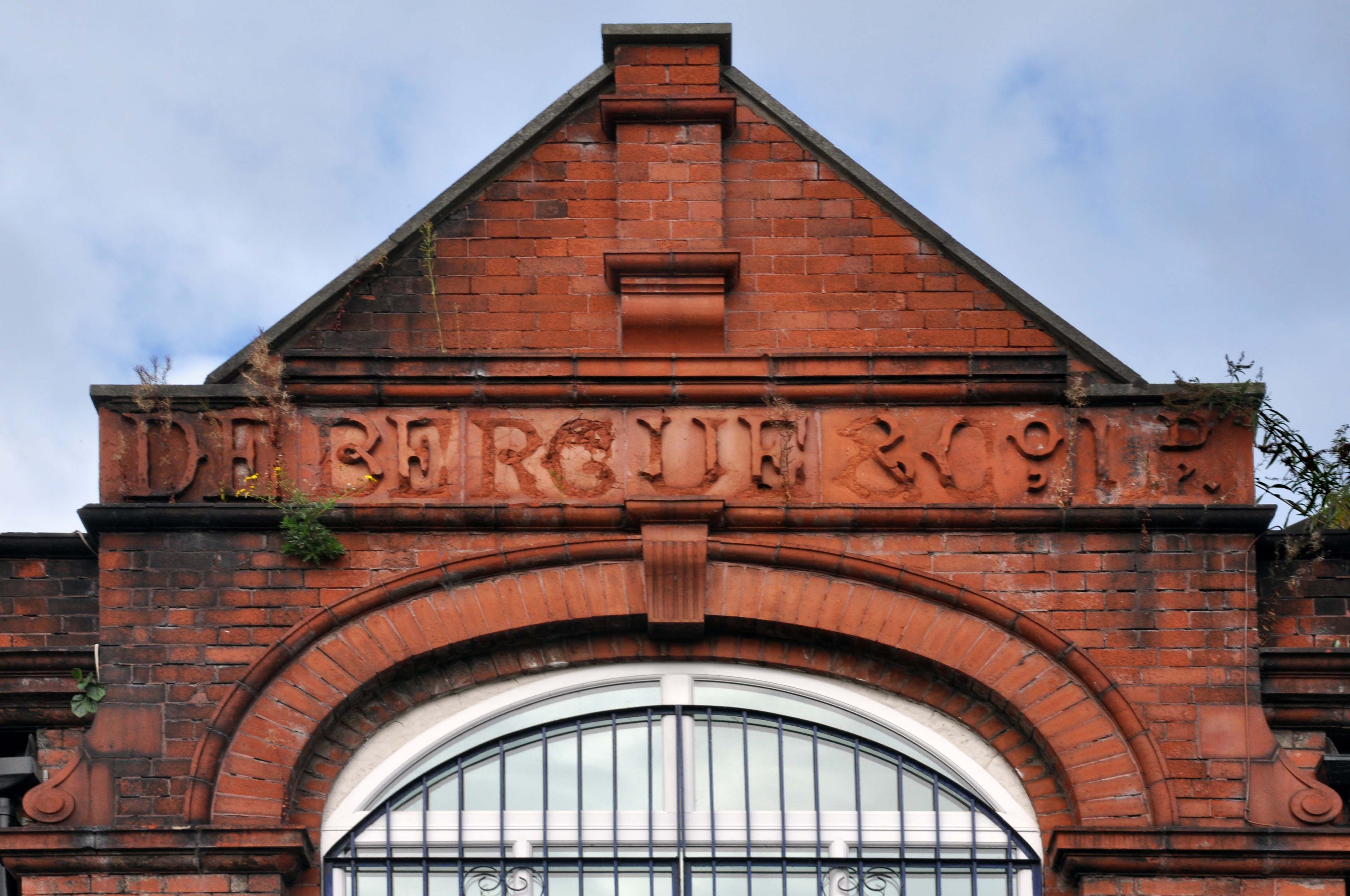
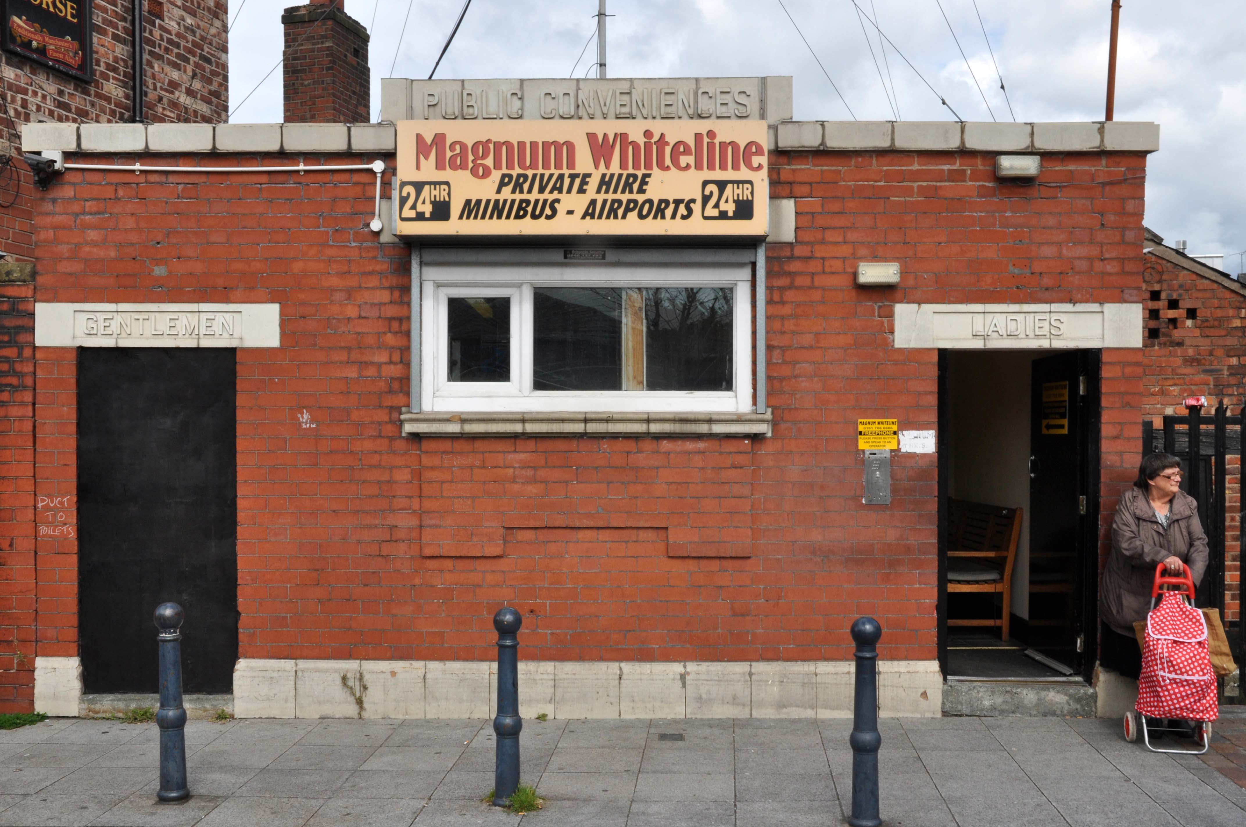
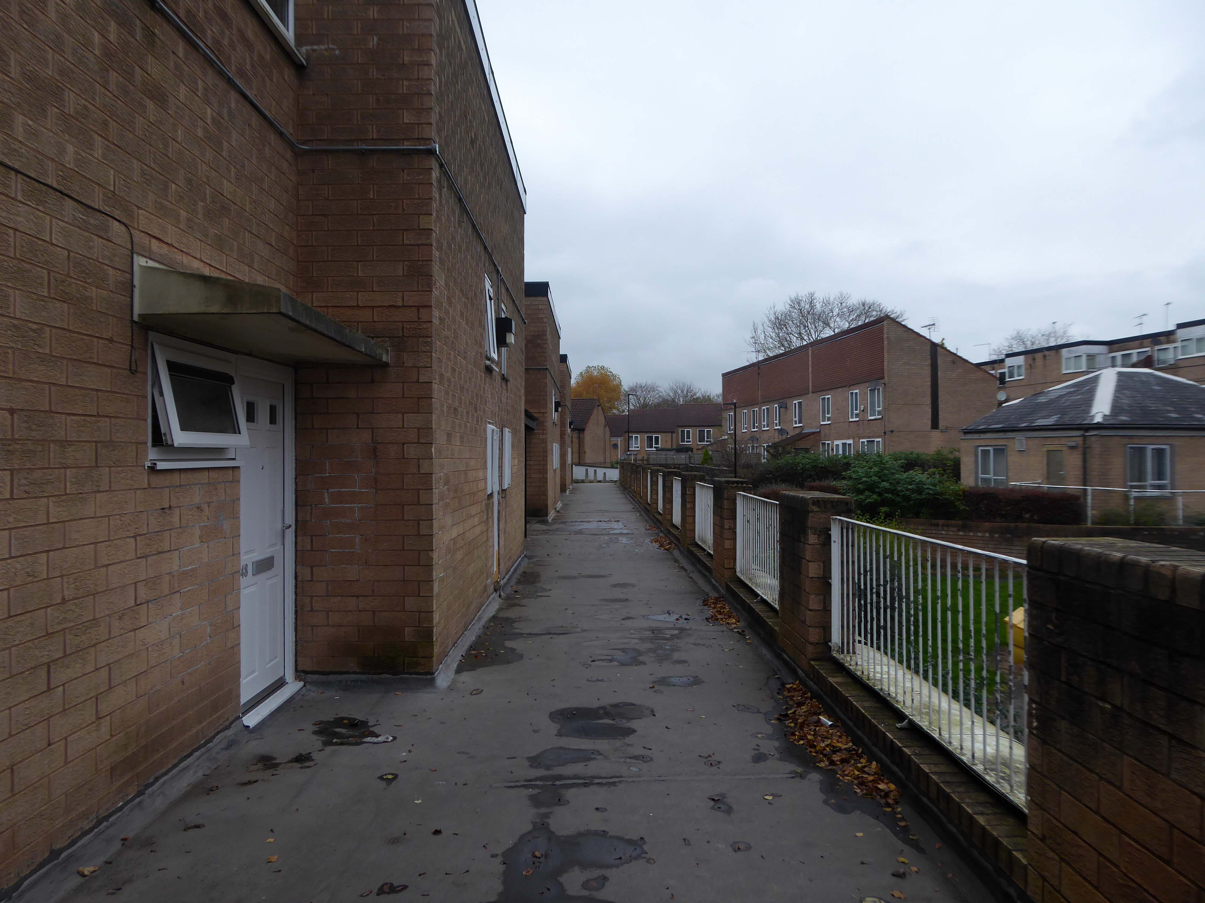
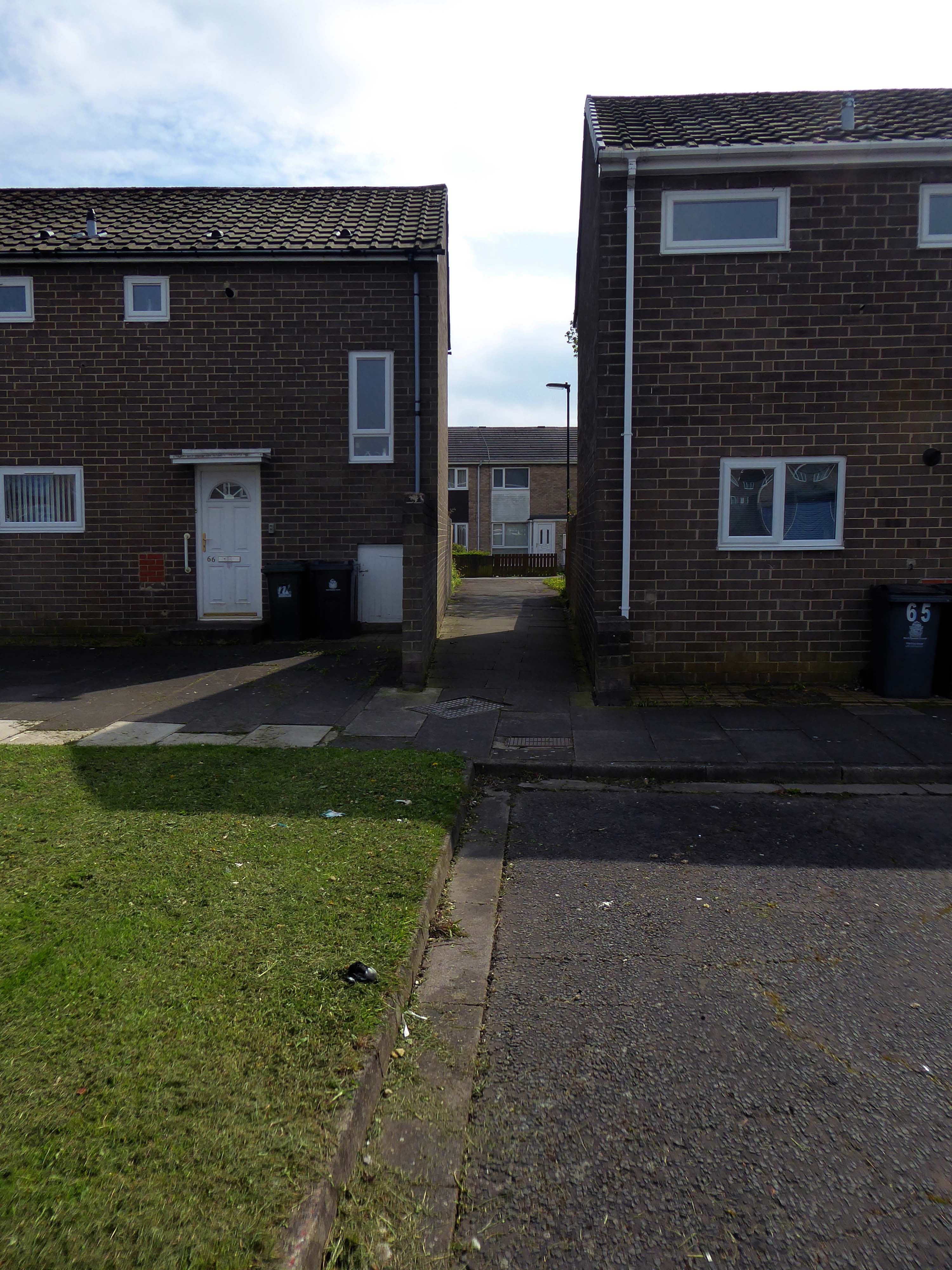
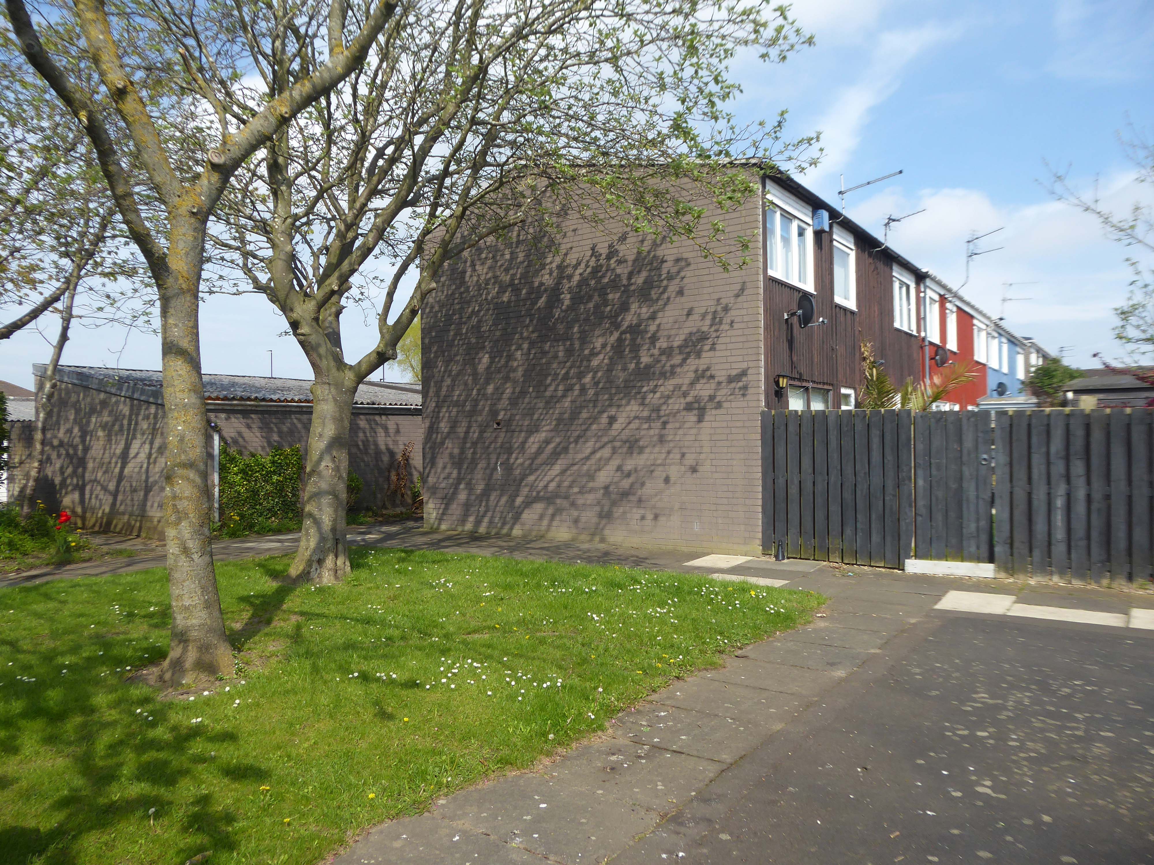
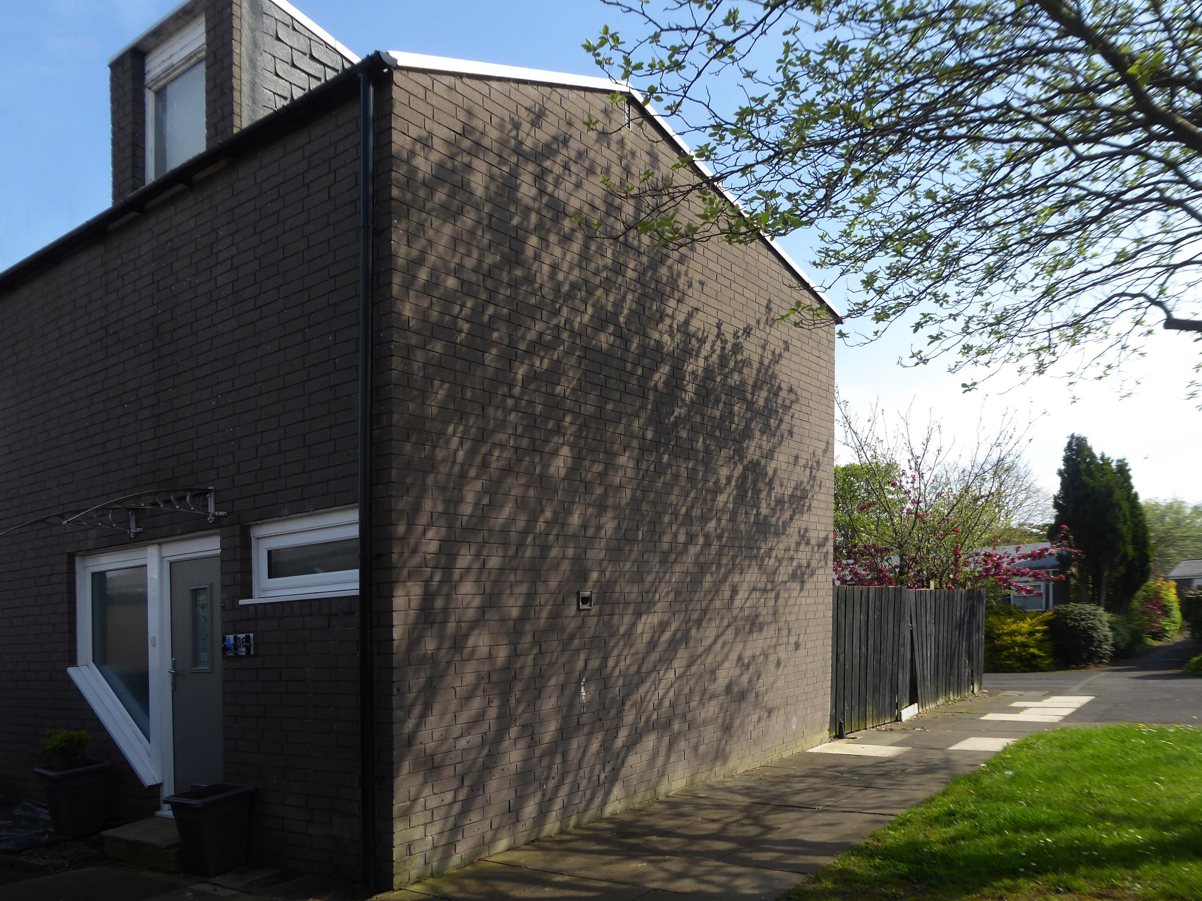
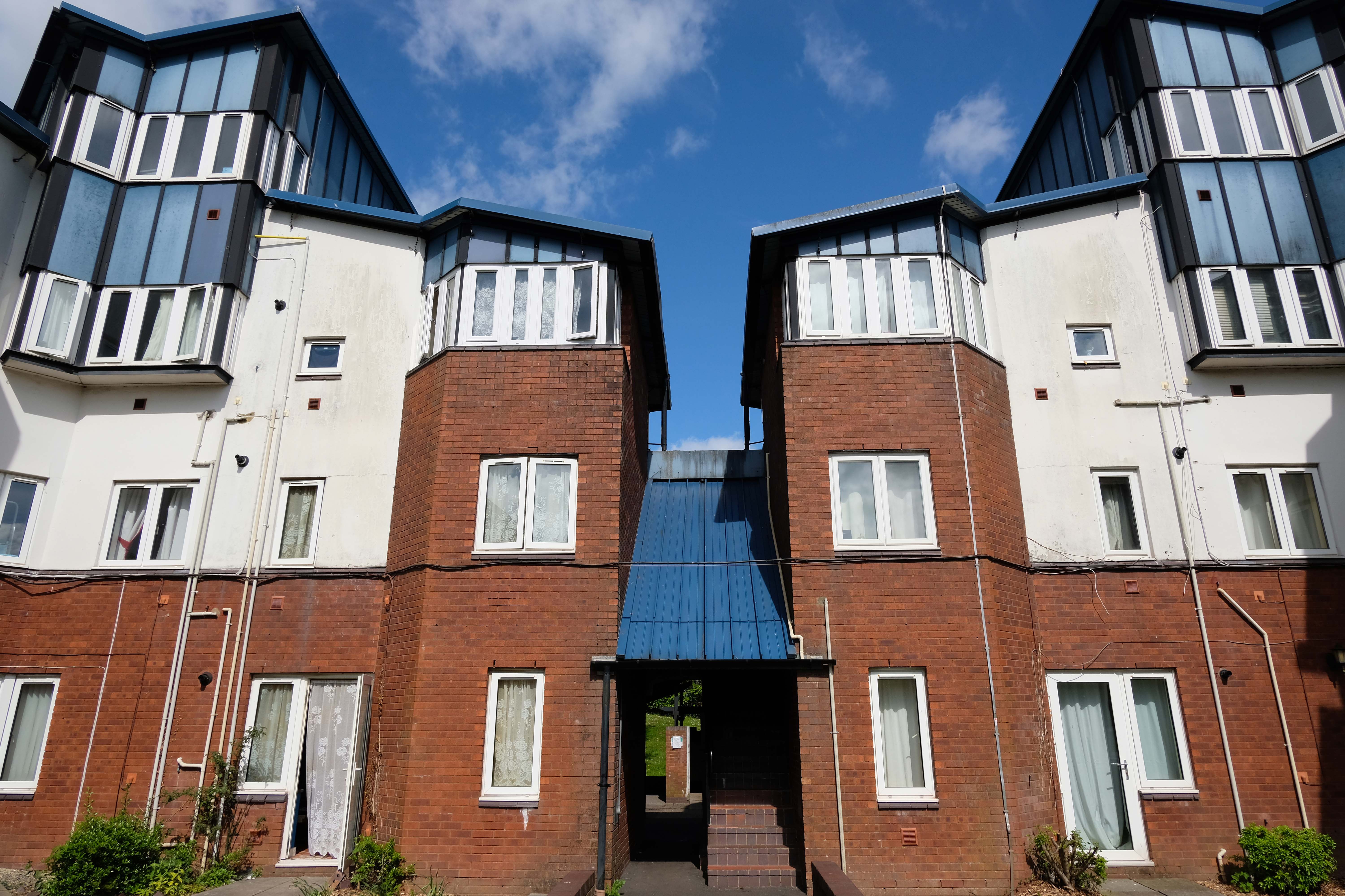
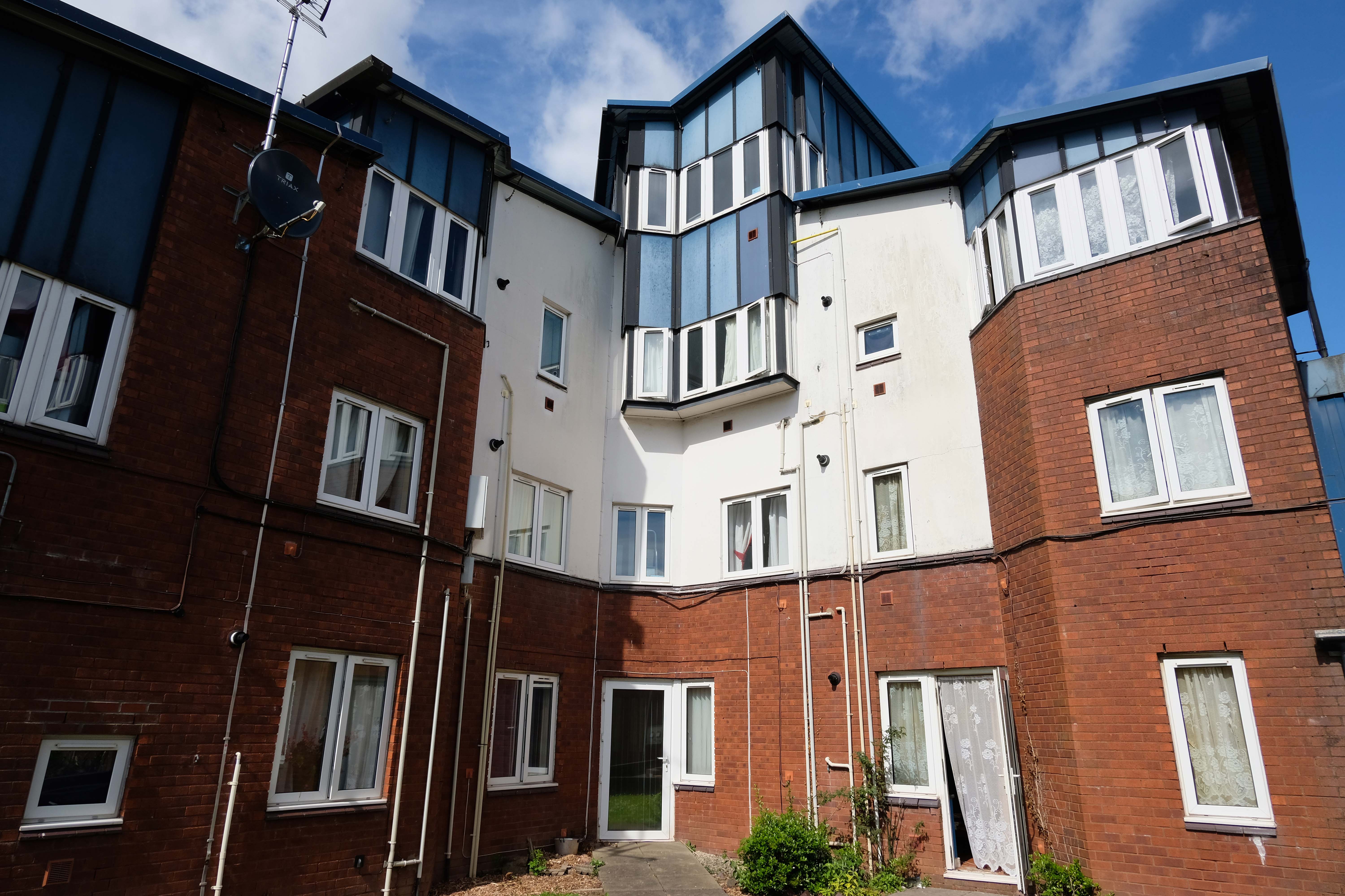
North from Stockport towards Manchester, the A6 was a wide, four lane road, but still 30 mph, which usually flowed pretty well. According to Mudge, it looks like it has now been massacred by bus lanes and red paint. Shame. We meet the A57 from the east, just south of the city centre, and multiplex until we reach Mancunian Way, the A57 heading off as a short urban motorway, the A6 heading into the city centre via London Road/Piccadily, where it loses its number and vanishes. It would have gone straight down Piccadily/Market Street to meet Deansgate, and then across the River Irwell into Salford, and up Chapel Street, where the number reappears. Market Street has been pedestrianised for years, so the A6 has long ceased to be a through route.
The A57 was nearly a coast to coast route. It passes through three major city centres (Liverpool, Manchester, and Sheffield – with elevated sections in each) and several smaller ones, multiplexes with the A6 and the A1, follows the banks of two canals and negotiates the remotest part of the Peak District. In one city it part of it is a tram route, whilst in another its former route is also a tram route. After all these adventures, it sadly gives up just 40 miles short of the east coast, Lincoln apparently proving too big an obstacle.
The A57 crosses the River Irwell at Regent Bridge before entering its moment of motorway glory as the A57(M) Mancunian Way skirting the south of Manchester’s city centre on an elevated section and crossing the A56 and A34. This includes a half-completed exit that goes the wrong way up Brook Street – a one way street. The original A57 ran further north through the city centre along Liverpool Road (now the A6143) and Whitworth Street – B6469 as far as the A6 London Road which marked the start of a multiplex.
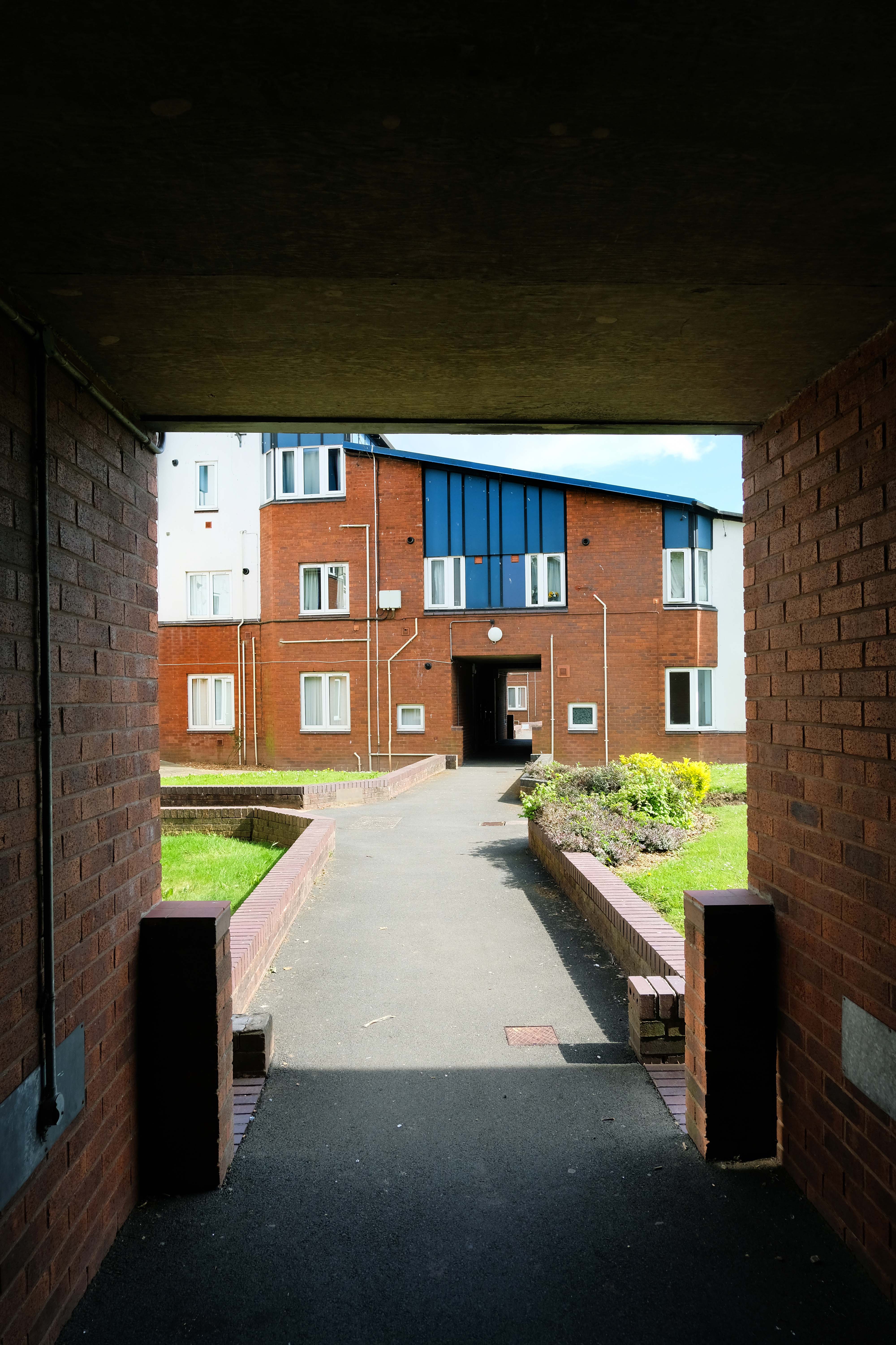
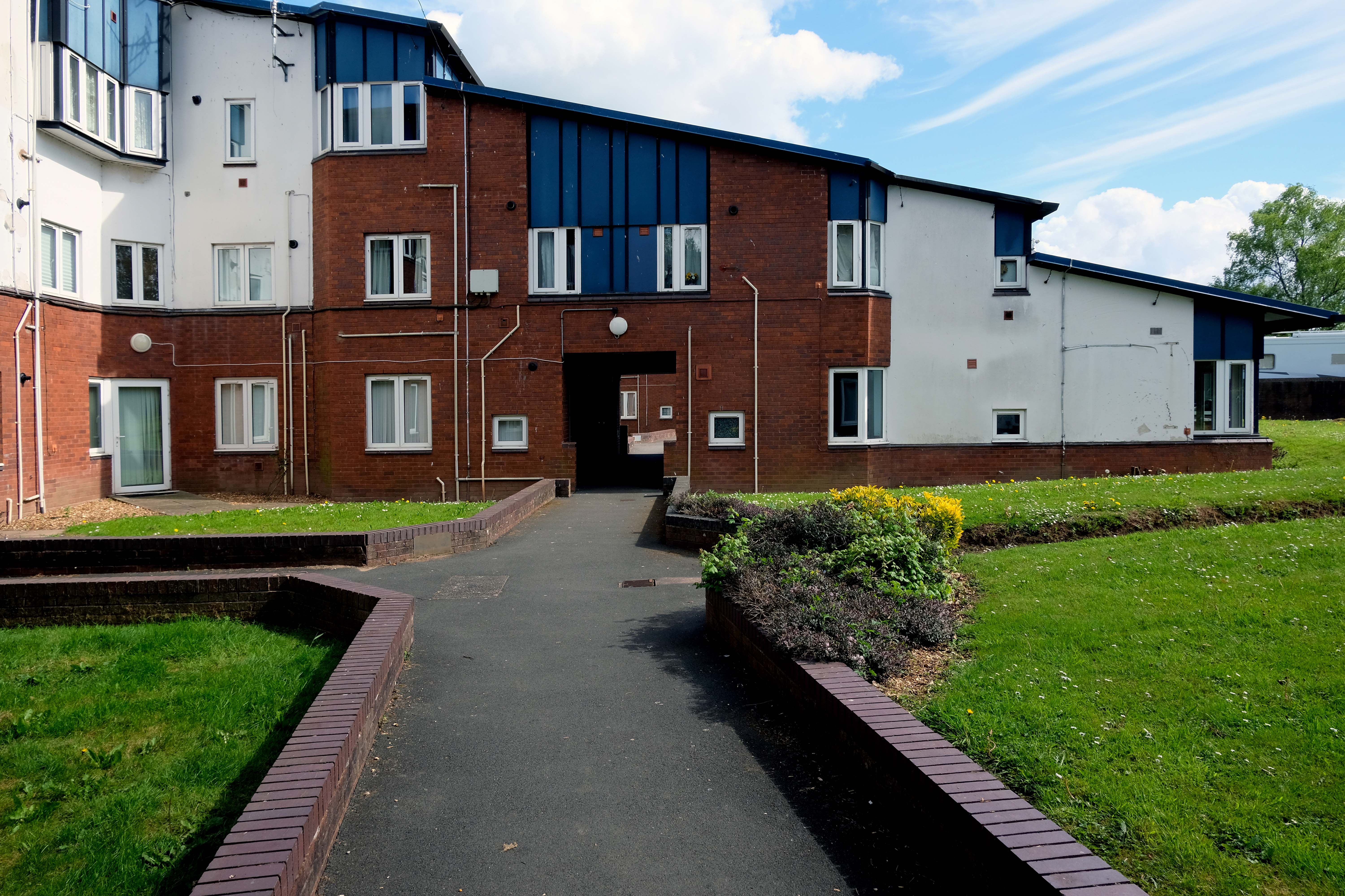
At the end of Mancunian Way, we reach a TOTSO, straight on being the short unsigned A635(M) and thence the A635 – for Saddleworth Moor, Barnsley and Doncaster whilst the A57 turns south, briefly multiplexing with the A6, and then branching off along Hyde Road. This section of road was extensively cleared for the westward extension for the M67, and consequently has seen a lot of redevelopment.
The road now begins slightly further south than it used to. Instead of starting on Fairfield Street in Manchester city centre, it begins immediately as the Mancunian Way ends, which at this point is the unsigned A635(M). The motorway flows directly into our route. There’s a TOTSO right at a set of lights, and we pick up the old alignment, which now starts as the B6469.
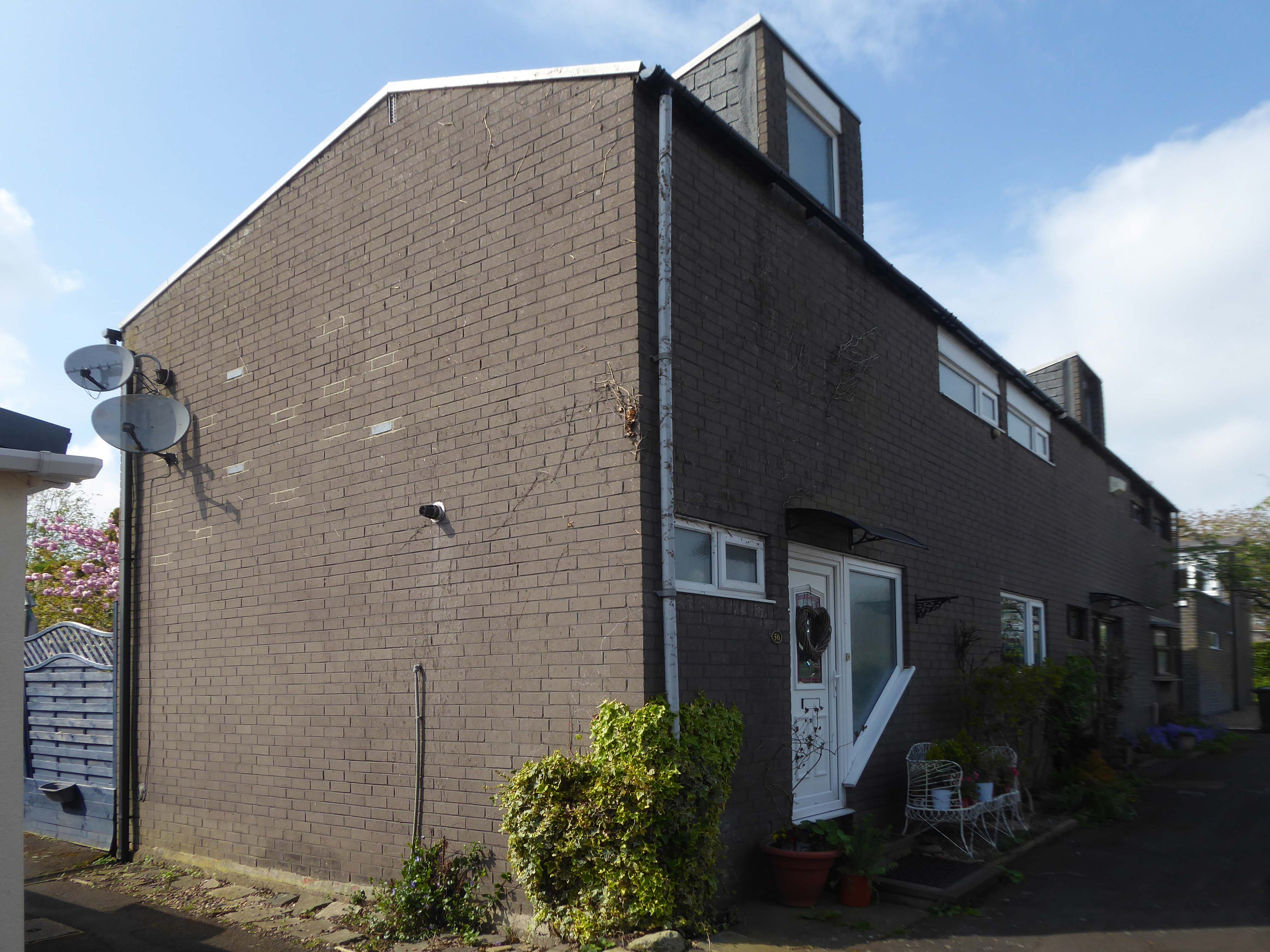
We can see the new City of Manchester Stadium on the left, site of the 2002 Commonwealth Games and now home to Manchester City FC. The road switches between S2 and S4 as it passes through the rather run-down urban areas of Ardwick and Gorton. A short one-way system at a triangular-shaped junction with the A662 leads onto a wider stretch as we near the M60 junction. This area is set to see significant industrial growth, with whole swathes of land either side of the now D3 road cleared and ready for development.
Starting at traffic lights on the A665 the road heads northeastwards, initially with the Metrolink on the left and a factory building on the right. The road then bears right at traffic lights marking the first section of on-street running for the trams, which lasts until just before a bridge over the River Medlock, after which the road passes to the south of the Sportcity complex whilst the tram line runs through the middle.
The A6010 is crossed at traffic lights, after which we see the tram lines on the left once more. We go over the Ashton Canal, then the tram lines at grade before bearing to the right to pass Clayton Park before another section of on-street running for the Metrolink begins, which continues for some distance. Just after crossing the Manchester city limit there is a set of traffic lights, after which the road becomes D2 for a short distance to allow a tram stop – Edge Lane, to be located in the central reservation. The tram leaves the road to the right for the next stop – Cemetery Road, and the stop in Droylsden town centre is once again in the central reservation. In all three cases the street running recommences after the stop.
The A62, which runs from Manchester to Leeds, via Oldham and Huddersfield, was once the main route across the Pennines, connecting the largest city in Lancashire with Yorkshire’s largest city. However with the completion of the M62 towards Leeds in the early 1970s it lost much of its importance and traffic to the motorway, which runs a few miles to the north. These days, the A62 serves as a busy primary route between Manchester and Oldham, an extremely very quiet route over the Pennines, and then a fairly busy local road linking Huddersfield with Leeds.
Most maps show that the A62 starts its journey in the middle of Manchester by leaving the A6 Piccadilly and running along Lever Street – the original route was the parallel Oldham Street. However, owing to a bus gate Lever Street is not generally accessible from Piccadilly. We head out easterly on a busy street – non–primary, until we meet the Ring Road where we pick up primary status that we retain until Oldham. We turn left at this point and then immediately right to start the A62 proper.
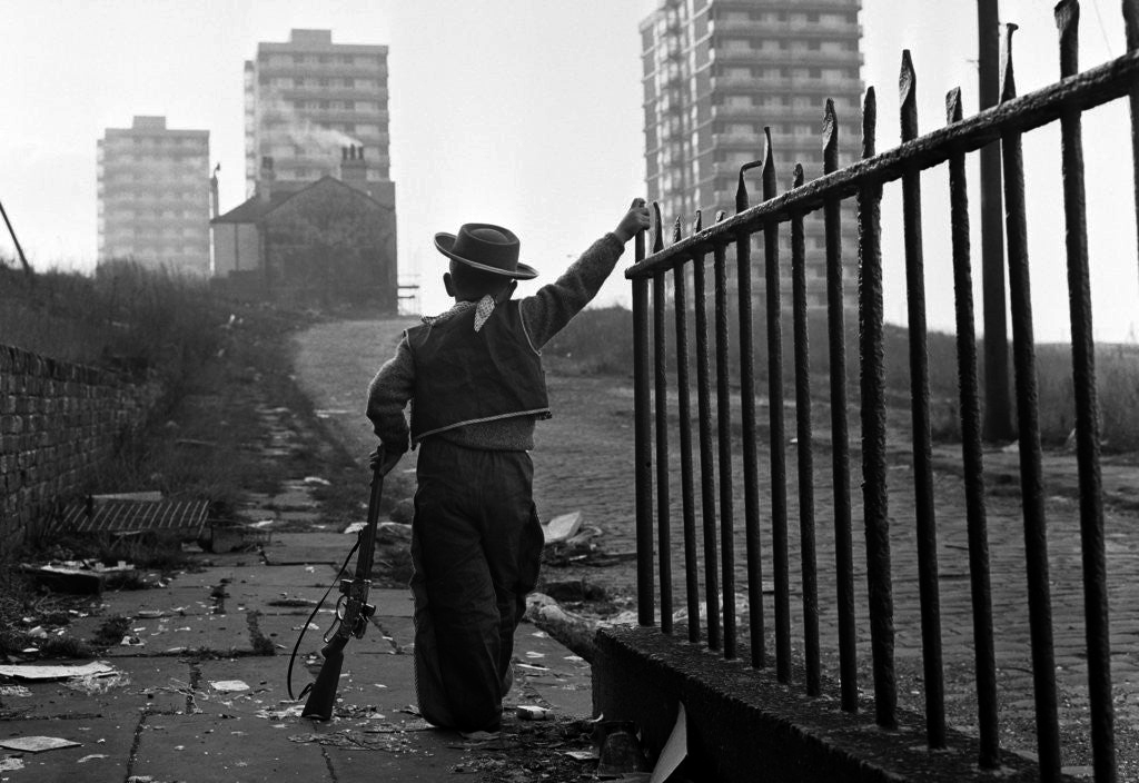
In 2014, having taken early retirement from teaching photography, I embarked on a series of walks along the arterial roads of Manchester.
This whole undertaking was prompted in part by Charlie Meecham’s 1980’s Oldham Road project.
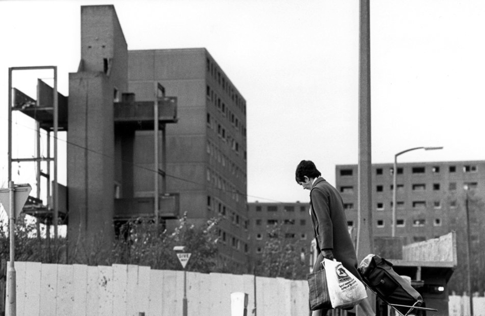
The work questions whether a sense of local identity can be maintained in an area of constant redevelopment and community displacement.
This area was first developed in the 19th century for cotton manufacture, coal extraction and later electrical and heavy engineering. The road was lined with shops and there was a vibrant community.
When I first started working on the project, most of the early industry had ceased operating and the mills were either abandoned or being dismantled. However, some had been refurbished either for new industrial use or later, made into apartments. Some run down areas were cleared making way for new housing. Clearance also provided opportunity to build new schools, trading estates and create green space. Most of the older community centres such as theatres and cinemas along the road were also abandoned and later cleared.
The obvious place for the A664 to start is on the A665 Manchester & Salford Inner Relief Route, which at this point is actually two parallel one-way streets. However, many maps show the road continuing a short distance into the city centre to end at traffic lights by the Shudehill Interchange – this is presumably for historic reasons: the road originally continued along the High Street to its terminus on the A6 Market Street.
The road heads northeastwards through the suburbs, the street name Rochdale Road, already emphasising its destination. Initially dual, the road narrows just before crossing the bridge over the railway line east of Victoria station. It continues through Collyhurst and widens again just before crossing the A6010 Intermediate Ring Road, which here is made up of two parallel one-way streets, requiring two separate sets of traffic lights to cross.
Now non-primary – but still dual for a short distance more, the road runs in a more northerly direction through Blackley, where it becomes wooded for a short distance as it passes the Boggart Hole Clough park. Slightly further on the road has been straightened, after which it bears right to widen considerably and cross the A6104 at traffic lights just before M60 J20, which only has west-facing sliproads. The road narrows again on the far side of the motorway and leaves Manchester for Rochdale at the same point.
Cheetham Hill Road is part of the designated A665. Cheetham Hill Road starts at the junction of the A6042 Corporation Street and the A665 Miller Street. It crosses the culverted River Irk to the east of Victoria Station. At its junction with New Bridge Street, it turns north-northeast and is straight for 1 km, to the A6010 Queen’s Road . This stretch was called York Street until about 1900. Cheetham Hill Road leads from here to the community of Cheetham Hill, where at Bourget Street and Crescent Road – formerly Sandy Lane, Cheetham Hill Road becomes Bury Old Road.
First crossing the M60 Manchester Outer Ring Road at Junction 7 into Stretford.
The A56 takes the name of Chester Road and continues north-eastwards through Stretford and Hulme into Manchester city centre, where it takes on the name Deansgate, one of Manchester’s main shopping streets and thoroughfares. At the end of Deansgate, the A56 takes on the name of Victoria Street as it passes Manchester Victoria railway station. Since 2012, most of Victoria Street has been pedestrianised with planters, but the road markings still remain underneath.
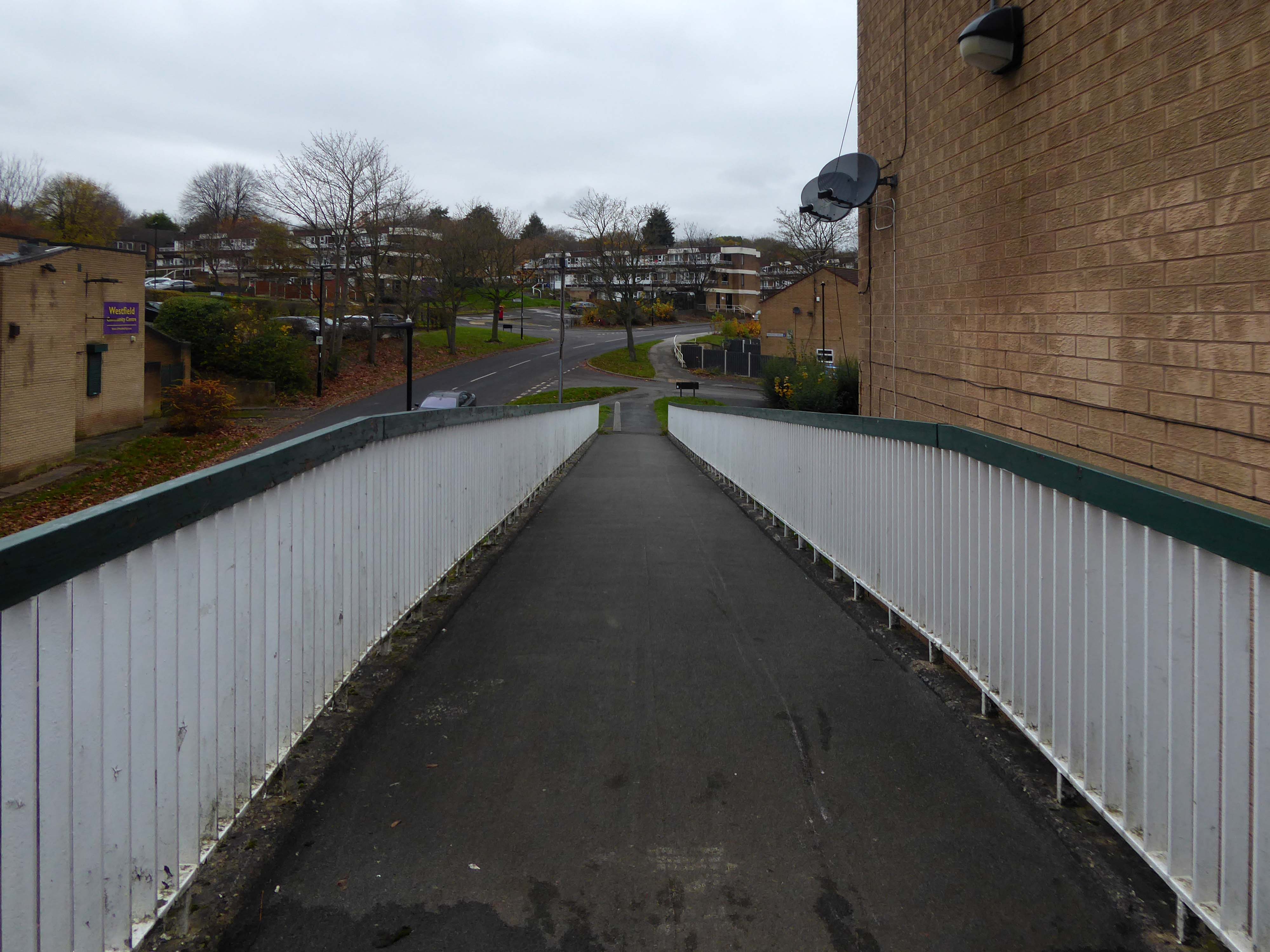
On the day, I was eager to visit the Westfield Estate for the first time.
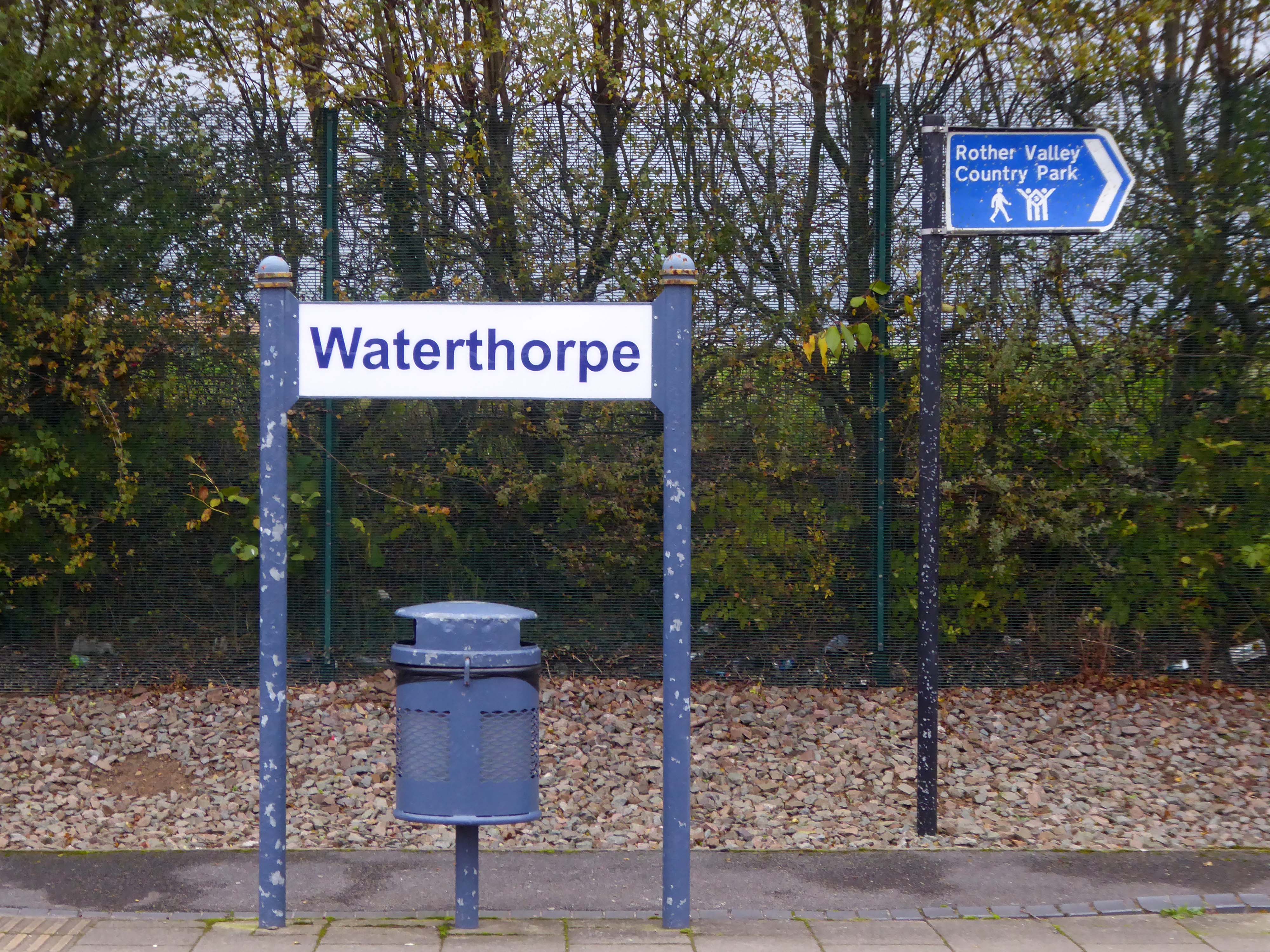
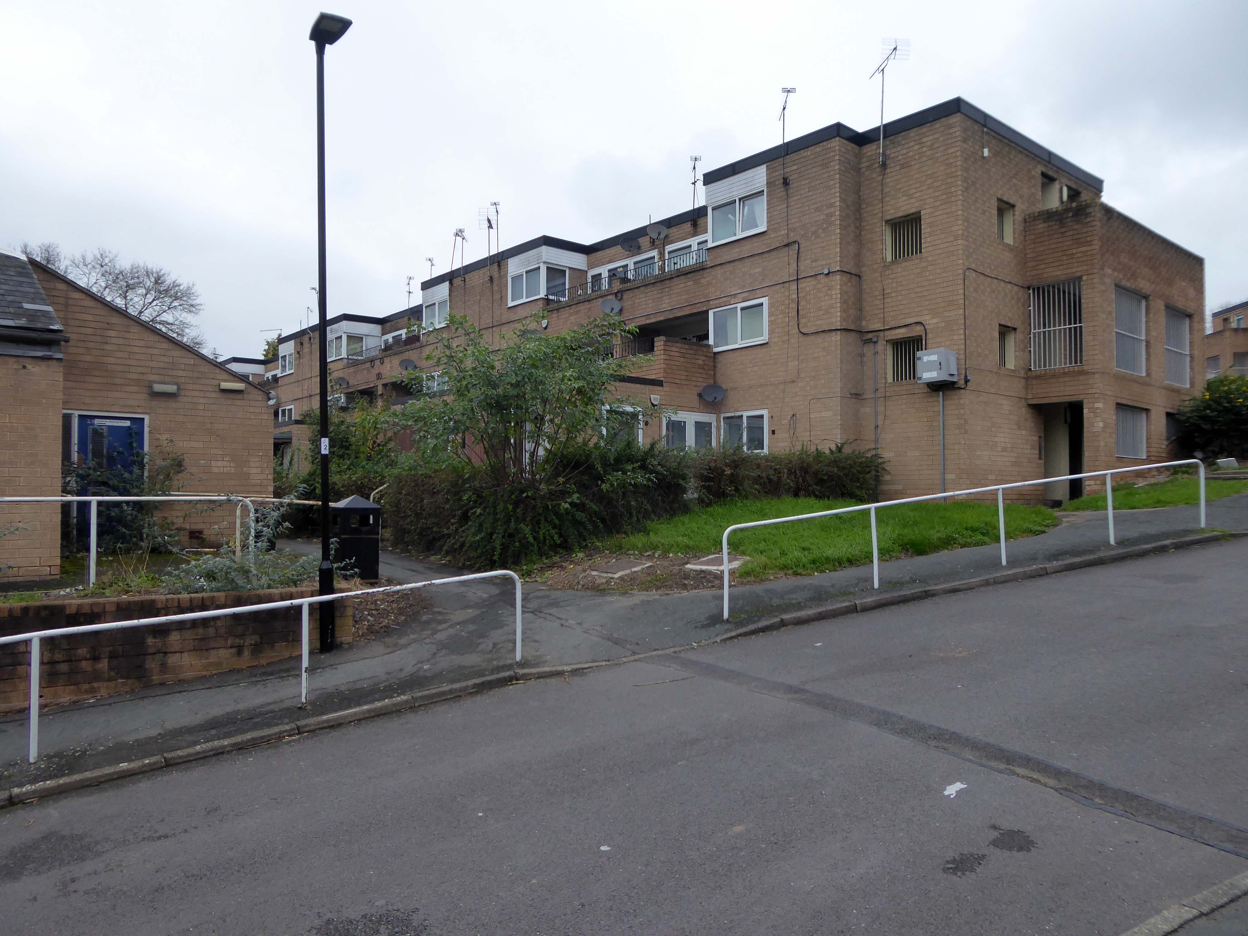
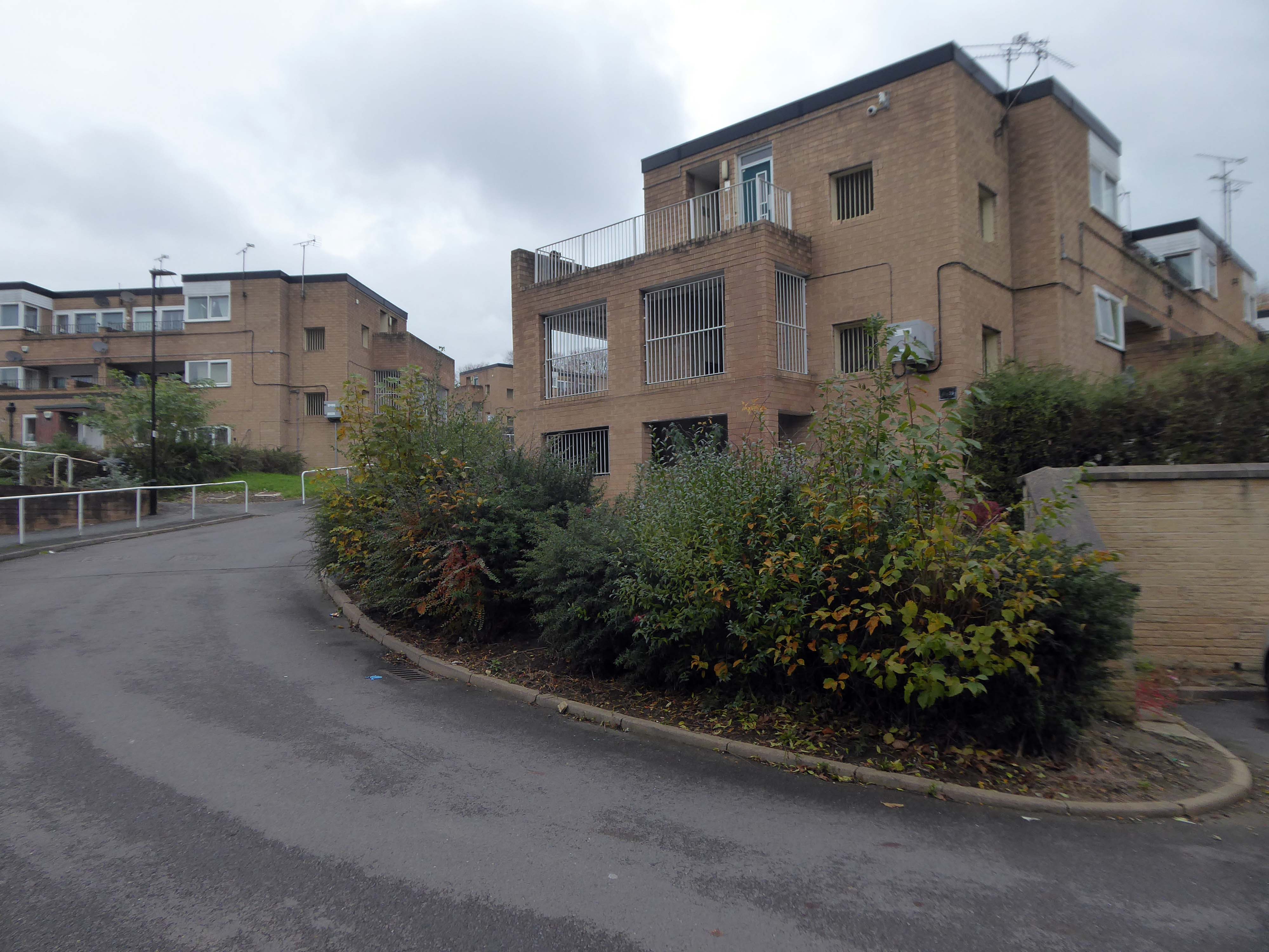
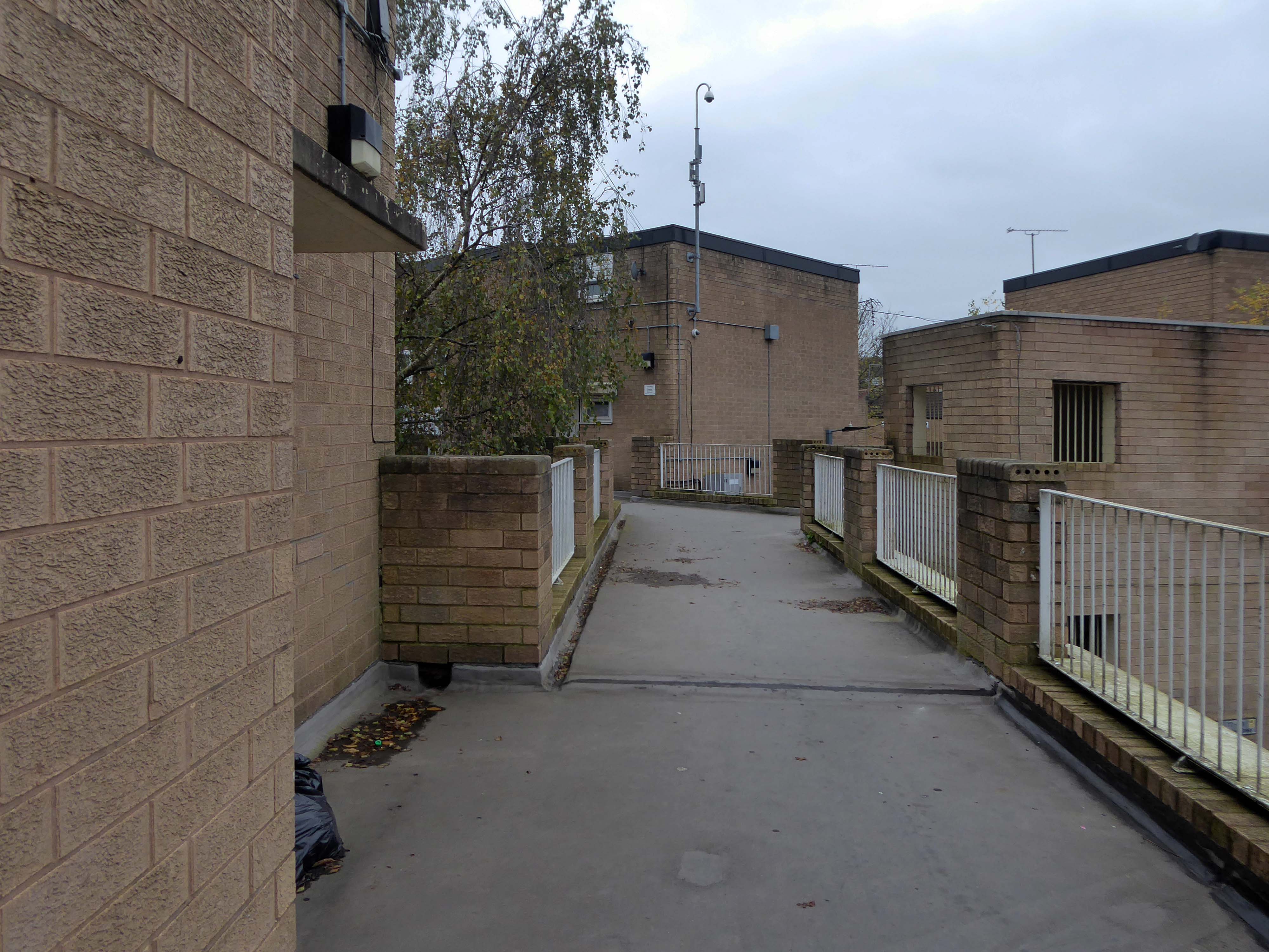
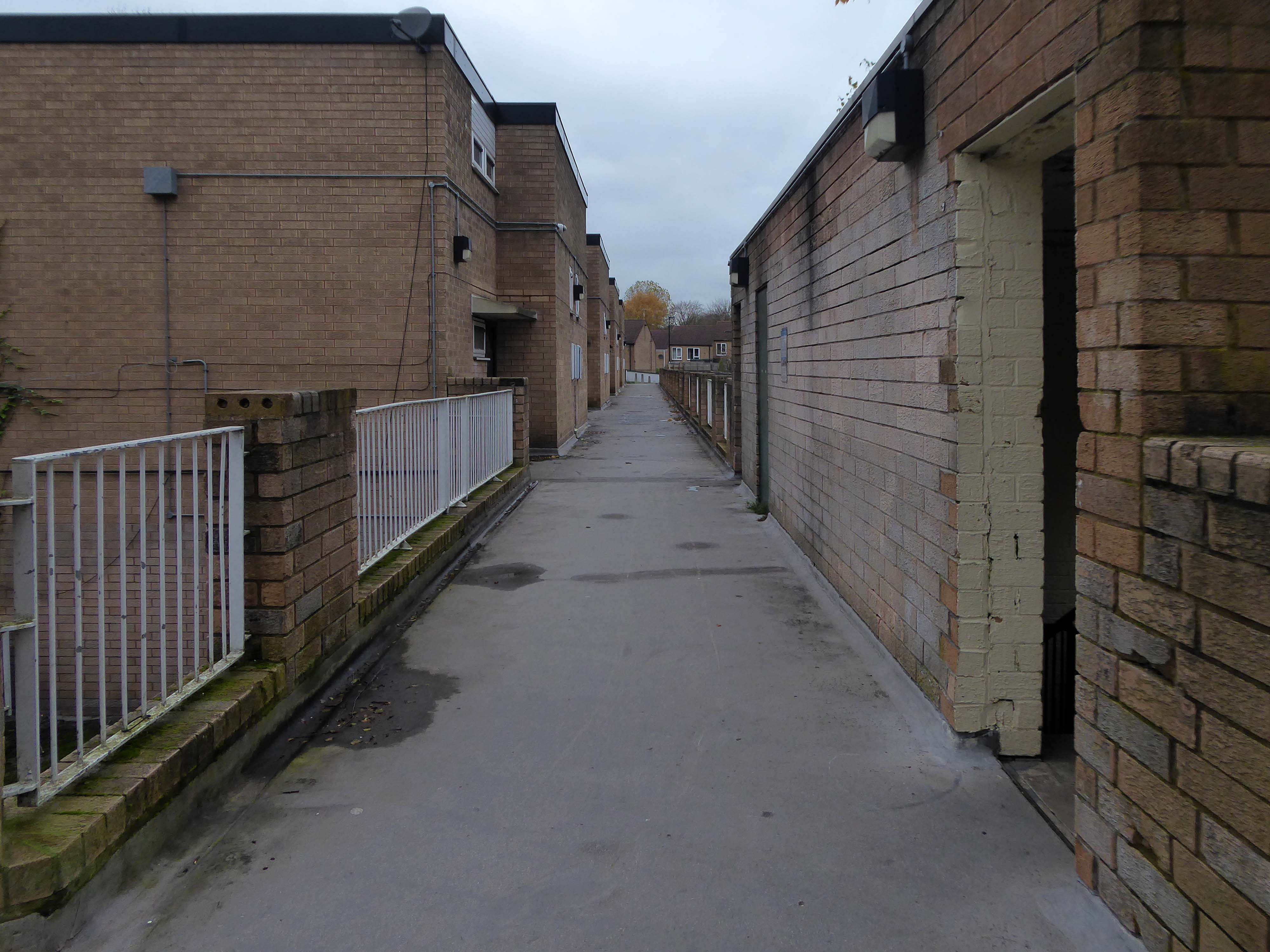
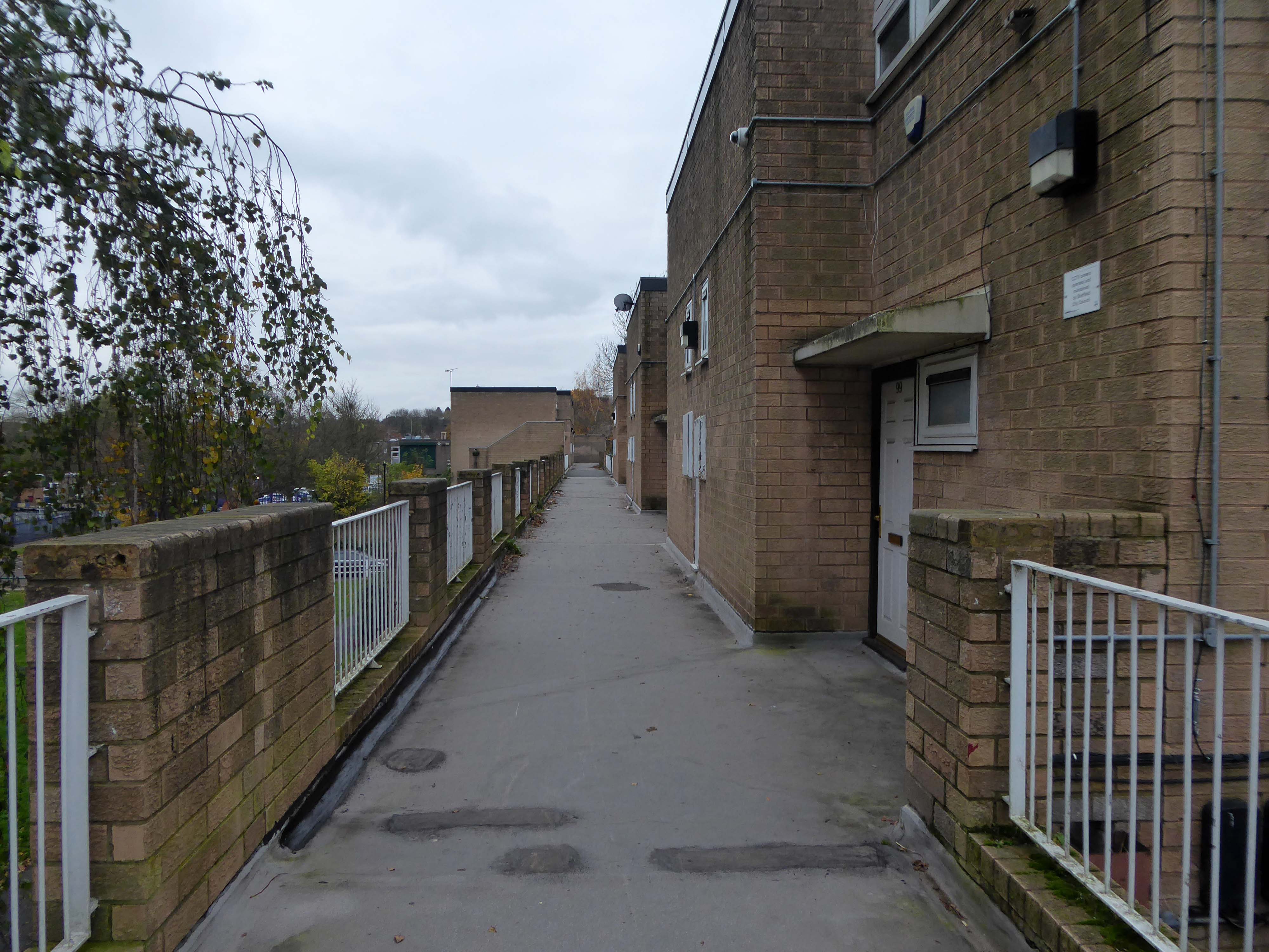
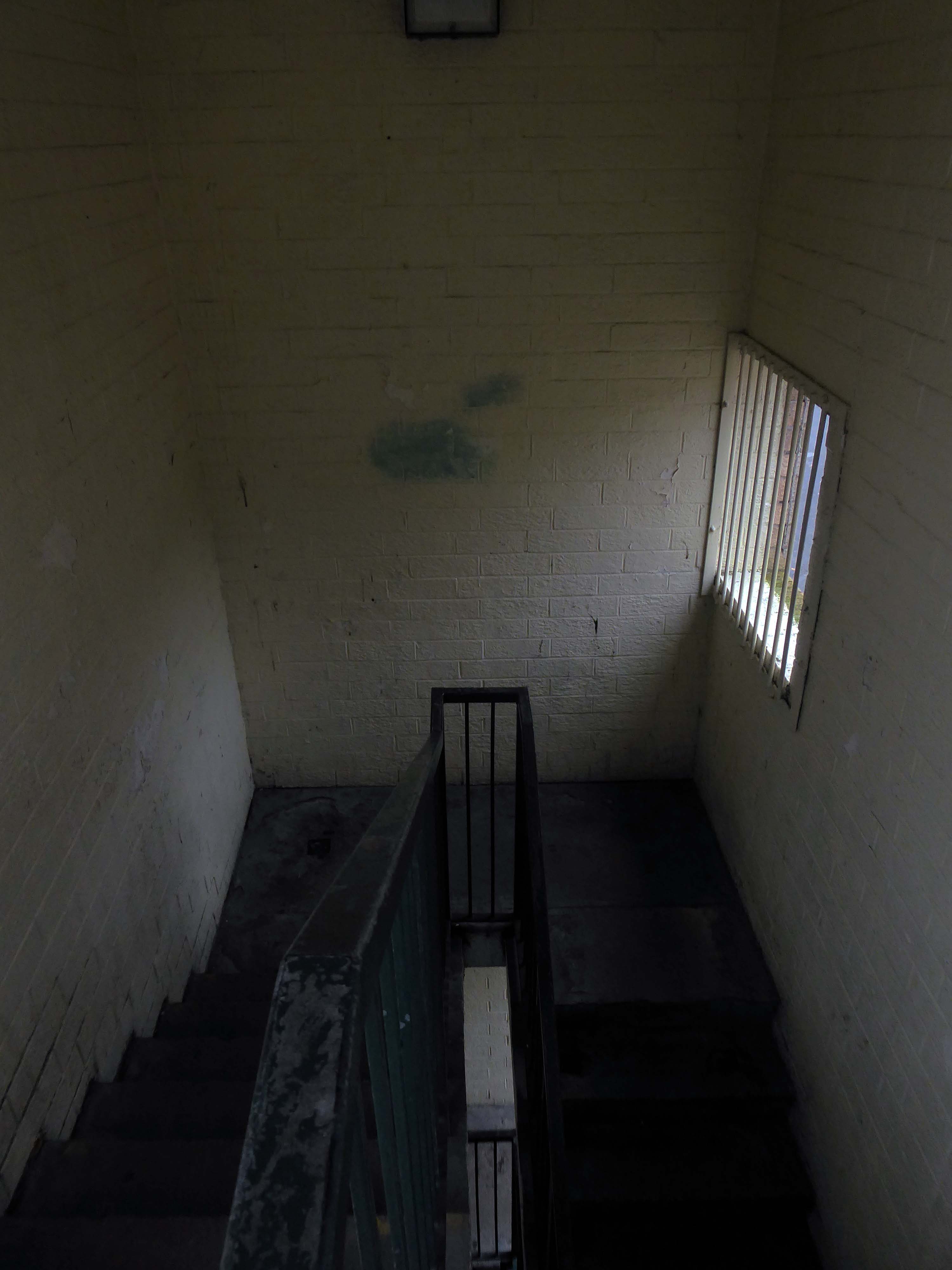
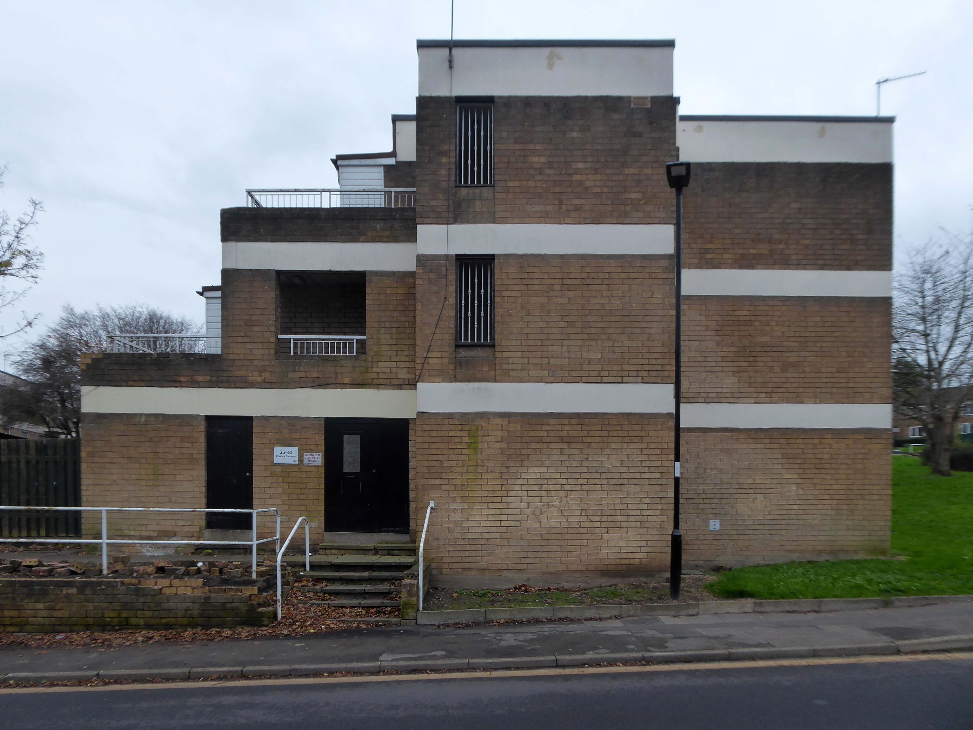
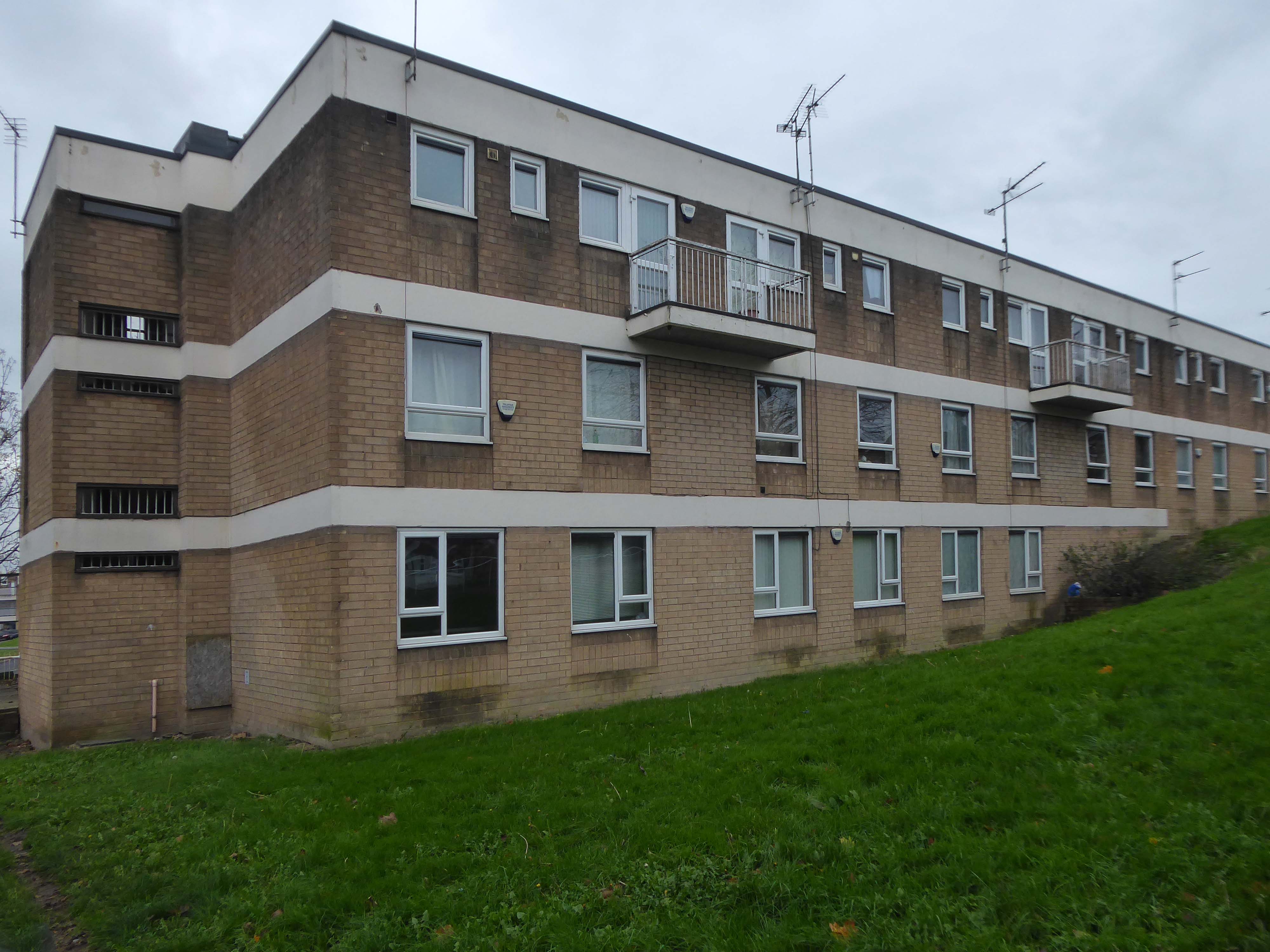
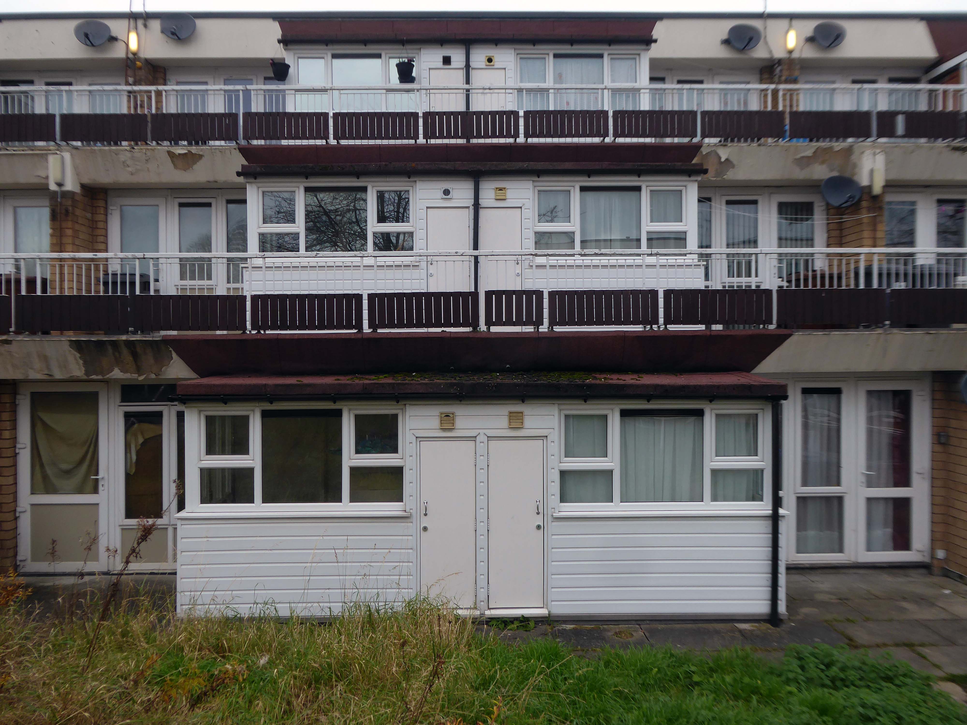
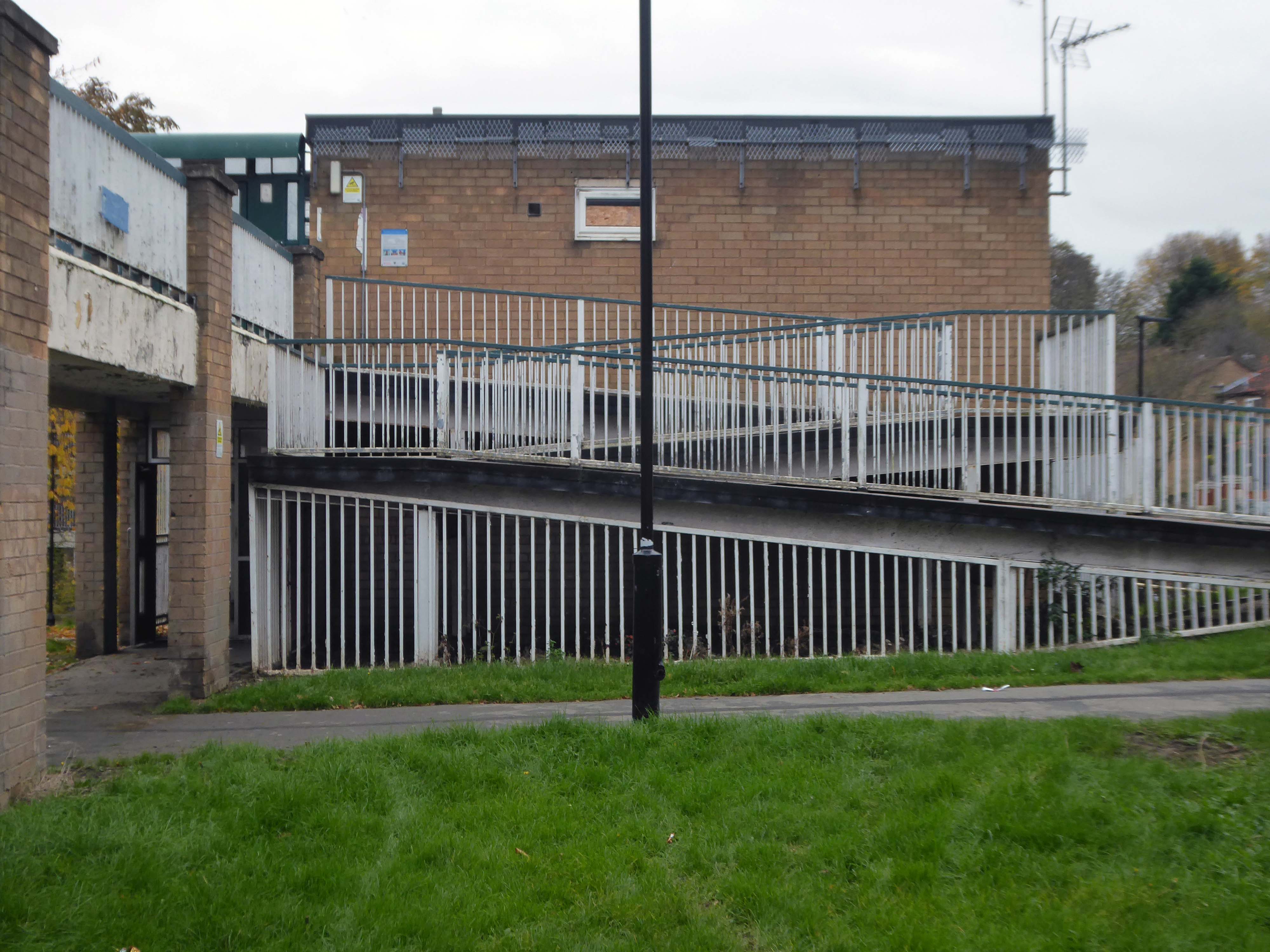
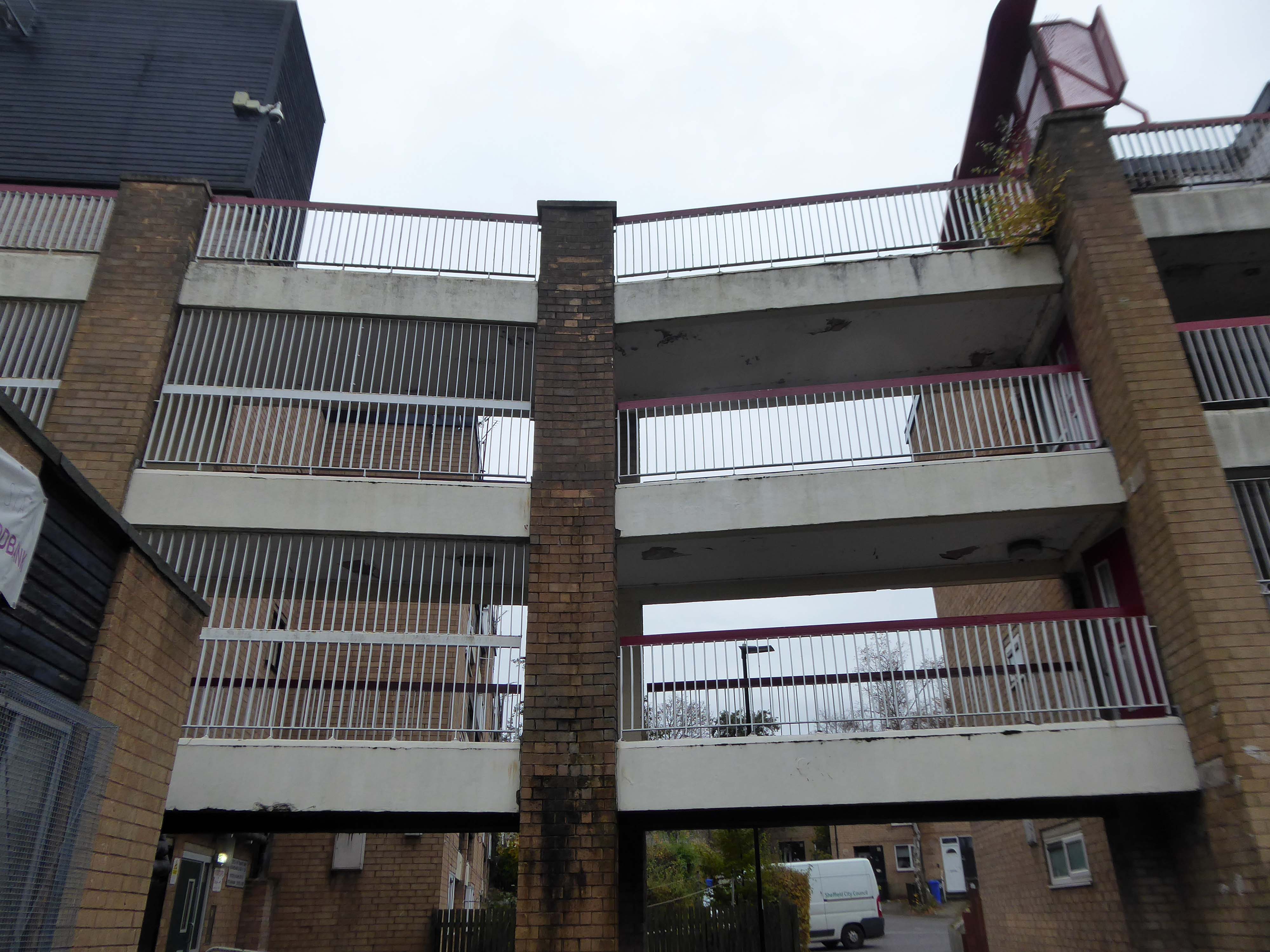
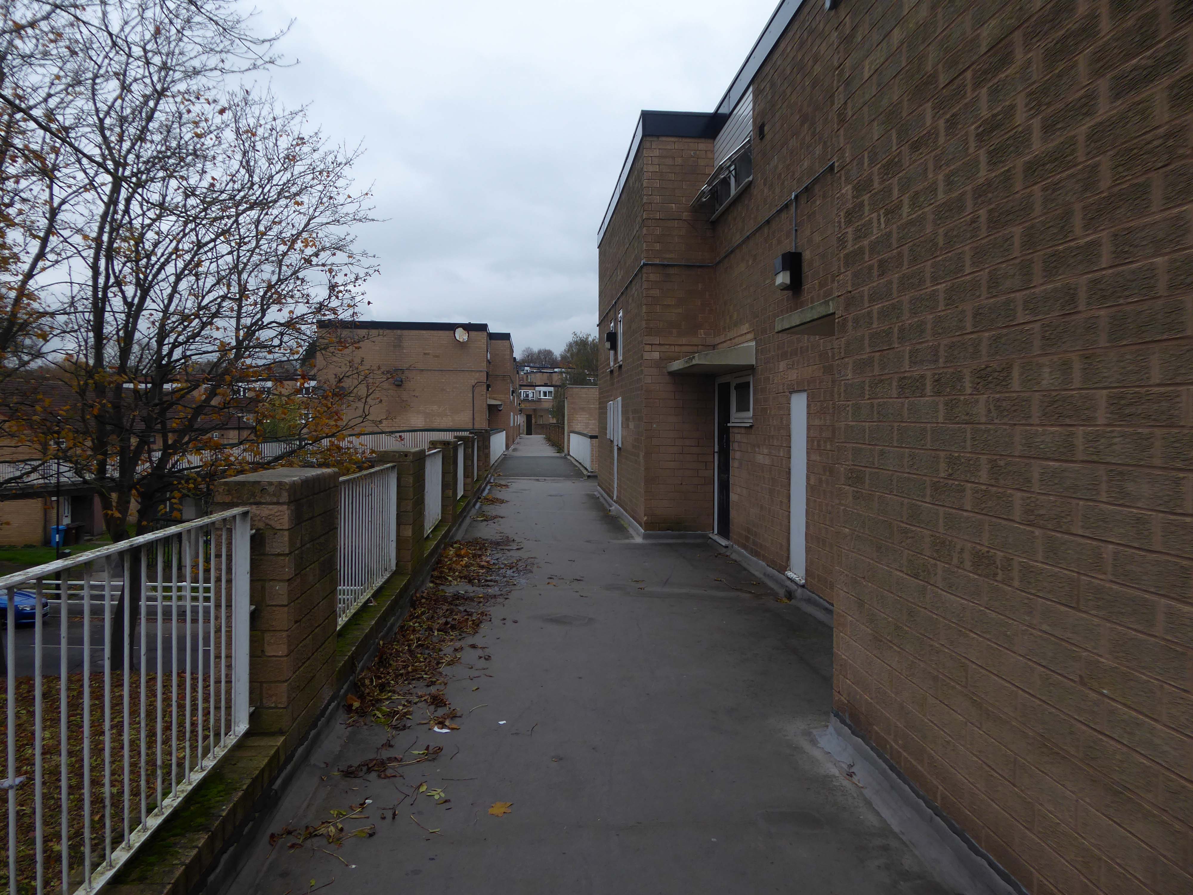
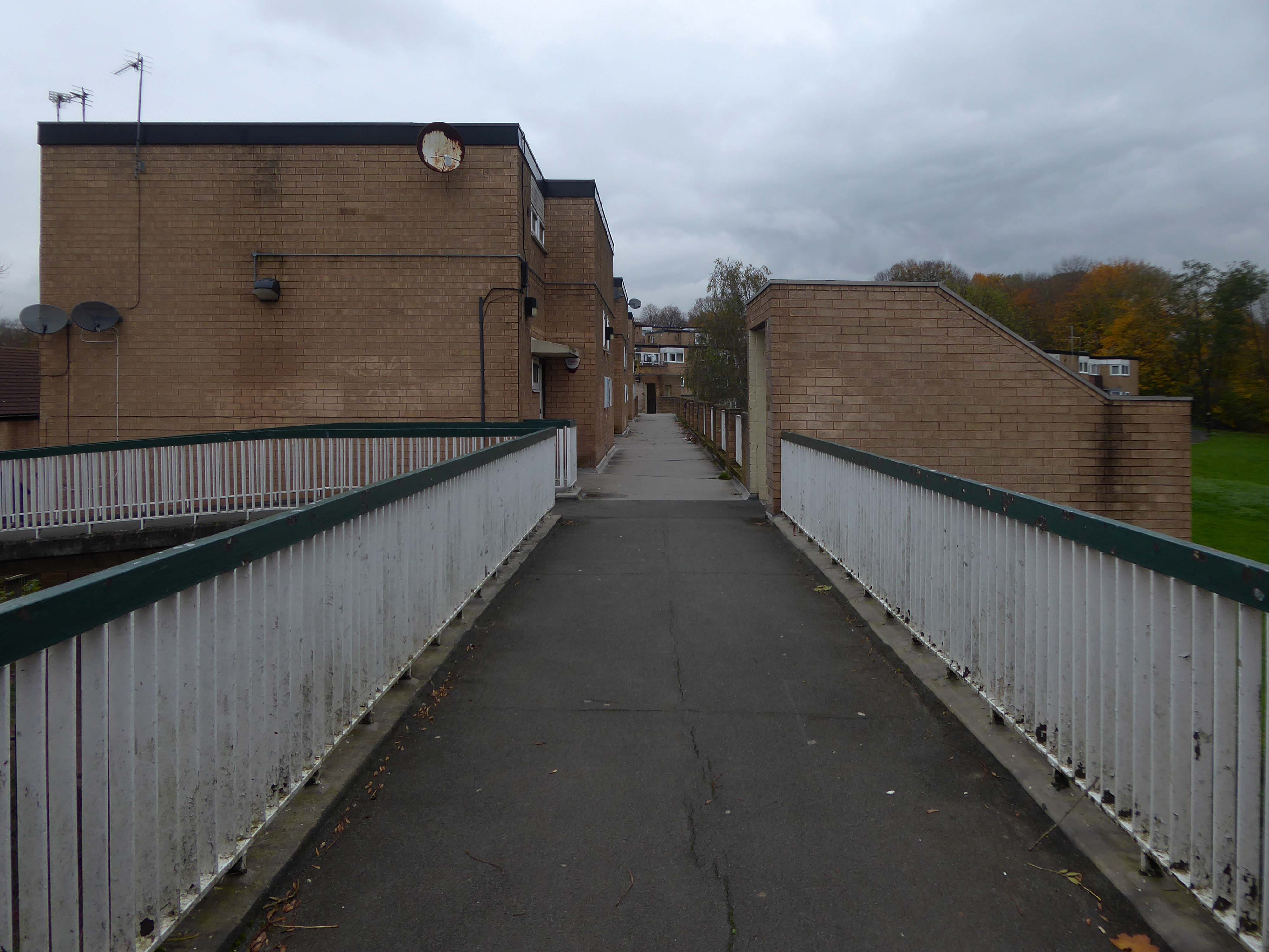
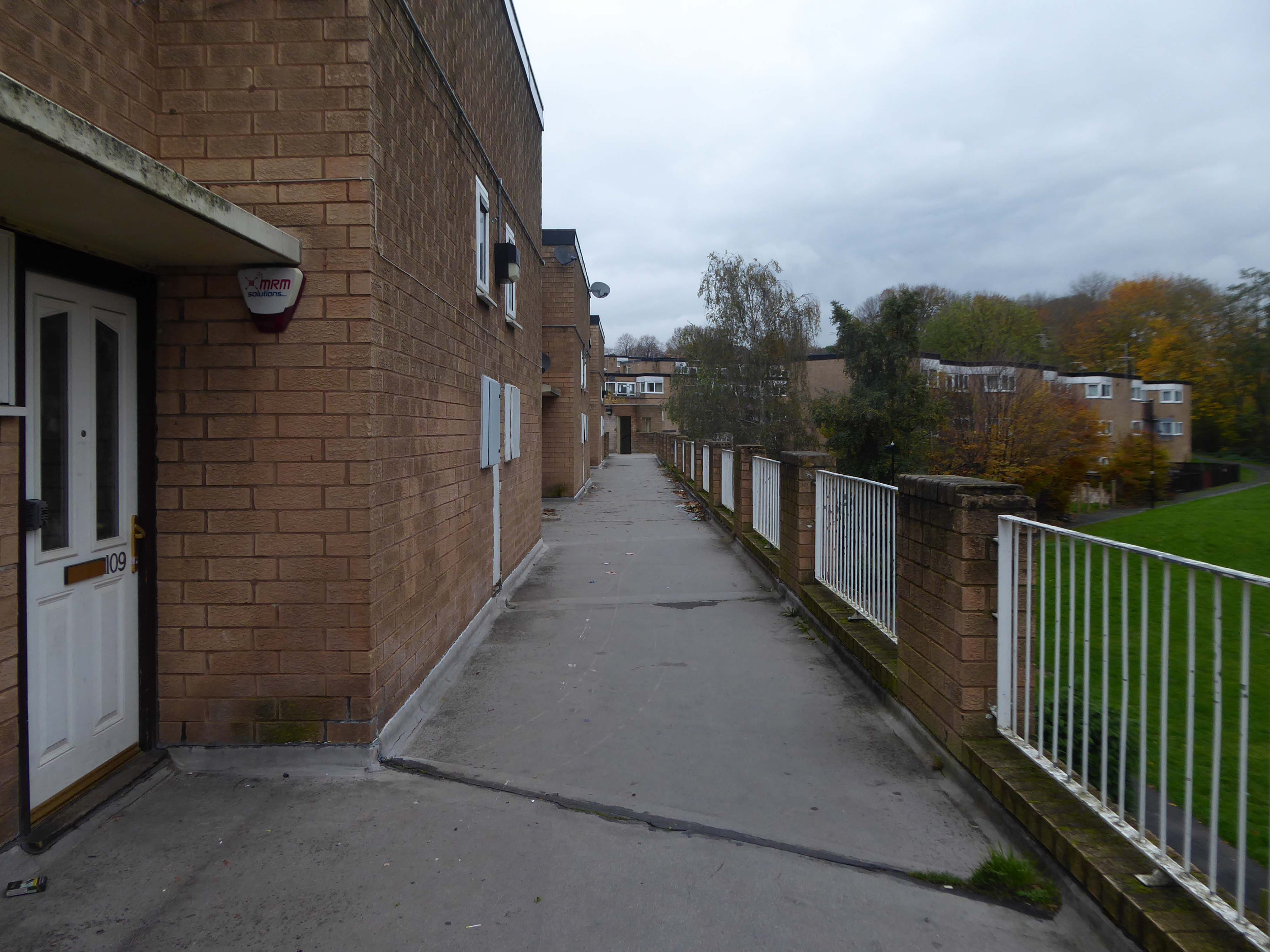
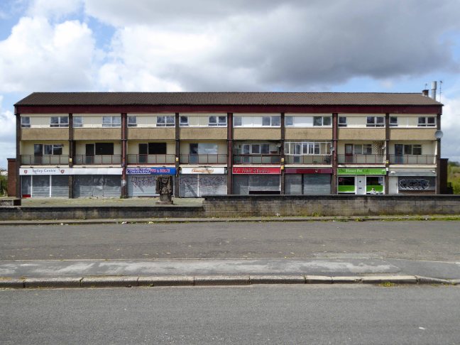
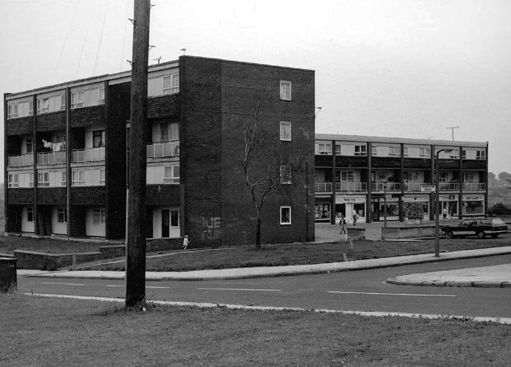
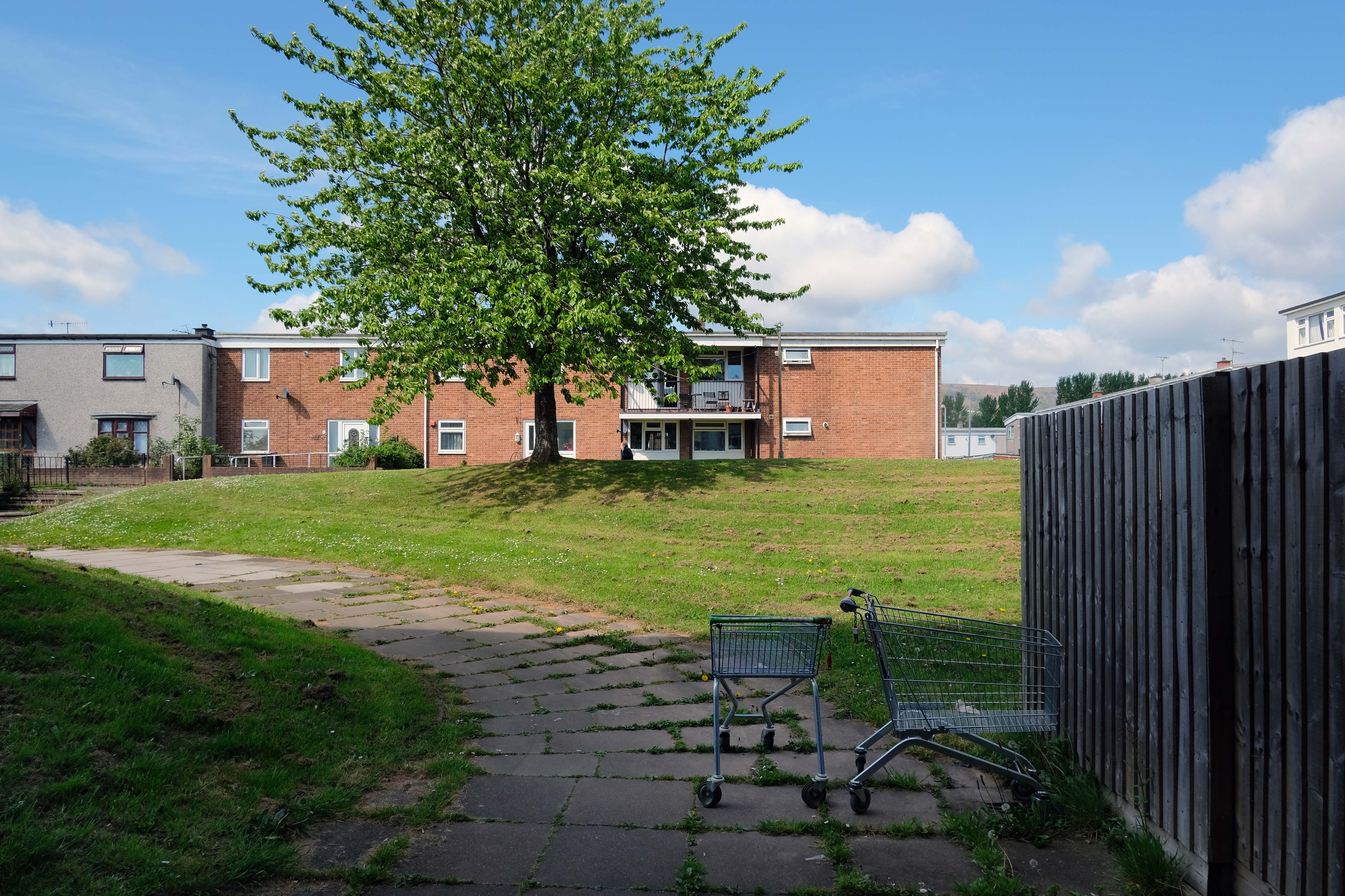
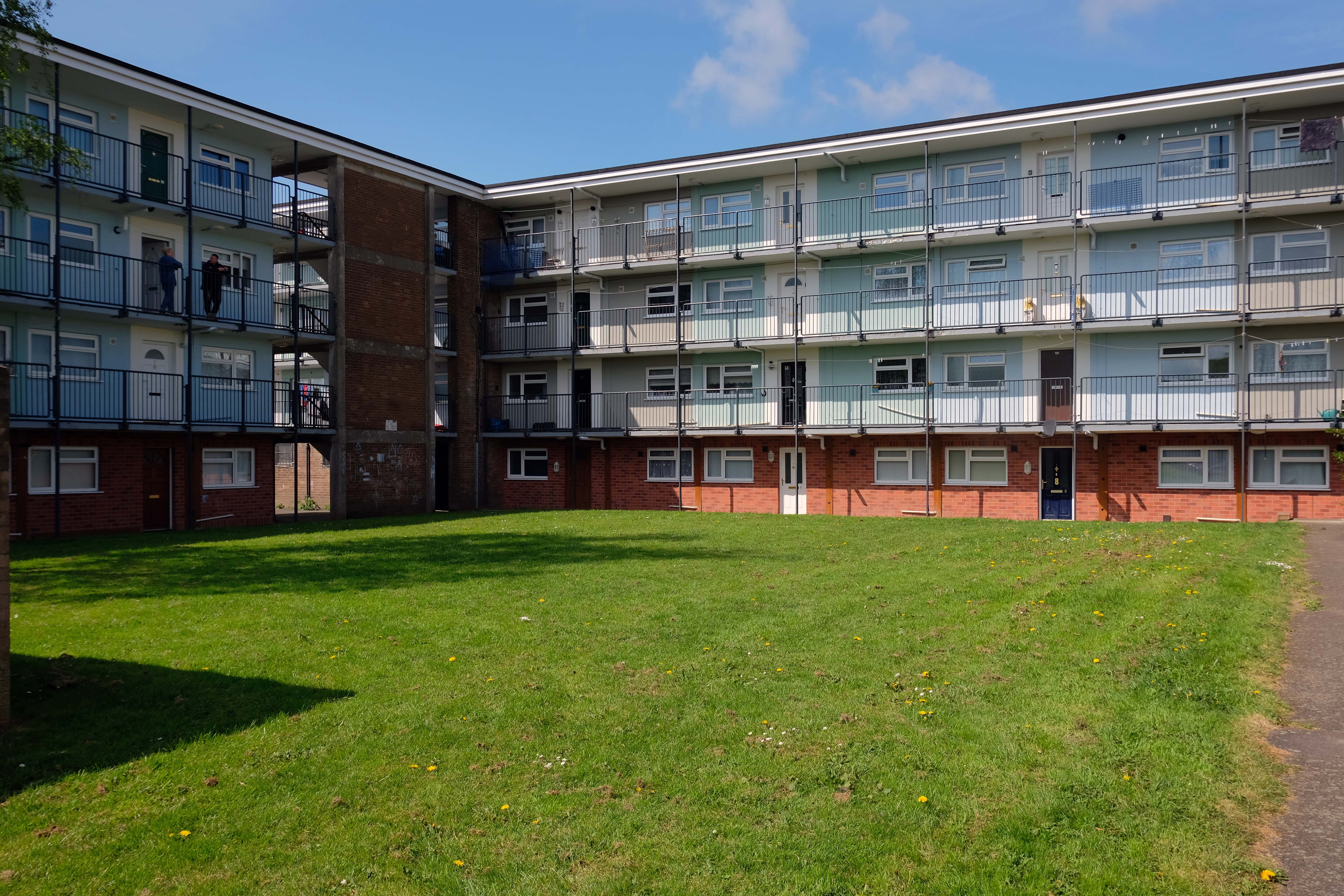
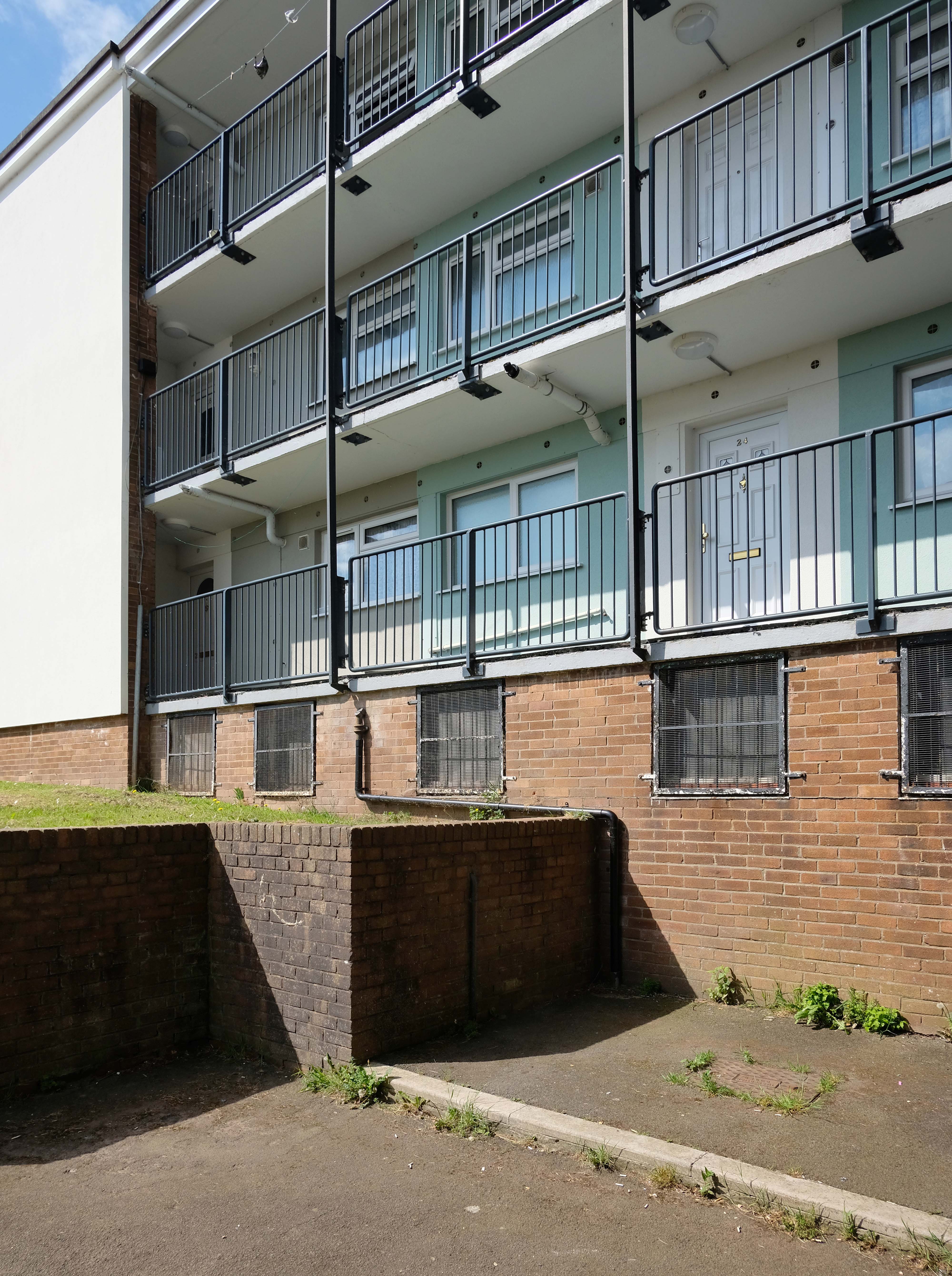
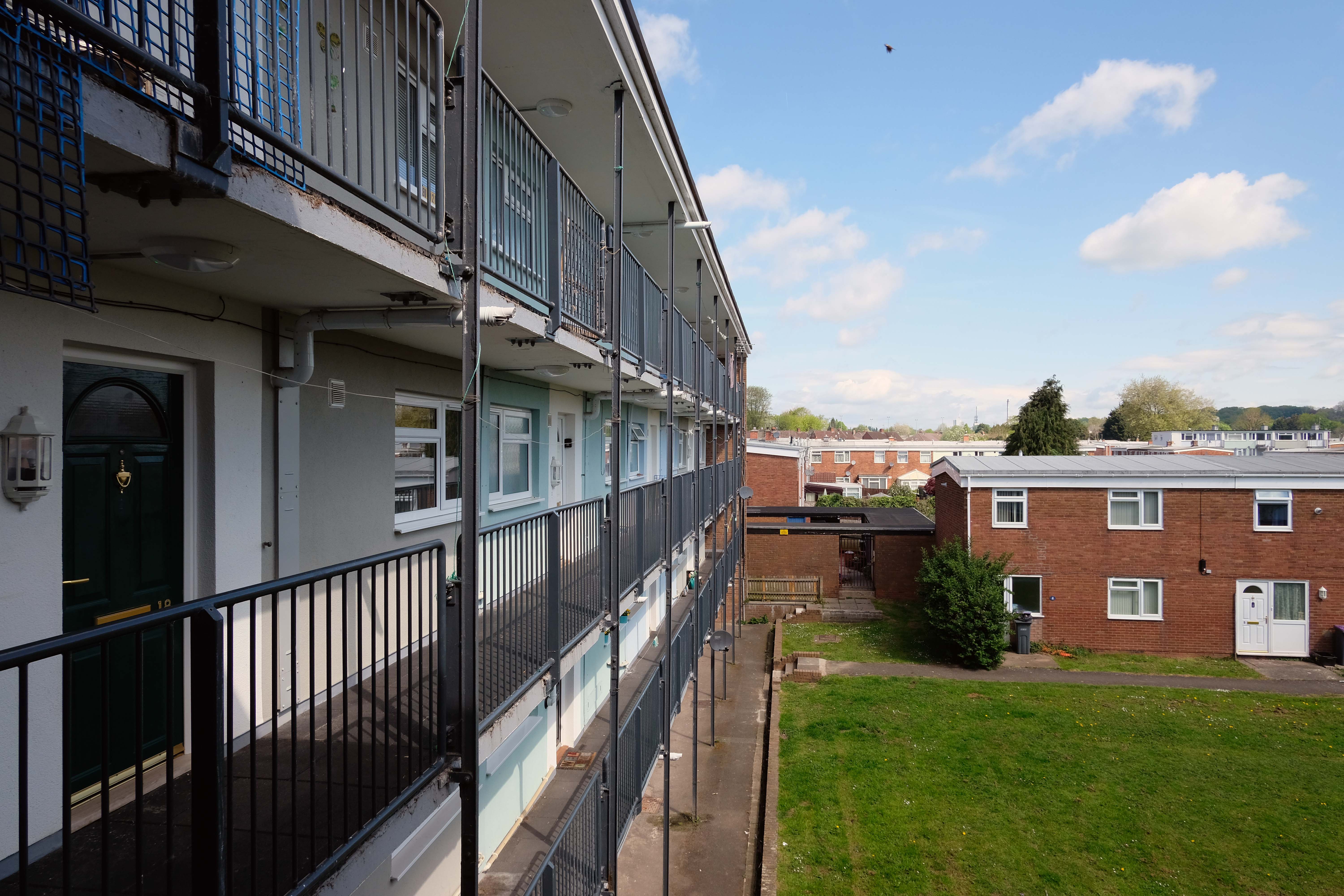
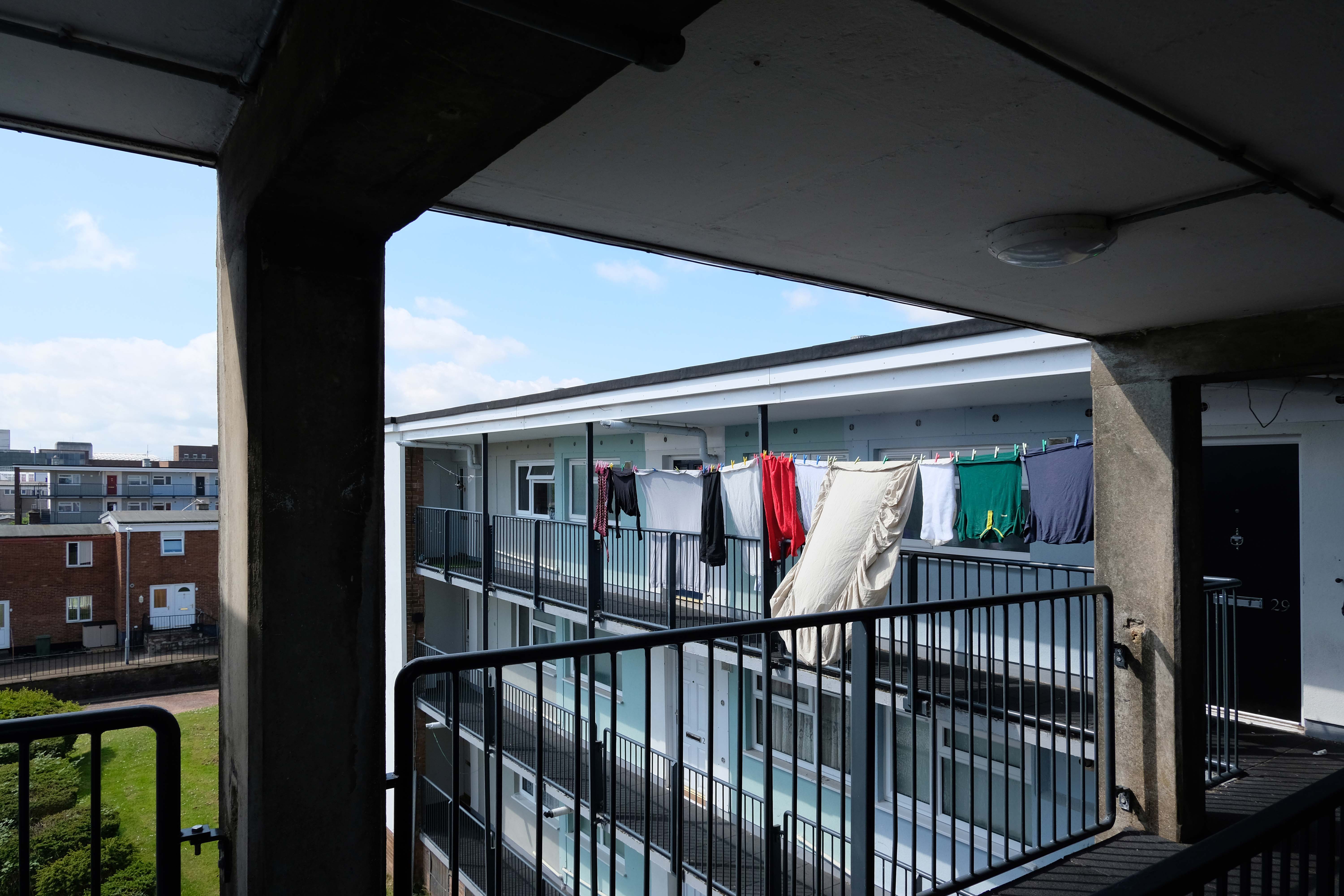
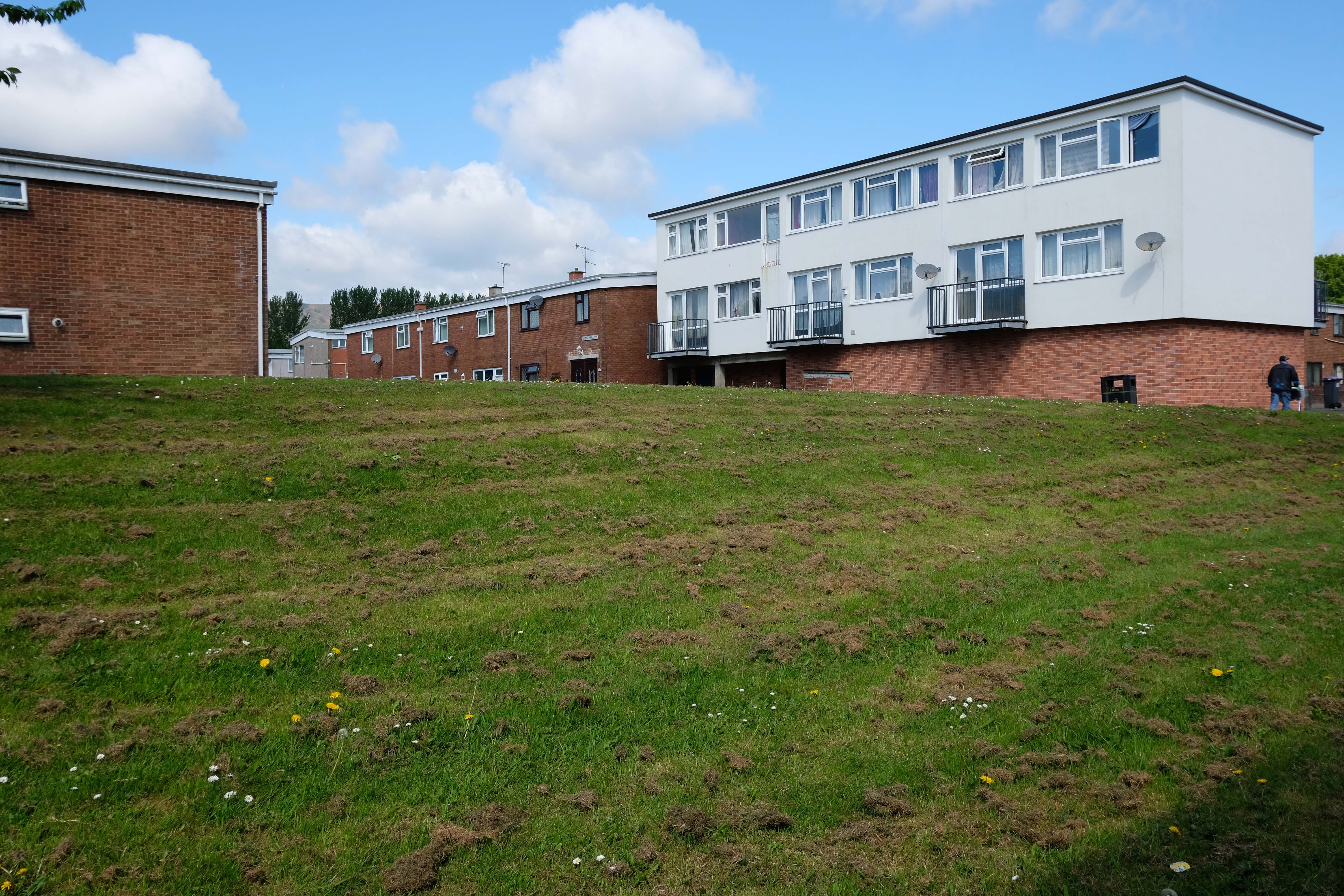
Westfield Estate Mosborough, formerly Waterthorpe Farm Estate, a rural township which was subsumed by Sheffield’s expanding housing schemes.
Mosborough, a vastly expanding village, eight miles North East of Chesterfield and six miles South East of Sheffield.
Waterthorpe Housing Estate near Beighton named after Waterthorpe – formerly Walterthorpe Farm.
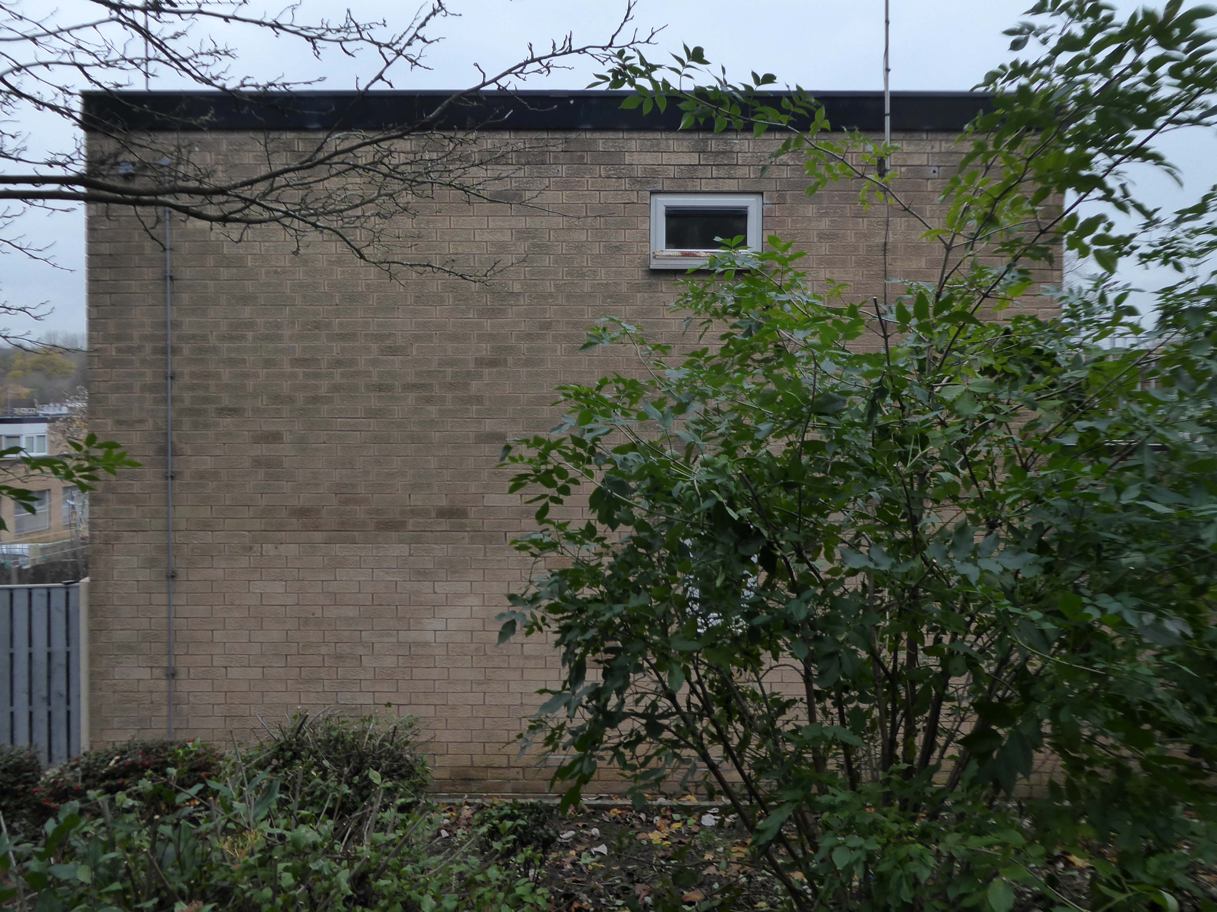
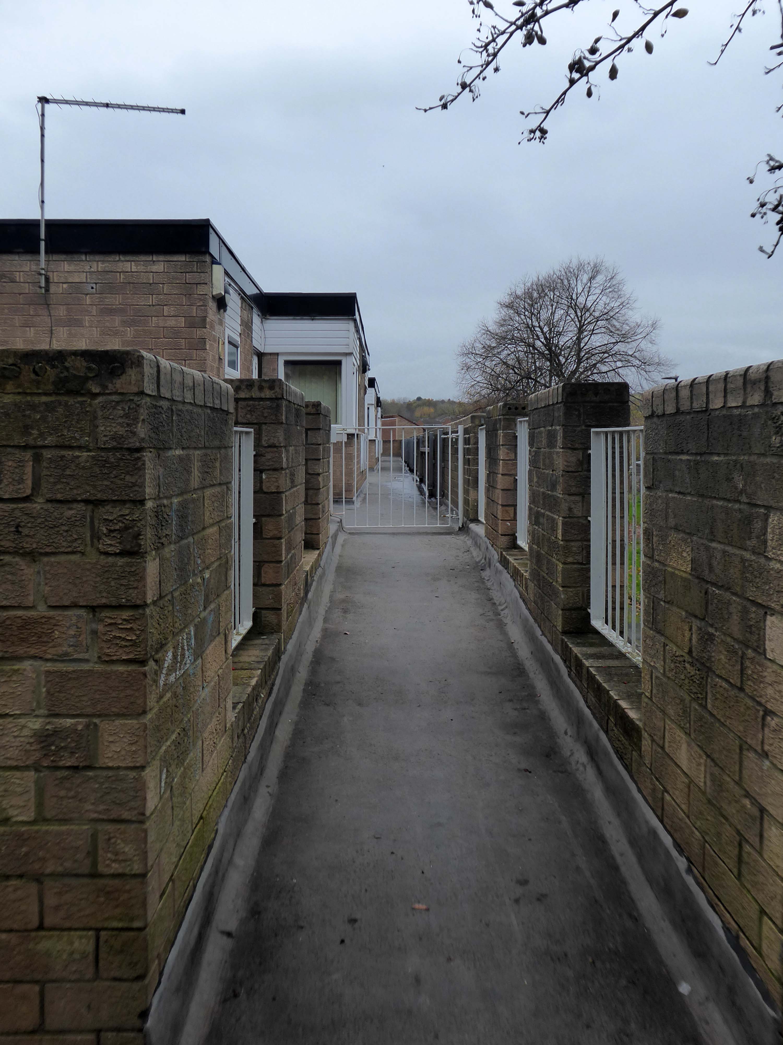
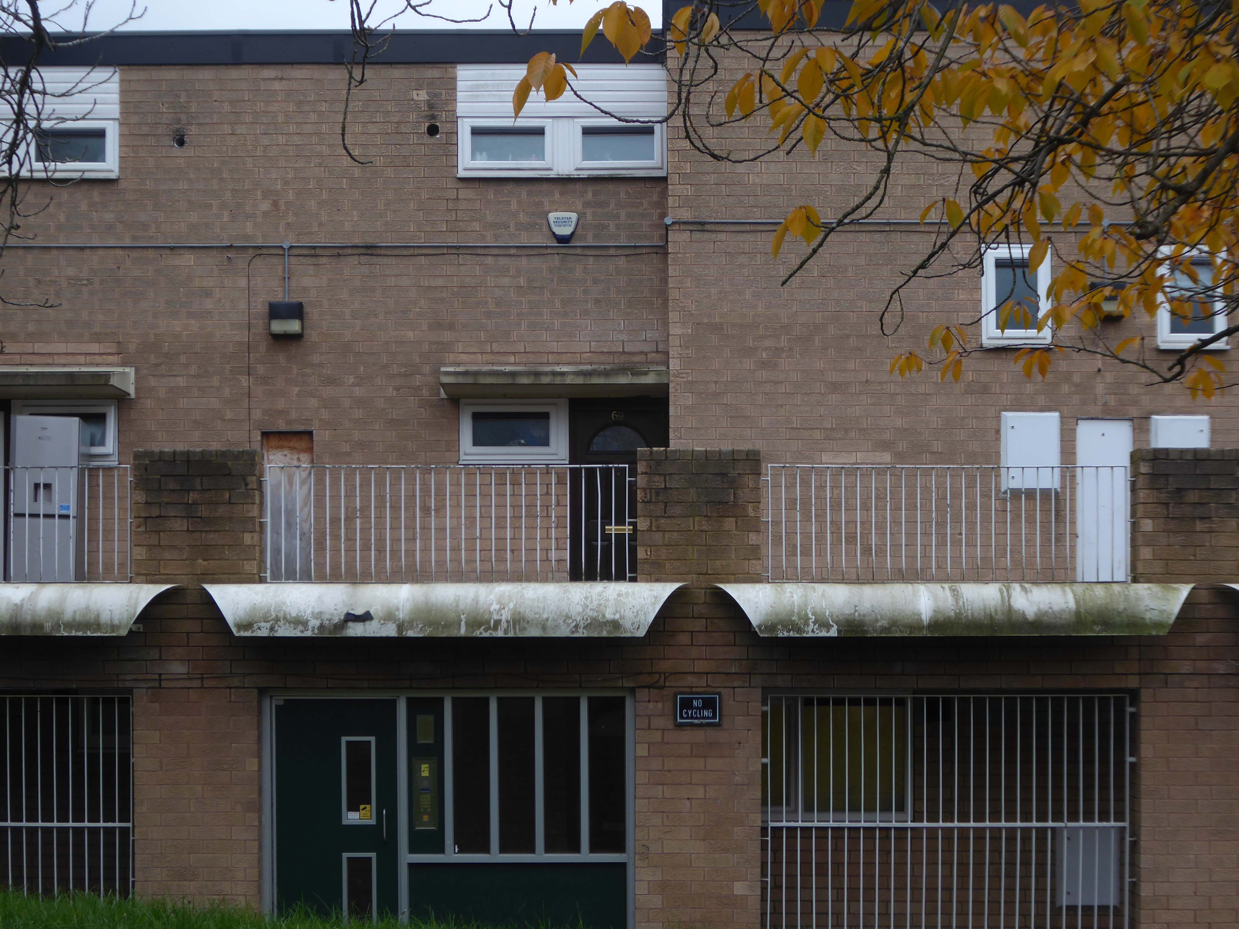
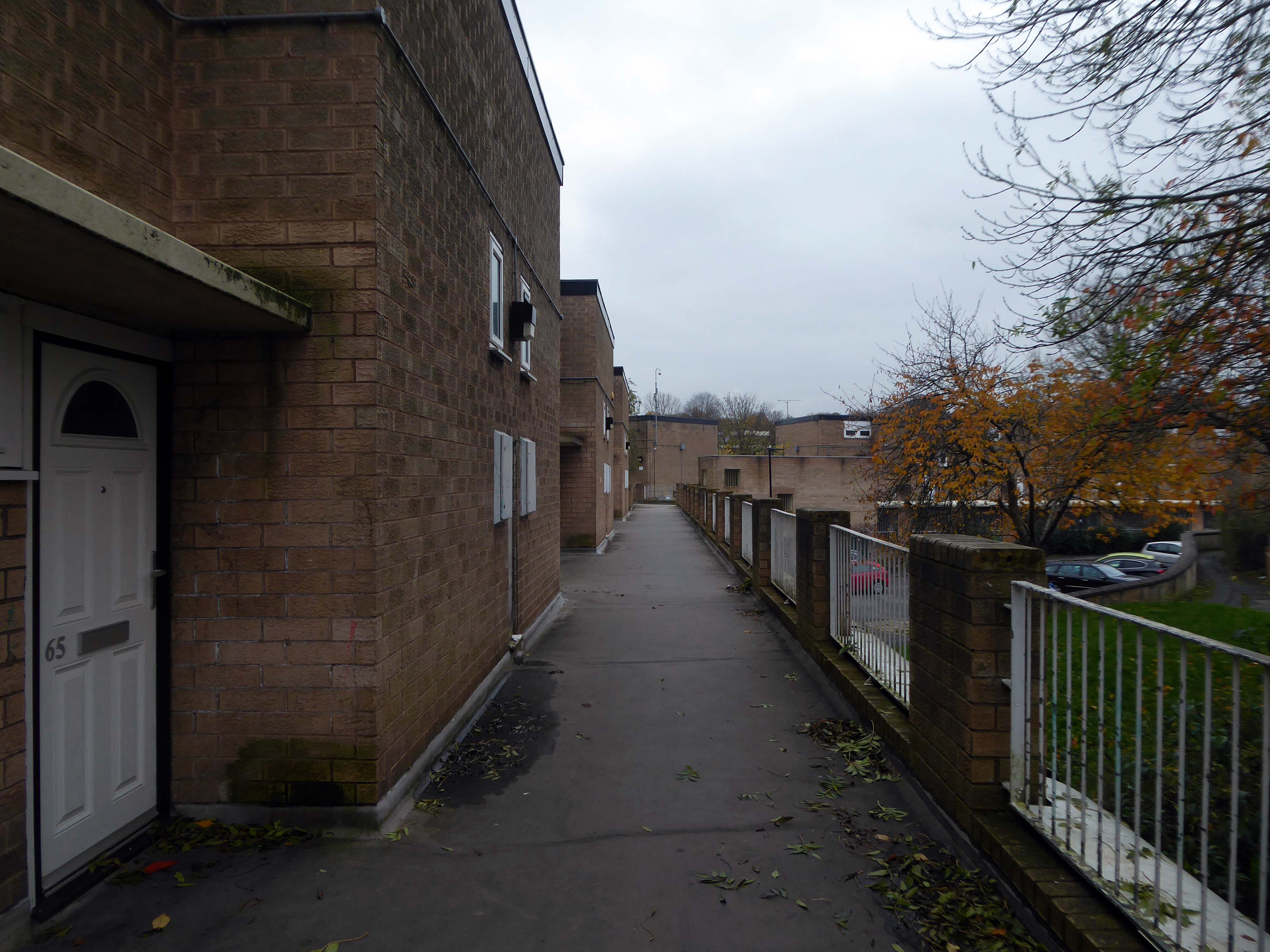
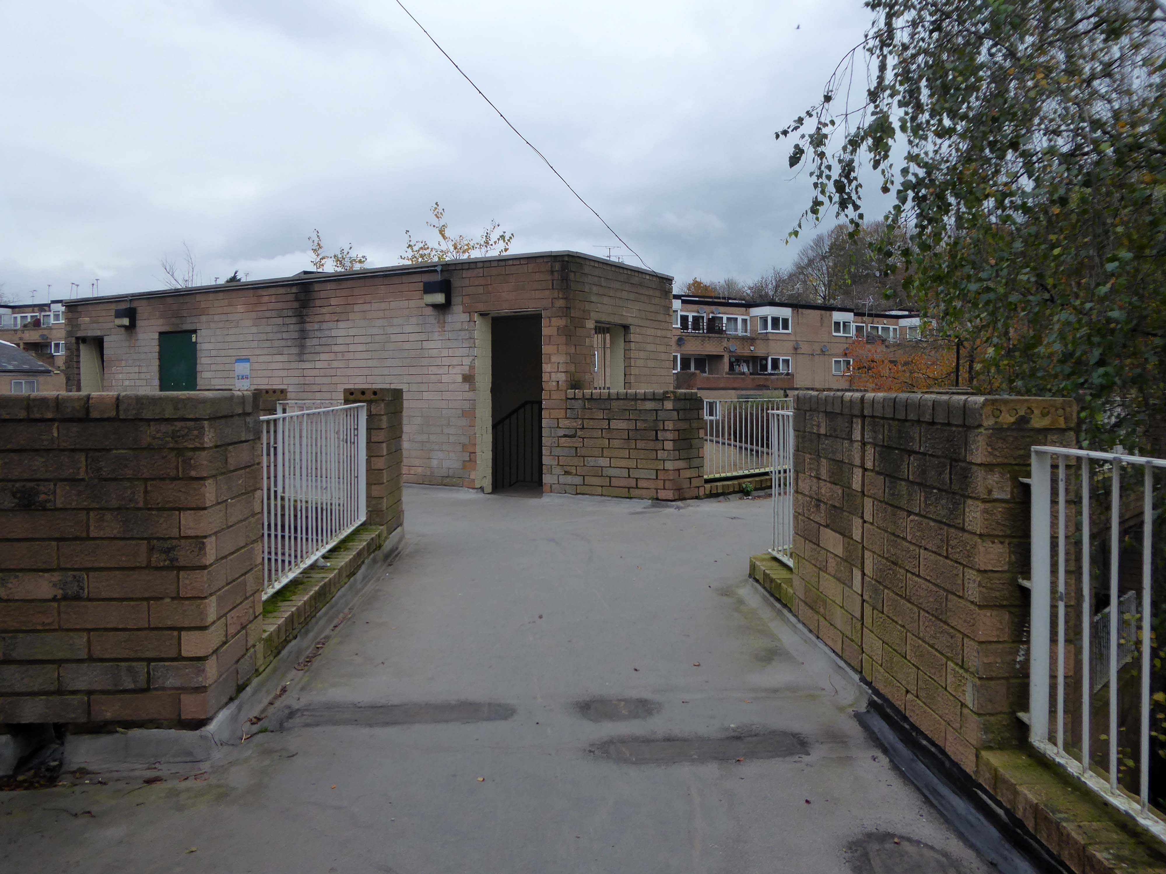
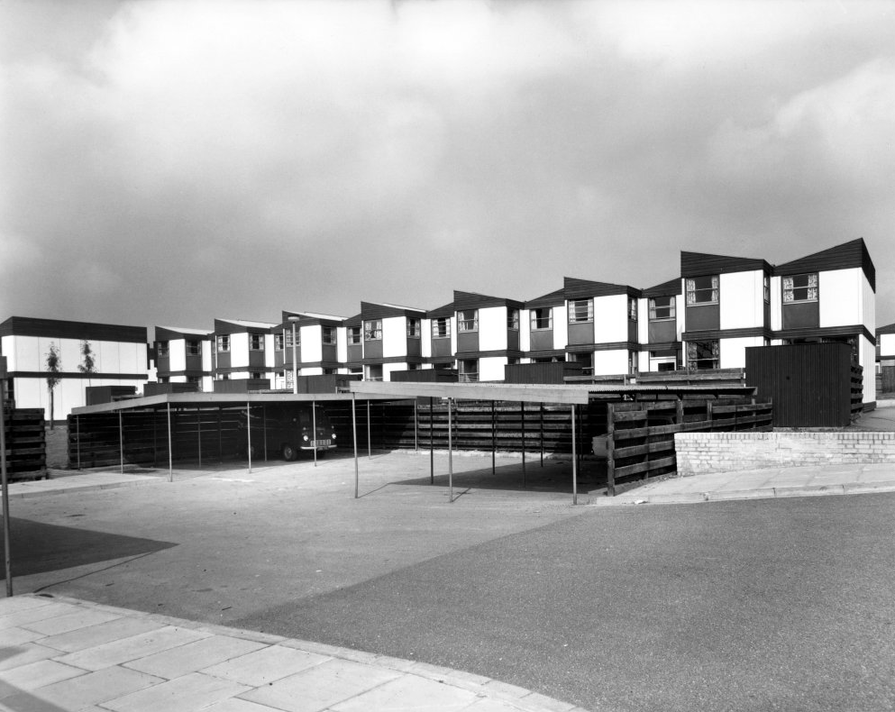
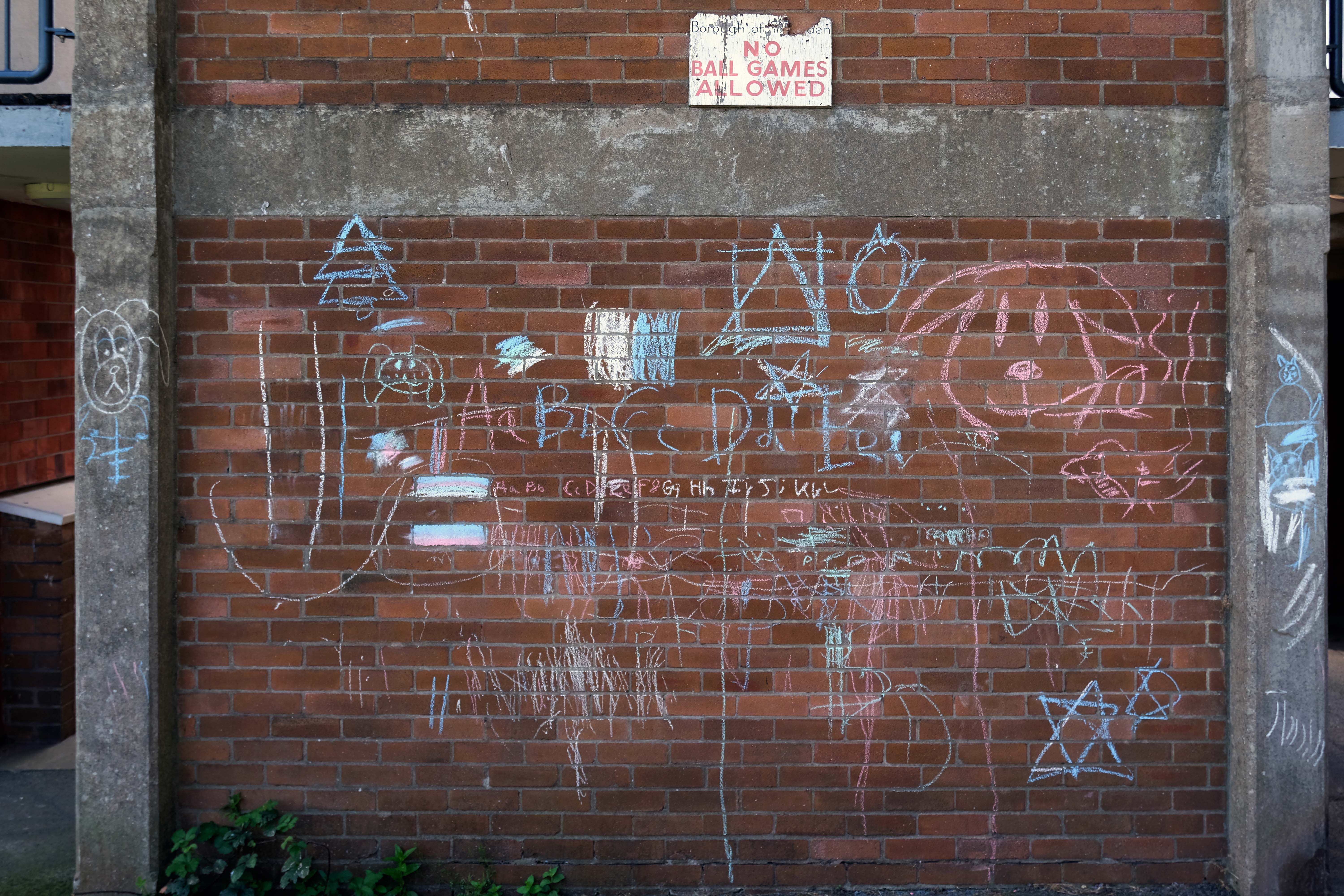
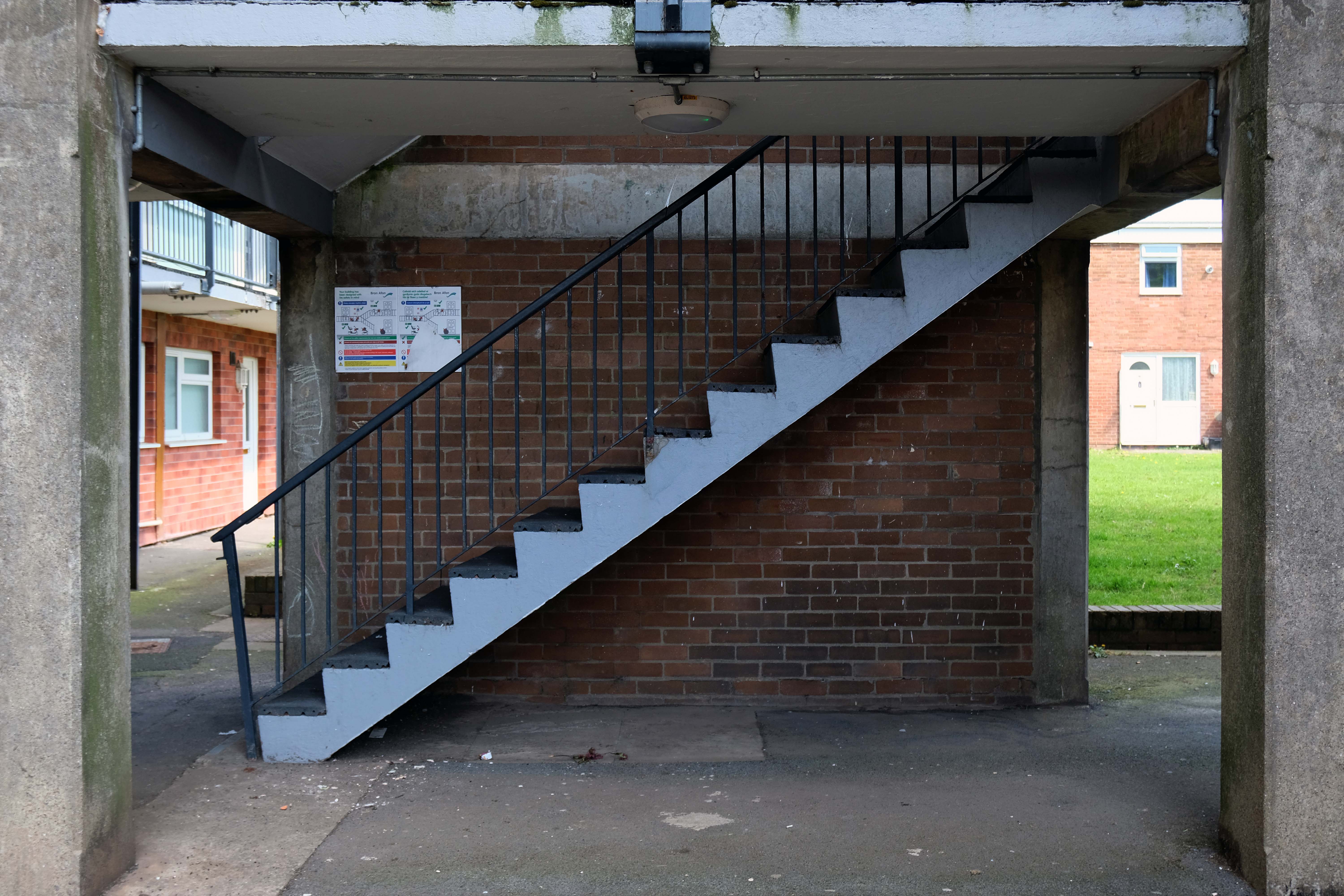
Path which goes behind houses on Short Brook Close 1974
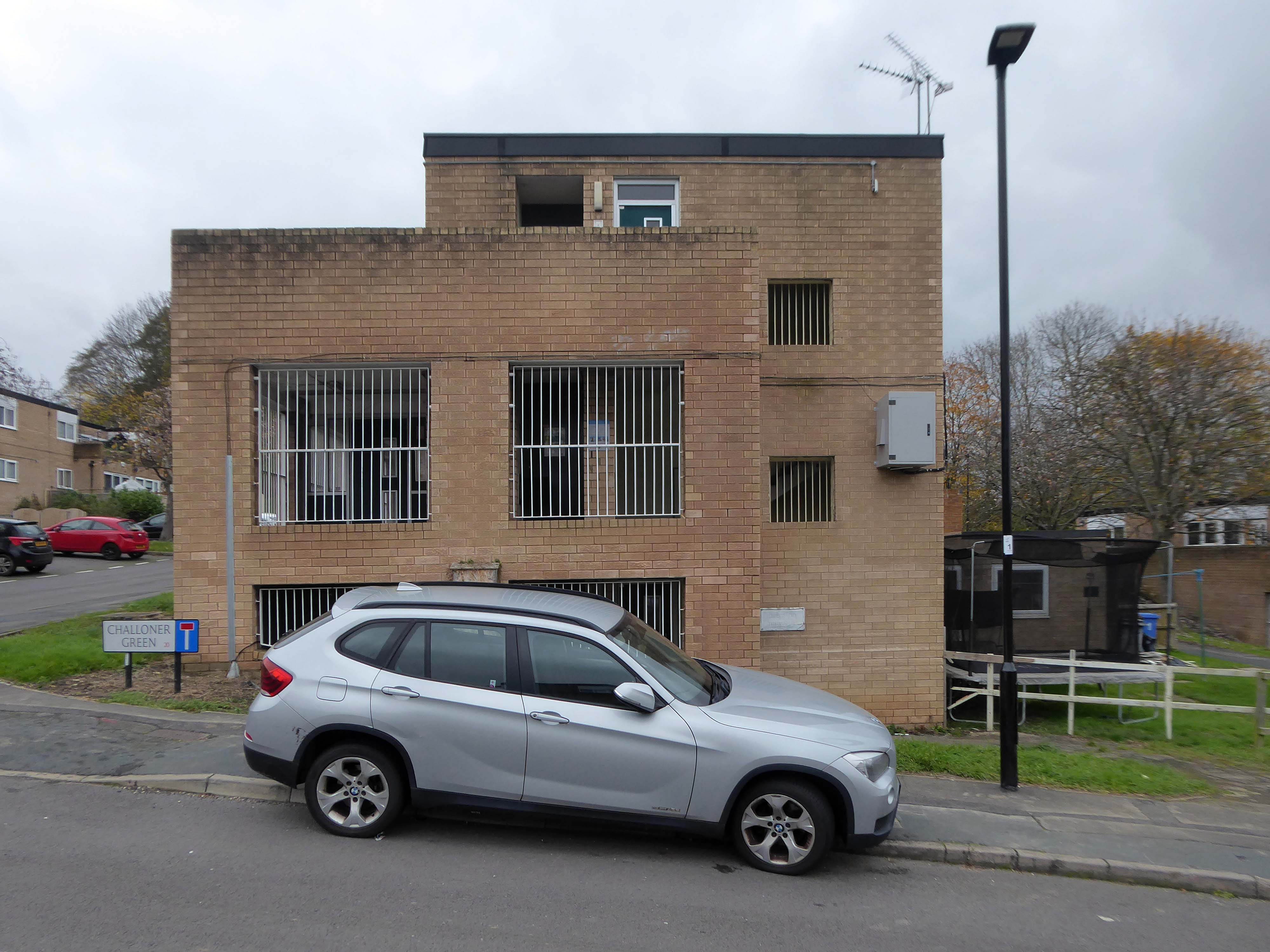
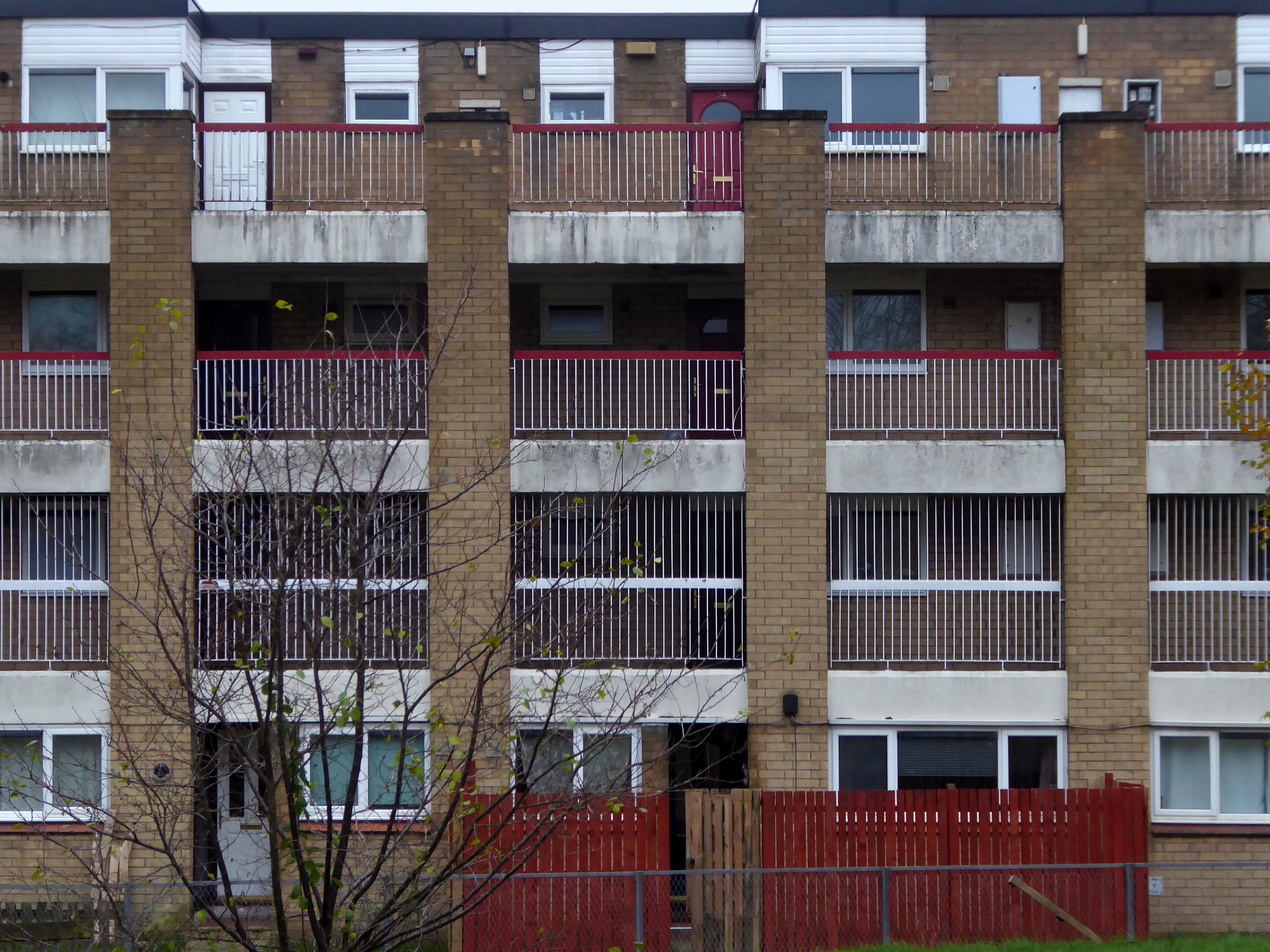
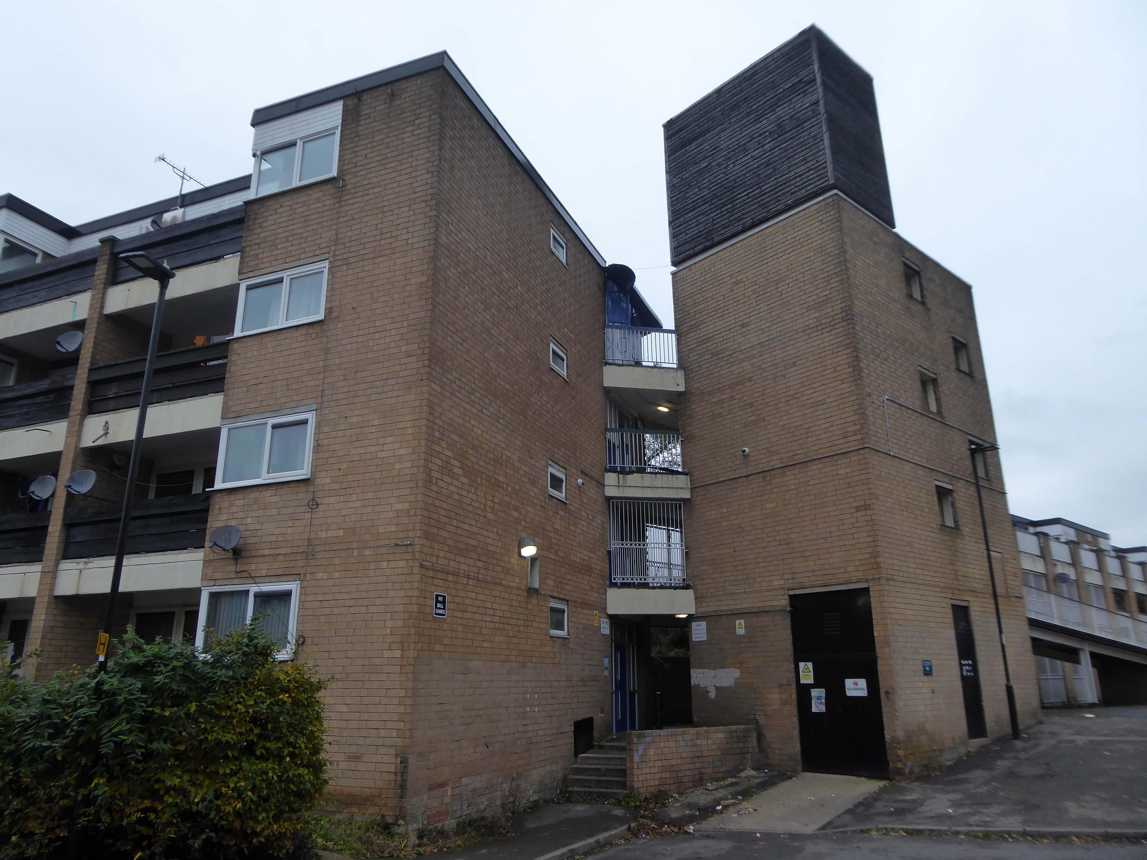
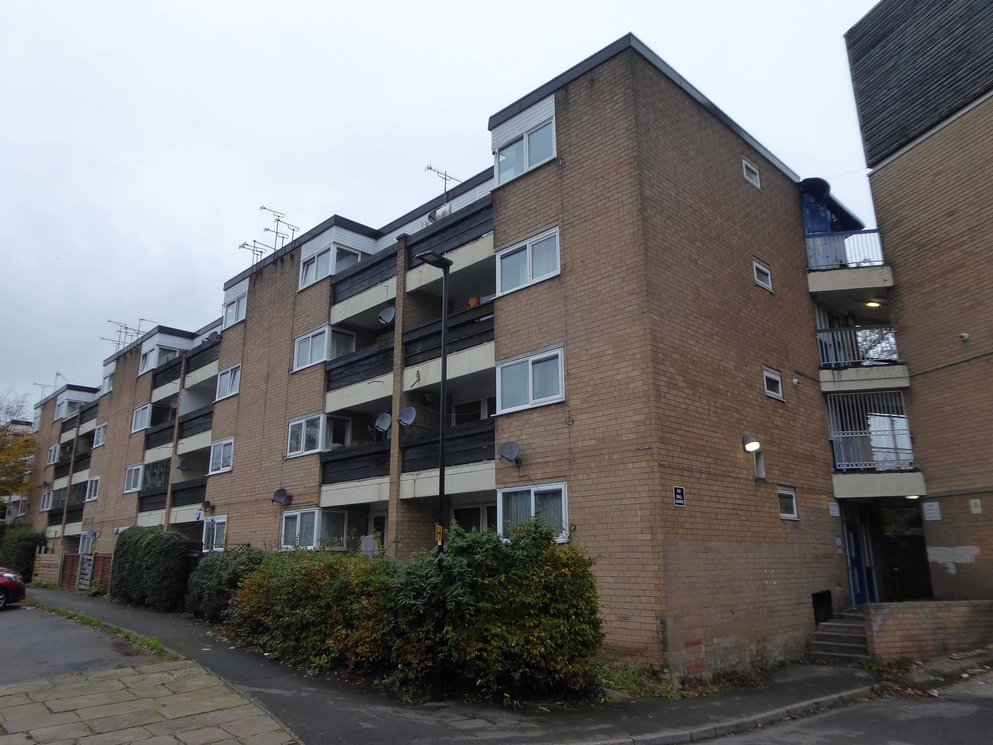
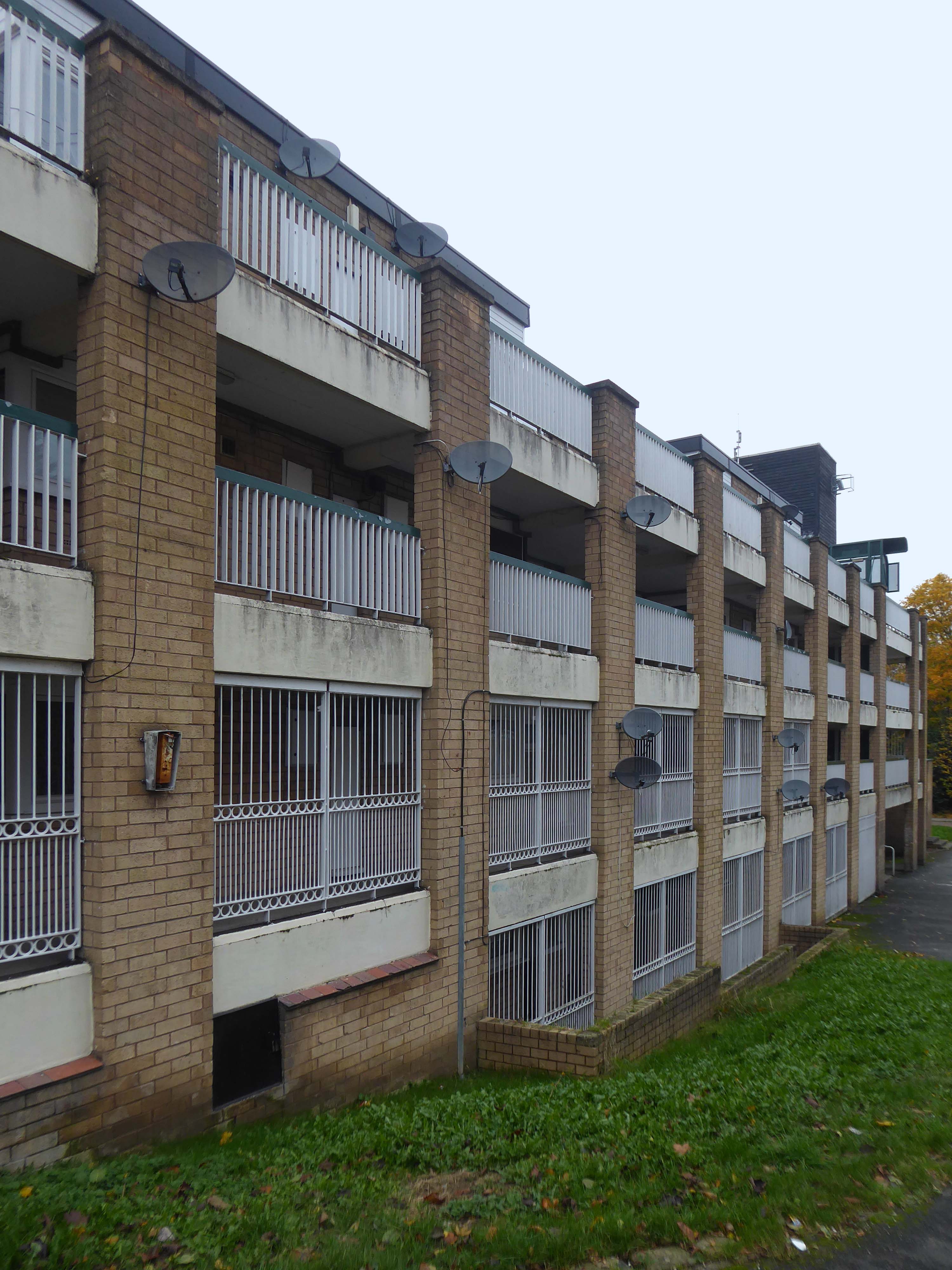
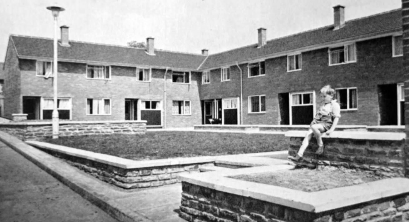
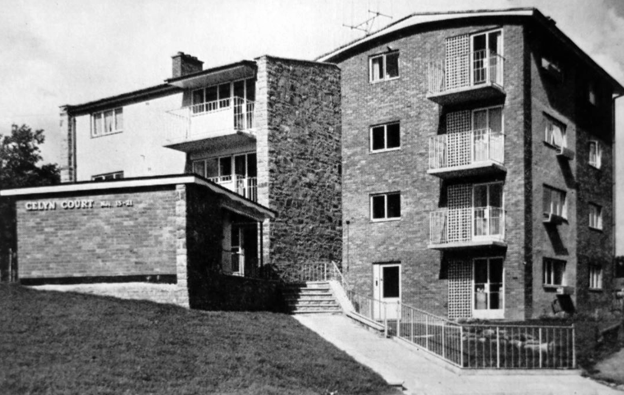
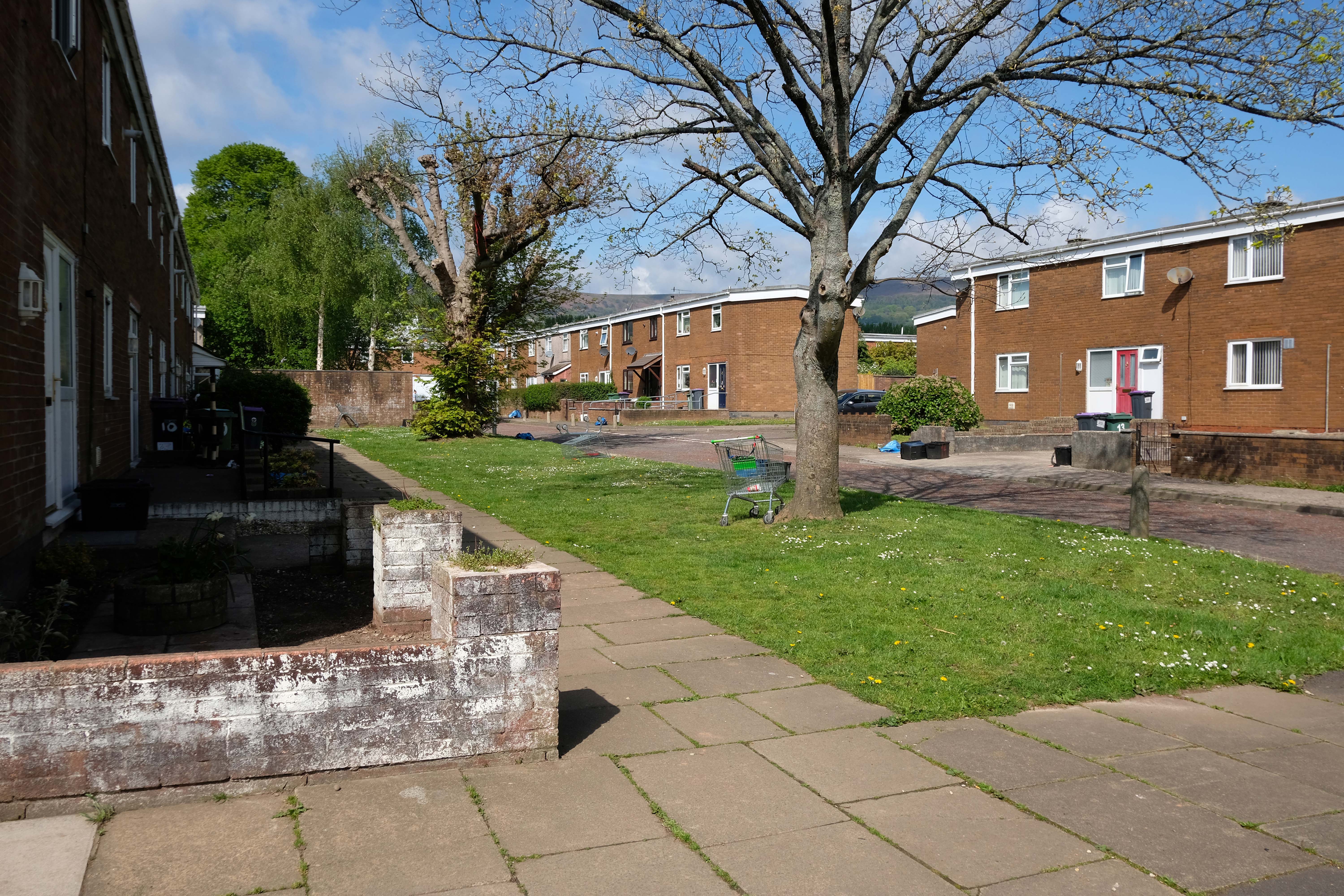
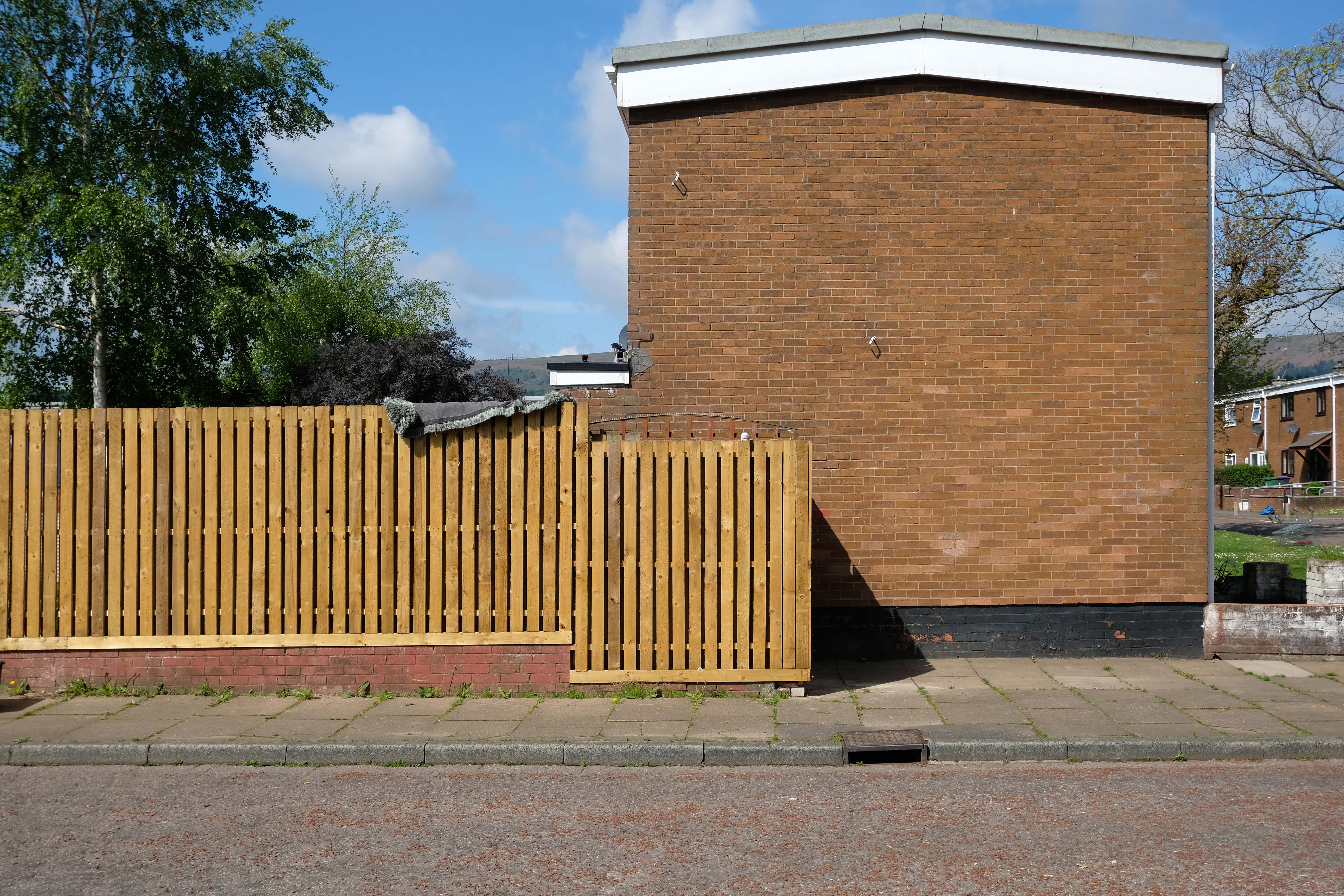
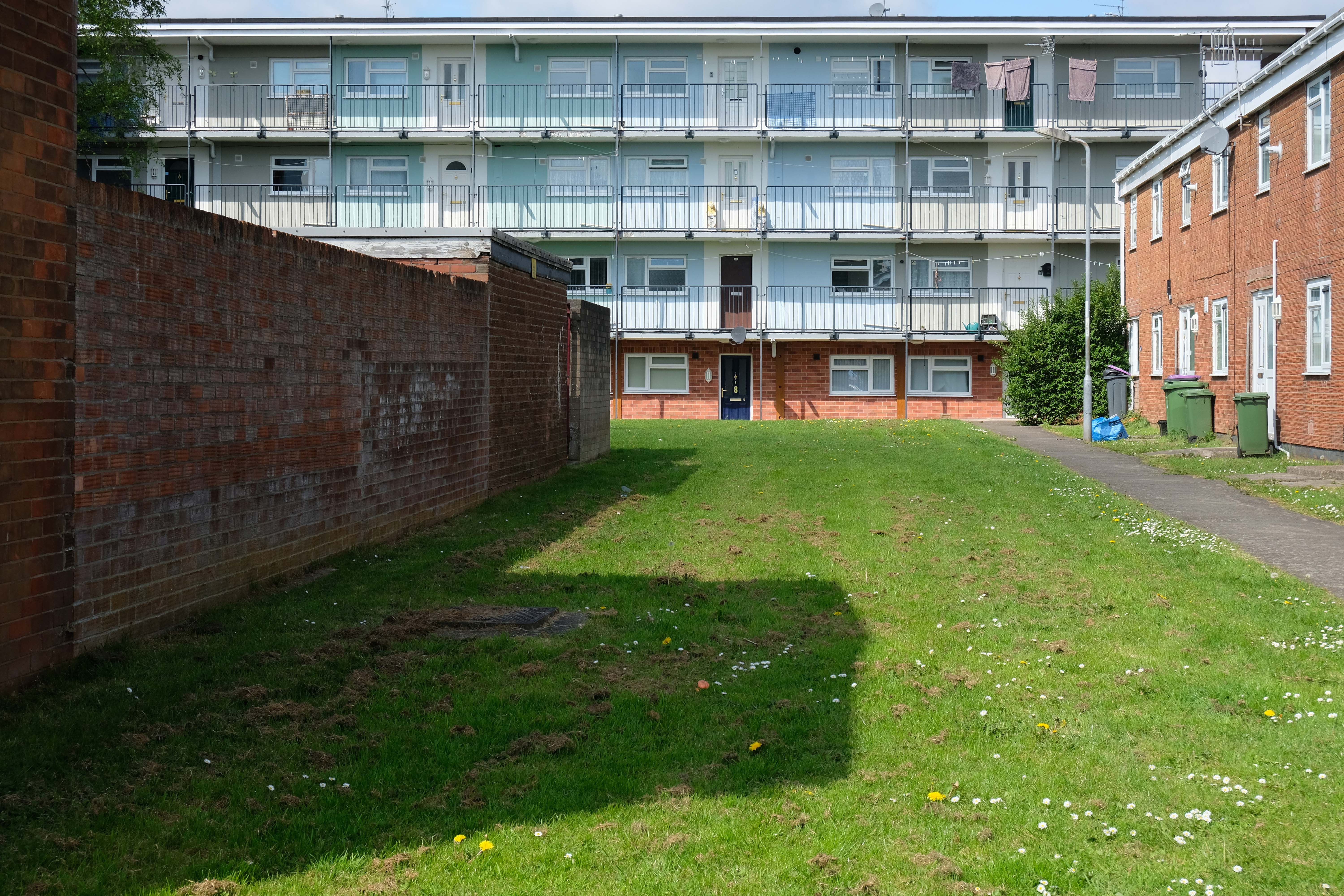
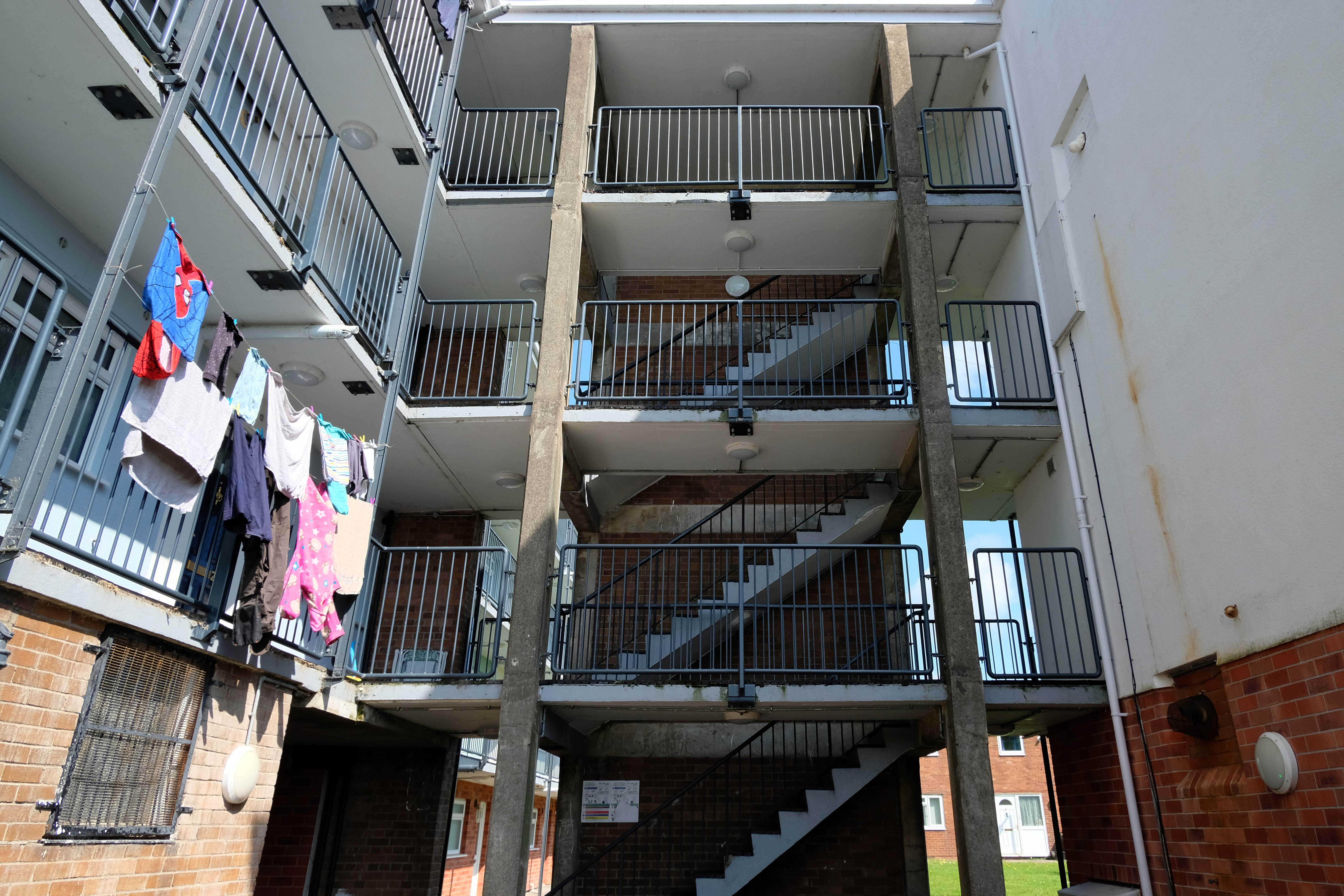
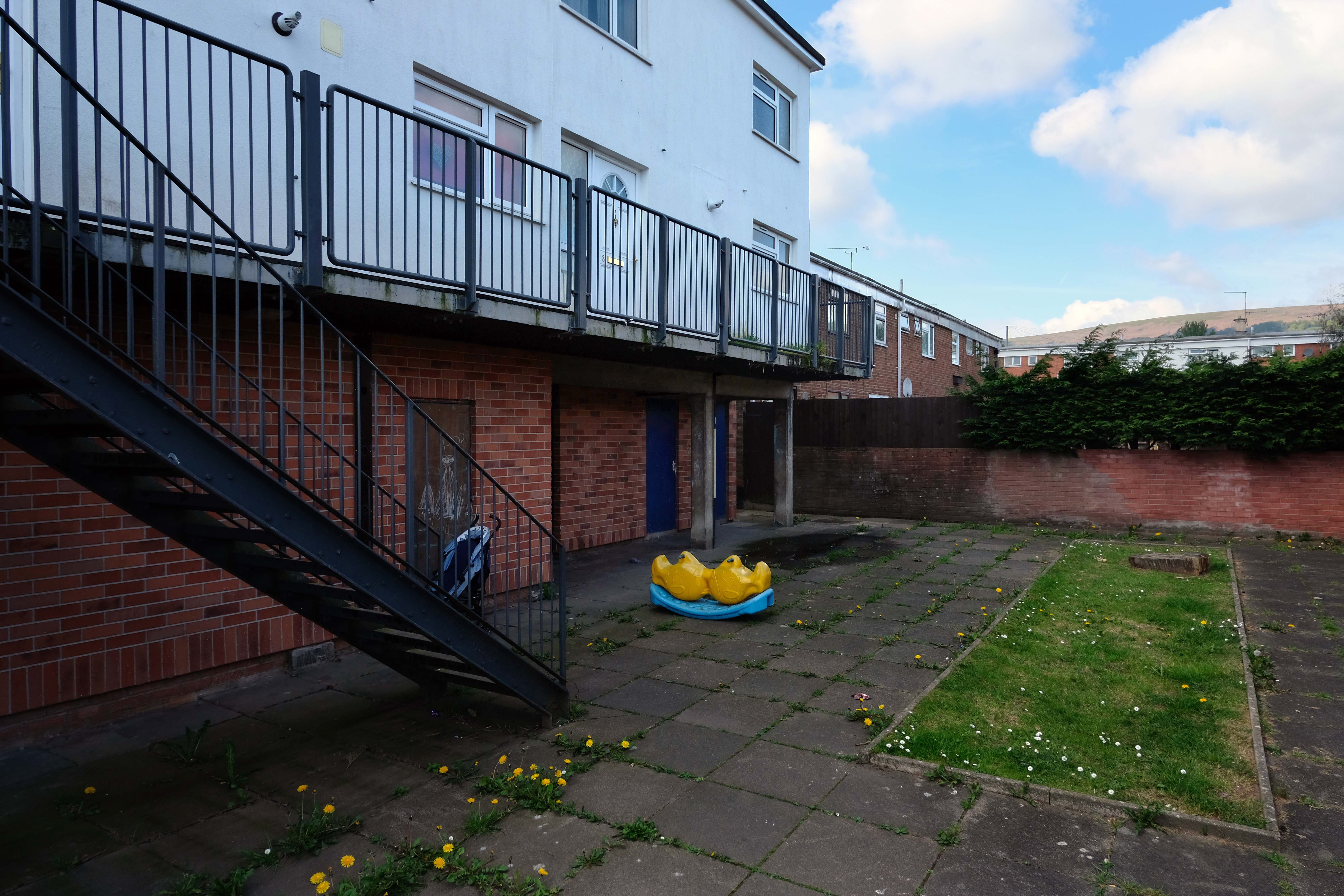
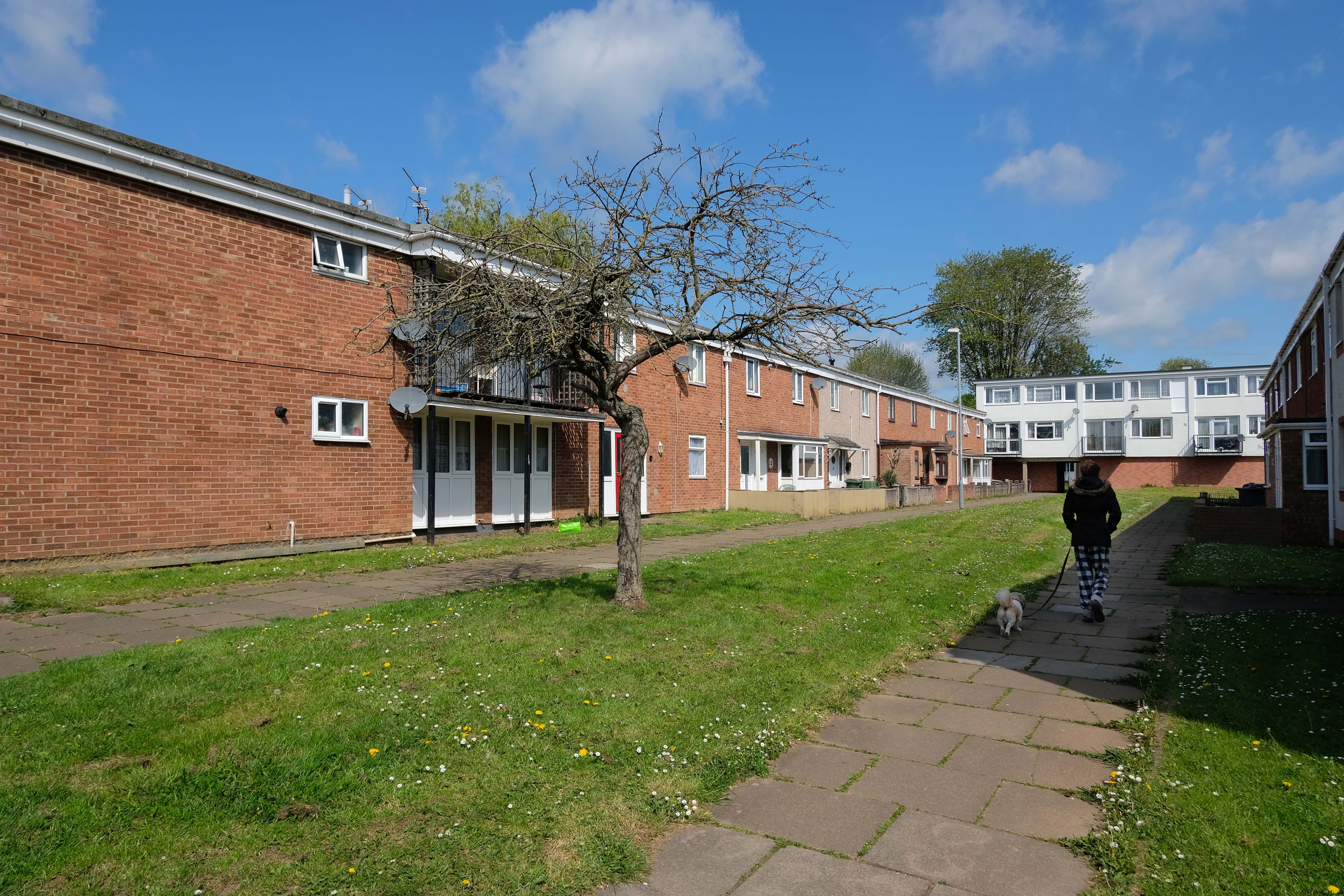
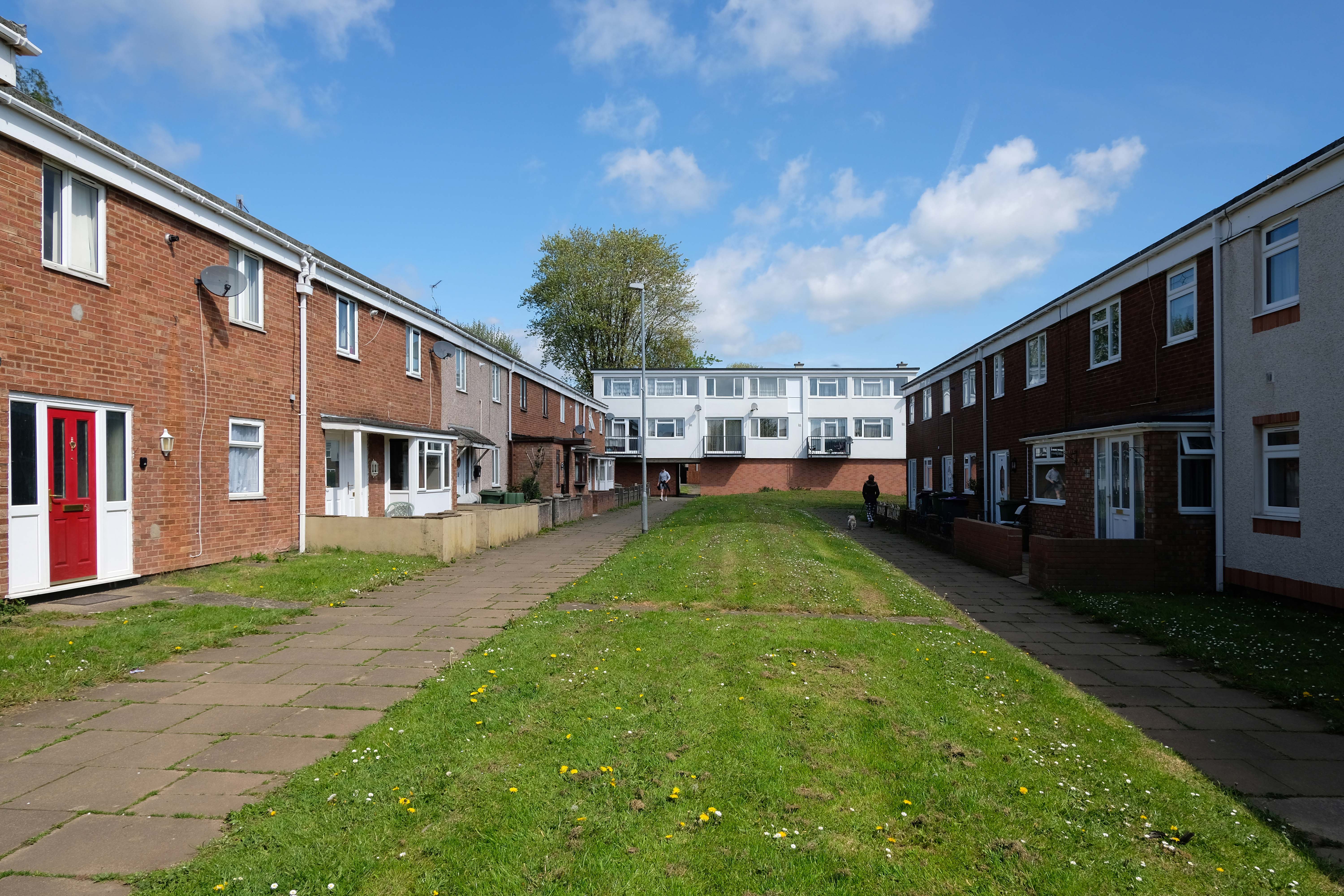
The Waterthorpe and Westfield housing estates were built from mid-1970s and were added to over a number of years. Eventually linking with both the old council estate of Beighton and the new estate of Halfway, the estates house a condensed significant number of almost wholly local authority owned properties following the phasing down and demolition of the original estates around Parson Cross and Shiregreen in the north of the city.
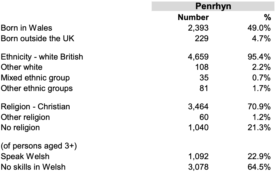
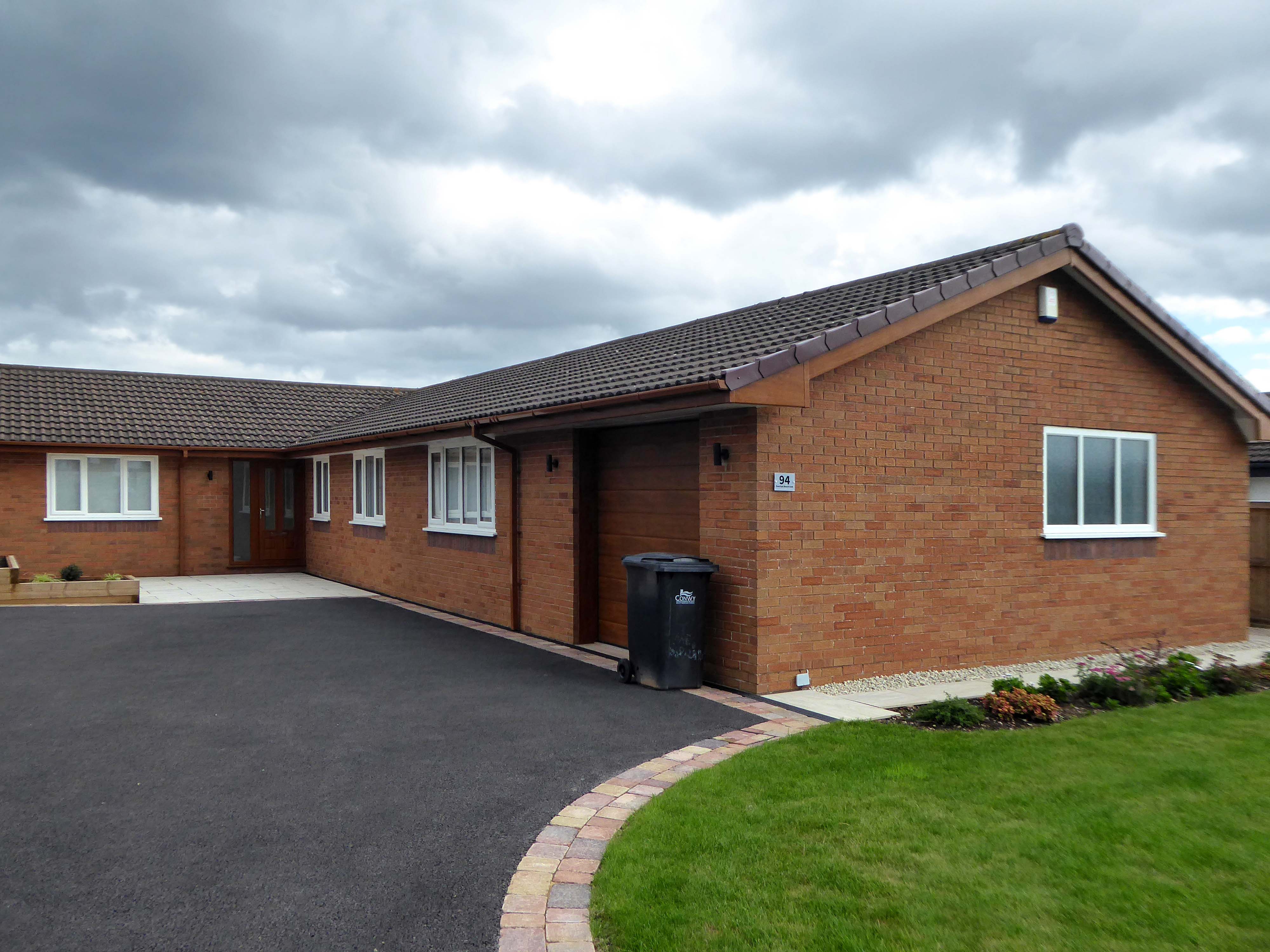
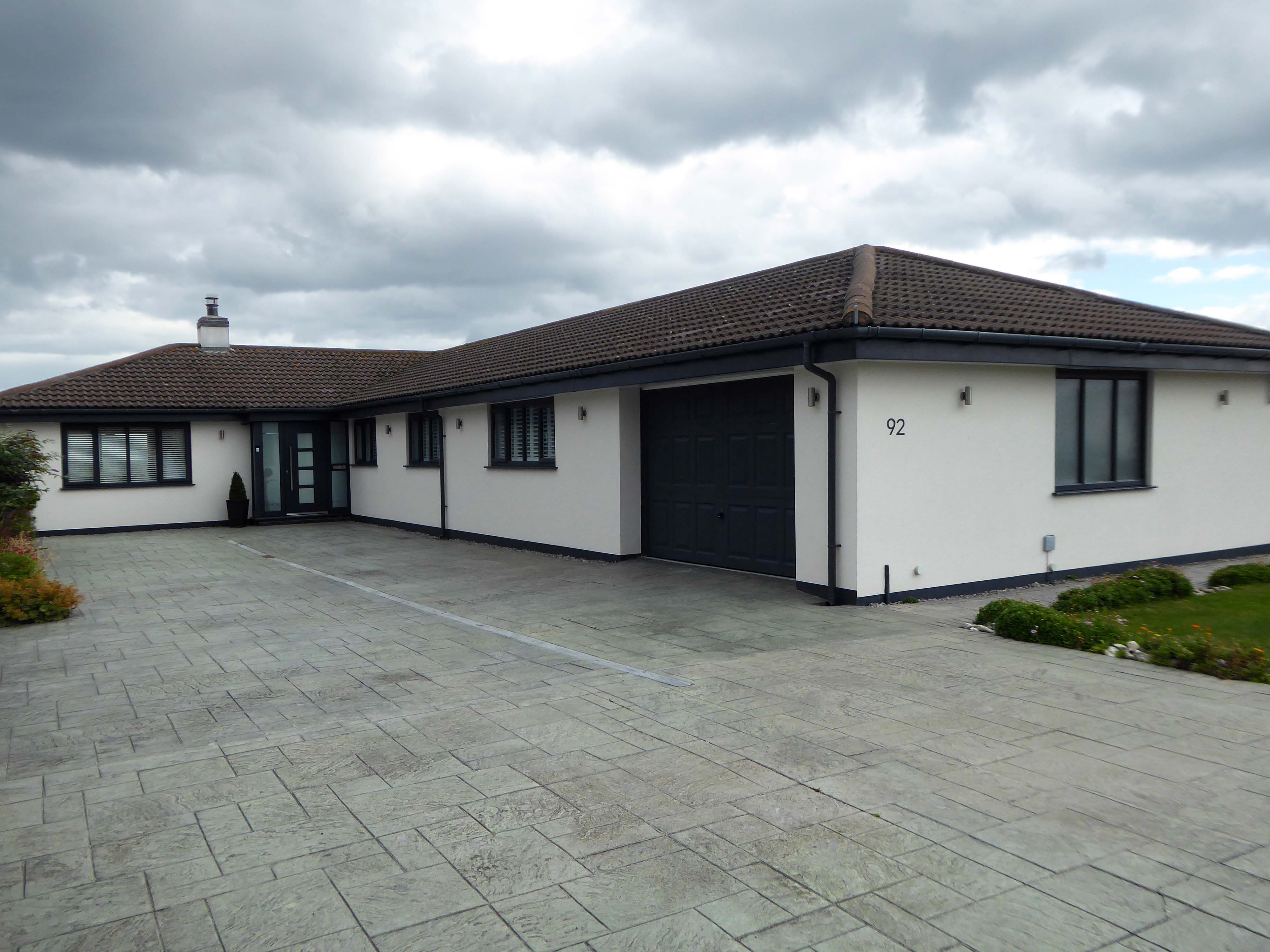
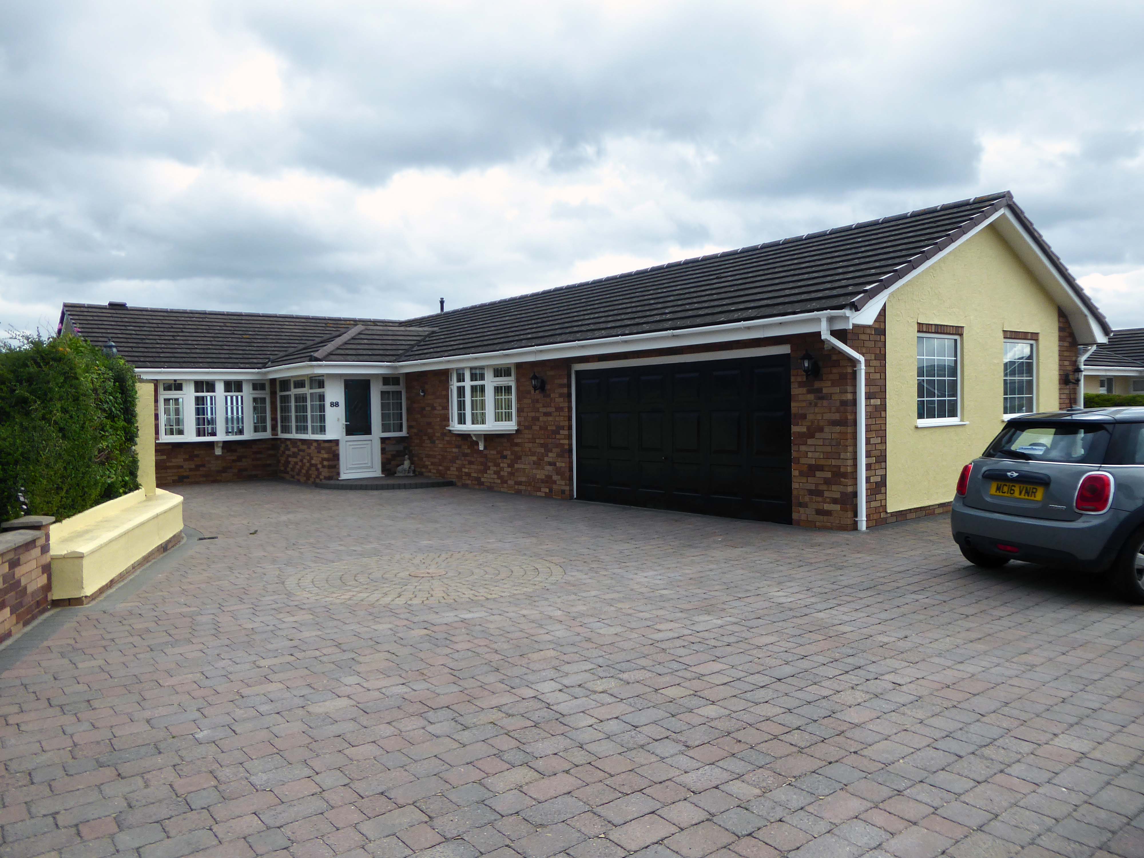
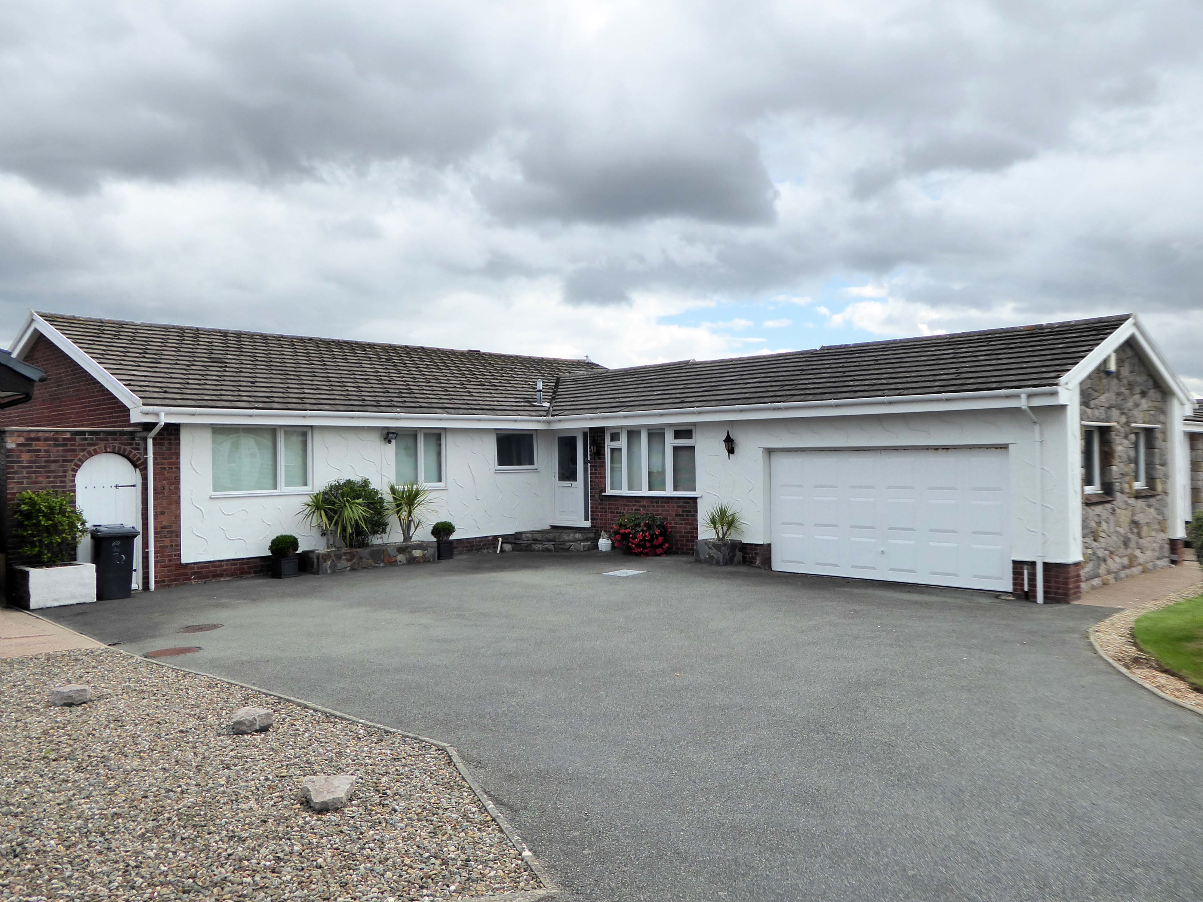
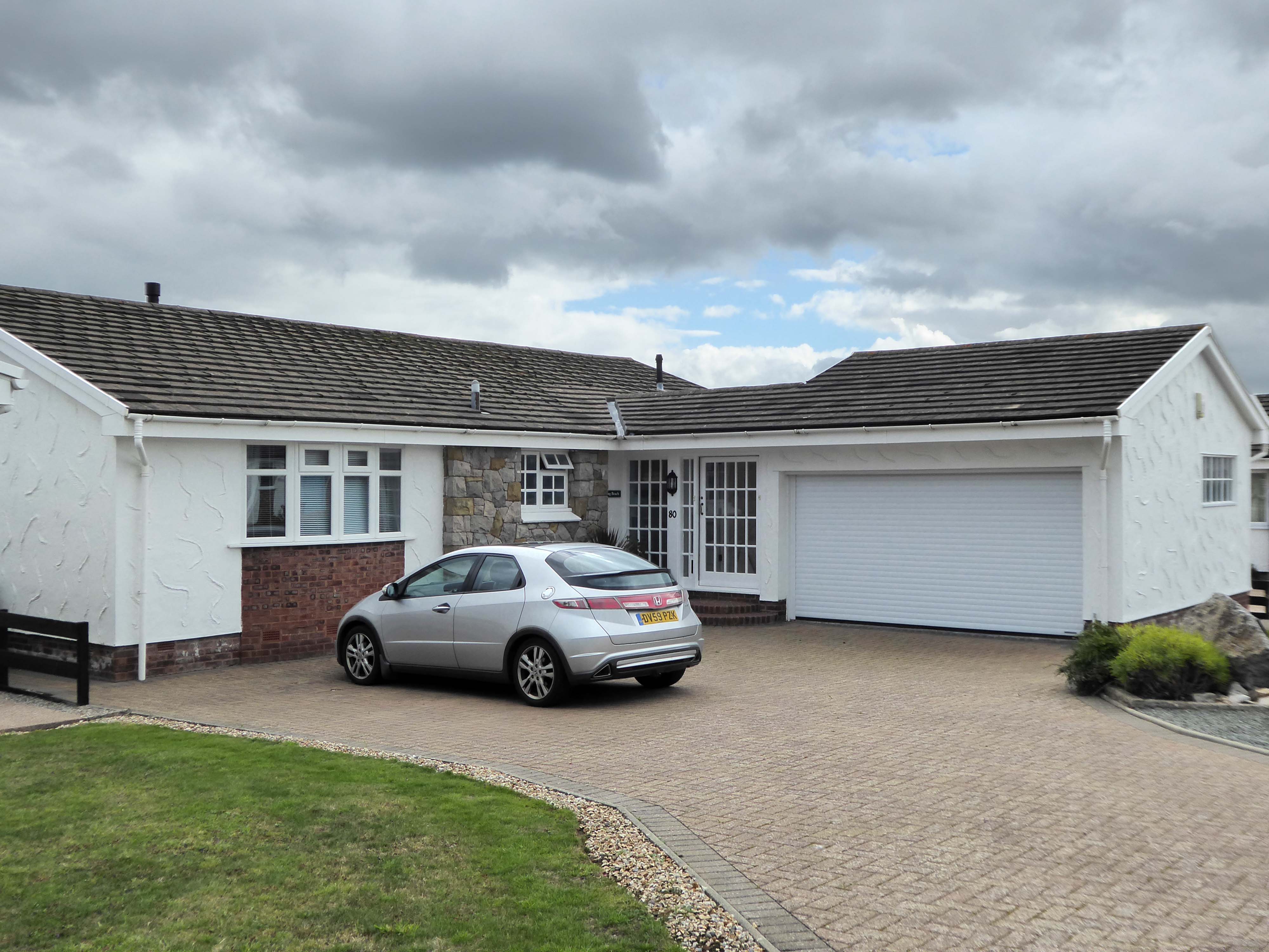
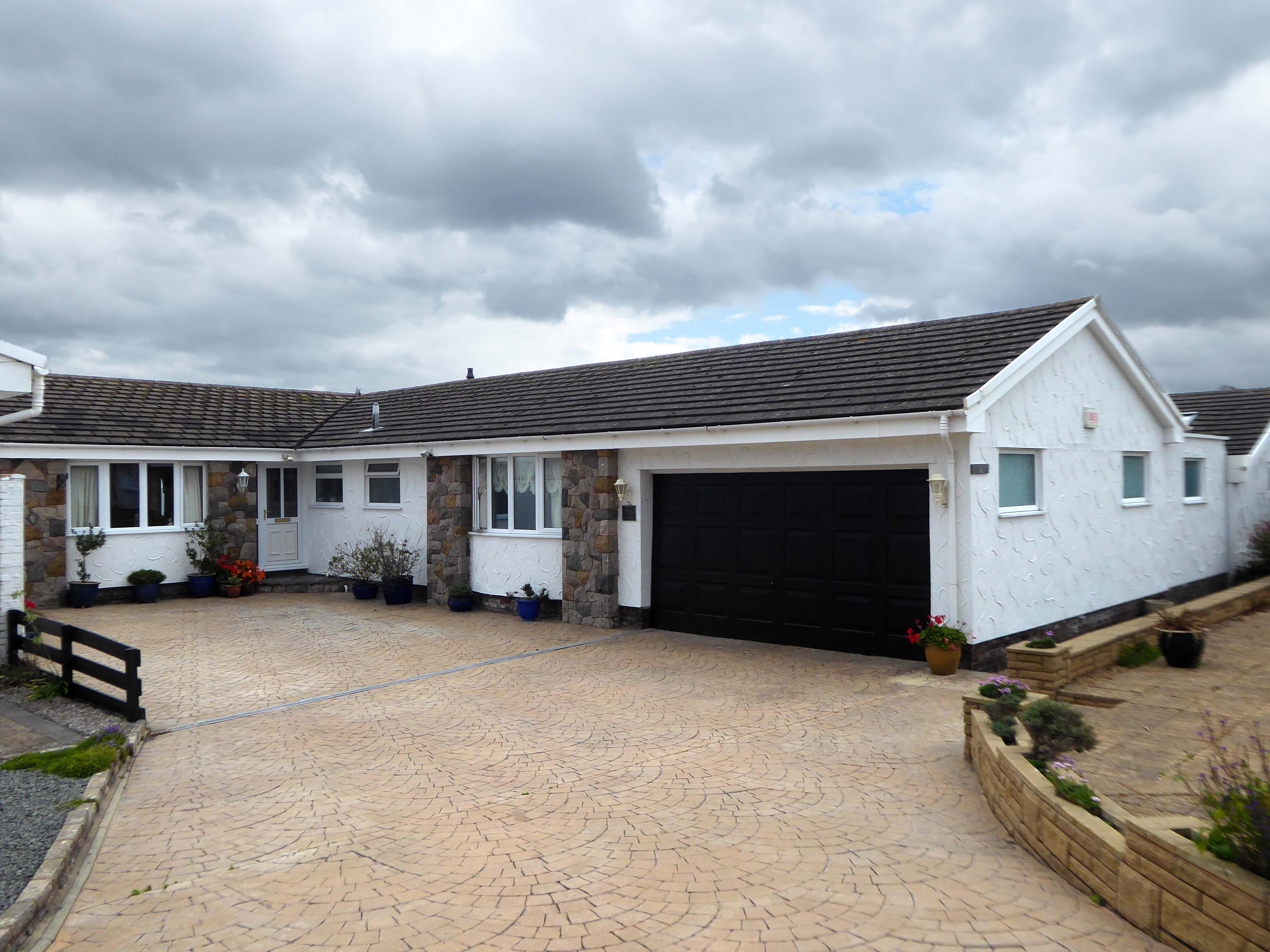
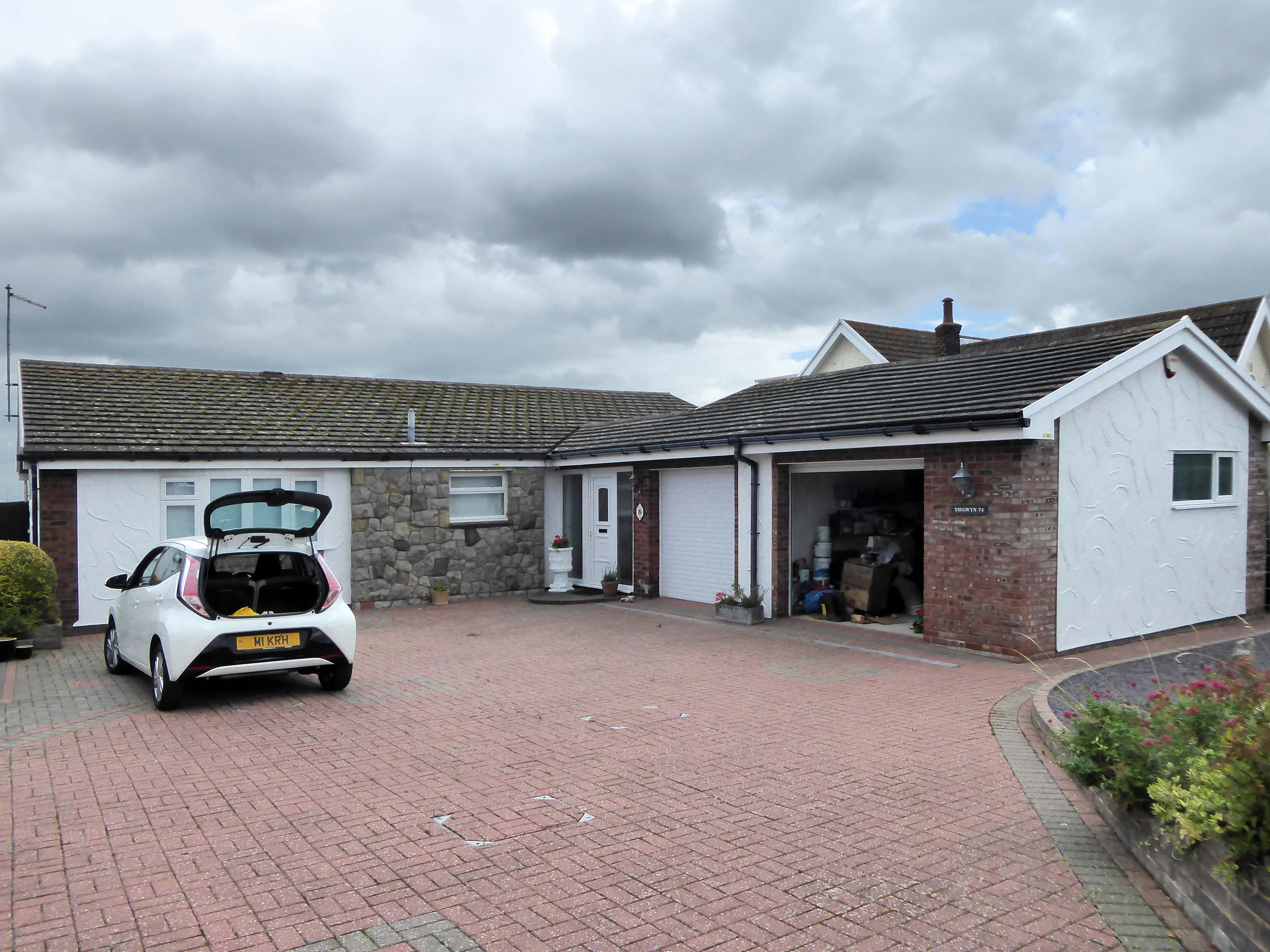
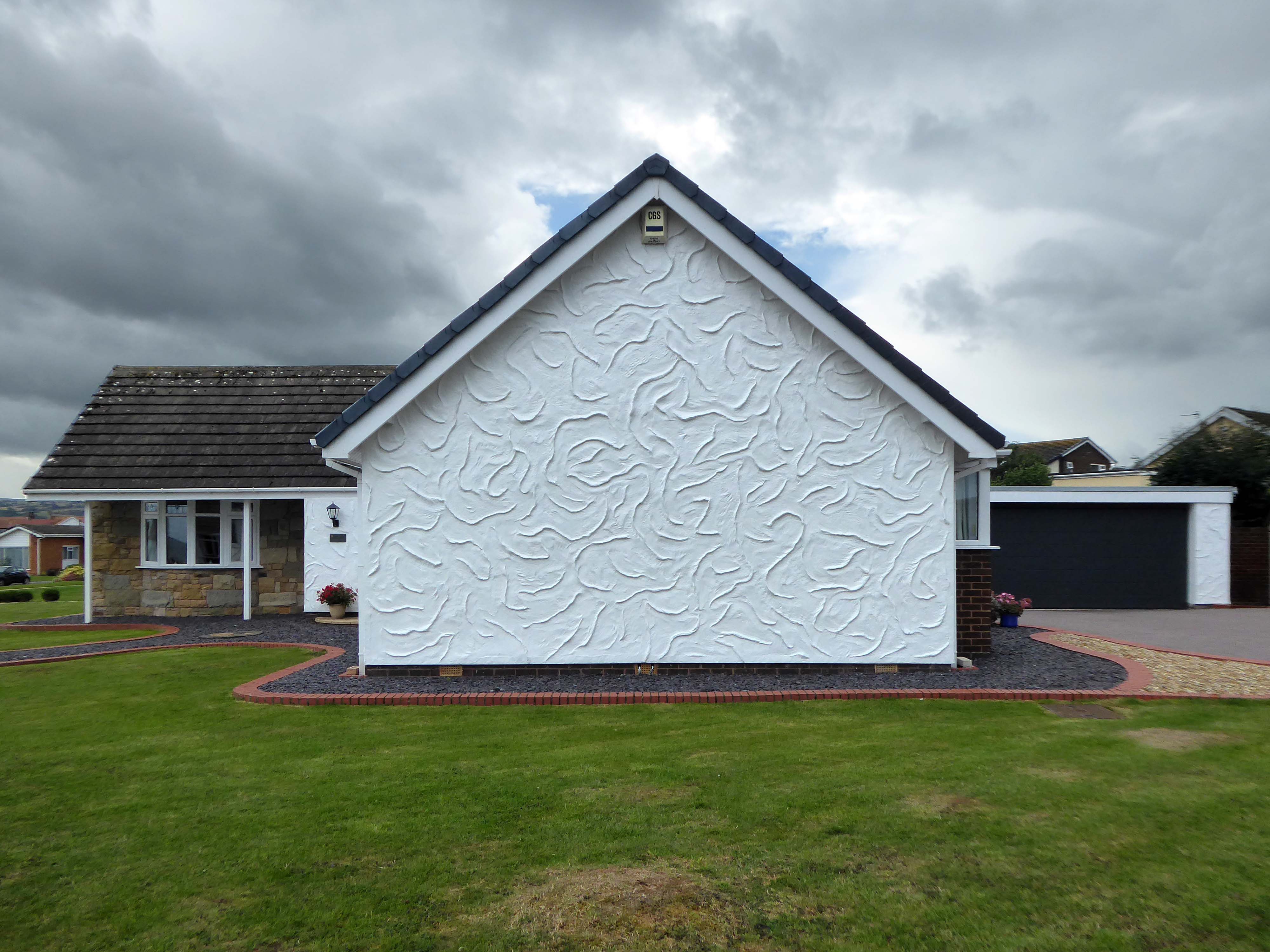
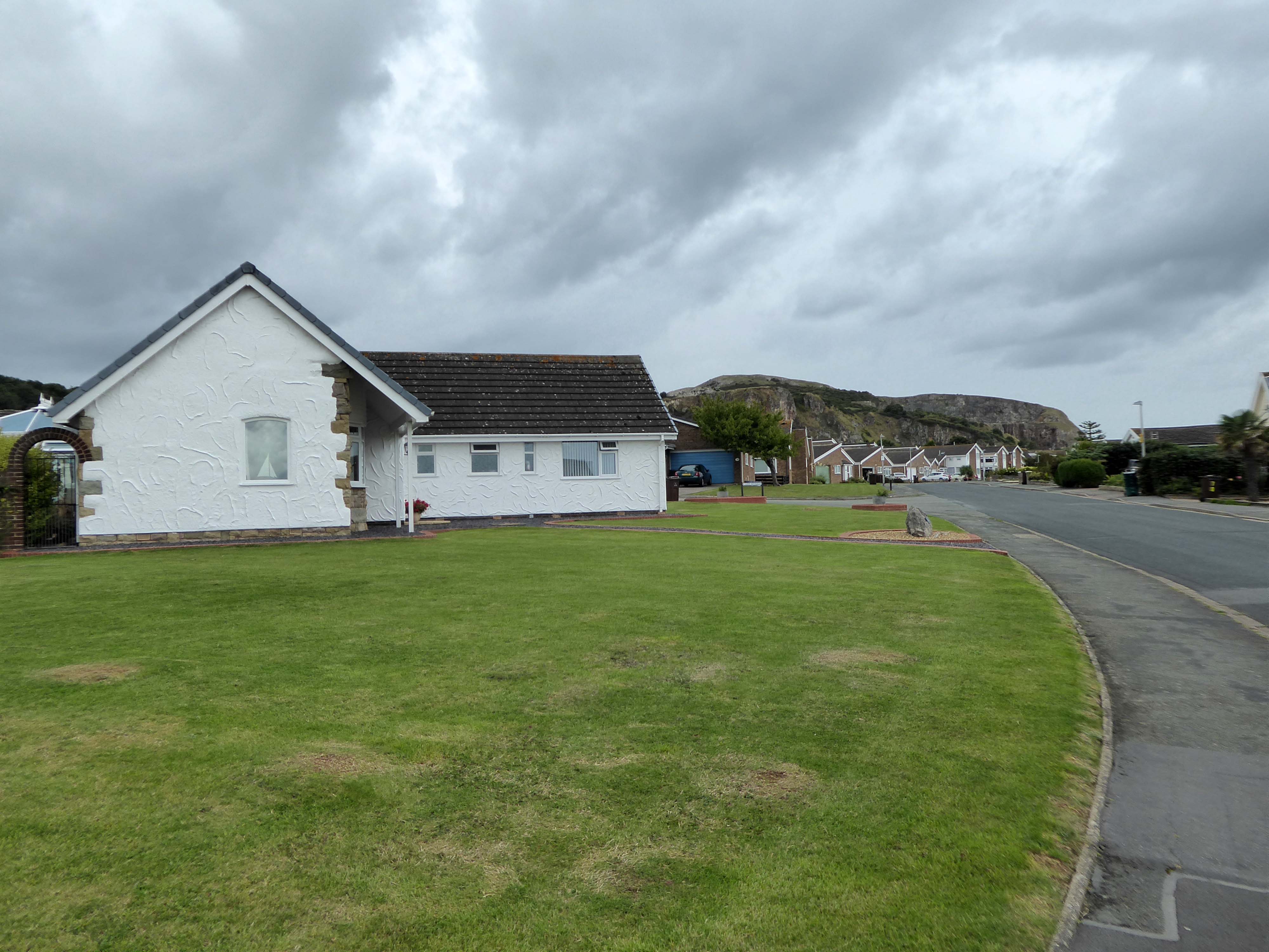
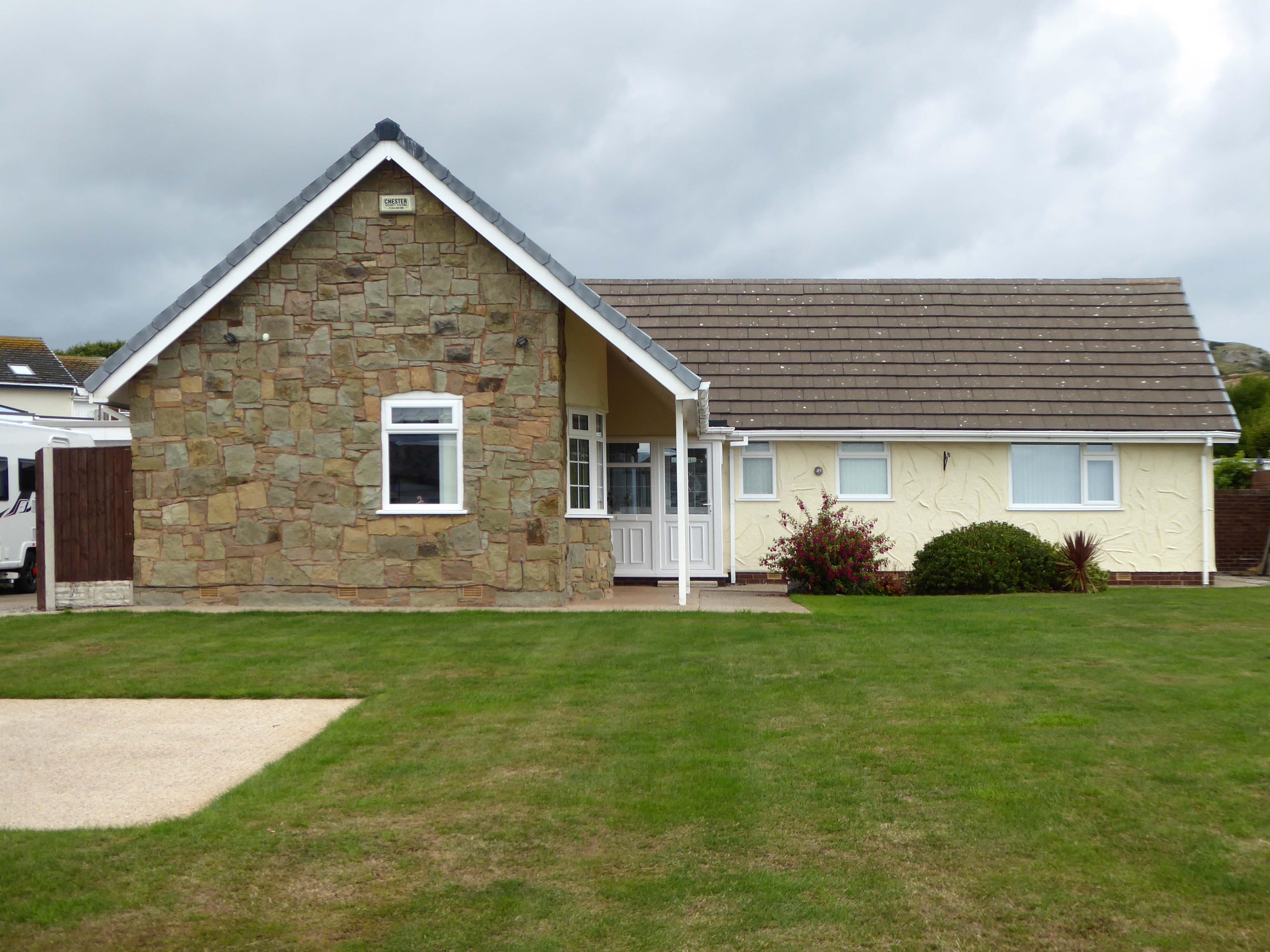
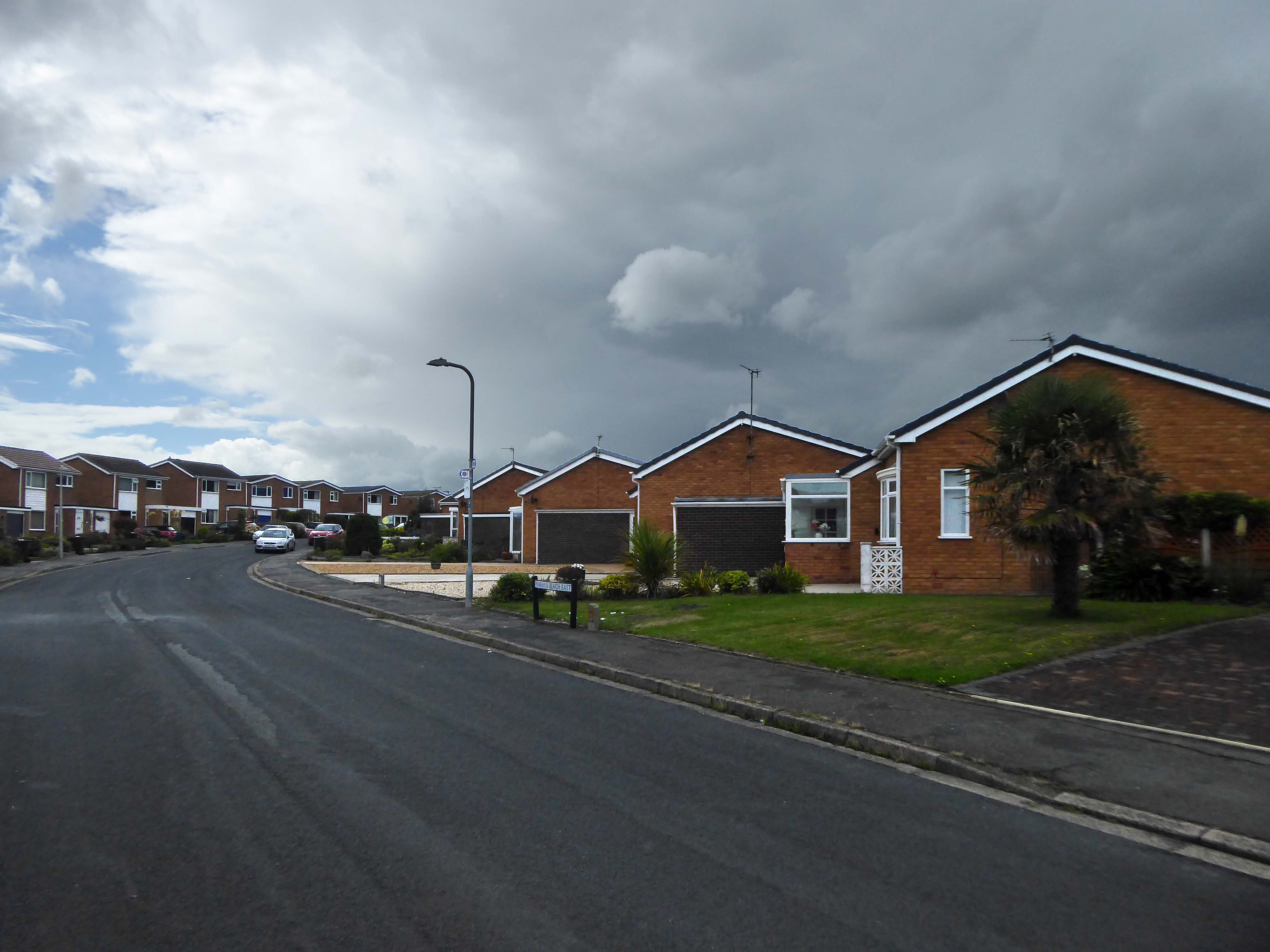
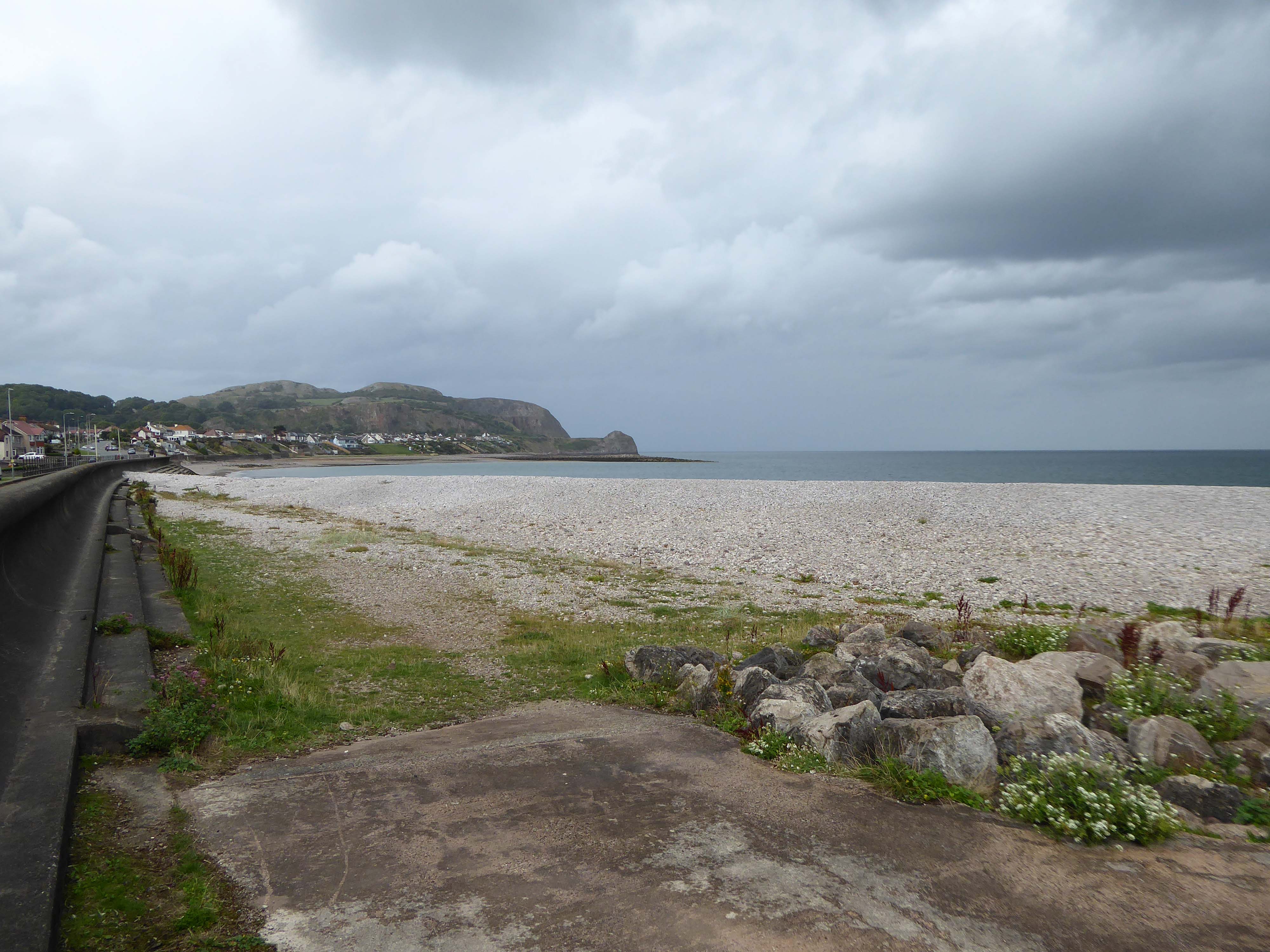
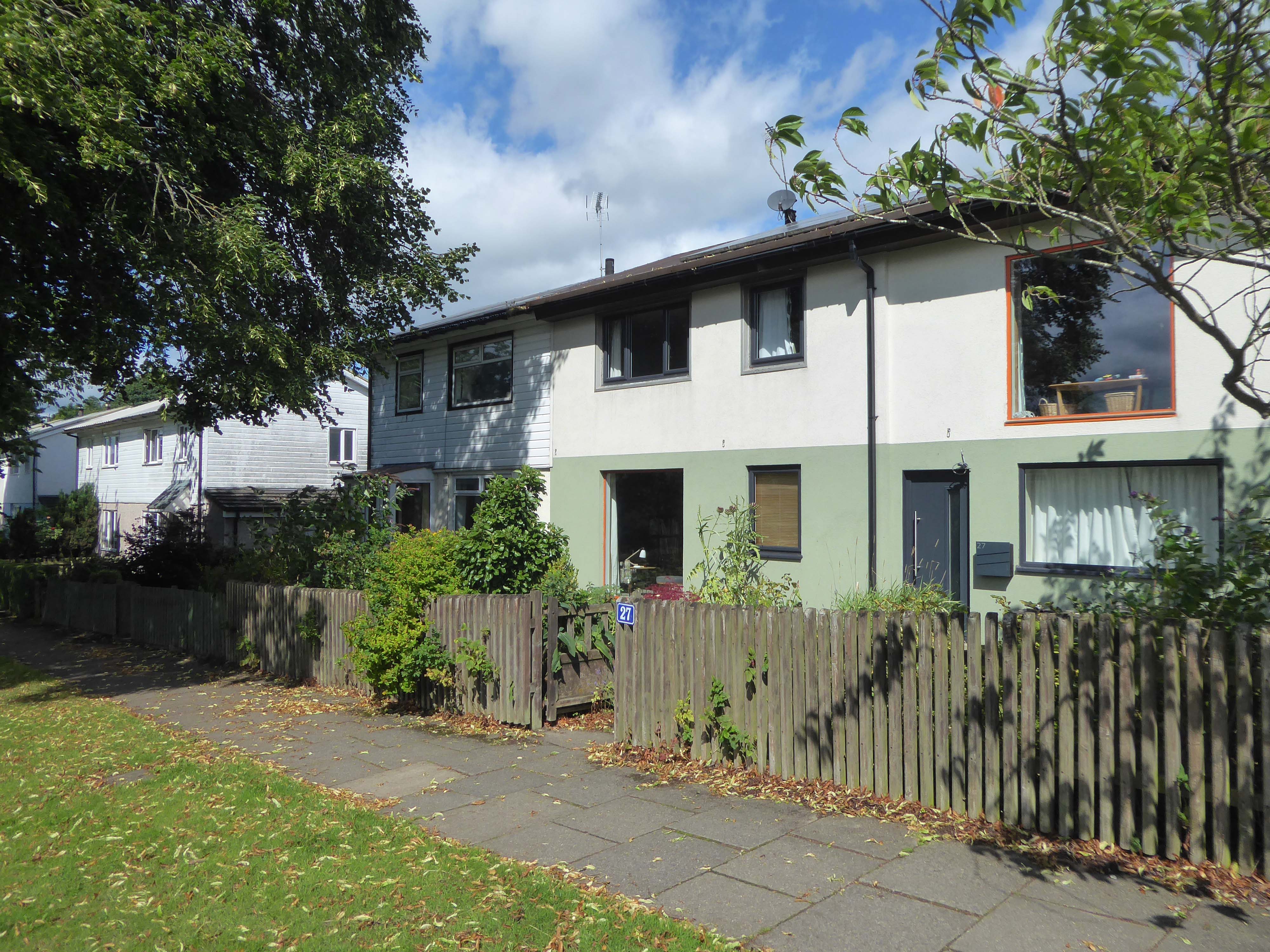
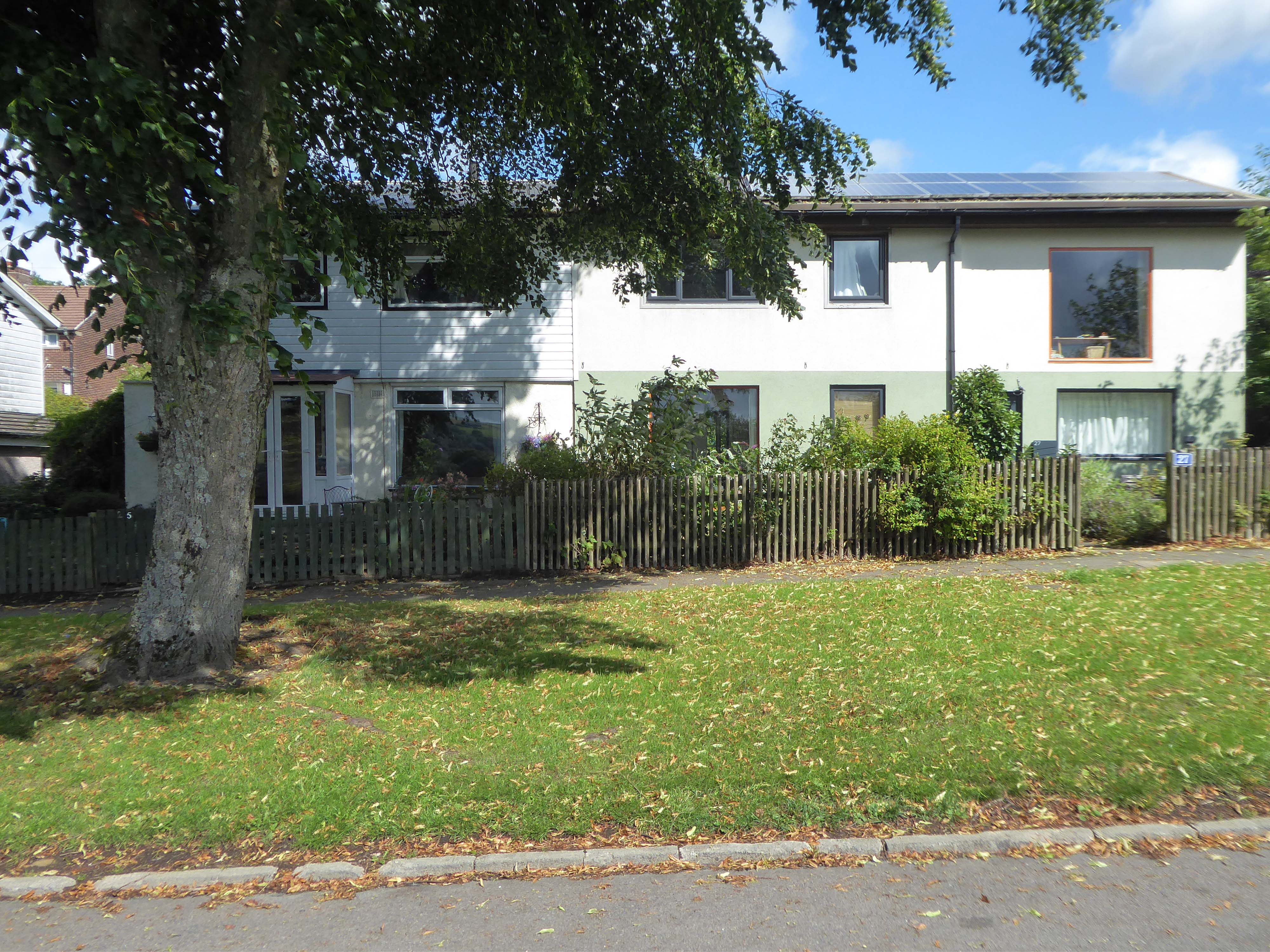
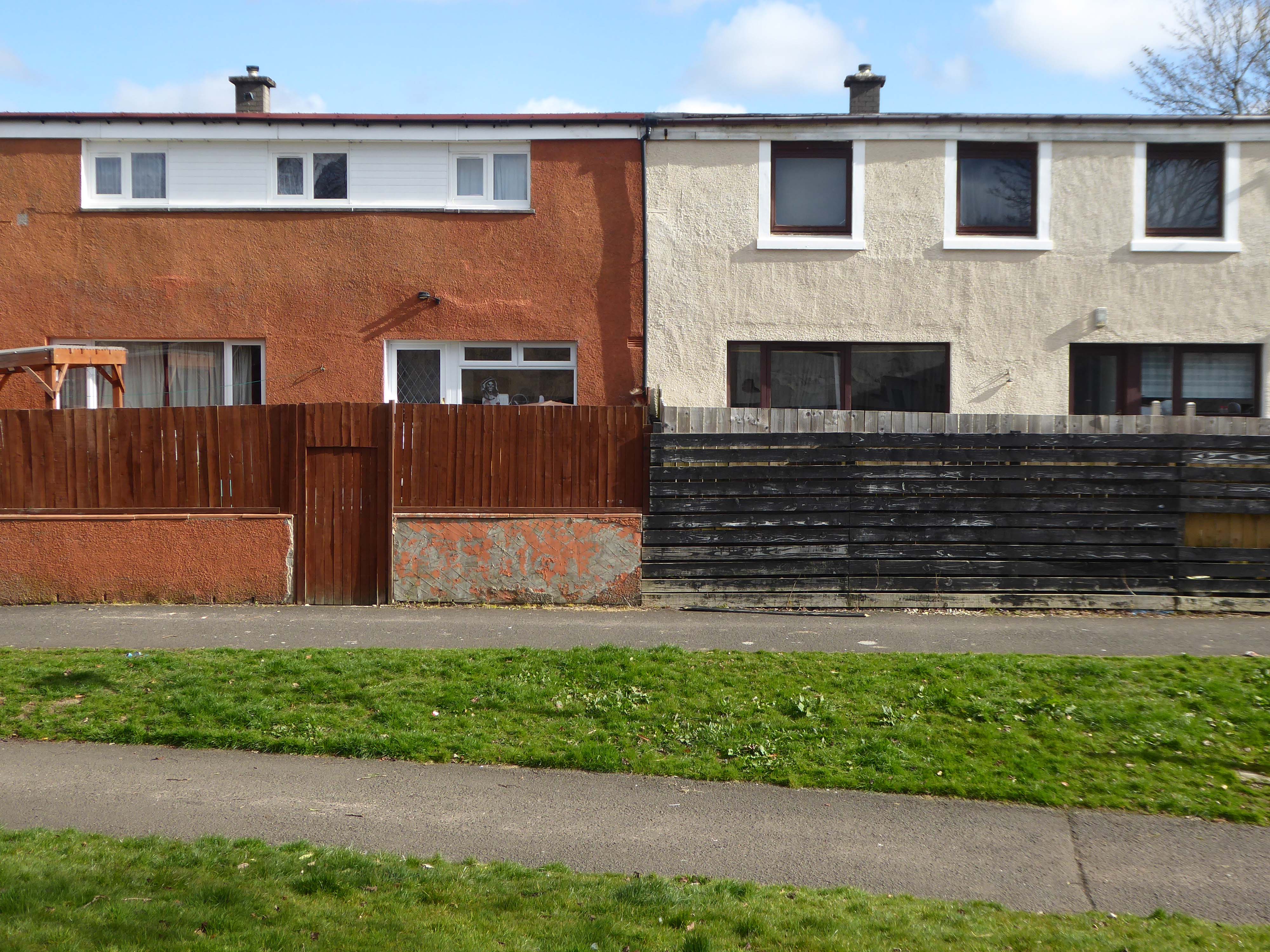
I have to admit that I’m fascinated by the manicured homes of this long sweep of road reaching from the base of the Little Orme.
It was fascination, I know And it might have ended right then, at the start Just a passing glance, just a brief romance And I might have gone on my way, empty hearted
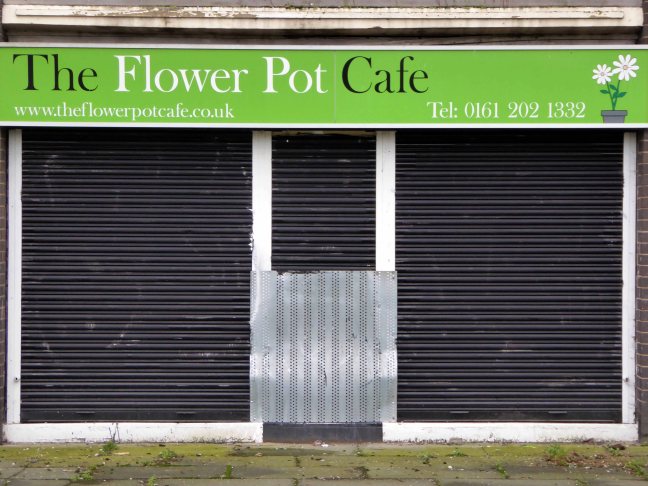
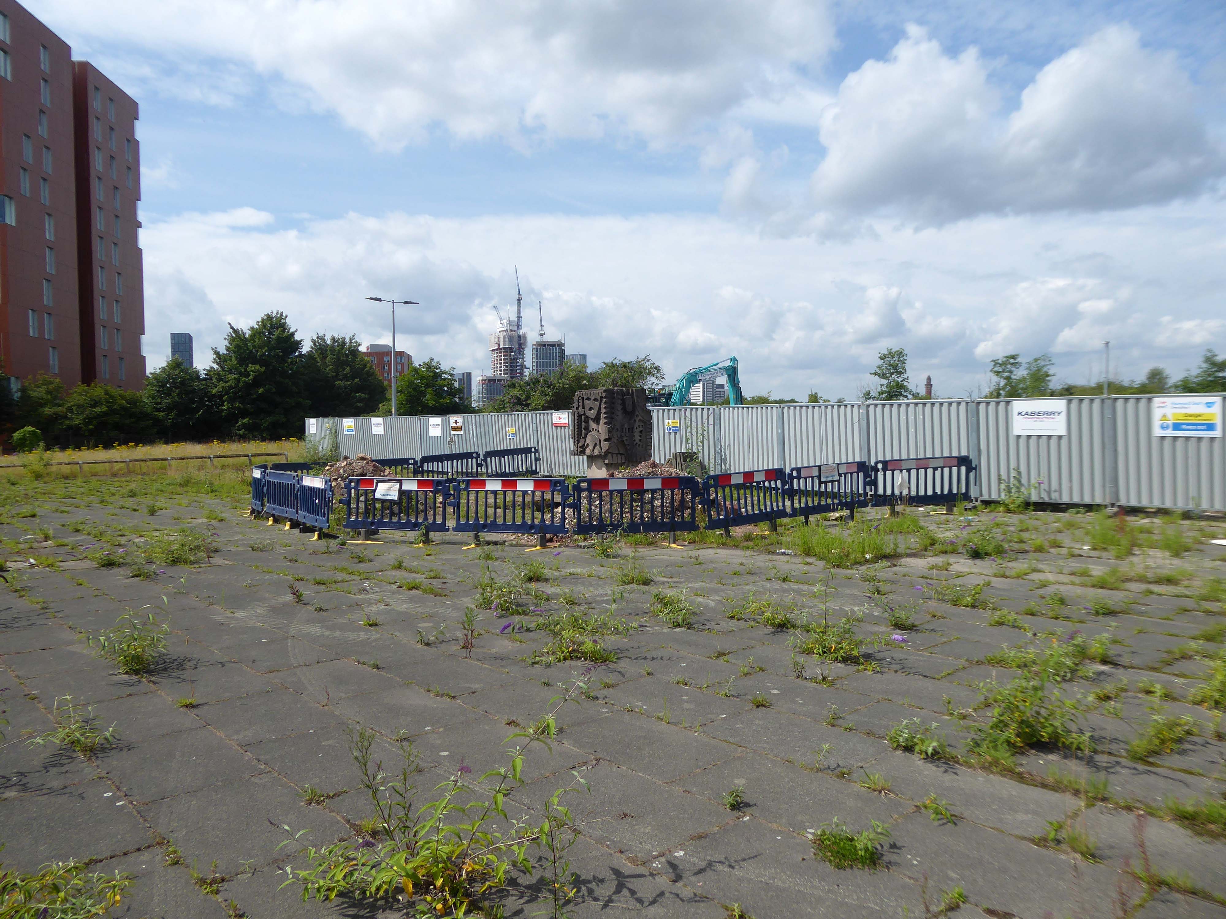
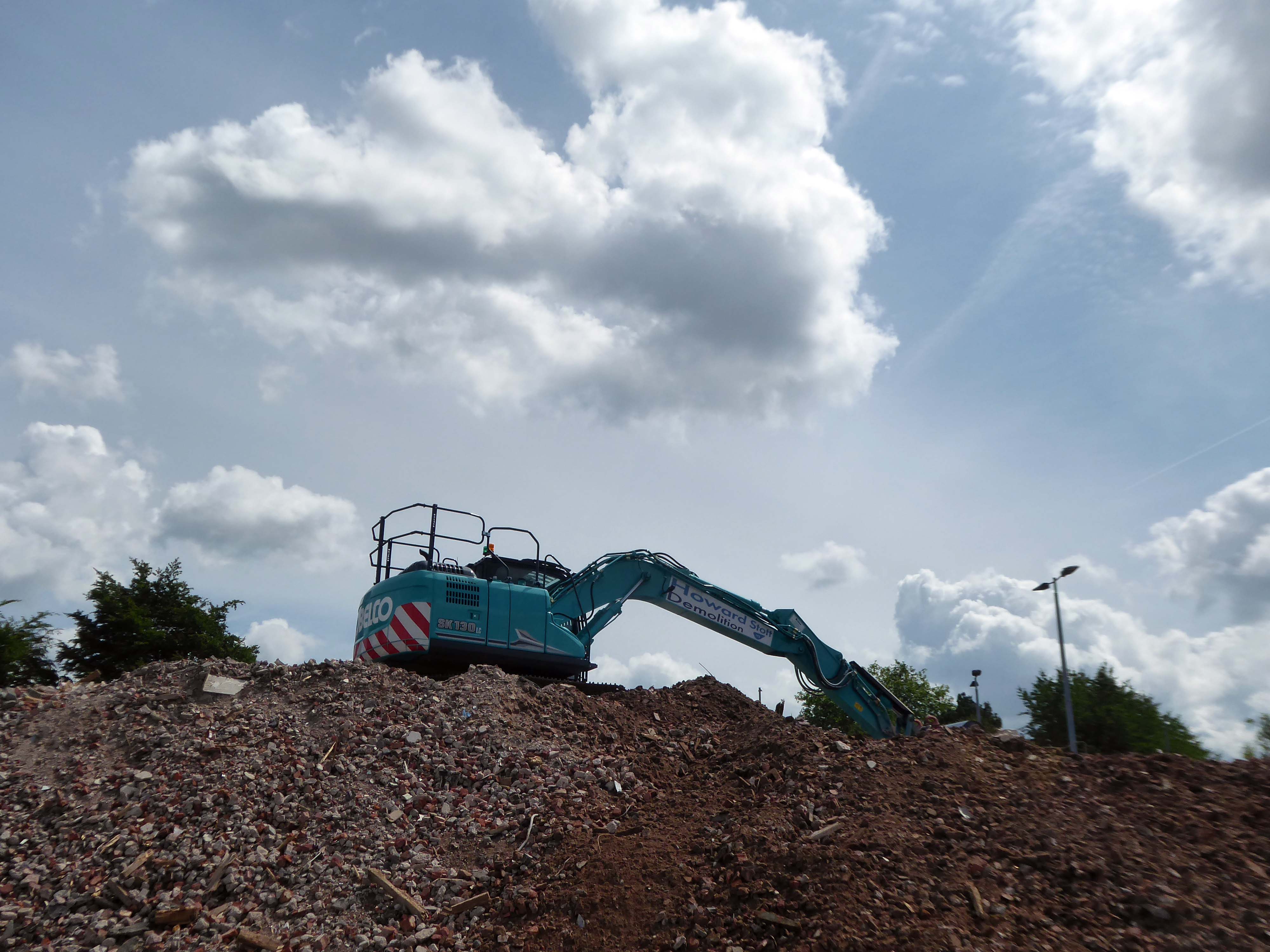
April 2023 and the shops and homes are being prepared for demolition.
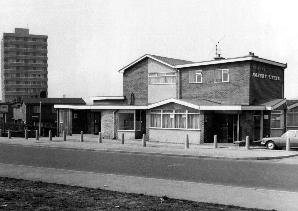
The company responsible for the demolition also dropped the Robert Tinker, on nearby Dalton Street.
While it is not yet clear exactly what will replace the shopping parade, work has already started nearby on other projects within the scheme. The first phase of development in Collyhurst will see 274 new homes built in the area.
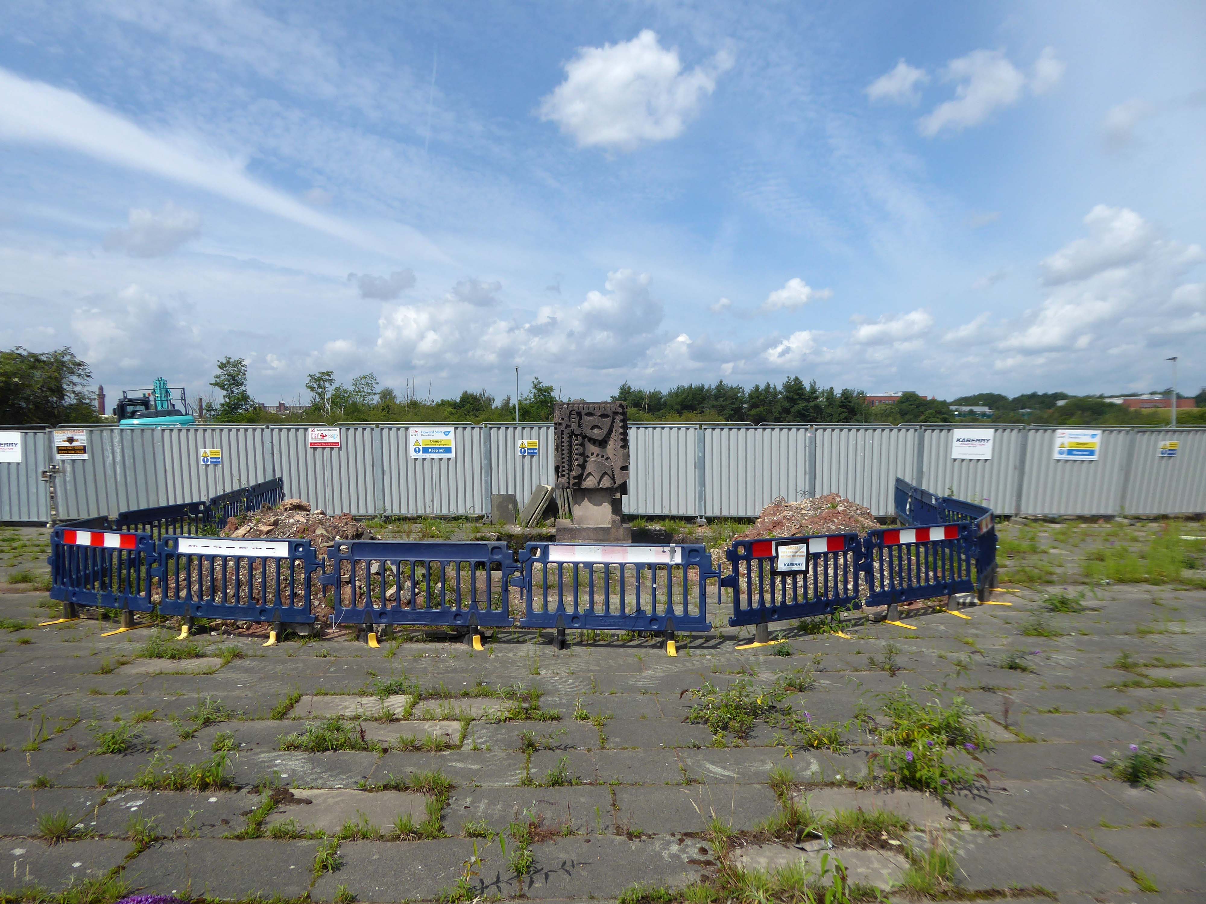
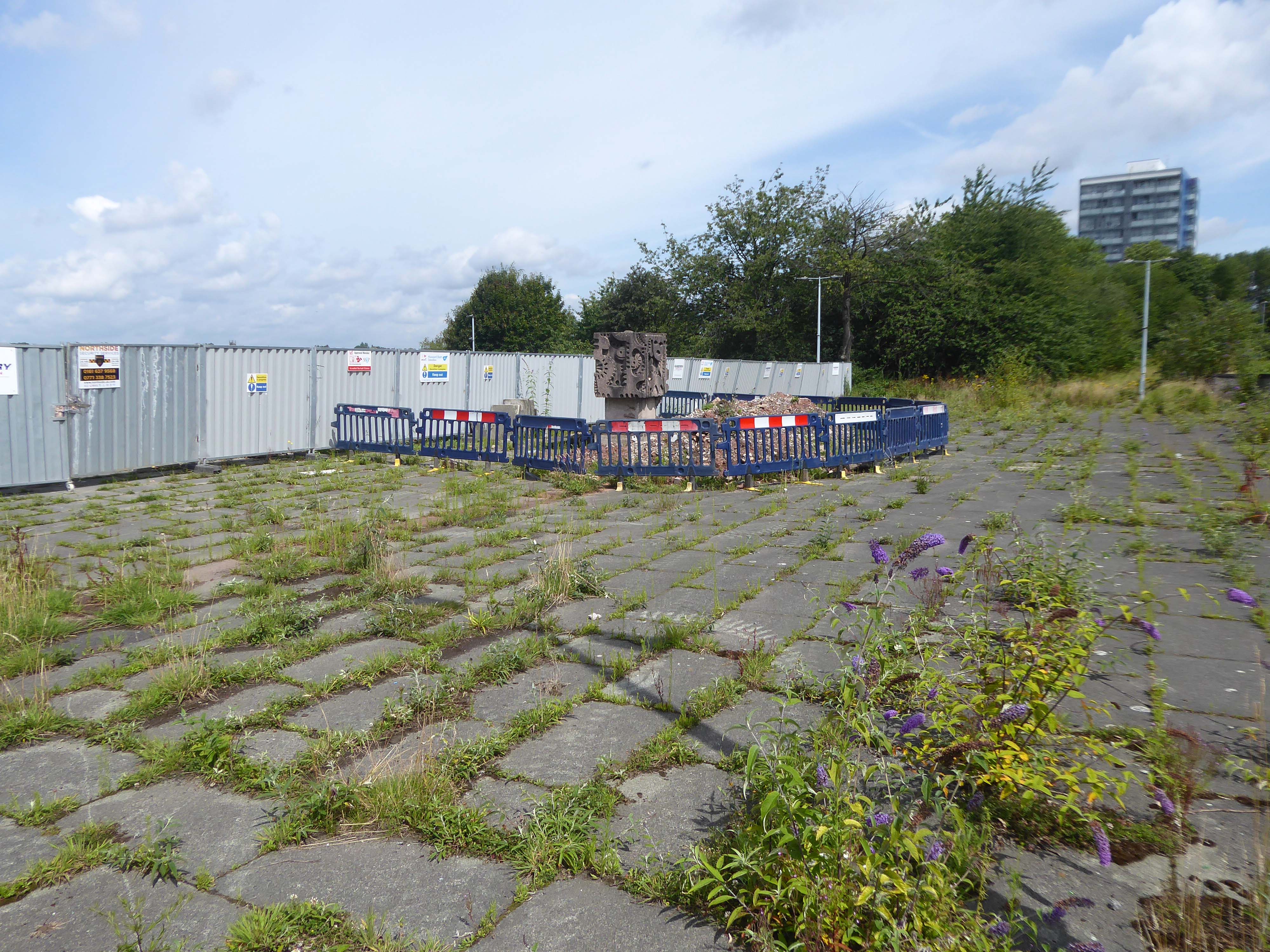
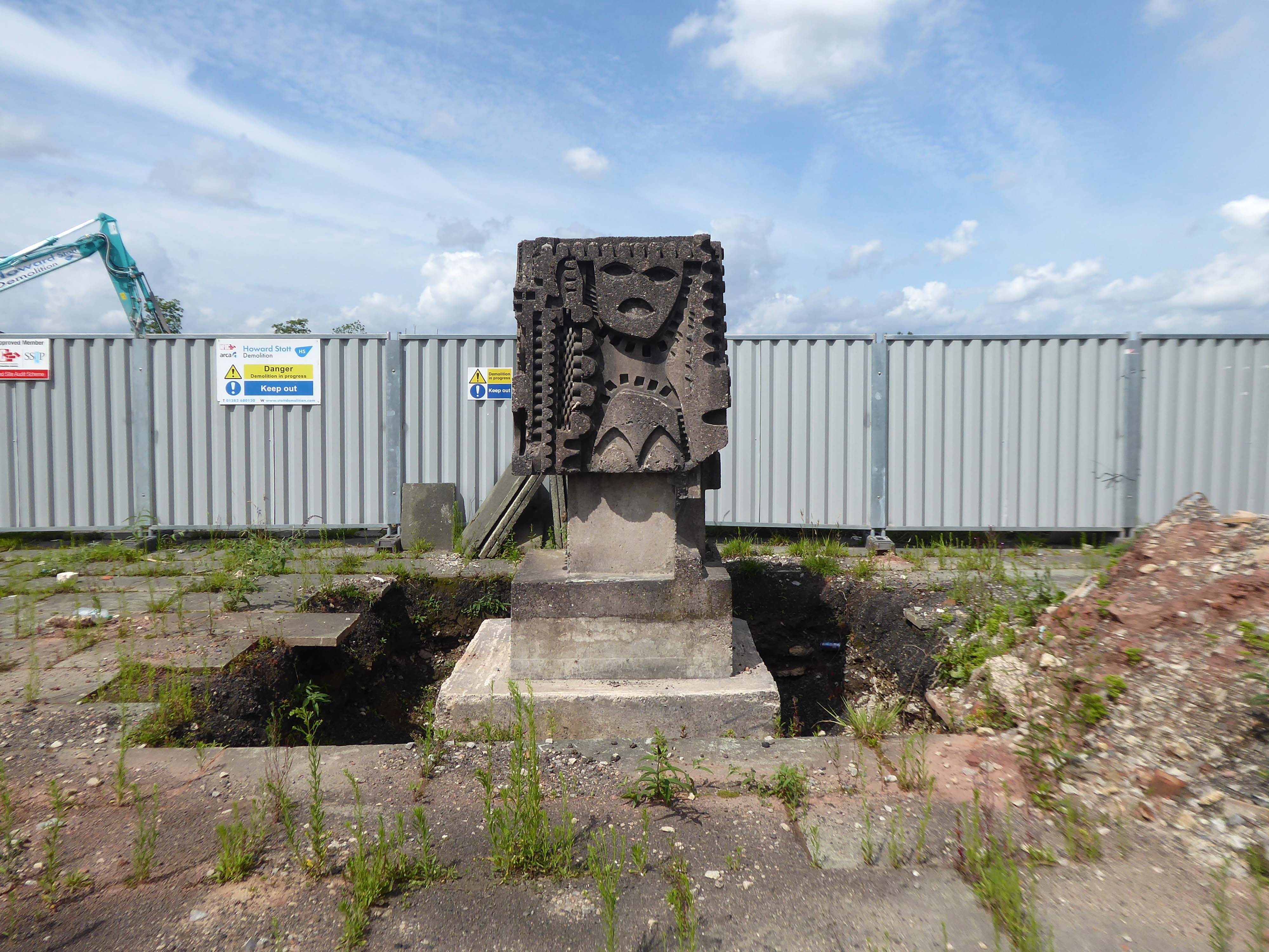
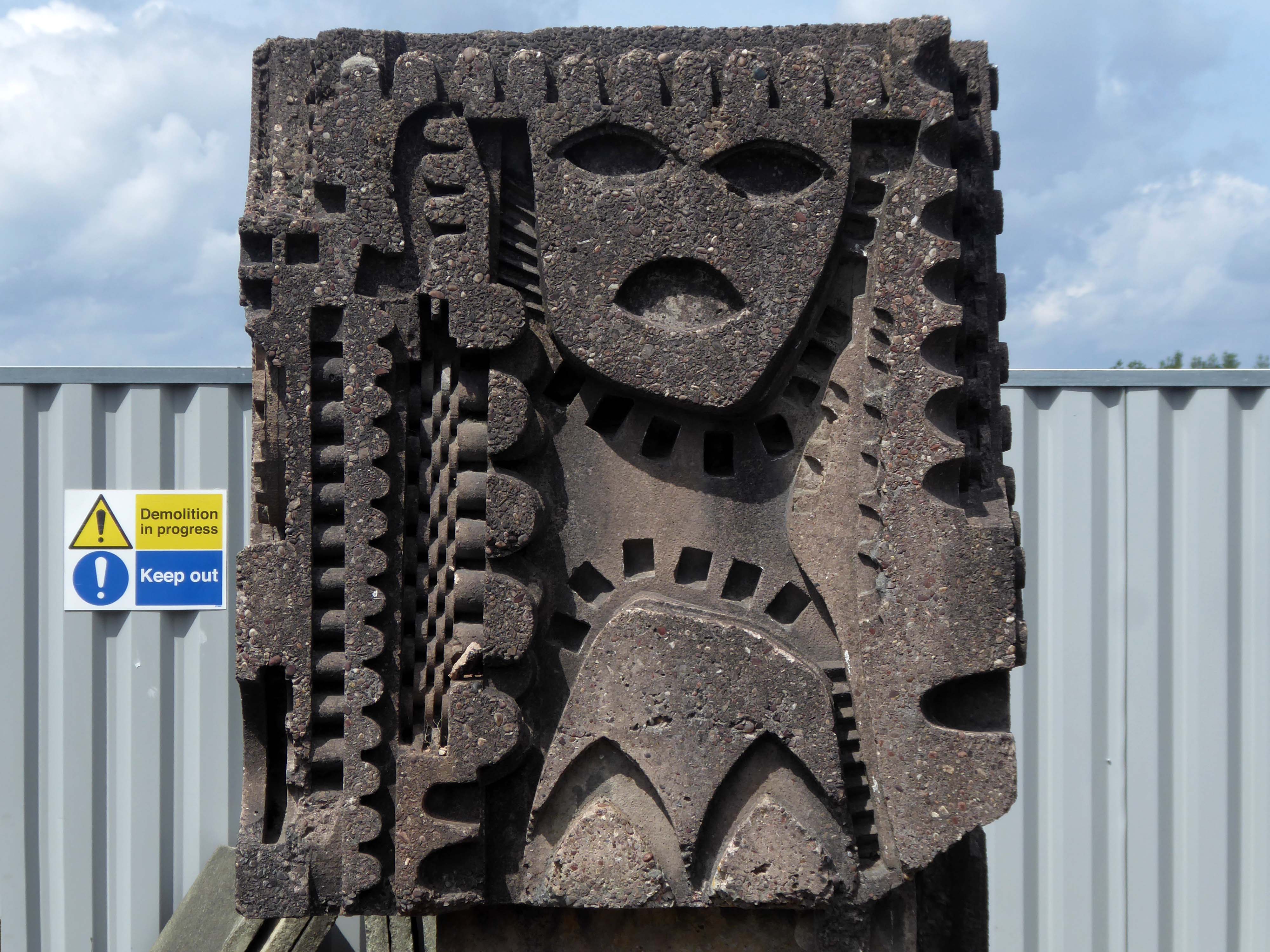
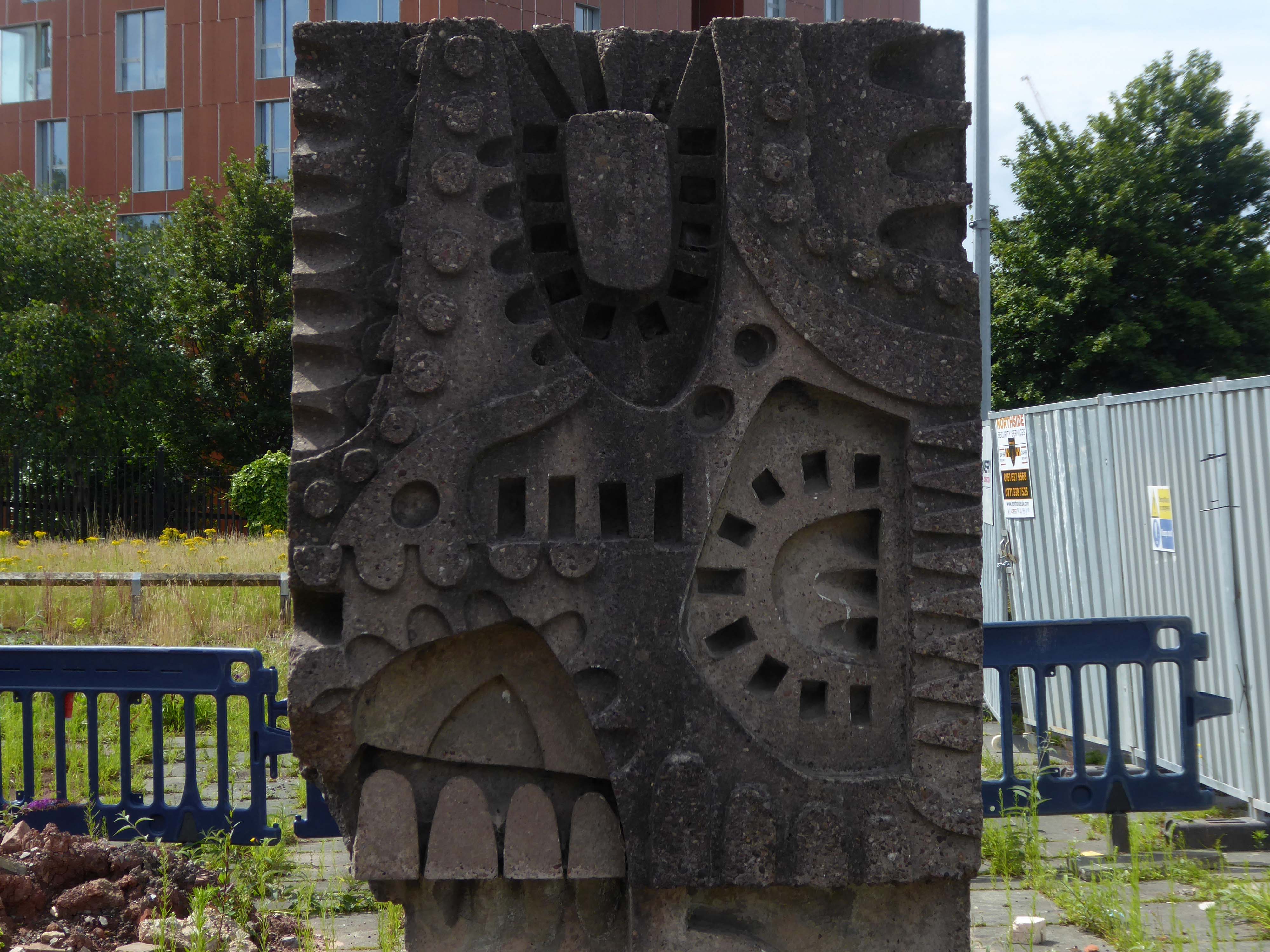
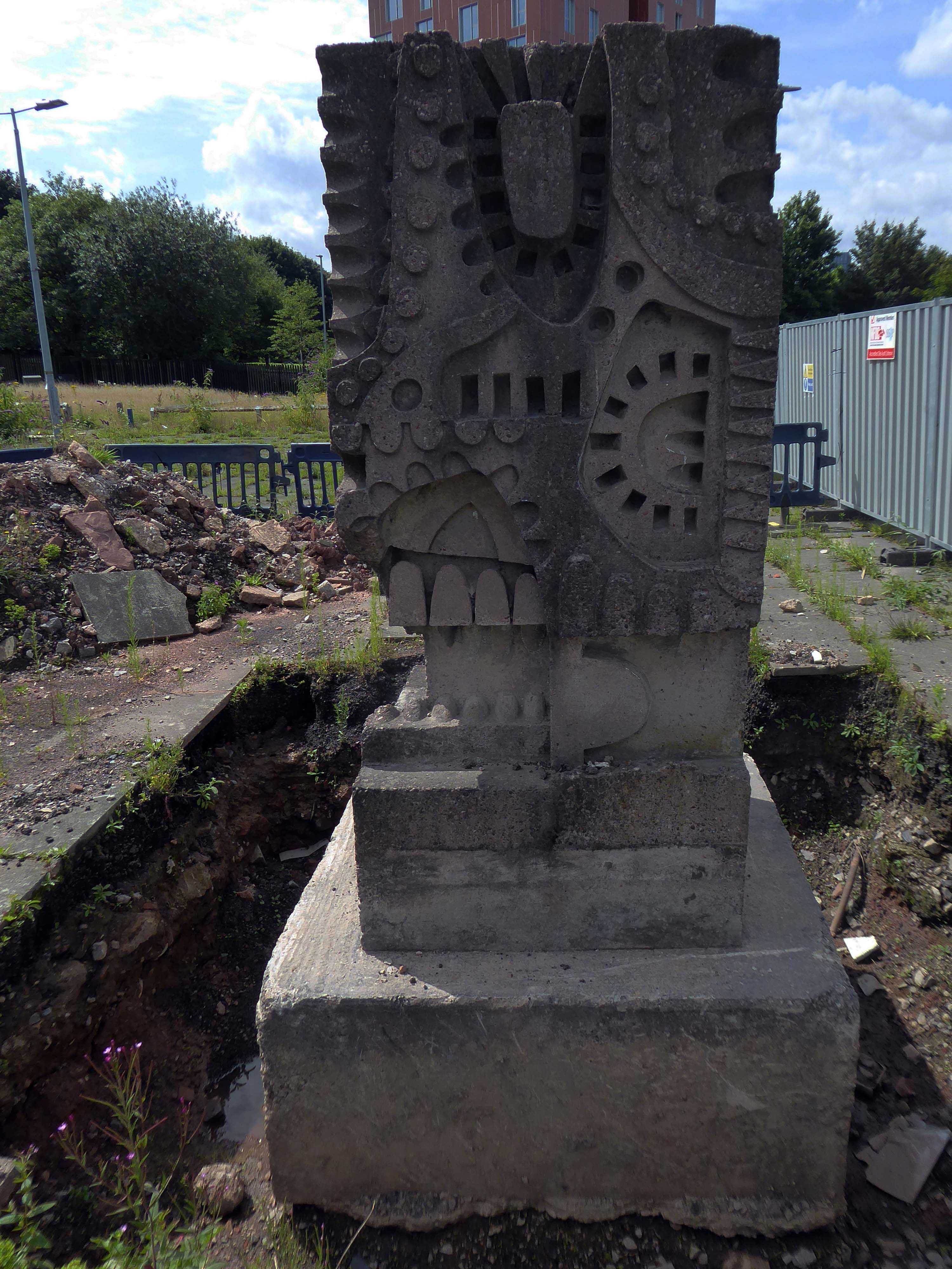
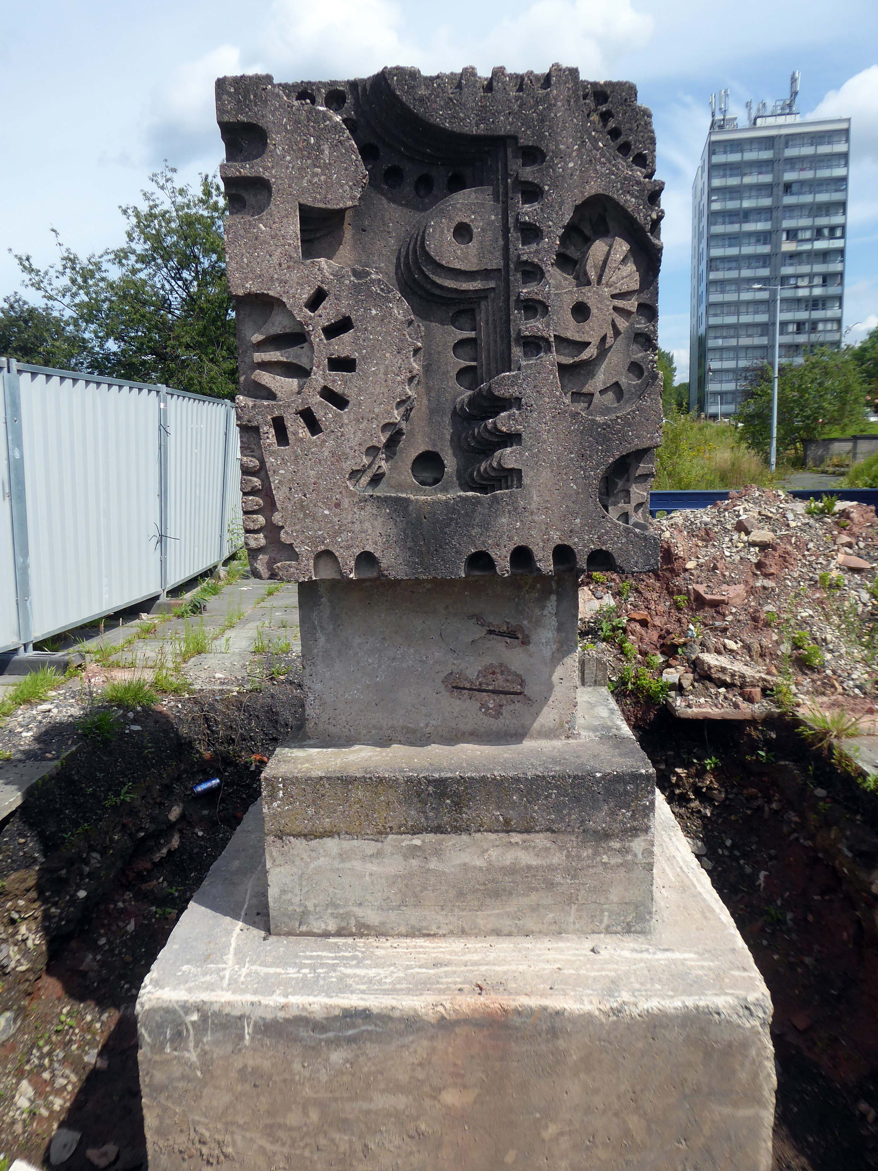
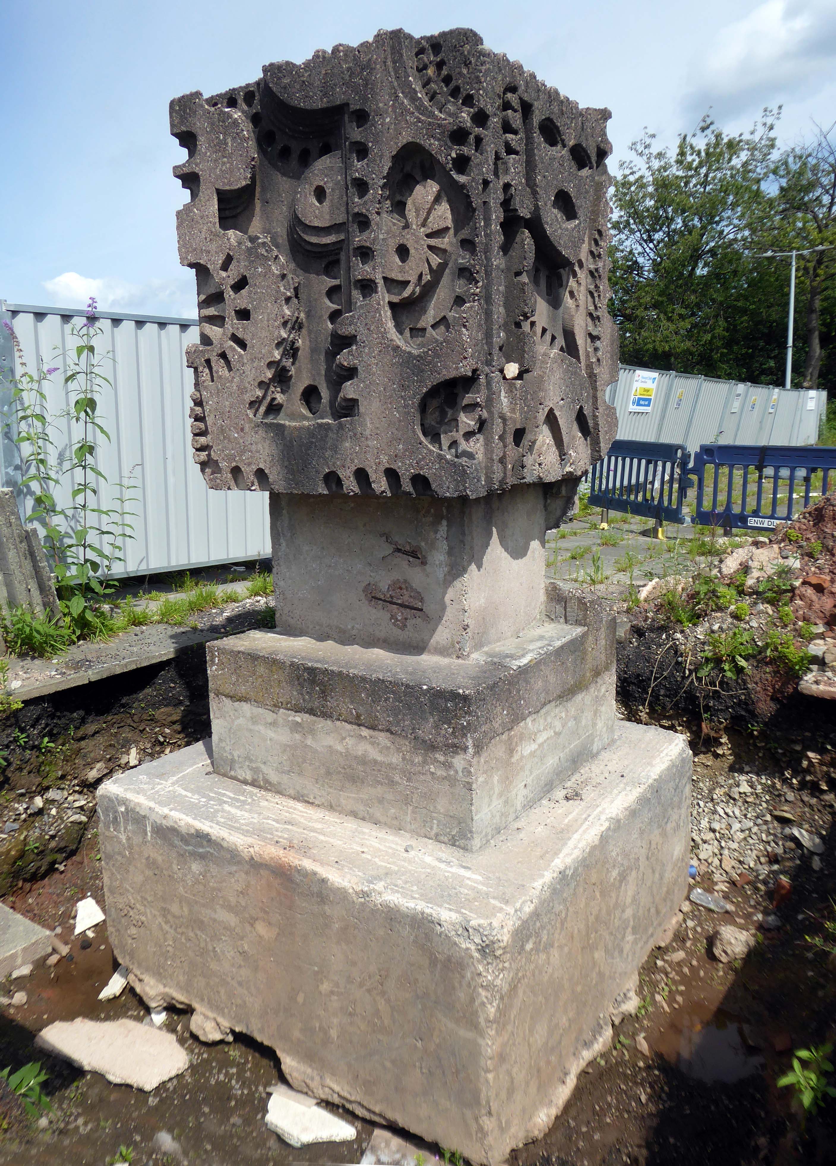
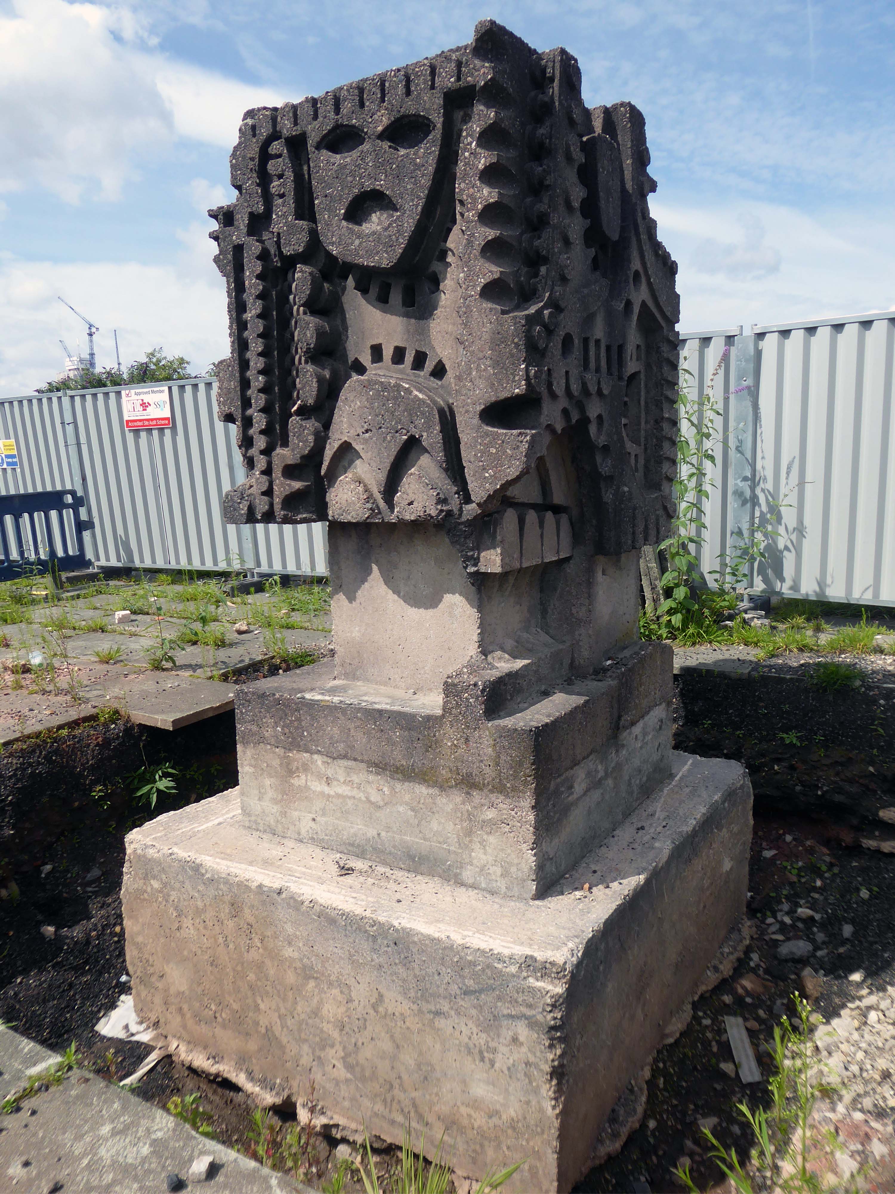
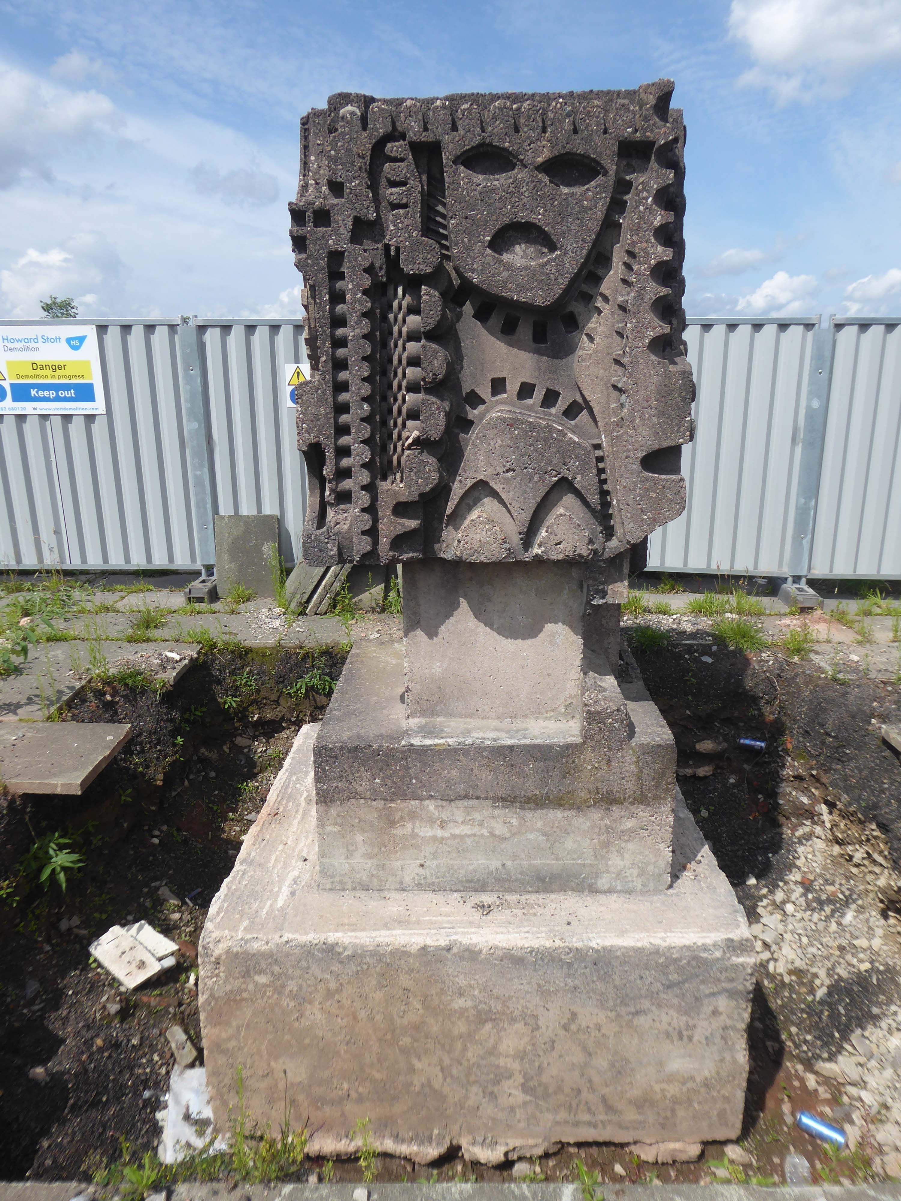
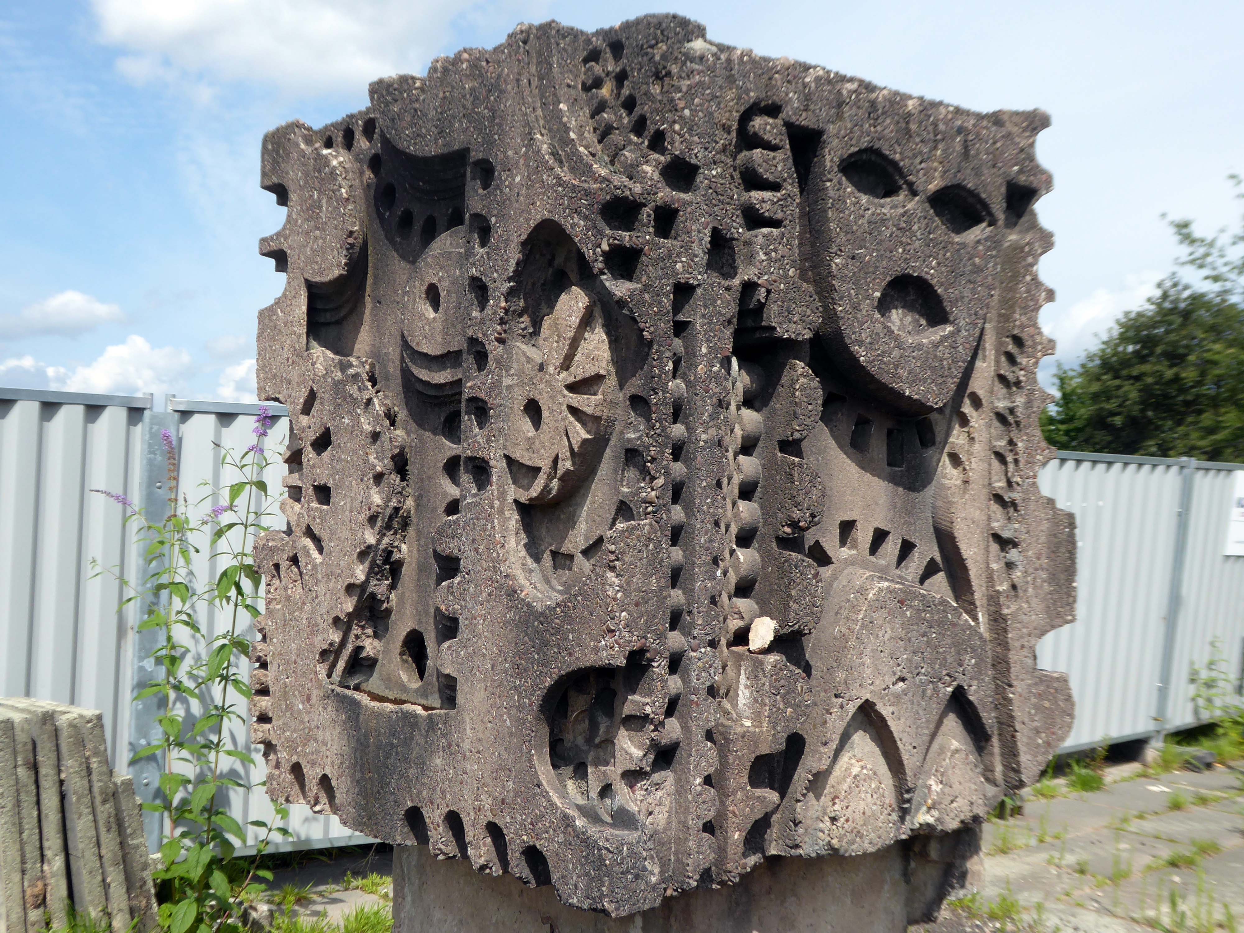
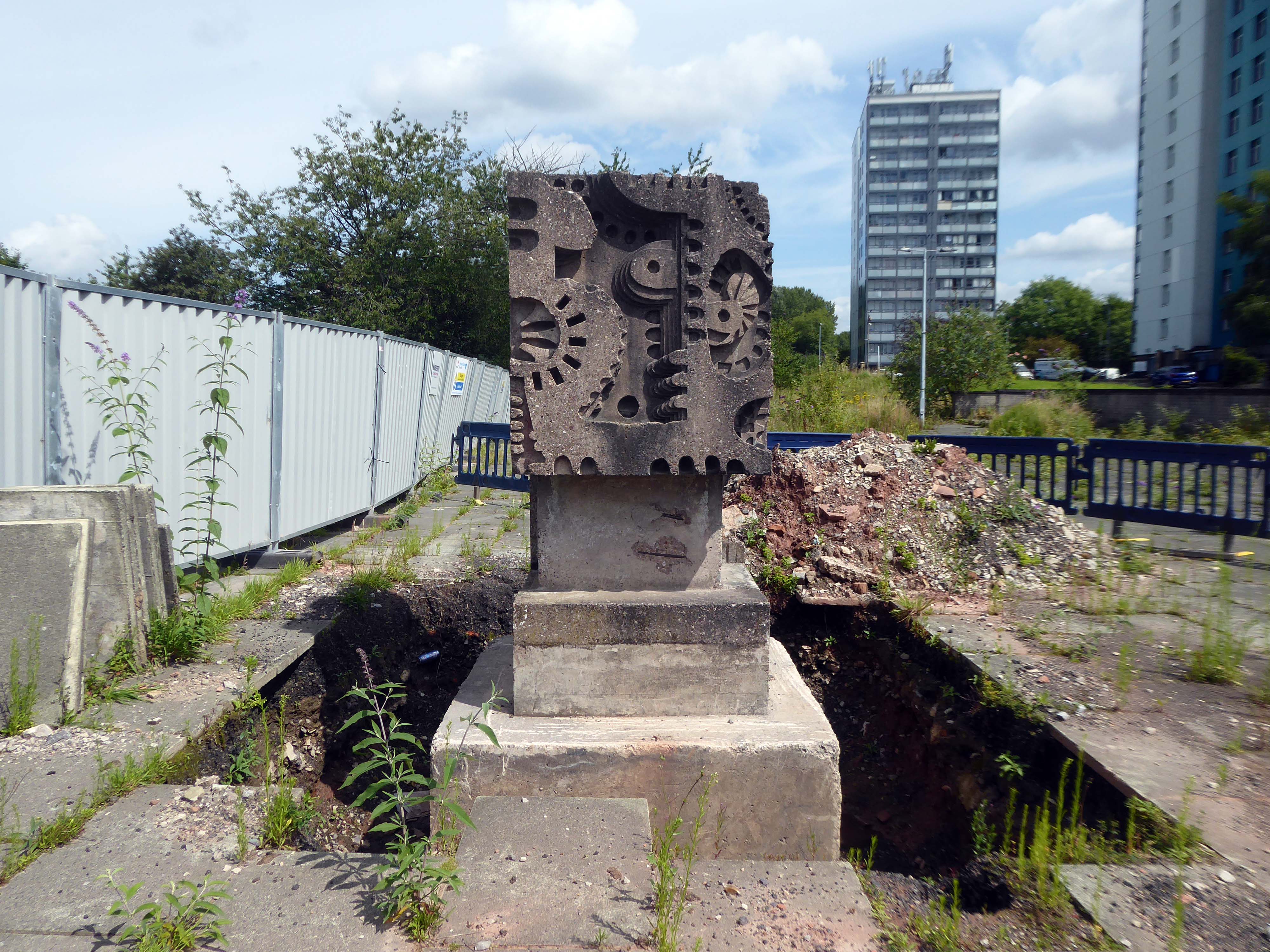
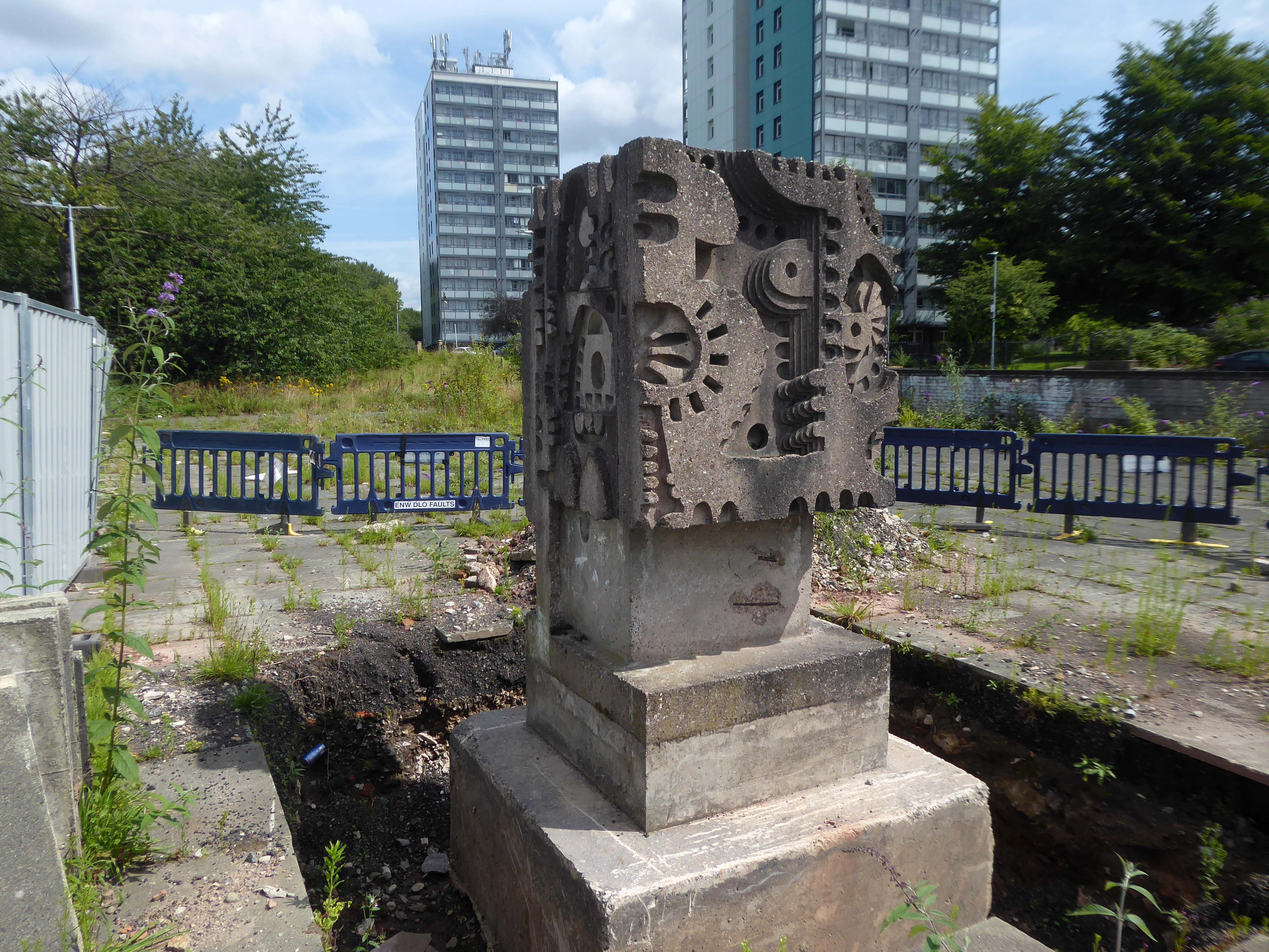
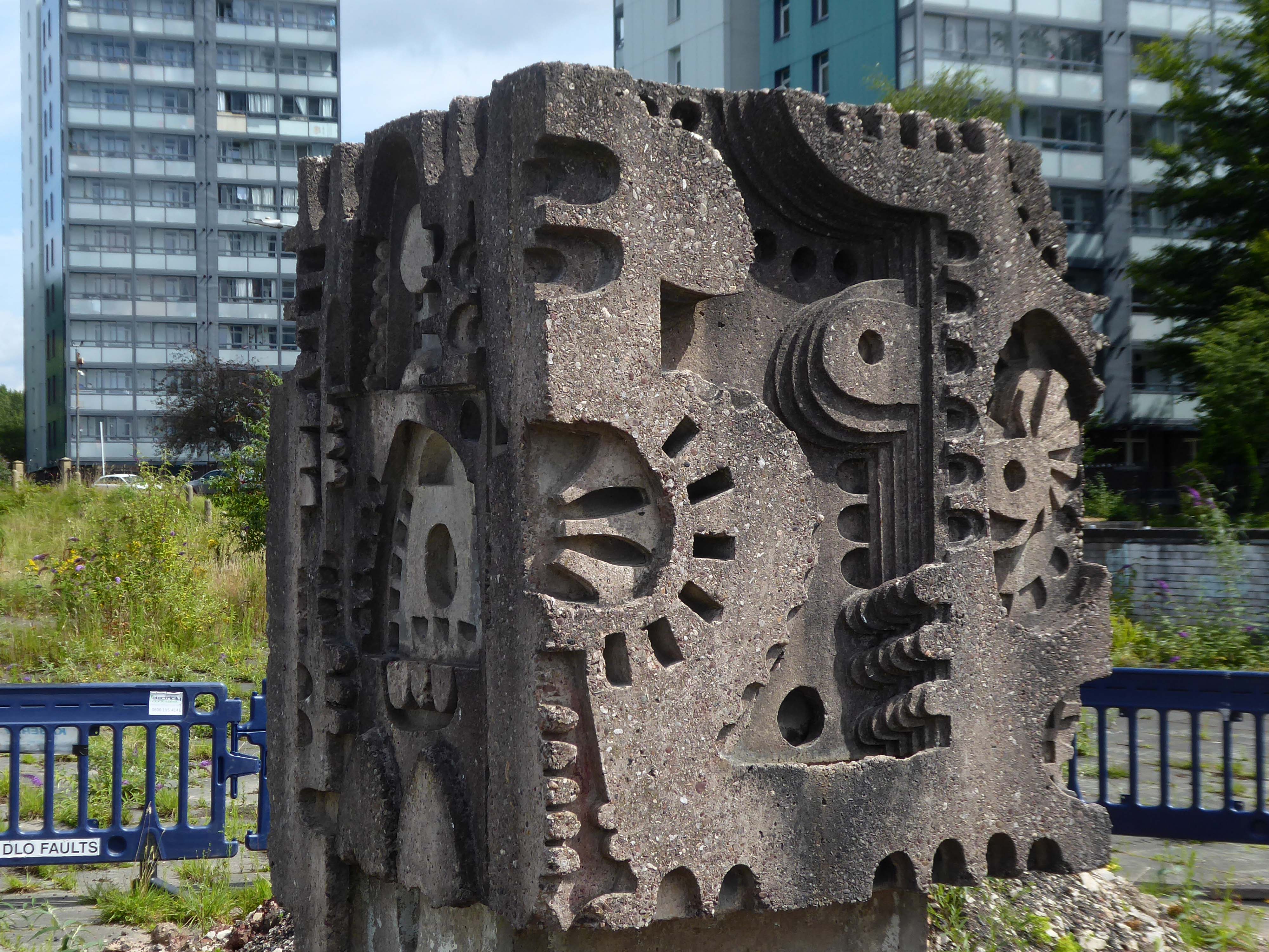
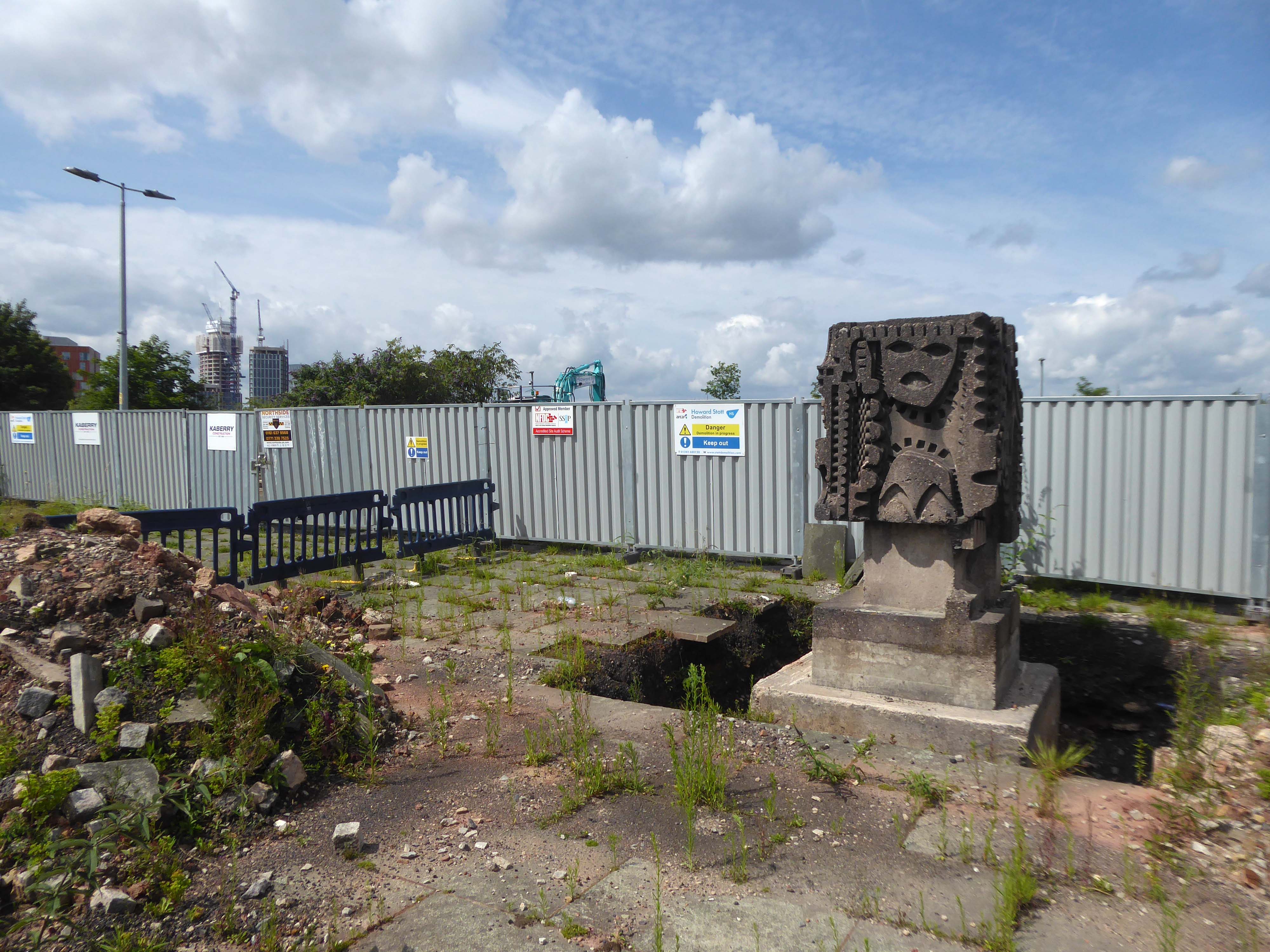
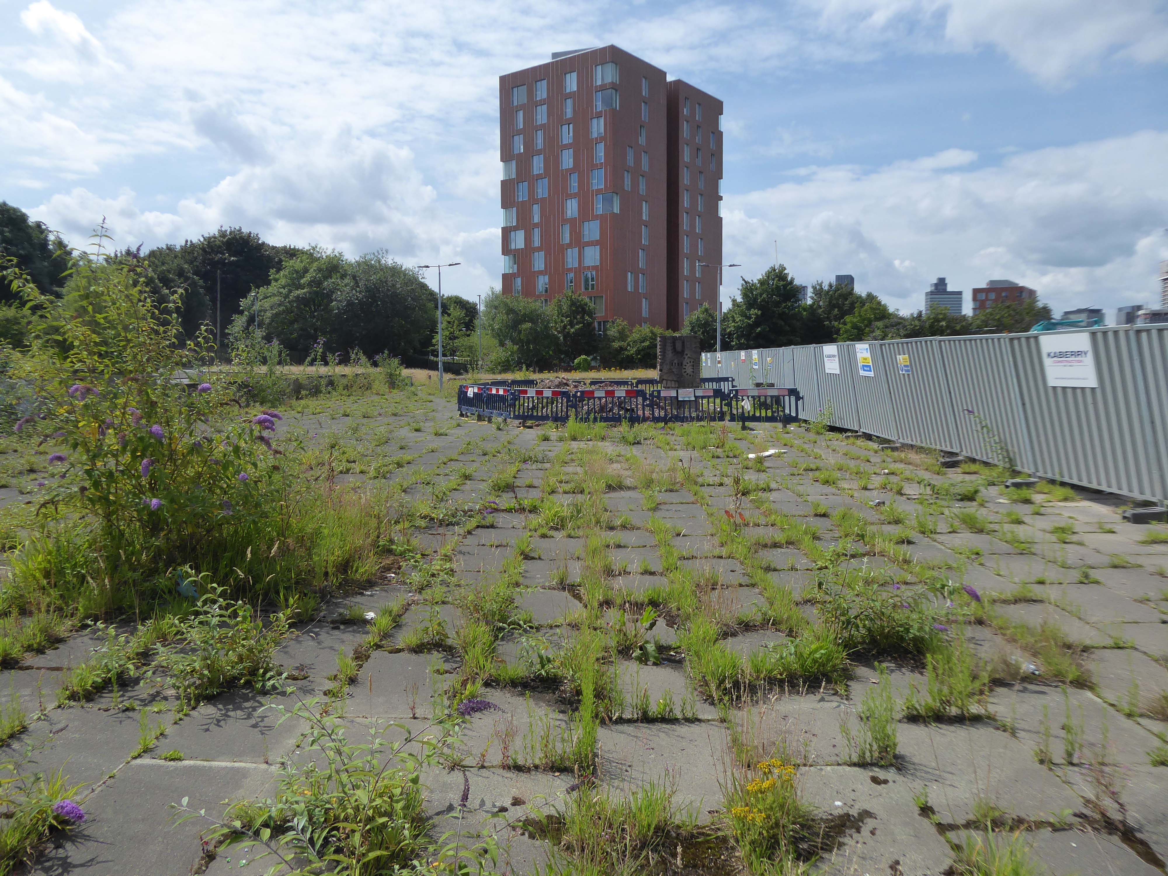
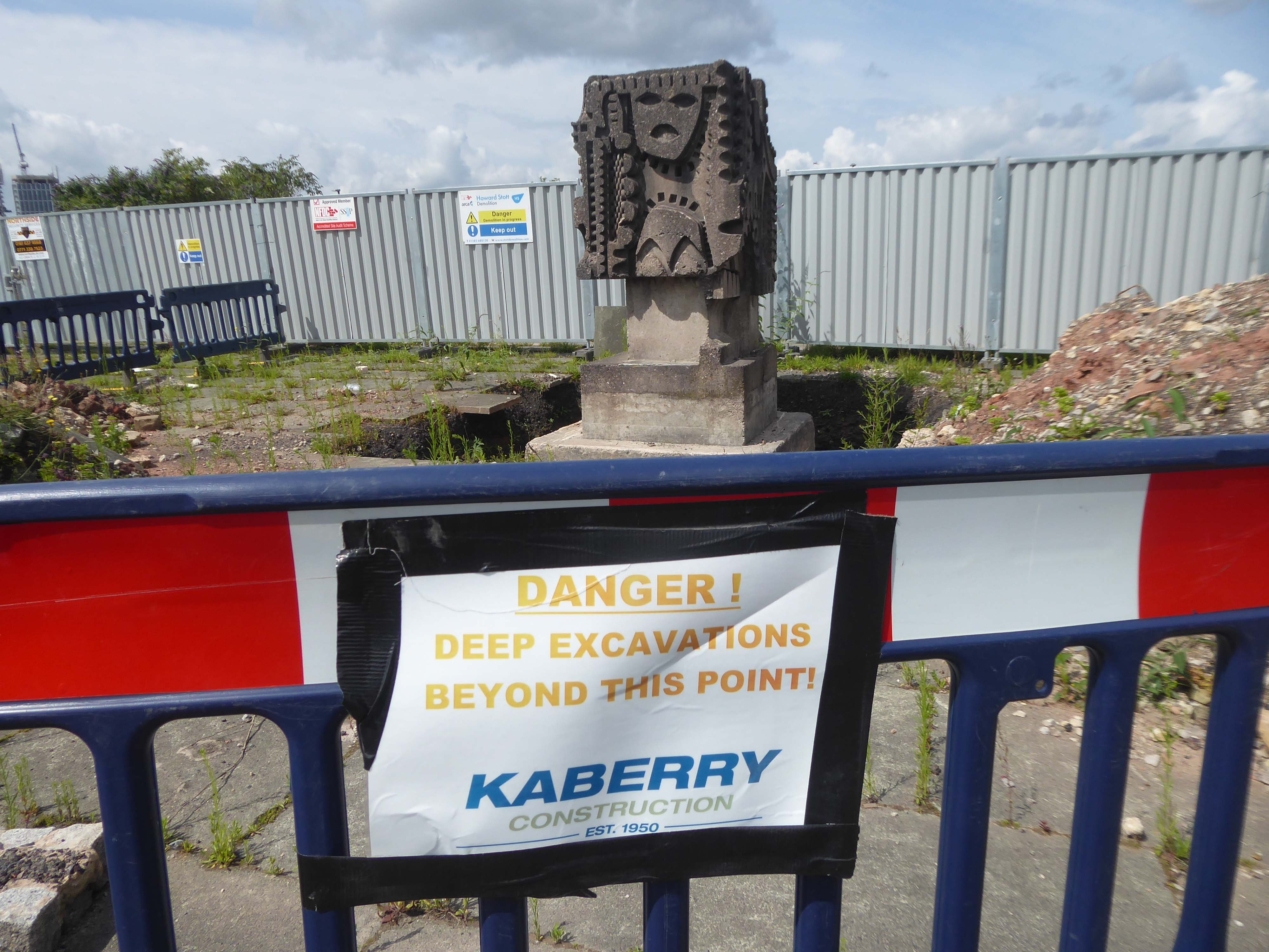
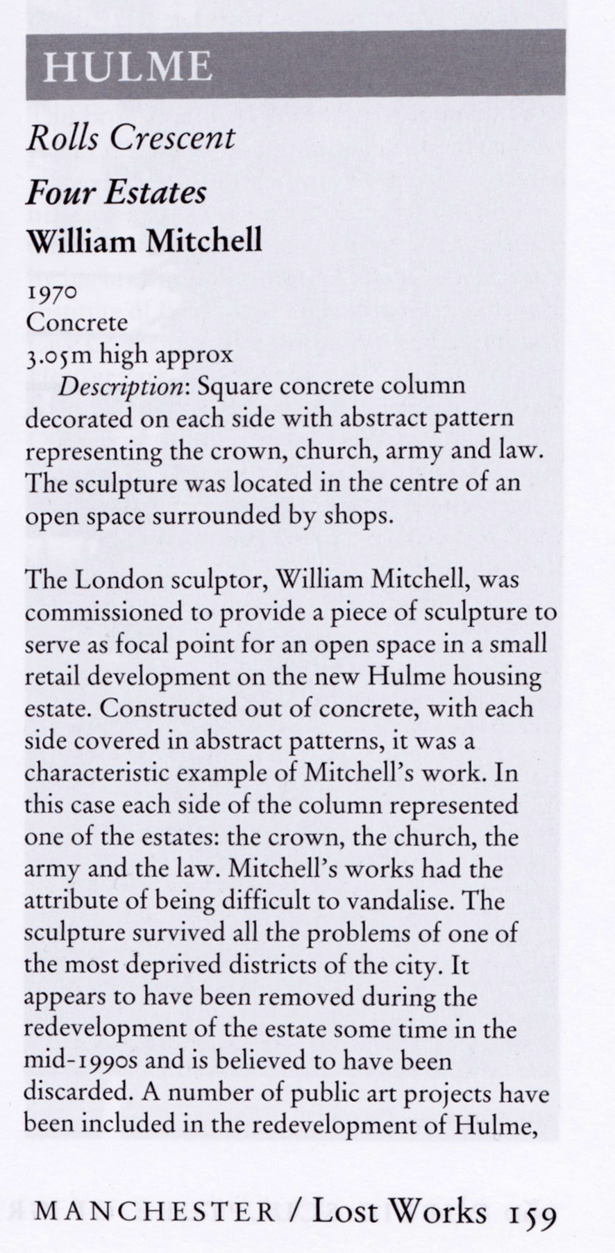
The council has pledged to reinstate the William Mitchell totem nearby.
However the weight of the concrete sculpture and its base have presented unforeseen challenges.
Siting a crane above the Victorian rail tunnel is an issue, as is the cost, a quote for £100,000 was deemed excessive. So stasis is the order the day – the immovable object awaits an unstoppable force.
The sculpture is one of four around Manchester – the Hulme exemplar is long gone.
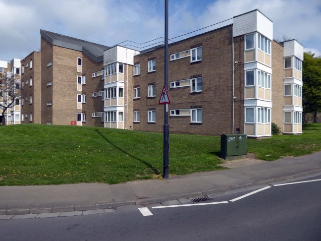
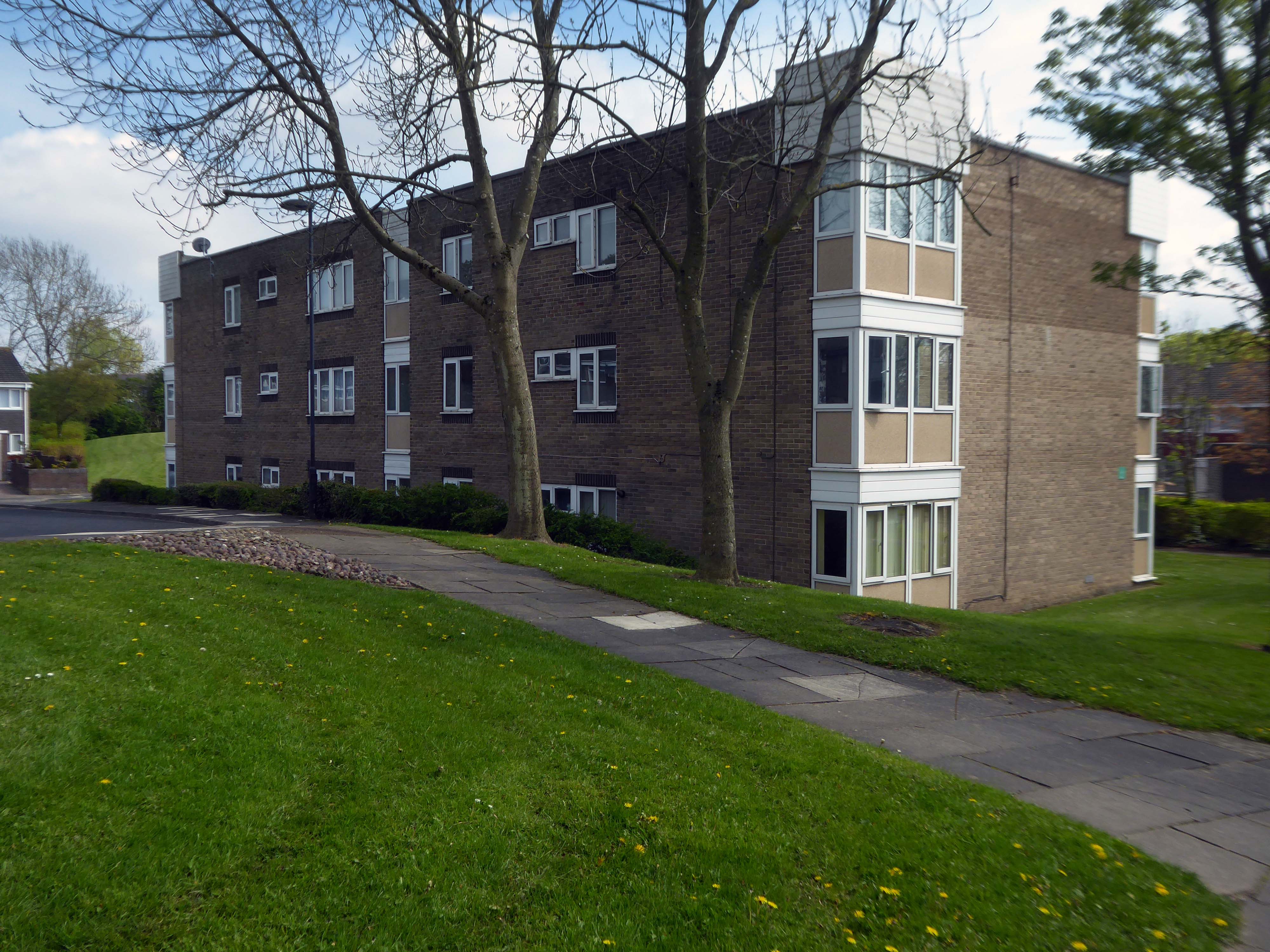
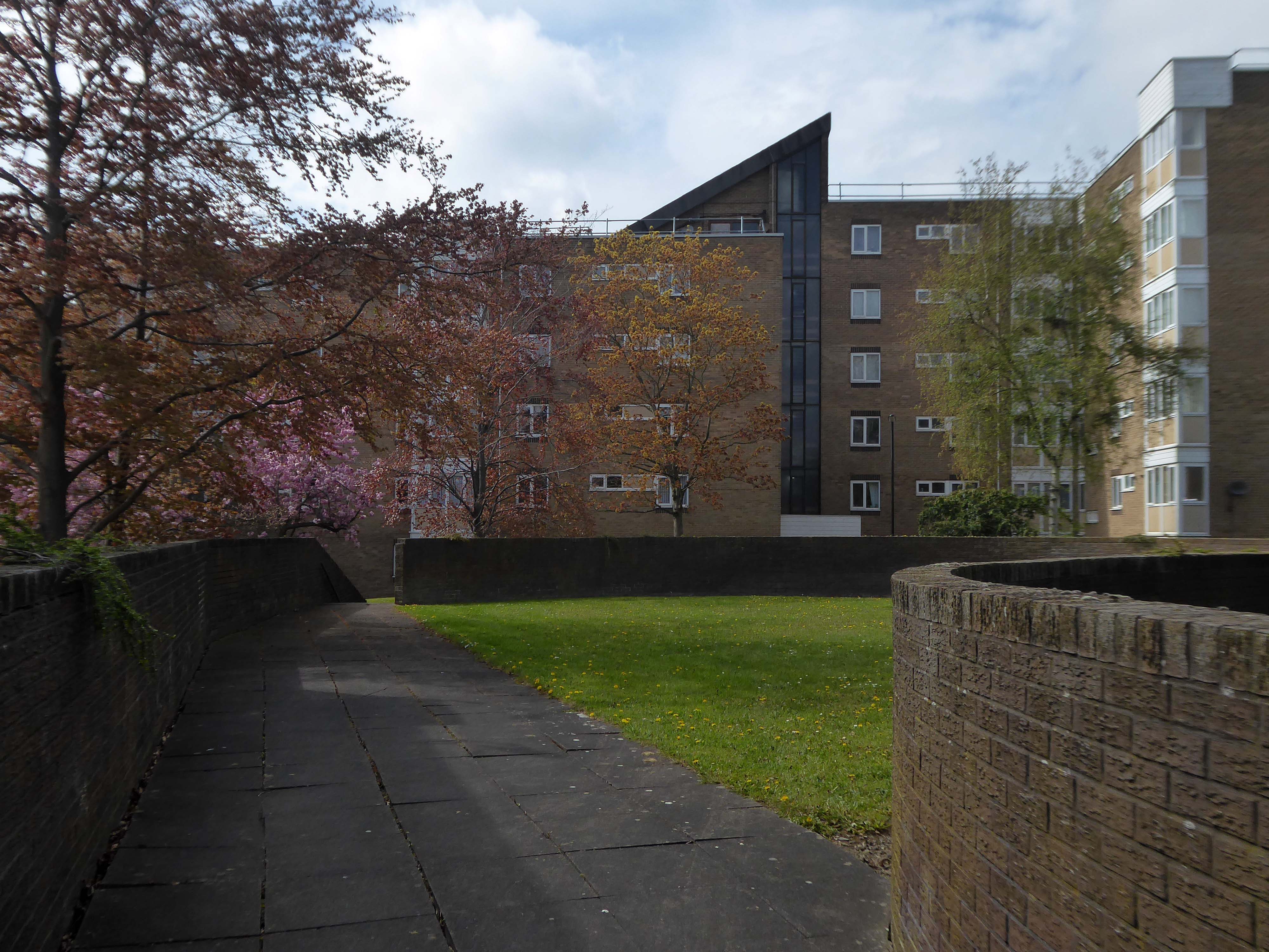
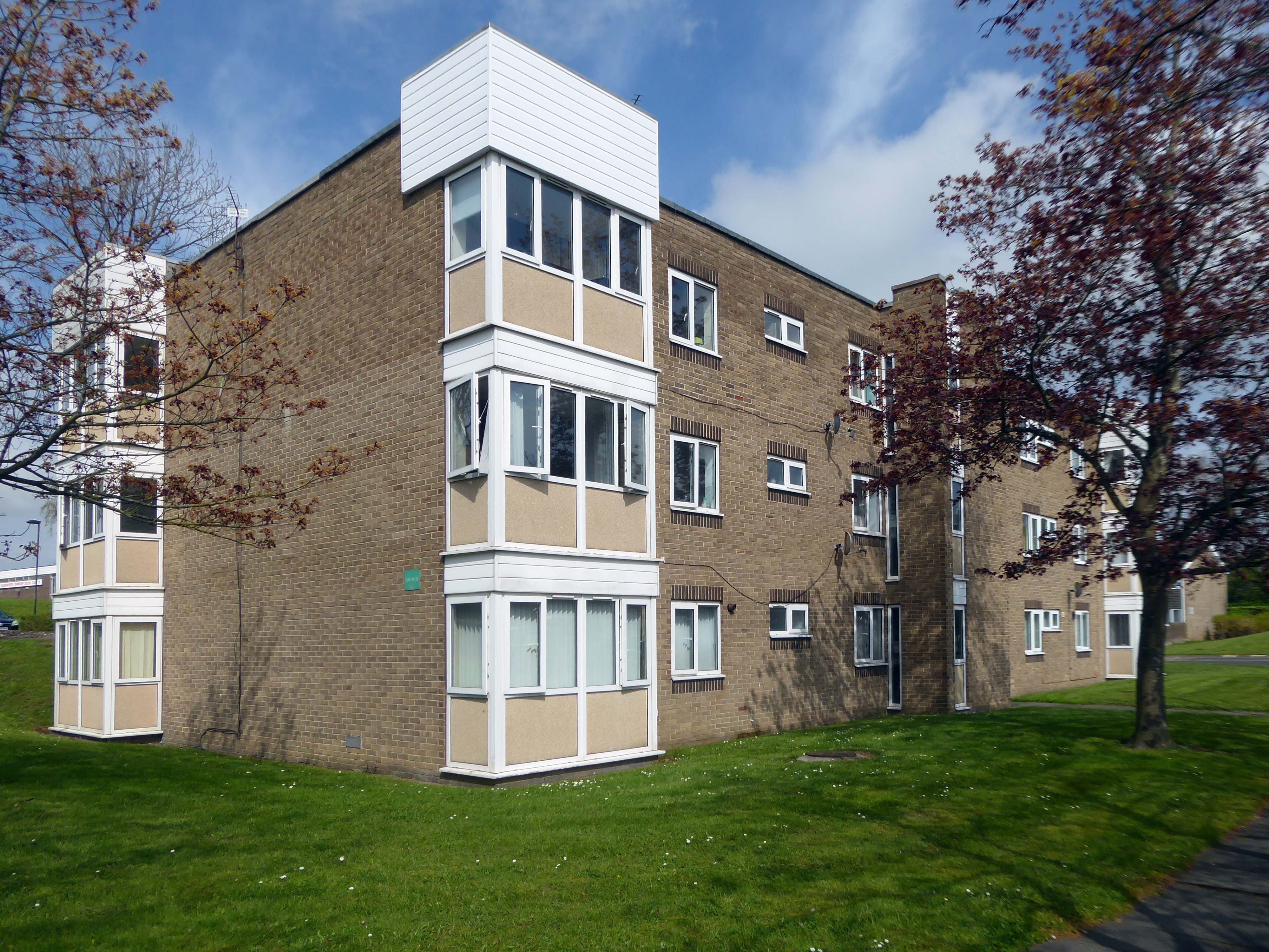
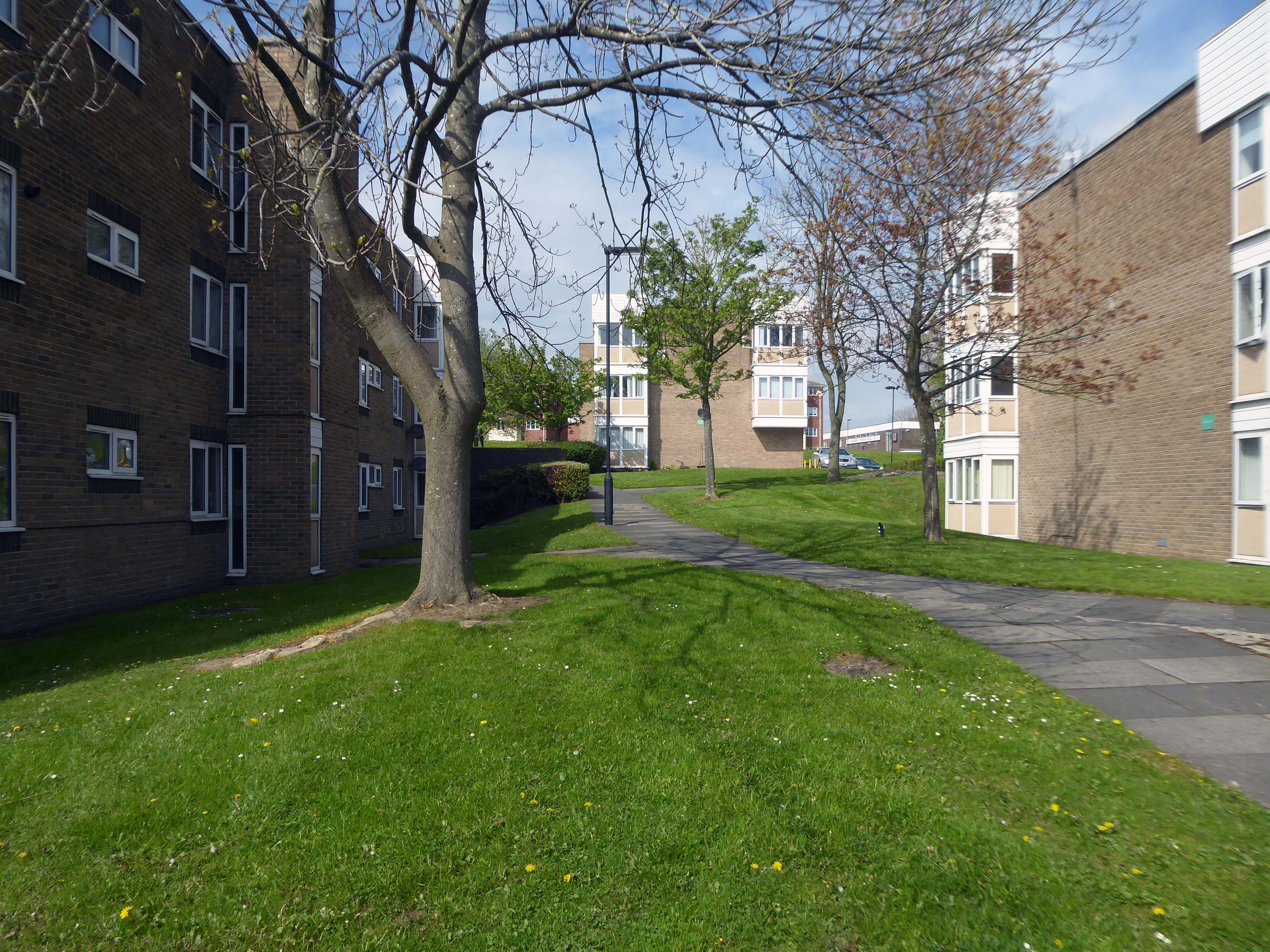
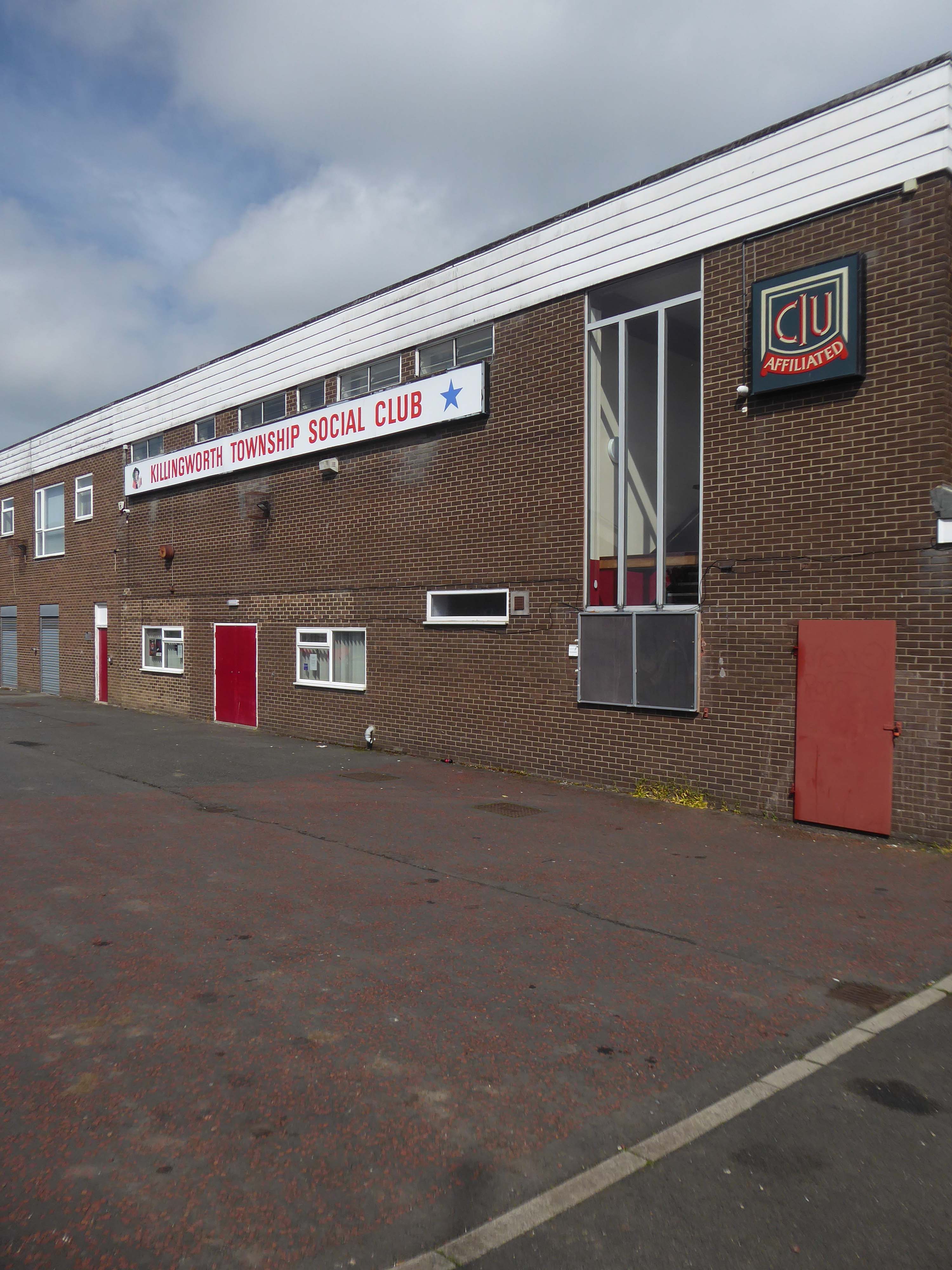
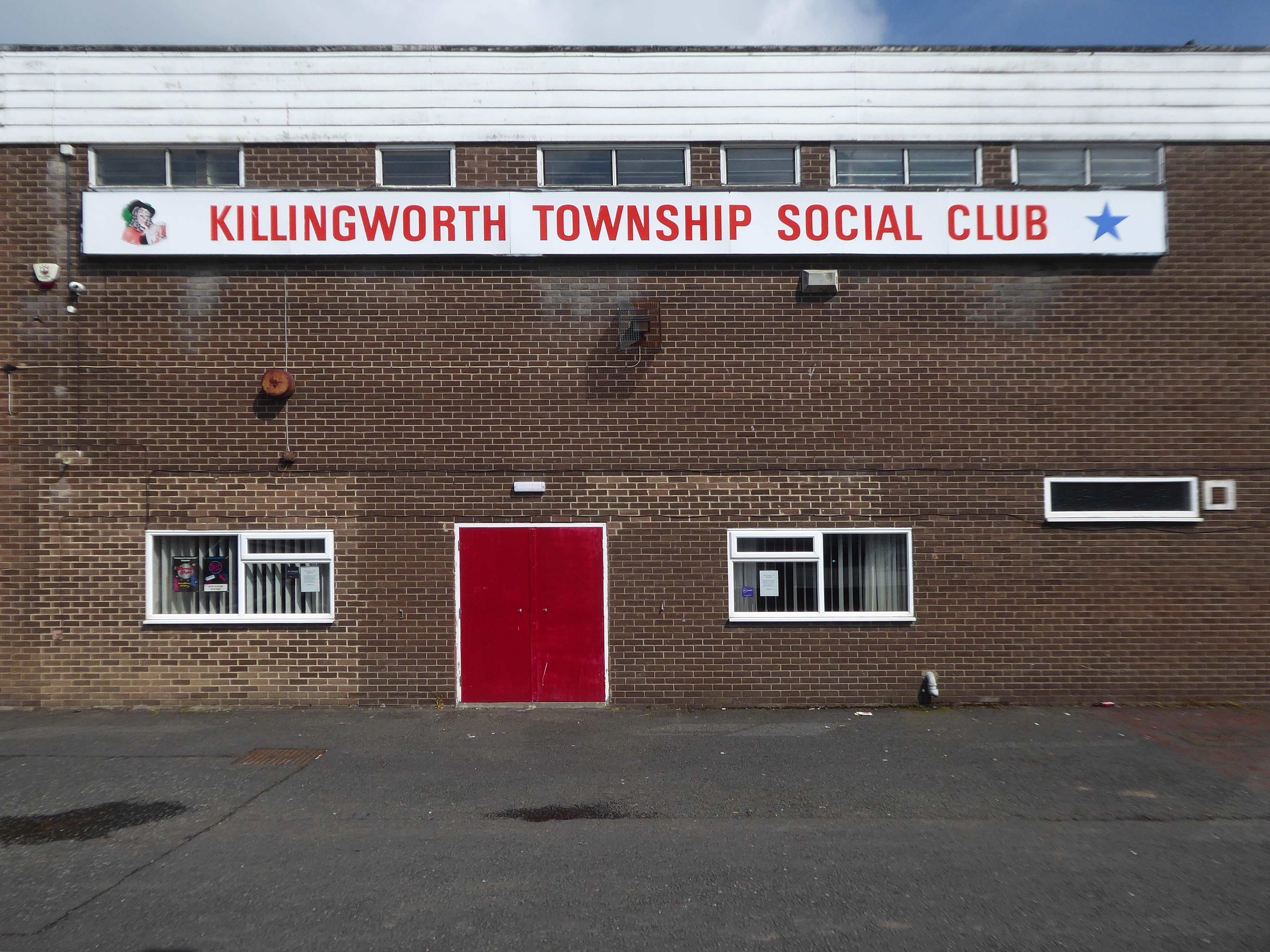
Construction of Killingworth, a new town, began in 1963. Intended for 20,000 people, it was a former mining community, formed on seven hundred and sixty acres of derelict colliery land near Killingworth Village. The building of Killingworth Township was undertaken by Northumberland County Council and was not formally a New Town sponsored by the Government.
Unlike that town, Killingworth’s planners adopted a radical approach to town centre design, resulting in relatively high-rise buildings in an avant-garde and brutalist style that won awards for architecture, dynamic industry and attractive environment.
This new town centre consisted of pre-cast concrete houses, with millions of small crustacean shells unusually embedded into their external walls, five to ten storey flats, offices, industrial units and service buildings, which often consisted of artistic non-functional characteristics, shops and residential multi-storey car parks, interconnected by ramps and walkways. These made up a deck system of access to shopping and other facilities, employing the Swedish Skarne method of construction.
Originally named Killingworth Township, the latter part was quickly dropped through lack of colloquial use.
Killingworth is referred to as Killy by many residents of the town and surrounding areas.
Around 1964, during the reclamation of the derelict pit sites, a fifteen acre lake south of the town centre was created; spoil heaps were levelled, seeded and planted with semi-mature trees.
The history of the building which today houses Scarborough Art Gallery began in 1828, when local solicitor and Town Clerk, John Uppleby, in partnership with local builders John Barry and his brother William, bought the land on which The Crescent would be built from the wealthy local banker and shipowner, John Tindall. In 1830, the York architect Richard Hey Sharp and his brother Samuel were commissioned to draw up plans for the site.
Crescent Villa was the last of the villas to be built, erected in 1845 as a home for John Uppleby and his family. After John’s death in 1856, his wife and family continued to live in the house until her death in 1881, at which time it was bought by Edward Chivers Bower, father of the sculptor Lady Ethel Alice Chivers Harris and the great grandfather of Katharine, Duchess of Kent.
Bower renamed the house ‘Broxholme’ after his family seat near Doncaster.
Following Henry Donner’s death, the house was purchased by Scarborough Corporation in 1942 for £3000 and for five years was used as a welfare clinic and children’s nursery. The clinic moved out in February 1947 and the Corporation decided to turn the building into a public art gallery.
The permanent collection includes paintings donated by famous hotelier Tom Laughton, the brother of the film star and actor Charles Laughton.
Detail from a 1931 map of Scarborough by Edward Bawden – Scarborough Museums Trust collection
Both Eric Ravilious and Edward Bawden, who were close friends, became acquainted with Tom Laughton, who acted as a patron, particularly to Bawden and commissioned pieces from him to adorn his hotels.
I visit Scarborough at least once a year – travelling by train from my home in Stockport and one occasion cycling from Hull.
Whilst visiting, a visit to the gallery is almost de rigueur.
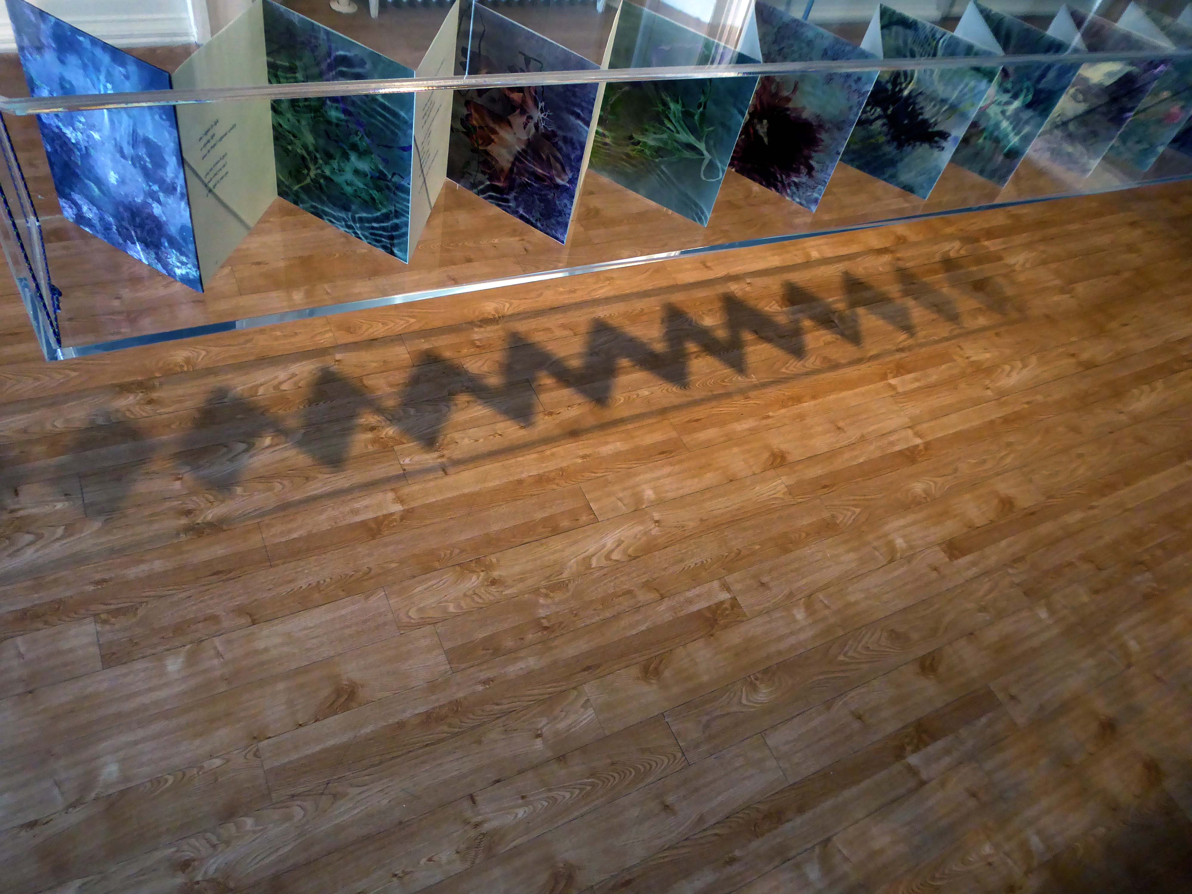
This year I had a particular interest in the gallery’s photographic exhibition Squaring The Circles
The works on show demonstrate radical and experimental investigations into the process of making photographs. From cyanotypes and daguerreotypes to pinhole and cameraless imagery, the exhibition blurs the boundaries between art and photography, resulting in an expressive, otherworldly, and inspiring display.
Exhibiting photographers include Takashi Arai, Angela Chalmers, David Chalmers, Susan Derges Hon FRPS, David George, Joy Gregory Hon FRPS, Tom Hunter Hon FRPS, Ian Phillips McLaren, Céline Bodin and Spencer Rowell.
Curated by Zelda Cheatle Hon FRPS.
I turned up paid my three pounds for an annual pass and looked around.
This is what I saw inside and out.
Angela Chalmers
Tom Hunter
Tom Hunter
Susan Derges
Céline Bodin
Tom Hunter
The show’s full title was Squaring the Circles of Confusion – here’s some information to dispel the confusion
Having taken a particular interest in this particular piece of public art for some time – I need to go and take a little look.
But what will we see along the way, as we hasten along Rochdale Road?
Which once looked like this, way back when in 1904.
Though some things inevitably come and go, as some things are prone to do.
The city is undergoing yet another reinvention as Manchester becomes – an attractive place to invest and do business.
See, I am doing a new thing!
Now it springs up; do you not perceive it?
I am making a way in the wilderness and streams in the wasteland.
Isaiah 43:19
Once there was a gas works here – adjoining Gould Street, seen here in 1958.
The Gould Street Gas Works was a gas manufacturing plant located in Manchester, England. Originally built in 1824, the plant was operated by the Manchester Corporation Gas Department and was in operation from 1833 to 1969. It was named after the street on which it was located, which was named after John Gould, who was a prominent Manchester businessman in the 19th century.
The Gasworks New Town neighbourhood is one of seven envisioned by the £4bn Victoria North masterplan. It will feature nine buildings ranging from 8 to 34 storeys. The 6.6-acre site has most recently been home to a car park but the green development will overwhelmingly prioritise walking and cycling over driving. It will result in tens of millions of pounds being pumped into the city’s economy over the lifetime of the development.
Plans for a trailblazing city centre regeneration scheme that will create more than 1200 homes has been approved by Manchester City Council.
A total of 85 of the 1200, will be affordable homes available through Shared Ownership.
Though as of March 31st 2023 ground is yet to be broken, no signs of the:
New centre of gravity for central Manchester that will create thousands of jobs and inject tens of millions of pounds into the city’s economy.
So you zig-zag wanderers, make the most of these wide open expanses of affordable car parking, while you can.
The future may yet be here today – or the next.
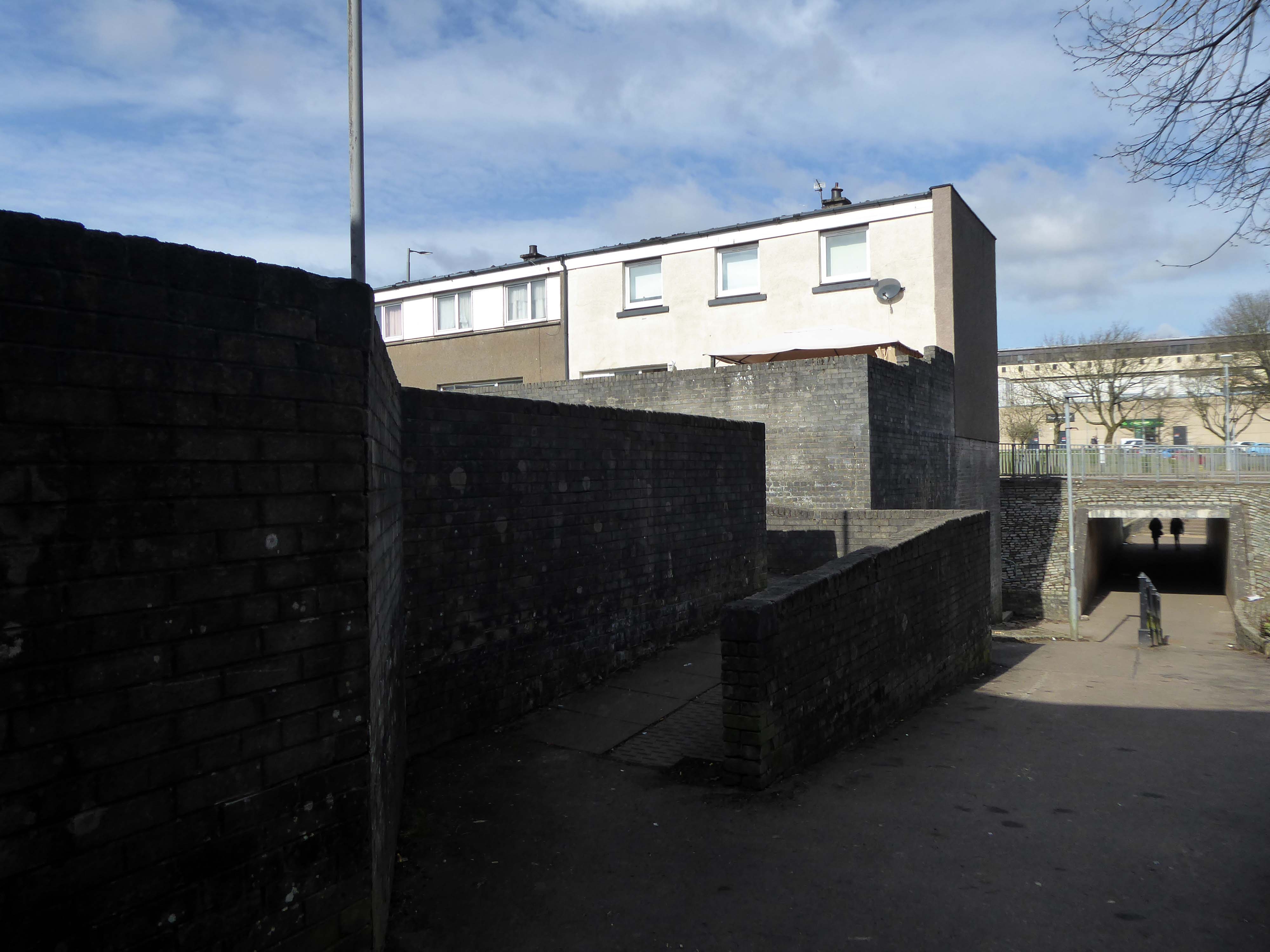
Let’s duck under the railway, through this sad damp pedestrian tunnel – the domain of the cash strapped daytime drinker, transient tagger and disaffected leaflet distributor.
Next thing you know you have emerged into the daylight on Dalton Street – we have been here before seeking the Collyhurst Cowboy.
Photograph: Dennis Hussey
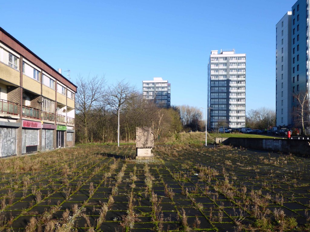
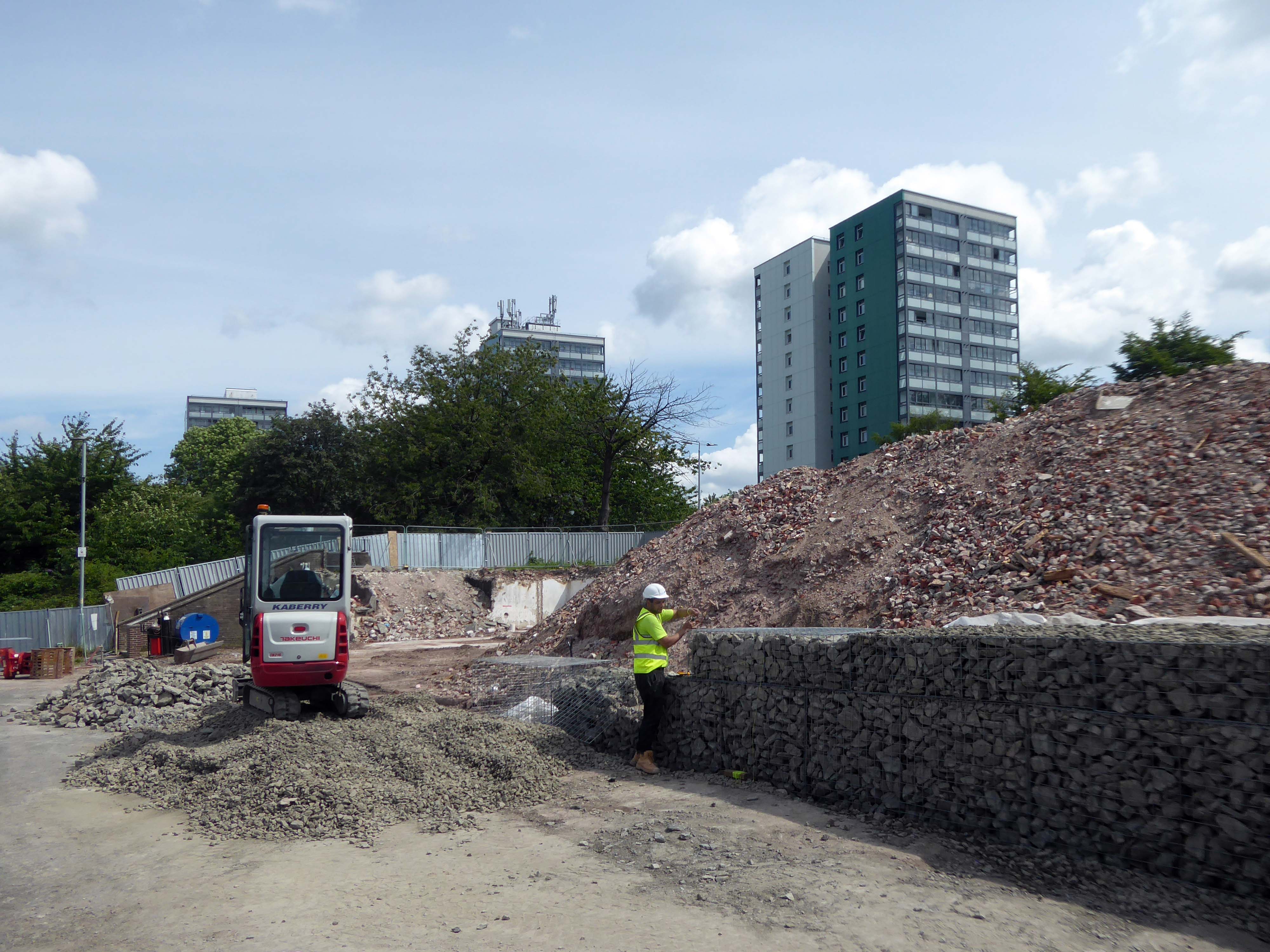
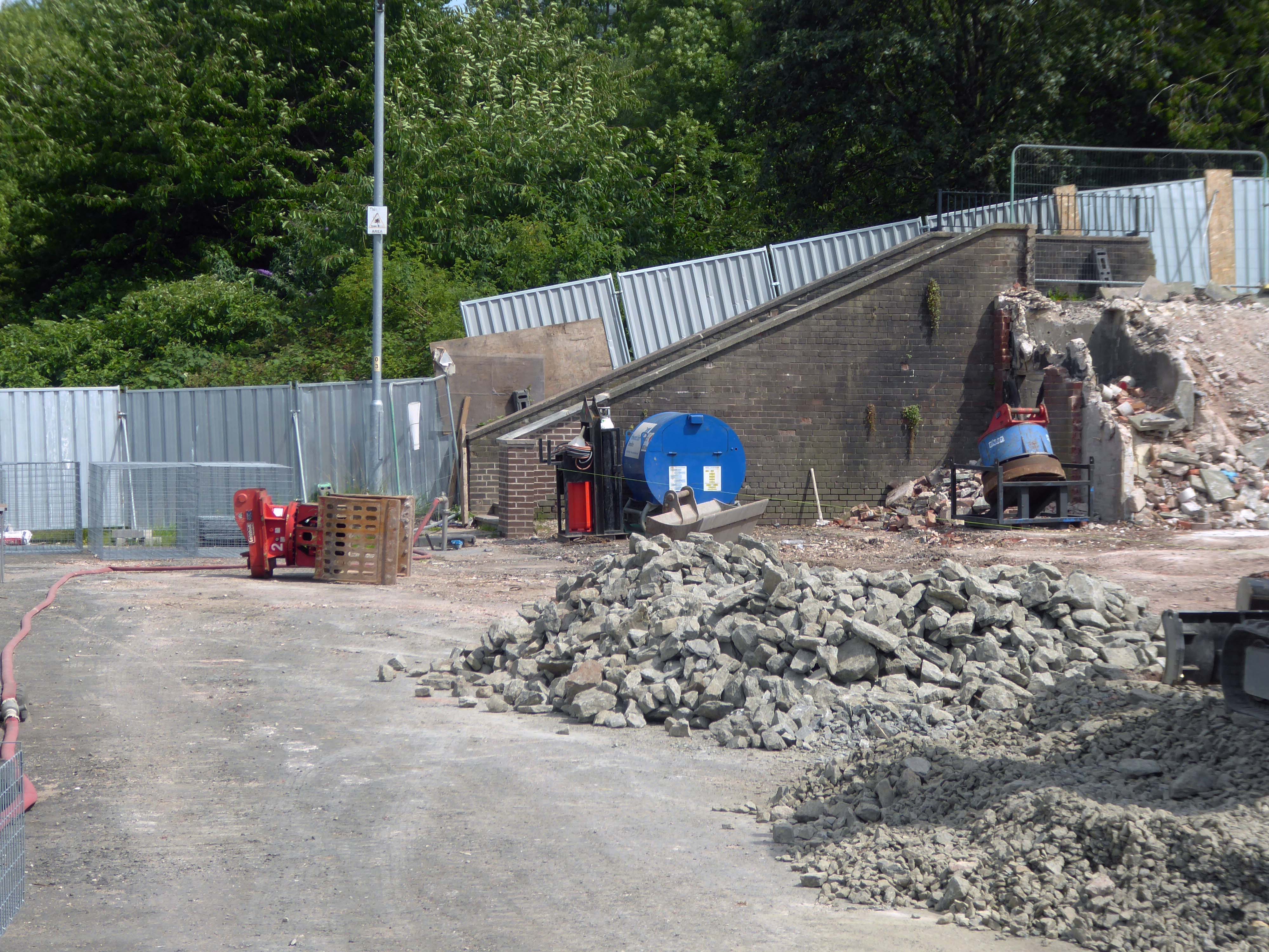
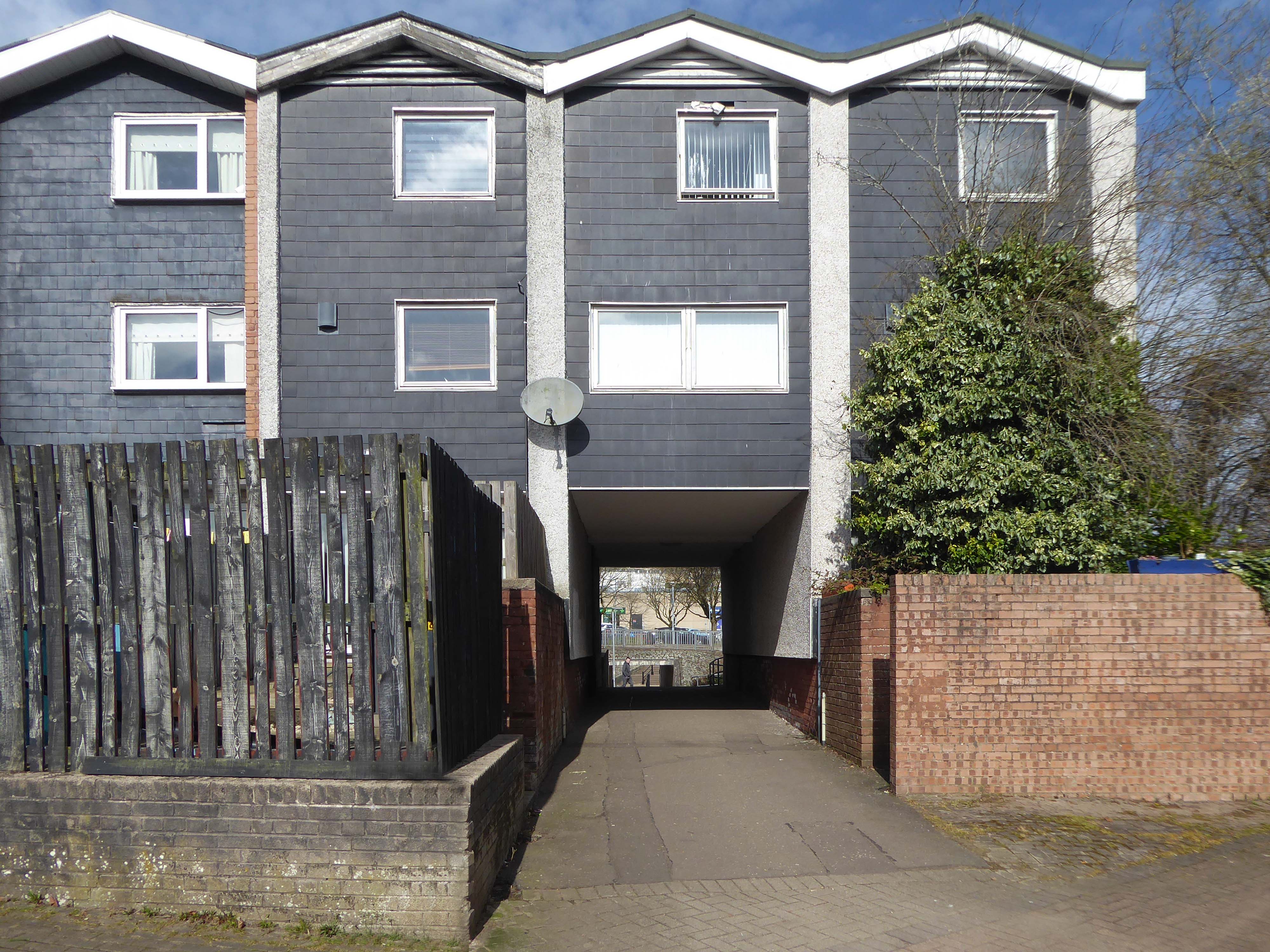
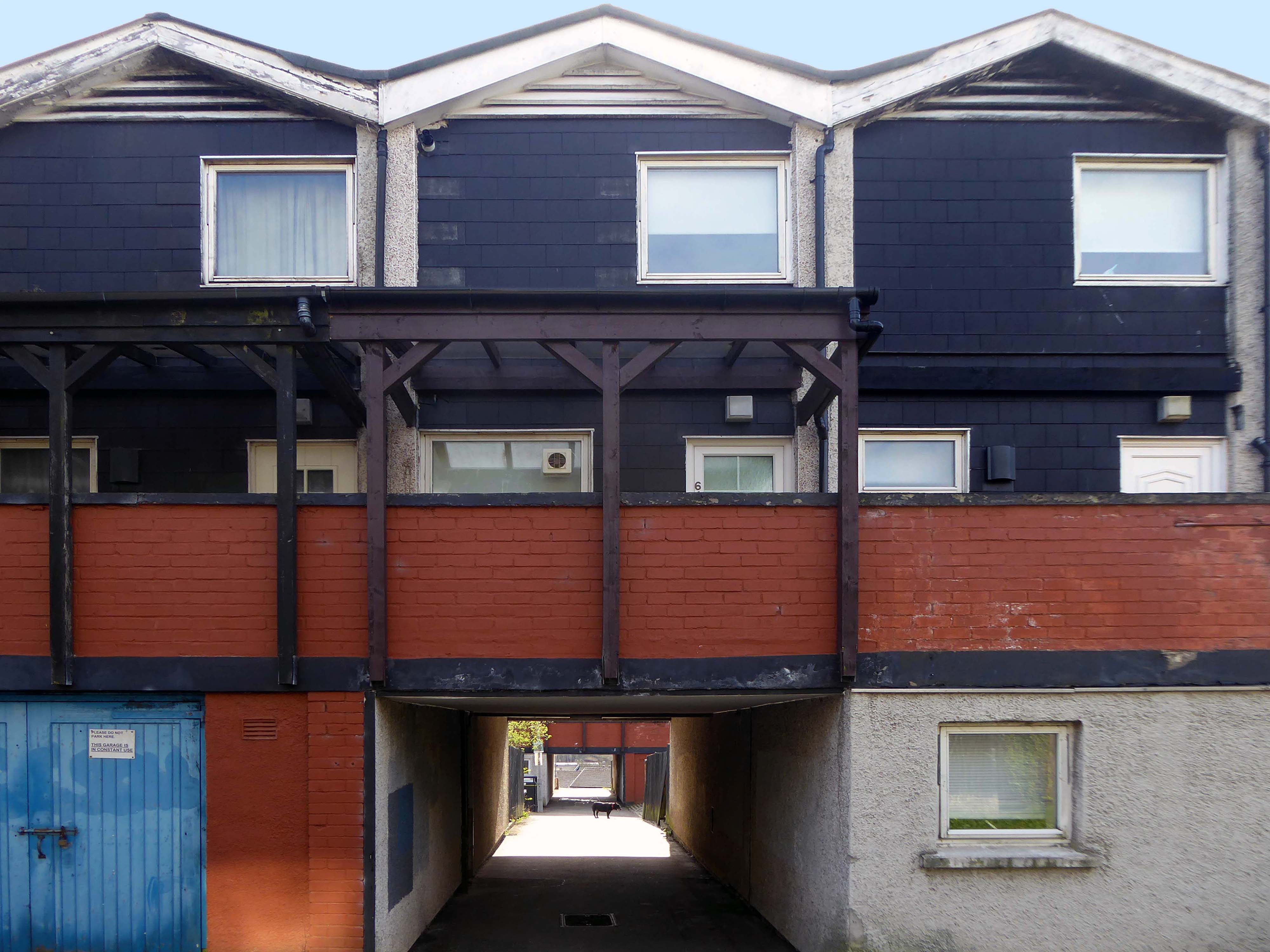
Onwards to Eastford Square.
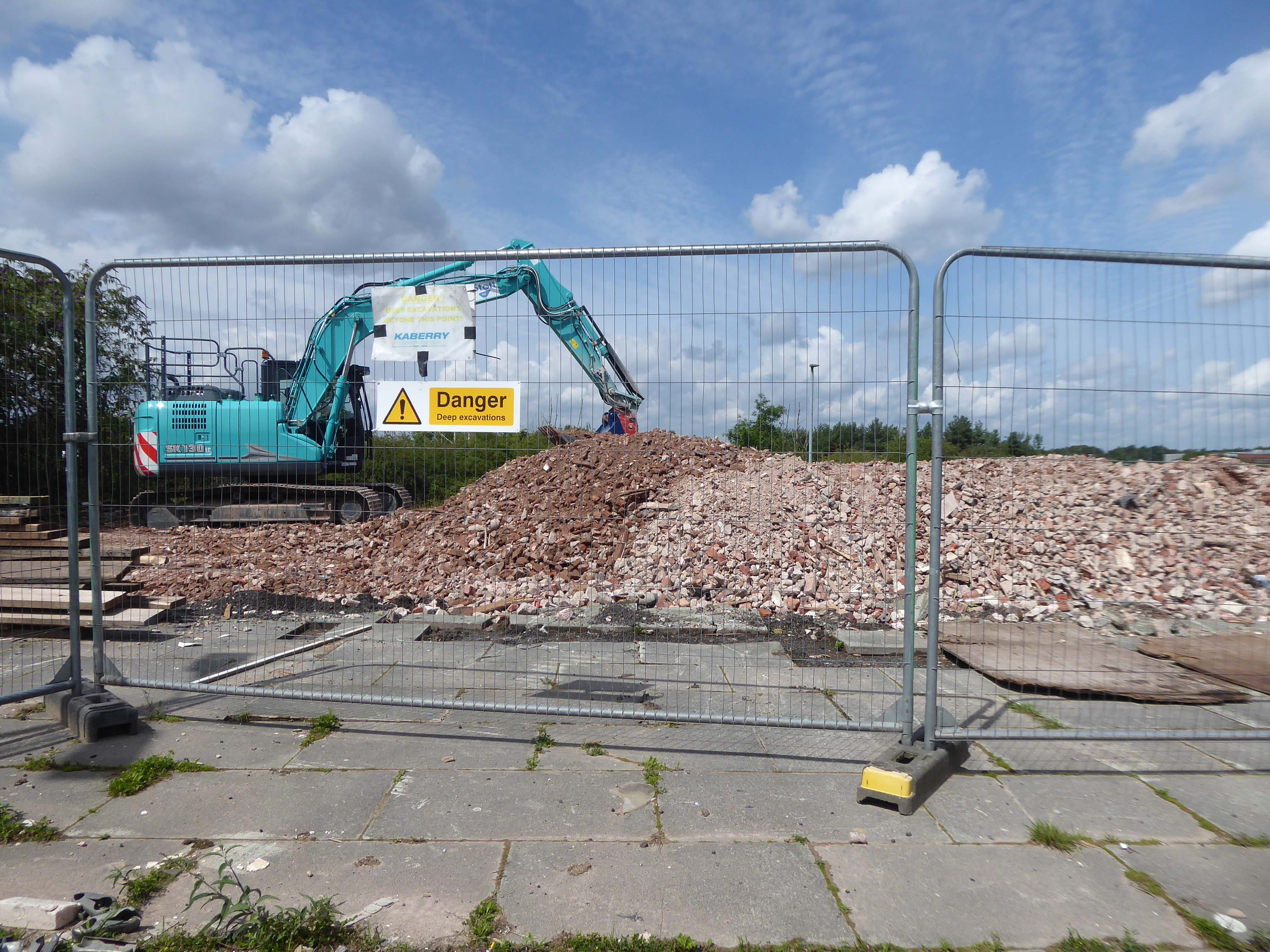
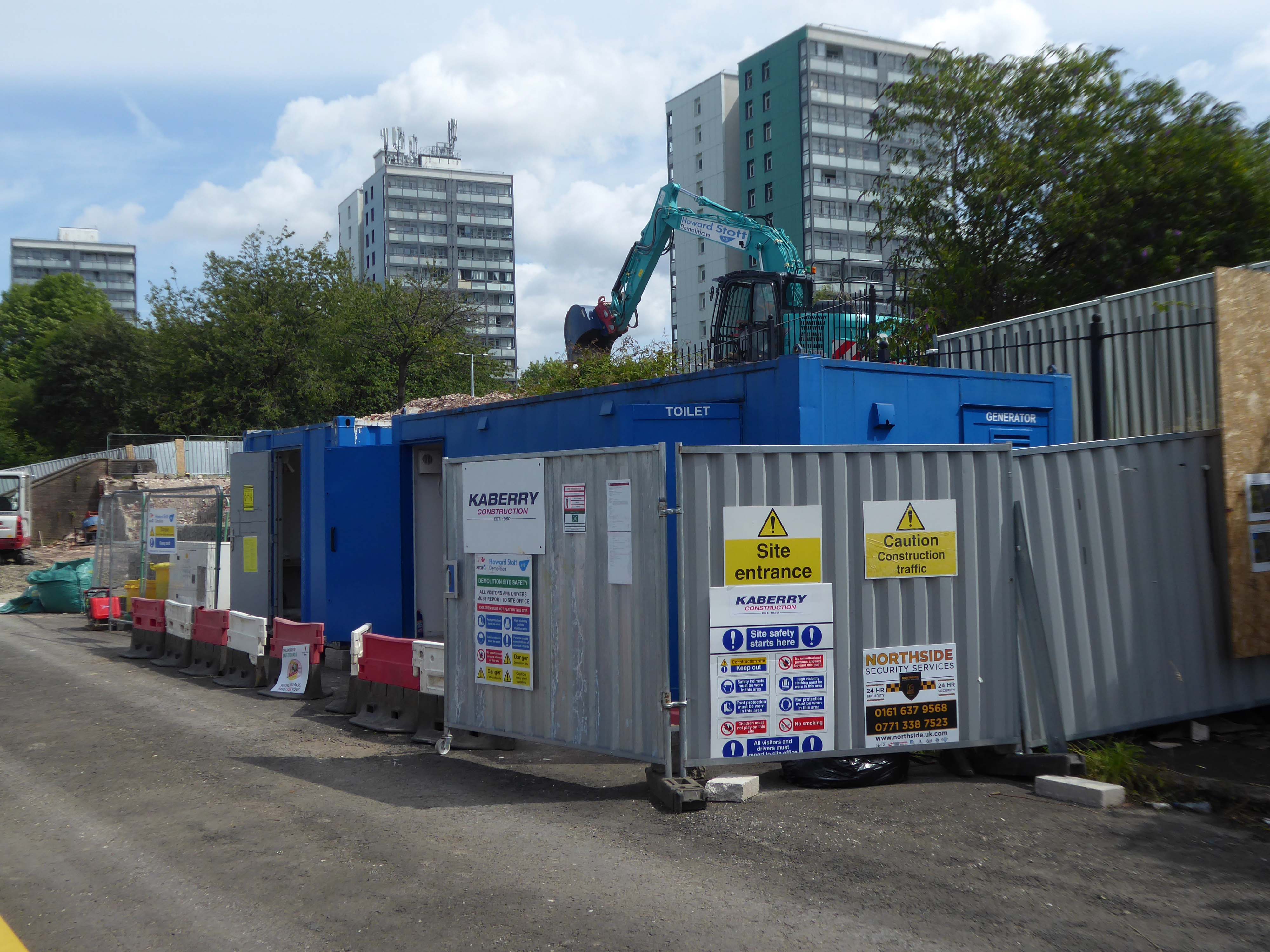
The shops and maisonettes are due to be demolished any day now – no longer to gaze open-eyed upon the former quarry of Sandhills.
Around the front the diggers have been a digging – digging up around the base of the totem.
The work is to be re-sited by the nearby tower blocks.
The end is nigh.
Heading now for Collyhurst Road and the Irk Valley – seen here in 1960.
Looking back on the Square and the Dalton Street flats – Humphries, Dalton, Roach, Vauxhall and Moss Brook Courts under construction.
Vauxhall Street now but a shadow of its former self – the last traces of industry long gone.
Reclaimed over time by trees and dense underbrush.
Crossing Collyhurst Road and up and over the railway via Barney’s Steps also known as the Lowry Steps.
LS Lowry
By the late 1950’s the whole of this area which we called Barney’s Tip became a refuse tip for Manchester City Council.
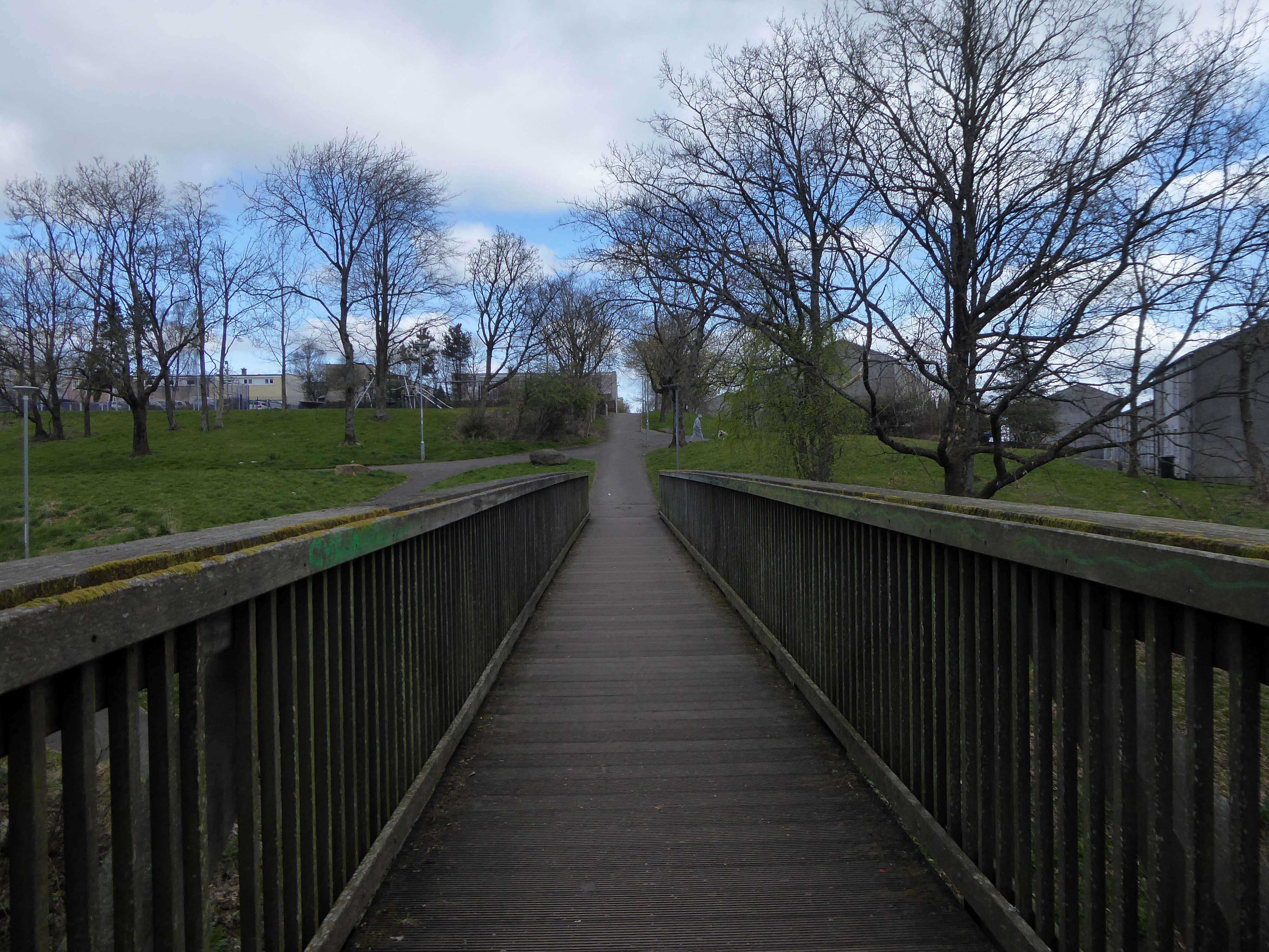
The area is in the process of being reconfigured as a delightful country park.
The investment will also help develop an initial phase of the planned City River Park incorporating St Catherine’s Wood as part of a network of public open space, including improvements along the River Irk and works to improve flood resilience, unlocking the potential of the Irk Valley that will characterise the wider Northern Gateway project.
The first phase of the City River Park will begin work to transform former railway architecture to develop the new Viaduct Linear Park north of Victoria Train Station, new stepped public realm space – Red Bank Terraces, along with new green space by the River Irk and the key improvements to St Catherine’s Wood.
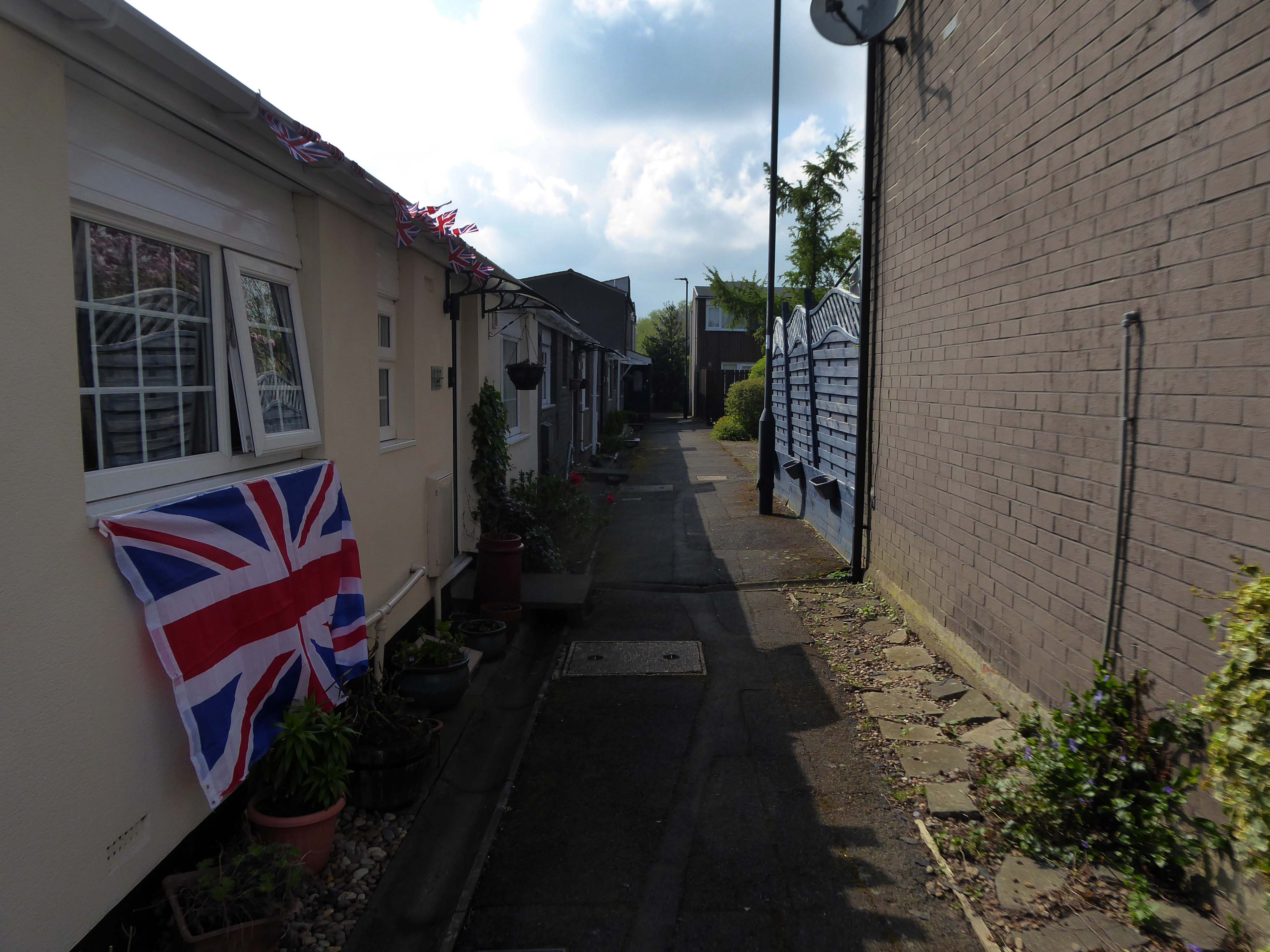
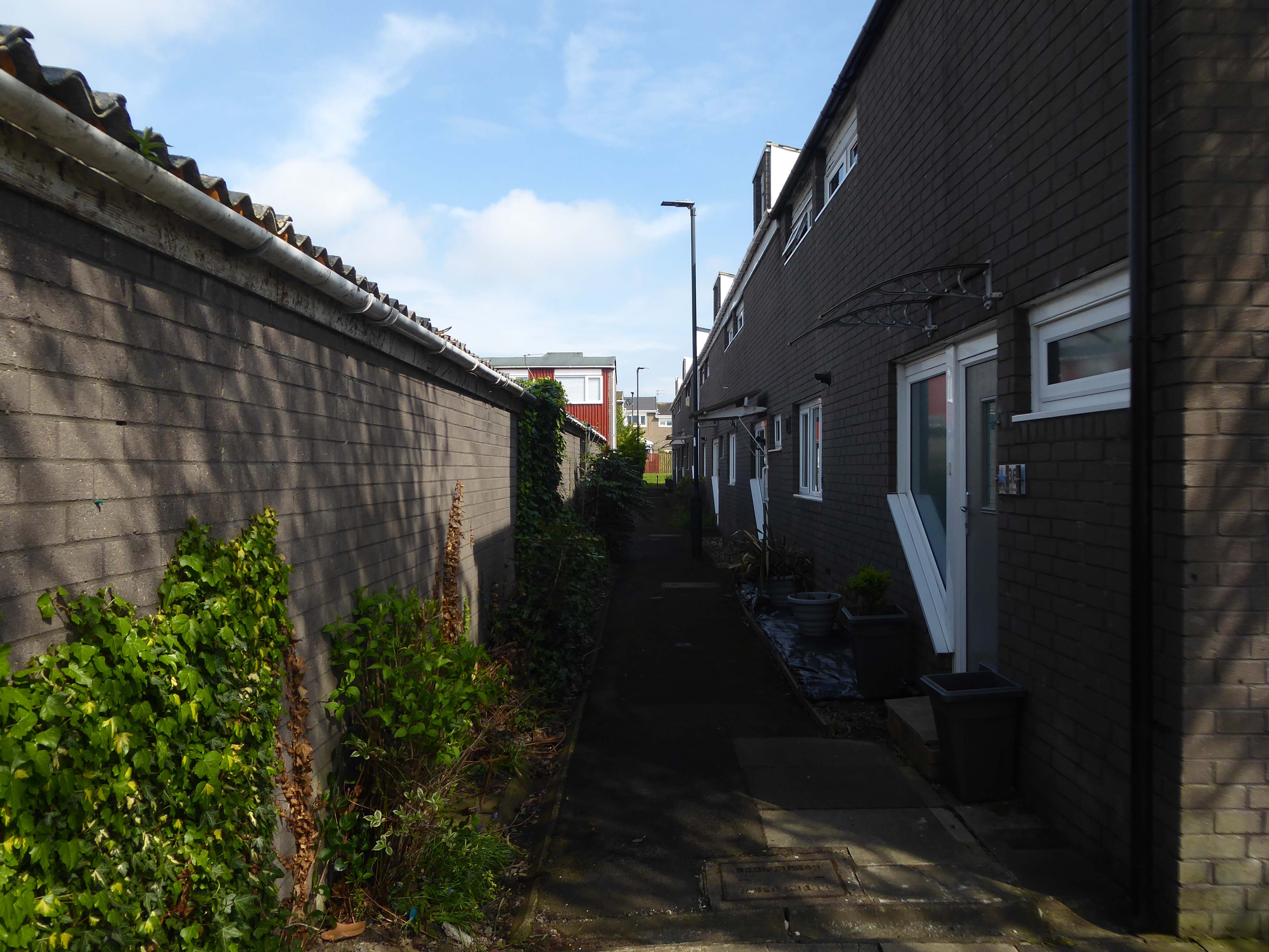
Collingham Street is lined with trucks, trailers, stalls and mobile homes.
But there’s nothing temporary about this Cheetham Hill neighbourhood; most residents have lived here for years and many plan to spend the rest of their lives here.
Founded more than forty years ago, it was created by the Showman’s Guild of Great Britain – and it’s reserved exclusively for fairground workers both retired and current.
Built on Queens Road tip, a former rubbish dump, and rented out by Manchester Council, many of the 52 homes belong to older retired showmen or families for whom an itinerant lifestyle has become more challenging.
It’s a close-knit community with a unique shared history.
Though not without its own particular issues it would seem, according to the MEN.
The licensing out of hours team has received noise complaints relating to the premises which was found to be open beyond permitted hours when visited. Officers also identified breaches of the Health Act during inspections in which people were seen smoking shisha pipes in an enclosed extension at the back.
We will leave the Flamingo be and head back into town – but not without giving a nod to this confusing collision between this self-made scrapyard-man chic gate and the ever changing skyline of overheated urban regeneration.
The new creation has come: The old has gone, the new is here!
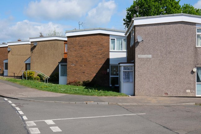
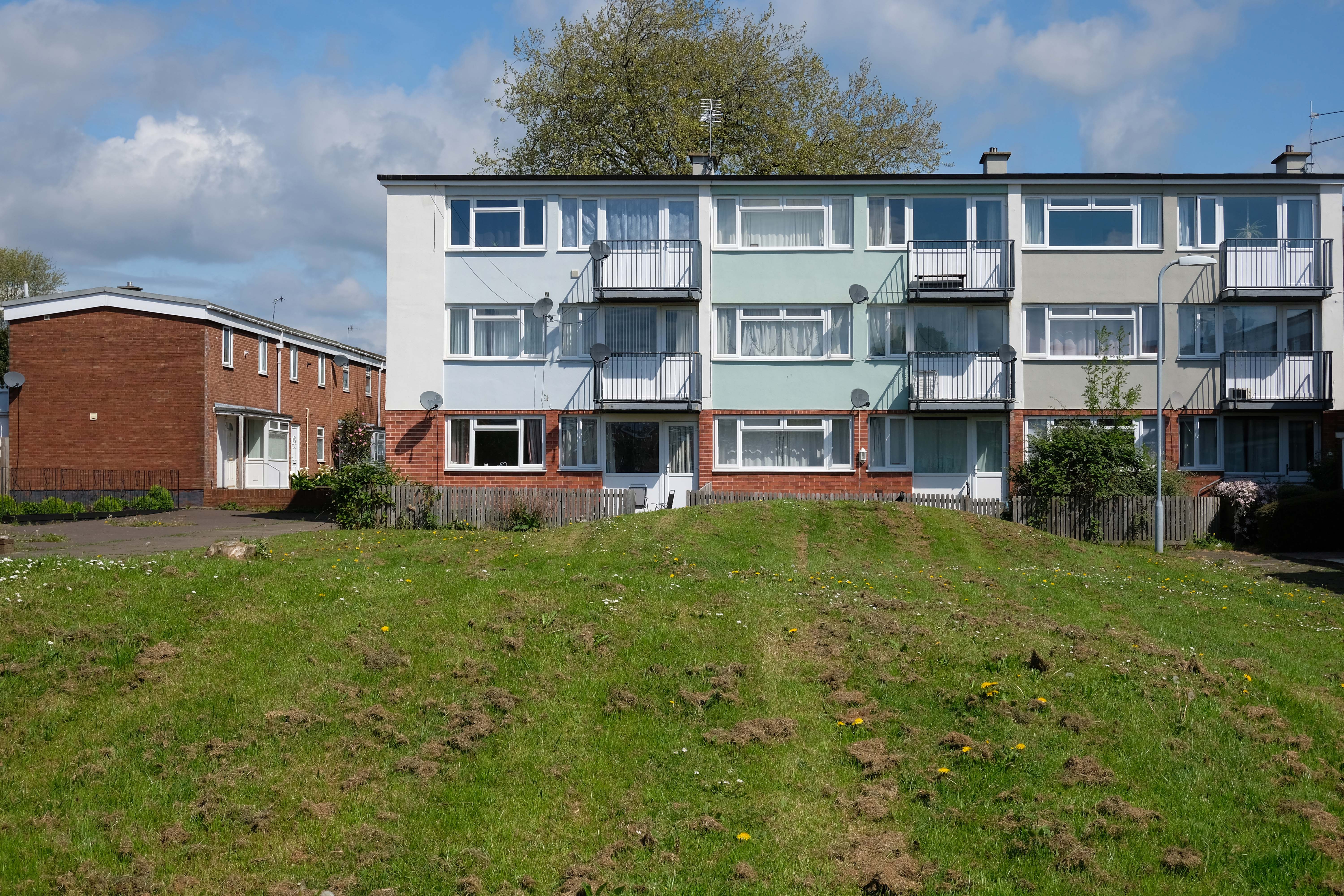
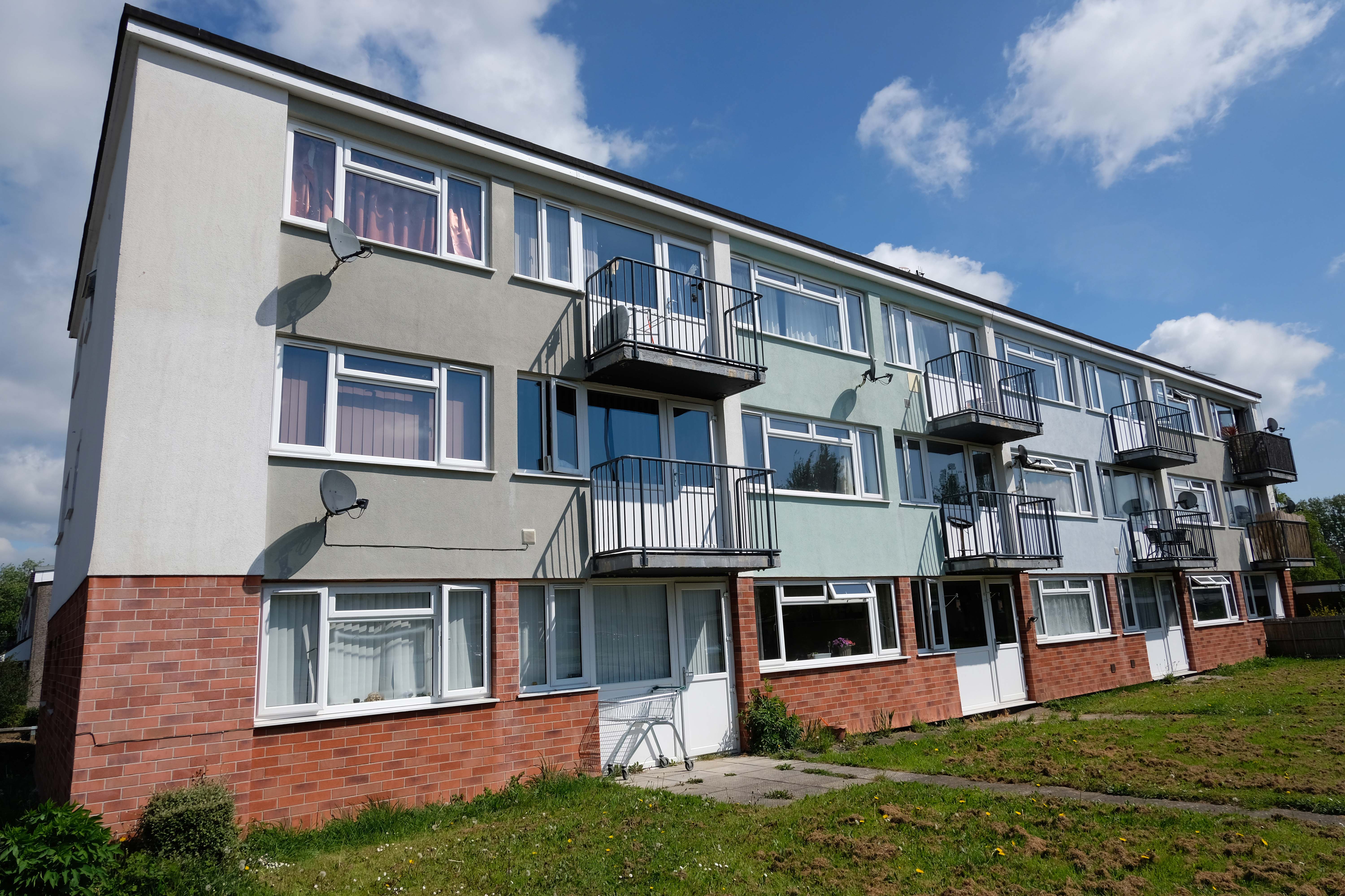
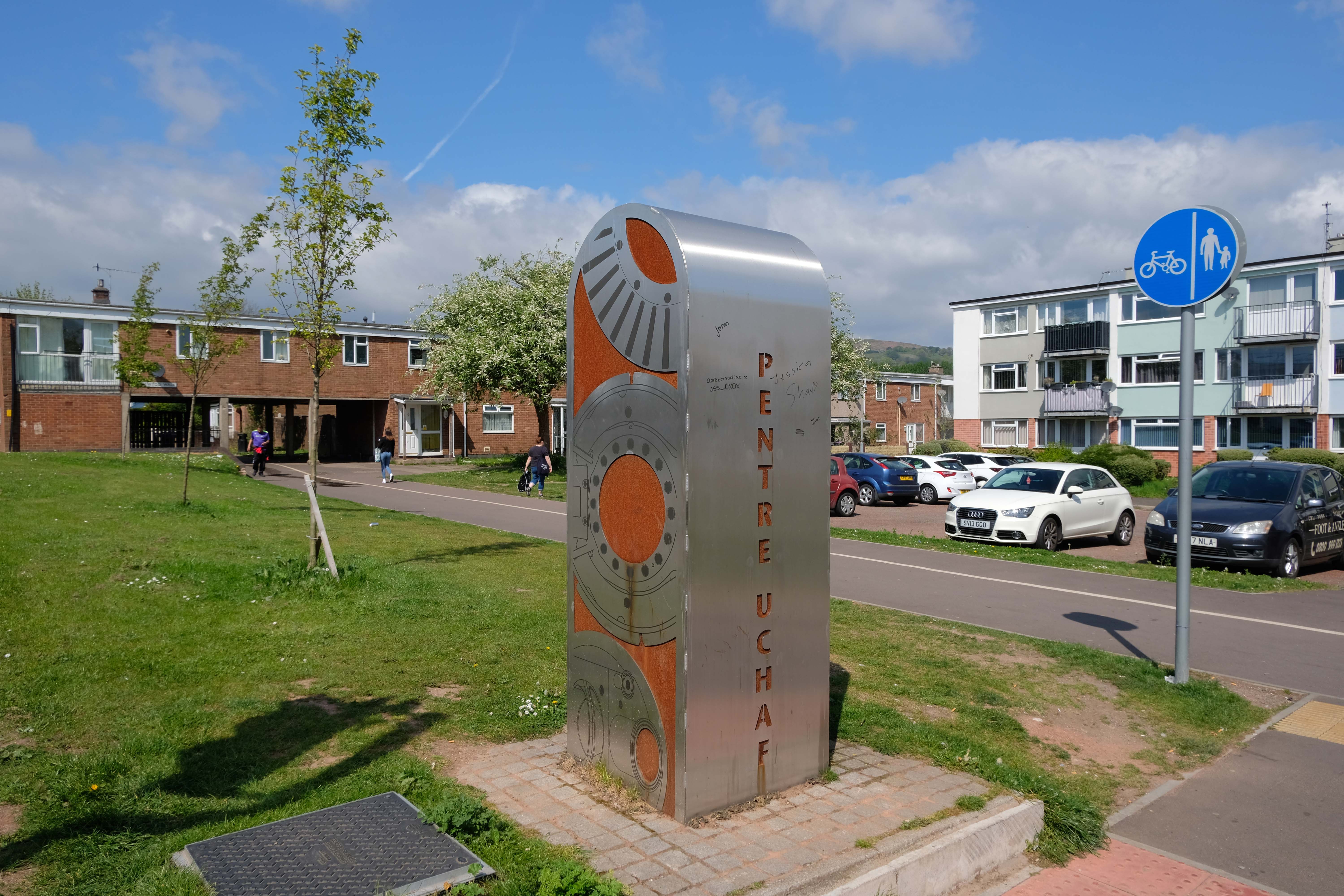
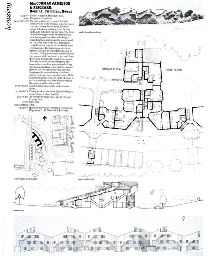
Cwmbran was founded in 1949 as a new town, to provide new employment opportunities in the south eastern portion of the South Wales Coalfield, but the area has a long history.
We shall now explore the housing framed by the railway and shopping centre.
From Cleeve Barr’sPublic Authority Housing – published in 1958.
A mix of pedestrianised terraces and low rise blocks, set in a loose grid of roads and rolling, tree-lined, grassed areas.
Over time there has been the addition of uPVC and the revisionist intrusion of the ahistorical carriage lamp.
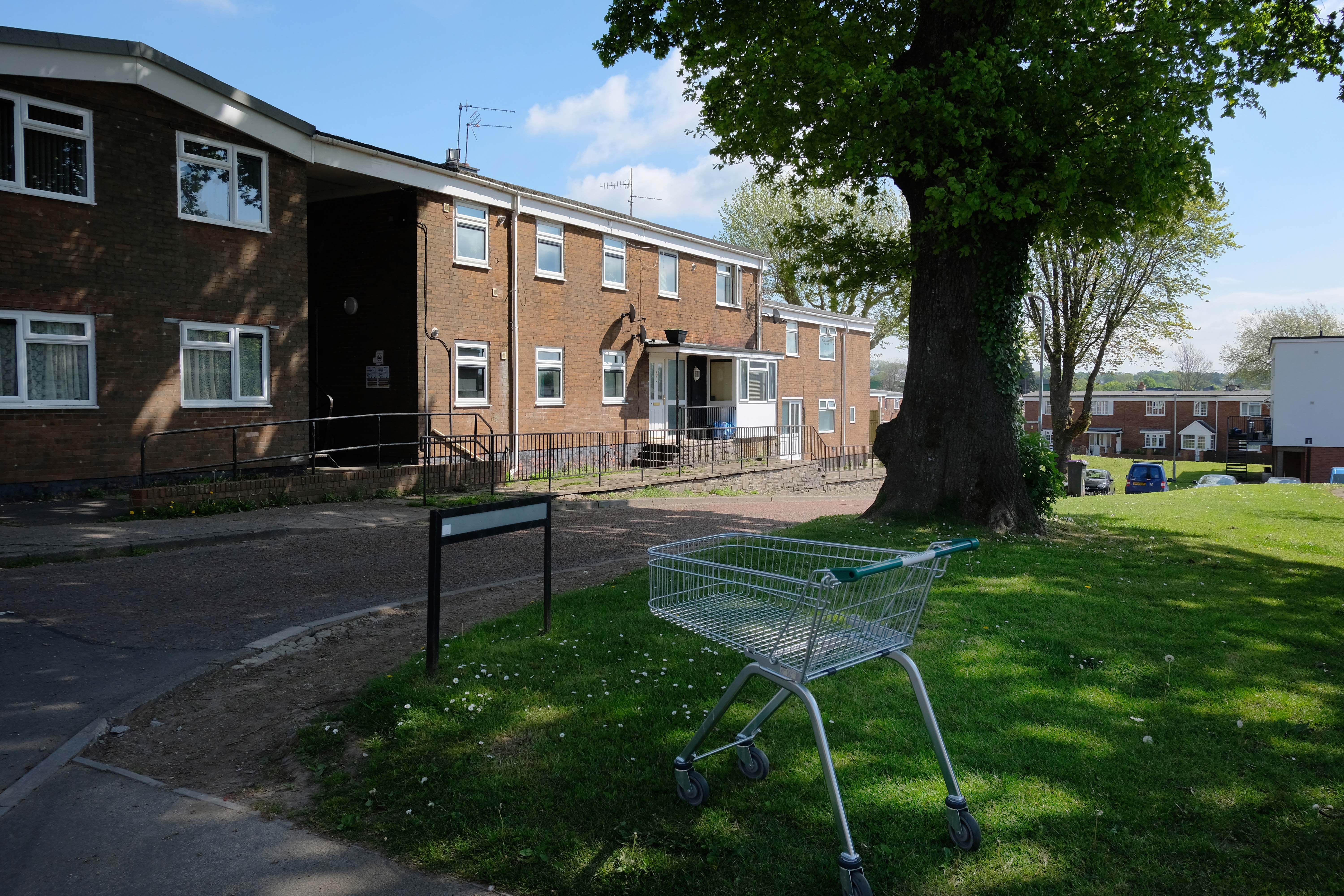
Incidentally an area with more al fresco shopping trolleys than I had ever seen, I assume that the big Asda, located within walking distance of the homes, to be the progenitor of such a notable proliferation.
It remains, generally speaking a well kept lived in area – let’s take a look.
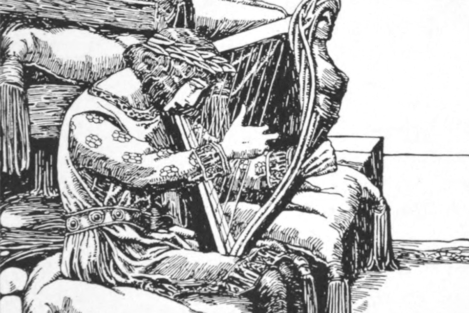
Taliesin (/ˌtælˈiɛsɪn/ tal-YES-in, Welsh: [talˈjɛsɪn]; fl. 6th century AD) was an early Brittonic poet of Sub-Roman Britain whose work has possibly survived in a Middle Welsh manuscript, the Book of Taliesin.
Taliesin is the home, studio, and 800-acre agricultural estate of Frank Lloyd Wright. Wright built Taliesin on his favorite boyhood hill, in the Wisconsin River valley homesteaded by his Welsh grandparents. He named it Taliesin in honor of the Welsh bard whose name means Shining Brow, reflecting his belief that the crown of the hill was reserved for nature, and that buildings should be constructed at the brow of the hill.
It is also a name commonly found on many of the common place dwellings of the Principality.
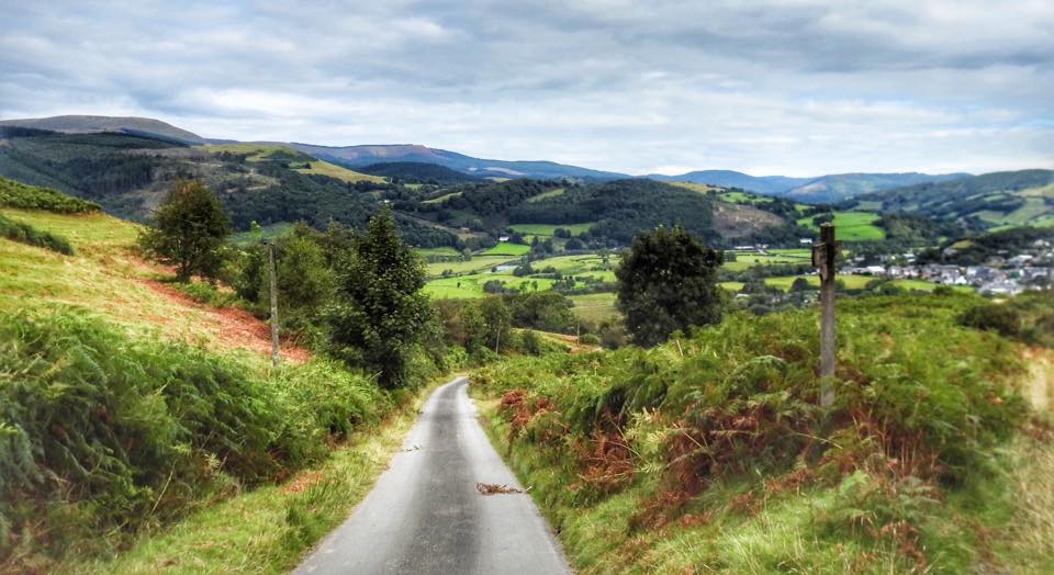
Tre-Taliesin is a village in Ceredigion nine miles south of Machynlleth.
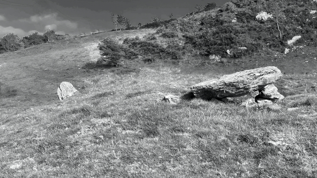
The village is known for the Bedd Taliesin, a hilltop Bronze Age tumulus which is traditionally regarded as the site for the grave of the Welsh bard, Taliesin. It is listed as a Historic Monument. It is a round-kerb cairn with a cist about 2m long. The capstone has fallen; the side stone slabs are more or less in their original positions.
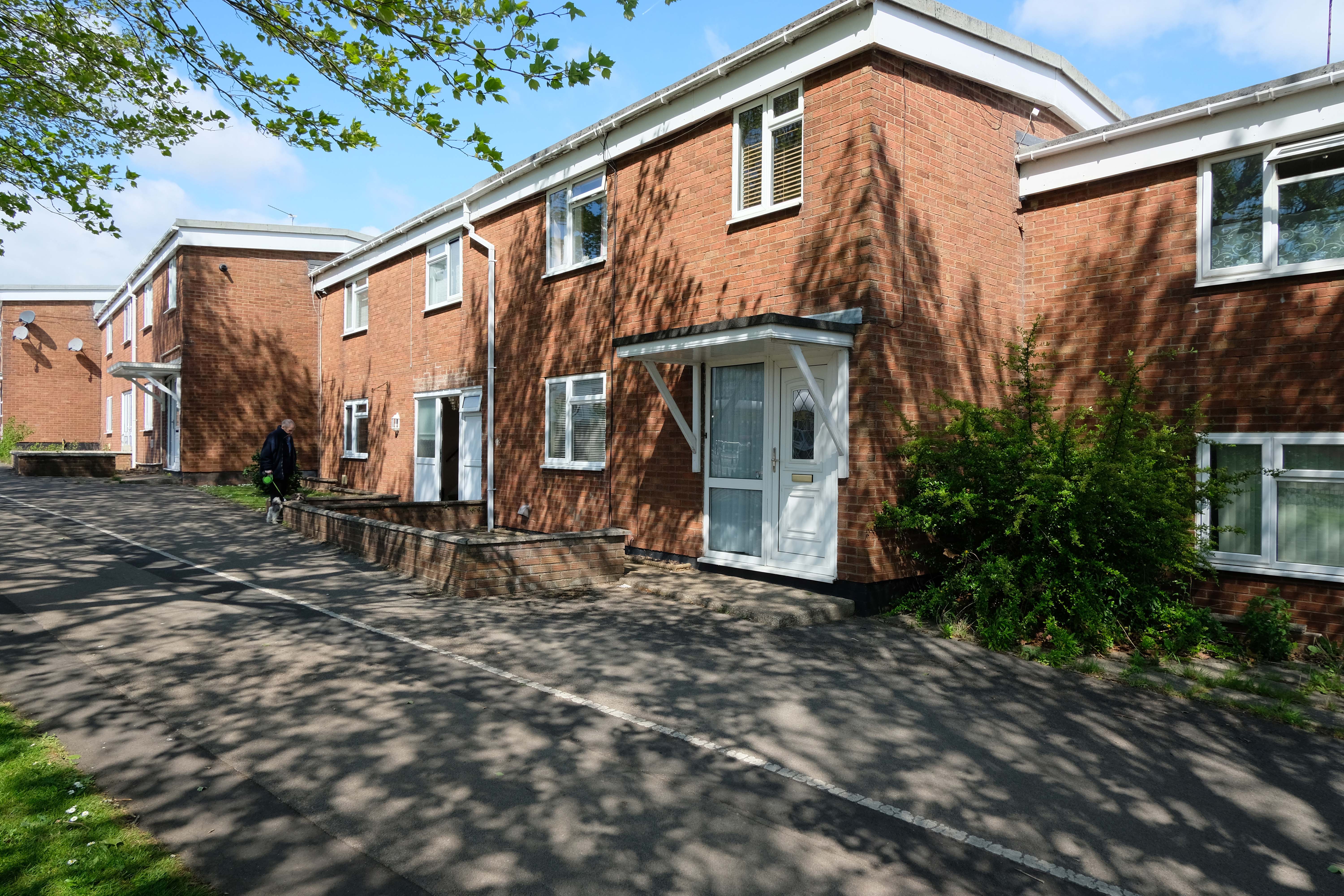
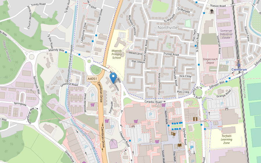
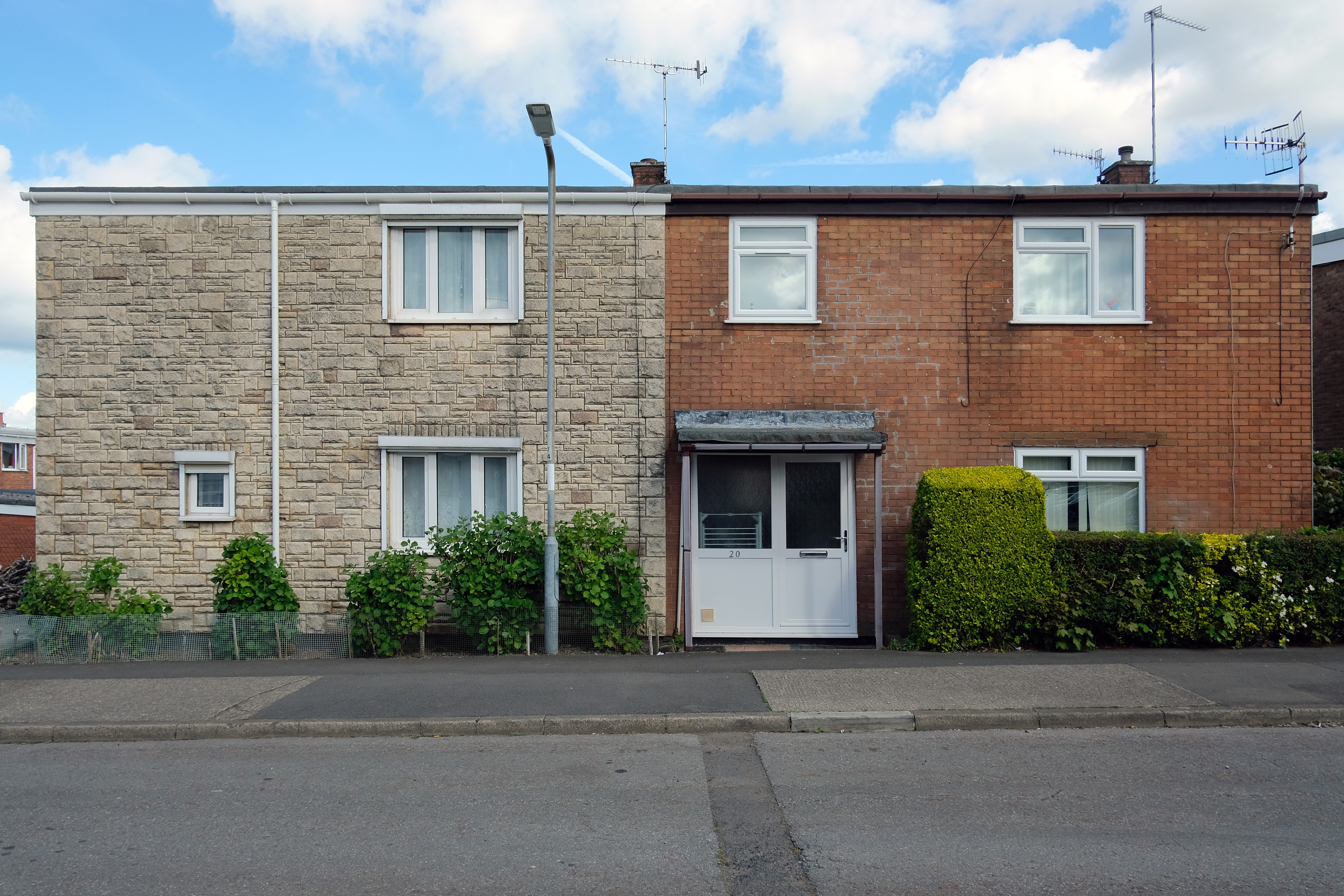
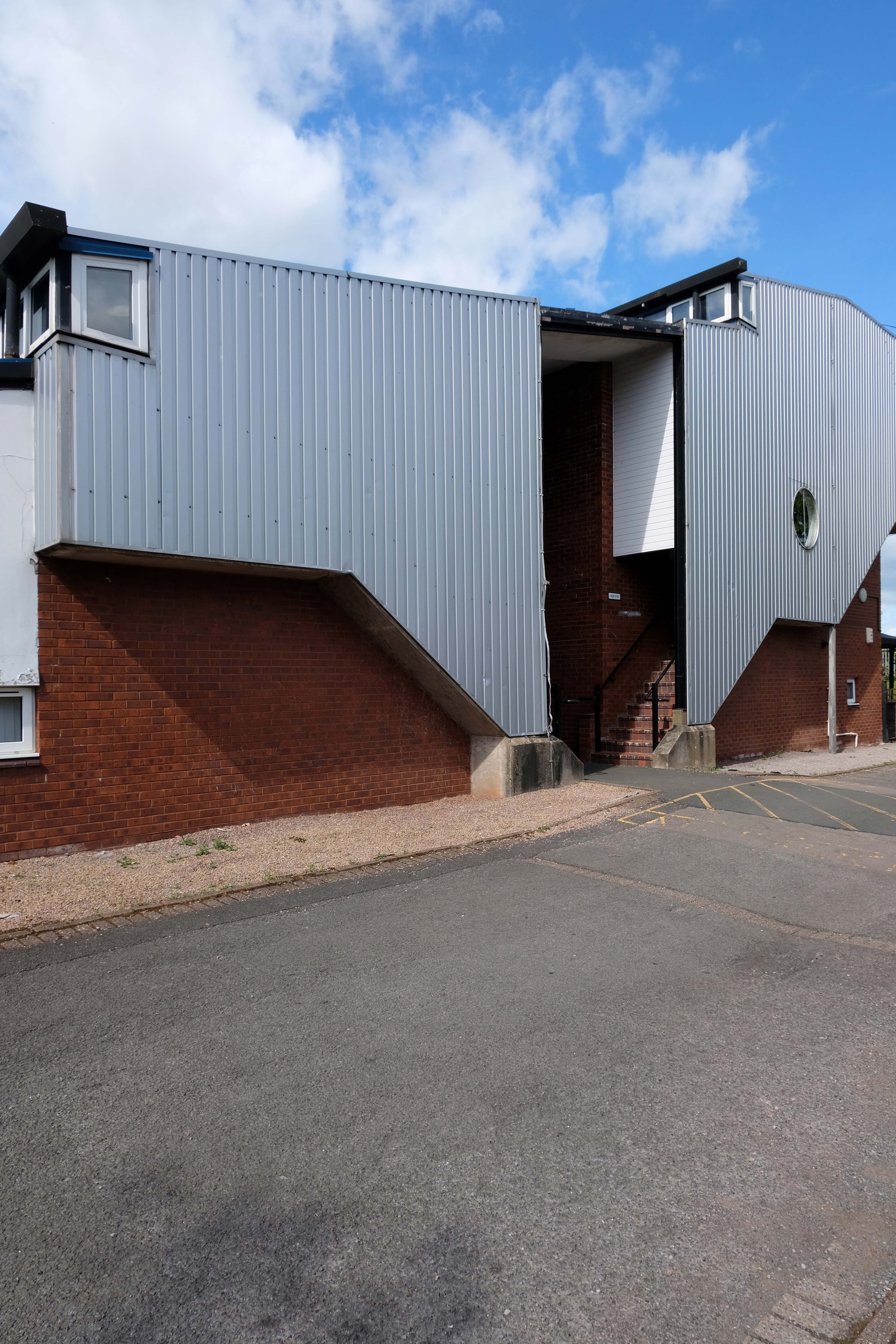
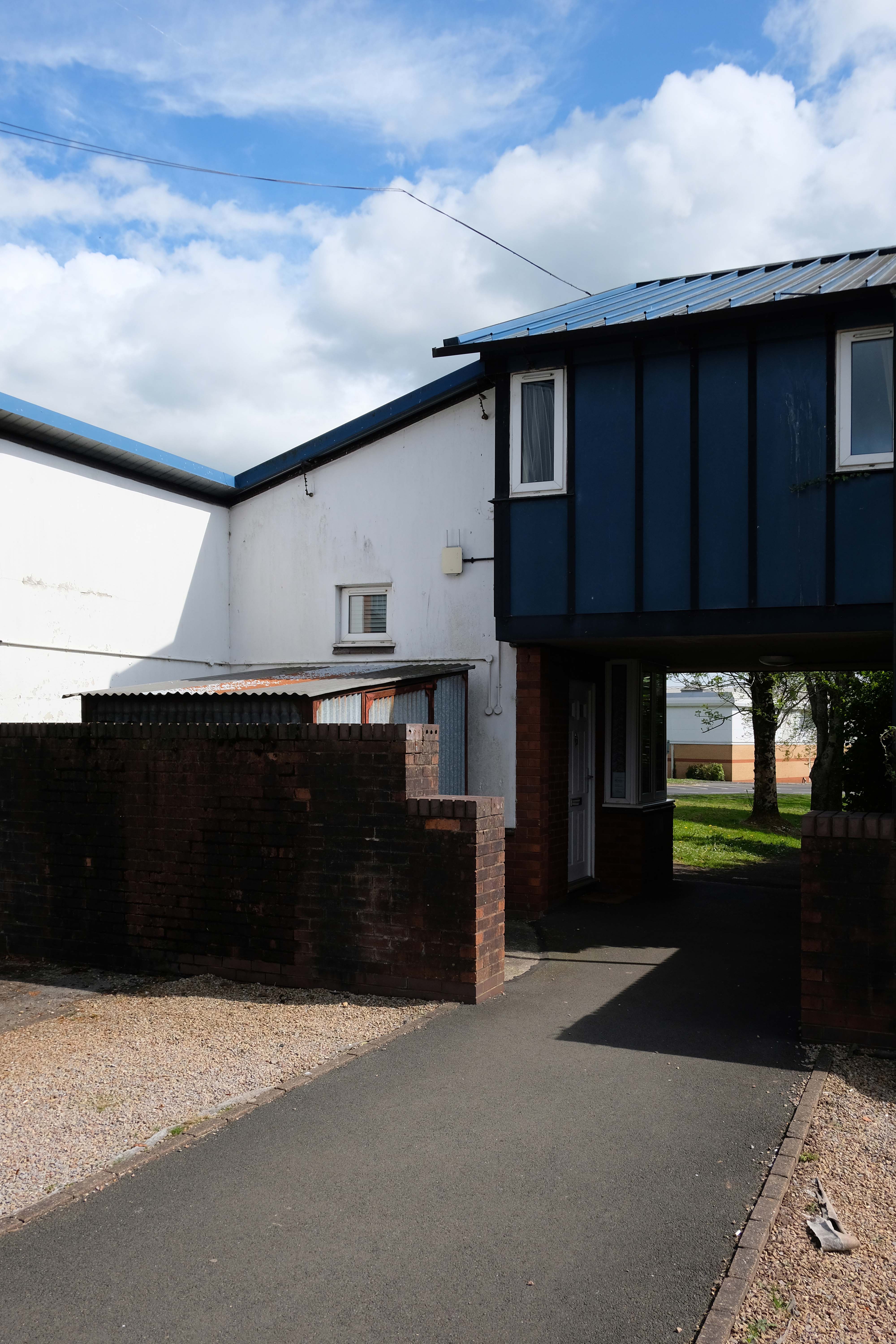
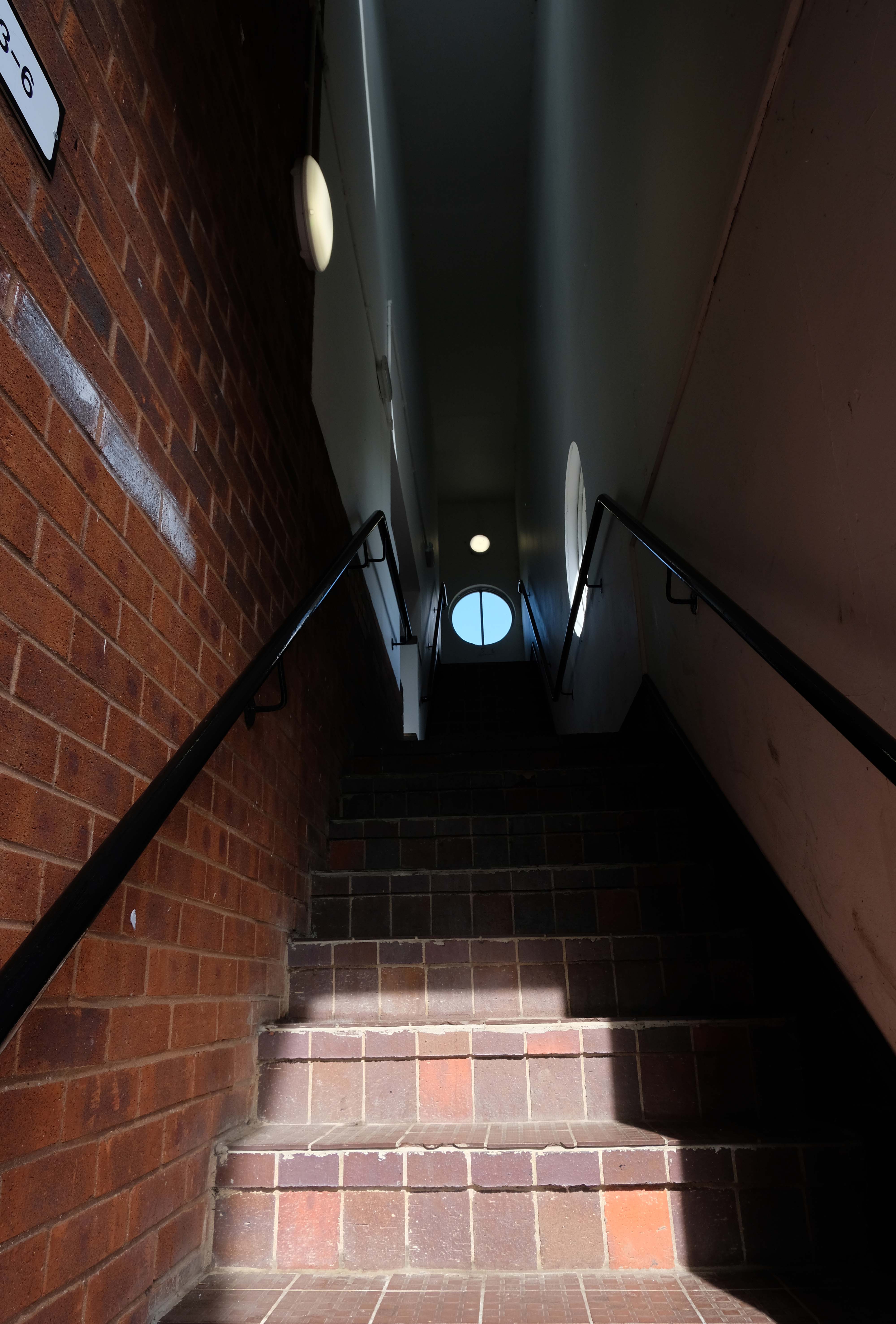
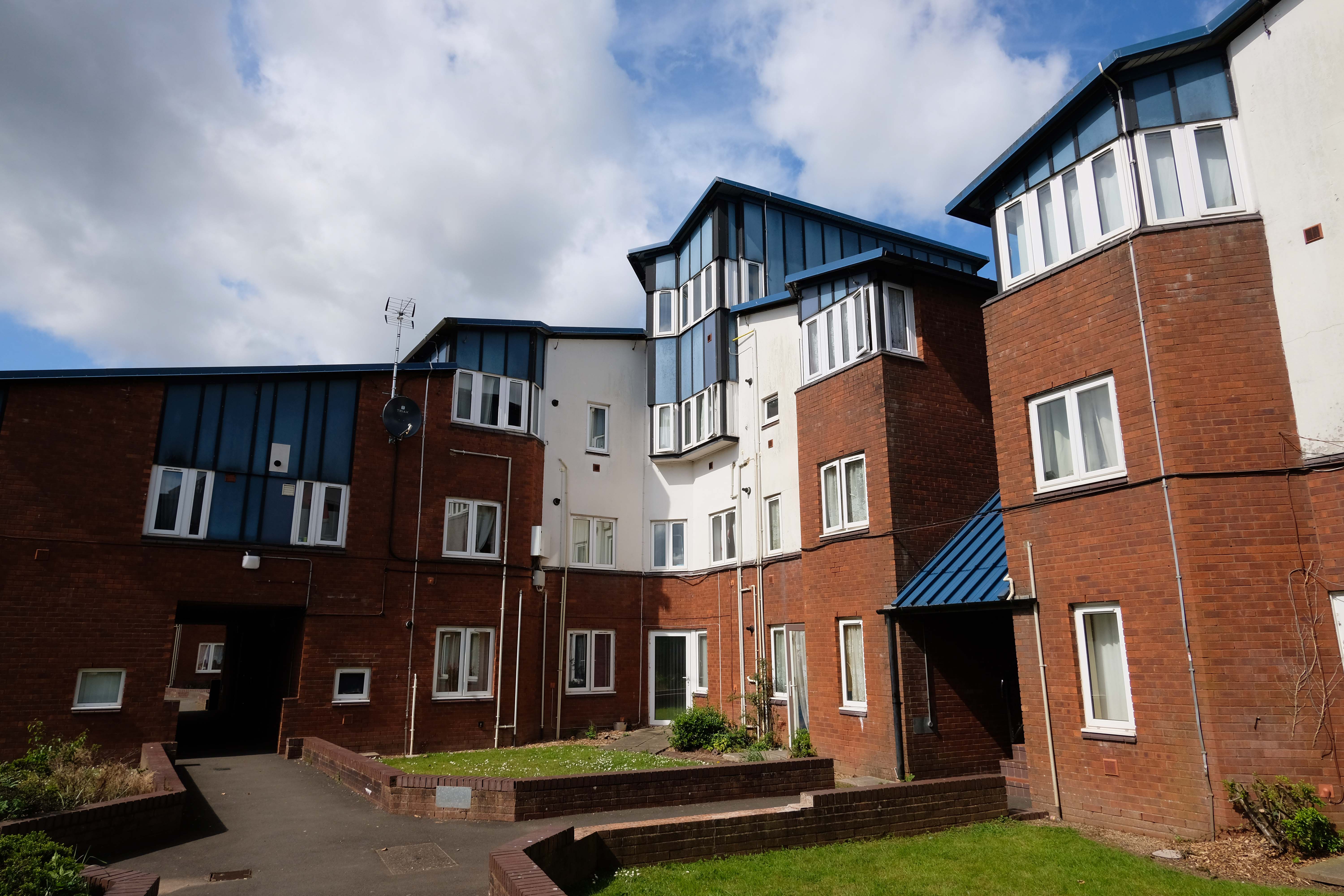
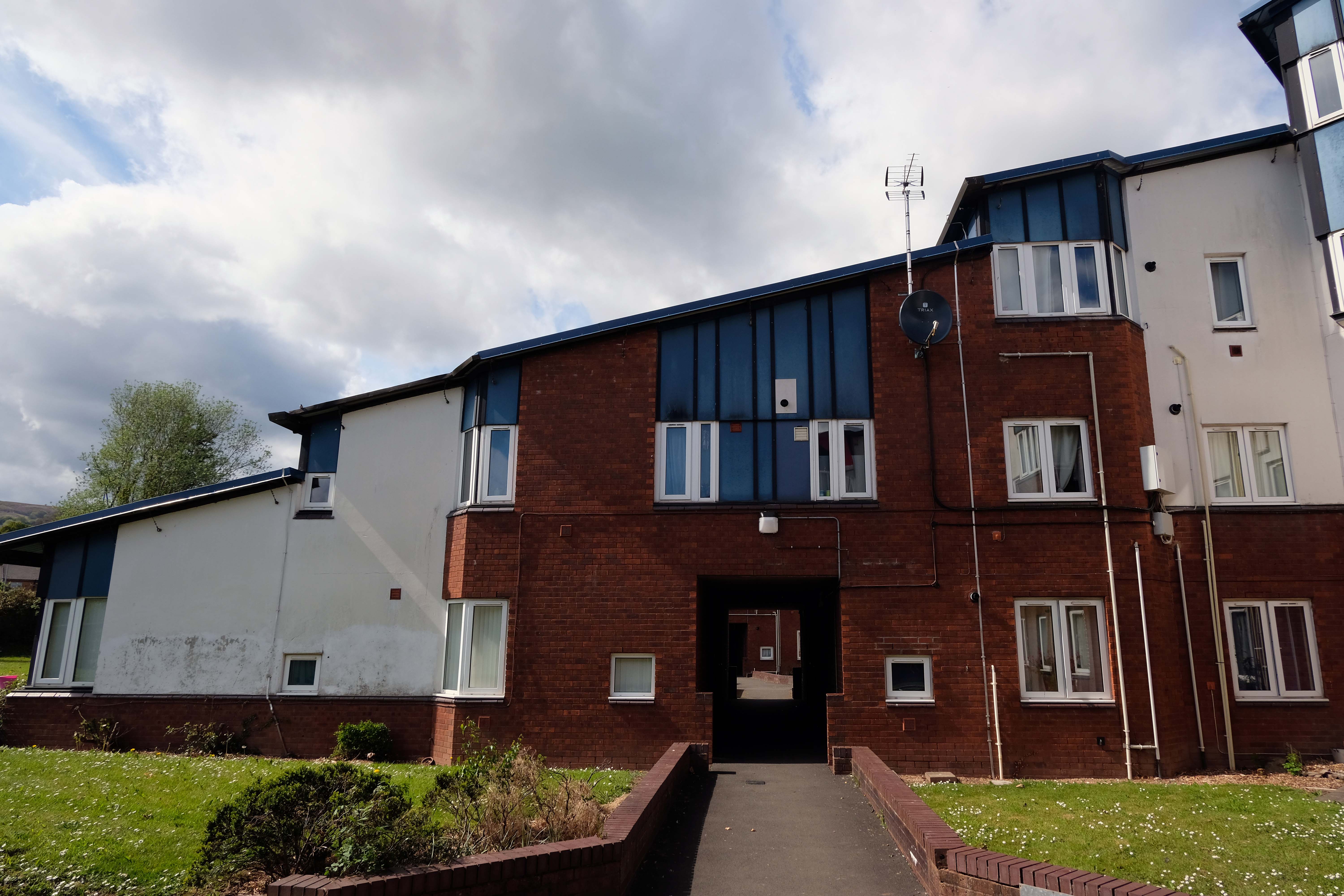
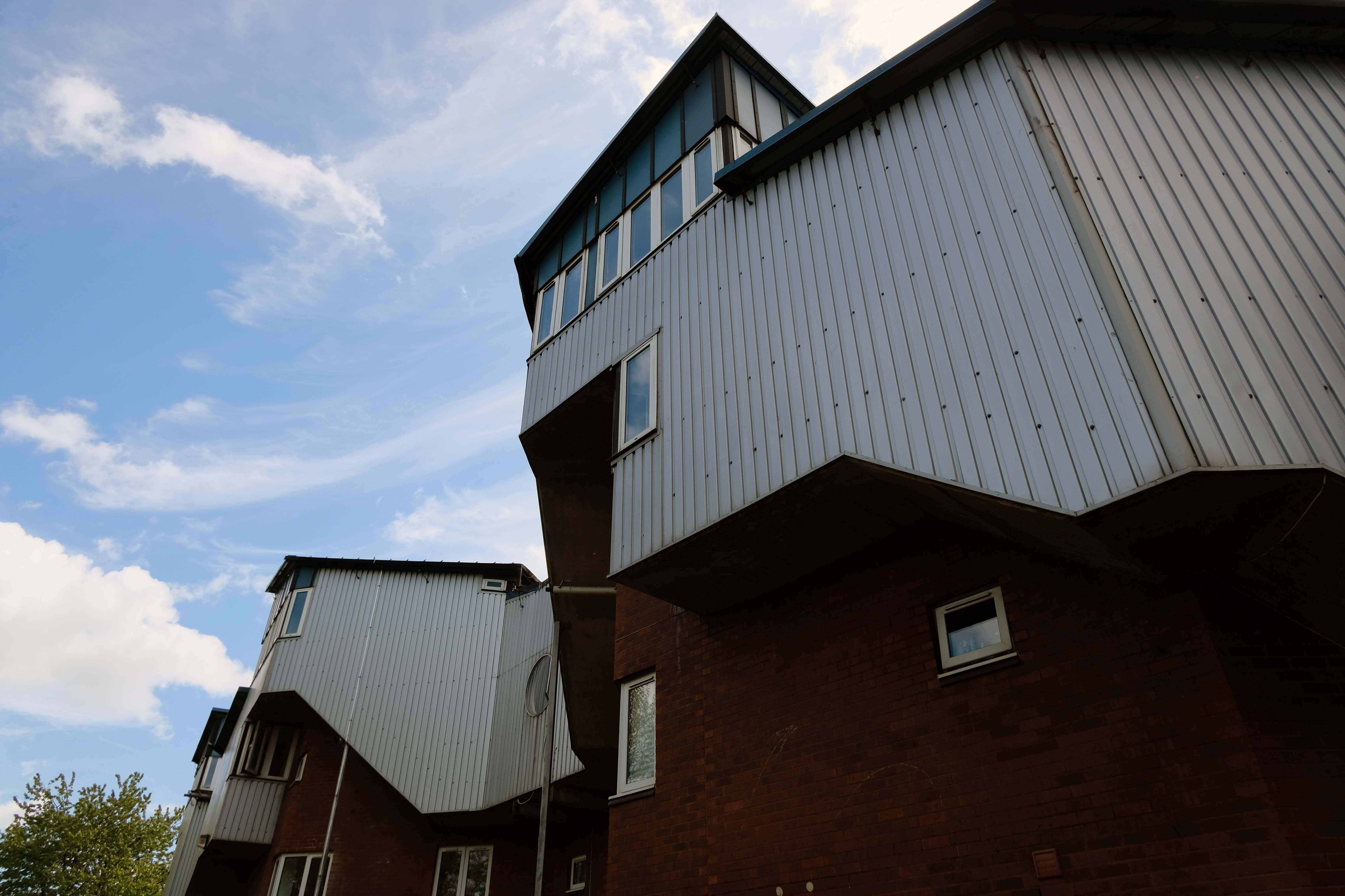
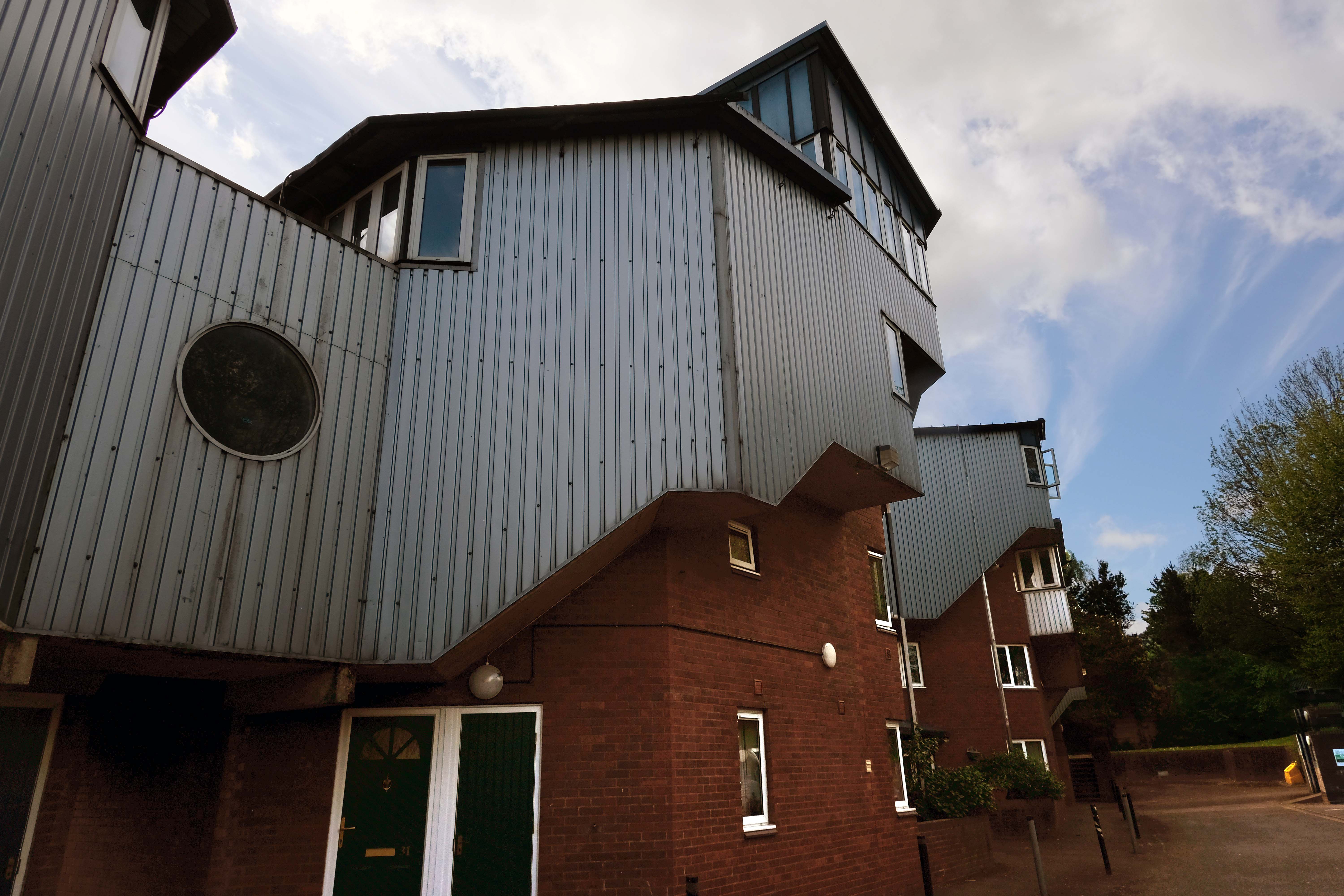
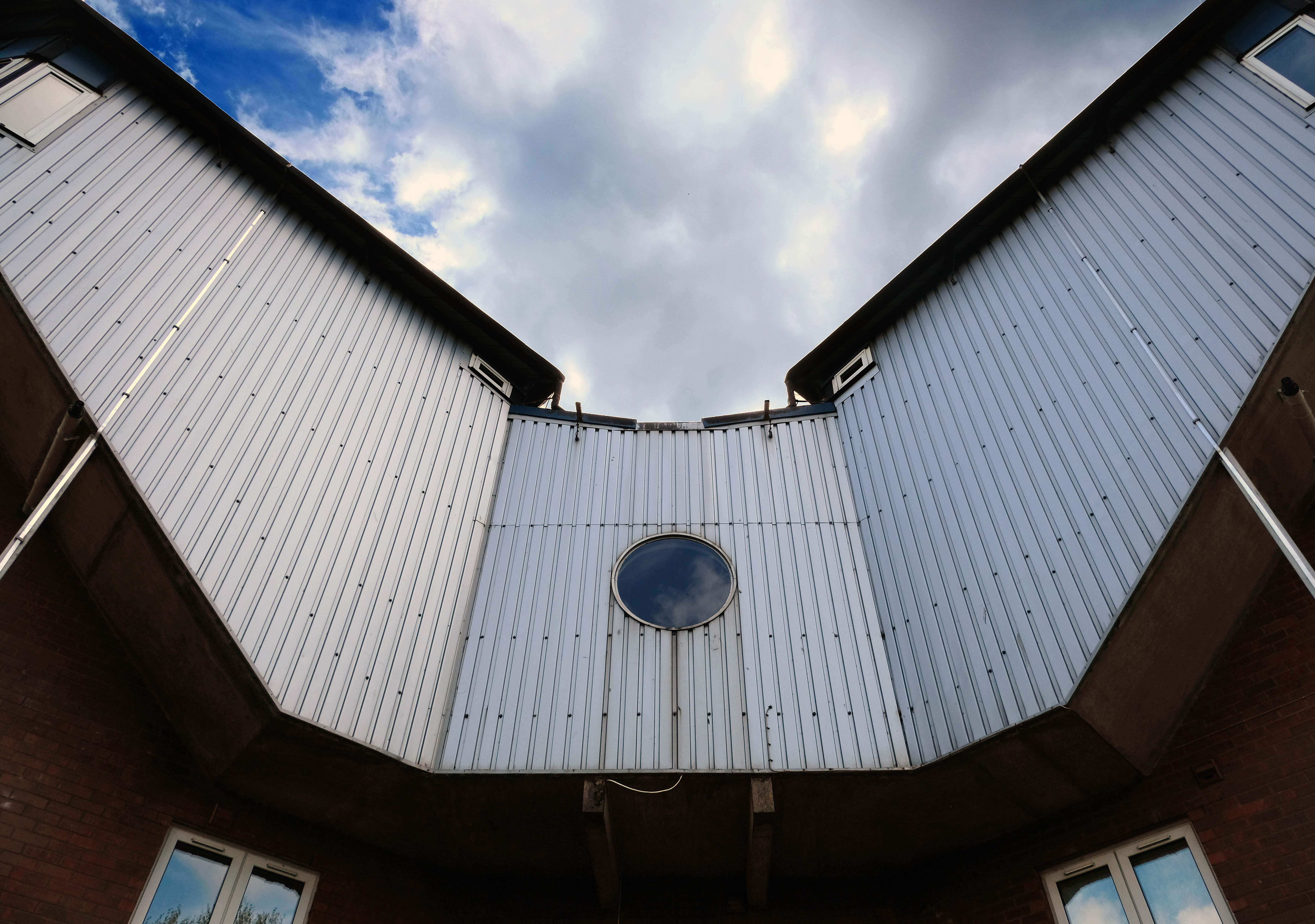
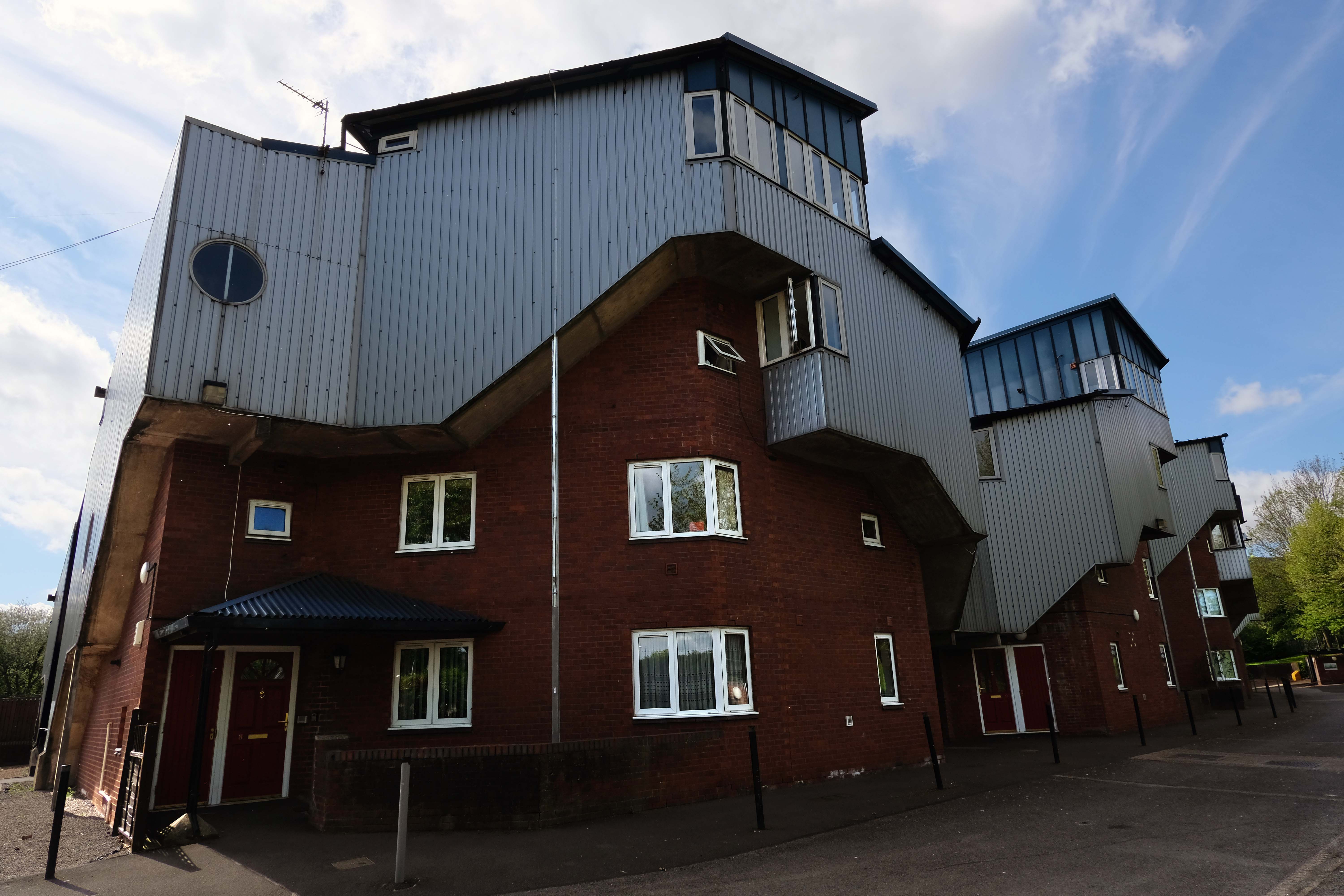
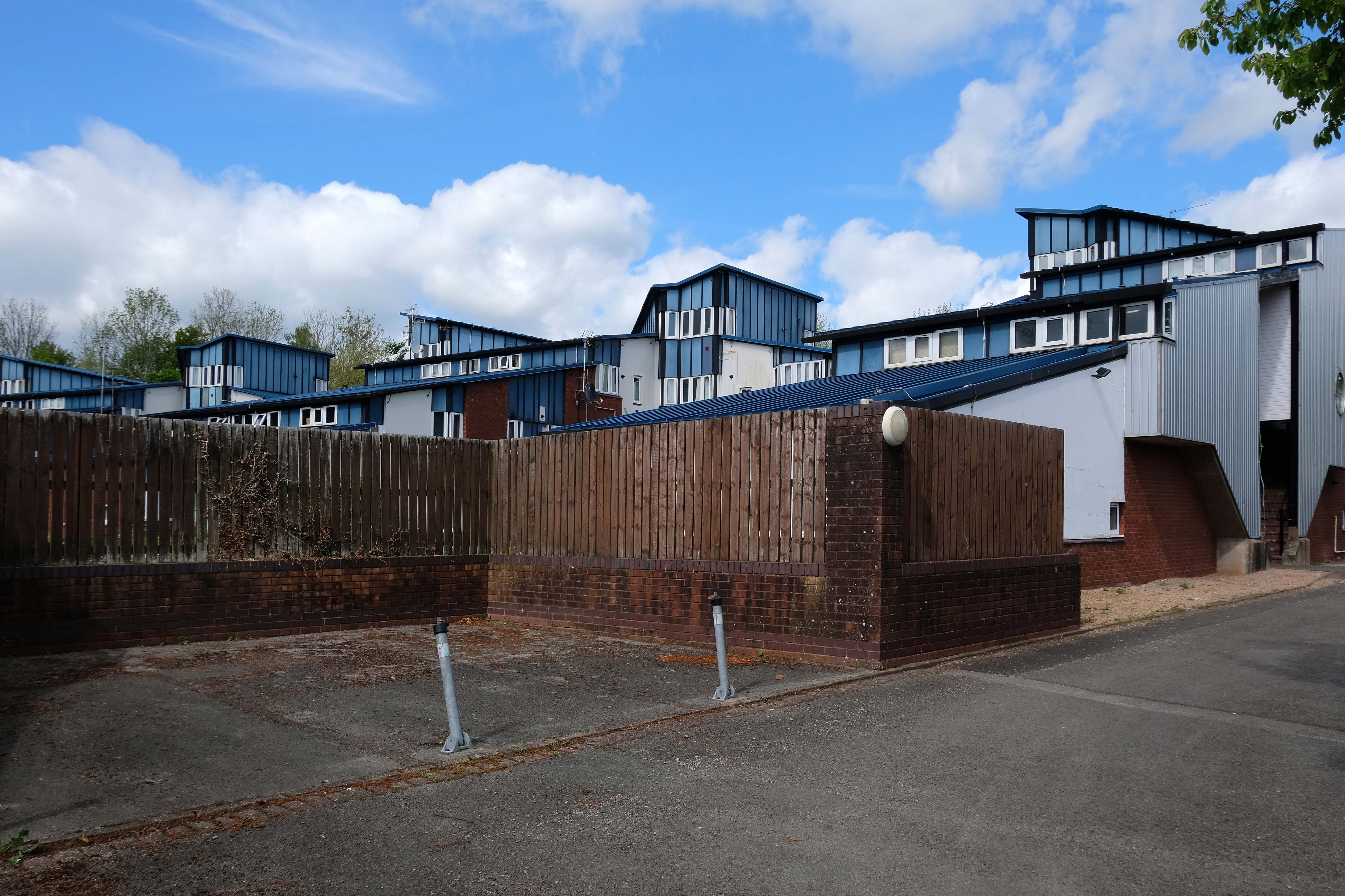
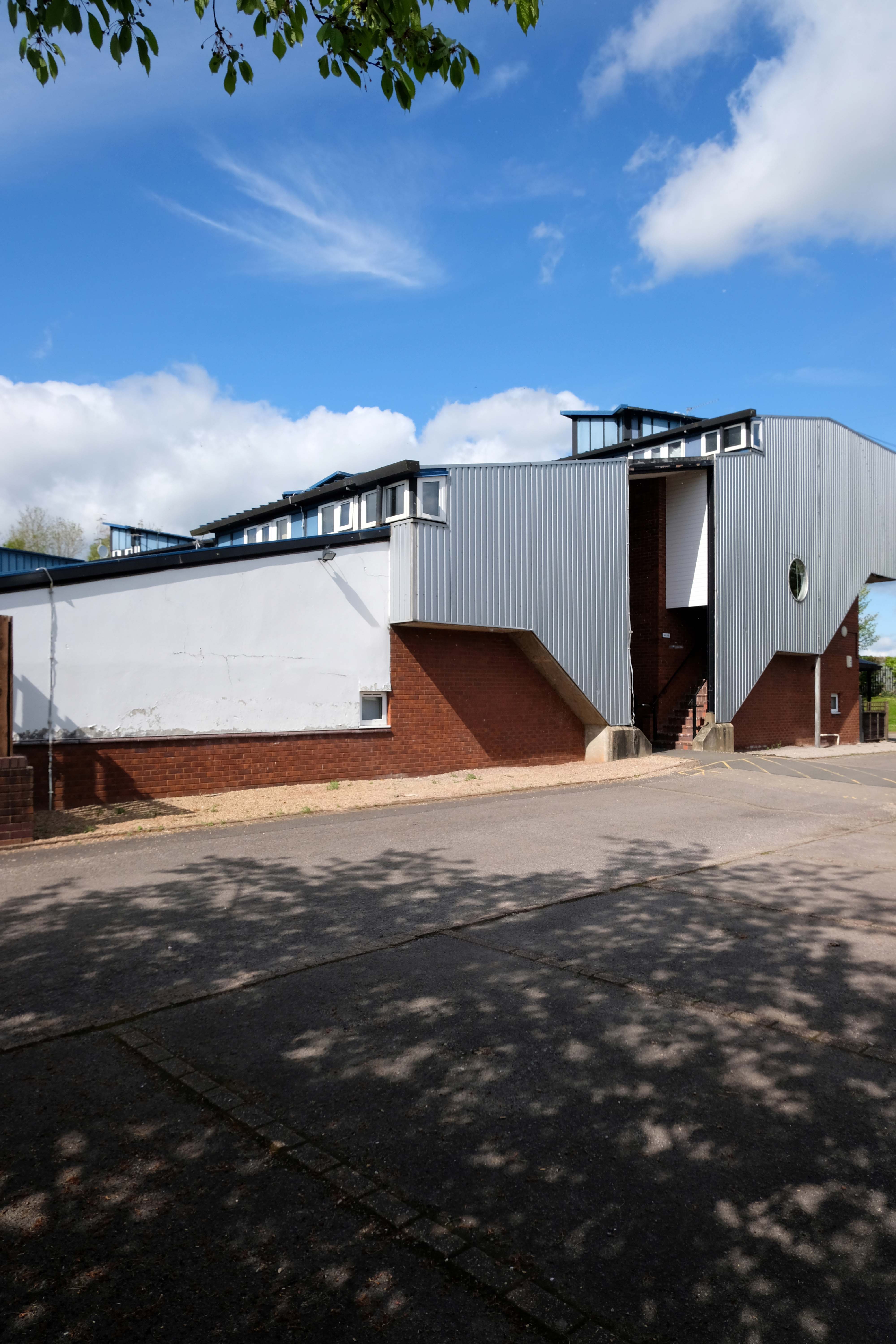
Which brings us to Taliesin Cwmbran a group of 58 flats located at the northern end of a road named Forgeside.
This development is something of an anomaly, breaking the mould of the conventional New Town housing which surrounds it.
Broadly Postmodern – with passing references to half timbered buildings, yet with more contemporary cladding. A wandering profile and angular roofline which echoes Hollywood Medievalism, paired with a fortress like enclosure of space and scaled down passageways.
So far no architectural attribution – any clues anyone?
Lately I have been frequenting bad houses Places no respectable man would be seen I hate myself for my weakness My past sickens me I tell myself I will not go Even as I drive there
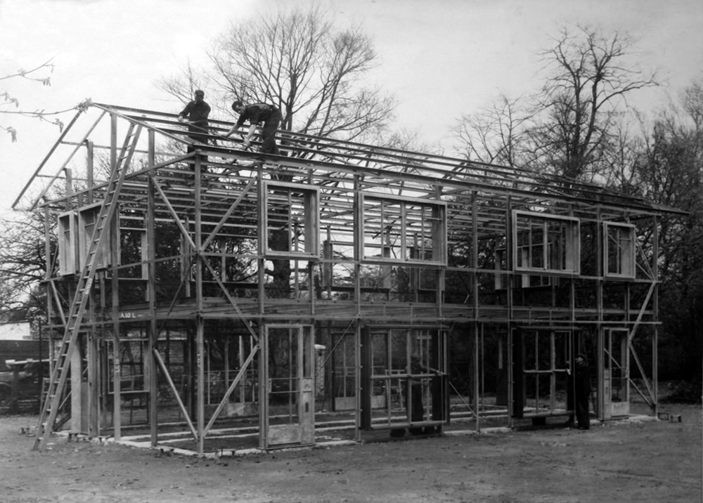
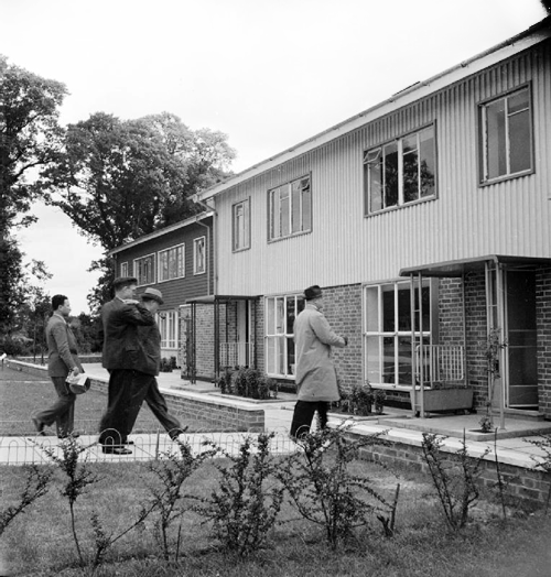
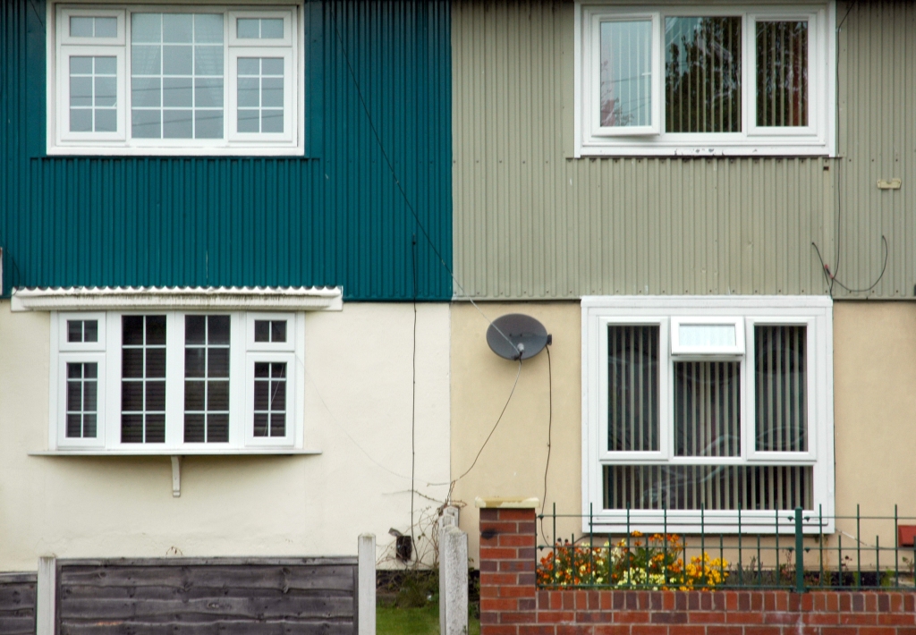
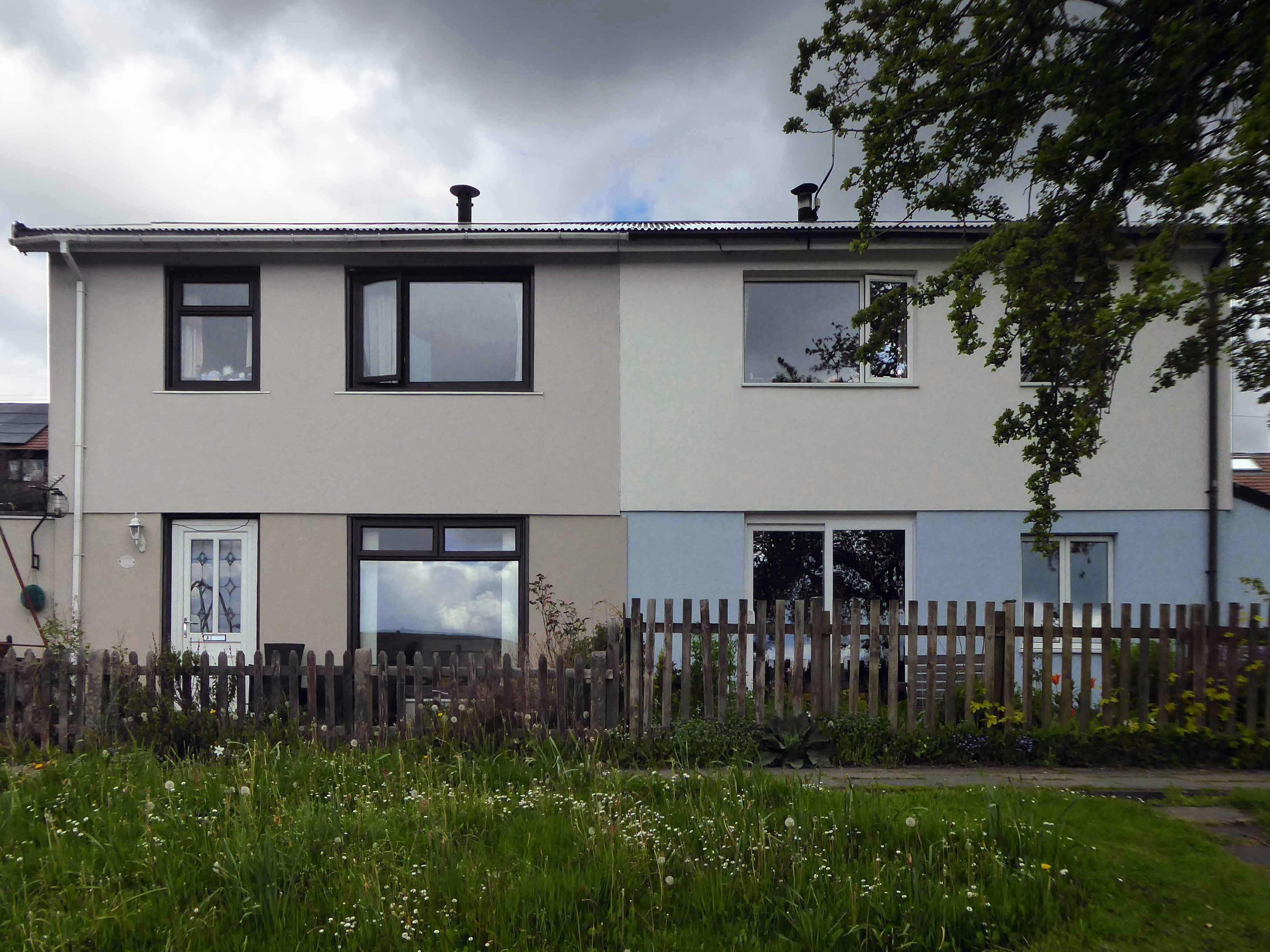
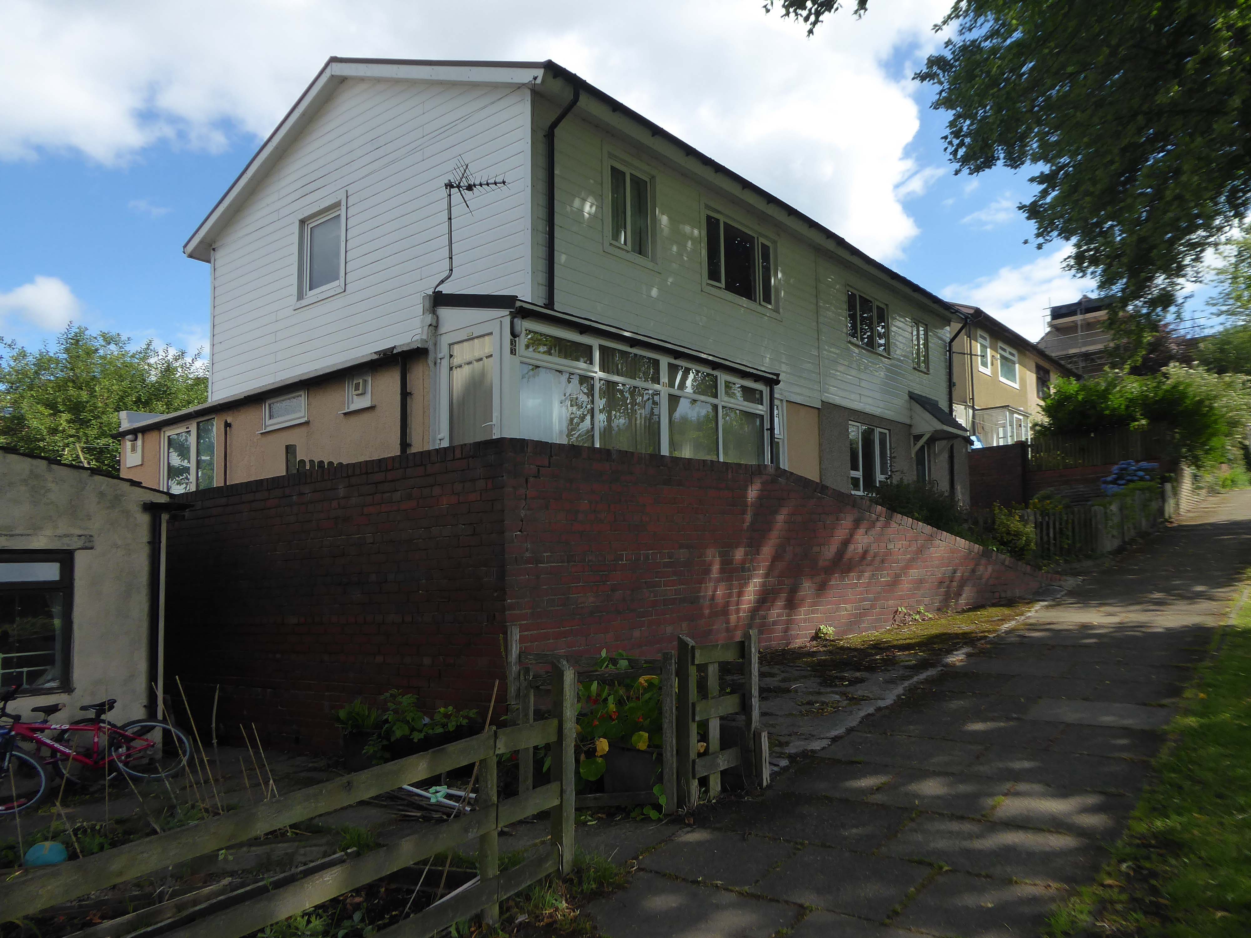
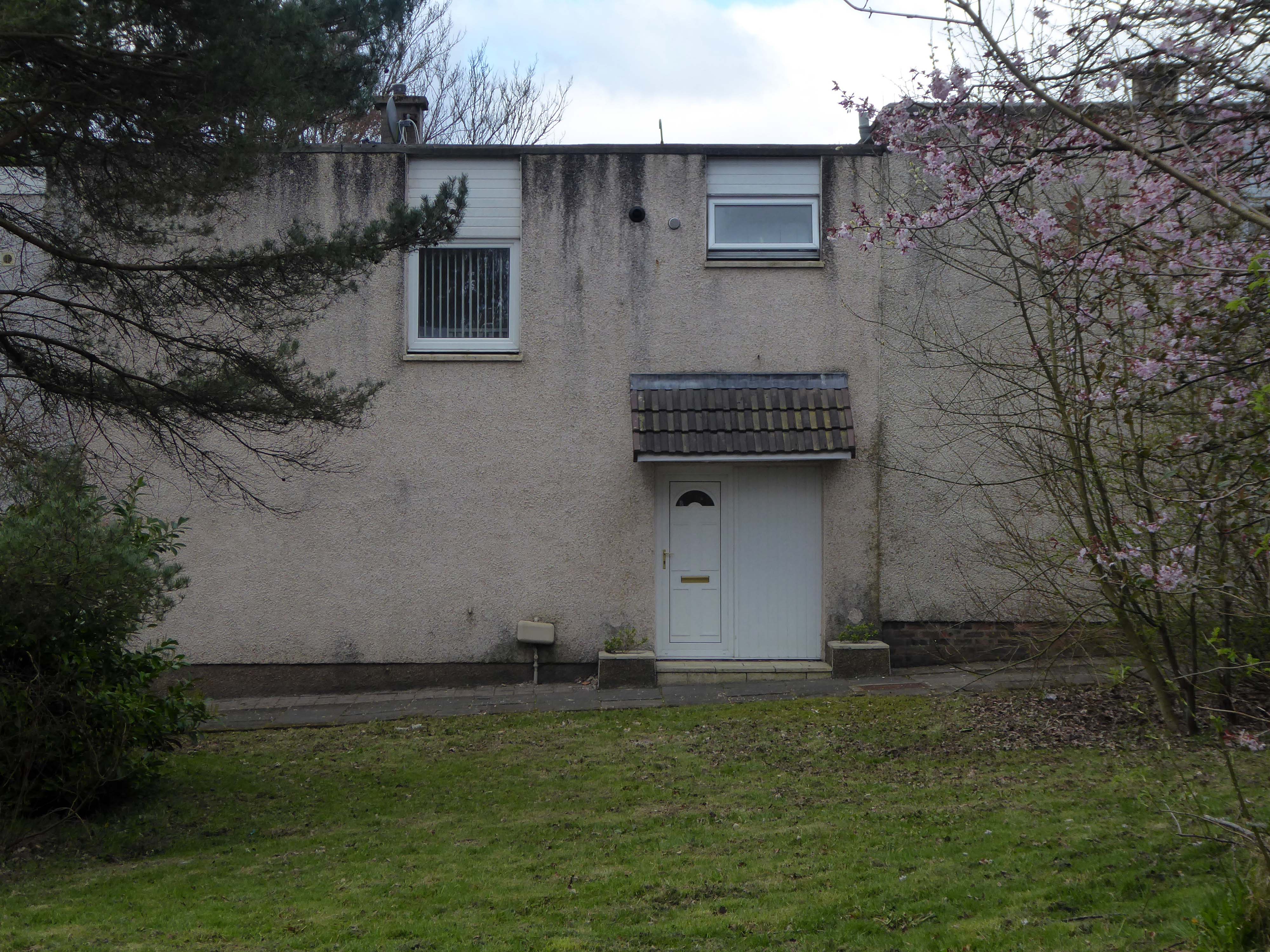
The Second World War brought an even greater demand for the rapid construction of new dwellings. In addition to the need to rebuild homes damaged as a result of the war, the Government had other objectives that were set out in a white paper in 1945, to provide a separate dwelling for any family who wanted one and to complete the slum clearance programme started before the war. After the Second World War there was a surplus of steel and aluminium production, and an industry in need of diversification. These factors drove the move towards the use of prefabrication, as aresult many new varieties of concrete, timber framed and steel framed systems emerged. Whilst most systems were intended to provide permanent or long-term housing a few were intended only as emergency or temporary solutions.
The homes on Wadsworth Lane are BISF Type A1 – designed by architect Frederick Gibberd and engineer Donovan Lee.
Manufactured by British Iron & Steel Federation and British Steel Homes Ltd.
Over 34,000 three-bedroom semi-detached houses and 1048 terraced houses were erected across England, Scotland and Wales.
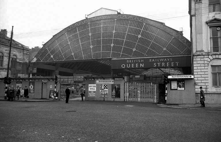
Sunday morning in Glasgow, I caught the first train out from Queen Street Station.
In October 2017, a £120 million project began on bringing the station up to modern standards, demolishing many of the 1960s buildings and replacing them with a new station concourse, which was completed in 2021.
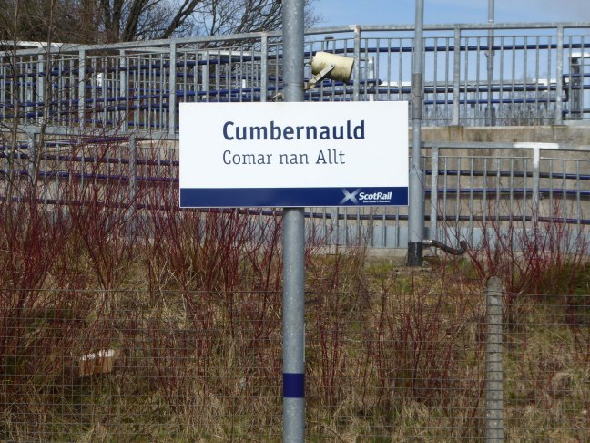
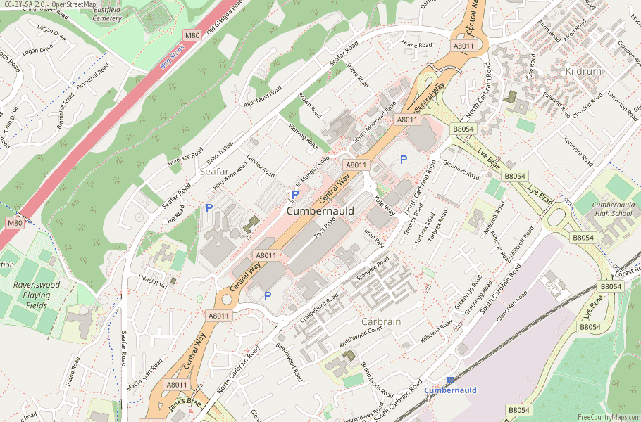
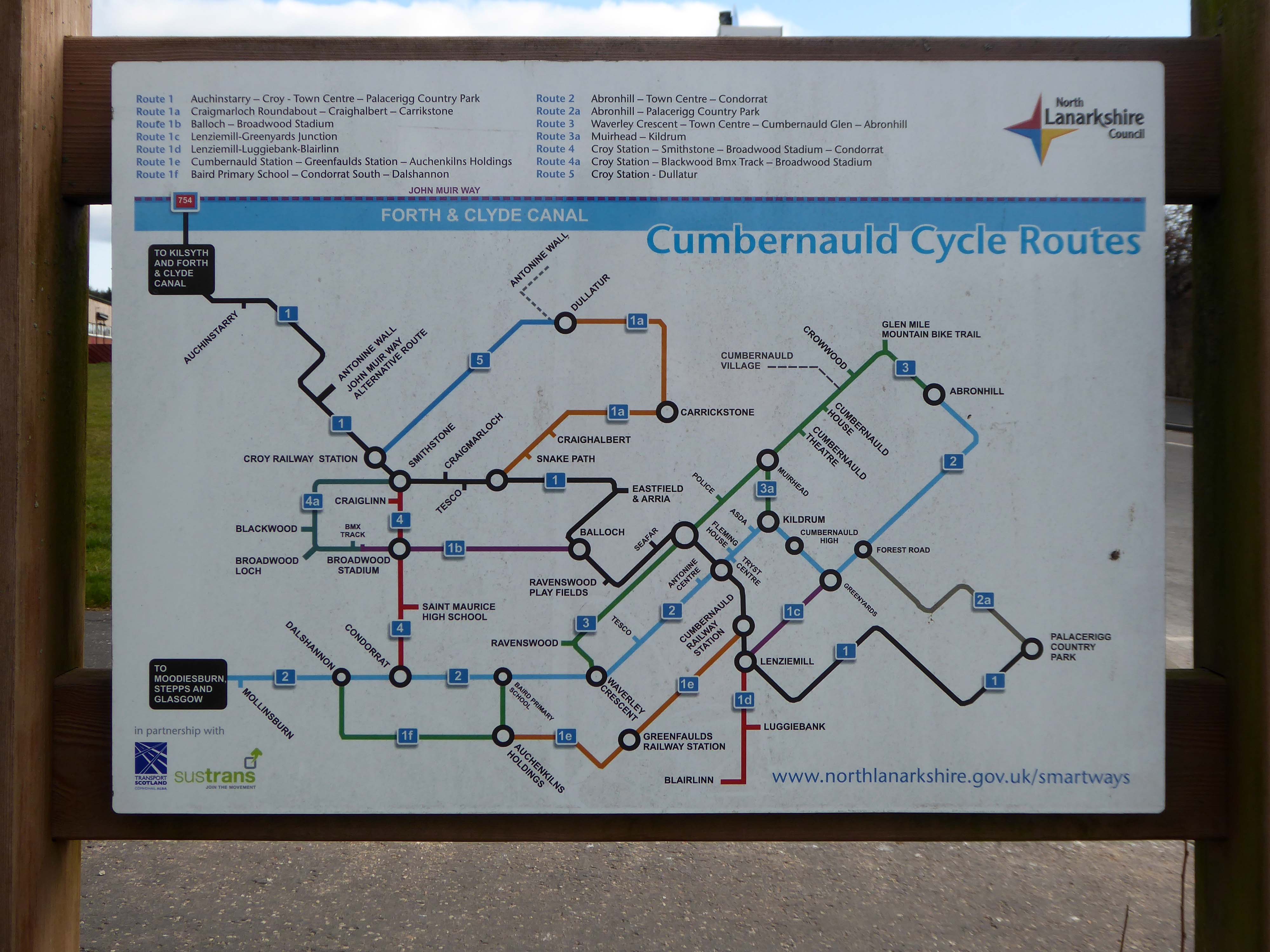
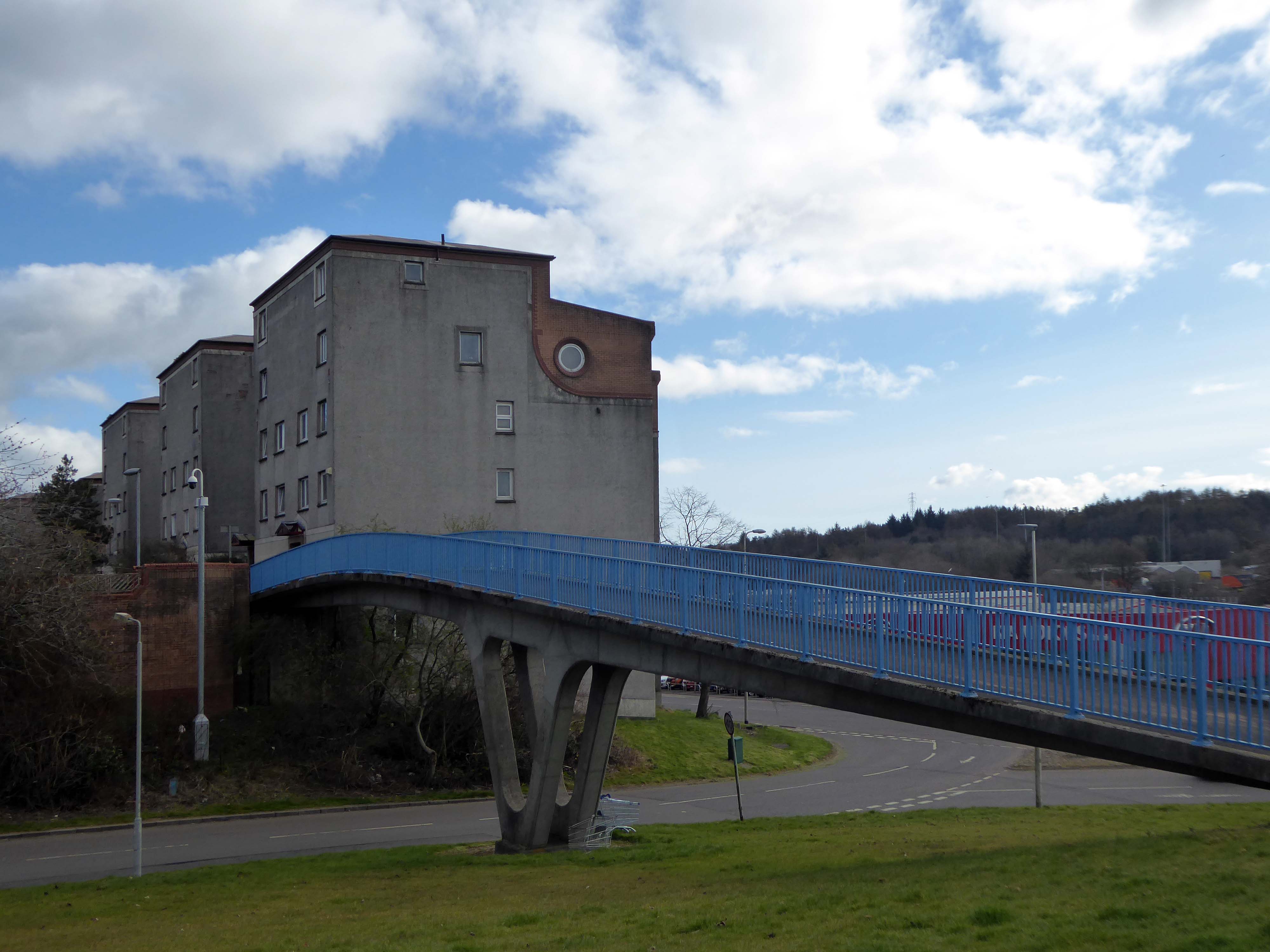
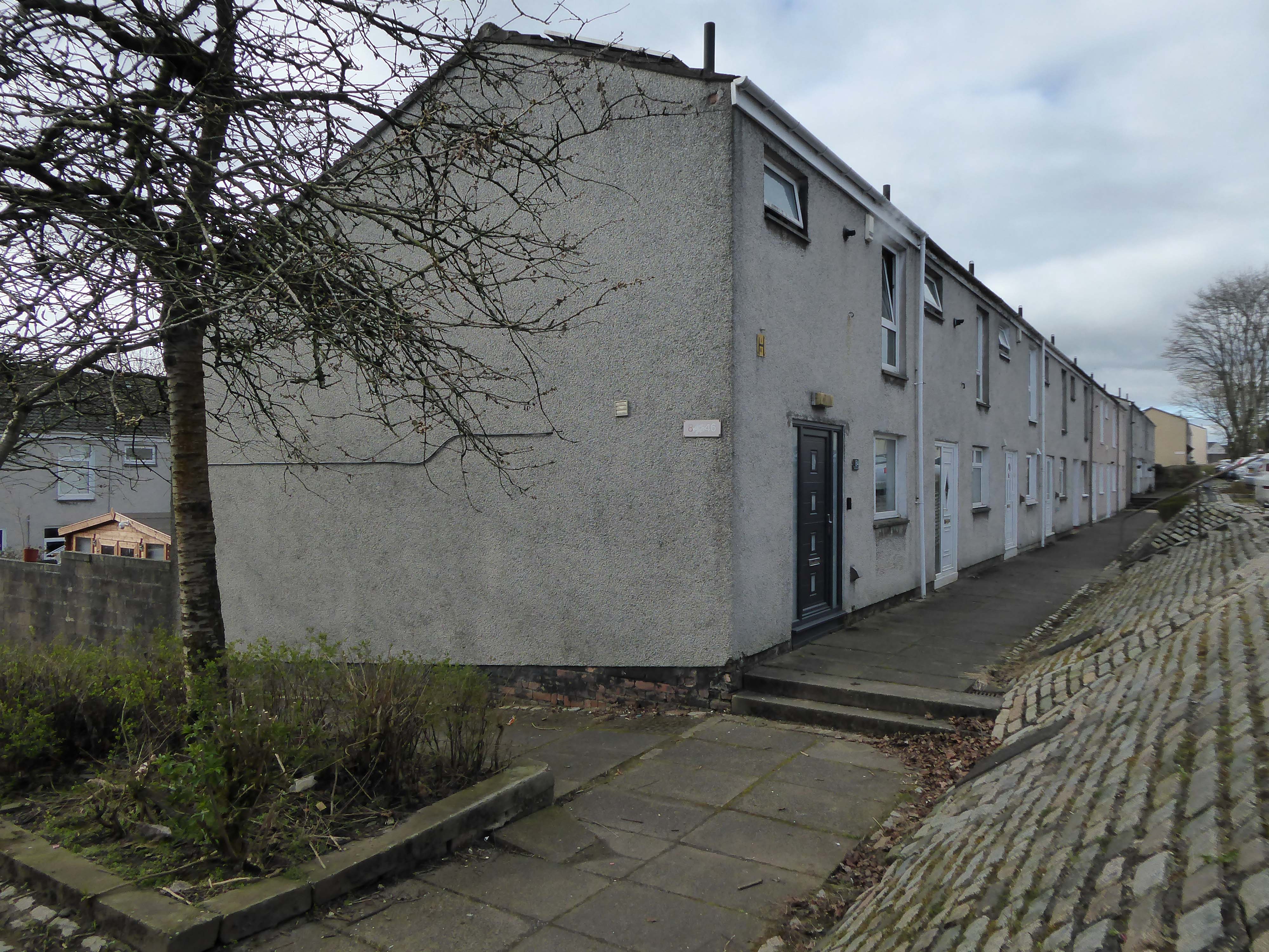
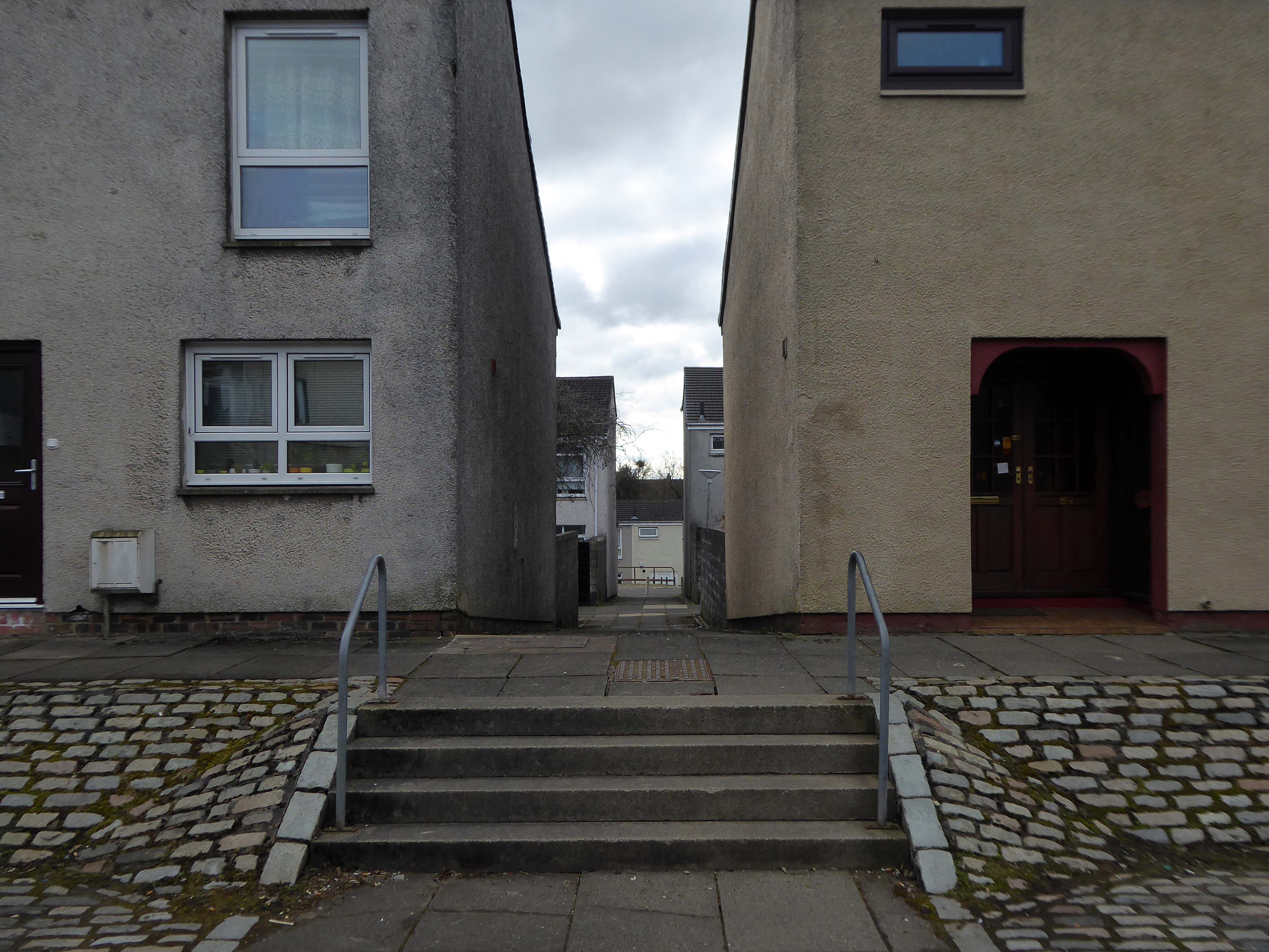
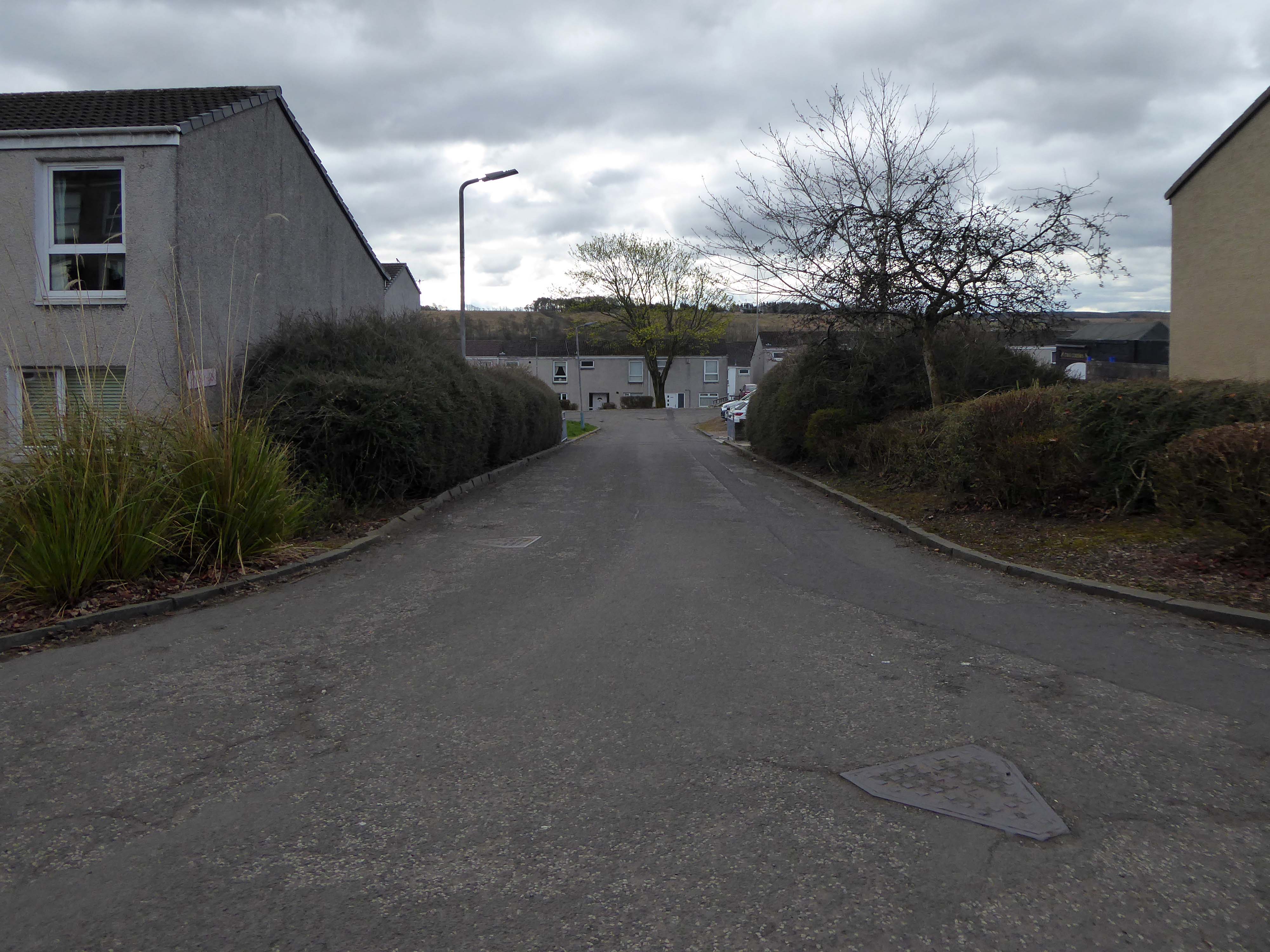
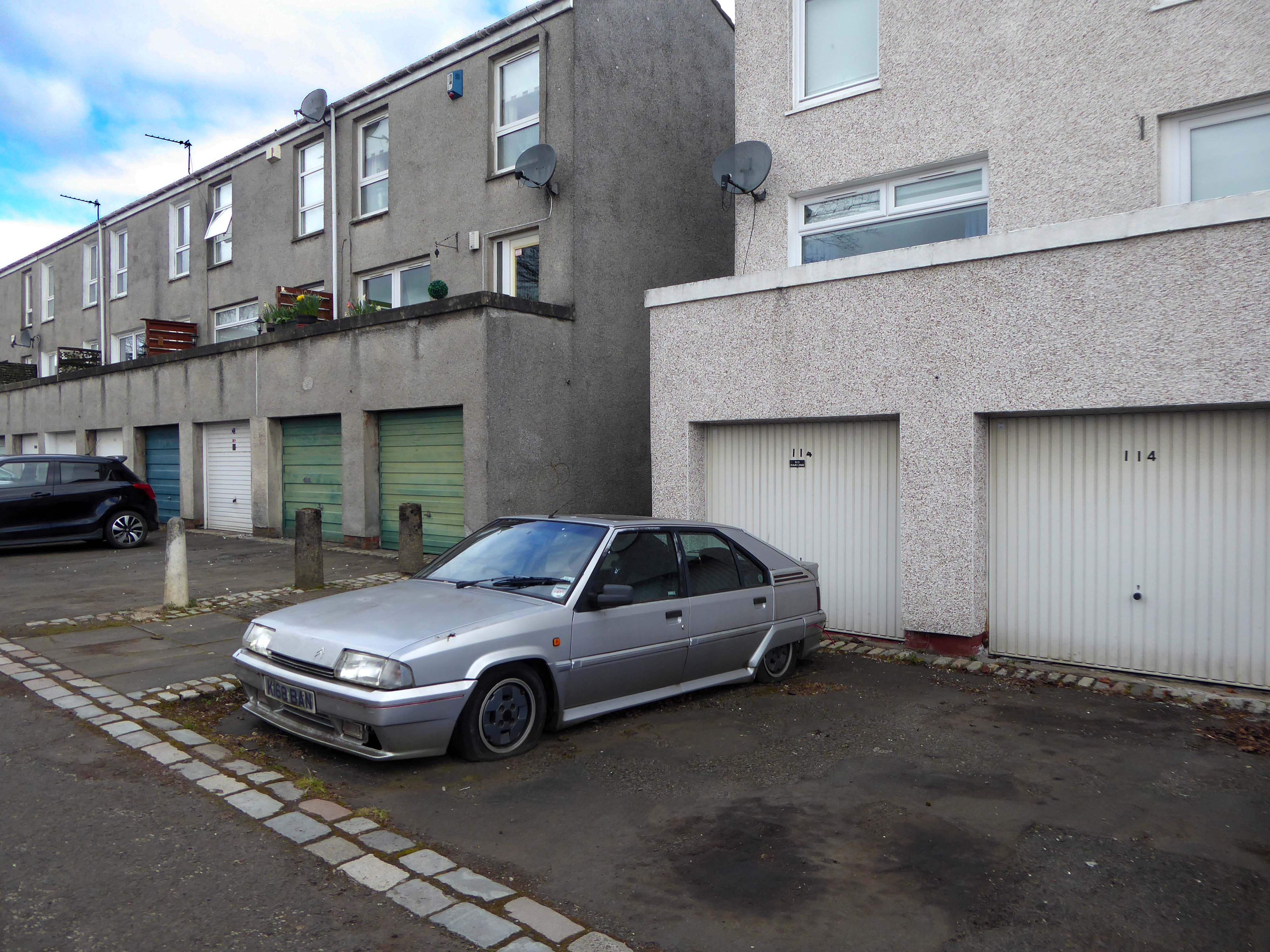
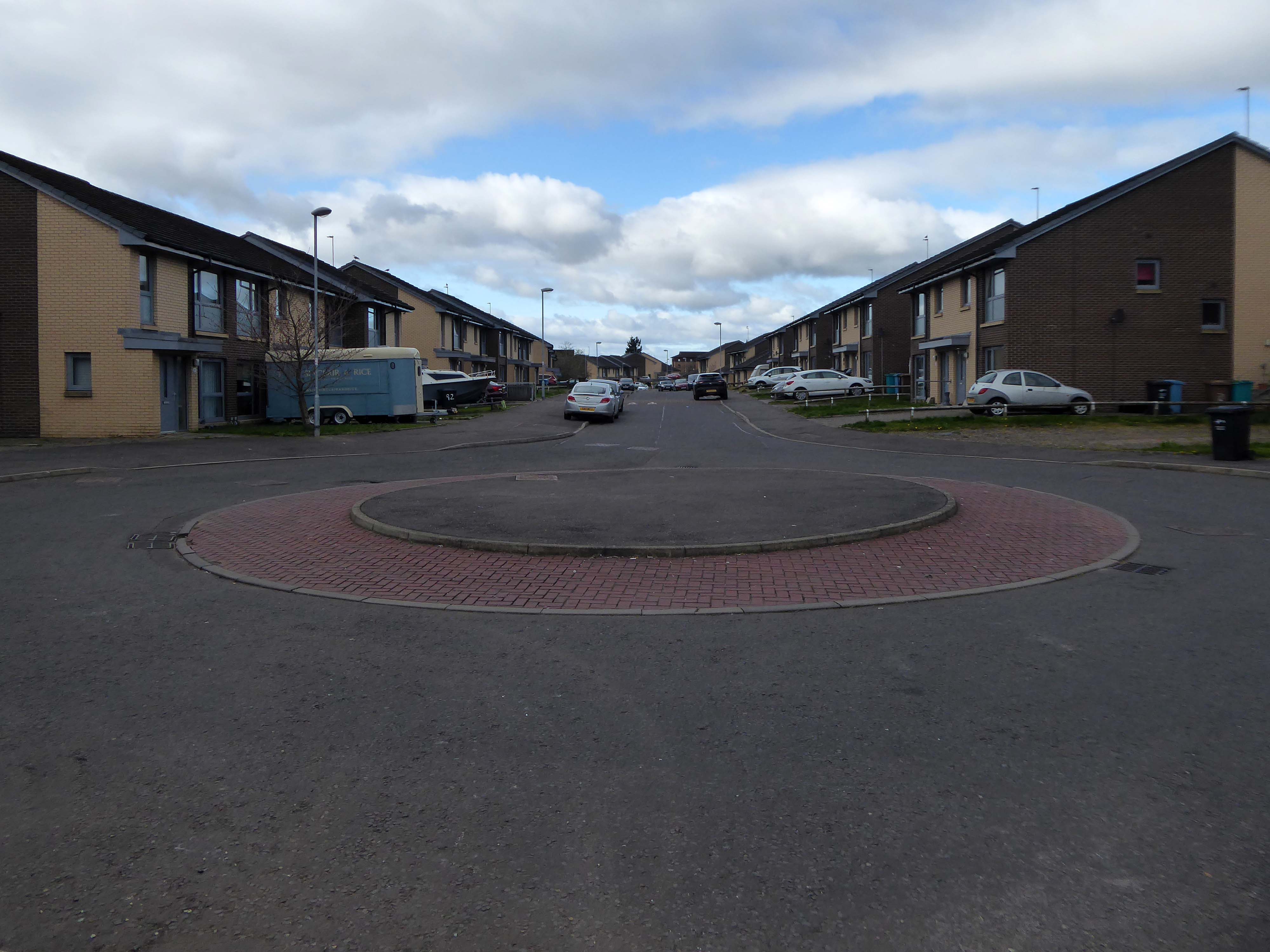
I arrived in Cumbernauld and walked toward the Central Way and back again.
Cumbernauld was designated as a new town in December 1955, part of a plan, under the New Towns Act 1946, to move 550,000 people out of Glasgow and into new towns to solve the city’s overcrowding. Construction of its town centre began under contractors Duncan Logan, chief architect Leslie Hugh Wilson and architect Geoffrey Copcutt – until 1962 and 1963, and later Dudley Roberts Leaker, Philip Aitken and Neil Dadge.


