Okehampton to Plymouth

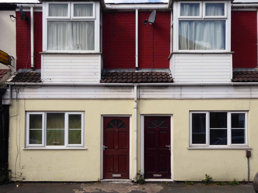
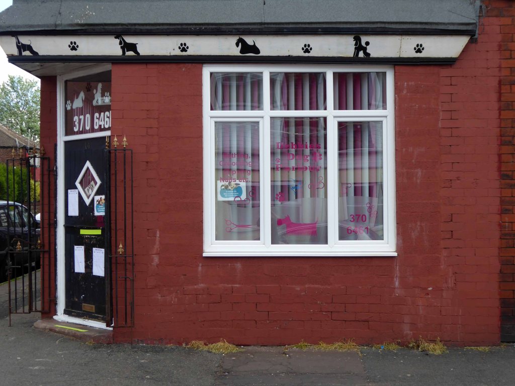
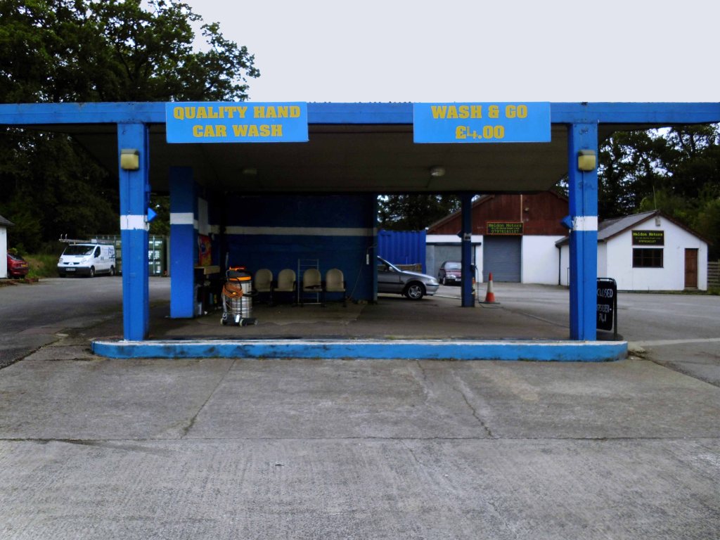
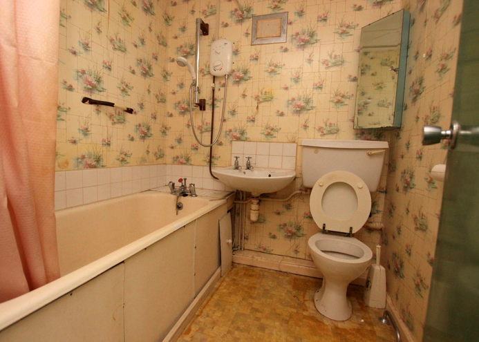
Tuesday 28th July 2015 waking up early on the outskirts of Okehampton – I went next door to explore – the Wash and Go.

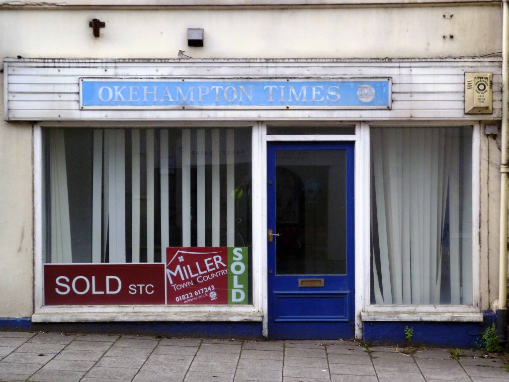
I went back to Okehampton.

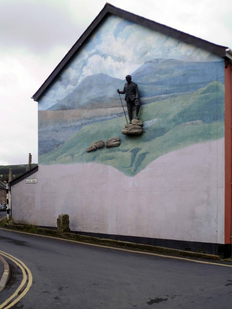
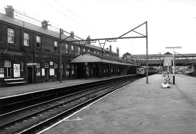
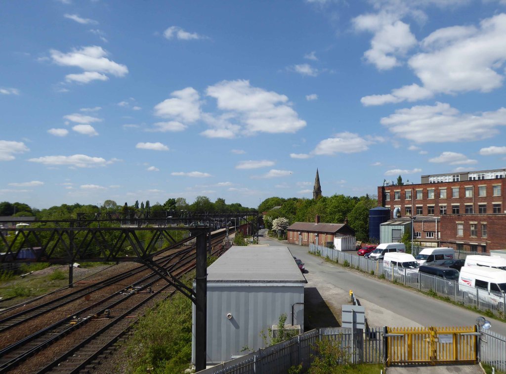
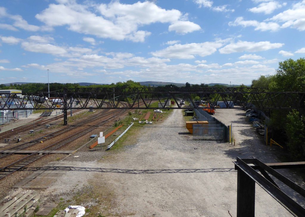
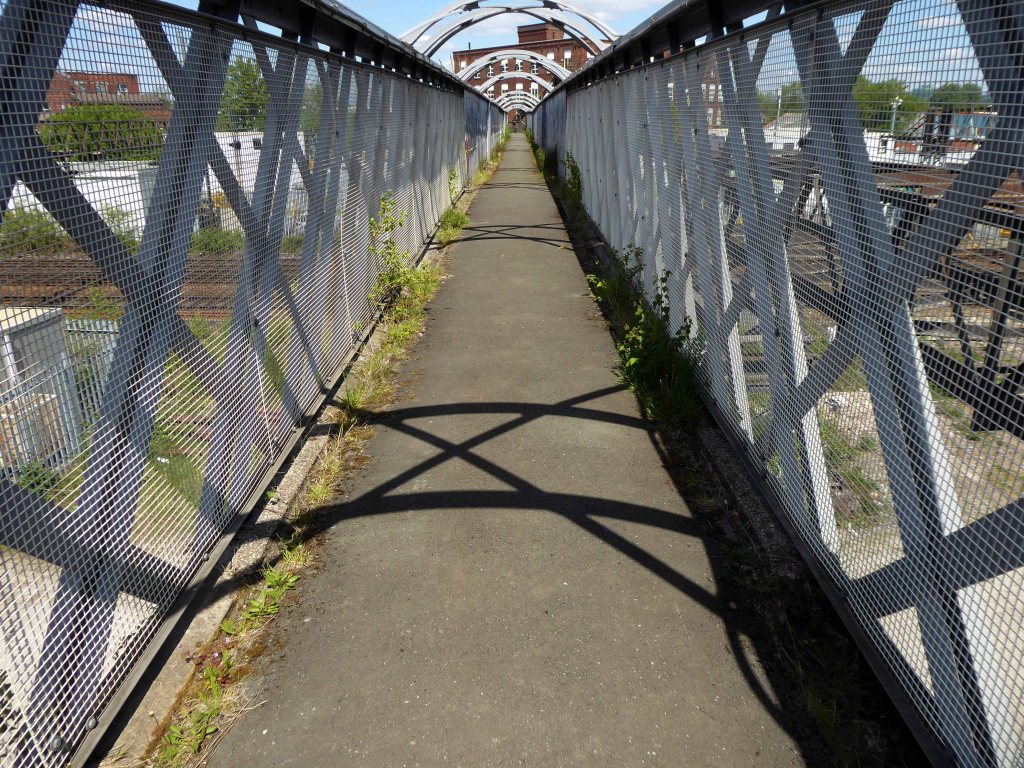
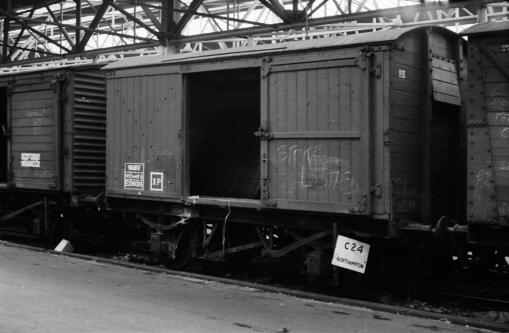
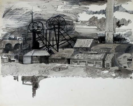
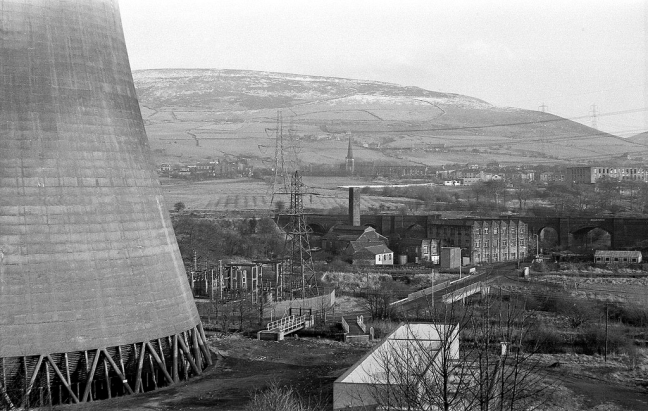
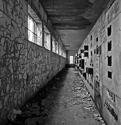
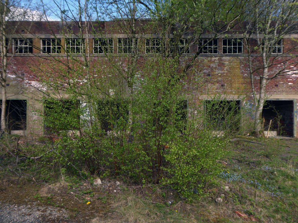
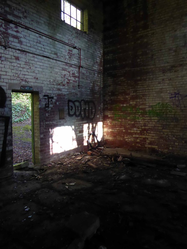
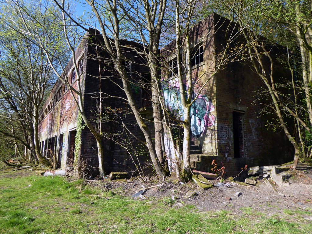
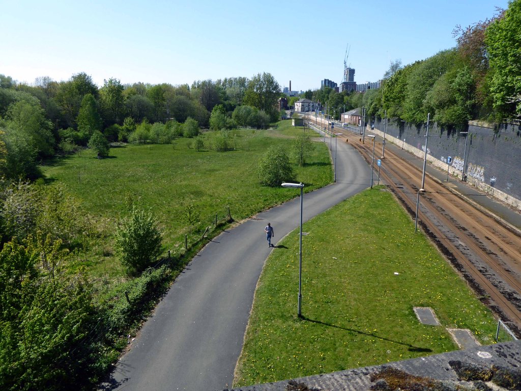
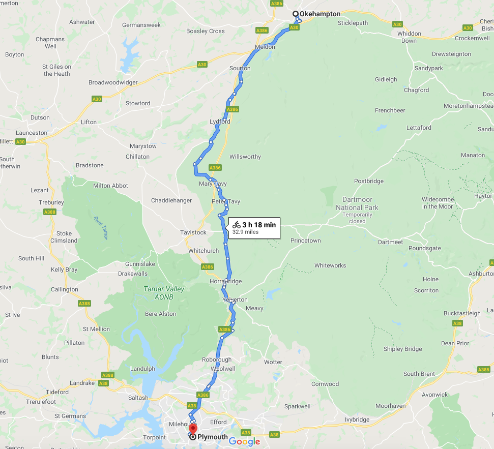
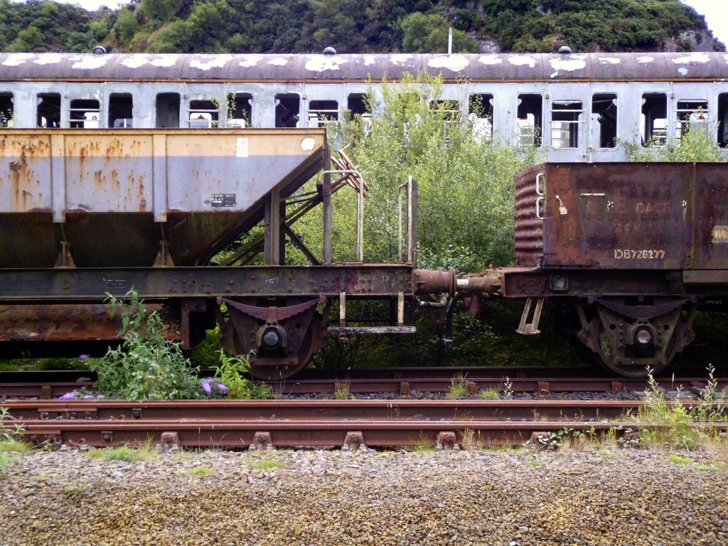
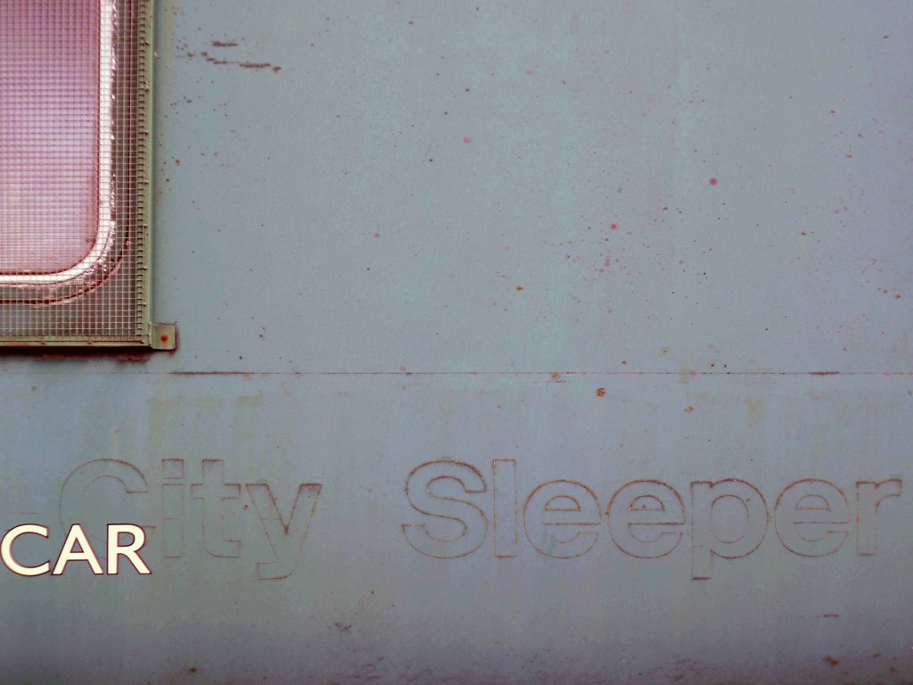
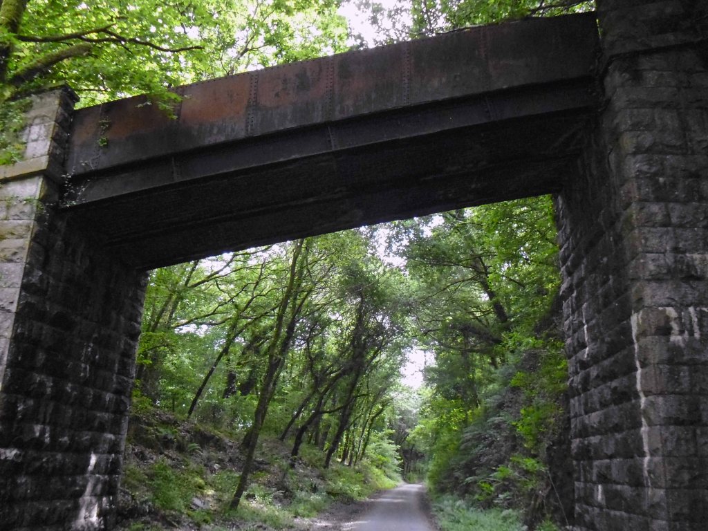
Headed out of town along the old railway line to Plymouth – where rests the solemn remains of previous railway activity and Meldon Quarry.

It’s believed that the first quarrying began around the late 1700s when the local limestone was extracted. Over the years this gradually gave over to aggregate quarrying and apelite quarrying until it final closure. The original owners of the quarry were the London and South Western Railway and then came Britsh Rail and finally EEC Aggregates.

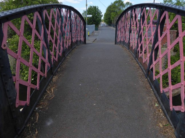
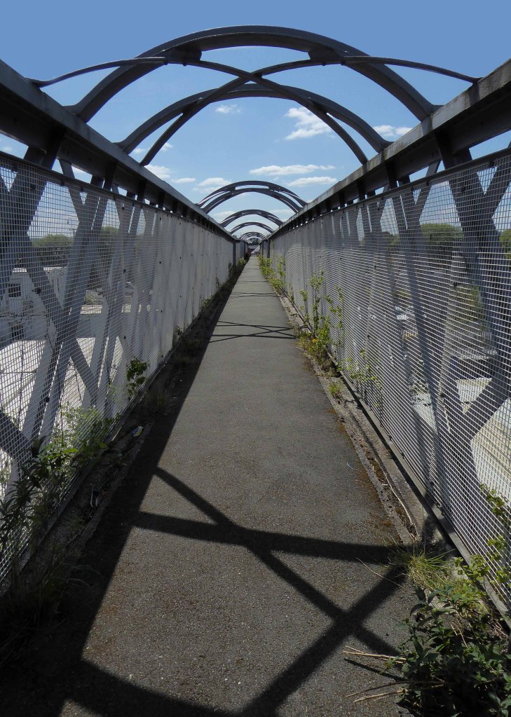
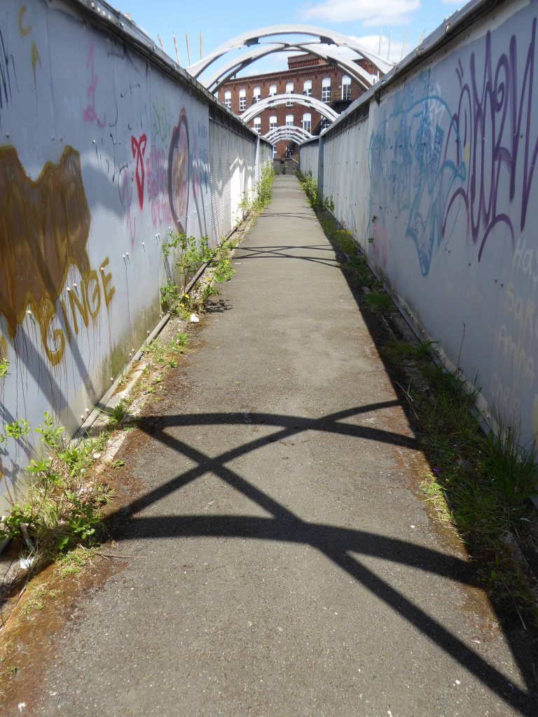
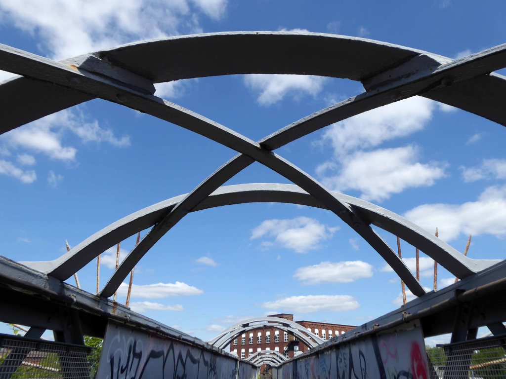
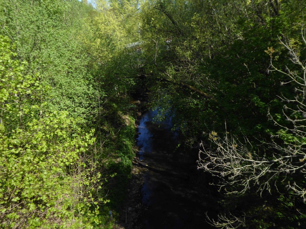
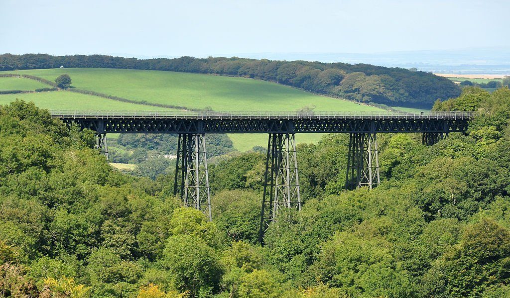
Crossing Meldon Viaduct.

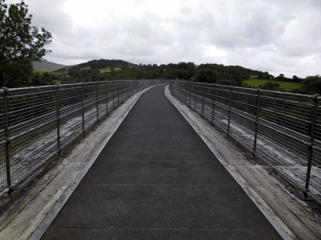
Meldon Viaduct carried the London and South Western Railway across the West Okement River at Meldon on Dartmoor. The truss bridge, which was constructed from wrought iron and cast iron not stone or brick arches, was built under the direction of the LSWR’s chief engineer, WR Galbraith. After taking three years to build, the dual-tracked bridge opened to rail traffic in 1874. Usage was limited to certain classes of locomotive because the viaduct had an axle load limit. Although regular services were withdrawn in 1968, the bridge was used for shunting by a local quarry. In the 1990s the remaining single line was removed after the viaduct was deemed to be too weak to carry rail traffic.

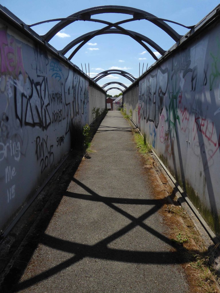
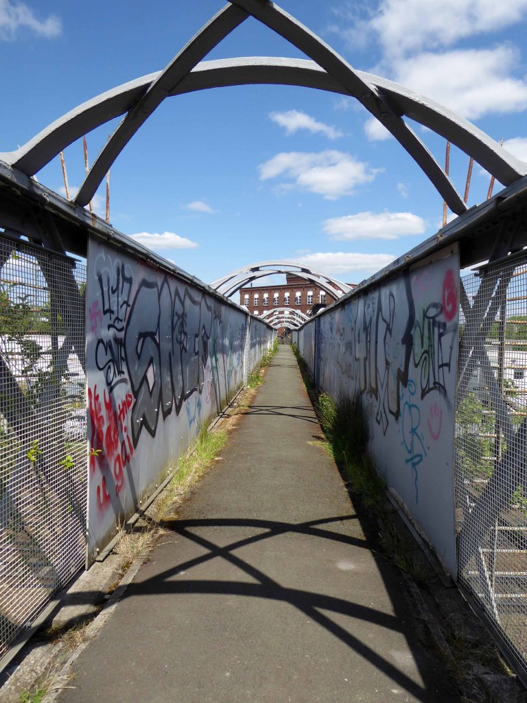
The crossing is now used by The Granite Way, a long-distance cycle track across Dartmoor. The viaduct, which is a Scheduled Monument, is now one of only two such surviving railway bridges in the United Kingdom that uses wrought iron lattice piers to support the cast iron trusses – the other is Bennerley Viaduct between Nottinghamshire and Derbyshire.

Wikipedia

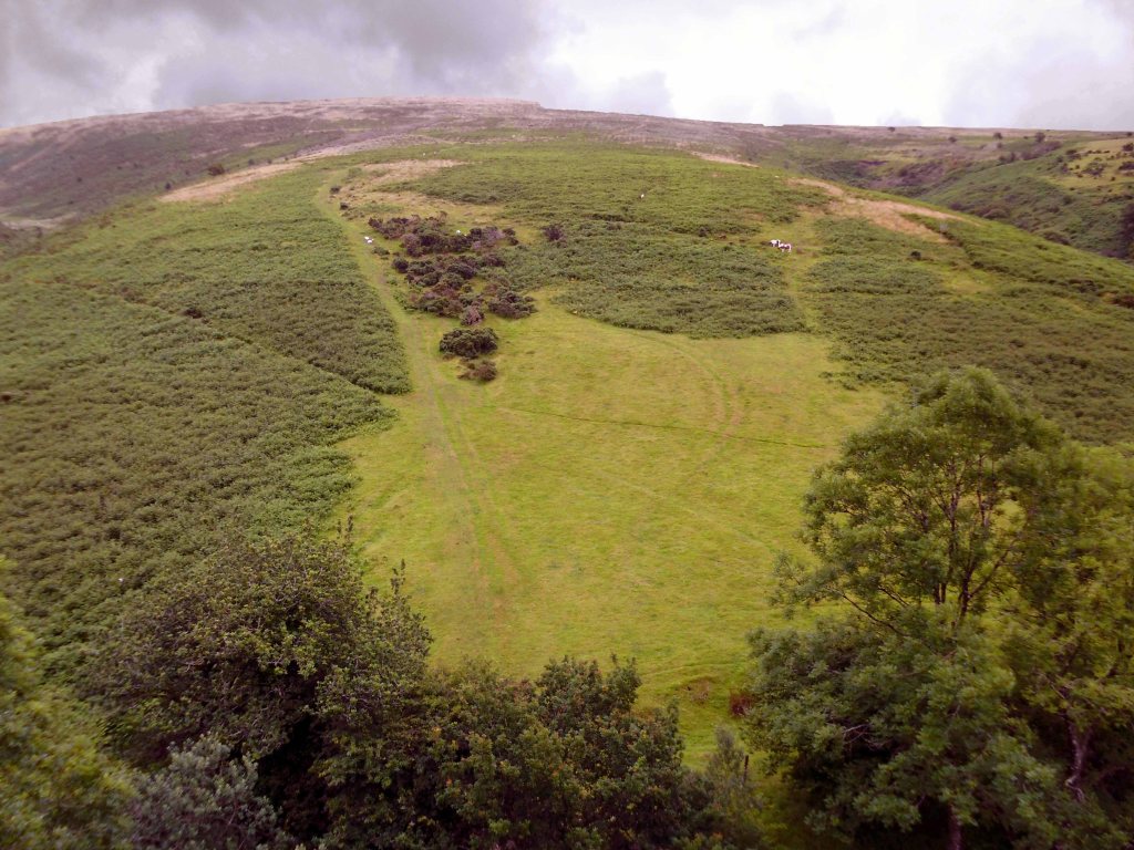
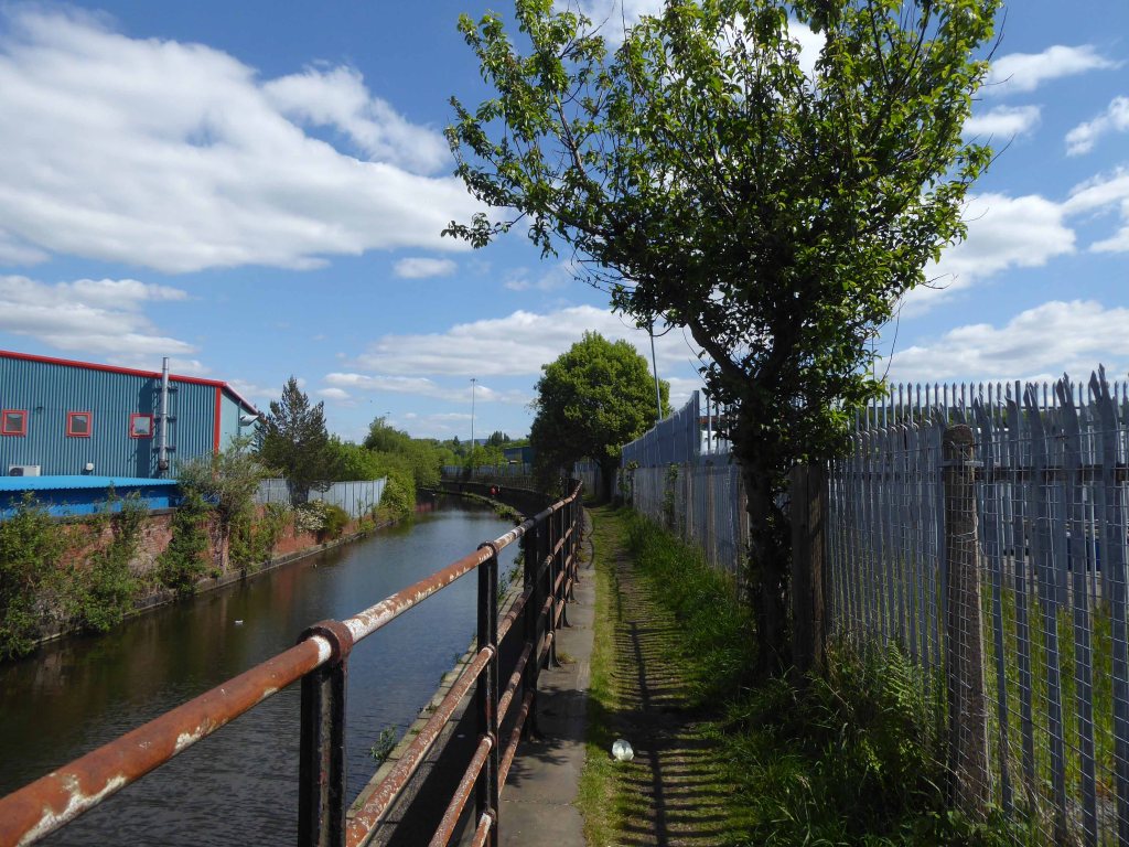
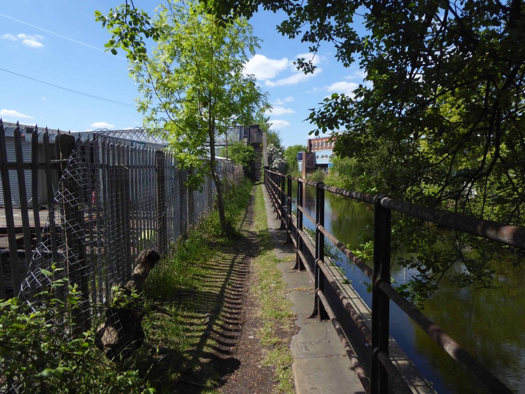
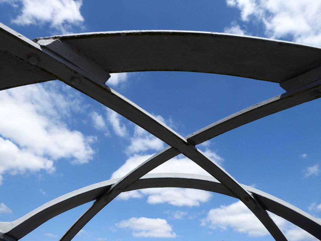
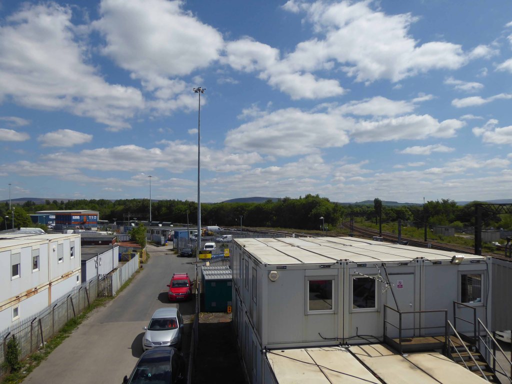
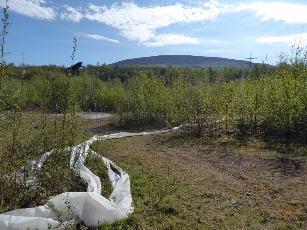
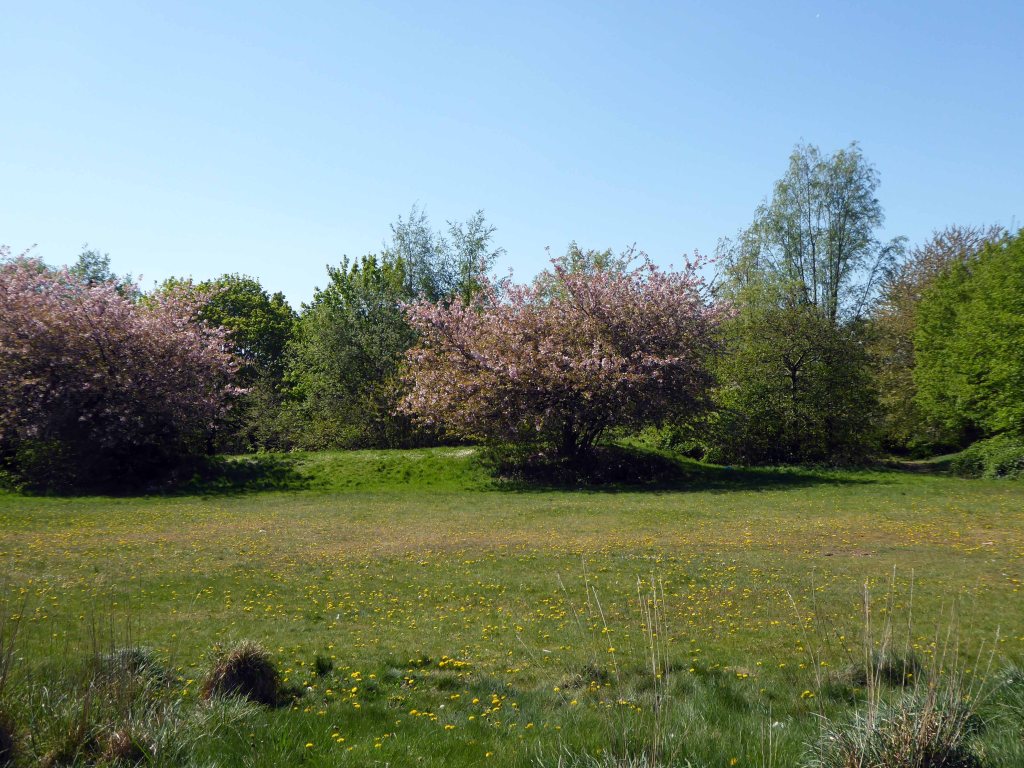
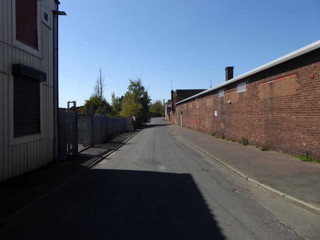
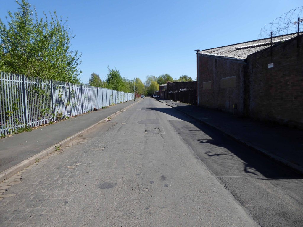
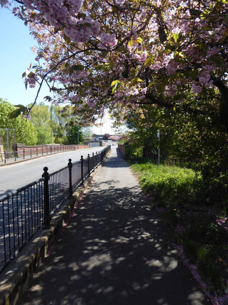
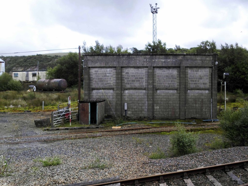
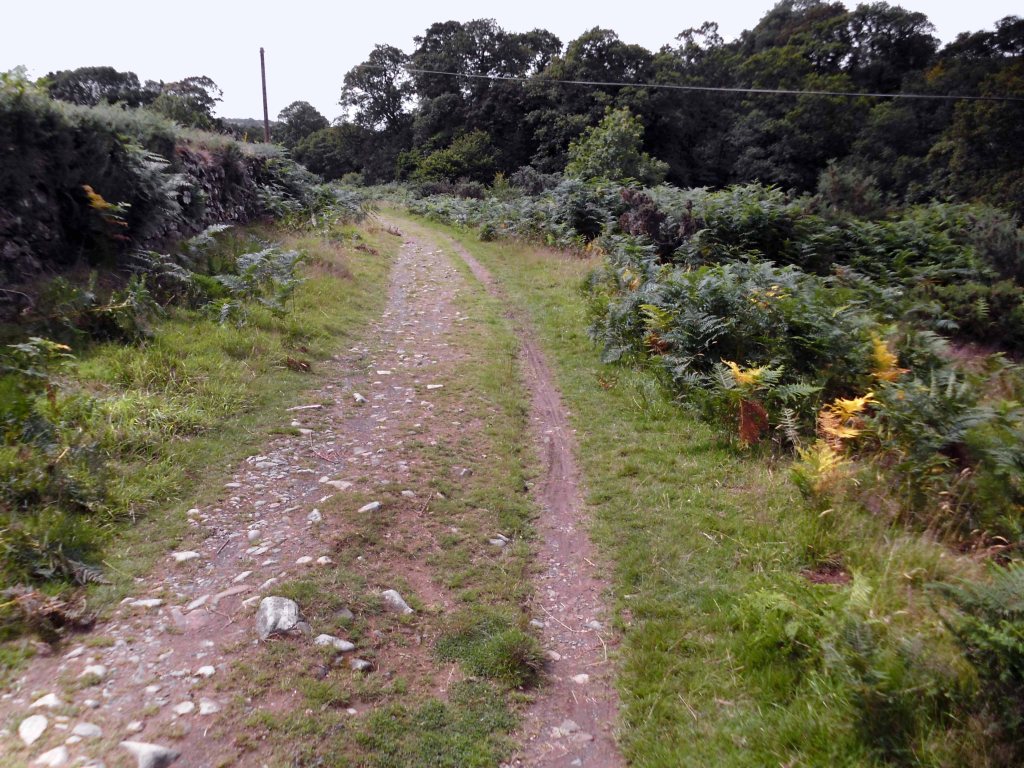
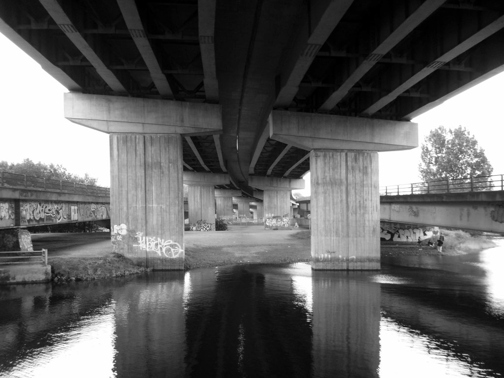
We’re off across the edge of Dartmoor.

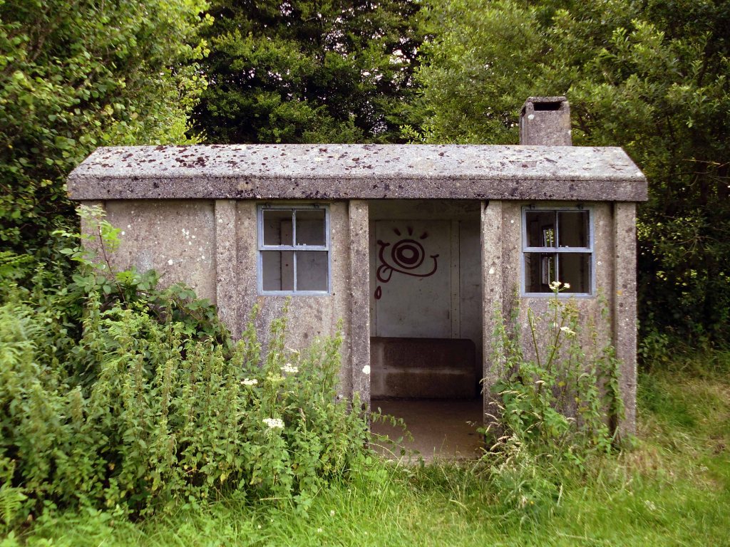
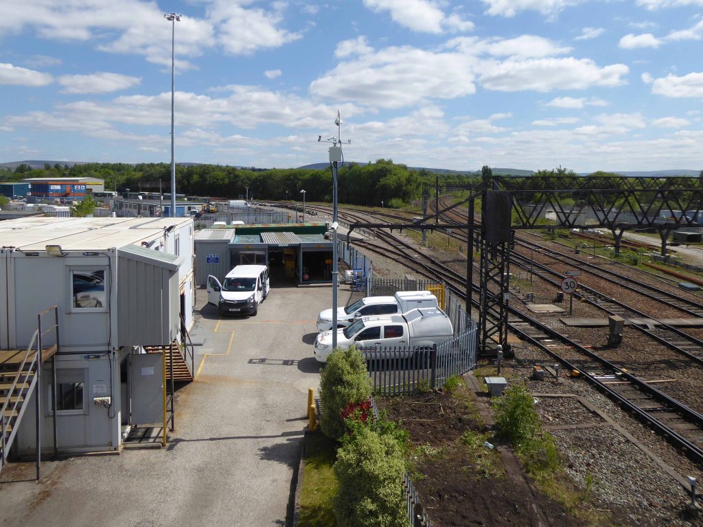
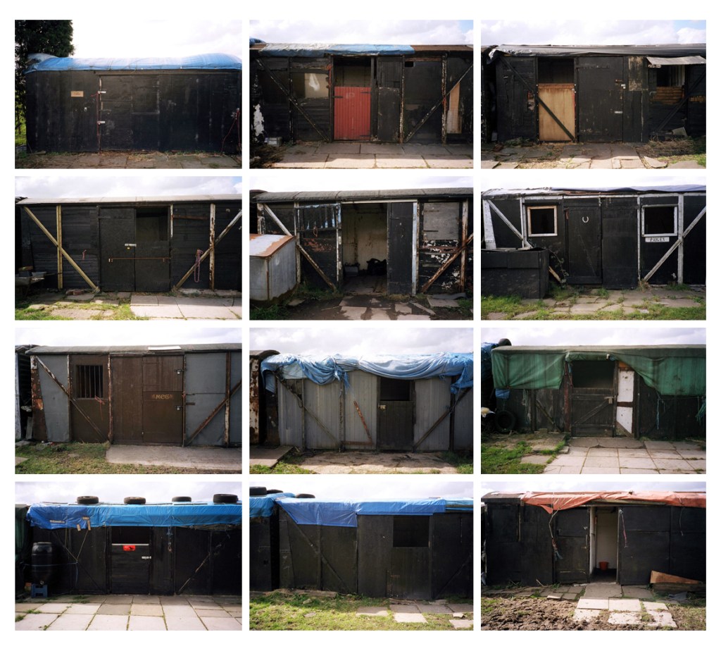
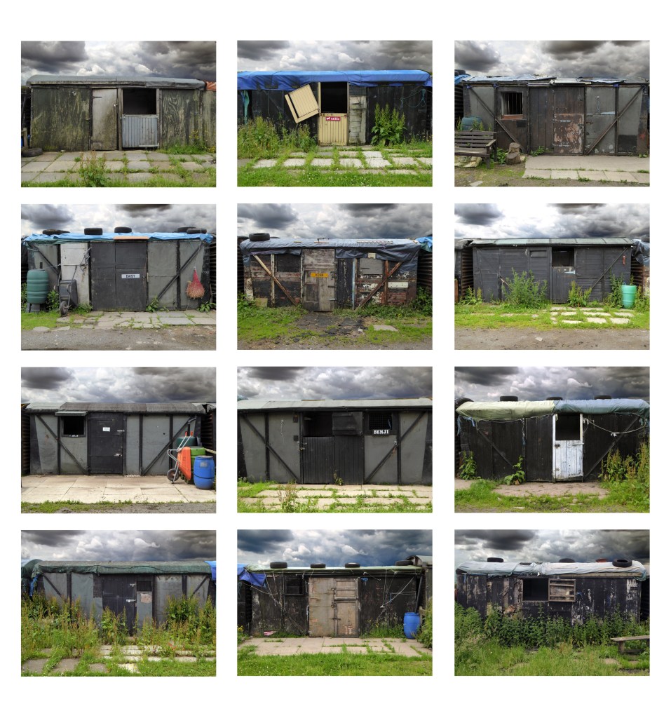
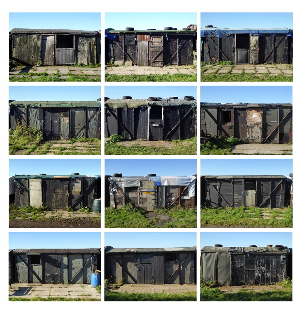
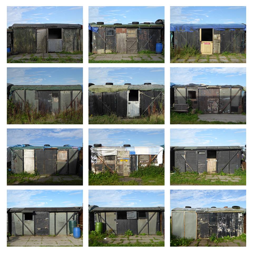
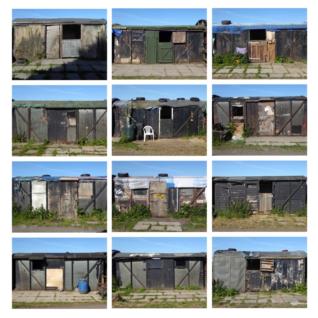
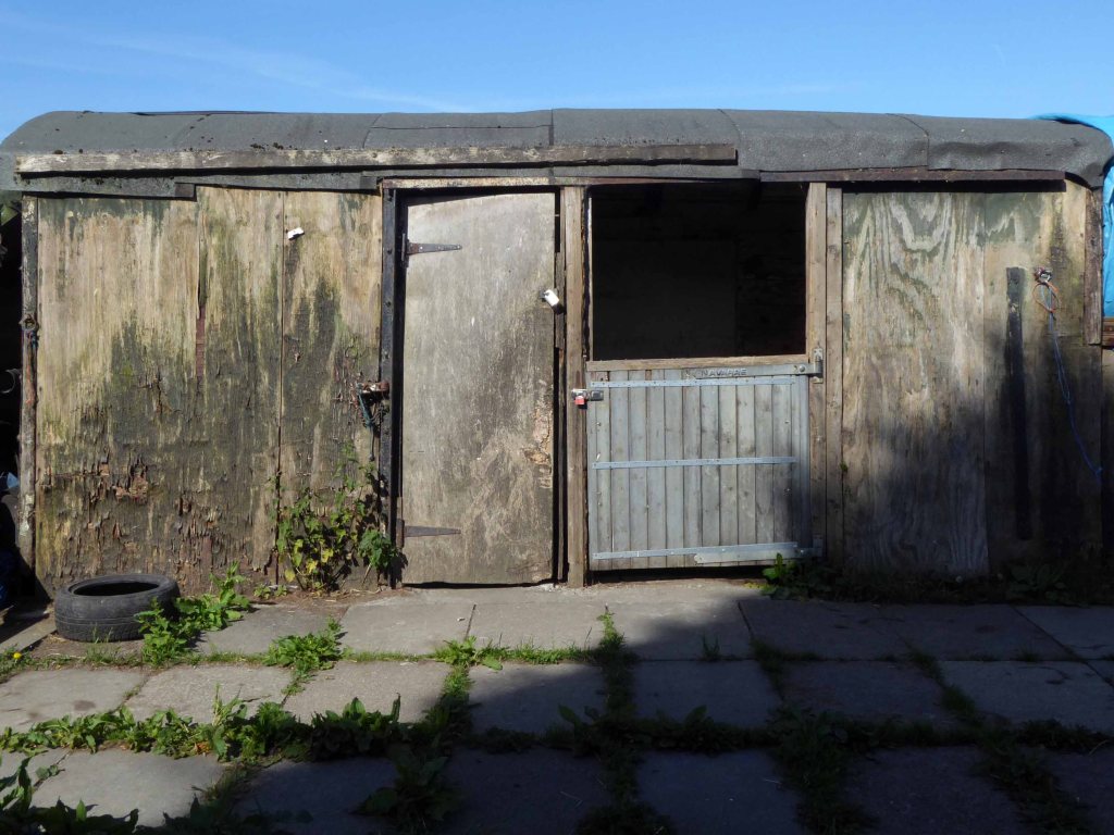
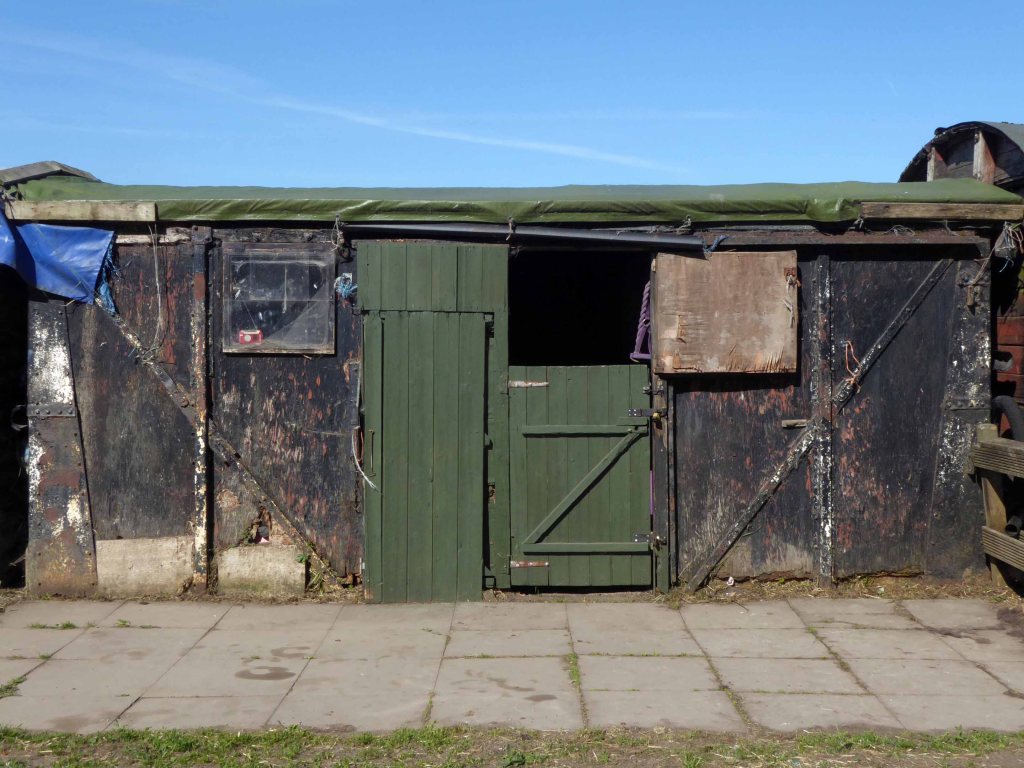
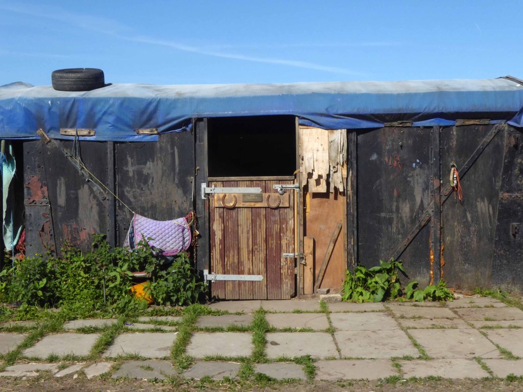
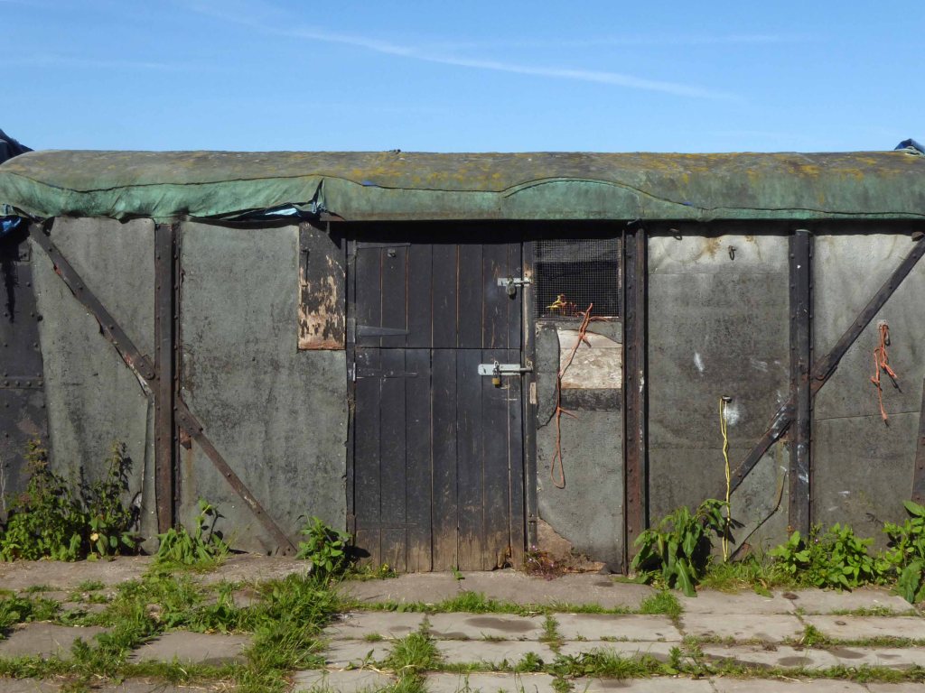
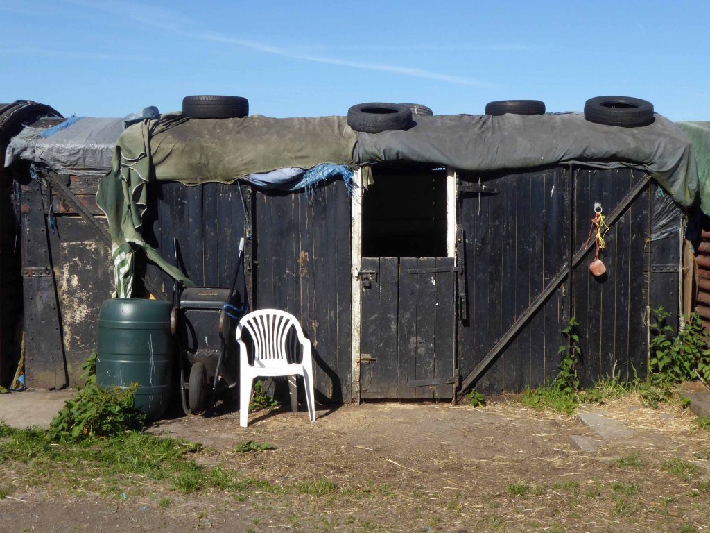
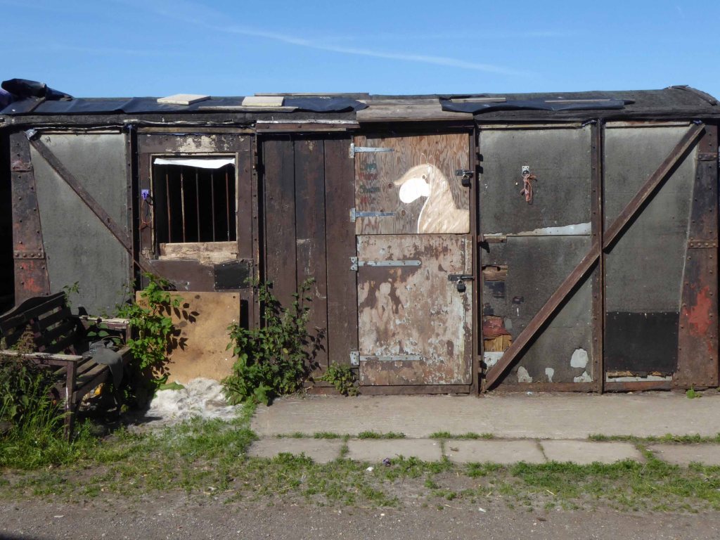
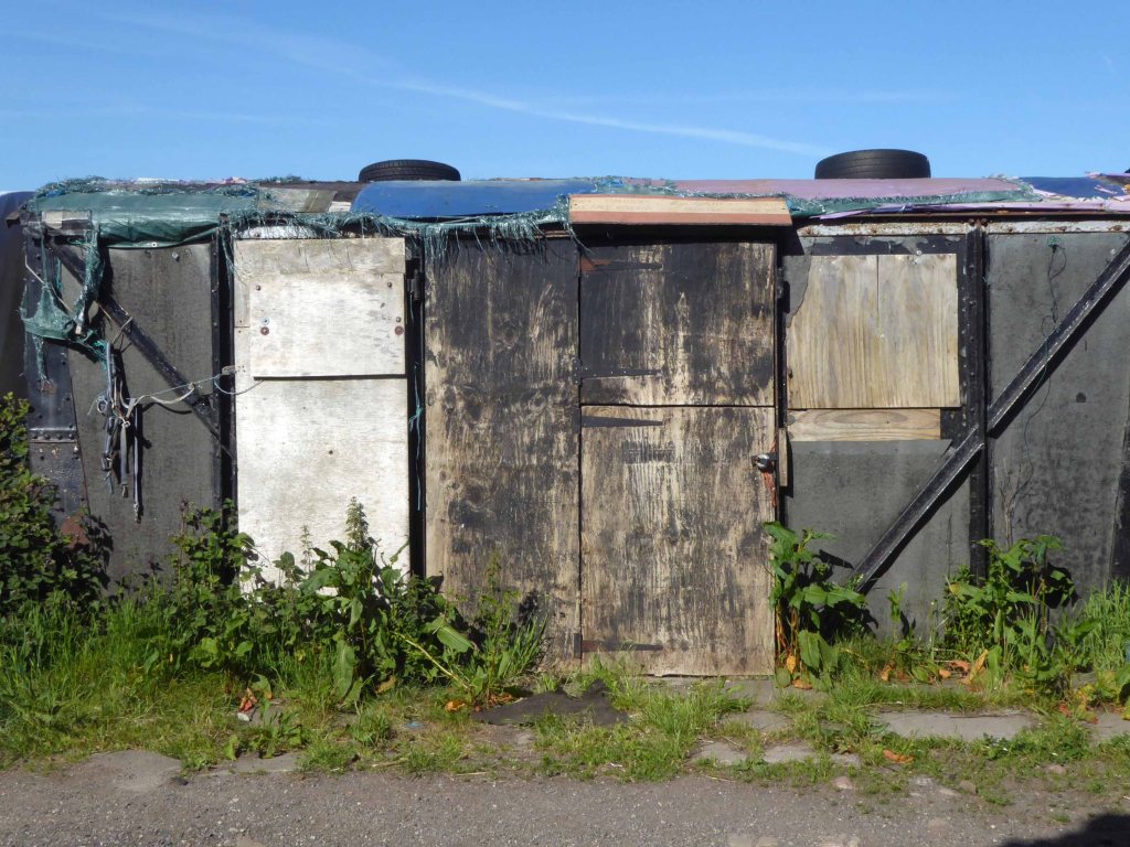
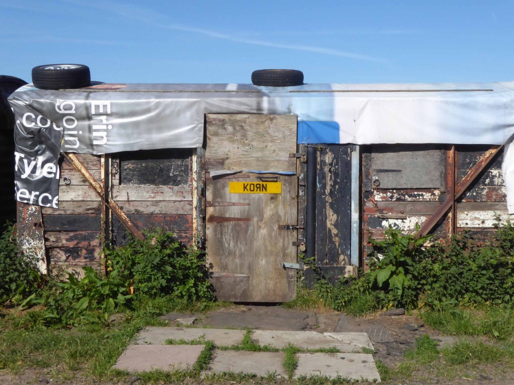
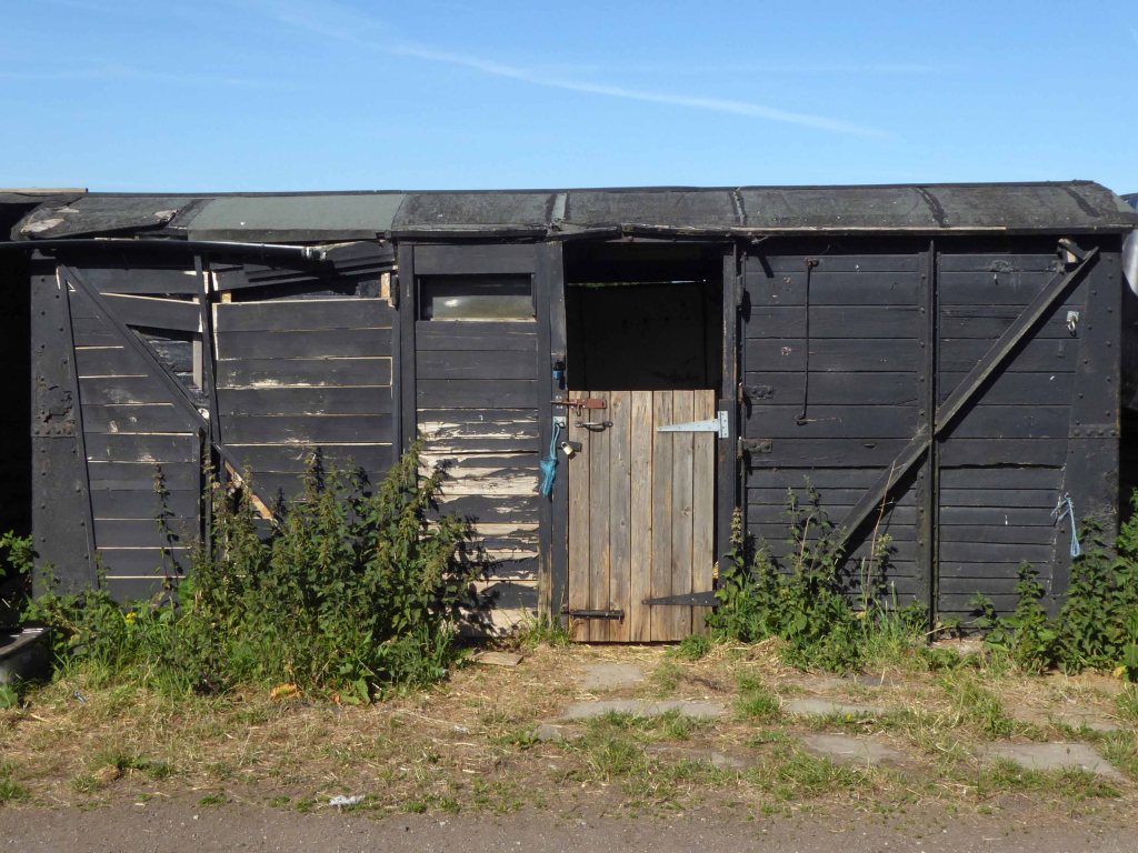
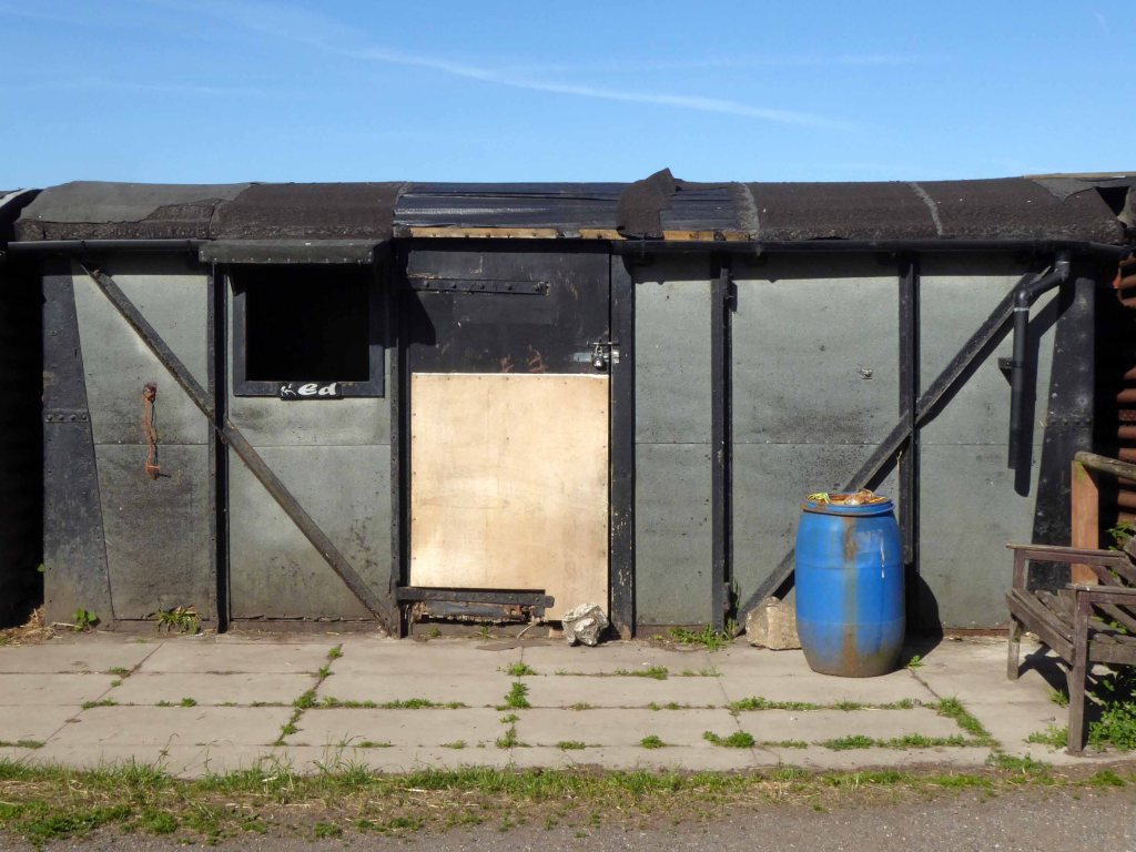
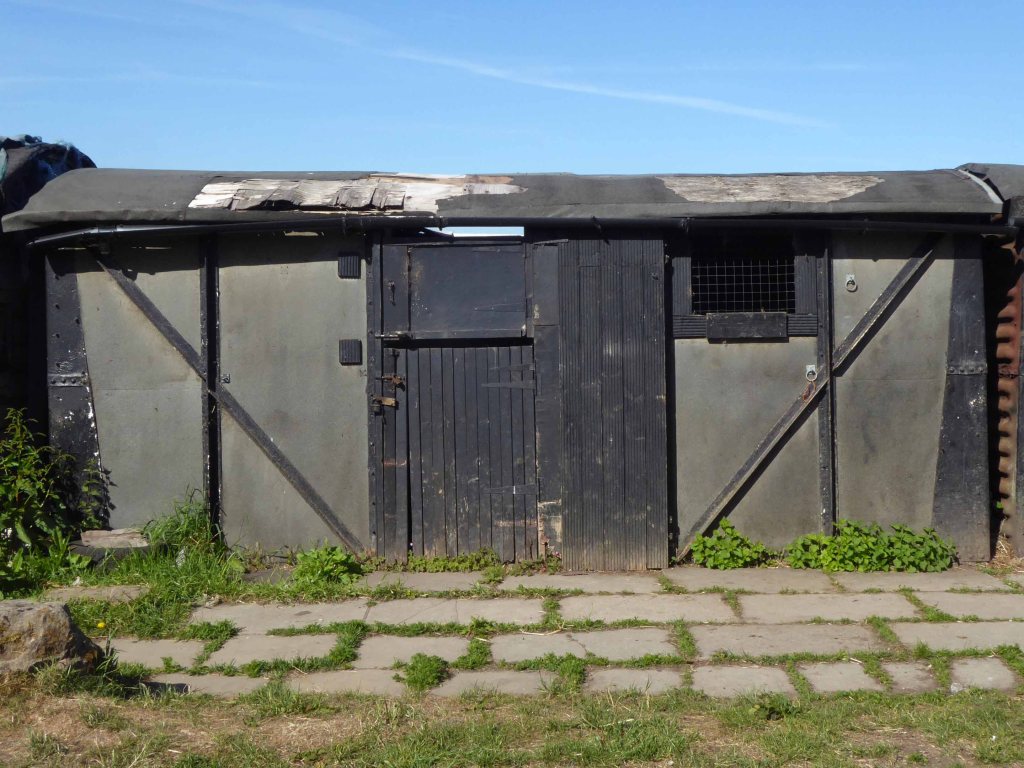
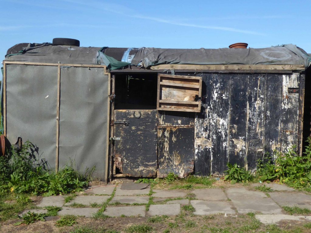
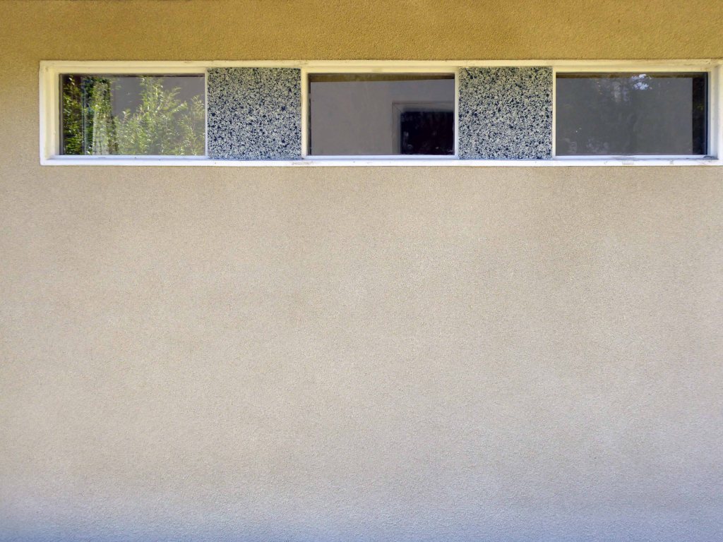
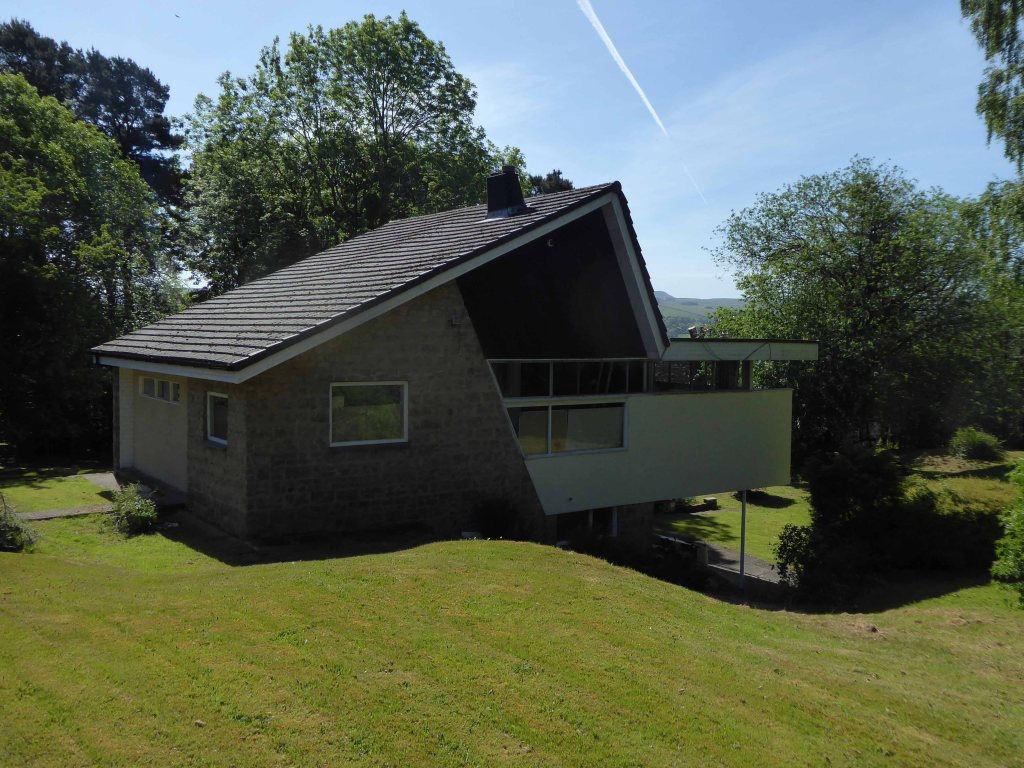
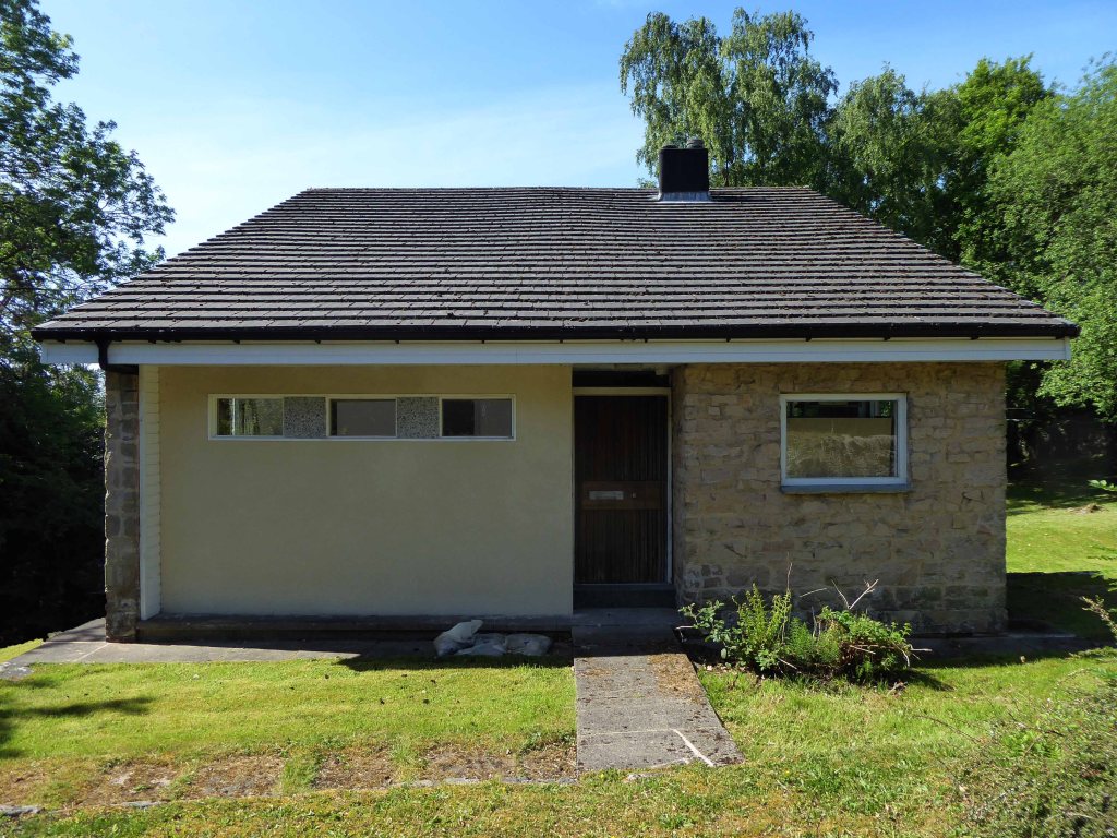
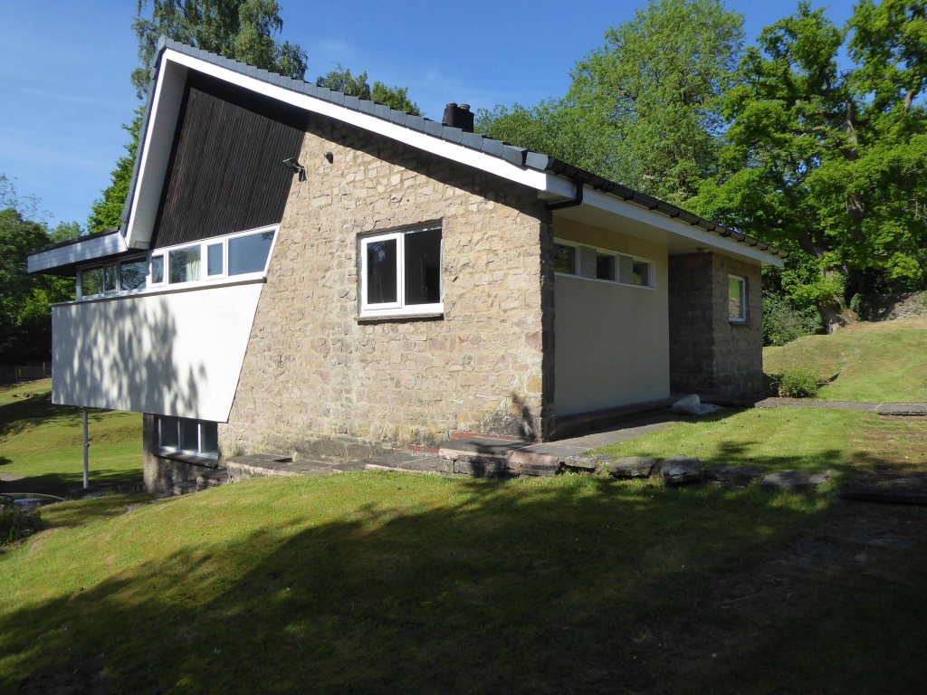
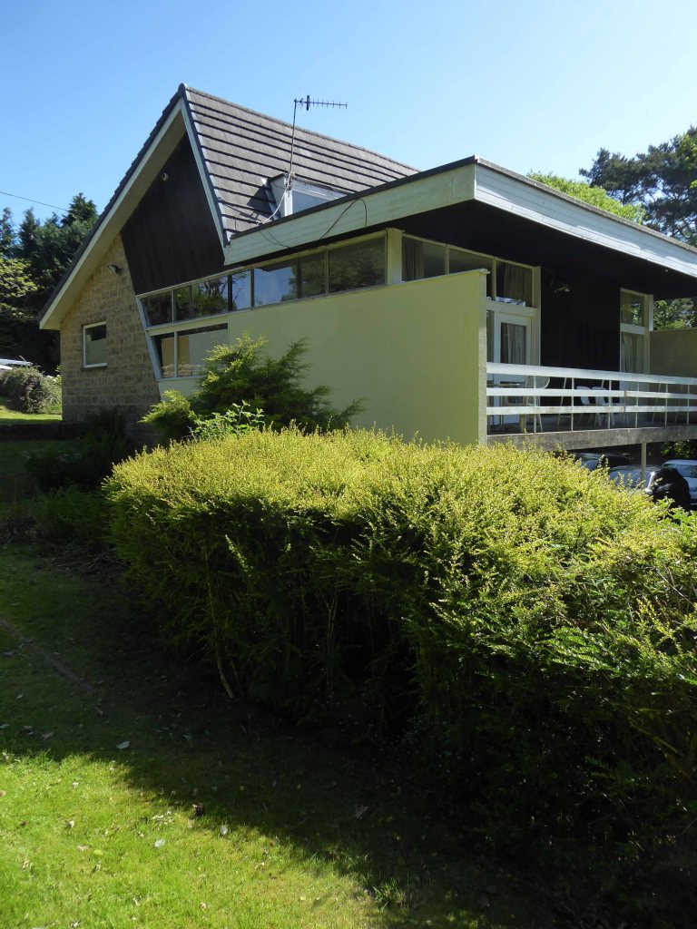
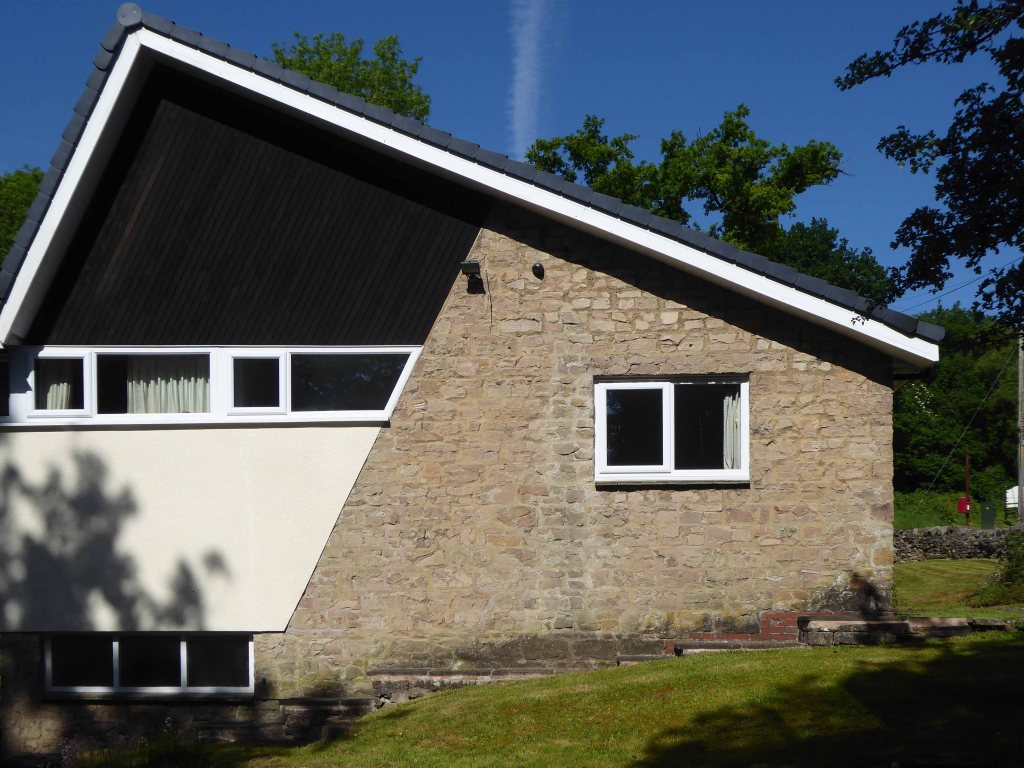
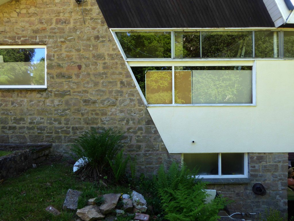
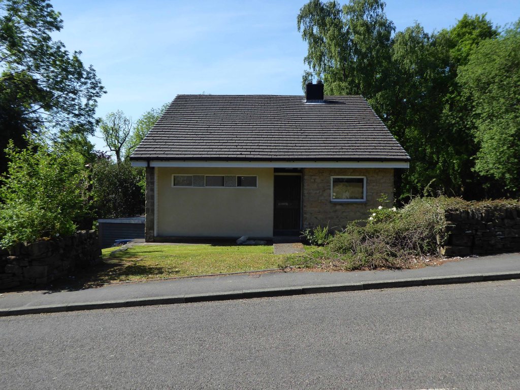
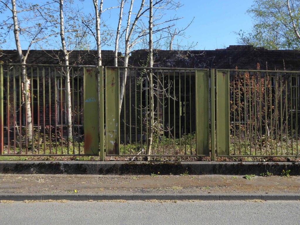
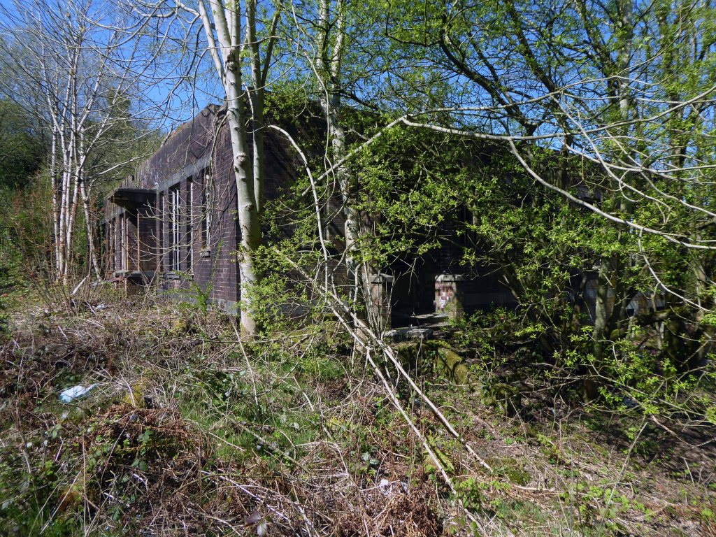
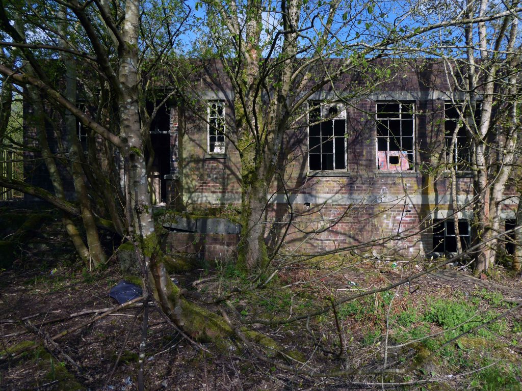
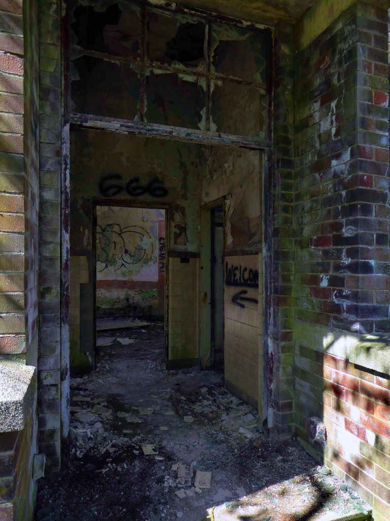
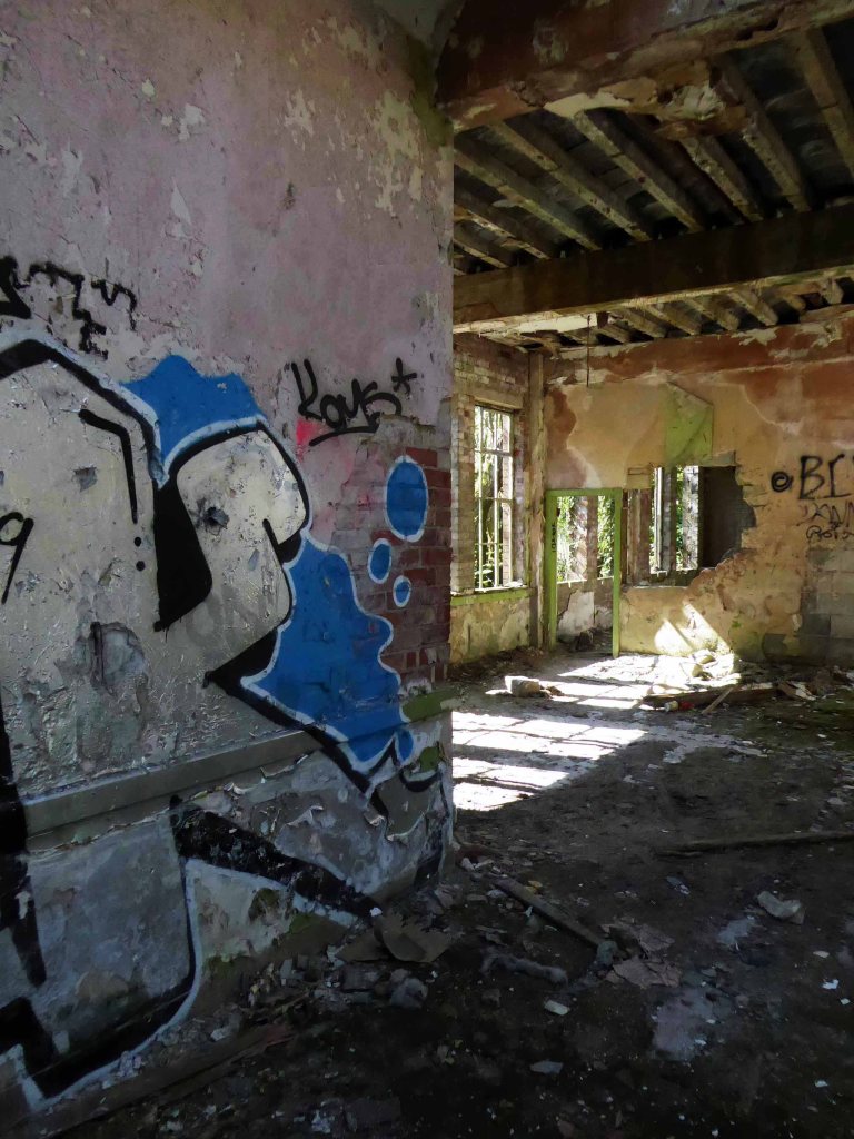
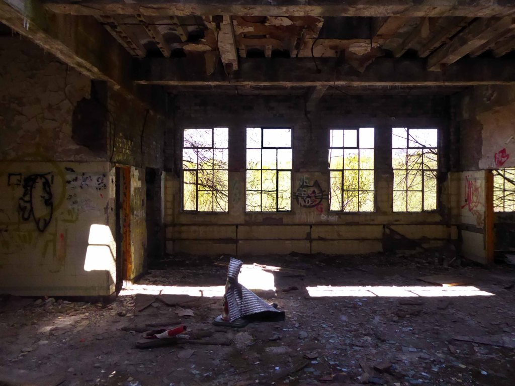
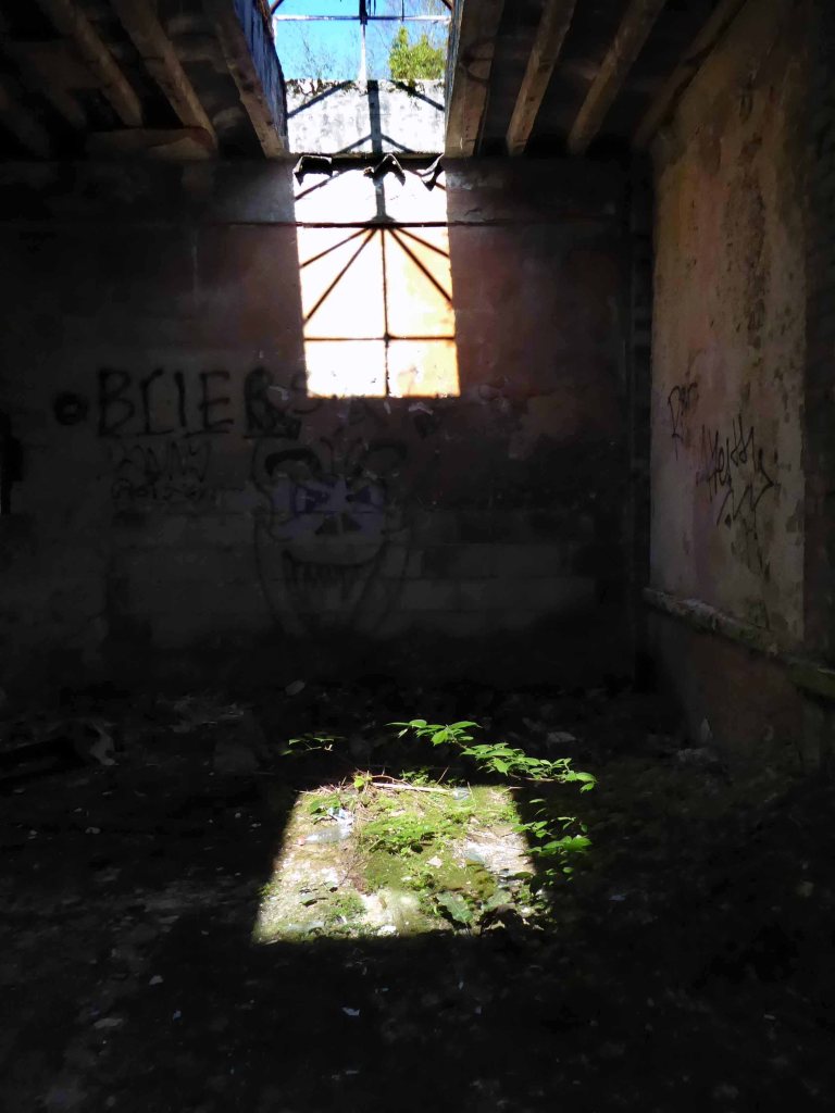
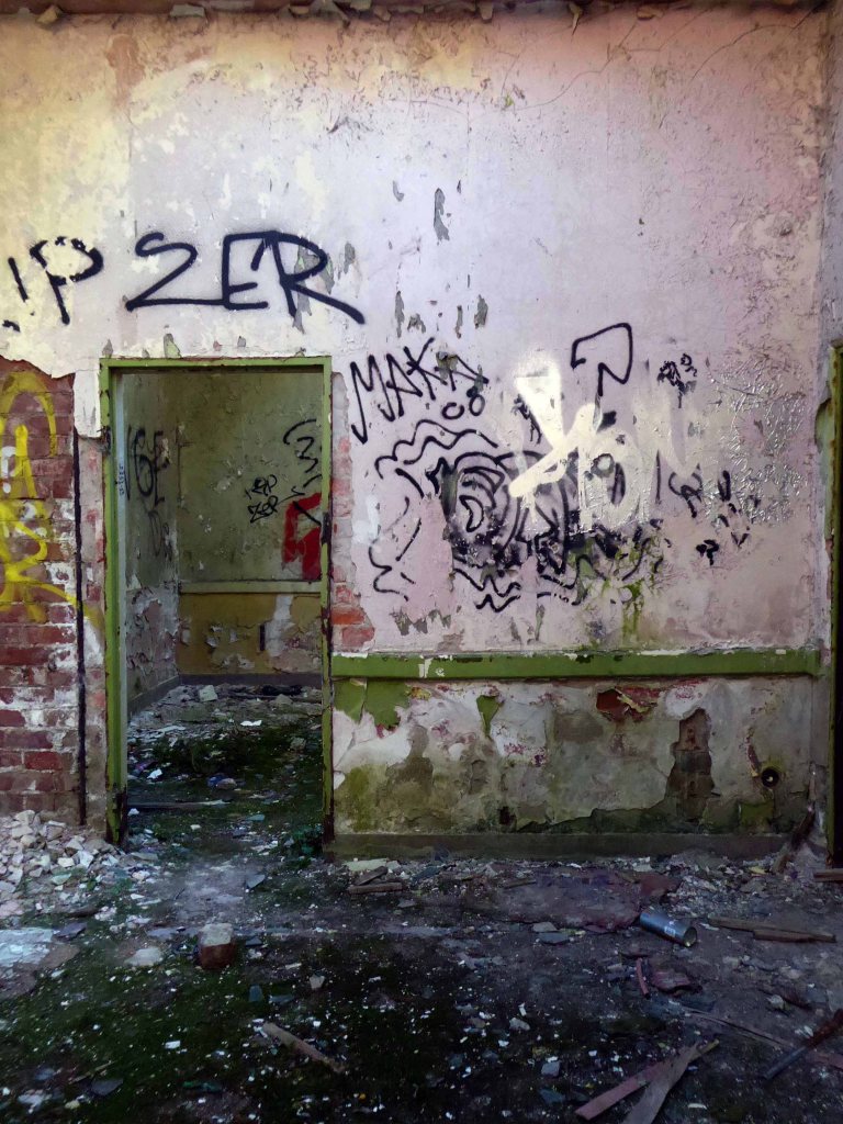
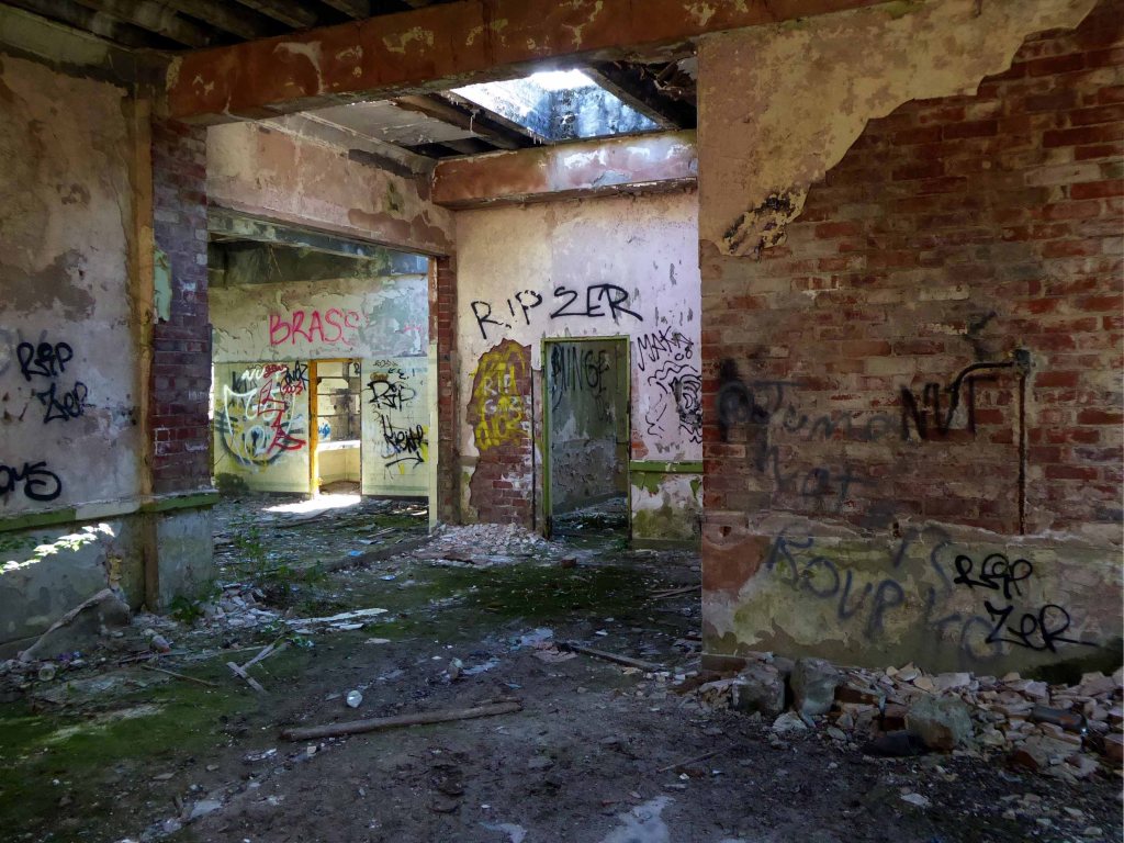
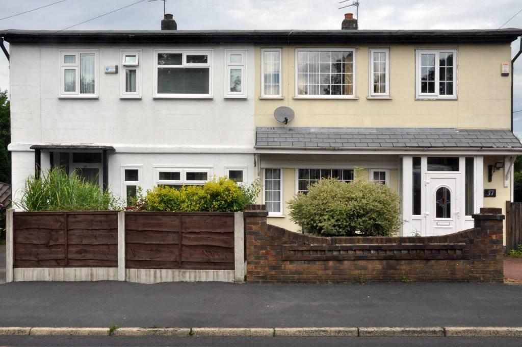
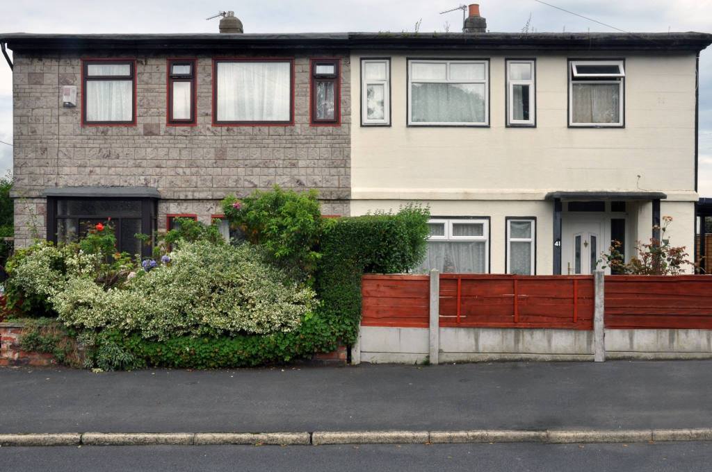
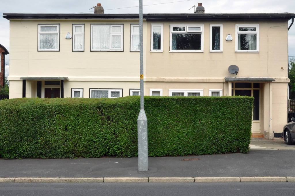
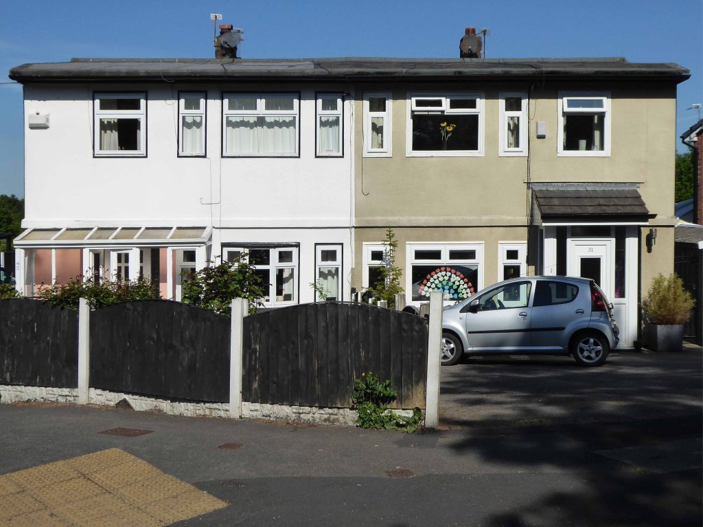
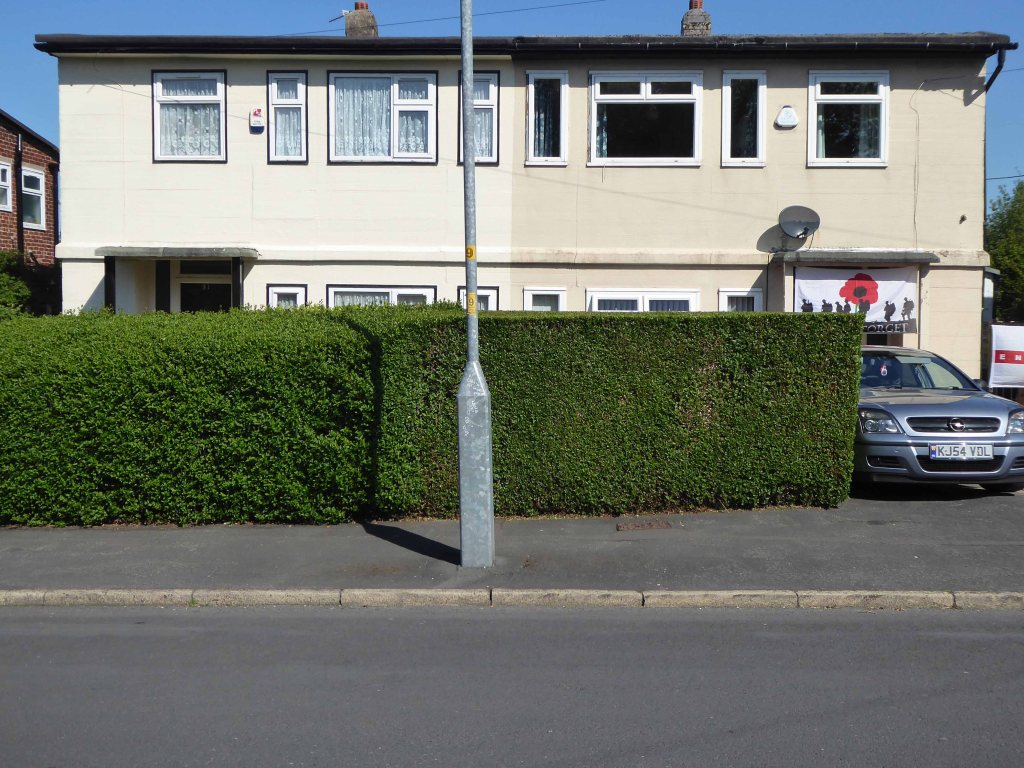
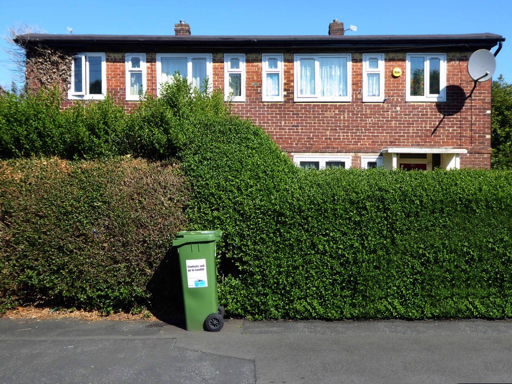
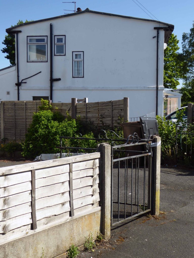
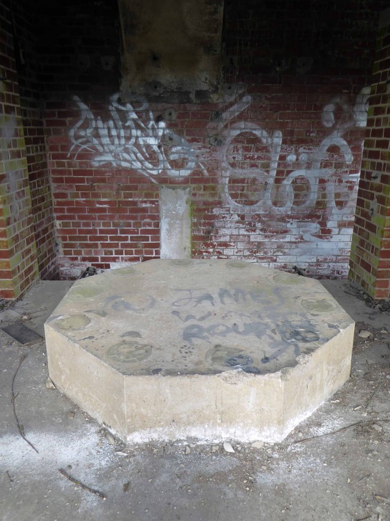
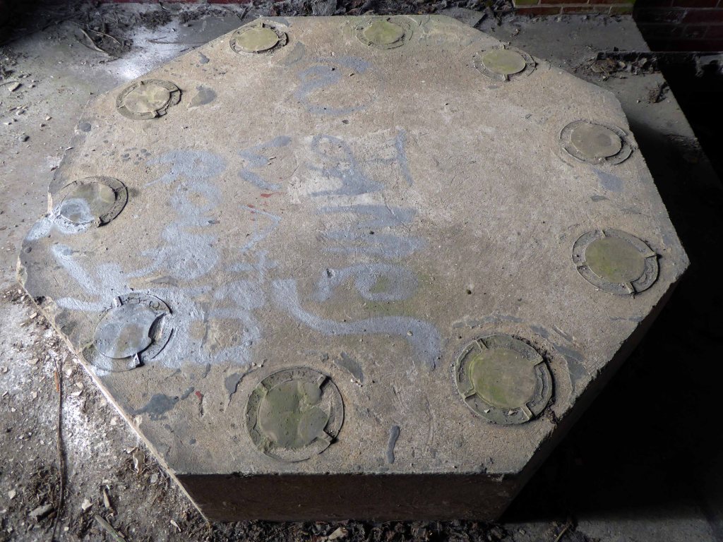
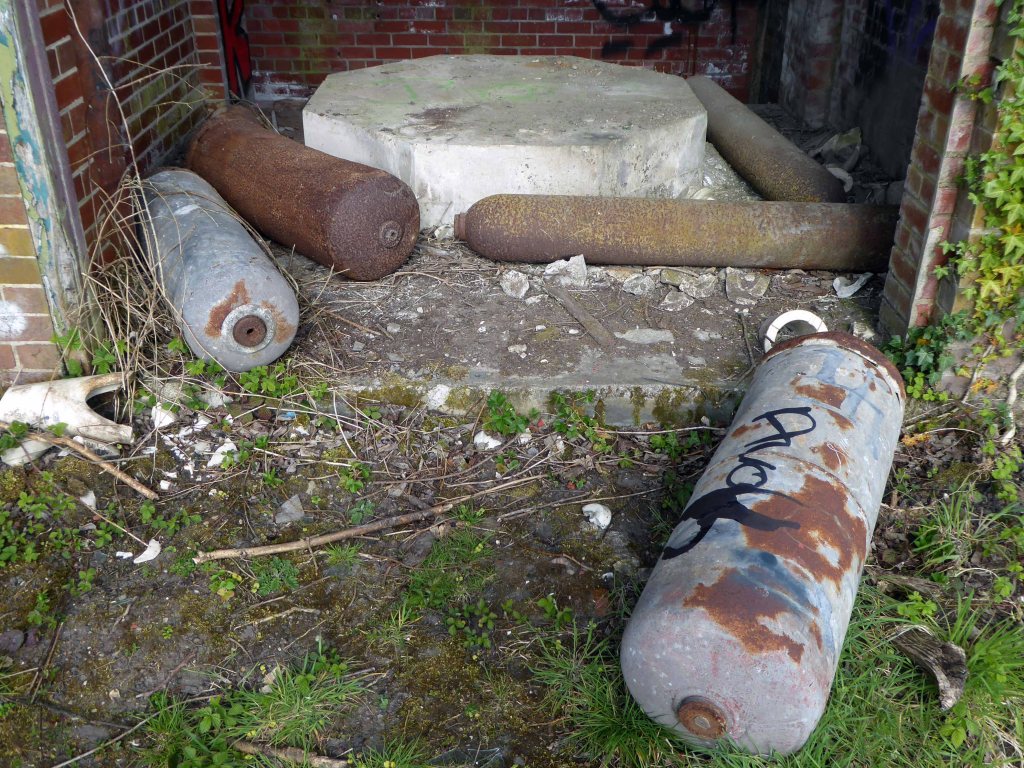
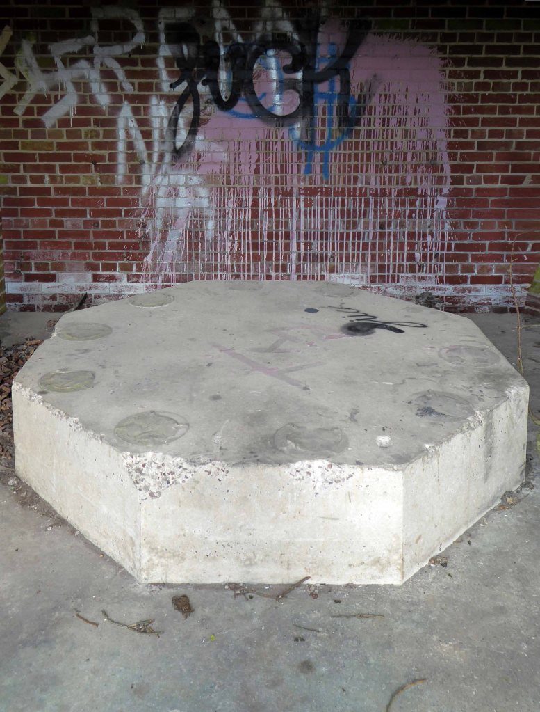
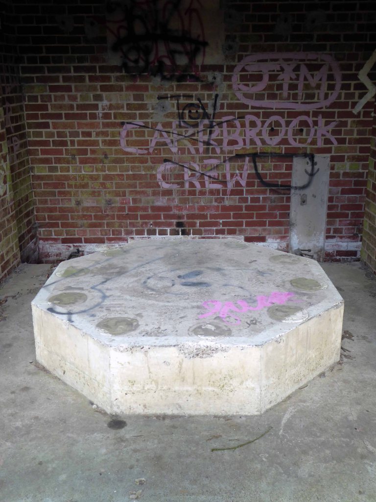
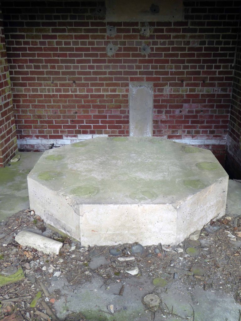
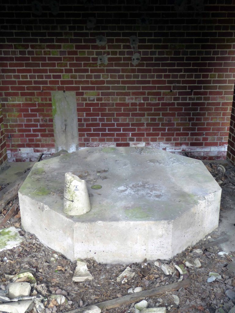
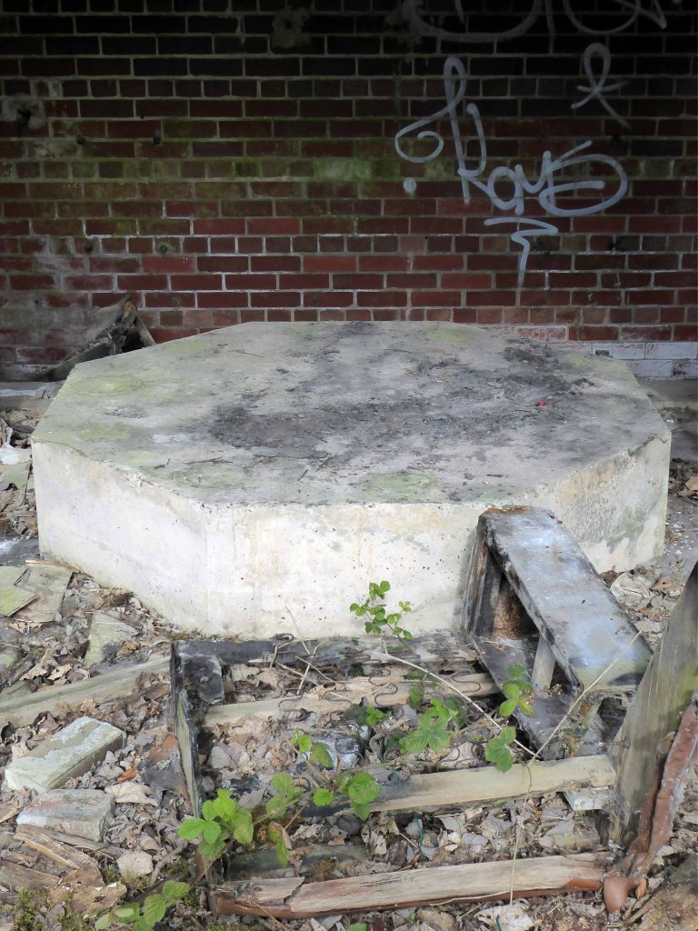
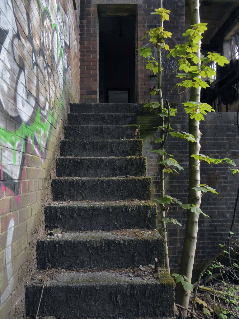
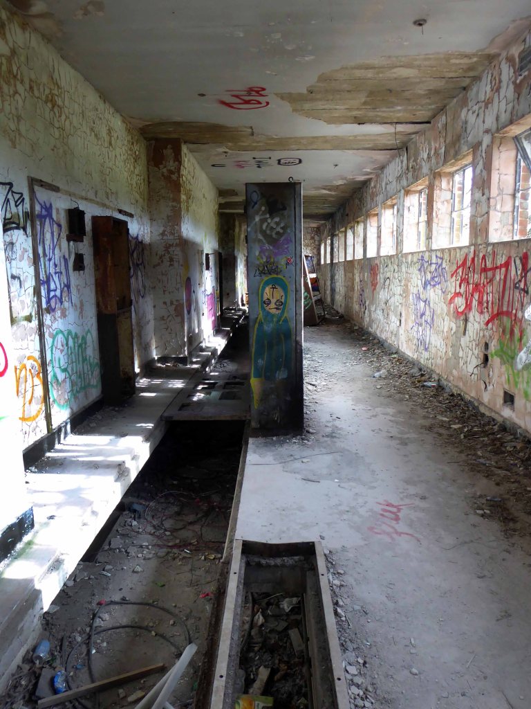
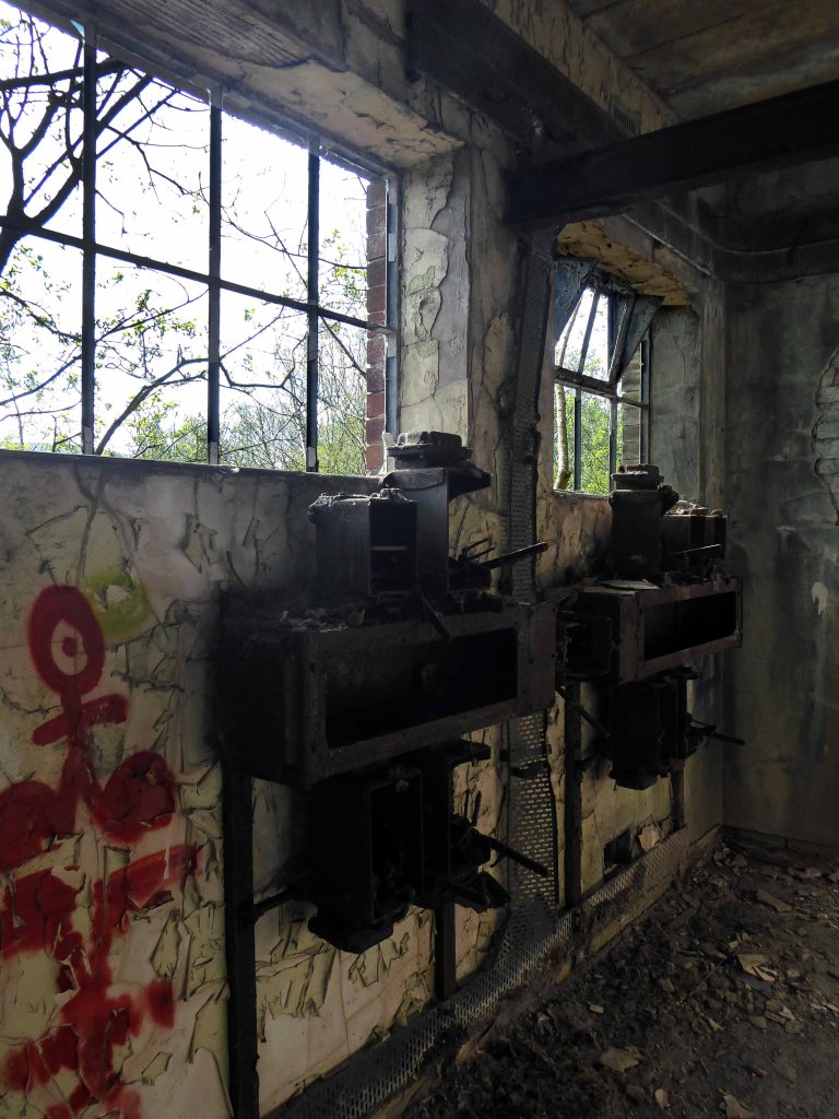
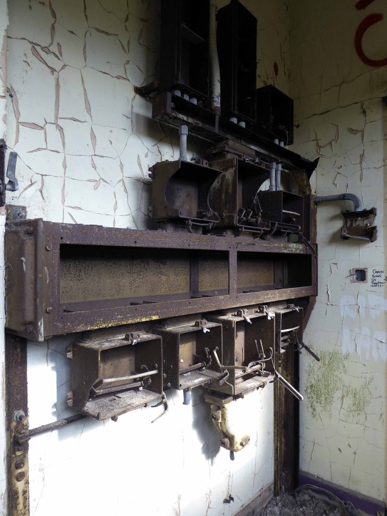
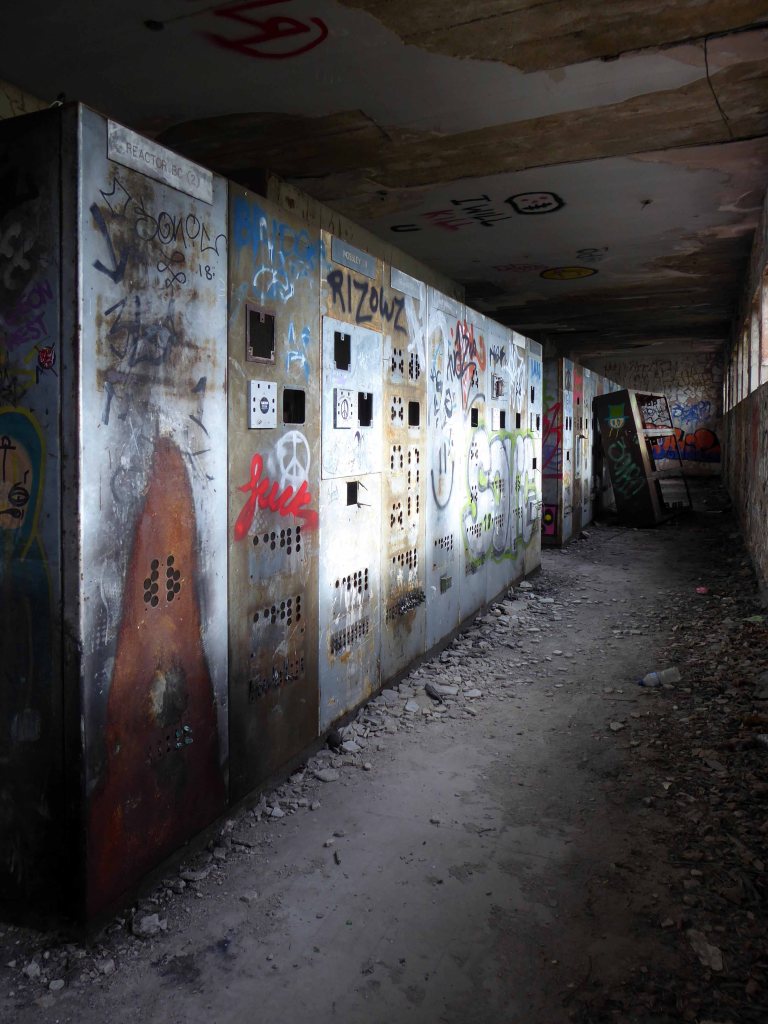
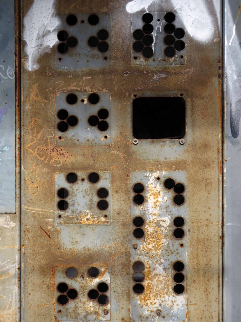
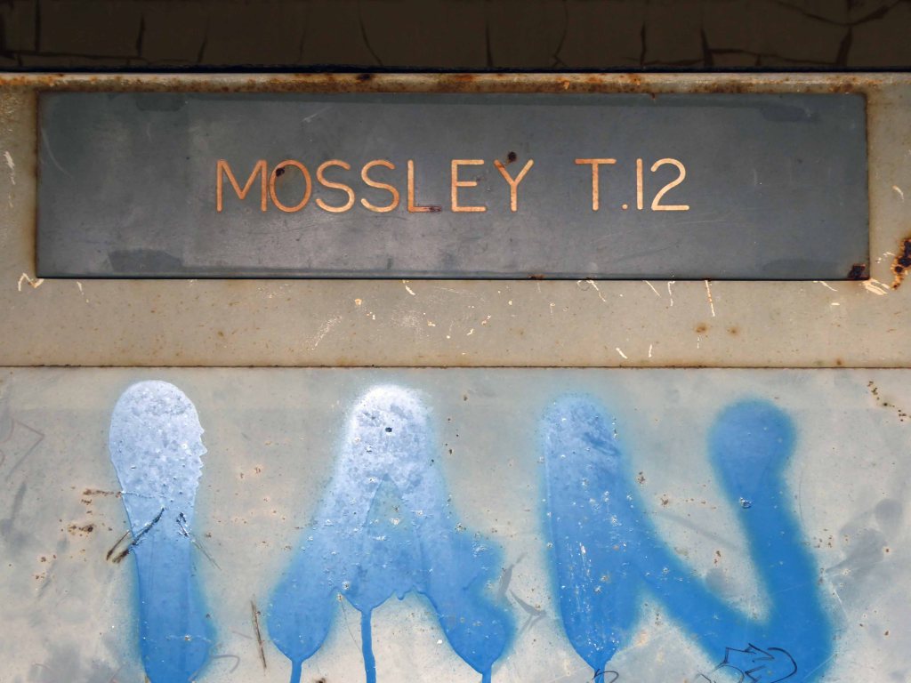
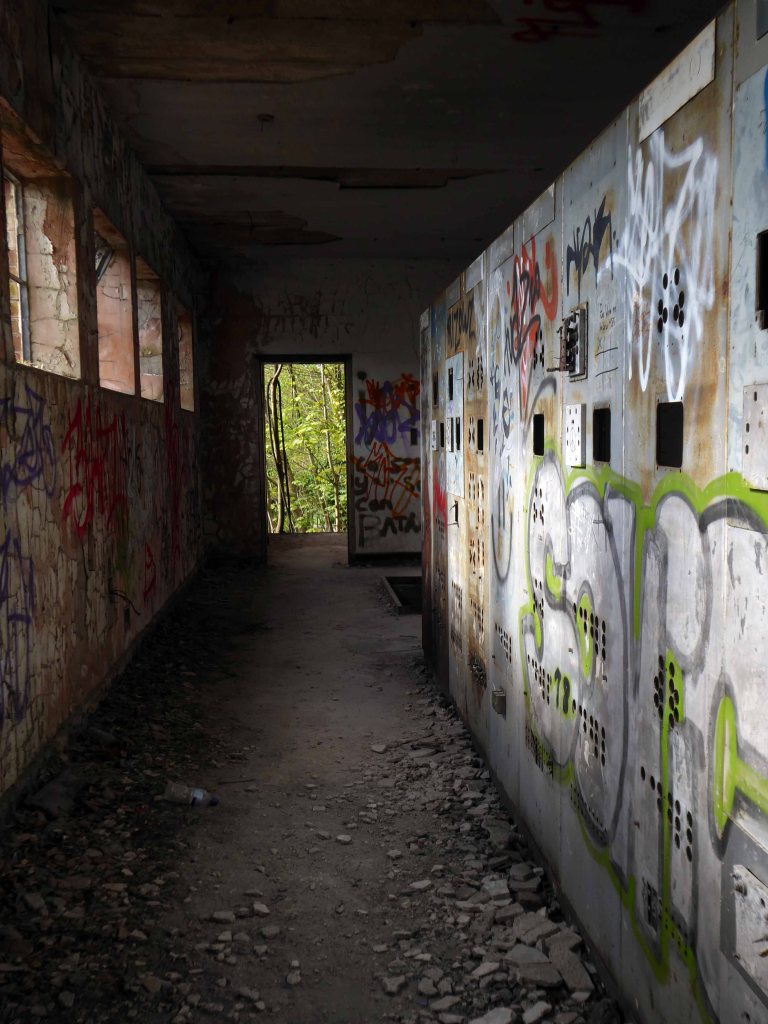
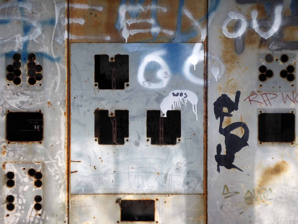
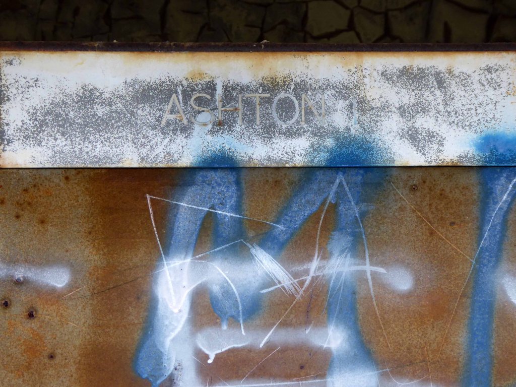
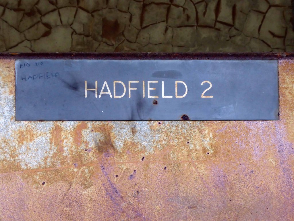
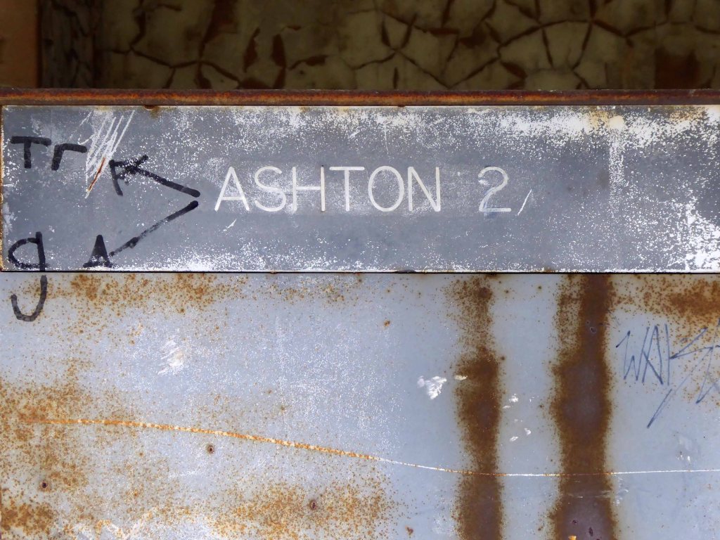
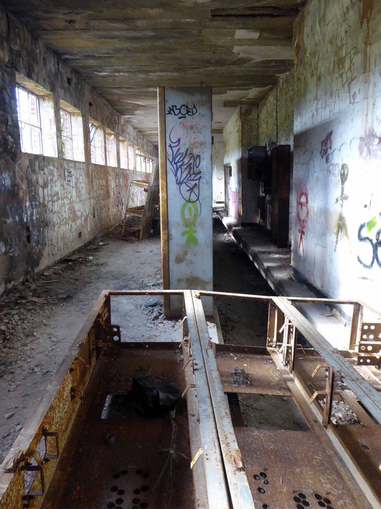
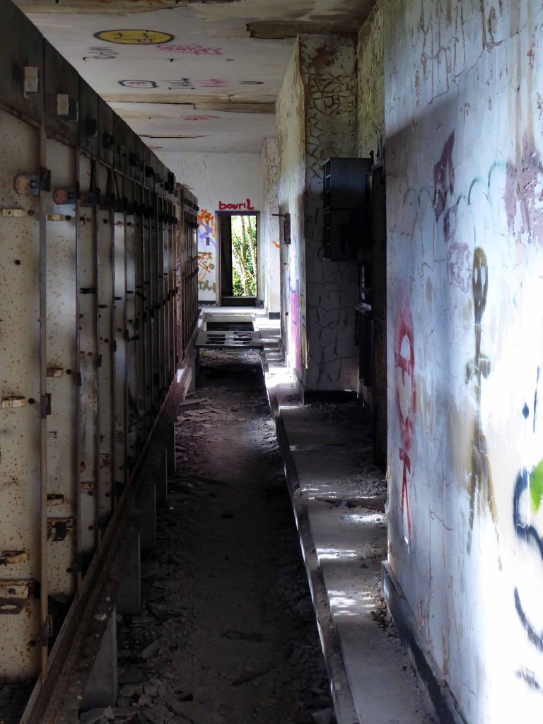
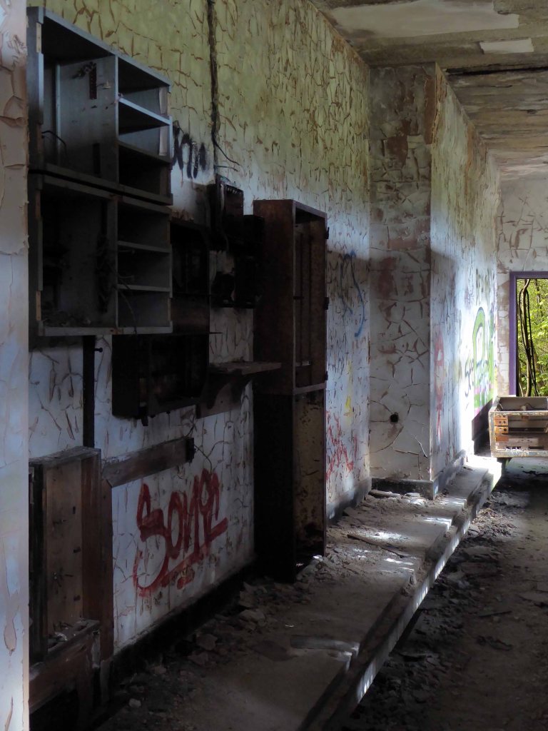
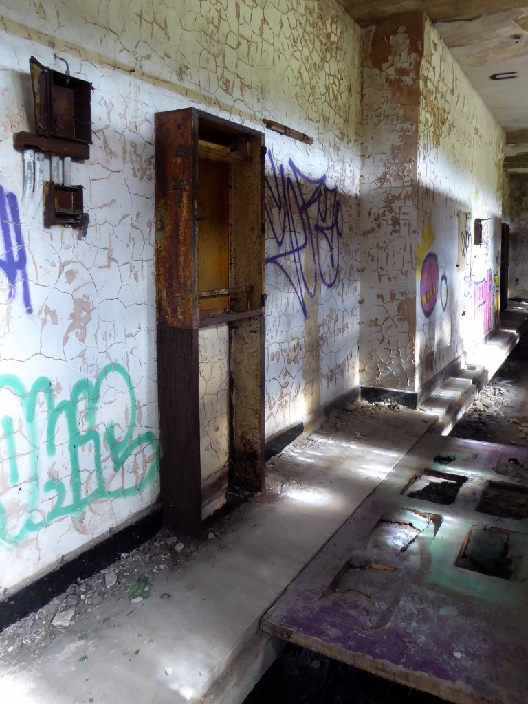
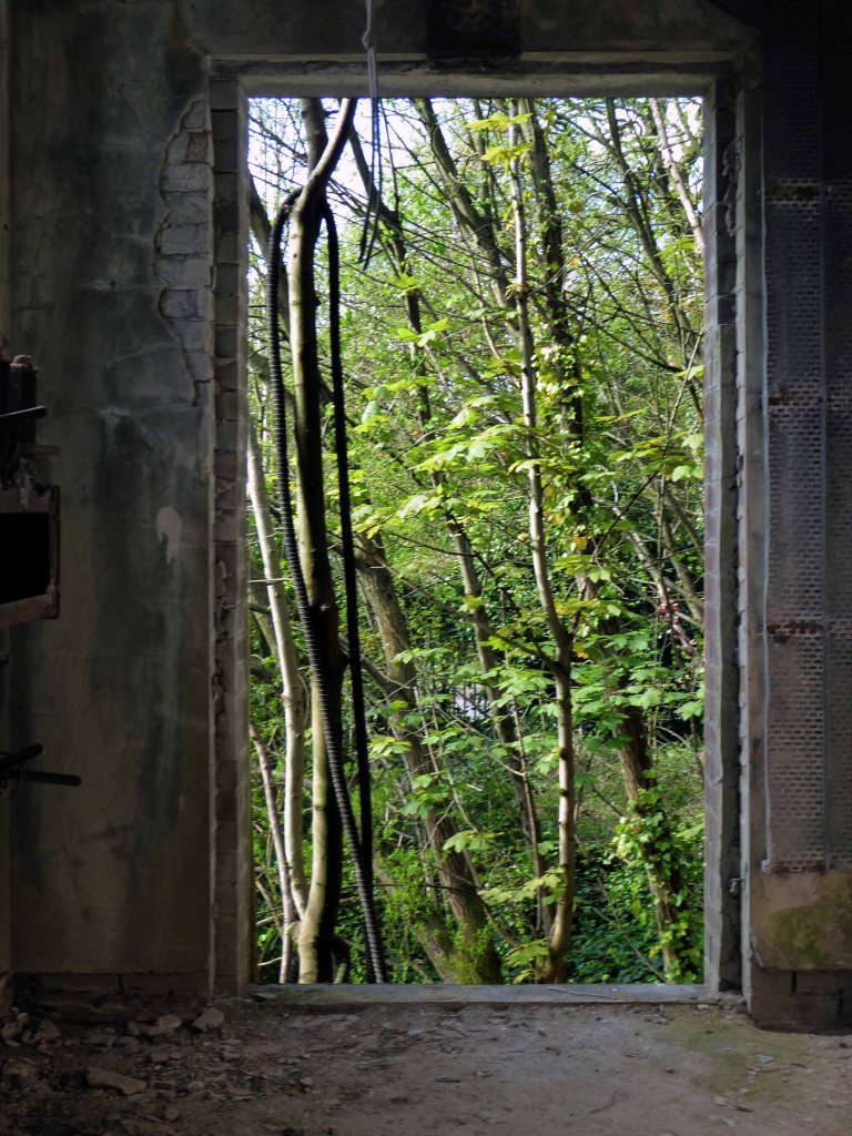
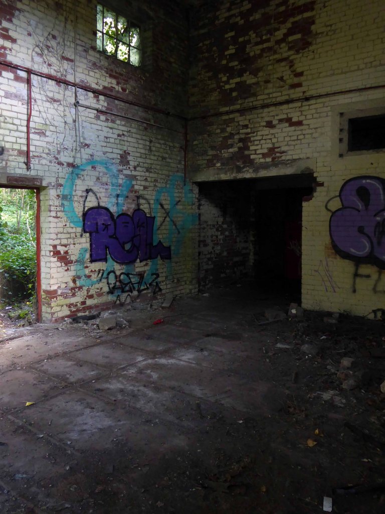
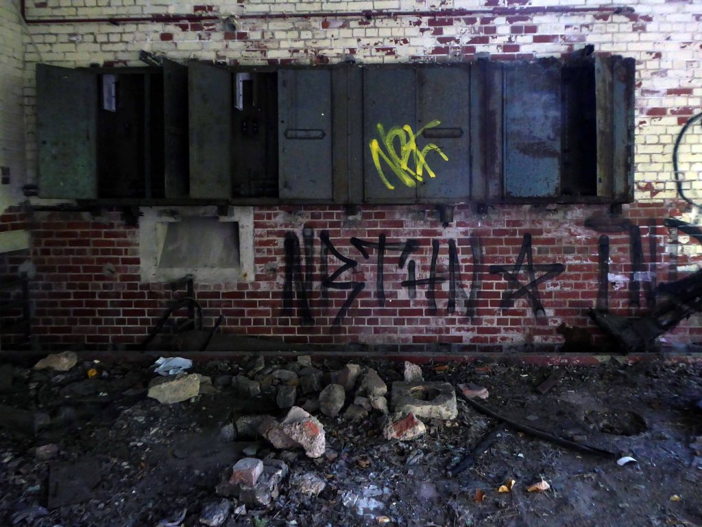
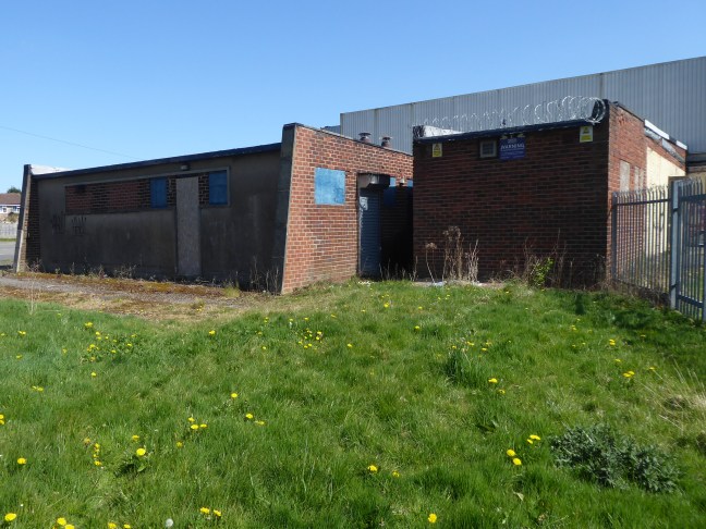
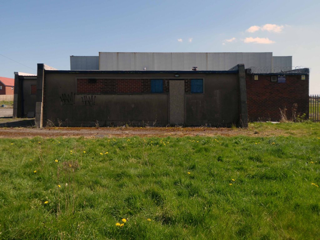
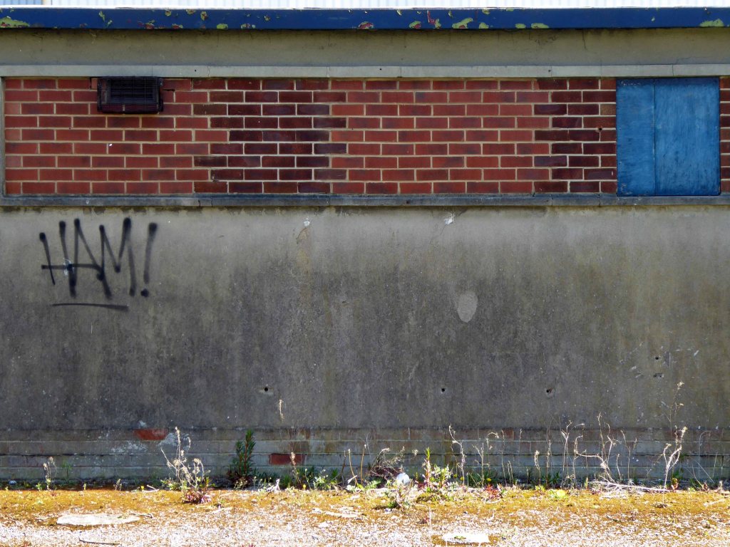
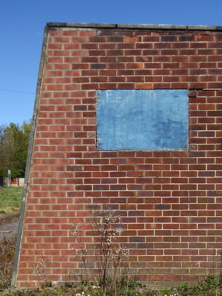
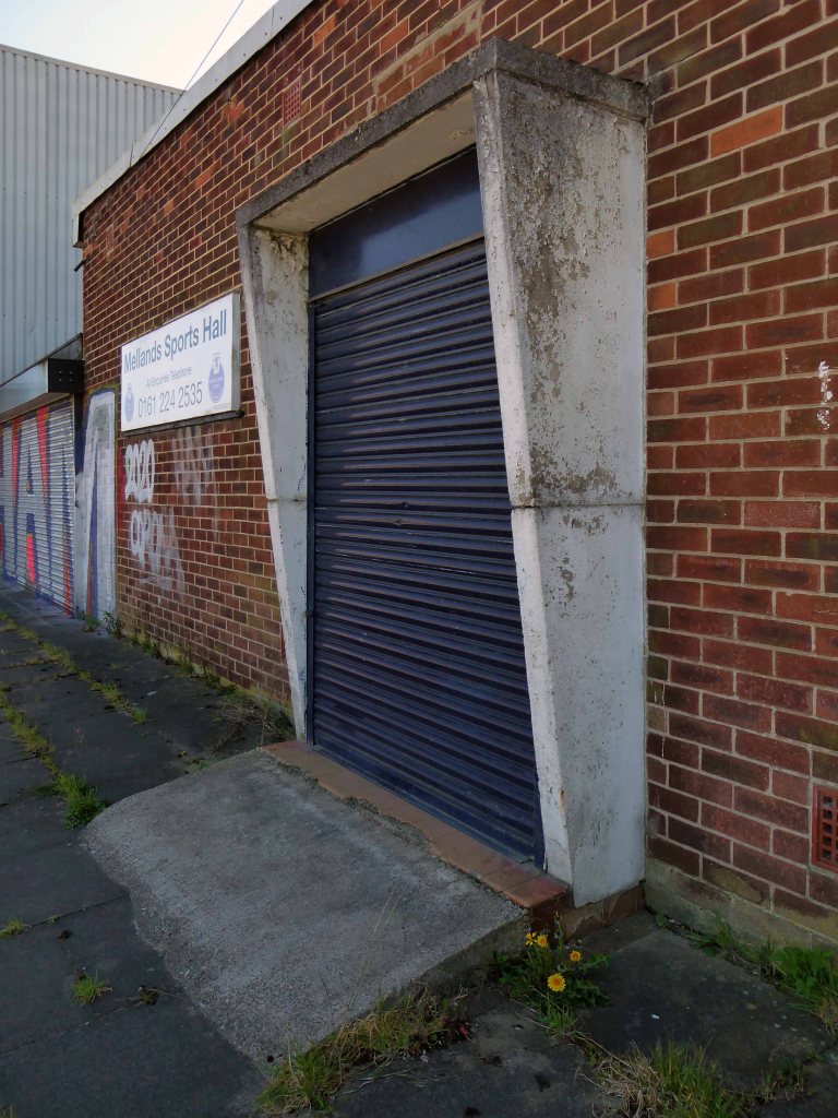
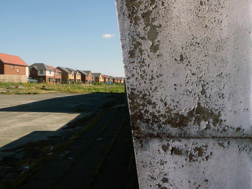
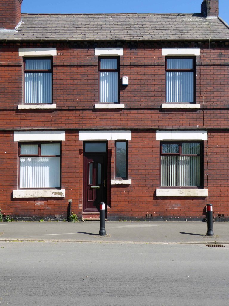
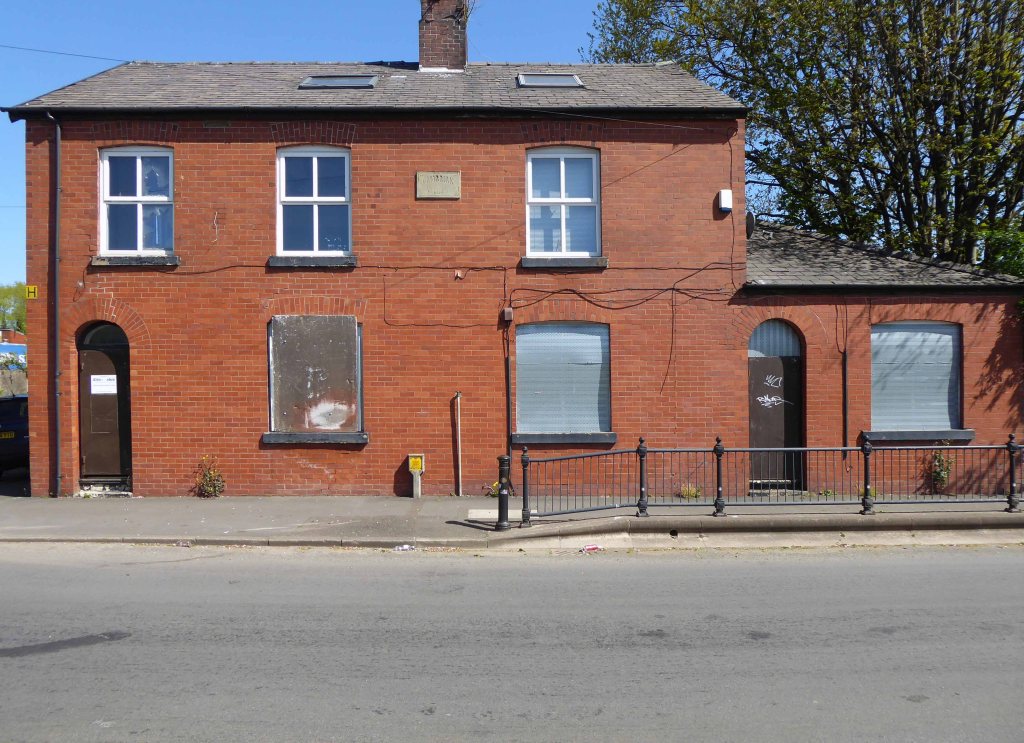
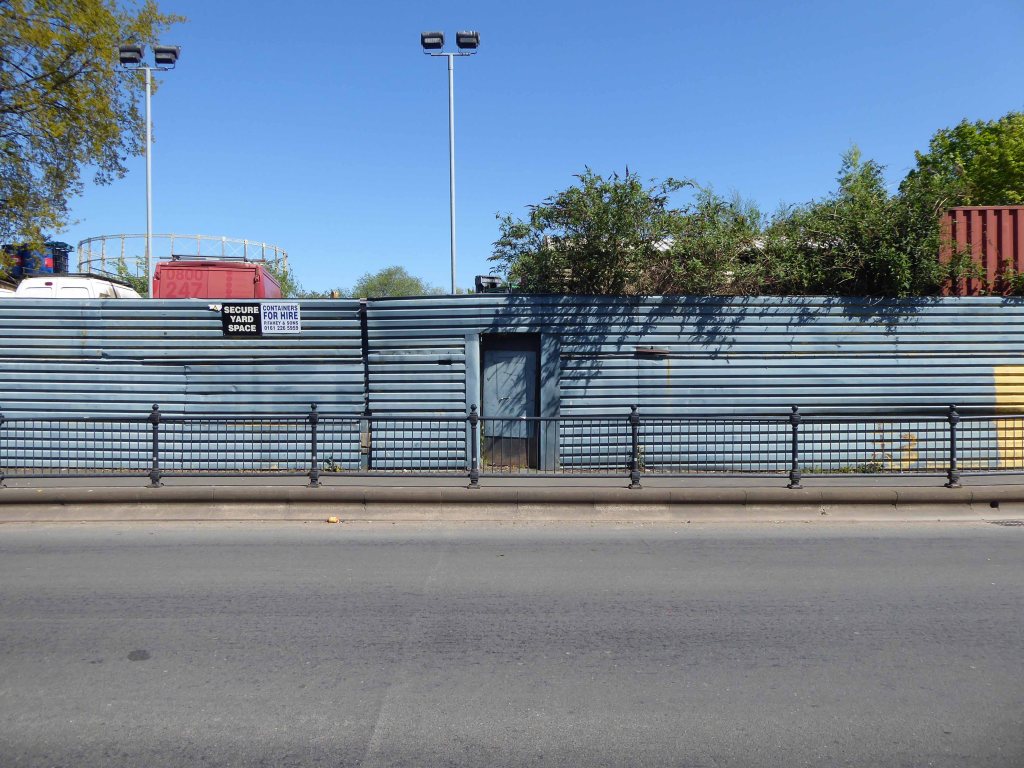
On an old railway line with prefabricated concrete railway huts.

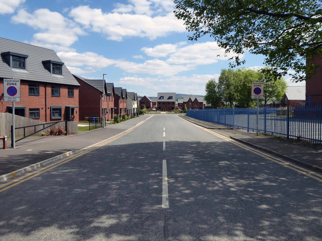
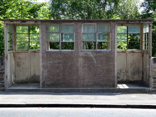
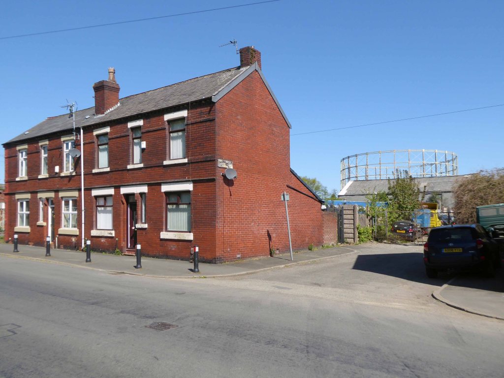
And a bus stop at Mary Tavy a village with a population of around 600, located four miles north of Tavistock.

And a population of one delightful litter bin.

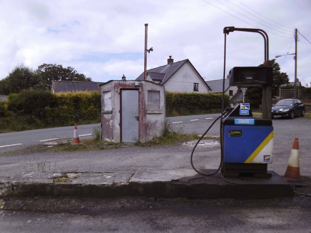
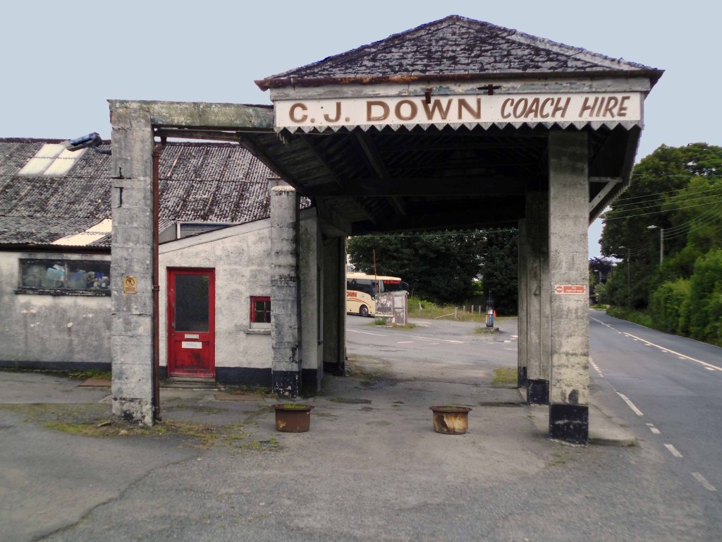
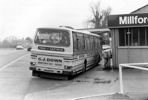
And CJ Down Coach Hire – the pride of Dartmoor.

Don’t the road look rough and rocky, will the sea look wide and deep?

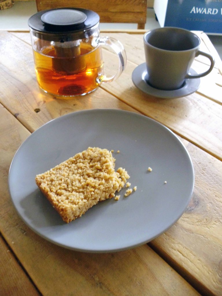
Time for a timely tea and flapjack stop.

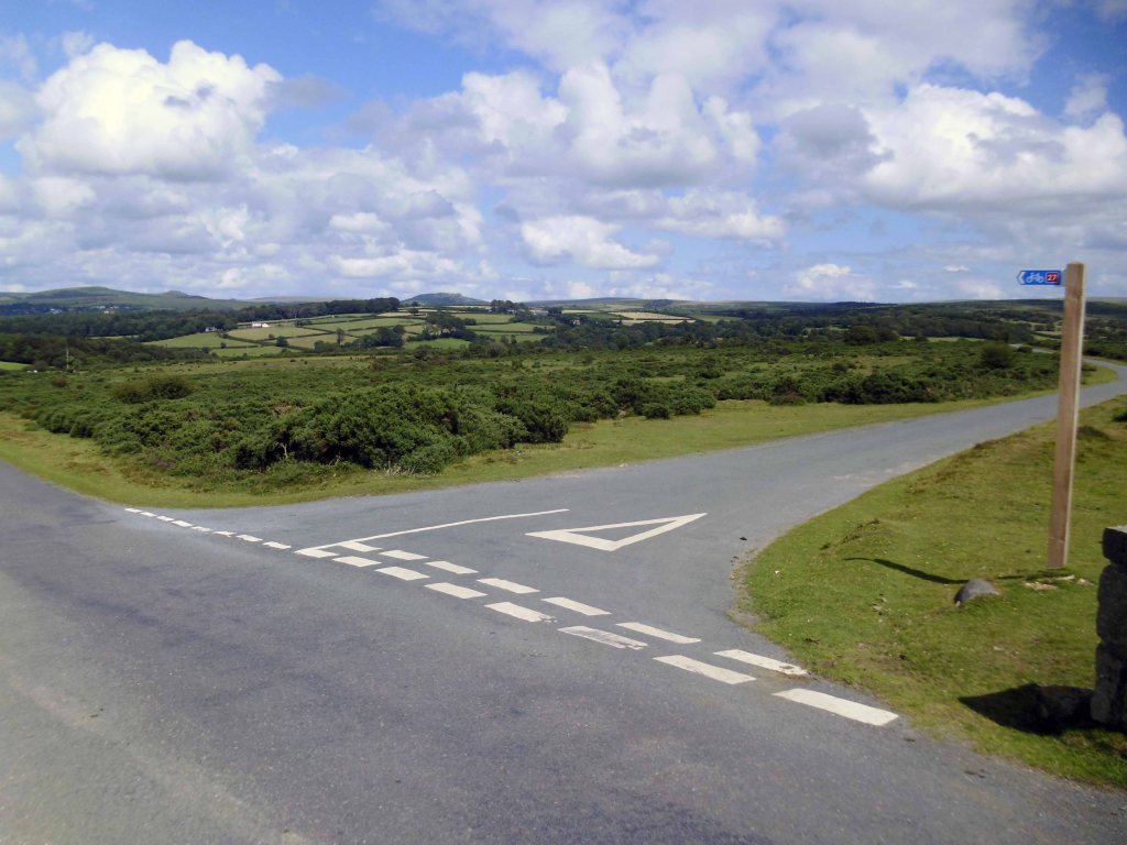
So far so good the nicest weather of the tour, shortest yet most amenable distance through moorland, upland and downland – with a final traffic free descent into Plymouth.

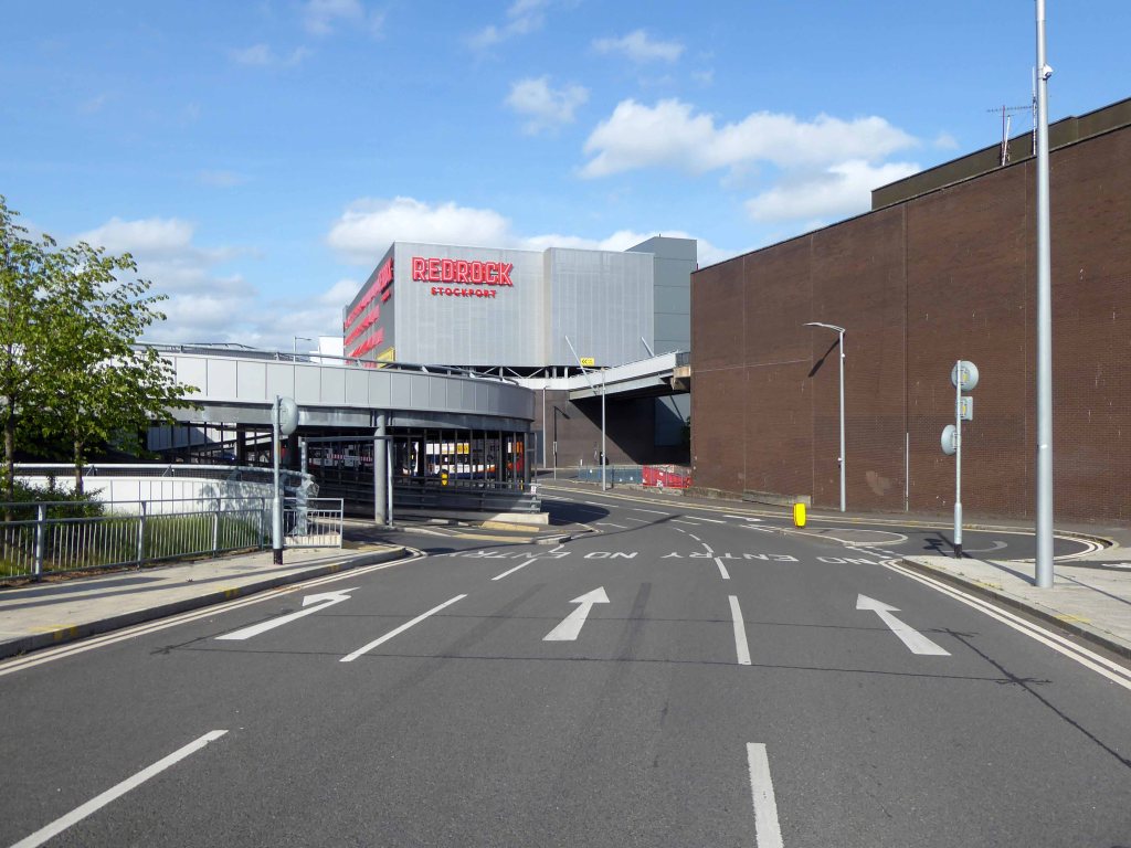
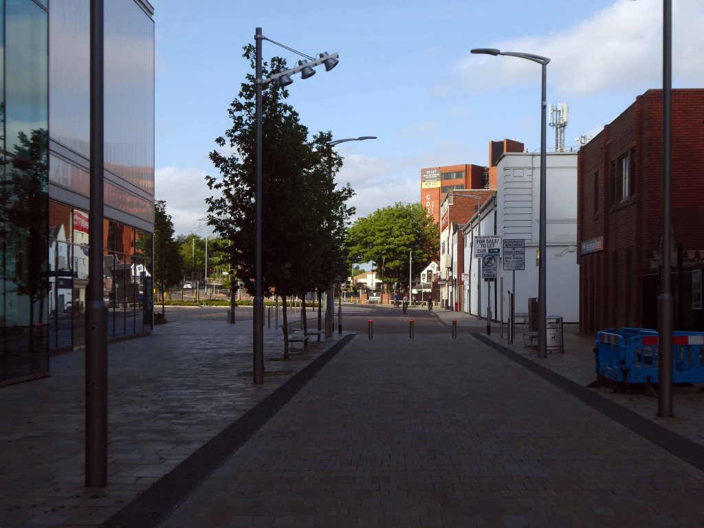
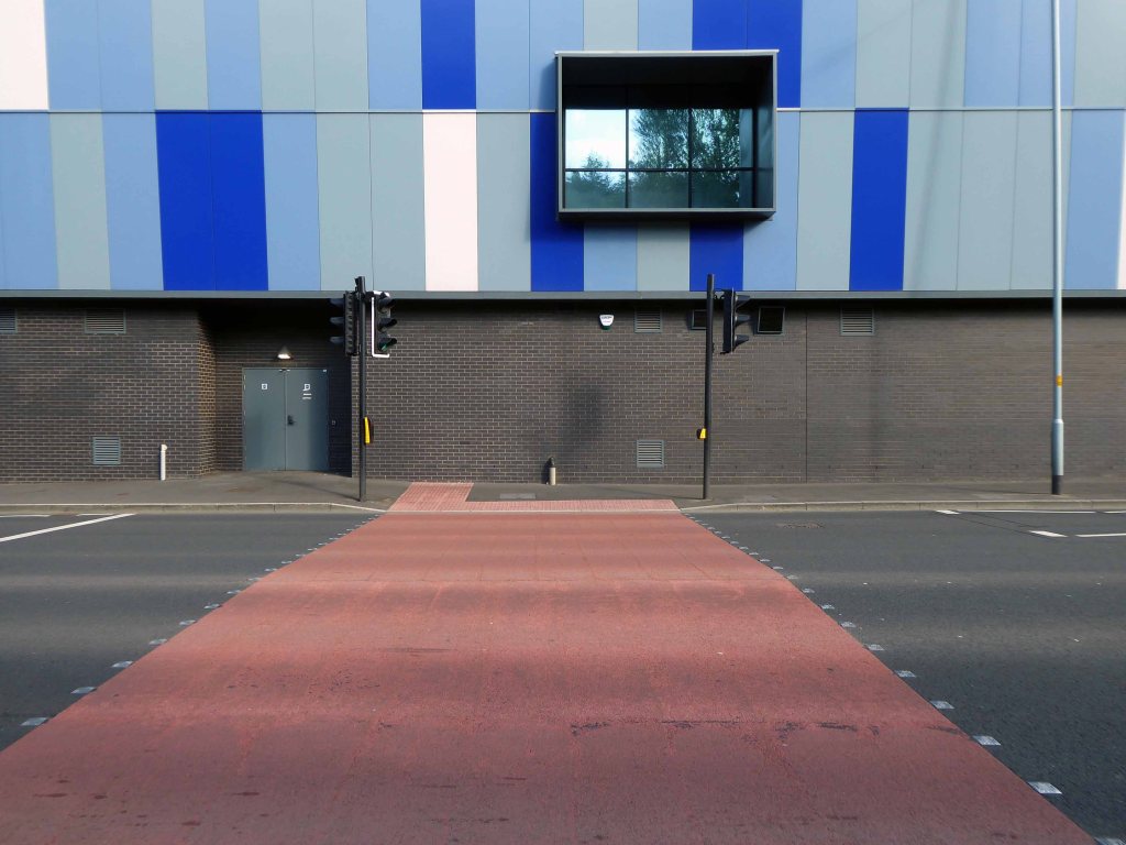
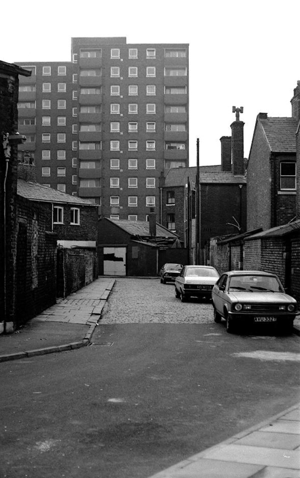
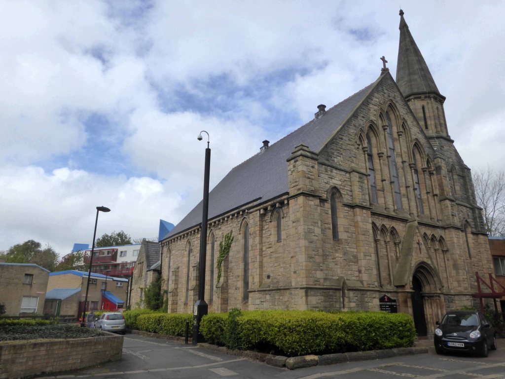
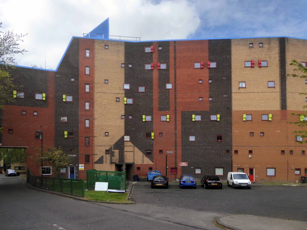
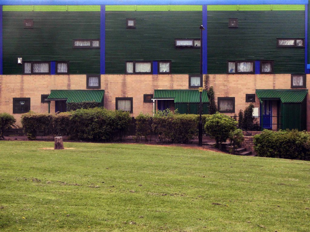
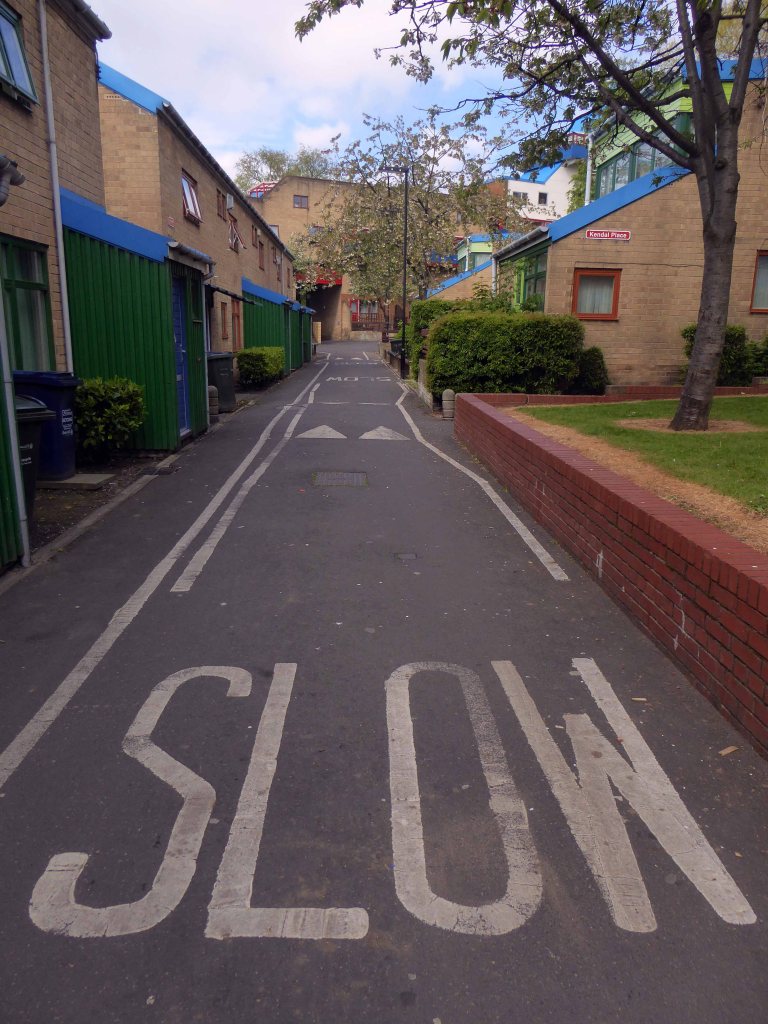
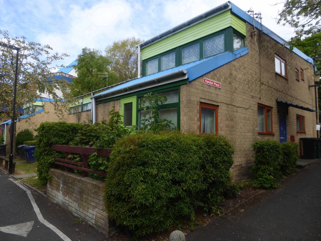
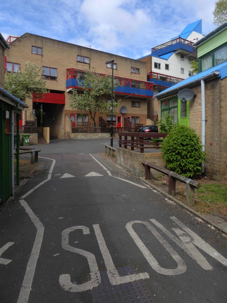
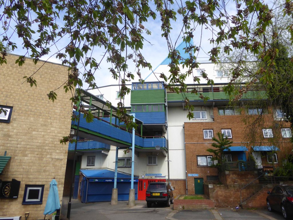
Back in the land of the tower block.

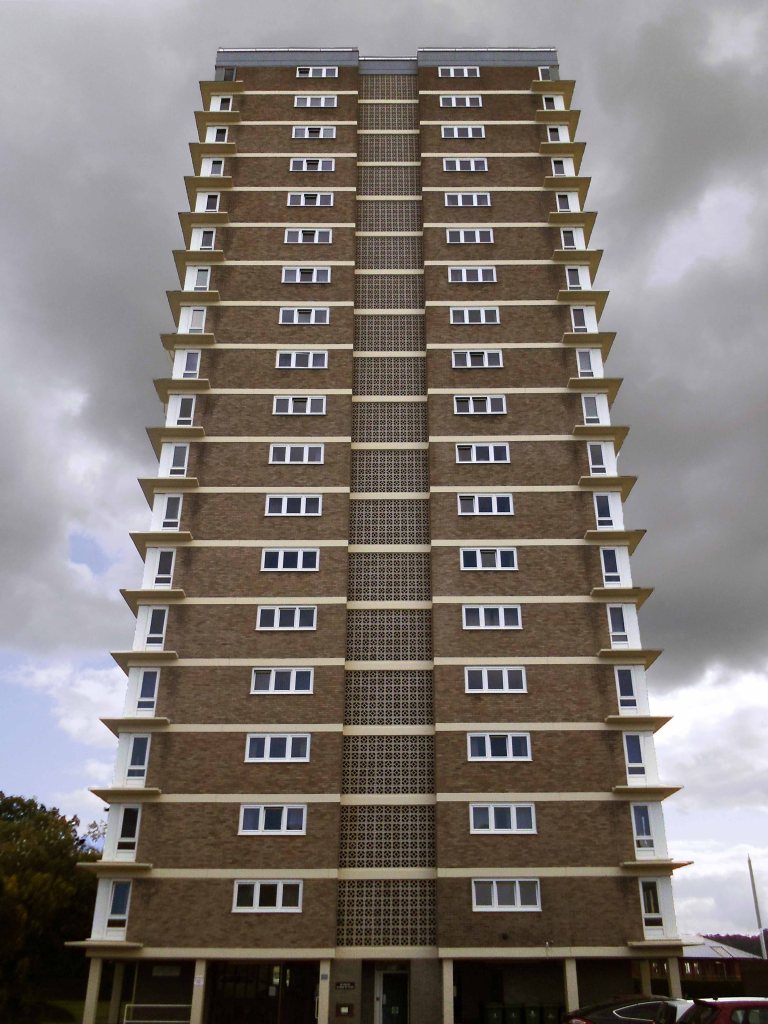
Chichester House Citadel Road The Hoe Plymouth PL1 3BA

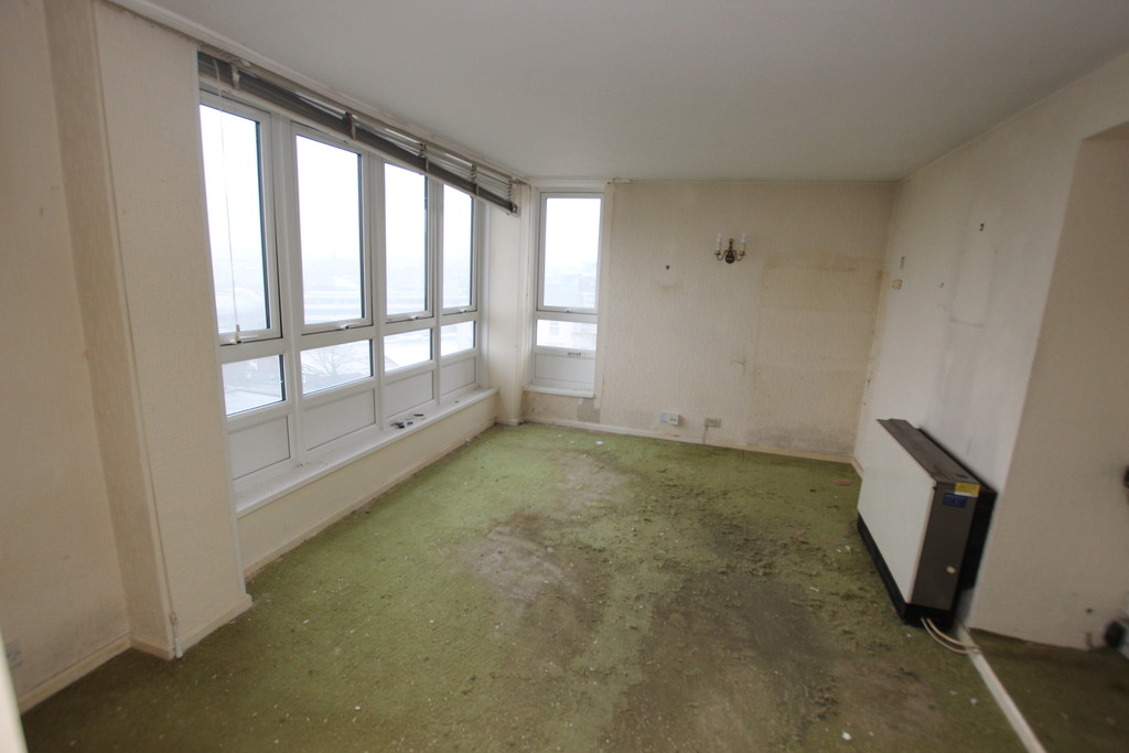
  • Spacious One Bedroom Apartment
  •  Good Size Living Room
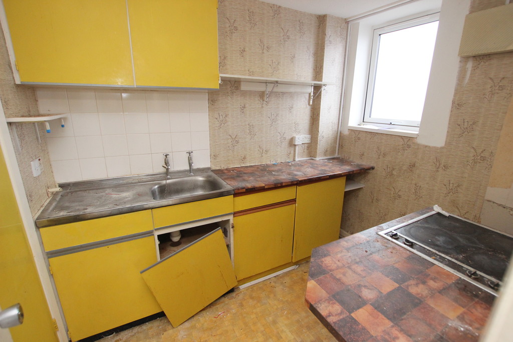
  •  Modernisation Required

Lang Town and Country

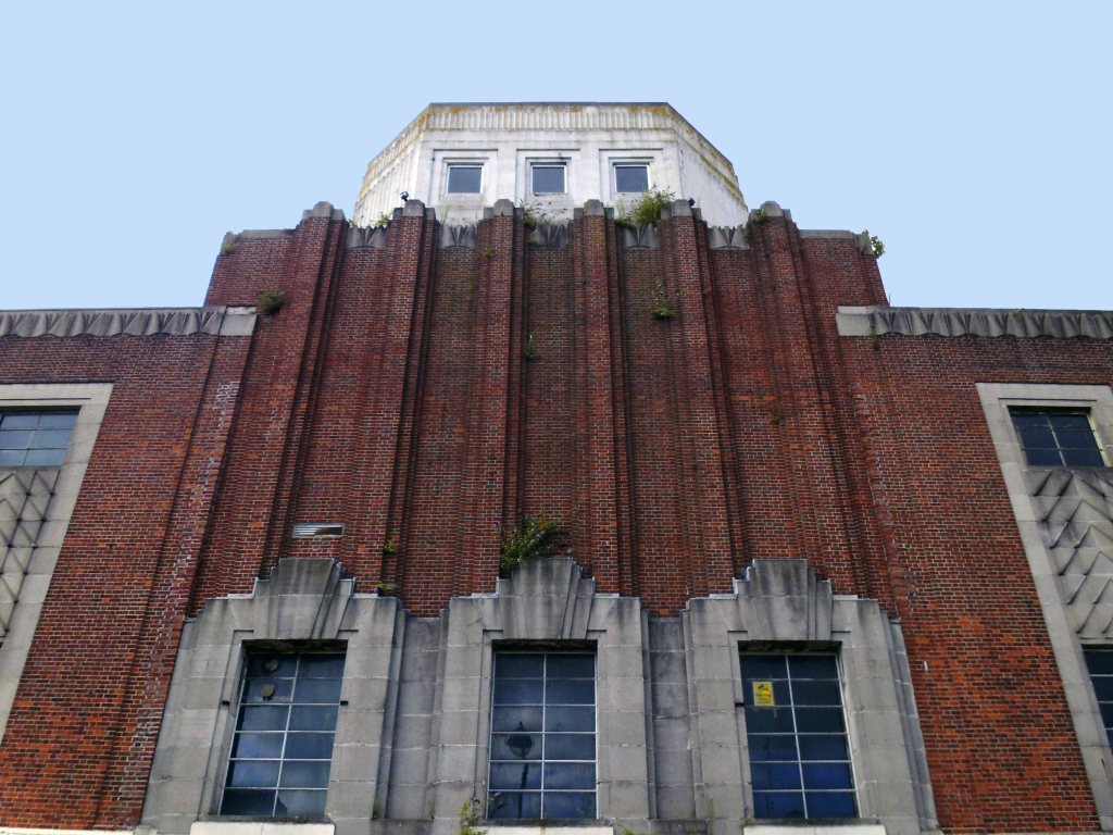
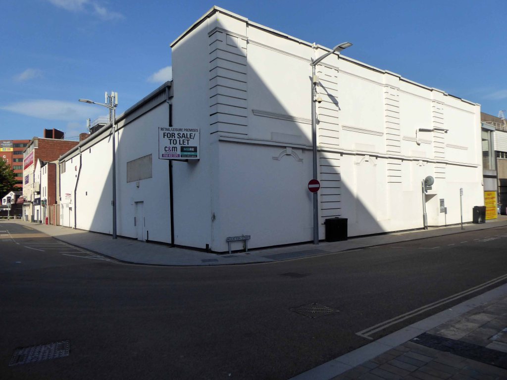
Past the former Odeon

Architects Percy Bartlett and William Henry Watkins

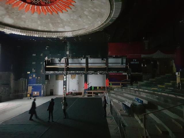
Built on the site of the Andrews New Picture Palace, which had opened in 1910, and was demolished in 1930. The Gaumont Palace was opened on 16th November 1931 with Jack Hulbert in “The Ghost Train” and Sydney Howard in “Almost a Divorce”.

The imposing brick building has a white stone tower feature in the central section above the entrance. Seating inside the auditorium was provided for 1,462 in the stalls and 790 in the circle.

It was re-named Gaumont in 1937 currently closed and at risk.

Cinema Treasures

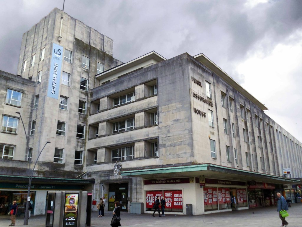
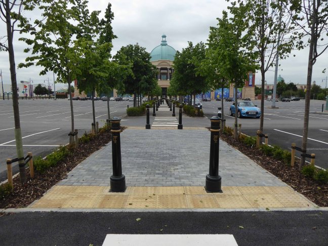
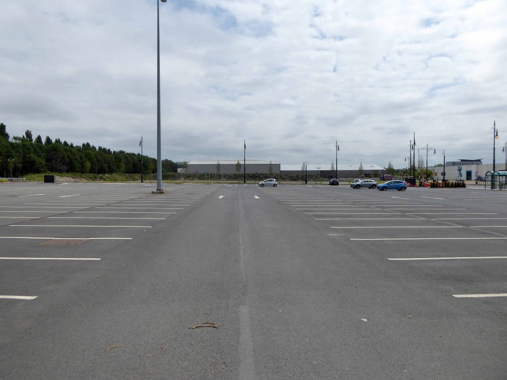
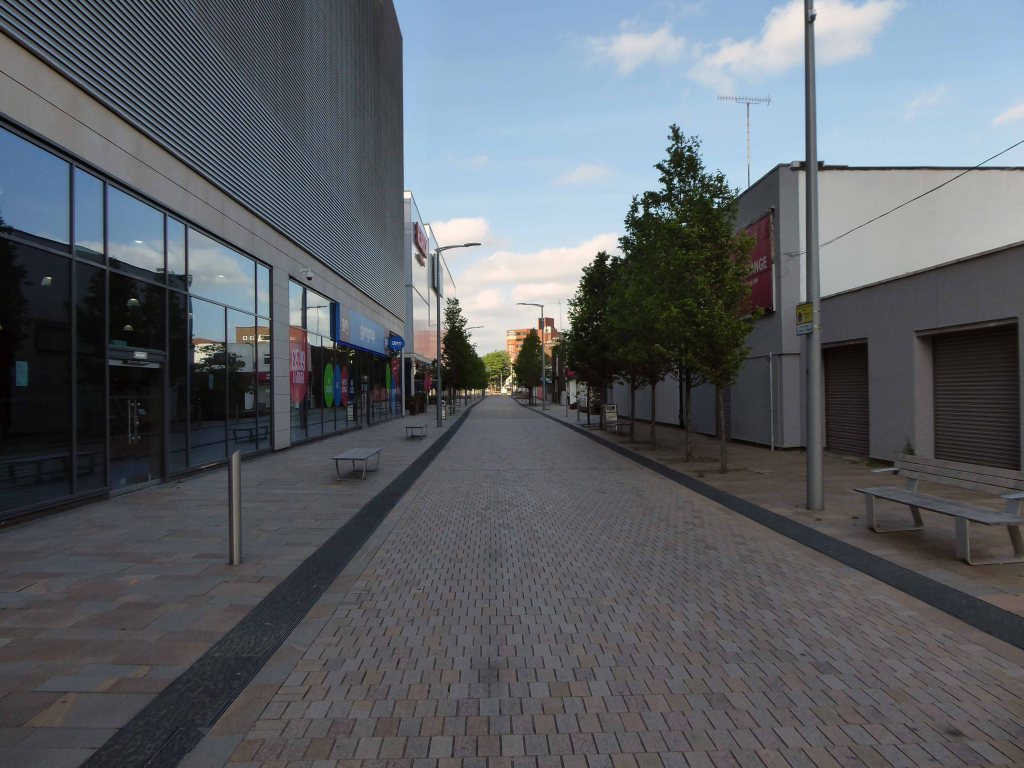
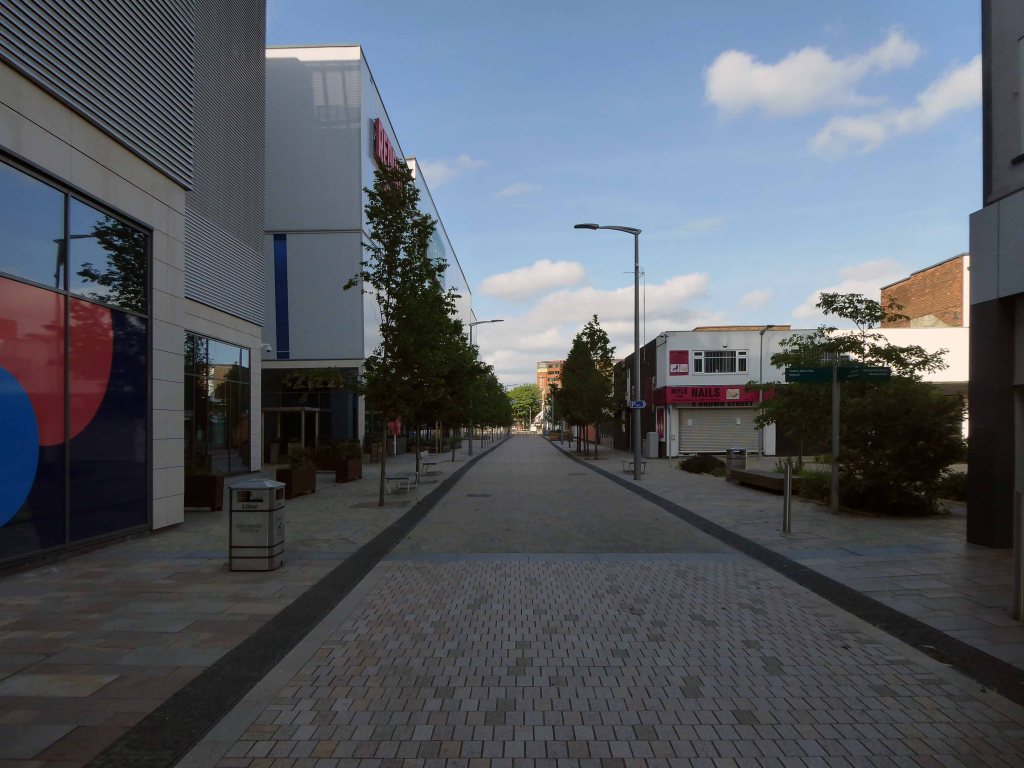
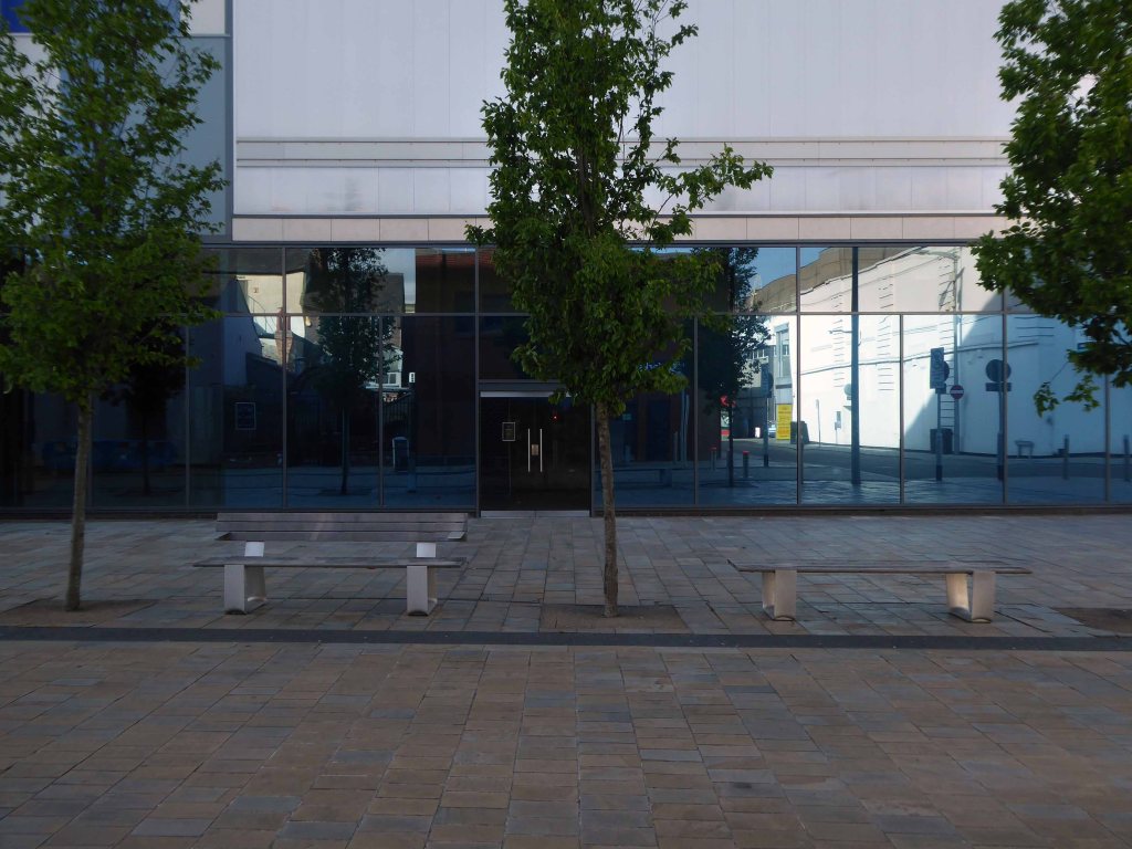
The post war redevelopment of Plymouth produced this sizable Portland Stone Shopping Centre.

A Plan for Plymouth’ was a report prepared for the City Council by James Paton Watson, City Engineer and Surveyor, and Patrick Abercrombie, Consultant Architect, published in 1943.

Planning is not merely the plotting of the streets of a town; its fundamental essence is the conscious co-relation of the various uses of the land to the best advantage of all inhabitants. Good planning therefore, presupposes a knowledge and understanding of the people, their relationship to their work, their play, and to each other, so that in the shaping of the urban pattern, the uses to which the land is put are so arranged as to secure an efficient, well- balanced and harmonious whole.

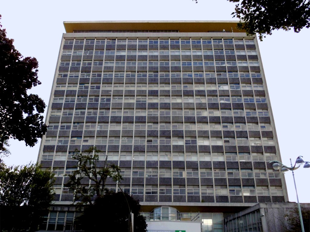
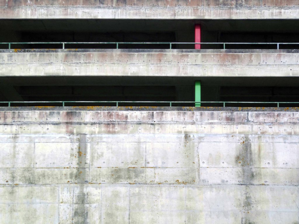
The Civic Centre soon to be redeveloped.

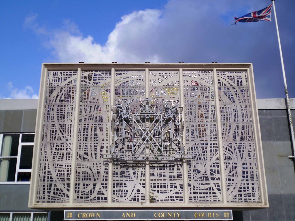
The magnificent dalle de verre fascia of the Crown and County Courts.

having had a good old look around I sought shelter for the night, with some difficulty I found a profoundly plain room. The town seemingly full of itinerant contractors, filling the vast majority of available space.

Not to worry let’s have a look at the seafront.

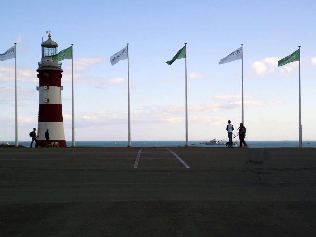
Tinside Lido by J Wibberley Borough Engineer, with Edmund Nuttall and Sons and John Mowlem and Company, builders, with entrance building of 1933 by the same engineer.

Set in a beautiful location overlooking the sea at the tip of Plymouth Hoe and voted one of the top 10 best outdoor pools in Europe, Tinside Lido is an attraction not to be missed.

Built in 1935, Tinside is a slice of the quintessential British seaside from a bygone era. The Lido is a wonderful example of art-deco style and is Grade II listed.

Time for a timely 99 tub – what ho!

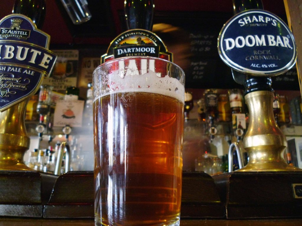
Followed by several pints of Dartmoor Jail in the delightful Dolphin Hotel.

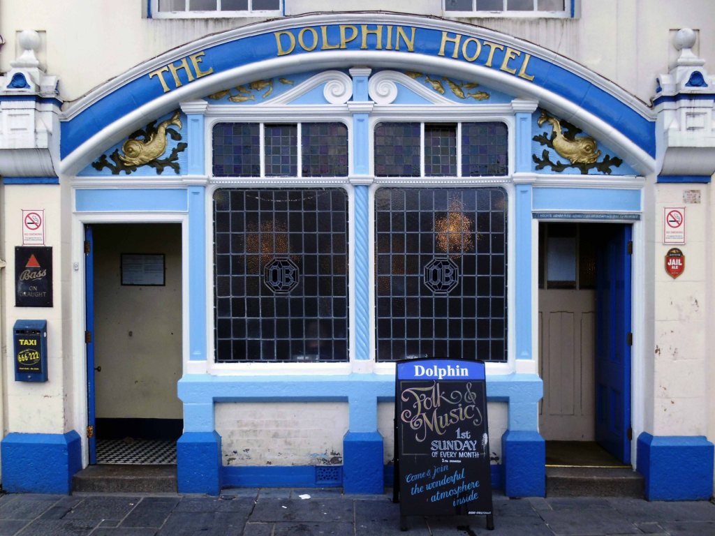
The Dolphin Hotel is a pub on the Barbican , the building, which is known as either the Dolphin Inn or Dolphin Hotel, is a Grade II listed building. It notable as the setting of several of the artist Beryl Cook’s paintings.

The three storey building was constructed in the early 19th century, although it may contain fabric from an earlier structure. It has a slate mansard roof surrounded by a tall parapet with a moulded cornice. The front has white stucco with plaster reliefs of dolphins. The pub is associated with the Tolpuddle Martyrs, some of whom stayed at the hotel on their return from exile in Australia in 1838, when a Mr Morgan was the landlord.

It is a no-frills unmodernised pub famous for its cask ale, draught Bass served straight from the barrel. The sign on the front of the building has always called the pub the ‘Dolphin Hotel’. In 2010 the pub was refurbished, but vandalised in 2014.

A wobbly walk home and a good night’s rest

Night night.

Weston super Mare to Ilfracombe

Following a sound night’s sleep, courtesy of the Ocean Hotel, I set out on my Ridgeback World Voyage – purchased through the Cycle to Work Scheme, I have essentially used it in order to cycle away from work.

My dream had always been to devise a way of life, where the lines between work, leisure and culture disappear, where such tiresome social constructs have finally become redundant – let’s go!

Having failed to learn from my previous jaunt, that a map is a handy aid to successful travel, I set off merrily without one – on Sunday 25th July 2015.

Following Sustrans’ signs will suffice, says I to myself.

I arrived safely in Brean, as the rain began to fall with a deeply disheartening enthusiasm.

The signage indicated a route across the beach – I quickly learnt that heavy rain and sand do not produce a sufficiently solid surface for cycling, when push comes to shove, there’s only one way forward.

Push.

There was no escape to the left, the extensive run of caravan parks and private leisure facilities having erected attractive razor wire topped barriers and locked gates – I pressed on.

With every arduous tortured sandy step, I developed an even deeper antipathy towards Pontin’s Brean Sands.

Here at Brean Sands we have been busy getting ready to welcome guests to our park. We have painted all our apartments, we have fitted over 10,000 metres skirting board throughout the apartments. All external soffits have been painted along with all the Double Decker apartments and main buildings. The QV Bar, Restaurant and also the Fun Factory have all had new flooring fitted. Our Restaurant bays are now refitted as well as improvements to our till area & reception desk.

Free at last from the sandy hell of the shore, I sought succour in this seaside café – where panoramic views of the sea come free.

Having enjoyed the multiple benefits of a breakfast not included tariff at the Ocean Hotel, I was now very, very hungry indeed – I made very, very short work of egg and beans on toast.

I briefly kept company with a Swiss couple, who were on an extensive motor car tour, I quickly became something of an apologist for the day’s foul weather.

It’s not always like this you know.

Stating the obvious, yet thinking the converse.

The panoramic view through the other window – a delightful row of rain soaked, link low rise maisonettes – nirvana!

I was arrested by this arresting wayside shelter/art gallery facility commemorating the Coronation of 1953, in the village of Chedzoy.

The village is at the western end of King’s Sedgemoor and lies on an ‘island’ of Burtle marine sands, close to King’s Sedgemoor Drain. The area was settled possibly in the Mesolithic period, and timber trackways from the third to first millennium B.C. provided routes to other settlements on the Somerset Levels. Roman artifacts have been found in the parish.

The name of the village is pronounced Chidgey or Chedzey, and derives its name from being Cedd’s Island. The zoy part of the name being derived from eg or ieg meaning island.

The shelter stands at the corner of Front and Higher Streets – it would appear that the Burghers of Chedzoy had exhausted their inexhaustible font of creative naming resources, by the time that streets had been invented – the Mesolithic fools.

The village people seem to be suffering from some collective false memory syndrome recollection of a fabulous Mer-family past.

Improving weather in the Bridgwater area, as we languish in the cool shade of the by-pass, beside the River Parrett.

The River Parrett has its source in the Thorney Mills springs in the hills around Chedington in Dorset in England and flows west through the Somerset Levels. The mouth is a Nature Reserve at Burnham on Sea where it flows into Bridgwater Bay on the Bristol Channel. The river is tidal for 18.6 miles up to Oath; and, because the fall of the river, between Langport and Bridgwater is only 1 foot per mile, it is prone to frequent flooding, in winter and high tides.

The River Parrett is 37 miles long and its main tributaries include the Rivers Tone, Isle and Yeo. The River Cary drains into the Parrett via the King’s Sedgemoor Drain. The River Parrett drains an area of over 652.5 square miles – comprising around fifty percent of the land area of Somerset.

Somerset Rivers

Here we are in Williton – where the modern world is ready to sweep in unannounced as announced in the Somerset County Gazette.

Plans to build a new supermarket, retail units and health centre in Williton have been resubmitted this week. J. Gliddon and Sons Ltd. has put forward new plans for the redevelopment of land off the A39 Bank Street in Williton, behind its existing store.

The shop will be demolished to create the access road, with the company expected to occupy a new unit fronting onto Bank Street once the mini-roundabout has been built.

Well so far so good – I arrived in Minehead in one piece – bike intact.

Having only the vaguest notion of where my onward route lay – I hastened to the Tourist Information Office. Having carefully explained my malaise the helpful staff gazed at me with mild amazement, liberally mixed with slightly perplexed eye-rolling and the odd tut.

Having received quite detailed instructions, I was almost immediately lost, following a road that abruptly ceased to be a road. Reluctantly I picked up a woodland path, rutted with tree roots and certainly not a suitable cycling route.

It fell away sharply, as I careered out of control down the precipitous slope.

On reaching the end I discovered that my new rain jacket had also fallen away, along with my treasured Casio watch, which was tucked safely in the pocket.

I lightly bit my lip and reflected that climbing back up the precipitous slope, which I had only too recently incautiously careered down, was not an option – onward ever onward.

In my mind the younger me looks at the older me – having lost all faith in my ability to manage my life with even a modicum of honesty and integrity, or at best a basic grasp of reality.

O ye of little faith – he seeks sanctuary in Church of All Saints Selworthy.

A whitewashed Grade I Listed 15th-century Church, with a 14th-century tower.

Welcome to this outstanding Parish Church, which, thanks to it’s distinctive white appearance stands as a beacon on the hills of Exmoor. For centuries Selworthy Church has been a focus for residents and visitors as a place to experience the power and presence of God. We hope you find peace of God here and leave uplifted, refreshed and inspired.

Further on down the road somewhere or other I had a cup of tea and piece of cake.

Had I carried out even the most basic research, I would have known that the ups and downs of Exmoor are no easy ride, particularly in heavy rain without a rain jacket.

As the sky darkened I was heartened by the sight of the light’s of Ilfracombe, twinkling star like in the distance – following eighty six miles of toil and a measure of trouble, I finally arrived at the pre-booked digs. They had been concerned by my no-show, relieved when I finally arrived, incredulous when I told the tale of the day’s travails. The lady of the house ever so kindly washed and dried my sodden clothing.

I showered and hit the town – eschewing food in favour of a pint, chatting to a garrulous gang of solar panel cleaners from Cornwall.

Returning merrily to the B&B and the prospect of slumber.

Night night.

Weston super Mare

Although there is evidence in the local area of occupation since the Iron Age, it was still a small village until the 19th century when it became a seaside resort, and was connected with local towns and cities by a railway, and two piers were built. The growth continued until the second half of the 20th century, when tourism declined and some local industries closed. A regeneration programme is being undertaken with attractions including the Helicopter Museum, Weston Museum, and the Grand Pier. The Paddle Steamer Waverley and MV Balmoral offer day sea trips from Knightstone Island to various destinations along the Bristol Channel and Severn Estuary. Cultural venues include The Playhouse, the Winter Gardens and the Blakehay Theatre.

Wikipedia

I arrived mid-morning on Saturday 25th July 2015 – having travelled some two hundred miles or so from Stockport by train.

The Iron Age seemed to be over and regeneration slowly but surely under way.

This marked the start of another coastal tour, following last year’s epic which began in Hastings.

This time I was heading for Hastings – but that can wait until tomorrow, let’s have a look around town.

Directly opposite the station is a group of Seaside Moderne homes in various states of whiteness – standing in line along Neva Road.

Reasonably priced, cheaper than Frinton – check it out

I pushed my bike along the prom heading for my pre-booked digs in a stylish seafront hotel.

Past the Marine Causeway linking the shore to some kind of modern day Post Modern Shangri-La.

A mystical, harmonious valley, gently guided from a lamasery, enclosed in the western end of the Kunlun Mountains, possibly not.

You can stroll onto Knightstone Island, where you will find some cafes serving light snacks and refreshments, or to the other side which takes you along the causeway, accessible to walk across according to the tides. At the other side of the Causeway you will find a small rocky beach with tidal rockpools ideal for exploring.

Just along the prom stands one of my all time favourite seaside shelters.

Even further along – what’s all this here then?

The foundation stone of the Birch-designed Birnbeck Pier was laid in 1864. It opened on 5th June 1867 and consisted of a 1040 foot cantilever construction to Birnbeck Island and a short jetty extending westwards from the island.

National Piers Society

It seems to have changed hands several times in its relatively short life, including the stewardship of the infamous Urban Splash and the mysterious mystery owners, the current custodians it seems, have done little to secure a secure future.

It remains alone and untended, stretching aimlessly out to sea.

In April 2015, Friends Of The Old Pier Society created a novel fund raising scheme in which 1p and 2p coins would be lined up to stretch from the Grand Pier to Birnbeck Pier.

September 2019 Councillor Mr Crockford-Hawley said:

It’s this end of Weston which is the sore, it’s the carbuncle, it’s clearly well past its prime and it needs some serious attention. I mean it would be wonderful if somebody came along with an open ended bank account and said ‘yup, I’d love to restore it for the sake of restoring it’, but quite clearly there’s got to be an economic future for the pier, there’s got to be a purpose for the pier.

Possibly a wealthy Beatle could bail the ailing pier out of deep water?

Having made a bob or two since they appeared here in 1963.

Next thing I know I’m outside the imposing and impressive sounding Ocean Hotel. Sad to say on the day/night of my visit it wasn’t just this weary traveller that appeared to be over tired, happy to report the the New Ocean Hotel has been revamped and in tip-top condition by all accounts.

Any road up, let’s get out, take a walk up the road – have look at some local type.

Watney’s mythical Red Barrel.

Watney’s was the Evil Corporation which sought to crush plucky small brewers and impose its own terrible beer on the drinking public. It acquired and closed beloved local breweries, and it closed pubs, or ruined them with clumsy makeovers.

Its Red Barrel was particularly vile – a symbol of all that was wrong with industrial brewing and national brands pushed through cynical marketing campaigns.

A page-spread from Design Research Unit 1945-1972 – Koenig Books 2011 via A Practice for Everyday Life via Boak and Bailey – who examine the truth behind the myth.

A palimpsest ghost within a ghost.

A seaside outing for dear old Brush Script – a casual connecting script typeface designed in 1942 by Robert E. Smith for the American Type Founders.

The face exhibits an exuberant graphic stroke emulating the look of handwritten written letters with an ink brush.

It came third as a Least Favorite nomination in a 2007 designers’ survey.

It was rated fifth in The Eight Worst Fonts In The World list in Simon Garfield’s 2010 book Just My Type.

Why have just one identity when you can have two, welcome to the 21st Century schizoid Savoy – don’t it jus’ make you want to stomp?

First but surely not the last sighting of Profil aka Stymie Bold Italic – in a none inline variant.

Classical kerning down at the local estate agents, tasteful Gill Condensed Bold – from the hand and eye of the far from tasteful Eric.

Ay up it’s a launderette that almost thinks it’s a scooter!

Cheap beer, raffle, singer and bingo on a Wednesday afternoon.

Amazing and great atmosphere with friendly service staff and atmosphere, love it, real nice people

Facebook

Russell Davies Flickr

Keeler Productions has taken over Locking Road Car Park, opposite Tesco, and The Regent Restaurant, in Regent Street, to film a BBC period series The Trial of Christine Keeler, based on the Profumo Affair in the 1960s.

Weston Mercury

Enough of all that period drama, let’s have a look at some period architecture.

Madeira Court – 67 flats built in 1988.

Weekly Social Activities include – coffee mornings, card evenings and occasional days out, organised by social club. New residents accepted from sixty years of age, both cats and dogs generally accepted.

I can find no reference for this dalle de verre stained glass window.

Boulevard United Reformed Church – Waterloo Street

Architects Gordon W. Jackson and Partners 1959

Constructed on part of the site of the former Electric Premier Cinema, the Odeon Theatre was opened on 25th May 1935 with Jack Buchanan in Brewster’s Millions. Built as one of the original Odeon Theatres in the then emerging Oscar Deutsch Odeon Theatres circuit, it was built on a prime corner street position in this sea-side town and was the first of several Odeon Theatre’s to be designed by architect Cecil T Howitt.

The Odeon was Grade II Listed on 21st August 1986.

Cinema Treasures

The Weston-super-Mare Odeon was built by C Bryant & Son Ltd of Birmingham on the site of the former Electric Premier Cinema. It opened on 25 May 1935, at which time it was described in the souvenir programme as ‘modernity at its best’, with seating accommodation that was ‘luxurious and spaced to give ample room for true comfort’.

A short walk along the prom snapping shelters and the sheltered – no two the same.

I then chanced to fall into a Beer Festival and bad company – the rest is a blur, see you all tomorrow there’s some cycling to be done.

Night night.

Trafford Centre – Manchester

Welcome to the world renowned shopping and entertainment destination.

intu Trafford Centre

Intu, who own the Manchester shopping centre, expects to breach covenants on its current debts as shopping centres struggle in the face of the coronavirus pandemic.

Lancashire Live

This is a journey from the corner shop to the high street, by the banks of the Bridgewater Canal, a whole retail history told during troubled times.

The Trafford Centre opened in 1998 and is the third largest shopping centre in the United Kingdom by retail size. It was developed by the Peel Group and is owned by Intu Properties following a £1.65 billion sale in 2011 the largest single property acquisition in British history. As of 2017, the centre has a market value of £2.312 billion.

Wikipedia

The advent of the motor car, and the development of out of town shopping has seriously affected the viability of the traditional town centre and the almost long gone local shop.

And now in turn the mall is threatened by the increase in online trade and the current lockdown.

The Trafford Centre reopens on June 15th, no doubt the sensation seeking, thrill a moment shoppers will return in droves, to further satiate their unquenchable desire for stuff and more stuff, in a pseudo Romano Soviet oligarch setting.

As of Monday 8th the space was mostly devoid of both customers and cars – there are two home stores open, we arrived on foot and took a look around.

Car Park Ramp – Stockport

We recently took a look around Redrock, today we visit the next door neighbour – the car park ramp.

Replacing the old Debenham’s ramp.

Linking the old world of Merseyway with the shiny new NCP.

I don’t drive no car so I have to make do with the ecologically sound and ever so affordable means of pedestrian trespass, proceeding incautiously I recorded my journey into the unknown.

Returning safely to Basecamp I investigated further, circumnavigating the drainage area.

I have to admit that I am over fond of this small sacred space, a modern impenetrable temple of Brutalism. My ambition is to stage an art/music event within, just wait and see/hear if I don’t!

Redrock – Stockport

Much maligned, universally loathed – the Stockport leisure facility everyone loves to hate.

What’s the story?

No more darkness, no more night.
Now I’m so happy, no sorrow in sight.
Praise the Lord, I saw the Light
.

1900

The area between Princes Street and Bridgefield Street was a tight warren of housing, shops and industry, eventually demolished in the 1970s, designated as slum clearance.

Prior to the arrival of the ring road the space remained undeveloped and turned over to car parking.

Little changes as the M60 is opened.

Images TS Parkinson –  Stockport Image Archive

So for over forty years the land lies pretty vacant, but far from pretty.

Until 2015 when planning permission is granted for the £45m Redrock leisure scheme, which includes a 10-screen cinema, restaurants and shops.

Councillor Patrick McAuley, the council’s executive member for economic development and regeneration, said:

This is a very exciting time for Stockport. Developments such as these help our ambition of putting Stockport on the map to bring more people to work, shop and socialise here. We have been keen to involve the public in plans for both developments, by holding various consultation exercises.

We look forward to an exciting few years improving Stockport’s offer.

So good bye to all this, the local authority is making serious progress, developing Stockport’s future, against a background of structural decline and the dominance of Manchester city centre.

The architects for the scheme are BDP – the building was not well received as it was awarded the Carbuncle of the Year 2018.

Judges were left unimpressed by the – awkward form, disjointed massing and superficial decoration, while readers called it an absolute monstrosity.

Though to be fair The Light has a house style that leans heavily towards the anonymous industrial shed.

Sittingbourne

The development has however become a commercial success – once inside customers seem more than happy with the facilities.

The people of Stockport have welcomed us with open arms since opening in 2017. We’ve now had over one million guests join us for everything from the latest blockbusters to opera, theatre and concerts.

It’s been that busy that we’ve just added two additional screens and now offer freshly made pizzas, burgers and sliders. We’ve got plenty more exciting additions up our sleeve for next year too!

Tom DeanBusiness Manager at The Light Cinema

Yet it continues to attract wave after wave of criticism on local Facebook groups, perhaps the former car parking area should be reinstated, or the Victorian slums rebuilt?

I went to take a look for myself during lockdown – see what you think.

Real attempts have been made to make the landscaping and street view amenable to pedestrians, it feels like an attractive and safe urban space.

The view from the north is less successful, the scale and decorative work looks over ostentatious and confused.

Look away if you wish, it won’t be here forever – and if you fancy something different try The Plaza or The Savoy.

Possibly see what’s playing at The Palladium.

That should keep everyone happy shouldn’t it?

A Short Walk Around Guide Bridge

This is a short walk from Mediprop to Guide Bridge Station under half a mile, over two hundred years of history.

Hovering above ground level, rising above the rail.

Between the Ashton Canal.

The canal received its Act of Parliament in 1792. It was built to supply coal from Oldham and Ashton under Lyne to Manchester. The first section between Ancoats Lane to Ashton-under-Lyne and Hollinwood was completed in 1796.

And the Great Central Railway originally Sheffield, Ashton-under-Lyne and Manchester Railway.

The Great Central Railway in England came into being when the Manchester, Sheffield and Lincolnshire Railway changed its name in 1897, anticipating the opening in 1899 of its London Extension. On 1 January 1923, the company was grouped into the London and North Eastern Railway.

I had walked beside the elevated path, alongside the canal coming home from school, rode by it whilst working as a Guide Bridge goods guard.

This was busy railway, steel coal, oil and people hurtling back and forth across the Pennines, under the DC wires of the Woodhead Line.

One memorable night the Royal Train stayed overnight, in what are now the SB Rail OTM sidings.

Toffs in dinner jackets were leaning from the windows, as we gazed in awe from the platform.

Swietelsky is one of Austria’s leading construction companies with international contracts encompassing highways, tunnelling, residential and commercial developments, alpine construction and railways.

The journey ends by the seriously depleted station buildings, the buffet bar, depot and engine shed long gone.

Along with the Jone’s Sewing Machine Company all long gone.

Thomas Chadwick later joined Bradbury & Co. William Jones opened a factory in Guide Bridge, Manchester in 1869. In 1893 a Jones advertising sheet claimed that this factory was the – Largest Factory in England Exclusively Making First Class Sewing Machines. The firm was renamed as the Jones Sewing Machine Co. Ltd and was later acquired by Brother Industries of Japan, in 1968. The Jones name still appeared on the machines till the late 1980s.

From 1987 until 1999 Brother were sponsors of Manchester City FC.

The site is now home to new homes and homeowners, as the area seeks to capitalise on the spread of wealth from Central Manchester.

Arnfield Woods is an exclusive development offering two, three and four bedroom homes, located adjacent to the Guide Bridge train station, which provides direct access into Manchester City Centre  and direct access into Glossop.

The world turns:

Time changes everything except something within us which is always surprised by change.

Thomas Hardy.

Let’s take a walk together.

Stables – Hyde Hall Farm

Hyde Hall Farm is Grade II Listed one of the few Tudor model farms in the region, a building of immense importance.

Alongside the farm are twelve stable blocks, formed from former British Rail Vanfit rolling stock.

Derby Works

I have cycled by here for some fifty years ago man and boy, sadly observing a slow decline, as the structures are kept in service with the addition of sheeting, rope, tyres and will power.

In recent years I have stopped to take photographs:

2008
2016
2017
2018
2020

They have survived wind, rain and hail, just about intact, providing adequate shelter for their equine inhabitants.

Tamara – Whaley Bridge

I’ve often cycled by here, on occasion taking time to take a snap or two.

You seemed to be in decline, in need of care and attention. Stood amongst Peak vernacular and sub-Lutyens villas something of anomaly.

A diminutive Modernist house – a rose amongst the herbaceous borders.

Someone seems to have taken you in hand and work is underway, I just hope that they put your name back in place.

Tamara

Tamara is a female given name most commonly derived from the Biblical name Tamar, meaning date – the fruit, date palm or palm tree. In eastern European countries like Armenia, Croatia, Czech Republic, Georgia, Hungary, North Macedonia, Poland, Russia, Serbia, Slovenia and Ukraine it has been a common name for centuries. In Australia it was very popular from the 1960s to 1990s. 

In the United States, the name was fairly common from the late 1950s to mid 1990s, bolstered by the popularity of the film Tammy and the Bachelor – Tammy is commonly a nickname for Tamara. In the US the most girls named Tamara were born in 1970 and the number of Tamaras born per year was greater than 1,000 as late as 1996.

The name is now fairly uncommon in the US: in 2010, the name fell off the Top 1000 SSA Baby Names list, with fewer than 250 baby girls named Tamara that year.

Where The Gas Works Wasn’t – Stockport

1878 Gas making at Portwood commenced

1969 Old retort house demolished

1988 Gas holder number 3 dismantled

2003 Last aerial view showing the gasometers in the raised position

2019 Removal of gas holders 2 & 3

Thanks to 28 Days Later

The area was formerly a dense web of housing and industry.

With the gas works at its heart .

High speed gas once the fuel of the future is almost a thing of the past. Coal Gas produced in coke retorts long gone, North Sea Gas hissed off.

Low carbon heating will replace domestic boilers from 2025, the need for gas storage holders is minimal.

Goodnight Mr Therm.

There are currently 53 listed holders on the Historic England site.

Some have been repurposed – WilkinsonEyre has completed work on Gasholders London; a development of 145 apartments within a triplet of listed gasholder guide frames.

Little now remains of the Portwood Gas Works.

These are the rearranged remnants re-sited by Dunelm Mill – it’s curtains for our industrial heritage.

What’s left?

This is now the province of Securitas and Peel Holdings.

Your business is unique, so we don’t offer a one-size-fits-all.

Instead, we layer six Protective Services for your complete security. 

Unlock six Protective Services

One of the UK’s largest retail parks, Stockport Retail Park benefits from a strategic location on the M60 Manchester orbital motorway making it one of the city’s most accessible parks. The park forms a natural extension to the town centre, offering a wide range of uses from value convenience to fashion and home as well as a number of cafés and restaurants.

This is the post industrial landscape of consumption and its infrastructure that faces the defunct and mothballed site, whatever next?

West End Park – Ashton under Lyne

This is a short history of a park, a short history of my family and me.

The movement of earth and people, a tale until now untold now told.

West End Park is a public park, opened in 1893. The site is bounded by Stockport Road, Manchester Road and William Lane. It was developed on land associated with St Peter’s Church.

St Peter’s was built between 1821 and 1824, and was designed by Francis Goodwin. A grant of £13,191 was given towards its construction by the Church Building Commission. The land for the church was given by the patronage of George 6th Earl of Stamford and Warrington, whose cousin, Revd Sir George Booth, had been Rector of Ashton from 1758 until 1797

The benevolent Victorian landowners thought it politic to provide parks for the working folk, fresh air, exercise and perambulation being preferable to the demon drink.

Friendship Old Street – now a solicitor’s office

The area around the park was a dense warren of housing and industry.

Britain from Above

The parks provided a welcome relief from the tarmac, brick and concrete – very, very few homes having had access to a garden.

During the 1930s local councillors simply can’t resist the charms of the rocking horse.

And a burst of colour in the summertime.

The West End was transformed in the 60’s, through slum clearance, the subsequent building of high rise and the introduction of light industry.

My Grandfather Samuel Jones lived in the area – at one time next door to George Formby Senior.

Later moving to nearby Hill Street.

There’s a plaque for George – there isn’t one for Sam.

During the Great Depression men were required to work for the Dole – Sam was required to dig out a sunken garden in the park – he was a collier by trade, a good man with a shovel, built for back breaking work on Ashton Moss.

David Vaughan

Sam in Blackpool 1954

This is the sunken garden in the 1960s

Thirty yards wide, forty yards long and three yards deep, shifted by hand.

Three thousand six hundred cubic yards of earth.

One cubic yard of topsoil weighs about two thousand pounds on average.

Seven million two hundred thousand pounds of earth.

I worked there in the 1970s along with Alec and Danny bedding out the sunken garden, maintaining the bowling green, tennis courts and playground.

Keith Ingham

There were two permanent gardeners in the park, and a keeper in the summer – plus Danny Byrne and me brought in to help at busy times.

Throughout the 70s and onwards, economic decline hit the area hard, the closure of the cotton mills and little hope for the future. Rising unemployment and severe cuts to public spending did little to assure a rosy future for West End Park, or anything or anyone else for that matter.

Help was at hand – one of many public projects funded by our old friends the EU. Changes in the way that parks were used and further spending cuts sounded the death knell for the flowers and bowling. Large open grassed areas were cheaper and easier to maintain.

And so the sunken garden was filled in, this time by mechanical means – all in a days work for a bloke with a JCB.

So I sit and reflect on the labour and conditions that created this and many of our public parks, our legacy is a much impoverished version of the original vision.

I think of my grandad Sam and his comrades, the sweat of their collective brows buried forever.

Our legacy the small state, a bring and buy your own world economy.

It would make you weep.

Hartshead Power Station – Offices

We have of course been here before, to see a concrete bus shelter and a derelict control room.

All that is solid melts into air as Marx and Marshall Berman told us.

Though remnants remain – this is a short journey through a hole in fence, down into the warren of power station offices past.

They have been stripped of their former use and meaning, transformed into a transitory art performance space, paint and plaster now peeling, appealing to the passing painter, partially reclaimed by nature.

Let’s tag along:

Byker Estate – Newcastle upon Tyne

The Wall, along with the low rise dwellings built to its south, replaced Victorian slum terraced housing. There were nearly 1200 houses on the site at Byker. They had been condemned as unfit for human habitation in 1953, and demolition began in 1966.

The new housing block was designed by Ralph Erskine assisted by Vernon Gracie. Design began in 1968 and construction took place between 1969 and 1982. The architects opened an office on site to develop communication and trust between the existing residents. Existing buildings were to be demolished as the new accommodation was built.

The new high-rise block was designed to shield the site from an intended motorway, which eventually was never built. Construction materials for Byker Wall were relatively cheap, concrete, brick and timber. Surfaces were treated with bright colours, while brick bandings were used on the ‘Wall’ to indicate floor levels.

Its Functionalist Romantic styling with textured, complex facades, colourful brick, wood and plastic panels, attention to context, and relatively low-rise construction represented a major break with the Brutalist high-rise architectural orthodoxy of the time.

Wikipedia

There area has been well documented over time, notably by photographer Sirkka-Liisa Konttinen.

It’s reputation has had its ups and downs but most recently:

It’s been named the UK and Ireland’s best neighbourhood – it’s got top schools, friendly neighbours and community art classes – alongside high levels of poverty.

Chronicle

It has been lauded by Municipal Dreams

When Historic England awarded Byker its Grade II* listing in 2007, they praised both its ‘groundbreaking design, influential across Europe and pioneering model of public participation’.  The estate’s main element, the Byker Wall, is  – like it or loathe it – an outstanding piece of modern architecture.  The conception and design of the estate as a whole was shaped by unprecedented community consultation.  

I went for a walk around one morning in May 2017, the photographs are in sequence as I explored the estate. It’s hard to do justice to the richness and variety of architecture in such a short time, but I only had a short time.

Beanland House No 2 – Ashton under Lyne

Gambrel Bank Road Ashton under Lyne

I have been here before in 2015 en passant, snapped the homes chatted to a resident and off, she had informed me that they had been post-war experimental concrete homes.

I thought no more about it – but subsequently I did, returning to the road to take another look.

Here’s one I didn’t make earlier.

There are four semi detached homes constructed from concrete, rendered painted and clad over the years, windows replaced, additions and amendments made.

Though the basic design characteristics have been retained.

There are no local archival images or histories, I assume that they were post-war, an addition to the inter-war Smallshaw council estate.

In an area which in 1848 was given over to mining and agriculture.

I have subsequently learnt from an online contact Mr Sid Cat, that the homes are Beanland No 2.

They are listed on the BISF site – 102 were built.

More than this I cannot say – further searches for Beanland proving largely fruitless.

In addition there are also several semi detached houses of identical shape and proportion faced in brick – why?

Suffice to say here we are now and here they all are.

Clayton Aniline CIBA Offices

Charles Dreyfus was a French emigrant chemist and entrepreneur, who founded the Clayton Aniline Company on 29 May 1876. The company obtained a lease on a parcel of land in Clayton, Manchester, sandwiched between the Manchester and Ashton Canal and Chatham Street – later known as Clipstone Street.

1904

At its peak in the 1970s, the site occupied over 57 acres and employed over 2,000 people. However, due to the gradual demise of the British textile industry, most textile production shifted to countries such as China and India with the textile dye industry following.

1960

In 2002, the company made 70 members of staff redundant and in 2004 the announcement was made that the site would be closing with the loss of over 300 jobs. A small number of staff were retained to assist in the decommissioning of the plant. The last workers left the site in 2007 and the remainder of the buildings were demolished shortly afterwards.

Wikipedia

Like much of the industry of east Manchester its tenure was relatively short – money was made and the owners departed, without wiping their dirty feet.

The site remained derelict until demolition, followed by extensive site cleansing – to remove the dangerous detritus of 200 years of hazardous chemical production.

It is now occupied by the Manchester City FC training academy.

Vincent Kompany had just completed his £6million move from Hamburg when he realised that Mark Hughes’ sales pitch about the direction the club was going was not entirely accurate.

They took me for a look around the training ground at Carrington – it wasn’t fit for purpose, it was a dump.

I remember there was a punch bag in the gym – and only one boxing glove. And even that had a big split in it!

Then in 2008 the corrupt boss Thai PM Thaksin Shinawatra is bought out by Sheik Mansour – the rest is history/mystery.

Mr Peter Swales makes no comment.

My interest lies in the company’s Ashton New Road offices – seen here in 1960.

Demolished and replaced by a distinctly Modernist block by 1964.

A flank was added on Bank Street along with a bank.

Archive photographs Manchester Local Image Collection

The office complex is still standing, now home to Manchester Police, I risked arrest and incarceration, in order to record the distinctive tile work, rectilinear grid and concrete facades.

Attracting several suspicious stares from the open glazed stairwells.

Let’s take a look.

Ravensbury Street – Droylsden Cooperative Society Store

On the corner of Ravensbury and Stockholm Street Clayton Manchester there stands a Cooperative Shop of 1908.

We have previously visited another fine example on Northmoor Road.

In 1902 the area is still set to open ground.

This Manchester Local Image Collection photograph of 1912 shows new terraced homes emerging to meet the housing needs of the world’s first industrial city.

Stockholm Street

Here is the street in 1965 the shop already shut.

The corner shop on Bank Street still trades.

The Stuart Street Power Station does not.

Changing patterns in shoppers habits sealed the fate of many local and corner shops, as larger supermarkets opened, increased mobility and car ownership became more common.

When I first visited the building was undergoing renovation work.

The beautiful terracotta tile work and corona obscured by scaffolding .

I returned last week to find the job almost done – converted to flats, in an area which has seen a great deal of improvement to the general housing stock, paving and street furniture.

A joy to see a fine building almost returned to its former glory, with a much needed social purpose, reviving the city’s western edge.

Hartshead Power Station #1

I’ve been here before in search of a bus shelter.

I’m back here to day in search of an abandoned control centre at the long gone Hartshead Power Station.

The station was opened in 1926 by the Stalybridge, Hyde, Mossley and Dukinfield Transport and Electricity Board.

The station was closed on 29 October 1979 with a generating capacity of 64 megawatts. It was demolished during the late 1980s, although part of the site is still used as an electrical substation.

First glimpsed on an urban exploration site, I had awaited an opportunity to slip through the fence and take a look around – here’s what I found.

Most of the valuable equipment stripped out leaving and empty shell, covered in layers of the taggers’ interventions.

Mellands Playing Fields – Mount Road

Does it all begin here with Frederick Melland?

His zeal for play-grounds and open spaces was always great, and only a few years ago he took part in an agitation for the acquisition of a new park.

Seen here at the centre of the contemporary map – an empty space with no indication of its current use, or past status – drawn a blank.

It’s here in an aerial photograph of 1931.

Photograph – Britain From The Air

Surrounded by newly built social housing.

Melland Road 1965

Levyboy’s website informs us of the fields’ wartime uses:

As a Military Police and POW Camp
The 48th Battalion Manchester Home Guard used the facilities 

Photograph Brian Wood

I remember from the 60’s onwards the fields in use for amateur football – pubs, clubs, schools and works all supplying teams to the plethora of leagues across the city.

Auster Aircraft of Airliners forced to land at Melland Playing Fields whilst towing banner 1961
1963

Archive photographs – Local Image Collection

The pitches and the sports centre built in 1978 are now closed.

On my previous visit in 2015 the facilities were still open.

New housing has been built on the northern edge.

Gorton has received significant regeneration and investment over recent years as have nearby areas including Levenshulme. This is an aspirational, exciting new development and Arkwright Place has something for everyone – from first time buyers to growing families and downsizers – with a huge range of beautiful homes on offer.

A local campaign was organised to preserve the open space:

At present the fields are fenced and secured – though gaps have been made to allow access for strollers.

The goalposts still stand though currently without crossbars.

Which are stored by the Sports Hall.

The buildings are mothballed – awaiting what?

For me the concrete and brick functionalist changing rooms are a thing of beauty and seem to have been a part of my life for quite some time, as I cycled back and to – on my way to work.

Holt Town – Part Two

Here we are again in Holt Town, back in 2017 the area was in transition, its past almost erased and its future somewhere, over some far horizon.

1860
1880 the streets appear
Cambrian Street seems to have been known as Gibson Street until 1960.
1900

Things have changed, the trees are taller, the buildings decayed – the cafe closed, and the Corporation Manure Depot long long gone.

Plans have promised new affordable homes as part of the Eastlands Masterplan.

Things have changed since A Taste of Honey was in town.

Nothing now remains of this mill complex on Upper Helena Street
The homes on Upper Cyrus Street are long gone
Cyrus Street now over grown and Big Bertha demolished
The New Inn now the Hong Kong Funeral Home
St Annes School and the shop now closed
It had become the Luchbox Café now also closed
Still standing

Archive images – Local Image Collection

The area was my playground. Holt Town was always a but scary, there were old factories along the opposite side with wartime helmets in. A scrap yard under the arch. I remember sucking up mercury off the floor with a straw obviously from a spillage, no thoughts of danger, I’m alright now. The Seven Wonders, as we knew it, River, canal, railway, road, waterfall all crossing each other, not sure why? A fantastic industrial area to grow up in. The Don Cinema at the top corner at Mitchell Street and Ashton New Road.

I could go on.

Philip Gregson

Time’s up for the tiny urban cowboys.

Let’s see what’s going on.

Former football field
Upper Cyrus Street
Lind Street
Upper Helena Street
Pollard Street
Lanstead Drive
Cyrus Street
St Annes School
Cyrus Street
Devil’s Steps
River Medlock

Jetson Street – Abbey Hey

We are travelling backwards and forwards in time – firstly back to 1845 when the street was yet to be built, before the Industrial Revolution created the need for workers’ homes, to house the workers from the newly built workplaces, which also did not yet exist.

It was almost all fields around here.

Old Maps of Gorton

1845

A little further forward to 1896 when Jetson Street has emerged fully formed from the fields, along with rail, road, amusement and industry.

1896

Fast forward to today and it’s all almost still there – though most of the work and the majority of the amusement has evaporated into a cloud of post-industrial, Neo-Liberal economic stagflation.

So why am I here – fast forward to the fictional future!

As a kid I watched as the Jet Age emerged before my very square eyes, giving the street a certain cosmic charm – I was curious.

I have searched online – this seems to be the one and only Jetson Street in the whole wide world – I searched online for its origins.

The name Jetson means Son Of Jet and is of American origin.

Which quite frankly seems unreasonably glib.

The name Jetson is from the ancient  Anglo-Saxon culture of the Britain and comes from the names Judd and Jutt, which are pet forms of the  personal name Jordan. These names are derived from Jurd, a common abbreviation of Jordan, and feature the common interchange of voiced and voiceless final consonants.

The surname Jetson was first found in  Hertfordshire where they held a  family seat from very ancient times, some say well before the  Norman Conquest and the arrival of Duke William at Hastings in 1066 A.D.

Which quite frankly seems unreasonably obscure.

Let’s jet back to 1964.

T Brooks wandered these streets taking thousands of photographs for the Manchester Corporation, possibly the housing or highways departments – they all still exist here on the Local Image Collection.

This was a world of corner shops on ever corner, settled communities full-employment, neatly ordered rows of sturdy brick-built homes.

I follow in his hallowed footsteps, what if anything remains of this world – fast forward to 2015 my first fleeting visit.

Now trading as Happy Home
A barber shop no more

The area now has a richer racial mix – having recently become home to many African and Eastern European families. The architectural consistency of the houses has been swamped by render, window frame replacement, addition and extension, and the arrival of a plethora of motor cars. The majority of shops now long gone, as the once pedestrian community spread their retail wings and wheels elsewhere.

Jetson Street – North
Sandown Street
Kings Close
Madison Street
Kenyon Street
Kenyon Street
Sign of the times
Gordon Street
Jetson Street – North
Jetson Street – South
Walter Street
Walter Street
Claymore Street
Claymore Street
Courier Street
The only remaining front doors and tiled porch every other having been given over to the allure of uPVC and the enclosed doorway
My on street correspondent congratulated the Raja Brothers on the sound service they had provided during these difficult times.
Where the barbers was
Burstead Street
Abbey Hey Lane