Greg Street Reddish – Industry

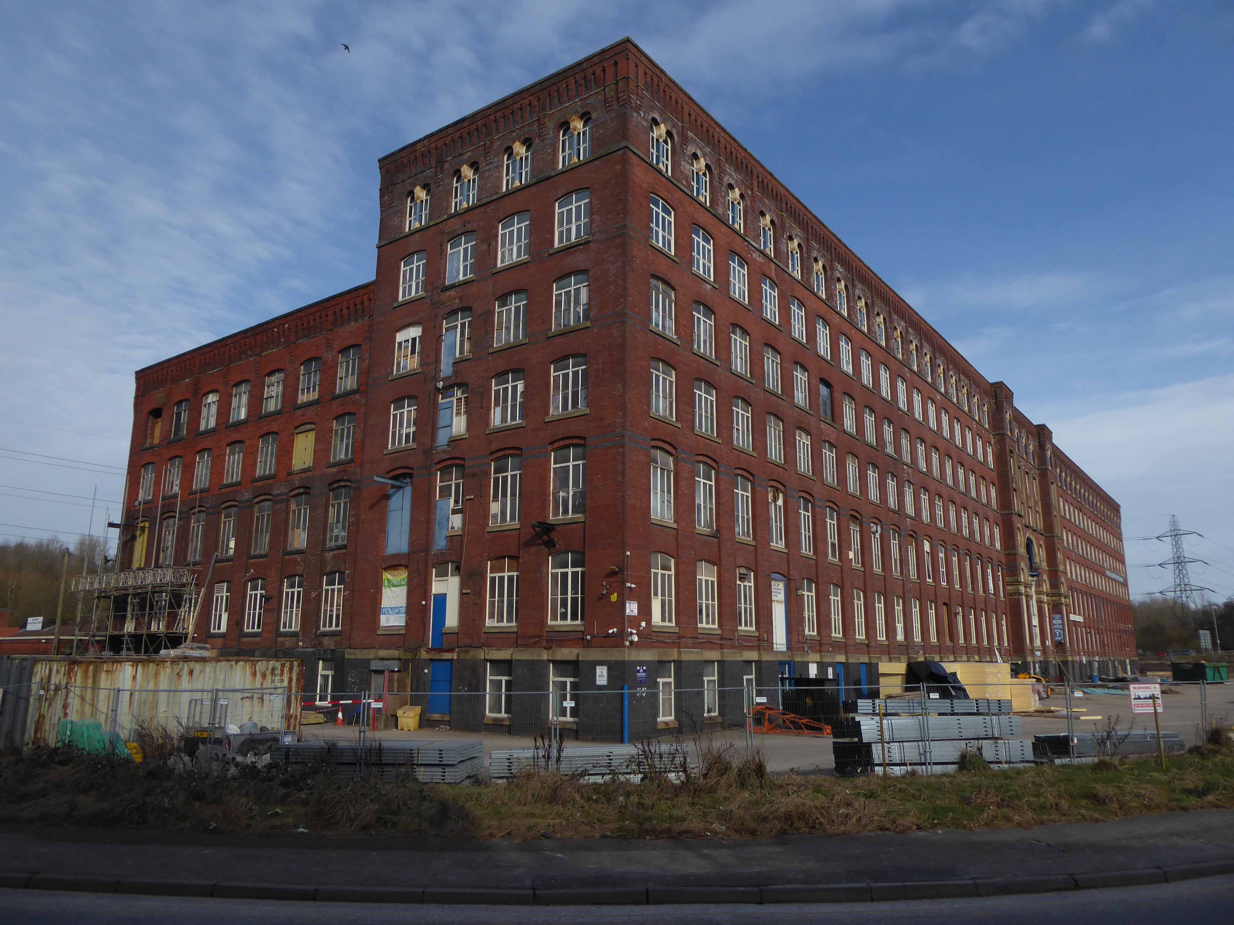
Manchester Guardian Printing Works owned by Taylor Garnett & Evans & Co. Ltd- a view of factory dated 1902.

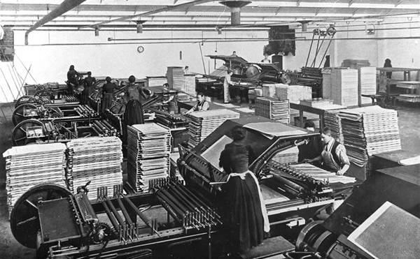
Lithographic Printing Dept 1902. 

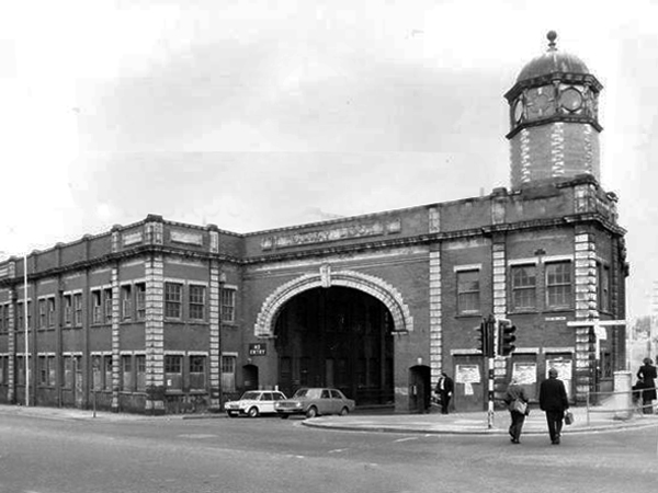
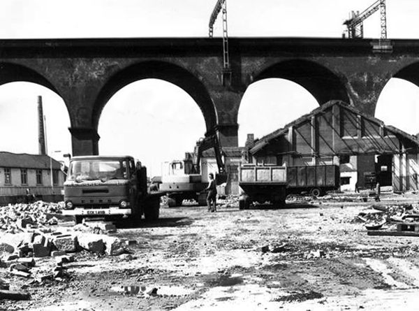
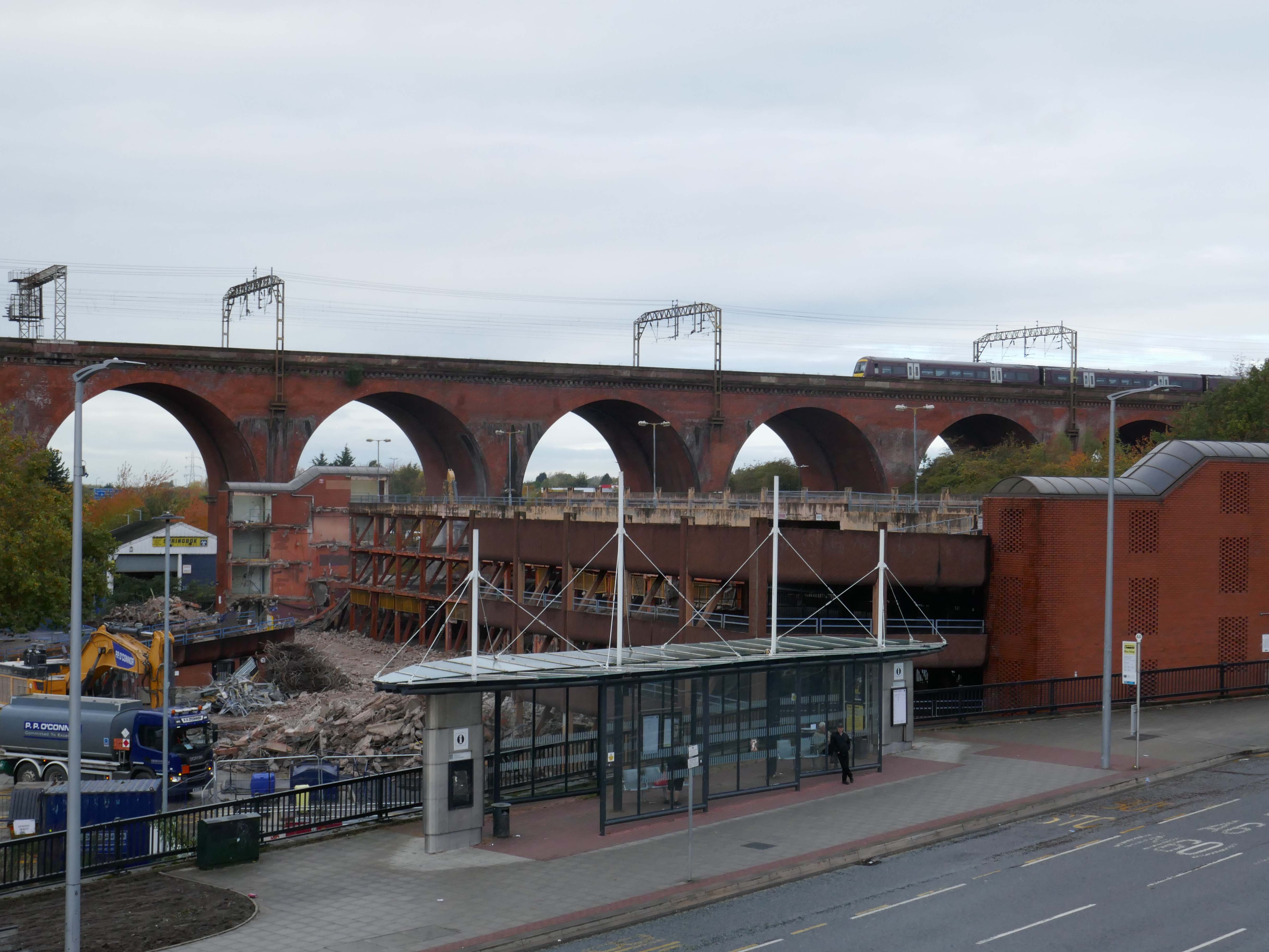
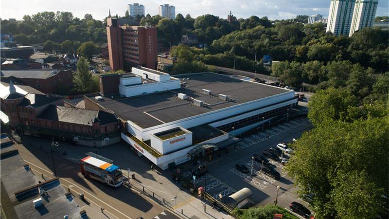
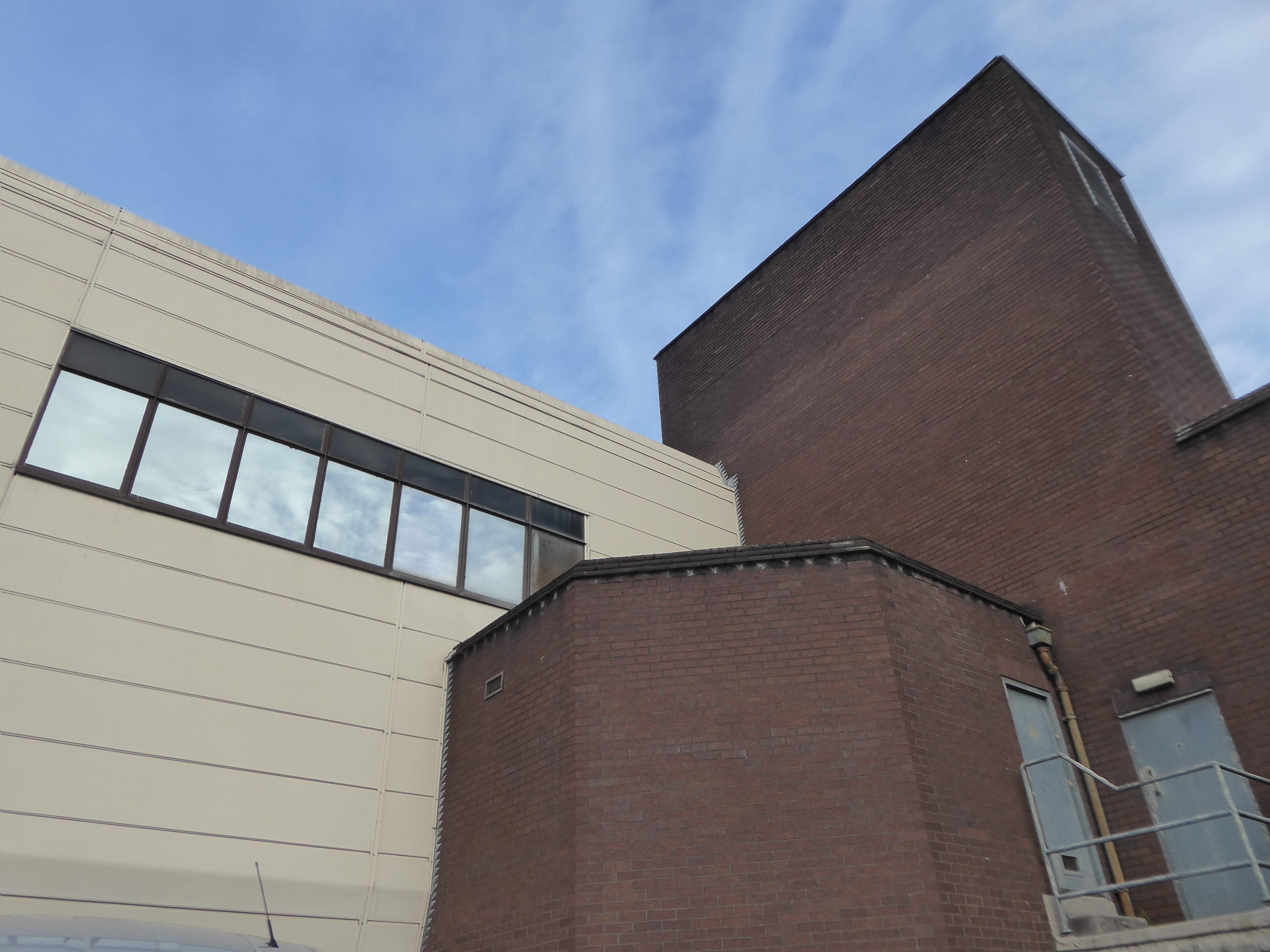
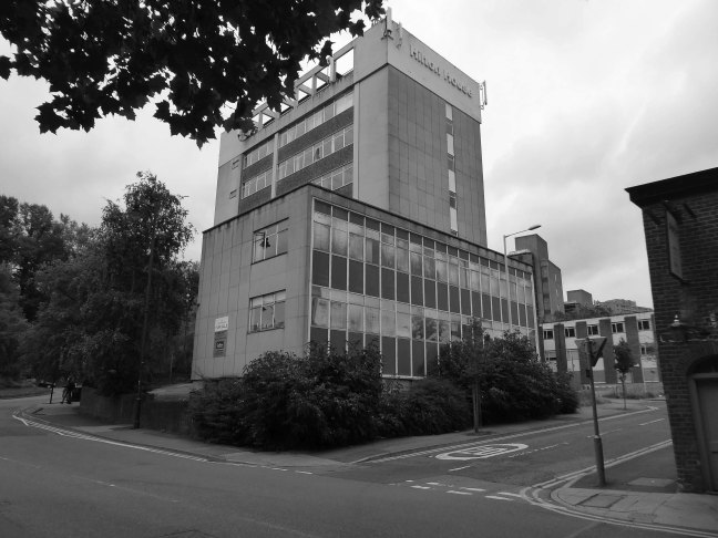
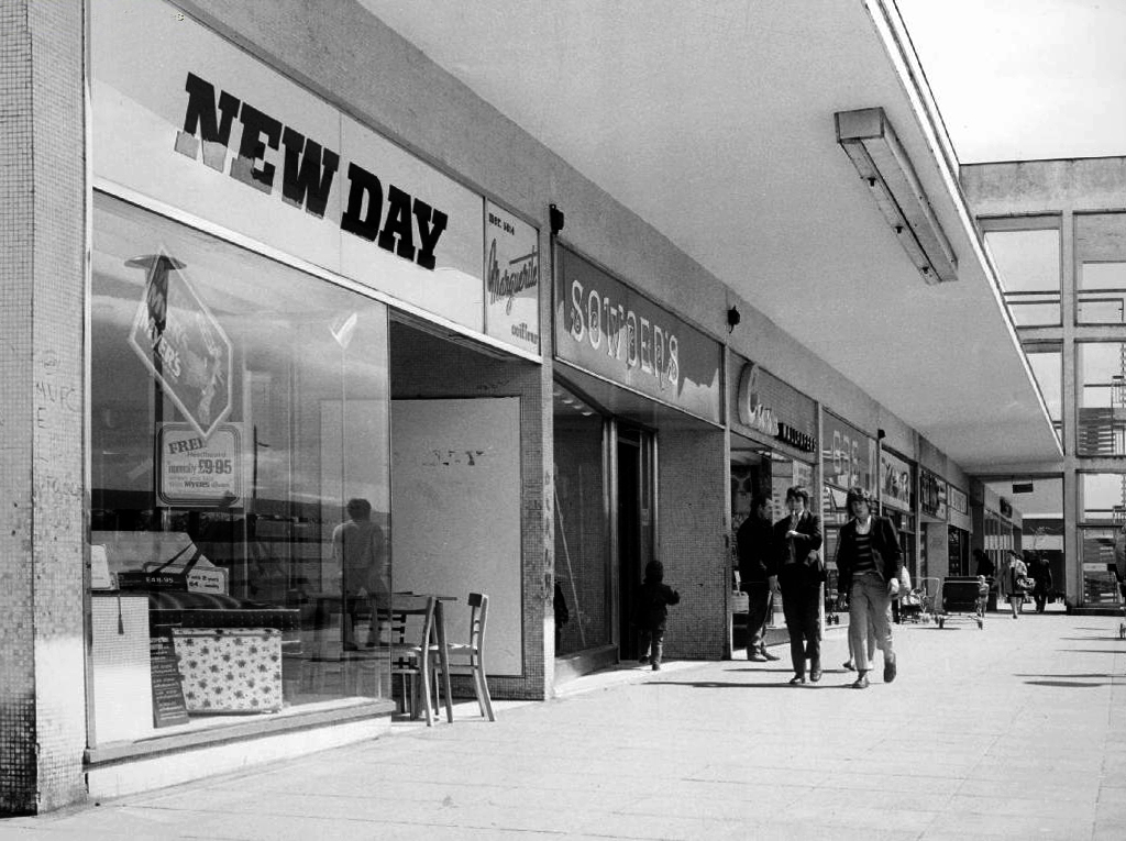
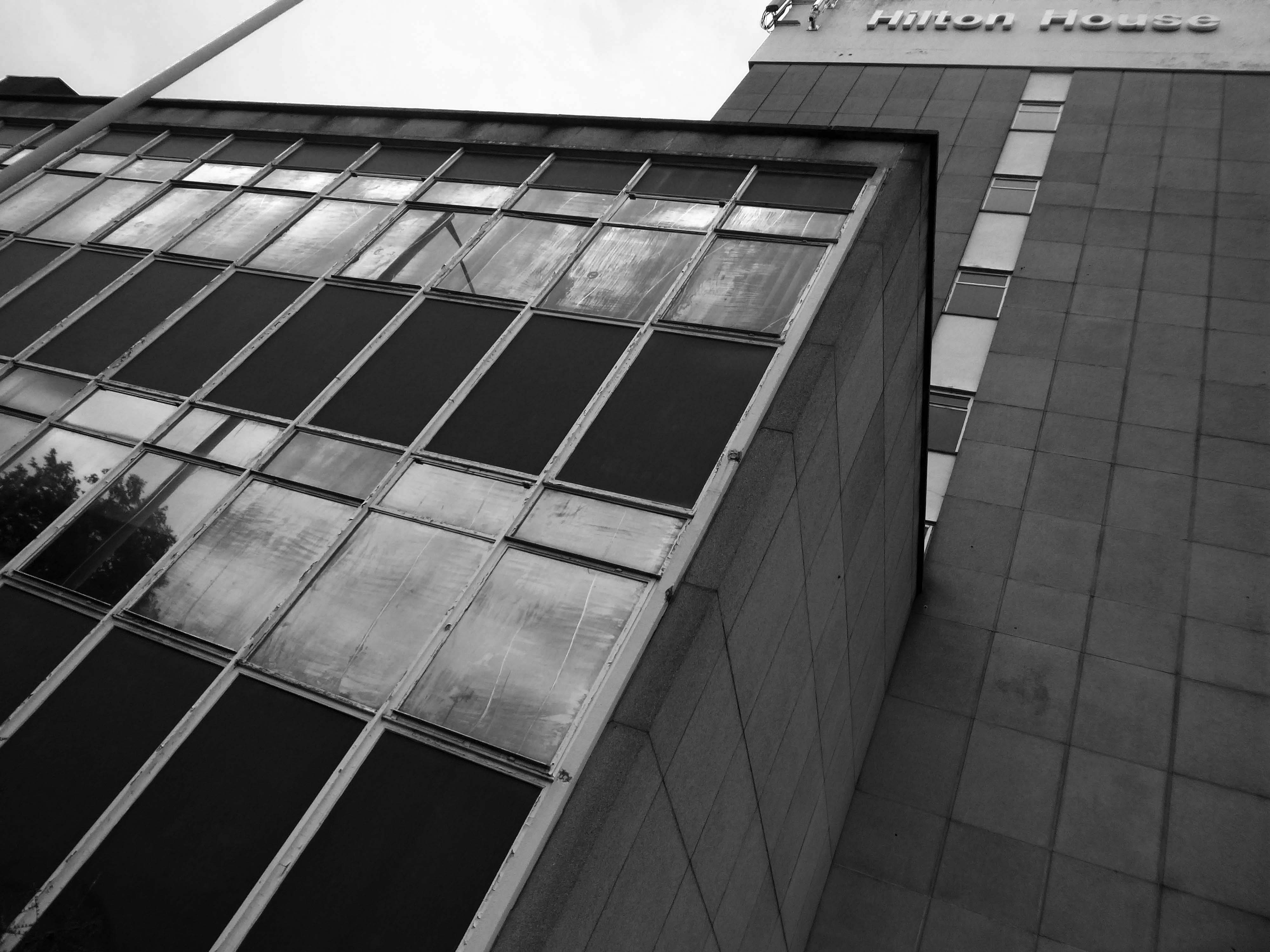
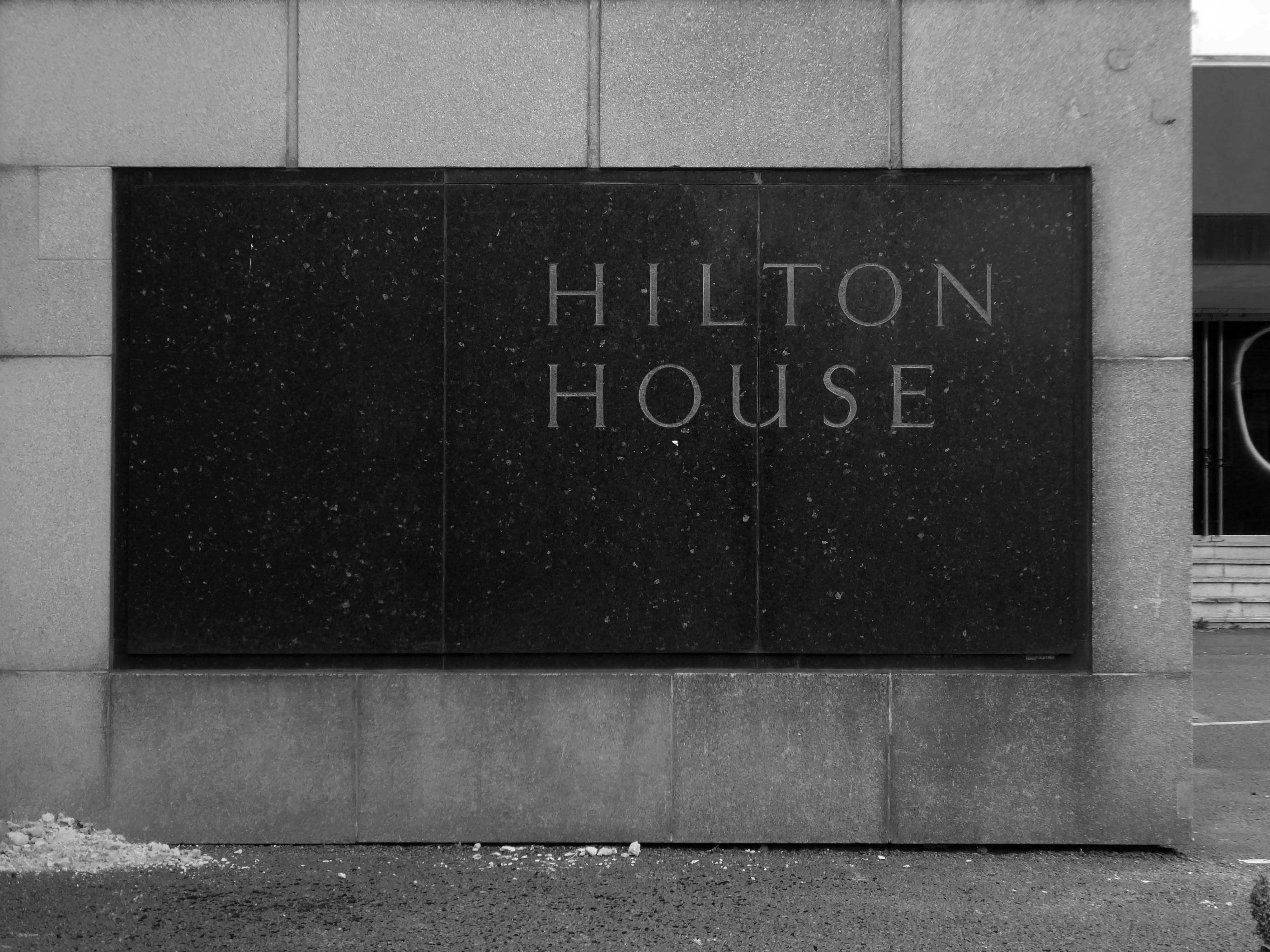
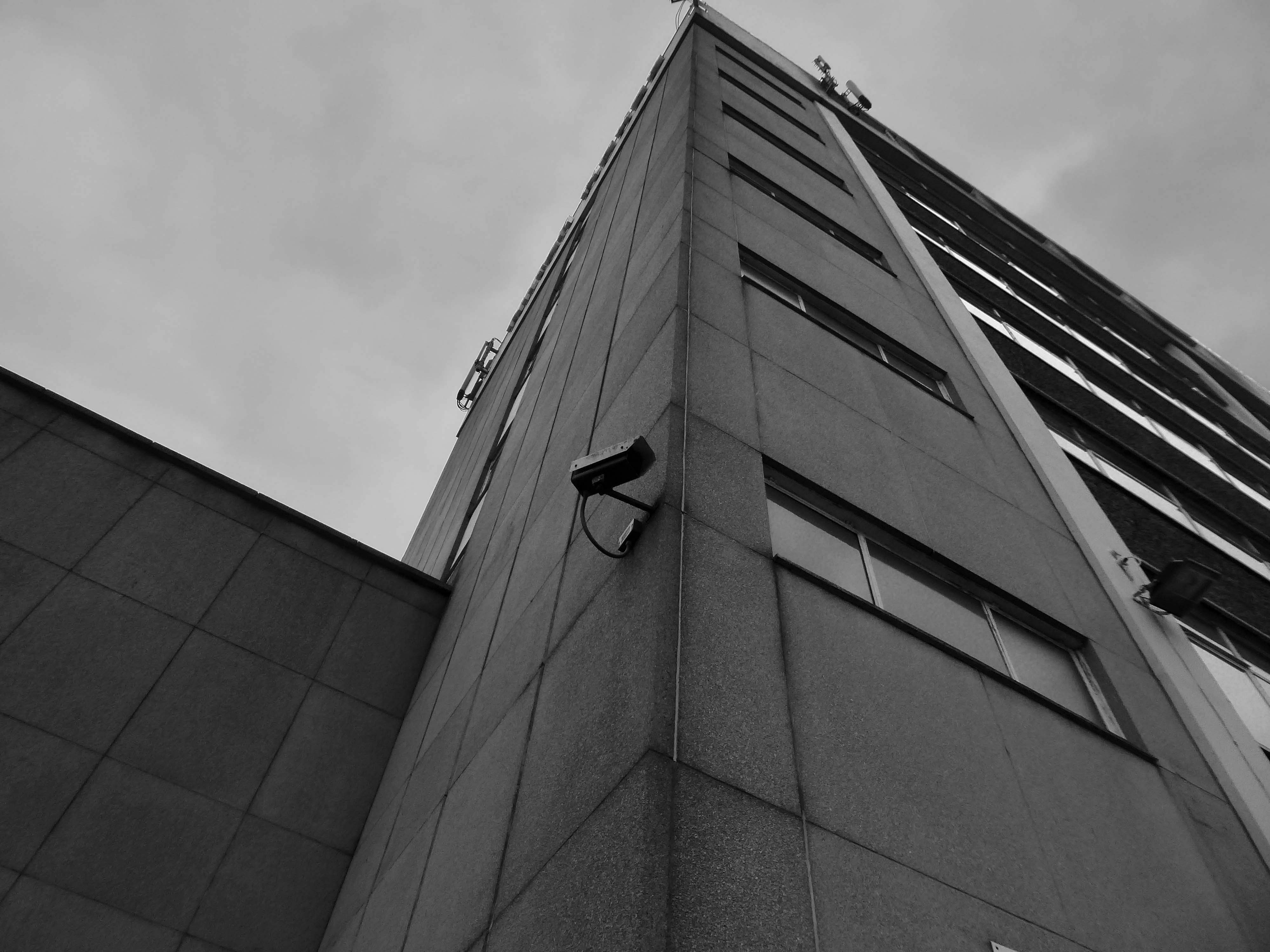
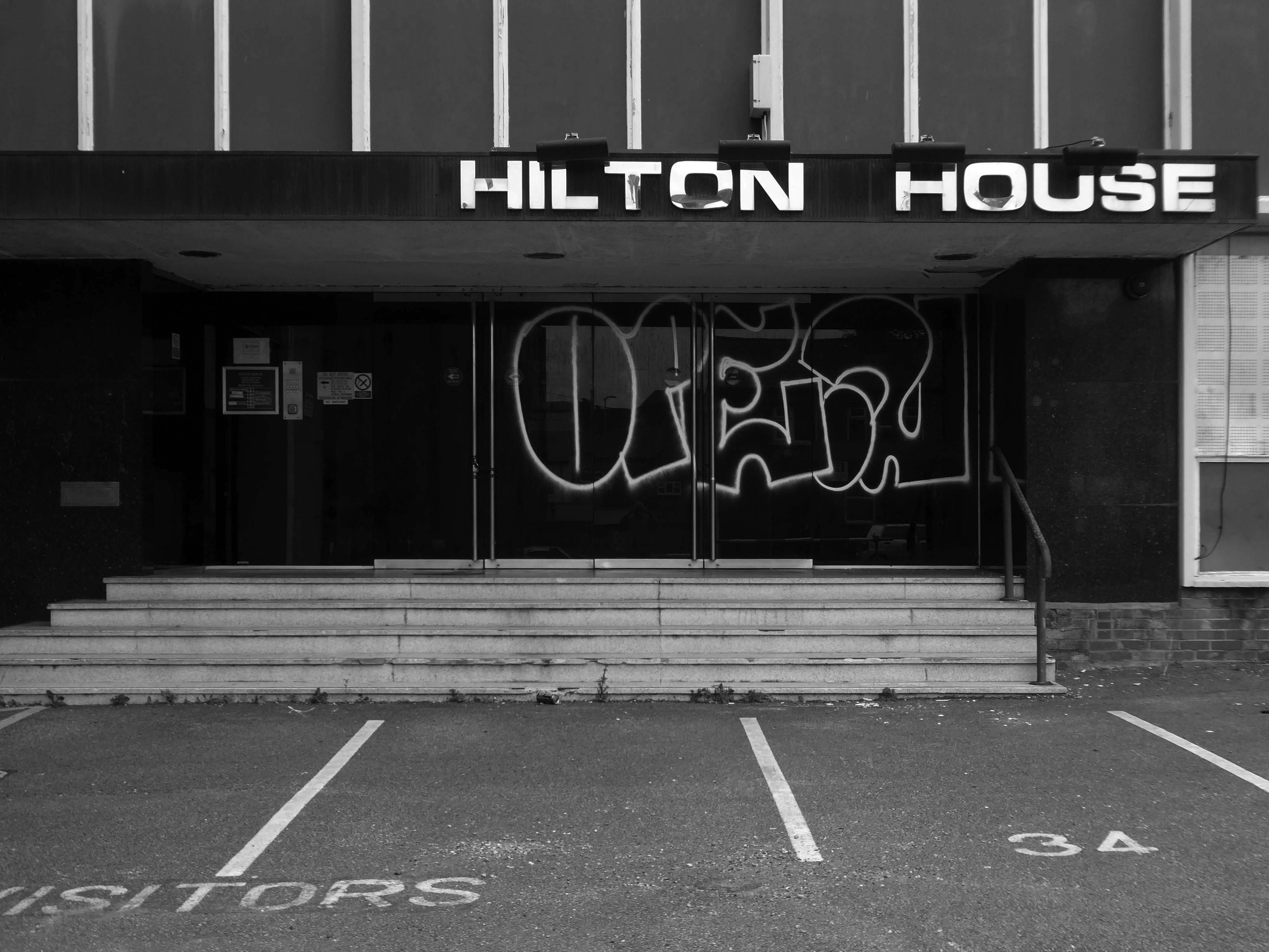
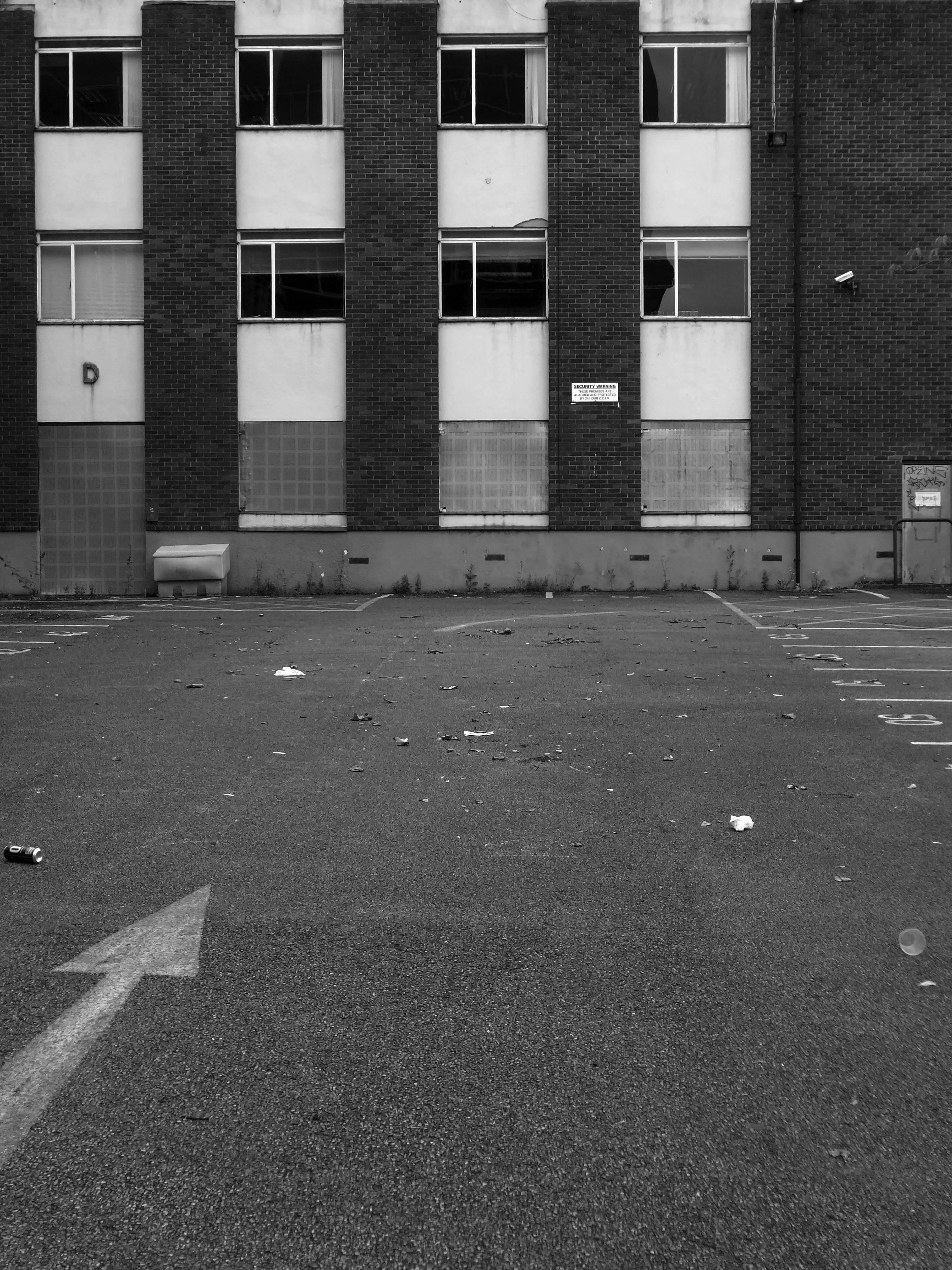
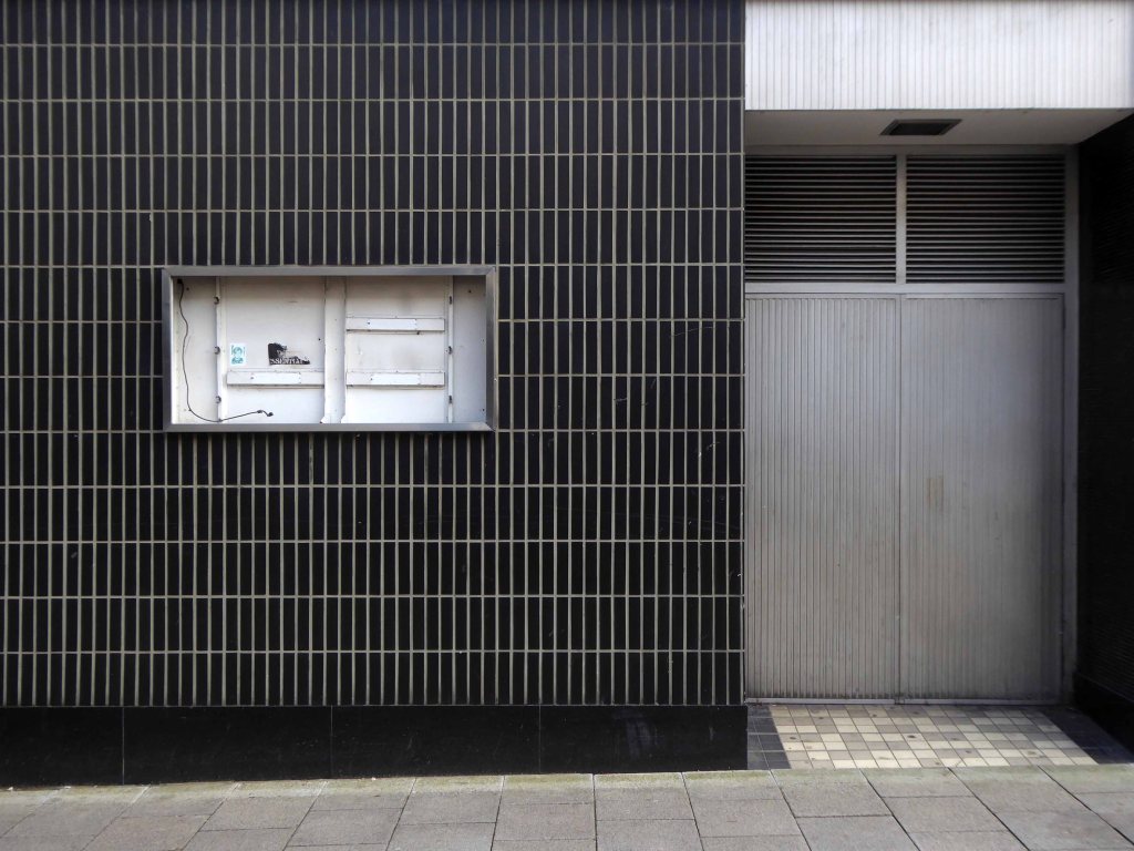
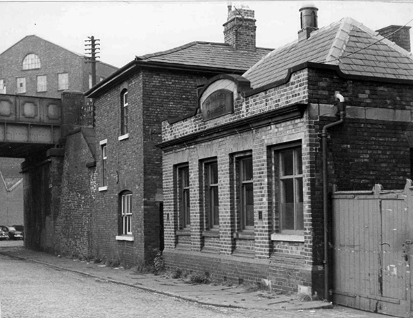
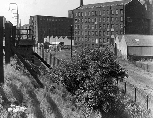
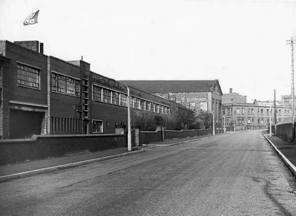
CWS Printing Works – formerly the Guardian Print Works showing a view from the road dated 1972.

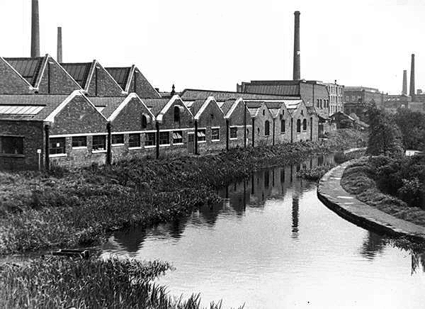
CWS Printing Works showing a rear view with canal in the foreground.

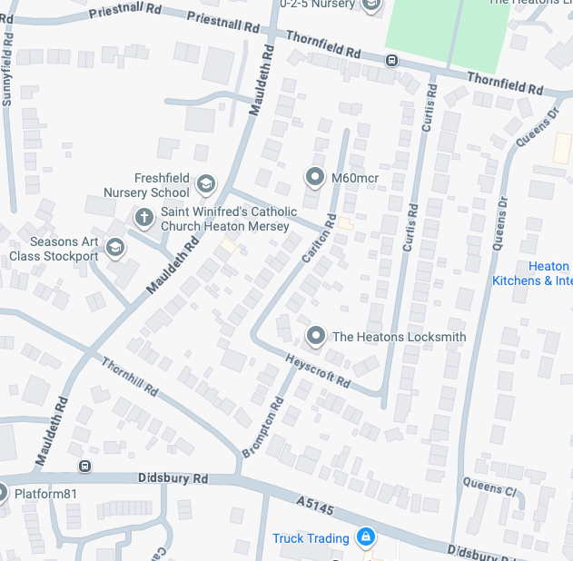
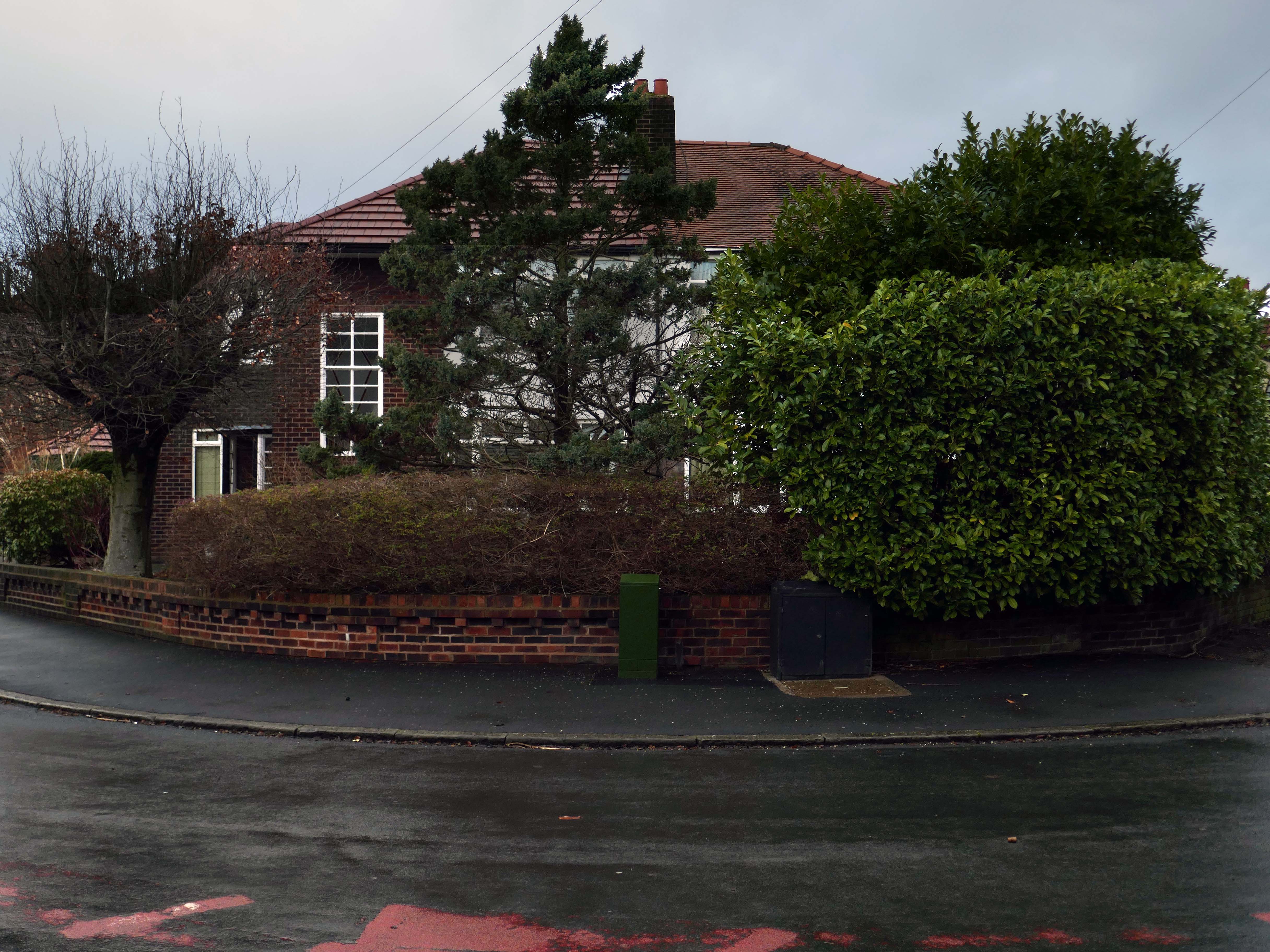
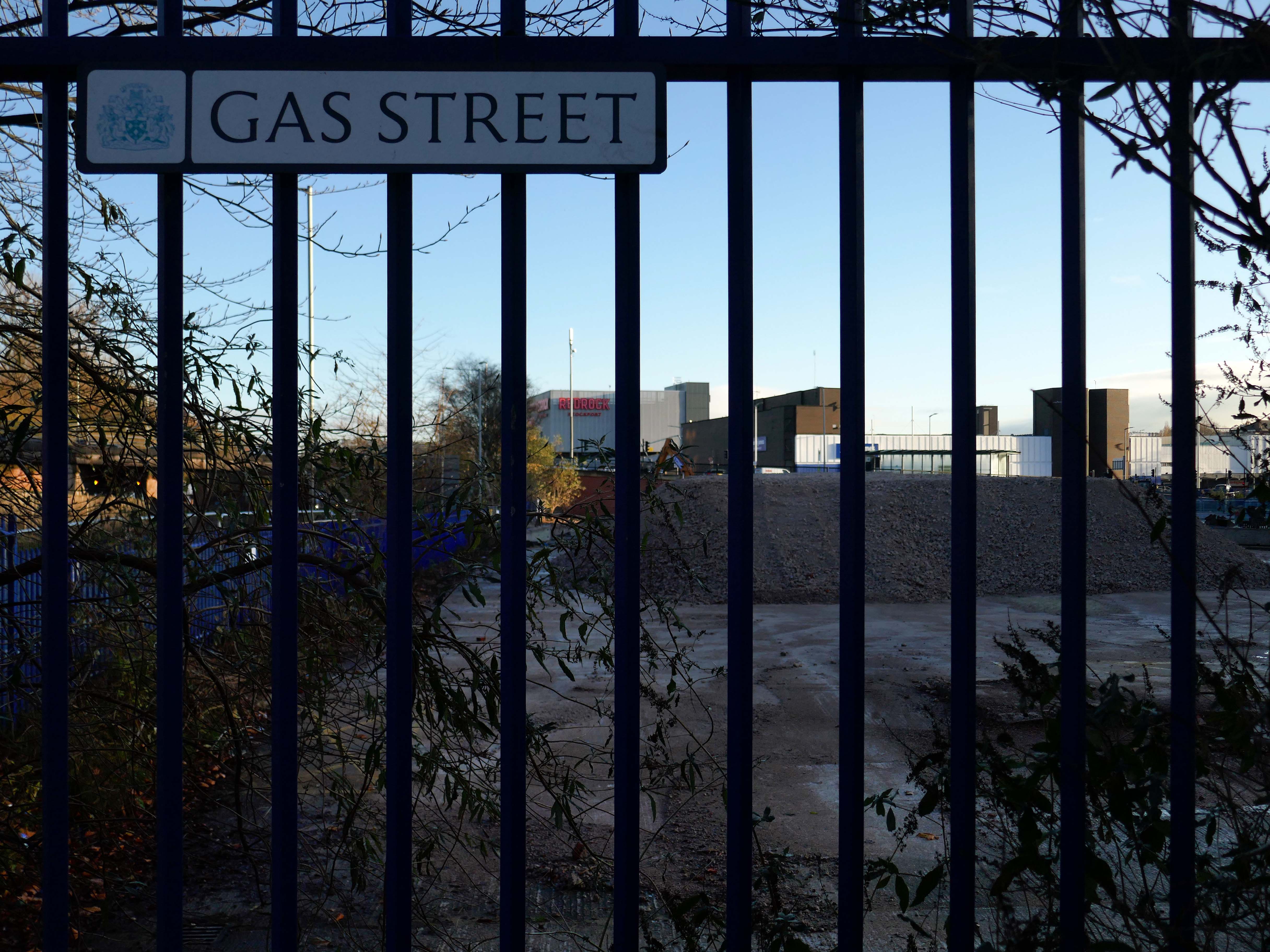
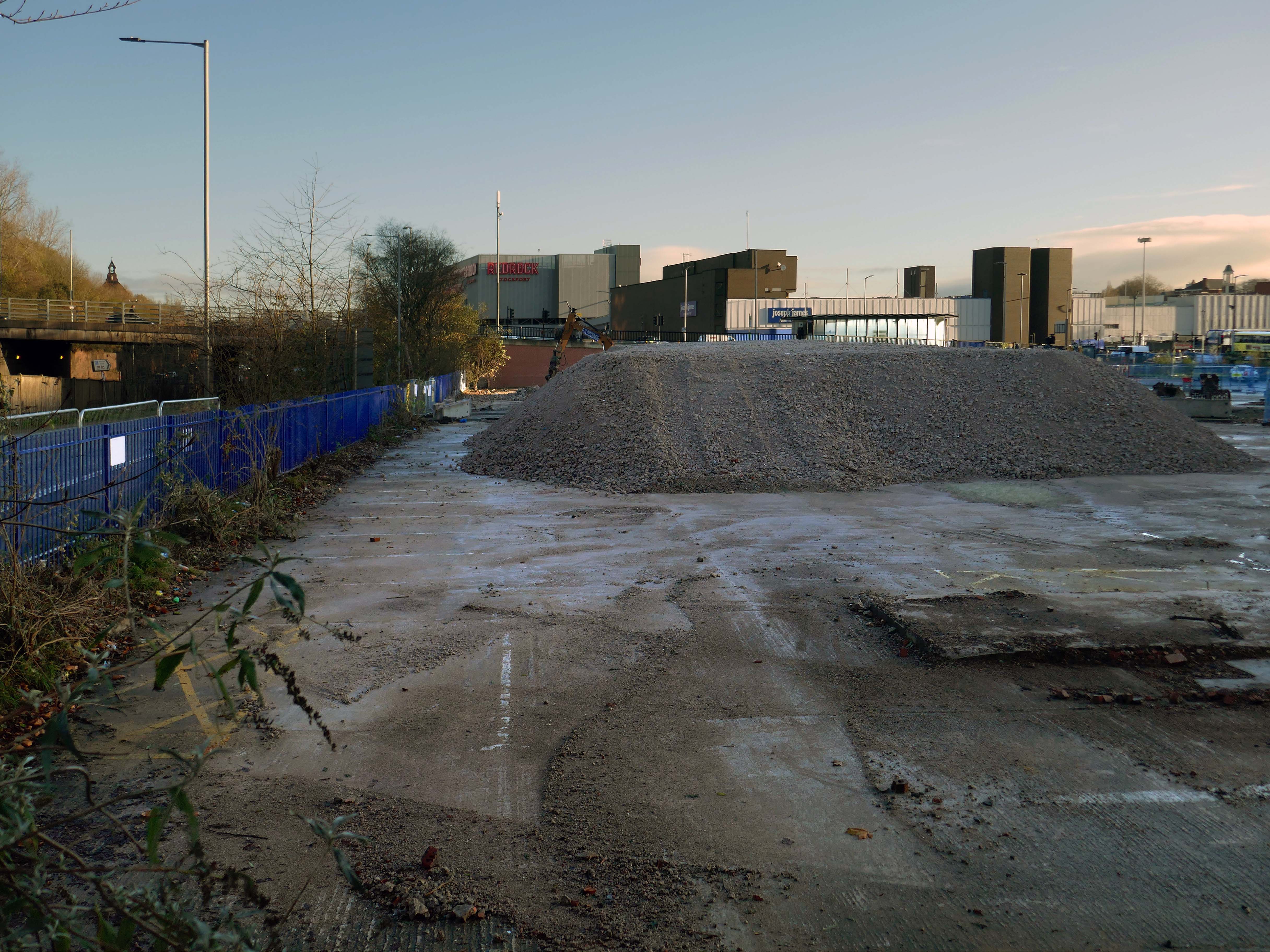
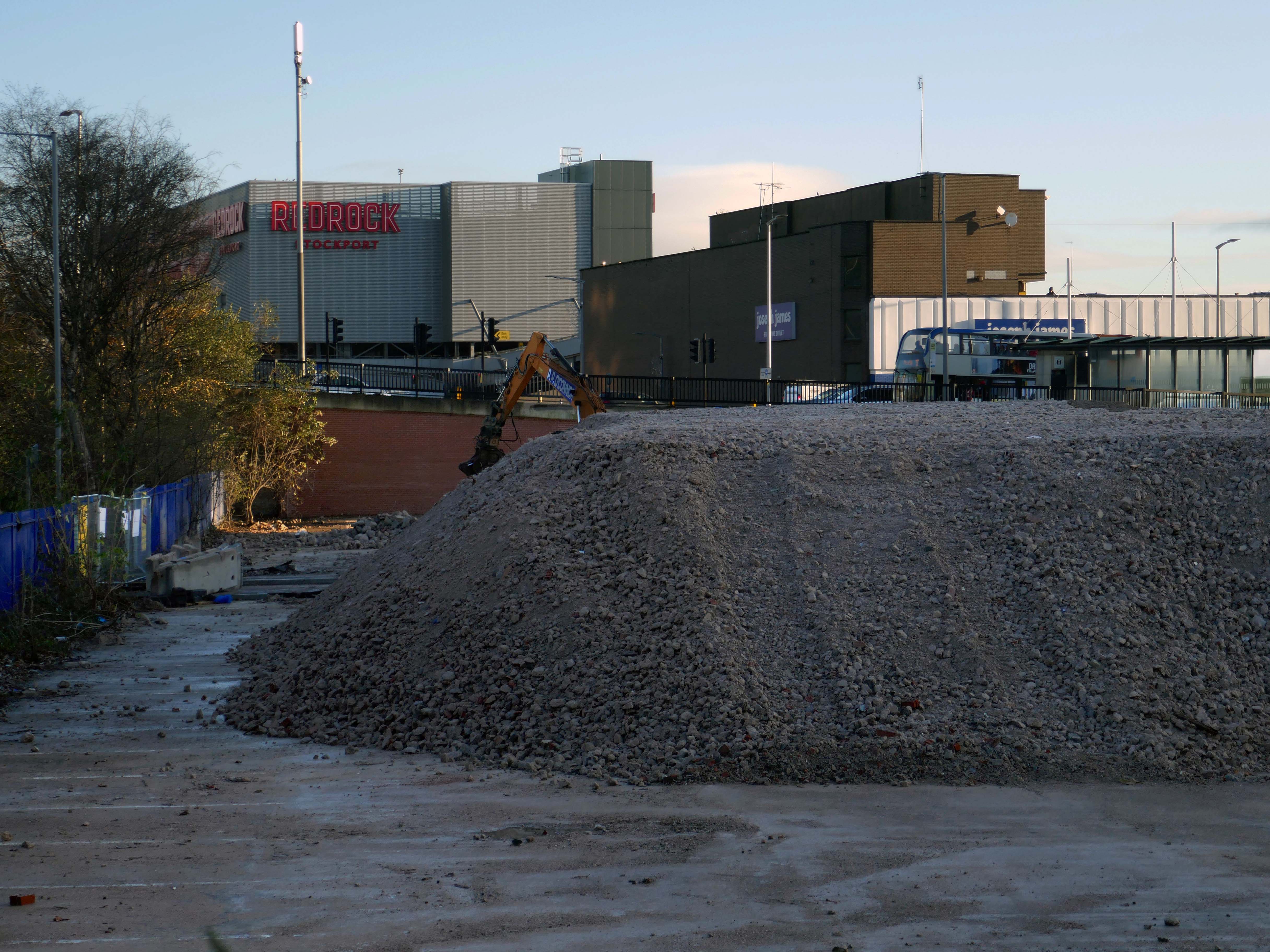
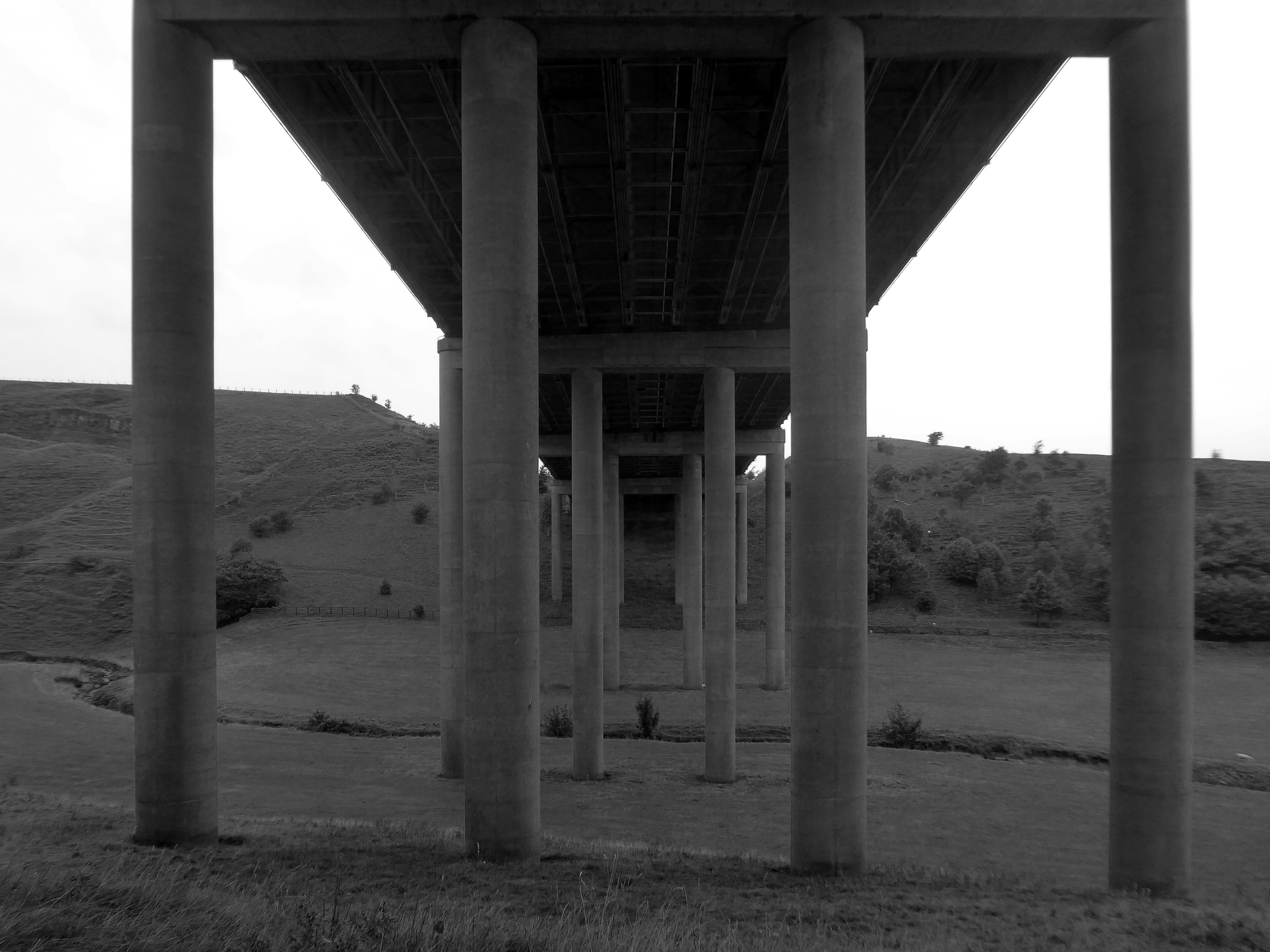
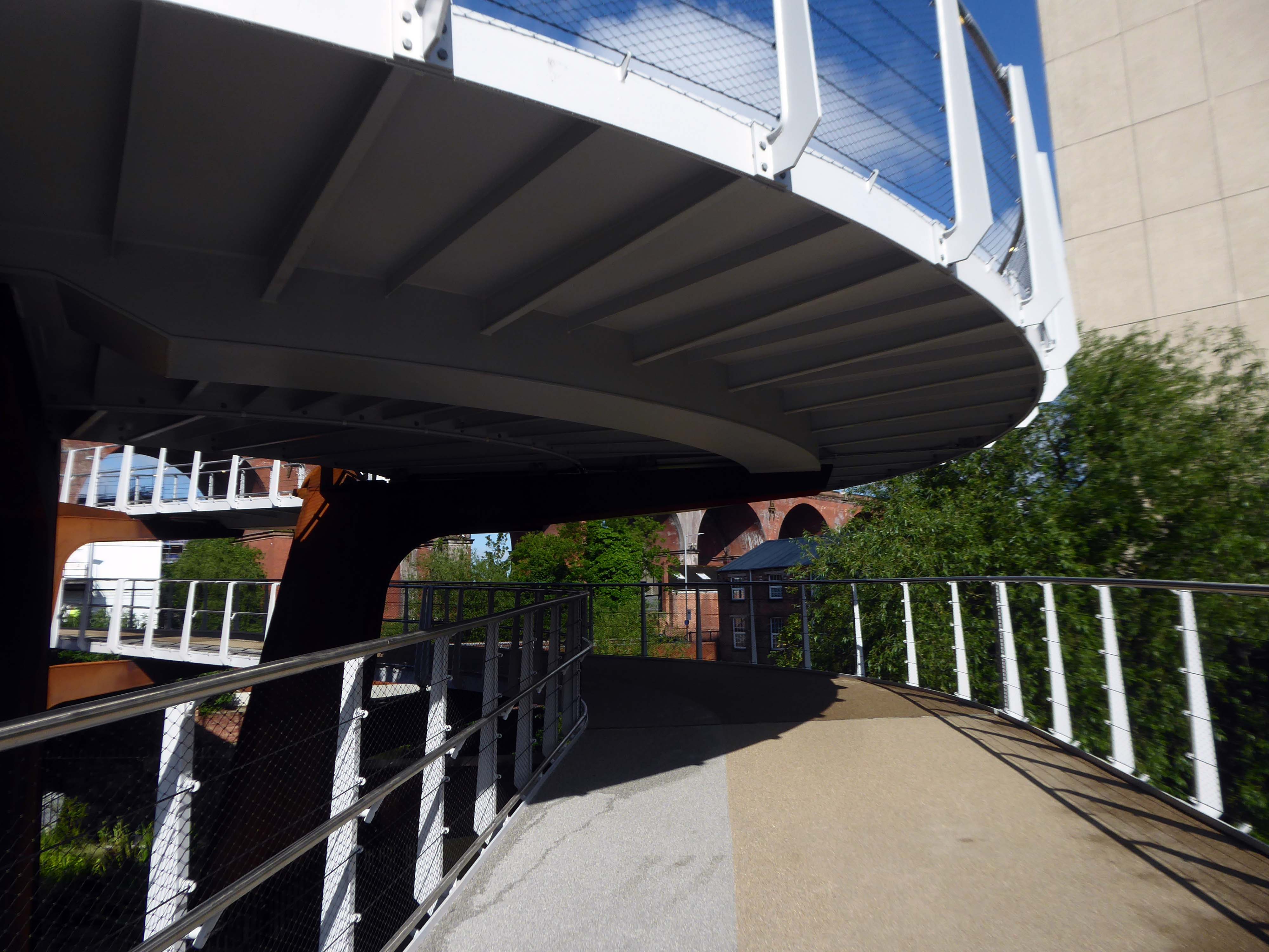
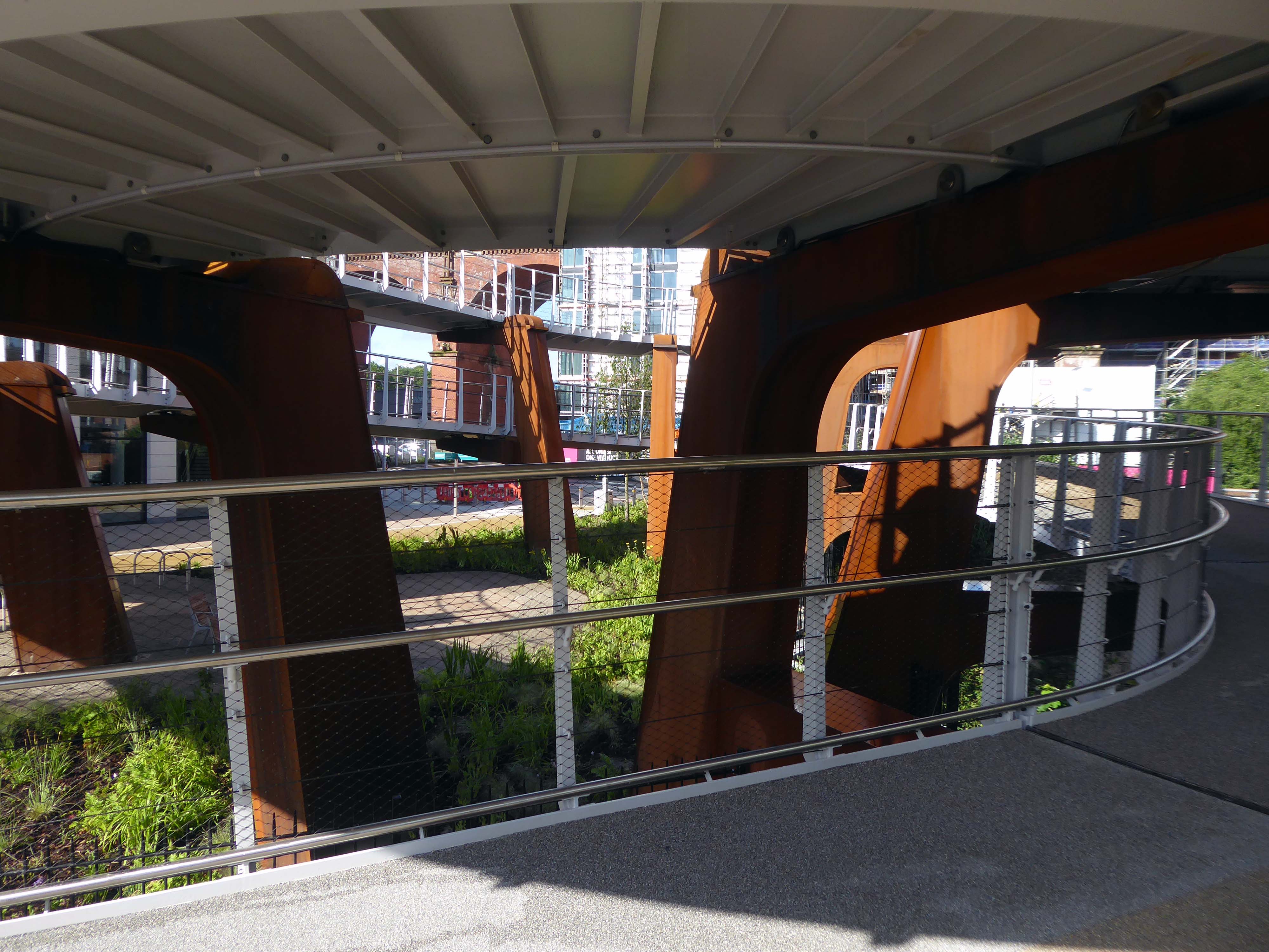
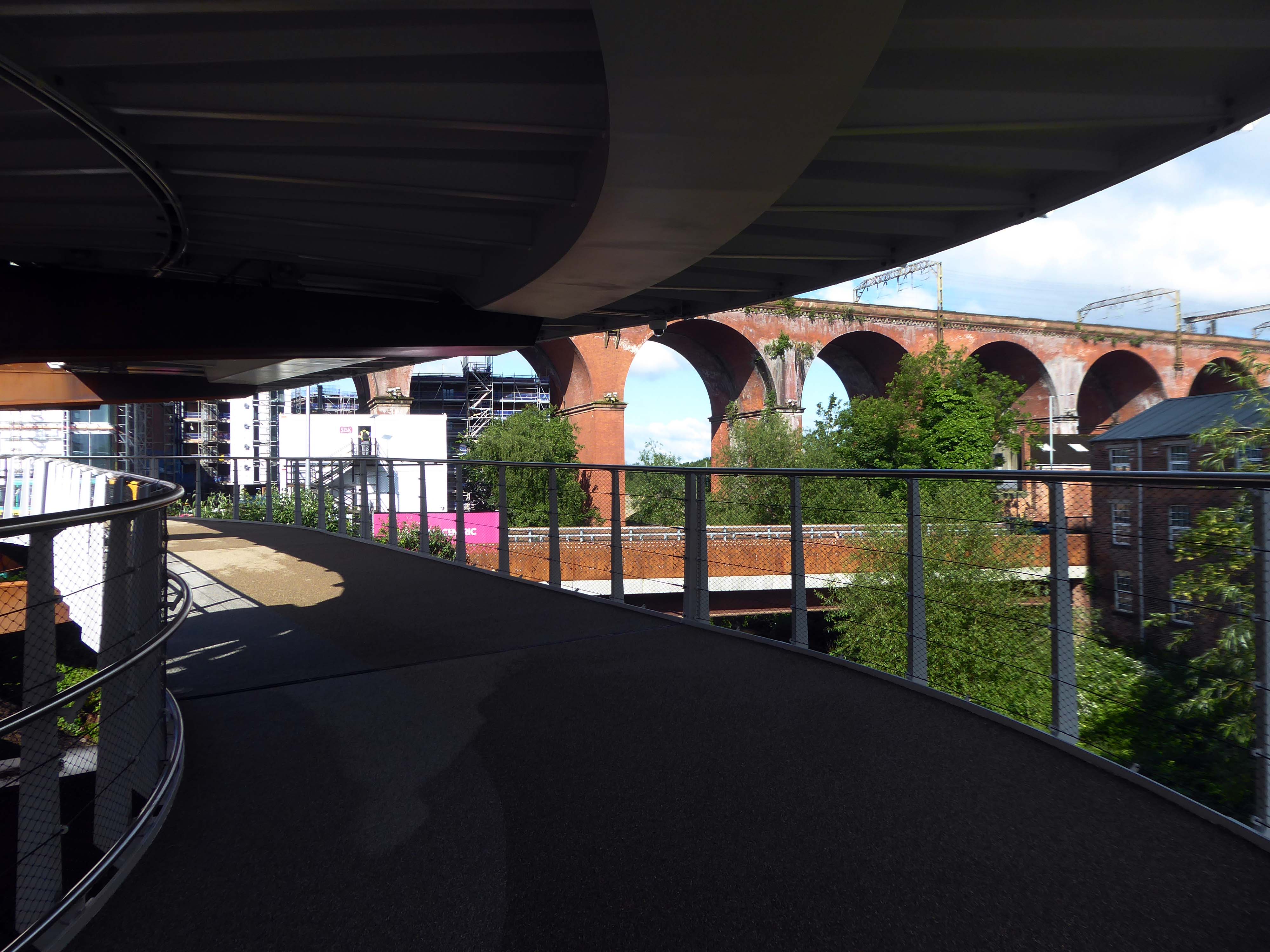
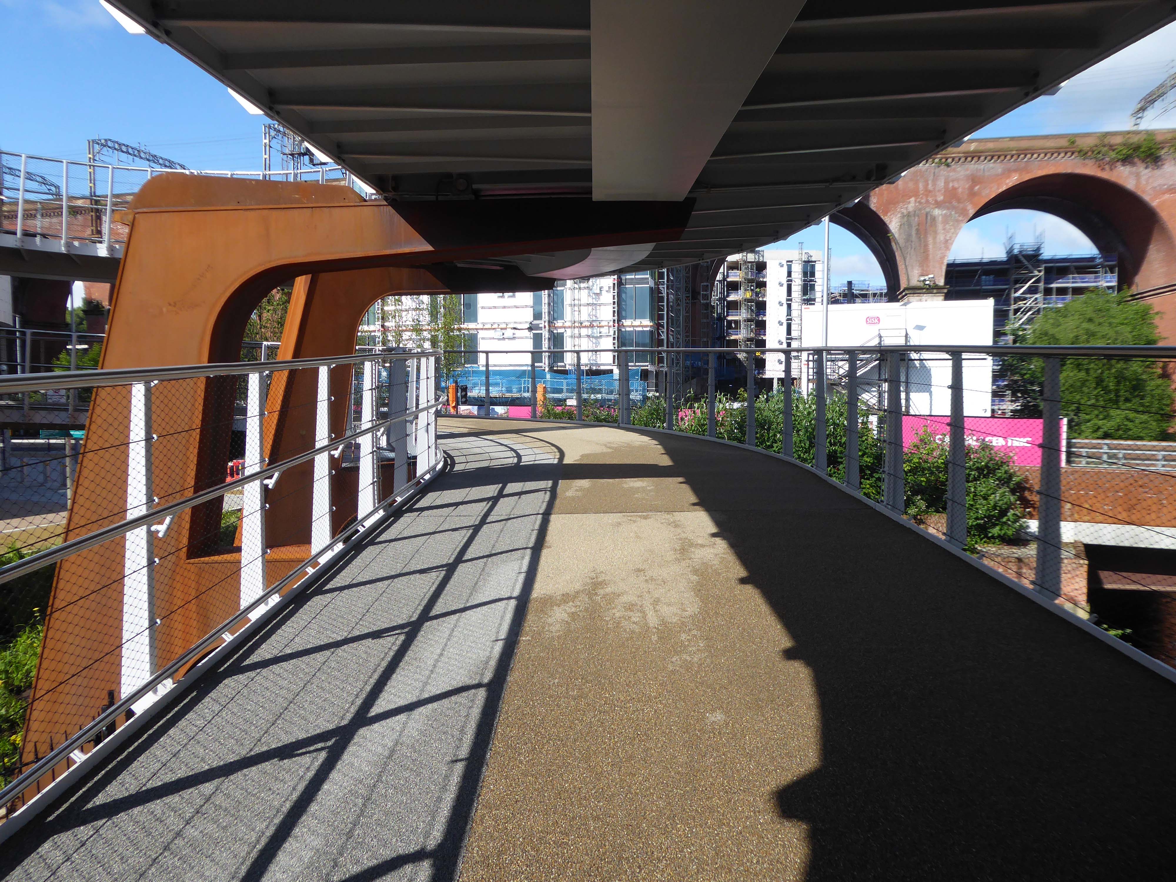
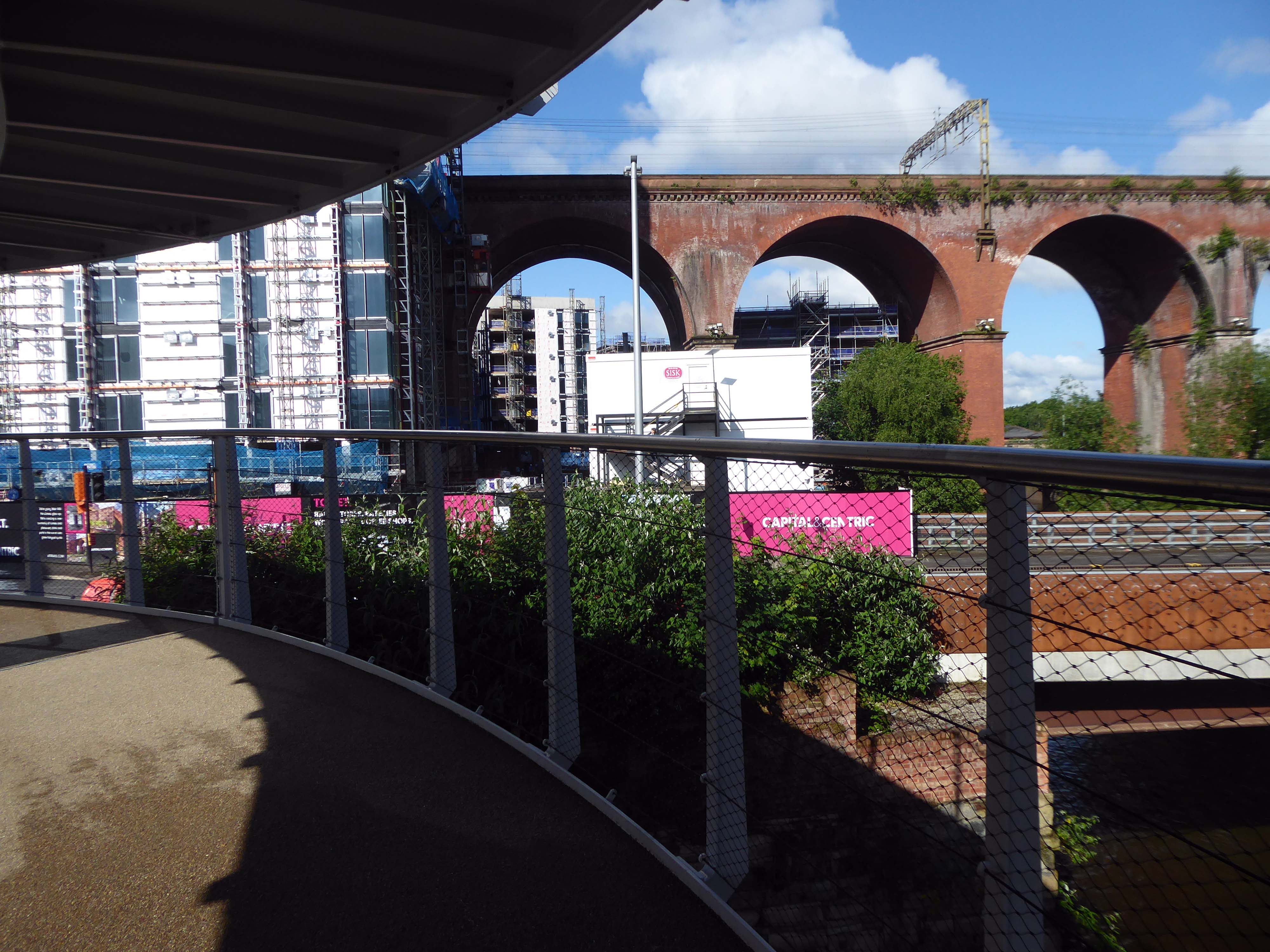
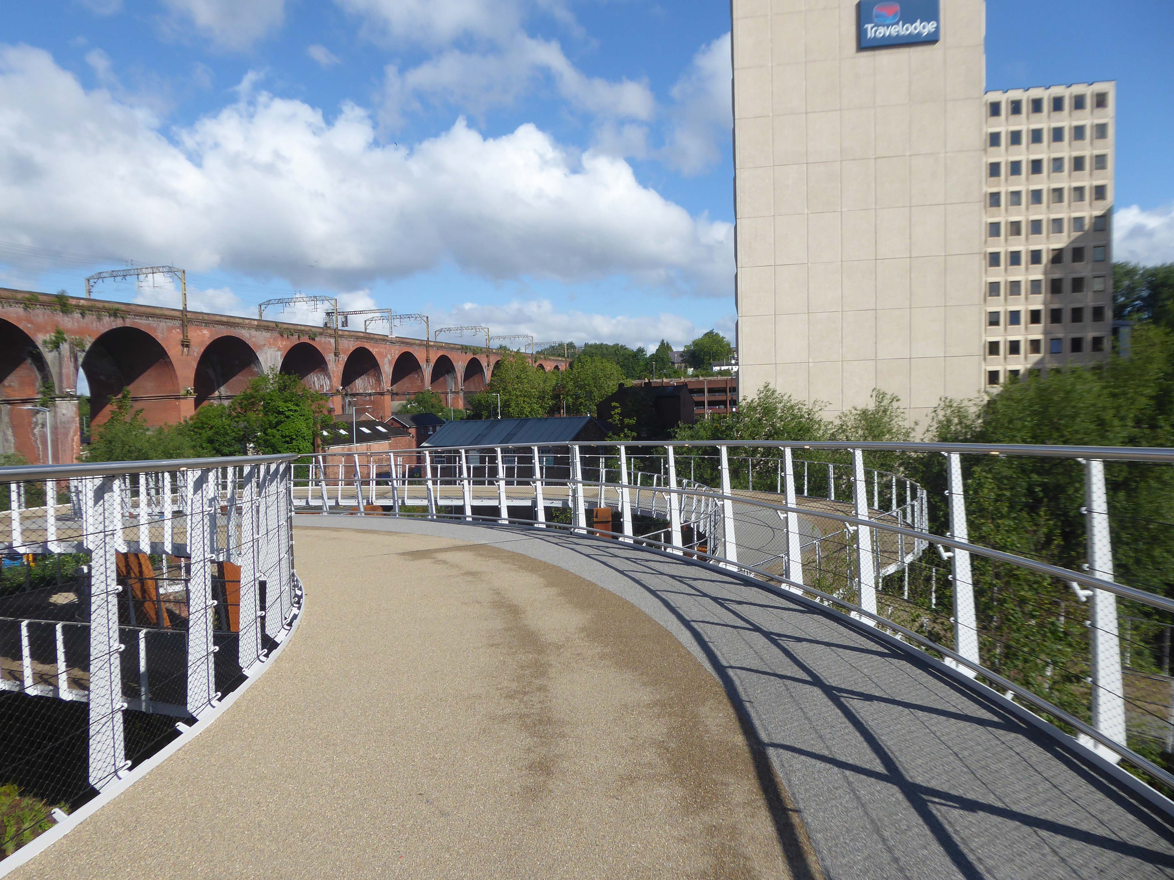
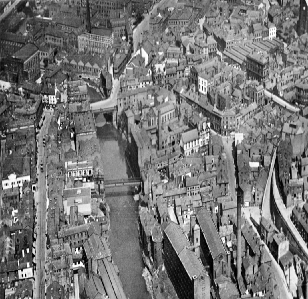
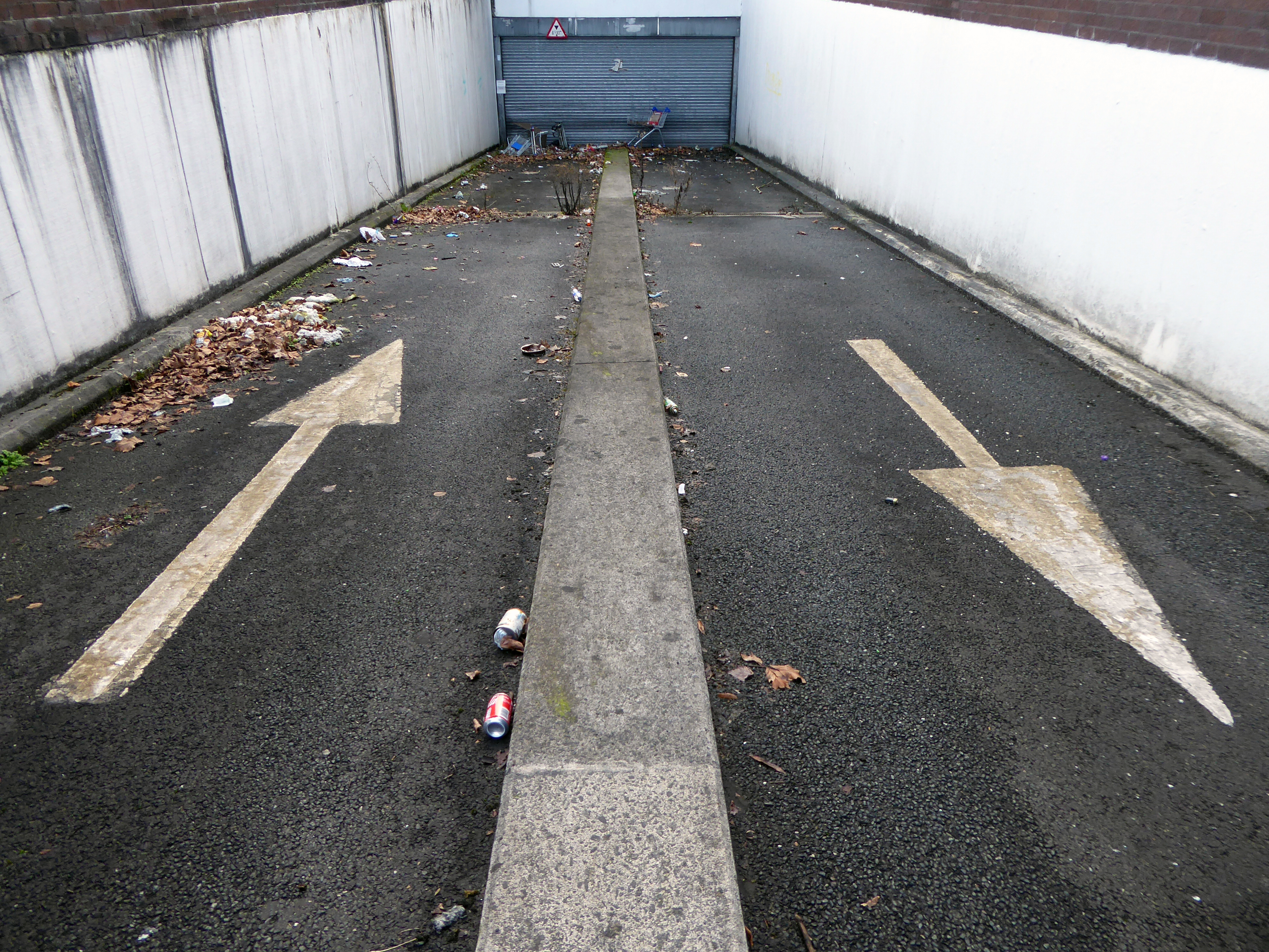
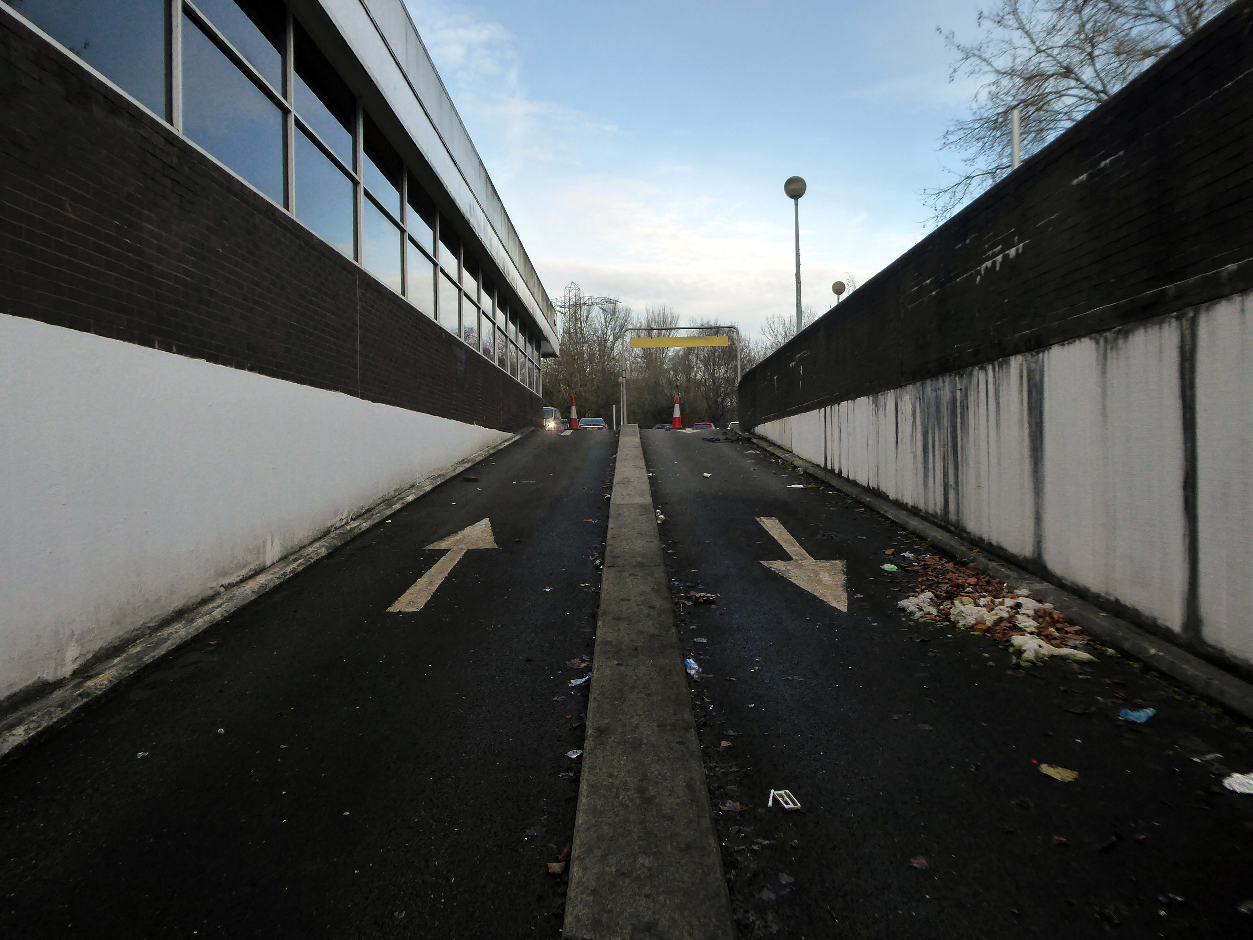
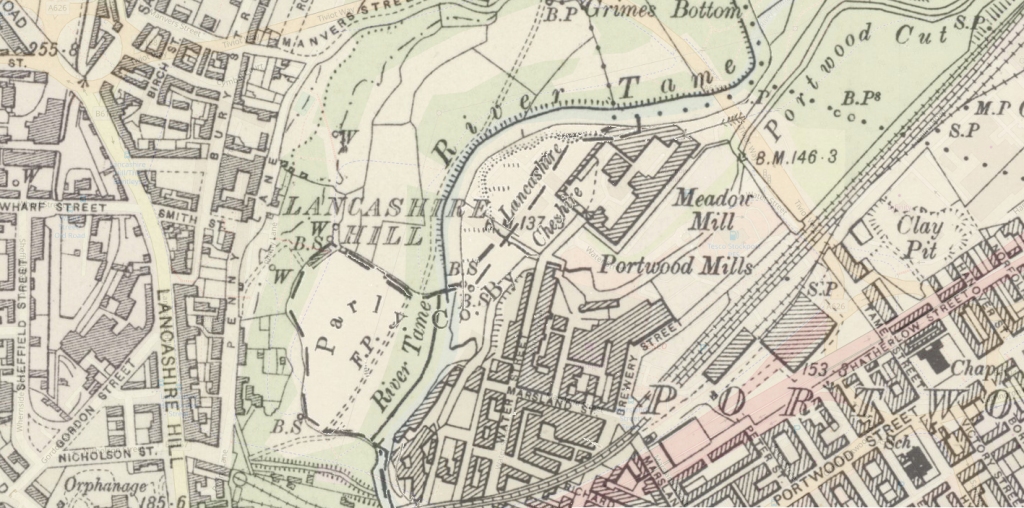
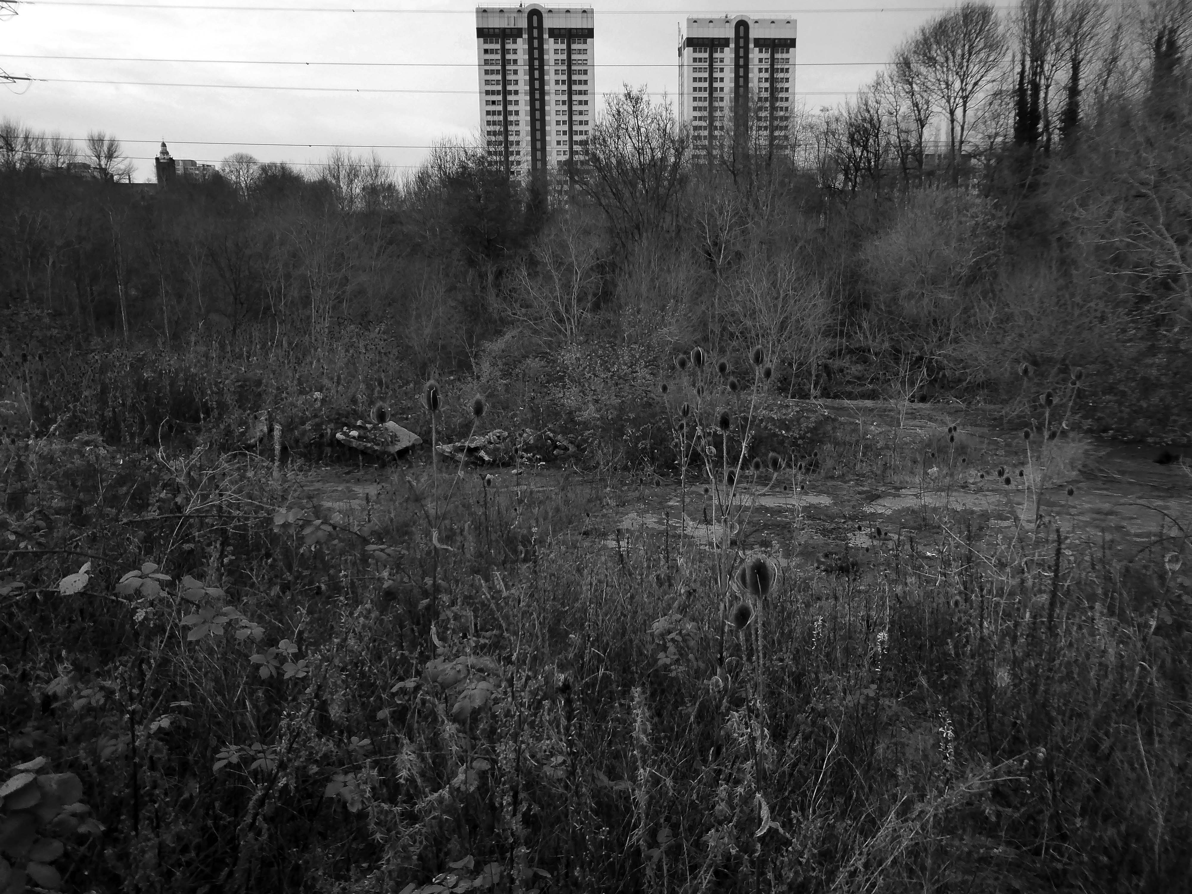
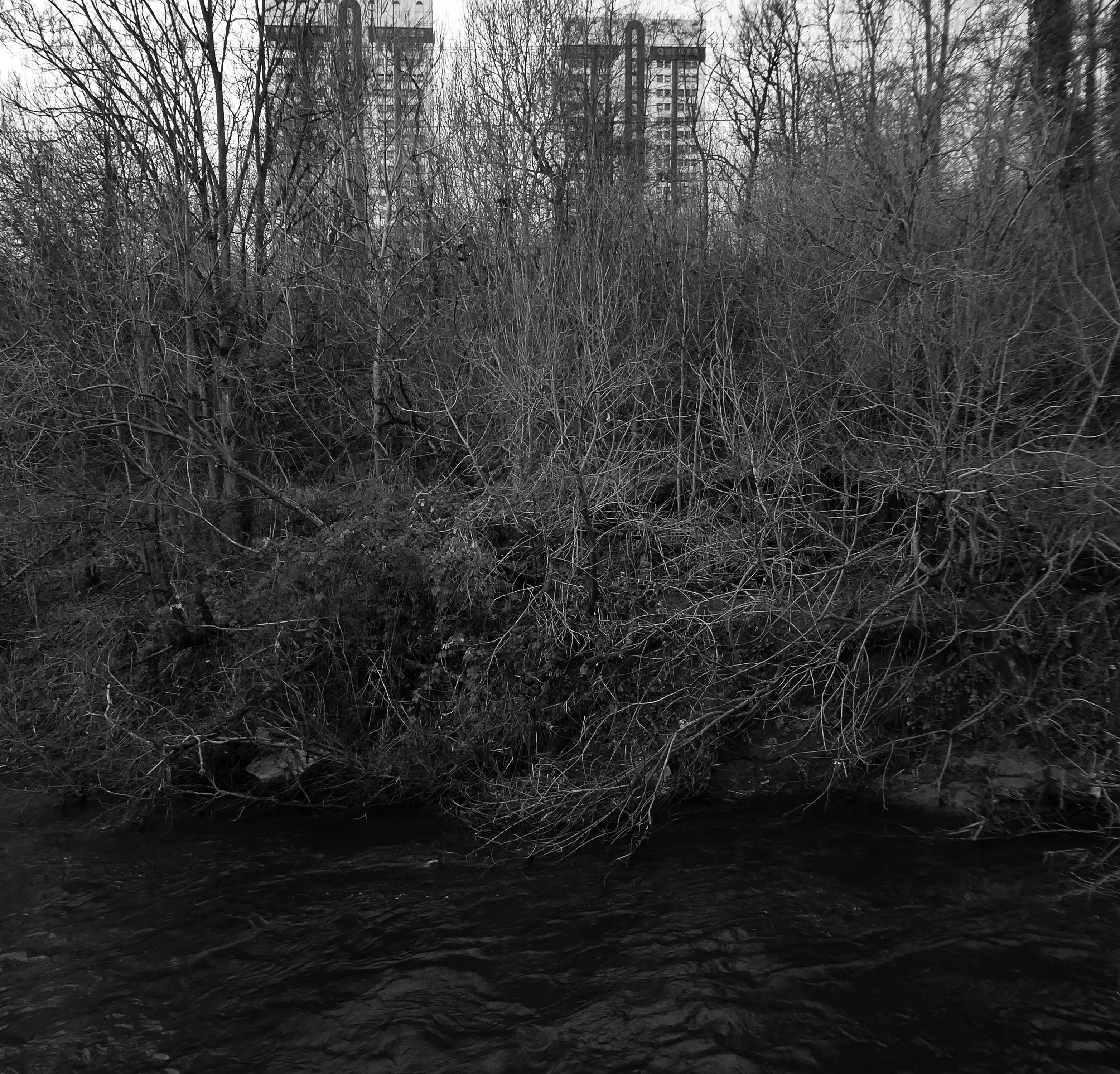
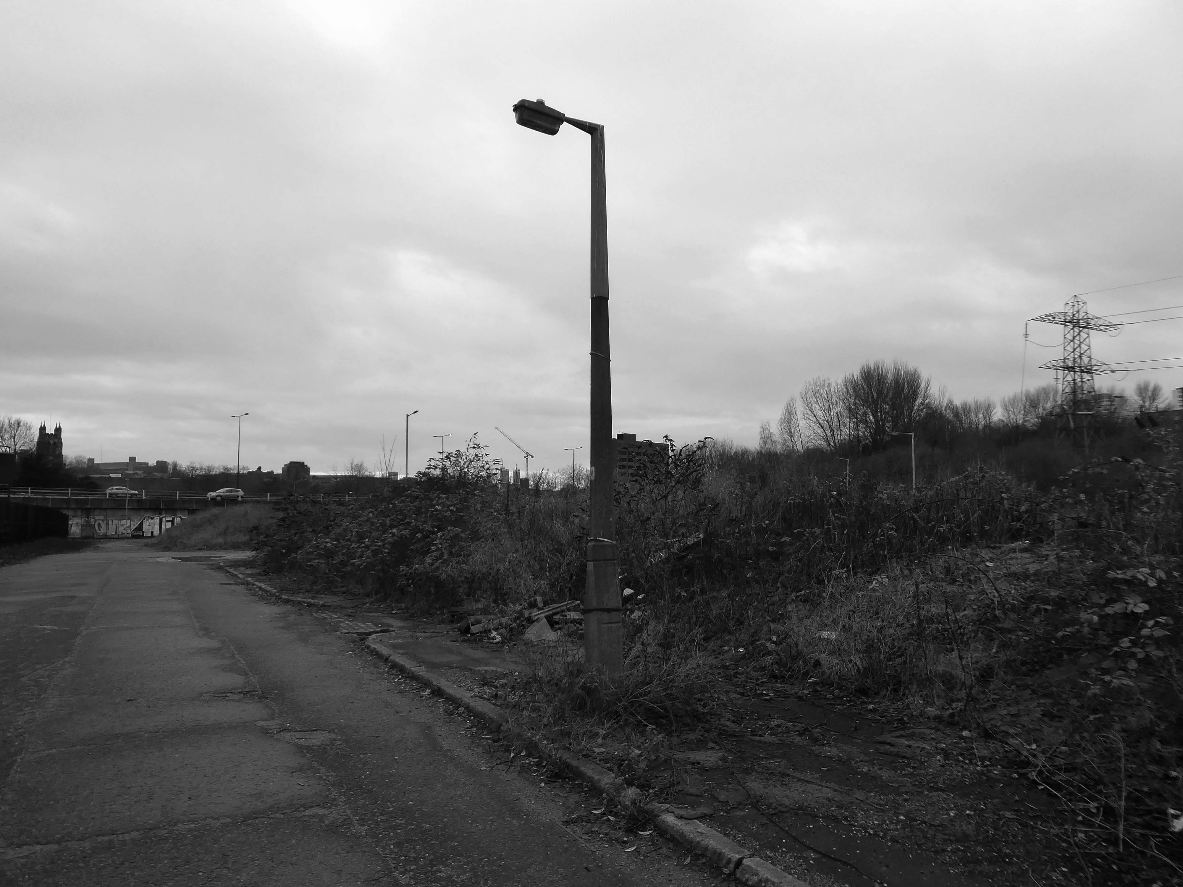
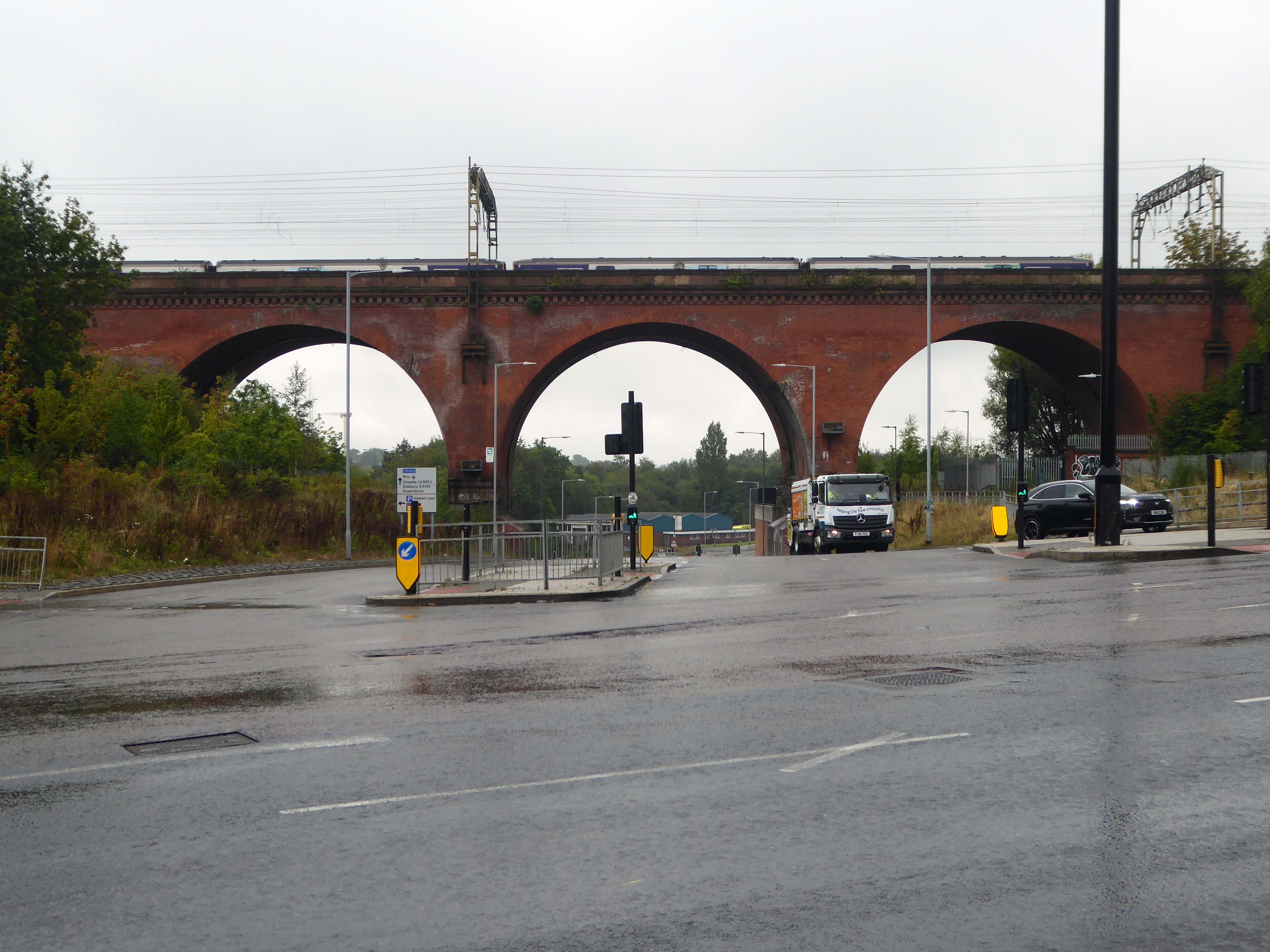
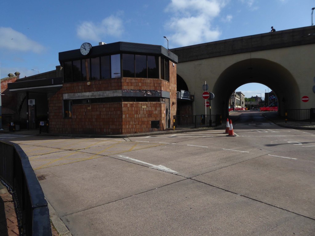
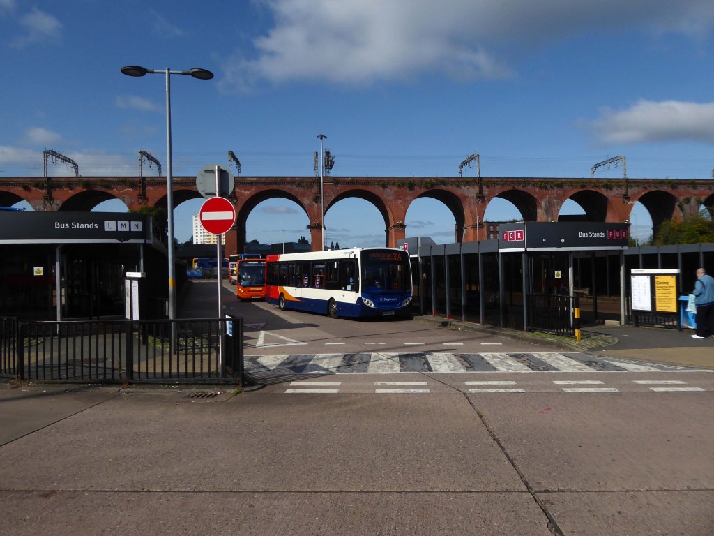
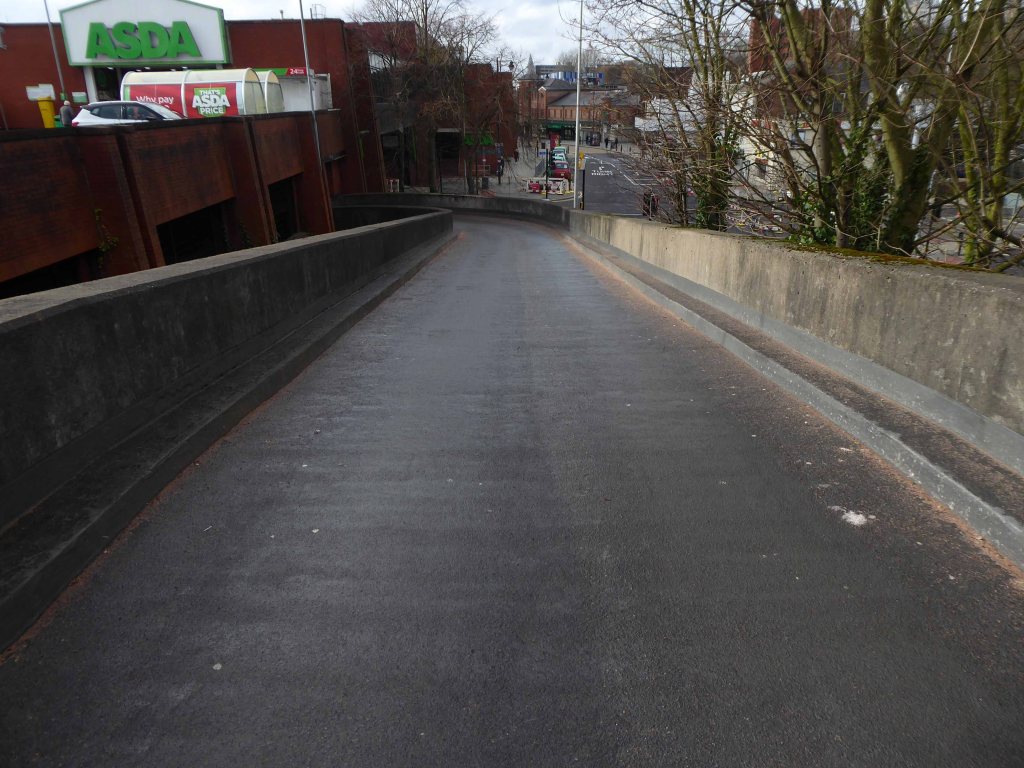
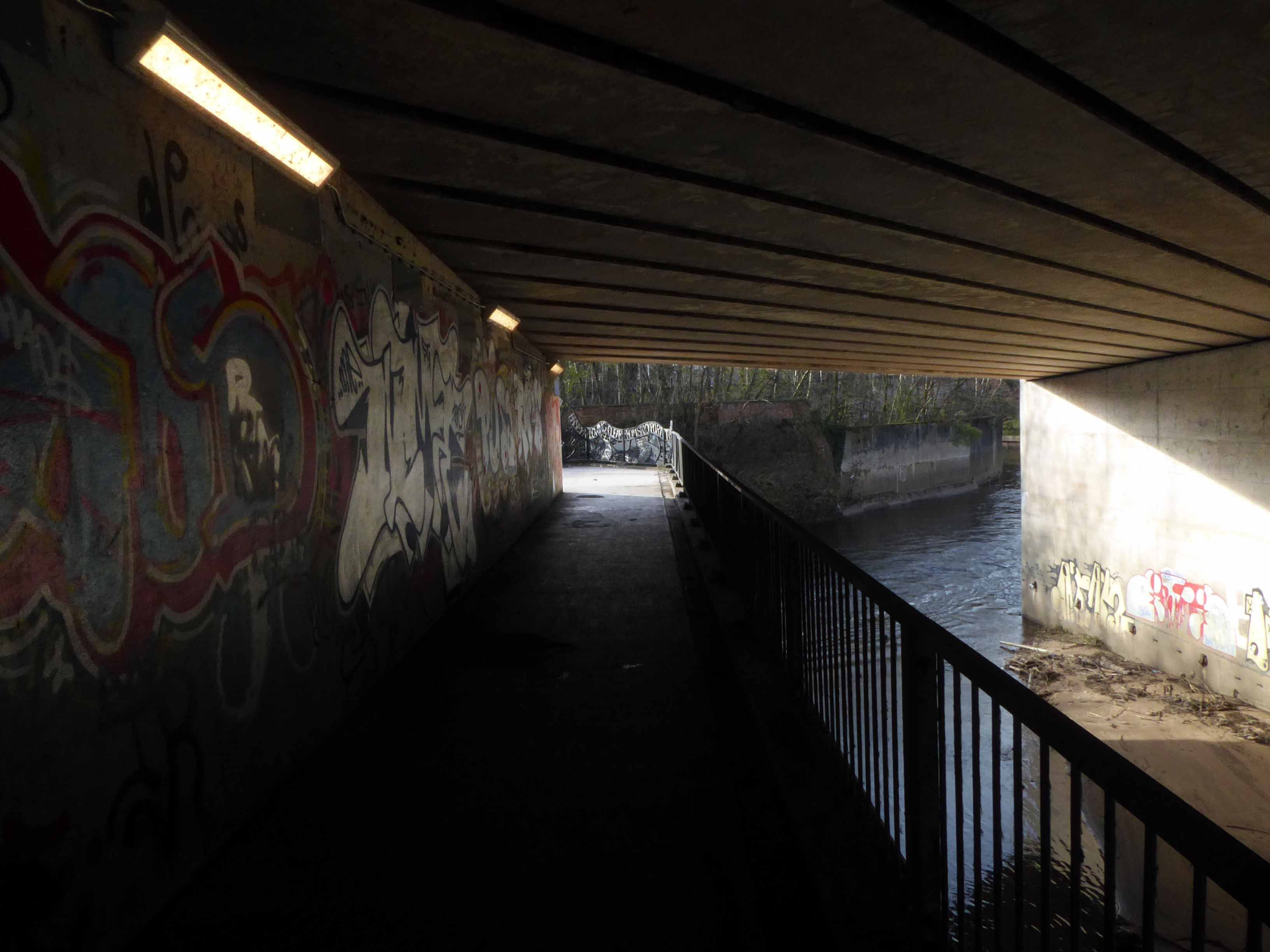
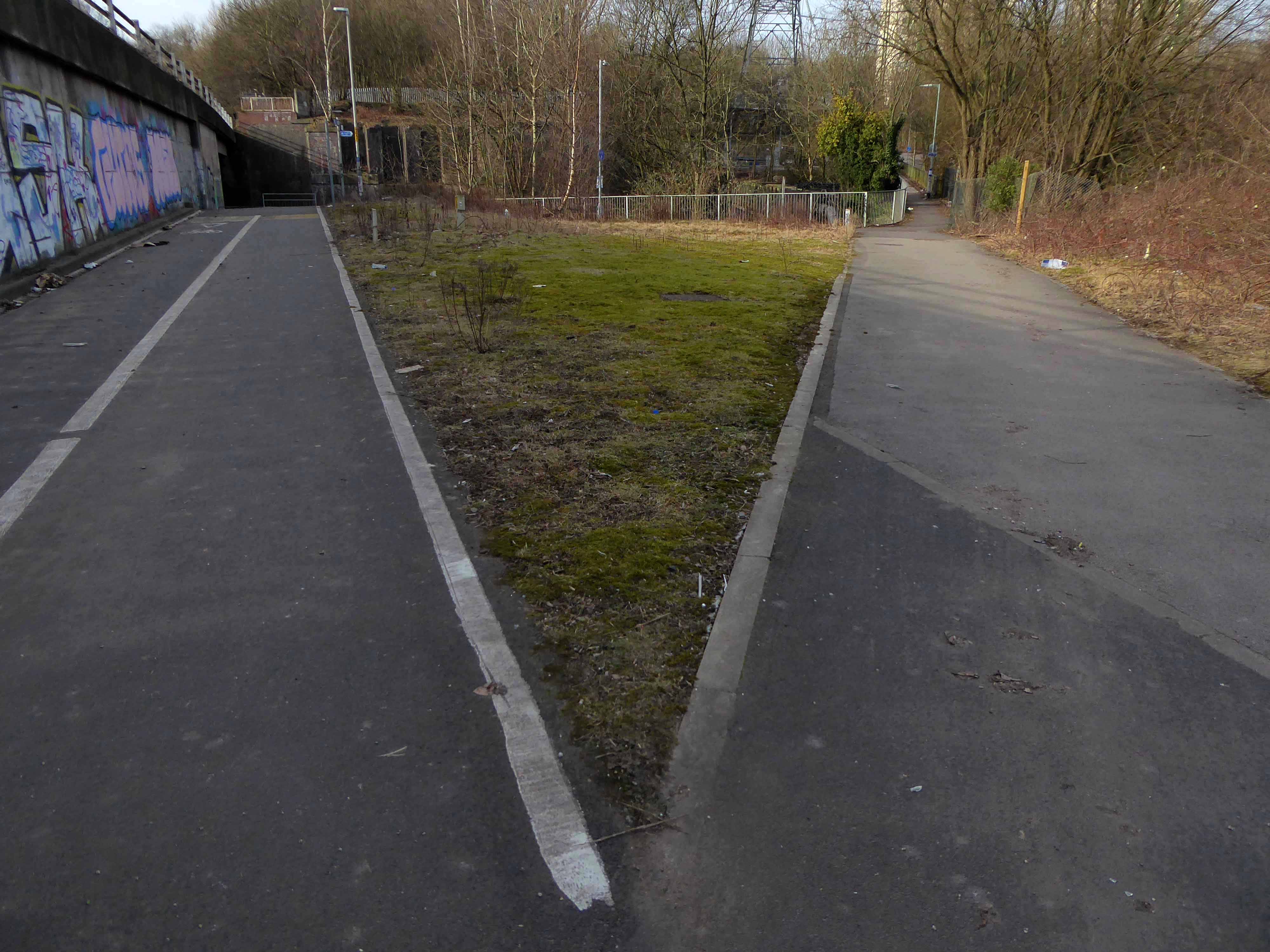
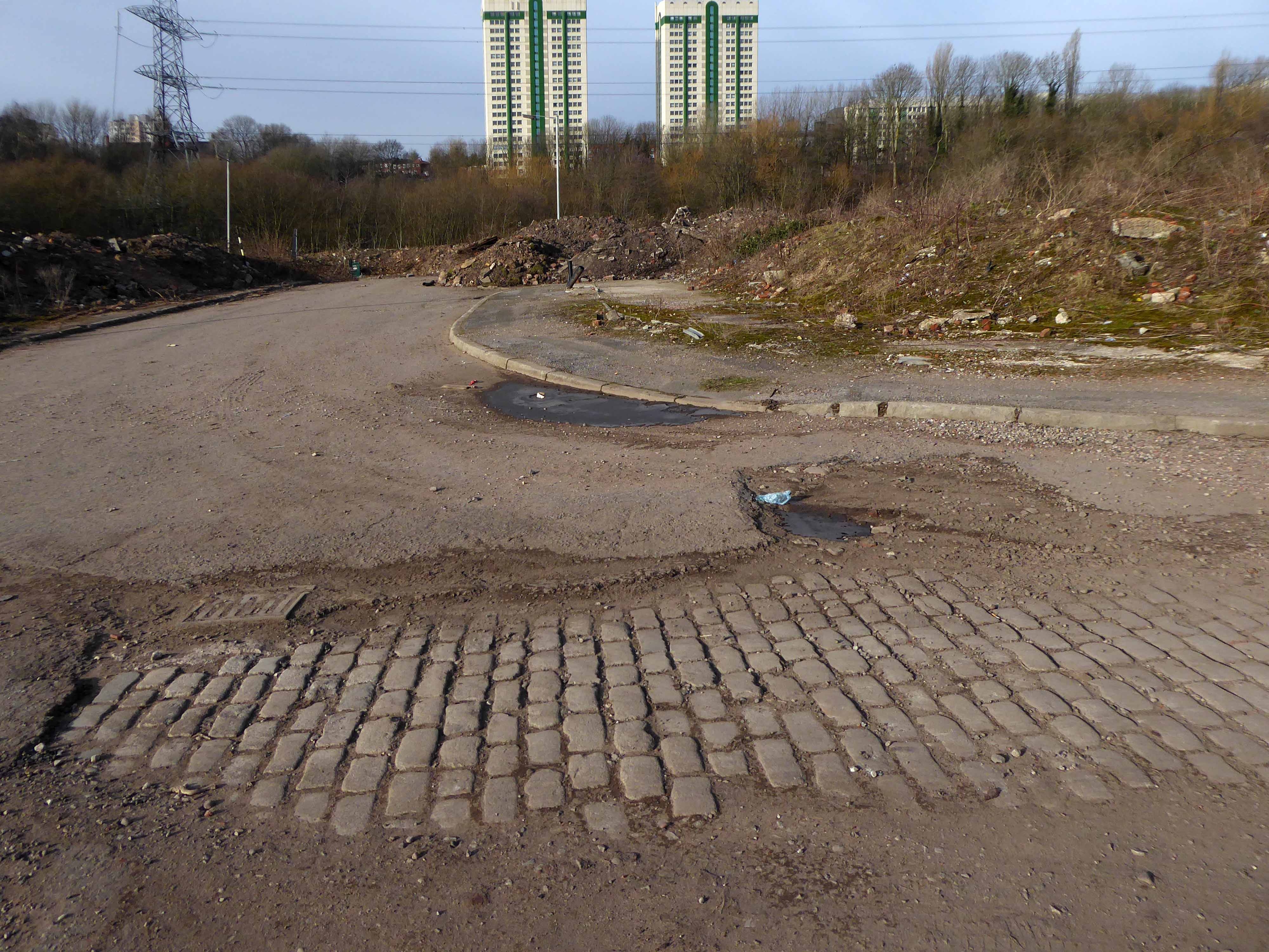
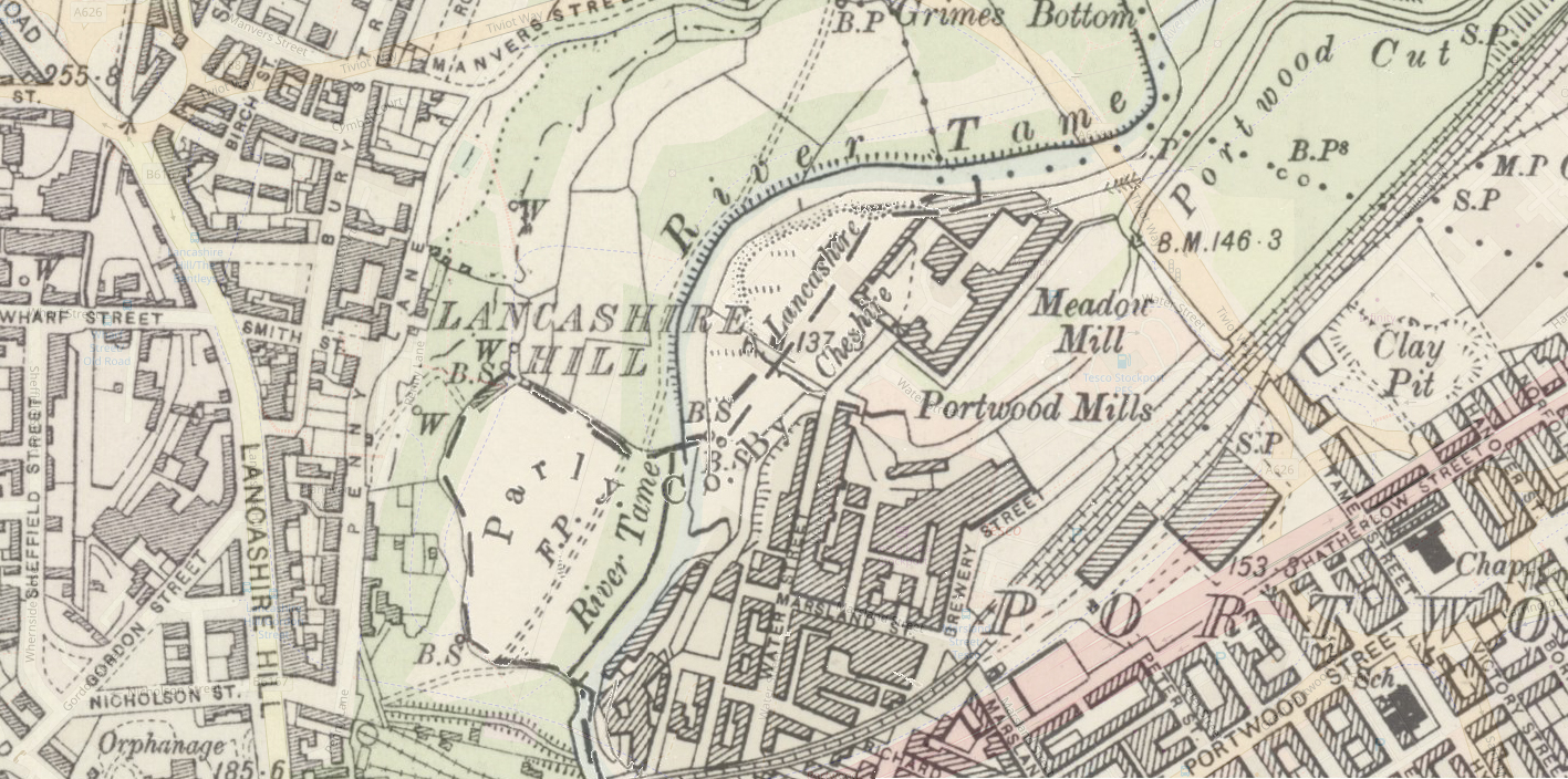
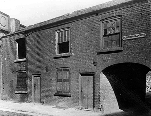
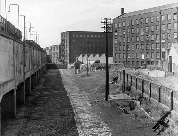
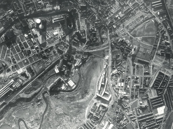
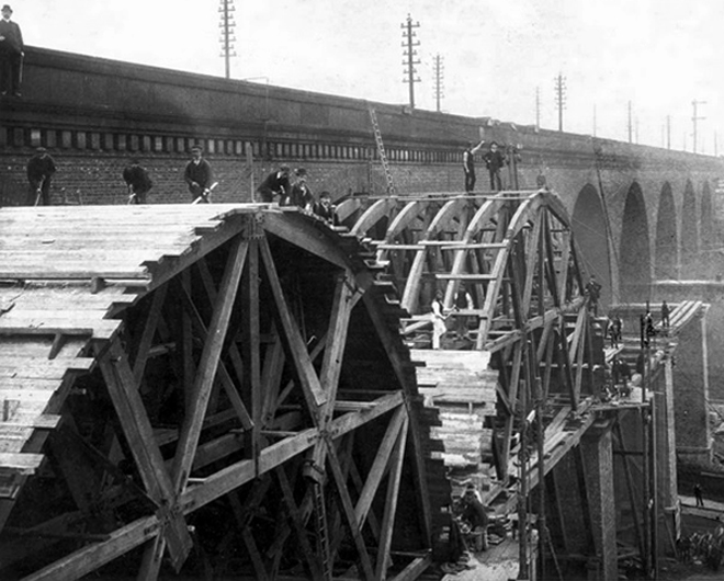
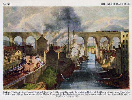
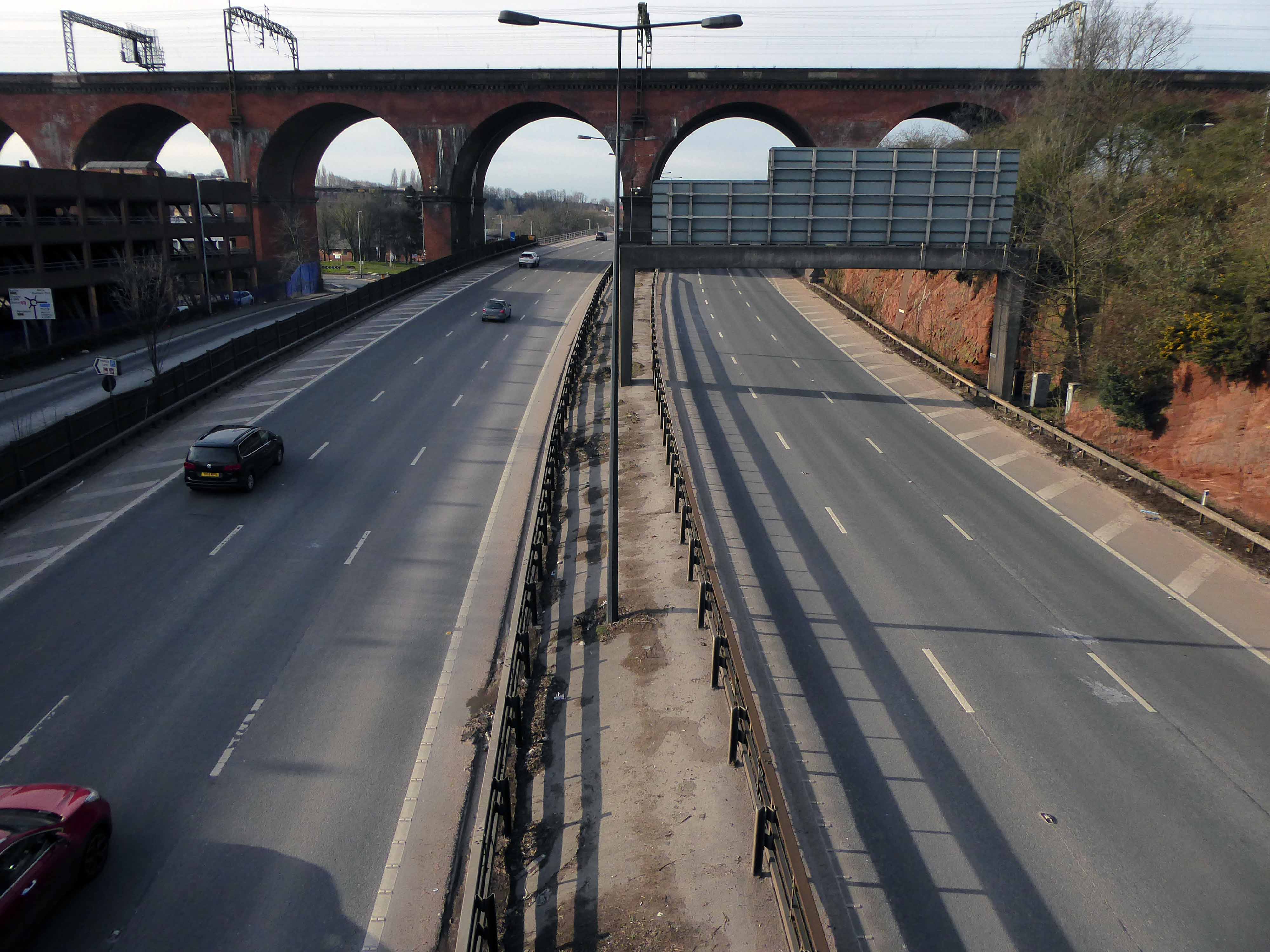
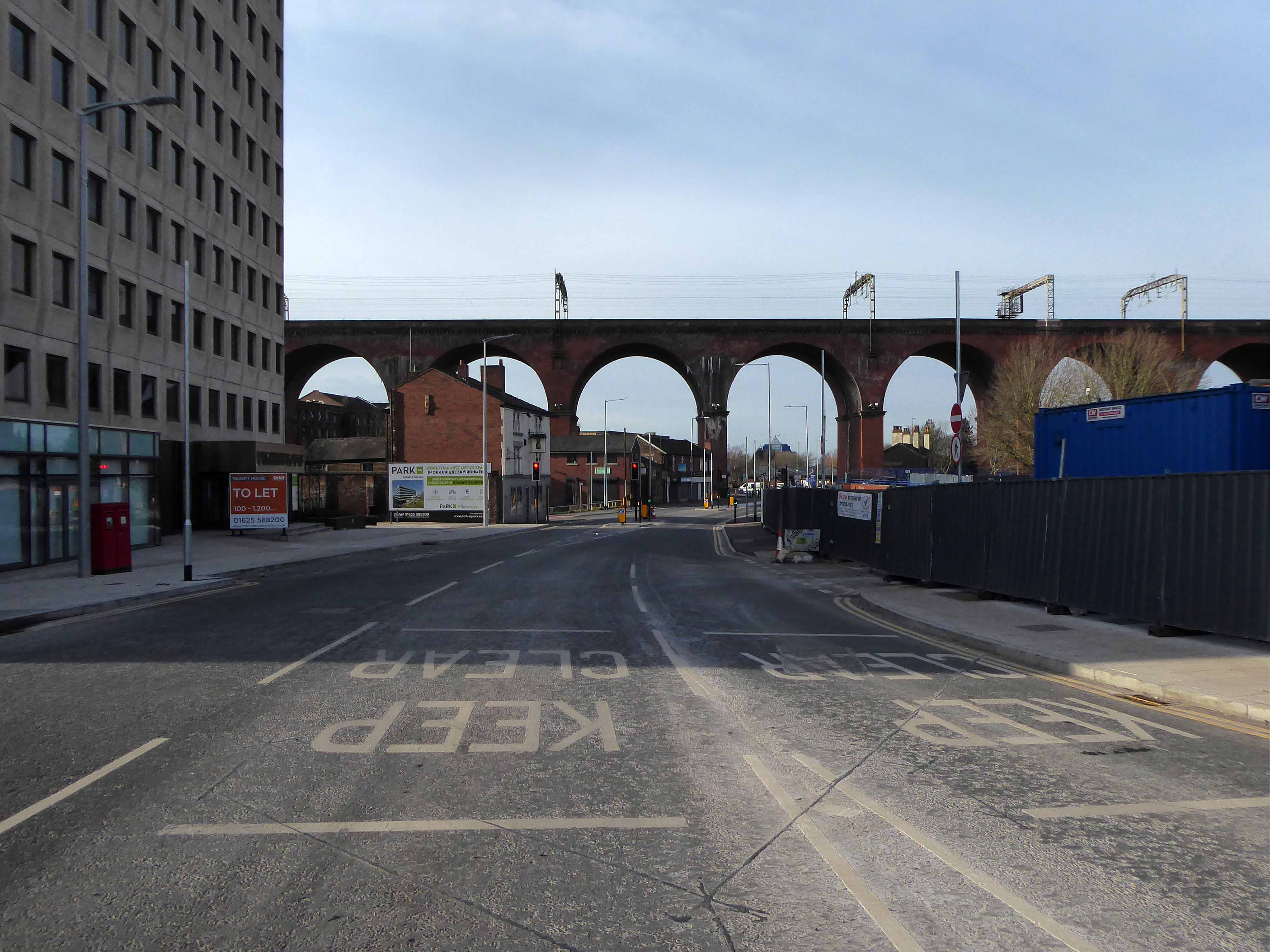
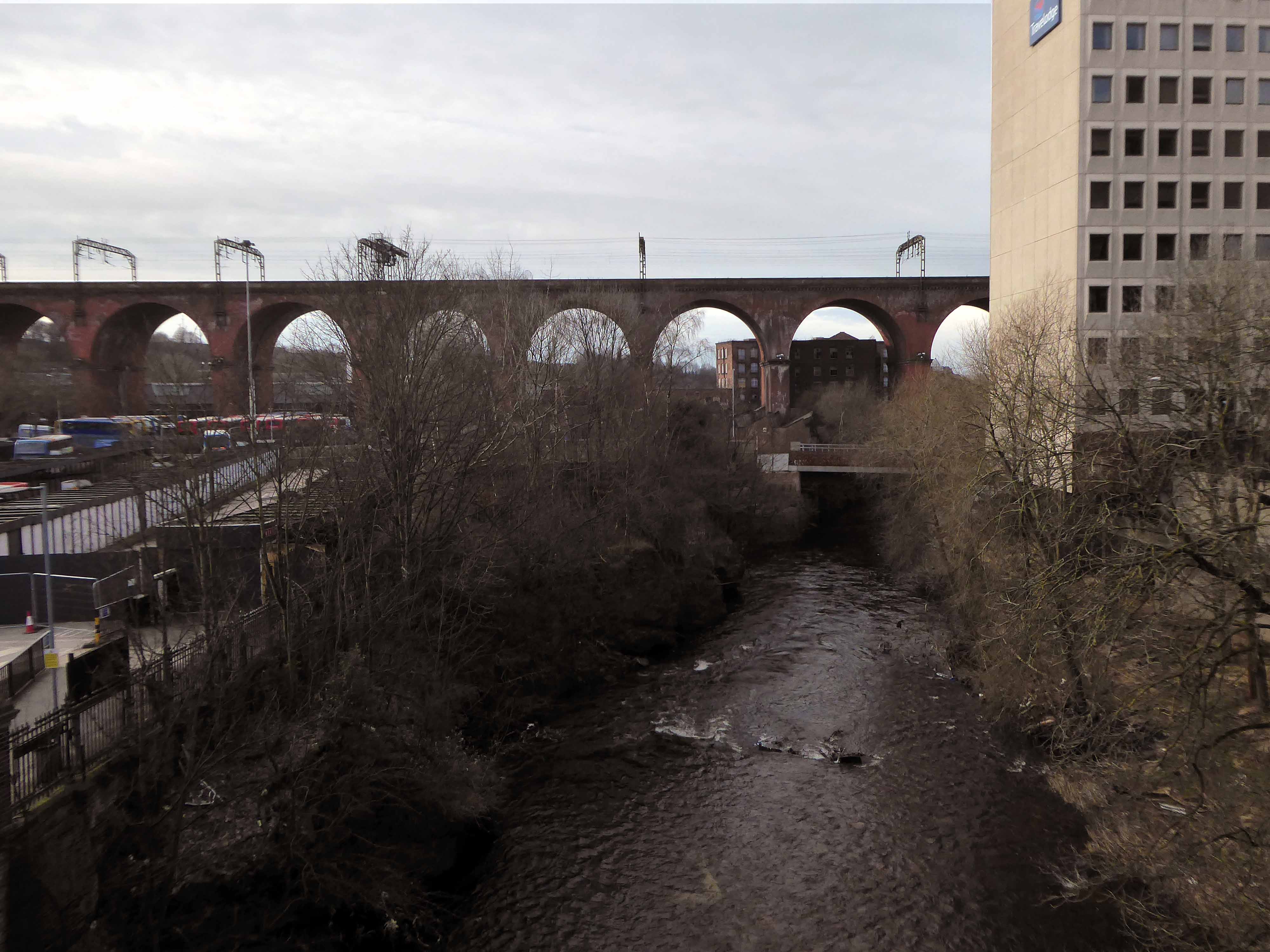
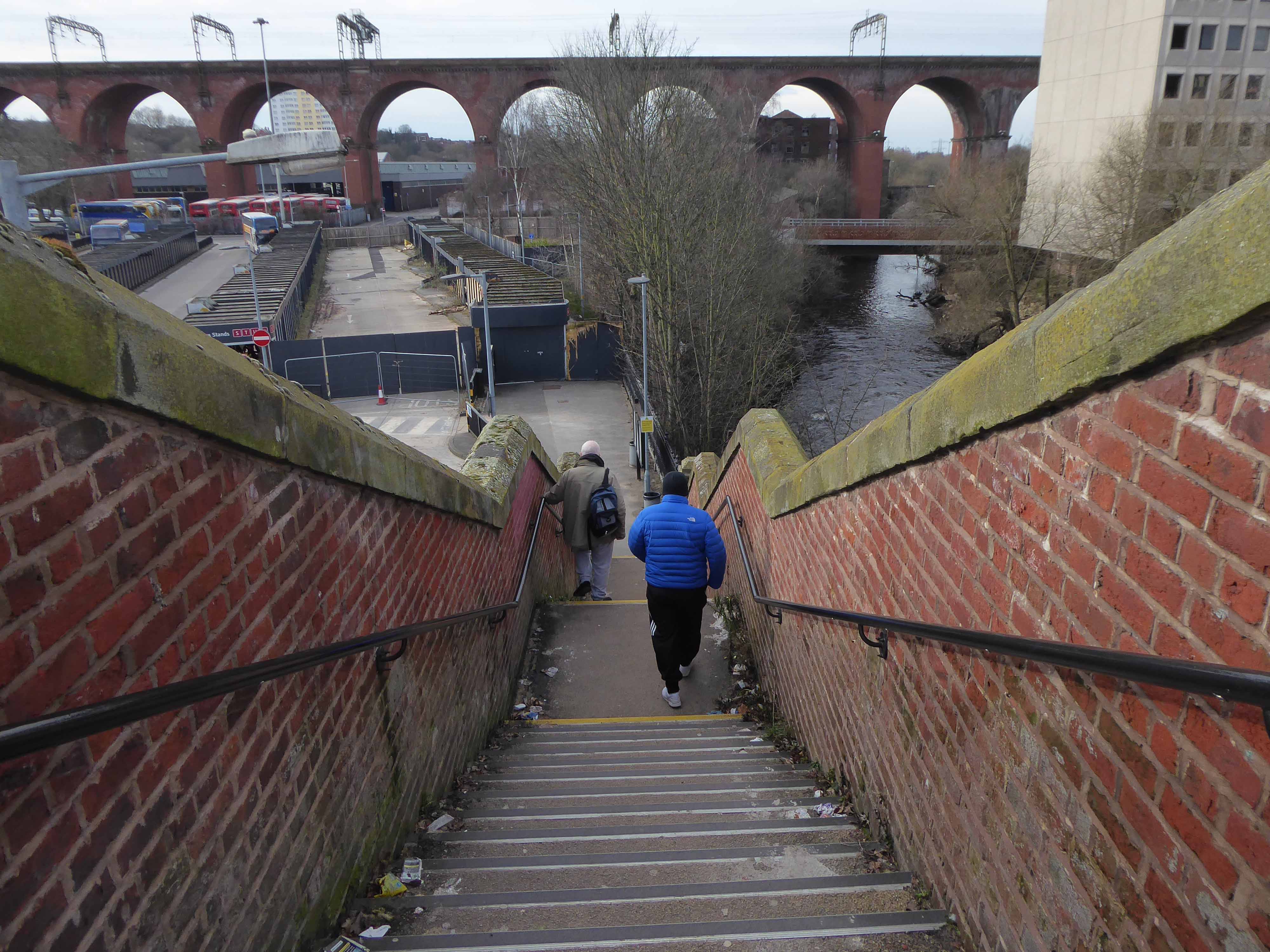
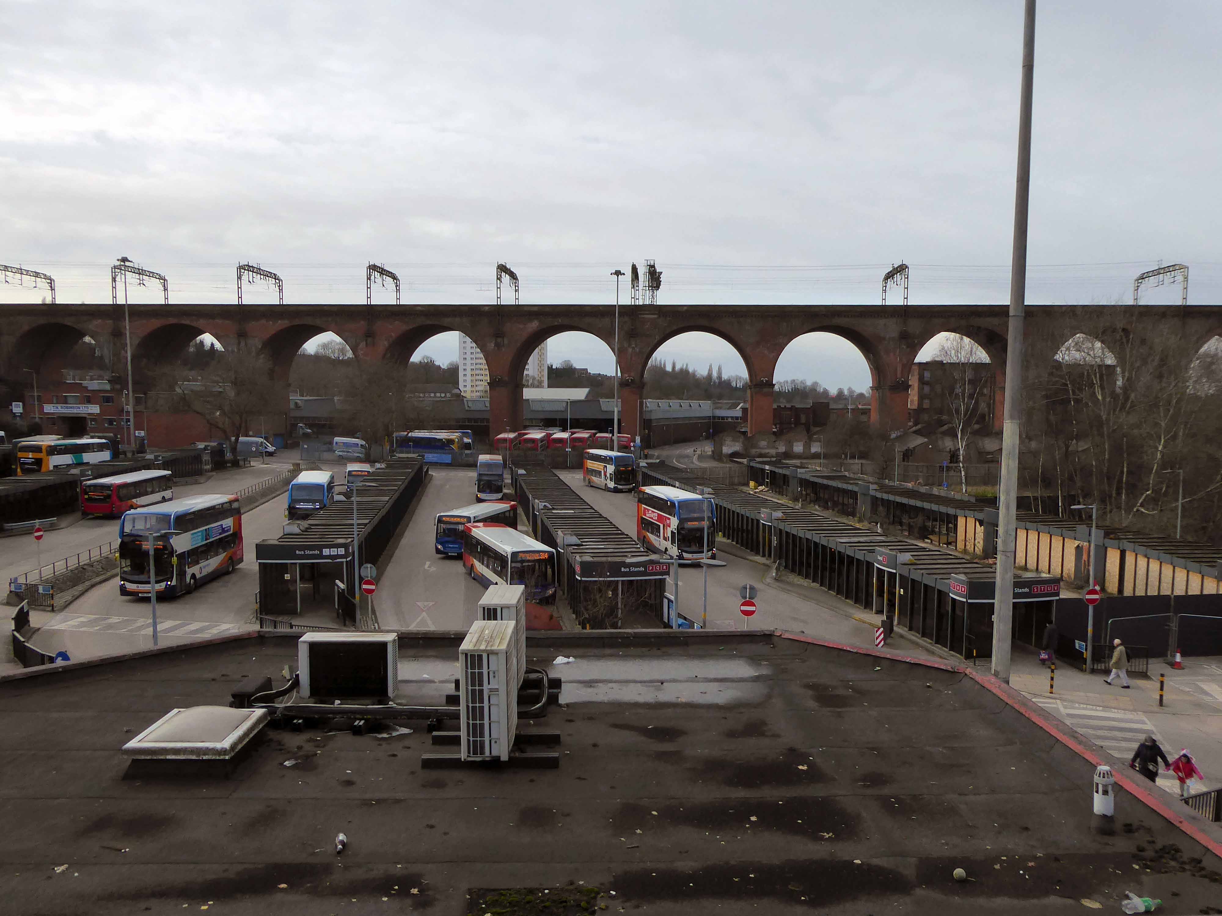
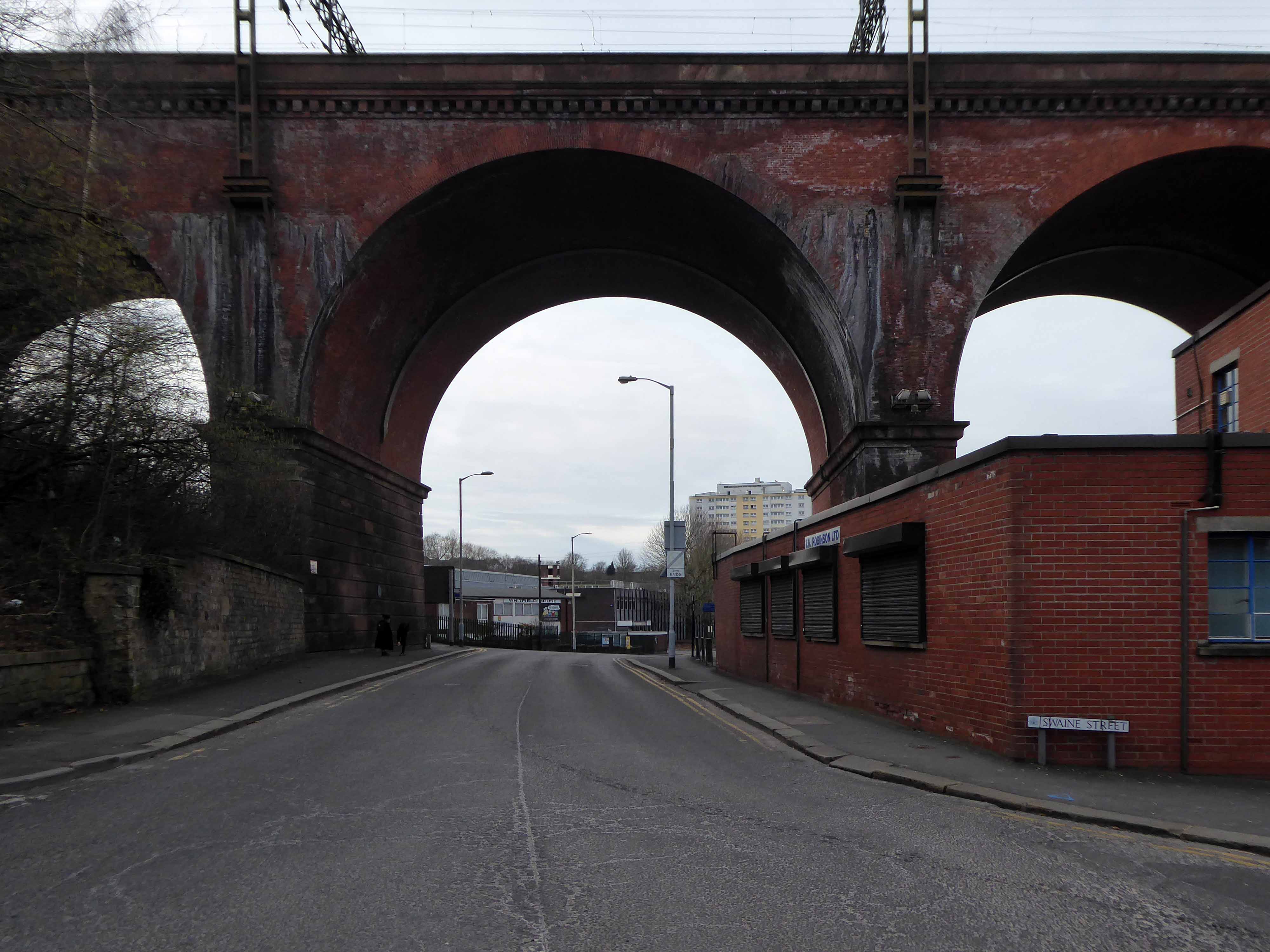
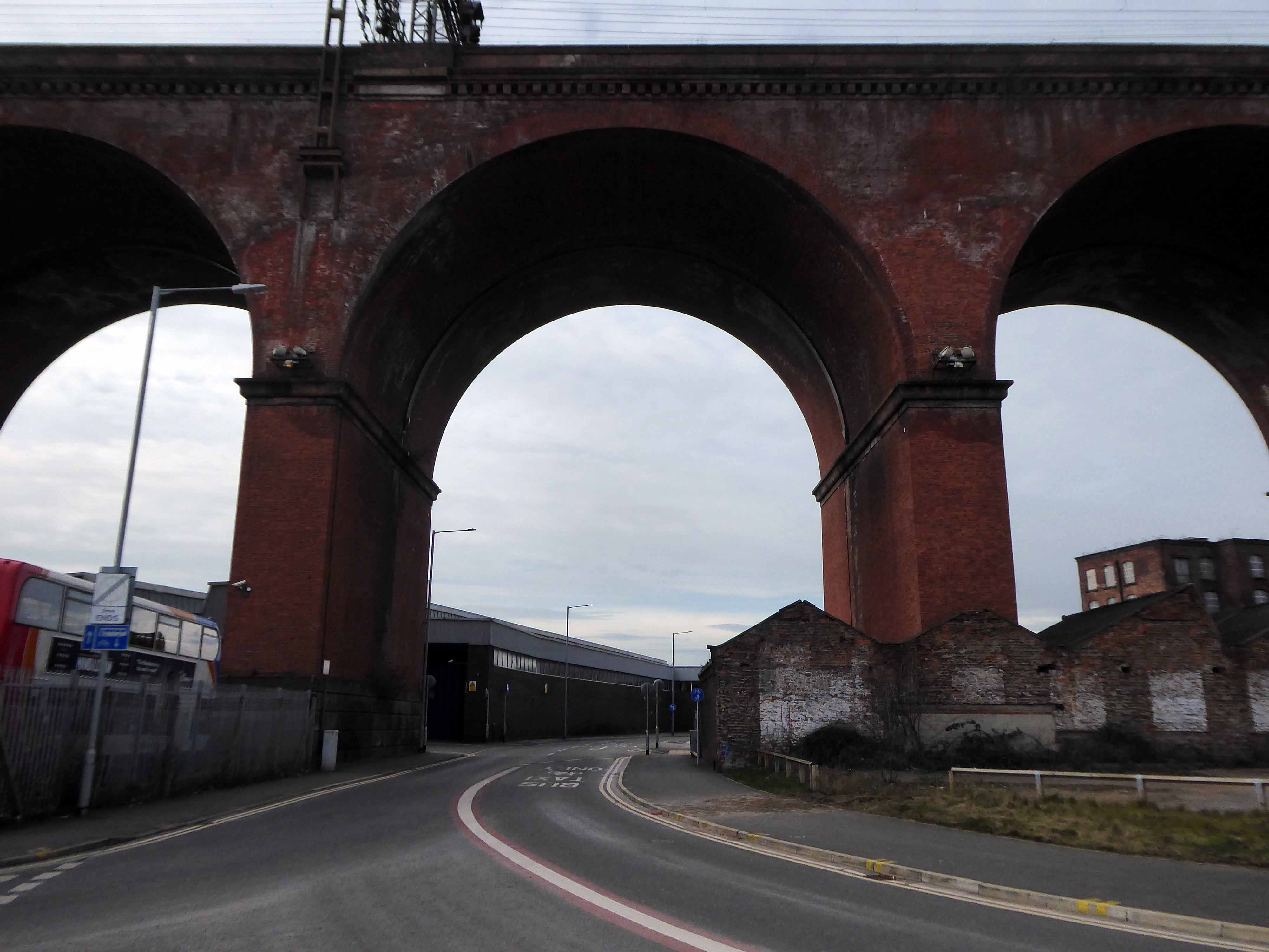
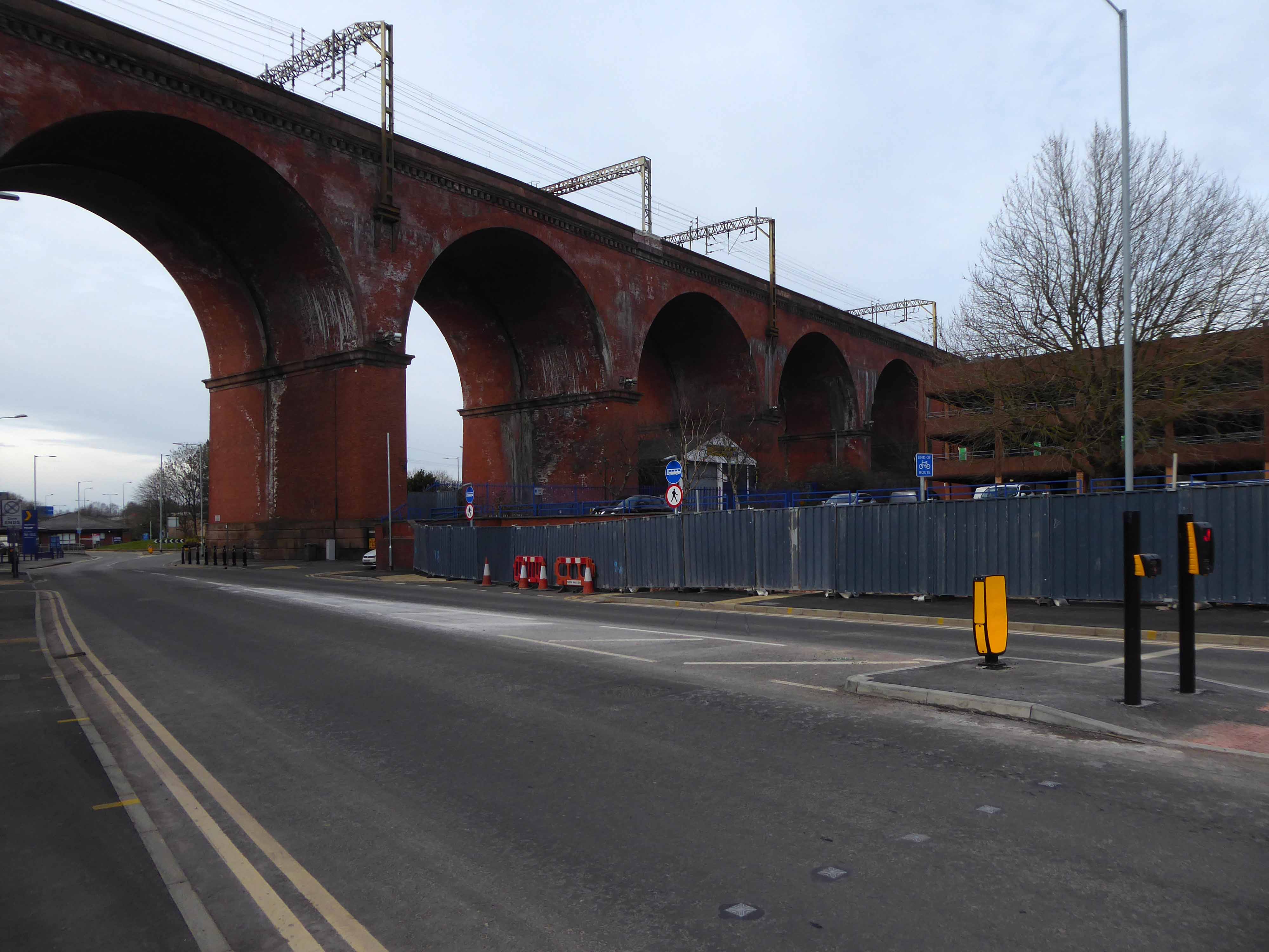
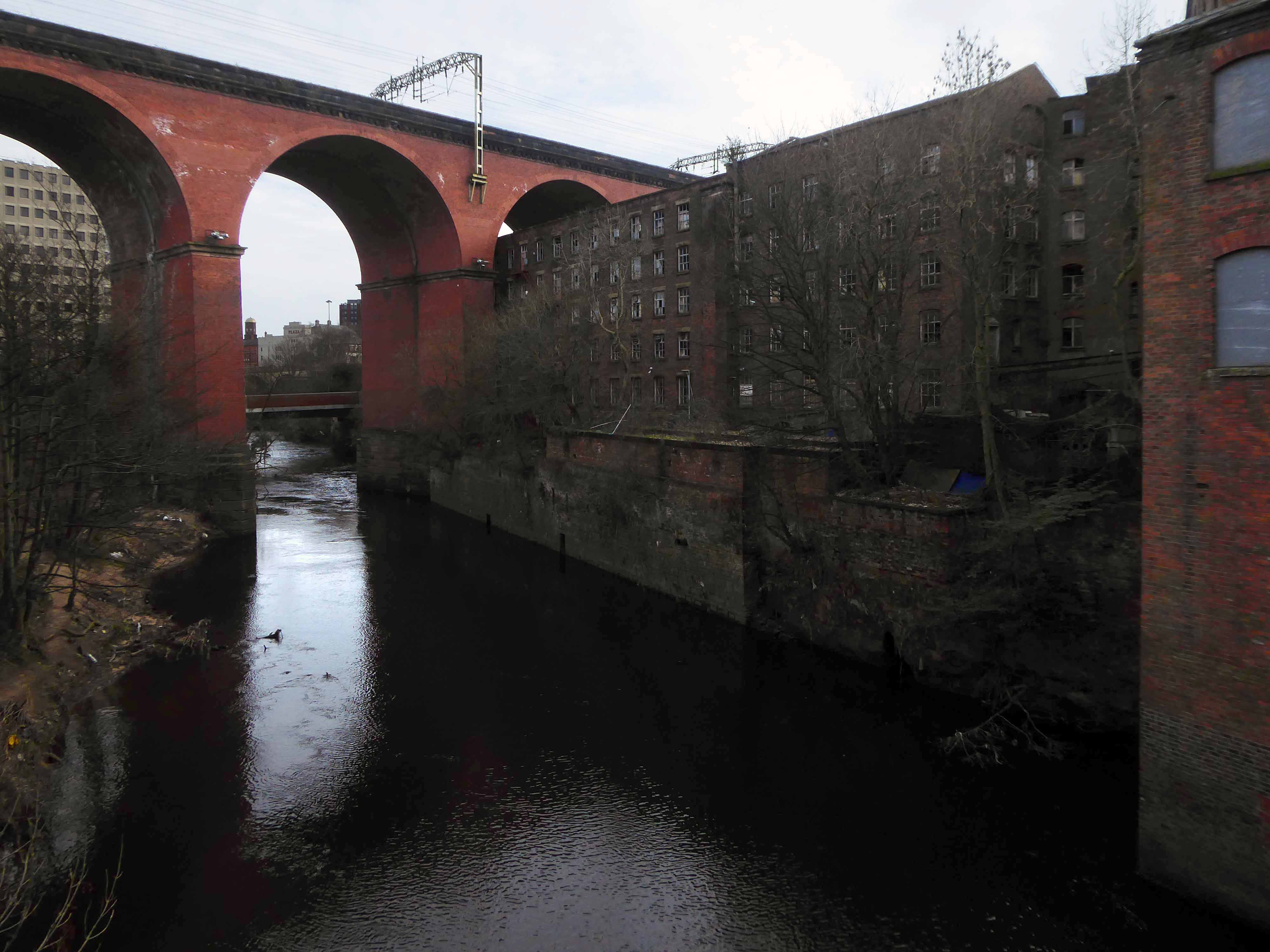
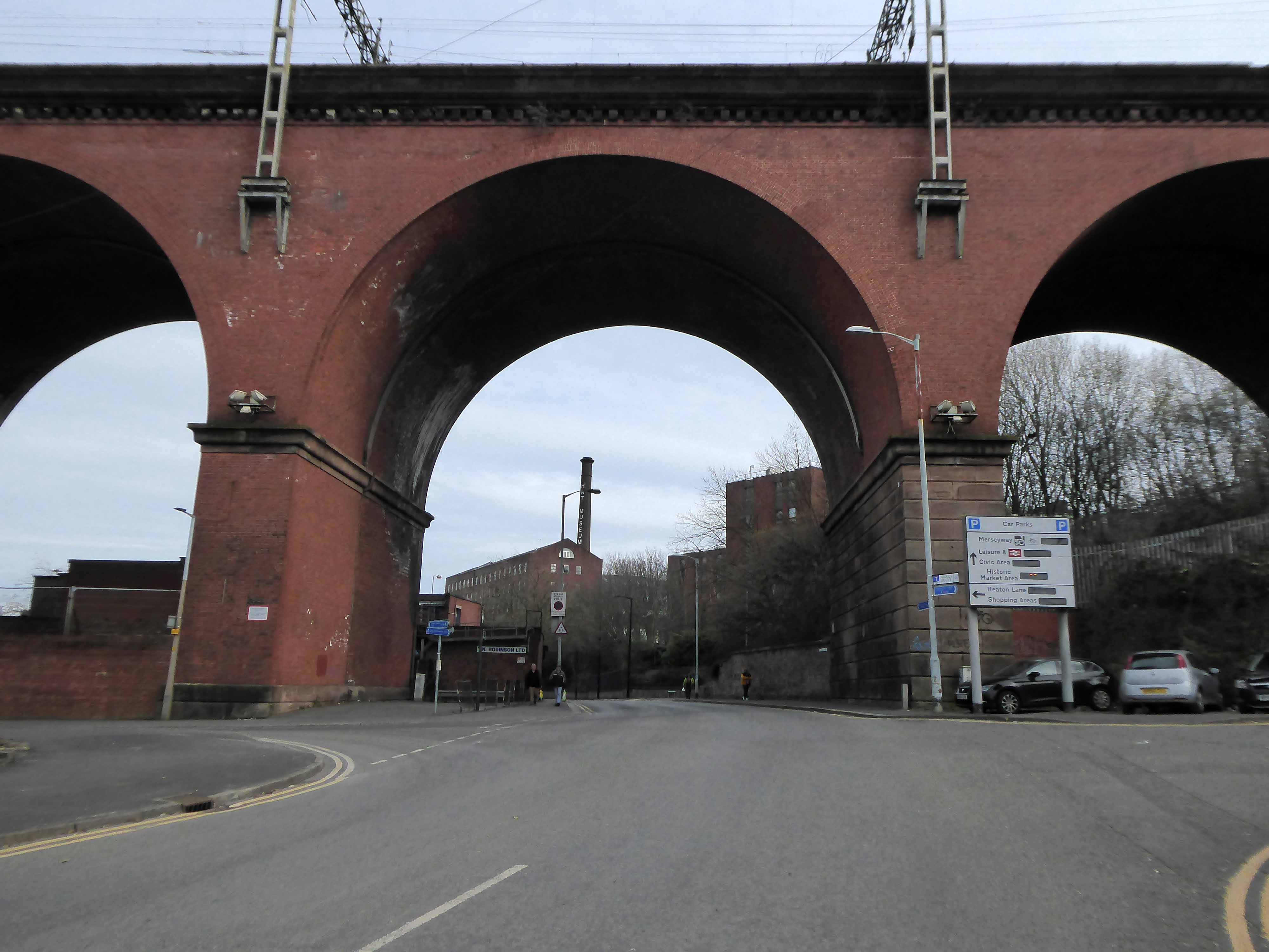
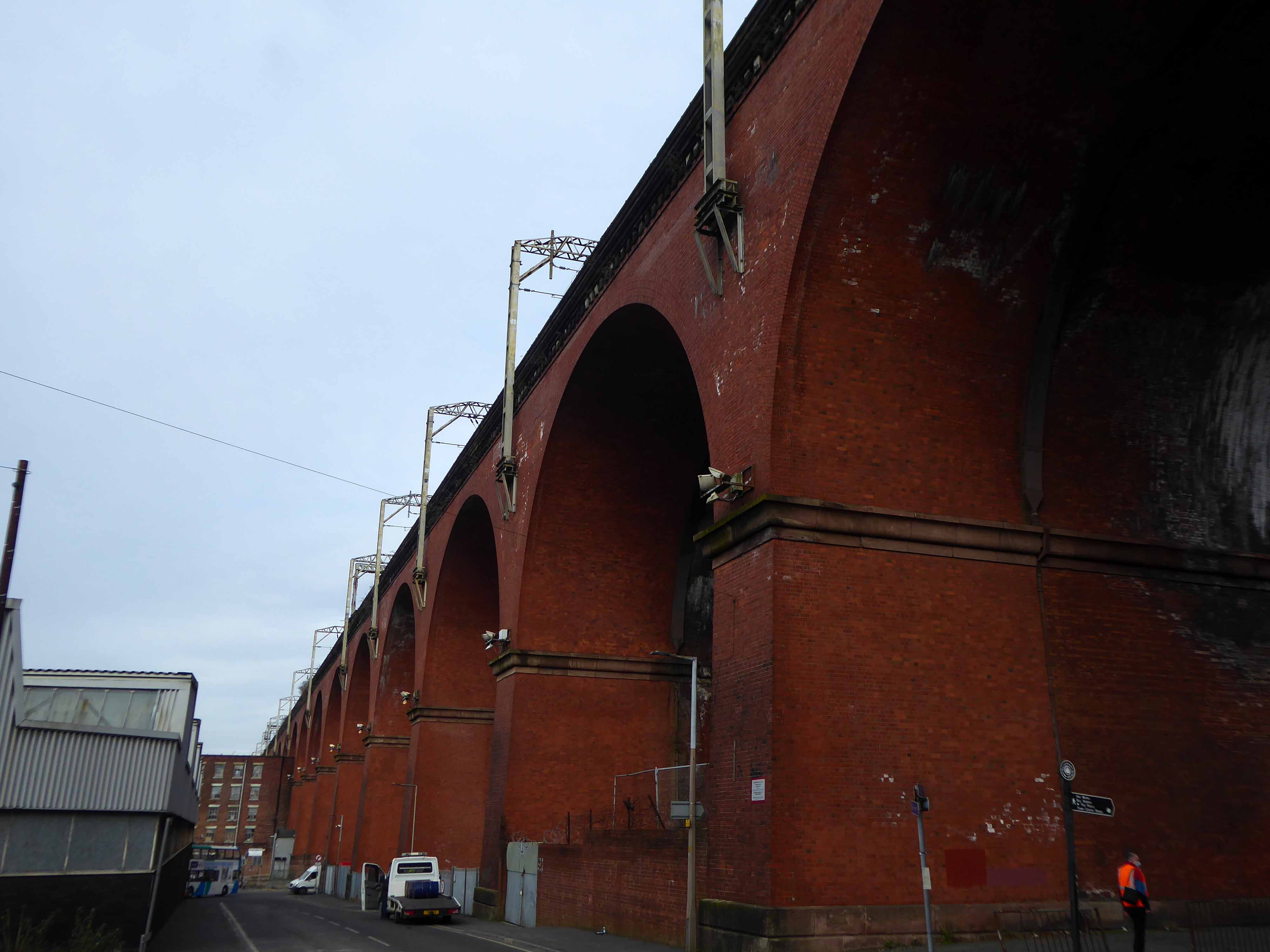
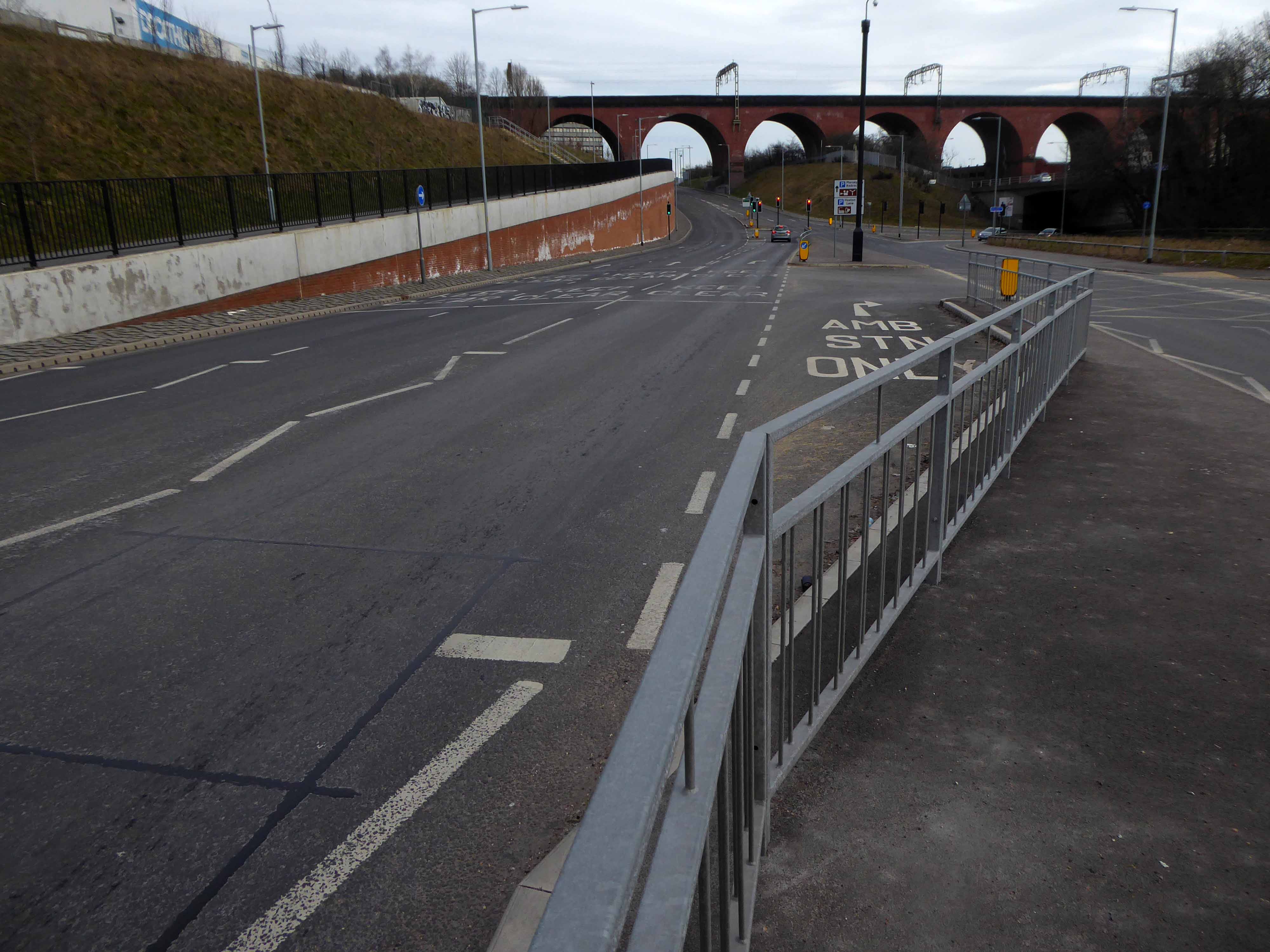
The Stockport Branch Canal was a five mile branch of the Ashton Canal from Clayton to Stockport.

An important cargo was the supply of grain to William Nelstrop & Company’s Albion Corn Mill at Stockport Basin.

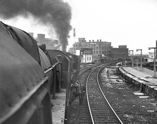
In its early days there was passenger carrying on the Ashton Canal and one of the routes was between Manchester and Stockport.

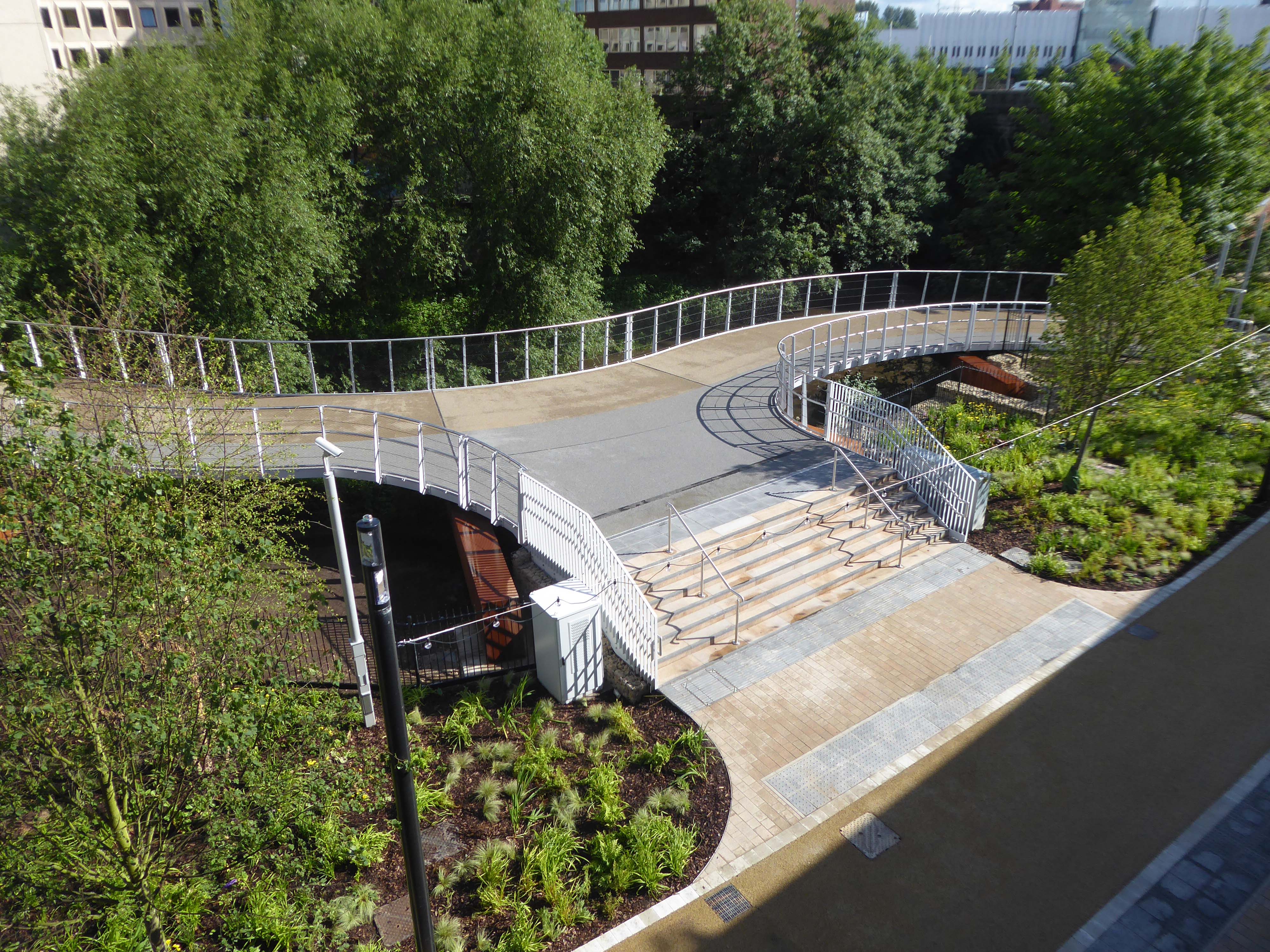
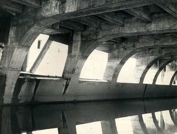
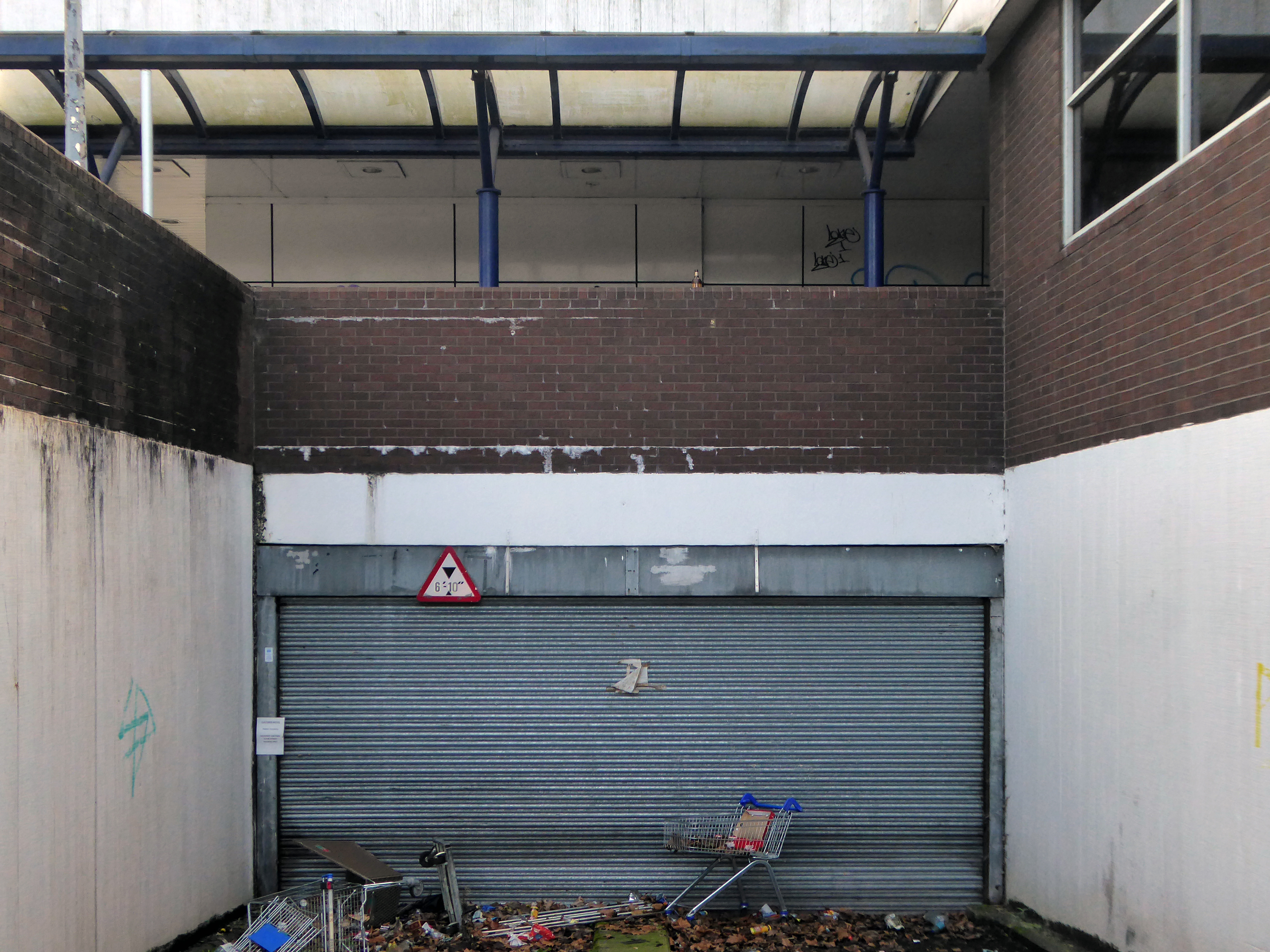
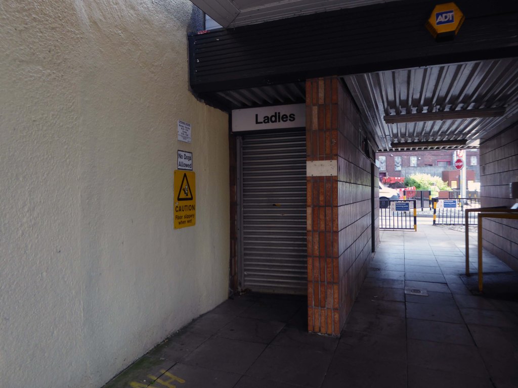
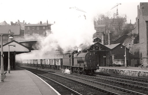
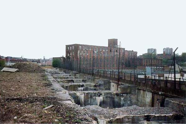
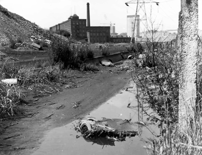
Commercial carrying ceased in the 1930s but it lingered on into the 1950s’ as a barely navigable waterway. At one stage in the 1950s it was dredged but this improvement did not attract any traffic. Stockport Basin was the first section to be filled in but it was not until 1962 that the canal was officially abandoned by the British Transport Commission, who had been responsible for it since 1948.

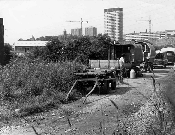
It took many years to fill in and this was a disagreeable procedure for people living along its length.

Wikipedia

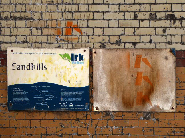
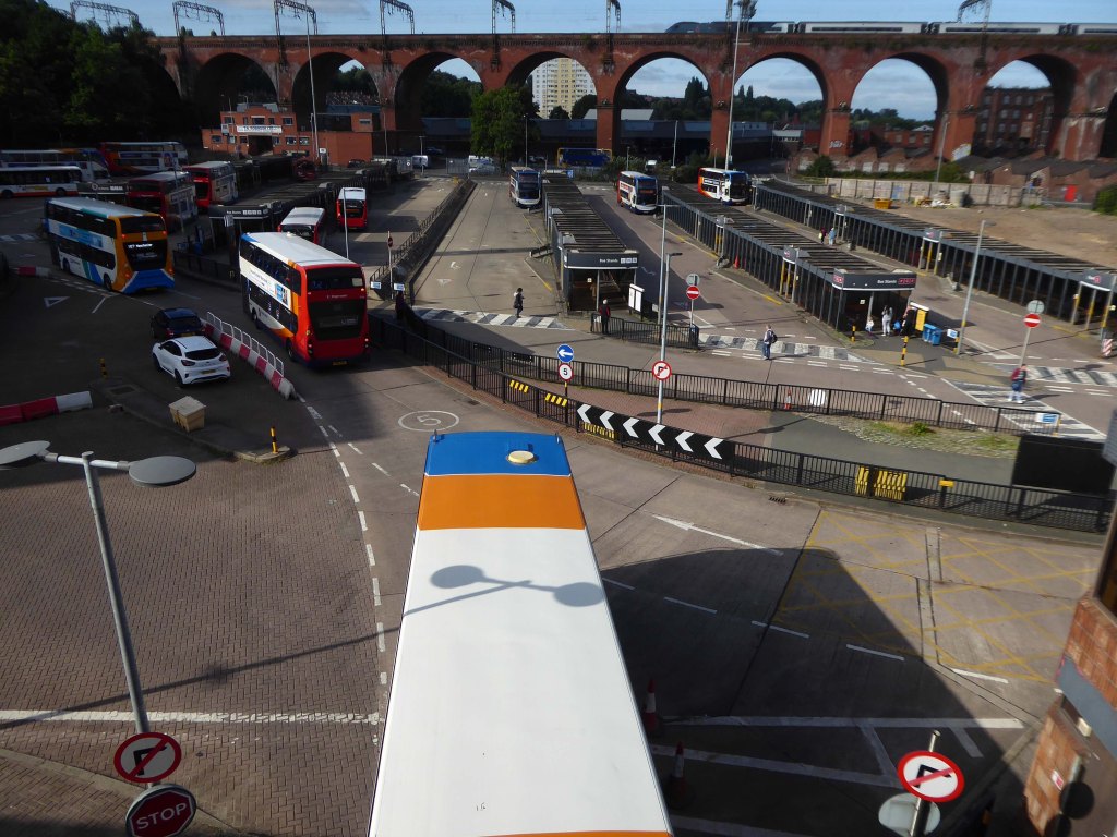
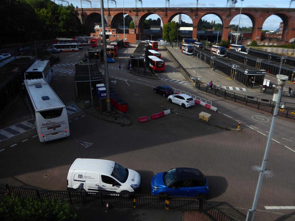
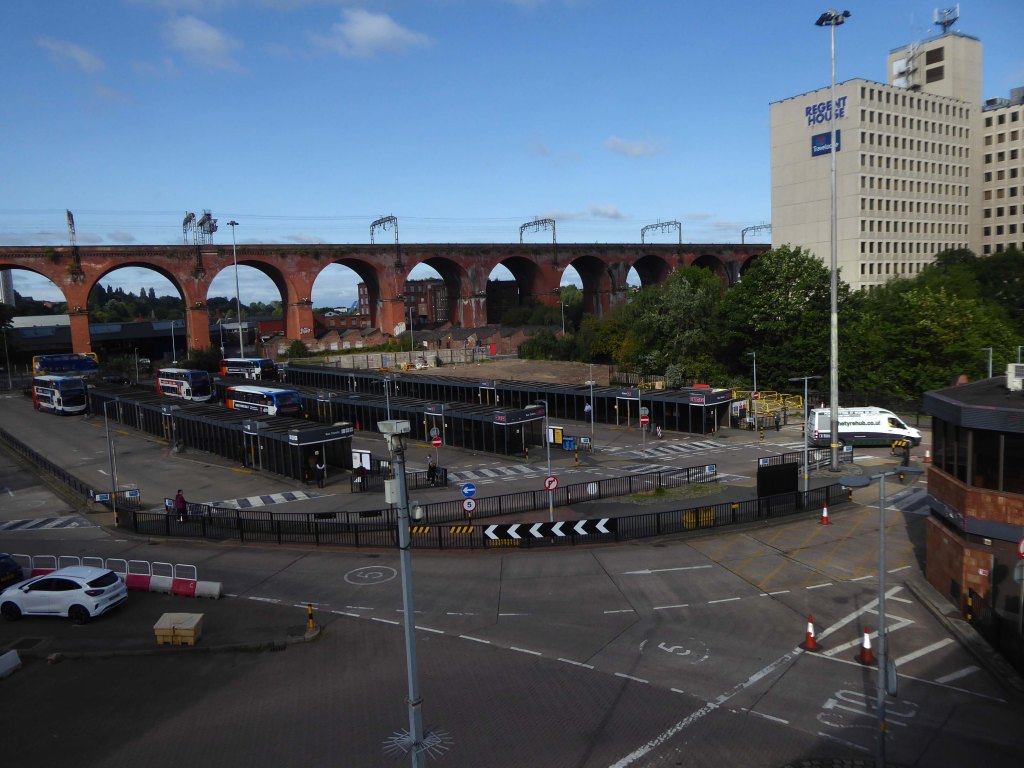
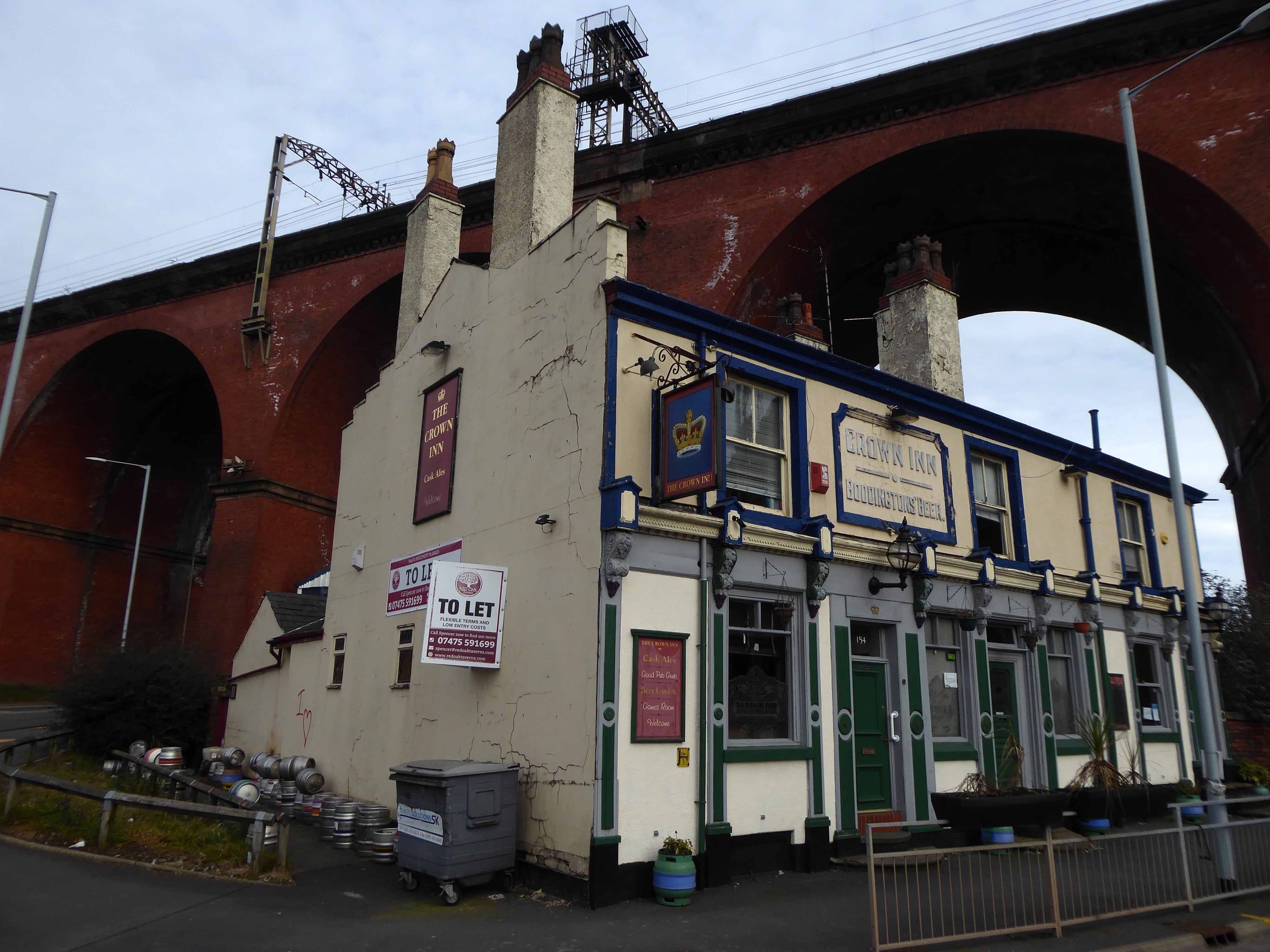
Archive Photographs – Stockport Image Archive.

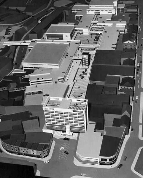
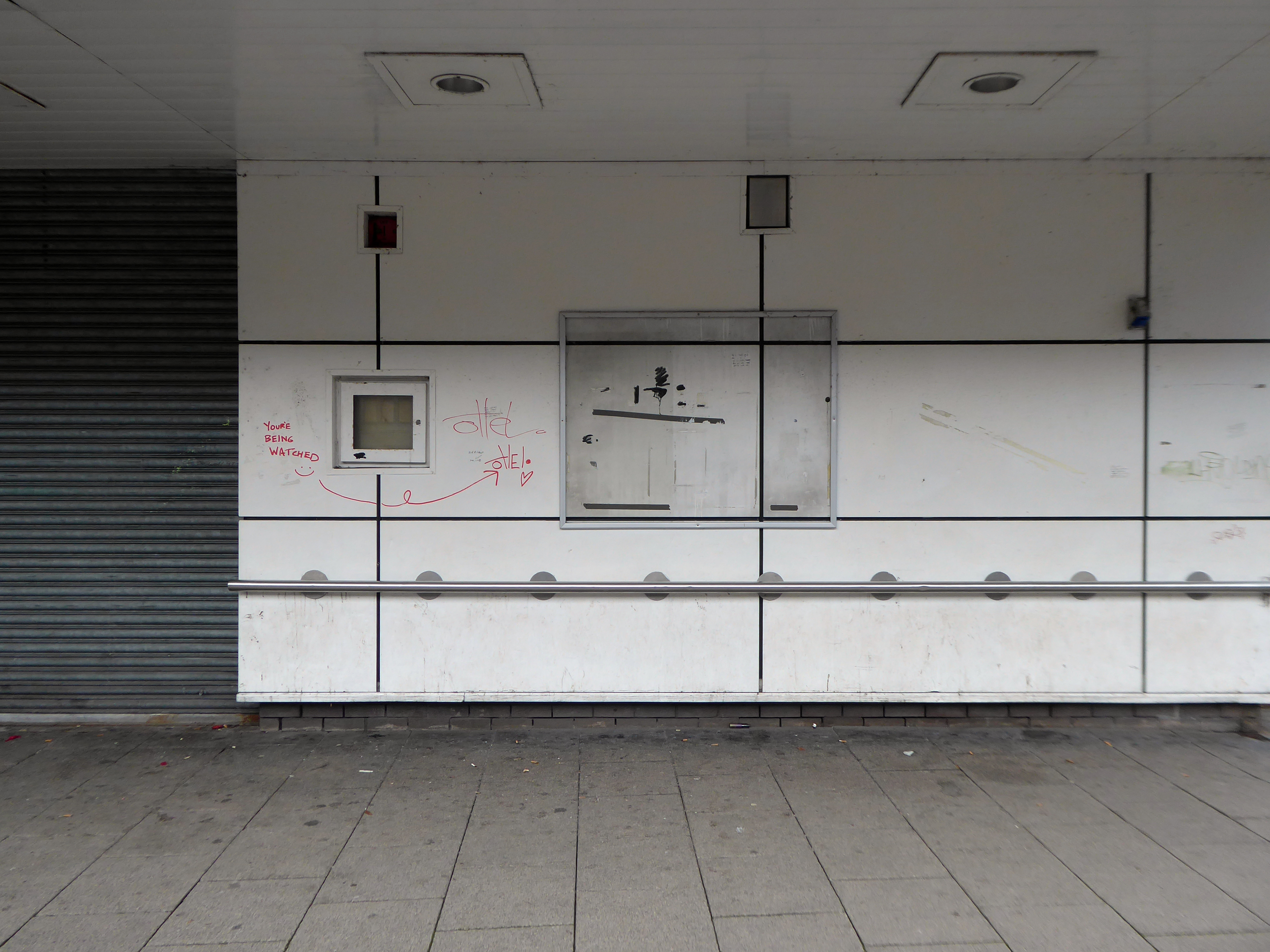
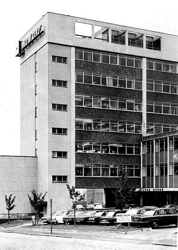
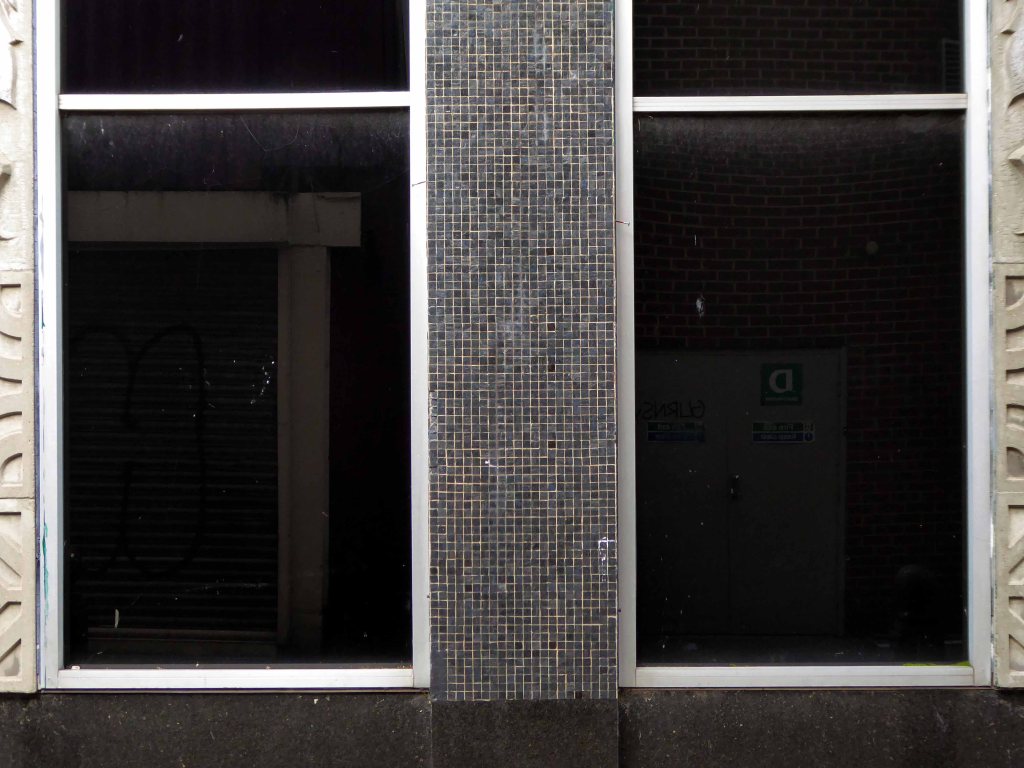
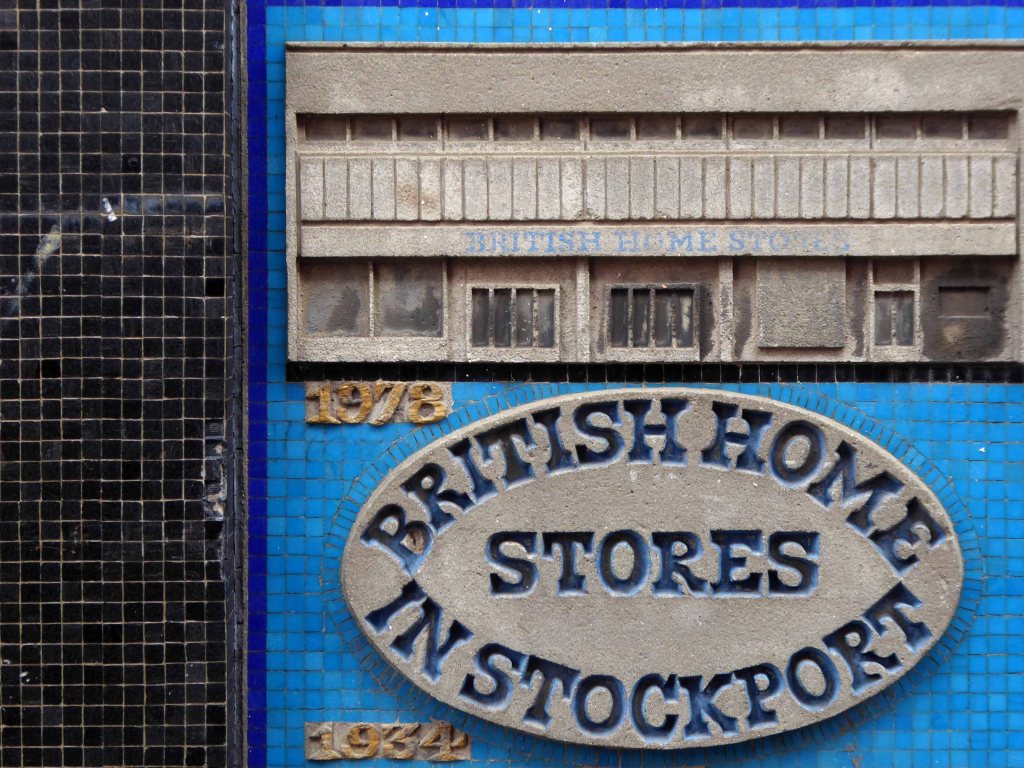
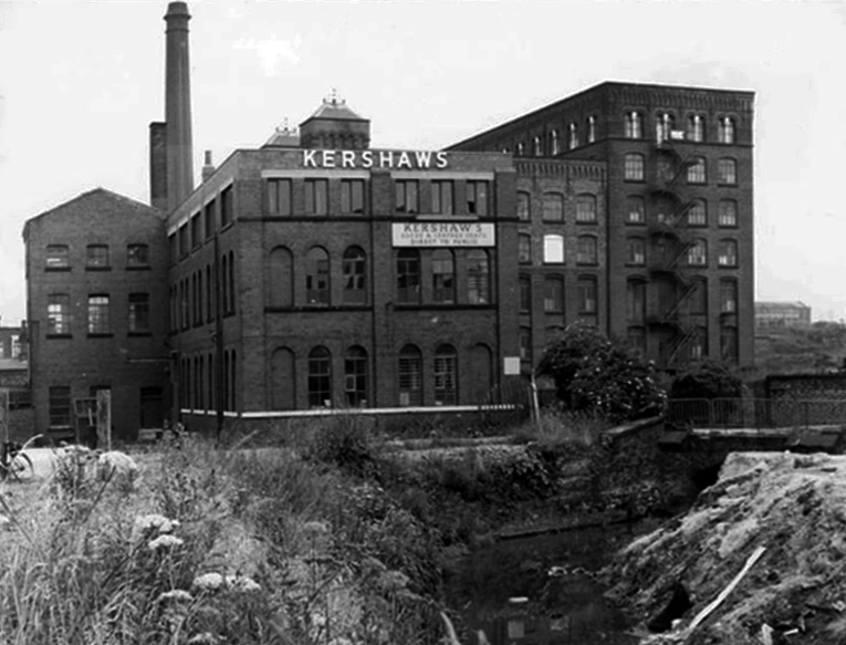
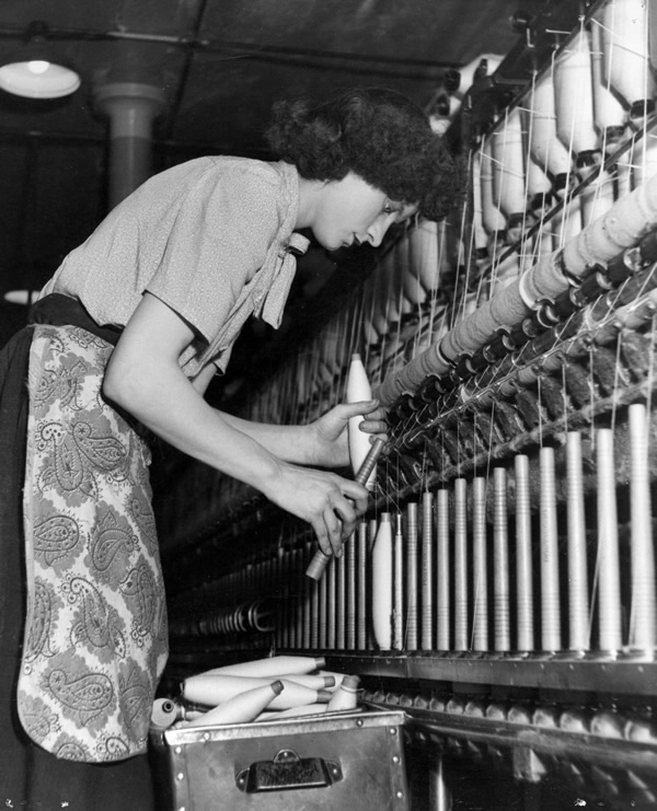
From a very lavish production, printed of course by the CWS’s own Printing Works at Reddish, is a description of the new flagship department store for the Crawley Co-operative Society that was opened in 1959. The elevations and facade are very much of their day, quite ‘Festival of Britain in style, and the store was a prominent feature of the planned New Town’s centre. 
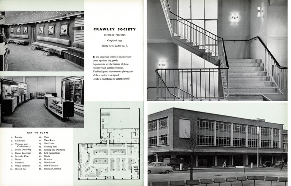
Mike Ashworth

Printed in Reddish.

The wide variety of printed material which the CWS required, created a need that could not be met locally by a single source, another large print works was required in Longsight.

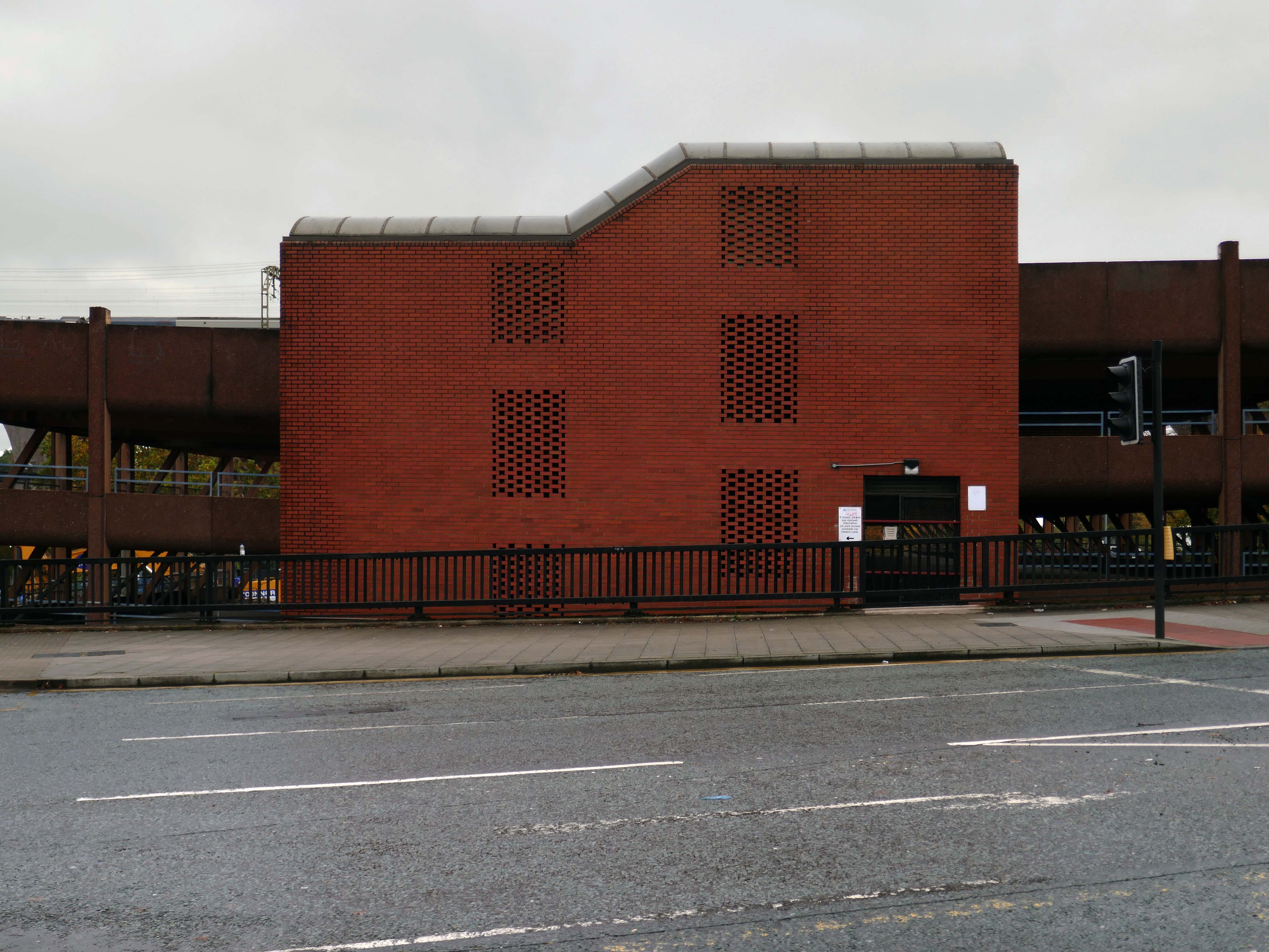
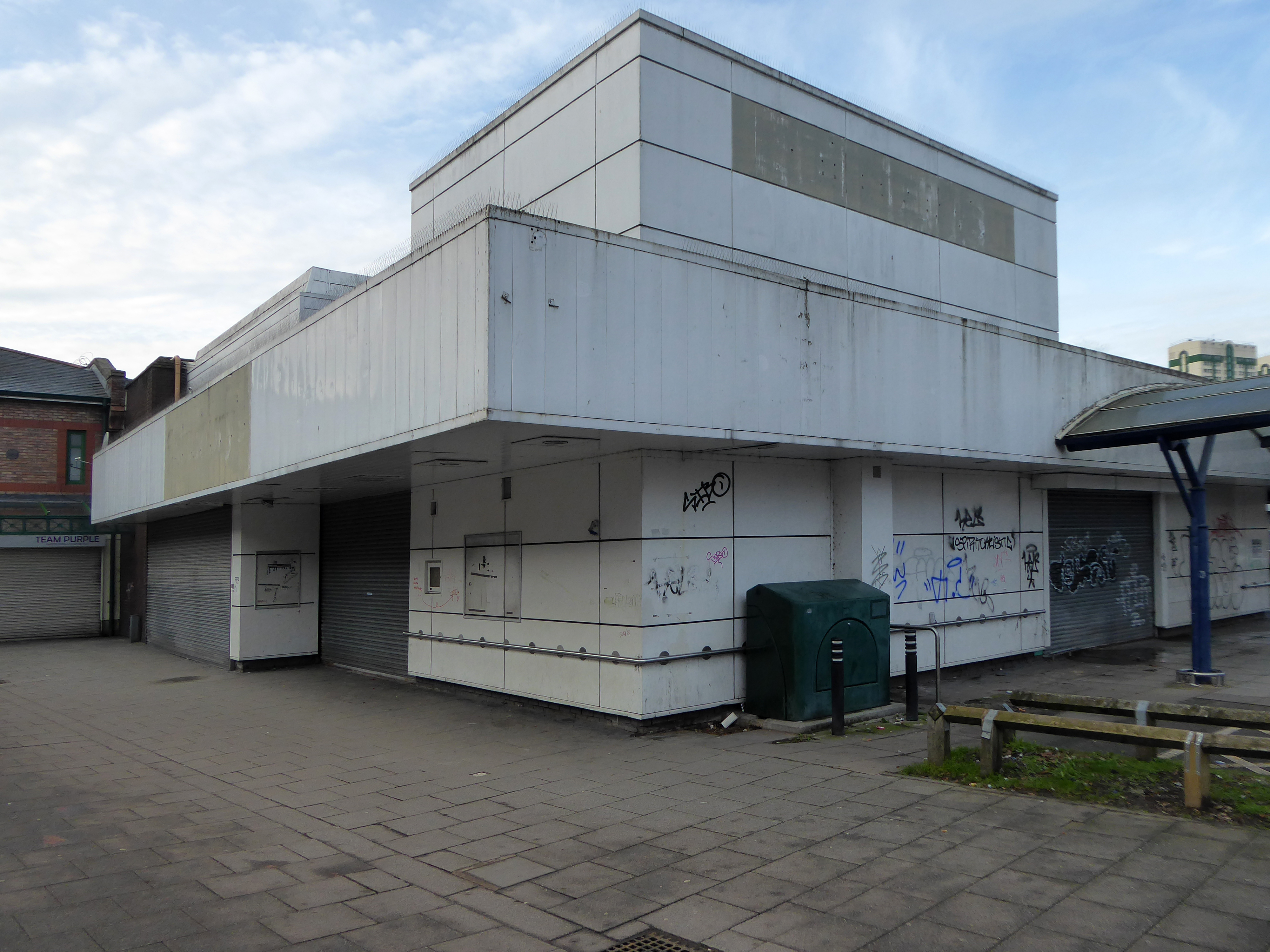
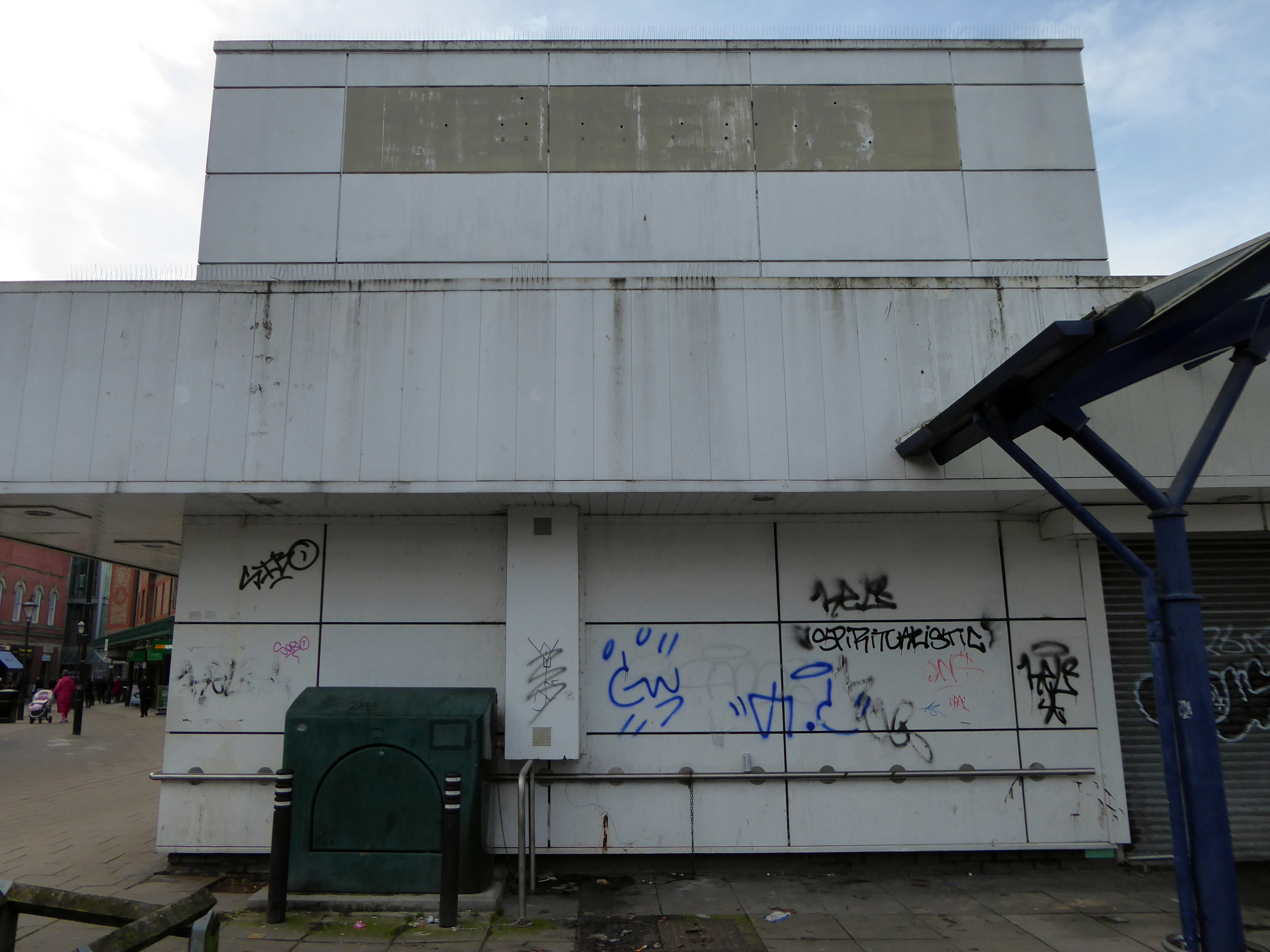
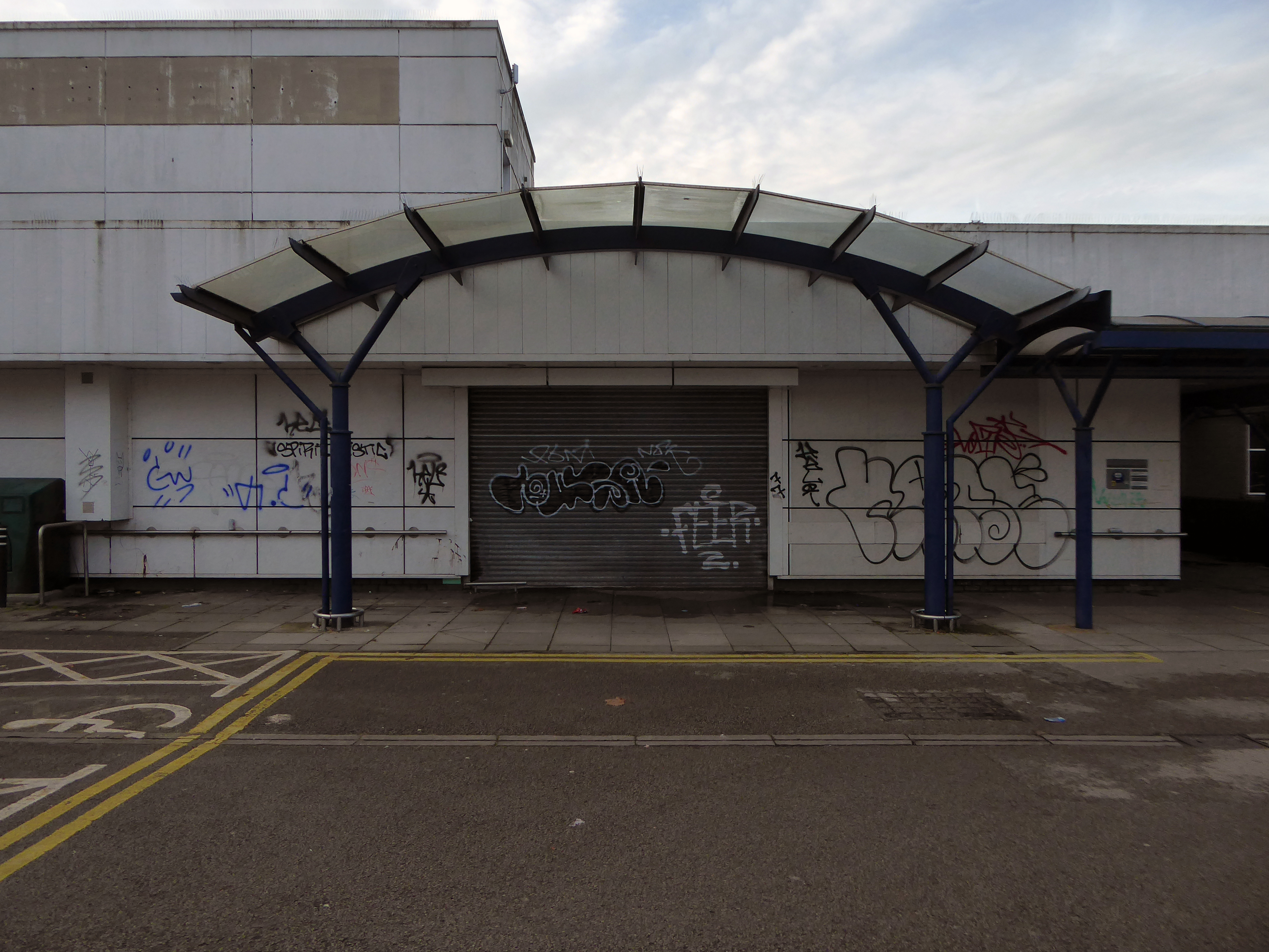
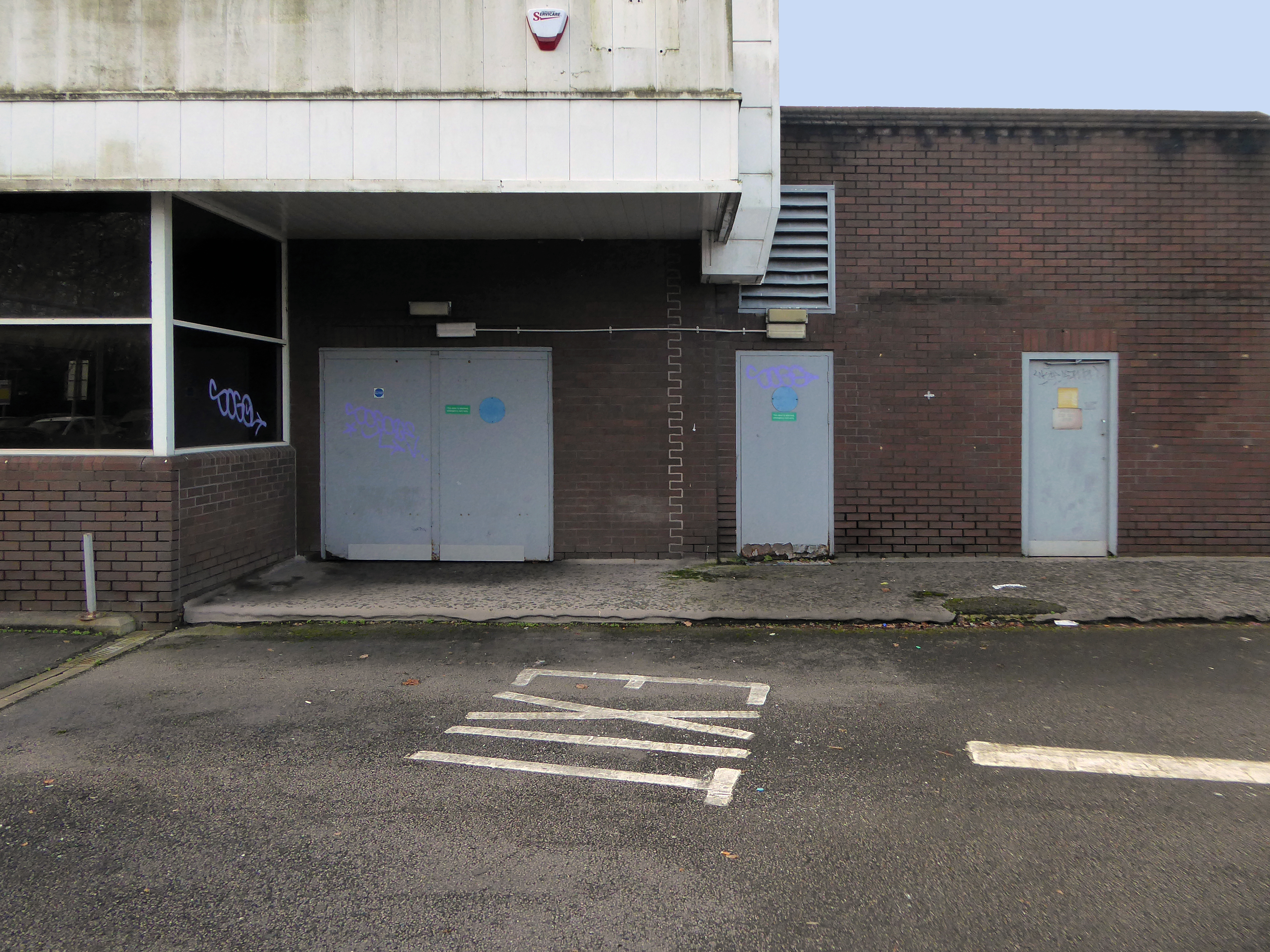
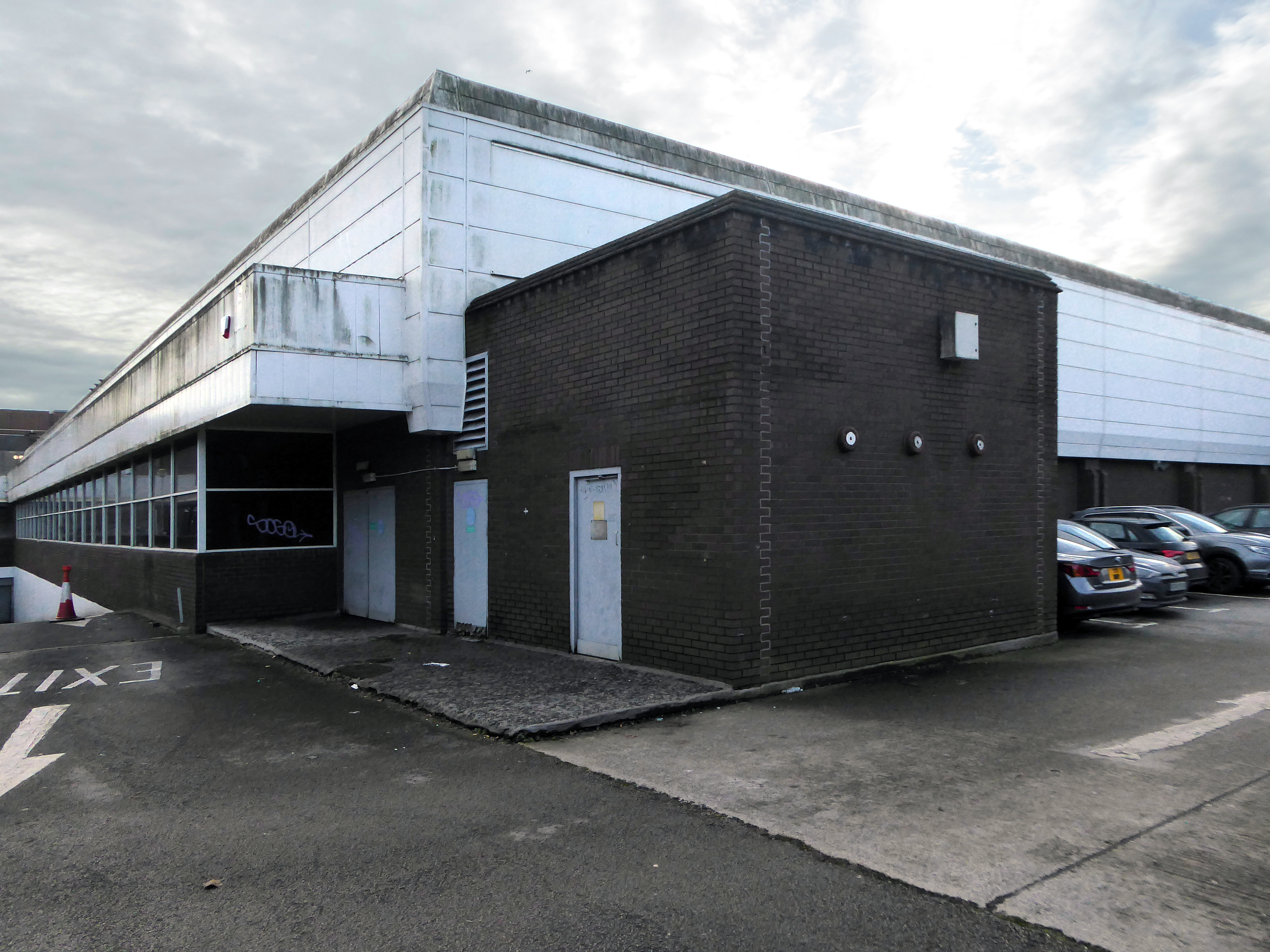
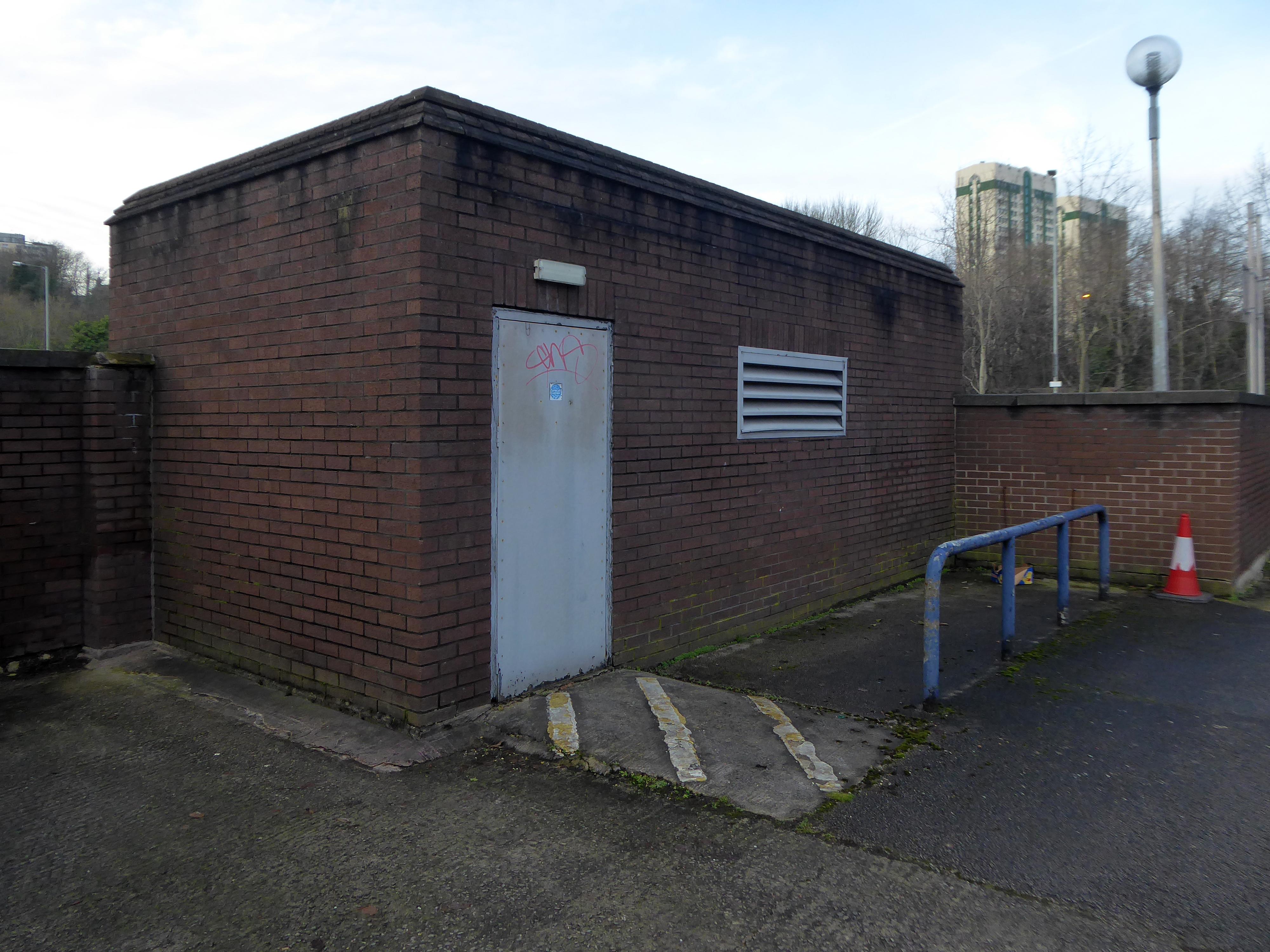
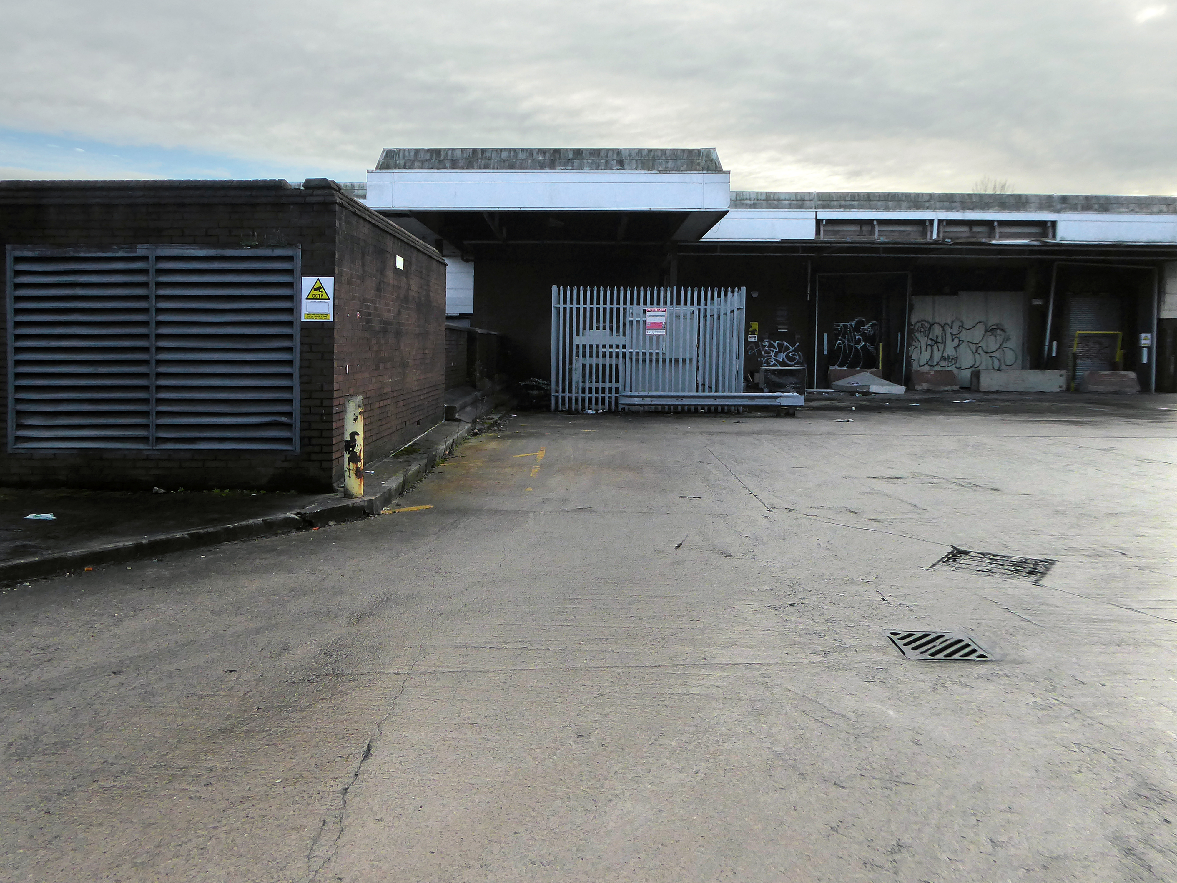
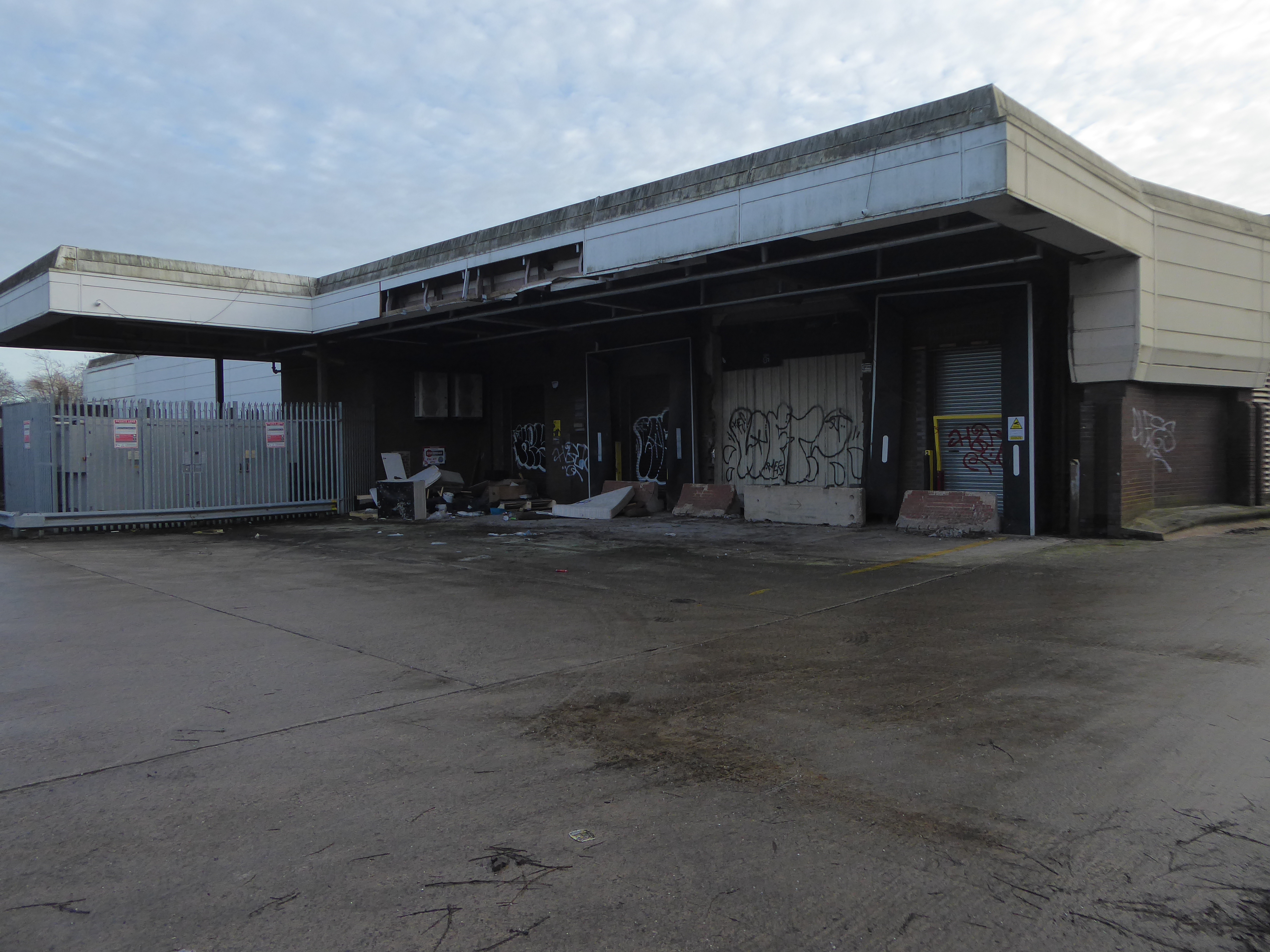
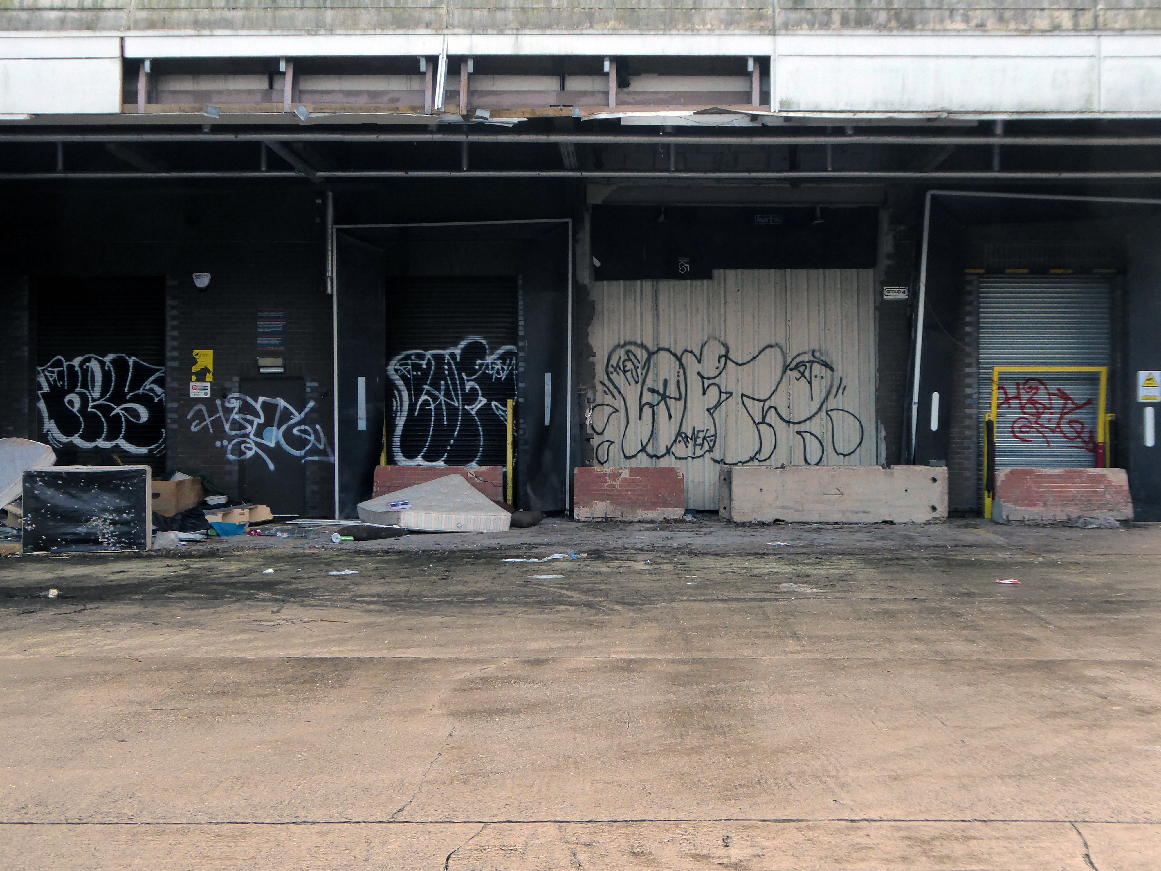
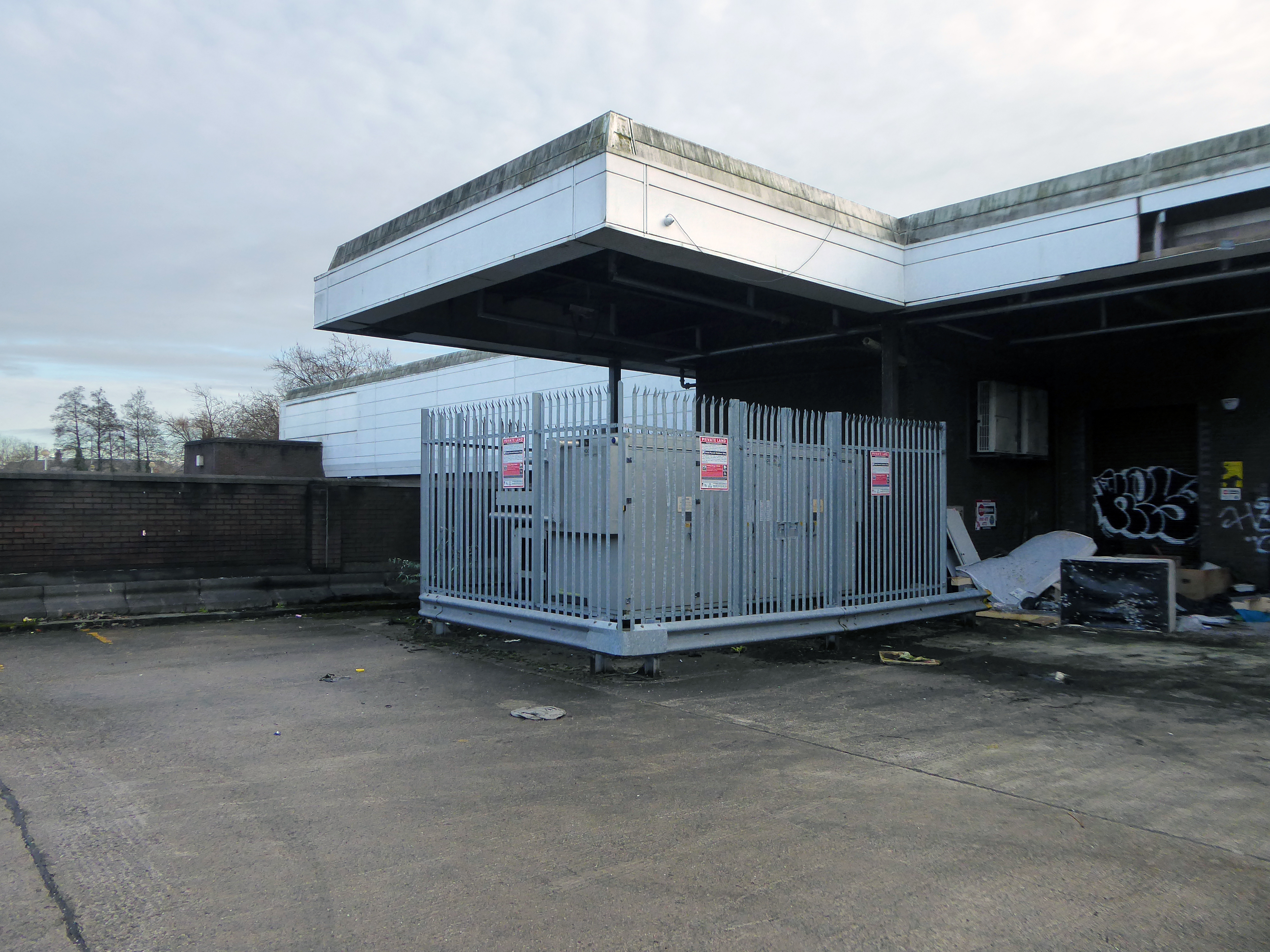
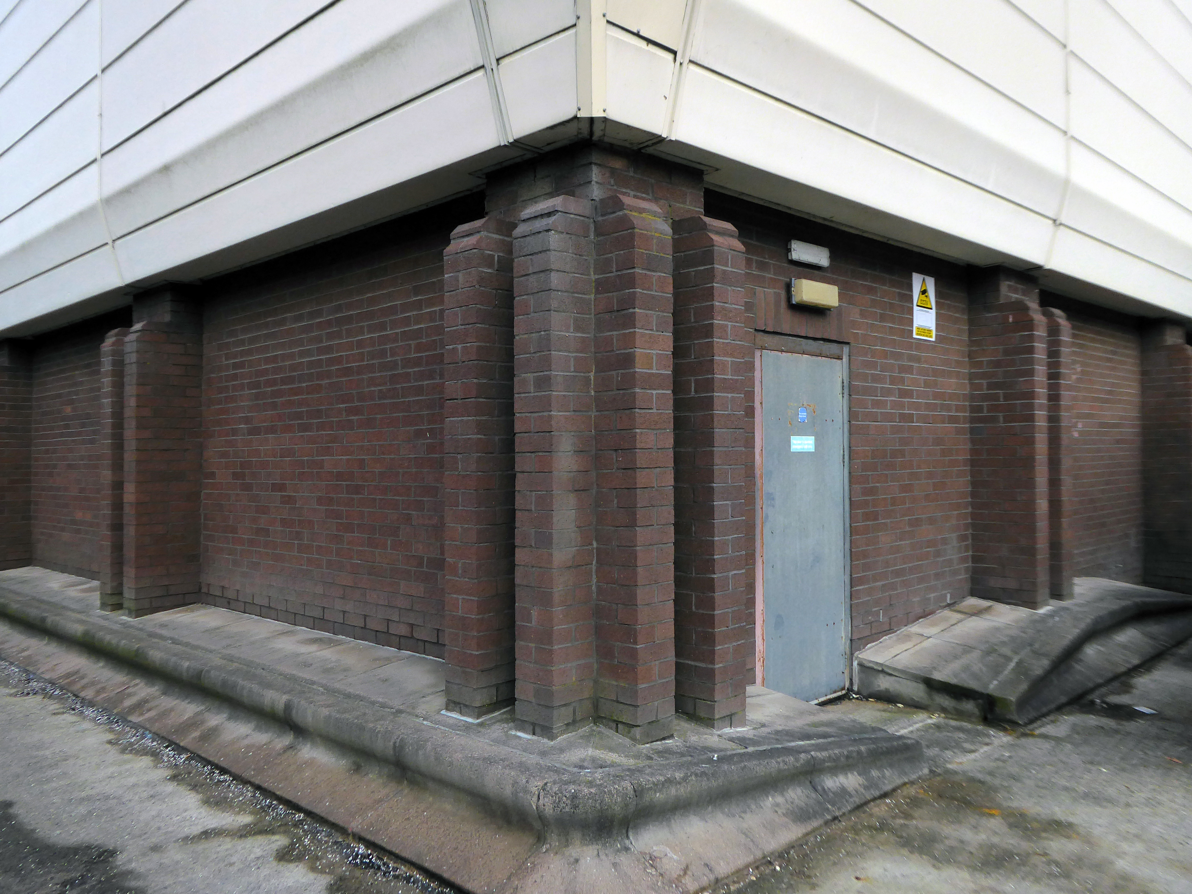
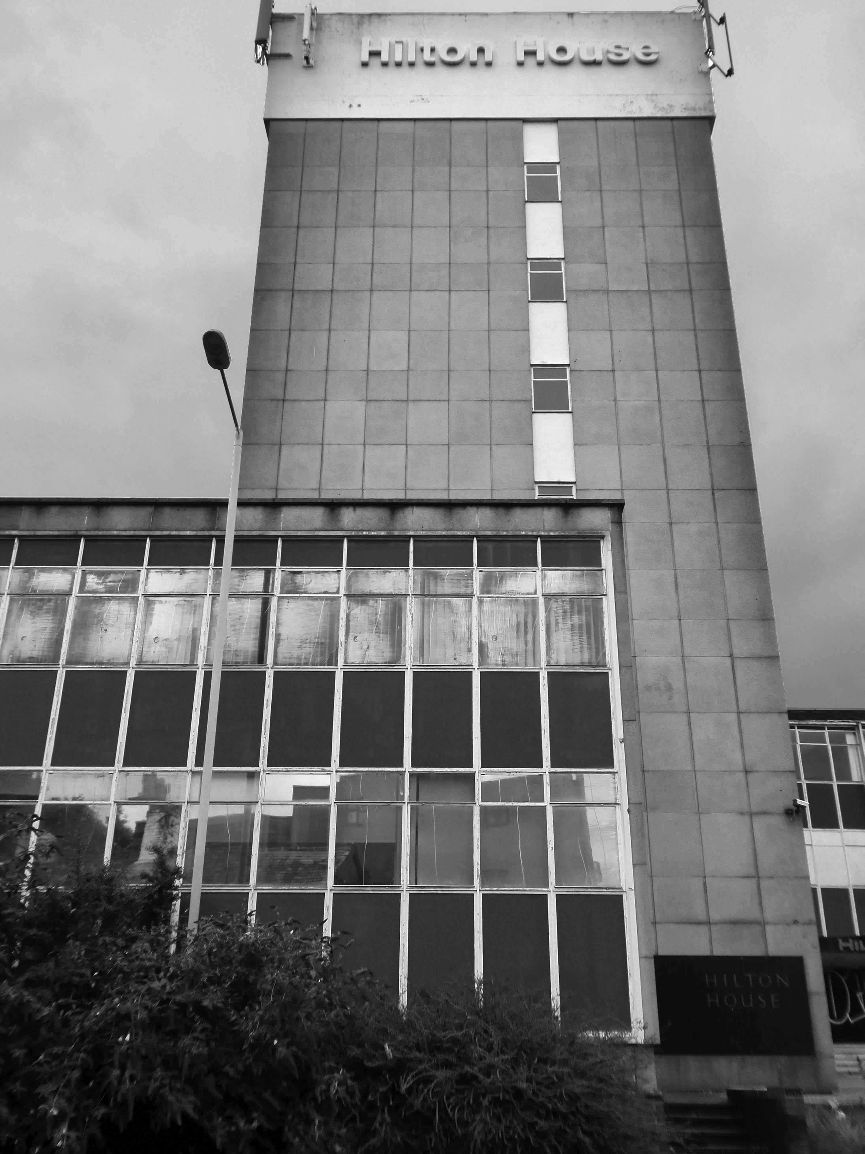
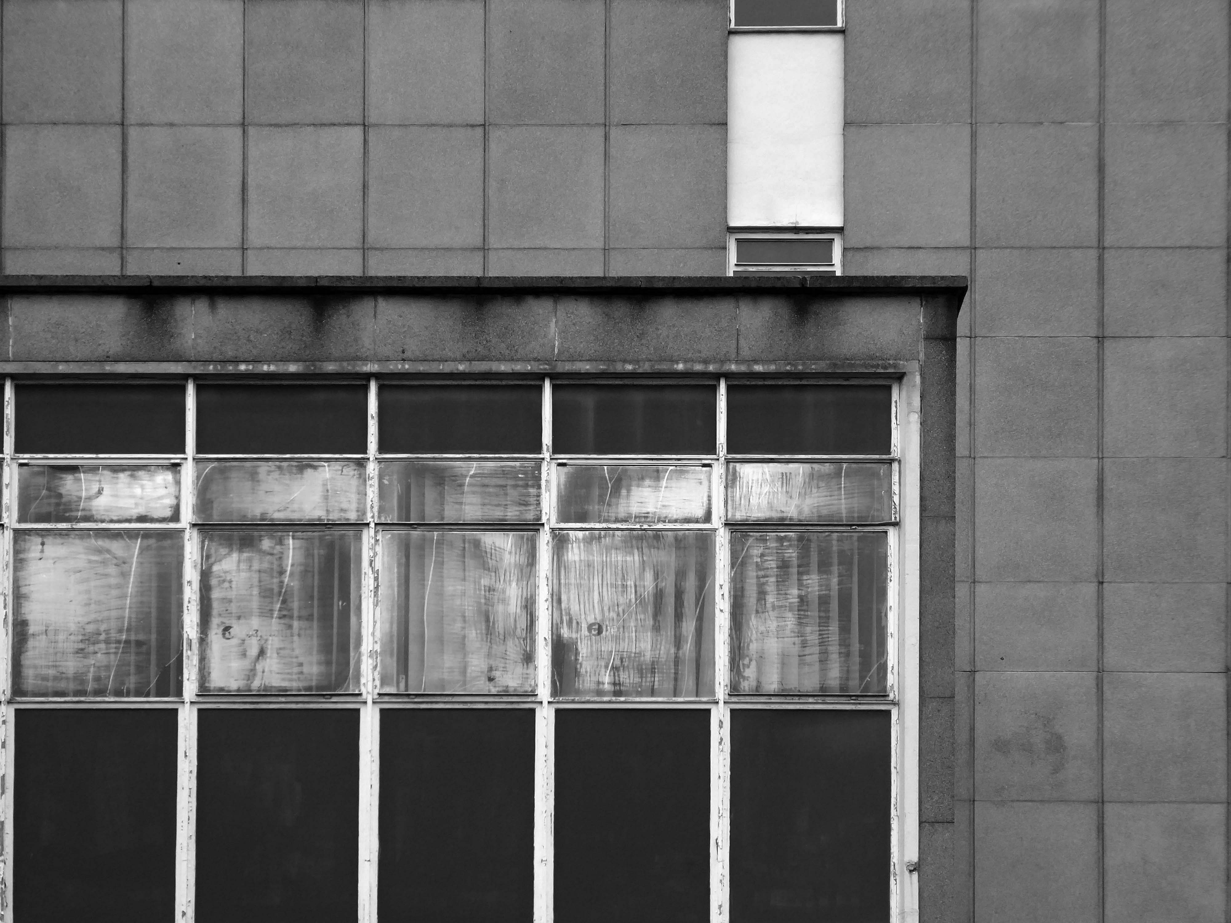
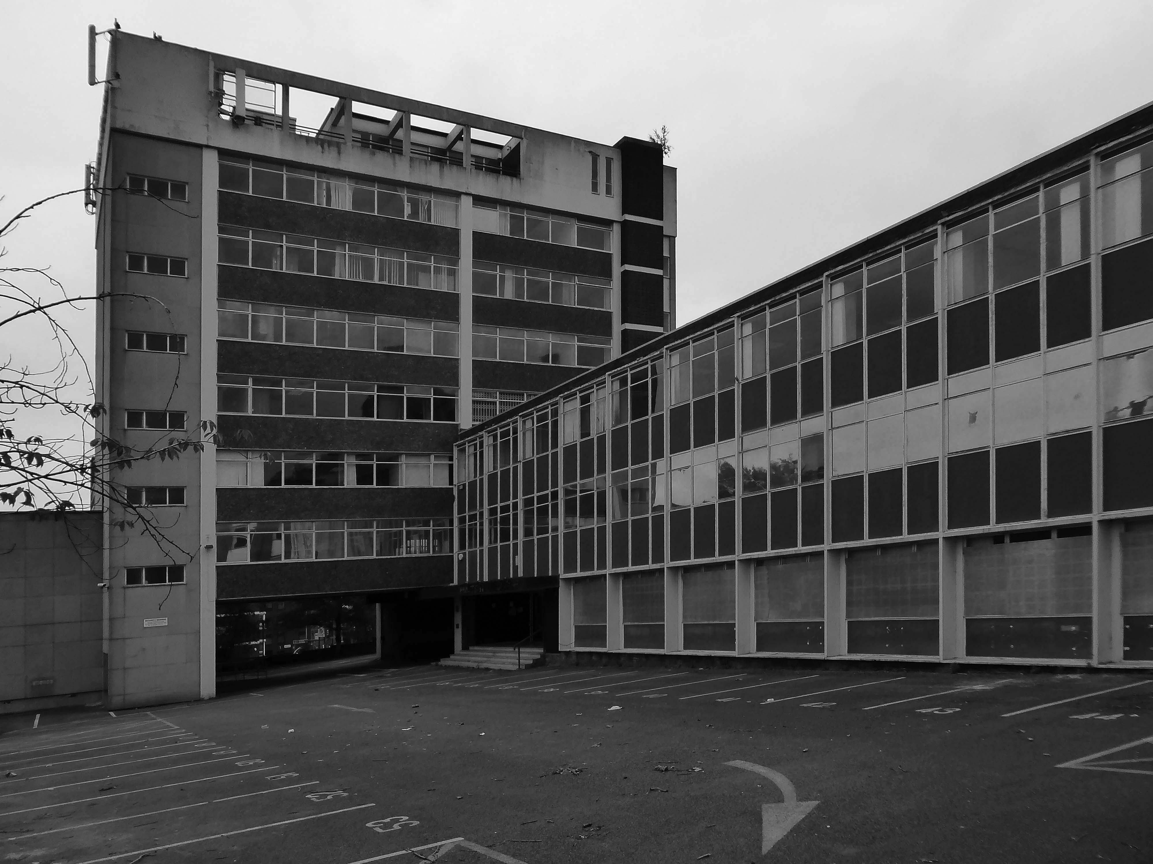
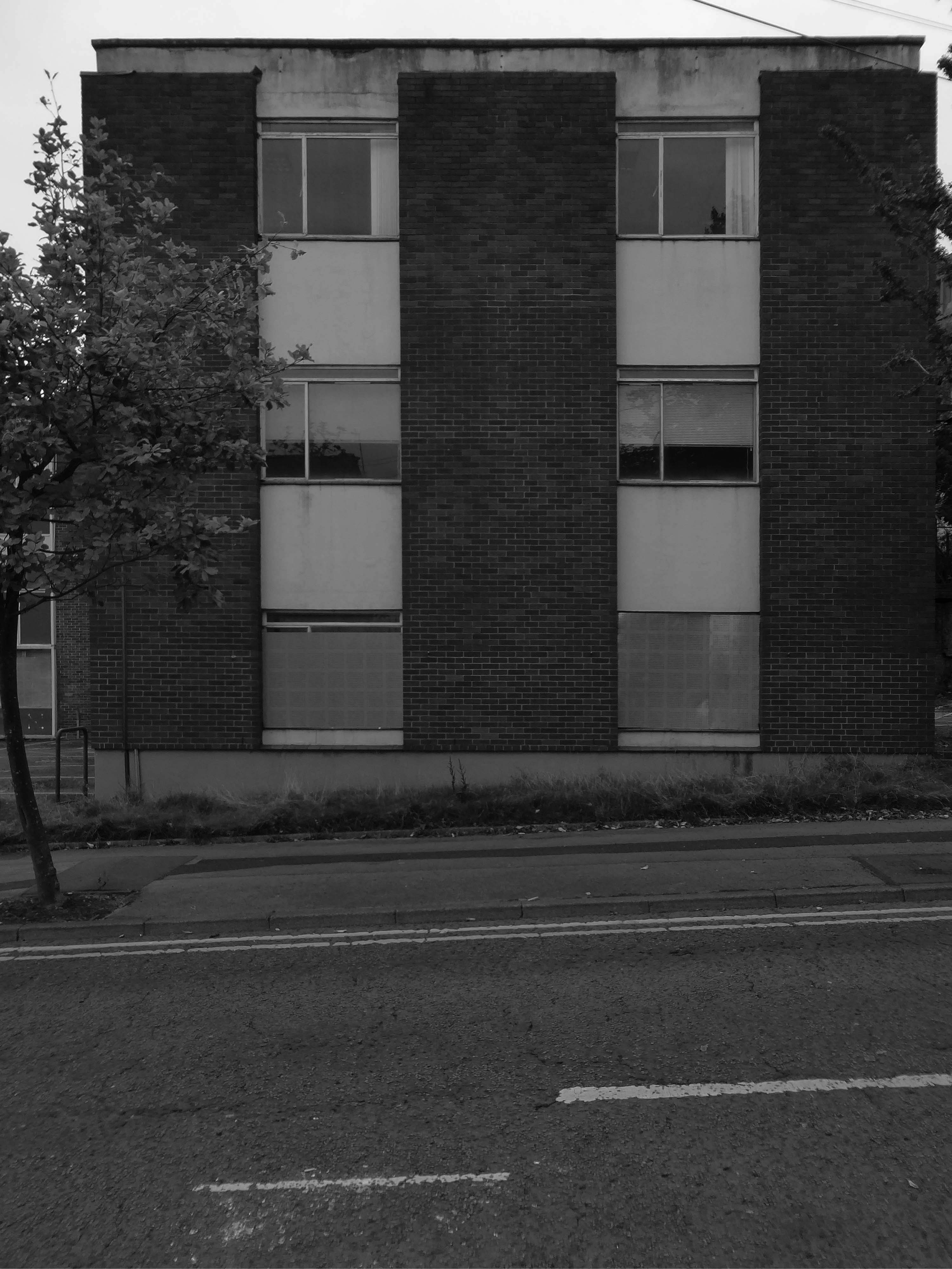
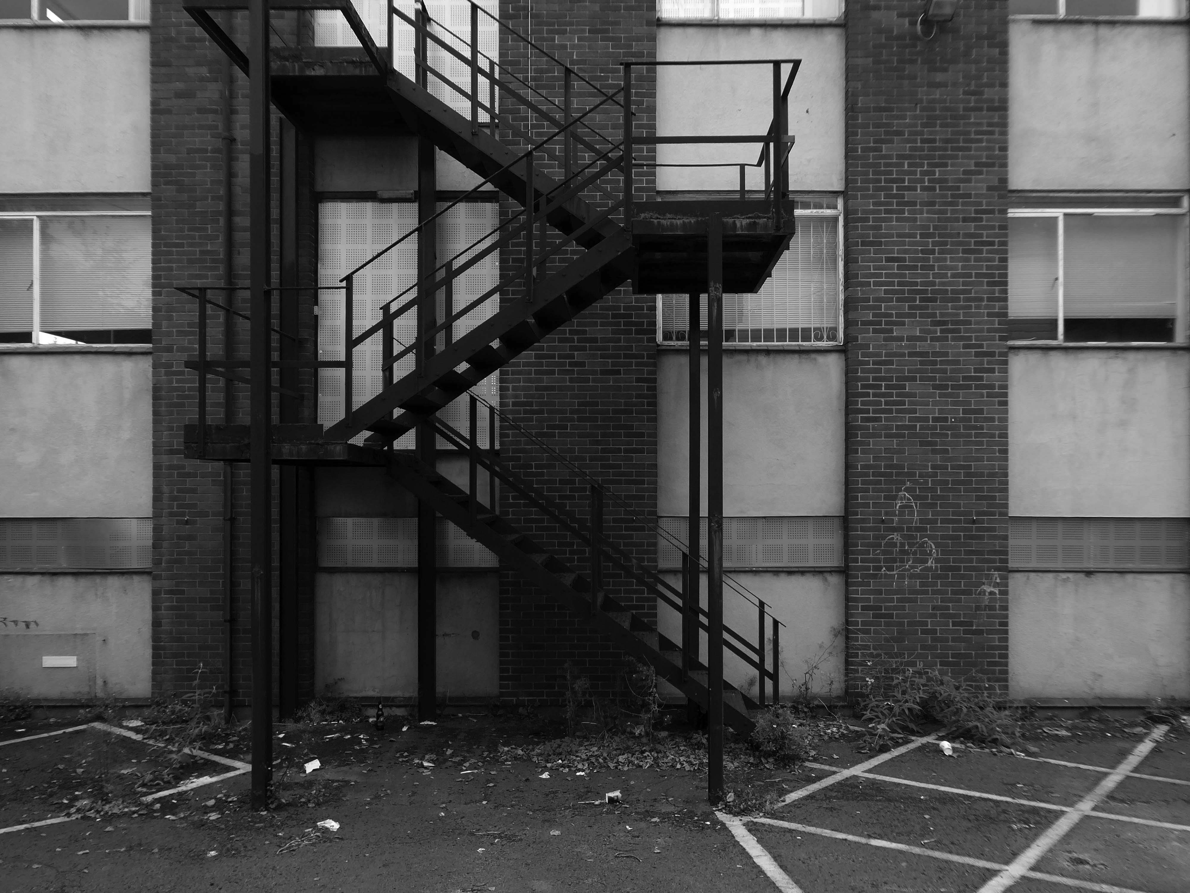
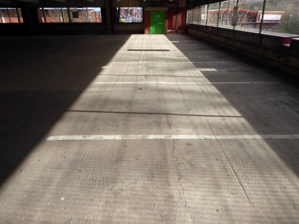
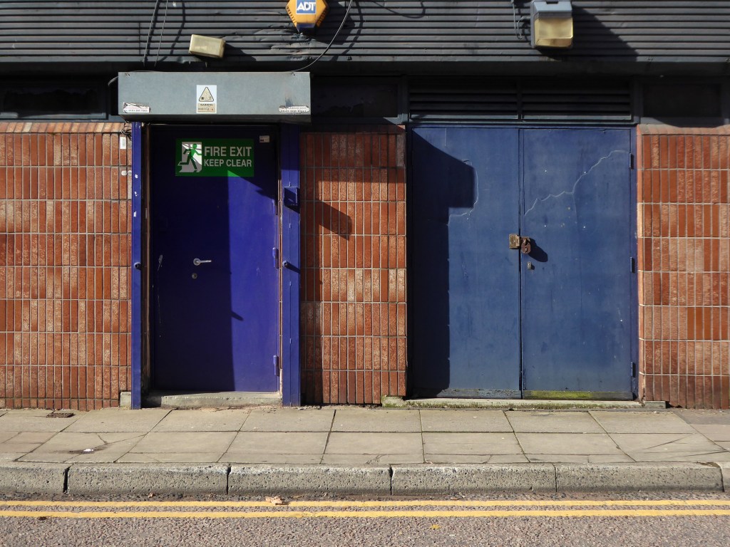
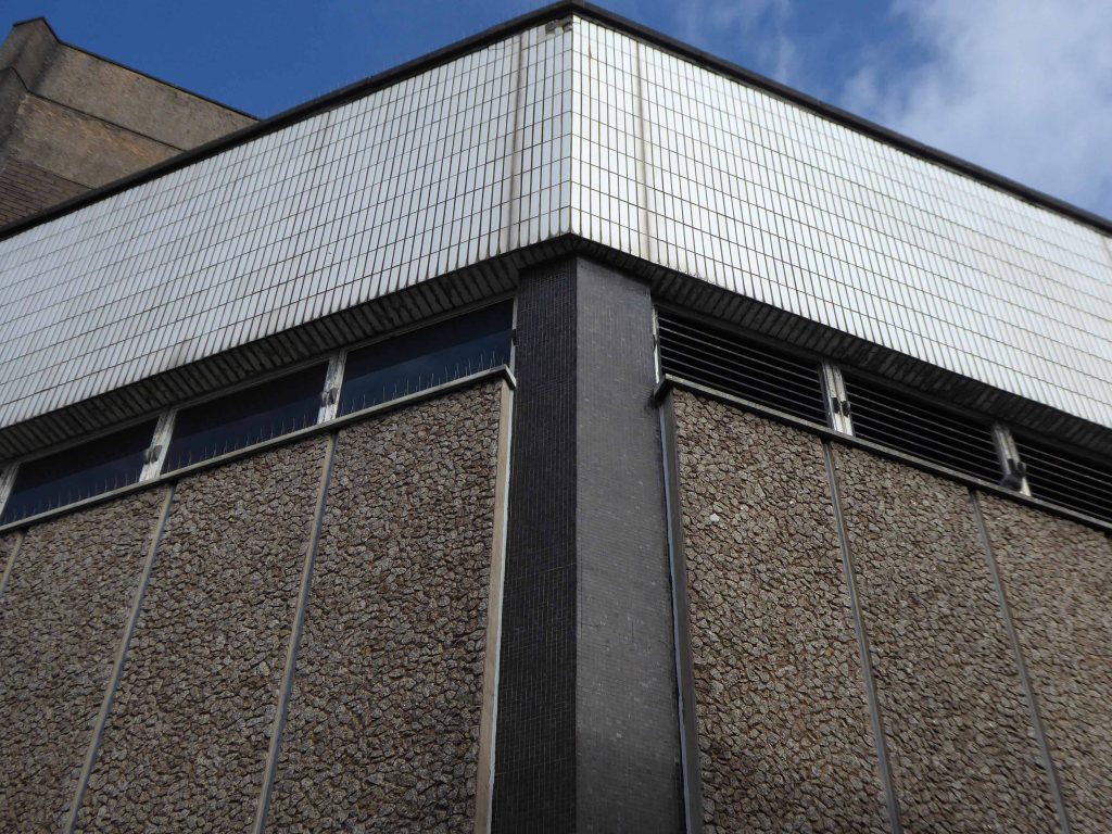
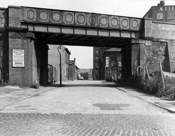
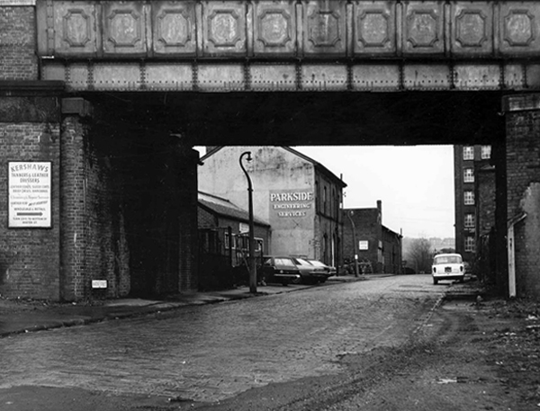
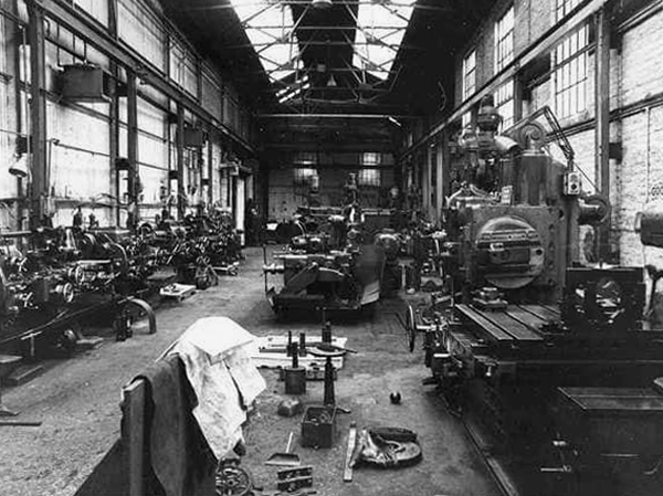
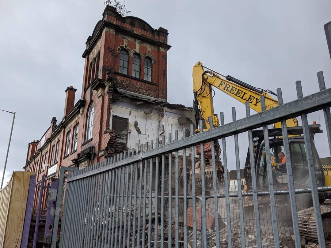
Craven Brothers Works 2008

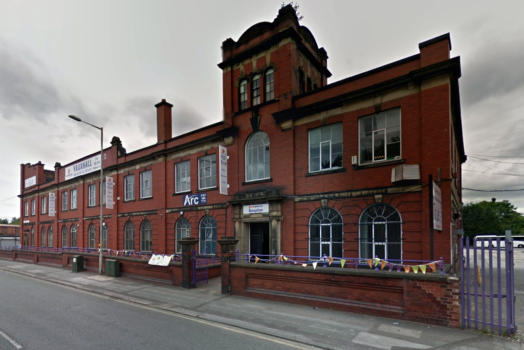
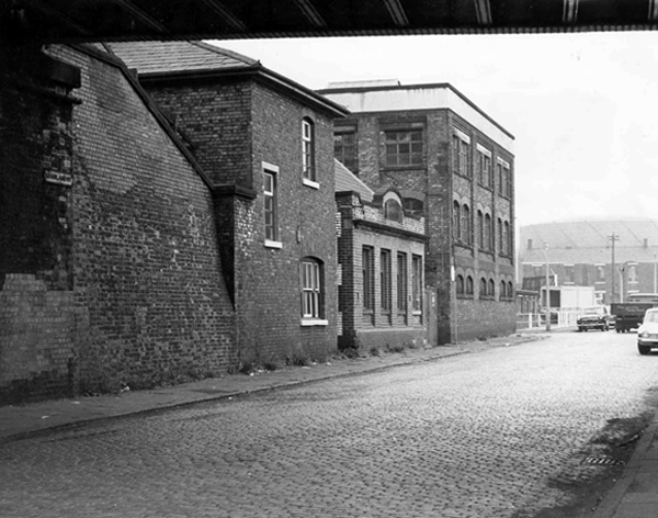
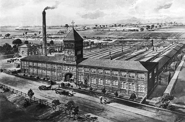
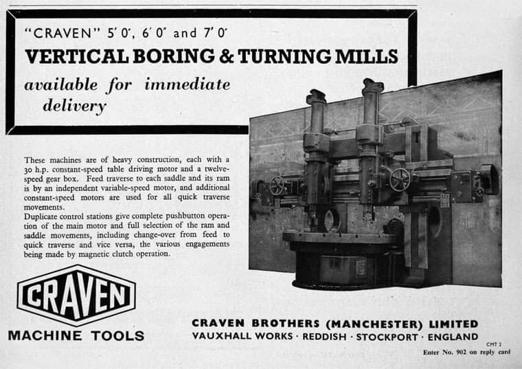
1900 – Further growth prompted the construction of the Vauxhall Works at Reddish, near Stockport. The company kept the works at Osborne Street, Rochdale Road, with about 500 employees, open until 1920. The 1915 O.S. map shows Vauxhall Engineering Works with its south-east corner on Osborne Street, Collyhurst, and bounded on the north by streets of terraced houses and to the south by the L&YR Manchester-Normanton line. 

The Developement of Reddish – quite a number of Manchester firms are prospecting the neighbourhood of Reddish, writes a correspondent, while Messrs. Heywood are about to erect electrical engineering works in Sandfold-lane, and Messrs. Rowley and Co, boiler-makers, are fitting works in the neighbourhood. Messrs. Craven Brothers, engineers, of Salford, have purchased 14-acres of land near the Reddish Station, on the estate of Mr. H. P. Greg, on which they intend to erect large engineering works.

The first sod was cut on Thursday afternoon by Mr. William Craven, in the presence of his brother directors in 1900.
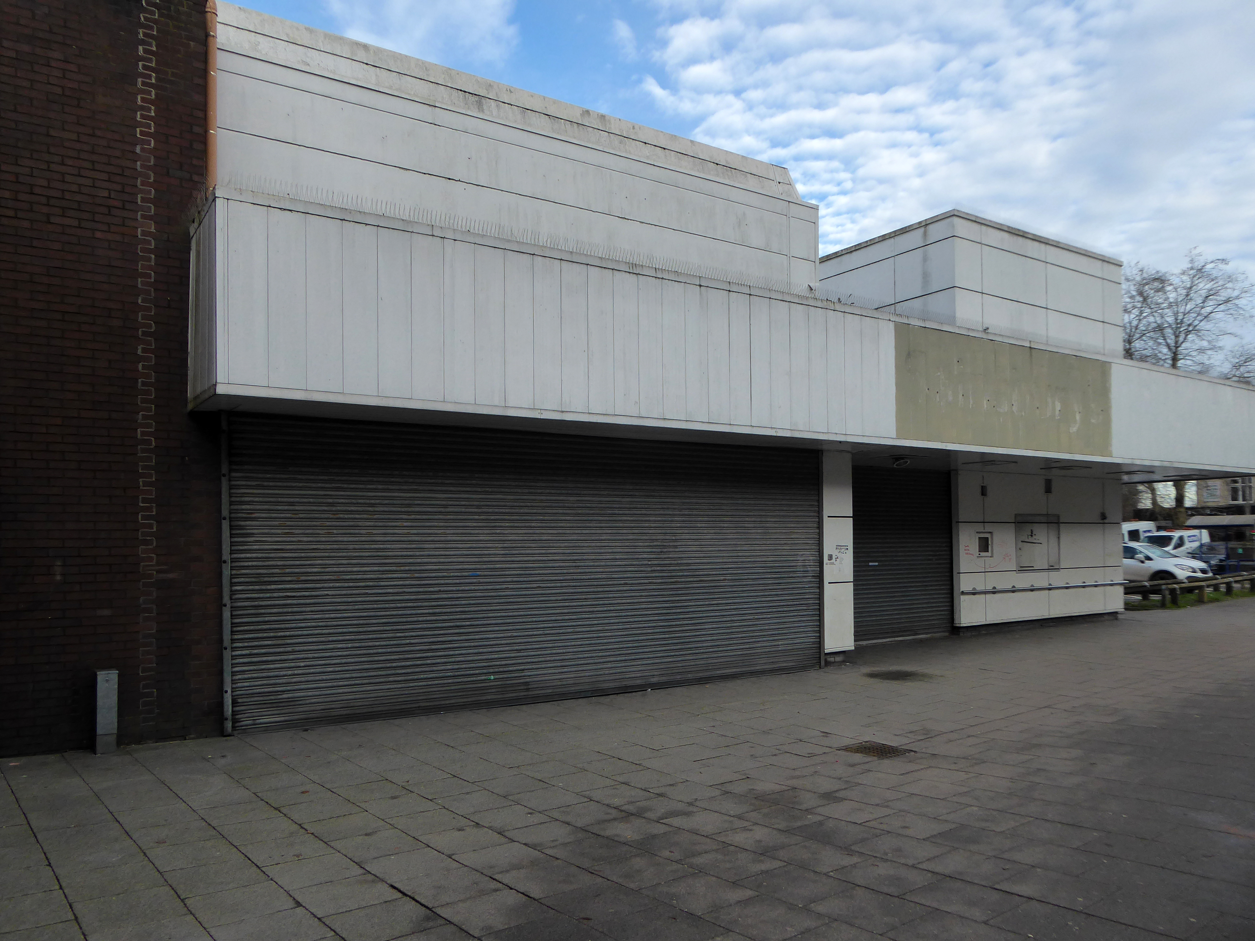
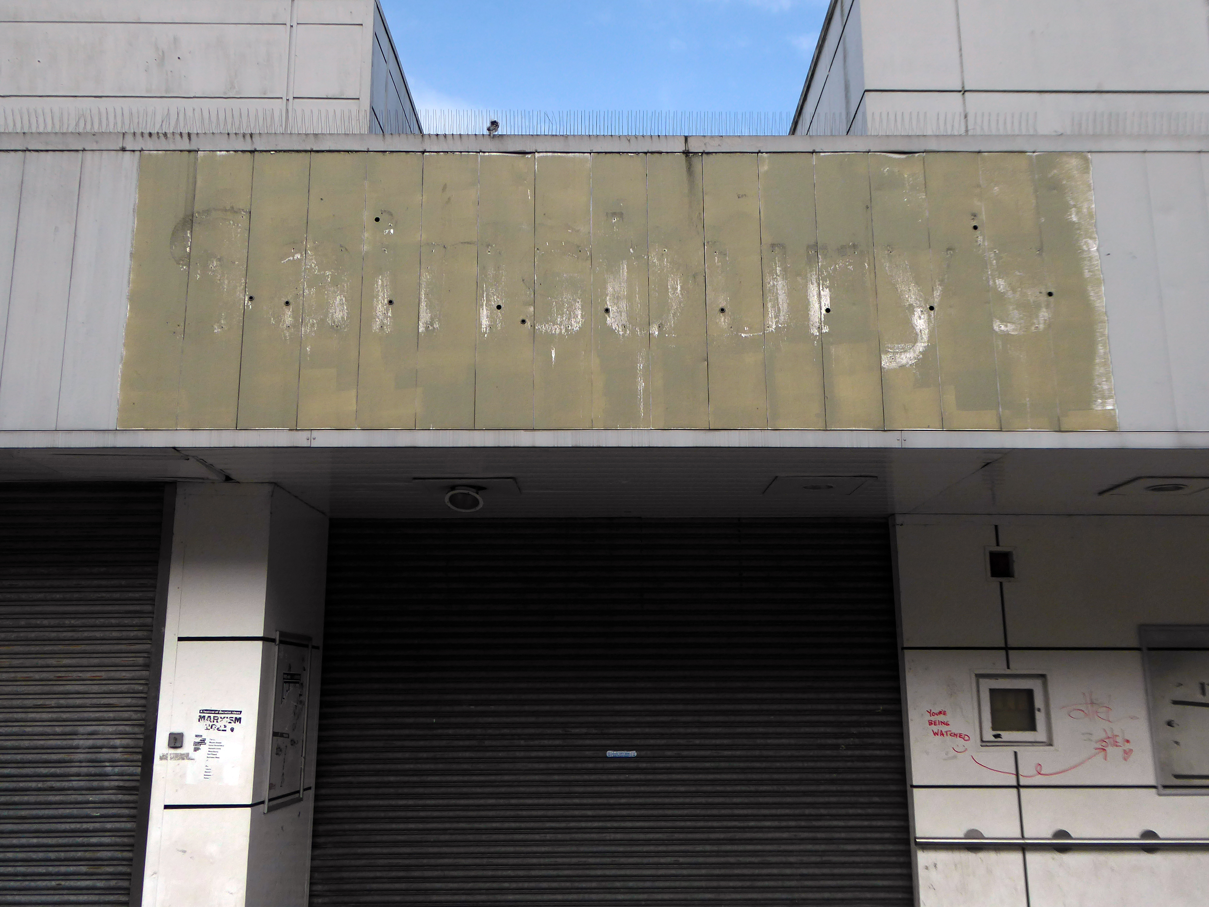
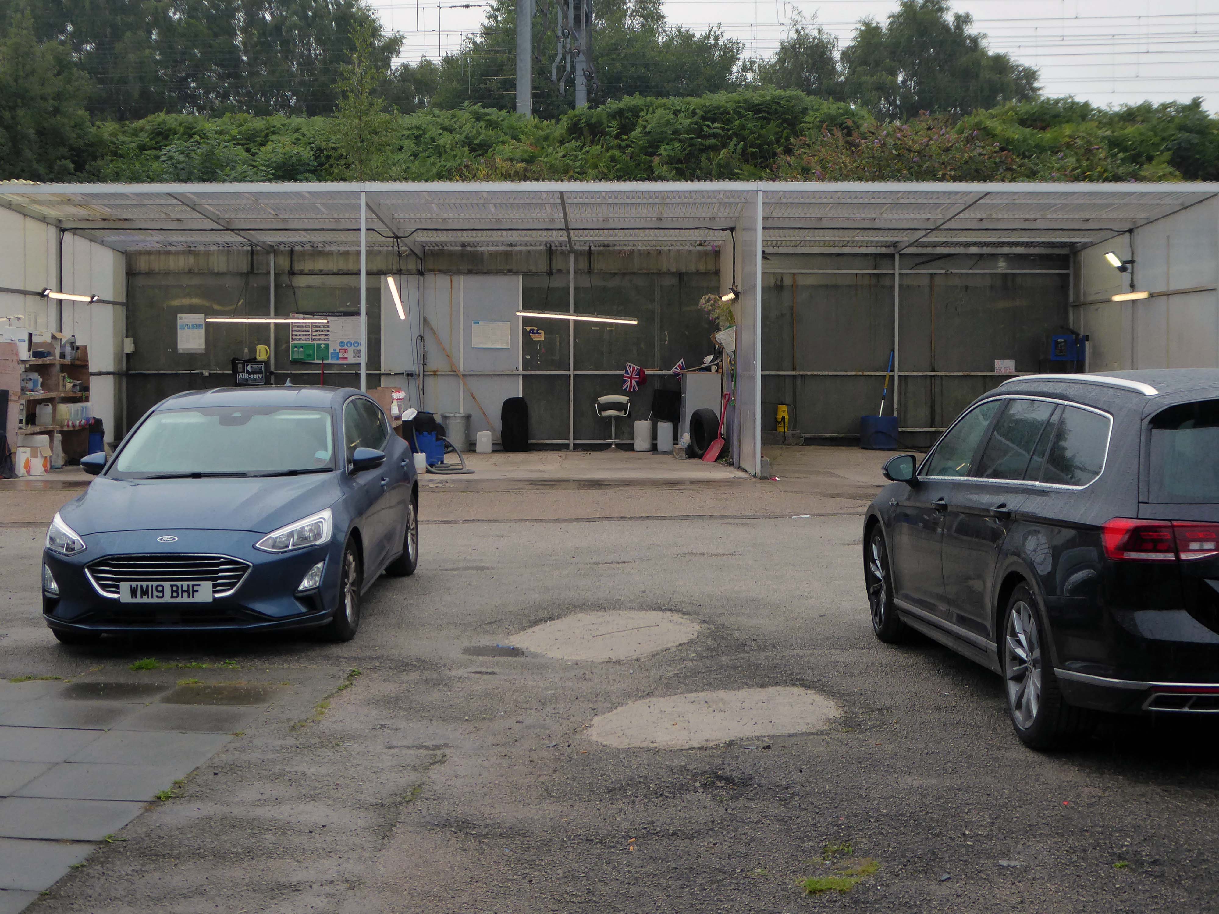
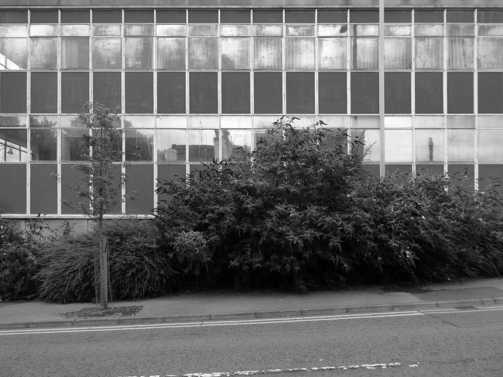
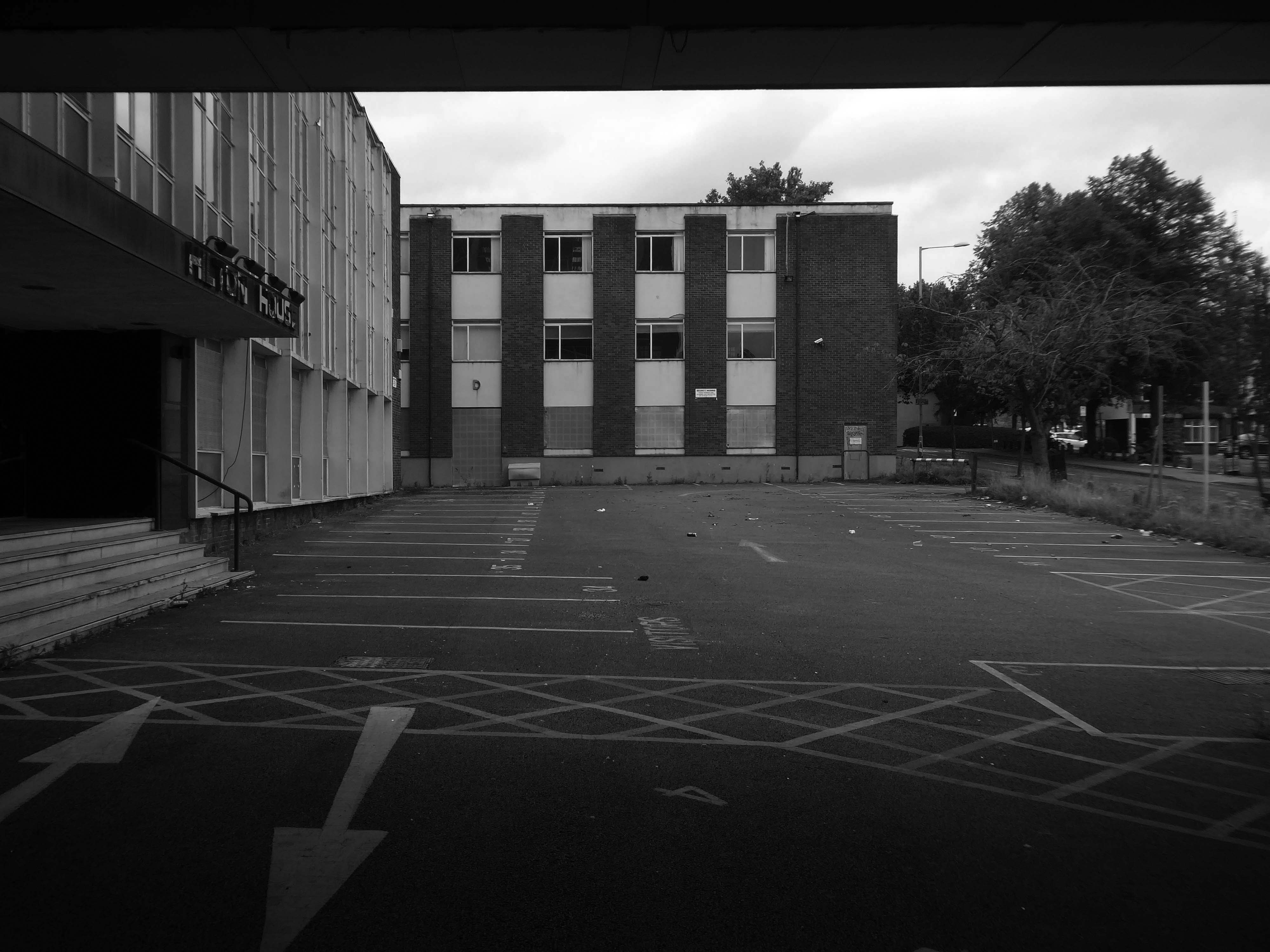
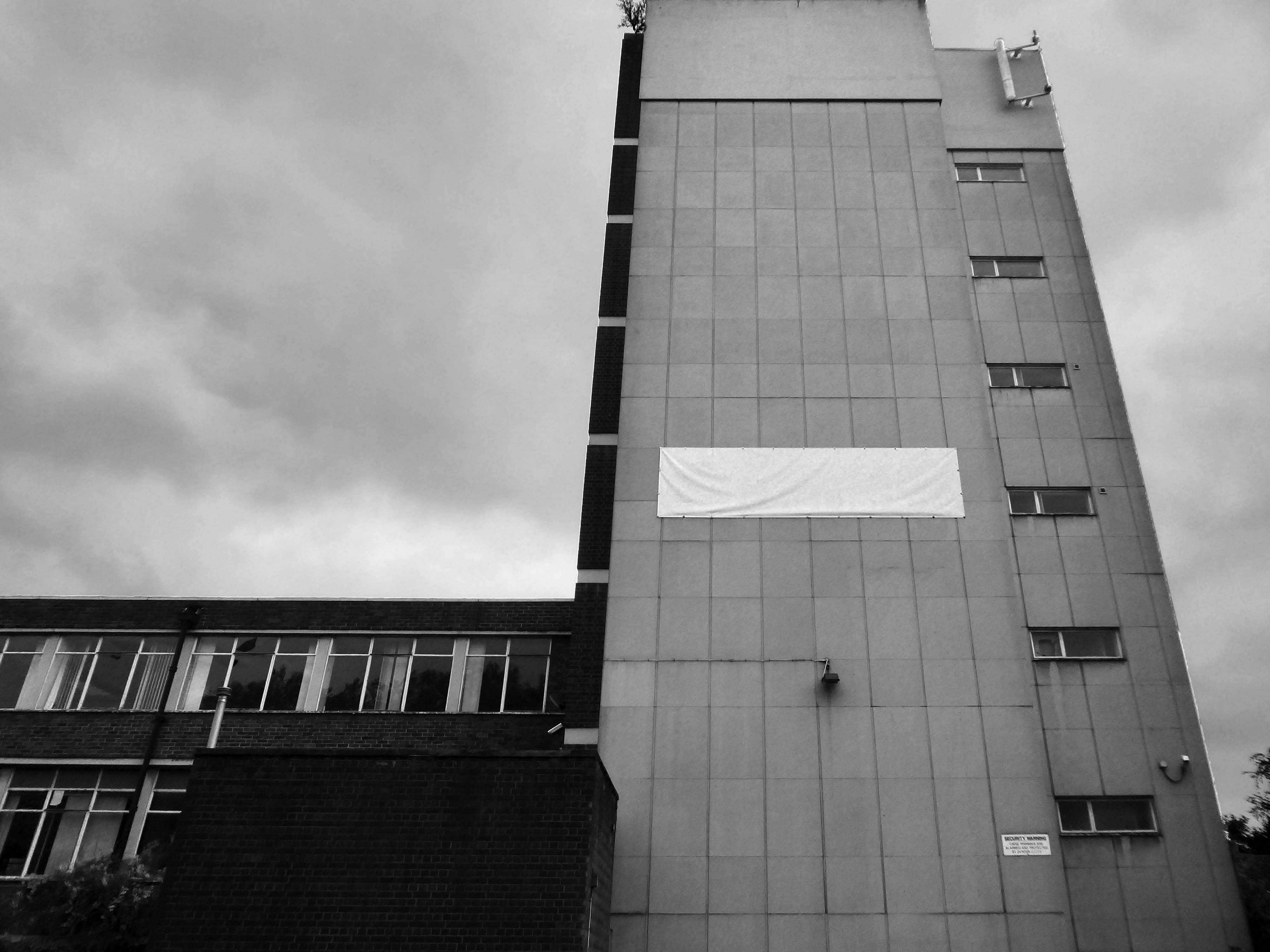
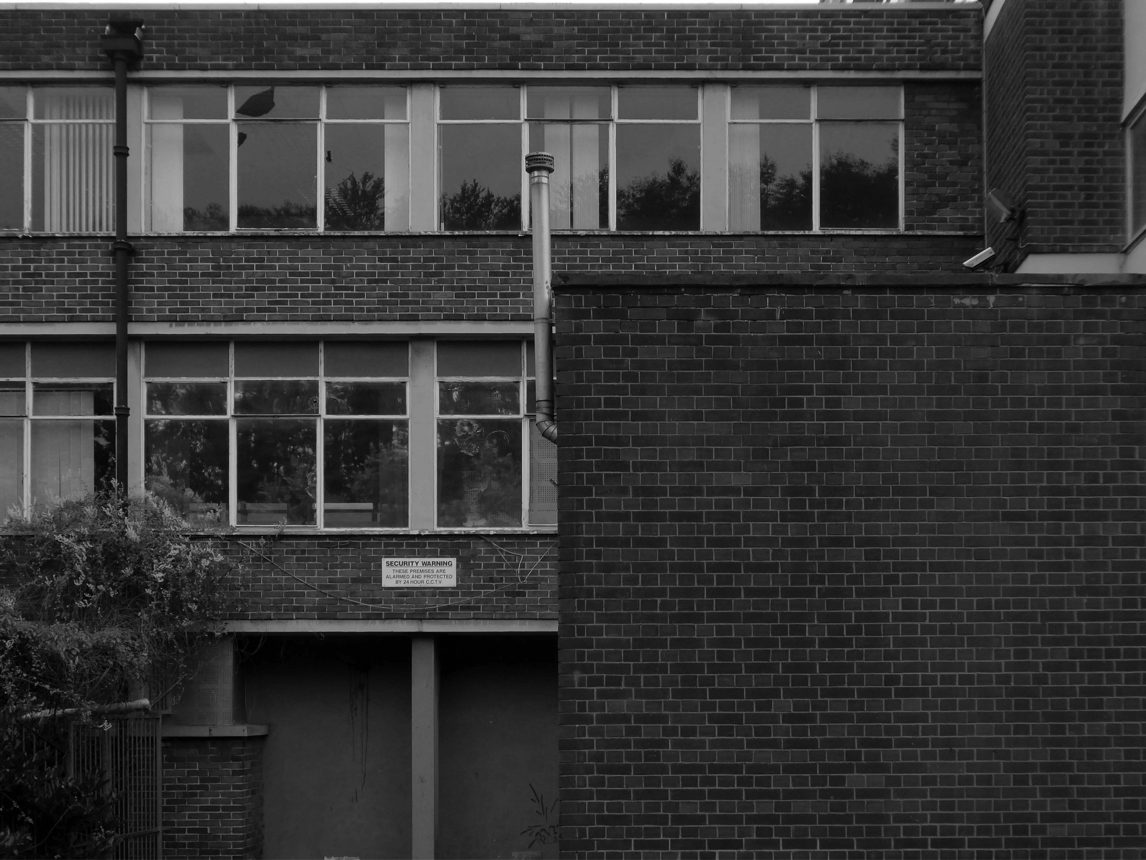
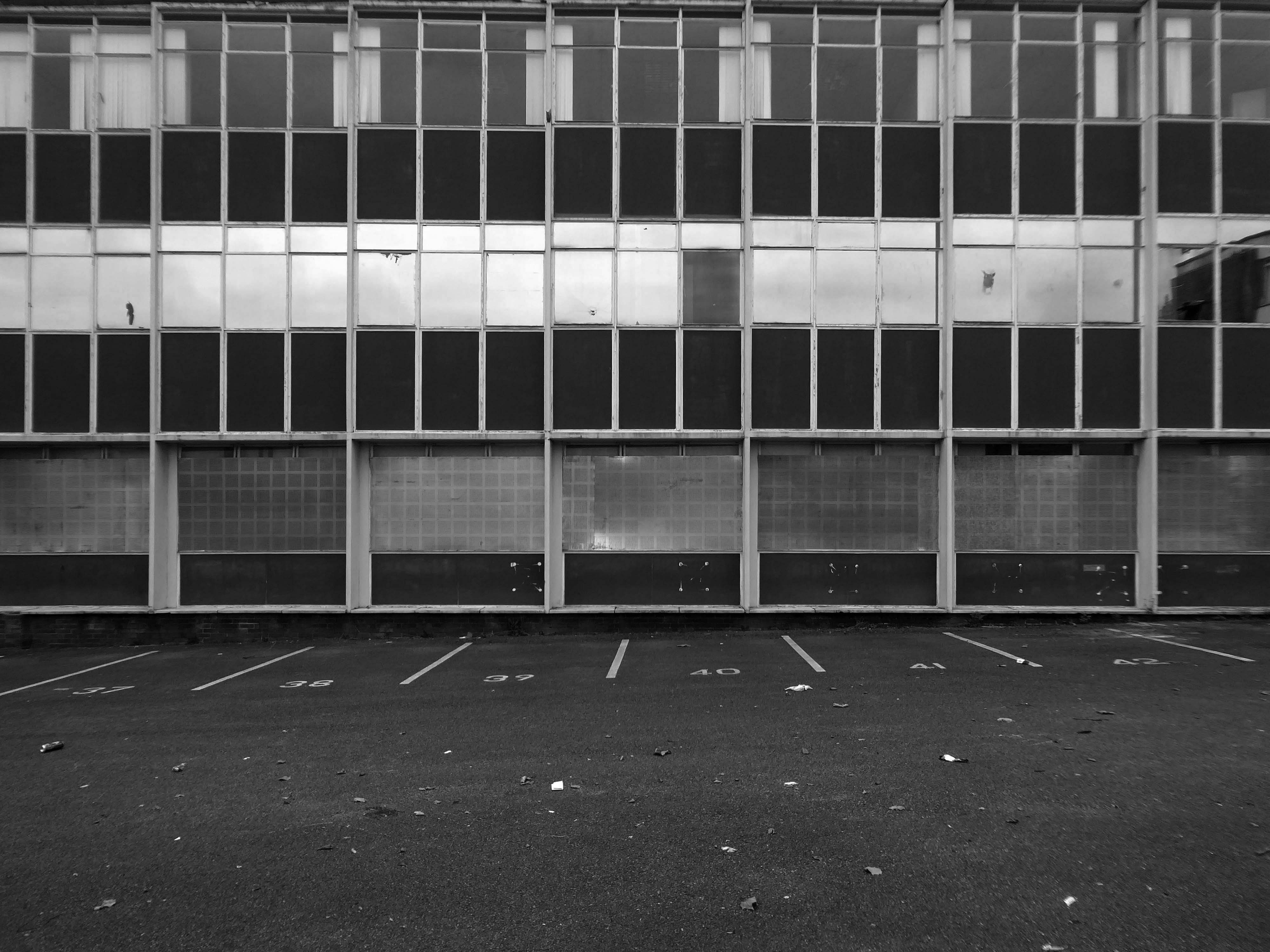
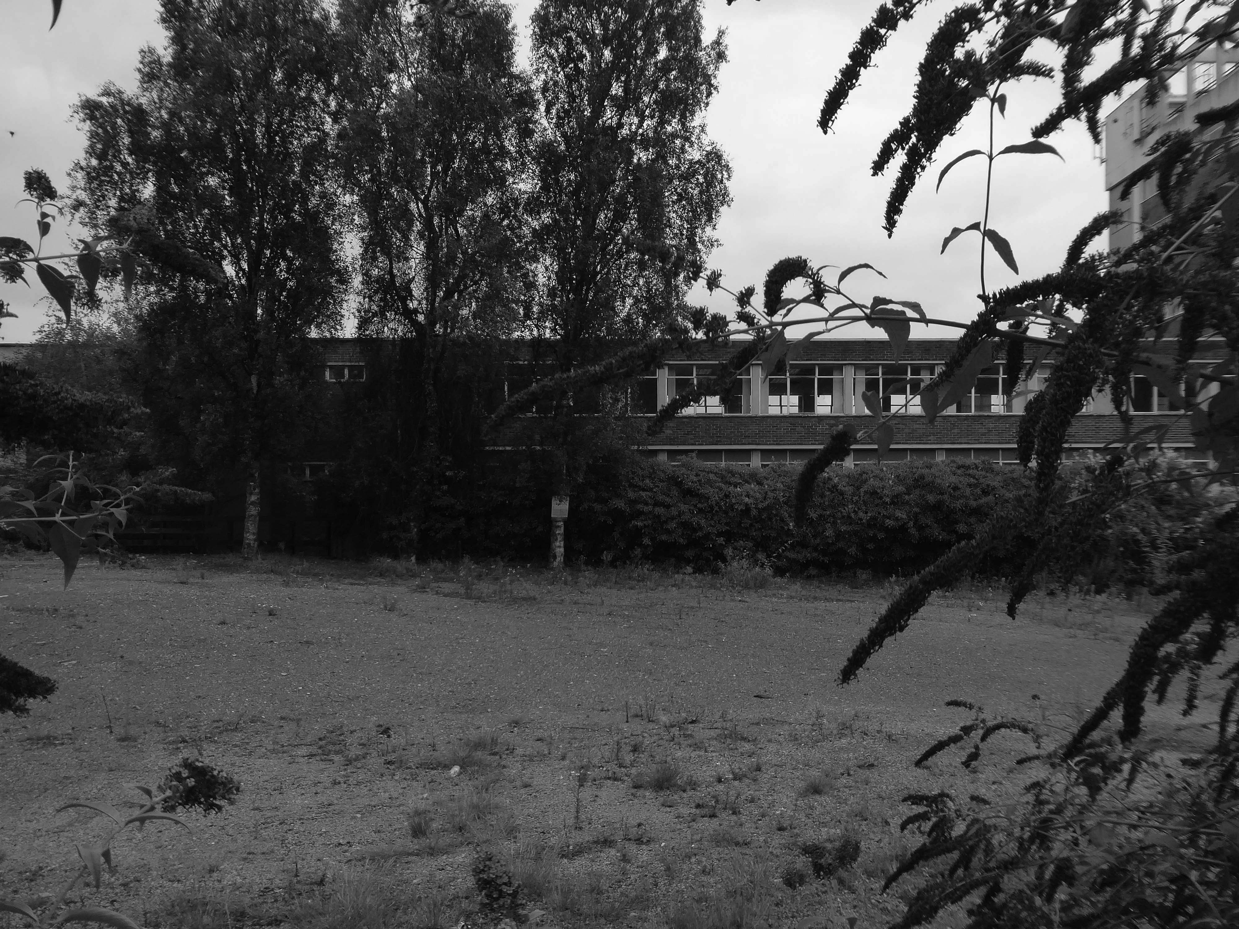
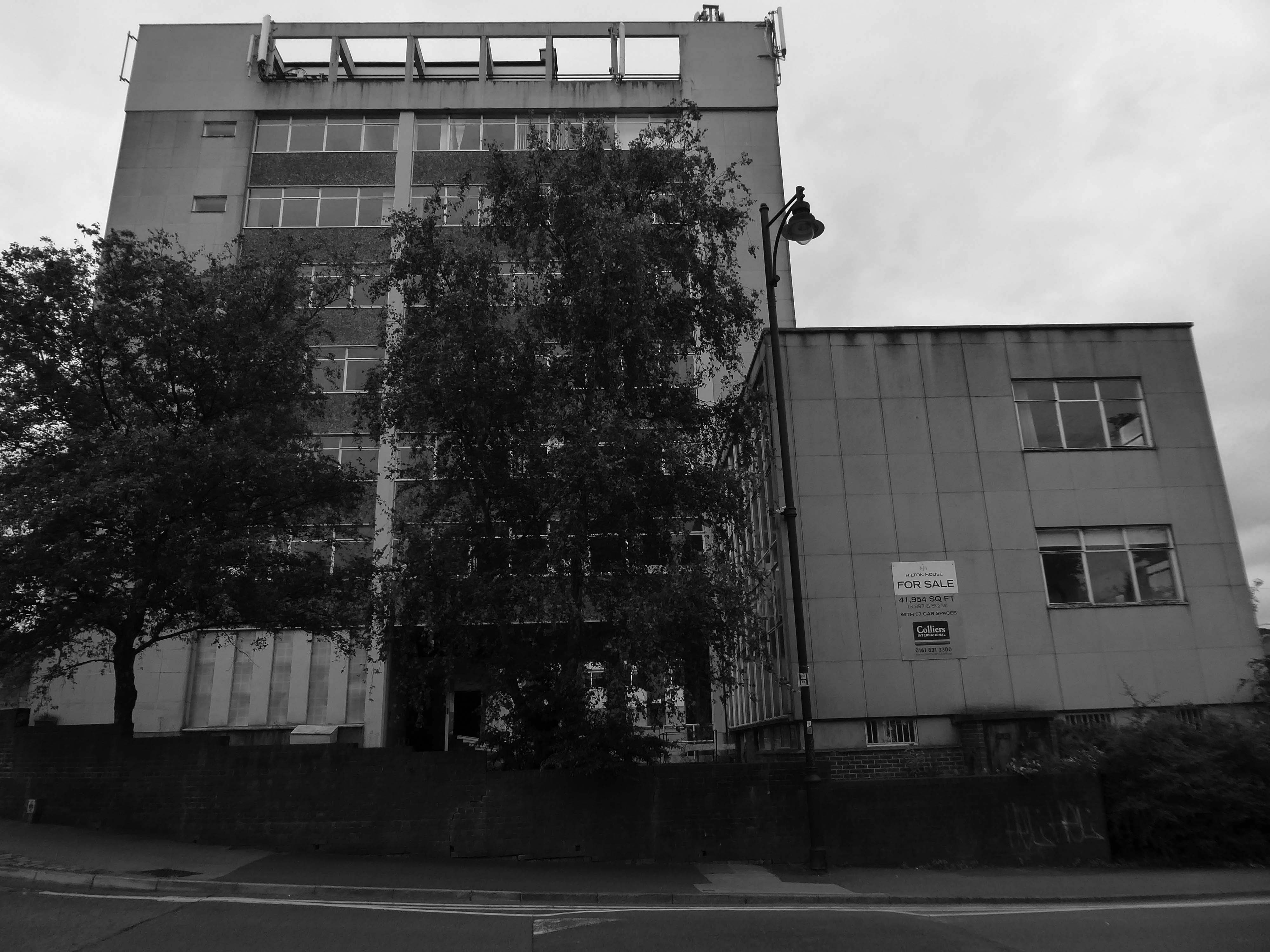
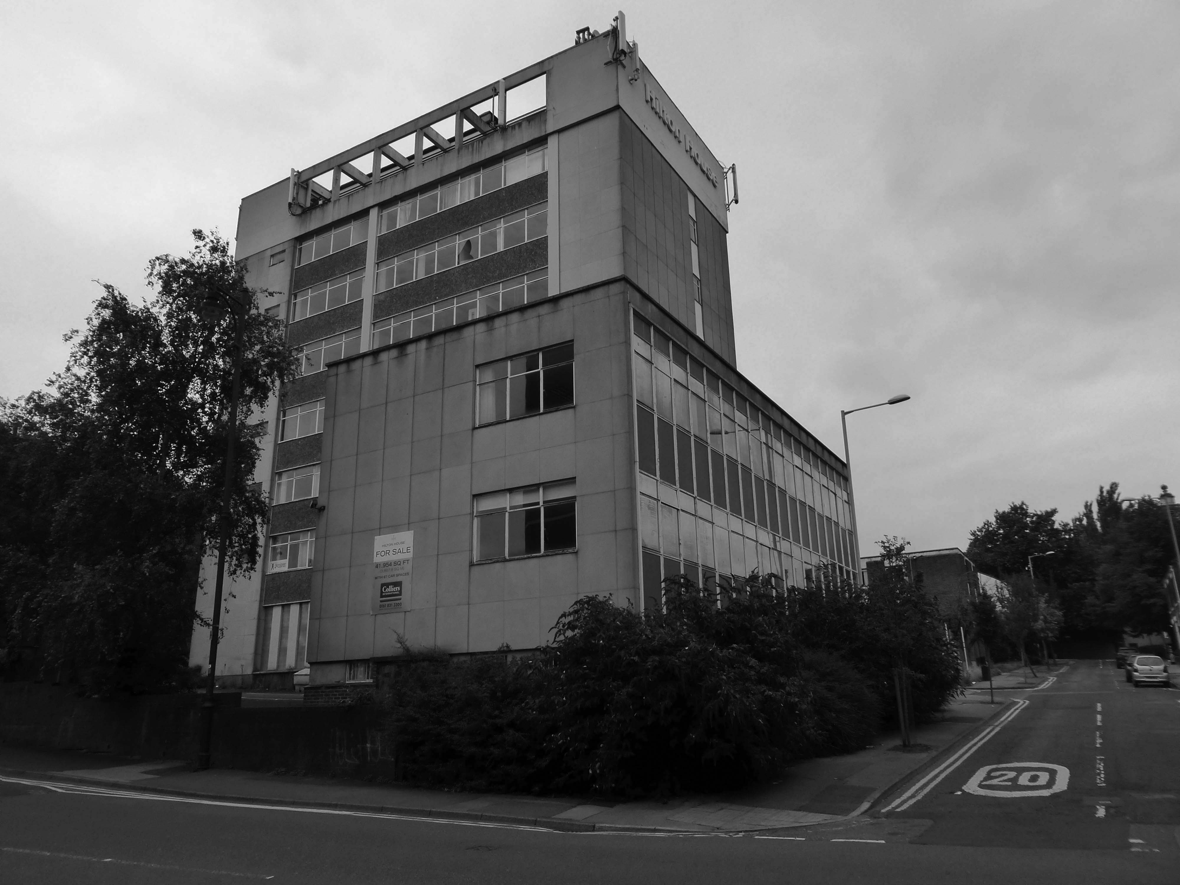
Closed in 1970

Graces Guide

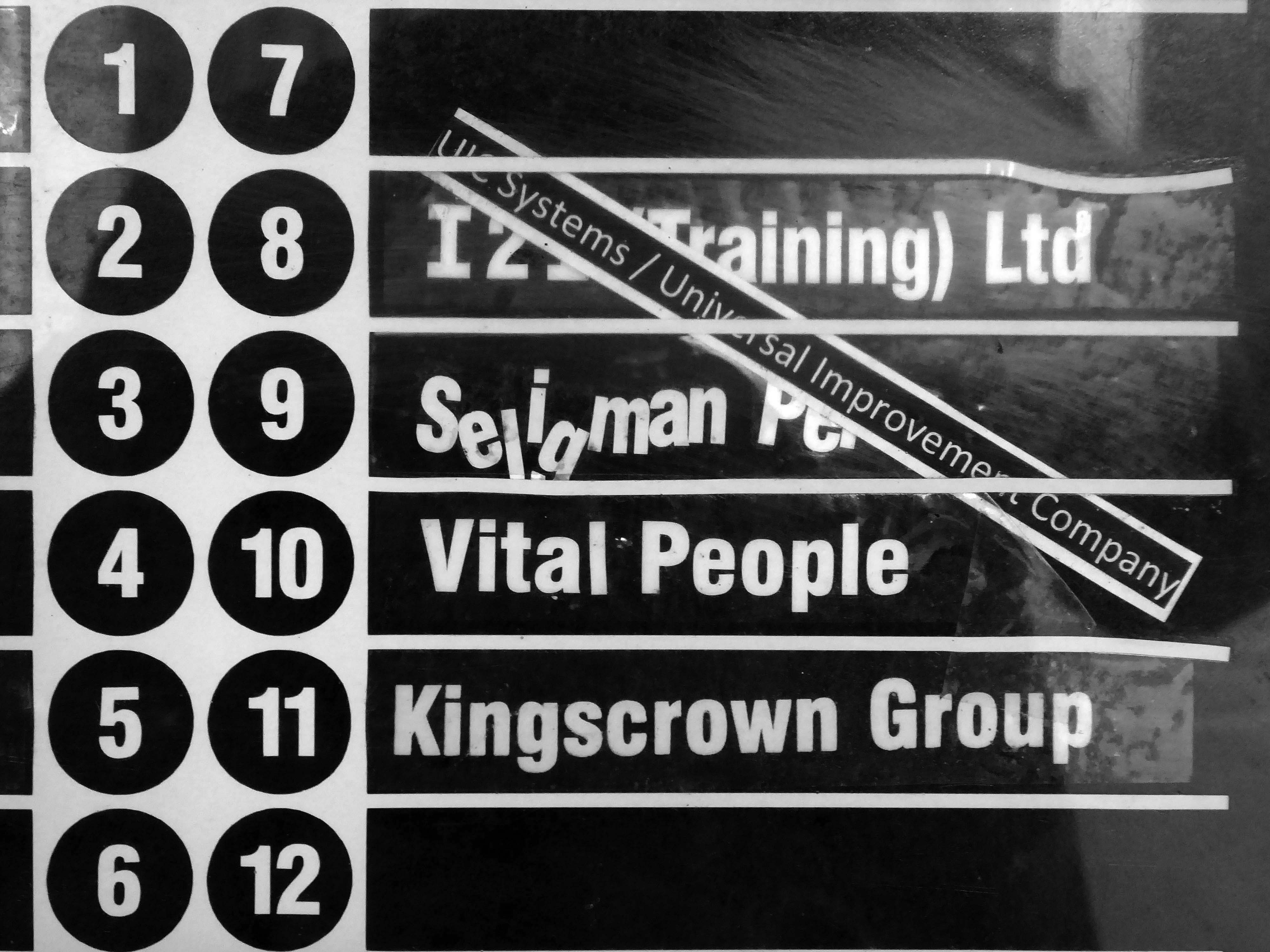
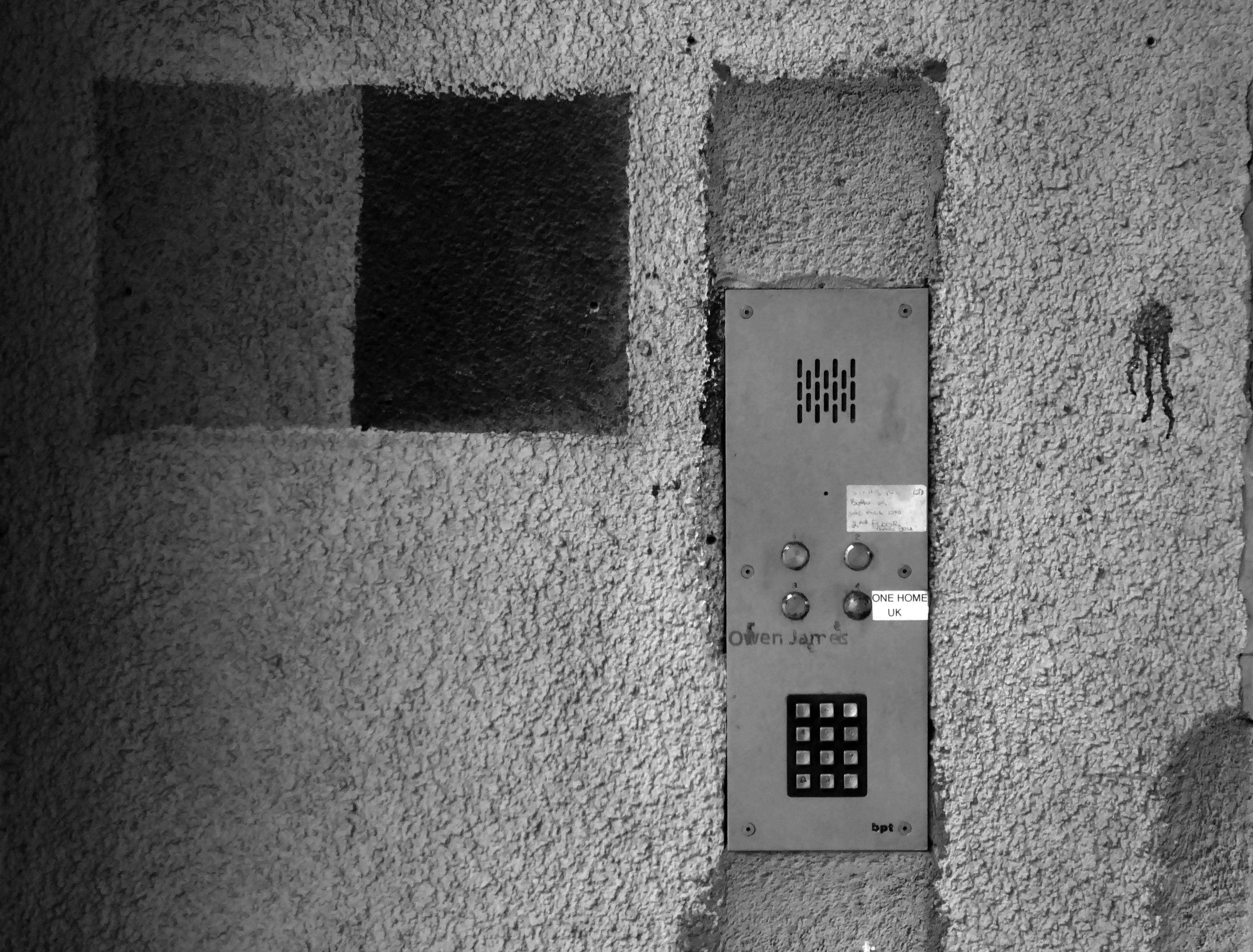
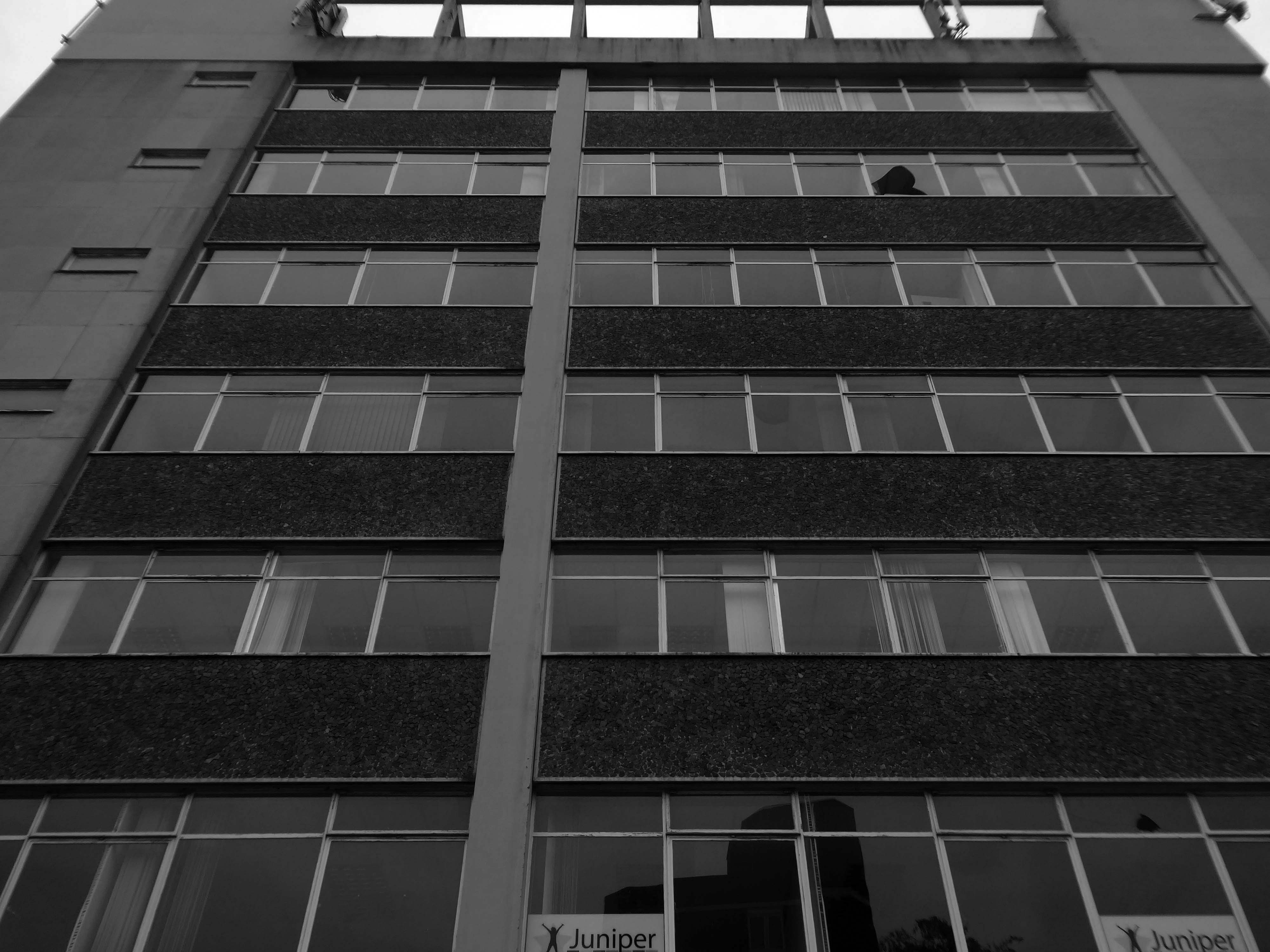
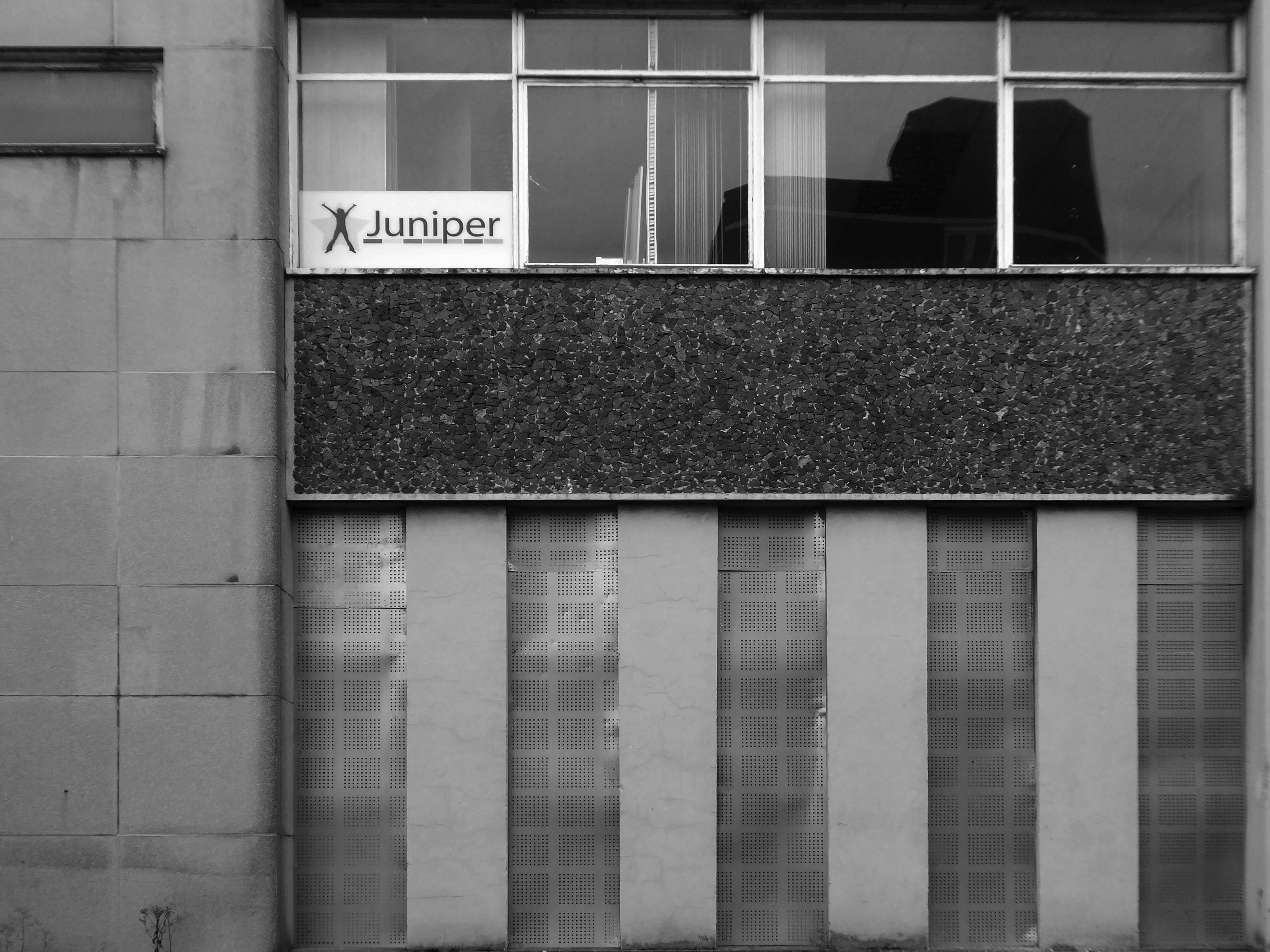
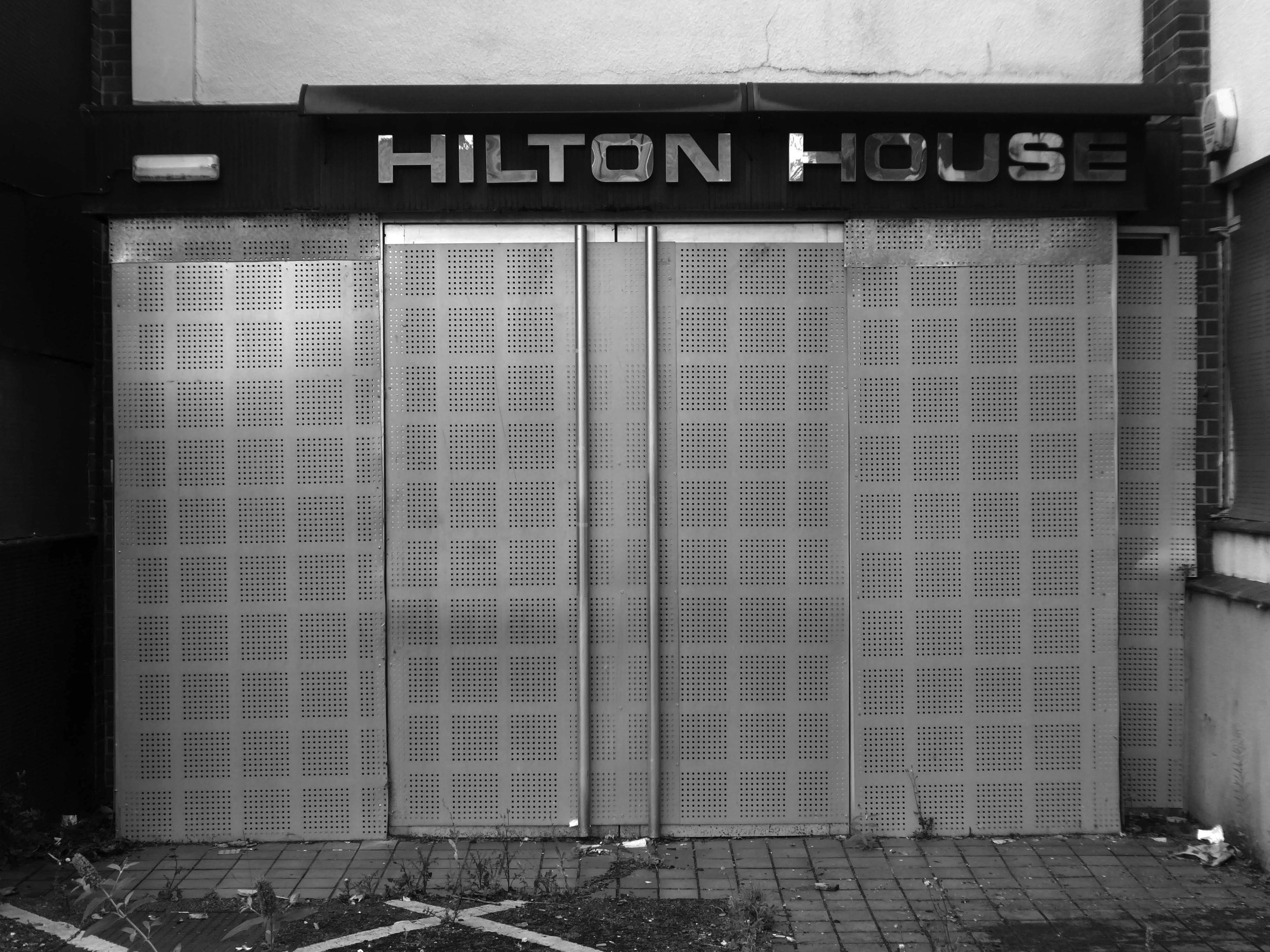
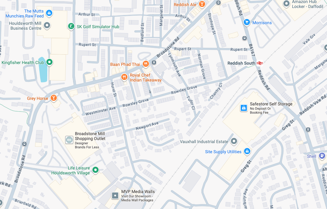
ARC began in 1995 at Greek Street, Stockport under the name of MAPS and moved to the Vauxhall Industrial Estate Craven Works building in early 1997. Arts for Recovery in the Community or ‘Arc’ was then launched in 2005. The Arc Centre in its current form, including gallery servung refreshments and public programme has been running since 2016.

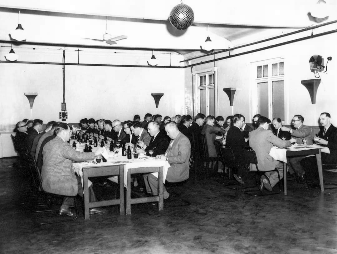
Of course, we are sad to say goodbye to the old Craven Brothers factory and the Reddish community as our base. We are so grateful to the local residents and businesses who have supported us for so long. Please, don’t be strangers! We made the building our own over the years and take with us many, many great memories. 

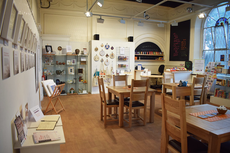
Looking to the future at Wellington Mill, we will have exclusive use of several rooms on the floor accessed via the A6 and Hat Works Museum shop. This will include a large art studio, ceramics studio, offices and storage spaces. We will also share the large cafe, events and retail space with the Hat Works museums team and work together to build a bigger audience for both organisations and hopefully a Stockport town centre creative arts hub.
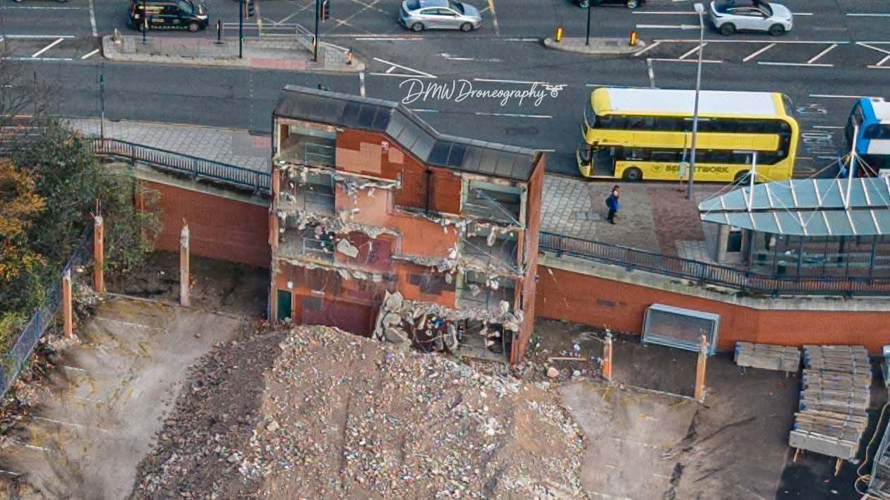
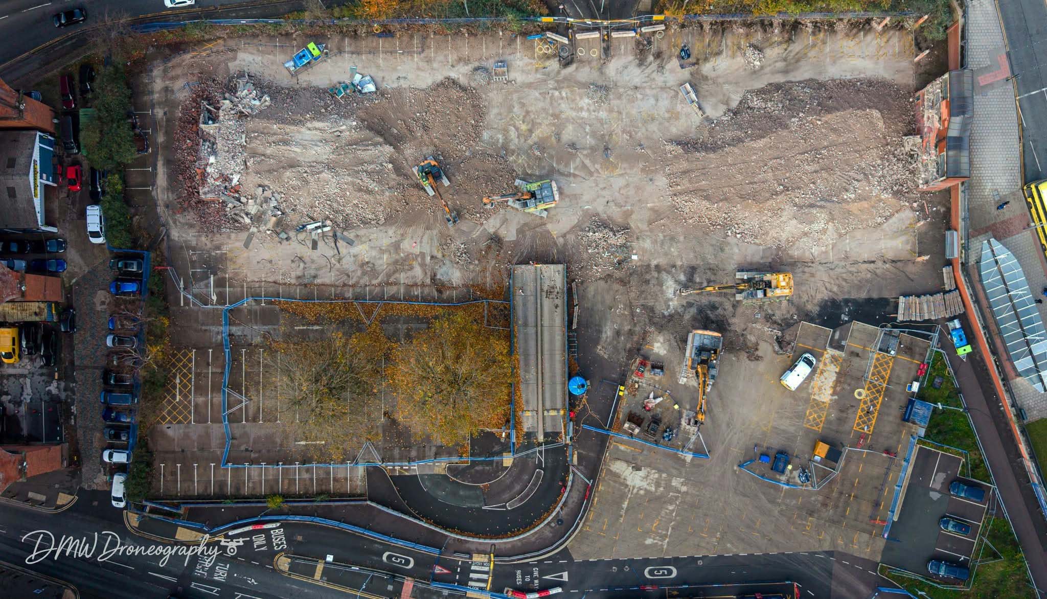
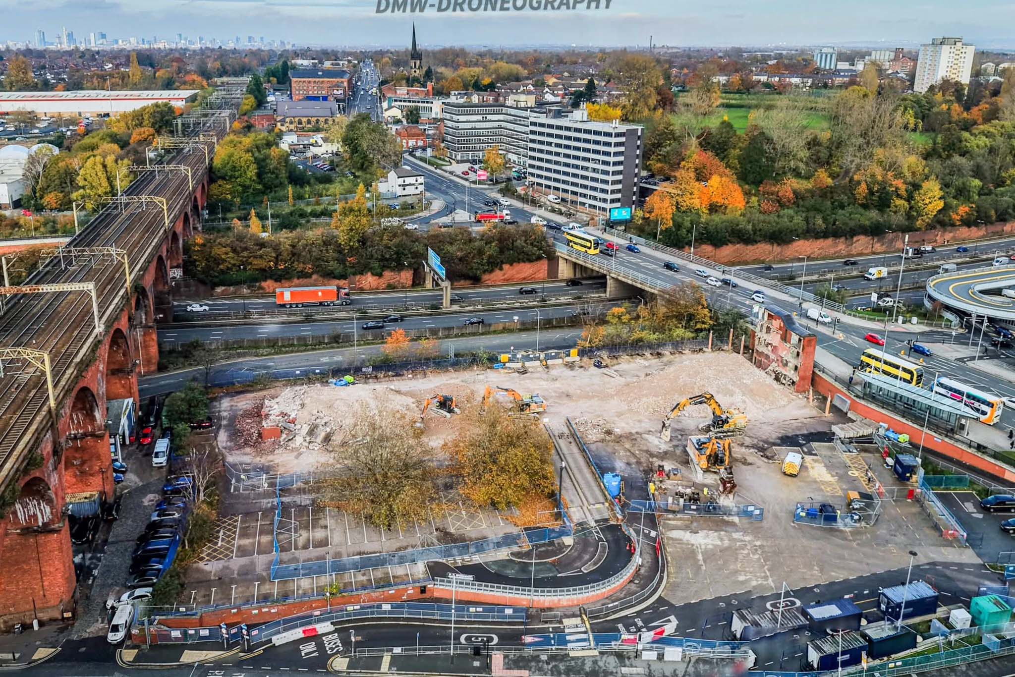
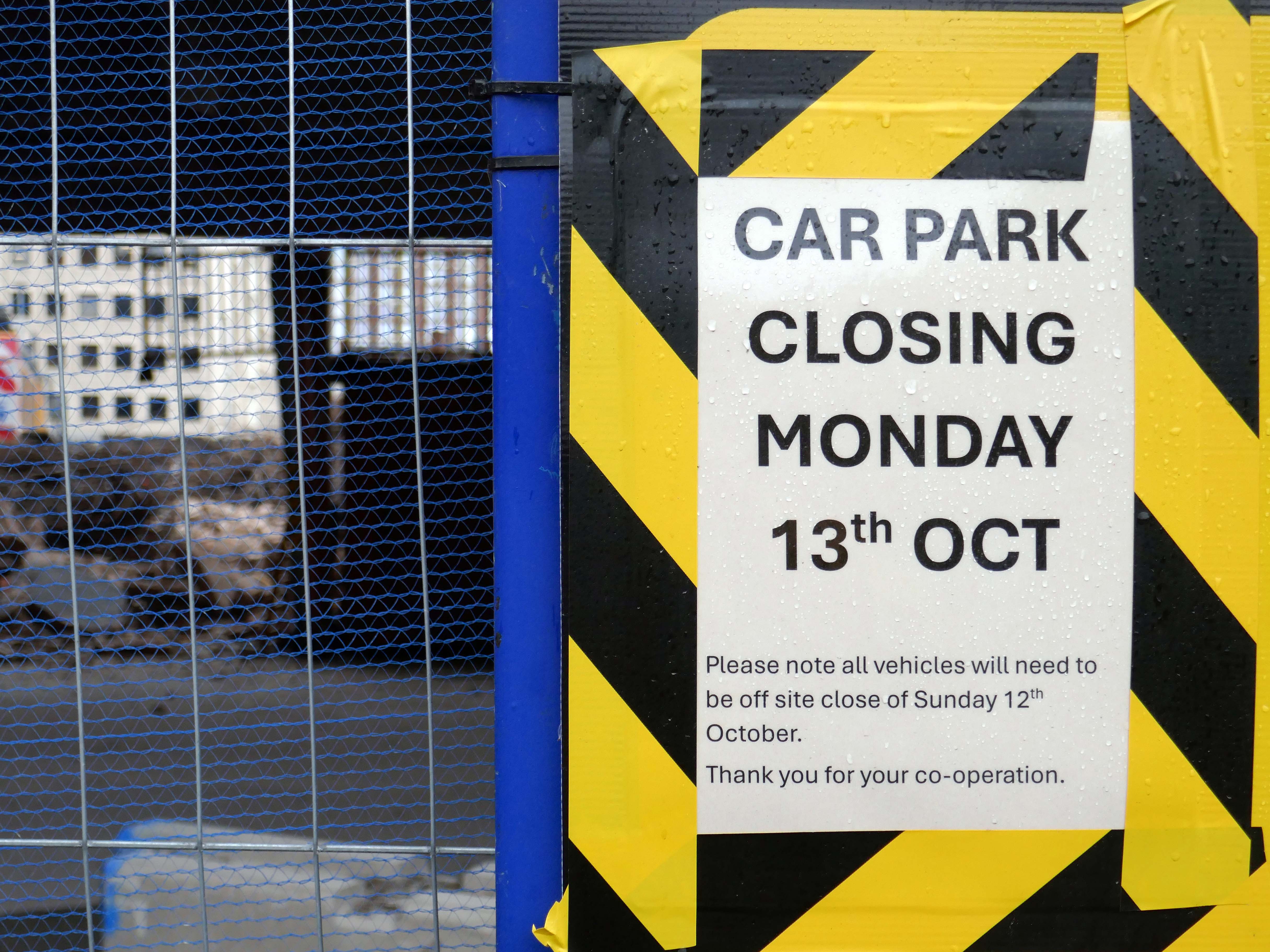
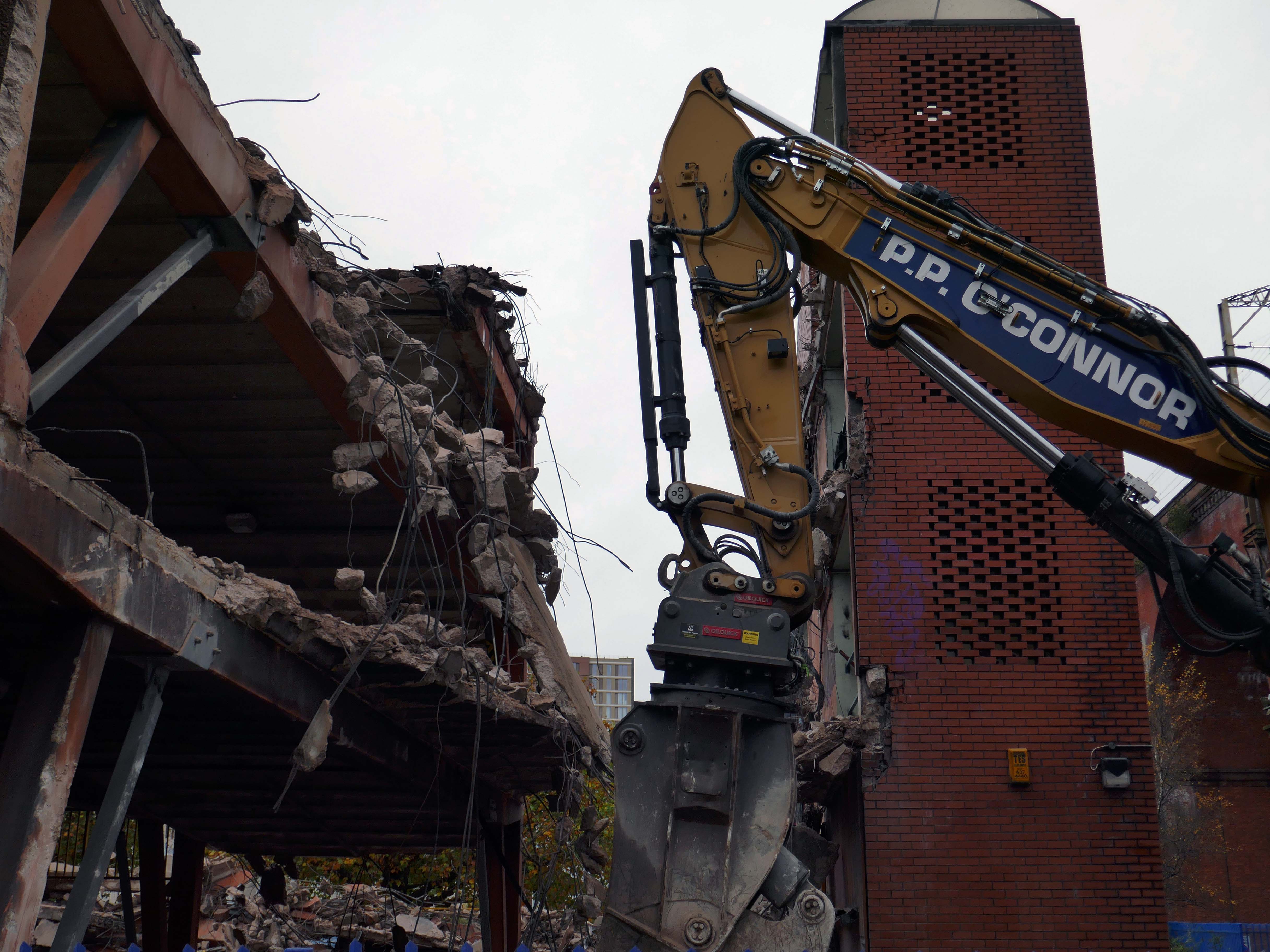
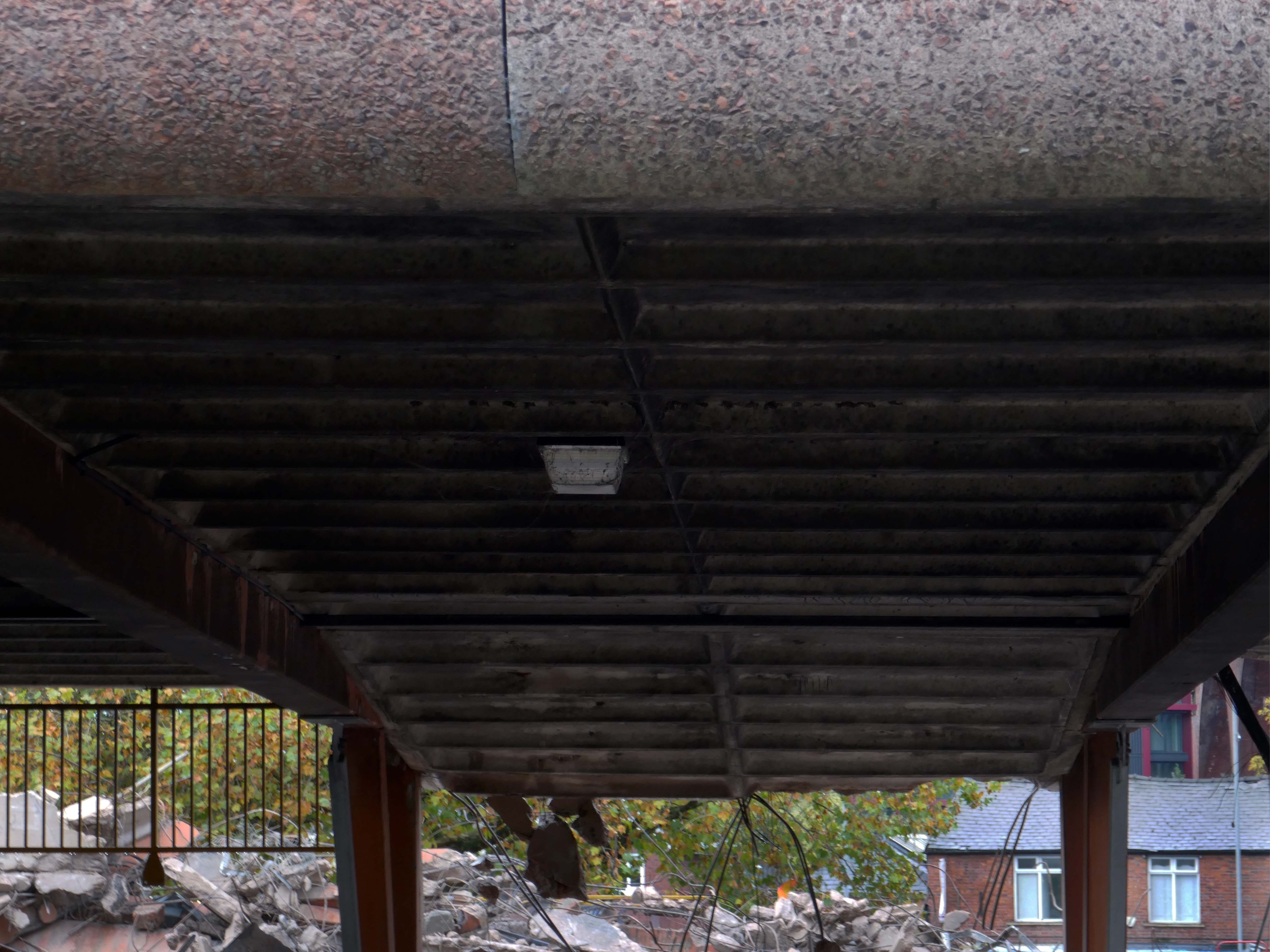
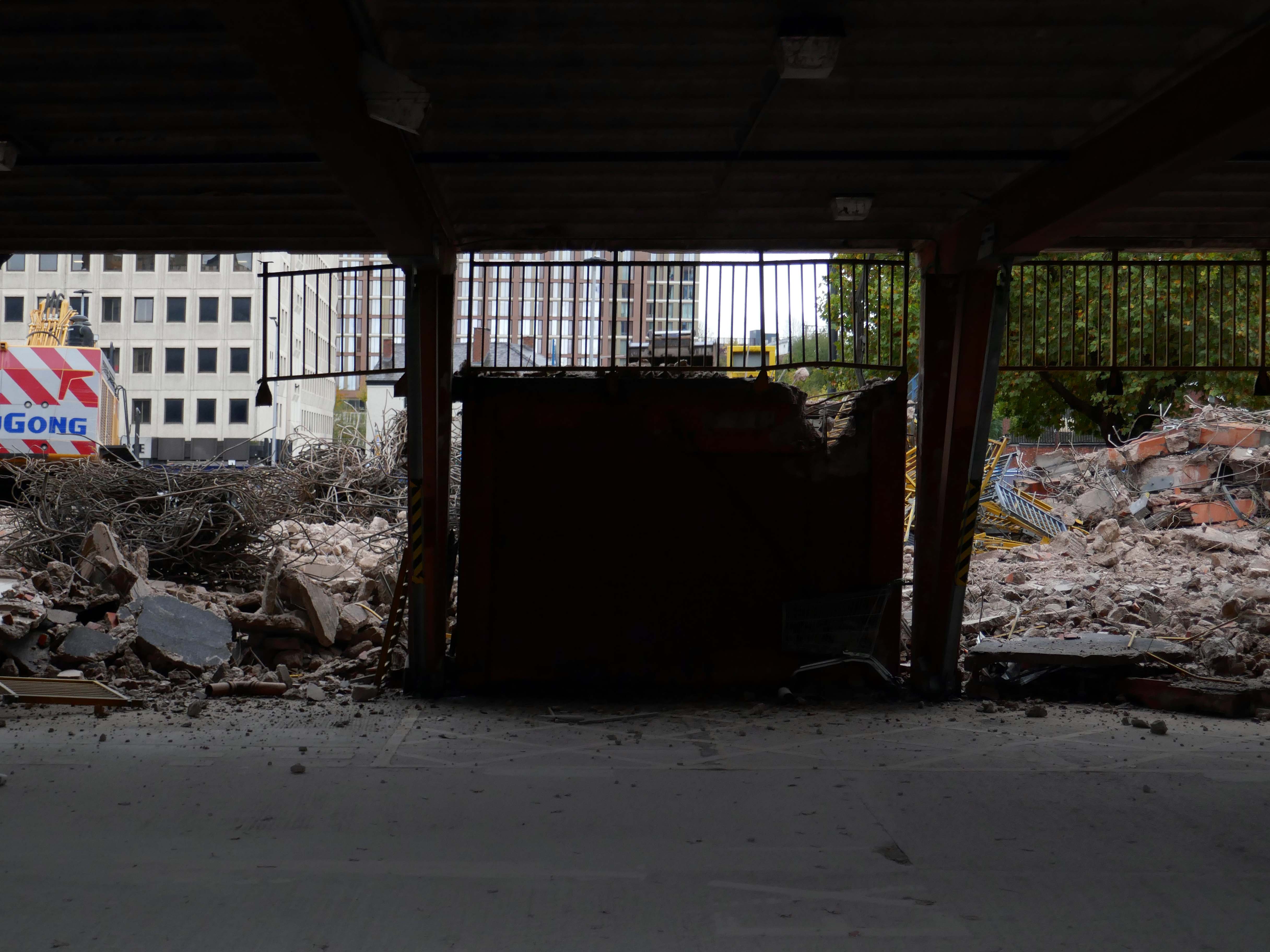
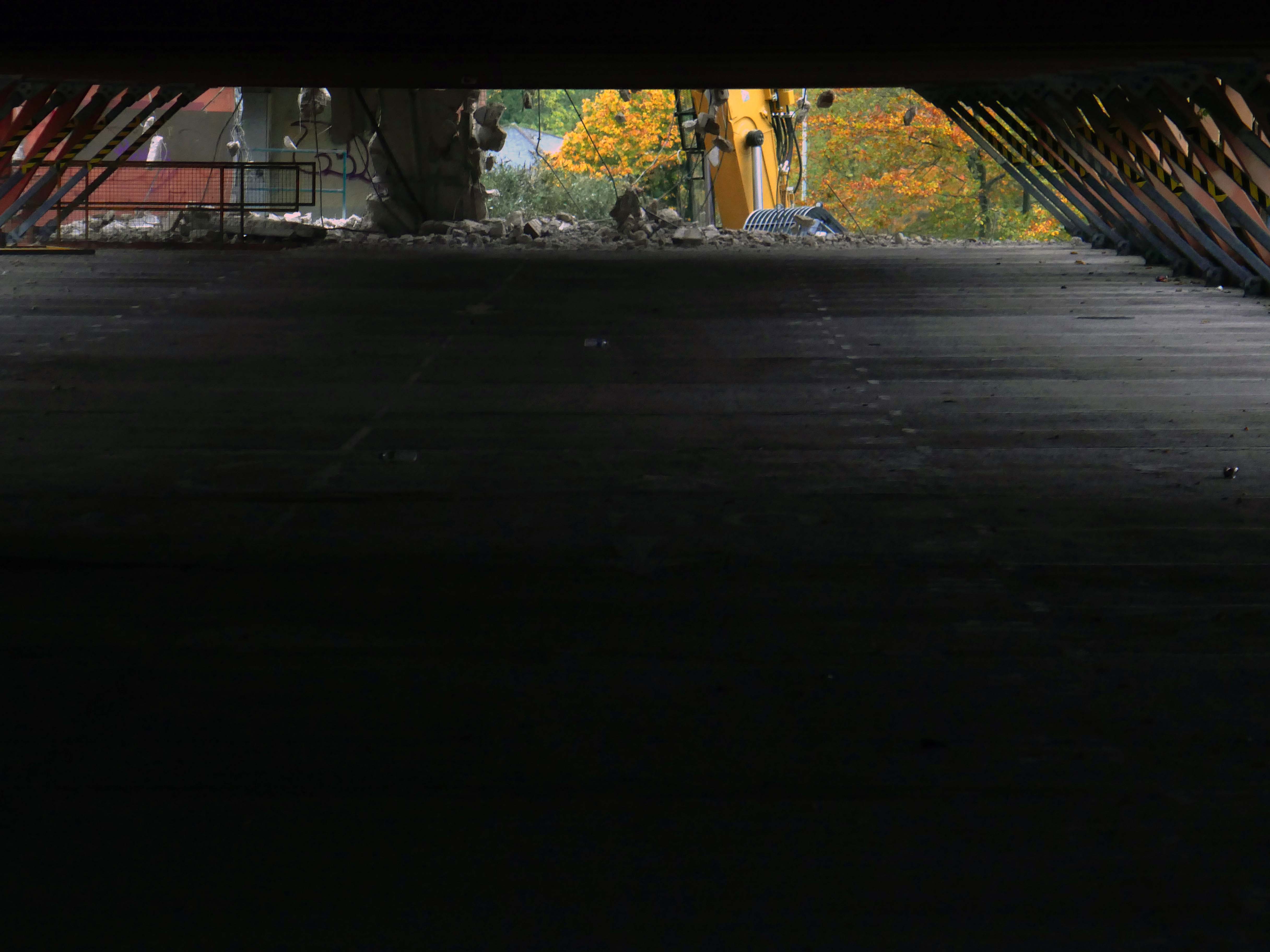
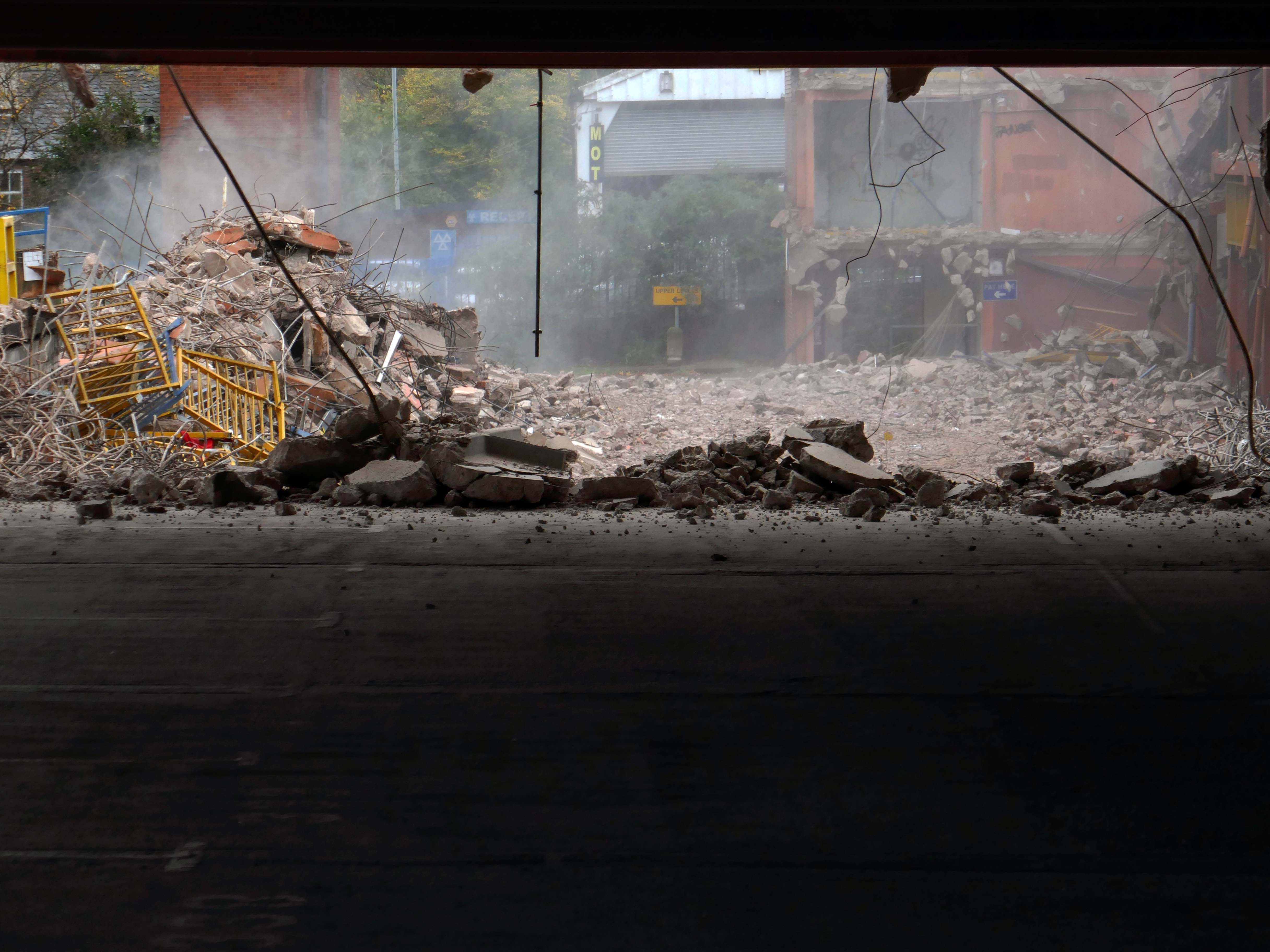
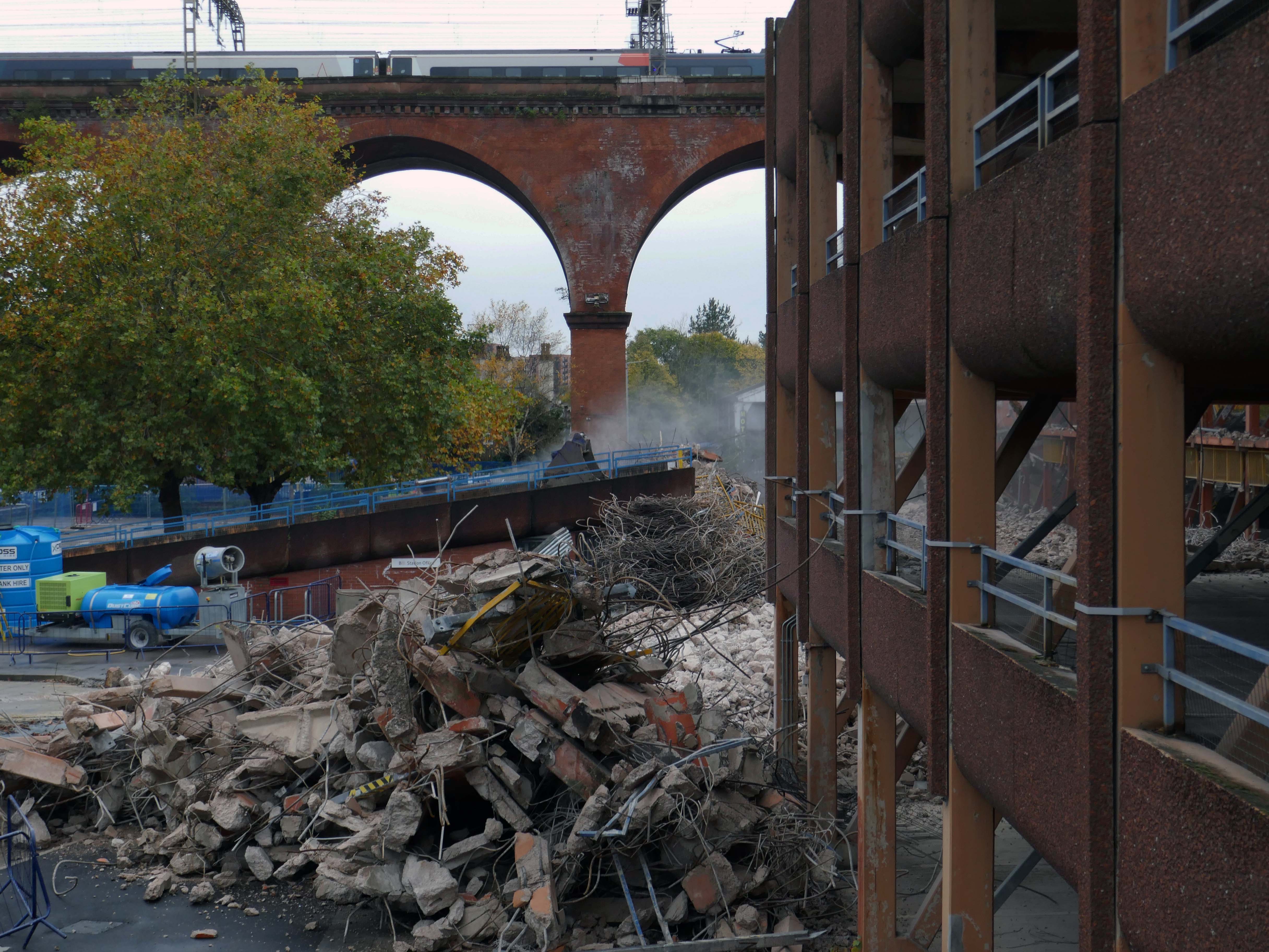
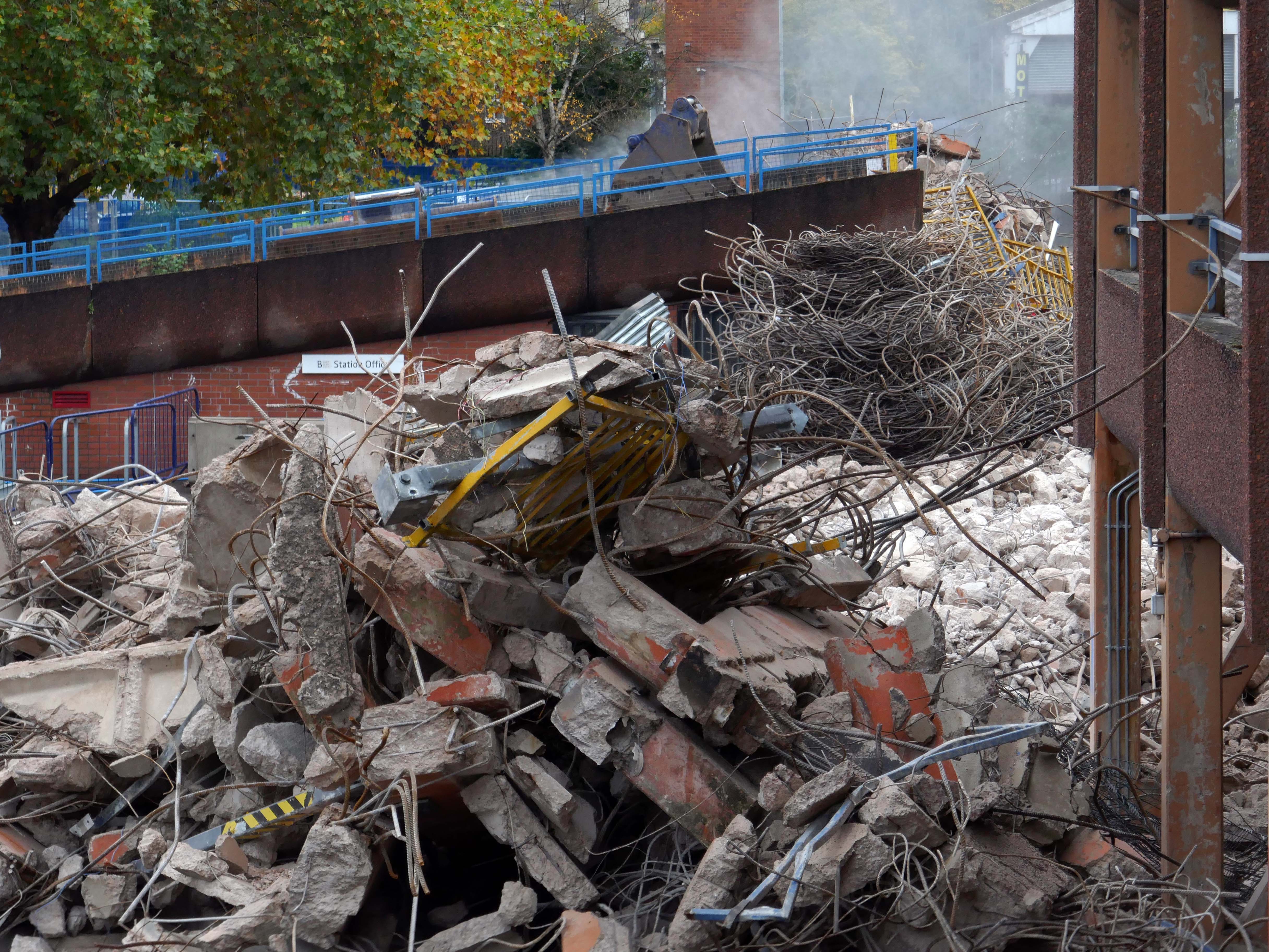
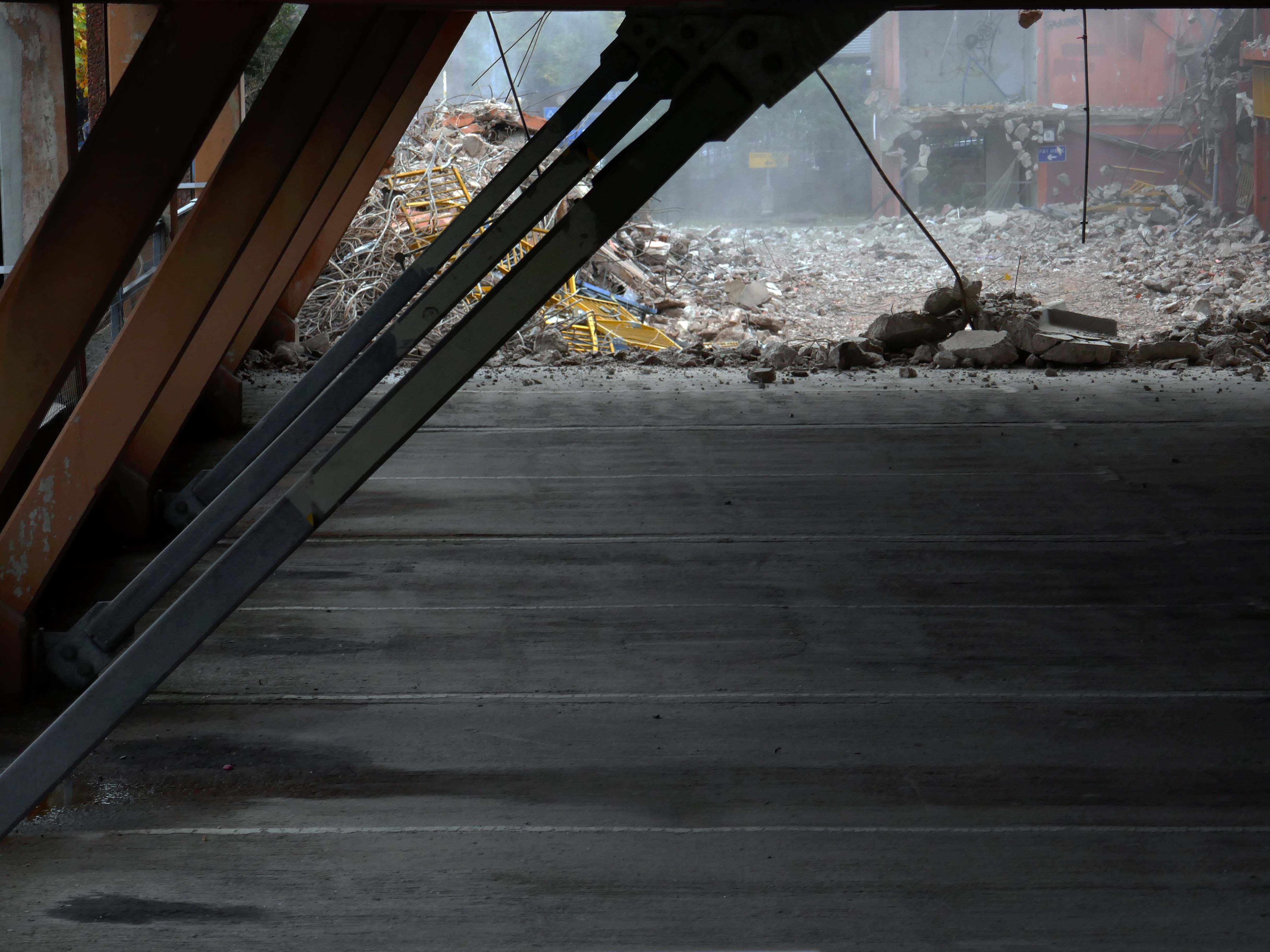
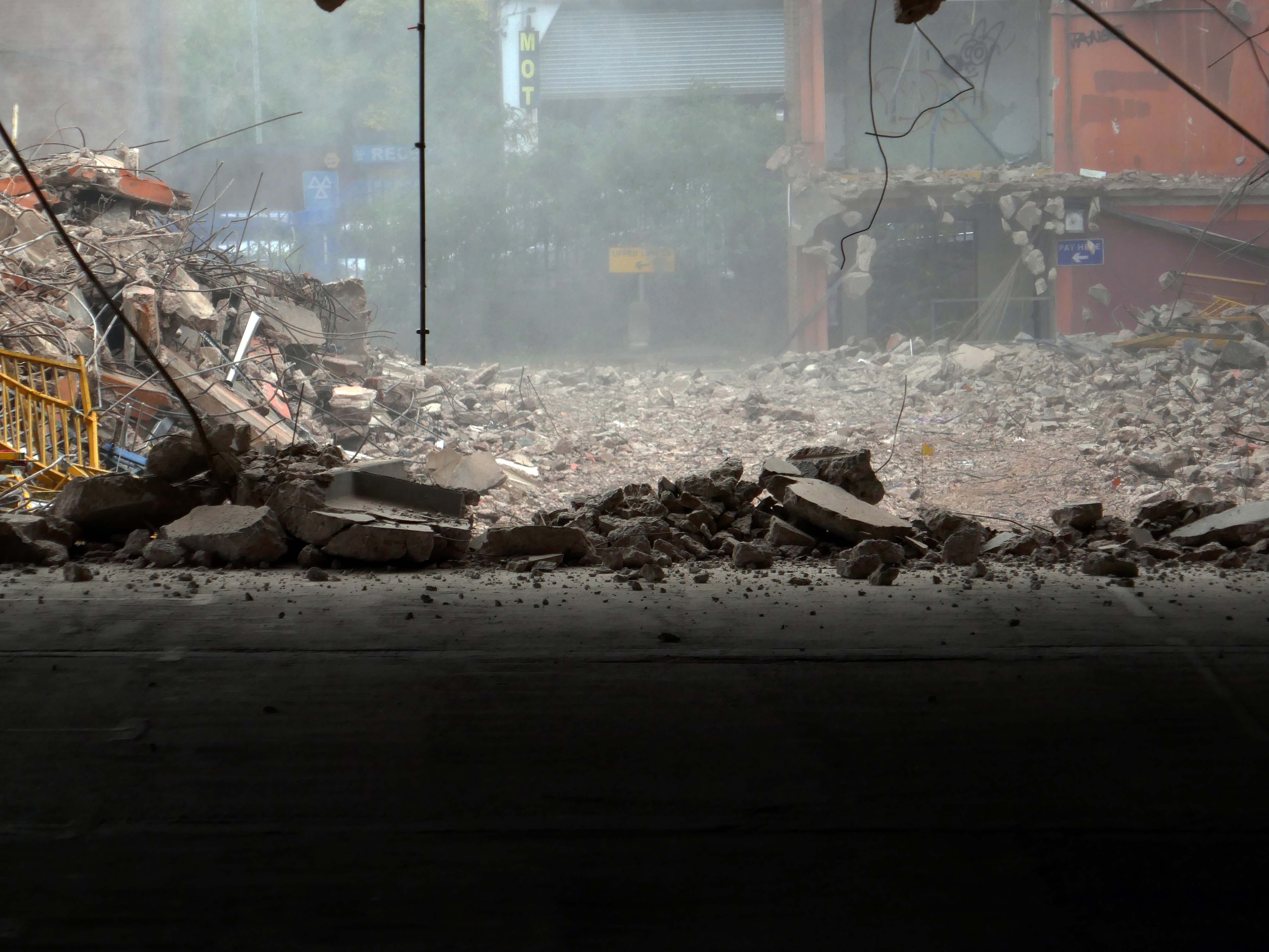
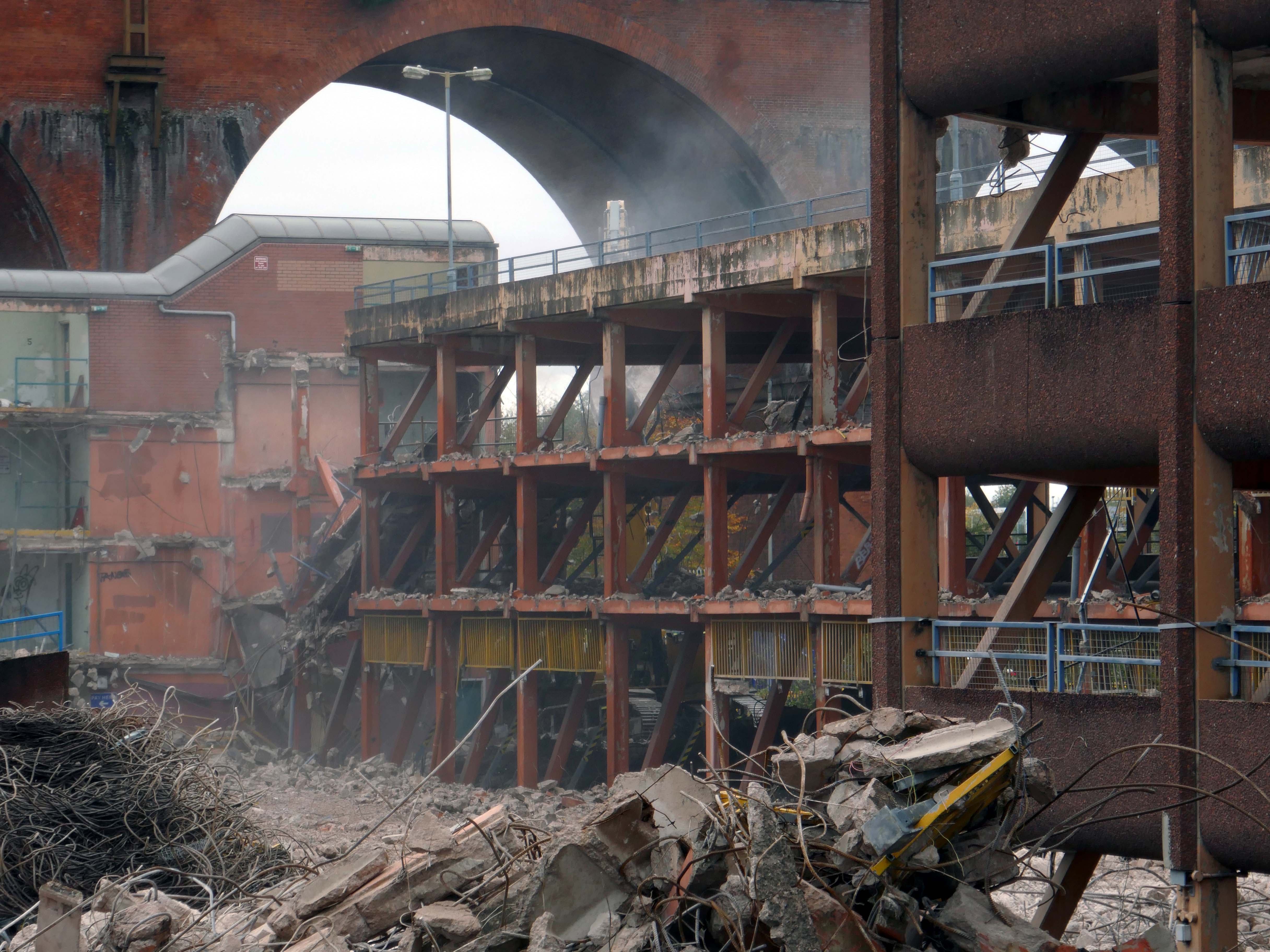
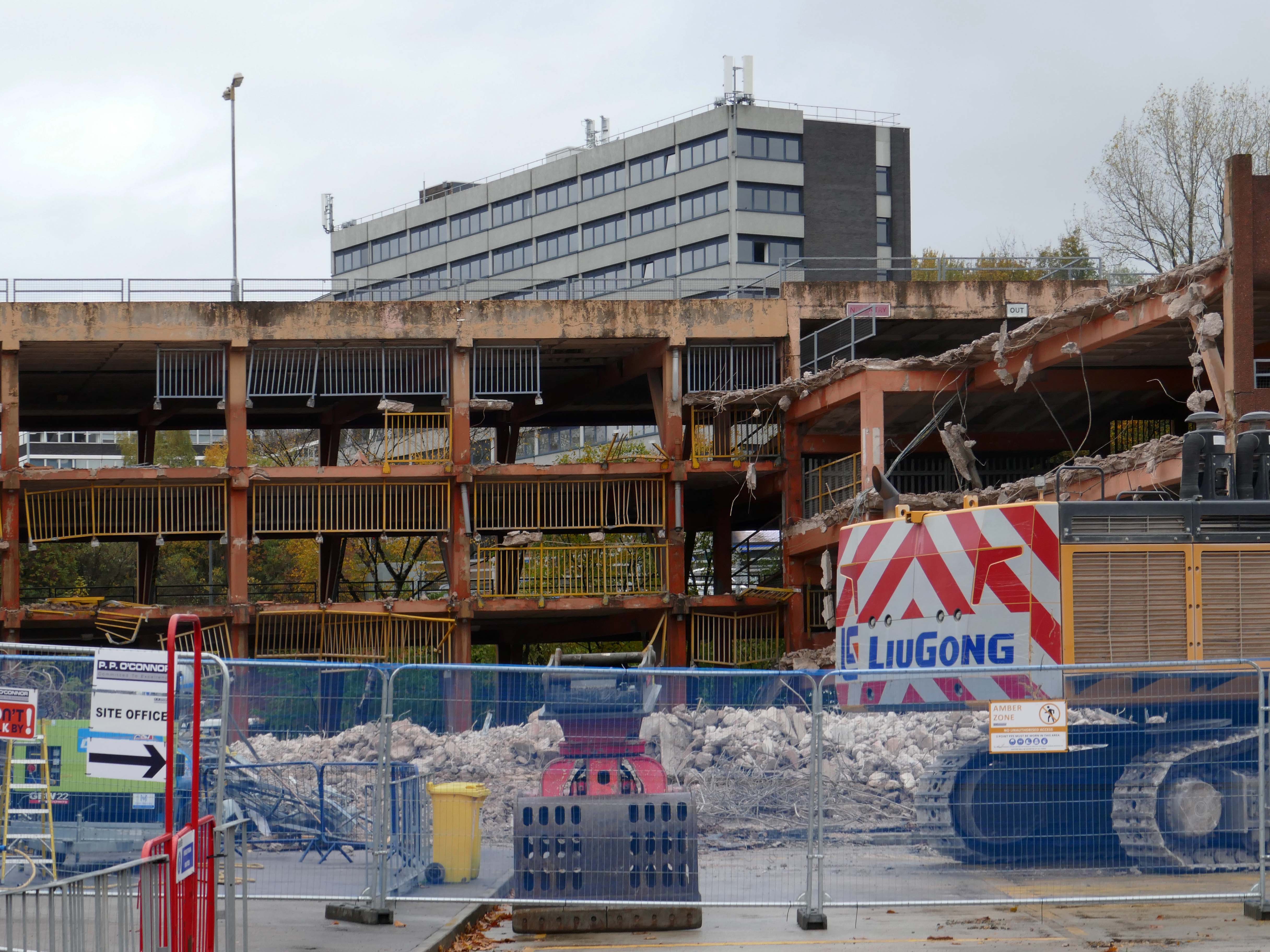
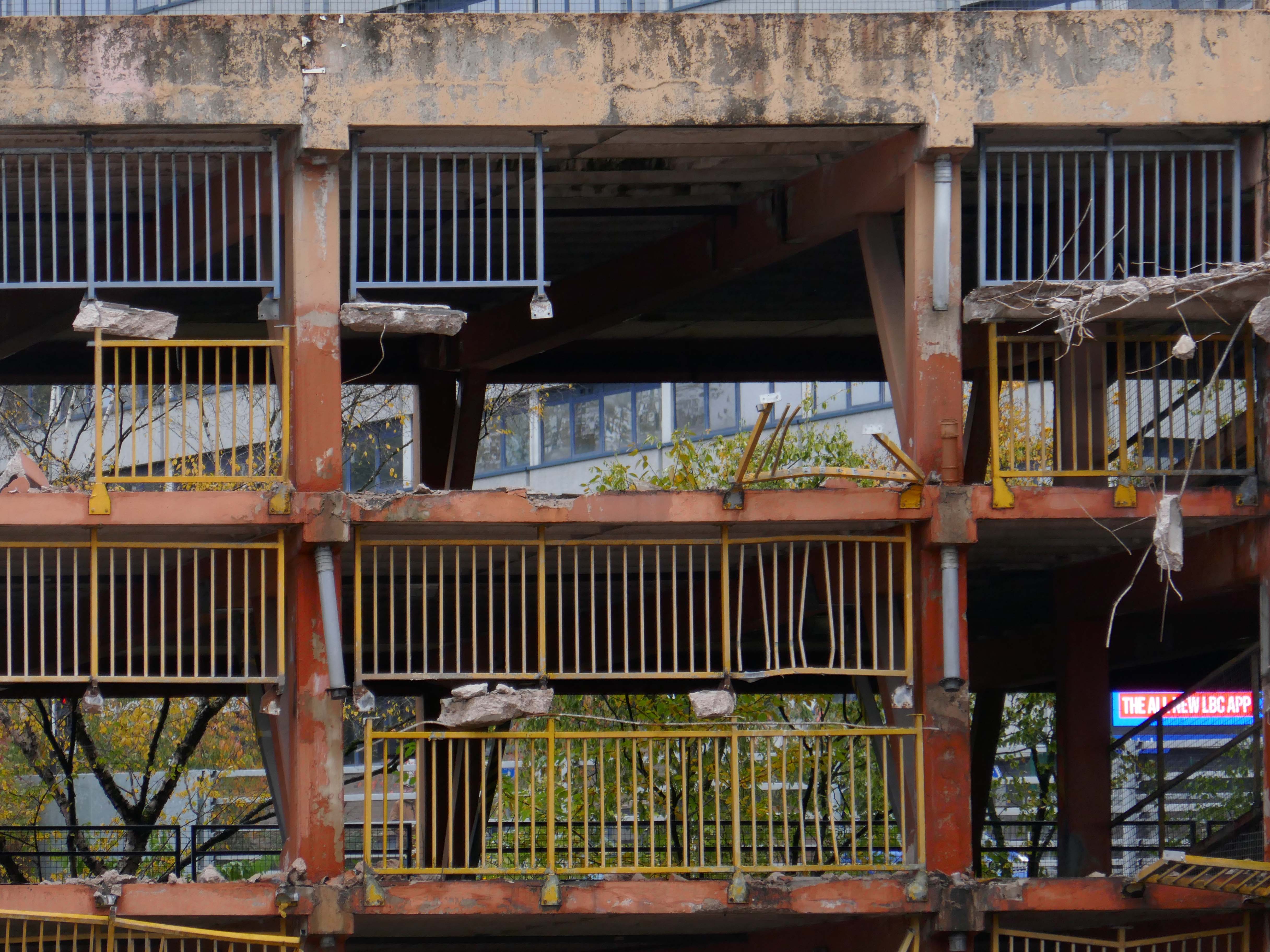
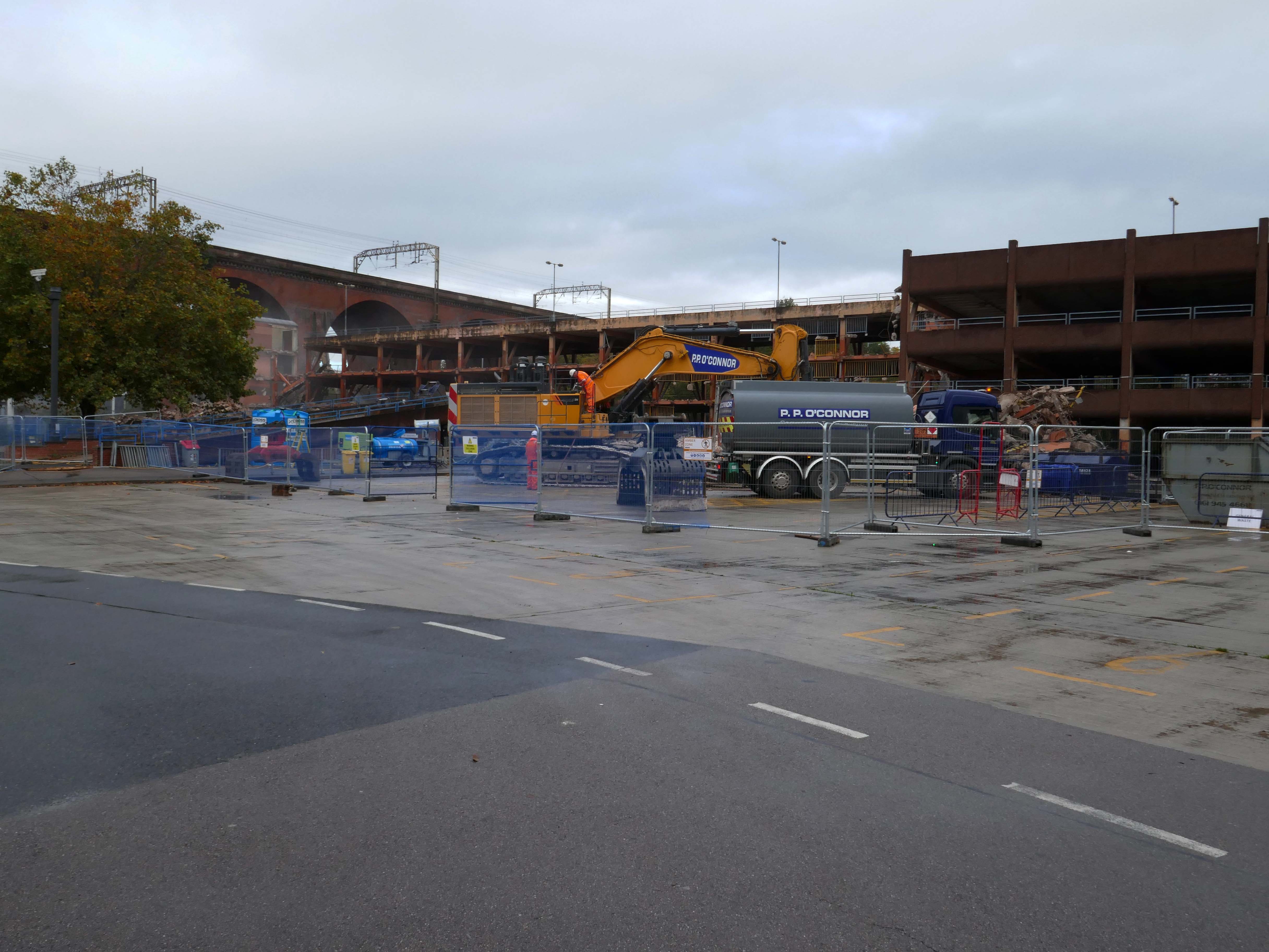
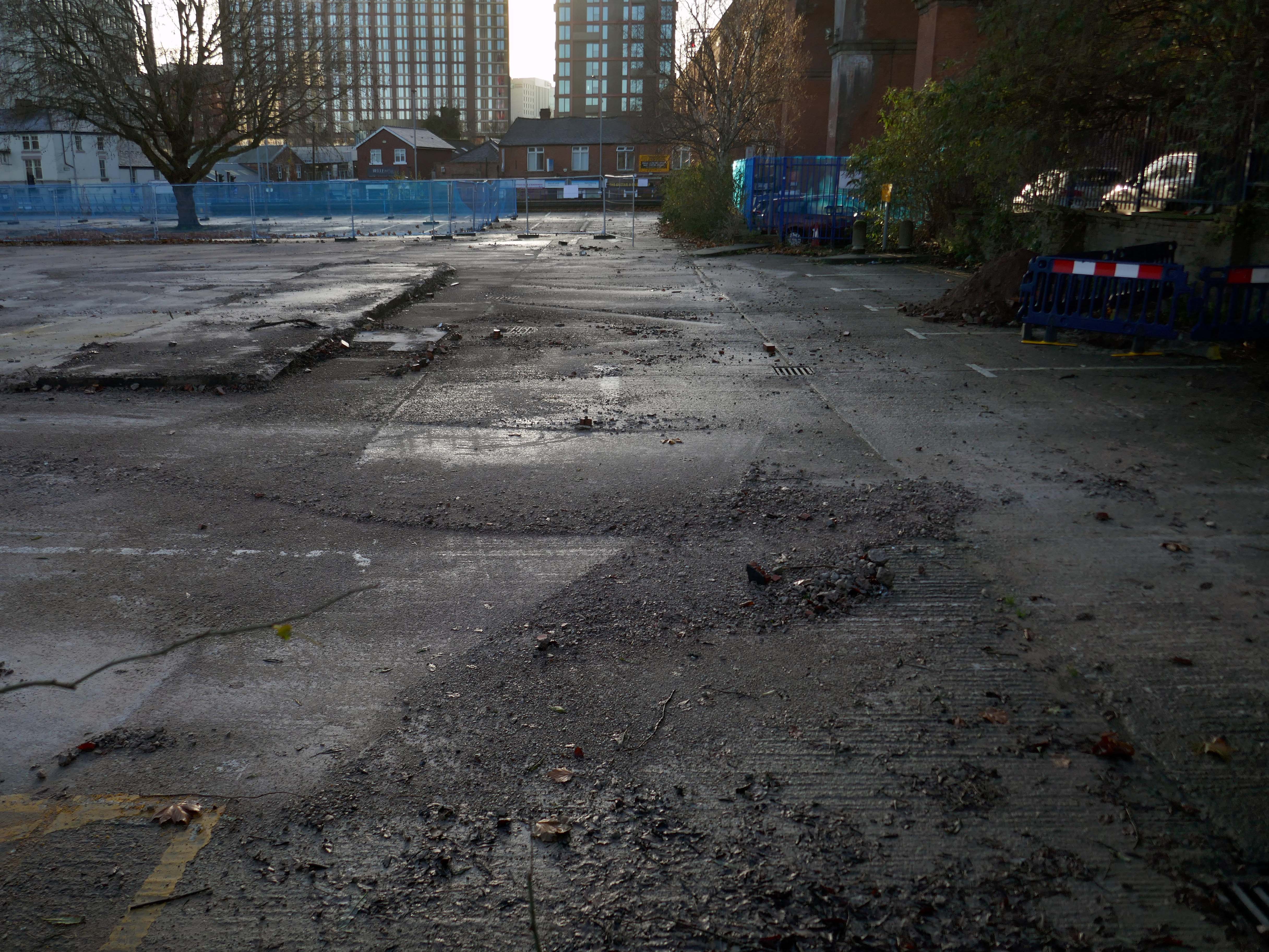
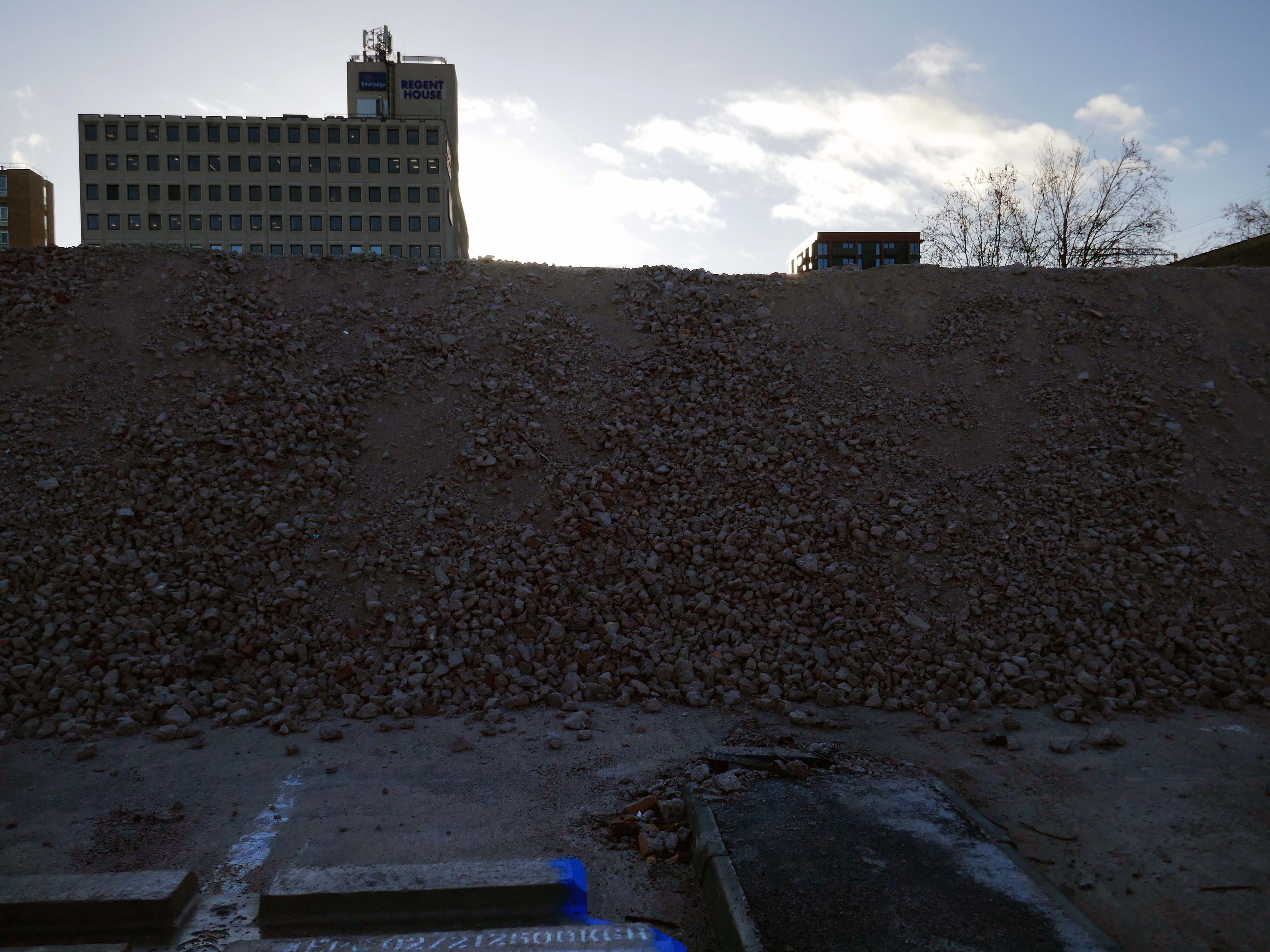
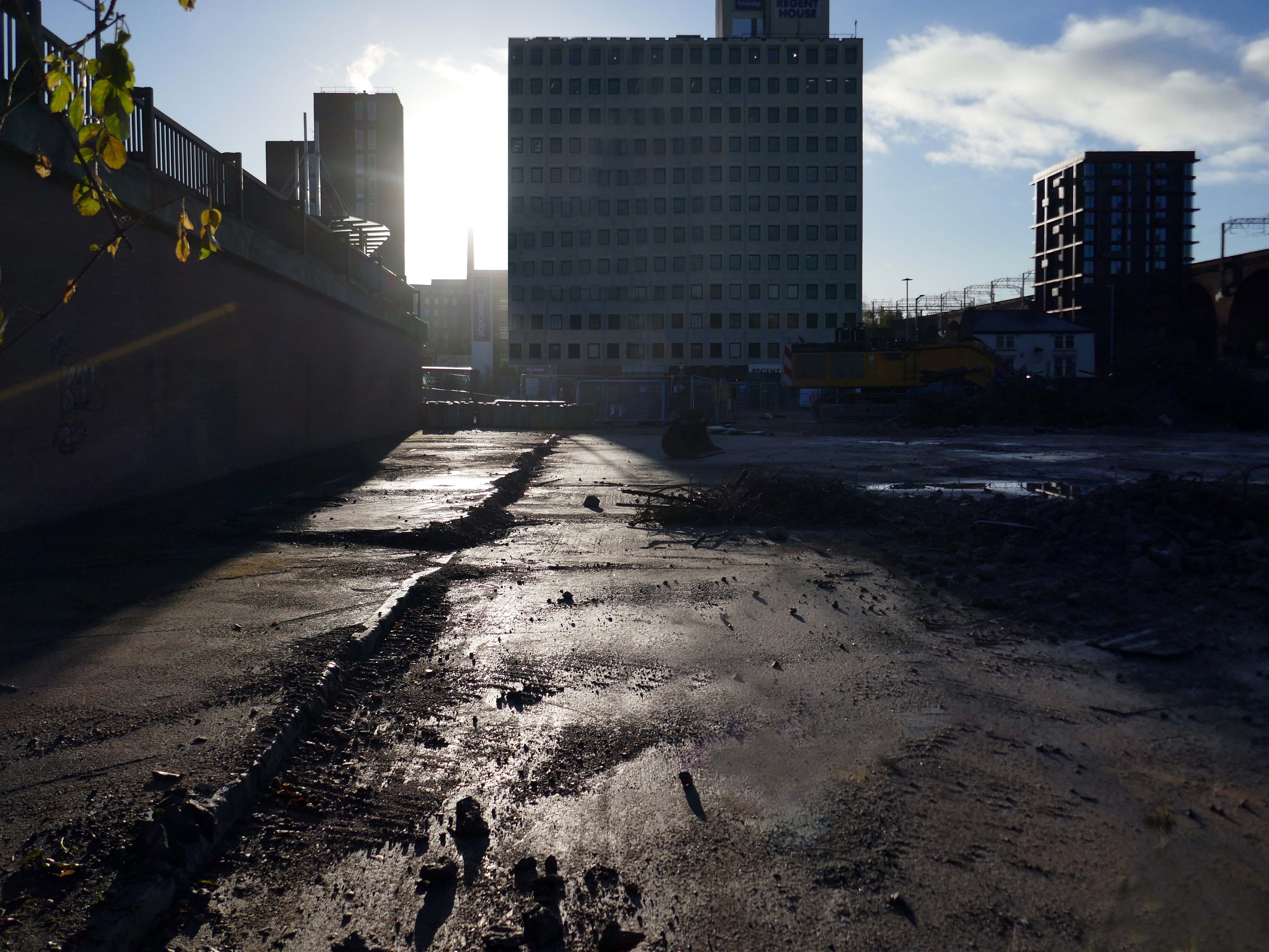
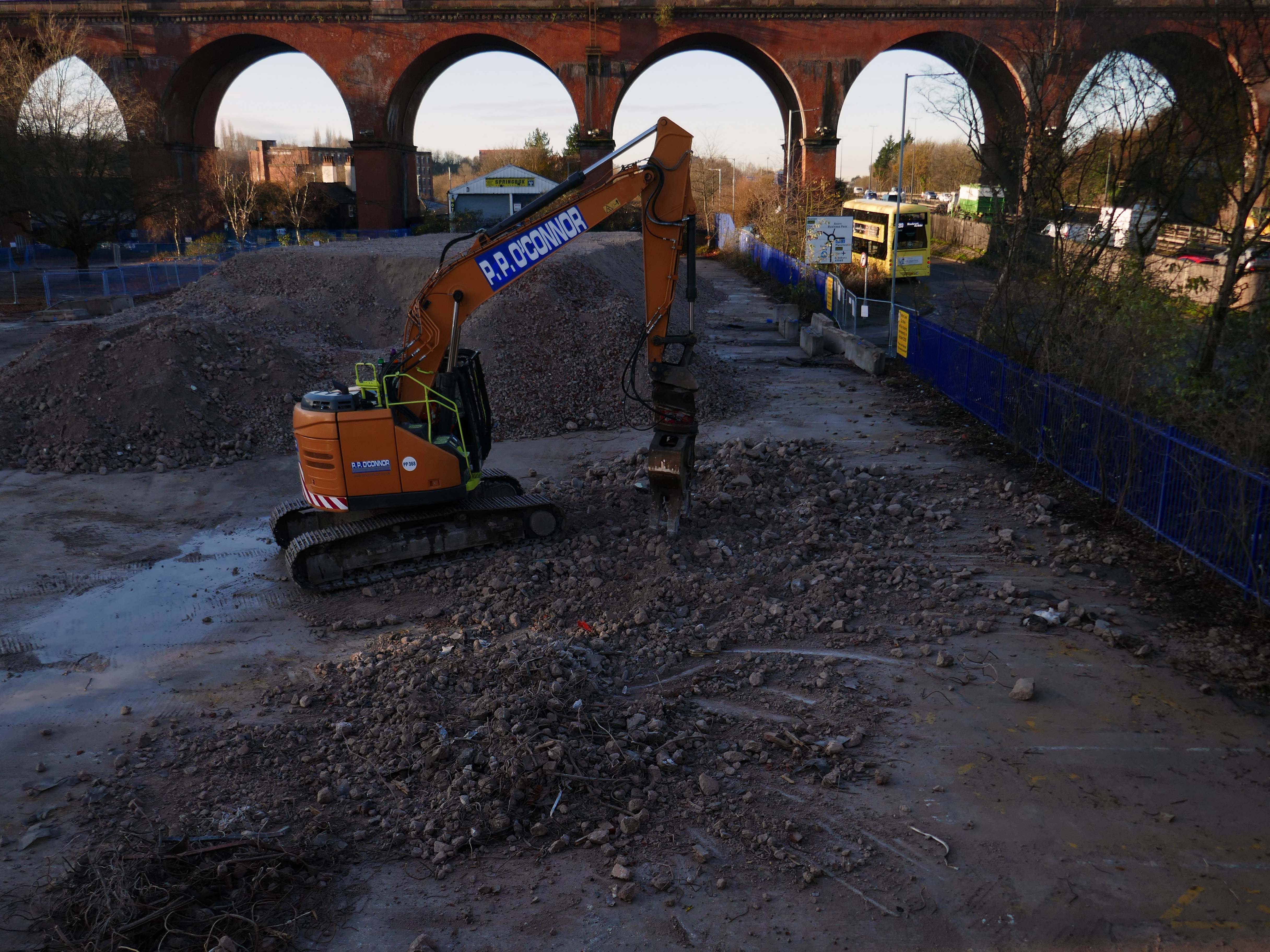
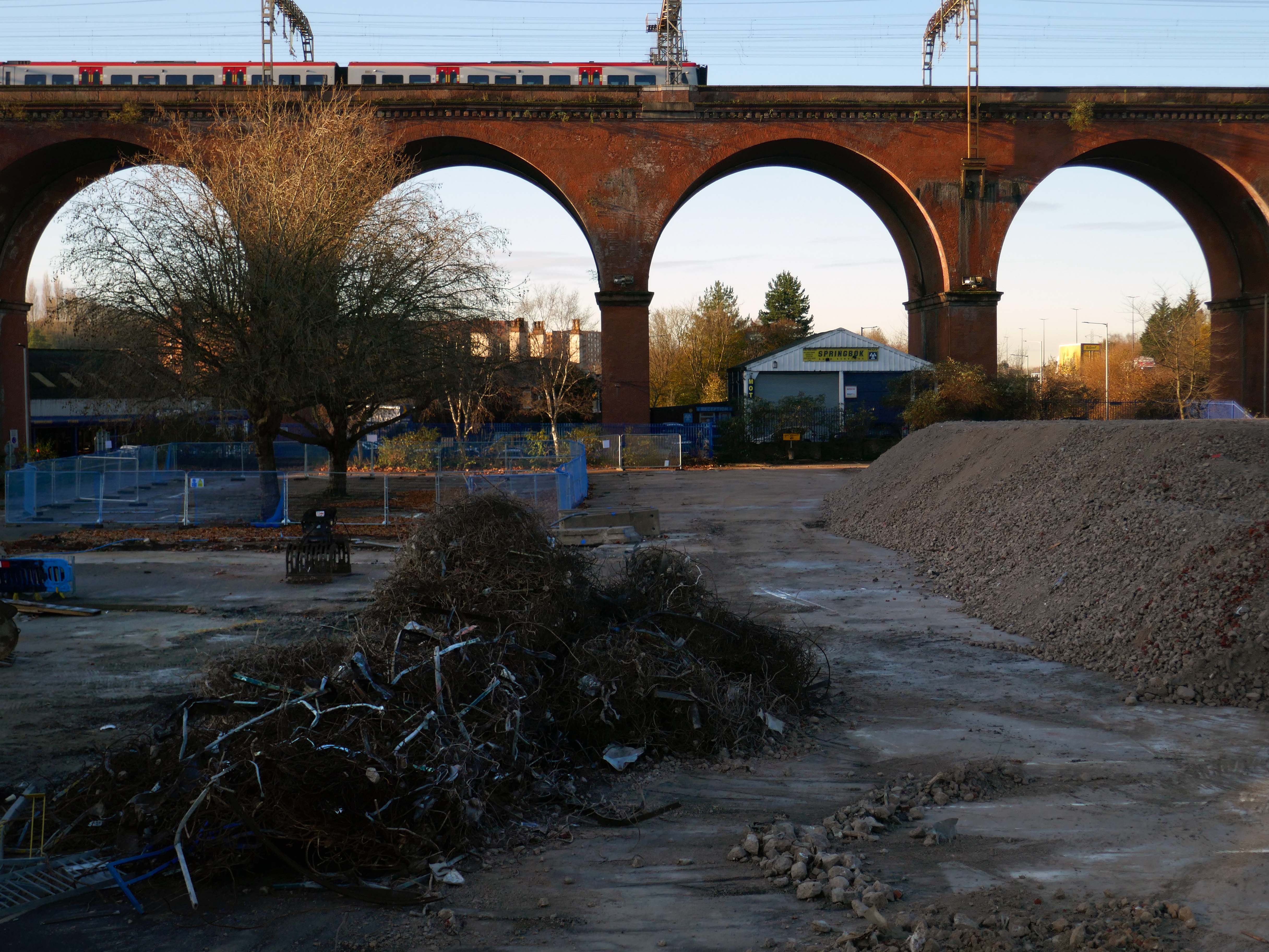
ARC

Demolished 2020.

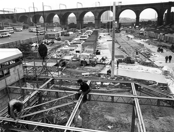
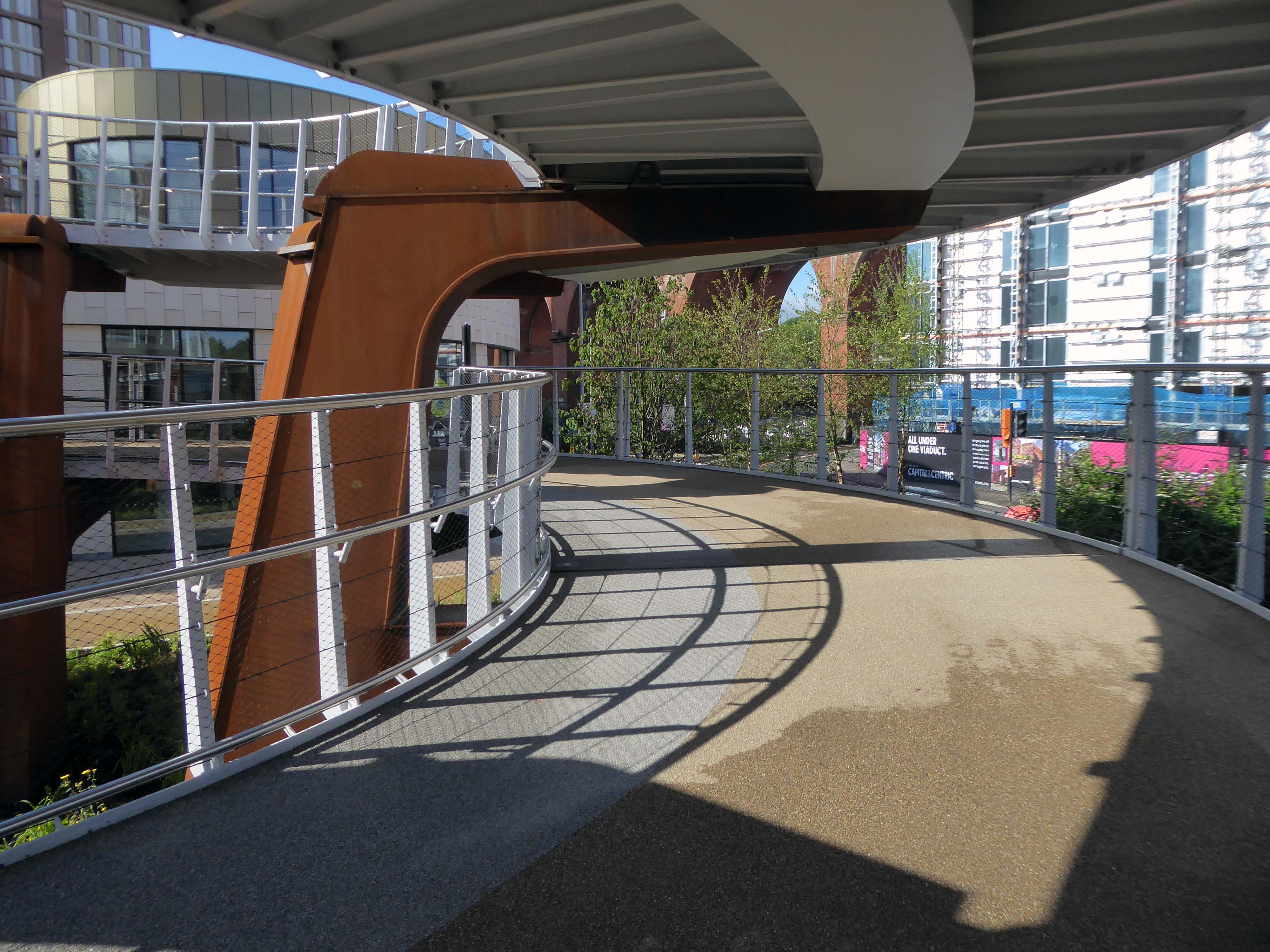
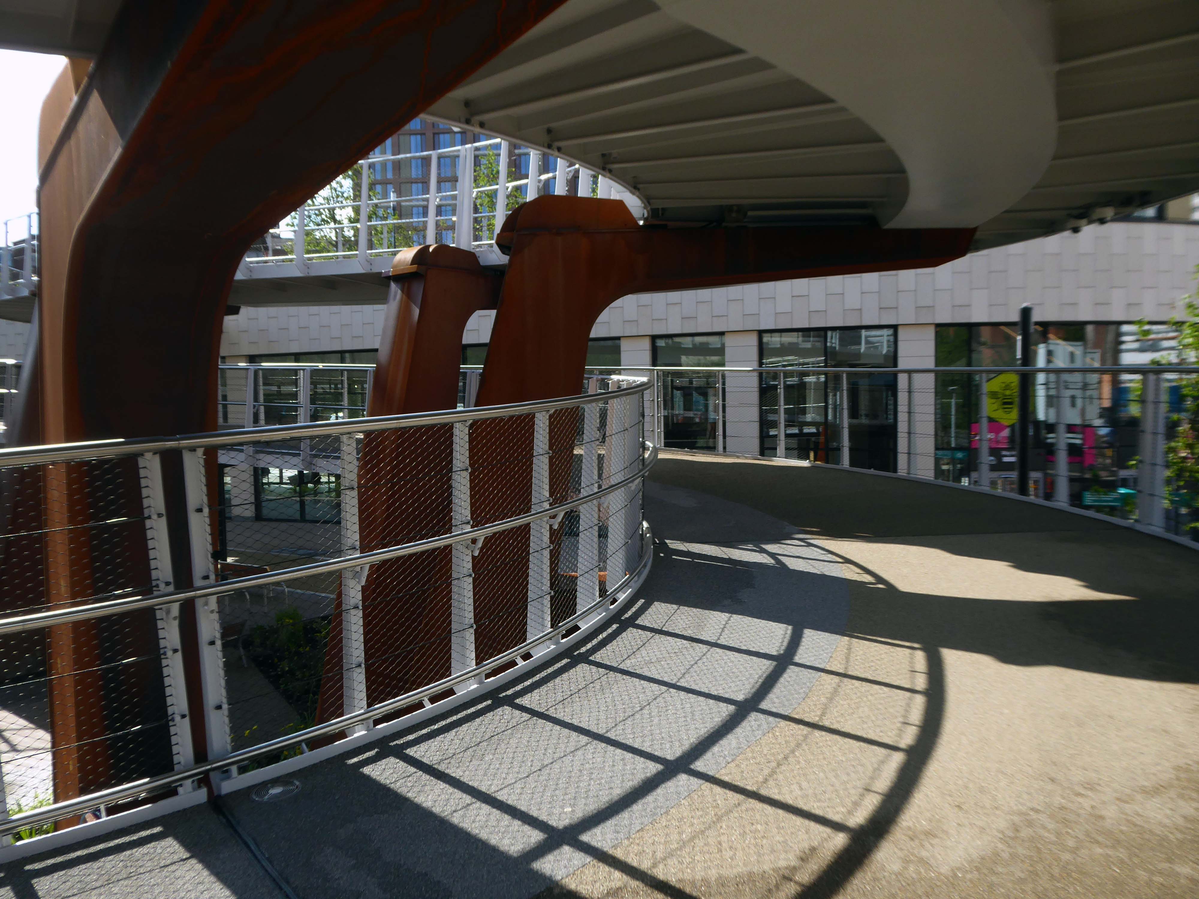
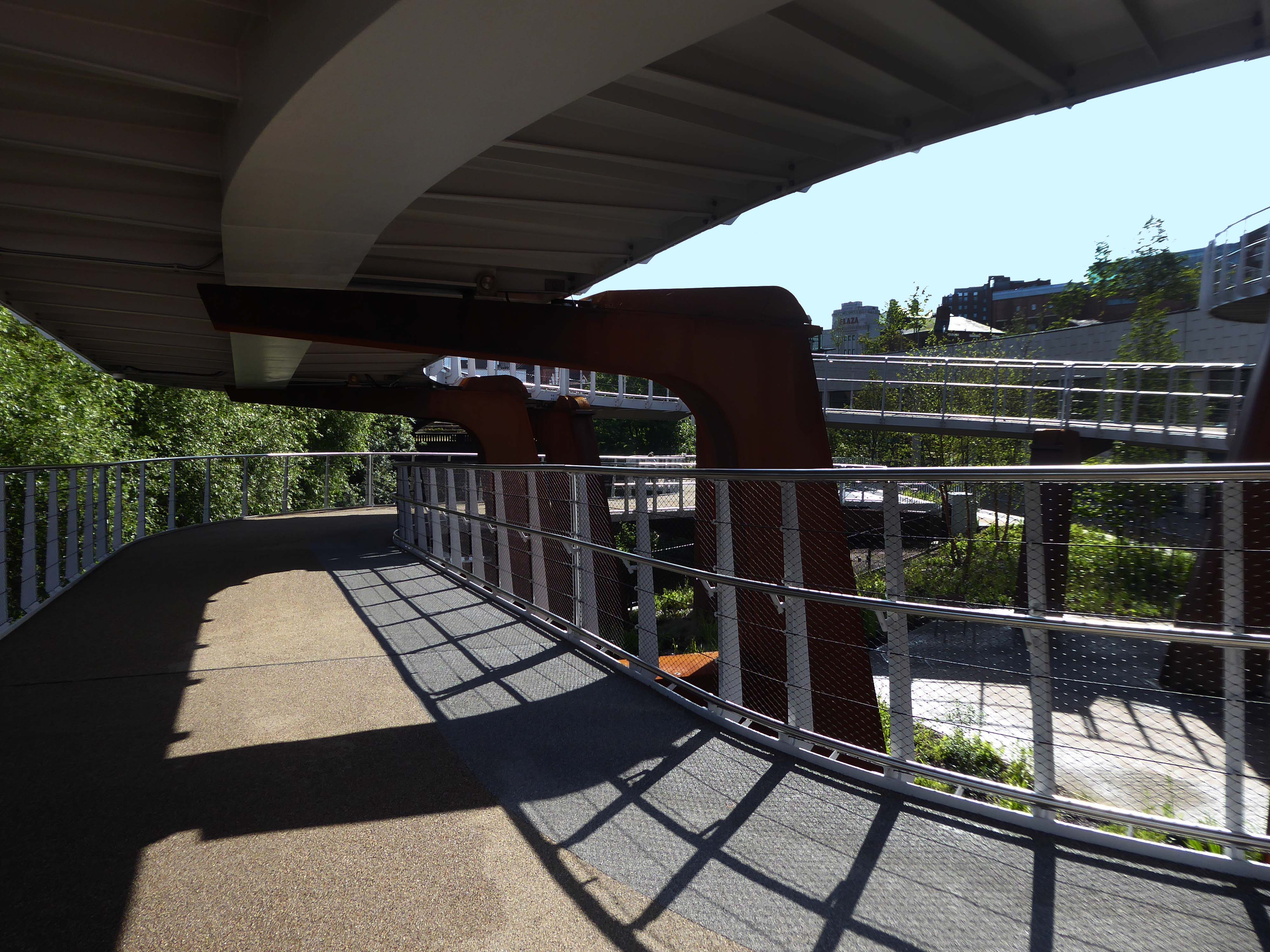
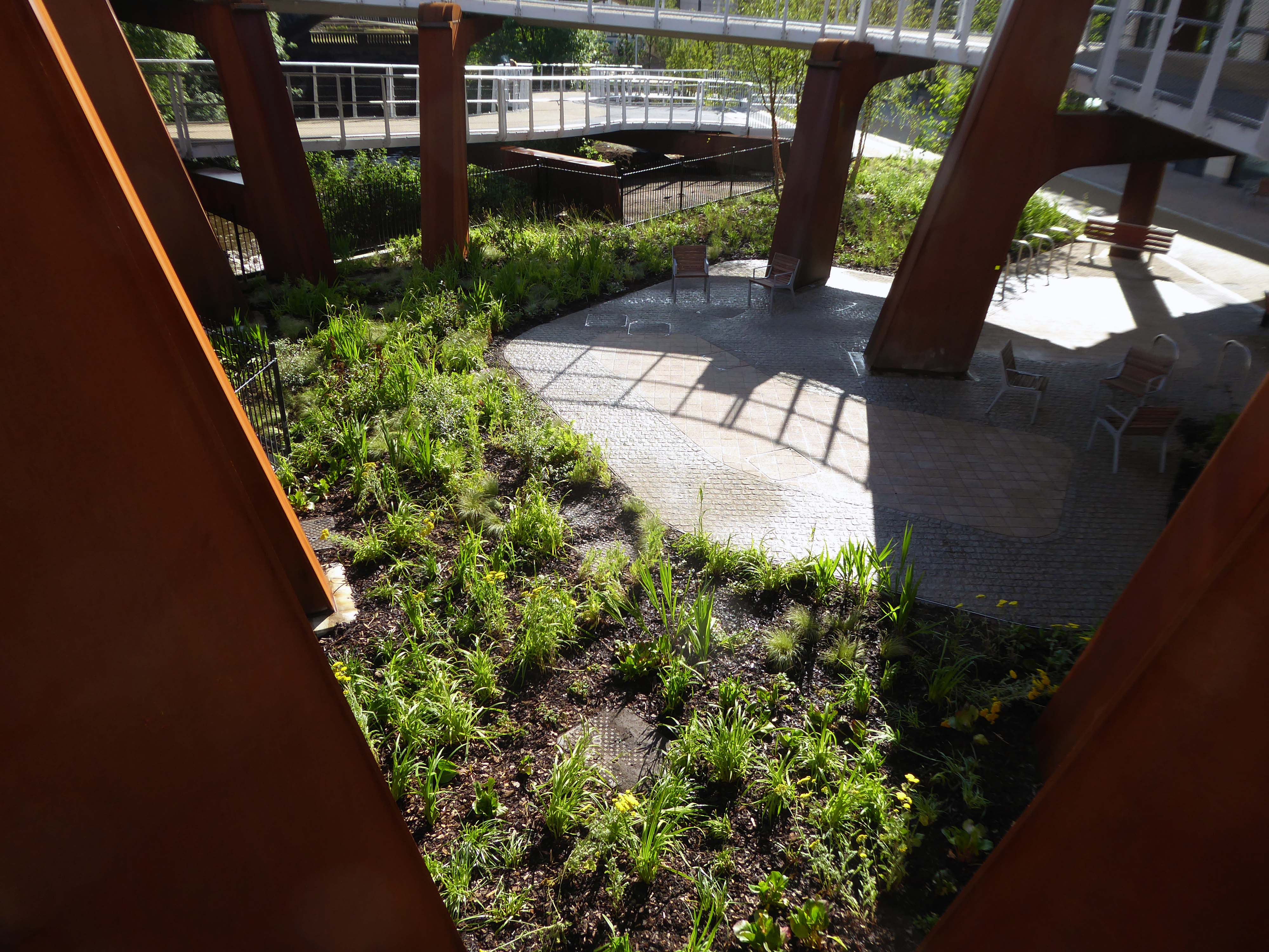
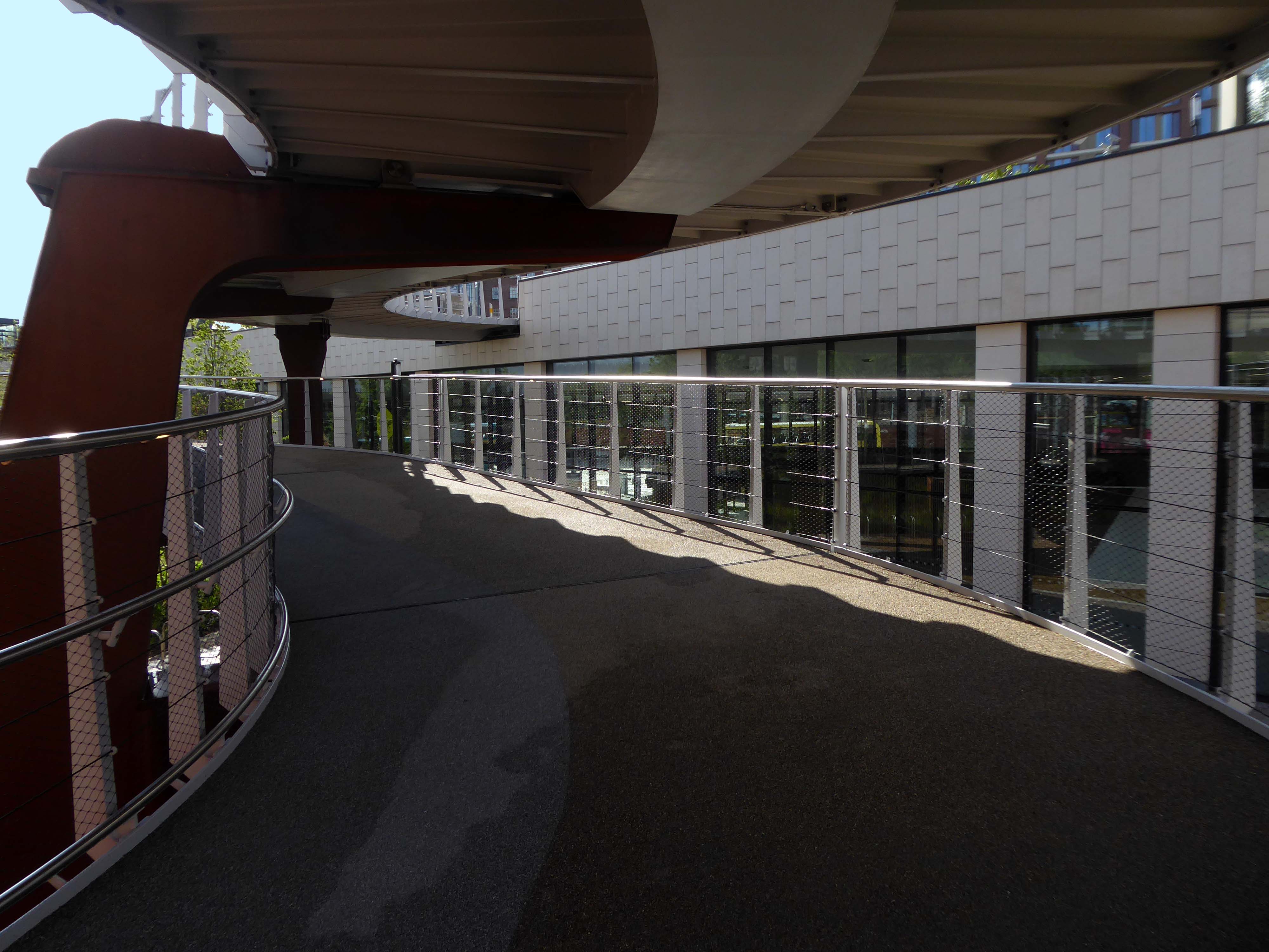
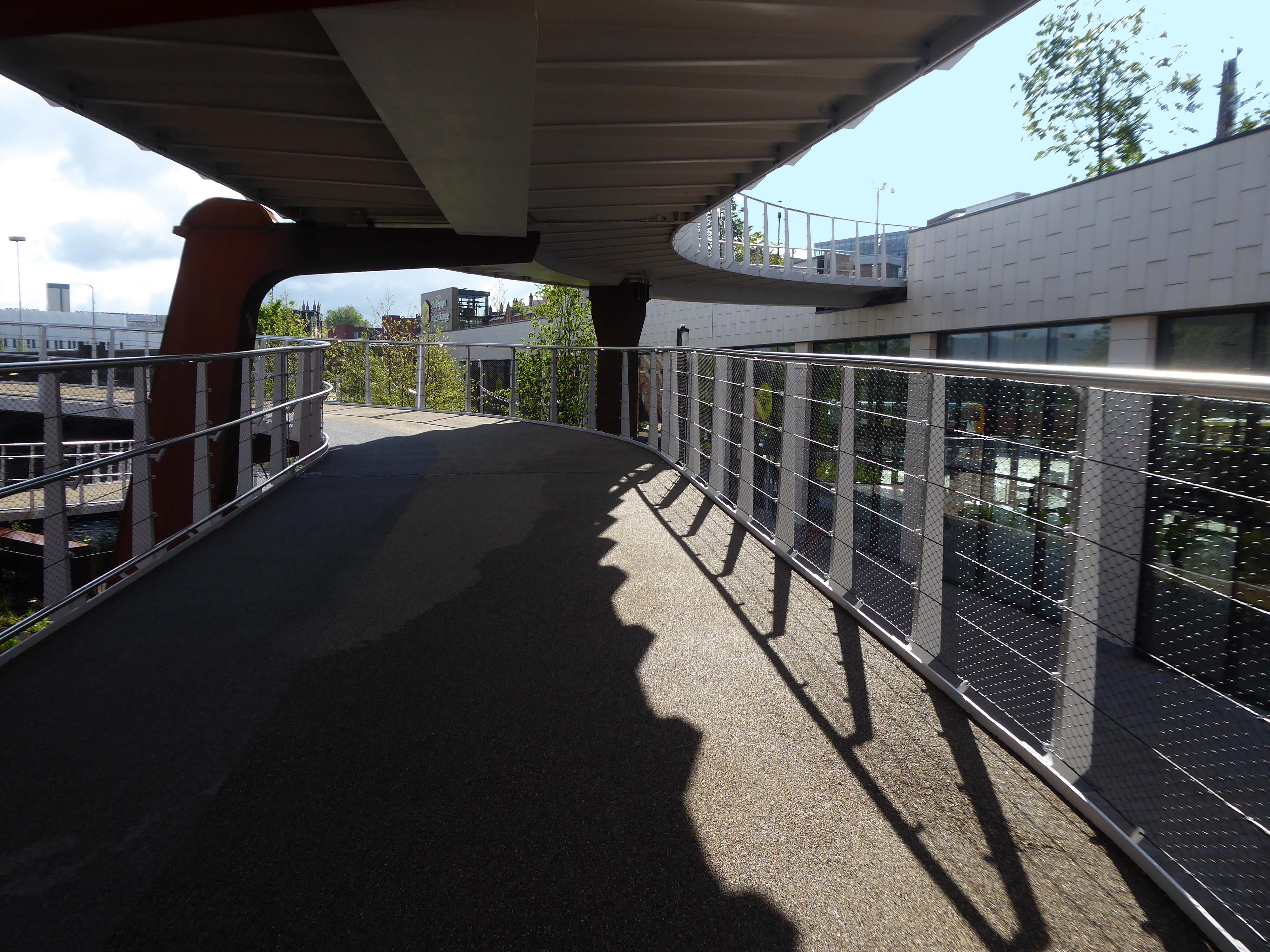
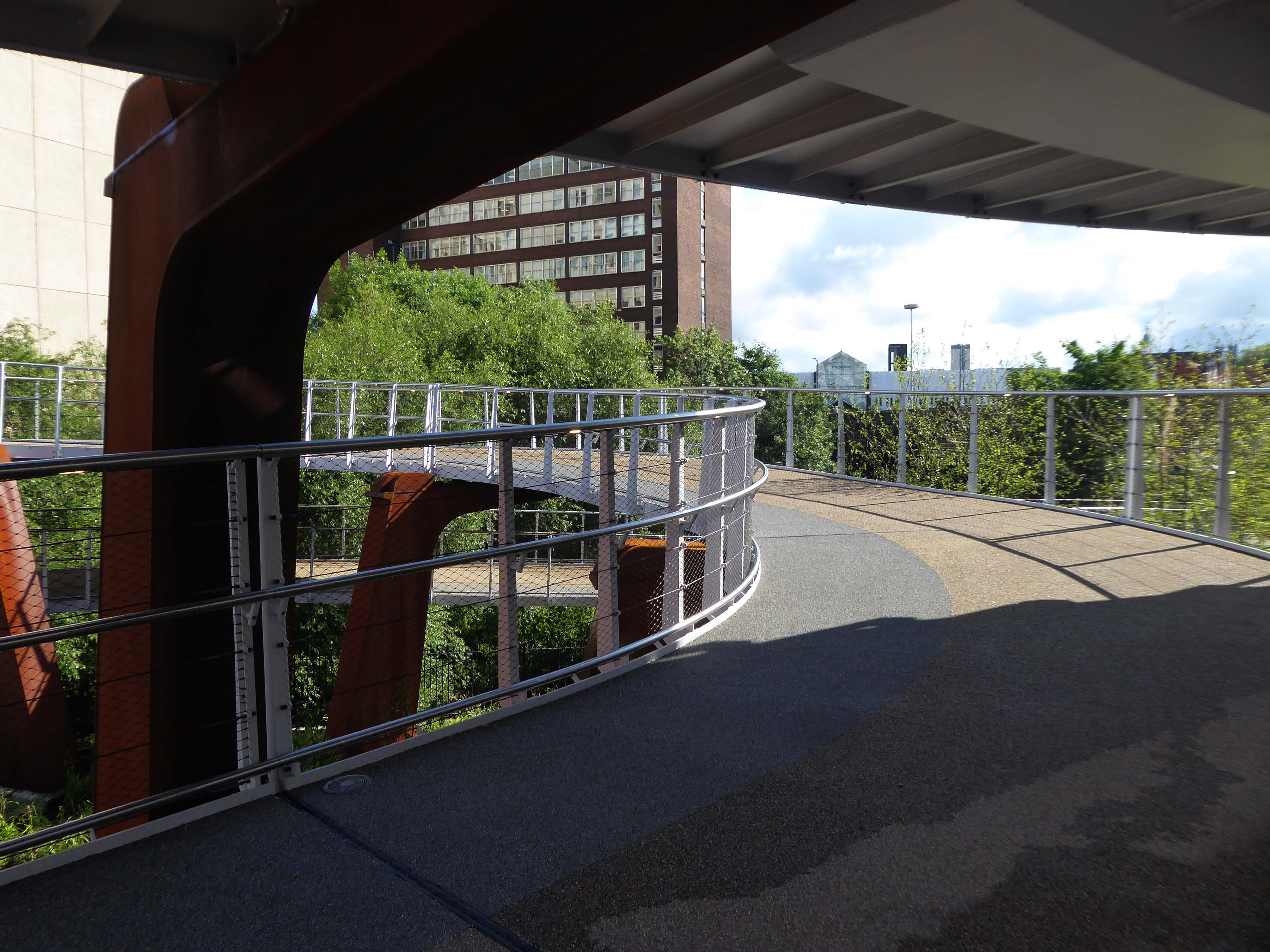
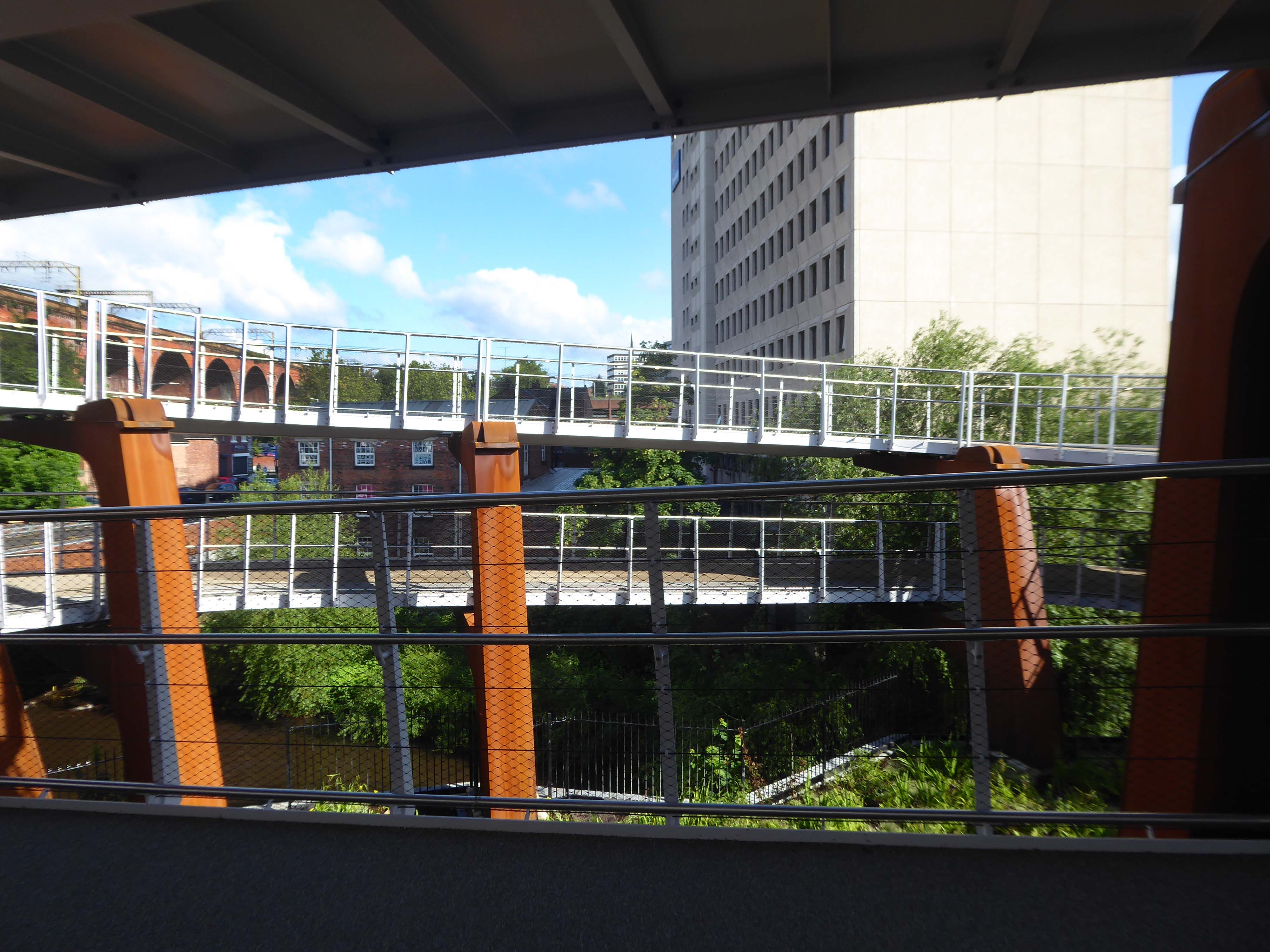
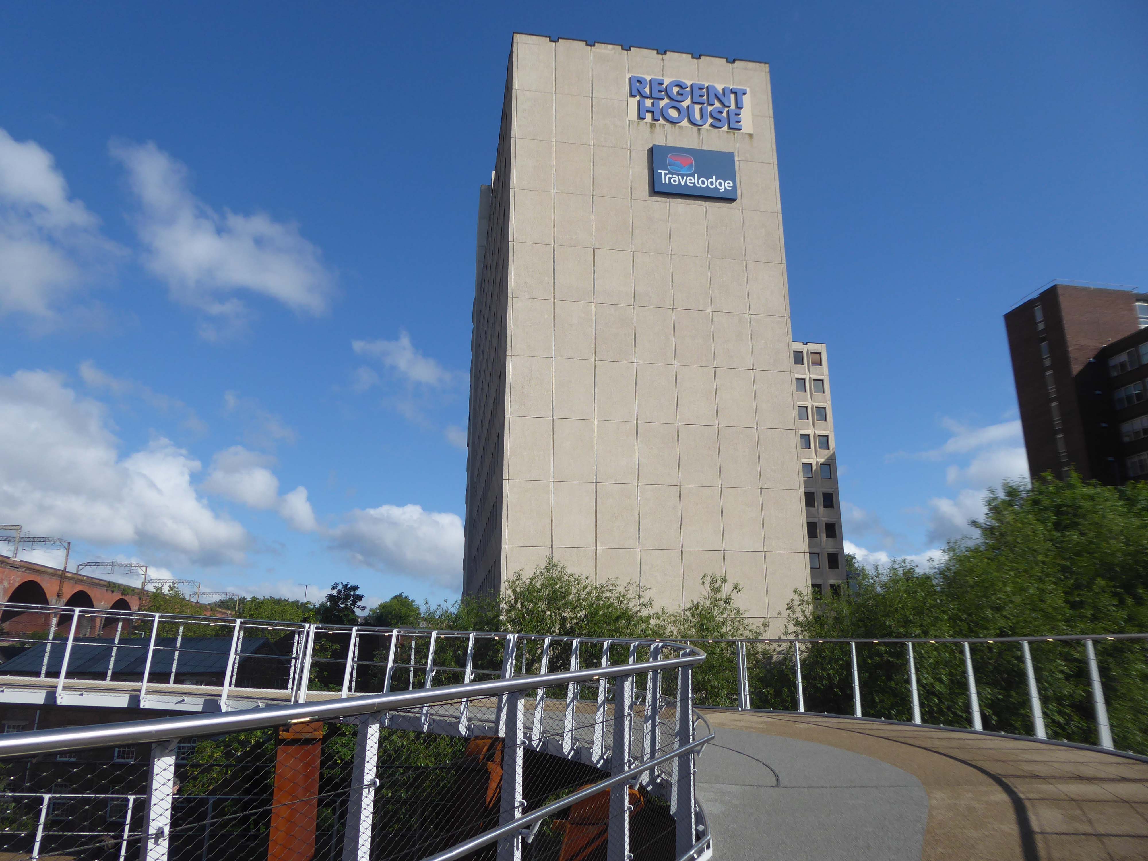
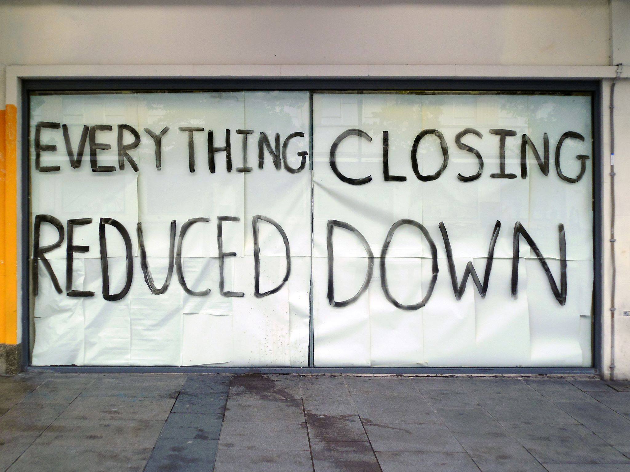
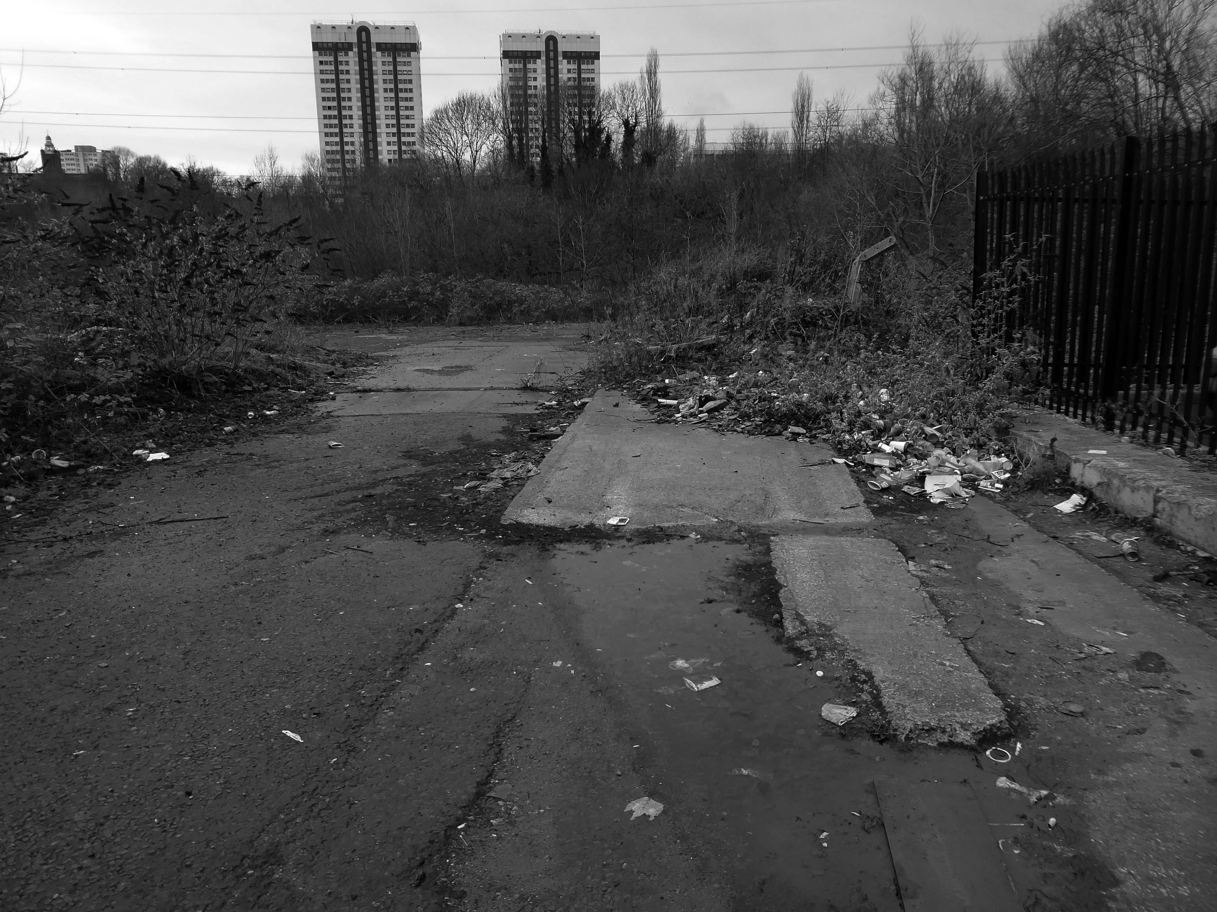
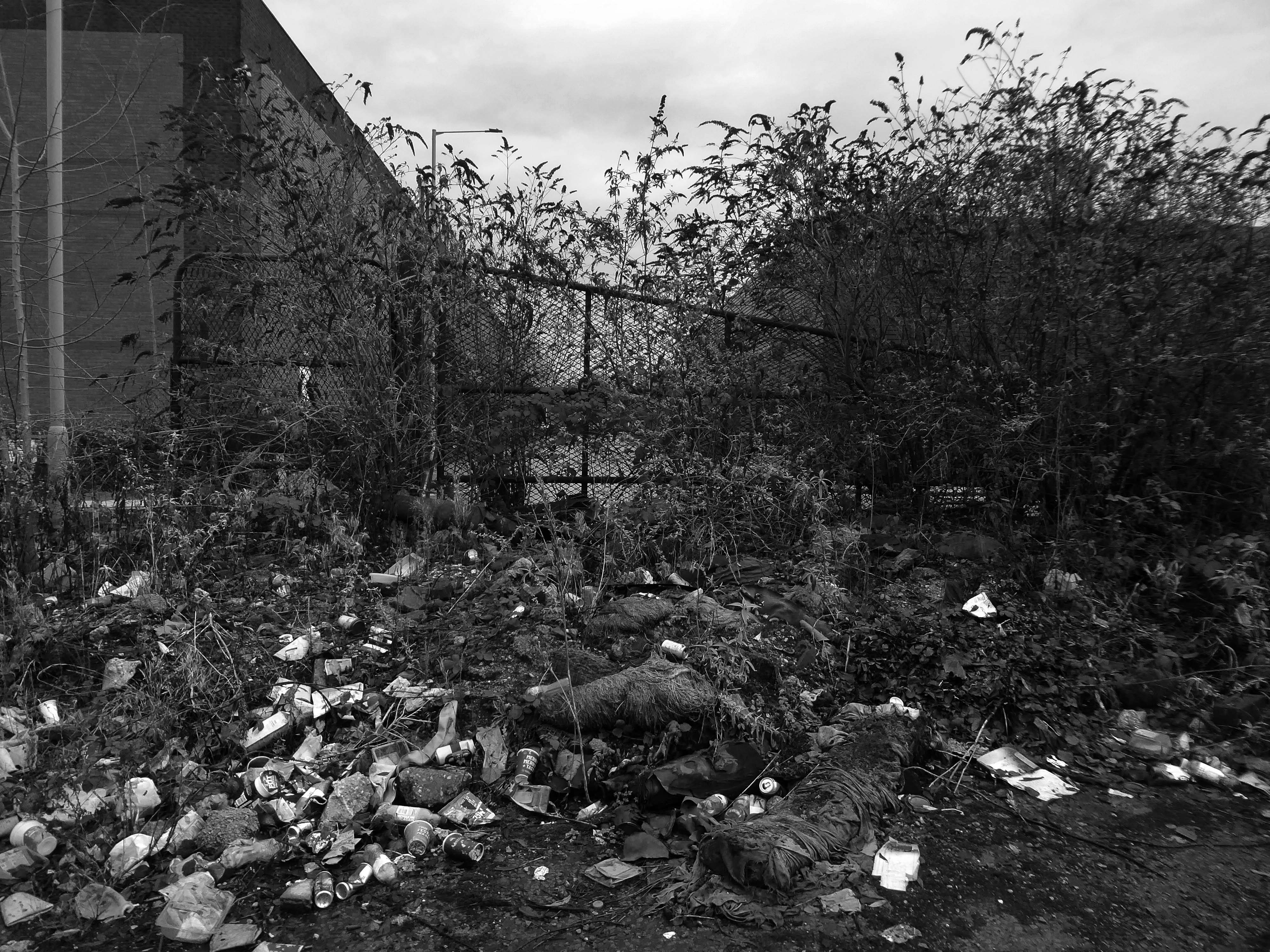
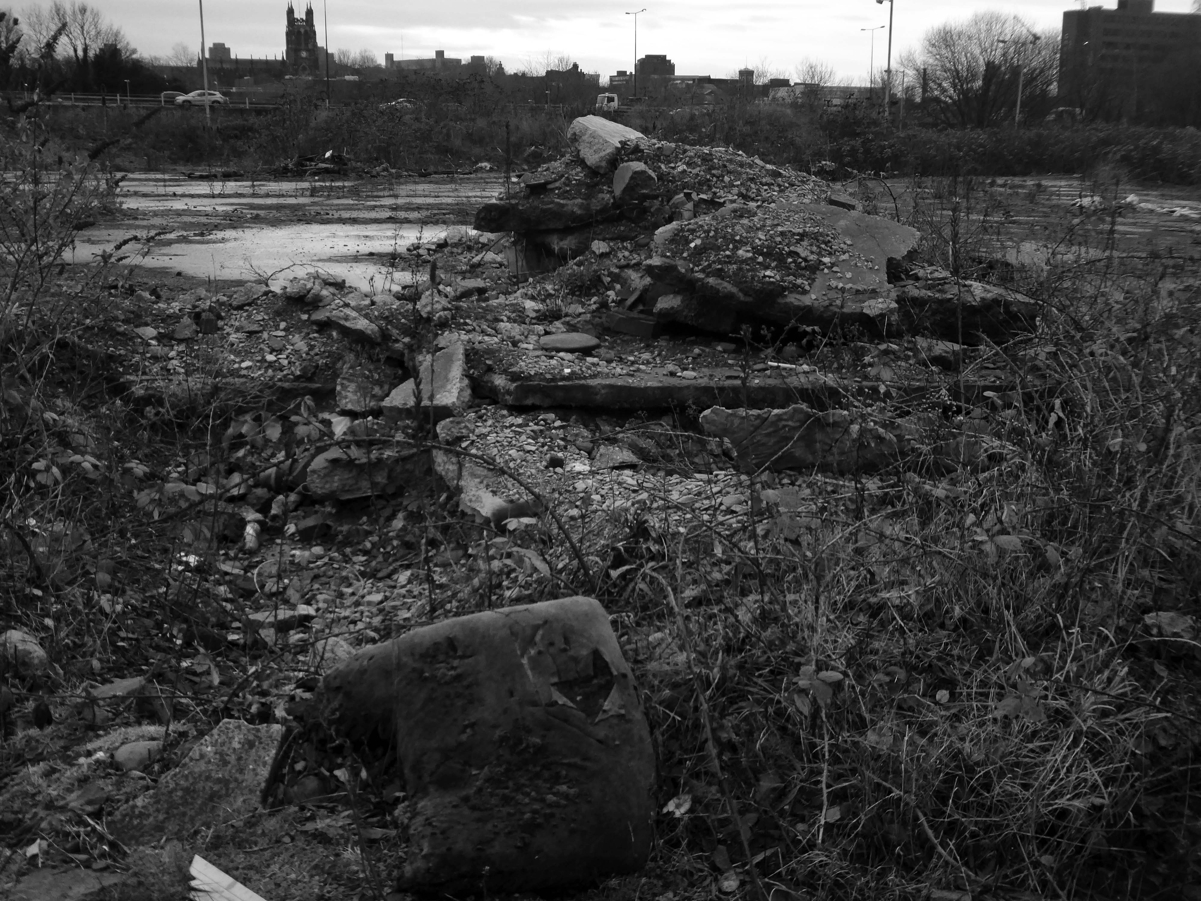
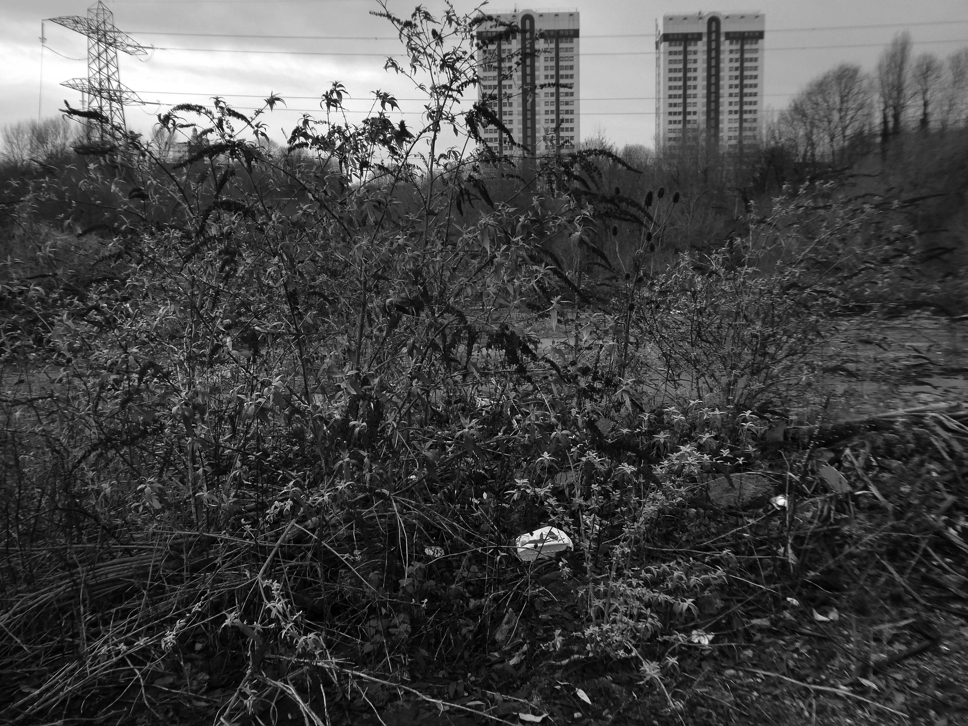
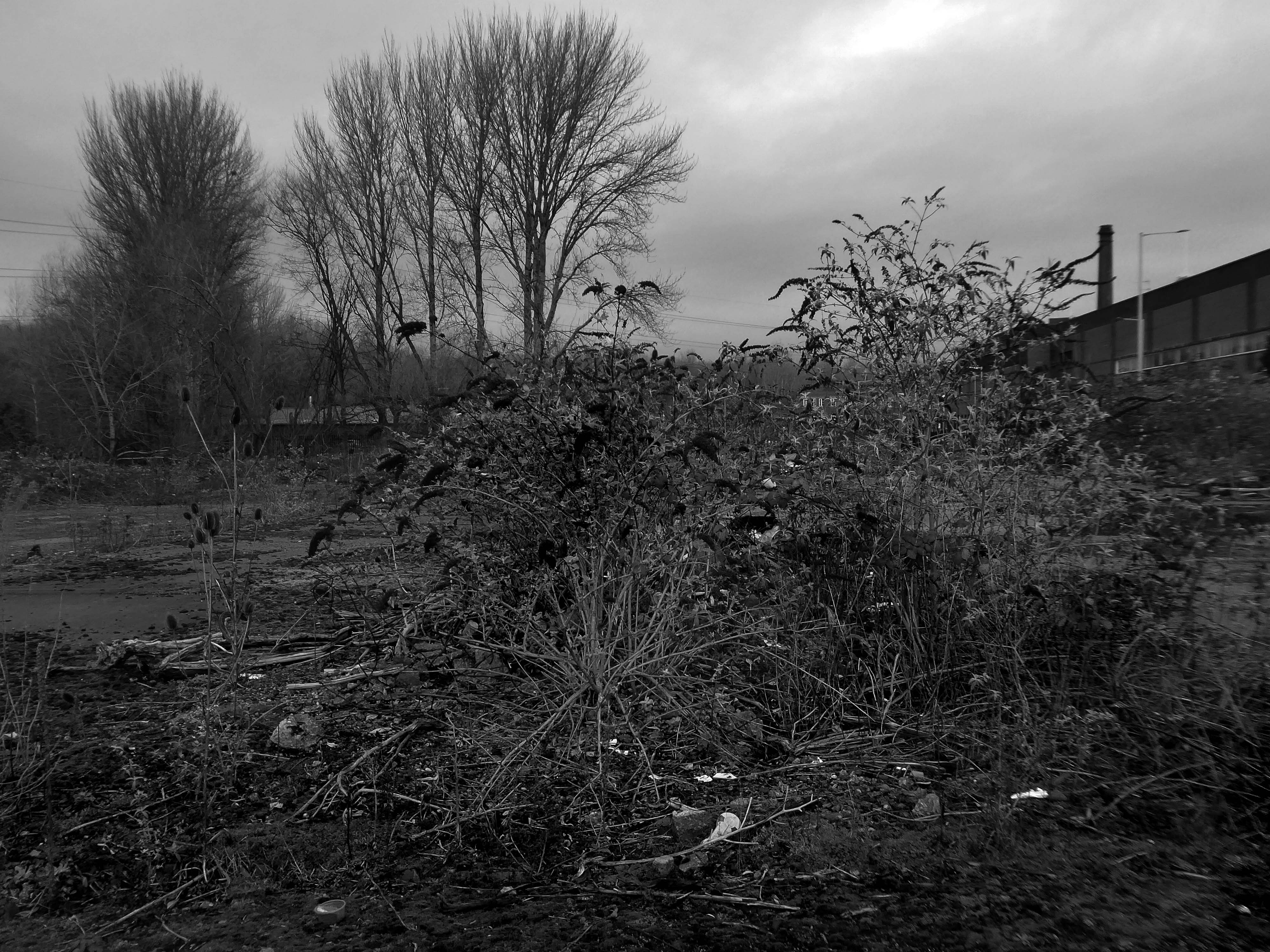
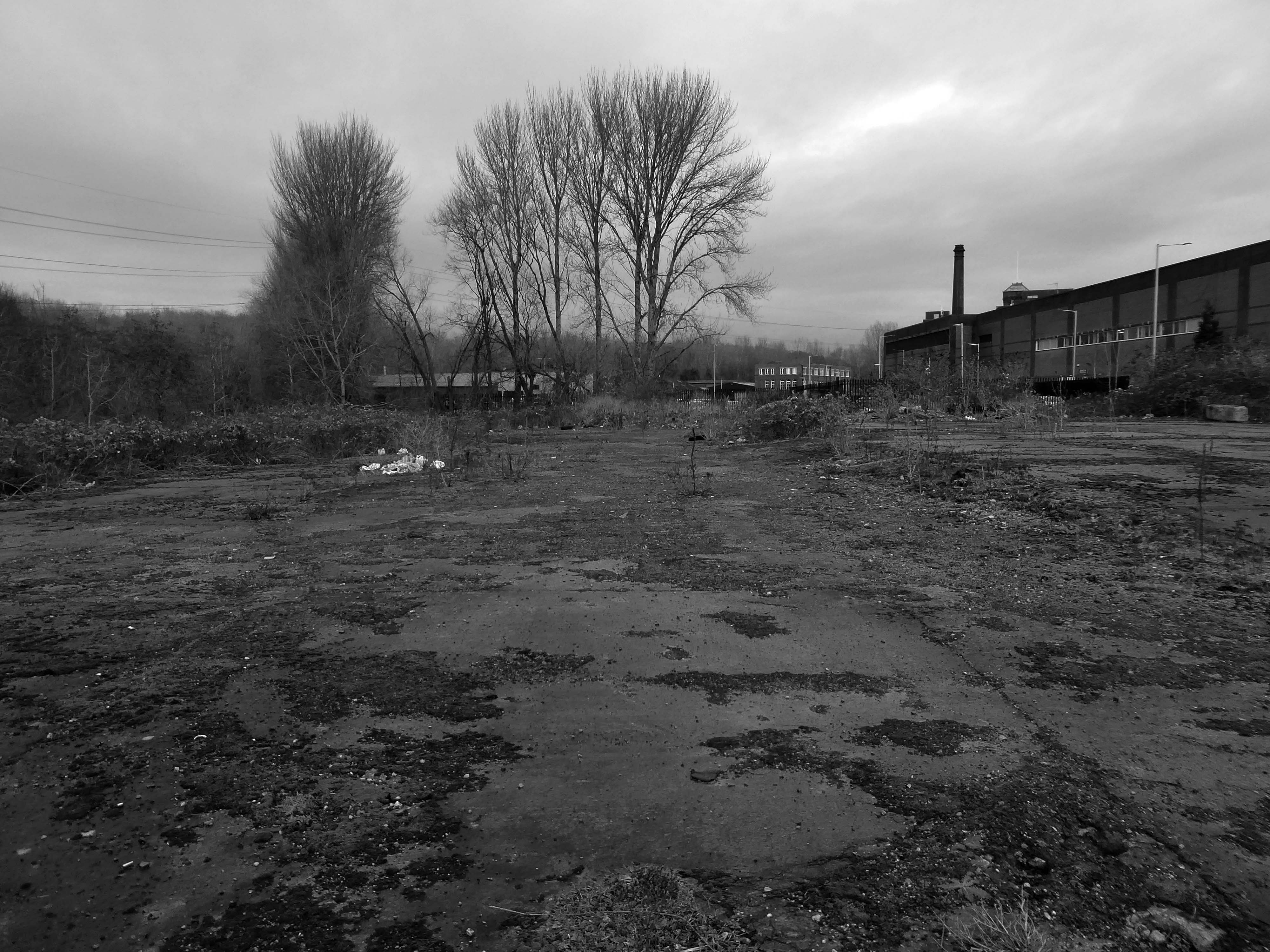
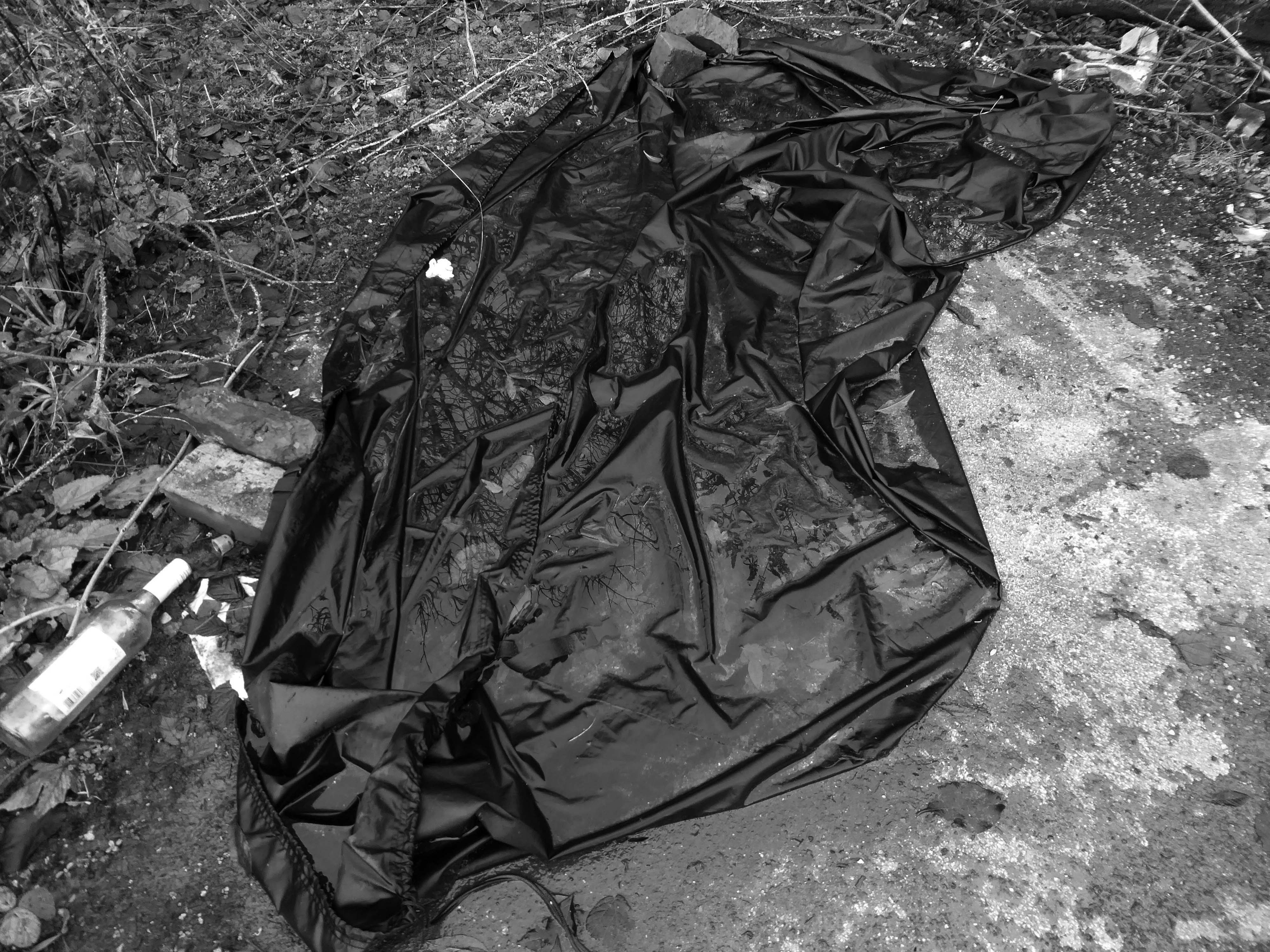
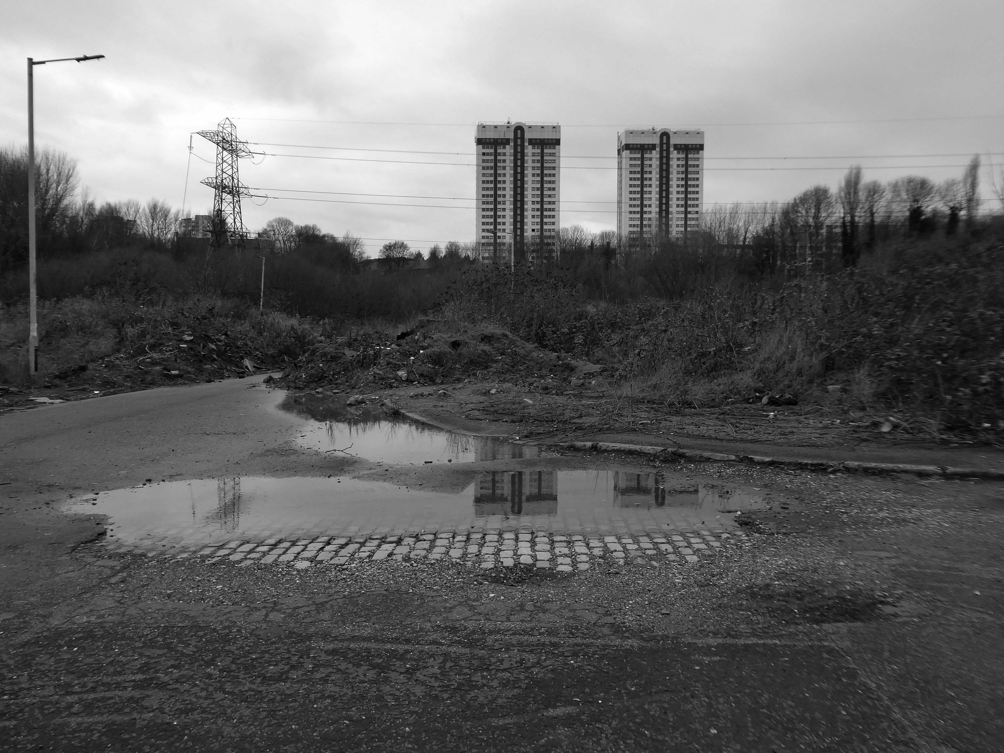
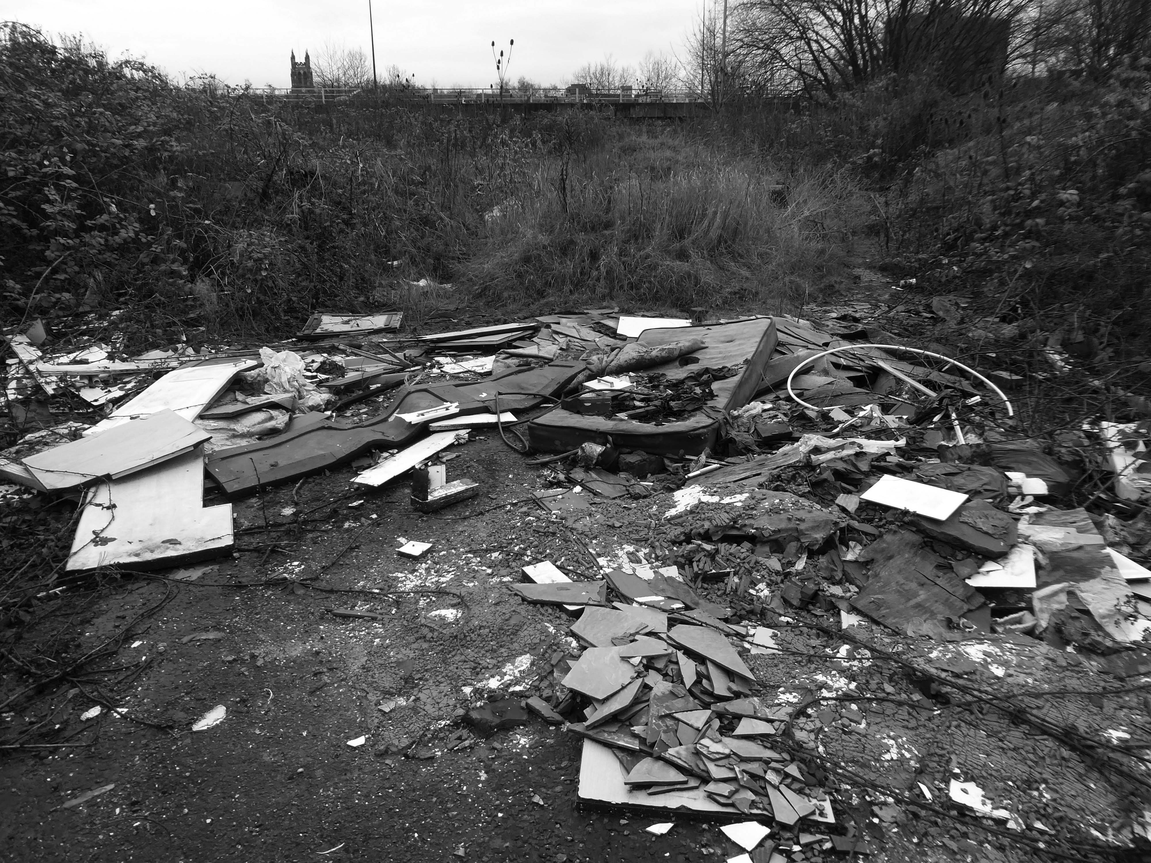
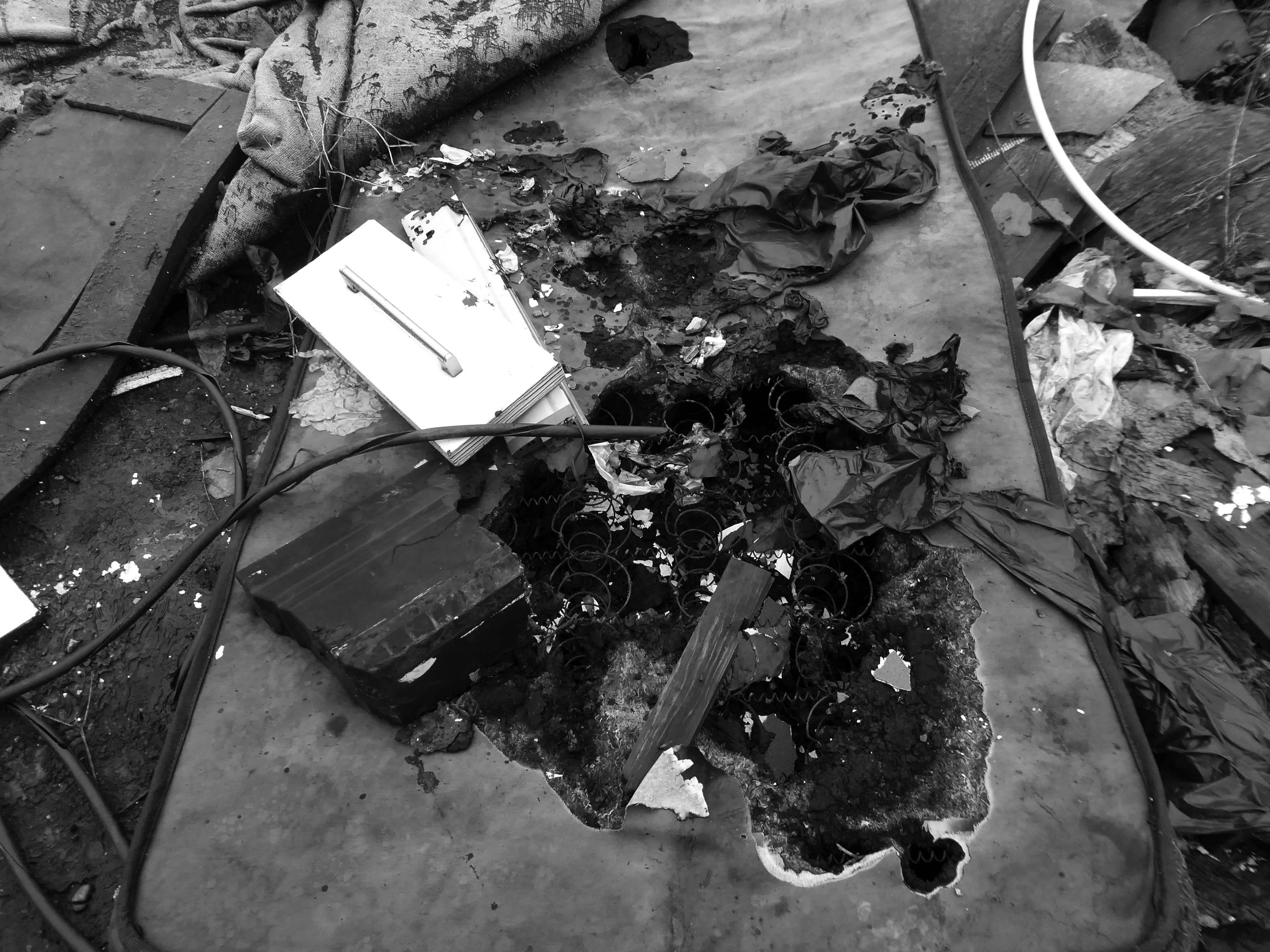
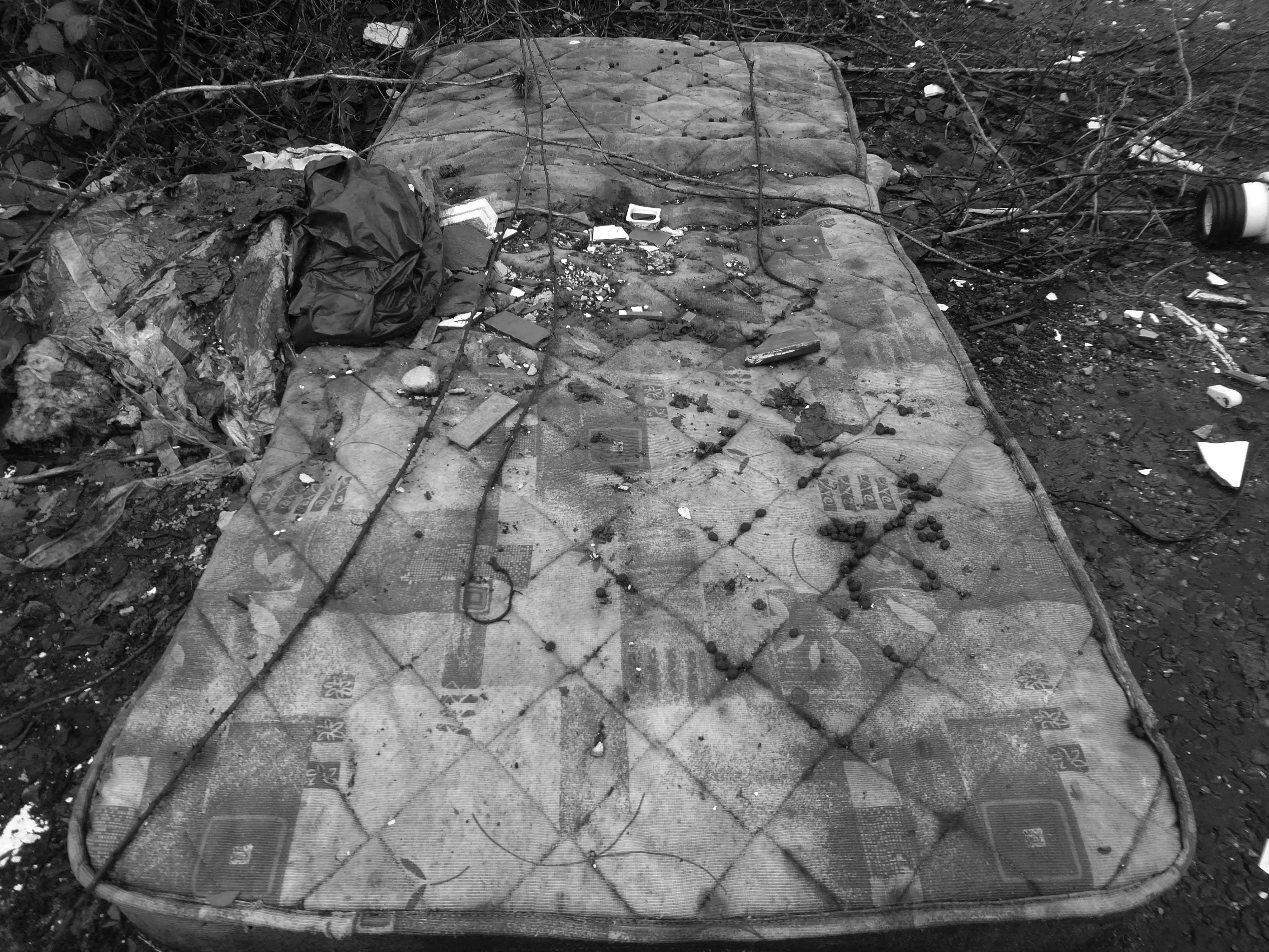
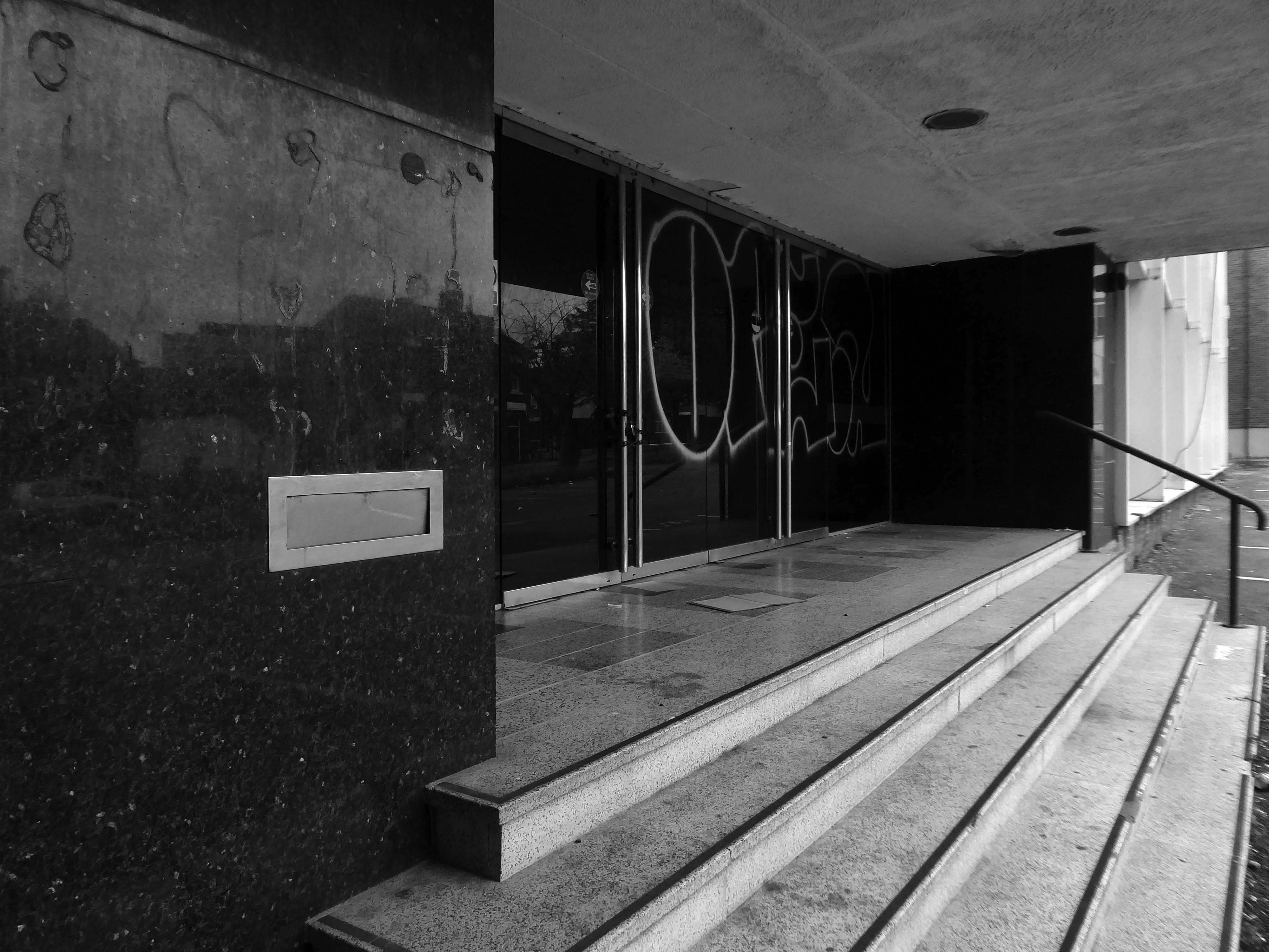
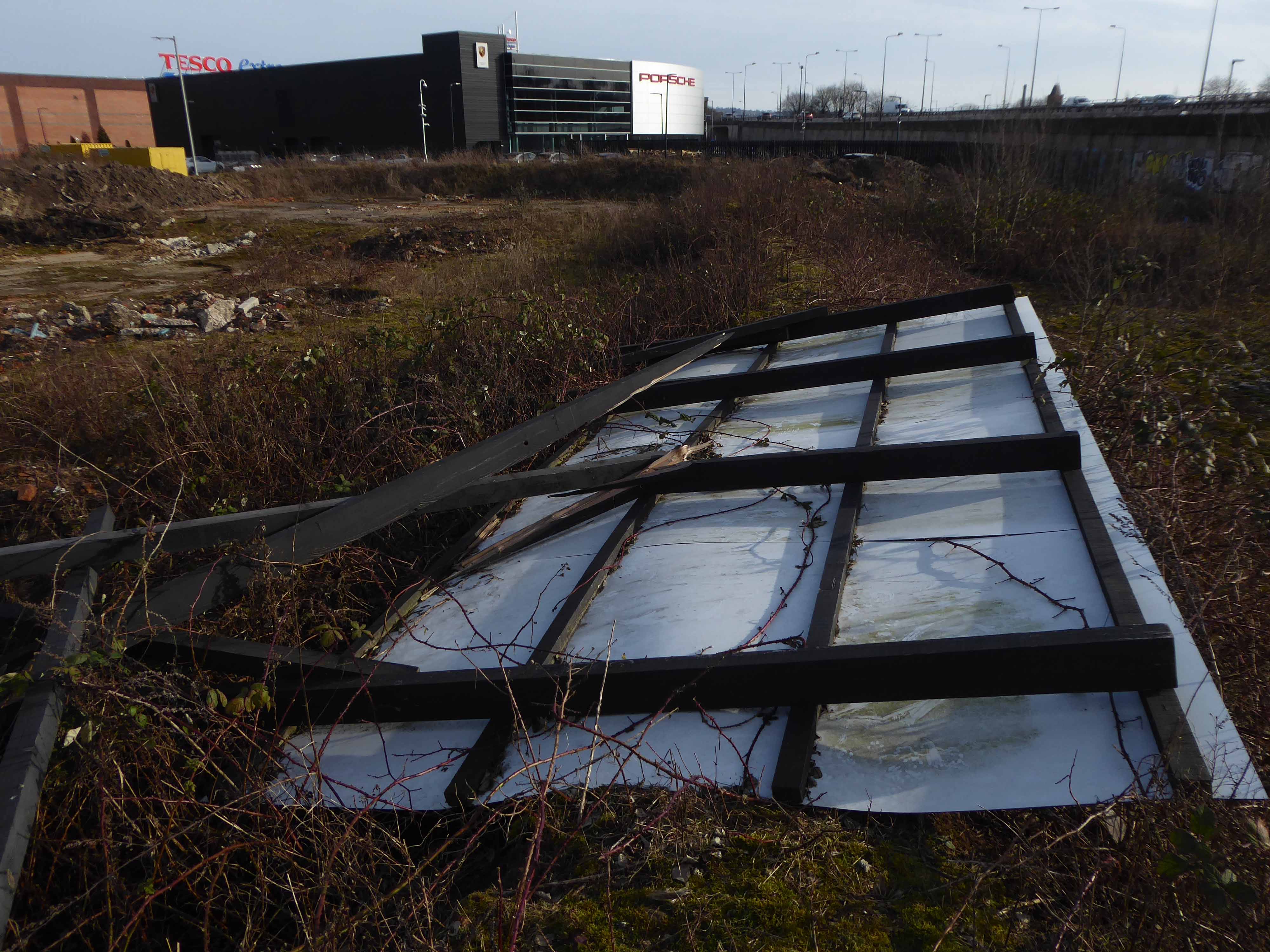
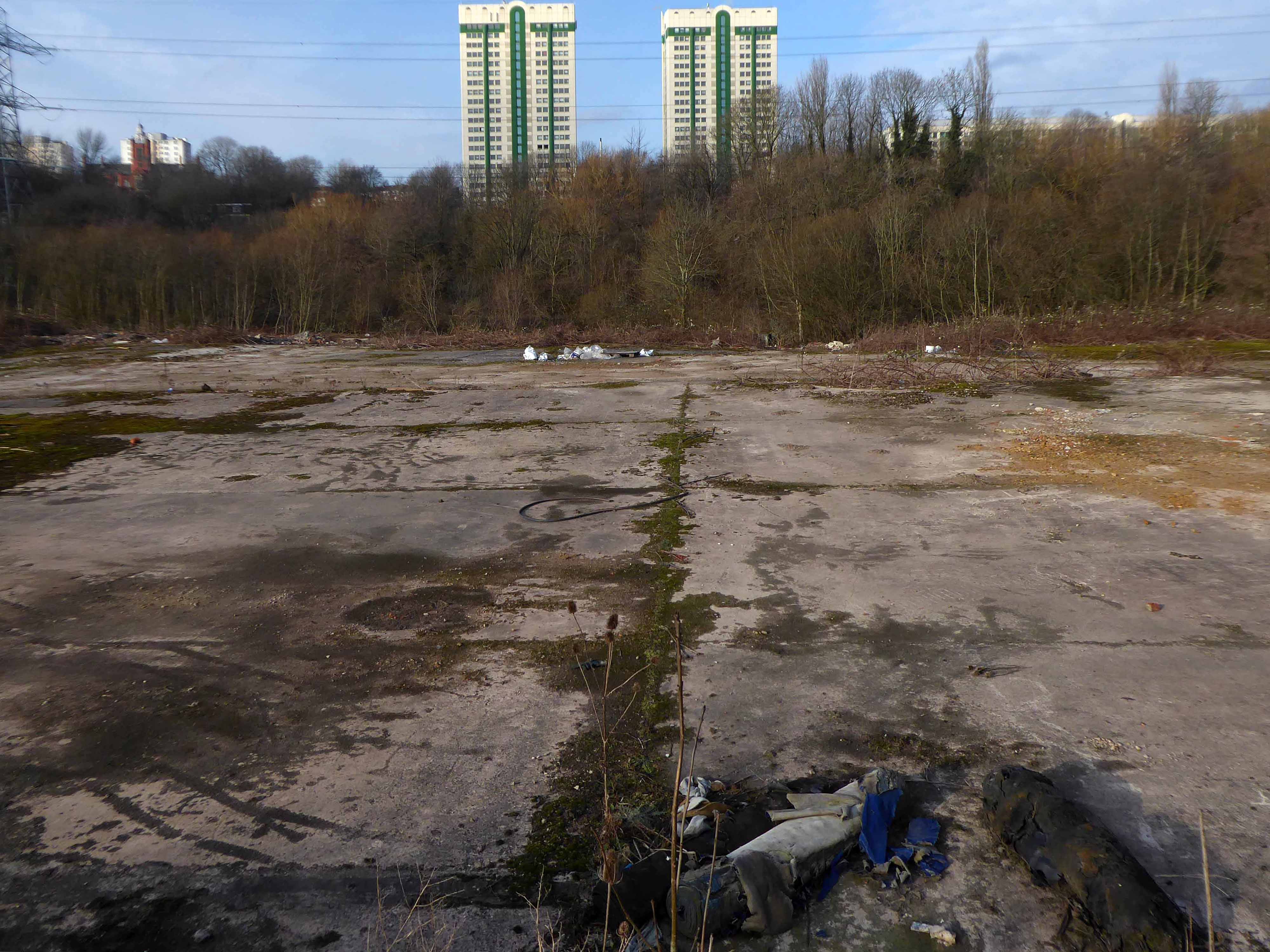
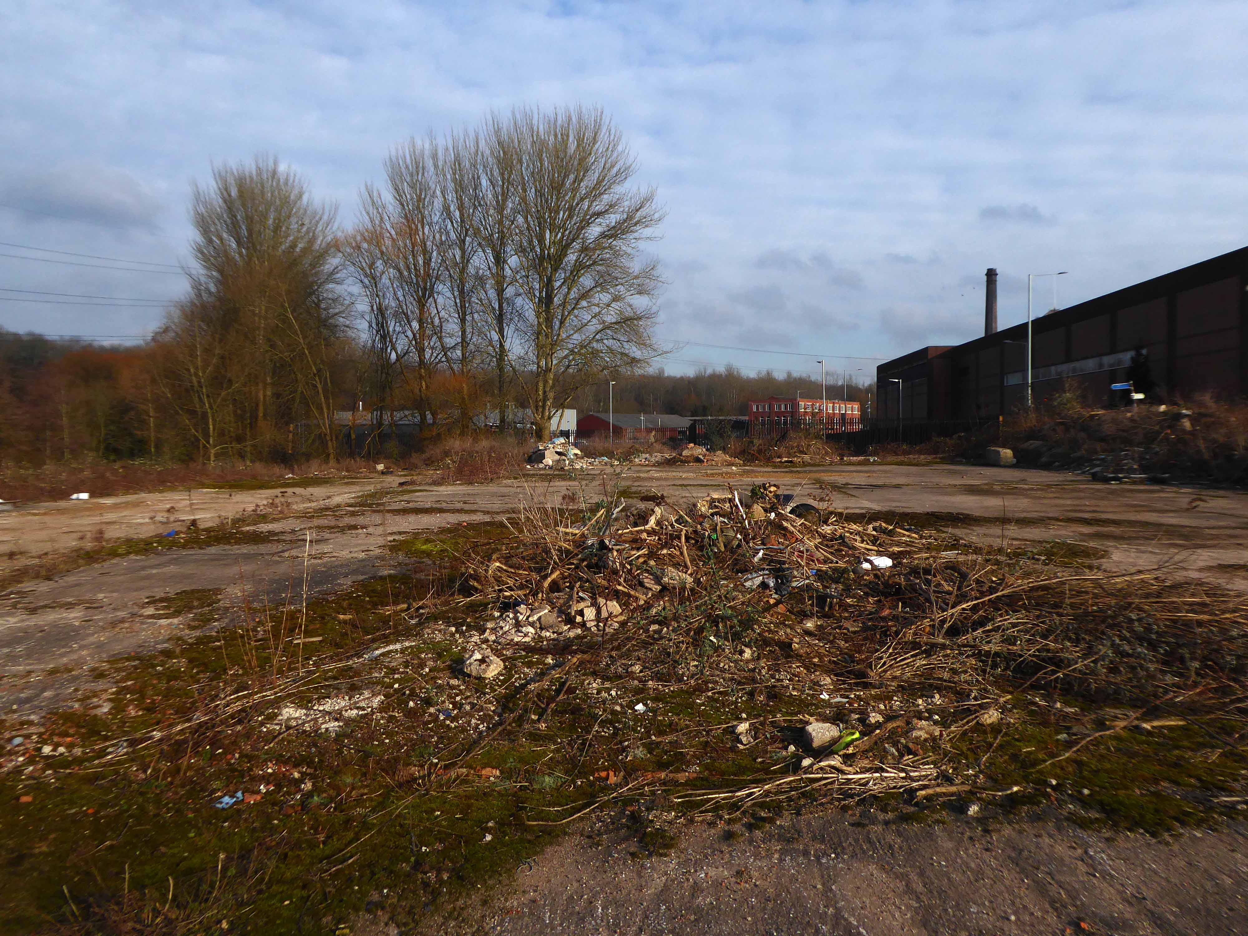
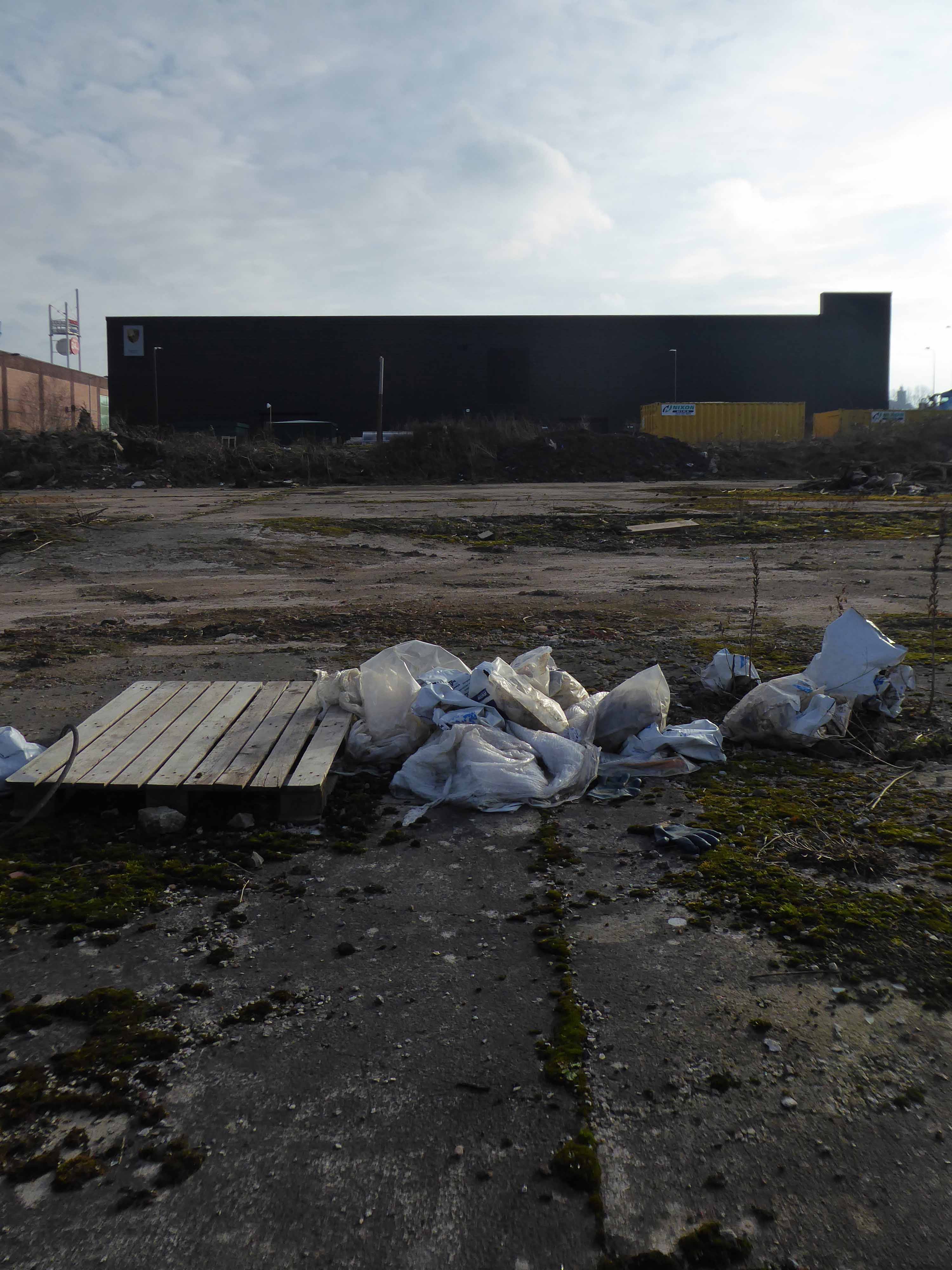
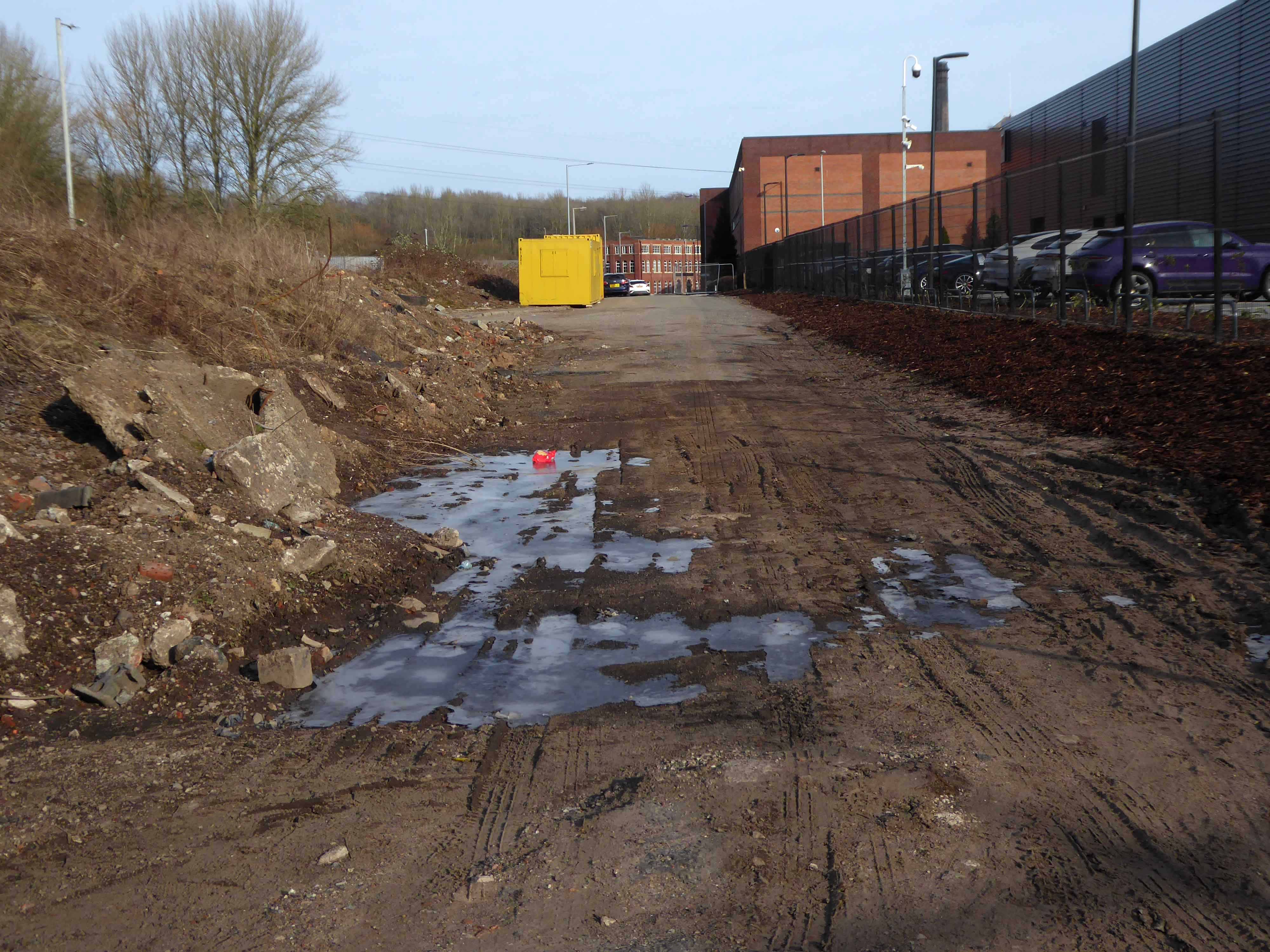
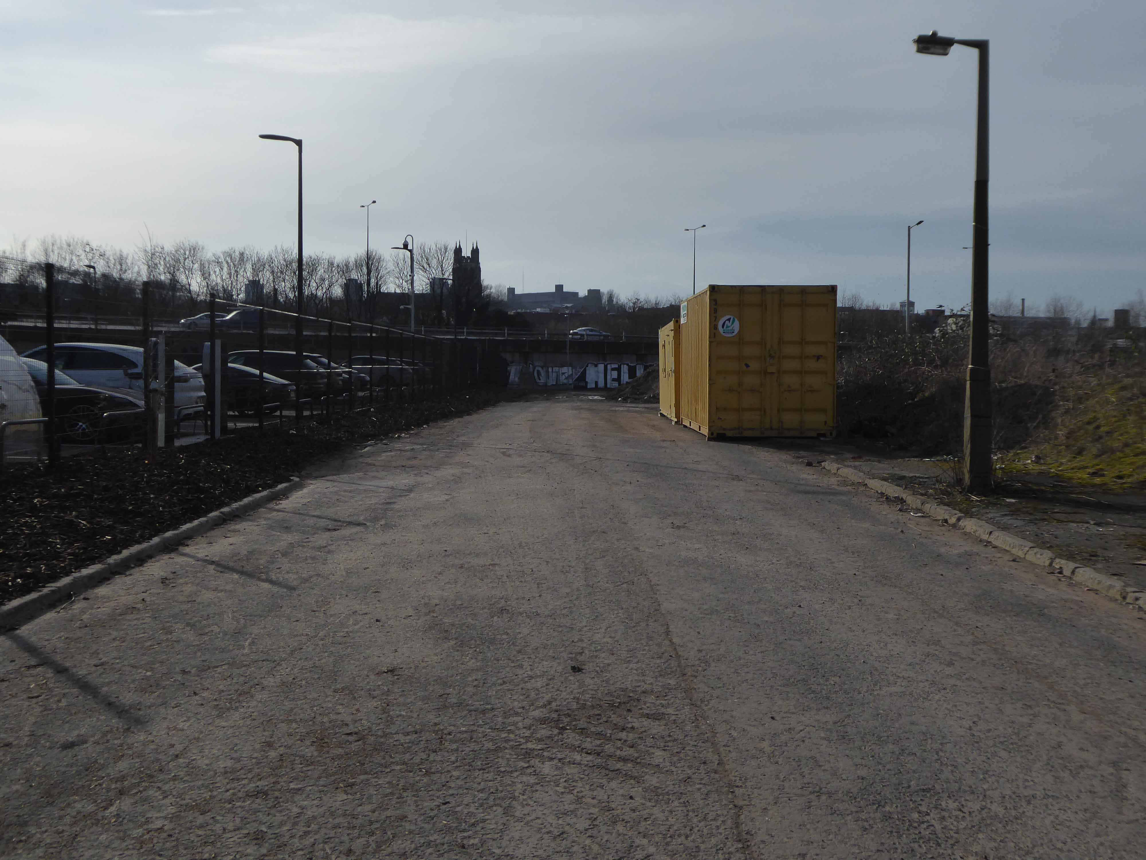
And lo, it came to pass, from the onset of the Industrial Revolution to today, a whole world of work is dismantled. A transport infrastructure is literally filled in, and the former homes of industry demolished.

The CWS is no longer the global behemoth it once was, and print technology has changed beyond recognition.

With it goes a whole series of social relationships and identities bound up in shared occupations.

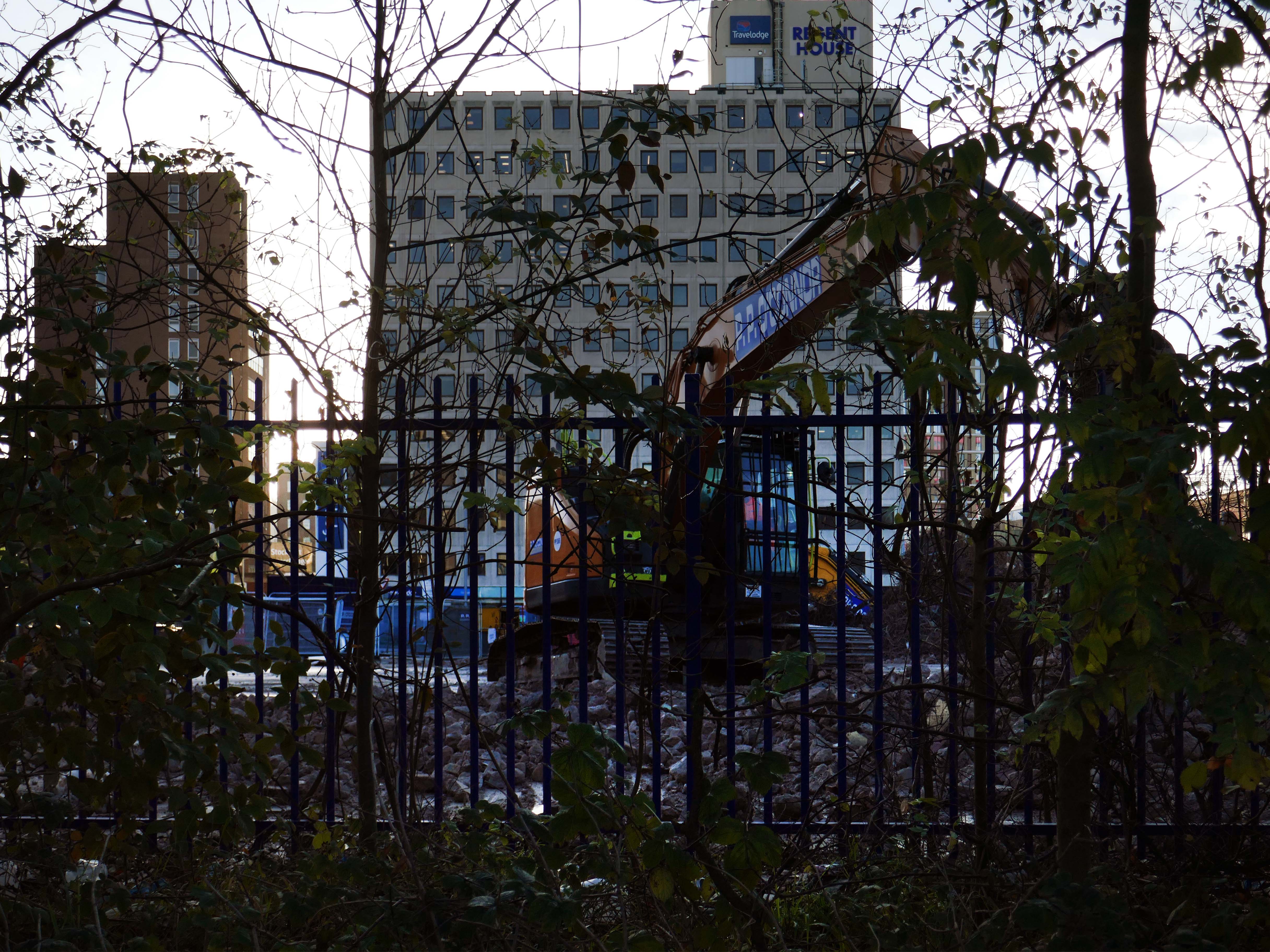
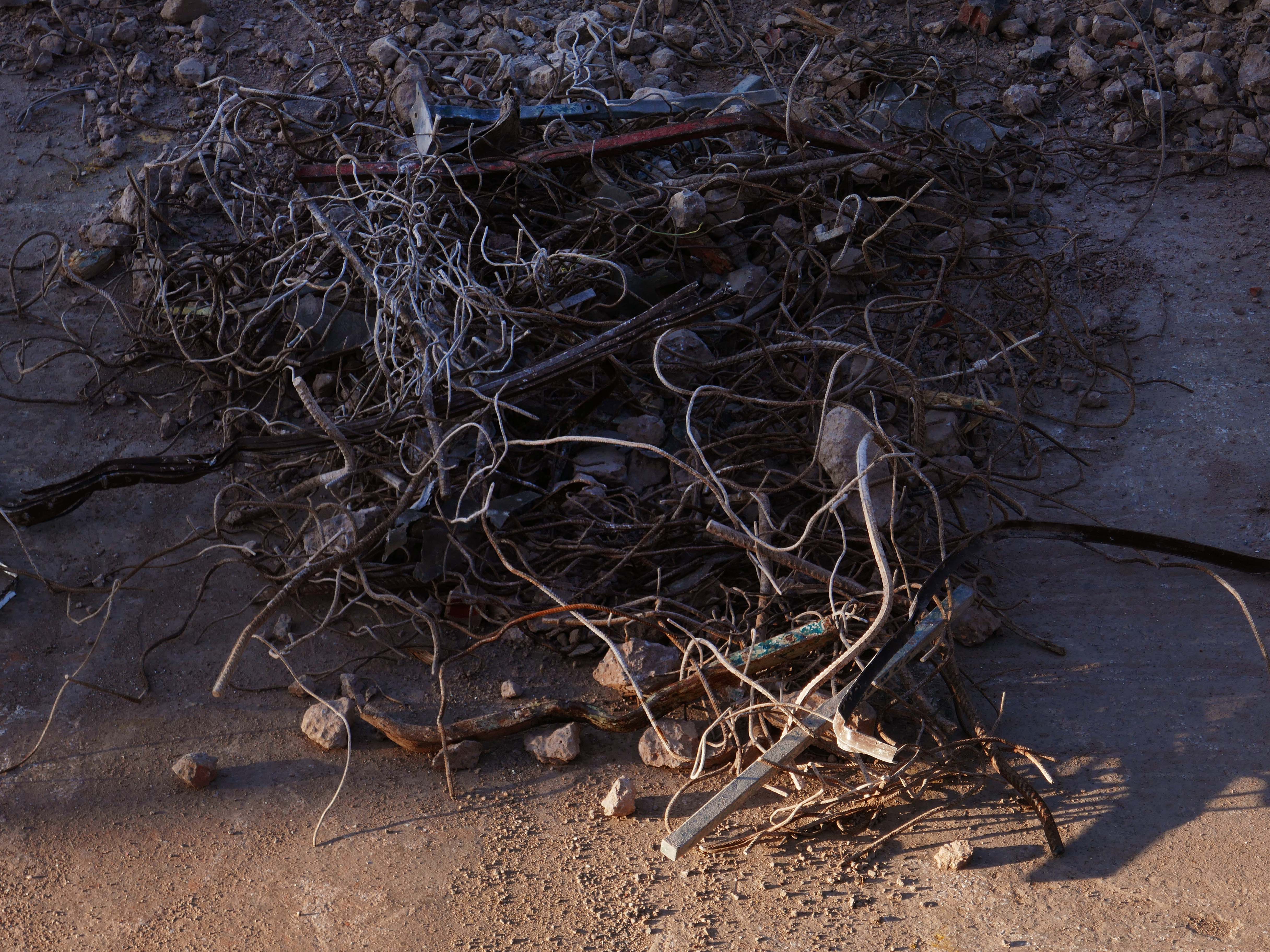
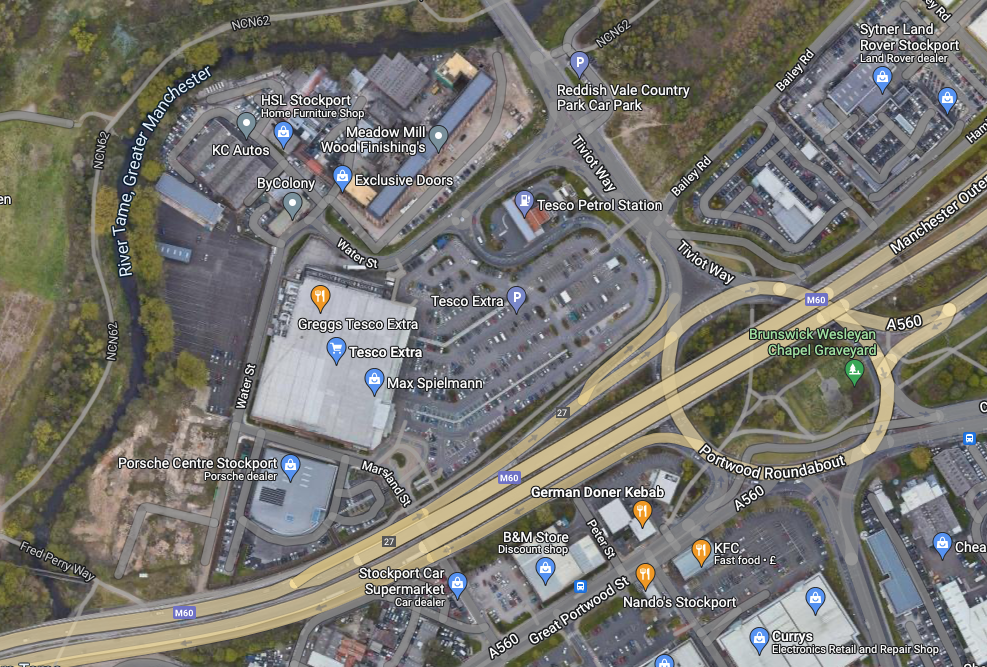
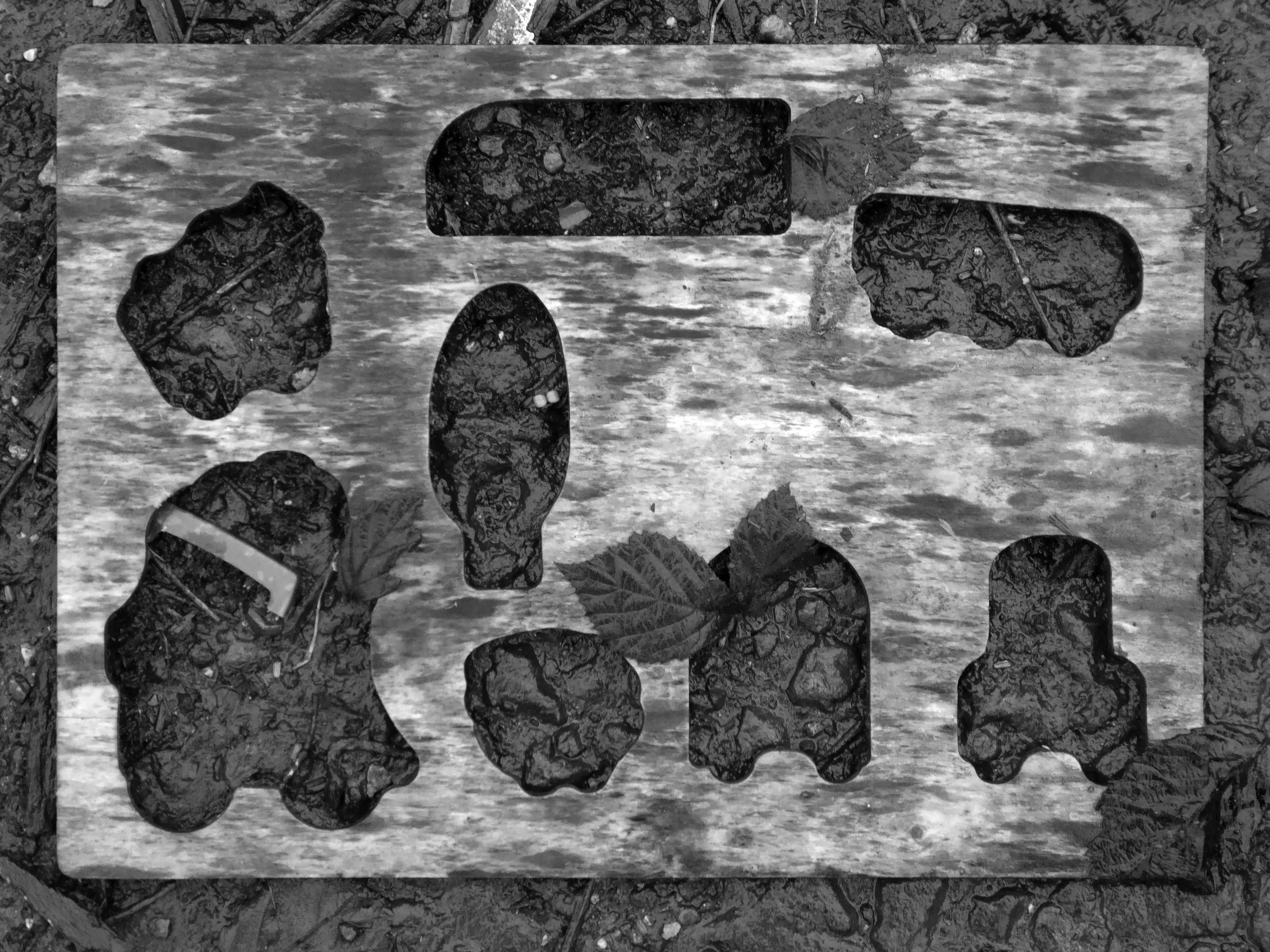
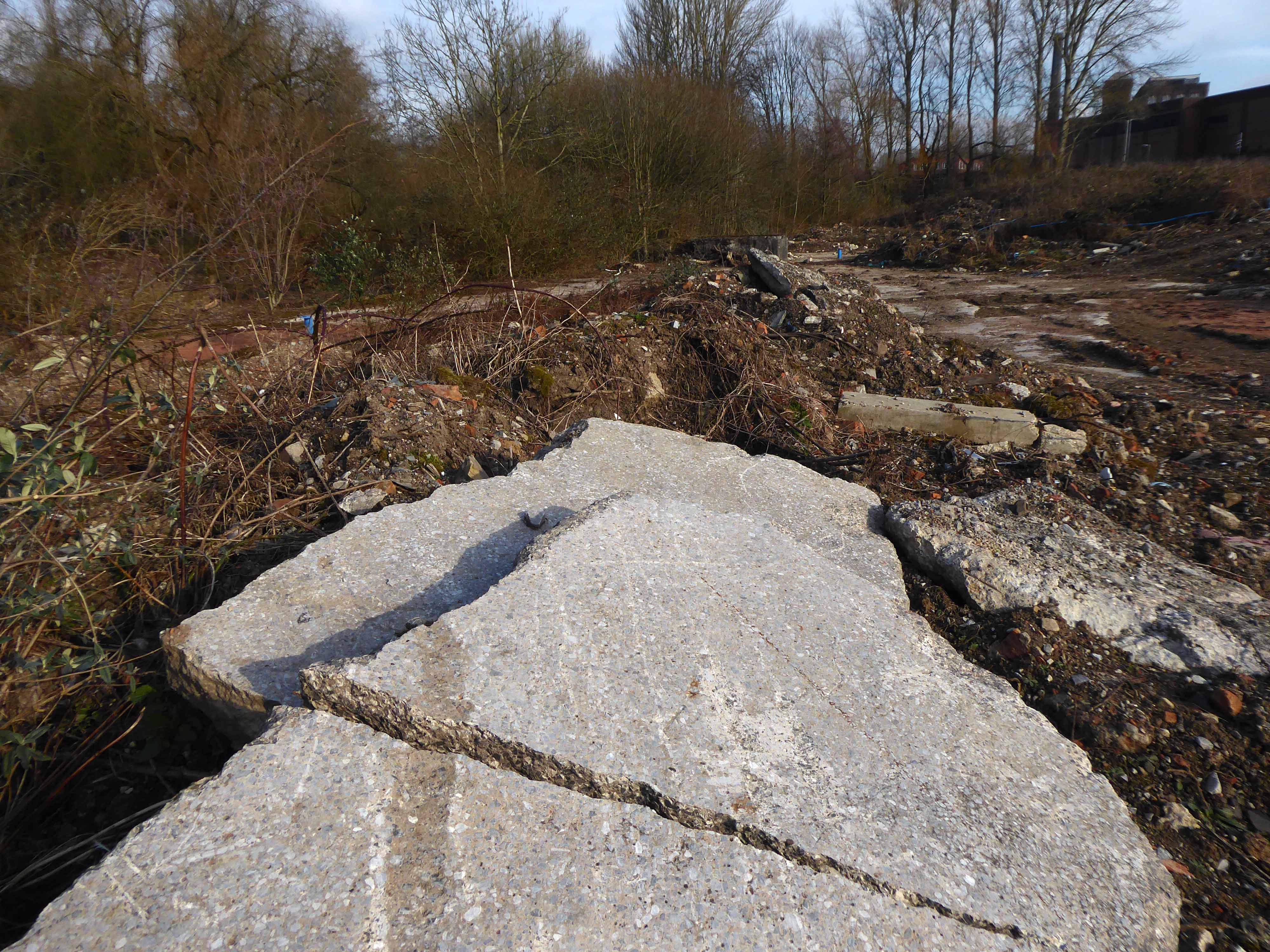
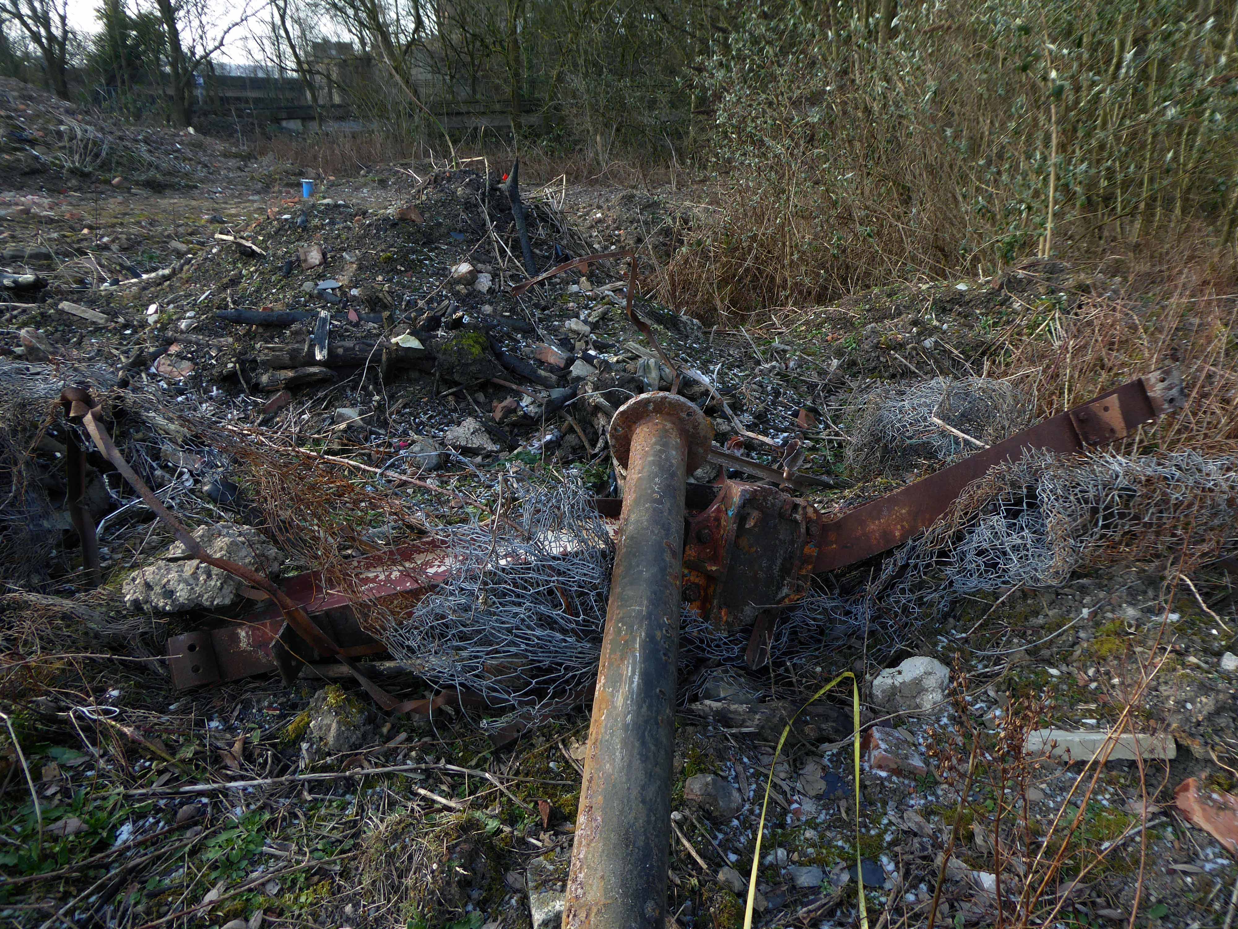
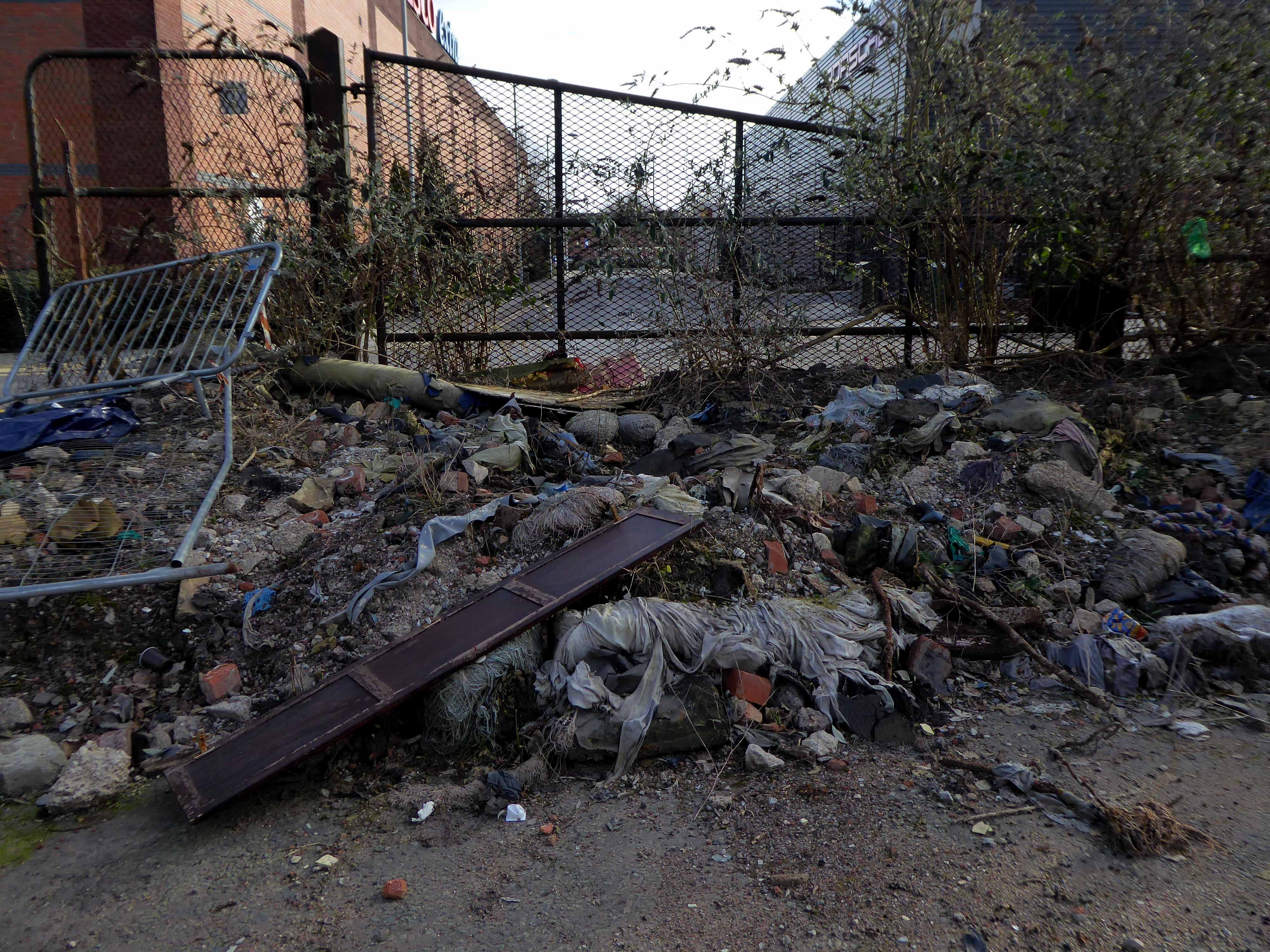
Our excavations at Vauxhall Industrial Estate, undertaken in advance of the redevelopment of the site by RECOM Solutions and  Vauxhall Industrial Estate Ltd, revealed a number of features associated with the Craven Brothers’ Works. Two excavation areas were opened, targeted on features shown on historic mapping but no longer surviving: Area 1 in the north, targeting a small chimney and outbuildings adjacent to the machine shops; and Area 2 in the south targeting a chimney and part of the footprint of Building 3. In Area 1, the archaeological remains had been heavily truncated by the installation of chemical vats in the late 20th century after Craven Brothers closed; however, the foundations of the targeted outbuildings and the chimney were uncovered, as well as the remains of a railway track running alongside the machine shops, represented by in situ sleepers.

Archeological Research Services

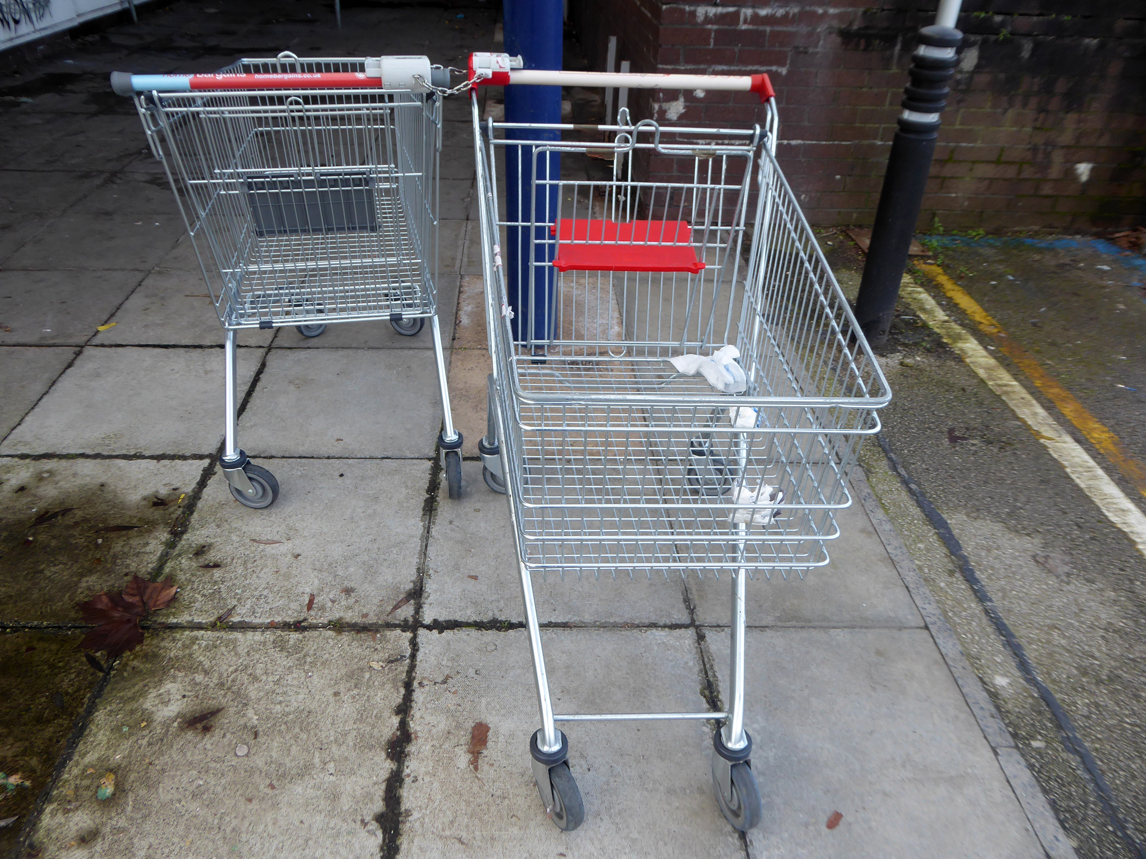
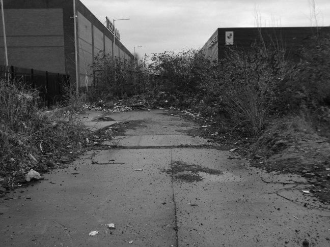
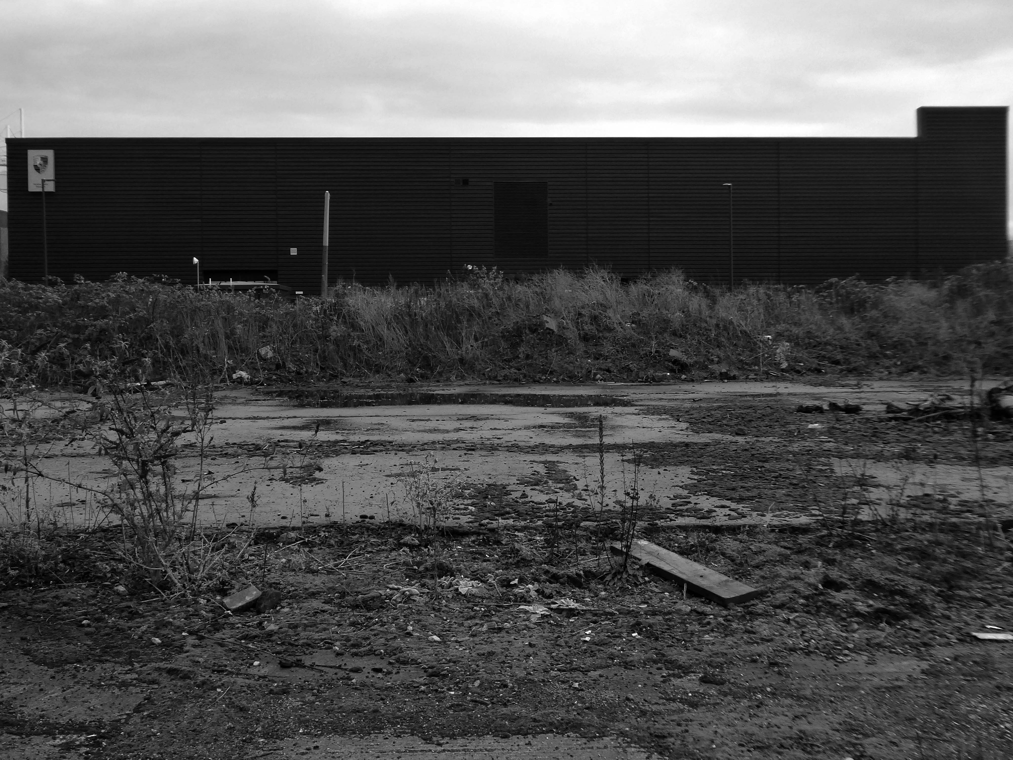
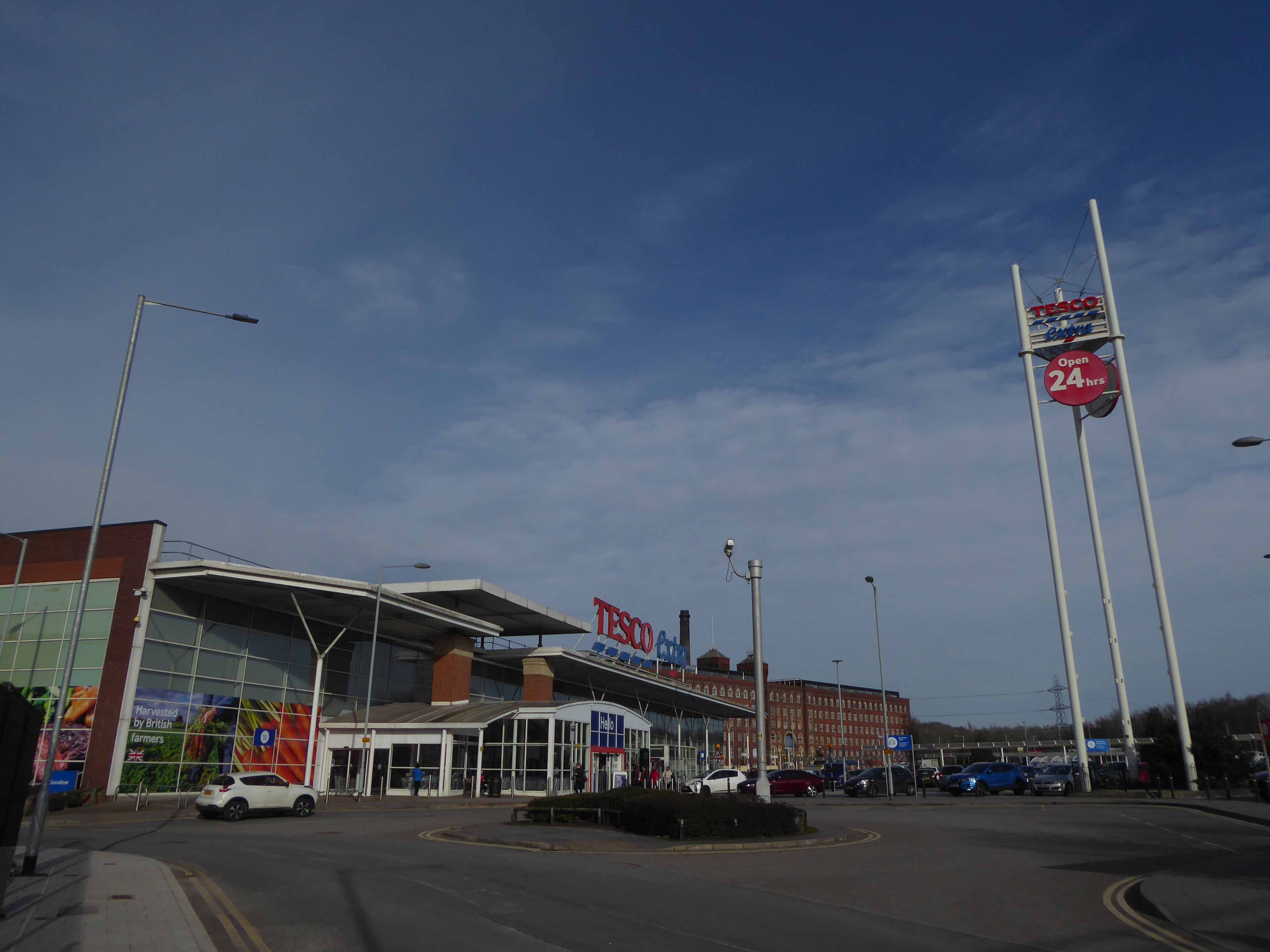
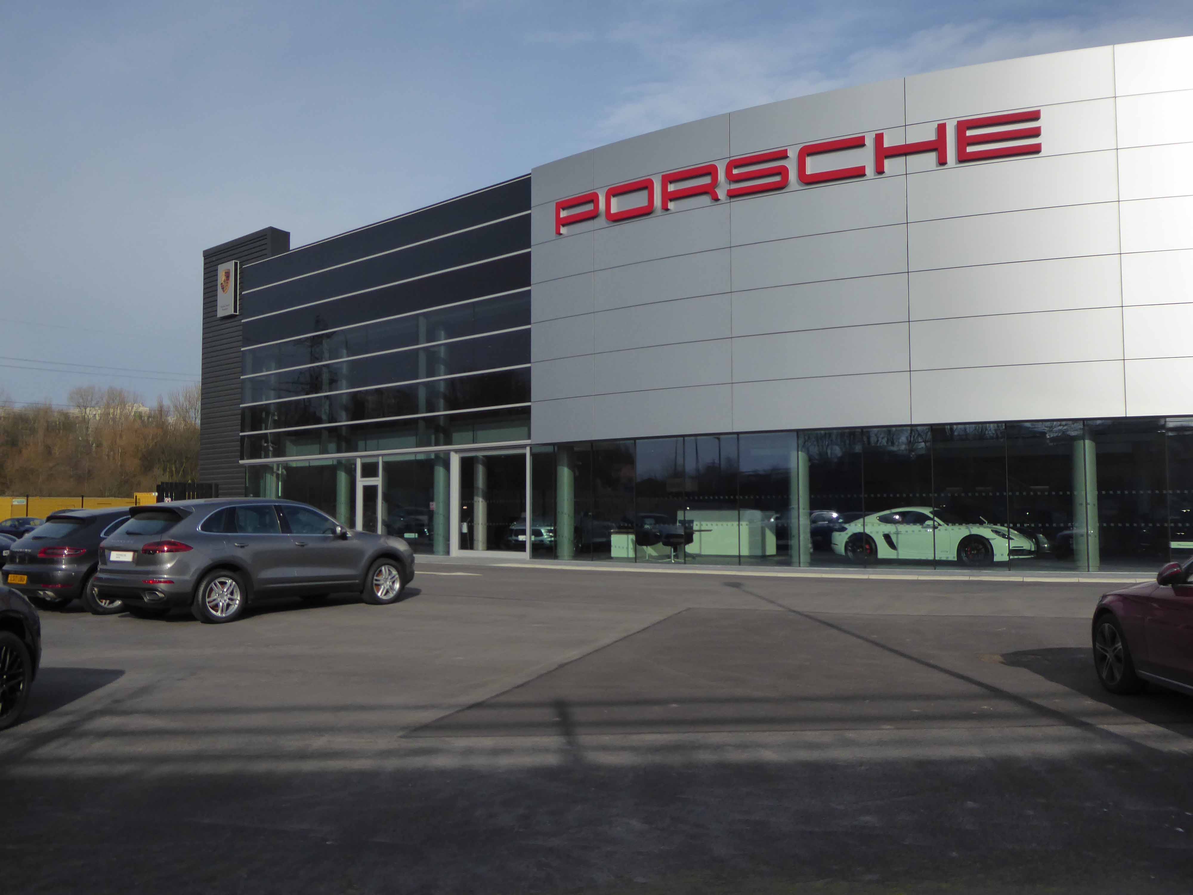
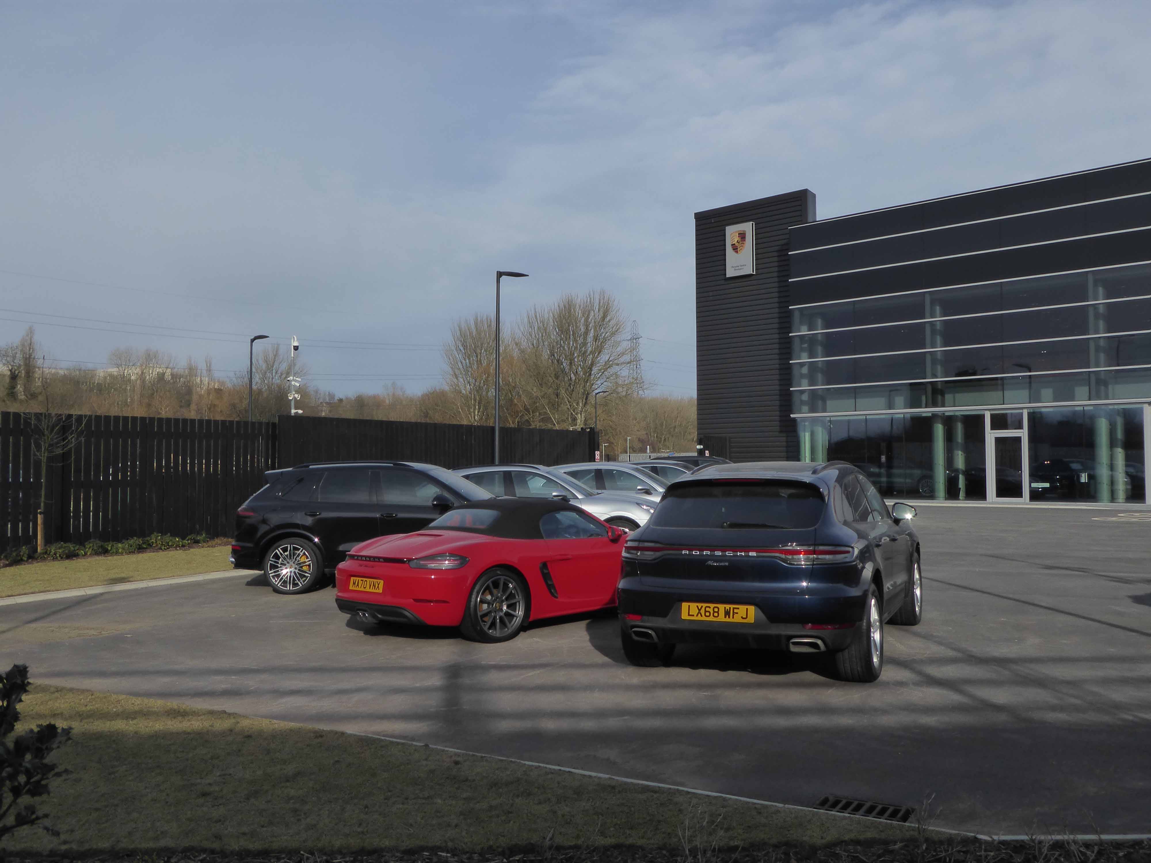
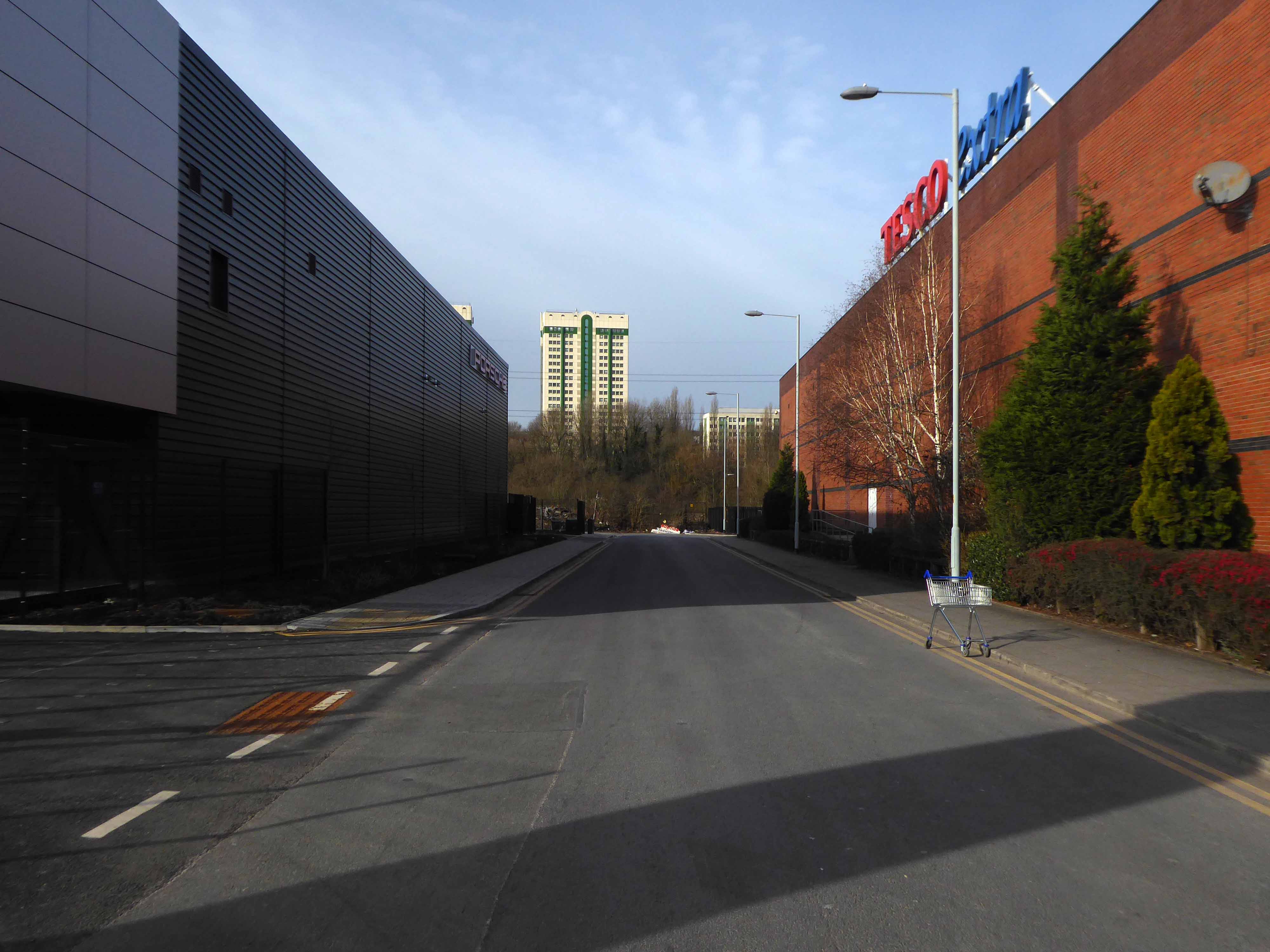
What do he have now?

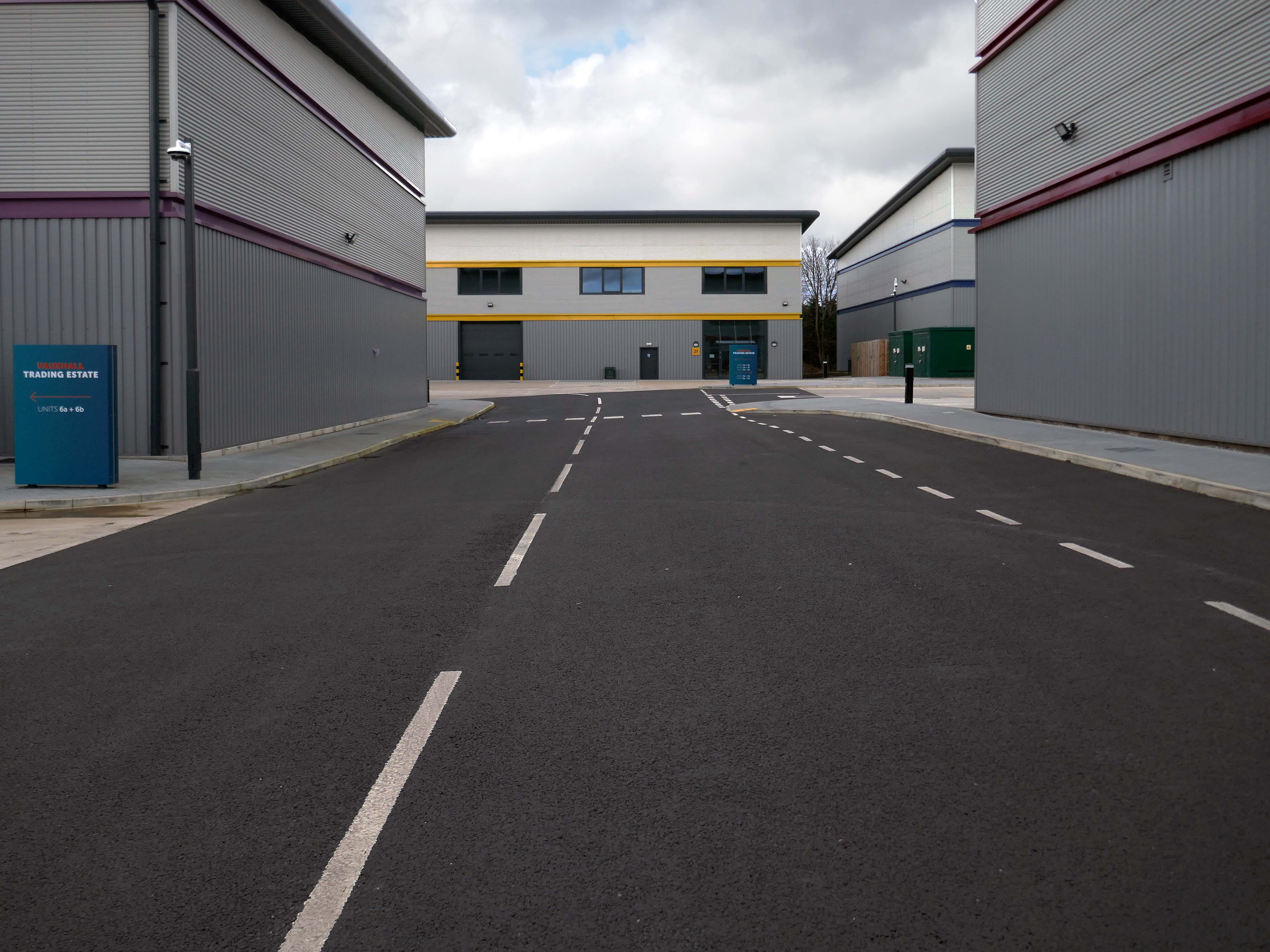
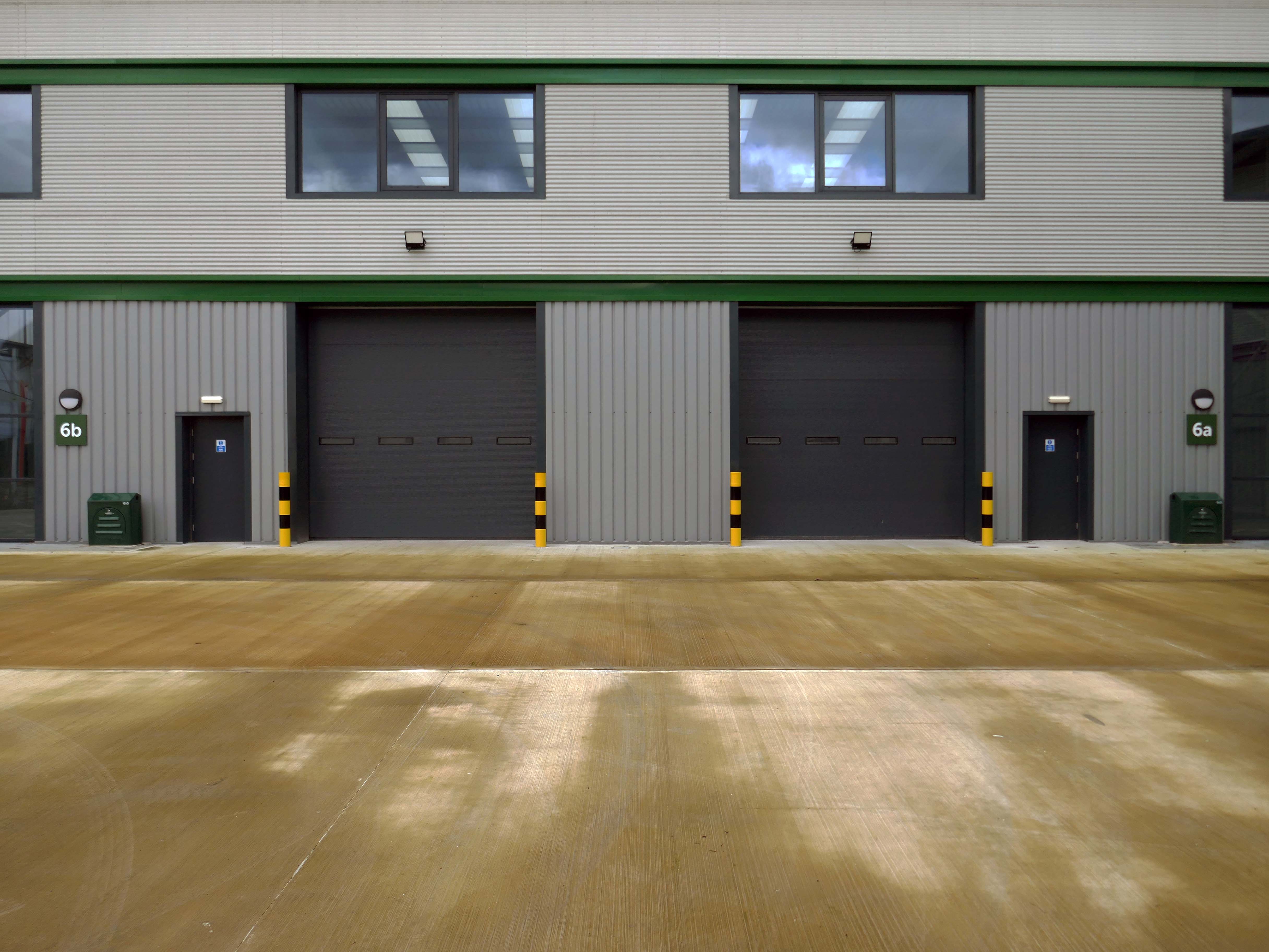
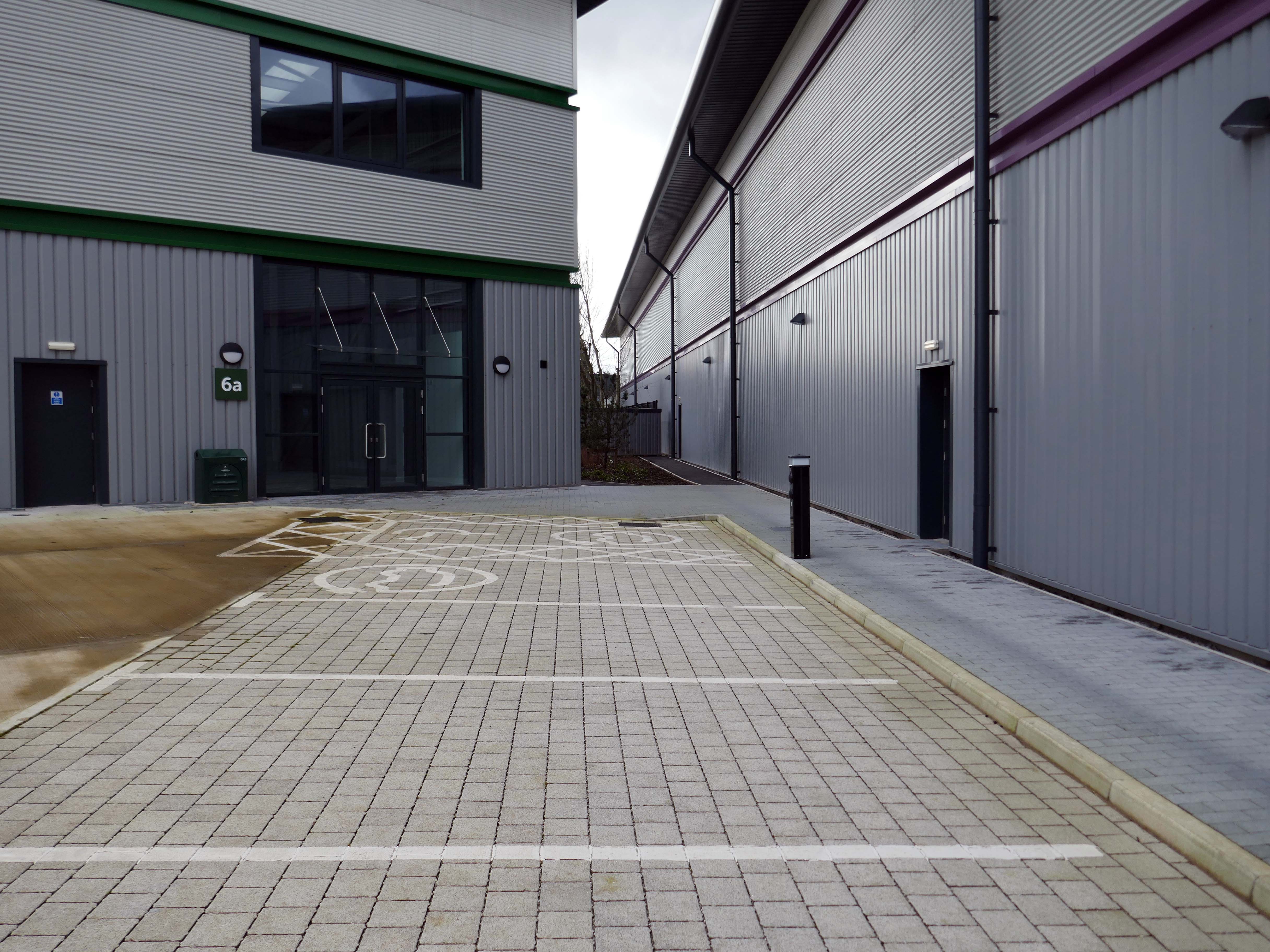
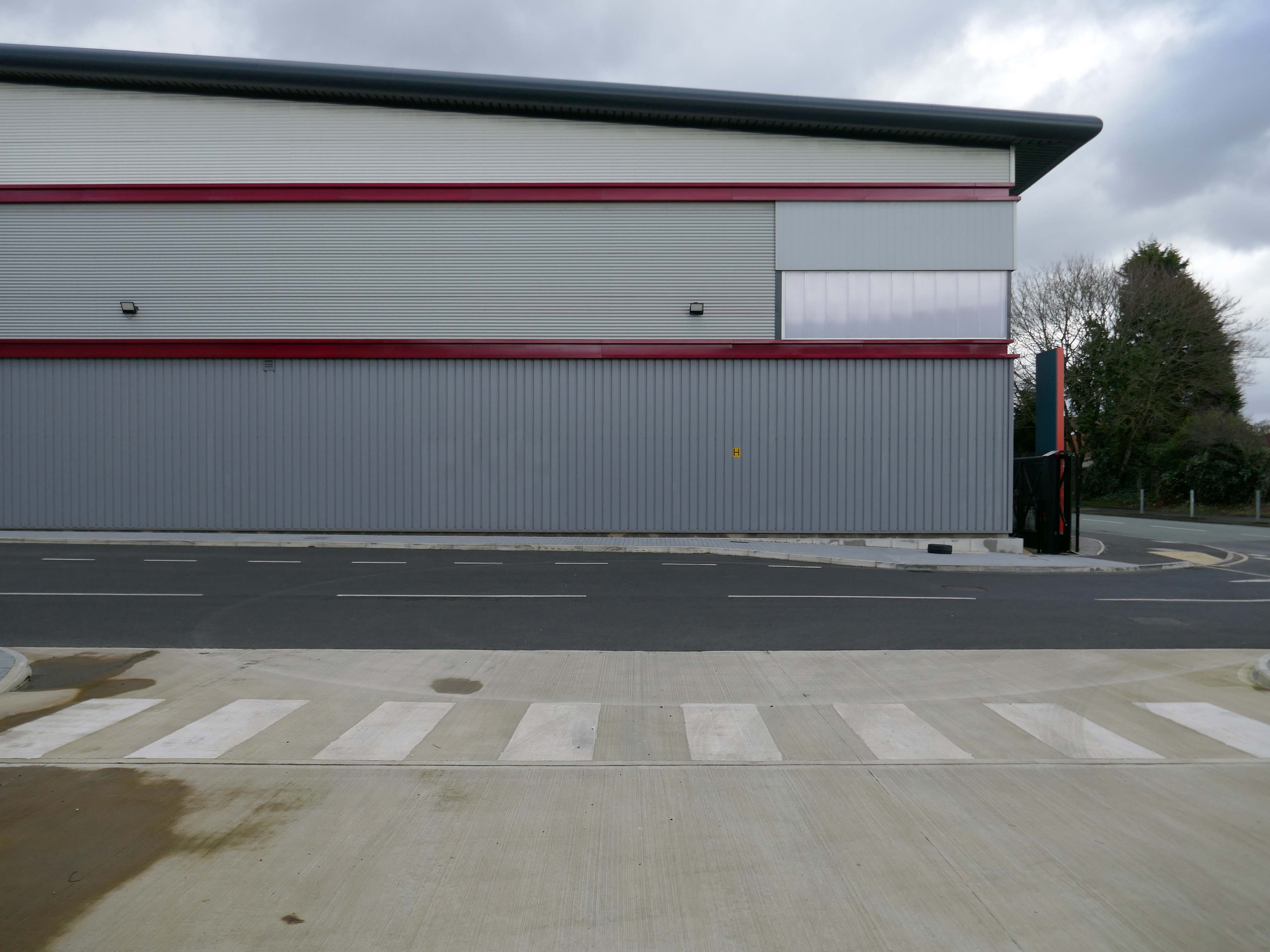
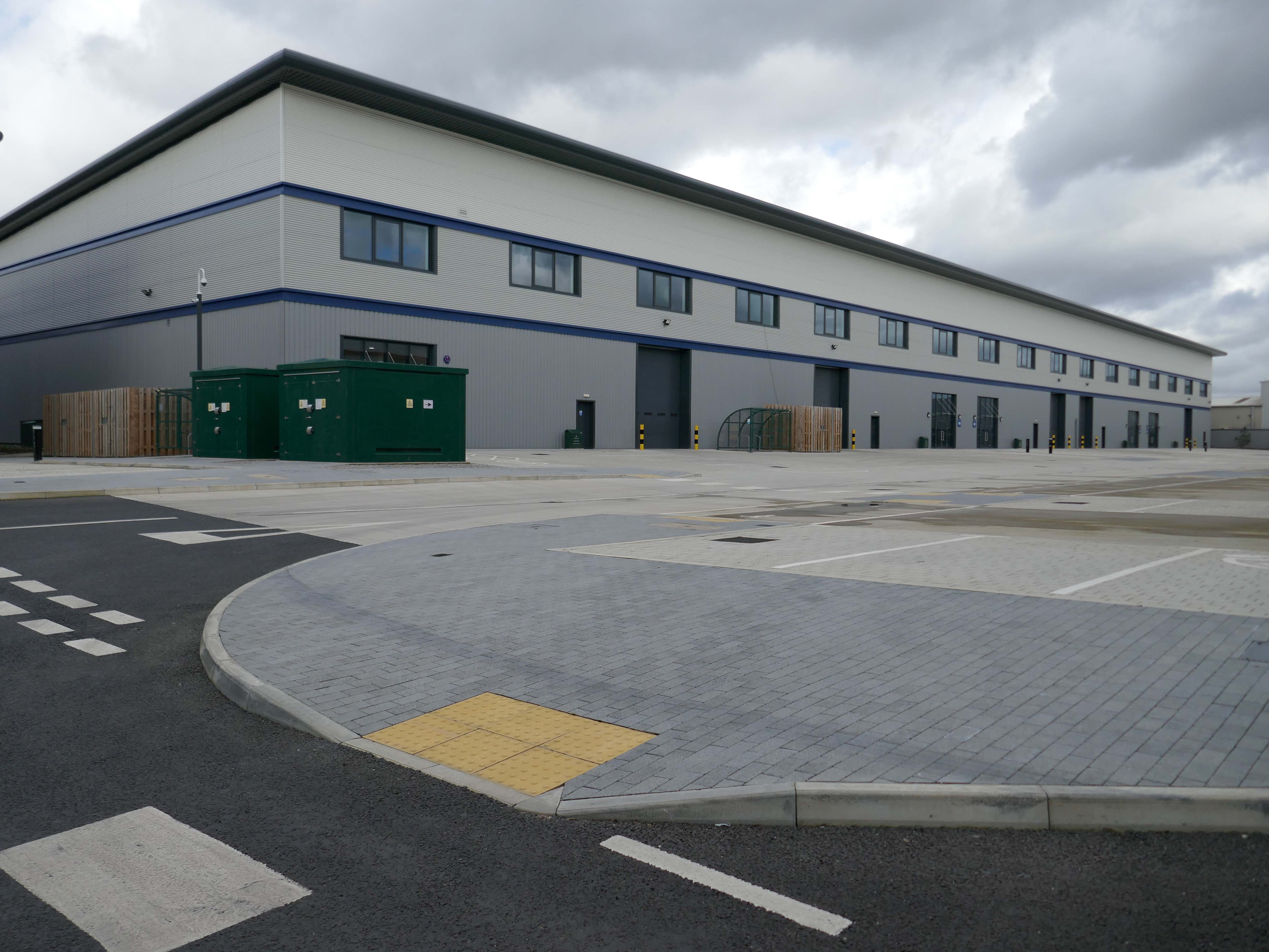
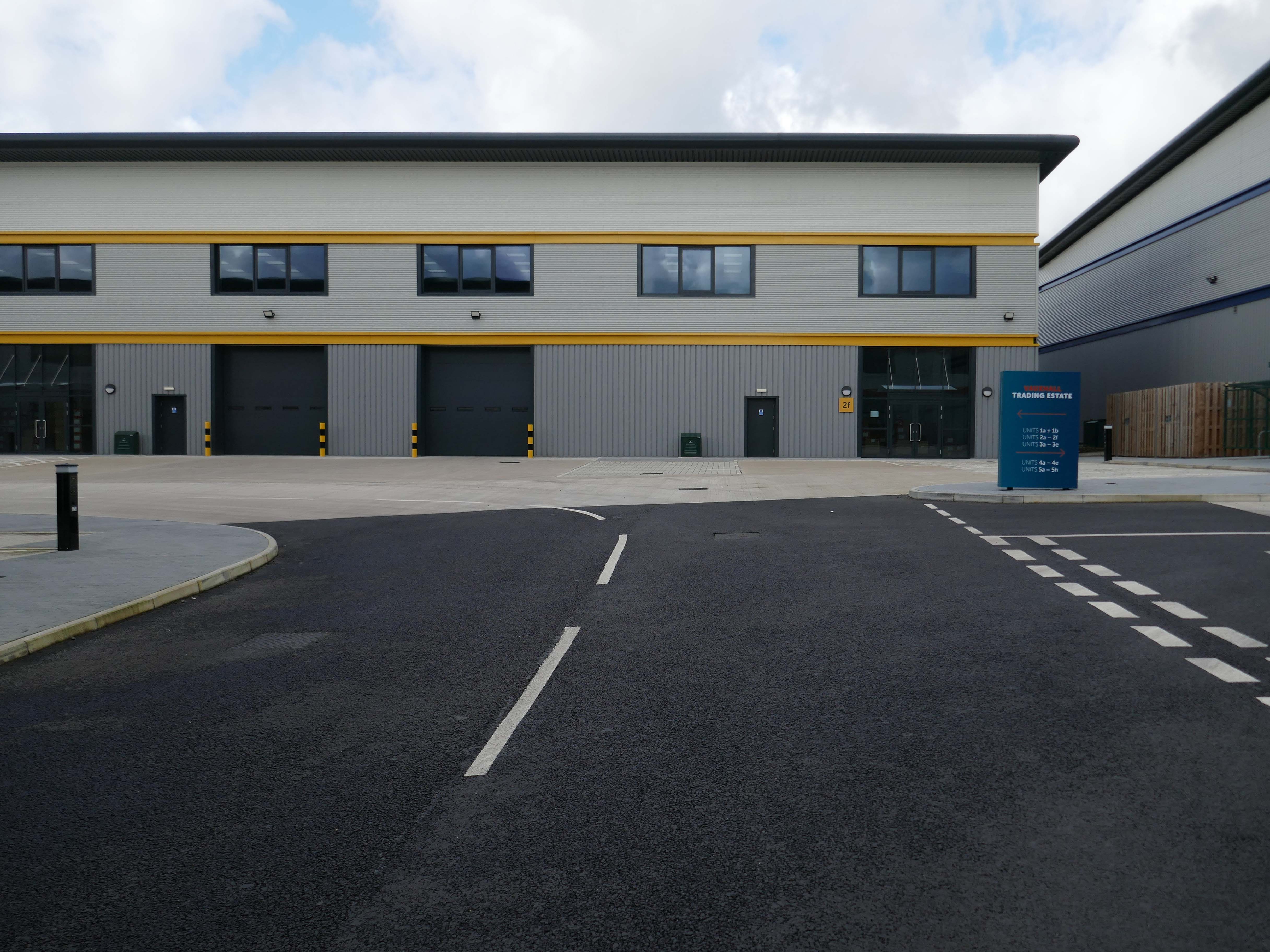
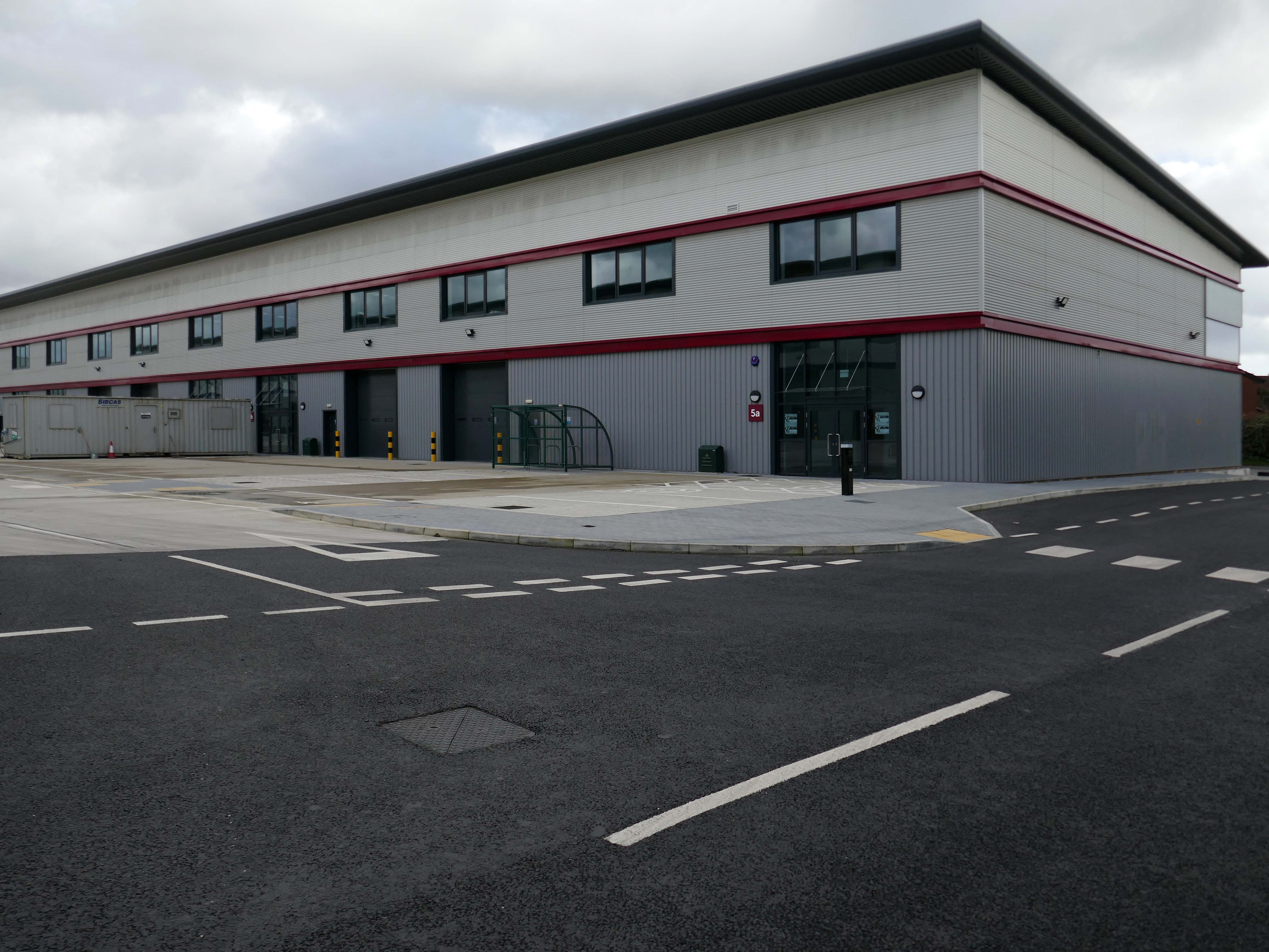
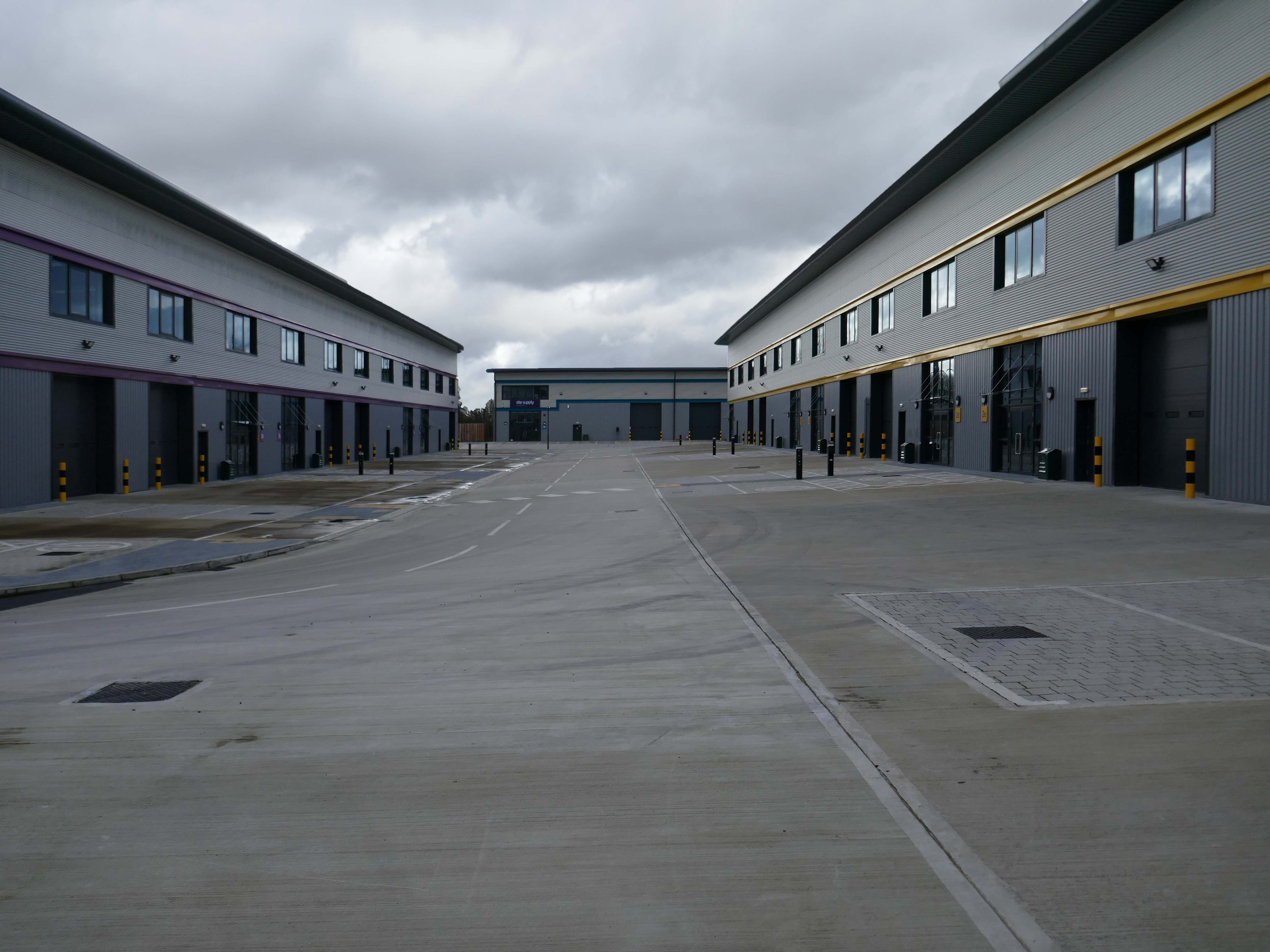
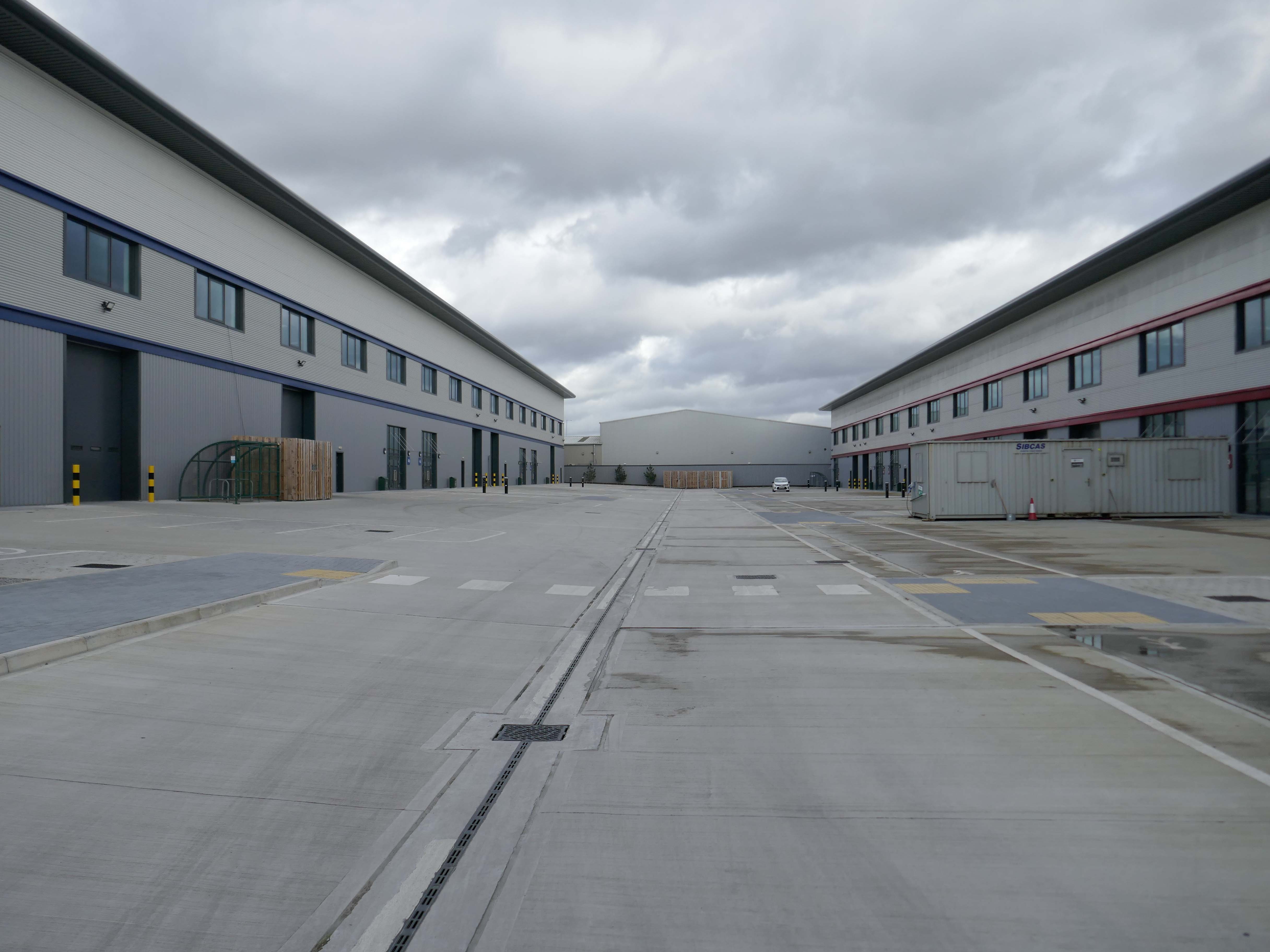
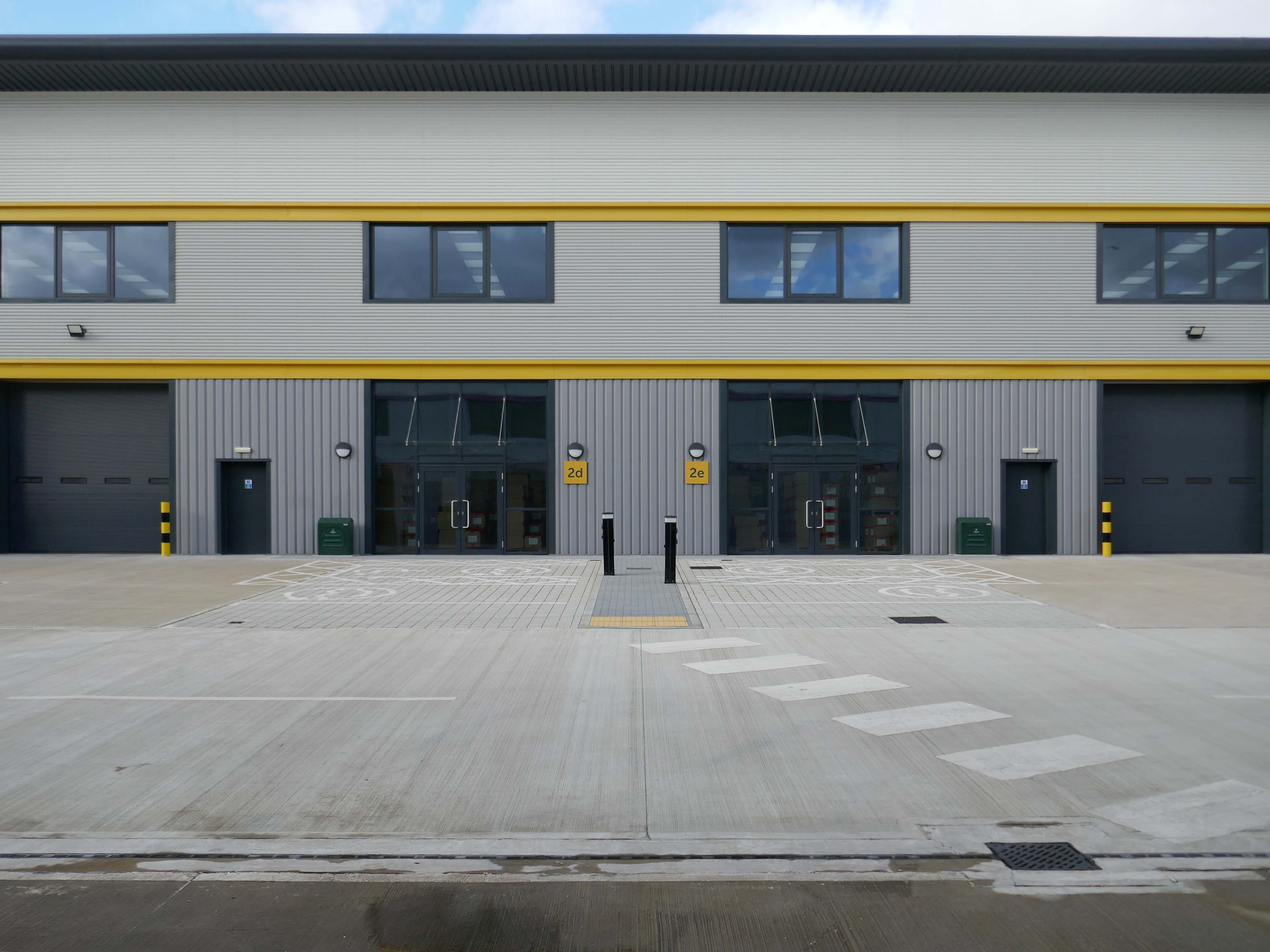
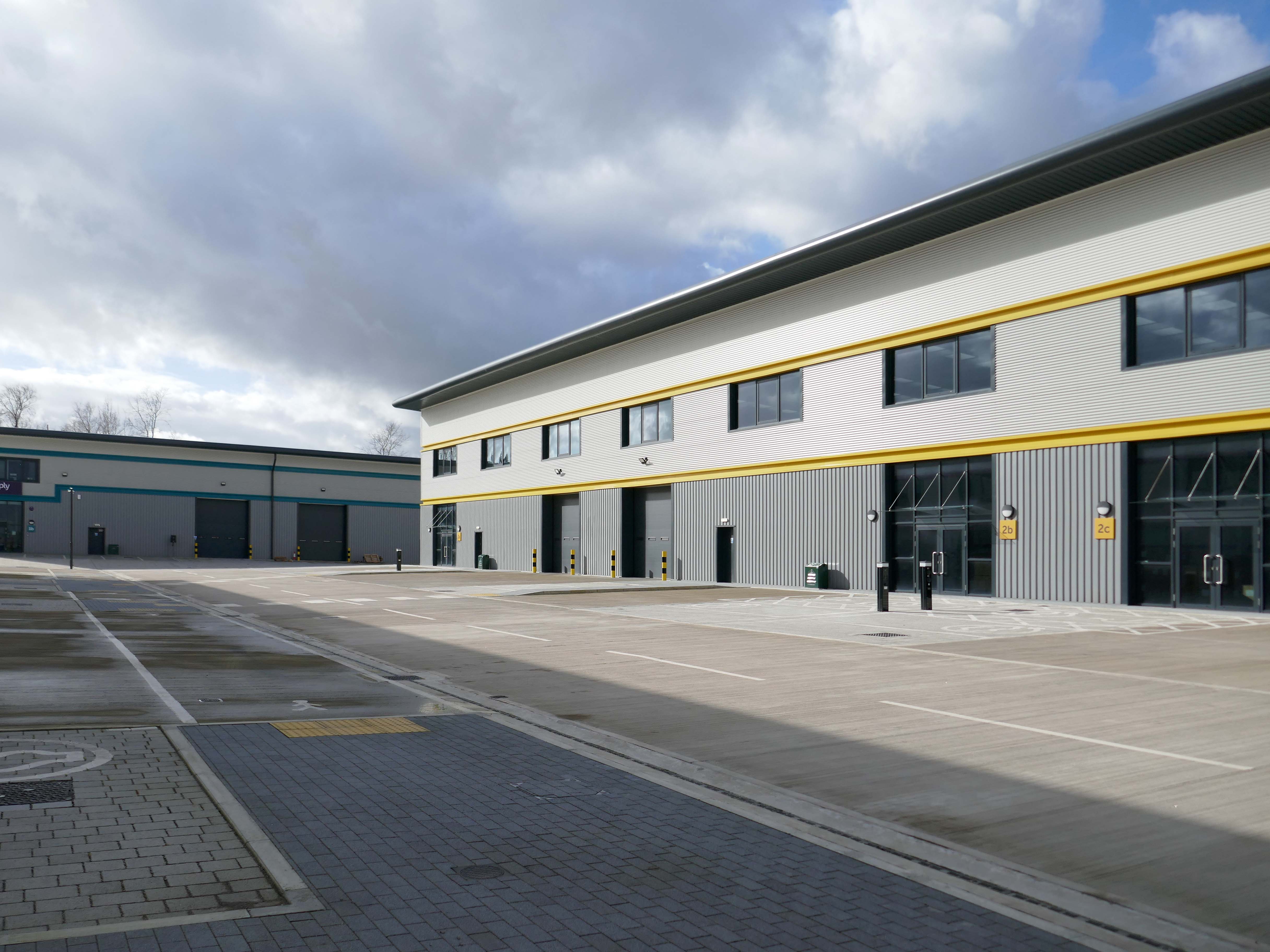
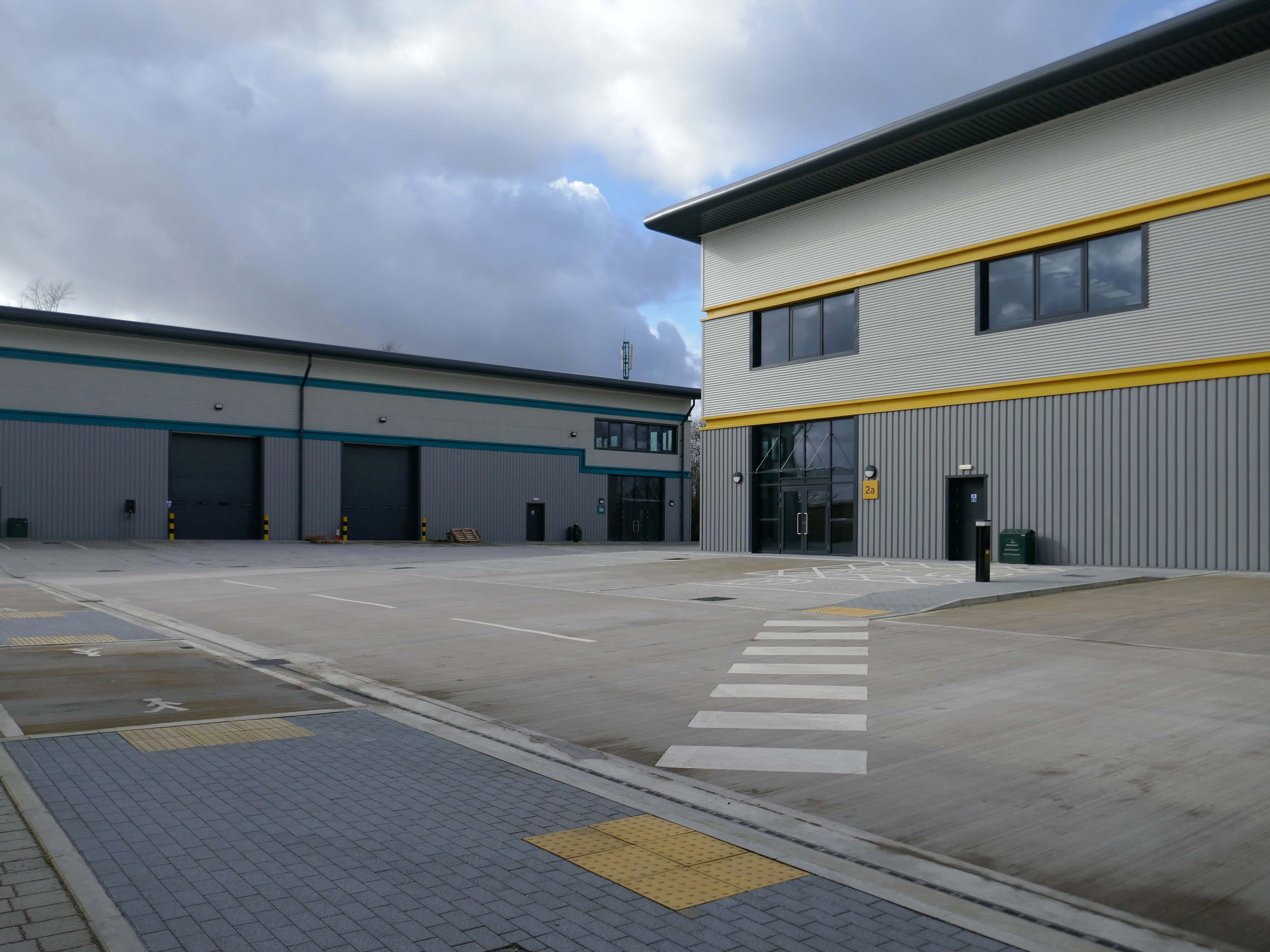
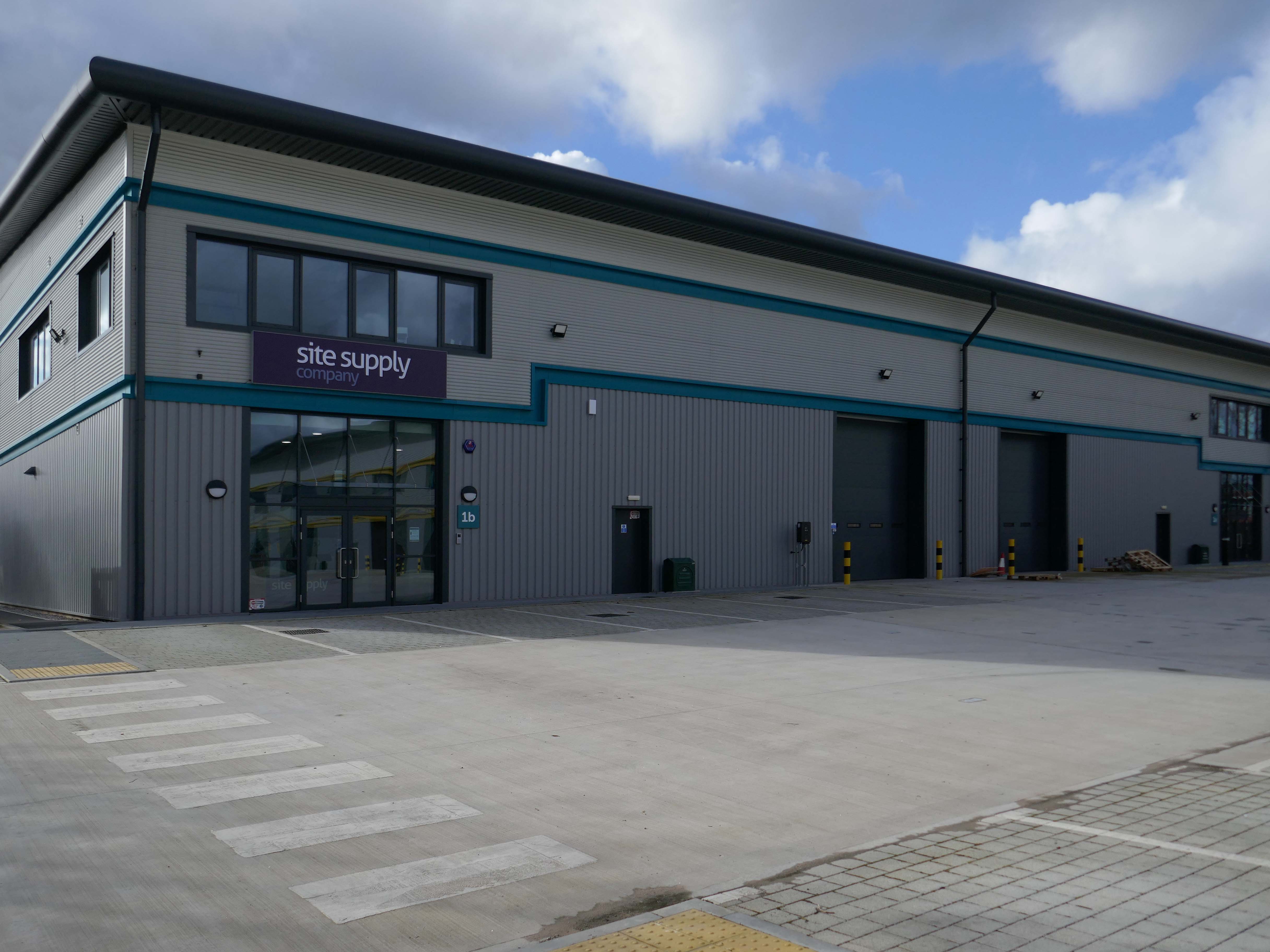
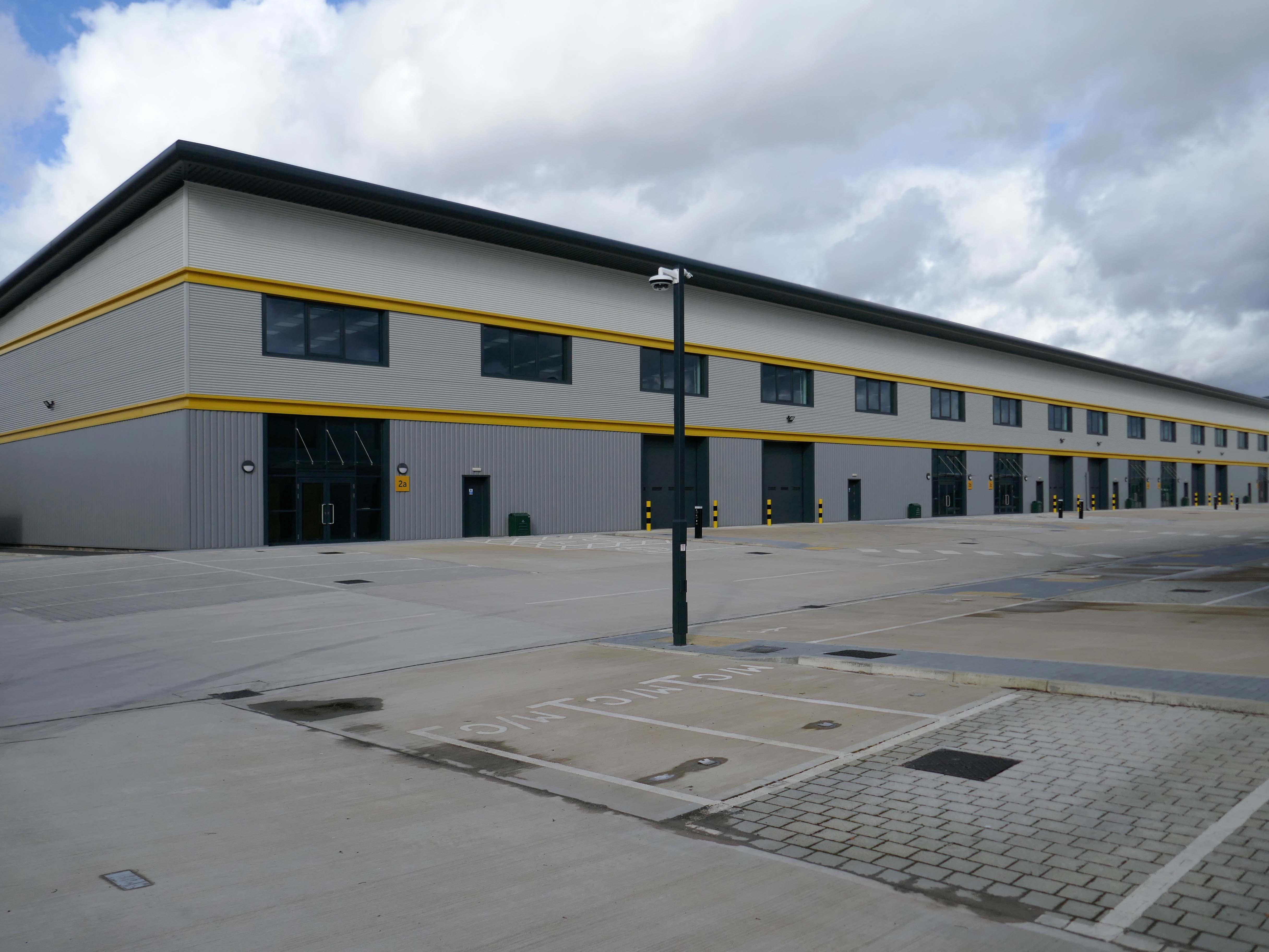
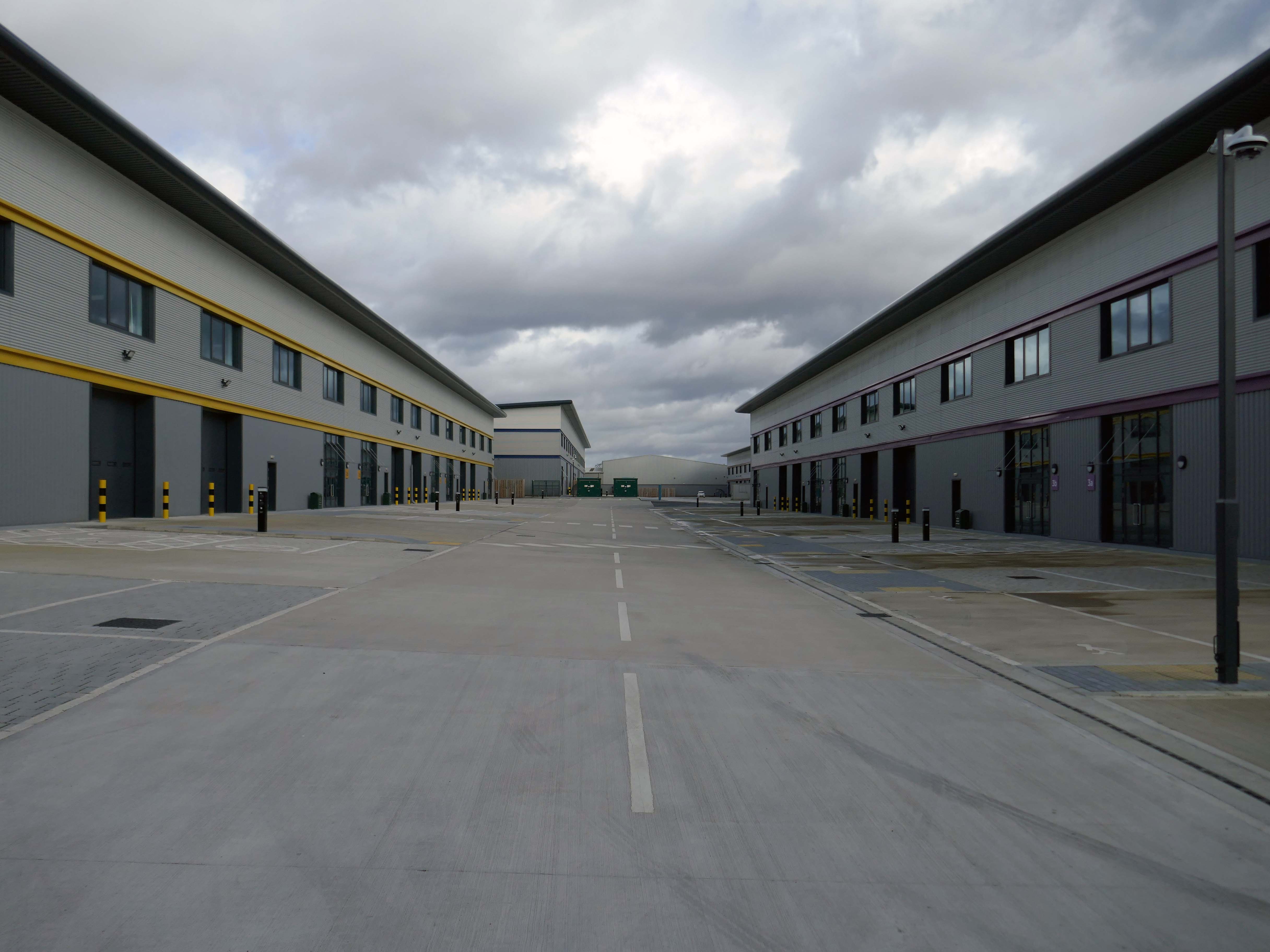
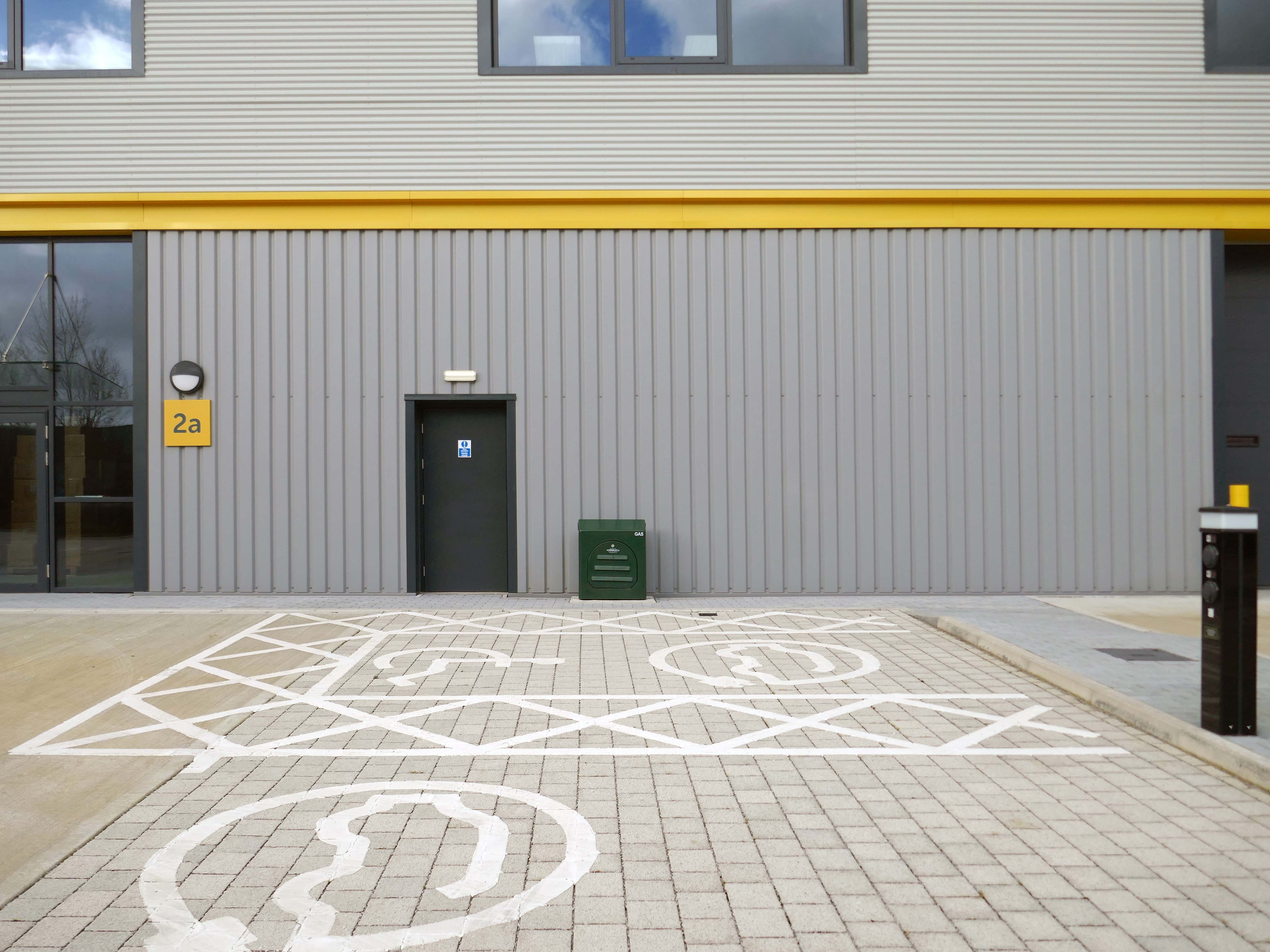
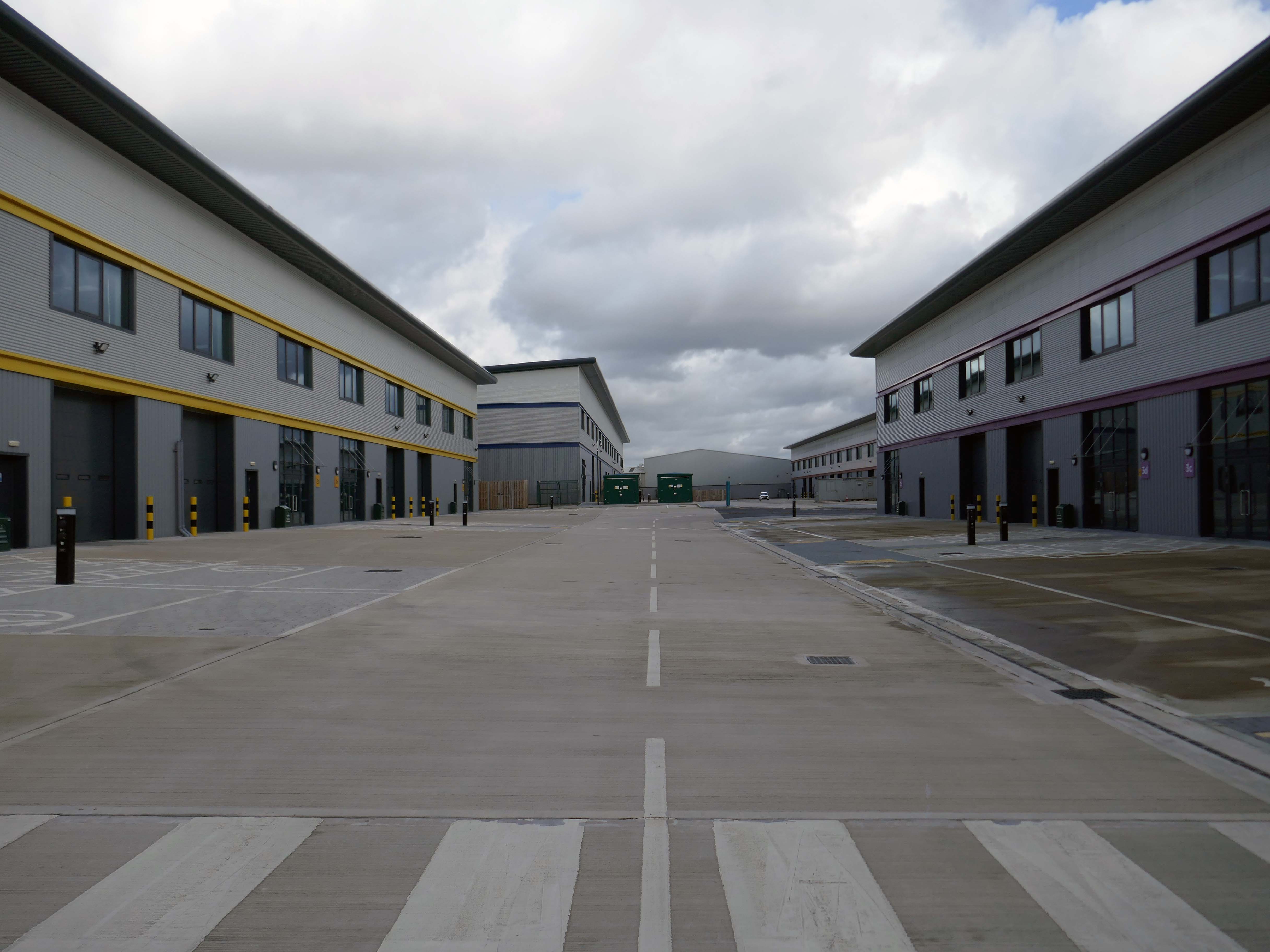
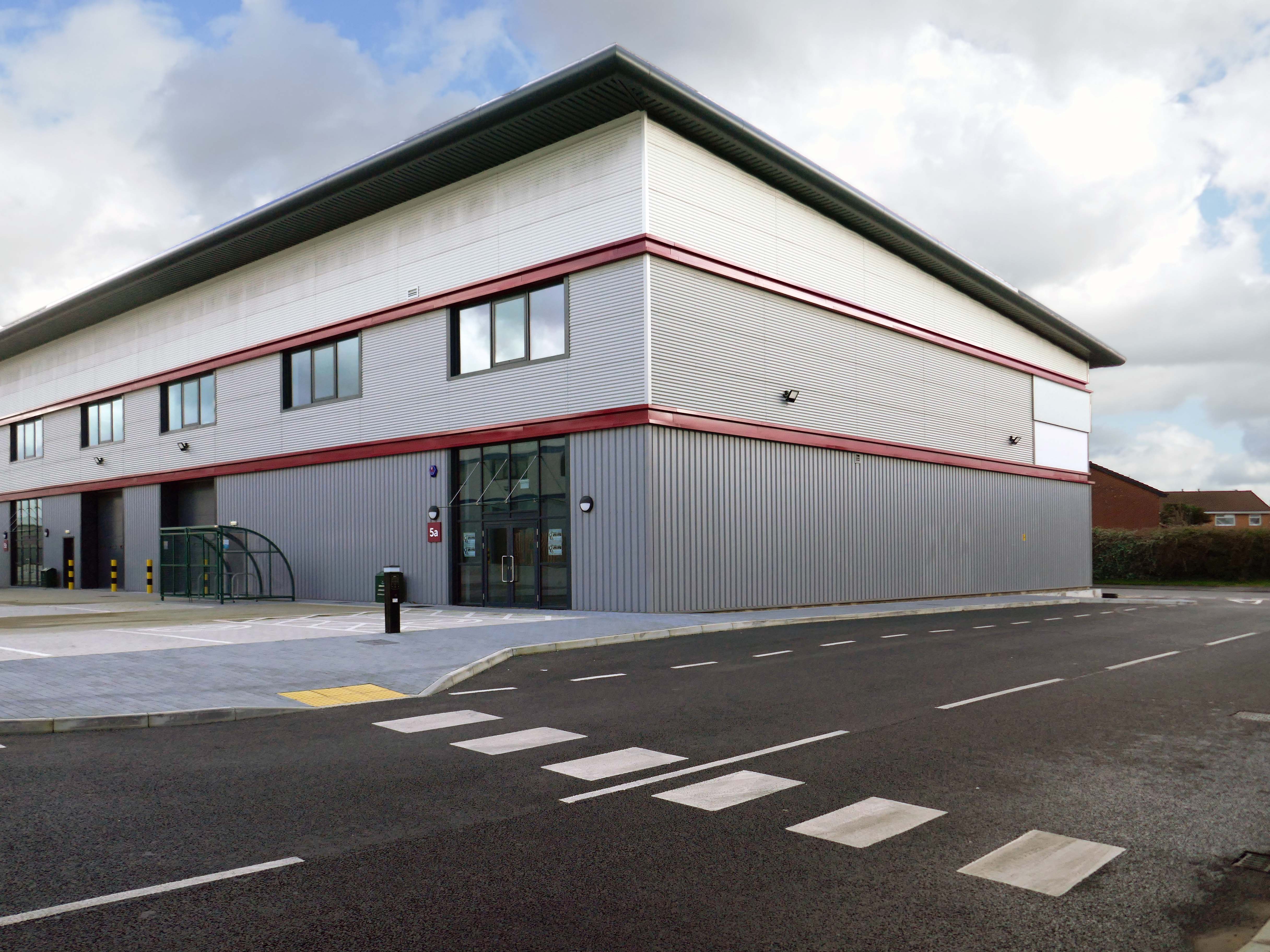
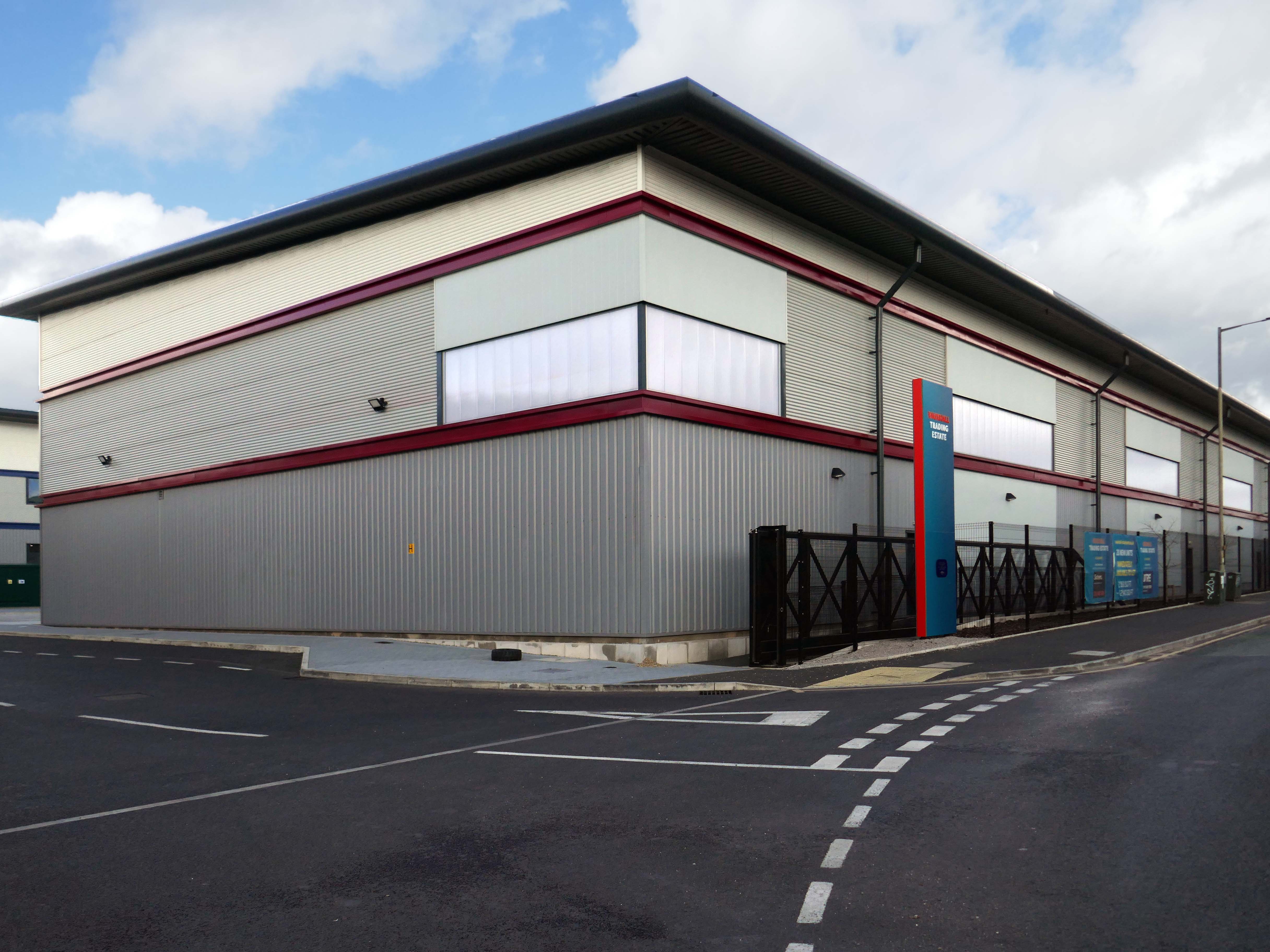
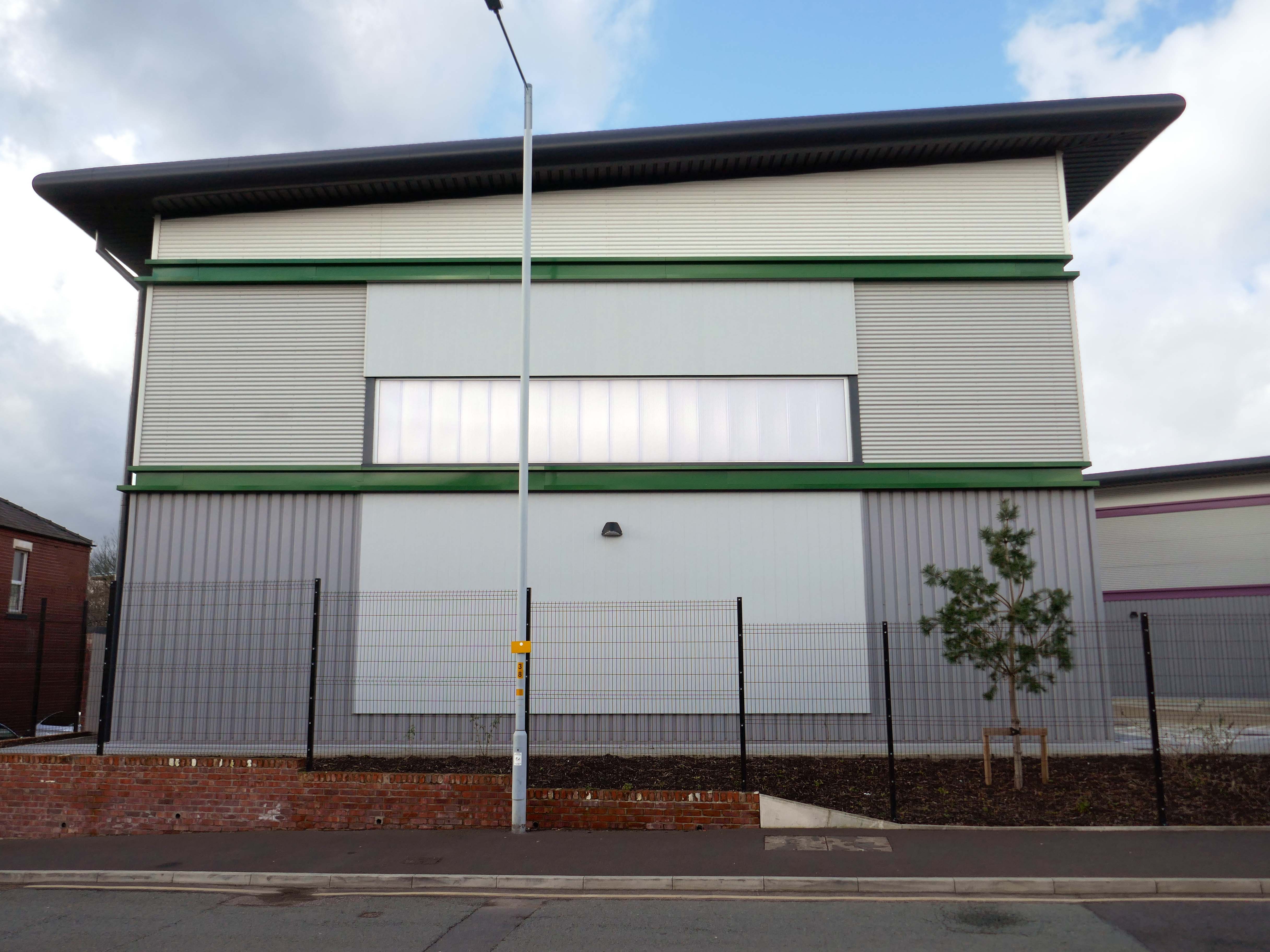
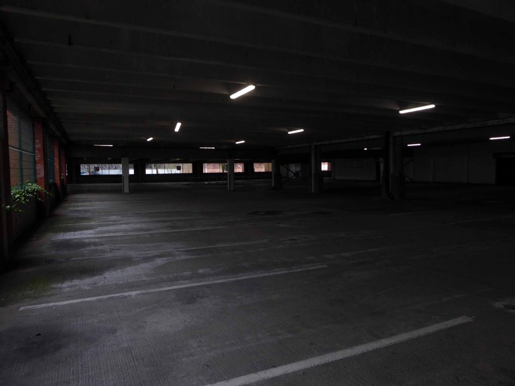
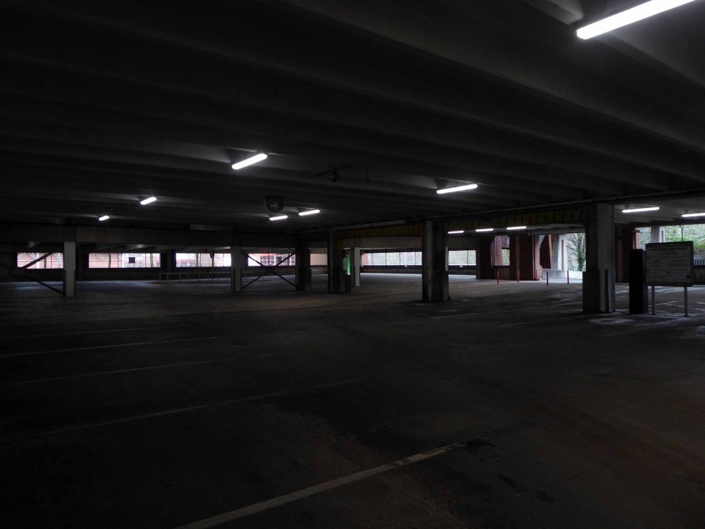
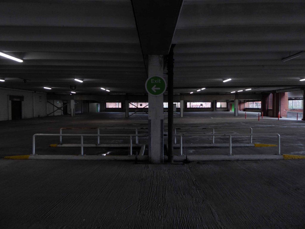
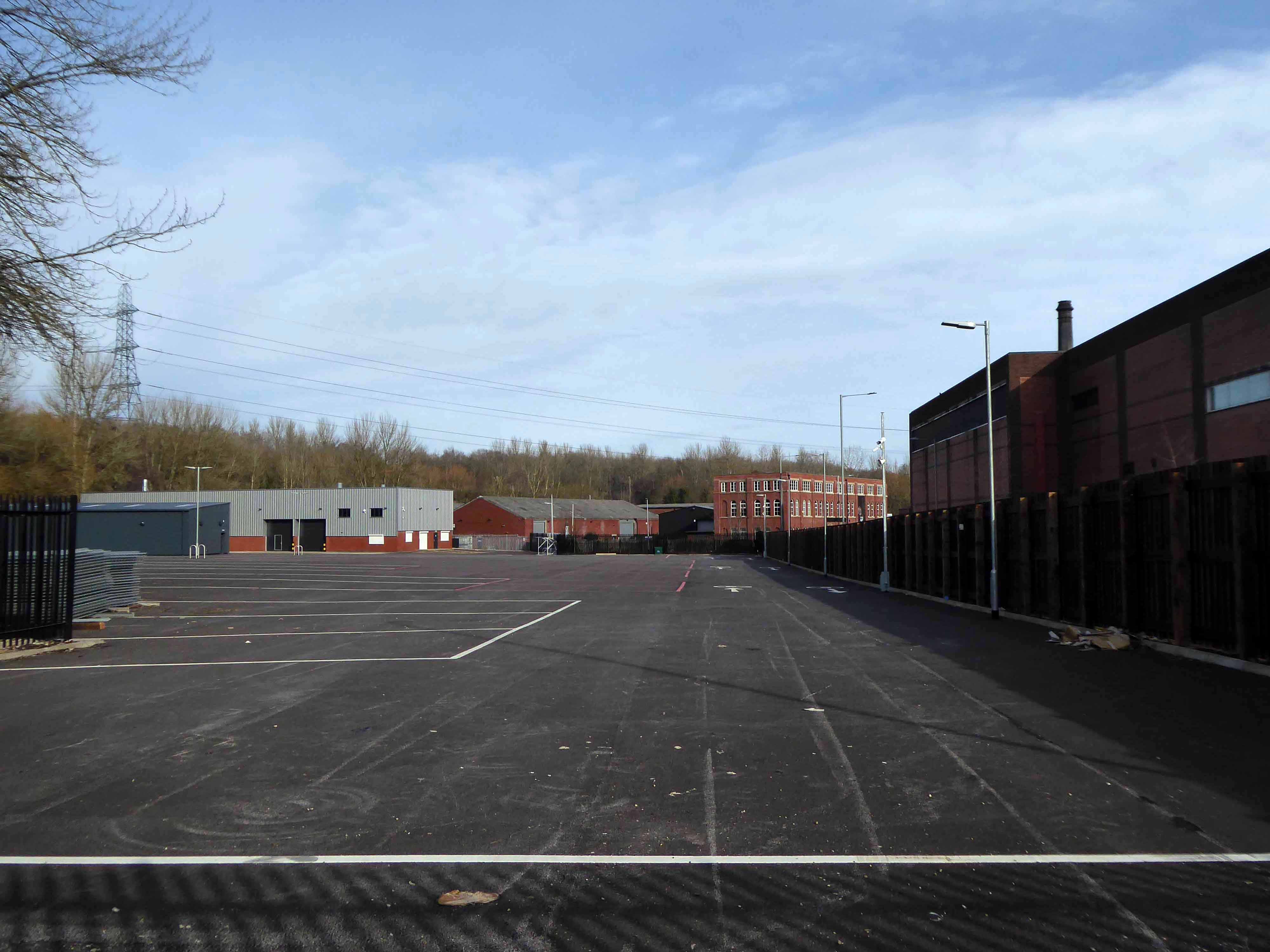
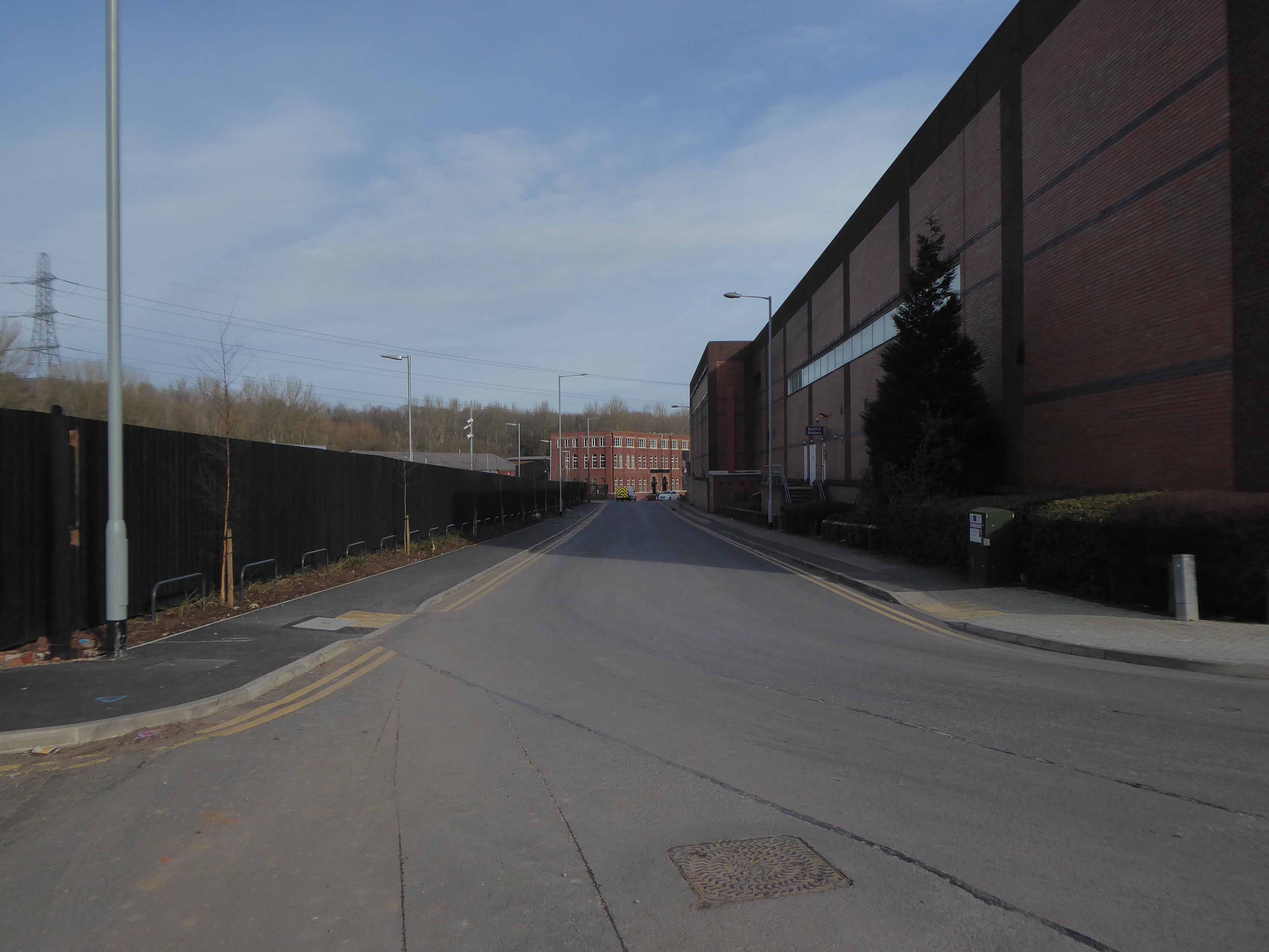
Vauxhall Trading Estate, formerly Vauxhall Industrial Estate, was a collection of dilapidated old industrial buildings, which have been demolished and new modern industrial units provided. RECOM provided project management services to demolish all previous buildings and prepare the site for the main contractor, achieve planning consent, enter a BAPA with Network Rail, tender and appoint the successful main contractor and then provide the Employer’s Agent service throughout the construction phase.

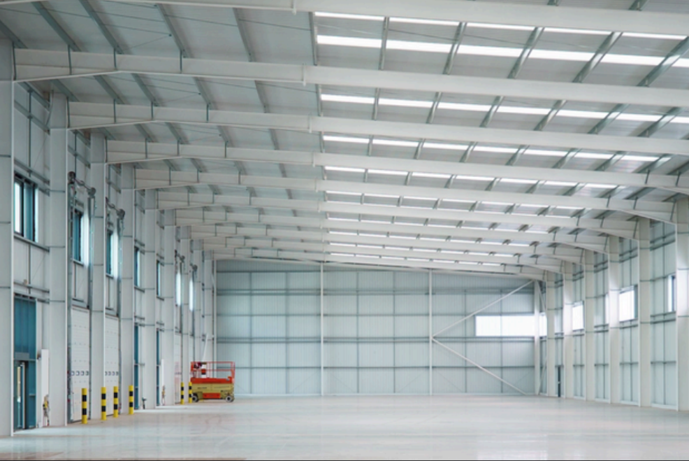
We worked with the design team to produce project specific Employer’s Requirements, ensuring that the client’s brief to provide high quality industrial units was delivered. We ensured the client’s interests were maintained throughout the project, making
objective decisions that aligned with the client’s goals. In order to de-risk the project prior to entering into the main contract, we advised the client on what site investigations, enabling works and surveys needed to be undertaken. As the Employer’s Agent,
we ensured that the conditions of the contract were adhered to, managing claims from the contractor,ensuring that the client’s position was protected.

Project Cost £16.1m

Recom Solutions

Partners C4 Projects Architects, SATPLAN Planning Consultant, Sixteen/DTRE Letting Agents.

Demolition works and embodied carbon created through construction works, is being offset against the sustainable energy created post occupation including: mix of air-source heat pumps and gas-fired radiant tube heating for heating and cooling, and photovoltaic solar panels installed on rooftops to generate green electricity for occupiers.

Hargreaves Contracting

West Heatons Part Four – Stockport Housing

Following on from my essay on Suburbia and Part One of West Heatons Housing, here’s Part Two and Part Three

Taking in Mauldeth Road, Pinewood Close and Leegate Gardens

Mauldeth Road is lined with larger houses, Victorian and interwar villas, bijou apartments and the odd Modernist interloper.

Through the avenues and alleyways, home to those ever so tidy inter and postwar enclaves.

Where a mans gotta work out which side he’s on
Any way he chooses
Chances are he loses
No one gets to live too long

Though in my experience the converse is true, this is a mature community gently maturing, on the inside of everything.

Hiding what may possibly be hidden behind the hedge, though the privacy of privet is in retreat, replaced by bay, birch, holly and the extremely hardy laurel.

The left hand house has purposefully retained the original Crittall Windows.

West Heatons Part Three – Cul de Sacs

High above the streets of Stockport – zooming in to a cluster of cul de sacs branching out from Tithe Barn Road.

Cul de sac translates as bottom of the bag, the French do not use the term, preferring voie sans issue, literally a dead end.

In the slums of New York City, on the East River just below the Queensboro Bridge, wealthy people live in opulent and luxurious apartments because of the picturesque views of the river, while the destitute and poor live nearby in crowded, cockroach-infested tenements.

Wikipedia

I assume that countless civic meetings and Estate Agents’ offices eschew the terminal term – dead end, in favour of the assumed elegance of the cu de sac.

Polanski’s second English-language feature, it follows two injured gangsters who take refuge in the remote island castle of a young British couple in the North of England, spurring a series of mind games and violent altercations.

Wikipedia

I was informed by a local resident that the streets and houses had been used by film crews, firstly for ease of access, the location being closed off, and secondly as the period architecture aligns perfectly with the current penchant for mid-century styling.

The End of the F***ing World 2017 – location unknown

Within the typology there area number of variants, bungalow, dormer bungalow, link detached, semi-detached and detached.

Very very few of the homes have retained their original features, the imperative of our age is to extend and improve.

There is a covenant in the deeds which prevents the building of border fencing – therefore the development retains its small-scale suburban American ambience.

The home below seems to have benefited from retrofitted green credentials.

Here is my first day’s findings in the West Heatons – followed by the next day in the West Heatons, and the next.

And my startling evocation of Suburbia.

Coincidentally, I wrote about Tithe Barn School some years ago.

Night on Earth – Stockport

I have always admired feature films shot at night – particularly Jules Dassin’s Night and the City

Along with Jim Jarmusch’s Night On Earth – so I stole the title and graphics for my photographs.

They were all taken within walking distance of my home in Norris Bank in September 2014.

Subsequently shown at Room at the Top in Stockport at the behest of John Cox.

I set out as the sun began to set, equipped with a tripod and a Nikon D70.

The town was largely unpopulated – save for this lone figure sat sitting on a bench outside Greggs.

Gregg’s has subsequently doubled in size, consuming Baps, Gabbotts Farm has become Sterling Foods.

Along with these two lads sat on the Plaza Steps.

And finally, this ghostly figure – who stood before me during the long exposure required, enquiring about what I was up to.

A chance encounter beneath the Asda car park ramp.

Once I had satiated her nascent curiosity, I continued unabashed with my nocturnal snapping.

This is where I went and that which I snapped.

Stockport Viaduct is still extant, Heaton Lane Car Park is no longer.

The car park at Stopford House.

One of the ninety eight bus shelters on the 192 route.

Merseyway Shopping Centre

Beneath Heron House.

My local The Magnet – I am proud to say that a copy of this photo hangs in the pub’s Vault.

My vast favourite concrete footbridge.

Covent Garden Flats are no more, social housing replaced by owner occupiers.

The Bus Station has since become a Transport Interchange.

And finally, as local lad Mike Yarwood was wont to say – This is me.

Impersonating myself in the manner of Flann O’Brien’s literary creation De Selby

West Heatons Part One – Stockport Housing

Following on from my brief essay on Suburbia – here are my first day’s findings.

West Heatons Part Two – now available!

In 1896 the area to the east of central Stockport is a potpourri of emergent industry, railways, a river and agriculture – a product of the second Ice Age, the subsequent formation of the Mersey Valley and the Industrial Revolution.

By 1911 there is an expansion in the housing stock.

A comprehensive history of the area cane be found here.

In 1918, the UK property landscape was dominated by private renters, who made up 75% of all households. At the time, only 25% of the population owned their own homes. Over the next few decades, home ownership gradually increased, reaching about 38% by 1958. This shift was accompanied by a decrease in private renting, which fell to 41% during the same period.

The most significant growth in home ownership occurred between 1958 and 2003. The percentage of owner-occupiers surged from 38% to 70%. This period saw a corresponding decline in both private renting, which fell to just 8% in 2003, and social renting, which peaked at 29% in 1978 before declining to 22% by 2003.

Belvoir

More detailed analysis of trends in home ownership can be found here at the Office for National Statistics.

The pattern of home ownership has been determined by a number of factors –

The Property Owning Democracy –  Coined by British MP Noel Skelton in 1920, the concept emphasised the terms ‘property-owning’ and ‘democracy’ as a conservative response to left-leaning ideas of liberalism and socialism.

Right to Buy scheme, introduced by Margaret Thatcher’s Housing Act 1980, allowed long-term council social tenants in England and Wales to buy their homes at a significant discount, fostering homeownership but drastically reducing the stock of affordable social housing, leading to ongoing housing shortages and debates over its legacy.

The Property Ladder which commodifies housing. Where once house and home were largely for life, the upwardly mobile homeowner wishes to continually acquire value and status through trading ever onwards and upwards.

Socially the role of the home has also changed over time, once a place to be outside of – working or playing, the home is now possibly a place of both work and play. A larger percentage of weekly earnings is now absorbed by housing costs, and the lure of the multi-channel Smart TV, gaming systems, take away food and supermarket lager, nails the residents’ slippers firmly to the laminate flooring.

This has gone hand in hand with the trend home improvements and extensions – fed by glossy magazines, design led property TV shows advocating a New England, Shabby Chic, Maxi/Minimalist Vibe.

Welcome to the new England.

It’s January 2026 and I have taken to the area between Mauldeth Road, Thornfield Road, Queens Drive and Didsbury Road.

What is actually going on in my locale? – The only way to find out is to go and take a good look around.

Symbol of middle-class aspiration, conservatism and compromised individualism, the semi-detached house is England’s modern domestic type par excellence.

Architectural Review

Semi-detached houses are the most common property type in the United Kingdom. They accounted for 32% of UK housing transactions and 32% of the English housing stock in 2008. Between 1945 and 1964, 41% of all properties built were semis. 

Semi-detached houses for the middle class began to be planned systematically in late 18th-century Georgian architecture, as a suburban compromise between the terraced houses close to the city centre, and the detached villas further out, where land was cheaper.

Although semi-detached housing is built throughout the world, it is generally seen as particularly symbolic of the suburbanisation of the United Kingdom and Ireland.

Wikipedia

Curtis Road, Heyscroft Road, Brompton Road, Carlton Road, Fylde Road, Mauldeth Road and Thornhill Road.

So what did I discover?

The homeowners quest for the individual within a typology, no two doors the same, render re-rendered, period details largely erased, occasionally preserved, windows awash with white uPVC, along with the more recent incursion of one shade of grey, front gardens replaced by unimpressive pressed concrete car parking, cars and more cars, bay windows held at bay by red brick walls and well-trimmed beech hedges.


My pink half of the drainpipe
Separates next door from me
My pink half of the drainpipe
Oh, Mama – belongs to me

Viv Stanshall

Suburbia

My baby takes the morning train
He works from nine till five and then
He takes another home again
To find me waitin’ for him

Sheena Easton

Welcome to the land of Terry and June – the seemingly complacent home to the newly aspirational classes, anathema to those thrill seeking Modernists, embracing the dynamism of the city, or those Ruralists protecting the integrity of the countryside.

Tradition has broken down. Taste is utterly debased, the town, long since degraded, is now being annihilated by a flabby, shoddy, romantic nature worship. That romantic nature worship is destroying also the object of its adoration, the countryside.

Thomas Sharp – Town Planner

Welcome to the land of the Lucie Attwell Bicky House biscuit tin money box.

The perfect model home for the modern model family.

In Coming up for Air, George Orwell describes a suburban road as:

A prison with cells in a row. A line of semi-detached torture chambers.

Literary London

The growth of British towns and cities, from the onset of the Industrial Revolution, created a demand for new homes, the earliest developments were close to the centres of production and administration. Followed by the creation of outlying estates for the fleeing middle classes, as the smoke began to billow and the trains and buses began to run.

Originally the work of speculative private enterprise, followed by homes built by the local authority along with charitable institutions.

My own experience has taught me that Suburbia is architecturally diverse, socially less so, as various areas are segregated by class, and perhaps less so by ethnicity and/or culture.

The majority of the population live in Suburbia it seems, there now follows a selection of the suburban sites which I have visited in the last ten years or so.

In search of Suburbia.

There are areas of Victorian terraced housing Manchester which survived clearance – such as Jetson Street in Abbey Hey.

Many early estates of the early Twentieth Century where heavily influenced by the Garden City Movement , exemplified by the Burnage Garden Village.

And similar in design Ford Lane Didsbury.

By 1931 1.1 million council houses were built and 2.8 million privately owned homes.

Post WW2 the emphasis was on an expansion of social housing, along with a growth in privately owned property – detailed information and analysis of social housing can be found here at Municipal Dreams.

These homes were at times both temporary and of non-standard construction.

This prefabricated house was originally built for the good folk of Doncaster, later finding itself in Humberston Fitties

These Wythenshawe BISF Homes designed by Frederick Gibberd, the so-called Tin Town are still very much habitable homes.

Likewise these examples in Hebden Bridge.

The Pre-Fab Museum is a treasure trove of information, along with Non Standard House Construction.

Post war development was inextricably linked to the New Towns.

The new towns in the United Kingdom were planned under the powers of the New Towns Act 1946 and later acts to relocate people from poor or bombed-out housing following World War II. Designated new towns were placed under the supervision of a development corporation, and were developed in three waves. Later developments included the “expanded towns”: existing towns which were substantially expanded to accommodate what was called the “overspill” population from densely populated areas of deprivation.

Wikipedia

One such New Town was Peterlee, in the north east of England, where I visited in 2021 and 2025.

Along with Cumbernauld in Scotland.

Cwmbran in south Wales.

In addition there are examples of European influence in the design of inter and post WW2 housing.

The Bull Ring Liverpool 1935.

Leo Fitzgerald House of 1940 in Dublin displays a similar European influence.

Corporation Street Flats Stafford 1951-52

Later examples such as Fort Ardwick in Manchester proved to be badly built and ill advised choices for social housing.

The Byker Estate has proved to be much more durable.

Whilst Park Hill has undergone a change from social housing to largely private ownership and rental.

The St Thomas Estate in Radcliffe, mixes the traditional terrace with a modern twist on social housing.

Private developers opted for Span style homes, such as these at Deneway Stockport 1964

Further afield in the former fields of Cheshire are the out of the way, not way out, Woodford executive homes.

In Heald Green we find the slightly less executive homes.

Even further afield the seaside enclave of Penrhyn Bay.

Prompted by a recent viewing of Graham Williamson’s Suburban film, I decided to undertake further in depth research around my own suburban locale.

Here is my first day’s findings in the West Heatons – followed by the next day in the West Heatons.

Heaton Lane Car Park Stockport – 2025

Having visited when you were extant – it’s only right that I should mark your passing.

You once were my local multi-storey car park, in so far as a pedestrian can have a local multi-storey car park, within which to wander.

2021

The site was no stranger to demolition having once been home to the Tram latterly Bus Depot.

1960

24th March 1978

9th May 1978

Photos: H LeesStockport Image Archive

Heaton Lane car park is closed while demolition works take place.

Plans to demolish the car park were submitted by Stockport Council in September this year.

The plans propose removing the multi-storey car park down to ‘slab level’

The work itself will be carried out by removing floor slabs one by one from the parking bays, from the ground upwards. Contractor PP O’Connor has said it will take noise and dust into consideration when completing the works.

Dust suppression systems will be in place to minimise pollution.

Noise levels are not considered likely to be a nuisance, however the site manager will be able to review the demolition process if it’s deemed too high.

Stockport Nub News

DMW Drone Photography

There car park is almost at the heart – on the edge of plans to regenerate the town centre.

The Strategic Regeneration Framework for Stockport Town Centre West set out how up to 4,000 new homes and 1m sq. ft of new employment floorspace and 5,300 new jobs could be delivered across Town Centre West by 2035.

In order to assess the overall economic benefit of an expanded Mayoral development area Stockport Council have developed an SRF for Stockport Town Centre East. This SRF sets out an illustrative masterplan to guide the creation of Stockport’s new neighbourhoods and achieve comprehensive urban regeneration by 2040. Together the SRFs for Town Centre West and Town Centre East will guide the development of a total of 8,000 new homes alongside services and amenities. The development set out in the SRFs will drive a transformational impact on the Stockport economy.

The Corporation is expected to be established in early 2026.   It will provide a single, focused body for local decision-making; engagement with stakeholders including government departments, public agencies; private sector landowners, and developers; and to drive investment across the public and private sectors to realise the shared vision for the regeneration of the Area.

Greater Manchester Gov

Walking – Talking

I began walking when quite young, then like Felix, I kept on walking, walking still.

The photograph was taking during the Whit Walks in 1958 – aged three, I was engaged in religious pilgrimage, as we know there are many reasons for walking, this is but one.

I was fortunate to grow up at a time when youngsters were permitted to roam freely, less traffic, less anxiety, gave me access to a wider axis of exploration.

The photograph would have been taken I assume, by my mam, on the Brownie 127. When aged nine I wandered alone through the local woods and exposed twelve frames of 44mm 127 film, the prints are long gone, yet I remember each of the photographs and locations clearly.

I went to school, then I didn’t, then I went to Art School, eventually becoming a teenage Constructivist, tutored by Jeffrey Steele, a leading light in the British Systems movement.

The rigidity of the grid, symmetry and orthogonal framing have stayed with me.

Then I went to work for a very long time indeed, then all of a sudden I didn’t. Taking early retirement aged 59 some ten years ago, subsequently taking to the roads, streets and hills of Britain in search of nothing in particular.

In recent years there has been a rapid development in the culture of walking, theories, films, guides, songs and literature. I am fully cognisant of such, yet believe at heart that walking can be free of such baggage, we can stride unhindered, atavistic and carefree/less.

Walk tall, walk straight and look the world right in the eye.

Getting lost is about the unfamiliar appearing.

In my own small way, I have become part of that baggage, having been asked to lead a walk around Stockport by the the modernist neé Manchester Modernist Society.

The photograph depicts Alan Boyson’s concrete screen wall, attached to the former Cooperative super store designed by Philip Andrew. The two worked to gather on the Hull Cooperative store, which is adorned by Alan’s huge Three Ships mosaic.

Philip was a childhood friend of Alan Boyson and it was Alan’s father, manager of the Marple Co-operative Society, that recommended Philip for an apprenticeship job in 1951 to the chief architect at the CWS in Manchester HQ.

Ships in the Sky

In preparation for the tour, I visited the town’s Local Heritage Library and read extensively from serendipitous charity shop finds.

The two hour route was designed around an economy of distance and elevation, allowing time for others to take in, what may be for them unfamiliar surroundings. A group of around twenty or so folk became sociable and engaged, with a suitably concise and apposite contribution from myself. There are those who busied themselves taking snaps along the way, chatting amiably or simply gazing in amazement.

The service building above the former Debenham’s store.

Beneath the spiral ramp which leads to the Red Rock car park.

The architects for the scheme were BDP – the building was not well received as it was awarded the Carbuncle of the Year 2018.

Stockport’s Town Hall extension Stopford House.

Famed as an imaginary TV police station, this civic building is a civic building I simply can’t resist. I return on a regular basis to wander and snap. This is an open public space that seems little loved and has few visitors.

From then onwards I have been taking folks on Modernist Mooches on a regular basis, two or so a month, during the less inclement times of year.

At about the same time I was asked to exhibit my photographs in Stockport, I chose to mooch about at night. Walking around an almost deserted town, avoiding the glare of streetlights, there is a mild frisson to be about when nobody else is about. The air feels different, exposures are longer, the almost waking world feels arrested, by the low available light.

Merseyway Shopping Centre designed by Bernard Engle and Partners, opened in 1965.

My local shopping centre and as such part of my weekly walking and shopping life.

NCP Car Park located on Stockport Station approach.

Regent House

Asda superstore

I found a copy of Charlie Meecham’s book Oldham Road in a charity shop.

Inspiring me in 2014, to walk in mostly straight lines, though often as not zig zagging along the main arterial roads of Manchester.

Taking pictures on Sunday mornings, in order to avoid traffic, mildly amused to be ignoring the primary function of the routes.

This is one of the more familiar roads, having walked up and down several times over several years. It was to have been an extension of the Mancunian Way, forming a trans-pennine motorway. Much of the property lining the route was cleared in preparation, it was never built, and for years a strange semi-deserted ambience hung over the A57.

Bus Depot

Railway Bridge

The car showrooms which later became an African Evangalist church.

Having cleared away both Victorian and Sixties housing, new architectural forms arose in West Gorton.

Where there were once dozens of pubs, often there are now none.

The Belle Vue Granada Bowl became a Bingo Hall then became nothing.

The 192 bus runs between Manchester Piccadilly and hazel Grove, I often ride between Stockport and town, and back.

I decided to walk the route, photographing each of the ninety eight bus stops along the way.

Piccadilly Station

UMIST Retaining Wall

Ardwick Post Office

Levenshulme

A book published by the modernist – literally eight launderettes.

Which became the first modernist calendar.

Now, everywhere I go, I see launderettes – so arriving in Hanley with time on my hands, wandering around I found this exemplary example.

Having a blog entitled Manchester Estate Pubs, the national media became interested in my photographs. I had spent quite some time, wandering around in search of this endangered architectural typology.

This was Billy Greens in Collyhurst, named for a local boxer, now demolished.

Which in turn became the second modernist calendar.

Followed the following year by fish and chip shops.

So building a vocabulary for my mooching, discovering yet another chippy, laundry, pub, Burton’s, telephone exchange, glazed stairway or underpass.

These things find you, yearning for some small amount of attention and affection.

The Trawl – my favourite peg board menu, my favourite Bridlington chippy.

We are now coming to the end of the car park year – seen here on the wall of my command centre.

The calendar was an adjunct to a walk – Twelve Car Parks.

Here we all are at Circle SquareFielden Clegg Bradley were concept architects while Leach Rhodes Walker were delivery architects.

In September we walked around Newcastle for a weekend away – taking in Eldon Square, ably guided by local modernist Euan Lynn.

Ending our tour at Manors Car Park.

Following an urban river – the River Irk, an excellent way to devise a linear walk.

The river enclosed in blue engineers brick as it passes under the railway.

A long neglected are is now the scene of mass regeneration – rebranded Victoria North.

The former Traveller’s homes are now rubble.

Rushing miles ahead to Blackley the home of Richard Siefert’s ICI Tower.

And around the corner, these delightful reliefs attached to the Tower Blocks.

I was asked to assist in putting together an exhibition for Collyhurst Voices – walking through the memories of a community under threat.

Walking in the footsteps of Dennis Hussey’s Collyhurst Cowboy – looking toward Dalton Street

Then uphill to Eastford Square and the long lost homes.

Home to William Mitchell’s Totem, the homes long gone and the Council pledged to move the totem too.

The state of play this week, the detritus removed and the base filled in, repaved and safe for a while.

Off now to the Weaver Valley another day another river, passing under Weaver Viaduct

The looking toward Koura Global – leader in the development, manufacture, and supply of fluoro products and technologies, opened a new HFA 152a production facility at their Runcorn site in the UK.

Further rural Modernism as we pass under and traverse the M62, whilst walking around the Piethorn Valley

Then recently visiting several Yorkshire Reservoirs – here we are at Scammonden.

The newest of the Modernist Mooches was to Burnley where we visited the Keirby Hotel.

The former GUS Offices with a mural by Diane and William Morris.

Plus the Charles Anderson concrete relief at the Crow Wood Hotel.

Finally a little light relief – a visit to the Boots factory in Nottingham.

Having innocently board a bus outside the station with a Boots head code , I alighted within the factory gates. Then innocently walking around taking snaps, unheeded until the men in the van stopped me in my tracks.

Who are you, what are you doing?

I am the Modern Moocher going about my business – well it turns out this was not permitted and I was red carded by the earnest security guards and asked to leave forthwith. Suitably rebuked, I politely bade them farewell and headed for the gates.

Ramp – Stockport Interchange

I have written several time about the former bus station.

It’s now all grown up into a fully fledged transport interchange – with its very own pedestrian and cycling ramp.

The 189-metre ramp provides a seamless and accessible route to navigate the level change from the rooftop park to the river Mersey frontage, leading to the Trans Pennine Trail route.

Forming part of the Stockport Interchange Mixed Use development scheme, and which also includes a new cycle and pedestrian link from Stockport rail station to the new park, as well as connecting the new facility to the wider Bee Network cycling and walking infrastructure, which is designed to encourage more people to make journeys on foot or by bike.

One Stockport

Architect: The Harris Partnership
Steelwork Contractor: SH Structures
Main Contractor: Willmot Dixon
Structural Engineer: OPS Structures Ltd

Here is a time-lapse video of the whole construction site.

As a pedestrian, cyclist, train and bus user I wholeheartedly approve of the whole shebang.

Let’s take a walk up the ramp together.

Sainsbury’s Stockport

Warren Street Stockport, north of Lancashire Bridge beside the Mersey – seen here in the 1920s a mix of retail, dwellings and industry as was most of the town centre.

The river was culverted and covered as it passed through in 1936

The Merseyway Shopping Centre was completed and opened in 1965 – architects Bernard Engle and Partners

A later extension followed along Warren Street.

The Sainsbury’s building can be seen beside the river – opened 29th October 1985

The branch closed in January 2021 – the Asda is still open.

Store Images – Sainsbury’s Archive

Plans to build hundreds of new homes – including a 15-storey tower block – on a vacant Sainsbury’s site in Stockport town centre are set to get the go-ahead.

Proposals that would bring more than 500 flats and 34 townhouses to the three-acre plot, in Warren Street, are set to go before the council’s planning committee next Thursday night. The 573 homes would be spread across a trio of buildings – rising in height  from five to 15 storeys. Two of these would  also have space for a range of potential uses, ranging from shops and cafes to gyms and creches.

Manchester World

Martin Halsey, operations director at Amstone Ventures, added:

We can see that Stockport has untapped demand for quality homes within its town centre, offering a vibrant lifestyle and everything Stockport town centre has to offer, all on the doorstep.”

Took a look around the site before it’s no longer possible to look around the site.

Portwood – 2023

Where are we?

We once were lost, but are we saved?

A remnant from a discarded photographic album locates us in Cornwall.

The Ordnance Survey places us at the heart of the Industrial Revolution.

Now we are in the shadow of Tesco Extra and a recently opened Porsche dealership.

As of 2022, the supermarket chain had a brand value of roughly 9.91 billion US dollars.

Porsche Automobile Holding SE net worth as of January 2023 is 16.51 US dollars.

By the side of the River Tame and the M60 Motorway

The 19th-century industrial concentrations in the above-named urban areas resulted in the Tame being a much polluted waterway. As well as industrial pollution from the dyes and bleaches used in textile mills, effluent from specialised paper-making cigarette papers, engineering effluents, including base metal washings from battery manufacture, phenols from the huge coal-gas plant in Denton, rain-wash from roads and abandoned coal spoil heaps there was also the sewage effluent from the surrounding population. Up to two-thirds of the river’s flow at its confluence with the Goyt had passed through a sewage works. The anti-pollution efforts of the last thirty years of the 20th century have resulted in positive fauna distributions.

Wikipedia

There is a plot of land to the left of Porsche which remains undeveloped, I often walk around this area, what would have once been for myself and others the place of childhood high jinx.

Now it is the domain of the fly-tipper, the home of the homeless, a war zone for a species which has declared war upon itself.

A desert of detritus, interpolated with tangles of brambles, seas of teasels and the ubiquitous buddleia.

This is the unofficial showroom for the unofficial Anthropocene Epoch – always crashing in a different car, during increasingly unseasonal weather, the superabundance of abundance.

It seems that the sun may set on us, before the sun finally sets.

Let’s take a peep at Portwood.

Game over.

Vehicle use affects our whole quality of local life. Traffic can be dangerous and intimidating, dividing communities and making street life unpleasant, whilst air pollution and traffic noise can make urban living uncomfortable.

Environmental Protection UK

The impacts of mass consumption are: Misuse of land and resources, exporting pollution and waste from rich countries to poor countries, obesity due to excessive consumption, a cycle of waste, disparities and poverty.

Global Issues

The Queen and I

On the day of HM Queen Elizabeth II’s Diamond Jubilee, I cycled around Ashton under Lyne in search of landmarks of her sixty year reign.

Today, on the day of her funeral, I set out for a walk around Stockport, to record a town largely closed for business. Overcast but far from downcast, I defied the almost persistent fine rain and these are the pictures that I took.

Many of the subjects are products of her time on the throne.

The traffic was much lighter, there were few pedestrians, a couple of cafés were open and two men watched the funeral service on the Sky TV stand in the precinct.

Hilton House – Stockport

Once the head office of New Day Furniture.

A local company which designed, manufactured and retailed furnishings around the North West.

Oldham Street Manchester
Rochdale Road Harpurhey
Wythenshawe

The office building is a highlight of my Stockport Walks – it has a lightness of touch incorporating a partial podium, slab block and lower rise extensions.

There is a sensitive mix of glass, stone, concrete and brick across a variety of scales and volumes.

May 2020 – plans are submitted to remodel the exterior of Hilton House

Marketing Stockport

The remodelling of the building include reparations and repainting brickwork, render and cladding as part of wider plans to rejuvenate Hilton House to rebrand as a more attractive and contemporary office location in Stockport town centre.

Studio KMA have proposed conversion to apartments.

Conversion of existing 1970s office building to apartments.

A combination of one-bed, two-bed and three-bed units ensure a new sustainable use in Stockport town centre.

The proposal incorporates the use of coloured glass panels to create a modern, fresh aesthetic.

As of July 2021 the property is under offer.

Post-Pandemic it may well be that the demand for office space is in retreat and the conversion to modern living space the more likely end use.

Stockport Bus Station – Closed

April 1979 work begins.

Opening on March 2nd 1982.

Closing on Saturday 28th August 2021.

I have been in in and out of here for some forty odd years, writing of its history and recording its decline.

No more cold damp shelters, no more cavernous and grimy public conveniences, no more chips and shop.

Bye bus station.

ASDA Car Park – Stockport

Yet another lockdown exploration of forbidden territory for the intrepid pedestrian.

Following sojourns here, here and there.

It’s addictive passing the no access signs, onwards into the abyss.

He hated all this, and somehow he couldn’t get away. 

Joseph Conrad – Heart of Darkness

Asda Stores Ltd is a British supermarket chain. It is headquartered in Leeds. The company was founded in 1949 when the Asquith family merged their retail business with the Associated Dairies company of Yorkshire.

It was listed on the London Stock Exchange until 1999 when it was acquired by Walmart for £6.7 billion.

In February 2021, EG Group – led by the Issa brothers and TDR Capital, acquired Asda.

The company was fined £850,000 in 2006 for offering 340 staff at a Dartford depot a pay rise in return for giving up a union collective bargaining agreement. Poor relations continued as Asda management attempted to introduce new rights and working practices shortly thereafter at another centre in Washington, Tyne and Wear.

Wikipedia

Let’s hope that the new owners having been ruled against in an equal pay dispute, attempt to forge better labour relations.

In March 2021 the employees won a Supreme Court ruling upholding an earlier court ruling permitting the action, and enabling employment tribunal action to decide equal value claims.

Asda stated: This ruling relates to one stage of a complex case that is likely to take several years to reach a conclusion. 

The claim could lead to about £500 million of compensation to lower paid employees.

All that aside, let’s have a look at what the car park is like.

Stockport Bus Station 2021

Your days are numbered, work has begun at the temporary site on Heaton Lane.

You are to be demolished, no more in, no more out.

I have tracked your history and slow decline.

You are to become a transport interchange.

So here’s a record of your lost chippy, closed lavatories, control centre, relocated information office, slowly ticking clock, soon to tick no longer.

Say hello and wave goodbye to RS McColl’s kiosk.

So so long my draughty, cold, deserted old pal.

Poundland née BHS – Stockport

Stockport council bought the building in 2019 following the collapse of BHS three years earlier.

The report says the store is now in a poor condition, looks ‘dated and tired’ and ‘contributes to negative perceptions’ of Merseway.

MEN

You were conceived as an integral part of the Merseyway development, which on its inception, was held in the highest regard.

Innovative architecture with confidence, integrity and a clear sense of purpose.

The failure of BHS was a national disgrace, venal management, asset stripping, avaricious, grasping rodents ruled the day.

Dominic Chappell, who had no previous retail experience, bought the high street chain from the billionaire Sir Philip Green for £1 in March 2015. The company collapsed with the loss of 11,000 jobs 13 months later, leaving a pension deficit of about £571m.

Guardian

A sad end for a company with a long history and presence on the high street.

With an architectural heritage to match:

BHS’s chief architect at this time was G. W. Clarke, who generally worked alongside W. S. Atkins & Partners, as consulting engineers. The stores – like Woolworth’s buildings – were composite structures, with steel frames and concrete floors. Clarke sometimes appointed local architects.

At first, like C&A, BHS retained the narrow vertical window bays and margin-light glazing that had characterised high street façades in the 1930s, but by the end of the 1950s Clarke had embraced a modified form of curtain-walling.

This architectural approach became firmly associated with BHS, with framed curtain wall panels – like giant TV screens – dominating the frontages of many stores.

Building Our Past

Of note are the Joyce Pallot and Henry Collins concrete panels on the Deanery Row elevation.

There have been moves to have the work listed, without success.

Of late the store has been home to Poundland – though time has now been called.

Poundland’s retailing concept is extremely simple: a range of more than three thousand – representing amazing value for money.

Our pilot store opened in the Octagon Centre, Burton-upon-Trent, in December of 1990, followed by new stores in High Street, Meadowhall and other quality trading locations.  Shoppers loved the concept and so did fellow retailers and landlords.  The stores proved to be a huge success. Meadowhall’s success was repeated by further stores opening by the end of the year.

The store has been a success even during COVID restrictions, let us hope that the planned return goes ahead.

So here is my record of the building as is, a tad tired, but in its day a simple and authoritative amalgam of volumes and materials.

Mixing variegated grades of concrete, tiling, mosaic, brick, steel and glass.

Portwood Stockport 2021

We have previously taken a look at Portwood as was – let’s take a giant leap forward to today.

The industry to the east has gone west – no more bees and alligators, instead there’s Tesco and Porsche.

Why make when you can buy?

Meadow Mill has long since ceased to spin and weave – currently undergoing adaptation into modern residential living.

I though, have always been fascinated by the rough ground that now seems so left behind.

Where once I found a weathered book of lost photographs.

This is a scarred and neglected landscape, even the developer’s sign has given up the ghost.

There are brambles, buddleia, rough grass and teasels amongst the rubble.

The remnants of roads, kerbed and tarred, strewn with hastily dumped detritus.

Puddled and forlorn.

Enter beneath the M60, where the Tame and Goyt conjoin to become the Mersey, a dimly lit passage home to the itinerant aerosol artistes.

All that remains of the long gone mills – the concrete base.

Detritus tipped and strewn, amongst the moss.

The remnants of roads going nowhere.

Surrounded by cars going nowhere.

Contemporary architecture creating cavernous canyons.

A landscape forever changing, caught between expectation and fulfilment, paradise forever postponed.

This horror will grow mild, this darkness light.

John Milton

Portwood Stockport

I often walk around here, the space enclosed by the River Tame and the M60, it was a maze of busy streets, home to peoples’ homes, industry, pubs, clubs and railways.

Much of that is now gone, either left to its own devices, untended rough empty ground, or overwritten by the newly built Tesco Extra and Porsche dealership.

But what was there?

Archi UK – Map 1913

Water Street, Portwood looking north, taken from Avenue Street. Looking underneath the railway bridge, on the left hand side, the first building used to be a public house called ‘The Beehive’, further along was Kent & Swarbrick’s Tripeworks, now a precision engineers, then North West Concrete Works – Easymix. On the right is Coxson’s Brushworks, then the Portwood Mill, Kershaw’s Tannery and the Meadow Mill at the bottom of the street. 

H Lees Stockport Image Archive 1968

The area was also home to the Blood Tub boxing ring.

Outside the Blood Tub Back Water Street Portwood.

Centre row left to right Billy Pitt Taylor Micky Pelham Jack Hulme Jo Moran owner John Morry Bobby Riley Laurie Glen a jockey

2nd row from the back – James Jimmy Rose.

Back row left to right – Charlie Dean An ambulance man Ike Irelands horse dealer – Team from Macclesfield.

Extreme right – Jo Mulrooney.

Front row left to right extreme left – Sidney Smith soft Sidney – a simpleton Jo Hulme.

Copied from a photograph lent by Eddie Pitt 


Alligator Rainweara British company, whose main factory was based in Beehive Mill. It was best known for its 1960s collaborations with Mary Quant in the design and production of her Wet Look collection of PVC raincoats.

The firm was started after the First World War by Reuben Satinoff, who had previously founded the London Waterproof Company – Silkimac. It was taken over by his sons after the Second World War. For decades, it manufactured traditional weatherproof raincoats in black, brown and beige, but the collaboration with Quant led to new fabrics including PVC and nylon, and a range of bright and vibrant colours.

At its peak in the 1960s and 1970s, Alligator had a turnover of £5 million per year and was exporting its products to Europe and North America. It was later owned by Baker Street Brands who describe it as one of their heritage brands.

Viewed from Tiviot Dale Viaduct

Tiviot Dale station was located on the Cheshire Lines Committee (CLC) operated Stockport, Timperley and Altrincham Junction Railway line from Portwood to Skelton Junction, a section of what became the Woodley to Glazebrook line. It was situated at the bottom of Lancashire Hill, next to the present motorway bridge. It was opened on 1 December 1865  and was originally known as Stockport Teviot Dale. From 1880, Tiviot Dale was also served by long-distance trains running on the Manchester South District Railway to London St Pancras.

Tiviot Dale remained a part of the CLC, which was jointly owned from 1923 by the London and North Eastern Railway and the London Midland and Scottish Railway, until 1948 when it became part of the British Railways London Midland Region.

The lines through the station remained in heavy use by coal trains heading for Fiddlers Ferry power station near Warrington from the Woodhead Line. These, however, ceased in 1980 when damage was caused to the nearby Tiviot Dale tunnel during construction work on the M63 motorway – now M60 motorway and the line temporarily closed for safety reasons. The closure was made permanent west of Bredbury’s stone terminal in 1982, following the demise of the Woodhead route; the track was subsequently lifted in 1986 and the tunnel partially filled in. The area surrounding the station was further altered at the beginning of the 21st century to allow the construction of a supermarket and office buildings, which now block the old trackbed.

Wikipedia

Portwood Railway Station was on the Stockport and Woodley Junction Railway – later becoming part of Cheshire Lines Committee – Glazebrook to Woodley line. According to Bolger it opened to passengers on 12 January 1863, along with the rest of the Stockport and Woodley Junction Railway, although Butt suggests it opened on 1 December 1865 when the Stockport, Timperley and Altrincham Junction Railway opened.

The station opened for goods traffic in 1865, closing to passengers on 1 September 1875, when it became a goods station. It remained in use until 25 April 1966 when it closed except for coal traffic which continued until 27 March 1972 when it closed entirely except for a private siding.

Today no trace of the station remains, the site being buried under a slip road of the M60 motorway.

Monica Clarke on her tricycle in Marsland Street, behind her across the cobbled street is the Sheba Works – 1951.

Marsland Street east, showing the Haymarket Chambers – 1967

The front of Haymarket Chambers Marsland Street.

Boarded up dwellings on Compstall Court, off Marsland Street.

Portwood Cut 1968

James Harrison bought the manor of Brinnington in the early 1780’s – by 1790 Harrison had three factories in Portwood and others were to follow. In 1796, to provide sufficient water-power to this industrial zone he constructed a substancial millrace. Known as the Portwood Cut, it carried water across the Tame, between his Reddish and Brinnington estates. Harrison also planned the construction of factories at Wood Hall but that particular scheme was abandoned after his death in 1806.

Harrison’s Weir still survives on the river. To the south sections of the Portwood Cut also survive within Reddish Vale Country Park, both as a shallow depression and as water-filled, if somewhat silted and overgrown channel.

Reddish Vale Country Park

Kershaws is one of the only original businesses which still trades in the area.

Established back in 1855 by Joshua Kershaw, the company has gone from strength to strength.

Way back then, it was just a tannery. Today, seven generations on, Edward Kershaw heads a company that is known and respected for it’s quality leather in Europe, America and the Far East.

Kershaws also provide white leather for masonics and bagpipes.

Brewery Street – a view of the steps leading to the railway footpath to Tame Street – 1967.

The mill in the foreground is the Portwood Spinning Mill now called Portwood Mill – on the front of the mill it states Sir Richard Arkwright Portwood Mill.

Employees – Portwood Spinning Company

Coal drops and yard at the rear of the Beehive Spinning Mill

Tame Street gave motorized access to the Cut and here the caravans of travelling folk were parked several times a year, usually until the police ‘moved them on’. The men collected and sold scrap metal, the women sold clothes pegs and told fortunes from door to door. Many of the local people treated them with suspicion and some local pubs would not admit them.

Building work on Lancashire Hill can be seen in the background – 1968 

In 1971 Daniel Meadows visited the Traveller’s Camp and produced this series of photographs, published by Café Royal Books.

From the series: Gypsies and Travellers, Stockport, 1971

© Daniel Meadows

Aerial view 1976

General view of Portwood, seen from the railway bridge on Lancashire Hill.

The Alligator Rainwear factory can be seen in the top right of the picture – 1979

By 1982 the motorway has arrived – and the railway un-arrived.

In a relatively short space of time things come and go and are easily forgotten, their remnants all but erased from the landscape and memory.

Stockport Viaduct

Stockport Viaduct, carries the West Coast Main Line across the valley of the River Mersey in Stockport, Greater Manchester, England. It is one of the largest brick structures in the United Kingdom, as well as a major pioneering structure of the early railway age.

Stockport Viaduct was designed by George Watson Buck for the Manchester and Birmingham Railway. Work began in 1839 and was completed in 1840. Roughly 11 million bricks were used in its construction; at the time of its completion, it was the world’s largest viaduct and a major feat of engineering. The viaduct is 33.85 metres high. Stockport Viaduct is a Grade II* listed structure  and remains one of the world’s biggest brick structures.

In the late 1880s, the viaduct was widened to accommodate four tracks instead of two. In the 1960s, overhead catenary lines were installed by British Rail for the West Coast Main Line electrification scheme. In the second half of the twentieth century, the M60 motorway was built, passing through two arches of the viaduct.

Wikipedia

The structure is central to the visual landscape of the town – it has been the subject of both literature and art, most notably in the work of LS Lowry.

I believe that this composite composition of a northern landscape, is firmly embedded in the psyche of Stopfordians.

A notion that we are able to apprehend the whole of the structure in one panoramic sweep.

Our present perceptions are inextricably linked to past experience, possibly an illusory past.

It even featured in a feature film – A Taste Of Honey

My photograph below, was taken before access was prohibited.

Though has this uncluttered view ever actually existed?

The area has been a constantly evolving jumble of buildings, in, under and around the viaduct.

This raises the question – when did you last see your viaduct?

I live moments away on Didsbury Road – so why not take a look, circumnavigating the site in search of an answer?

From the recently constructed pedestrian and cycleway a view south across multiple roadways.

Approaching the arches from the west.

Looking east from Wellington Road North and the newly constructed A5154 link road.

Looking along the M60.

Looking along Heaton Lane, to the left Regent House.

Looking along the River Mersey

The Lowry Steps.

The view over the soon to be redeveloped Bus Station.

The view along Daw Bank.

One of the most complete perspectives along Swaine Street.

Swaine Street and Astley Street junction.

Crossing the new bridge to Heaton Lane.

Looking back towards the Crown Inn.

The view over Kwik Fit.

Looking east along the River Mersey, beside the rear of Weir Mill.

The view between the Stagecoach Bus Depots.

Looking east along Daw Bank.

Another clear perspective along Viaduct Street.

Beside Weir Mill.

Beneath the M60.

Looking east along Travis Brow.

This is one cold day in Covid February, the traffic a little lighter, few folk on foot.

Another day would produce another series of views, the light shifts, leaves appear on trees, the regeneration of Stockport sees the built environment shift and shimmy with an alarming regularity.

The landscape formed by the second Ice Age, gouging out a glacial valley and subsequently a conjoined river, is all part of a passing parade; it is acted out over millennia, you yourself are party to but one small part, make the most of it, get out and about take a look.

All this life is but a play, be thou the joyful player.