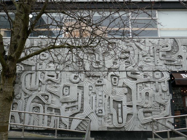
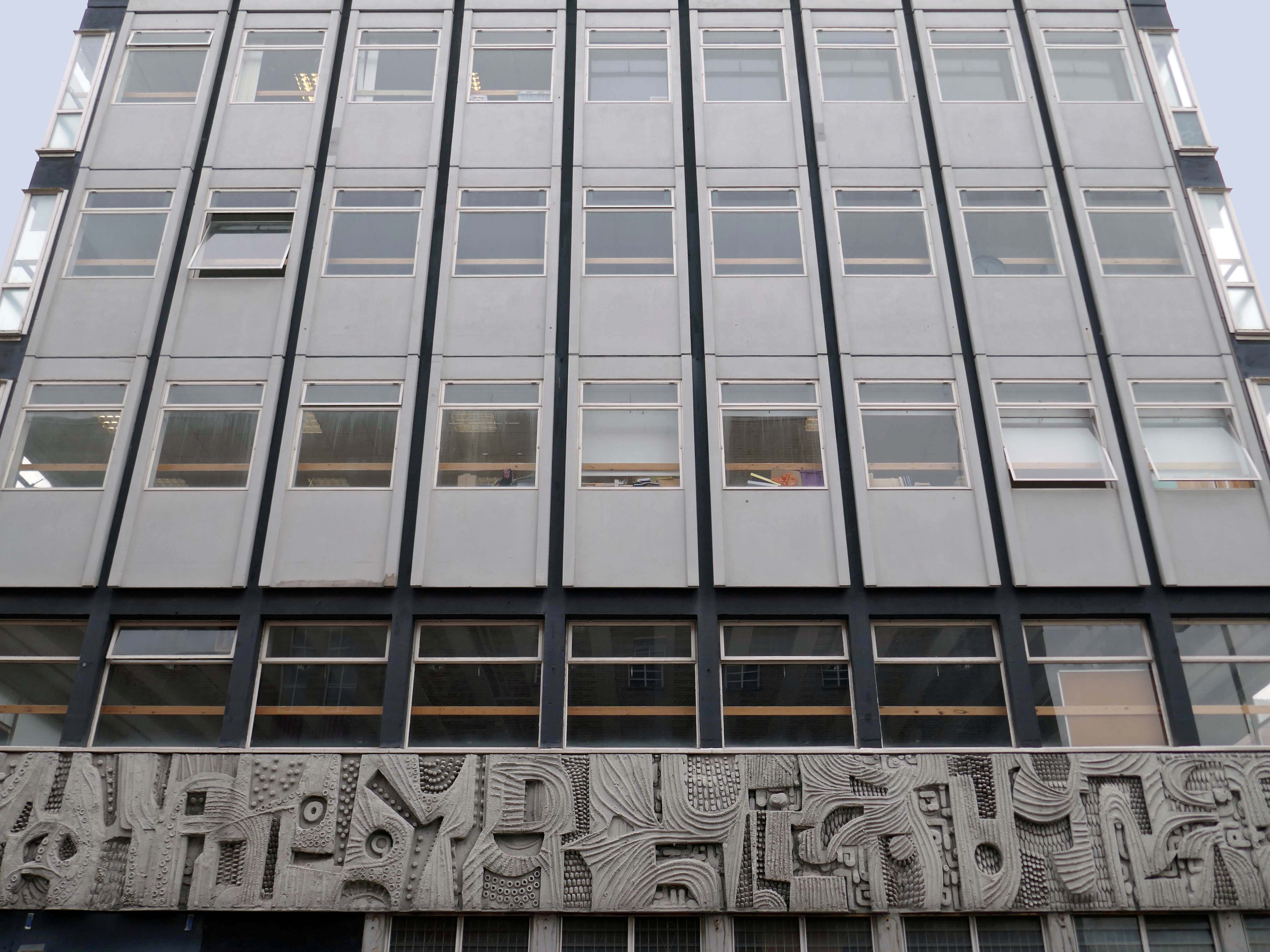
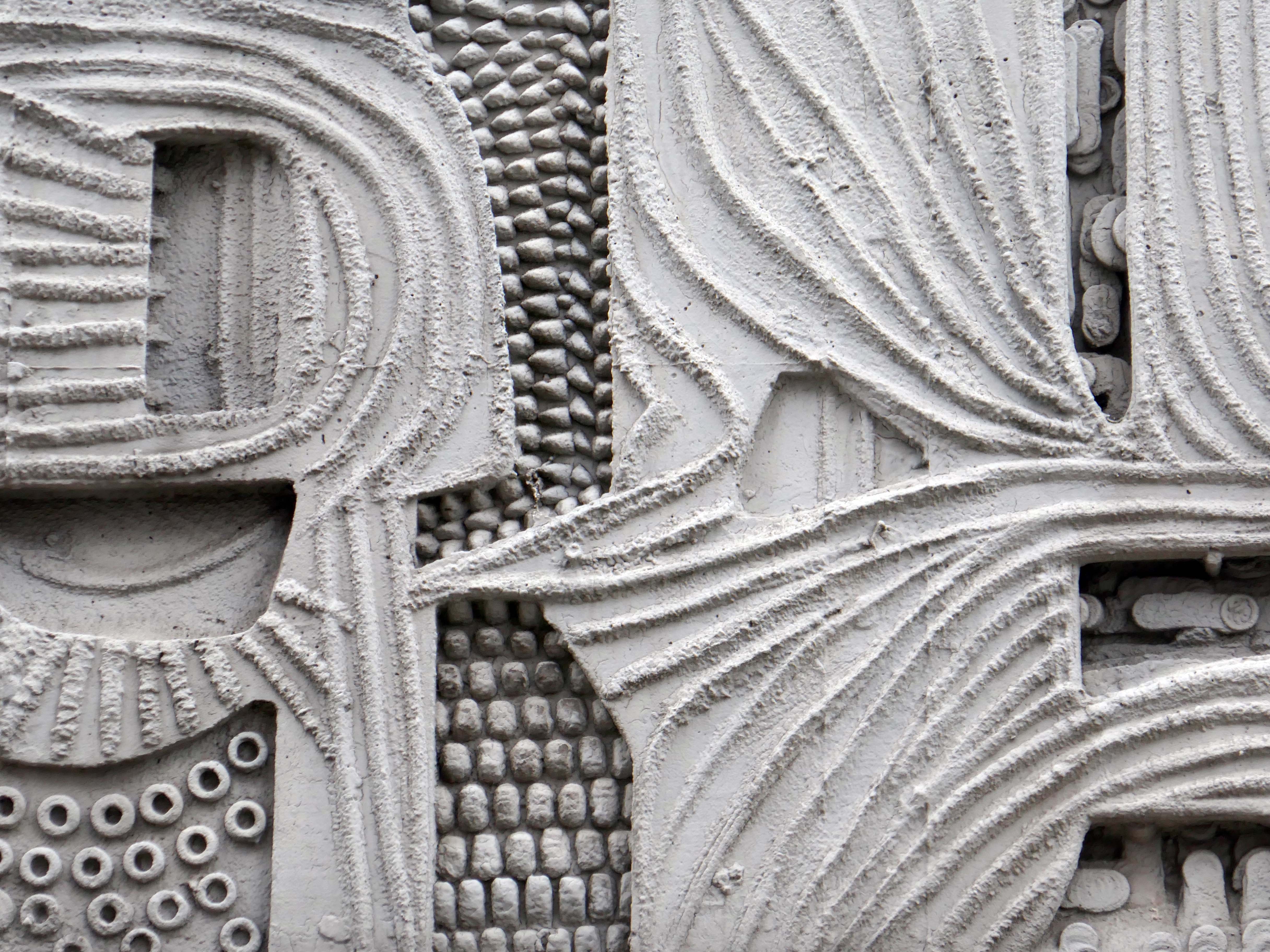
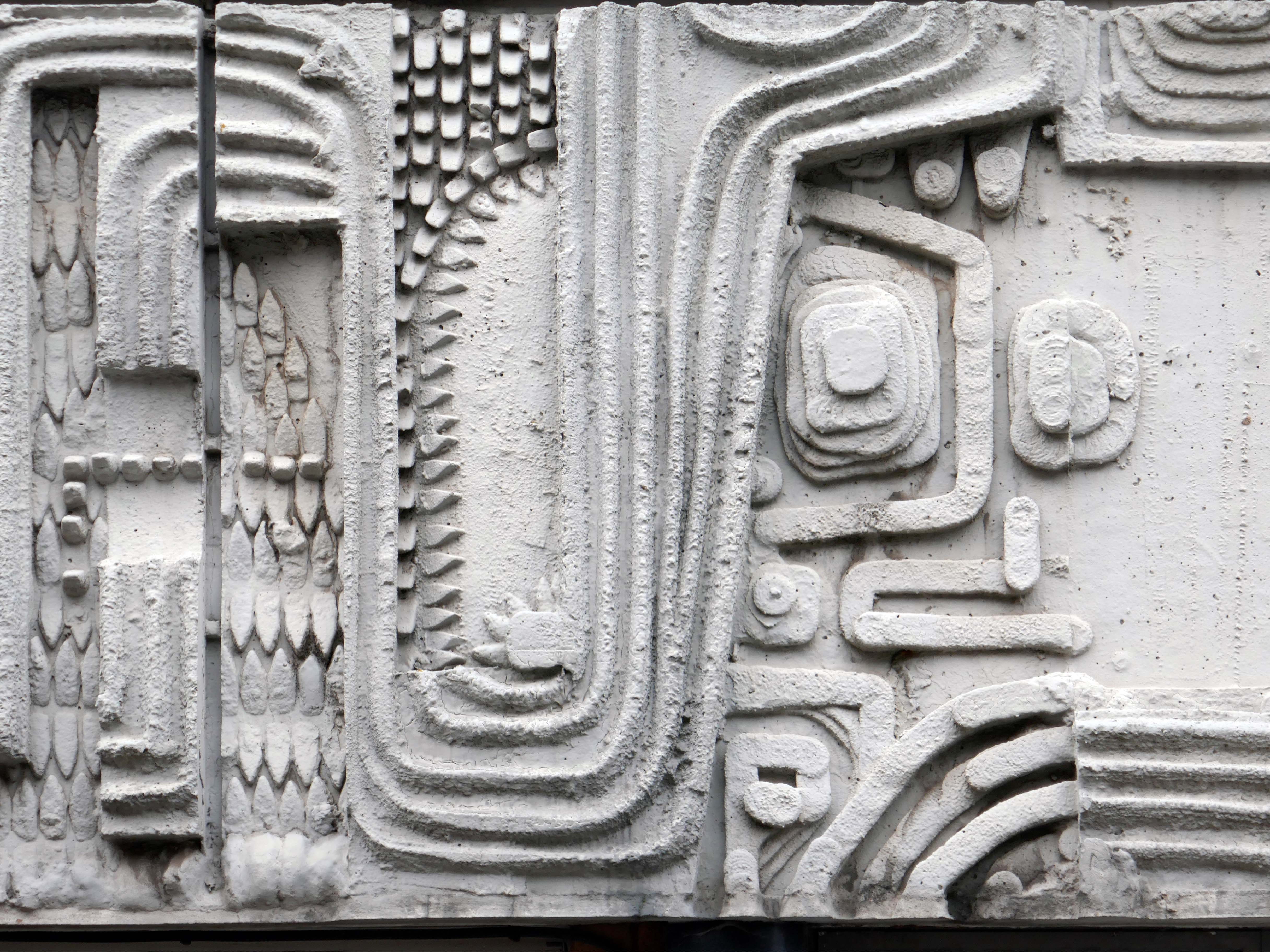
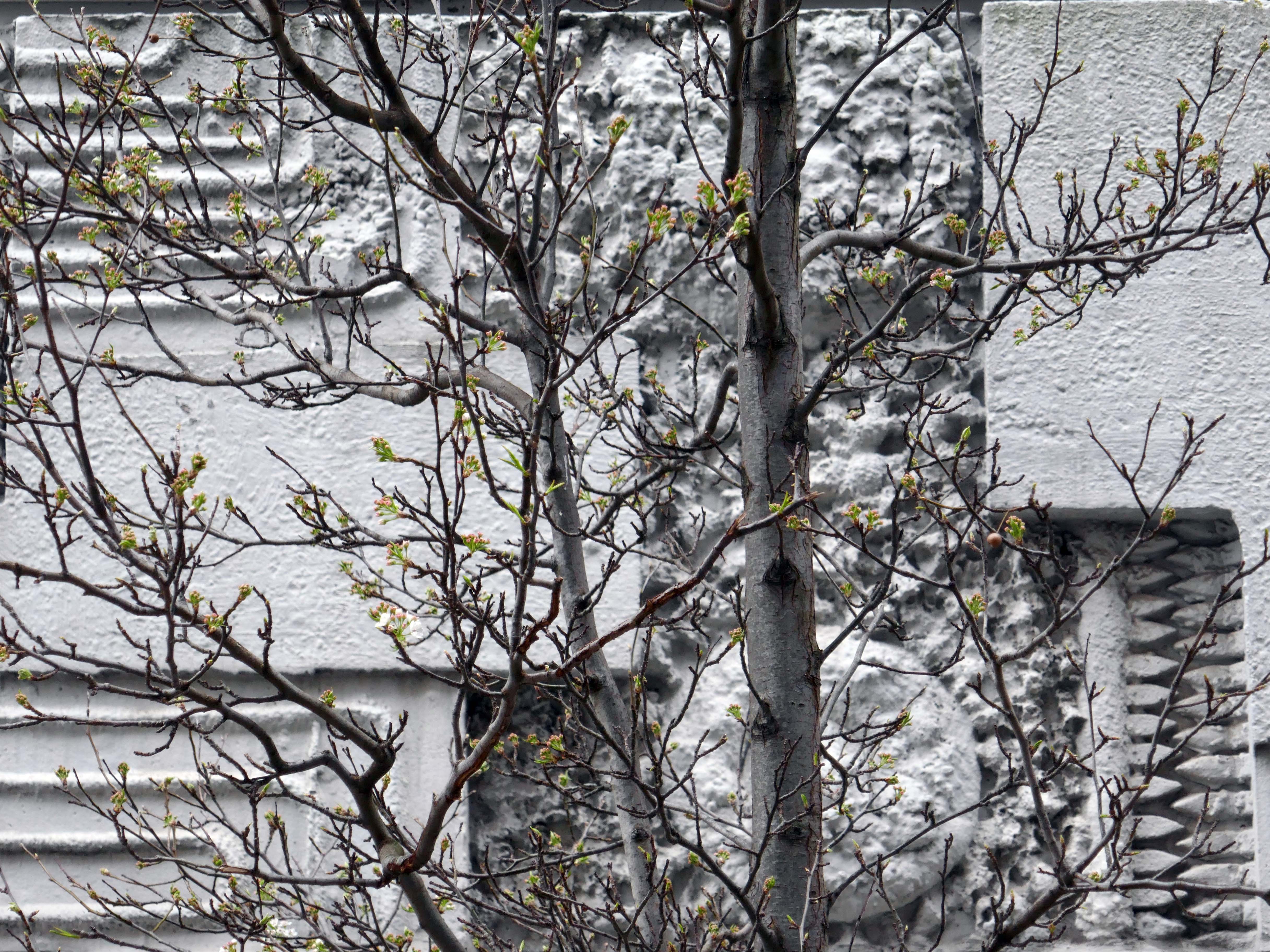
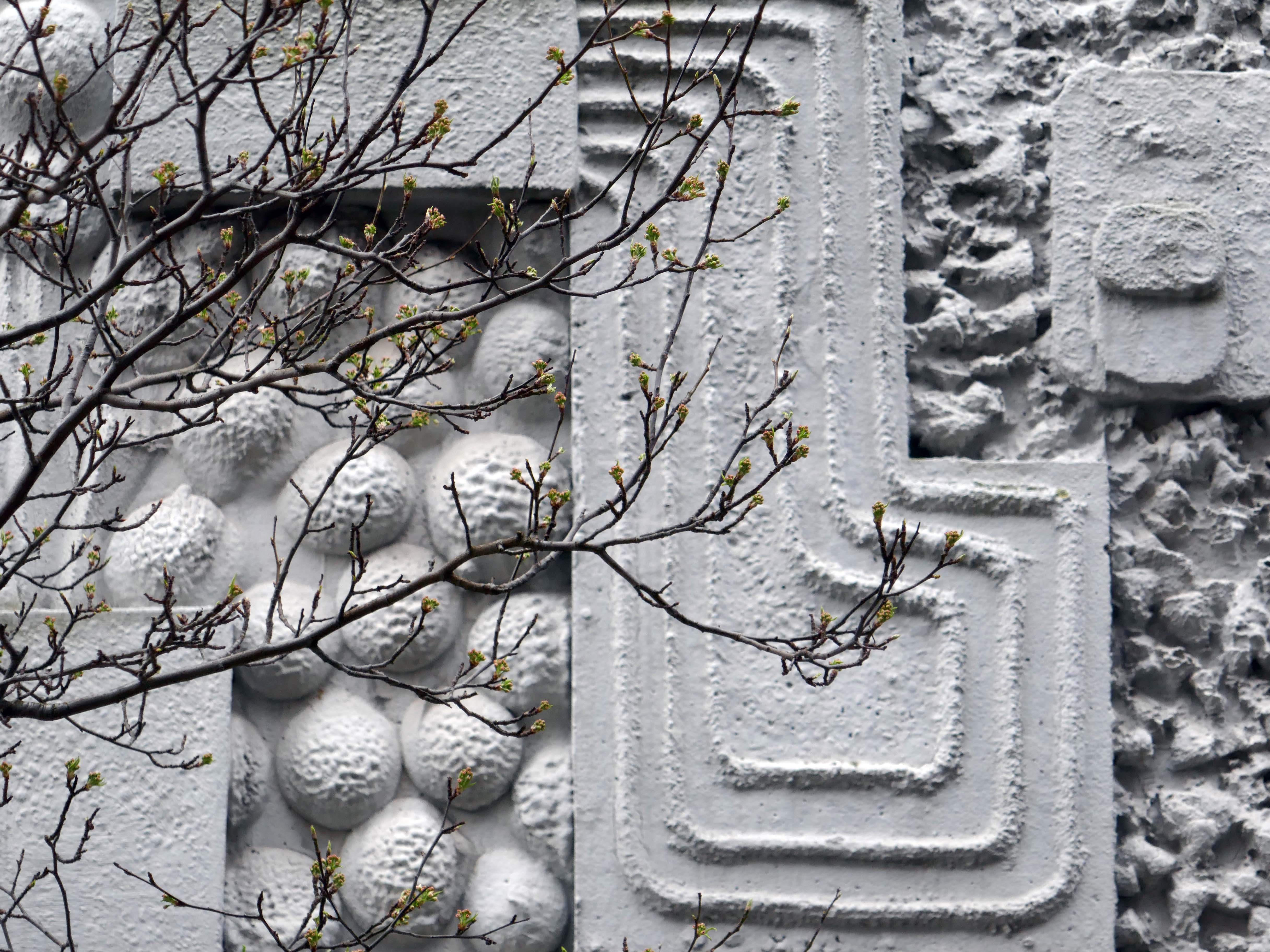
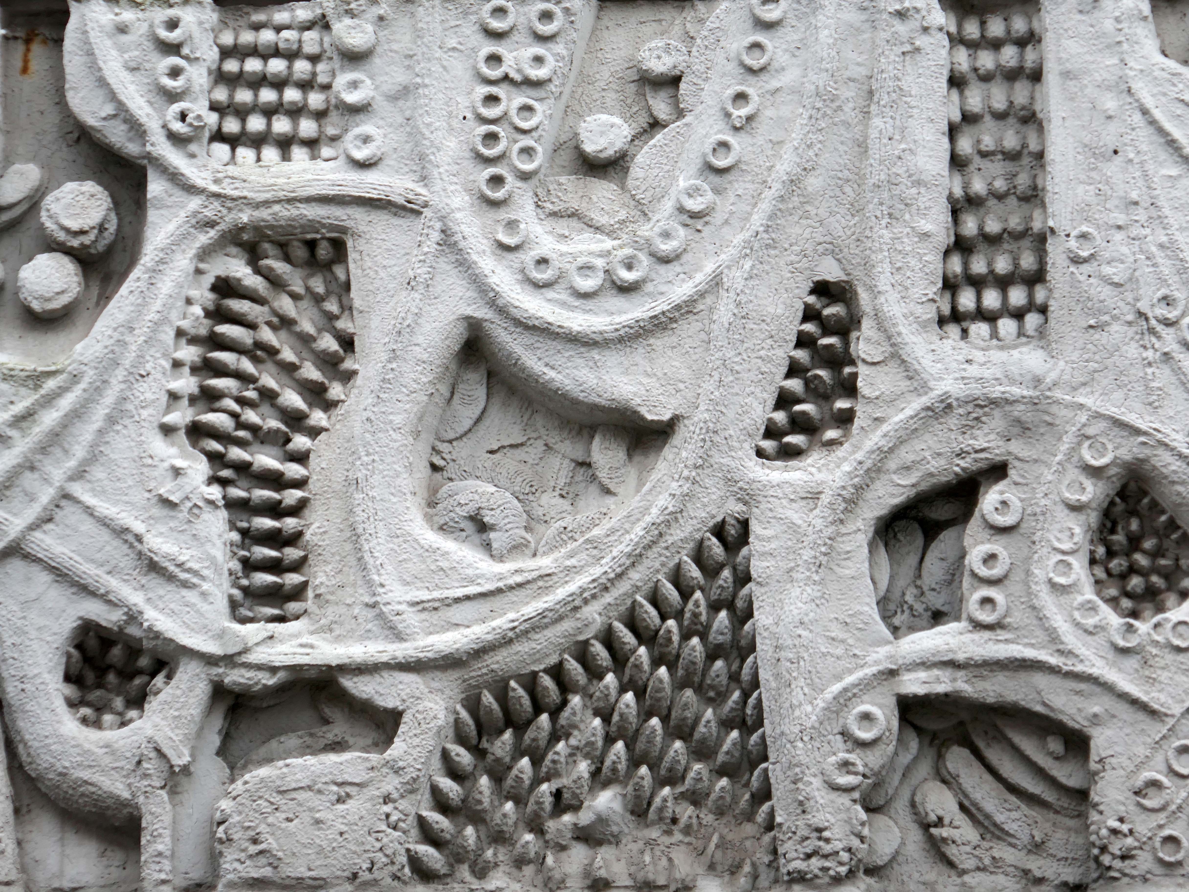
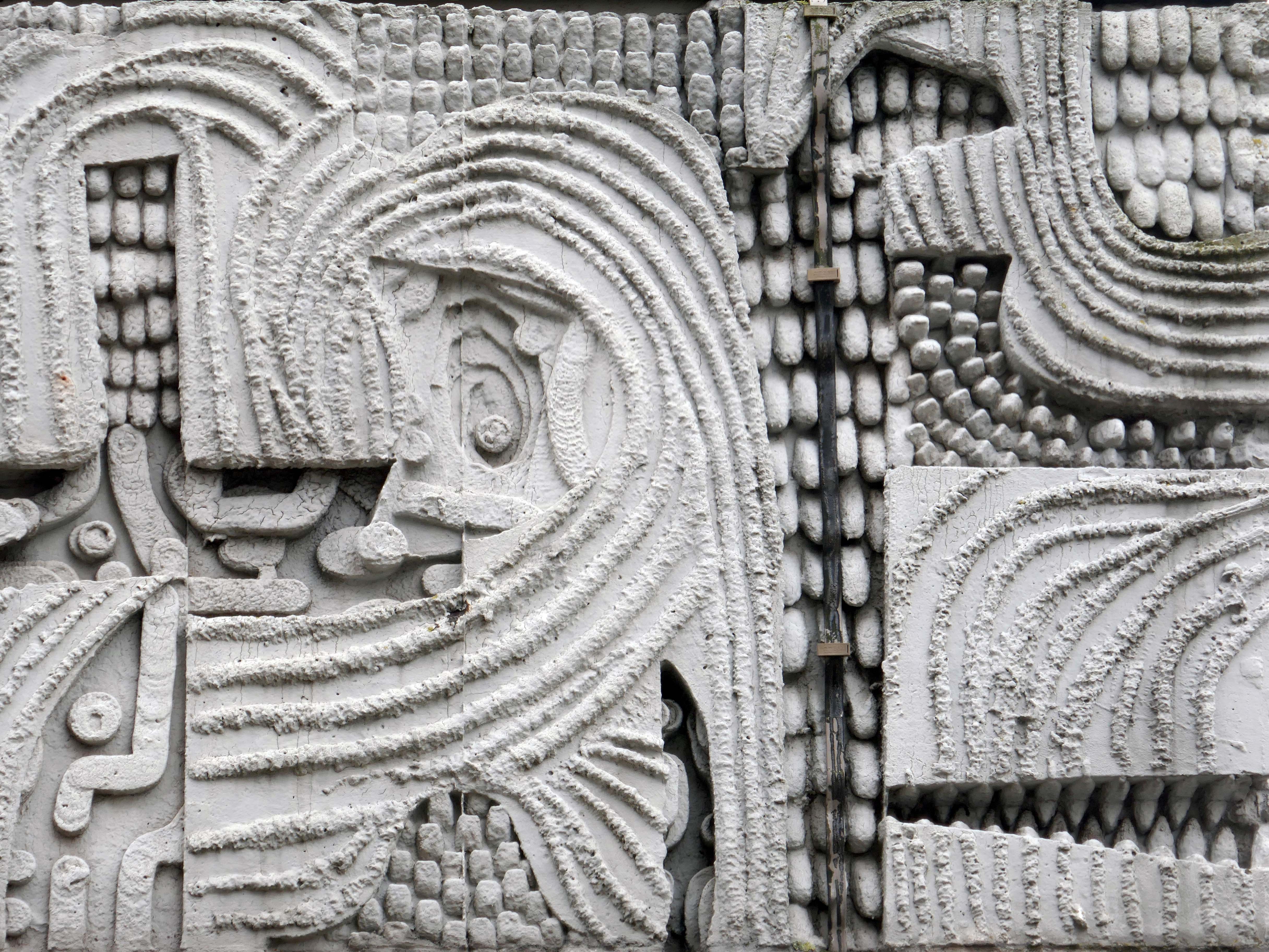
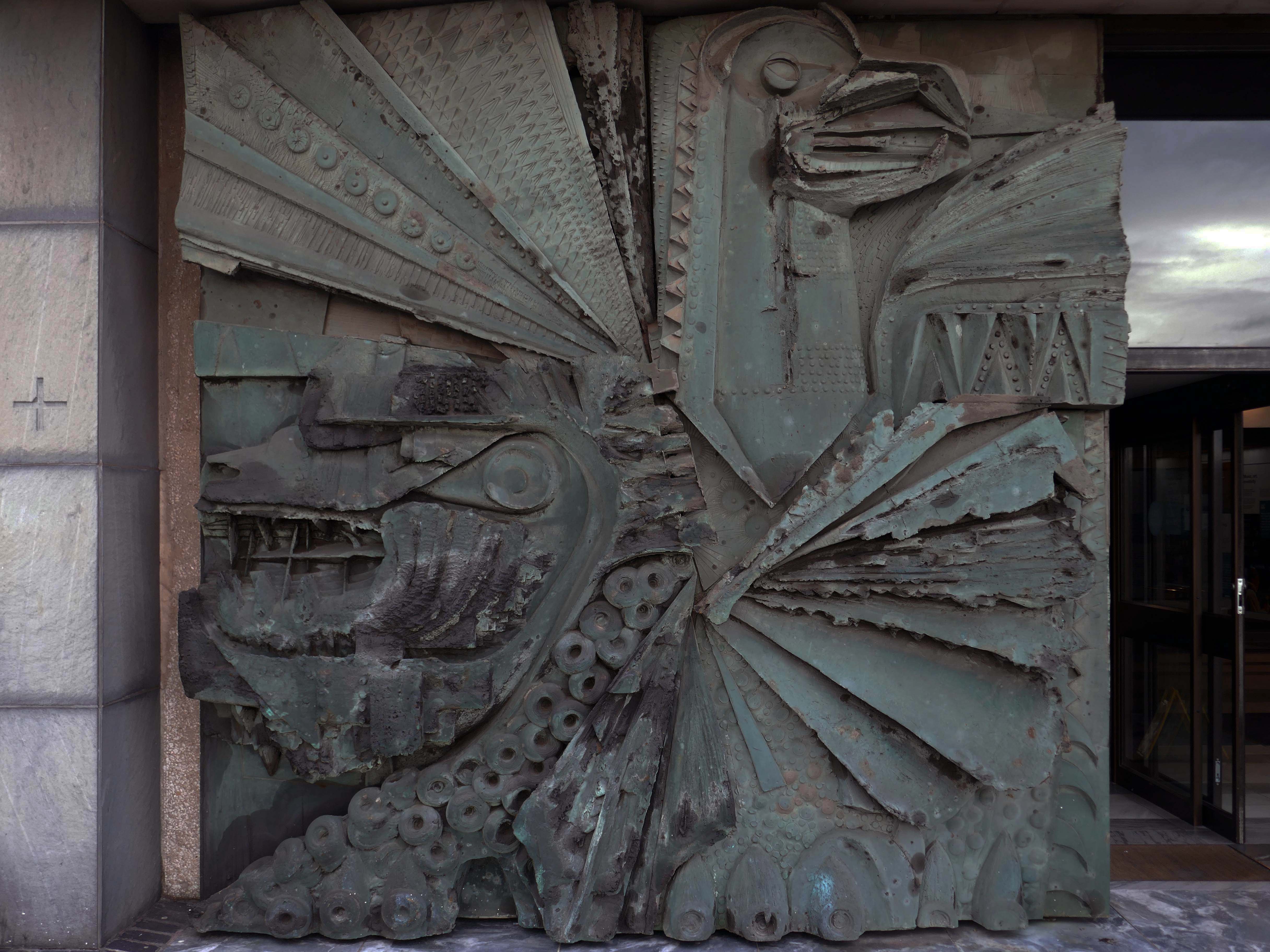
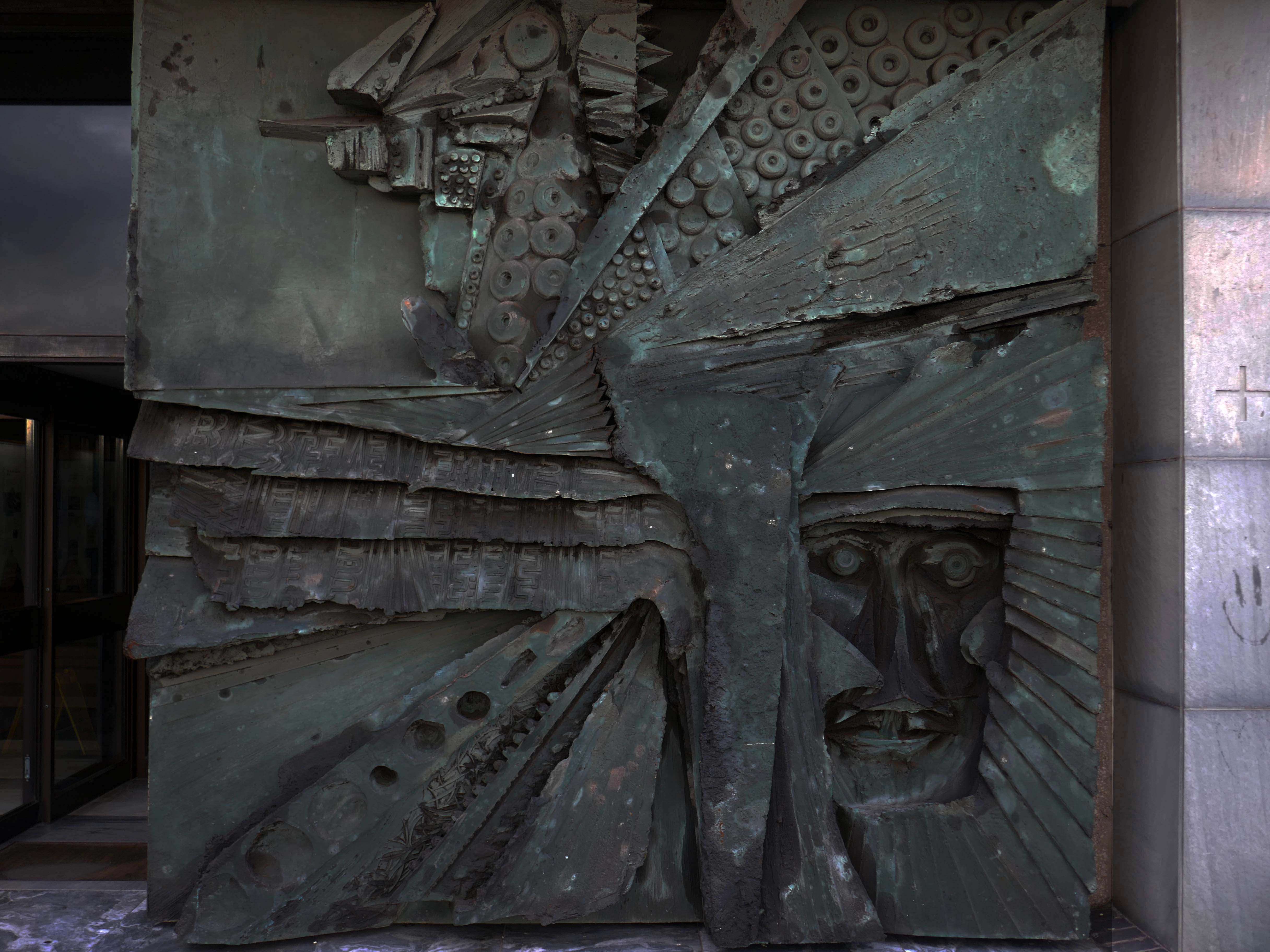
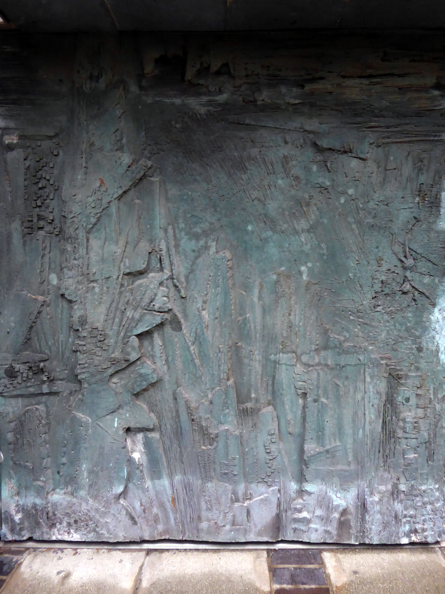
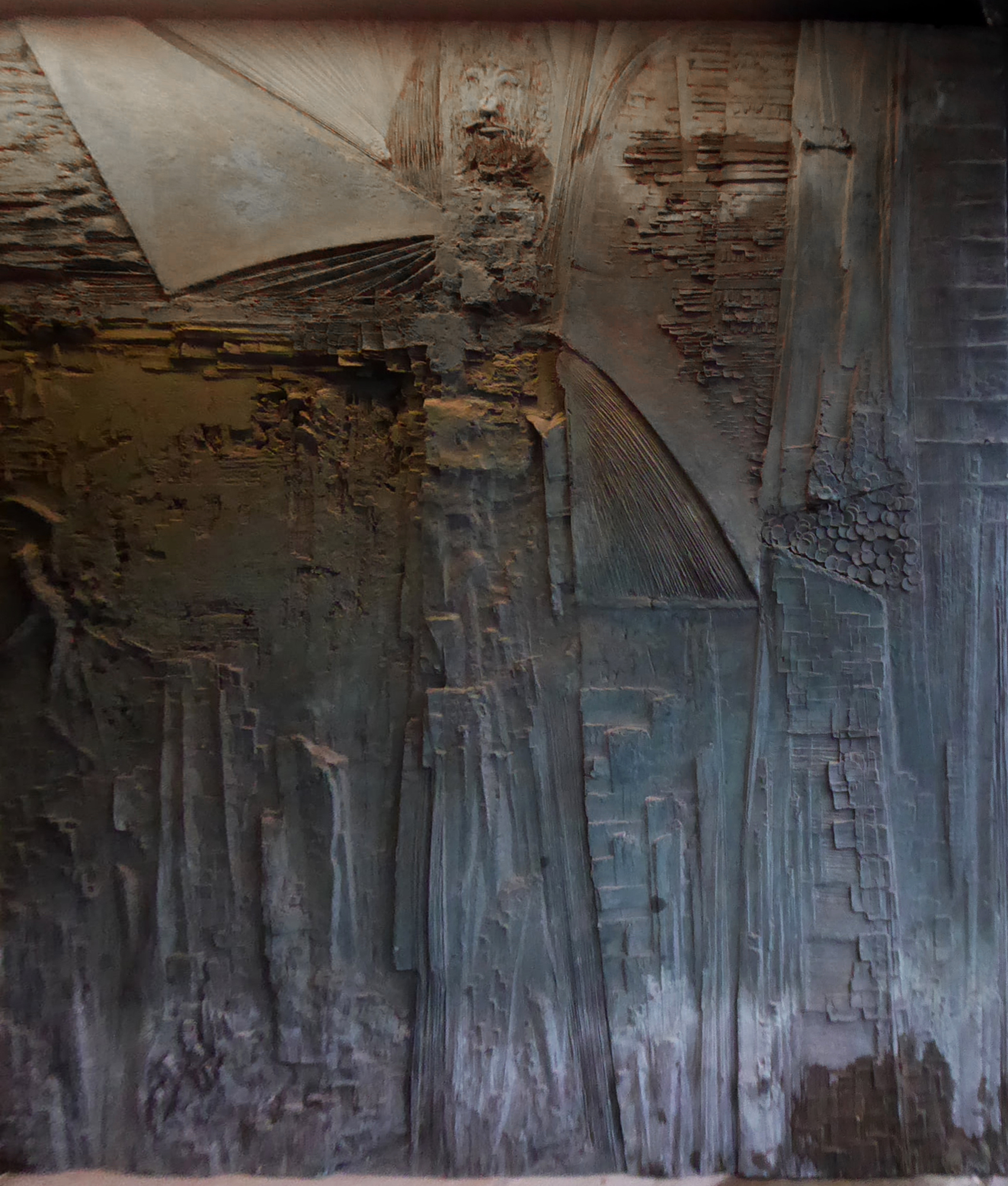
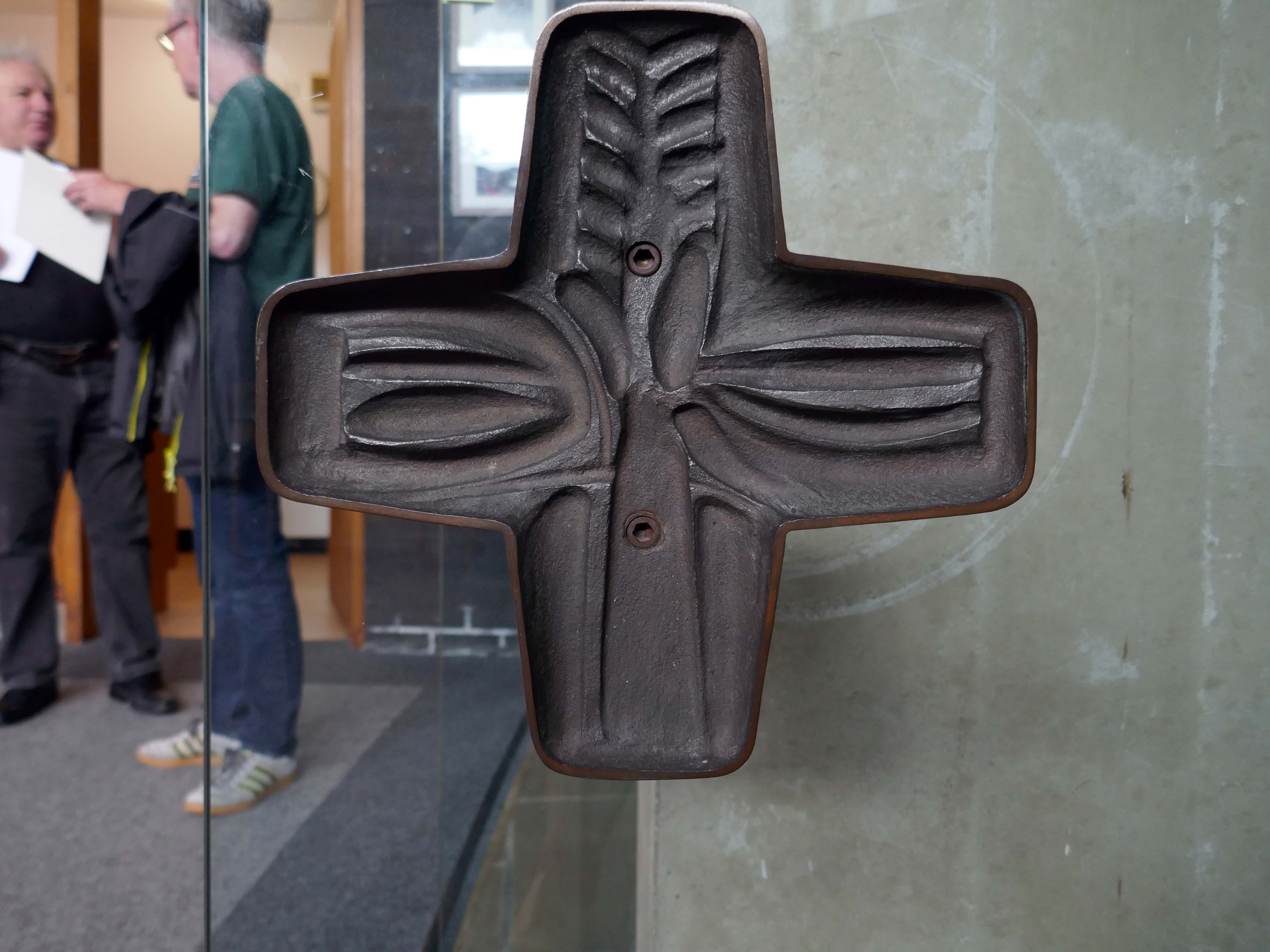
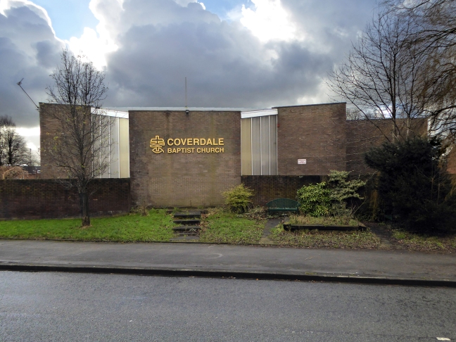
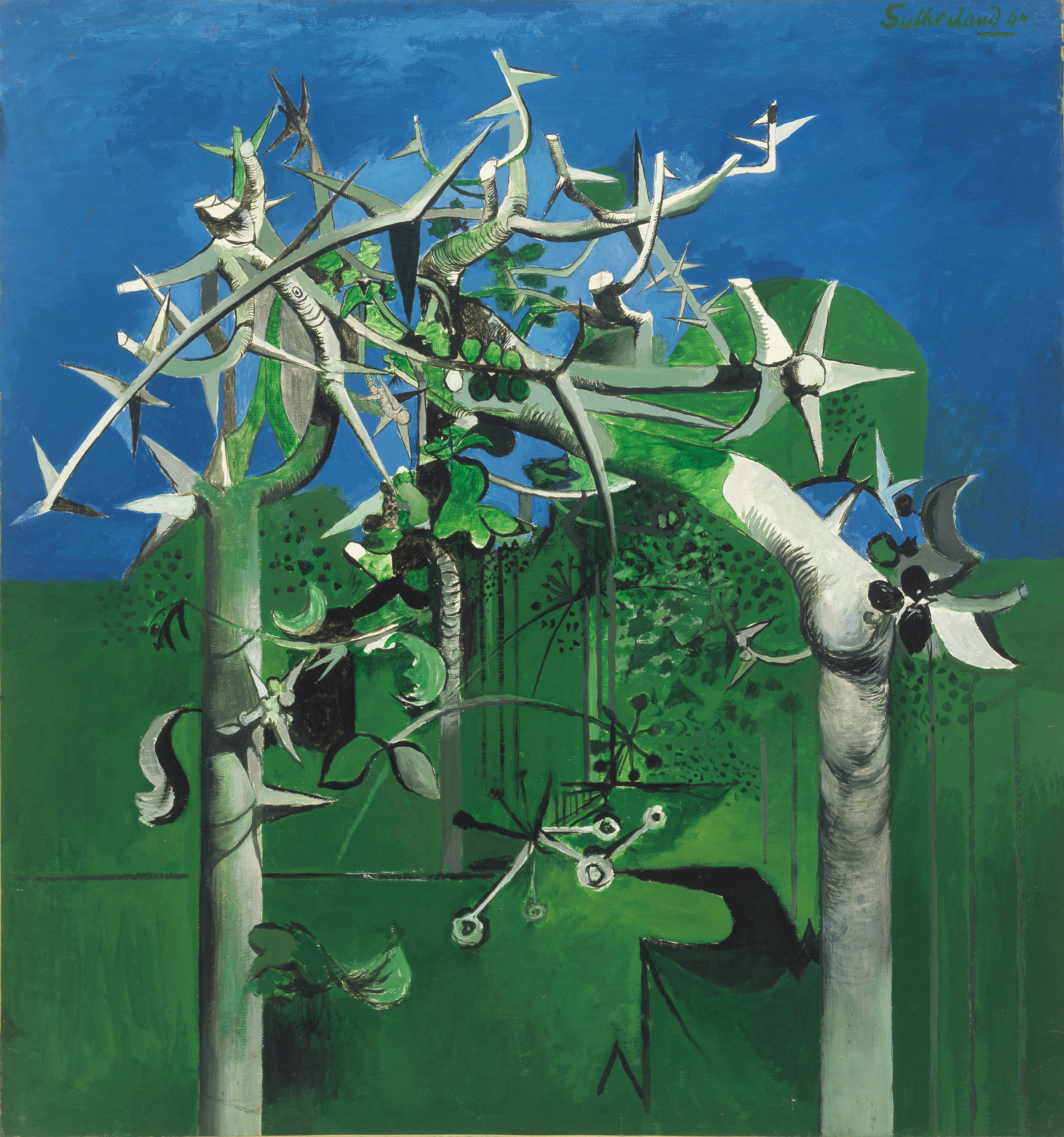
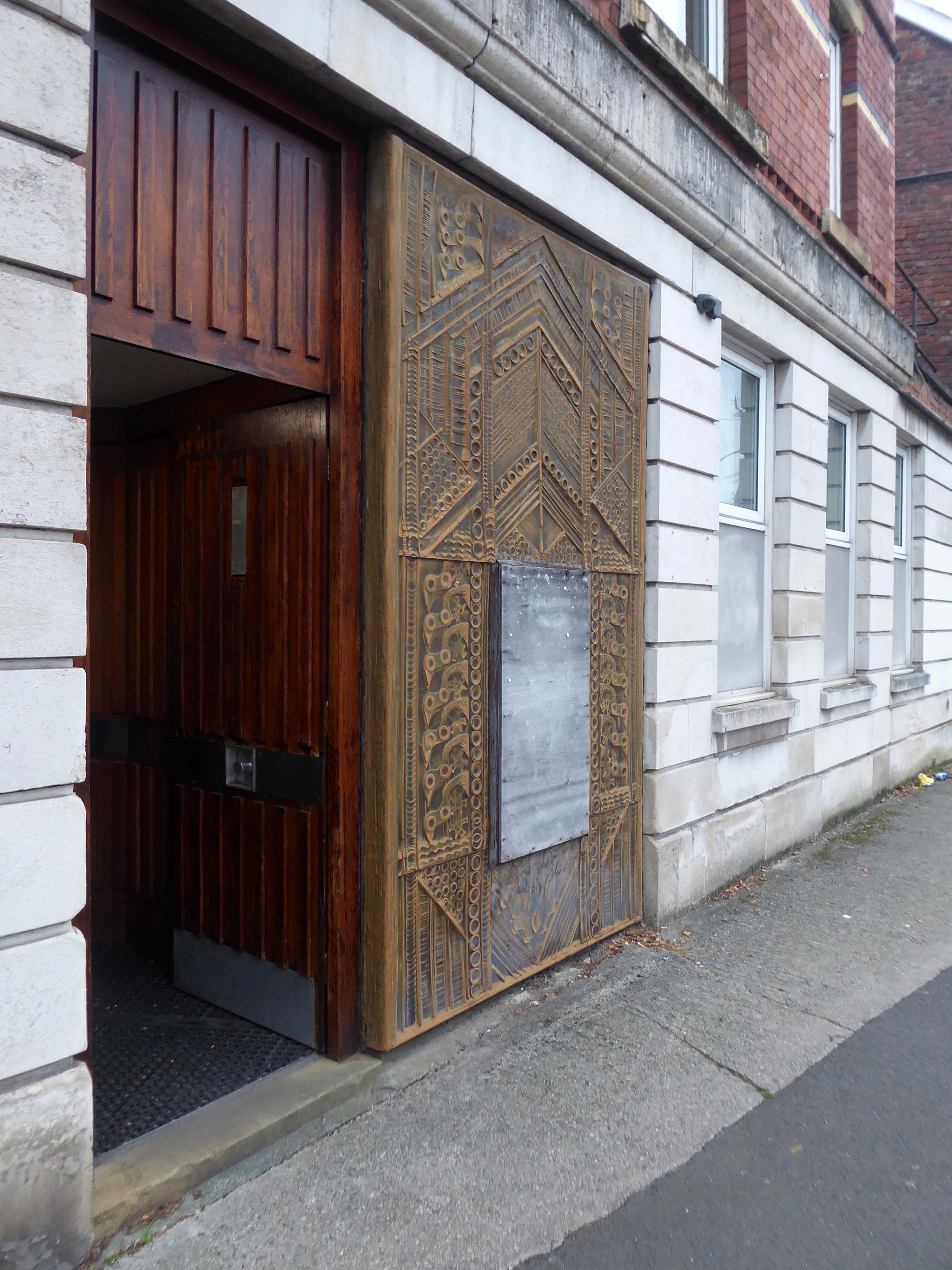
Sculptor and designer, born in London 1925, where he continued to live. Studied at Southern College of Art in Portsmouth, at Royal College of Art and at British School in Rome; was an Abbey Award-winner. Went on to lecture widely and was a member of the design advisory board, Hammersmith College of Art and Trent Polytechnic. Also did work for Concrete Society and completed a frieze for Swiss Cottage Library.
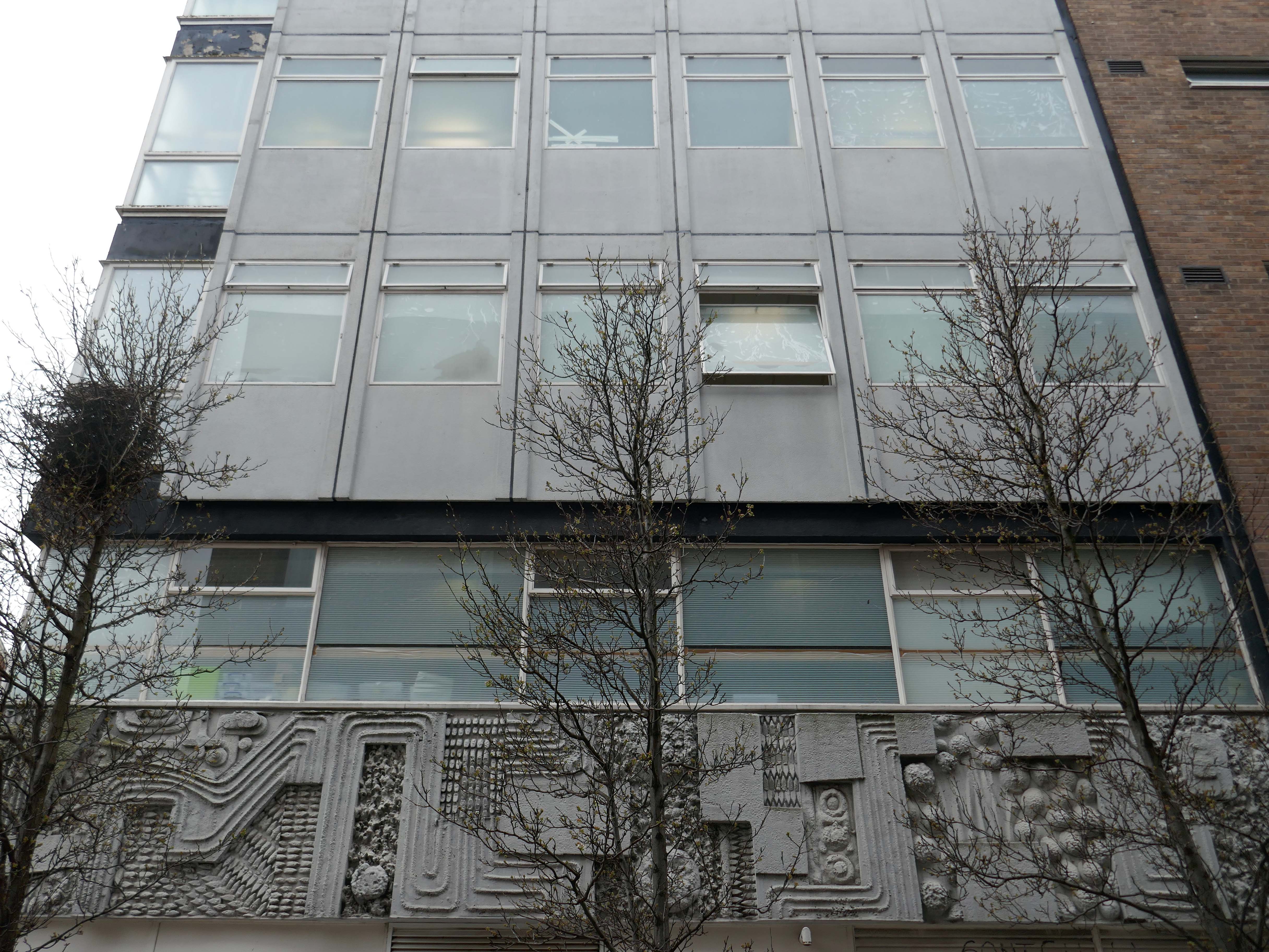
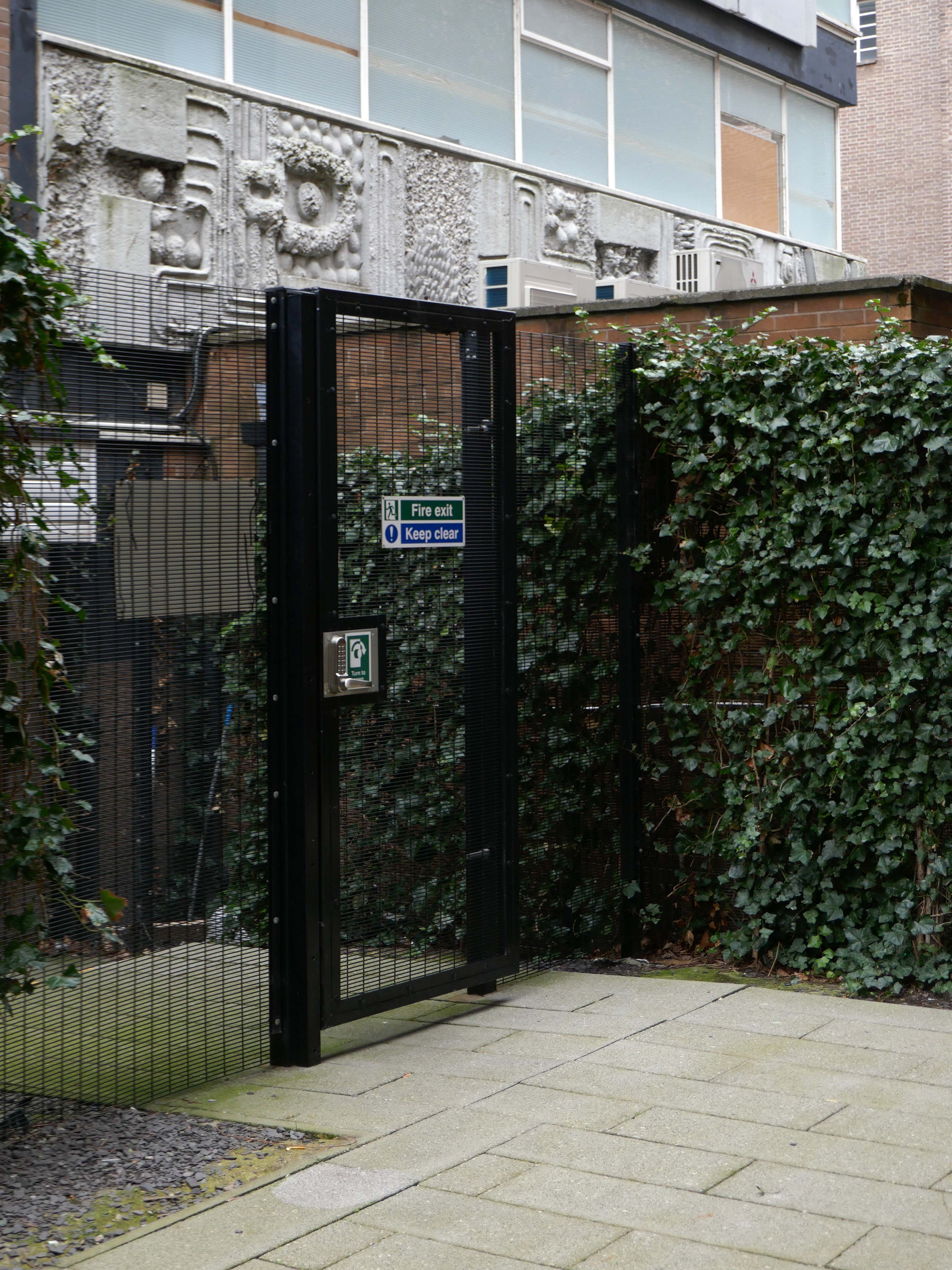
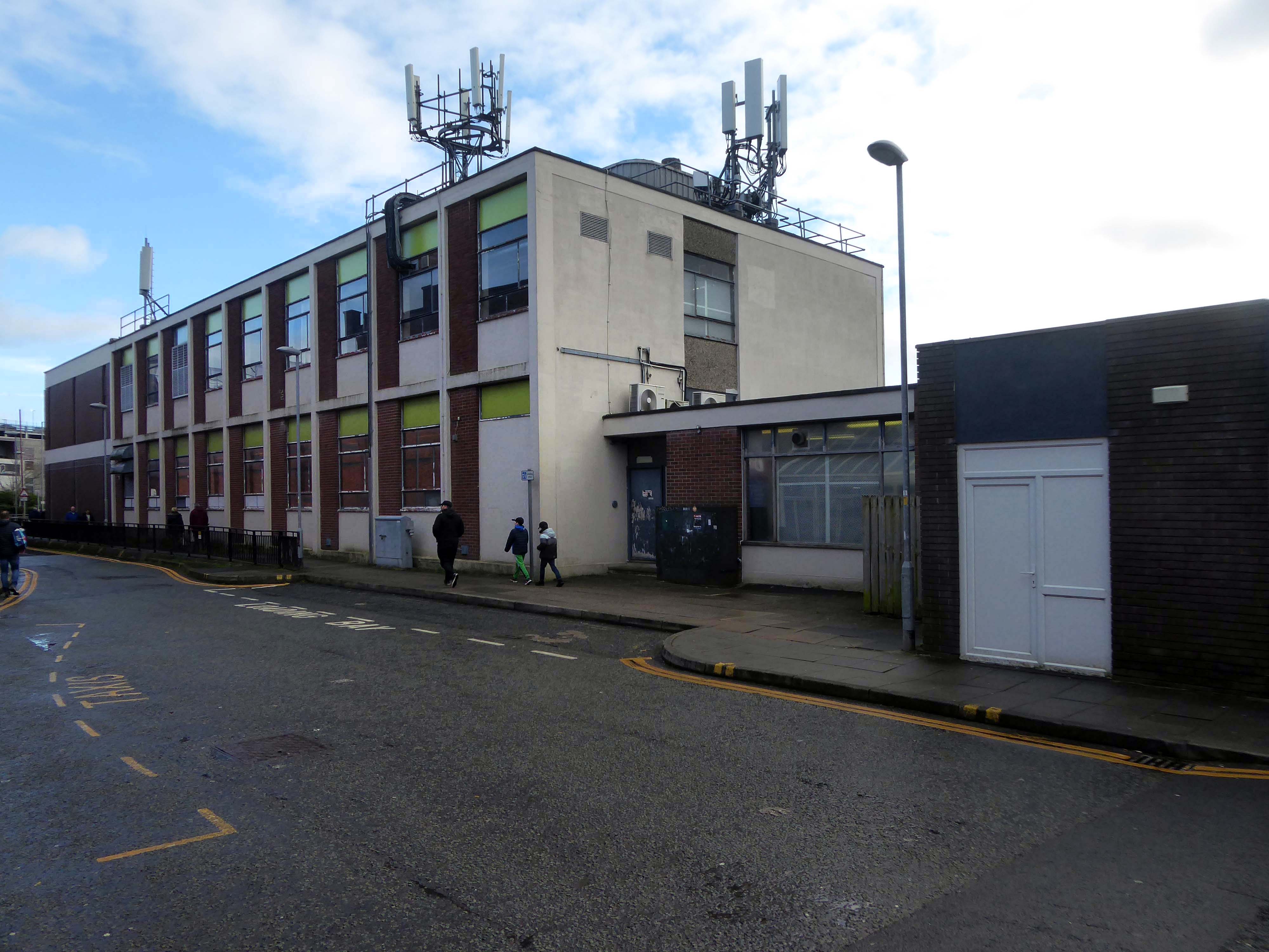
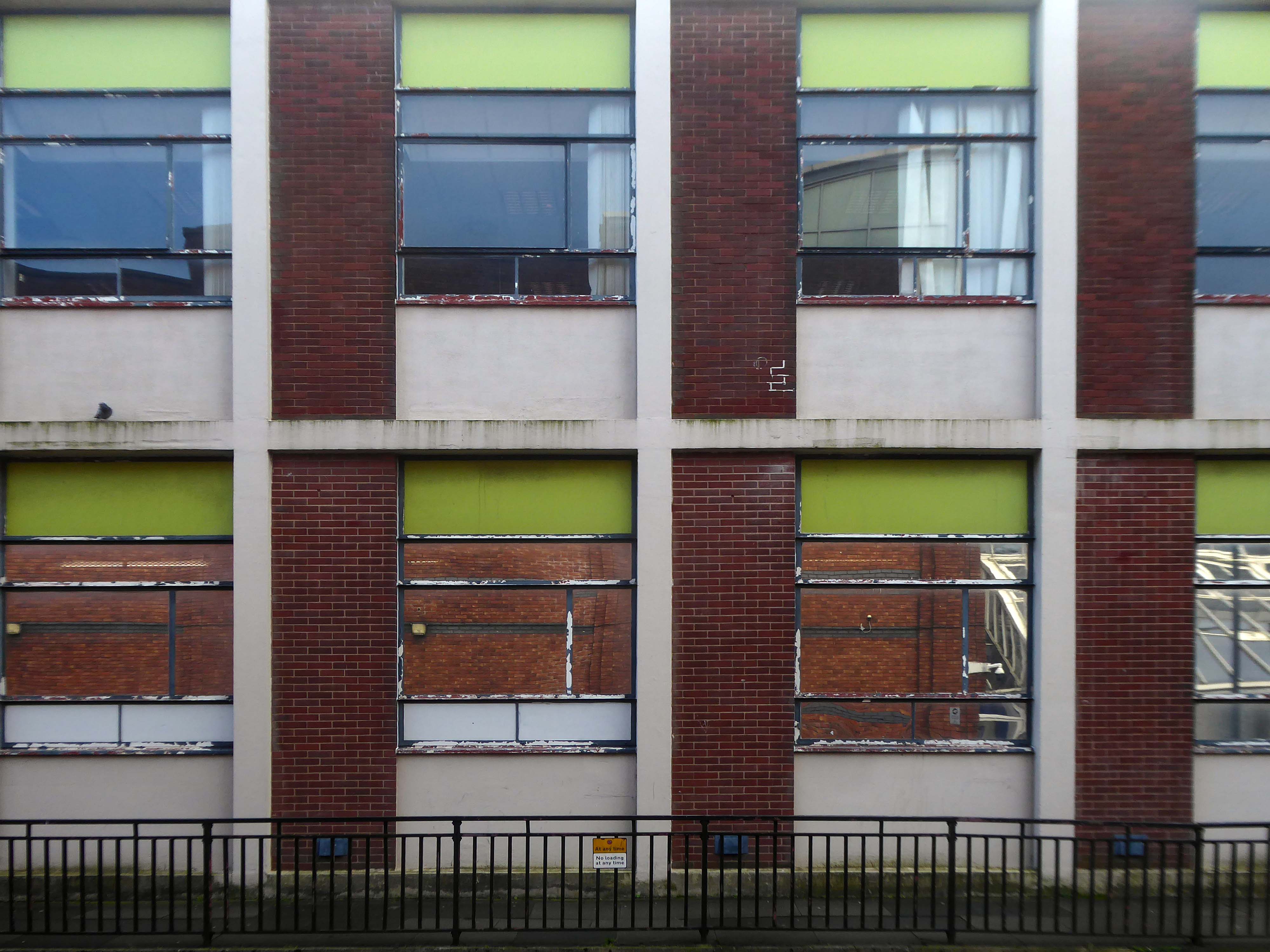
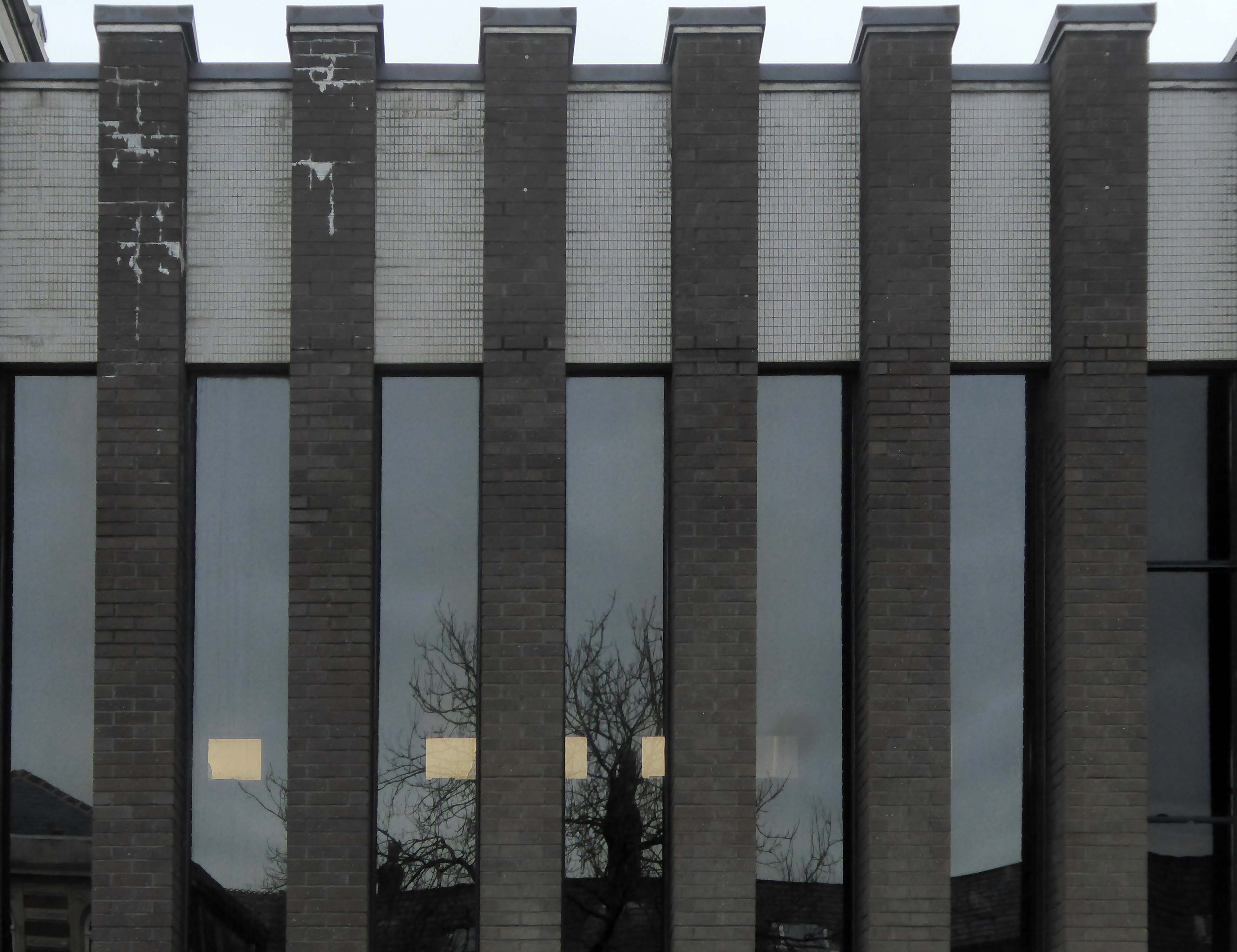
Federation House – 1965-66 Gilling Dodd & Partners
Originally home to the National Federation of Building Employees Investments.
Now how in part to The Shandon Bells – named for the chimes of St. Anne’s Church in Cork.
The church is noted for its eight bells, immortalised in the song The Bells of Shandon by Francis Sylvester Mahony. The largest weighs a little over one and a half tons and was originally cast by Abel Rudhall of Gloucester.
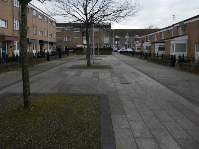
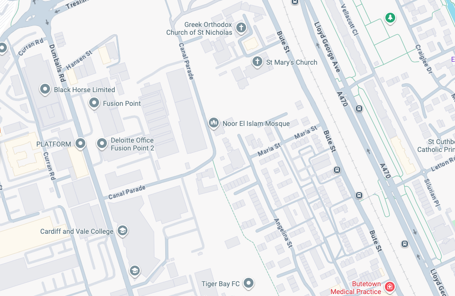
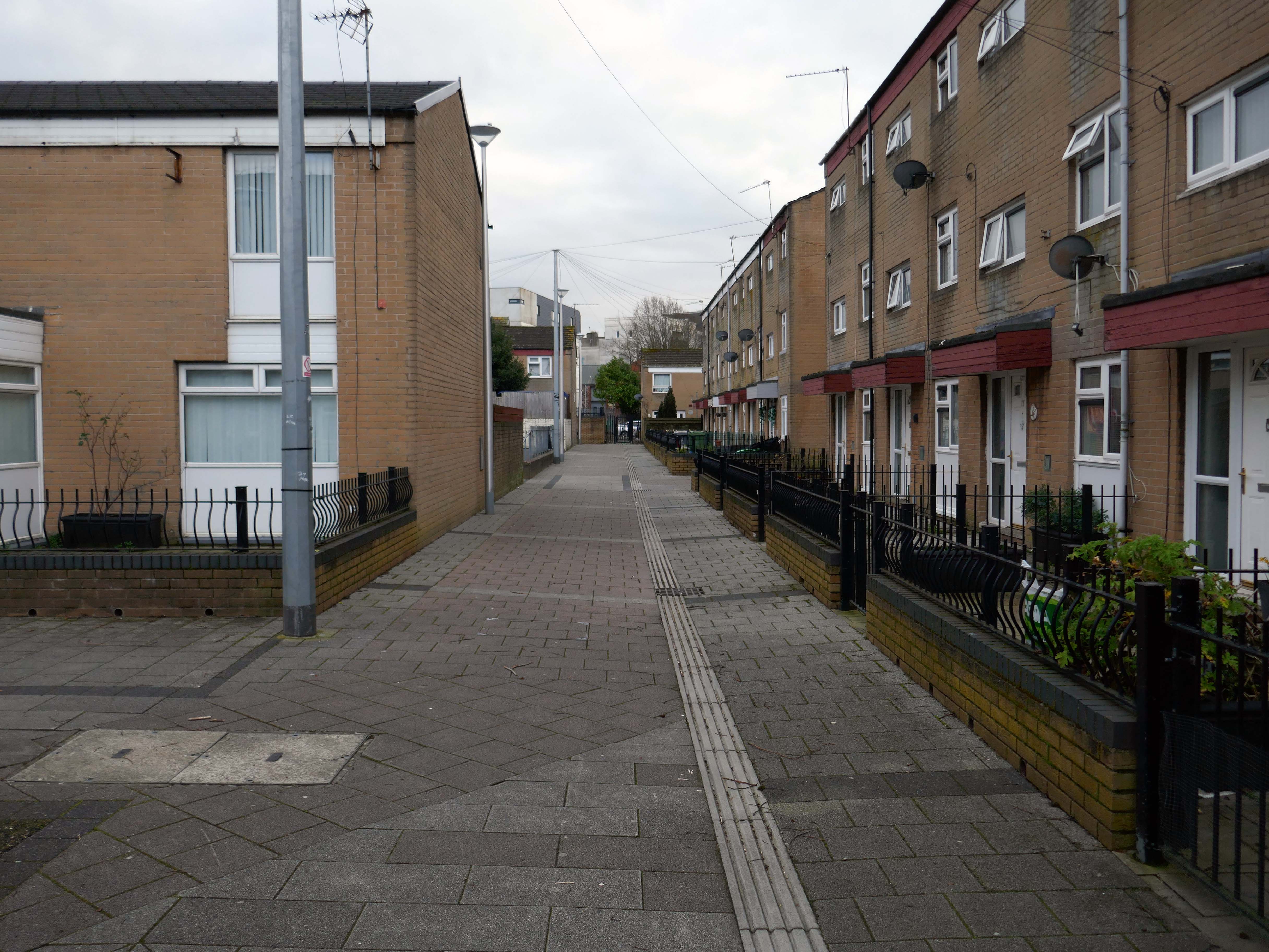
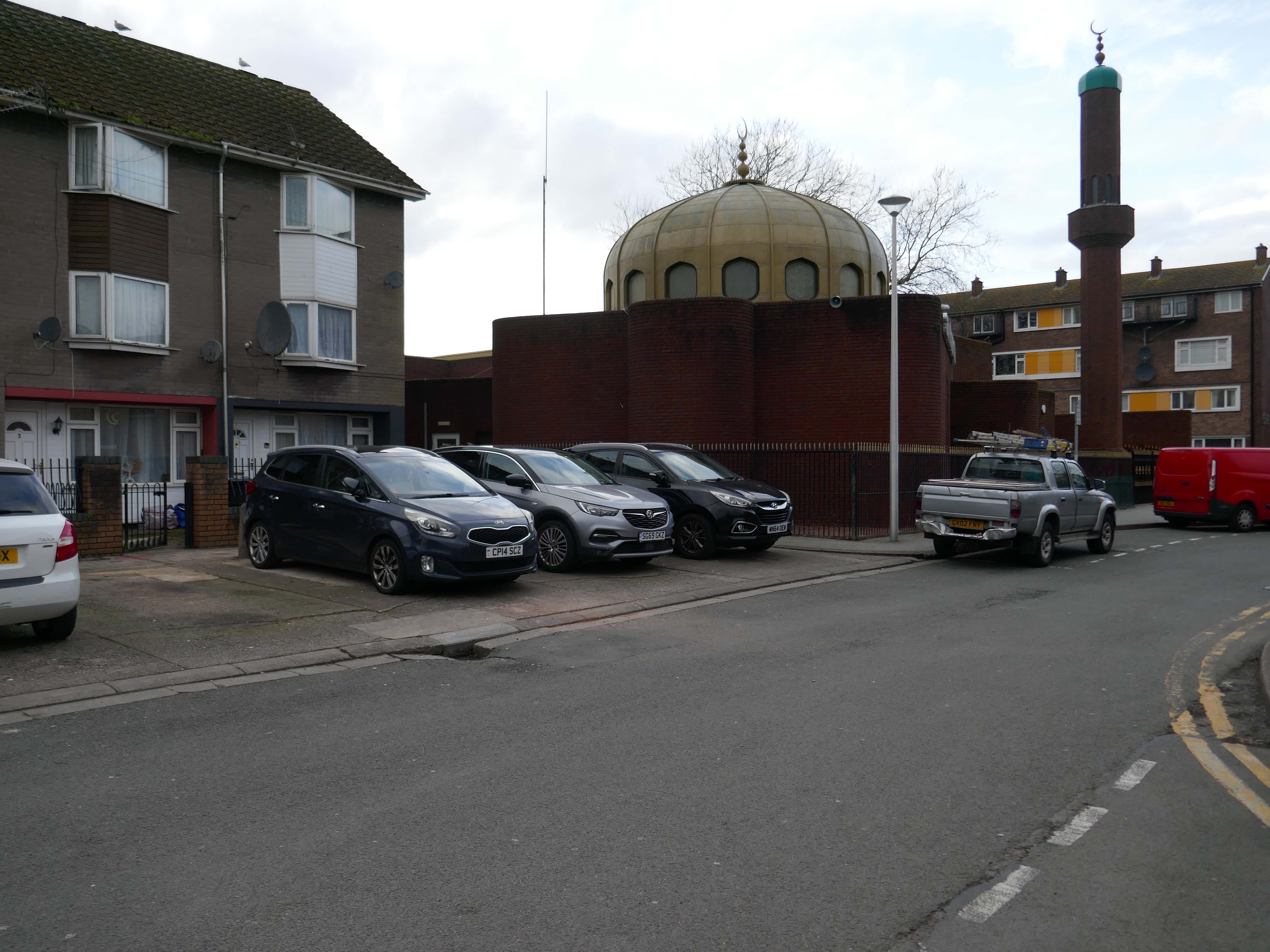
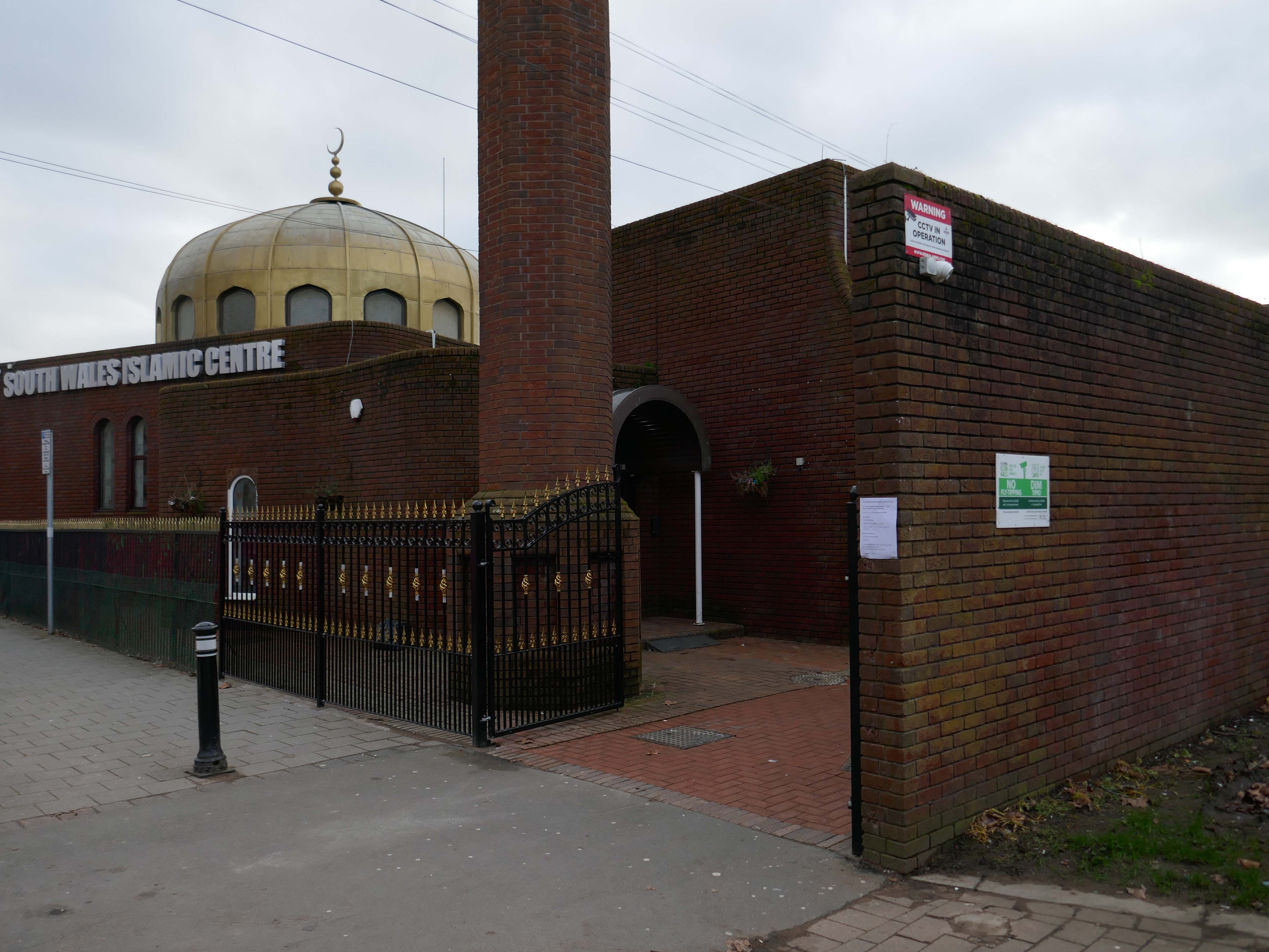
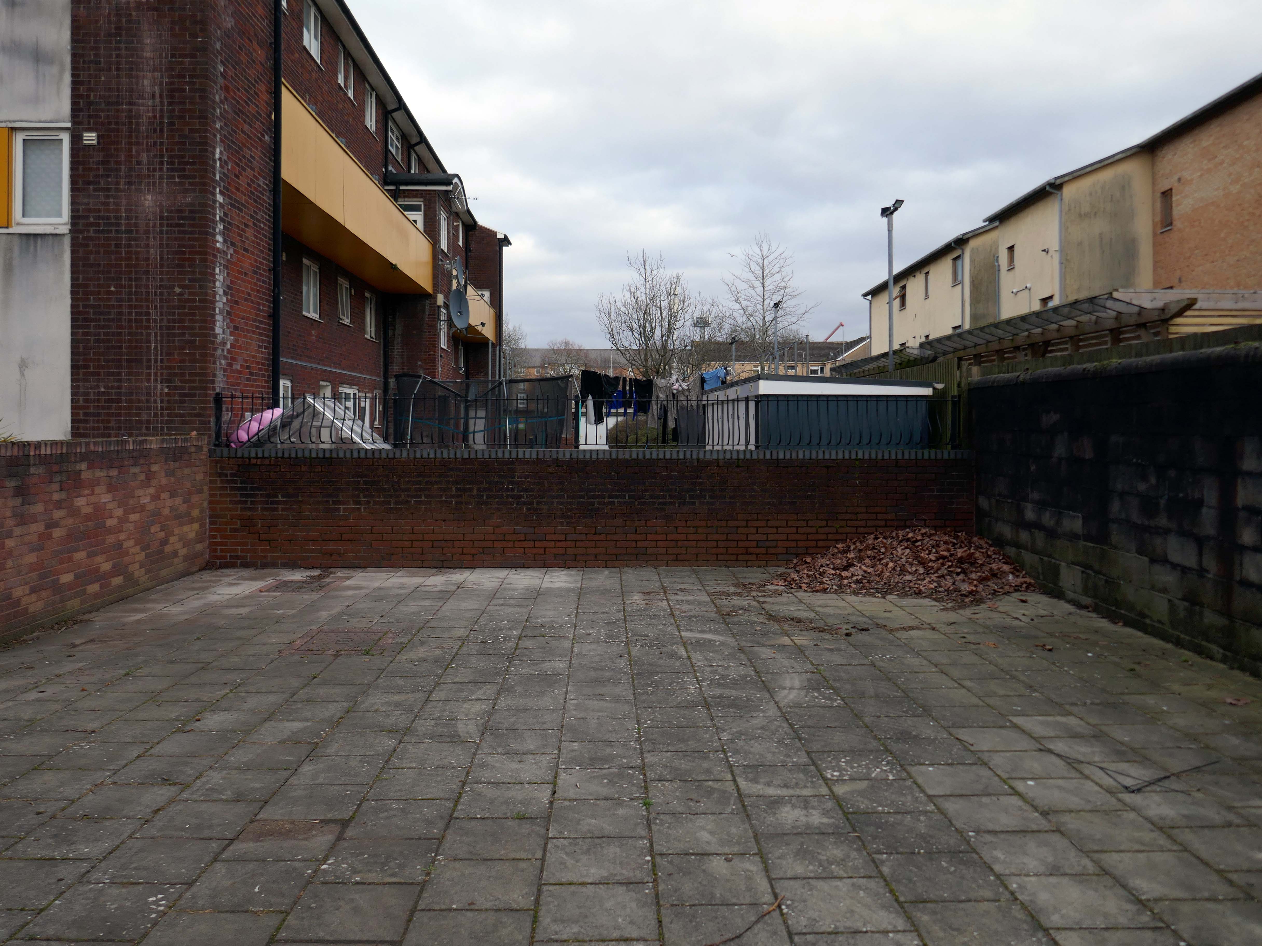
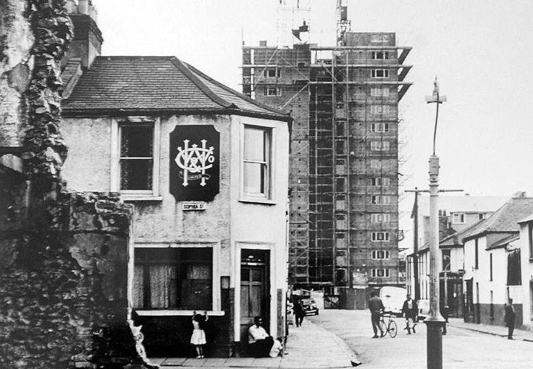
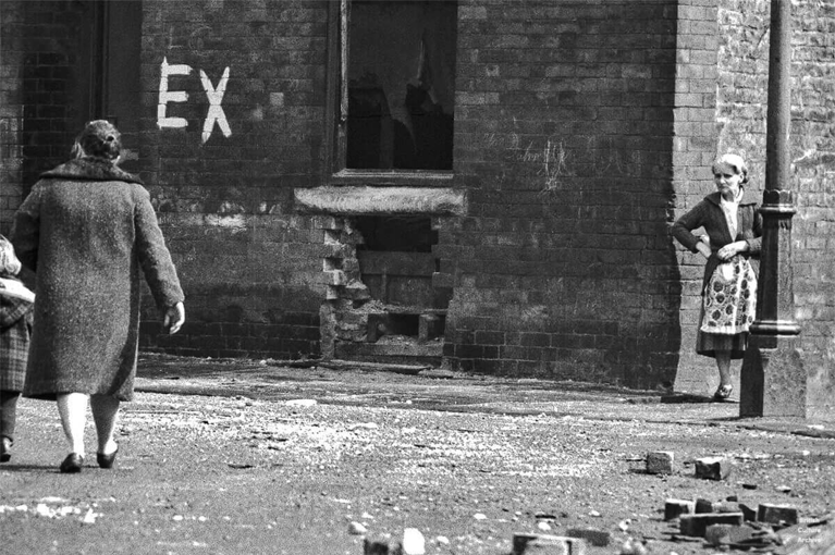
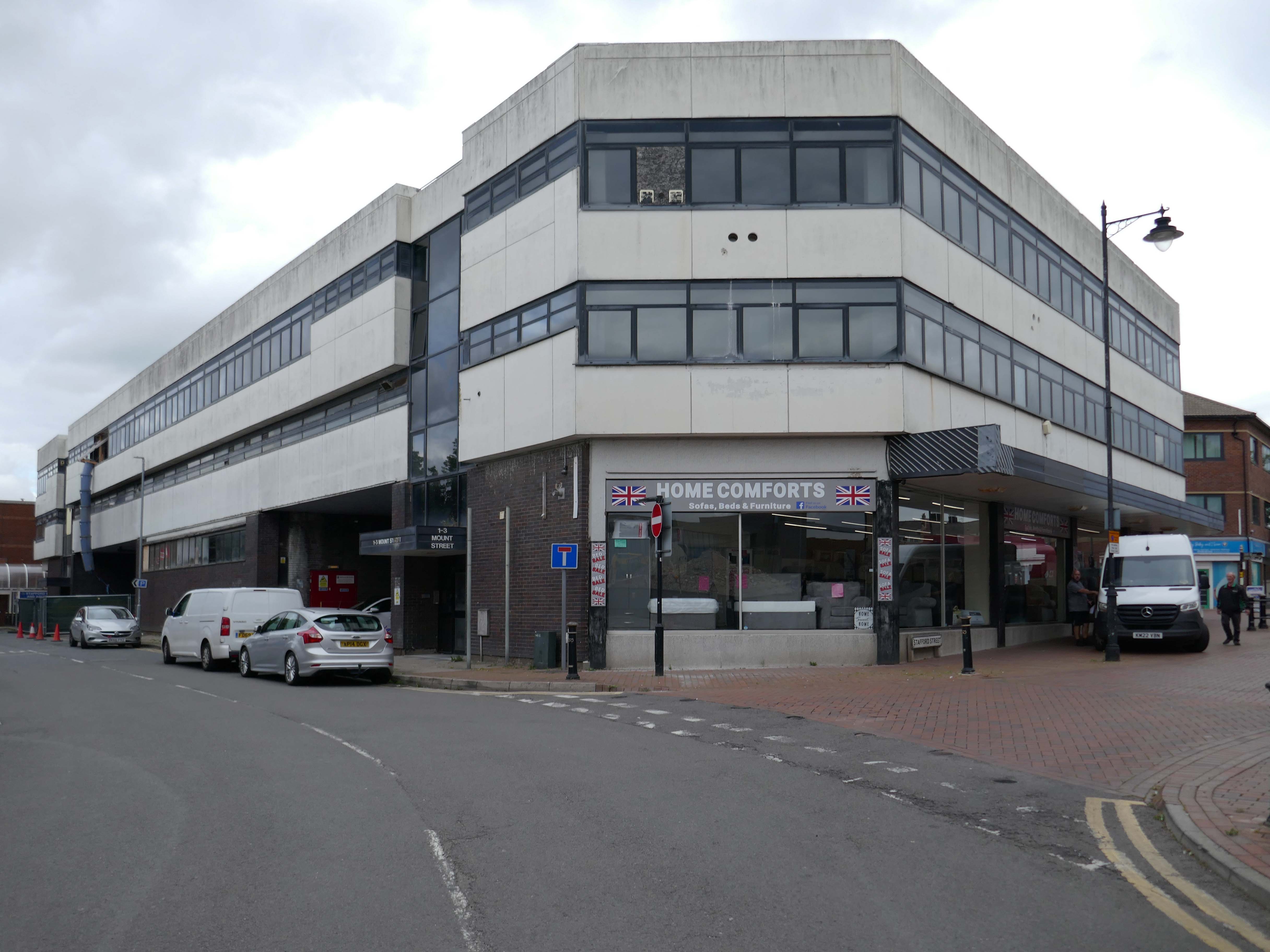
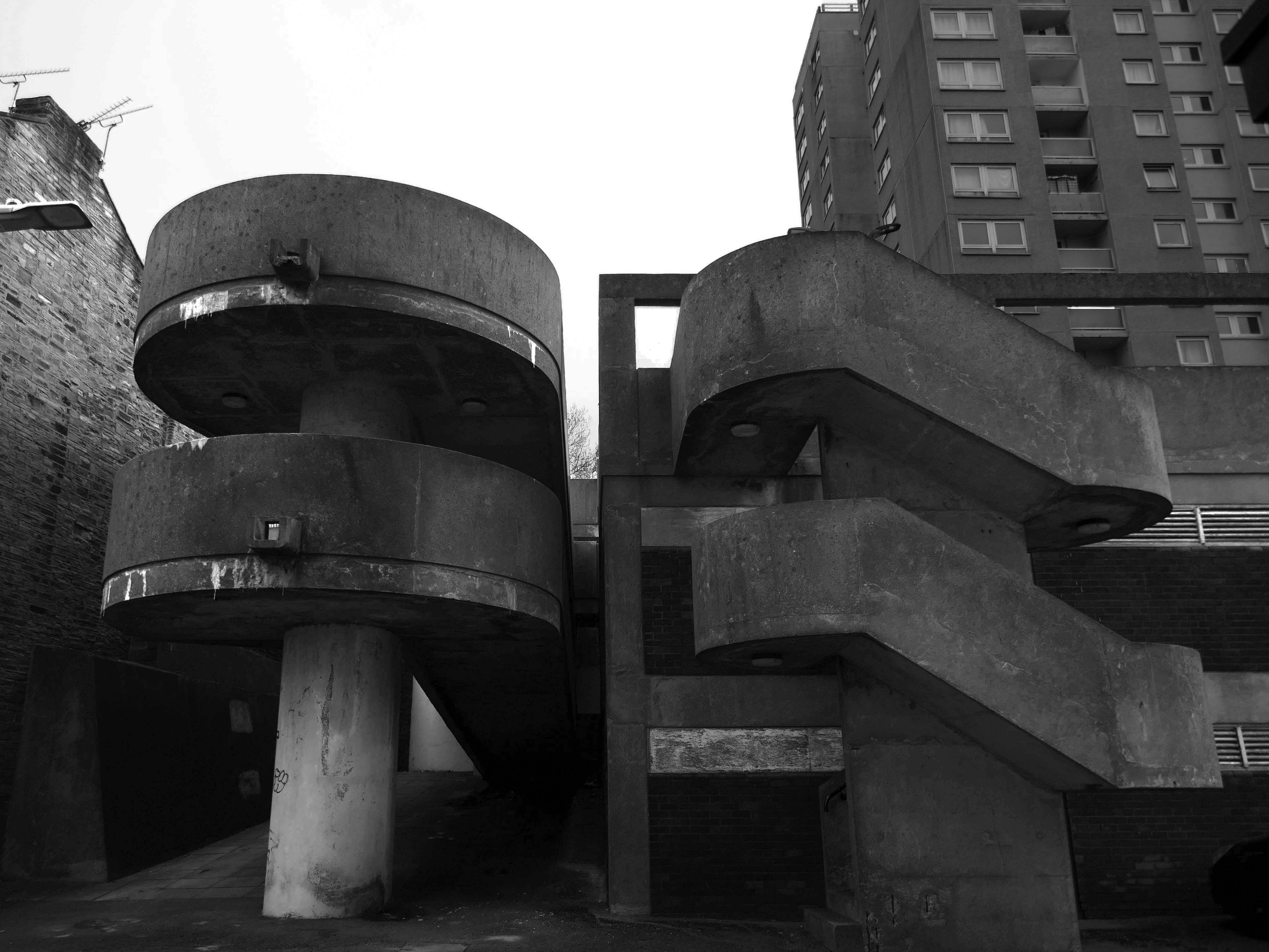
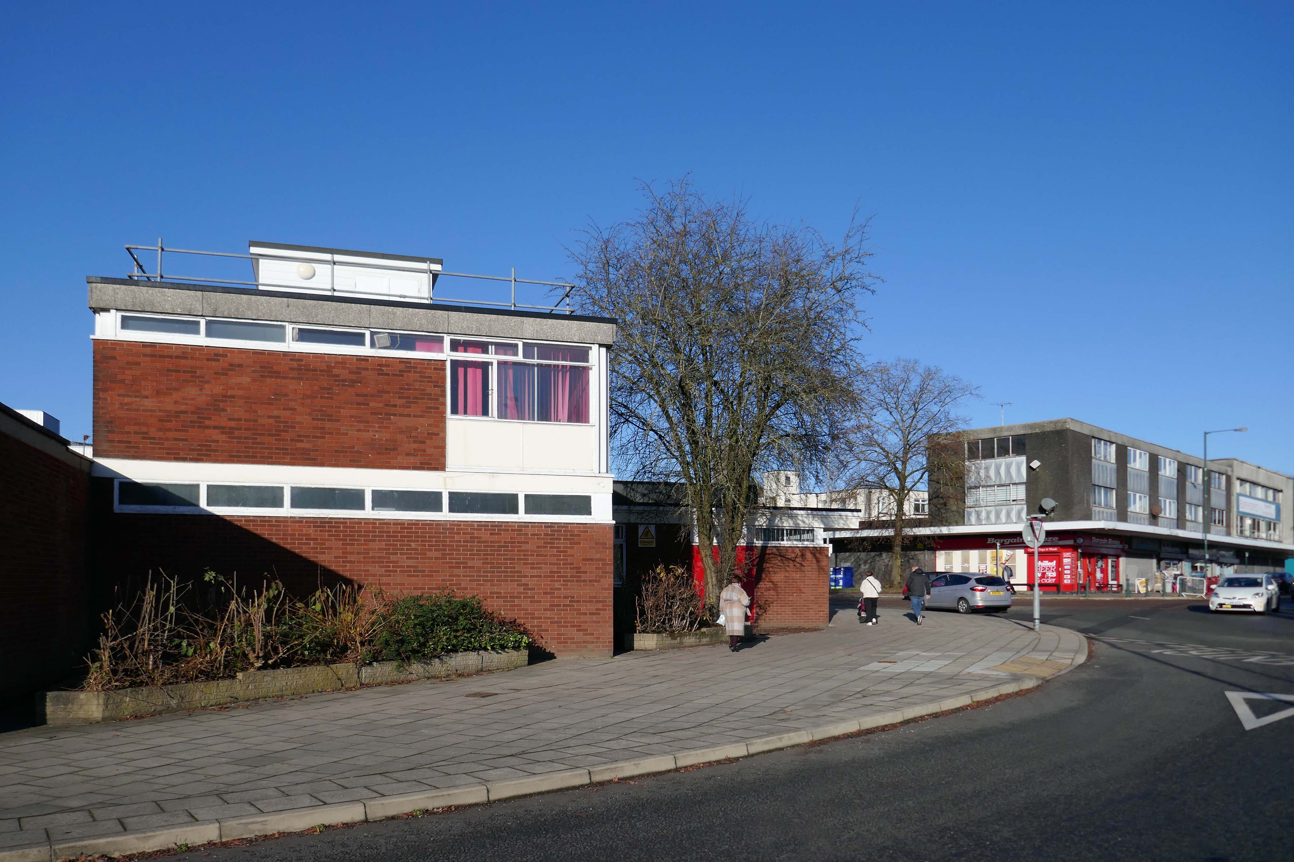
Butetown – or The Docks Tre-biwt is a district and community in the south of the city of Cardiff. It was originally a model housing estate built in the early 19th century by the 2nd Marquess of Bute, for whose title the area was named.
Commonly known as Tiger Bay, this area became one of the UK’s first multiculturalcommunities with people from over fifty countries settled here by the outbreak of the First World War, working in the docks and allied industries. Some of the largest communities included the Somalis, Yemenis and Greeks, whose influence still lives on today.
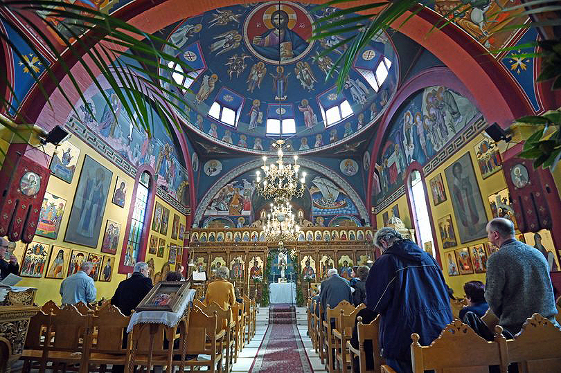
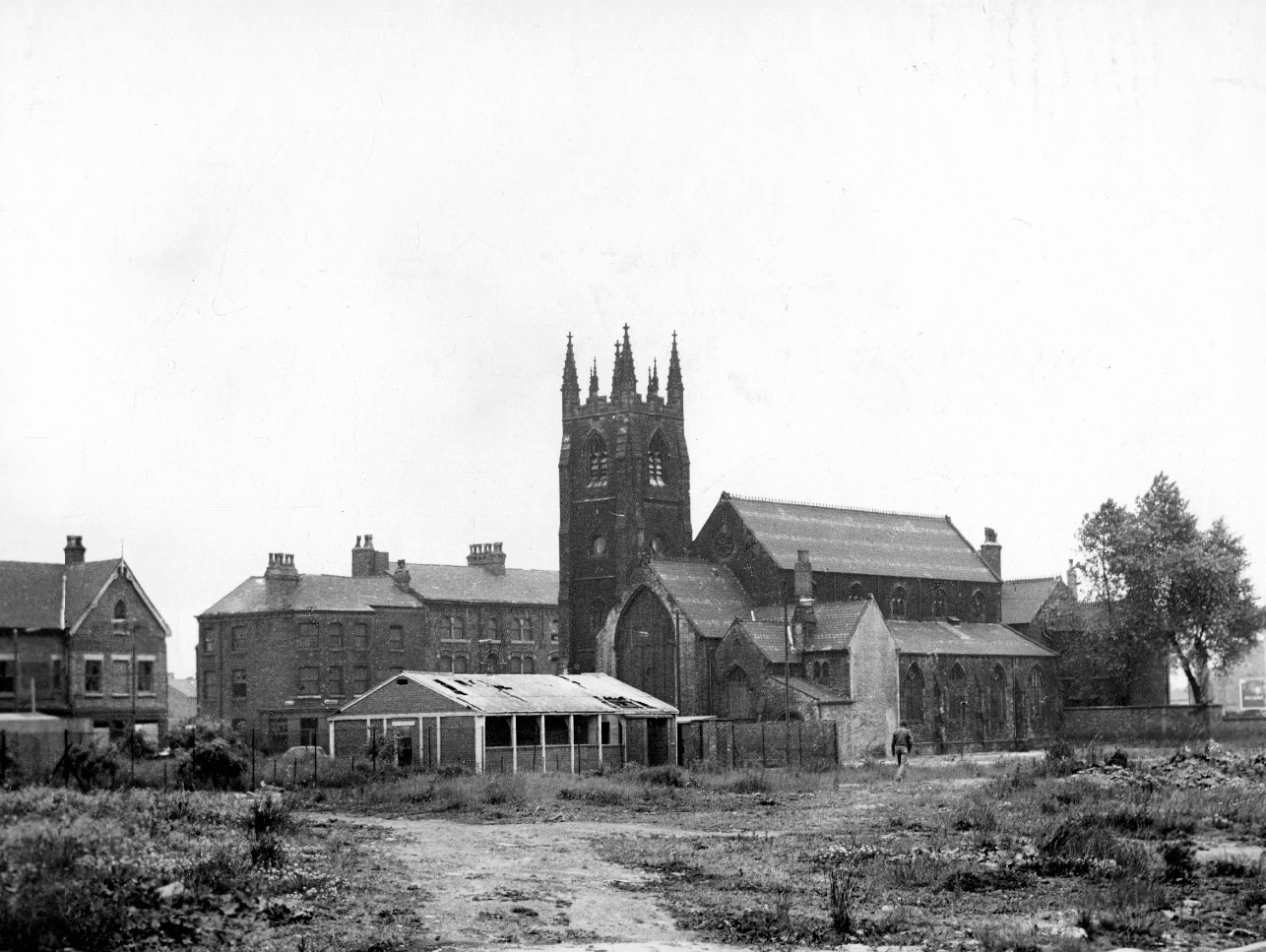
In 1906, work began on the present-day church, which also serves the Russian Orthodox community in south Wales. Designed by local architects, James and Morgan, it is located on a site provided by the 4th Marquess of Bute, to the west of Bute Street. The modestly-sized building is of Byzantine style with a domed nave and an apse at the east end. It retains the original dedication to StNicholas. The interior is very ornate, with a lot of carved woodwork. The dome and upper walls have painted Biblical scenes in vivid colours with gold decoration.
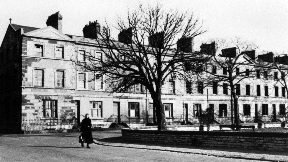
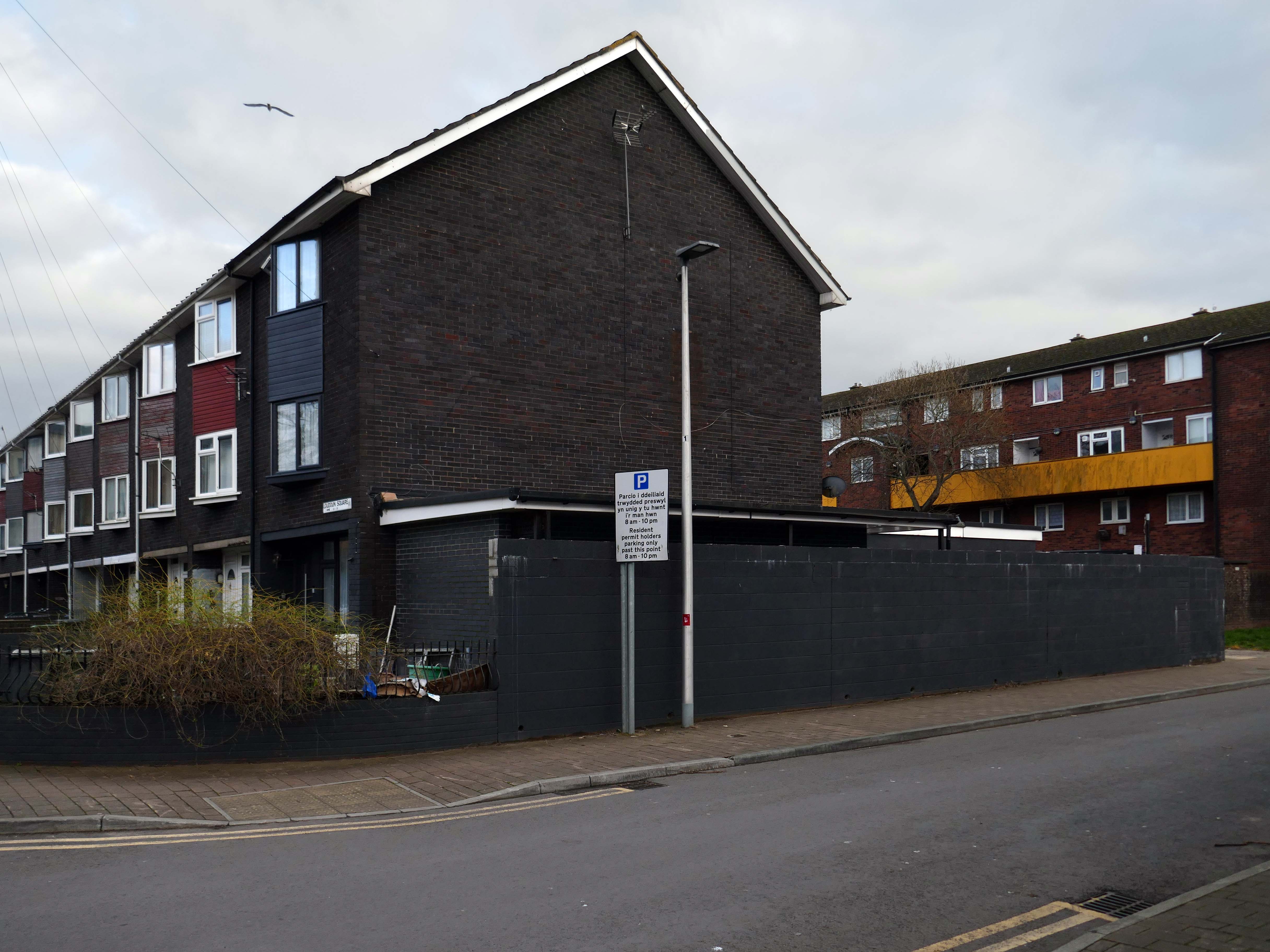
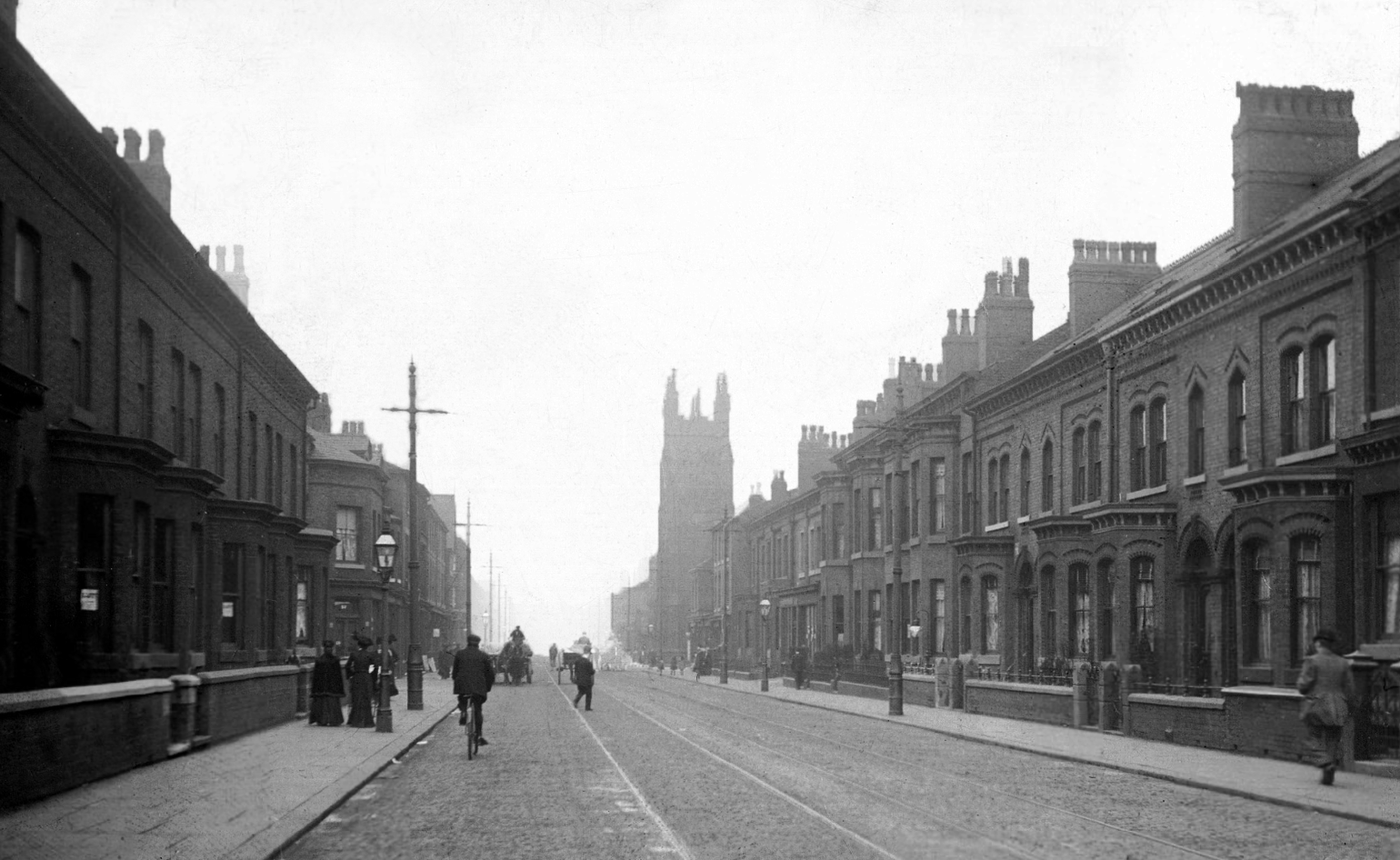
Loudoun Square was originally built in the mid-1850s as upmarket homes for merchants, mariners, ship brokers and the like around a central park.
Photo 1962
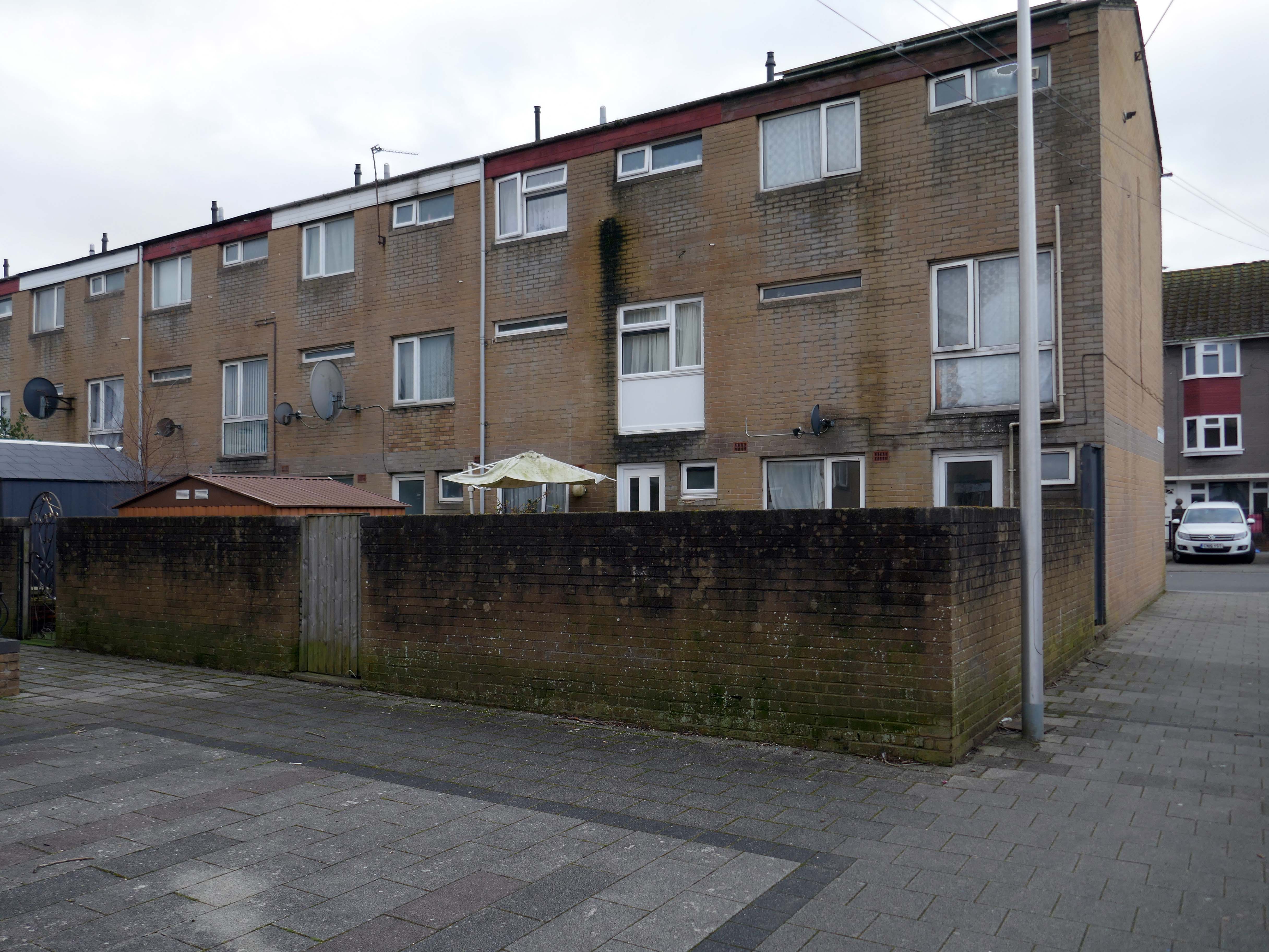
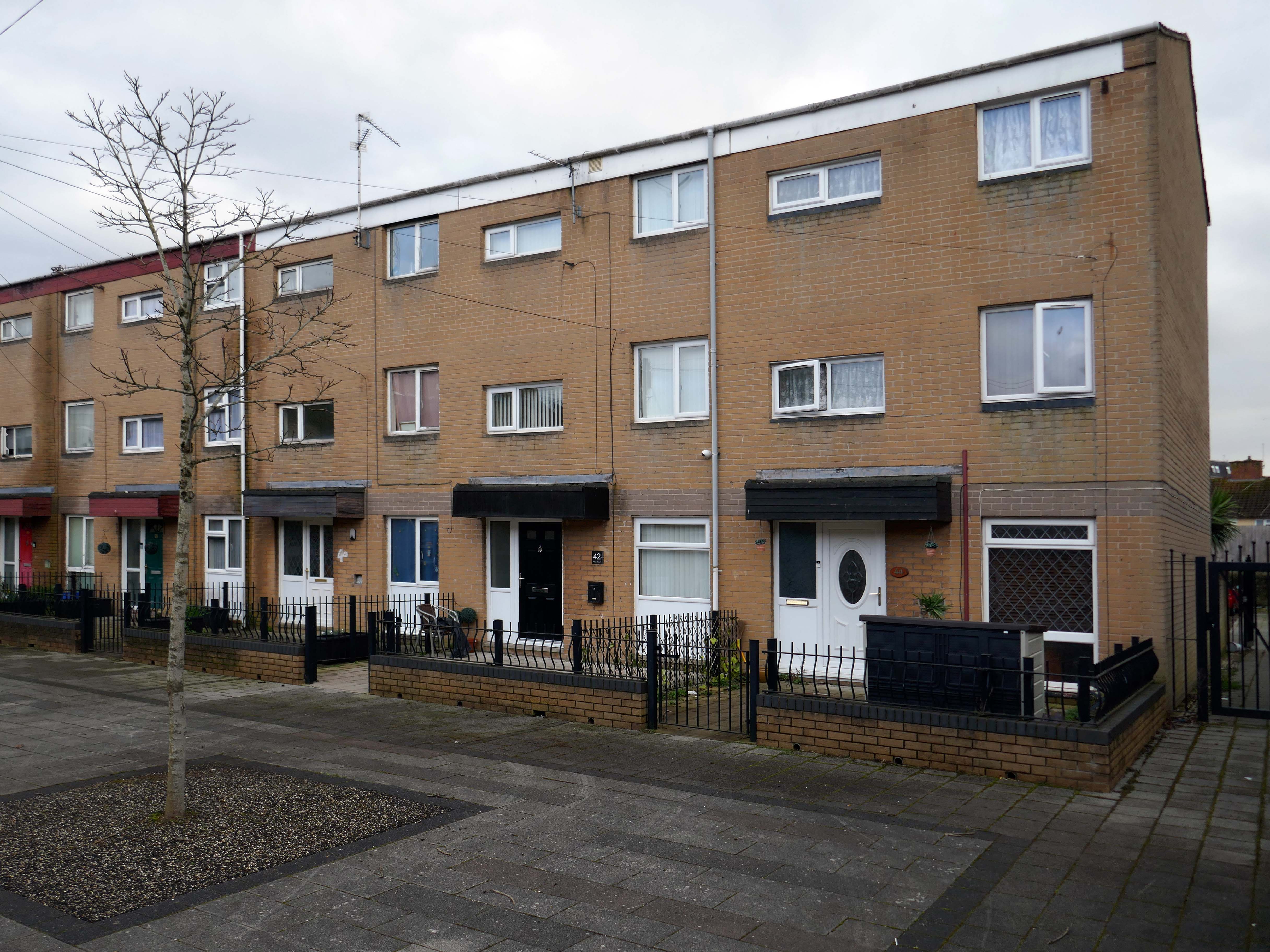
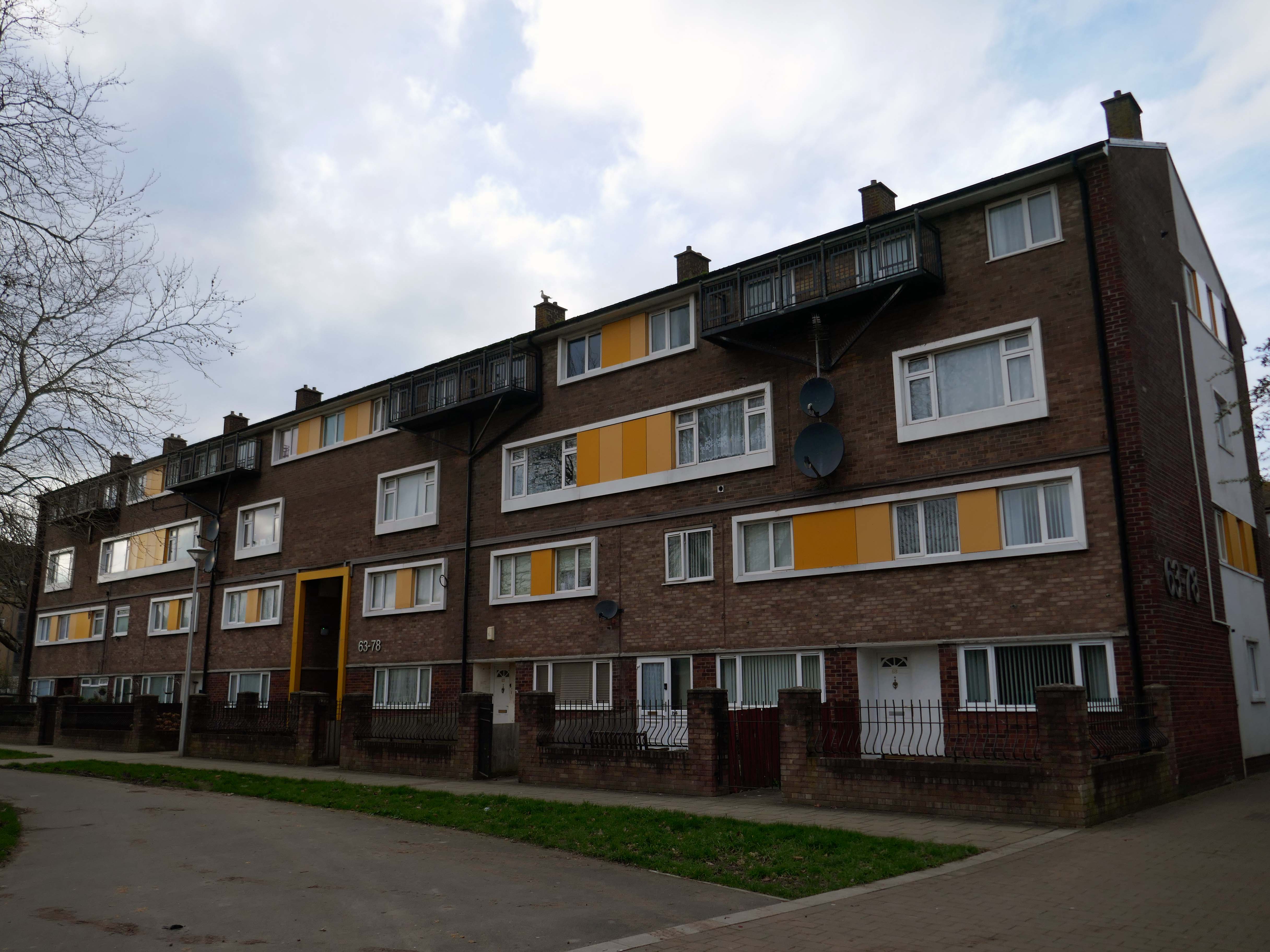
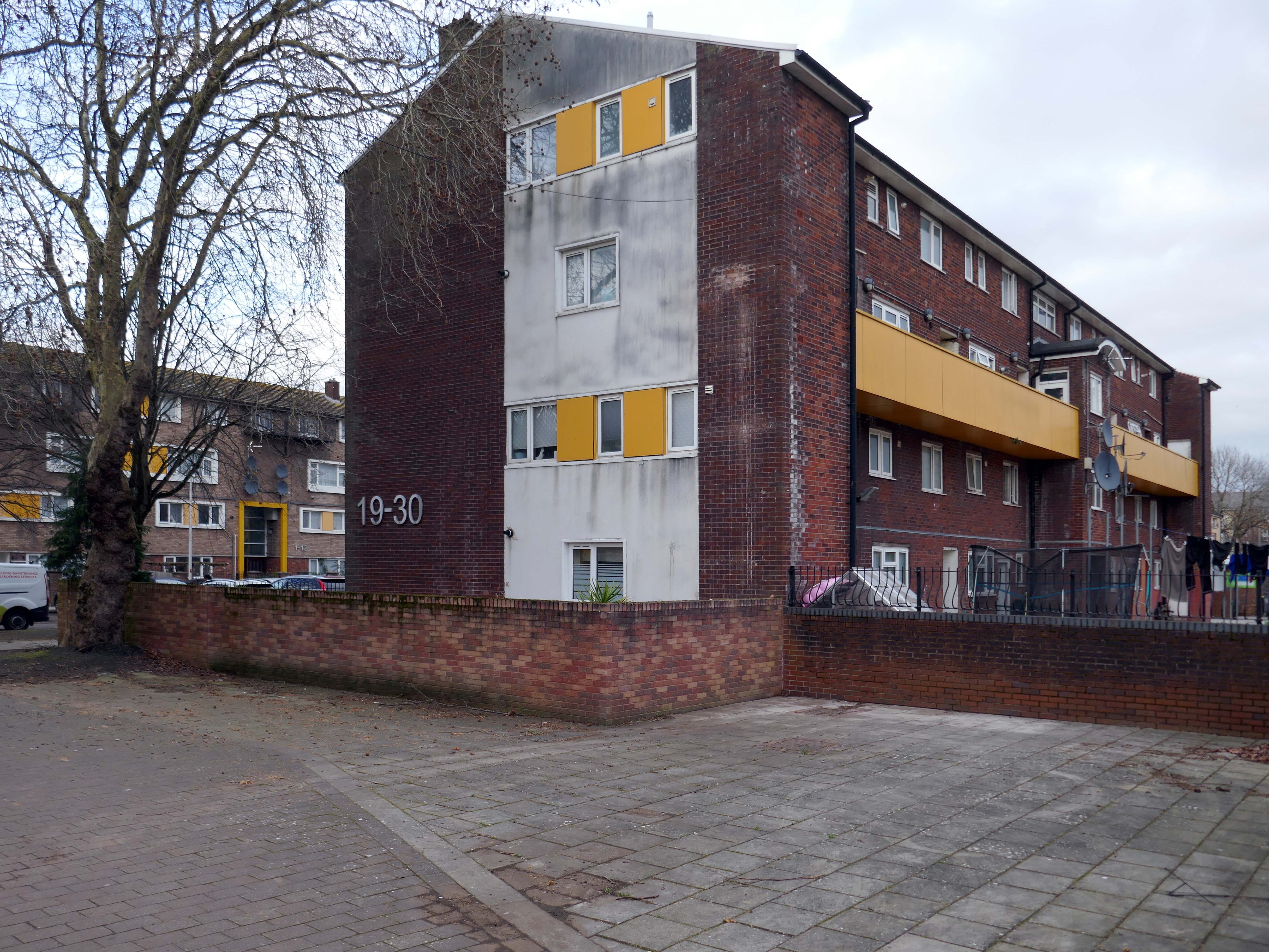
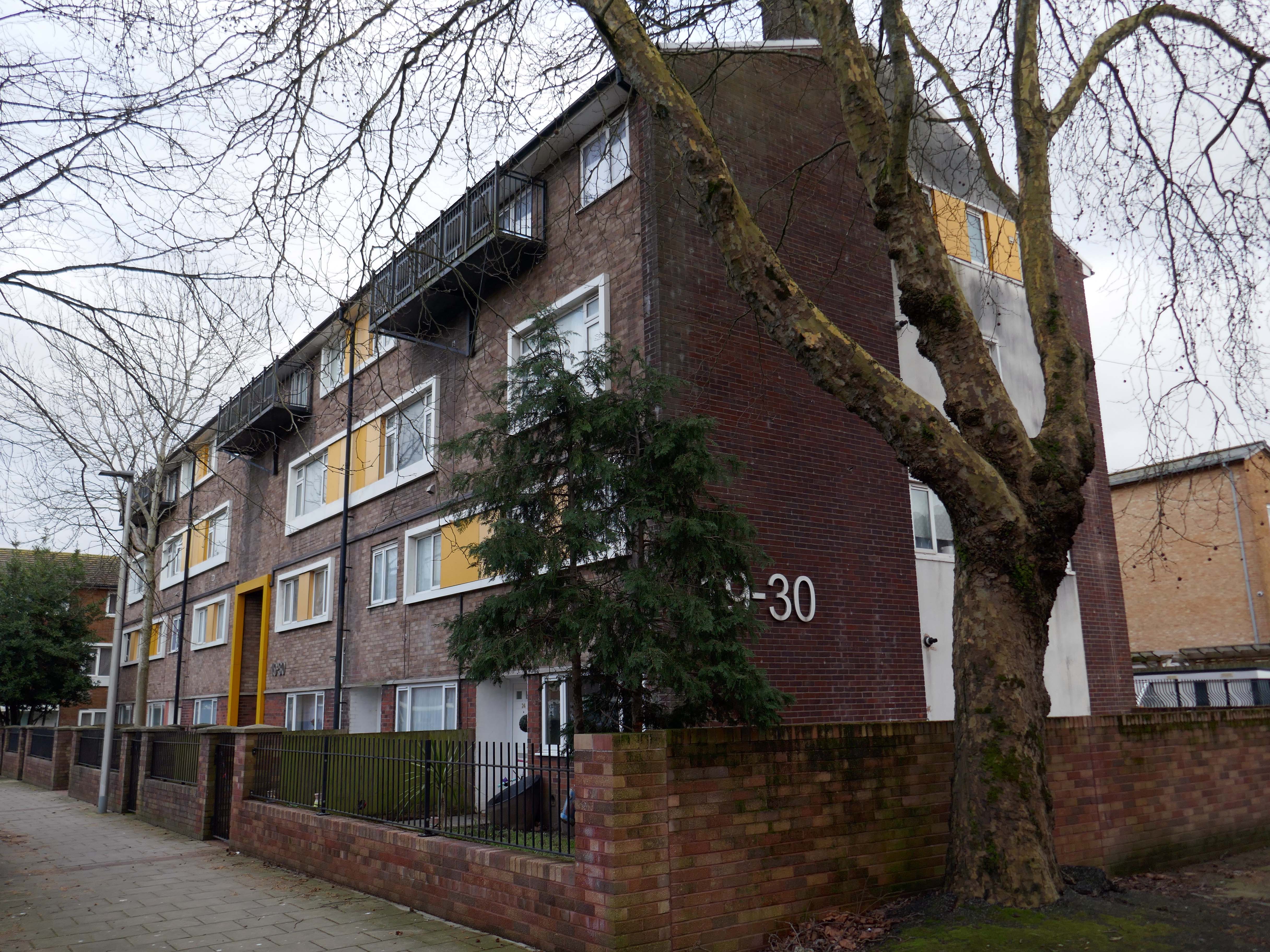
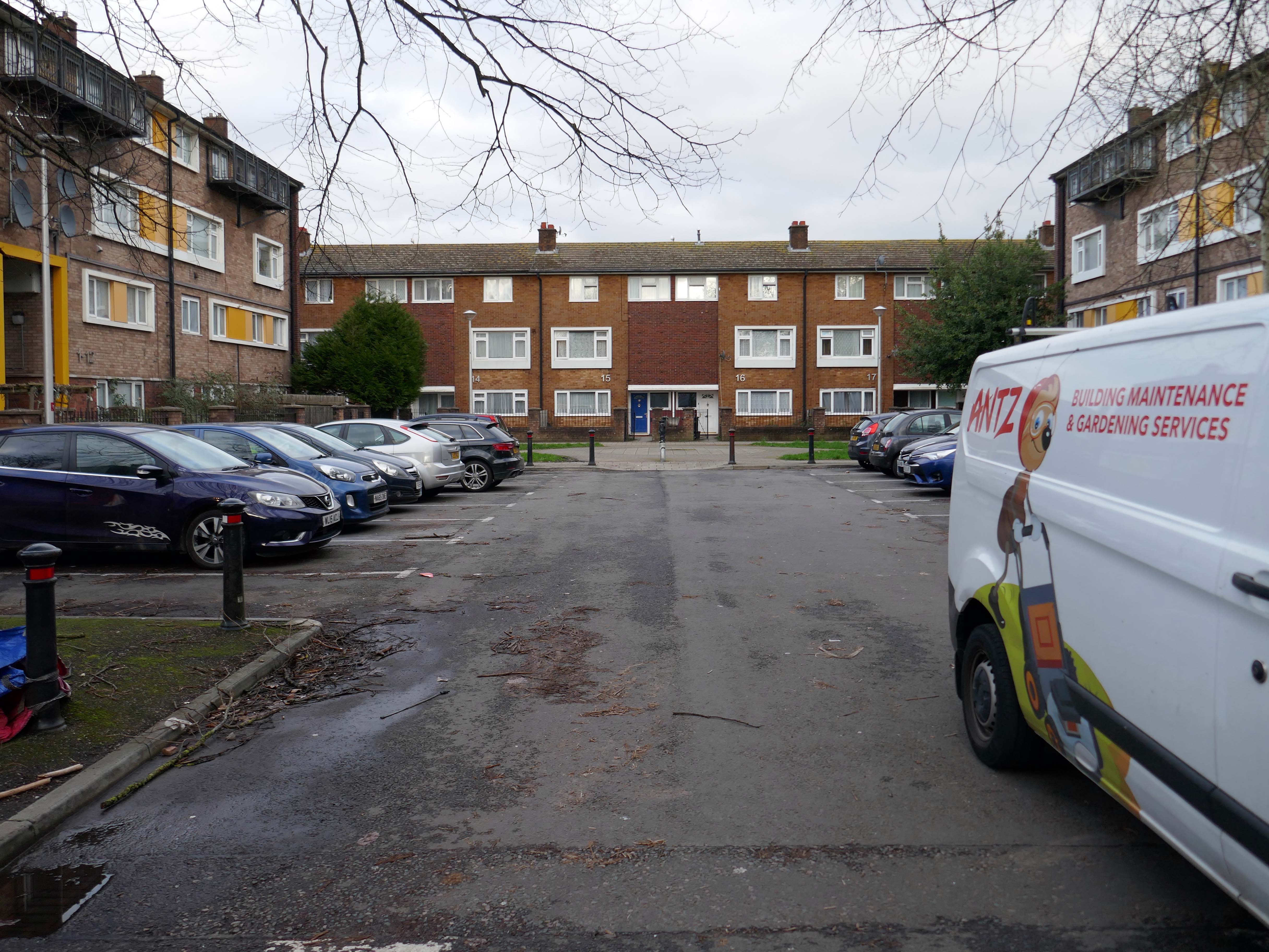
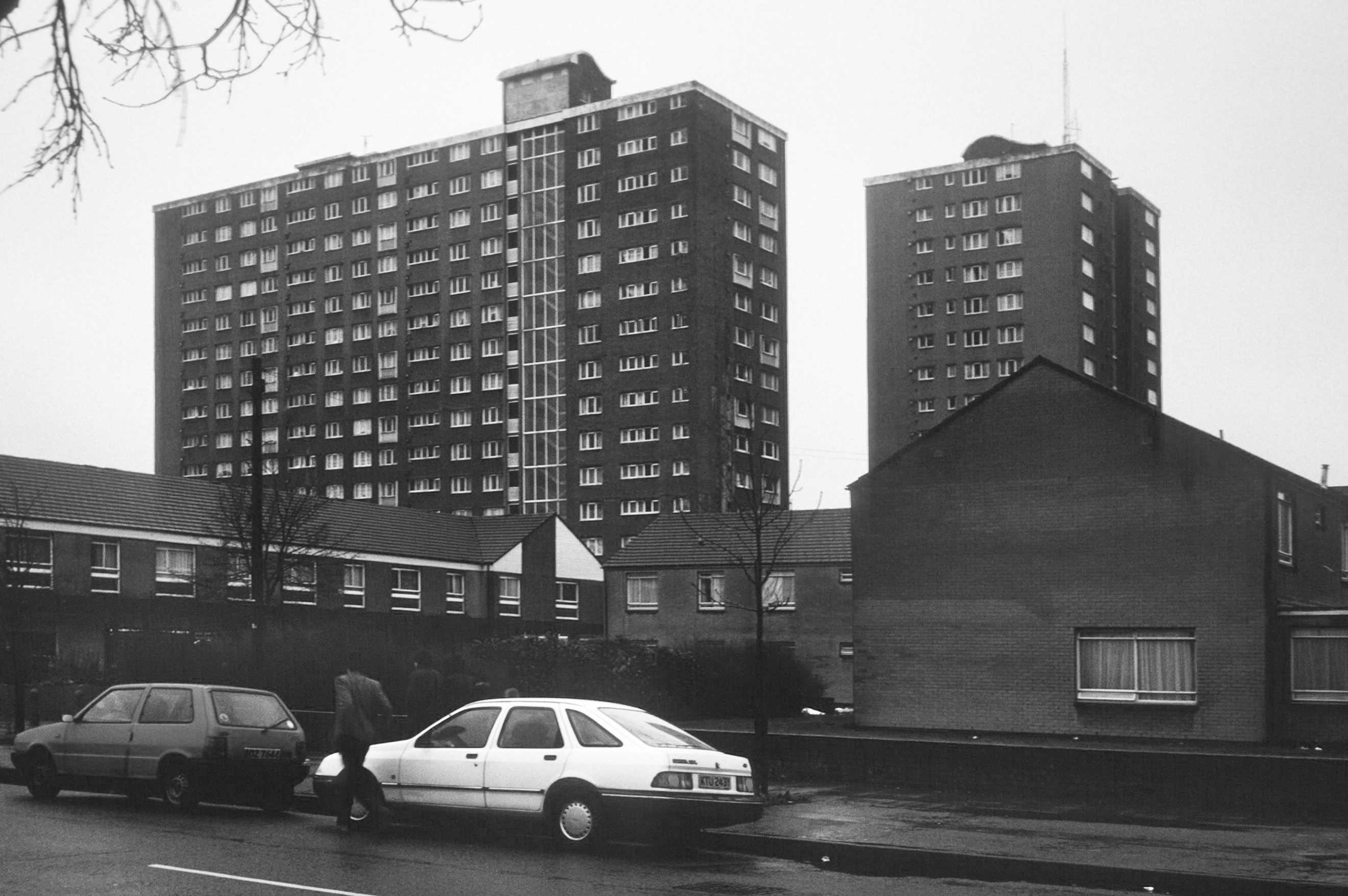
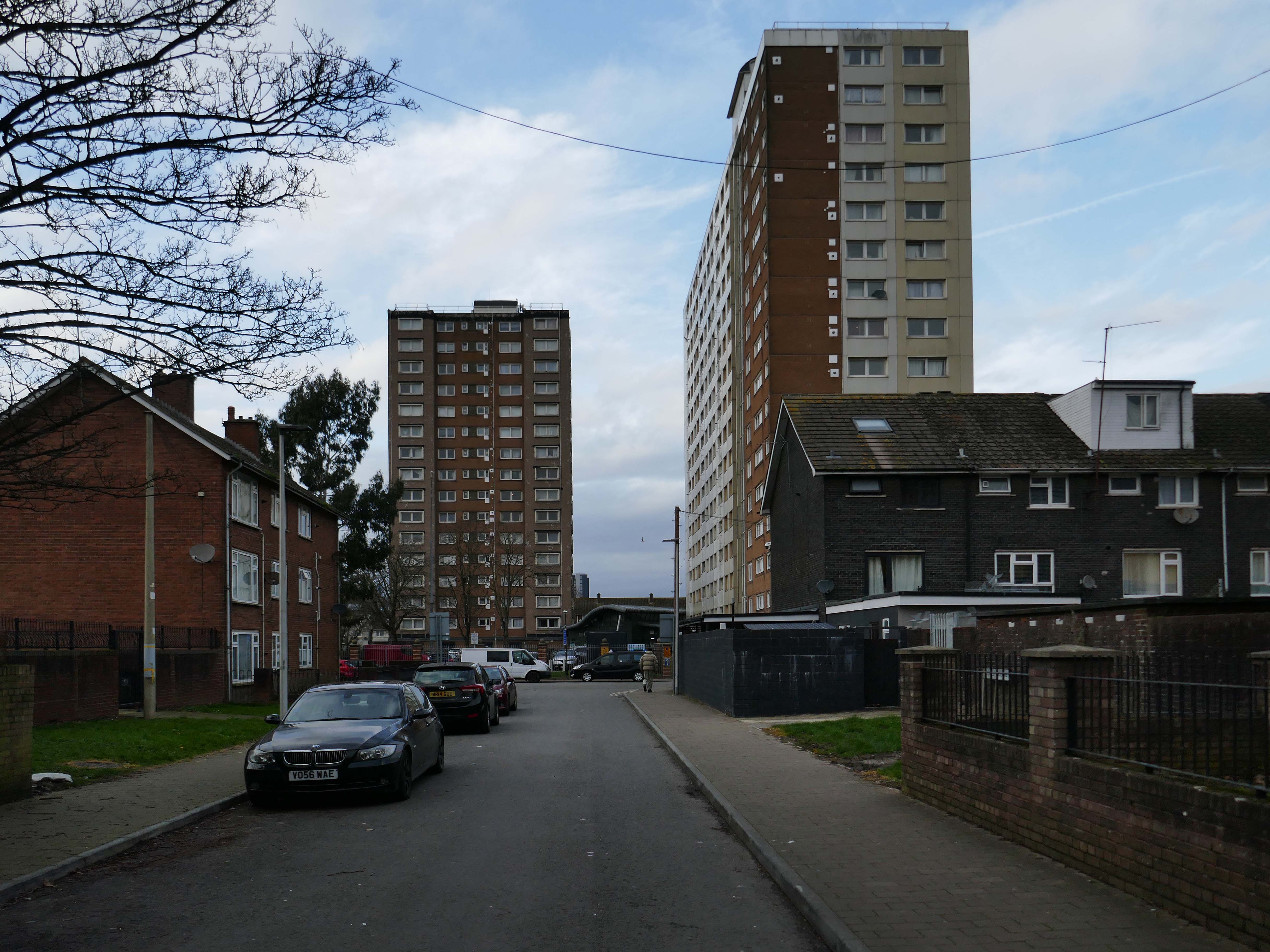
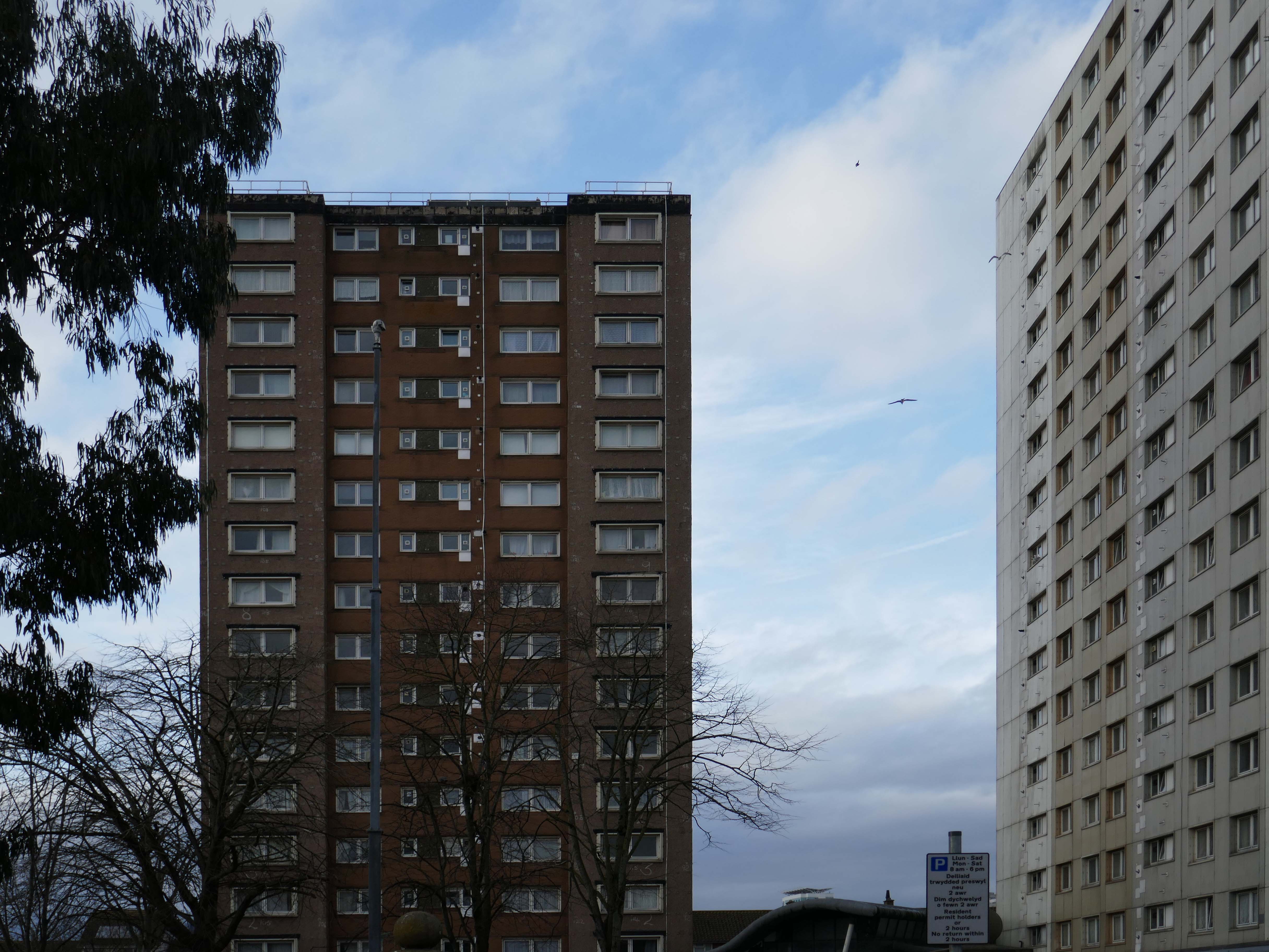
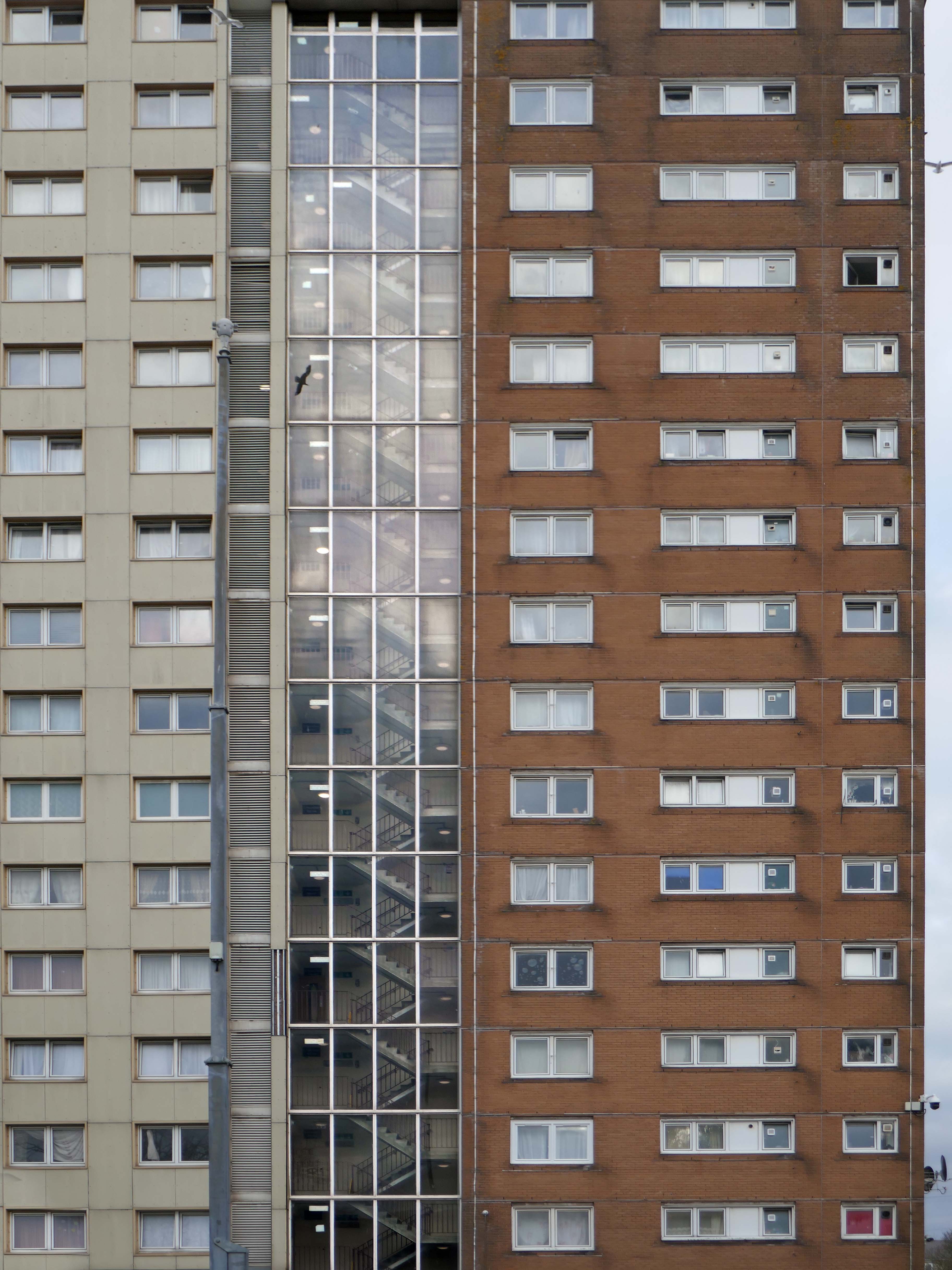
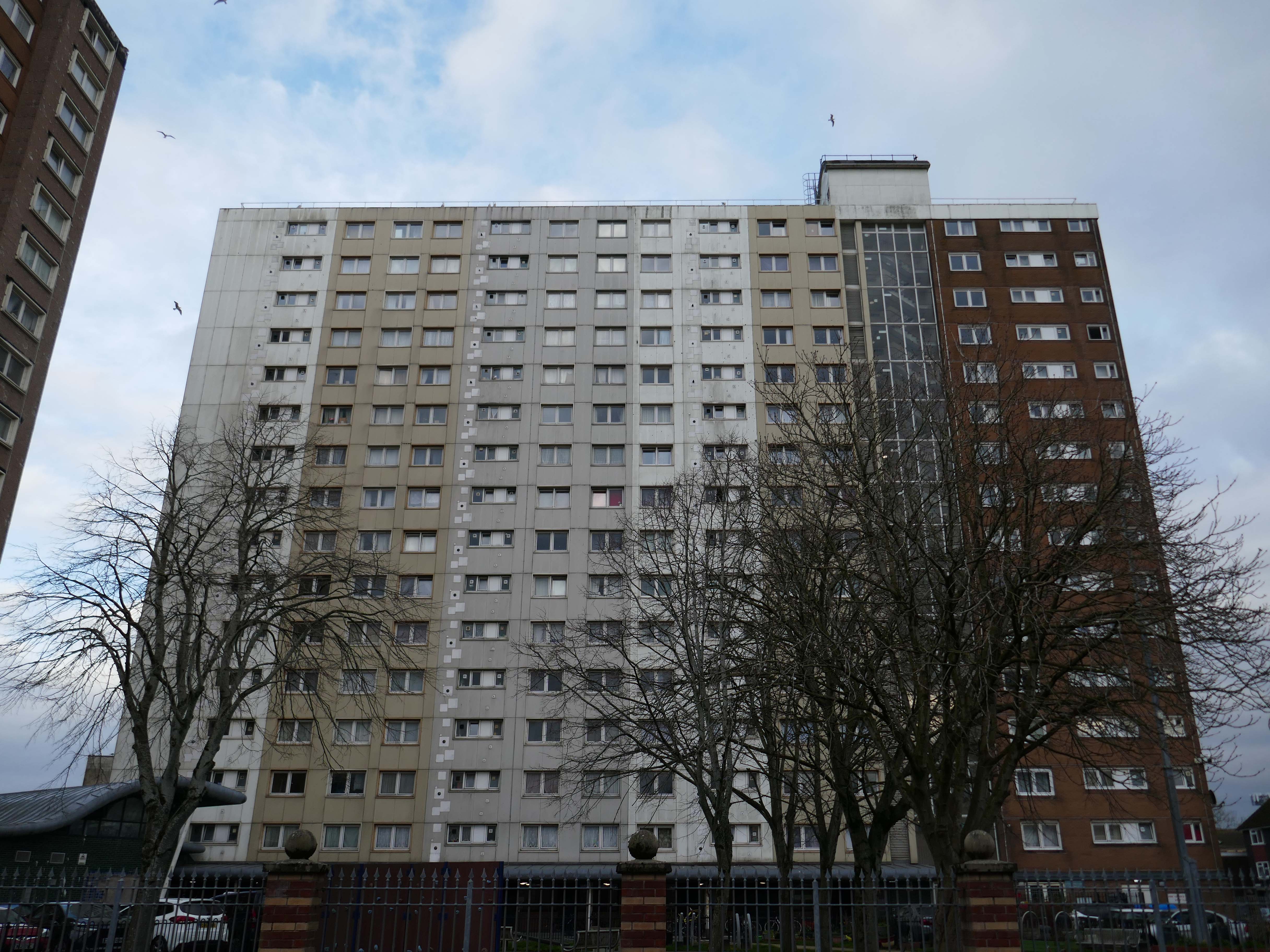
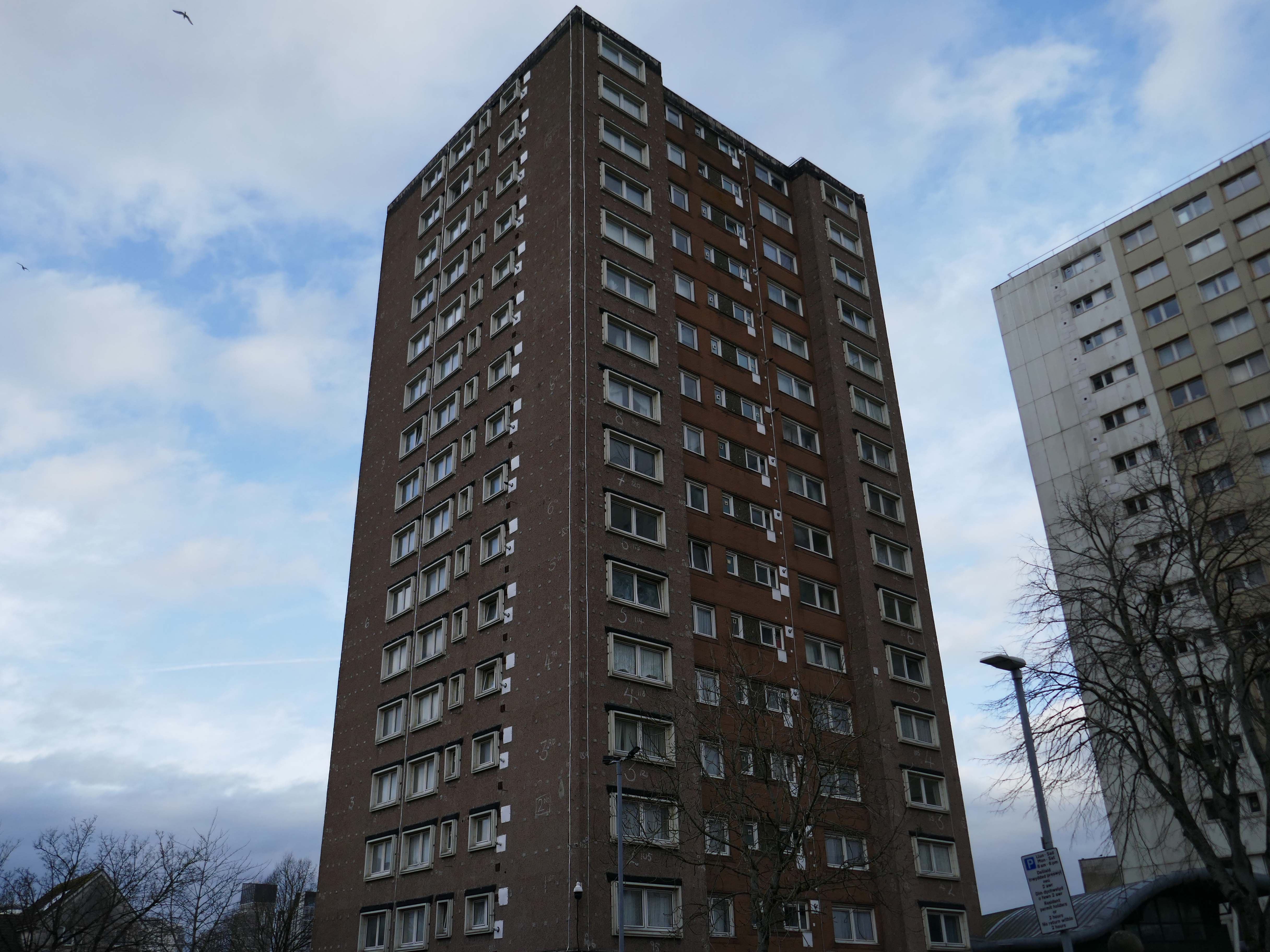
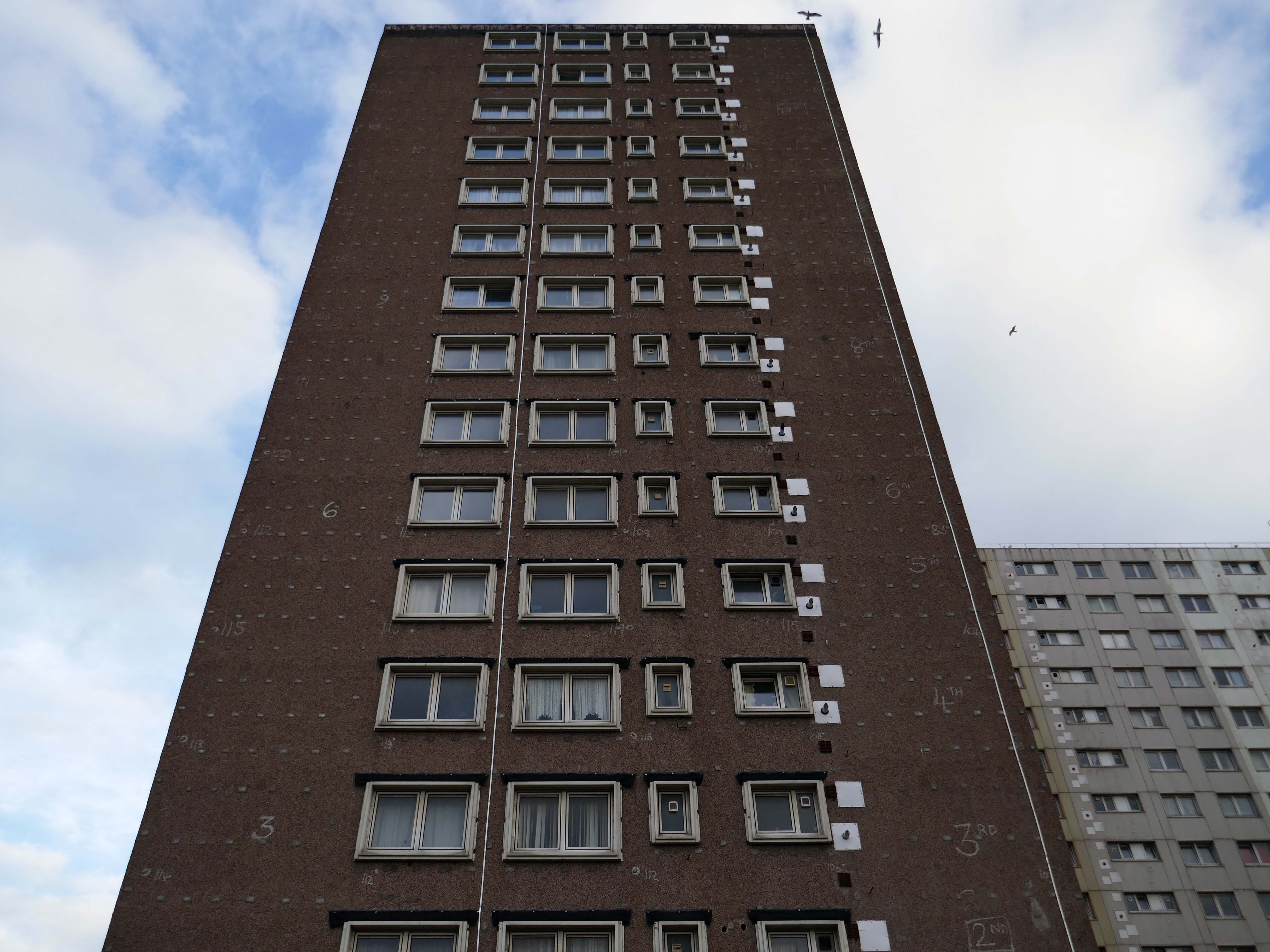
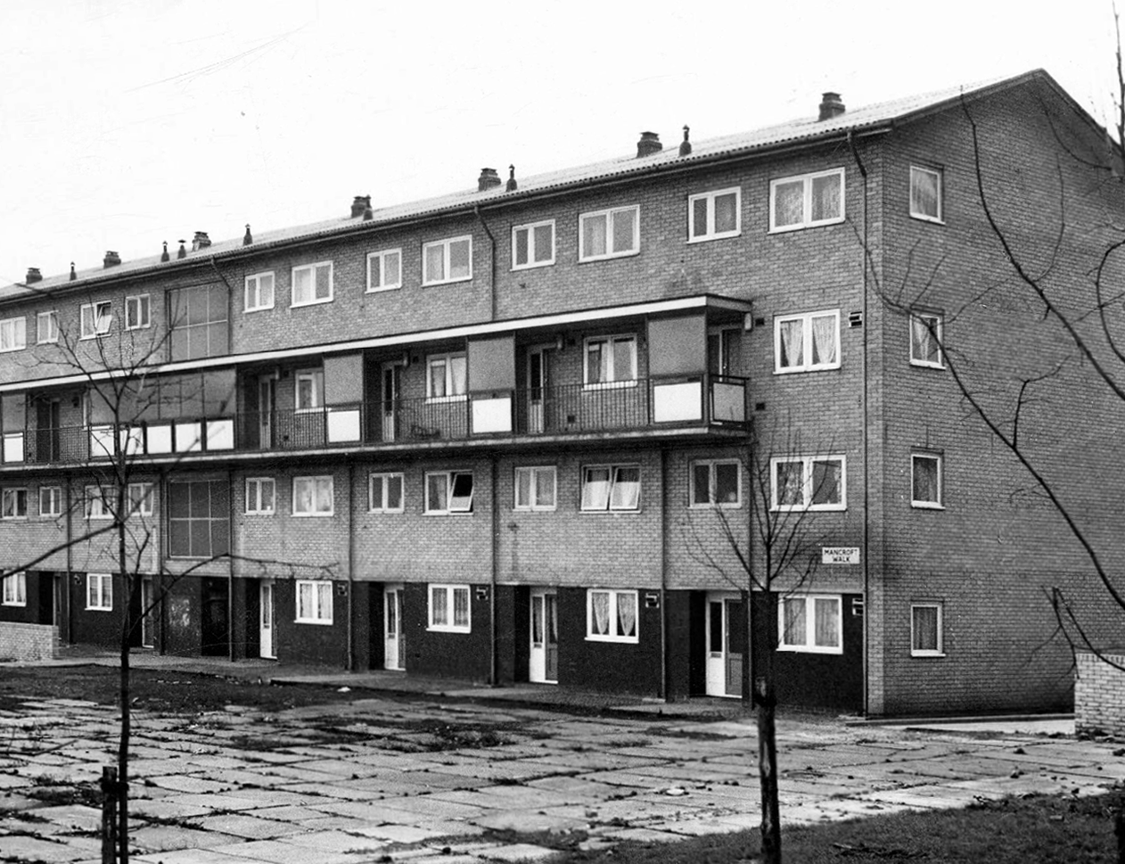
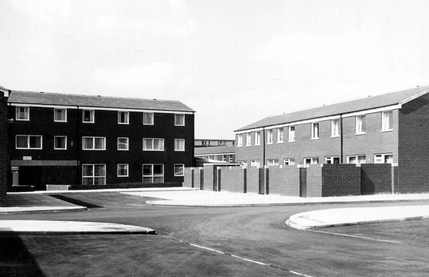
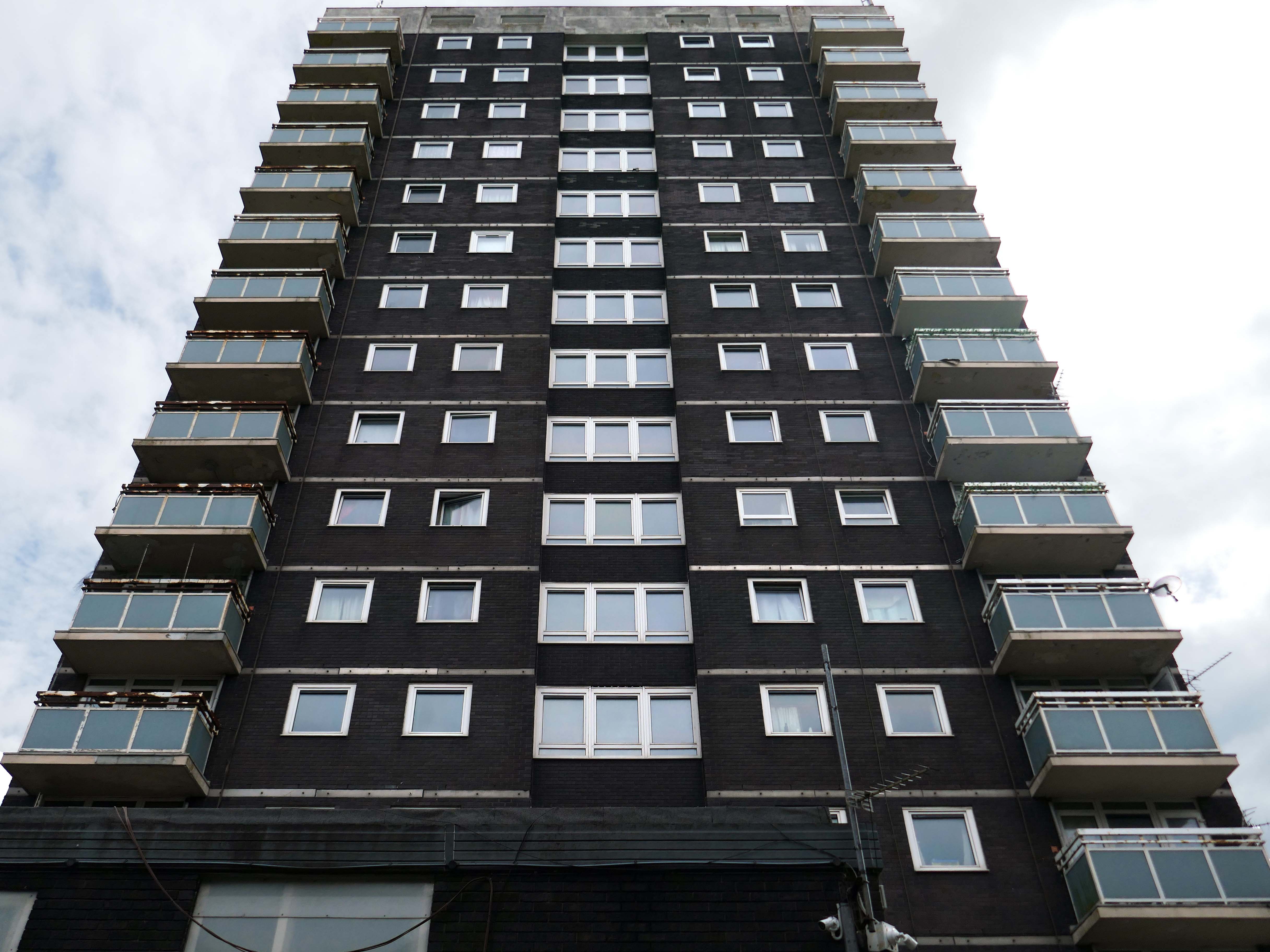
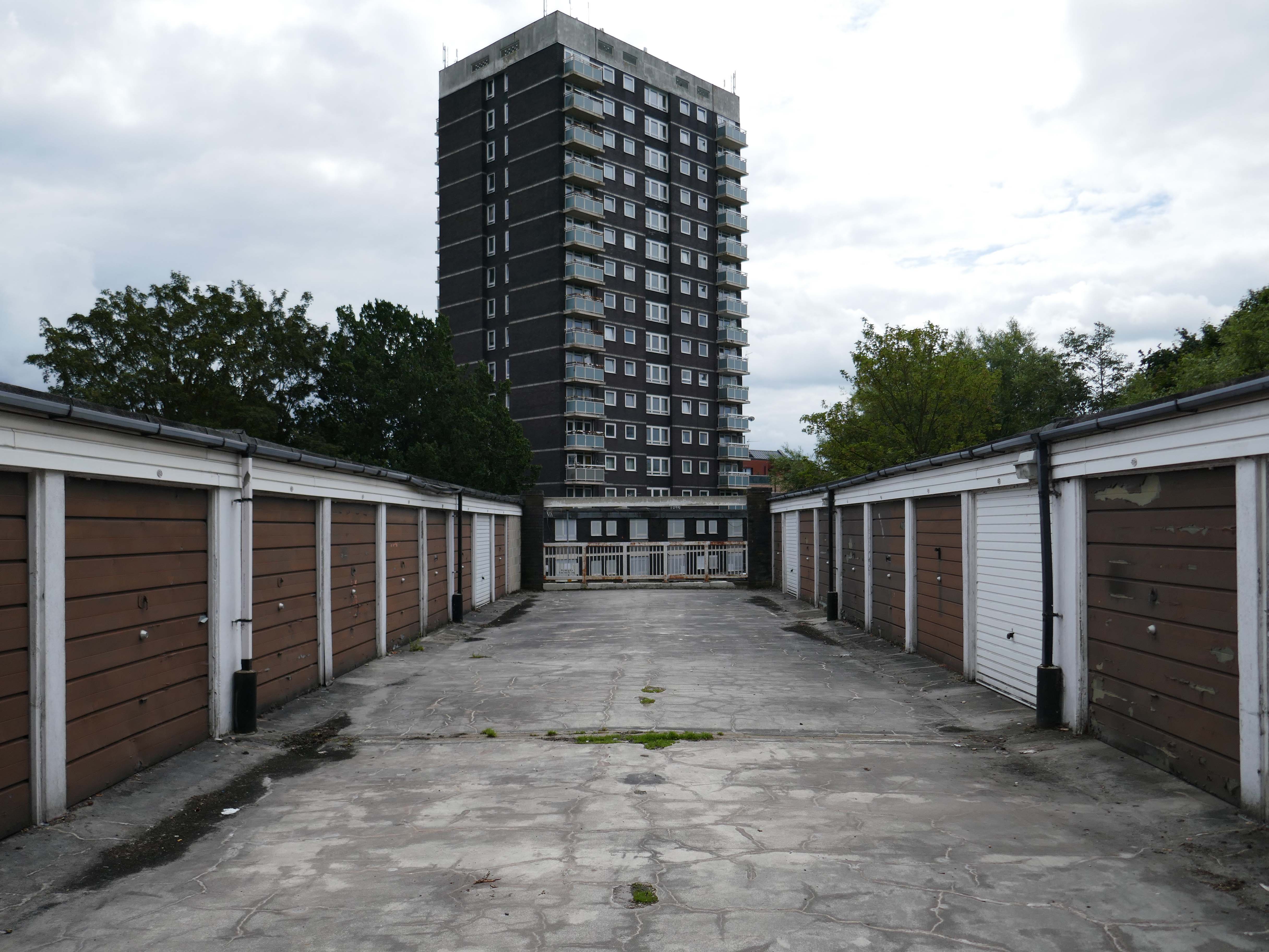
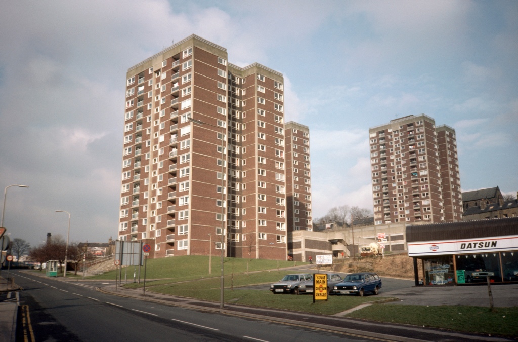
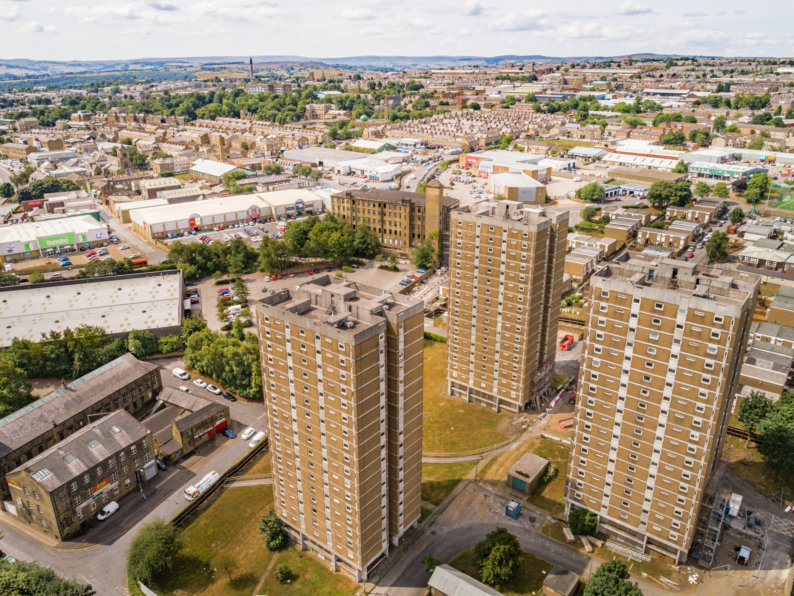
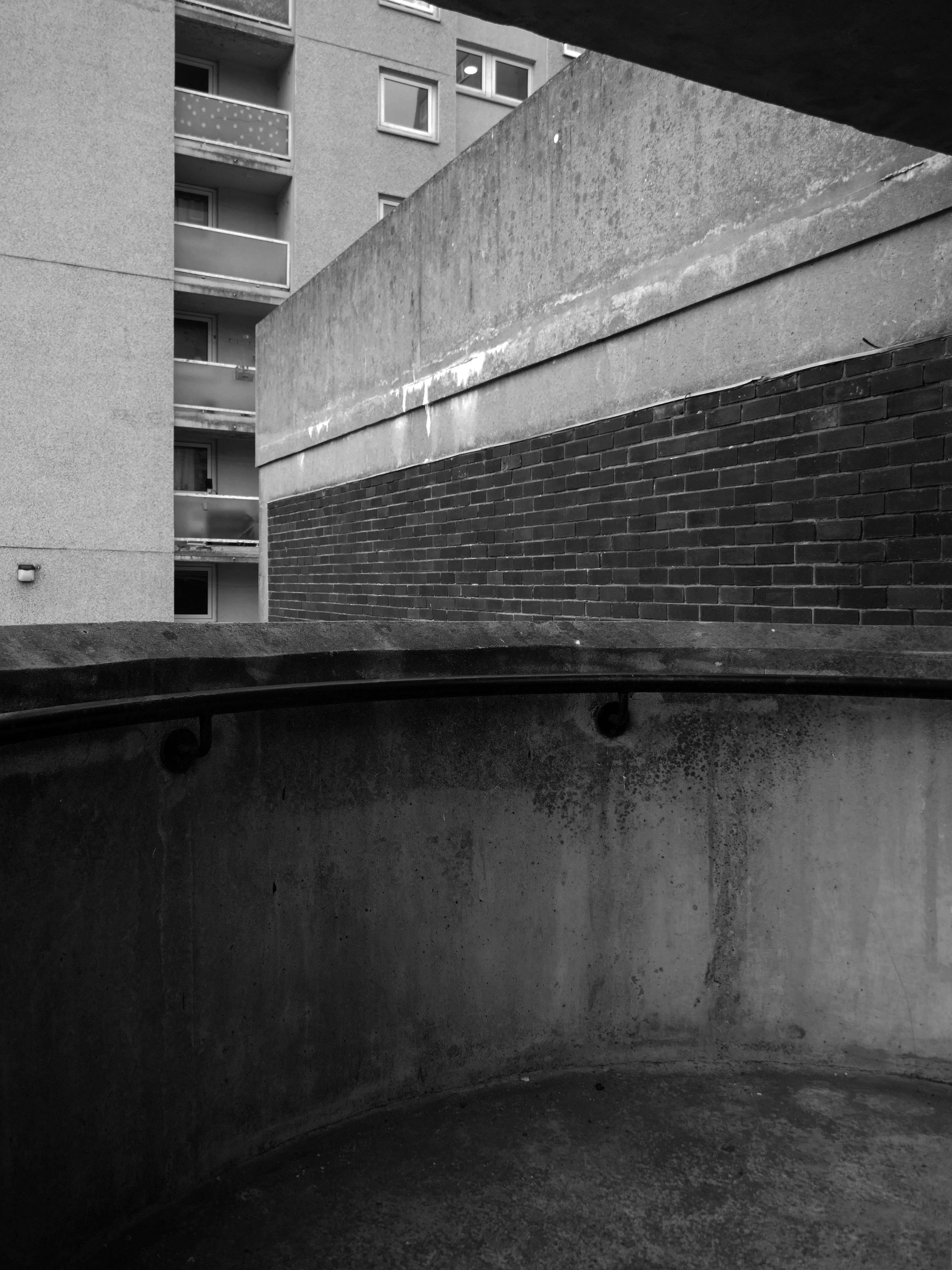
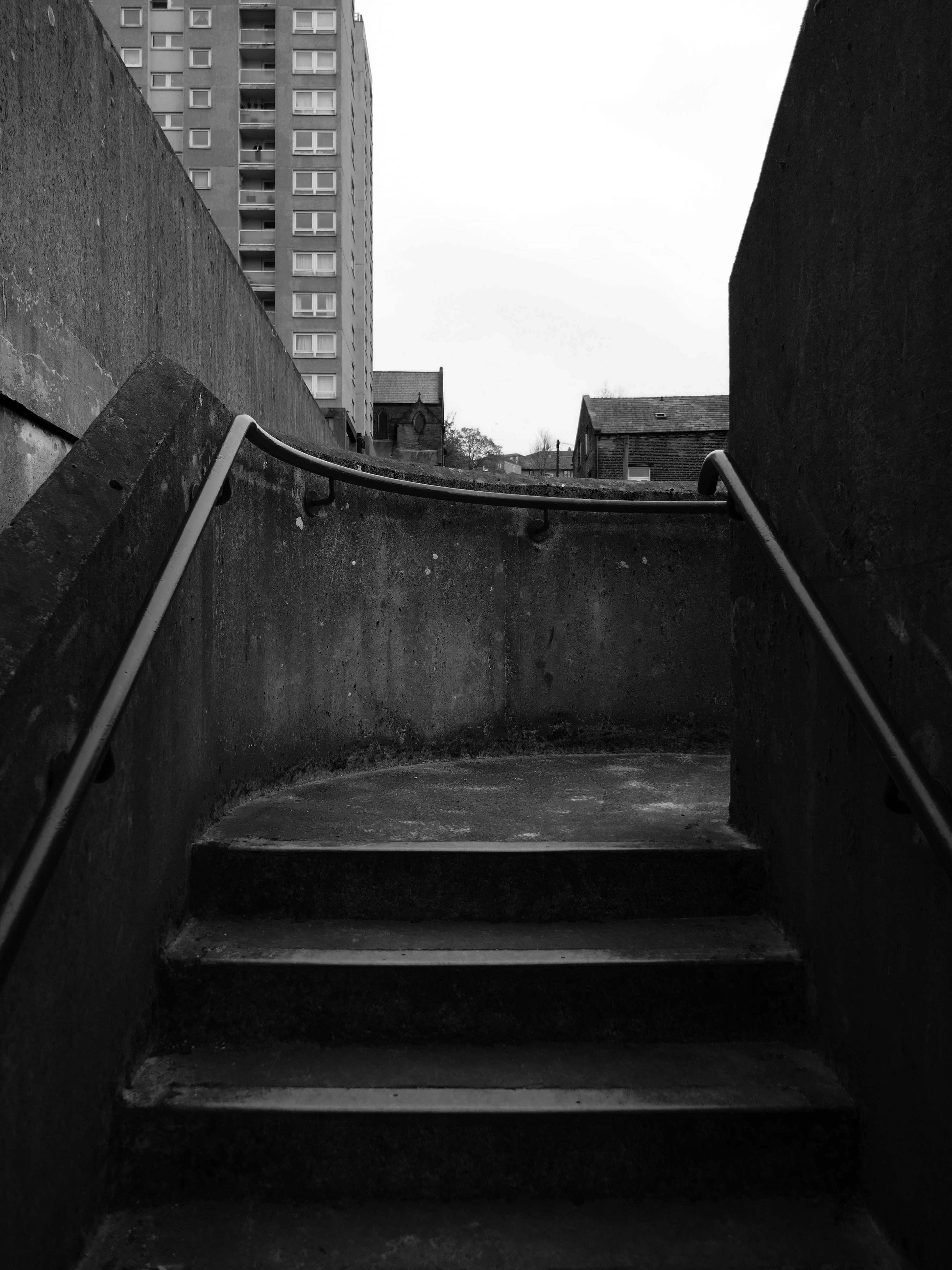
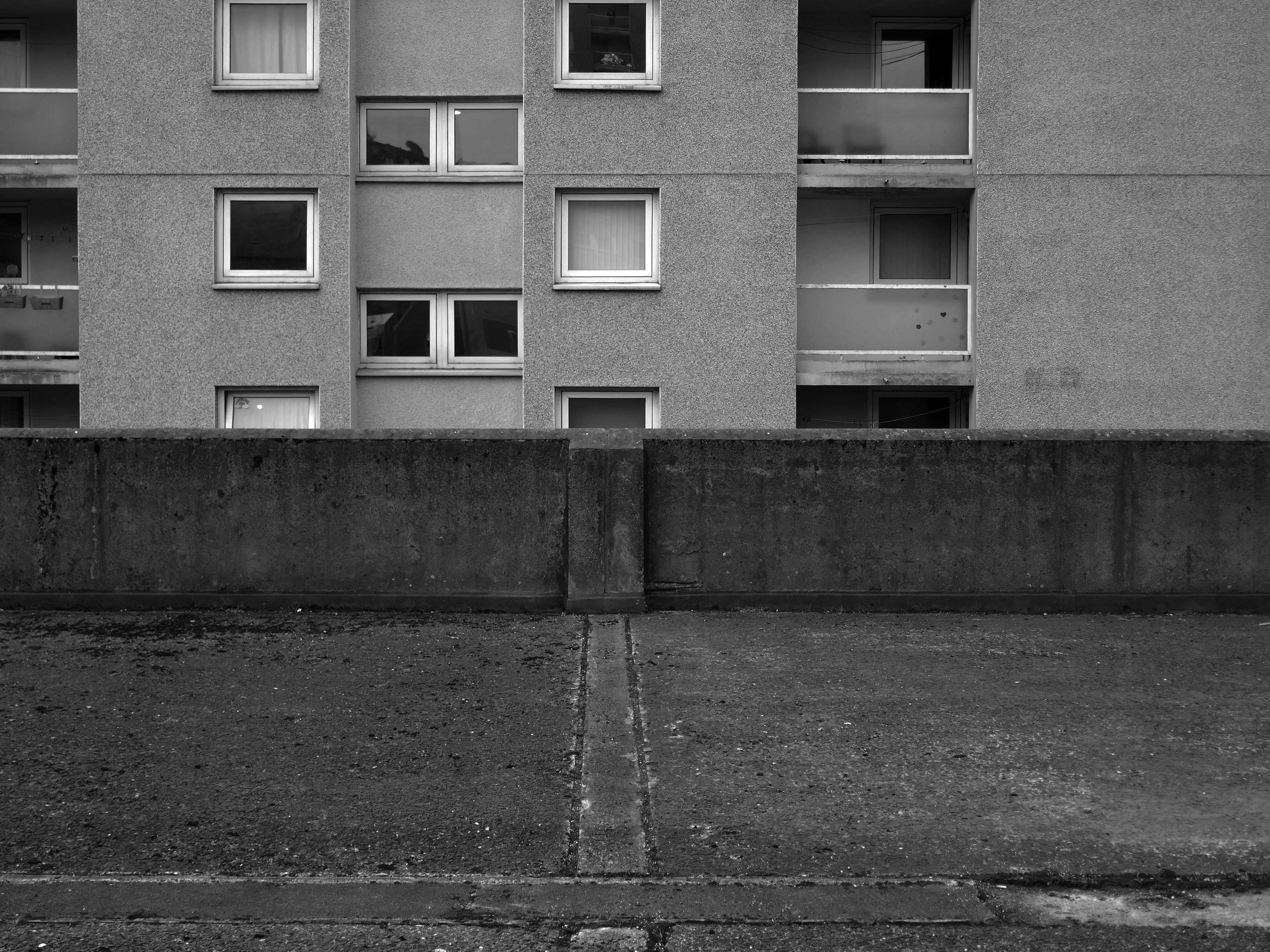
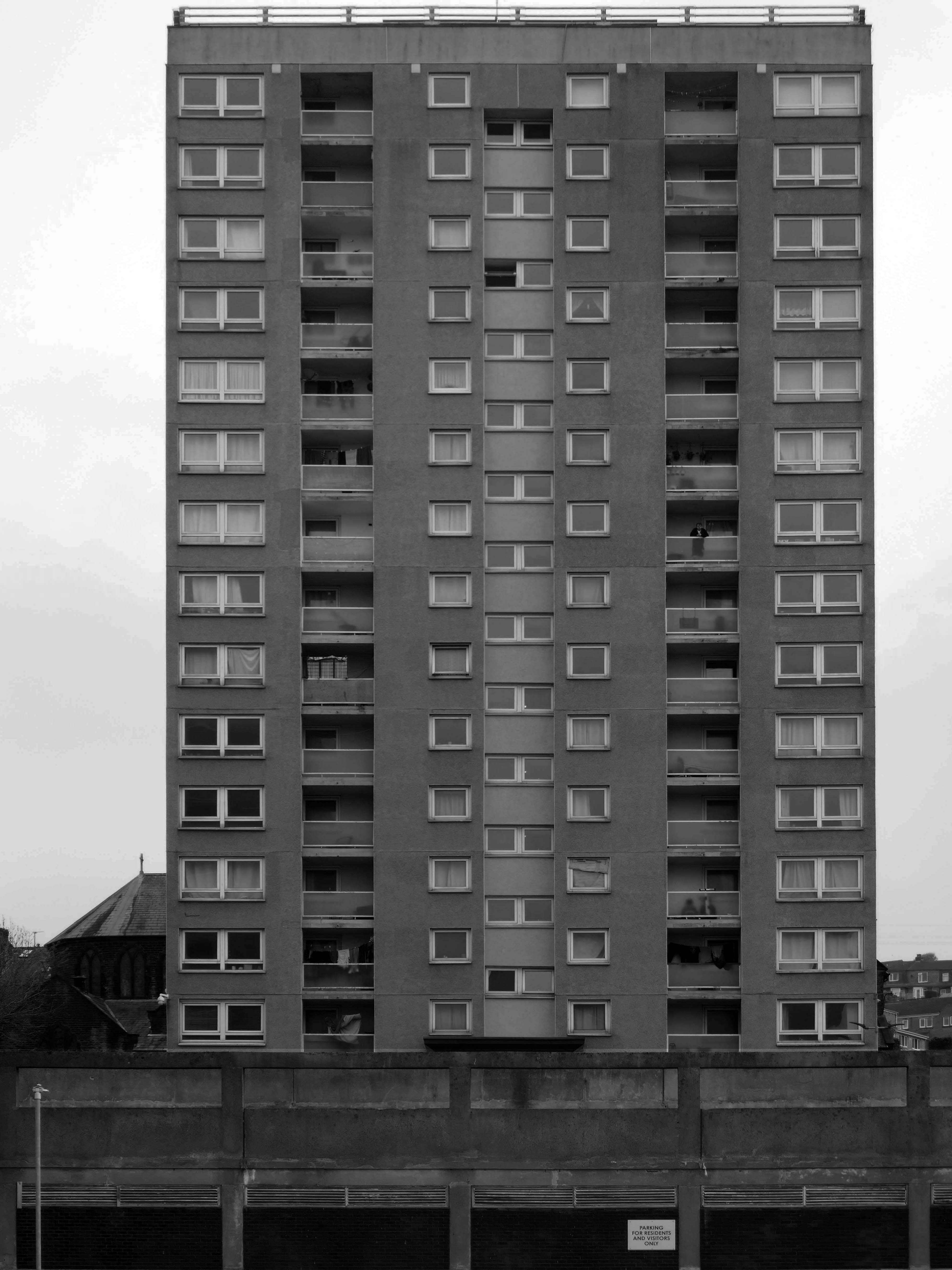
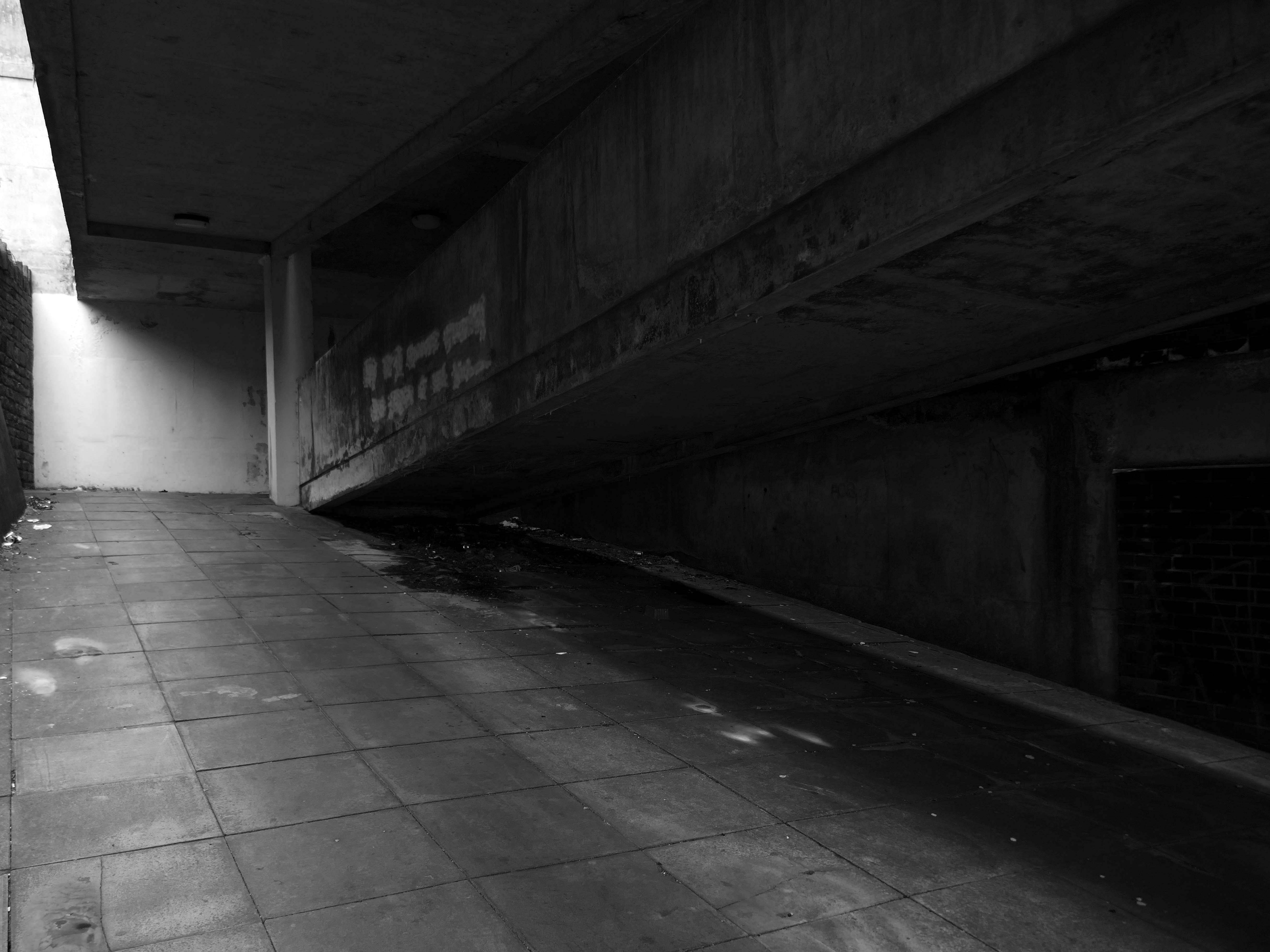
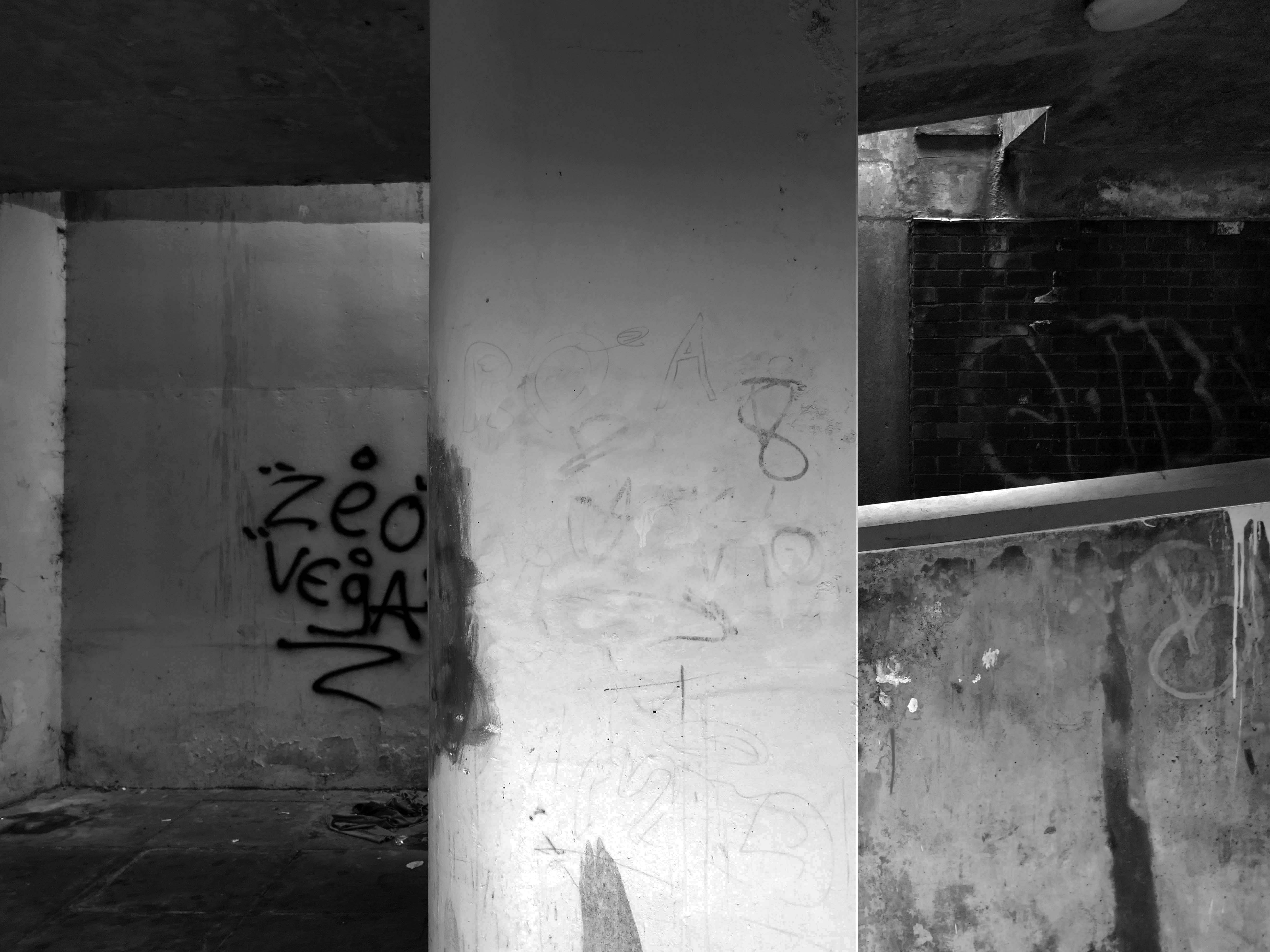
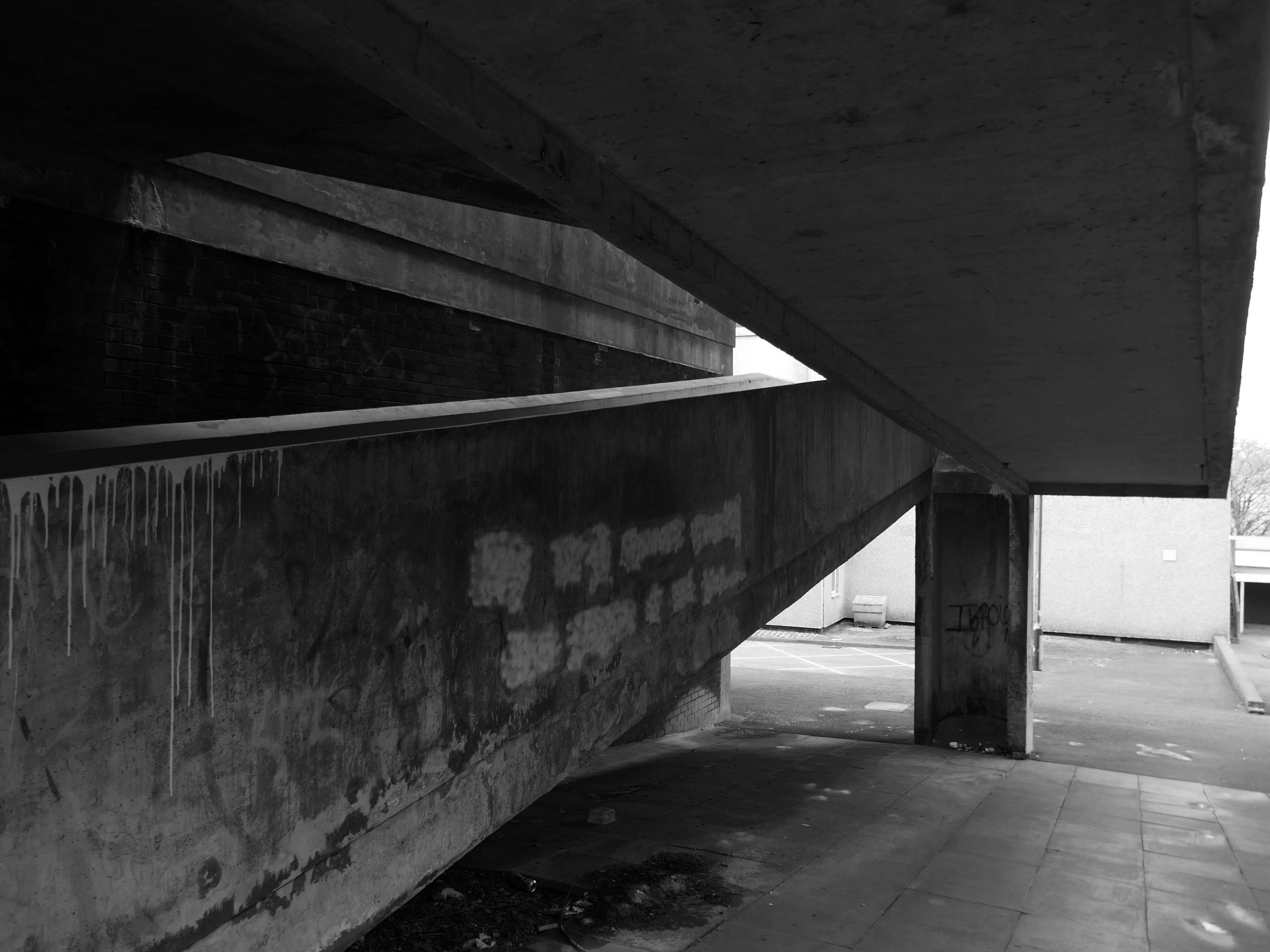
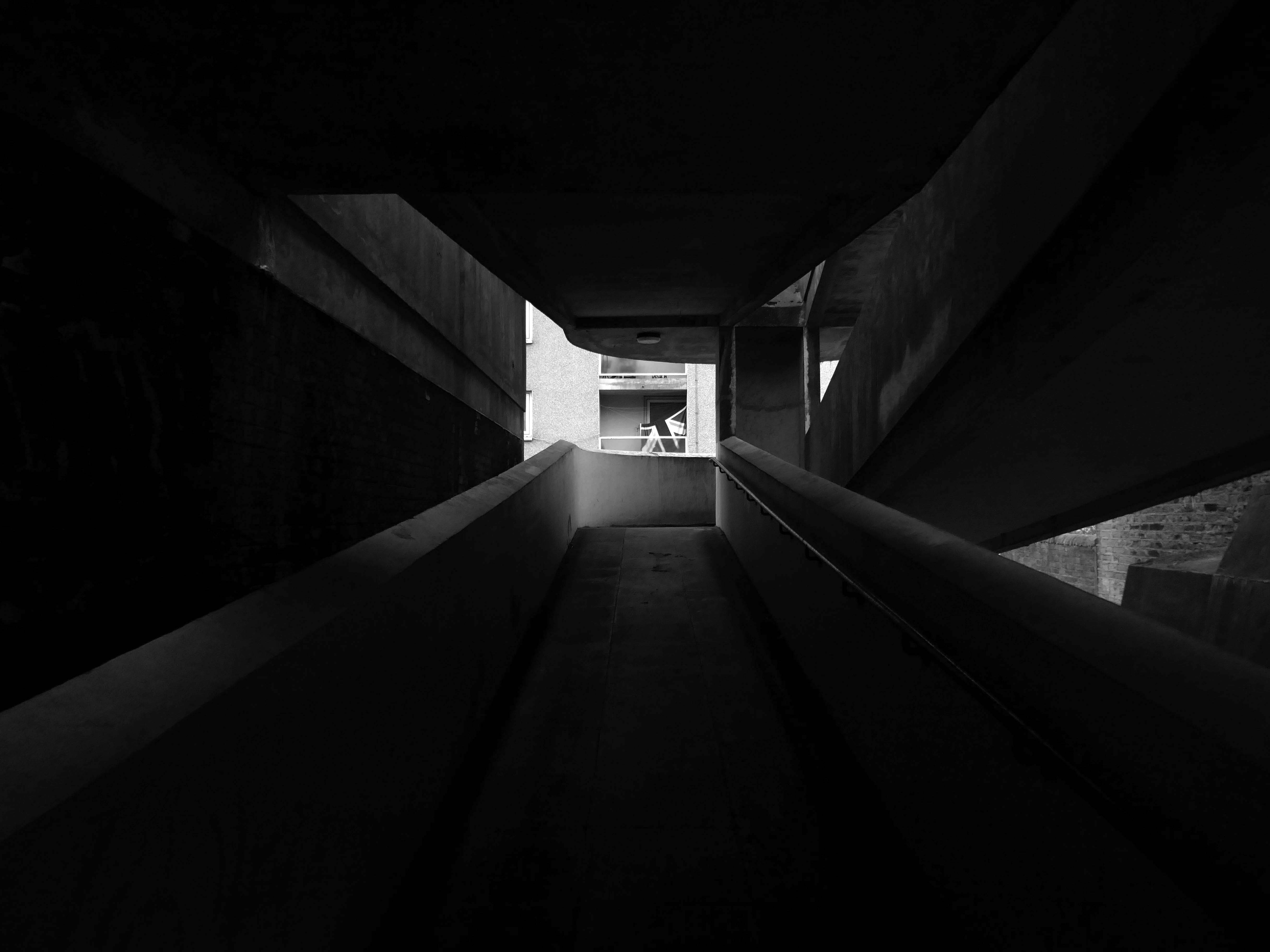
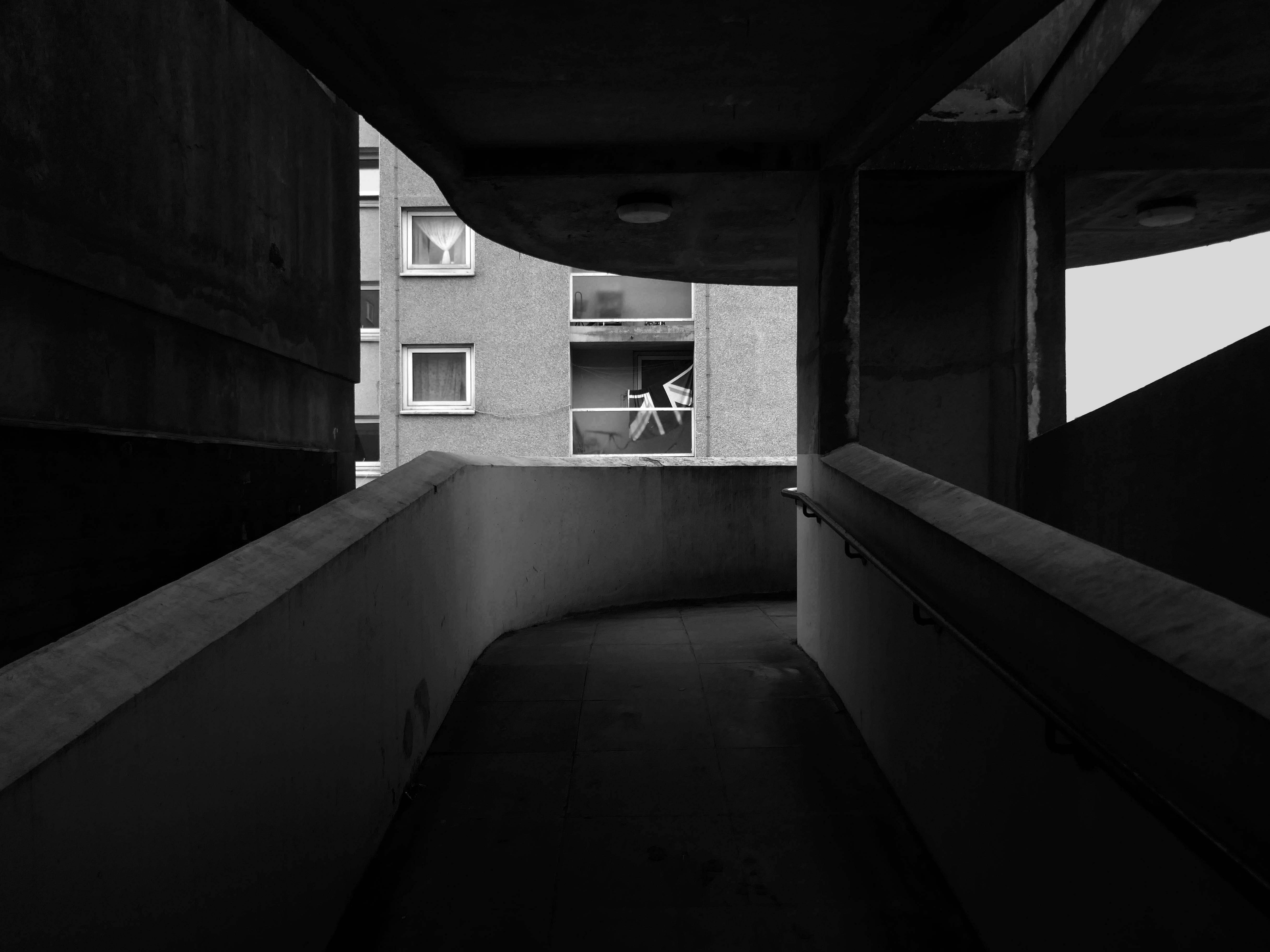
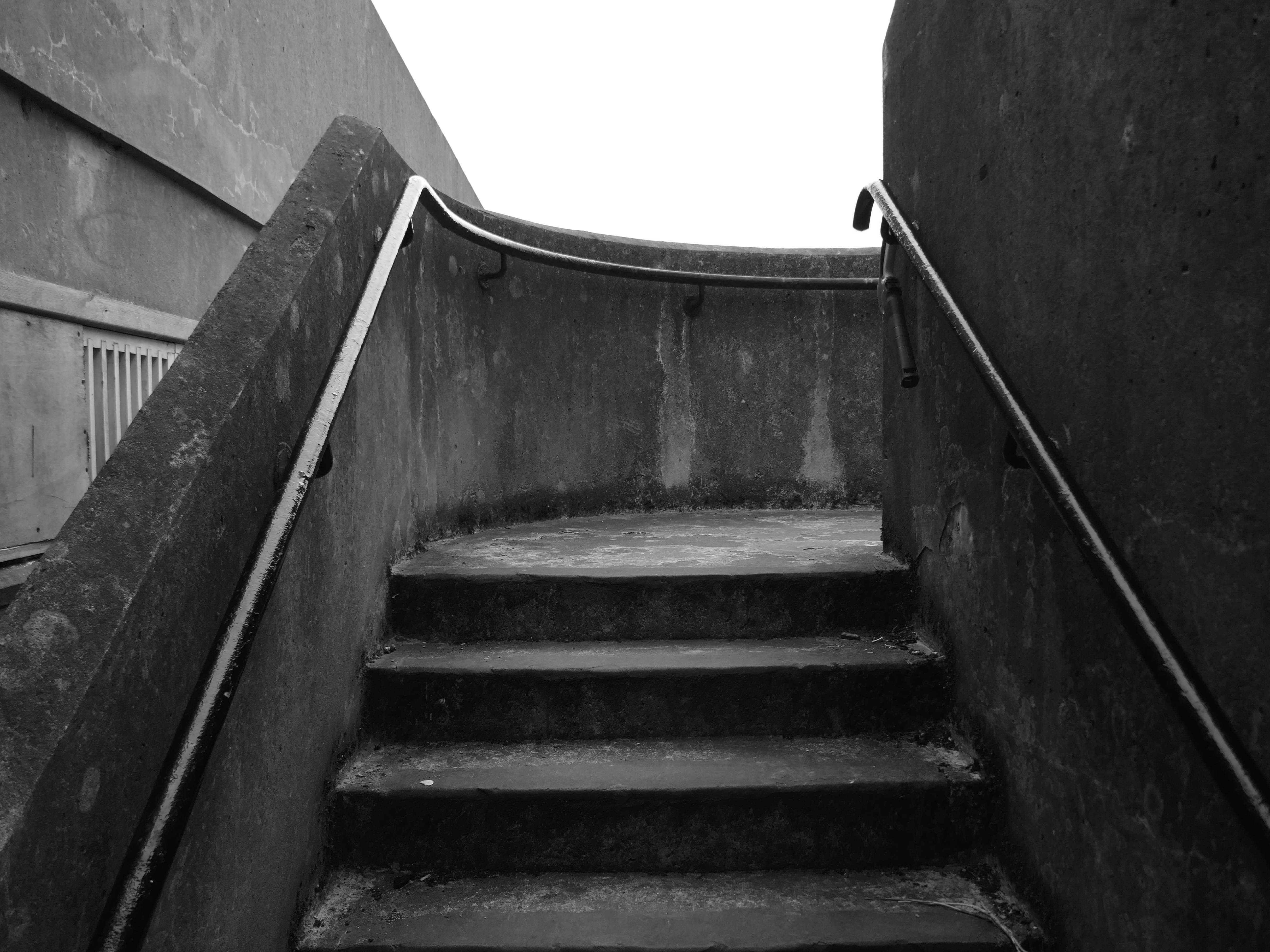
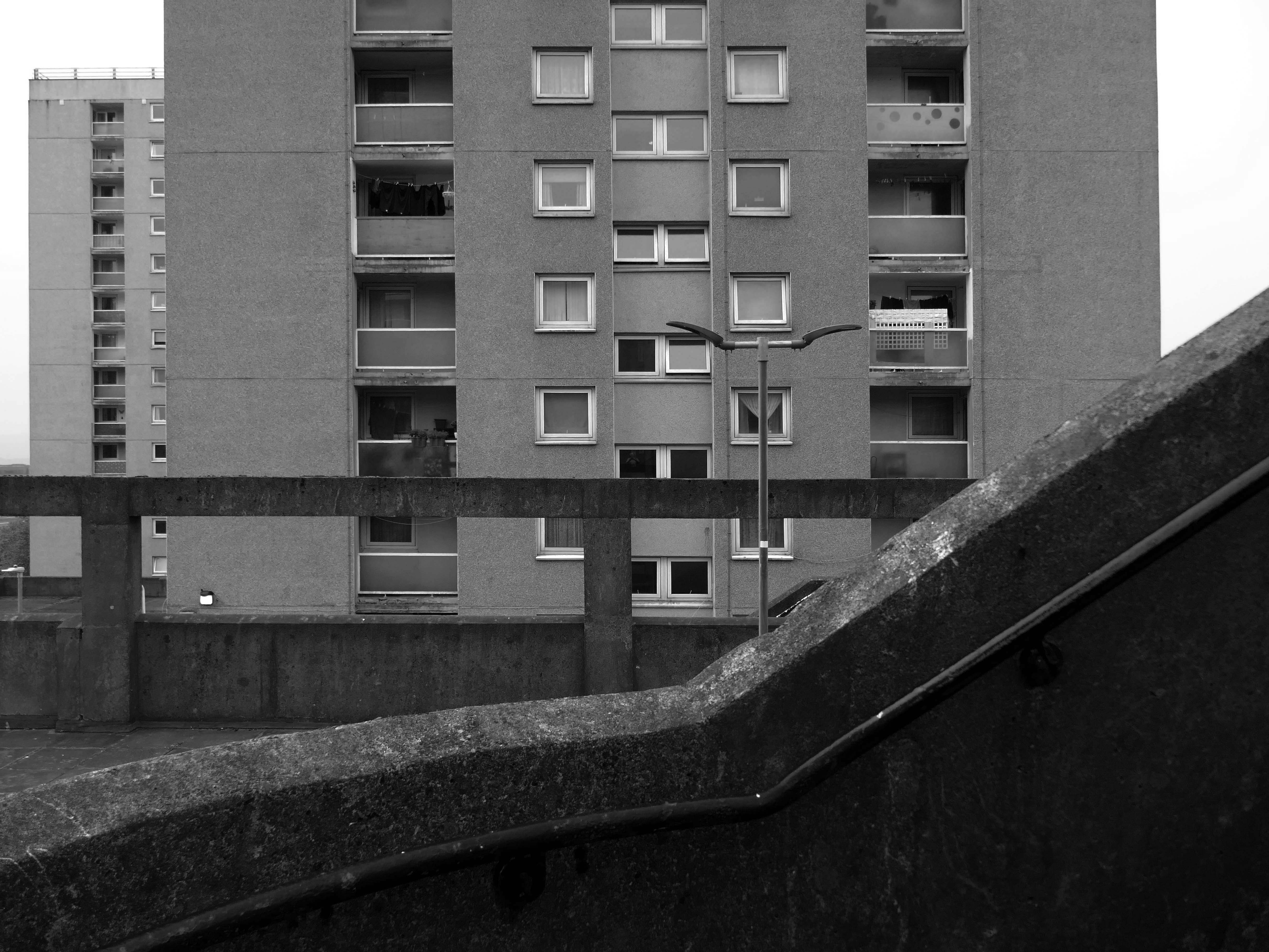
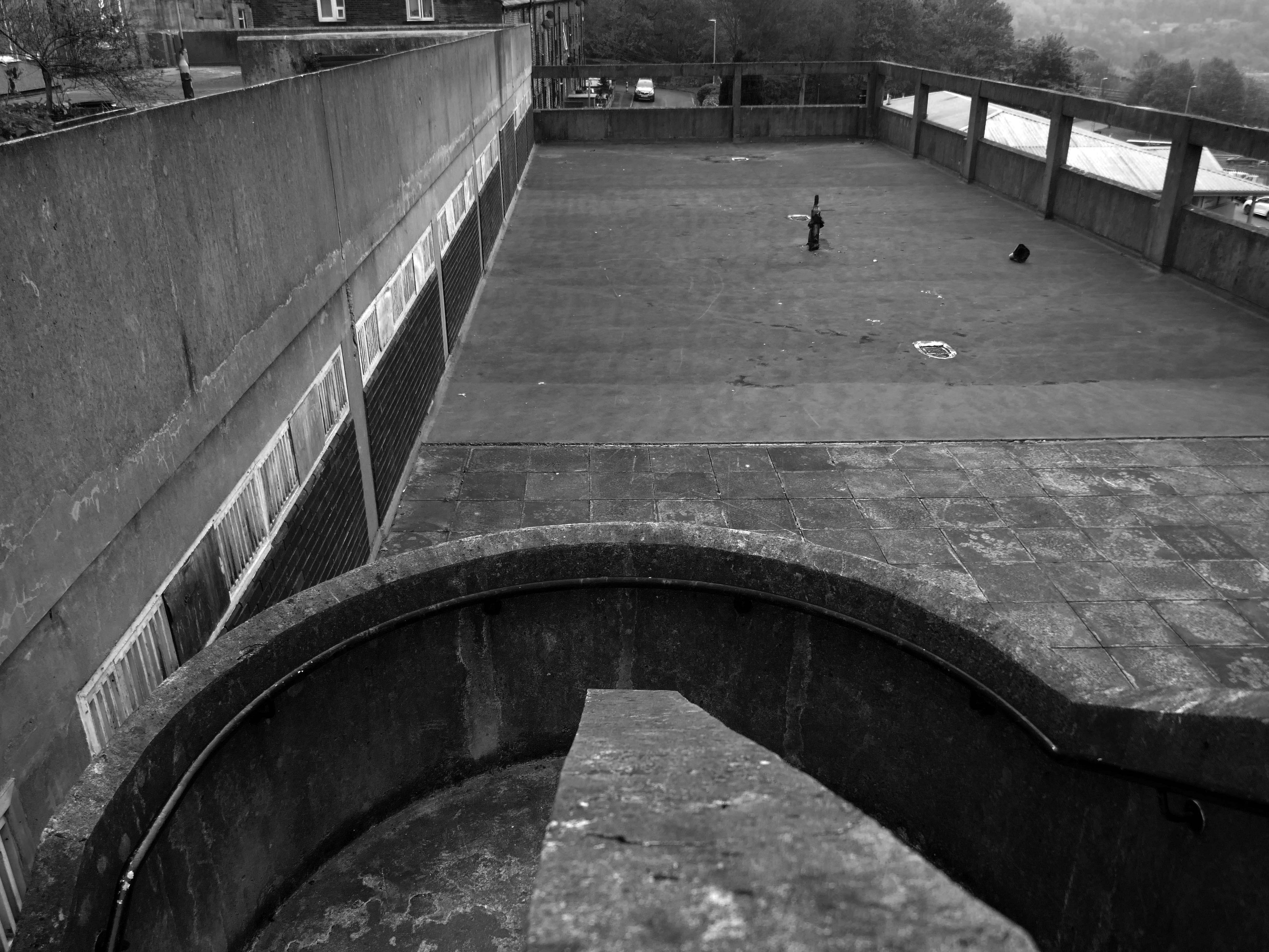
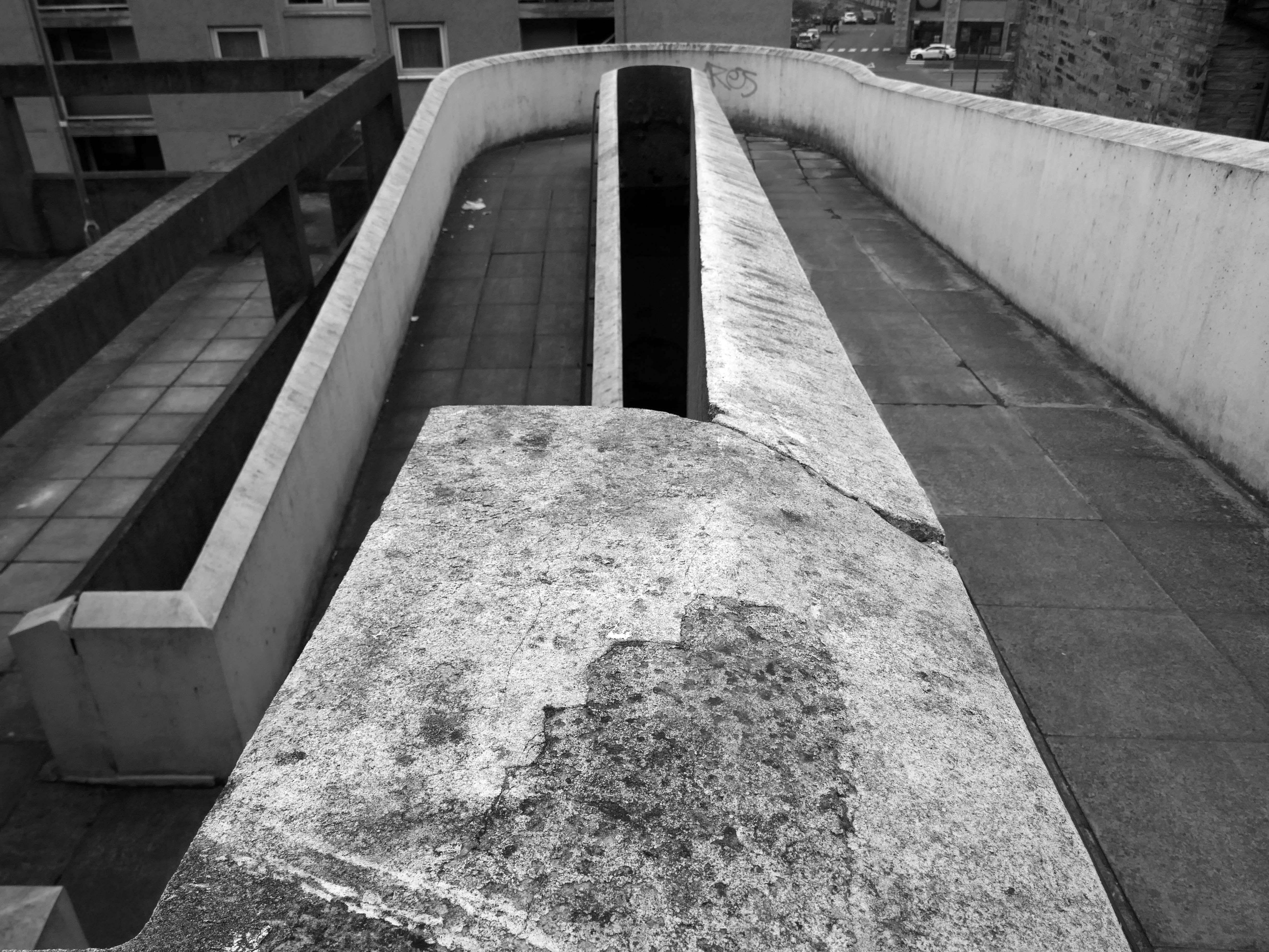
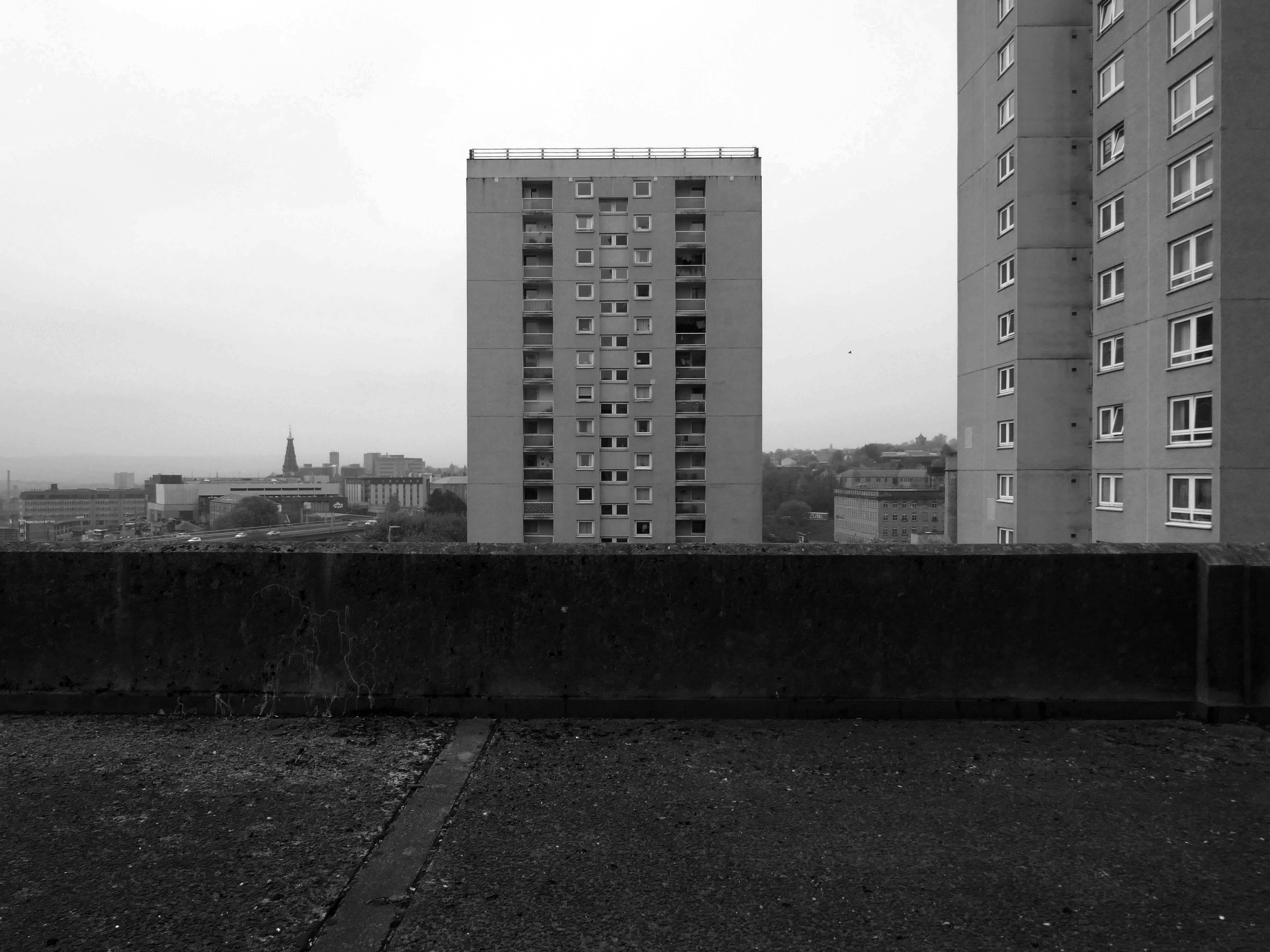
In the 1960s, most of the original housing was demolished including the historic Loudoun Square, the original heart of Butetown. In its place was a typical 1960s housing estate of low-rise courts and alleys, and two high-rise blocks of flats.
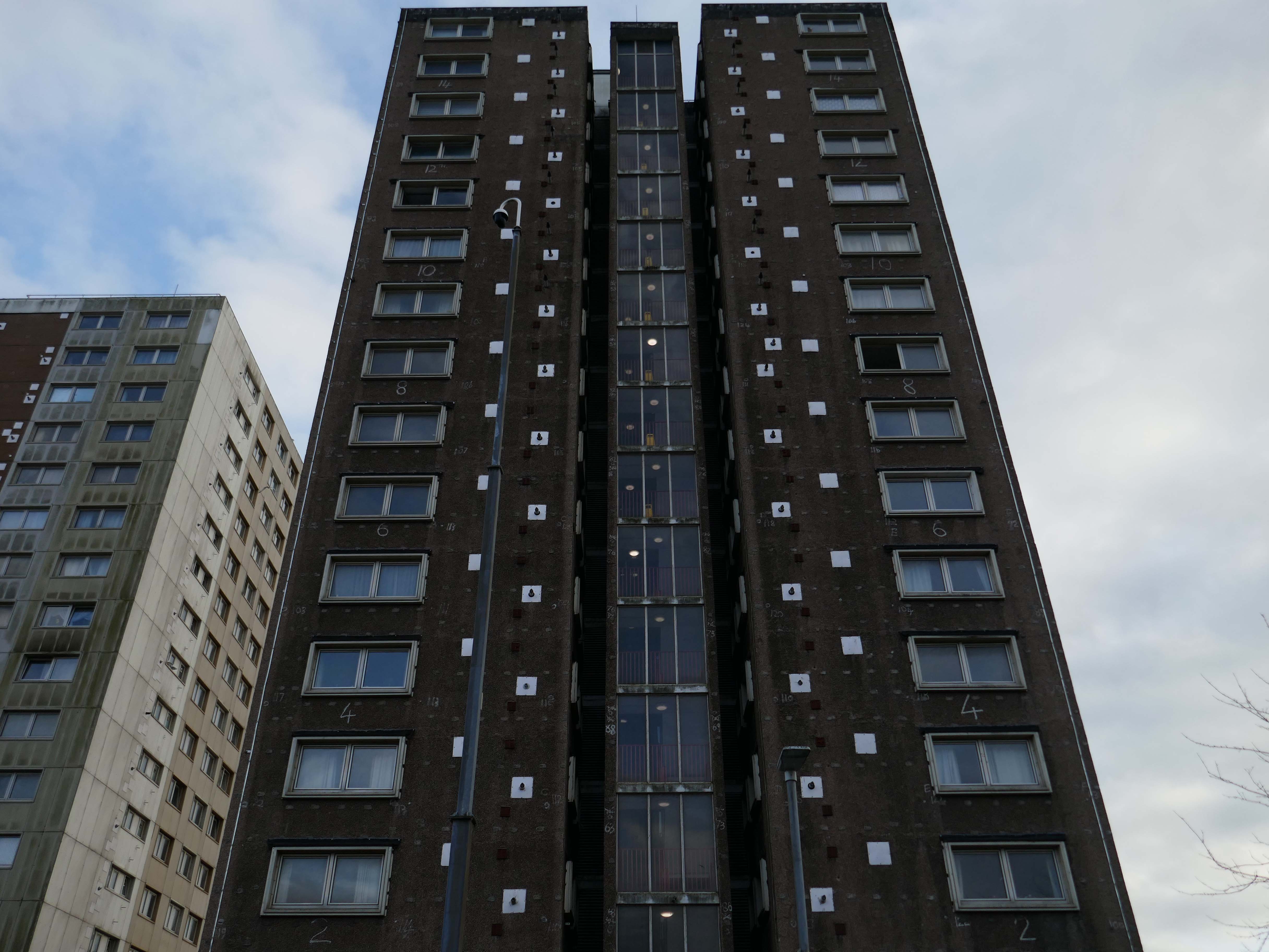
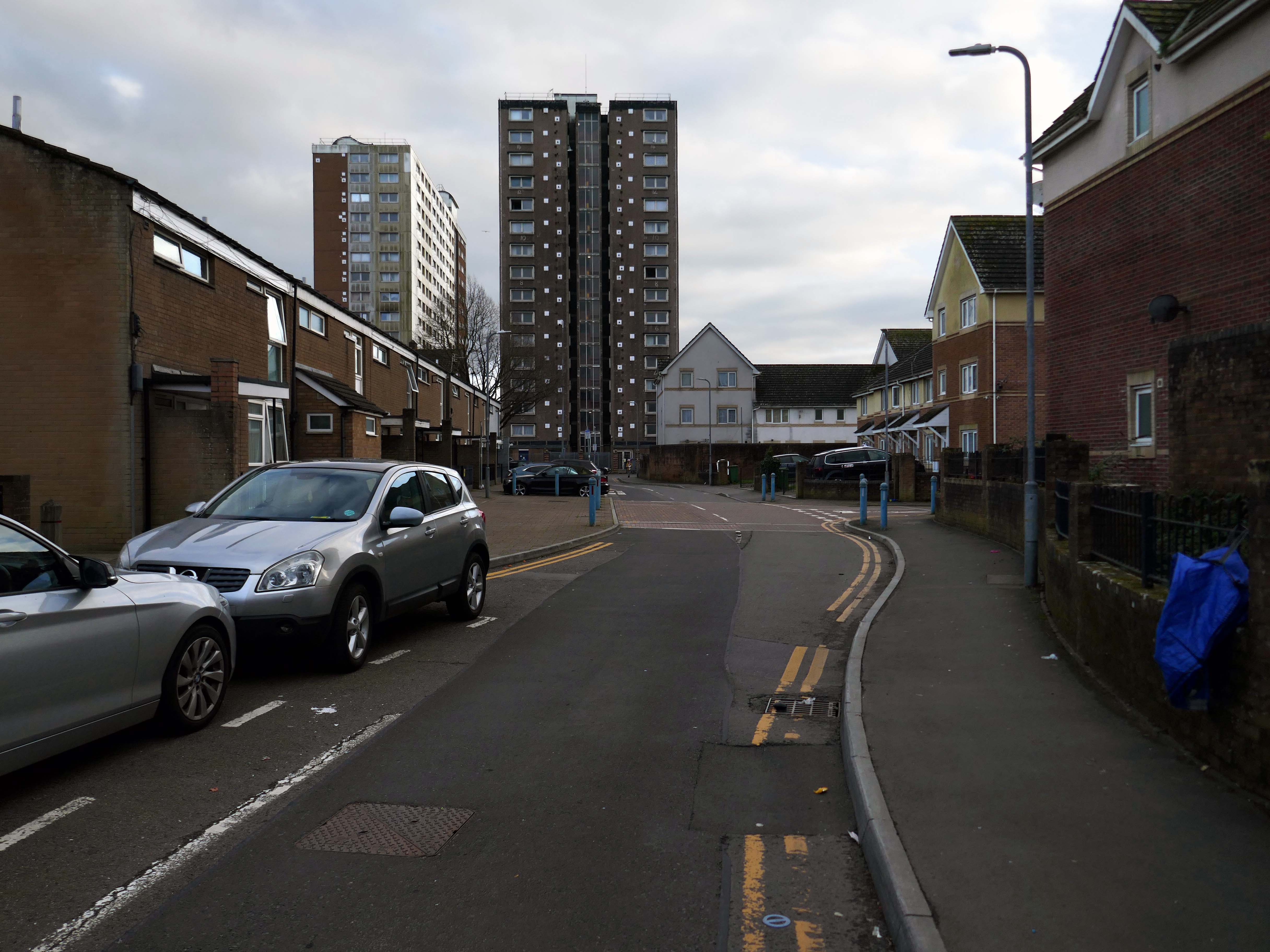
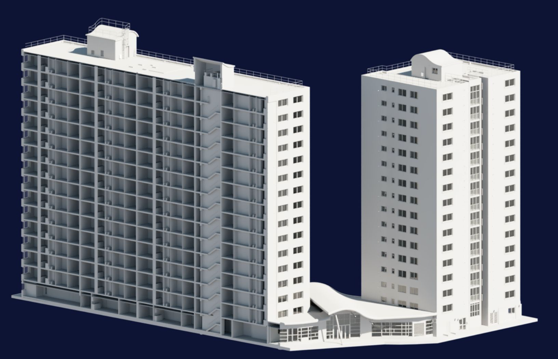
Between 1960 and 1966 two sixteen-storey tower blocks, Loudoun House and Nelson House, were built on the centre of Loudoun Square
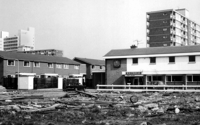
The demolition of the old buildings in Bute Street gets under way in 1963.
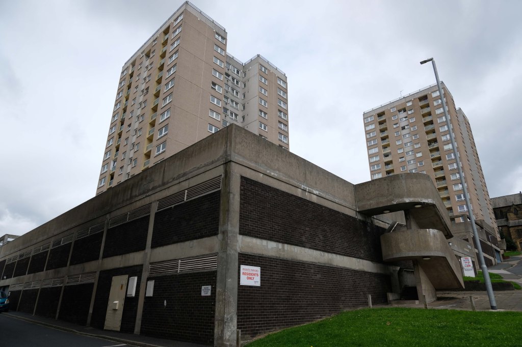
Surveybase have undertaken detailed scanning and modelling prior to the planned post Grenfell re-cladding.
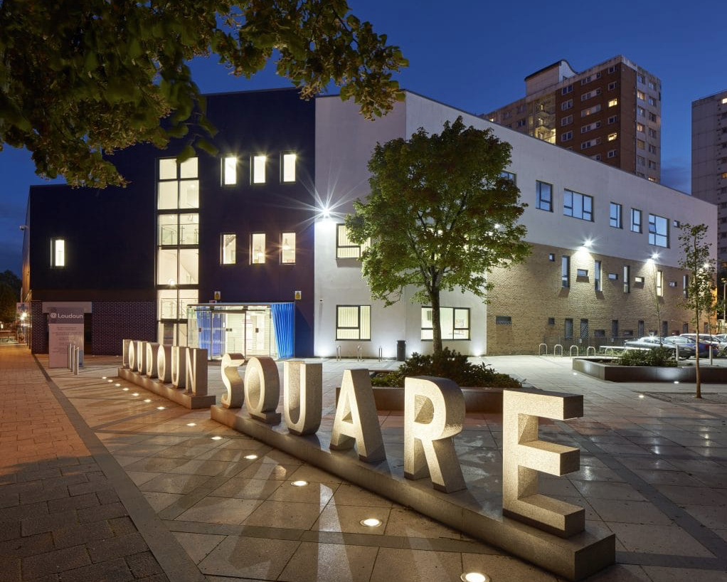
The Loudoun Square regeneration project is a collaboration between Cardiff City Council, Cardiff Community Housing Association, Cardiff Local Health Board and Cardiff and Vale NHS Trust. The site is located between Cardiff City Centre and Cardiff Bay, and was previously occupied by an existing health centre and local shops, together with a vacant area of land.
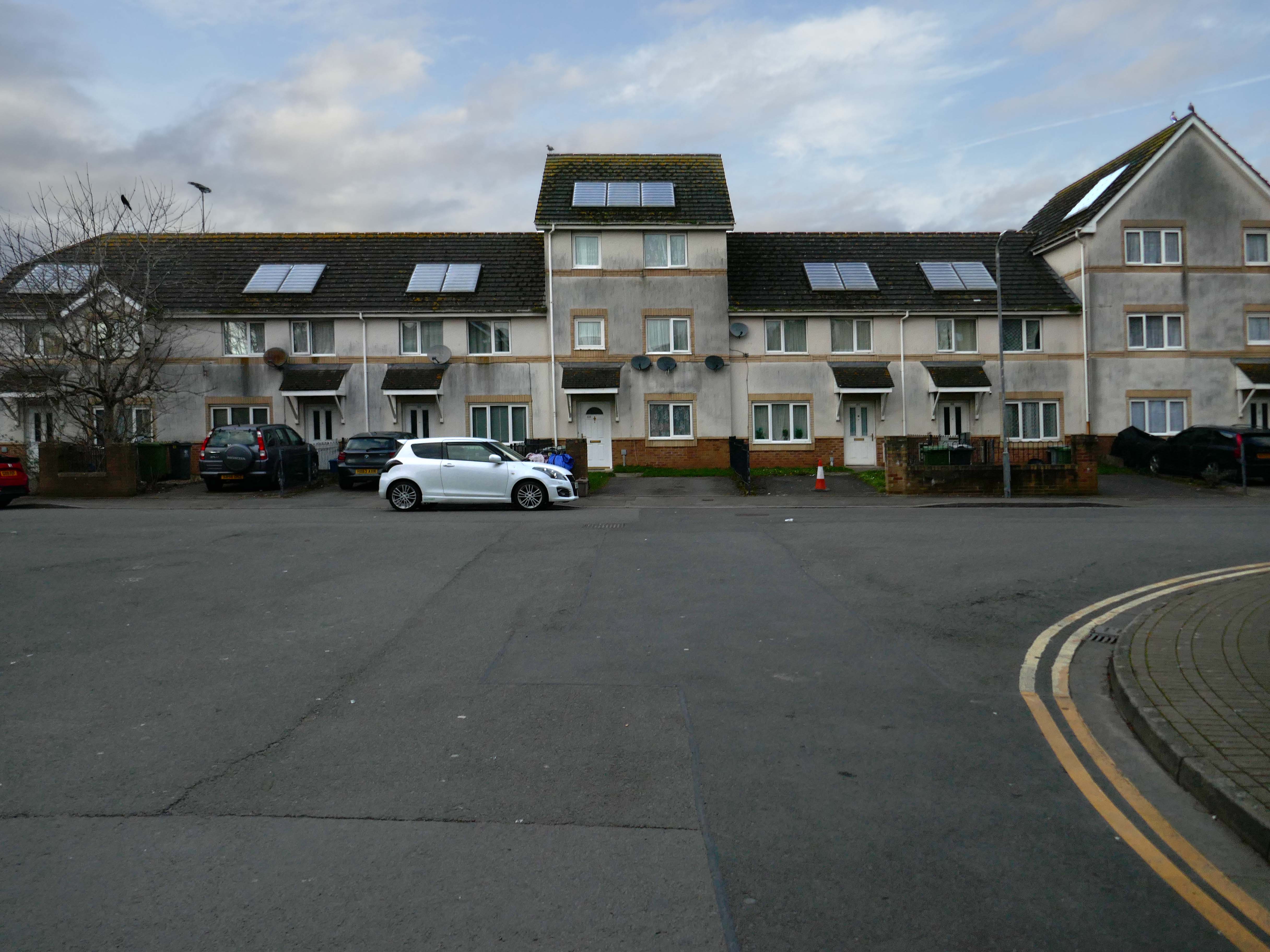
The area has been regenerated with the creation of new modern facilities to serve the local community and include a new health centre, shops, affordable homes and community facilities.
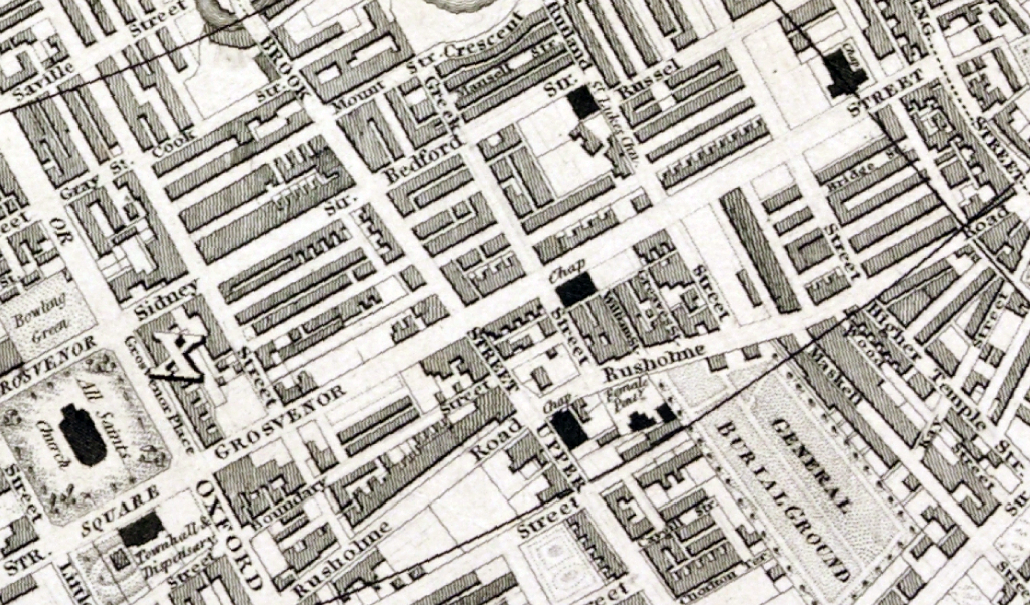
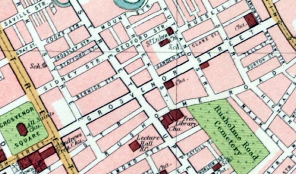
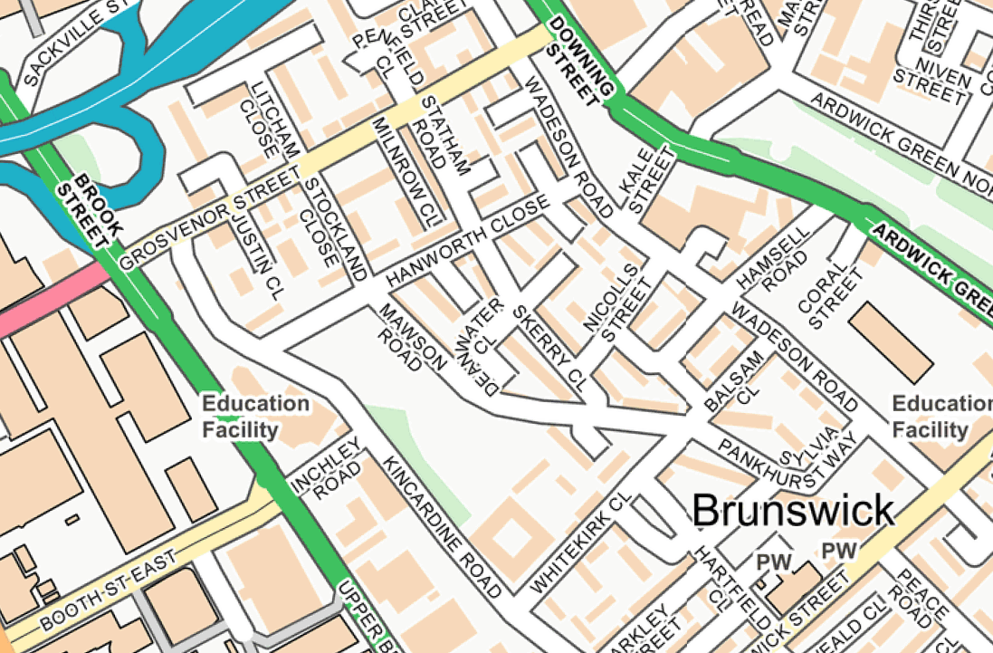
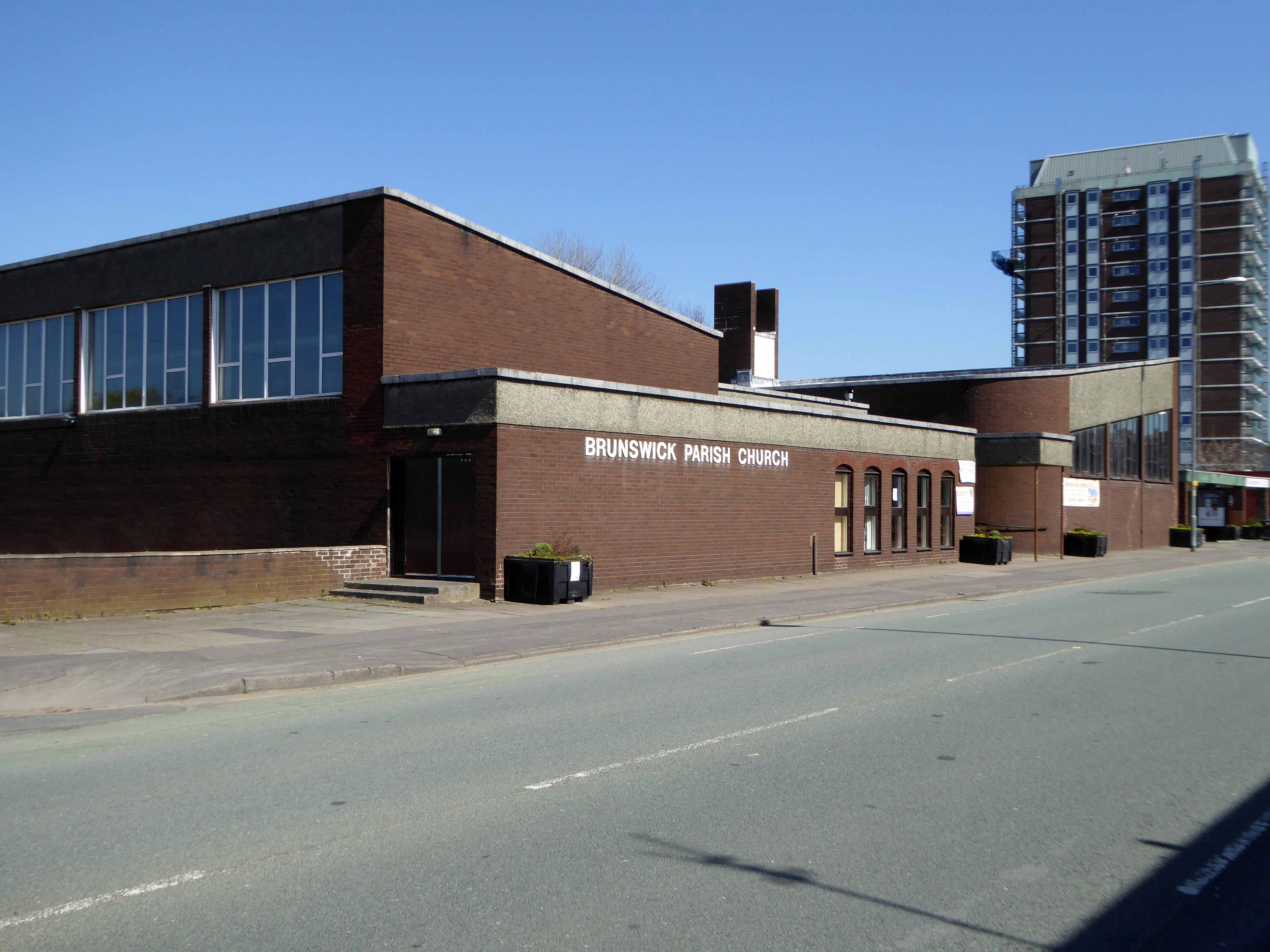
I was walking around town, with a view to updating my Ardwick Walk.
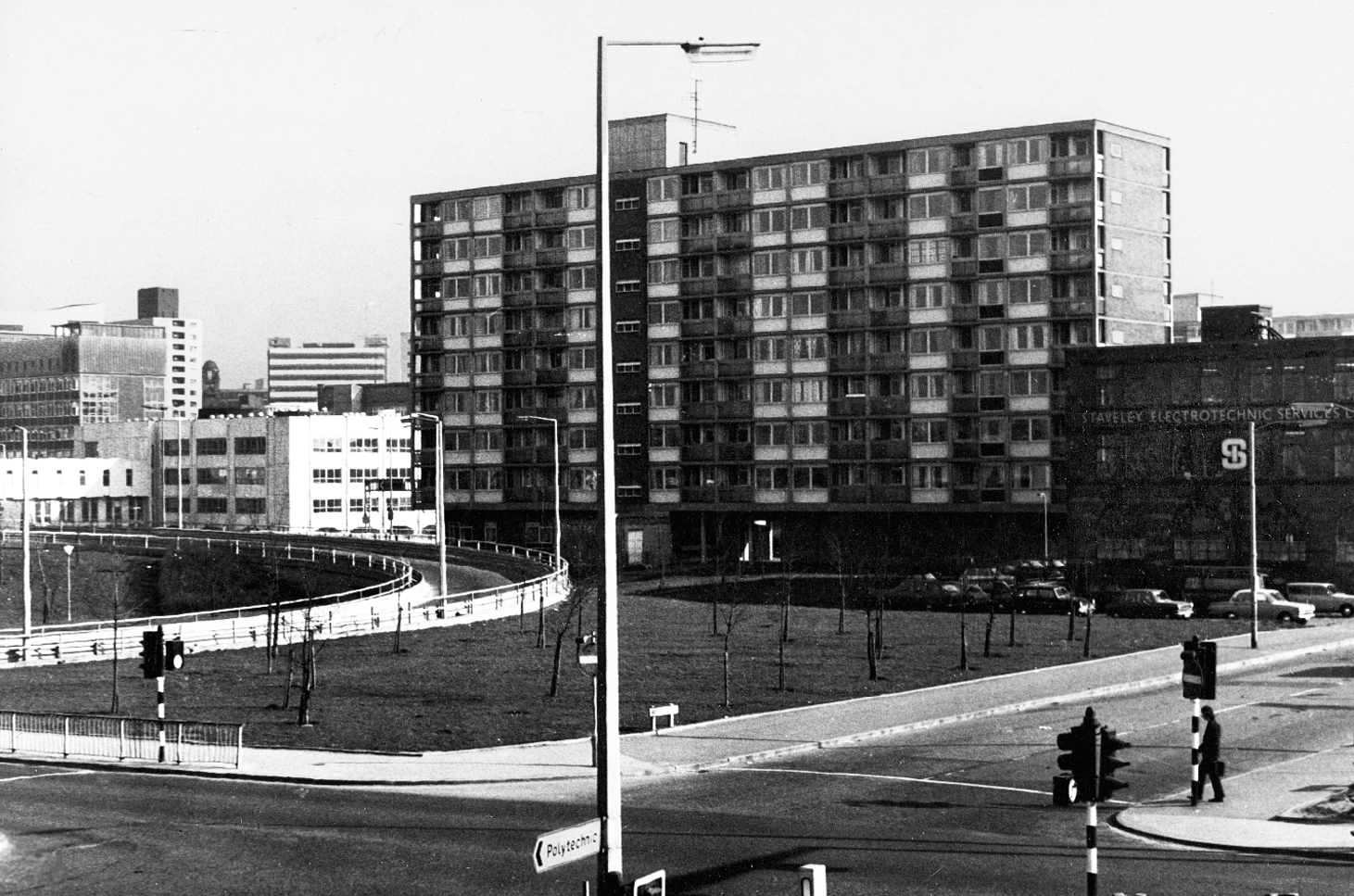
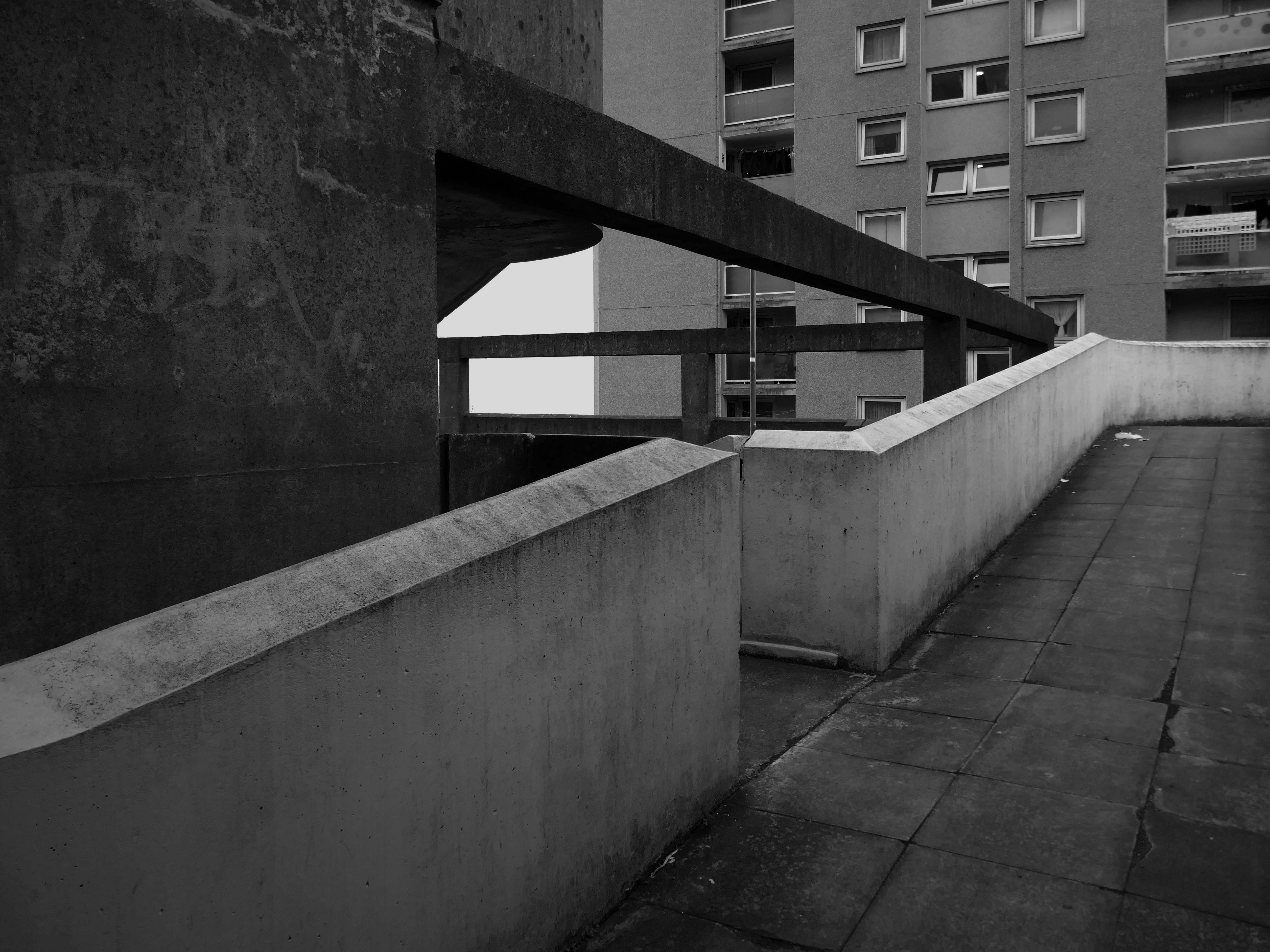
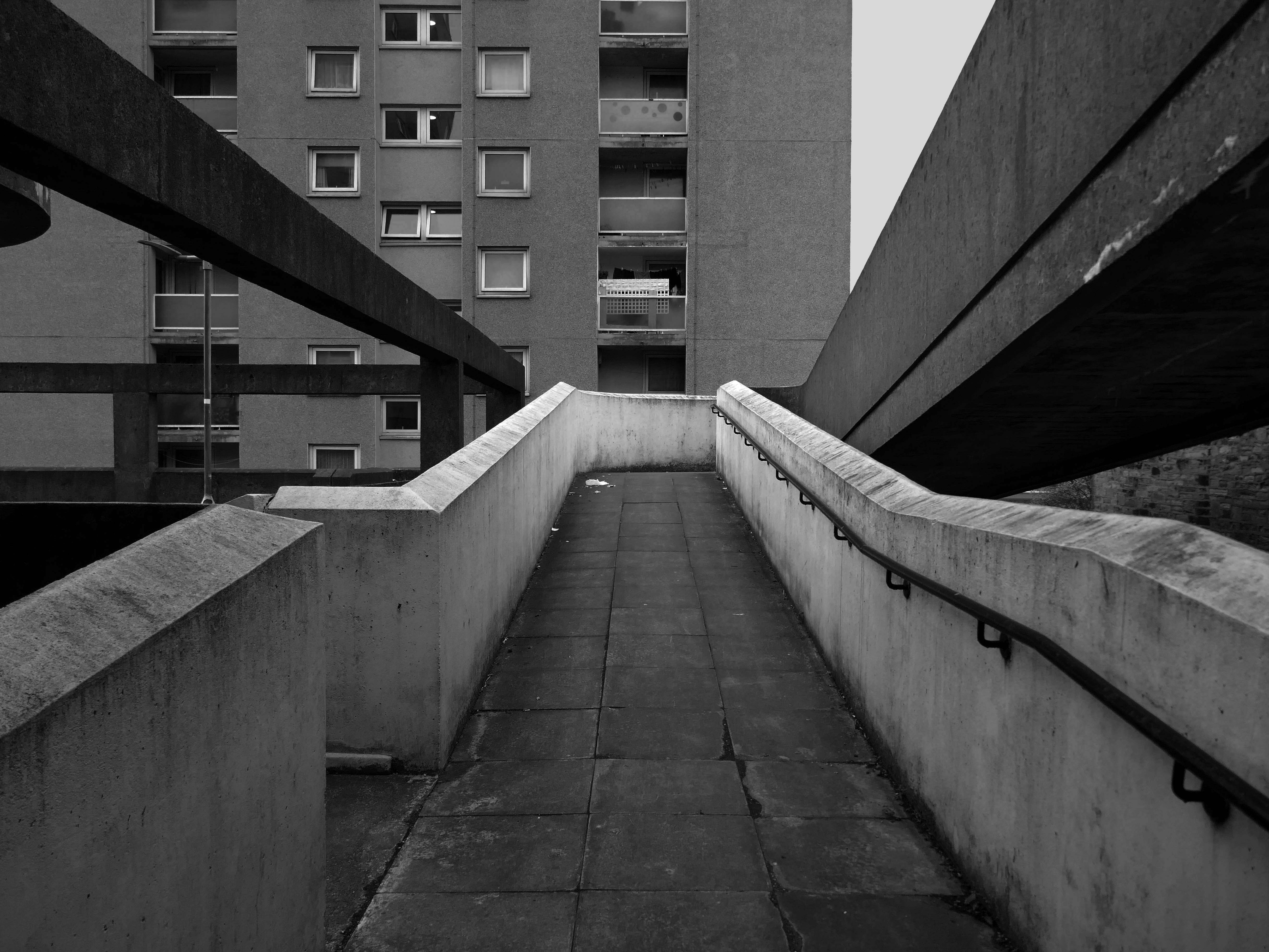
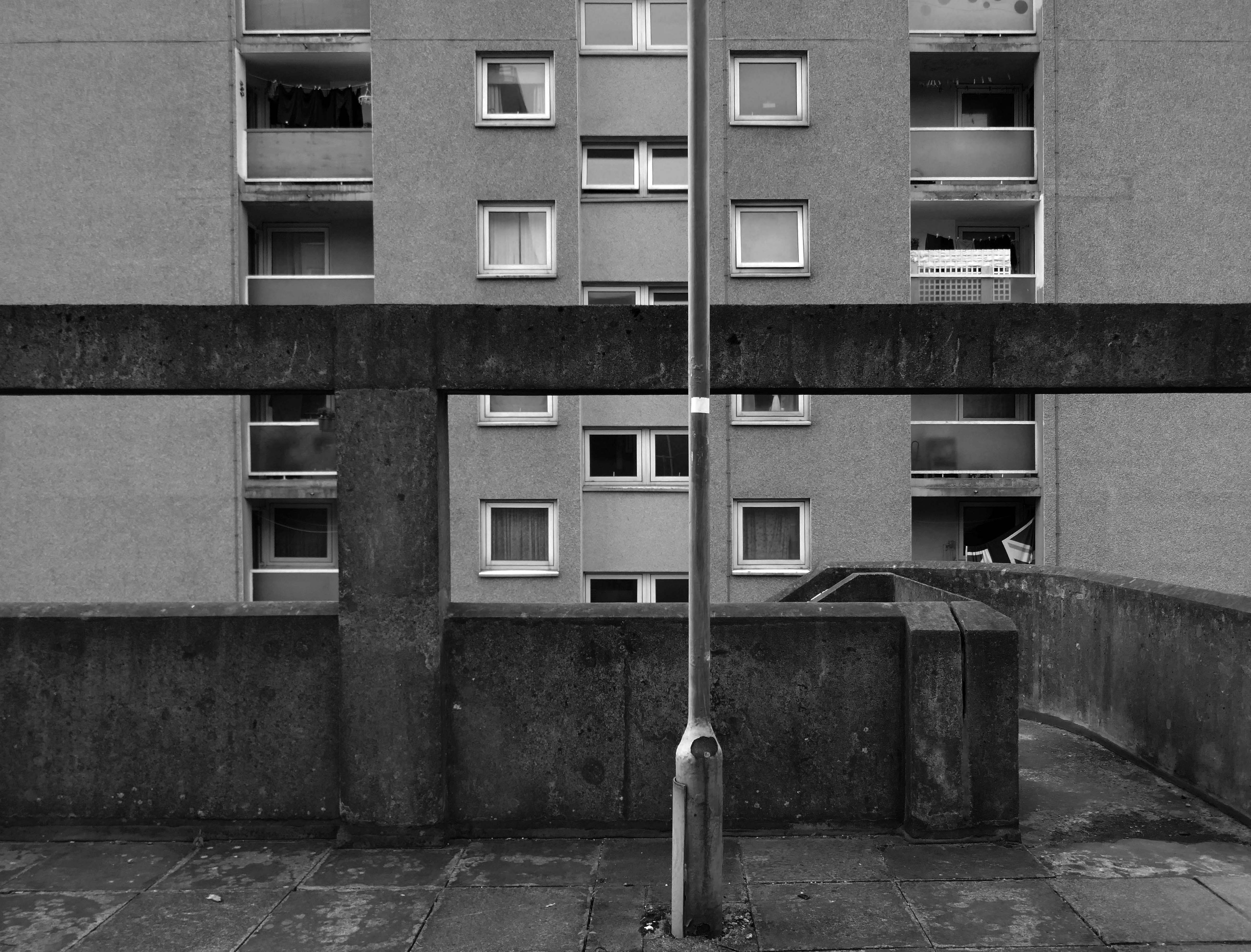
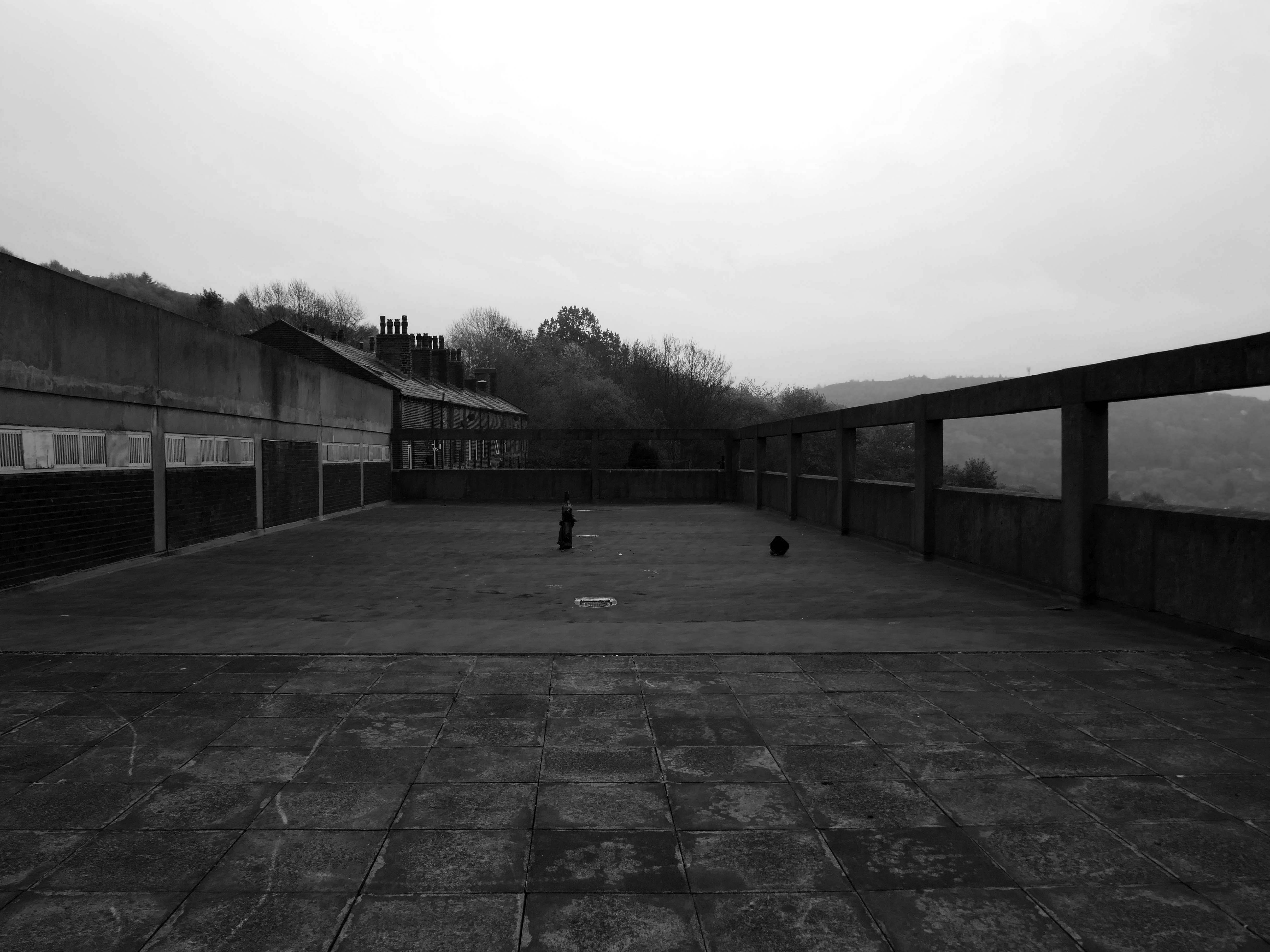
Idle curiosity took me toward the Brunswick Estate – that pocket of housing nestle twixt the Mancunian Way/River Medlock, Ardwick Green, Brunswick Street and Upper Brook Street.
Back in 1813, a web of streets and enclosed fields, and more fields, along with small groups of higher status housing, but by the early 20th century it was very much a working class district, within which industry began to grow.
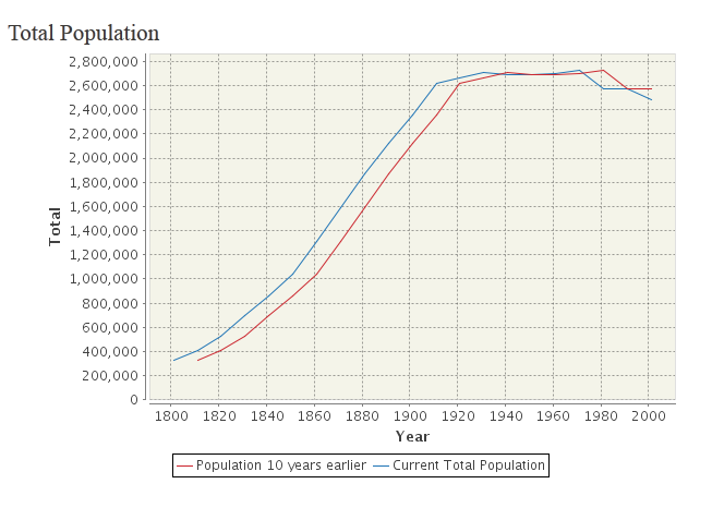
The population of Manchester expanded unstoppably throughout the nineteenth century.
Extensive slum clearance in the nineteen sixties saw the area and its street names change, some erased forever in the new build.
In Manchester, in a vast belt immediately outside the central area of the city, there still exist all too many remnants of a planless, knotted chaos of dark, dismal and crumbling homes. Many of these crossed the verge of uninhabit-ableness long before their most elderly inhabitants were born.
St Paul’s and St Luke’s Brunswick Street W Higham 1970
Lamport Court W Higham 1970
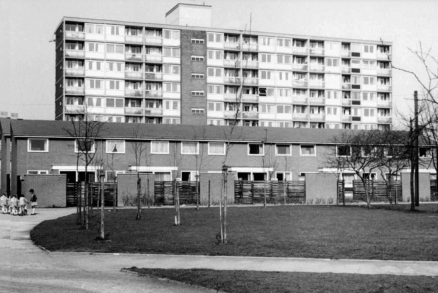
One of three nine-storey blocks, containing two hundred and nineteen dwellings; also including SilkinCourt and Lockton Court.
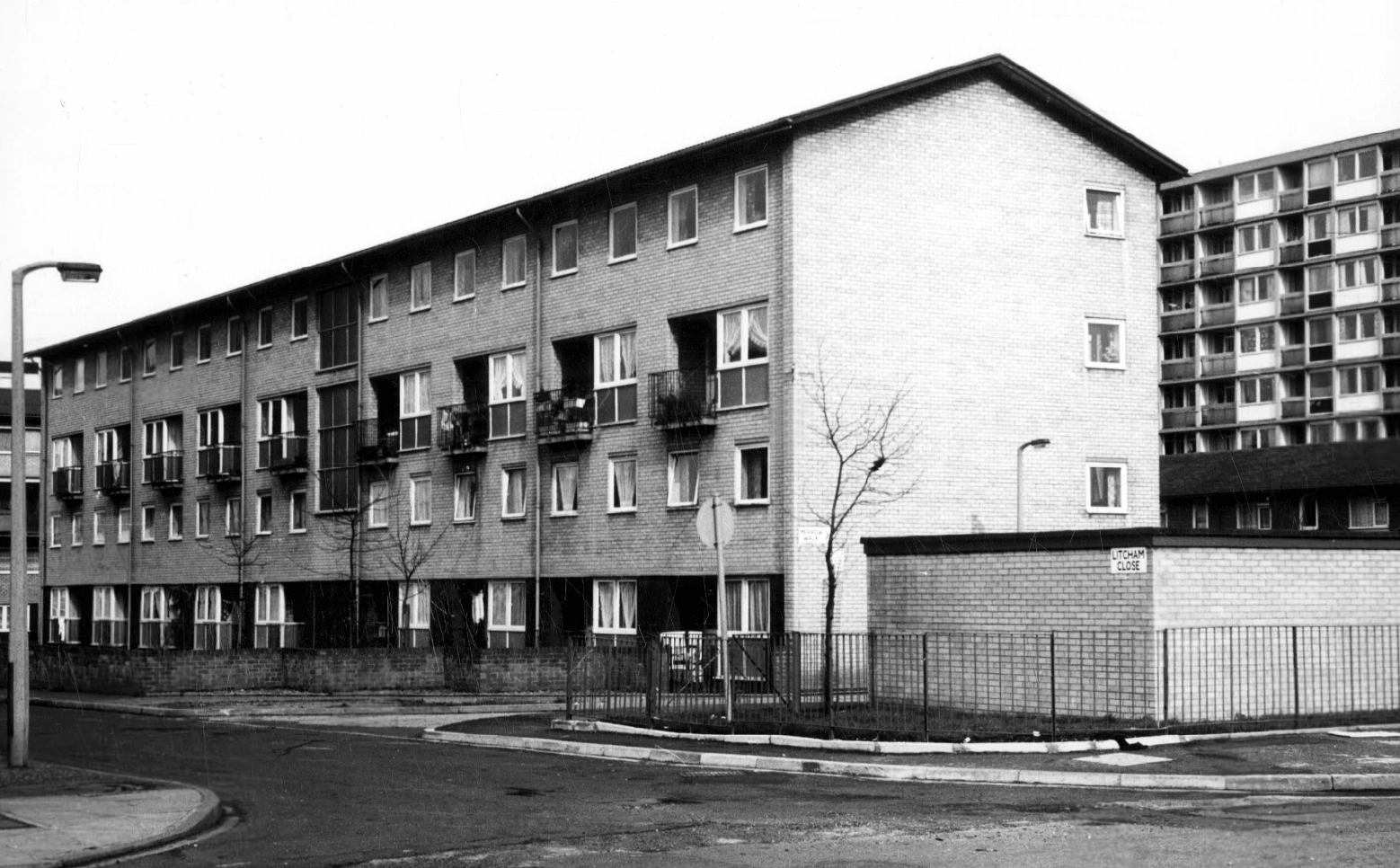
Litcham Close W Higham 1970
Harry Milligan 1903 – 1986 worked as the photographer at Manchester Central Library until his retirement in around 1968. He was instrumental in setting up the Manchester Region Industrial Archaeology Society in 1965. He volunteered at the North Western Museum of Science and Industry from 1968, assisting with reprographics requests. His knowledge of the history of photography in Manchester and the UK led to him taking on the role of Honorary Curator of Photography at the museum.
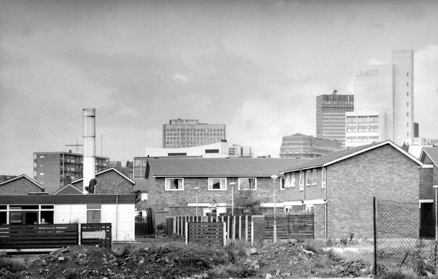
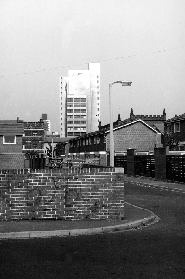
Panorama of Brunswick with UMIST in the background.
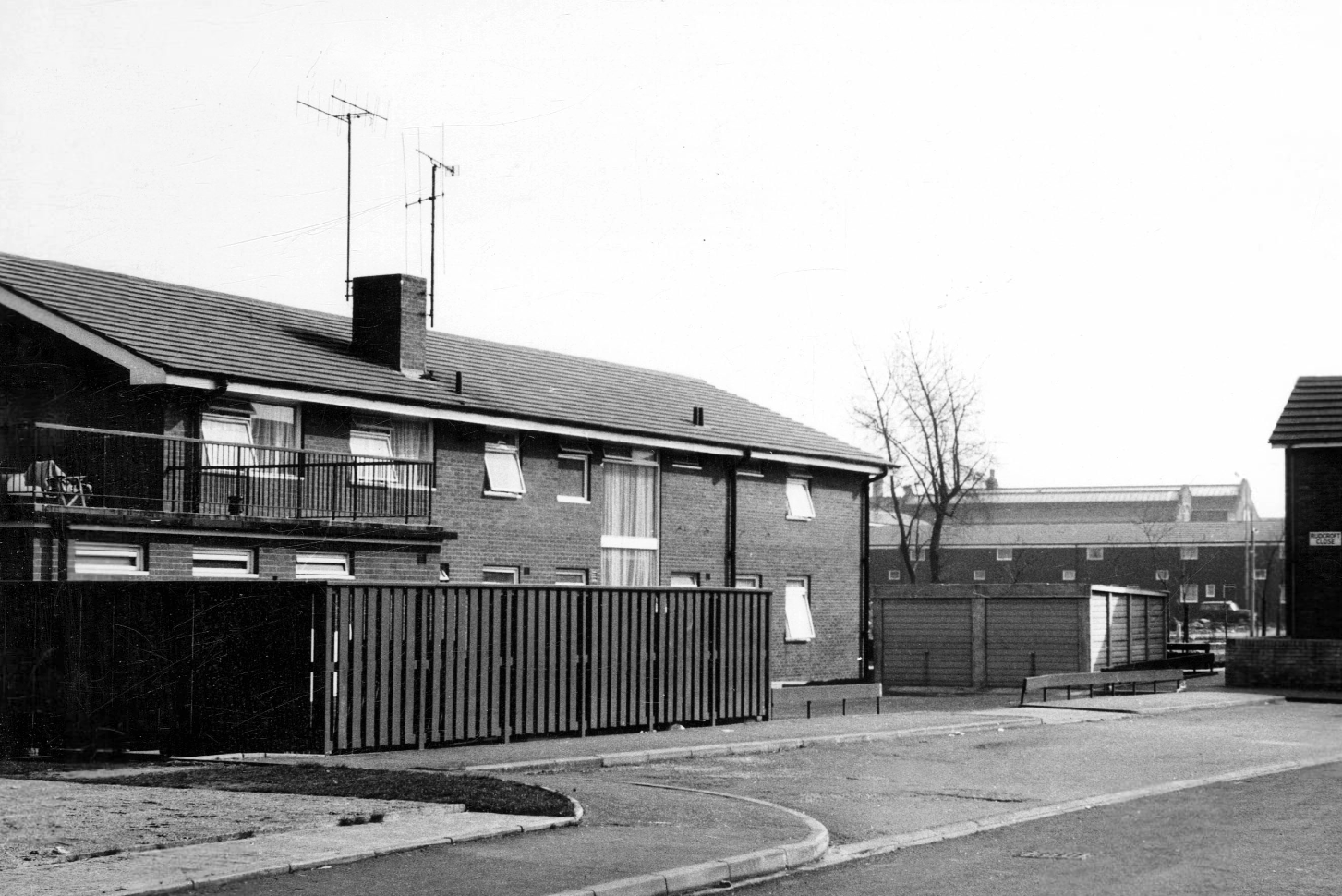
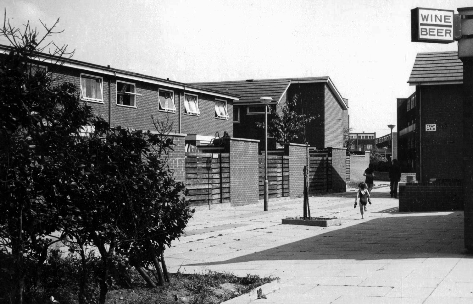
Hanworth Close area terraced housing and flats 1972.
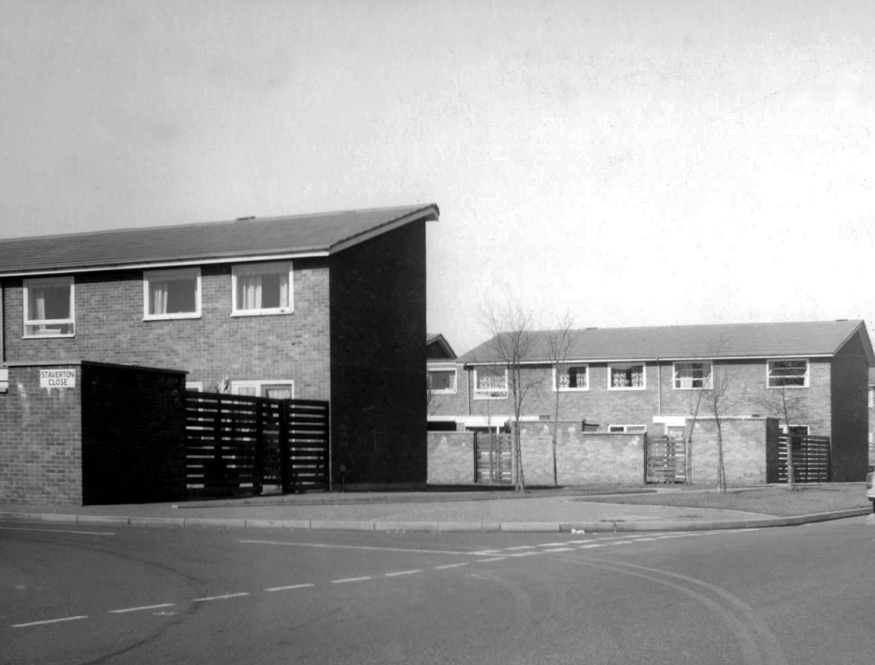
Staverton Close
Melcroft Close
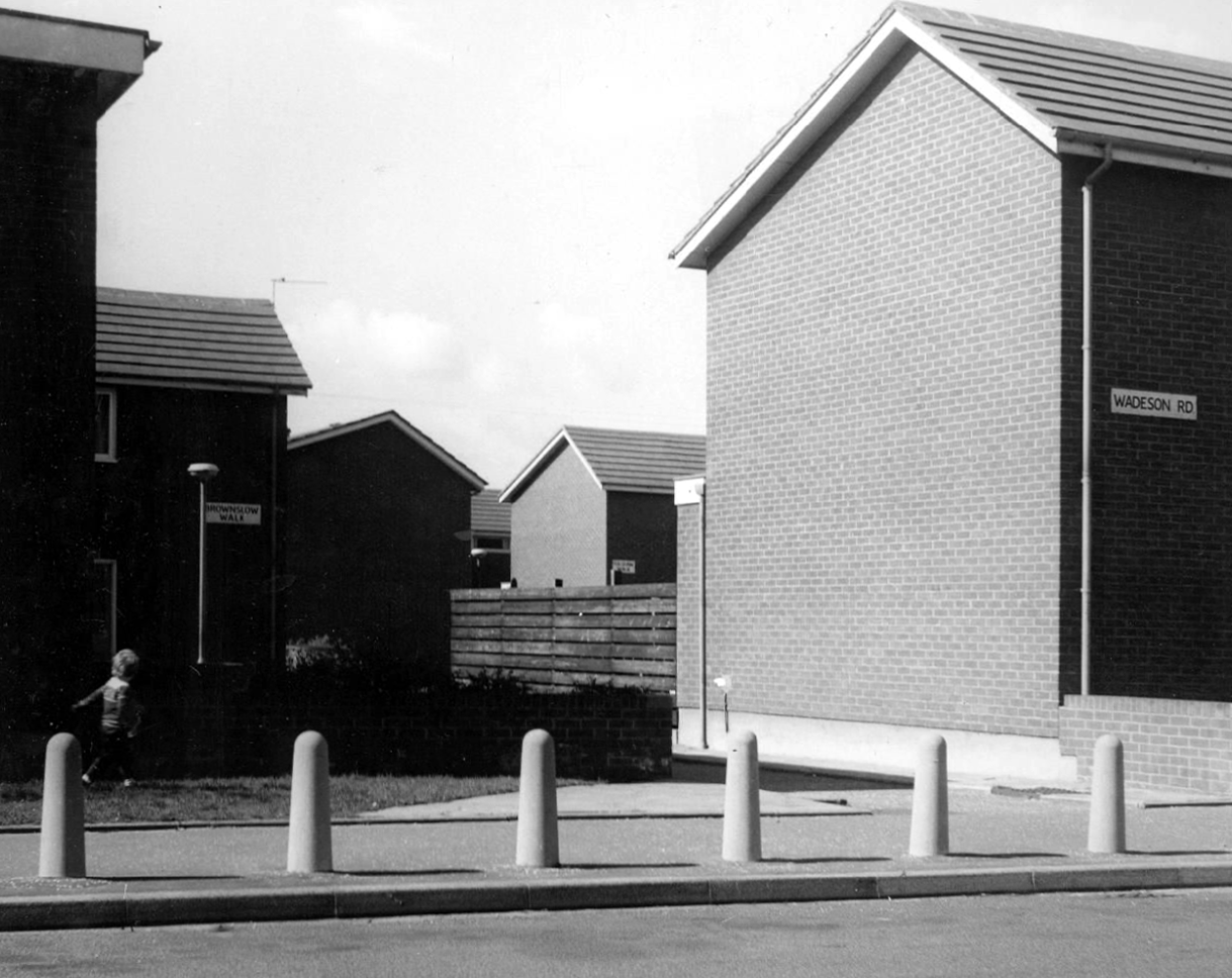
Wadeson Road
Helmshore Walk – Skerry Close
Cherryton Walk
Cray Walk
Wadeson Road
Hanworth Close
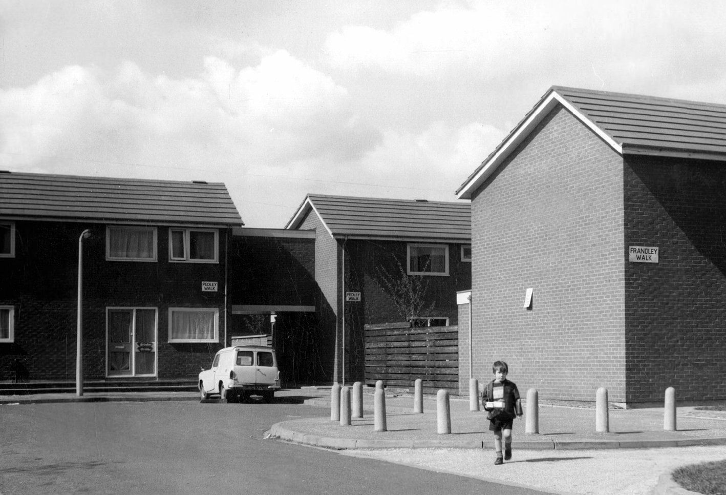
Pedley Walk
Cray Walk – note the decorative brick relief
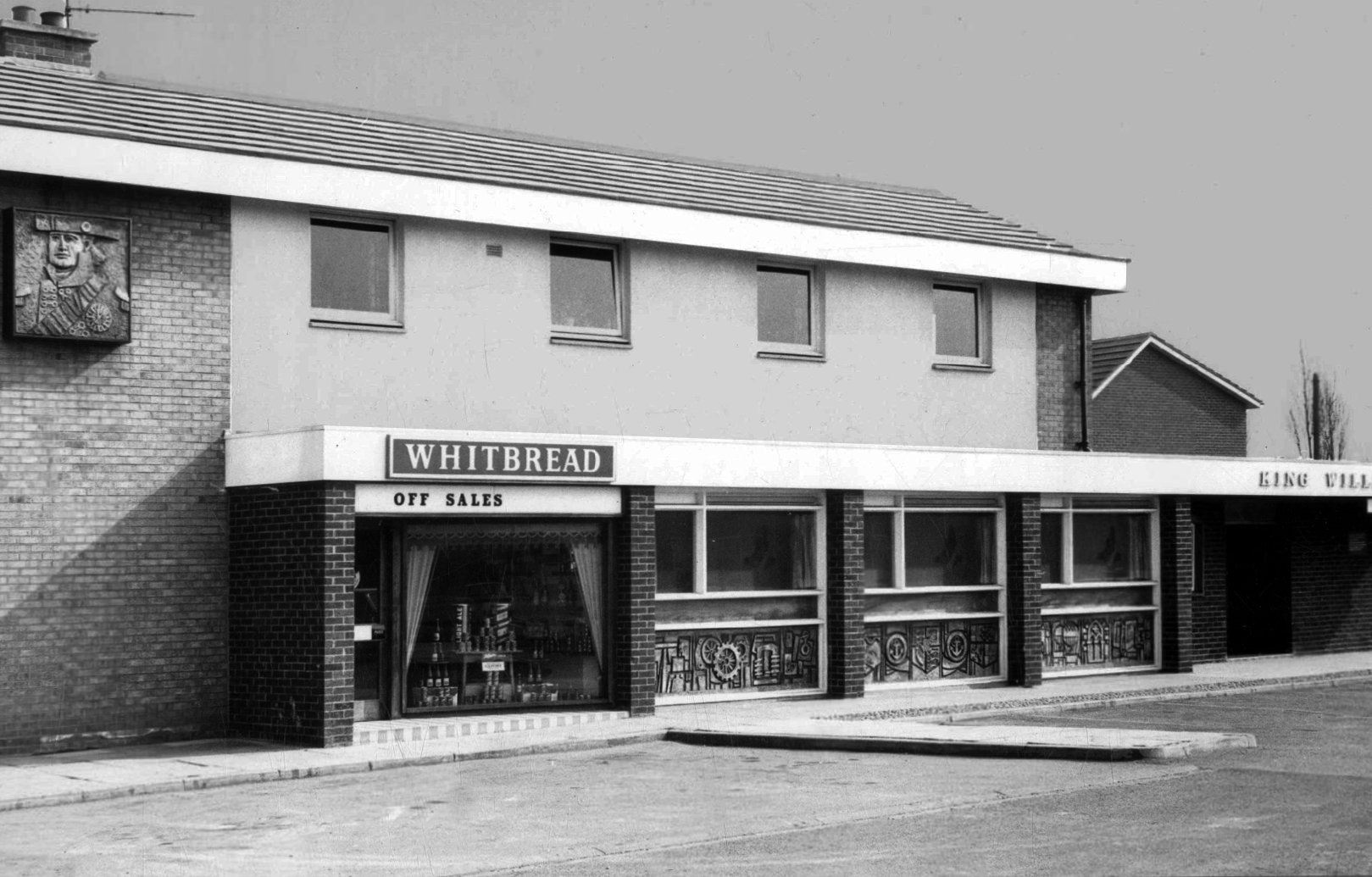
King William IV
Former Chesters then Whitbread estate pub was built in 1967. Closed in 1996 when it was converted to residential property. It had a brief spell 1991 to 1995 as brewery premises for the Dobbin’s West Coast Brewery, during this period the interior was stripped out to accommodate the brewery paraphernalia.
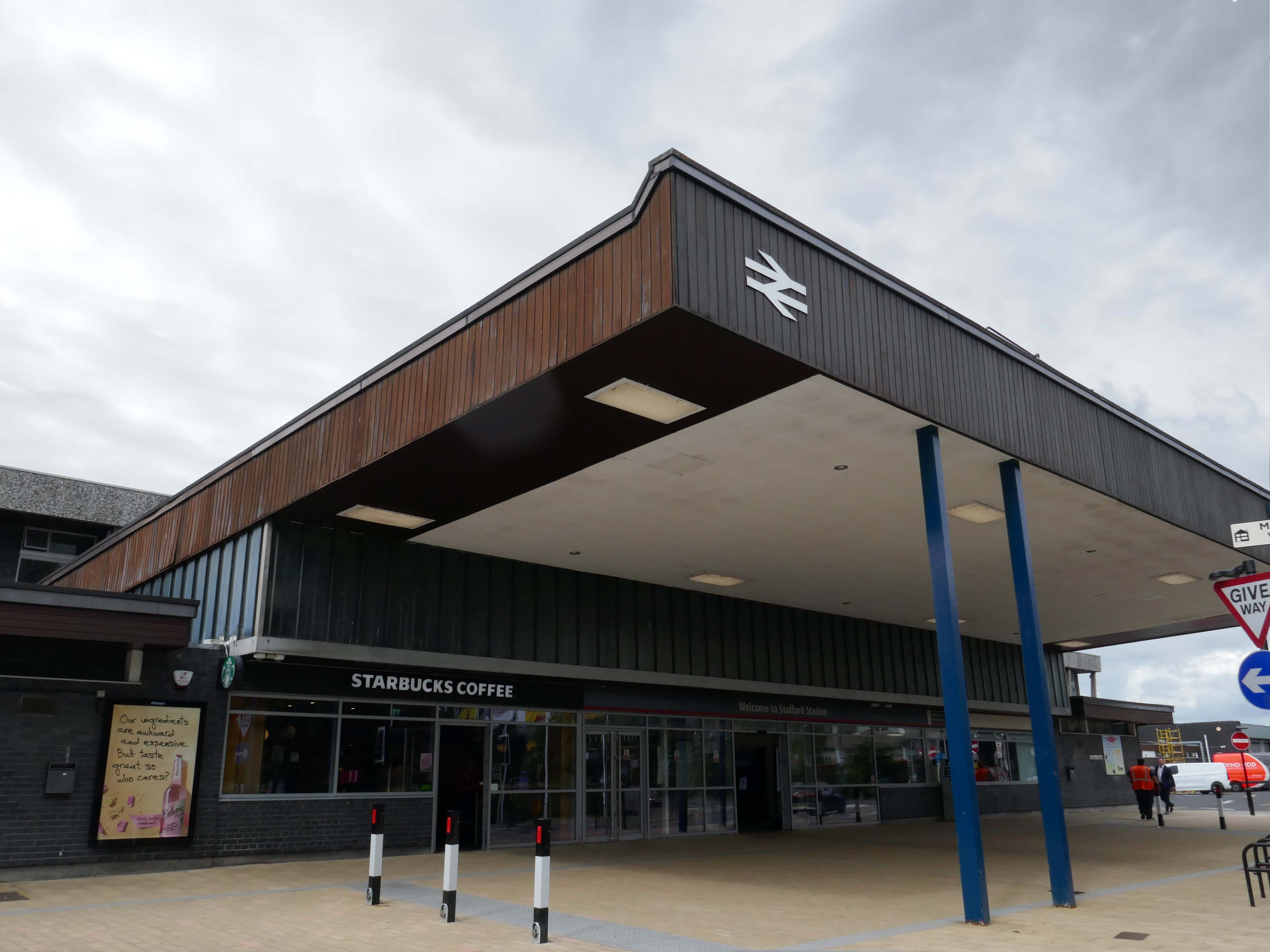
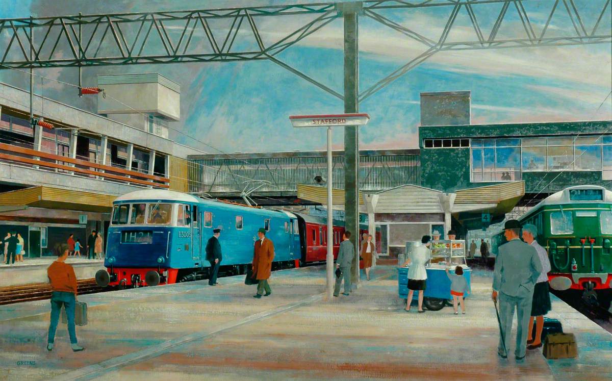
The current station was built in 1962, by the architect William Robert Headley, as part of the modernisation programme which saw the electrification of the West Coast Main Line.
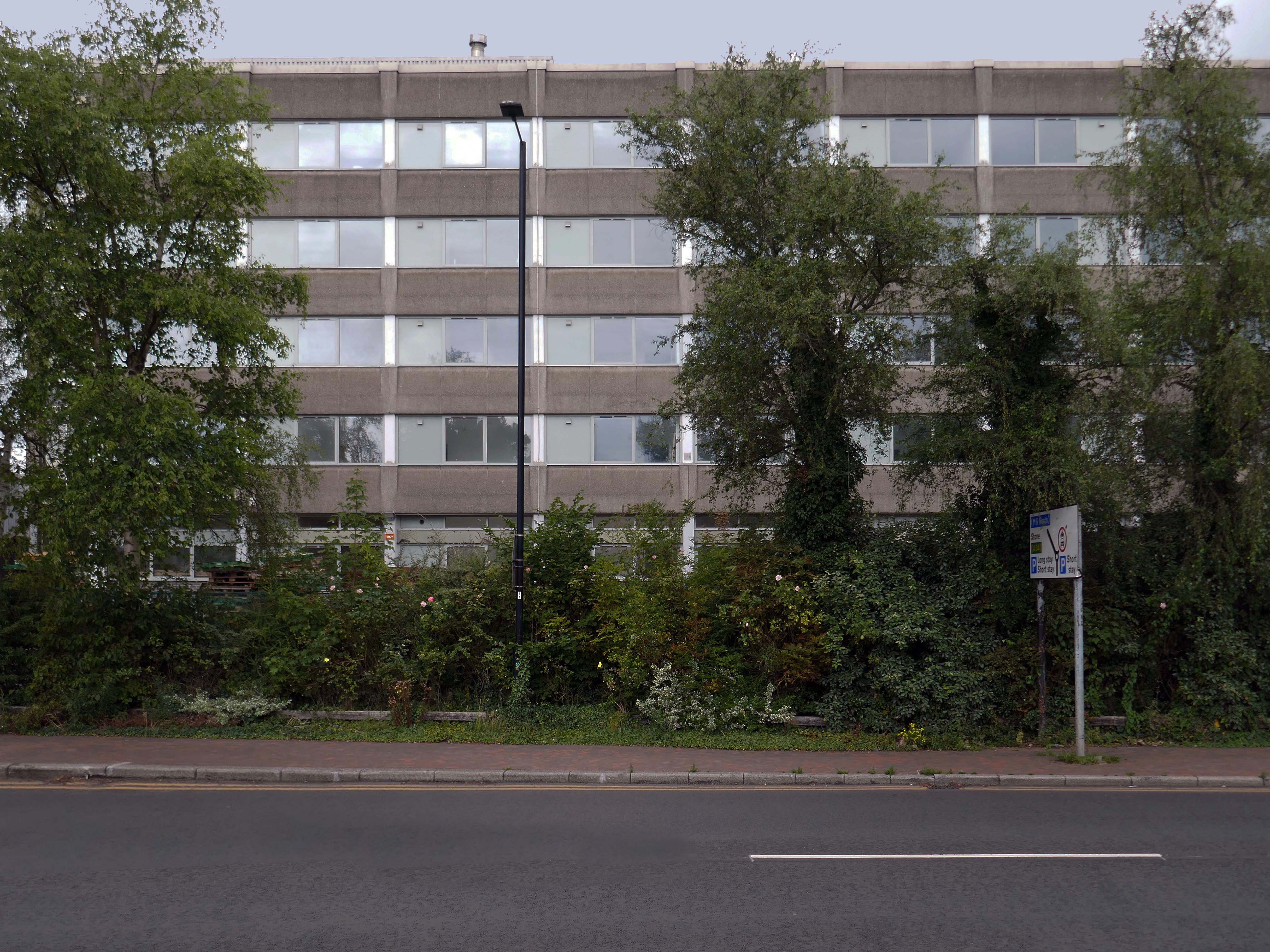
On leaving the station there is an as yet partially un-let Sixties office block to let – Victoria Park House.
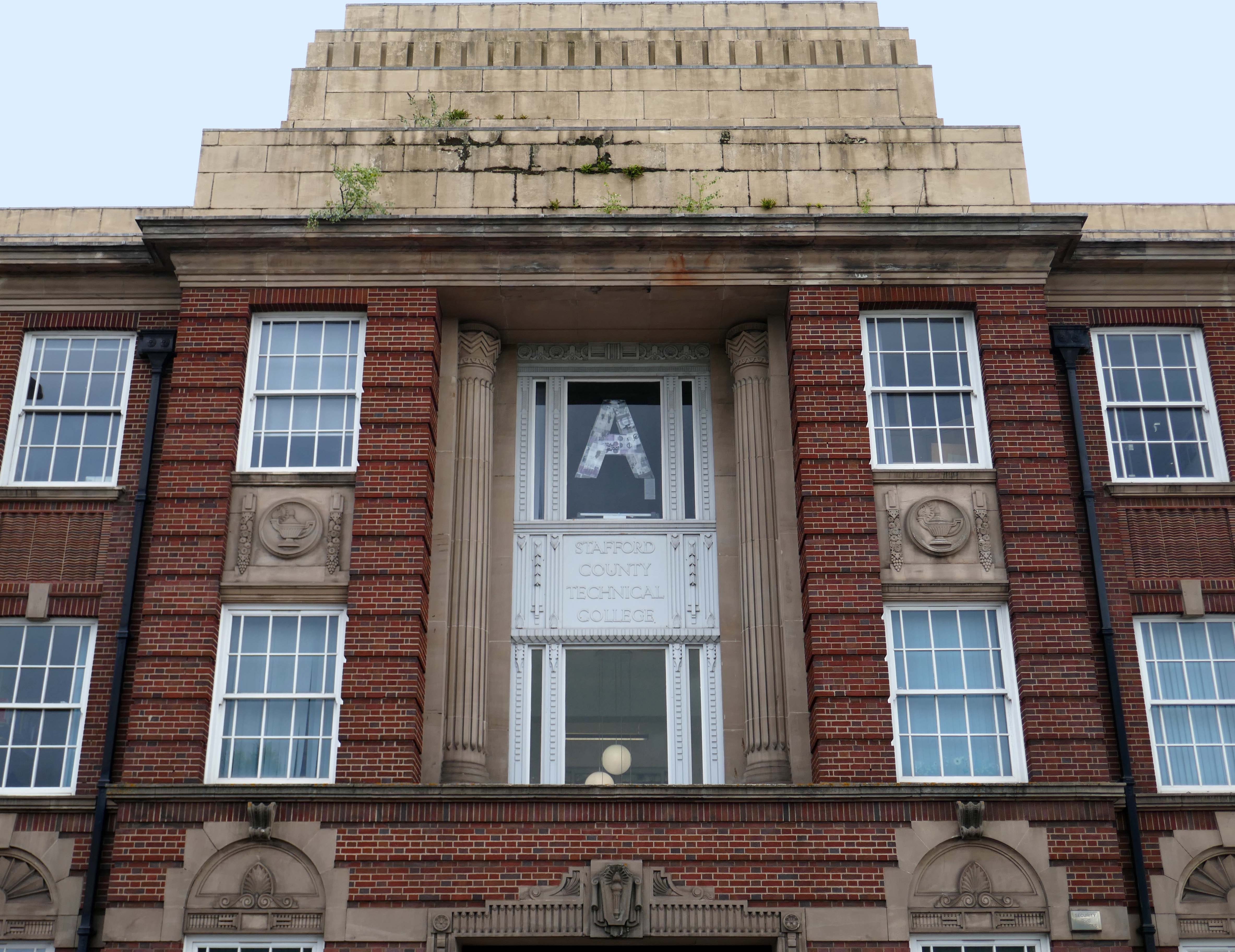
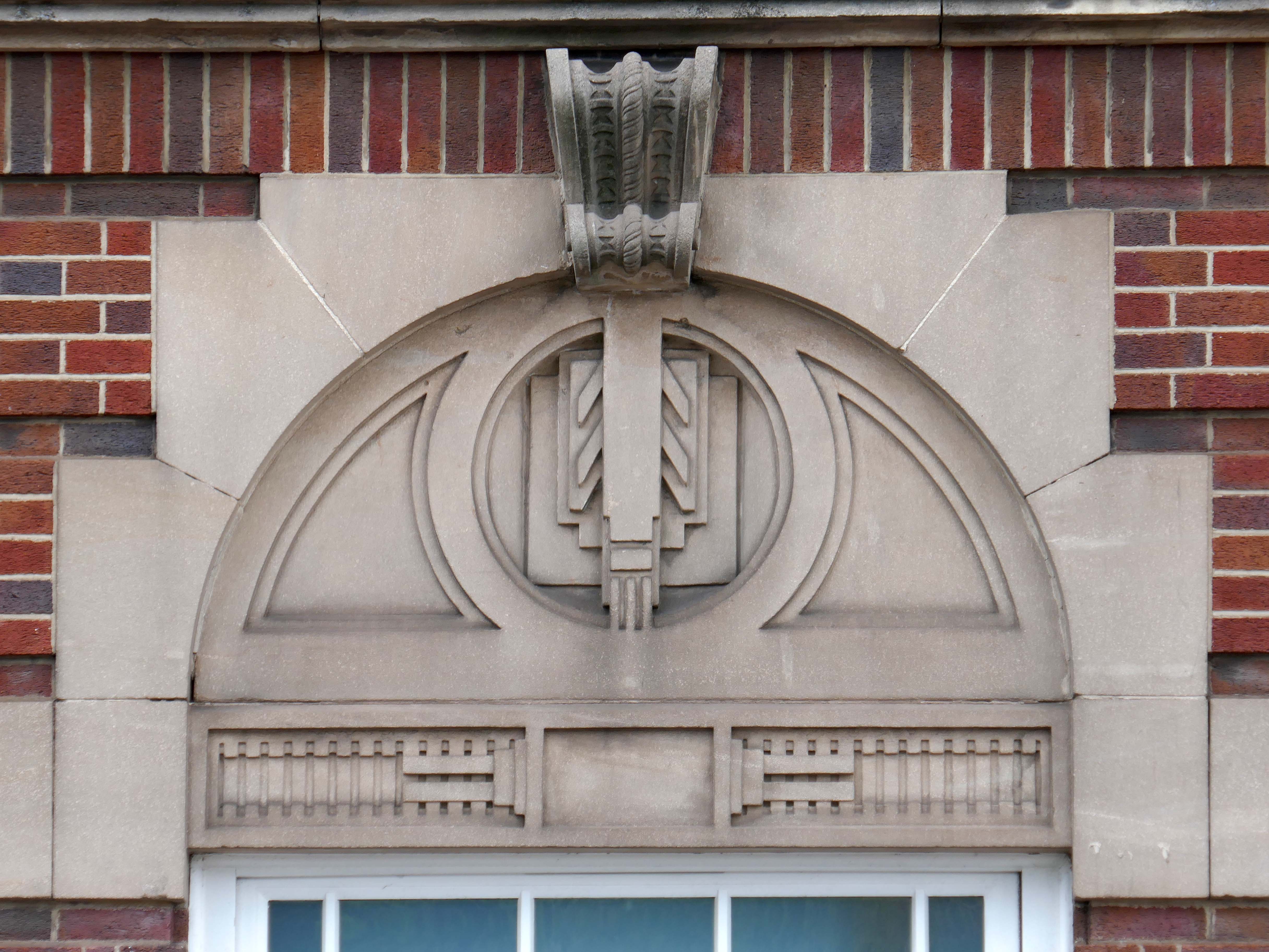
Onward to the County Technical College 1937 Grade II Listed – interior completed 1946.
The shell of the building was completed in 1937, after which it was used as an American army hospital during the war, then completed afterwards.
Heavily loaded with Art Deco details.
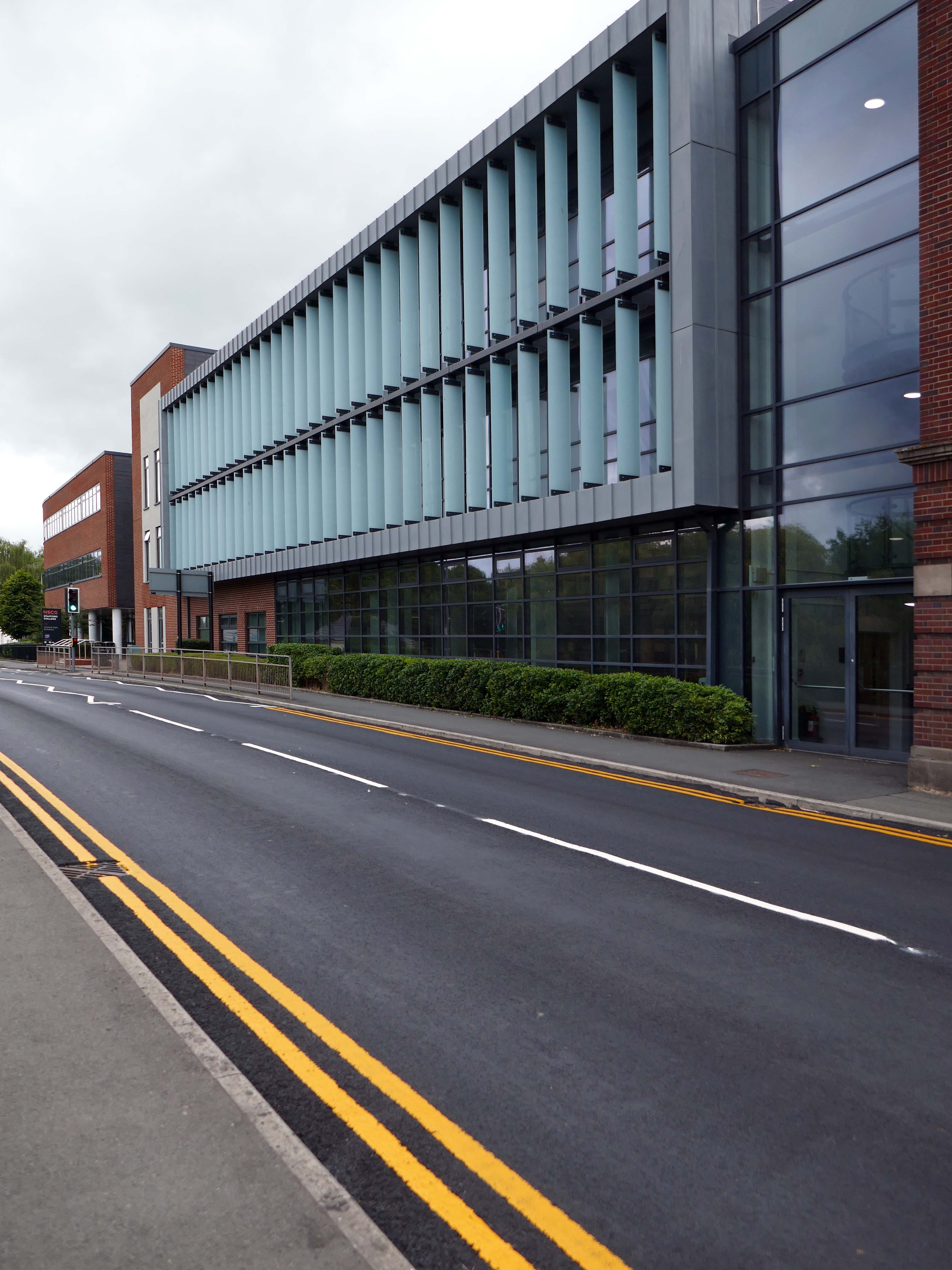
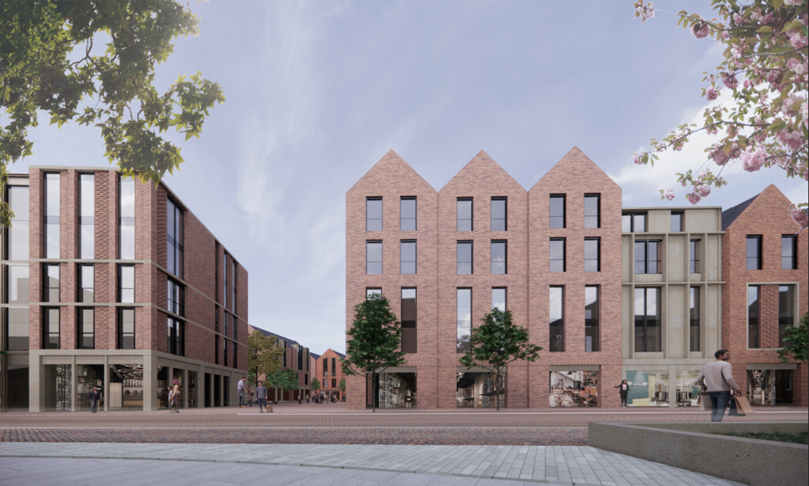
The new £28m three-storey Skills & Innovation Centre at Stafford College, completed in August 2023, was one of the first further education college schemes to be delivered under the DfE framework and a pathfinder scheme for delivery in accordance with the Further Education Output Specification. The new Centre is equipped with cutting-edge equipment and state-of-the-art facilities for construction, engineering and hybrid / electric vehicle maintenance facilities, as well as IT rich seminar suites and open learning break-out spaces along with a 4-court sports hall, a fully-equipped gym and a flexible 300-seat auditorium.
A 1970’s block was demolished to make way for the new development.
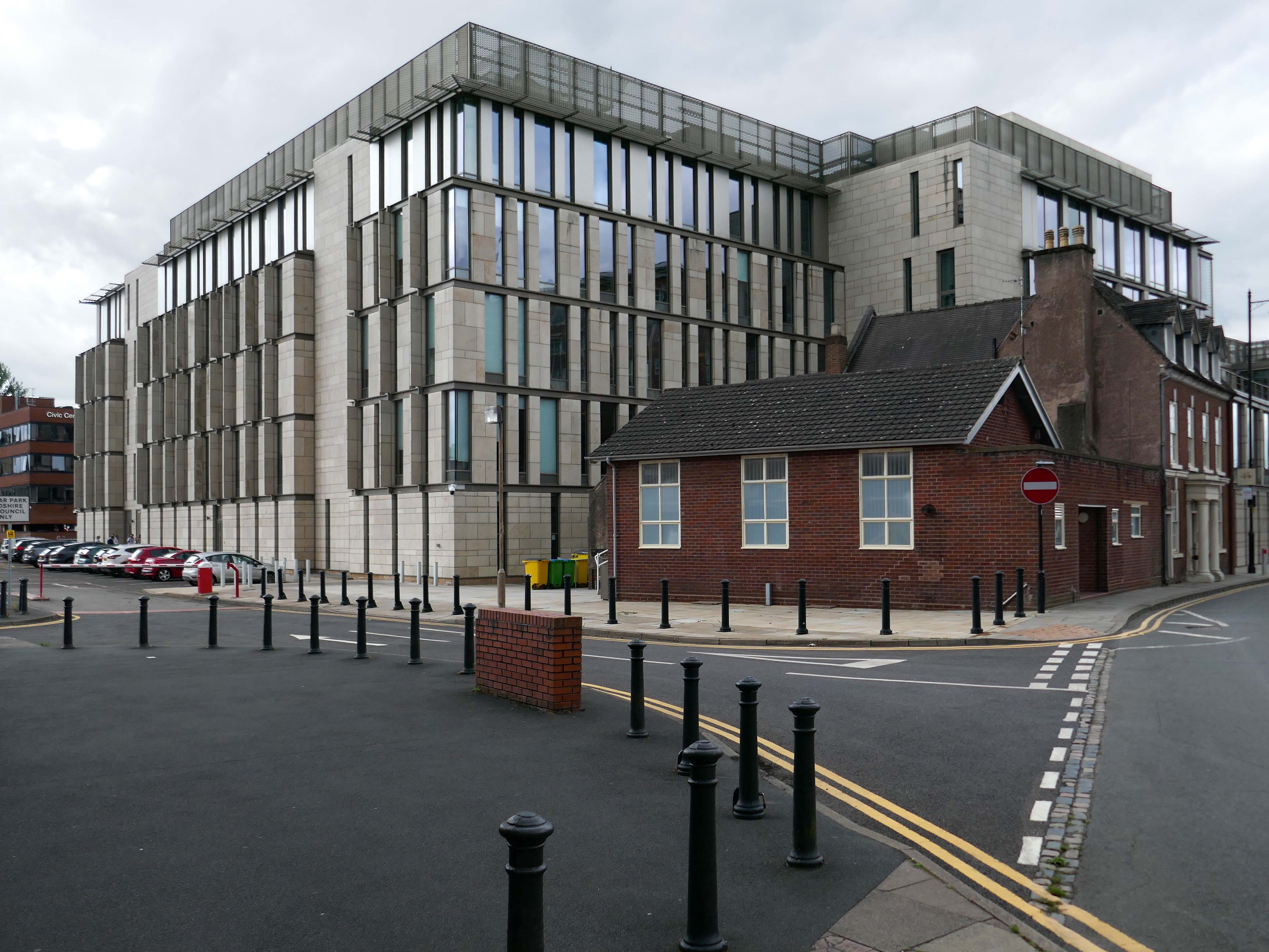
Almost everywhere we go we find a PoMo Crown Courts 1991 – architects: Associated Architects of Birmingham, cost of £10.4 million.
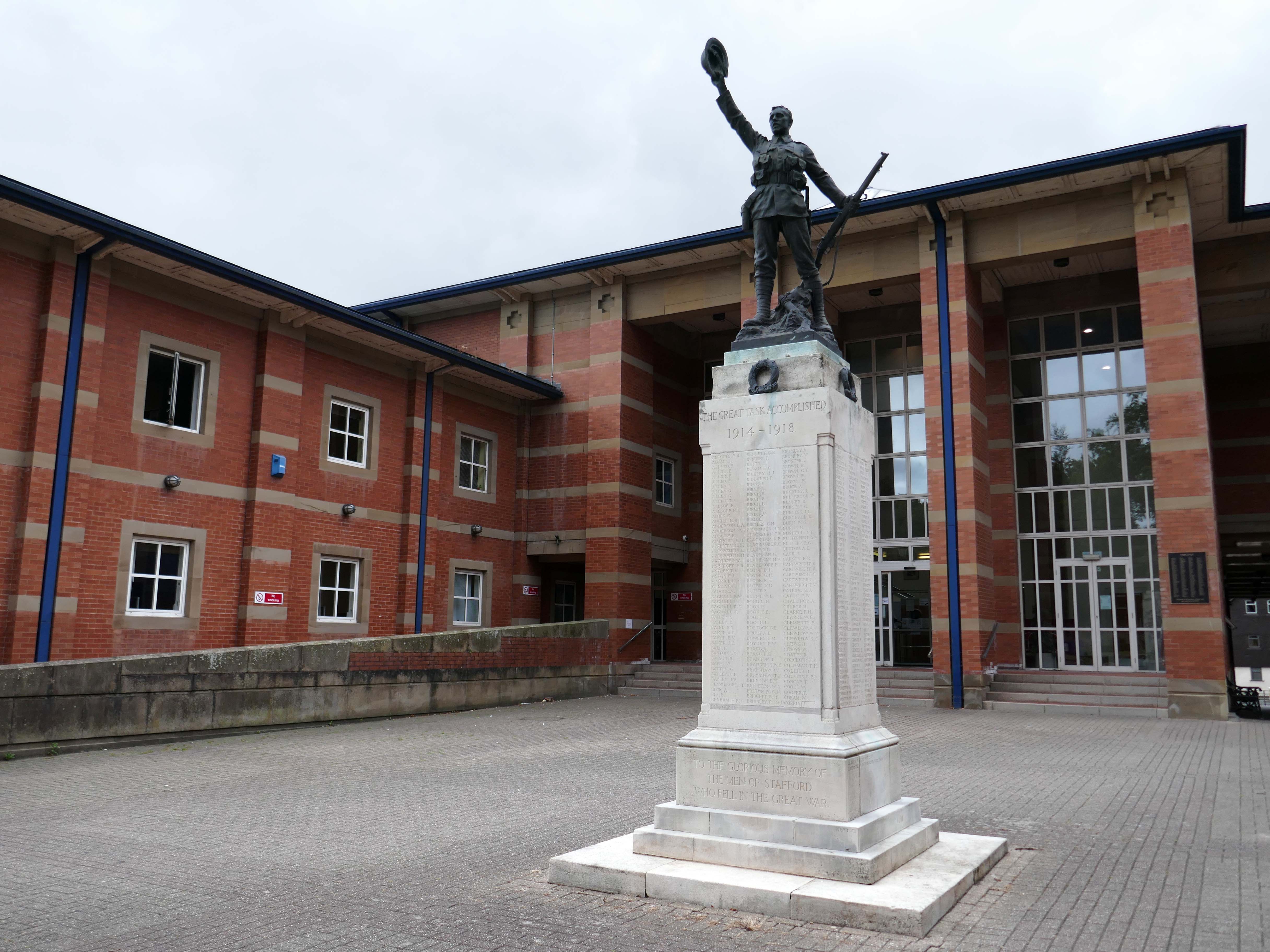
The war memorial of 1922 is by Joseph James Whitehead.
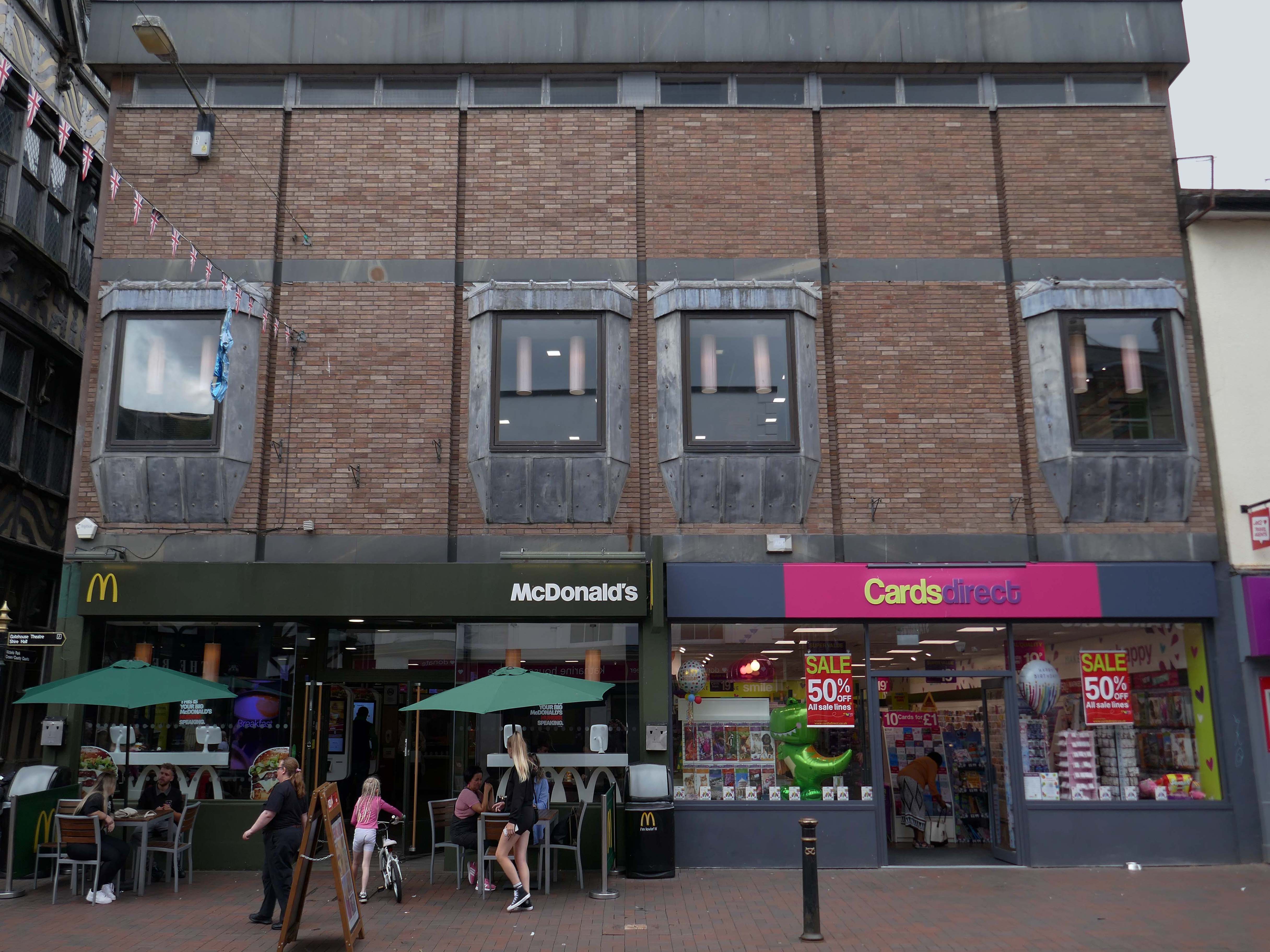
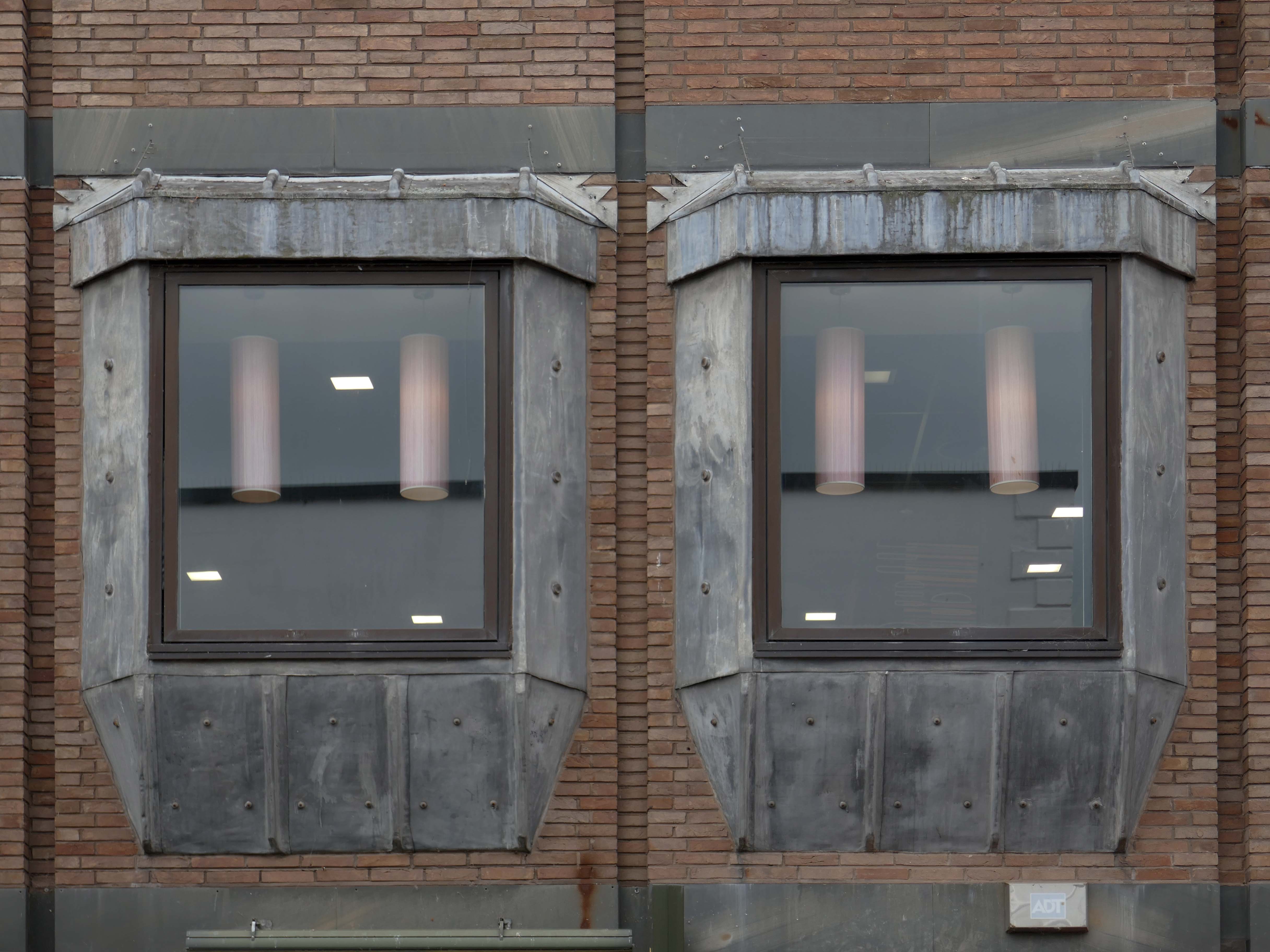
Sneaking through the alley to and before the McDonalds – one many more recent buildings with jetted lead clad bays.
Keeping the town Tudor one bay at a time..
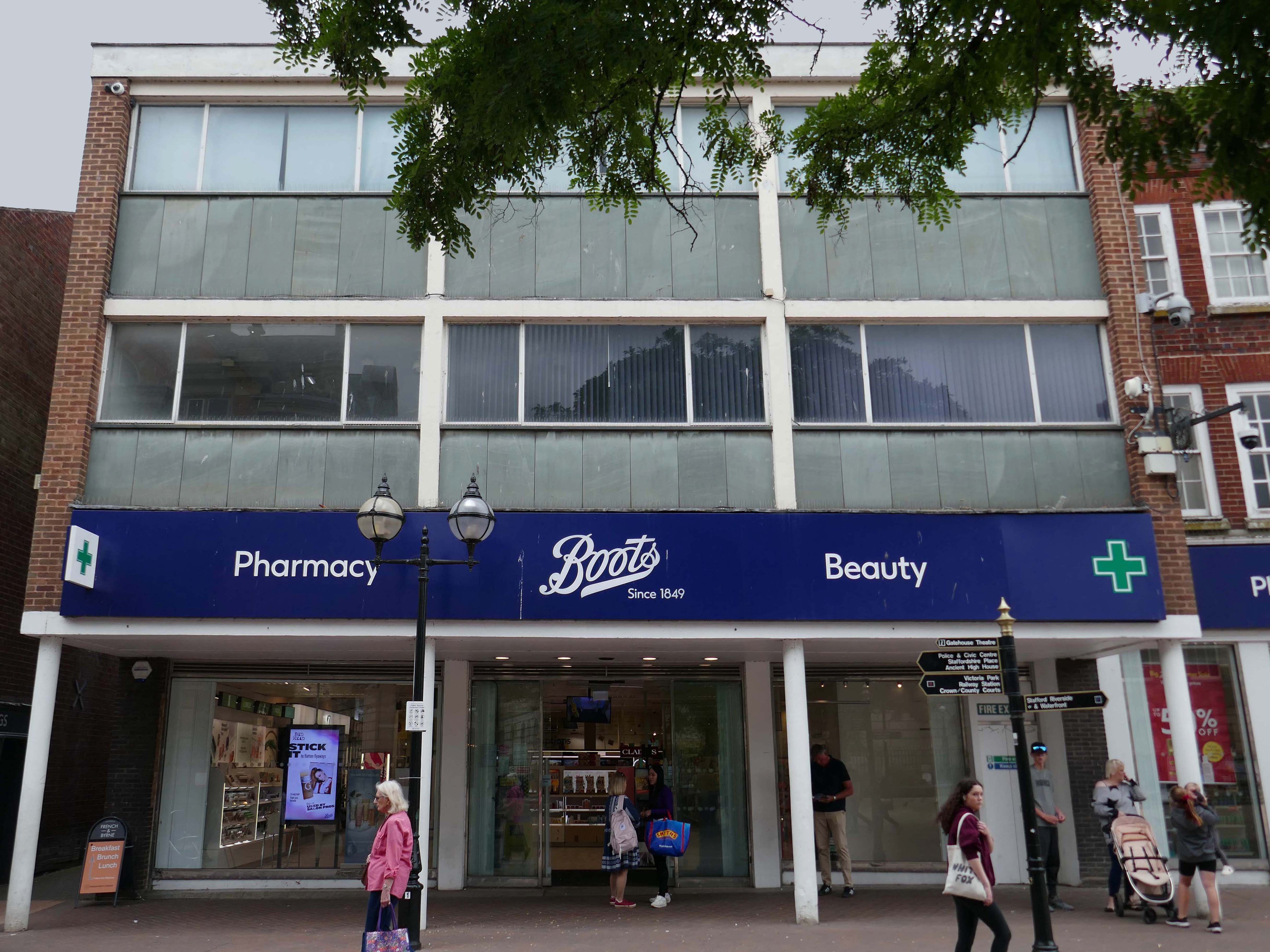
Further along a Sixties Boots.
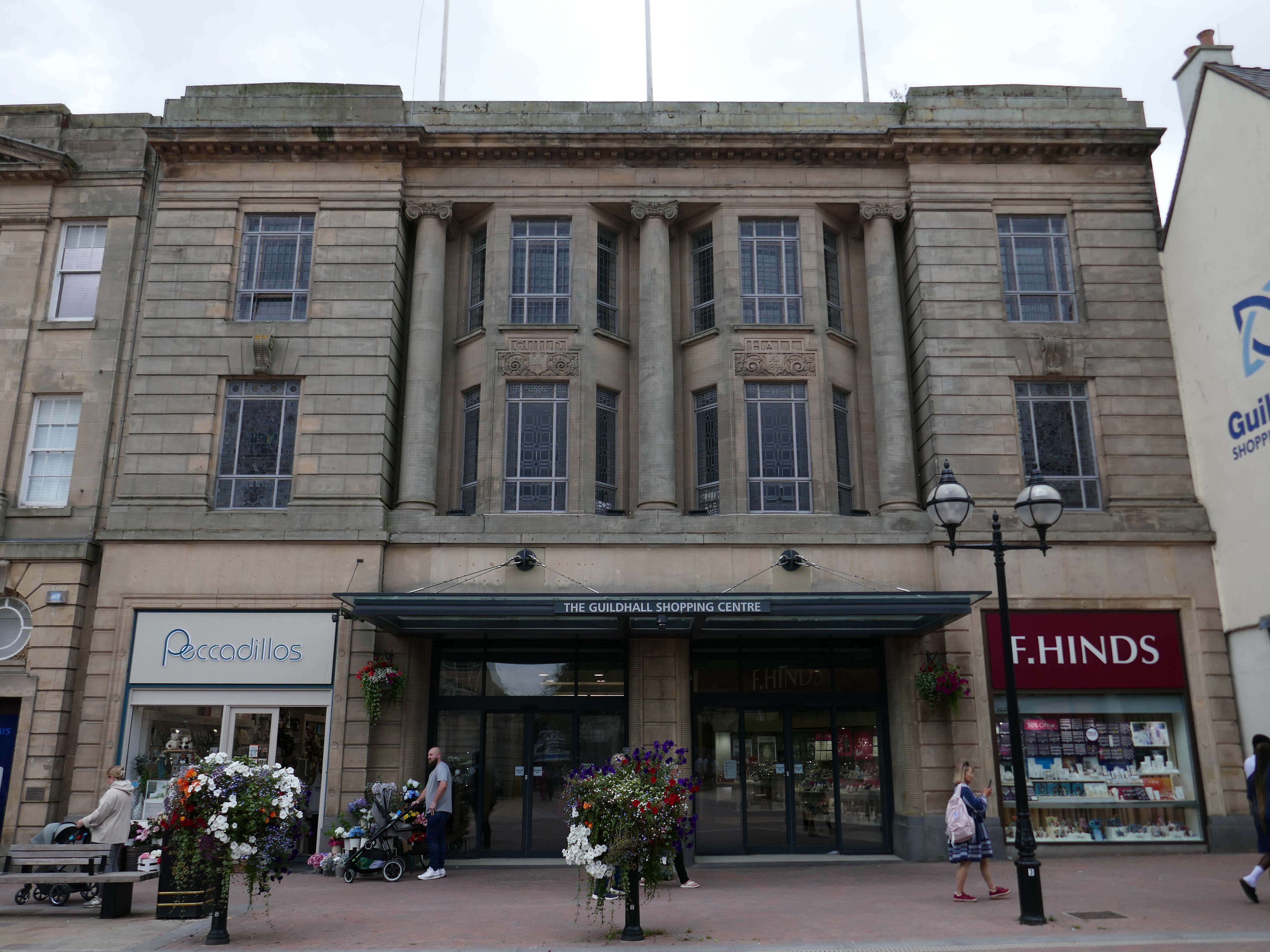
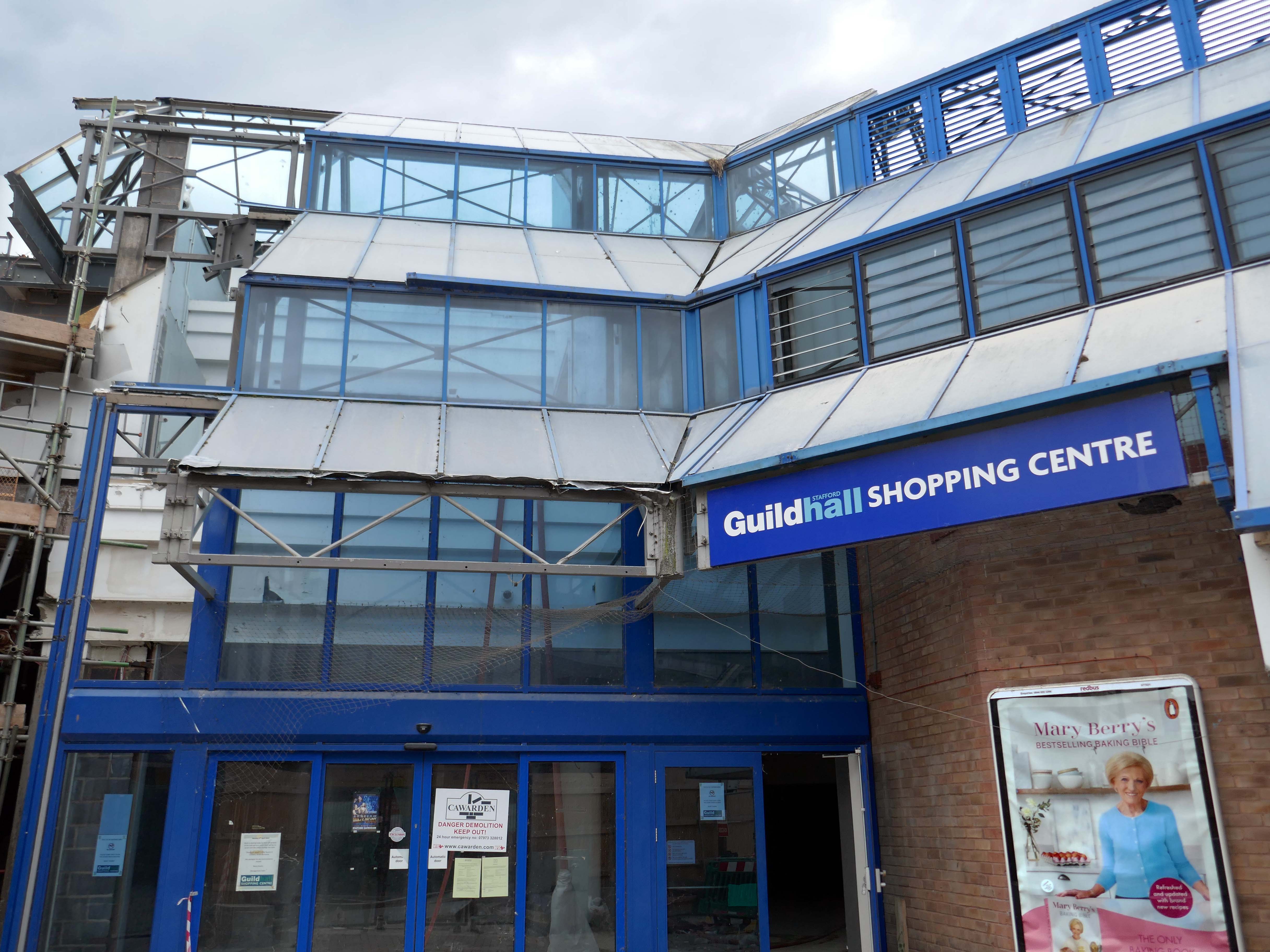
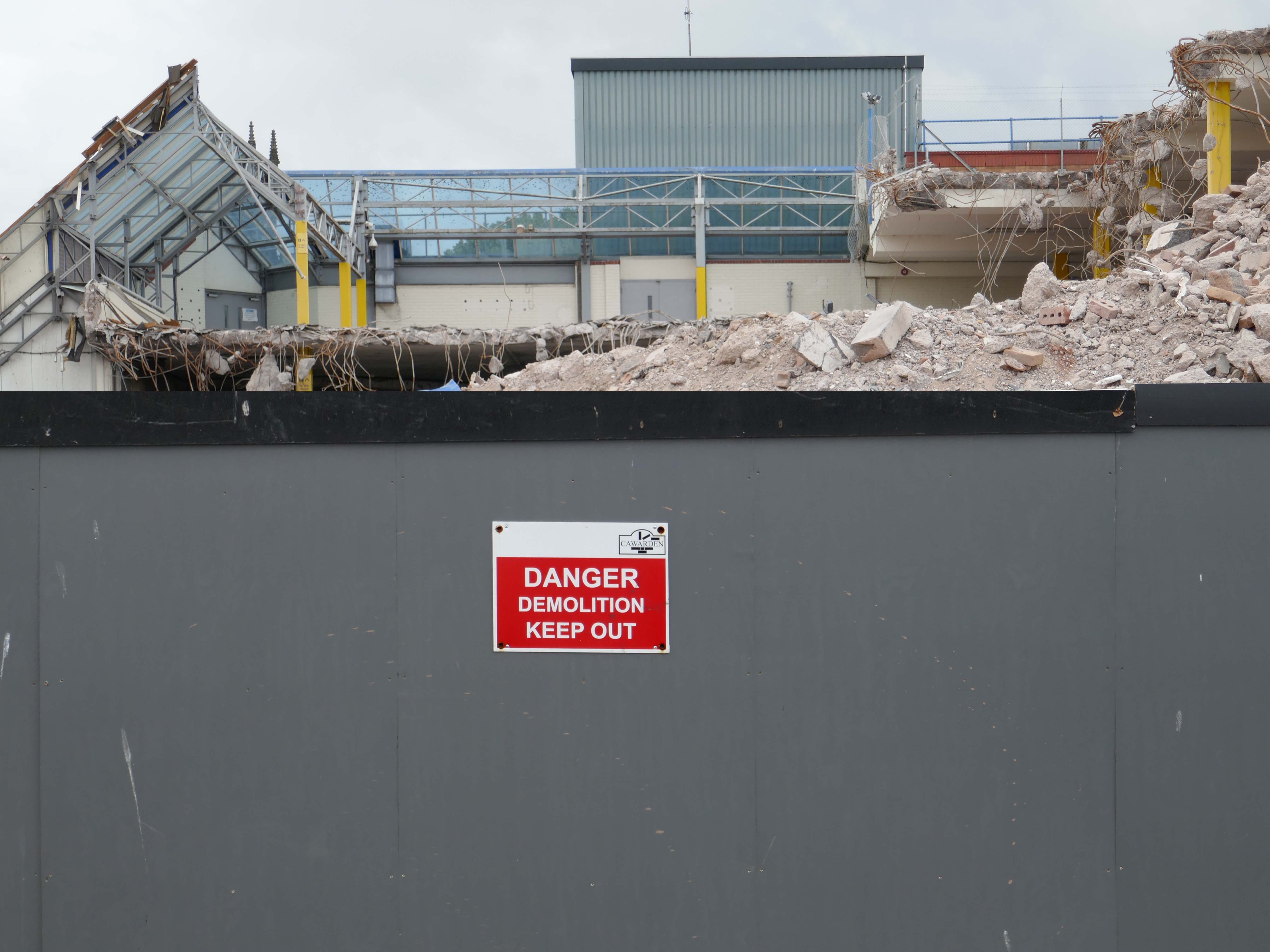
The Classical stone frontage of the Guildhall Shopping Centre.
Working with Mercia Real Estate, Glancy Nicholls Architects have designed a contextual mixed-use scheme in the heart of Stafford Town Centre, within the footprint of a disused shopping centre. This includes the regeneration of the 1930’s Guildhall building that serves as the main entrance to the shopping centre and the listed Market Square building.
Around the corner a somewhat neglected retail development.
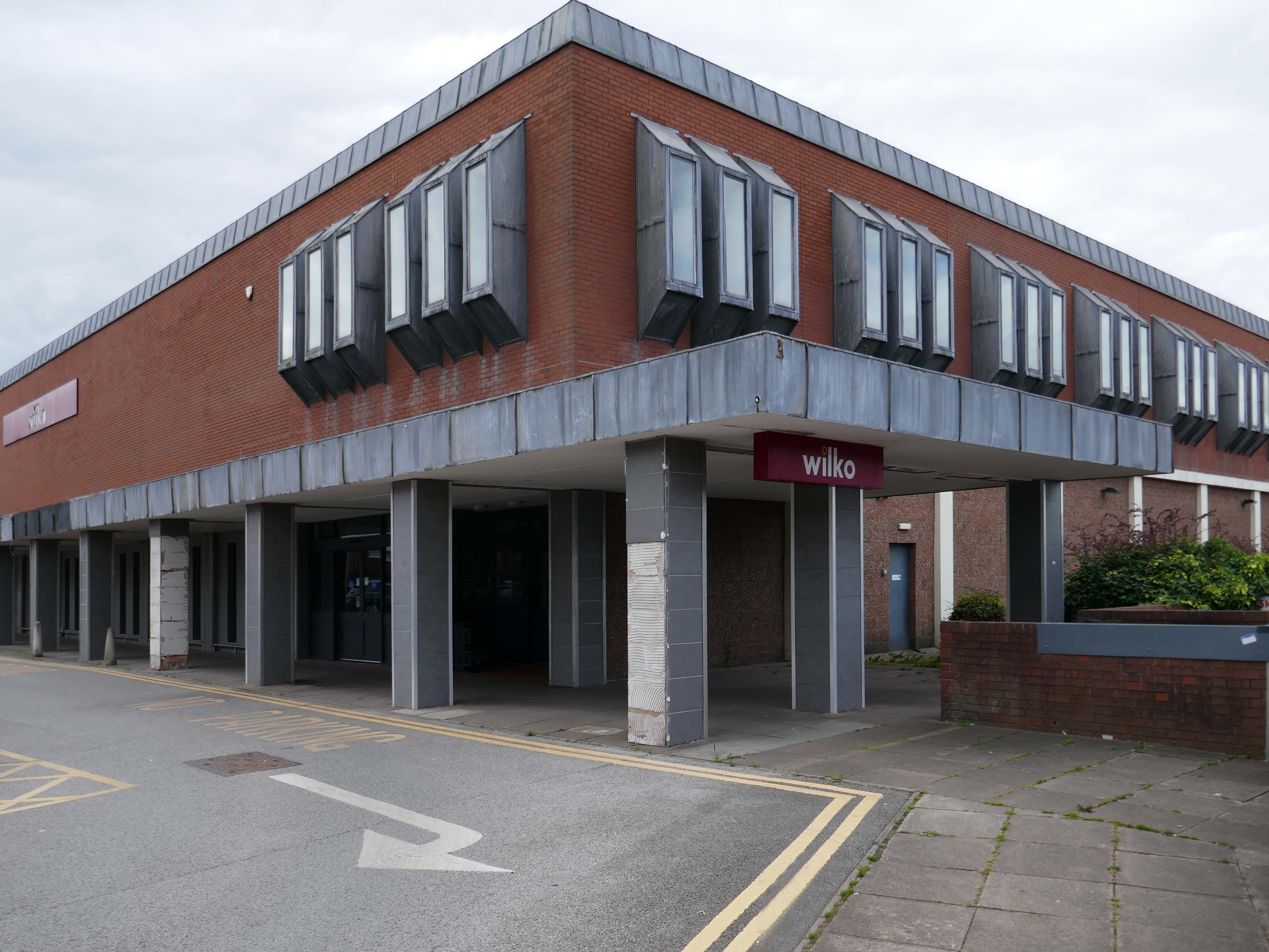
And a long lost Wilko.
Amidst it all the curious time warp that is Trinity Church 1988.
It is used by Methodist and United Reformed Church congregations.
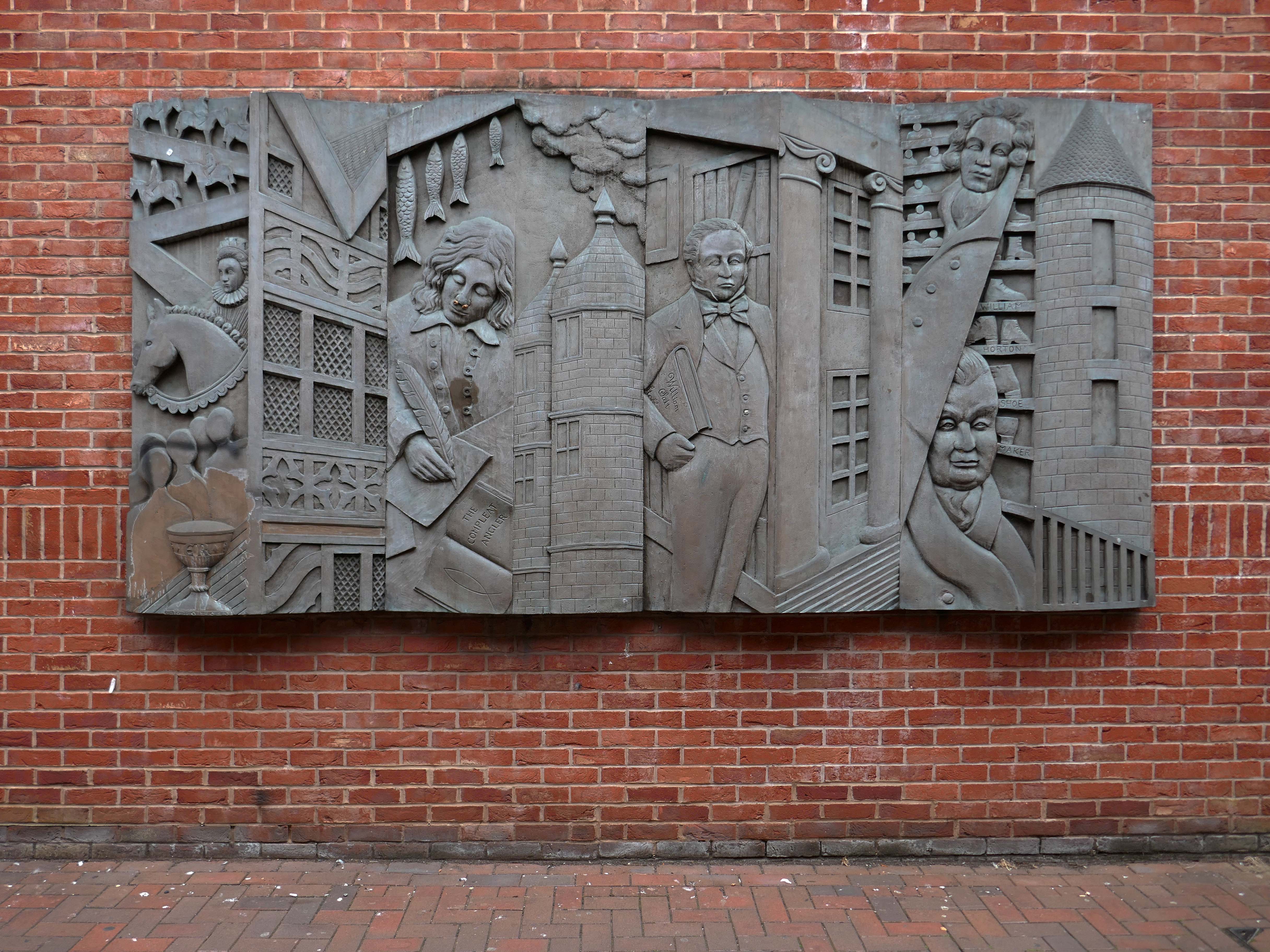
Tucked away in a minor maze of retail a piece of figurative commemorative public art by Glynis Owen Jones, entitled Stafford Faces.
Around the corner a big B&M.
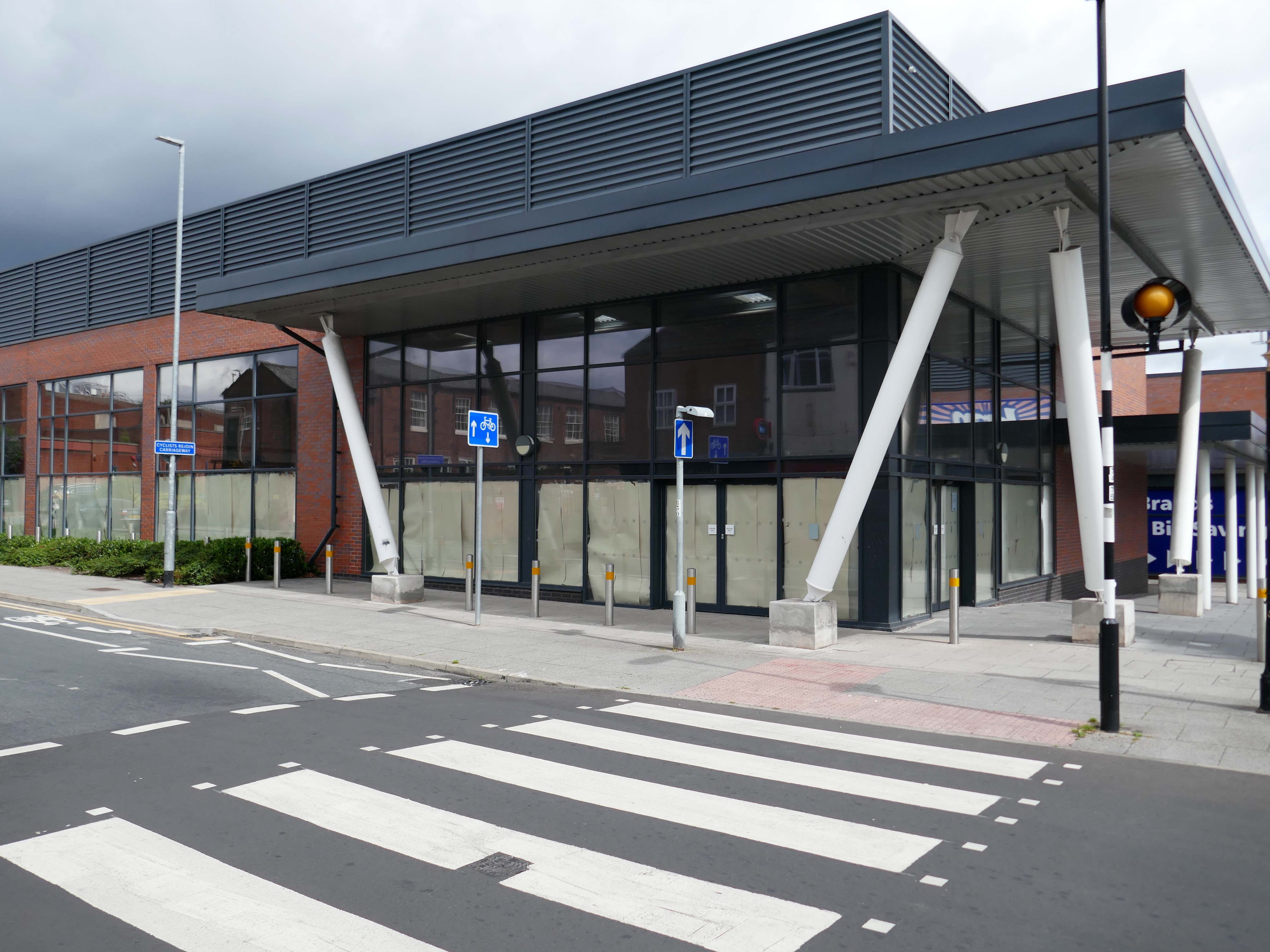
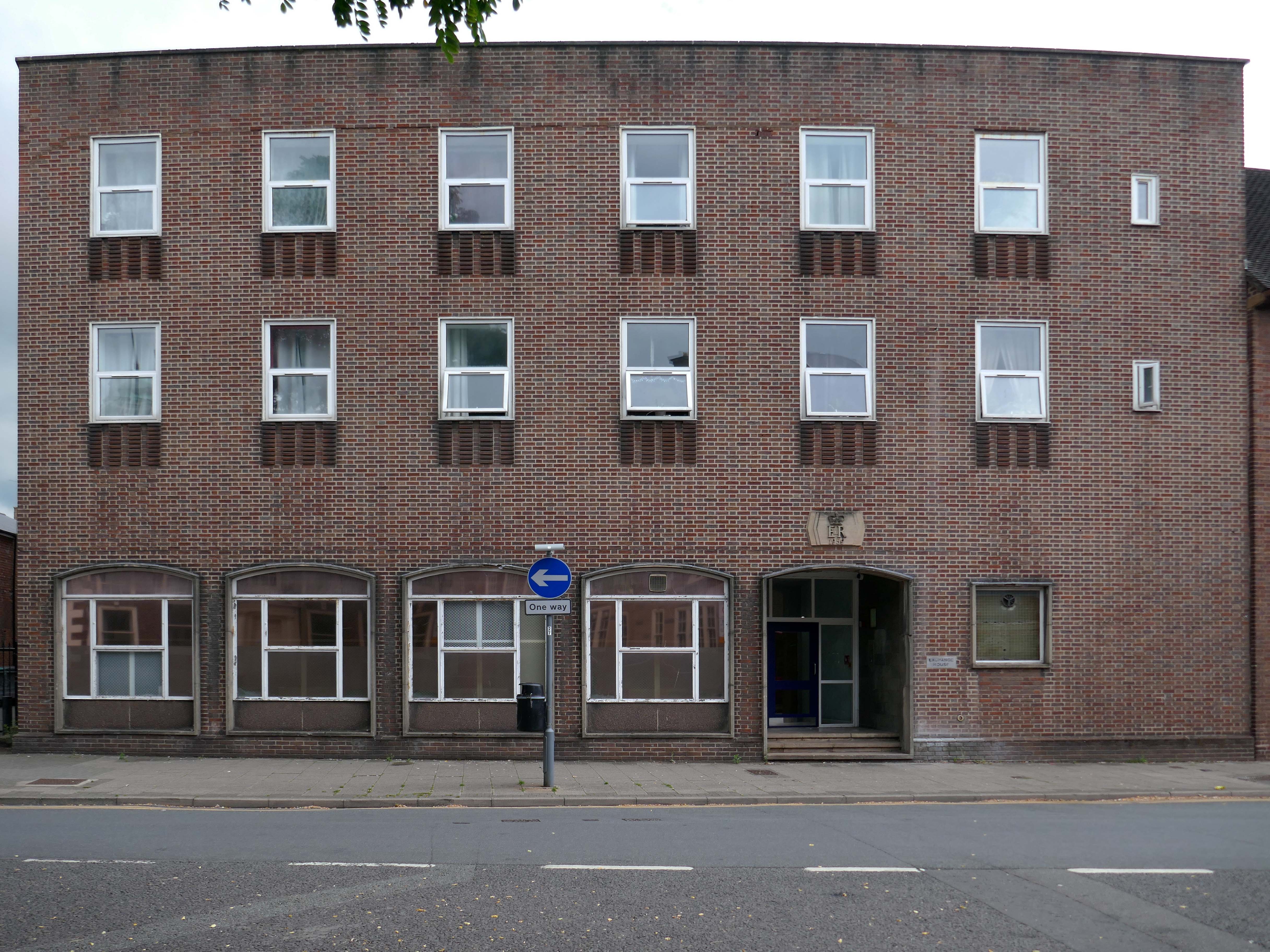
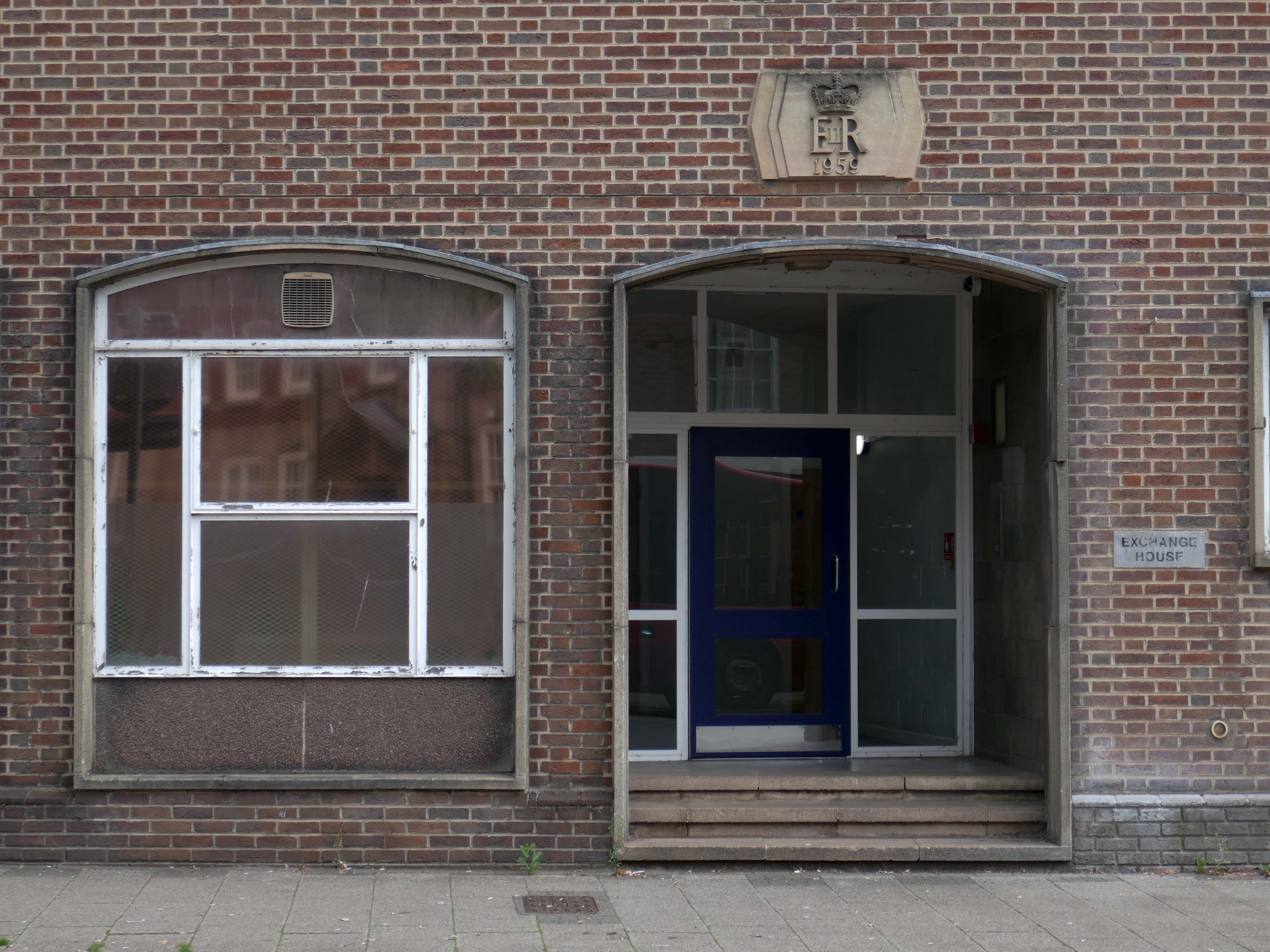
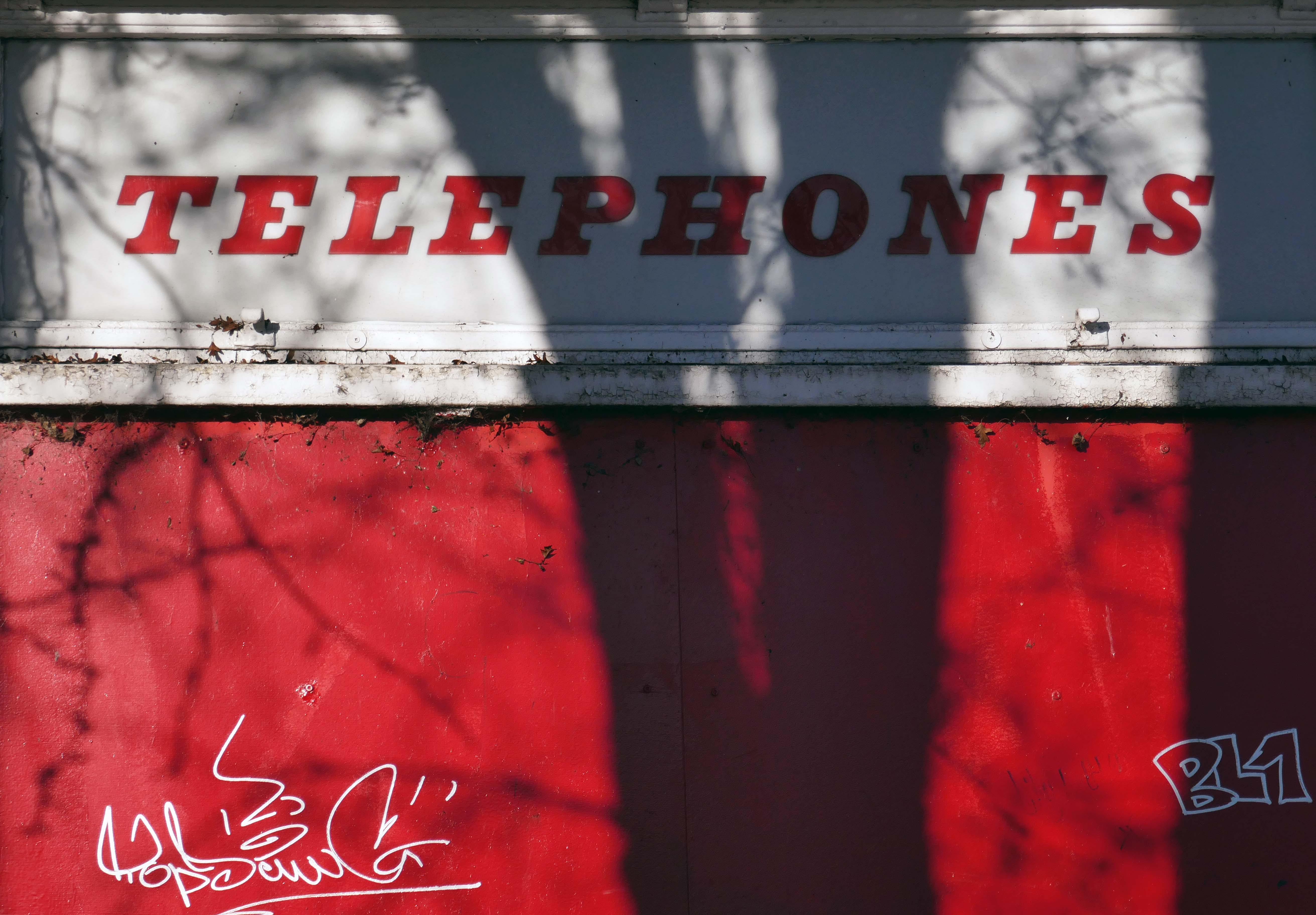
Further along a brick FoB Telephone Exchange of 1959.
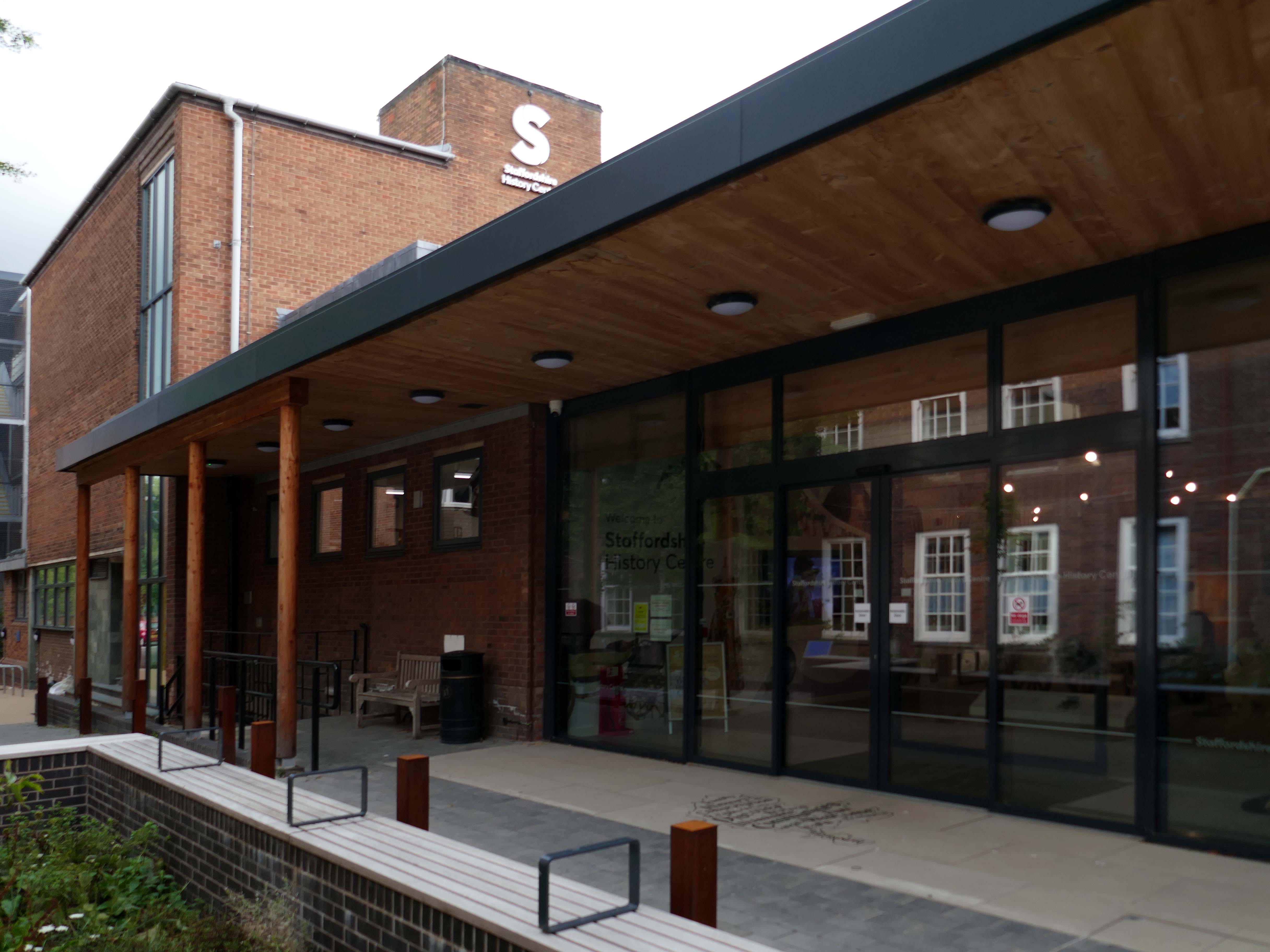
Adjoined by the County Records building.
Pringle Richards Sharratt Architects have been appointed by Staffordshire County Council to create a new History Centre for Staffordshire and Stoke on Trent.
The new £4m centre will be located on Eastgate Street in Stafford and will hold historical records and collections up to 1,000 years old.
The scheme will help to provide a rejuvenated service combining the existing Records Office building and William Salt Library, in Stafford and provide a welcoming destination for all of those with an interest in local history. This will include bringing on to the Stafford site the Lichfield Records Office and aspects of the County museum.
Further FoB in the Civic Building.
Close by the Staffordshire Place a civic and retail mixed use development.
Our scheme delivers 135,000 ft2 of high quality contemporary office space across two buildings linked by a new town square. The ground floor incorporates a mix of retail and leisure uses around a sequence of smaller public spaces to maximise the amount of visible active frontage and create a natural extension to the town centre.
Sustainability issues fundamentally informed the design approach, from mitigating energy consumption to ‘future proofing’ the finished building. The building achieves a BREEAM ‘Excellent’ rating and a European Energy Performance of Buildings Directive Rating ‘A’.
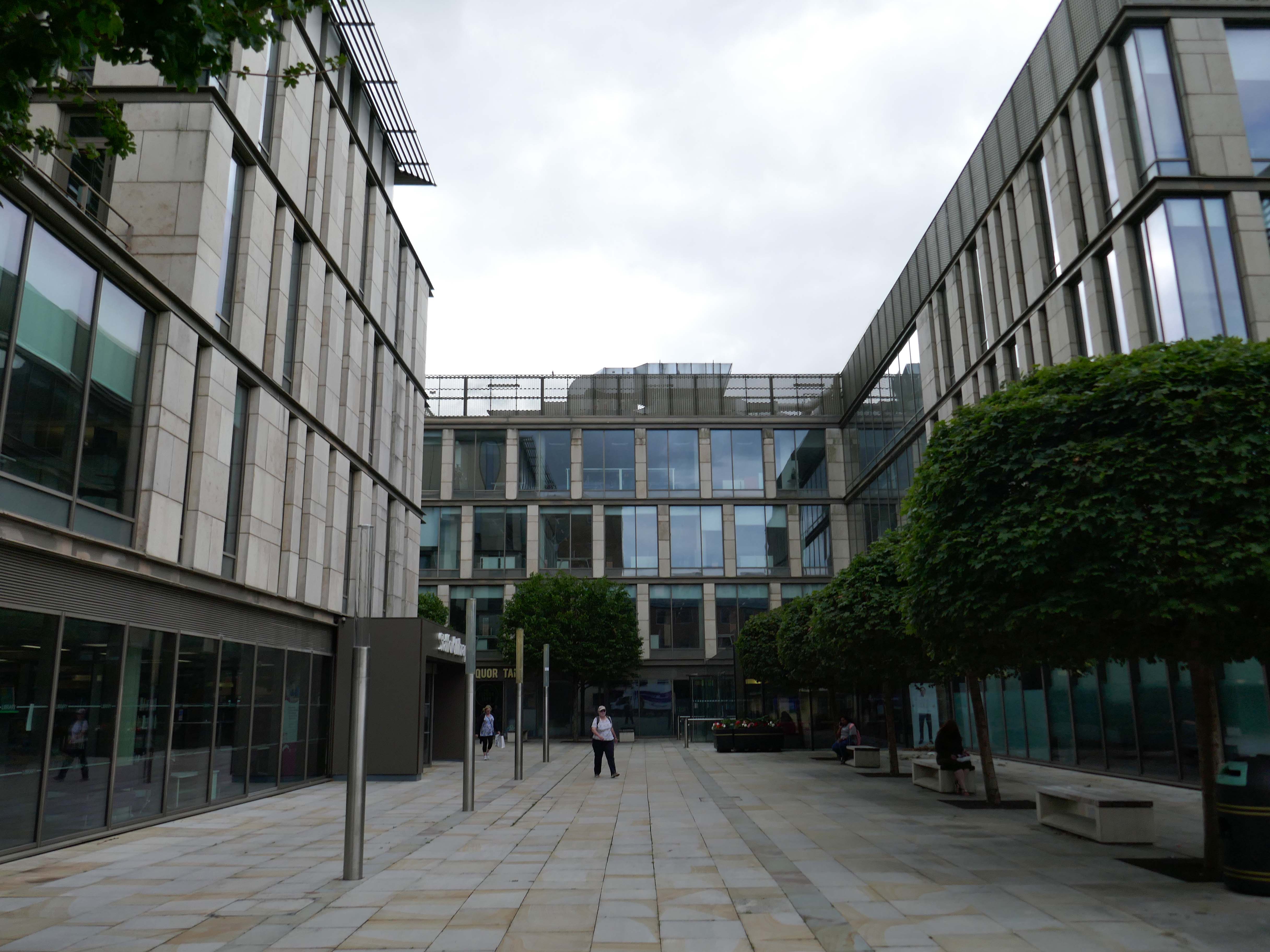
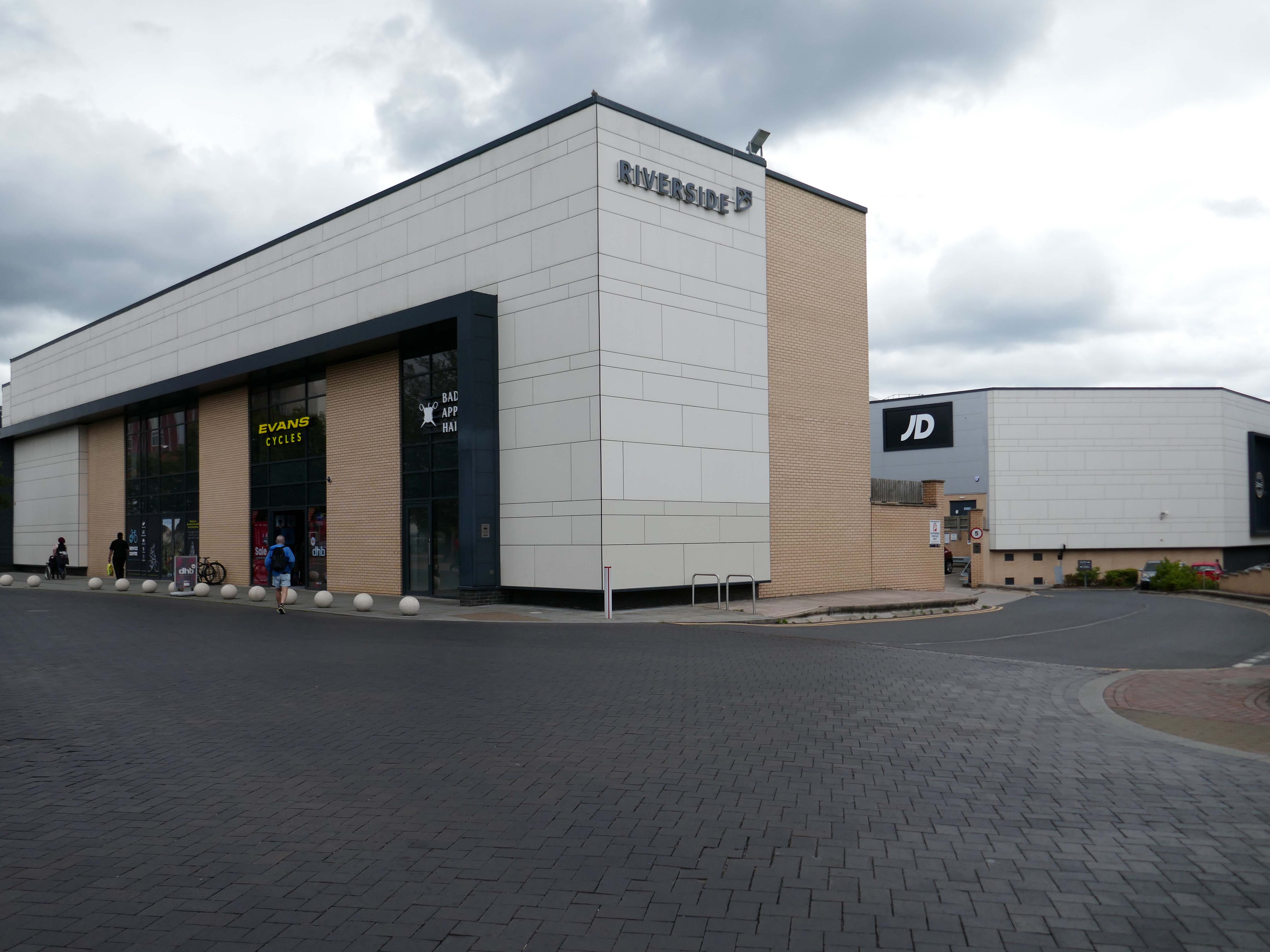
Surprise surprise another retail development Riverside.
£70m riverside town centre retail and leisure development in the heart of Stafford. The 230,000 sq. ft. scheme anchored by M&S will deliver 18 retail units arranged over ground and first floors, five leisure units and a six-screen cinema to complement and strengthen the town centre economy and create new businesses and jobs.
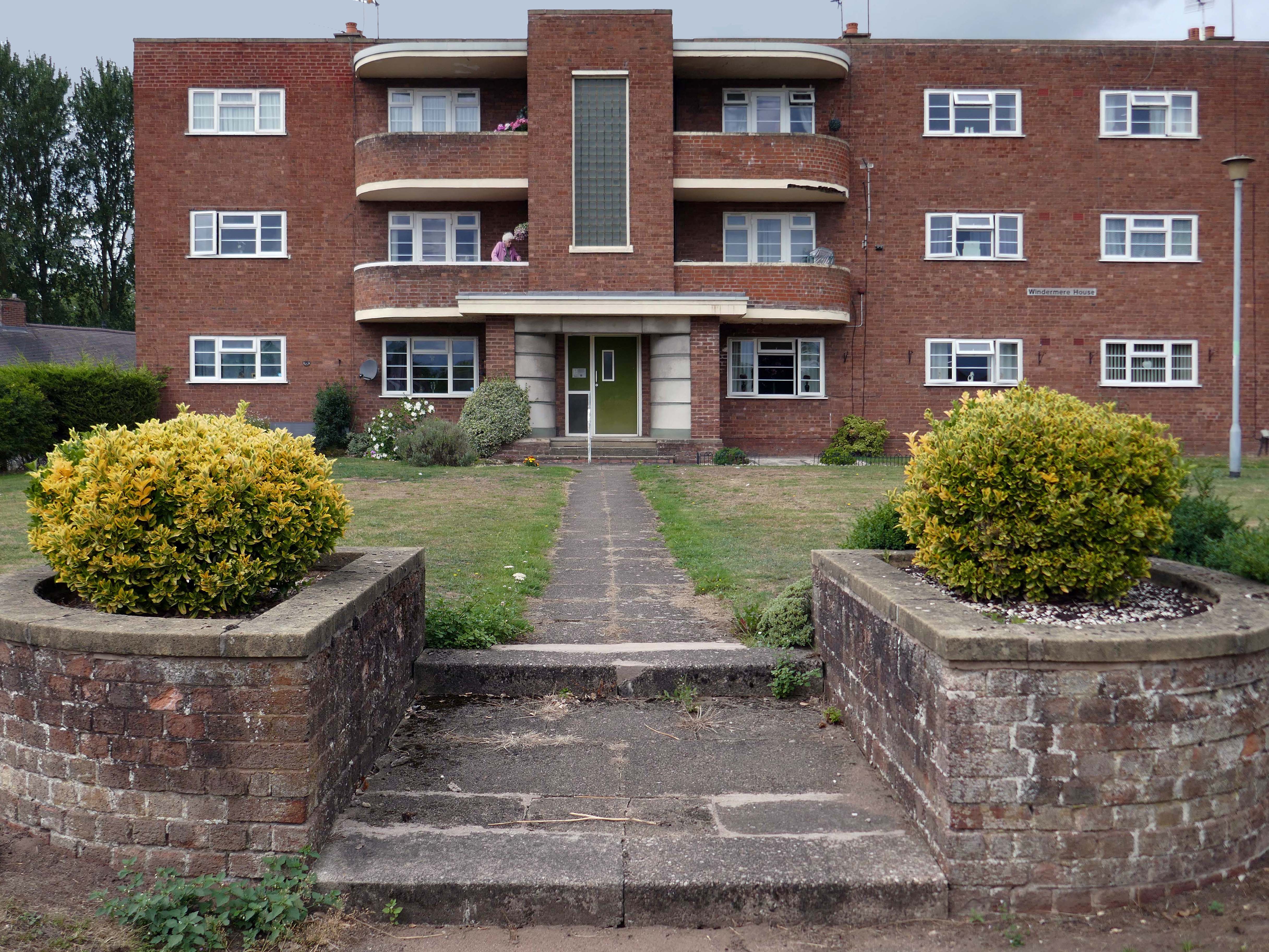
Coniston, Windemere and Rydal were among the first council homes to be built in Stafford, between 1951-52, under the direction of County Architect CM Coombes.
The flats were built as a result of The Housing – Financial and Miscellaneous Provisions Act 1946, which gave subsidies to local authorities to provide social housing. The expansion of the Borough Council’s civic duties included the employment of County Architects, in this case CM Coombes FRIBA, to whom these flats are attributed.
54 flats were built in total, to a distinctly Modernist design, and their appearance and setting are very well preserved.
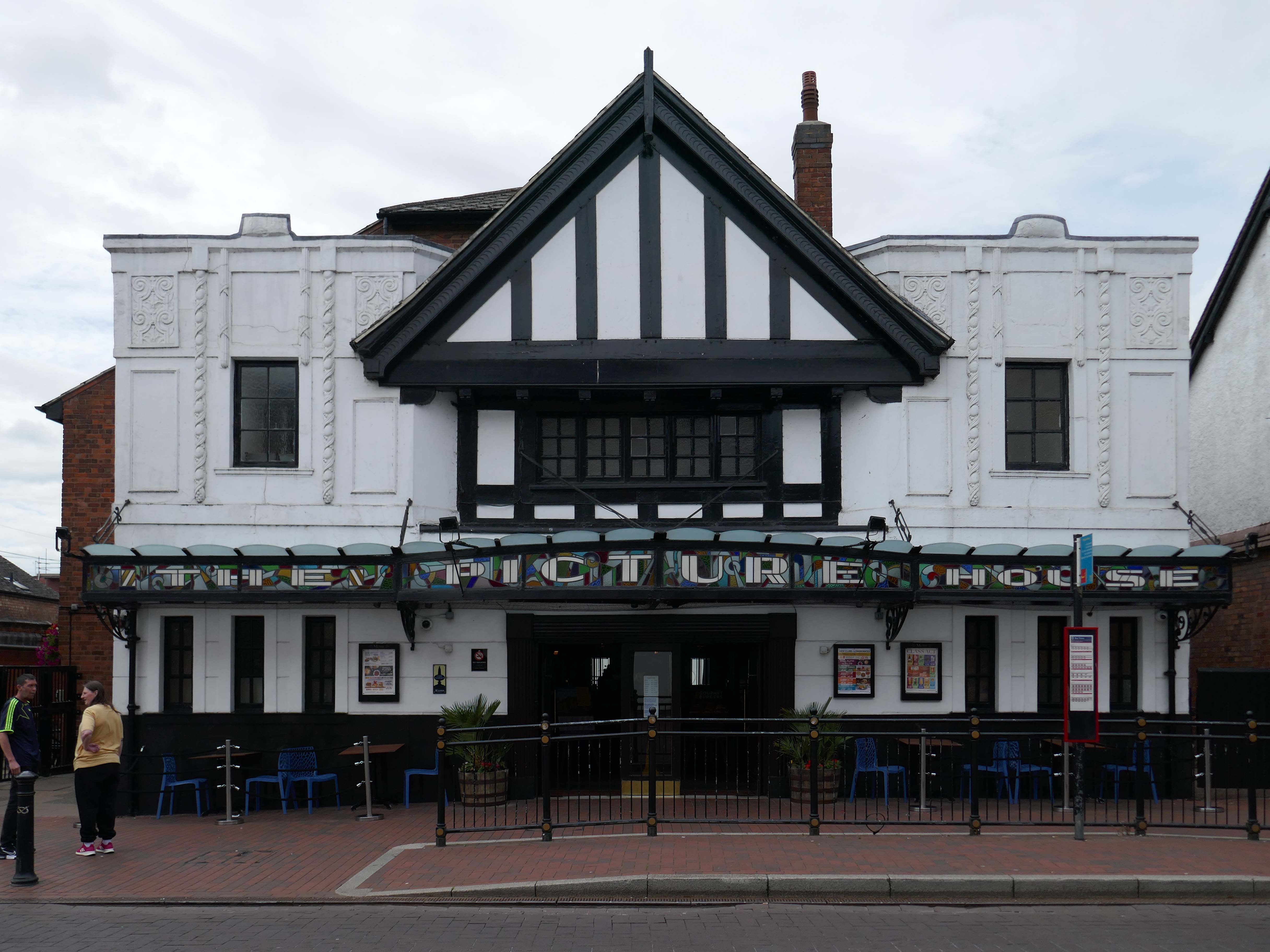
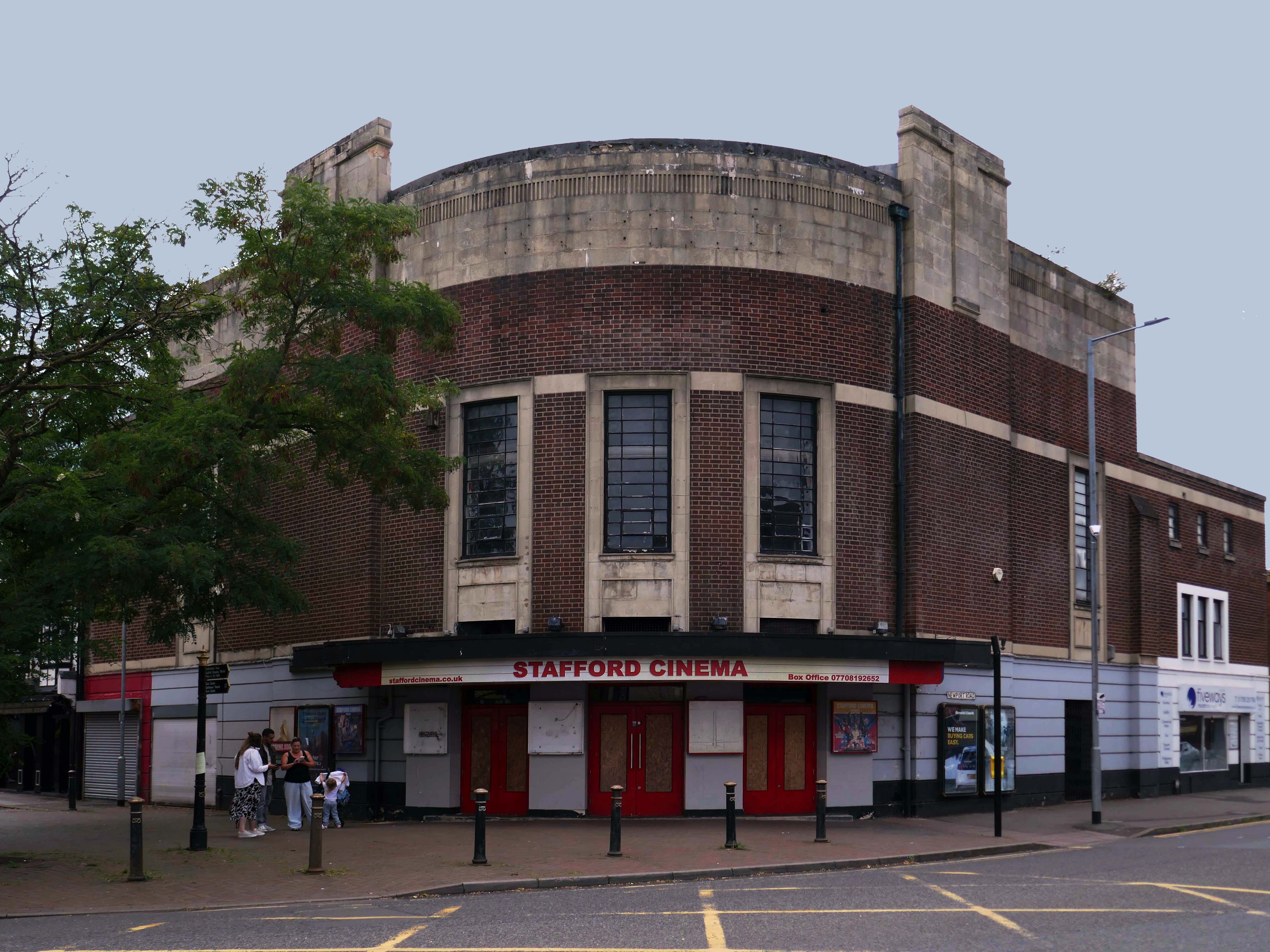
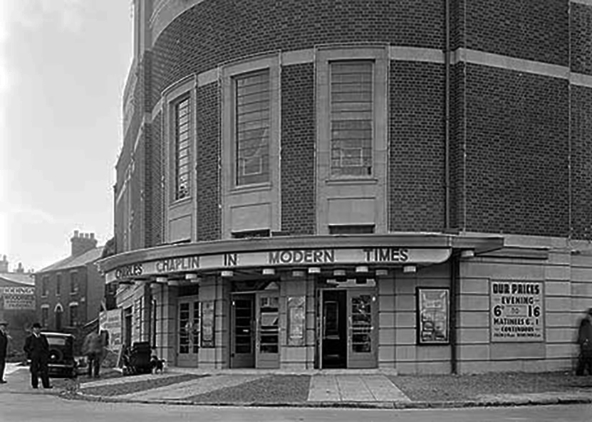
Let’s head back into the town centre – to the Grade II ListedPicture House 1914
The Picture House was closed on 30th March 1995 after a three week run of Disclosure starring Michael Douglas, there were seventy eight attending the final performance.
It was disposed of by the Rank Organisation in July 1981 and was taken over by the Hutchinson Leisure Group who re-named it Astra Cinema. In December 1981 it was tripled with 435 seats in the former stalls and two mini cinemas in the former circle seating 170 and 168.
In 1988 it was taken over by Apollo Cinemas and re-named Apollo Cinema. The downstairs cinema was closed and became a bingo club for a couple of years, during which time the two mini cinemas in the former circle remained open. The bingo operation gave way to films again in 1990 and all three screens were again open, with seating for 305, 170 and 164. In January 2014 it was taken over by the Curzon Cinemas chain and renamed Stafford Cinema.
It was closed on 18th December 2017 with Star Wars:The Last Jedi.
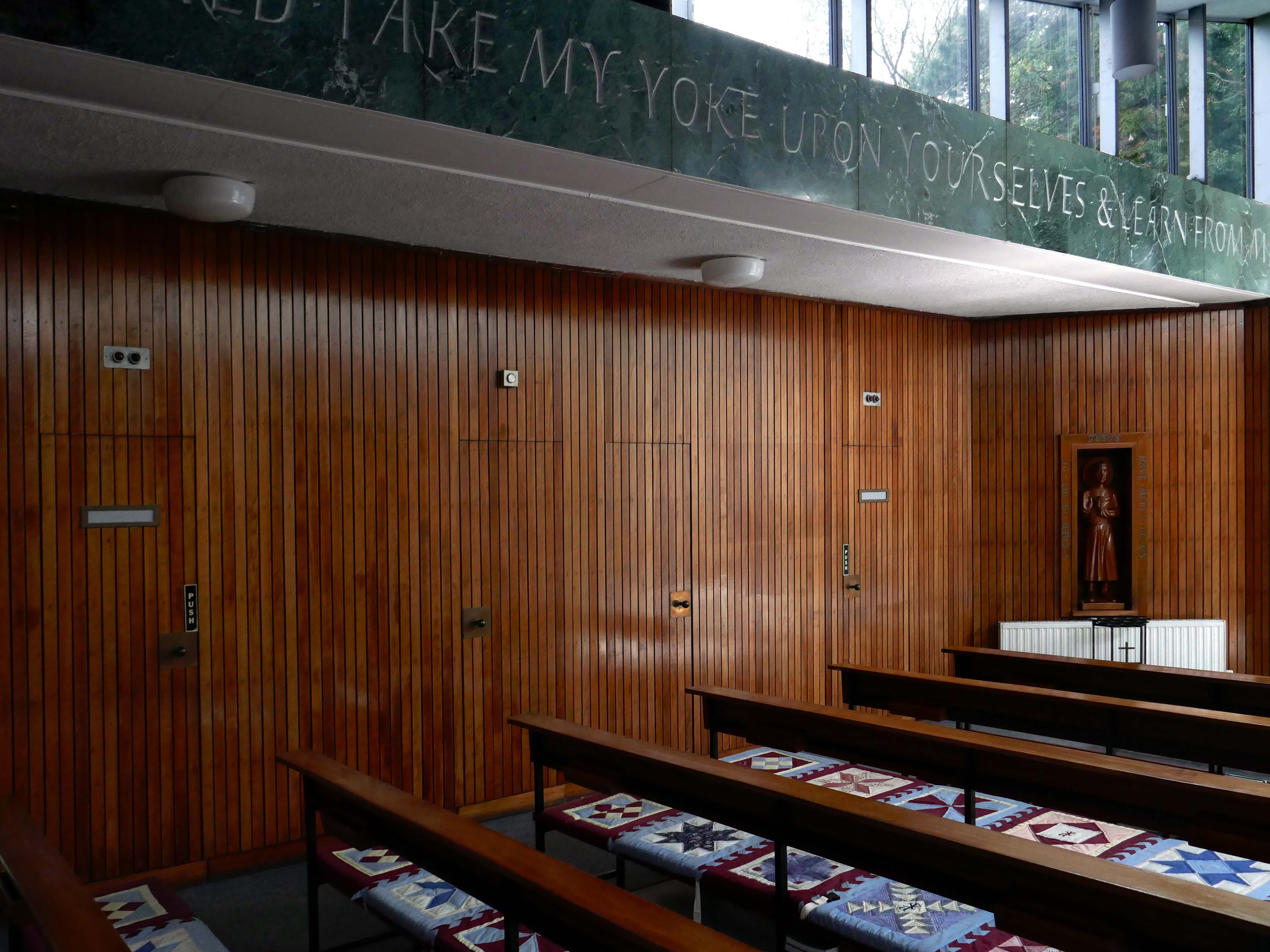
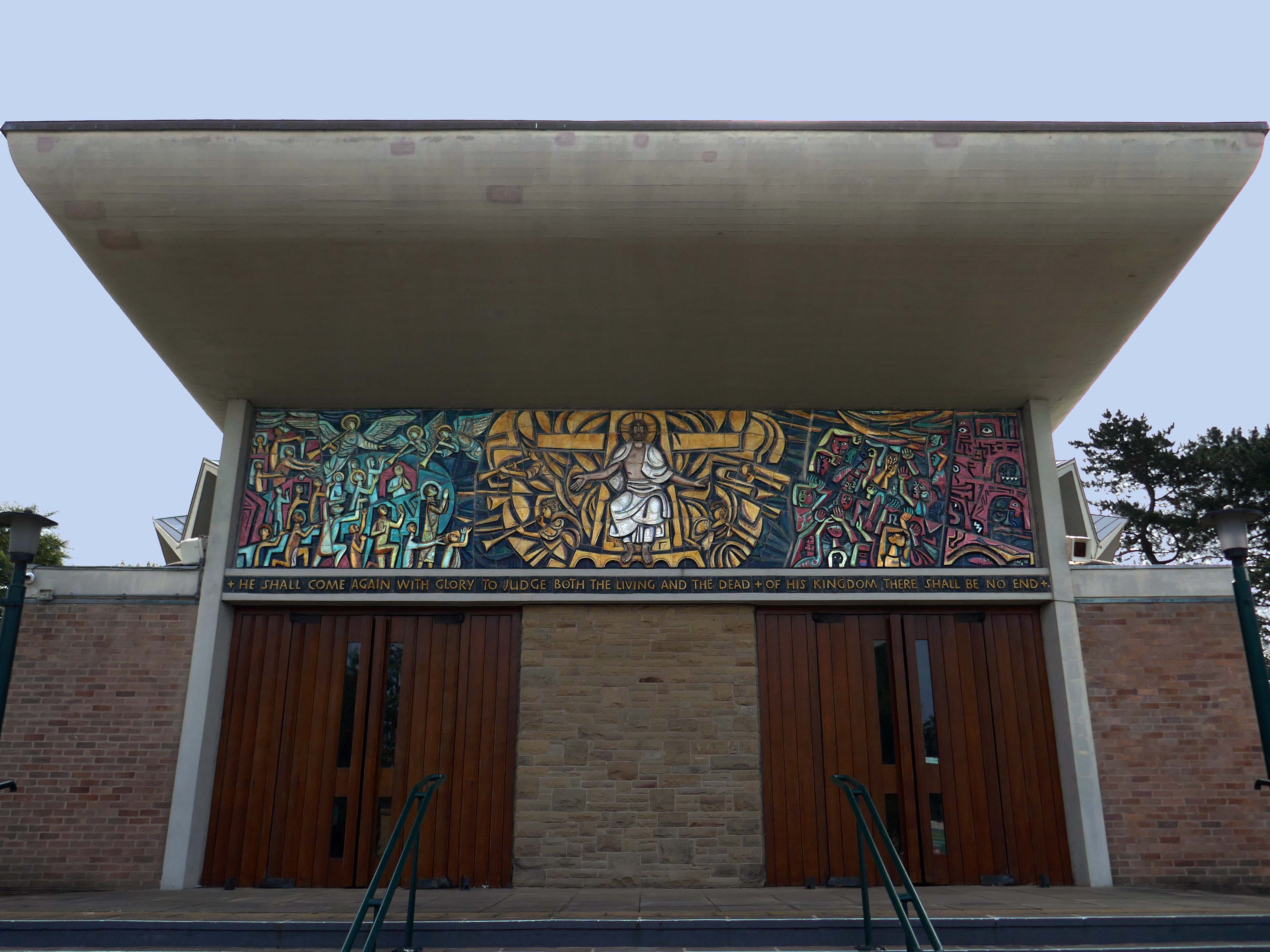
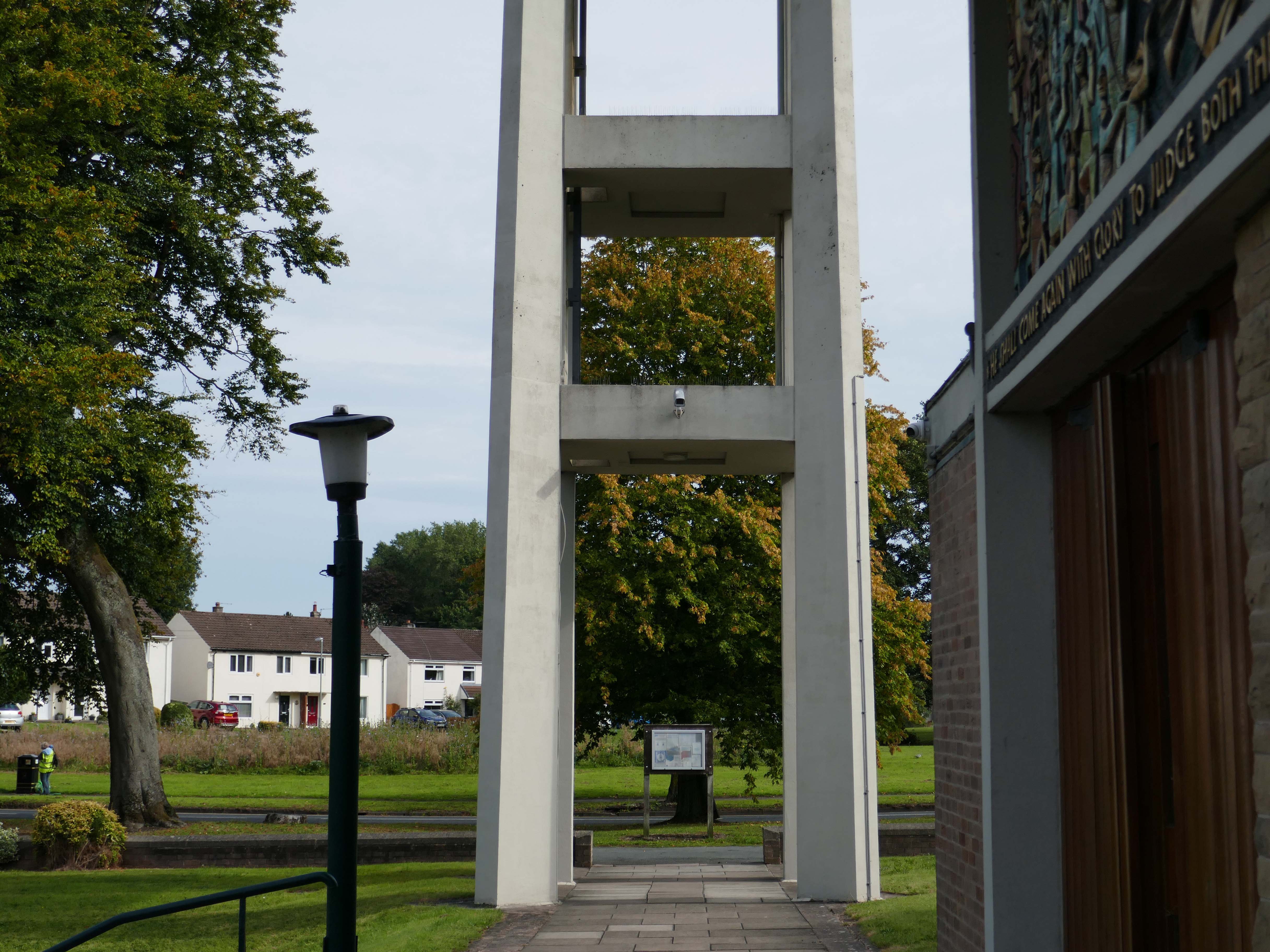
May I first thanks Parish Administrator Catherine, for taking the time to open the church for our visiting group of Modernists this Saturday – and providing us with the warmest of welcomes, along with a brew and a biscuit or two.
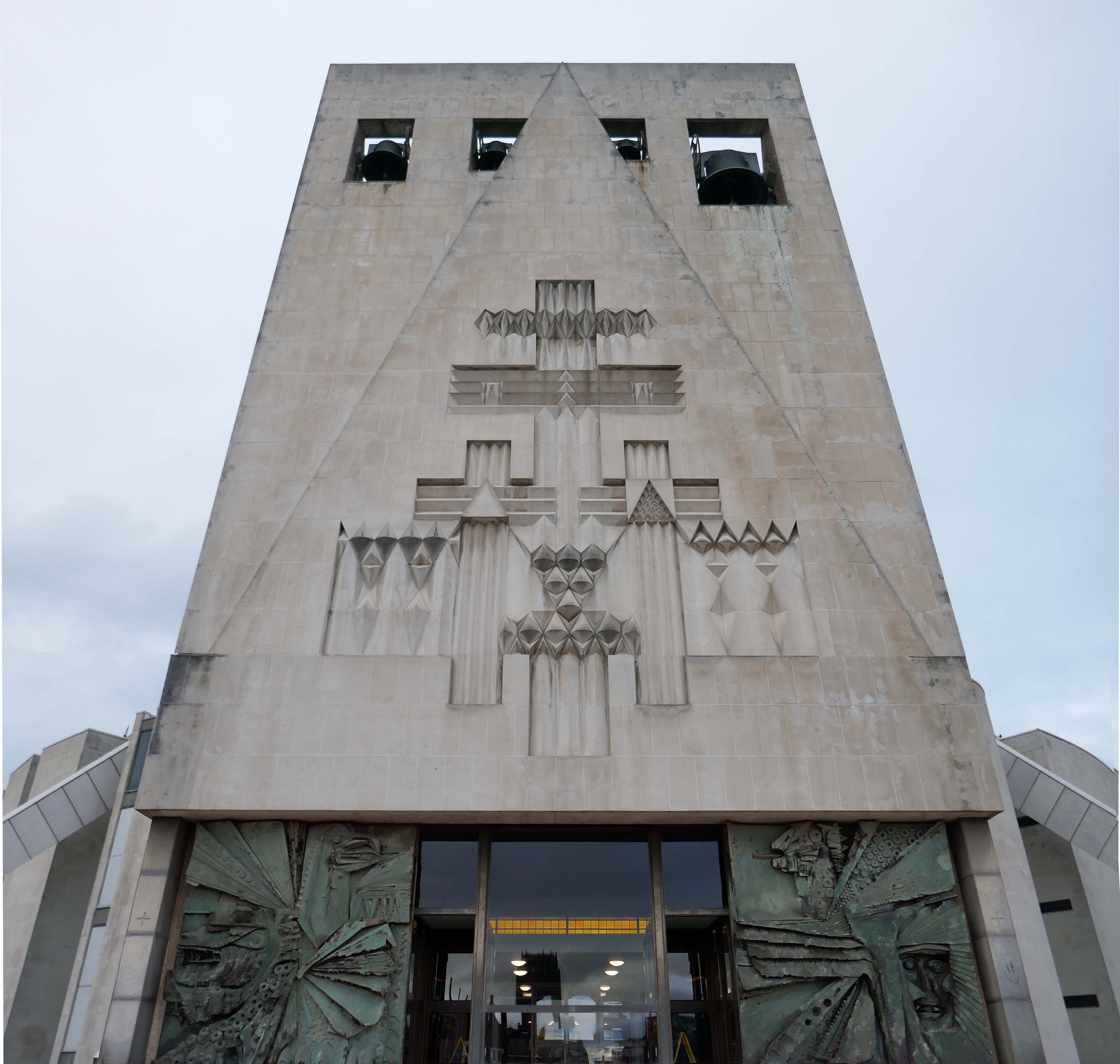
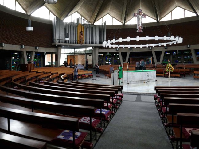
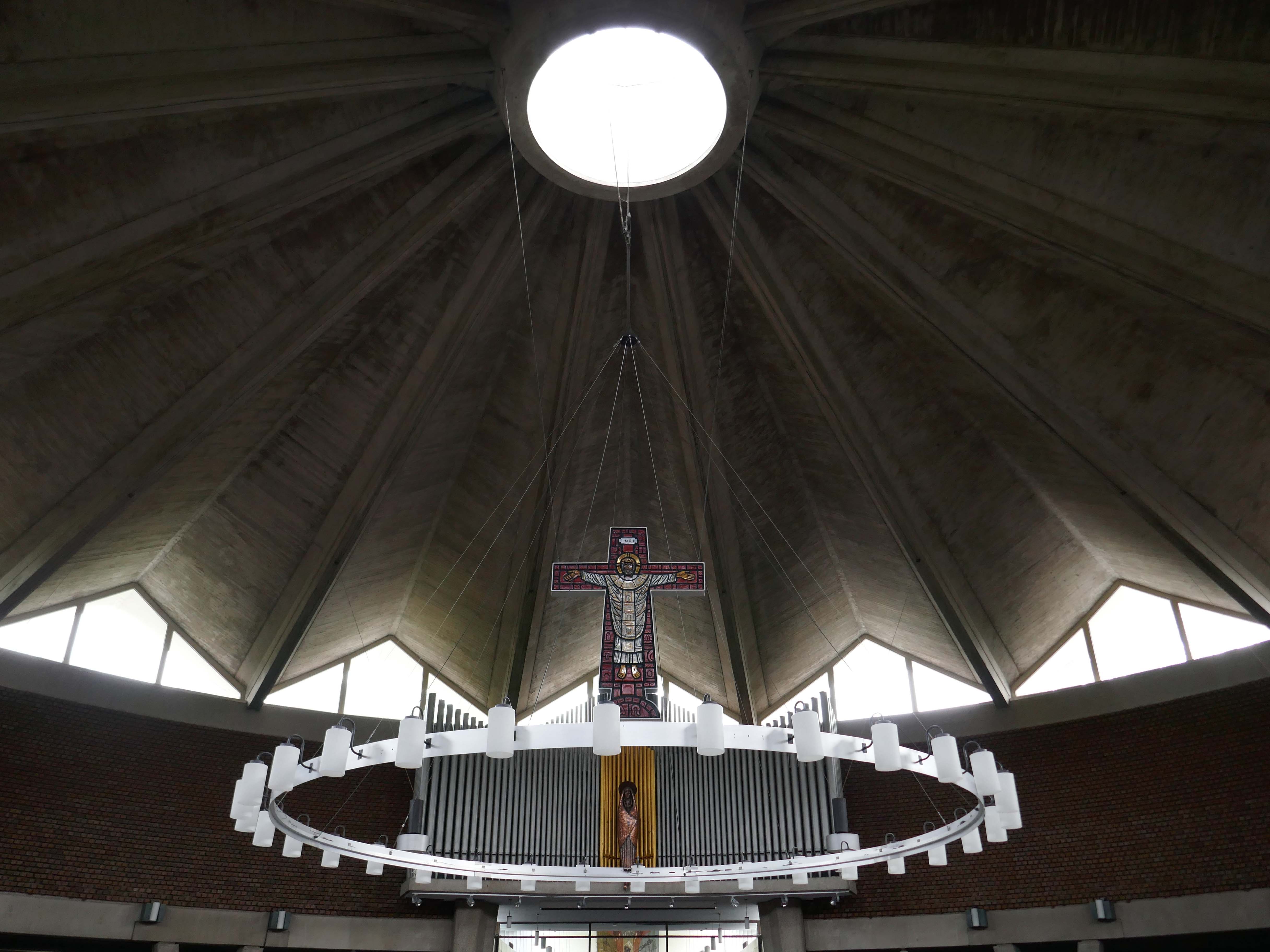
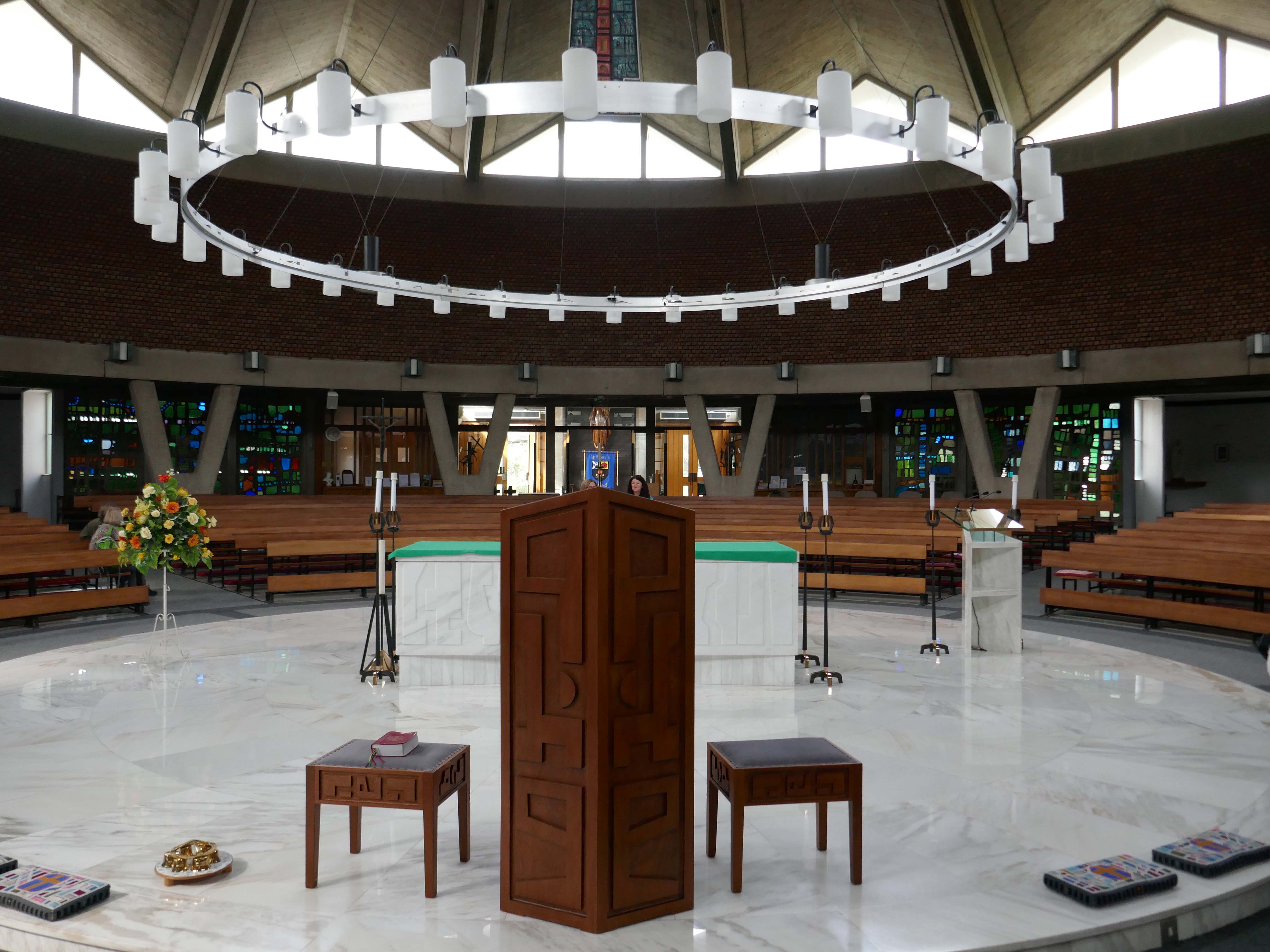
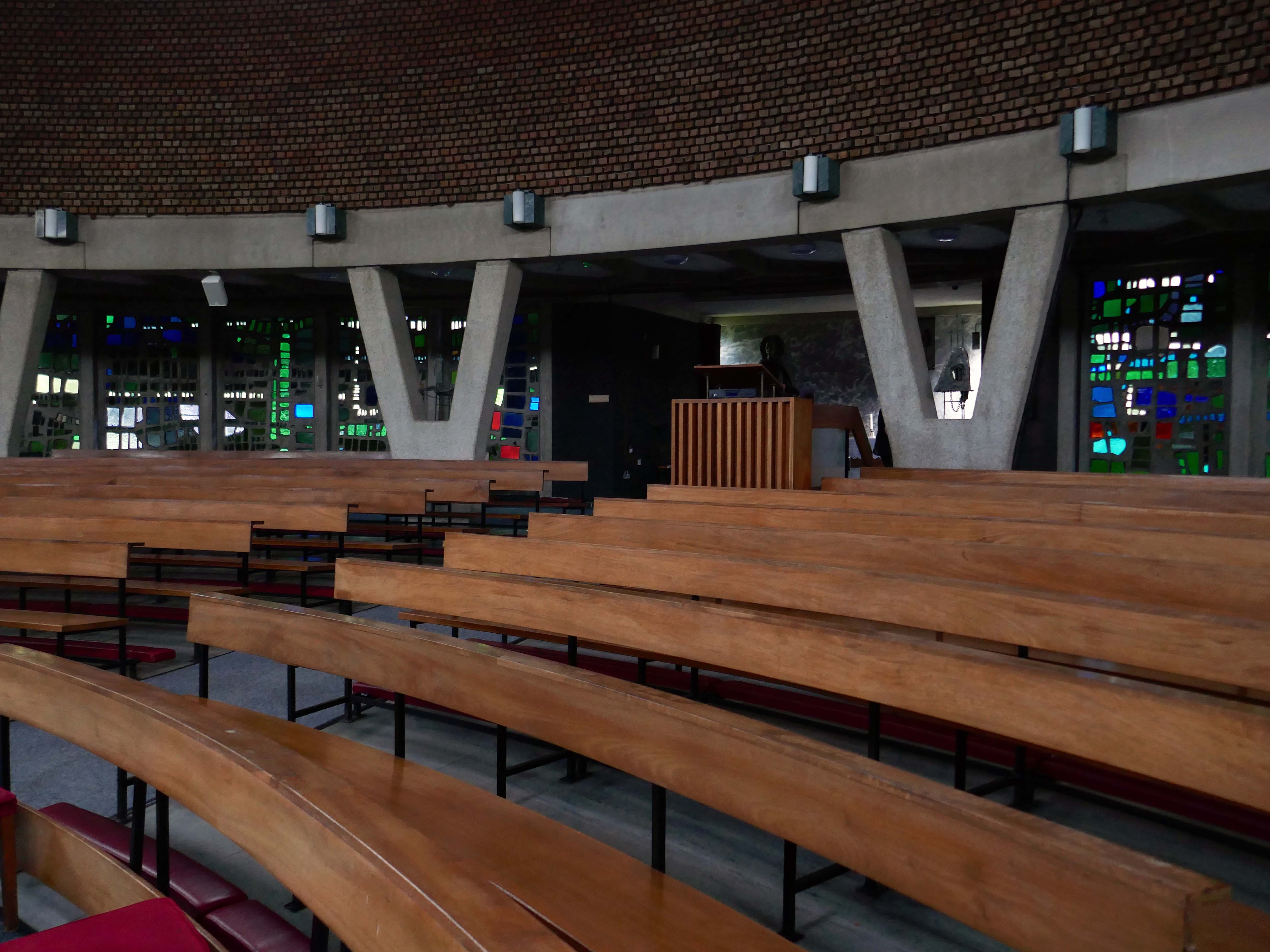
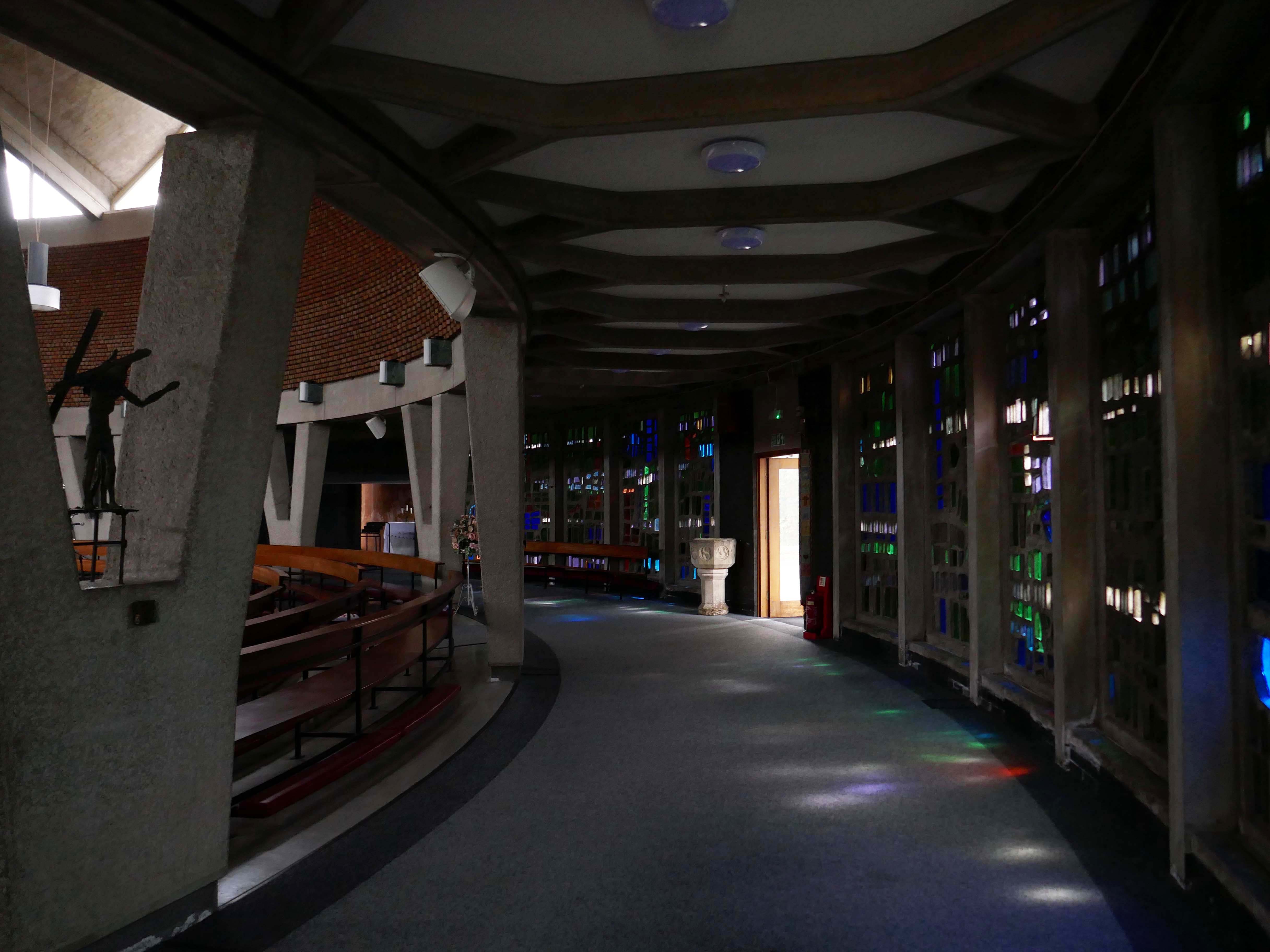
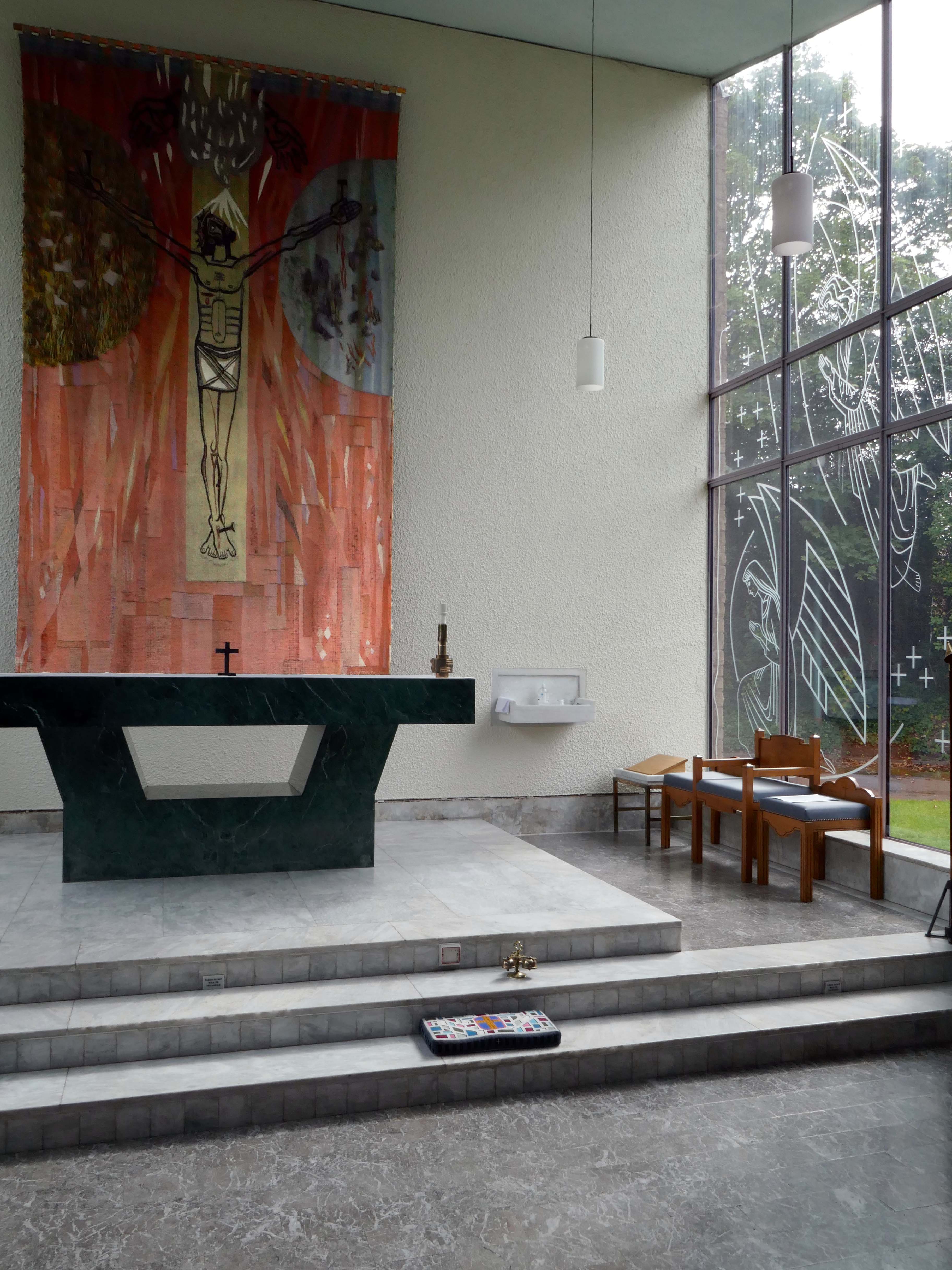
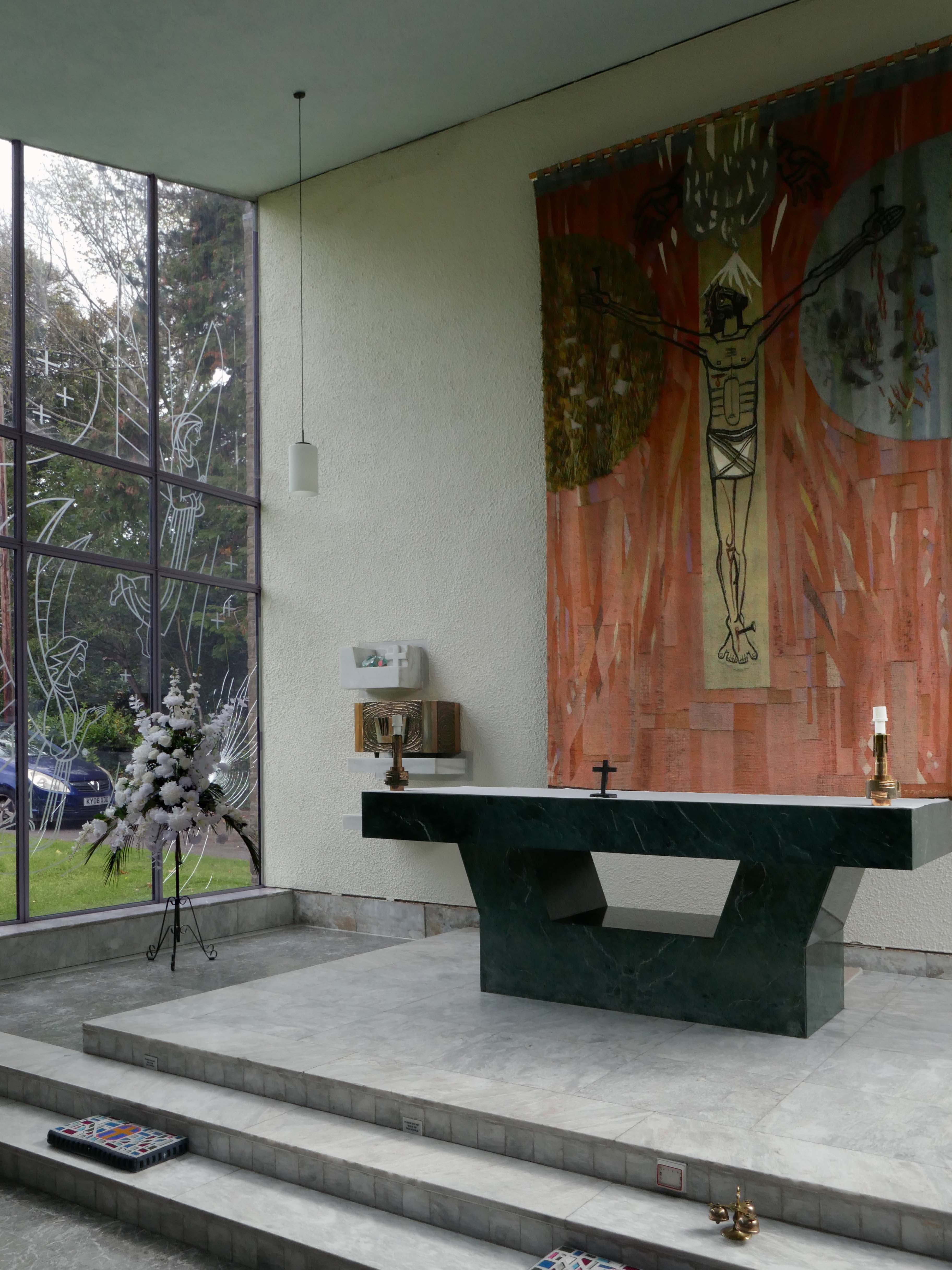
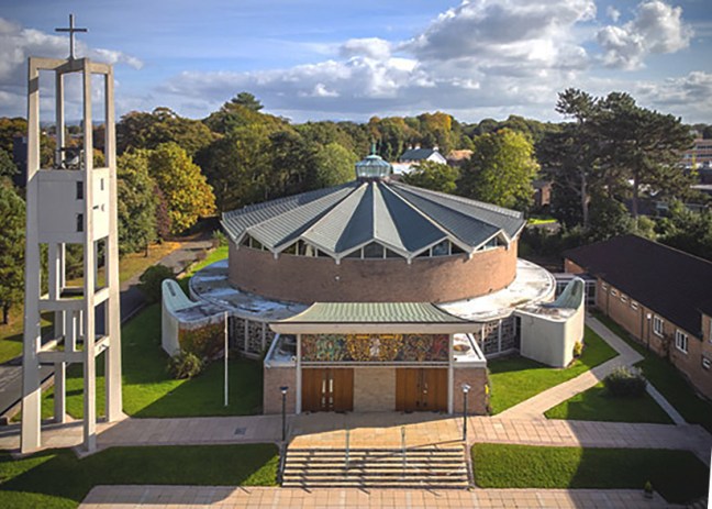
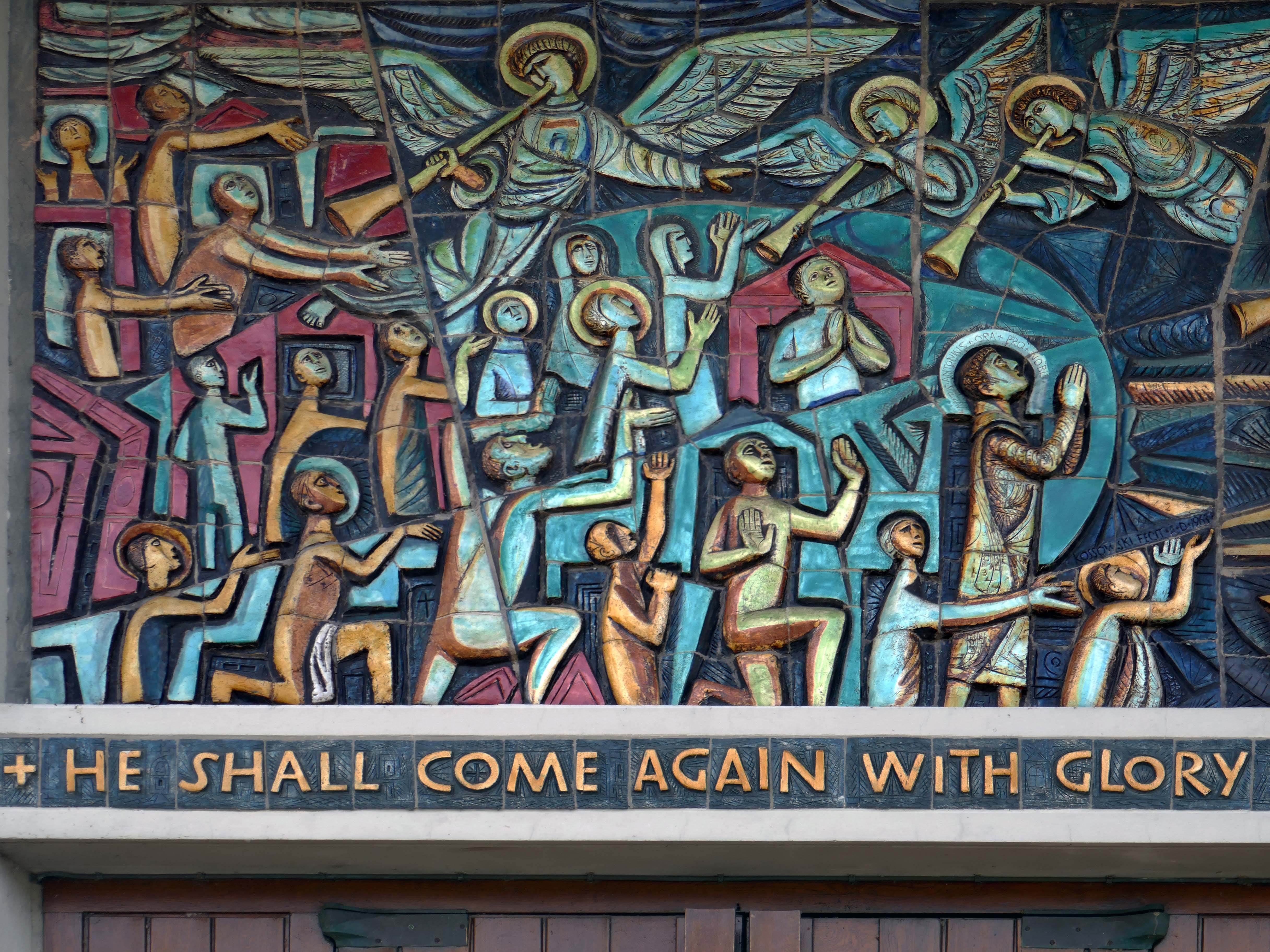
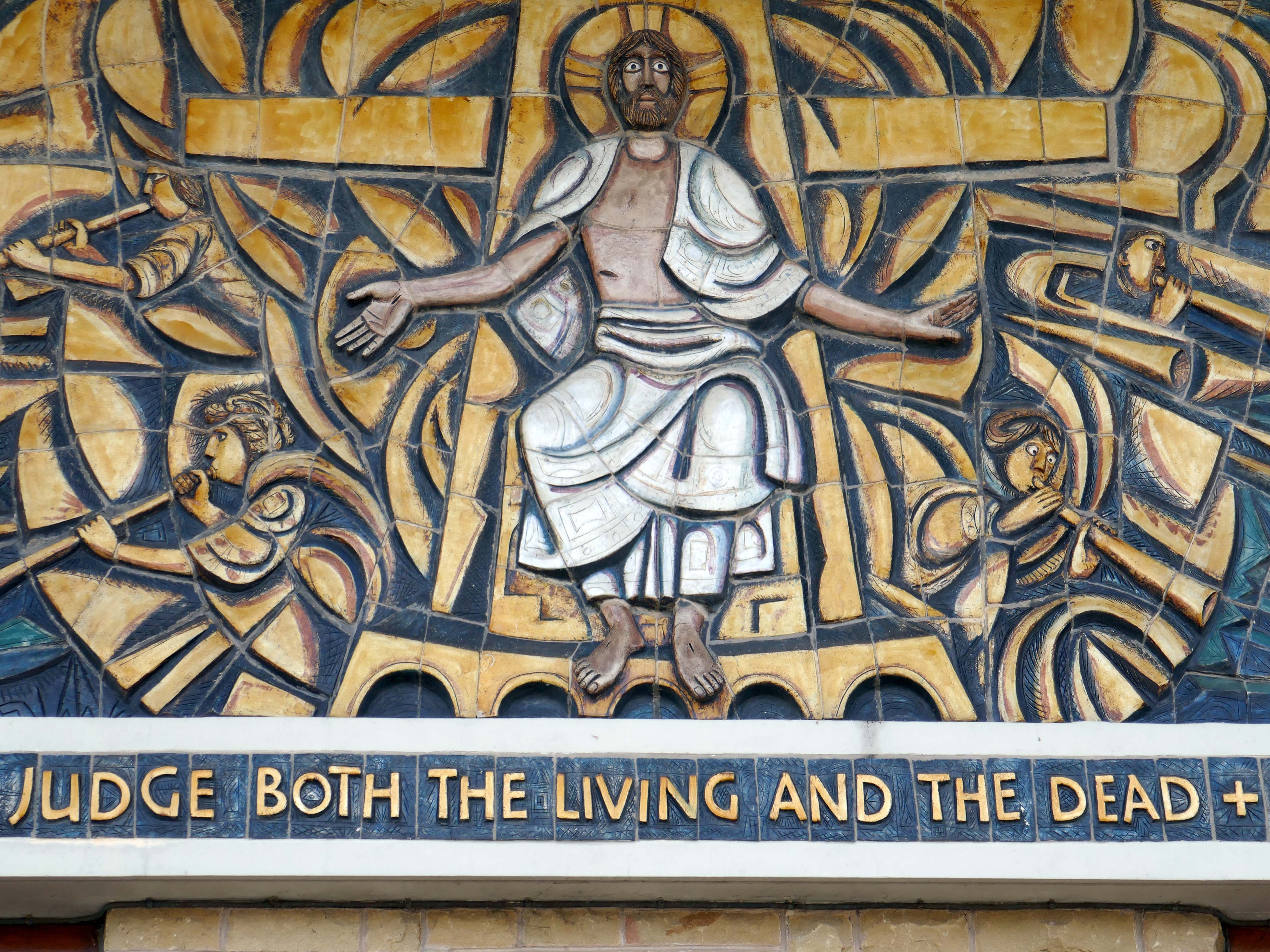
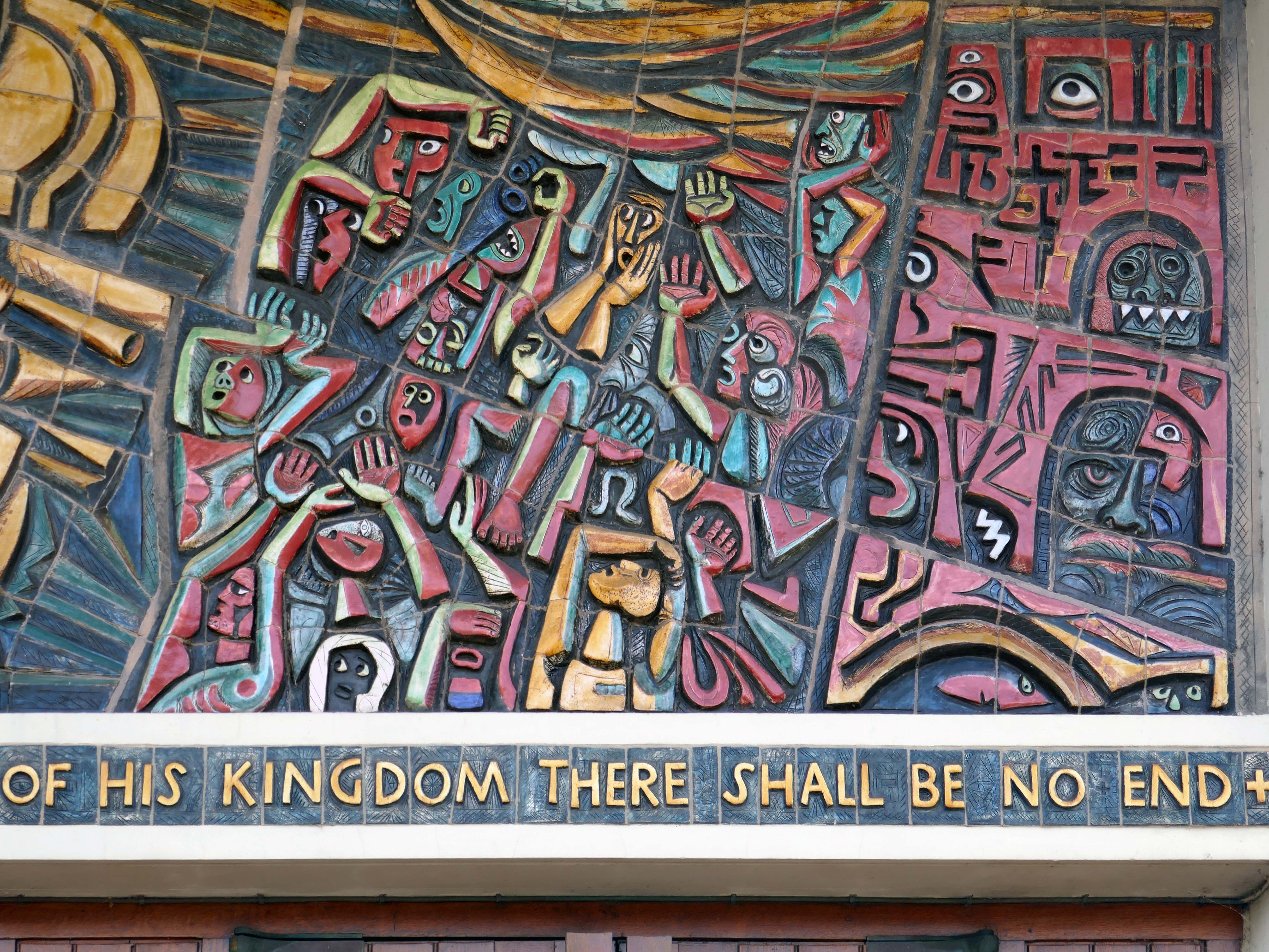
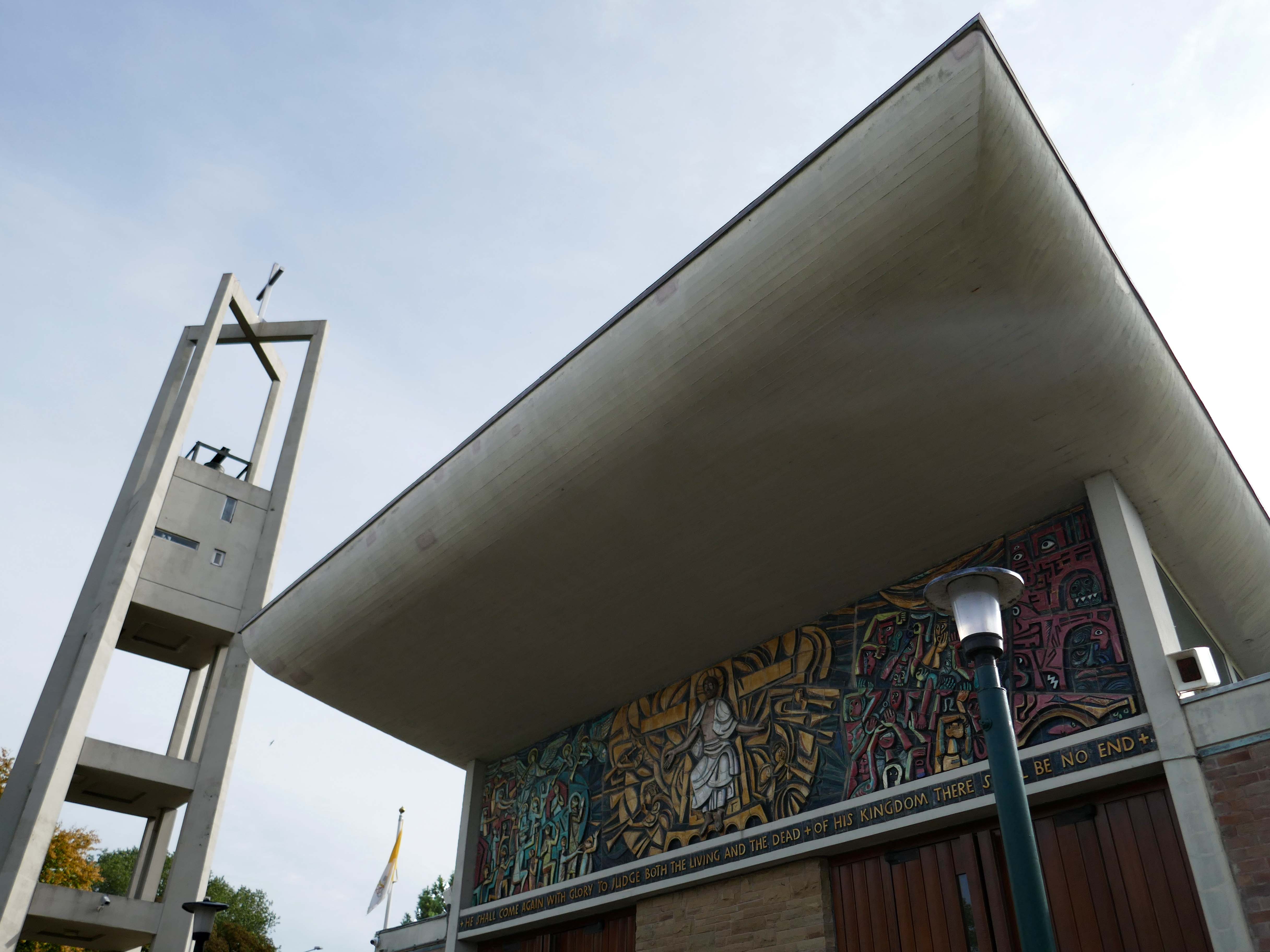
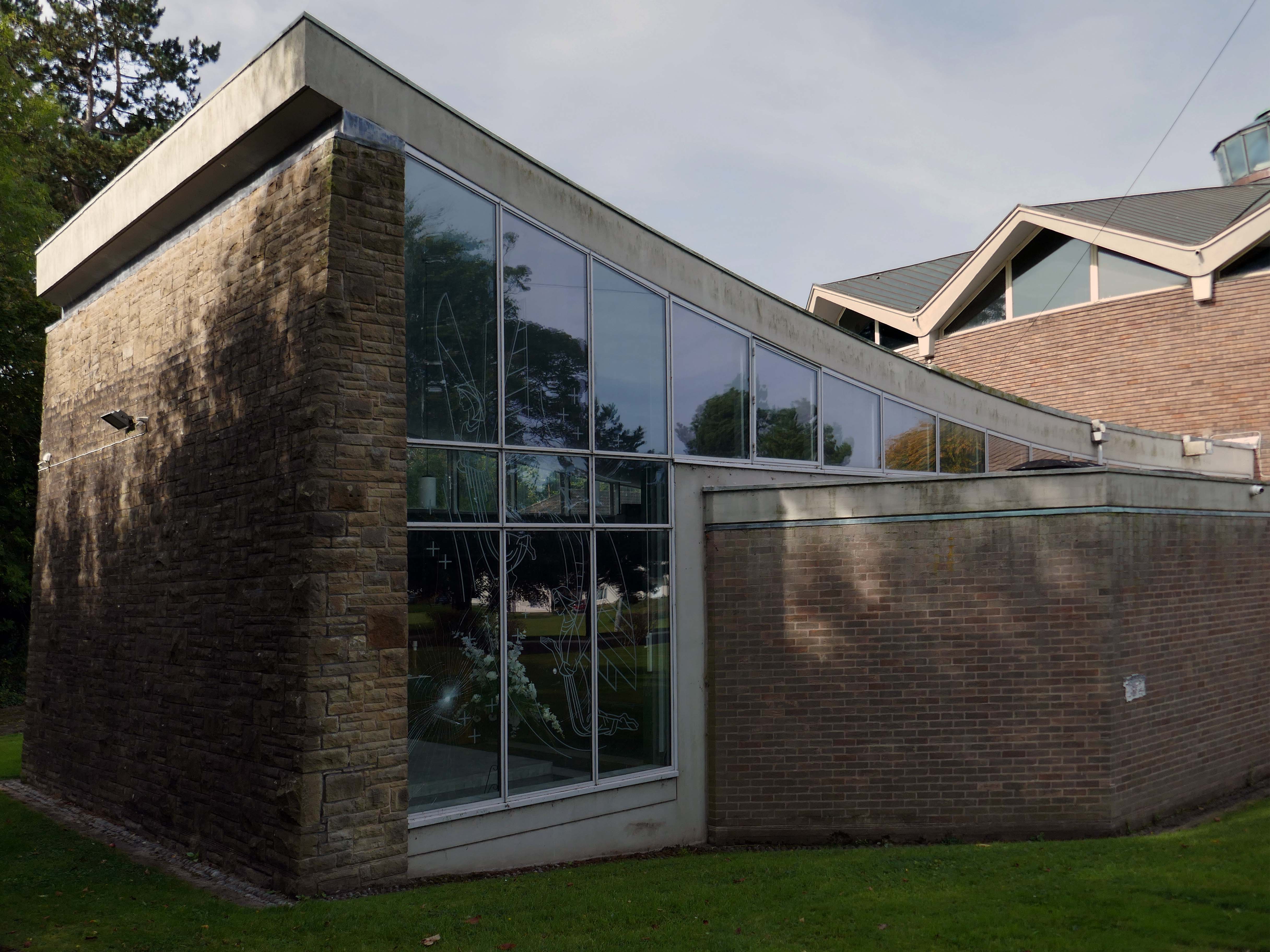
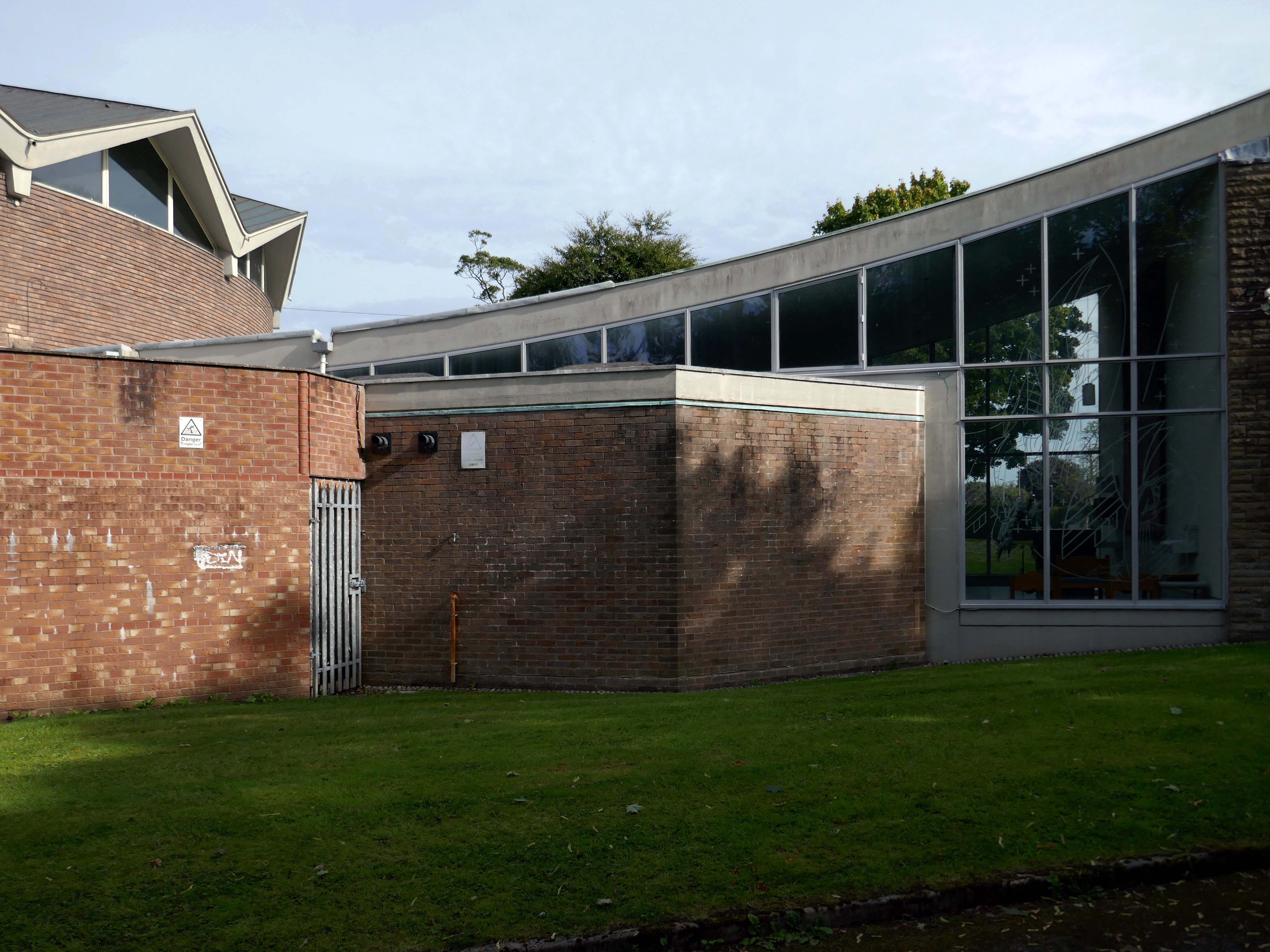
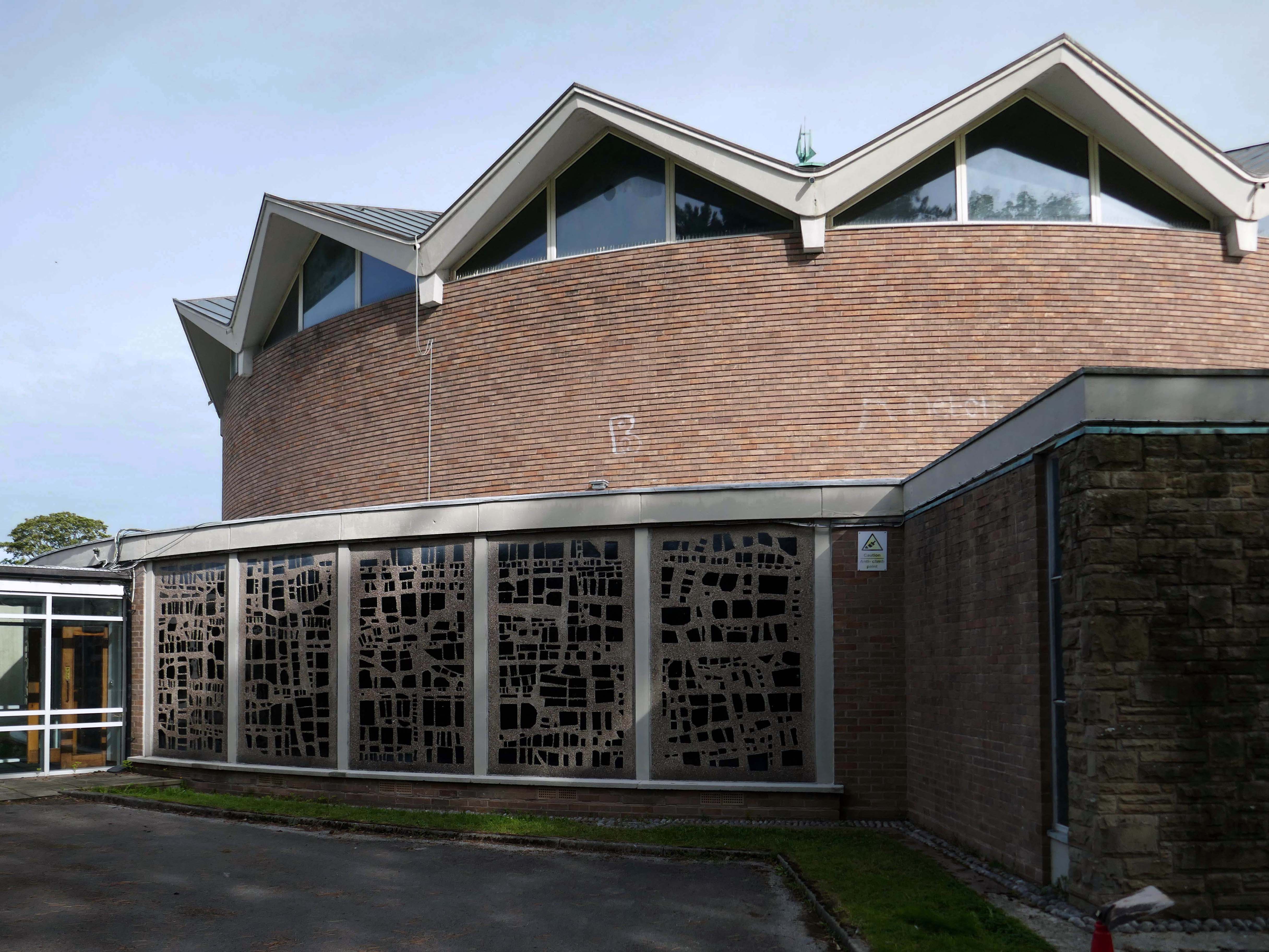
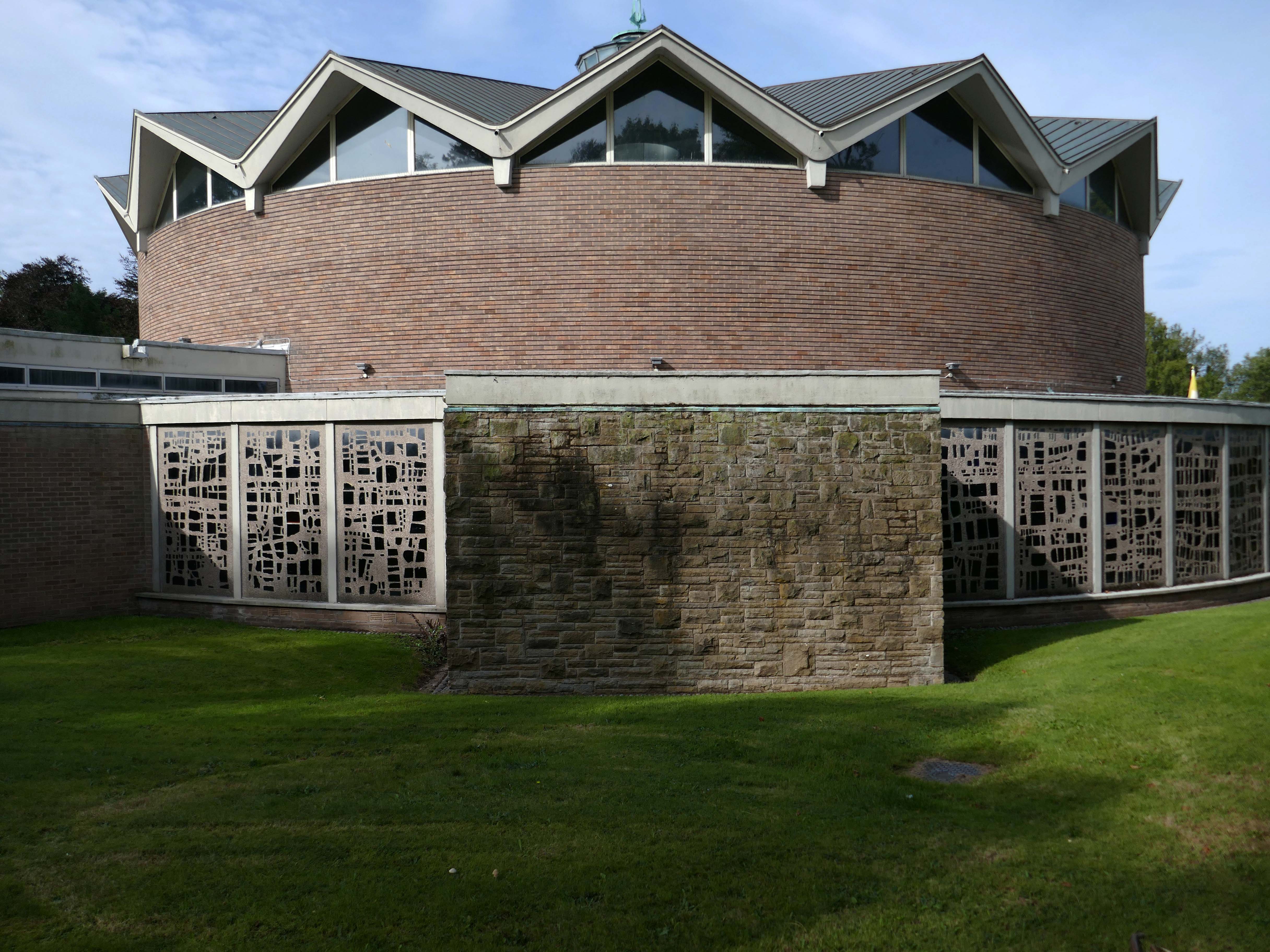
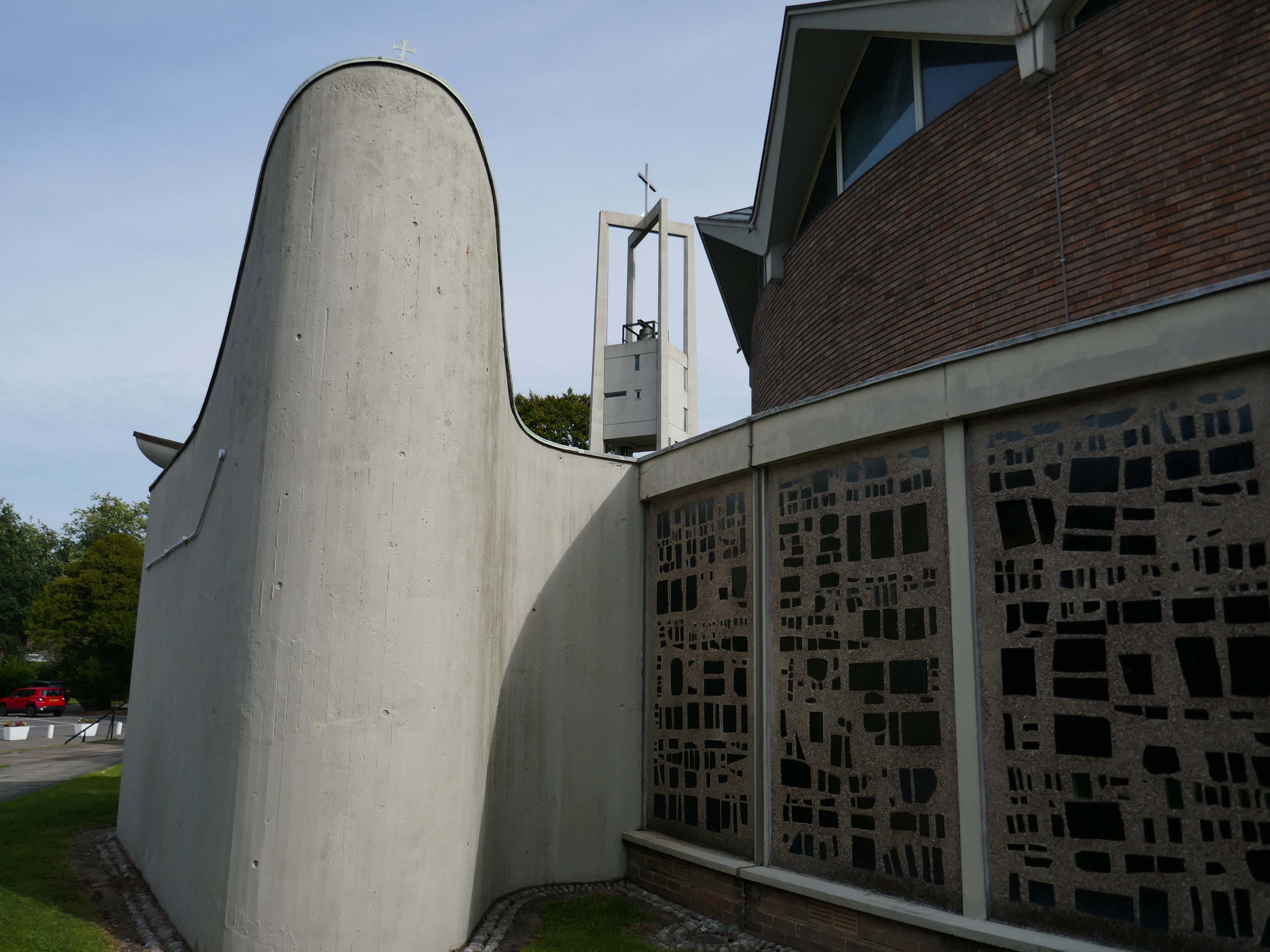
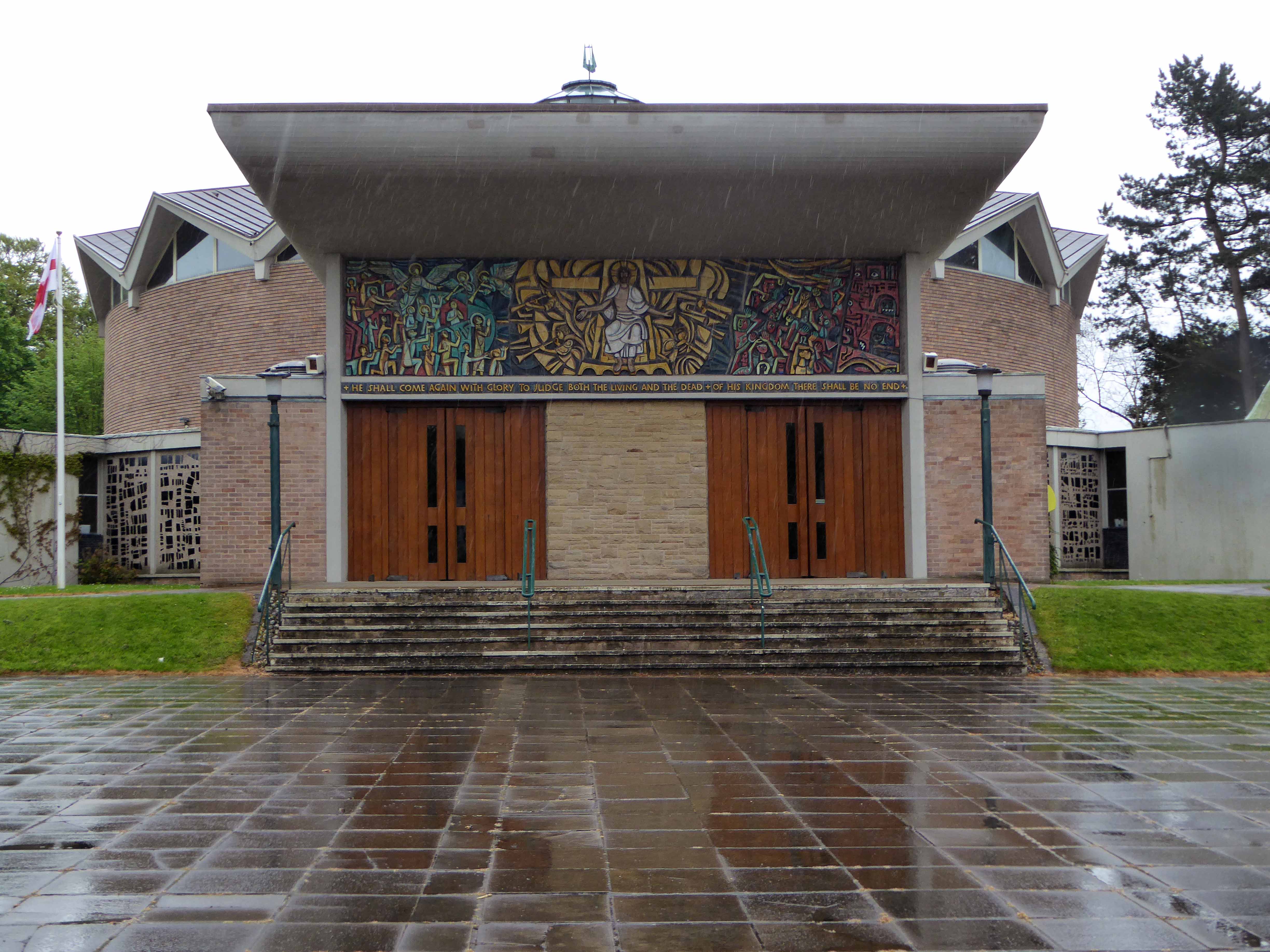
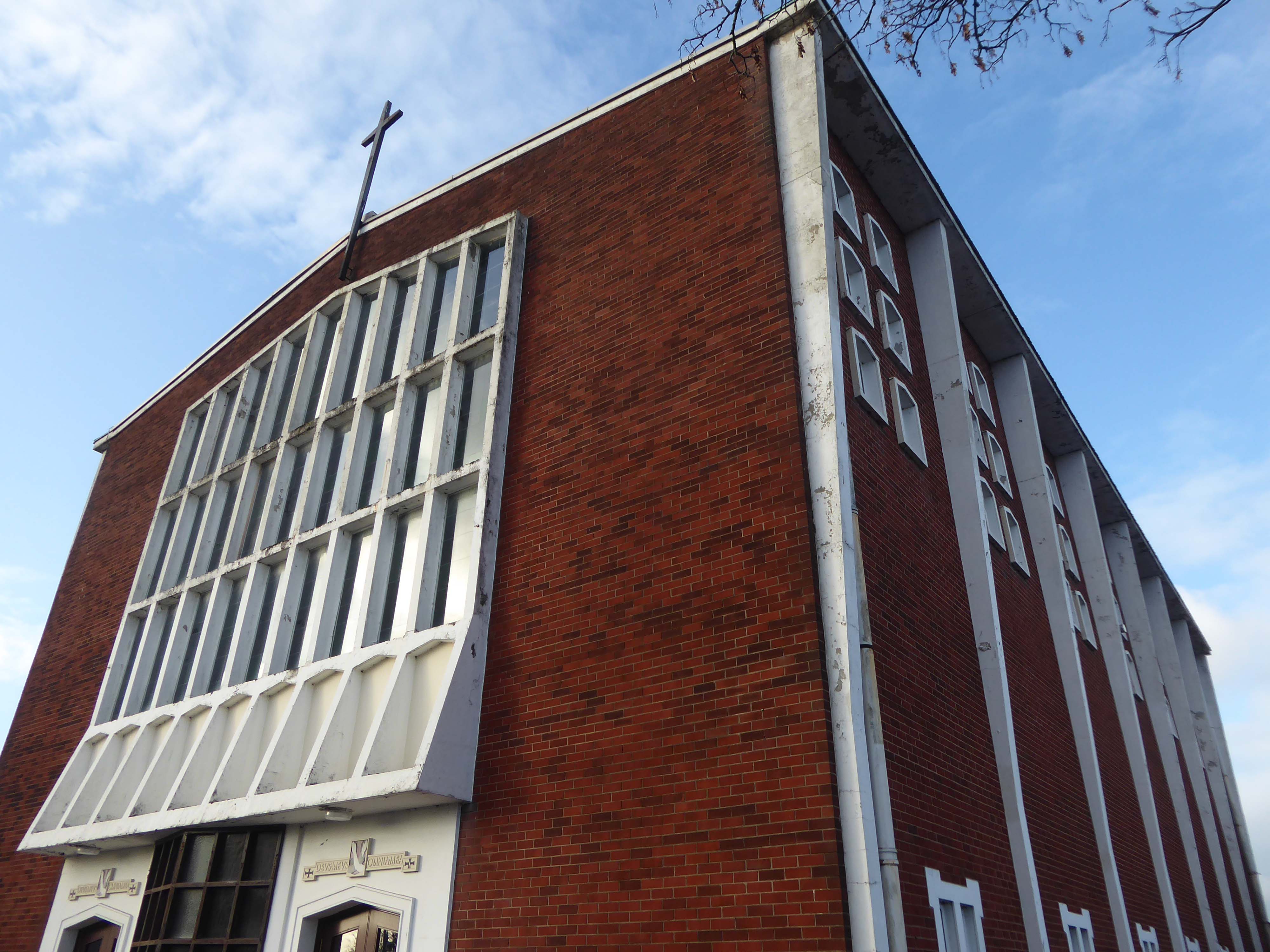
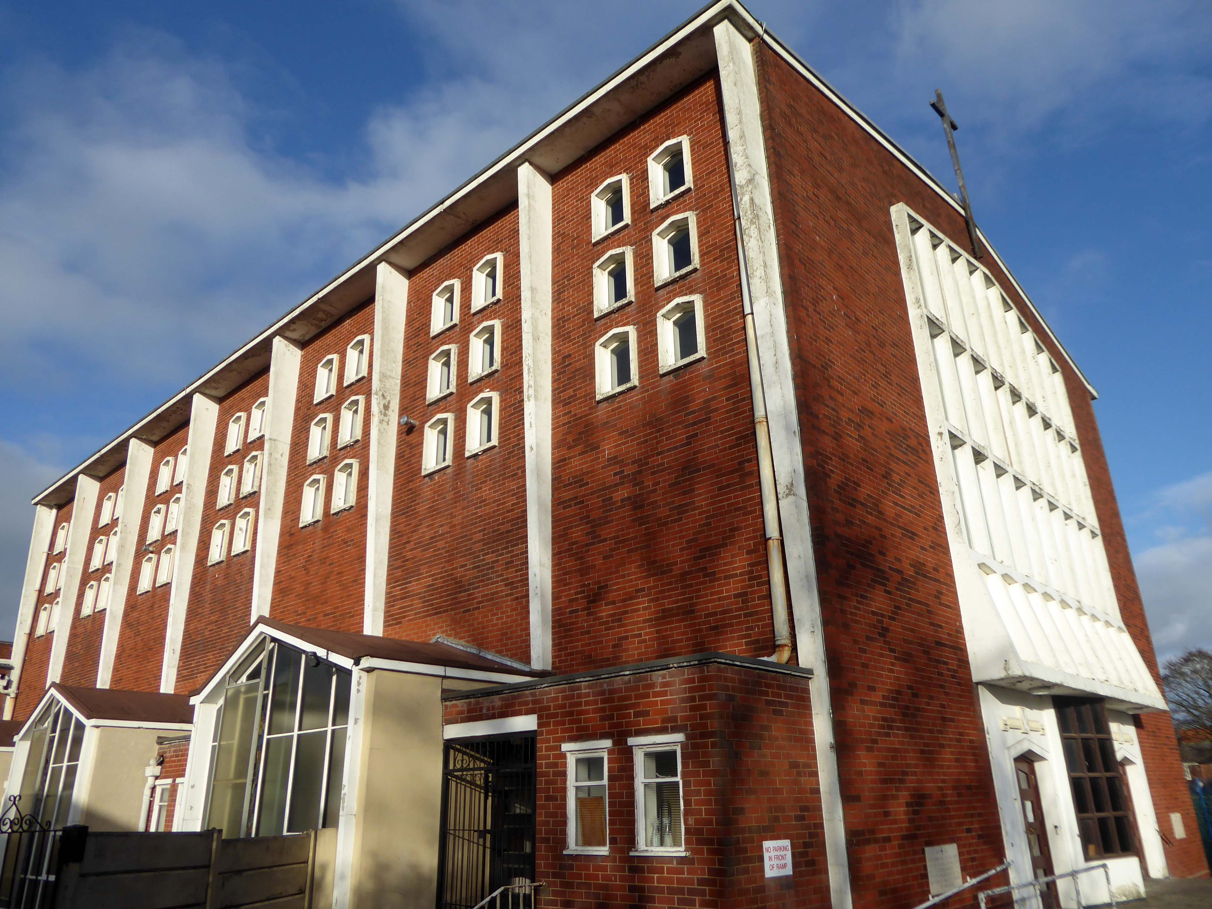
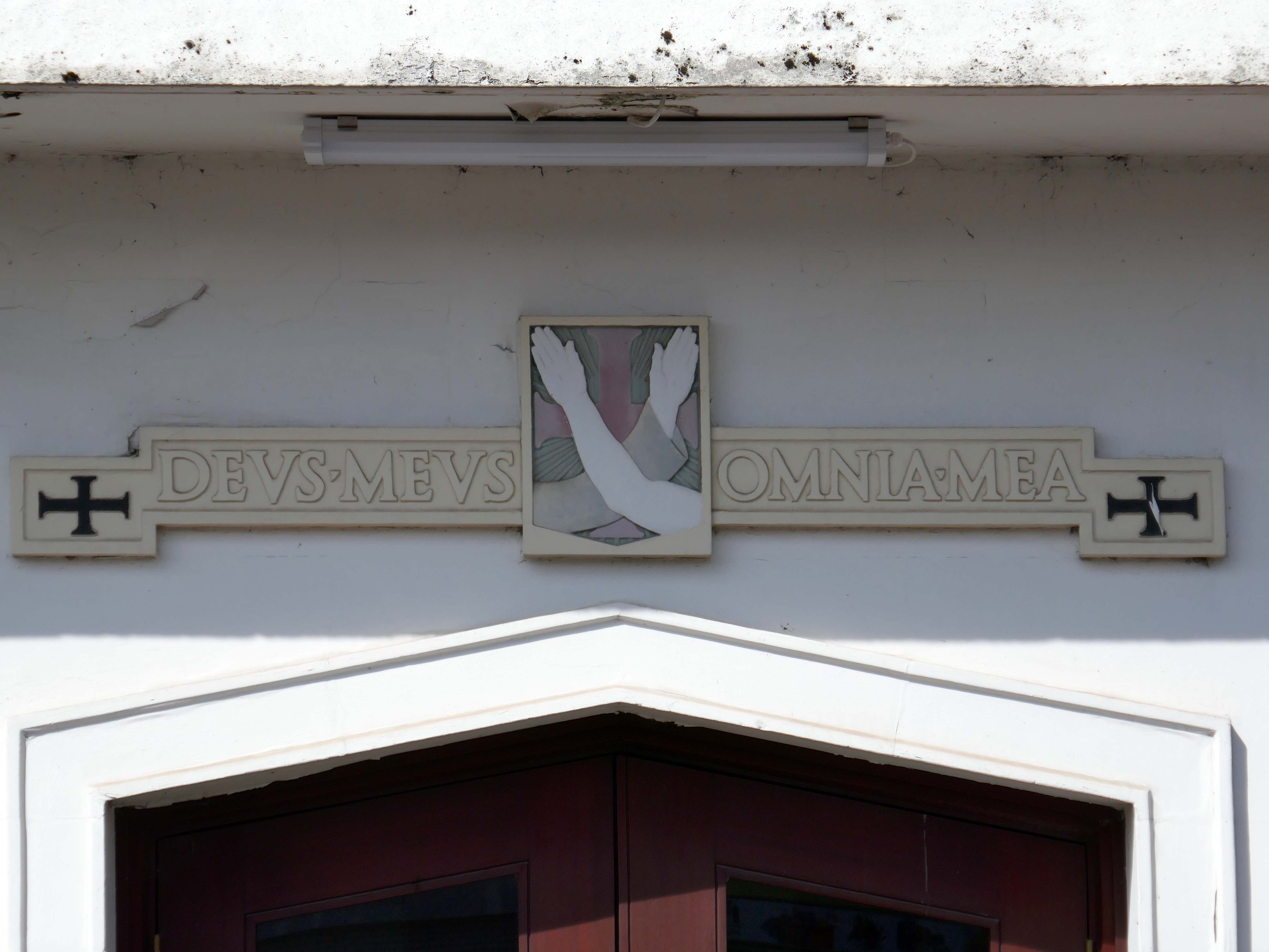
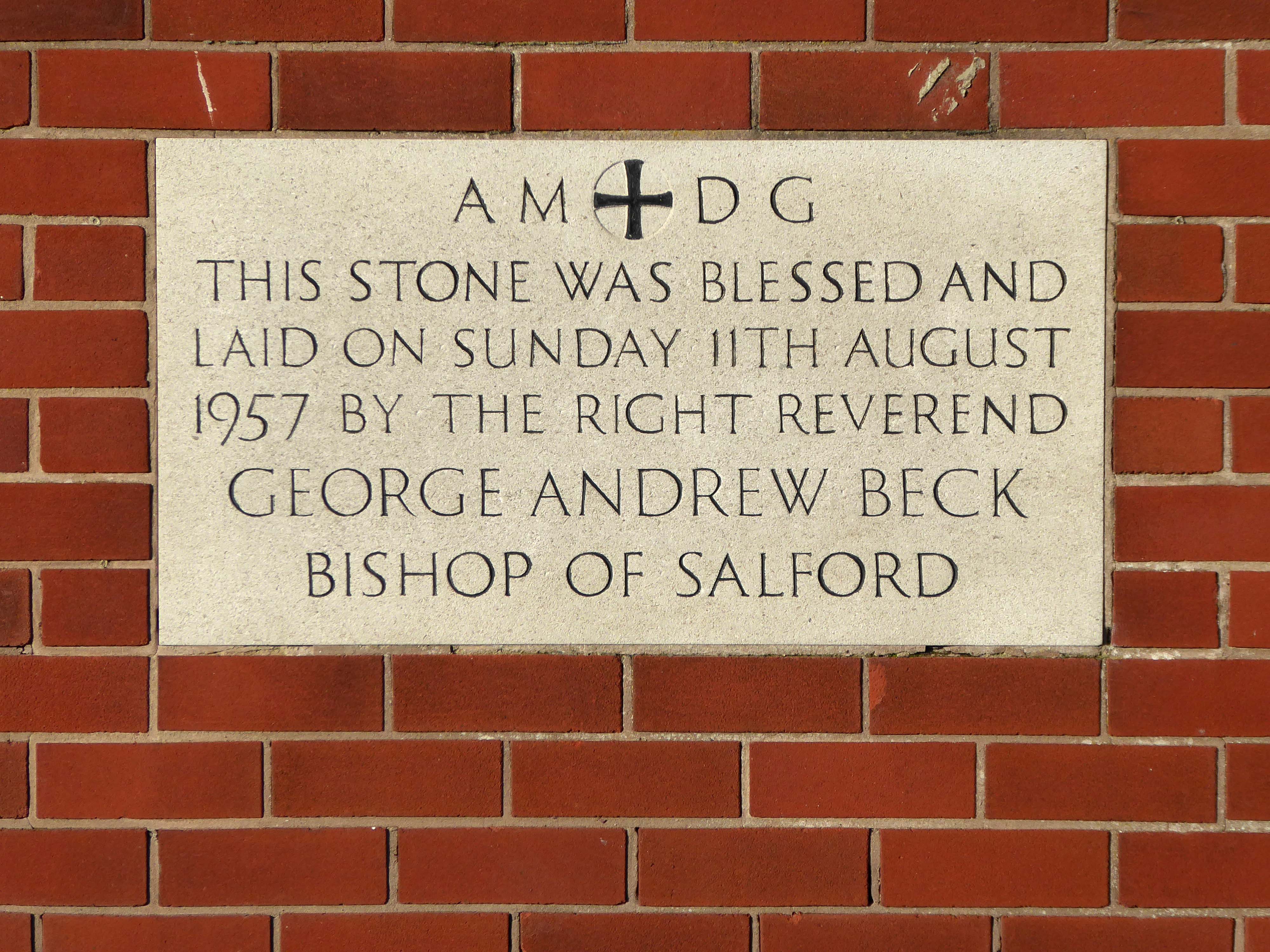
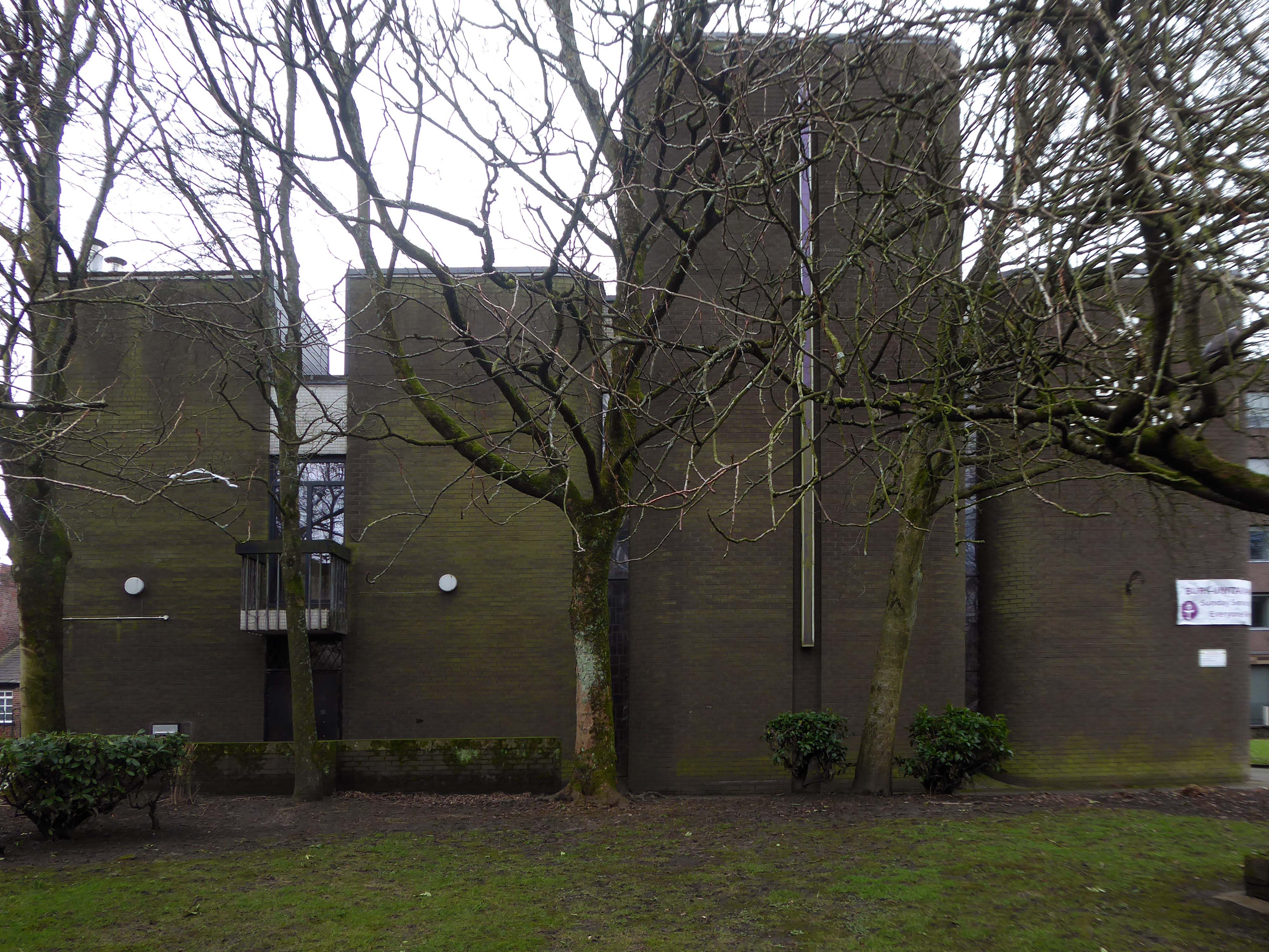
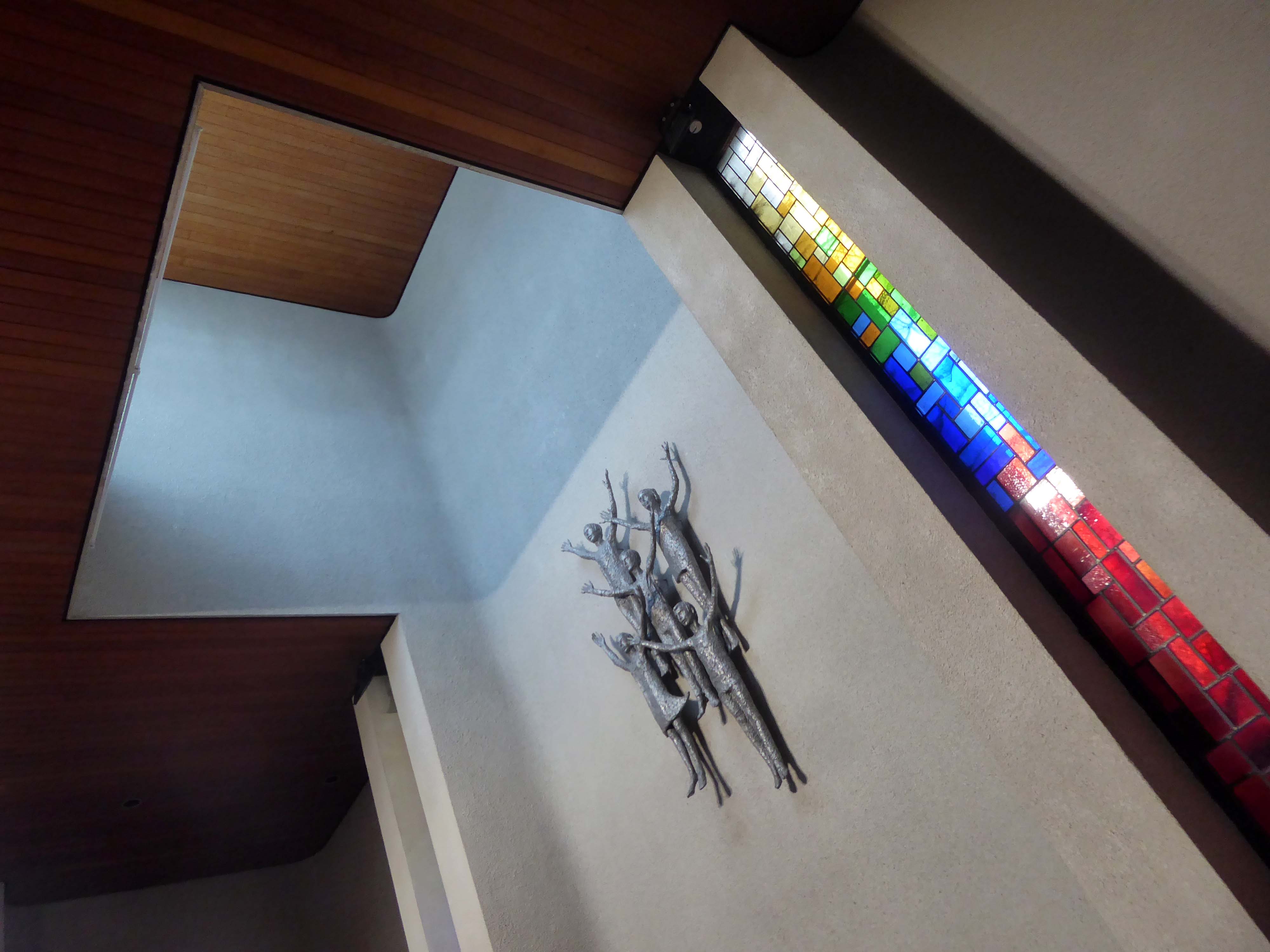
The church was designed by Jerzy Faczynski of Weightman and Bullen. Cardinal Heenan blessed the foundation stone in 1962 and the new church was completed ready for its consecration and dedication by Archbishop Beck in April 1964.
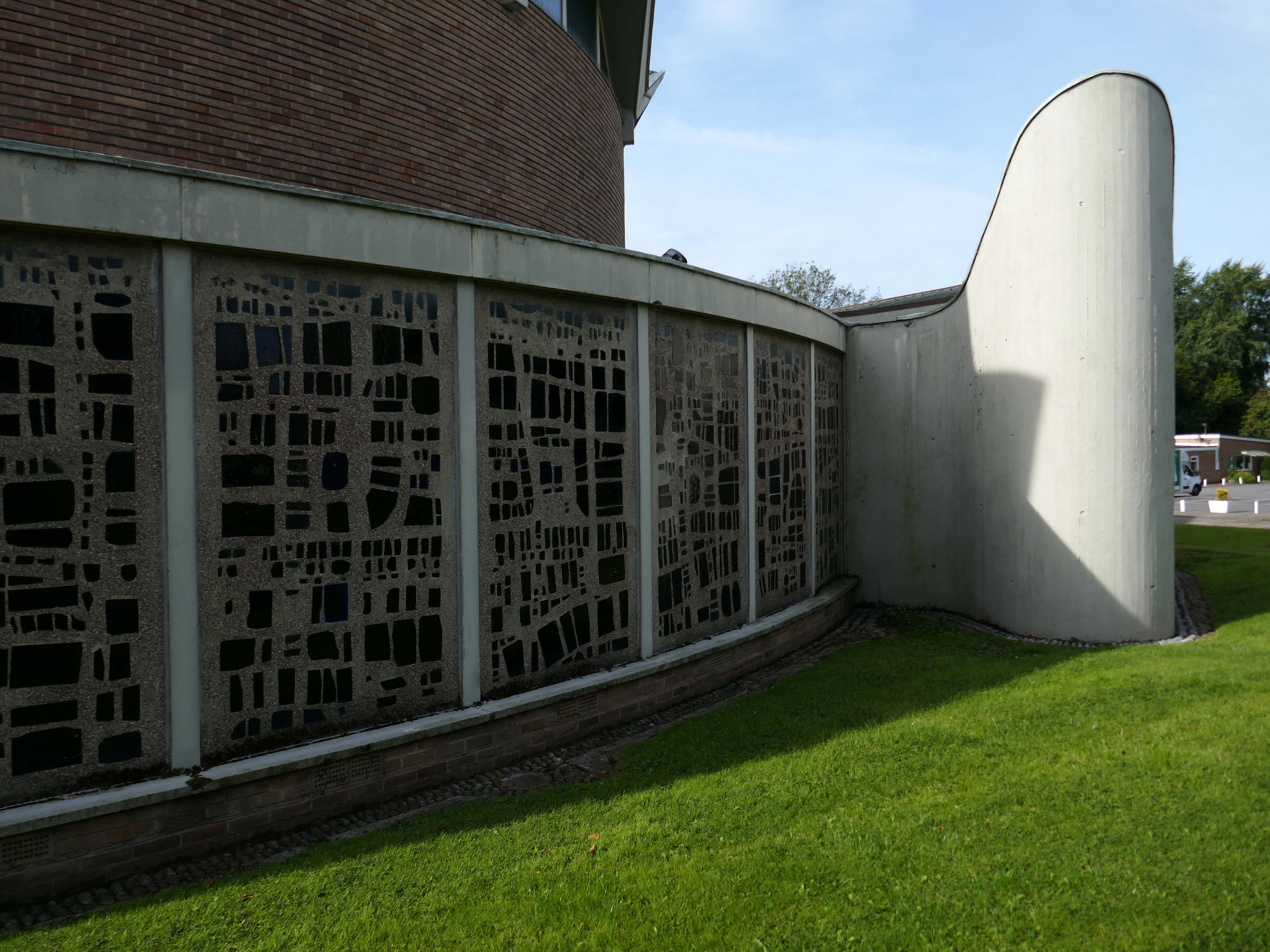
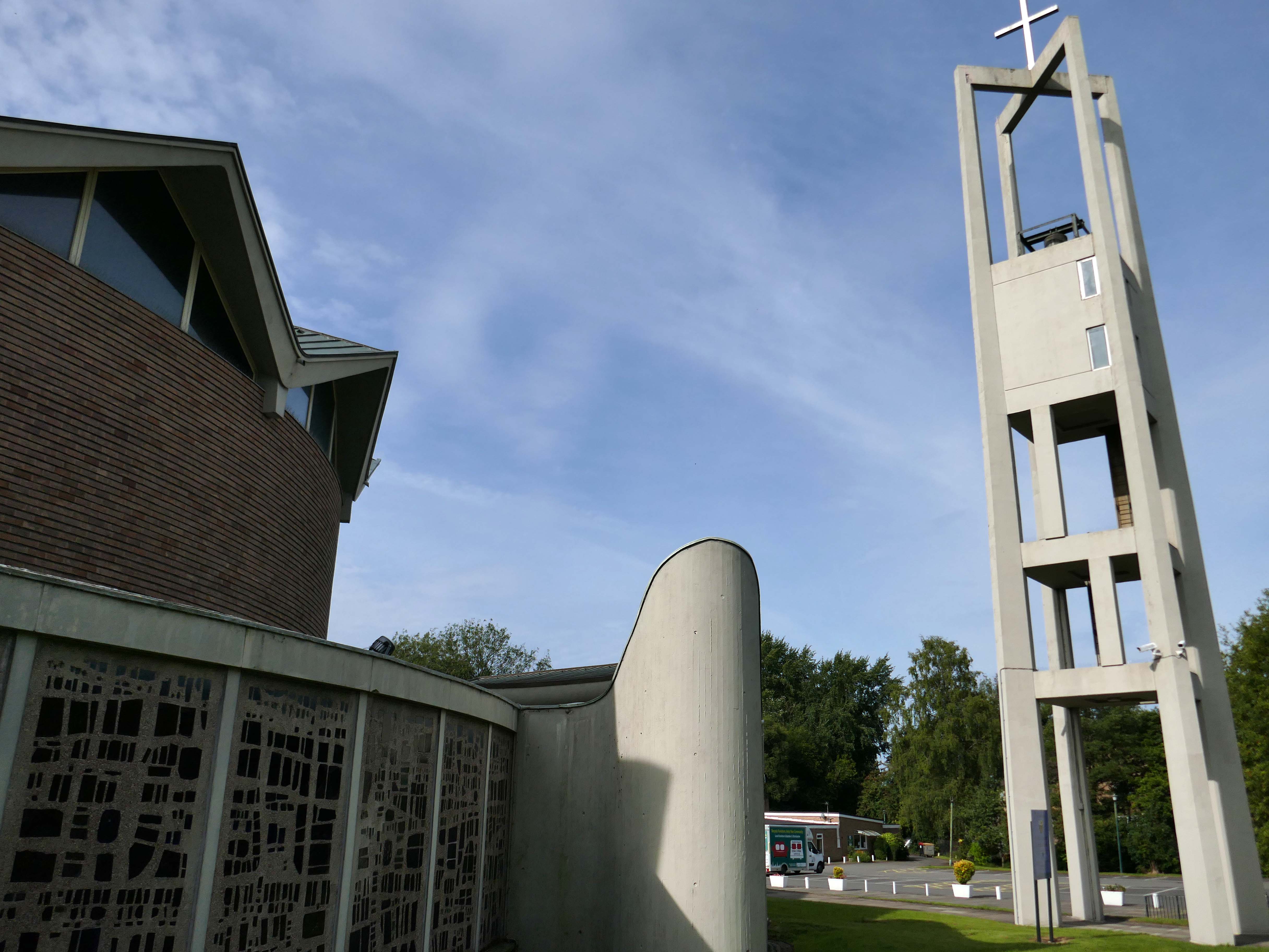
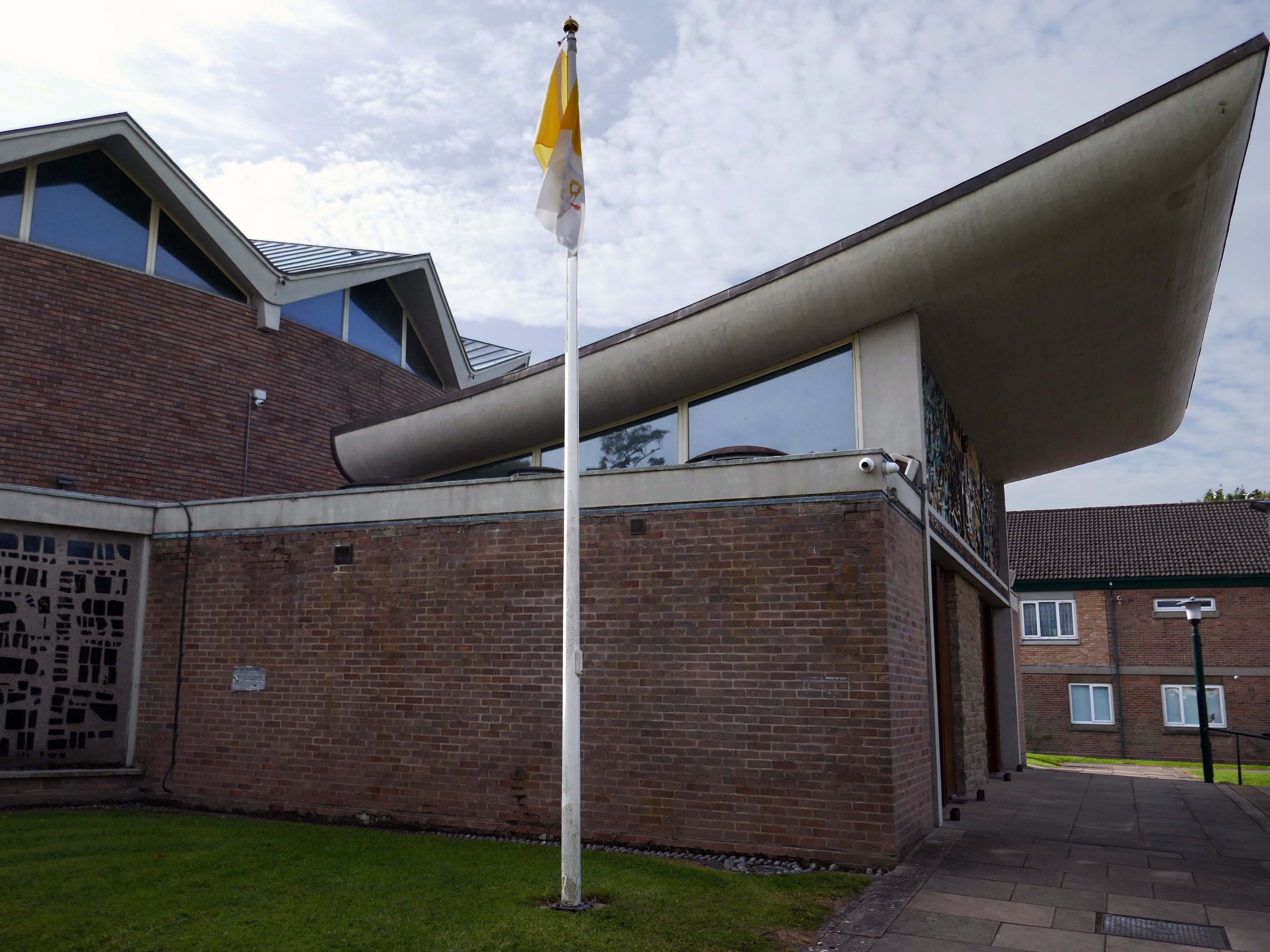
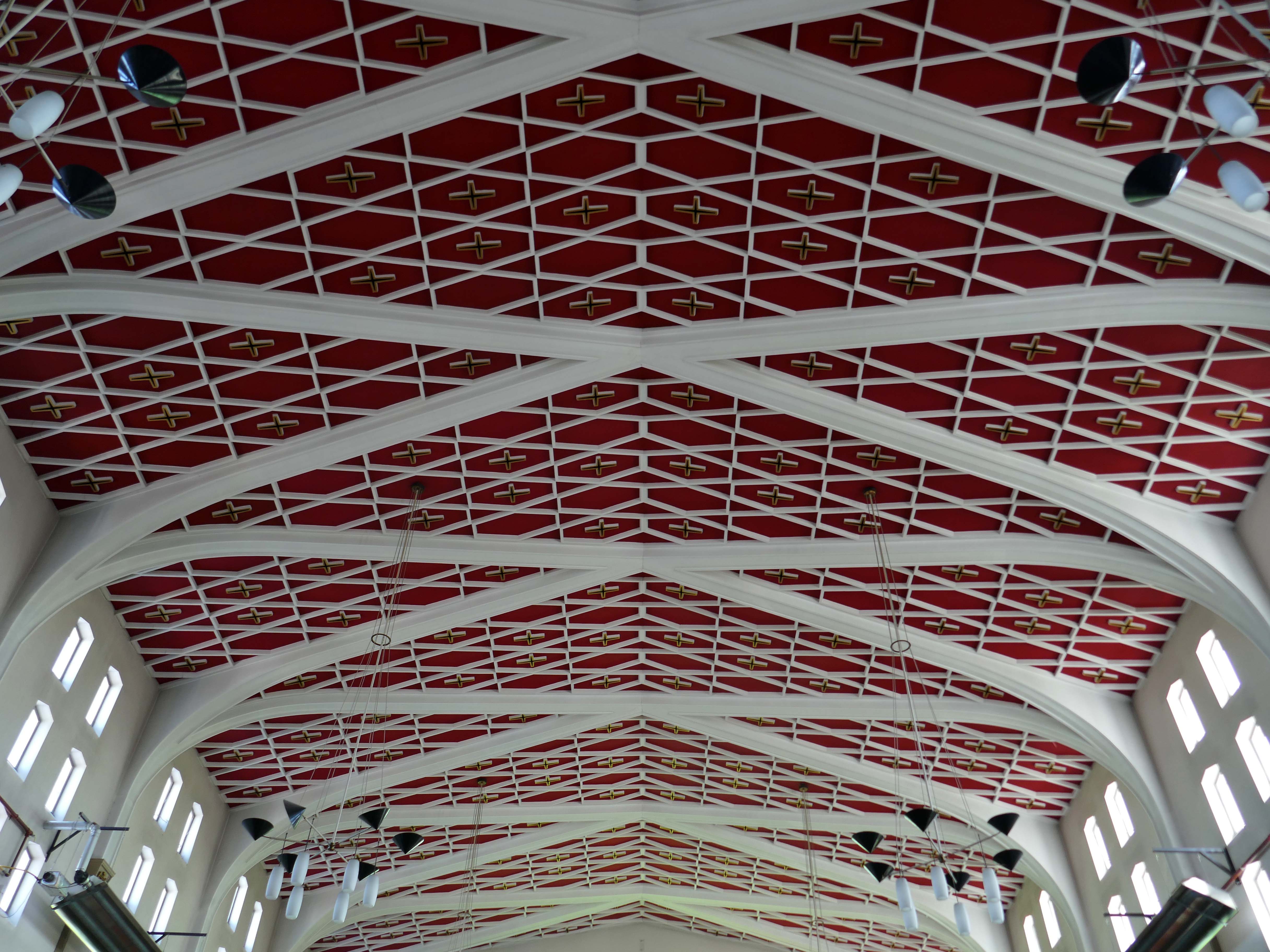
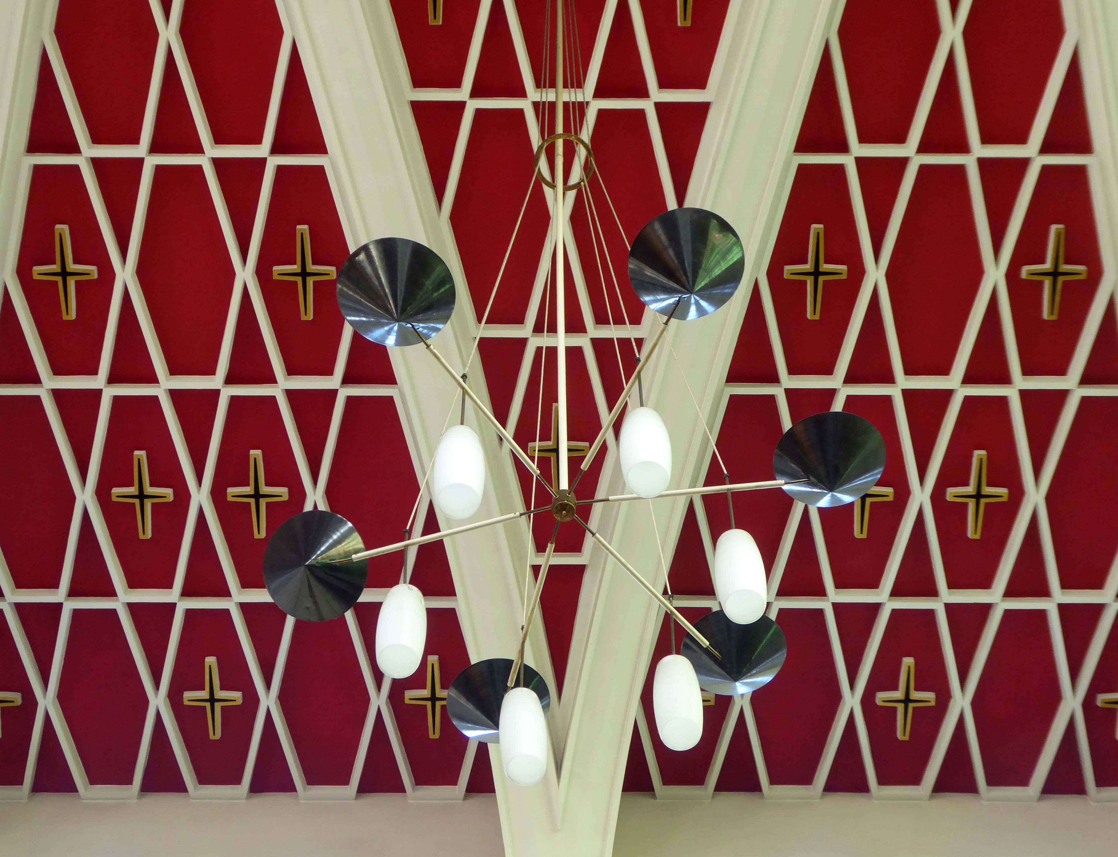
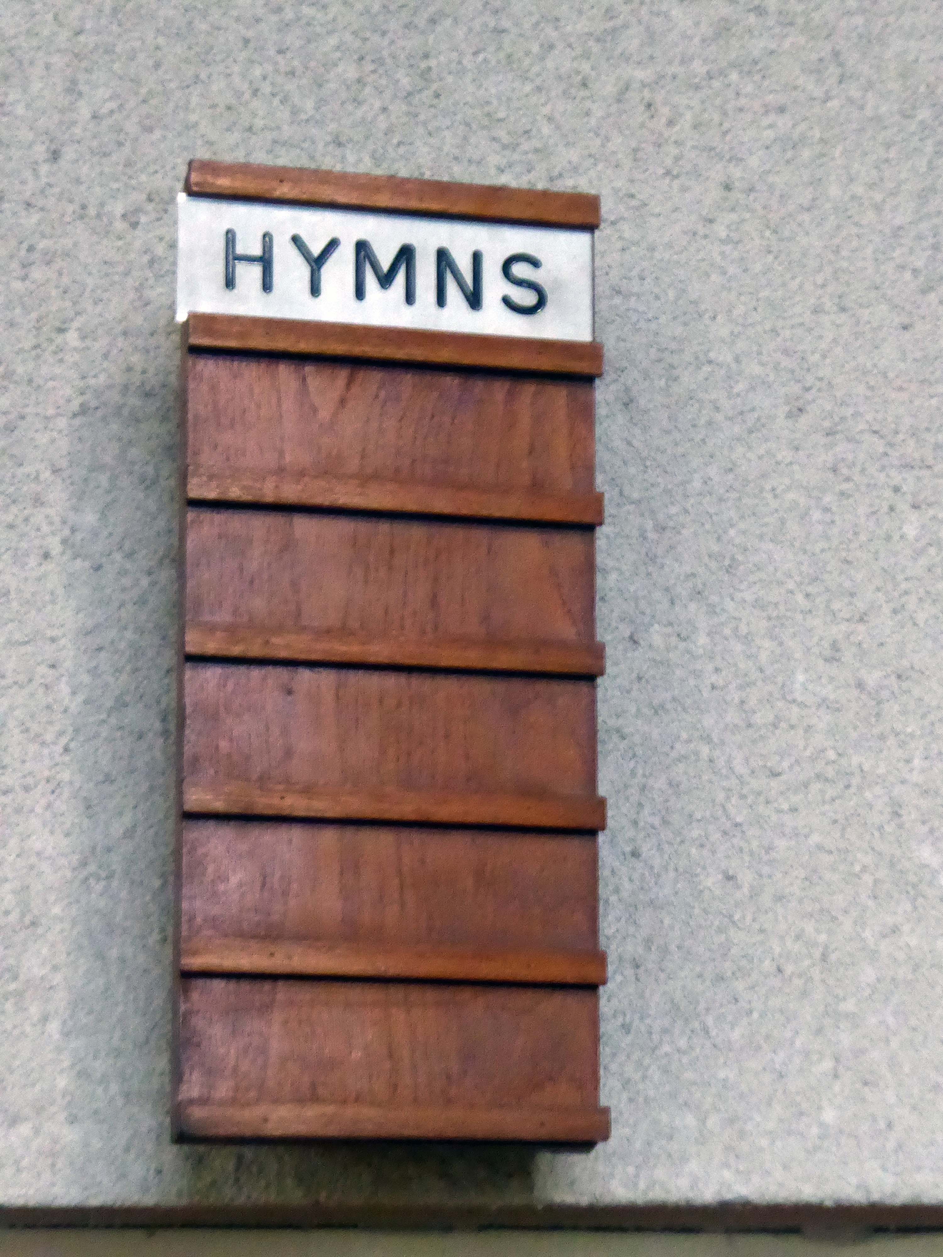
The church is a testament to the ambition, imagination and optimism of its age. Significantly, the building was the collaborative work of both immigrant and native architects, artists and designers.
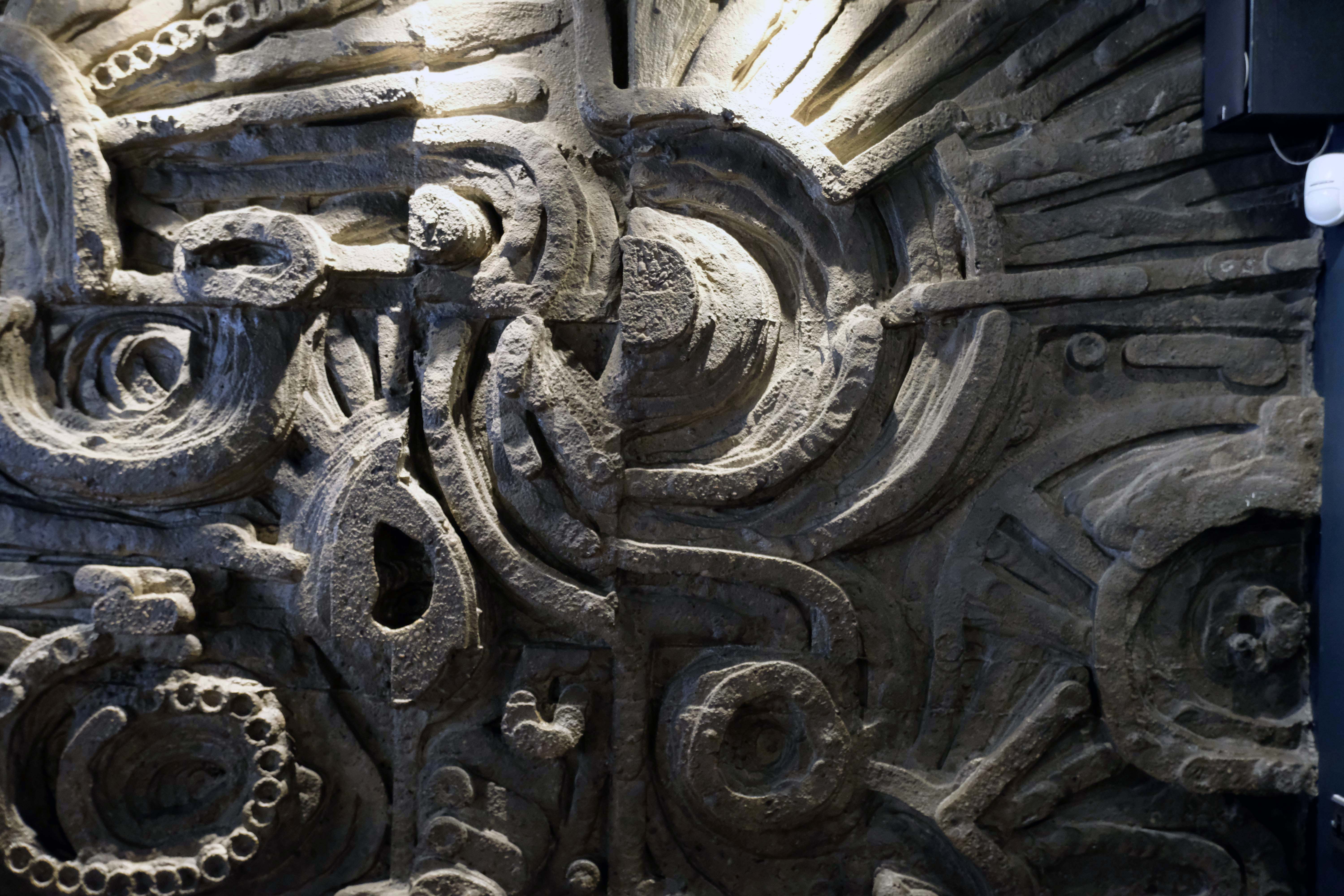
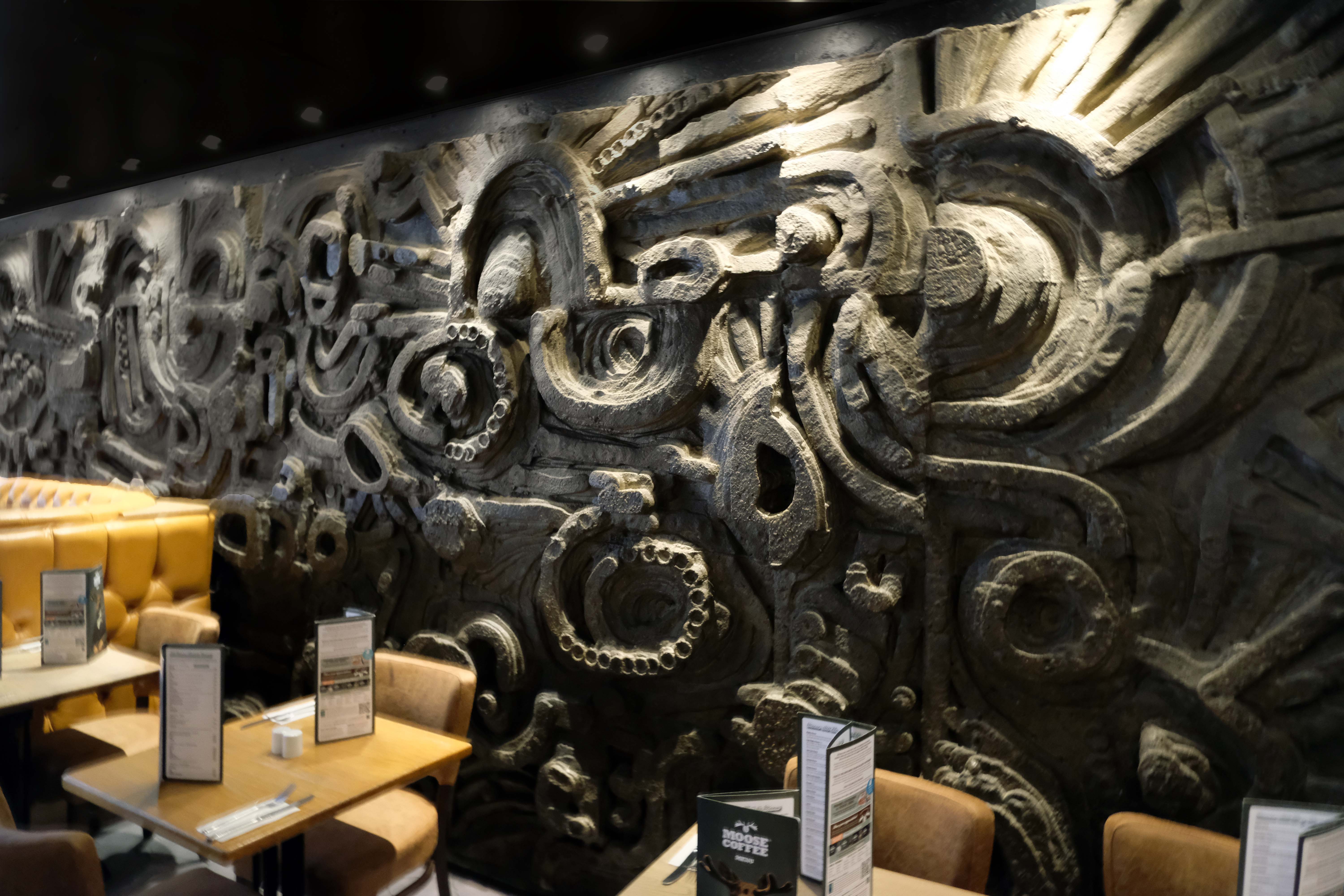
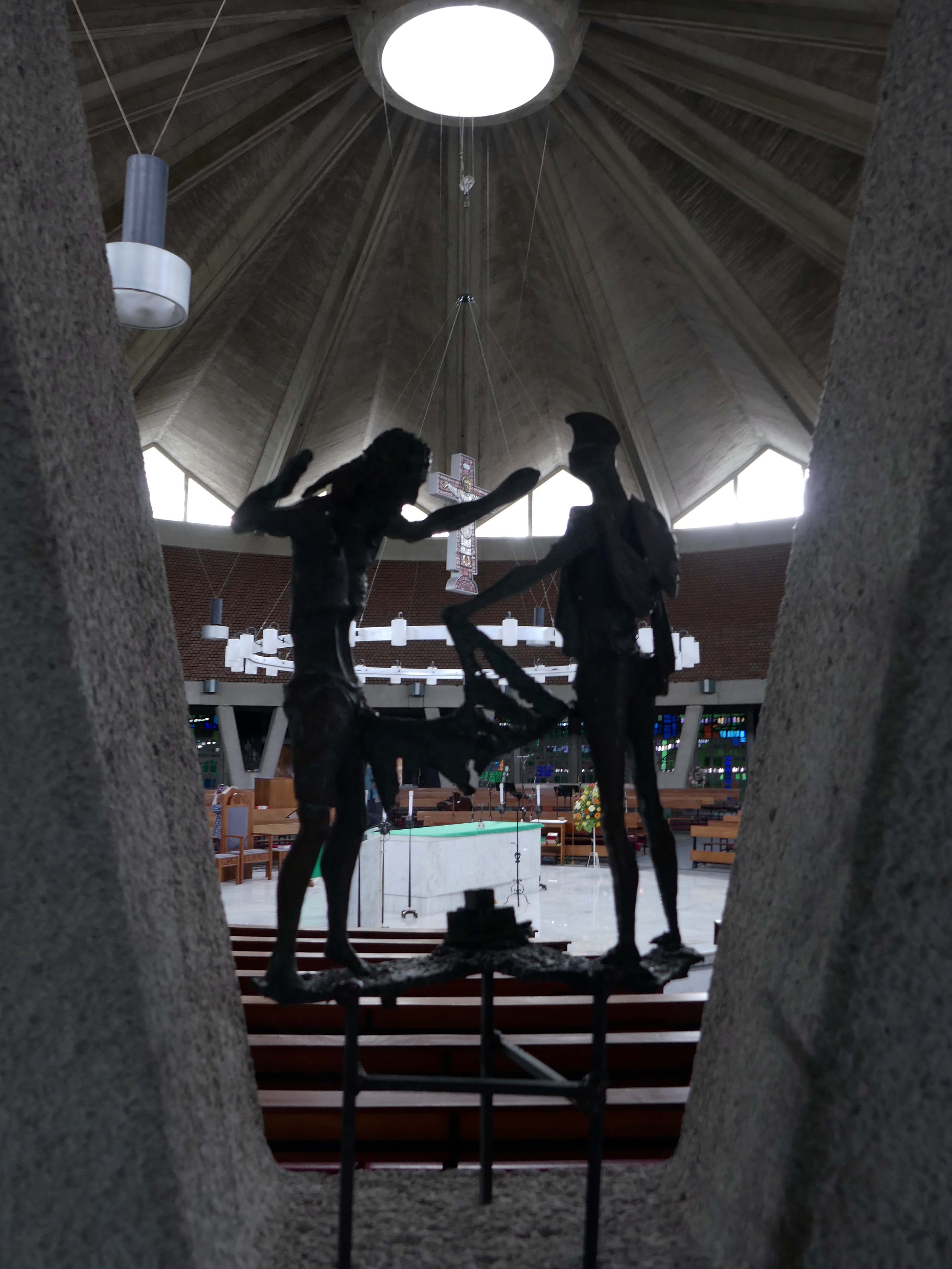
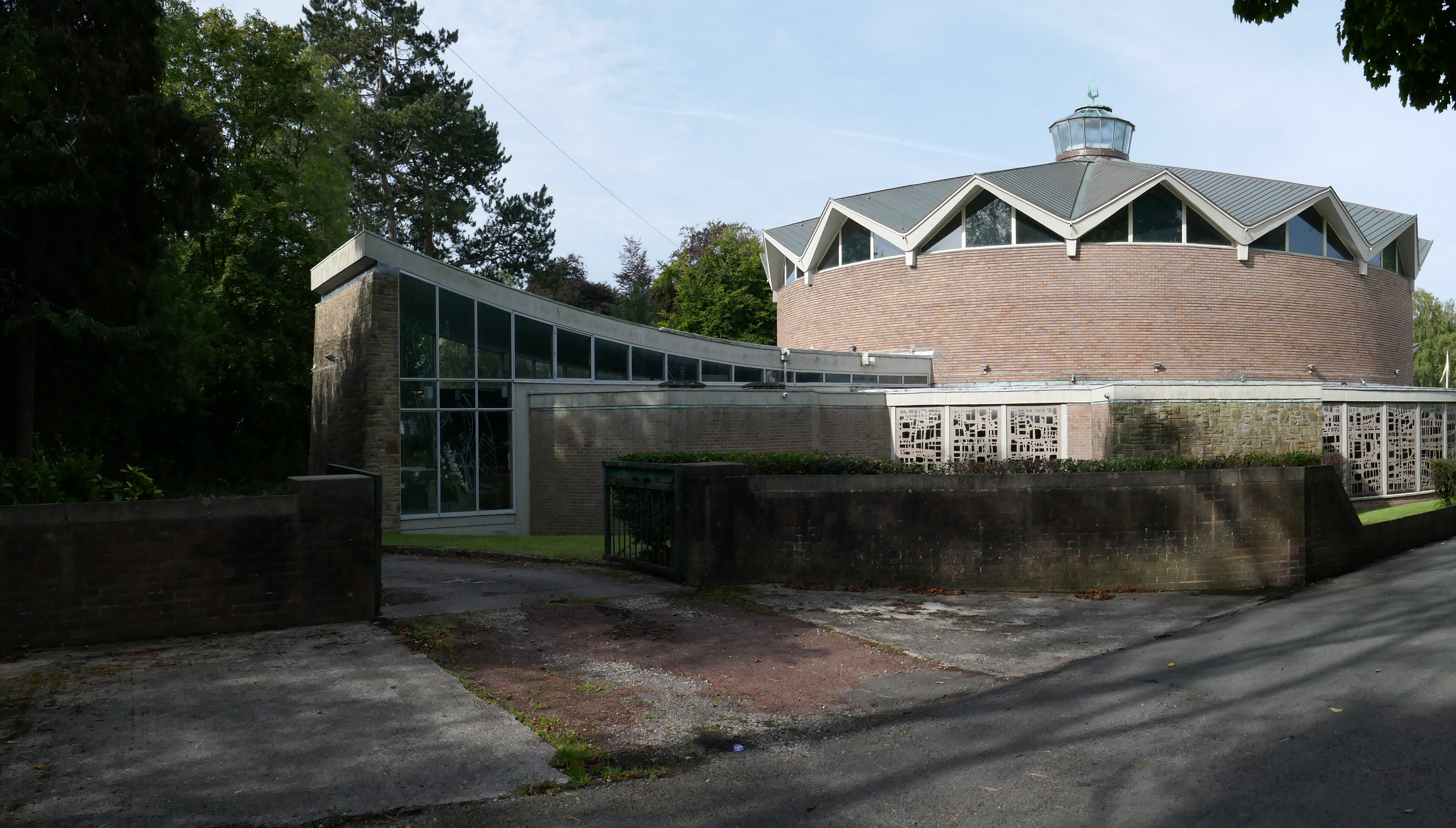
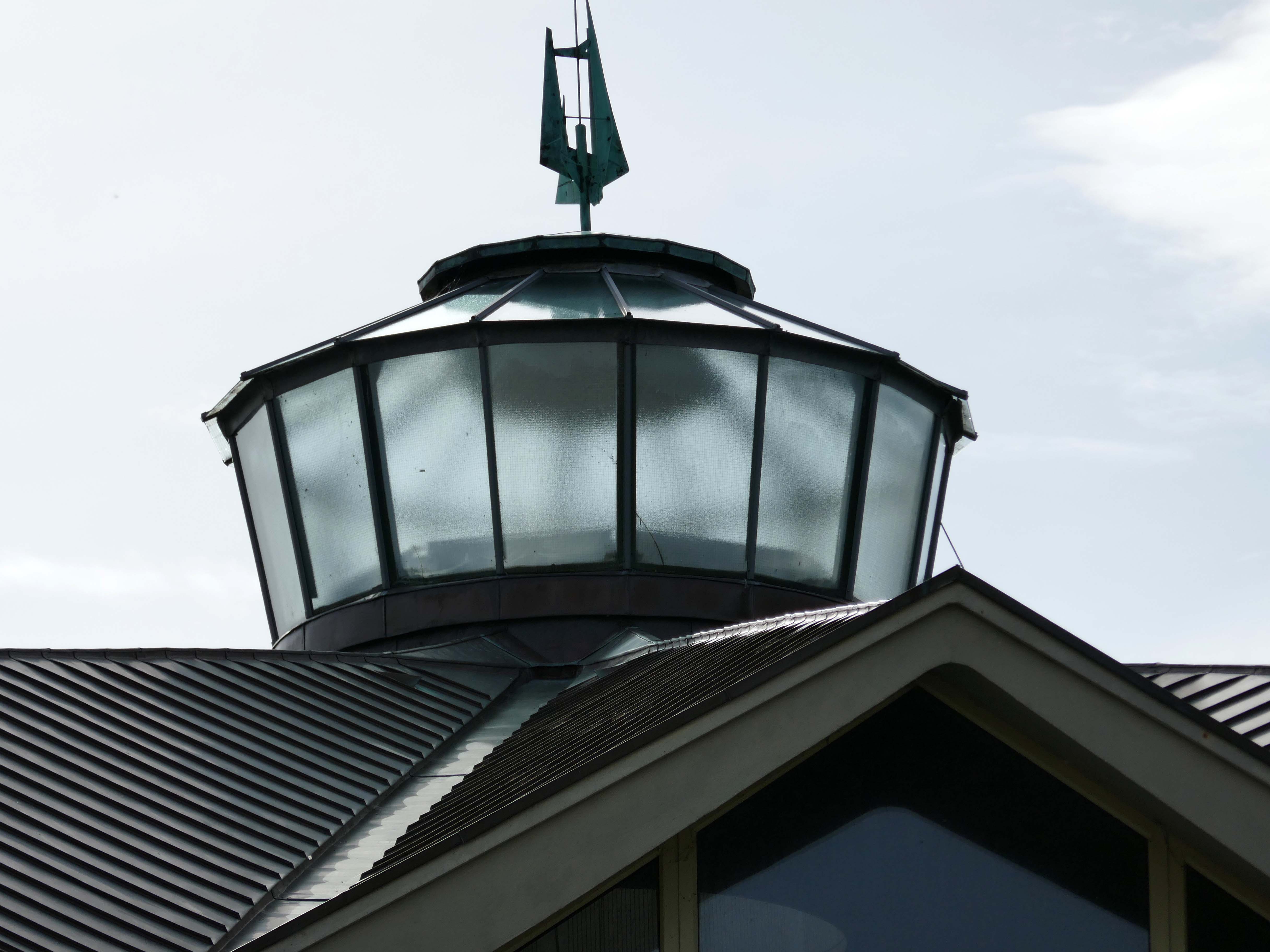
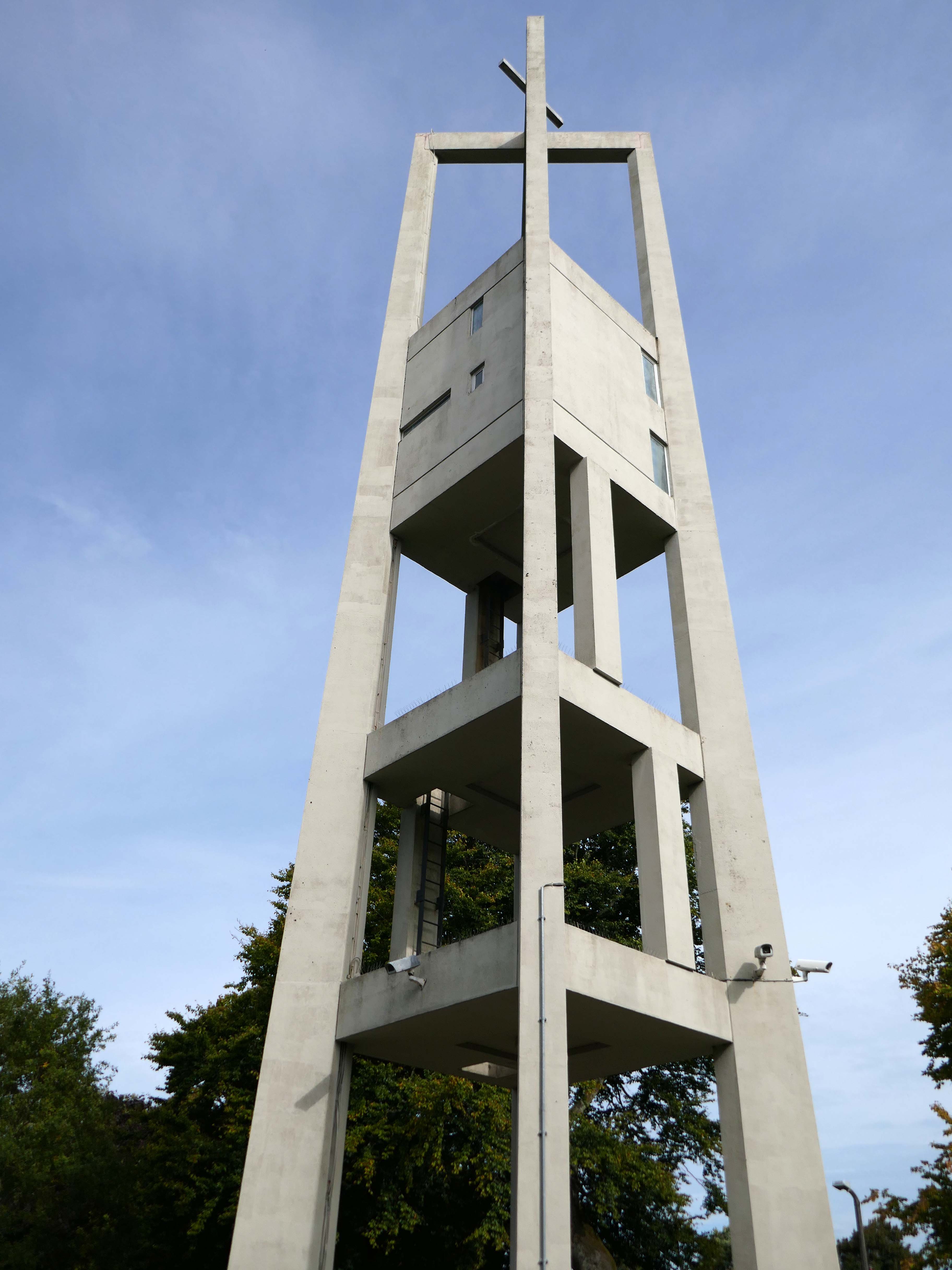
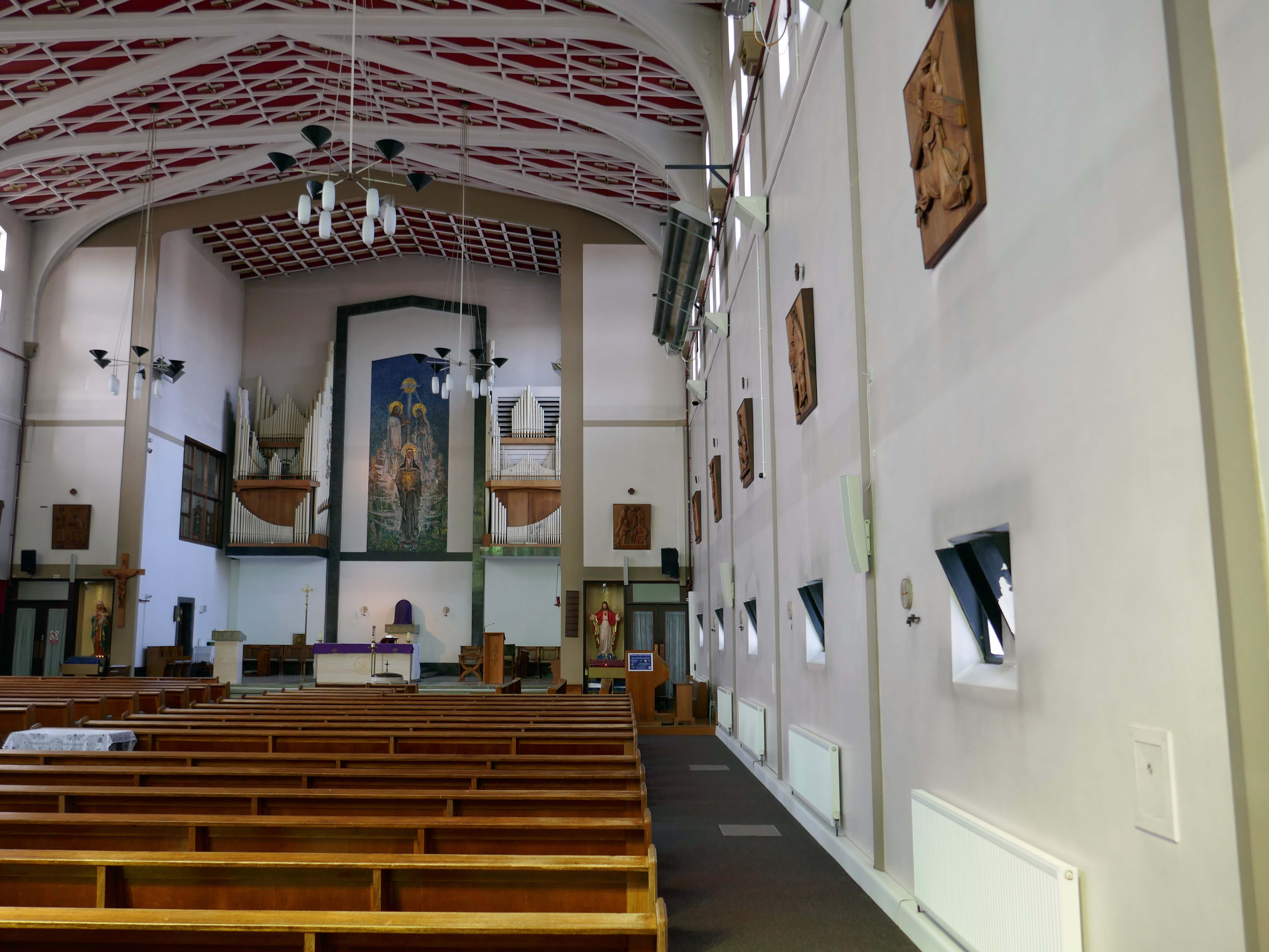
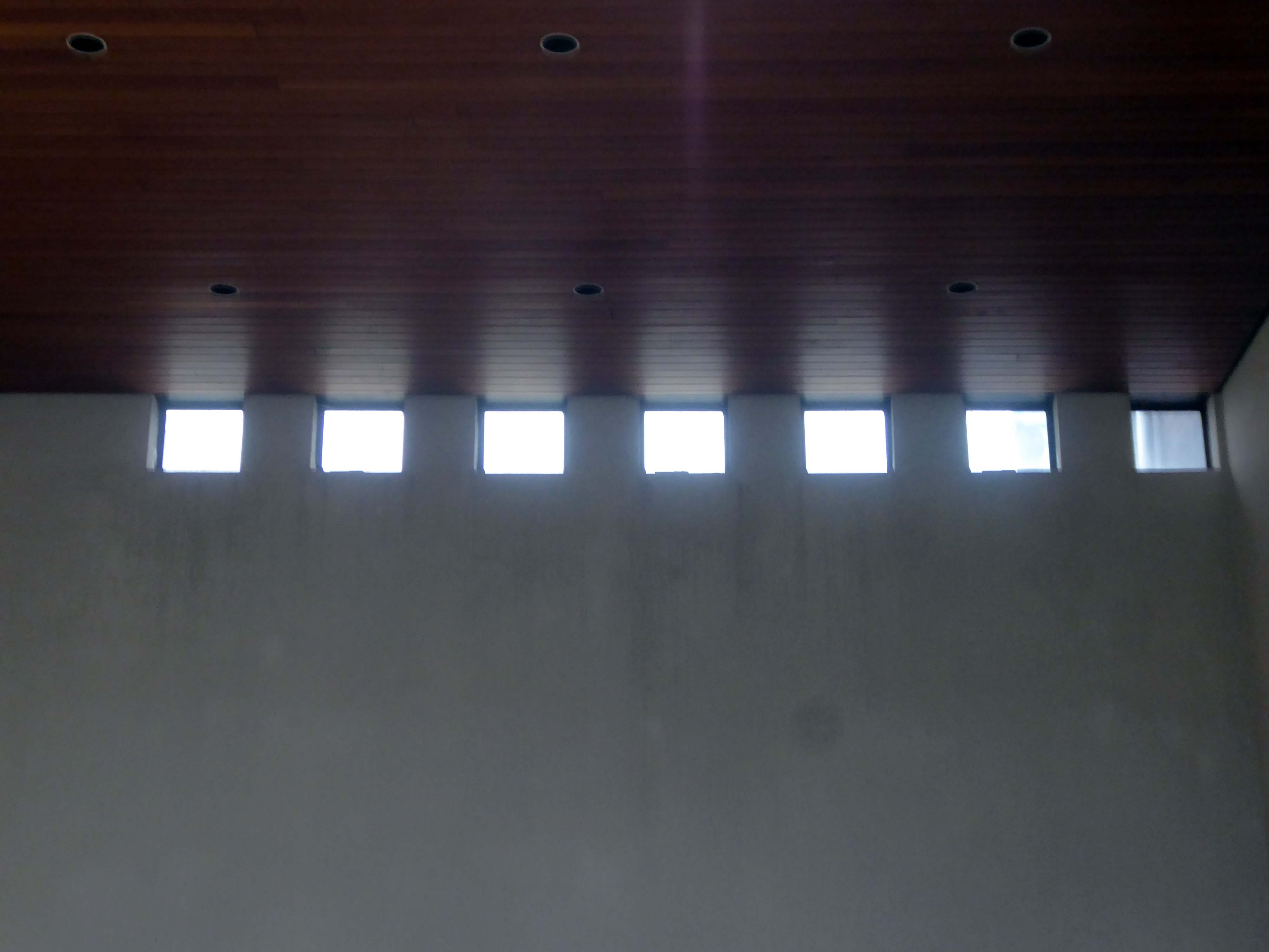
A folded slab roof of ninety five feet in diameter, its concrete cast on site, bearing the marks of the wooden shuttering, contrasting with the smooth surface of the pre-cast valley beams.
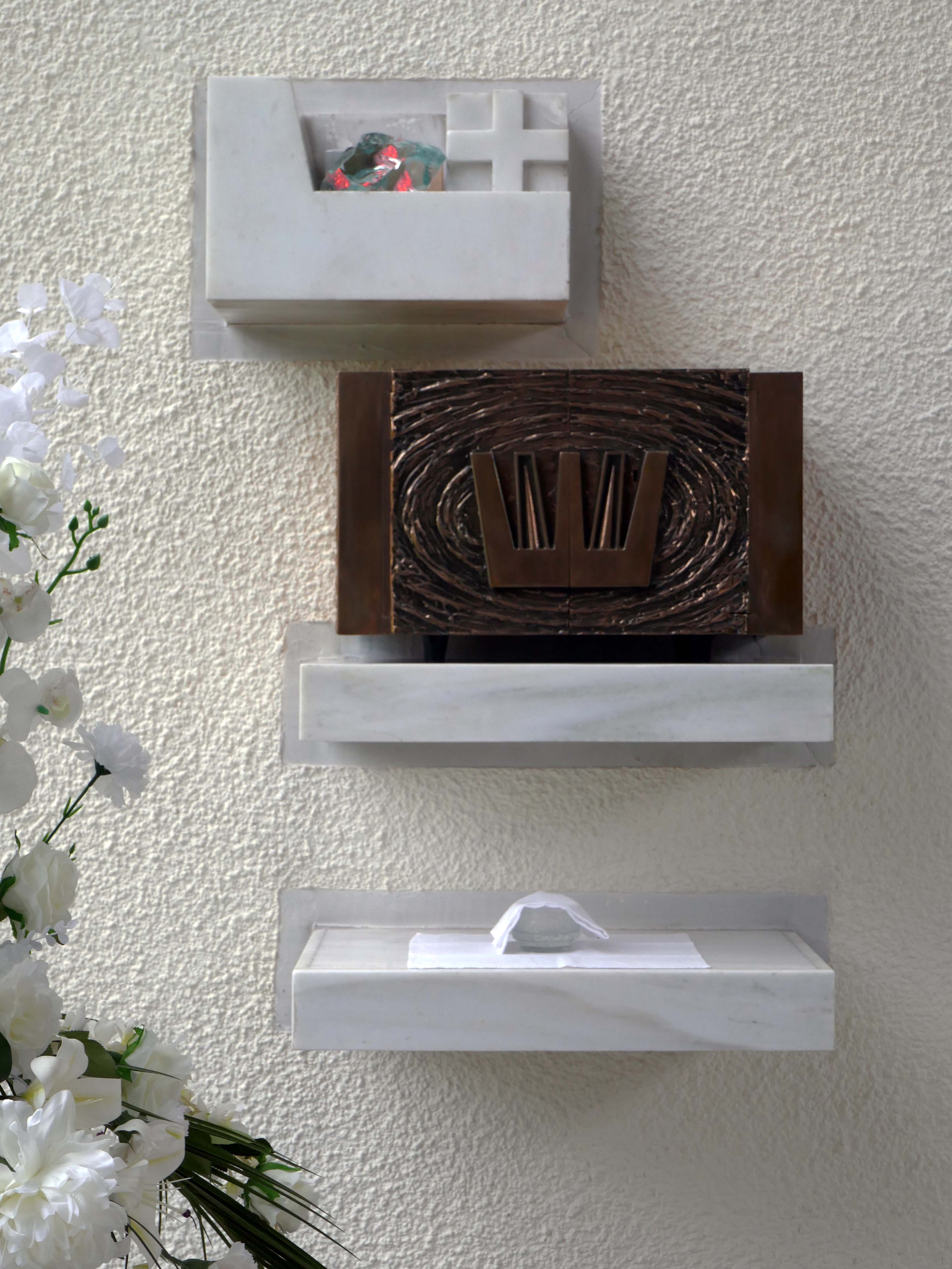
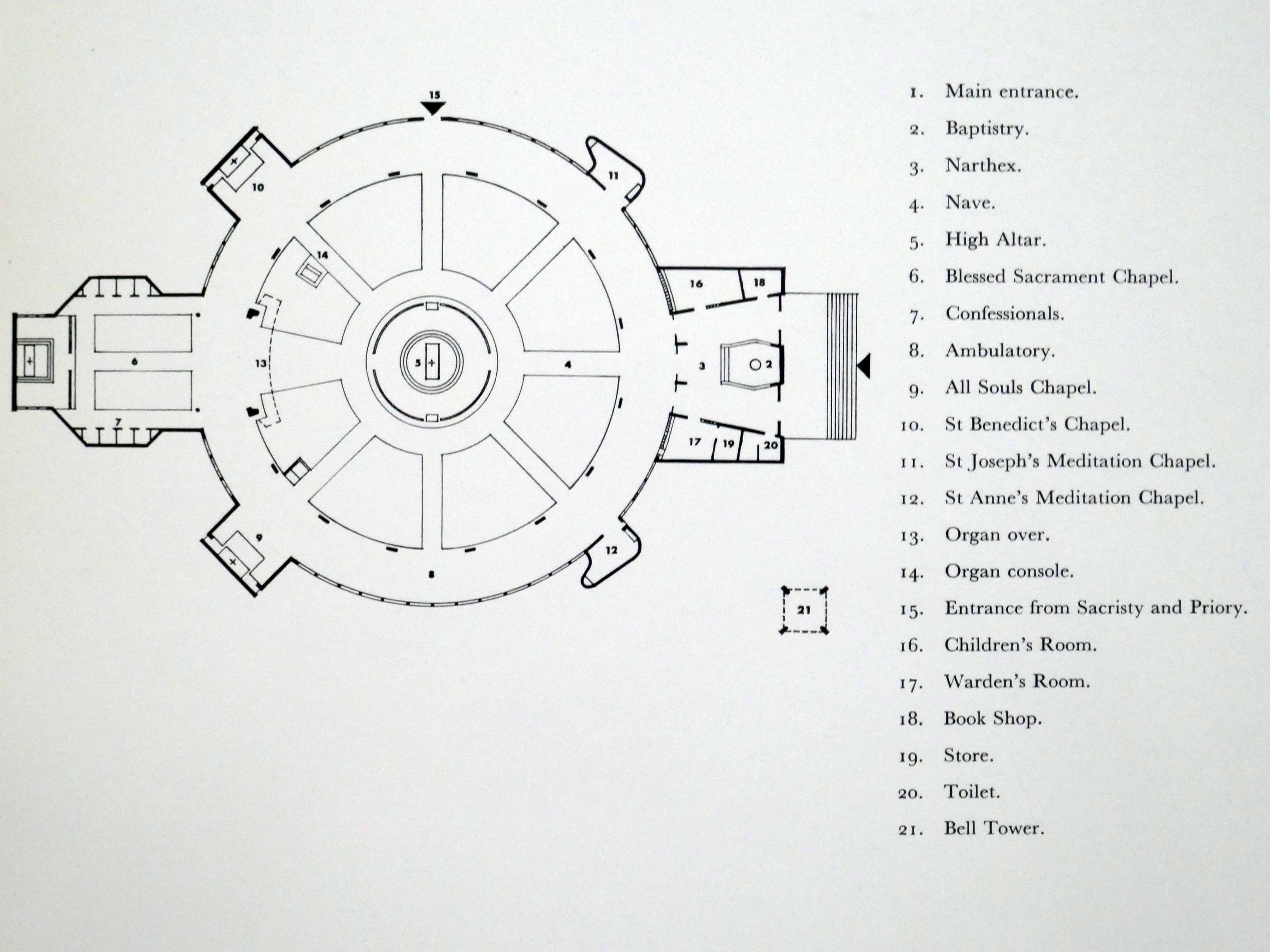
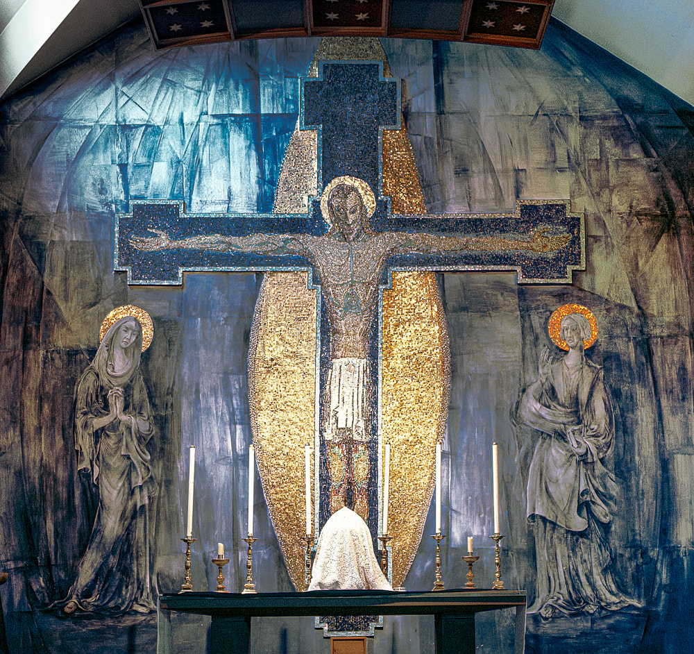
The Crucifix Rex frame is by Alan Roberts and the ceramic figure by Adam Kossowski.
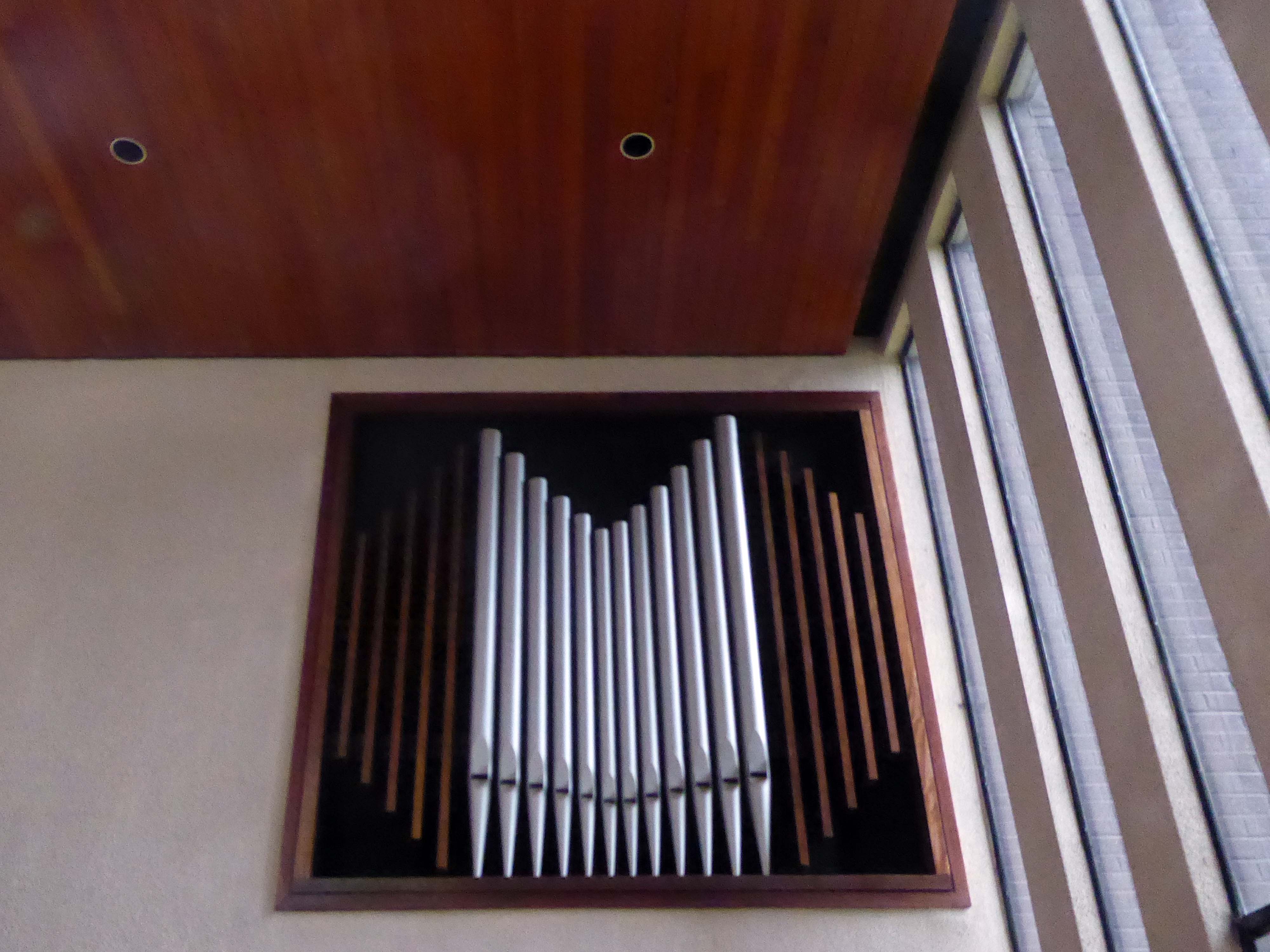
The organ is designed by JW Walker & Son.
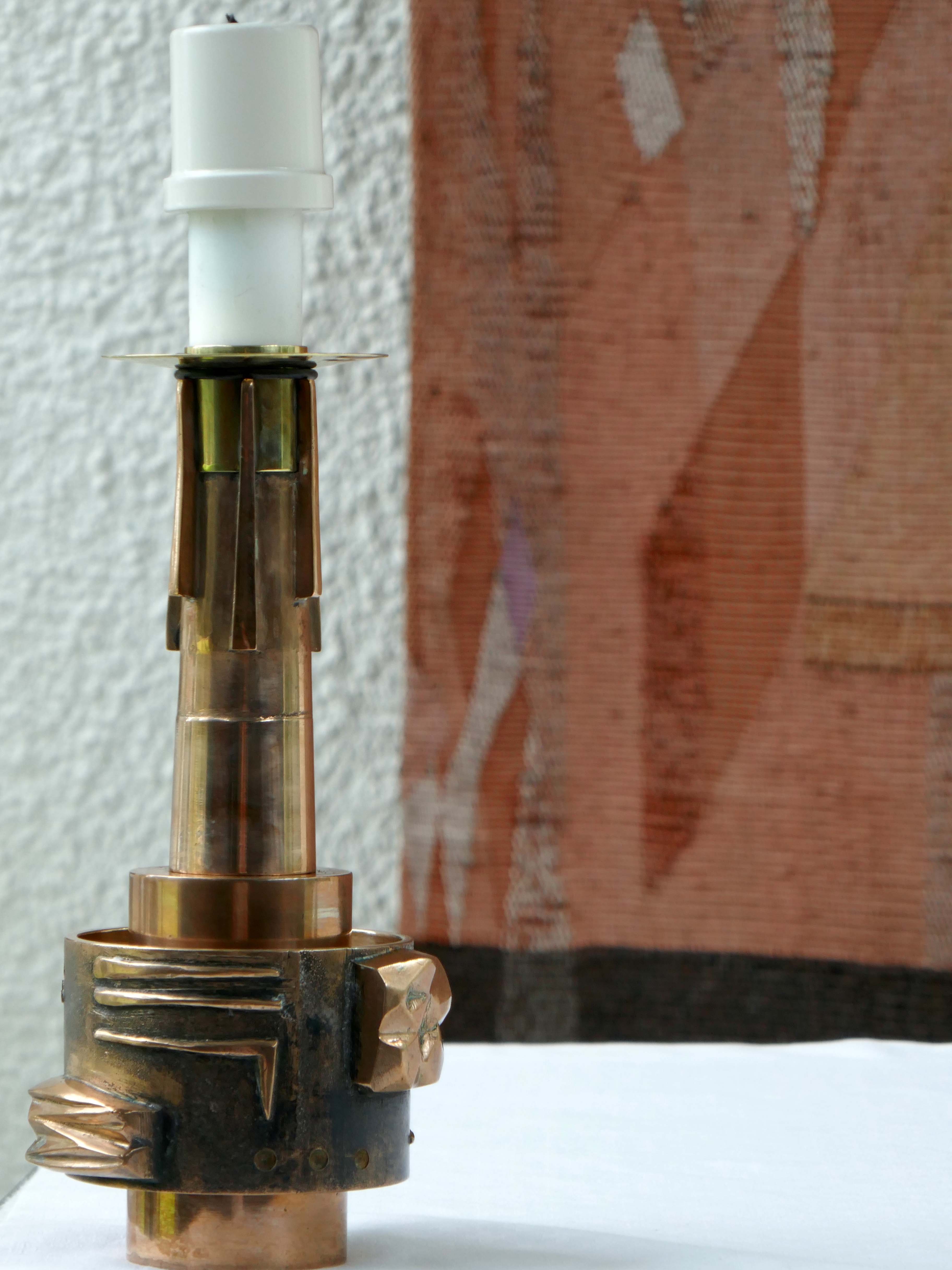
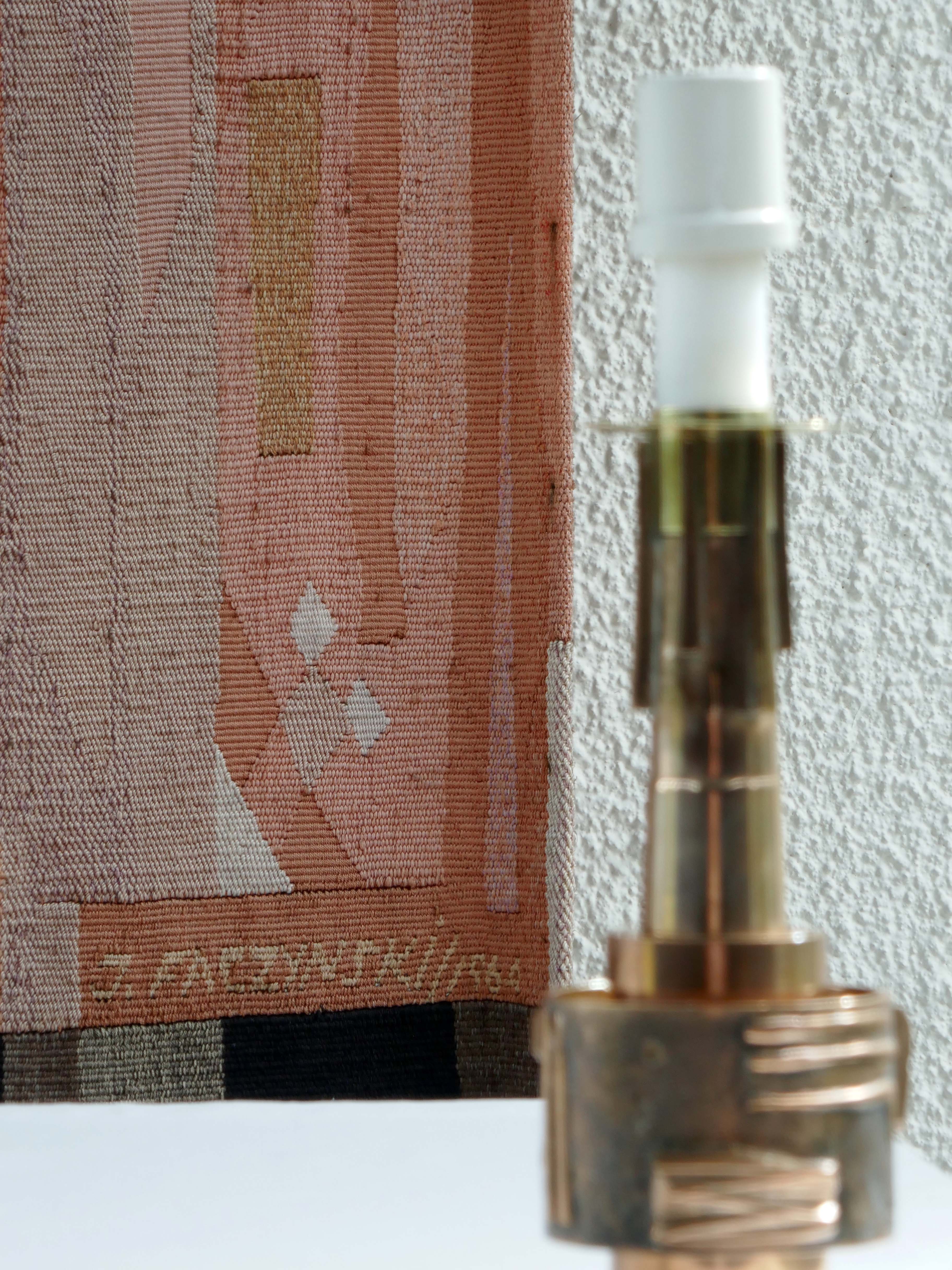
The candlesticks and metal furnishings in all the Chapels were fashioned in the foundry of Messrs Bagnall of Kirkby to the design of Robin McGhie.
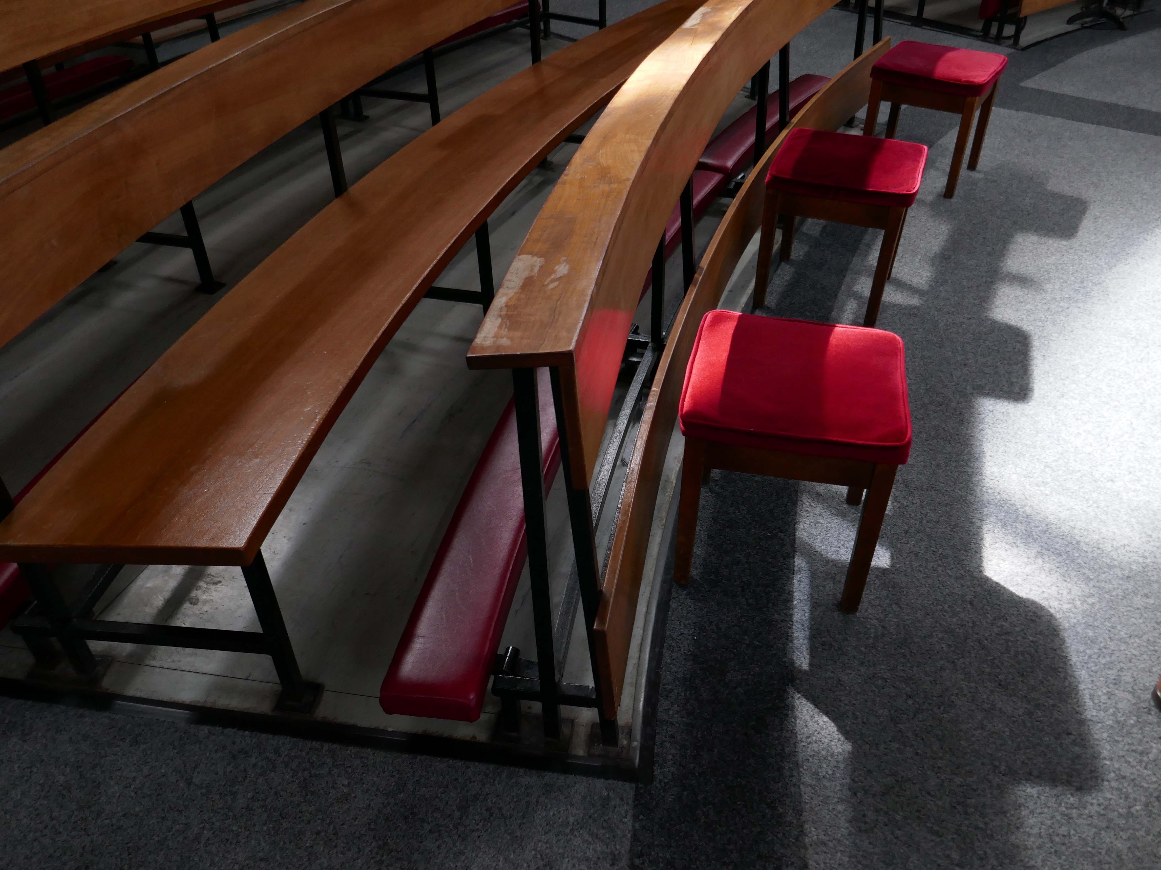
The curved benches are of Ghana mahogany and were made by the Robert Thompson Craftsmen of Kilburn, the steel work by GS Graham of Stokesley. The distinctive Mouseman mouse can be found on several of the bench ends.
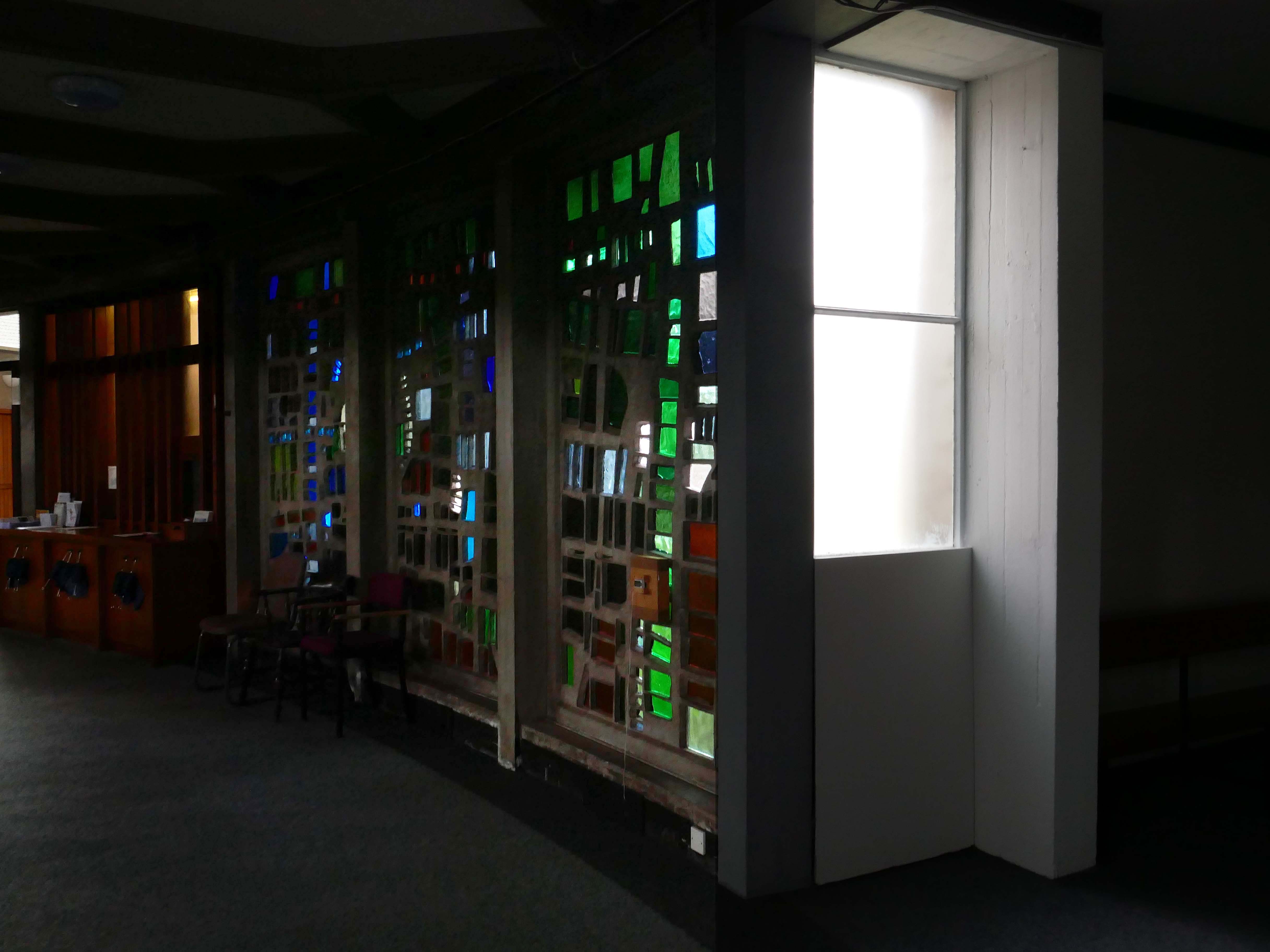
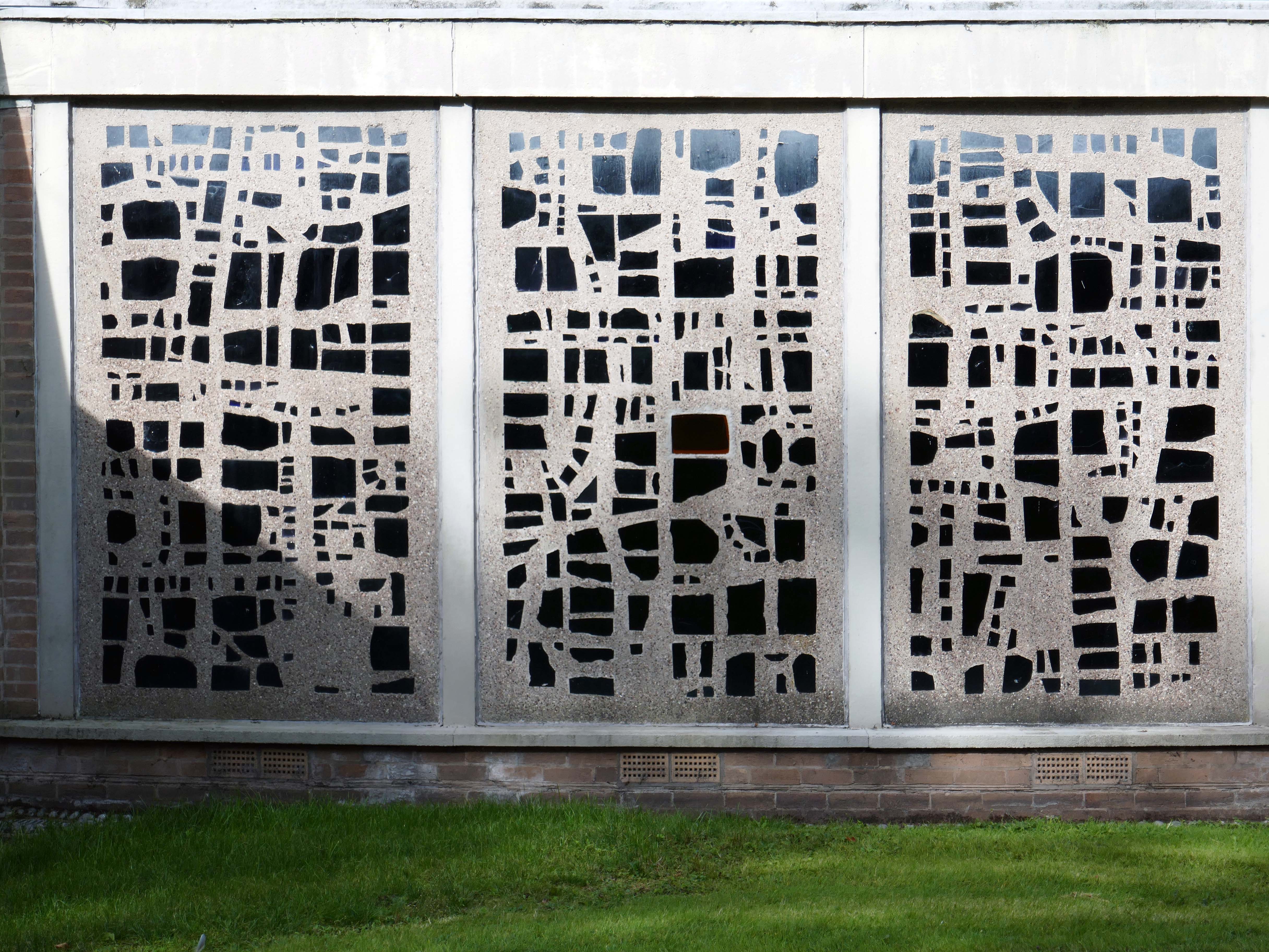
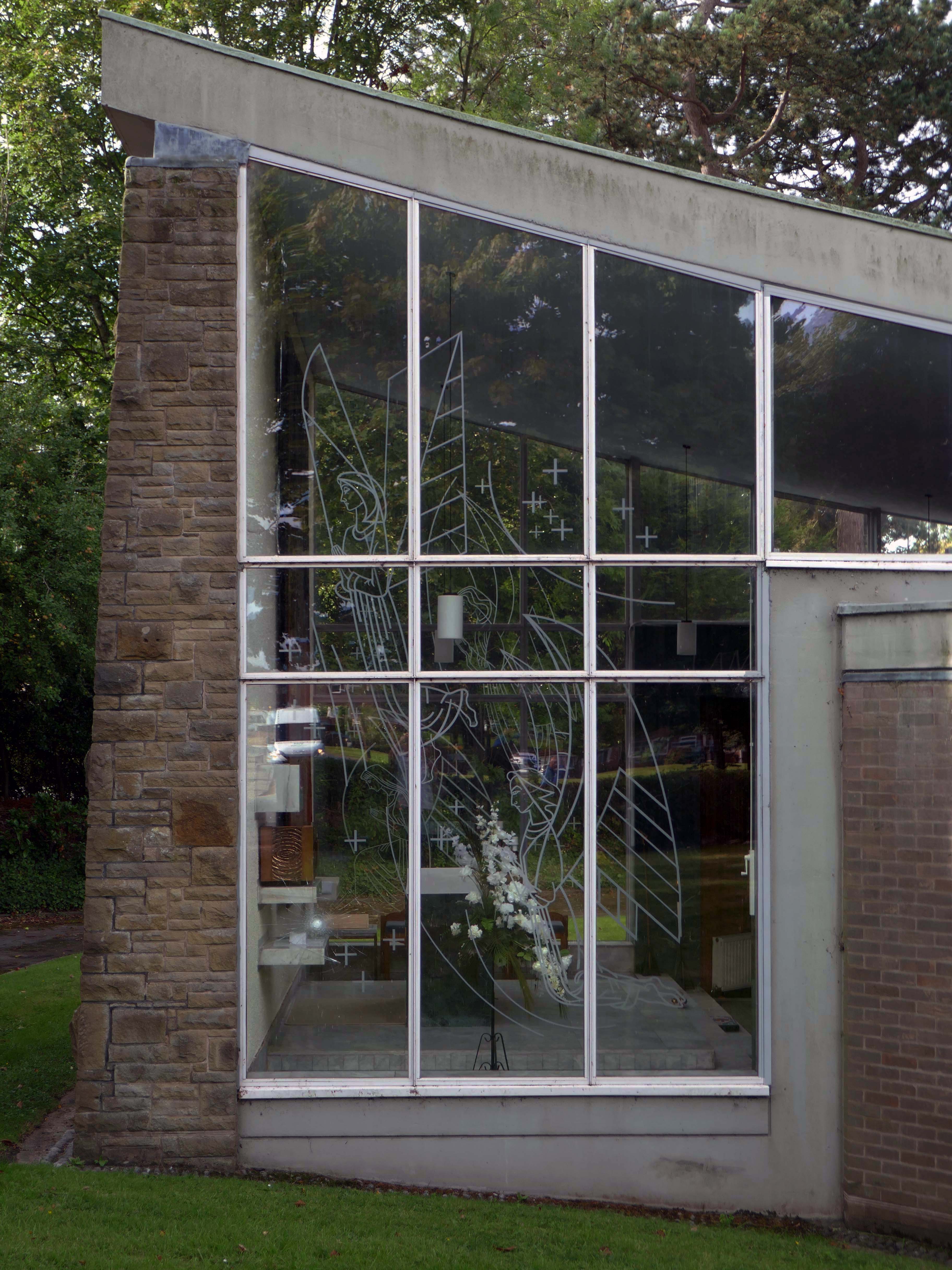
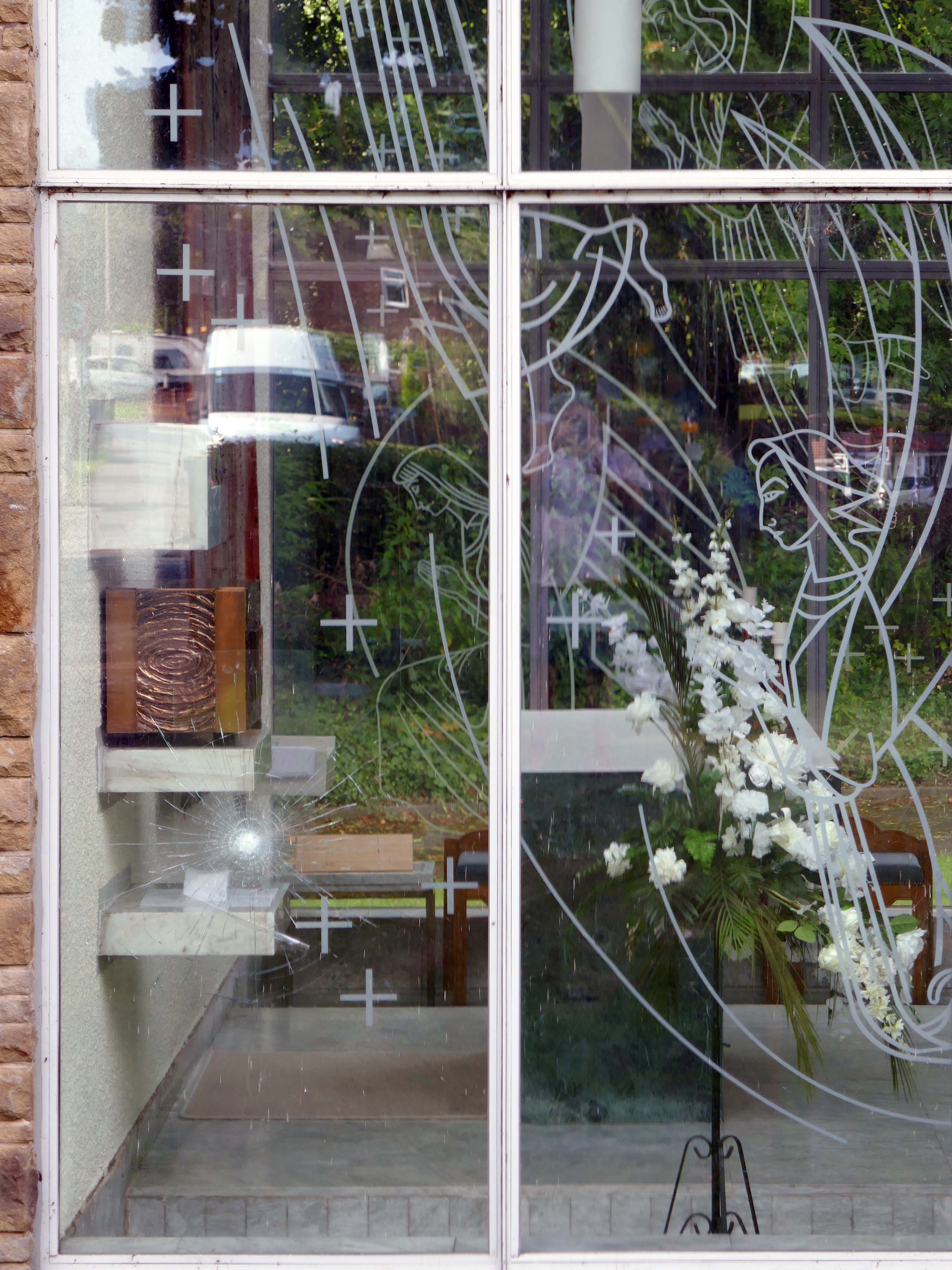
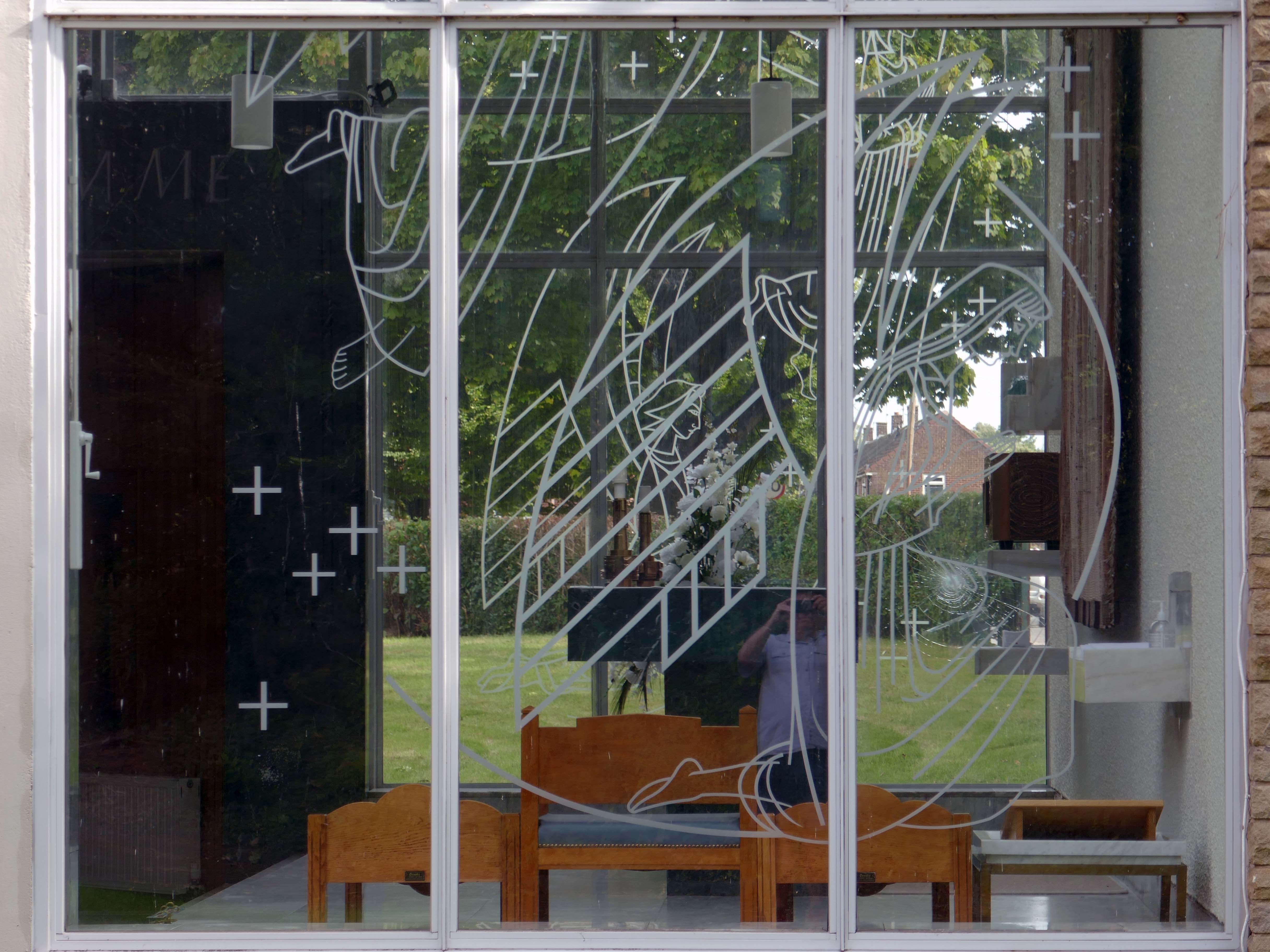
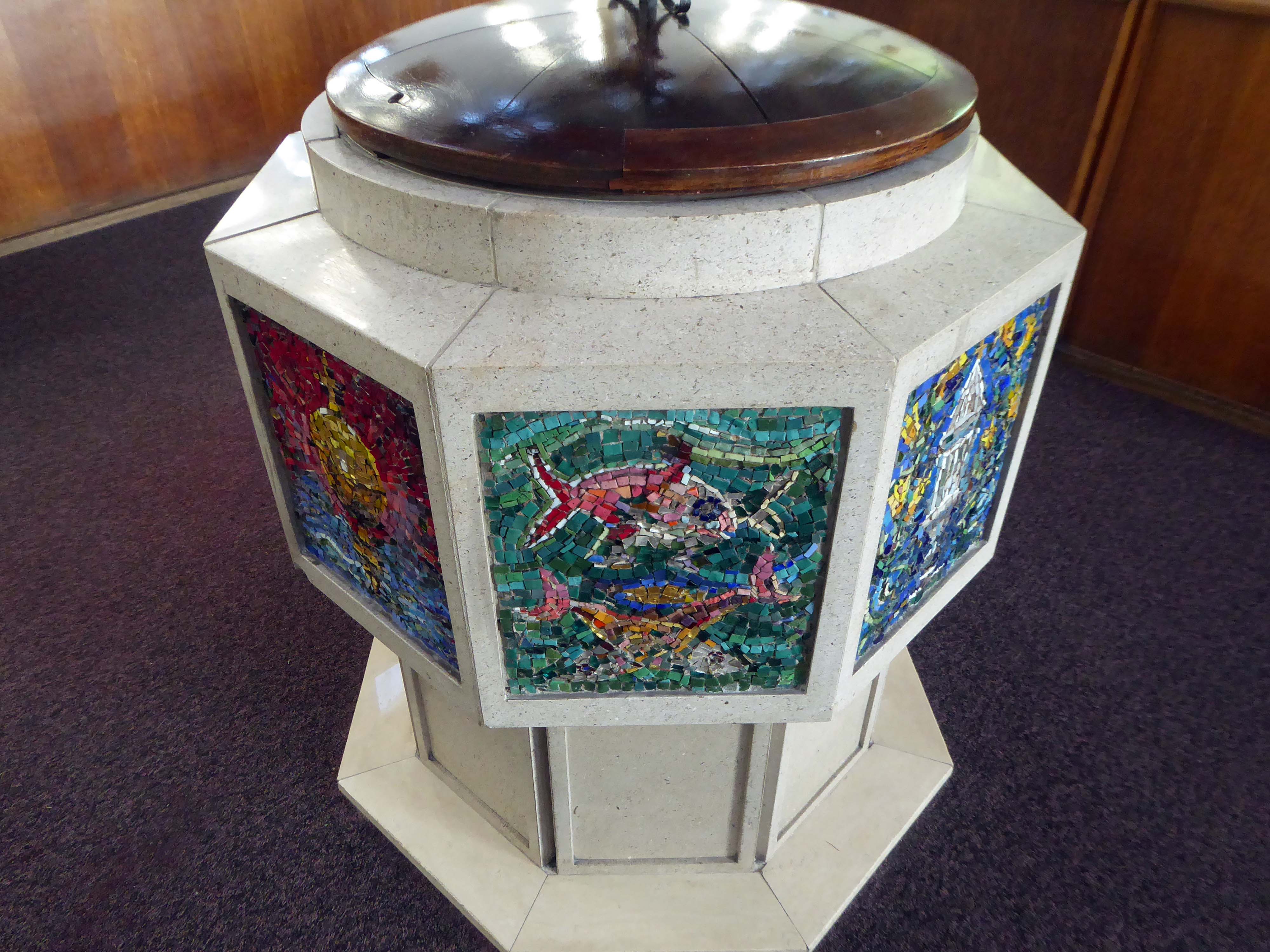
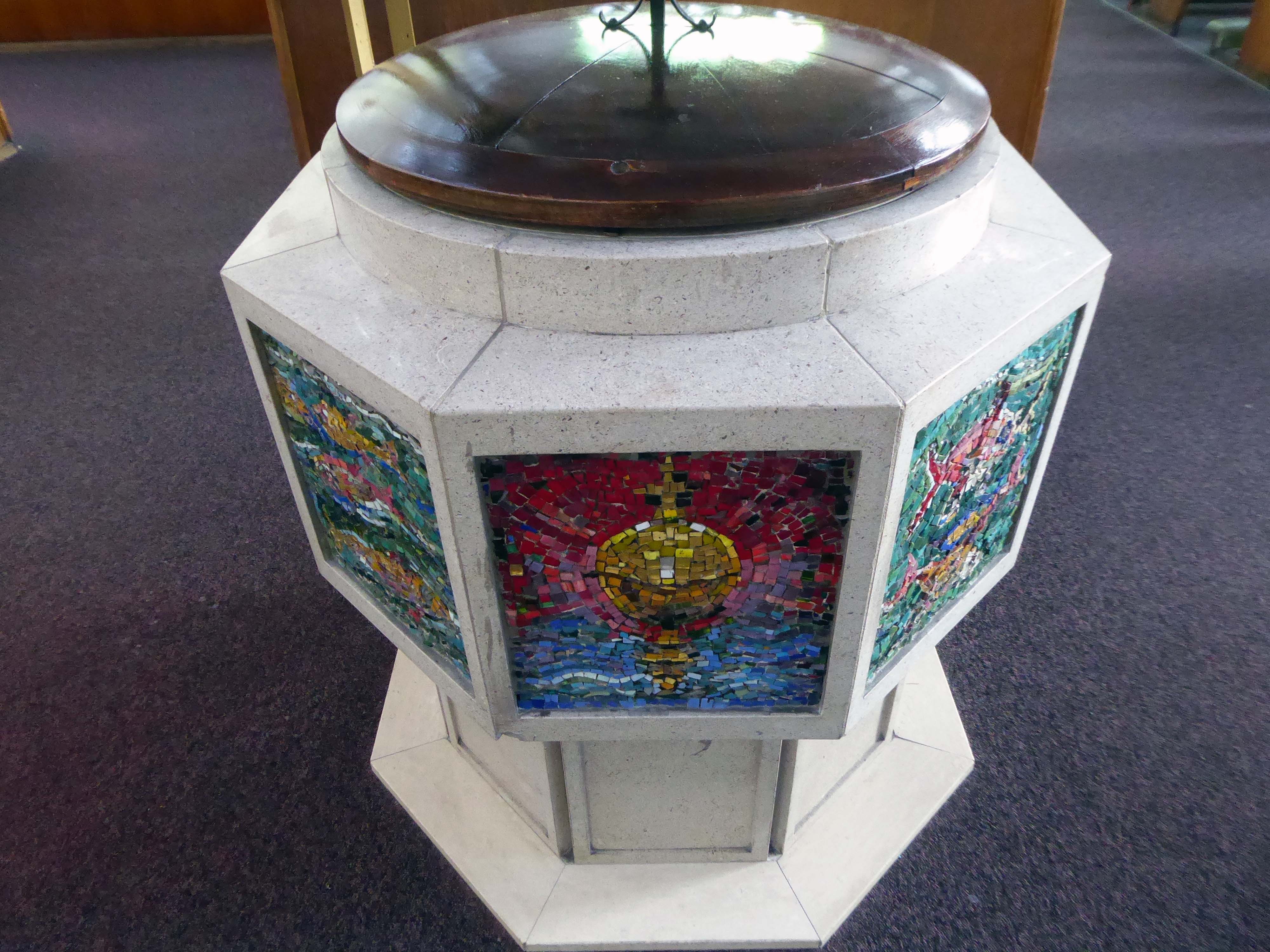
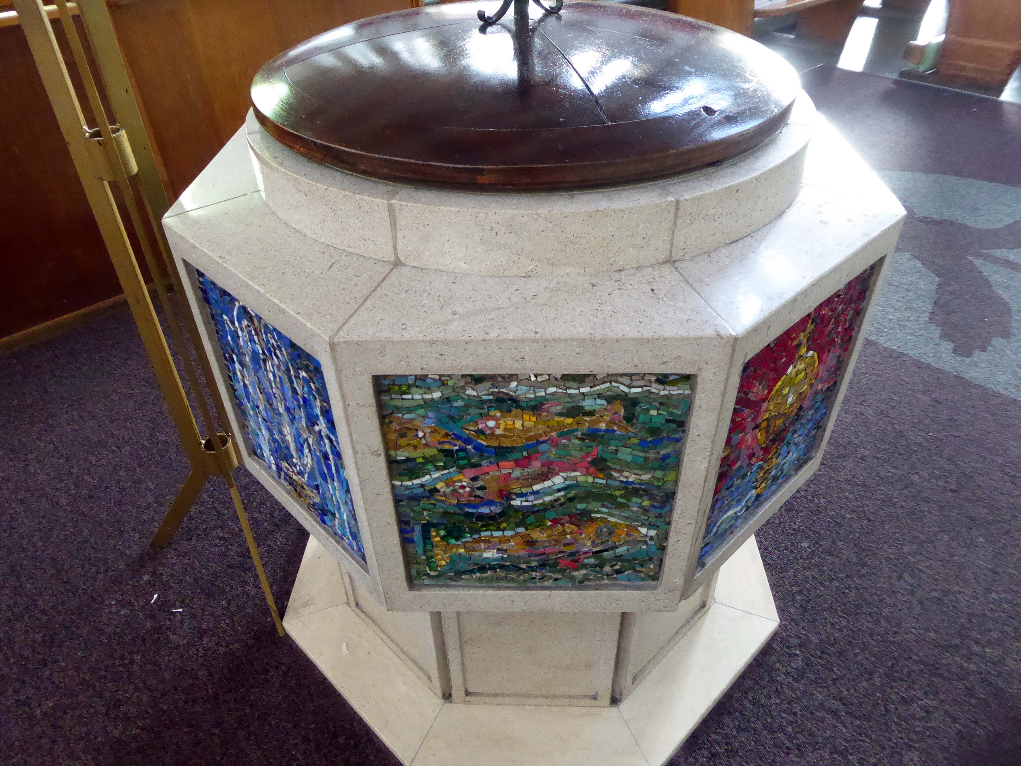
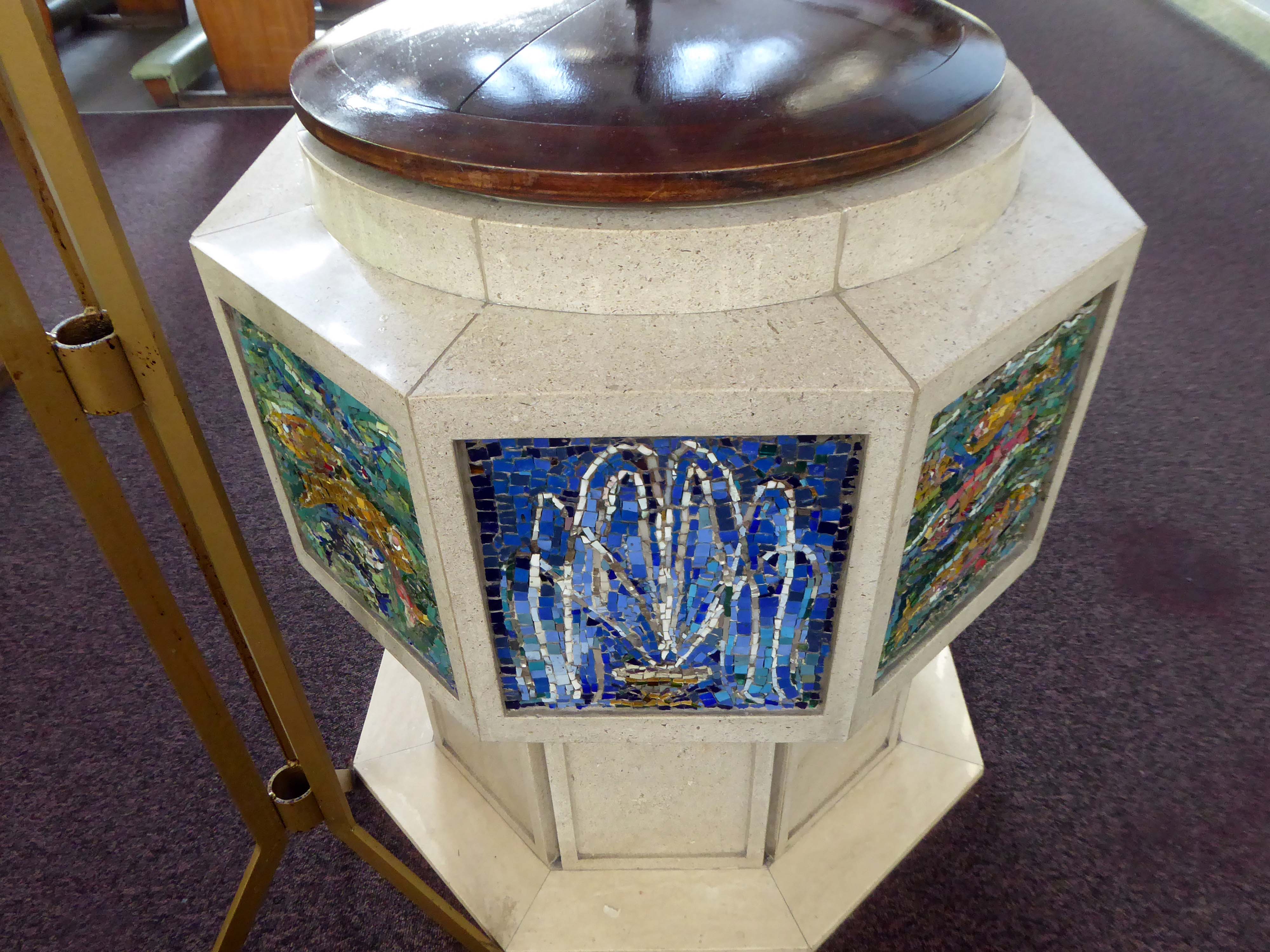
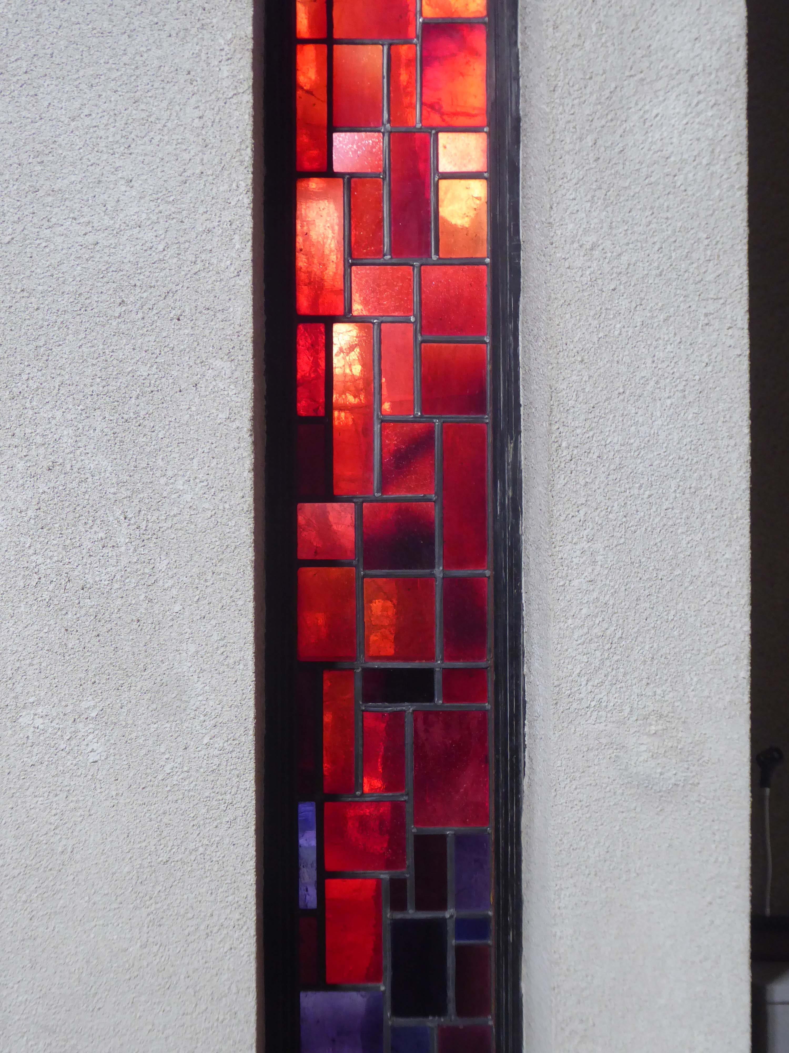
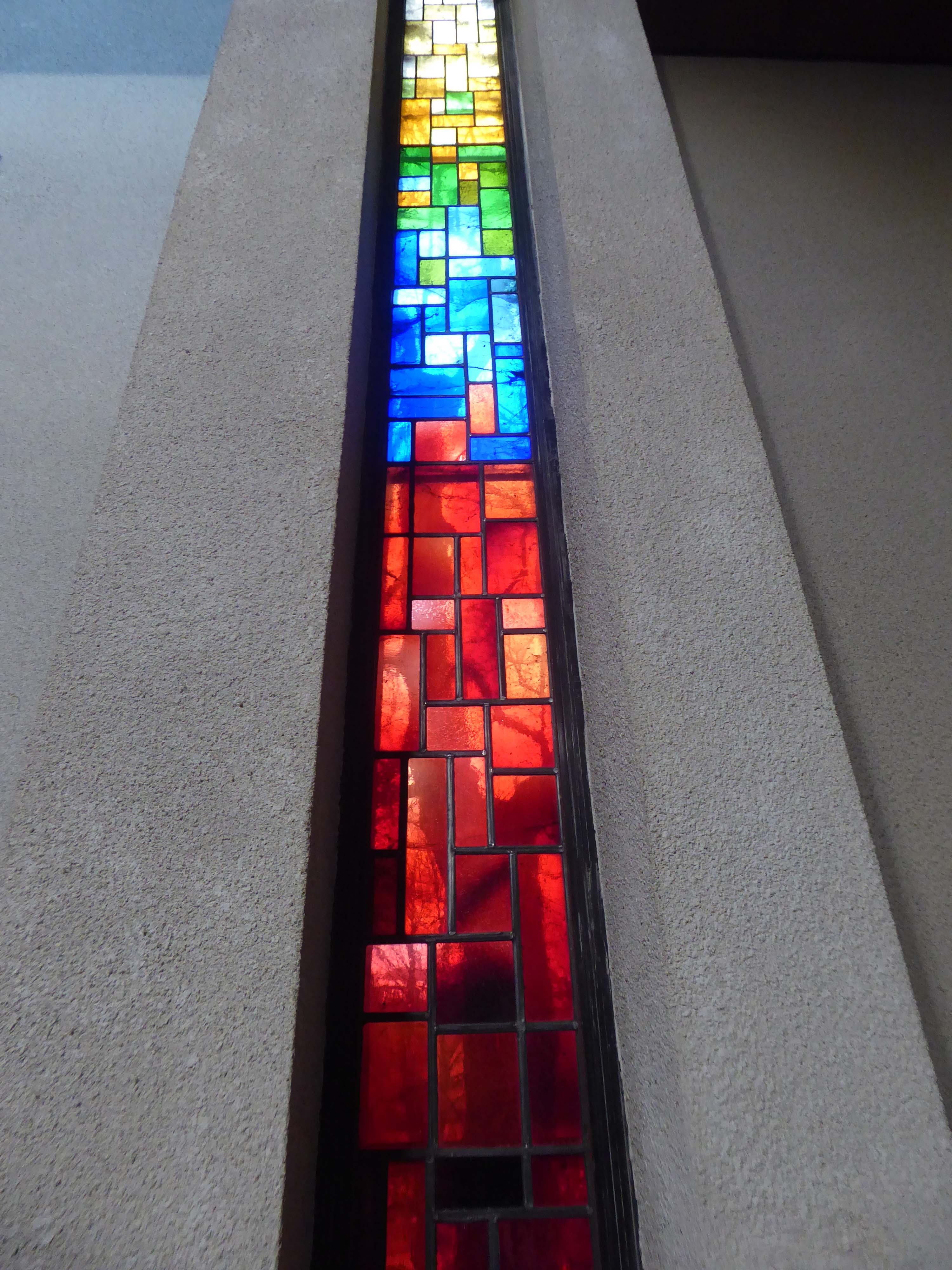
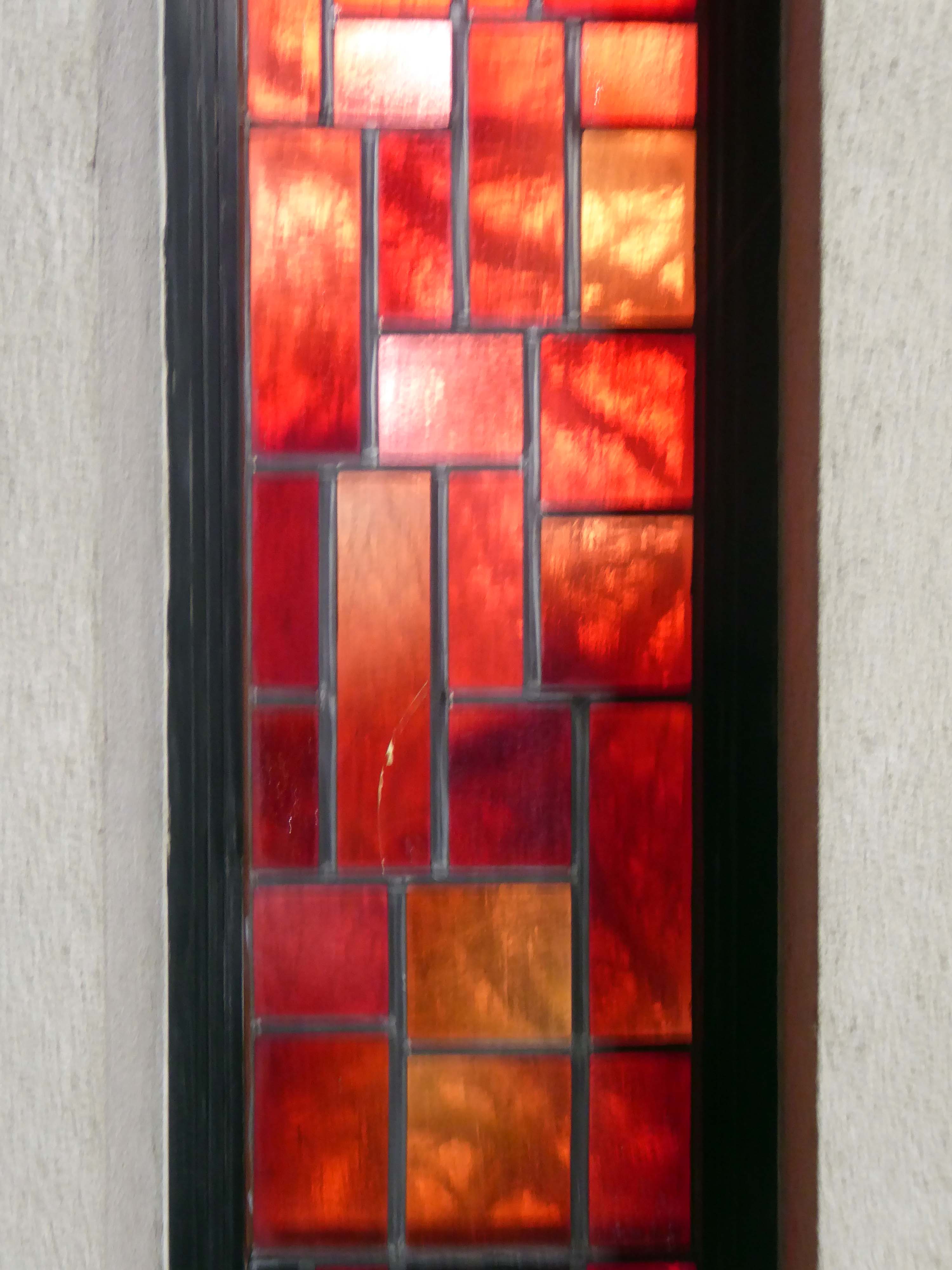
Dalle de Verre stained glass by Patrick Reyntiens, thirty-six panels abstract totalling two hundred and thirty three feet in length.
The theme for the windows is taken from the first nine verses of Genesis, and the passage of Proverbs c. vii. Amorphous undifferentiated matter with the beginnings of definition and pattern, with here and there the promise of order and system.
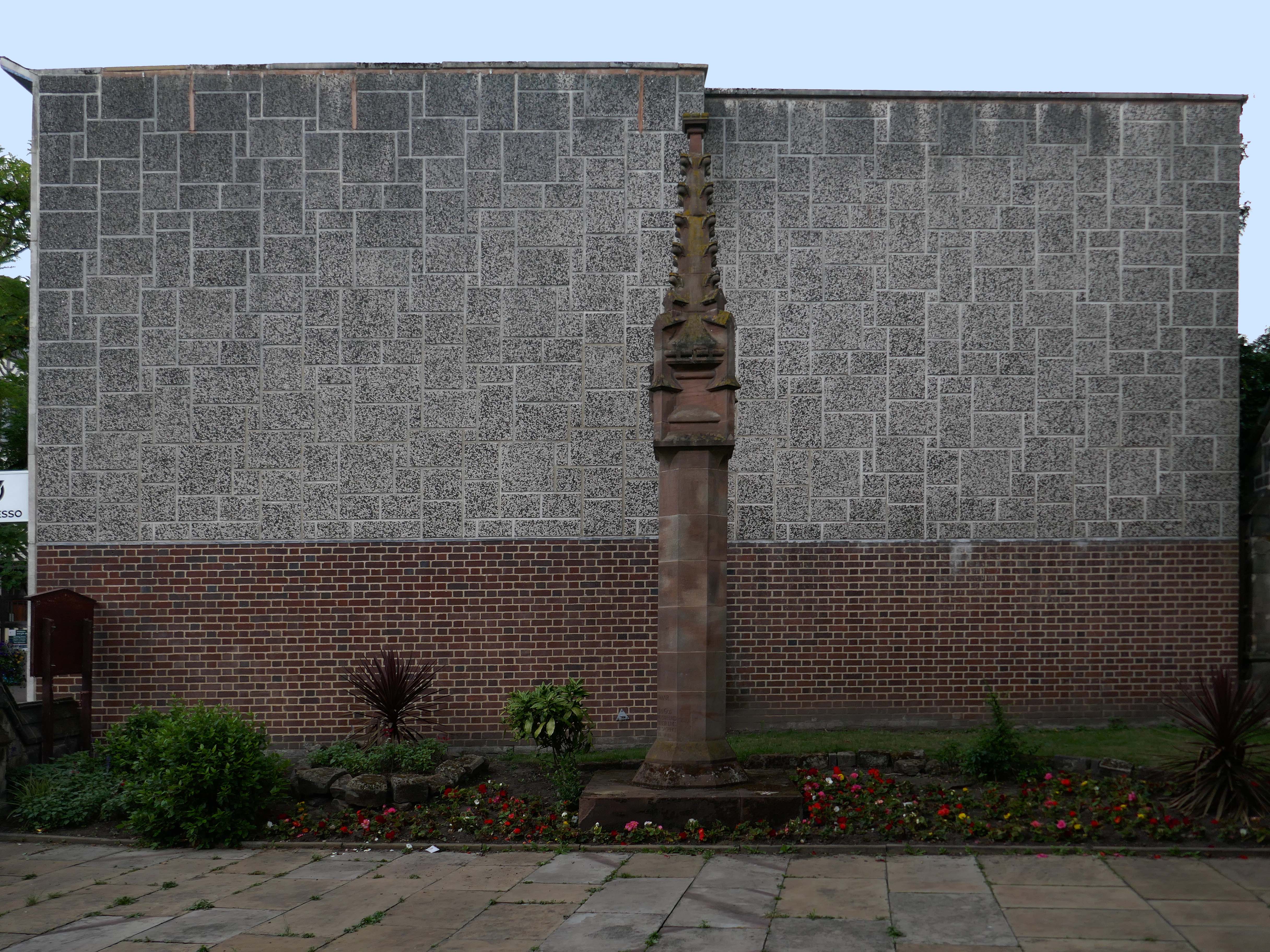
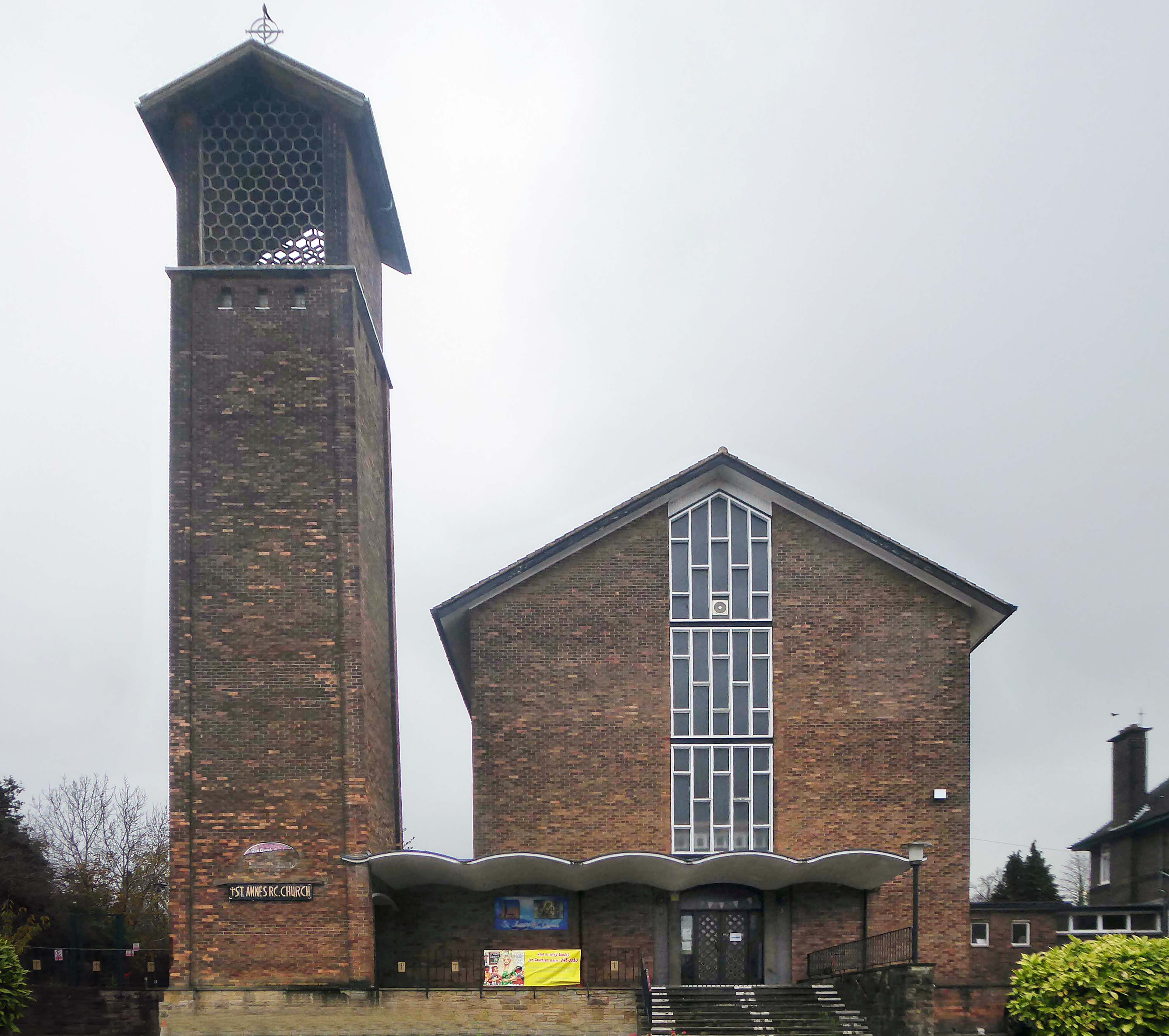
The Benedictines came to Leyland in 1845 and the first Church of St. Mary’s was built on Worden Lane in 1854. The Catholic population was small at this time, but had grown to around 500 by 1900. Growth was assisted by the industrial development of Leyland and after the Second World War the town was earmarked as the centre of a new town planned in central Lancashire. By the early 1960’s, the Catholic population was 5,000. Fr Edmund Fitzsimmons, parish priest from 1952, was a guiding force in the decision to build a large new church of advanced liturgical design, inspired by progressive continental church architecture of the mid 20th century. The church was designed by Jerzy Faczynski of Weightman and Bullen. Cardinal Heenan blessed the foundation stone in 1962 and the new church was completed ready for its consecration and dedication by Archbishop Beck in April 1964.
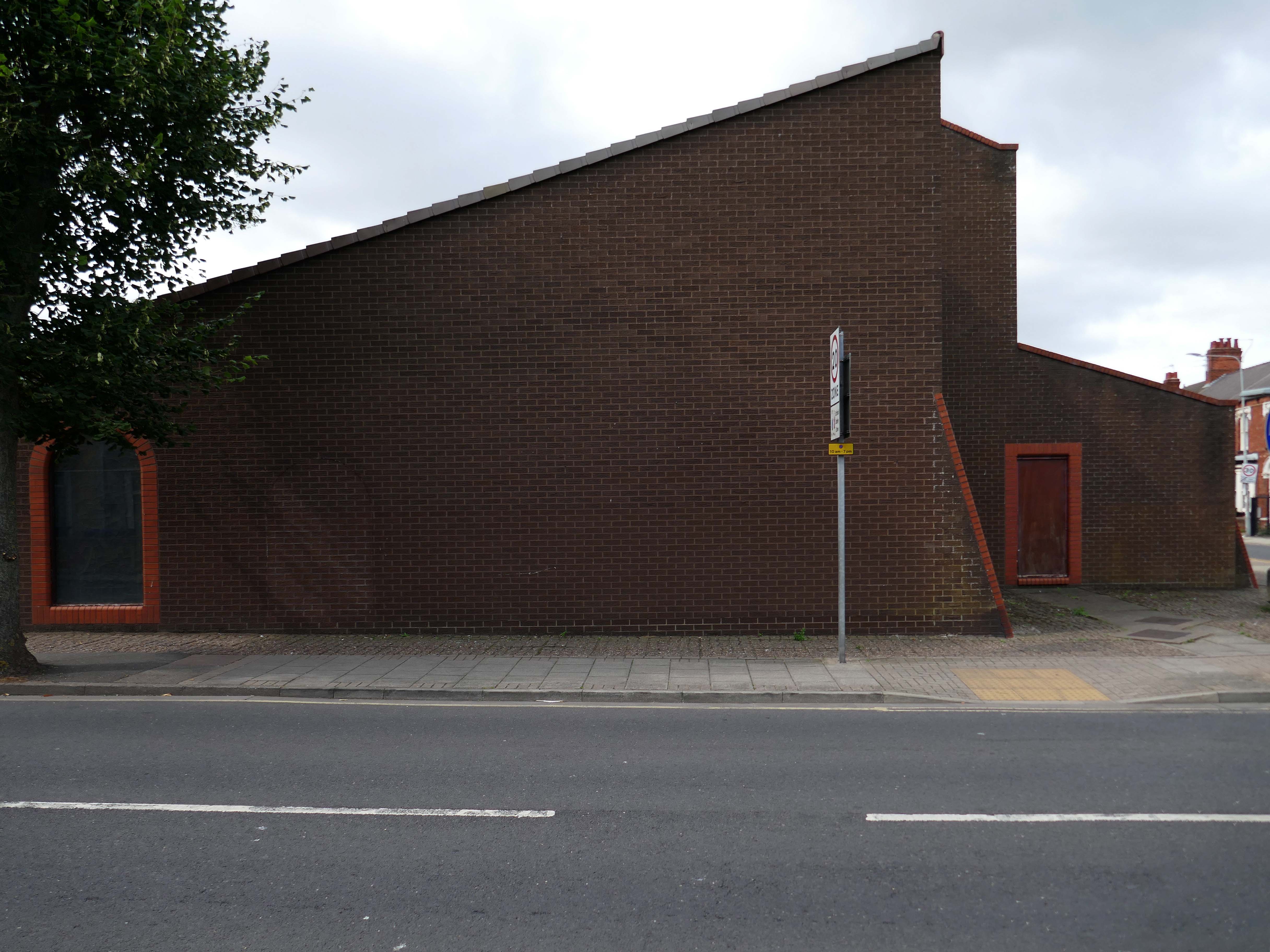
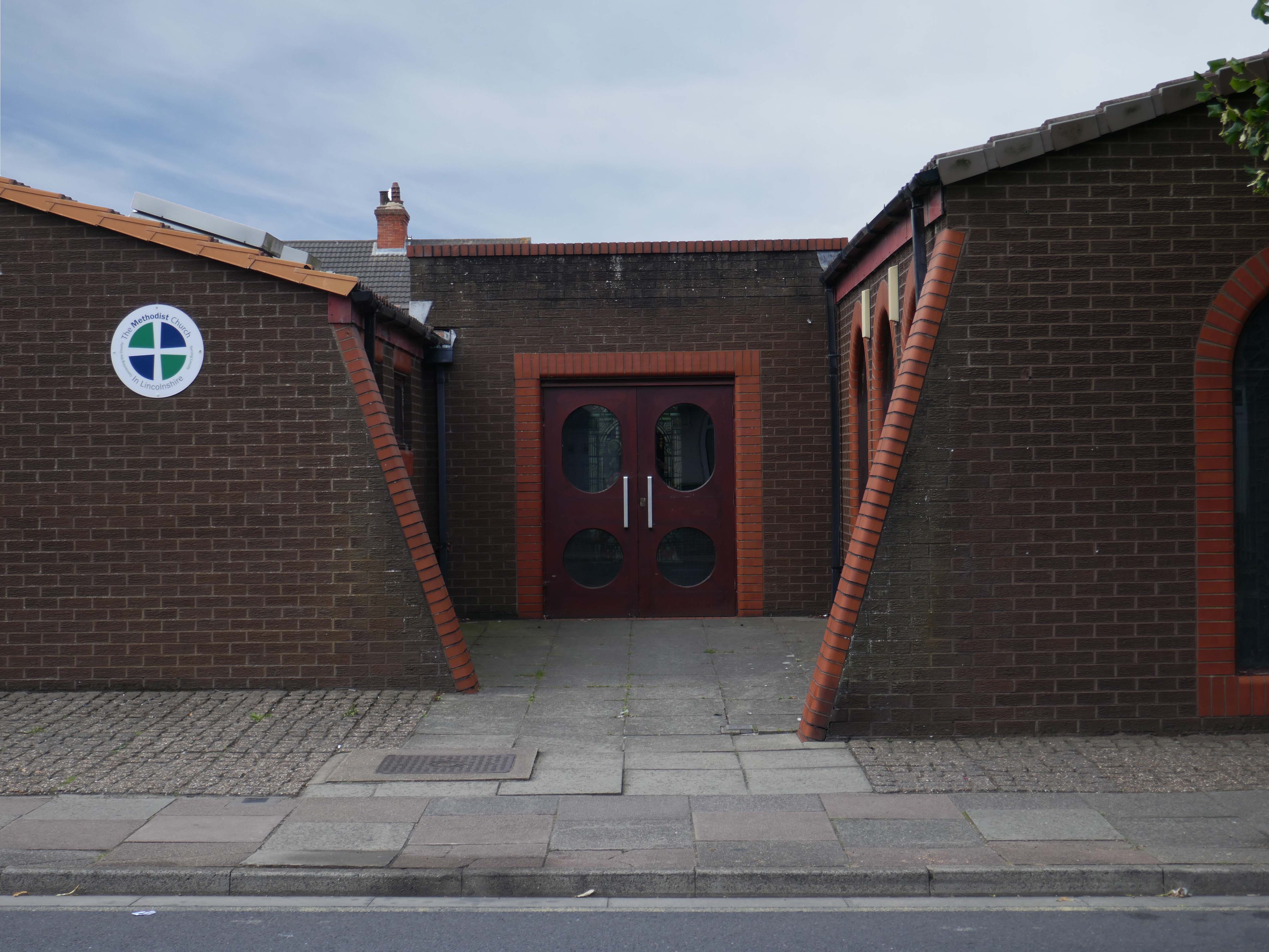
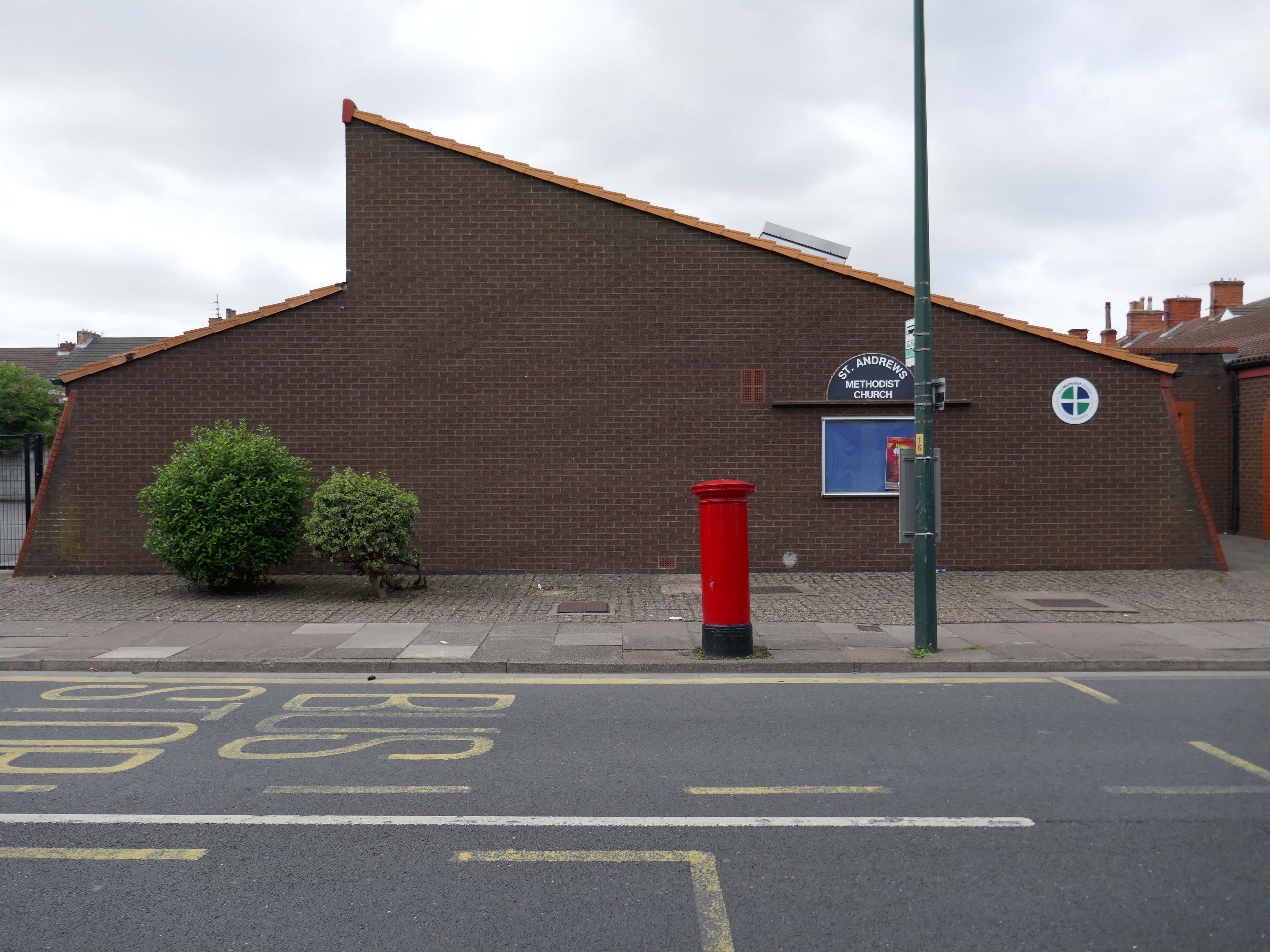
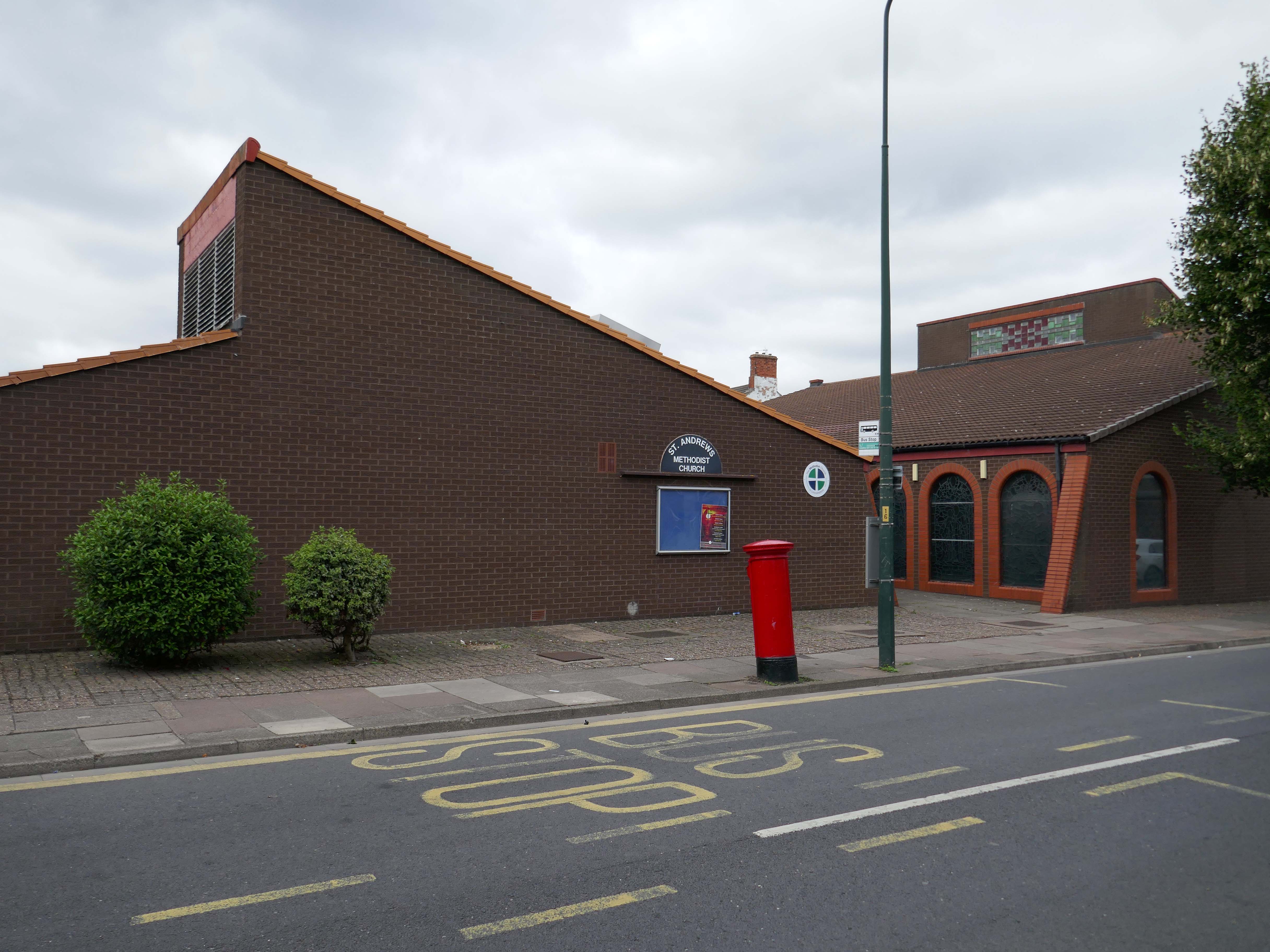
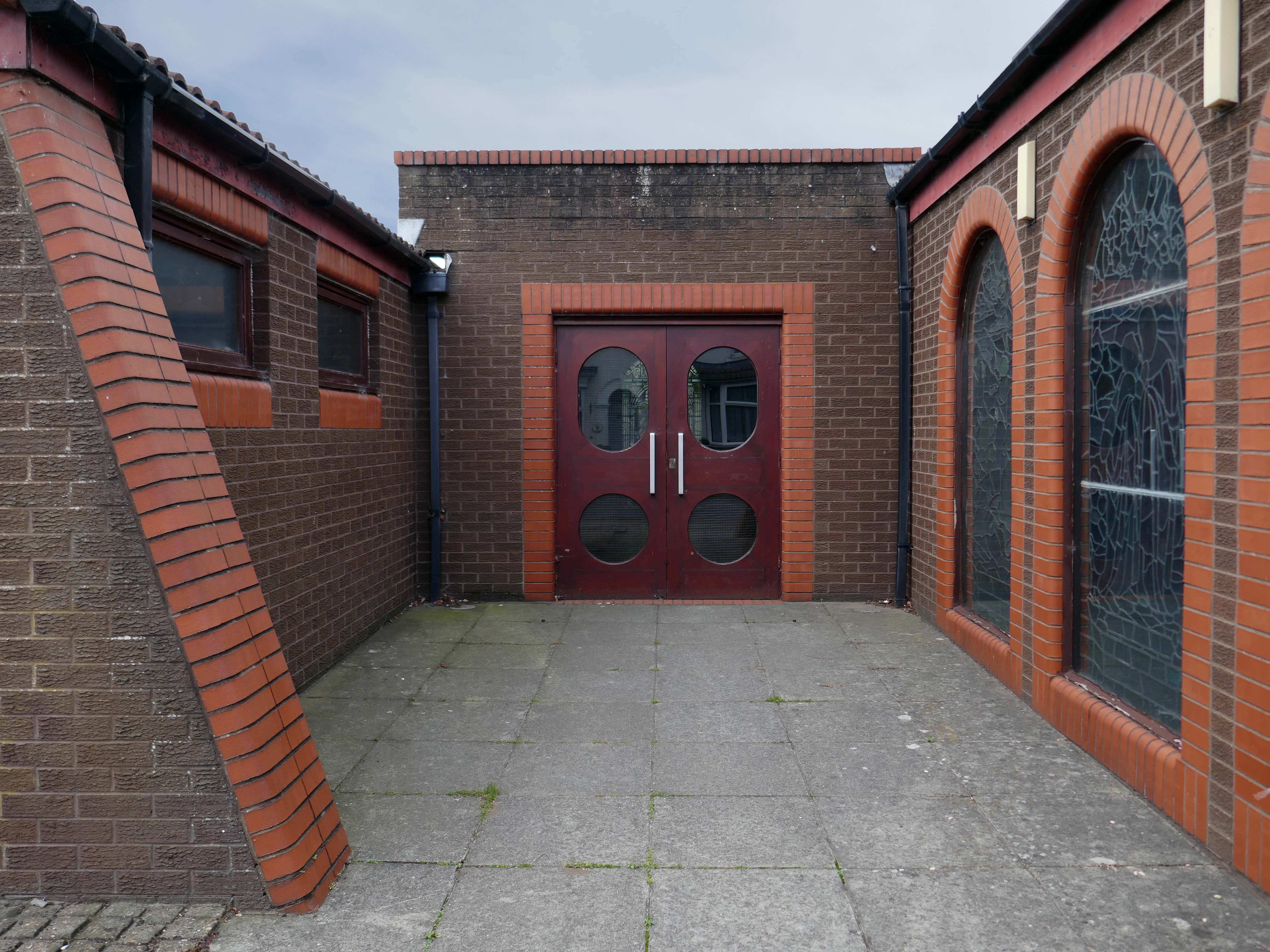
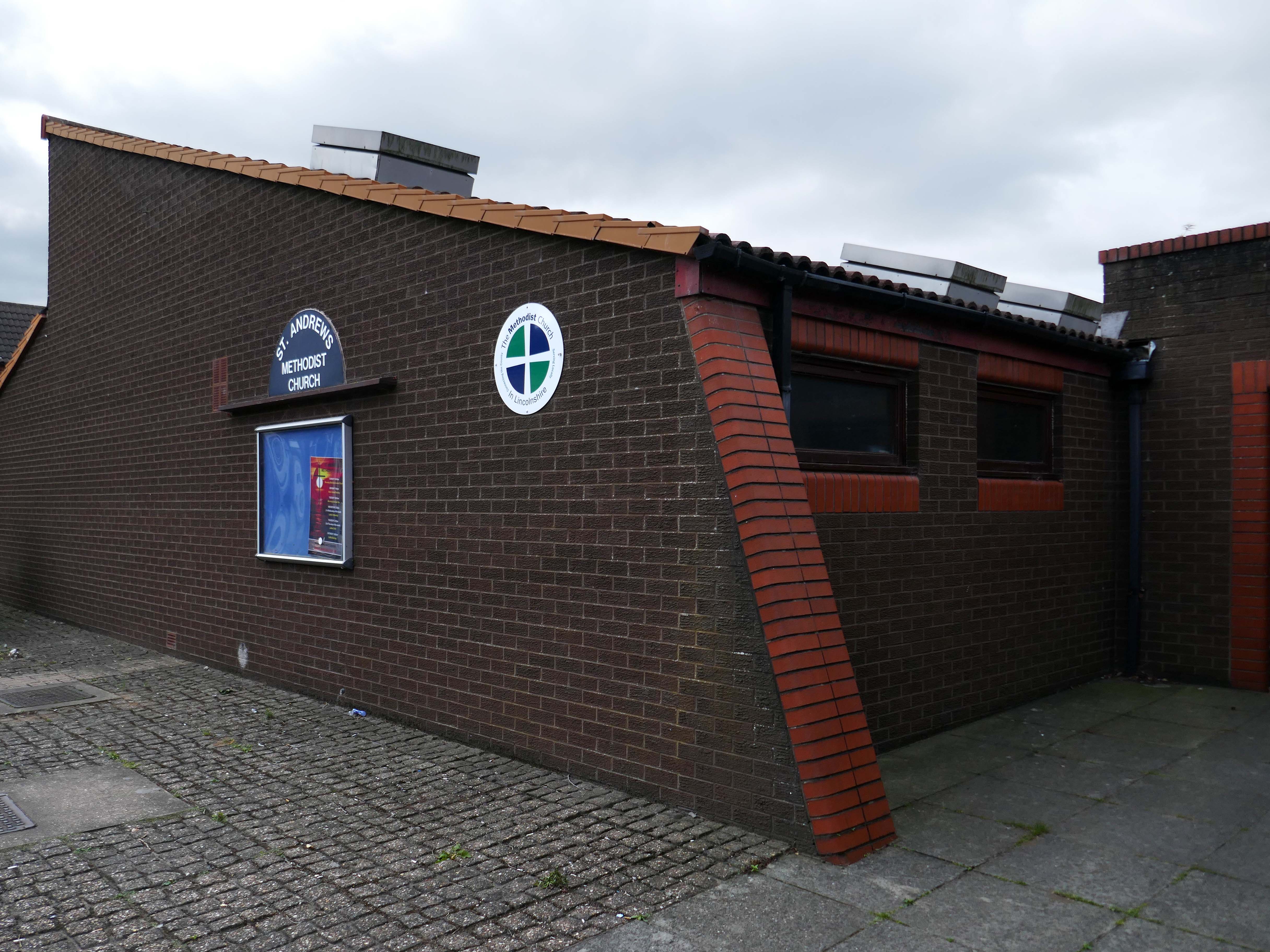
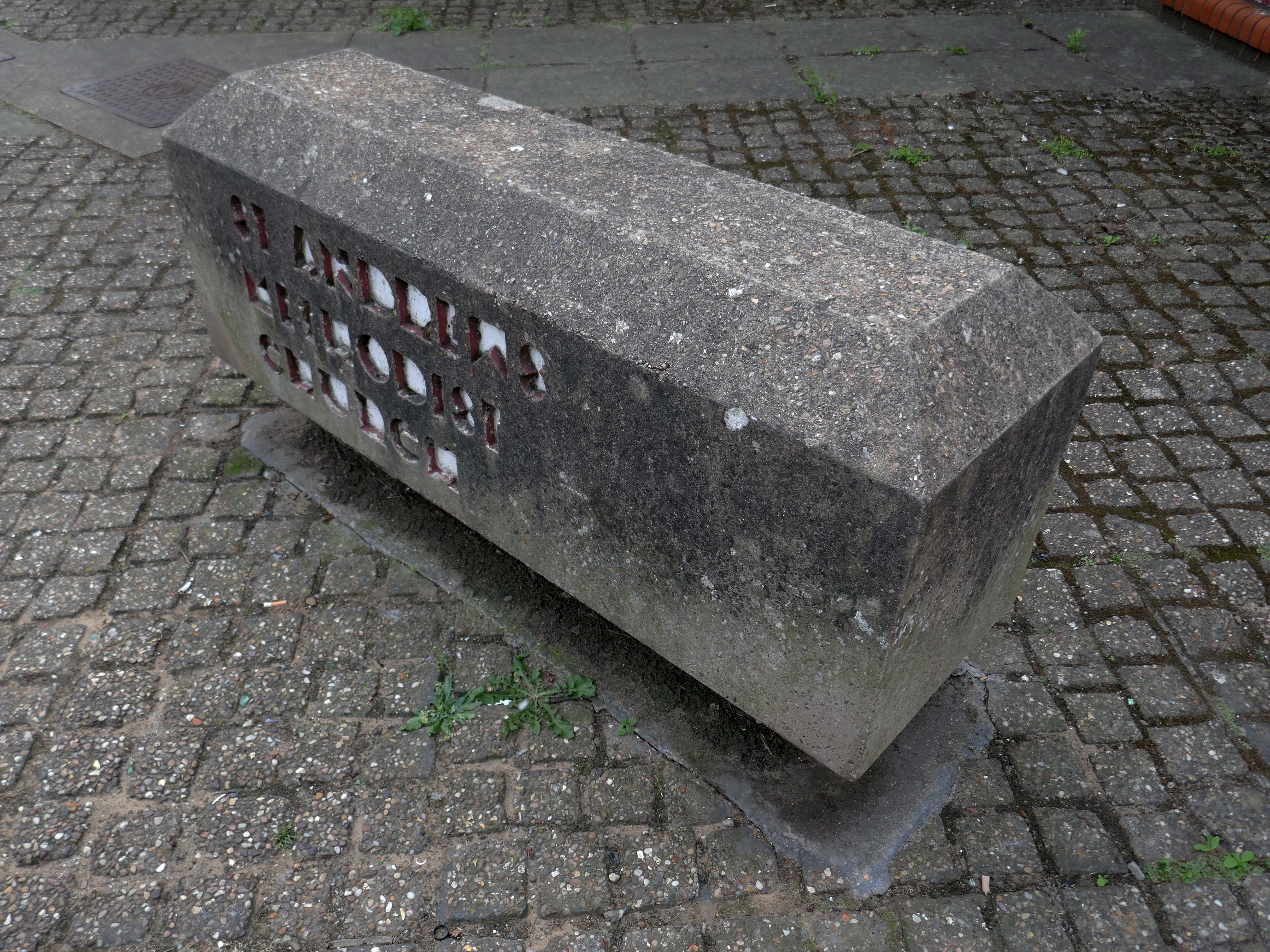
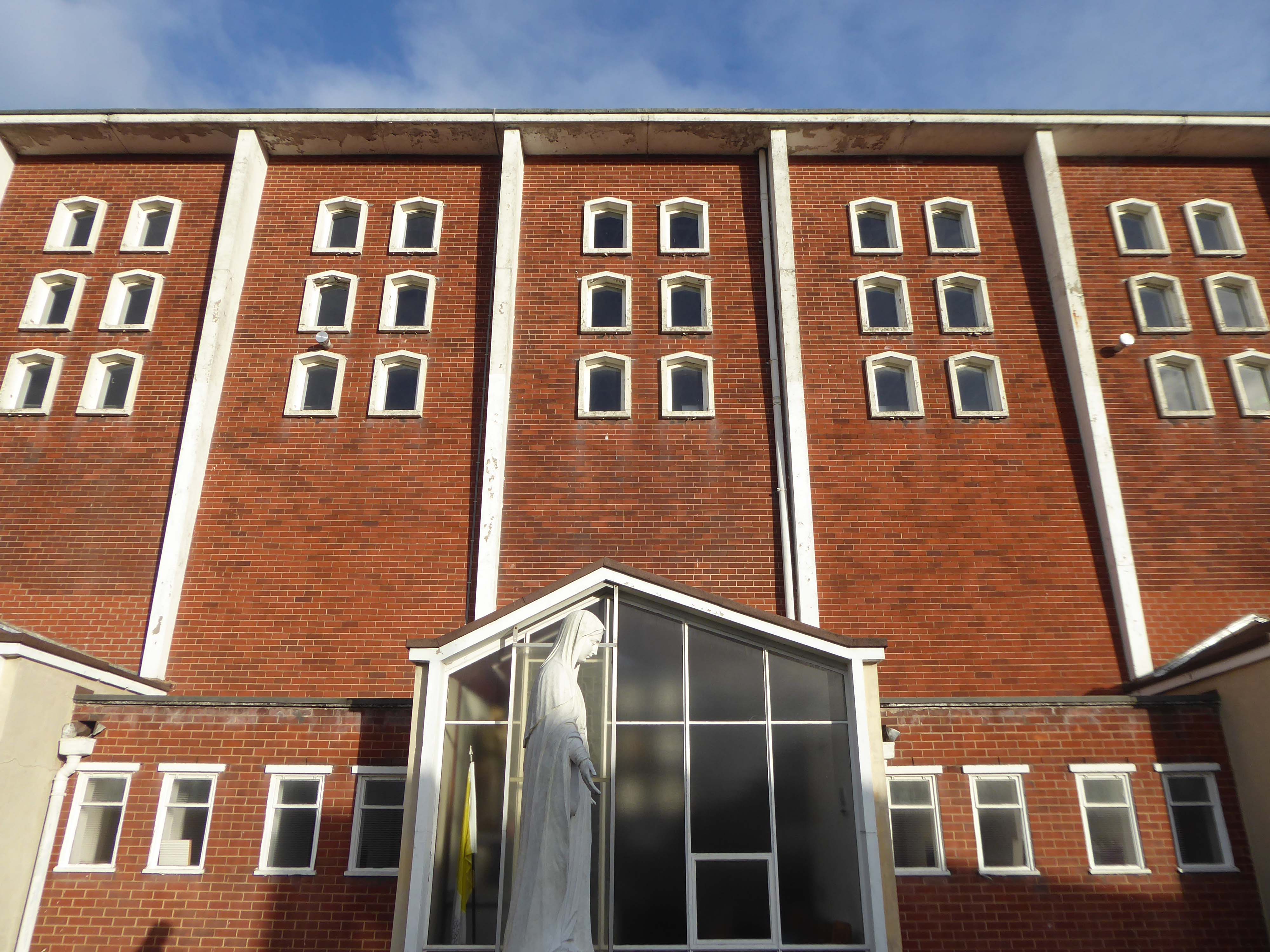
The current church occupies this corner site by the mini roundabout – a very particular architectural style, an angular brick low level ziggurat, with buttresses to the side elevation and entrance. There are glazed brick details around the buttresses, windows and doors.
It has a central entrance which divides the main body of the chapel from the function room.
There are Victorian stained glass panels, which may be from the previous chapel.
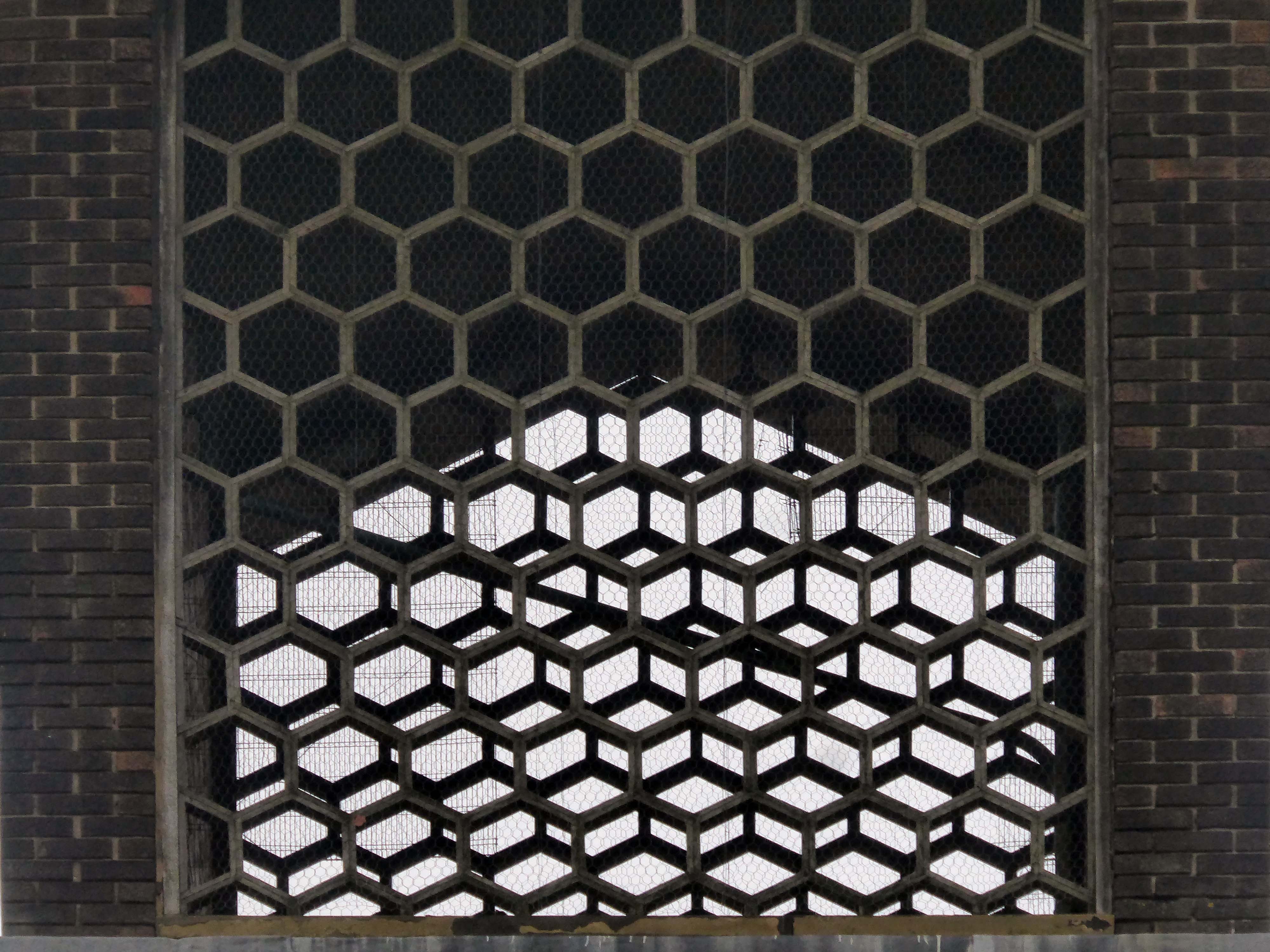
Below the pitched roof there is a modern inset decorative glass panel.
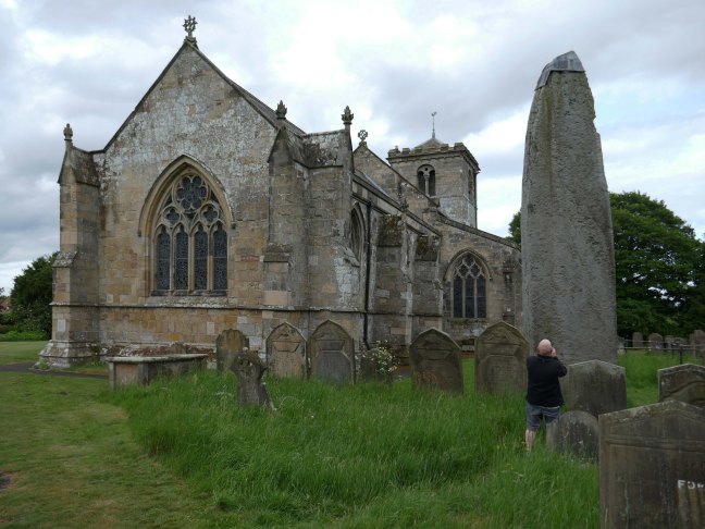
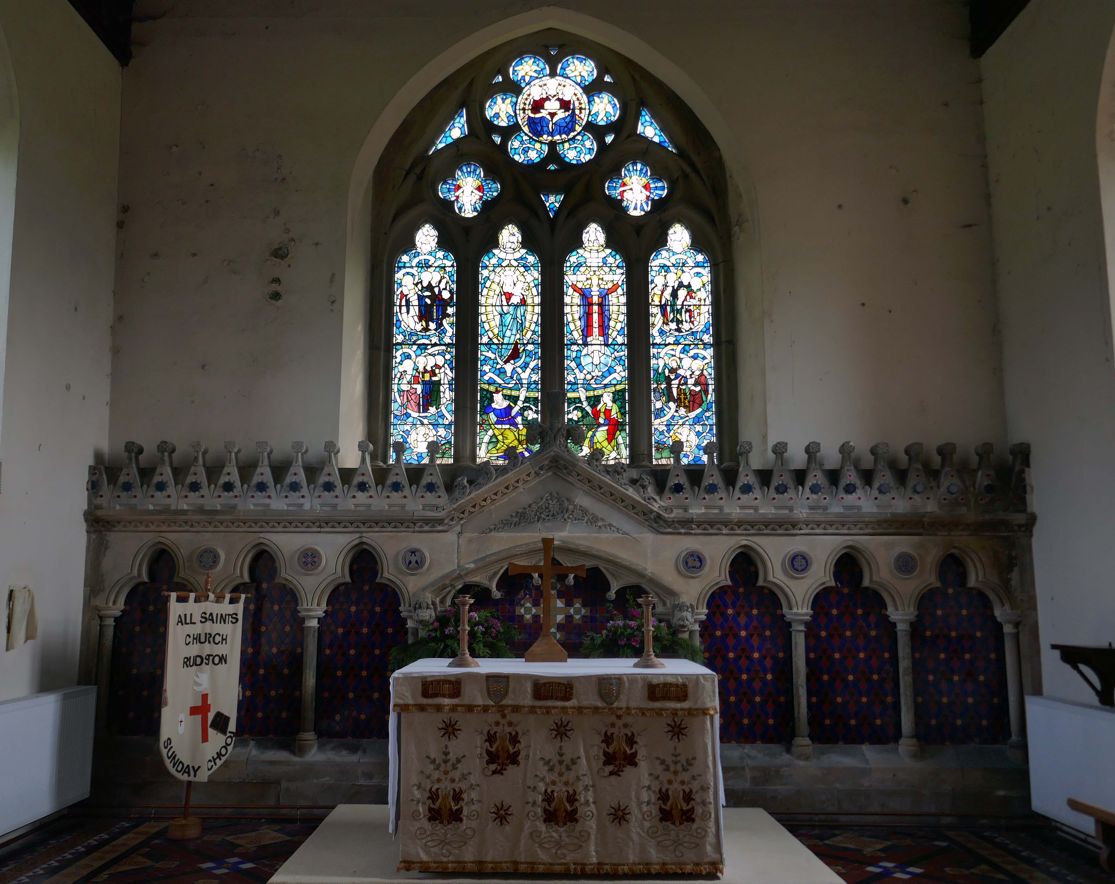
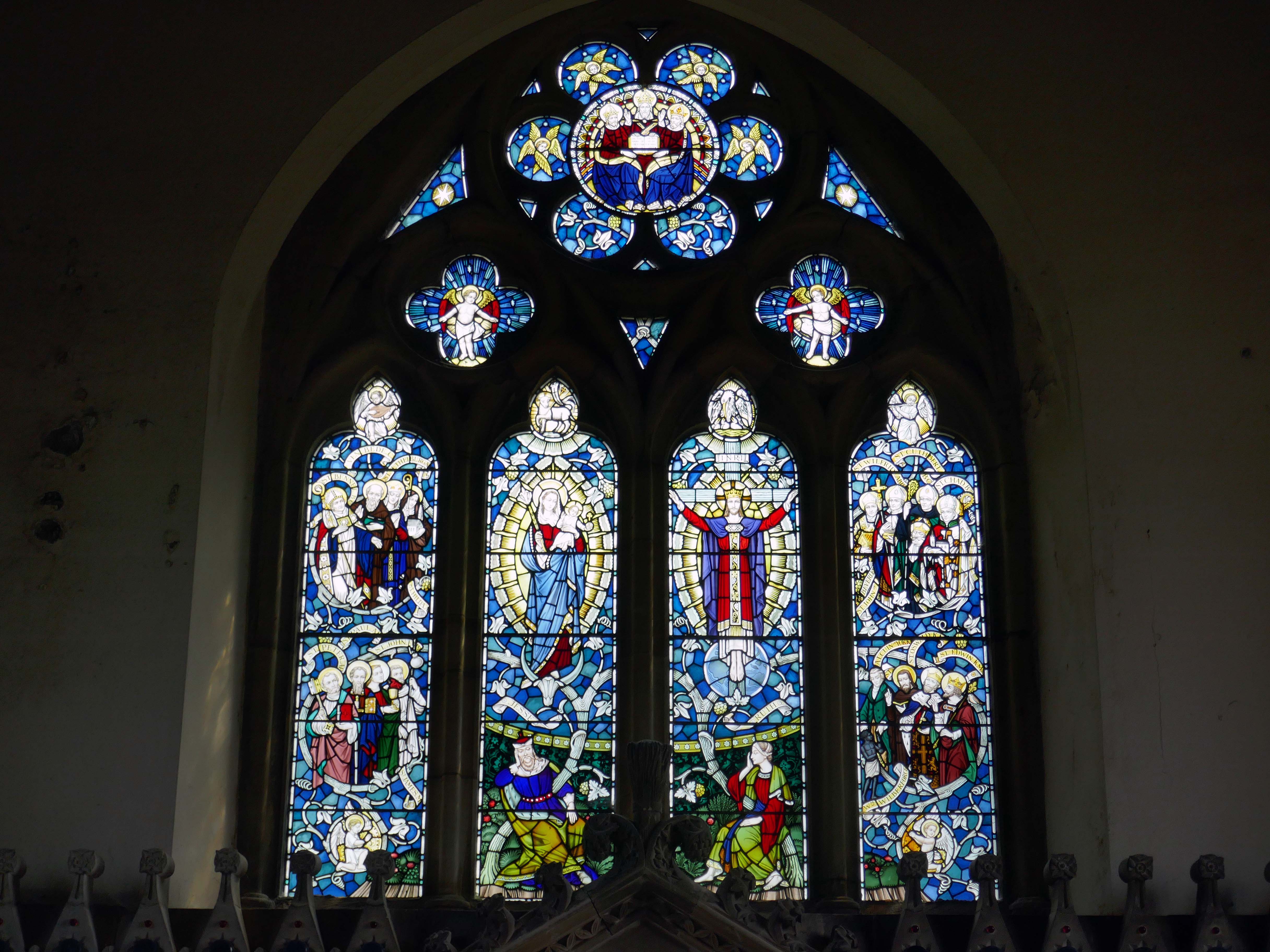
We were wandering by bicycle in the Wolds – we came to see All Saints Church in Rudston.
I was particularly intrigued by the Twentieth Century stained glass.
Grade II Listed All Saints sits in the grounds of the famous Rudston megalith , this alone clearly points to the area being of ritual use thousands of years before this Norman church was erected. At 26 feet high, it is the tallest standing stone in Britain. The megalith was set here around 2000 BC, after being quarried and transported from the Cleveland Hills, west of Whitby.
It is a lovely early Norman church built around the year 1100 by William Peverel, lord of the manor. Of that Norman church, the tower remains, and you can still trace the original west entrance in the stonework at the west end of the church.
The Norman building was extended in the 13th century when both north and south aisles were added, along with the name and chancel arch. In the sanctuary is a slightly later sedilia.
Most of the Stained Glass in the Windows is modern, designed by John Hardman Studios– 1954-56, and replacing 19th century glass by Capronnier of Brussels and Hodgson of York, destroyed by a land mine in the second world war. The various depictions speak for themselves and these pleasing windows are worth examining, particularly the east window above the altar. It has four panels, the left one depicting SS Peter, Paul, James, John, Ethelburga and the Venerable Bede, the two central panels show the Blessed Virgin Mary and the child Jesus, and the living Christ ‘Reigning from the cross.’ The panel on the right shows northern saints Wilfrid, Cuthbert, Chad, John of Beverley, Alcuin of York, Oswald, Edwin, and most unusually William Wilberforce, MP for Hull and then Yorkshire, who pioneered the abolition of slavery.
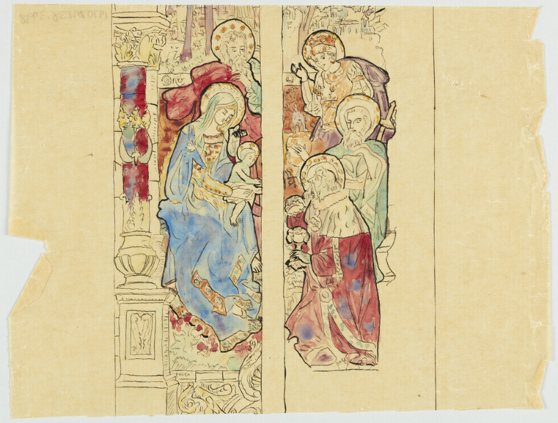
Design for Stained Glass Window for Notre Dame Church Fall River Massachusetts USA – 1921
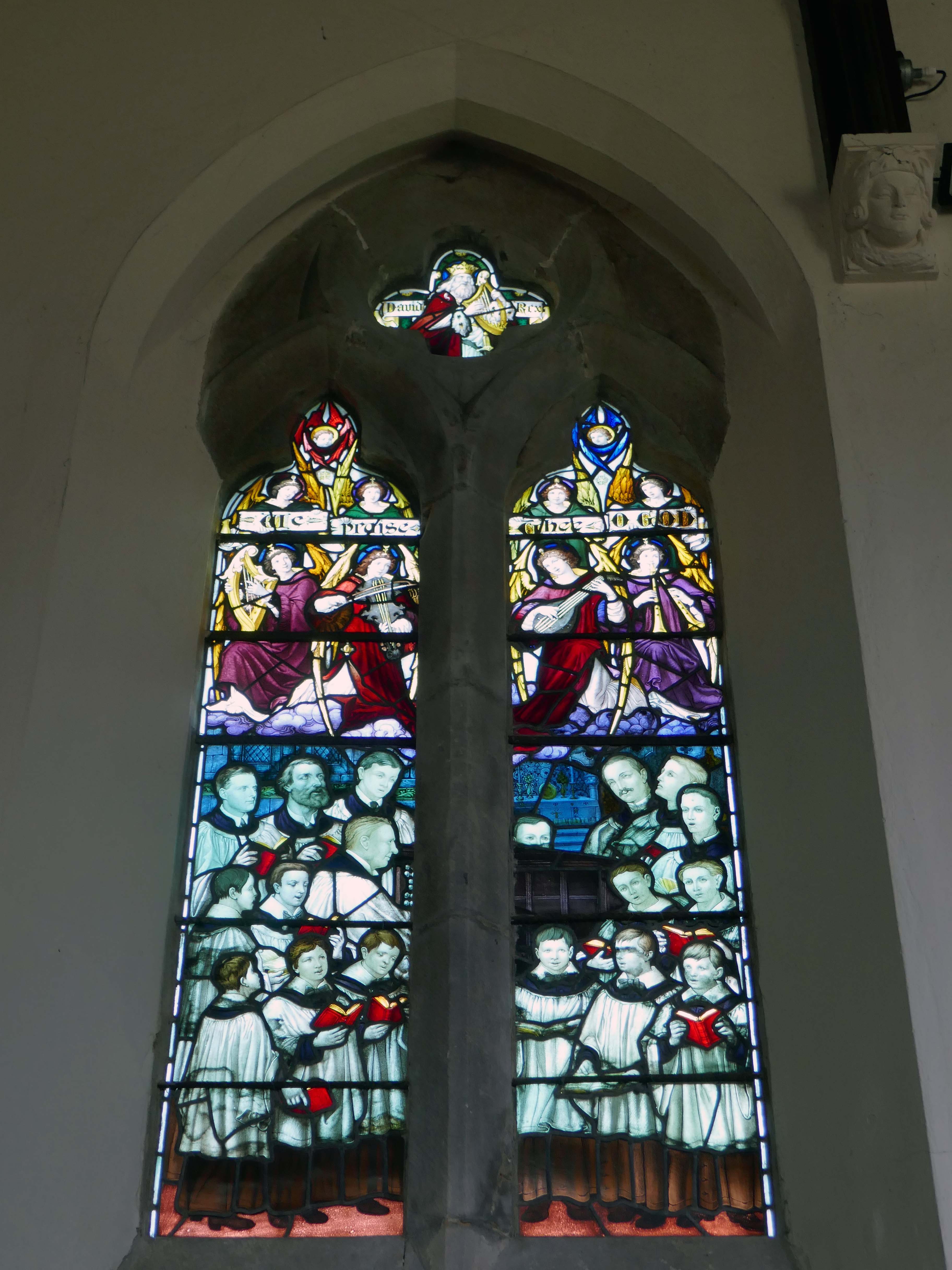
Chancel North Window by Arthur Lucien Ward 1915
Depicting Sir Alexander Macdonald playing the organ surrounded by a choir – We Praise Thee O God. Sir Alexander gave the organ, and was organist and choirmaster for nearly 50 years.
He designed for AR Mowbray from around the time of the First World War into the 1930s.
Having completed five years at York Art School, then work experience with Harry Harvey FMGP, Ann chose to specialise in stained glass. After working as Harry’s studio assistant for several years, she set up her own workshop in 1987.
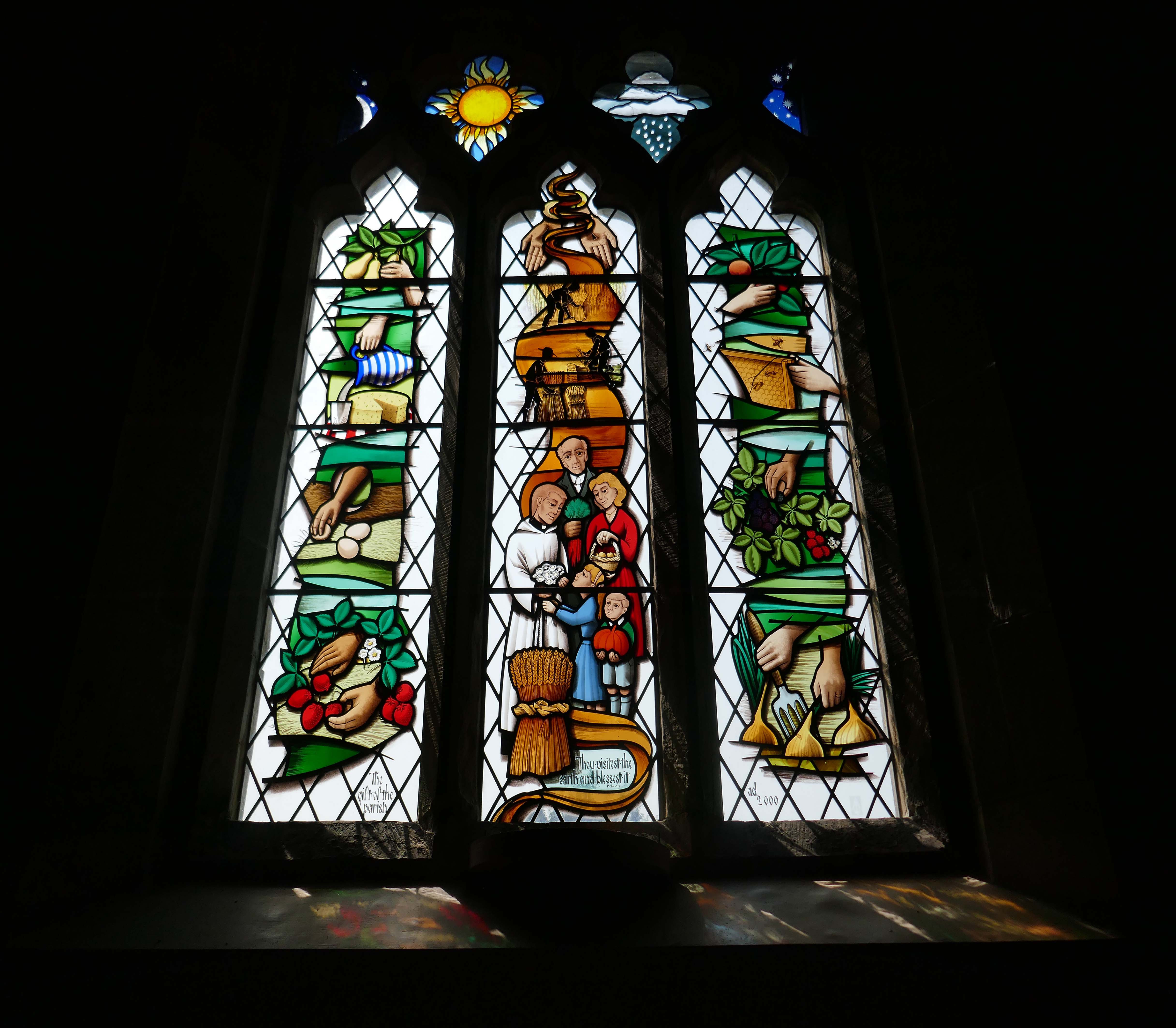
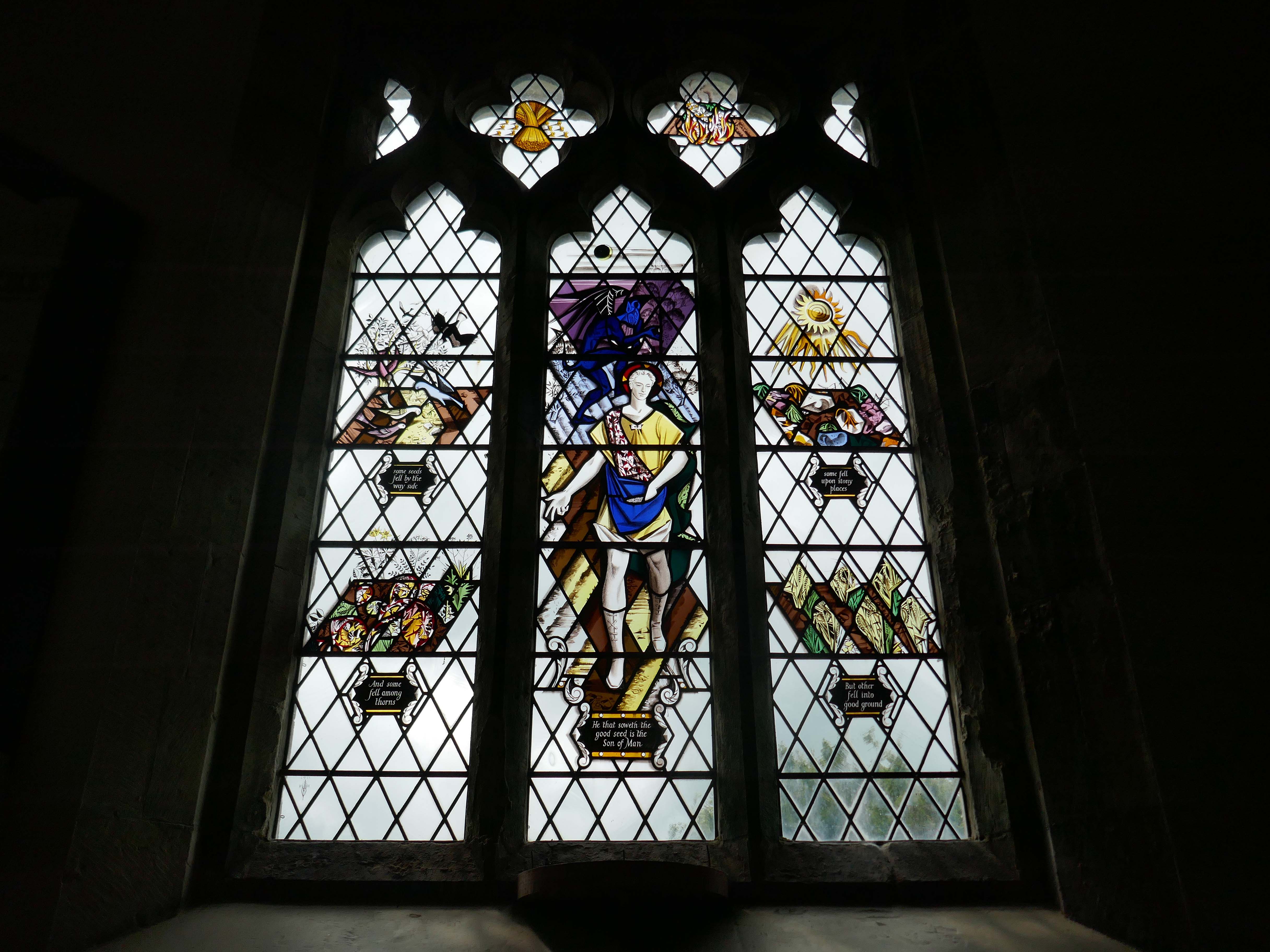
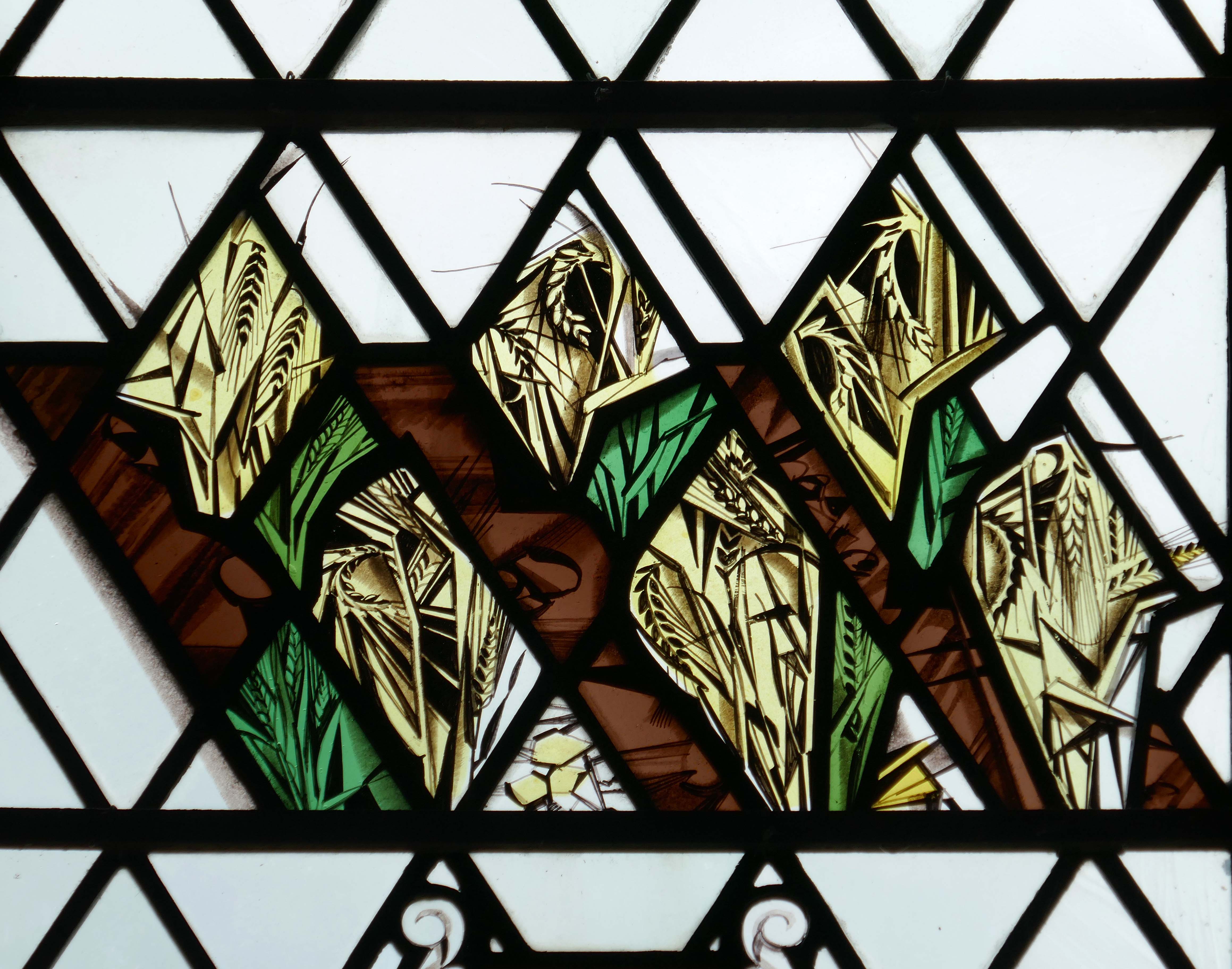
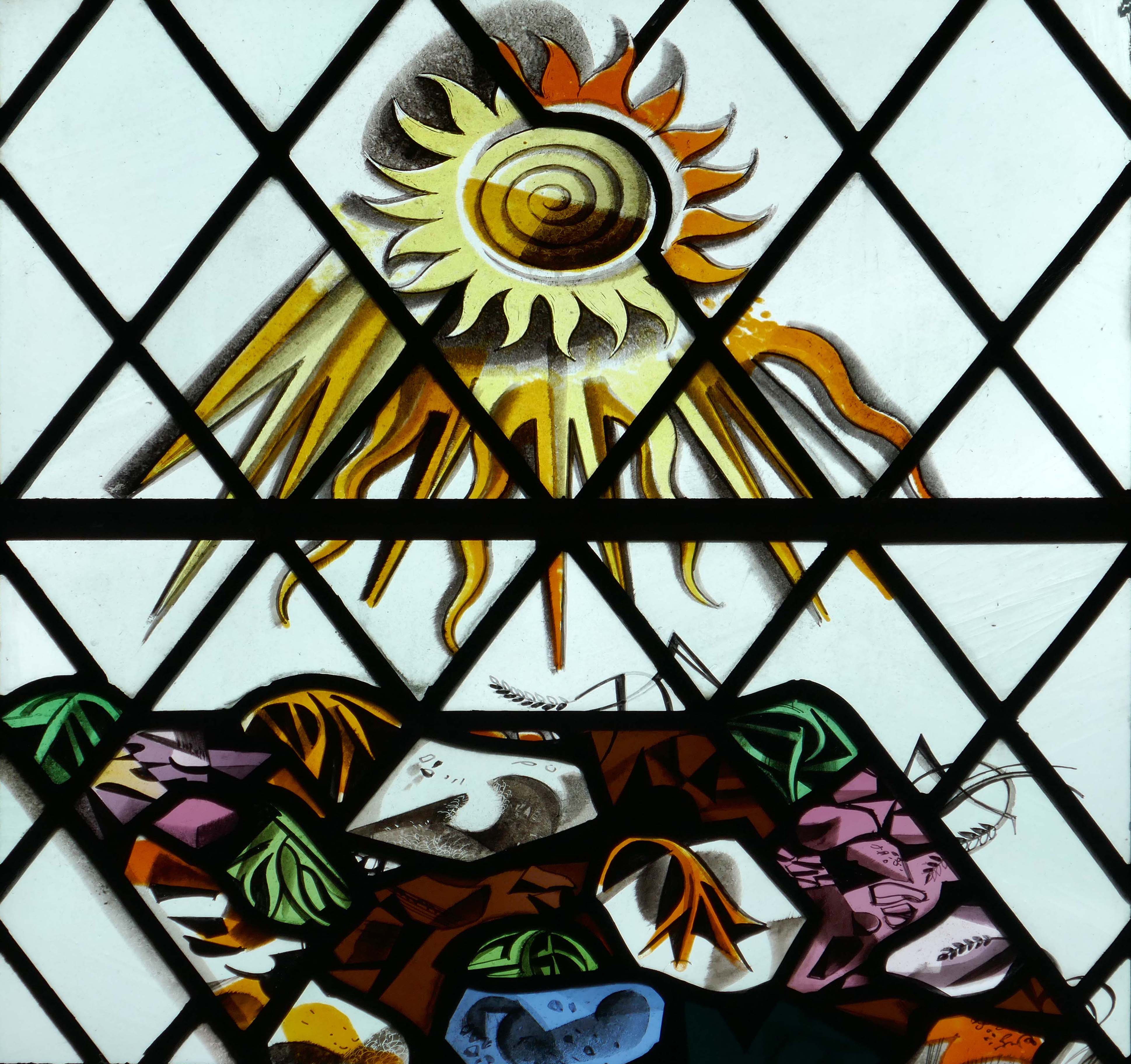
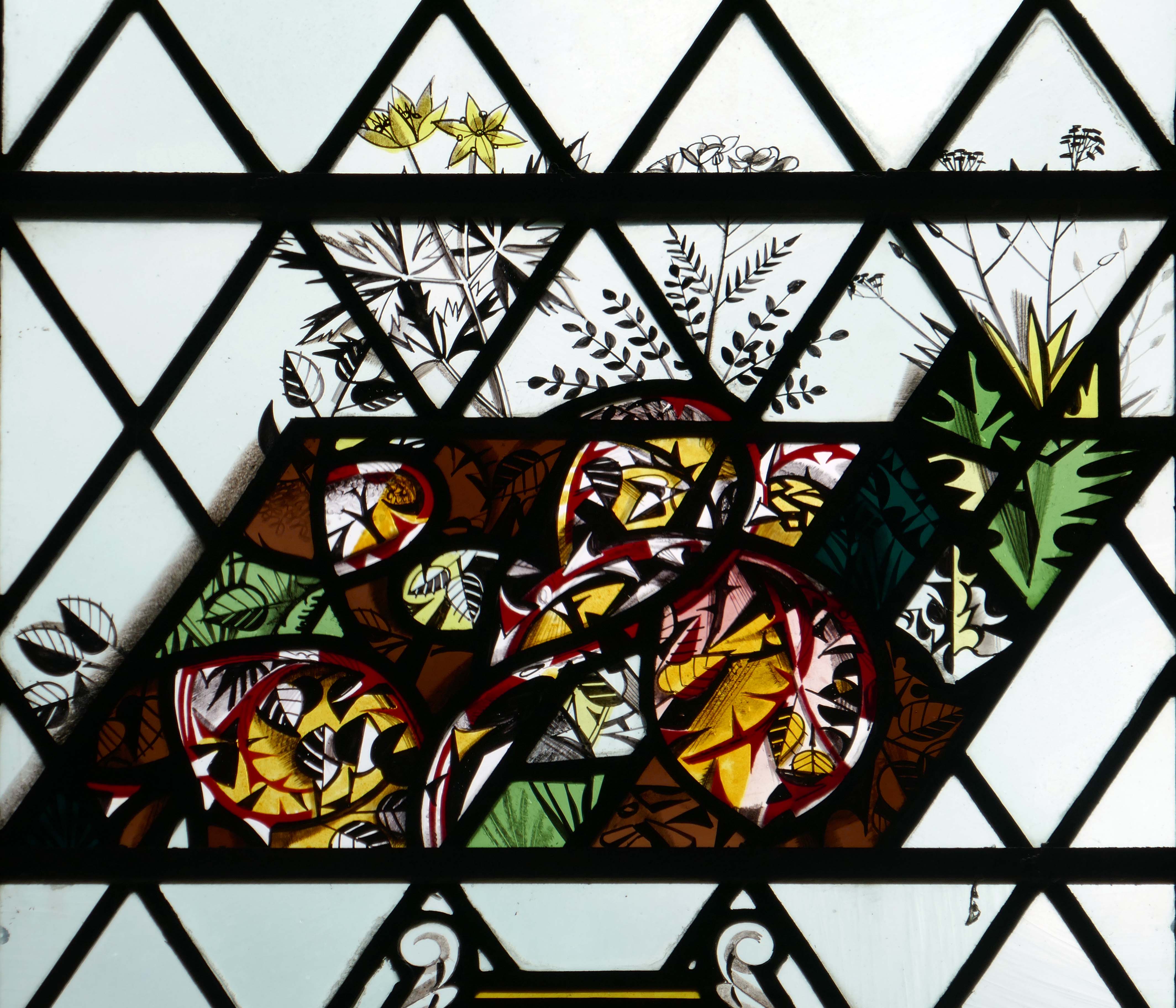
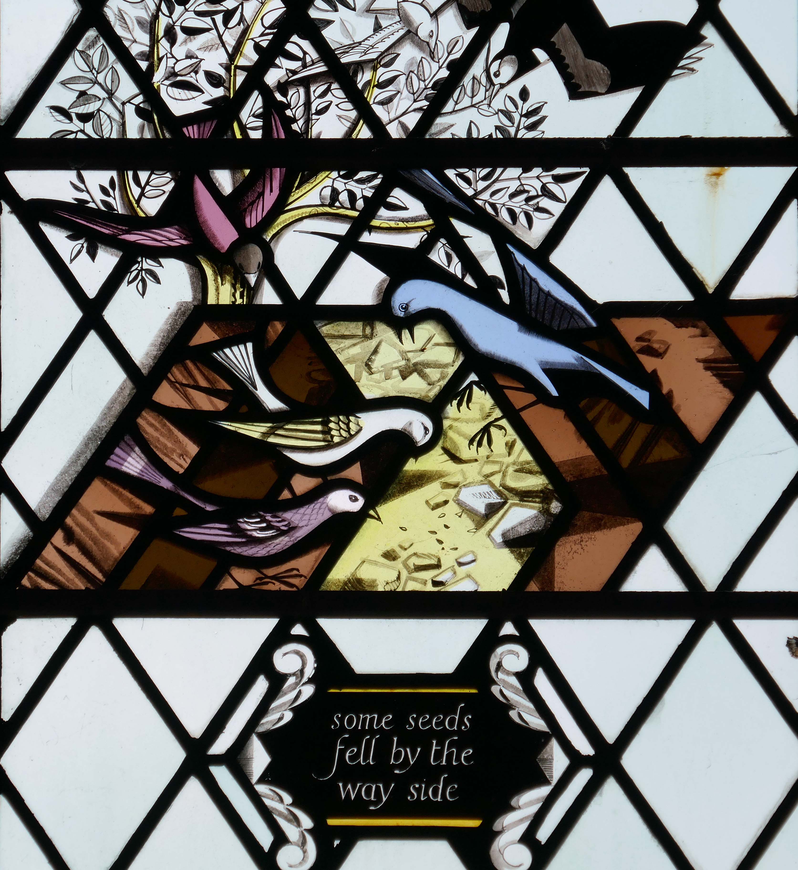
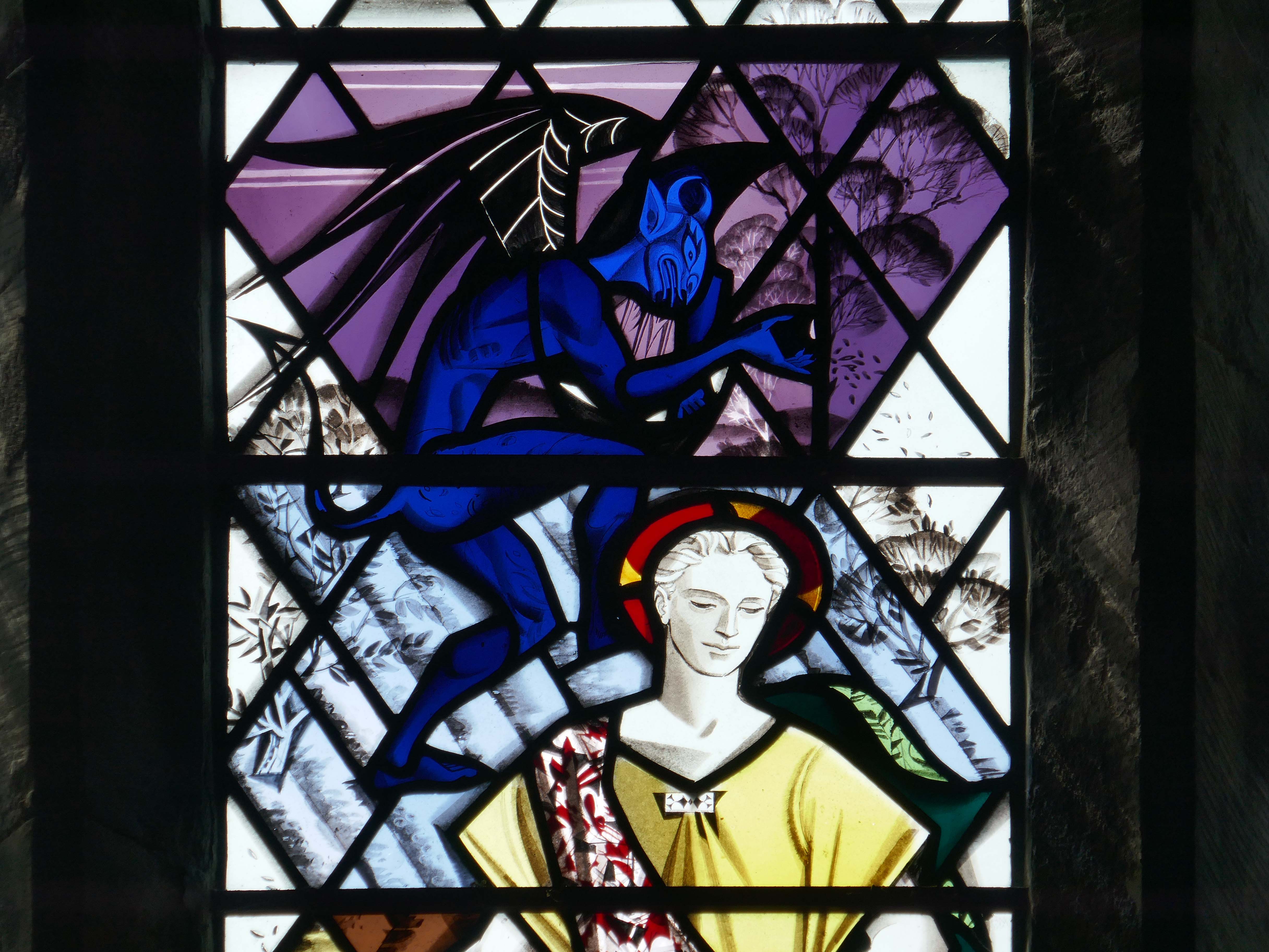
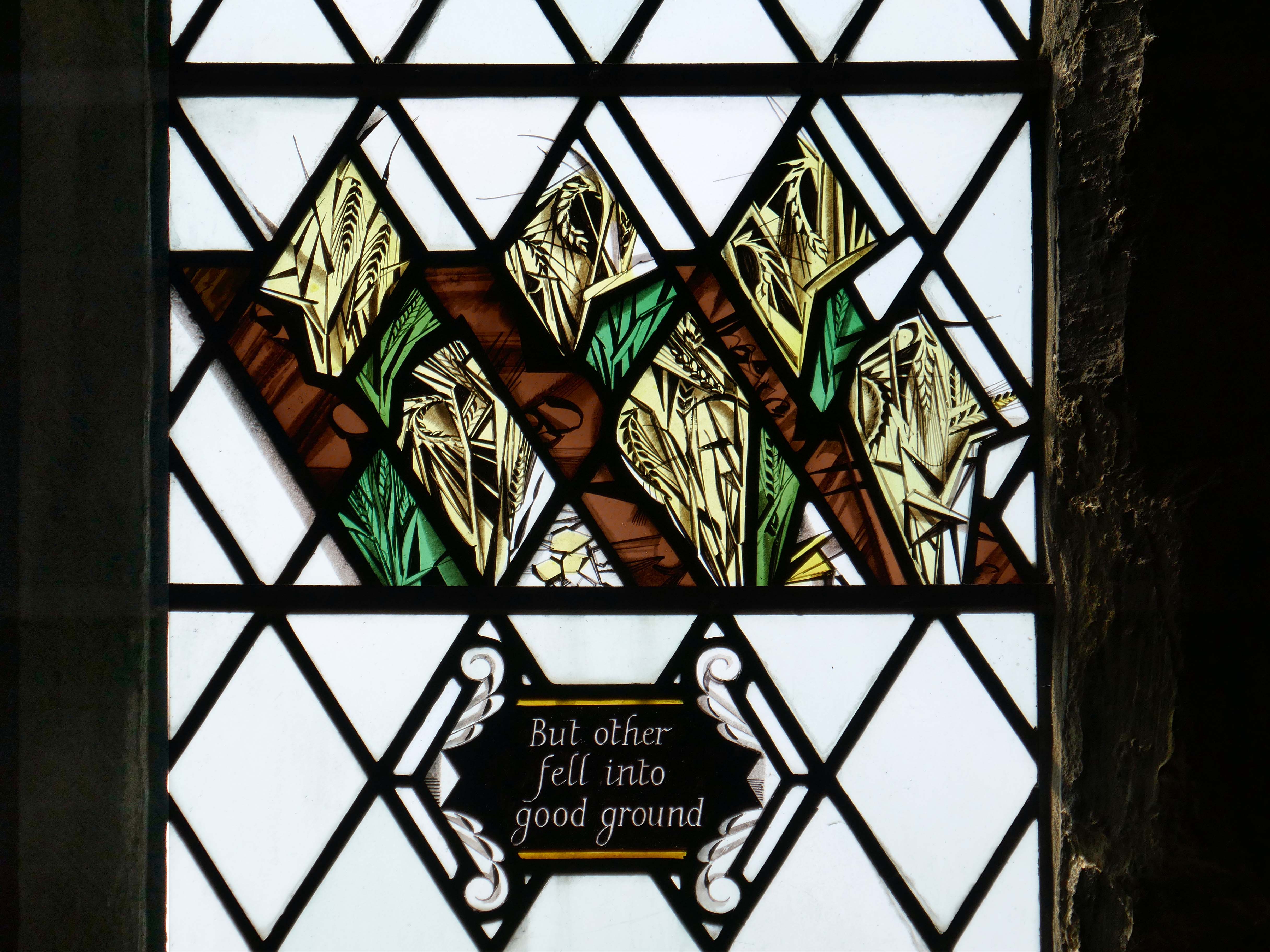
The Sower window by Harry Harvey – 1956.
Harry William Harvey FMGP born 1922 died 2011, was born in Birmingham and received his initial training in stained glass from the local firm of Pierce & Cutler. After the war he joined Wippells of Exeter, before moving to York at the instigation of another Wippells old boy, Harry Stammers, with whom he worked until establishing his own studio in 1956. He also collaborated over many years with Joseph Fisher of Shrigley & Hunt. Two of his assistants, Ann Sotheran and Sep Waugh also went on to establish their own studios.
And when a great multitude had gathered, and they had come to Him from every city, He spoke by a parable: “A sower went out to sow his seed. And as he sowed, some fell by the wayside; and it was trampled down, and the birds of the air devoured it. Some fell on rock; and as soon as it sprang up, it withered away because it lacked moisture. And some fell among thorns, and the thorns sprang up with it and choked it. But others fell on good ground, sprang up, and yielded a crop a hundredfold.” When He had said these things He cried, “He who has ears to hear, let him hear!”
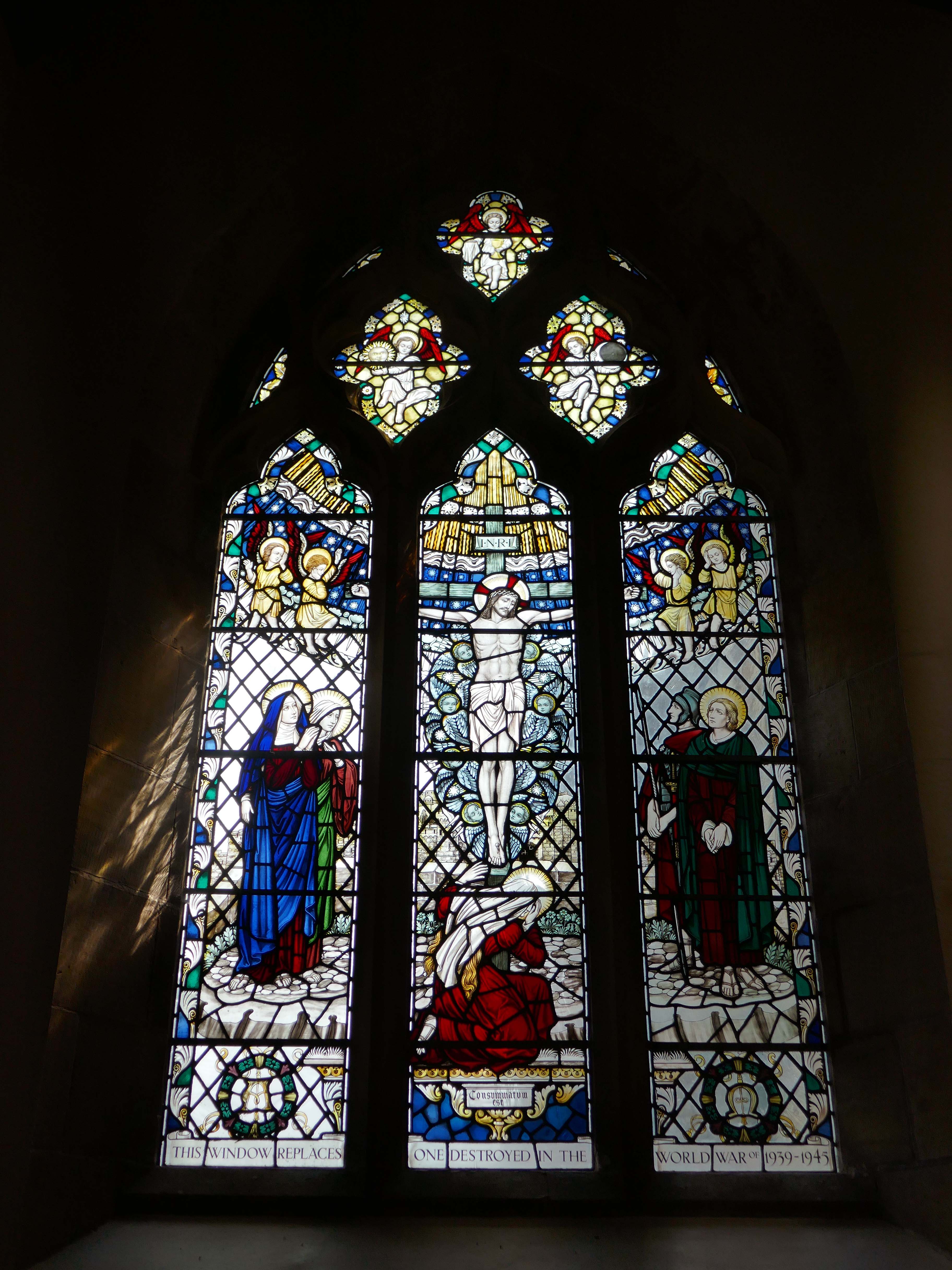
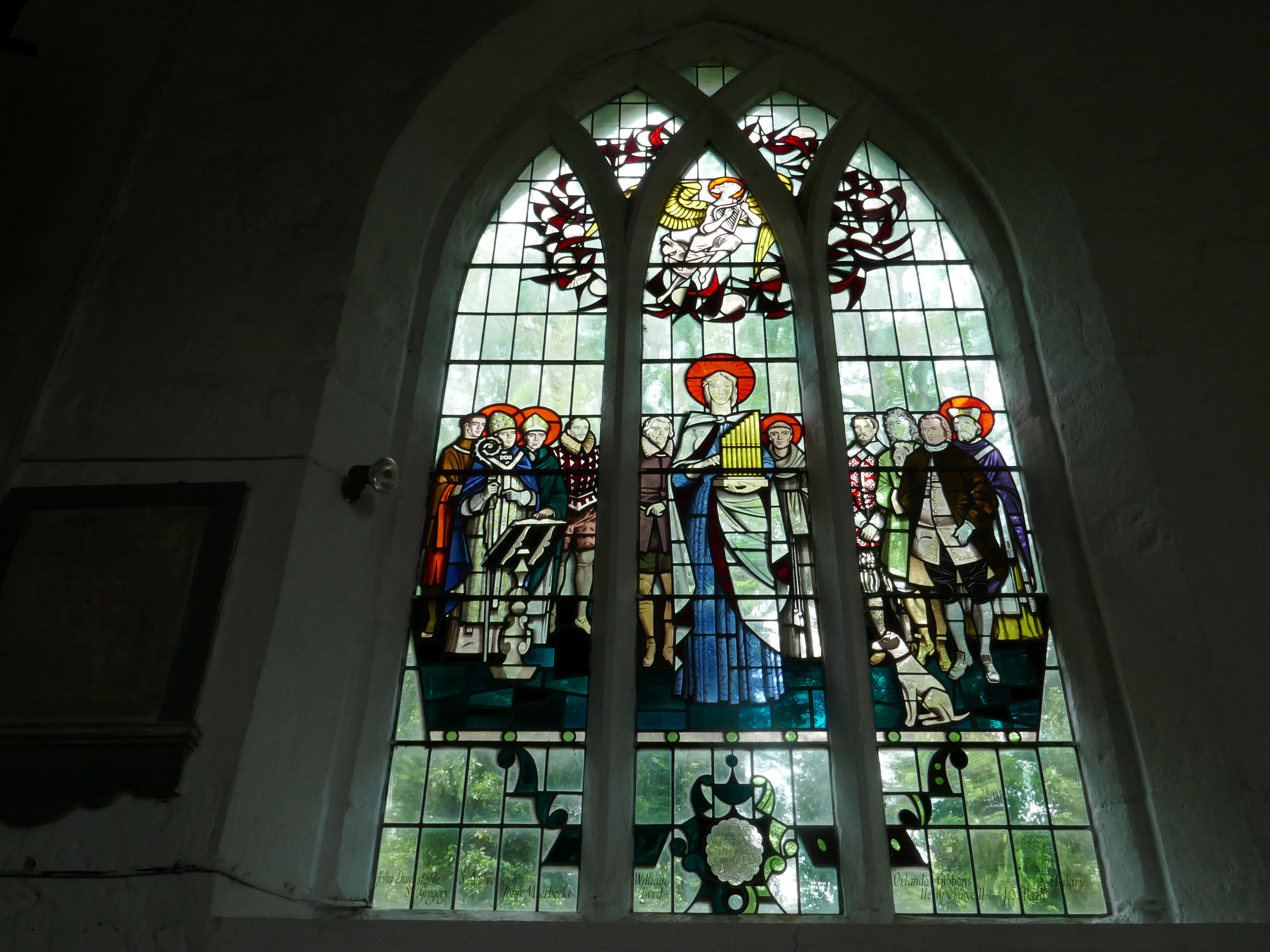
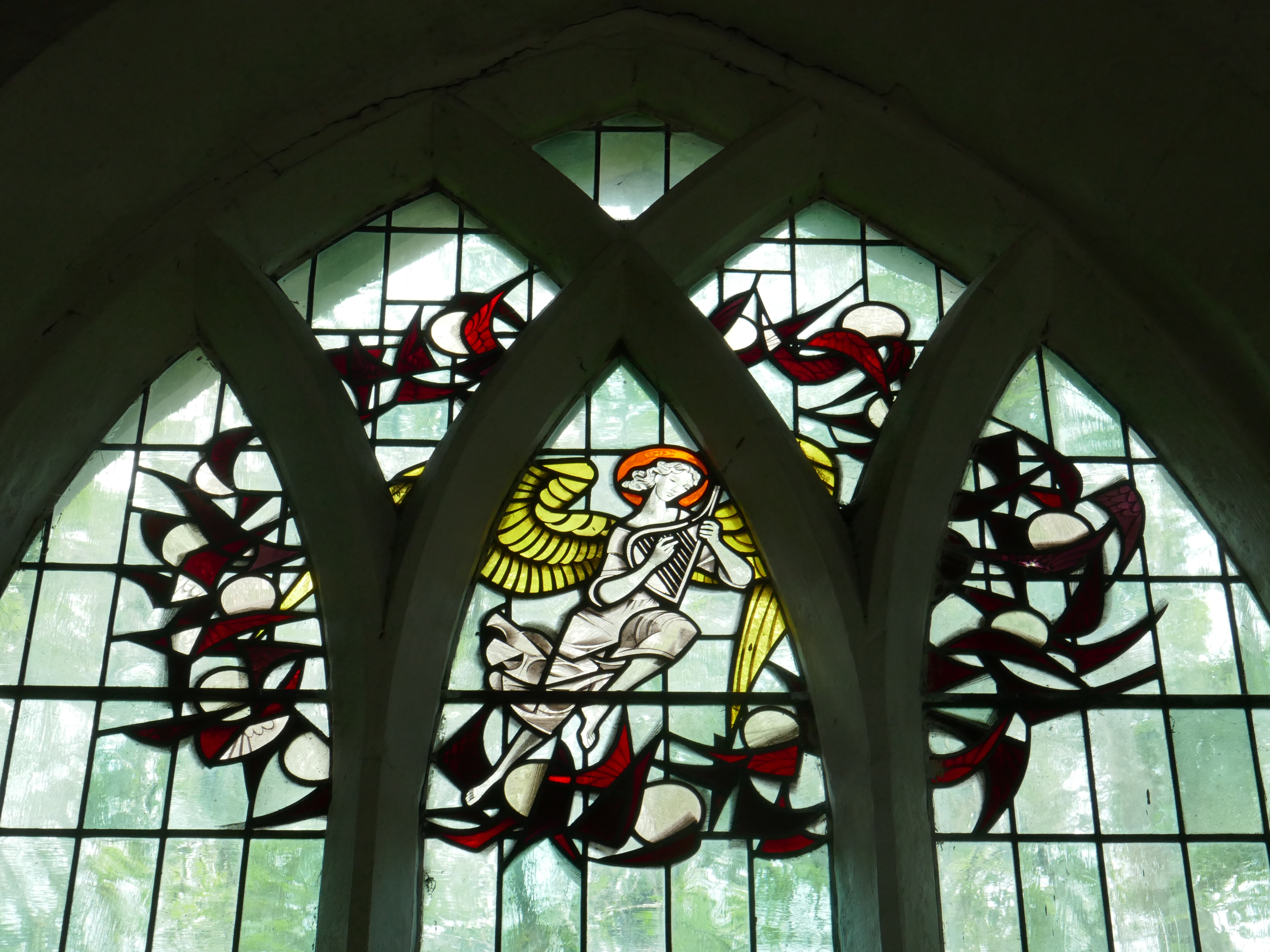
Later in the week I discovered more of Harry Harvey’s work, in nearby All Saints Kilham – the chancel north window 1967.
Depicting on the right Orlando Gibbons, Henry Purcell, JS Bach, St Hilary. Whilst on the left there is John Dunstable, St Gregory, St Ambrose and John Merbeeke.
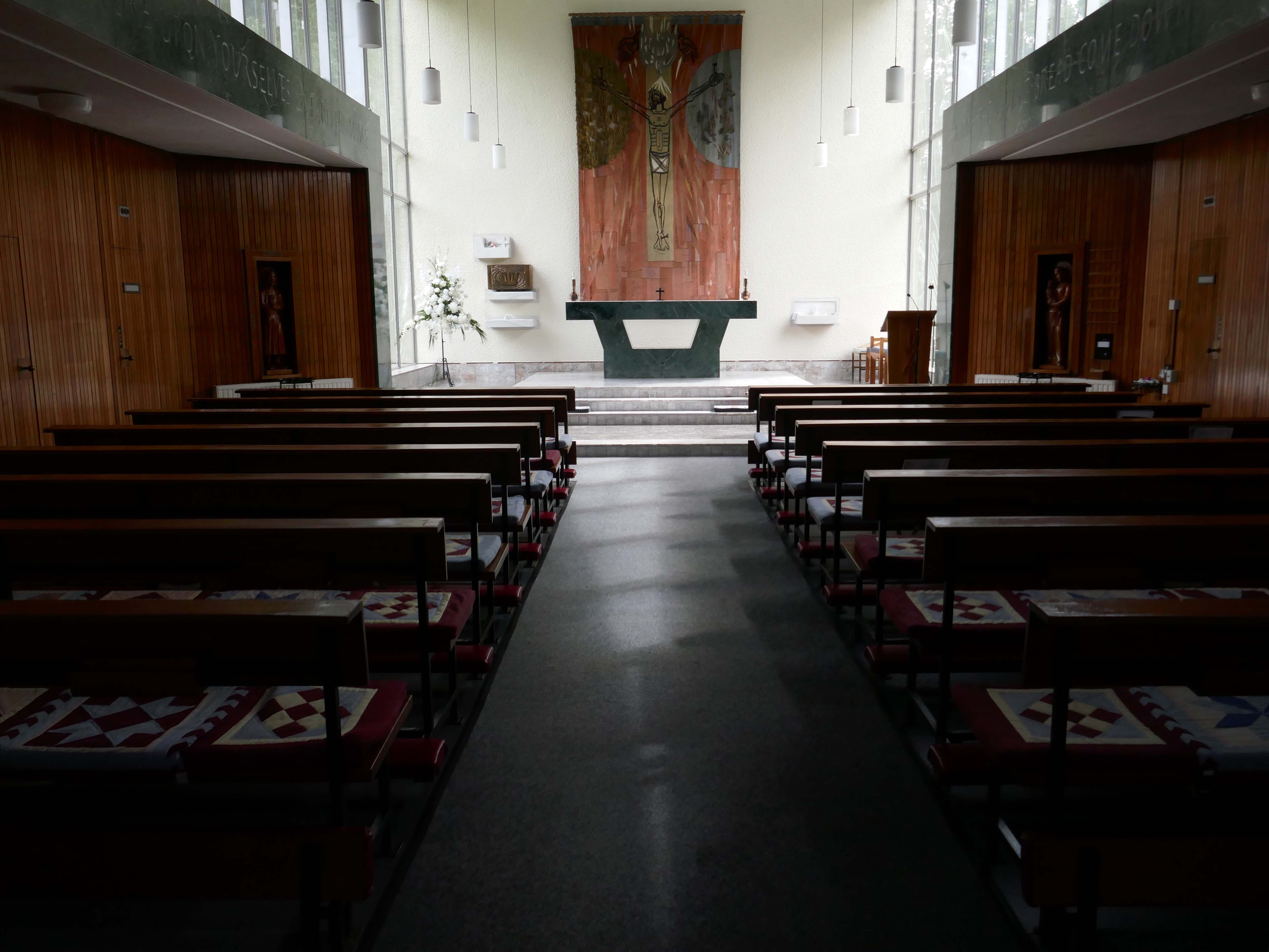
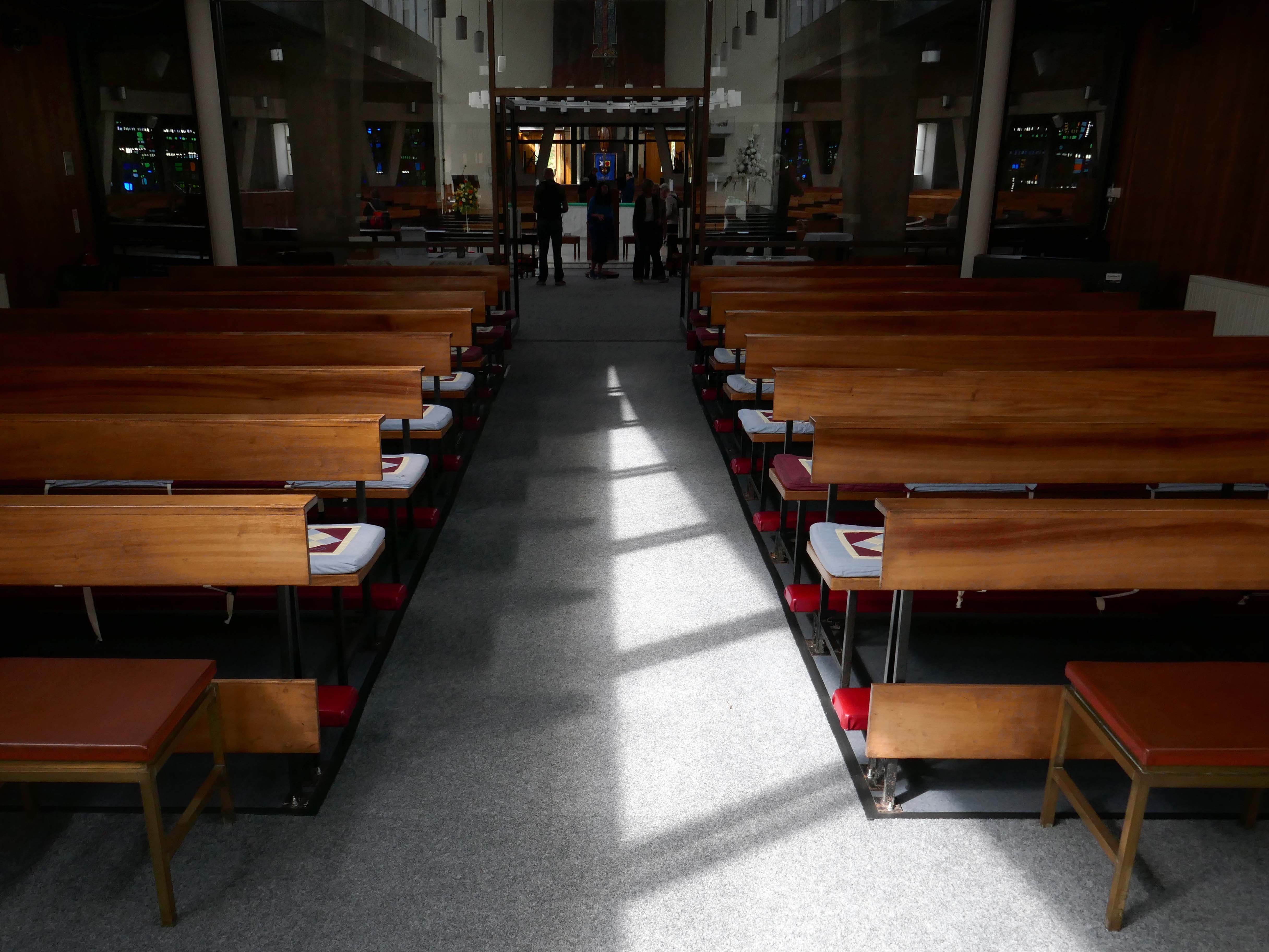
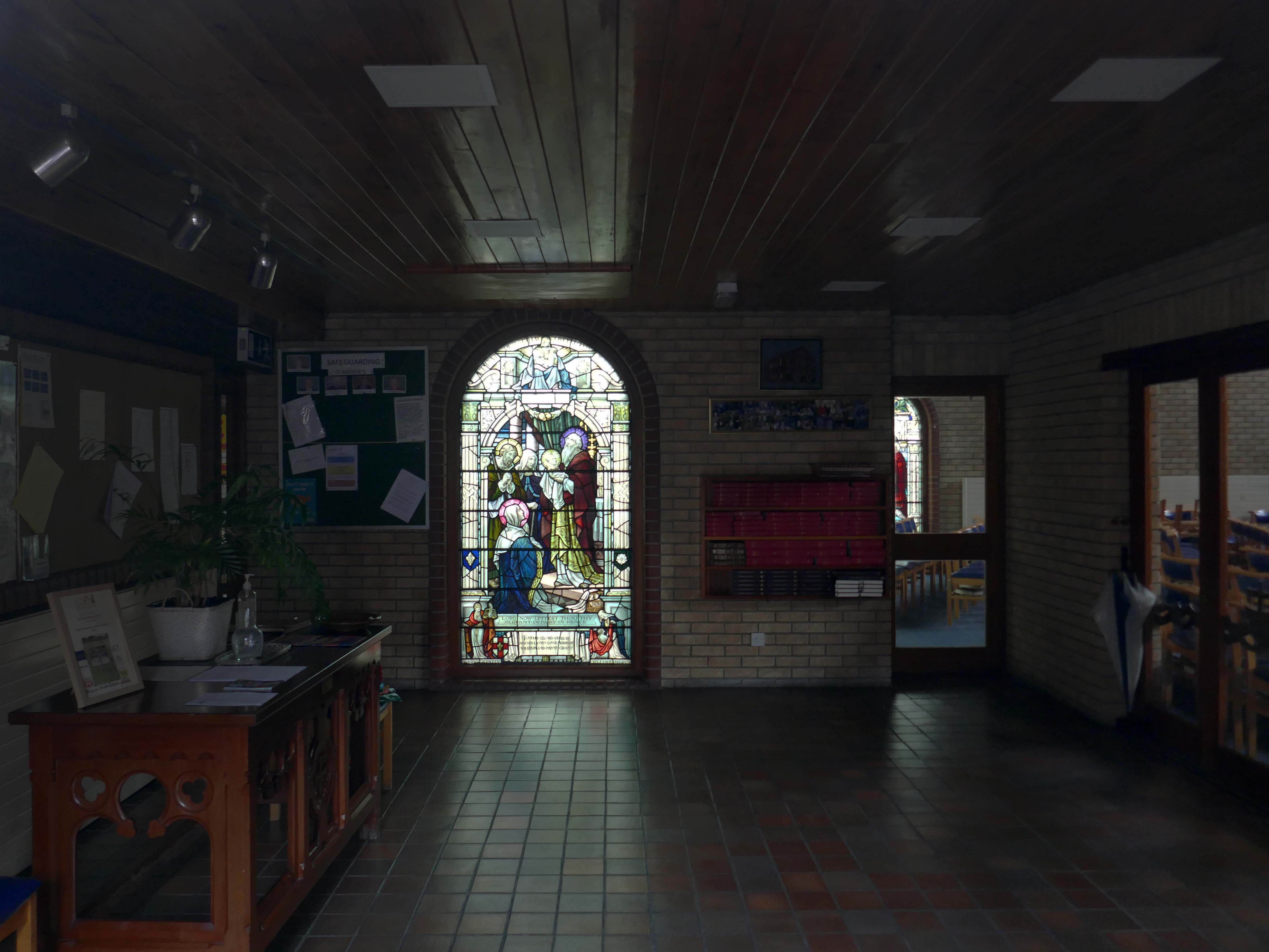
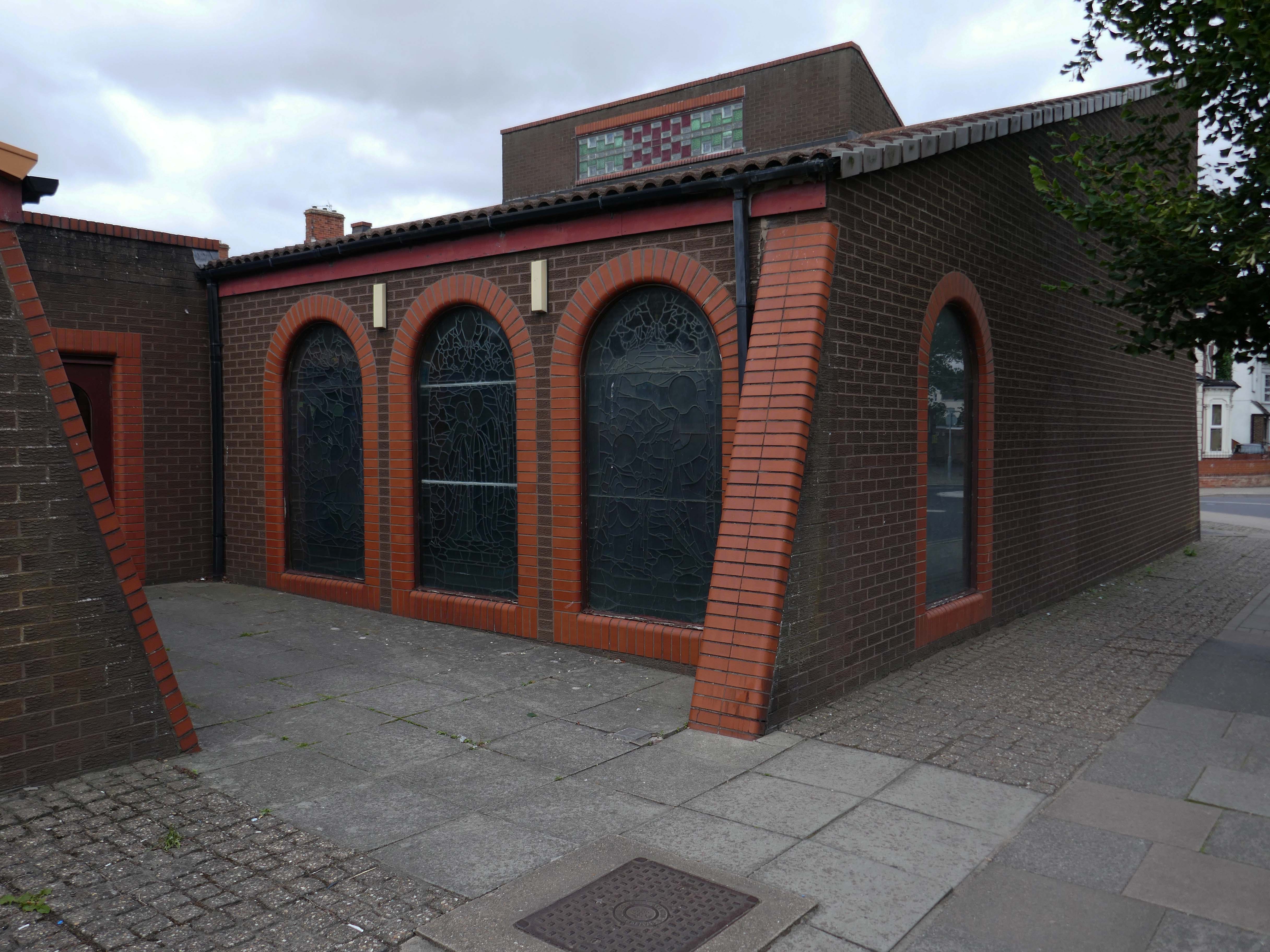
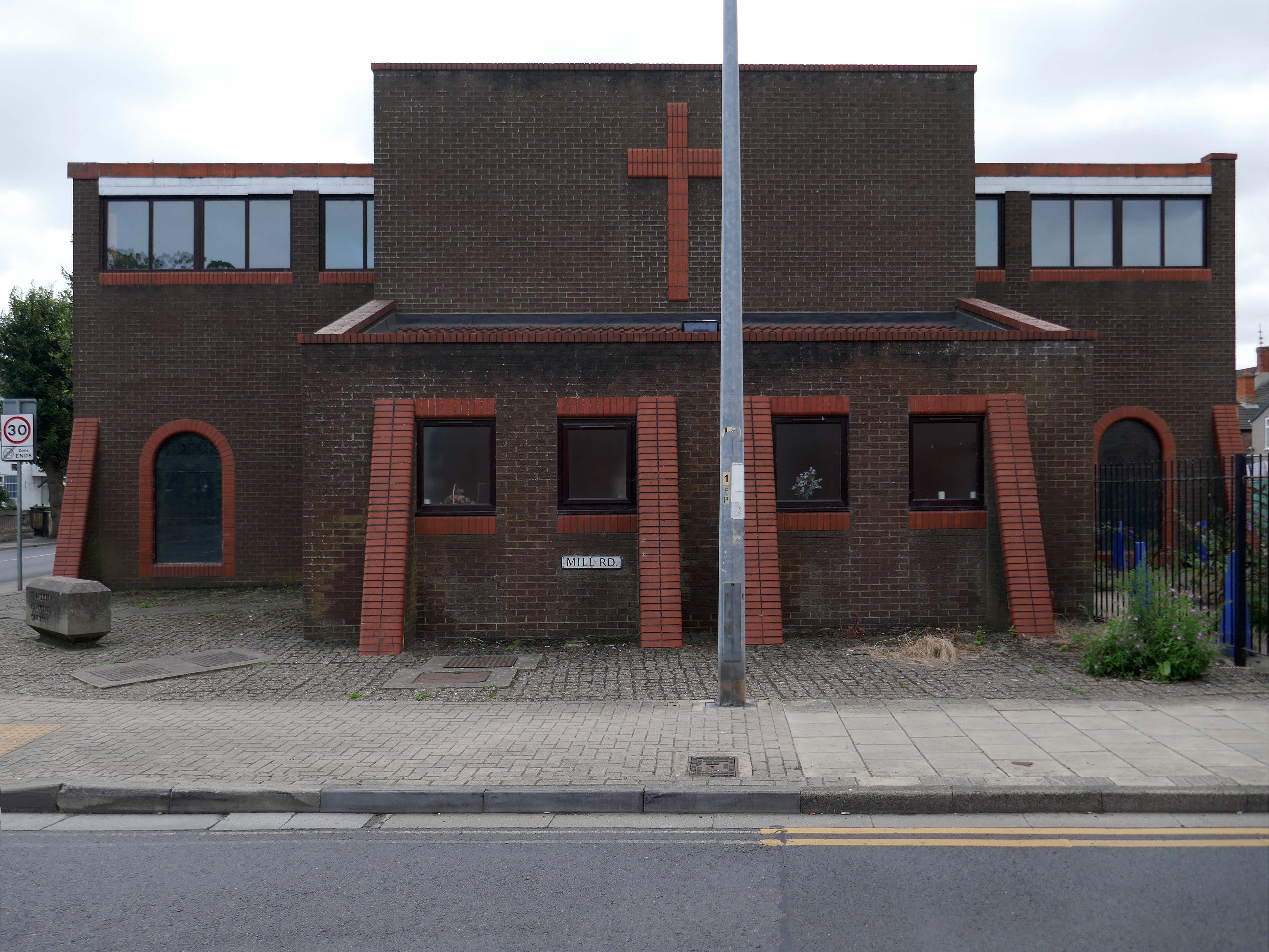
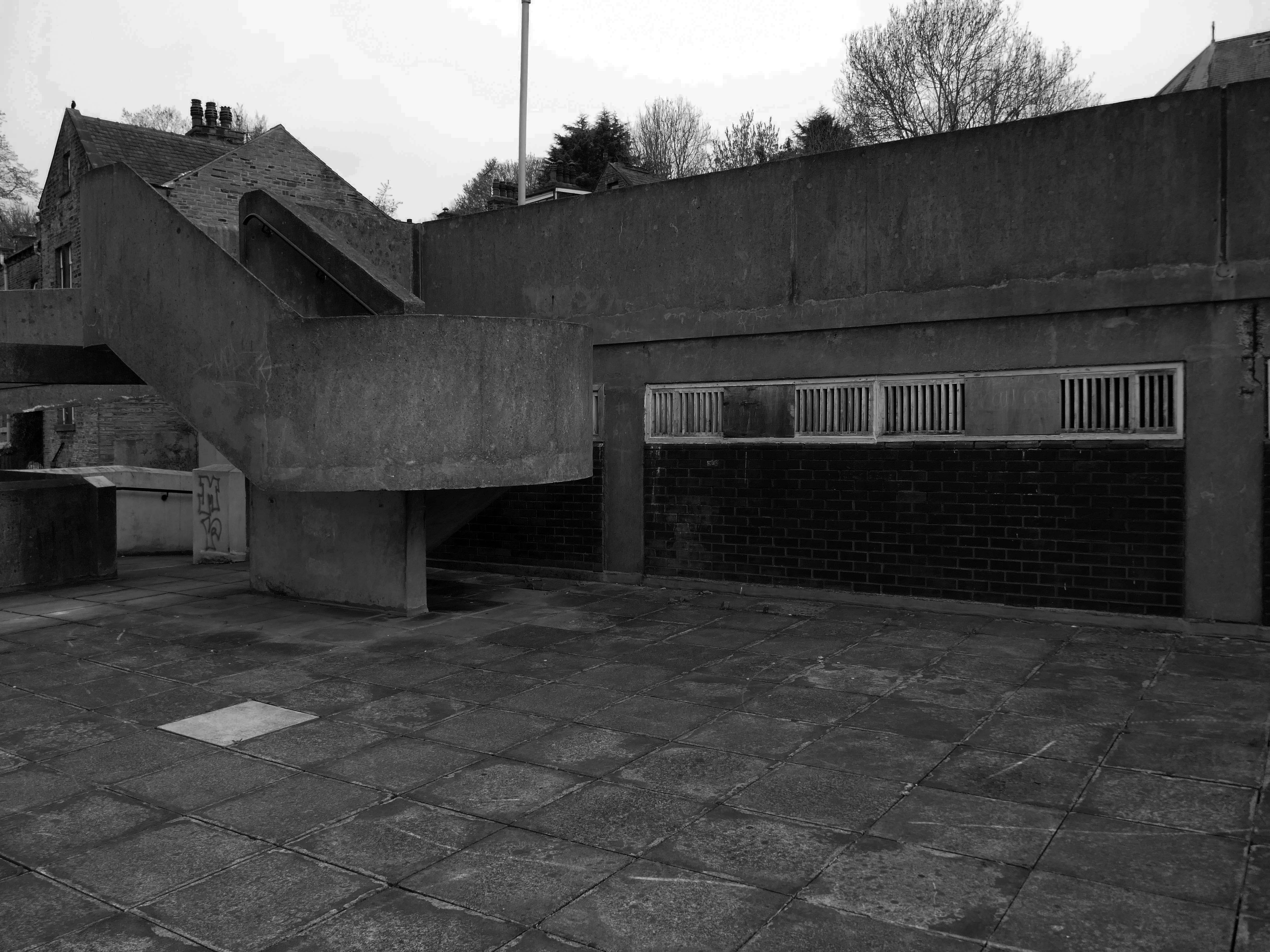
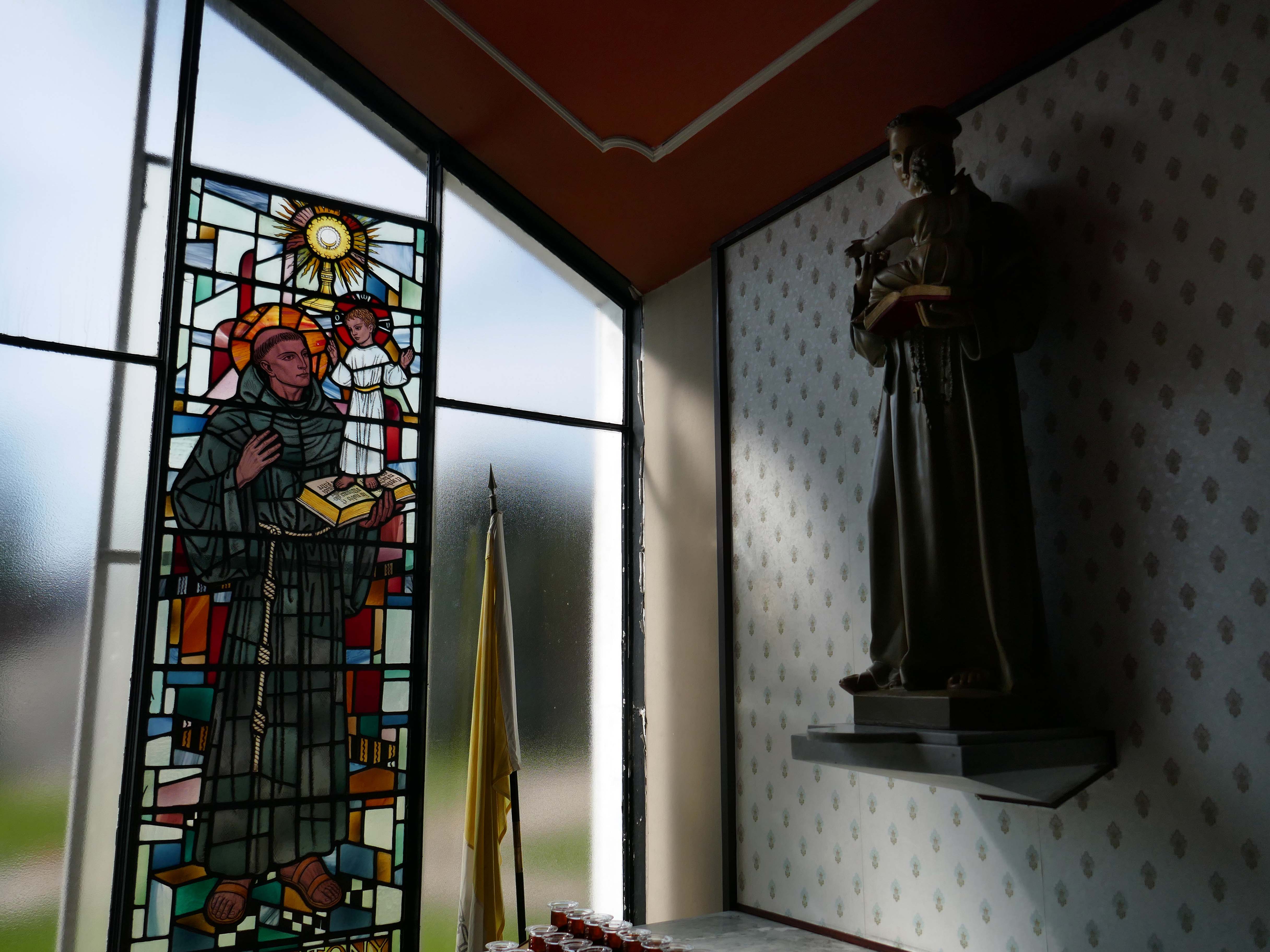
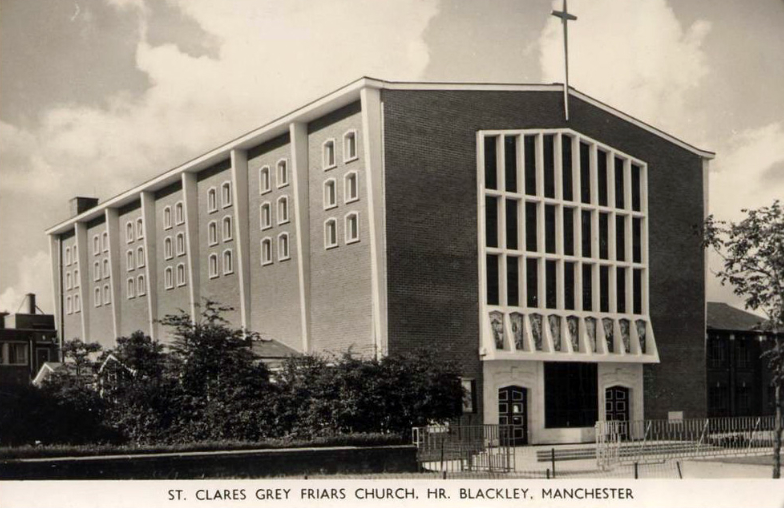
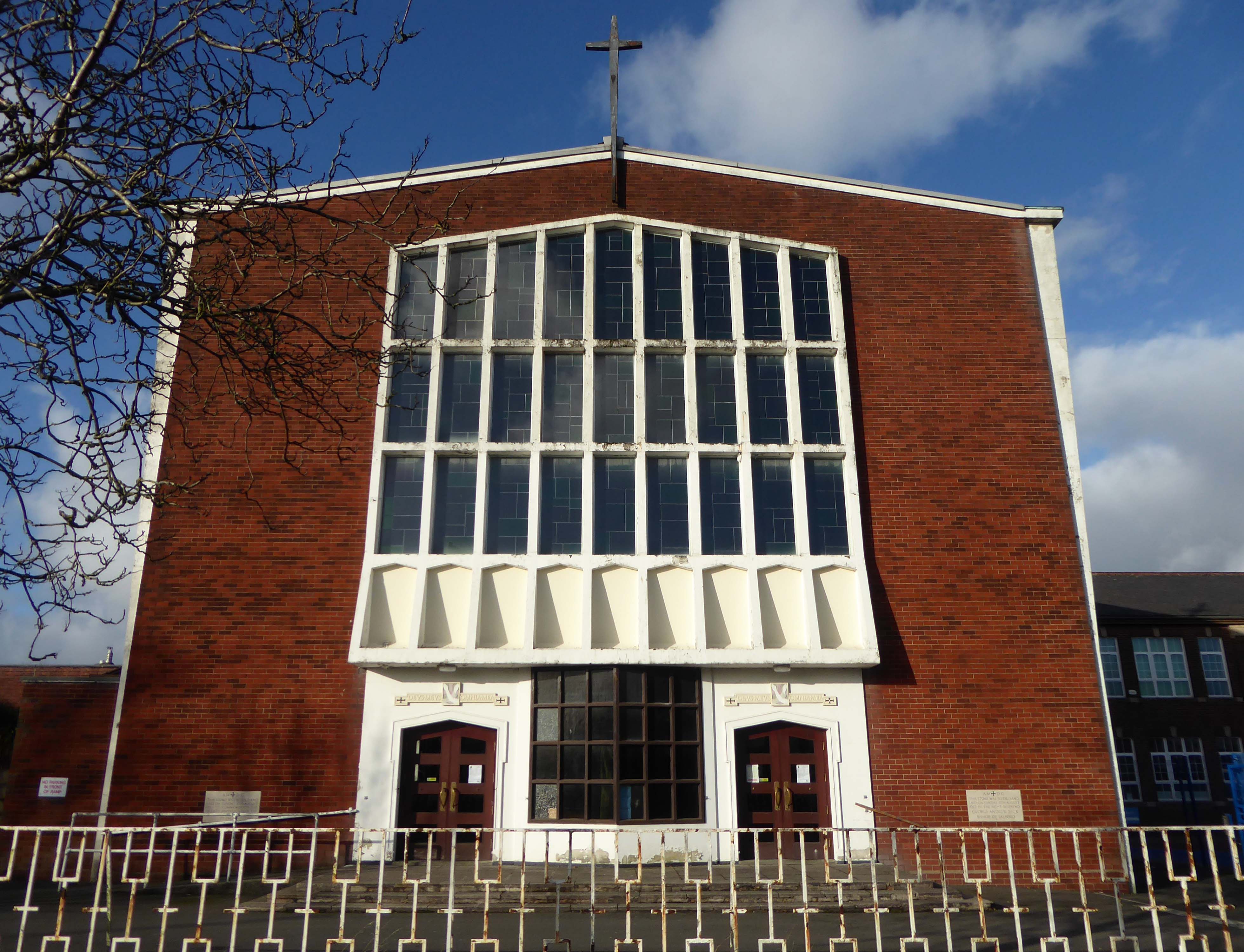
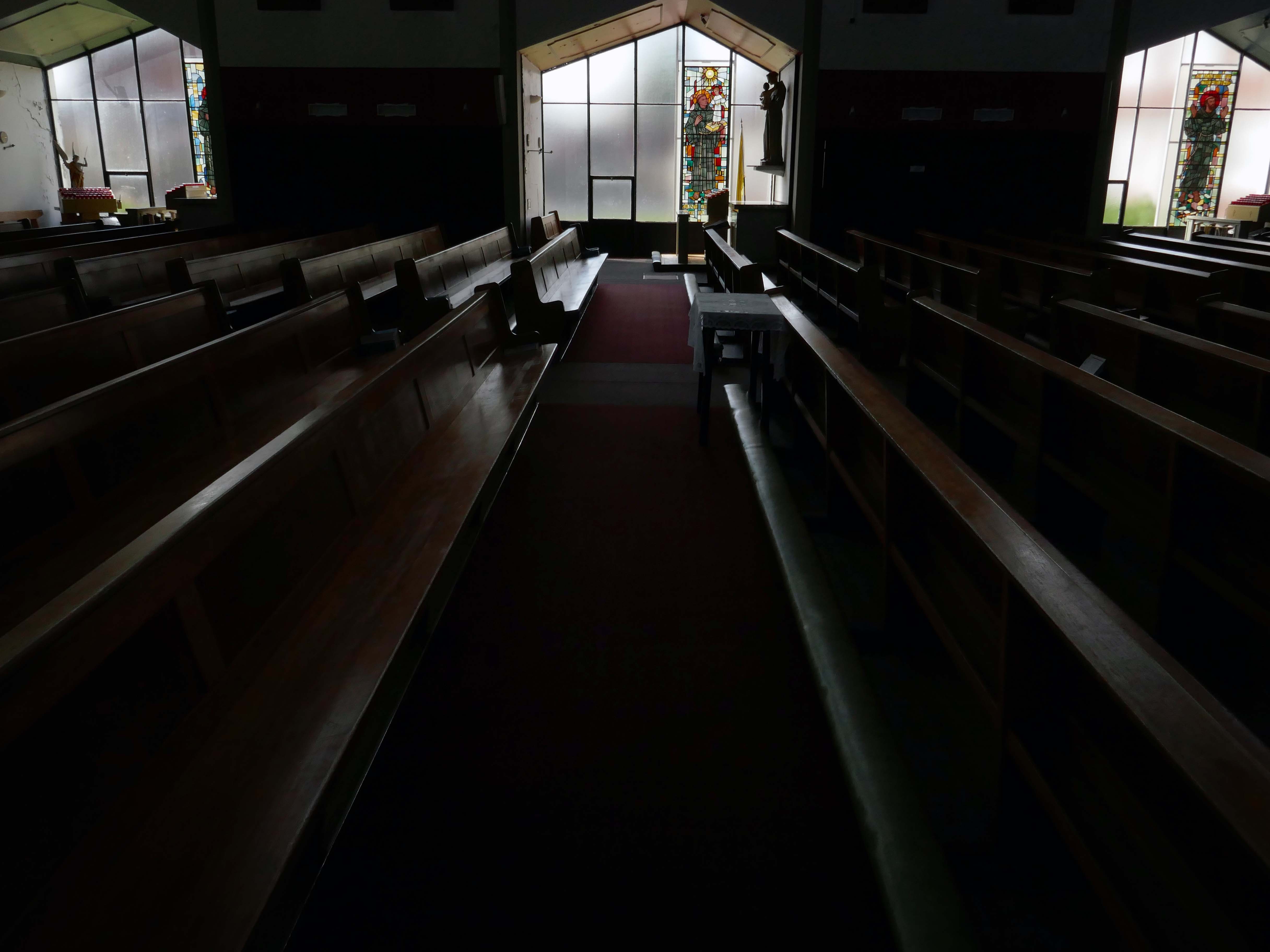
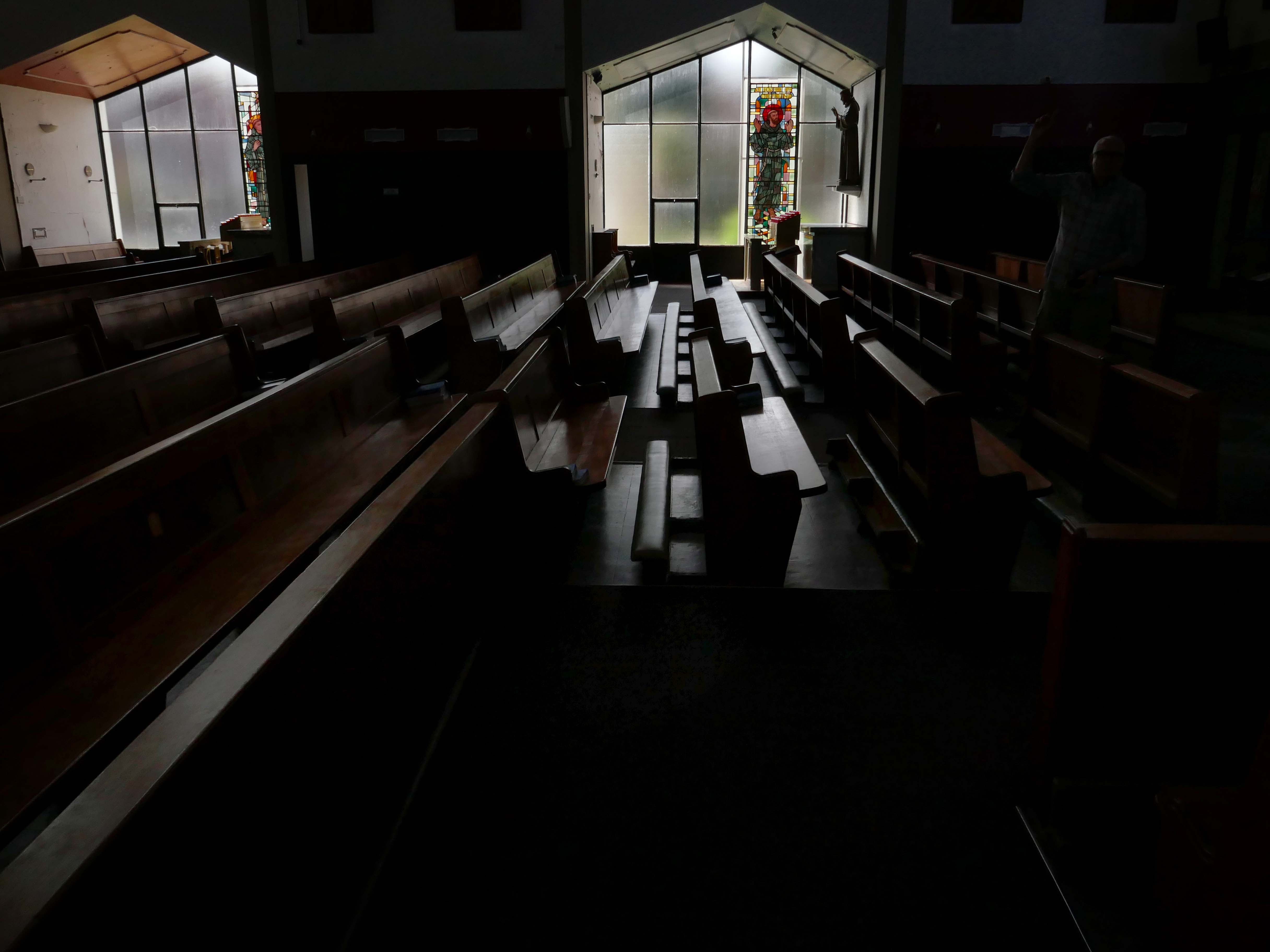
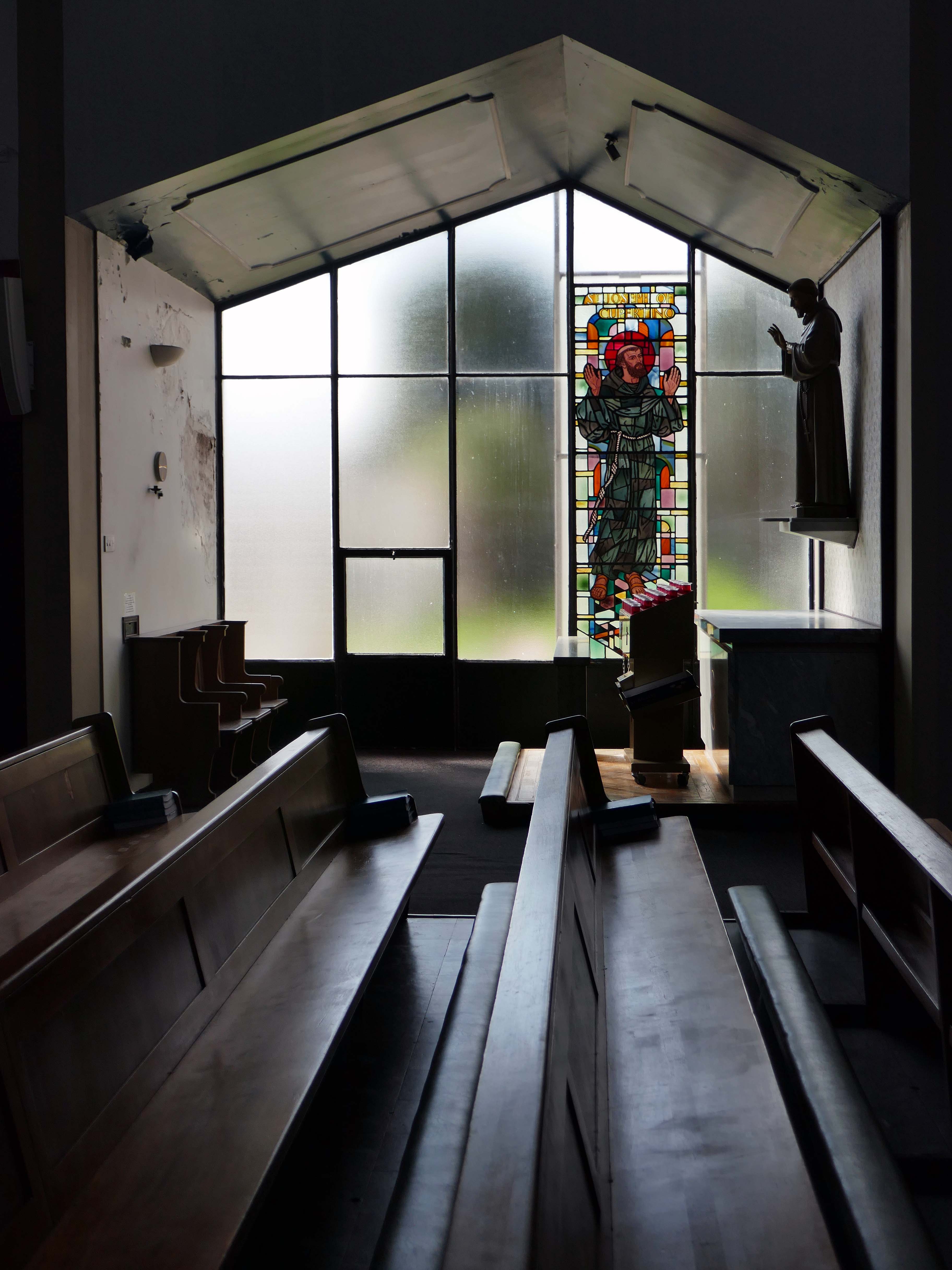
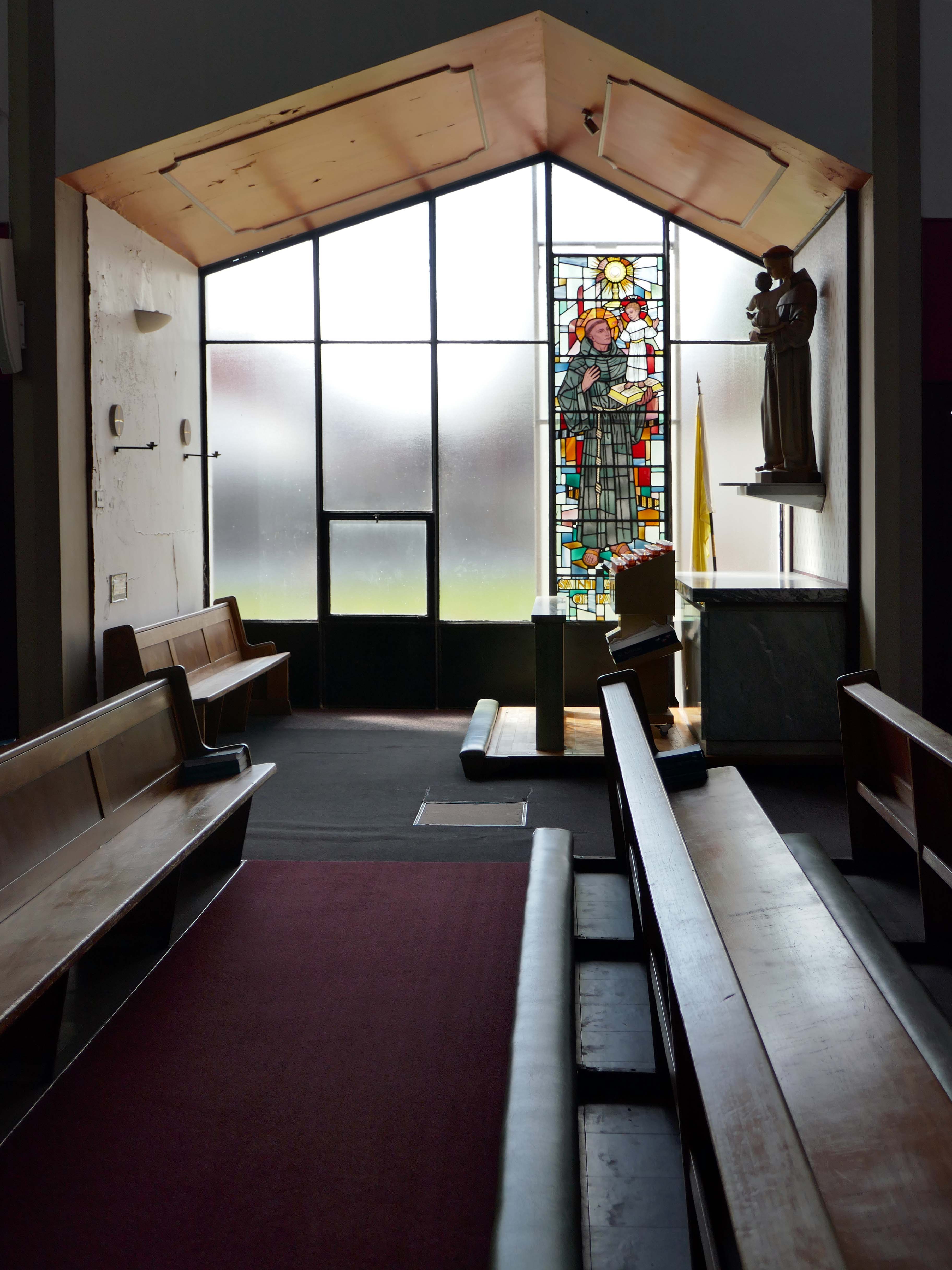
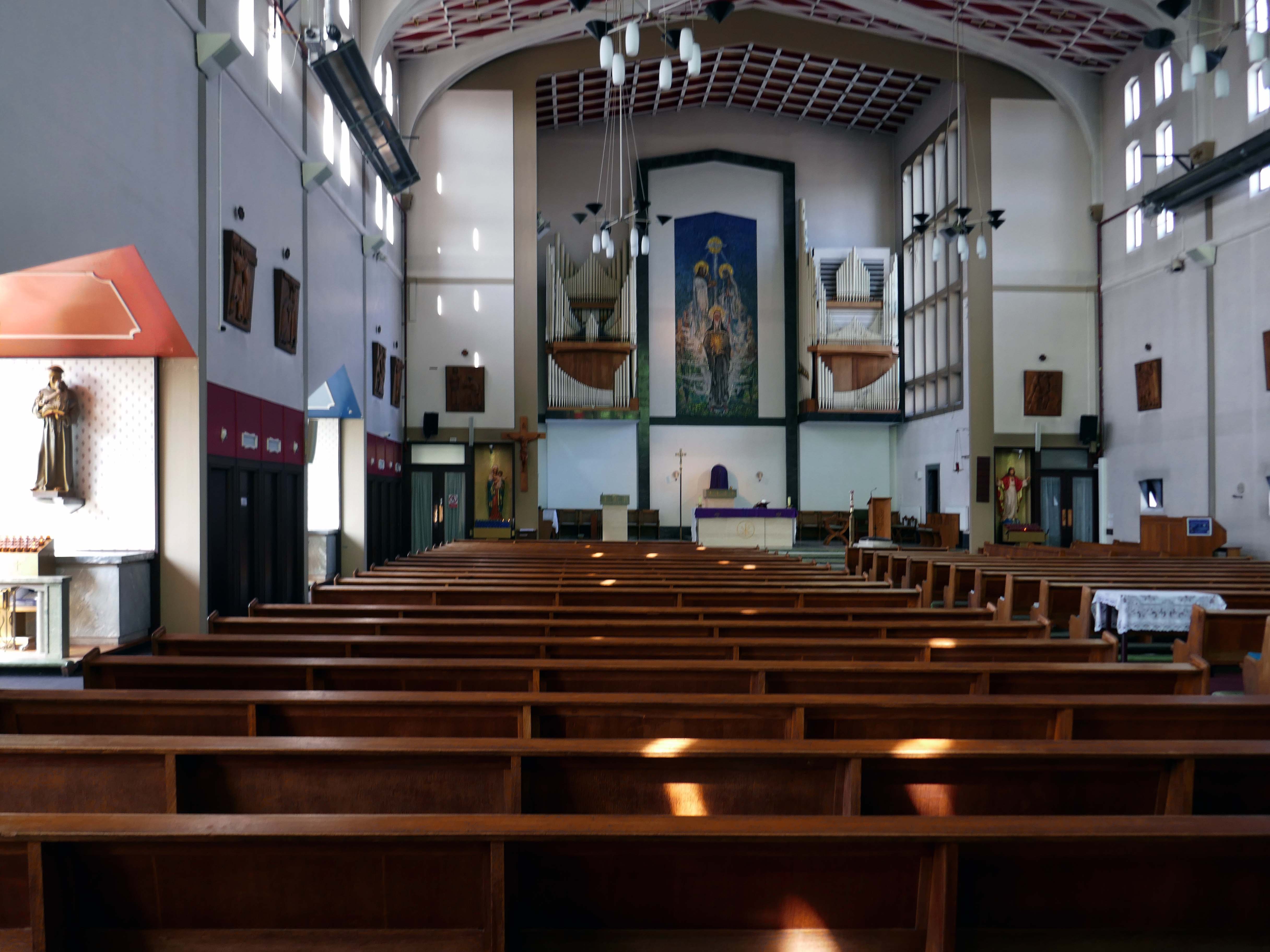
This is the result of my two visits to St Clare’s – an urban church which is kept open each day. I urge you to visit as and when you can, you will be rewarded by an uplifting experience – the most refined, calm and spiritual space.
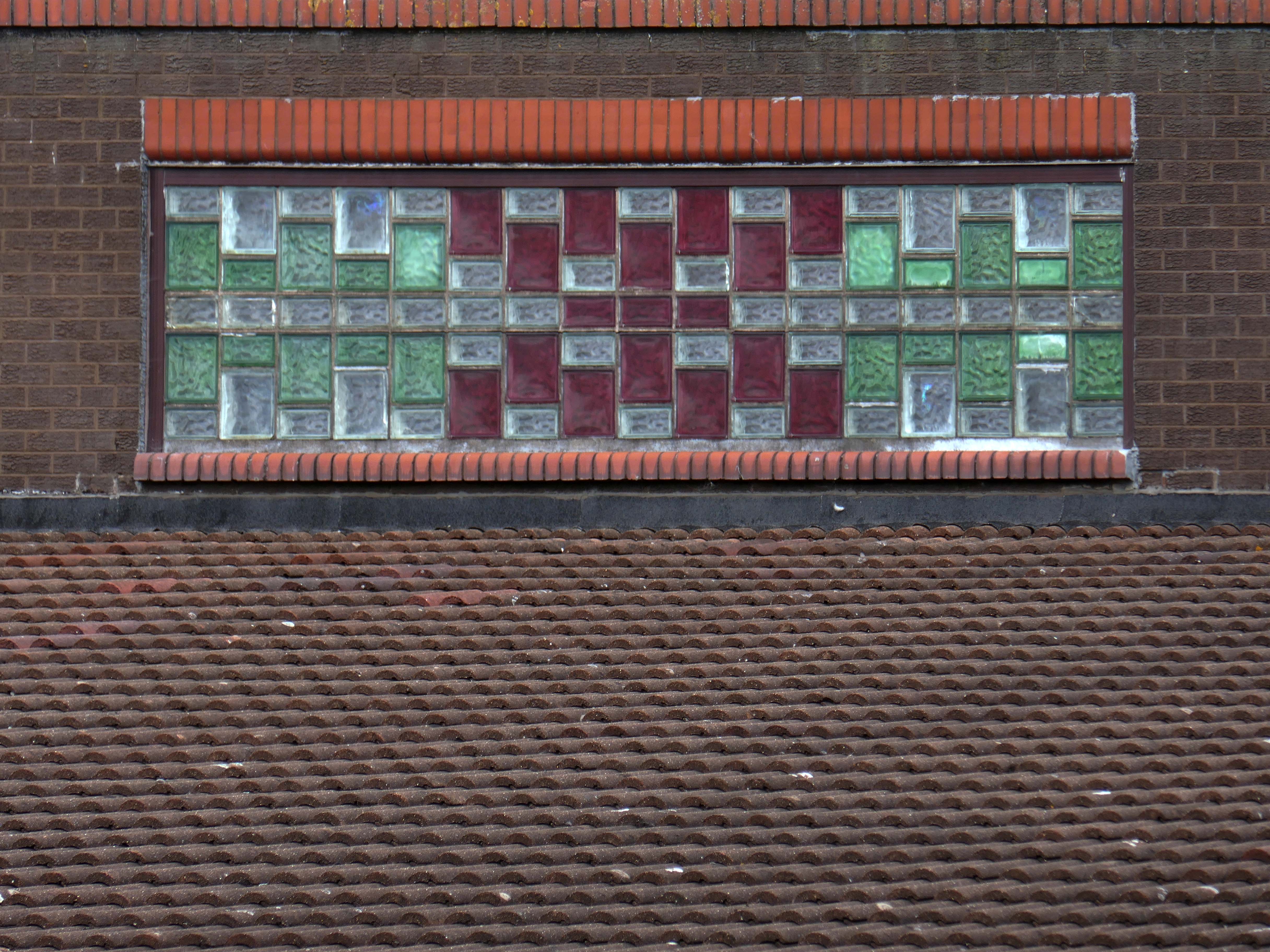
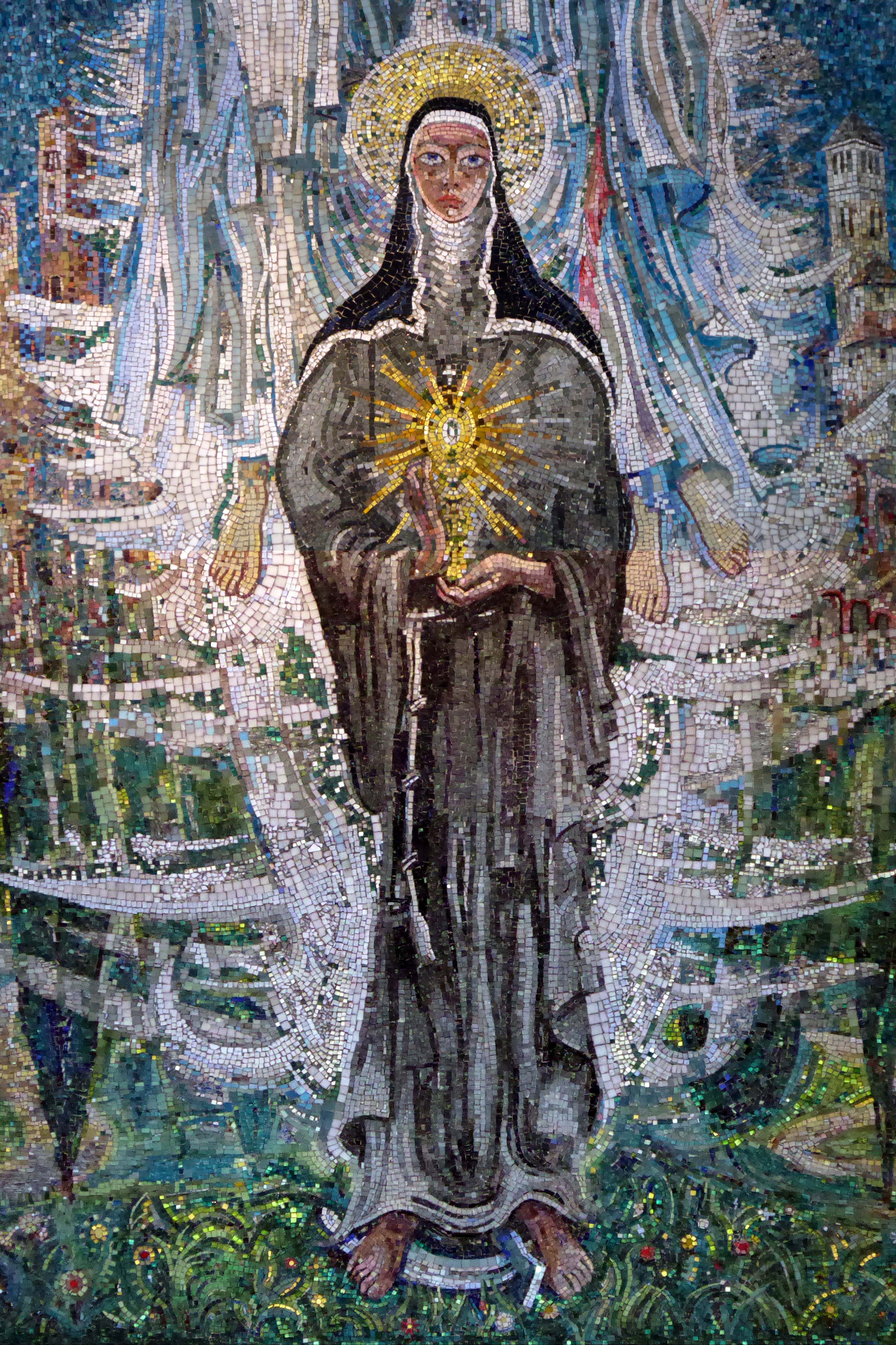
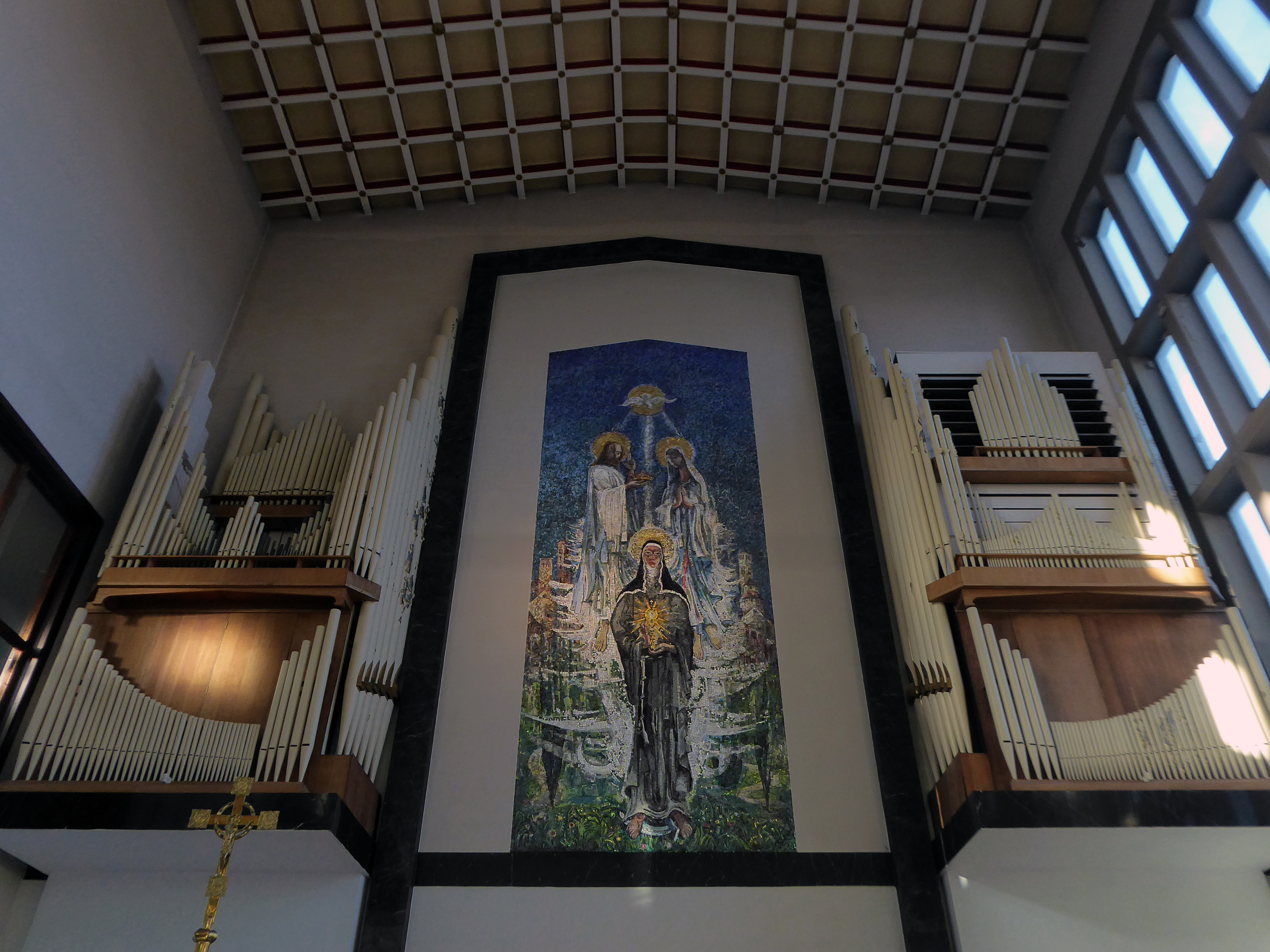
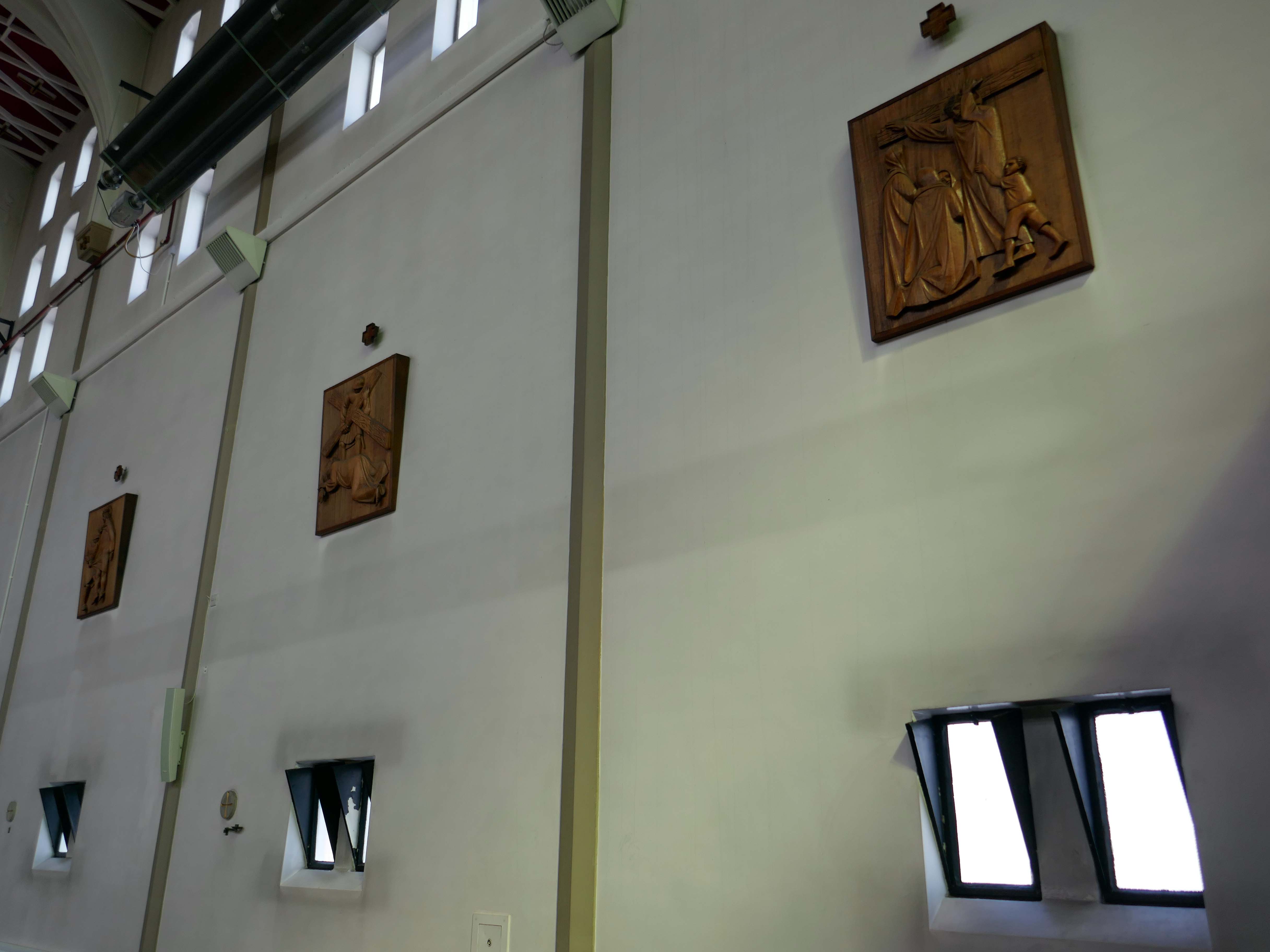
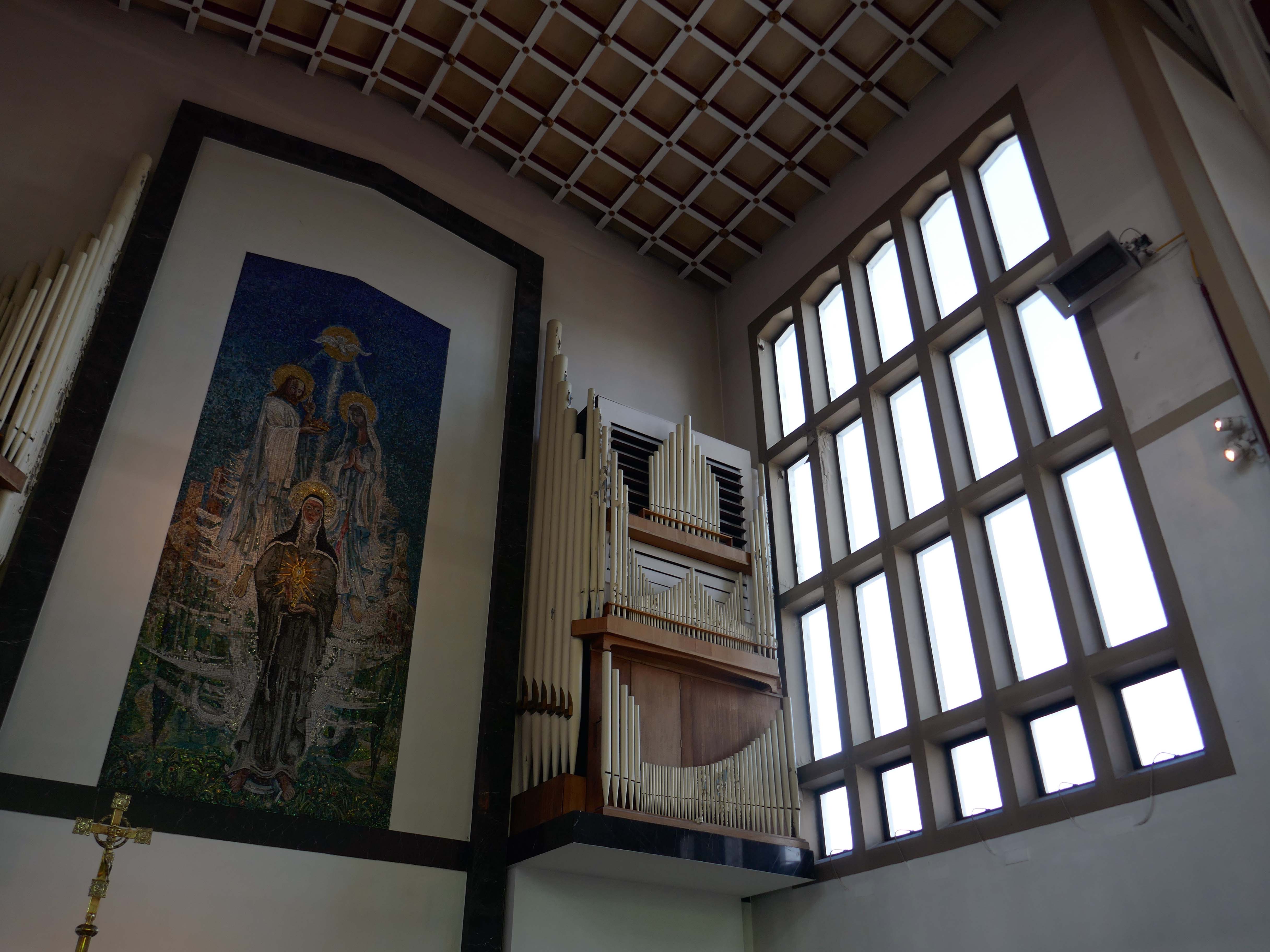
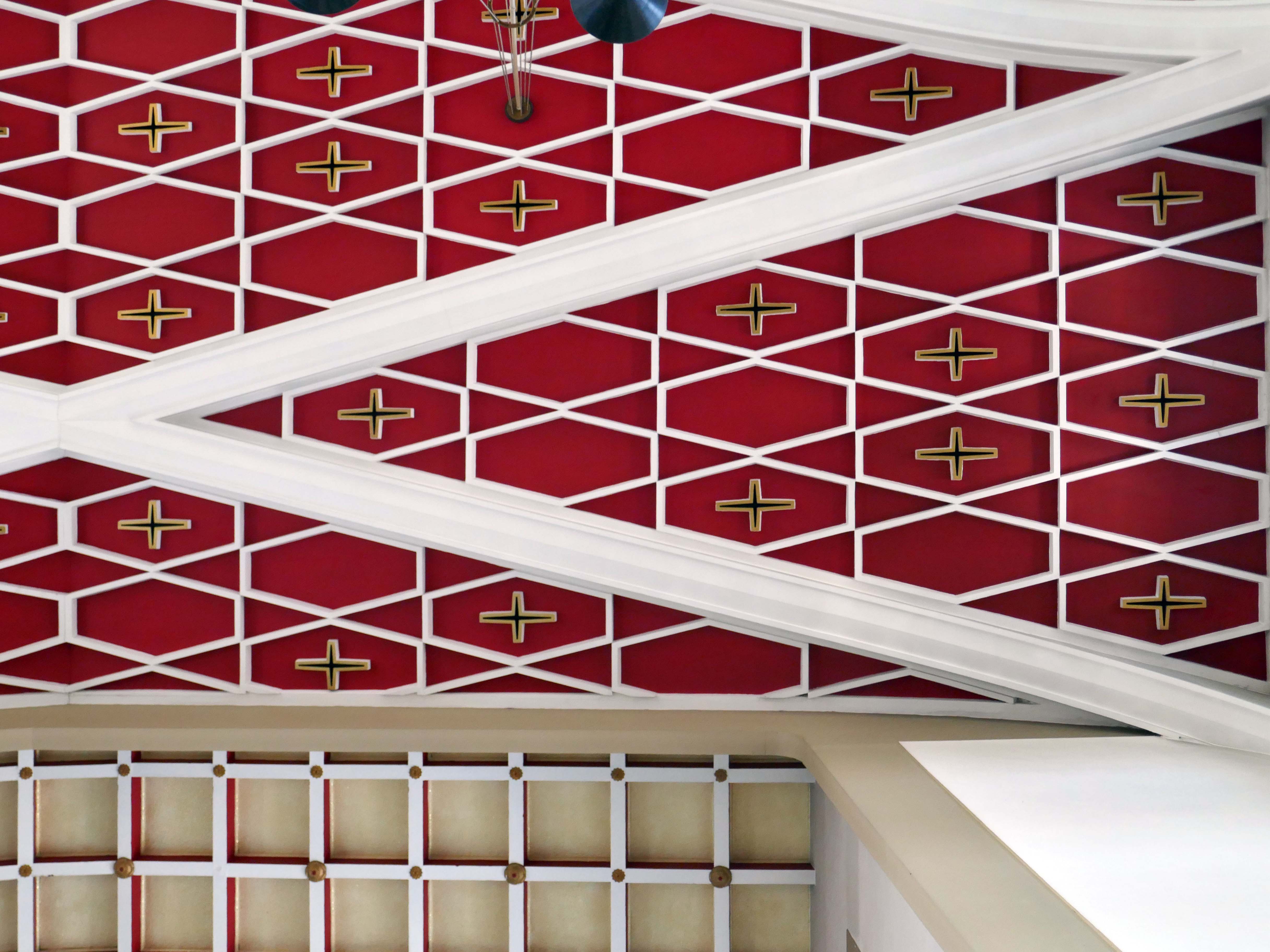
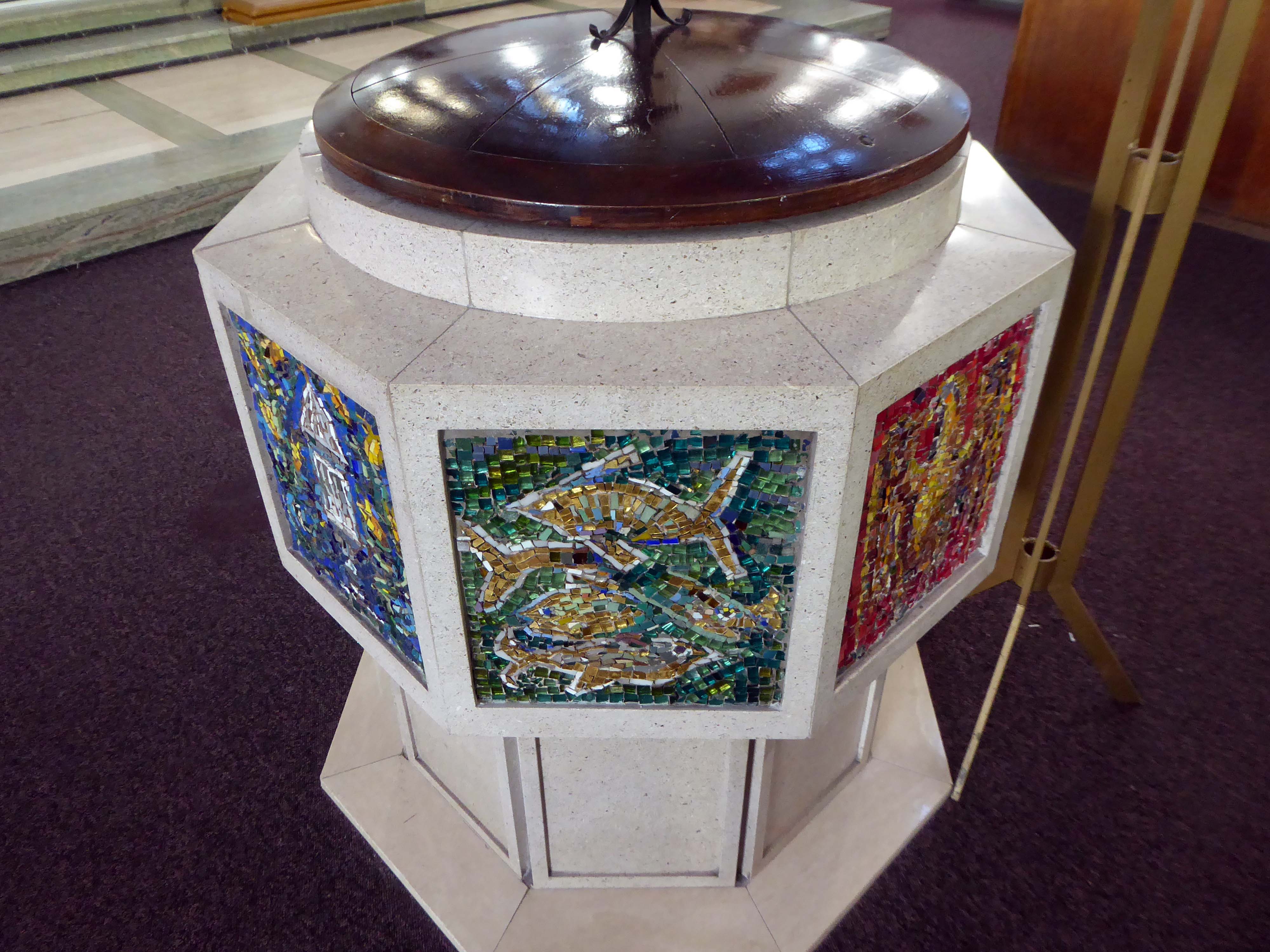
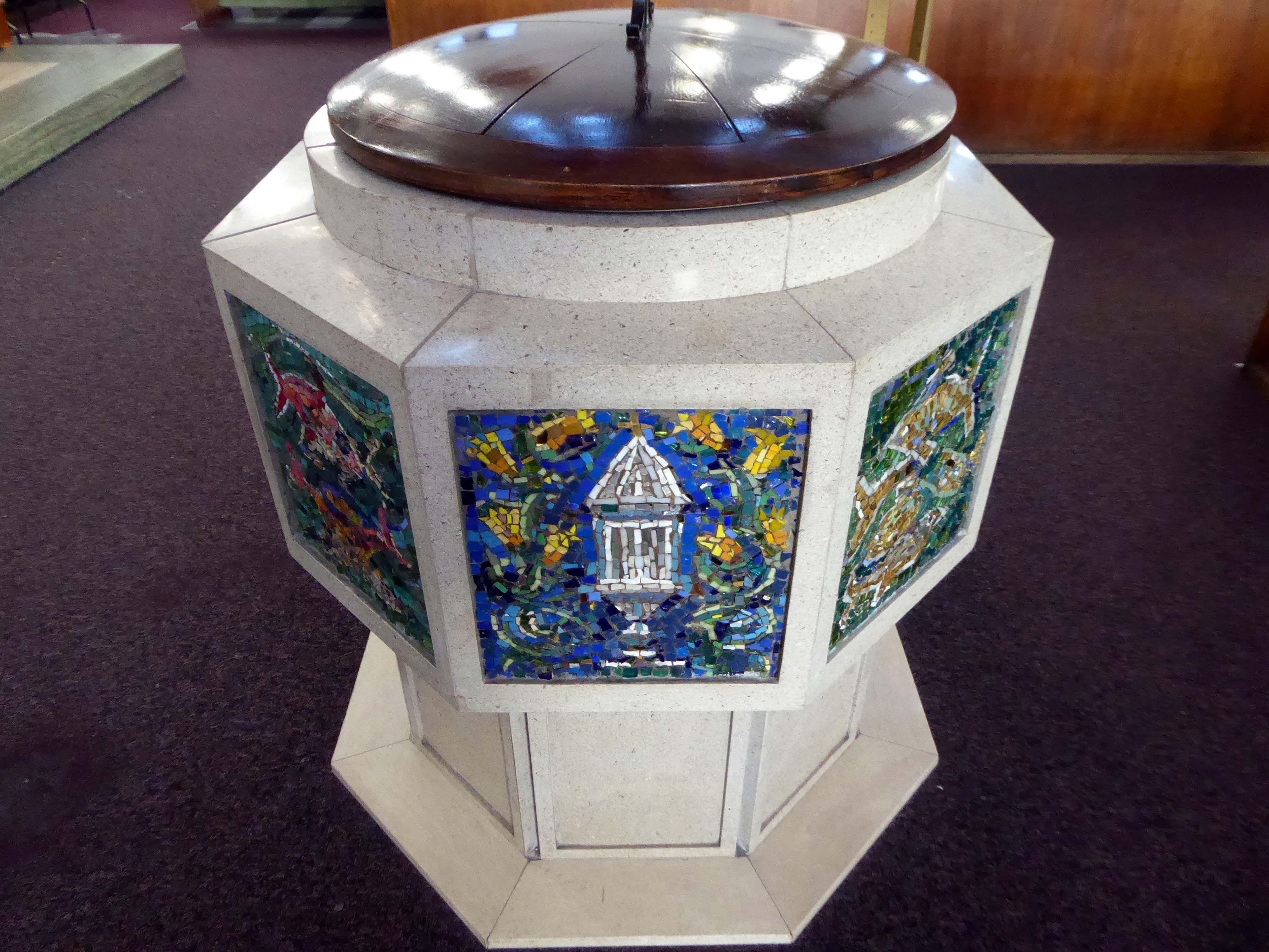
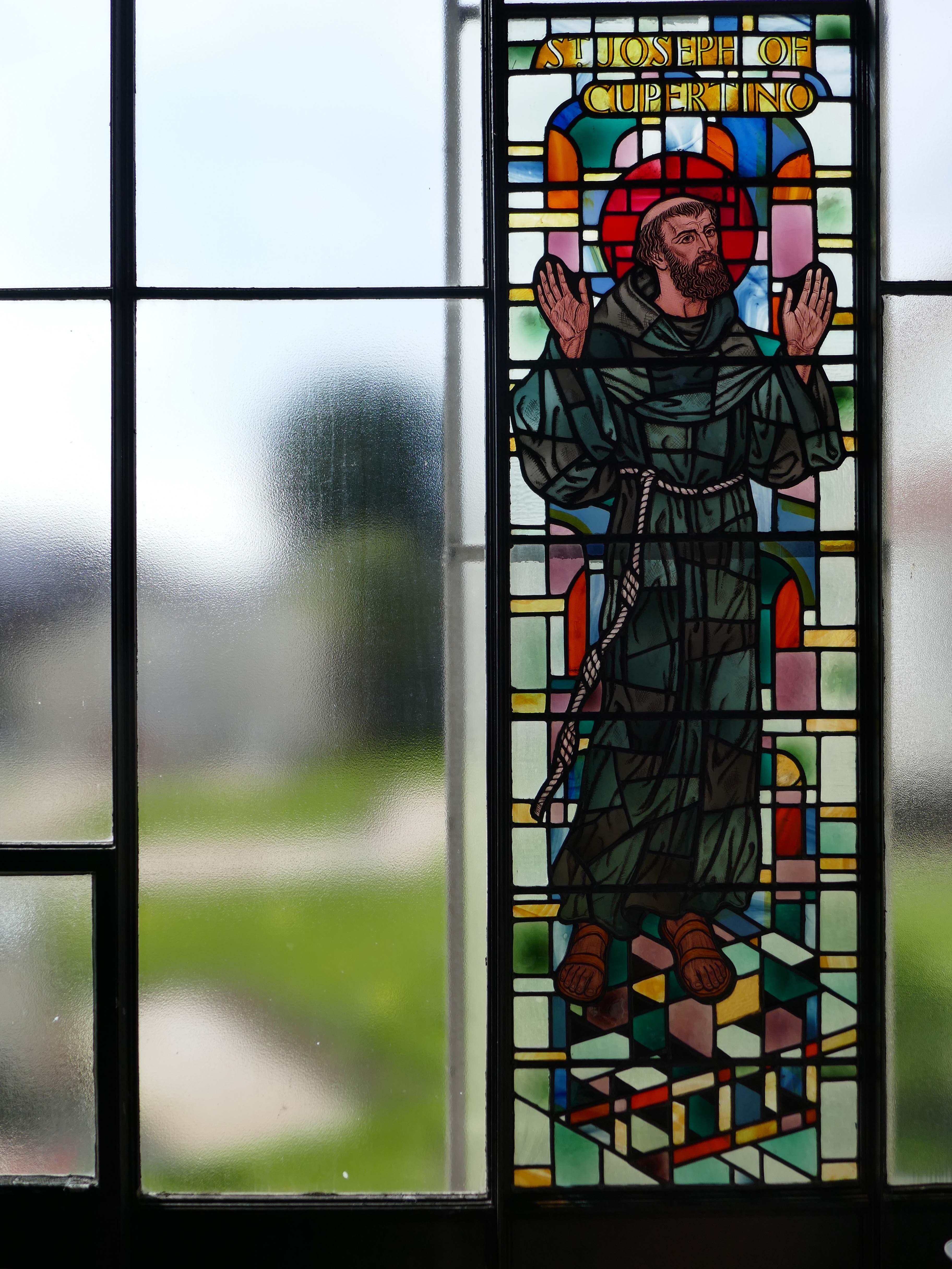
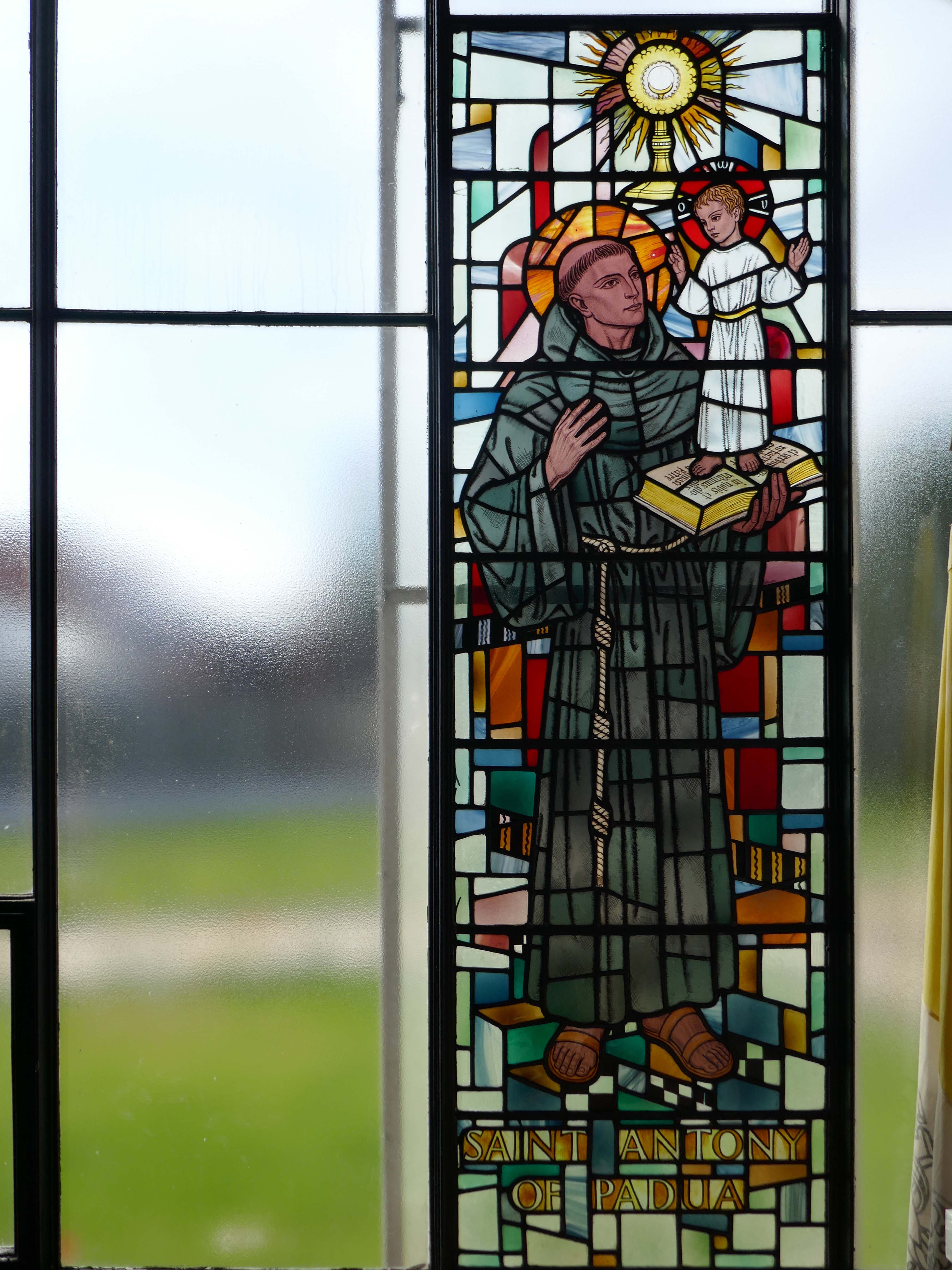
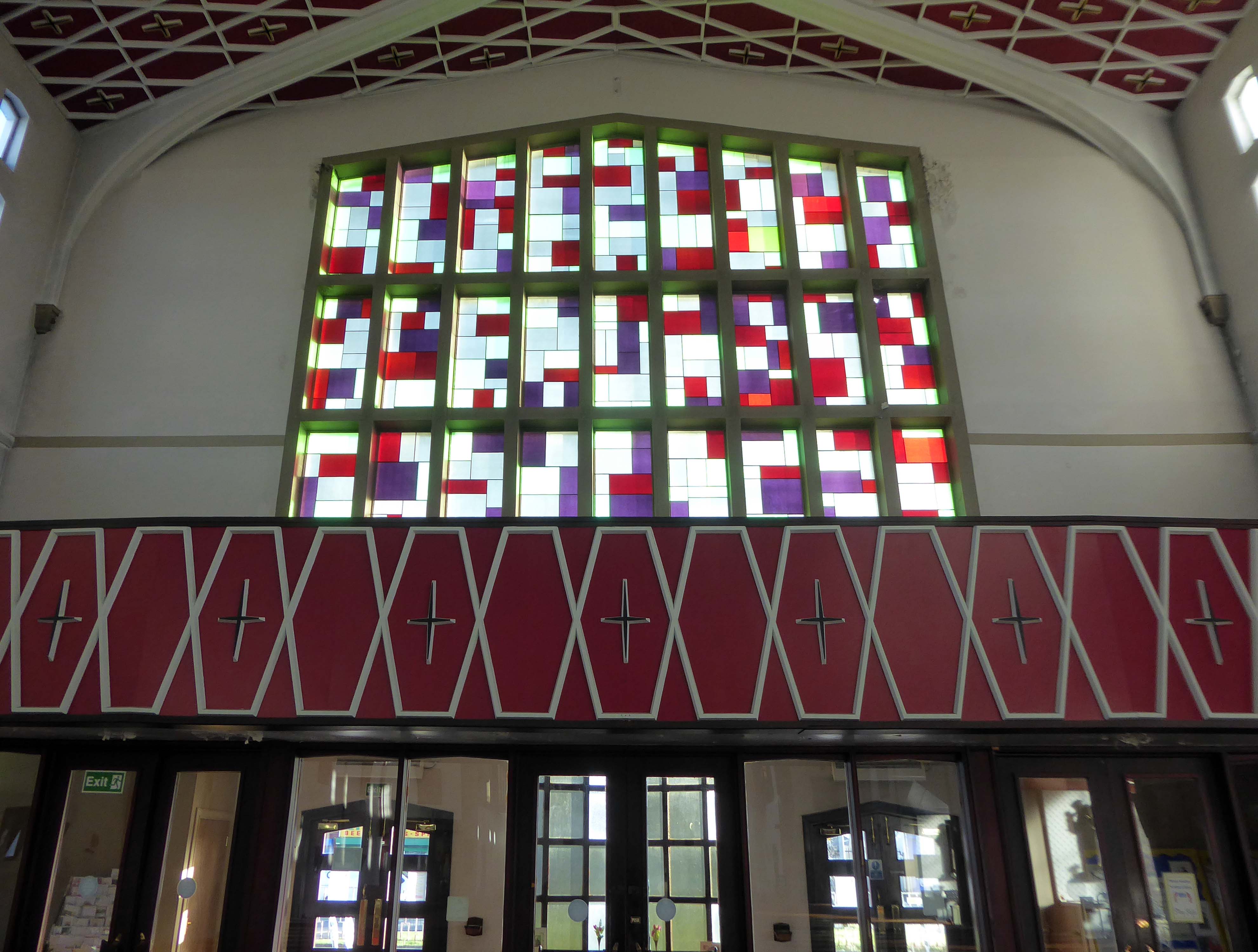
A striking example of post-war church design built for the Franciscans, combining original modern forms and references to historic ecclesiastical architecture. The church predates the Second Vatican Council, and is of traditional basilican plan. Apart from the original sanctuary arrangements, the interior is well preserved, with furnishings of note – the large mosaic over the high altar, depicting St Clare of Assisi raising the Blessed Sacrament by Georg Mayer-Marton, stained glassbyJoseph Nuttgens, Stations of the Cross by David John.
Mayer Marton was also responsible for the fresco and mosaic mural at the Church of the Holy Rosary, Oldham – which is currently under threat.
There is a large west window grid, continued at the base, where it is angled out, to form a canopy over the entrance. Mosaics in this position have been overpainted or lost.
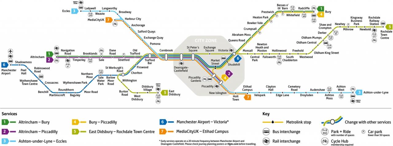
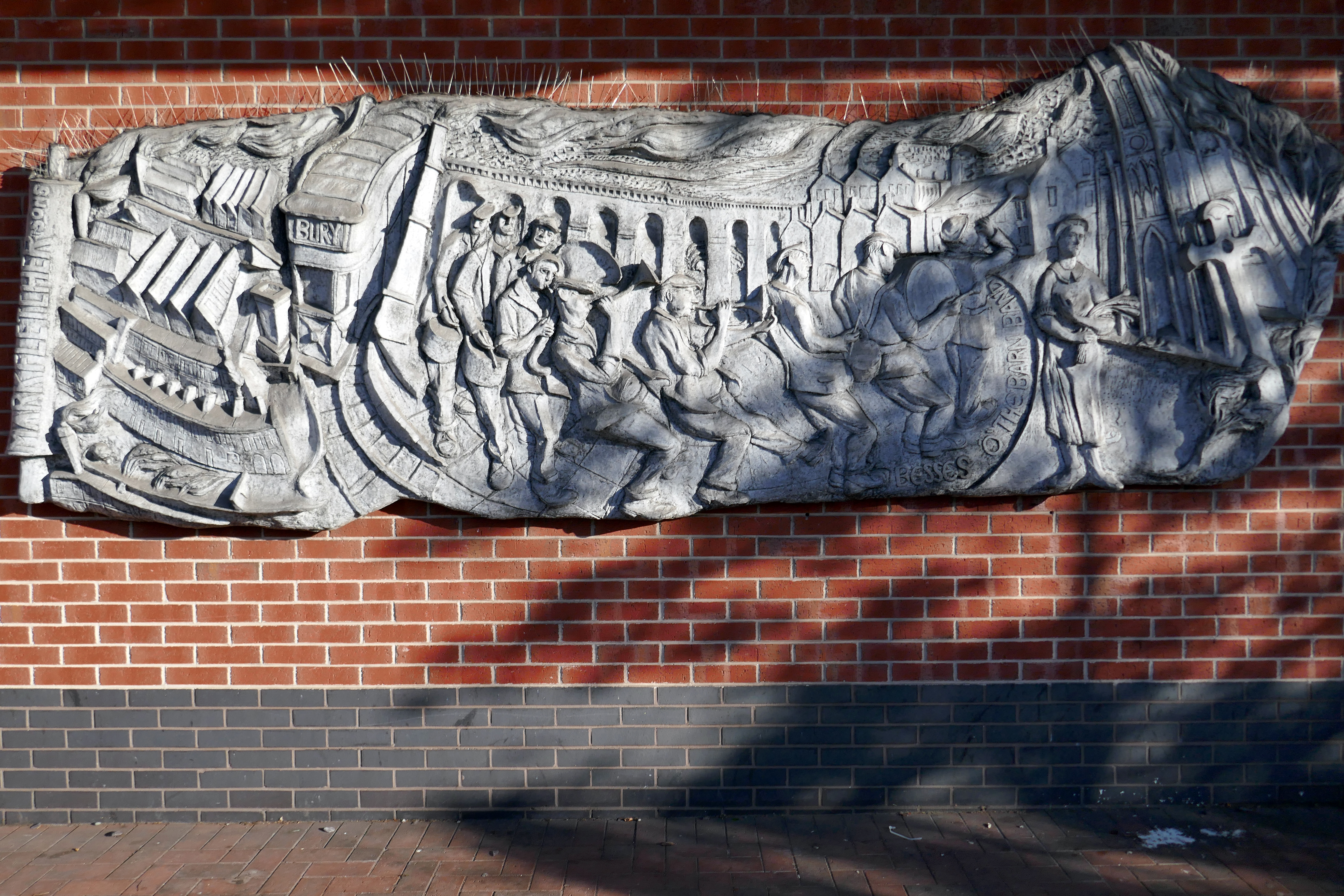
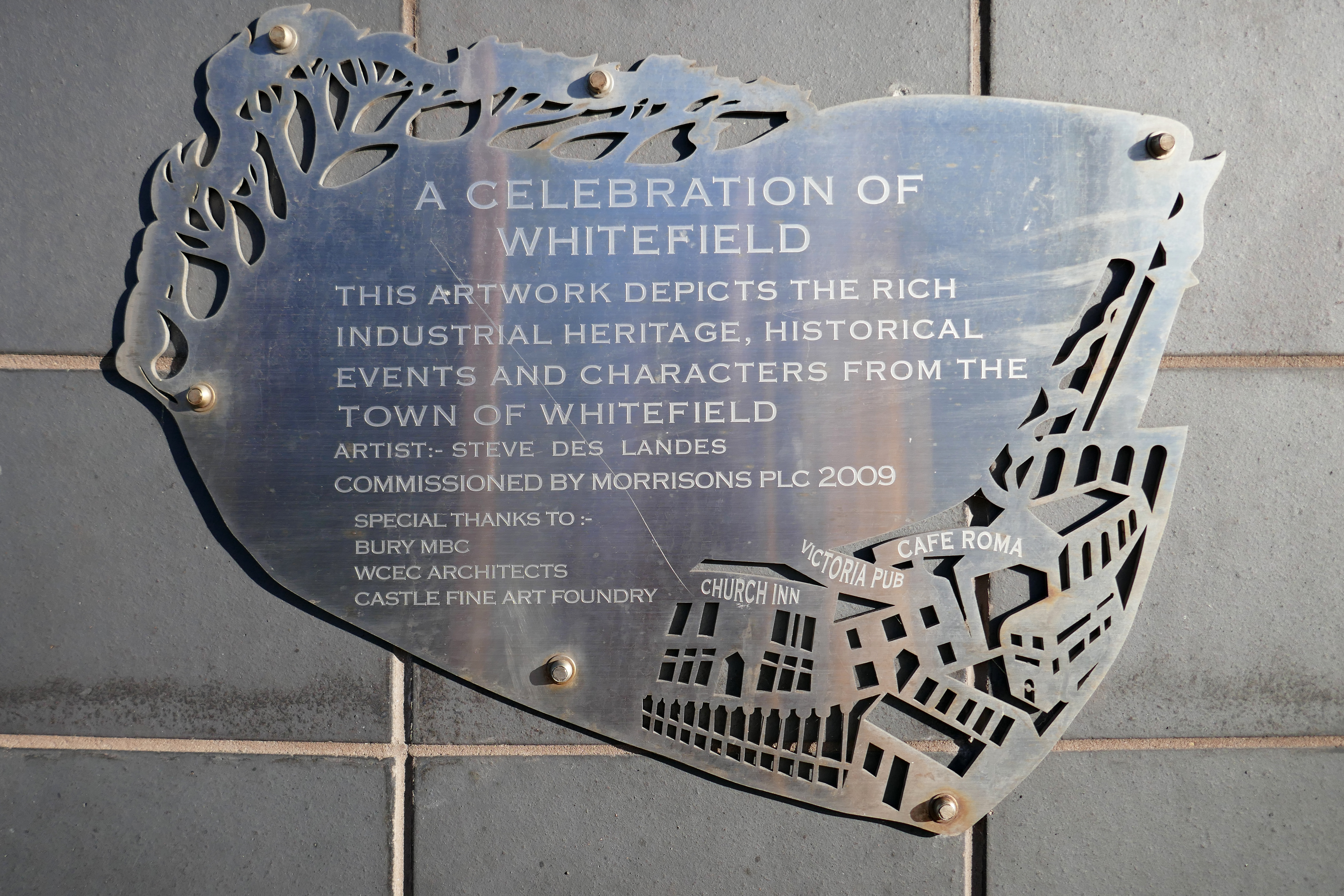
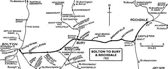
I was cordially requested to produce tram based walk, by the good folk at the modernist – travelling from Victoria Station to Bury. Alighting at each stop and seeing what could be seen, by way of modern buildings along the byways.
By the way, I do have previous experience, having undertaken a similar task travelling to Ashton.
So I set off as instructed, clutching my GMPTE senior concessionary travel pass.
Queens Road
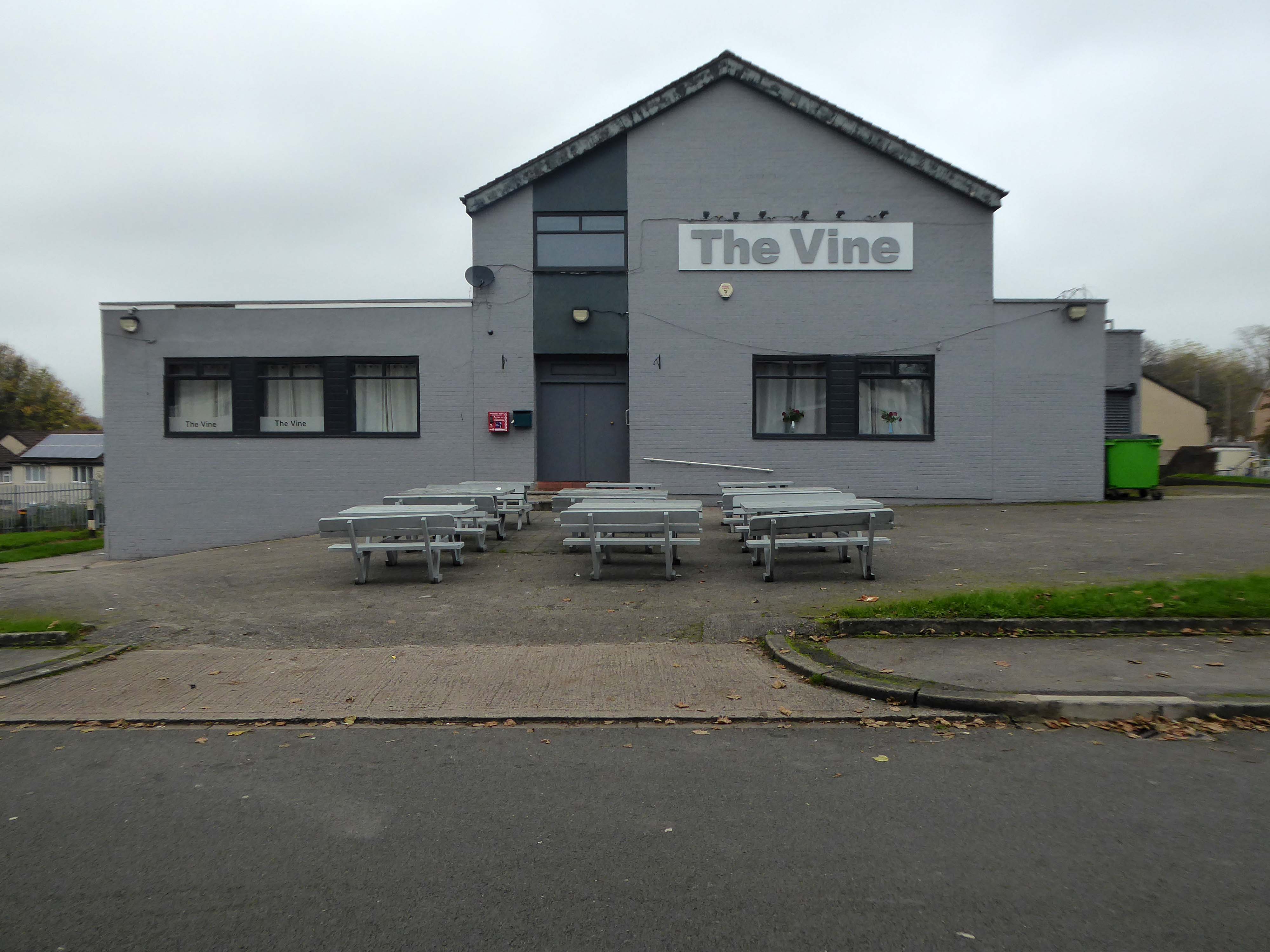
Turn right on leaving the station, right then left – you have reached The Vine.
Glendower Dr, Manchester, Greater Manchester M40 7TD.
Head for Rochdale Road and turn right back toward the city centre, you have reached Eastford Square.
Turn left from the station along Bury Old Road until you reach Heywood Road on your right.
Heywood Road, Prestwich, Manchester M25 2GT
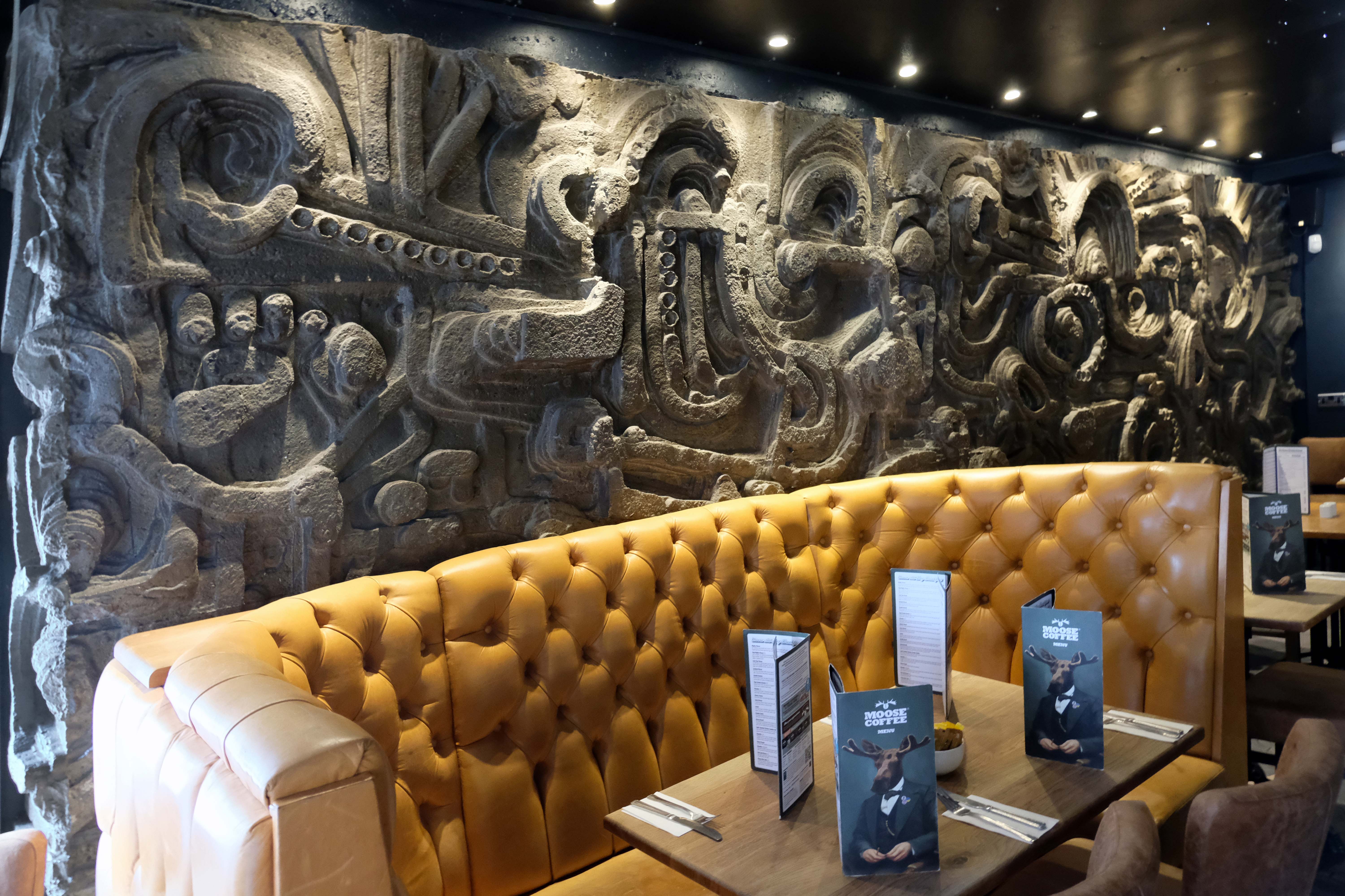
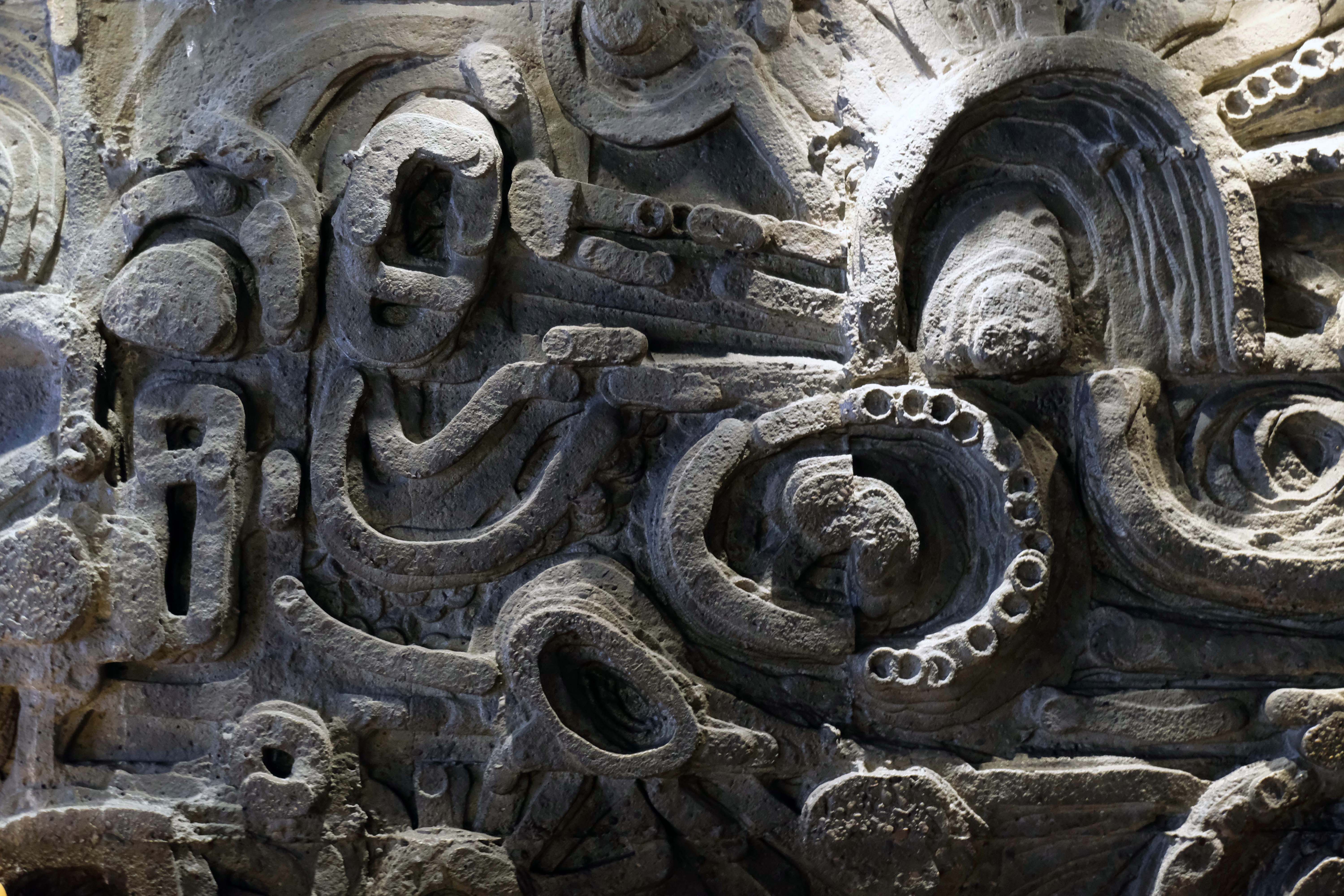
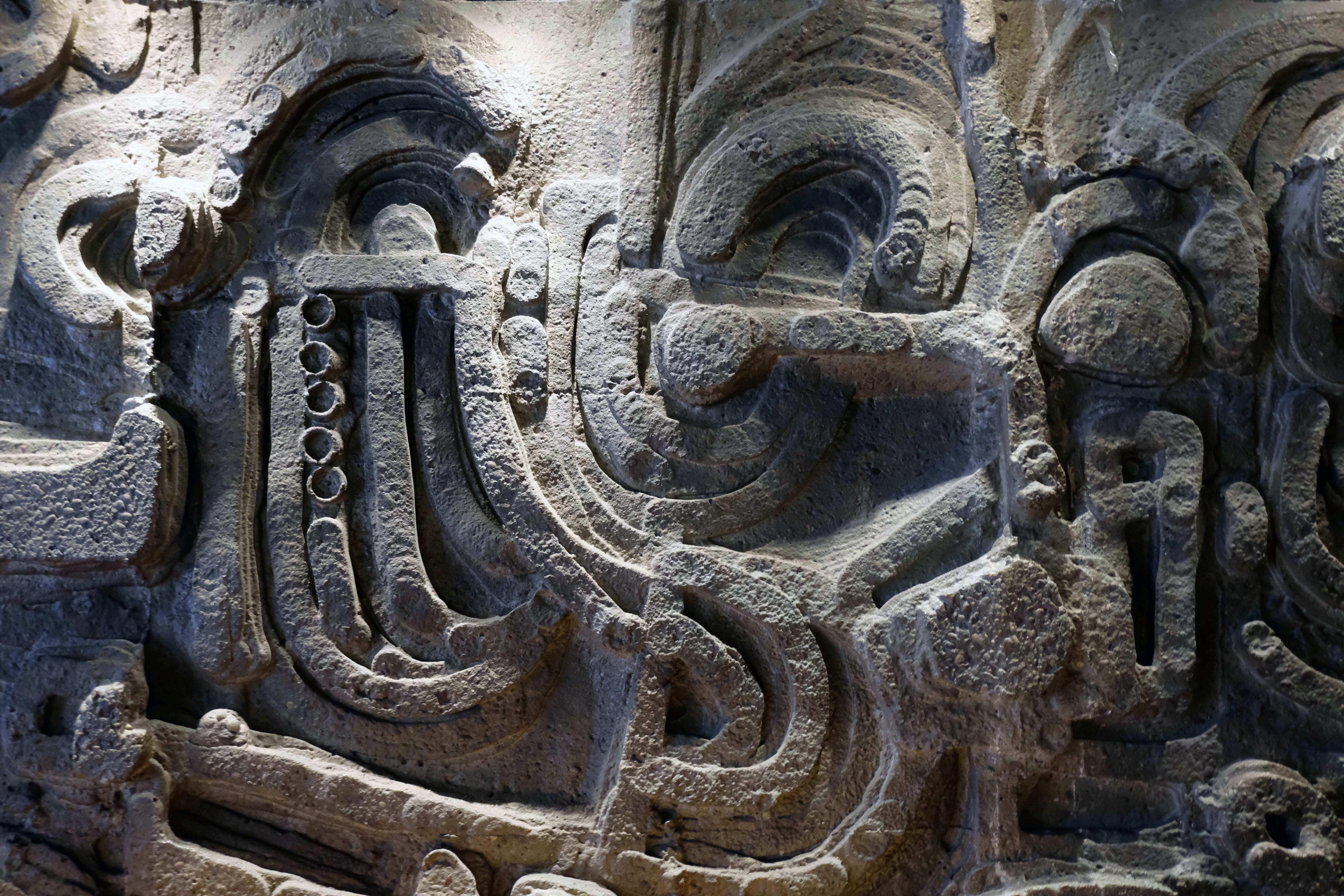
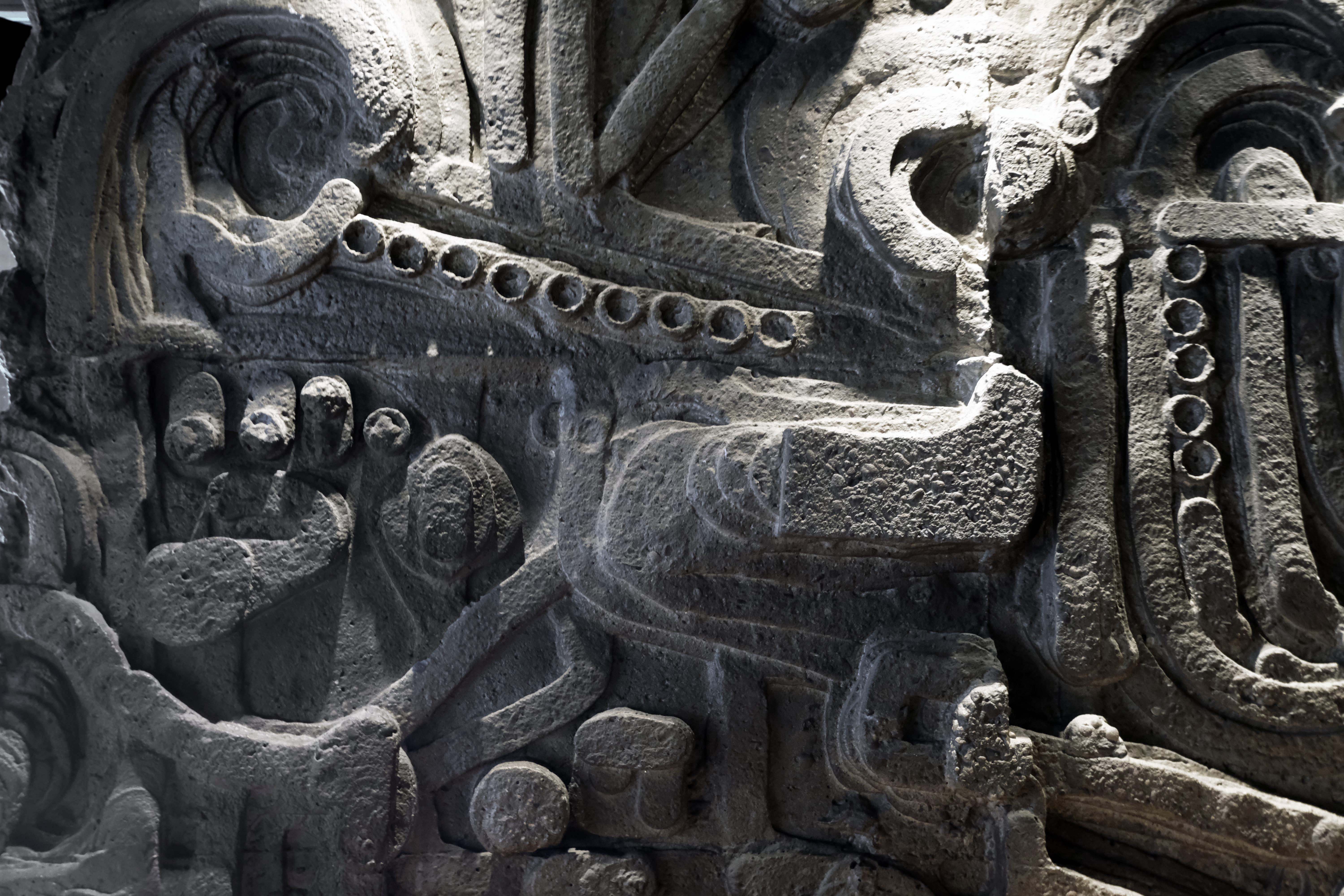
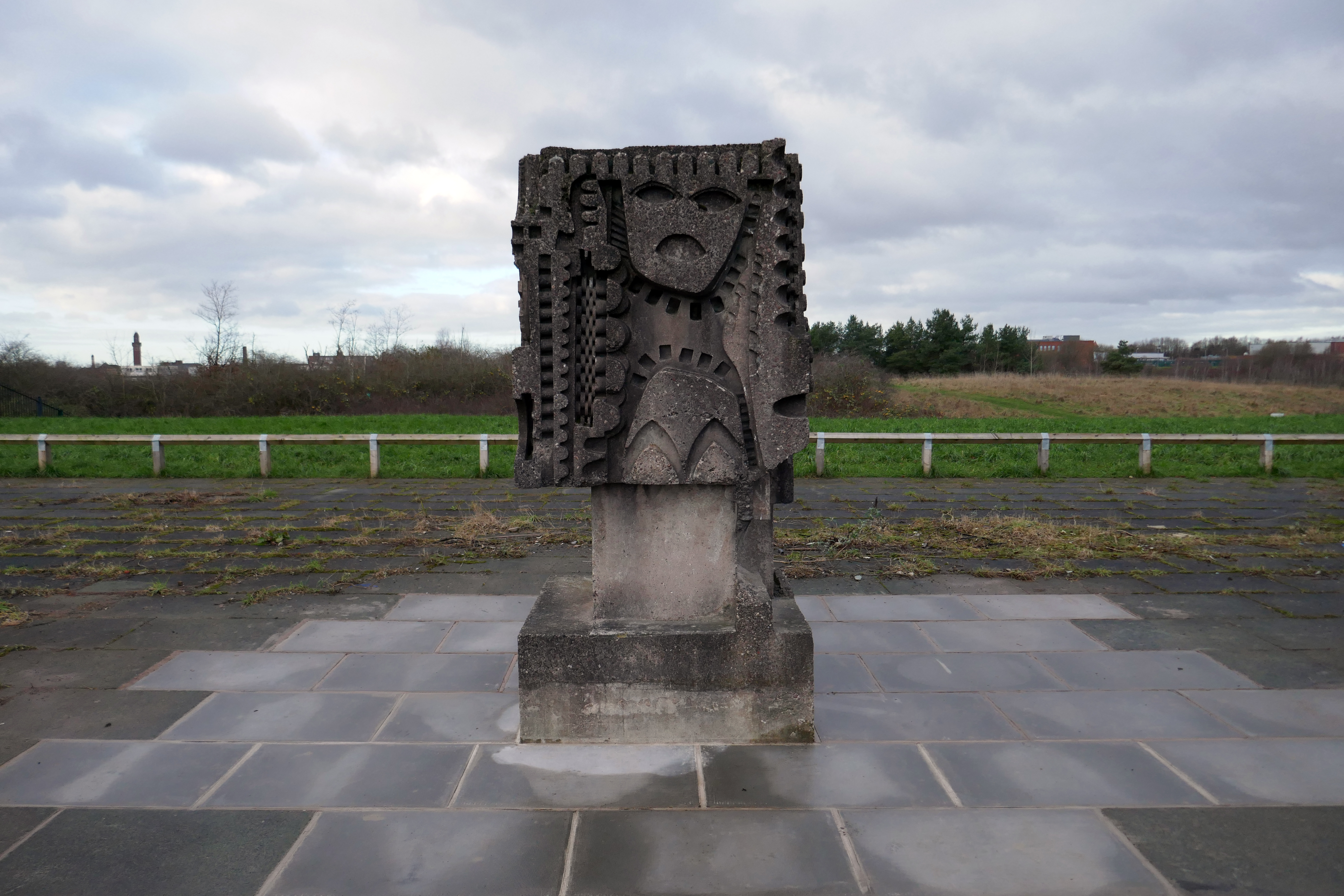
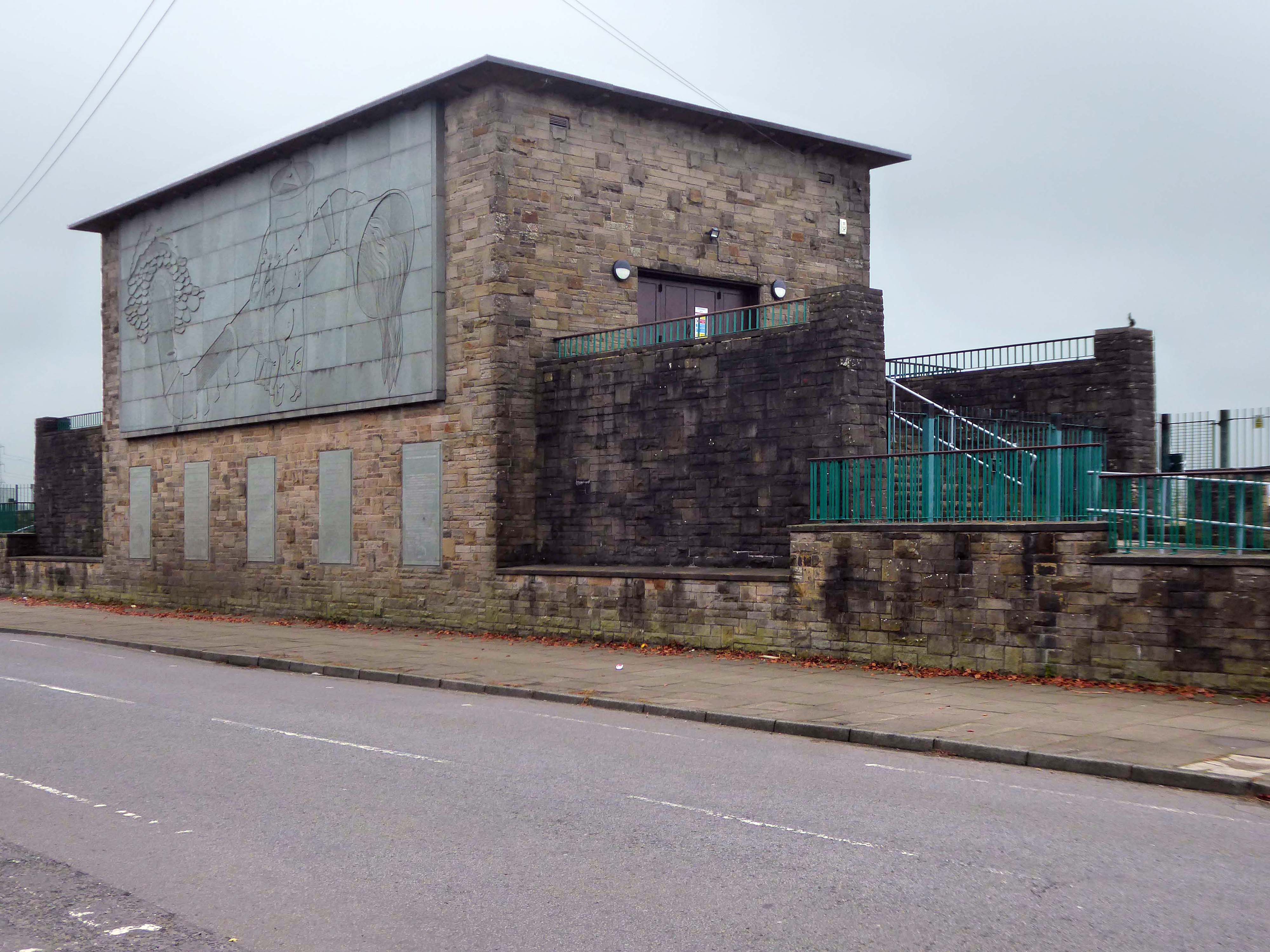
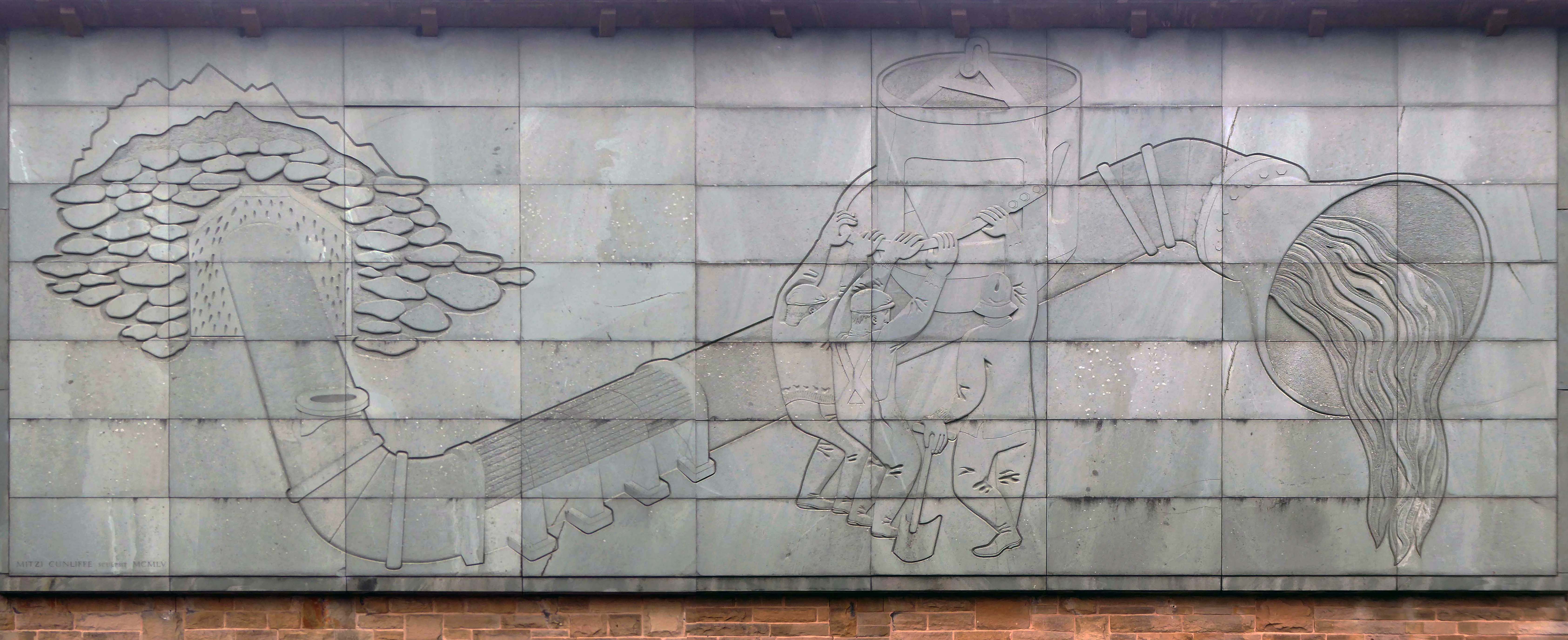
1954-5 by the Manchester City Architect’s Department, Chief Architect Leonard C Howitt, for the Manchester Corporation Waterworks. Alan Atkinson, engineer. Incorporates large relief by Mitzi Cunliffe, signed and dated 1955.
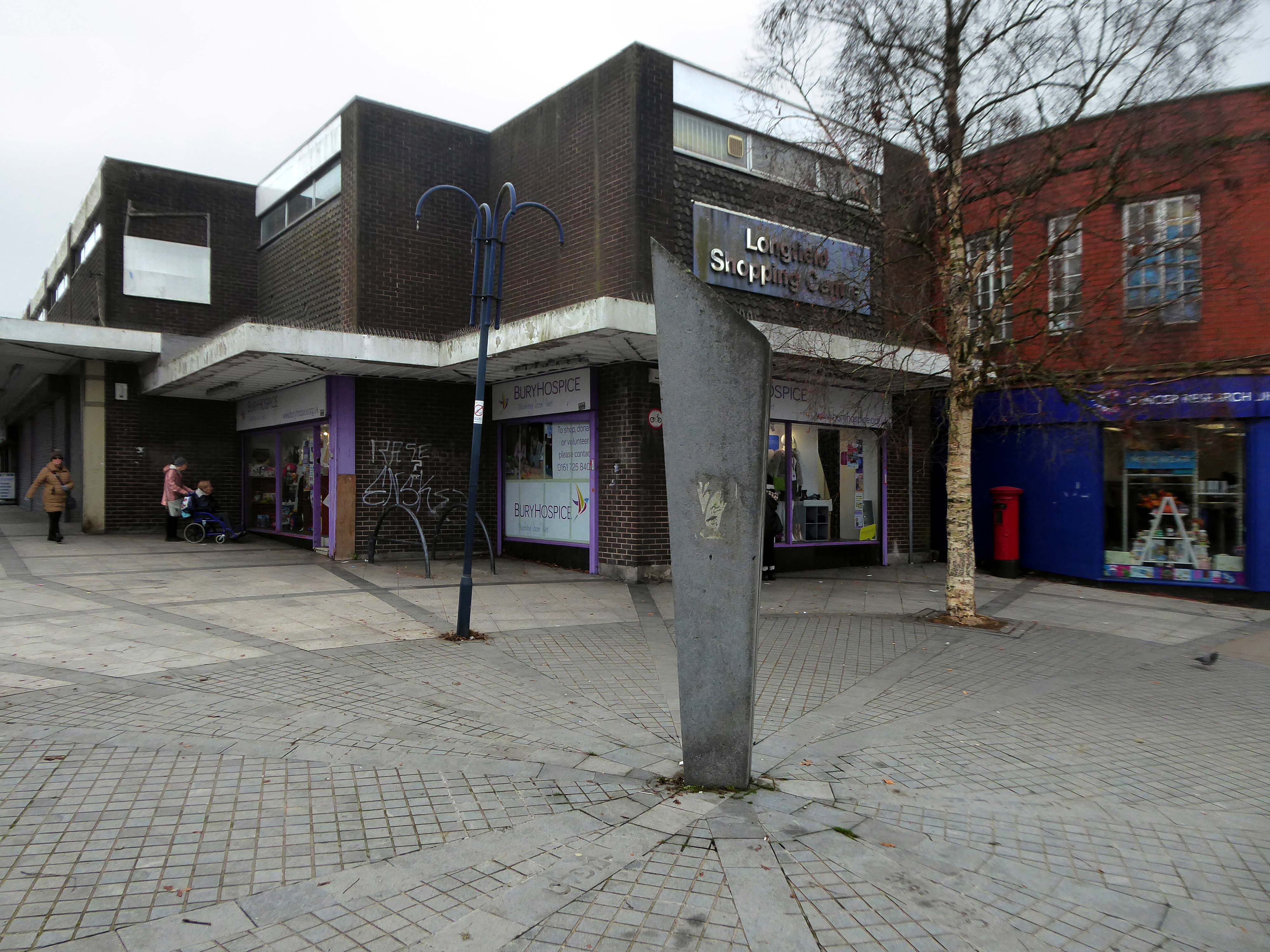
After months of public consultation, the joint venture has firmed up its proposals for the redevelopment of the Longfield Centre and is aiming to be on site before the end of the year.
Muse and Bury Council have submitted a hybrid application to transform six acres of Prestwich town centre.
The Strategic Regeneration Framework is the guide that is shaping the direction of Radcliffe’s growth over the next 15 years with a series of realistic short, medium, and longer-term actions. It is also shaping the direction of future council investment, supporting bids for central governmental funding and providing certainty for third parties wanting to invest in town.
Work has begun on Strategic Regeneration Framework’s priority projects, these include:
A new civic hub in central Radcliffe, which will bring together a mix of functions at the heart of the town
Refurbishment of the market basement and the revamping of market chambers
New leisure facilities
A secondary school on the Coney Green site
A “whole town approach” to housing, bringing forward a comprehensive approach to residential development in Radcliffe
A transportation strategy, which will consider matters such as active travel and car parking
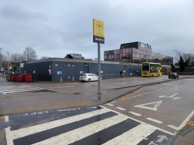
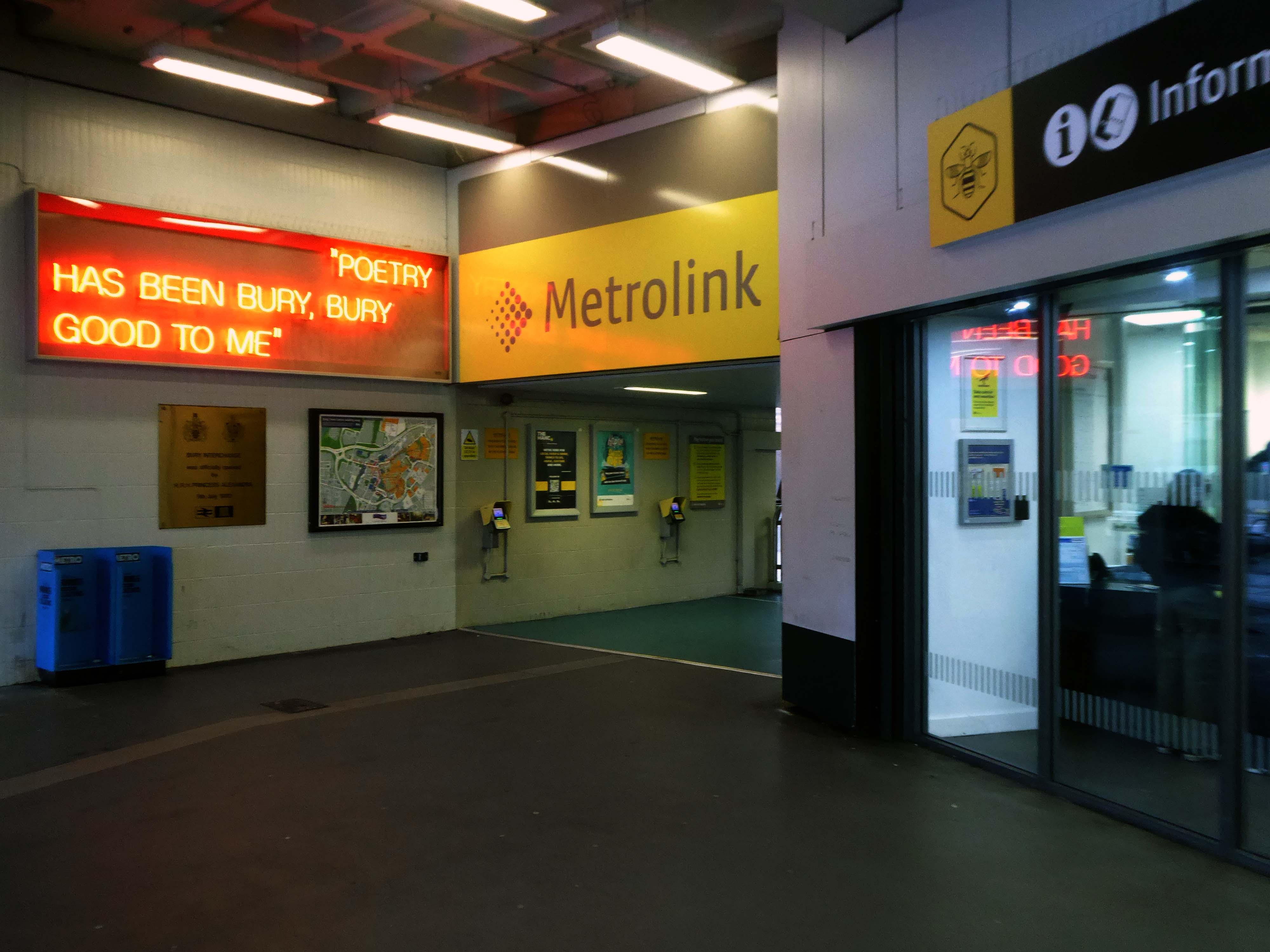
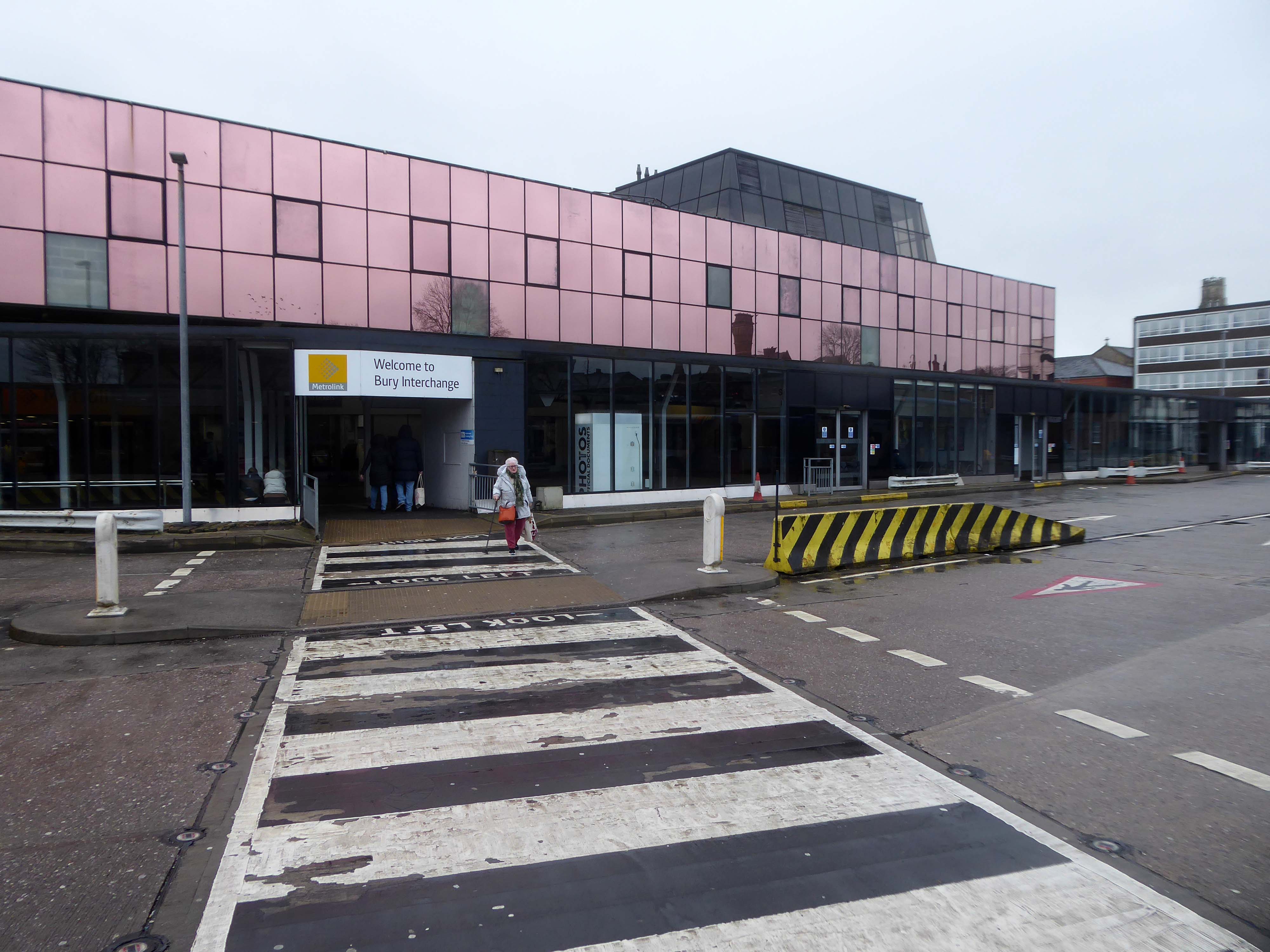
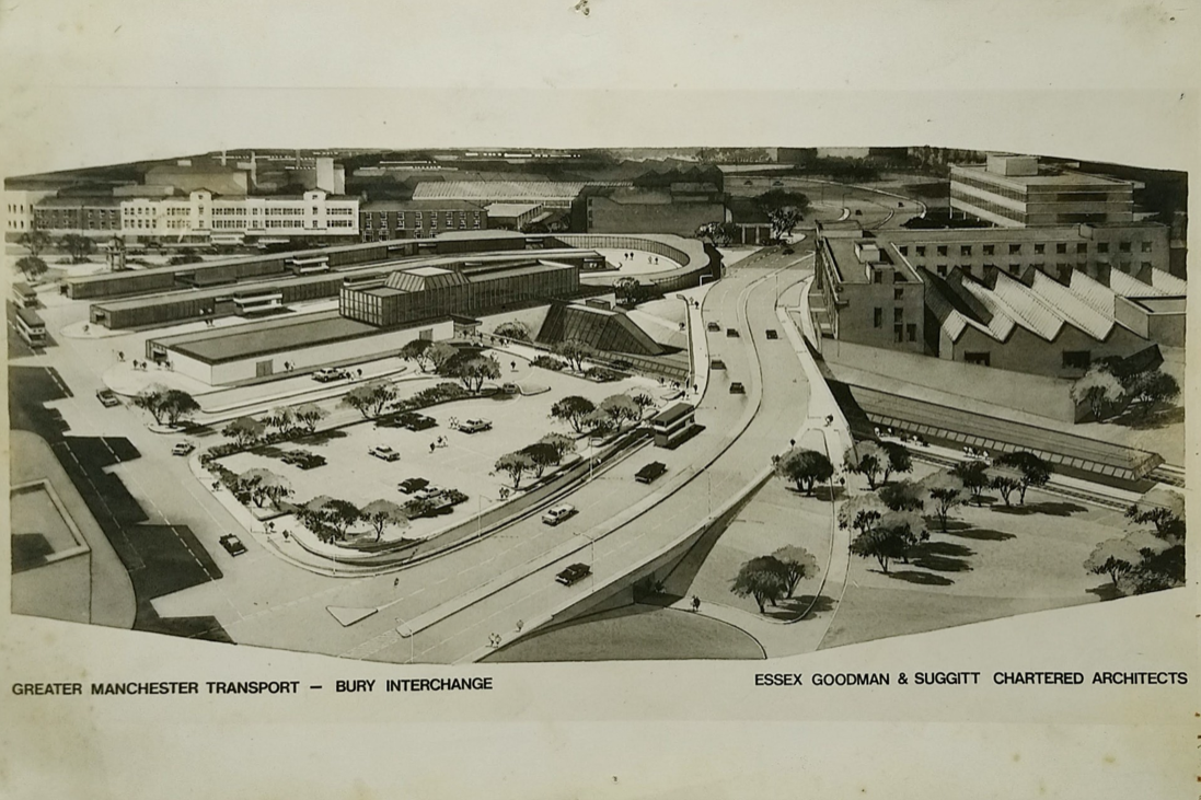
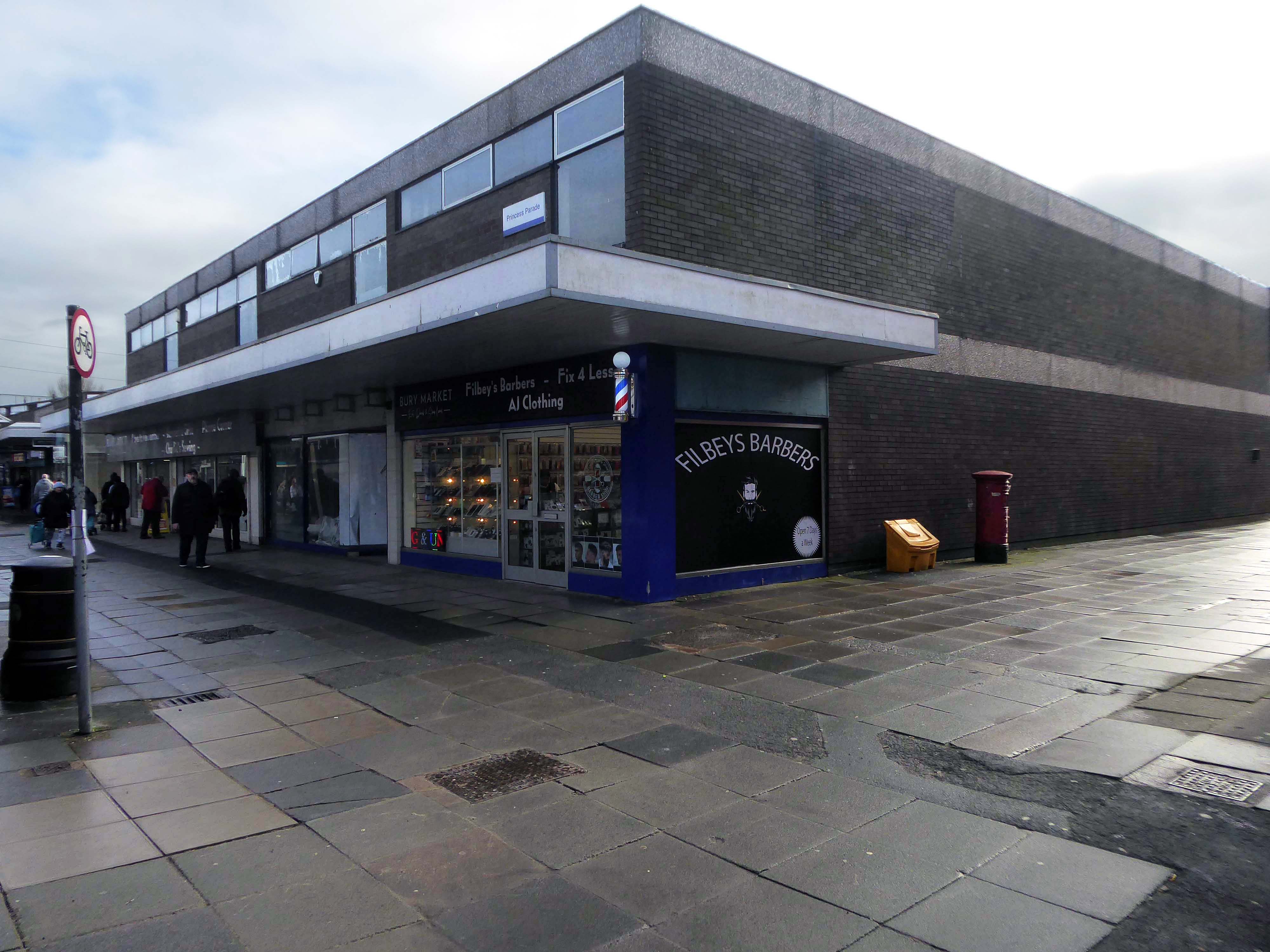
Arriving at and looking around the Interchange – 1980 architects: Essex Goodman & Suggitt
It is the northern terminus of the Manchester Metrolink’s Bury Line, which prior to 1992 was a heavy-rail line.
A new short spur line was constructed to connect the new station. The railway had originally run into Bury Bolton Street which was further away from the town centre, and was closed by British Rail on the same day that Bury Interchange opened.
It also incorporates a bus station.
Bury Interchange replaced the bus termini scattered around Bury town centre, notably around Kay Gardens.
An £80m transformation is coming to the Bury Interchange, which will see step-free access at the Metrolink, a “vertical circulation core” to better connect the Metrolink with the bus facility, and an integrated travel hub with spaces for cycle storage.
The work is much-needed, explained Transport for Greater Manchester’s Alan Lowe, he said that the interchange was built in the 1980s and very much is of its time.
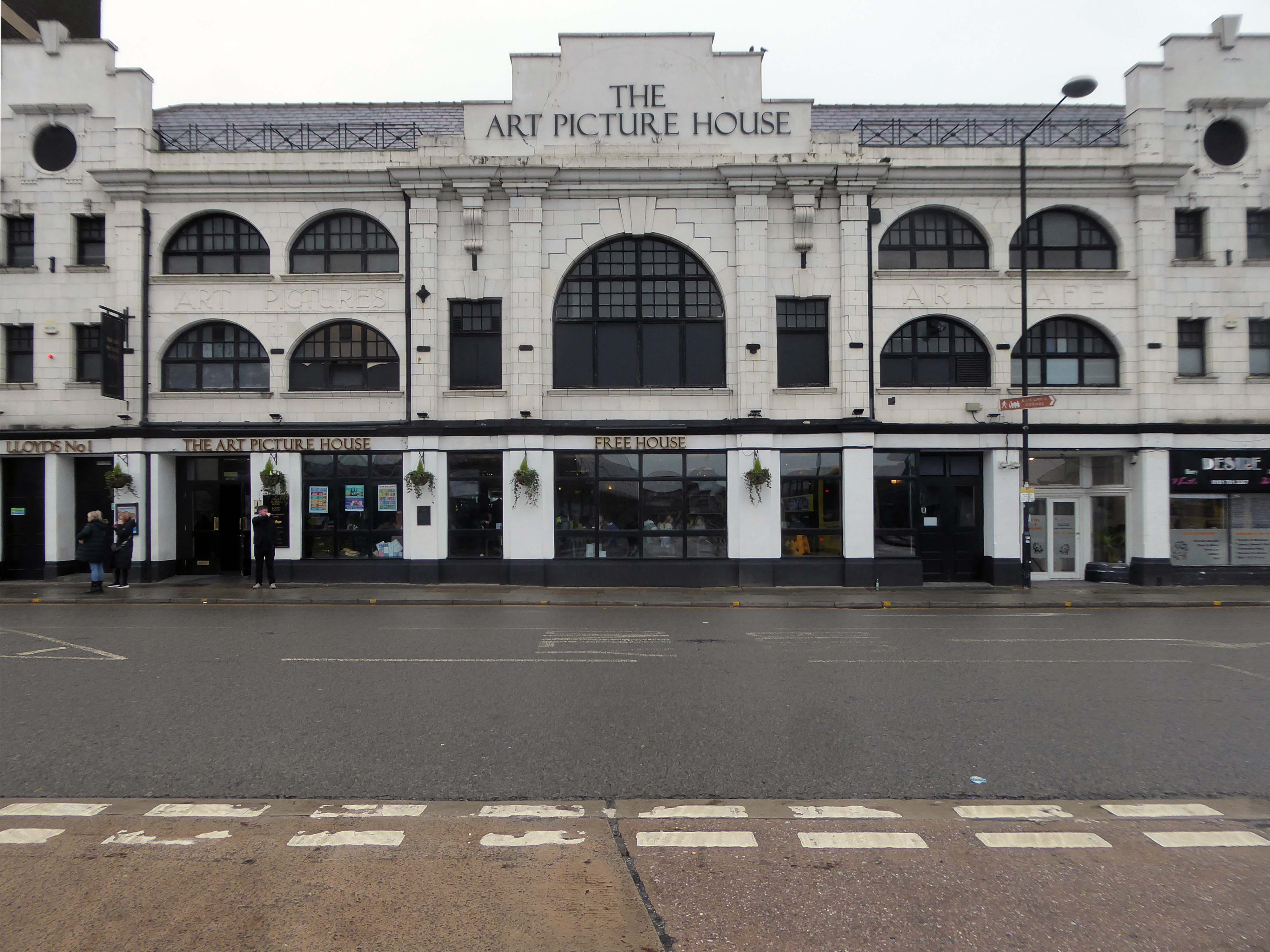
The Art Picture Palace was a 1923 rebuild of the earlier Art Picture Hall both designed by architect Albert Winstanley. The Art Picture Palace was opened on 26th January 1923. A remarkably complete survivor of a 1920’s cine-variety house executed in an elaborate style.
Films ceased in February 1965 and it became a bingo club. Later converted into a billiard hall until 19th May 1991 when it became a bingo club again, it later became a Chicago Rock Cafe.
Cinema Treasures
Next door a typical steel glass and brick banded office block Maple House.
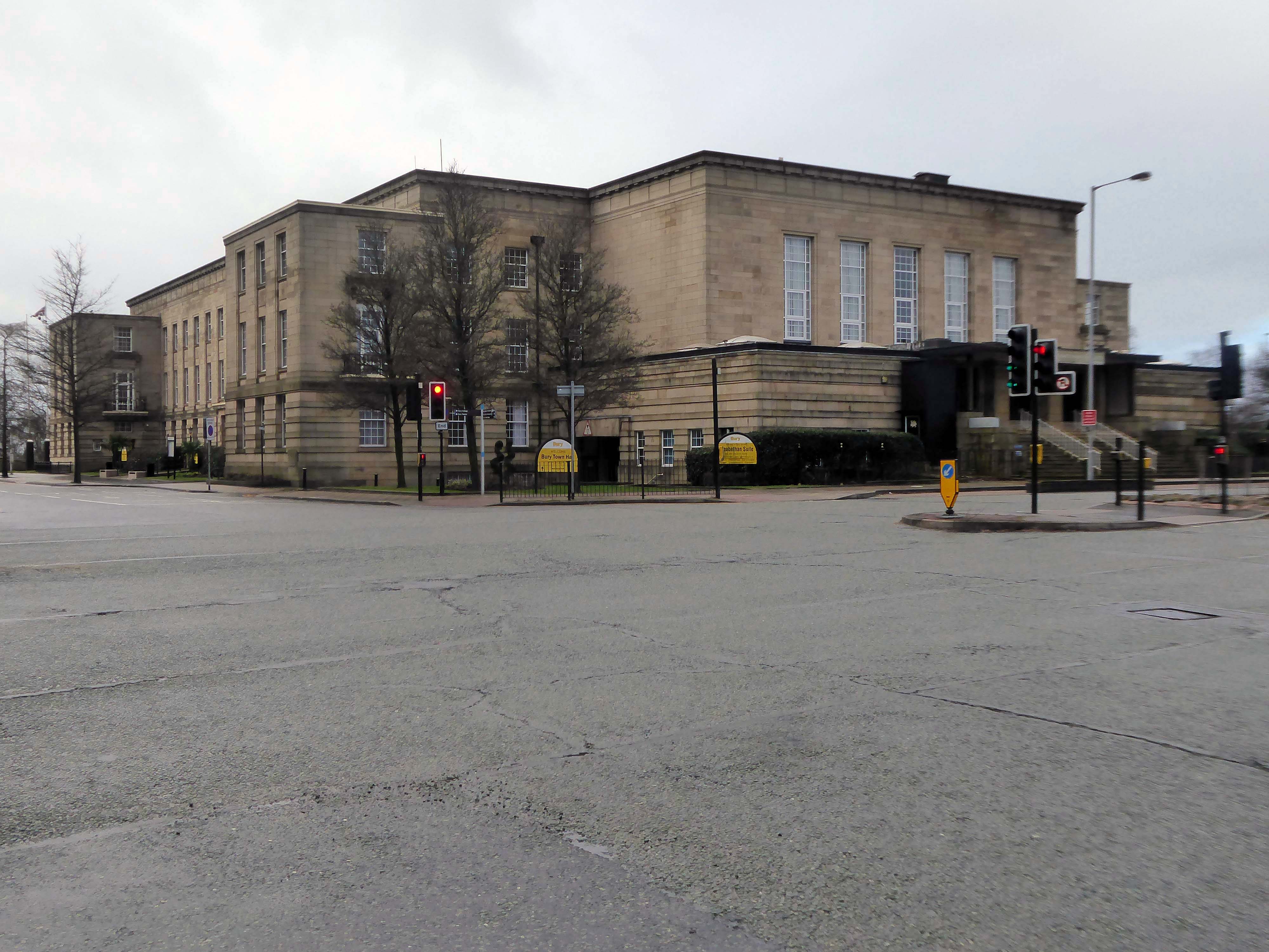
Around the corner and over the road to the Town Hall 1939-40 architects: Reginald Edmonds of Jackson & Edmonds then 1947-54.
Large and Dull – Niklaus Pevsner.
Back through the Interchange to the former Cooperative Store of the 1930’s.
The Portland Stone towers still visible – the elevation largely retro-clad in glass.
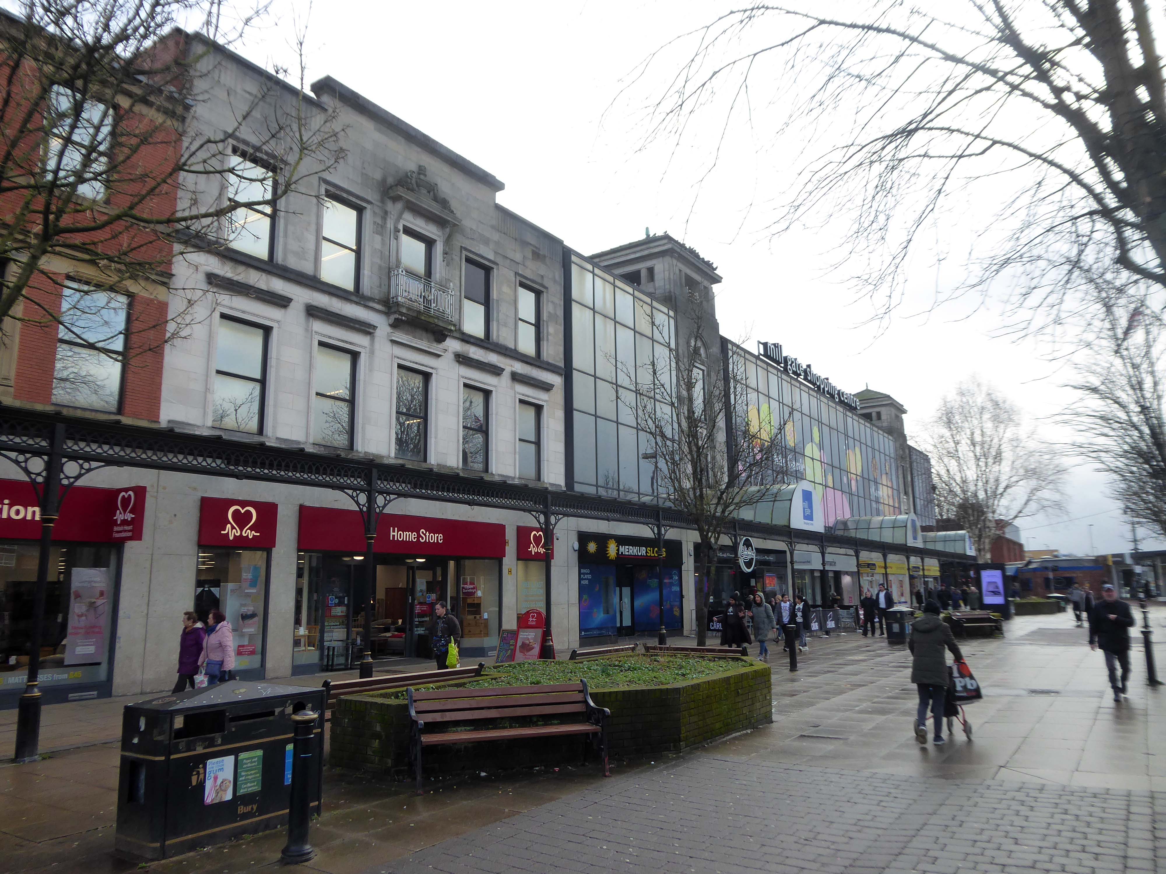
Passing through the Millgate Shopping Centre of the 1980’s.
Unambitious but successful, the floors cheerfully tiled – Niklaus Pevsner.
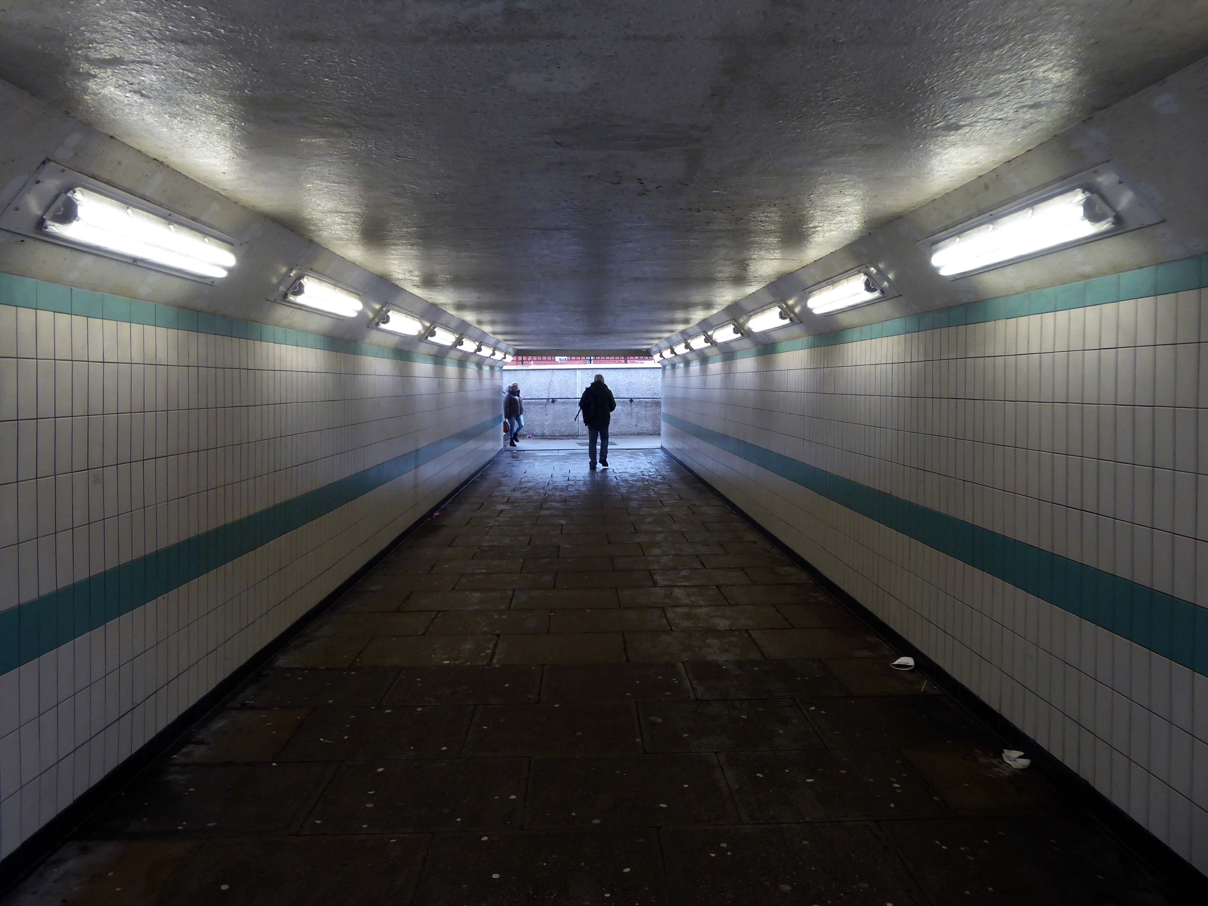
Down in the subway at midday.
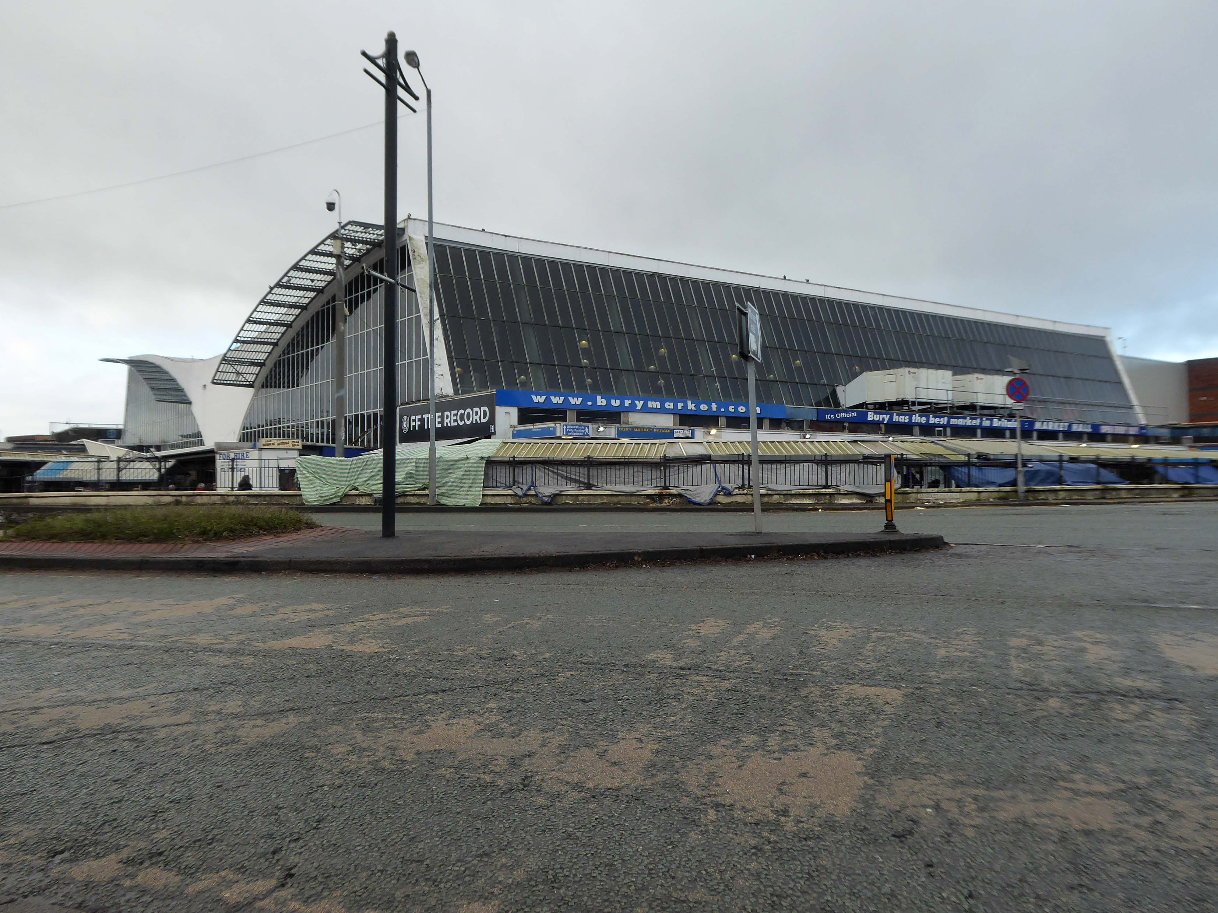
The better to get a view of the Market Hall 1971 – architects: Harry S Fairhurst.
The Indoor Market Hall is currently closed due to the discovery of Reinforced Autoclaved Aerated Concrete – within the building structure. RAAC is a lightweight type of building material that was used between the 1950s and 1990s.
Back under the road – where we find a delightful Telephone Exchange.
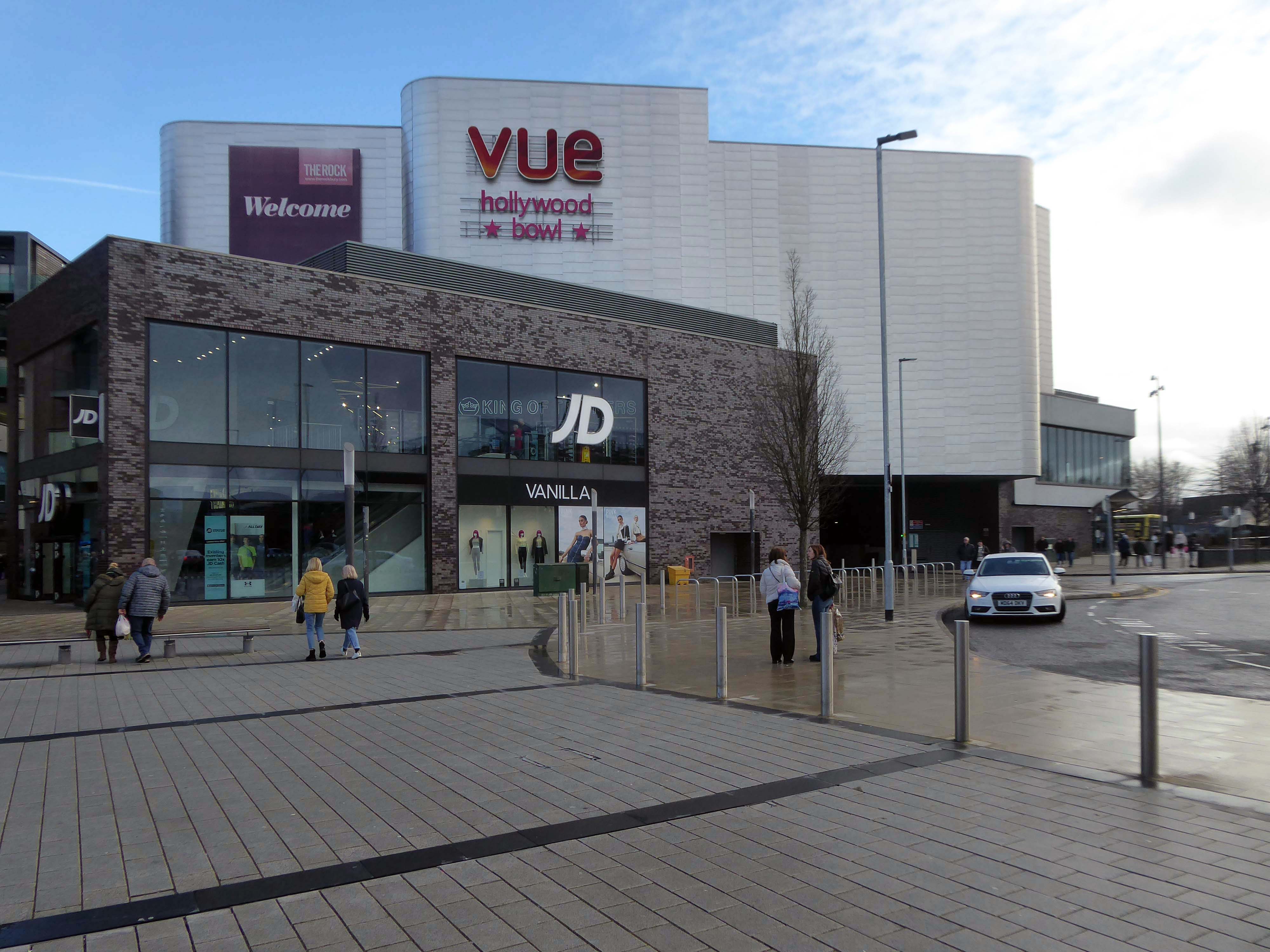
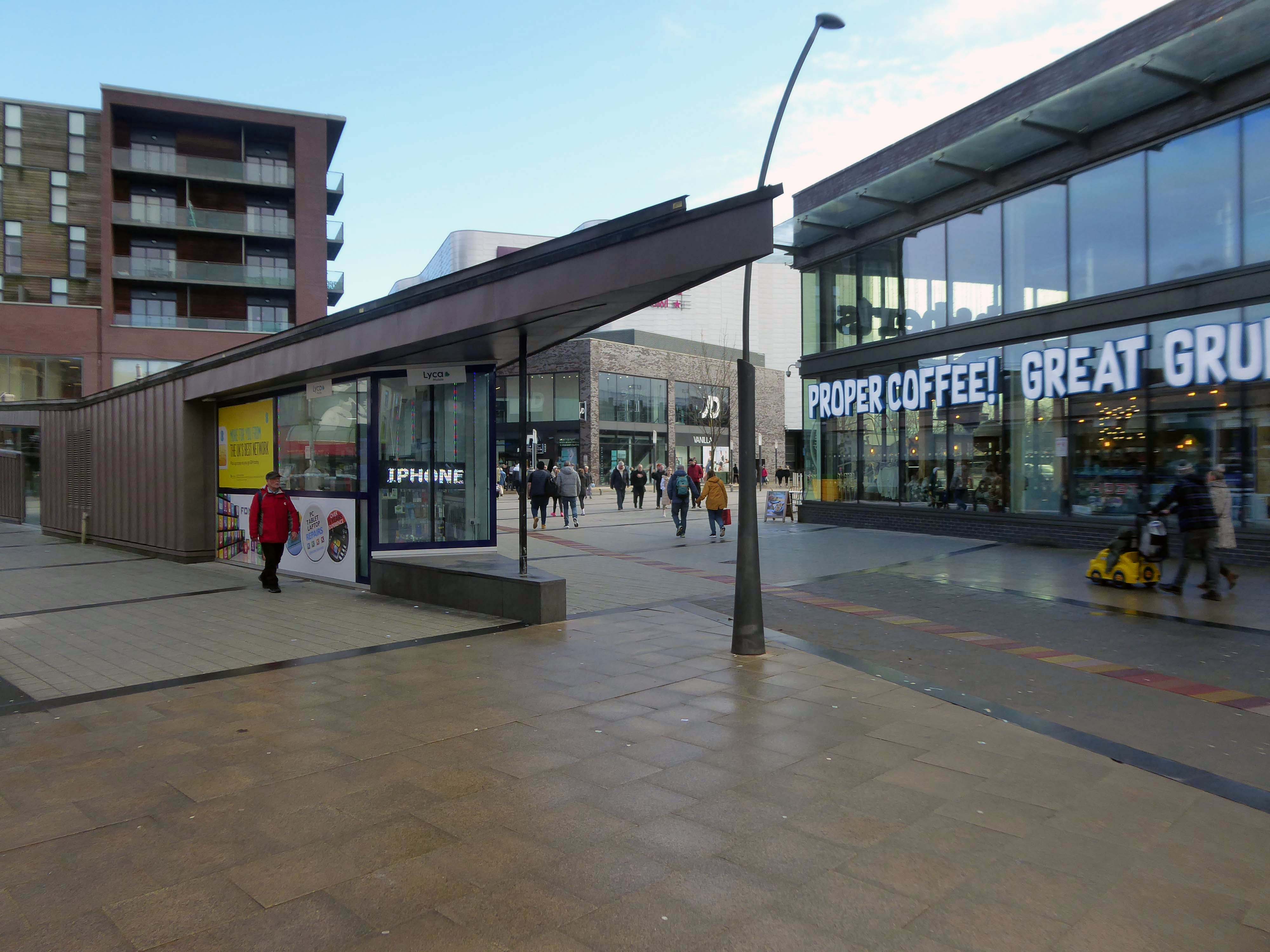
The Rock is a vibrant retail and leisure centre which is home to a range of high street fashion brands, independent retailers, tantalising eateries and fantastic entertainment – it’s the perfect place to visit any day of the week.
It is the work of architects BDP – completed in 2010 at a cost of £350 million.
Our masterplan for The Rock took into account the historical street pattern and public realm context to give the scheme its own identity, and make visual connections to local landmarks.
The retail and leisure scheme brings many exciting brands to Bury for the first time.
New pedestrian streets rejuvenate and improve connections to adjacent areas stitching the town back together.
The development will also contain 408 one and two-bedroom apartments.
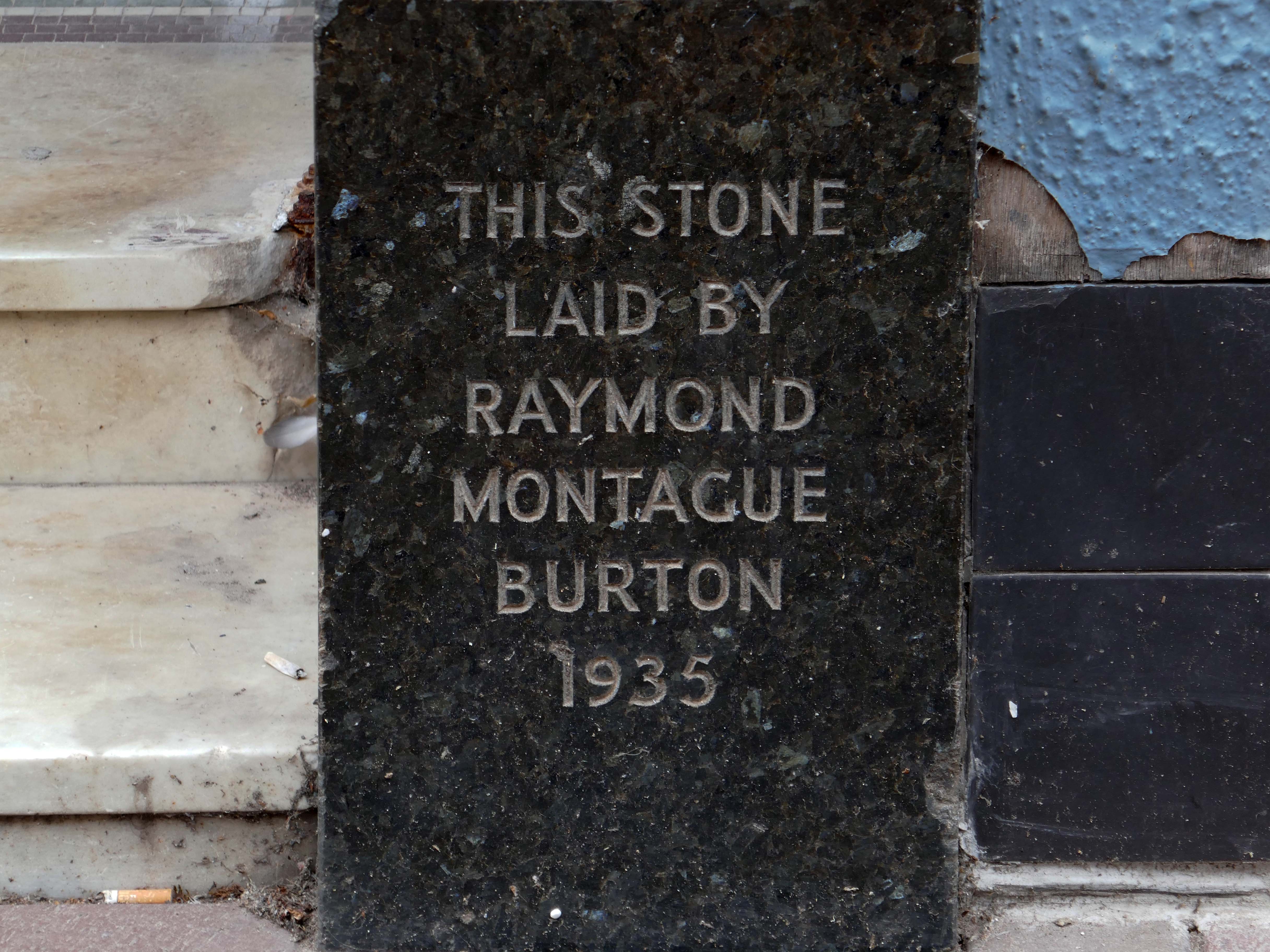
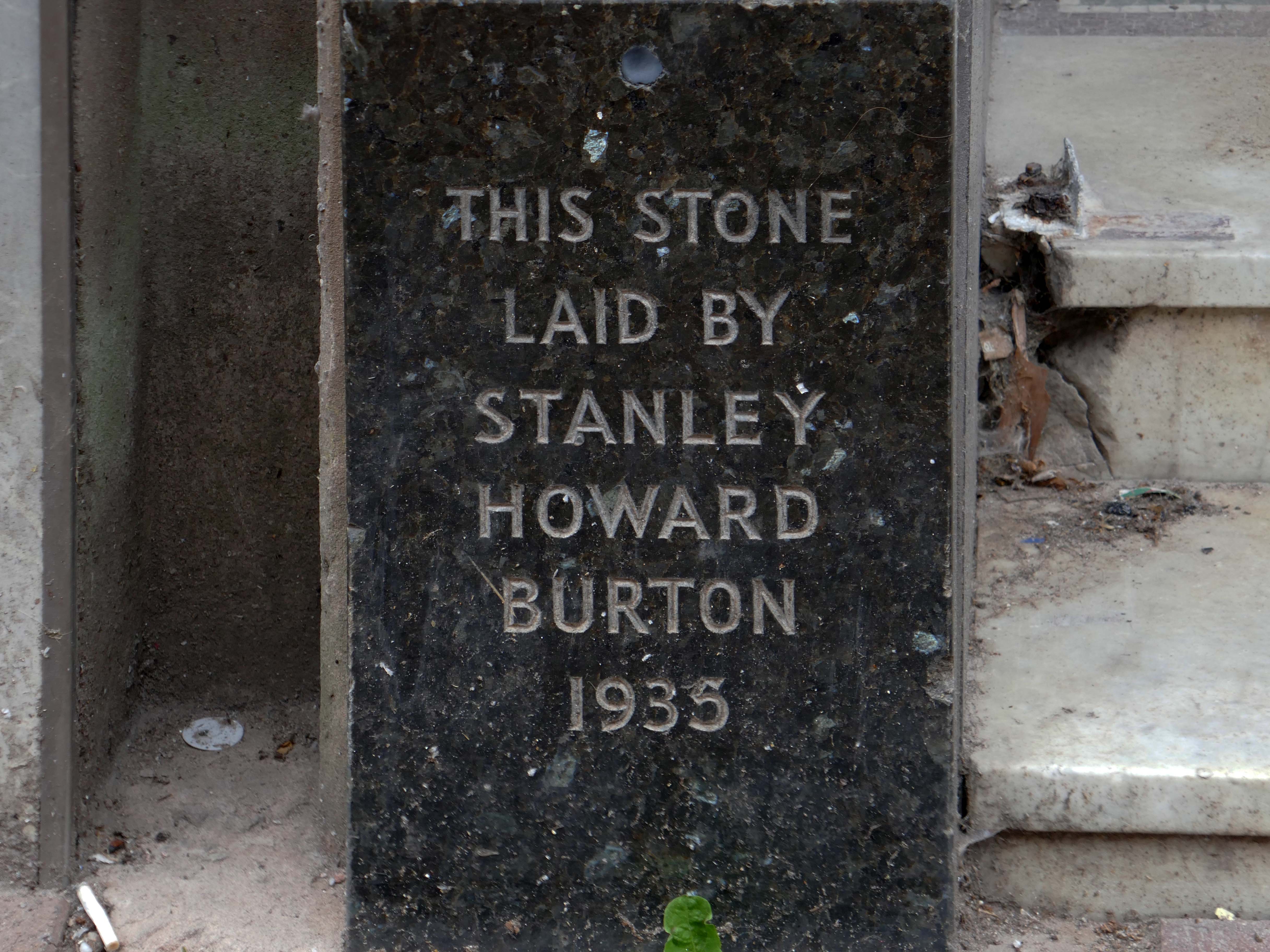
Back to basics at a former Burton’s hiding its faience facade.
Typical inter-war infill on our crazy mixed up mongrel high streets.
Ribblesdale House
Application by Shop and Store Developments Ltd submitted August 1965. Architect on application was Samuel Jackson and Son of Ocean Chambers in Bradford but during the application process this changed to John Brunton & Partners – Brunton was a partner in Jackson’s firm, at the same address. It had a restaurant and shops on the first floor.
The street level buildings were destroyed by fire on 14 May 1947 and were replaced with a new brick and concrete entrance and footbridge in 1952.
British Rail closed the station on 17 March 1980, when it was replaced by a new bus/rail interchange station further east into the town centre. Bury Interchange railway station served up until 1991 before the entire Bury Line was converted to light rail operation. It reopened in 1992 for Metrolink operation.
Bury was once the centre of multiple train links and the lost station of Knowsley Street.
Over the road the former Temperance Billiard Hall 1910 architect Norman Evans.
Planning application January 1965 – work started in June 1965. The architectural firm was Richard Byrom, Hill and partners. Richard Byrom was submitting building applications in the 1930s in Bury and locally.
The rendering on the building is original but the windows have been changed. The Job Centre took over the building in 1993. It is in a conservation area and the Civic Trust had some concerns!
Many thanks to David French for the above information.
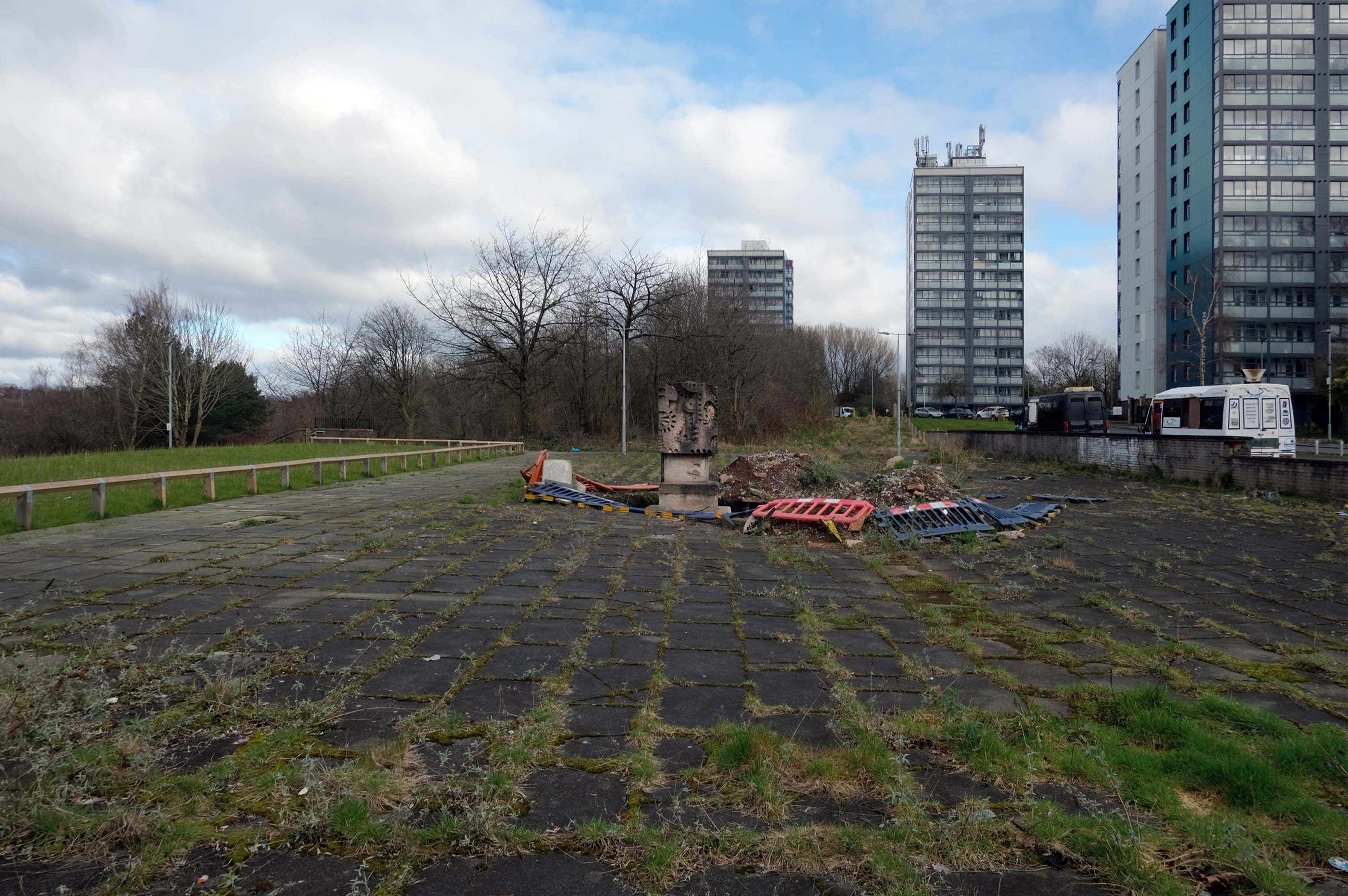
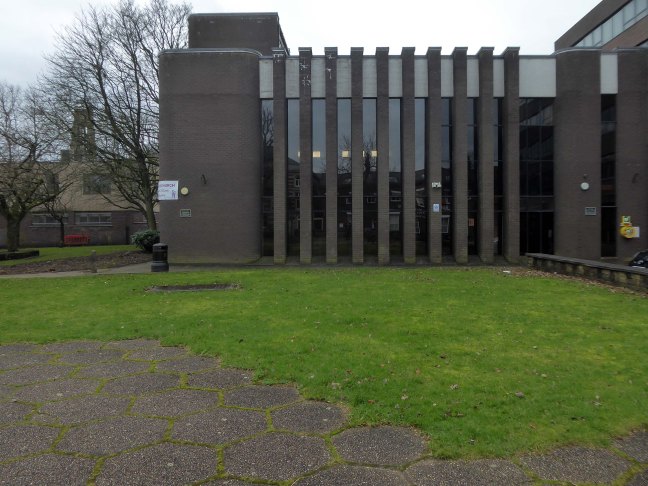
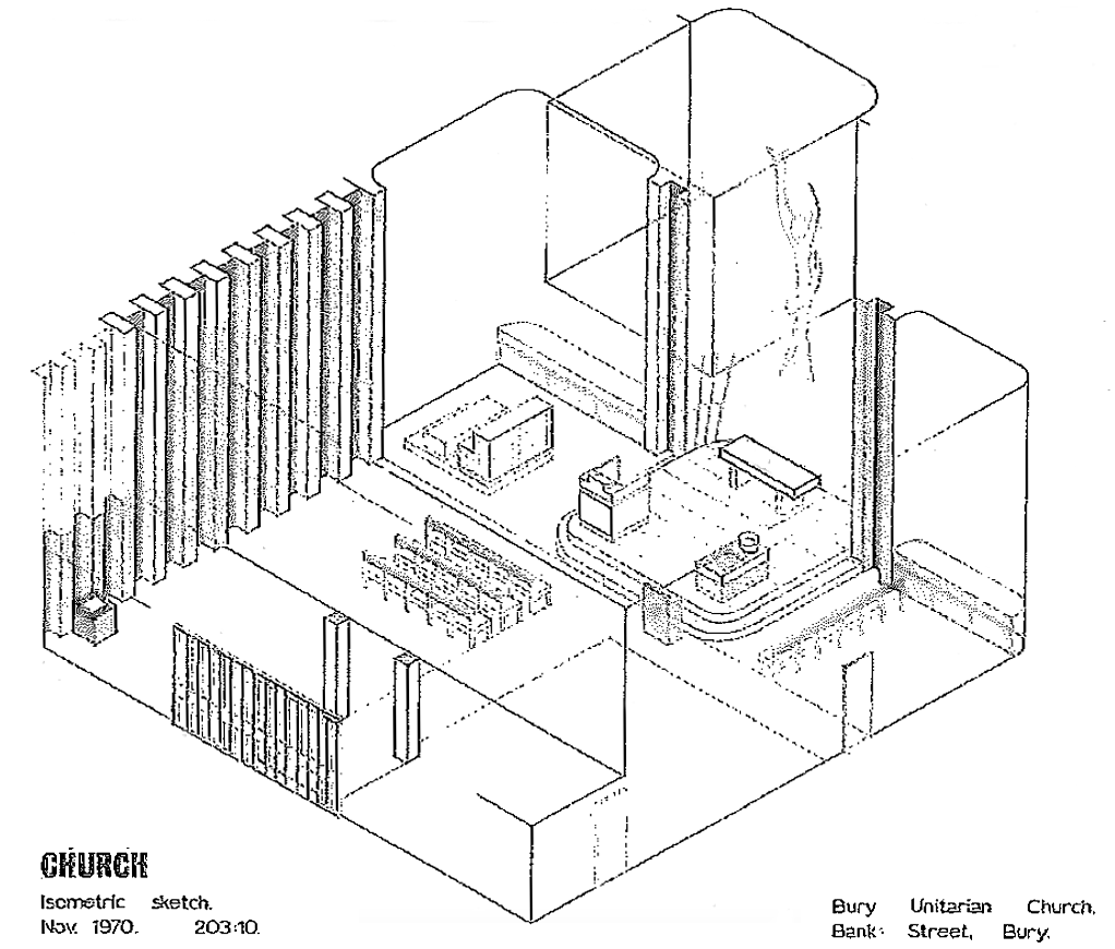
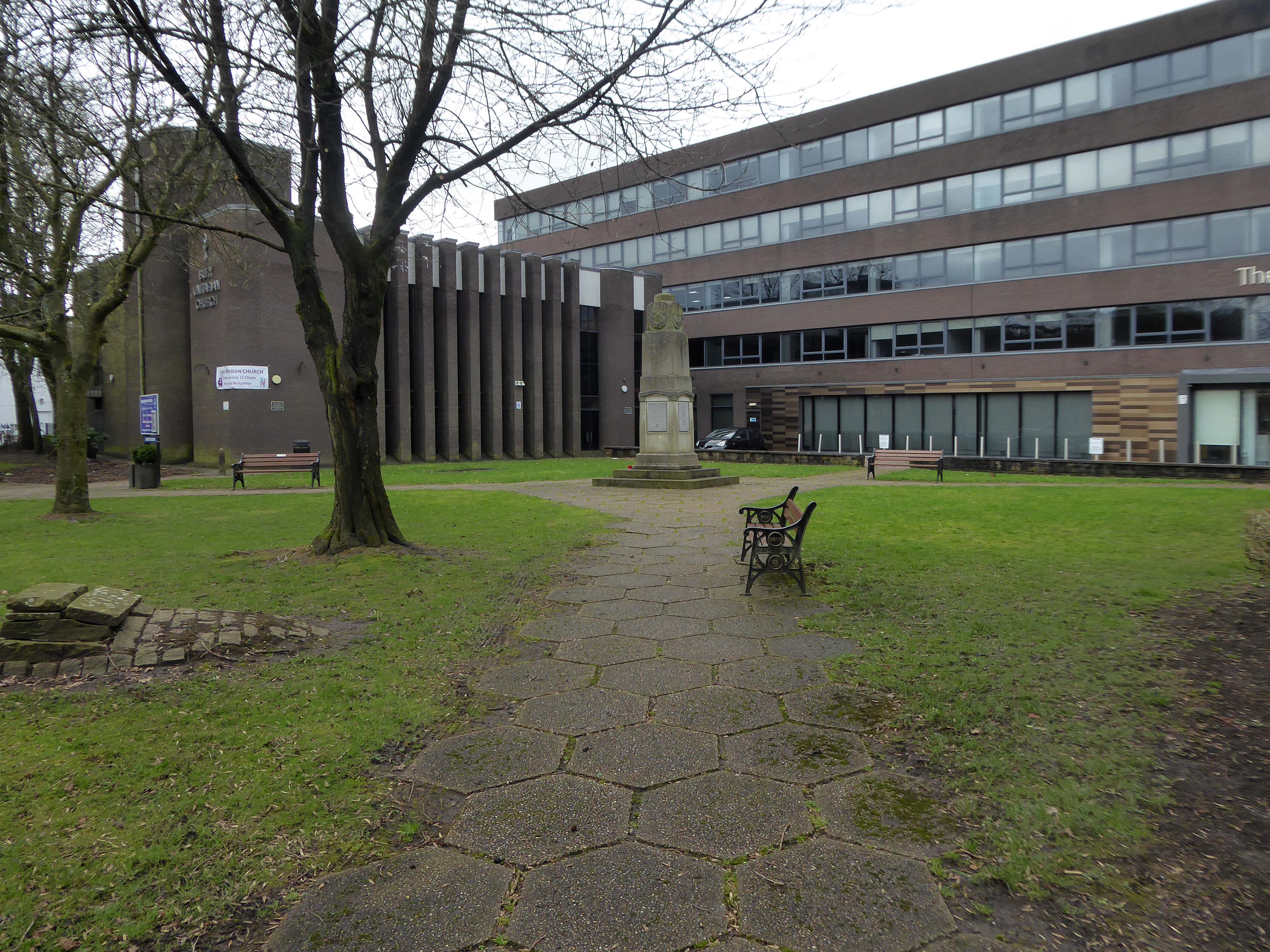
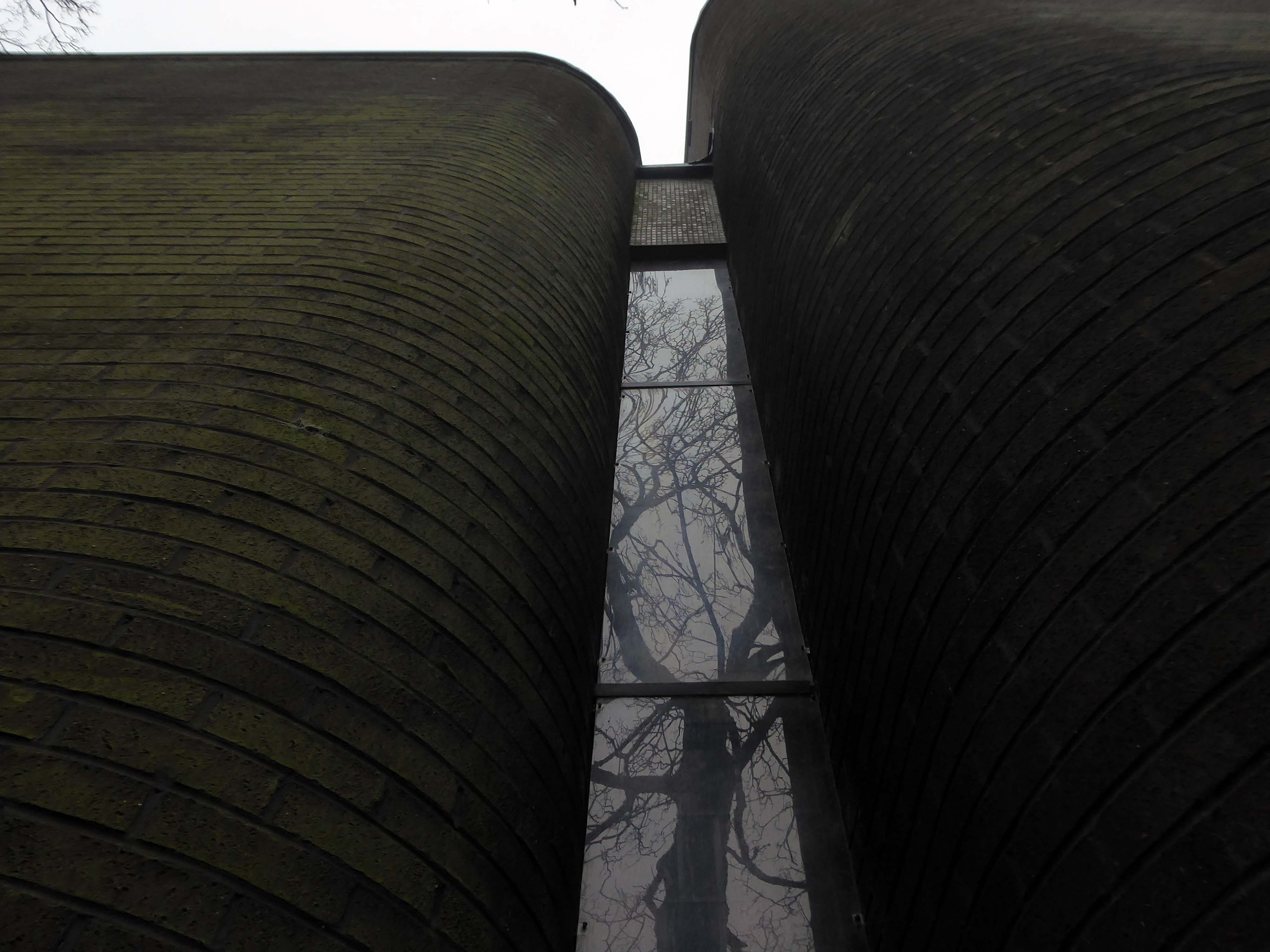
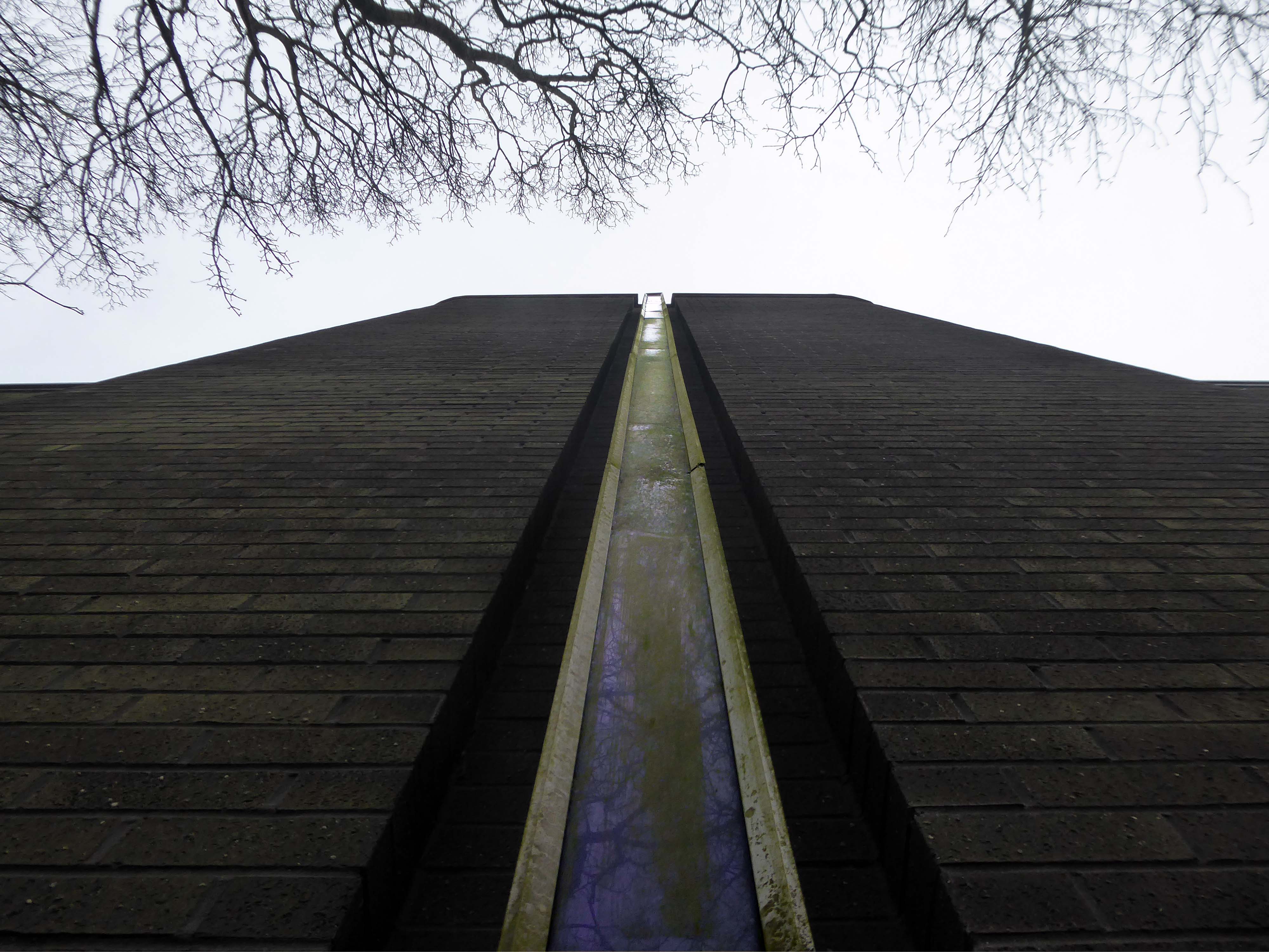
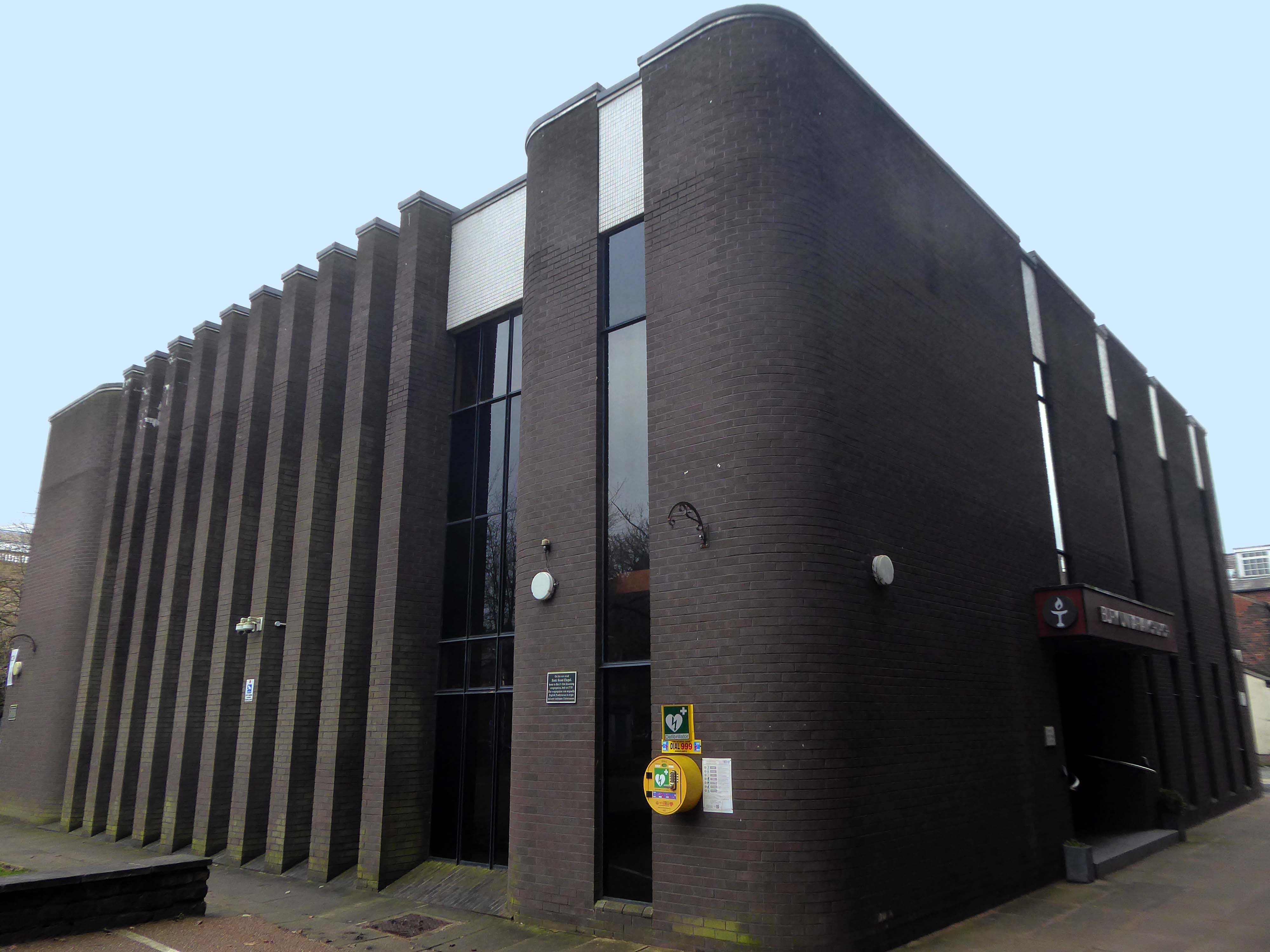
The new Bury Unitarian Church was designed and constructed by local architects James T Ratcliffe.
An interesting article was published at the time in Sacred Suburbs Portfolio, in which the church design was described as:
A well detailed, functional, yet flexible building.
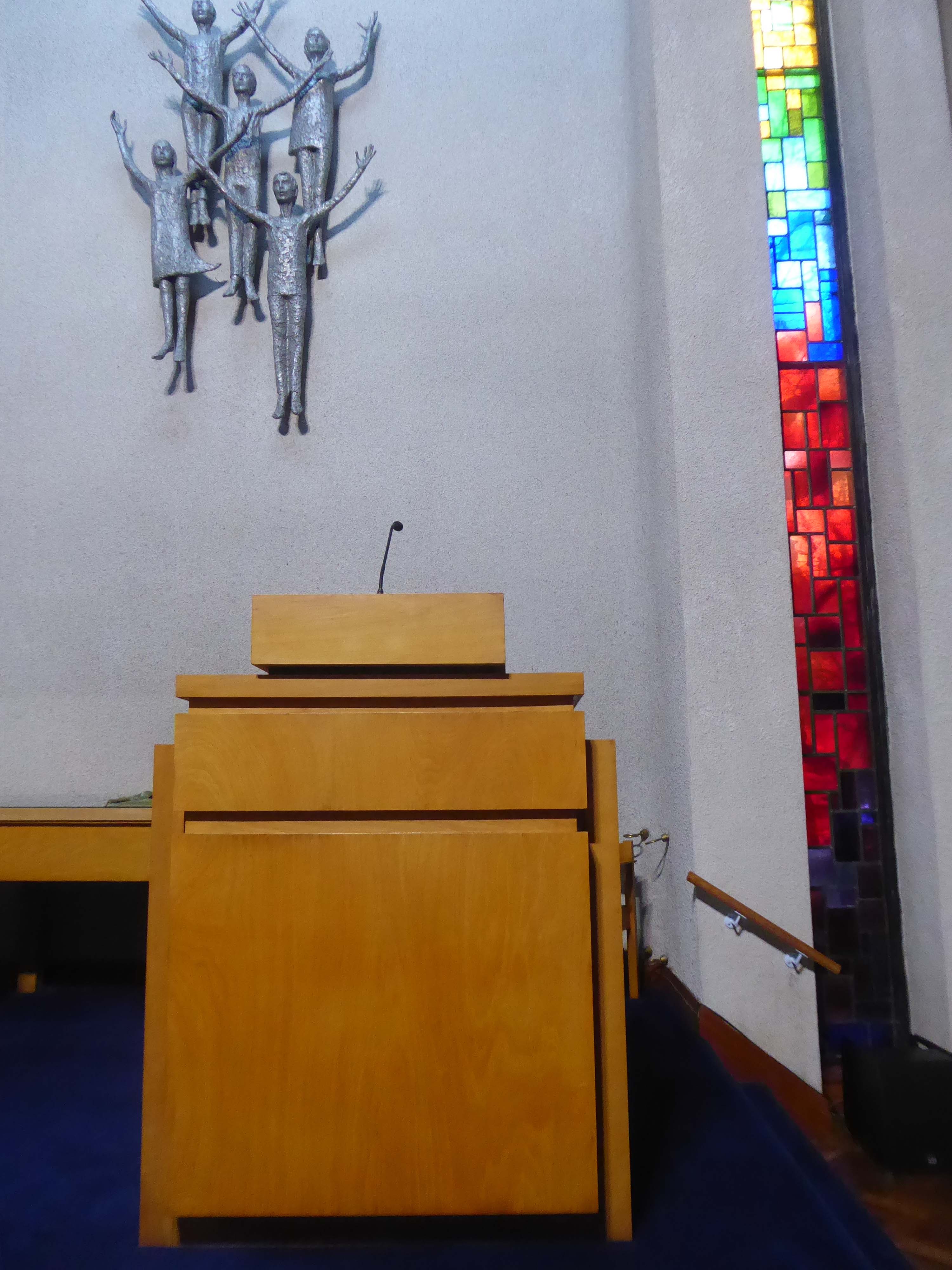
The church was opened in 1974, with a service of dedication on Saturday, 9th March. The total cost, including furnishings, was £85,000 – It is now valued at about £1.5 million. The Churchwarden and Chairman of Trustees, at that time, was Bernard Haughton, who had succeeded Alex Rogers; he was to serve the Church in those capacities for the next 25 years. He was succeeded by Barbara Ashworth, our immediate past Warden. During this time, notwithstanding persistent problems with water leakage through its flat roof, the church continued to thrive and develop.
Enhancements have been made to improve the comfort and amenities of the building throughout the period with, for example, the installation of an improved heating – system, a sound – enhancement system in the church, and disabled access facilities including a lift to the upper floor. Through the efforts of Barbara Ashworth – past Church Warden, the proliferation of bequests, legacies and trusts which were complicating and restricting church-finances has been rationalised and the financial structure streamlined. Part of the land at Holebottom has been sold for development, and part has been upgraded as a public amenity.
The current congregation is still one of the best supported Unitarian Churches in the country and remains enthusiastic and committed to the Unitarian faith. There are many social groups including The Women’s League, The Men’s Fellowship, The Luncheon Club the Book Club and most recently, our Camera Club; coffee is served every Saturday morning – a session which welcomes members of the public to the church, some of whom have subsequently become church-members. Frequent social activities are organised by The Efforts Committee and are well-supported by the congregation and their friends and raise money in support of the activities of the church snd local charities.
The A5103 is a major thoroughfare running south from Piccadilly Gardens in Manchester city centre to the M56 in Northenden. The road is two-lane dual carriageway with a few grade-separated junctions. It is used by many as a link to the airport and to the motorway network south.
The road starts at Piccadilly Gardens where it meets the A6. It heads along Portland Street – at one time it ran along the parallel Mosley Street, past fast-food outlets and off-licences and then meets the A34 Oxford Street. It multiplexes with that road north for 200 yards into St Peter’s Square and then turns left into Lower Mosley Street, initially alongside the tramlines and then past the former Manchester Central station, now a conference centre with the same name. The road becomes Albion Street and goes over the Bridgewater Canal and under the railway line east of Deansgate station. The road then meets the A57(M) Mancunian Way at a roundabout interchange. This is where most of the traffic joins and leaves.
The road is now 2×2 dual carriageway with the name Princess Road. It passes under the Hulme Arch, a grade-separated junction with the A5067, with an unusually large central reservation. This is presumably because of the proposed plans from the 1960s of a motorway. However, after passing under the junction, there are innumerate sets of traffic lights, with the B5219, the A6010 and the A5145, as well as many other unsigned roads. There are also many speed cameras set at 30 mph.
The road picks up pace as we exit the sprawl of South Manchester and the road becomes Princess Parkway, with a 50 mph speed limit. We cross the River Mersey and almost immediately hit the M60 at J5.
Except for the Manchester City Centre section – which was numbered A5068, this road did not exist on classification in 1922. Princess Road was built in 1932 to serve the new southwestern suburbs; initially it ran between the B5219 and A560 and was numbered B5290, with the road later extended north into the A5068 on the southern edge of the city centre and renumbered A5103.
The northern extension through Hulme initially followed previously existing roads, so followed a zigzag route. As part of the road’s upgrade and the reconstruction of Hulme in the 1970s the road was straightened and the original route can no longer be seen. The A5068 was severed around this time with the construction of the A57(M) and the A5103 took on its city-centre section, taking it to the A6.
The road now begins slightly further south than it used to. Instead of starting on Fairfield Street in Manchester city centre, it begins immediately as the Mancunian Way ends, which at this point is the unsigned A635(M). The motorway flows directly into our route. There’s a TOTSO right at a set of lights, and we pick up the old alignment, which now starts as the B6469.
We can see the new City of Manchester Stadium on the left, site of the 2002 Commonwealth Games and now home to Manchester City FC. The road switches between S2 and S4 as it passes through the rather run-down urban areas of Ardwick and Gorton. A short one-way system at a triangular-shaped junction with the A662 leads onto a wider stretch as we near the M60 junction. This area is set to see significant industrial growth, with whole swathes of land either side of the now D3 road cleared and ready for development.
Starting at traffic lights on the A665 the road heads northeastwards, initially with the Metrolink on the left and a factory building on the right. The road then bears right at traffic lights marking the first section of on-street running for the trams, which lasts until just before a bridge over the River Medlock, after which the road passes to the south of the Sportcity complex whilst the tram line runs through the middle.
The A6010 is crossed at traffic lights, after which we see the tram lines on the left once more. We go over the Ashton Canal, then the tram lines at grade before bearing to the right to pass Clayton Park before another section of on-street running for the Metrolink begins, which continues for some distance. Just after crossing the Manchester city limit there is a set of traffic lights, after which the road becomes D2 for a short distance to allow a tram stop – Edge Lane, to be located in the central reservation. The tram leaves the road to the right for the next stop – Cemetery Road, and the stop in Droylsden town centre is once again in the central reservation. In all three cases the street running recommences after the stop.