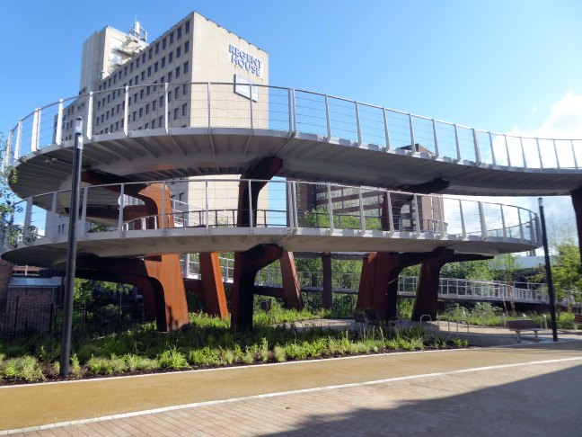
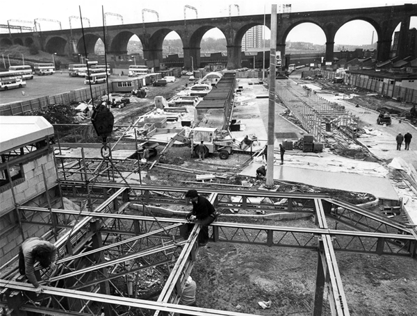
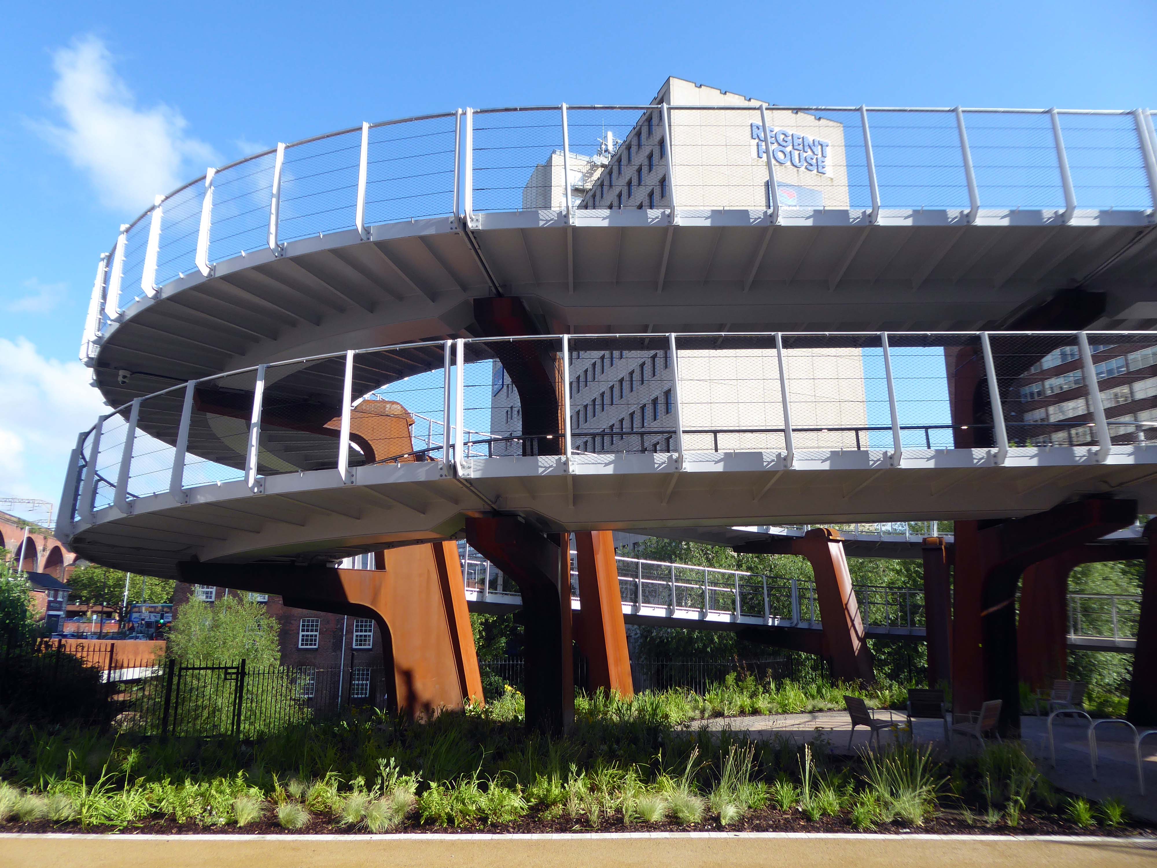
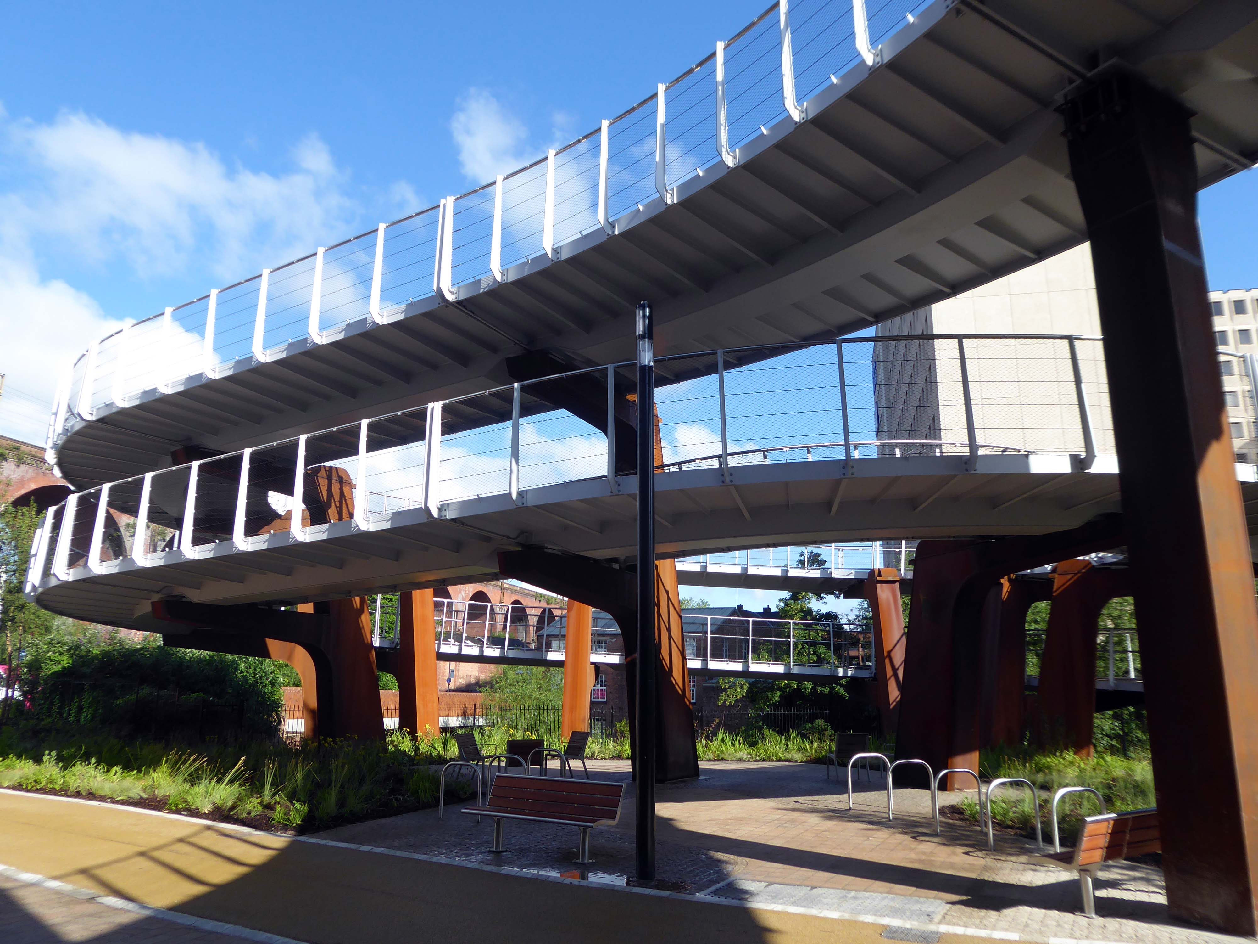
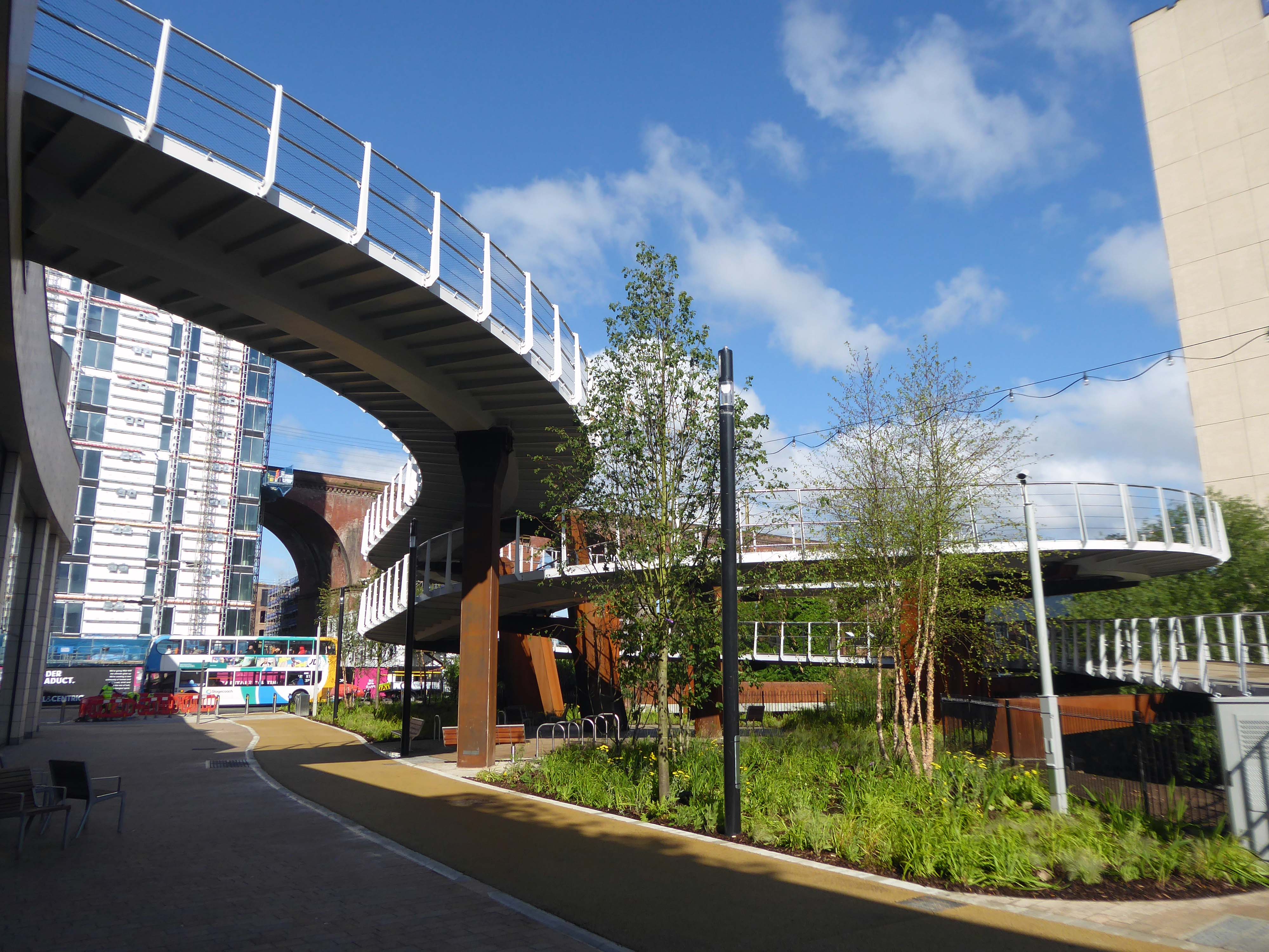
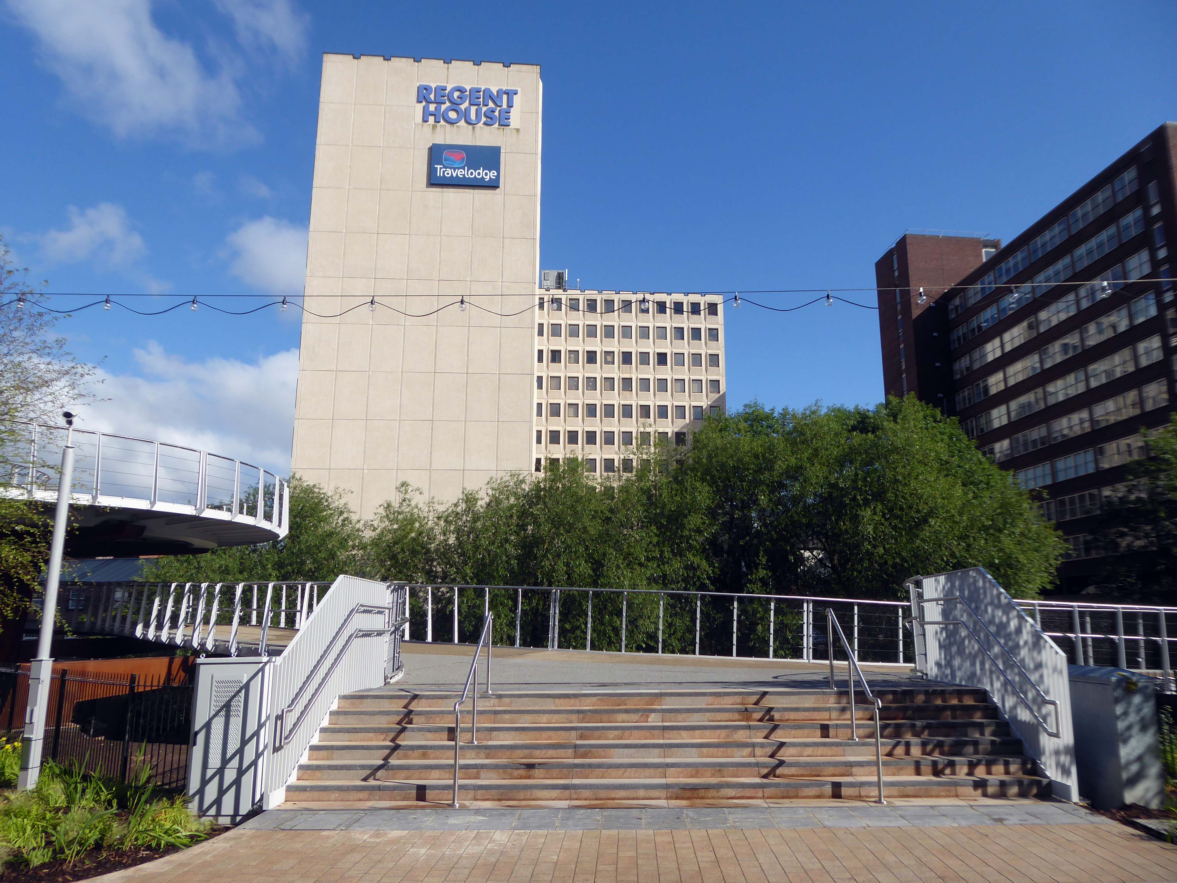
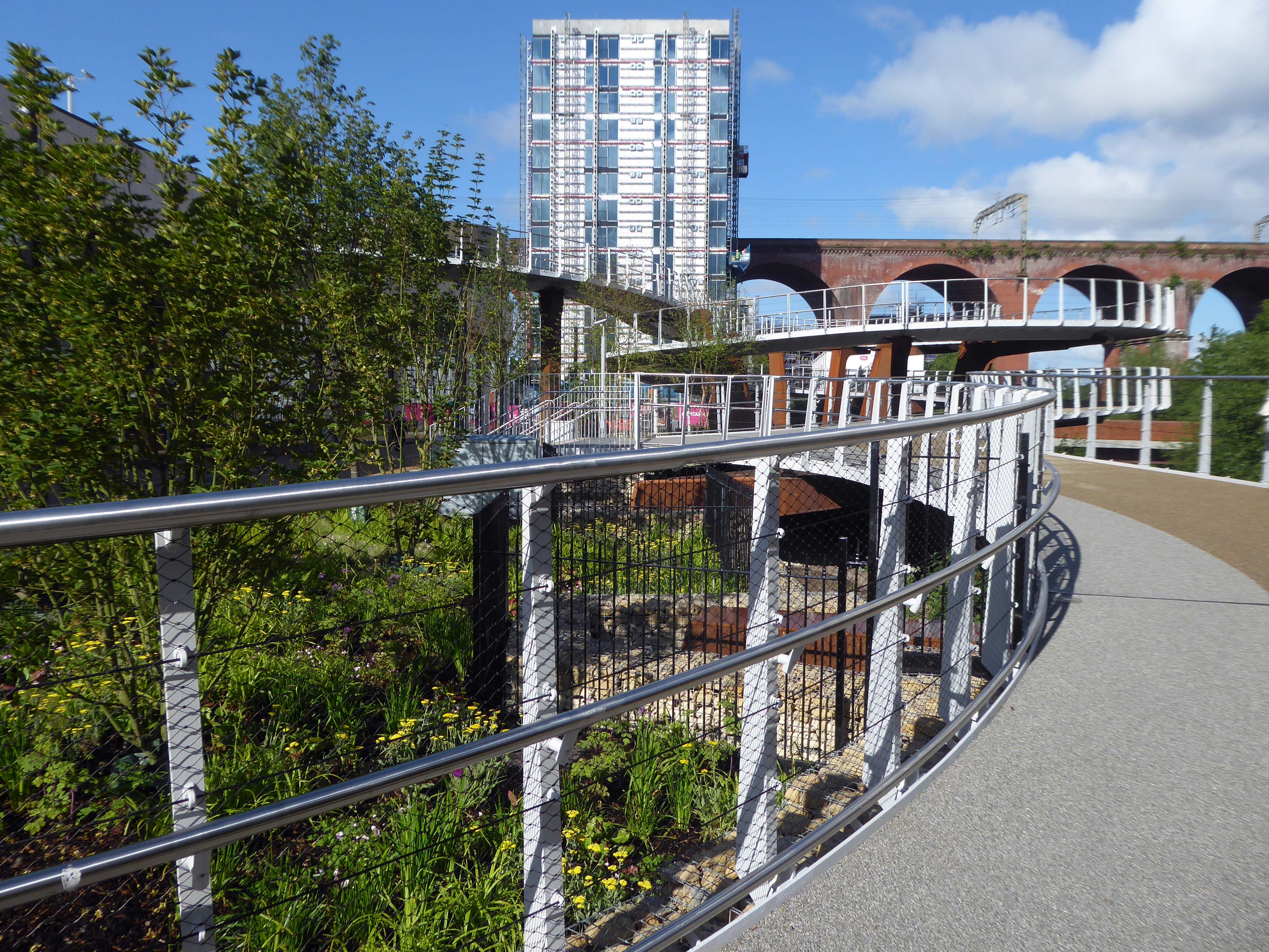
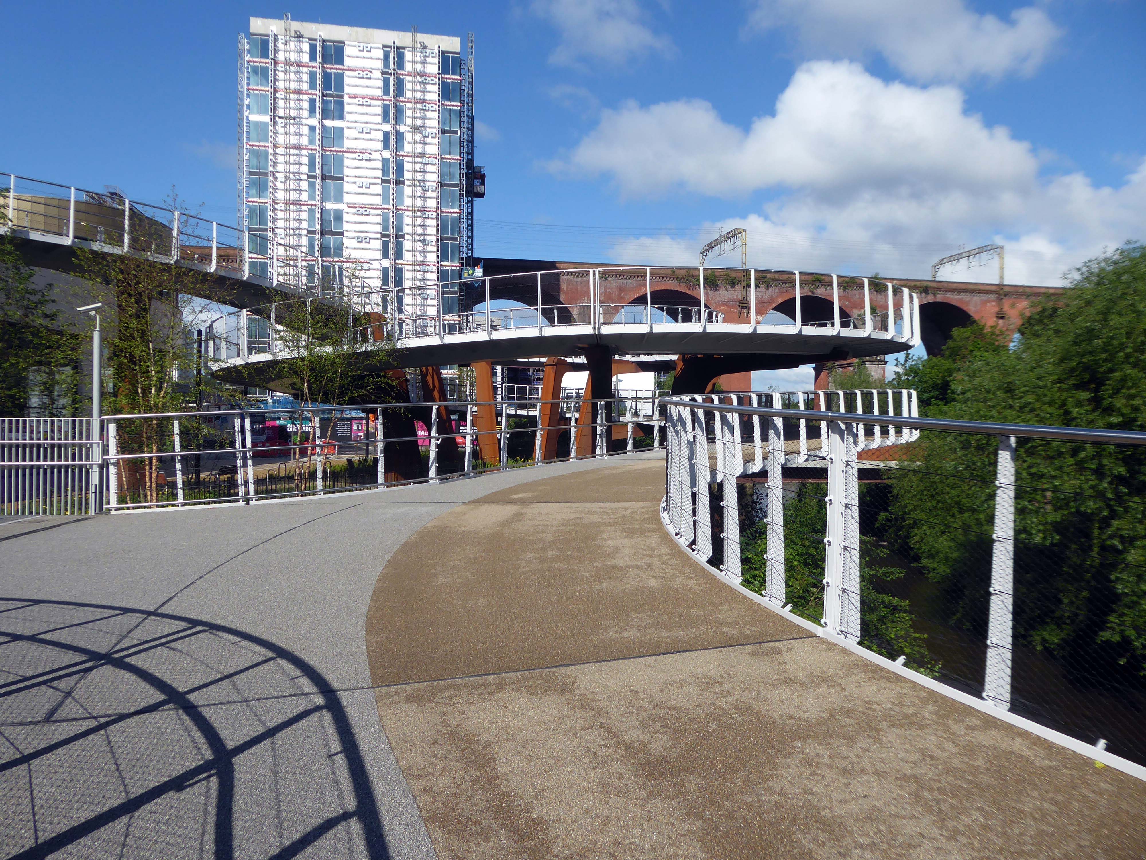
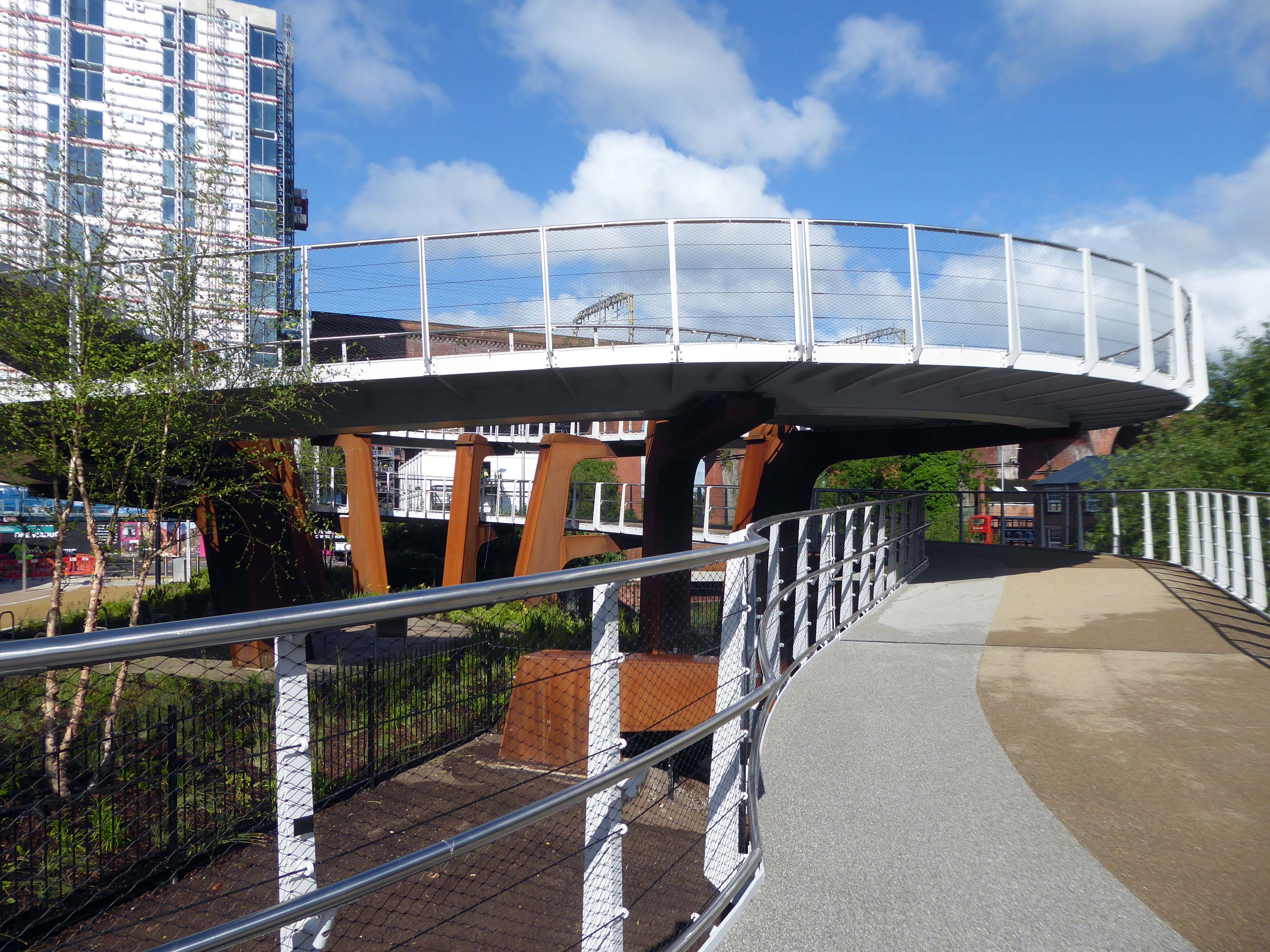
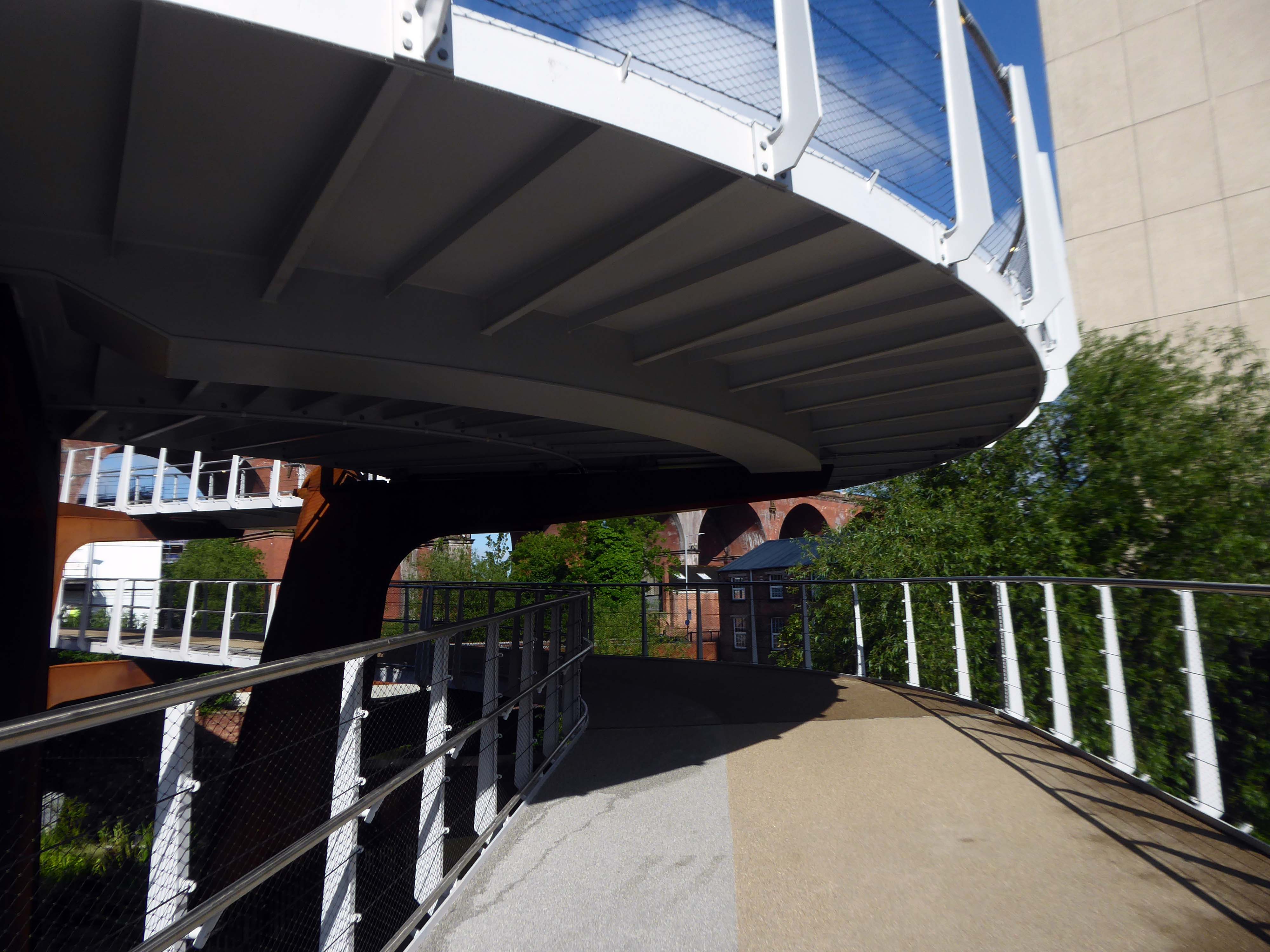
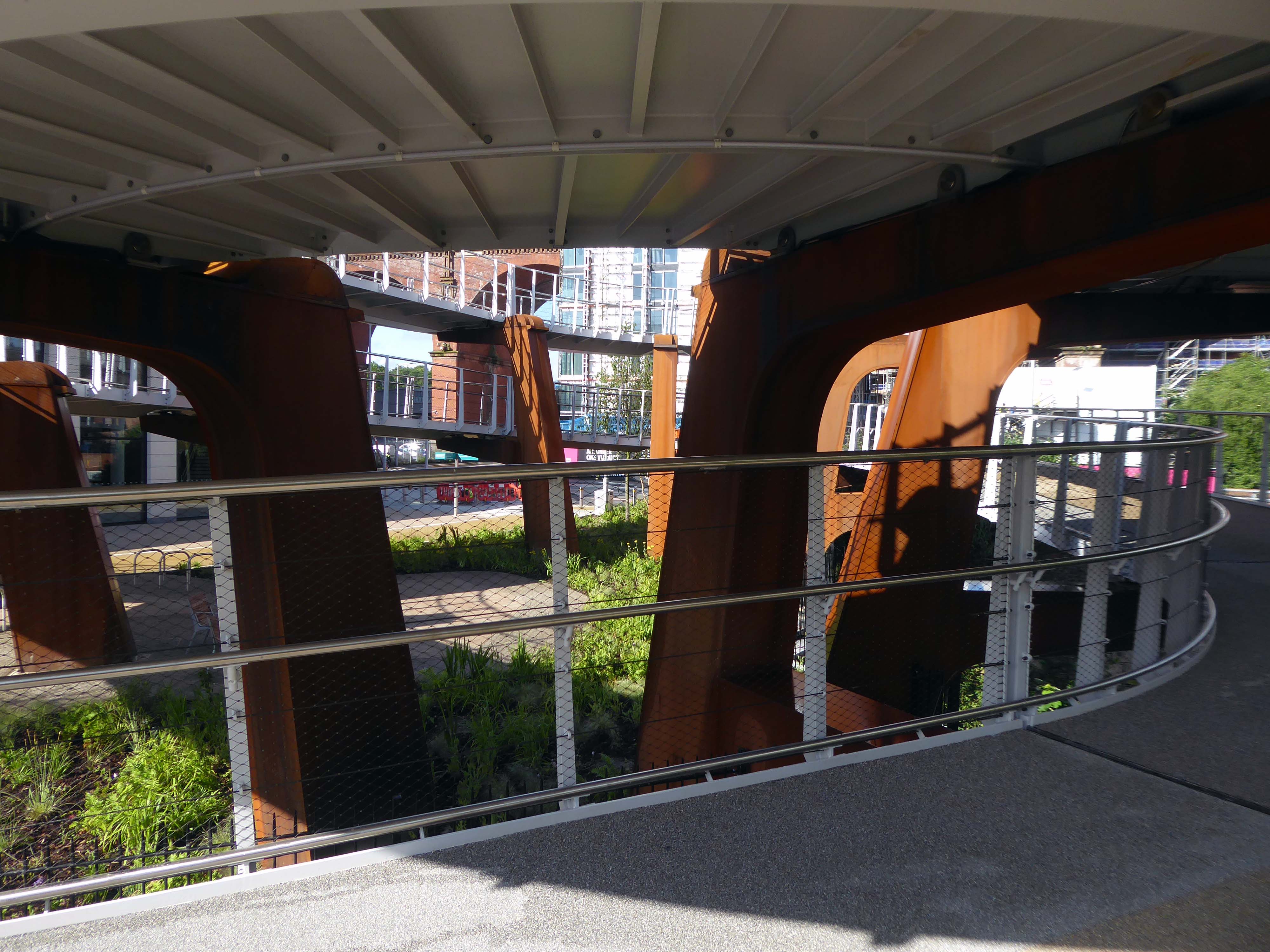
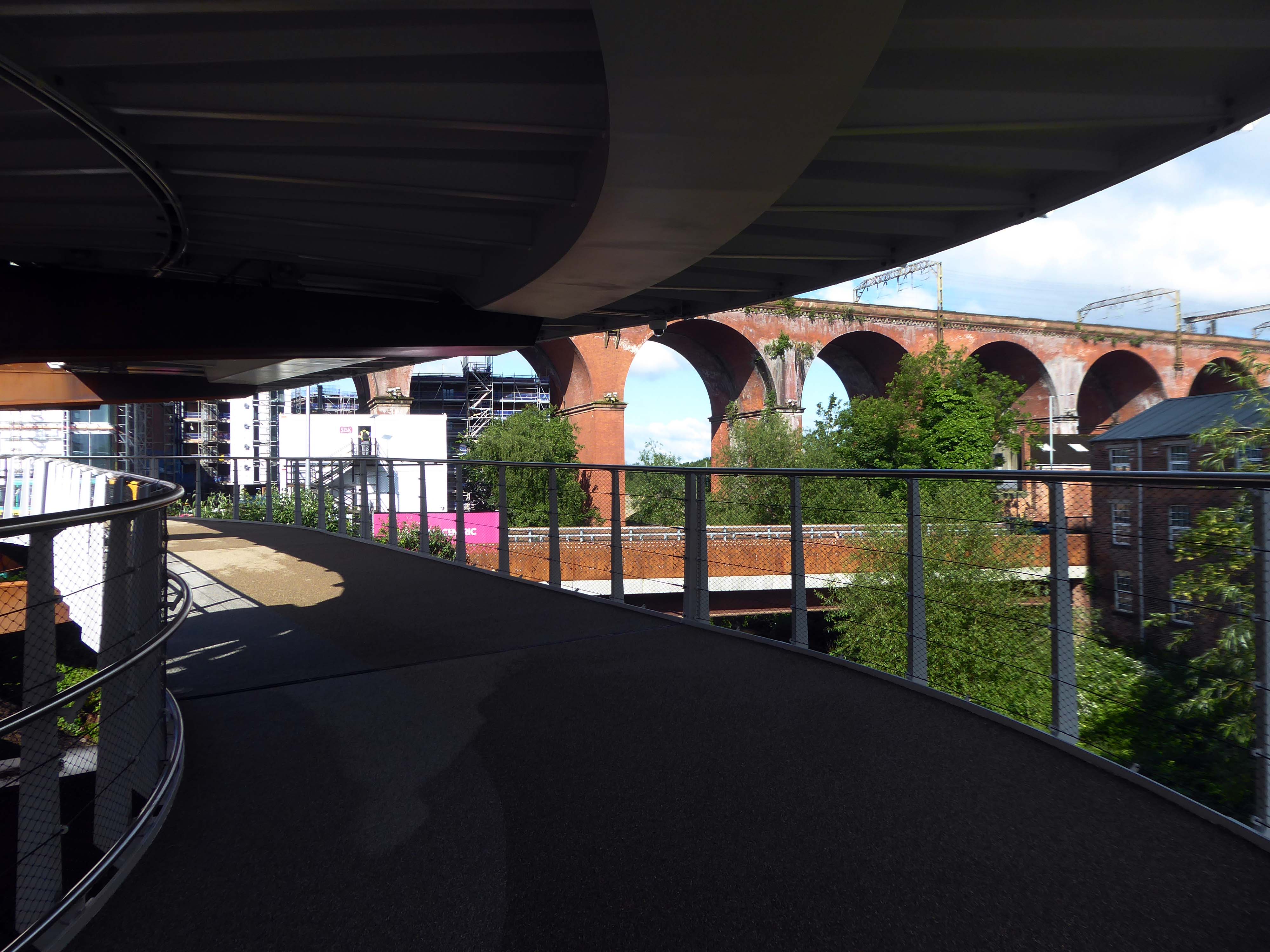
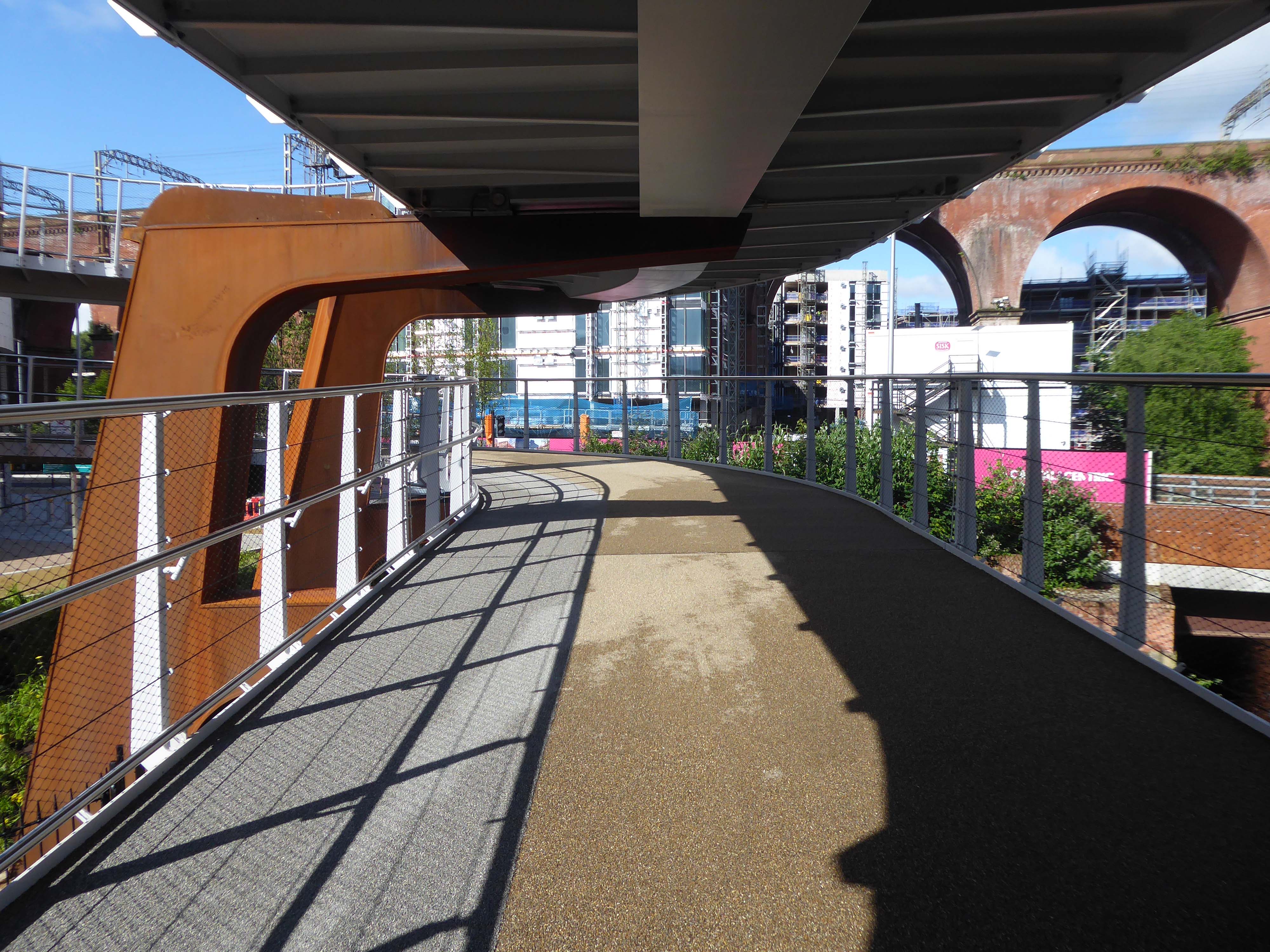
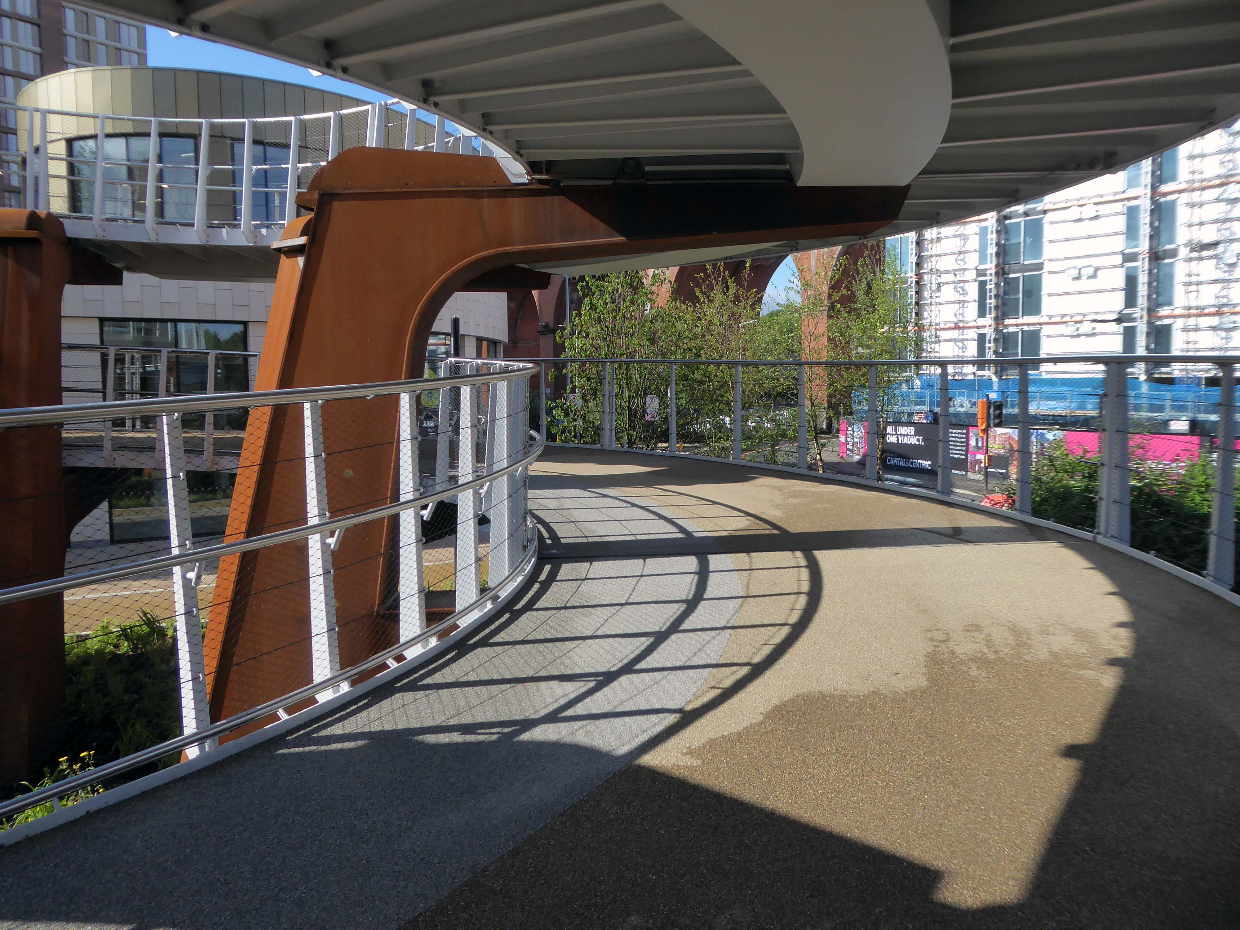
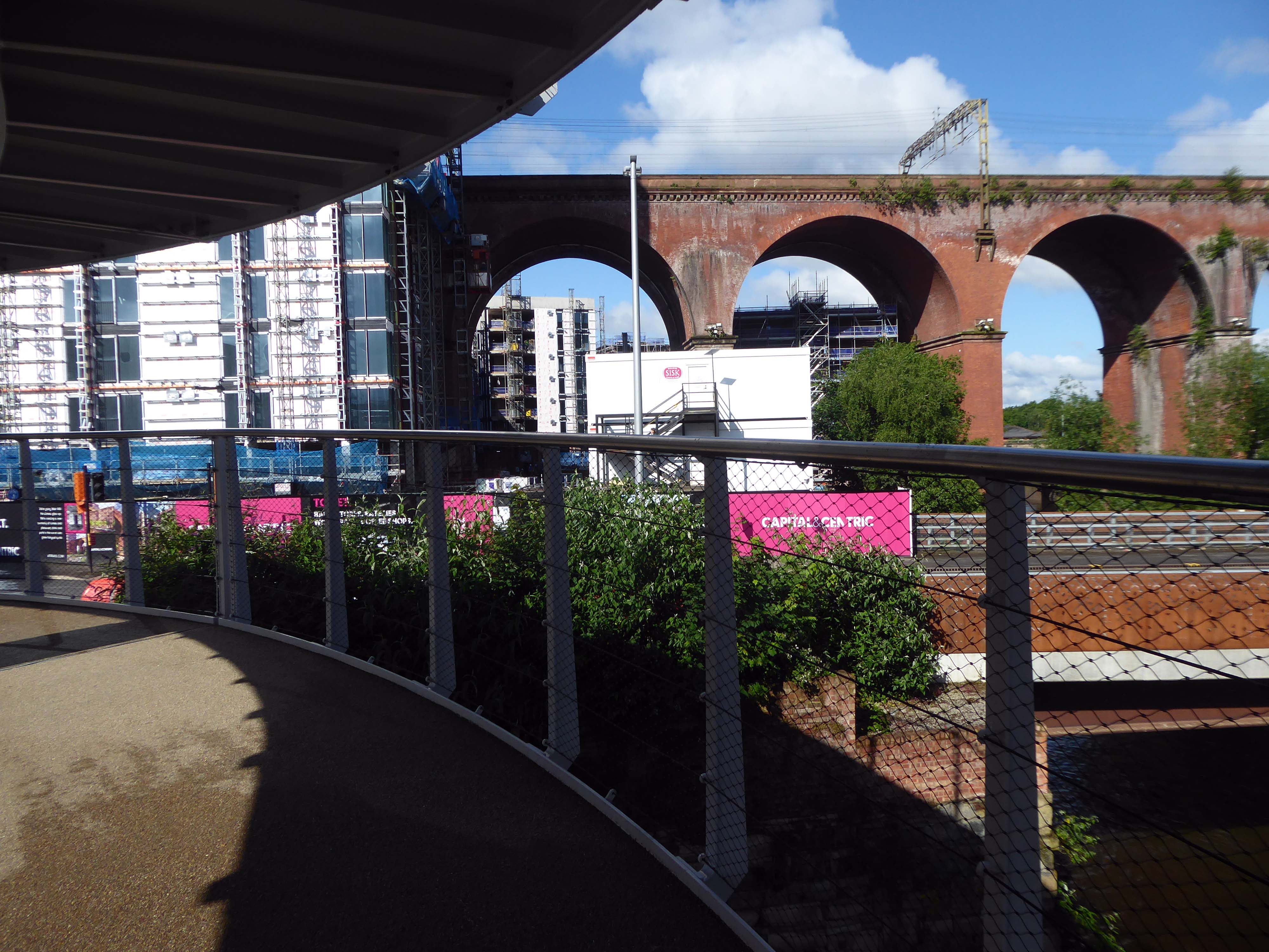
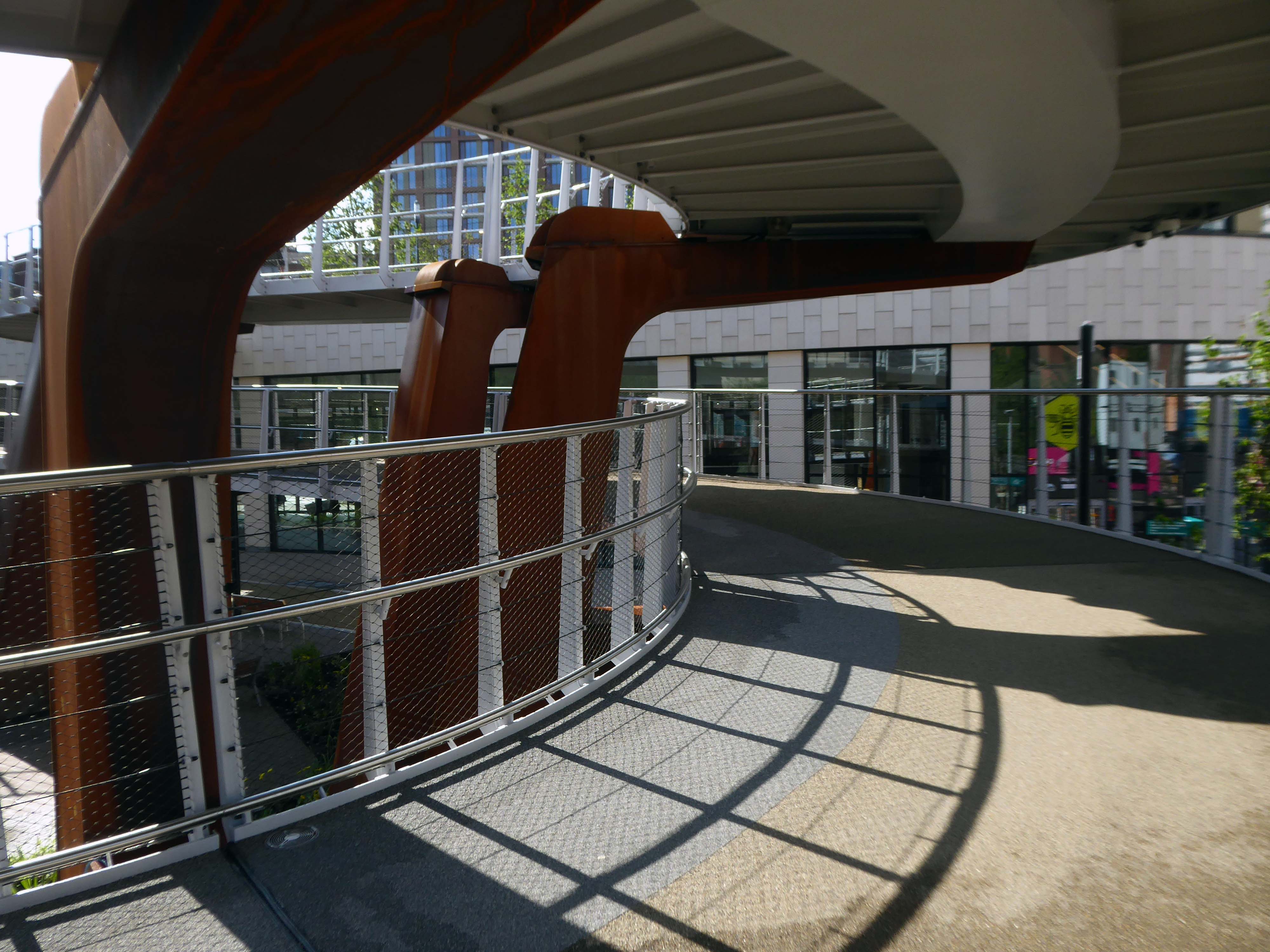
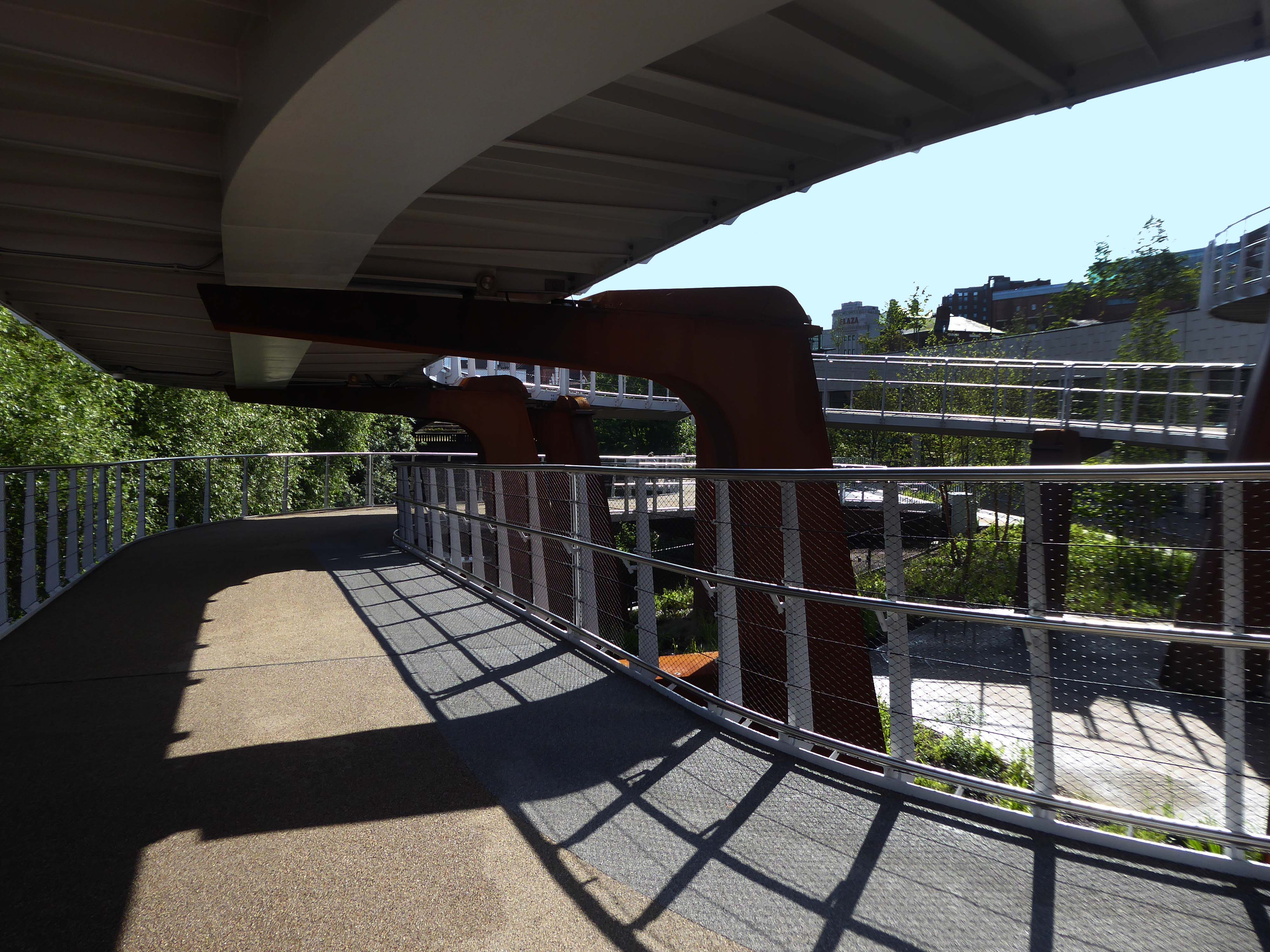
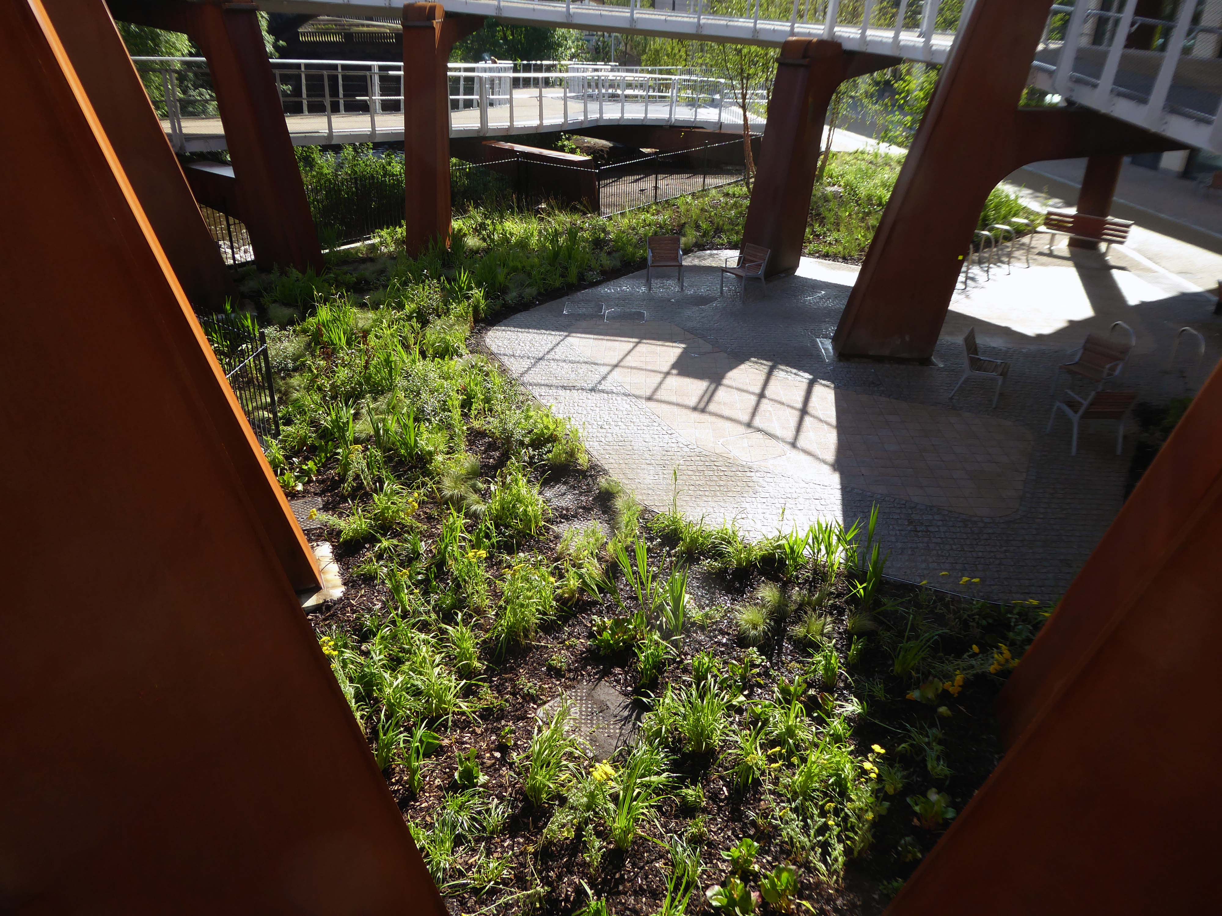
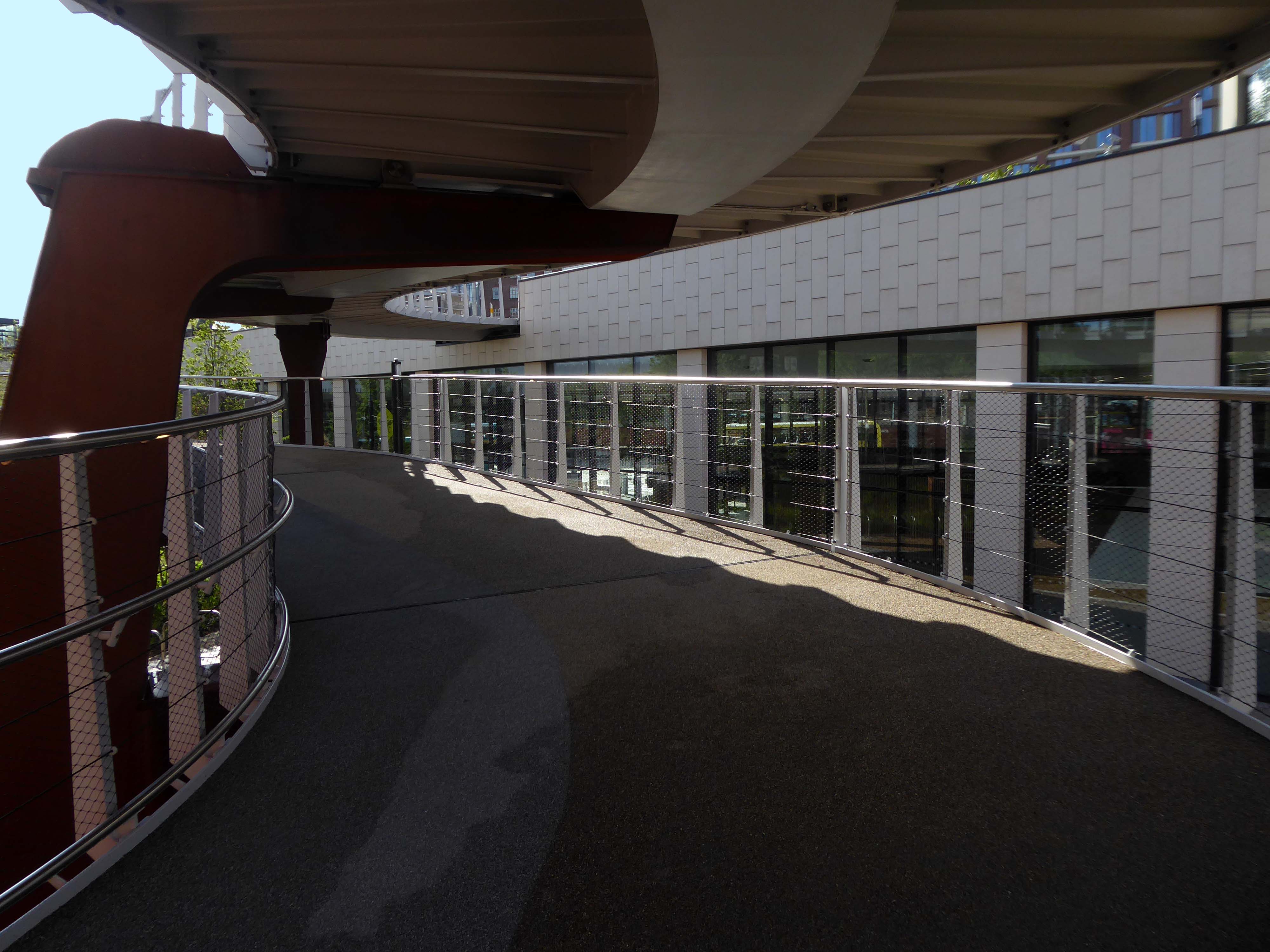
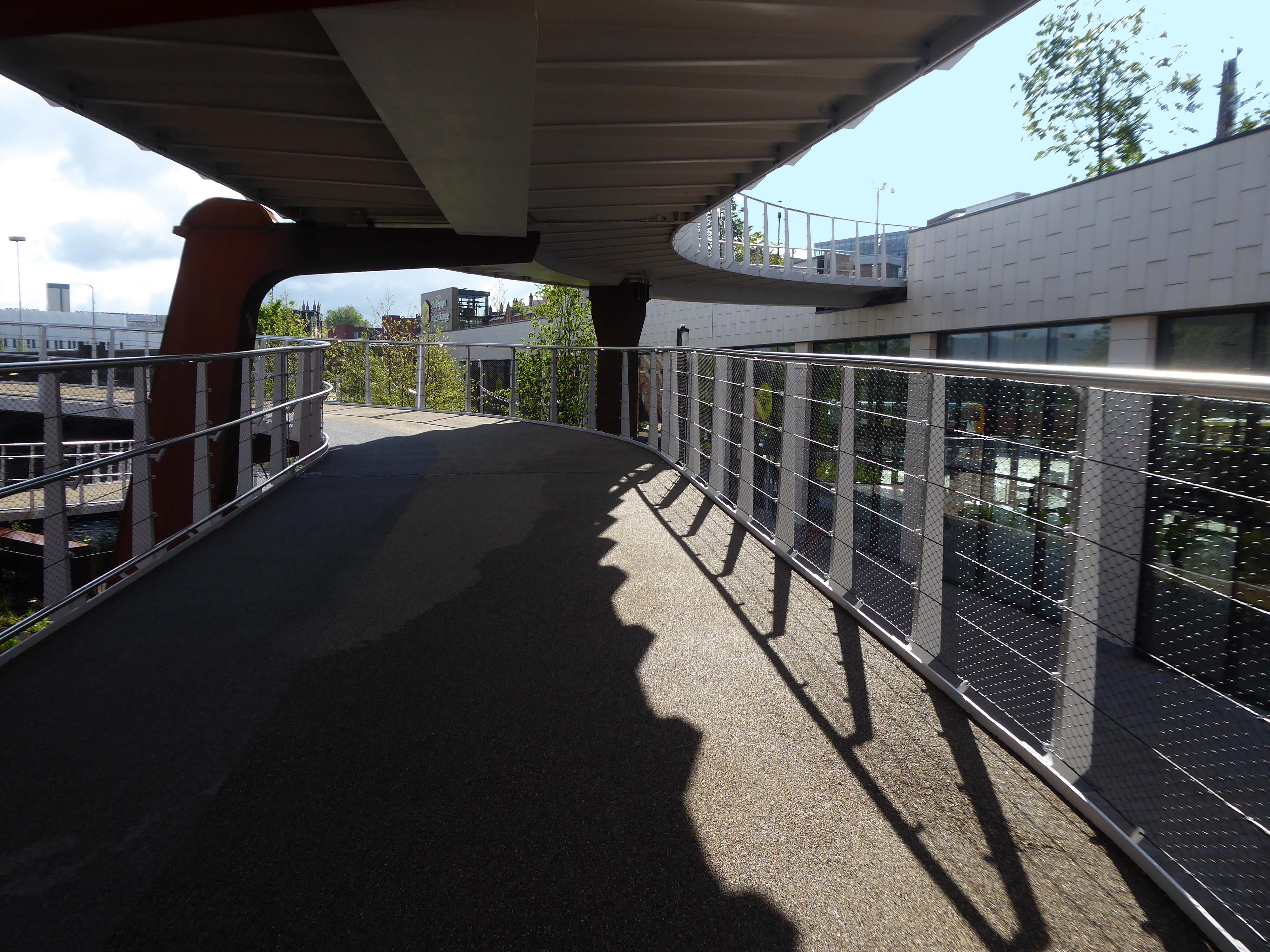
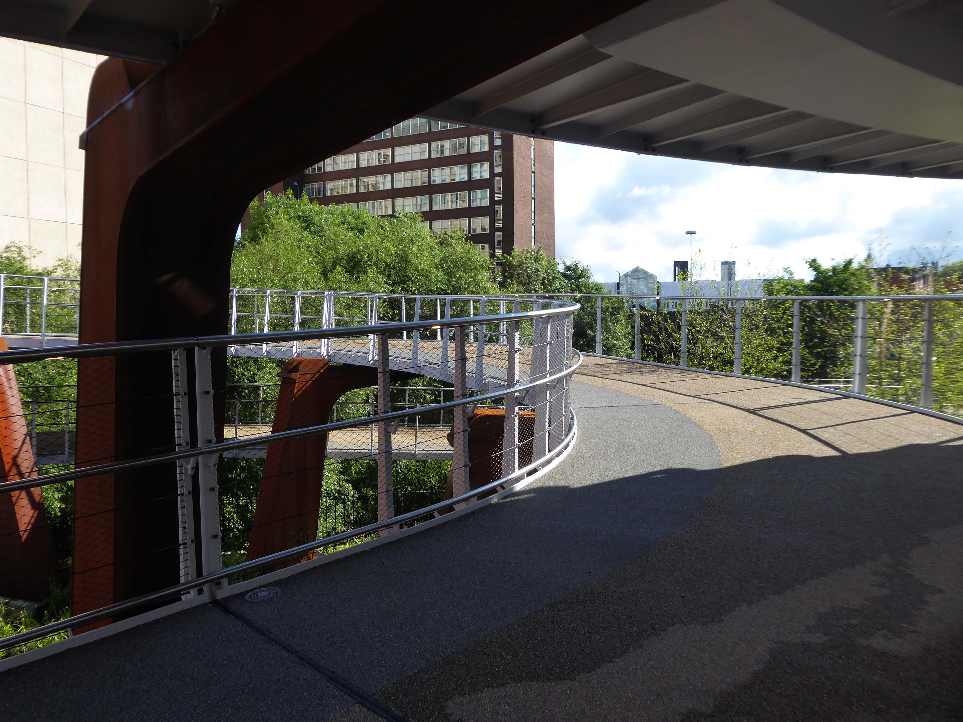
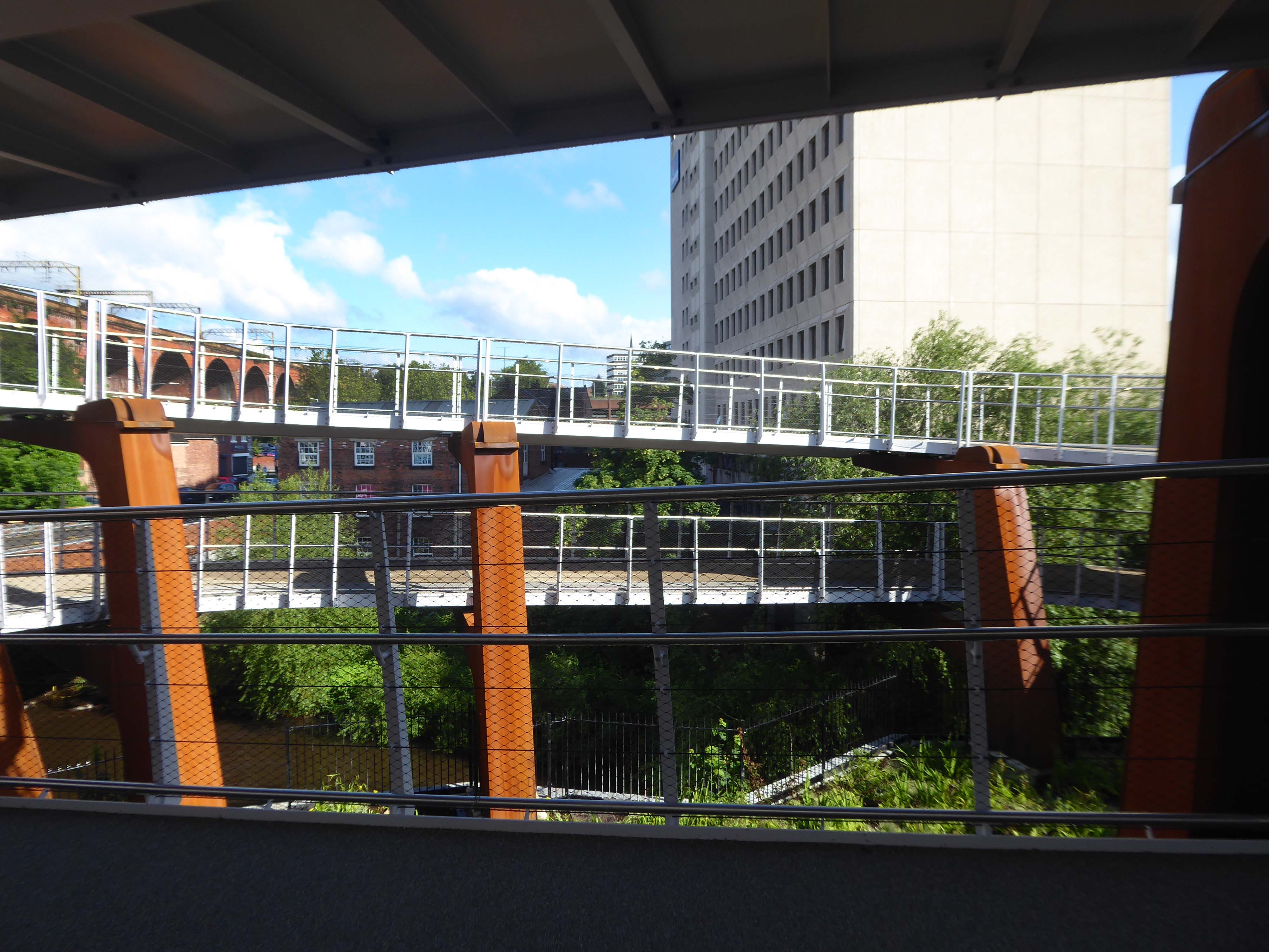
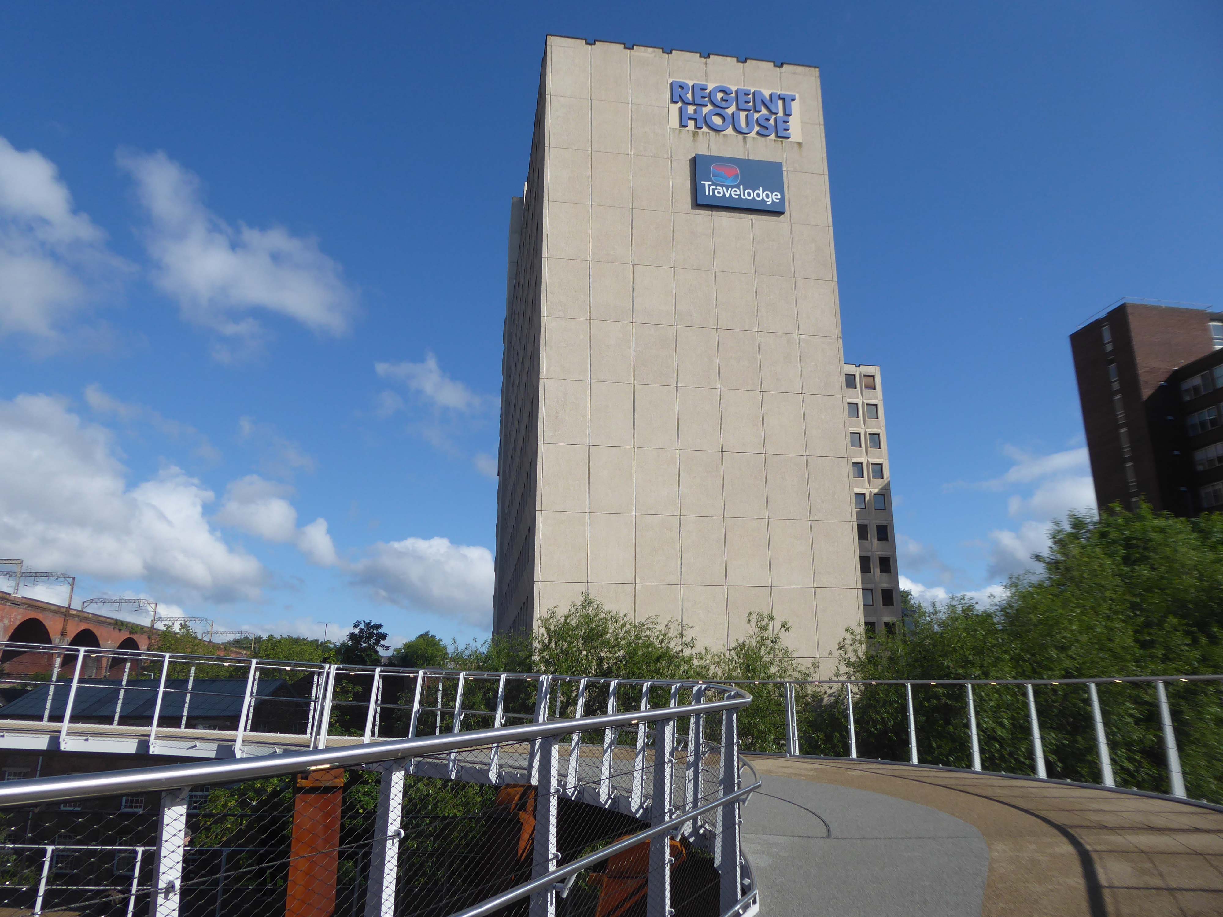
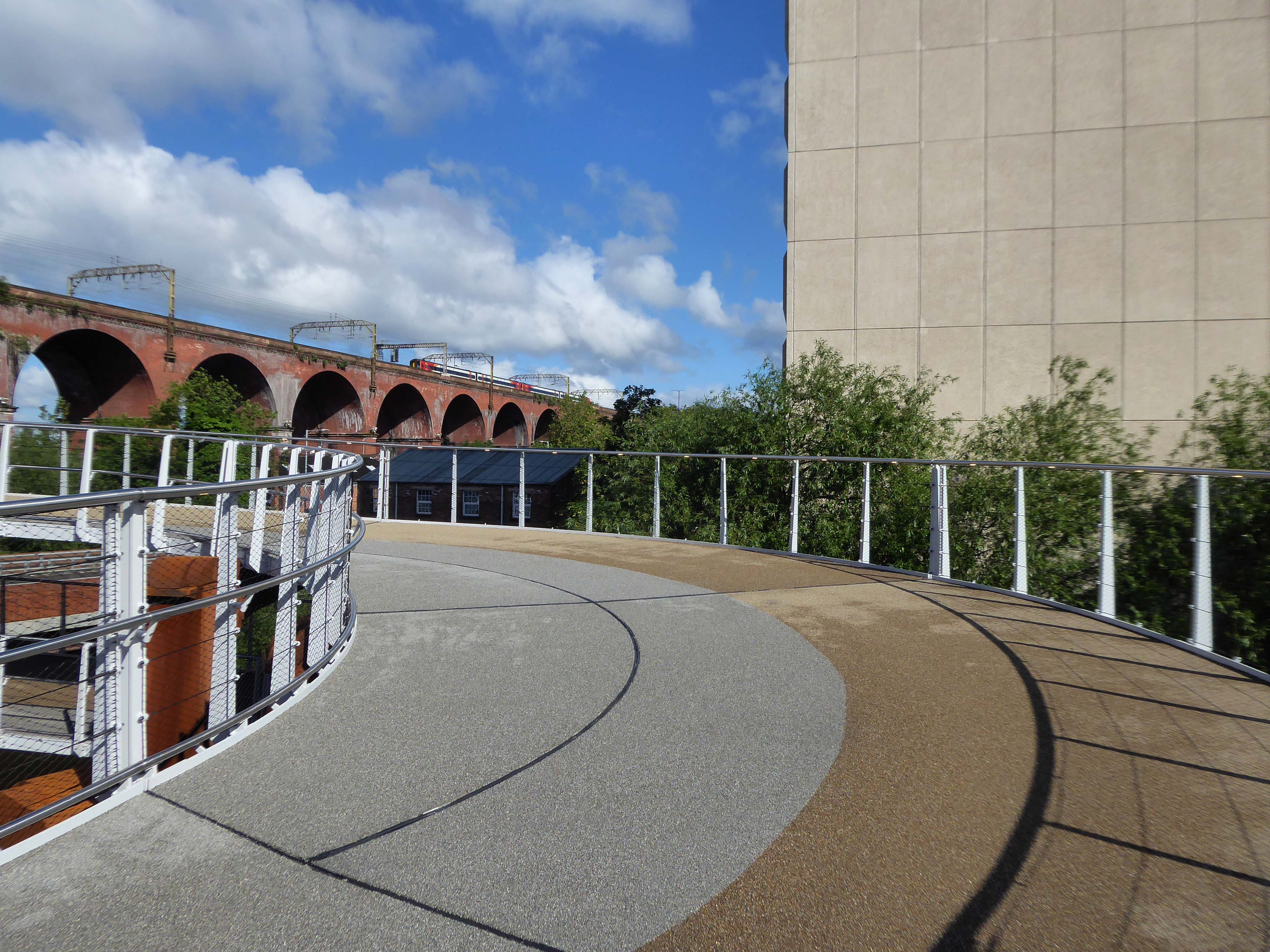
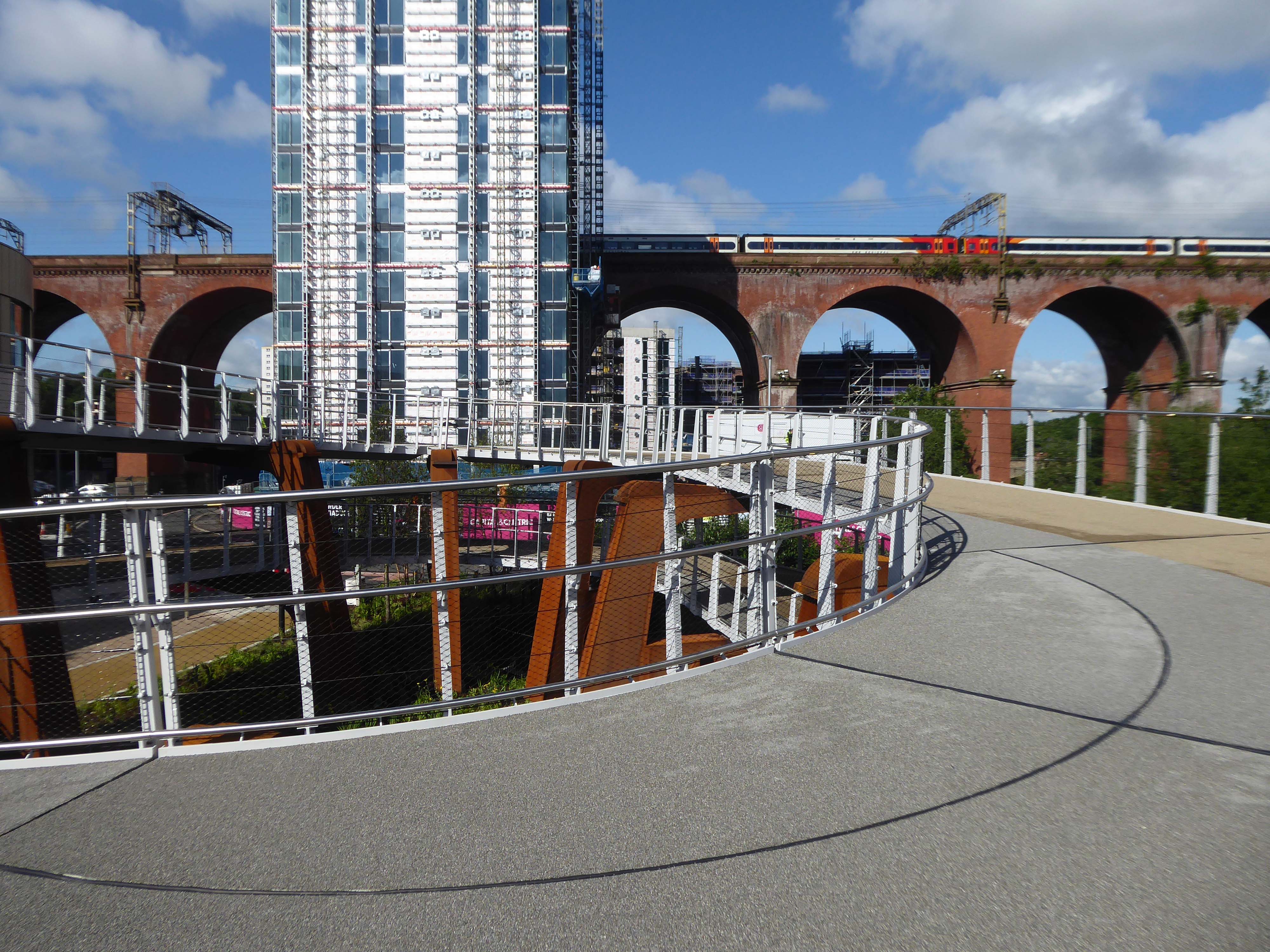
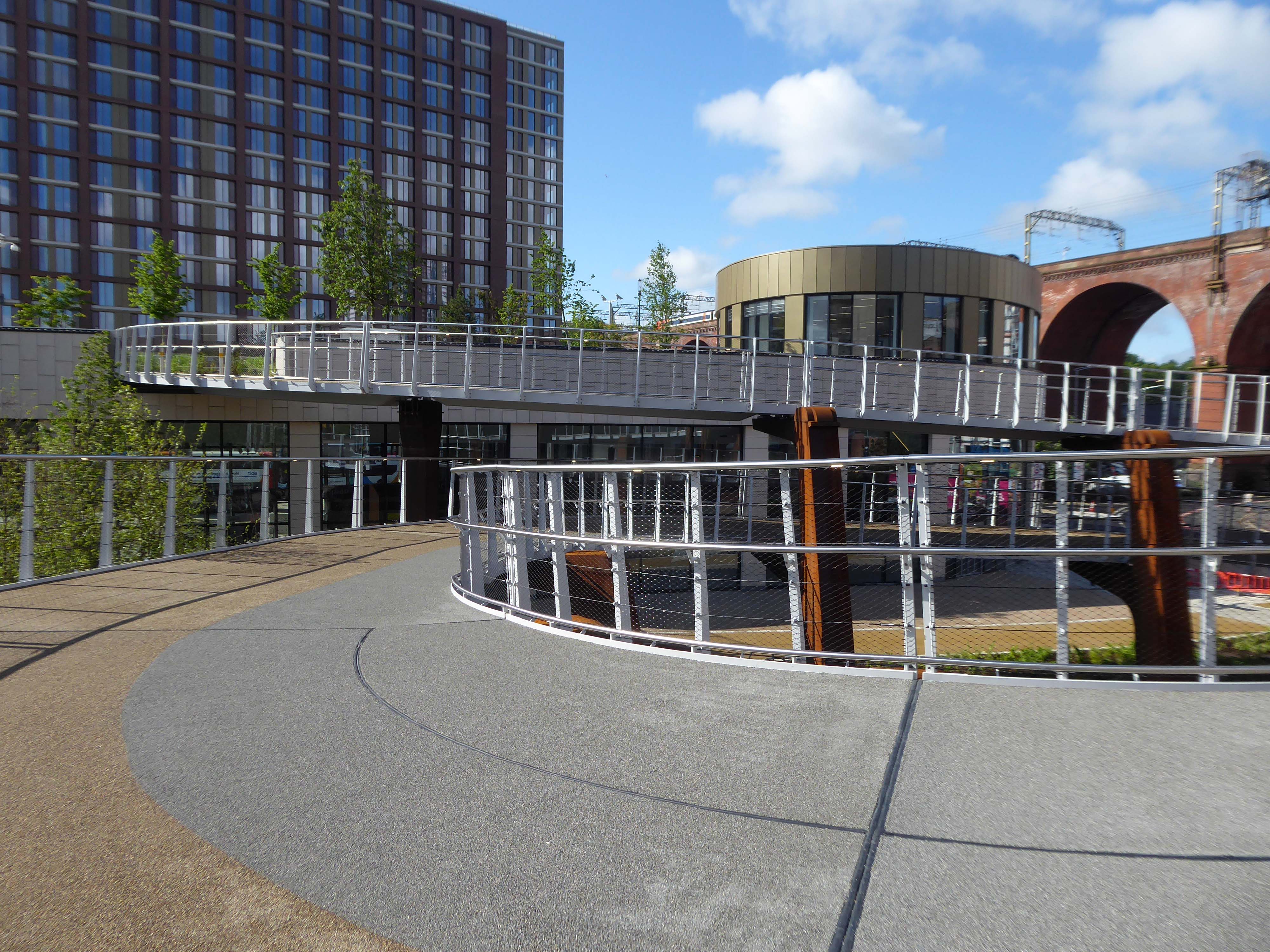
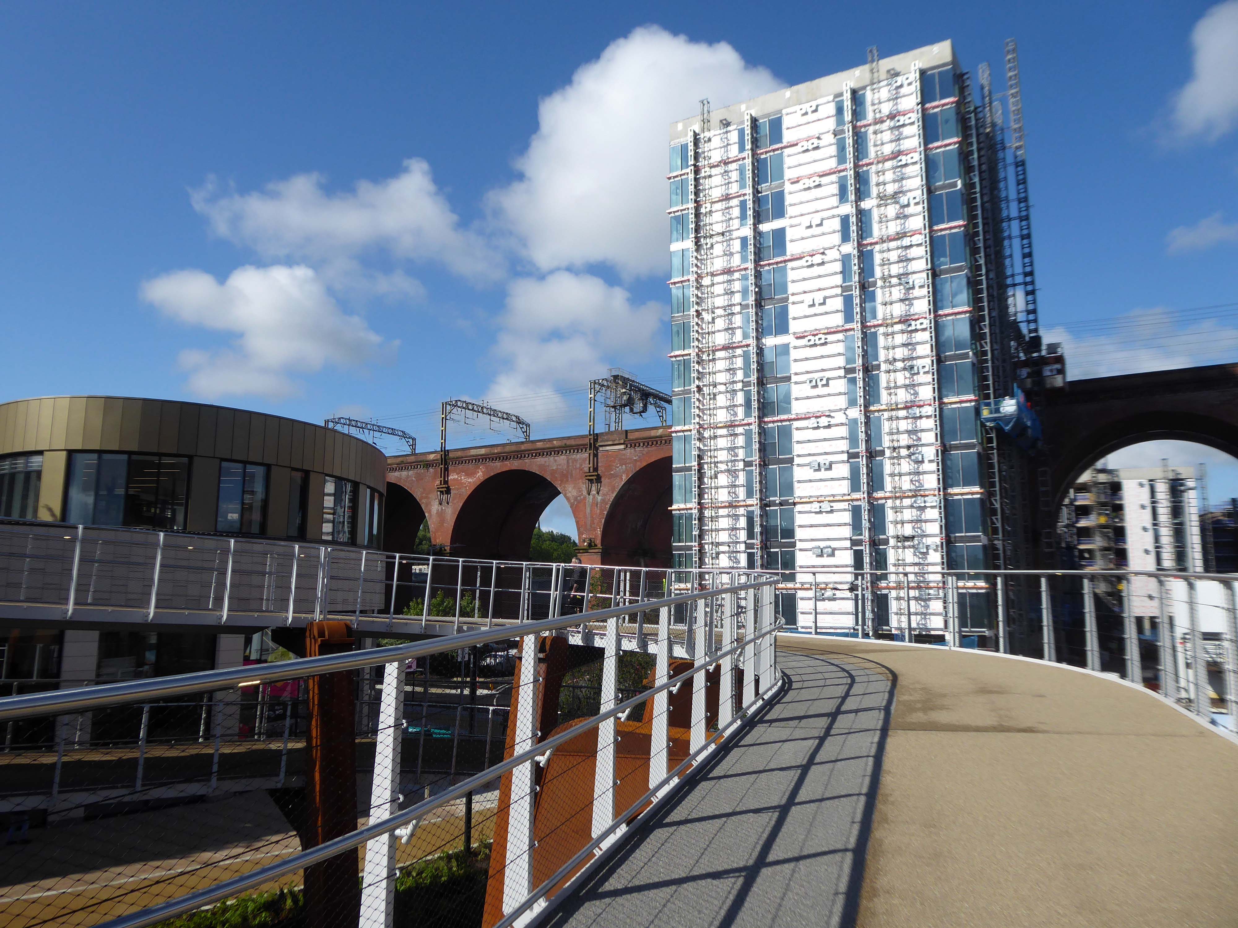
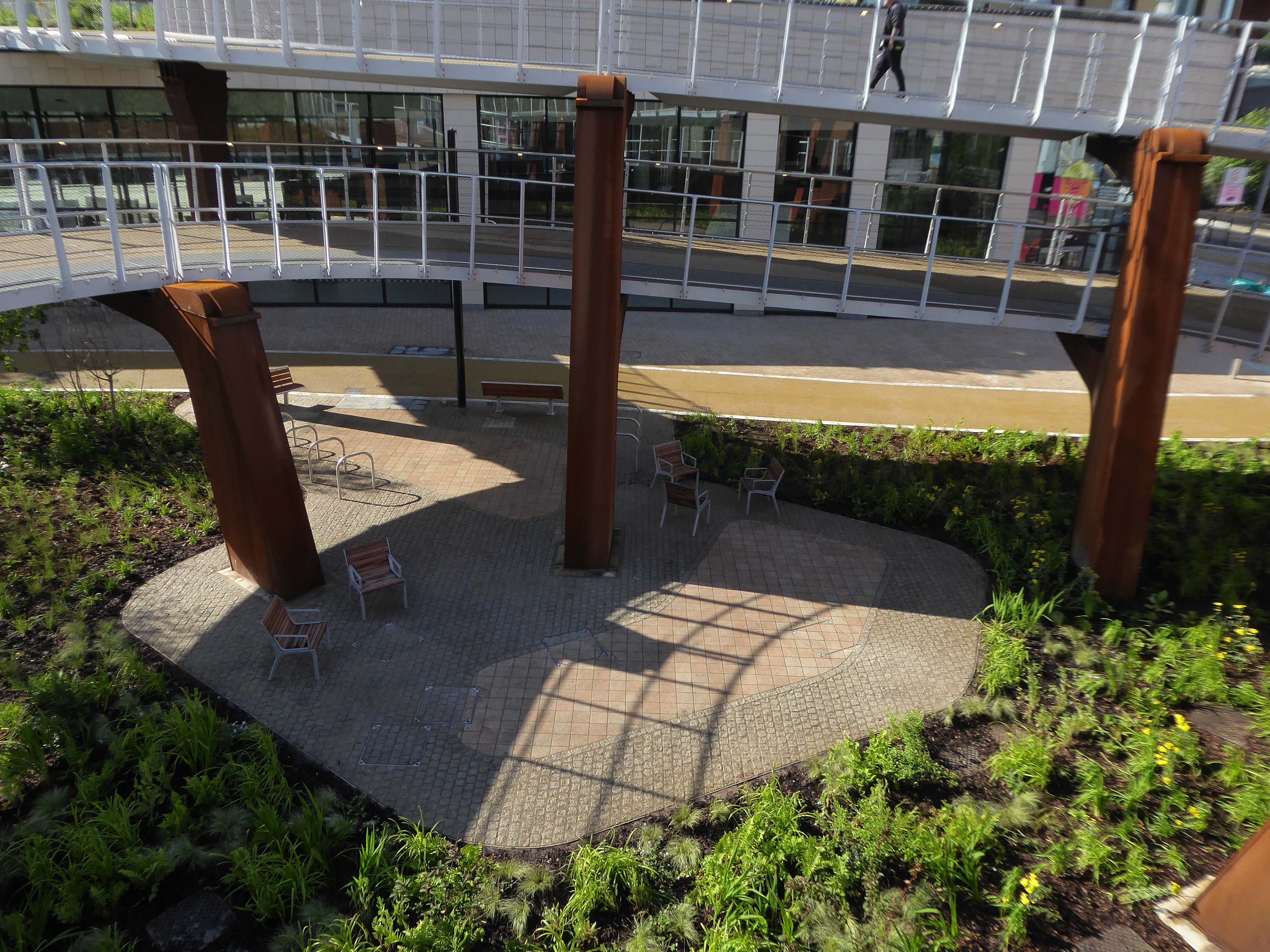
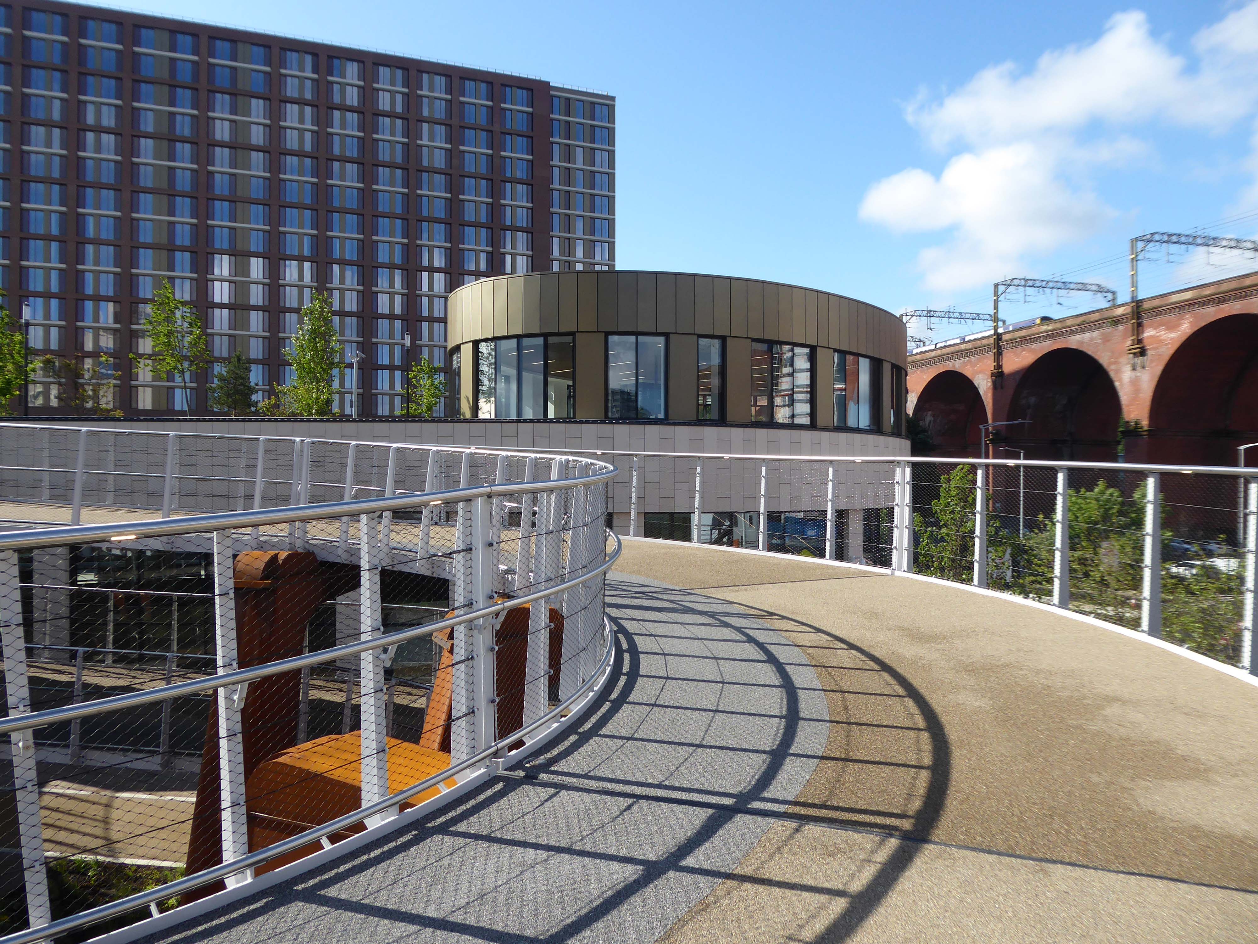
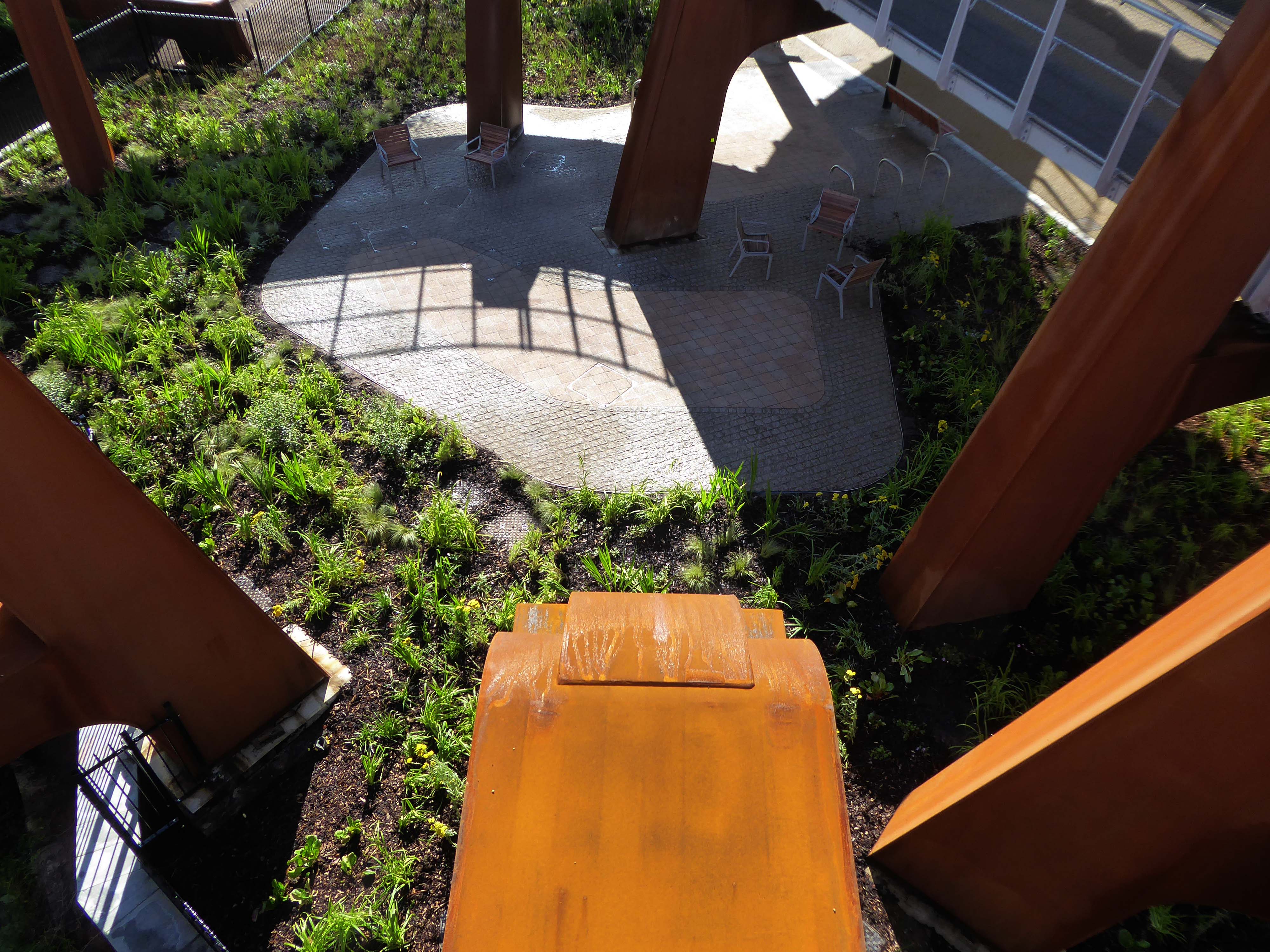
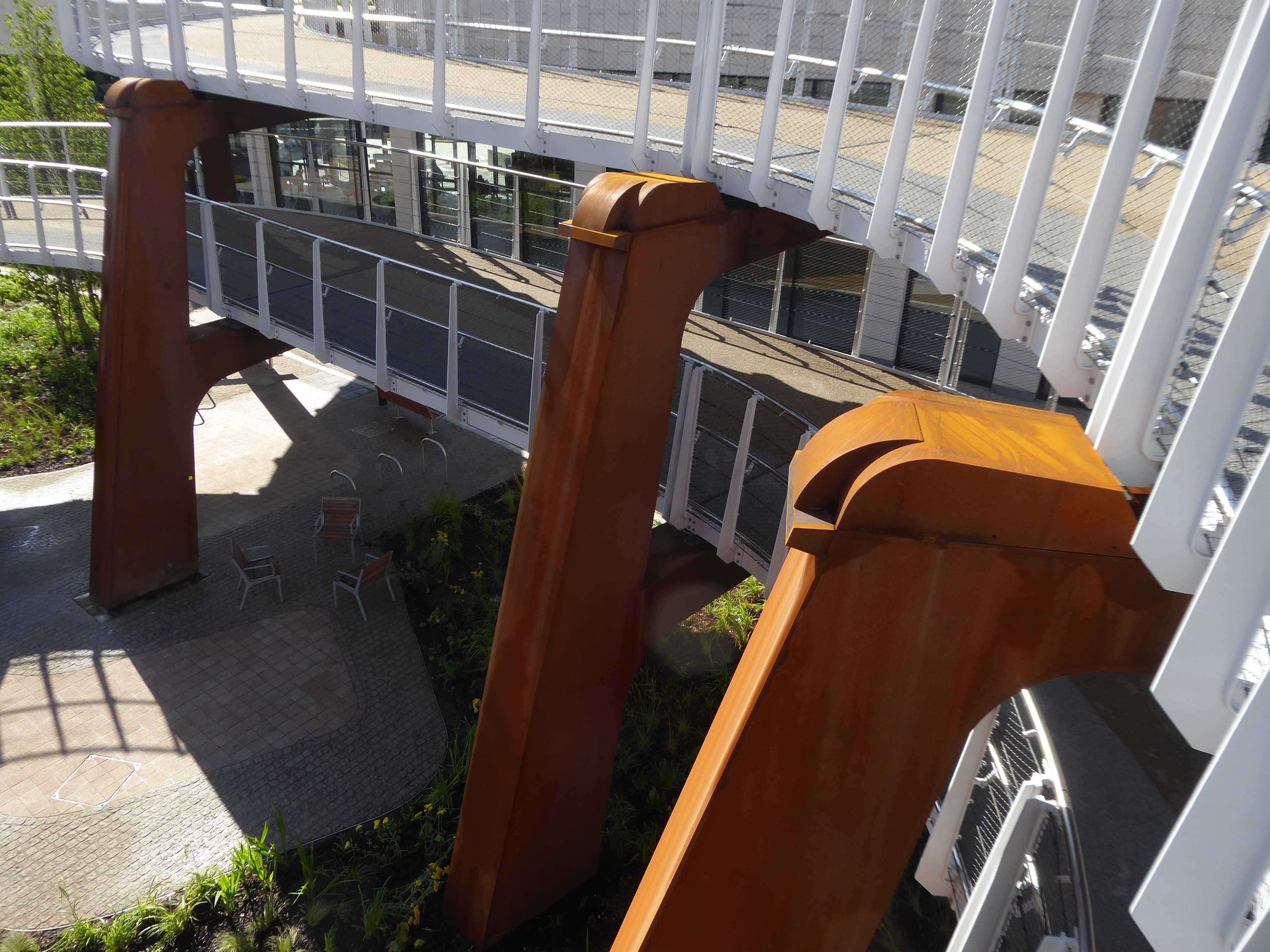
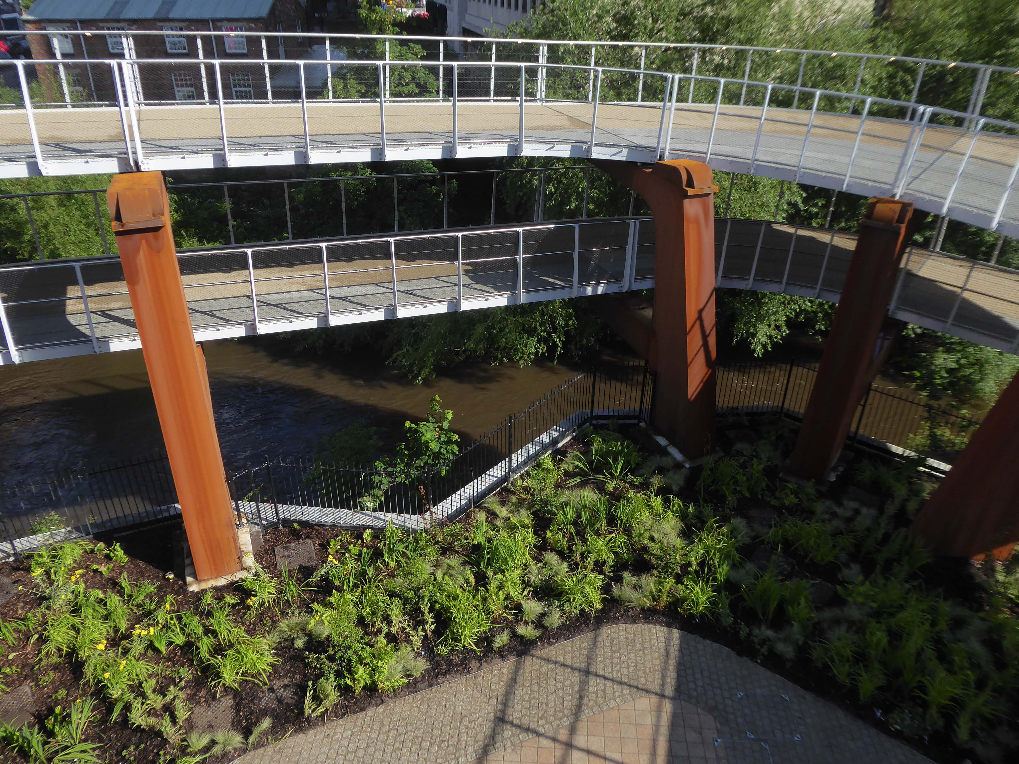
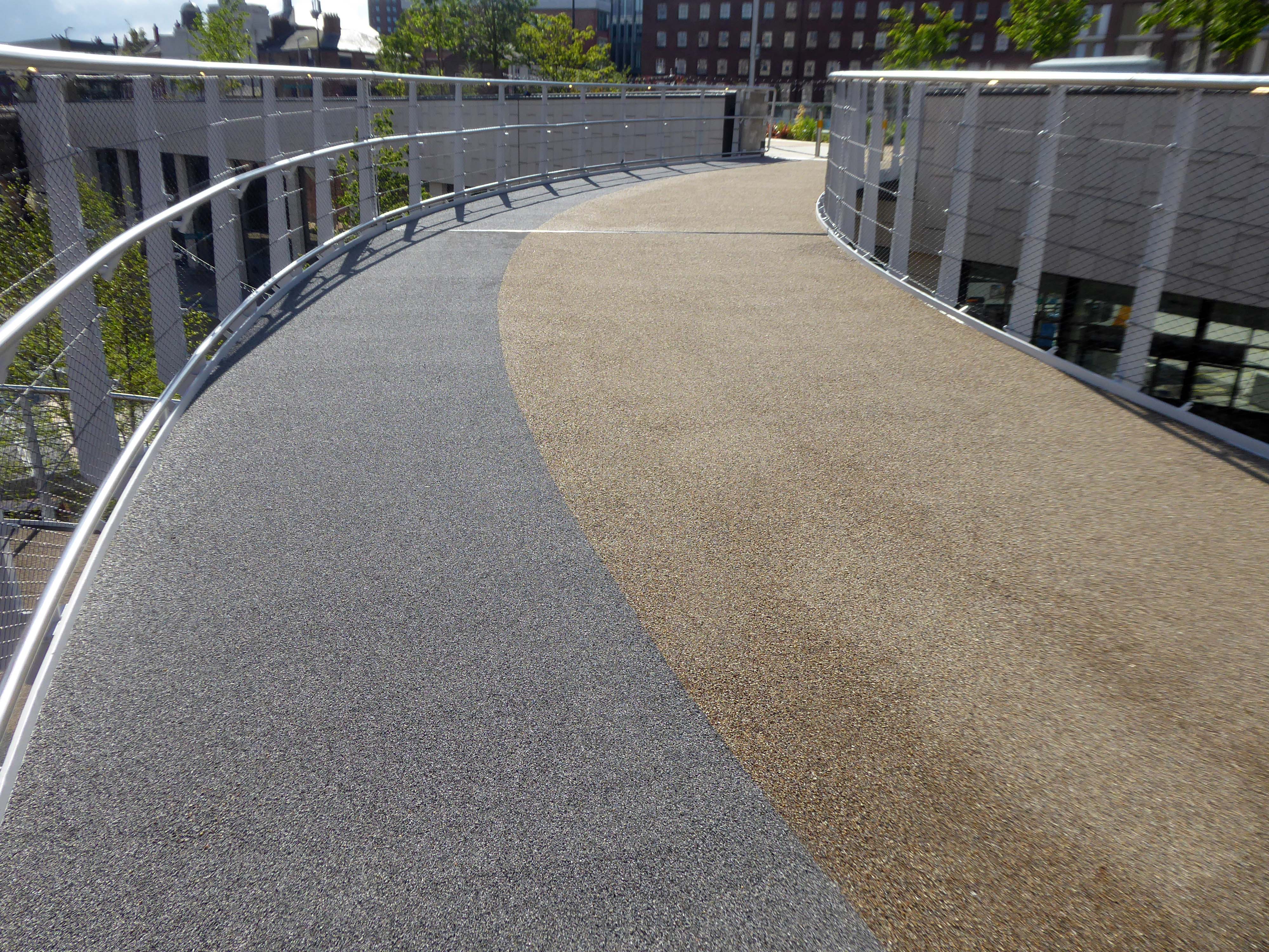
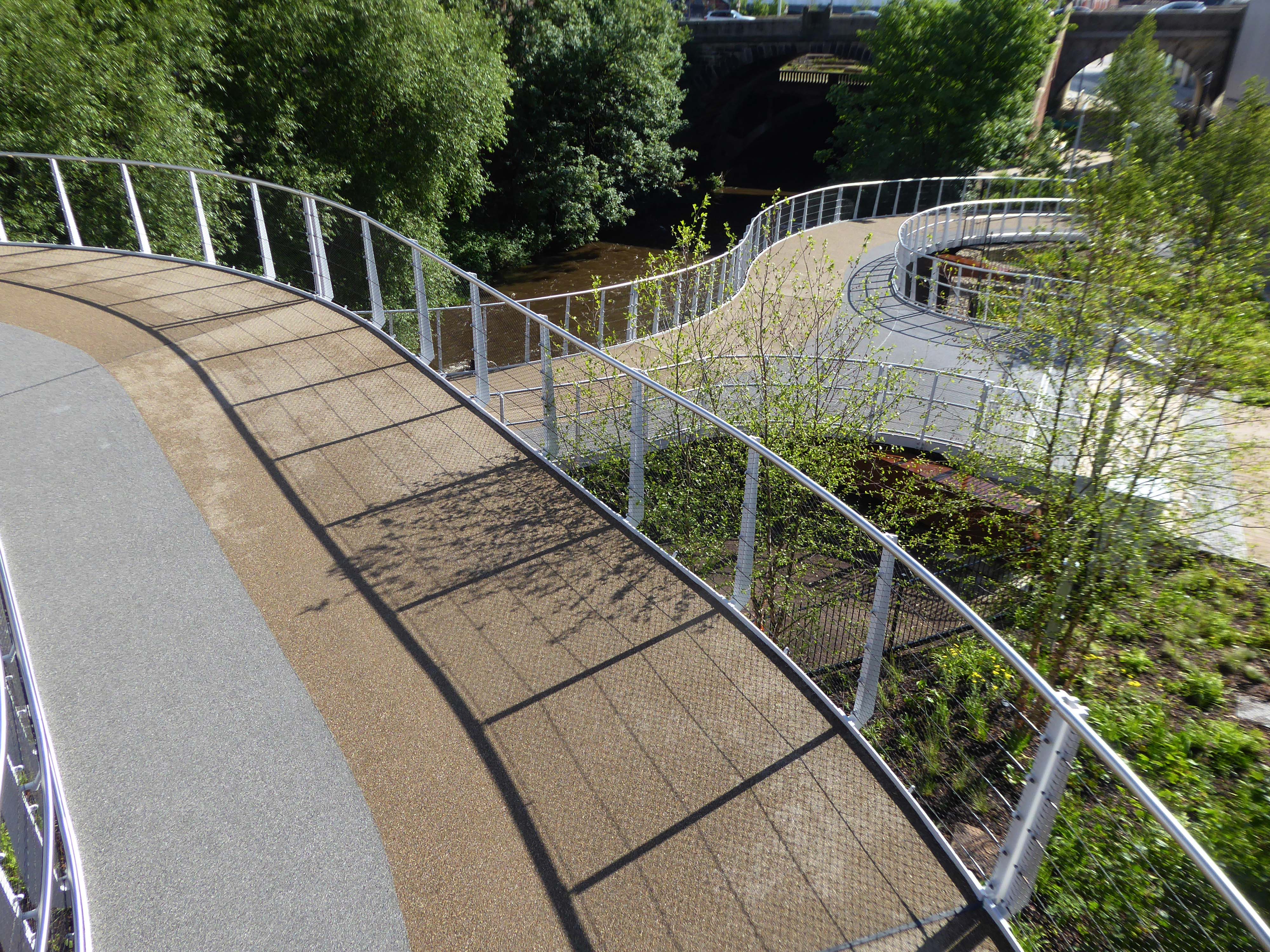
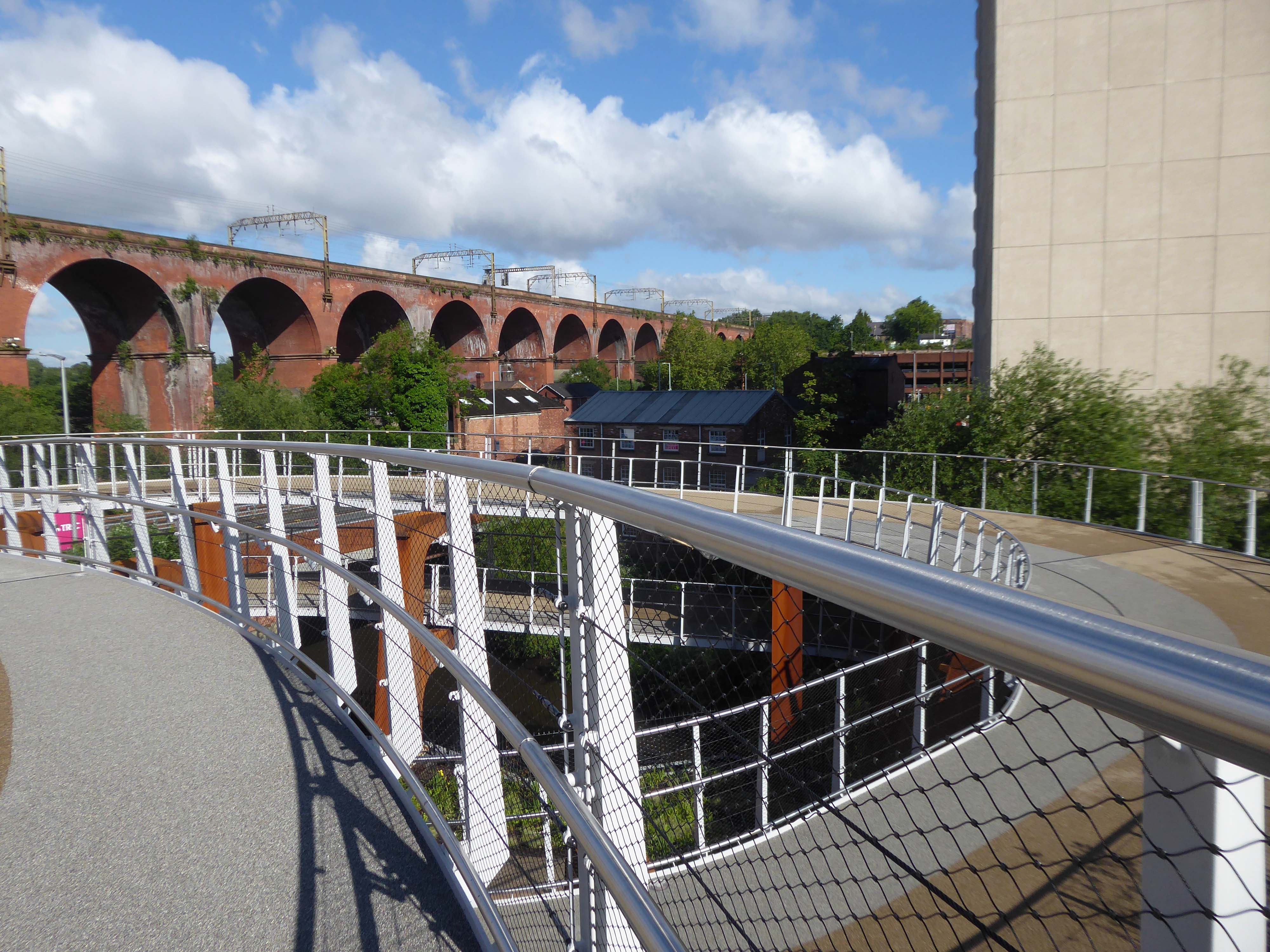
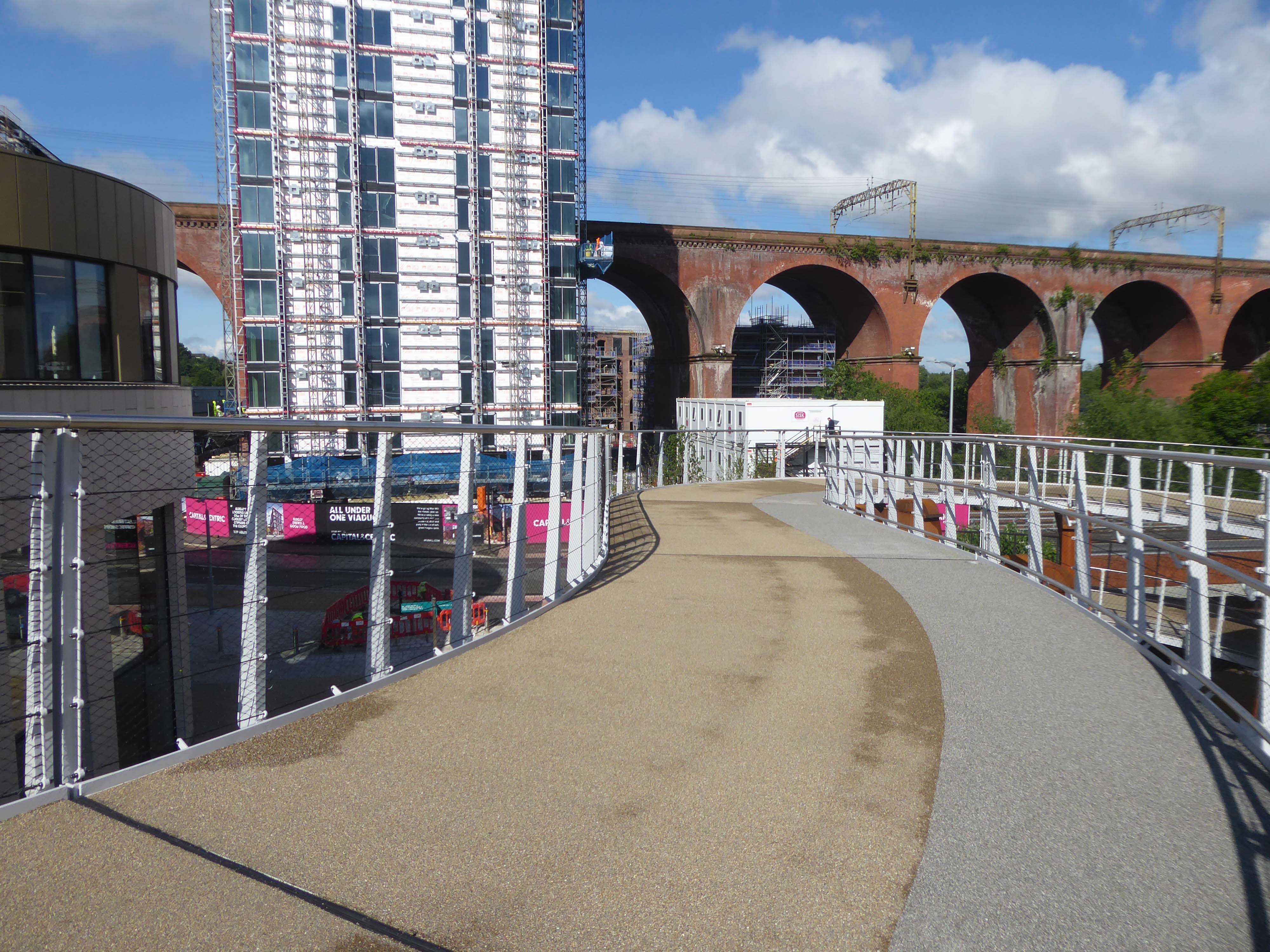
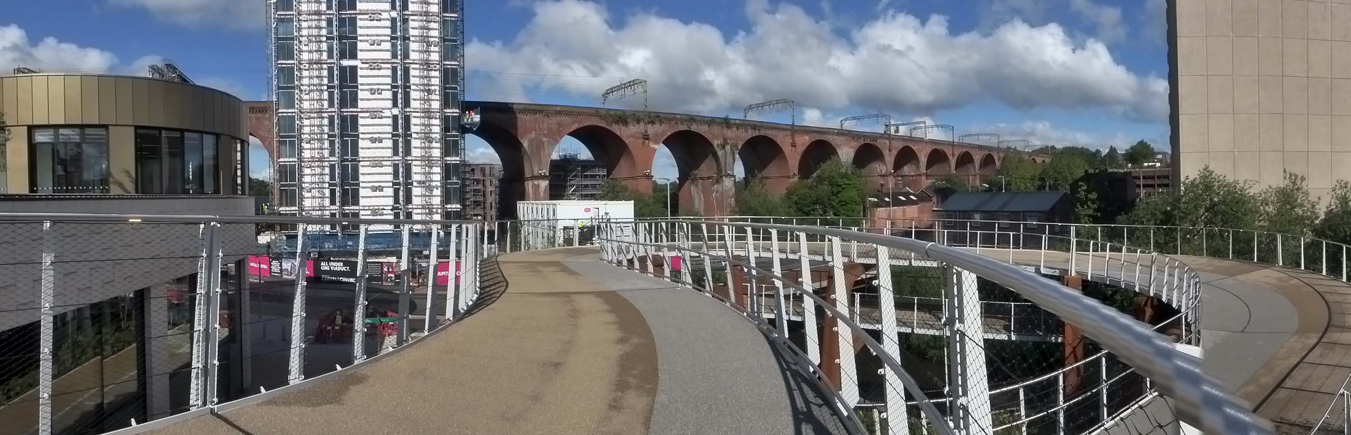
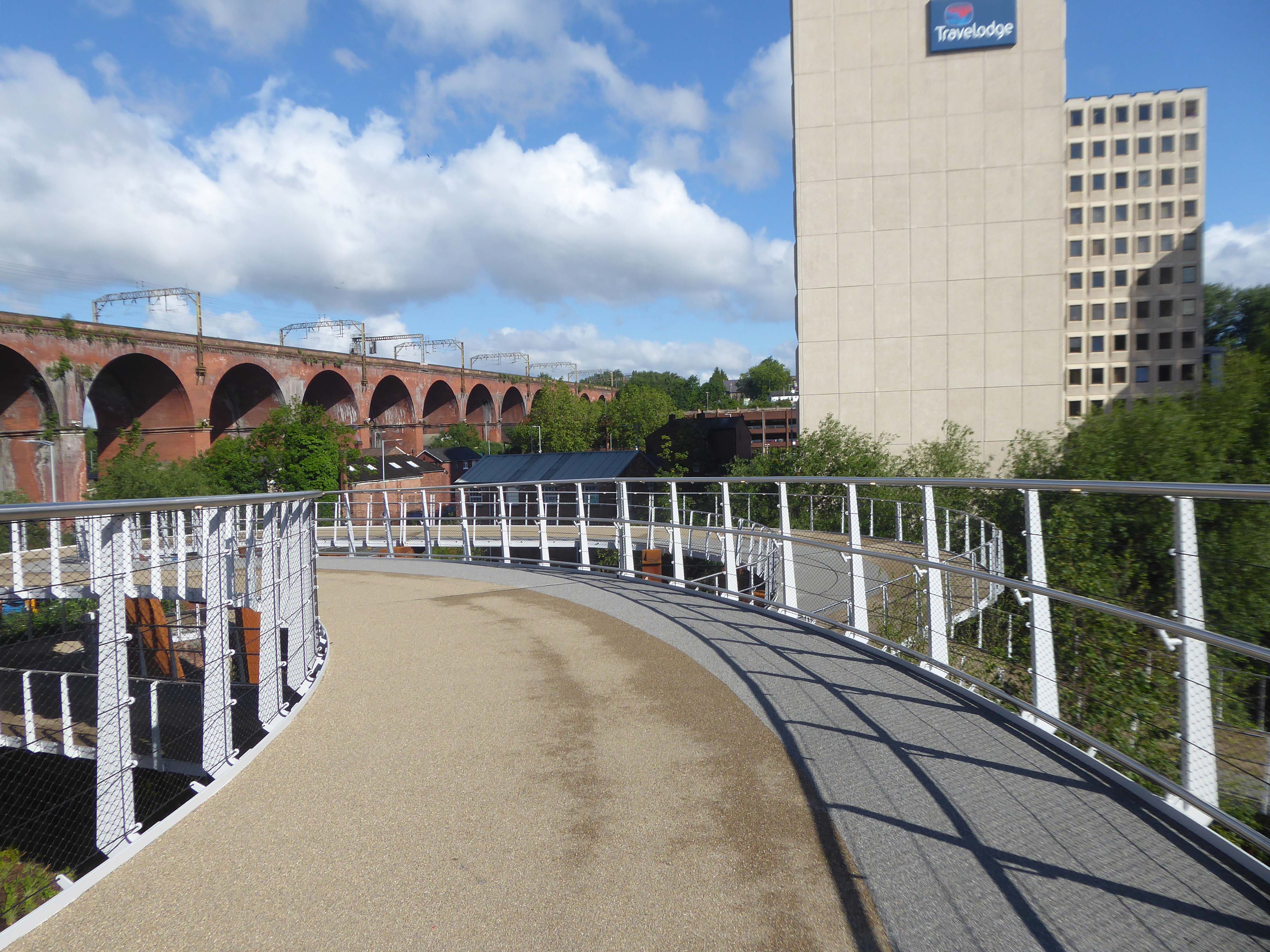
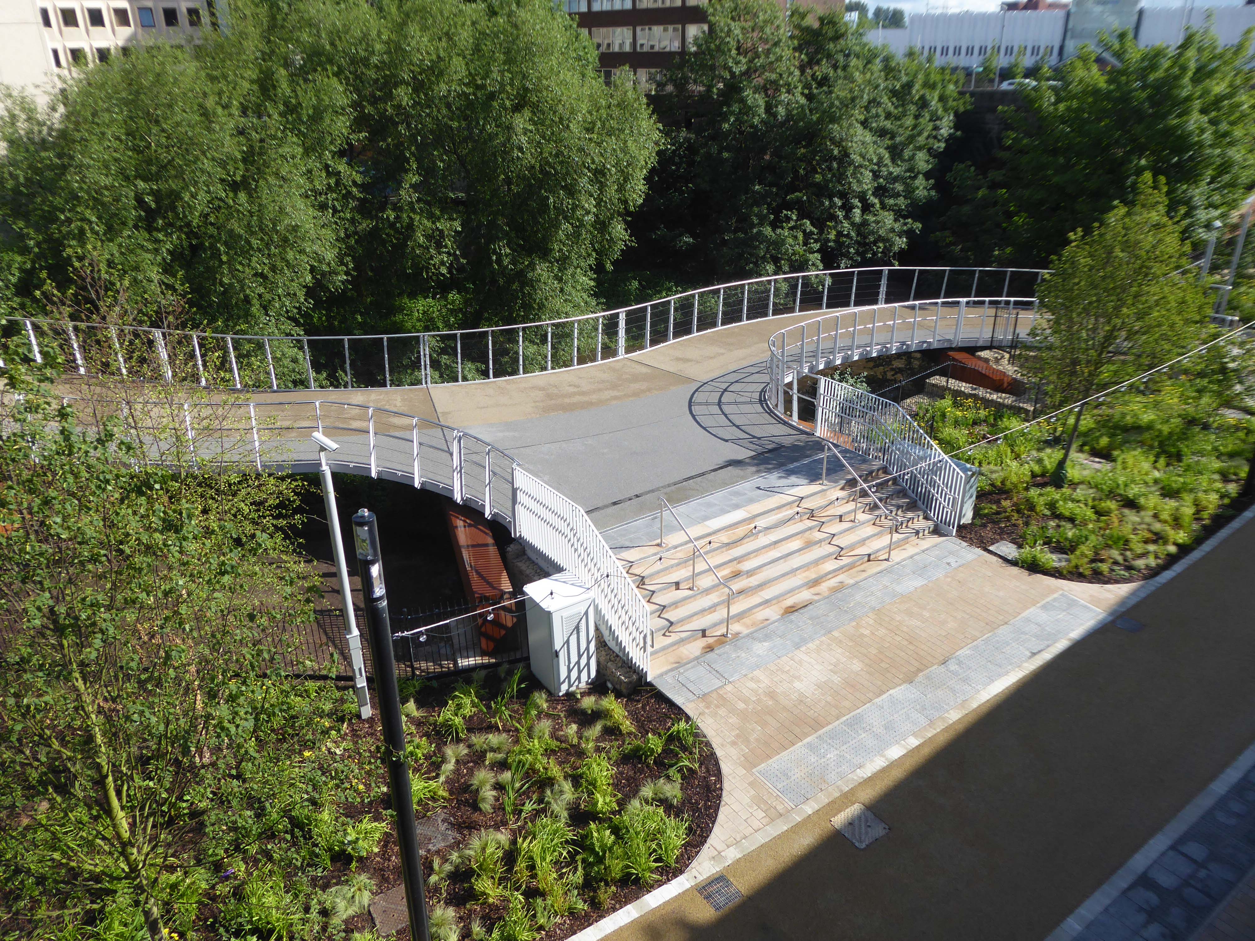
It’s now all grown up into a fully fledged transport interchange – with its very own pedestrian and cycling ramp.
The 189-metre ramp provides a seamless and accessible route to navigate the level change from the rooftop park to the river Mersey frontage, leading to the Trans Pennine Trail route.
Forming part of the Stockport Interchange Mixed Use development scheme, and which also includes a new cycle and pedestrian link from Stockport rail station to the new park, as well as connecting the new facility to the wider Bee Network cycling and walking infrastructure, which is designed to encourage more people to make journeys on foot or by bike.
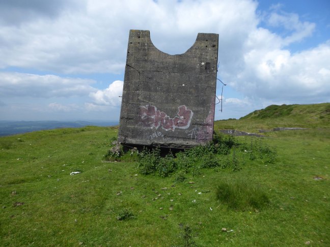
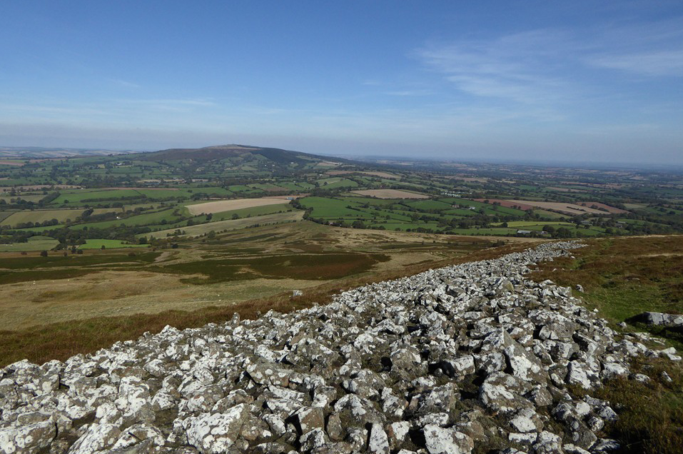
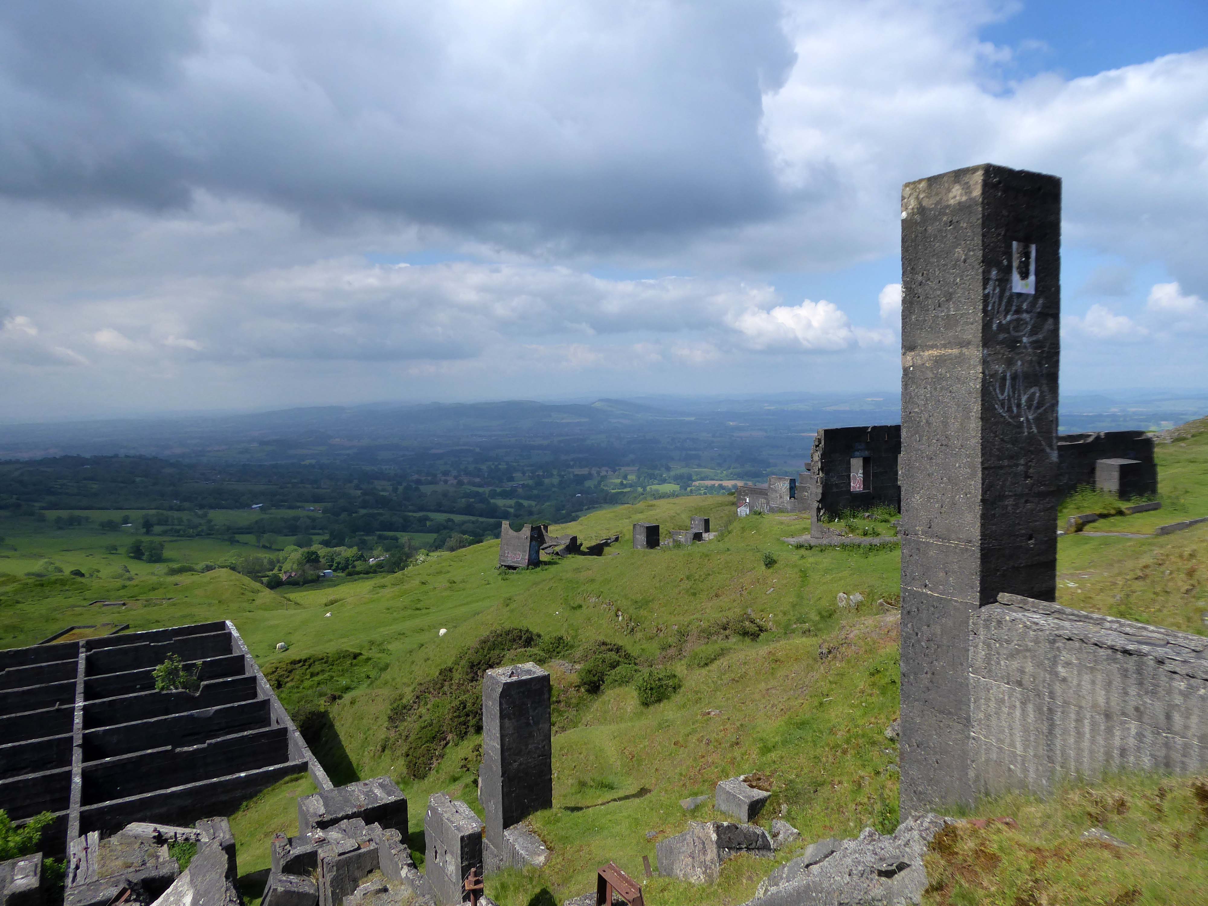
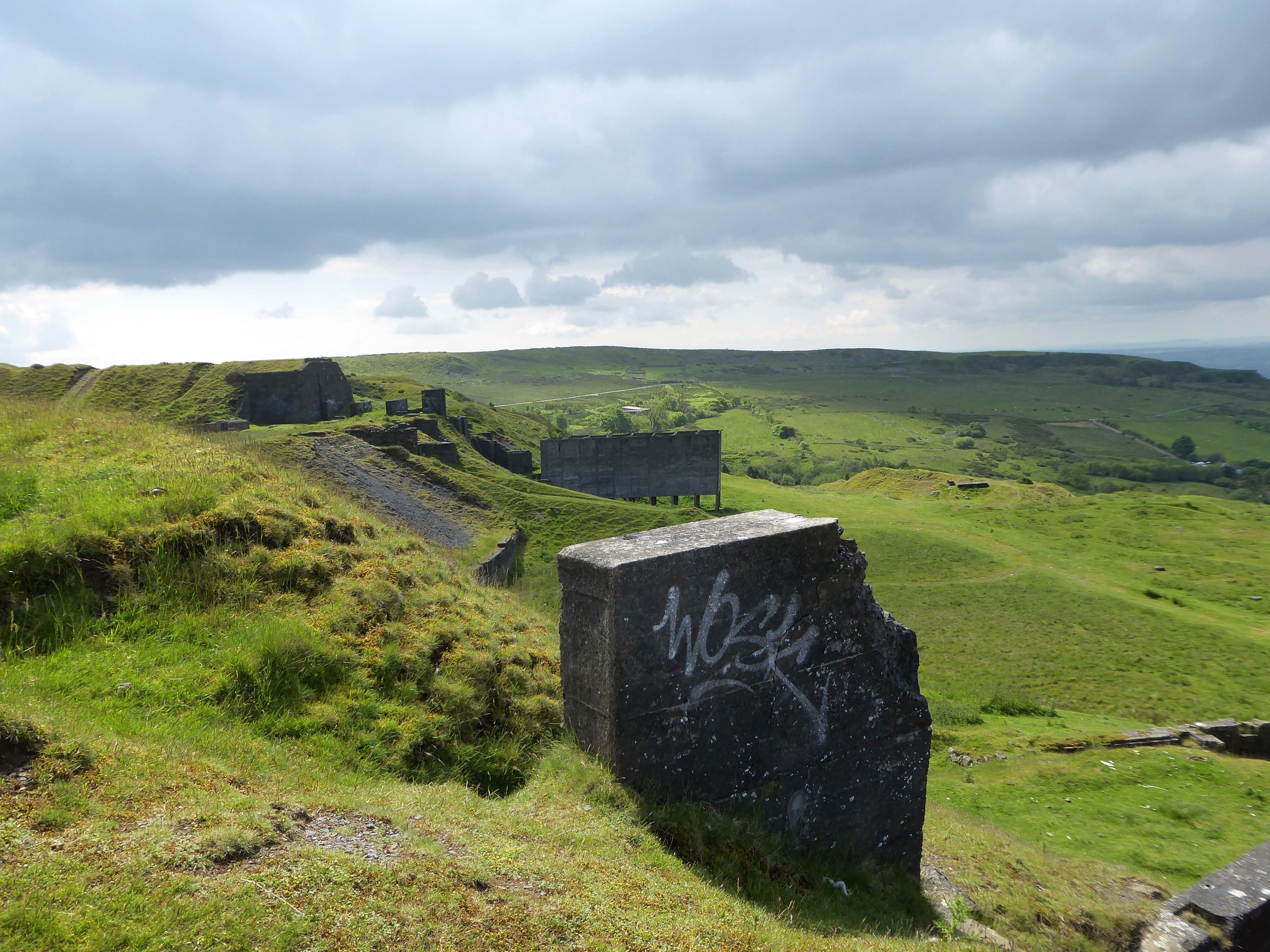
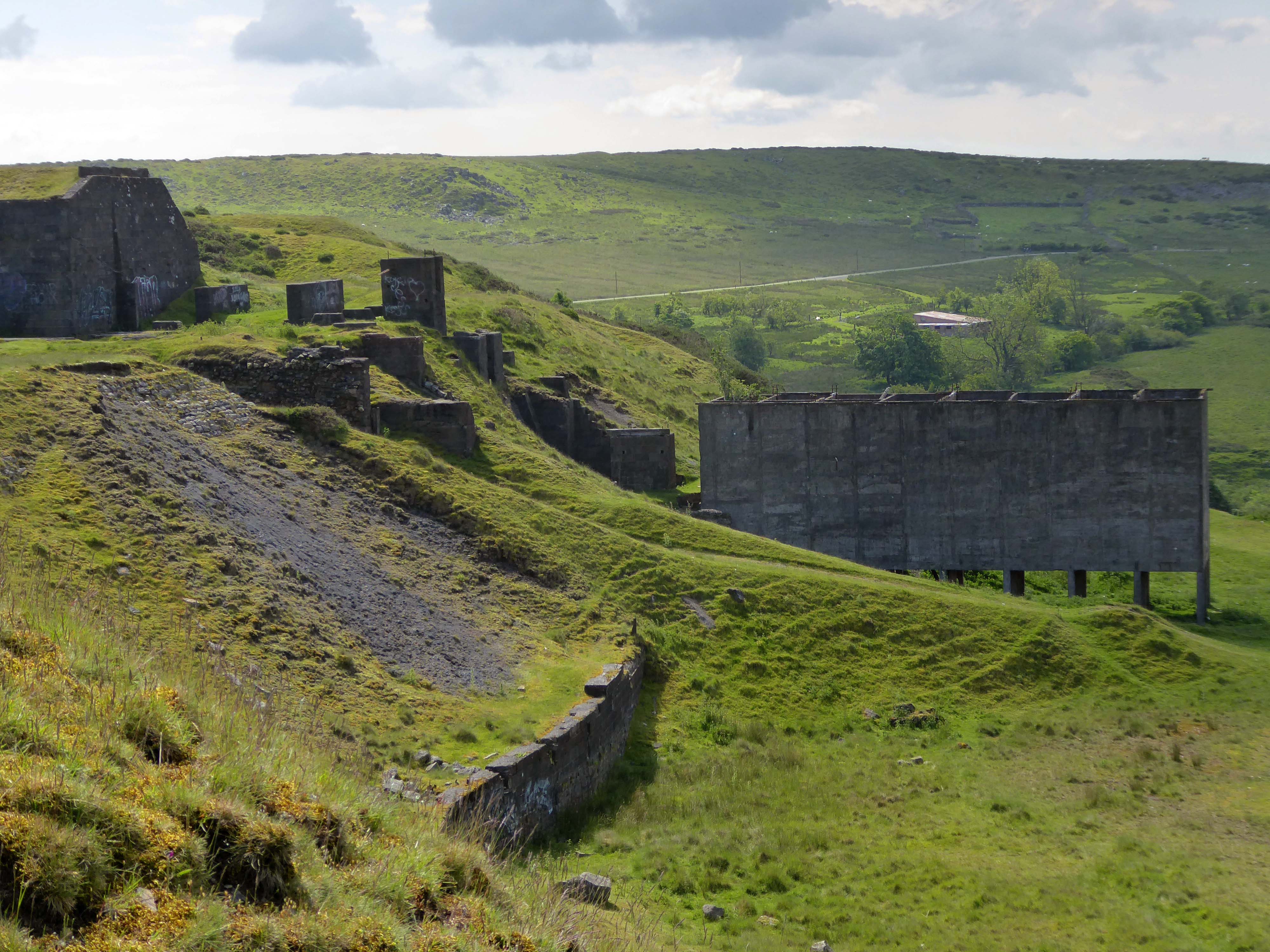
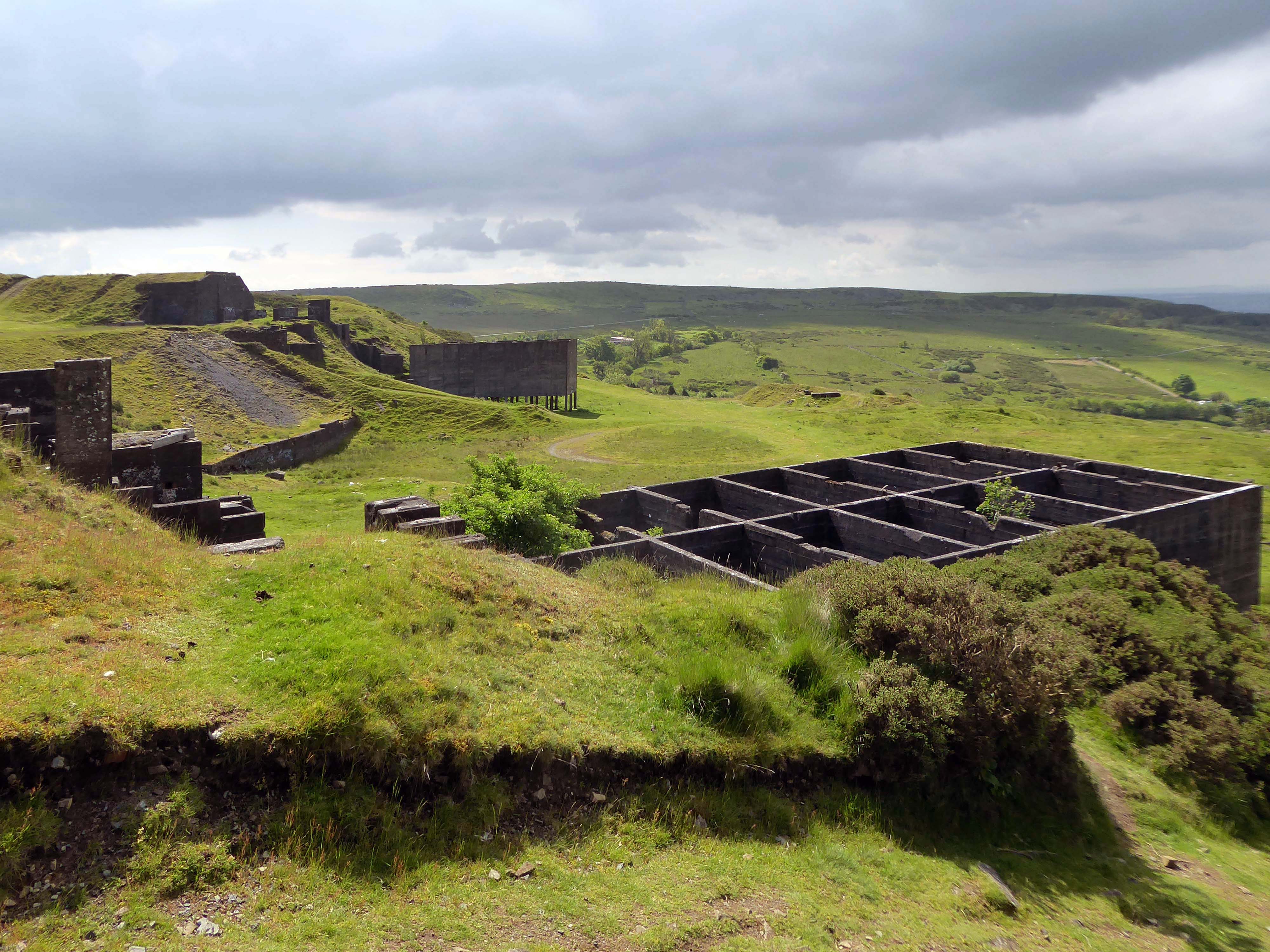
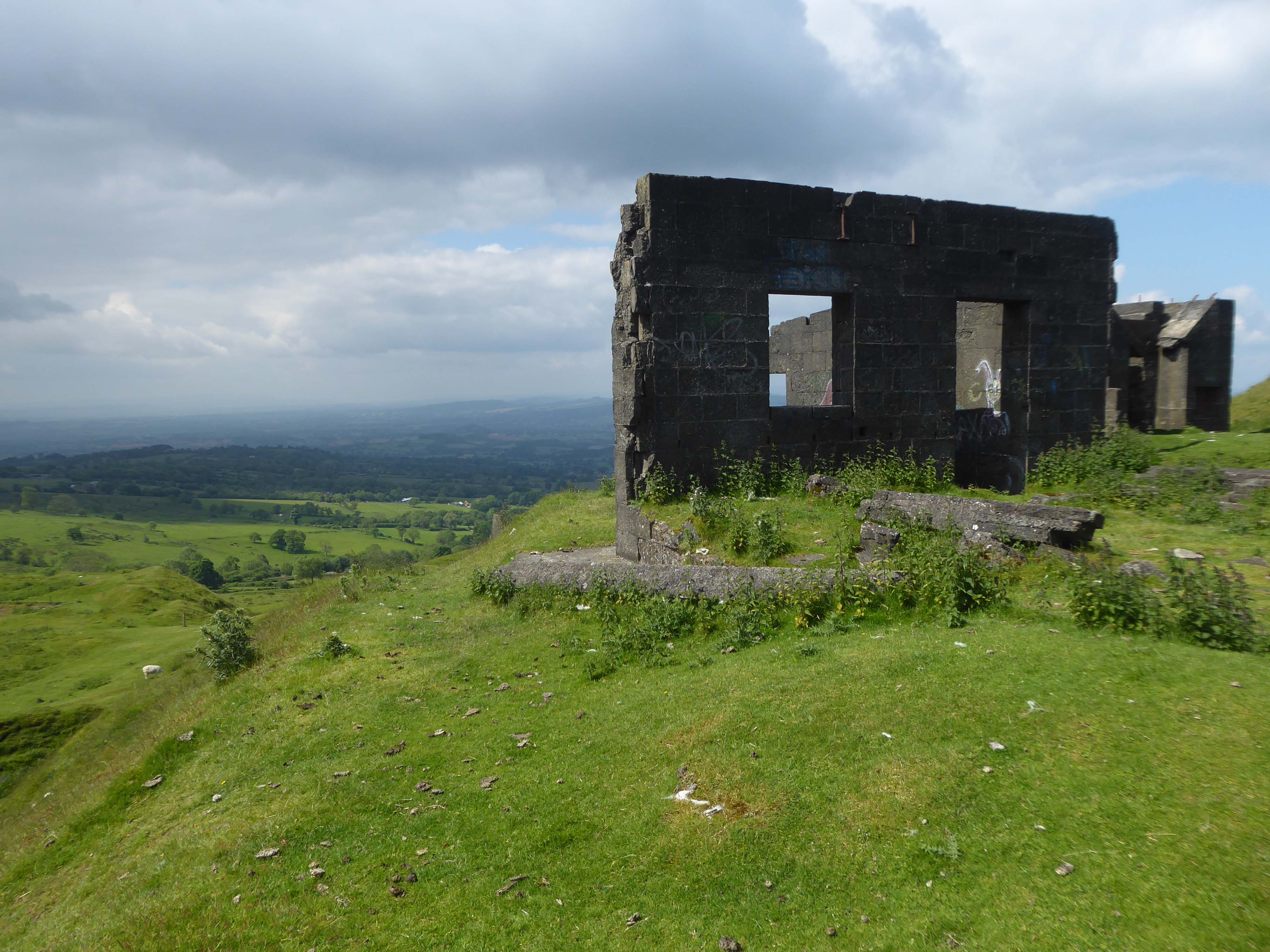
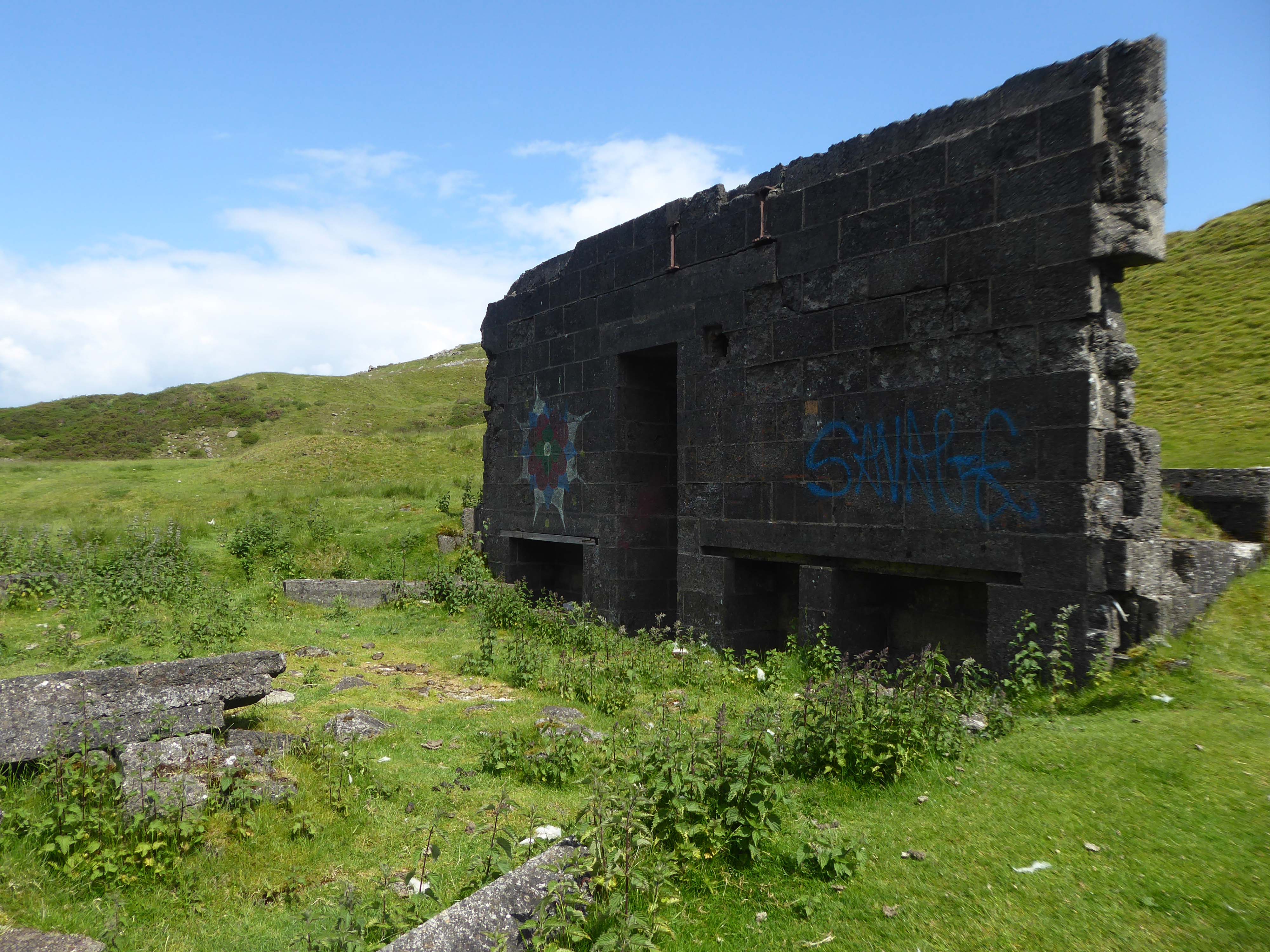
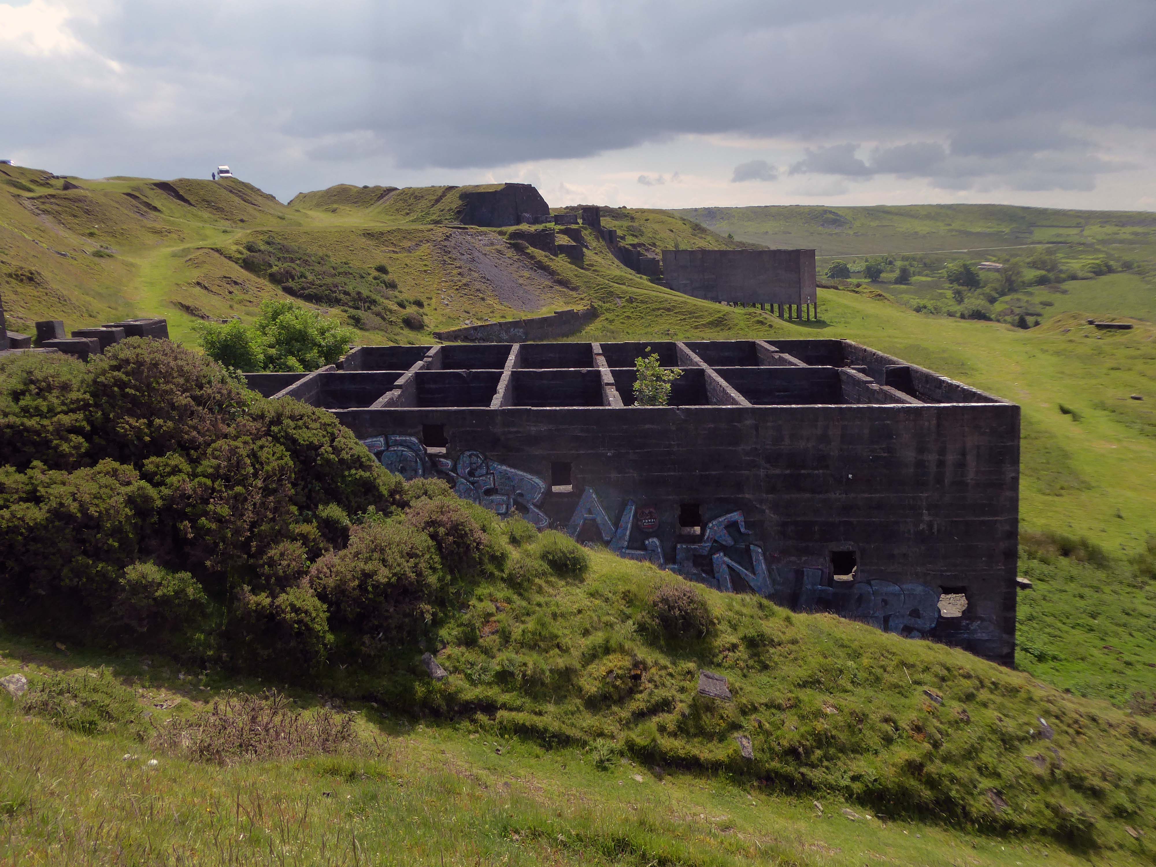
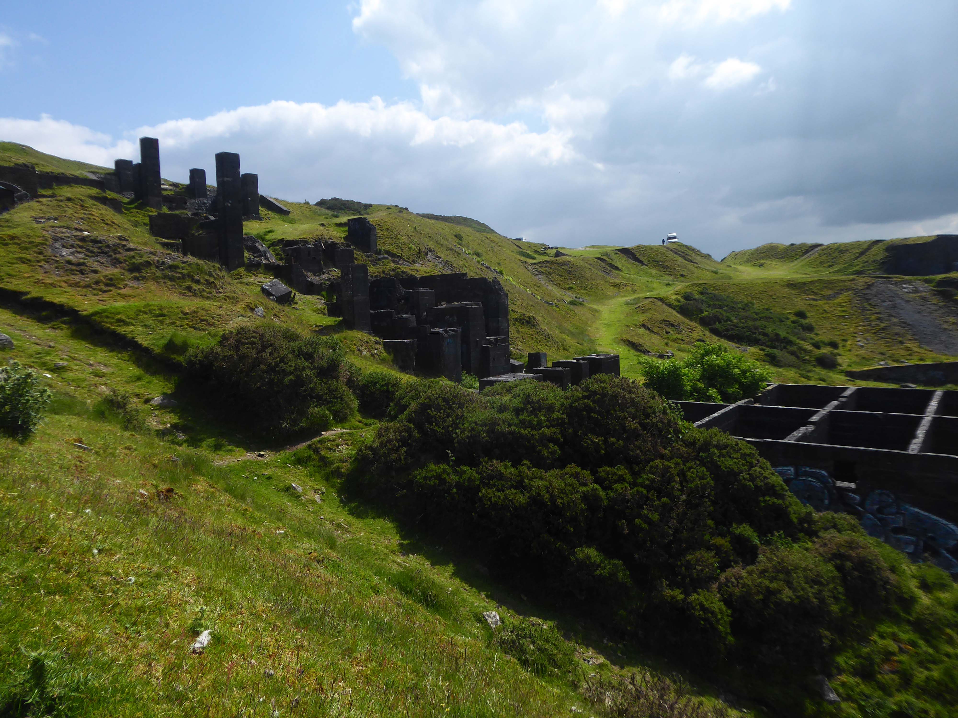
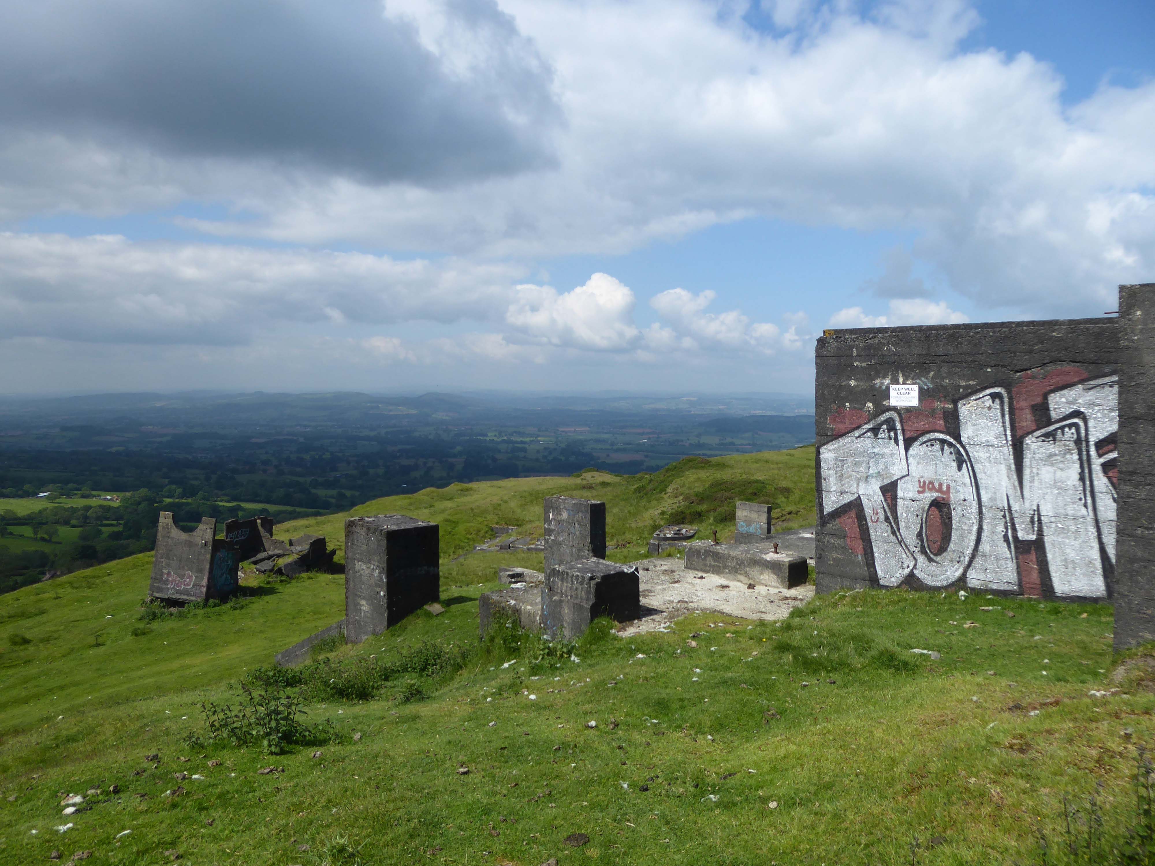
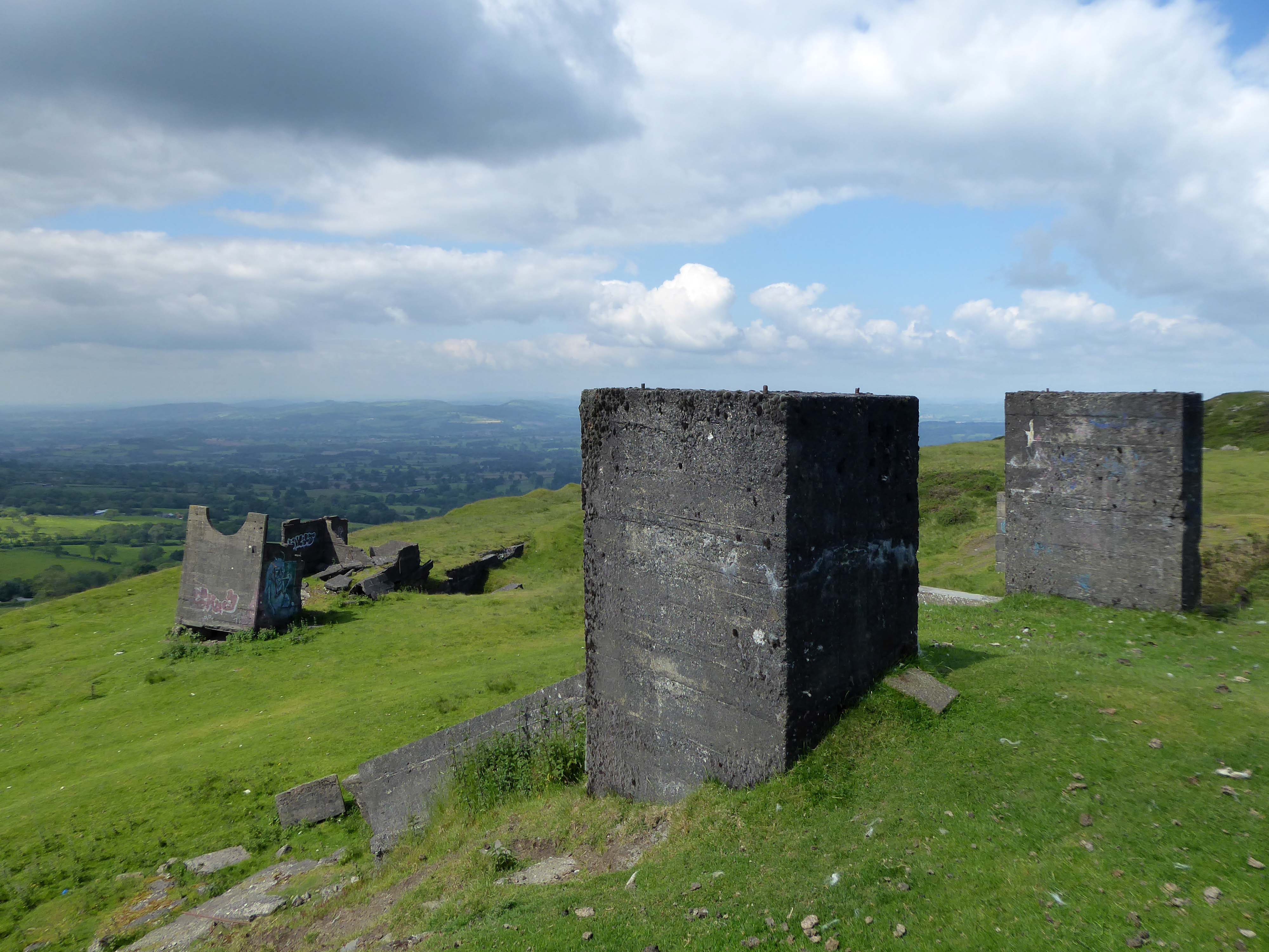
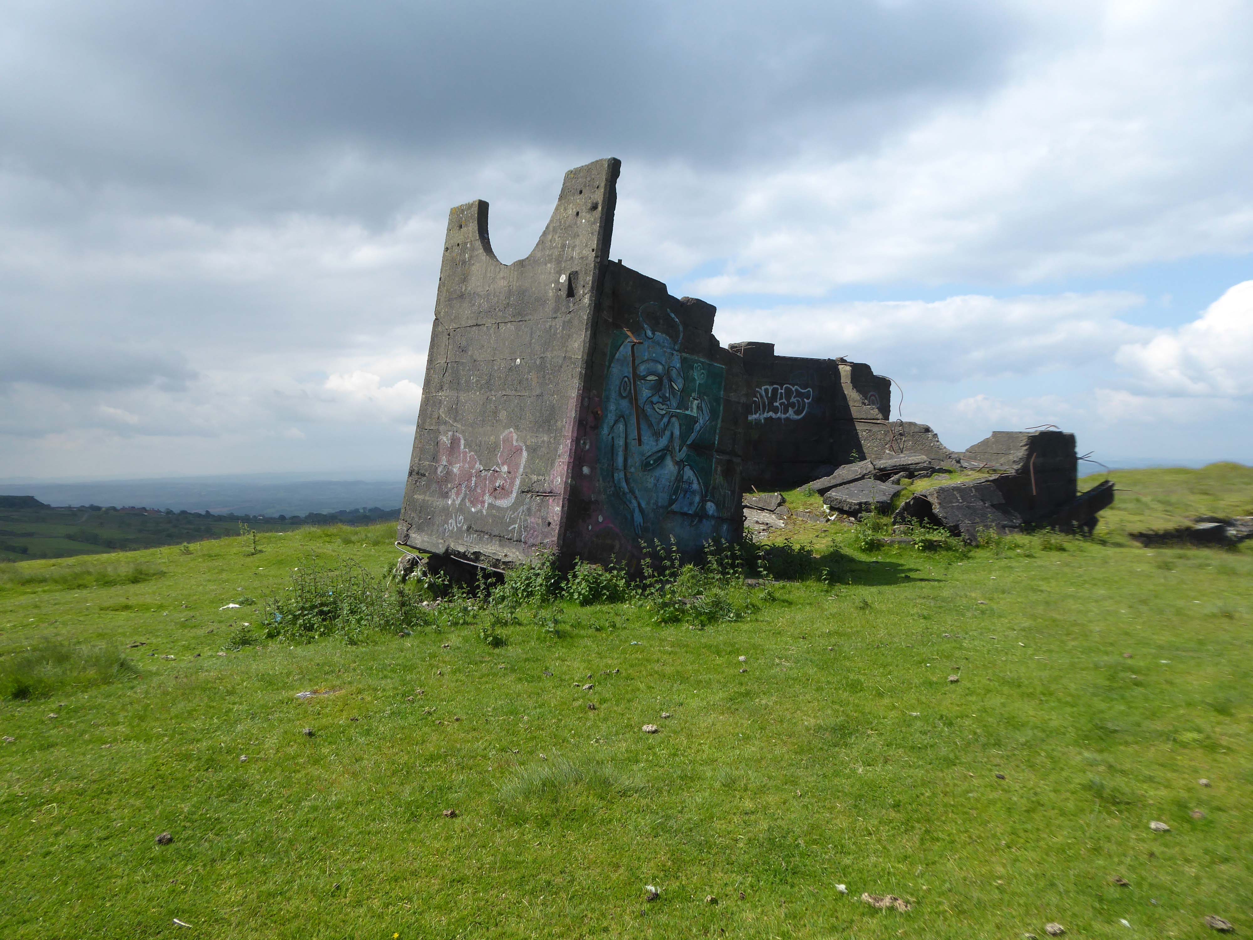
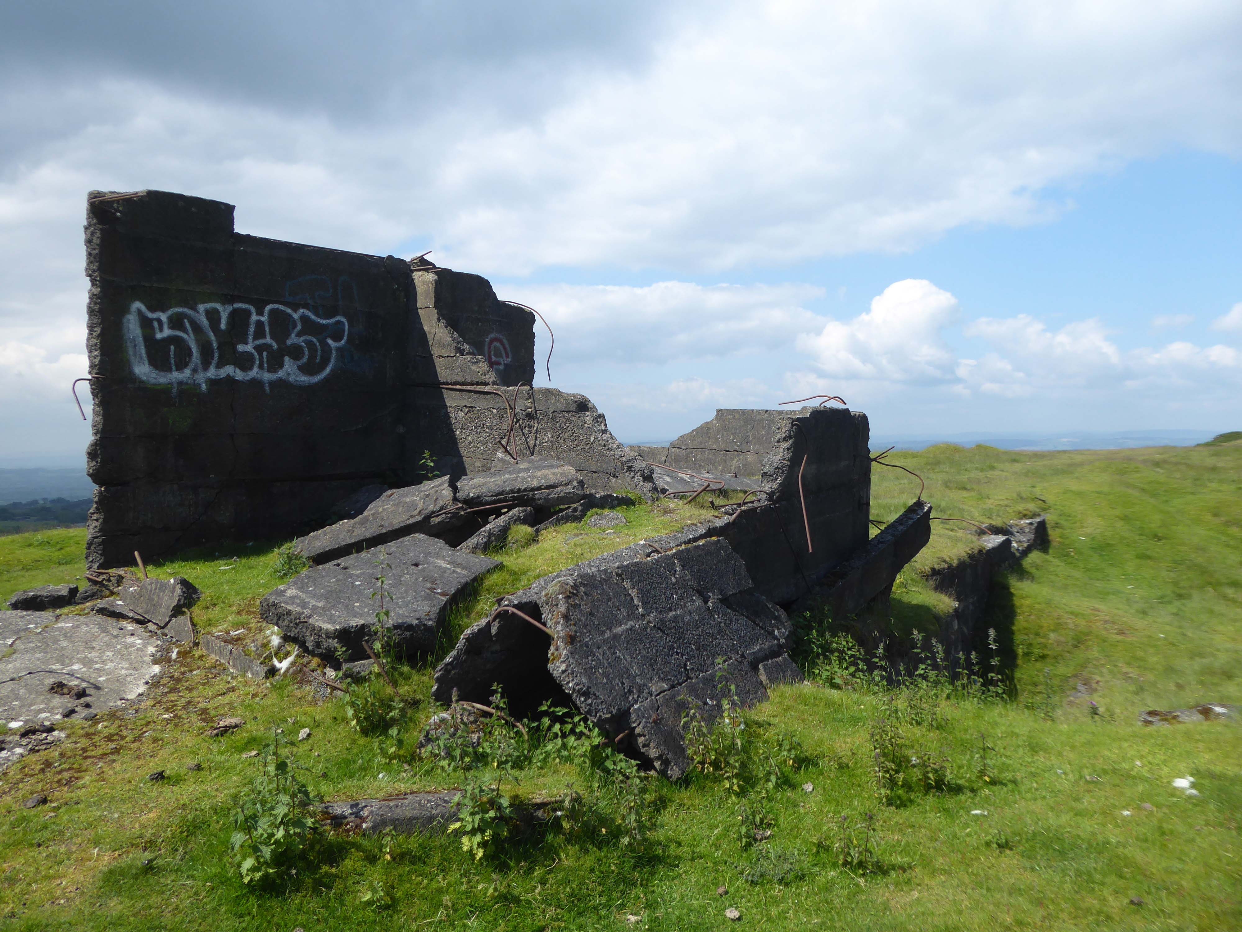
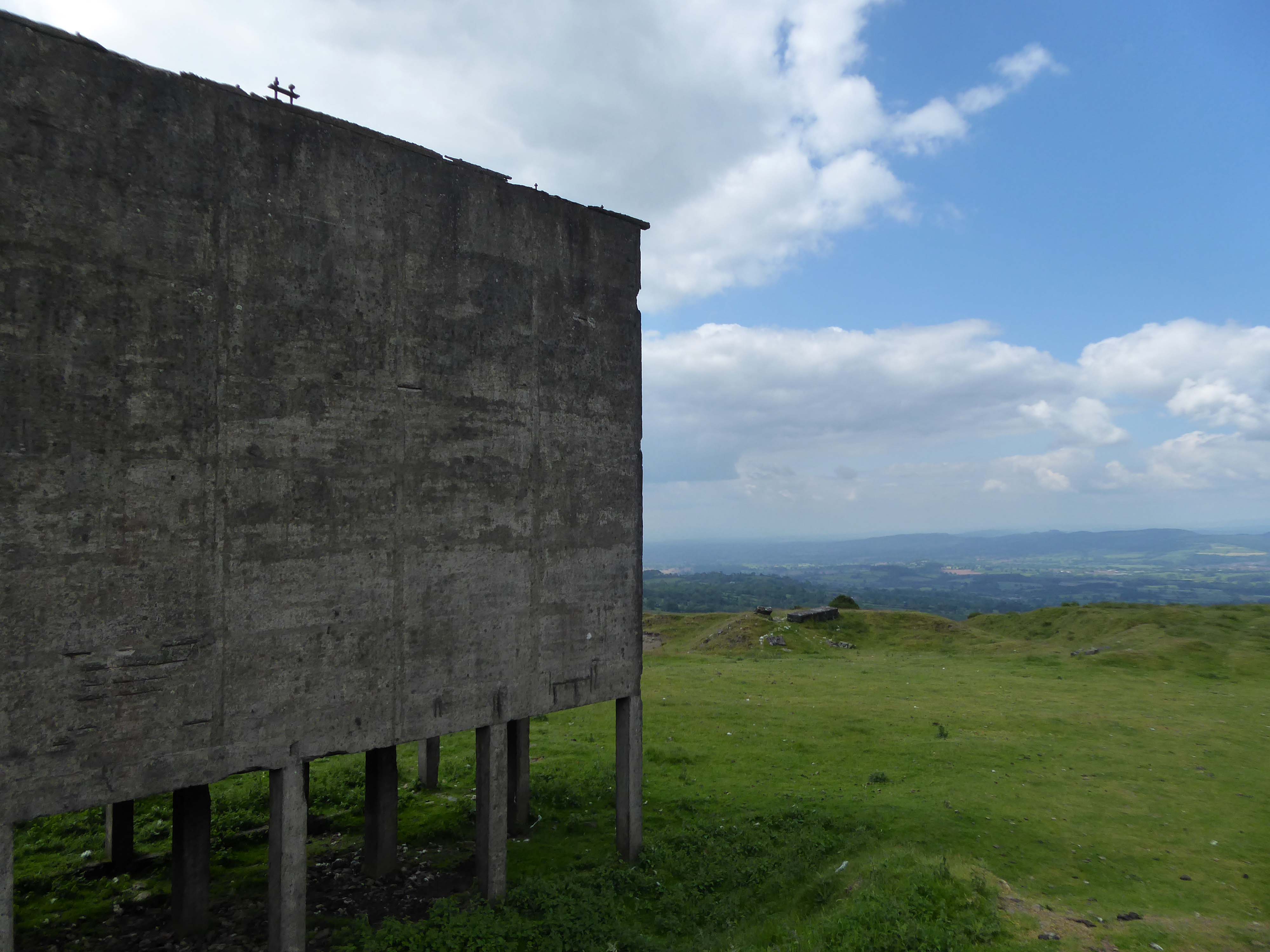
Titterstone Clee is the third-highest hill in Shropshire rising at the summit to 533 metres – 1,749 ft above sea level.
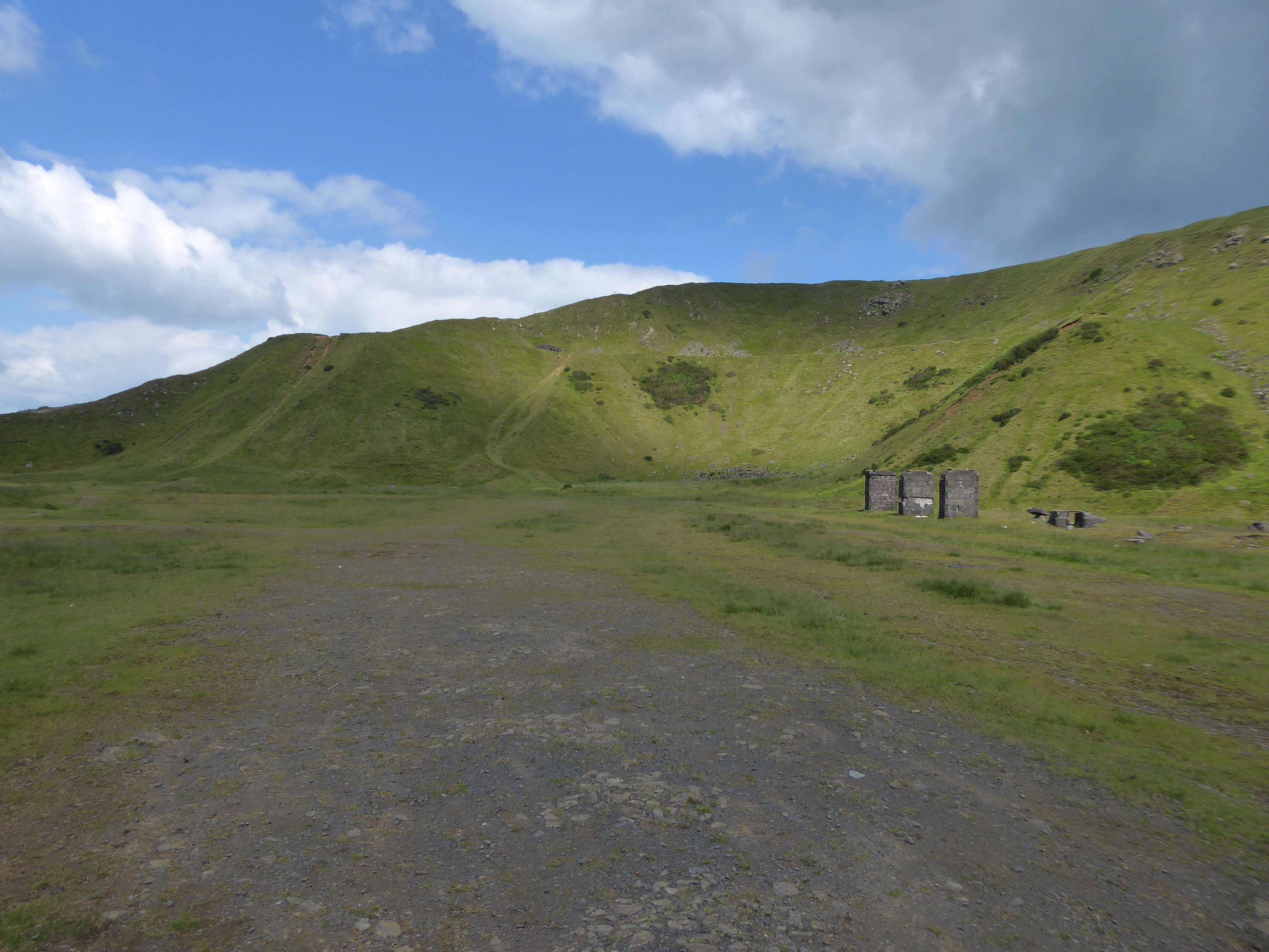
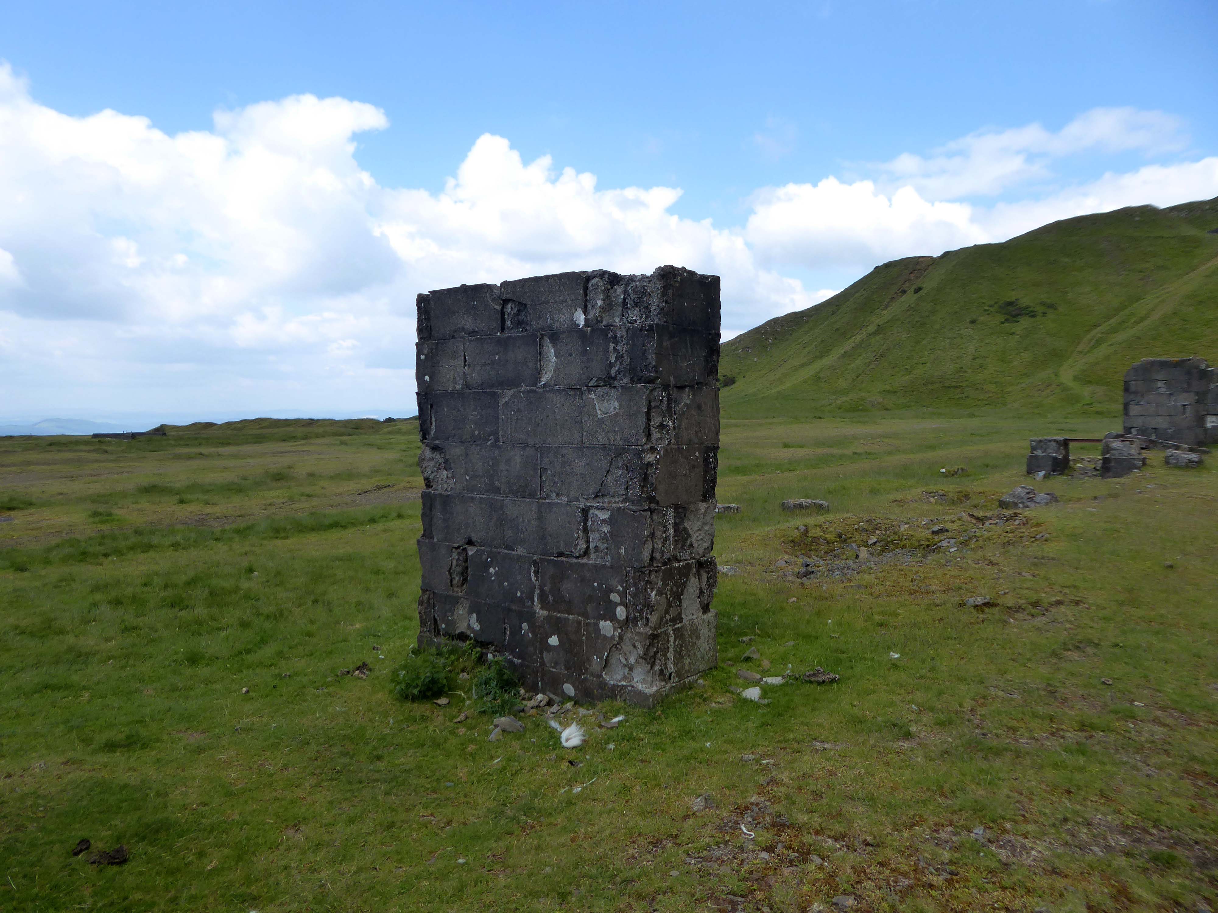
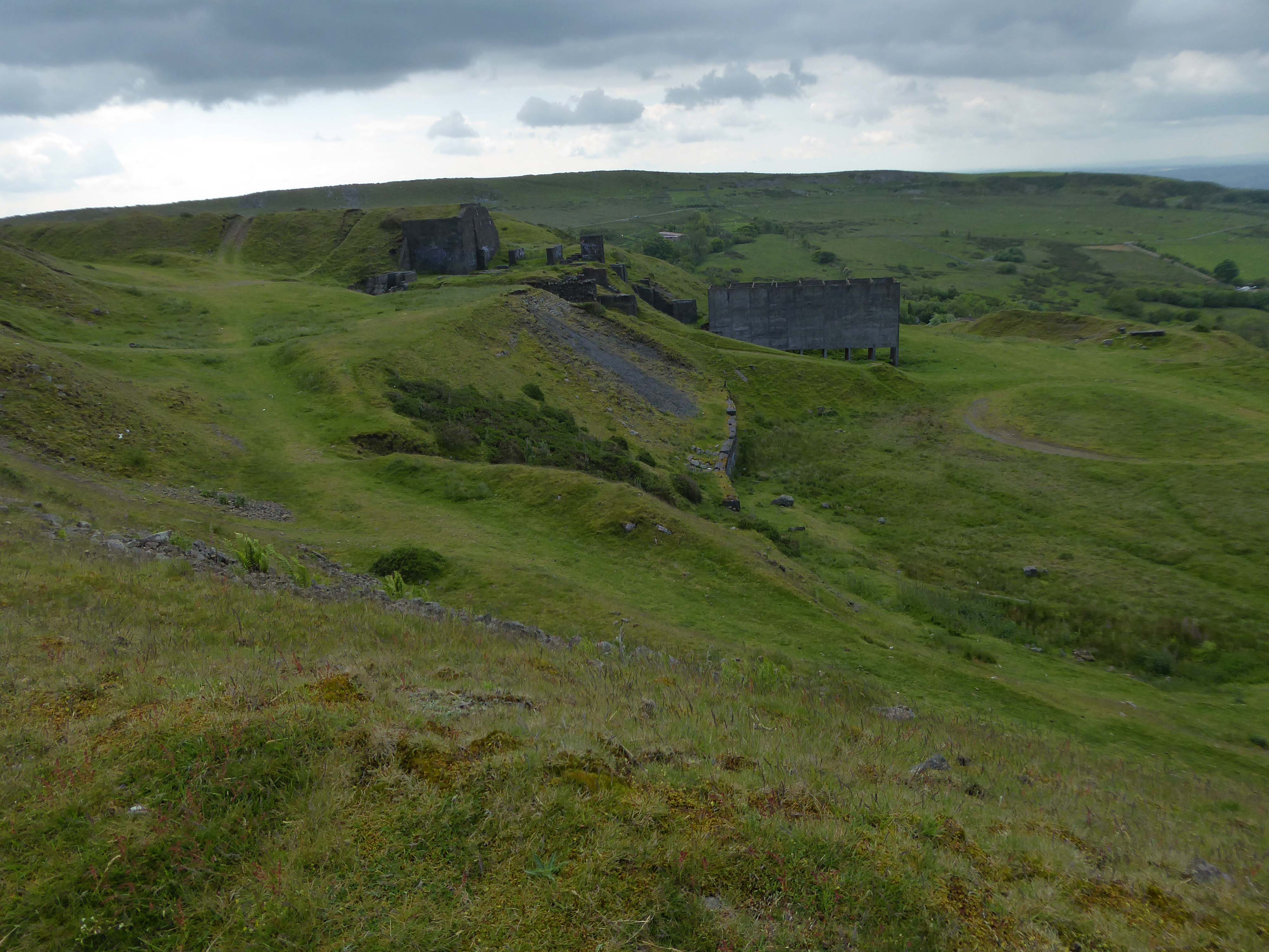
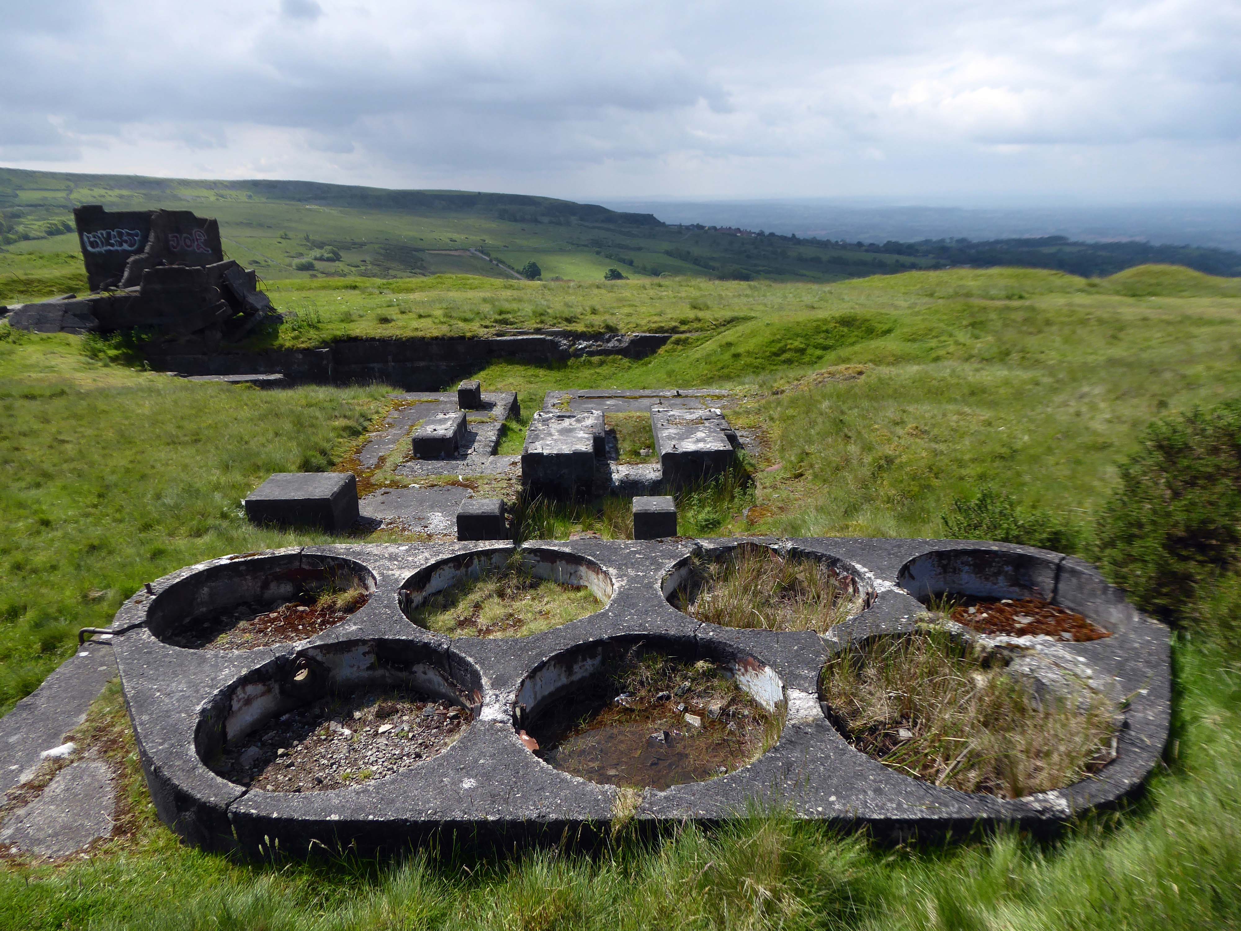
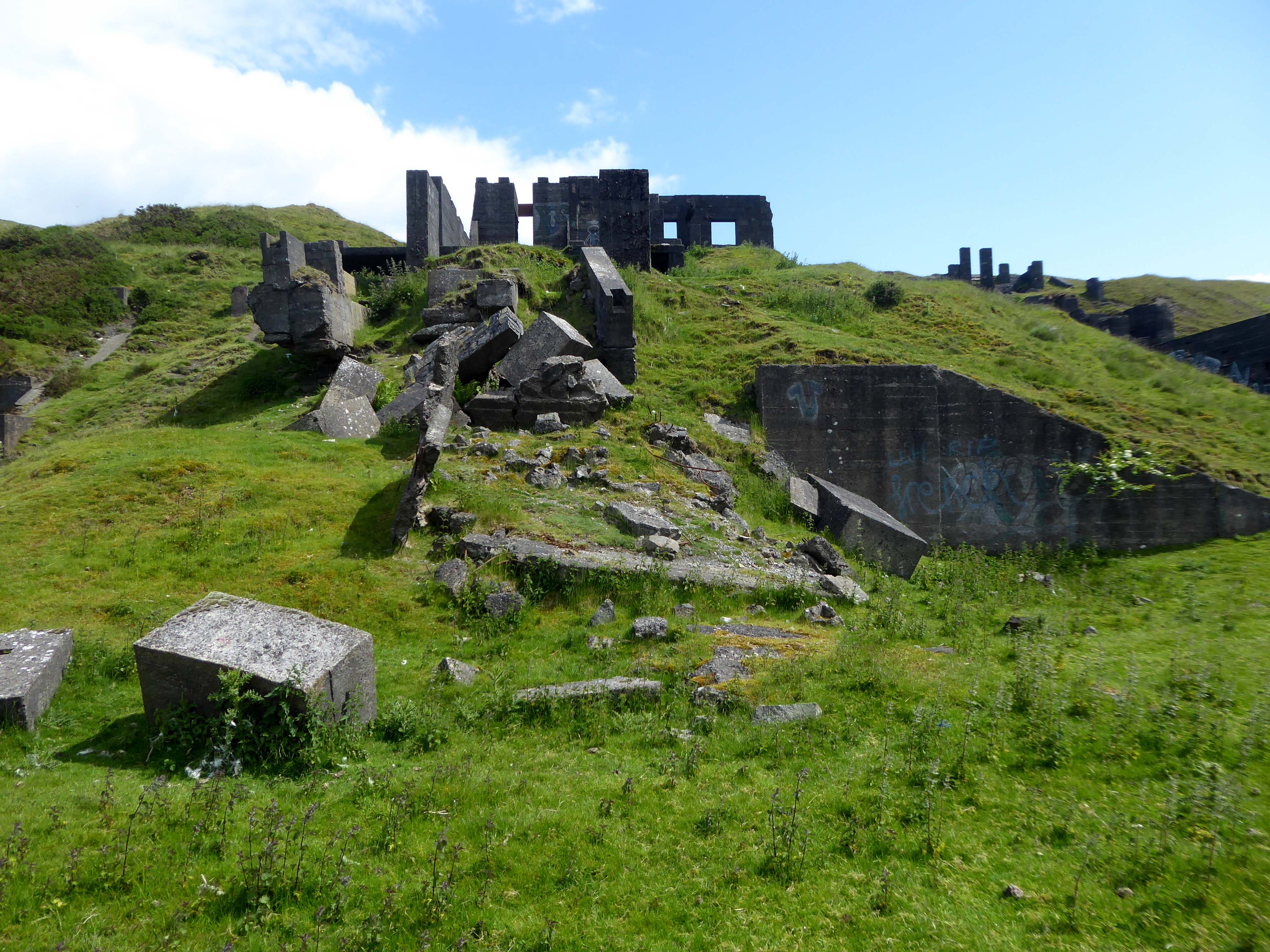
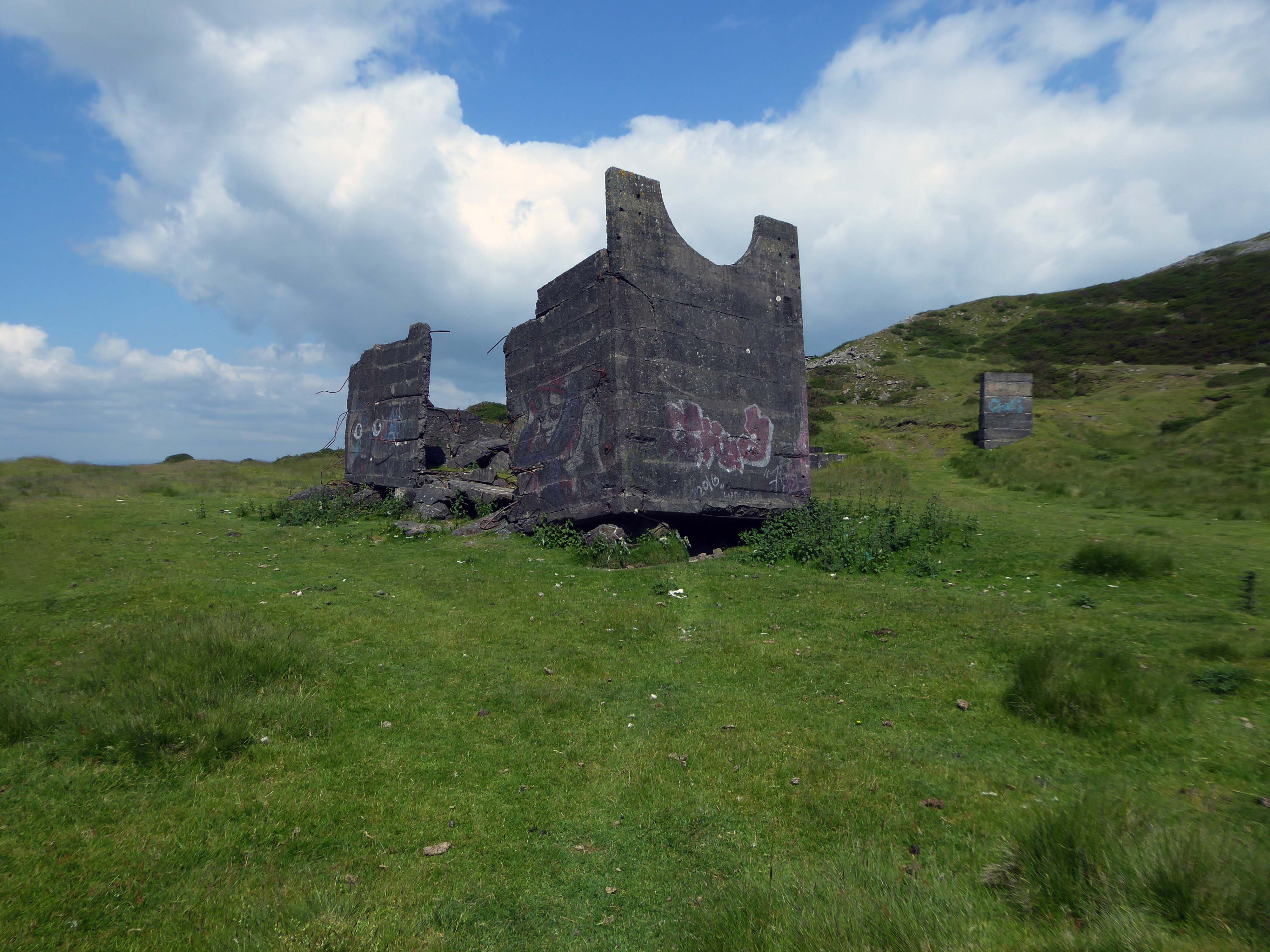
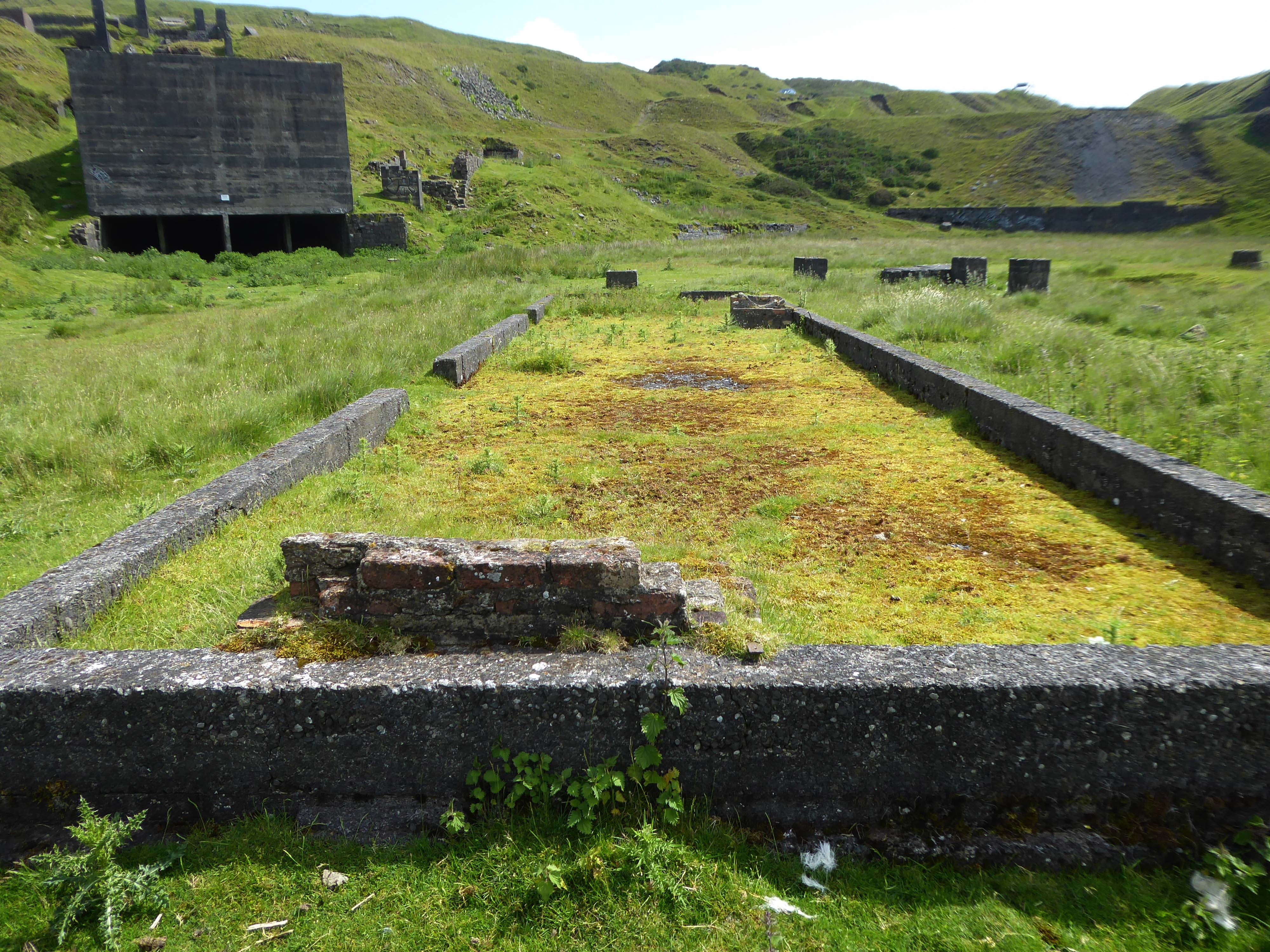
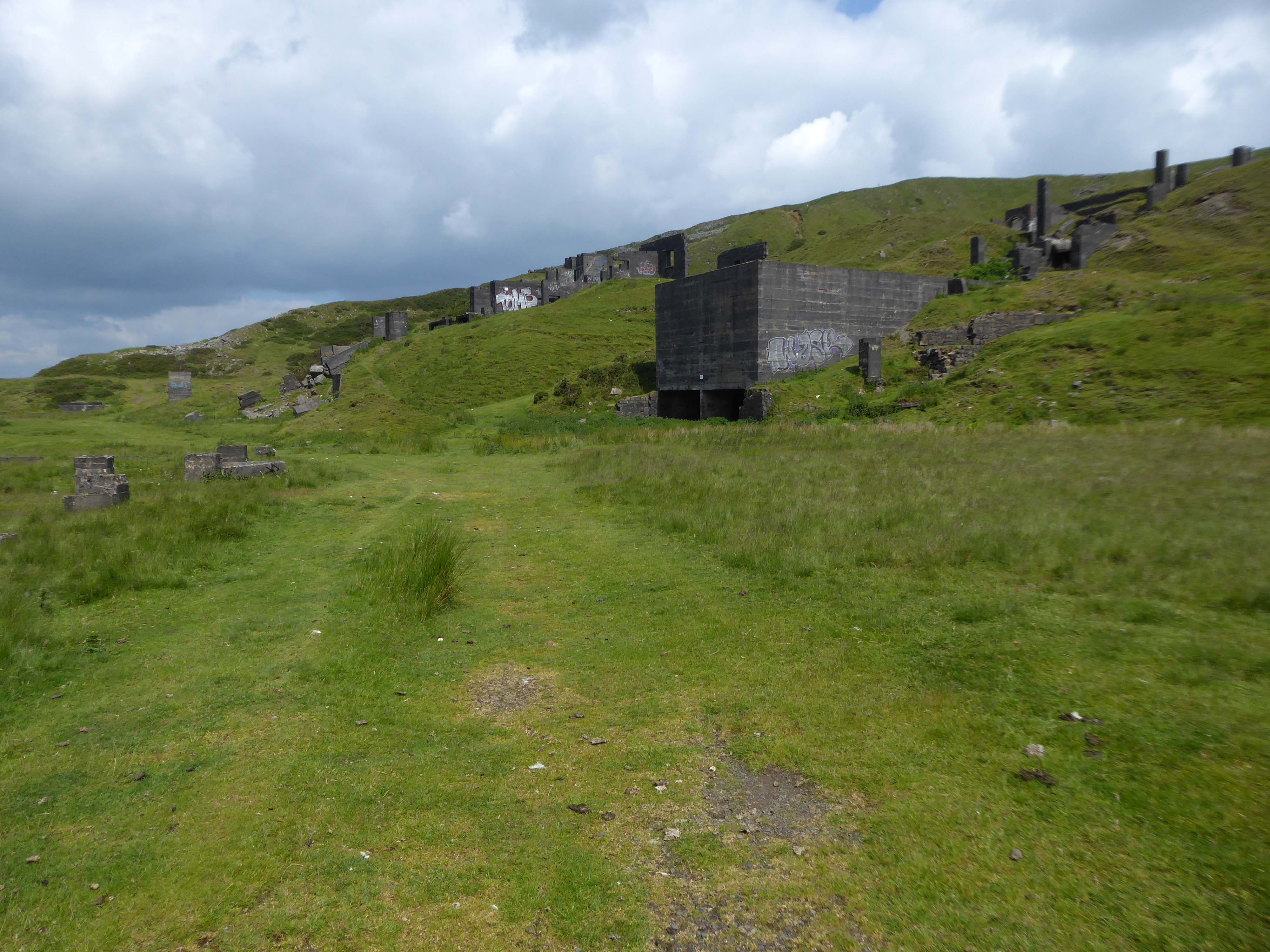
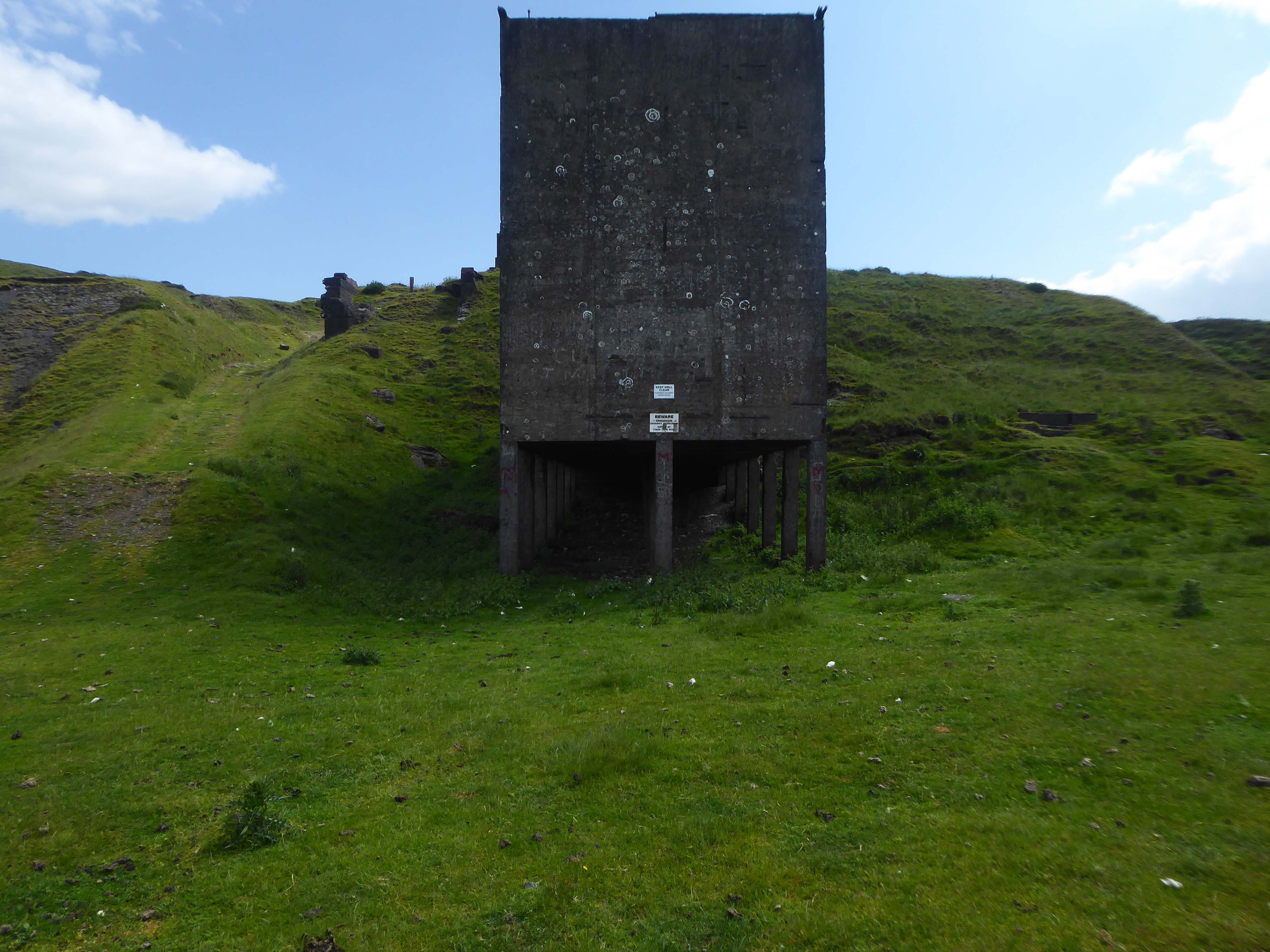
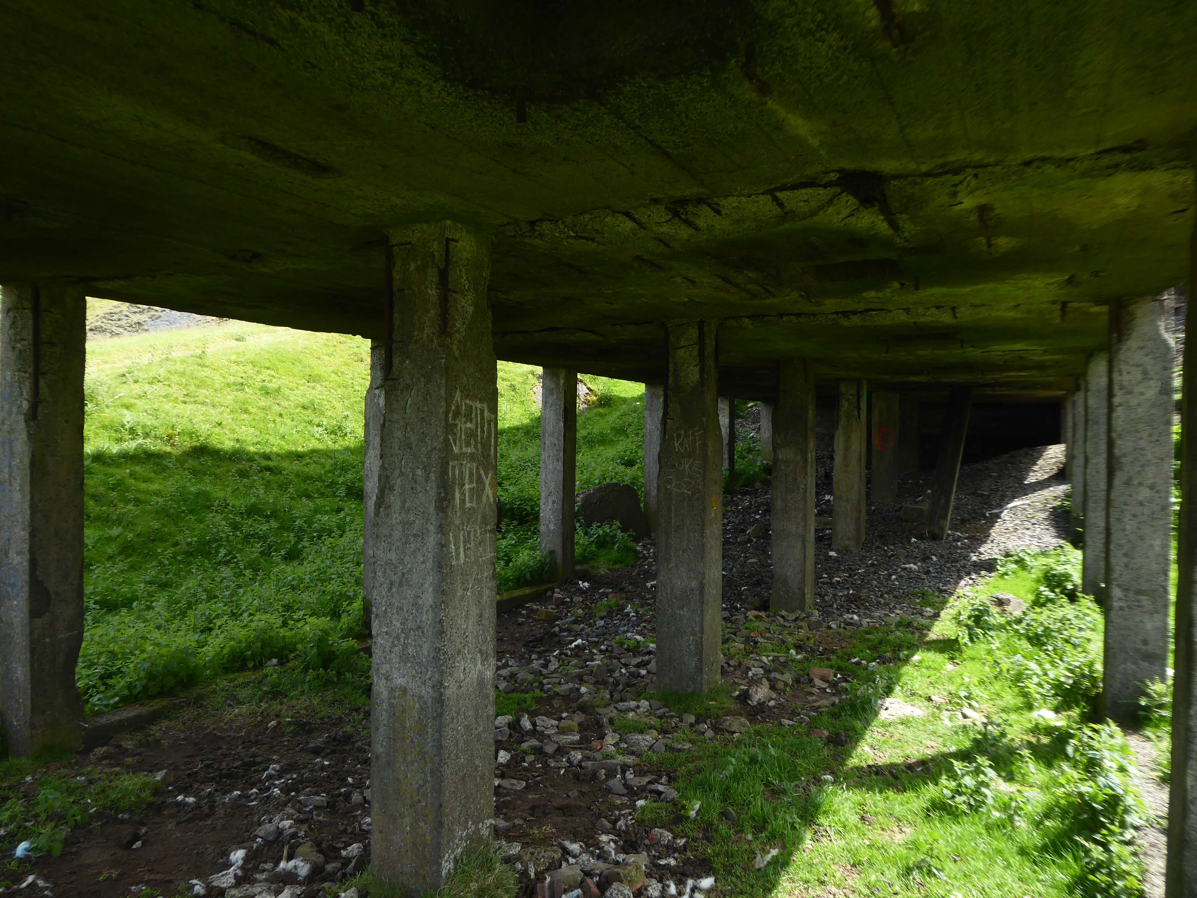
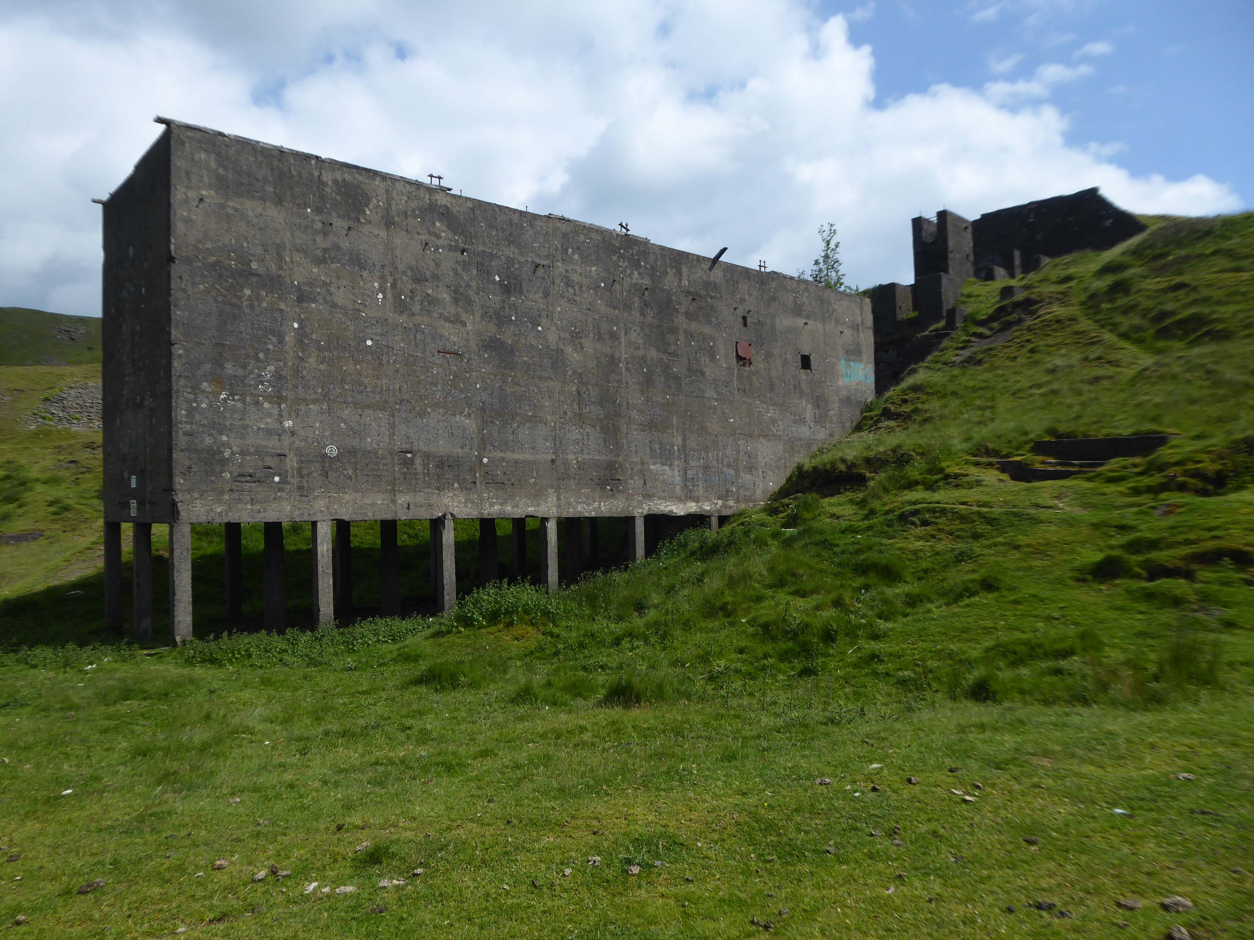
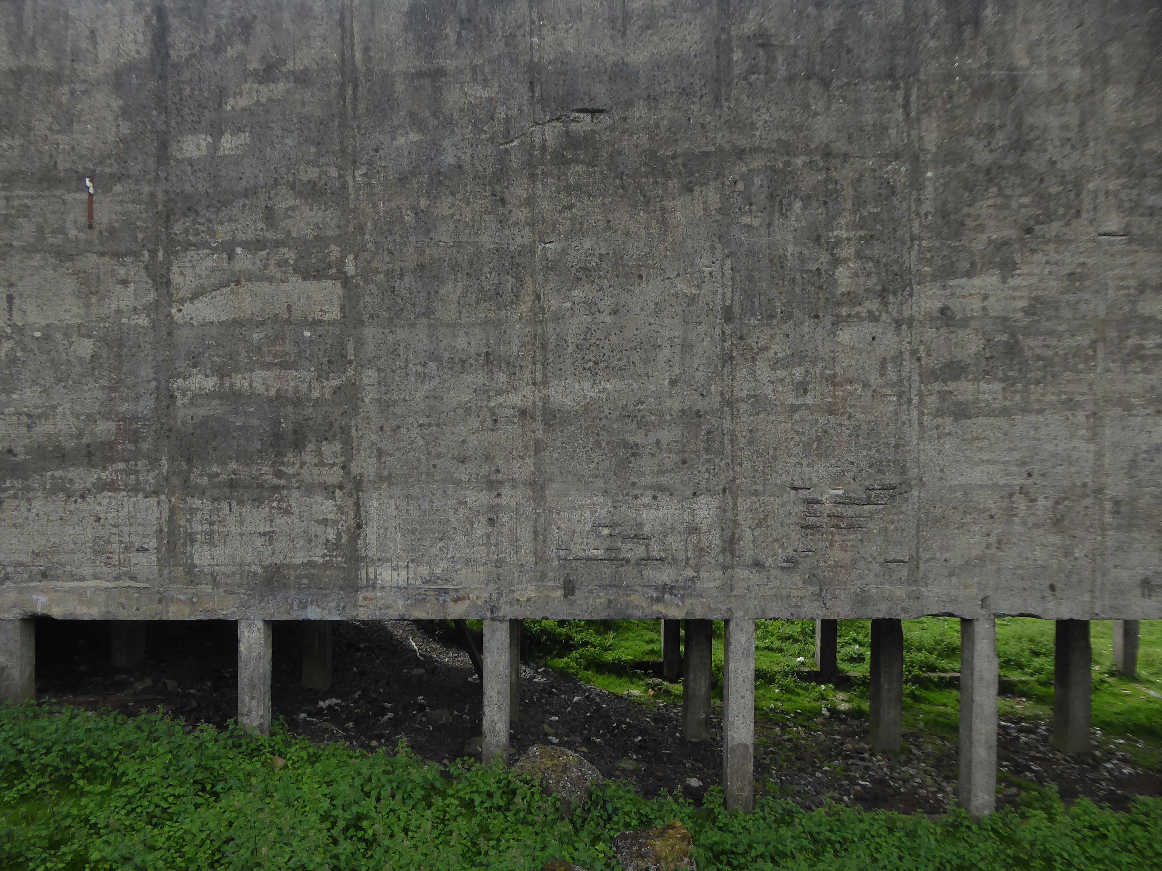
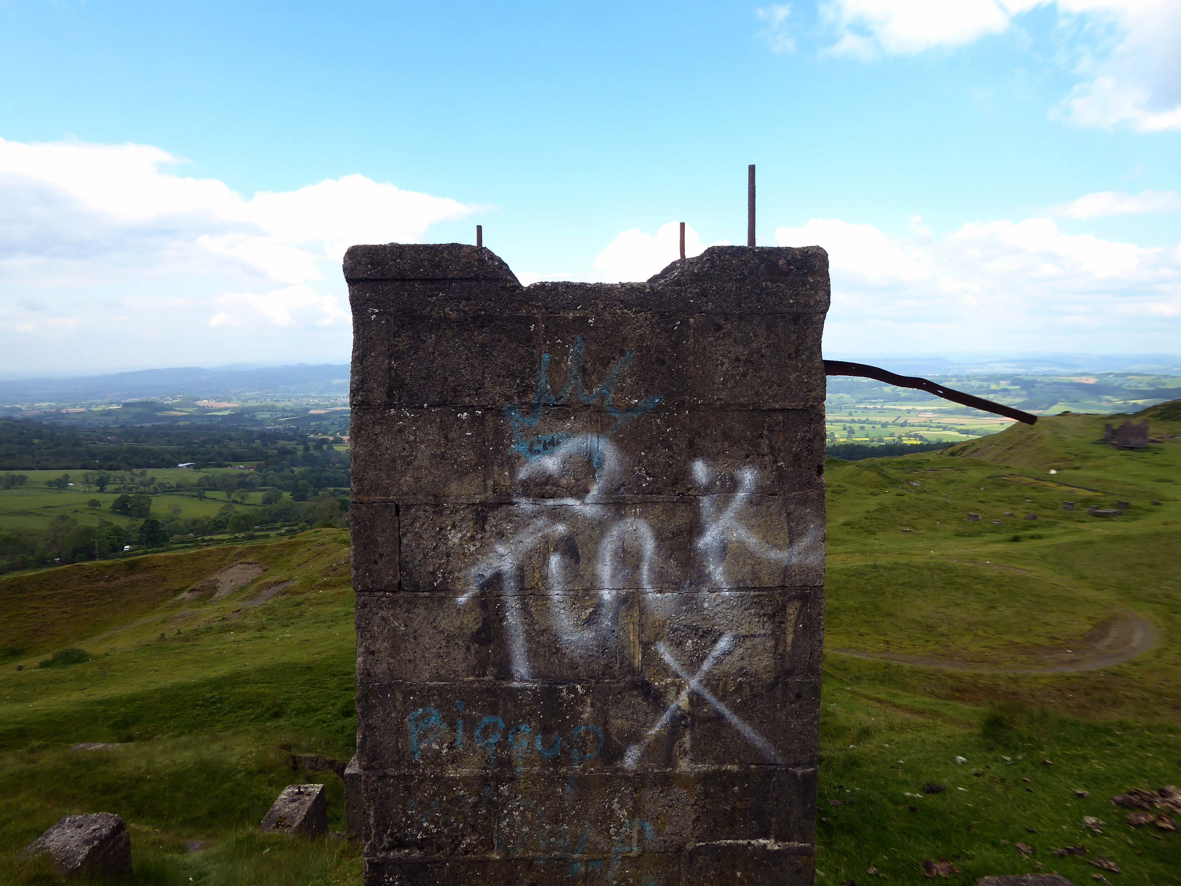
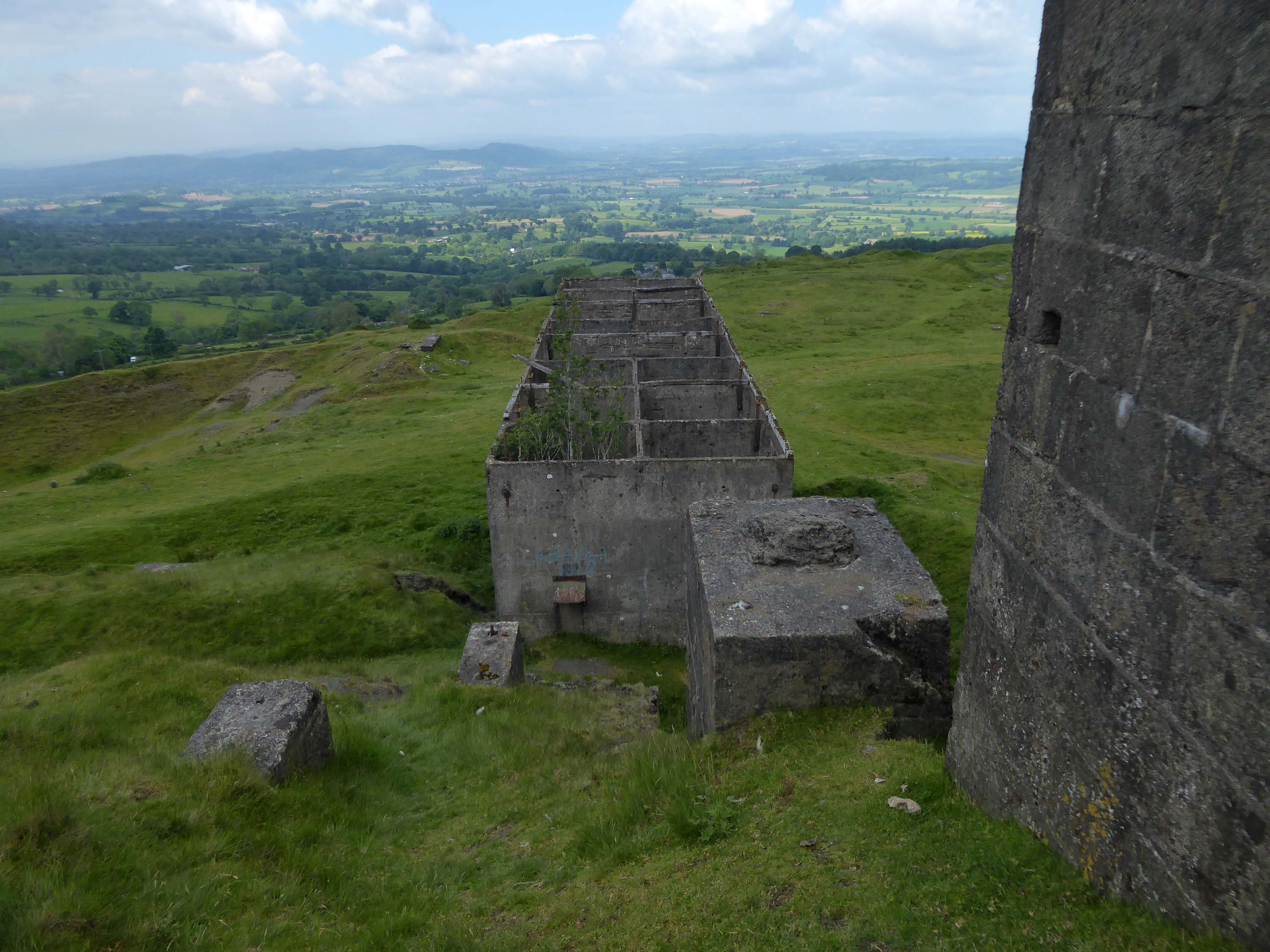
Most of the summit of the hill is affected by man-made activity, the result of hill fort construction during the Bronze and Iron Ages and, more recently, by years of mining for coal and quarrying for dolerite, known locally as dhustone, for use in road-building. Many derelict quarry buildings scattered over the hill are of industrial archaeological interest as very early examples of the use of reinforced concrete.
Near the summit trig point are the remains of a Bronze Age cairn, dating back up to 4,000 years and indicating that the summit was a likely ceremonial site. Although partly destroyed by quarrying, Titterstone Clee’s Iron Age hill fort is enclosed by a huge boundary earthworks.
It is of note that the walls of the fort are made up of stone blocks, instead of earth banks.
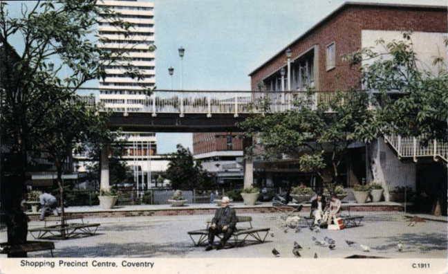
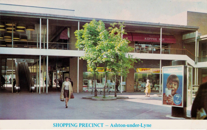
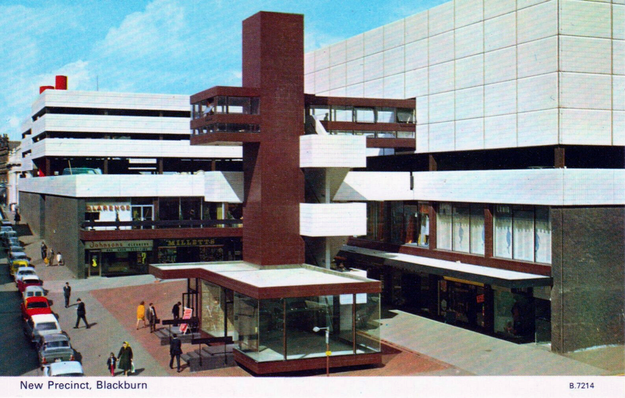
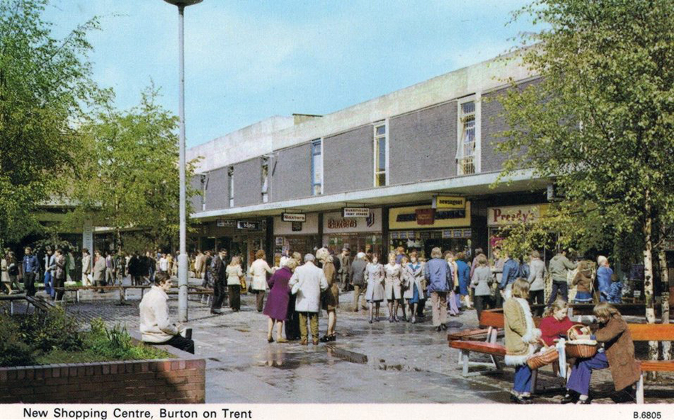
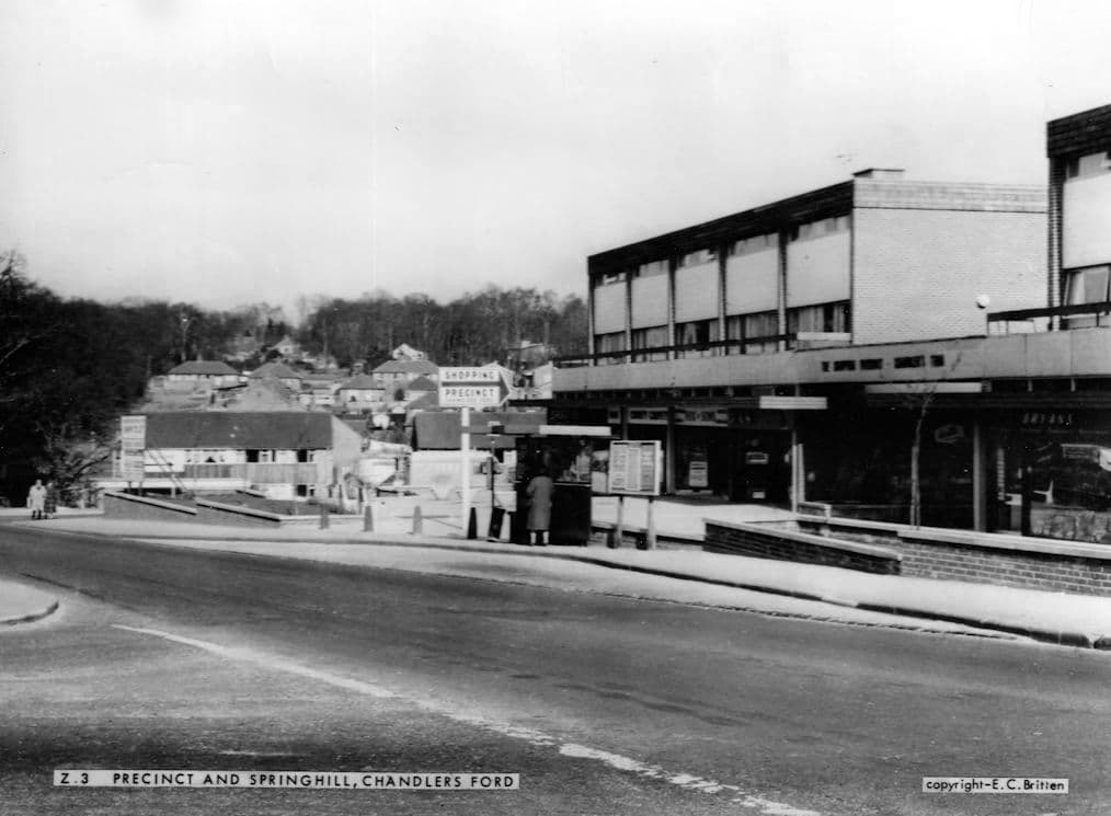
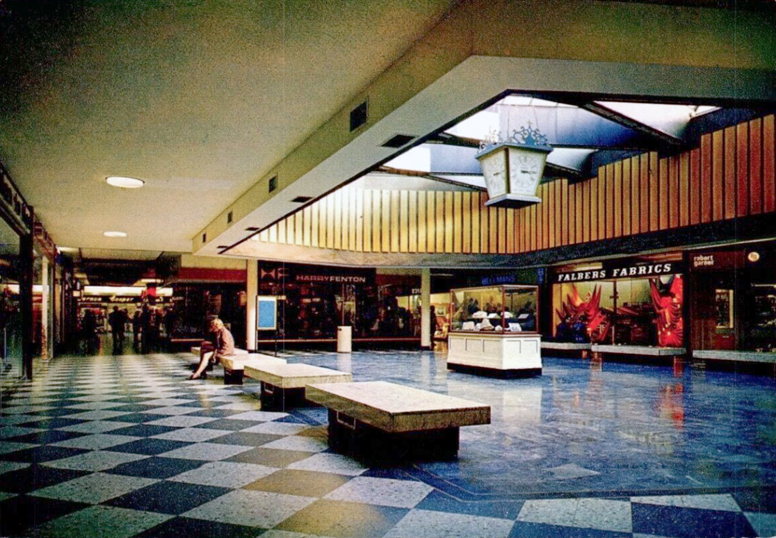
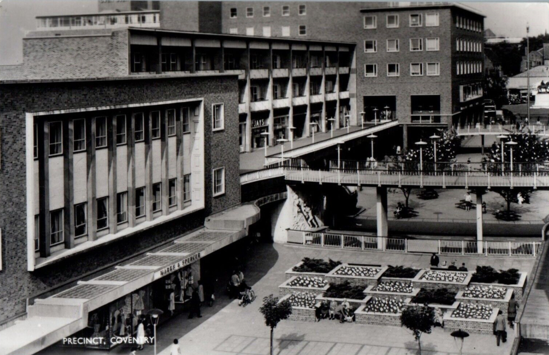
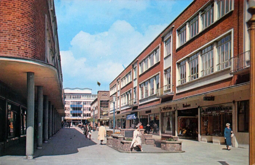
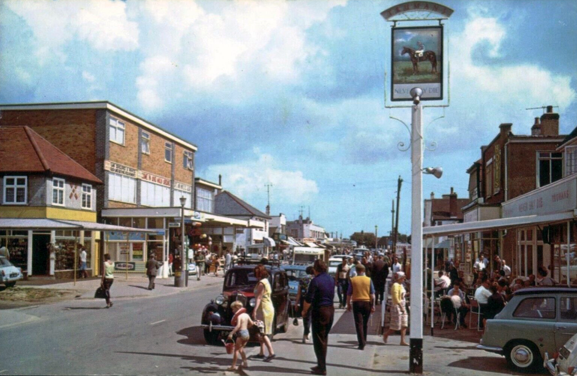
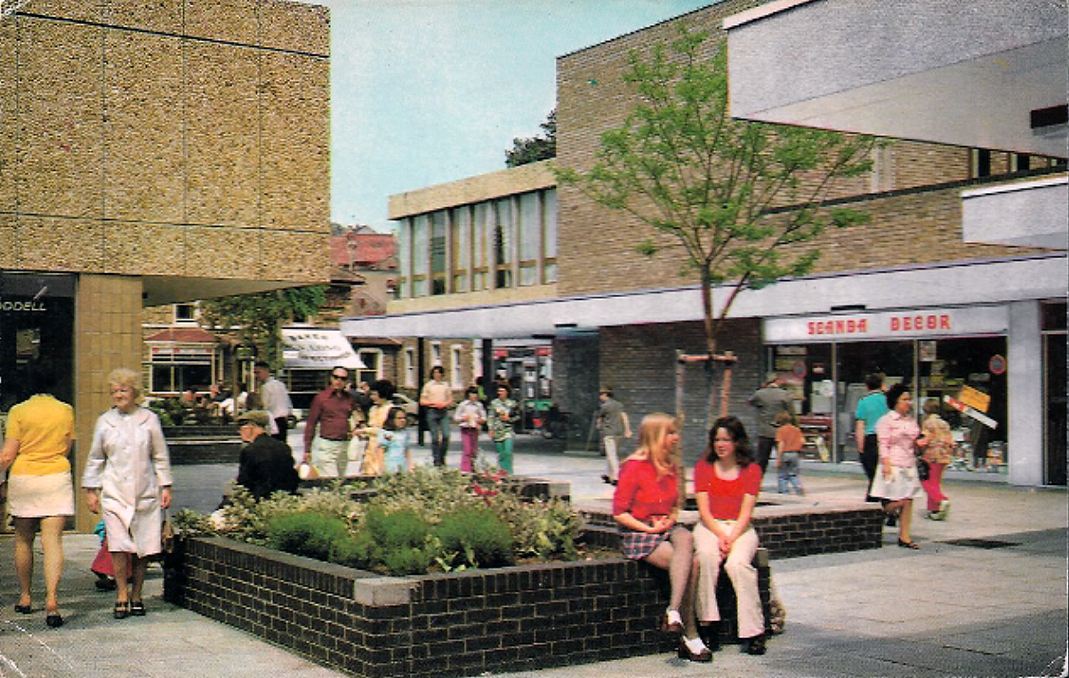
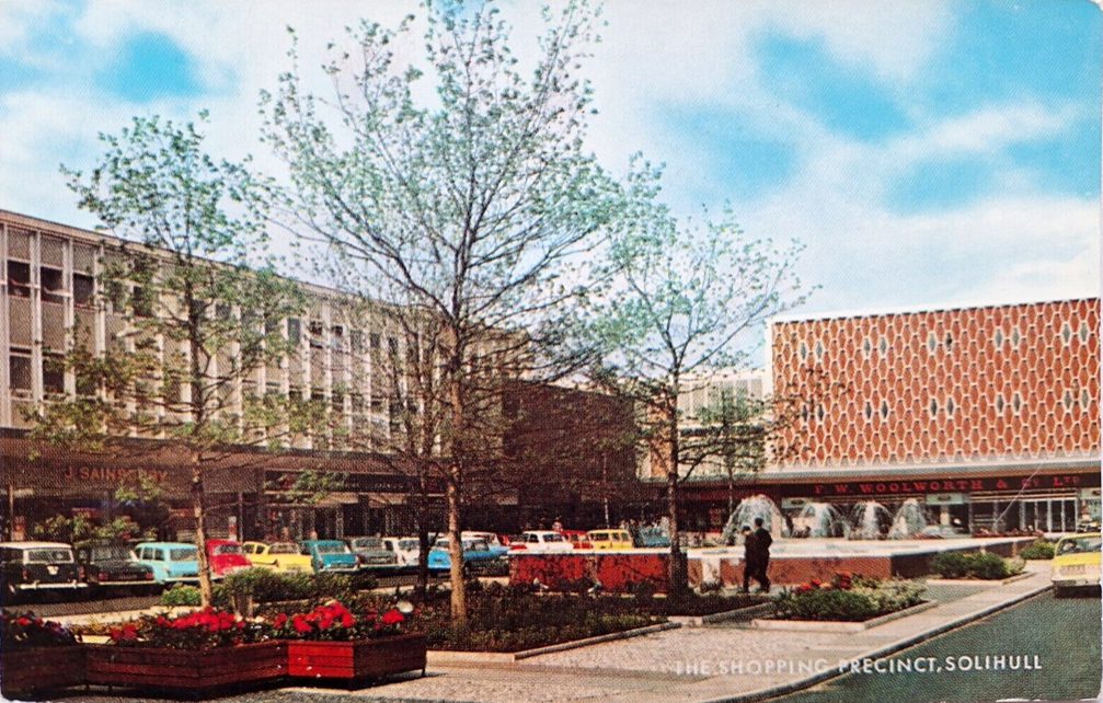
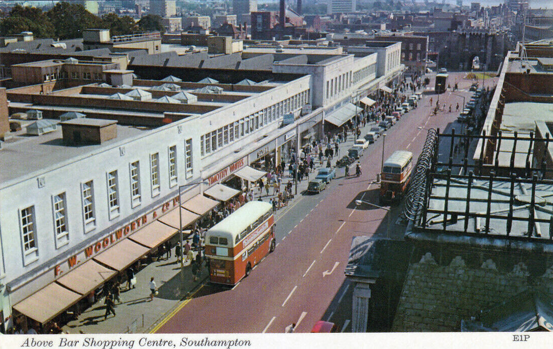
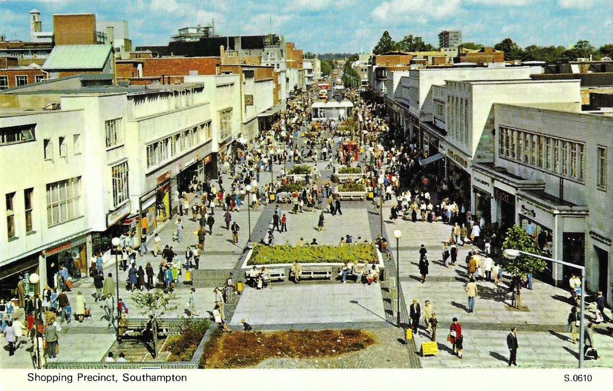
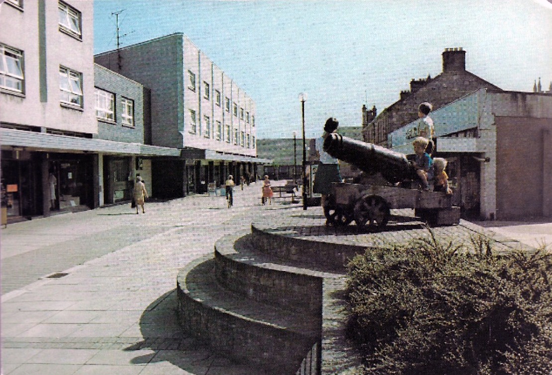
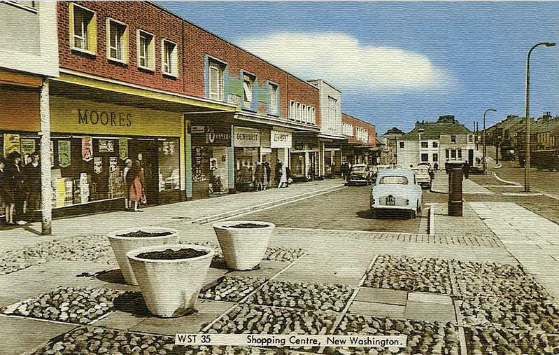
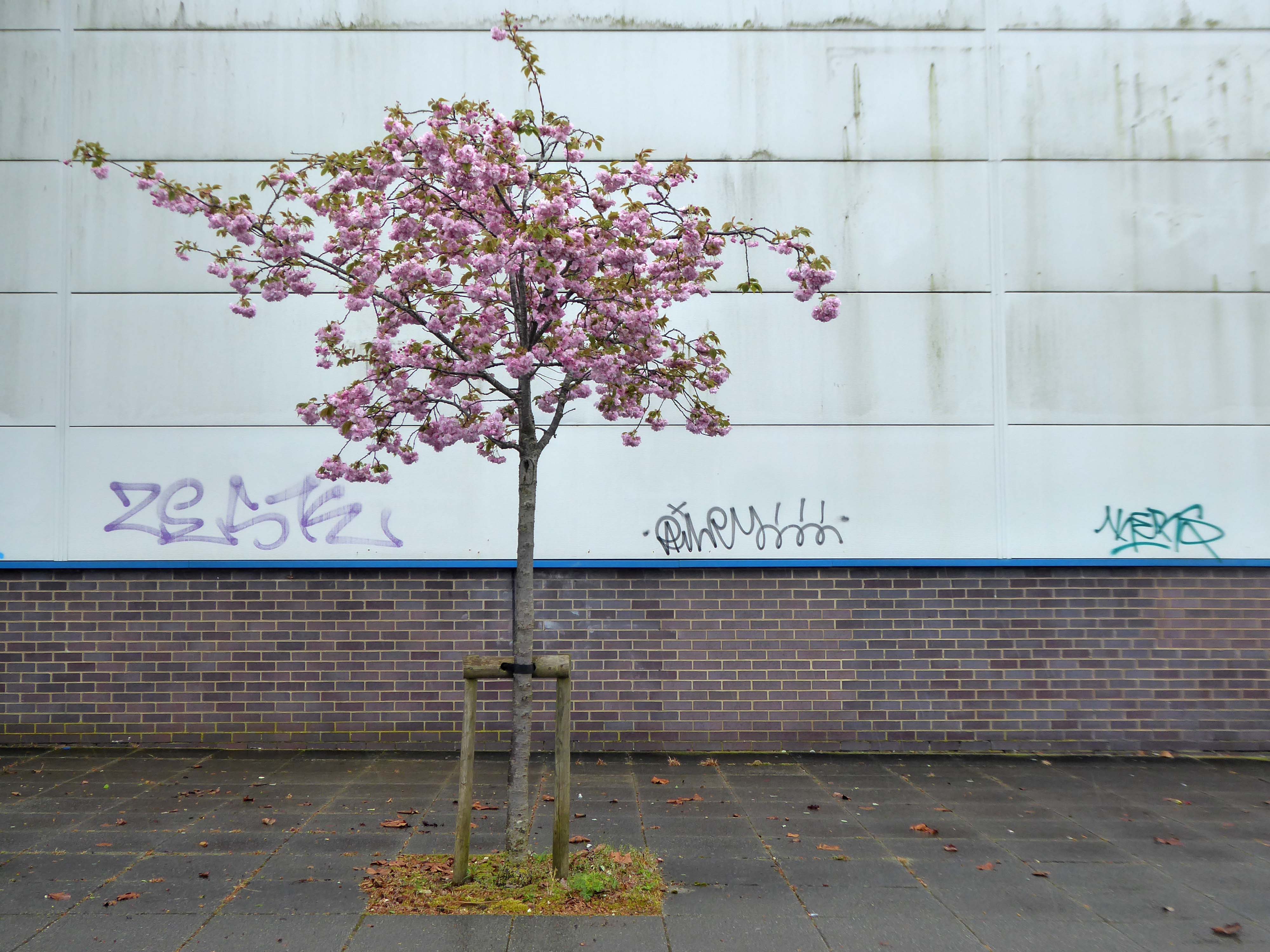
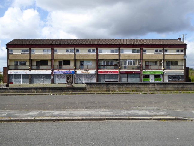
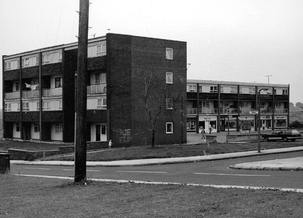
It all began way back when I was a raw youth living in Ashton under Lyne – the precinct was our playground, cycling and running, often against the grain, up and down the travelator.
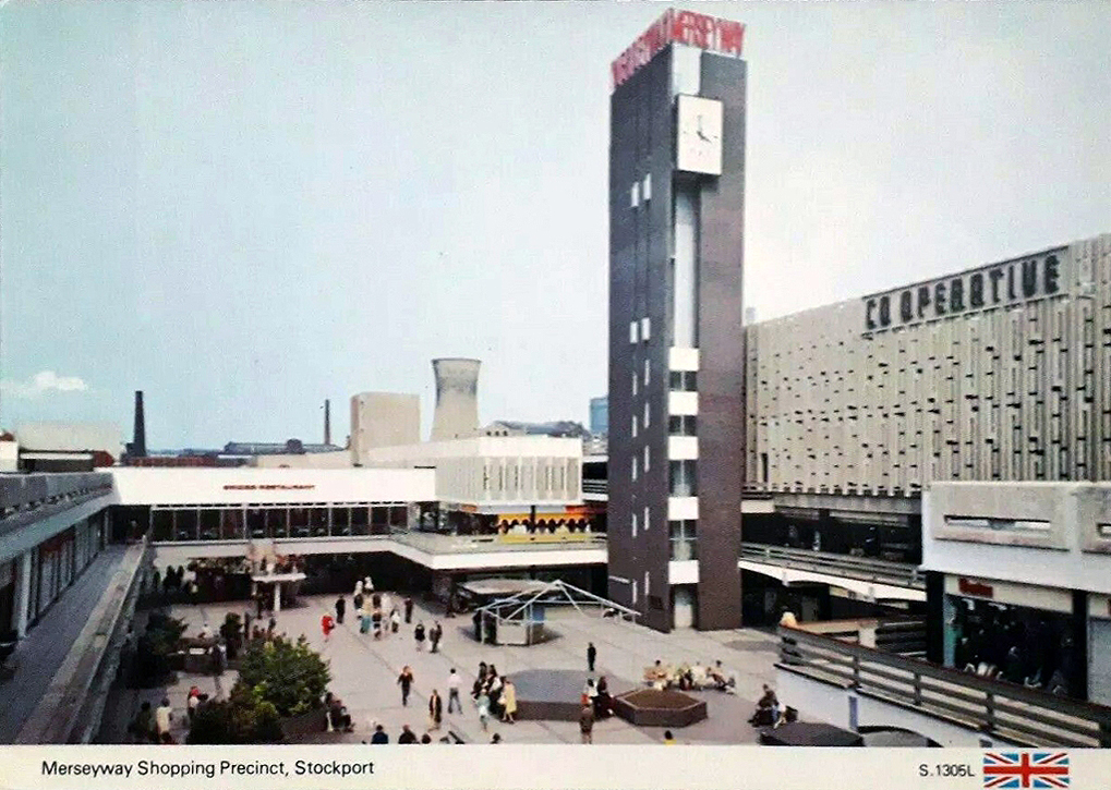
Some sixty years later I am still enthralled by the nation’s shopping precincts – including the very local Merseyway.
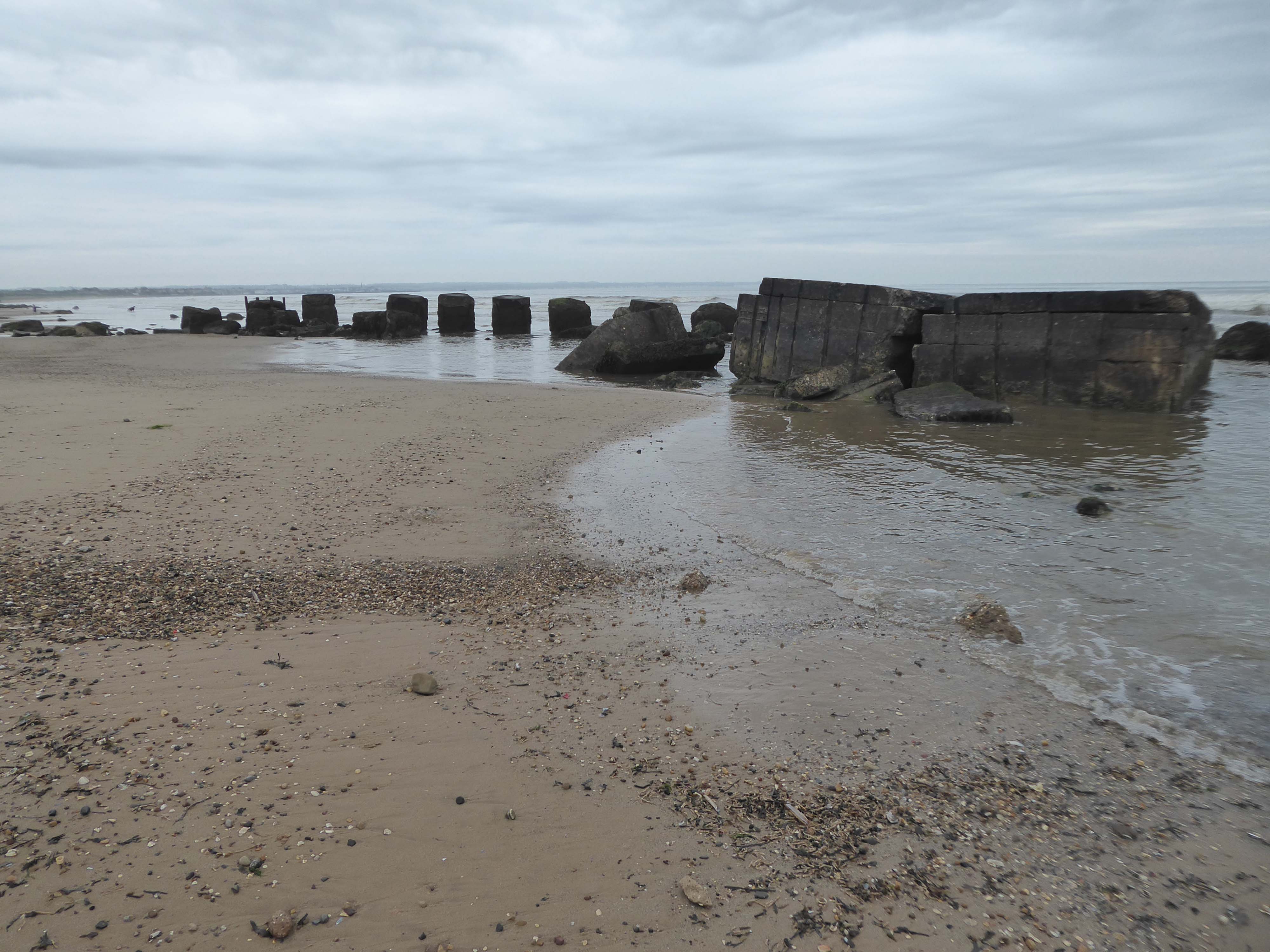
The last post on the concrete coast was from Filey
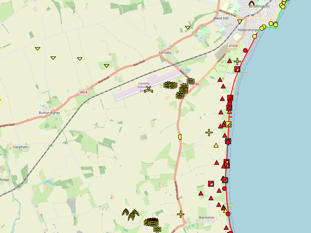
Now we’re heading south to Bridlington and beyond.
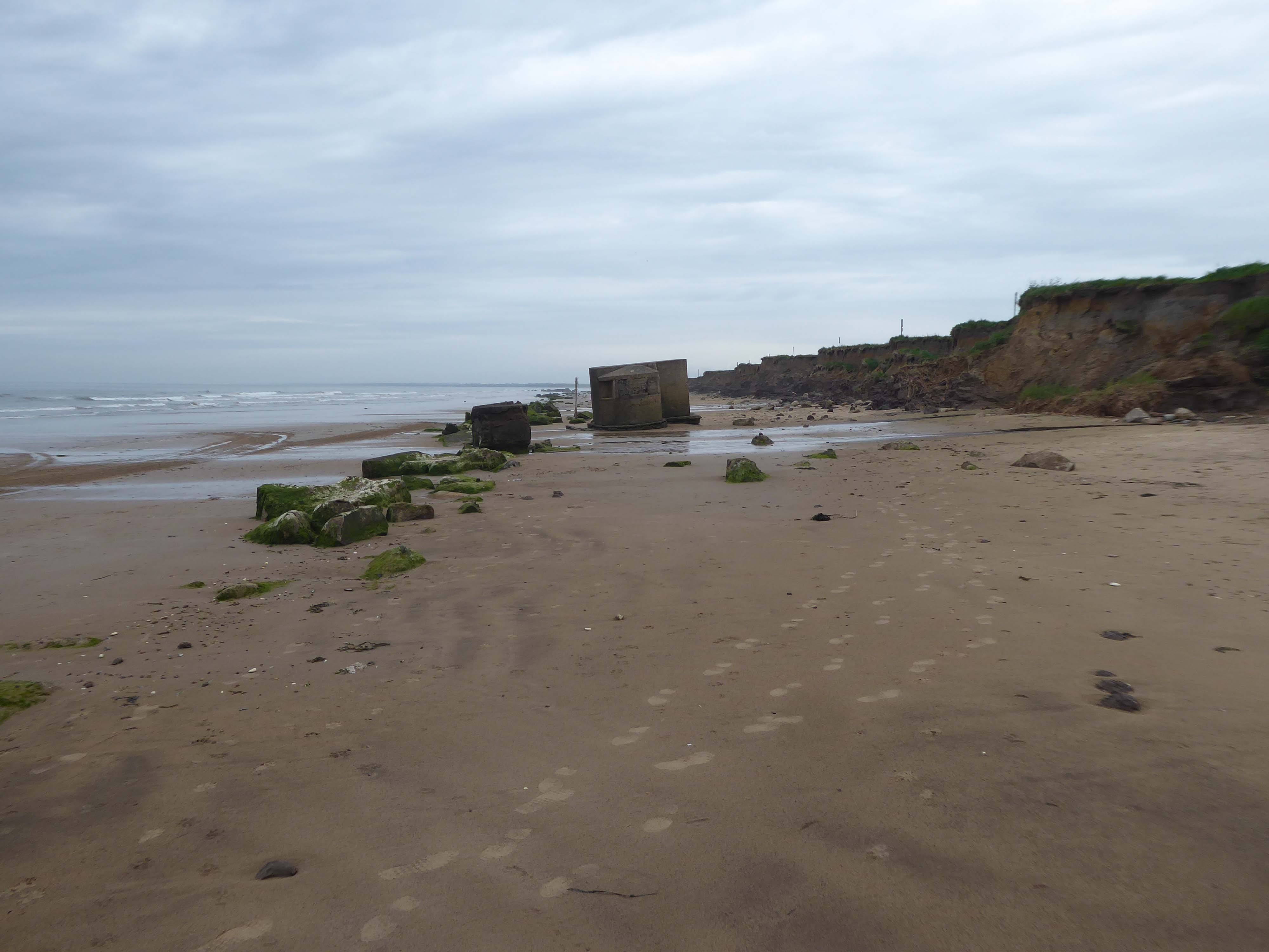
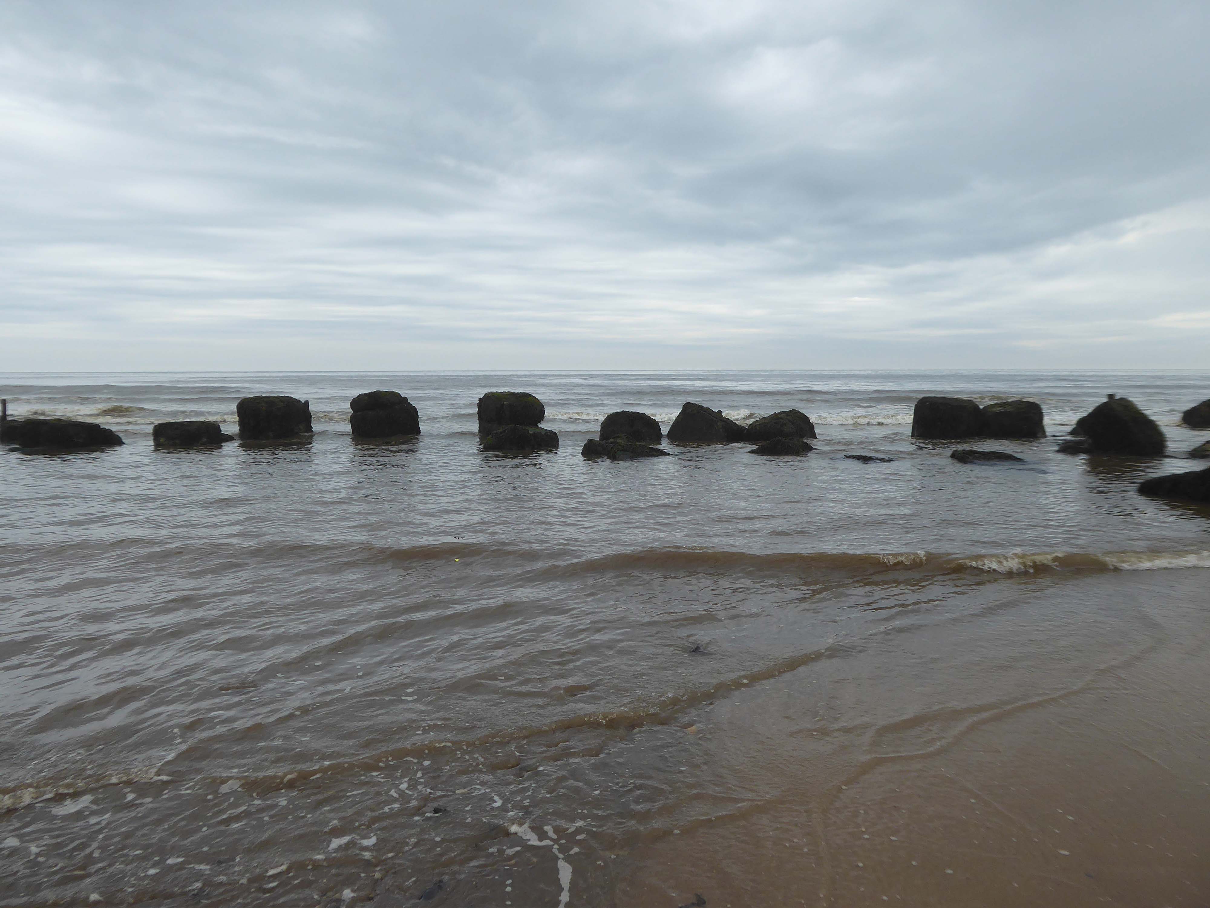
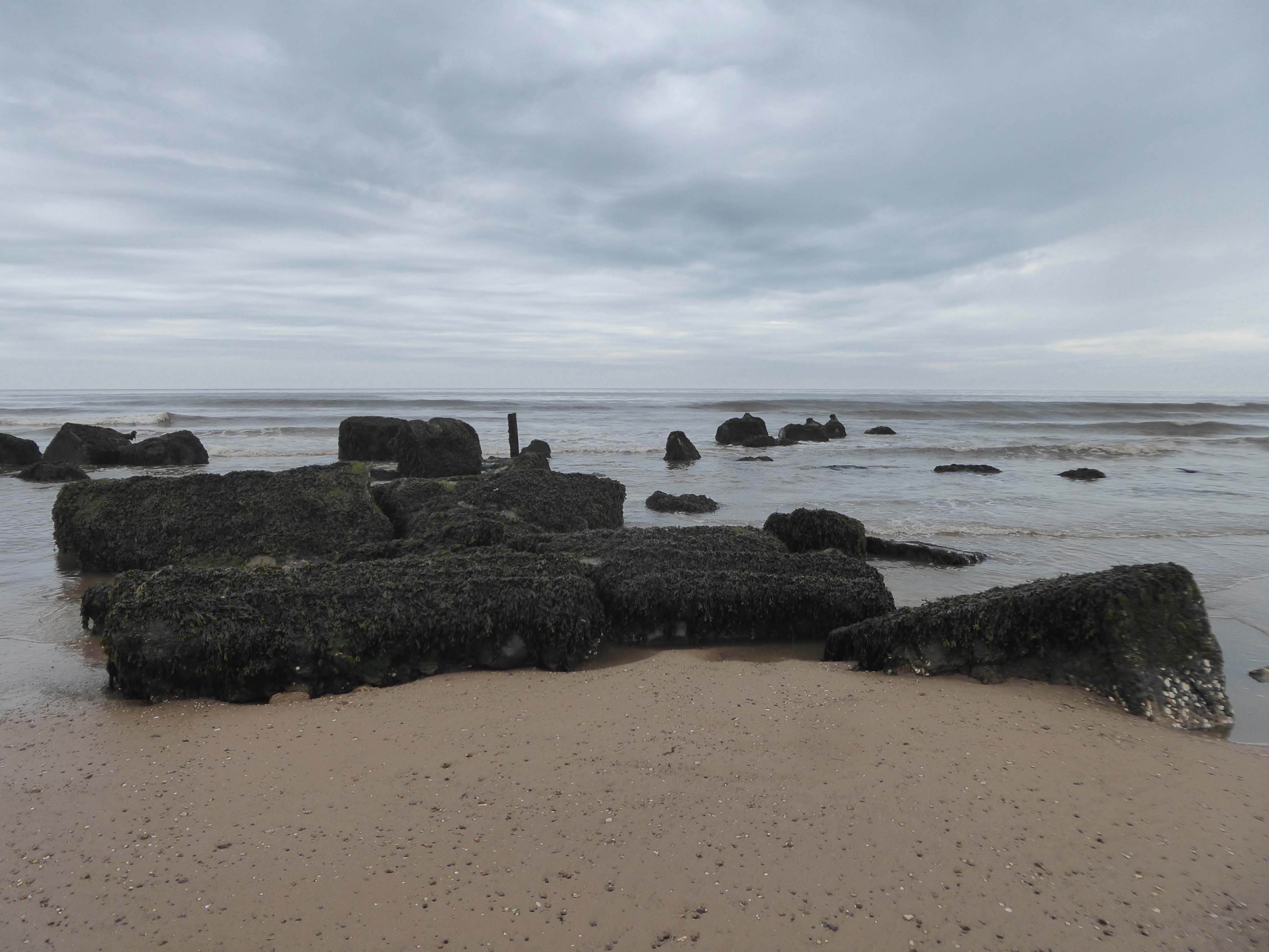
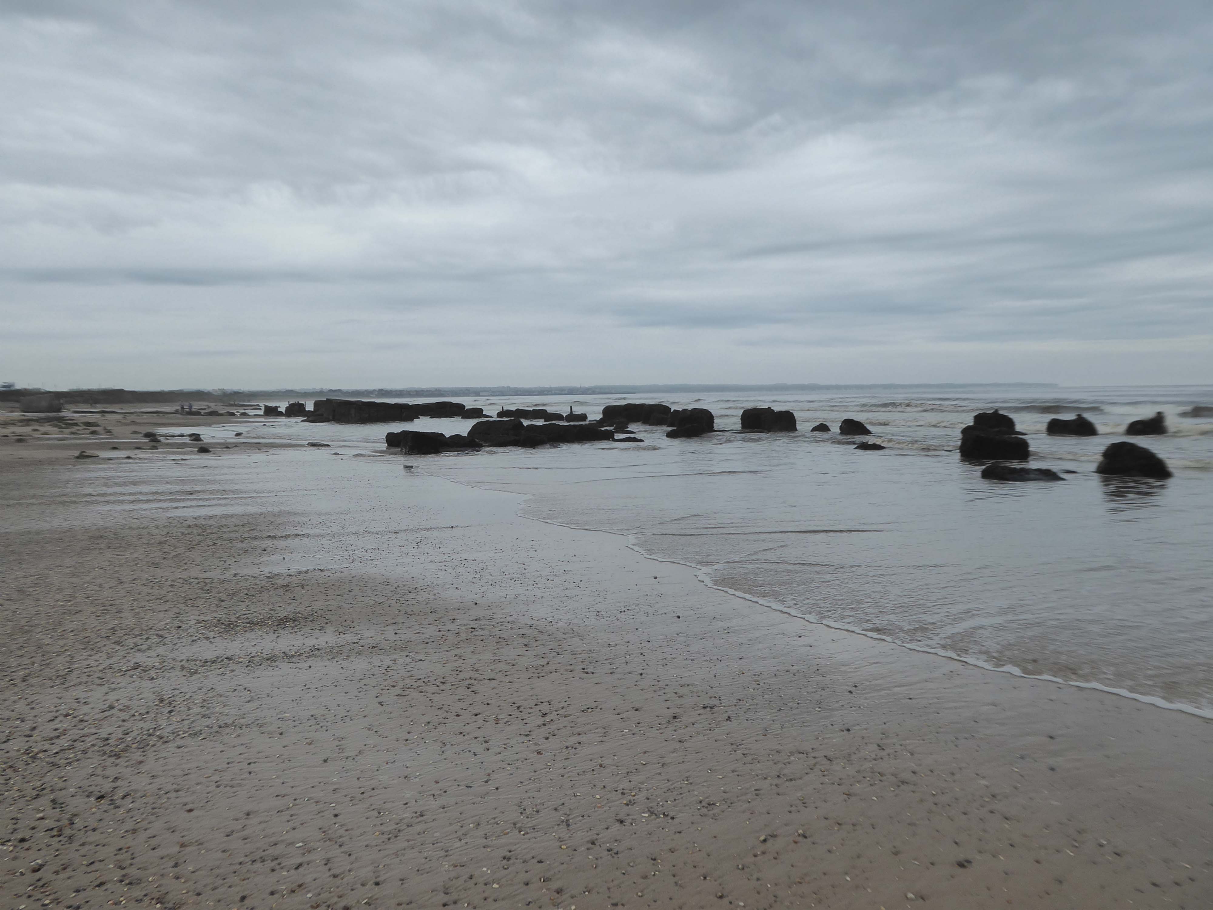
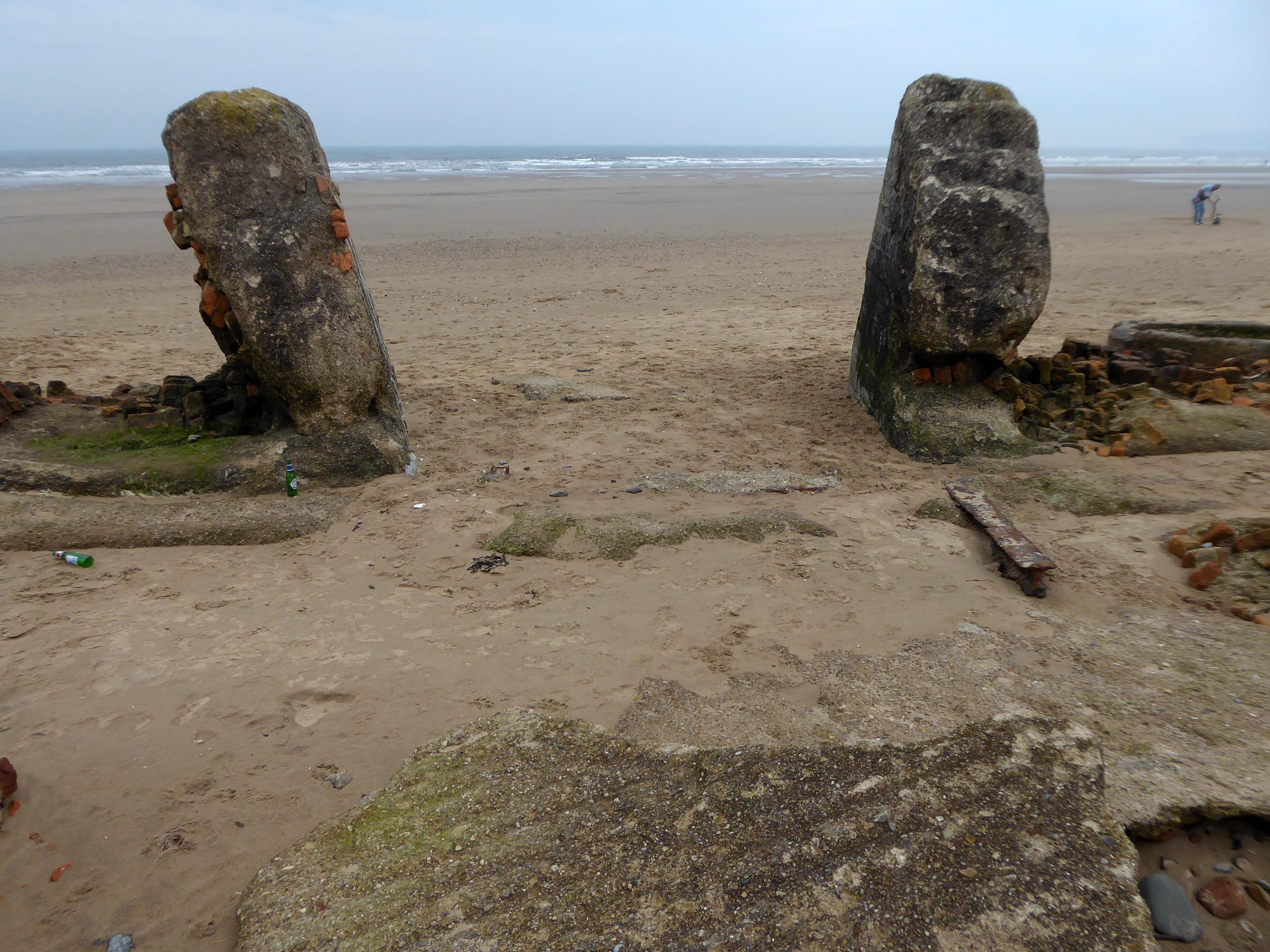
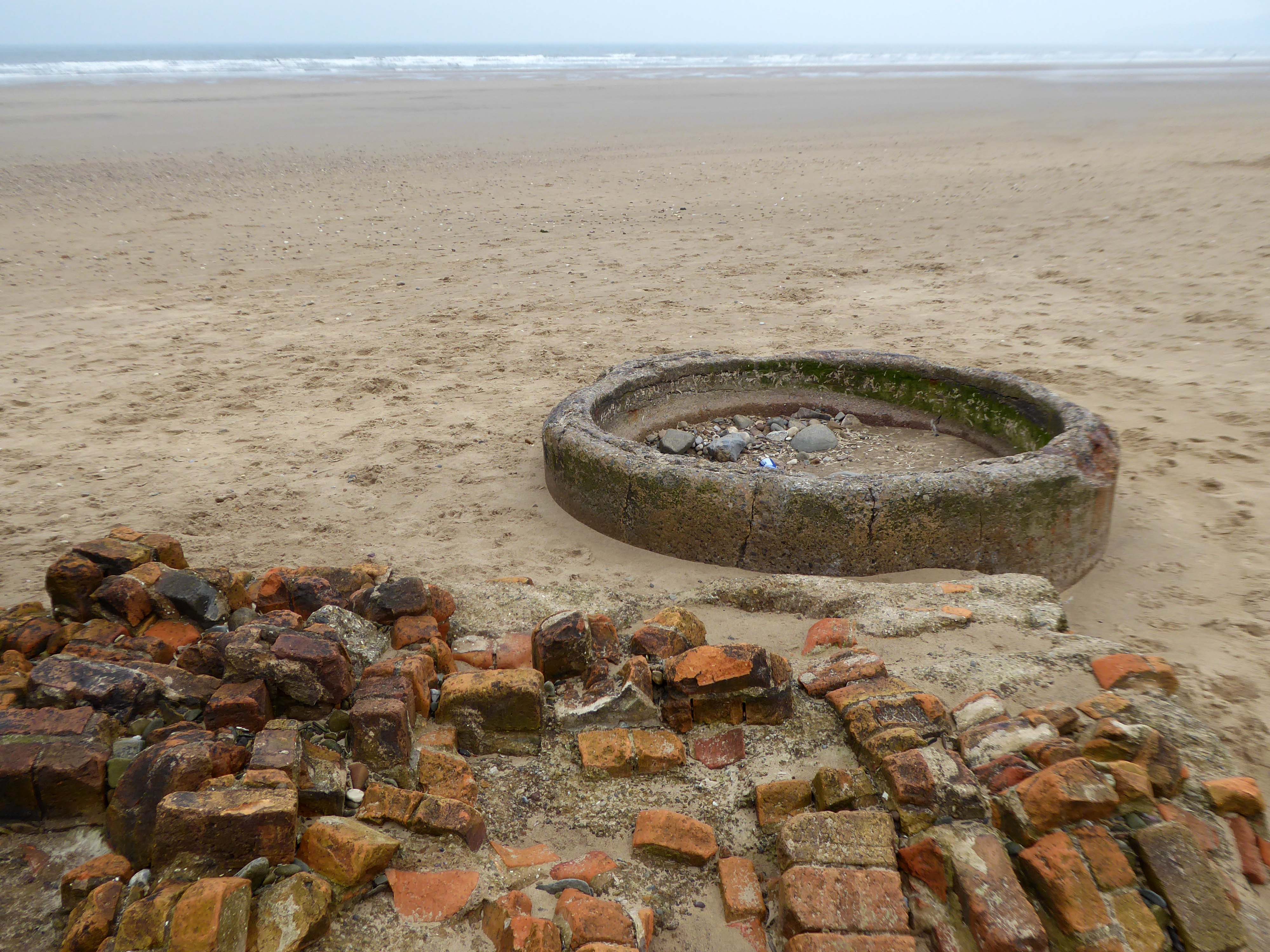
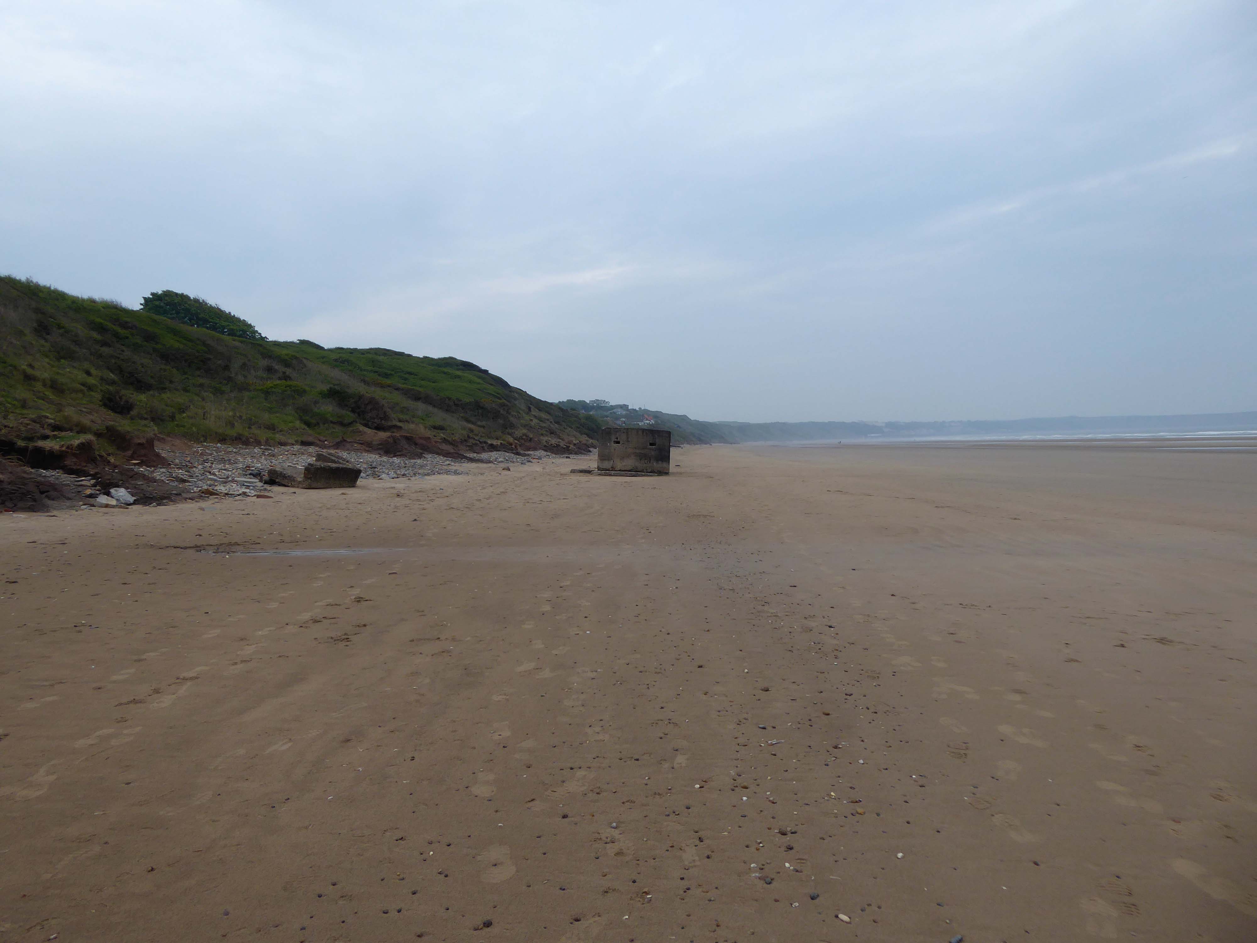
Where we find another dense cluster of sea defences, some but not all extant.
After the south coast, both East Anglia and the Yorkshire Coastline were identified as vulnerable to invasion. Bridlington Bay, was and ideal location for an invasion; flat sandy beaches for amphibious landing crafts, above the foreshore flat landscapes perfect for tanks and gliders to land, an isolated small population with only the residence of Bridlington close by and finally the control of an established port at Bridlington, once it was under German control. According to the Defence of Britain Survey undertaken in the Late 90’s, Northern Command had some of the best defend beaches in the country, this includes Bridlington.
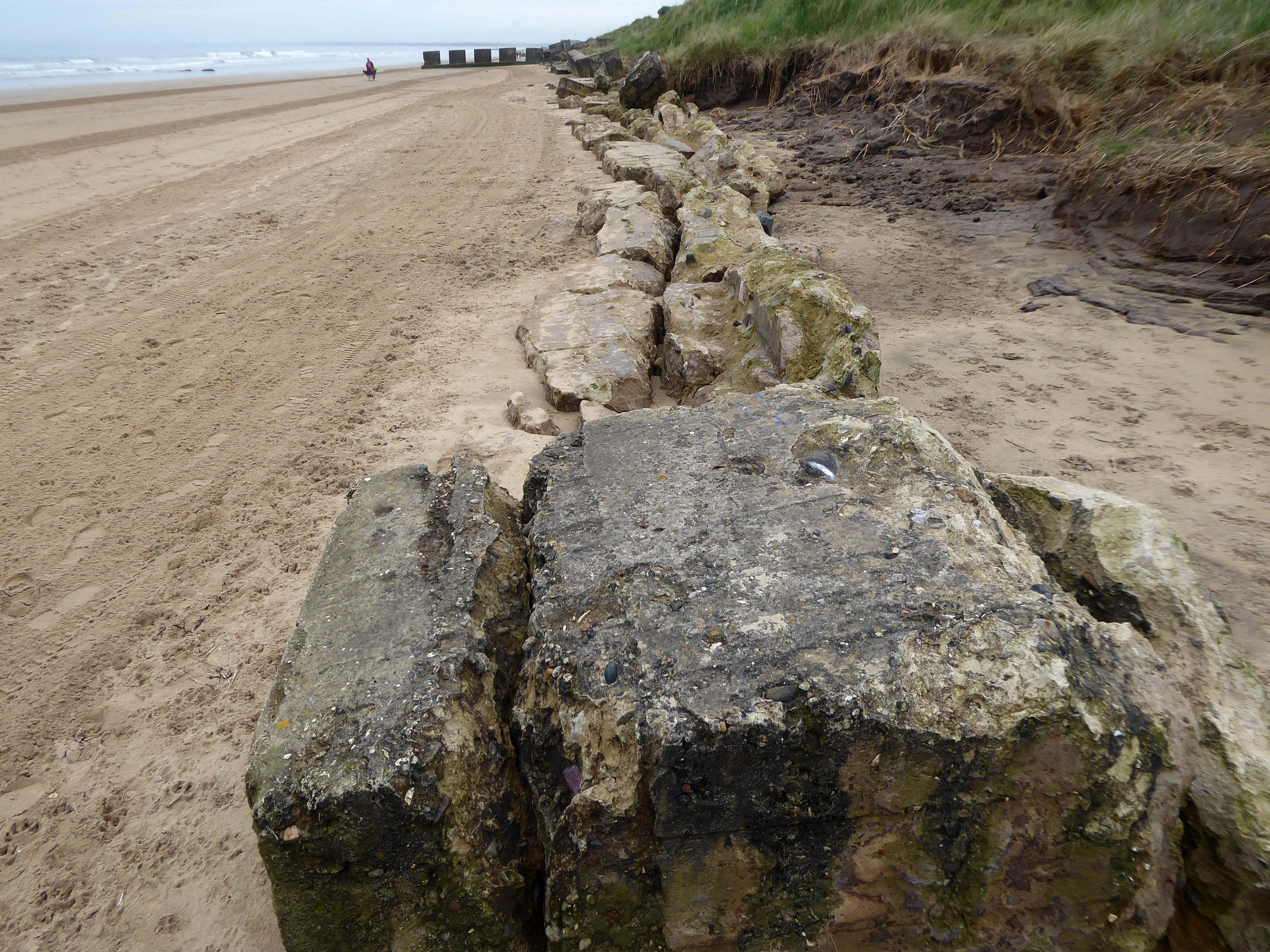
Here there are forces, past and present, at work shaping the landscape and the manmade addenda.
The remorseless waves, wind and rain eroding the coastal clay and contorted concrete.
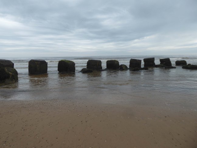
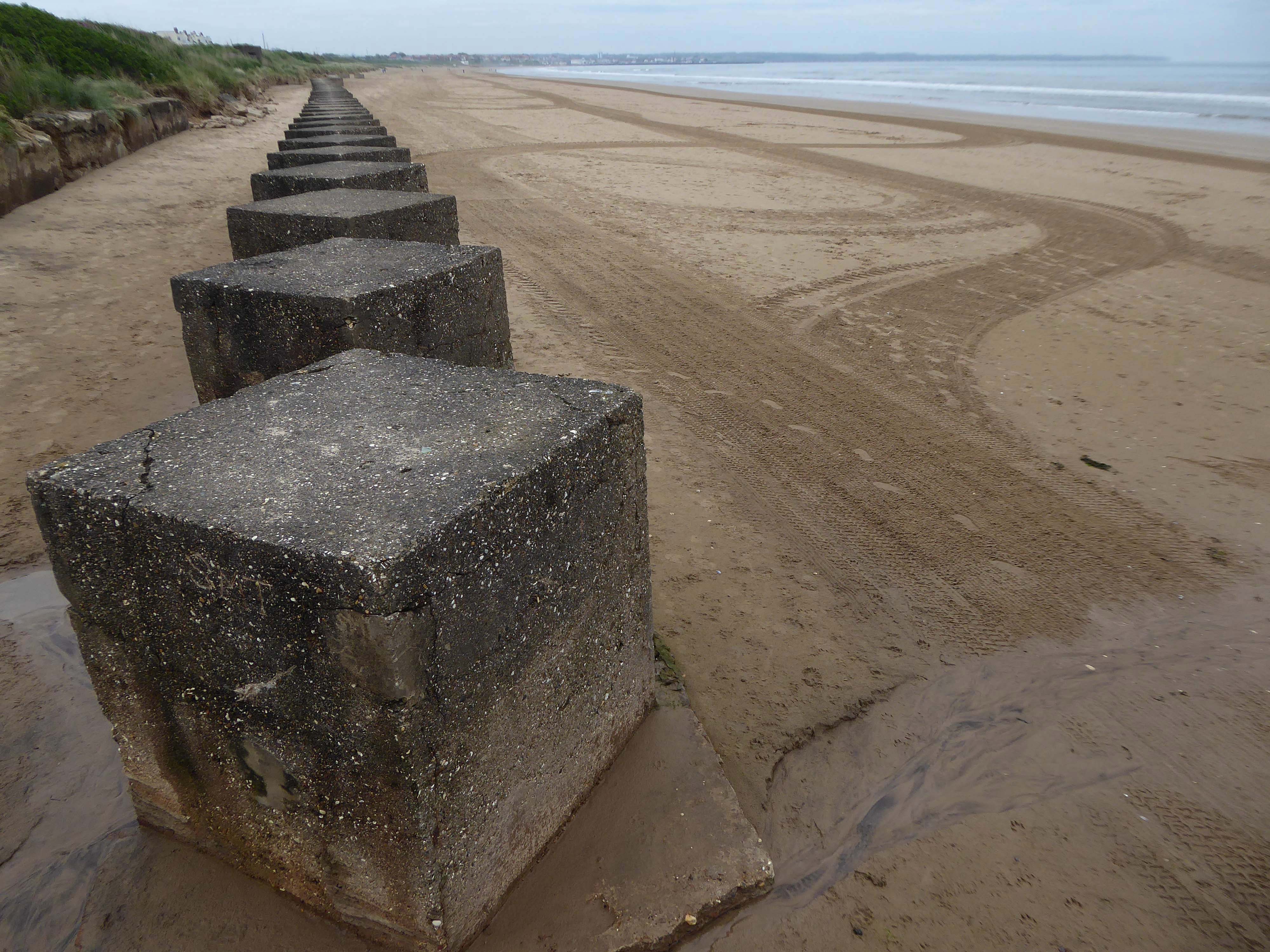
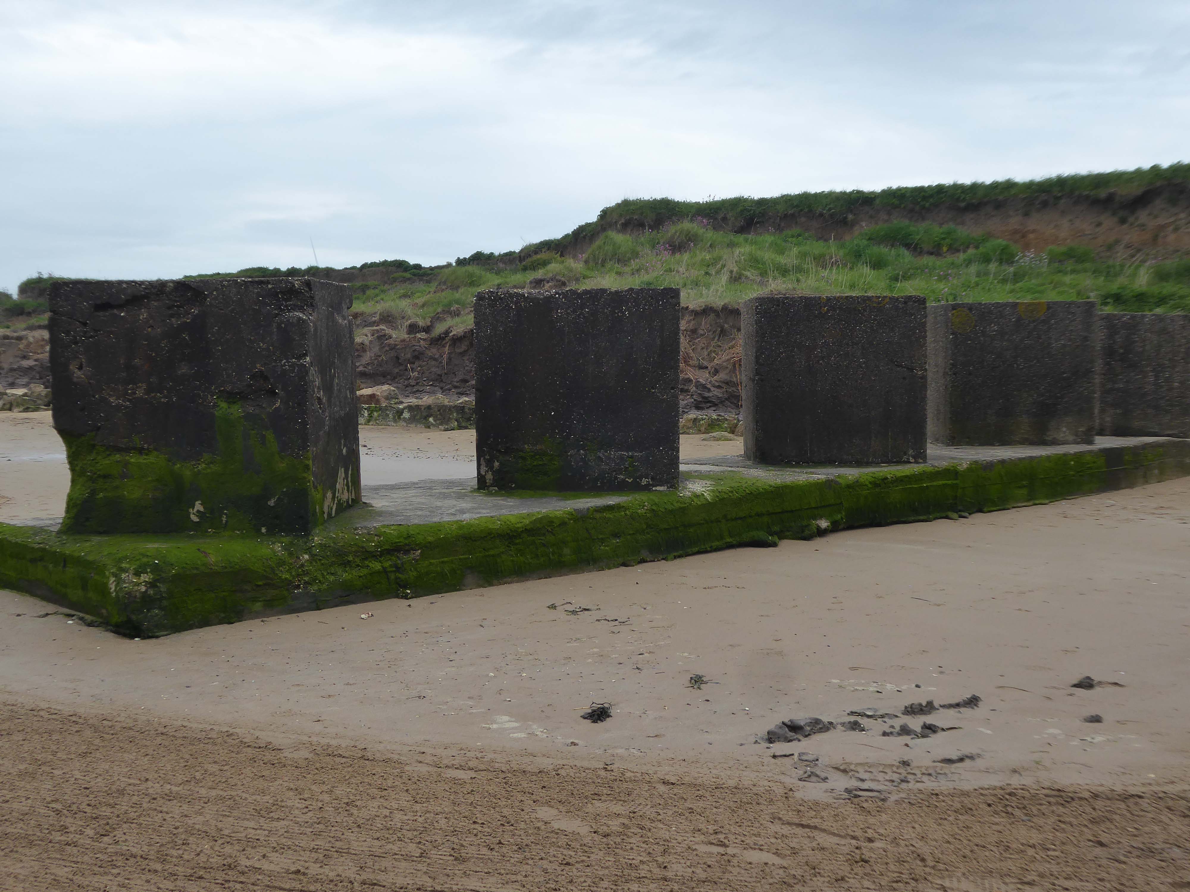
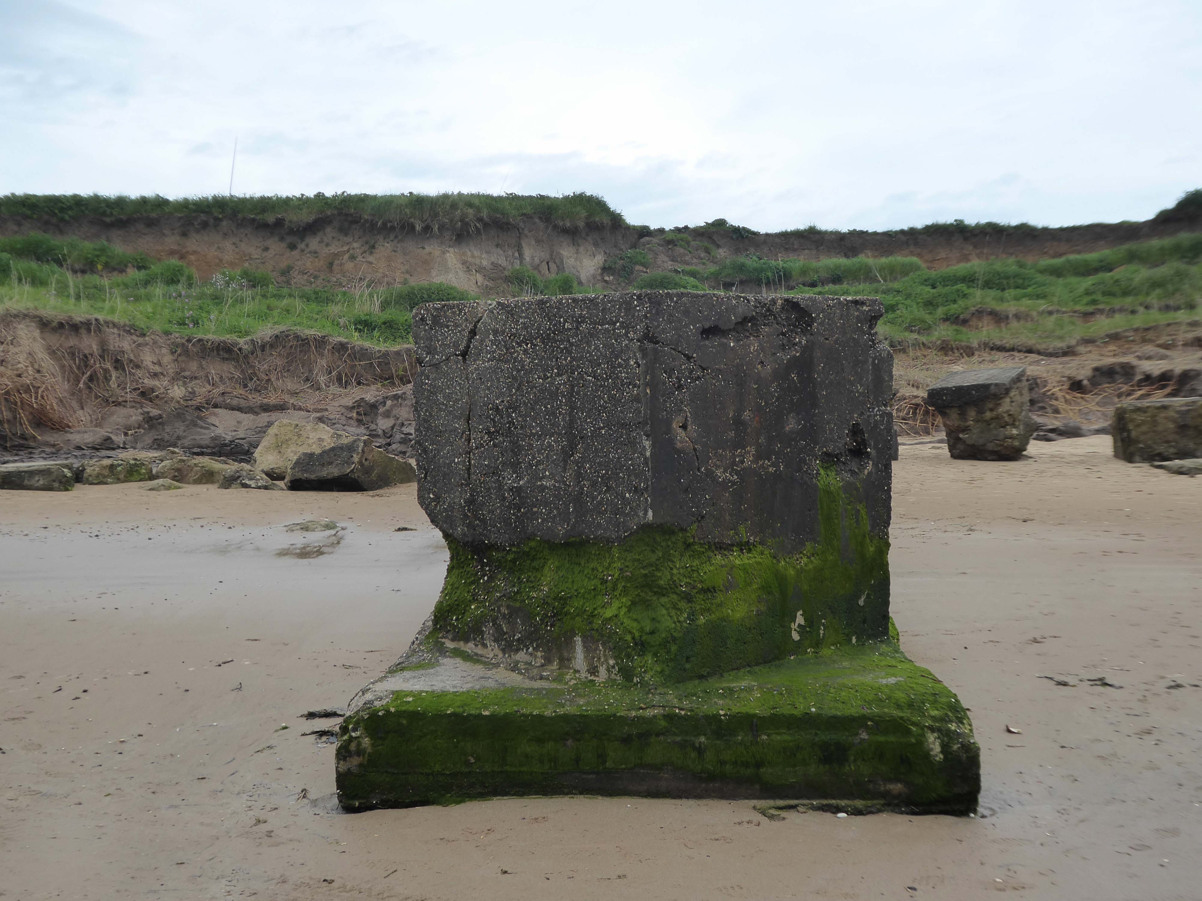
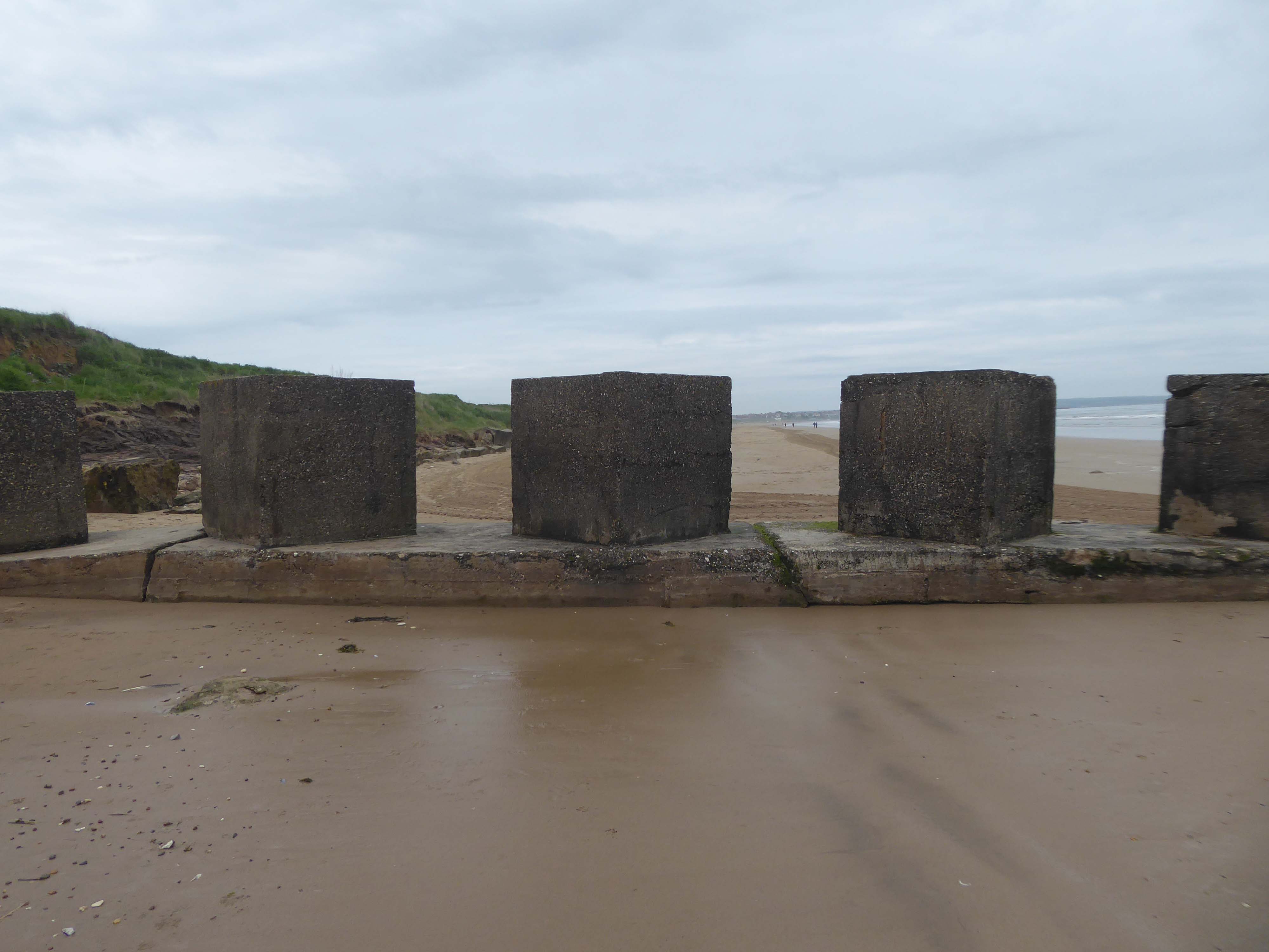
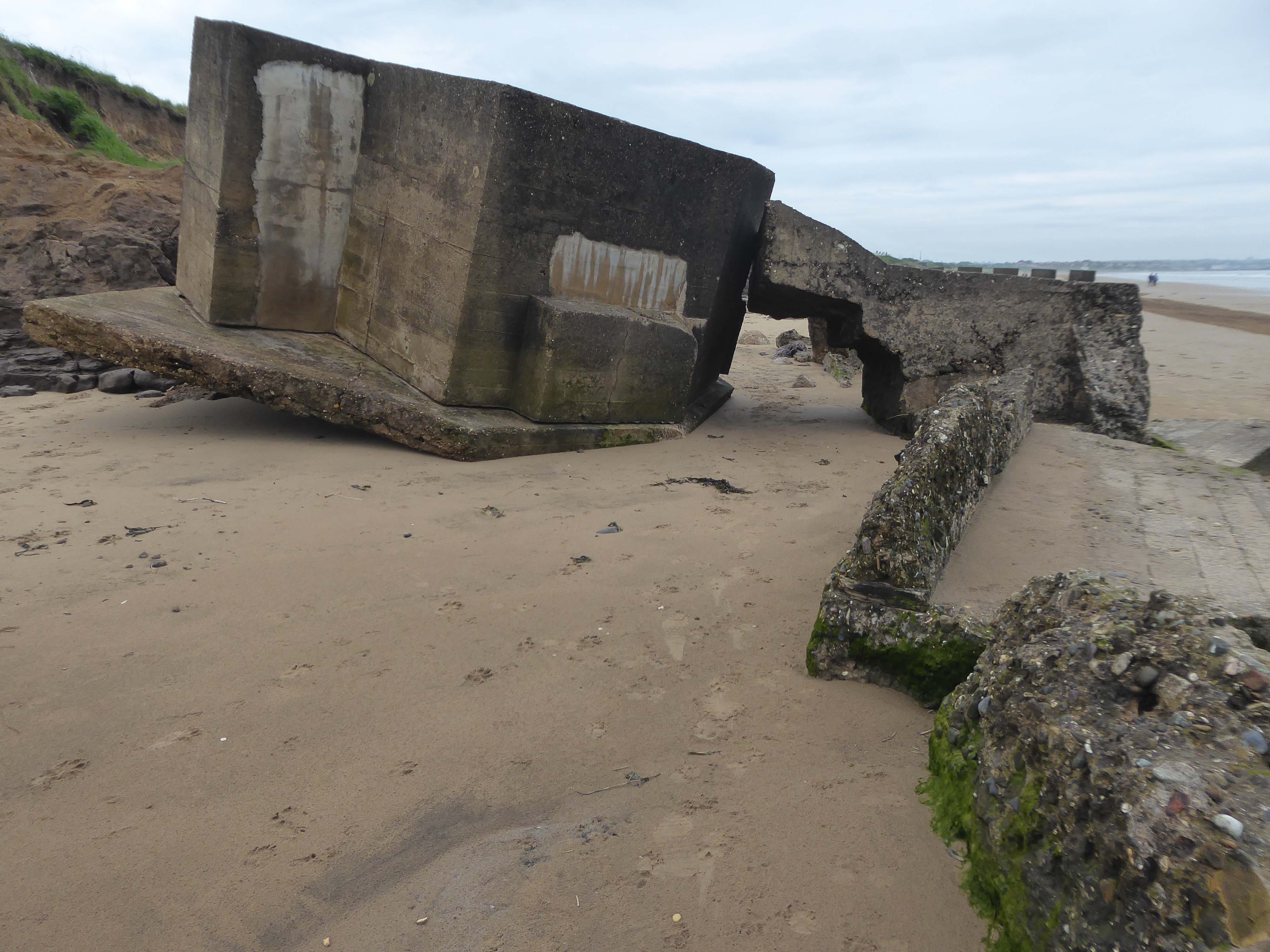
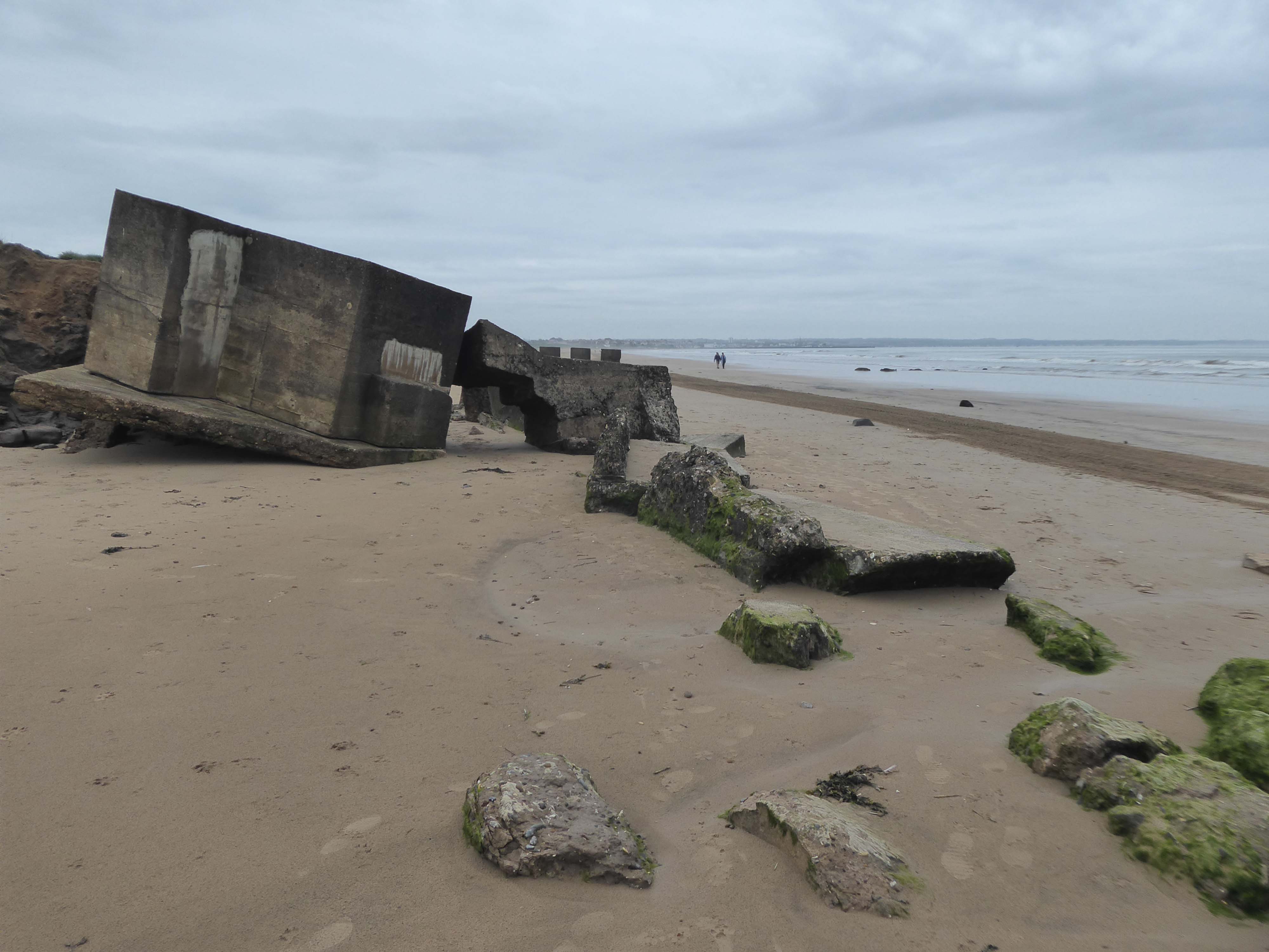
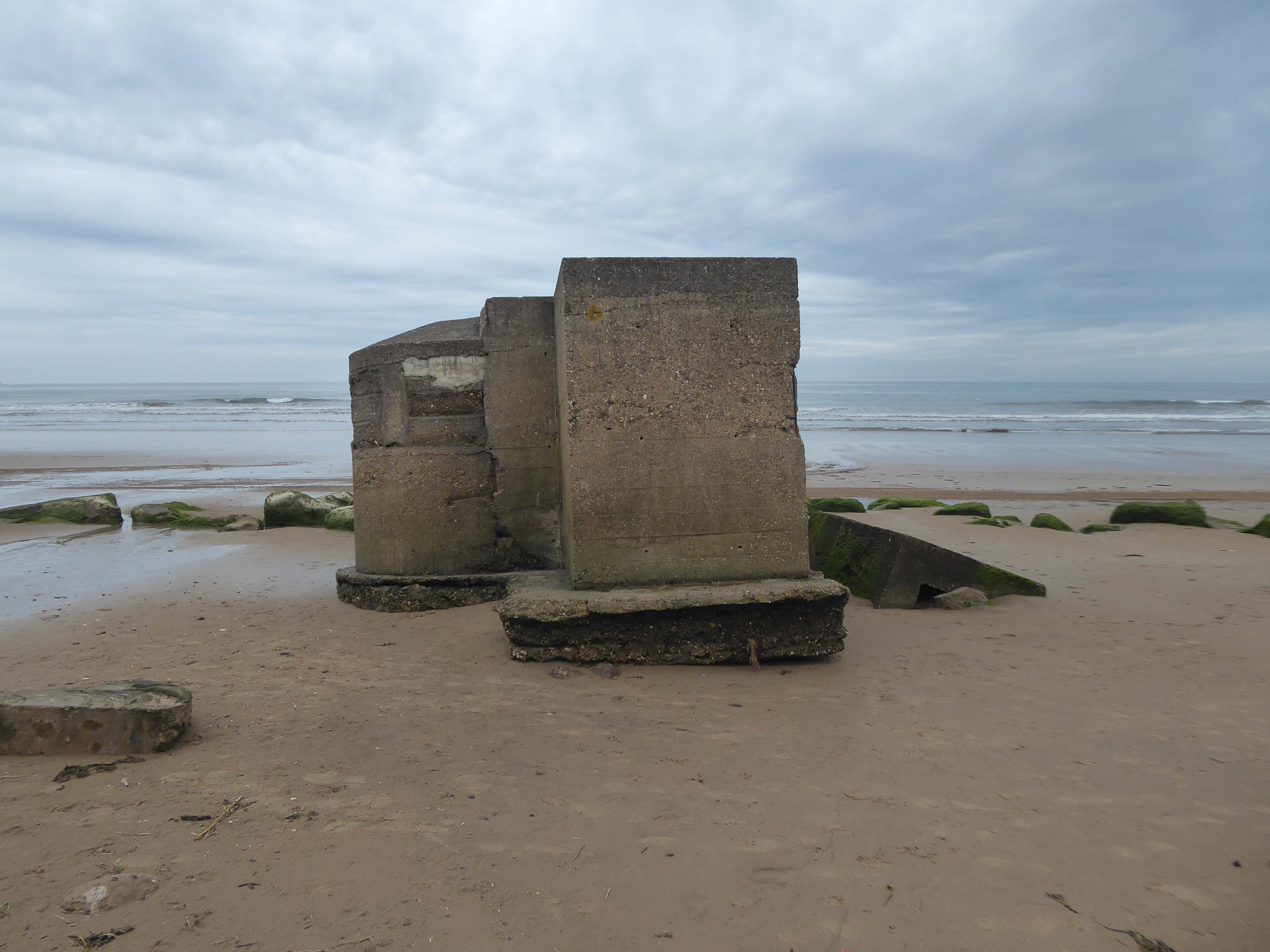
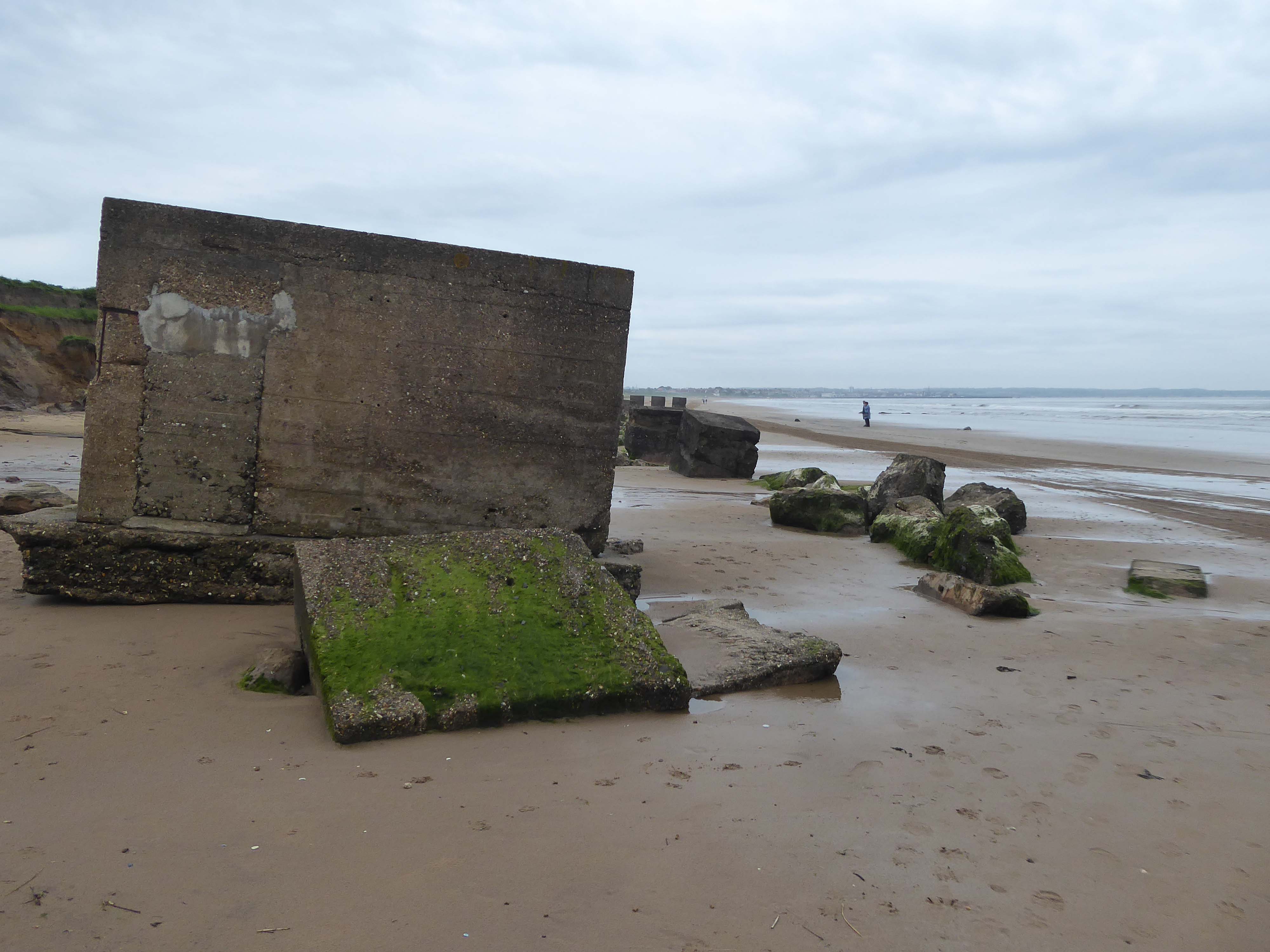
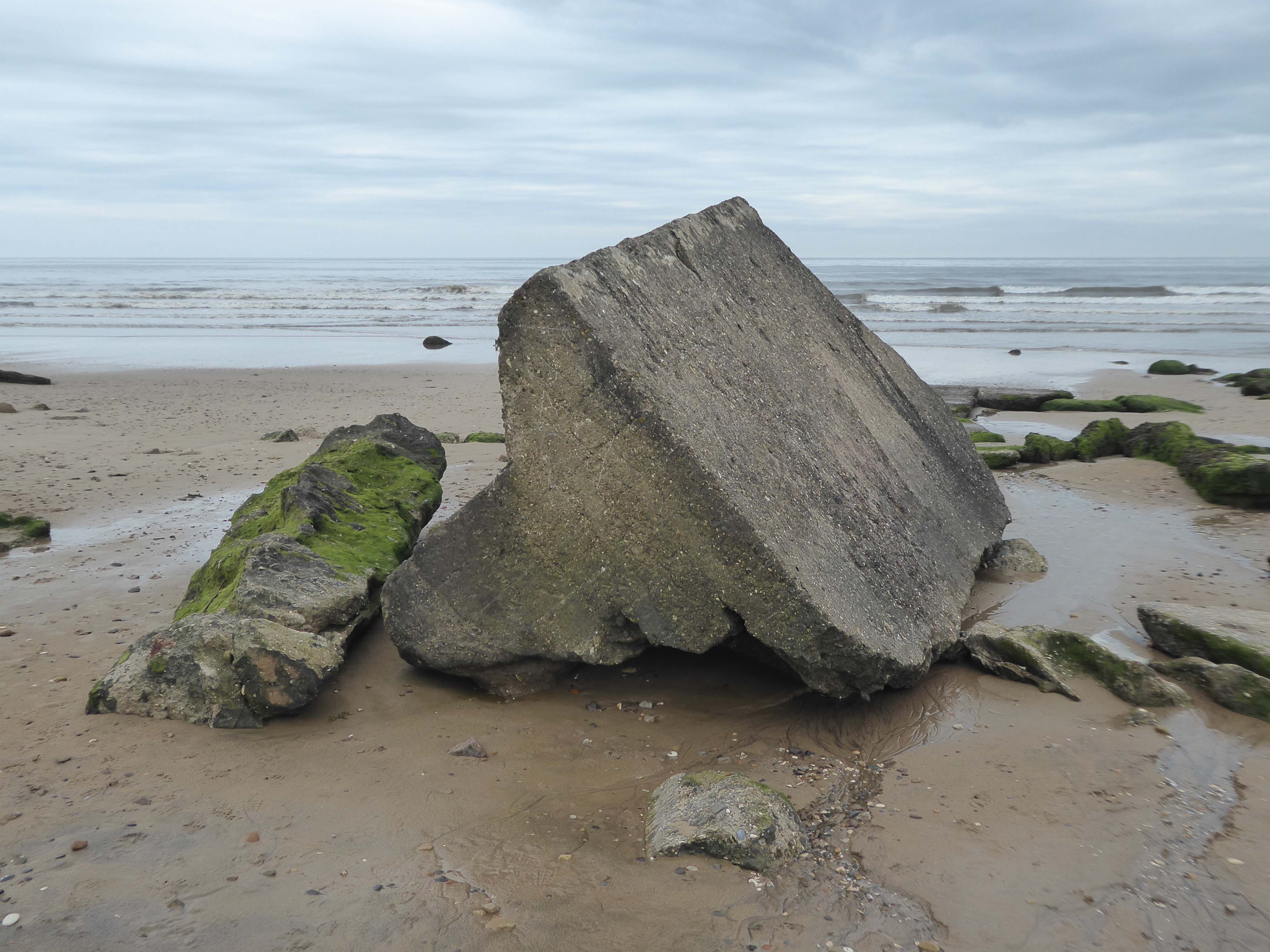
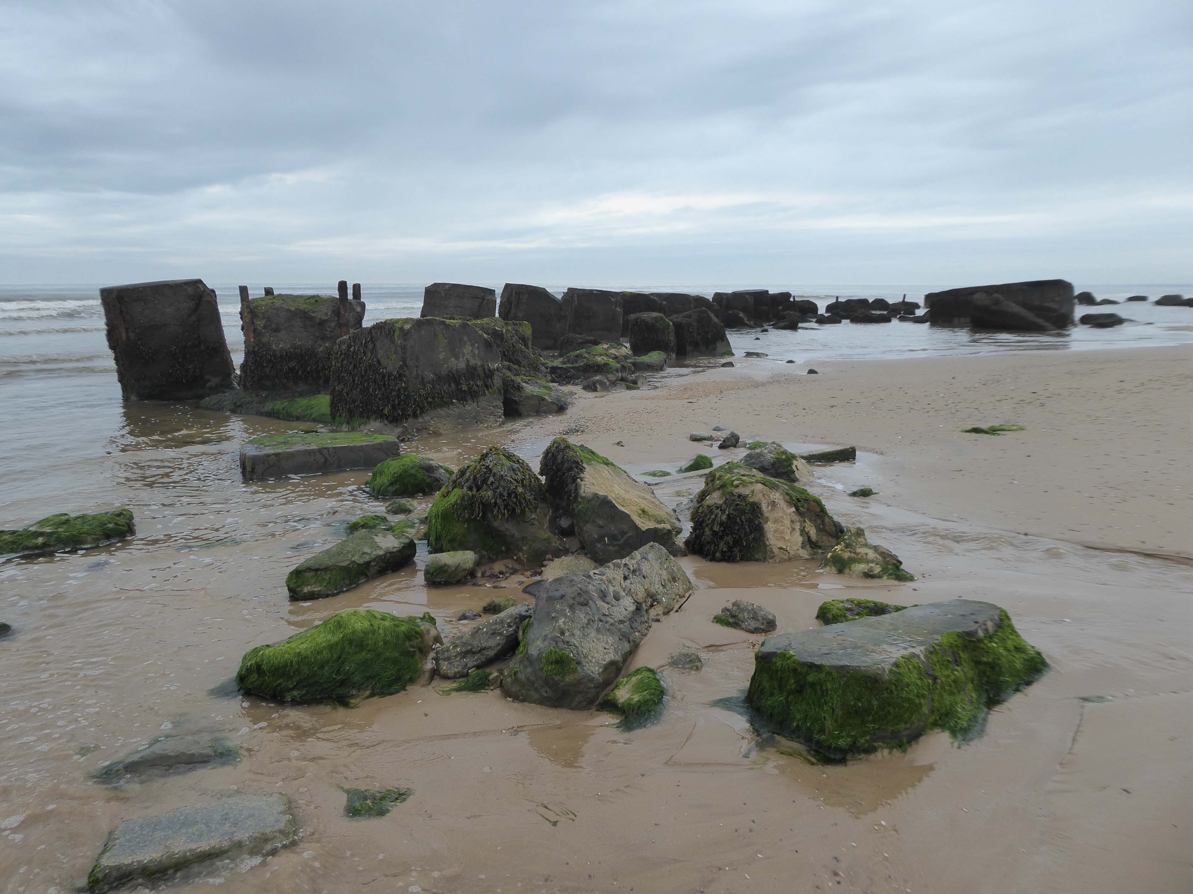
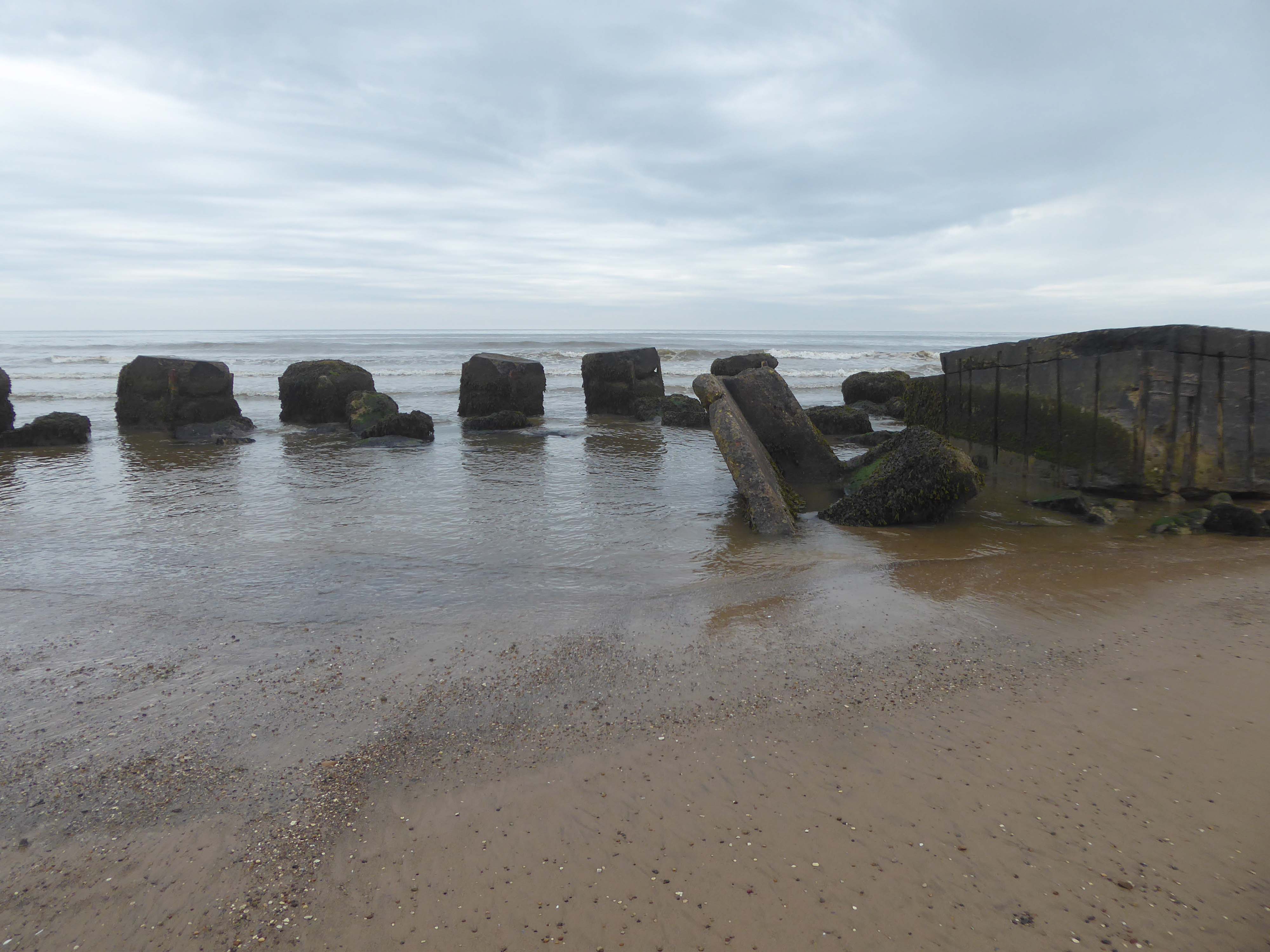
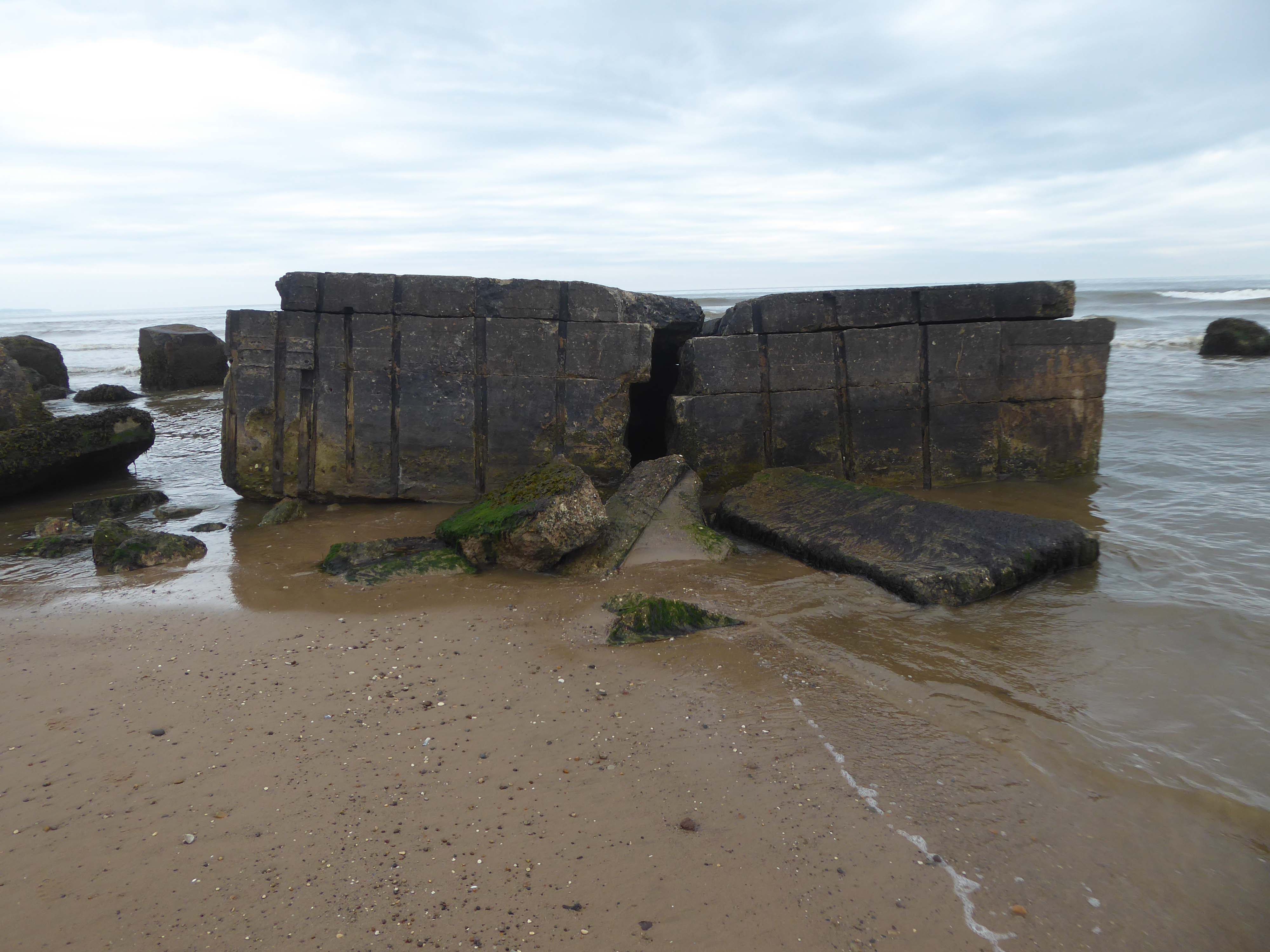
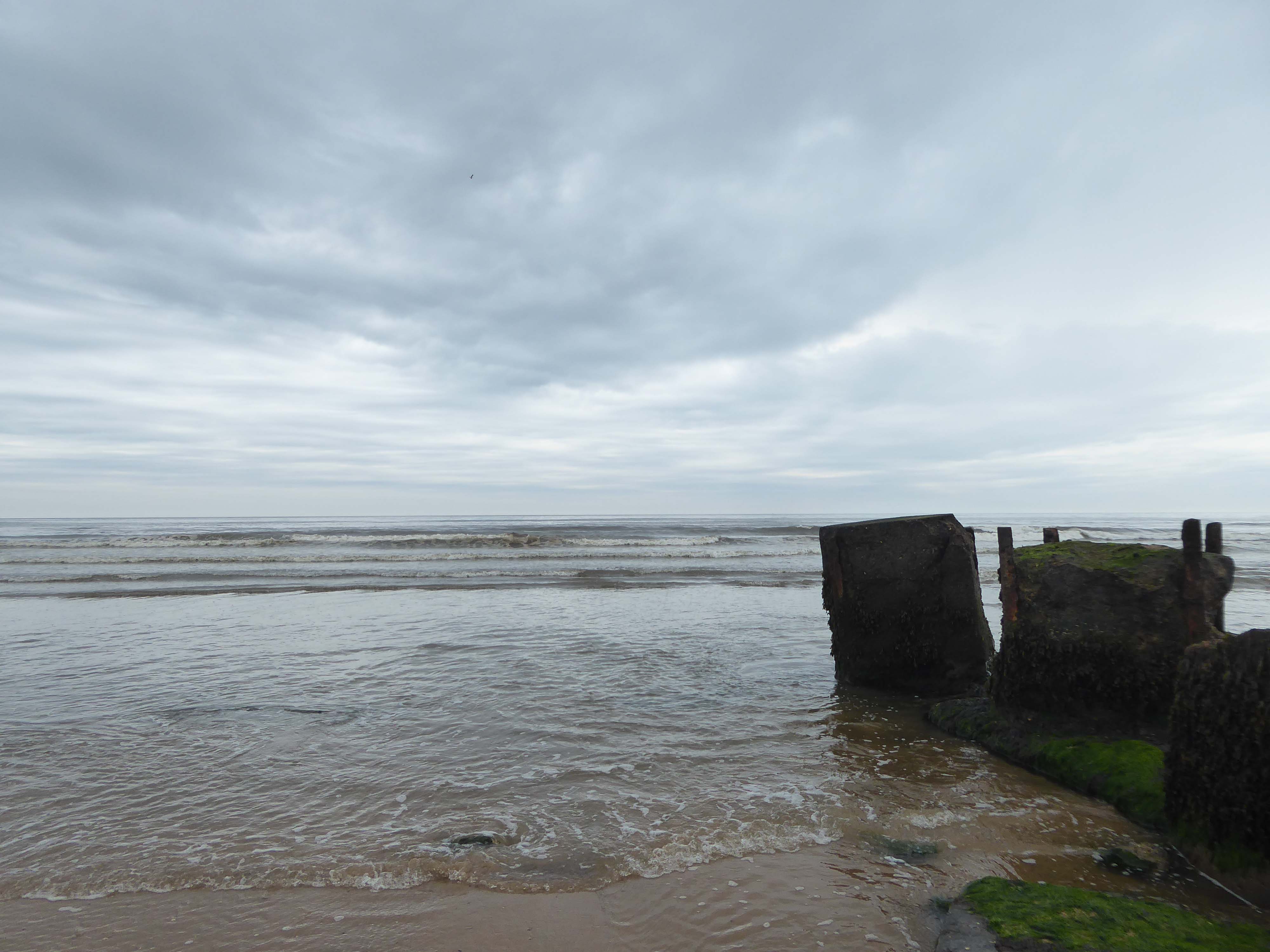
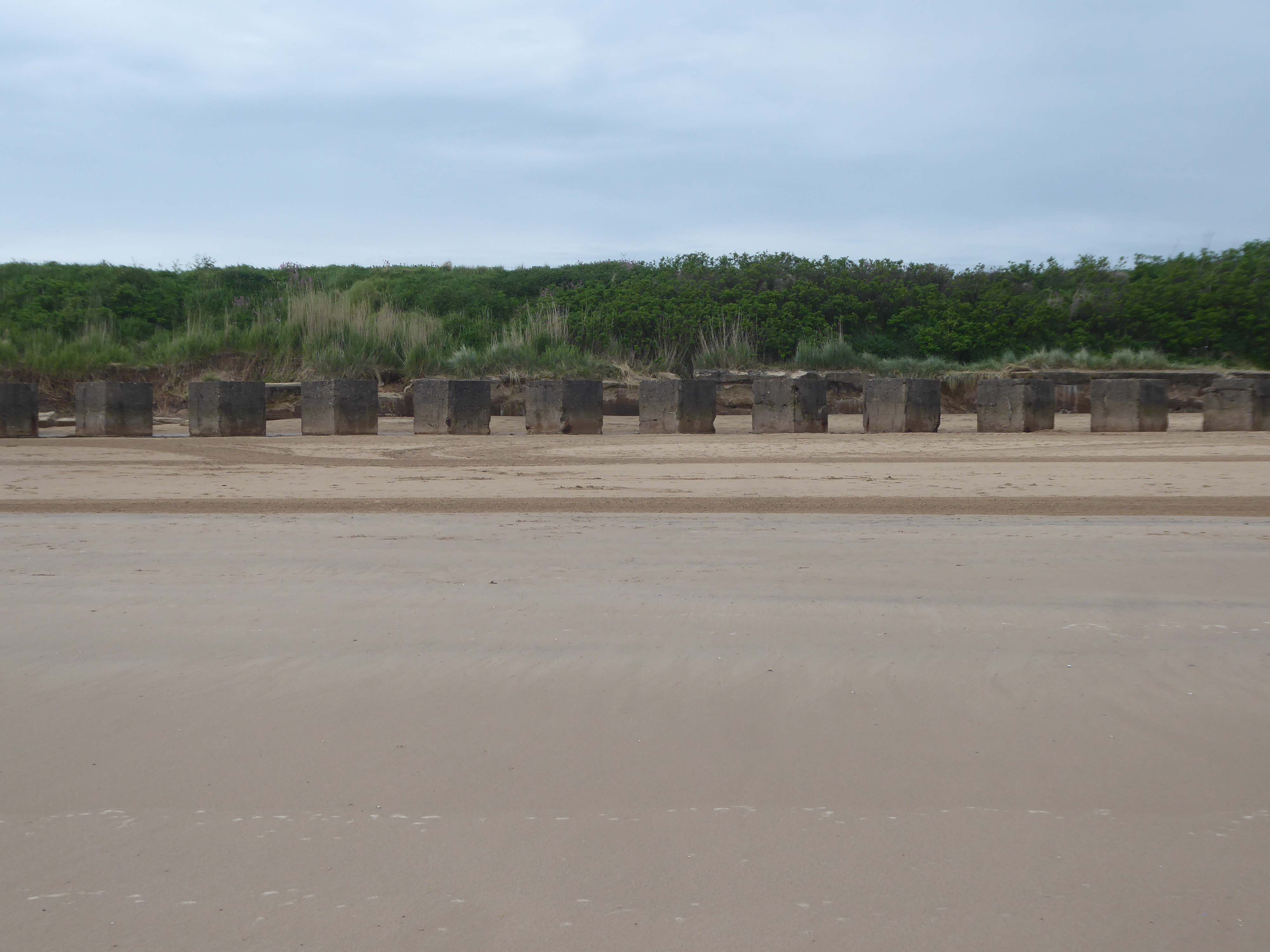
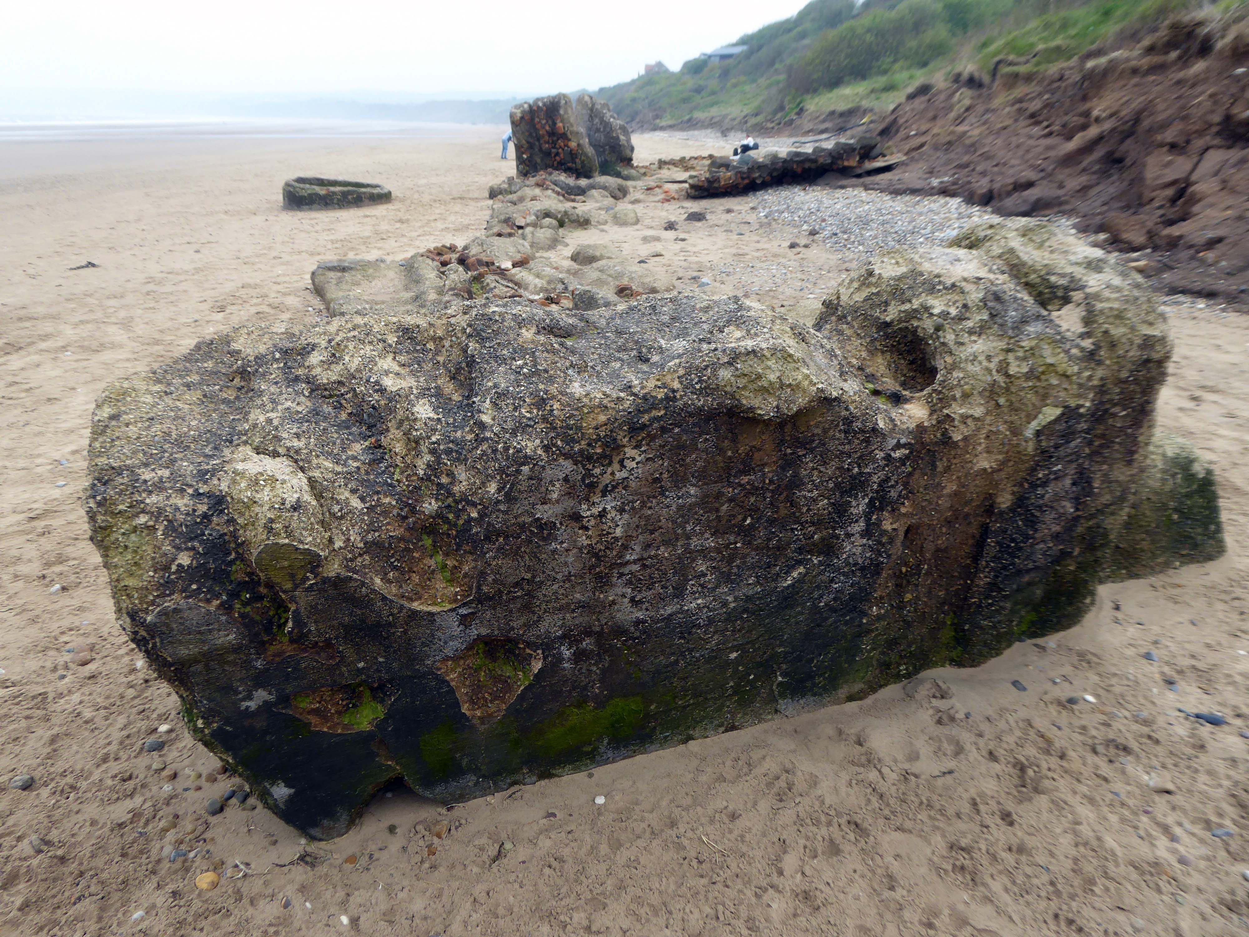
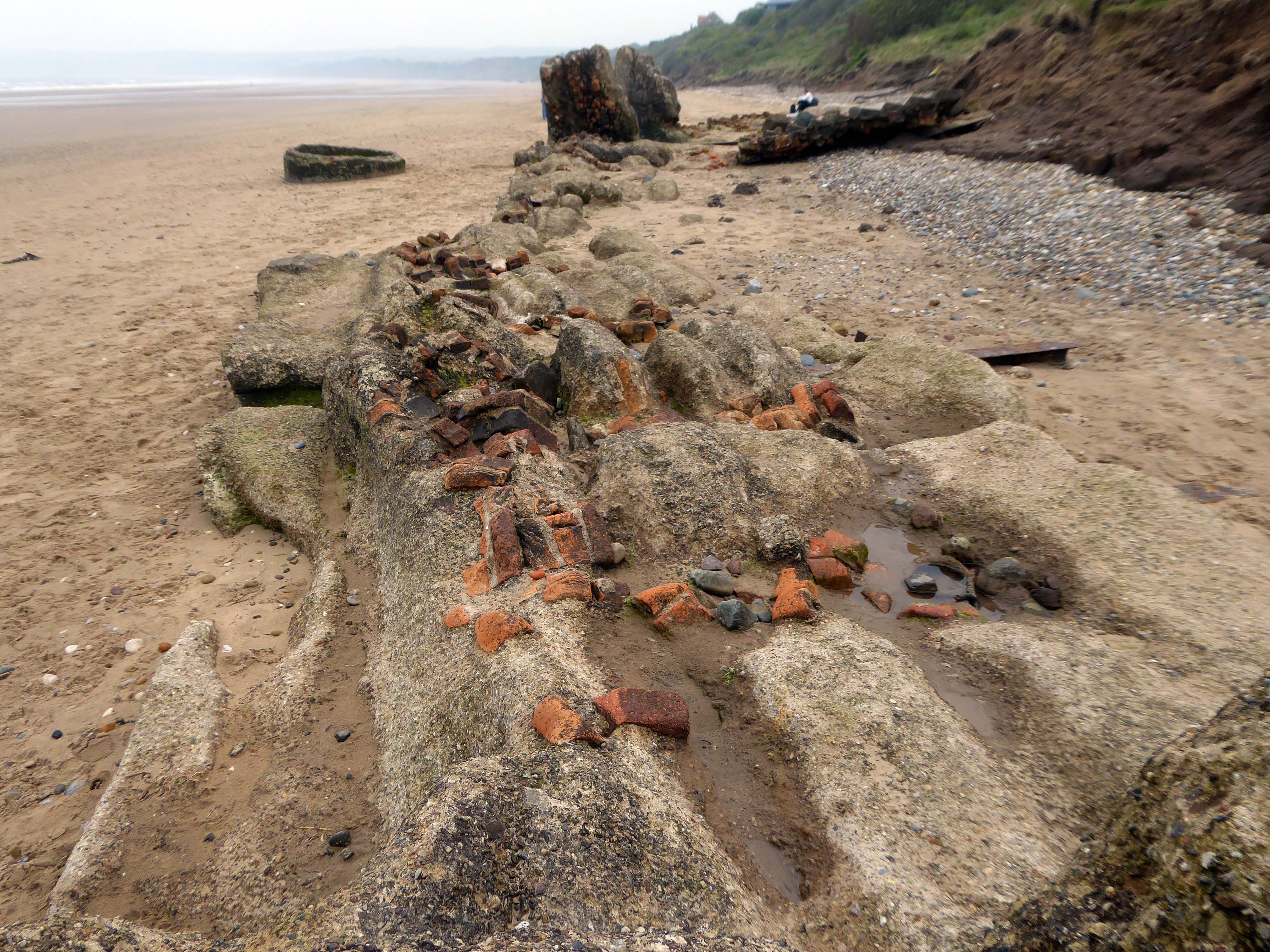
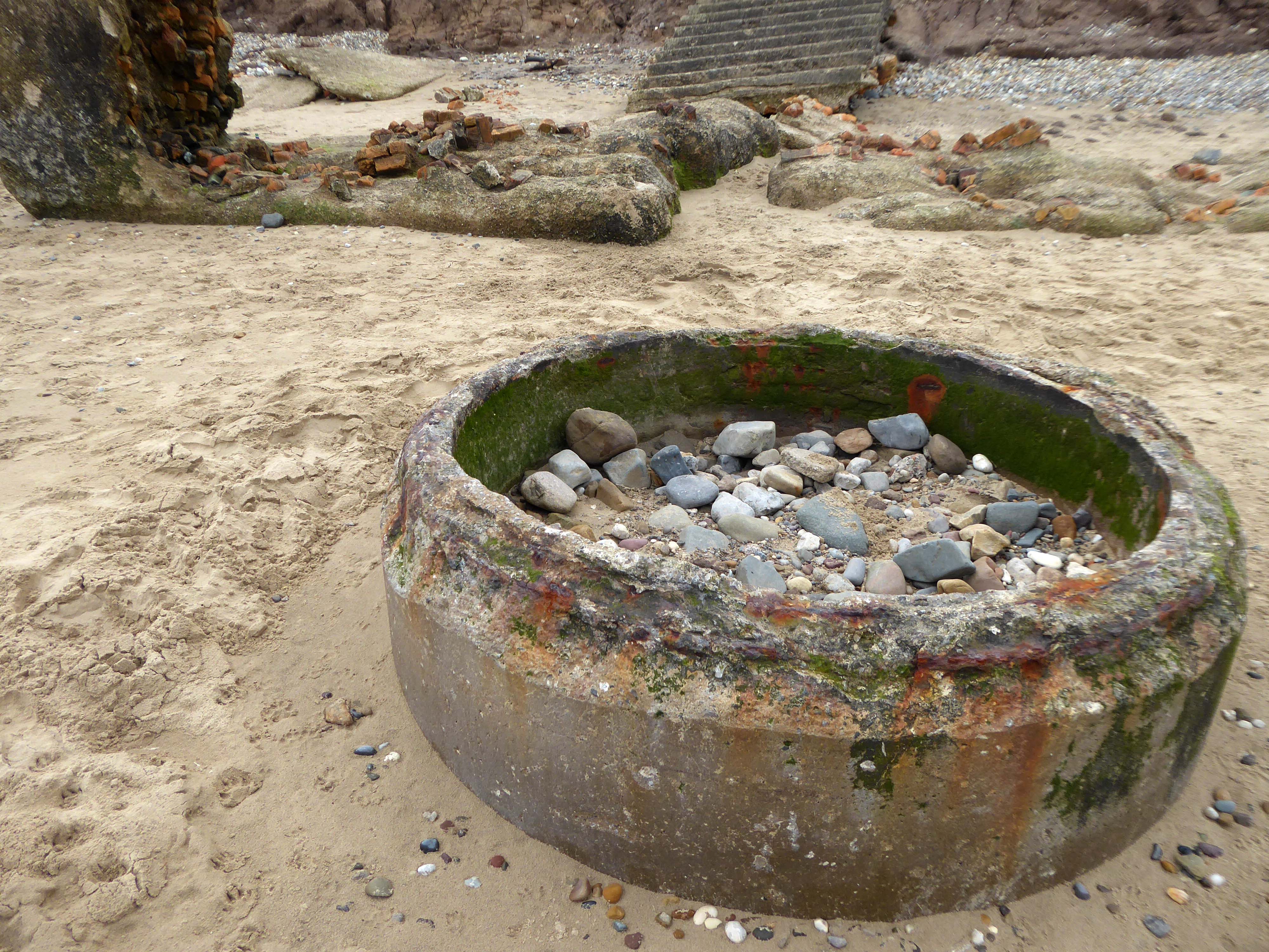
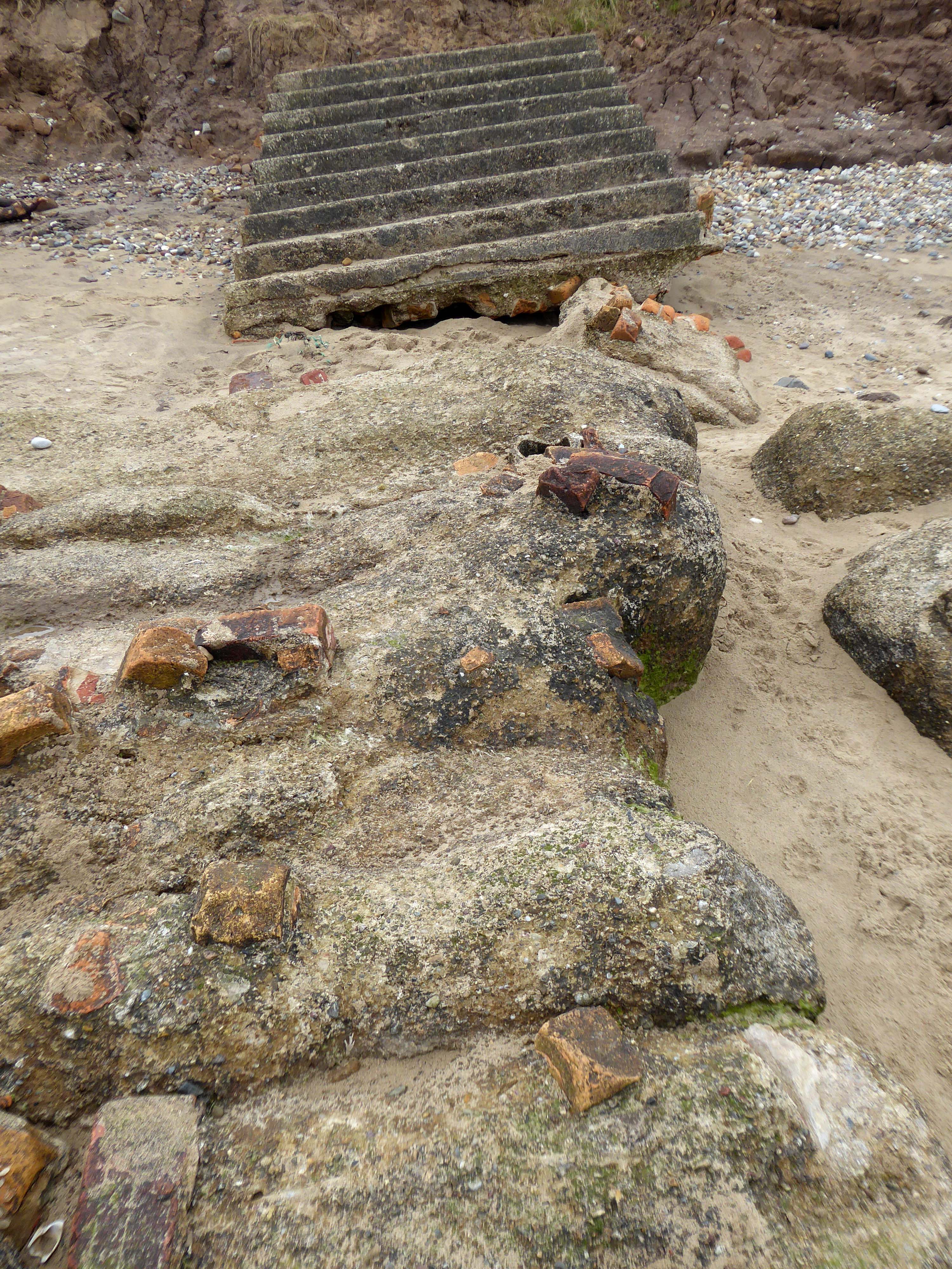
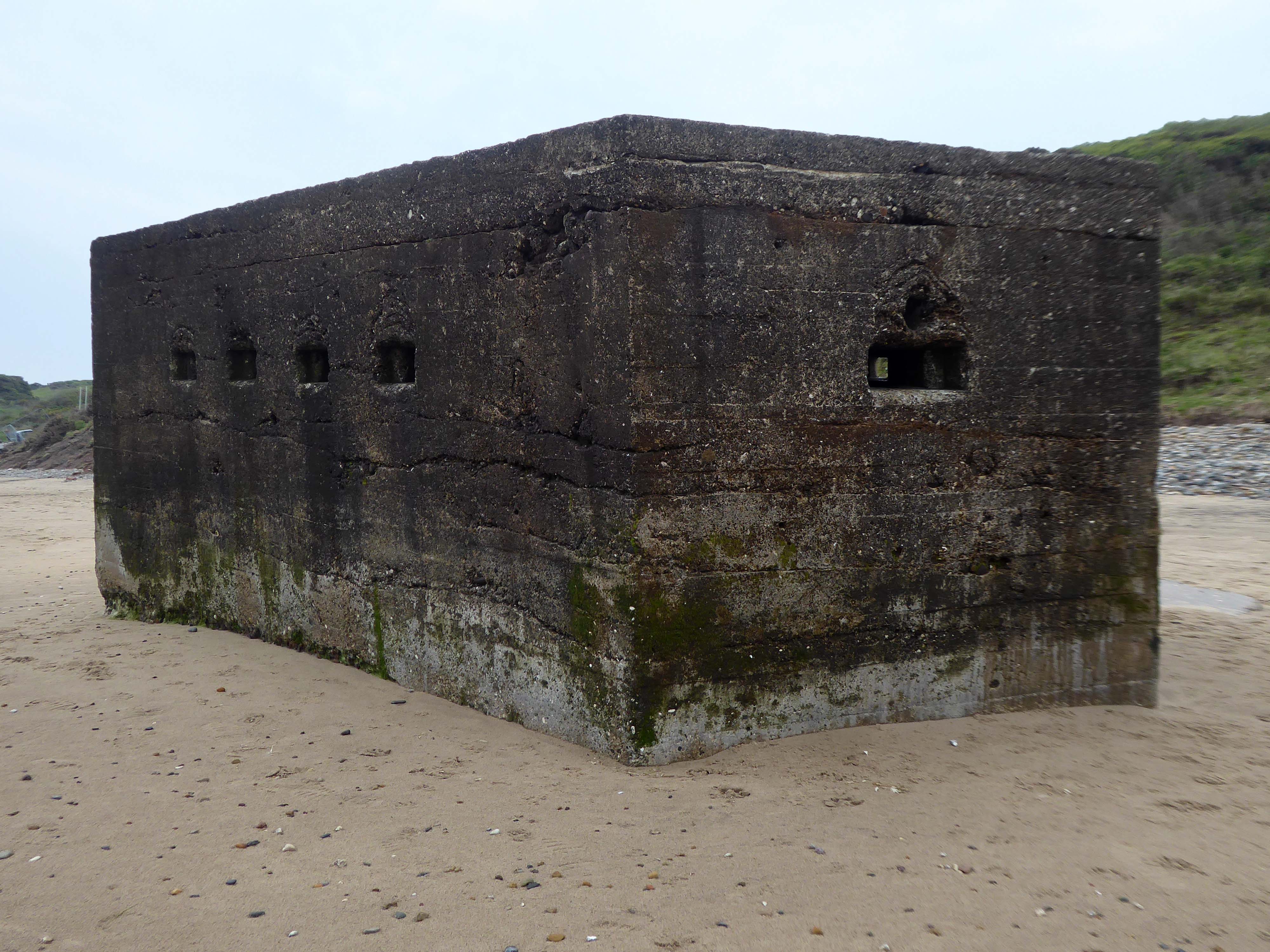
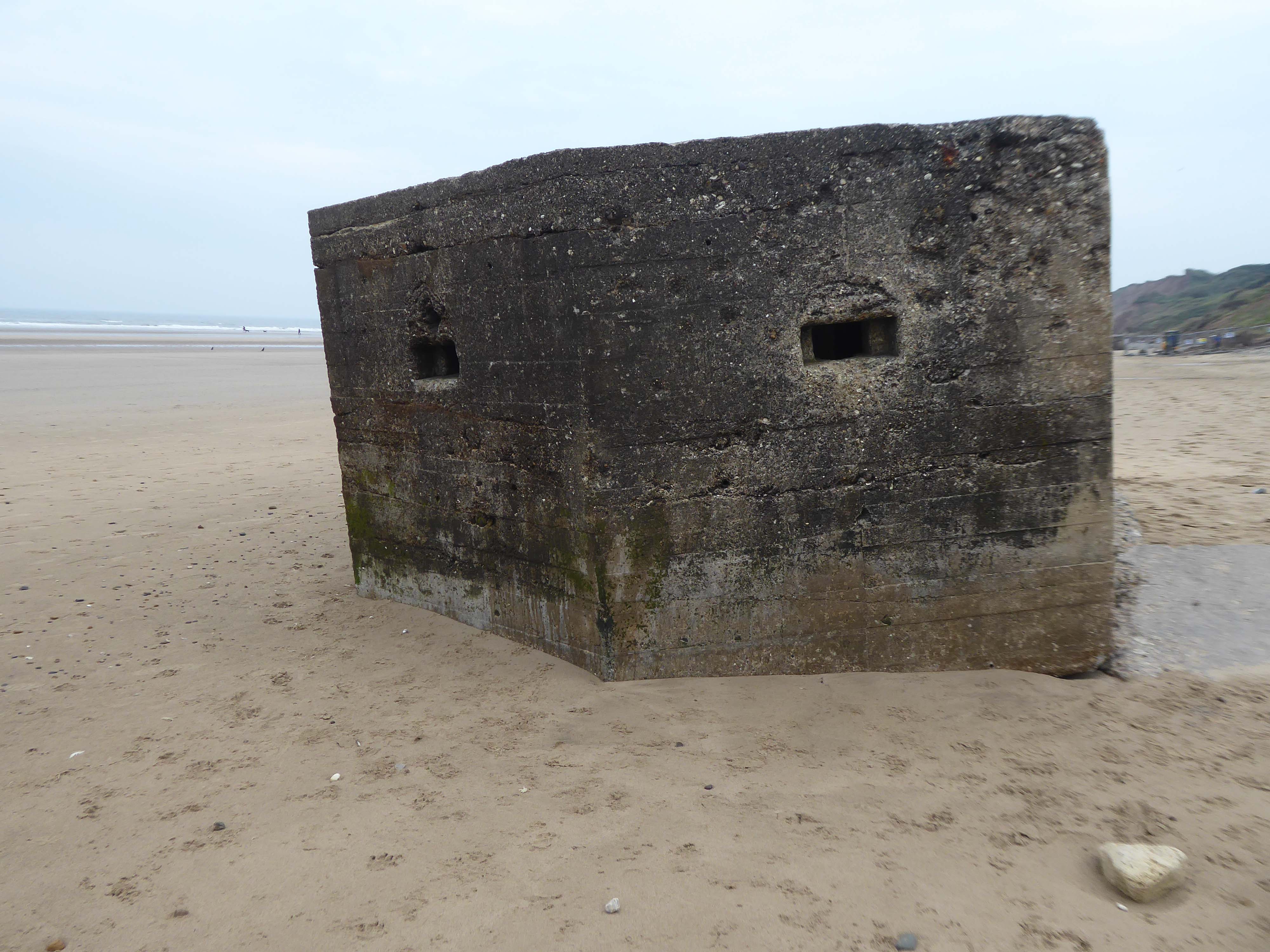
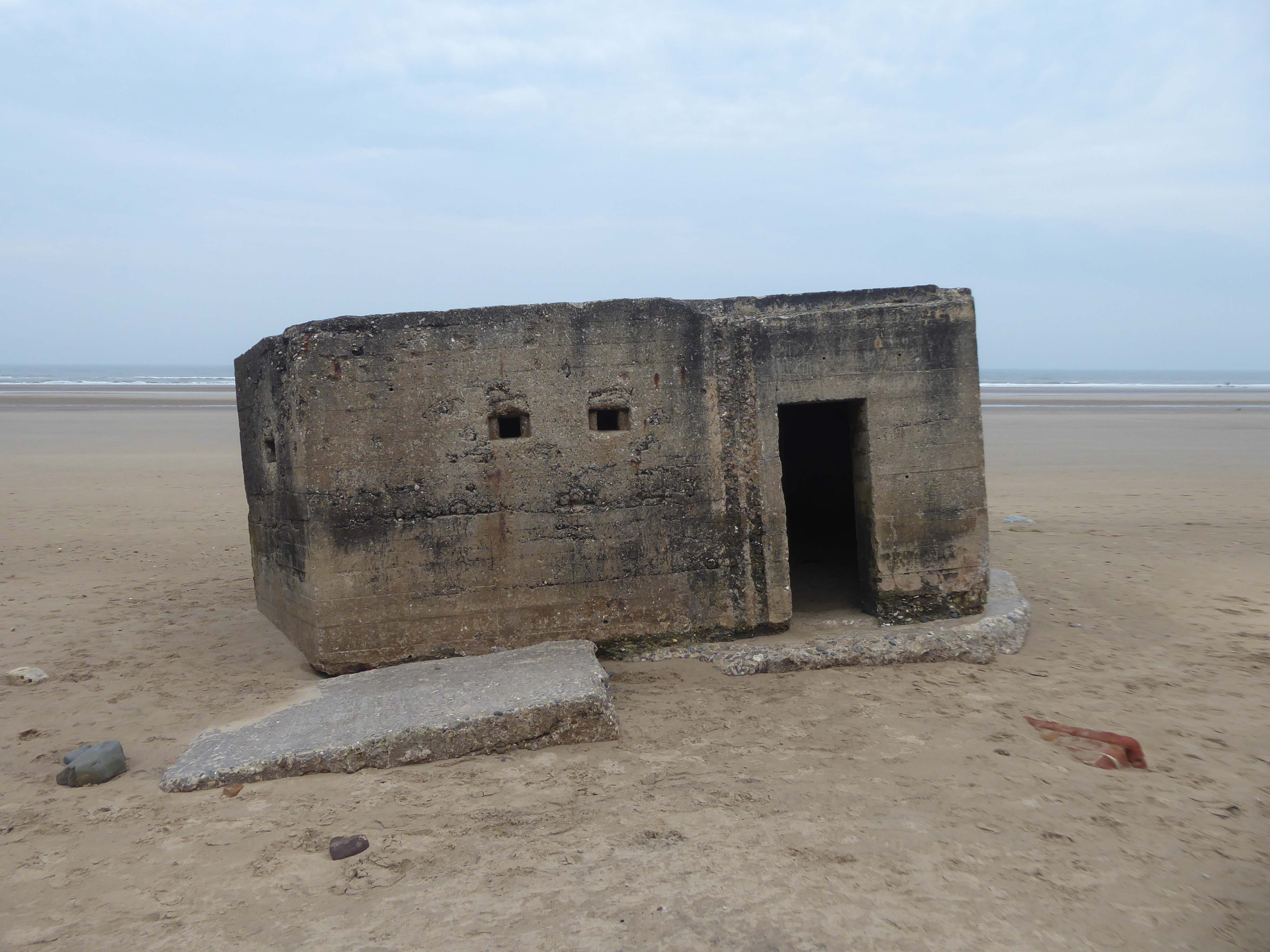
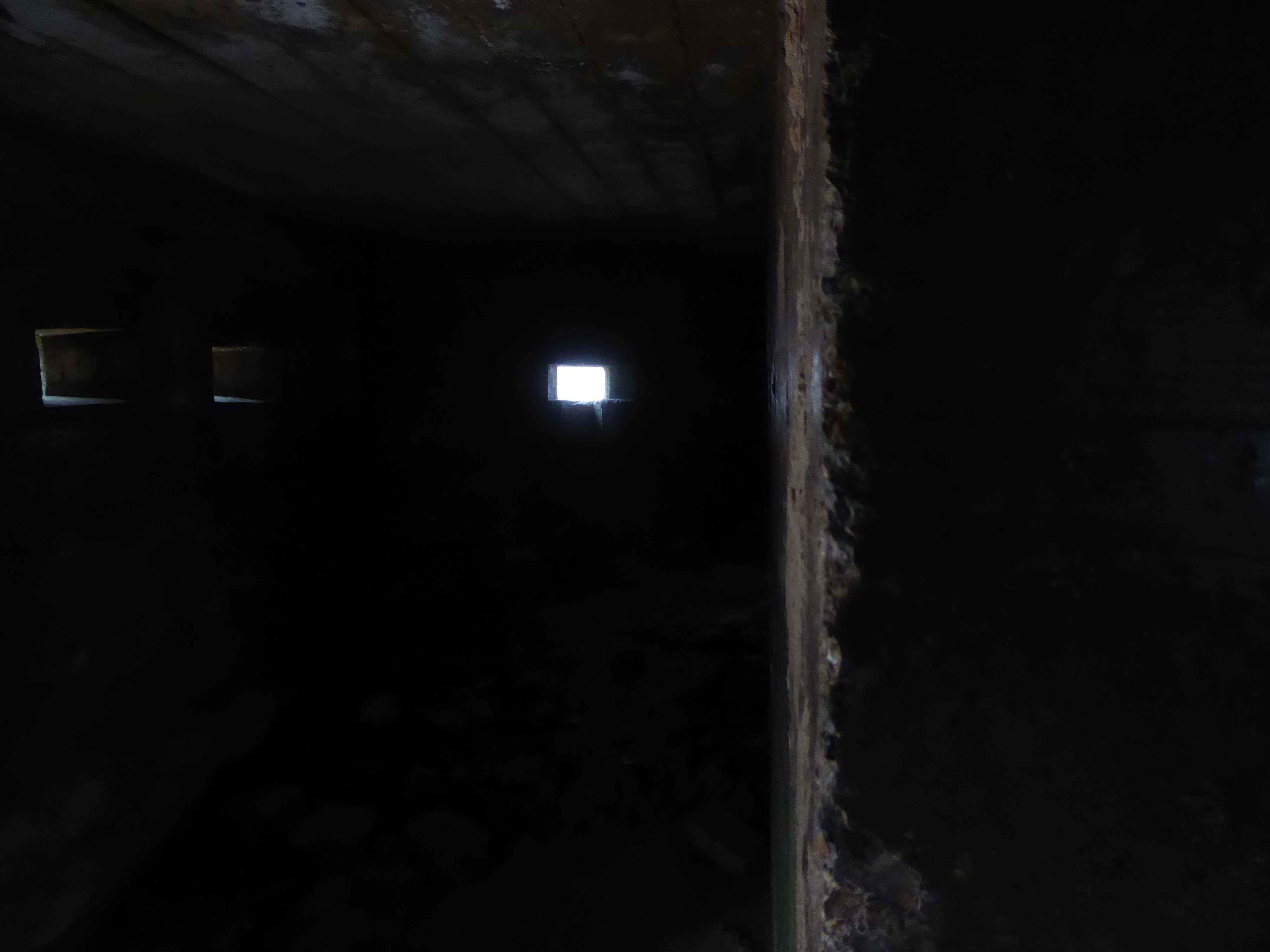
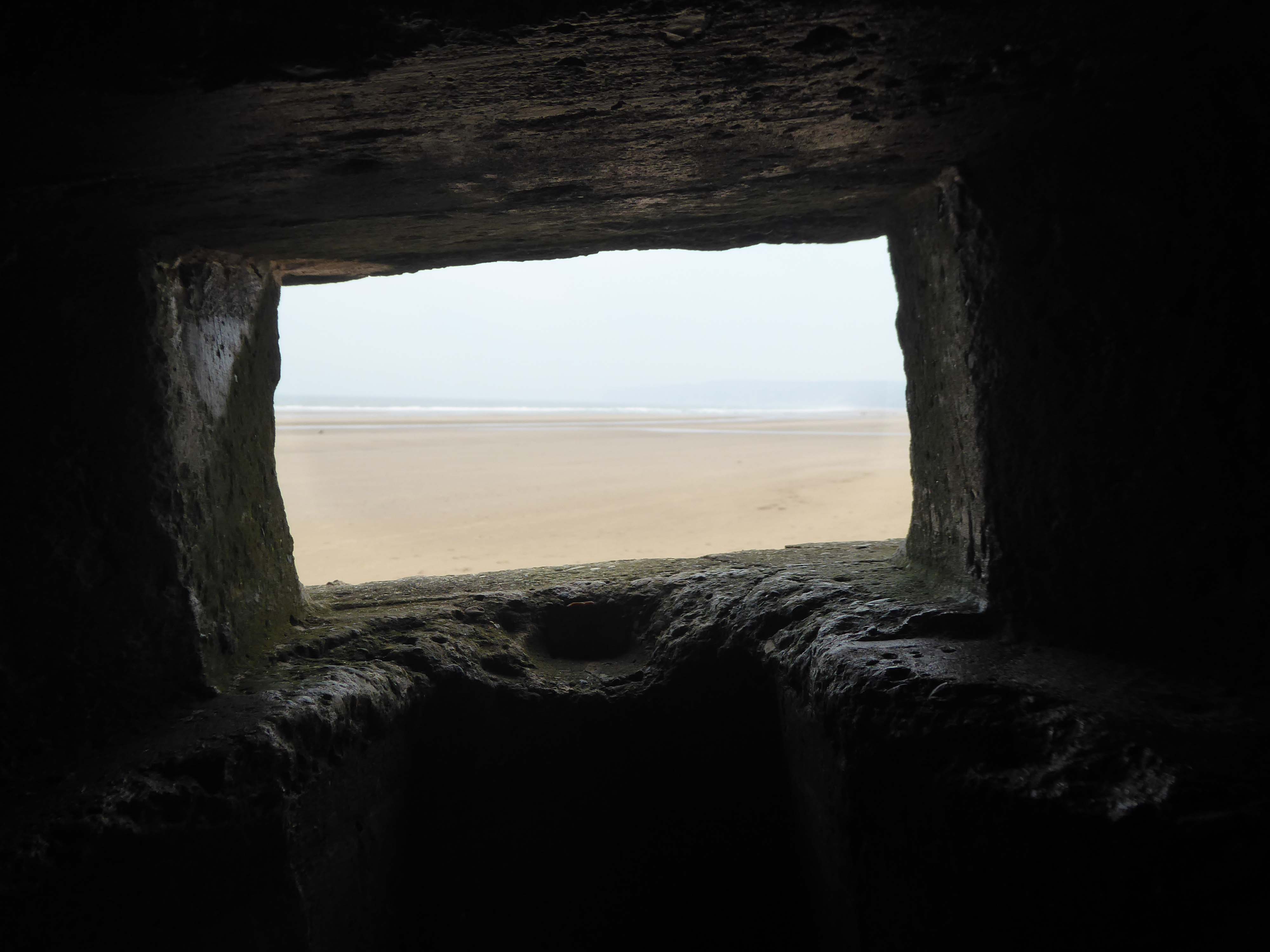
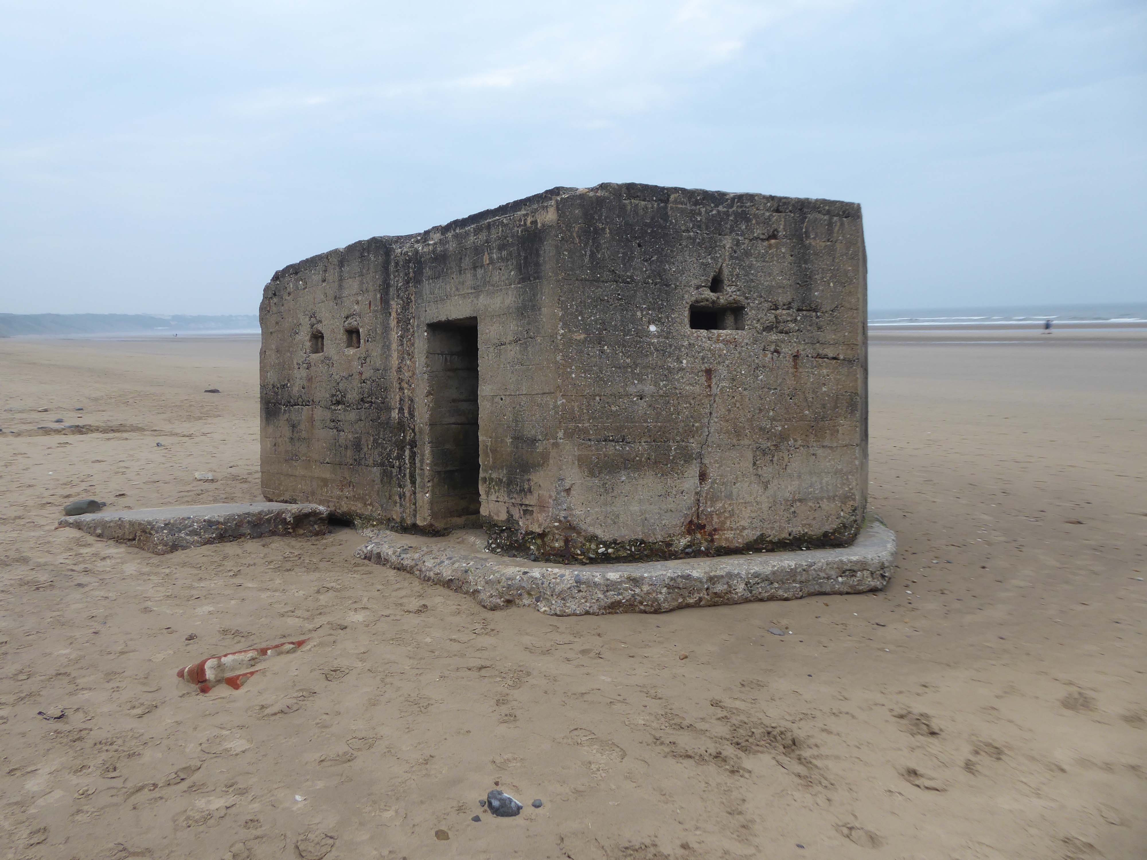
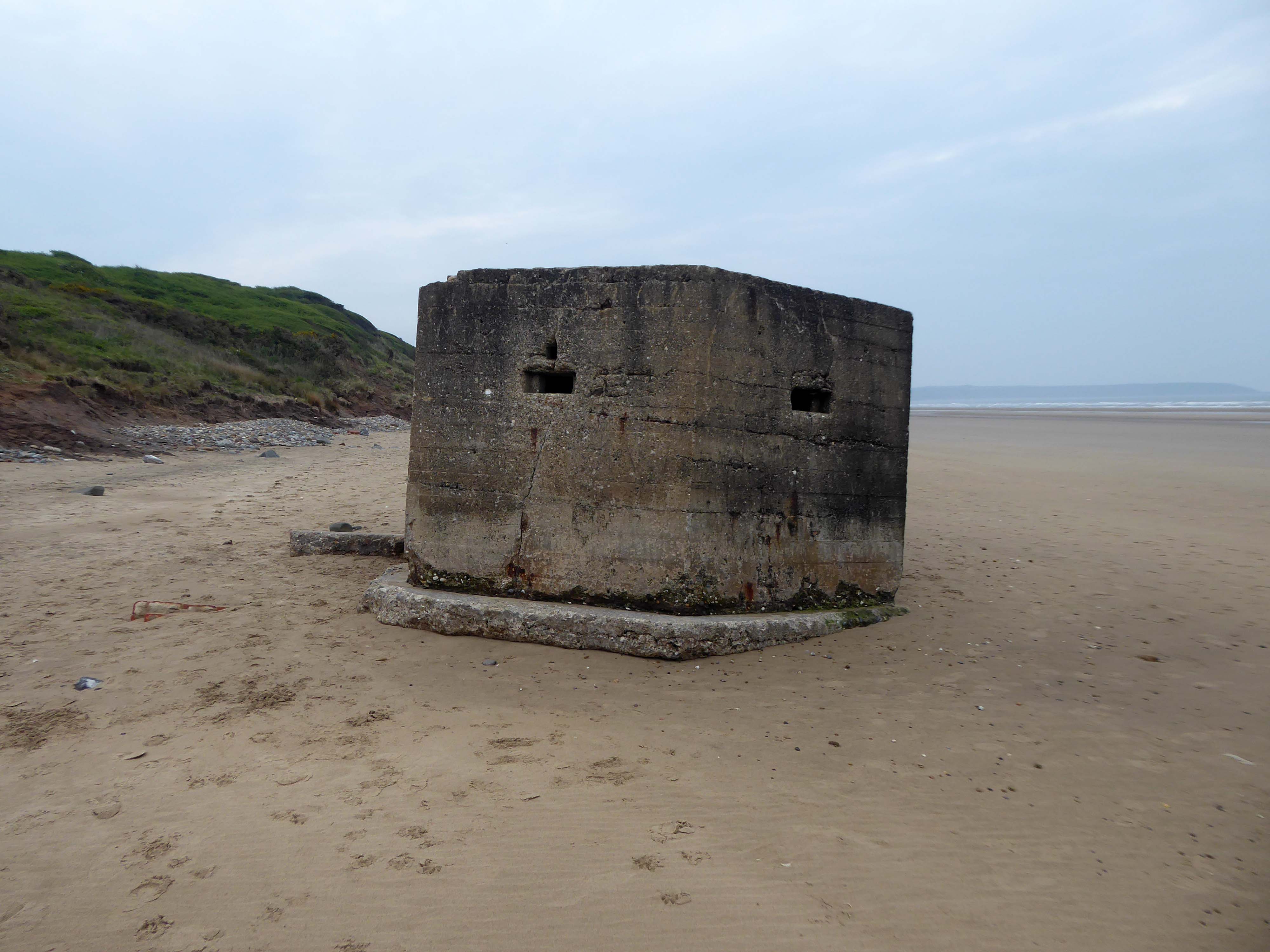
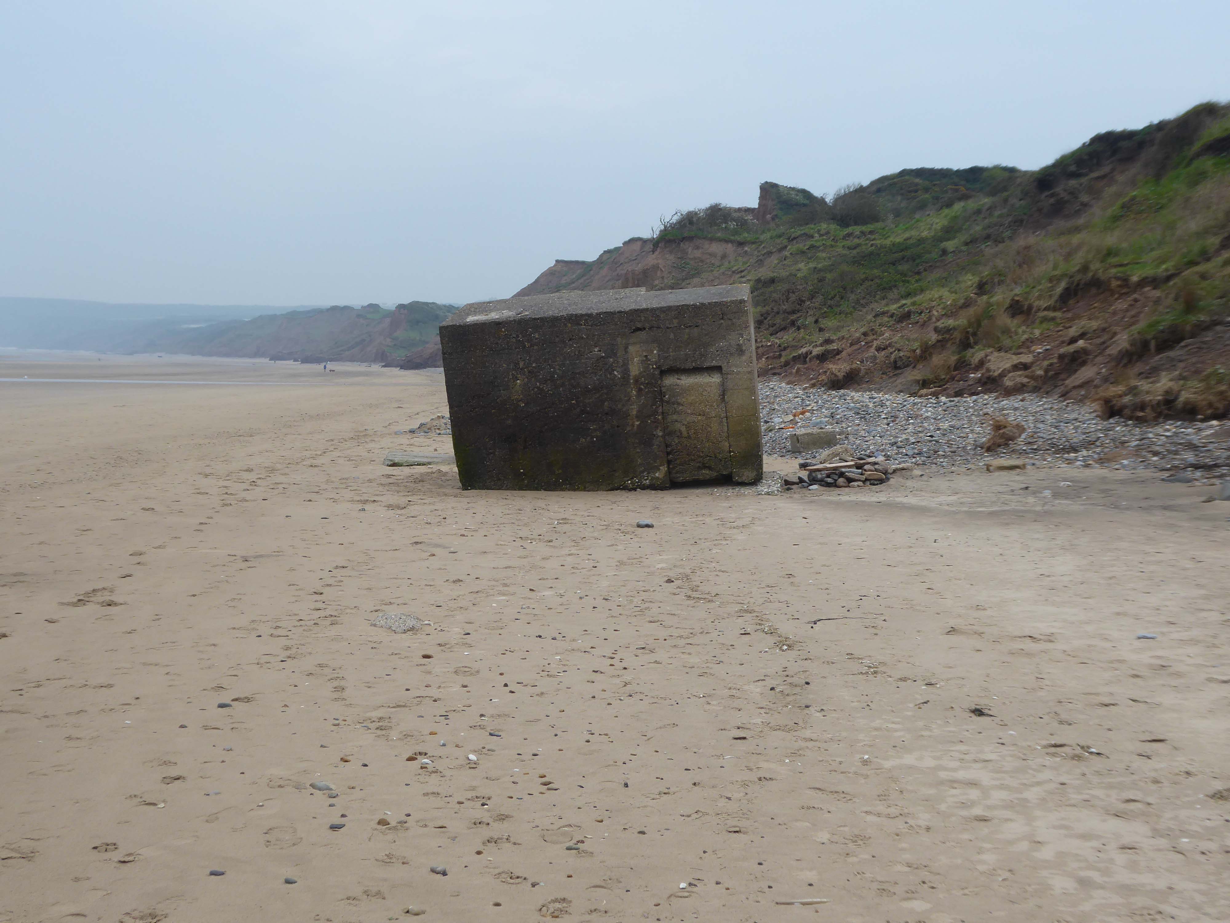
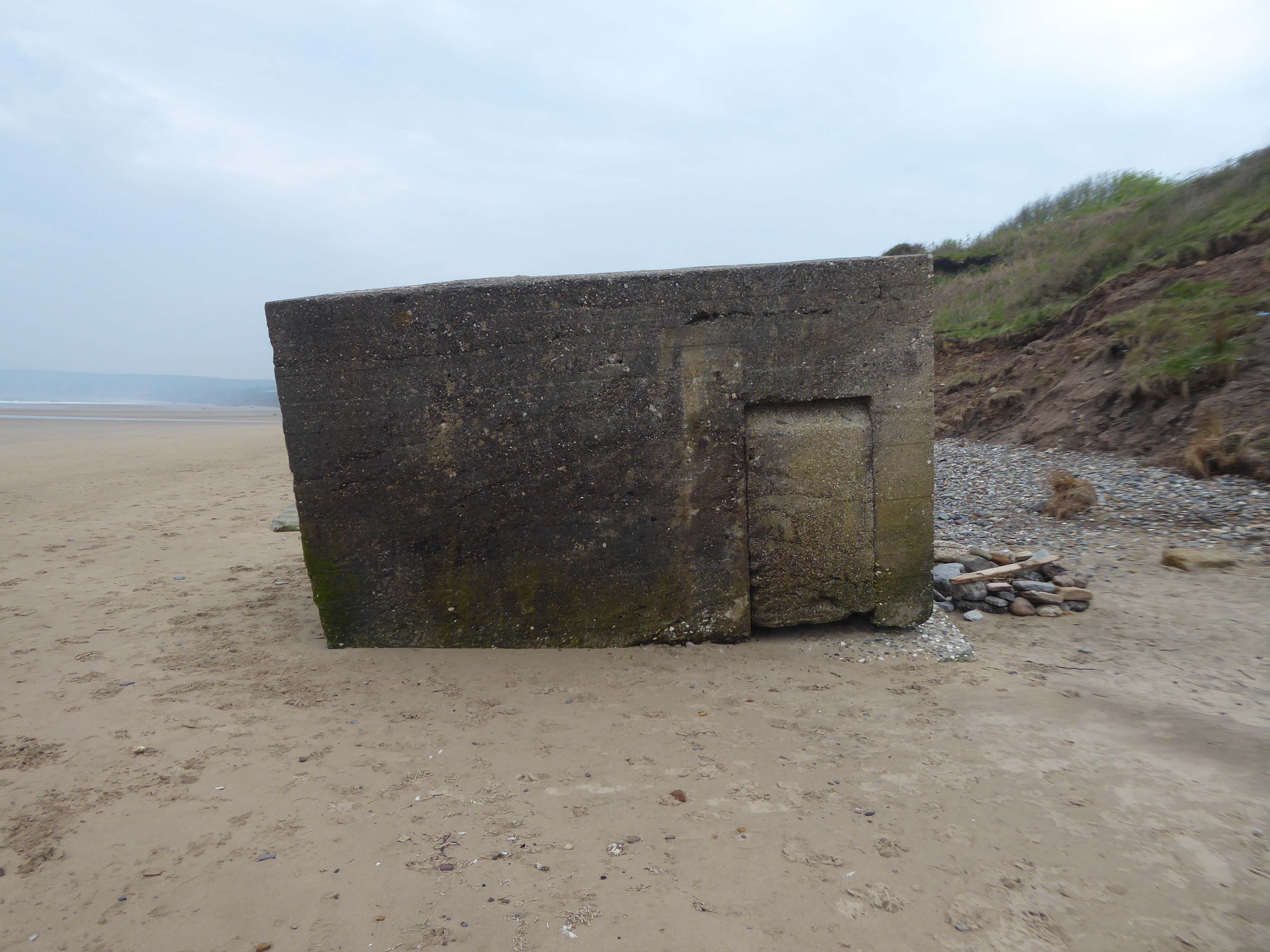
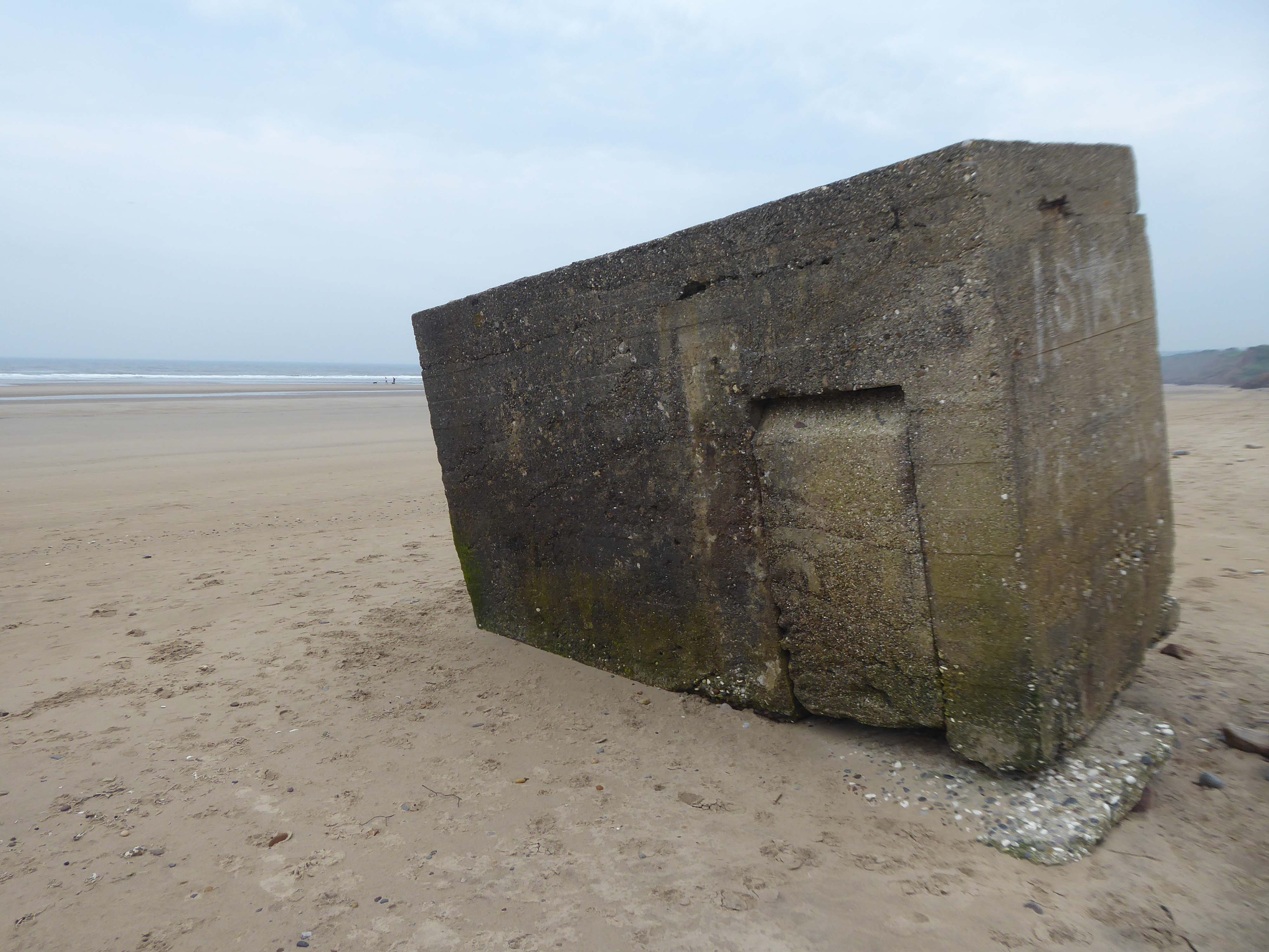
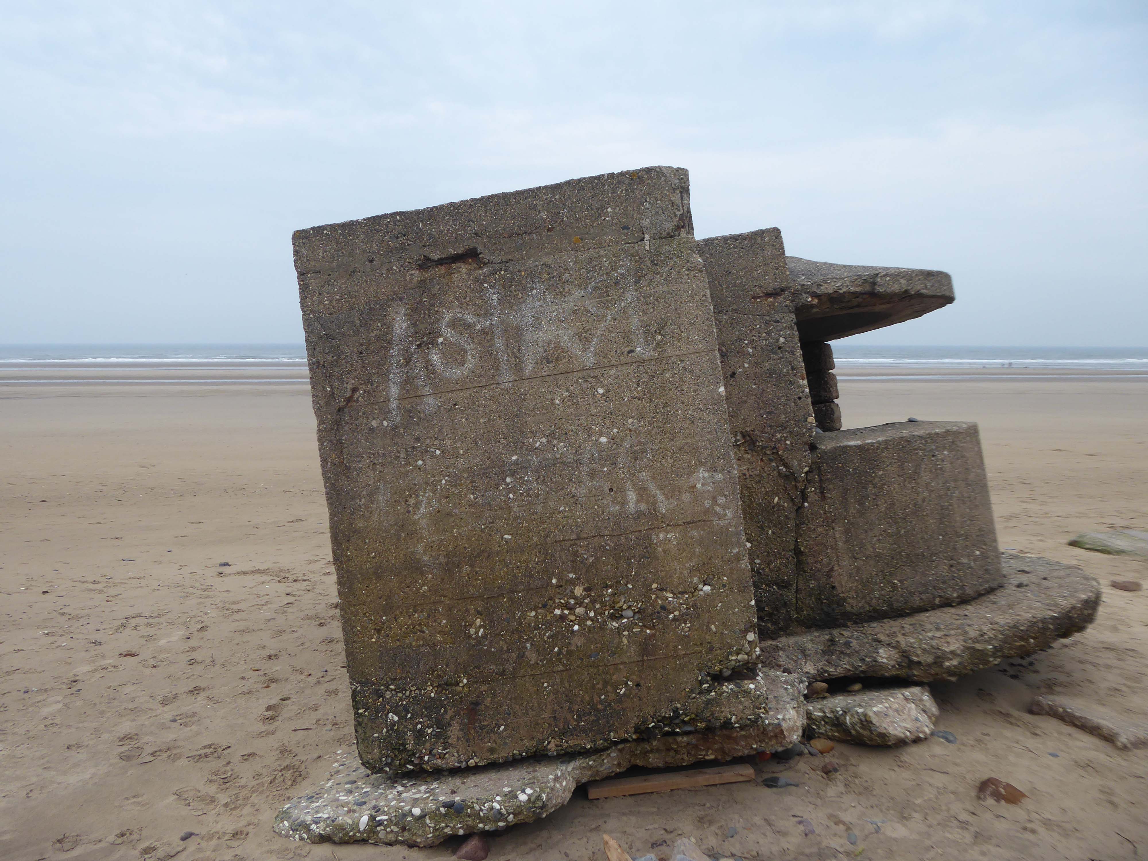
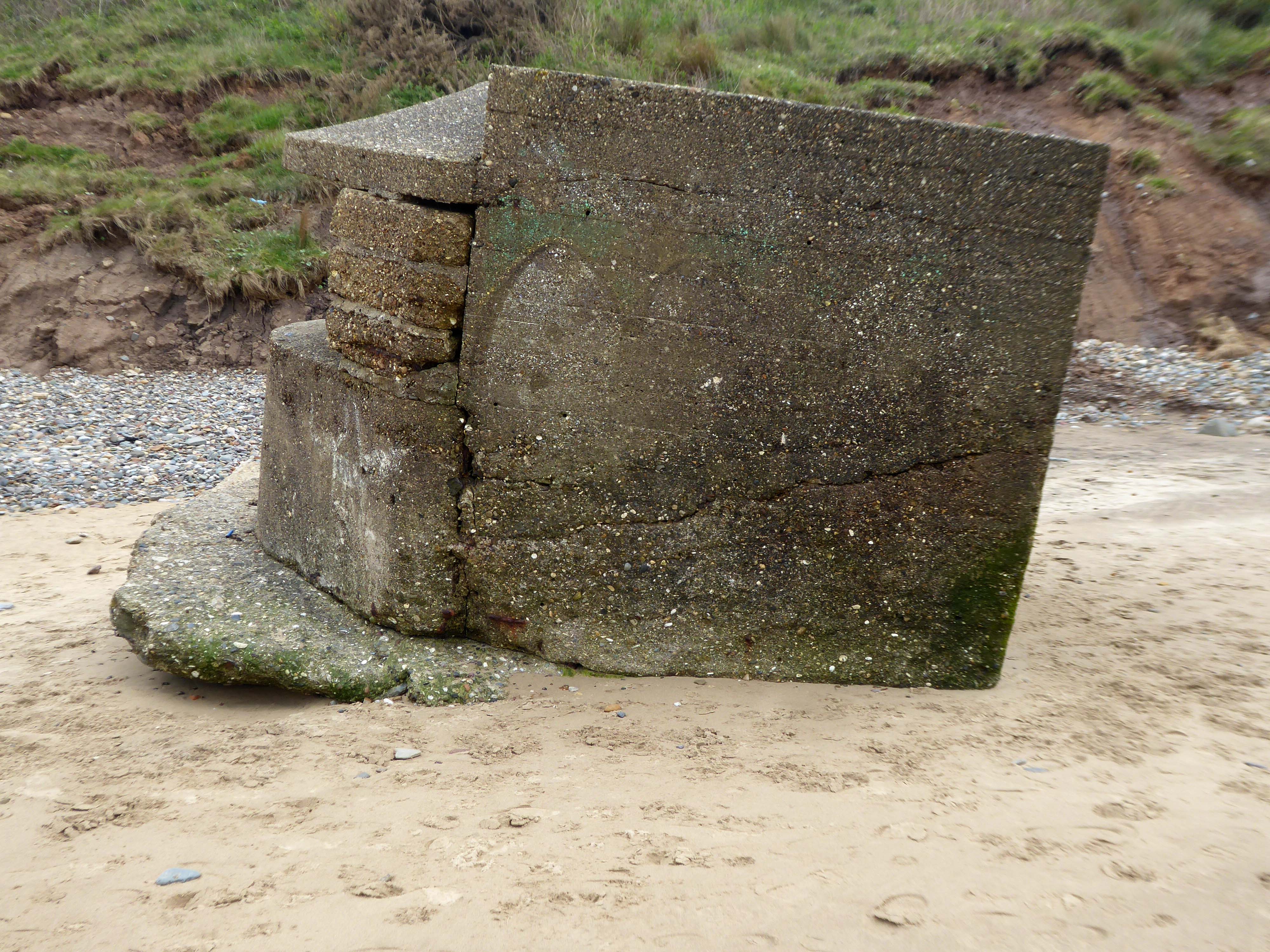
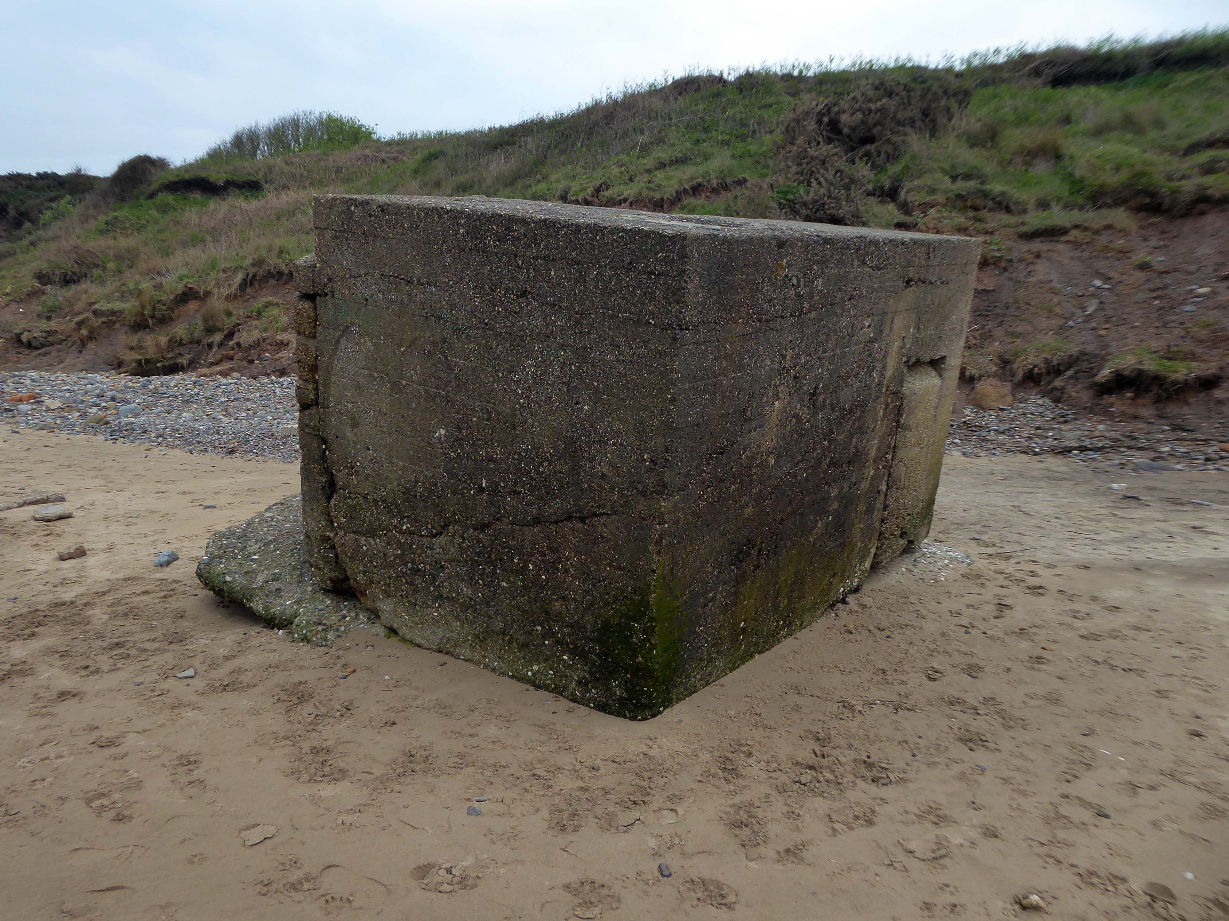
Anti-tank blocks line the foreshore here; with deep foundation they are meant to be so immovable that tanks cannot go through them and rather have to go over them, exposing the weakly armour undersides of the tanks, which can then be fired at. The anti-tank blocks are arranged in batches of both parallel and perpendicular to the sea, which helps to divide up the beach and channel enemies towards the pillboxes and into fire.
Once more unto the beach, dear friends, once more, or close the wall up with our English dead.
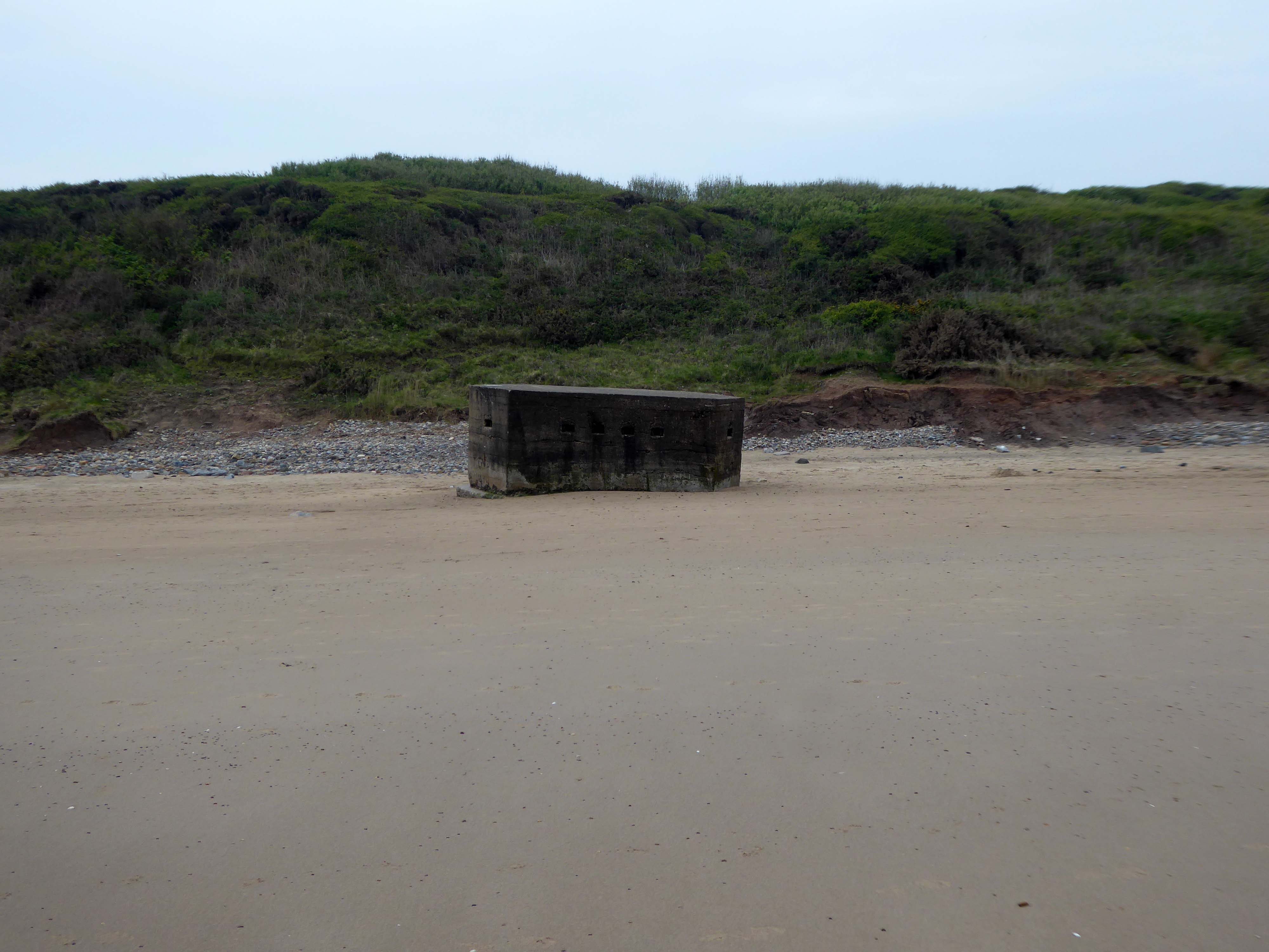
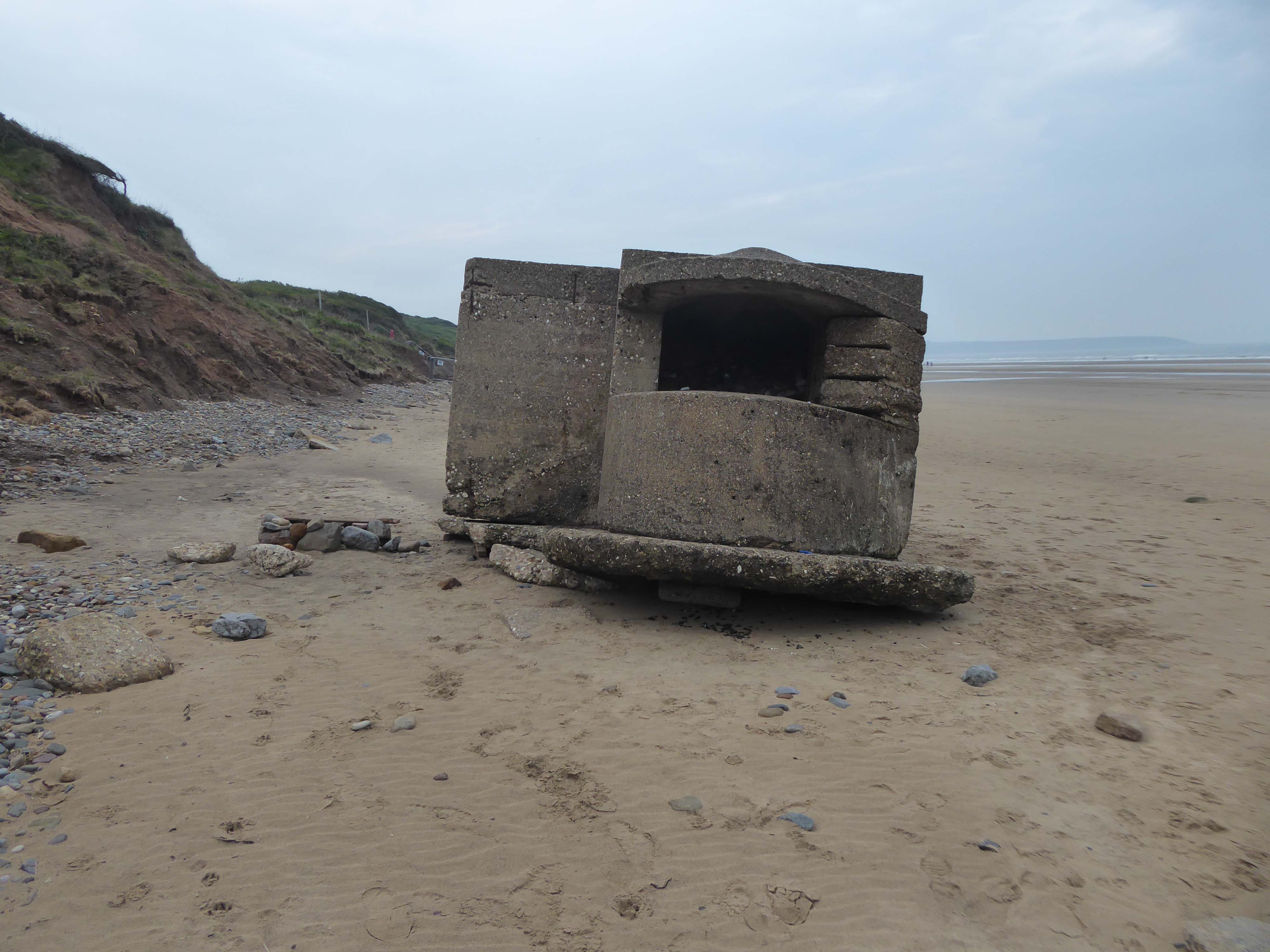
Having visited Cayton Bay last year I ventured forth last week, to Filey and beyond.
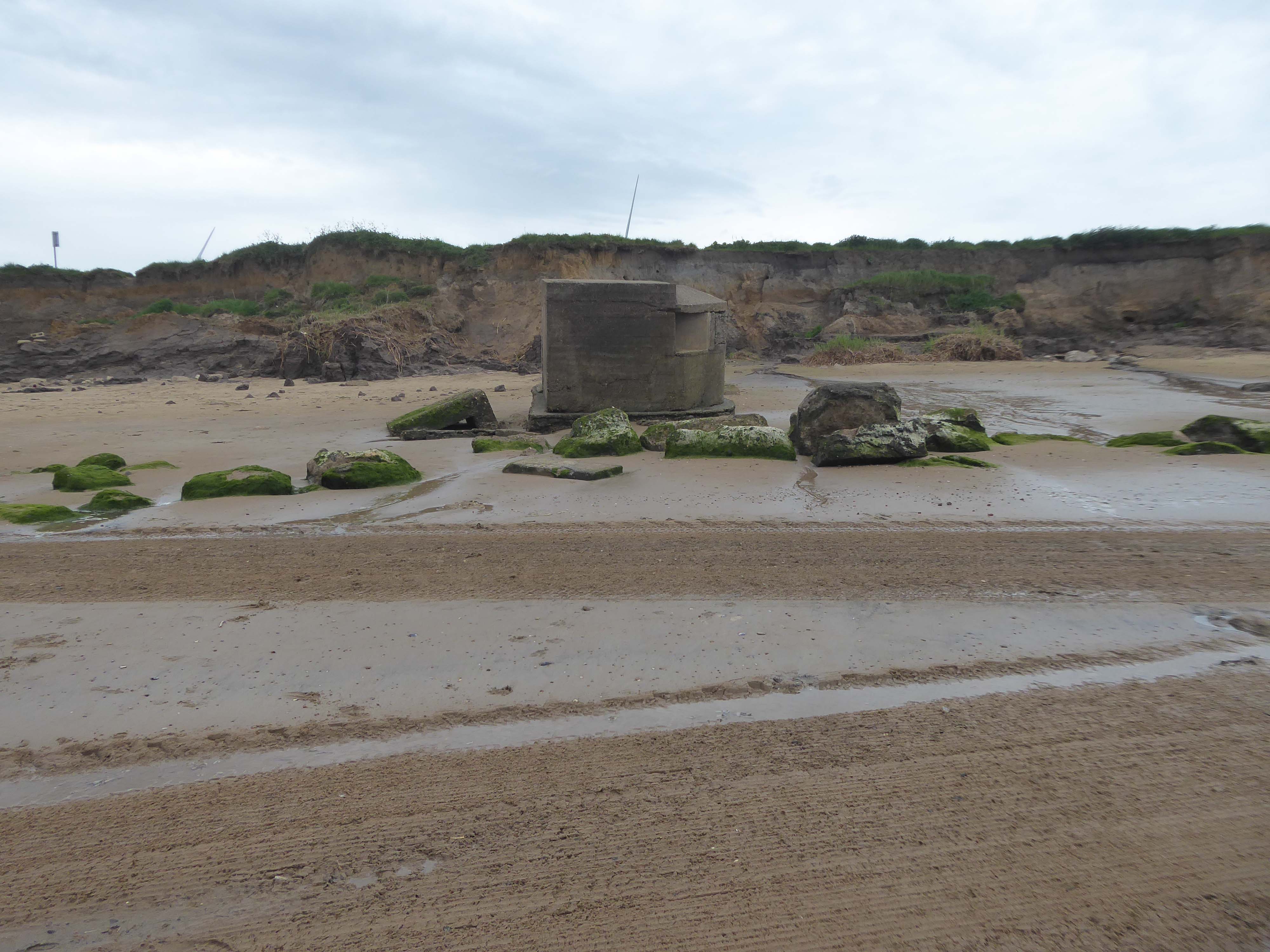
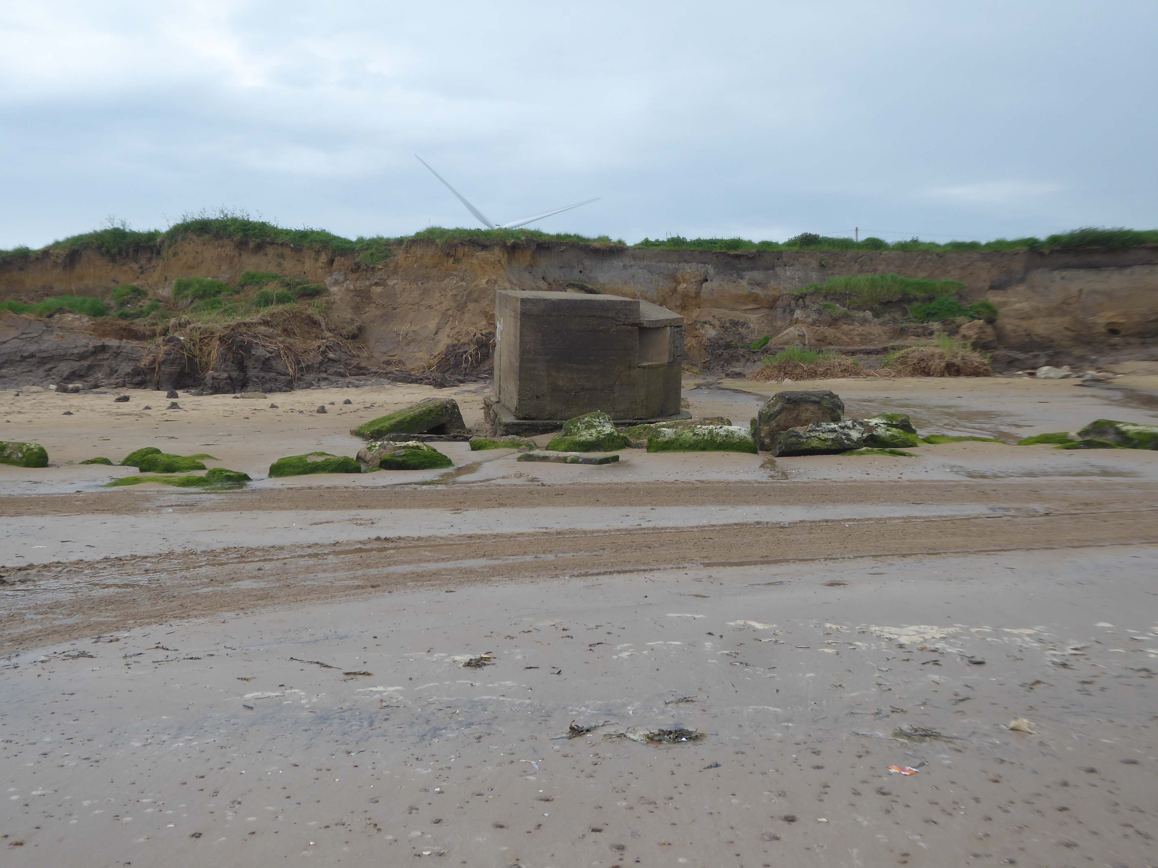
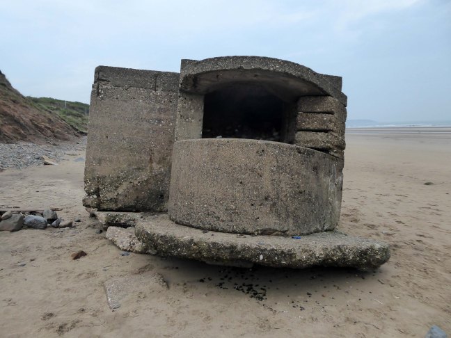
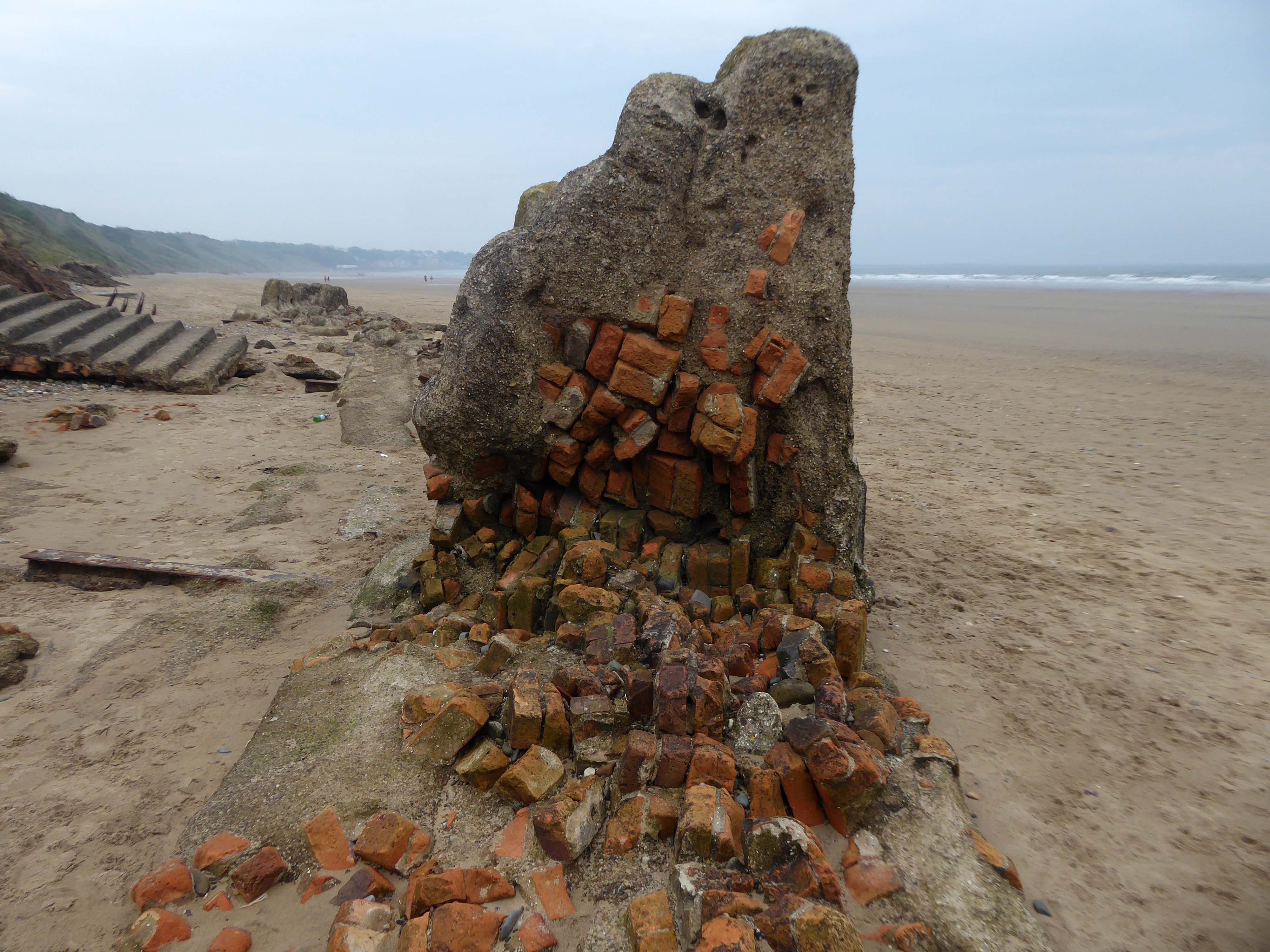
The shore toward Hunmanby Gap when faced with the threat of invasion, was home to a plethora of coastal defences, formed from raw concrete between the years 1941 and 1942, along with attendant armed forces.
Pill boxes, anti-landing trenches, anti-tank obstacles, beach lights, coastal batteries, flame fourgasses, gun emplacements and machine gun posts were clustered along the coast.
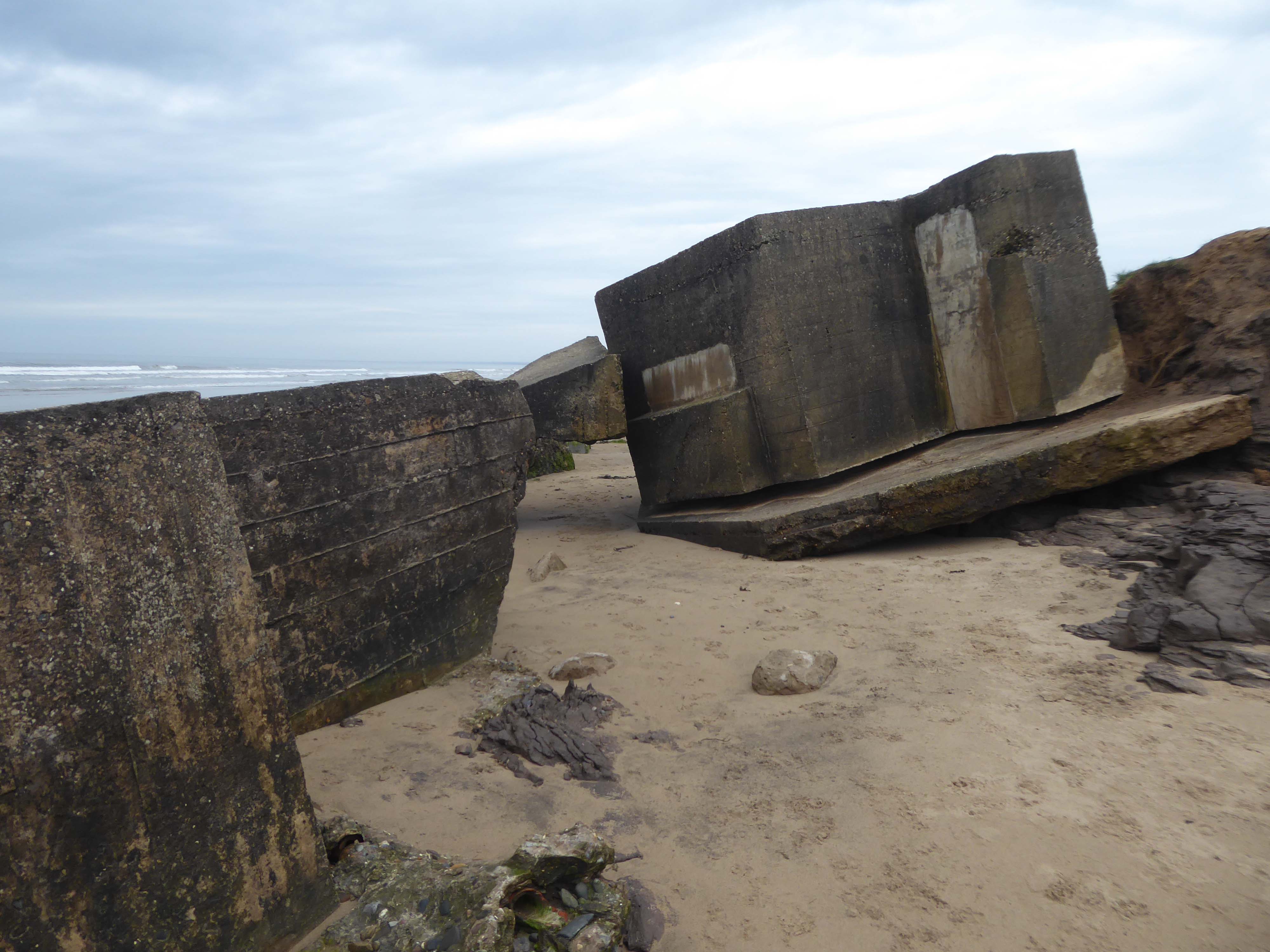
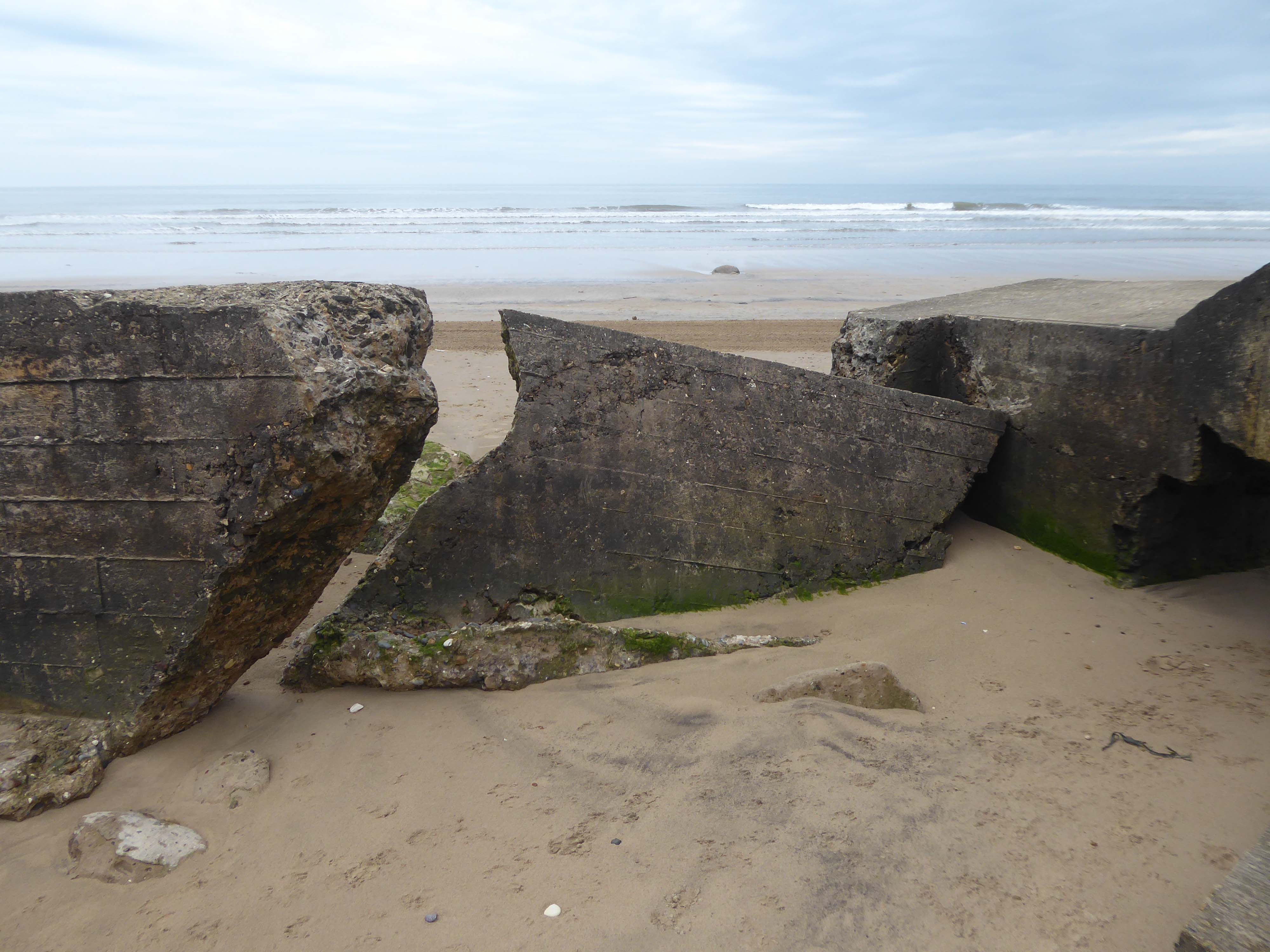
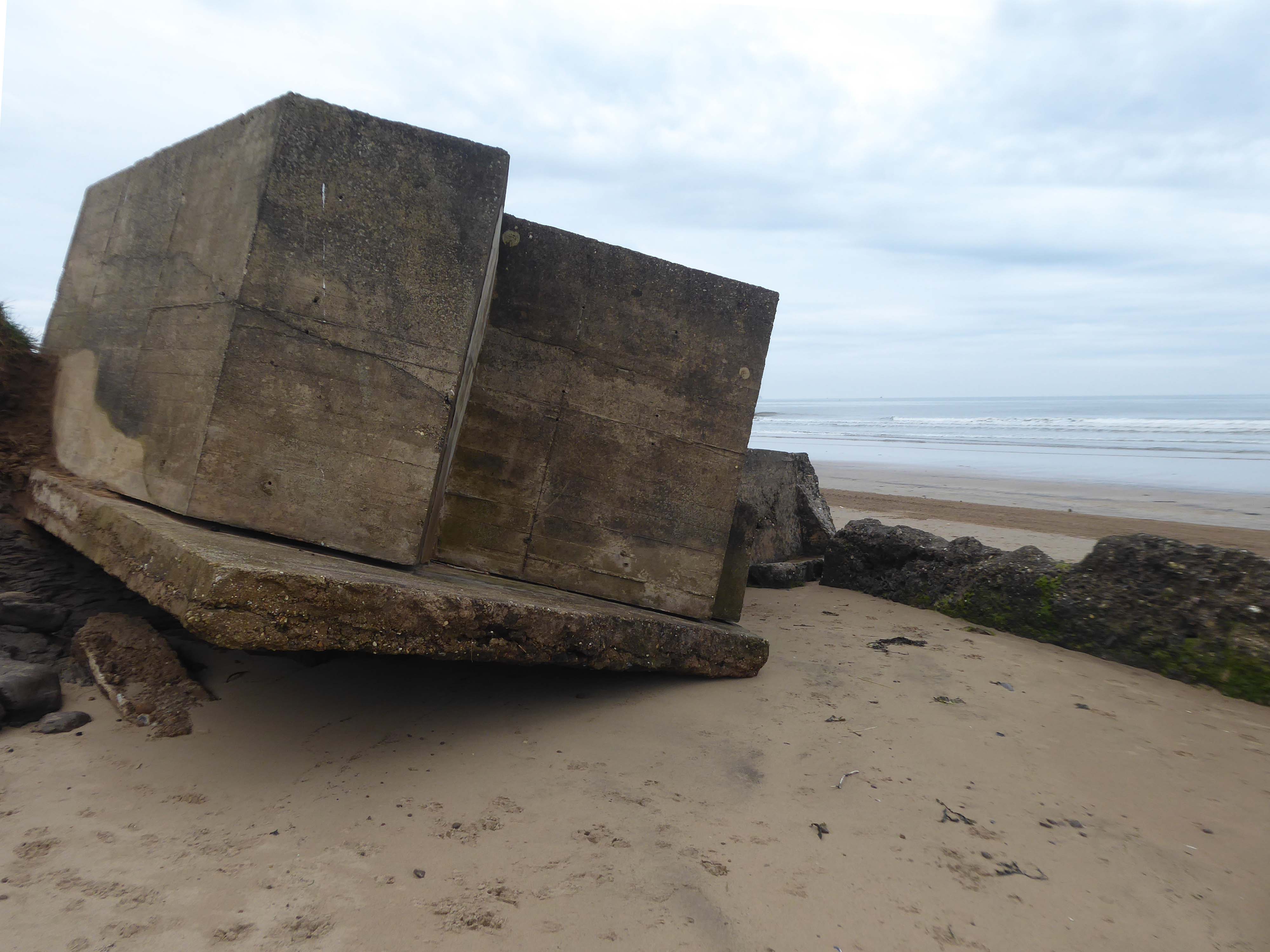
The majority have subsequently been removed, a few are extant – slipping from their cliff-top positions, as the soft clays have been eroded.
Their remains are now skewed and diminished by the weather and the North Sea’s formidable waves, taking on striking sculptural forms, embedded in the shifting sands.
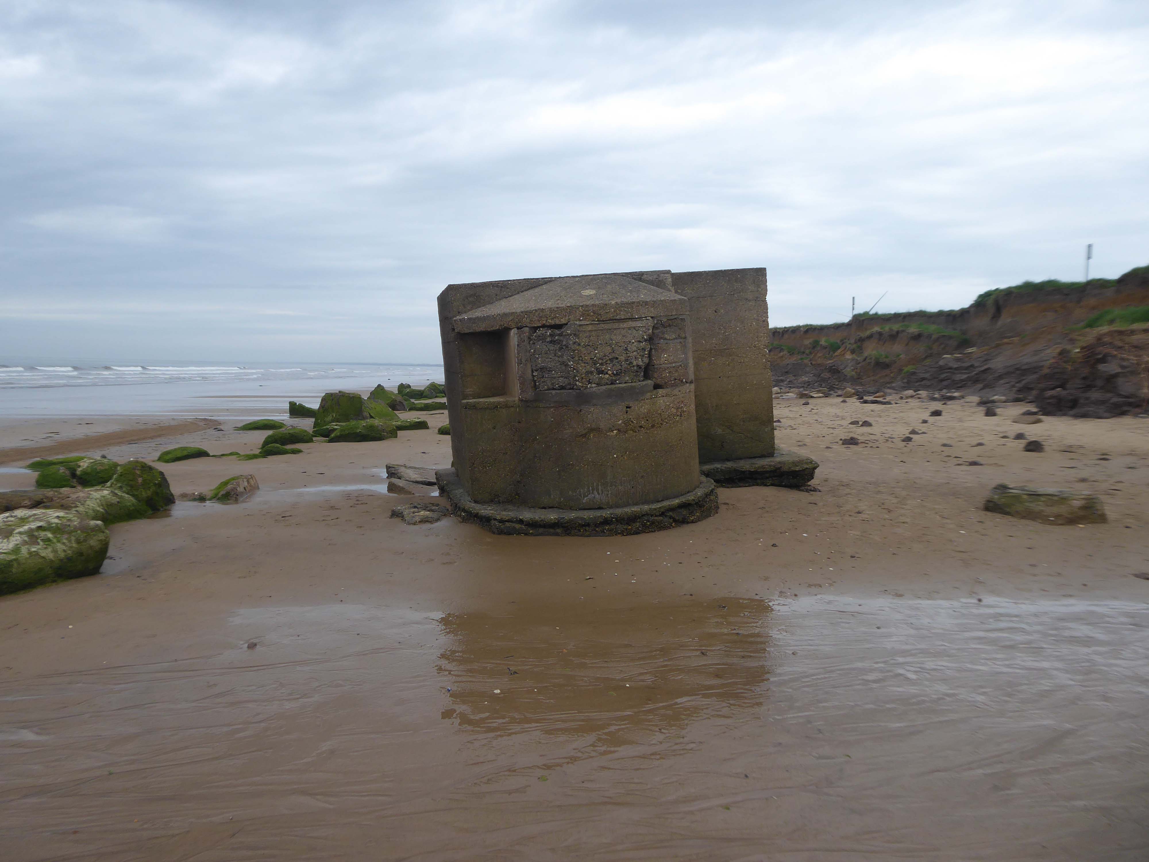
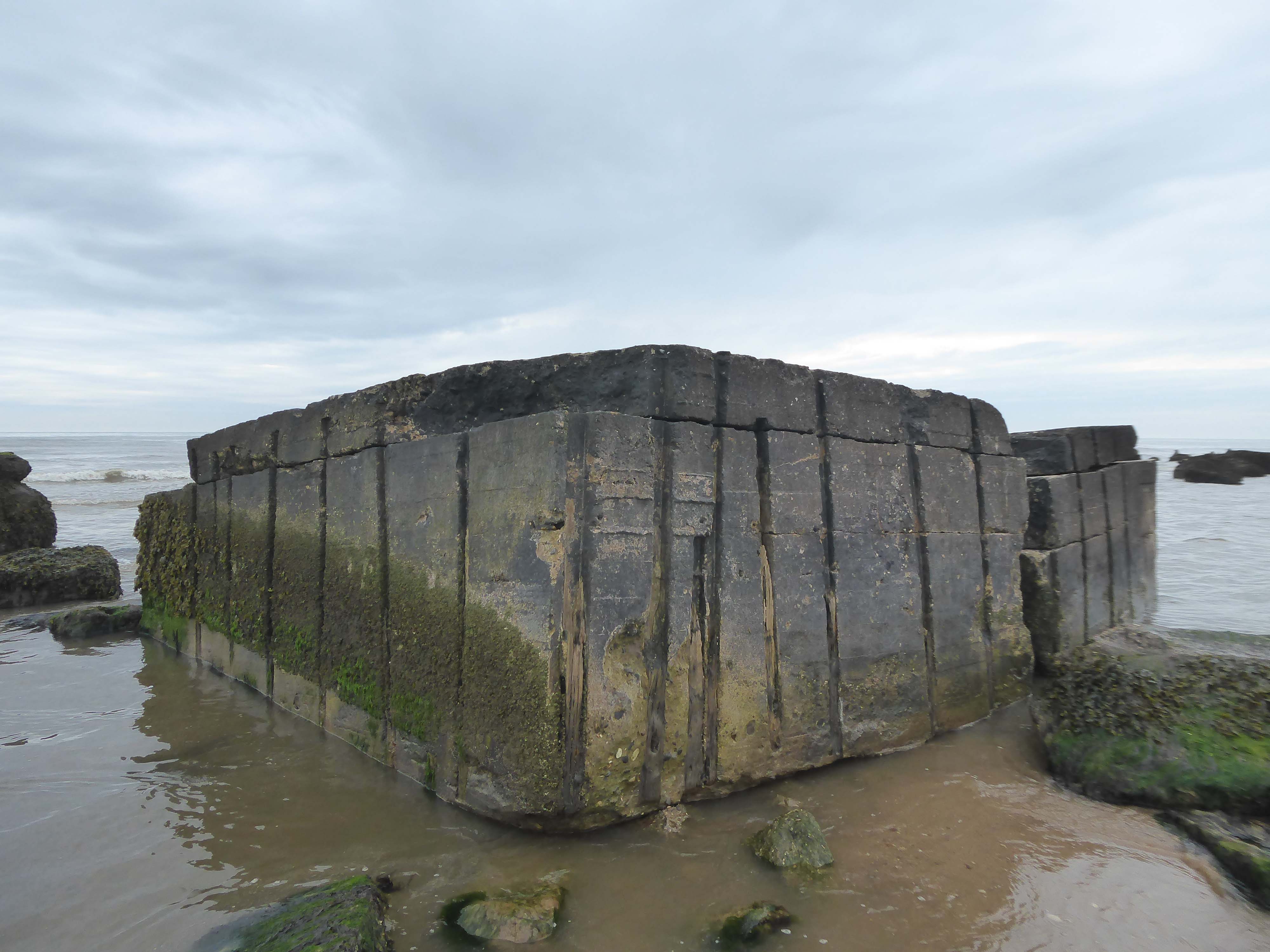
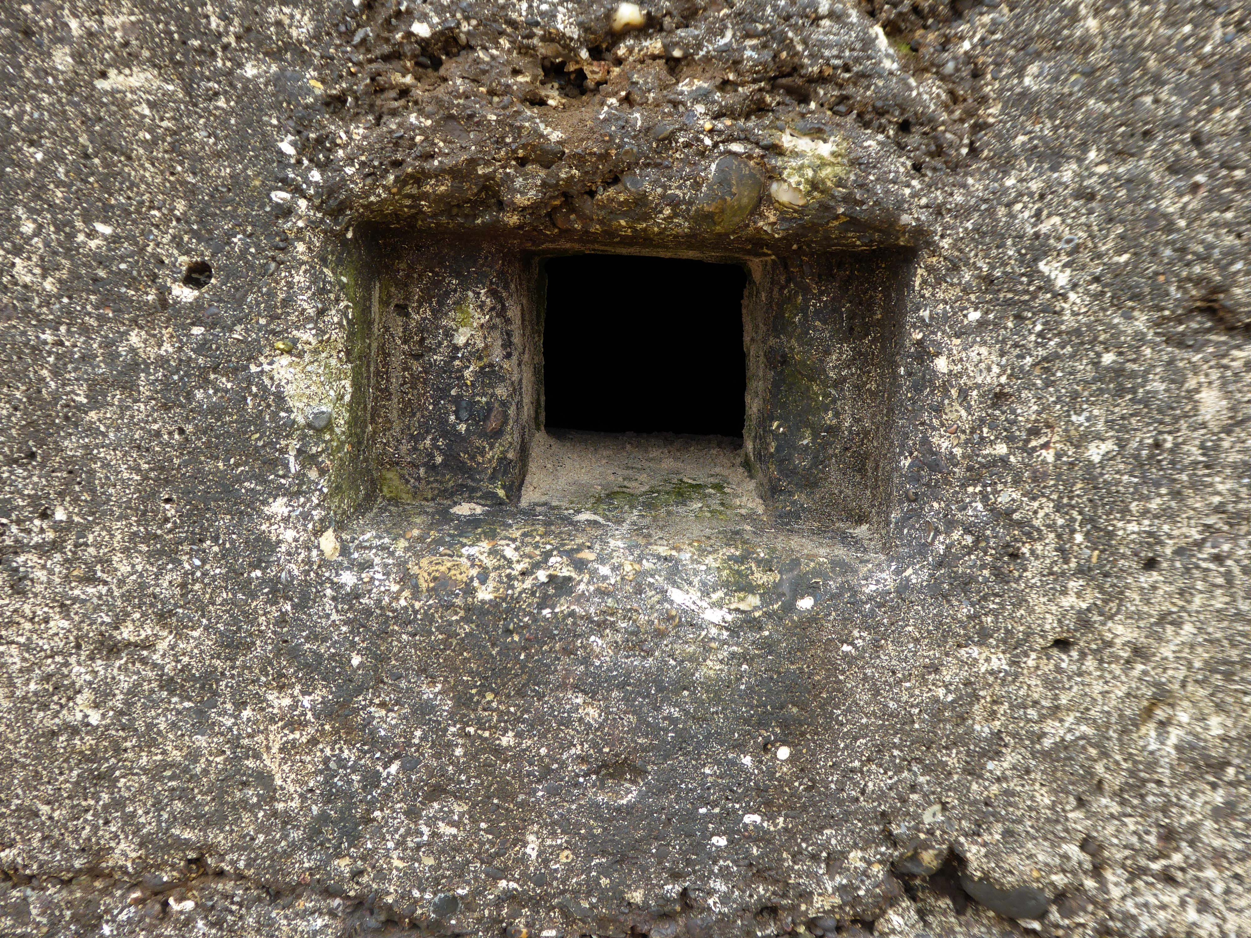
During May 1940 the branch of the Directorate of Fortifications and Works – FW3, at the War Office was set up under the Directorship of Major-General G.B.O. Taylor. Its purpose was to provide specific pillbox designs to be constructed throughout the countryside at defensive locations.
During June and July 1940 saw the FW3 branch issue seven basic designs. However, often, once in the field, the local construction companies modified these under the direction of the area commands.
The FW3 pillbox design concept was to provide a simple fieldwork standard that could be constructed very quickly. Most designs consisted of or incorporated some of the following features:
Minimum of Bullet/Splinter Proof protection No attempt was made to provide living accommodation Some designs were enhanced to Shell Proof standard Simple Blast Walls to protect open entrances External flat side walls with rectangular or polygonal shape
The use of common designs with standard sizes for doors, loopholes and flat sides made it easier to mass produce items for concrete shuttering and hence the speed of construction. However, with the general countrywide lack of material it was often necessary to use bricks as the shuttering. This often fools the casual observer into believing that the whole structure is constructed of brick. Closer examination often reveals the integral reinforced concrete back-bone.
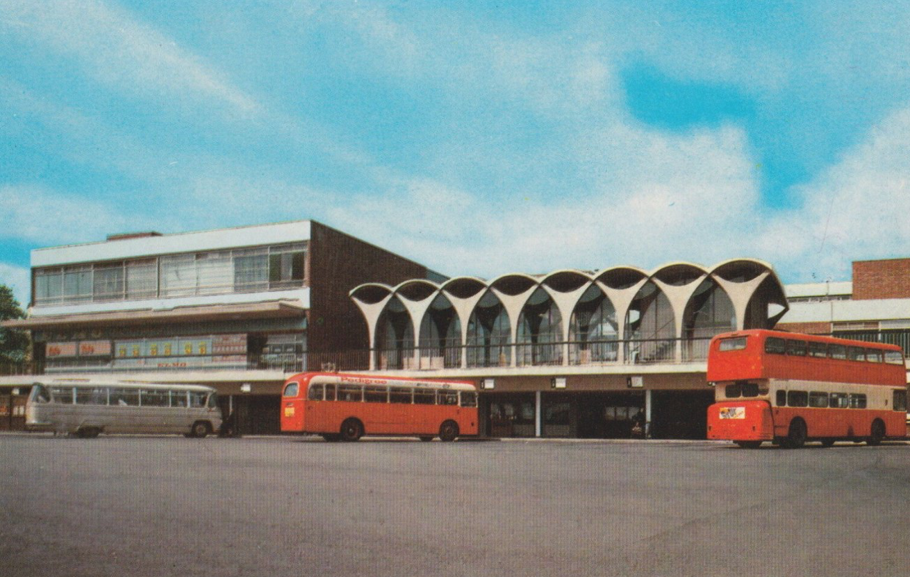
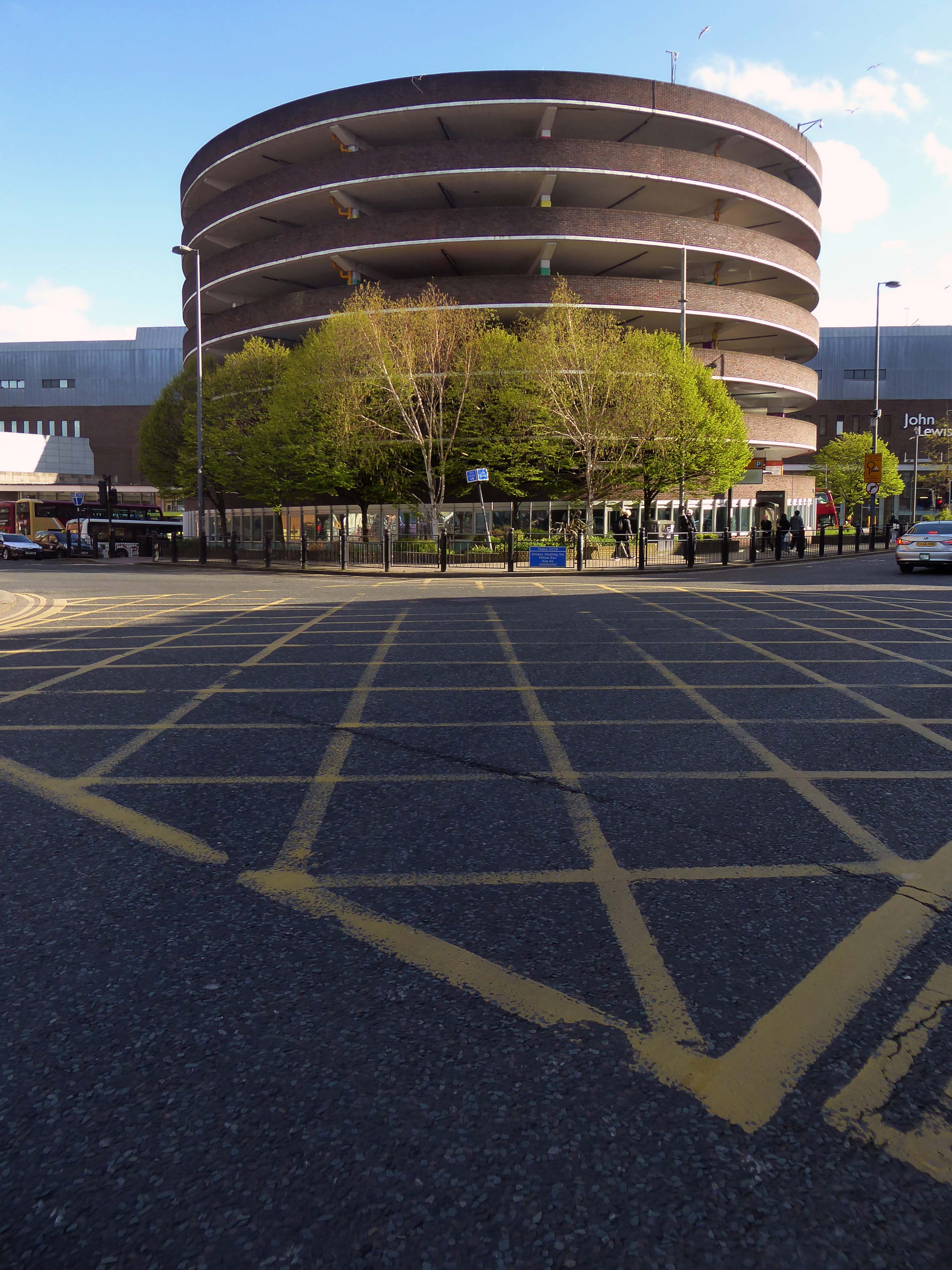
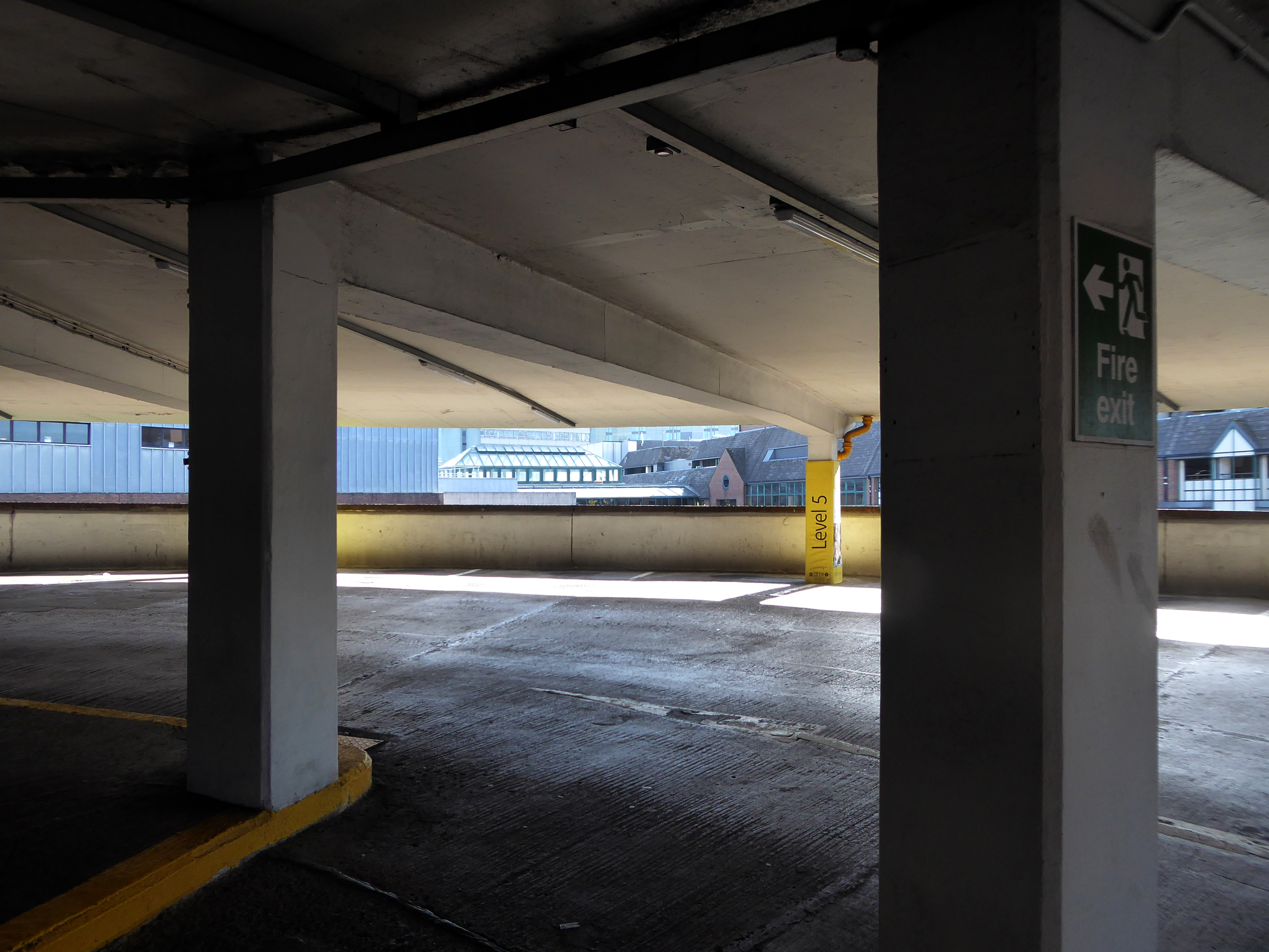
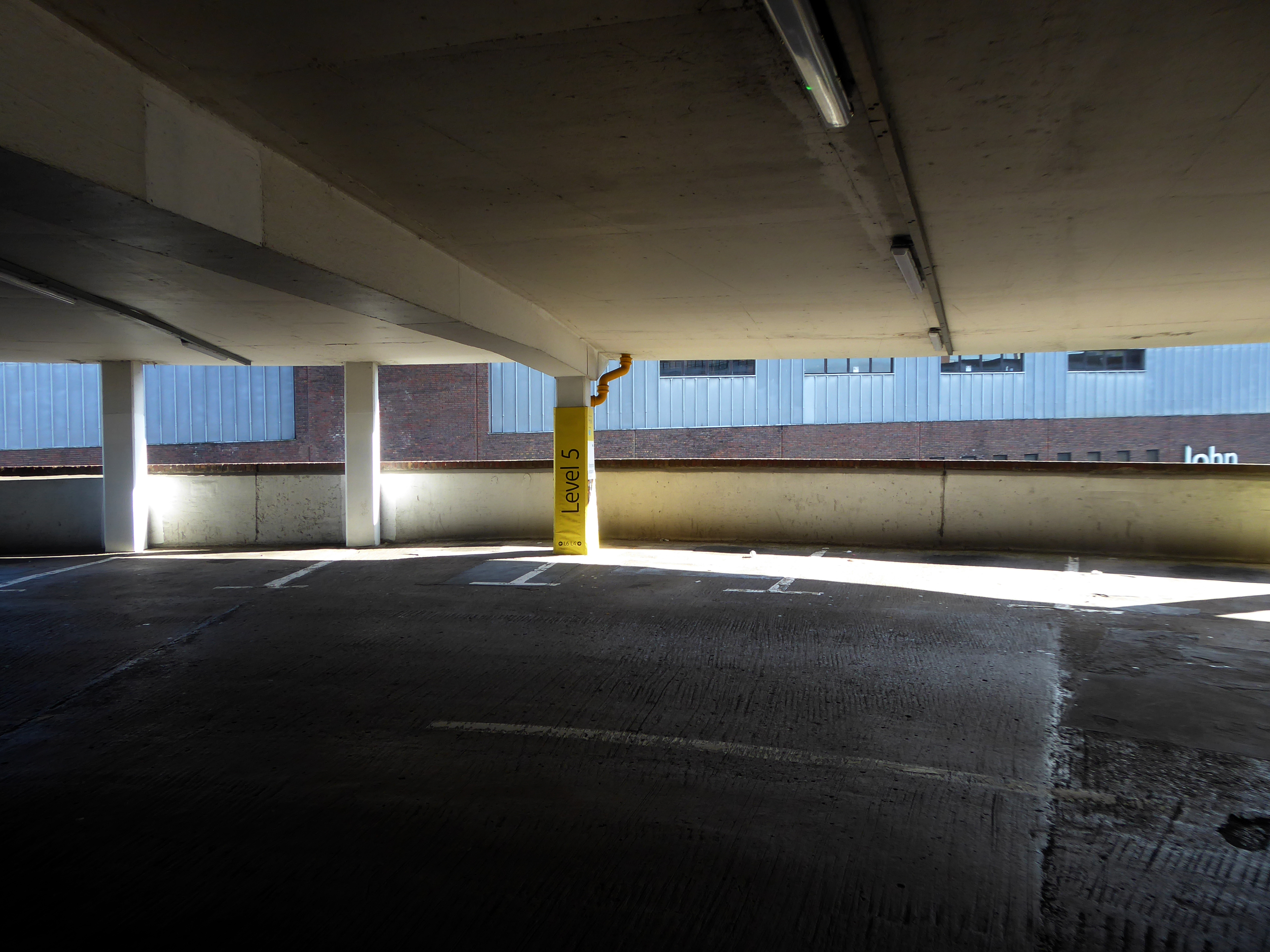
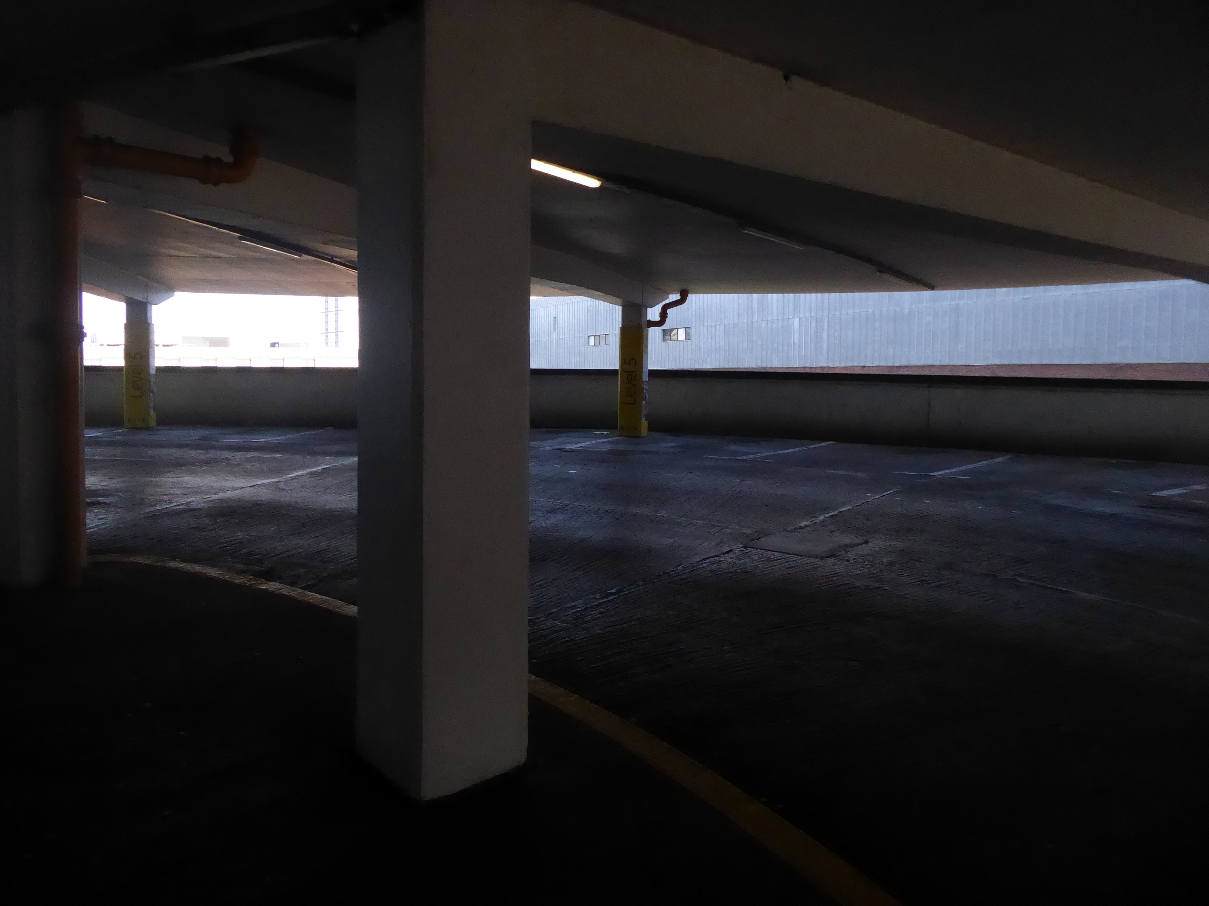
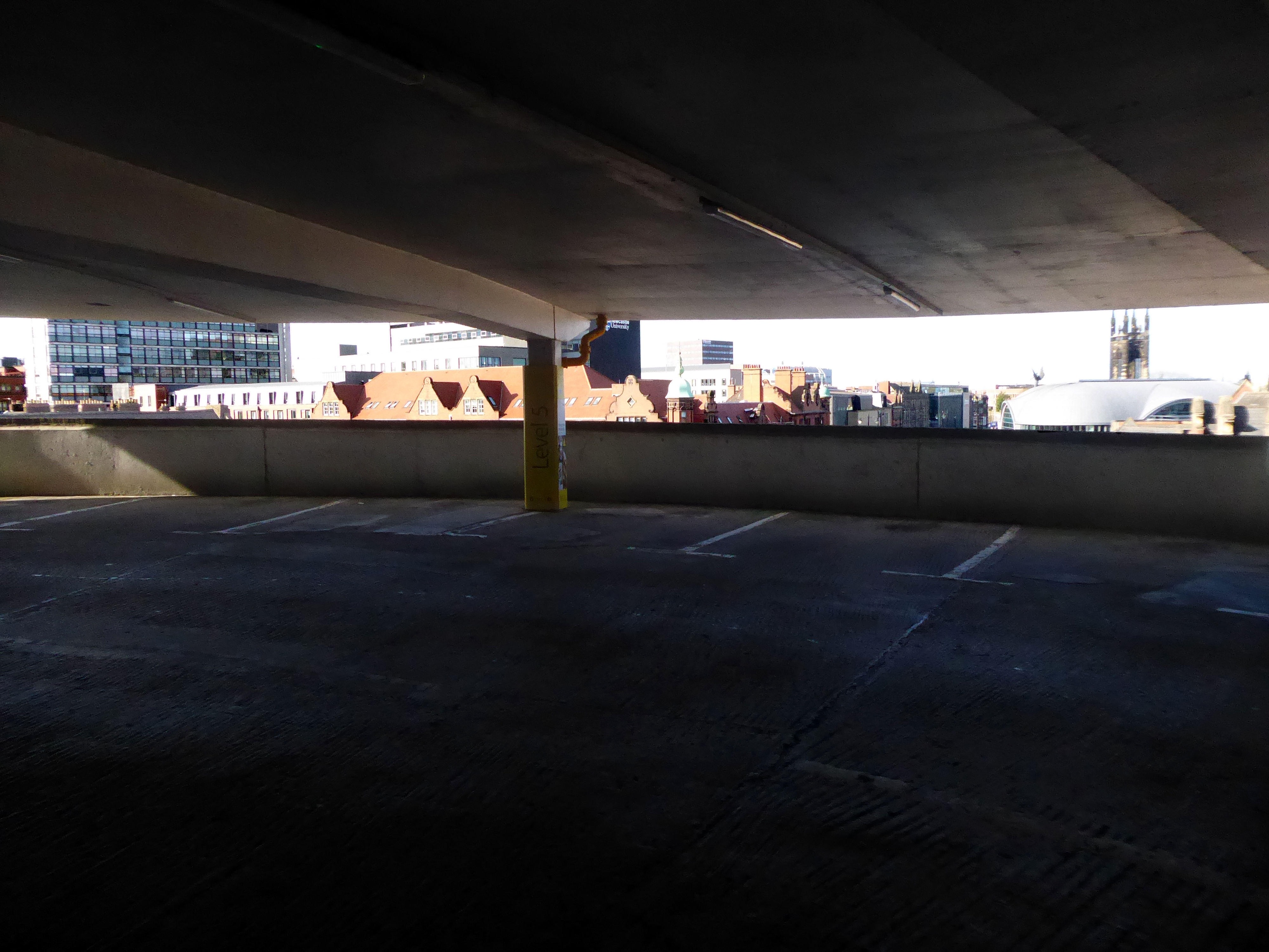
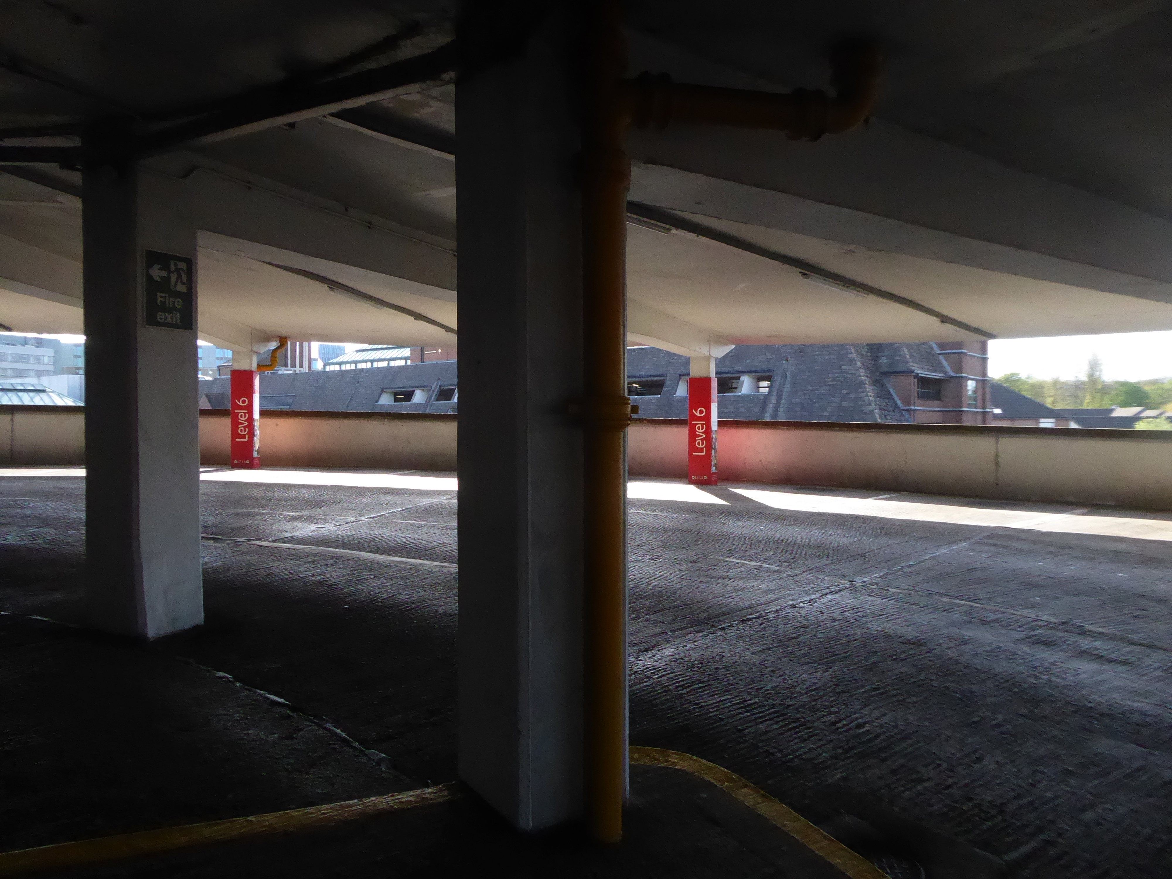
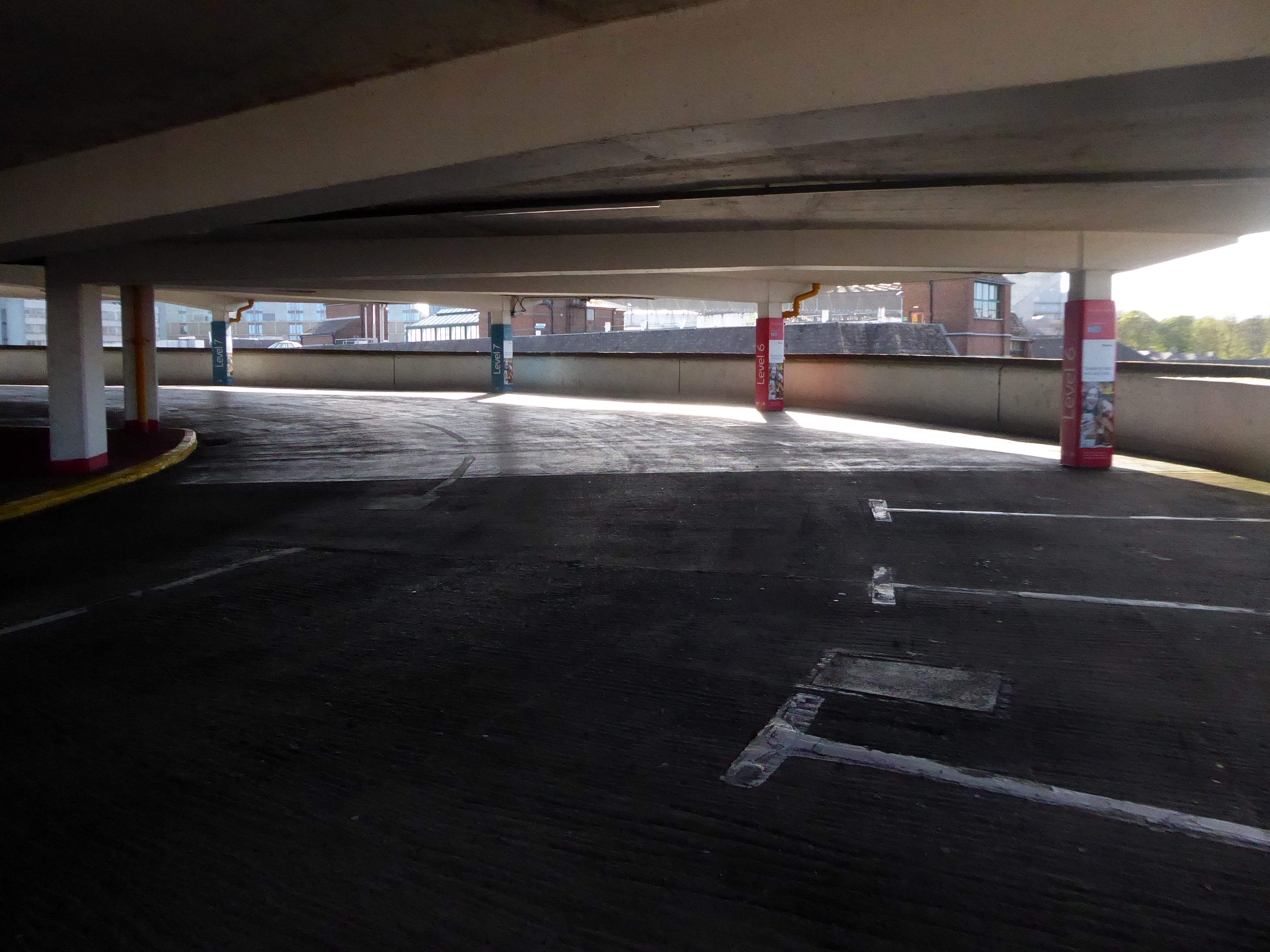
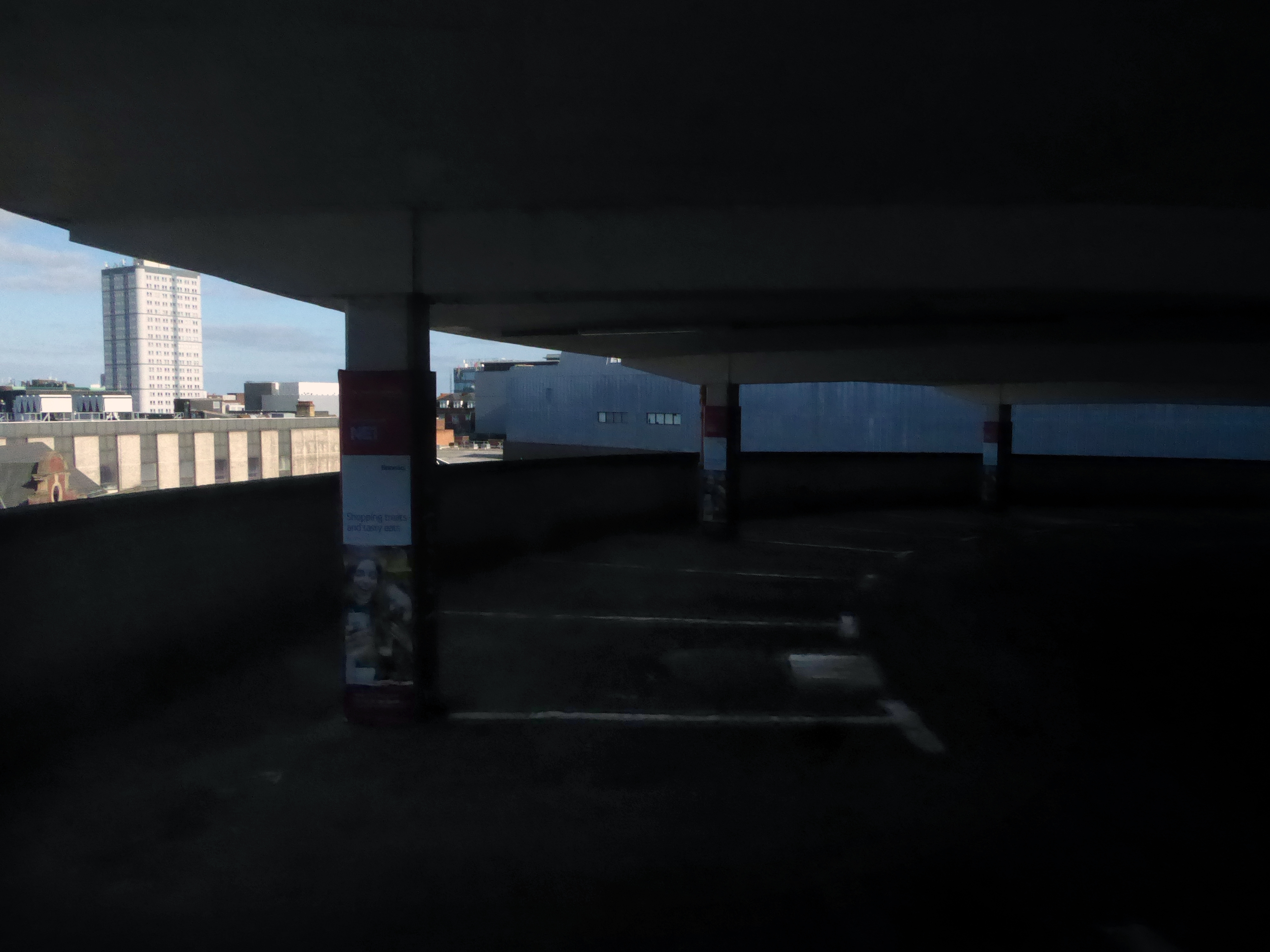
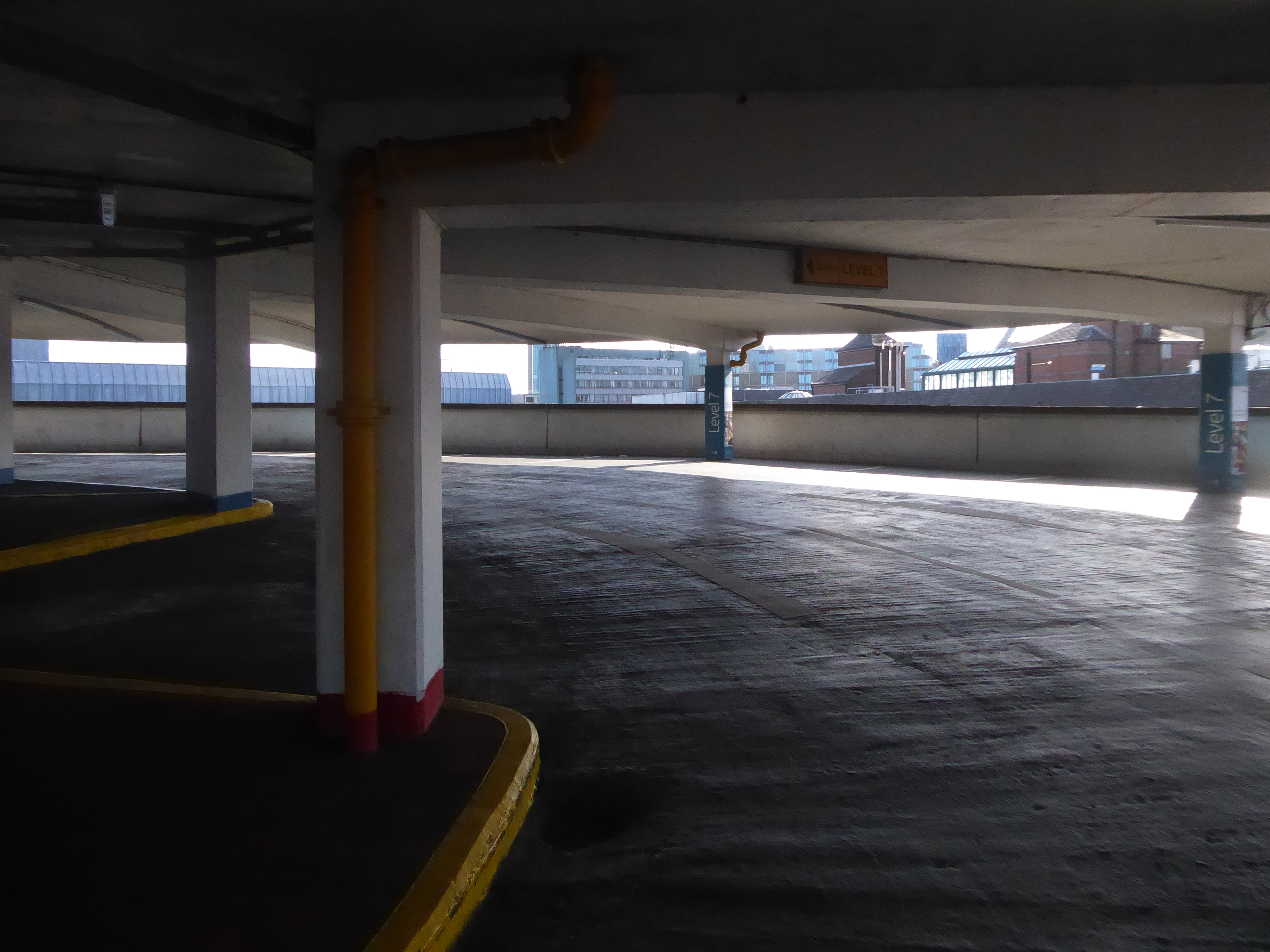
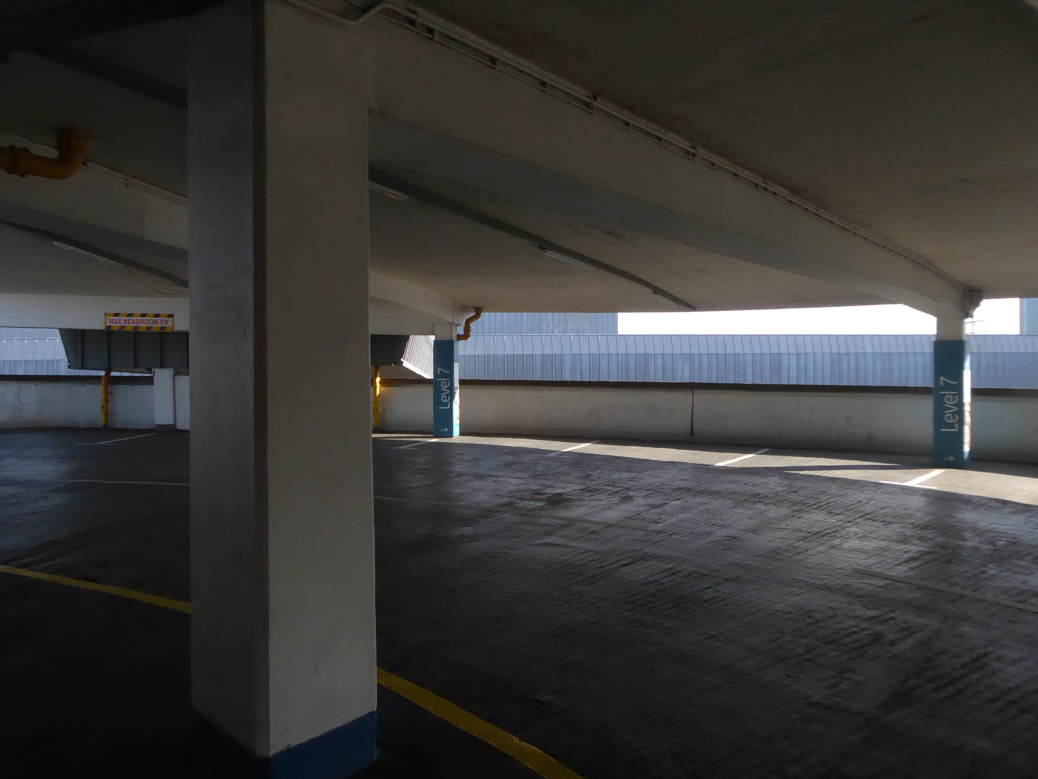
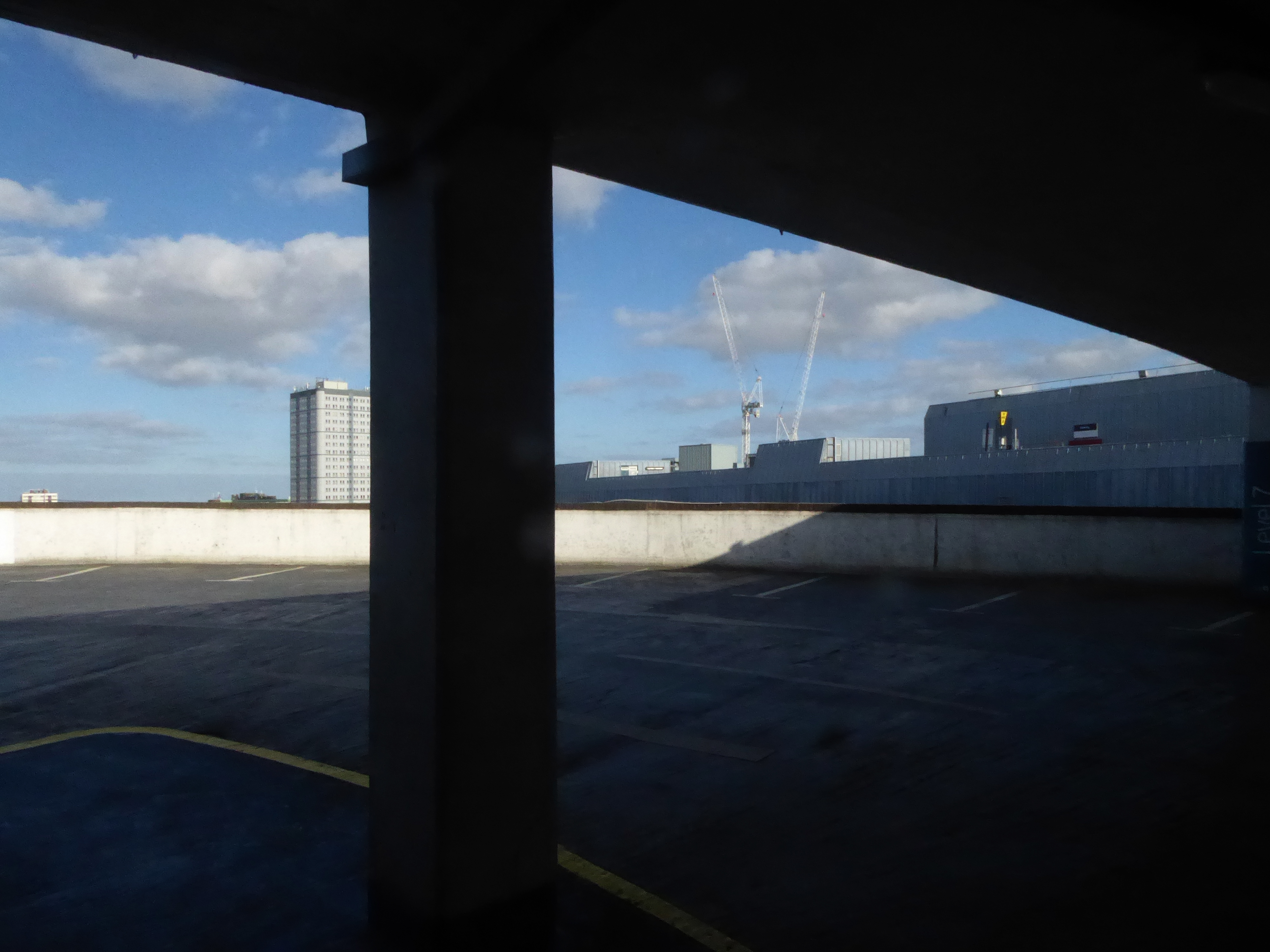
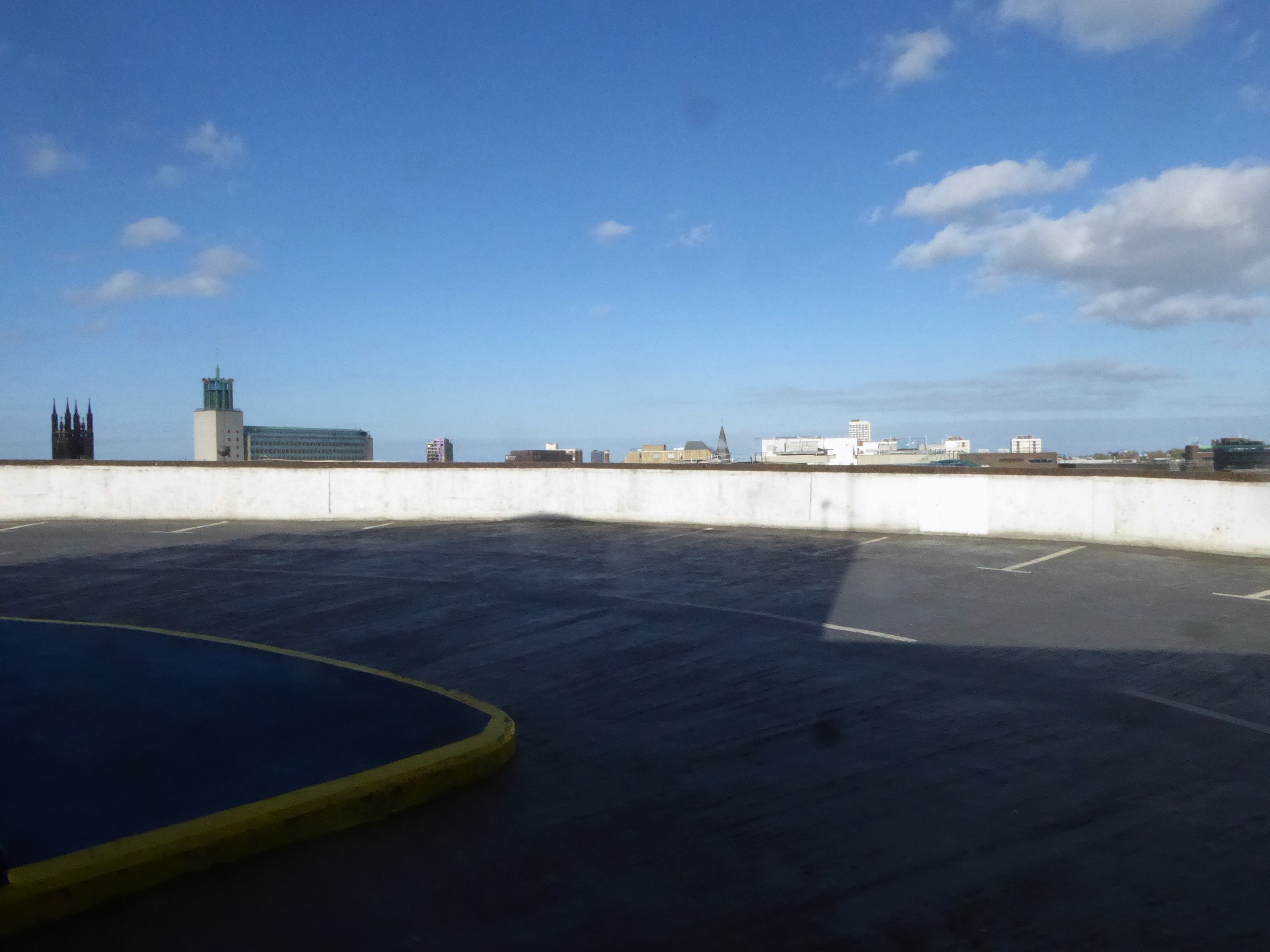
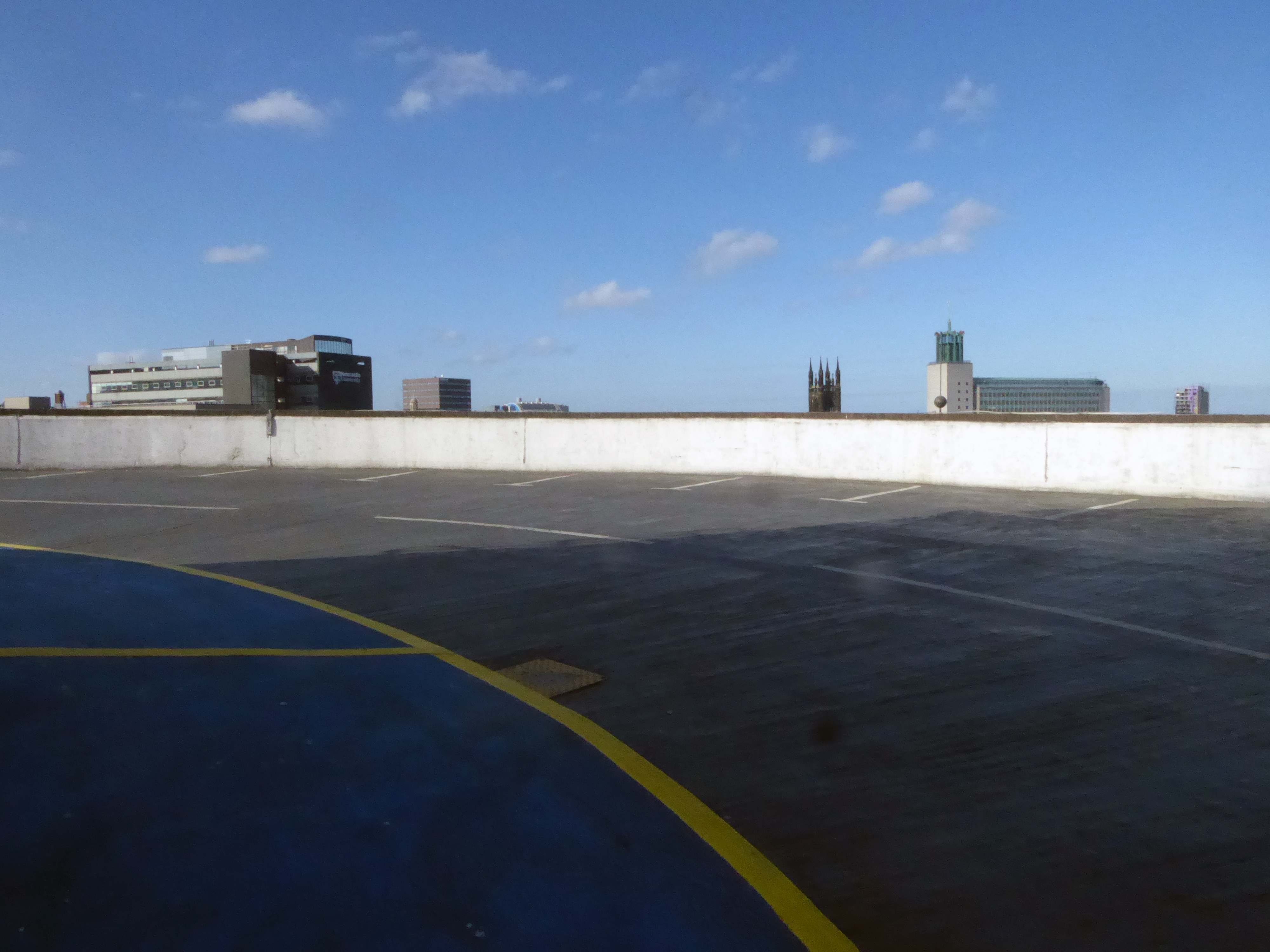
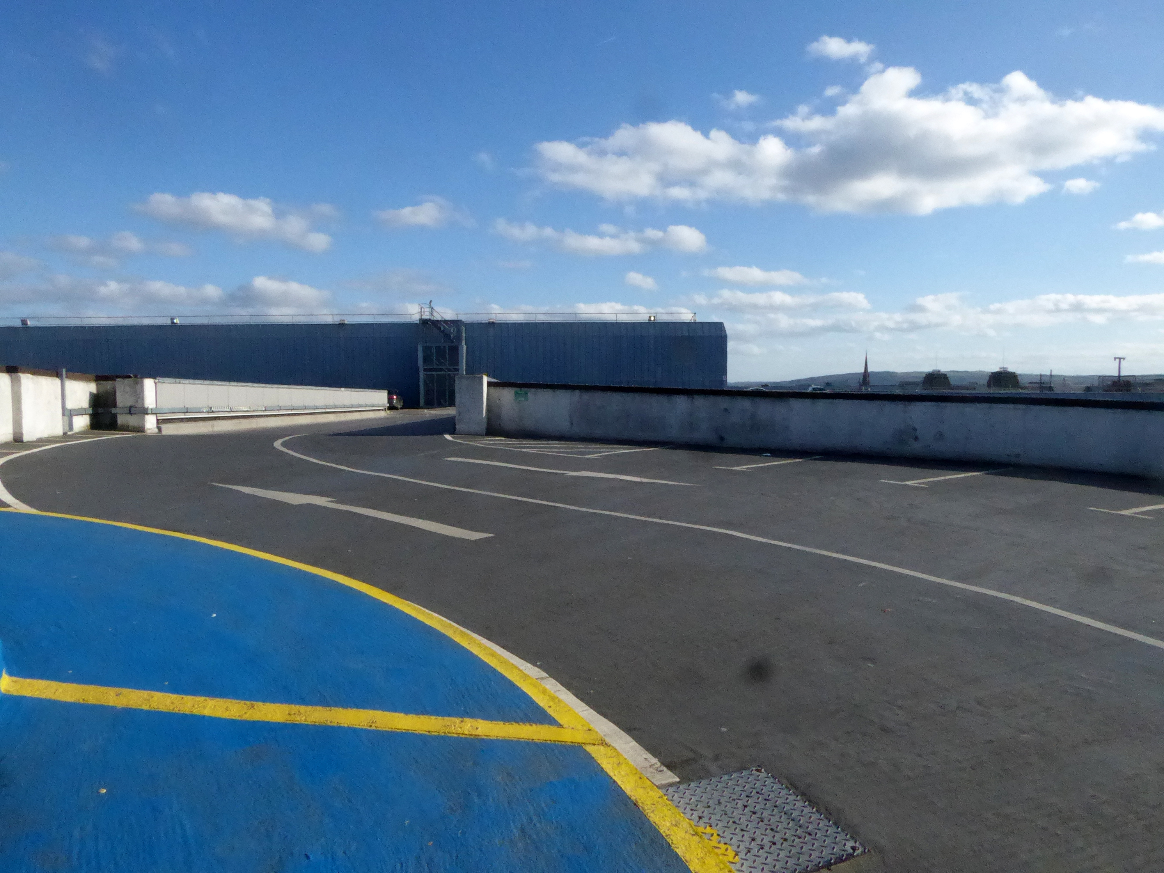
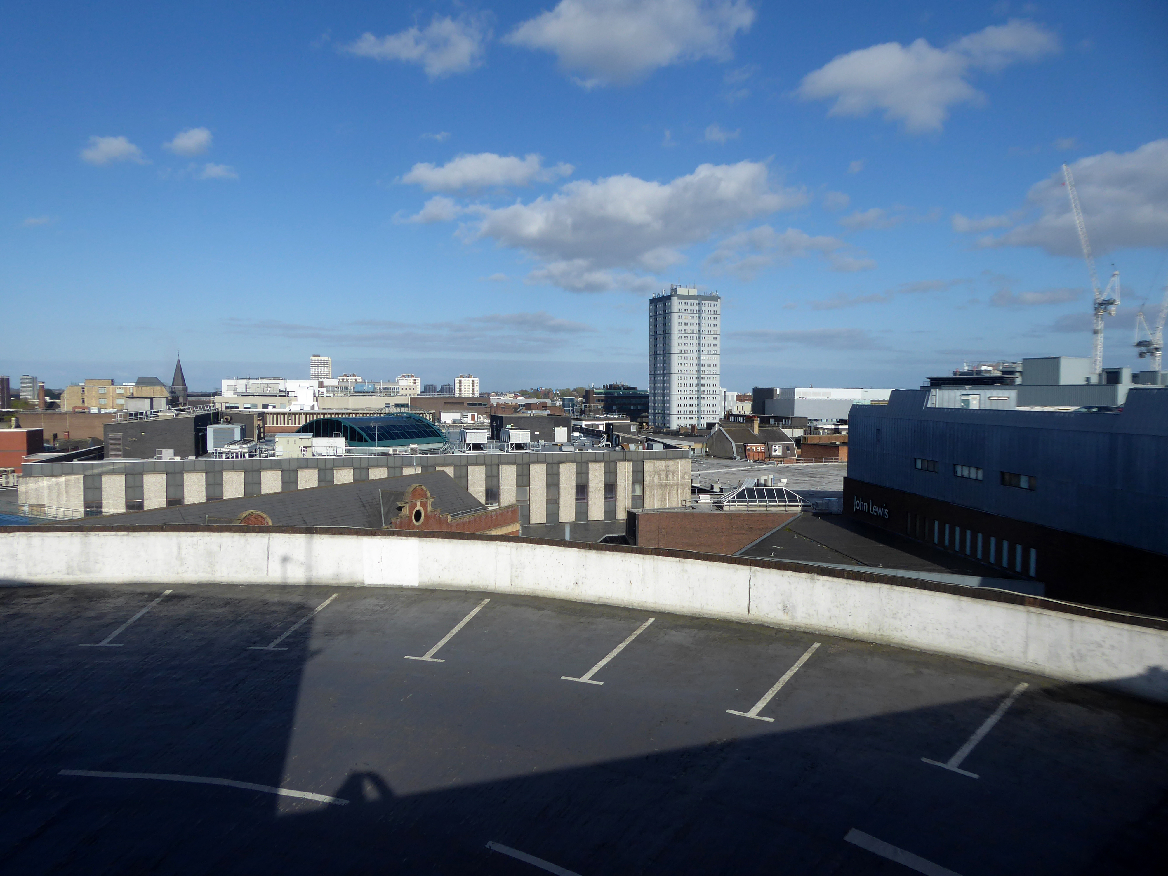
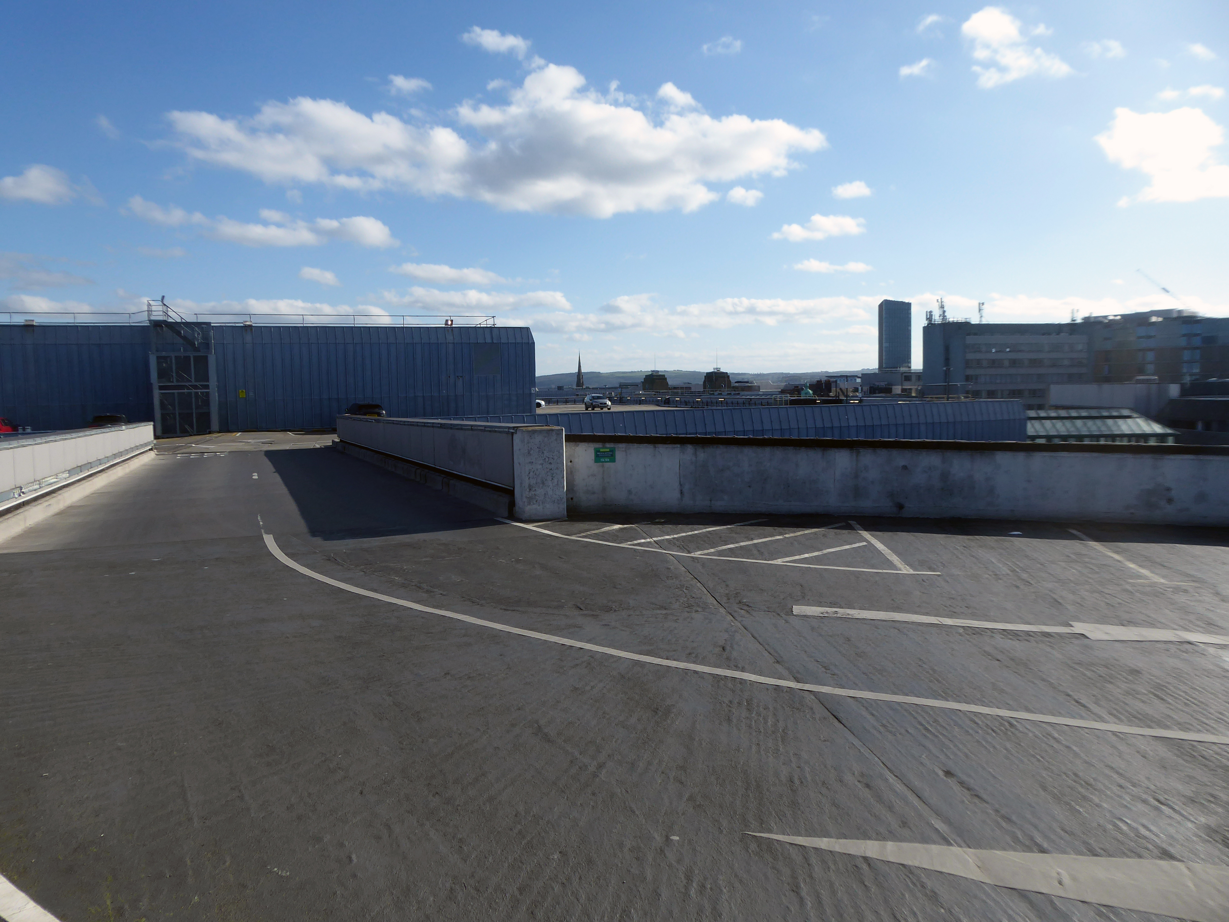
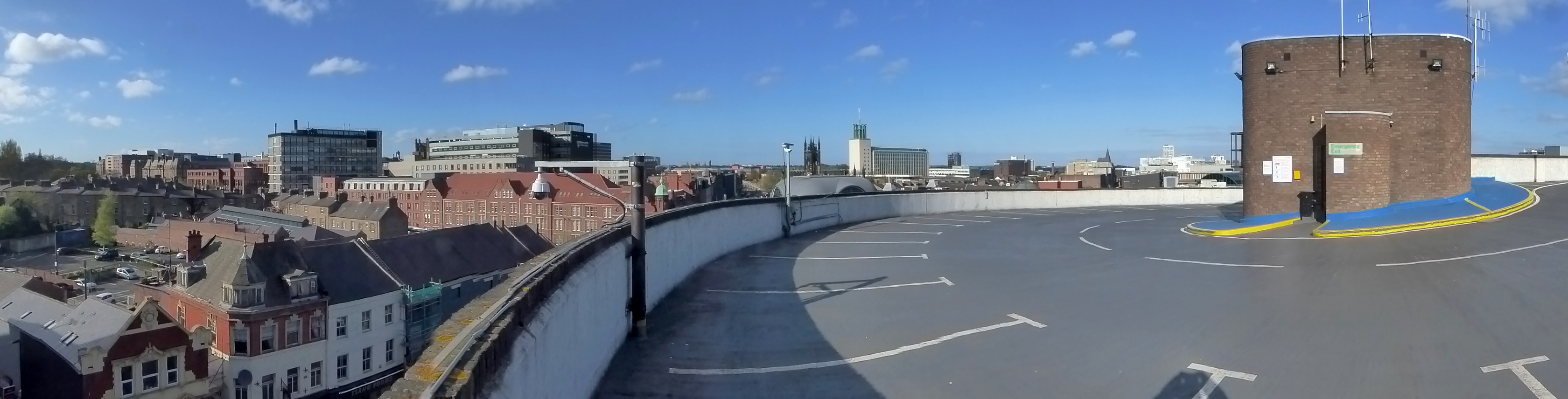
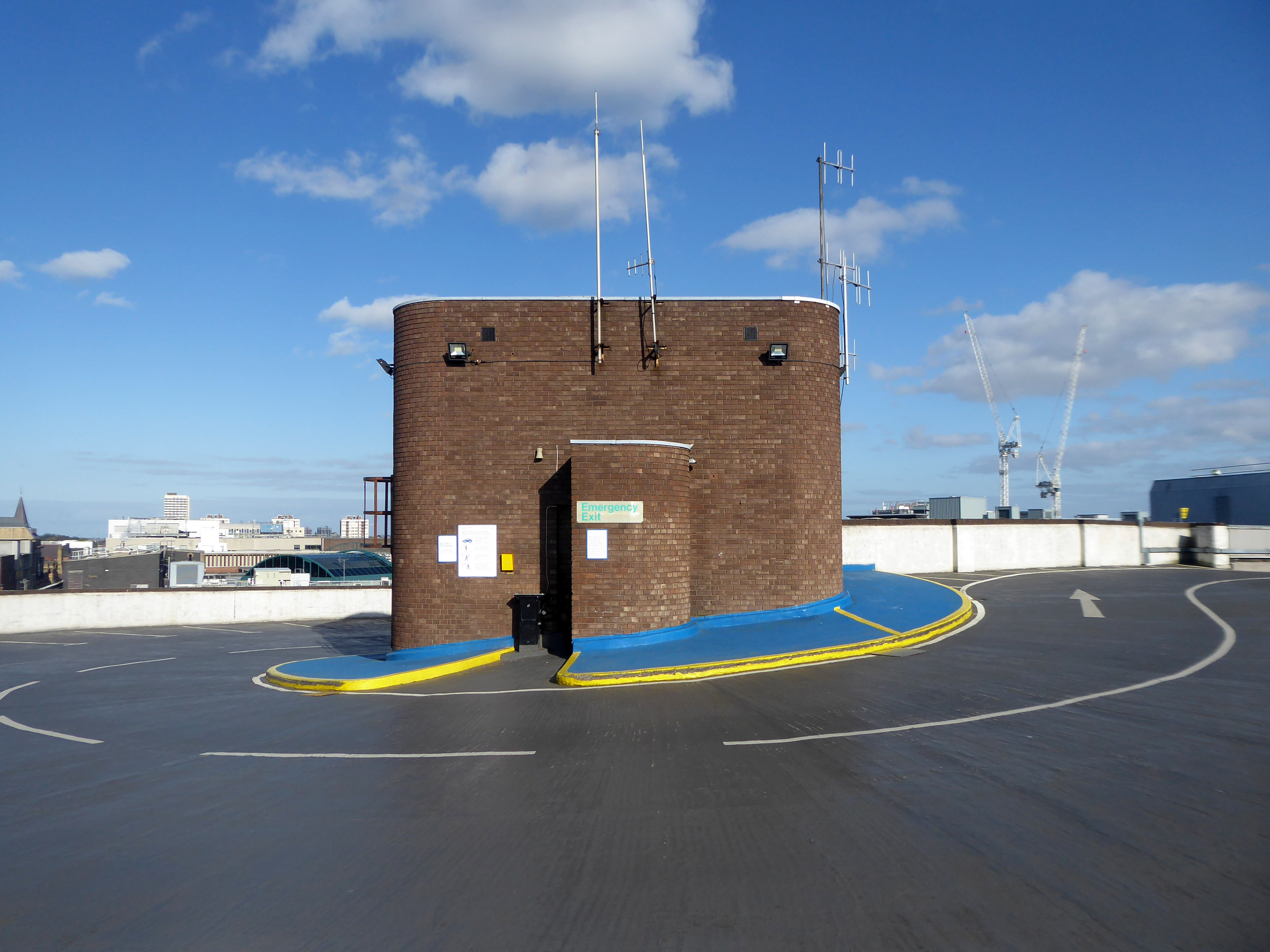
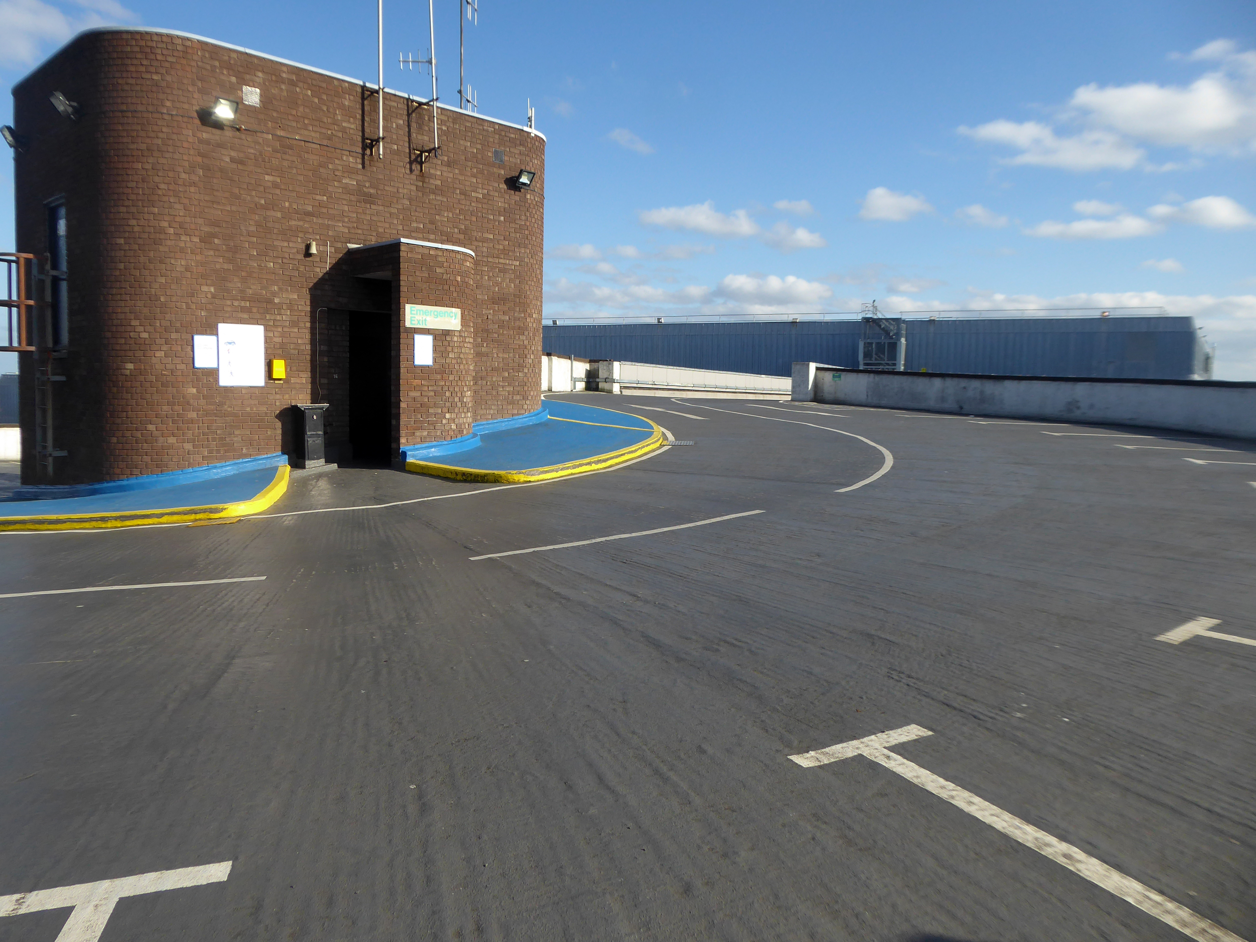
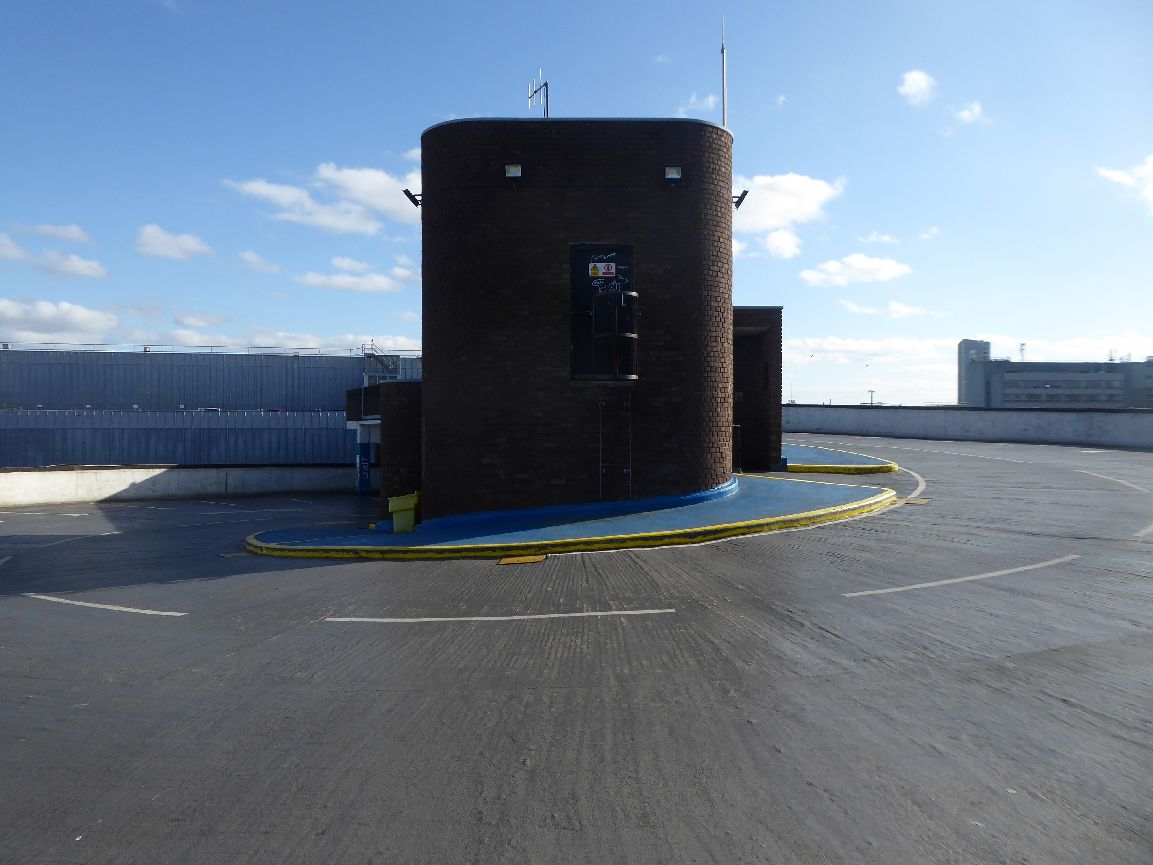
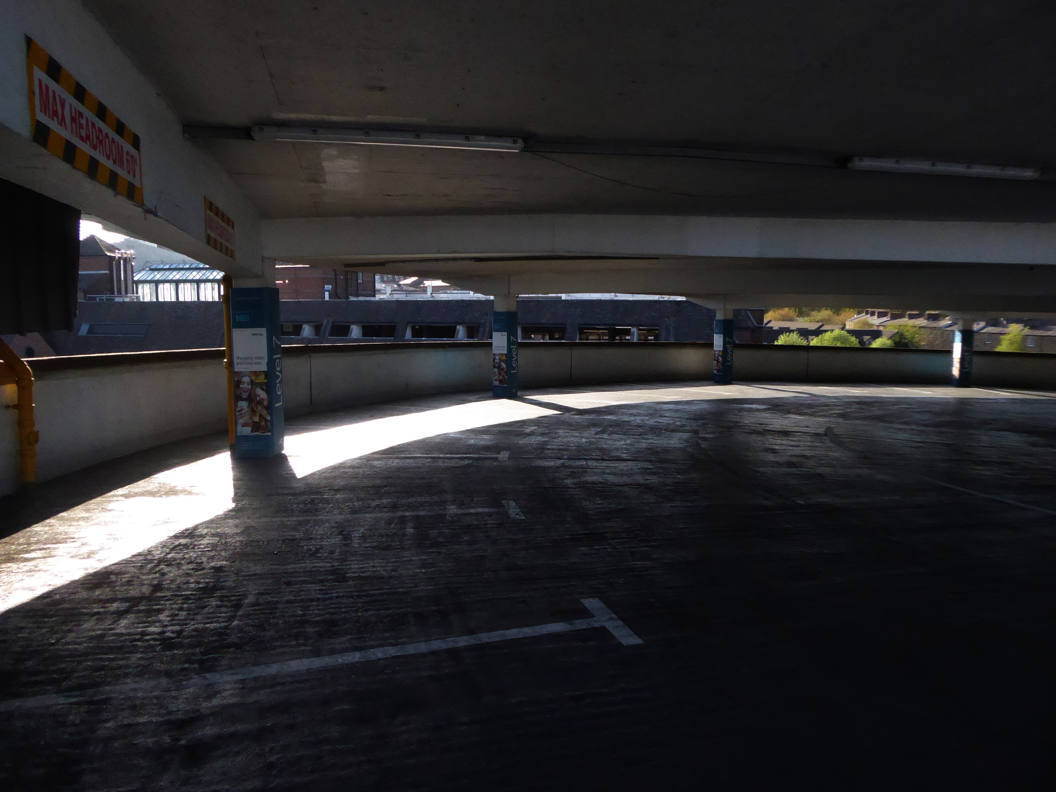
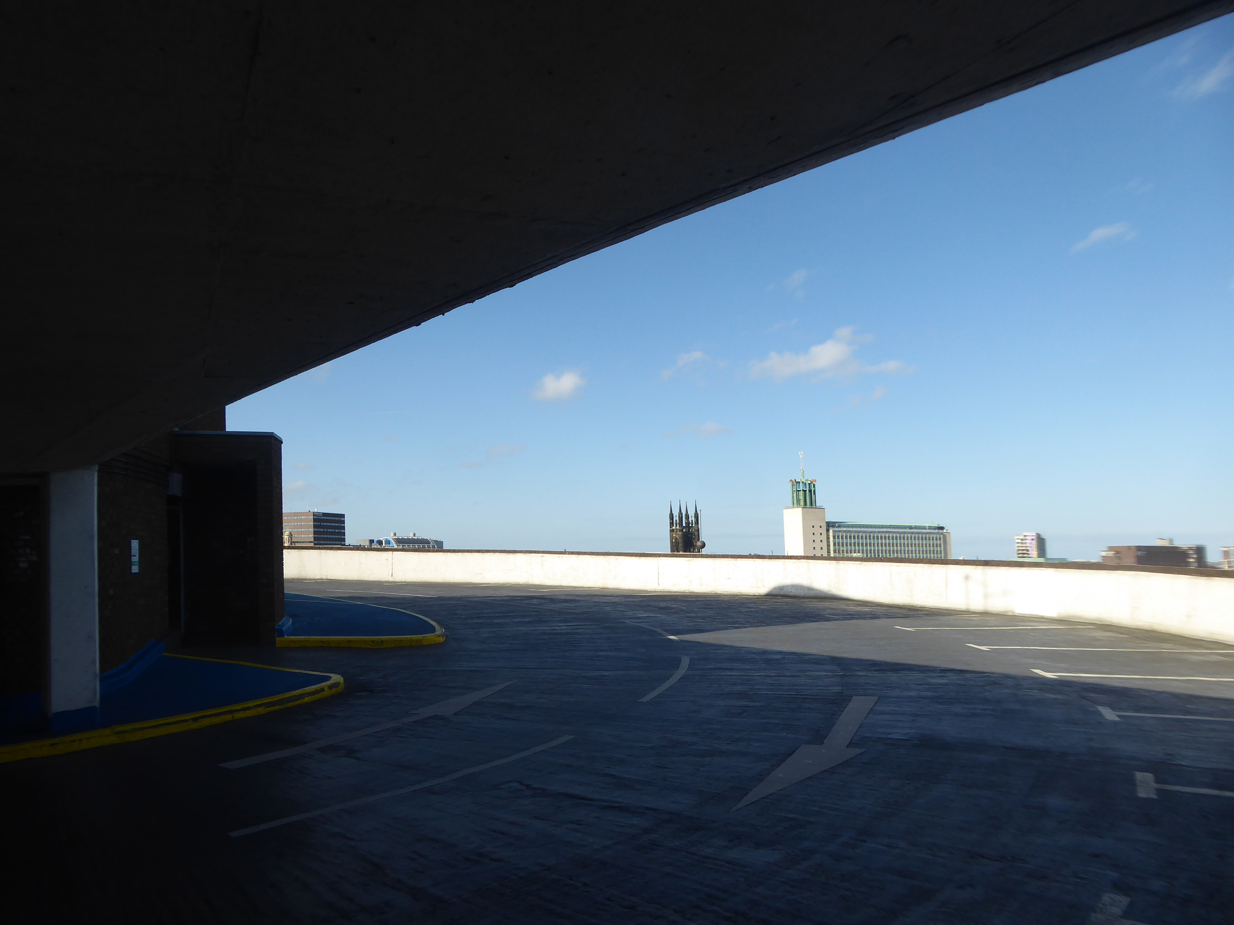
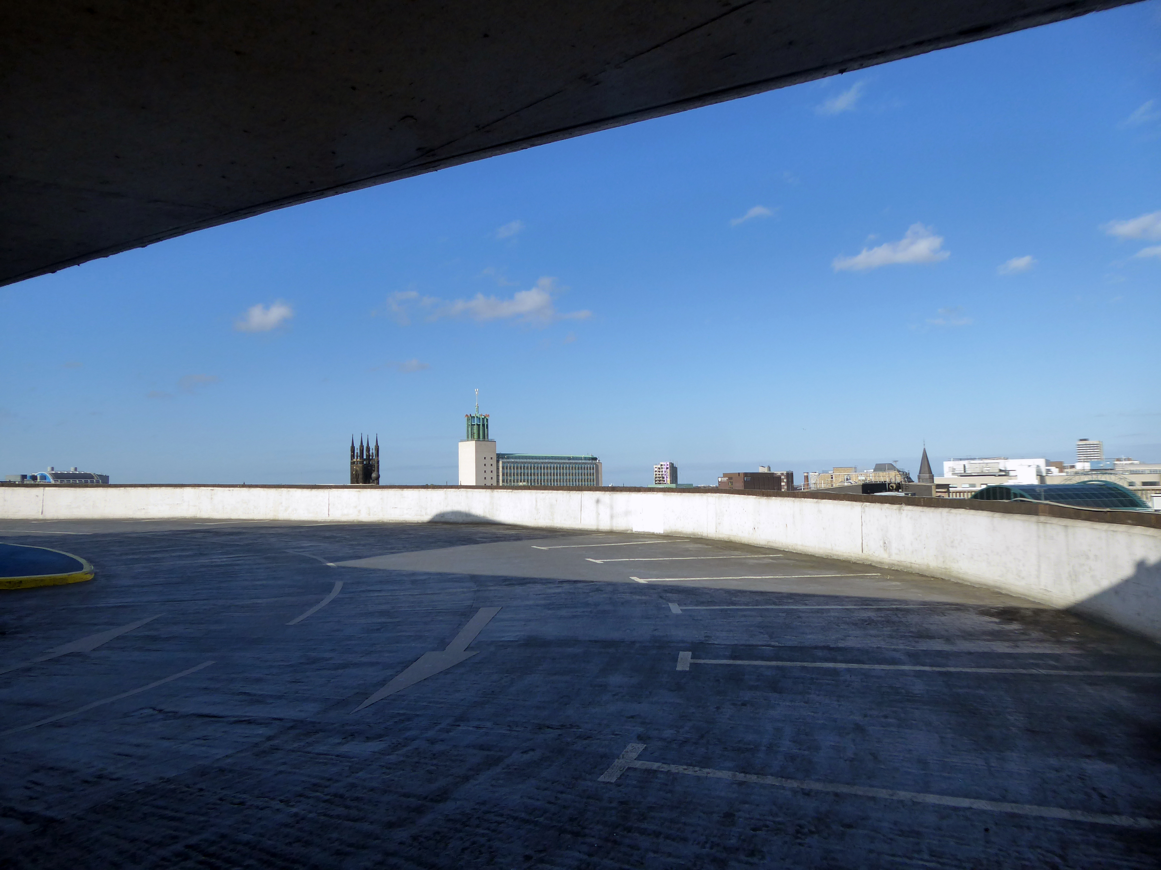
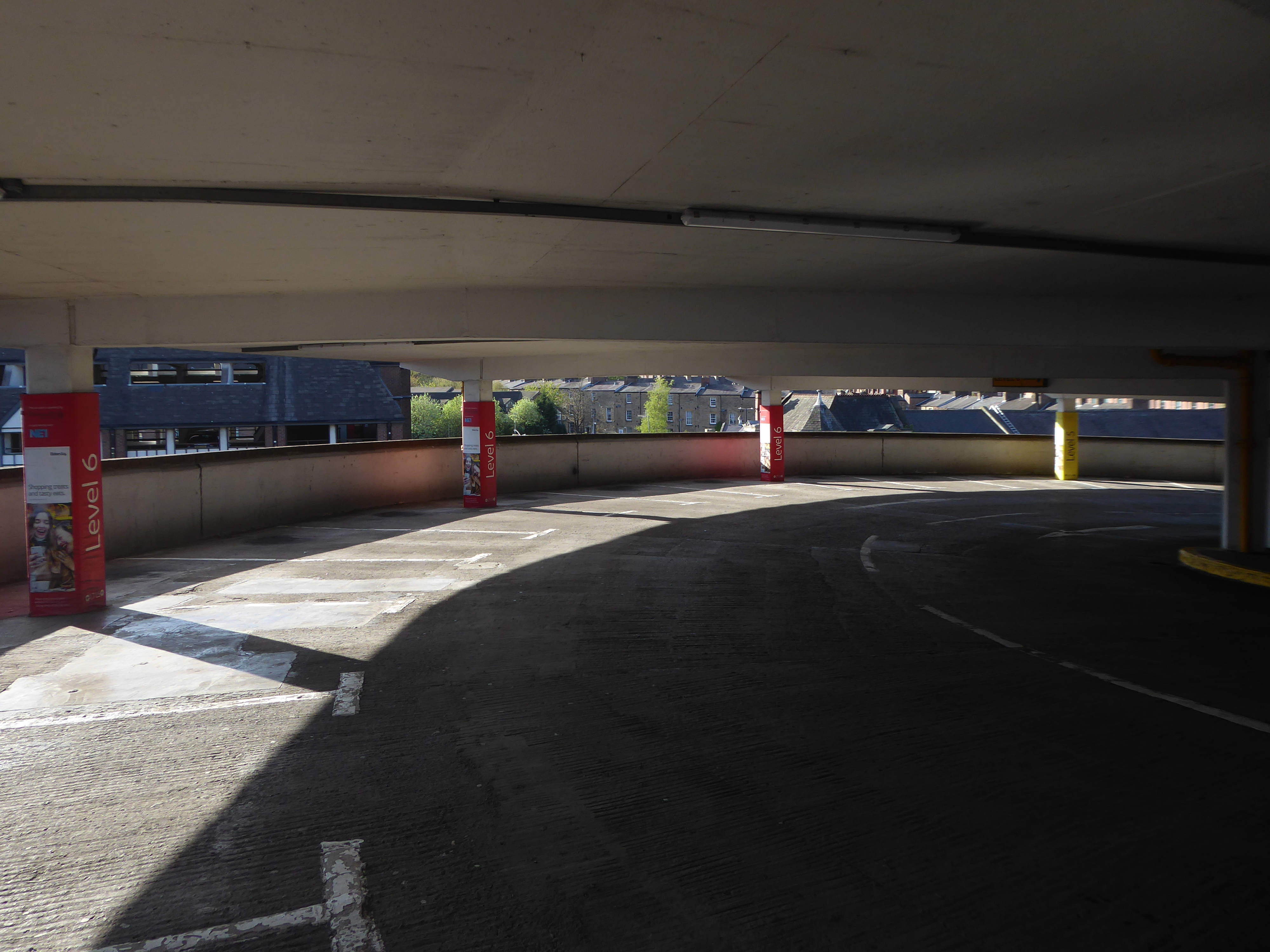
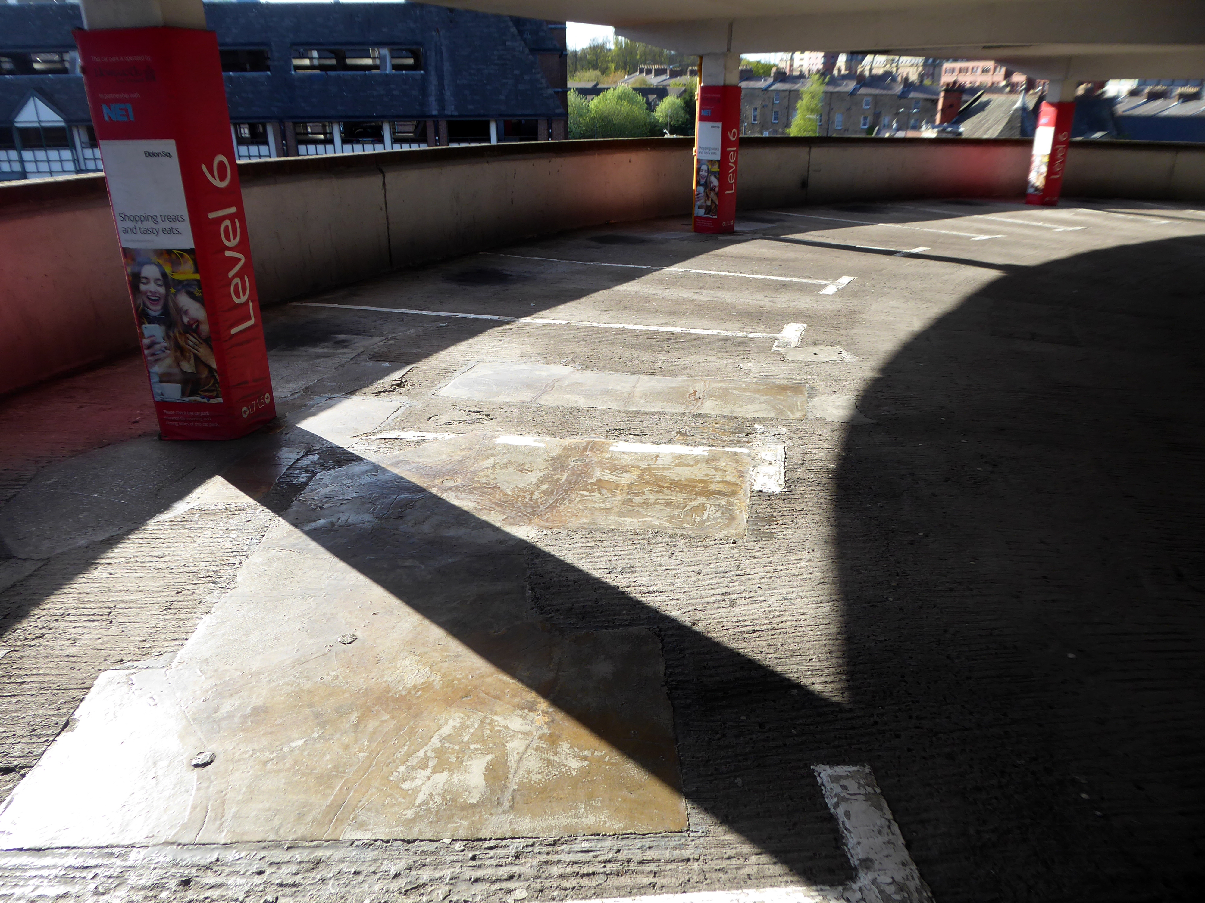
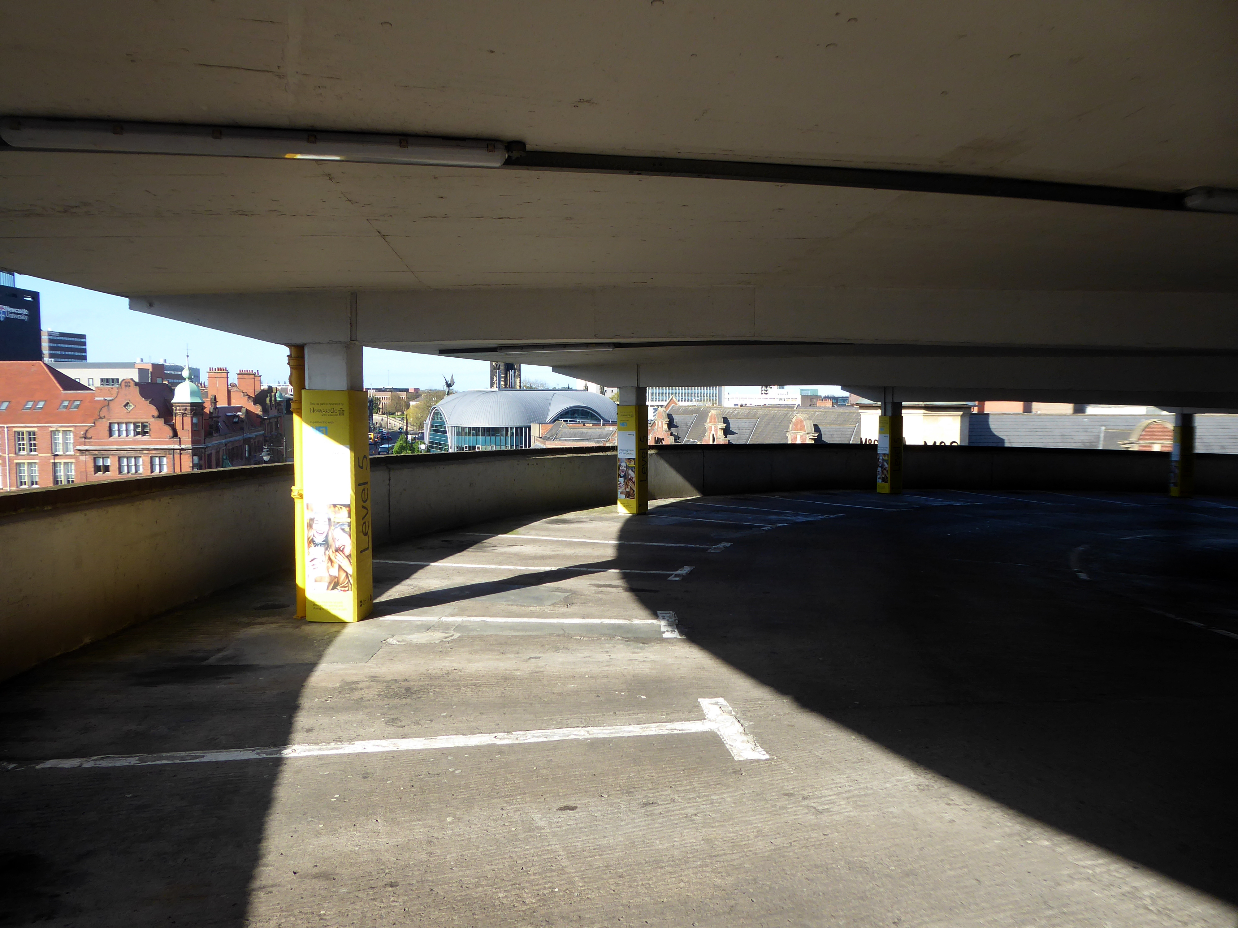
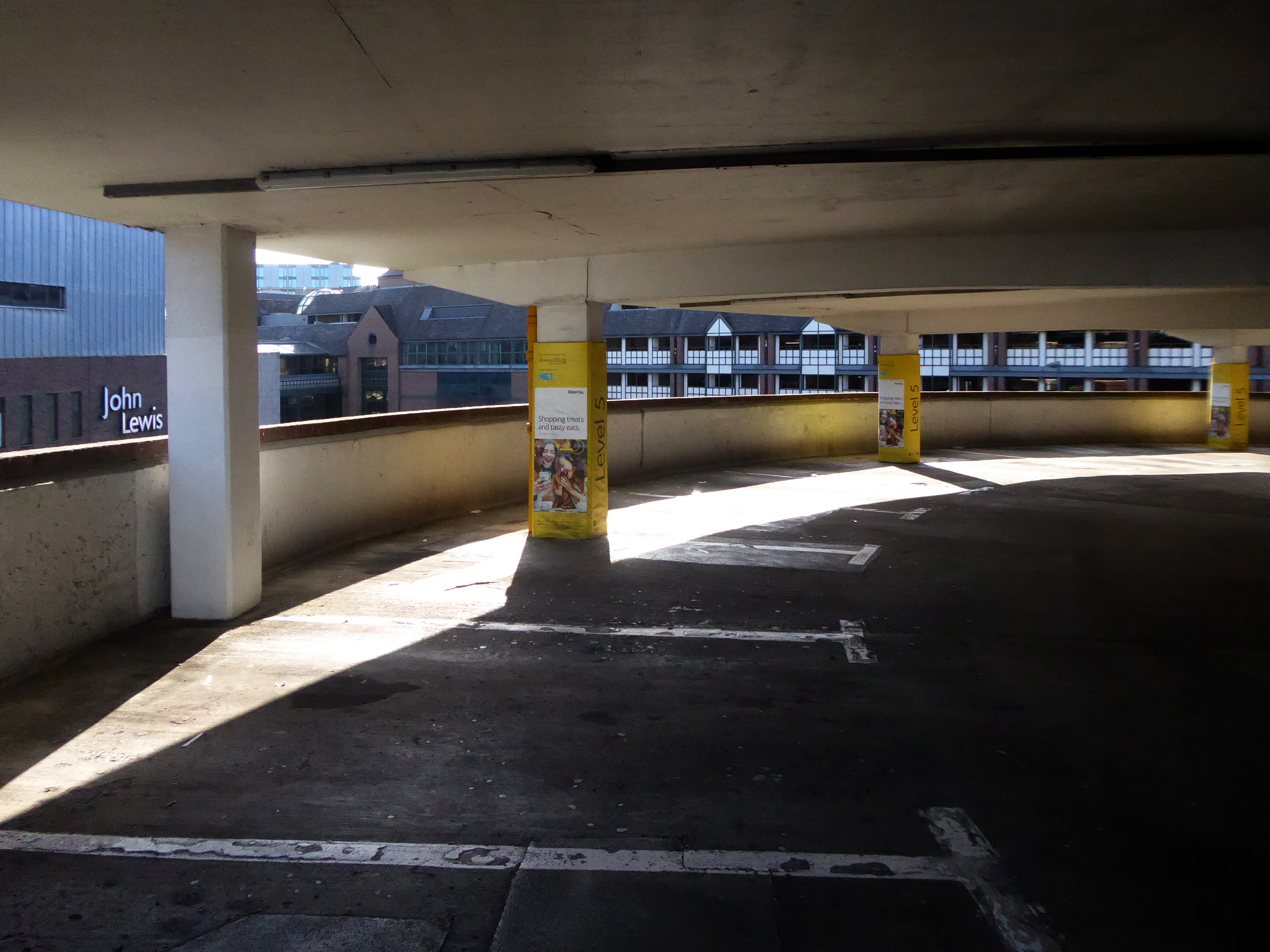
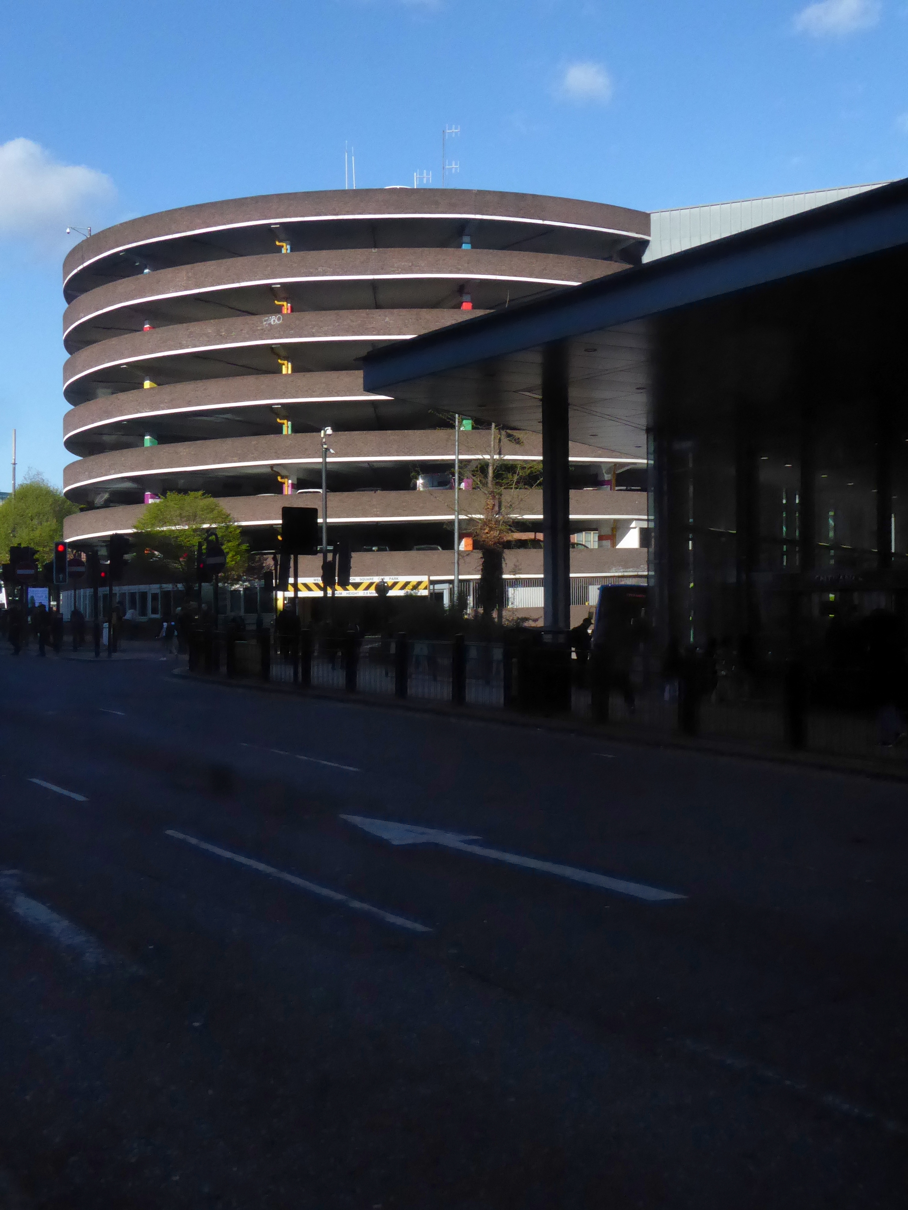
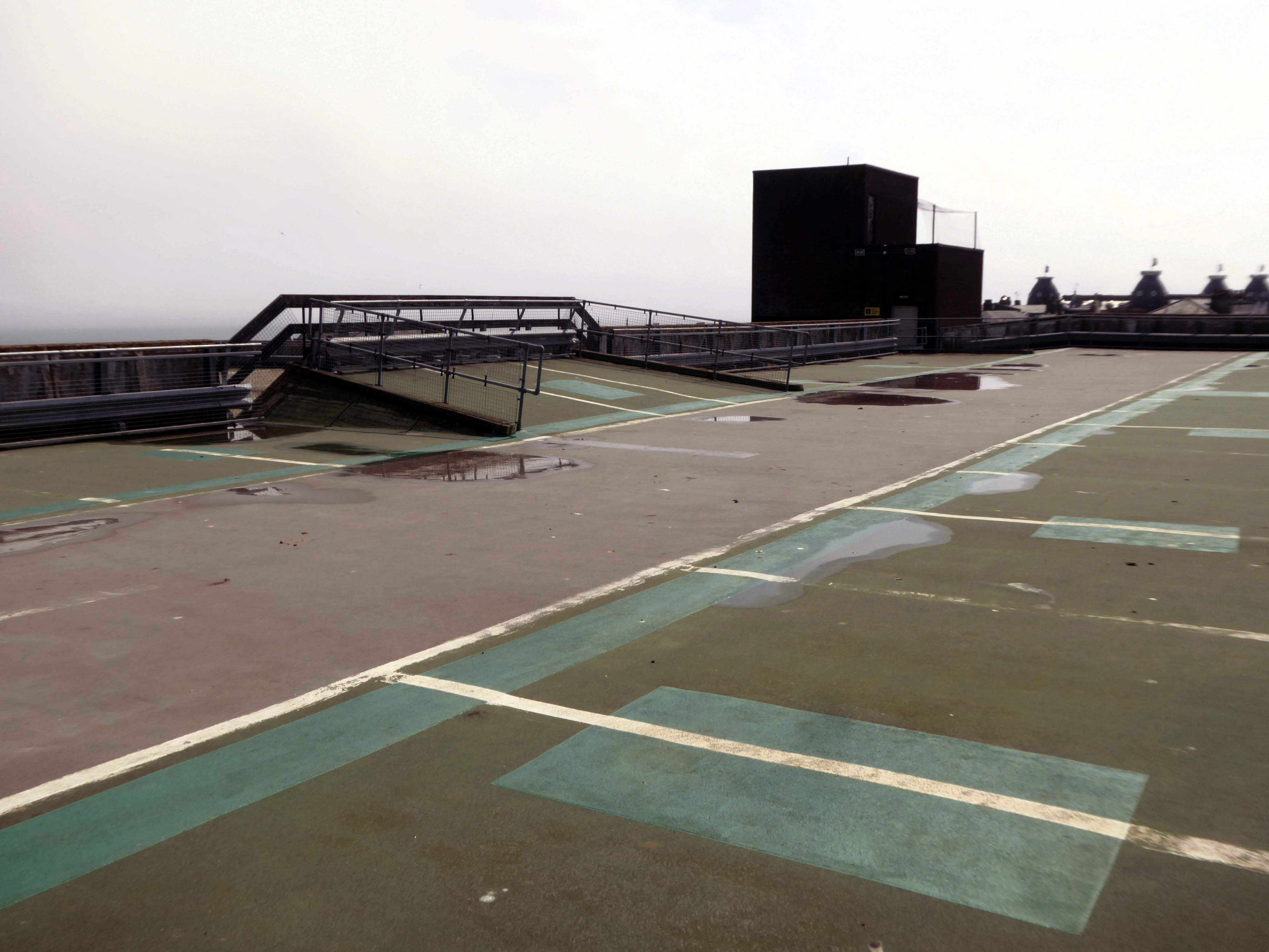
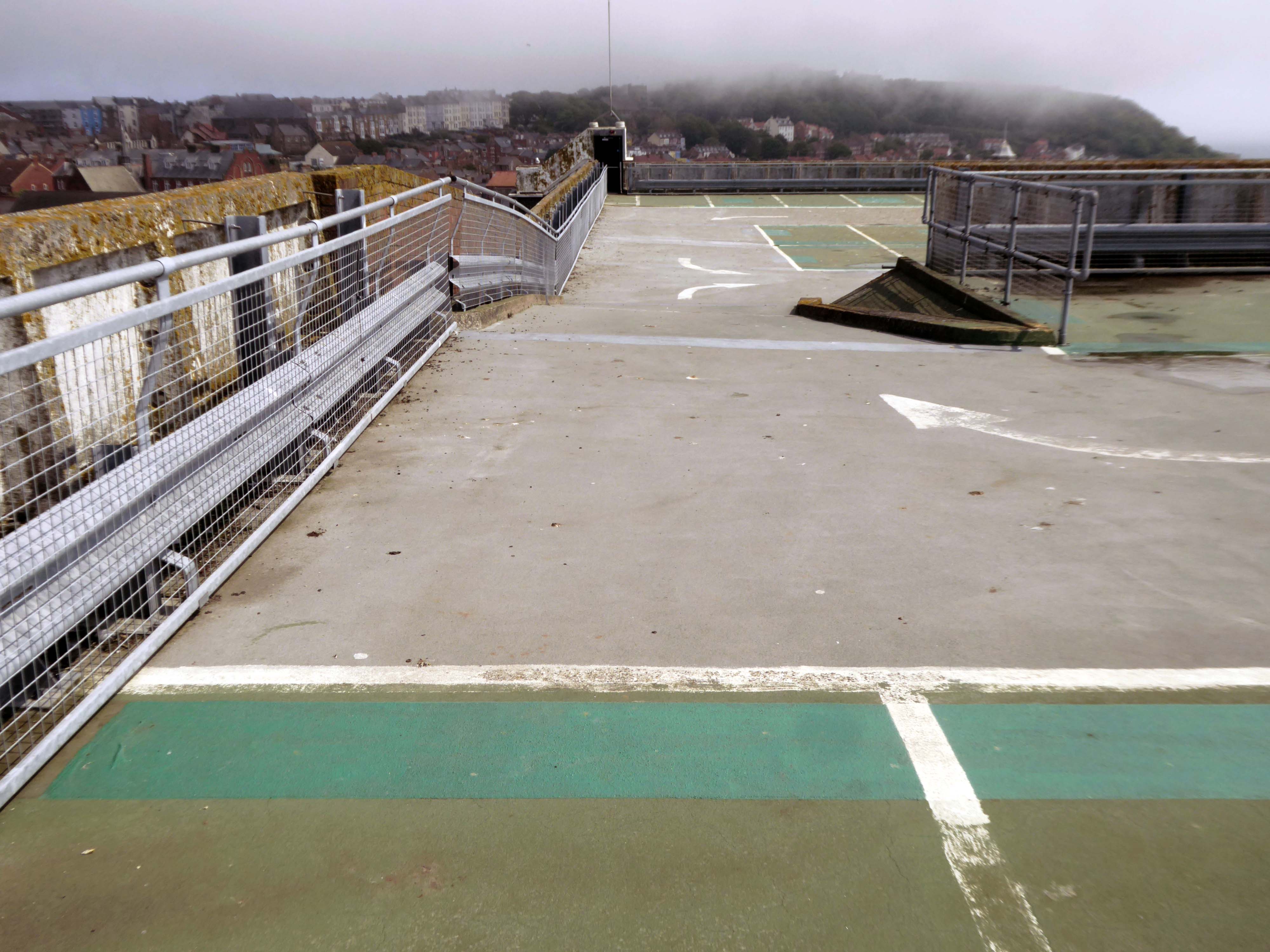
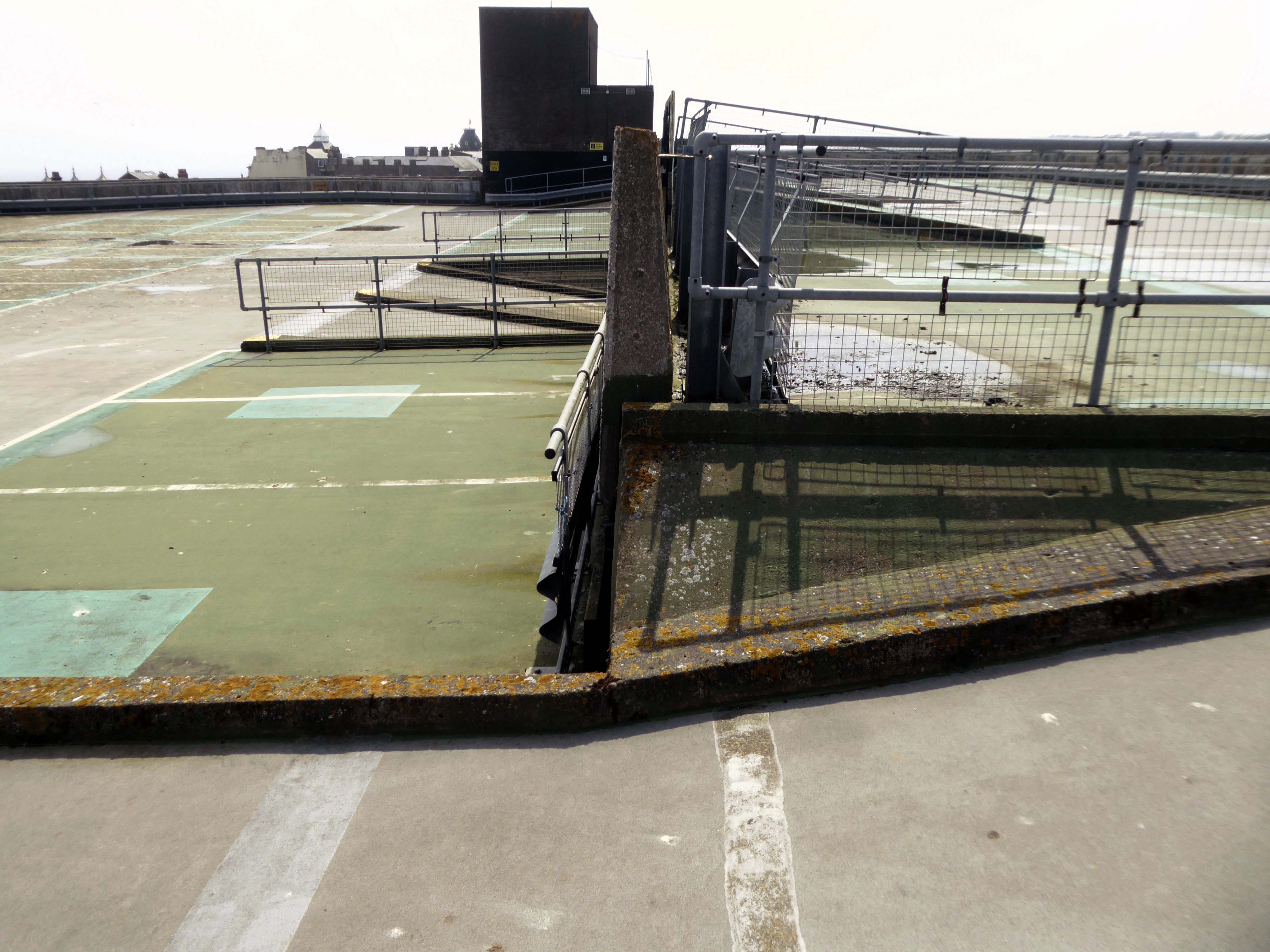
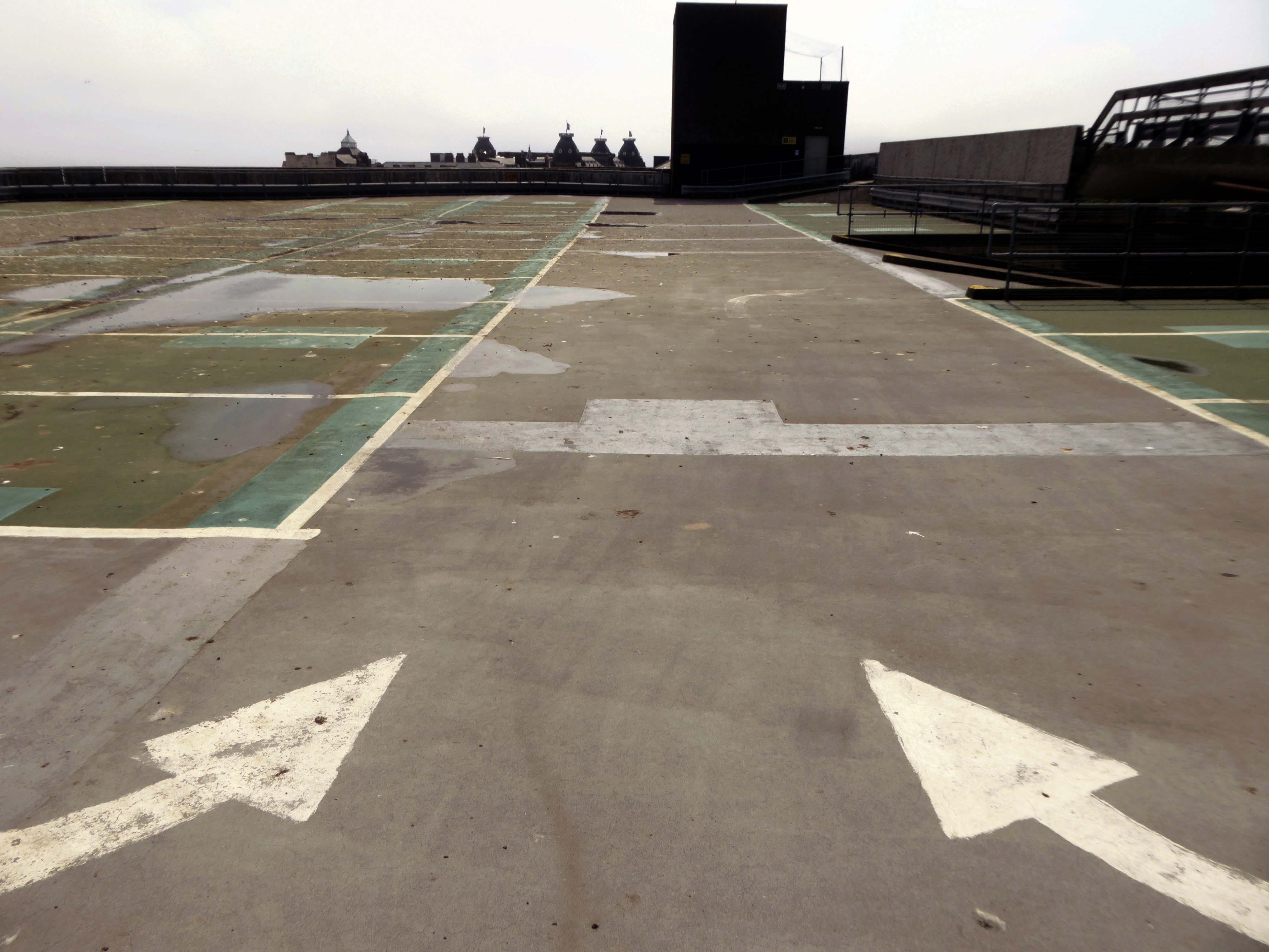
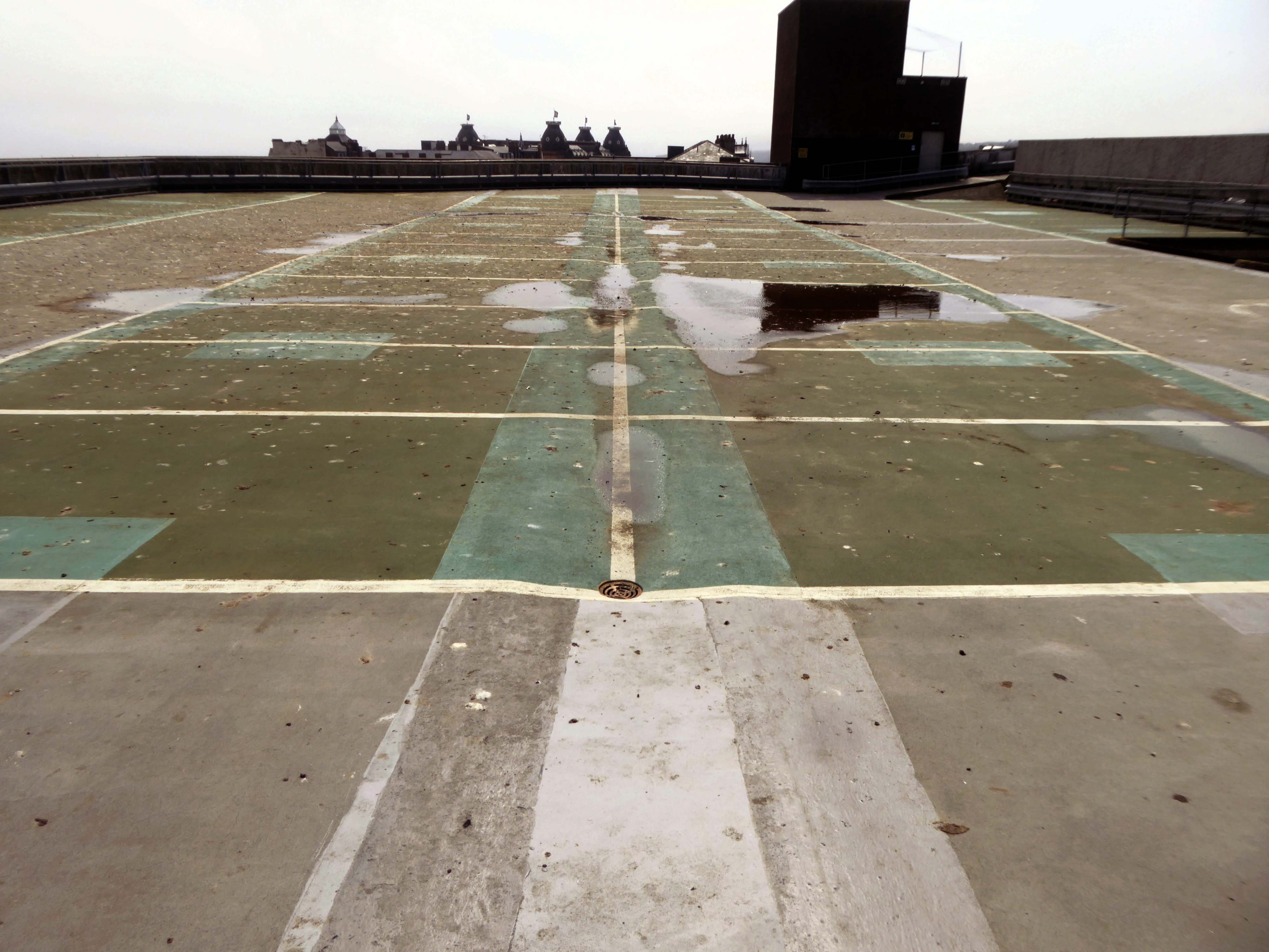
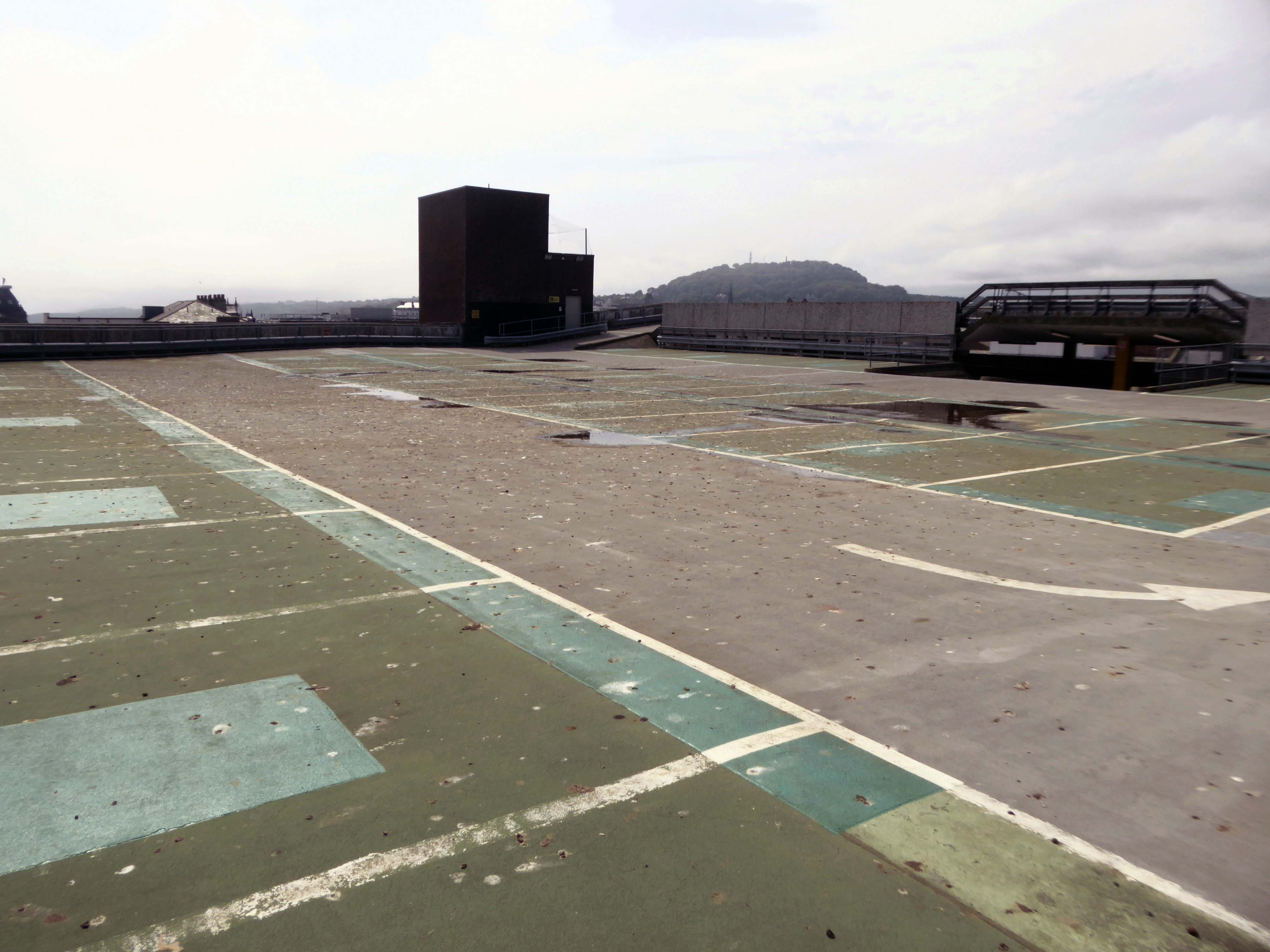
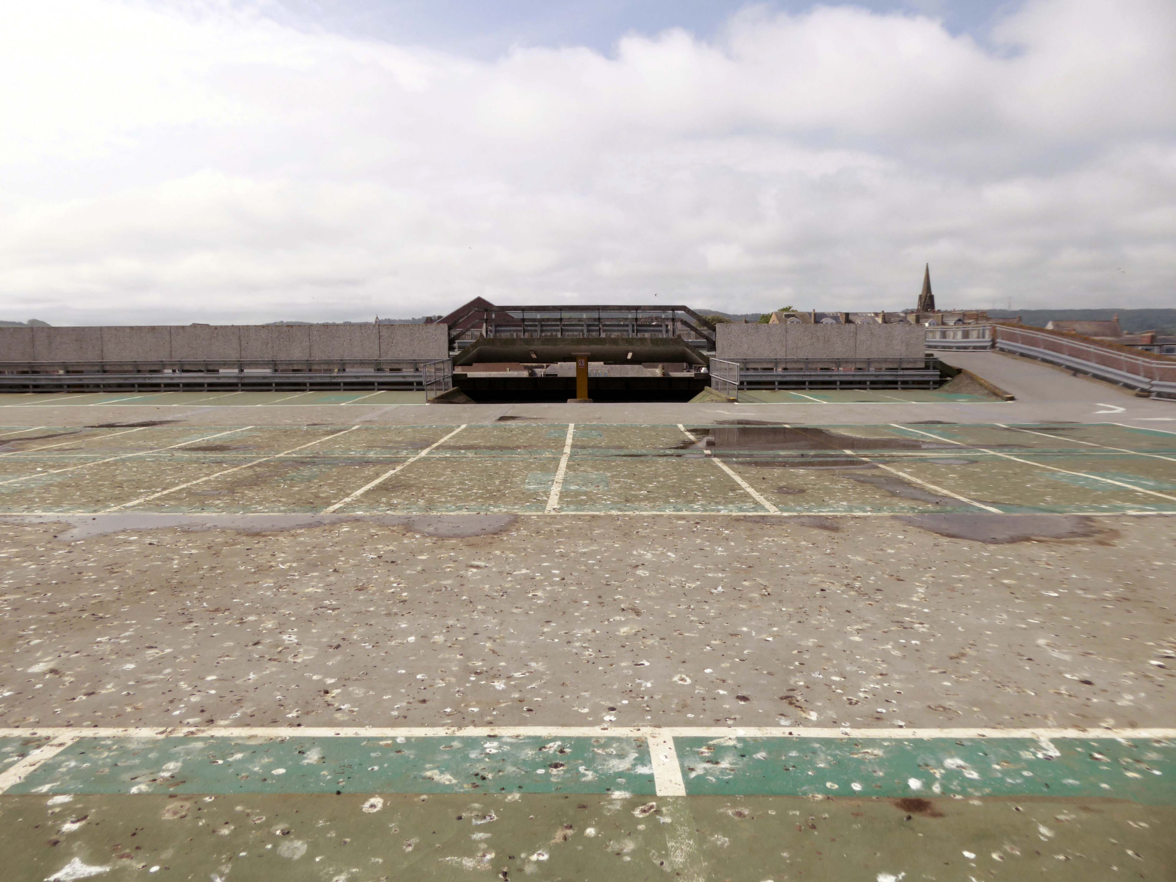
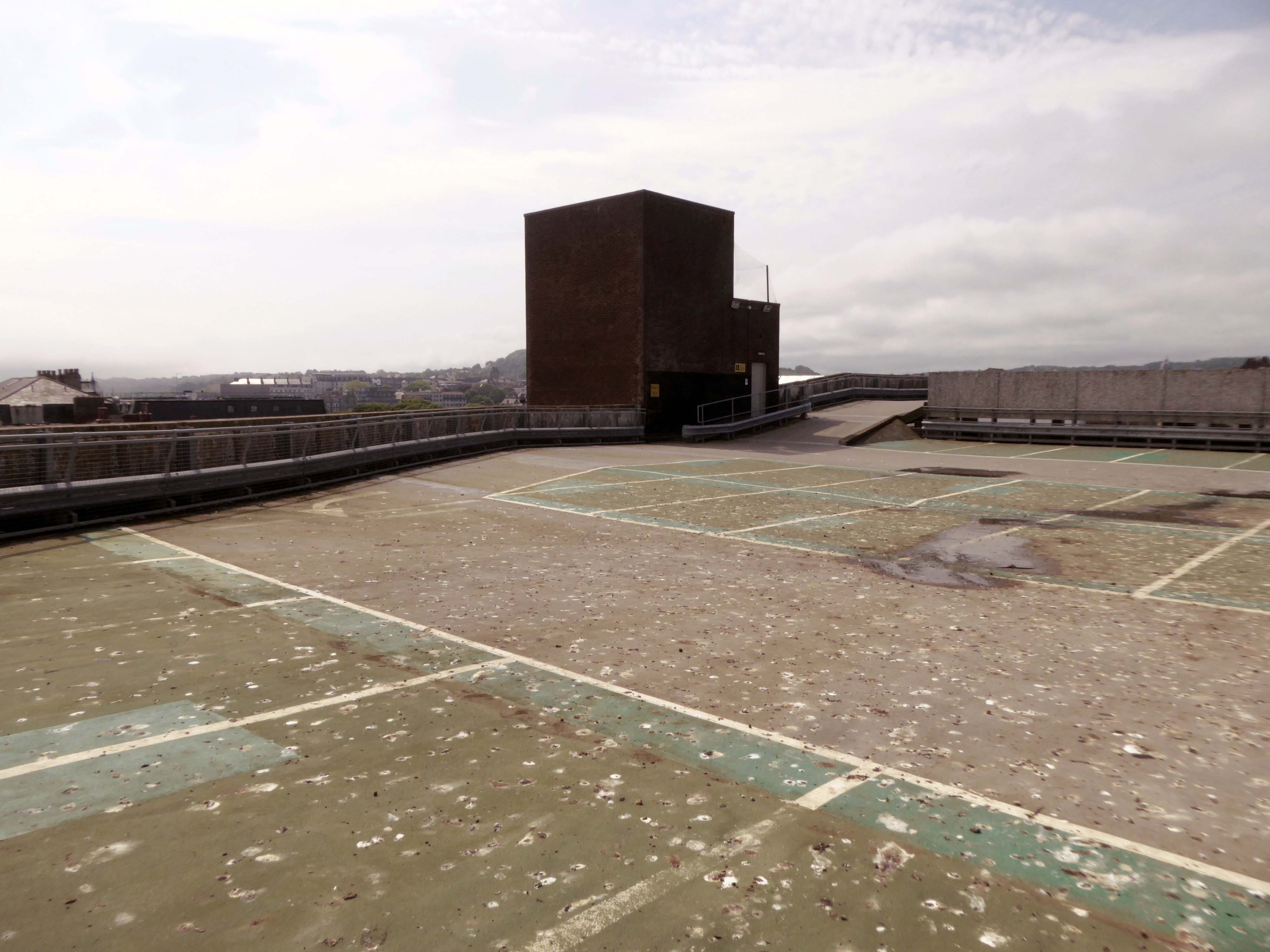
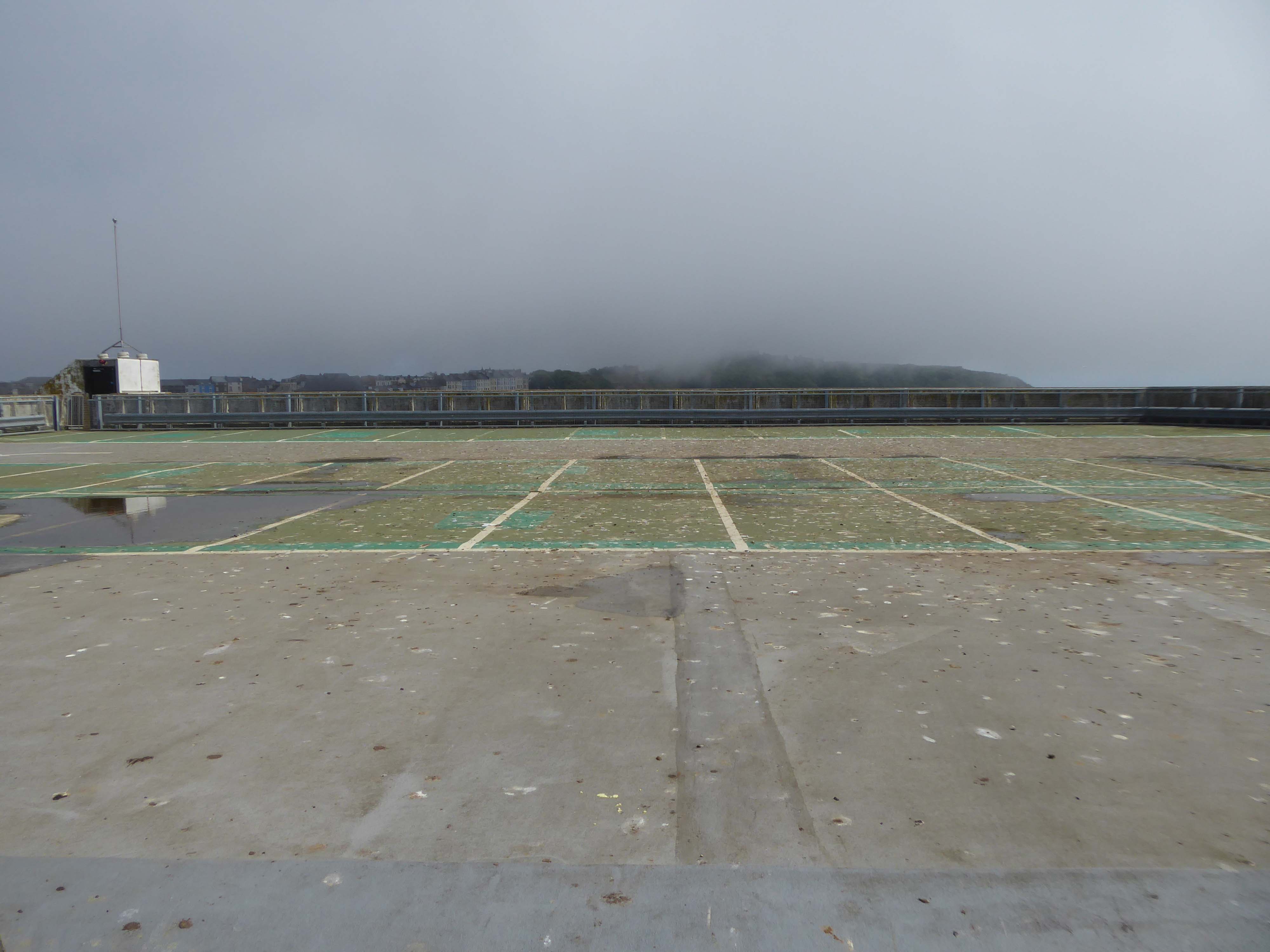
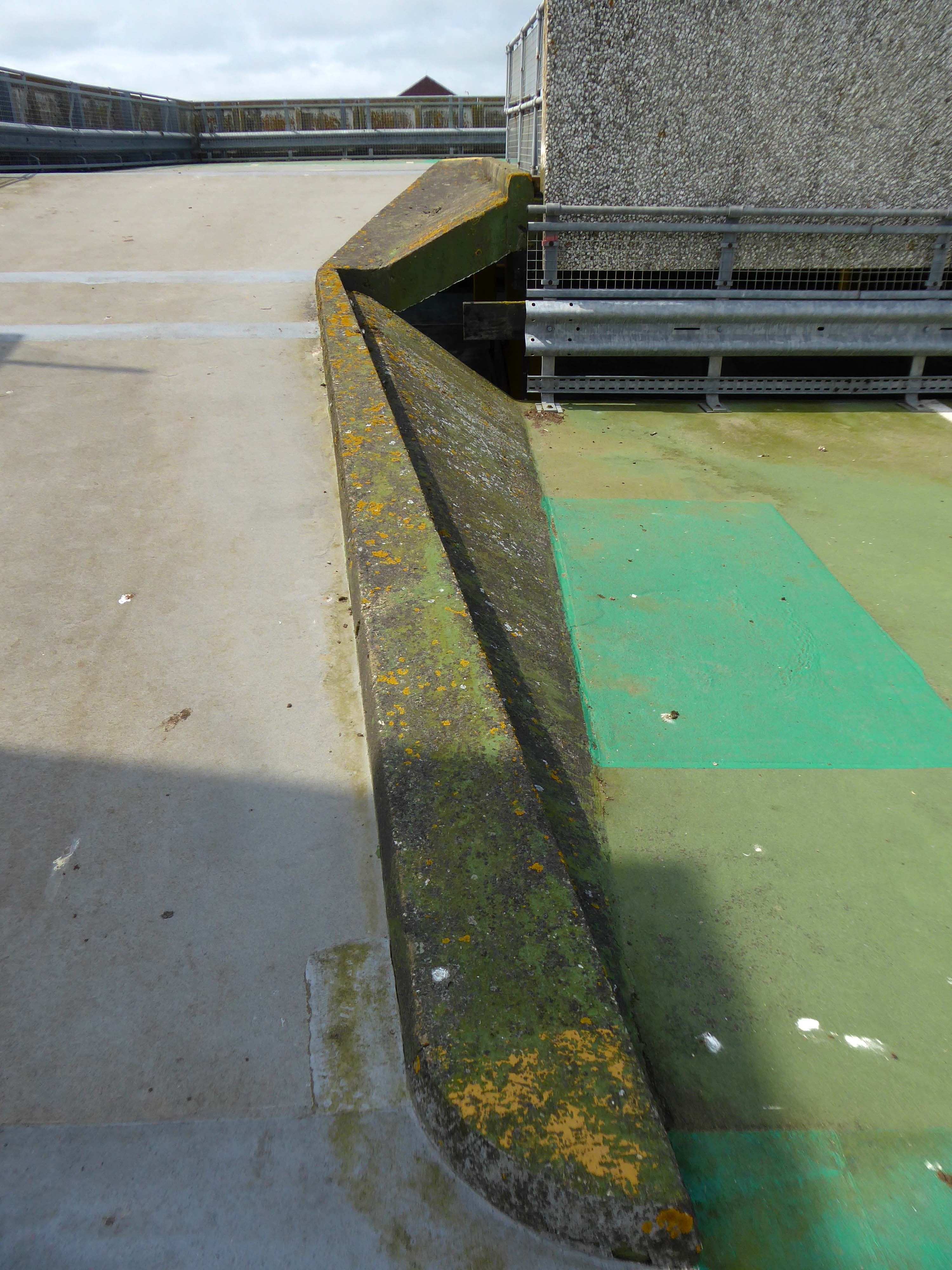
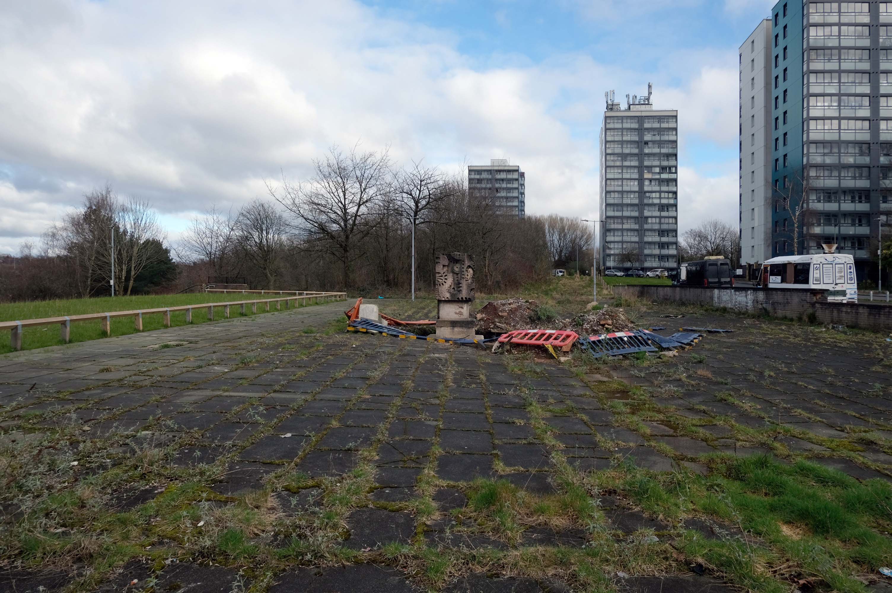
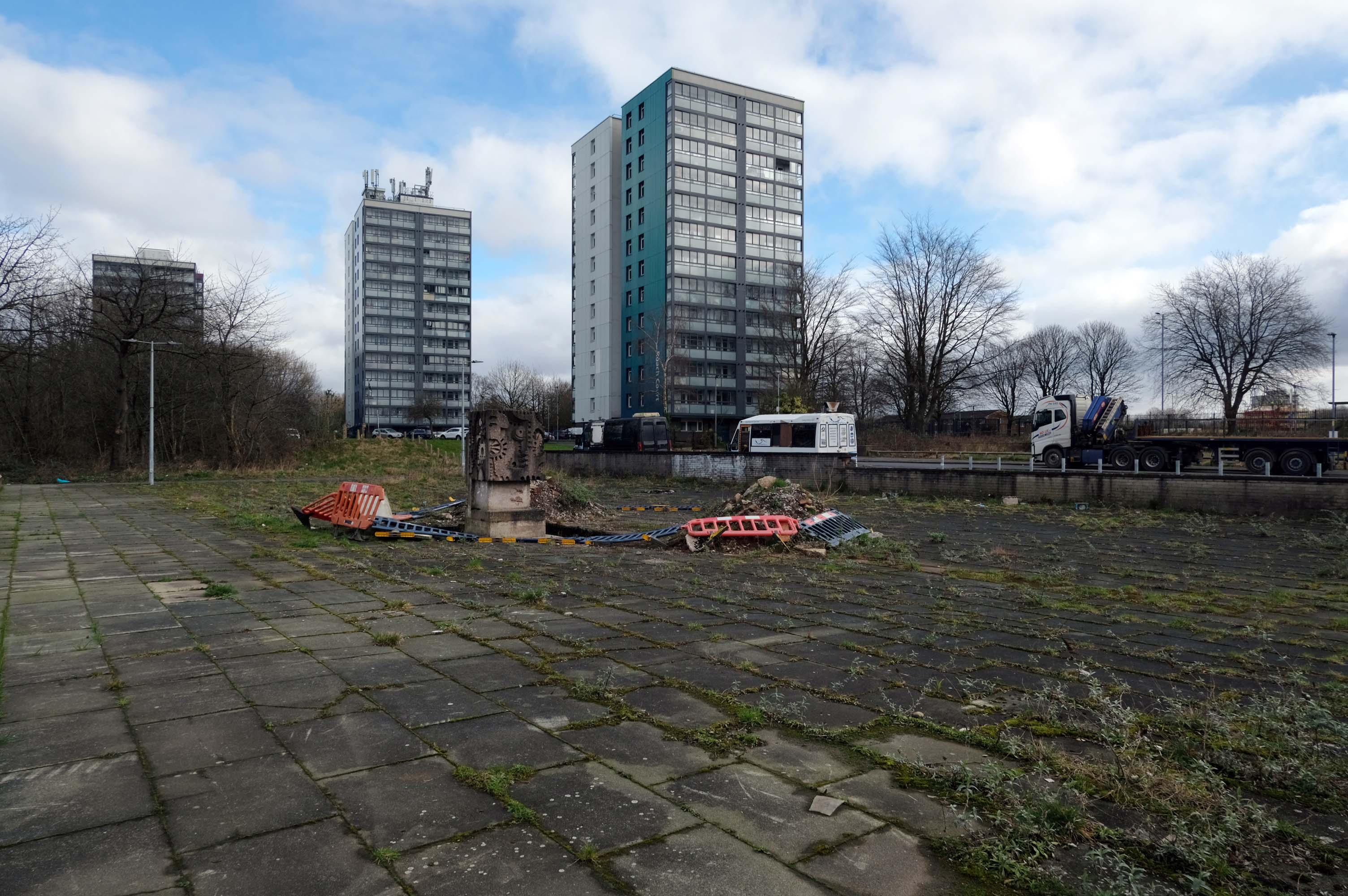
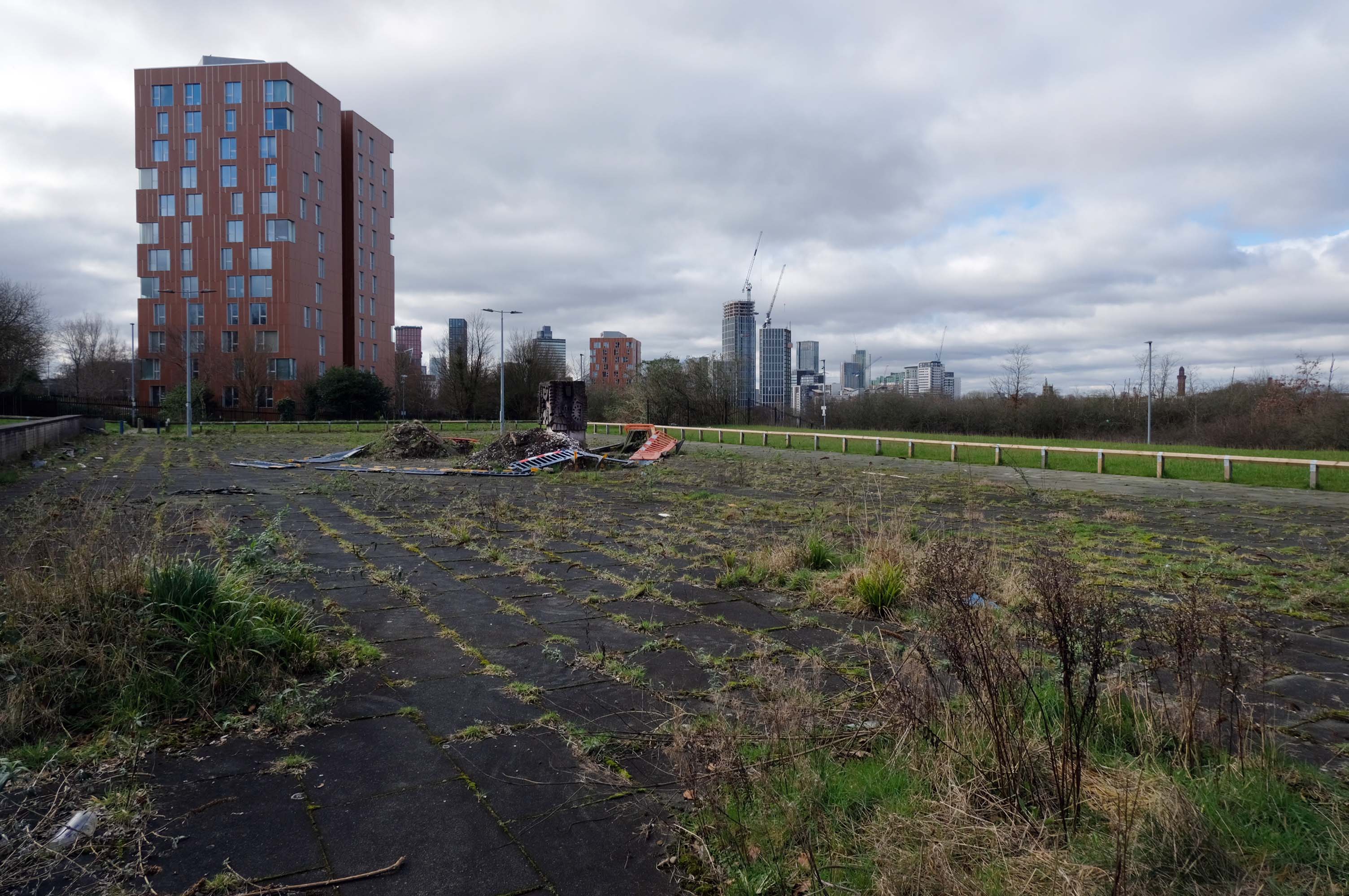
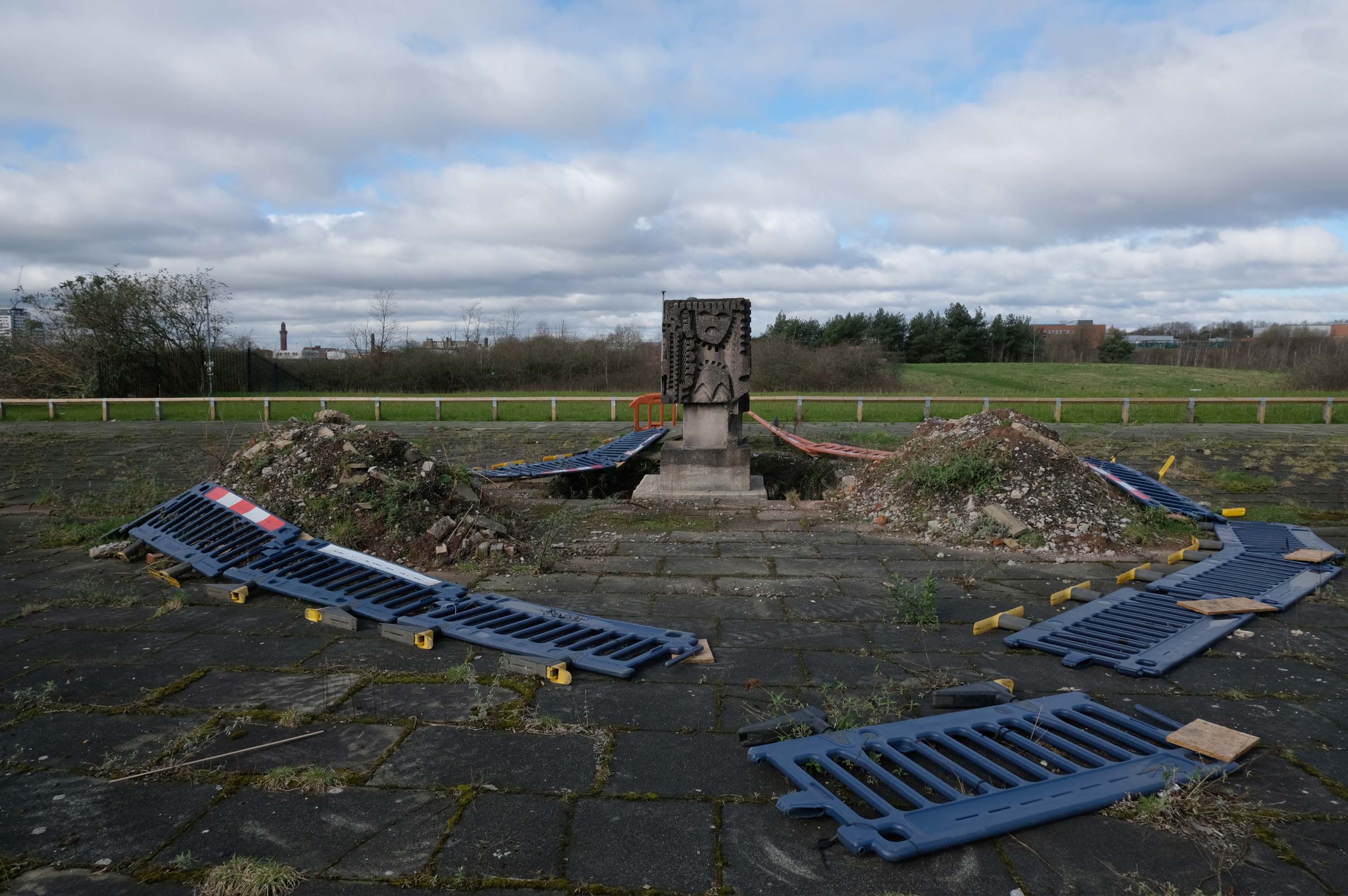
Last day of the holidays and we’re off to Balmoral!
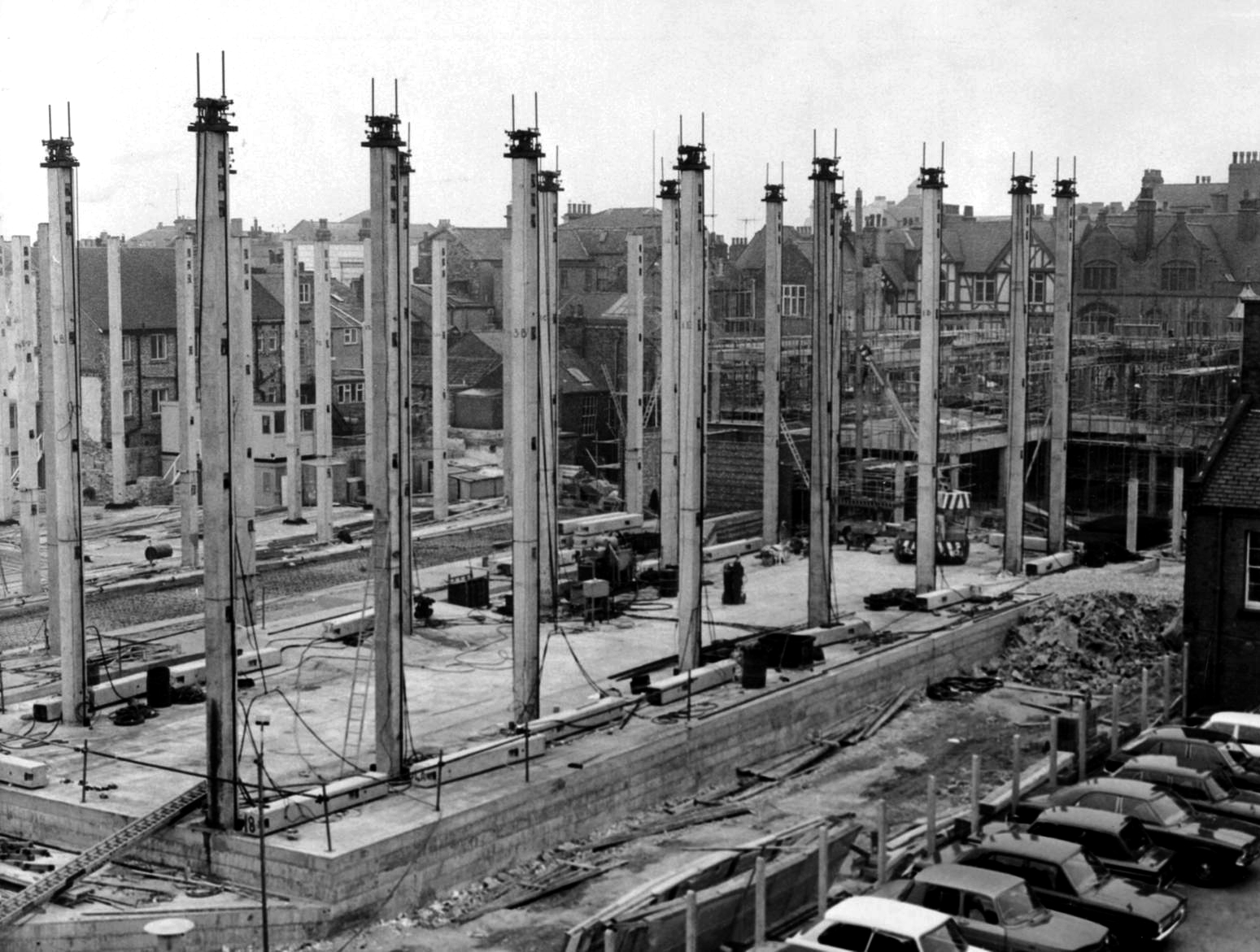
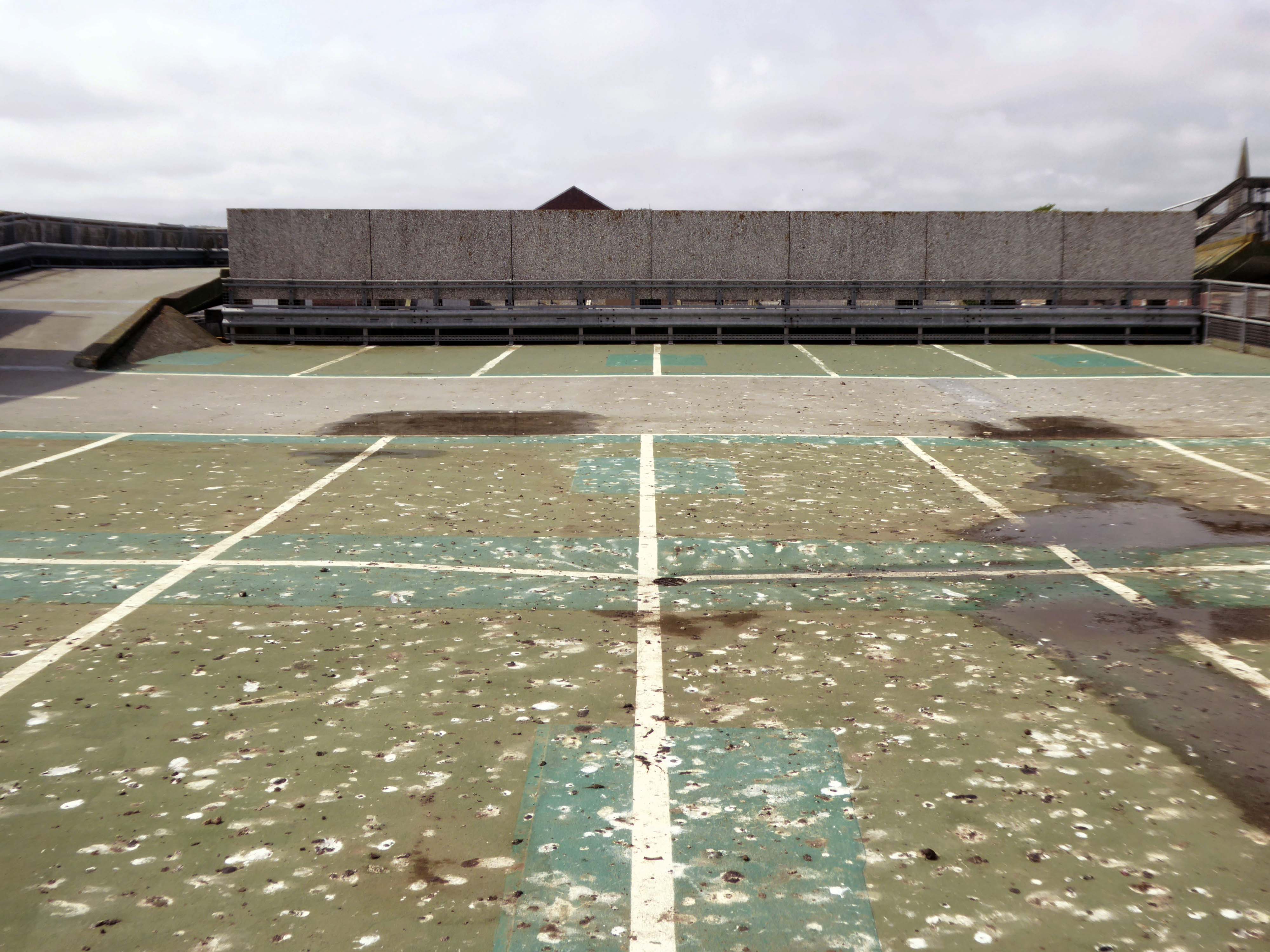
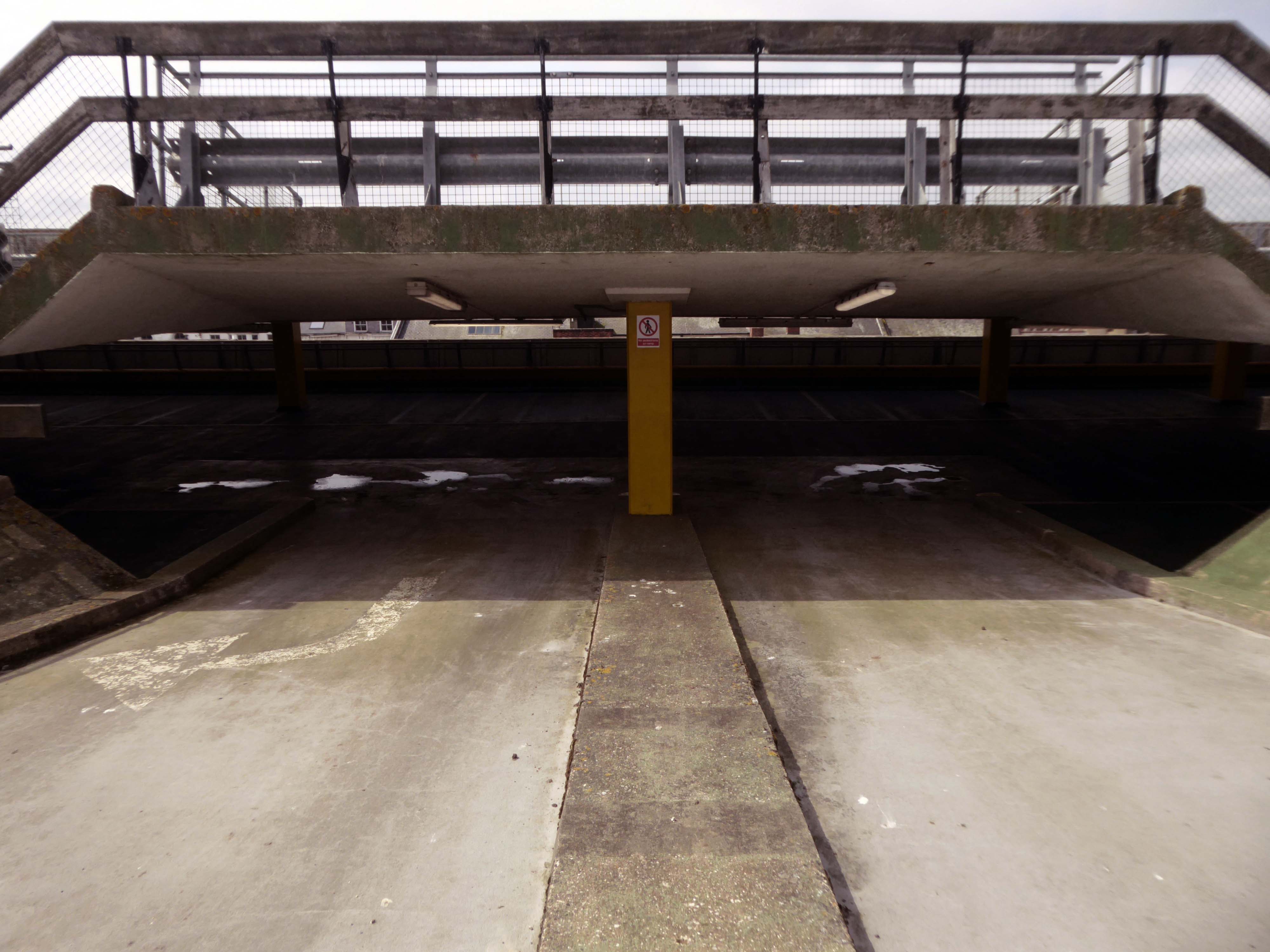
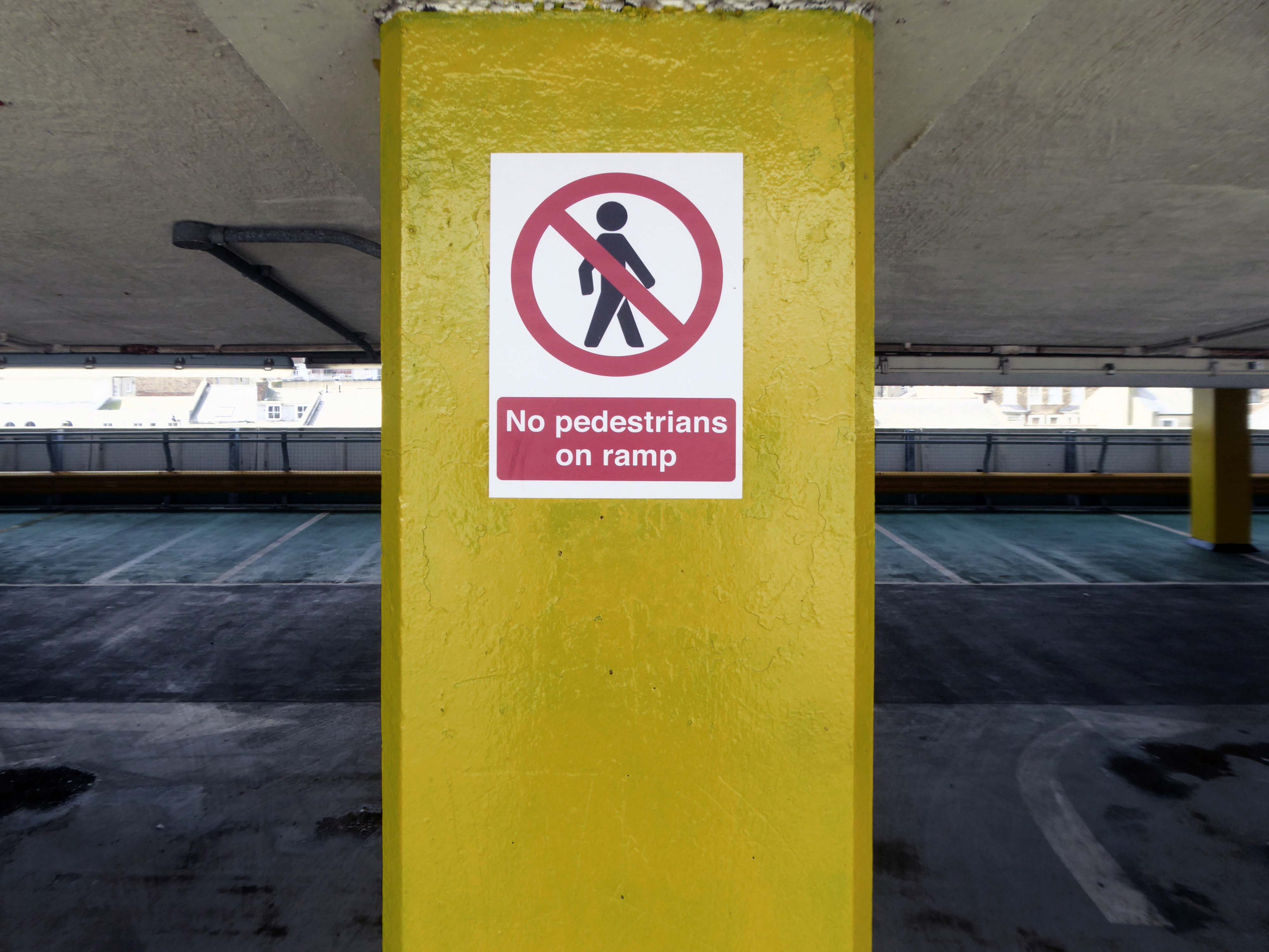
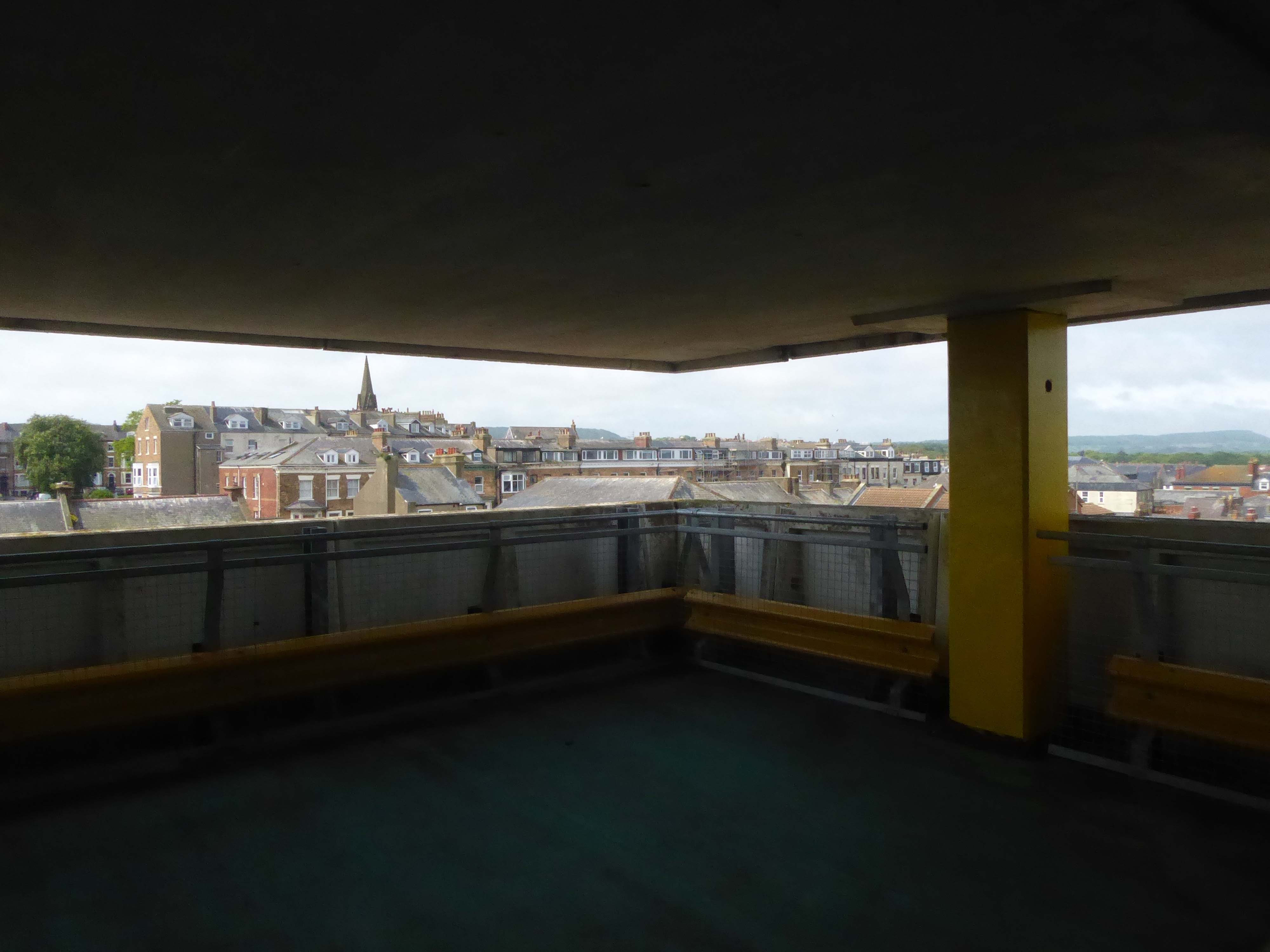
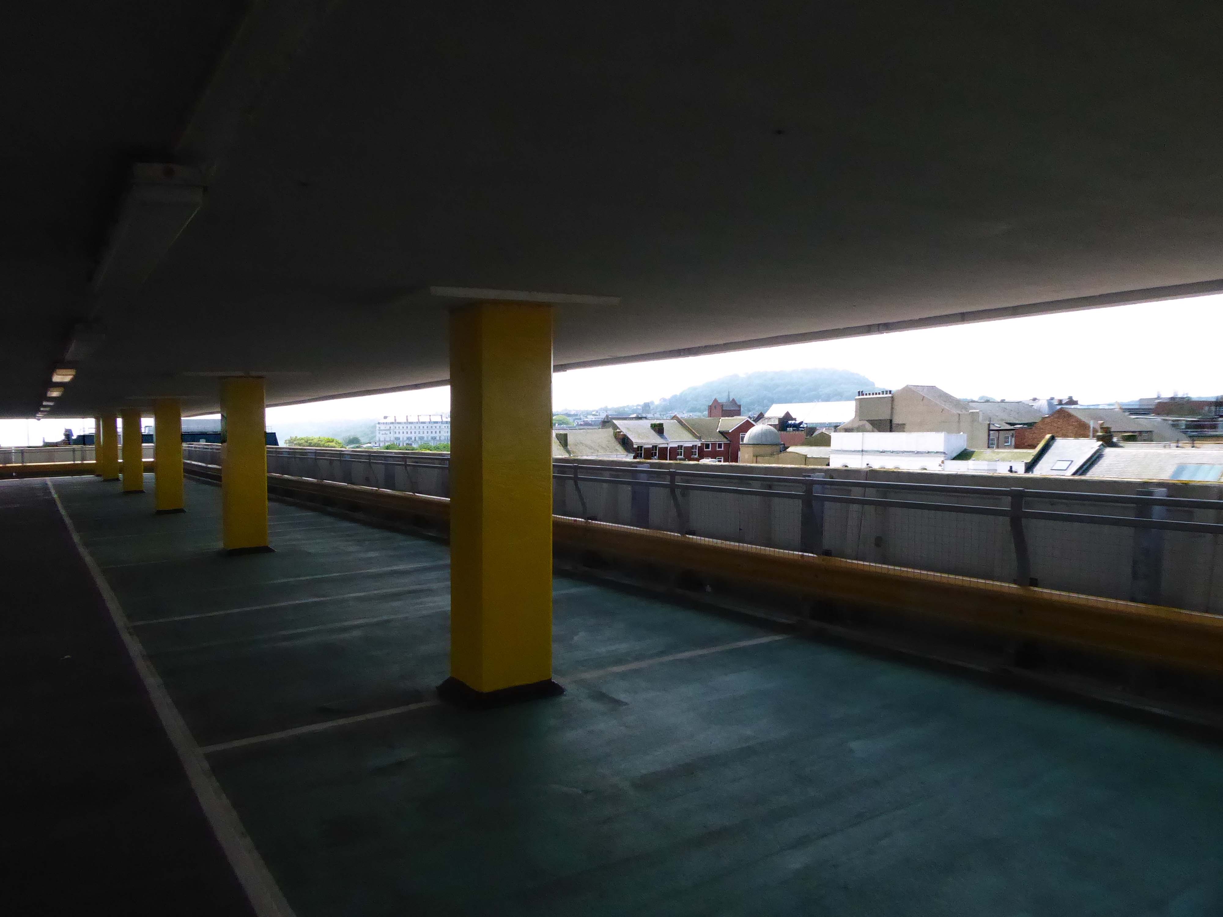
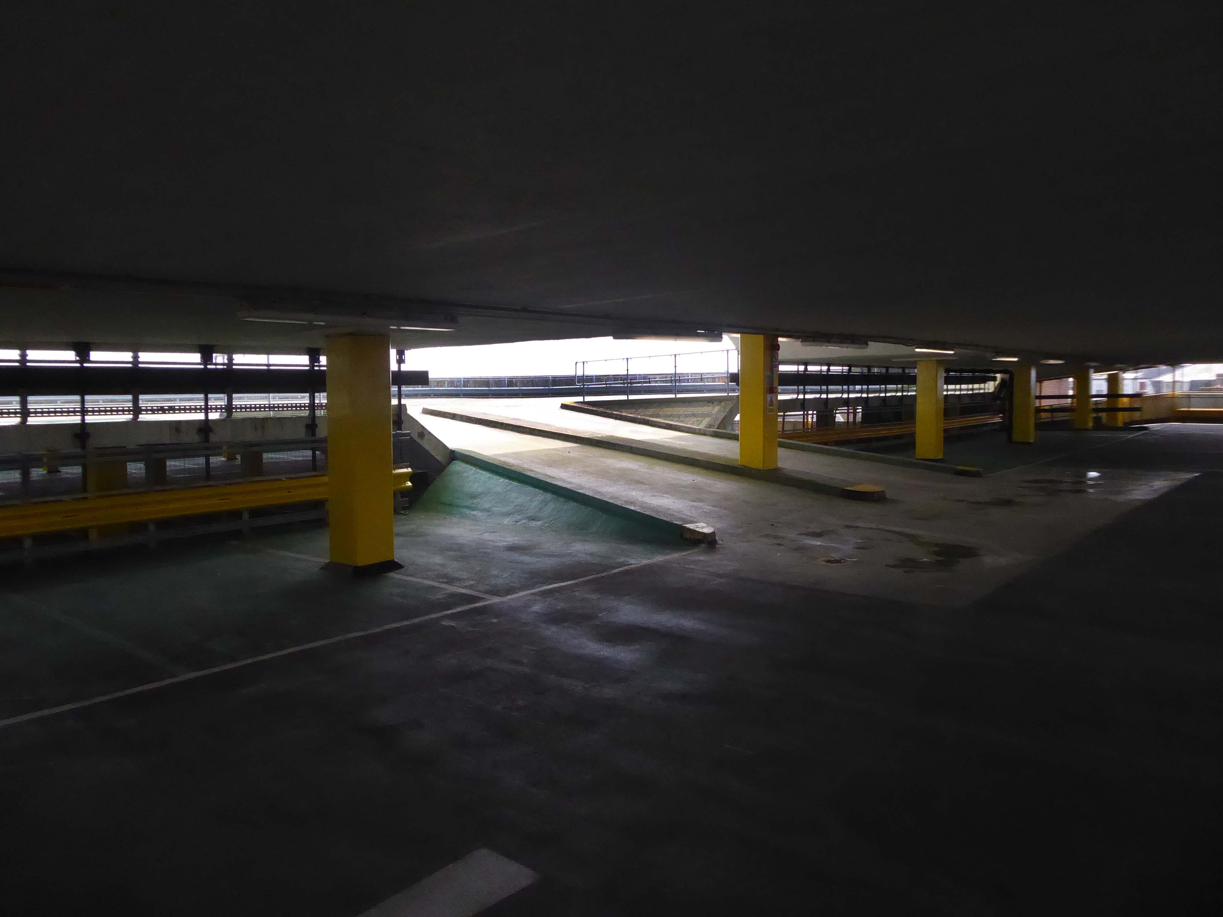
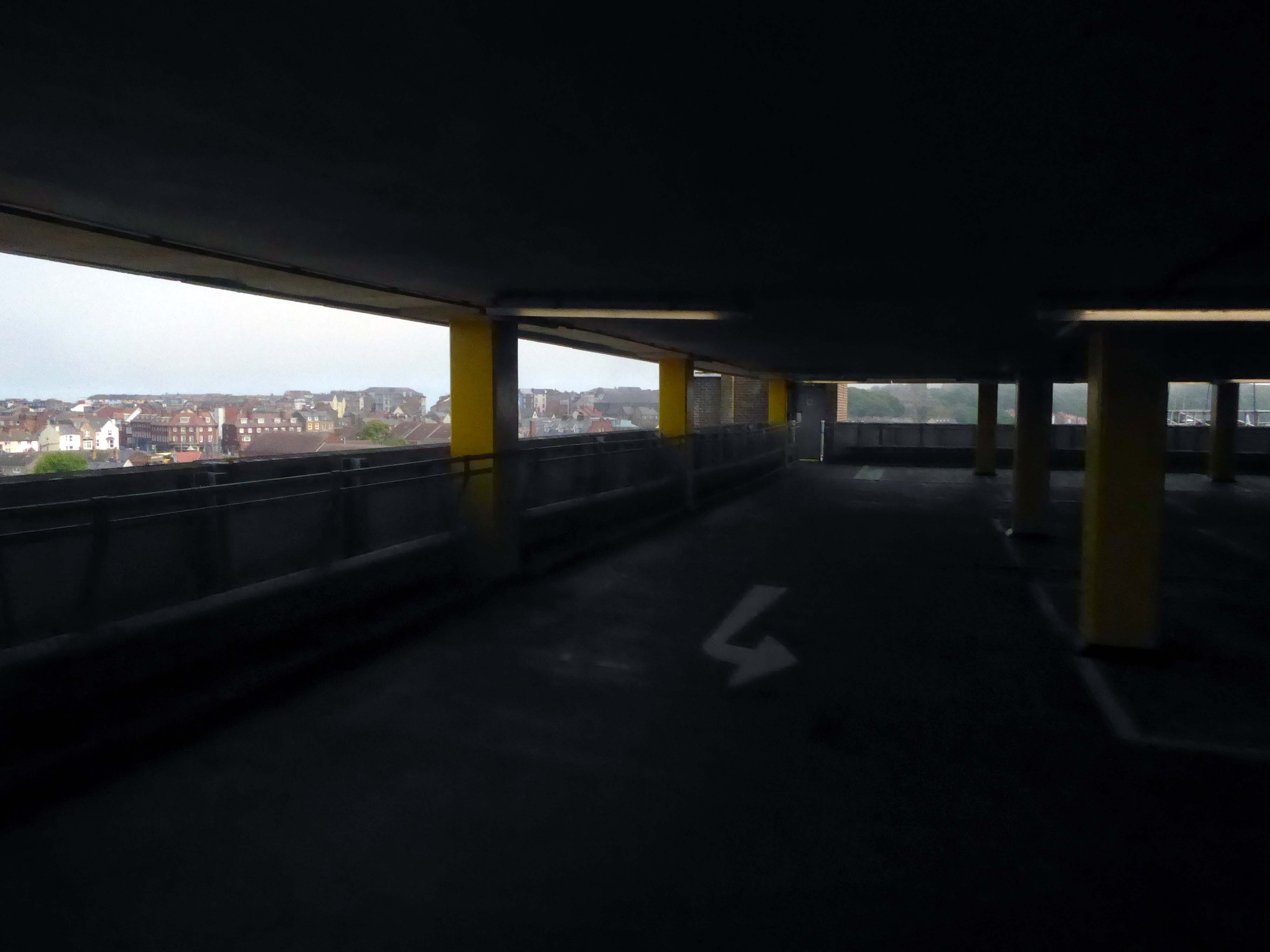
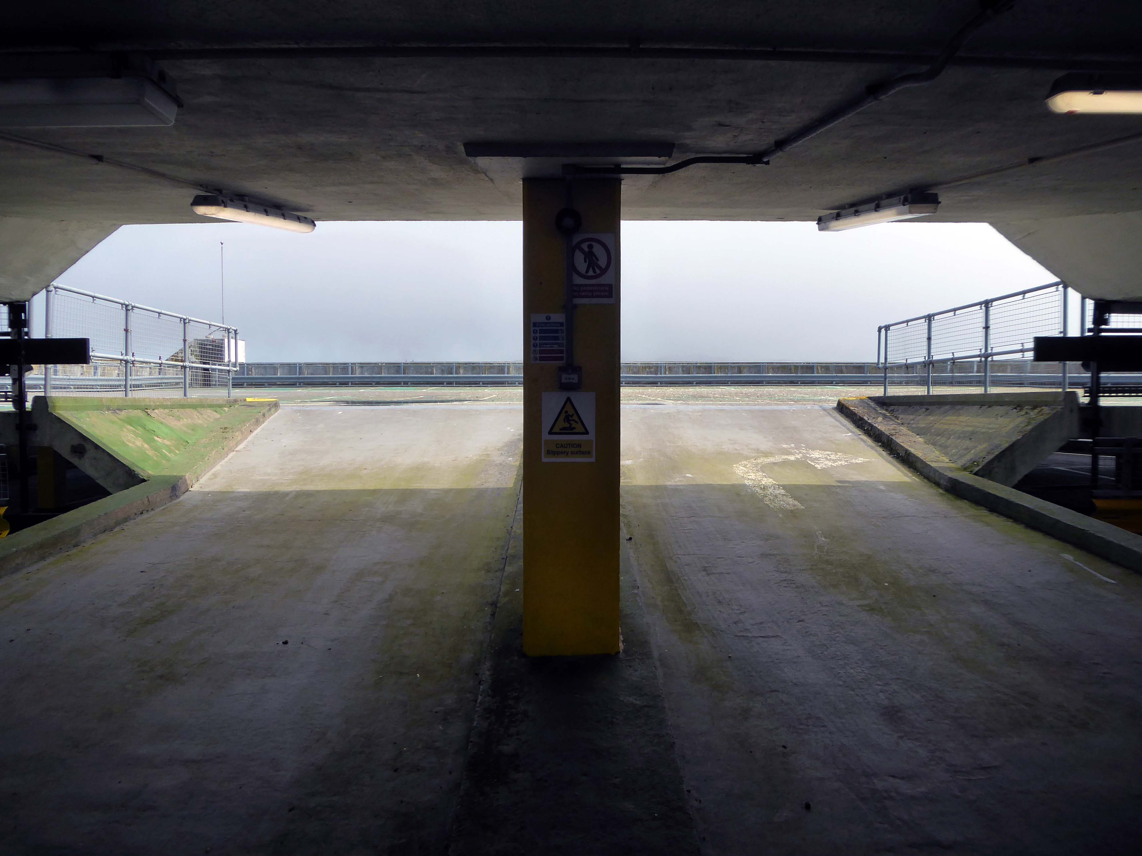
No not that Balmoral the other Balmoral, the car park attached to the Balmoral Centre, built in 1974 – with little or no reference to the Highland baronial.
Though the old Balmoral Hotel had to be removed in 1973.
Scarborough is a beloved seaside resort and we’re pleased to have secured these well-known, popular parades, bringing them into our in-house portfolio.
We are committed to focusing our efforts on regional retail centres and neighbourhood parades where we can see there is incredible potential. The Balmoral Centre and Bar House provide us with significant opportunities to add significant value and we are already looking to identify how we can revitalise these centres further. We hope to make announcements on how we can achieve this over the next few months.
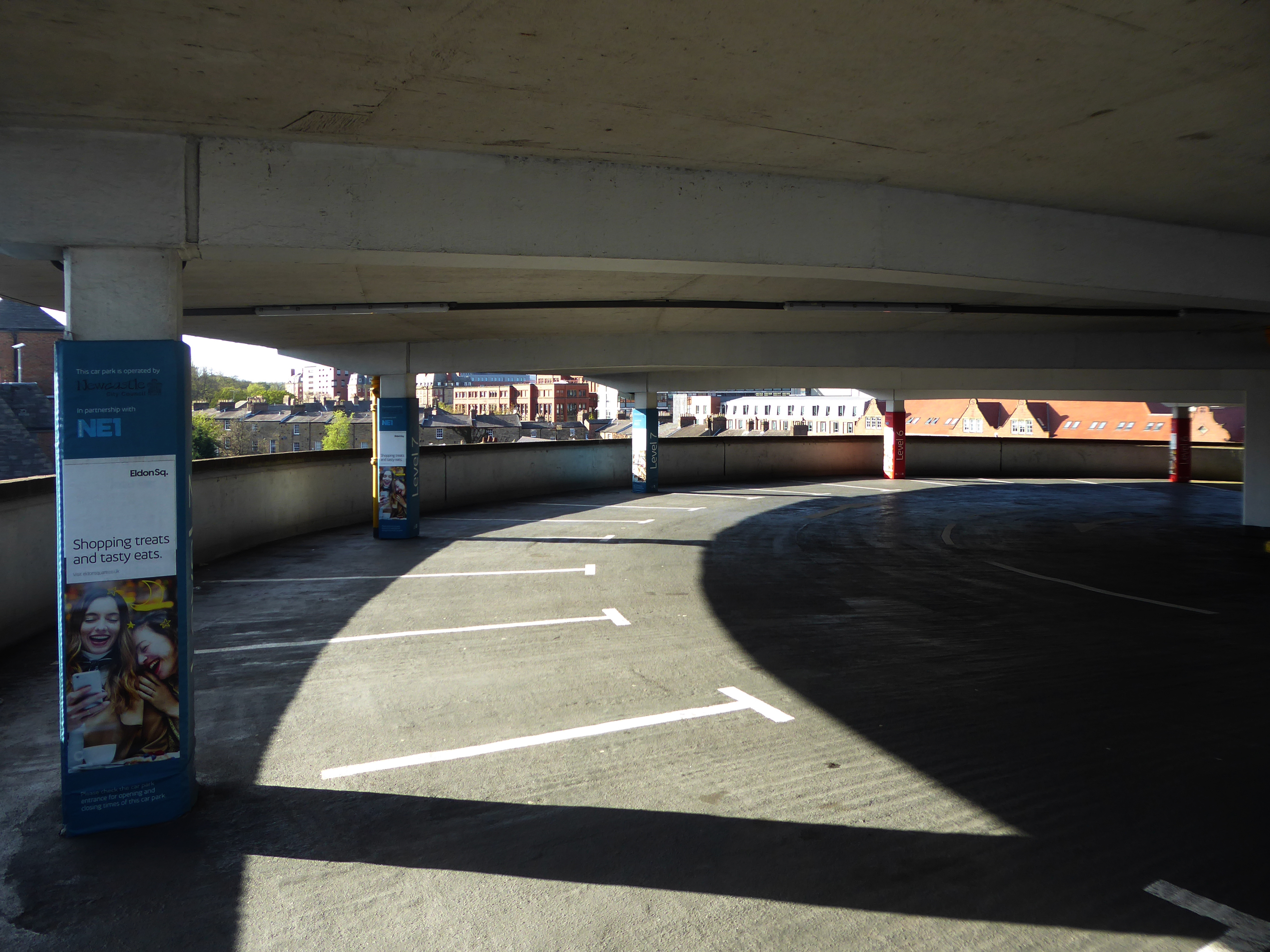
The staff at this car park are always friendly and really helpful.
You can tell they take pride in their car park.
We stay in this car park every time we come to Scarborough and stay in Britannia hotels, we find it safe and secure to park your car, the staff are very helpful and polite and keep the car park in tip top condition.
We will always park here great opening and closing times also five minute walk to Royal and Grand Hotel and shops.
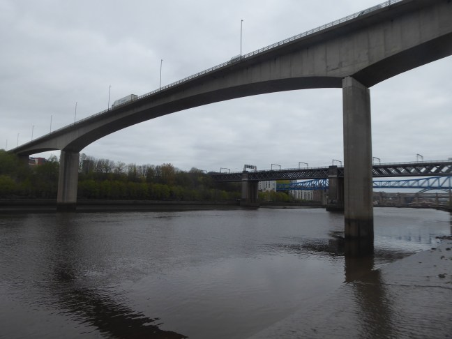
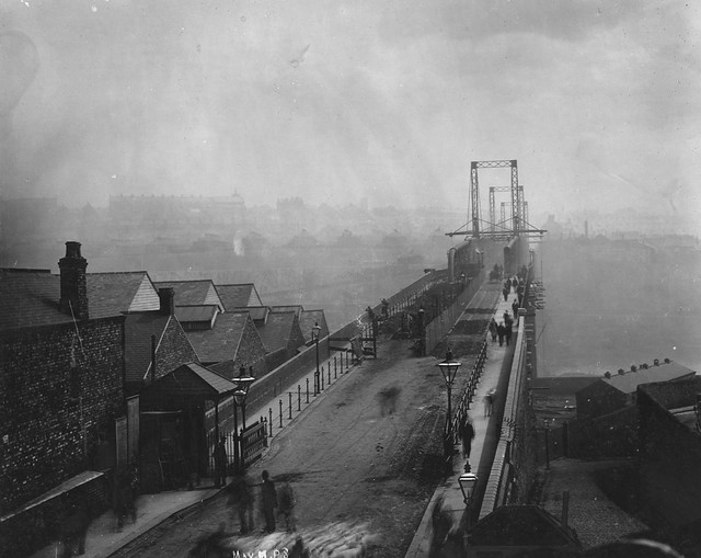
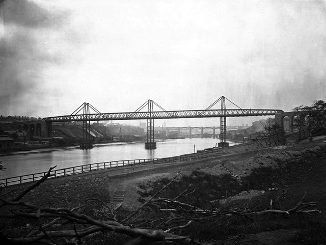
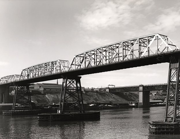
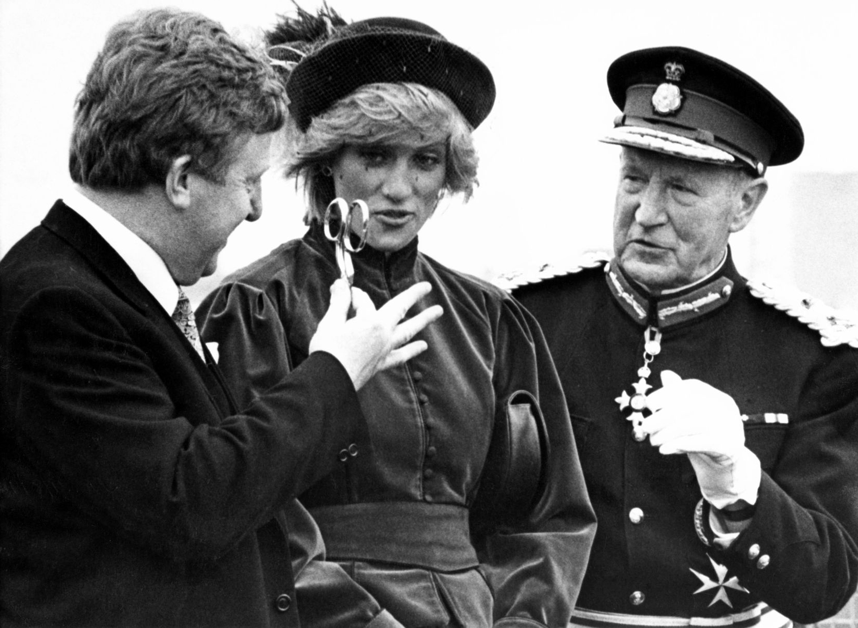
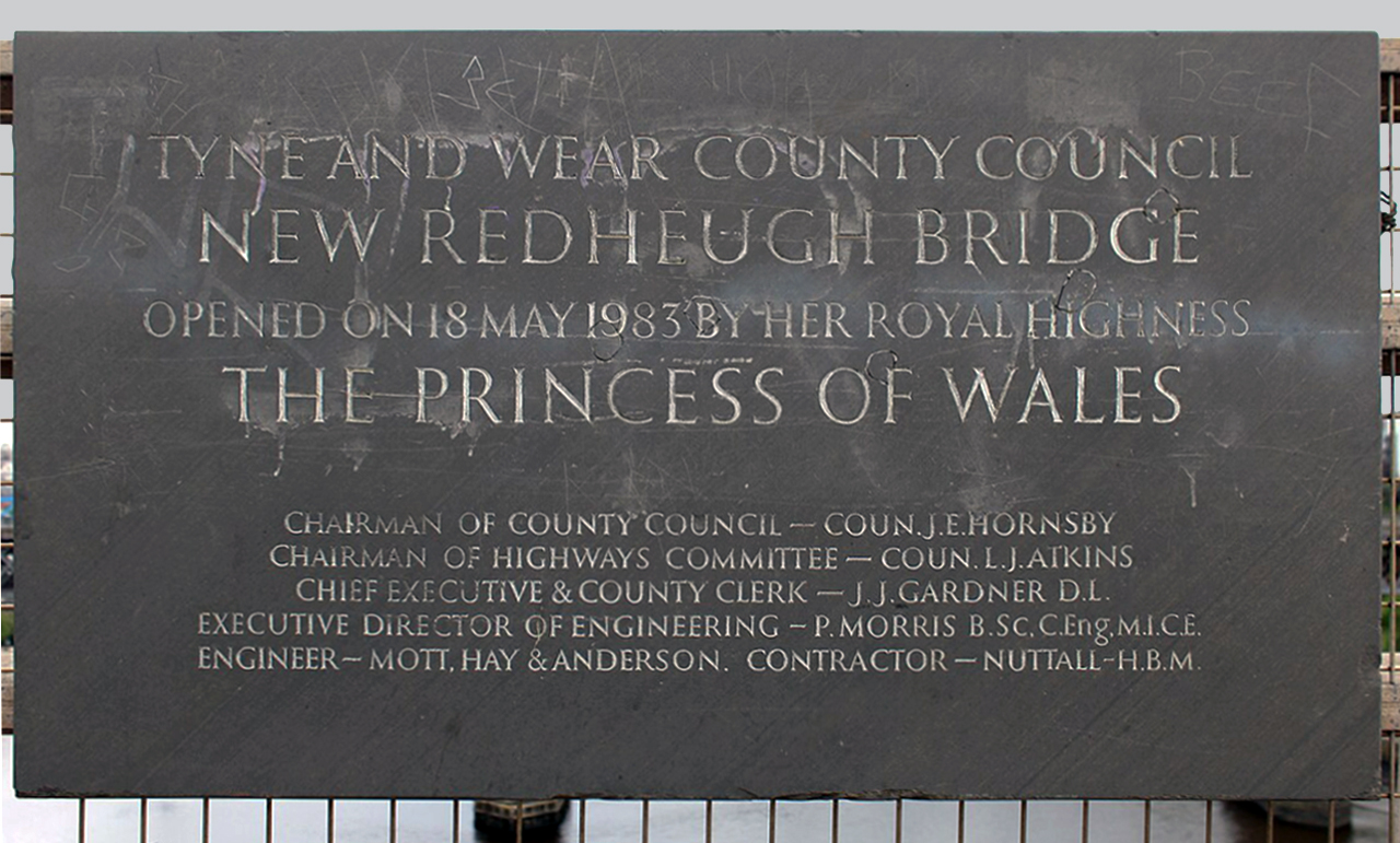
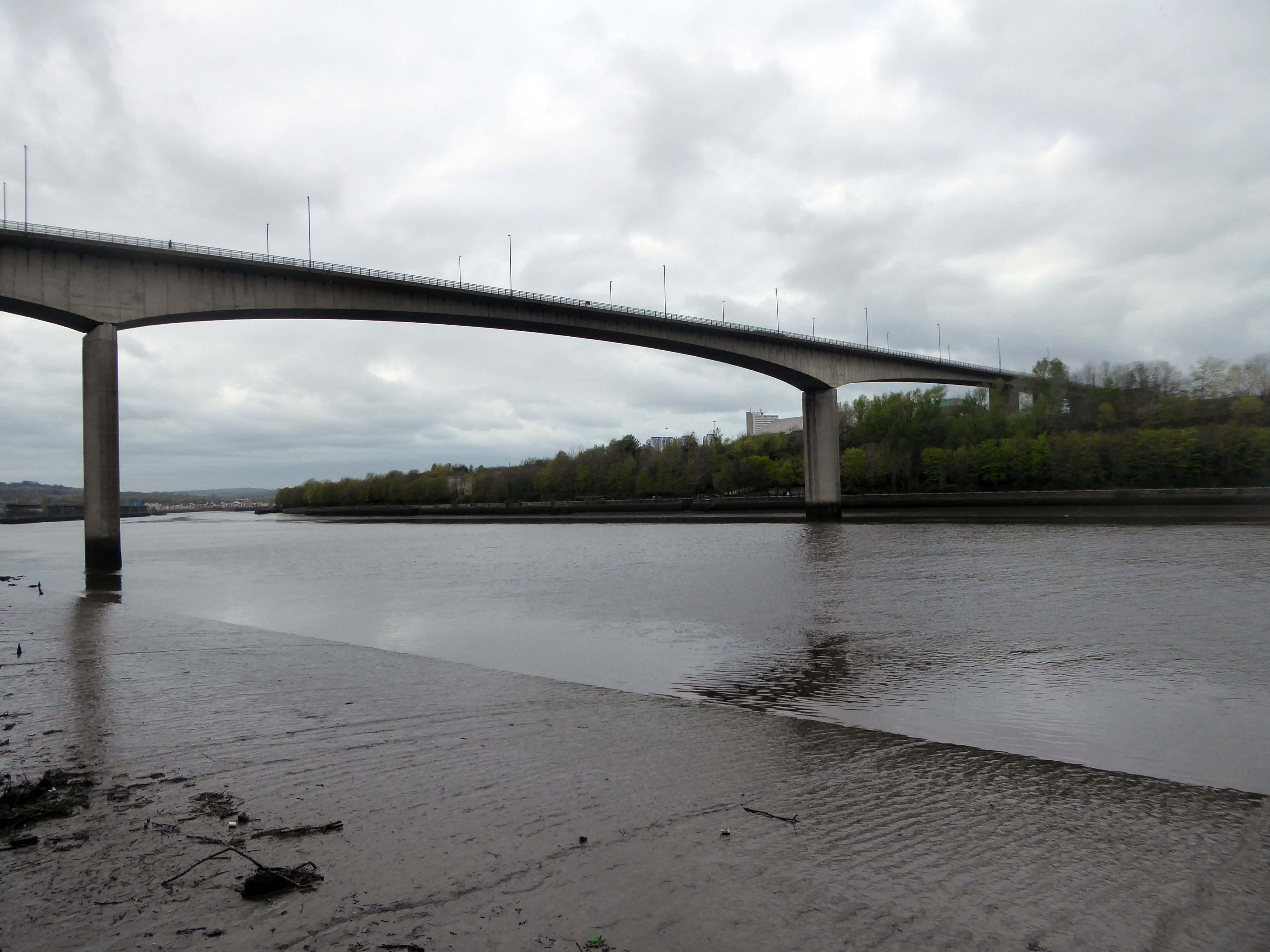
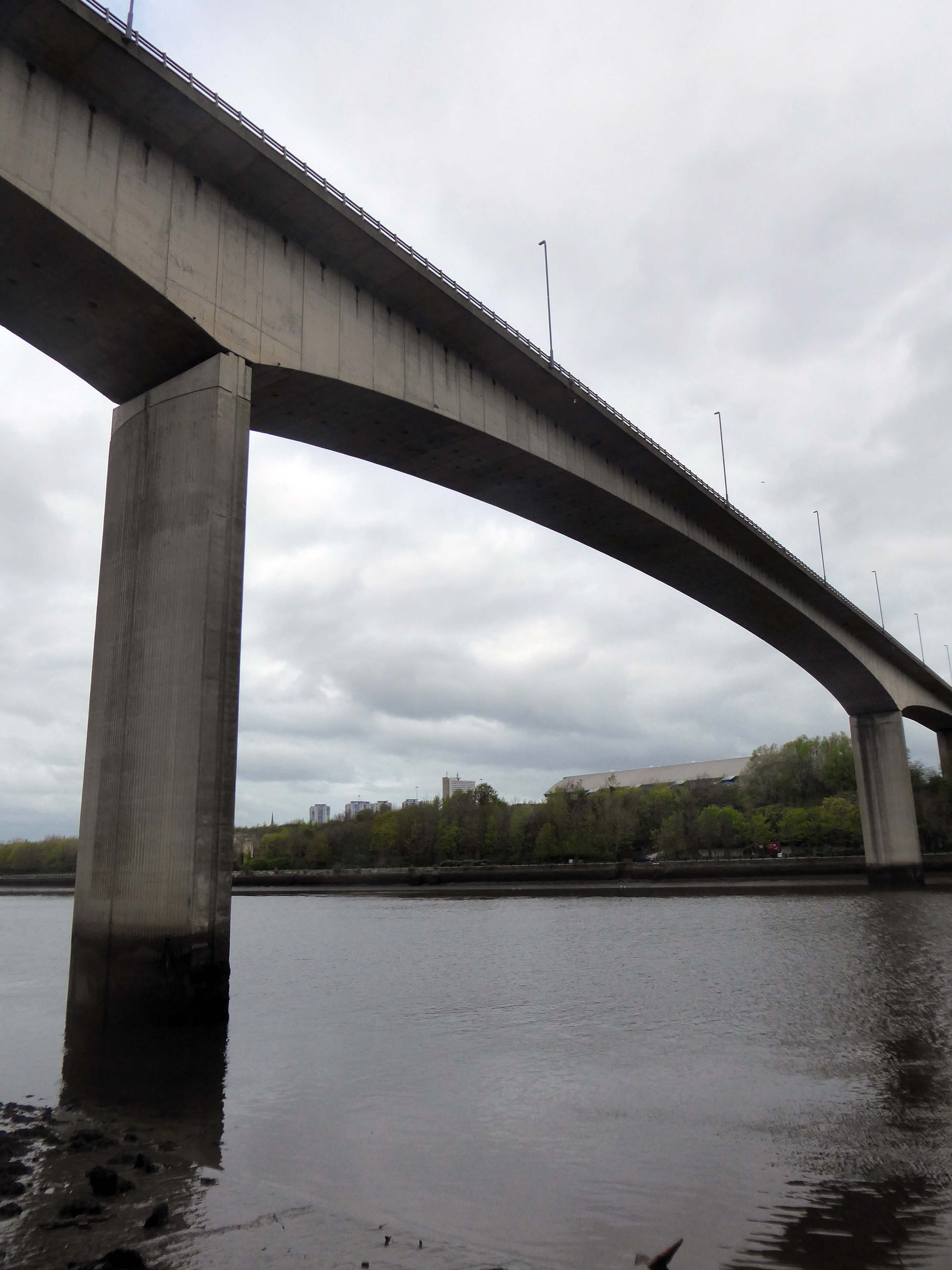
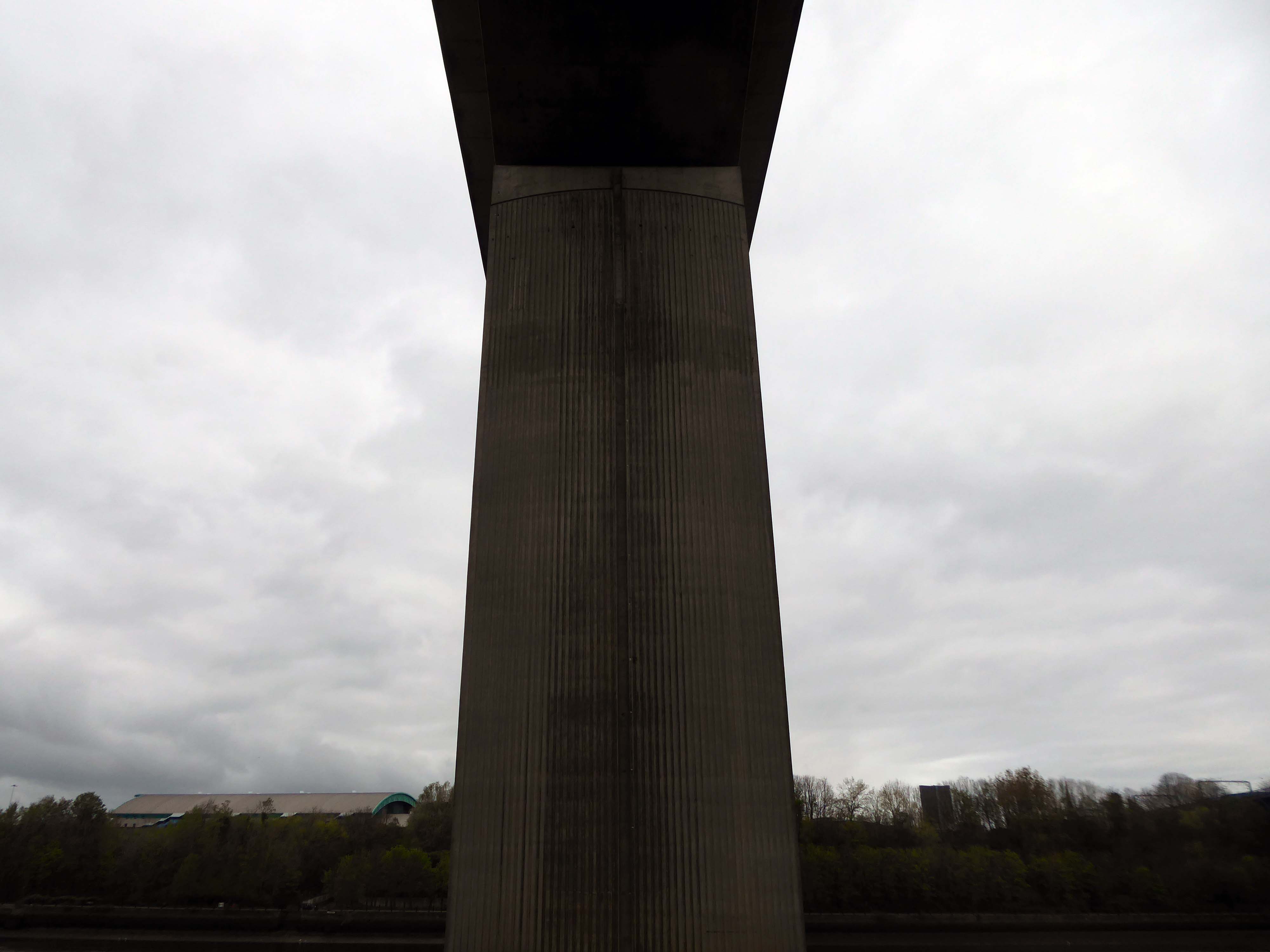
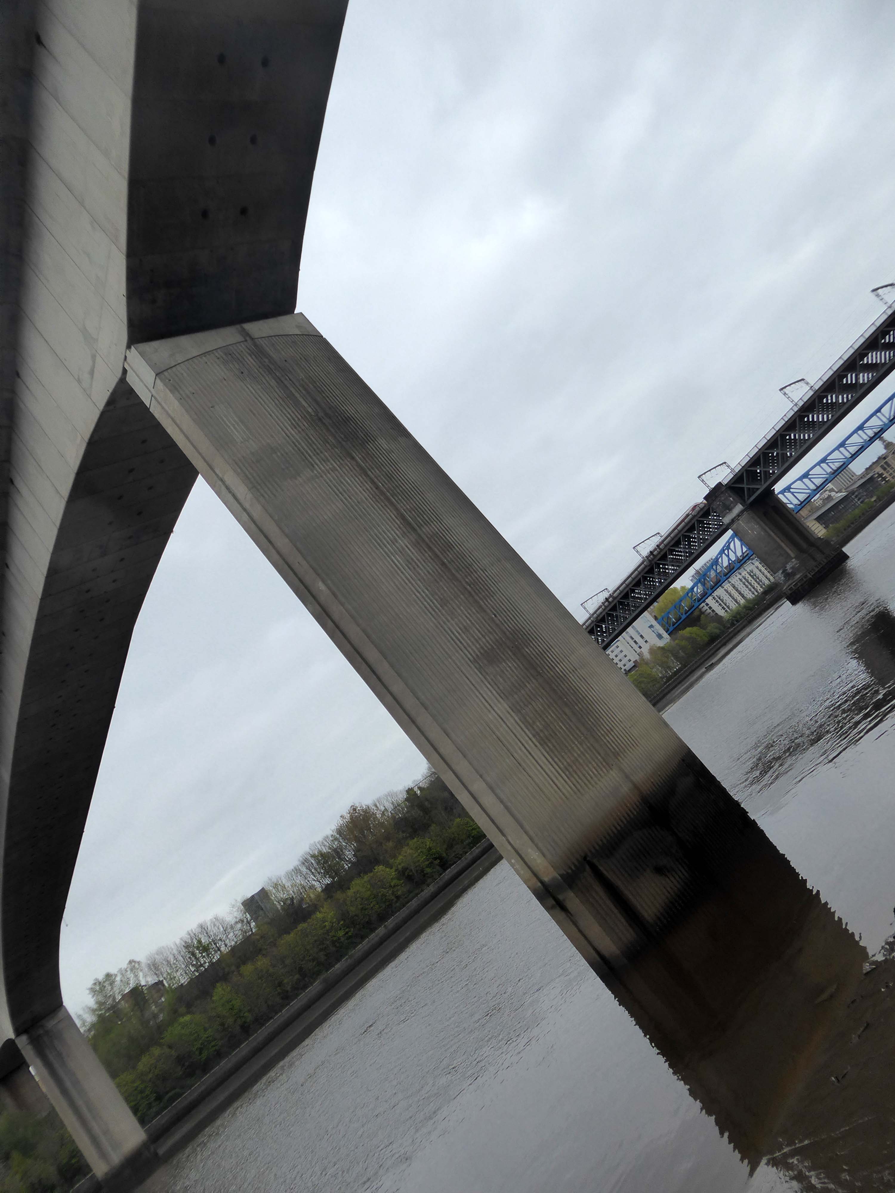
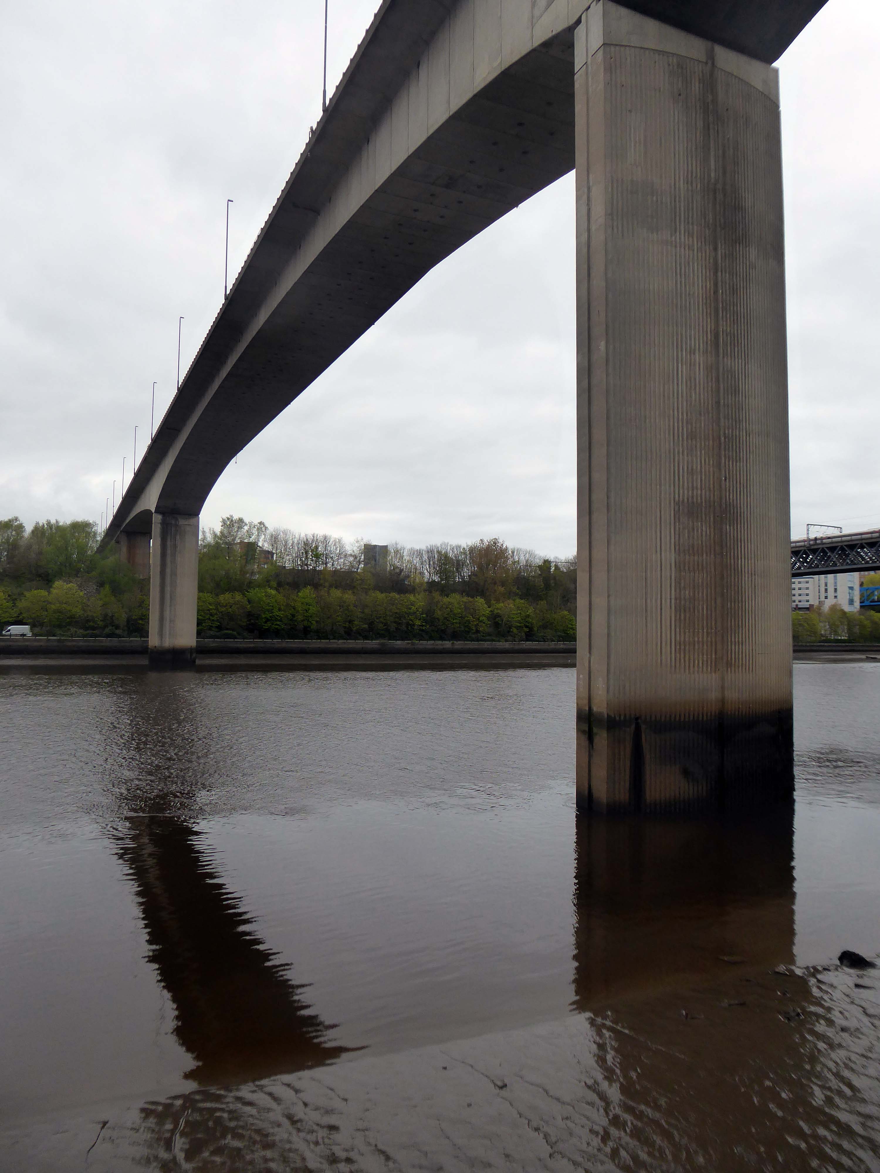
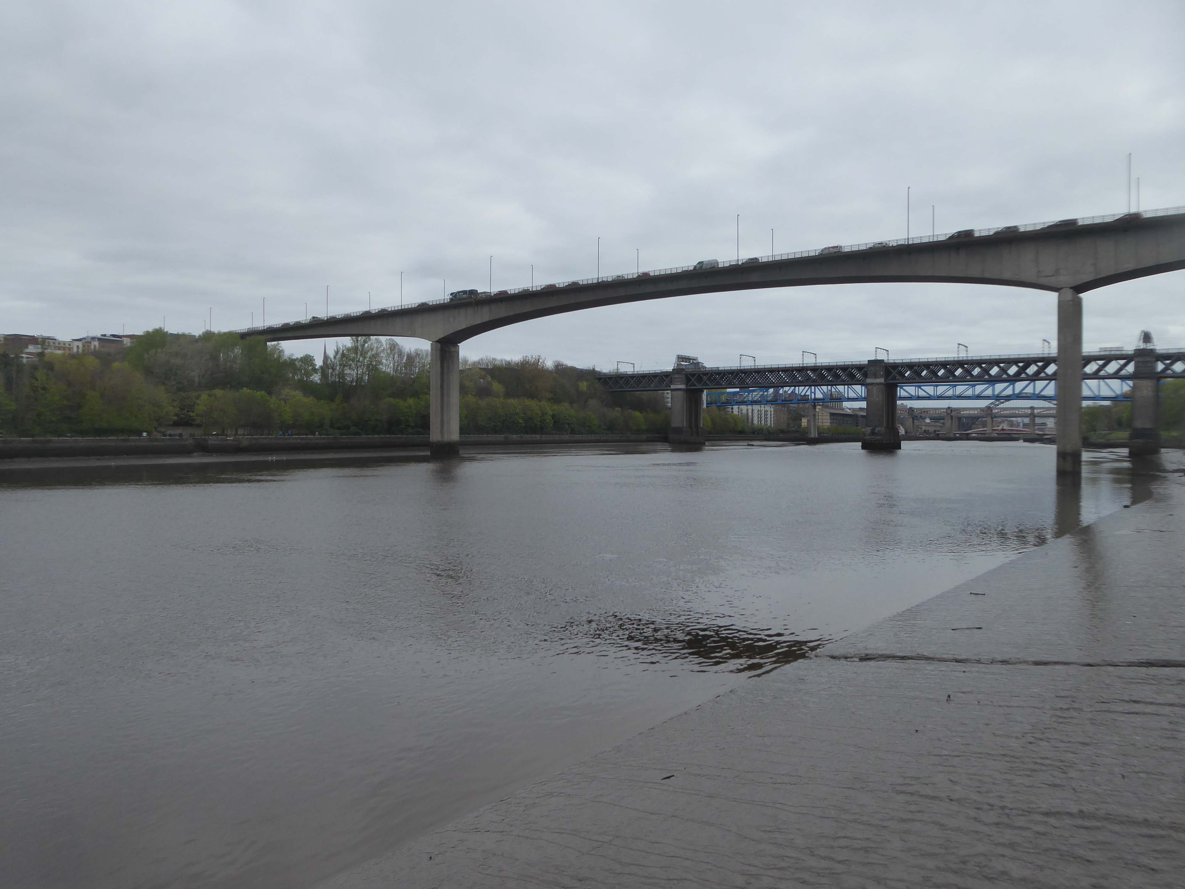
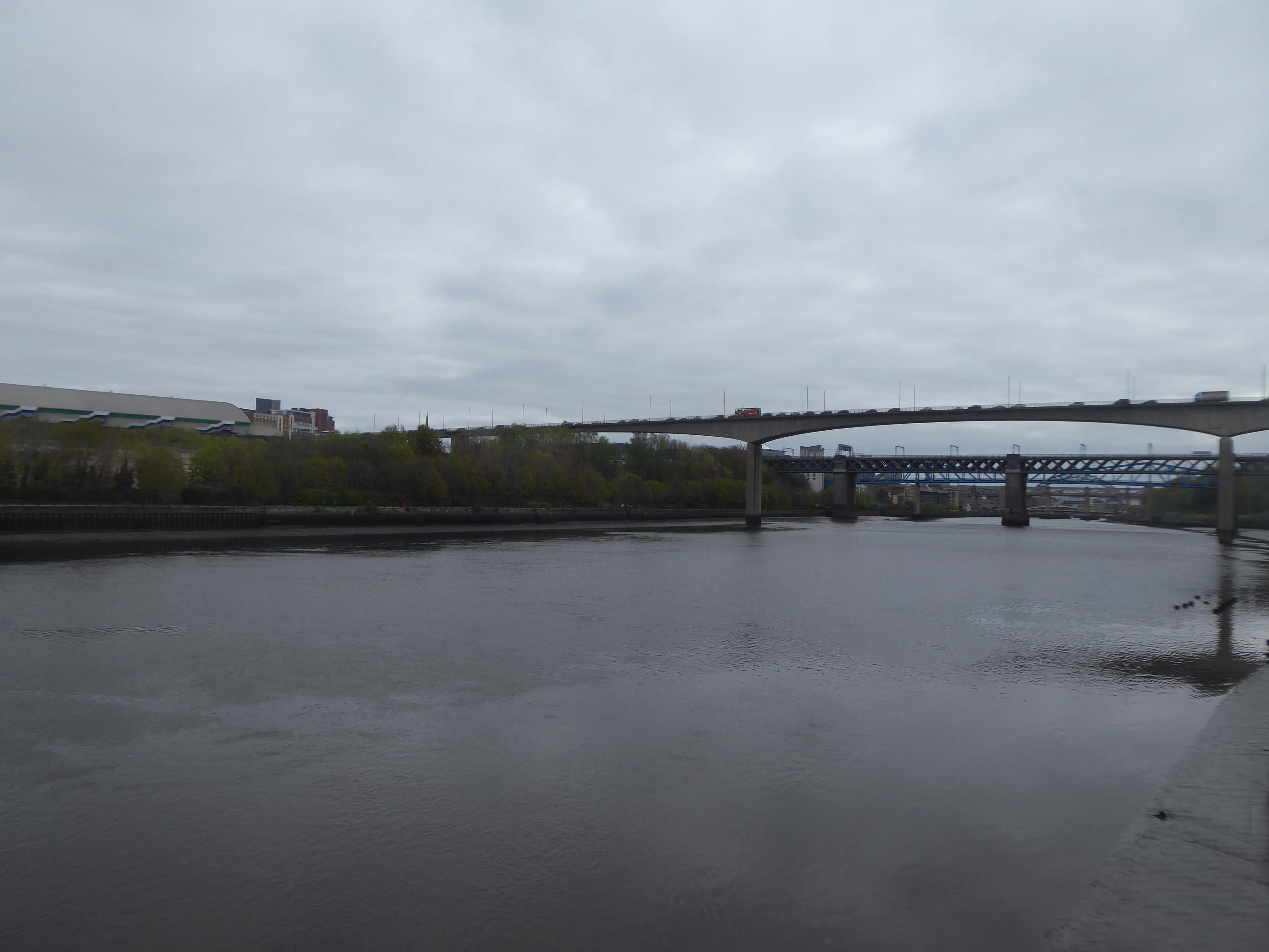
Work to replace the second crossing began in 1980.[The third bridge is very different from its two predecessors. It is a pre-stressed concrete structure with a central span of 160 m, 26 m above the river, and two side spans of 100 m each – including the approaches, it is a total of 897 m long and 15.8 m wide. It can carry abnormal loads of up to 400 tonnes, and has a life expectancy of 120 years.
It was constructed by Edmund Nuttall Ltd to a design by Mott, Hay and Anderson’s young engineer, Alan Yiu Lun Wan.
The two supporting concrete piers were fluted to create an impression of lightness and were designed to withstand the impact from a vessel of ten thousand tonnes travelling at a speed of five knots, although this is highly unlikely as large ships rarely come this far up the Tyne and the shipping lane has now effectively been blocked by the Gateshead Millennium Bridge. Due to the exposed location, strong winds can cause problems for high-sided vehicles. Early in the bridge’s life, a double-decker bus was nearly blown over the side.
The total cost of construction amounted to £15,350,000.
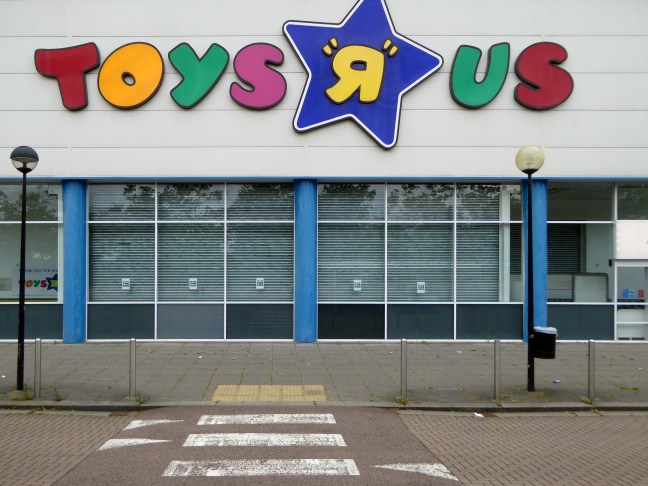
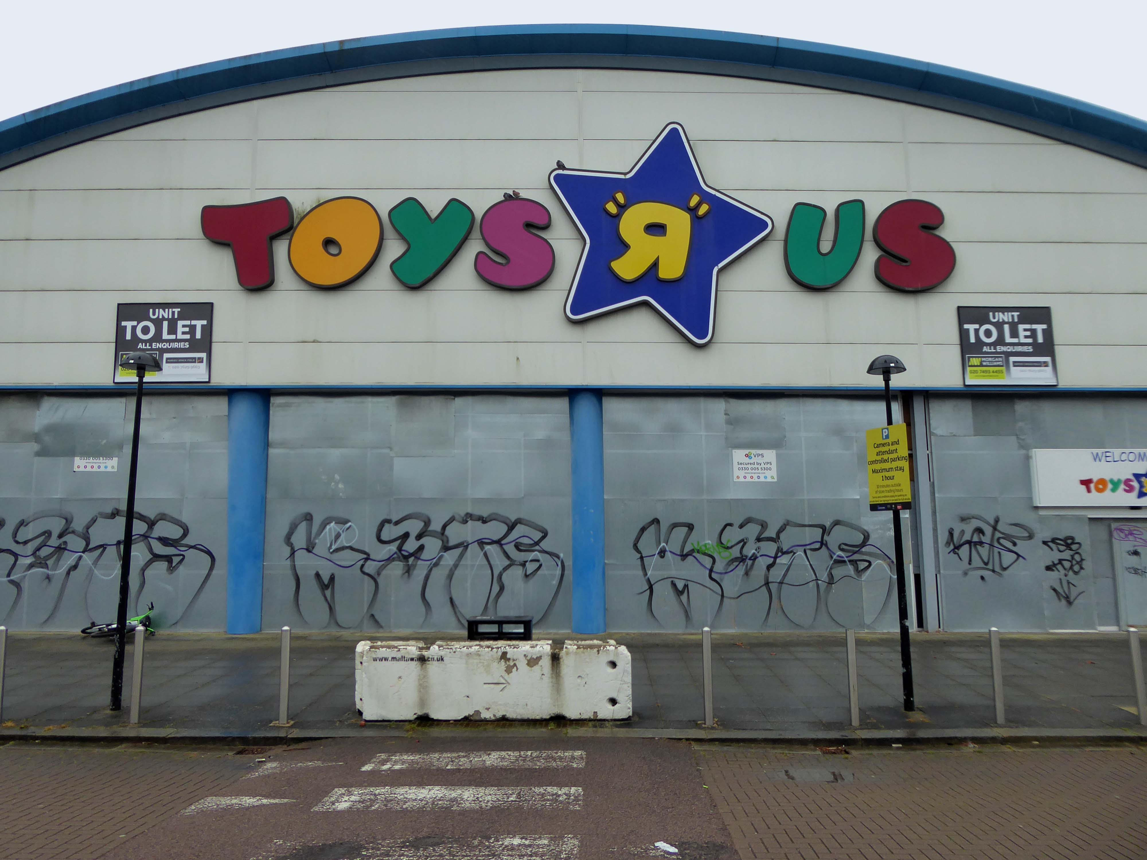
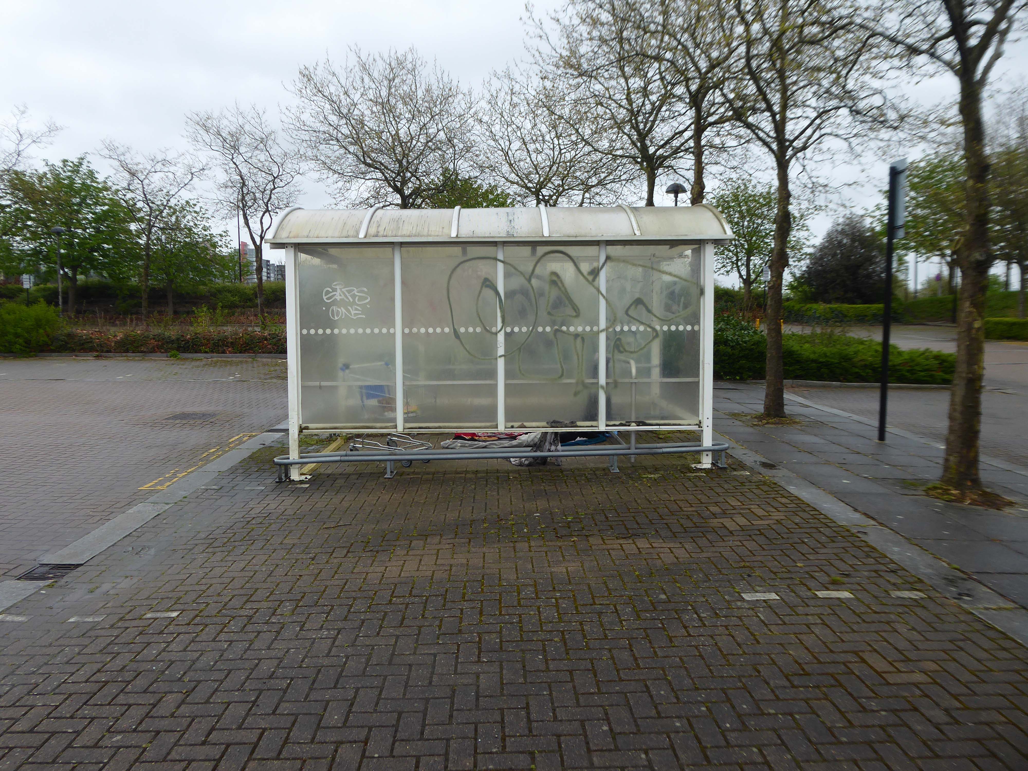
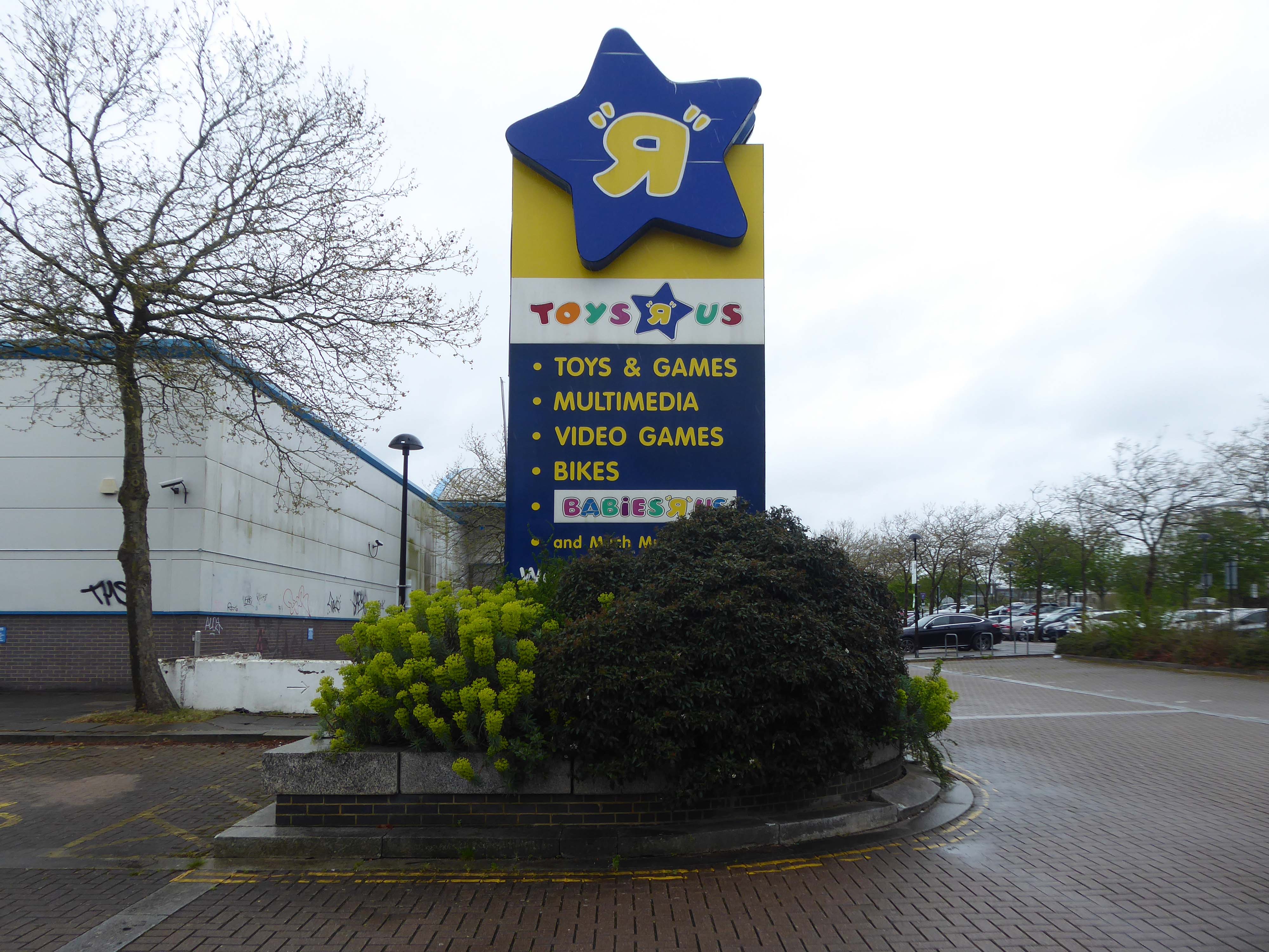
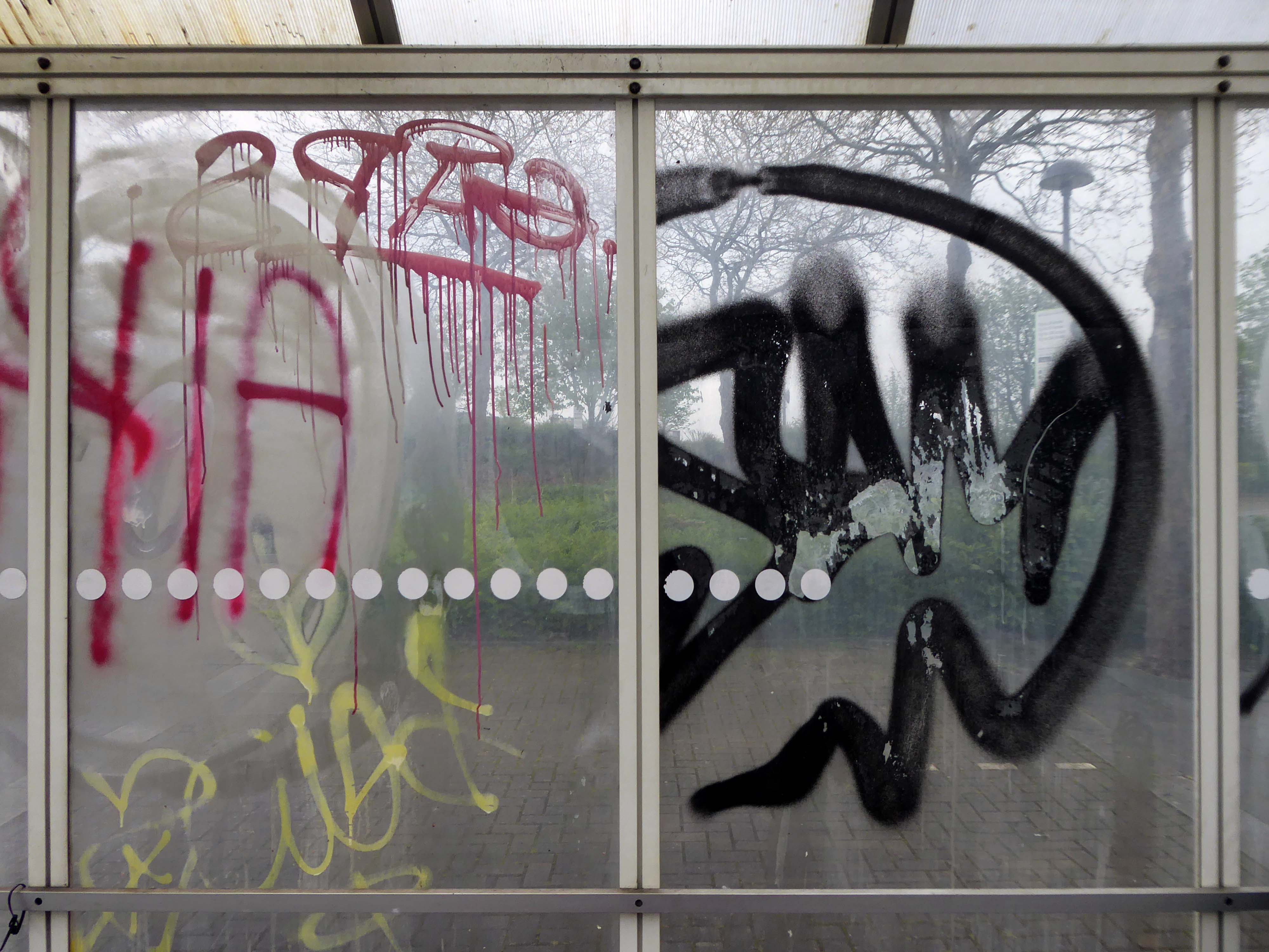
While originally considered a category killer, the rise of mass merchants and online retailers cost Toys “R” Us its share of the toy market. The company was further hampered by a significant debt load, the result of a leveraged buyout organized by private equity firms.
The toy retailer filed for bankruptcy in 2017 and in March 2018 announced it would be closing all its UK stores.
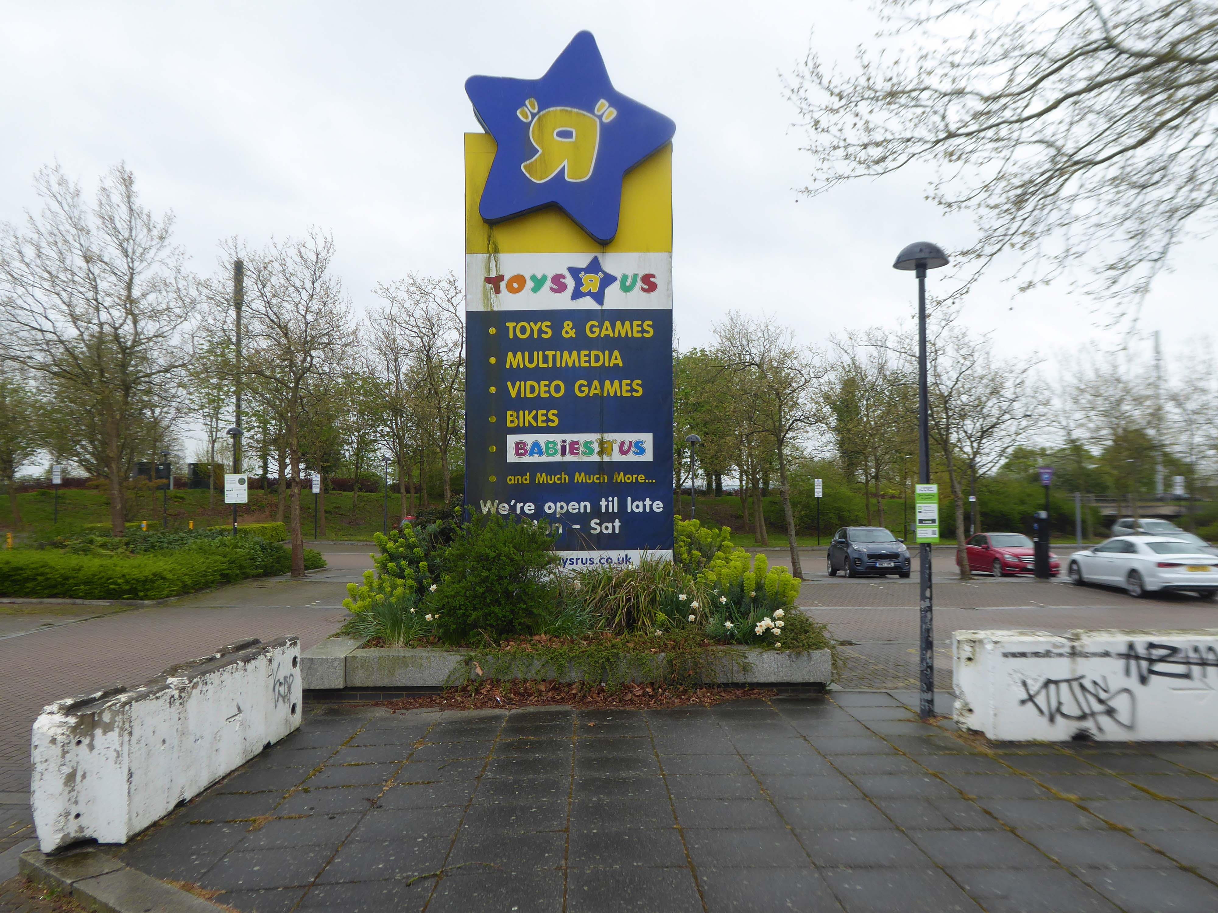
There were more than 100 Toys ‘R’ Us stores in the UK at the time.
A nipper, named only as Andrew penned a heartfelt 3-point letter to the judge handling the company’s bankruptcy case, and pleaded with him not to allow his fave shop to close down.
Andrew’s hand-written note to Judge Keith Phillips – which was put in the official court file – laid out exactly why he didn’t want the shops to shut.
In April 1948, Charles P Lazarus founded a baby-furniture retailer, Children’s Bargain Town in Washington DC, during the postwar baby boom. It was acquired in 1966 by Interstate Department Stores Inc.
The focus of the store changed in June 1957, and the first Toys “R” Us, dedicated exclusively to toys rather than furniture, was opened by Lazarus in Rockville Maryland. Lazarus also designed and stylized the Toys “R” Us logo, which featured a backwards “R” to give the impression that a child wrote it.
Having grown up in the days of the diminutive local toy shop – noses pressed against the widow admiring those treasures never ever owned, I find the present day retailers to be soulless industrial hangars – designed to extract every ounce of fun and currency from the hapless child and guardians.
Eric Ravilious – inside the model shop.
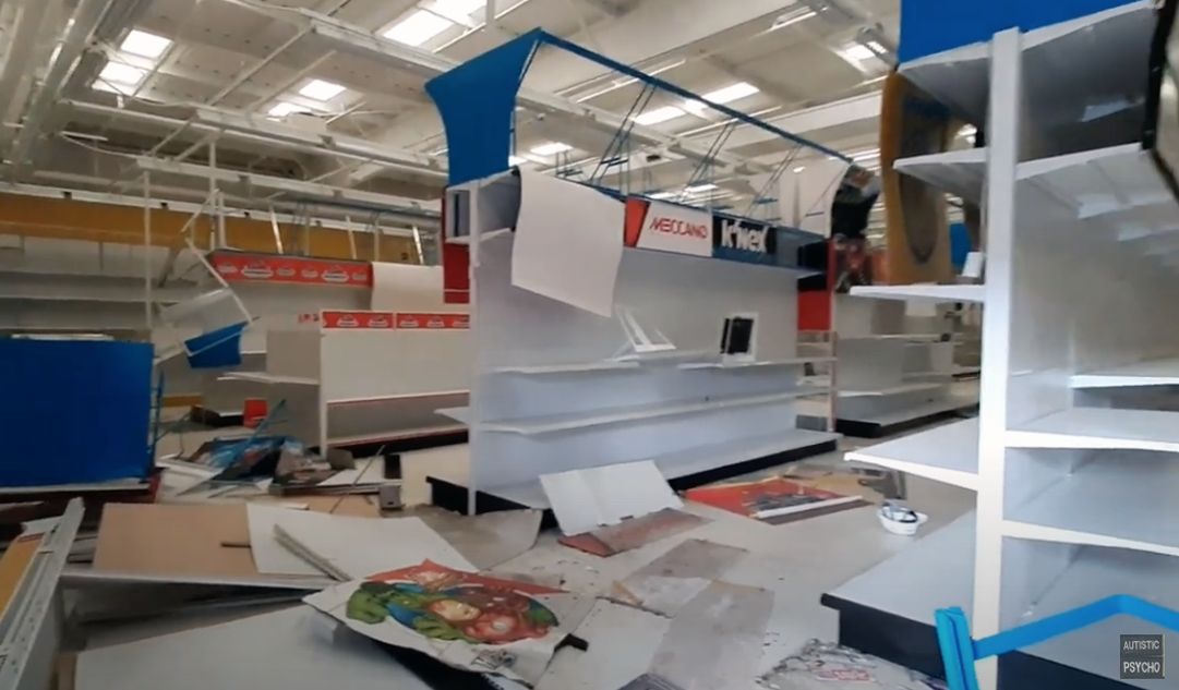
I returned in 2024.
A large To Let sign is now visible above the store, with any interested parties invited to inquire about the large unit. The 47,500sq foot unit is available to lease – in whole or in part, and is described as being immediately available.
The news comes despite previous announcements that WHP Global, the owner of Toys R Us, had plans to re-open some UK stores during 2022. In February, the company said UK Toys R Us stores could open within months, although none have yet done so.
Here is Autistic Psycho’s tour around the deserted store,
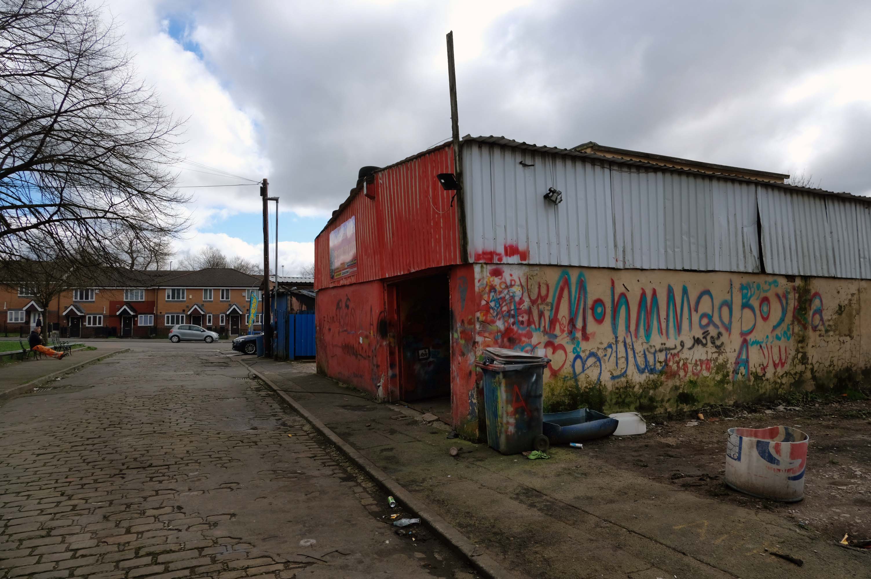
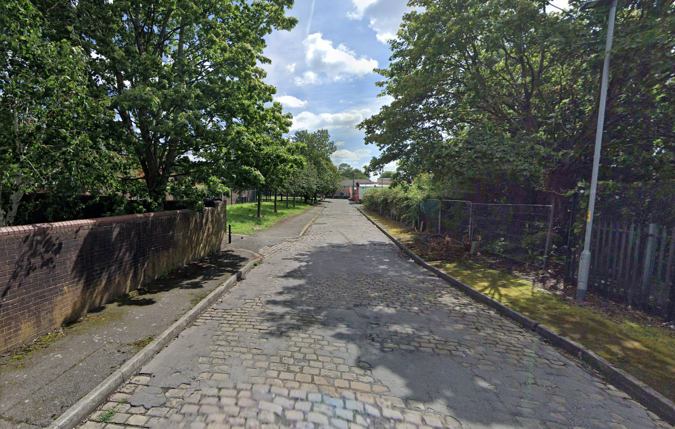
Walking along Rochdale Road yesterday, I was suddenly arrested by the Pleasant Street street sign.
Having already been suddenly arrested last week, by the Bland Close street sign.
With my expectations defined by the above definition, I ventured along the street in search of happy satisfaction.
Coincidentally – The 18th century entrepreneur Josiah Wedgwood pioneered many of the marketing strategies used today, including the satisfaction or you money back guarantee, on the entire range of his pottery products. The money-back guarantee was also a major tool of early US mail order sales pioneers in the United States such as Richard Sears and Powel Crosley Jr. to win the confidence of consumers.
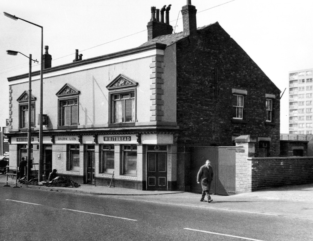
However at someone between 1968 and 2024 the housing had been cleared away – also missing in action is the Golden Lion pub adjoining Pleasant Street on Rochdale Road.
The Golden Lion was a proper old pub on the very busy rochdale road in the Harpurhey area of Manchester. Once inside there was a decent lounge and a basic bar i had a drink in the lounge and this was quite a comfy room.
This pub was a Whitbread tied house and there were two real ales on the bar I had a drink of Chesters bitter and this was a nice drink the other beer was Chesters mild. I thought this was quite a nice pub but sadly this pub has now been pulled down in the name of progress.
So here we are here today – yesterday has long gone and tomorrow never knows no how.
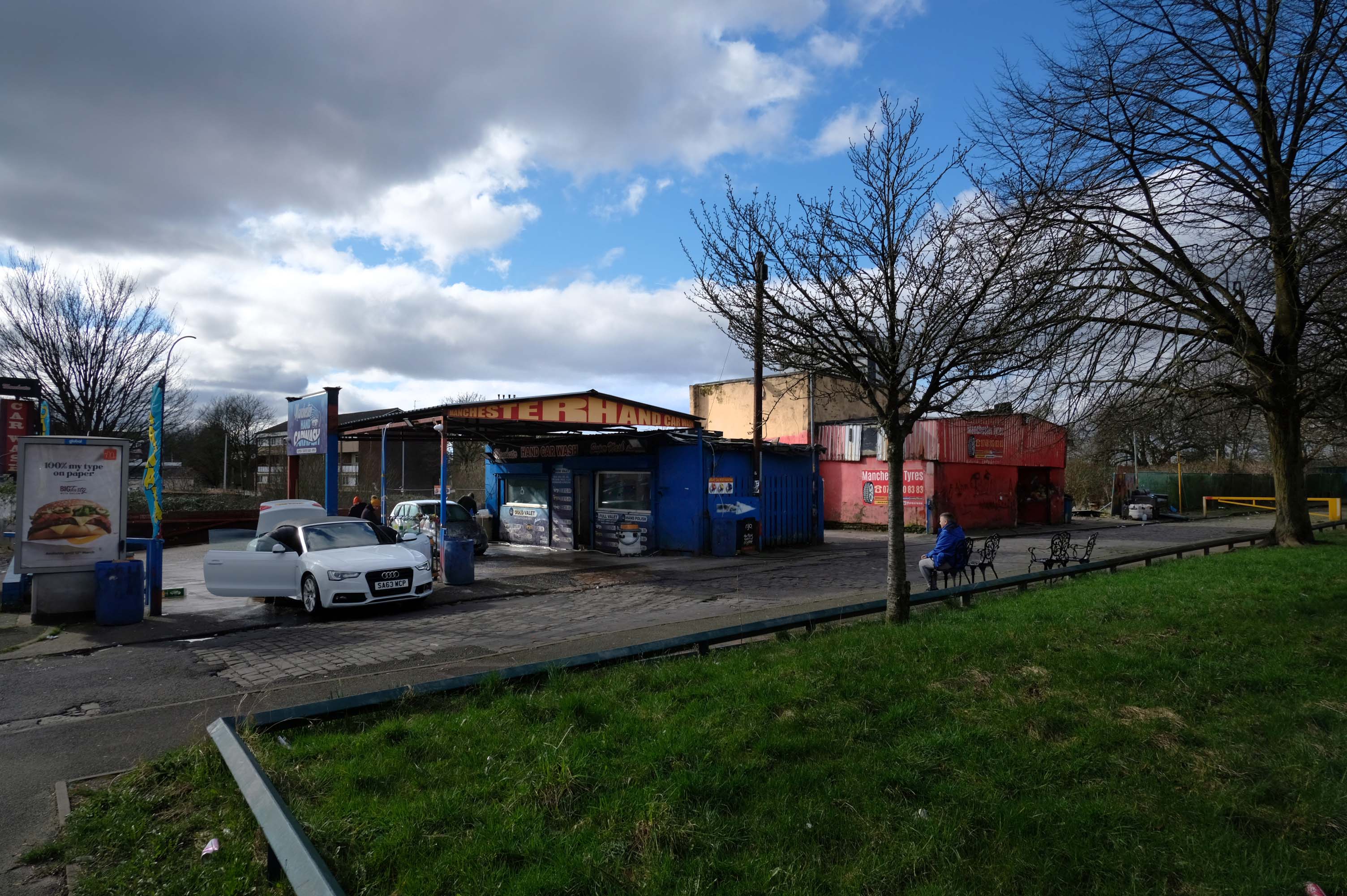
What’s left to see?
Manchester Hand Car Wash
Manchester Tyres
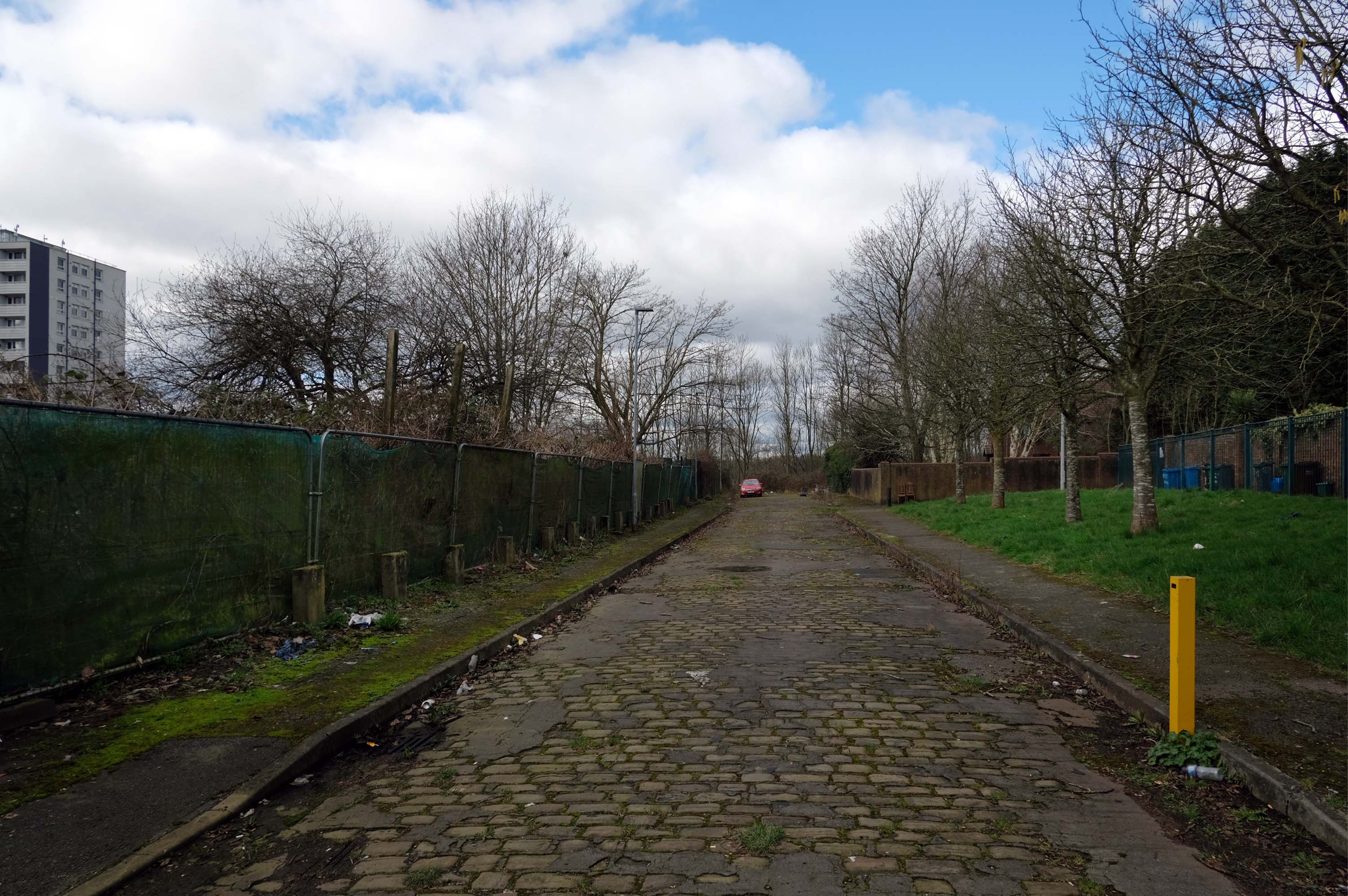
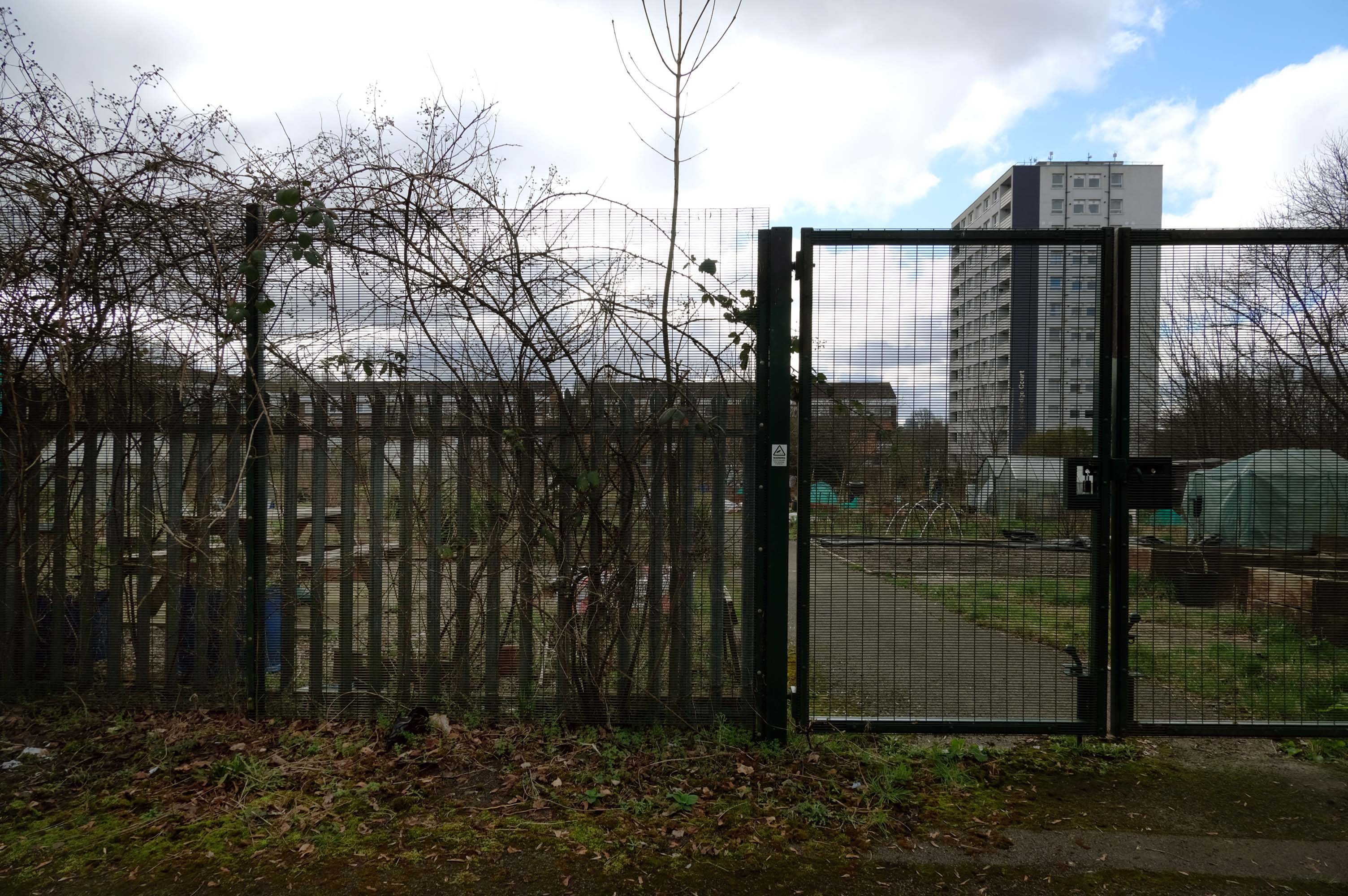
Pleasant Street Allotments
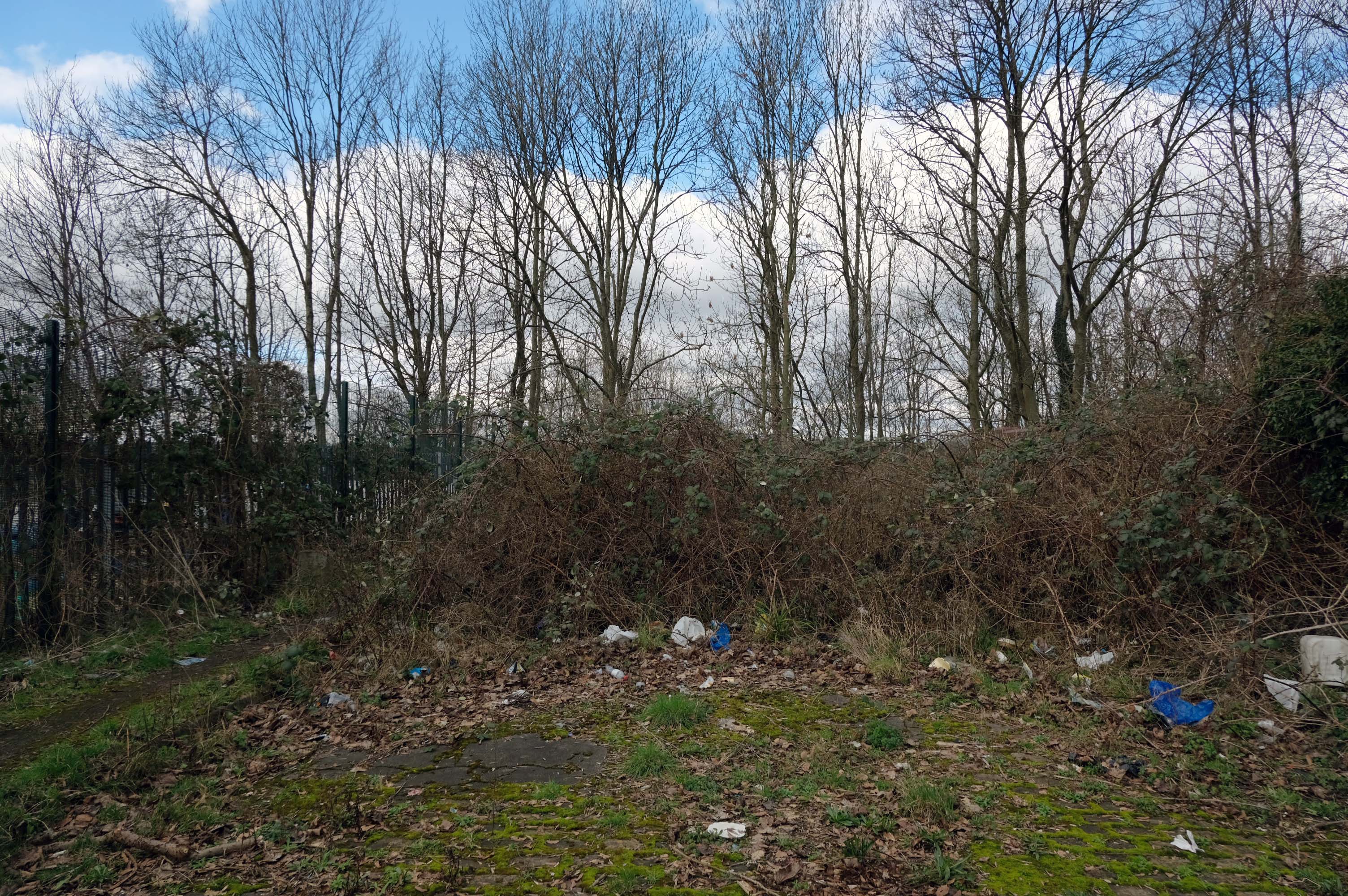
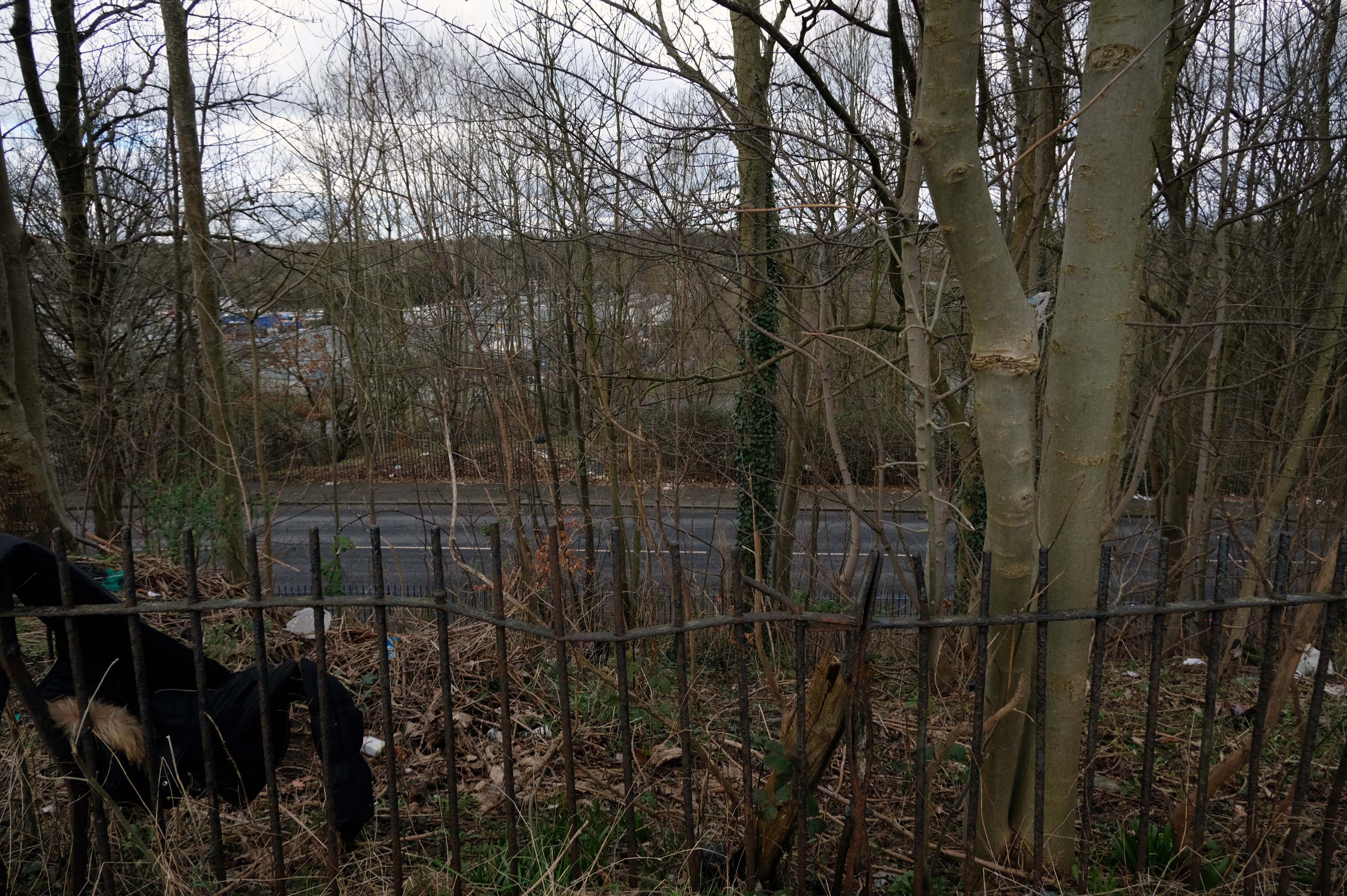
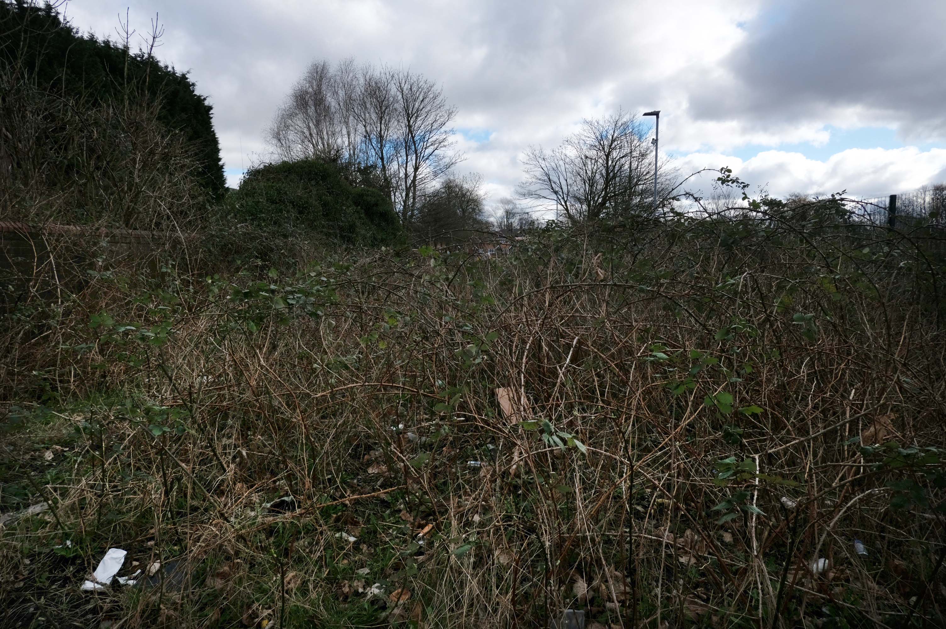
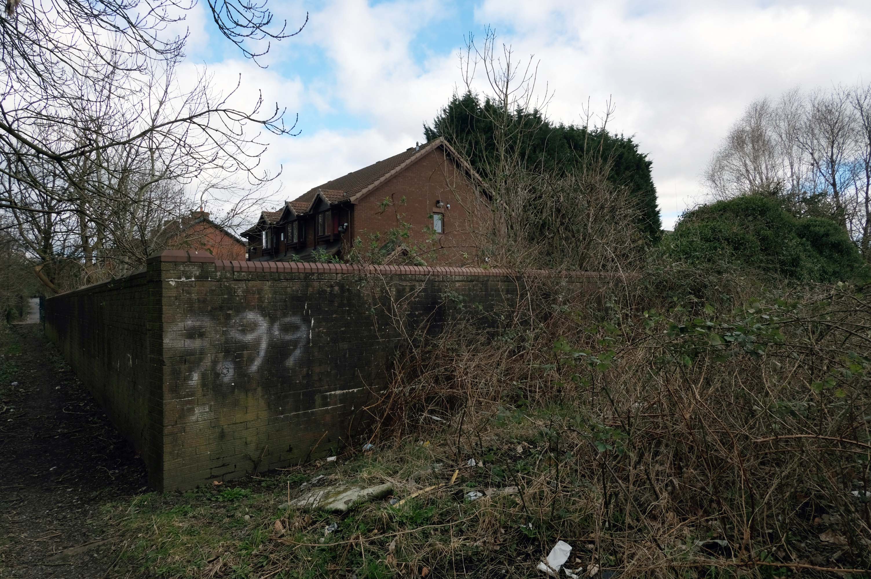
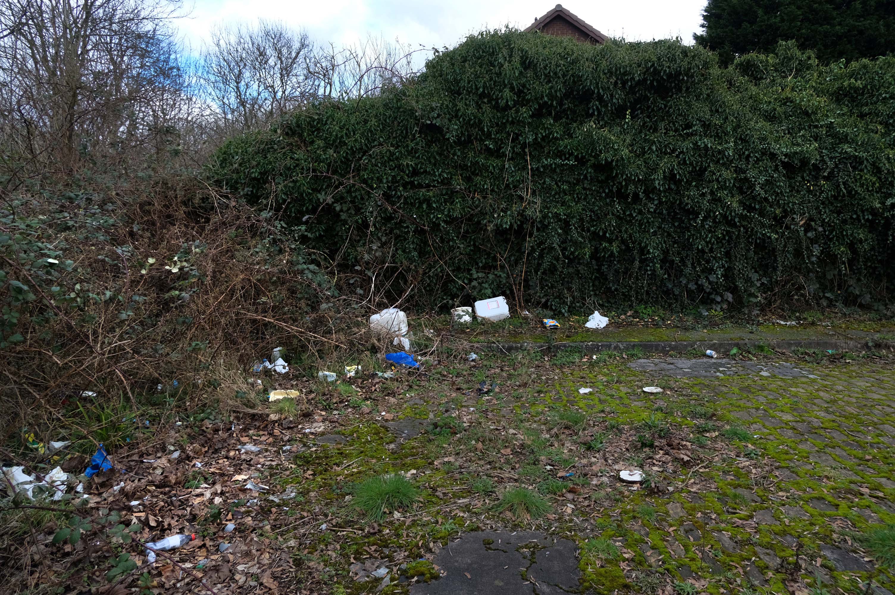
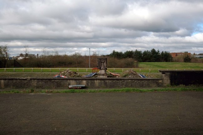
The allotments have had issues with fly tipping back in 2021.
There is now a lockable barrier in place on the cobbled cul-de-sac.
Photo – Howard Bristol
It is understood that the heaps of rubbish, including bin bags full of waste and unwanted wood and cardboard, have been growing in recent weeks.
Howard Bristol, the Secretary of the Pleasant Street allotments committee, said the situation has been ongoing for some time but has worsened since the removal of nearby CCTV cameras.
He told the Evening News that the road has been – piling high with rubbish, and that the area also had issues with the woodland behind the allotments being used for drug dealing during summer.
Pat Karney, councillor for Harpurhey tweeted about the flytipping on Sunday, calling it – unbelievable and disgraceful.
He added that those responsible should be – locked up in Strangeways for a long time, before adding that the council will – get it cleared.
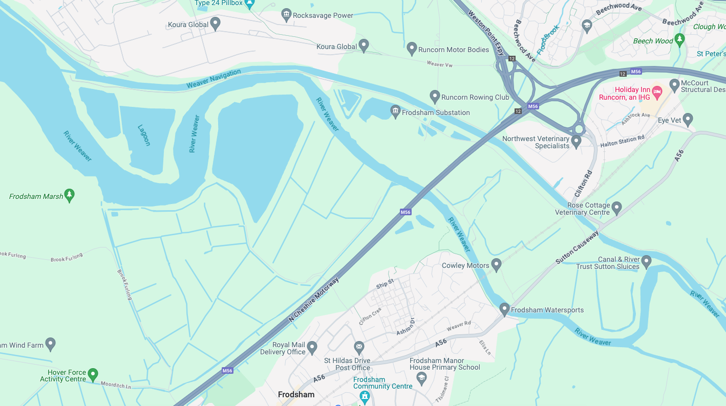
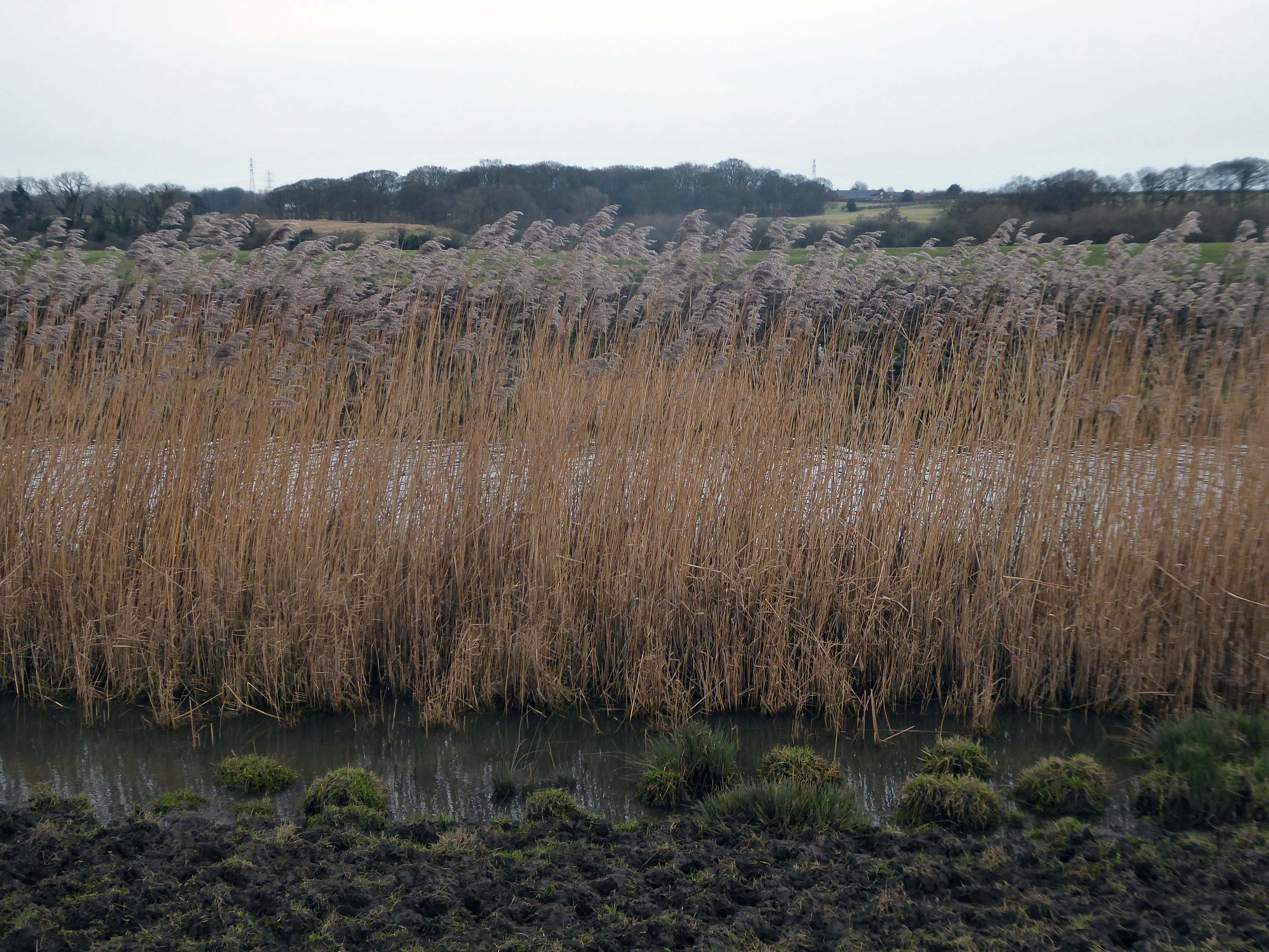
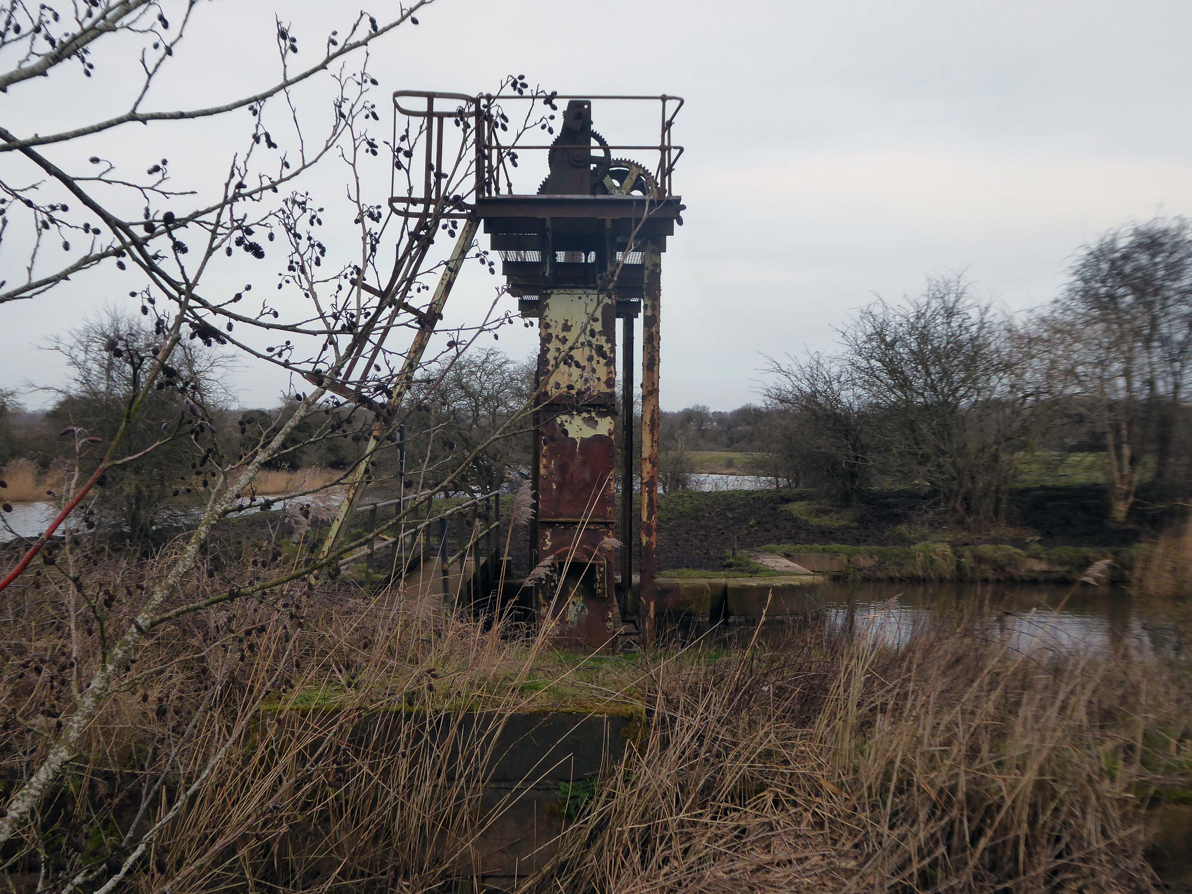
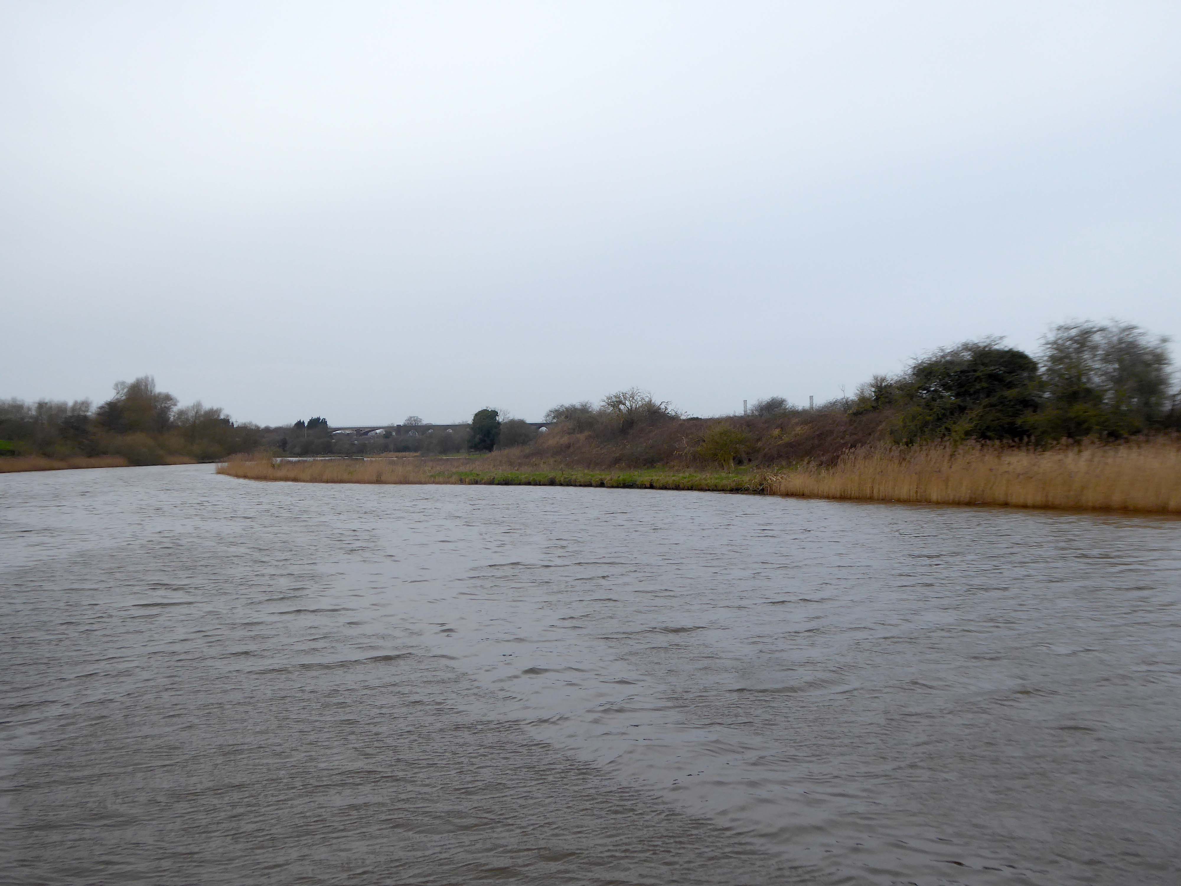
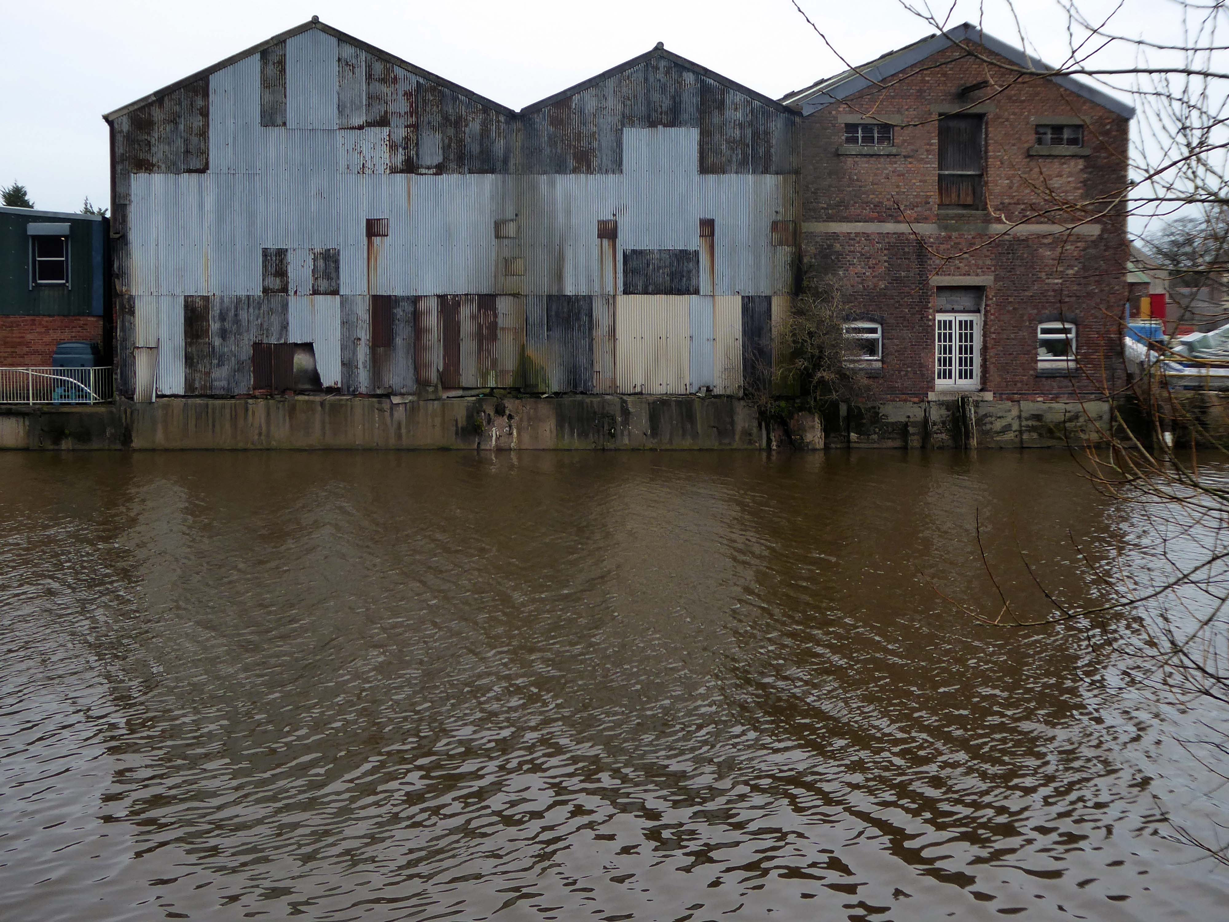
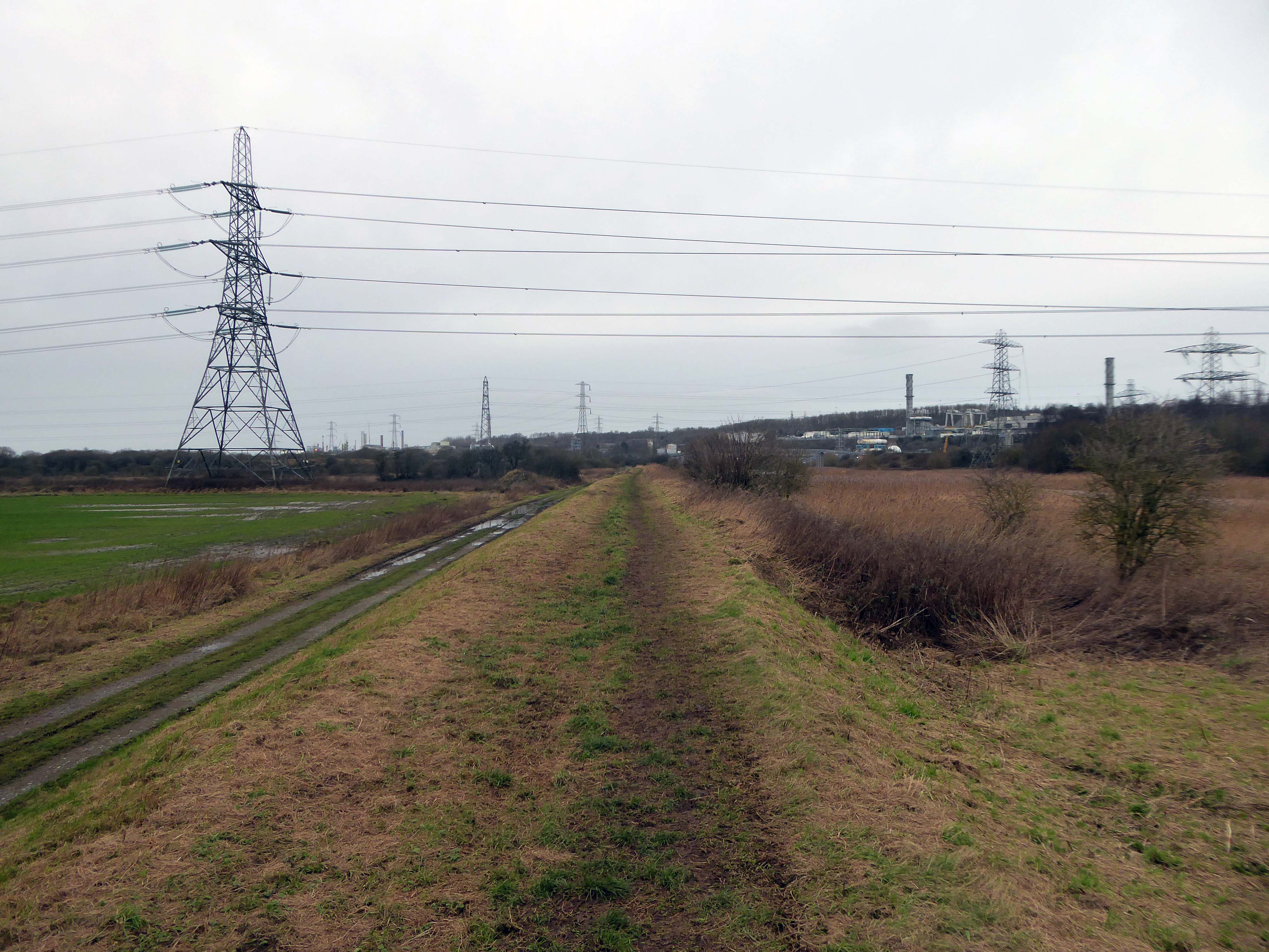
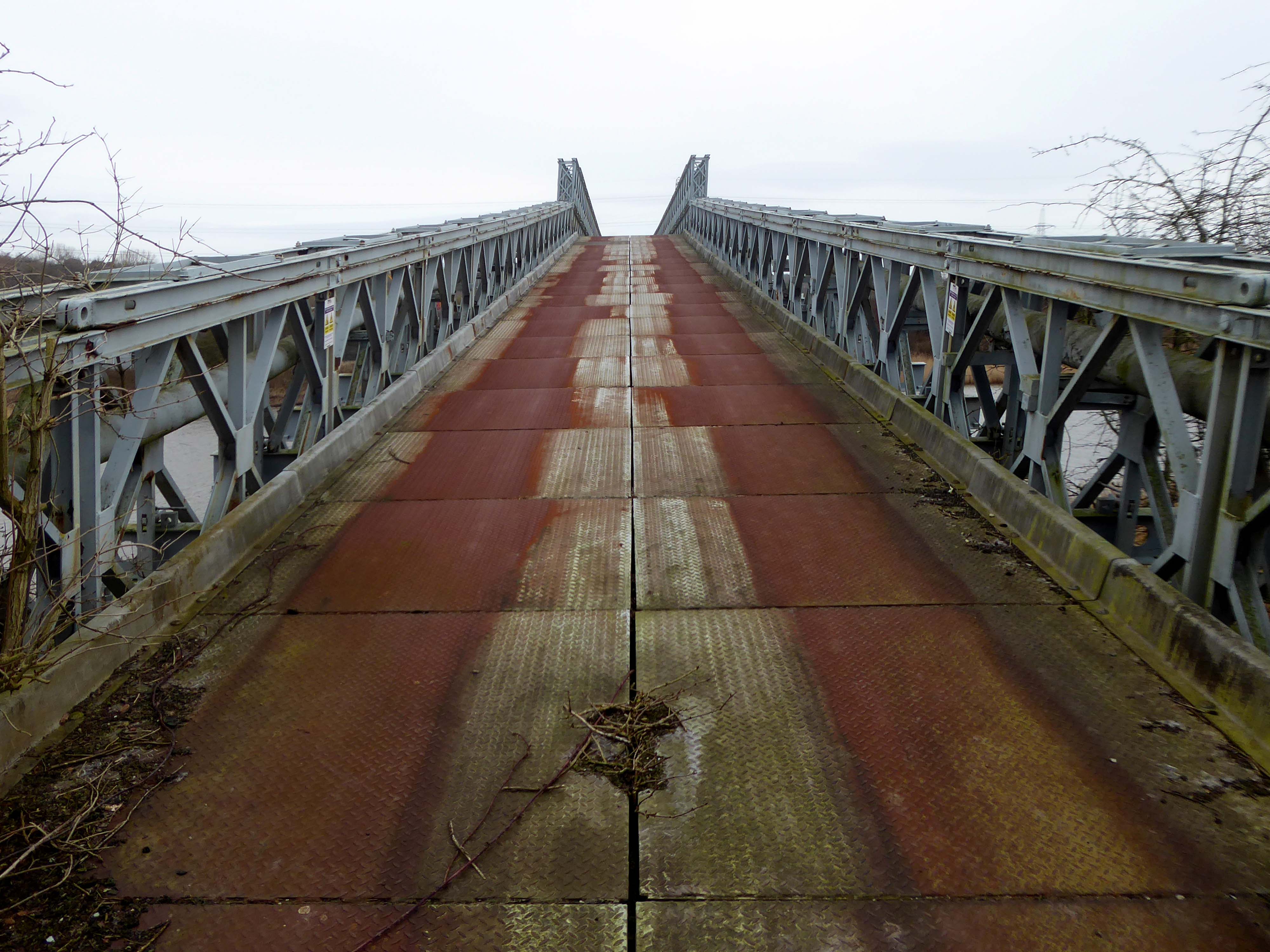
Along with my almost lifelong friend Mr Tim Rushton – I took a trip along a short stretch of the River Weaver, walking from east to west.
River Weaver – rising on the boundary between the counties of Shropshire and Cheshire and then flowing 45 miles north to reach the Irish Sea estuary of the River Mersey to the west of Runcorn.
Below Winsford, the course of the river has been altered several times, by the construction of cuts and locks, to enable small ships to trade on it. The river formerly joined the River Mersey at Weston Marsh, but since the construction of the Manchester Ship Canal, begun in 1887, it has flowed into the canal, from where surplus water enters the Mersey by the Weaver sluices, just upstream of the junction. The tidal river section below Frodsham has been bypassed by the Weston Canal since 1810 and is no longer navigable, as Frodsham Lock is derelict.
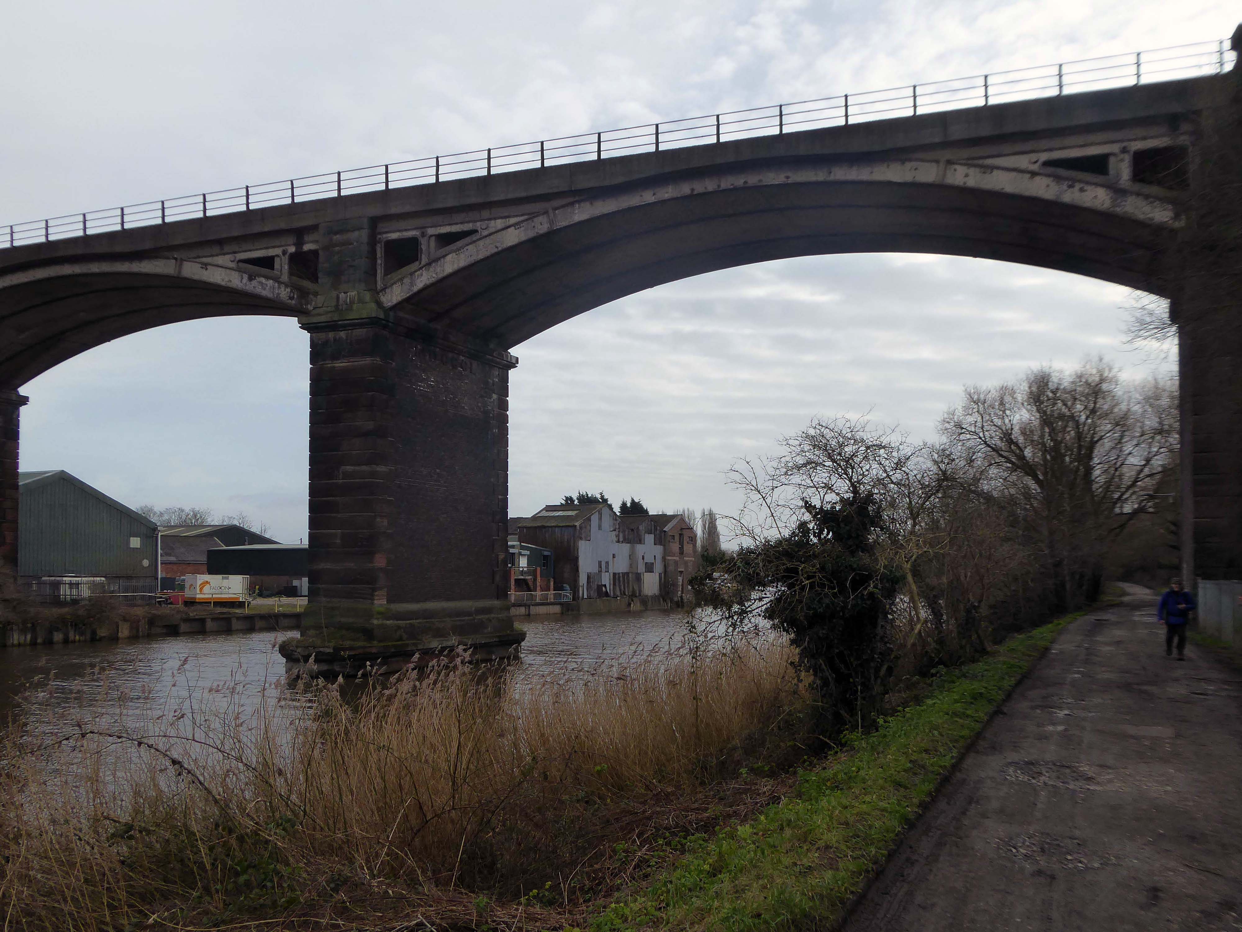
Railway viaduct over River Weaver and adjoining land by A Rendel Engineer and Thomas Brassey, contractor 1848-1850 – for Birkenhead Lancs & Cheshire Junction Railway Co.
Red sandstone, brown brick and cast iron, two segmental-arched iron spans of circa thirty metres over river; two round arches on west bank and twenty one on east bank. Piers to iron spans are rusticated tooled ashlar; the other spans have rusticated voussoirs, pier faces and quoins and rock-faced spandrels with brick reveals, cornice to iron-span piers, plainer imposts to others.
Top of central pier to river modified to take mid C20 concrete track bed.
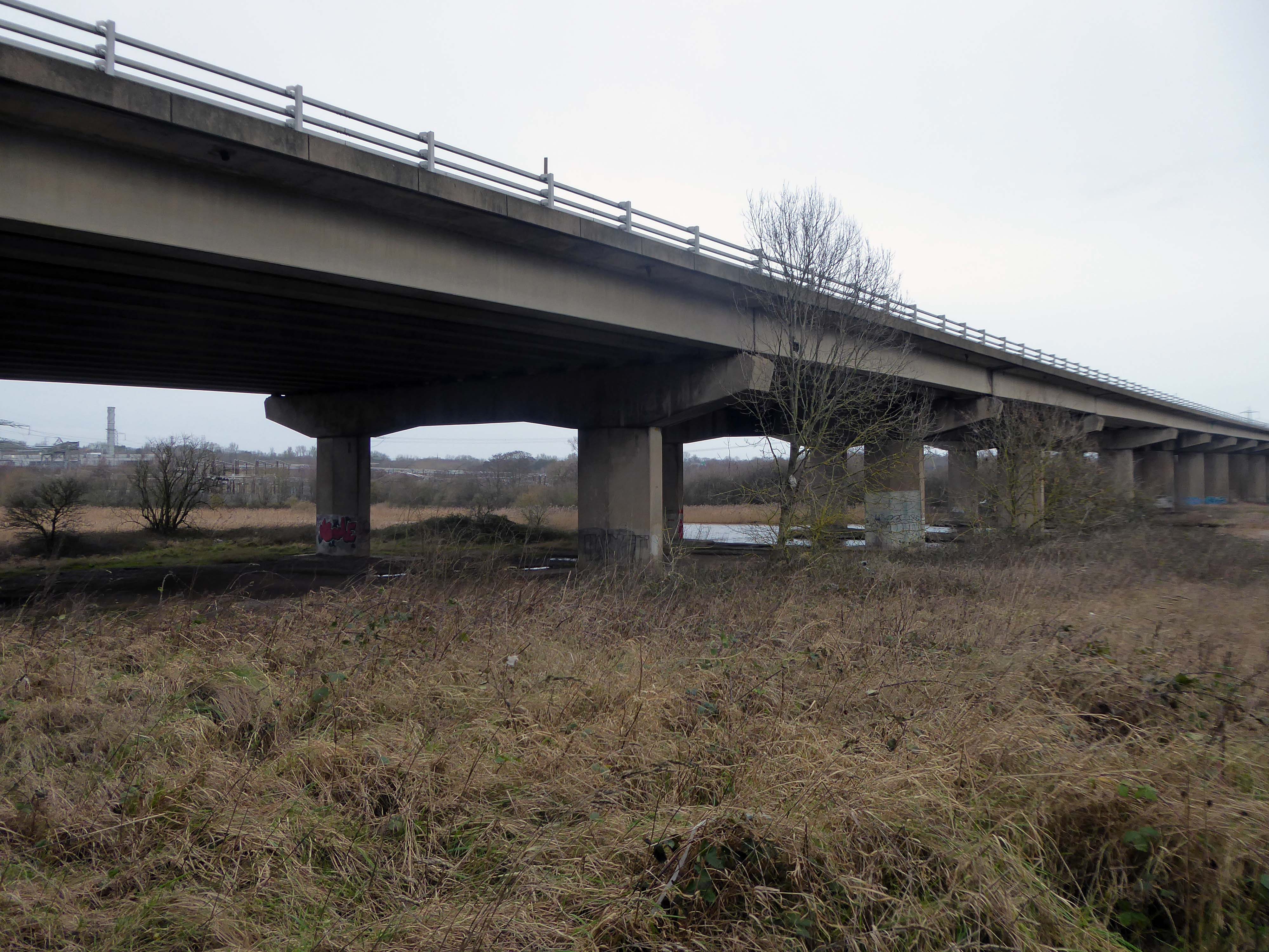
Weaver Viaduct is one of the outstanding features of M56 and its design was approved by the Royal Fine Arts Commission. The three-quarter mile of elevated motorway and approach embankments over the River Weaver and Weaver Navigation Canal opened on 21 February 1971.
Design was by Husband and Co of Sheffield – acting for Department of Environment, who also supervised the project.The contractor was Christiani Shand with a tender price of £3,146,387 in March 1968.
Work began in April 1968 – the eventual cost was put at £3.5 million.
Thirty two 125-foot concrete 100-tonne beams were put into place in July 1970; the concrete beams were made by Matthews & Mumby of Windmill Lane Denton.
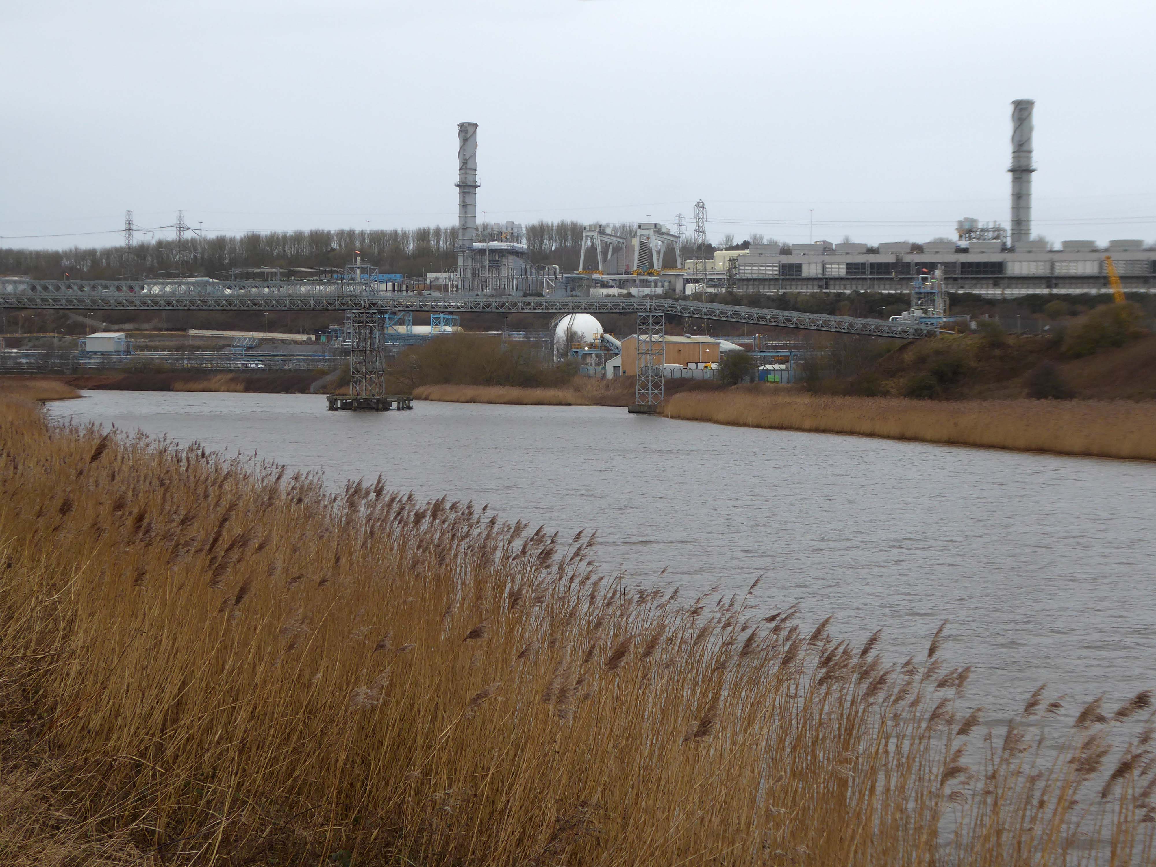
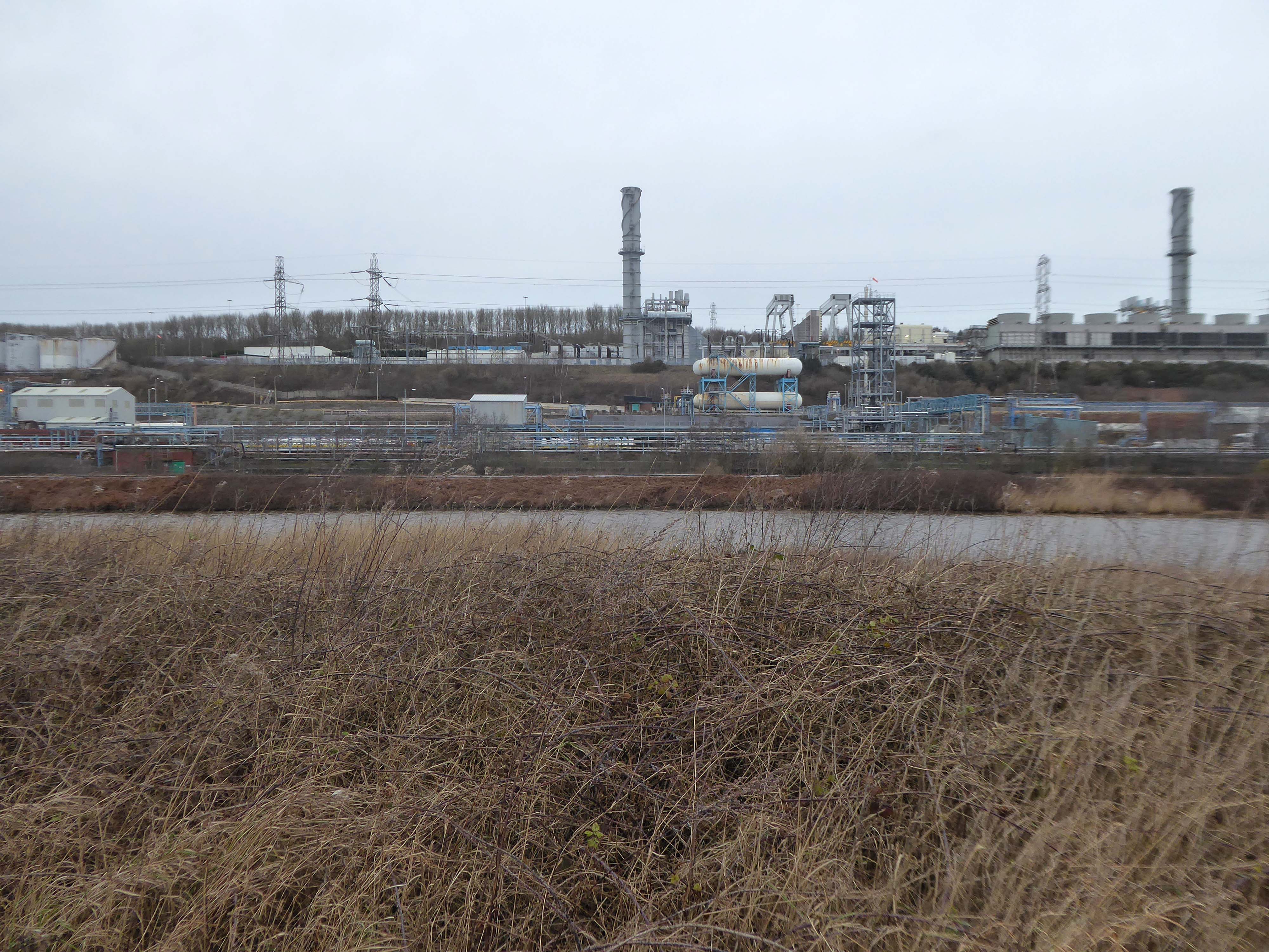
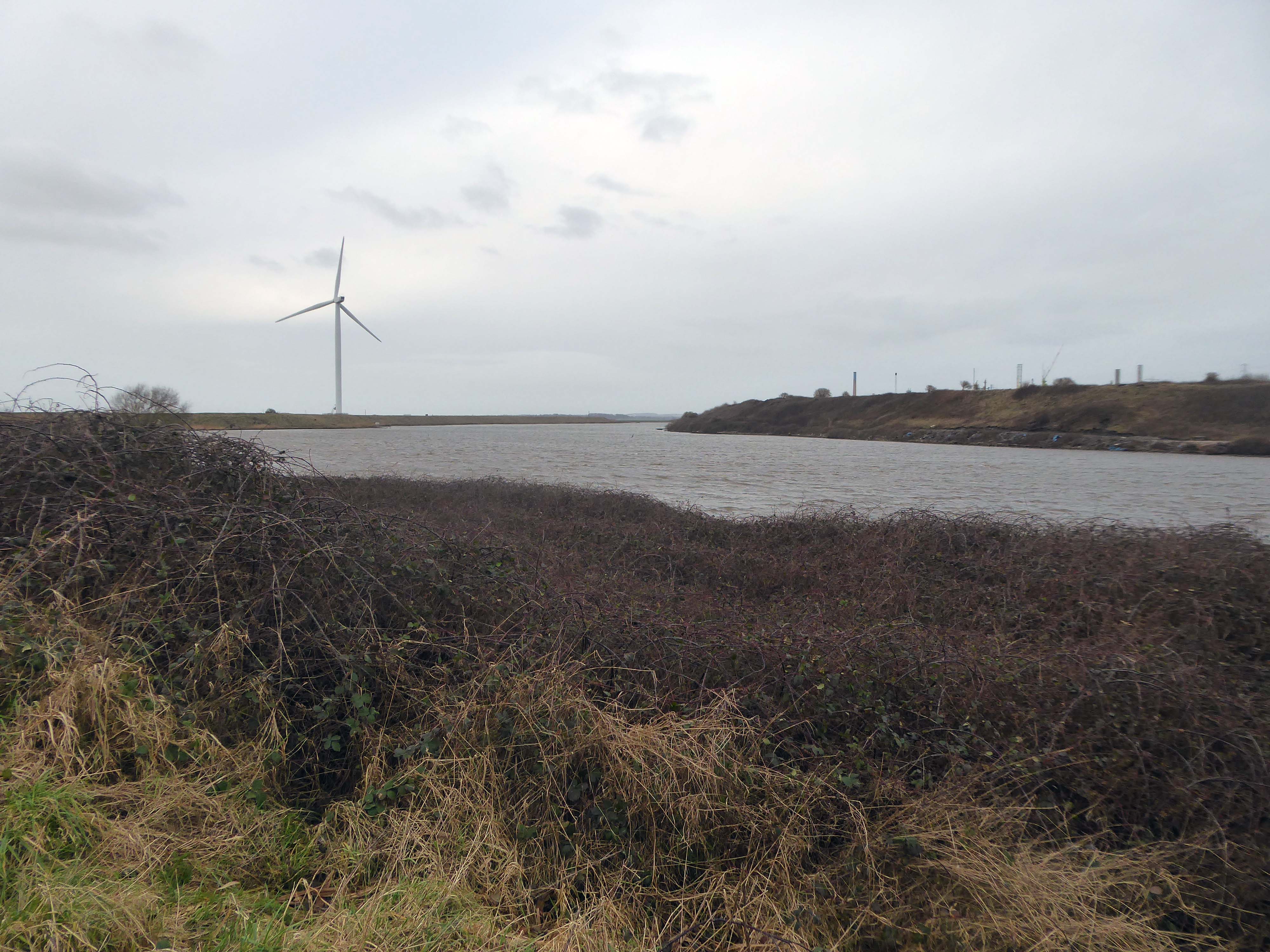
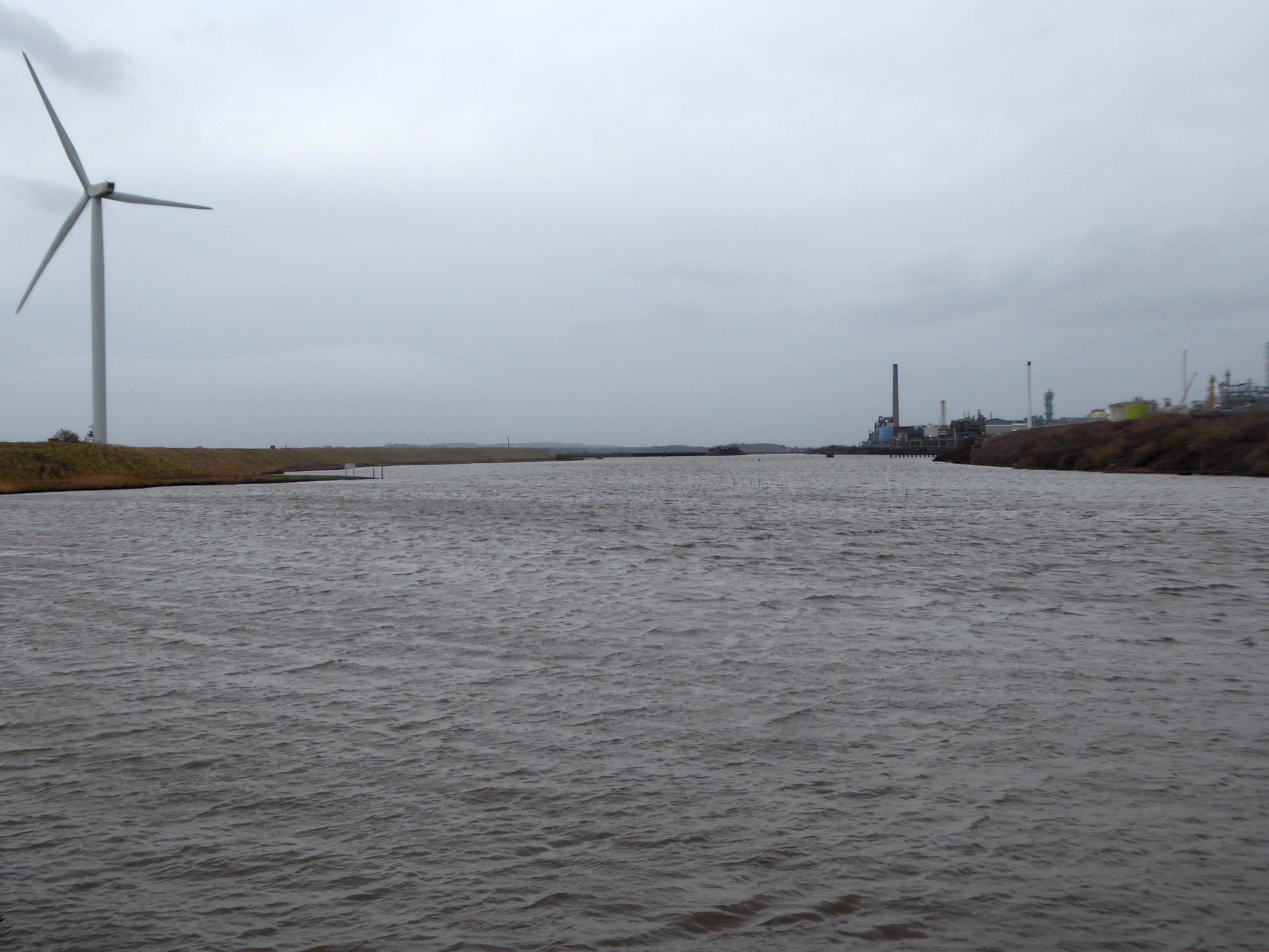
High-VoltageFrodsham Substation – Rock Savagepower station
Rock Savage Power Station is an 800 MWe gas-fired power station.
It was opened by Queen Elizabeth II on 31 July 1998, and owned by InterGen, a company that is now jointly owned by Ontario Teachers’ Pension Plan and China Huaneng Group, it cost £375m.
It sponsors the Runcorn Jets baseball club, the Highfield Male Voice Choir and the Weston Angling Club.
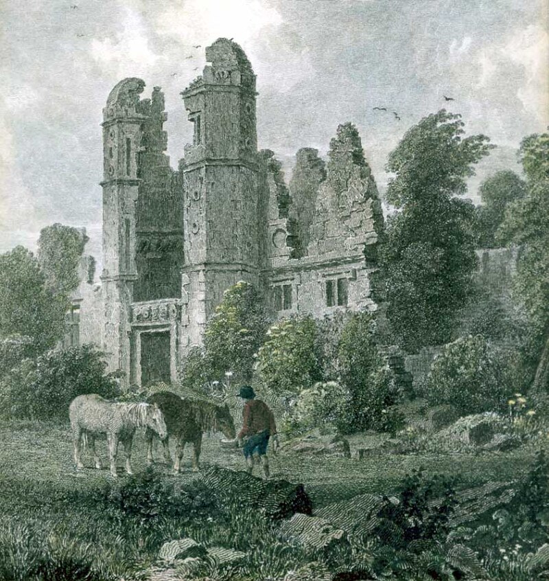
The name comes from the nearby ruined Elizabethan mansion – Rocksavage.
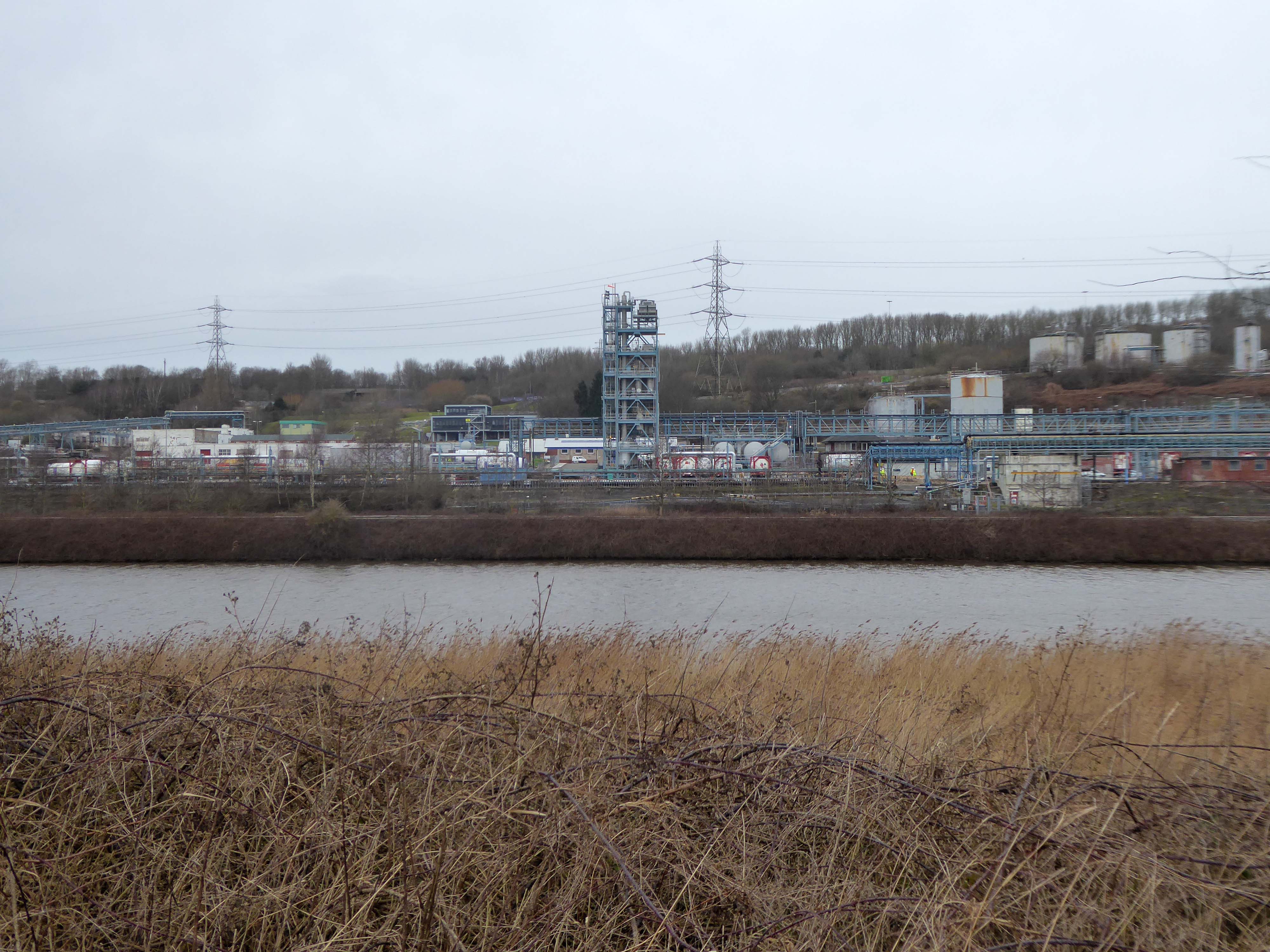
KouraGlobal – leader in the development, manufacture, and supply of fluoro products and technologies, opened a new HFA 152a production facility at their Runcorn site in the UK.
Chiesi, the international research-focused pharmaceuticals and healthcare group, signed a commercial agreement to use the new low carbon footprint medical propellant for inhalation product development and clinical trials in 2019.
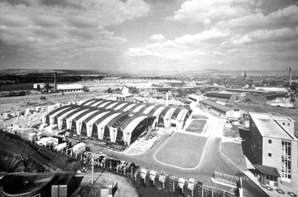
Britain from Above 1948
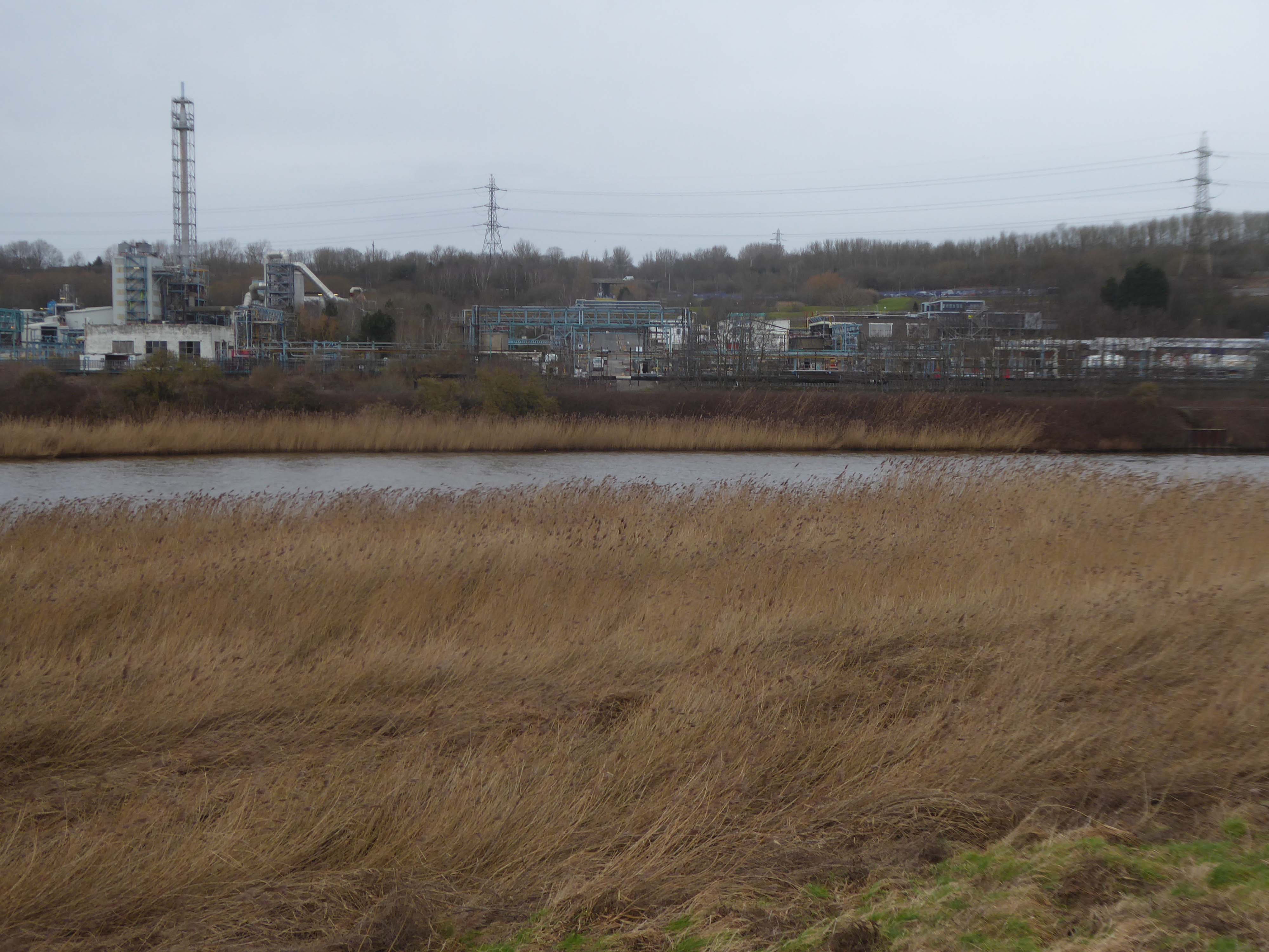
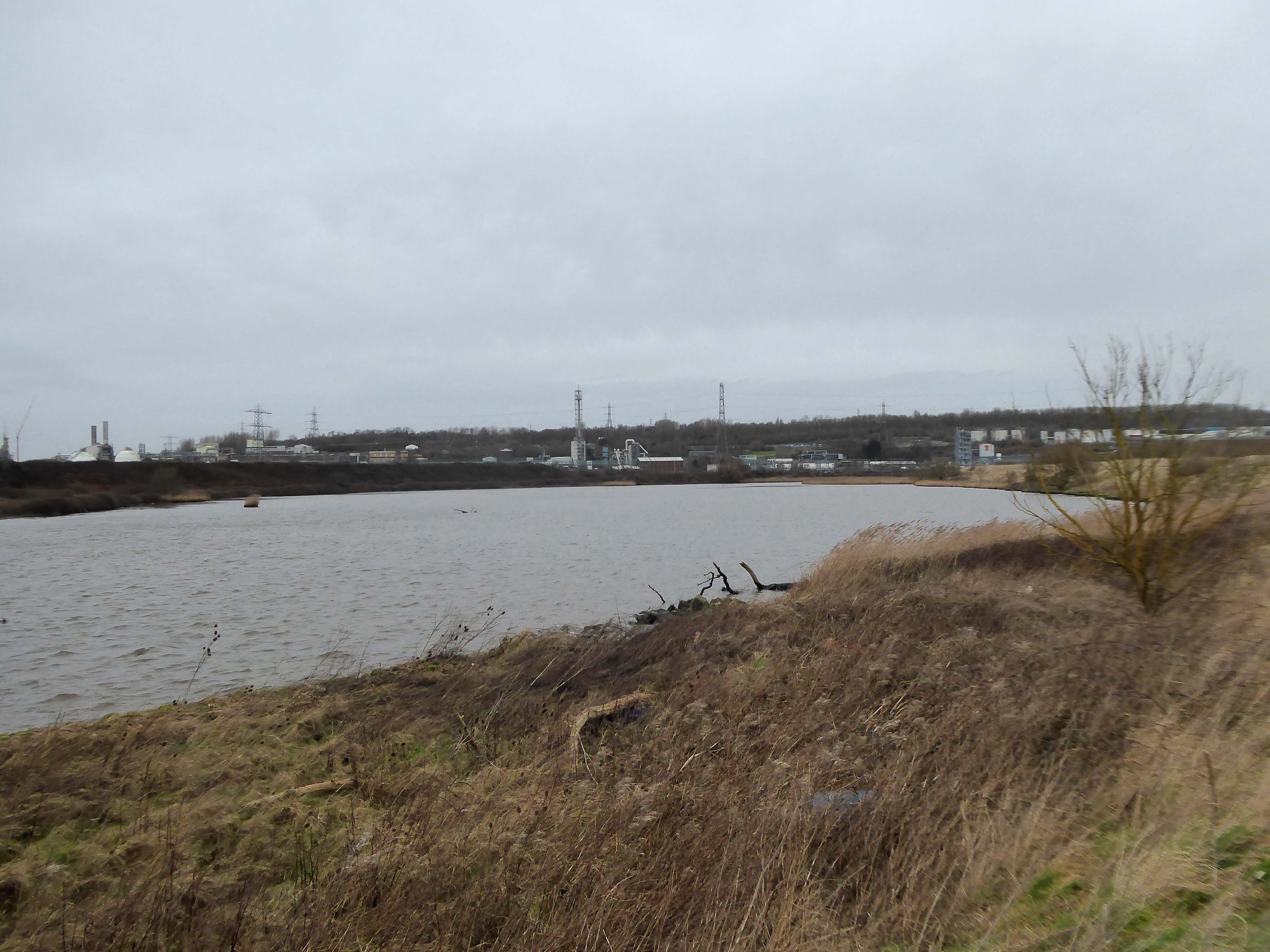
Ineos Chemical Complex formerly ICI Rocksavage Works on the banks of the River Mersey River Weaver and Manchester Ship Canal in Runcorn formerly ICI works of Rocksavage and Castner Kelner Works which produced fluorcarbons such as aerosol propellants dry cleaning solvents and chlorine UK January 2007
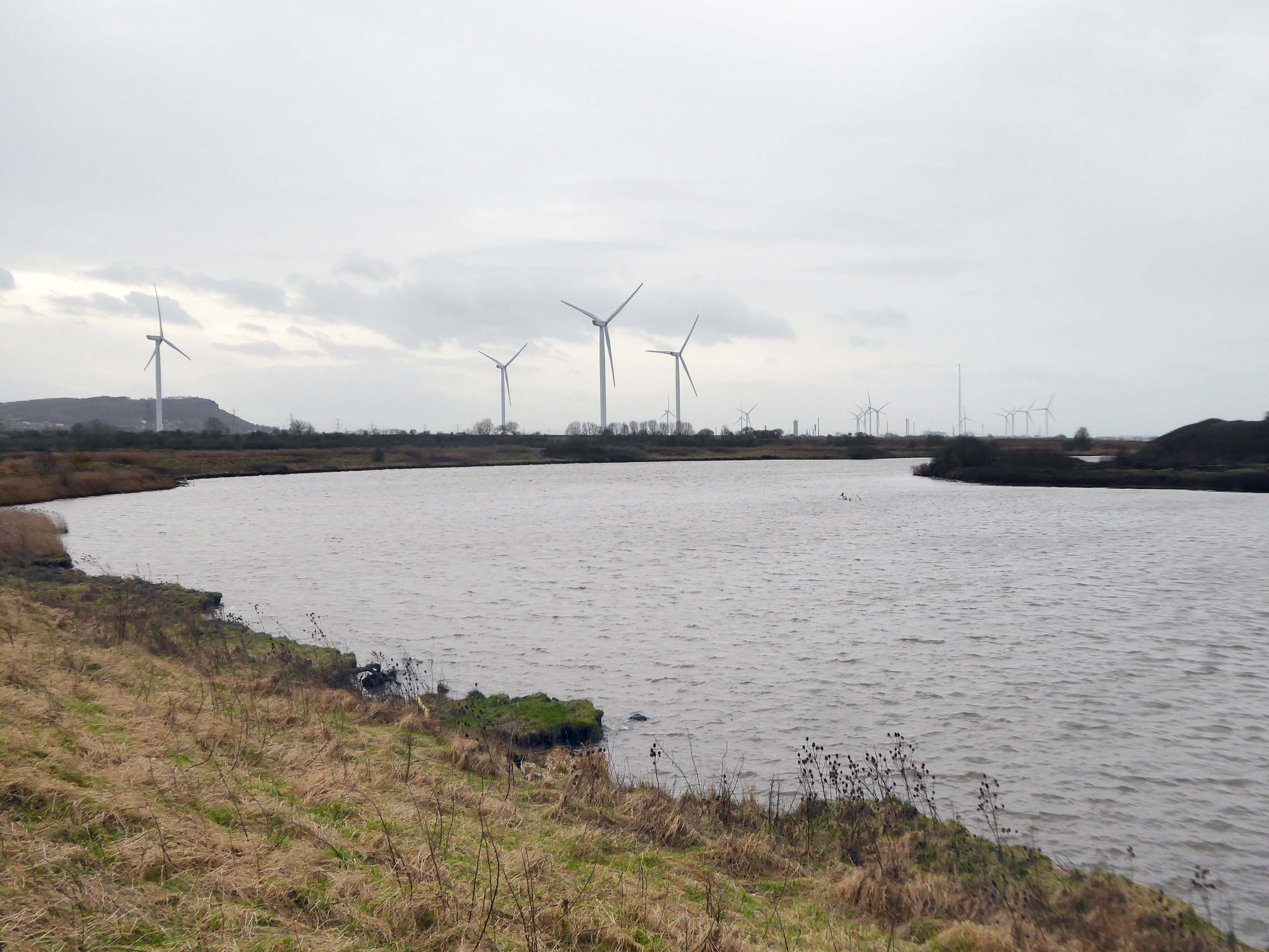
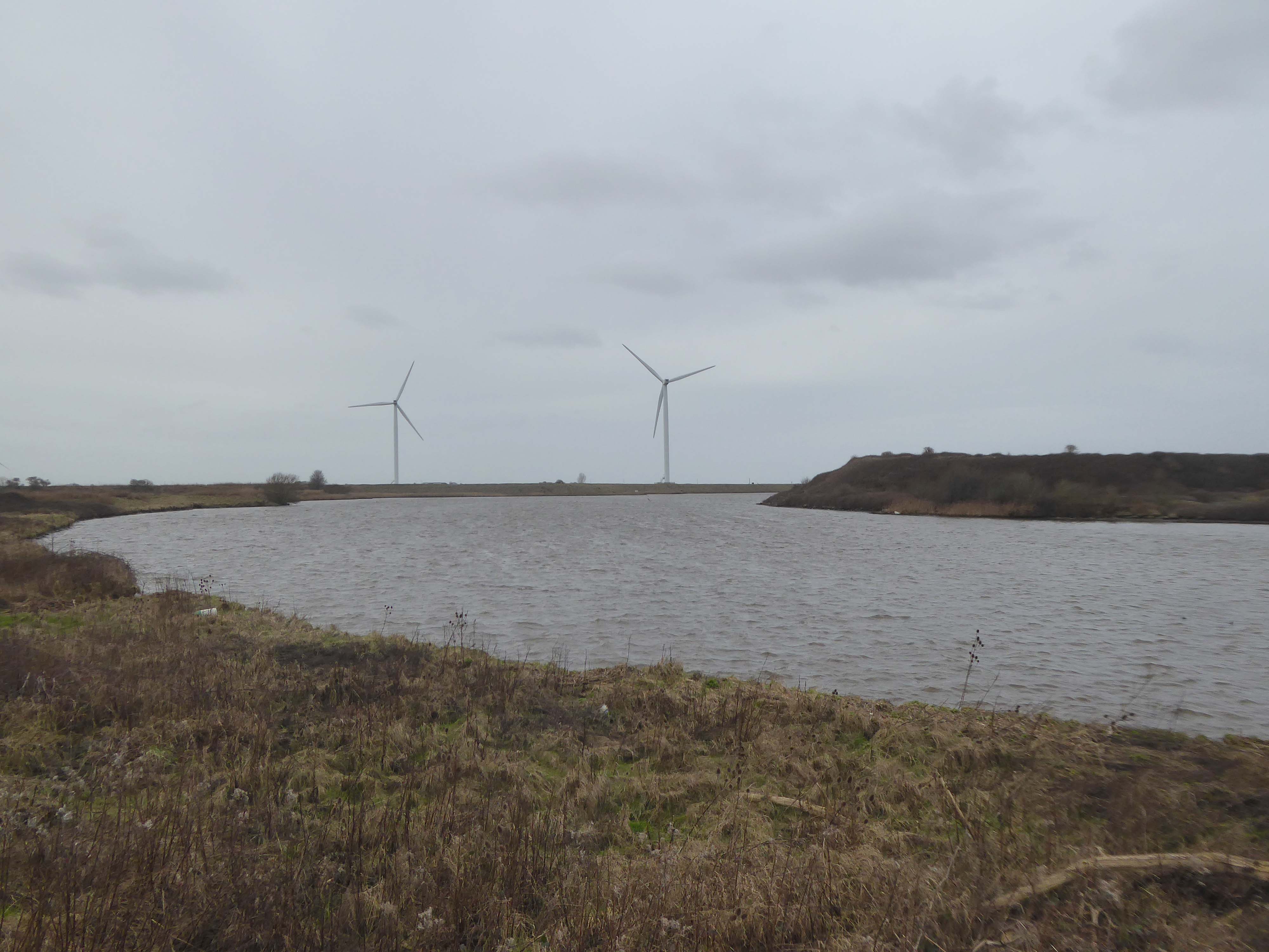
Frodsham Wind Farm is one of England’s largest onshore generating stations, and the largest in the Cheshire region, with an installed capacity of more than 50 MW. Construction of the wind farm began in March 2015 and became fully operational in February 2017.
The A5103 is a major thoroughfare running south from Piccadilly Gardens in Manchester city centre to the M56 in Northenden. The road is two-lane dual carriageway with a few grade-separated junctions. It is used by many as a link to the airport and to the motorway network south.
The road starts at Piccadilly Gardens where it meets the A6. It heads along Portland Street – at one time it ran along the parallel Mosley Street, past fast-food outlets and off-licences and then meets the A34 Oxford Street. It multiplexes with that road north for 200 yards into St Peter’s Square and then turns left into Lower Mosley Street, initially alongside the tramlines and then past the former Manchester Central station, now a conference centre with the same name. The road becomes Albion Street and goes over the Bridgewater Canal and under the railway line east of Deansgate station. The road then meets the A57(M) Mancunian Way at a roundabout interchange. This is where most of the traffic joins and leaves.
The road is now 2×2 dual carriageway with the name Princess Road. It passes under the Hulme Arch, a grade-separated junction with the A5067, with an unusually large central reservation. This is presumably because of the proposed plans from the 1960s of a motorway. However, after passing under the junction, there are innumerate sets of traffic lights, with the B5219, the A6010 and the A5145, as well as many other unsigned roads. There are also many speed cameras set at 30 mph.
The road picks up pace as we exit the sprawl of South Manchester and the road becomes Princess Parkway, with a 50 mph speed limit. We cross the River Mersey and almost immediately hit the M60 at J5.
Except for the Manchester City Centre section – which was numbered A5068, this road did not exist on classification in 1922. Princess Road was built in 1932 to serve the new southwestern suburbs; initially it ran between the B5219 and A560 and was numbered B5290, with the road later extended north into the A5068 on the southern edge of the city centre and renumbered A5103.
The northern extension through Hulme initially followed previously existing roads, so followed a zigzag route. As part of the road’s upgrade and the reconstruction of Hulme in the 1970s the road was straightened and the original route can no longer be seen. The A5068 was severed around this time with the construction of the A57(M) and the A5103 took on its city-centre section, taking it to the A6.
The A34 is a major route from the ports on the South Coast of England to the Midlands and the North West, with the standard varying from rural dual carriageway sections in the south to urban single carriageway in the north, and everything else in between.
Slade Lane junction, Rushford Park to Parr’s Wood, East Didsbury – to connect to Manchester Road to Cheadle. It continued on to Laneside Road as a residential road. Opened on 11 April 1923 by Mary Cundiff, Lady Mayoress, and Margaret Turnbull, daughter of Alderman Turnbull, Chairman of Manchester Town Planning Committee. Width was 100 feet and it was designed for tram tracks in the central reservation. The dual road carriageways were 20 feet wide. Manchester’s tram system was closed in 1949. The carriageways were widened and central reservation grassed over. Originally opened as A5079.
Laneside Road, East Didsbury to Schools Hill/ Wilmslow Road junction, Cheadle. Opened on 12 October 1959. The official opening was on 15 October 1959. Planning for the bypass had been halted by the war. In December 1949 Manchester Corporation stated that it was not a priority since the Corporation was only responsible for the 200 yards to the proposed bridge over the River Mersey and Cheshire County Council had not asked for a joint approach to Ministry of Transport to build it. Work was finally authorised in January 1957 and started in the June. Width was 90 feet with dual 24 foot carriageways. Expected cost was £600,000 to £700,000.
The A6 is Britain’s fourth longest road. Its route varies greatly from the lower lands of the South East, though the Peak District, right though the heart of Manchester city centre, then onwards towards Preston. It then goes though the historic city of Lancaster before skirting the Eastern fringe of the Lake District before ending in Carlisle, bang on the start of the A7.
North from Stockport towards Manchester, the A6 was a wide, four lane road, but still 30 mph, which usually flowed pretty well. According to Mudge, it looks like it has now been massacred by bus lanes and red paint. Shame. We meet the A57 from the east, just south of the city centre, and multiplex until we reach Mancunian Way, the A57 heading off as a short urban motorway, the A6 heading into the city centre via London Road/Piccadily, where it loses its number and vanishes. It would have gone straight down Piccadily/Market Street to meet Deansgate, and then across the River Irwell into Salford, and up Chapel Street, where the number reappears. Market Street has been pedestrianised for years, so the A6 has long ceased to be a through route.