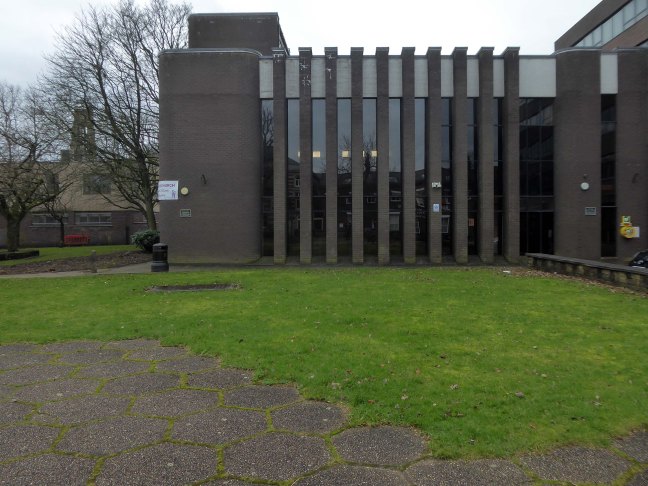
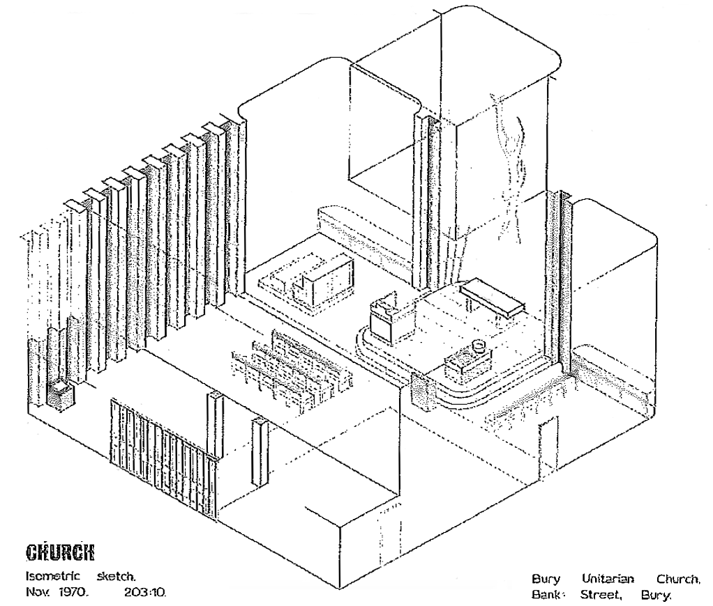
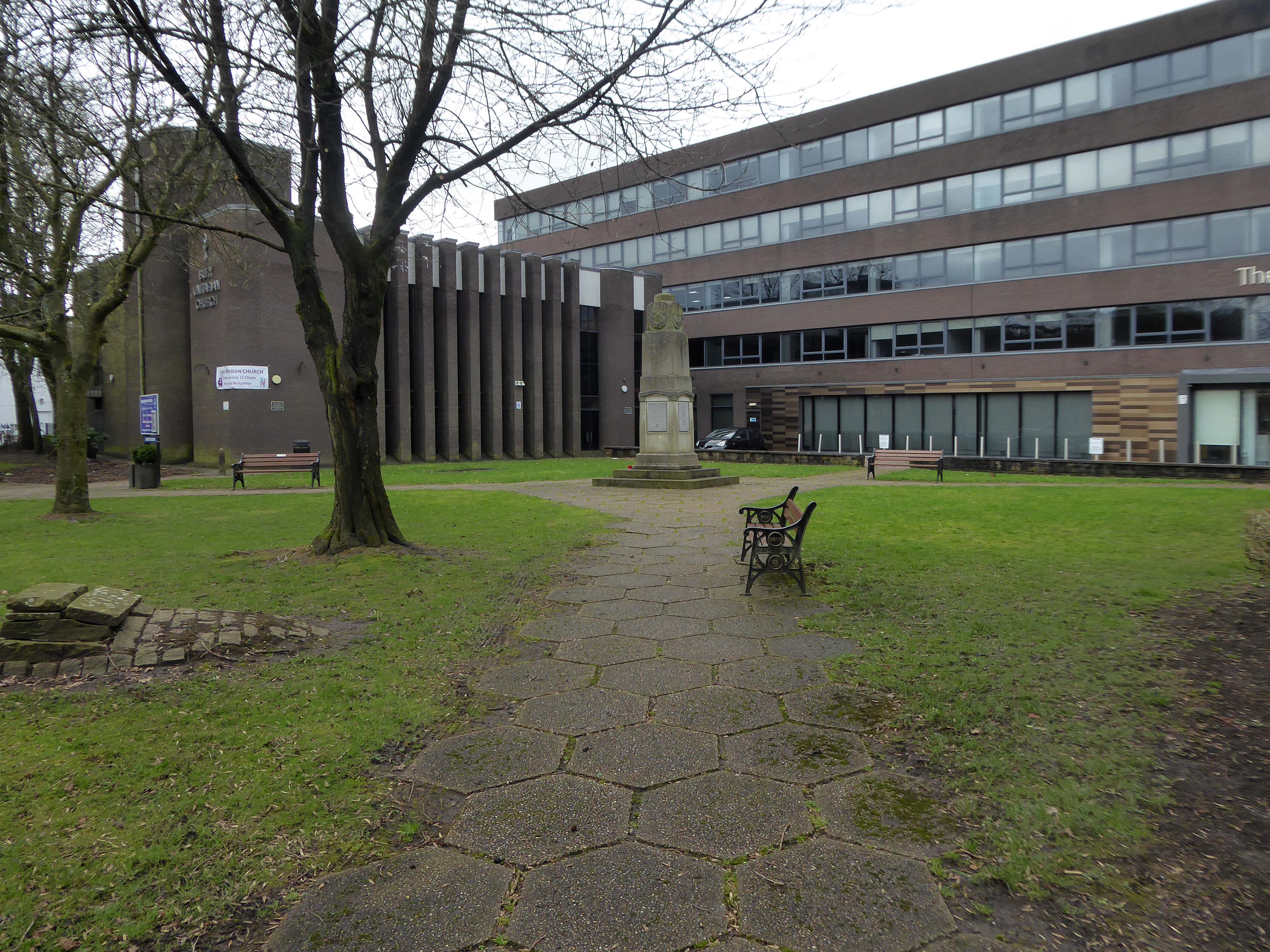
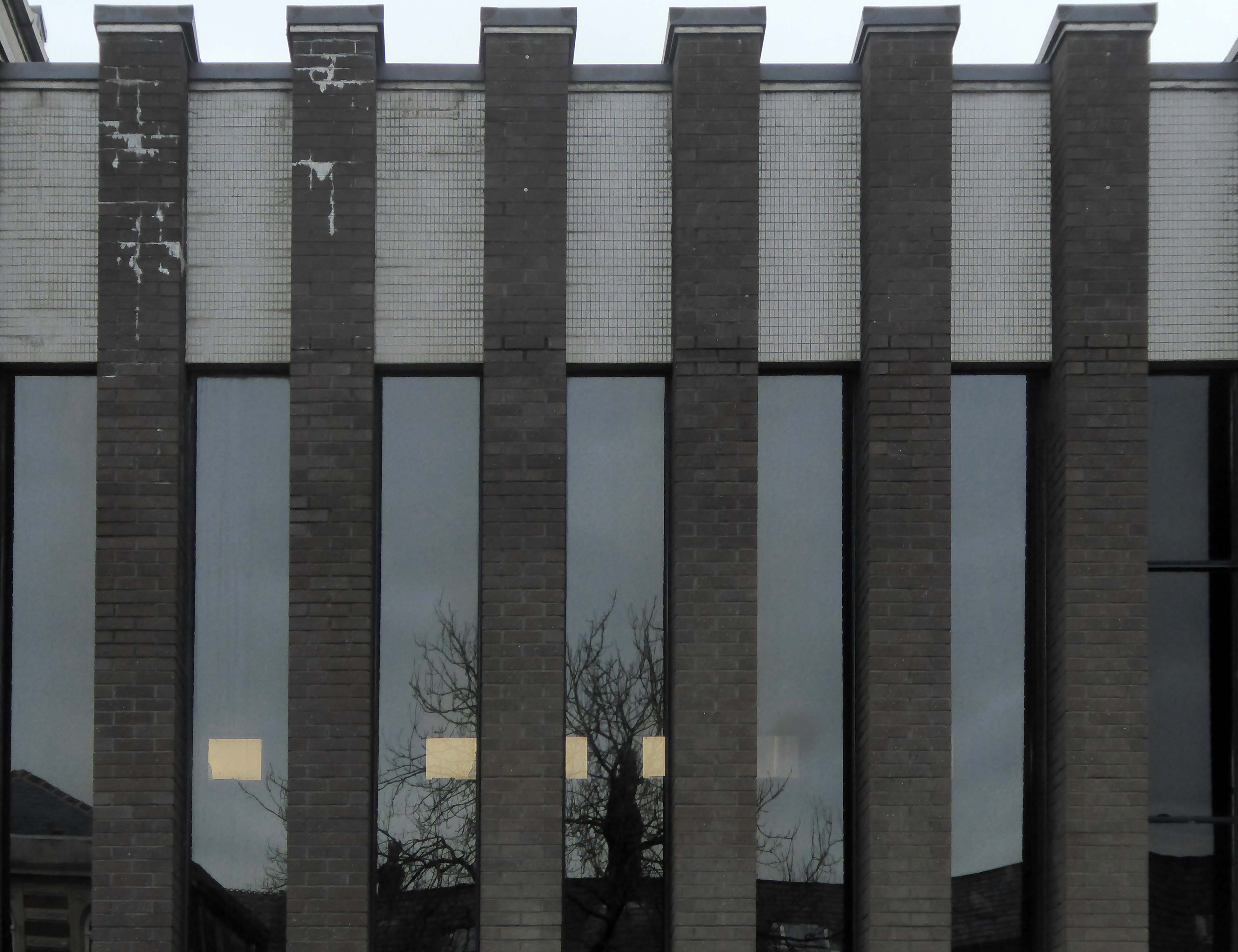
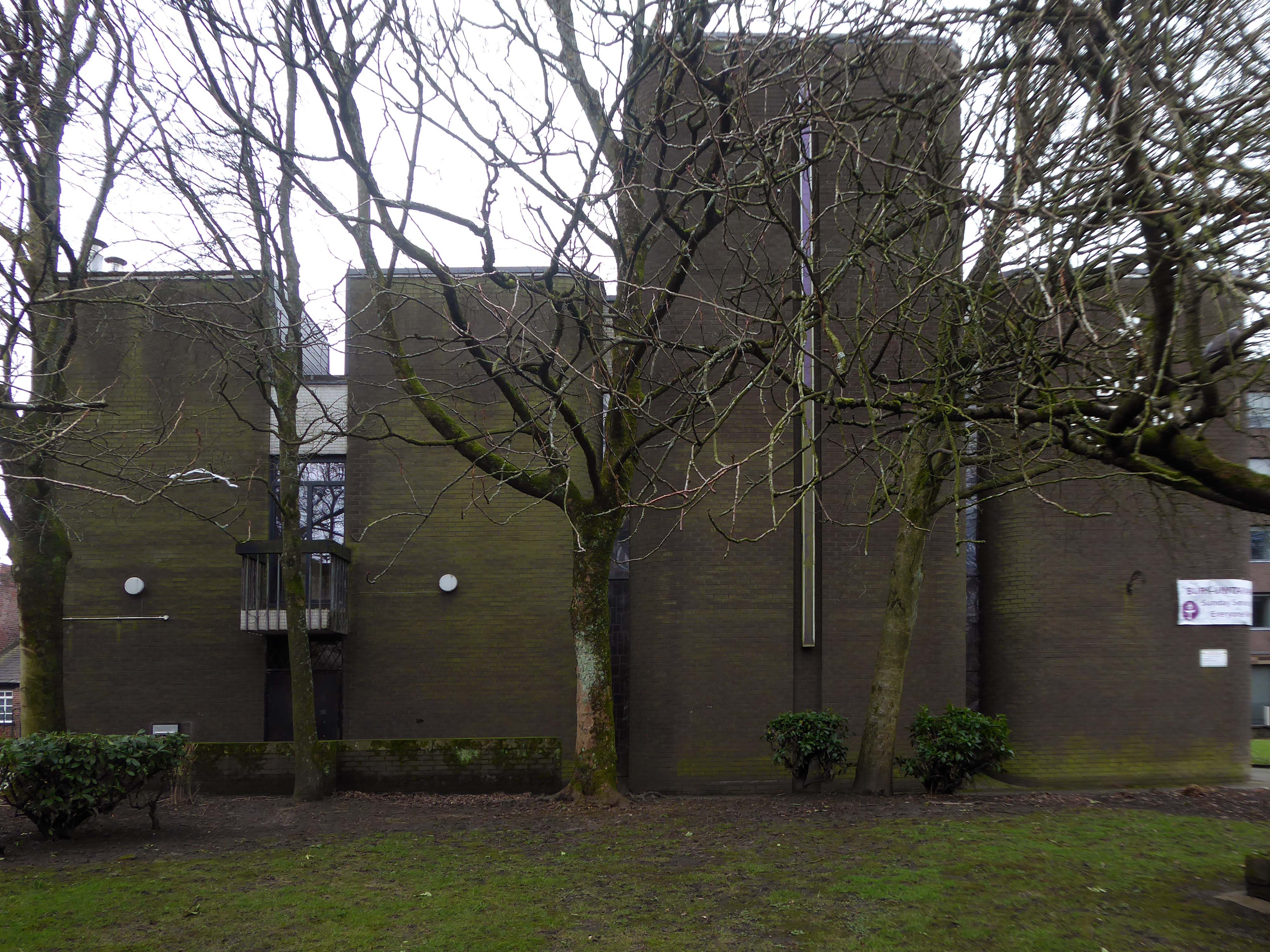
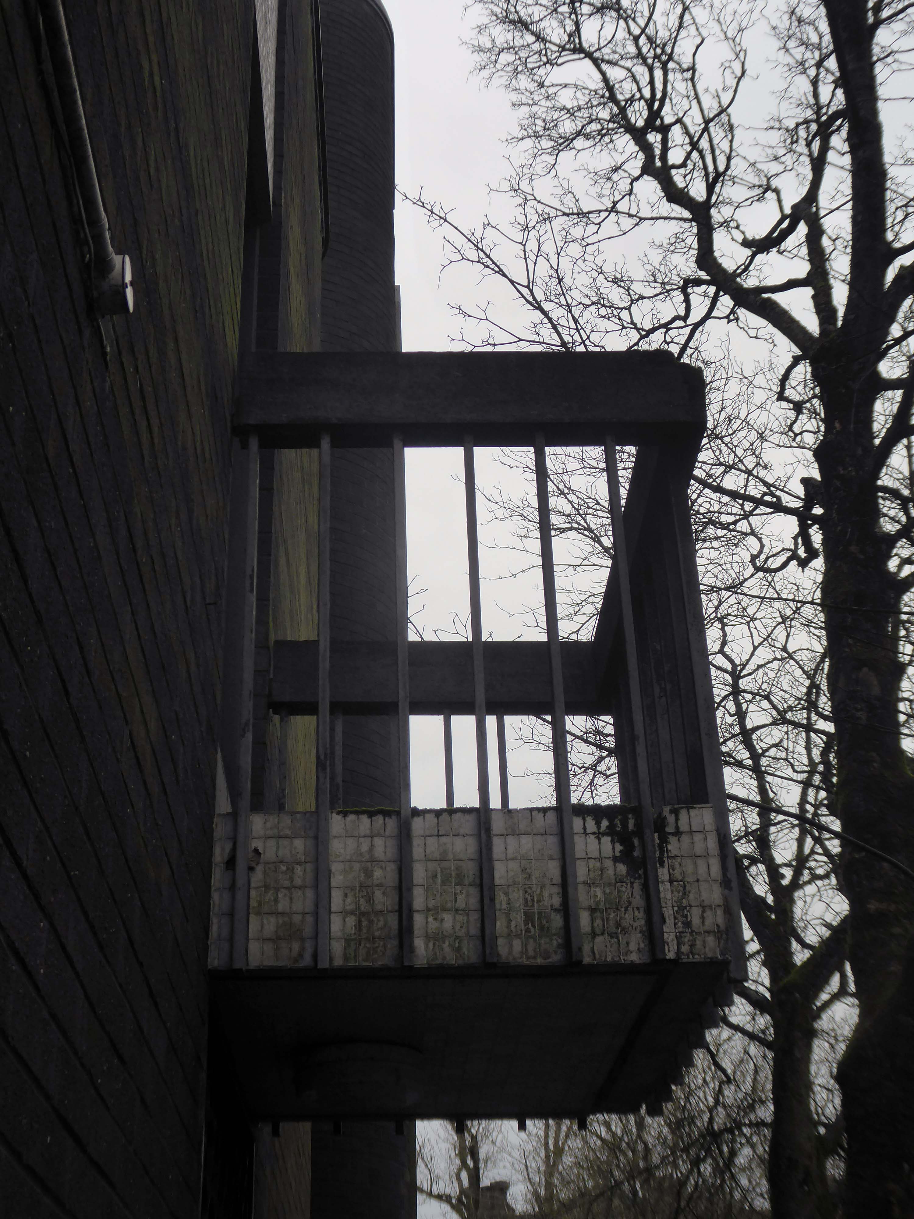
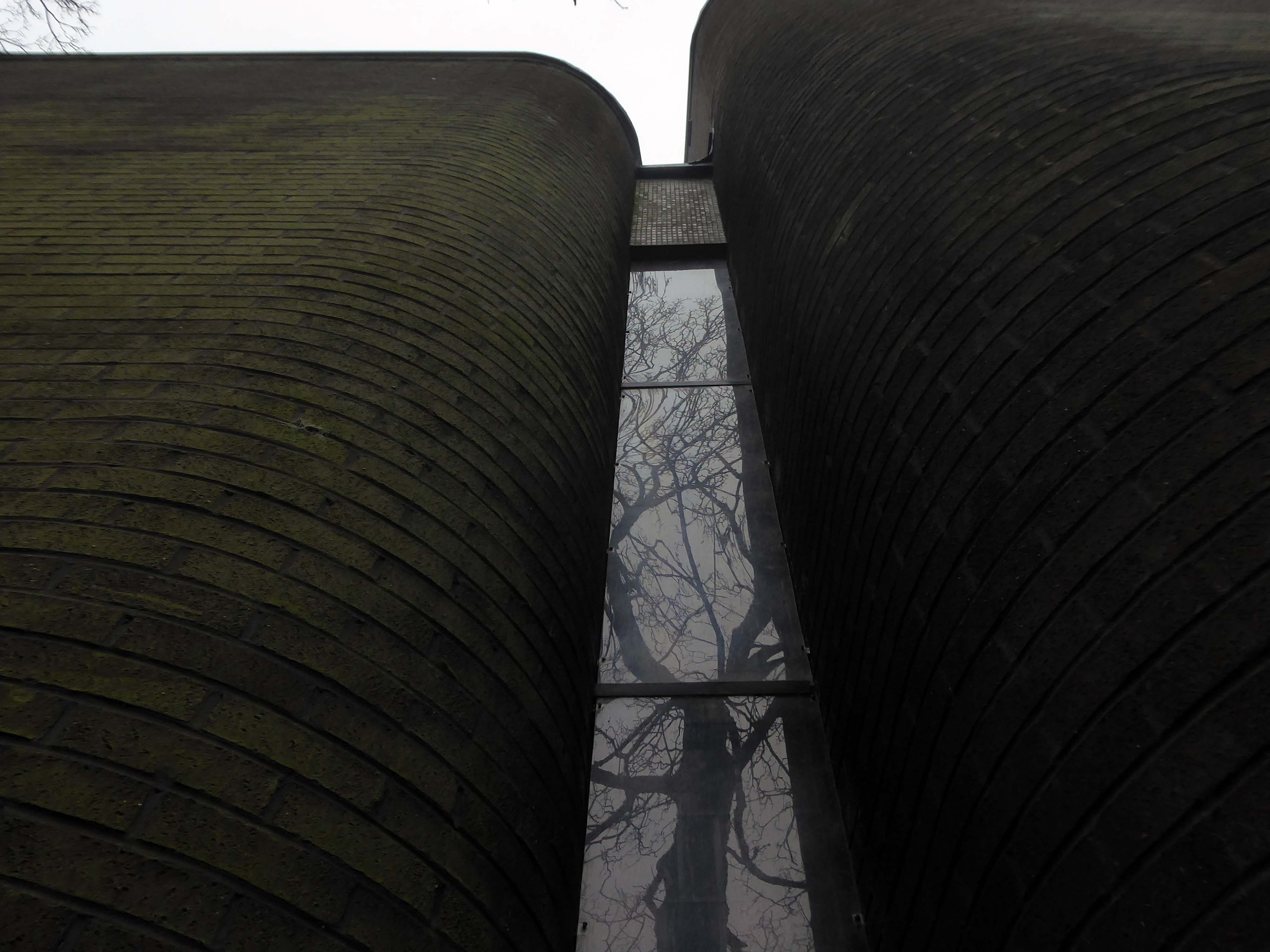
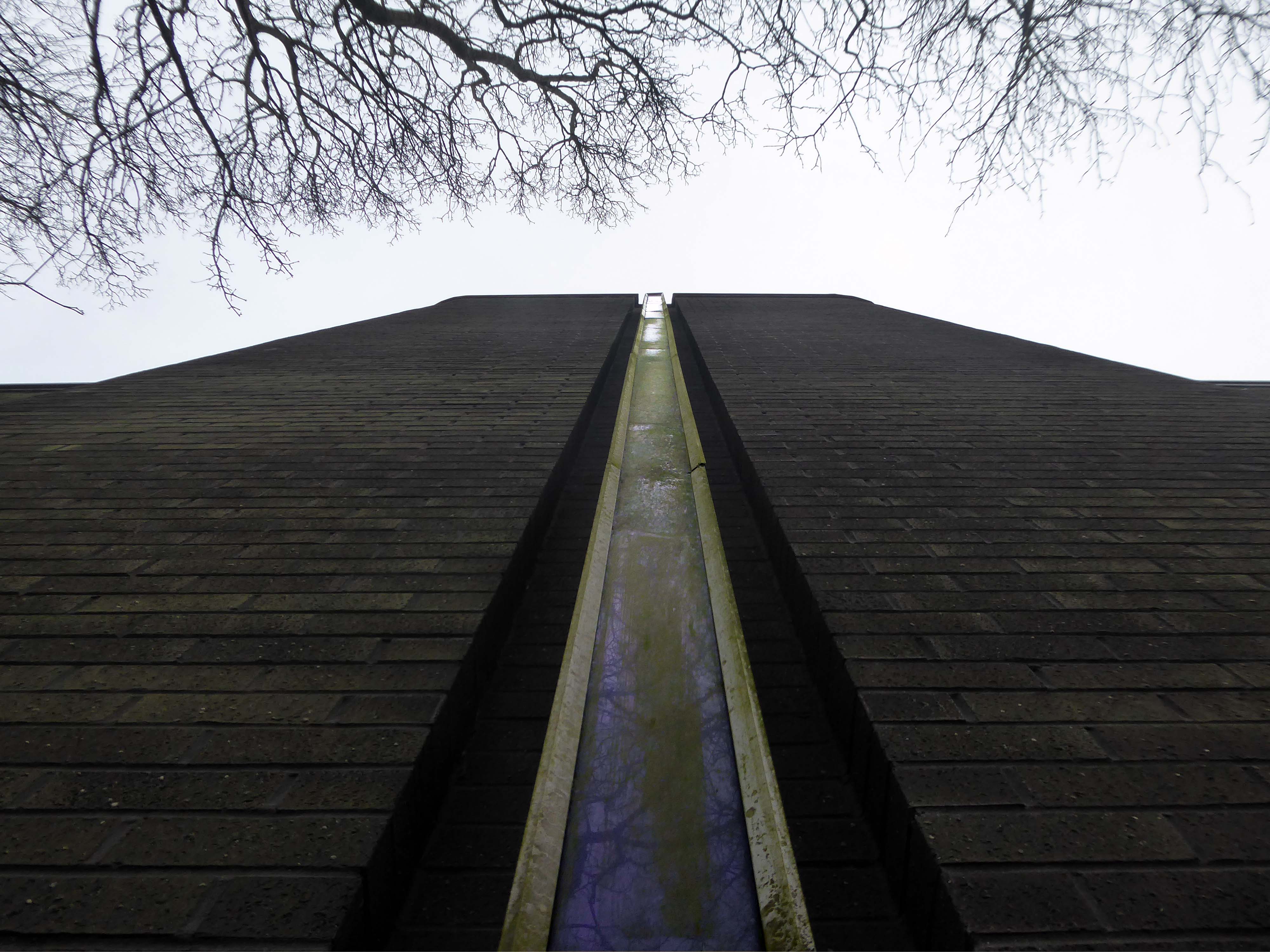
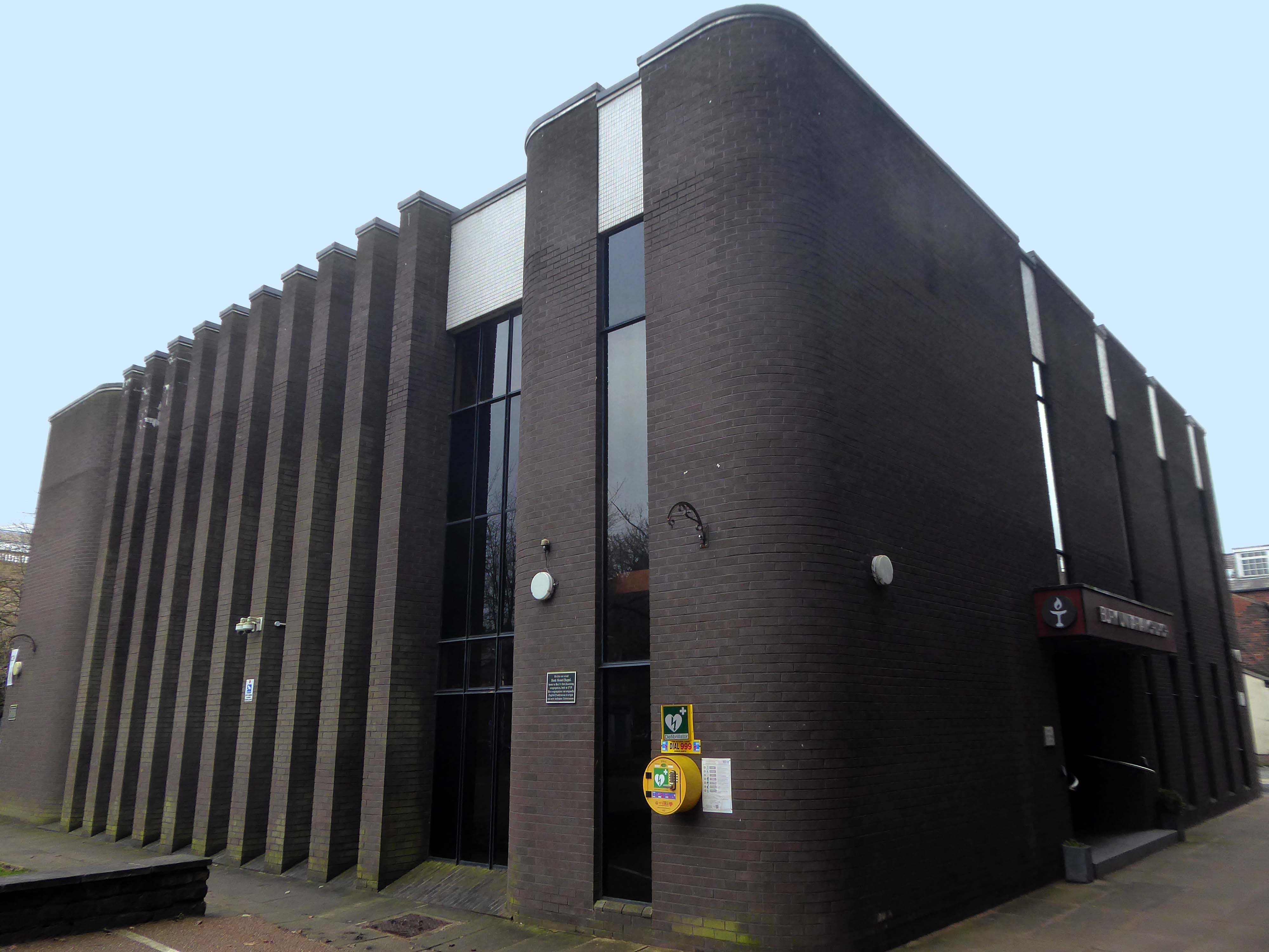
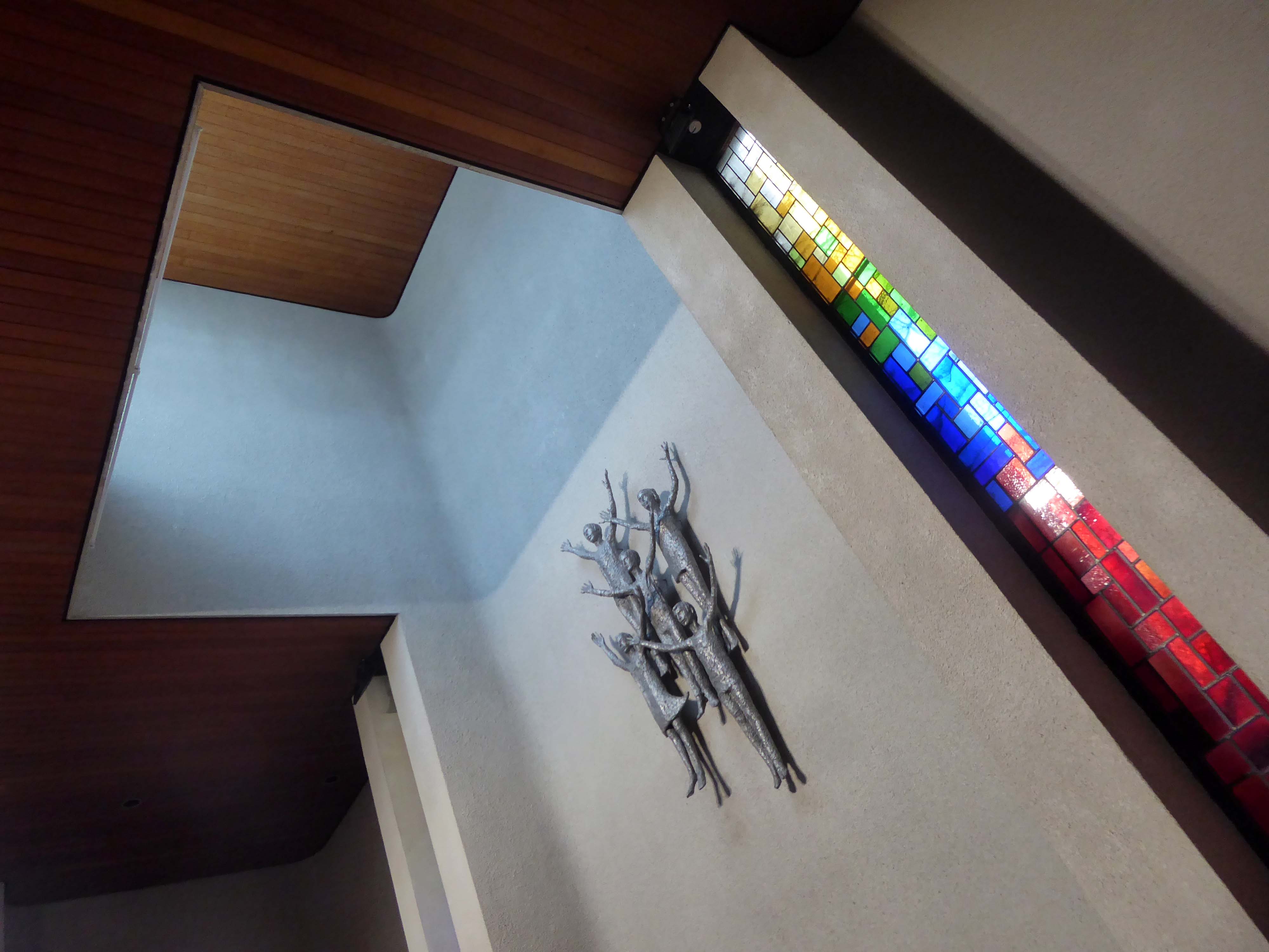
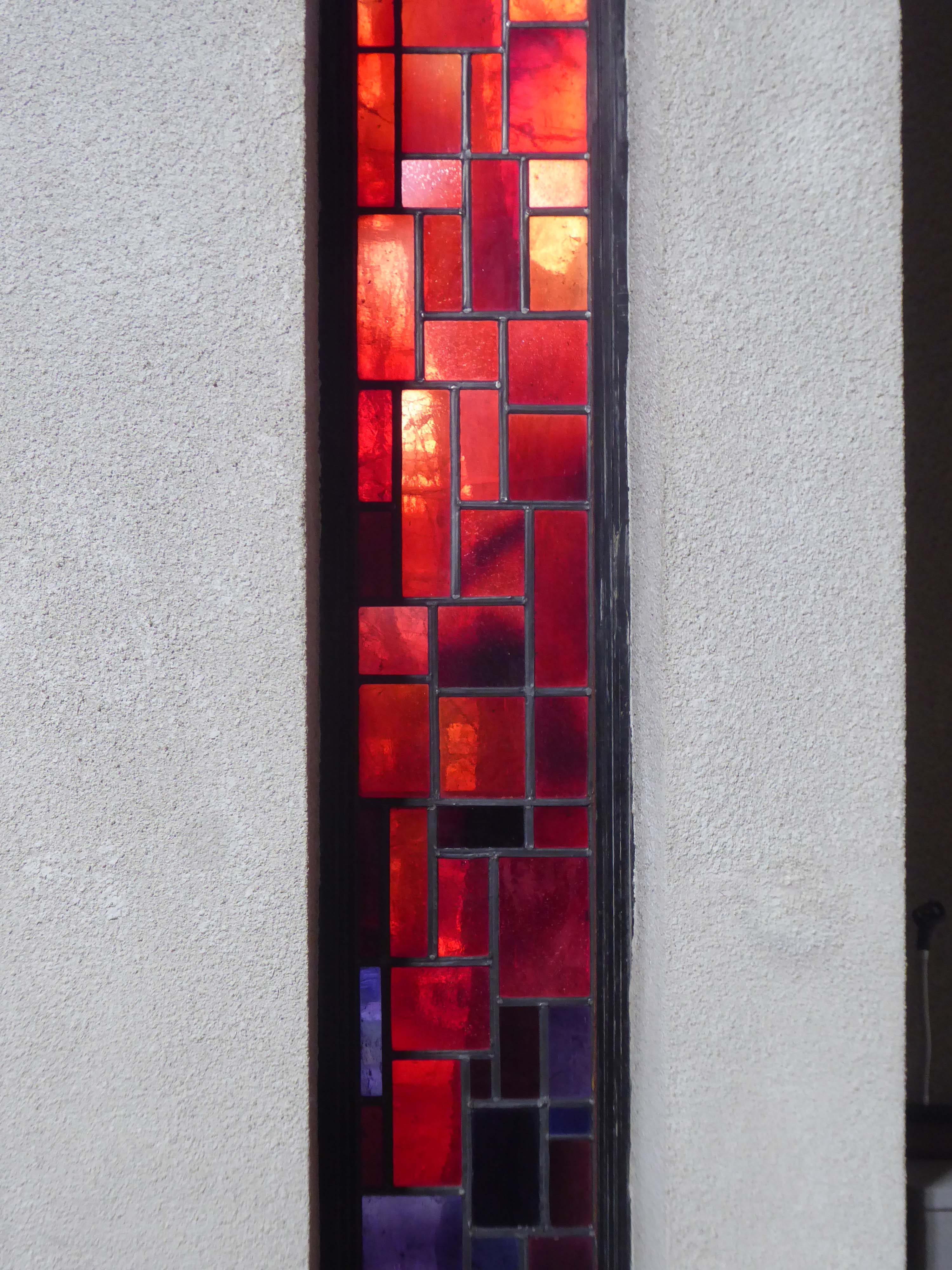
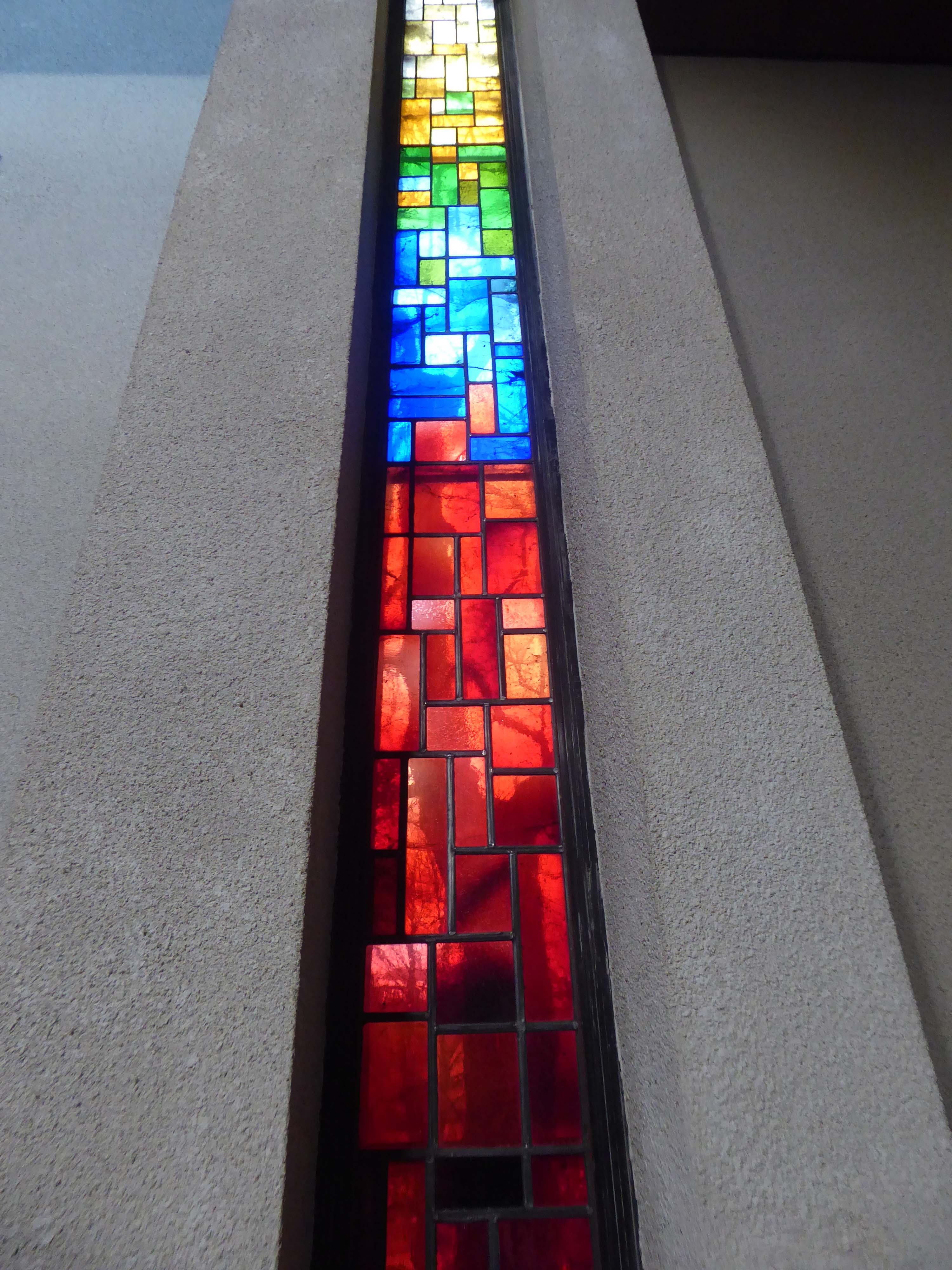
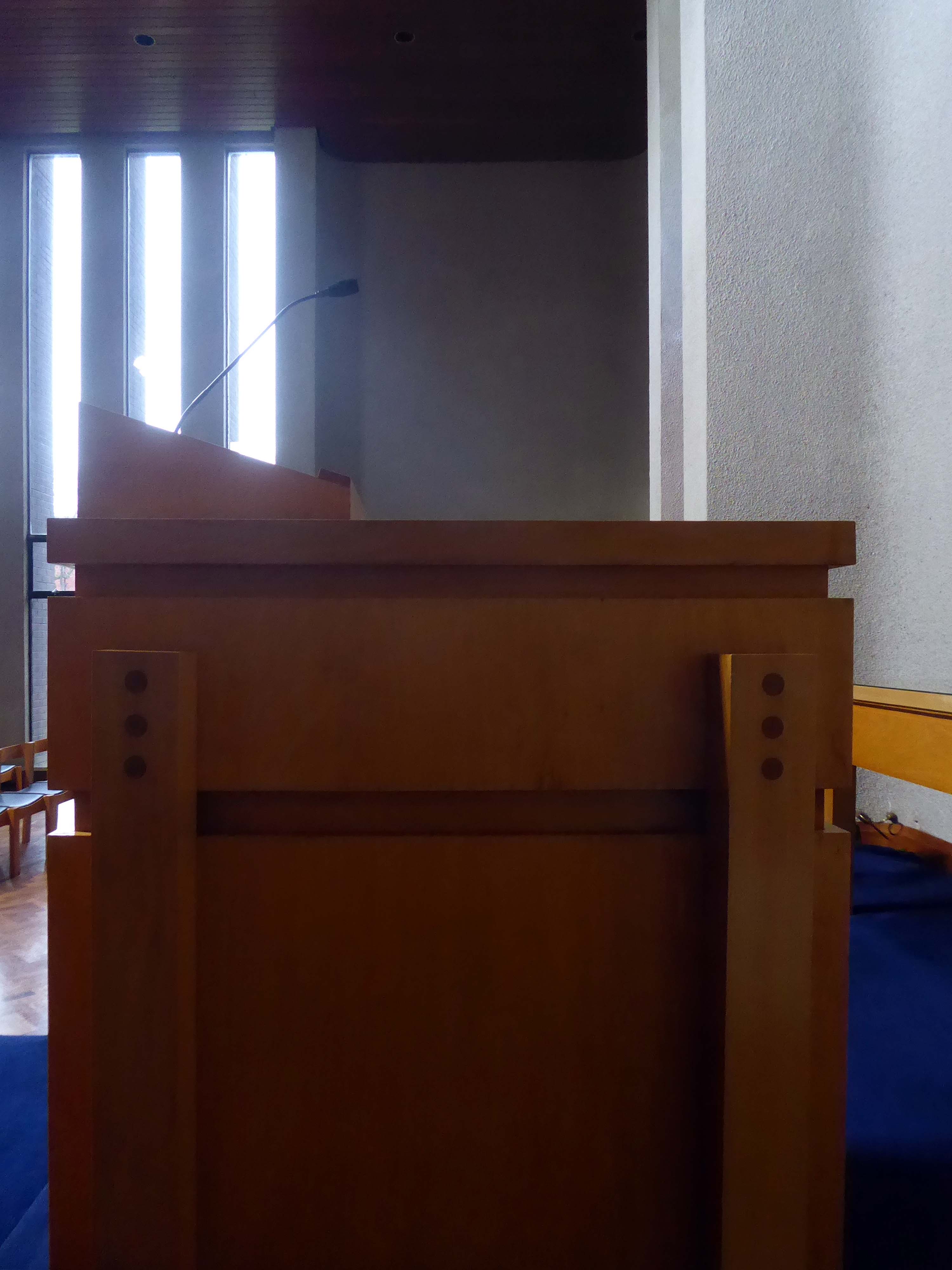
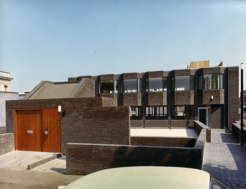
The new Bury Unitarian Church was designed and constructed by local architects James T Ratcliffe.
An interesting article was published at the time in Sacred Suburbs Portfolio, in which the church design was described as:
A well detailed, functional, yet flexible building.
The church was opened in 1974, with a service of dedication on Saturday, 9th March. The total cost, including furnishings, was £85,000 – It is now valued at about £1.5 million. The Churchwarden and Chairman of Trustees, at that time, was Bernard Haughton, who had succeeded Alex Rogers; he was to serve the Church in those capacities for the next 25 years. He was succeeded by Barbara Ashworth, our immediate past Warden. During this time, notwithstanding persistent problems with water leakage through its flat roof, the church continued to thrive and develop.
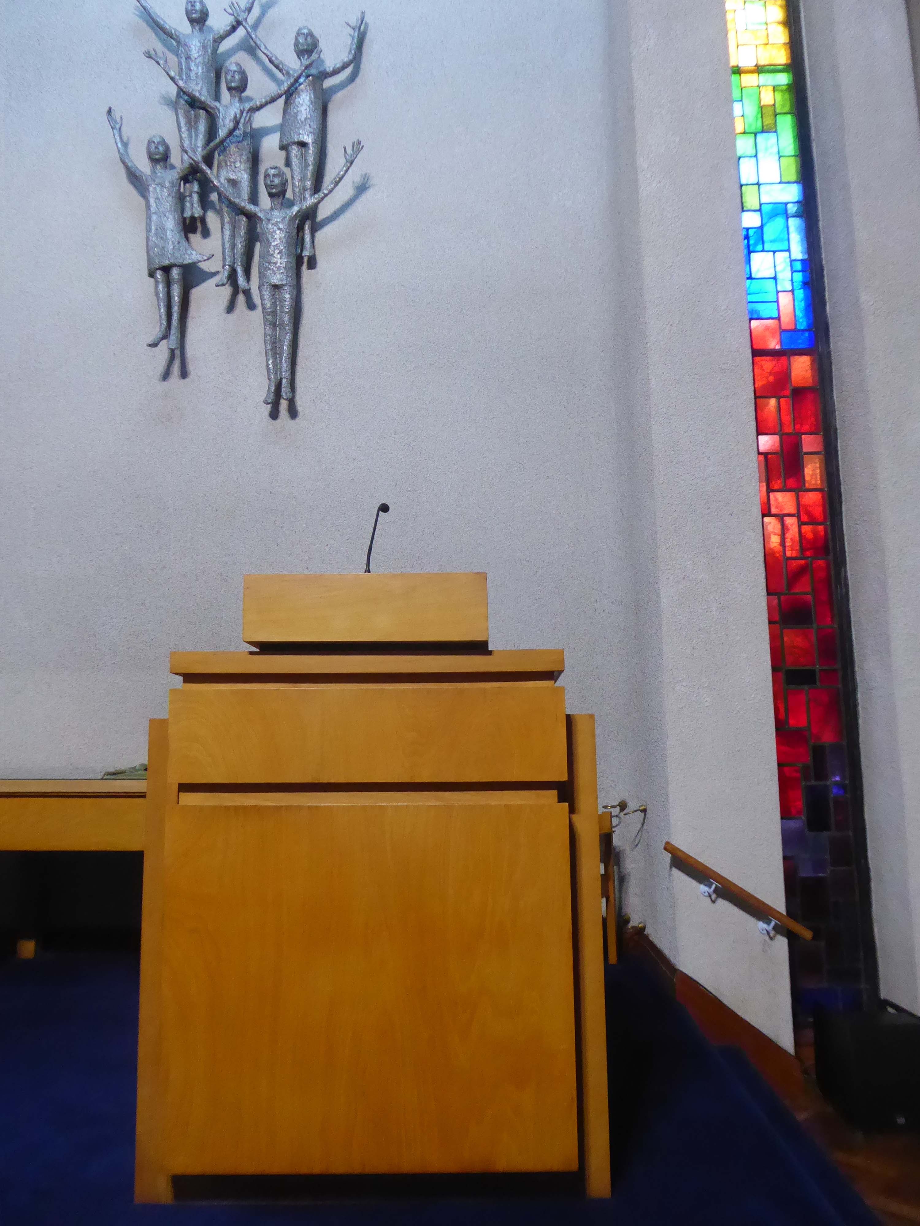
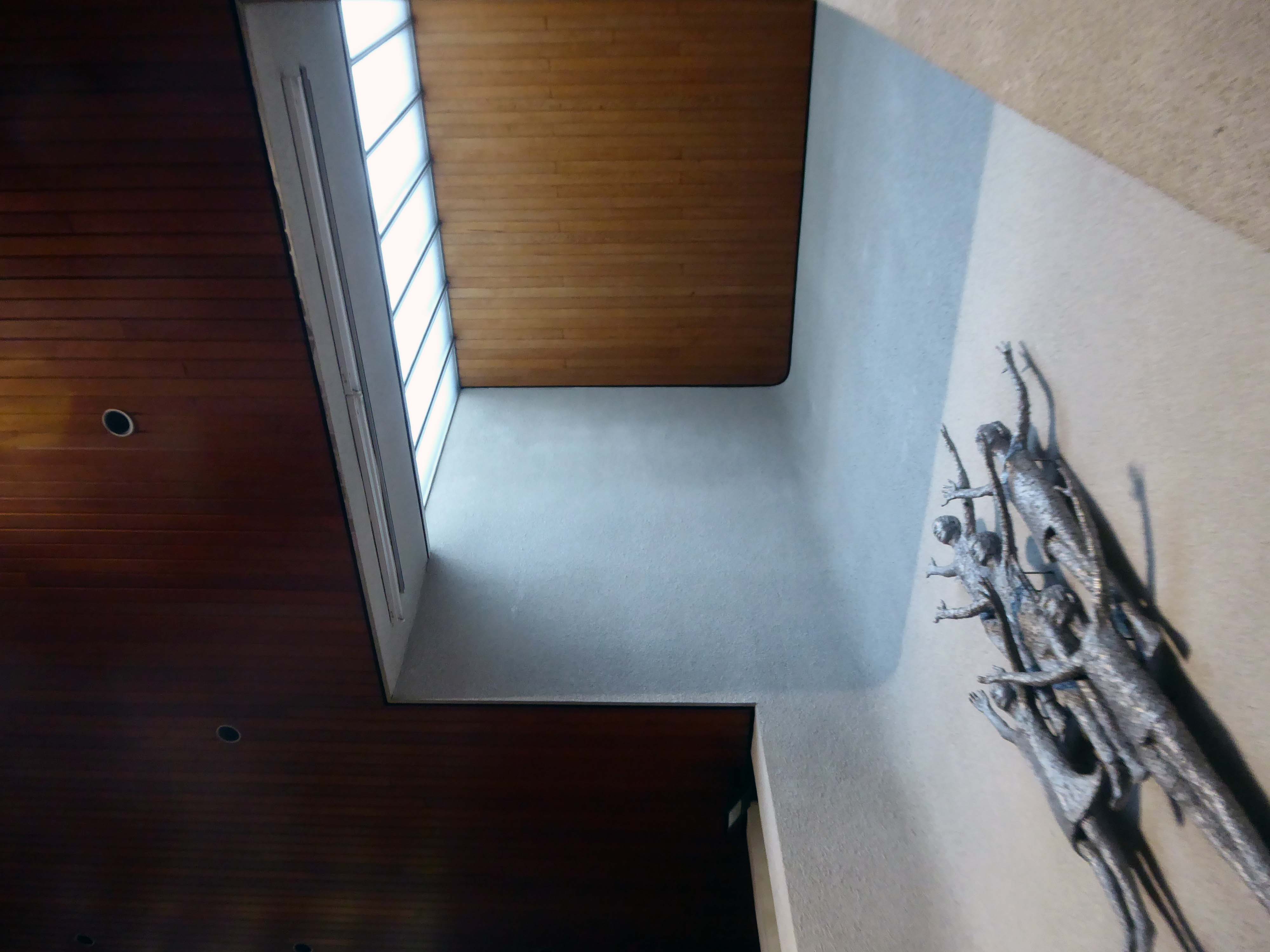
Enhancements have been made to improve the comfort and amenities of the building throughout the period with, for example, the installation of an improved heating – system, a sound – enhancement system in the church, and disabled access facilities including a lift to the upper floor. Through the efforts of Barbara Ashworth – past Church Warden, the proliferation of bequests, legacies and trusts which were complicating and restricting church-finances has been rationalised and the financial structure streamlined. Part of the land at Holebottom has been sold for development, and part has been upgraded as a public amenity.
The current congregation is still one of the best supported Unitarian Churches in the country and remains enthusiastic and committed to the Unitarian faith. There are many social groups including The Women’s League, The Men’s Fellowship, The Luncheon Club the Book Club and most recently, our Camera Club; coffee is served every Saturday morning – a session which welcomes members of the public to the church, some of whom have subsequently become church-members. Frequent social activities are organised by The Efforts Committee and are well-supported by the congregation and their friends and raise money in support of the activities of the church snd local charities.
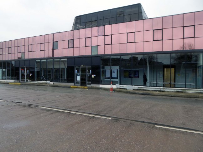
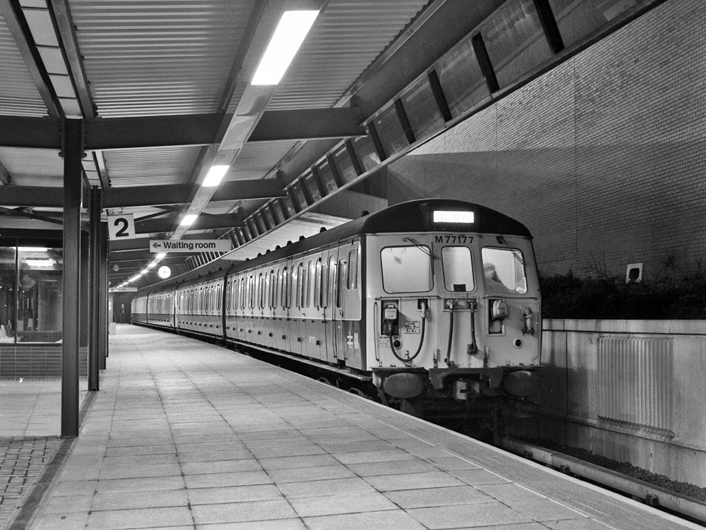
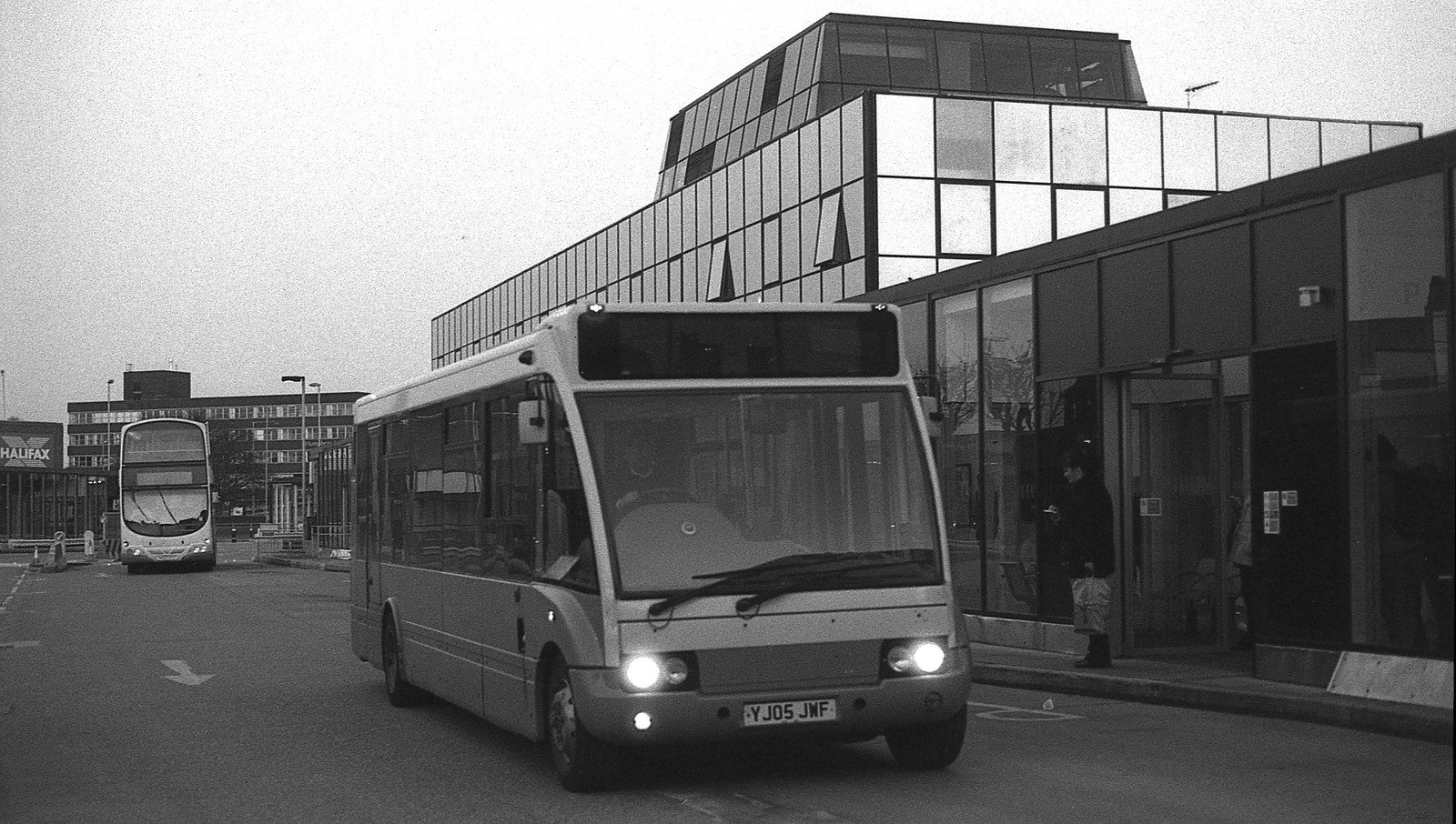
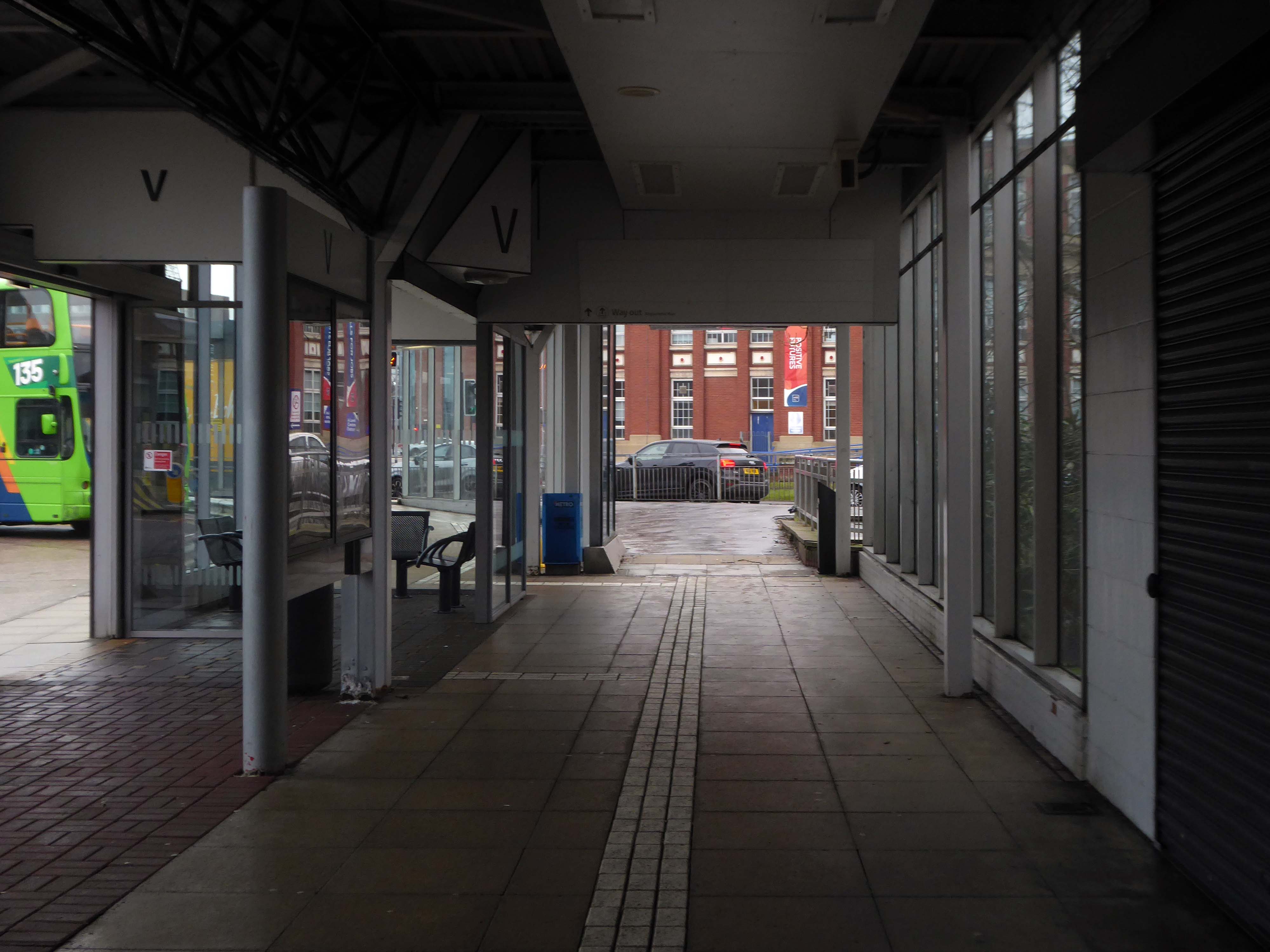
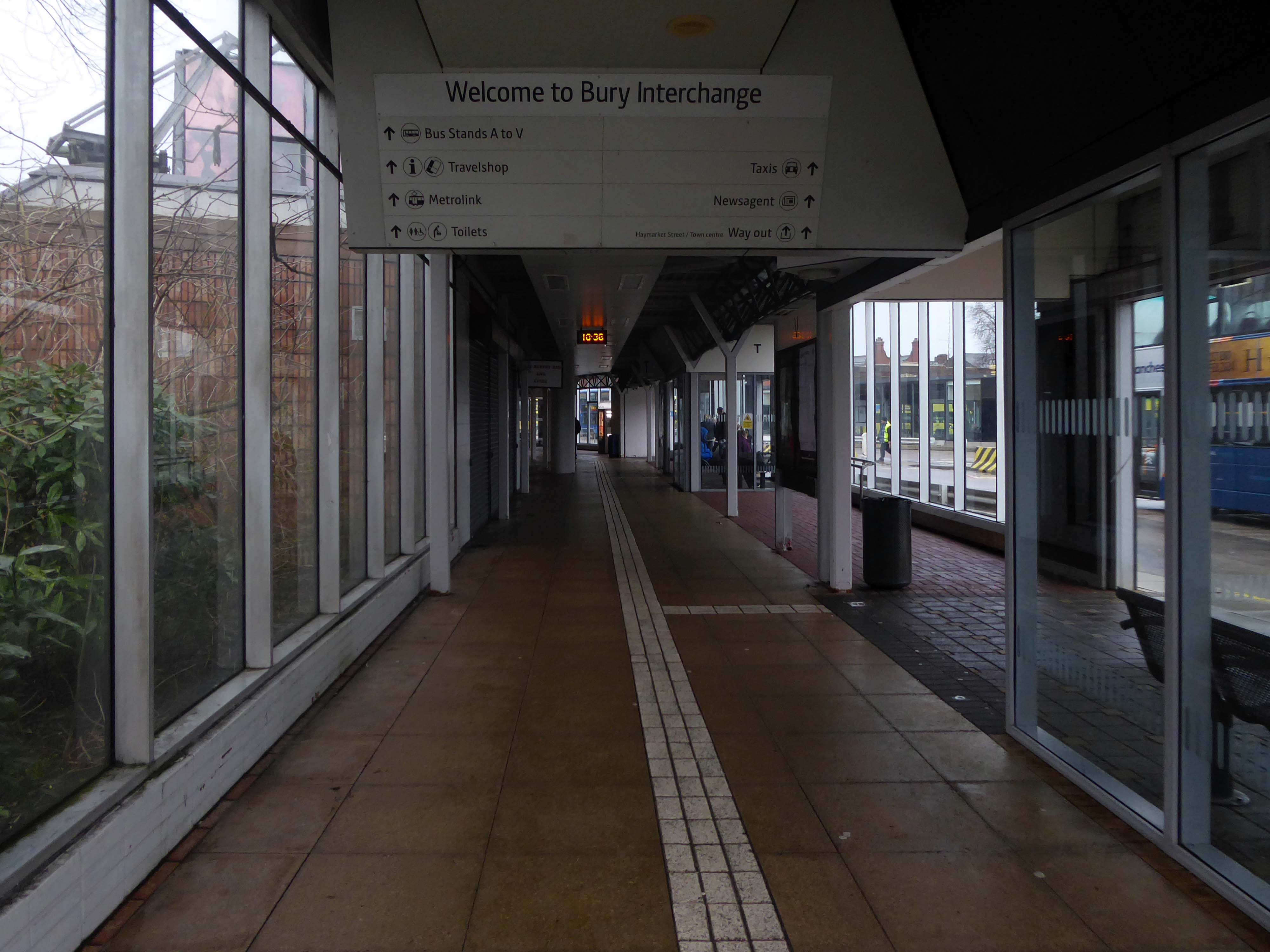
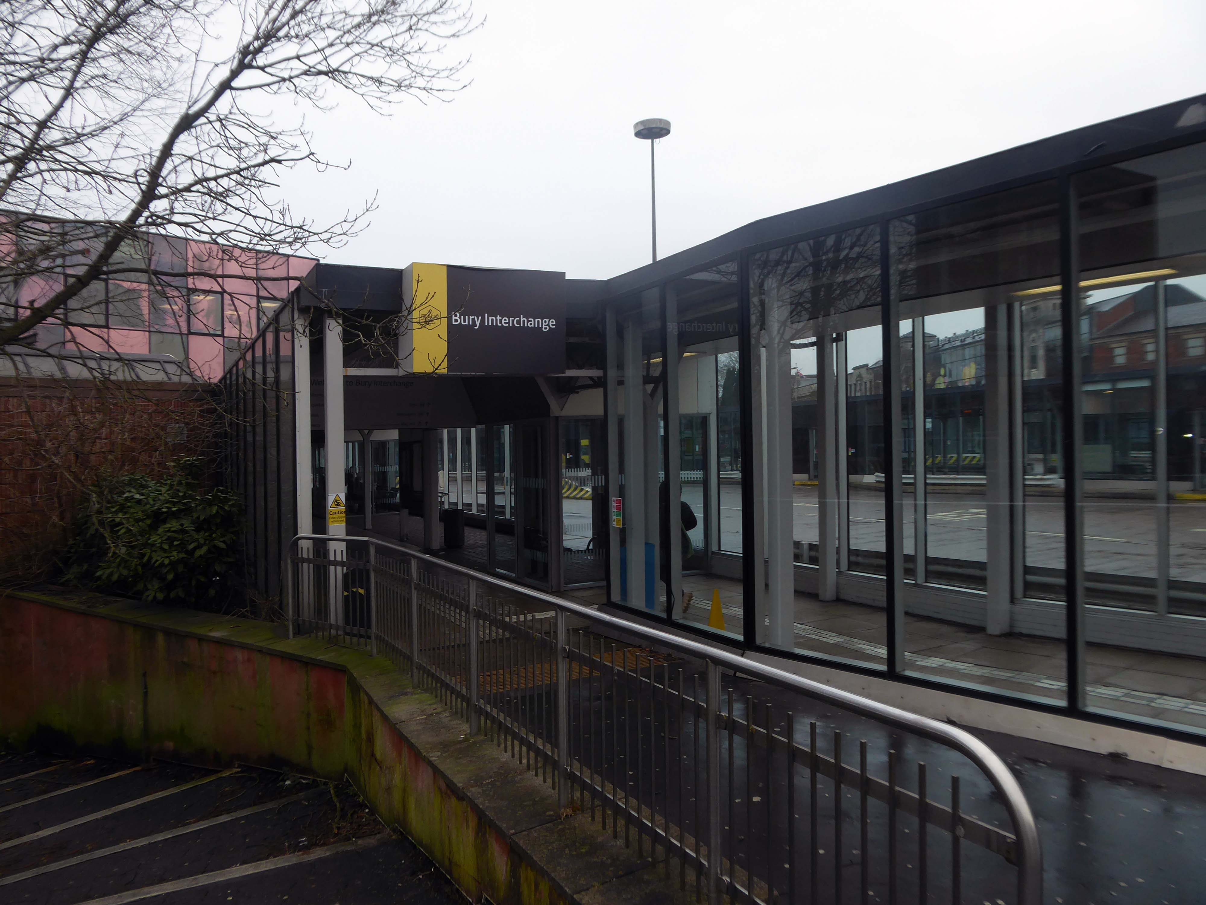
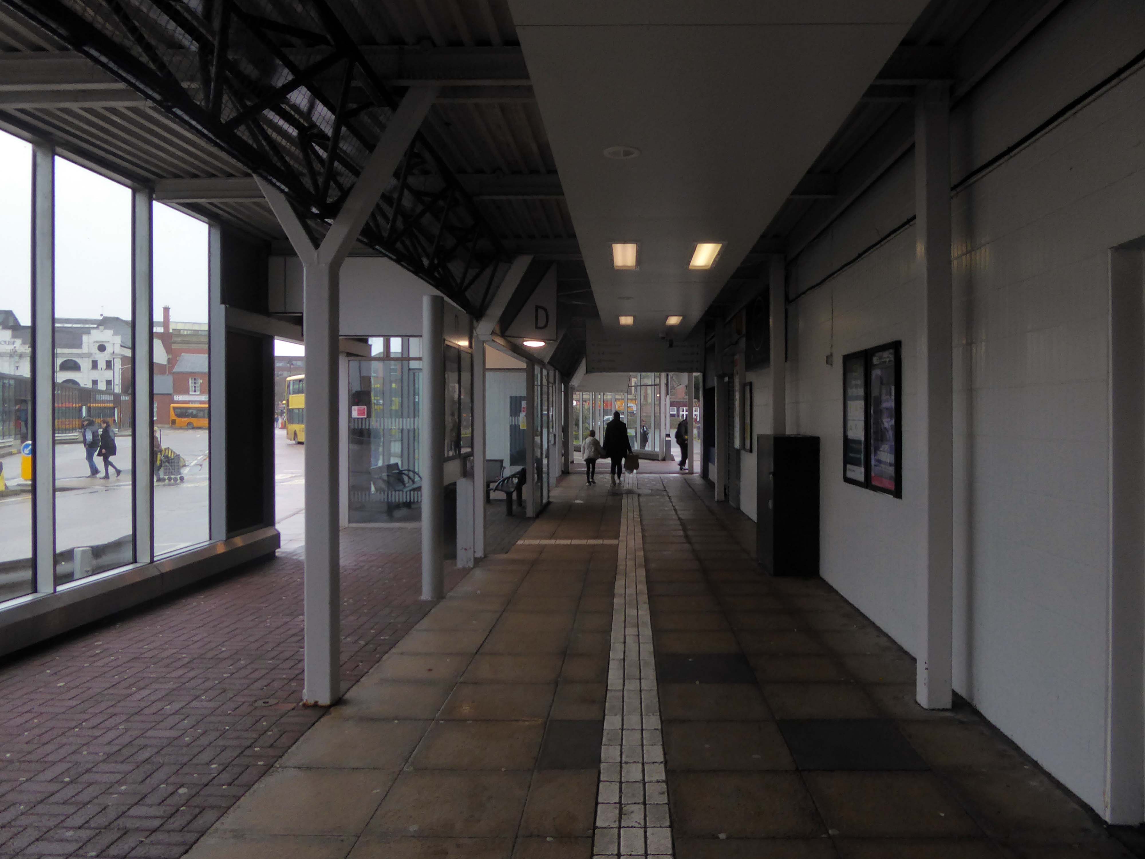
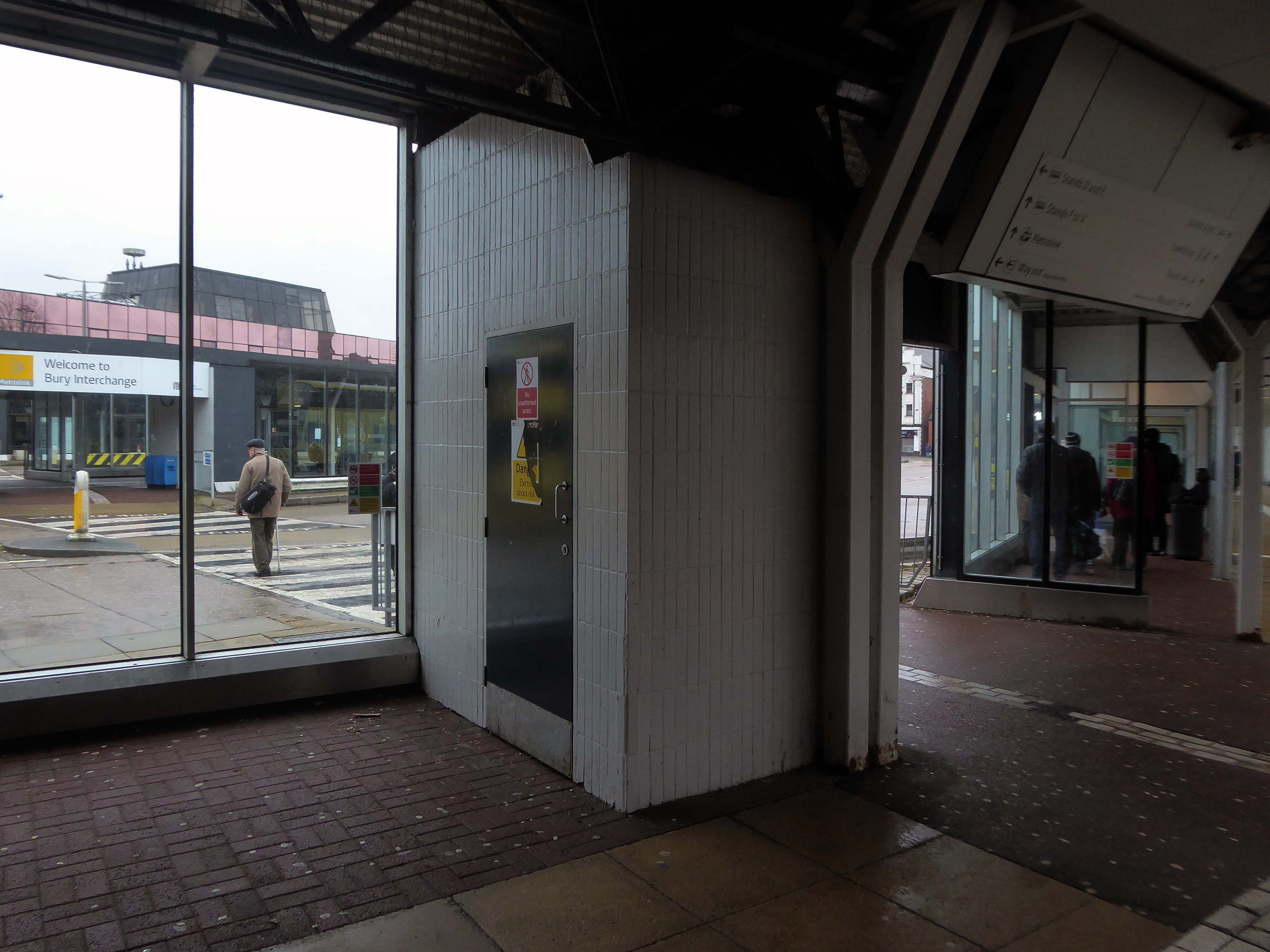
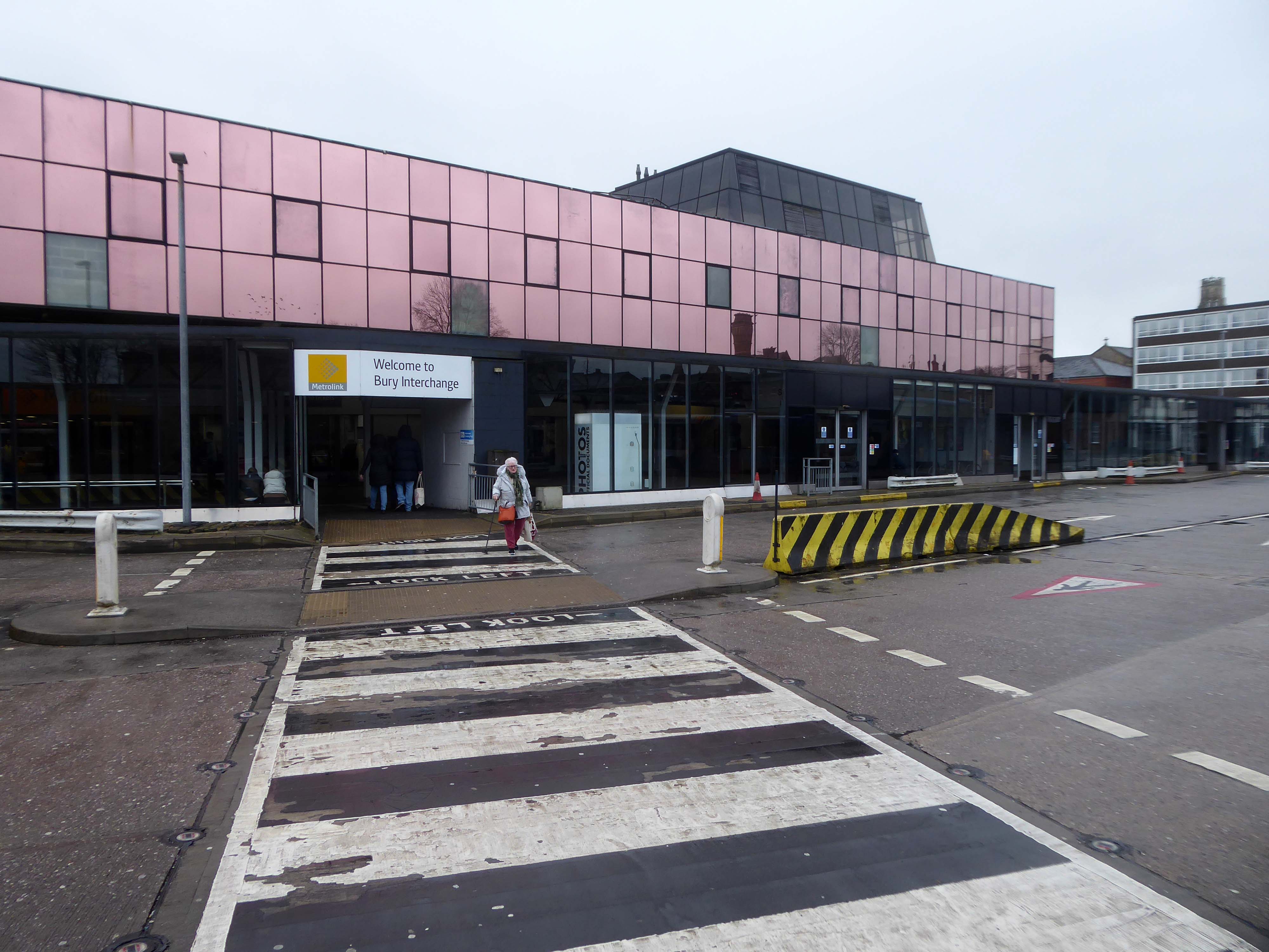
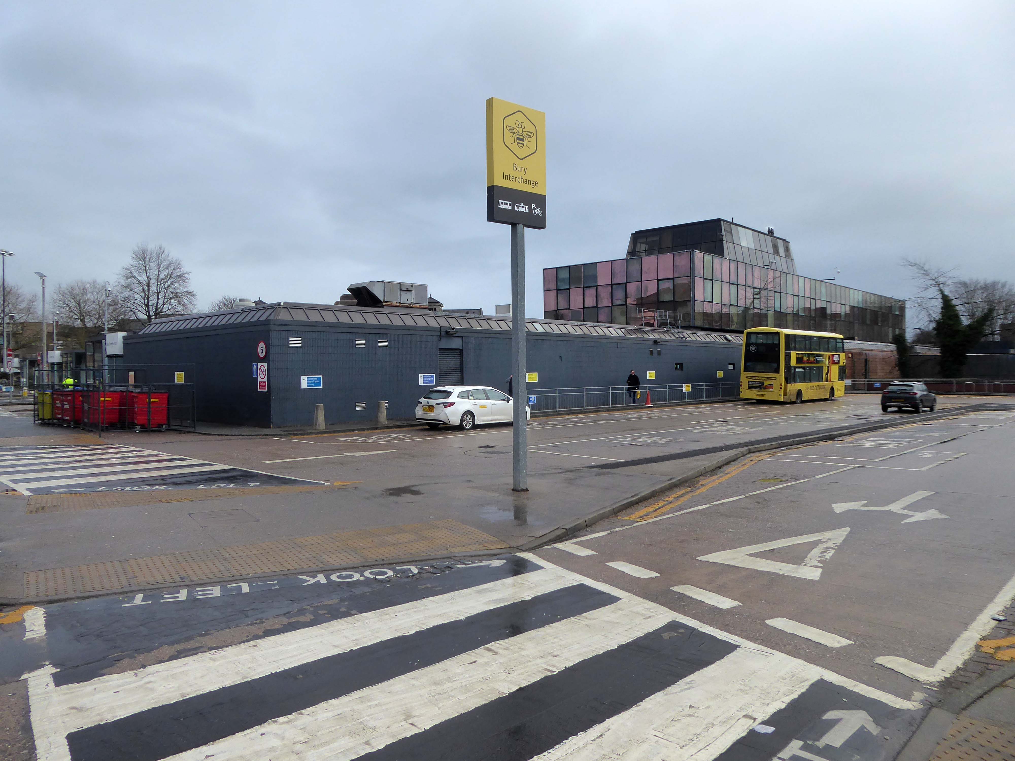
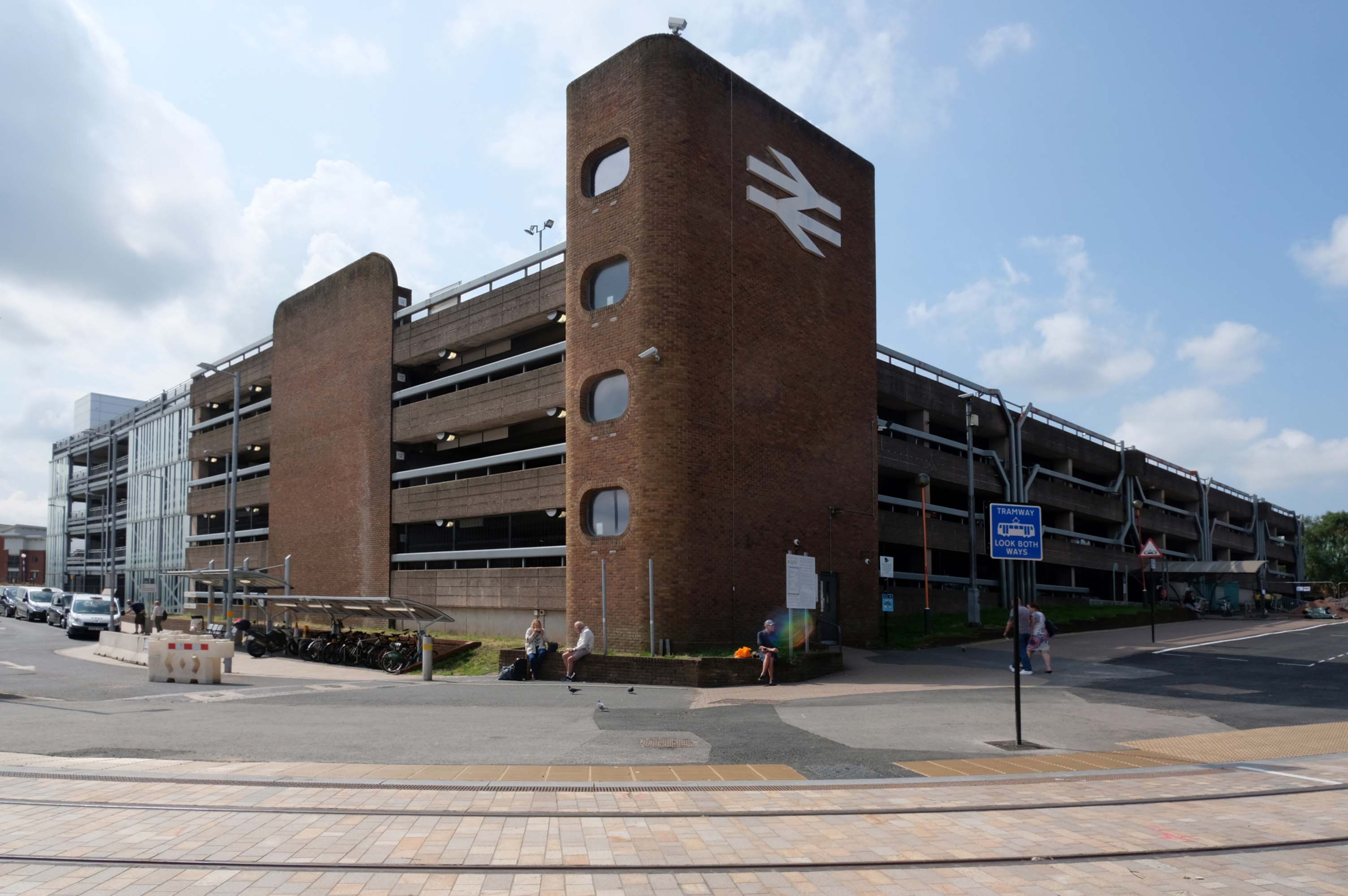
Bury Interchange is a transport hub opened in 1980, it is the northern terminus of the Manchester Metrolink’s Bury Line, which prior to 1992 was a heavy-rail line.
It also incorporates a bus station.
Bury Interchange replaced the bus termini scattered around Bury town centre, notably around Kay Gardens.
Bury Interchange was opened by British Rail in March 1980, integrating a new bus station with the northern terminus of the Bury-to-Manchester heavy railway line, a new short spur line was constructed to connect the new station.
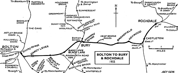
The railway had originally run into Bury Bolton Street which was further away from the town centre, and was closed by British Rail on the same day that Bury Interchange opened.
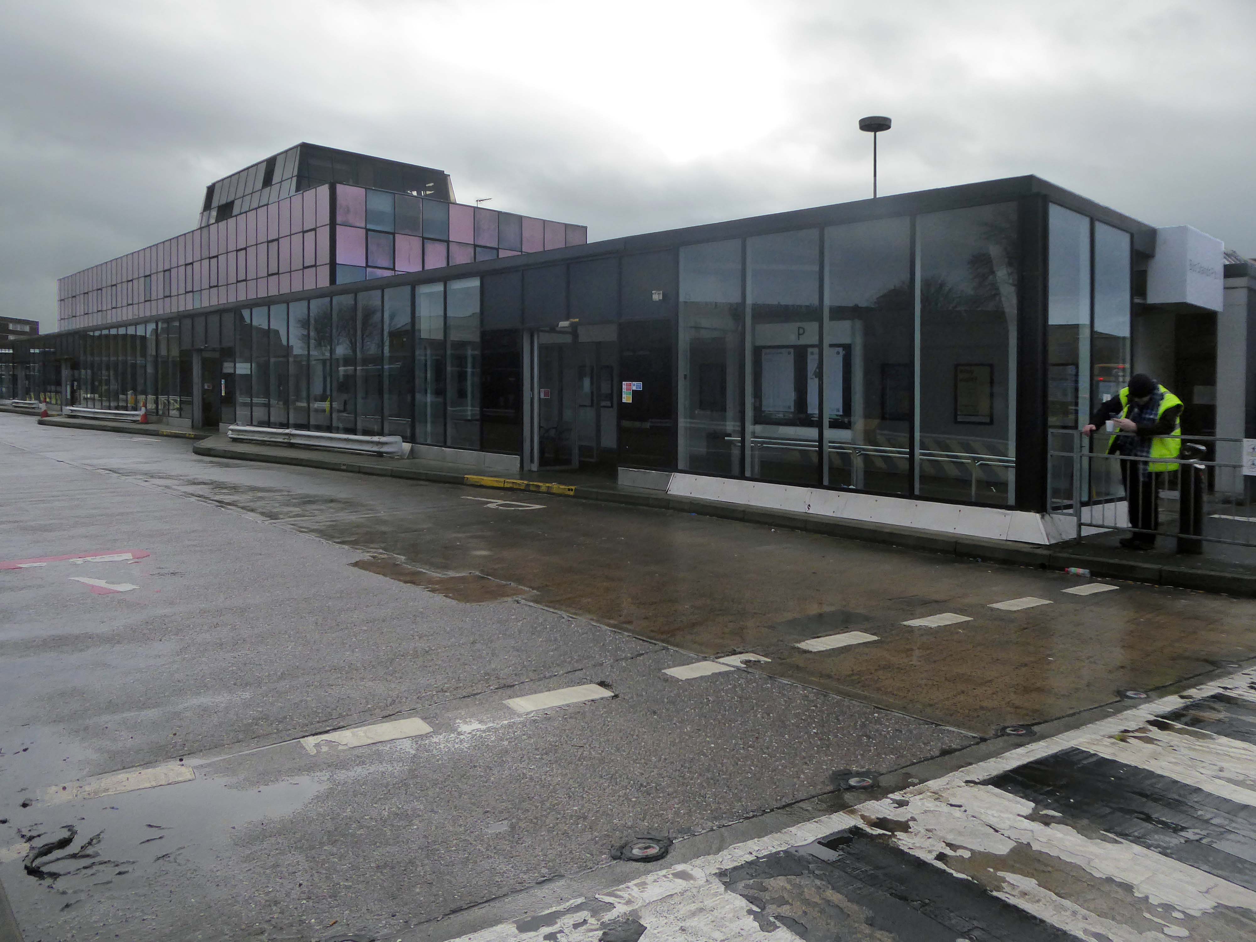
An £80m transformation is coming to the Bury Interchange, which will see step-free access at the Metrolink, a “vertical circulation core” to better connect the Metrolink with the bus facility, and an integrated travel hub with spaces for cycle storage.
The work is much-needed, explained Transport for Greater Manchester’s Alan Lowe, he said that the interchange was built in the 1980s and very much is of its time.
It’s not what we need for our customers need.
The new Bury Interchange project is expected to complete at the end of the decade.
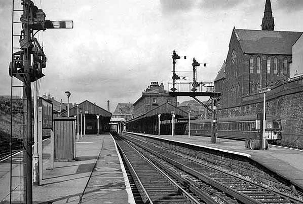
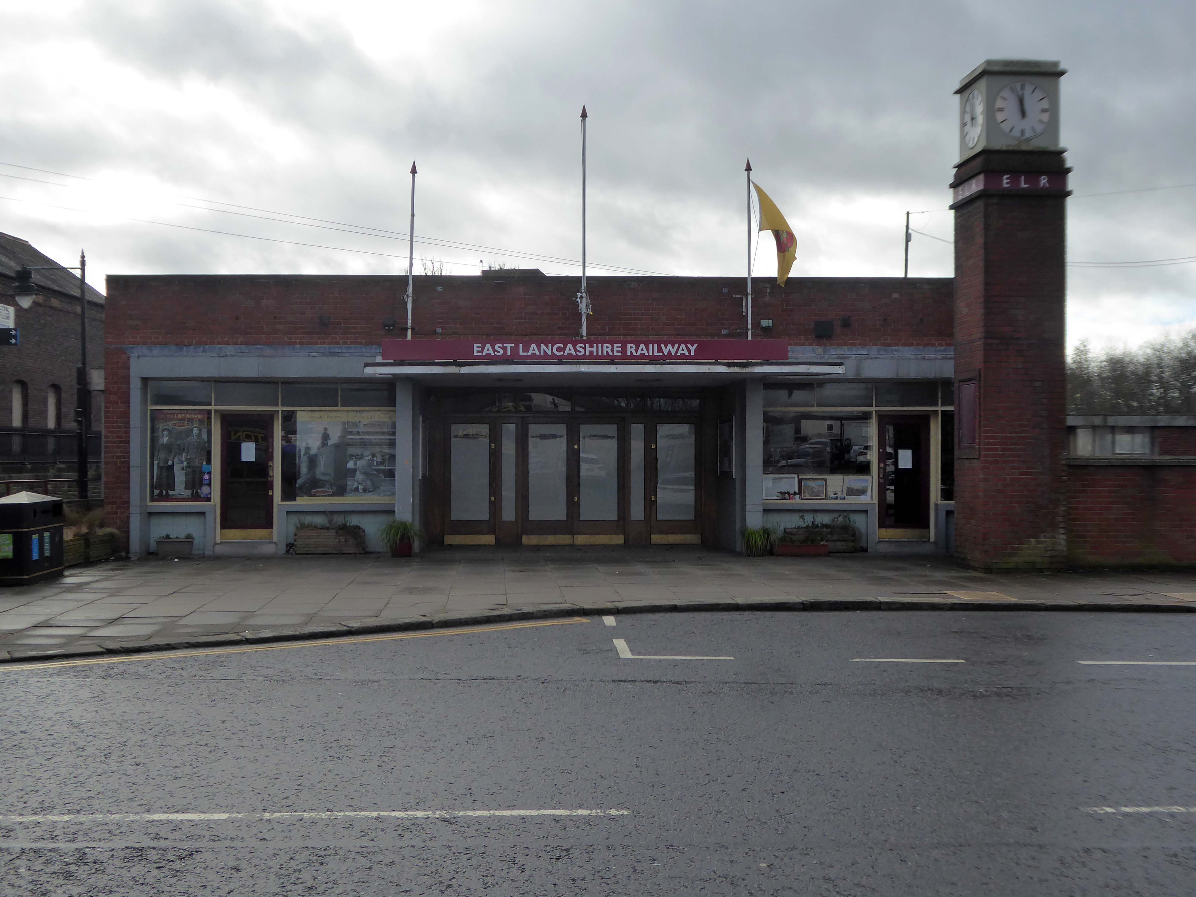
The line and station were closed on 5 October 1970 as part of continuing cutbacks in British Rail services and the line west to Bolton subsequently dismantled.
The A5103 is a major thoroughfare running south from Piccadilly Gardens in Manchester city centre to the M56 in Northenden. The road is two-lane dual carriageway with a few grade-separated junctions. It is used by many as a link to the airport and to the motorway network south.
The road starts at Piccadilly Gardens where it meets the A6. It heads along Portland Street – at one time it ran along the parallel Mosley Street, past fast-food outlets and off-licences and then meets the A34 Oxford Street. It multiplexes with that road north for 200 yards into St Peter’s Square and then turns left into Lower Mosley Street, initially alongside the tramlines and then past the former Manchester Central station, now a conference centre with the same name. The road becomes Albion Street and goes over the Bridgewater Canal and under the railway line east of Deansgate station. The road then meets the A57(M) Mancunian Way at a roundabout interchange. This is where most of the traffic joins and leaves.
The road is now 2×2 dual carriageway with the name Princess Road. It passes under the Hulme Arch, a grade-separated junction with the A5067, with an unusually large central reservation. This is presumably because of the proposed plans from the 1960s of a motorway. However, after passing under the junction, there are innumerate sets of traffic lights, with the B5219, the A6010 and the A5145, as well as many other unsigned roads. There are also many speed cameras set at 30 mph.
The road picks up pace as we exit the sprawl of South Manchester and the road becomes Princess Parkway, with a 50 mph speed limit. We cross the River Mersey and almost immediately hit the M60 at J5.
Except for the Manchester City Centre section – which was numbered A5068, this road did not exist on classification in 1922. Princess Road was built in 1932 to serve the new southwestern suburbs; initially it ran between the B5219 and A560 and was numbered B5290, with the road later extended north into the A5068 on the southern edge of the city centre and renumbered A5103.
The northern extension through Hulme initially followed previously existing roads, so followed a zigzag route. As part of the road’s upgrade and the reconstruction of Hulme in the 1970s the road was straightened and the original route can no longer be seen. The A5068 was severed around this time with the construction of the A57(M) and the A5103 took on its city-centre section, taking it to the A6.
The A34 is a major route from the ports on the South Coast of England to the Midlands and the North West, with the standard varying from rural dual carriageway sections in the south to urban single carriageway in the north, and everything else in between.
Slade Lane junction, Rushford Park to Parr’s Wood, East Didsbury – to connect to Manchester Road to Cheadle. It continued on to Laneside Road as a residential road. Opened on 11 April 1923 by Mary Cundiff, Lady Mayoress, and Margaret Turnbull, daughter of Alderman Turnbull, Chairman of Manchester Town Planning Committee. Width was 100 feet and it was designed for tram tracks in the central reservation. The dual road carriageways were 20 feet wide. Manchester’s tram system was closed in 1949. The carriageways were widened and central reservation grassed over. Originally opened as A5079.
Laneside Road, East Didsbury to Schools Hill/ Wilmslow Road junction, Cheadle. Opened on 12 October 1959. The official opening was on 15 October 1959. Planning for the bypass had been halted by the war. In December 1949 Manchester Corporation stated that it was not a priority since the Corporation was only responsible for the 200 yards to the proposed bridge over the River Mersey and Cheshire County Council had not asked for a joint approach to Ministry of Transport to build it. Work was finally authorised in January 1957 and started in the June. Width was 90 feet with dual 24 foot carriageways. Expected cost was £600,000 to £700,000.
The A6 is Britain’s fourth longest road. Its route varies greatly from the lower lands of the South East, though the Peak District, right though the heart of Manchester city centre, then onwards towards Preston. It then goes though the historic city of Lancaster before skirting the Eastern fringe of the Lake District before ending in Carlisle, bang on the start of the A7.
North from Stockport towards Manchester, the A6 was a wide, four lane road, but still 30 mph, which usually flowed pretty well. According to Mudge, it looks like it has now been massacred by bus lanes and red paint. Shame. We meet the A57 from the east, just south of the city centre, and multiplex until we reach Mancunian Way, the A57 heading off as a short urban motorway, the A6 heading into the city centre via London Road/Piccadily, where it loses its number and vanishes. It would have gone straight down Piccadily/Market Street to meet Deansgate, and then across the River Irwell into Salford, and up Chapel Street, where the number reappears. Market Street has been pedestrianised for years, so the A6 has long ceased to be a through route.
The A57 was nearly a coast to coast route. It passes through three major city centres (Liverpool, Manchester, and Sheffield – with elevated sections in each) and several smaller ones, multiplexes with the A6 and the A1, follows the banks of two canals and negotiates the remotest part of the Peak District. In one city it part of it is a tram route, whilst in another its former route is also a tram route. After all these adventures, it sadly gives up just 40 miles short of the east coast, Lincoln apparently proving too big an obstacle.
The A57 crosses the River Irwell at Regent Bridge before entering its moment of motorway glory as the A57(M) Mancunian Way skirting the south of Manchester’s city centre on an elevated section and crossing the A56 and A34. This includes a half-completed exit that goes the wrong way up Brook Street – a one way street. The original A57 ran further north through the city centre along Liverpool Road (now the A6143) and Whitworth Street – B6469 as far as the A6 London Road which marked the start of a multiplex.
At the end of Mancunian Way, we reach a TOTSO, straight on being the short unsigned A635(M) and thence the A635 – for Saddleworth Moor, Barnsley and Doncaster whilst the A57 turns south, briefly multiplexing with the A6, and then branching off along Hyde Road. This section of road was extensively cleared for the westward extension for the M67, and consequently has seen a lot of redevelopment.
The road now begins slightly further south than it used to. Instead of starting on Fairfield Street in Manchester city centre, it begins immediately as the Mancunian Way ends, which at this point is the unsigned A635(M). The motorway flows directly into our route. There’s a TOTSO right at a set of lights, and we pick up the old alignment, which now starts as the B6469.
We can see the new City of Manchester Stadium on the left, site of the 2002 Commonwealth Games and now home to Manchester City FC. The road switches between S2 and S4 as it passes through the rather run-down urban areas of Ardwick and Gorton. A short one-way system at a triangular-shaped junction with the A662 leads onto a wider stretch as we near the M60 junction. This area is set to see significant industrial growth, with whole swathes of land either side of the now D3 road cleared and ready for development.
The A62, which runs from Manchester to Leeds, via Oldham and Huddersfield, was once the main route across the Pennines, connecting the largest city in Lancashire with Yorkshire’s largest city. However with the completion of the M62 towards Leeds in the early 1970s it lost much of its importance and traffic to the motorway, which runs a few miles to the north. These days, the A62 serves as a busy primary route between Manchester and Oldham, an extremely very quiet route over the Pennines, and then a fairly busy local road linking Huddersfield with Leeds.
Most maps show that the A62 starts its journey in the middle of Manchester by leaving the A6 Piccadilly and running along Lever Street – the original route was the parallel Oldham Street. However, owing to a bus gate Lever Street is not generally accessible from Piccadilly. We head out easterly on a busy street – non–primary, until we meet the Ring Road where we pick up primary status that we retain until Oldham. We turn left at this point and then immediately right to start the A62 proper.
In 2014, having taken early retirement from teaching photography, I embarked on a series of walks along the arterial roads of Manchester.
This whole undertaking was prompted in part by Charlie Meecham’s 1980’s Oldham Road project.
The work questions whether a sense of local identity can be maintained in an area of constant redevelopment and community displacement.
This area was first developed in the 19th century for cotton manufacture, coal extraction and later electrical and heavy engineering. The road was lined with shops and there was a vibrant community.
When I first started working on the project, most of the early industry had ceased operating and the mills were either abandoned or being dismantled. However, some had been refurbished either for new industrial use or later, made into apartments. Some run down areas were cleared making way for new housing. Clearance also provided opportunity to build new schools, trading estates and create green space. Most of the older community centres such as theatres and cinemas along the road were also abandoned and later cleared.
The obvious place for the A664 to start is on the A665 Manchester & Salford Inner Relief Route, which at this point is actually two parallel one-way streets. However, many maps show the road continuing a short distance into the city centre to end at traffic lights by the Shudehill Interchange – this is presumably for historic reasons: the road originally continued along the High Street to its terminus on the A6 Market Street.
The road heads northeastwards through the suburbs, the street name Rochdale Road, already emphasising its destination. Initially dual, the road narrows just before crossing the bridge over the railway line east of Victoria station. It continues through Collyhurst and widens again just before crossing the A6010 Intermediate Ring Road, which here is made up of two parallel one-way streets, requiring two separate sets of traffic lights to cross.
Now non-primary – but still dual for a short distance more, the road runs in a more northerly direction through Blackley, where it becomes wooded for a short distance as it passes the Boggart Hole Clough park. Slightly further on the road has been straightened, after which it bears right to widen considerably and cross the A6104 at traffic lights just before M60 J20, which only has west-facing sliproads. The road narrows again on the far side of the motorway and leaves Manchester for Rochdale at the same point.
Cheetham Hill Road is part of the designated A665. Cheetham Hill Road starts at the junction of the A6042 Corporation Street and the A665 Miller Street. It crosses the culverted River Irk to the east of Victoria Station. At its junction with New Bridge Street, it turns north-northeast and is straight for 1 km, to the A6010 Queen’s Road . This stretch was called York Street until about 1900. Cheetham Hill Road leads from here to the community of Cheetham Hill, where at Bourget Street and Crescent Road – formerly Sandy Lane, Cheetham Hill Road becomes Bury Old Road.
First crossing the M60 Manchester Outer Ring Road at Junction 7 into Stretford.
The A56 takes the name of Chester Road and continues north-eastwards through Stretford and Hulme into Manchester city centre, where it takes on the name Deansgate, one of Manchester’s main shopping streets and thoroughfares. At the end of Deansgate, the A56 takes on the name of Victoria Street as it passes Manchester Victoria railway station. Since 2012, most of Victoria Street has been pedestrianised with planters, but the road markings still remain underneath.
The Cornbrook drains the urban area South of the River Medlock, it rises in Gorton and follows a tortous path through Manchester’s Southern ‘inner city’ suburbs and empties itself into the Manchester Ship Canal at the Pomona Docks.
It’s a tram stop – primarily an interchange, though the brand new shiny residential new build has produced a brave band of brand new shiny residents in transit. Slipping and sliding ‘neath the bridge, skating over the age old accretion of filth, oil, diesel and detritus produced by the surrounding scrap yards.
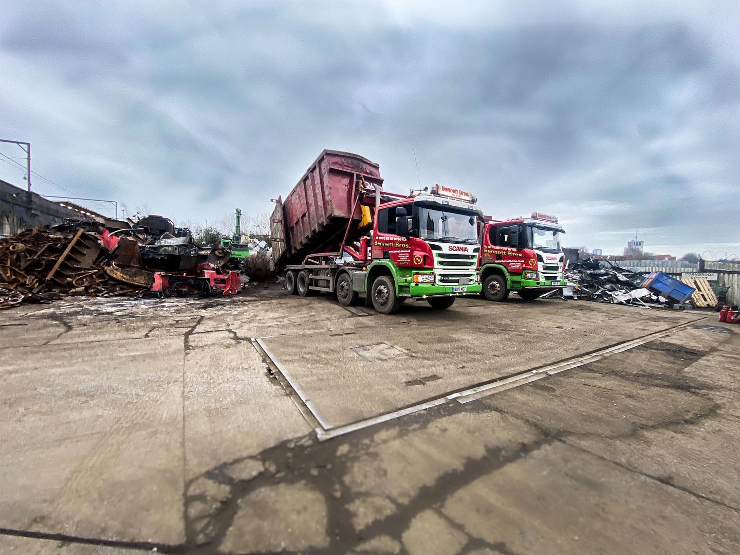
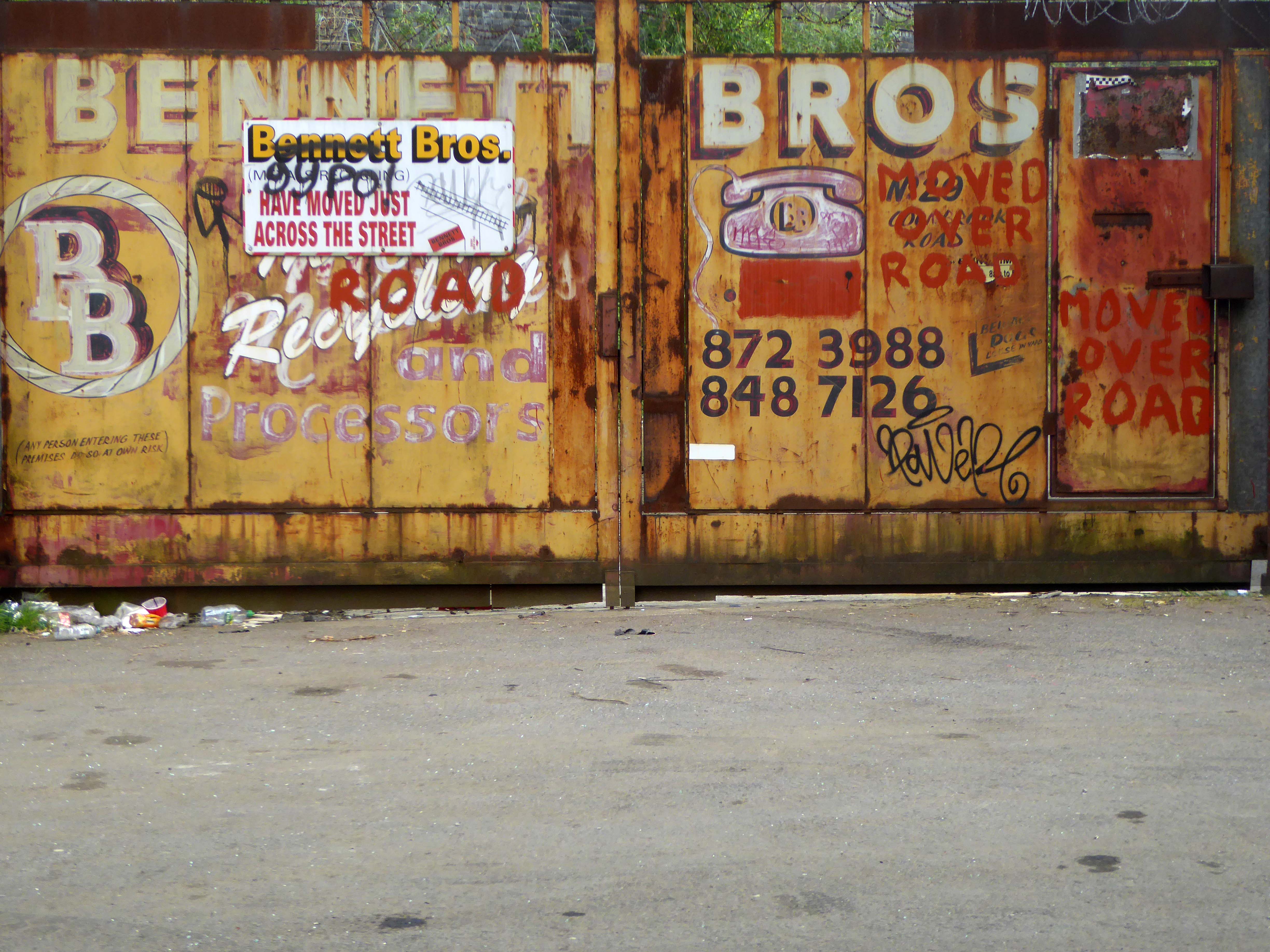
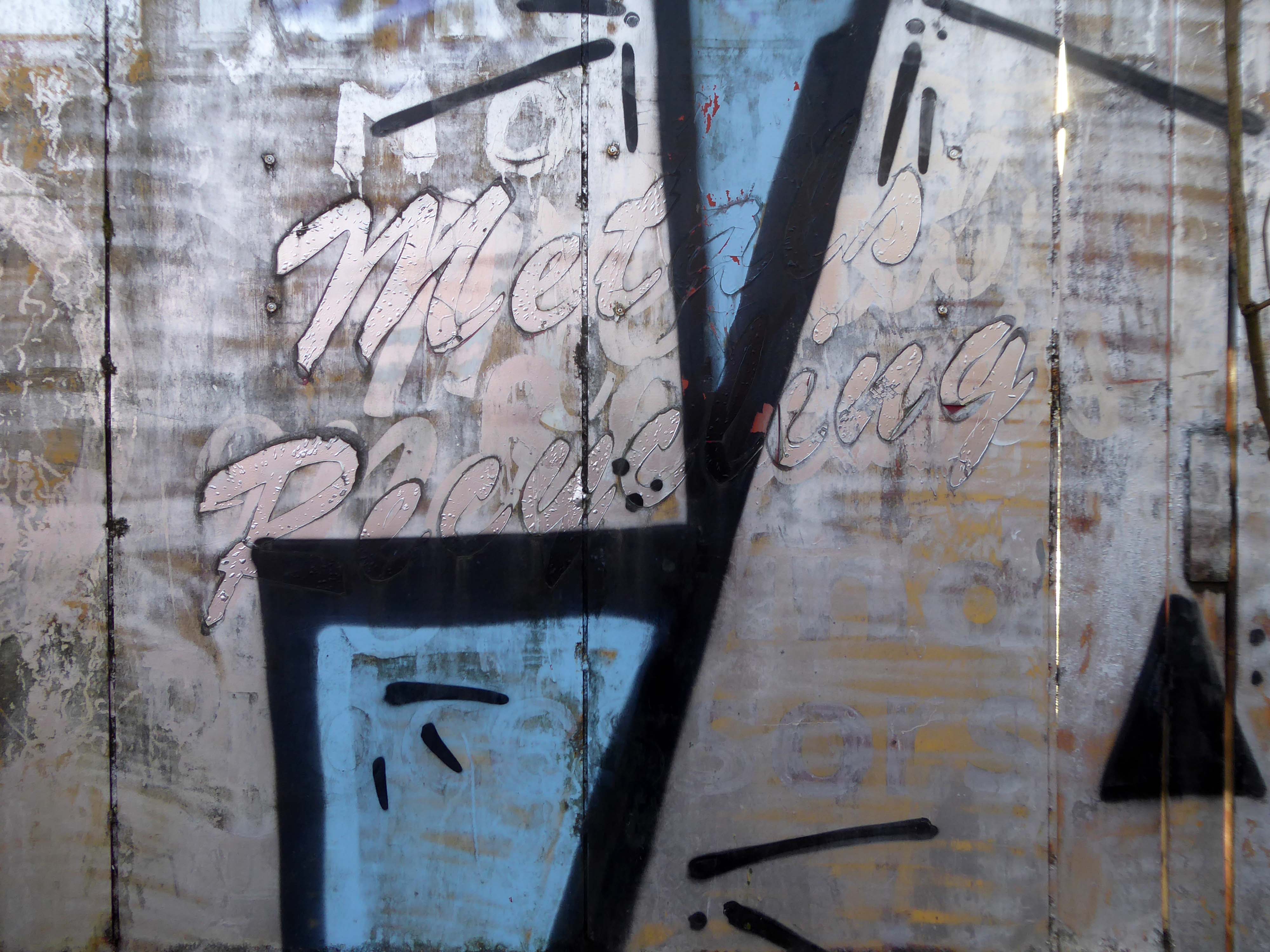
We are one of the first recycling companies operating in the North West, Bennett Bros was founded in 1948 by Francis William Bennett and Bernard Bennett, and remains a family-run business to this day. Bennett Bros was originally involved in loaning ponies to the many rag and bone men who collected unwanted household items and sold them to merchants, and while the recycling industry has now embraced modern technology, we are very proud of our heritage as innovators in what was then a new industry.
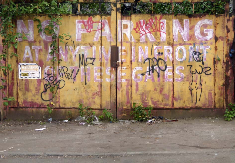
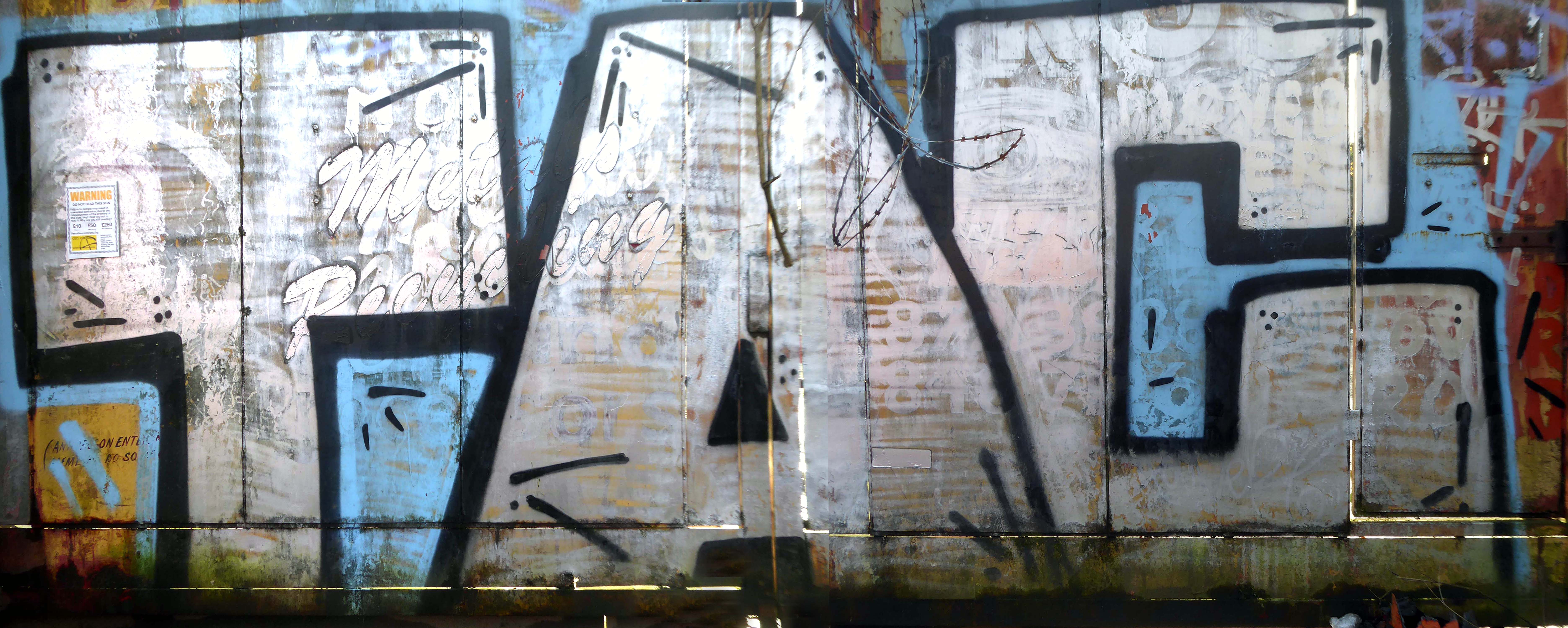
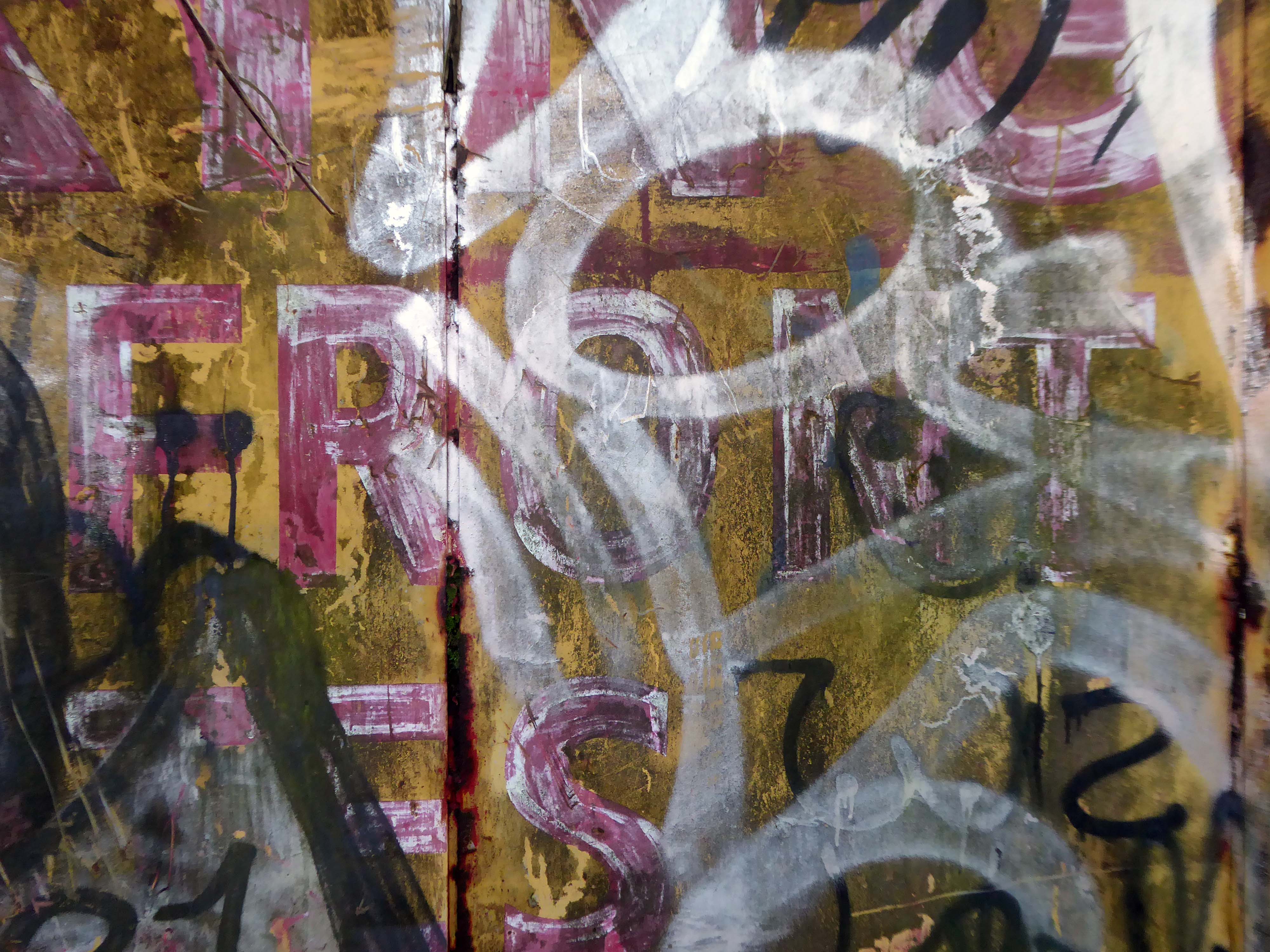
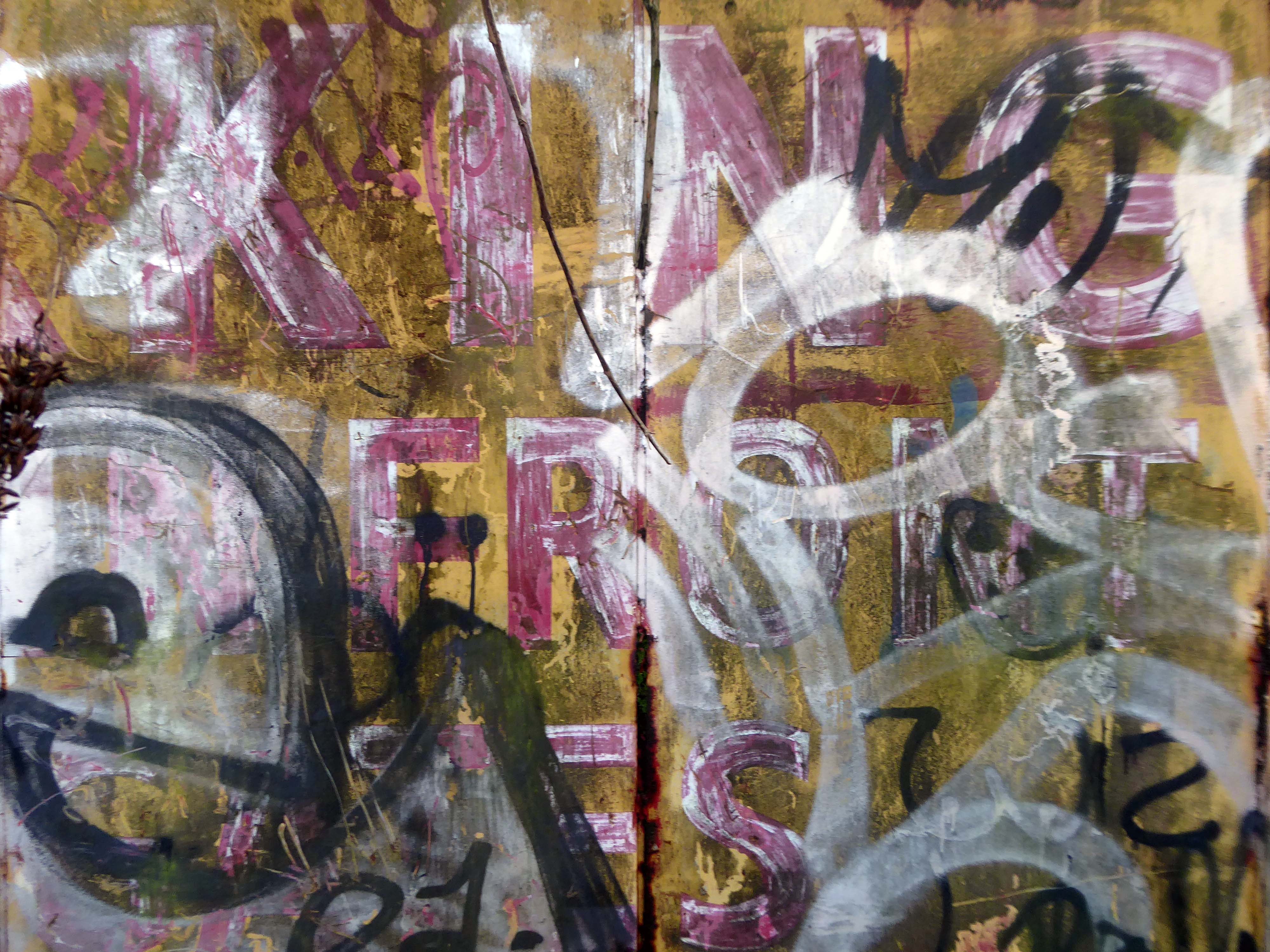
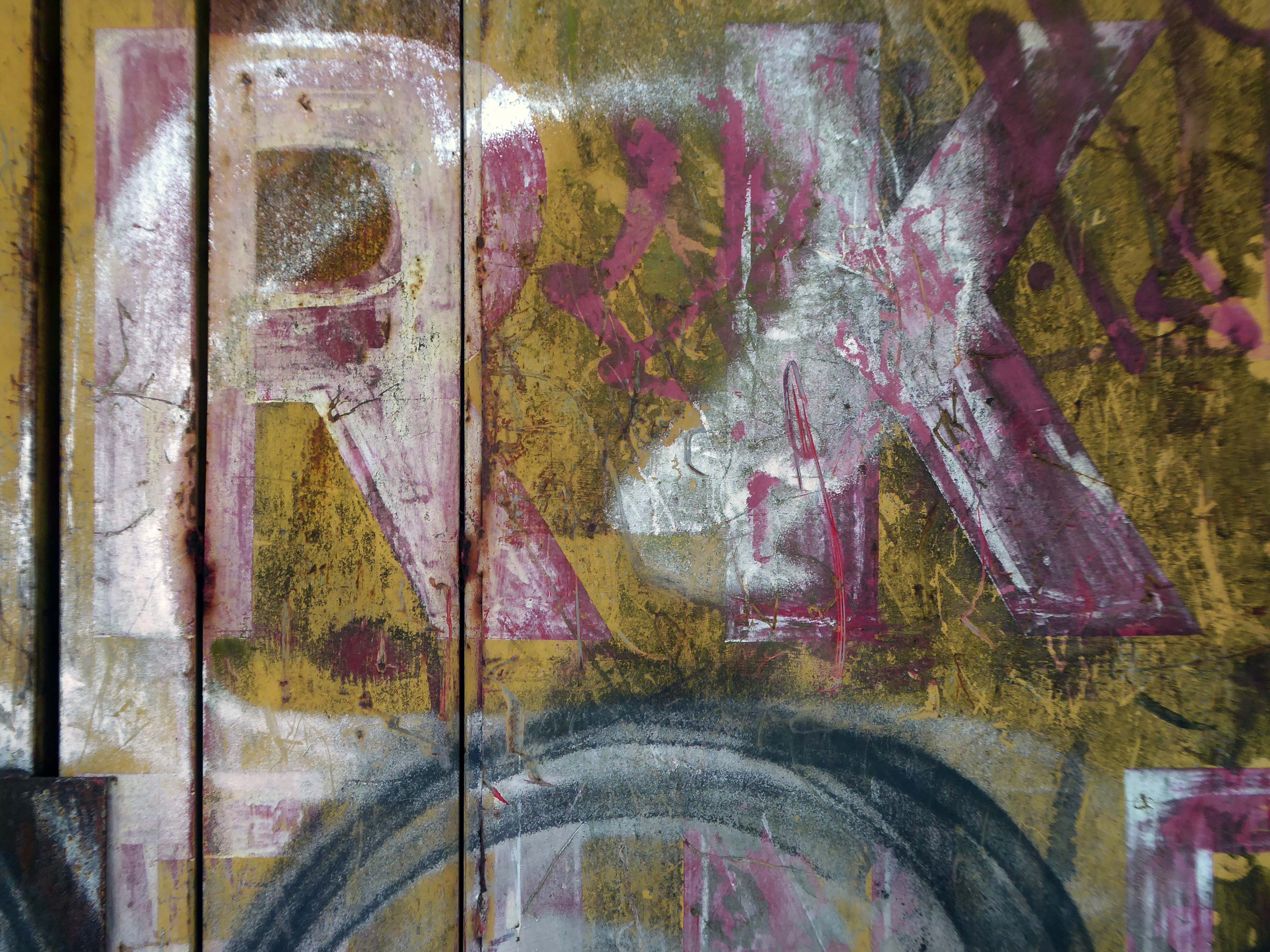
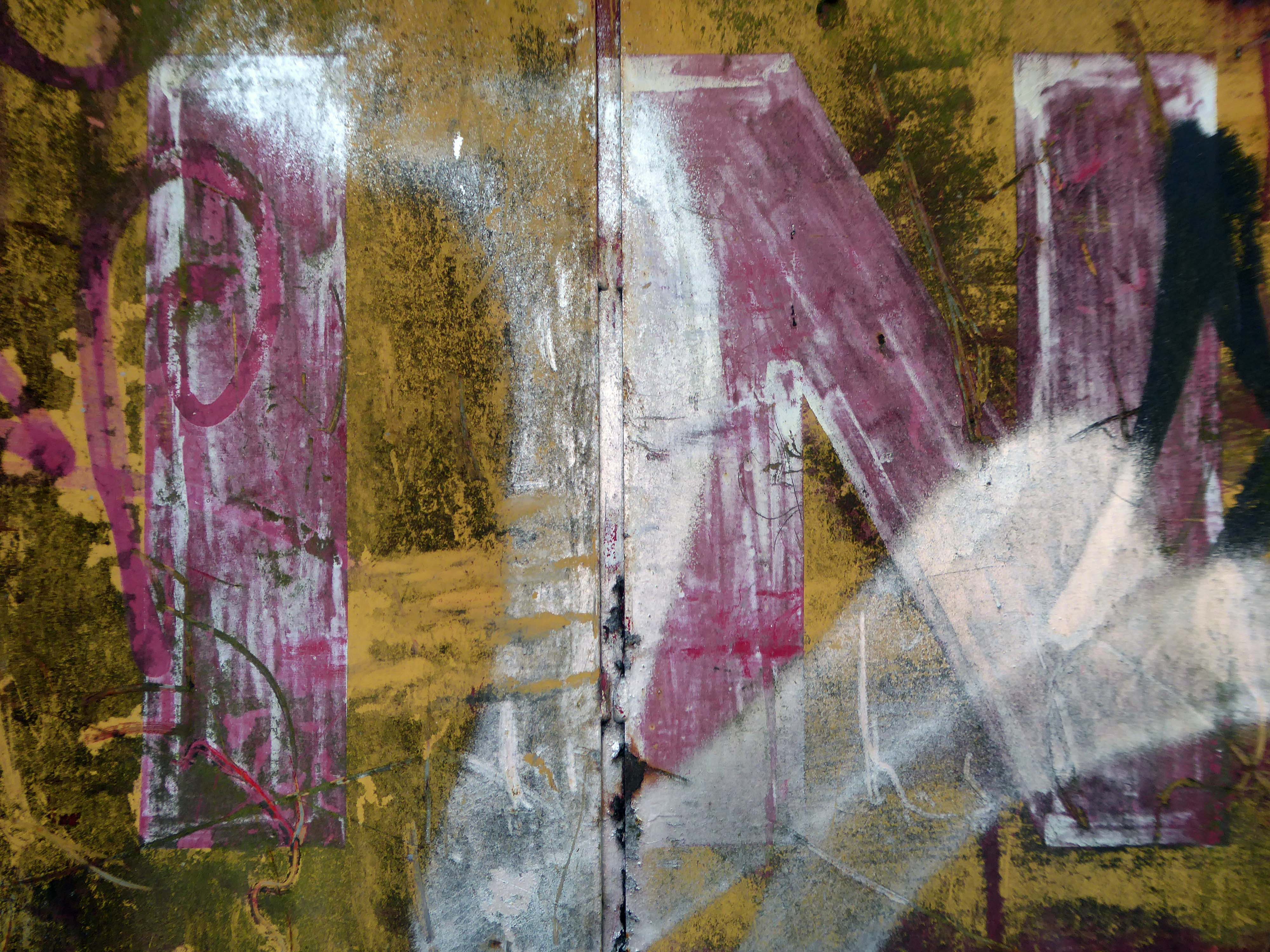
In 2017 I visited the area to snap the gates of their older site – as they had moved the business just across the street.
I returned in December 2023 to discover what had become of the gates.
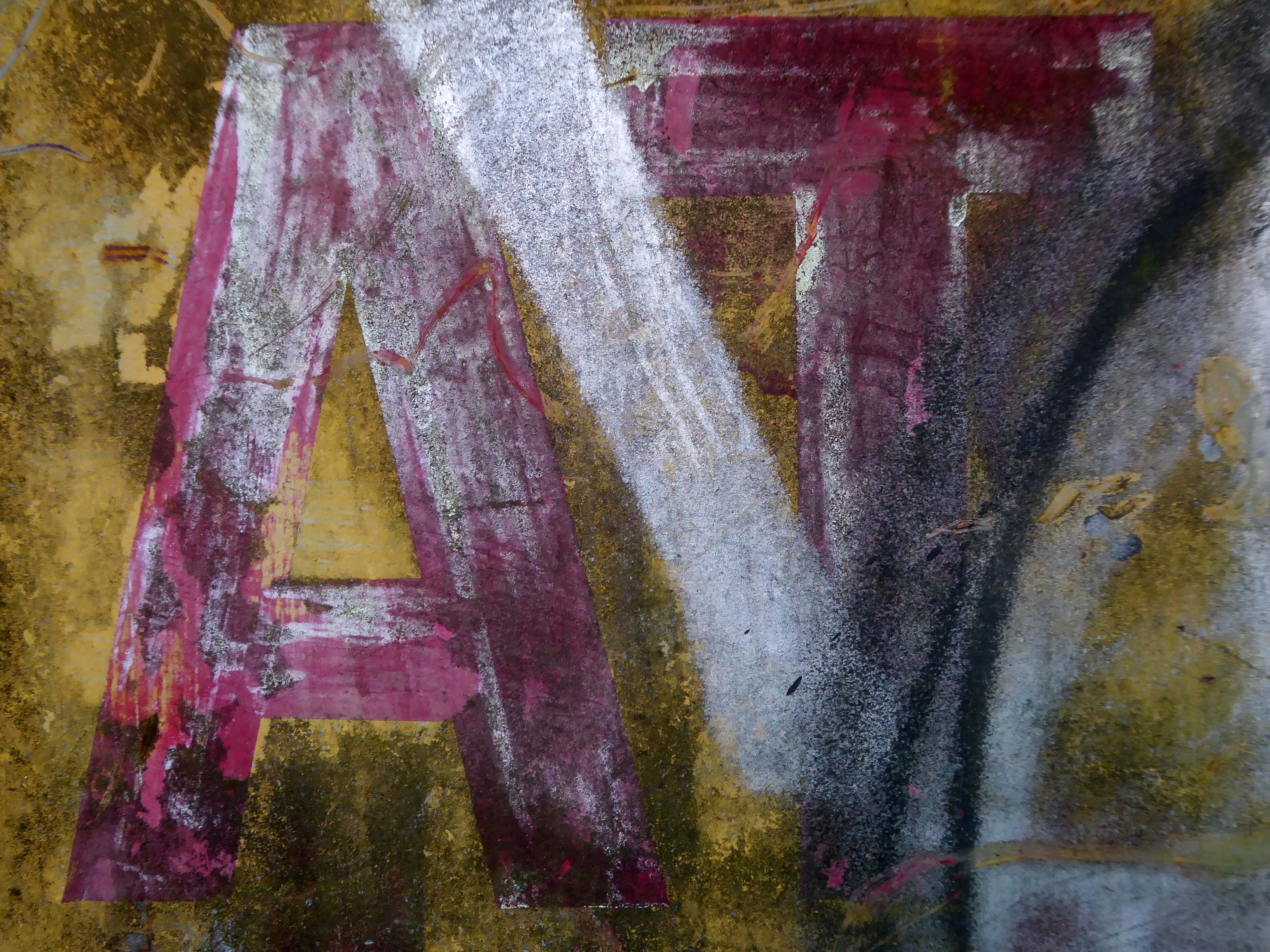
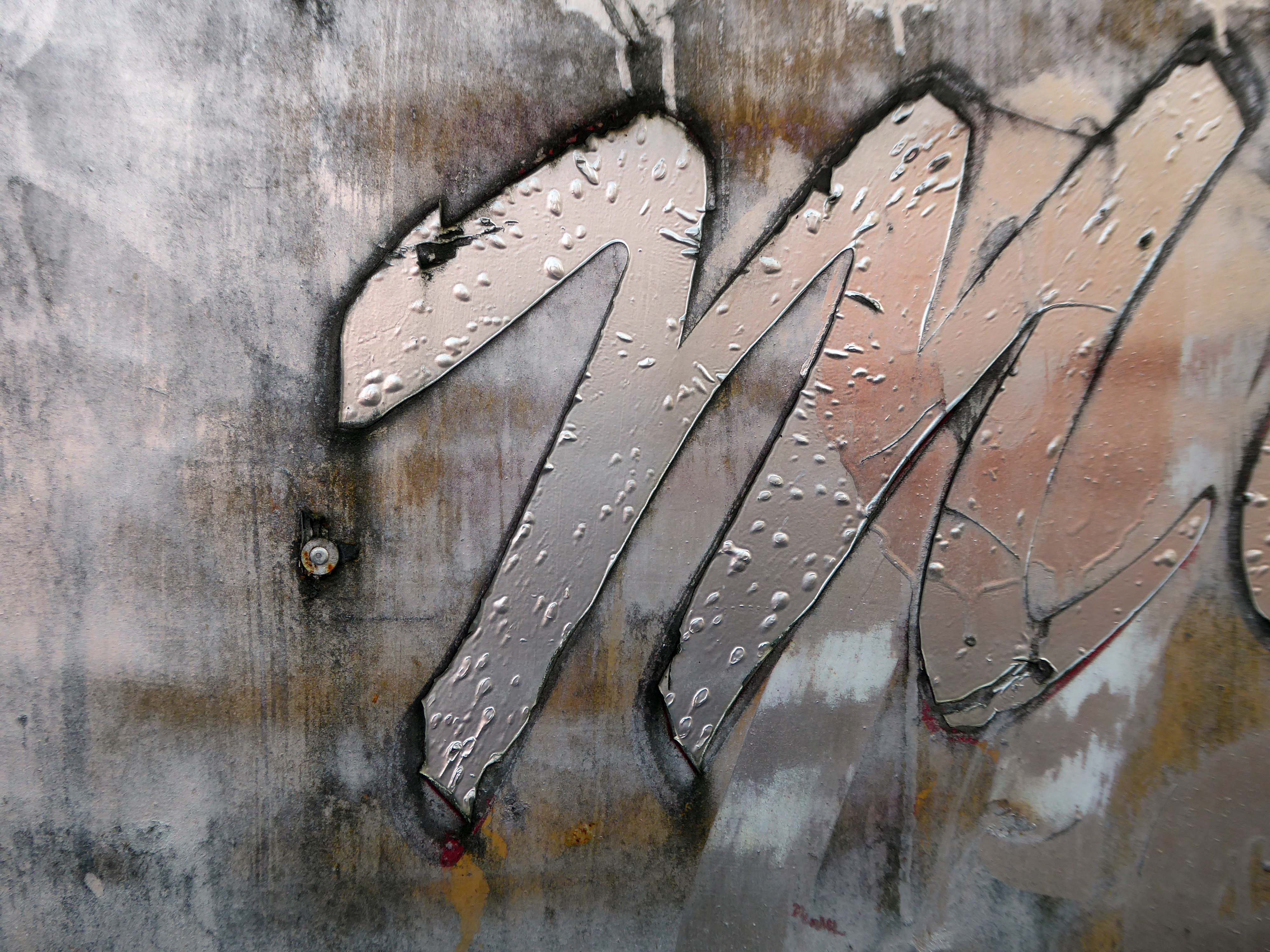
Remnants of the drop shadow block lettering remain, beneath a palimpsest of tags and grime.
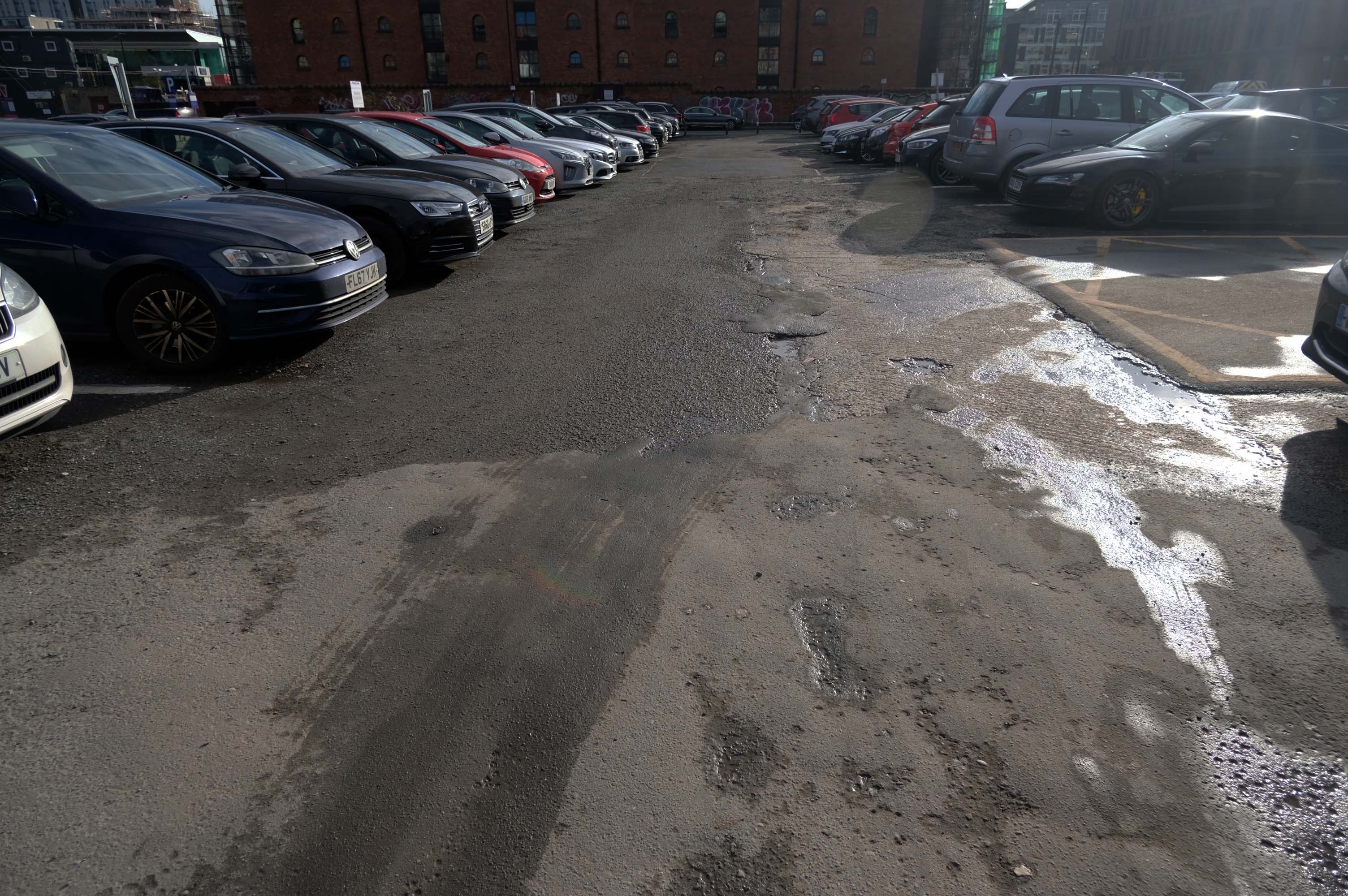
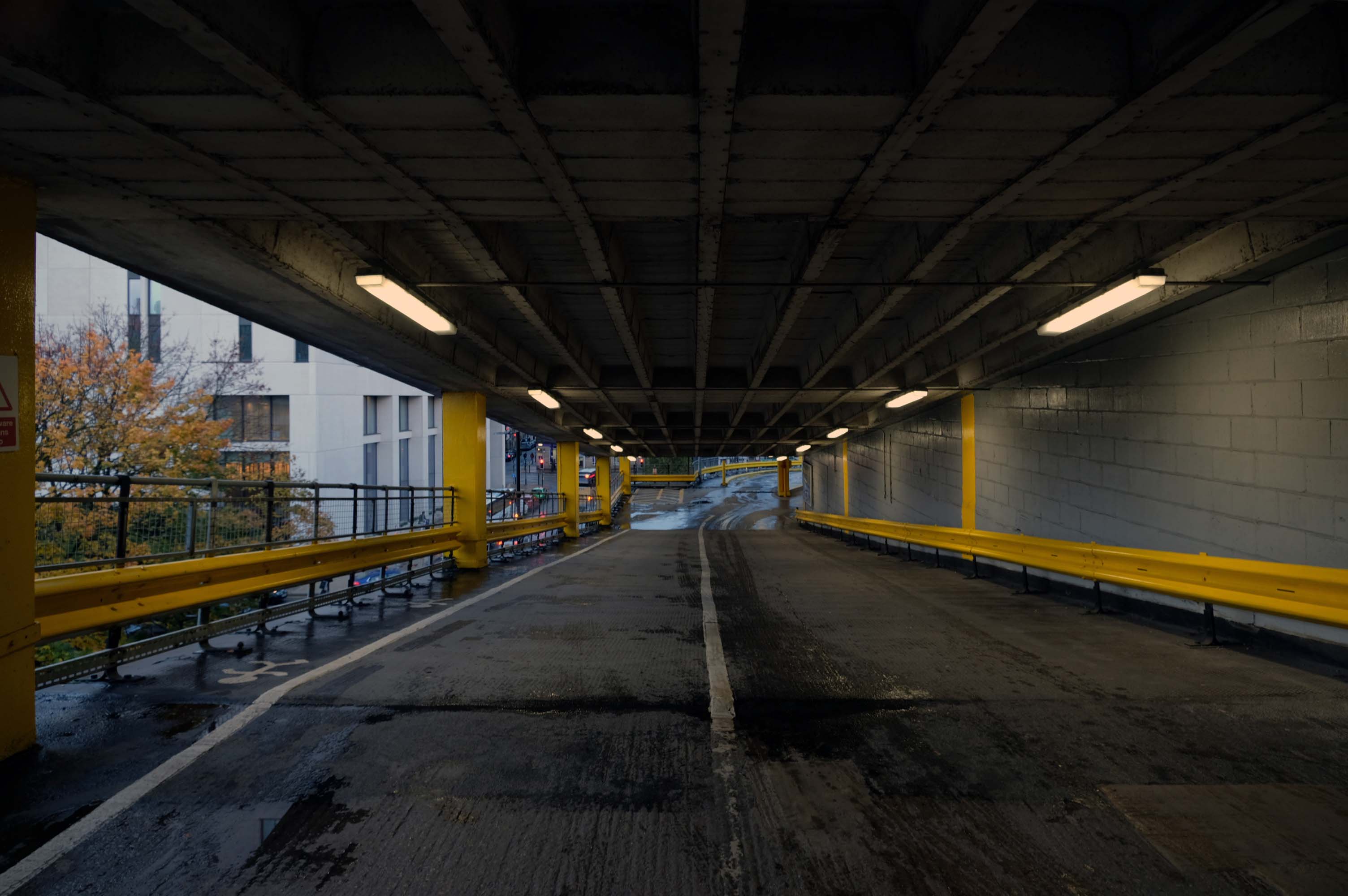
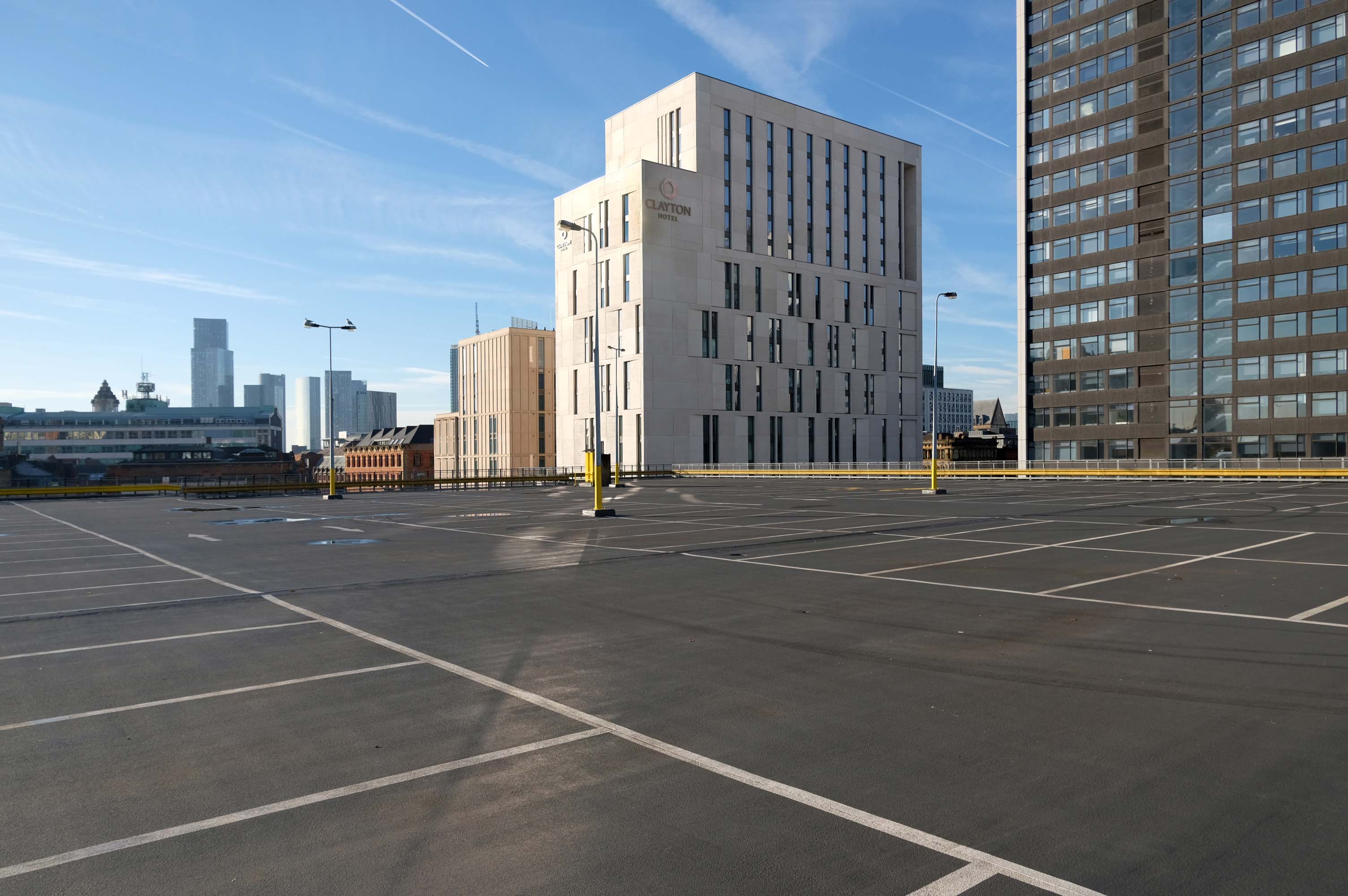
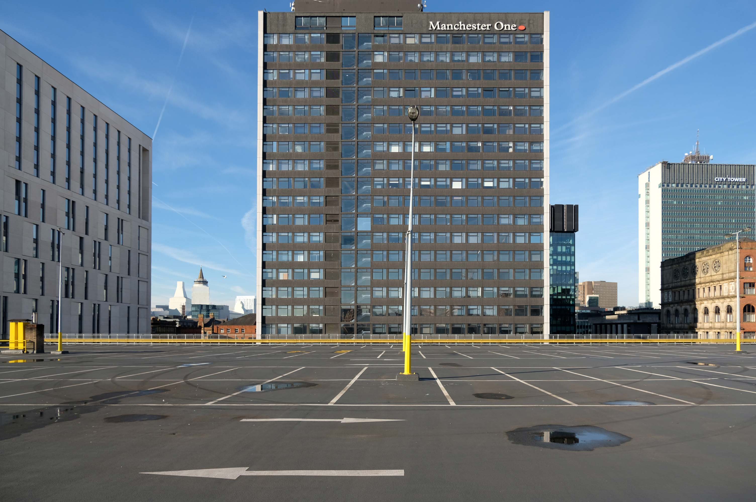
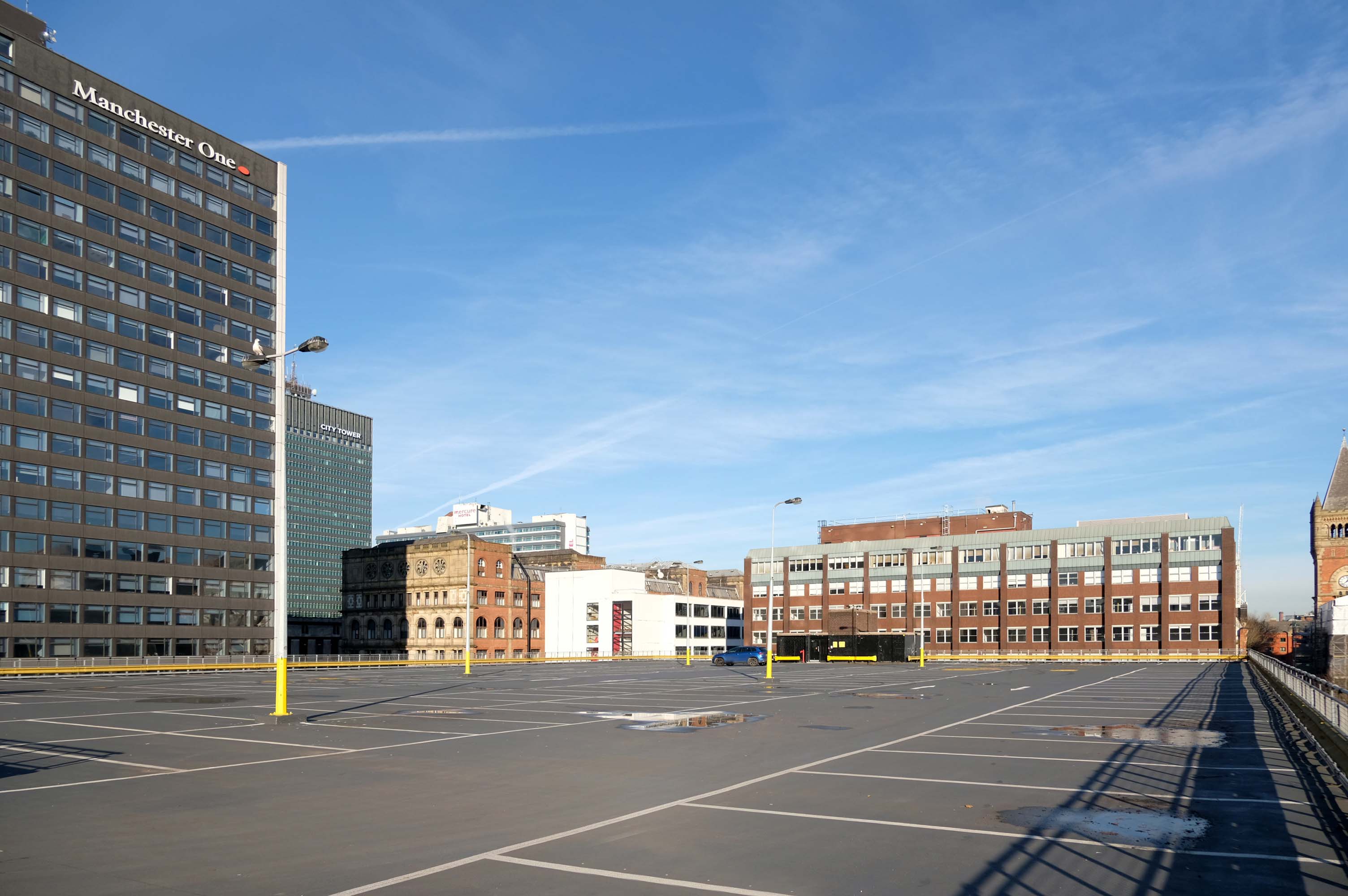
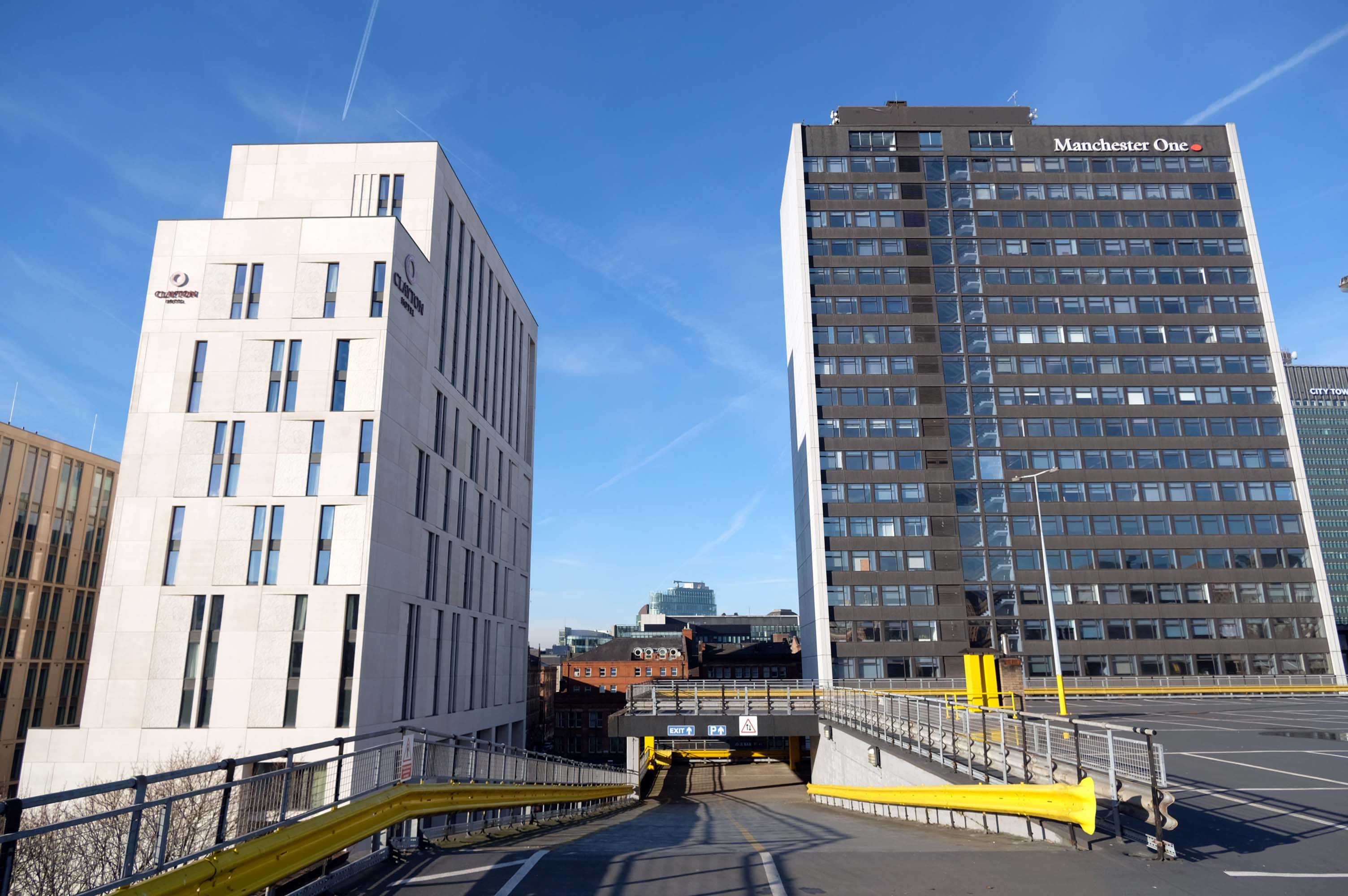
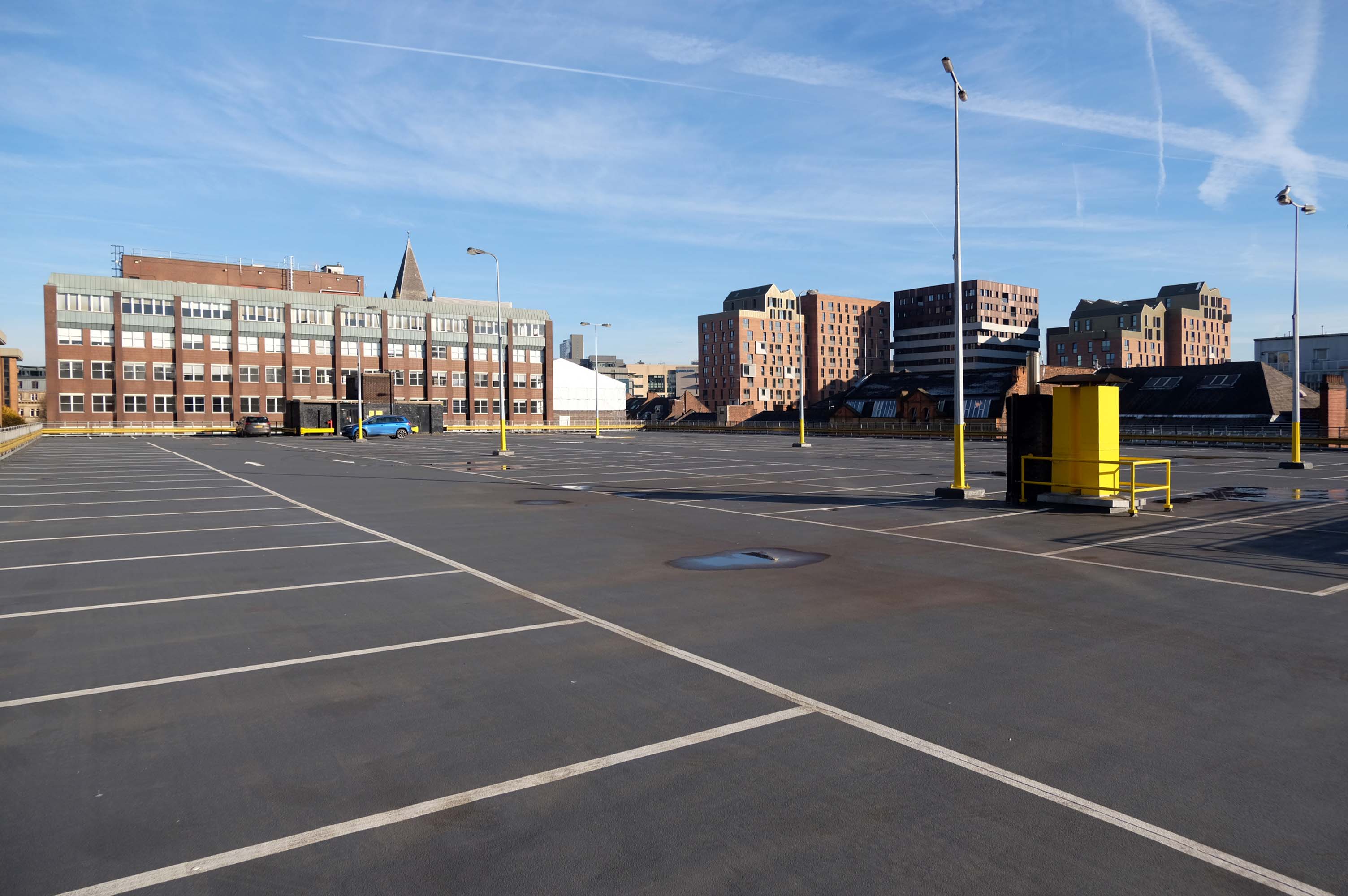
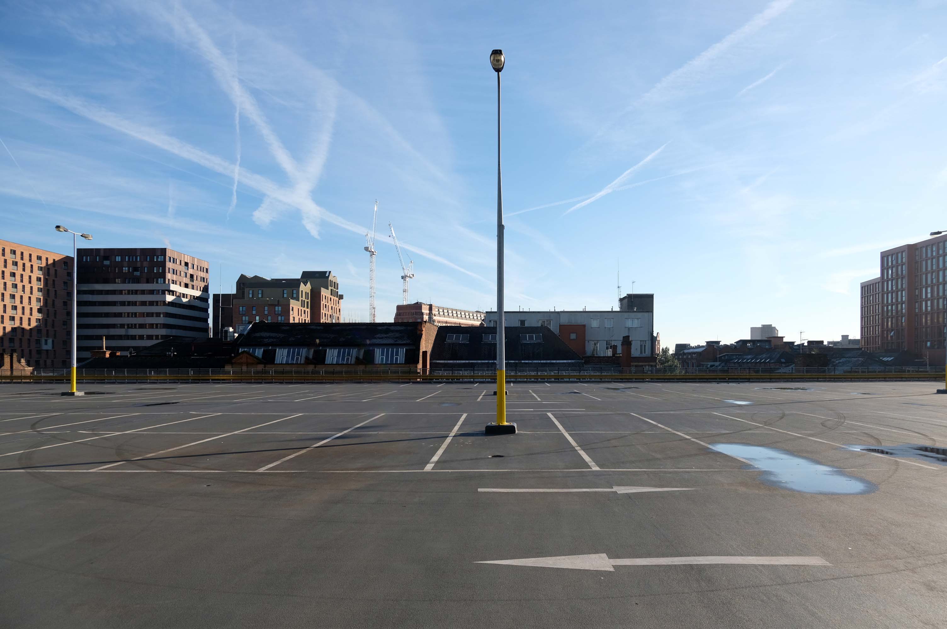
The earliest known multi-story car park in the UK was opened in May 1901 by City & Suburban Electric Carriage Company at 6 Denman Street, central London. The location had space for 100 vehicles over seven floors, totaling 19,000 square feet.
It is estimated that there are between 17,000 and 20,000 non- residential car parks in Great Britain, including those run by councils, commercial parking companies, shops, hospitals, businesses, railway stations and airports, providing between 3 and 4 million spaces.
The Manchester Airport multi-storey car park is one of the largest car parks ever built; in fact, it’s the second largest in Europe. This mega-park was designed to house a staggering 8,000 cars, split over a six-level facility that stretches out over 330 metres.
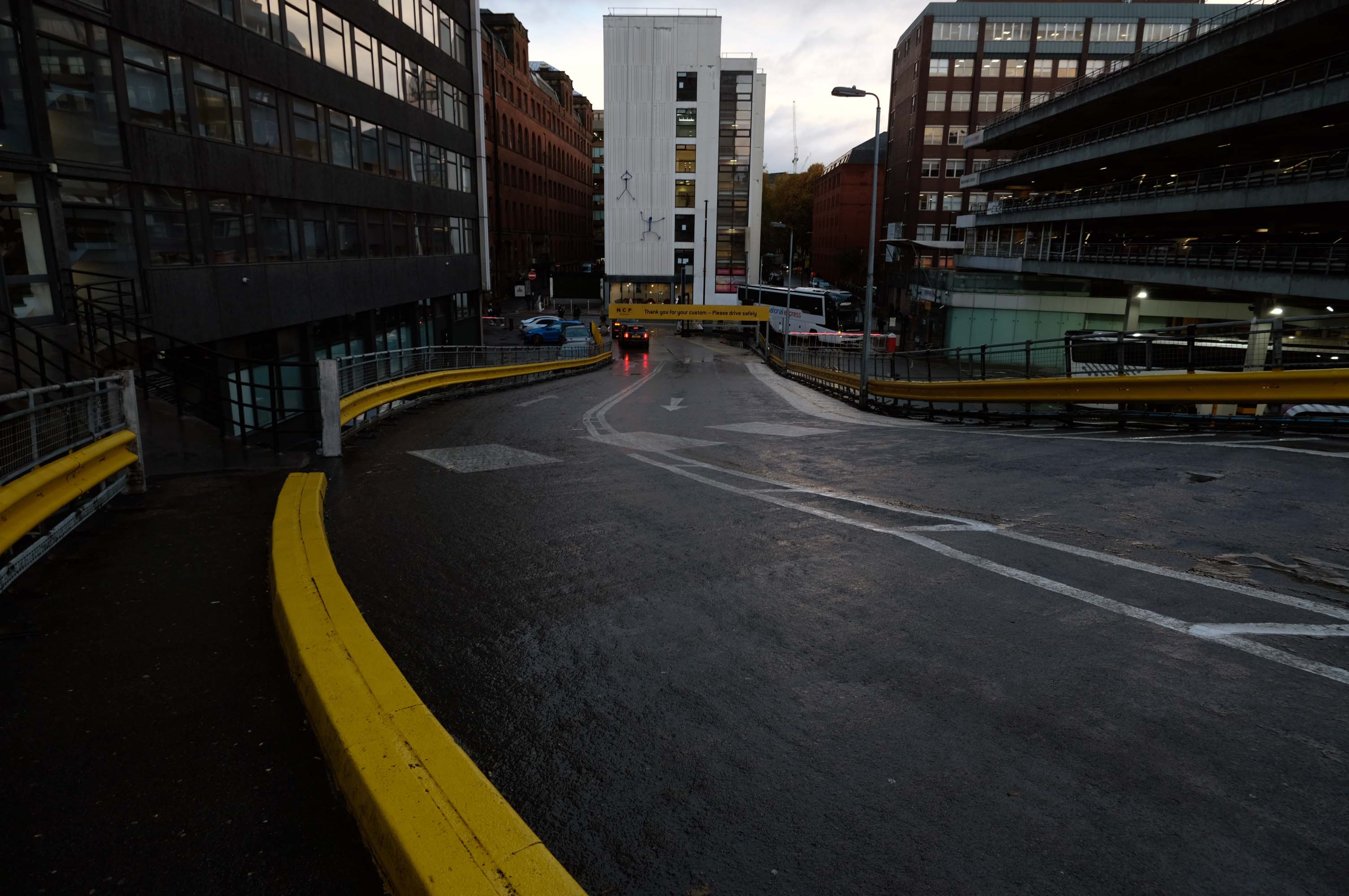
In the city centre NCP has over 13,000 car parking spaces across 43 sites
Good location but the access to the shopping centre is dirty. Lifts dirty – discarded soiled underwear, urine, spit and rubbish in the lifts. Car park also full of litter.
The most unnecessarily complicated ticketing system I have ever seen for a car park. Designed to fail so that the system can fine you. Beware. Better avoided for overseas visitors
Immerse yourself in the eclectic vibe of the Northern Quarter, the heartbeat of art, culture, and urban lifestyle. Whether you’re heading to its vintage shops, art studios, or chic cafes, finding the cheapest, best parking is paramount.
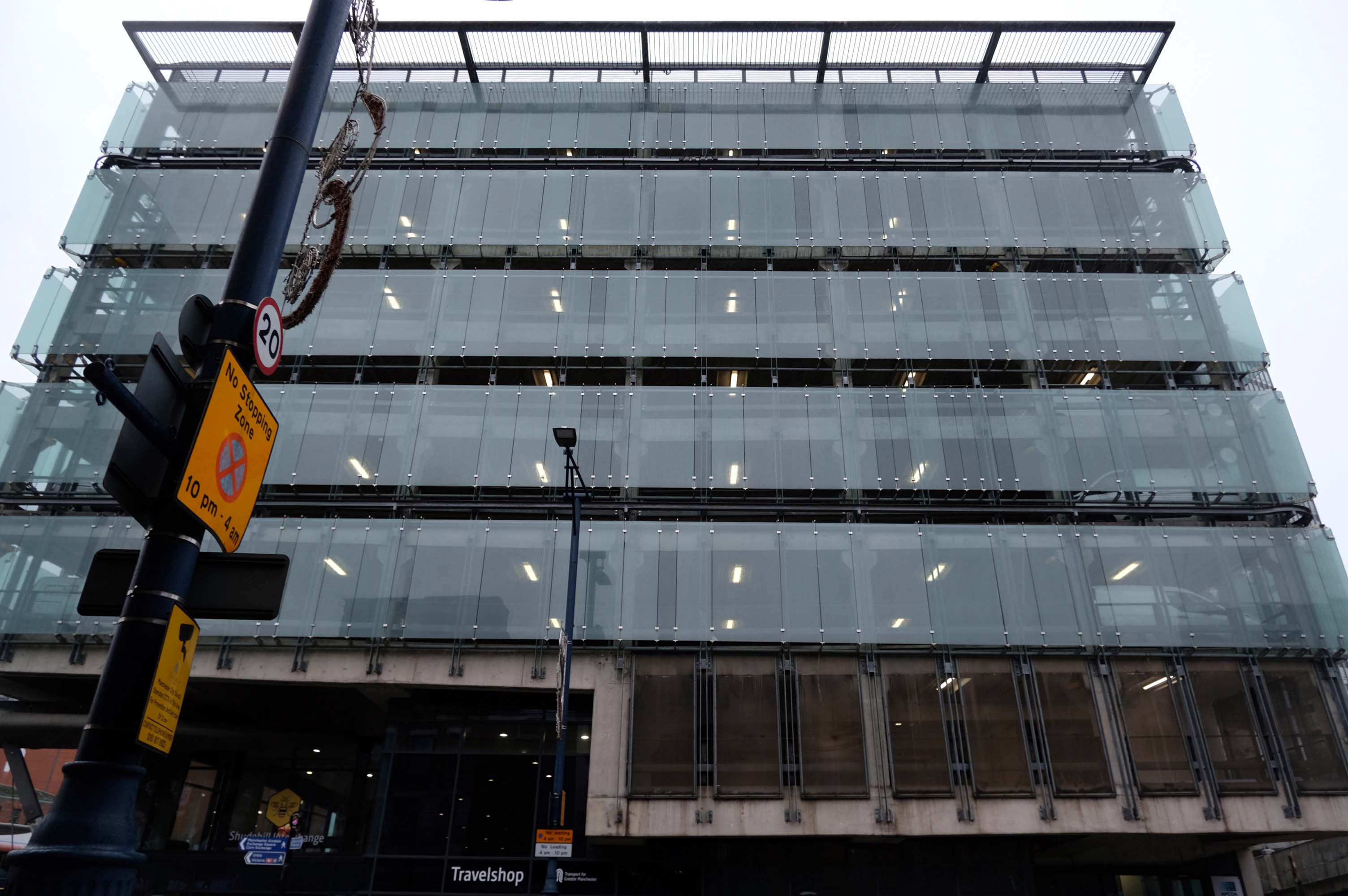
The Shudehill Interchange car park and bus station, designed by Jefferson Sheard Architects working with Ian Simpson, replaced the former Cannon Street bus station, under the Manchester Arndale; since the redevelopment of Manchester city centre, the latter has disappeared along with Cannon Street itself.
Great location but narrow roadway between floors. Pay in advance so you need to know how long you’re staying for.
£20.40 for 4 hours is expensive but you are minutes from Deansgate shops.
Only given one star because there wasn’t an option for zero. Not secure, car broken into theft of personal effects, pedestrian gate was un locked, no CCTV that I could see anywhere. Cost me over £25 to park for 6 hrs and lost over £200 of personal effects, complained to council, no response. Wouldn’t park here ever again.
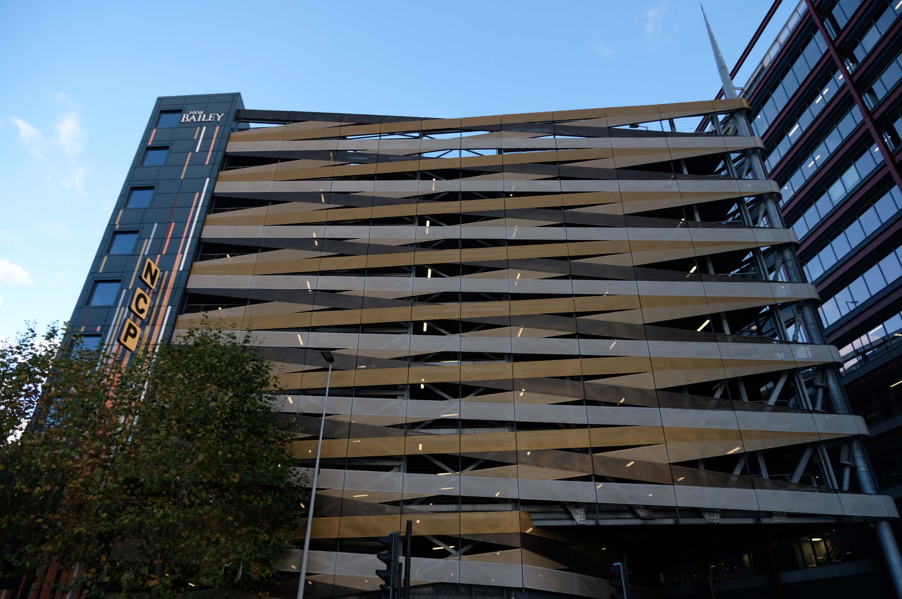
Maple gave architects Aedas RHWL the freedom to express themselves on a prominent multi-storey car park development in Salford. Their imaginative design created a great concept – the nine storey New Bailey car park appearing to be wrapped in ribbons that echo the lattice patterns and intersections in the ironwork of nearby Victorian bridges.
A good, clean and modern carpark. Easy to navigate and sensibly sized spaces. The only downsides are that it’s not cheap and getting into it from Trinity way is hard, as the traffic blocks the junction meaning it takes may cycles of the traffic lights to get across the junction.
Part of the Piccadilly Plaza development of 1965 by Covell Matthews and Partners
Nice central location with a large entrance so you dont have to risk scratching your car as you pull in. Found there was a lack of signage to direct to nearest pay machine or walkway exit. Also had trouble when it was time to pay. I typed in my registration and yet it wasnt recognised and so I had to estimate my time of arrival. I ended up paying £10.50 for around 3 hours, which probably is the going rate for city centre parking.
Sadly after seeing several reviews that cars were broken in to, I would certainly reconsider parking here in future. I got lucky here, I had suitcases locked in the car, with several hundreds of pounds worth of travel money.
Worst place to park on earth, we had our car broken int0, everything stolen, it’s common knowledge that the drunks in the town hang around the car park to steal and then use your cards to buy their booze
Secure and easy to find while driving, struggled to get back in through side door, had to walk up the ramp.
Expensive.
Stairwell stinks like piss and I’ve seen homeless people sitting in there. Doesnt feel safe.
Great car park, security is great, right in the city centre above the bus station that goes Scotland to Cornwall, Wales to Norwich and many more, Manchester city centre literally with Piccadilly Gardens around the corner.
Great car park we use all the time in Manchester, easy to book online, no messing with cash machines. Takes your car reg by camera for easy access in and out. Plenty of spaces mainly upper floors, just tight around corners.
Fielden Clegg Bradley were concept architects while Leach Rhodes Walker were delivery architects.
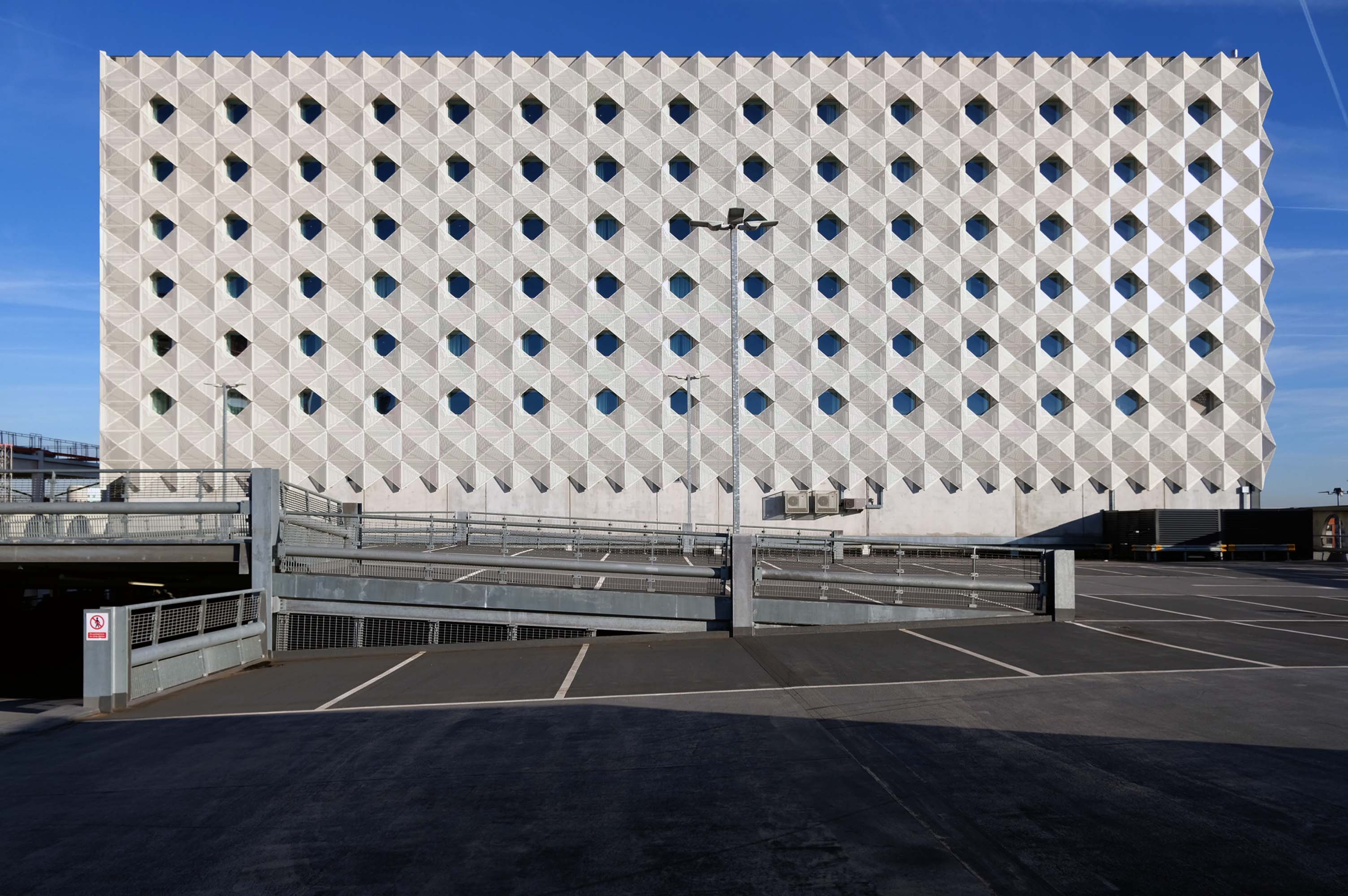
A series of four × two-storey-deep lattice girders and a single one-storey girder, all measuring up to 27m-long, span over the zone where the underground pipes are located. In these parts, the car park has no first-floor level as the local water board needed a 5m ground-to-ceiling clearance in case they had to undertake any maintenance works. Consequently, the first floor is only a partial level and is set within the depth of the larger lattice girders, as is the second floor, while the third level is supported on top of these members.
Supporting a hotel would be challenging enough, however the design has also had to incorporate large bridging elements as there are two subterranean 600mm-diameter water pipes crossing the site. “It’s a very unusual design and one that was originally designed as a concrete-framed structure,” says James Killelea Senior Structural Engineer Charlie Twist. “However, the bridging parts would have proven to be too difficult to build and consequently a steel-framed solution was chosen for the car park, which in turn supports a precast concrete hotel.”
This car park is one of the cleanest and most well maintained in Manchester.
JHA Pulmannwere commissioned via network rail to deliver an extension to, and re-cladding of an existing 1970’s concrete frame carpark outside of Manchester Piccadilly station.
The carpark is fine but as a lone female arriving off the train in the early hours of the morning, I felt quite vulnerable getting back there. It’s in a very quiet dark place accessed by going through a tunnel going under a bridge.
Easy to find, plenty of spaces and only a short walk to Piccadilly station – great!
Secure and easy to find while driving, struggled to get back in through side door, had to walk up the ramp.
Expensive.
Stairwell stinks like piss and I’ve seen homeless people sitting in there, doesn’t feel safe.
Great car park, security is great, right in the city centre, above the bus station that goes Scotland to Cornwall, Wales to Norwich and many more, Manchester city centre literally, with Piccadilly Gardens, around the corner.
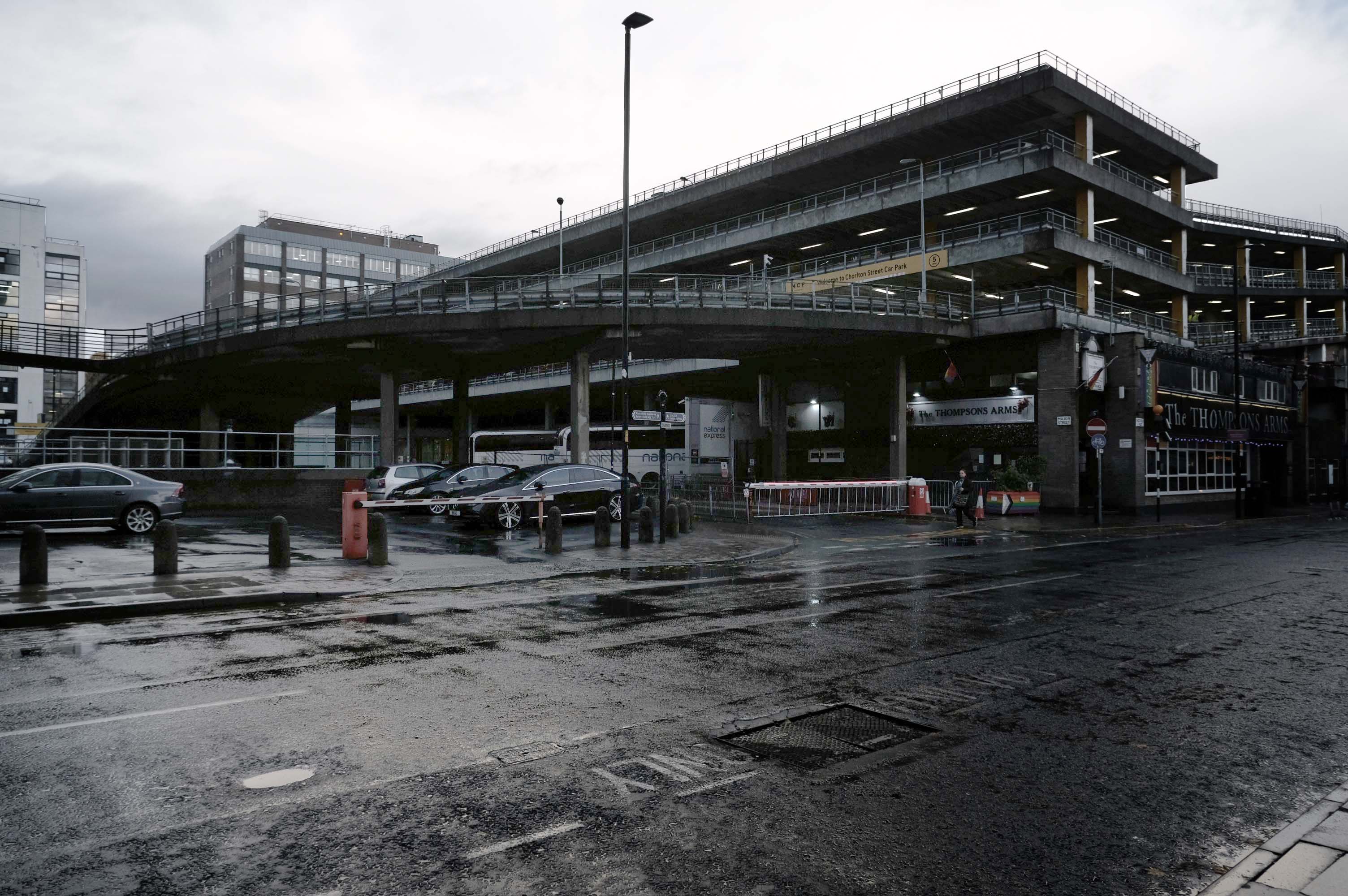
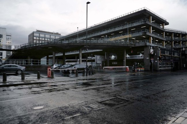
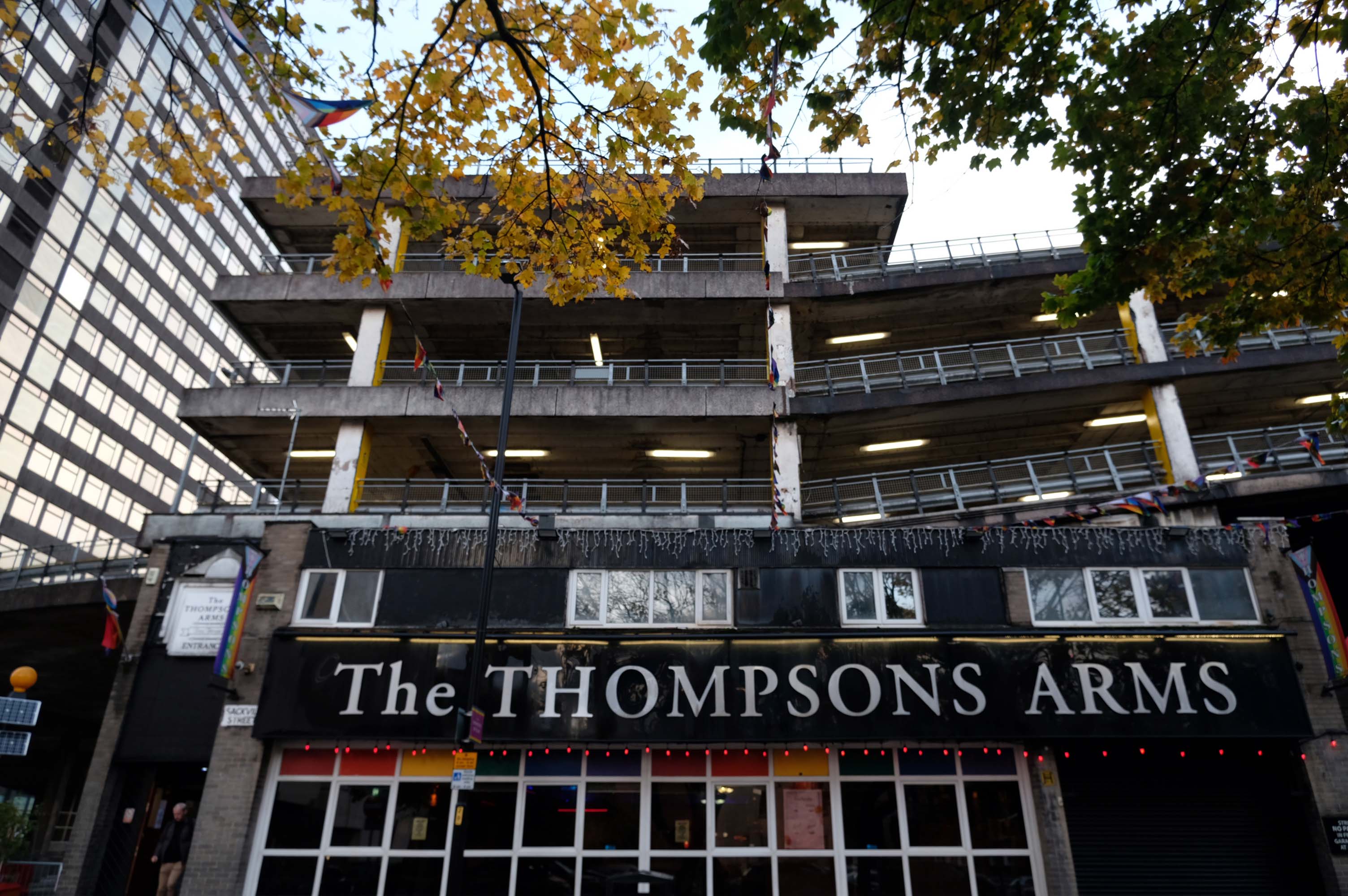
We have been snapping here afore in the guise of Mr Estate Pubs – checking out the Thompsons Arms.
For this is a car park with coach station and boozer attached.
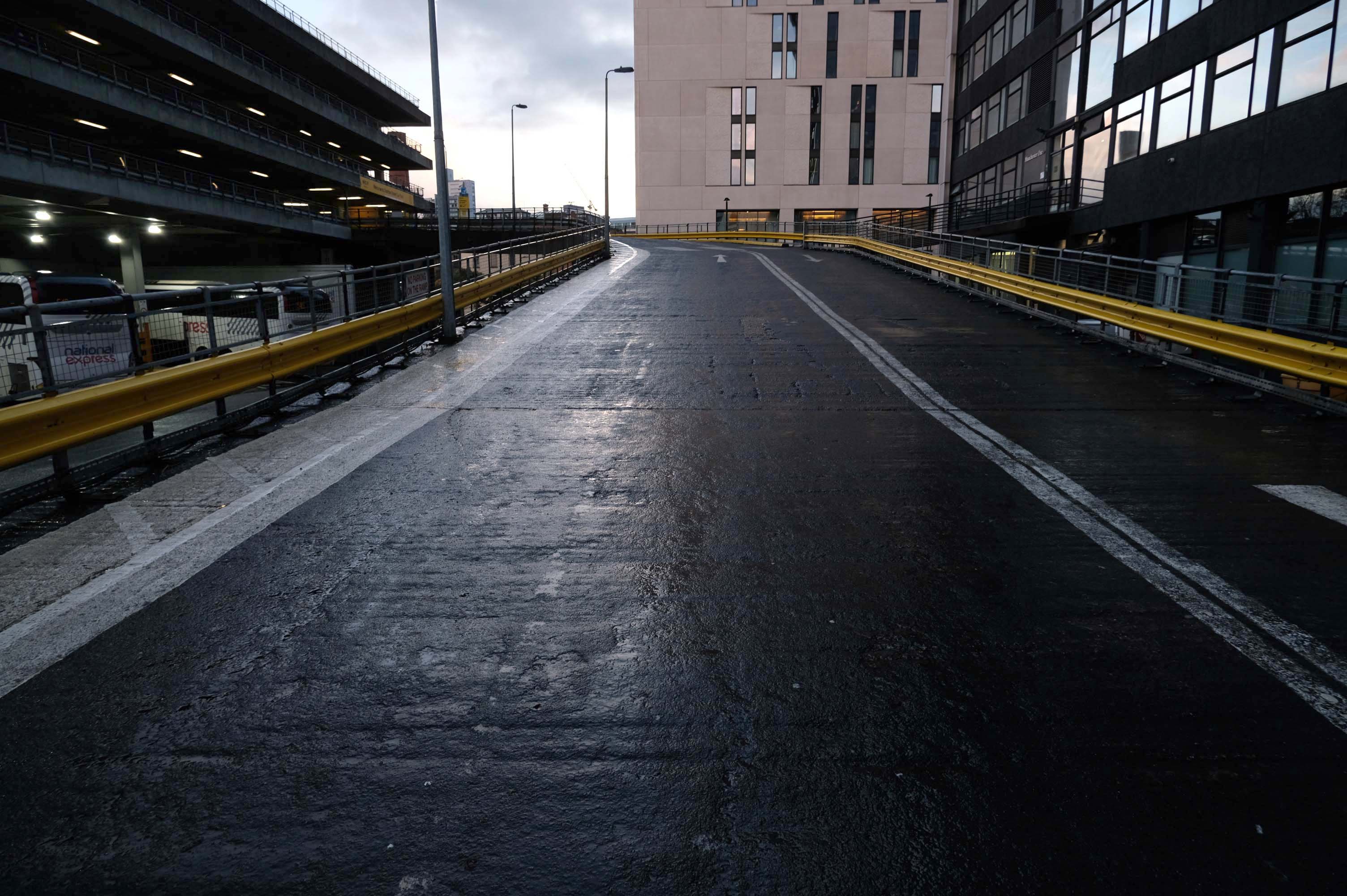
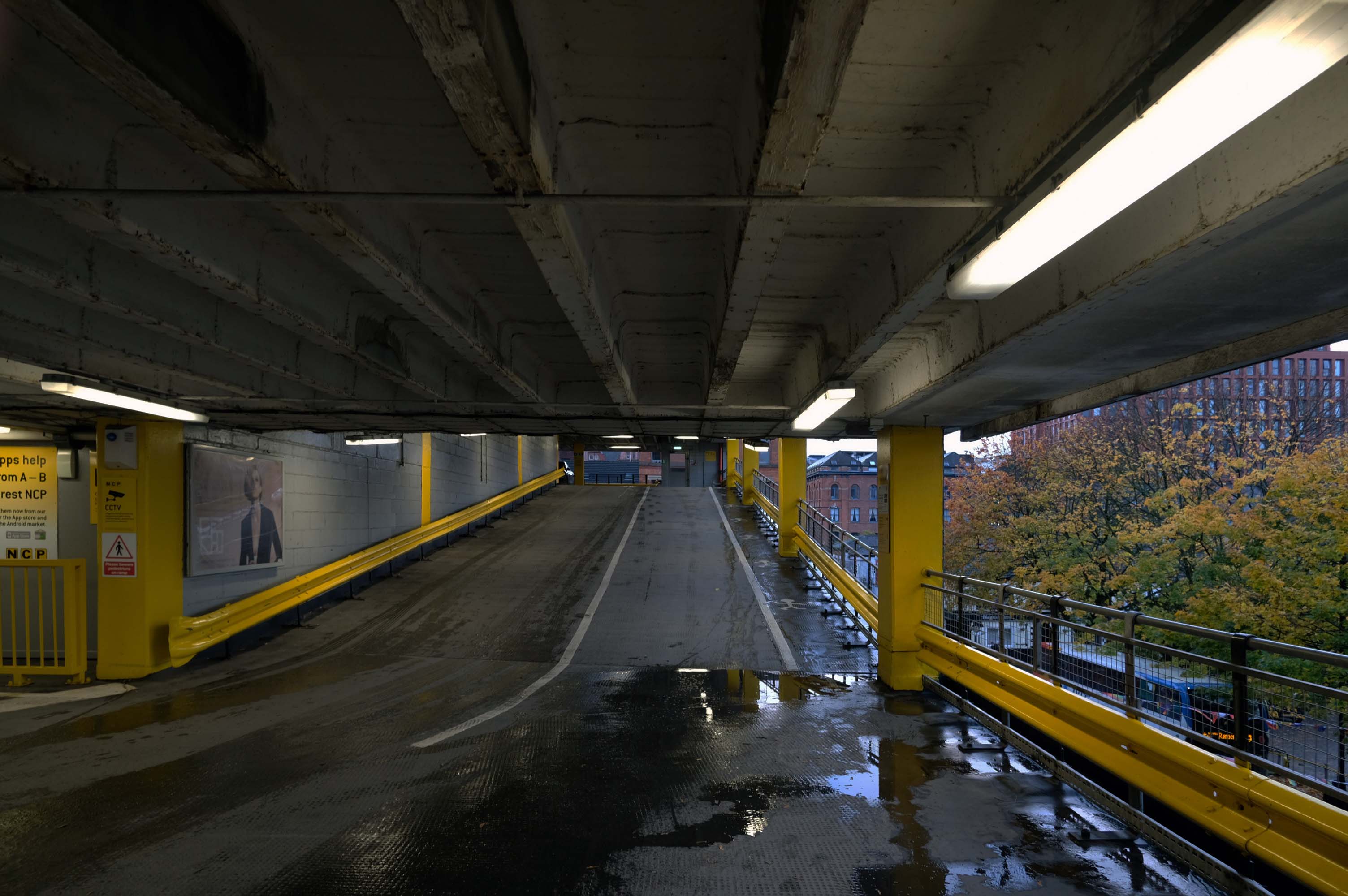
The pedestrian in a car park approaches cautiously – along the ramp.
Retreating the better to circumnavigate the site.
I was quickly losing light – so I called it a day.
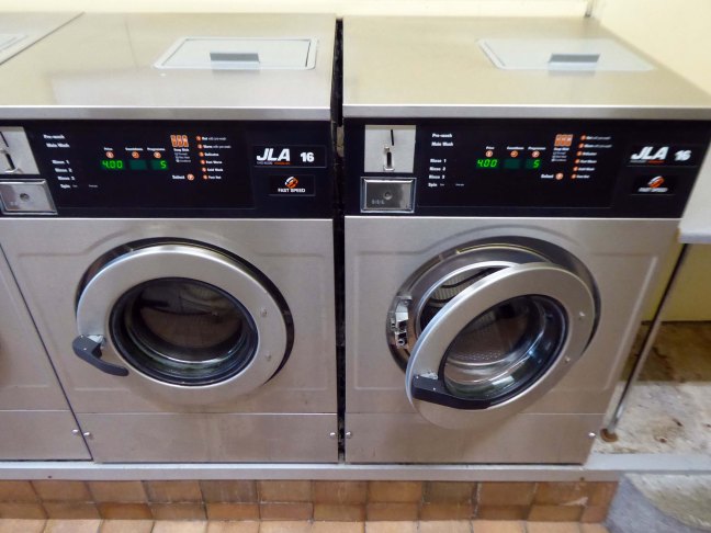
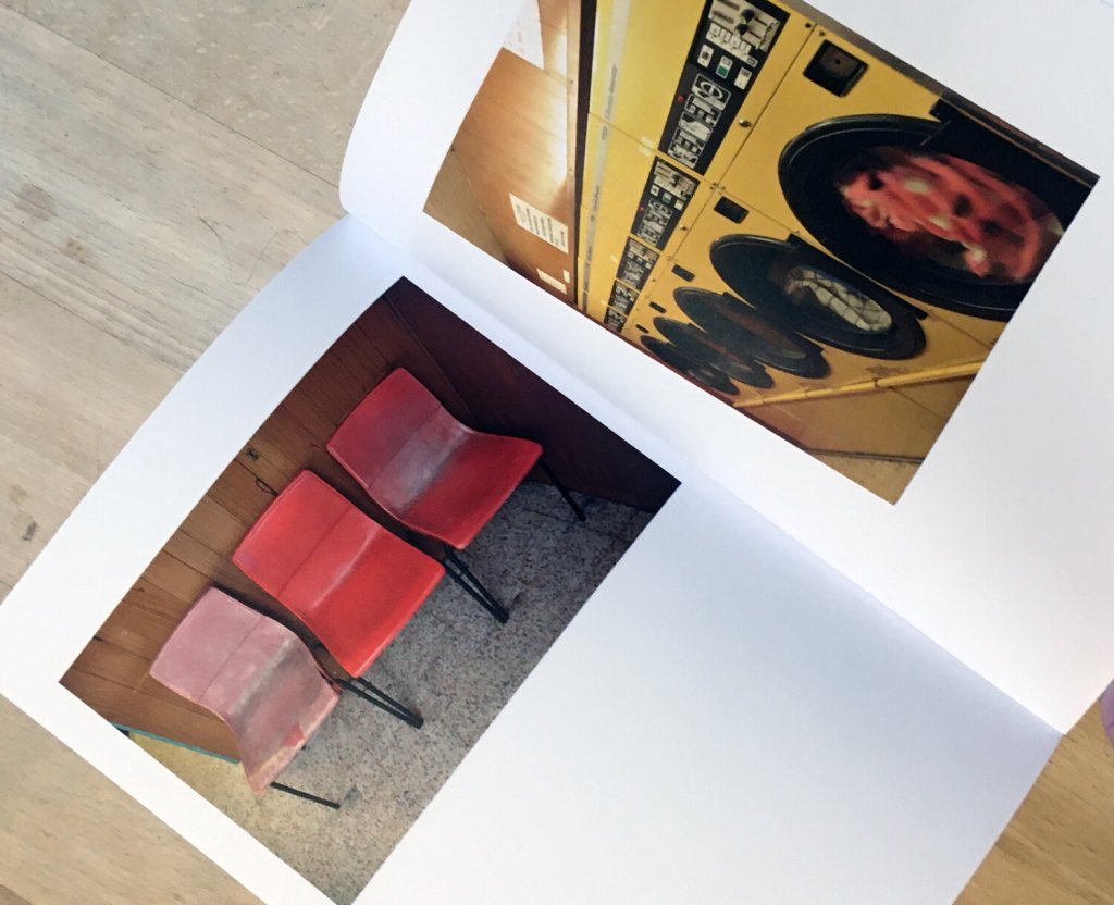
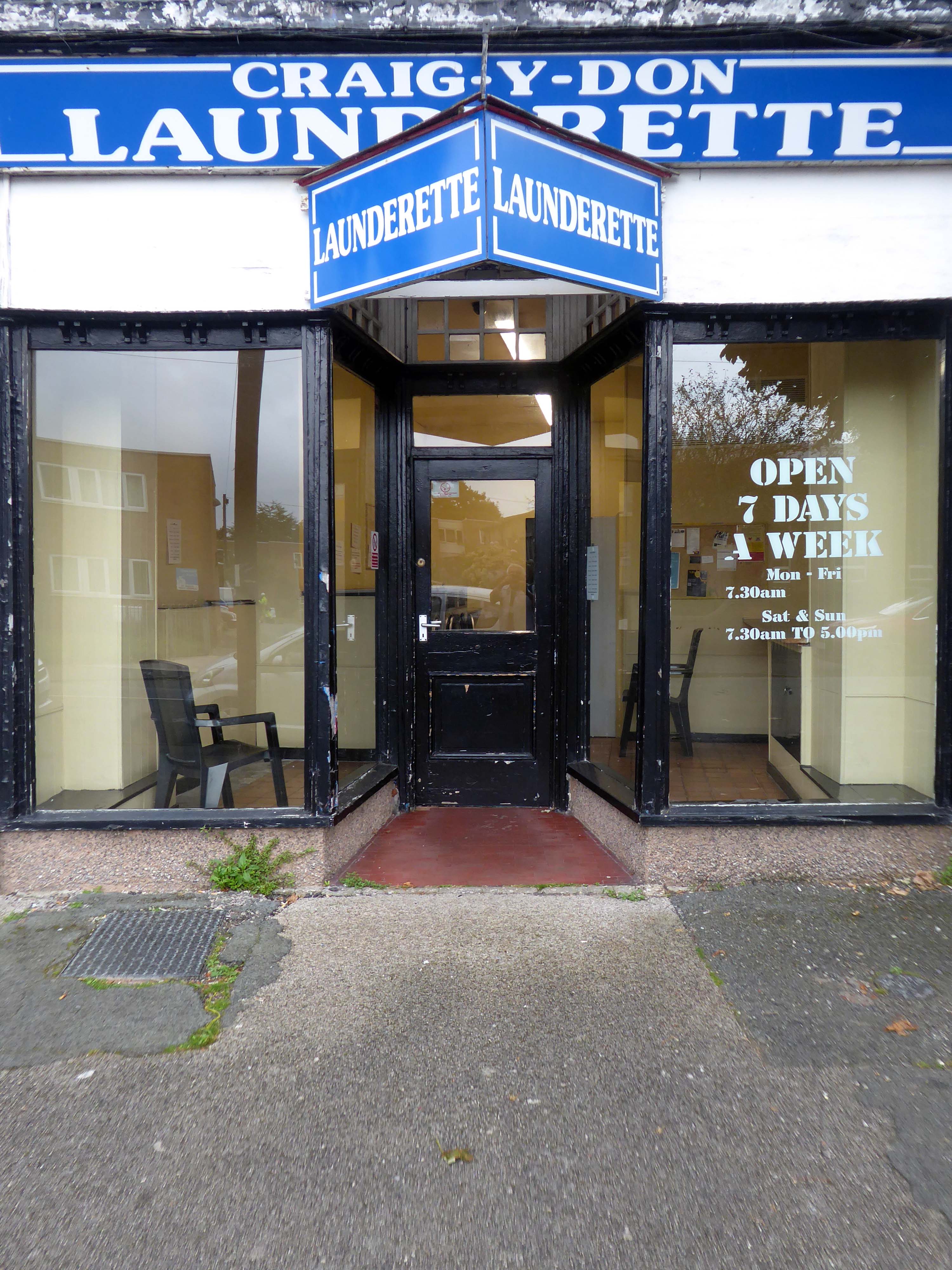
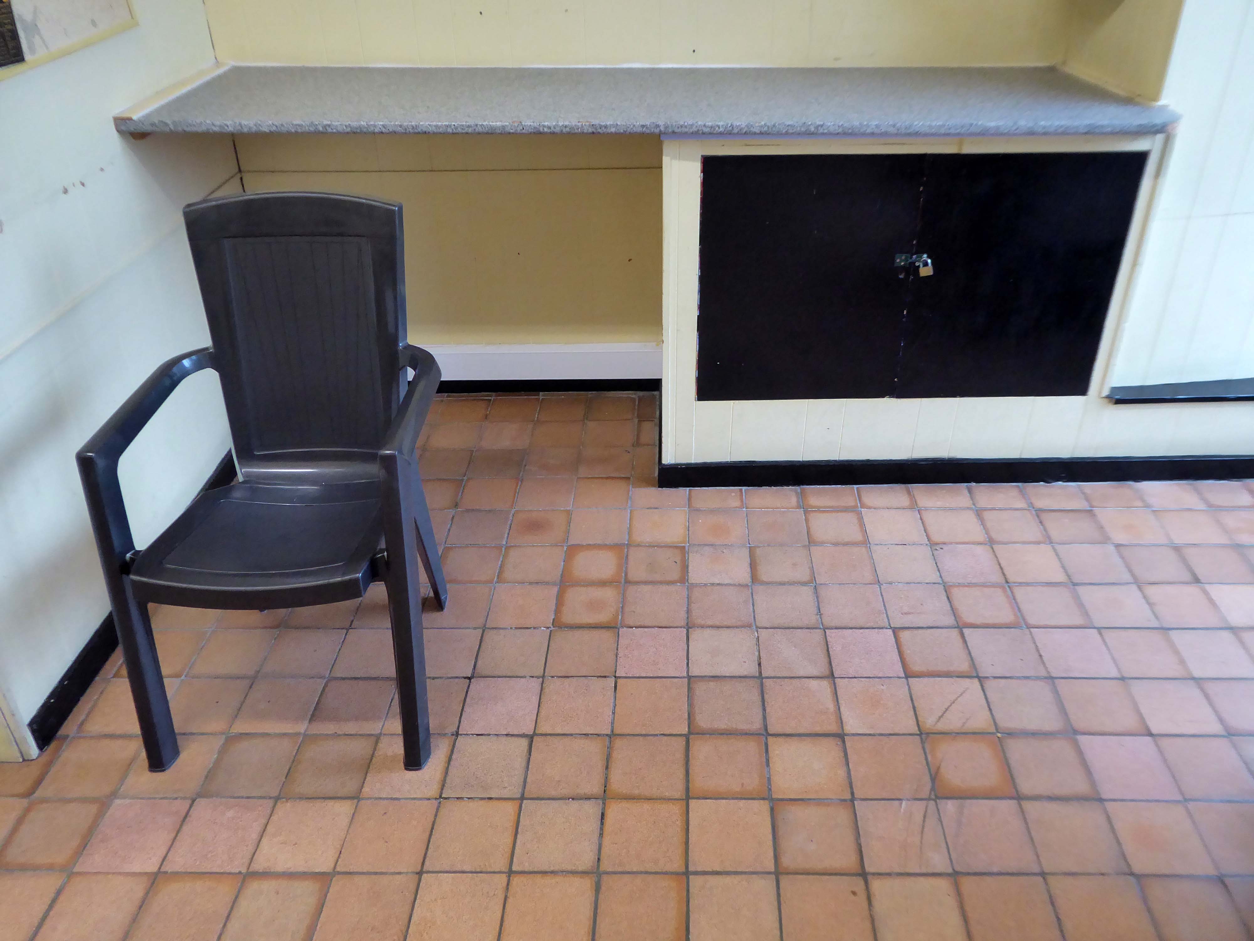
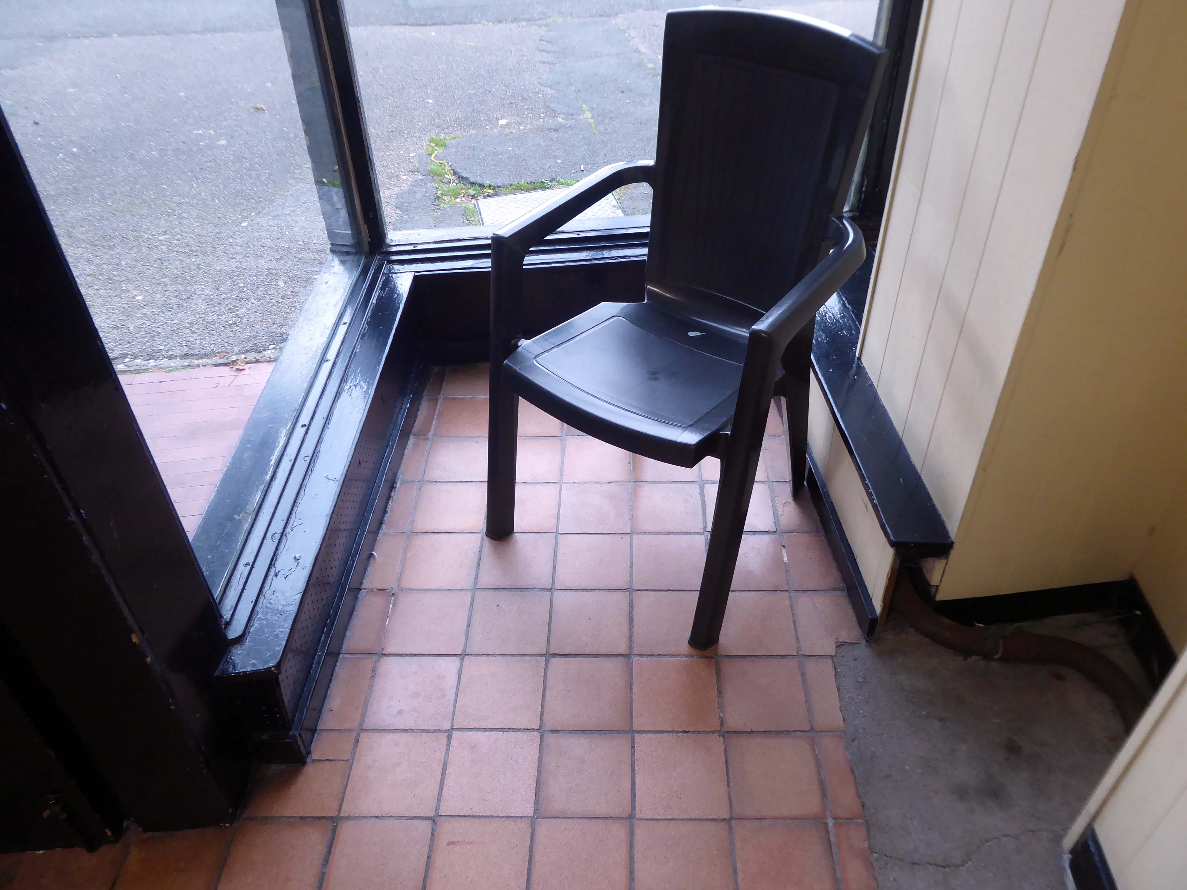
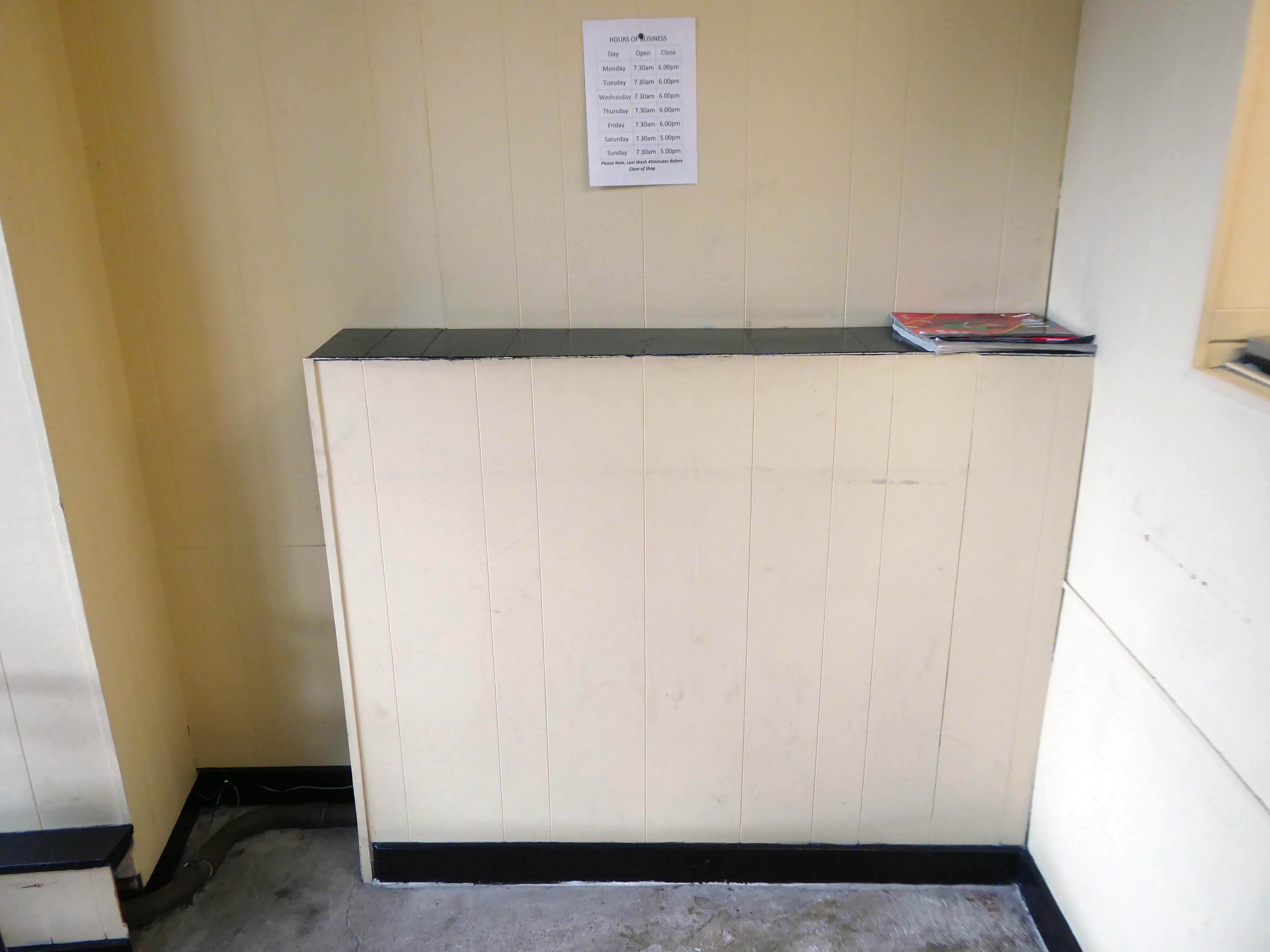
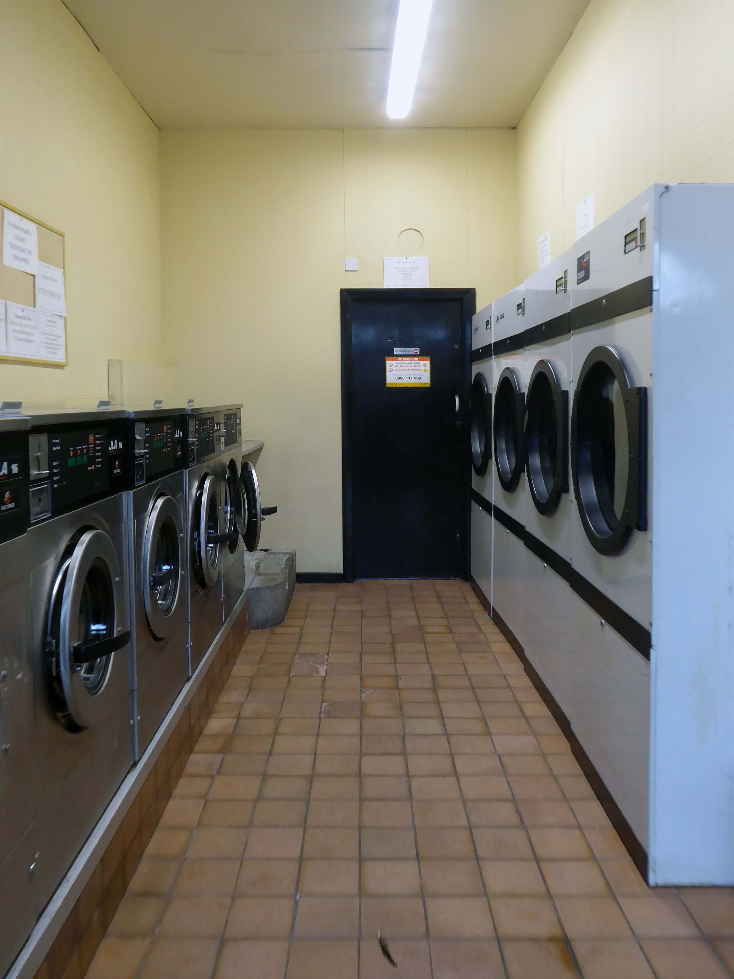
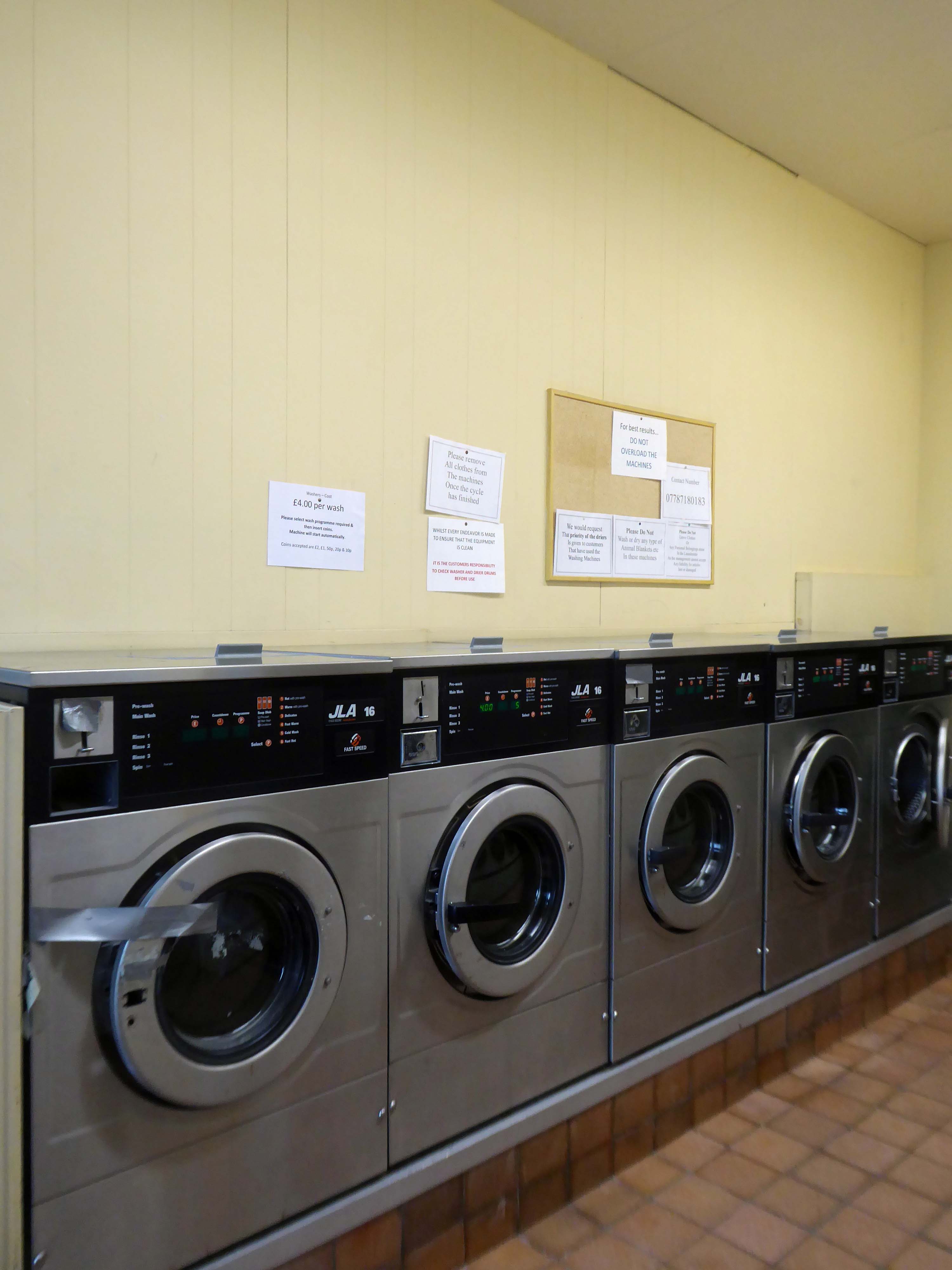
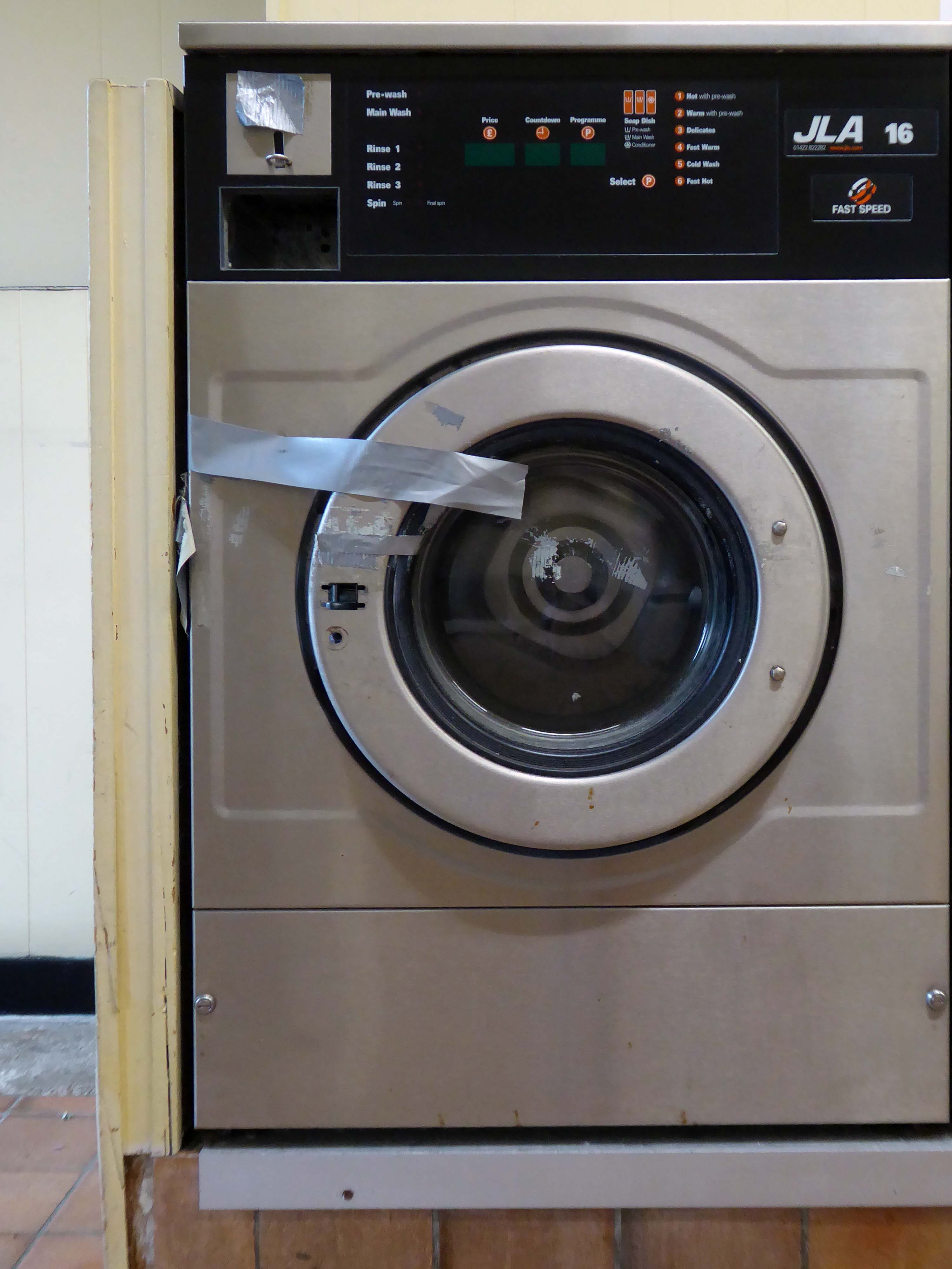
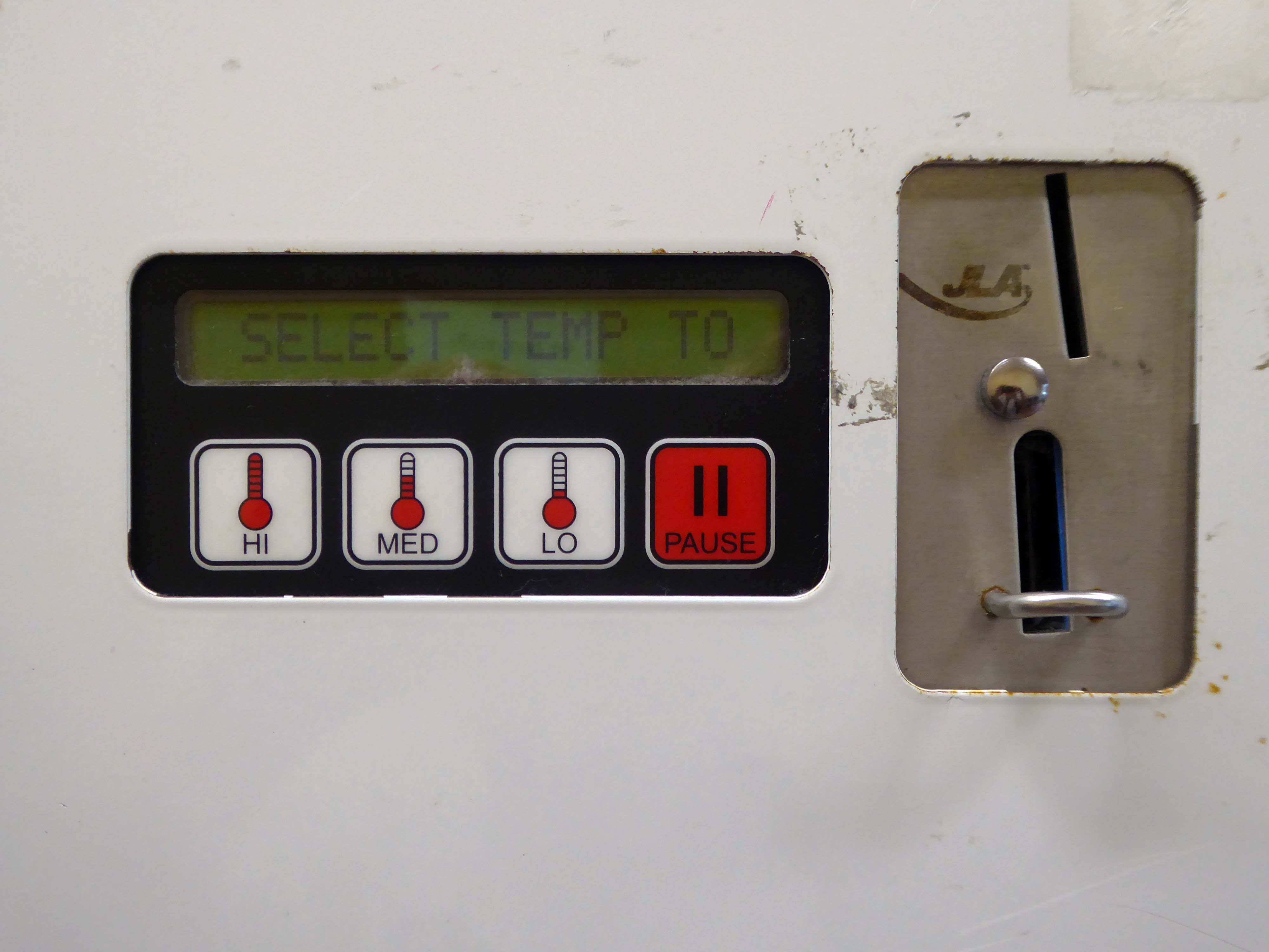
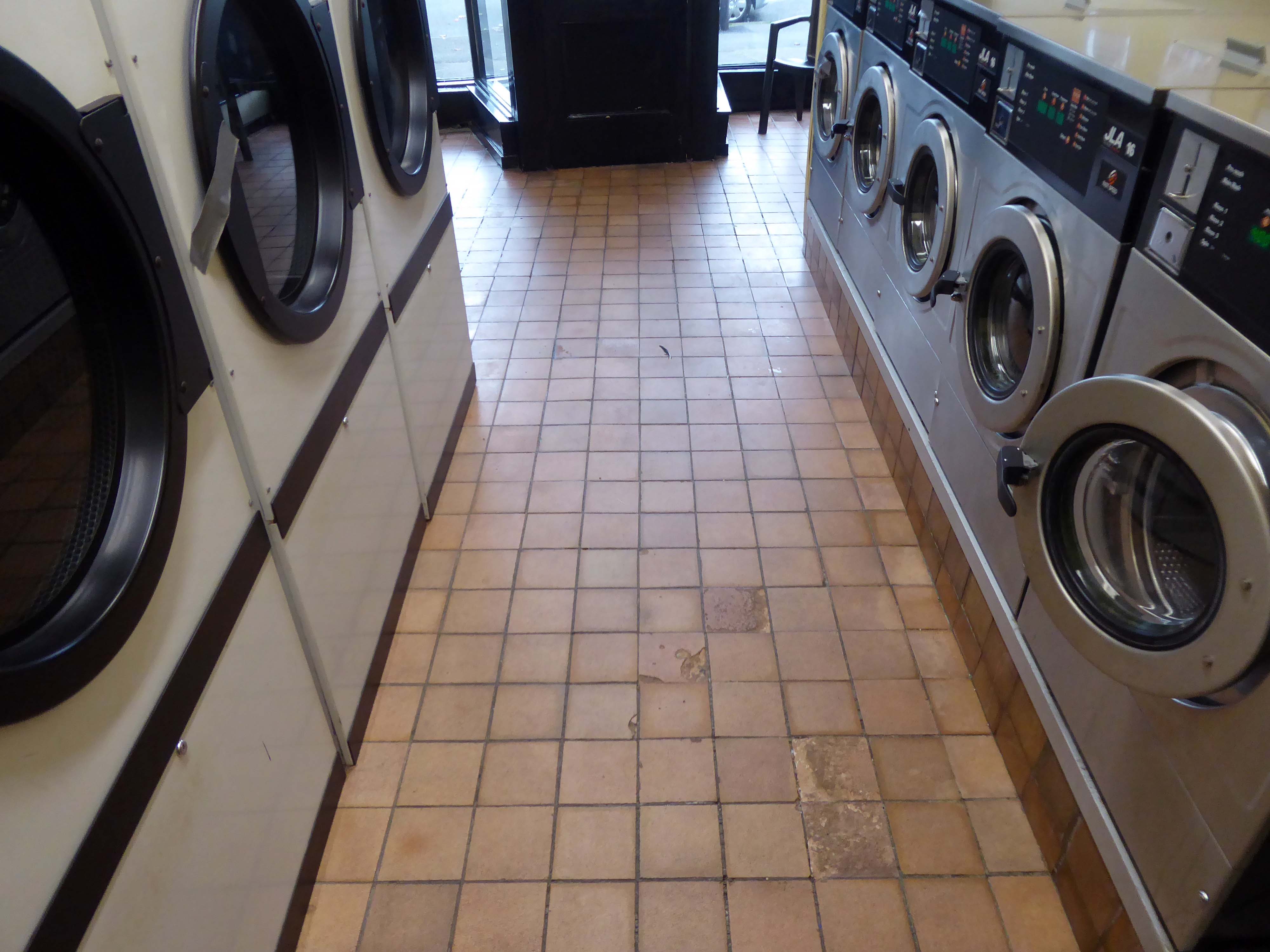
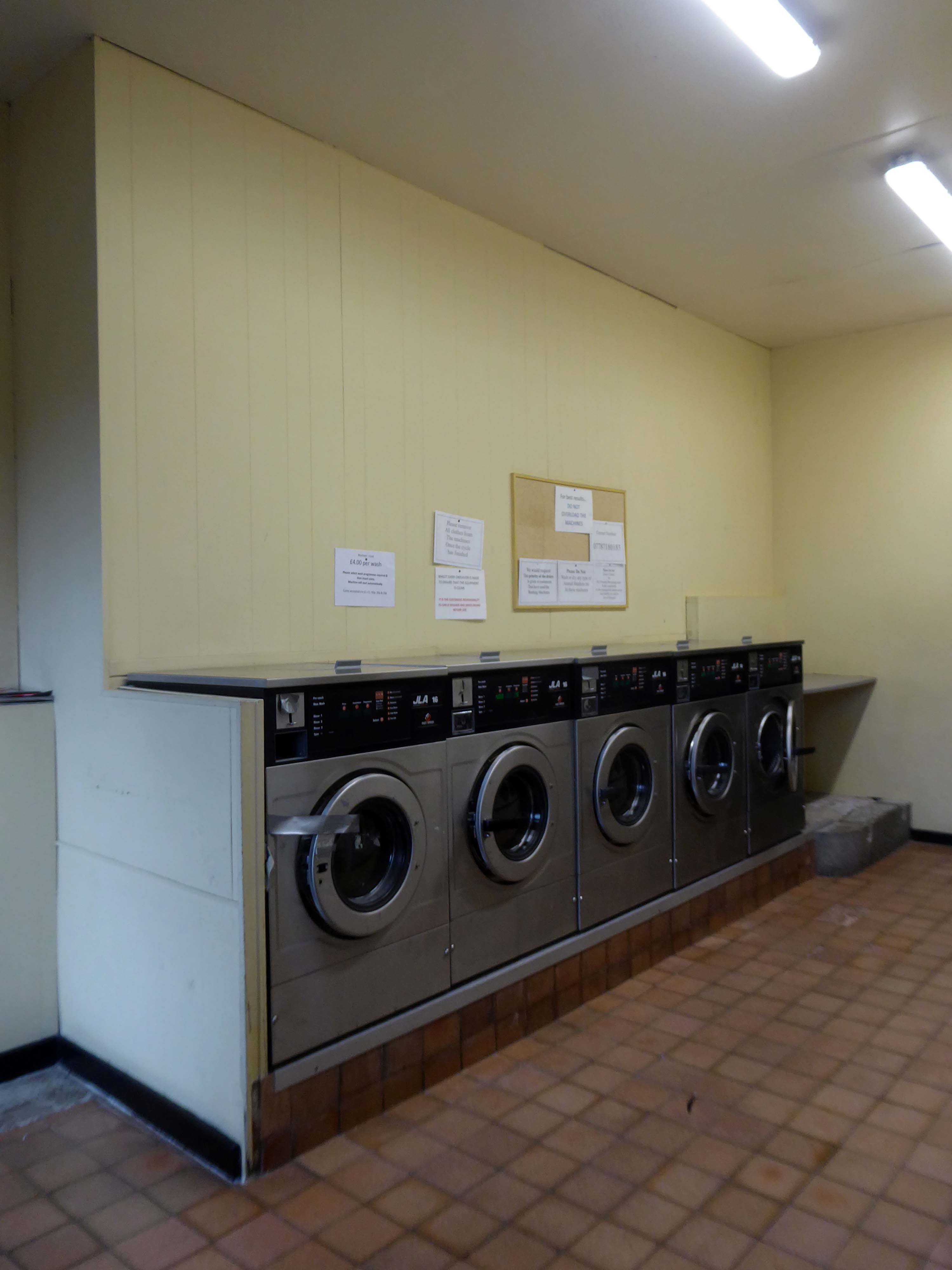
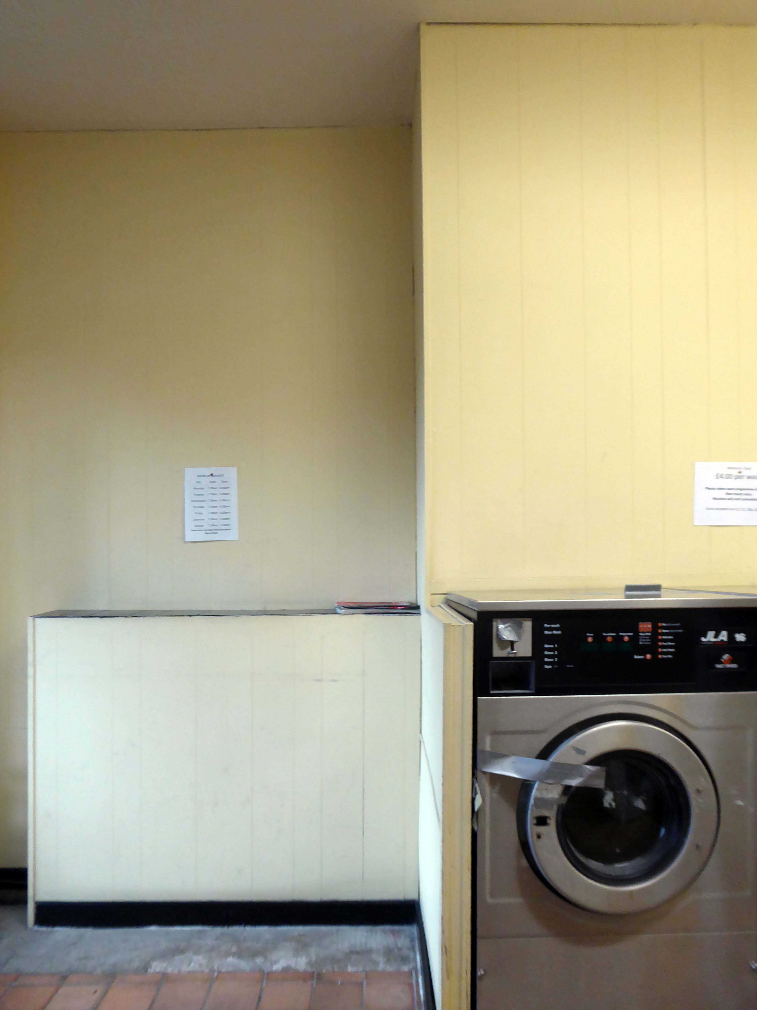
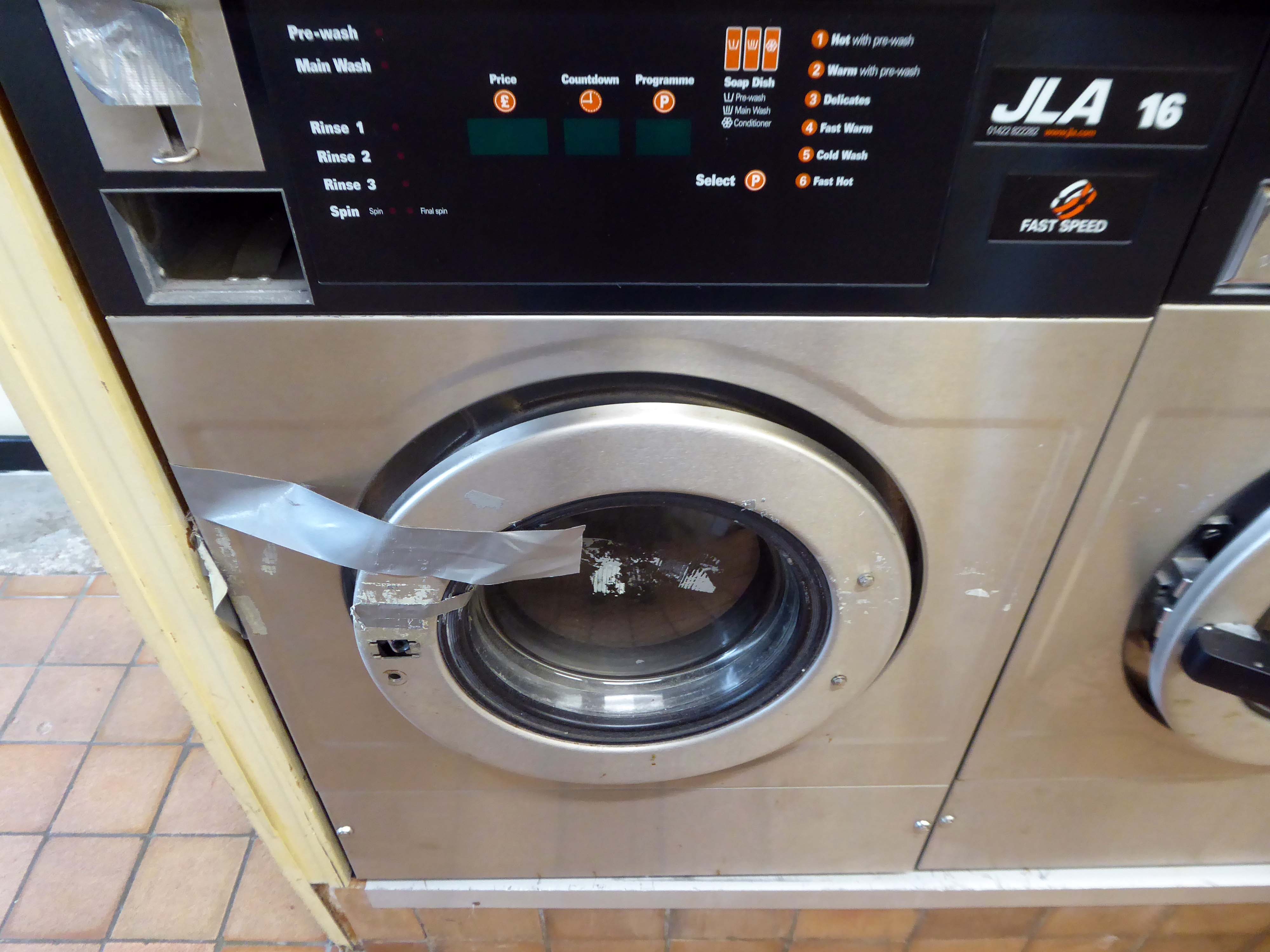
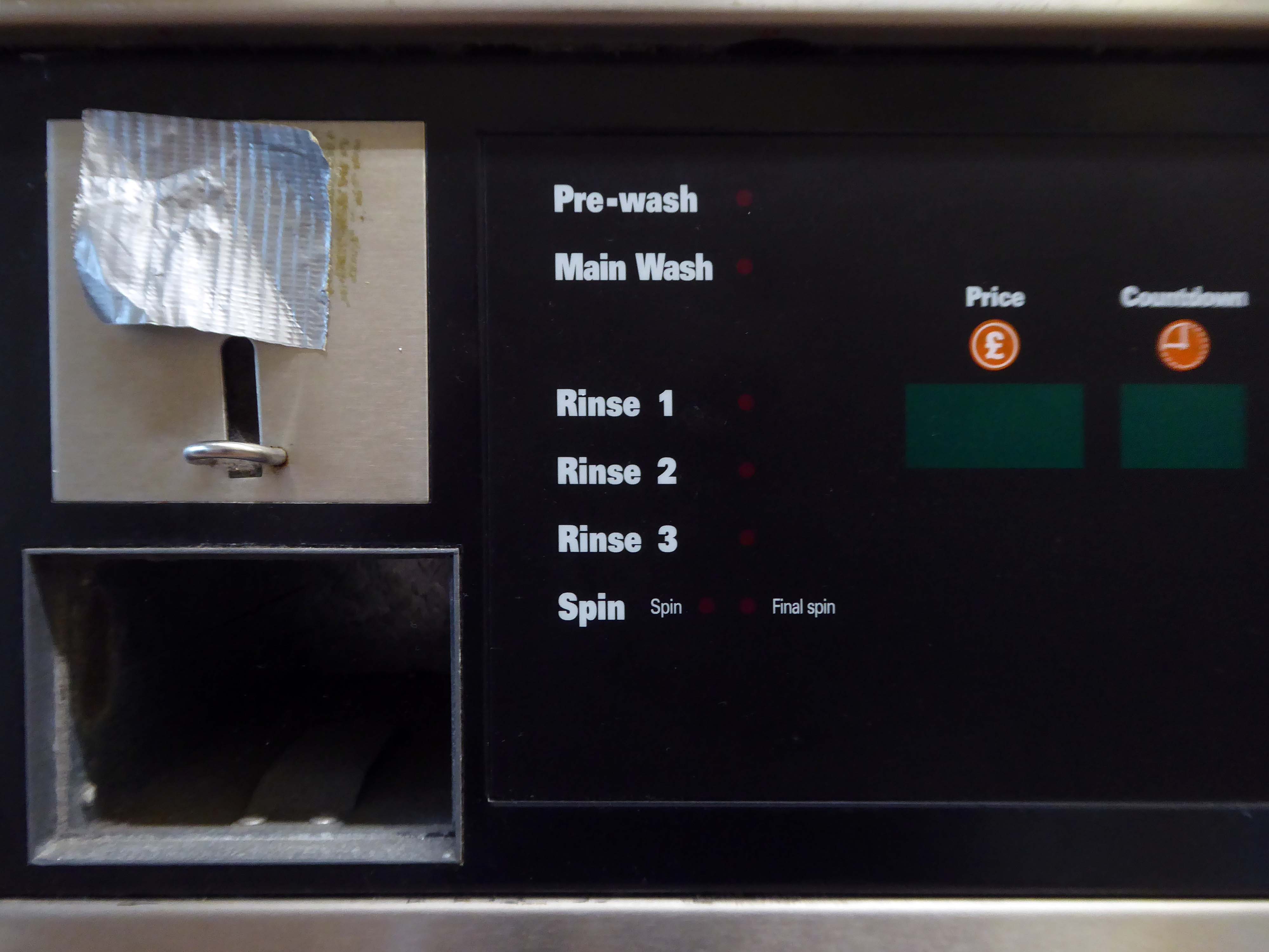
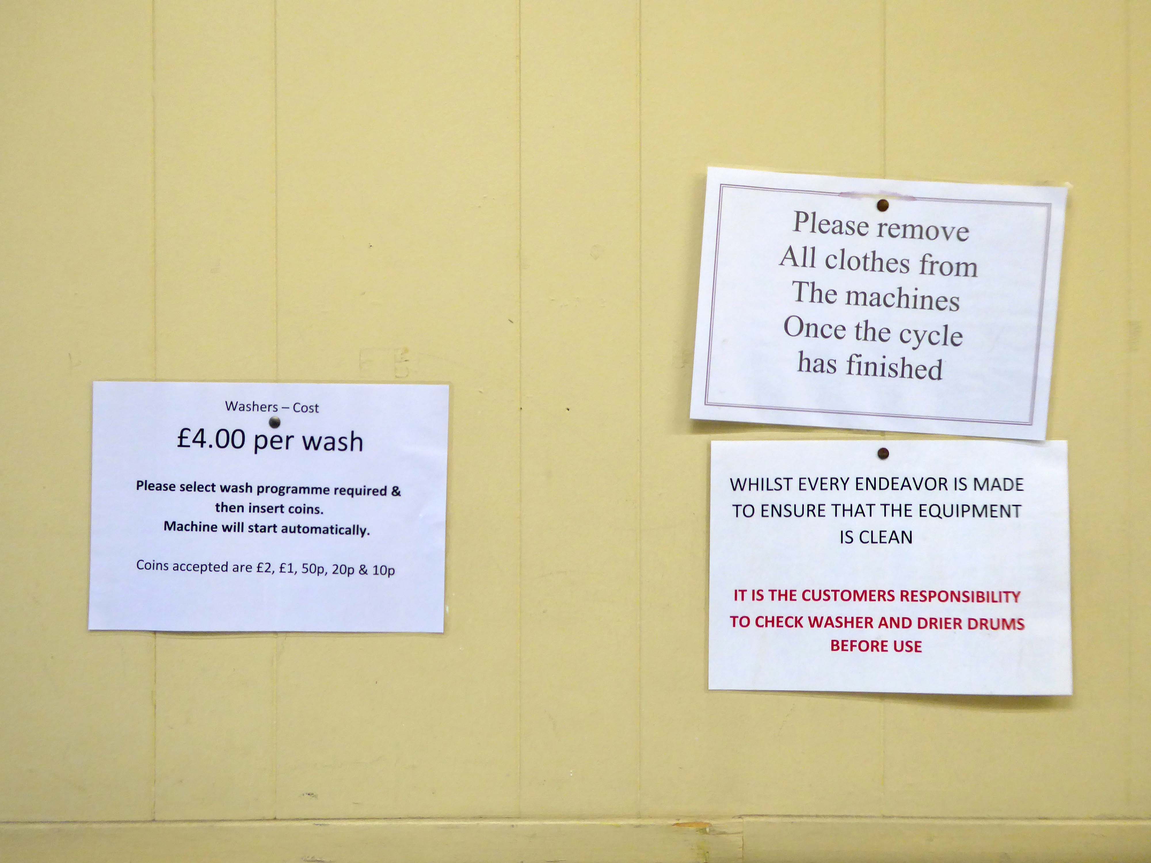
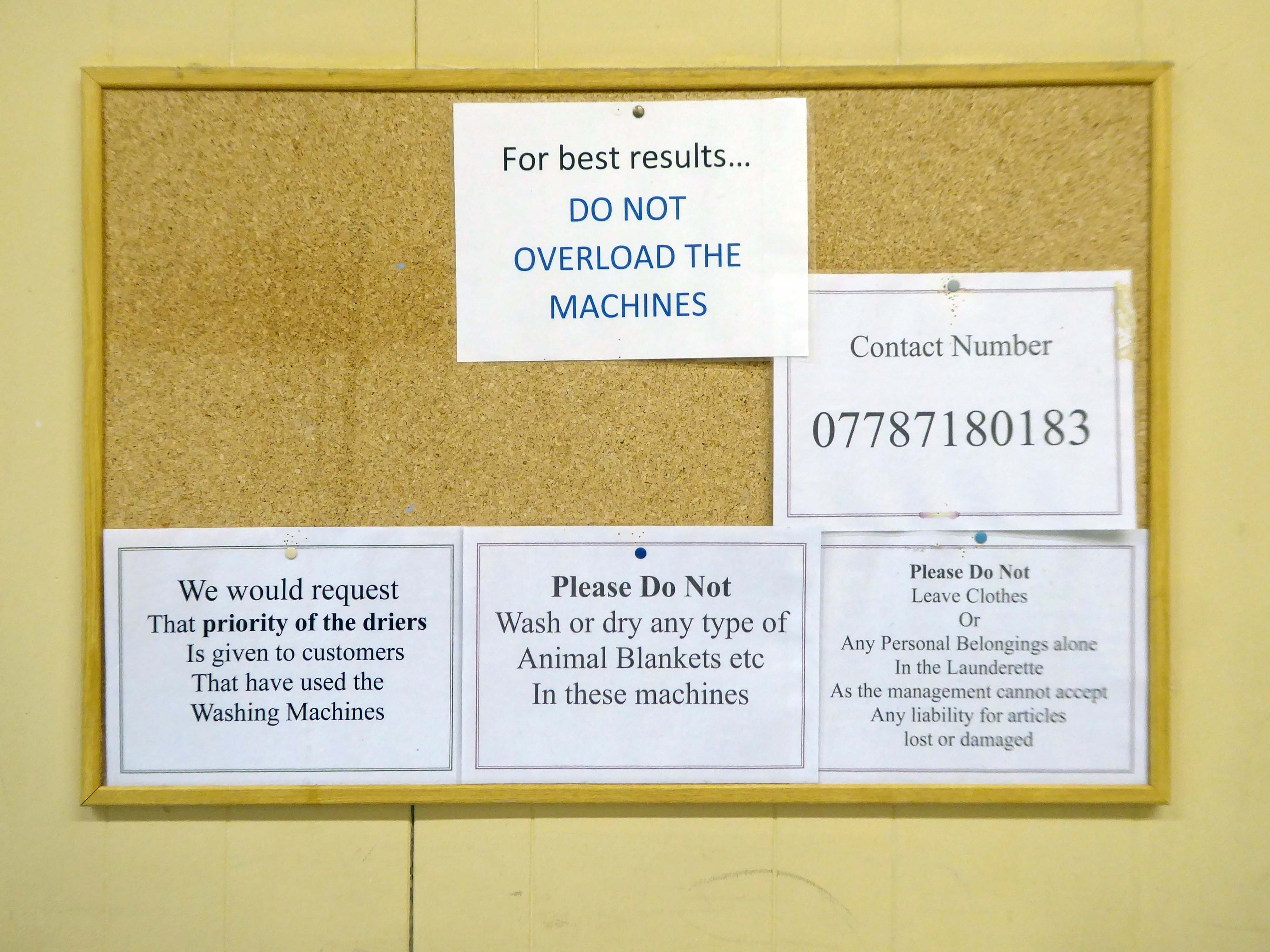
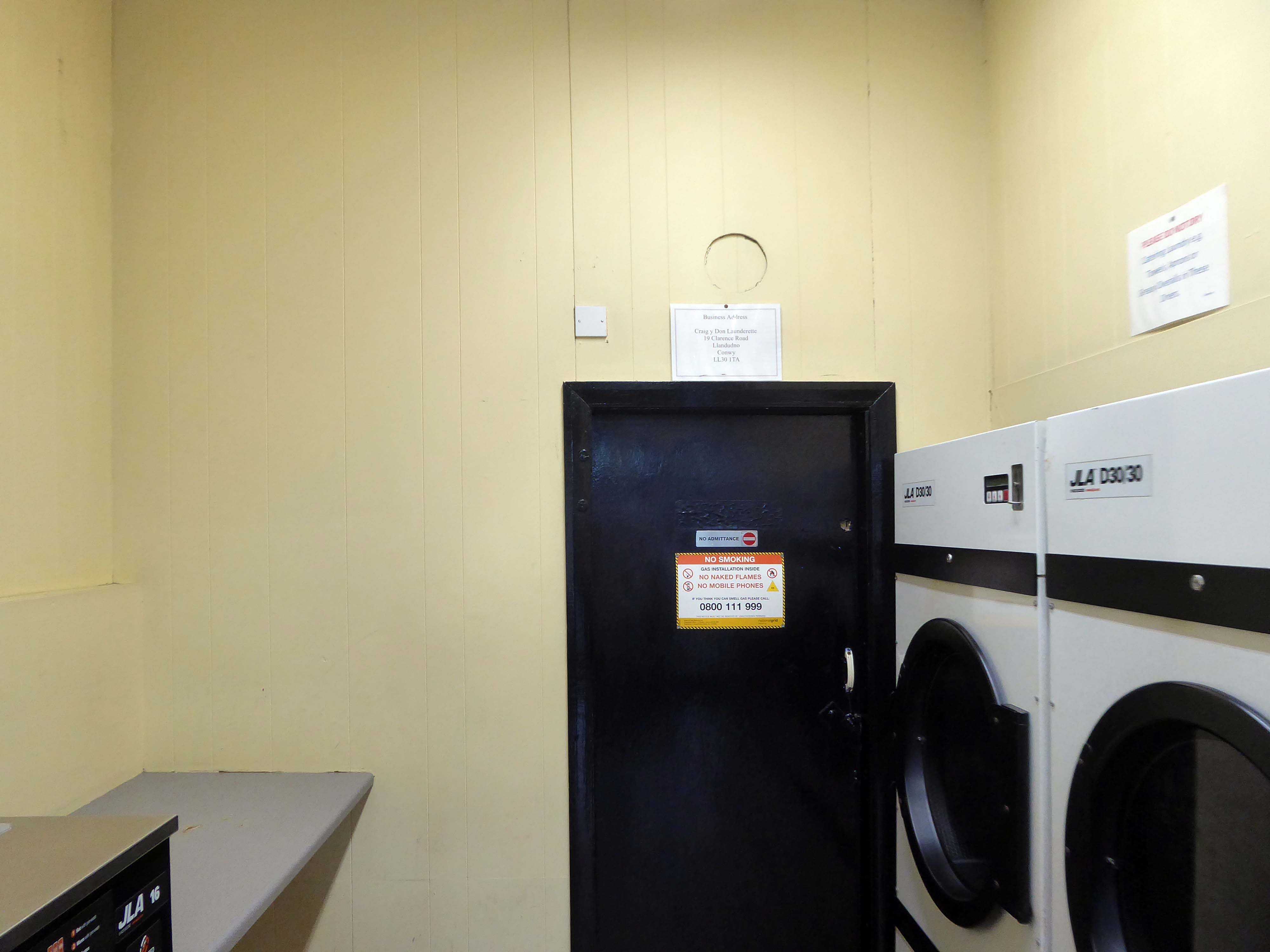
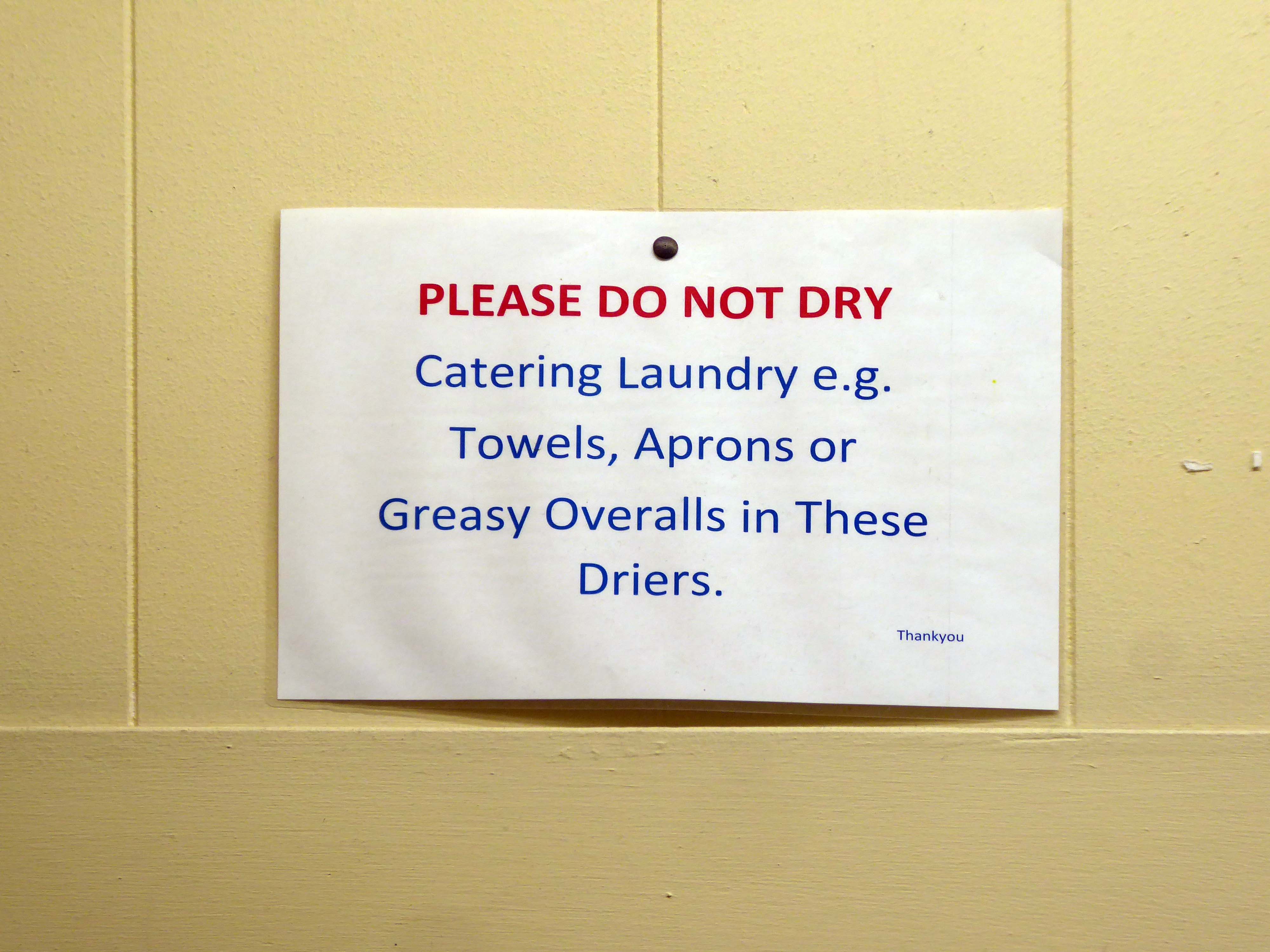
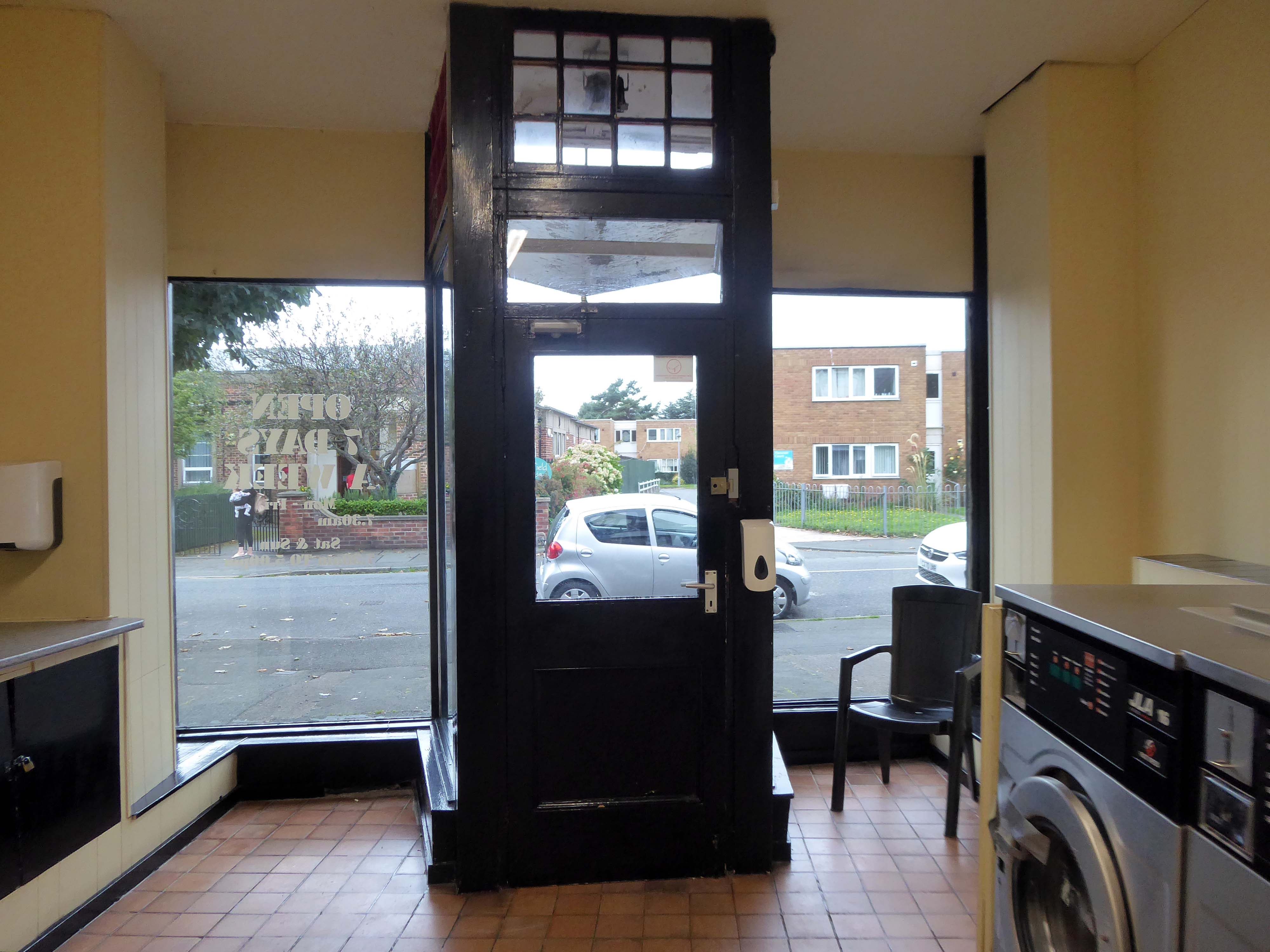
Only takes 20p 50p £1 £2 and no change machine. No detergent either so plan on getting some at the store nearby first. No WiFi, four dryers and five washing machines, one of which, doesn’t work.
The only good thing about it is that it’s open on Sundays.
CJ – local guide
Brilliant dryers and not too expensive, I had to laugh at the review saying – no WiFi.
Debbie Dent
This wash and wear love could hang you out to dry.
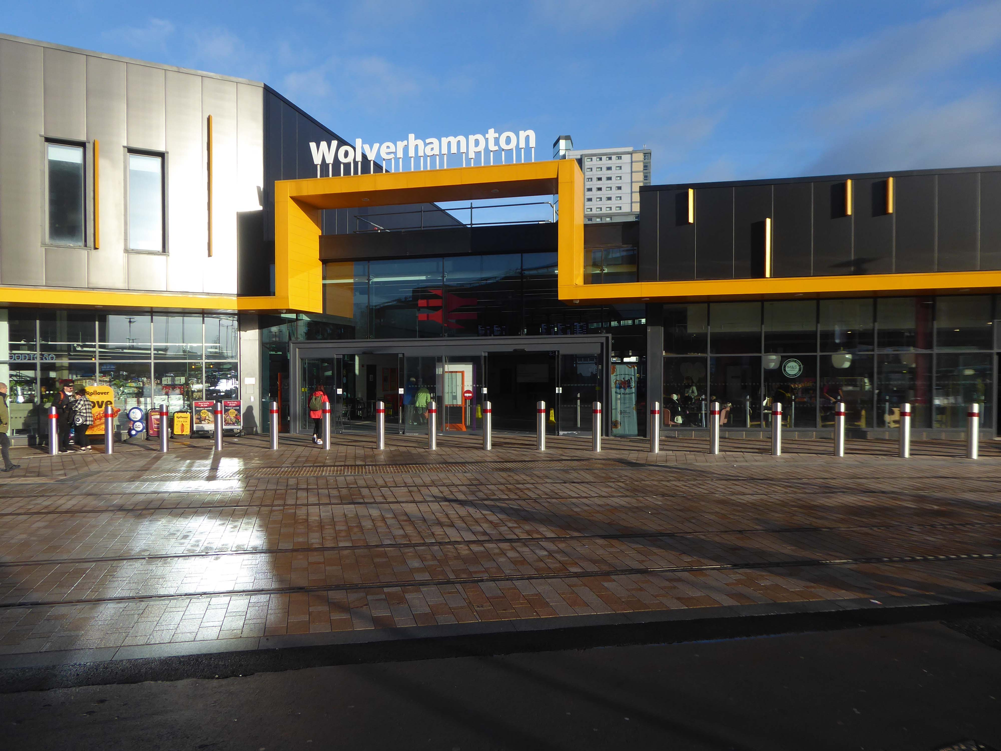
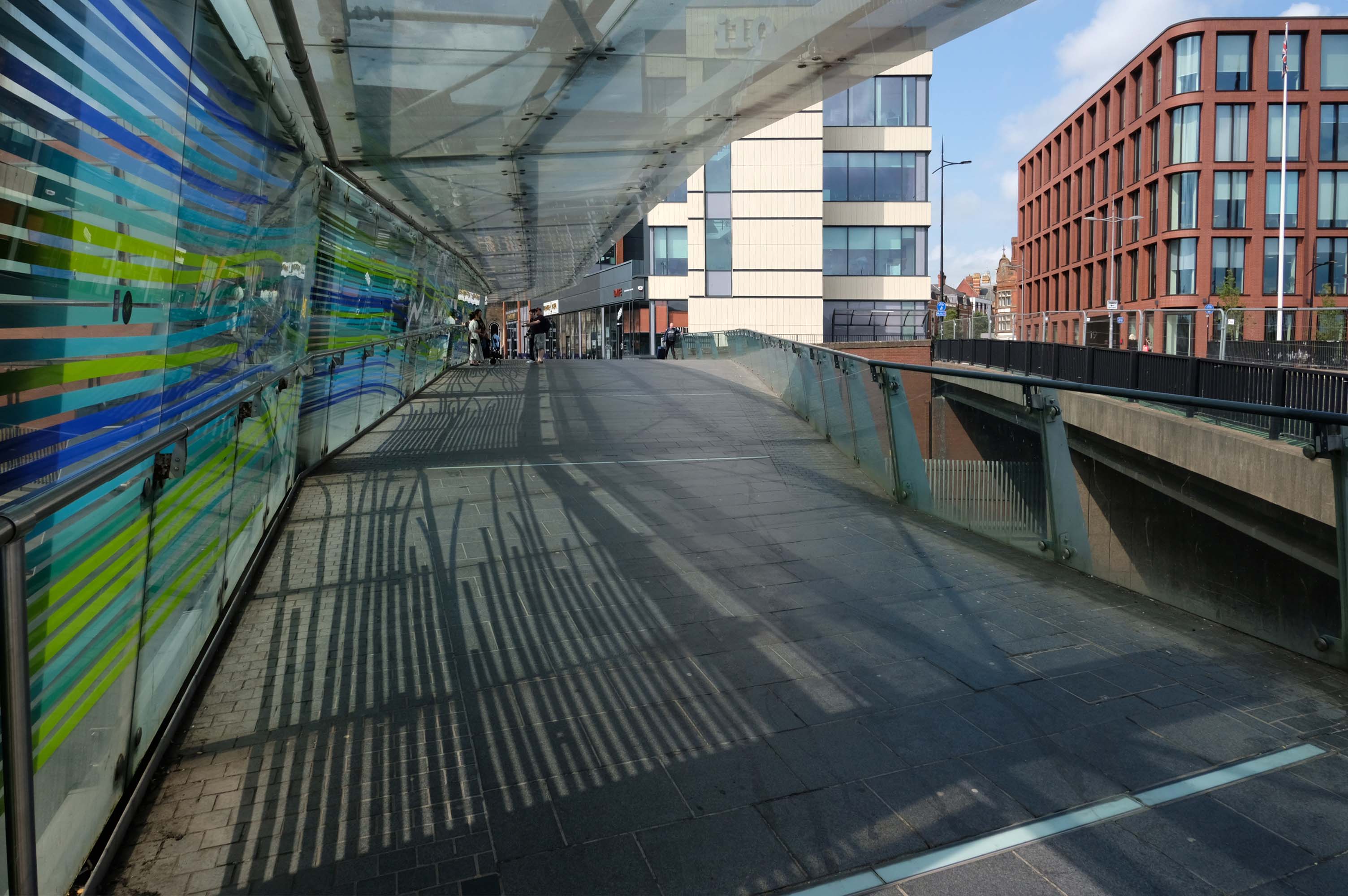
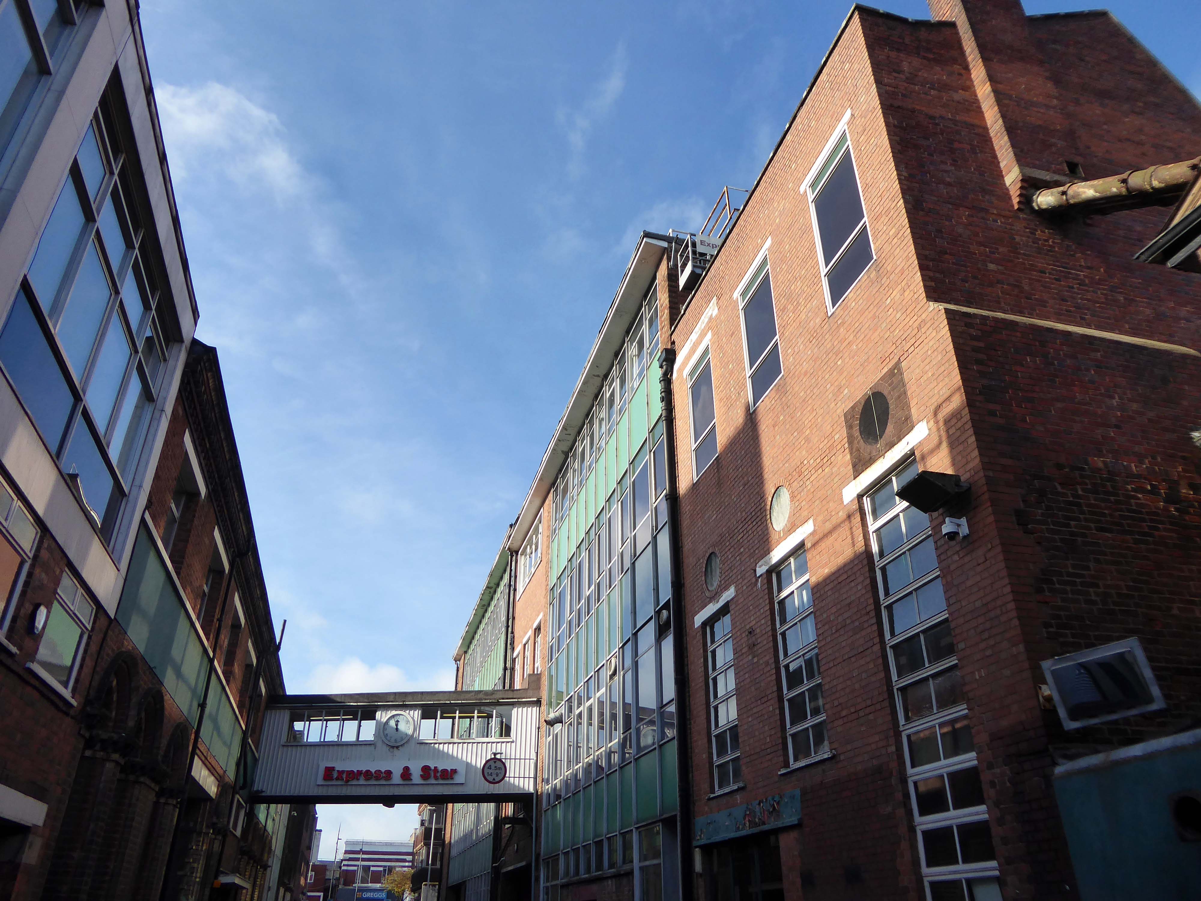
We begin at the Railway Station – recently refurbished, overwriting its 60s iteration – completely rebuilt by the architect Ray Moorcroft as part of the modernisation programme which saw the West Coast Main Line electrified.
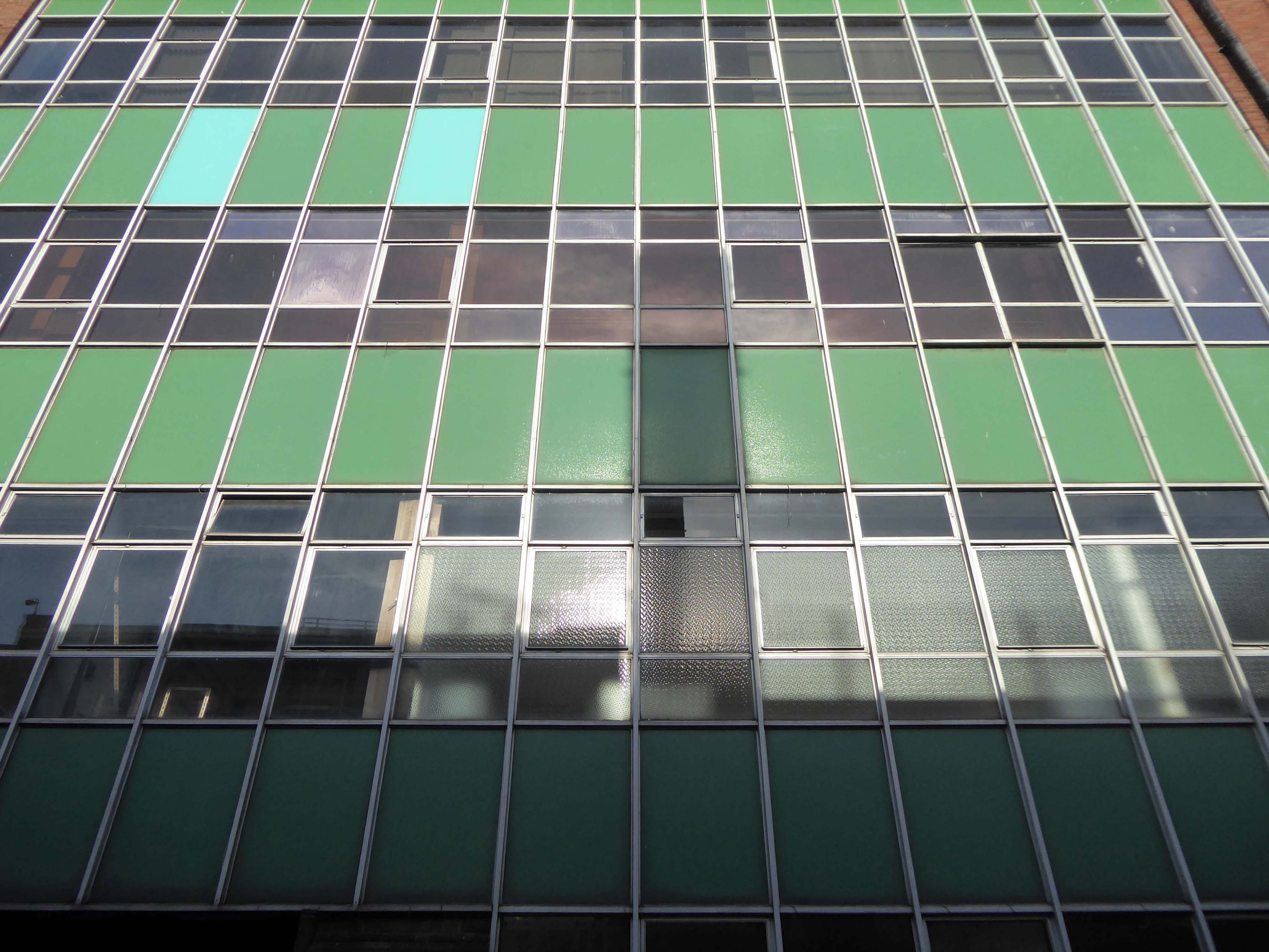
Across the way an enormous brick clad multi-storey car park – skirted by the lines for the tram, which travels to and from Birmingham.
Walk across the brand new pedestrian footbridge over the ring road.
Architectural glass artist Kate Maestri was commissioned to produce the artwork design which features glass with blue and green strips of colour running through it.
Linking the Rail Station with the brand new Bus Station.
The normal practice of the Wolverhampton Bus Service is to have dirty, smelly buses, that are cramped and extremely hot in the summer and freezing cold in winter. They offer no announcements apologizing for delays they know about and don’t appear to care how long passengers wait with no idea of how or when they’ll be getting a bus.
The best thing you can do is learn to drive as quickly as possible and get your own vehicle or car pool.
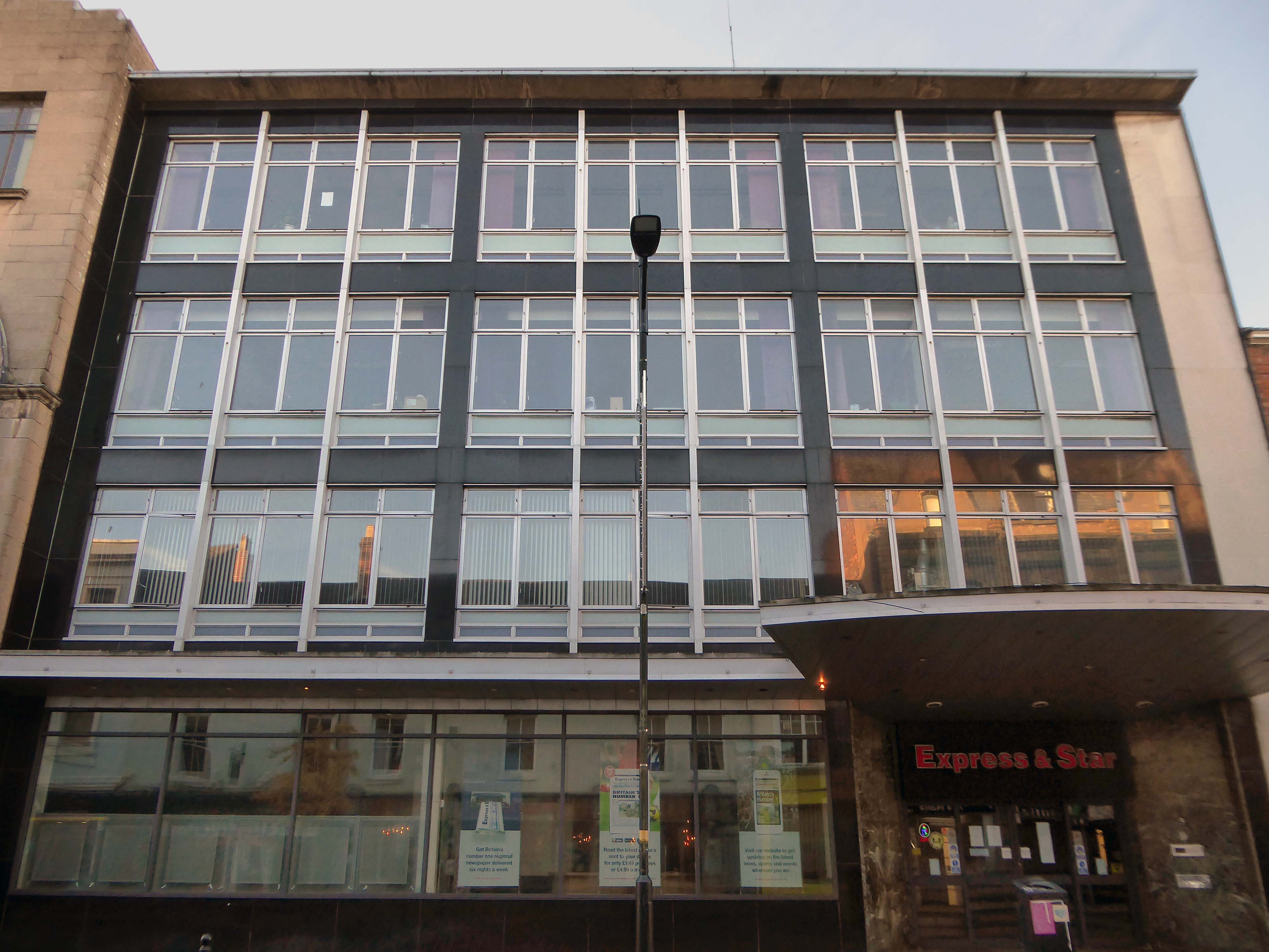
Midland News Association managing director Matt Ross confirmed the company is now looking at the building’s future.
For a number of years we have been exploring opportunities surrounding our historic Express & Star offices in the heart of Wolverhampton.
After removing the printing presses from the site and restructuring our departments we now have significant spare capacity available and so are looking at the various options available to us, be that redeveloping the current site or exiting the building altogether.
Extension is by architects: H Marcus Brown & Lewis 1965
With further work at the rear.
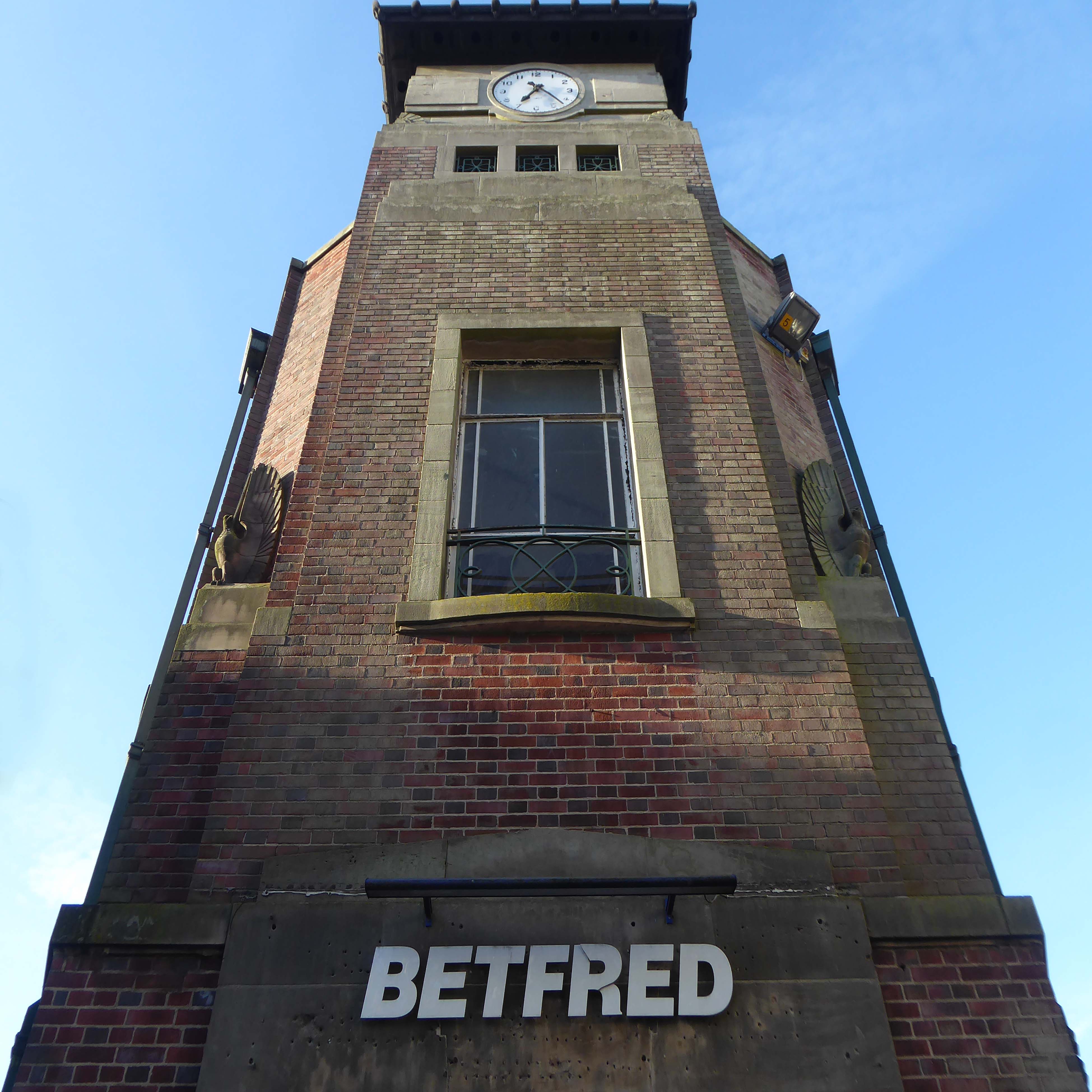
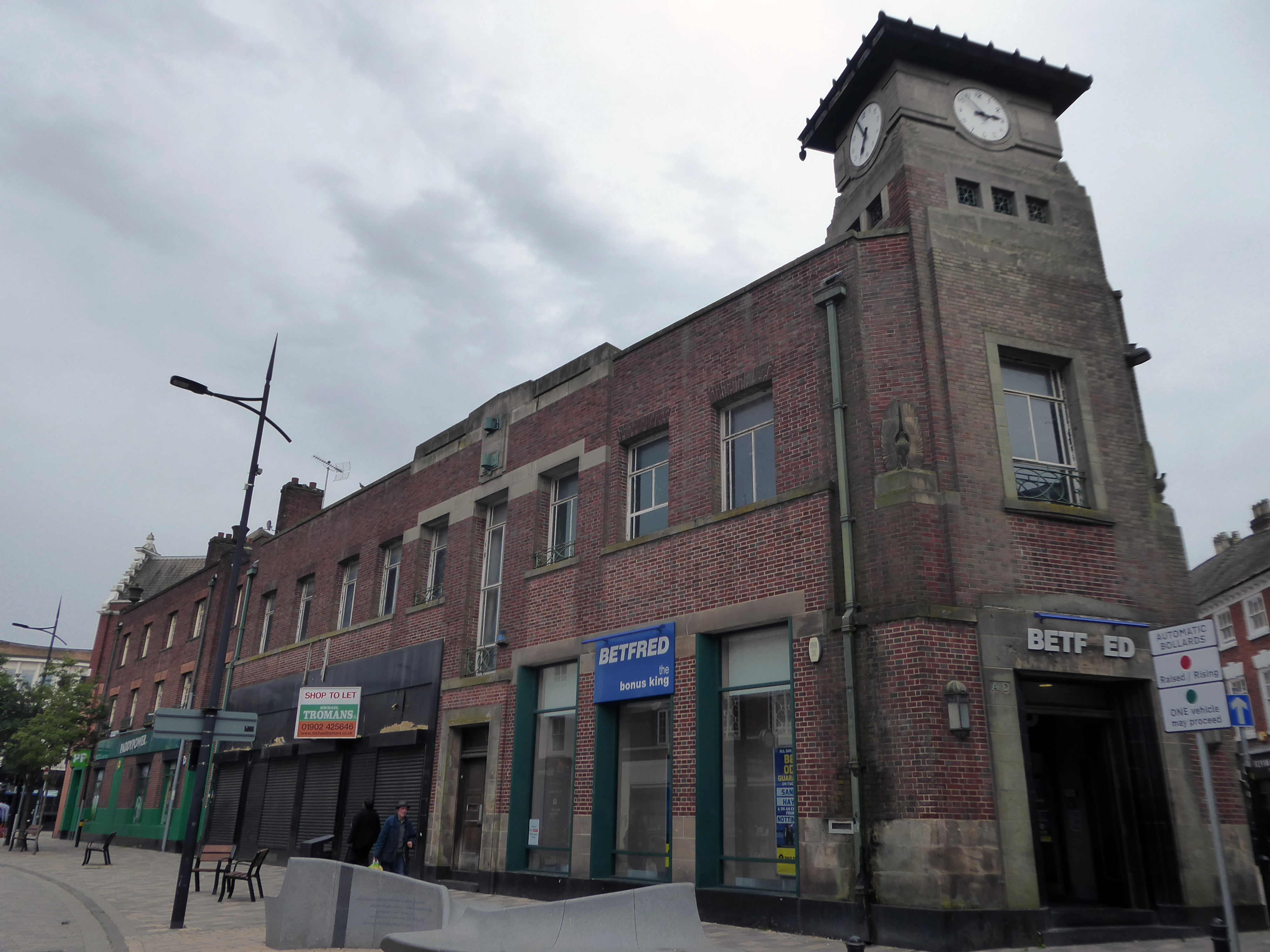
Along Princess Street this corner group, with an impressive clock tower – originally HQ for the South Staffordshire Building Society
Architects: George A Boswell of Glasgow 1932.
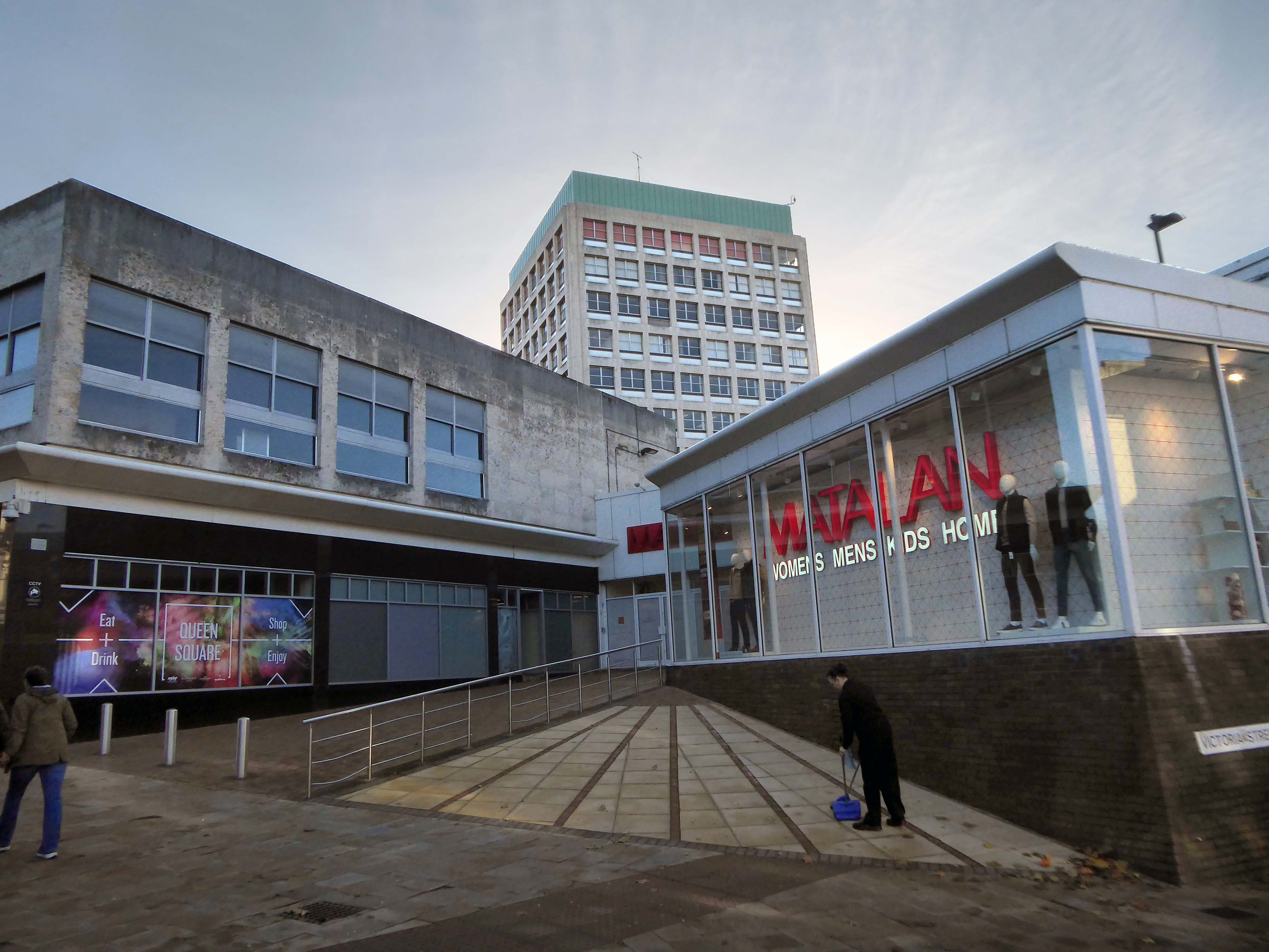
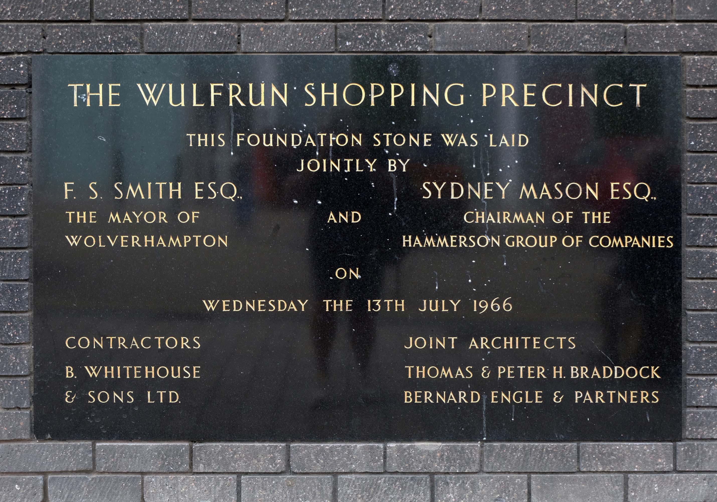
On to the Mander Centre – opened on 6th March 1968, refurbished 1987, 2003 and 2016-17.
The Mander Shopping Centre in the heart Wolverhampton is your one-stop shopping destination for all things fashion, home, beauty, food and technology.
Architects: James A Roberts principal architect Stanley Sellers.
Developed by Manders Holdings Plc, the paint, inks and property conglomerate, between 1968 and 1974. The site occupies four and a half acres comprising the old Georgian works and offices of the Mander family firm, founded in 1773, as well as the site of the former Queens Arcade.
Architects: T & PH Braddock and also Bernard Engle & Partners.
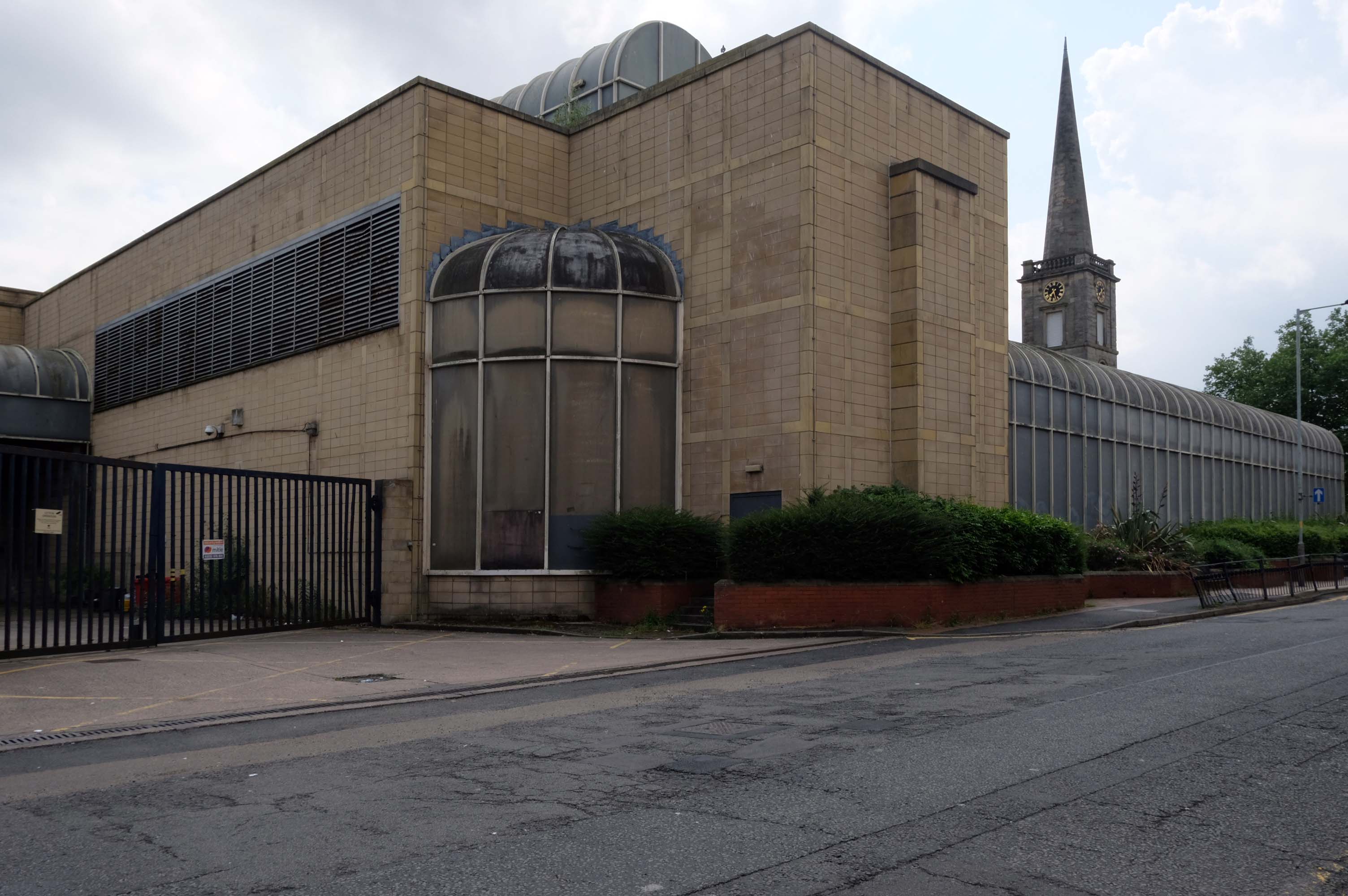
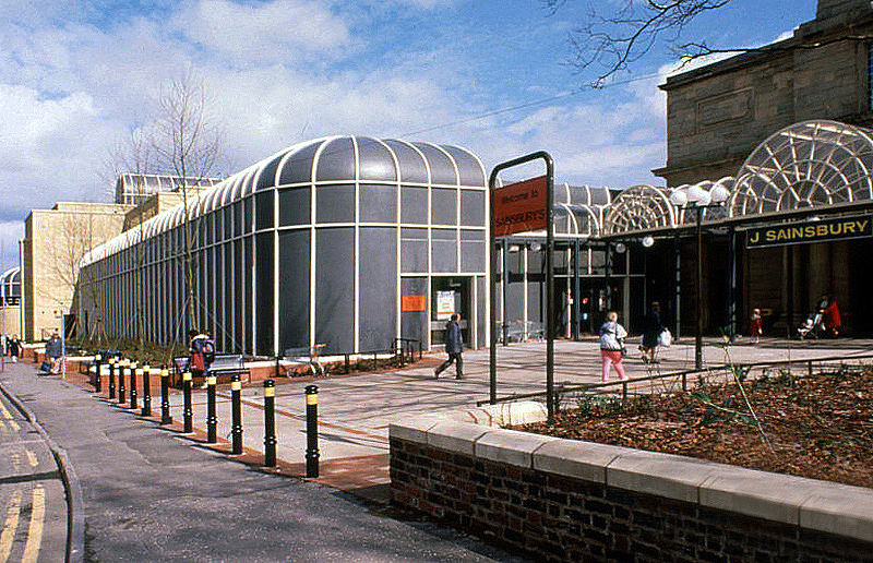
Along St Georges Parade, an abandoned Sainsbury’s church combo – store designed by J Sainsbury’s Architects Department opened 1988.
The church was built between 1828 and 1830 – architect: James Morgan, at a cost of £10,268. It was consecrated on Thursday 2 September 1830 by the Bishop of Lichfield, it was made redundant in 1978.
The site is currently under lease to Sainsbury’s for a further three years and will come forward on a phased basis subject to their lease concluding. The council is in active dialogue with prospective development partners on the redevelopment of this site and in wider consultation with Homes England.
Notable cases included trial and conviction of four members of The Stone Roses, in October 1990, for criminal damage to the offices of their former record company.
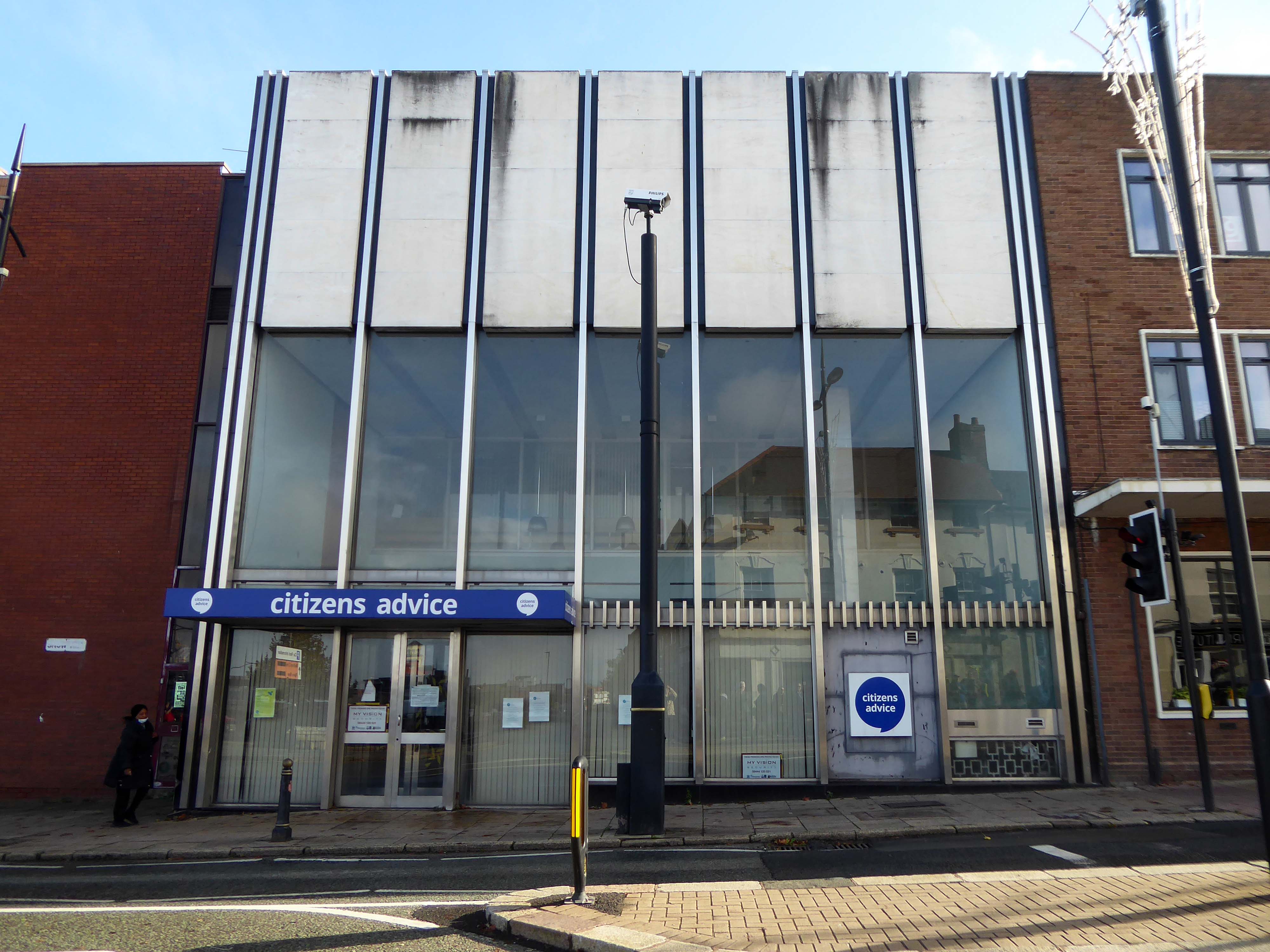
Thence up Snow Hill to the former Citizens Advice former Barclays Bank currently empty.
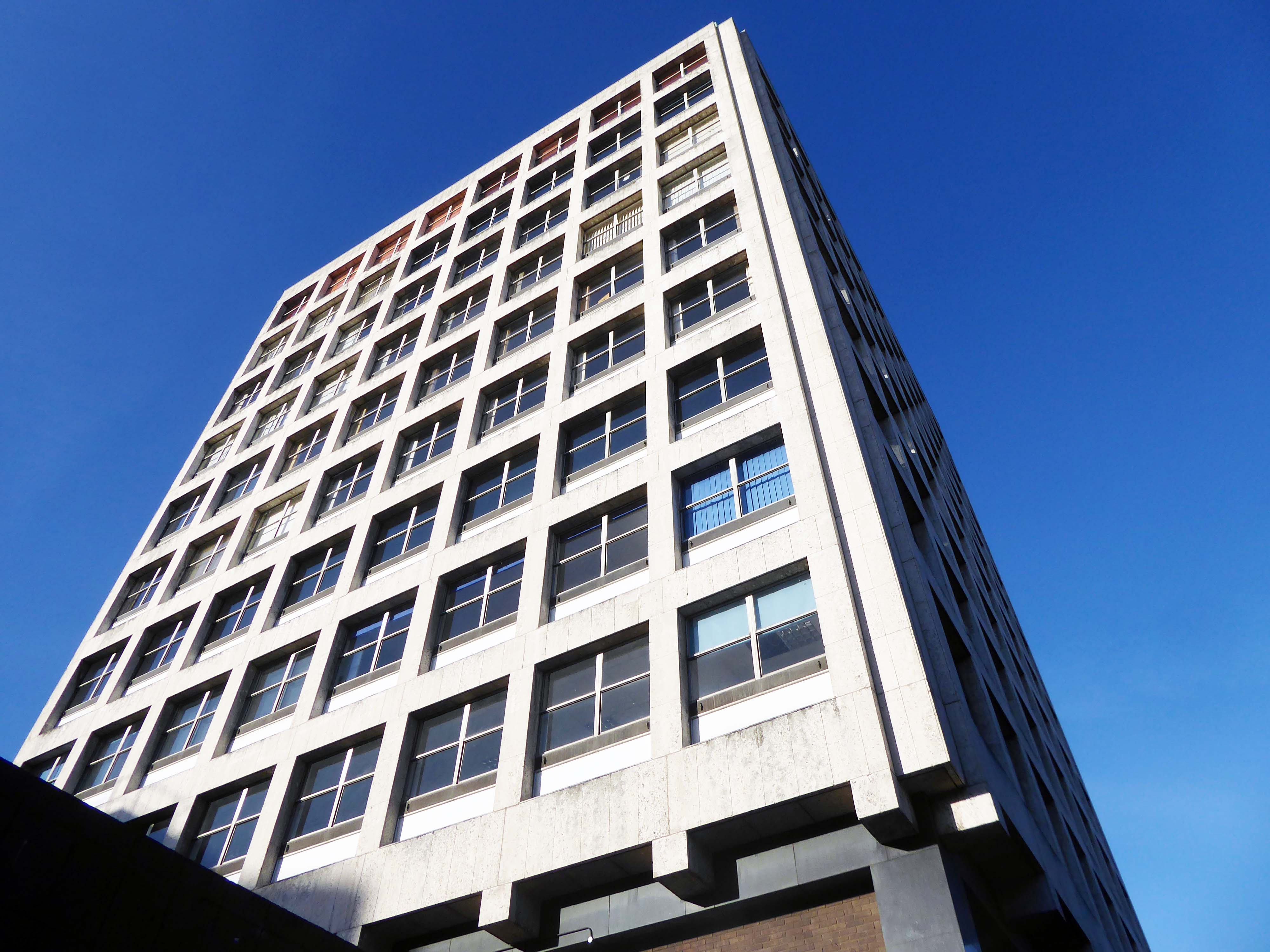
Architects: John HD Madin & Partners 1969
Take time to have a look around the back.
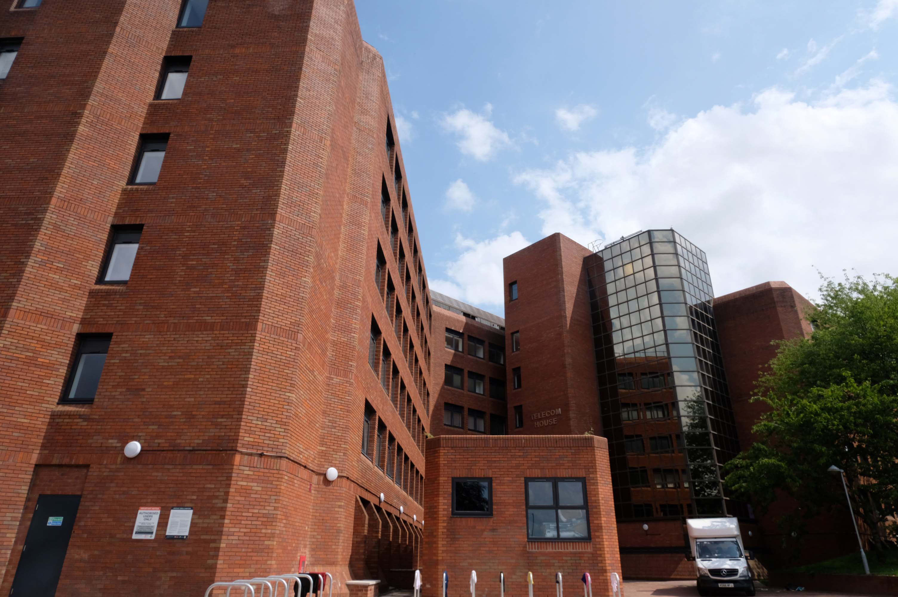
Off to Church Street and Telecom House
Sold for £4.25 million to Empire Property in 2022.
It had previously been sold for more than £3m in July 2018, also for use for apartments, to Inspired Asset Management which later went into receivership.
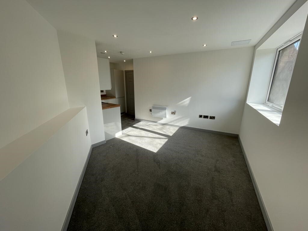
Located on a popular apartment block on Church street in the Wolverhampton centre, this 1 bedroom property has been newly renovated throughout and compromises an entrance hallway, open plan lounge/kitchen with in built appliances, shower room and double bedroom.
Next to this modern piazza New Market Square – Architects: Nicol Thomas from a concept by head of planning Costas Georghiou.
Formed from the former Market Square, a mix of flats and shops opened in 2004, in an Italianate version of the modish school of streaky bacon.
In 2021 the Coca-Cola Christmas Truck visit to the Midlands was cancelled.
It was meant to arrive at Market Square in Wolverhampton at 11am today but failed to show up.
One fan had waited since 7am this morning to see the Coca-Cola truck.
While schoolchildren were left gutted when the truck didn’t turn up – and one boy had been so excited his mother said he had been talking about the red truck all morning.
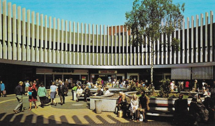
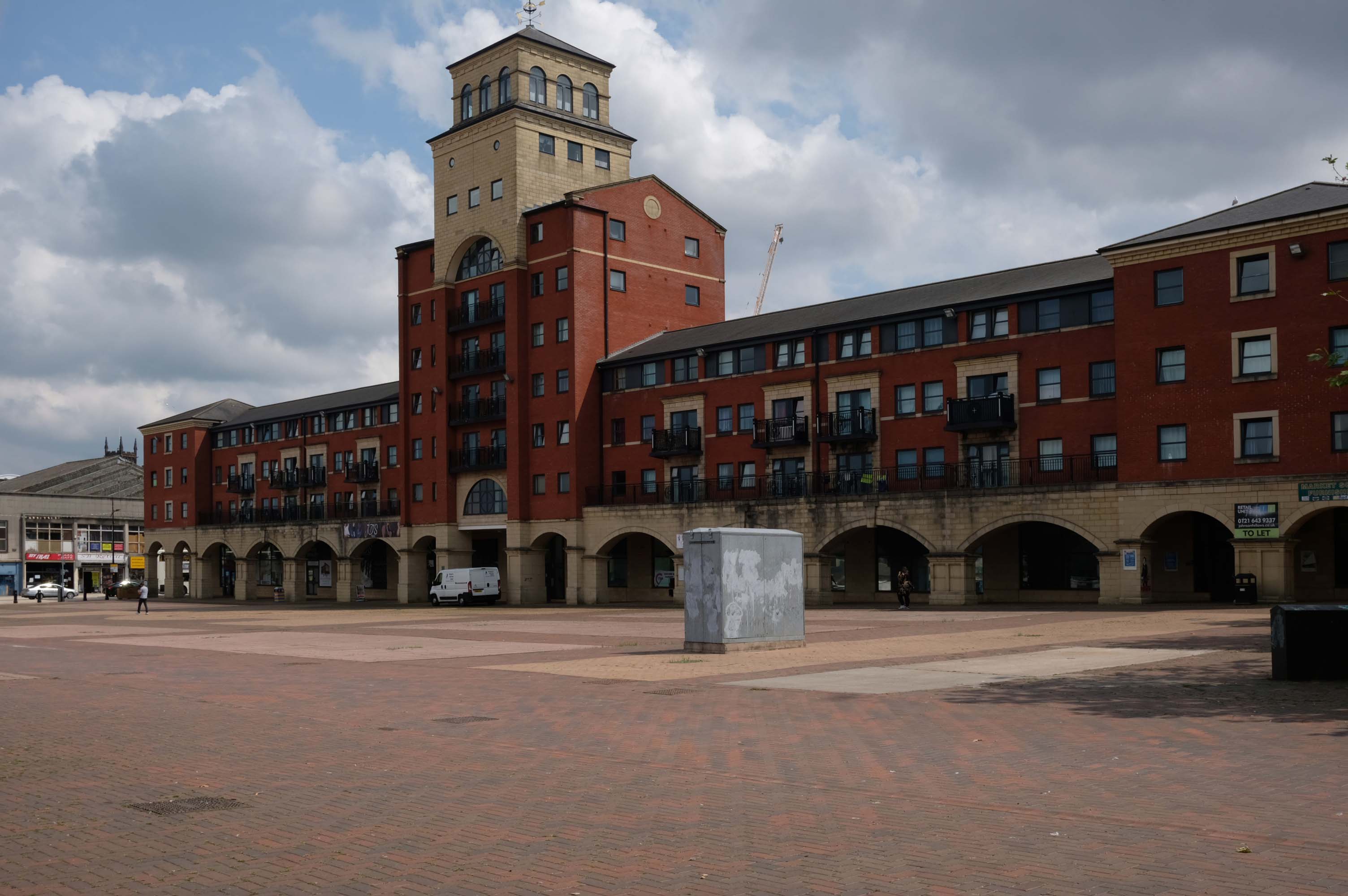
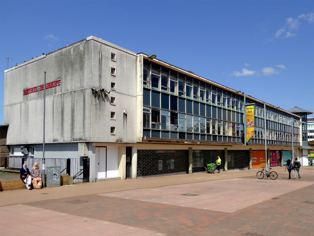
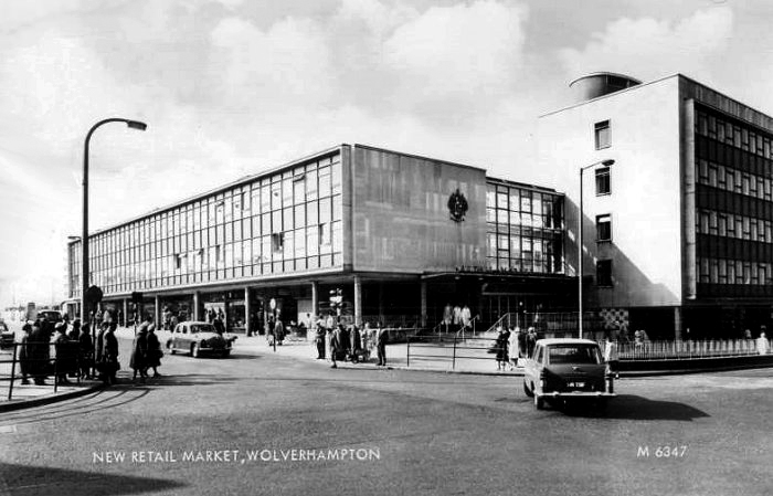
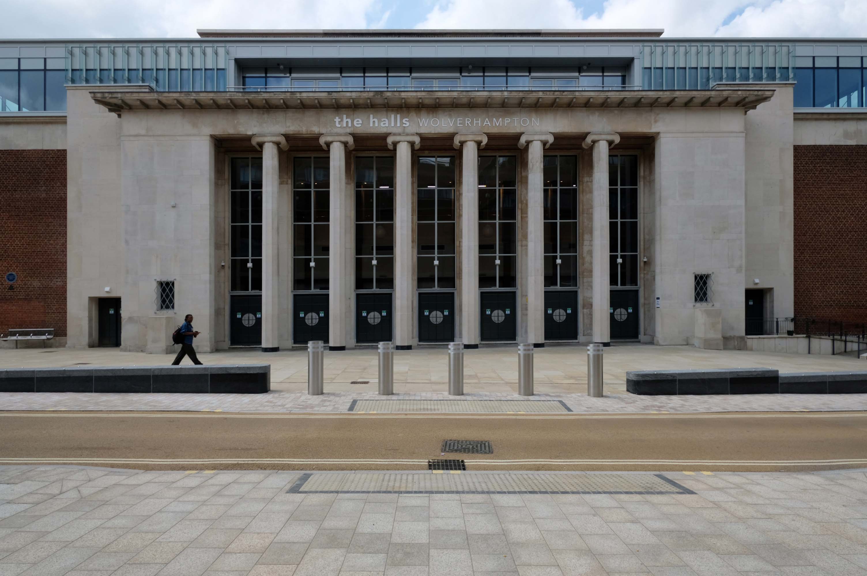
Retail Market – Late 1950s market hall and offices above.
Architects: Borough Surveyor.
Excellent example of the Festival of Britain style of architecture, won Civic Trust Award 1960.
Locally Listed March 2000.
demolished January 2017.
Photo: Roger Kidd
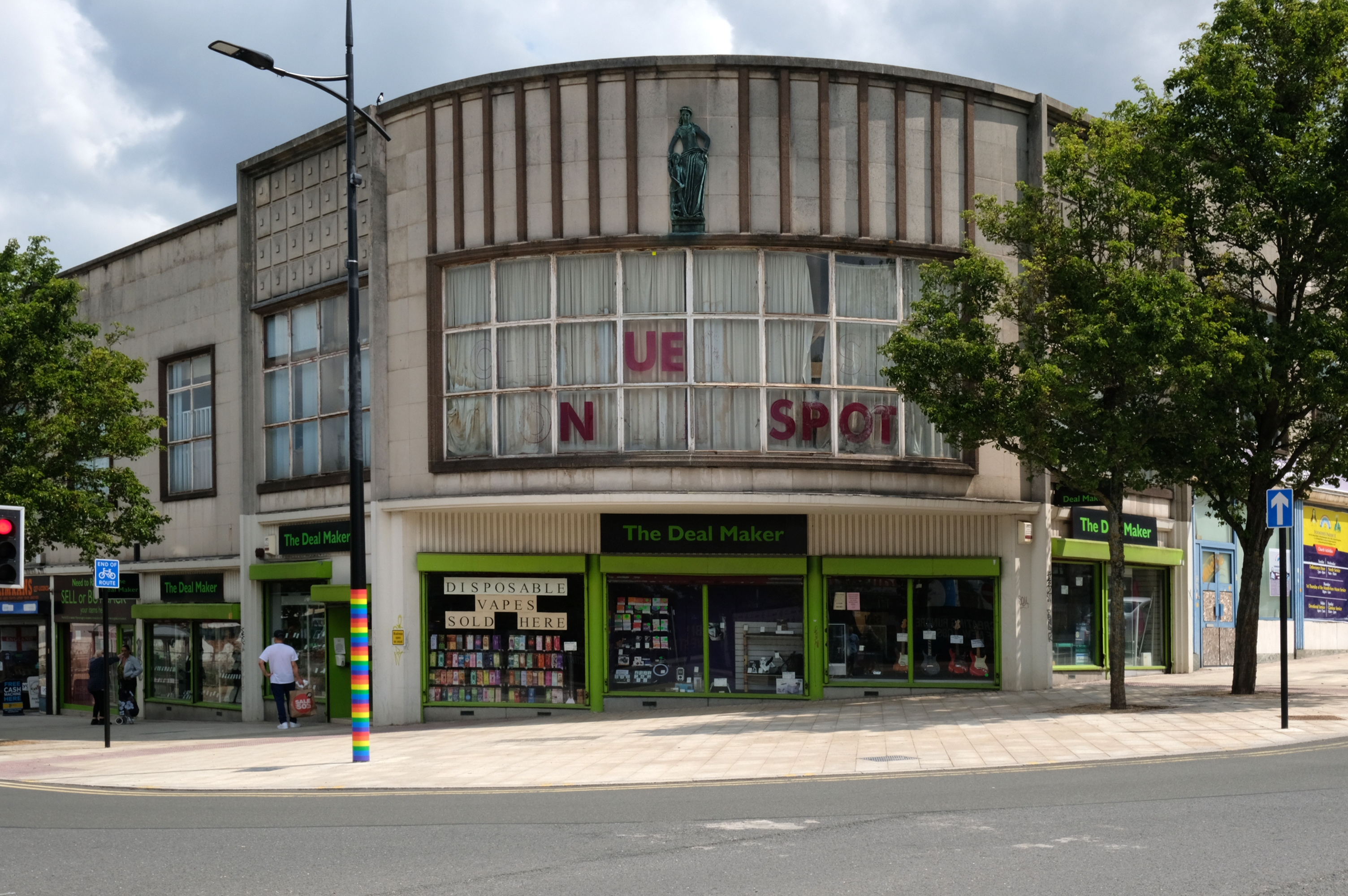
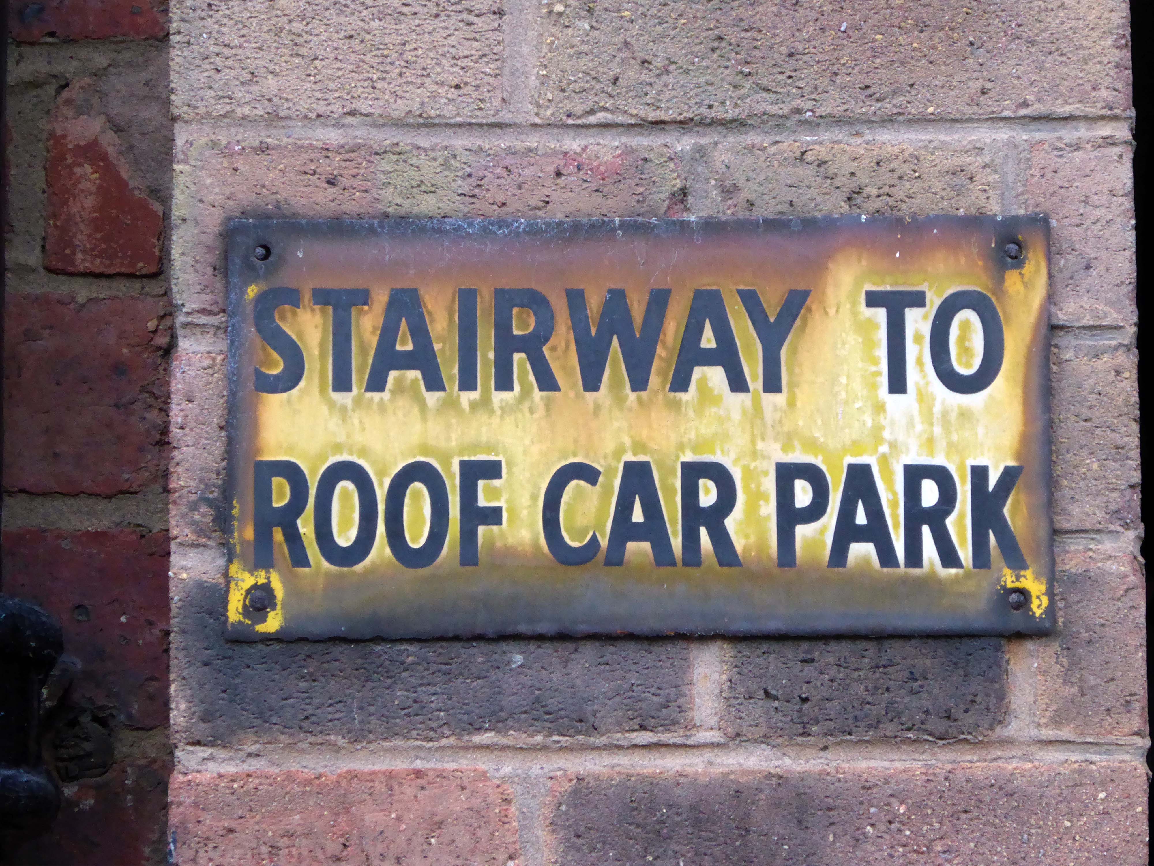
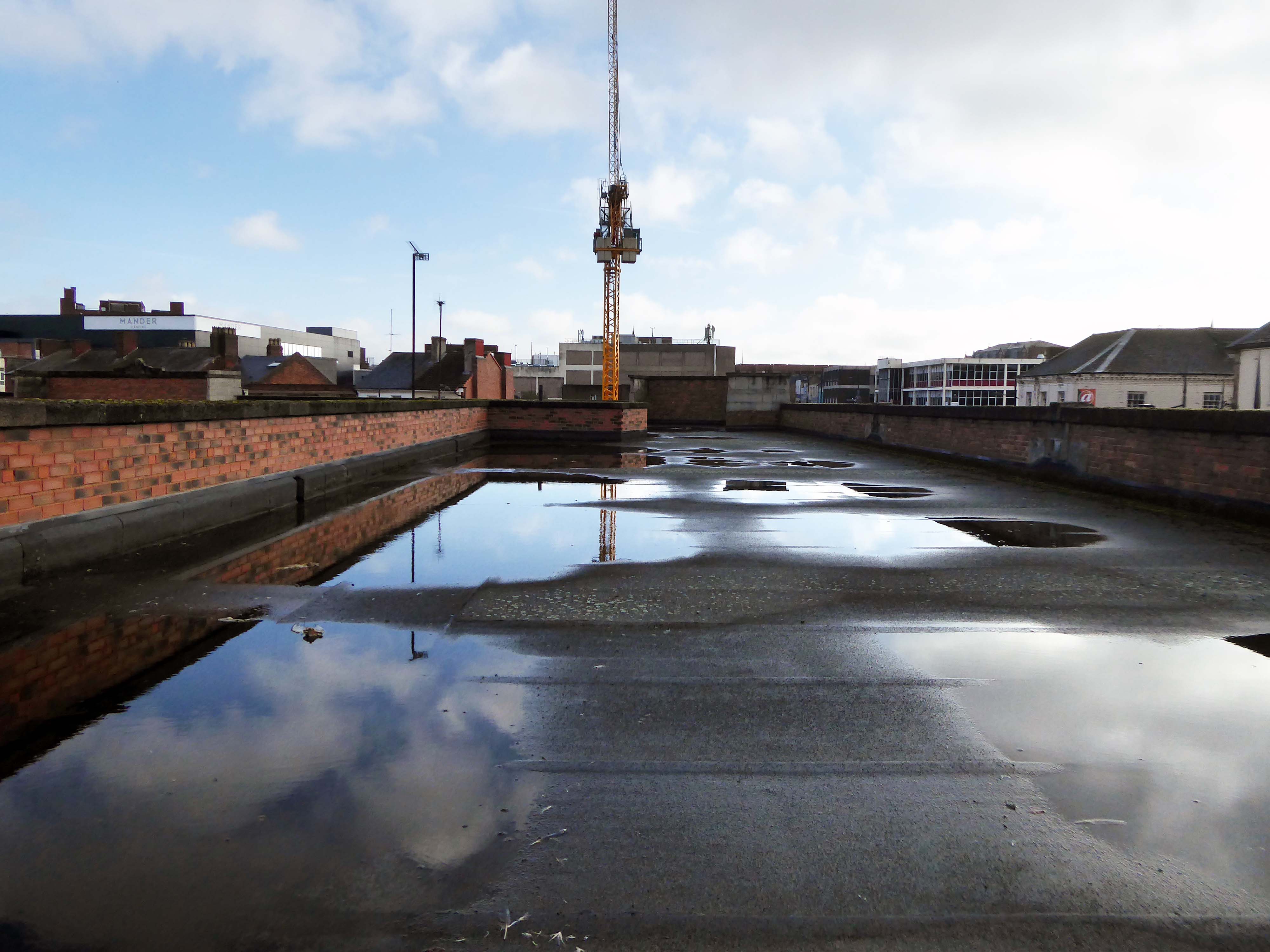
This development that wraps itself around Salop, Skinner and School Streets appears to be of a similar period to the Retail Market – and sports a Lady Wulfrun in relief.
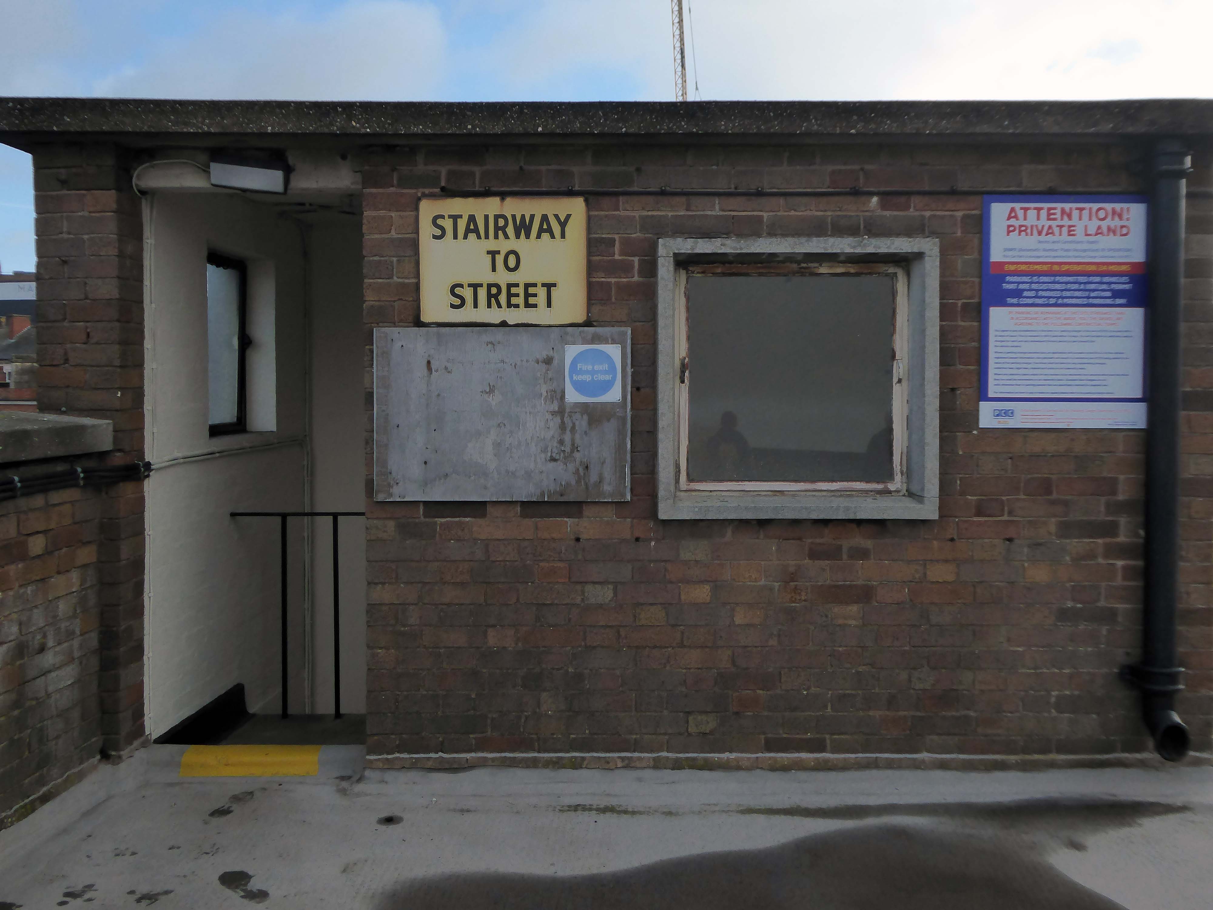
There is access to its roof top car park.
And also an exit back to street level.
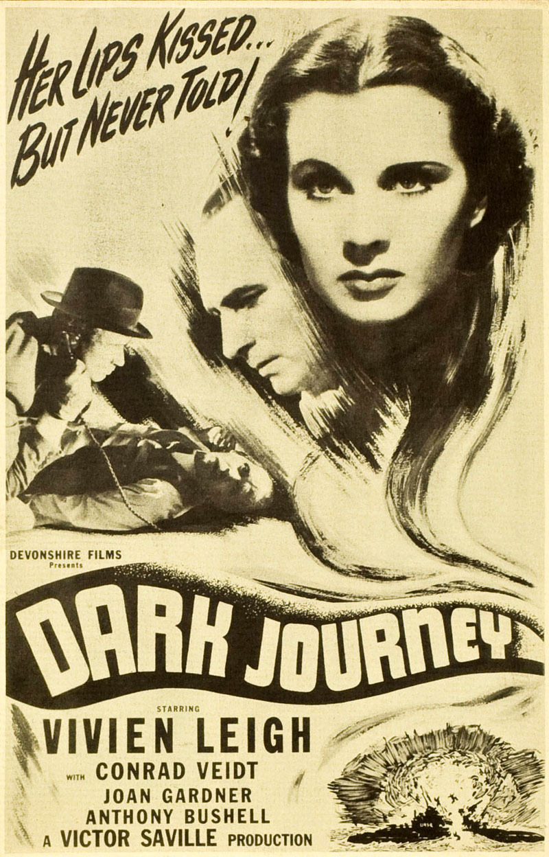
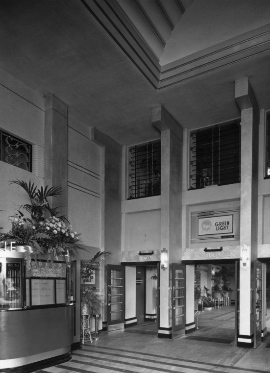
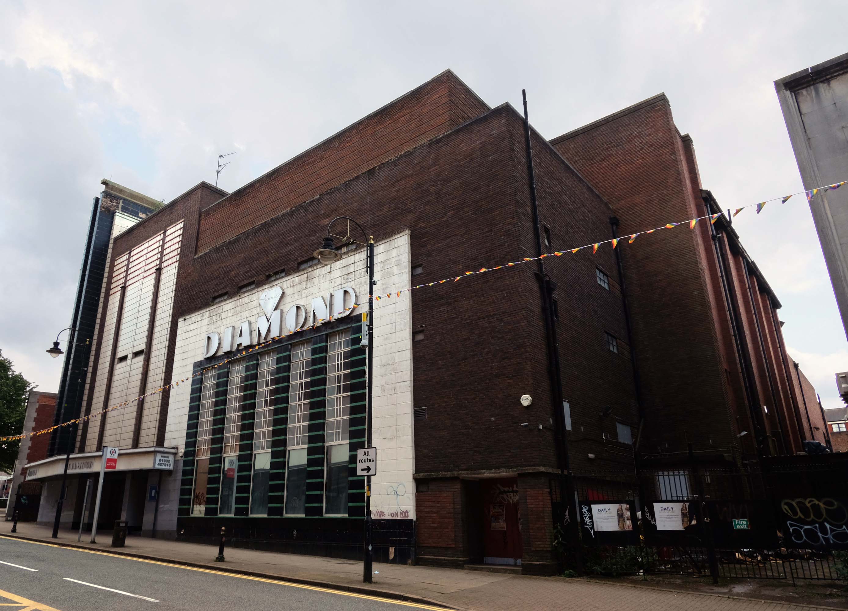
Where we find at street level the former Odeon Cinema, opened on 11th September 1937 with Conrad Veidt in Dark Journey.
In October 2000, the former Odeon was designated a Grade II Listed building by English Heritage.
RIBA pix
In recent years it was a Mecca Bingo Club, but this was closed in March 2007 In October 2009, it had been refurbished and re-opened as the Diamond Banqueting Suite. In April 2021 police raided the vacant building to discover an illegal cannabis farm operating in the building.
Four men were arrested.
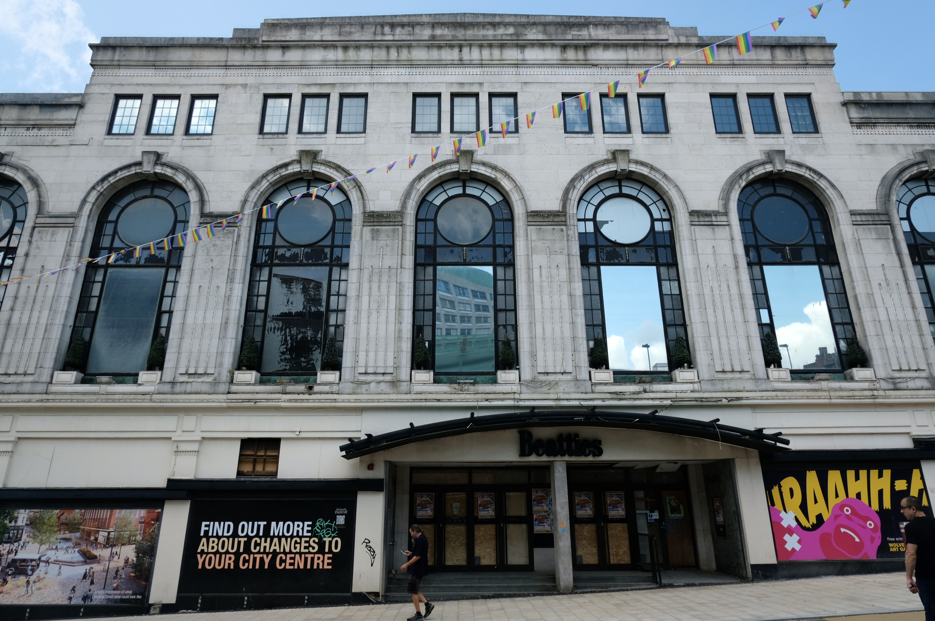
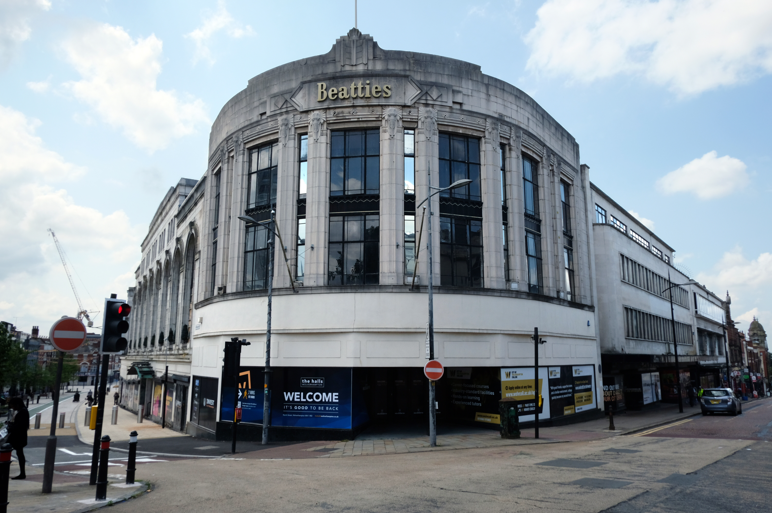
Let’s take a turn around the corner to Victoria Street where we find the complex of Beatties Buildings.
Architects: Lavender, Twentyman and Percy 1920’s – 30’s
The C20 Beatties store is a multi-period site developed first in the 1920s-30s. A Burton’s men’s clothes shop was built on a curved corner site at Victoria St/Darlington St and Beatties themselves replaced their existing Victoria St store in the 1930s with a building by local architects Lavender, Twentyman and Percy. Beatties later acquired and incorporated the Burton’s shop into their store. These two buildings form the locally listed building to which were added a mid-C20 extension along Darlington St and a late-C20 development to the rear at Skinner St.
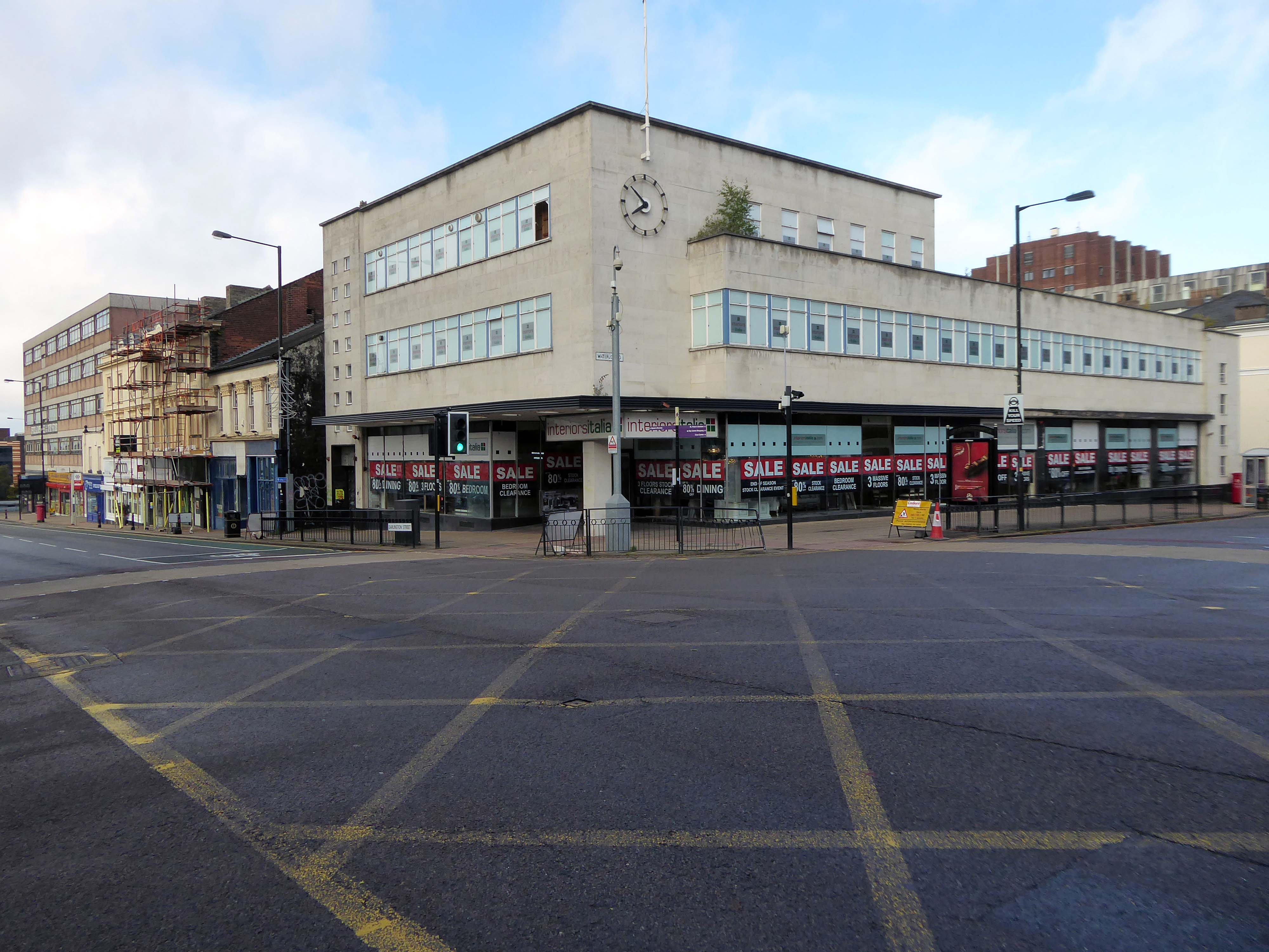
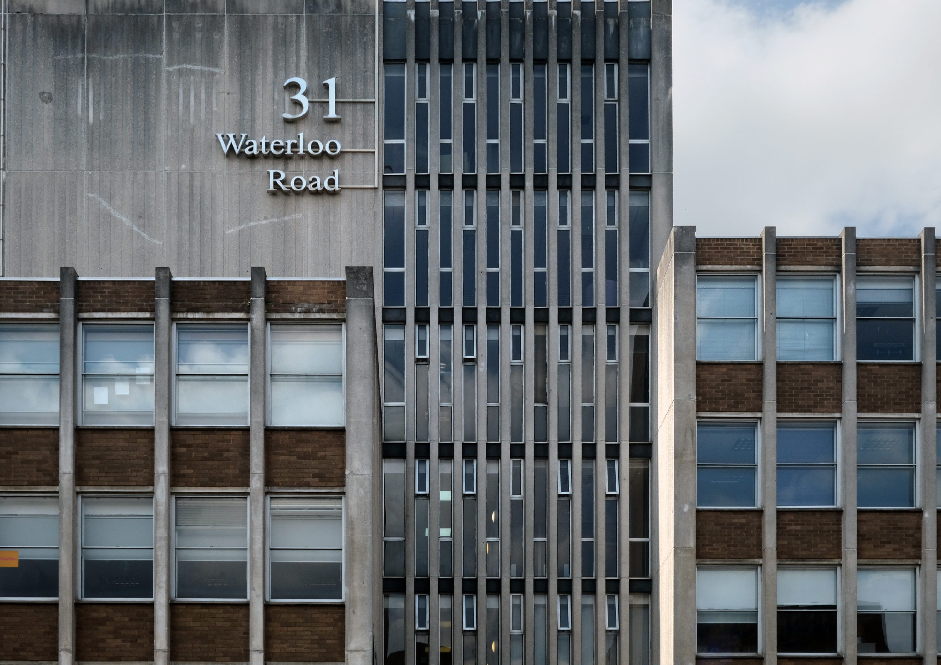
An imperious Portland stone clad mixed us block on Waterloo Road, with a delightful clock.
Formerly the Gas Showrooms then SunAlliance & LondonInsurance offices – aka Clock Chambers
The showroom in Darlington Street was also the centre of a radio network that controlled a fleet of service vans. This enabled customers to receive service within minutes of making a telephone call. Demonstrations of cookery, washing and refrigeration were given by the Gas Board’s Home Service Advisers and a number of the company’s engineers, who specialised in designing gas equipment for industrial processes operated an advisory service for manufacturers.
Architects: Richard Twentyman 1939.
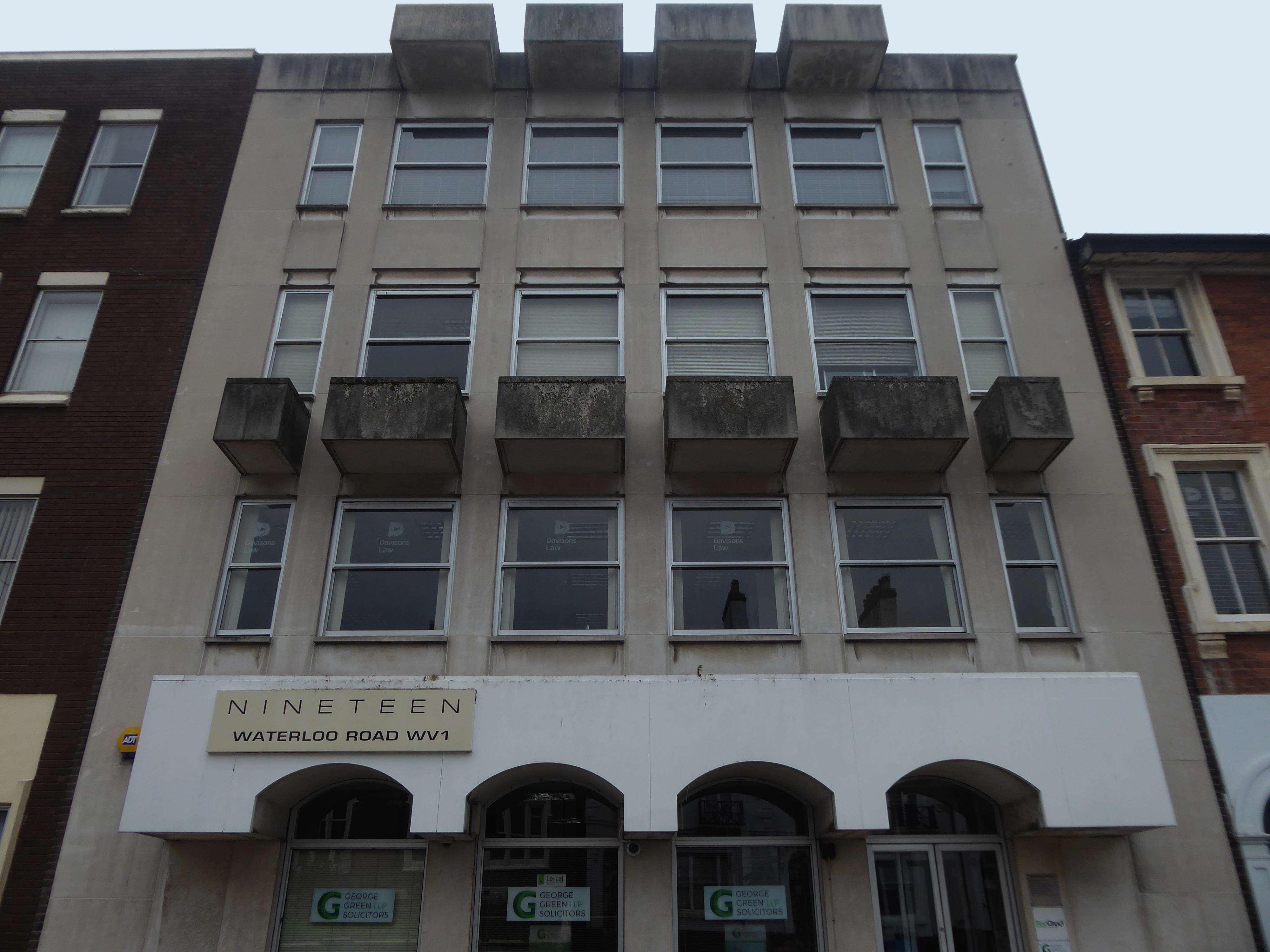
Nineteen Waterloo Road latterly First City House formerly home to Eagle Star Insurance 1970
8-10 Waterloo Road architects: Richard Twentyman 1959 extended 1966.
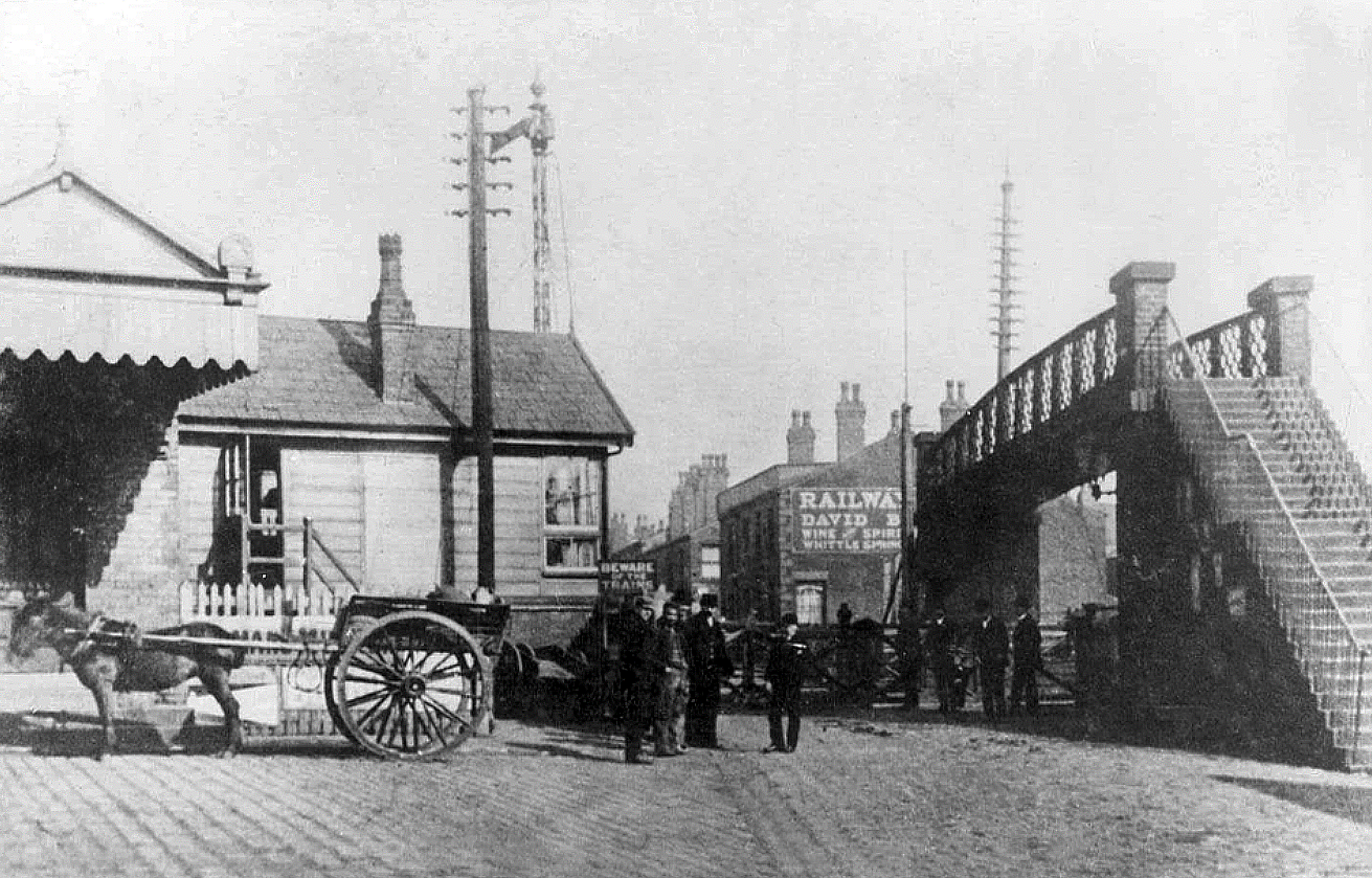
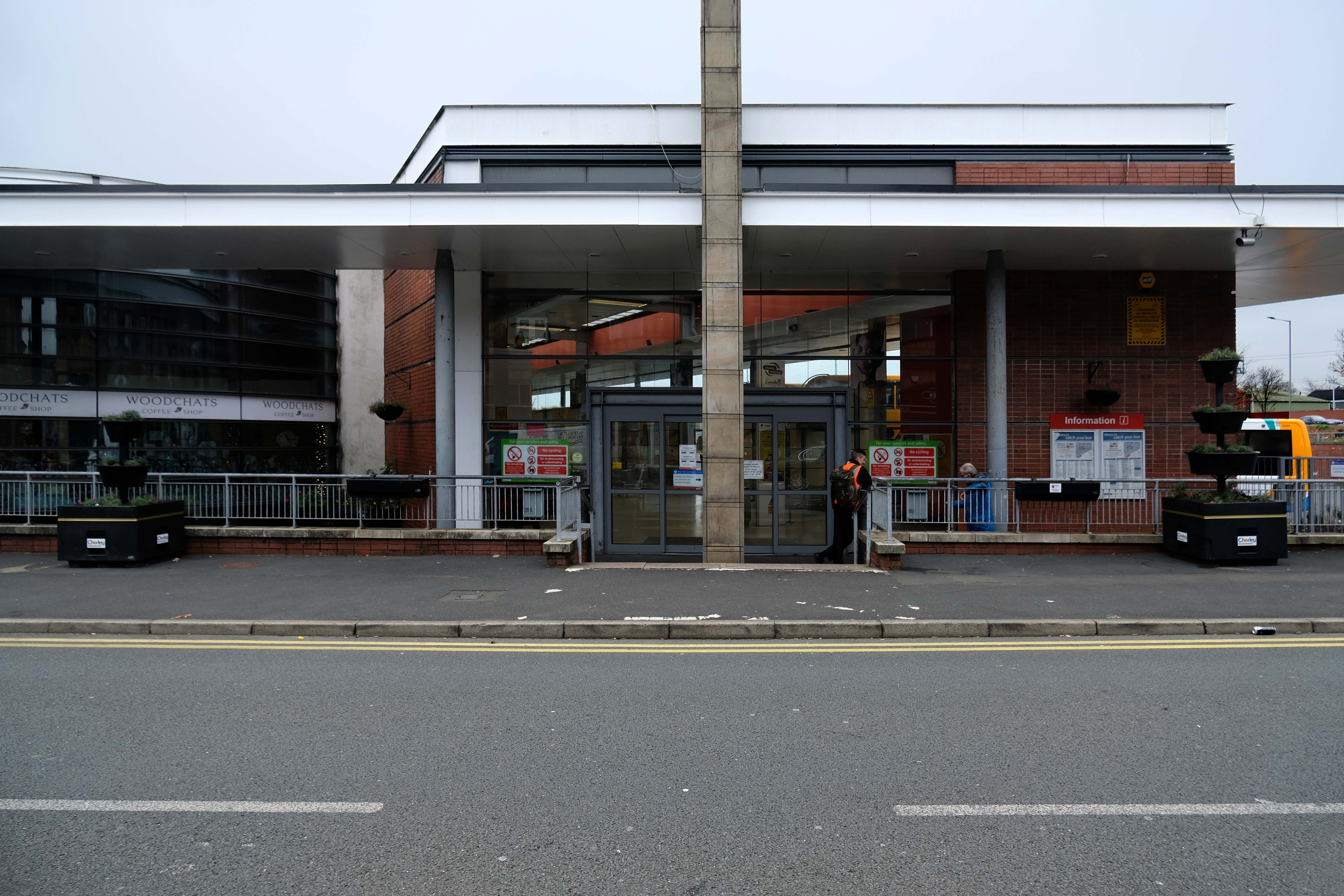
The current railway station is a modern version from the 1980s that was built on top of the original station. The level of the old platforms can be seen under the existing station’s two platforms which are connected by underpass. The initial station was opened on 22 December 1841 by the Bolton and Preston Railway – which later became part of the Lancashire and Yorkshire Railway and was subsequently served by the Lancashire Union Railway between St Helens, Wigan North Western and Blackburn from 1869.
Passenger trains over this route between Blackburn & Wigan were however withdrawn in January 1960. Further work was done in 2016 and 2017 in connection with the electrification of the line between Euxton Junction and Manchester.
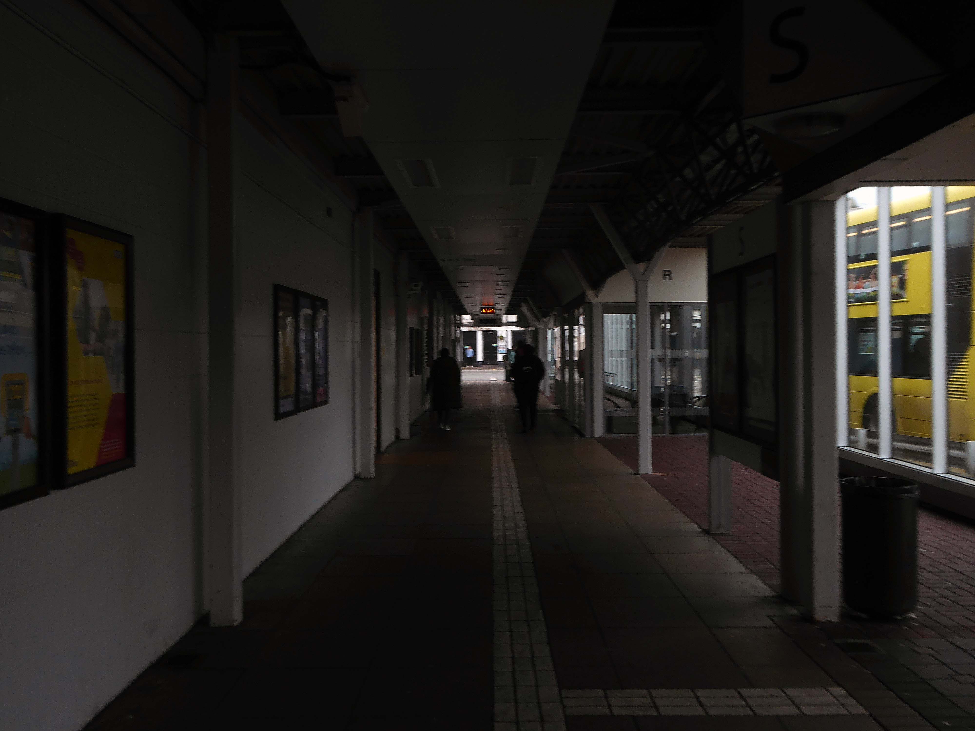
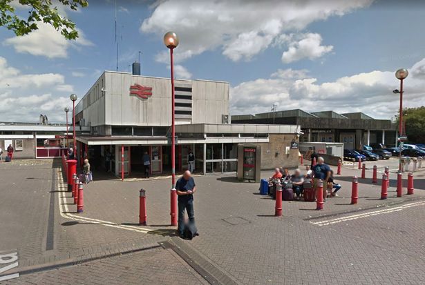
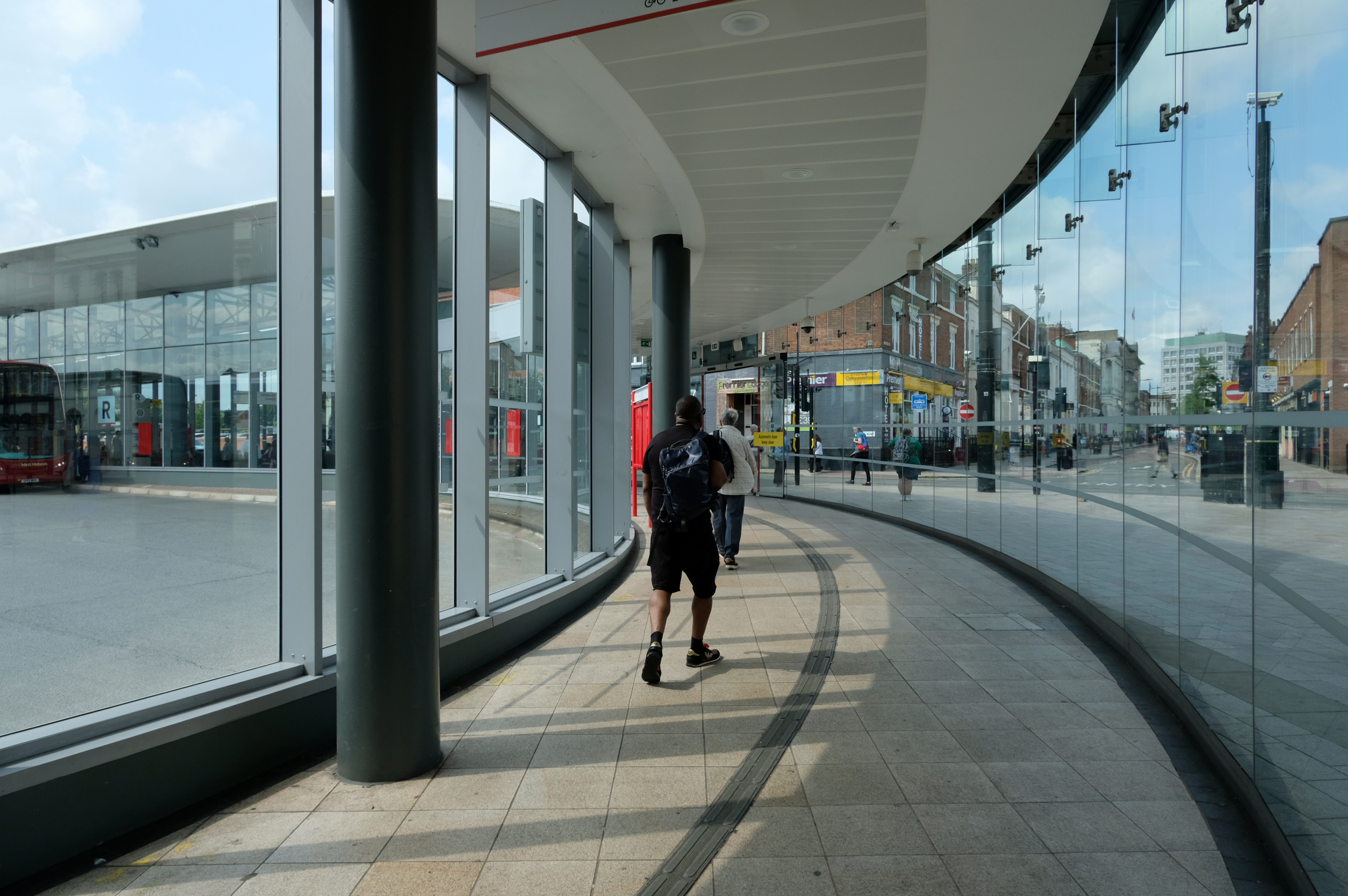
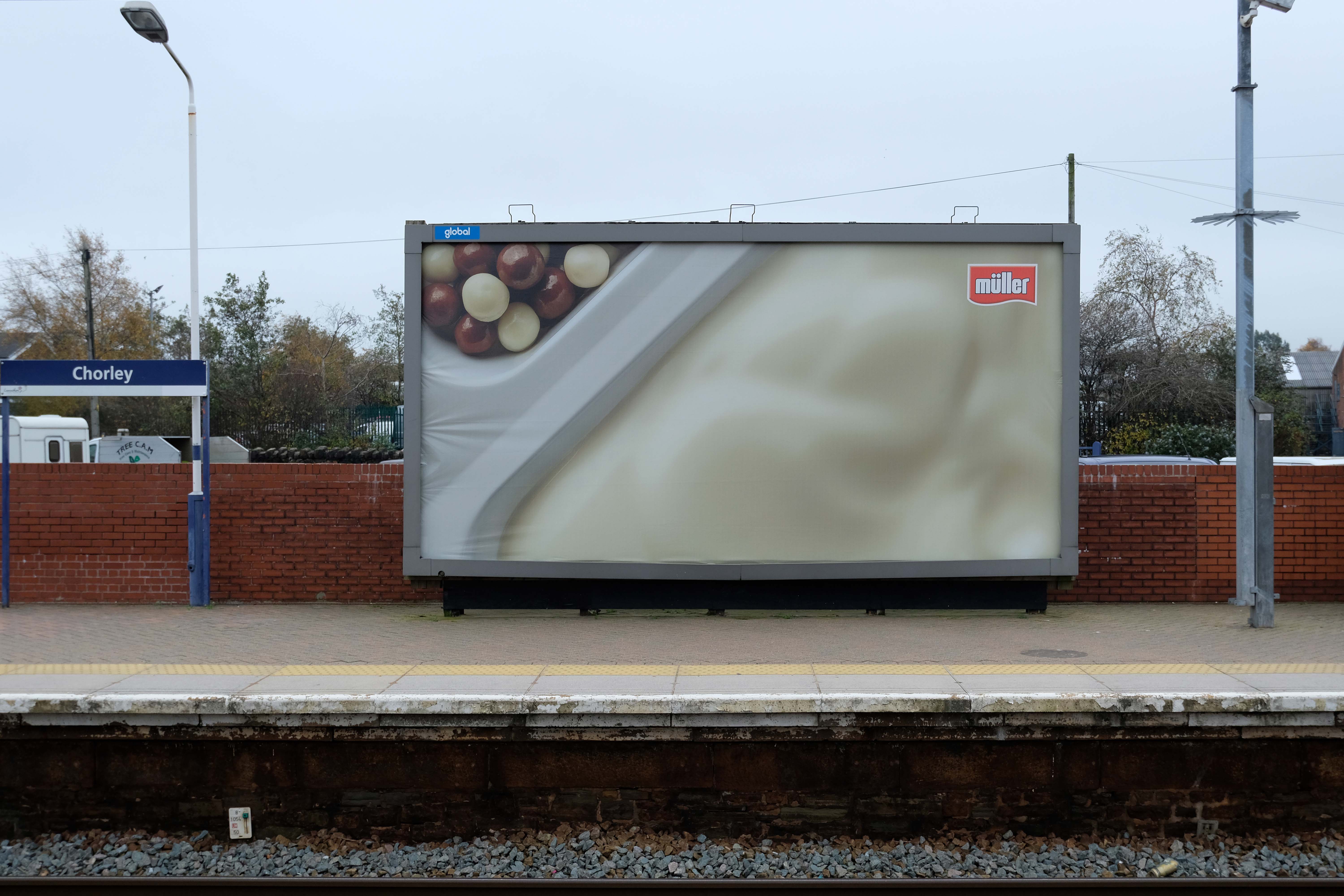
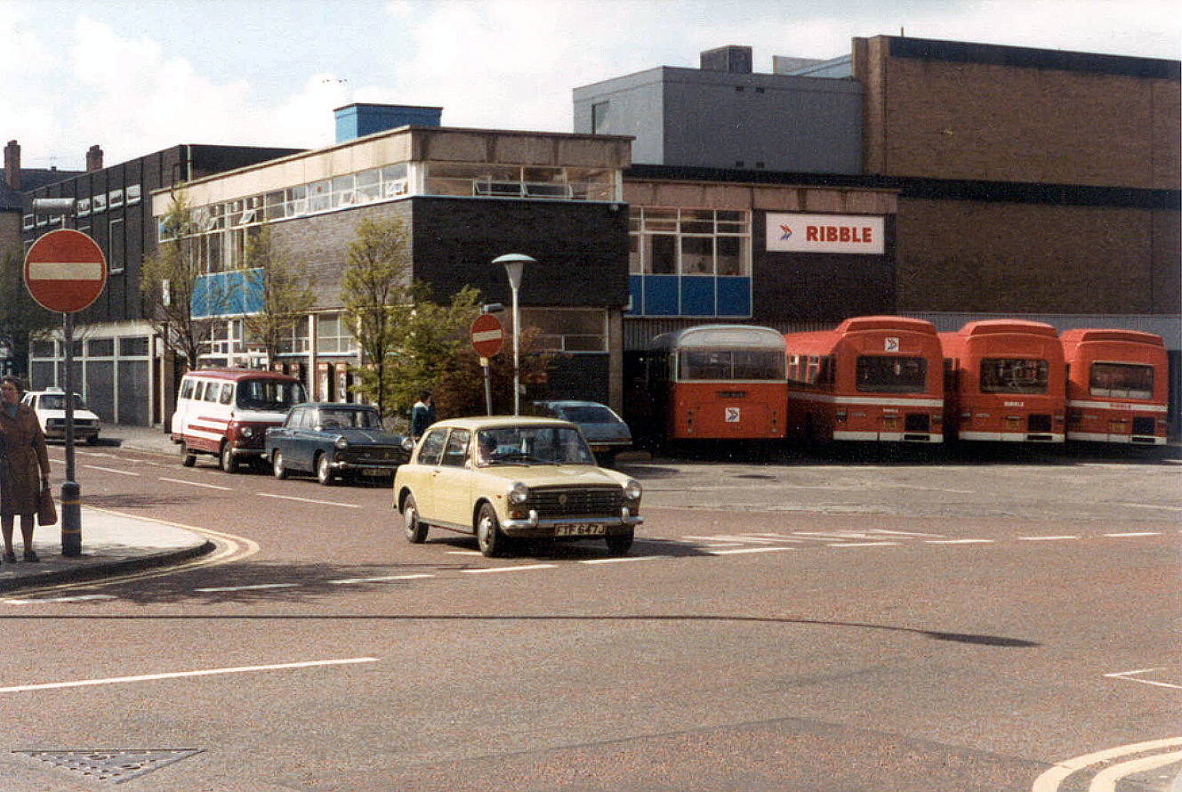
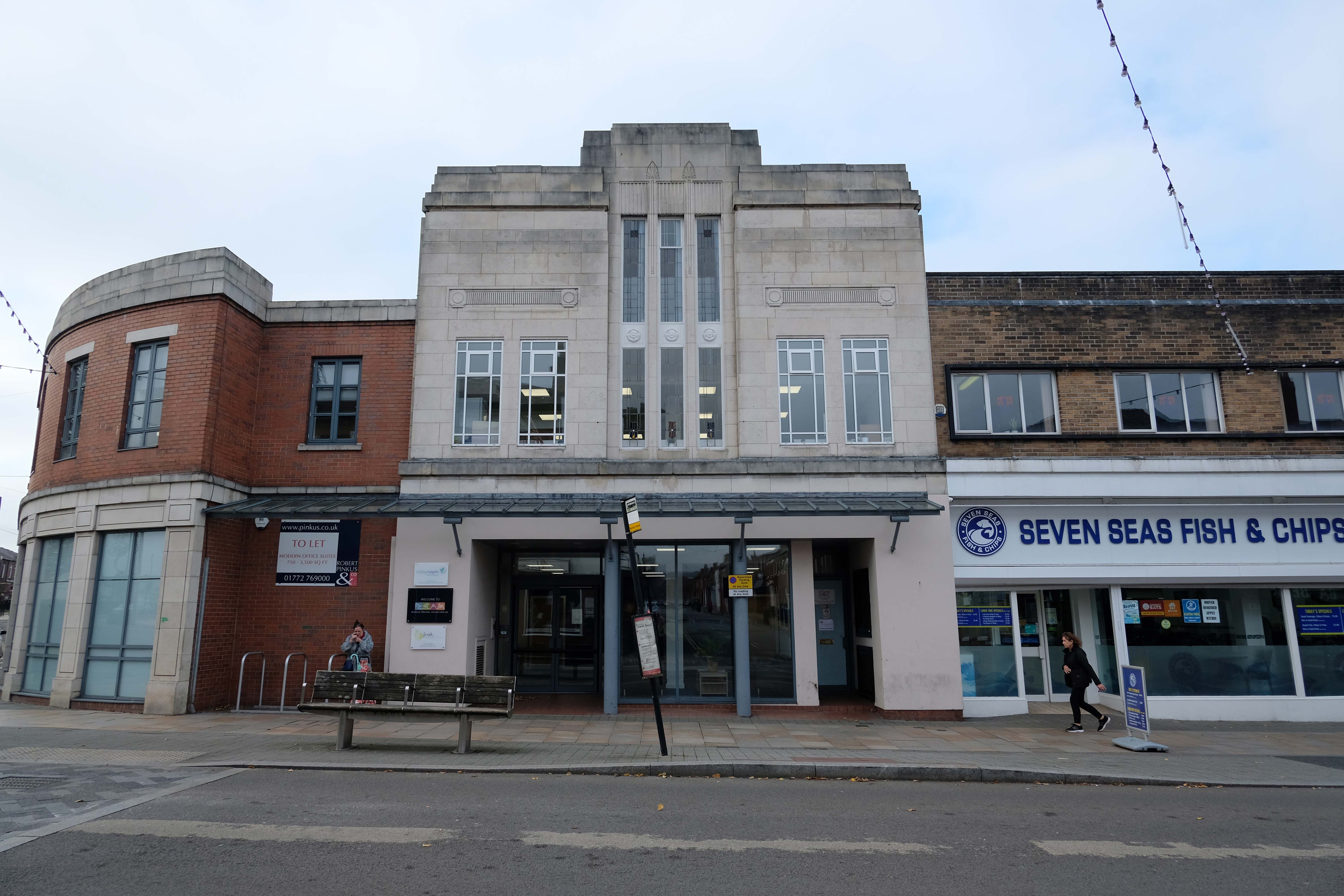
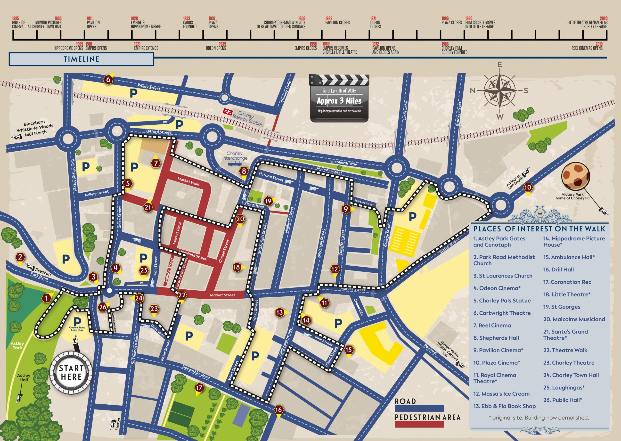
Crossed over to the Interchange – which was formerly a humble bus station, opened in February 2003 replacing the previous structure.
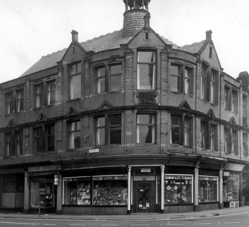
Across the way a stand of shops with distinctive faience fascias.
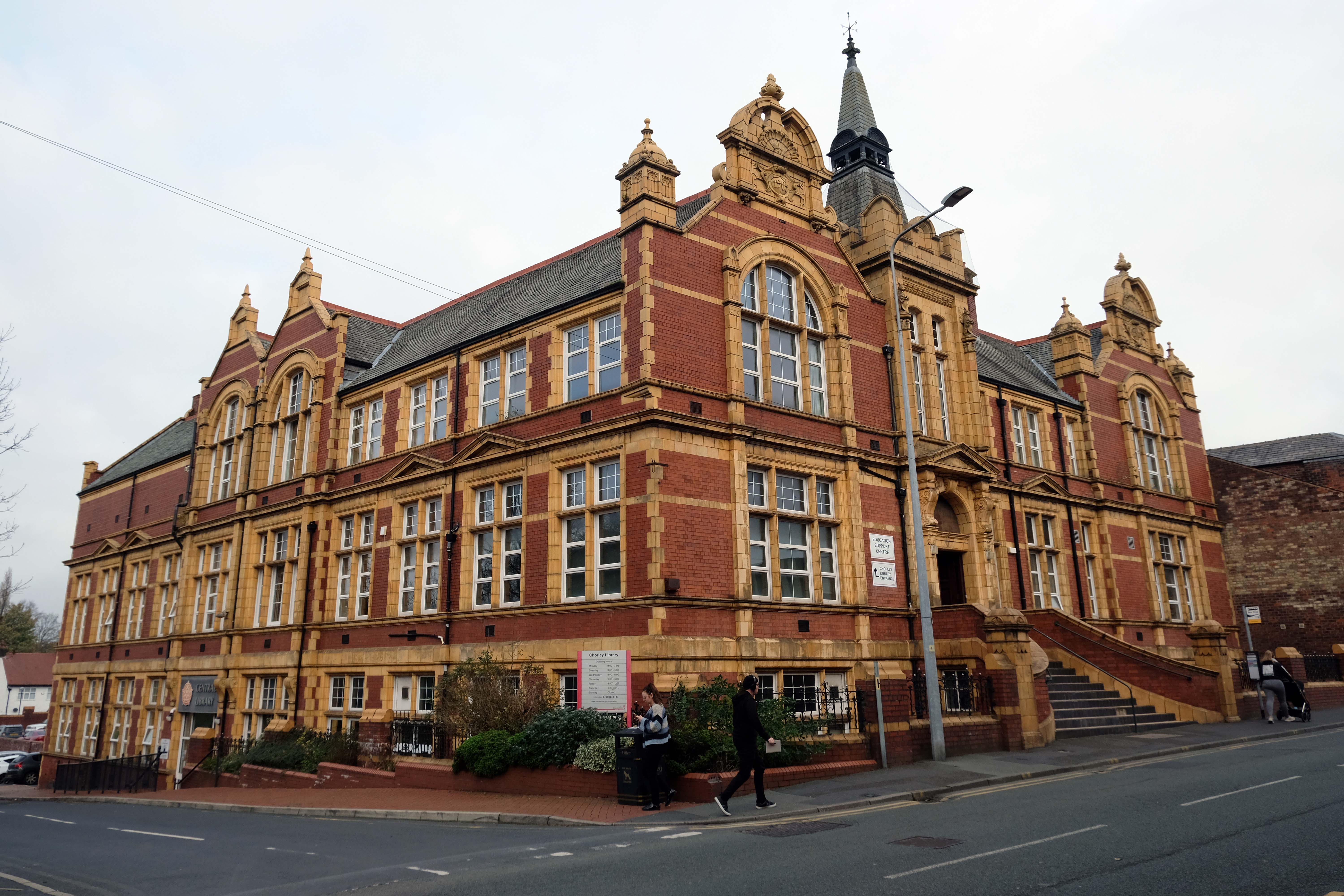
Further along the Shepherds’ Victoria Hall – once home to the Jubilee of the Ancient Order of Shepherds’ Friendly Society which was quite prominent in Chorley in the late 1800’s and early 1900’s
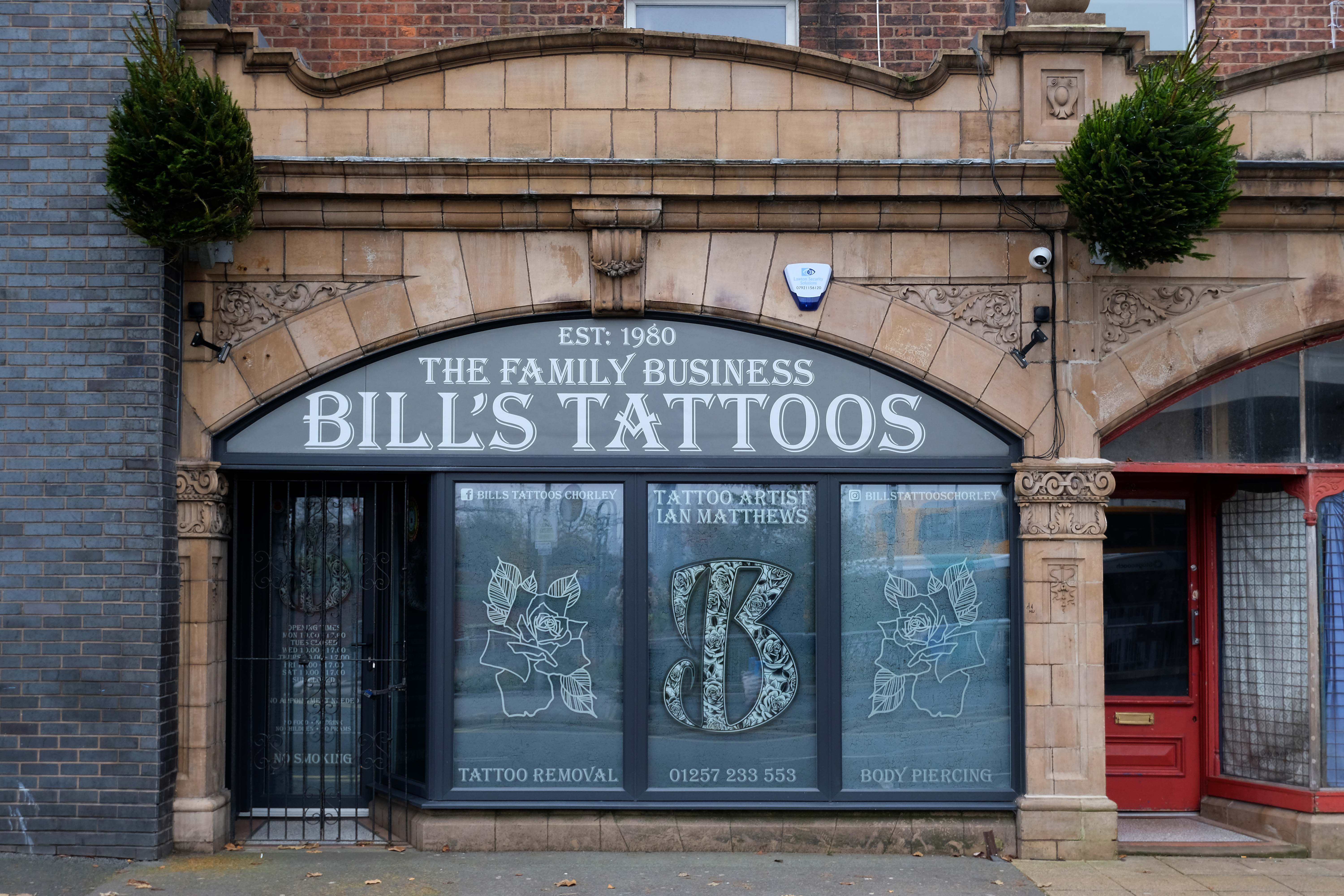
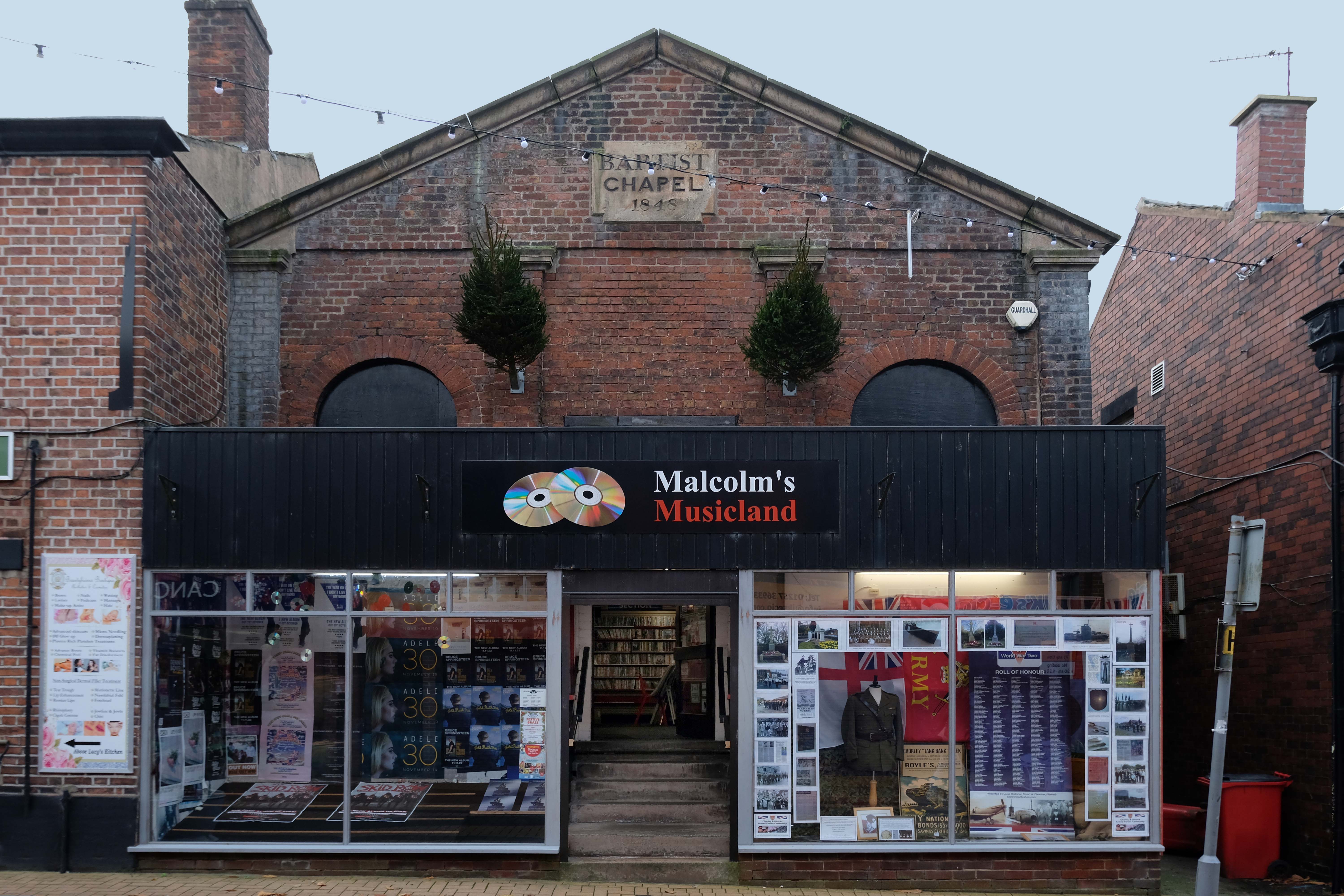
Down the way a ways a Baptist Chapel of 1845 on Chapel Street – currently trading as Malcolm’s Musicland.
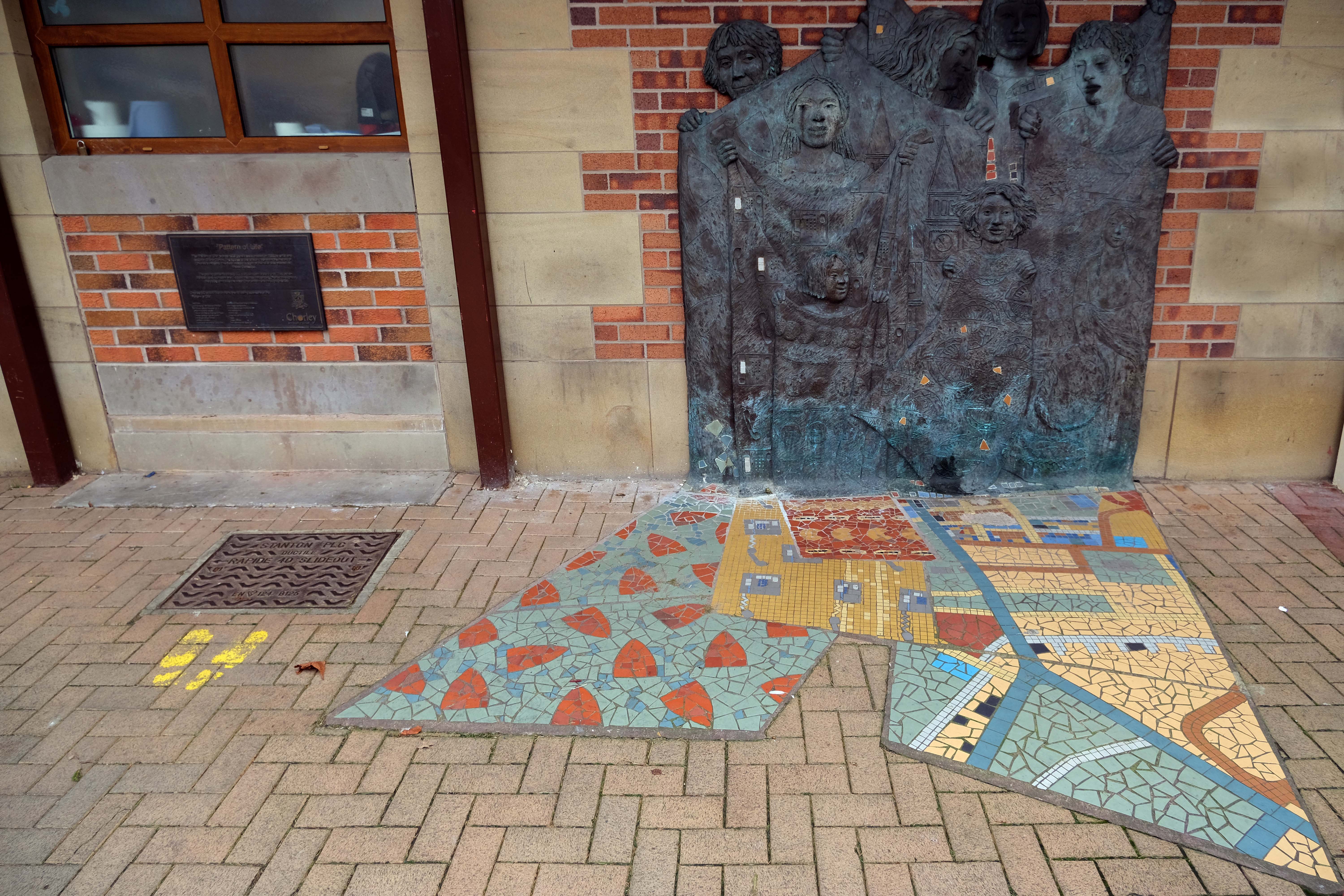
Hang a sharp right to the Market – where there is this newish piece of public art Pattern of Life a bronze relief by Diane Gorvin and mosaic work by Tracey Cartledge
This piece involves an innovative combination of cast bronze and ceramic mosaic. Two bronze relief panels display female figures holding out rolls of fabric, each decorated with patterns and images that are particular to the town of Chorley. Payphones, for example were invented and manufactured in Chorley, the crested newt is protected here and you might also notice the famous Chorley Cakes. As the fabrics tumble down, the designs are translated from bronze relief on the wall surface into 2D mosaic in the pavement.
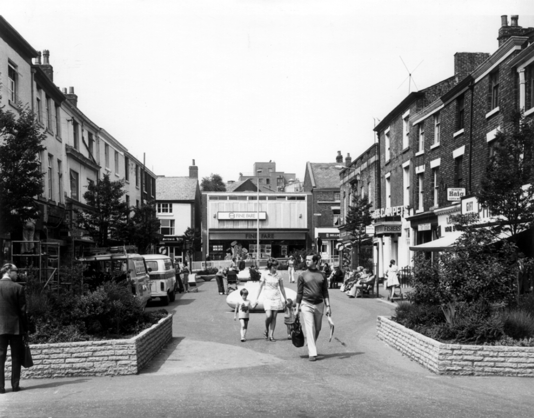
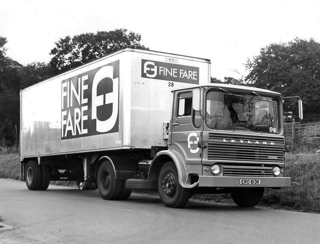
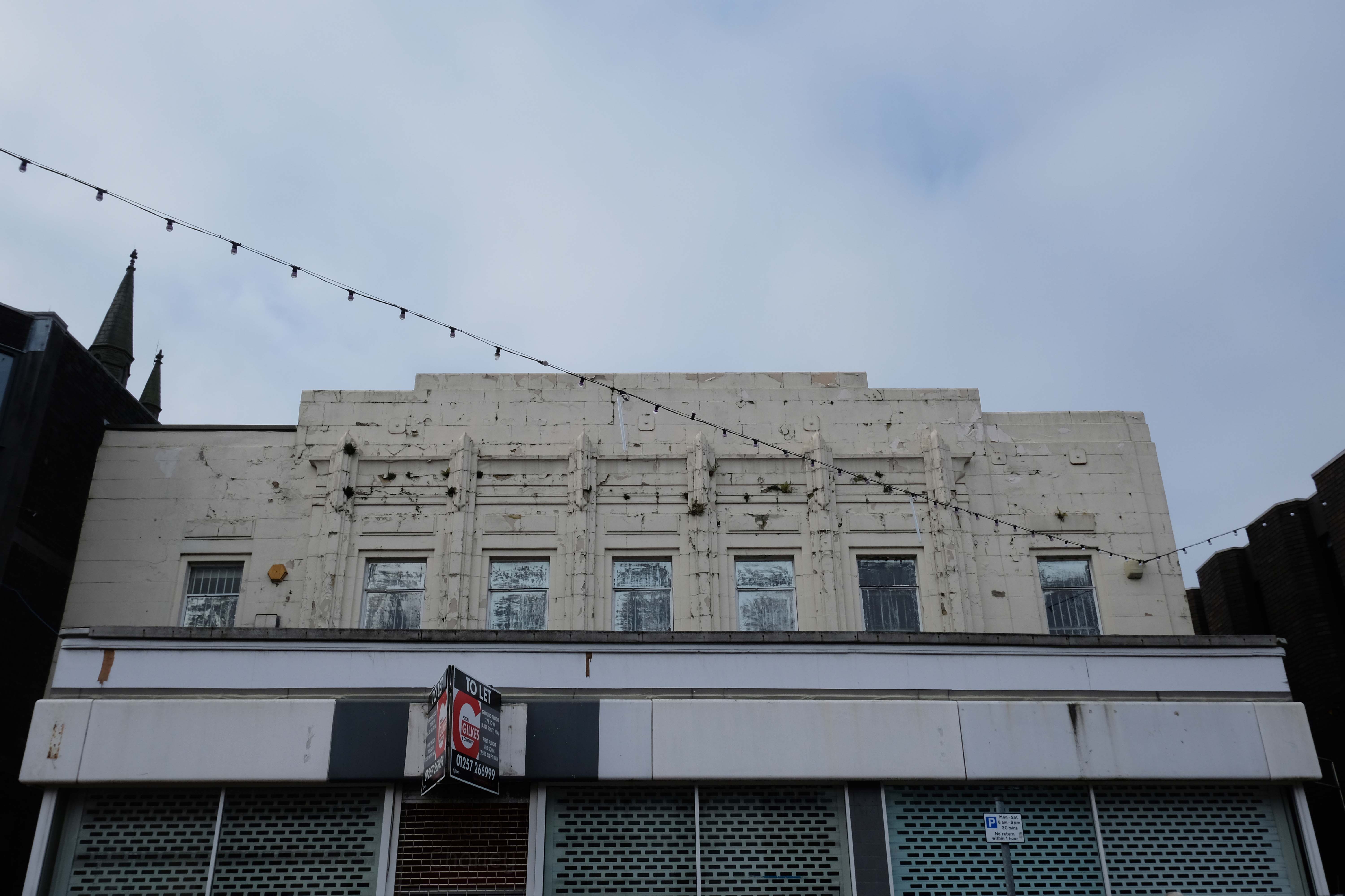
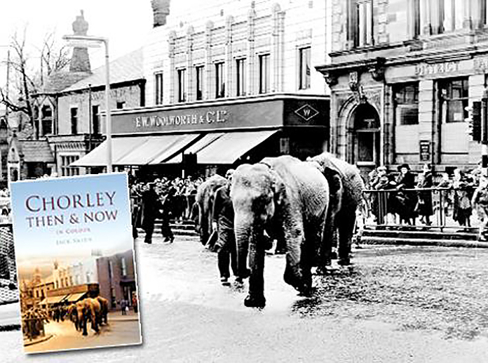
Looking down Fazakerley Street to where Fine Fare once was.
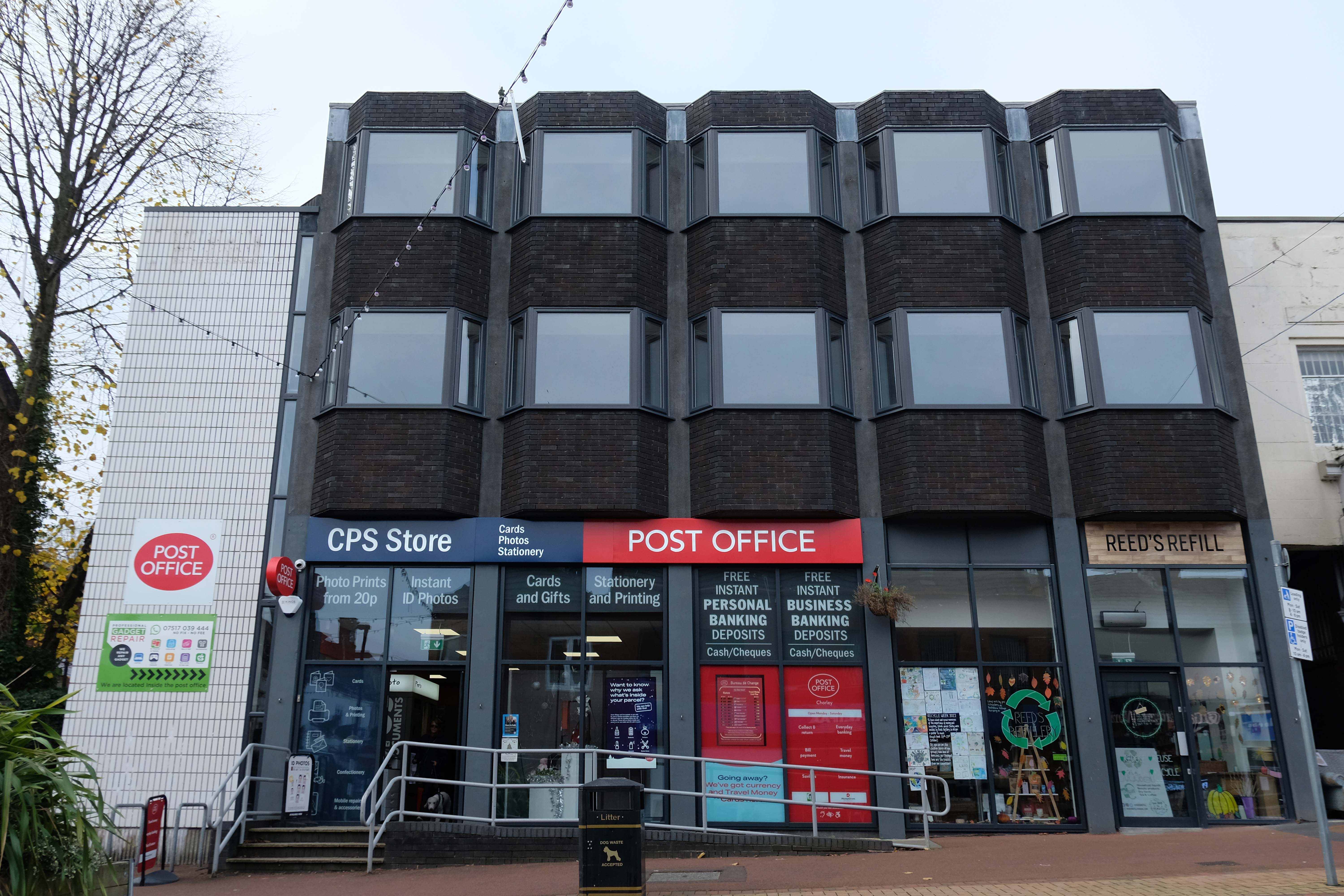
We’ll return to such matters in a moment – we have to get to the Post Office – which is no longer a Post Office.
It was a Post Office in 1935 – it also has a later extension.
The local list declares that the post office dates from 1935. This is almost certainly erroneous since the contract documents date from 1924, and from contract to completion the average construction and fitting-out time was about 18 months.
Plans supplied by the Architects Messrs. Cheers & Smith of Blackburn which were approved by the Education Committee on the 18th August 1904 – design proposals for the new Technical School entitled Light and Air.
The considerable task of erecting the school was given to the local builder Mr. William Hampson of Pall Mall.
Surely the envy of his trade, the total contract was worth a mouth- watering £10,041 15s. 9d. – approx. £720,000 today.
The building was officially opened by the 16th Earl of Derby on September 24th 1906.
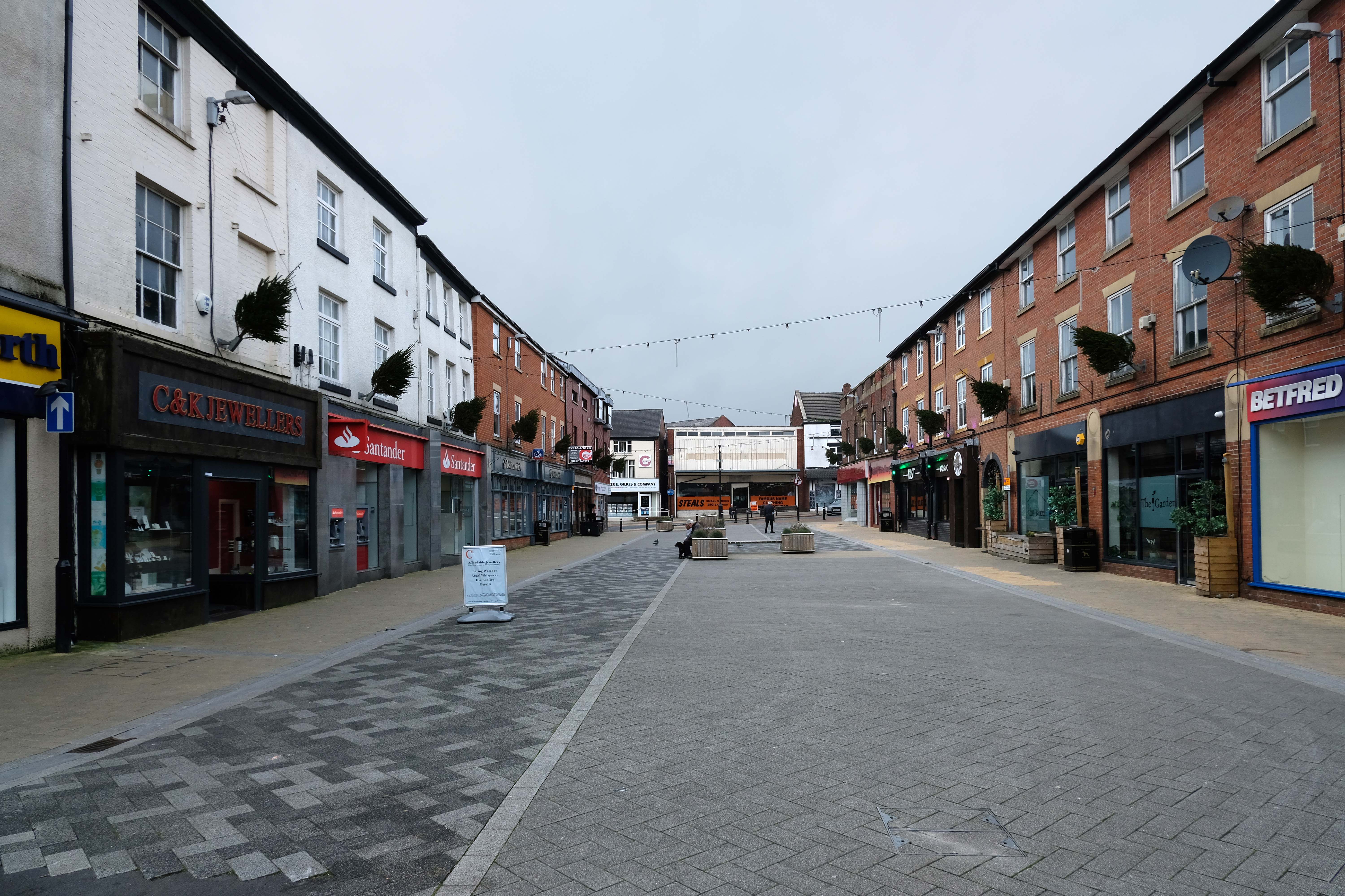
Over the road the town’s newest retail development Market Walk – the work of AEW Architects.
Chorley Council bought the shopping centre from Orchard Street Investments for £23m in 2013 and commenced a large-scale regeneration scheme in 2018 involving a £15m, 79,000 sq ft retail and leisure extension led by main contractor Eric Wright Group and designed by AEW Architects. Here, Conrad Heald of Chorley Council tells his interviewer, AEW director Phil Hepworth, how the scheme came to fruition and has rejuvenated the town centre.
The memorial re-sited in 2018 commemorates the Chorley Pals.
In less than 20 minutes, 235 of the 720 men from the 11th East Lancs. were killed. Another 350 were wounded, of which 17 would eventually succumb to their wounds. Many of the Battalion died where they fell, in No Man’s Land.
As a result of the attack on the morning of the 1st July, the Chorley Pals – Y Company, had 31 men killed and three died within a month of their wounds received on that day. 21 have no known graves and their names are transcribed on the Thiepval memorial to the Missing on the Somme battlefield. A further 59 were wounded, making a total of 93 casualties out of approximately 175 men from Chorley who went over the top that morning.
Reversing now to the former Barclays Bank – which closed earlier in 2022.
We return now to the former Fine Fare.
The company began as one single supermarket in Welwyn Garden City in 1951, as an offshoot of the Welwyn Department Store, owned by Howardsgate Holdings, the company of Ebenezer Howard, the founder of the garden city movement.
Now here’s a thing a bank which is a bank NatWest not gone west.
Next to the former Woolworths, opened in Chorley in 1930 on Market Street, with its pale Deco faience fascia.
They traded from this building for sixty five years, before closing in March 1995 in order to move to a new store on Market Walk – it became an Argos, then it didn’t.
Here we are now at a Post Office that is a Post Office but was an RBS Bank.
the Bank was the work of Cruikshank & Seward – thanks to Mainstream Modern for these archive images.
The new location is at the former Royal Bank of Scotland on Market Street in the town centre.
Since the Post Office that was based at WH Smith on New Market Street came to an end, when that store closed in January, it relocated to a temporary unit in Market Walk until a permanent solution could be found.
The unit, which had been provided by the postmaster from Burscough Bridge Post Office, closed on Tuesday.
Kenny Lamont, Post Office Network Provision Manager, said a Post Office is important to a community.
This had been a Methodist Church – then, it became the HQ of the Lancashire Electric Power Company.
The Lancashire Electric Power Company was one of the largest private electricity companies in the UK. It was established in 1900 and generated and supplied electricity to 1,200 squares miles of Lancashire from 1905 until its abolition under nationalisation in 1948.
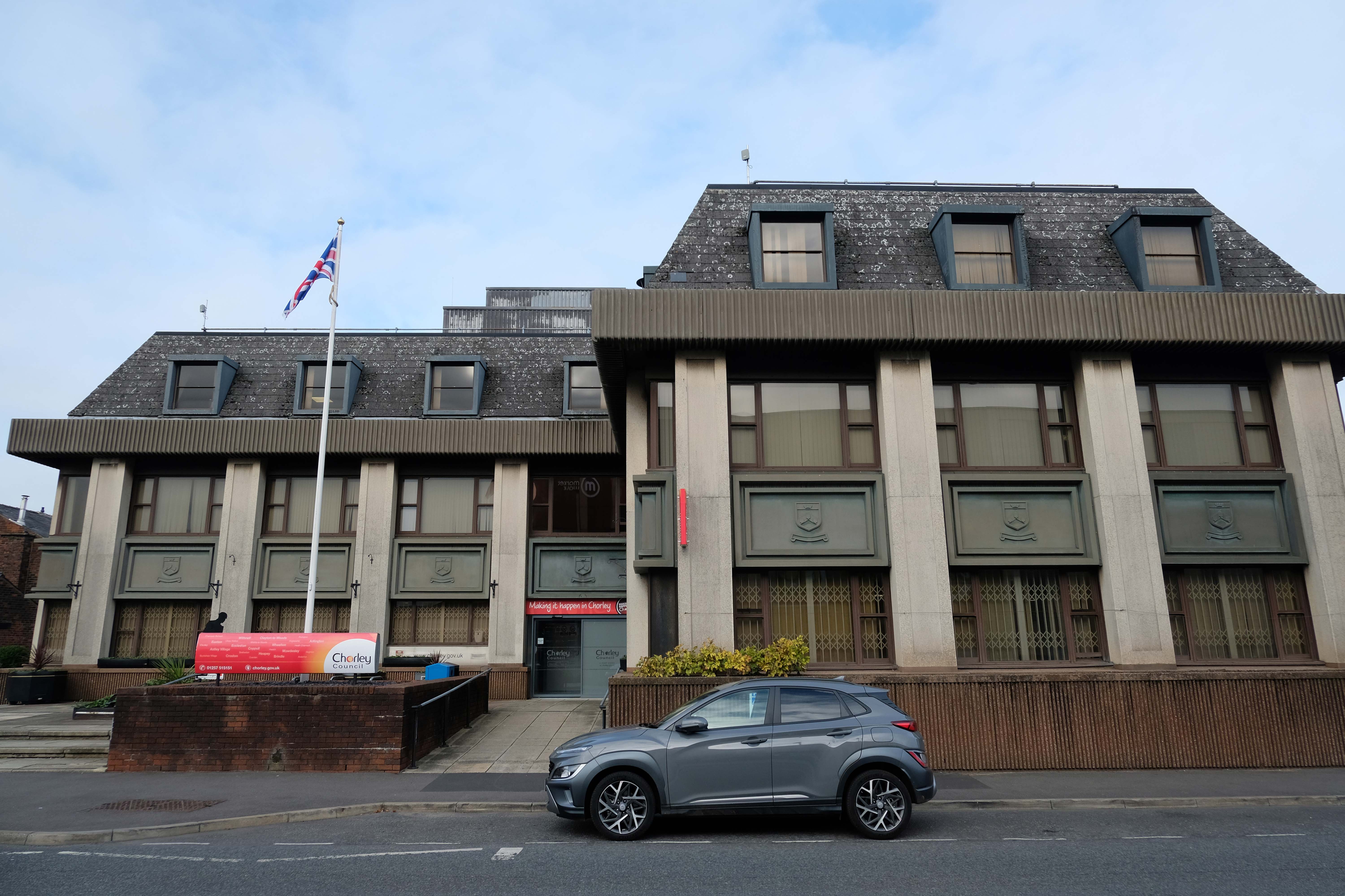
Time to back track to the Cop Shop – the work of County Architect Roger Booth and crew.
The Magistrates’ Courts are closed and up for sale.
Next door the White Hart once upon a time the Snooty Fox, a pub with an up and down trajectory – currently open and described online as plush.
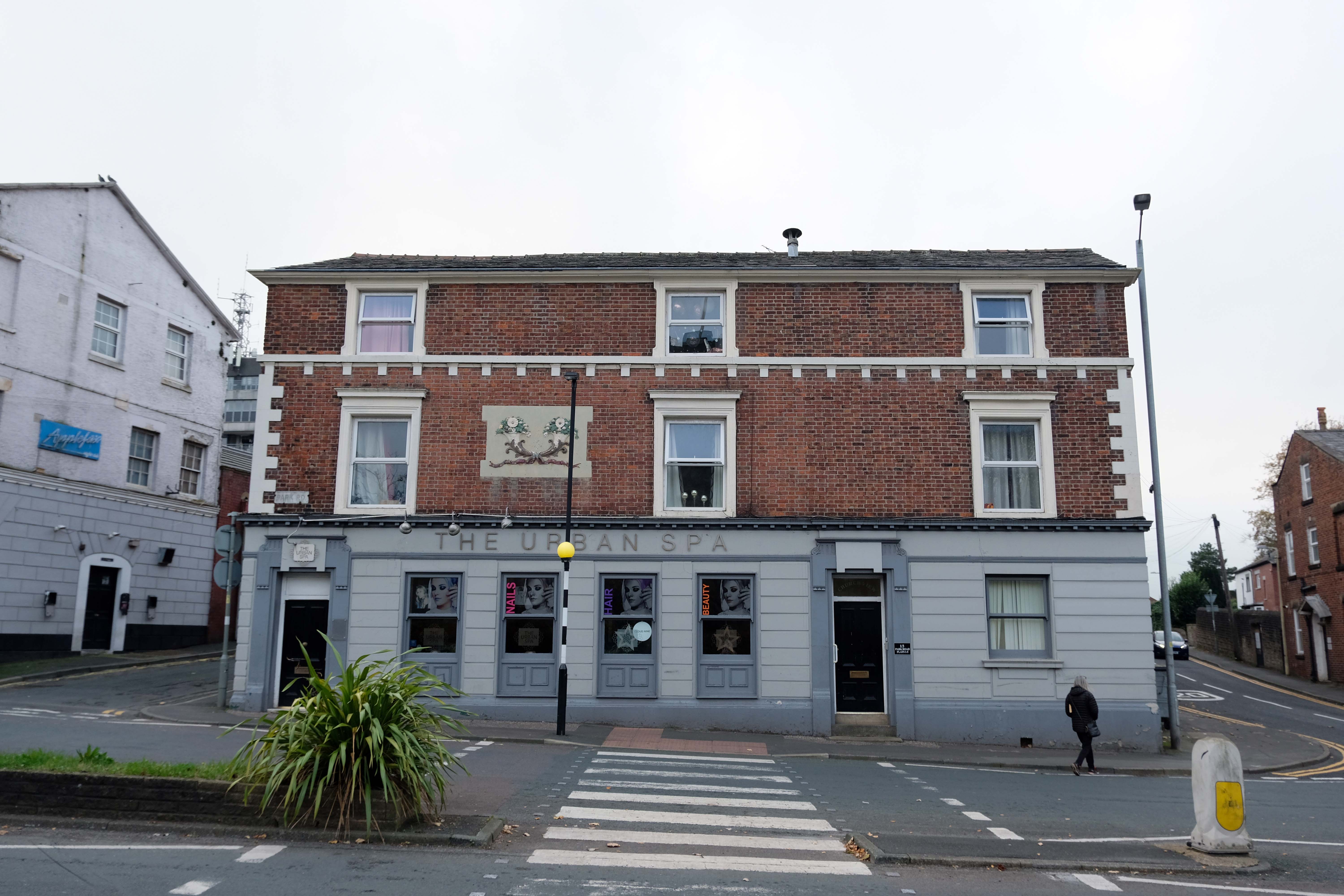
Down the road a pub no longer a pub but an Urban Spa.
We offer you a full range of professional treatments tailored to your own personal needs. We treat every client as an individual and offer an extensive range of treatments and professional products making your visit one to remember.
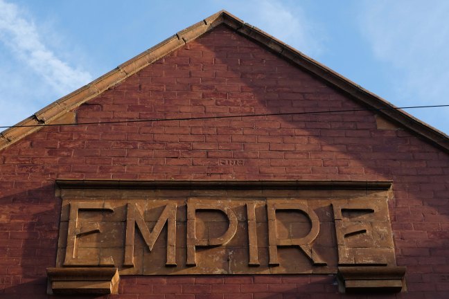
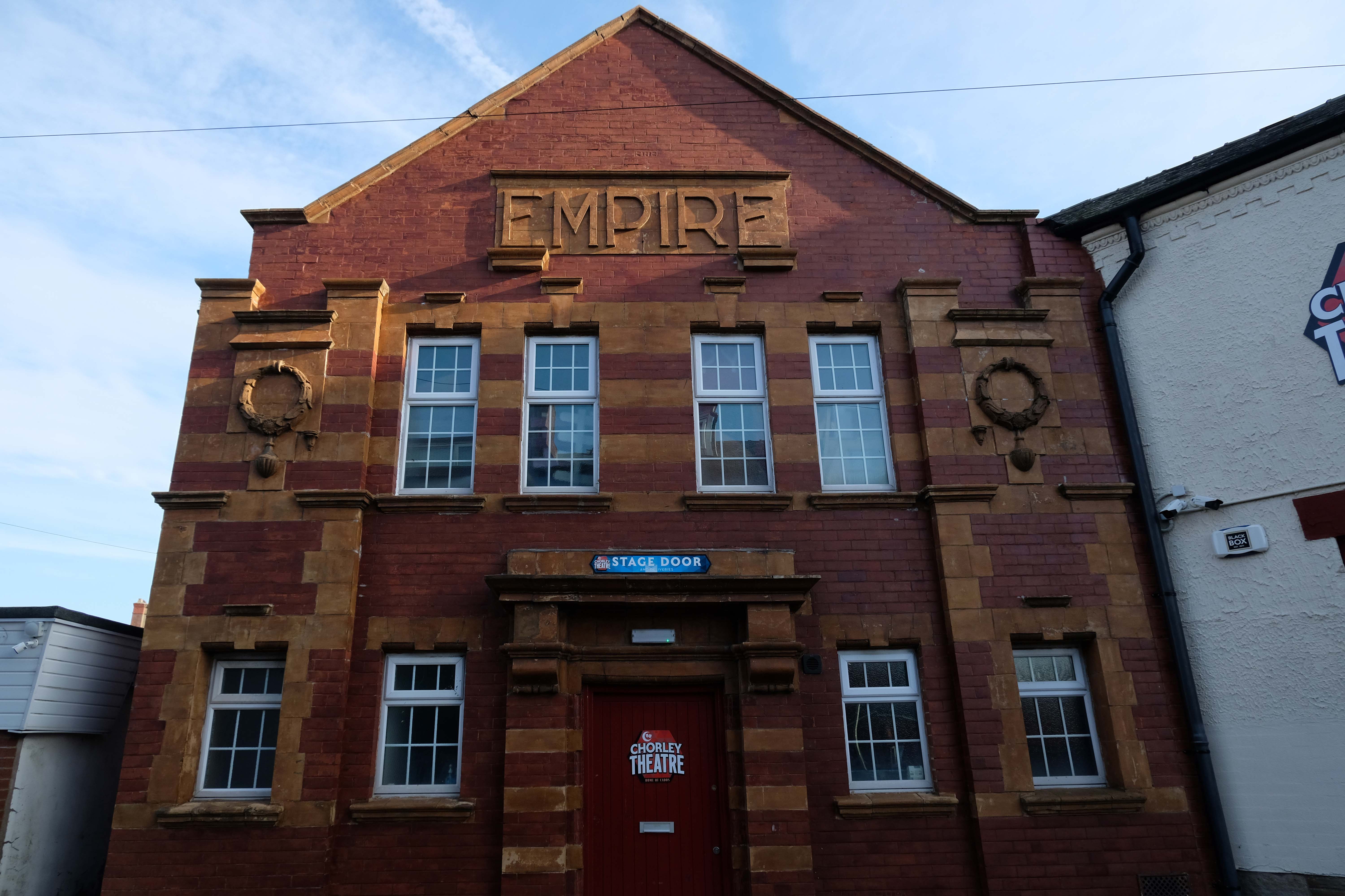
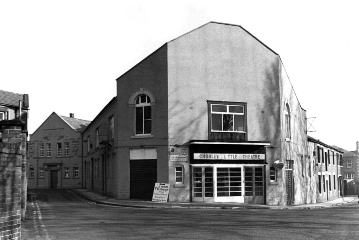
Let’s go to the theatre – The Empire tucked away at the back of town.
The Empire Electric Theatre opened, as the town’s first purpose-built cinema, on 3rd September 1910. In 1912 Archie Hooley began his connection with the cinema business at the Empire Electric Theatre. By 1927 it had been re-named Empire Cinema and by 1930 it was equipped with a Western Electricsound system and was operated by the Perfecto Filmograph Co. Ltd. By 1939 it was operated by the Snape & Ward chain. According to the Kine Year Books, in 1940 the seating was for 800, while by 1952 it had been reduced to 679 – still a far cry from today’s 236 seats. 3D films were shown in the early-1950’s. Archie had died in 1944; his son Selwyn closed the cinema in 1957, apparently “because of the taxes”.
1959
Wrestling took over for a while before Chorley Amateur Dramatic and Operatic Society – CADOS acquired the building and renamed it the Chorley Little Theatre. Since 1960 CADOS have been putting on high-quality productions, presenting at least six productions per season – from September to July. It is also the home of the award-winning Chorley Youth Theatre who meet every Saturday, putting on shows throughout the year; and Chorley Empire Community Cinema who present the cinema experience on their 21ft wide screen with 8-Speaker Surround Sound. Run entirely by volunteers the theatre has state-of-the-art sound systems and a full range of lighting equipment. There are two spacious dressing rooms, space for costumes and props and the Empire Bar. The building has disabled access throughout the public area, including a toilet, and the auditorium is fitted with a hearing loop. There are three spaces for wheelchairs in the auditorium. It was re-named Chorley Empire Cinema at Chorley Theatre in October 2019 and films are still part of the programming.
The Odeon Market Street was built for and operated by Oscar Deutsch’s Odeon Theatres Ltd. chain, it opened on 21st February 1938 with Jack Buchanan in The Sky’s the Limit.
Architect Harry Weedon was assisted by PJ Price.
It was closed by the Rank Organisation on 6th February 1971 with George Lazenby in “On Her Majesty’s Secret Service”. After laying closed and un-used for over two years it was sold to an independent bingo operator and re-opened on 9th August 1973 as a Tudor Bingo Club. It later became a Gala Bingo Club which was renamed Buzz Bingo Club in June 2018. It was closed on March 21, 2020 due to the Covid-19 Pandemic. On 15th July 2020 it was announced that the closure would be permanent.
The building was handed over to Chorley Council who decided that asbestos removal would be too costly and the building was demolished in August 2021.
Located on Salisbury Street, off Cunliffe Street, built in 1888 as a military warehouse, it was converted into a roller skating rink around 1909. It opened as the Pavilion Picture Palace on 14th September 1911, operated by George Testo Sante, a music hall strong man, who also operated the Grand Theatre as a cinema. By 1915, music hall acts were also part of the programme. After the end of World War I, the flat floor of the cinema was raked, allowing for better viewing of the screen. The proscenium was 30ft wide, the stage was 16 feet deep and there were two dressing rooms.
The Pavilion Cinema was the first in town to screen ‘talkies, when an Electrochord sound system was installed in 1929. It was taken over by the J.F. Emery Circuit in 1932 and they operated it until the end of 1933. The sound system was upgraded to a British Talking Pictures sound system. In 1954 it was the first cinema in town to be fitted with CinemaScope and the proscenium was widened to 36 feet.
The Pavilion Cinema was closed by 1962 and converted into a bingo club. In 1972 it was re-opened as a cinema again, but due to Star Cinemas chain barring it from showing first run features – they operated the Plaza Cinema, it was closed after 5 months of operation. It was later demolished and the area was redeveloped for housing.
No trace of The Hippodrome Theatre on Gillibrand Street, which was built and opened in 1909, or the Theatre Royal, opened on 30th September 1911, It was demolished in 1959.
A supermarket was built on the site which later became a McDonalds, which is now a Pizza Hut.
Last but not least – located on the Flat Iron Parade, aka Cattle Market, The Grand Theatre was a wooden building built in 1885, which presented melodramas and plays. In June 1909 it was taken over by George Testo Santo, who had been a music hall strongman, and his family. It went over to operating as a Picture Palace for a short season.
By 1914 it was operating as a full time cinema, but was destroyed by fire in 1914.