Swinton Square – Shopping Centre 2024

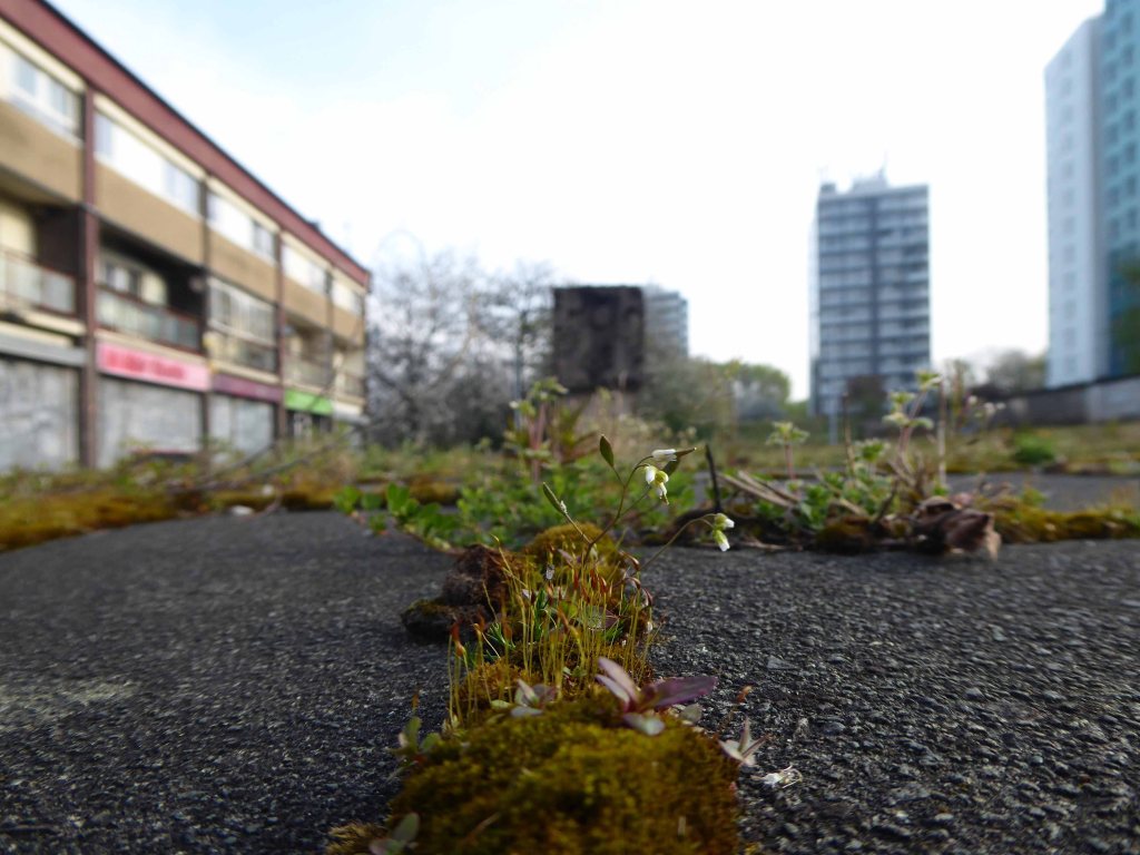
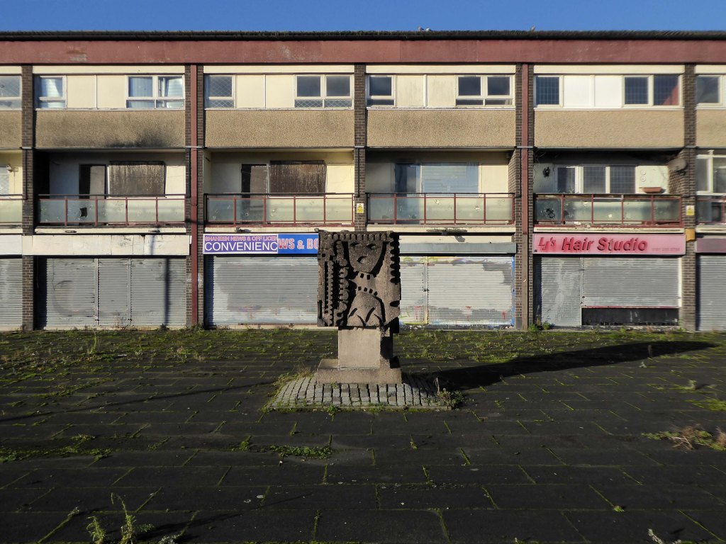
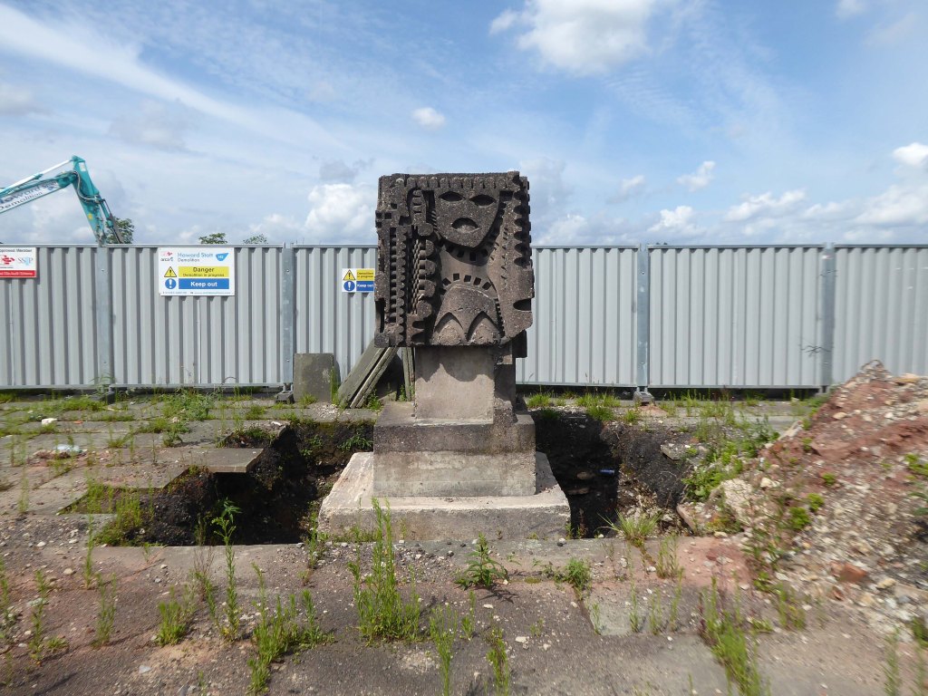
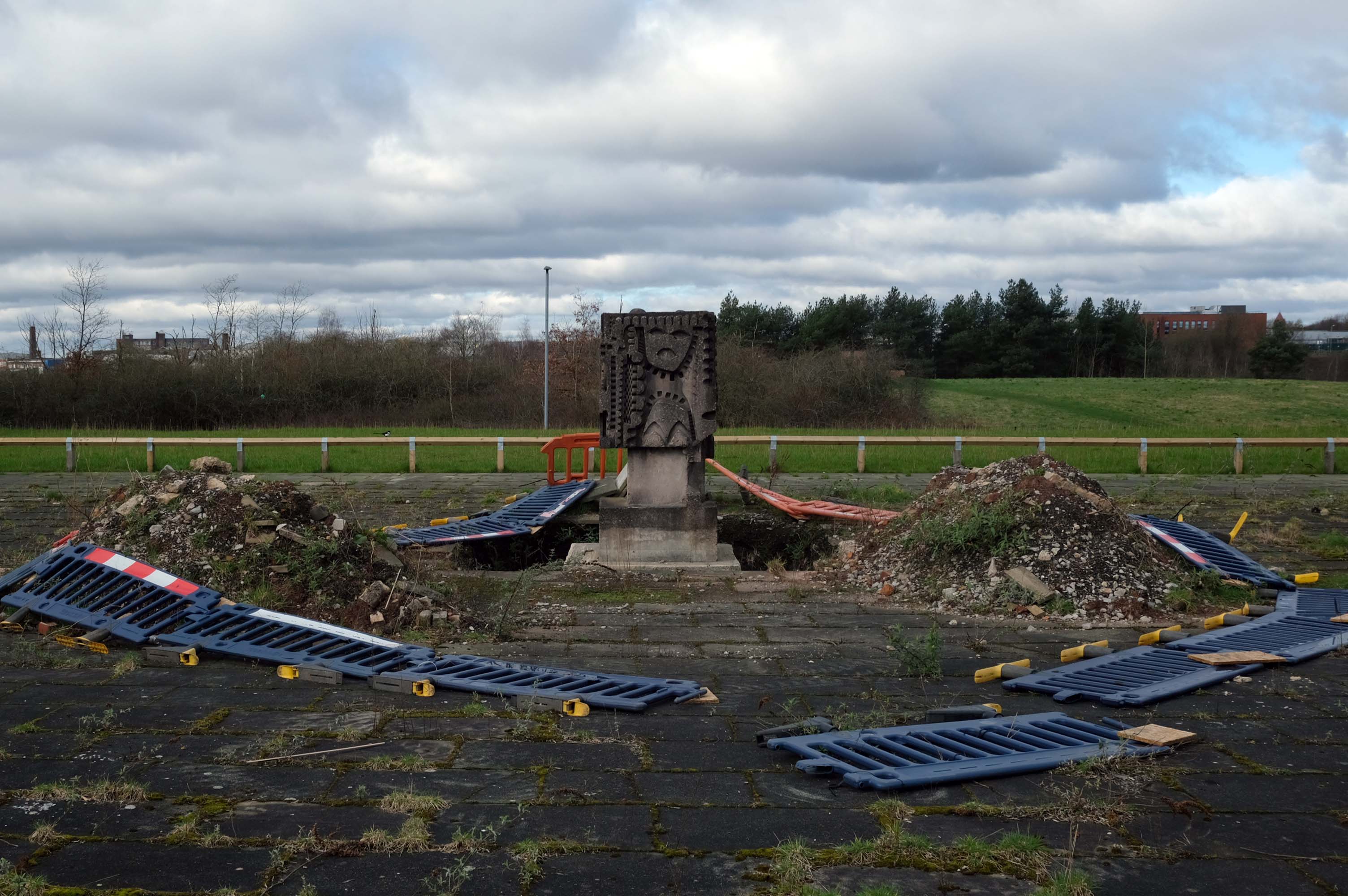
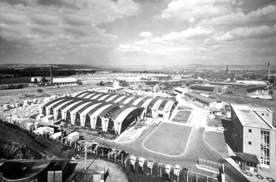
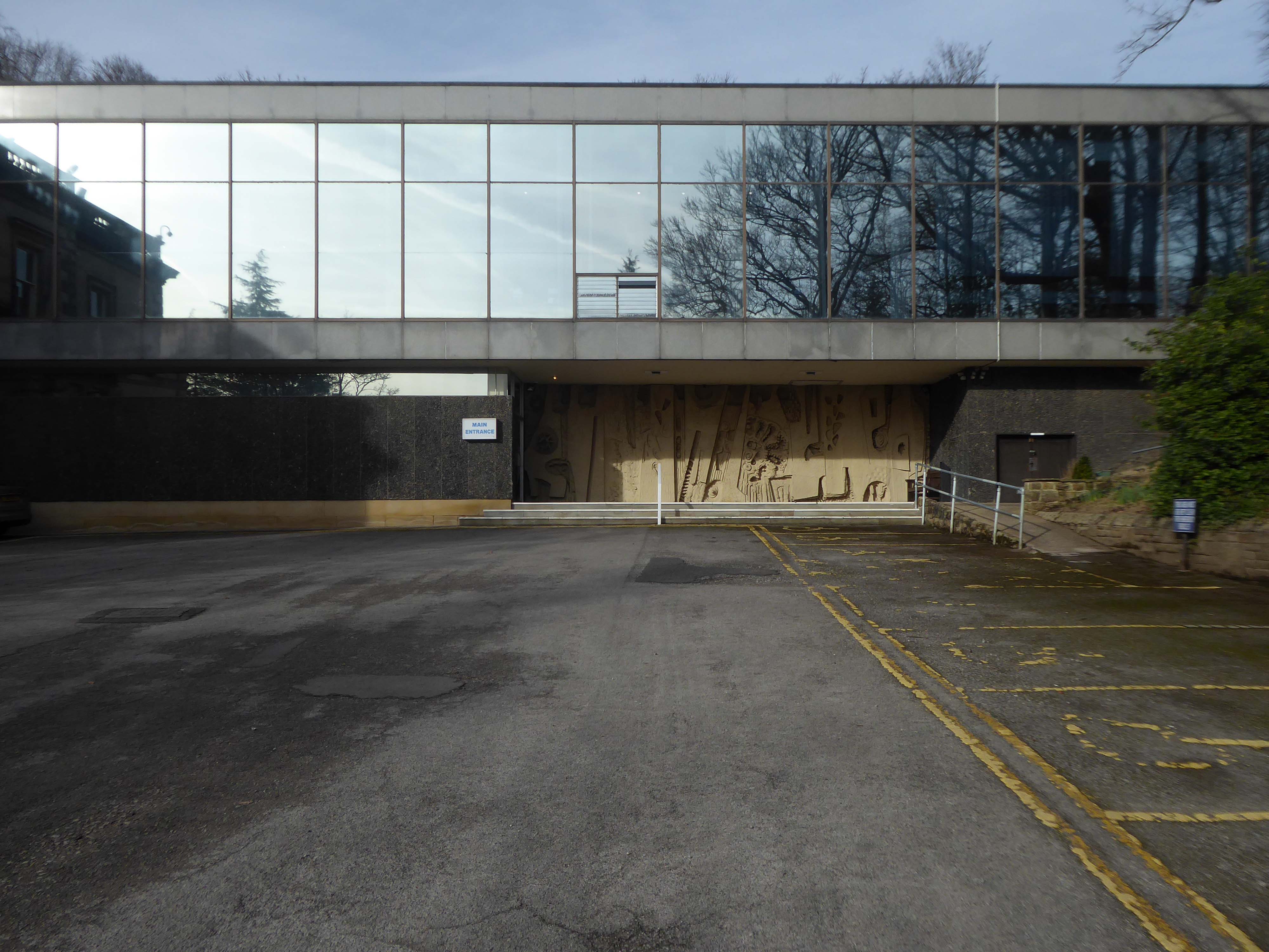
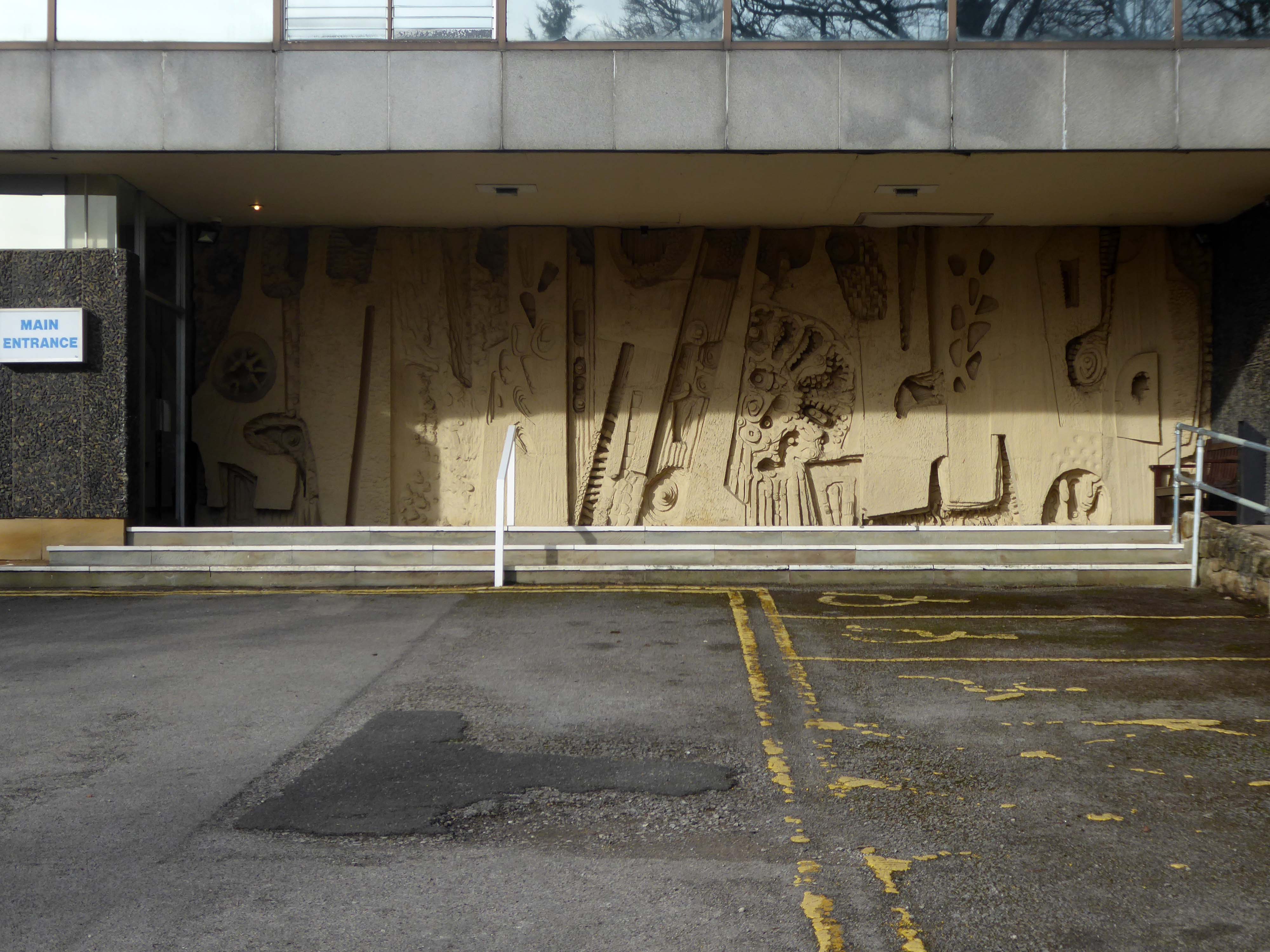
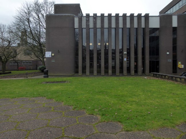
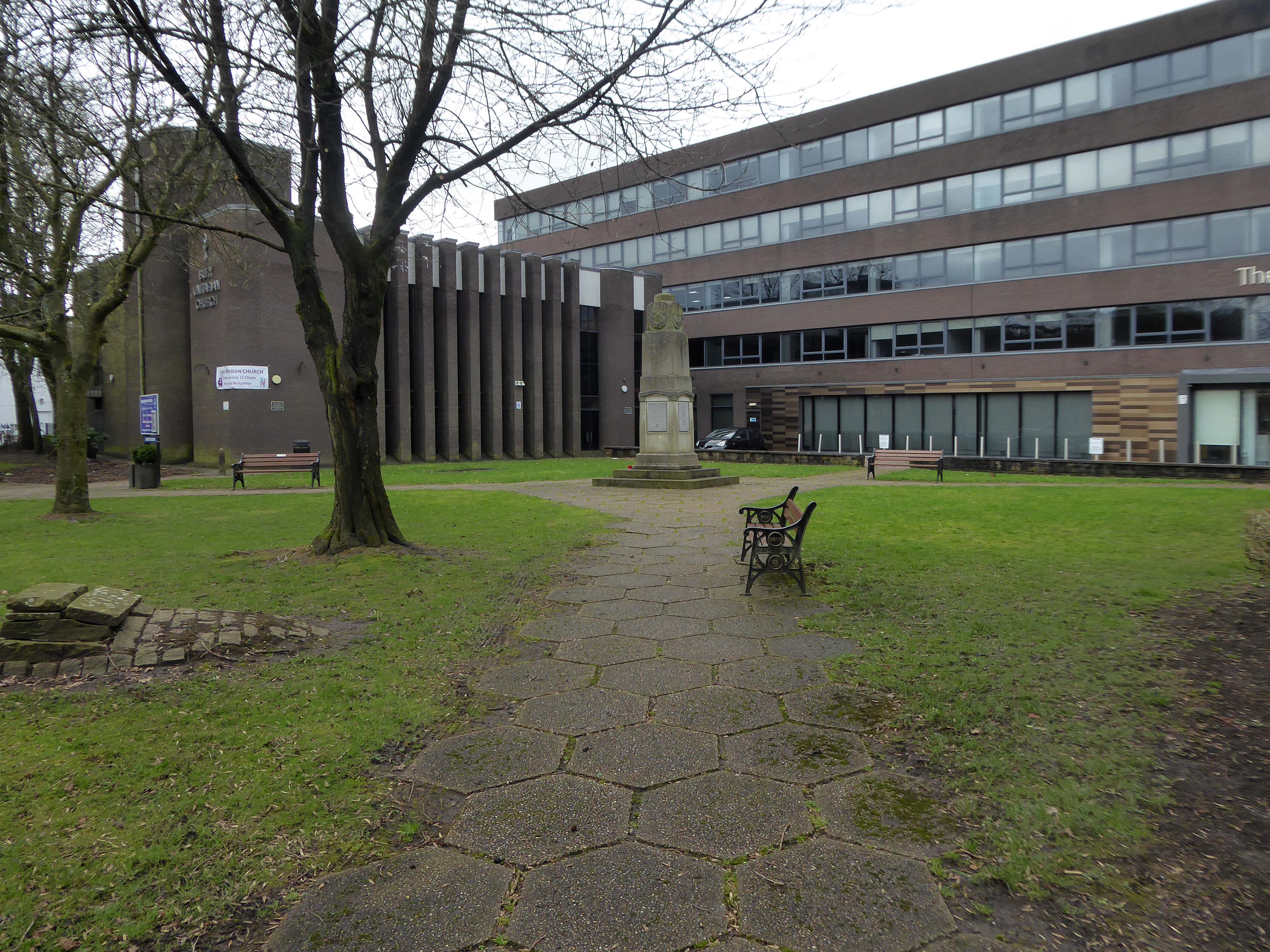
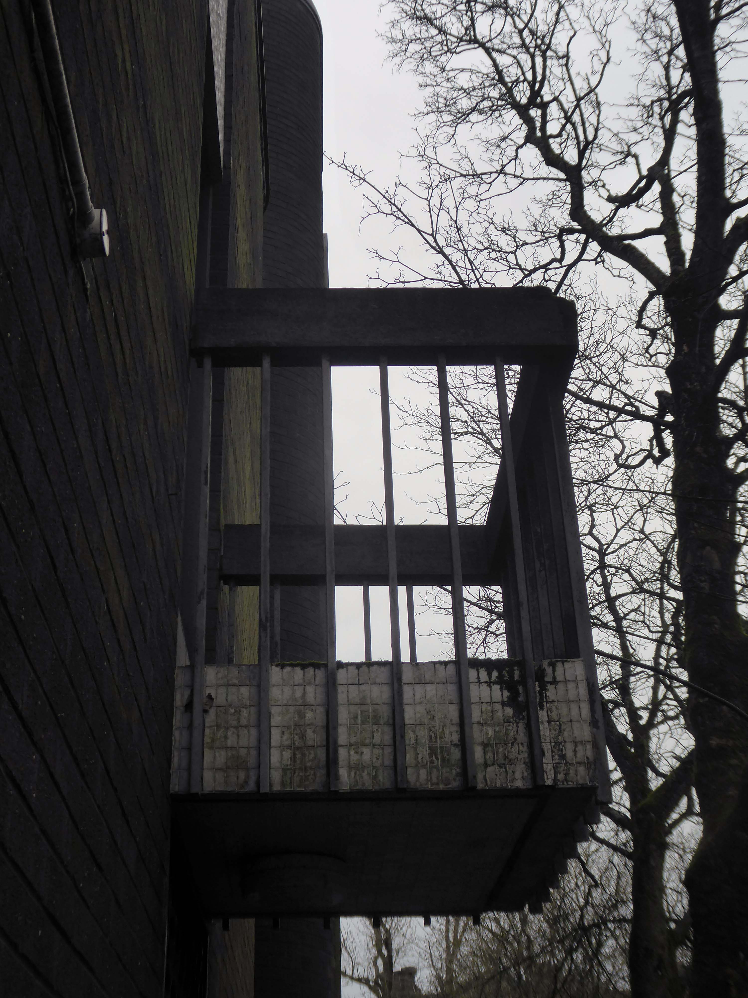
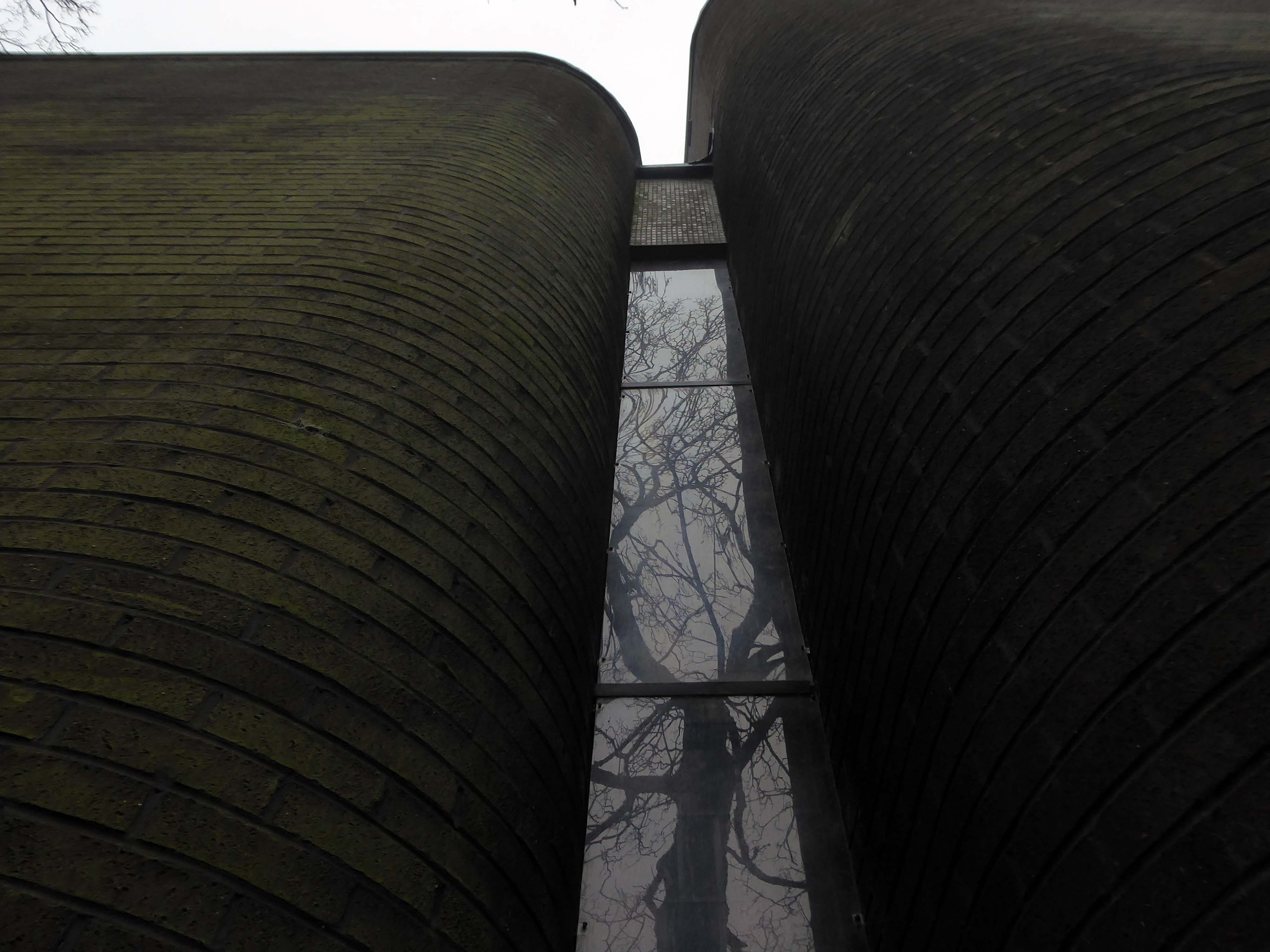
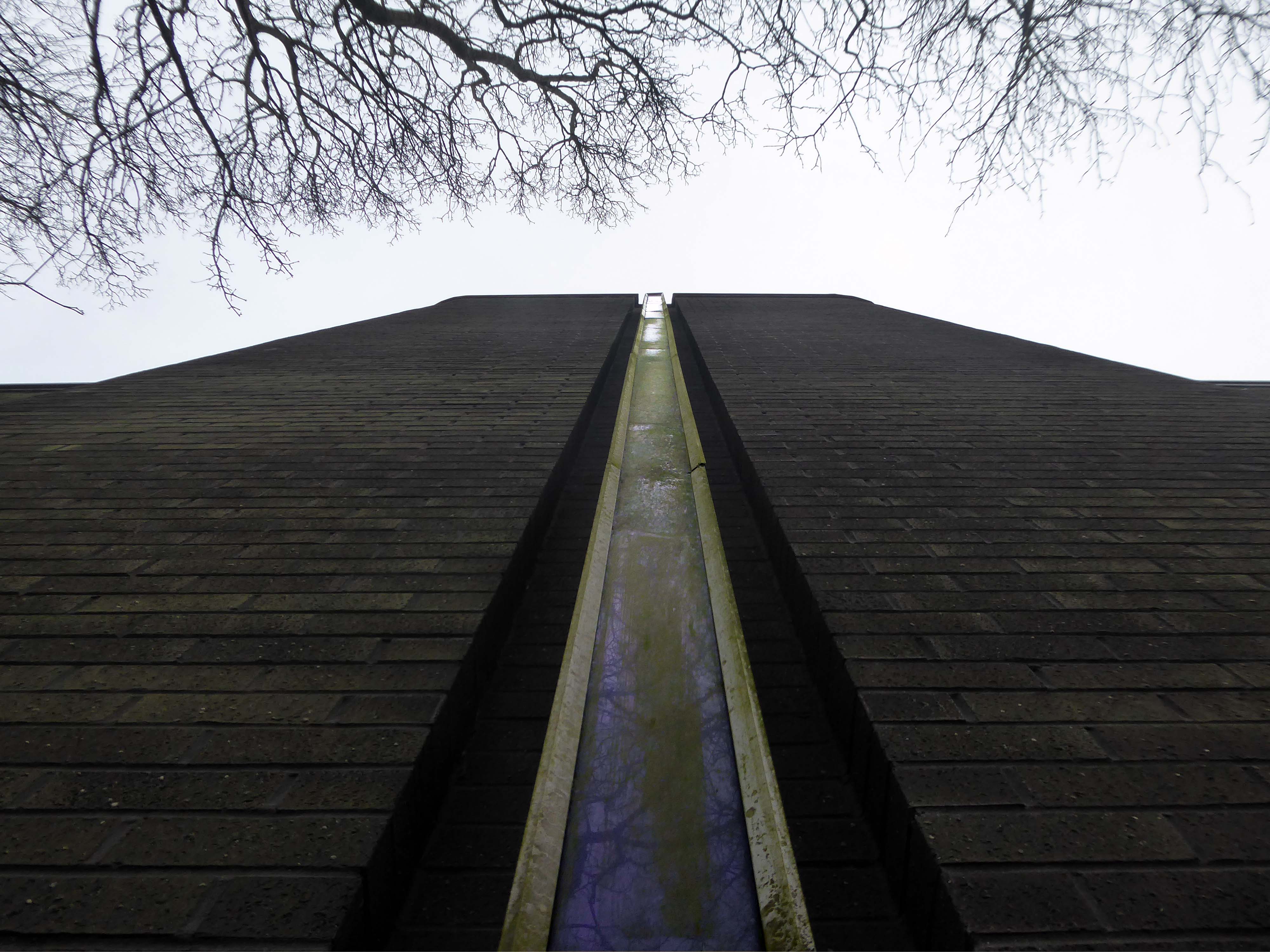
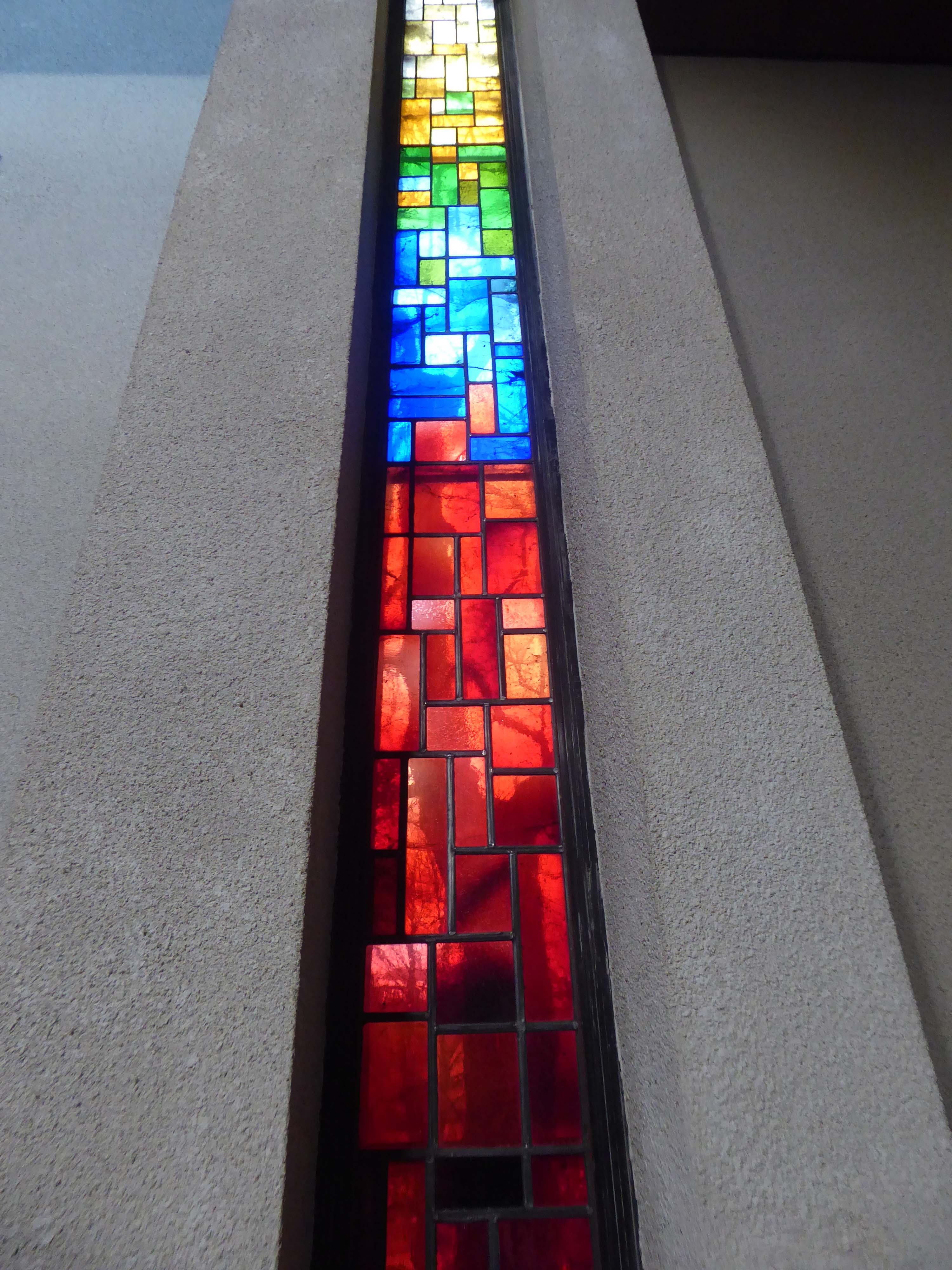
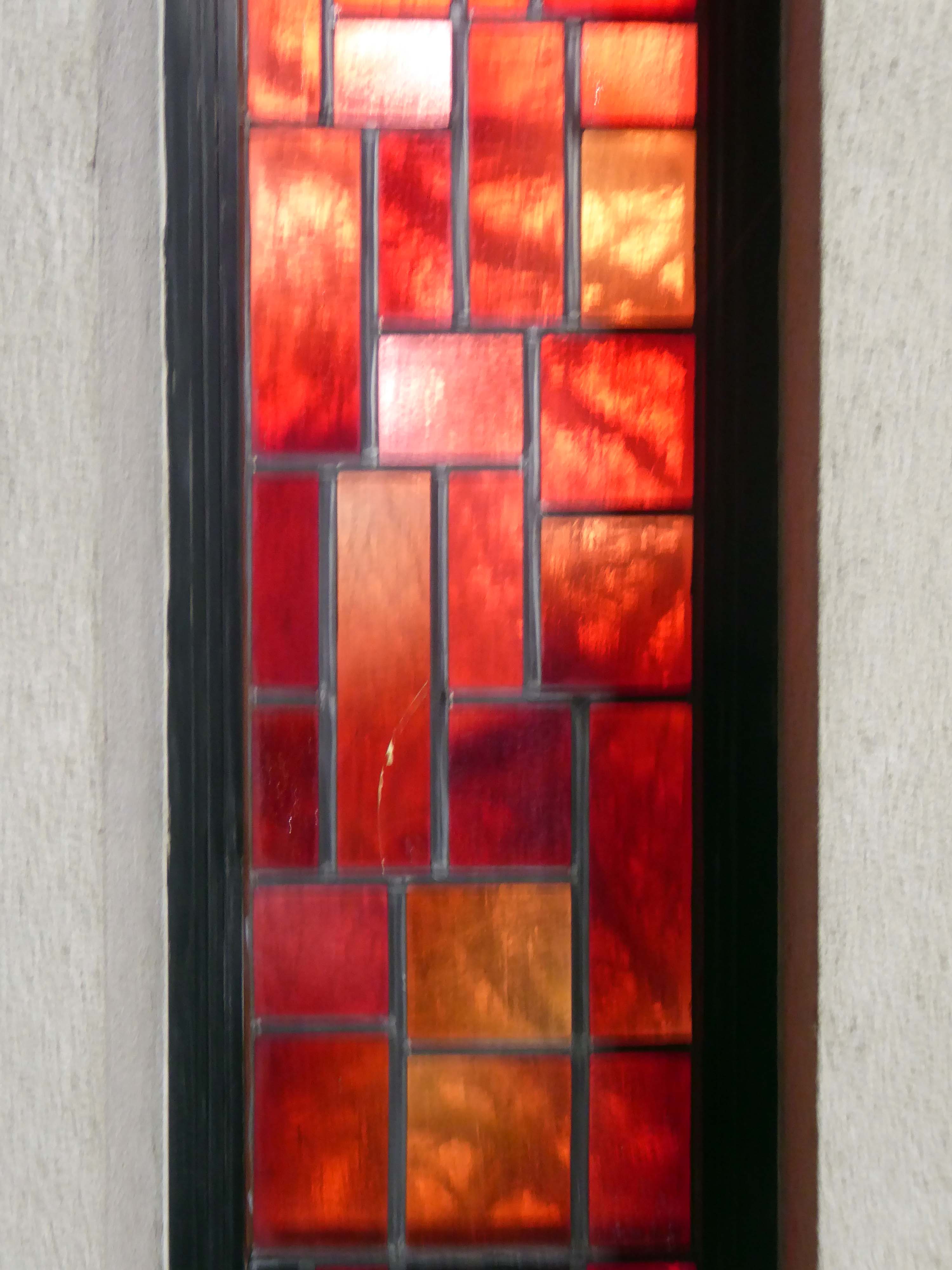
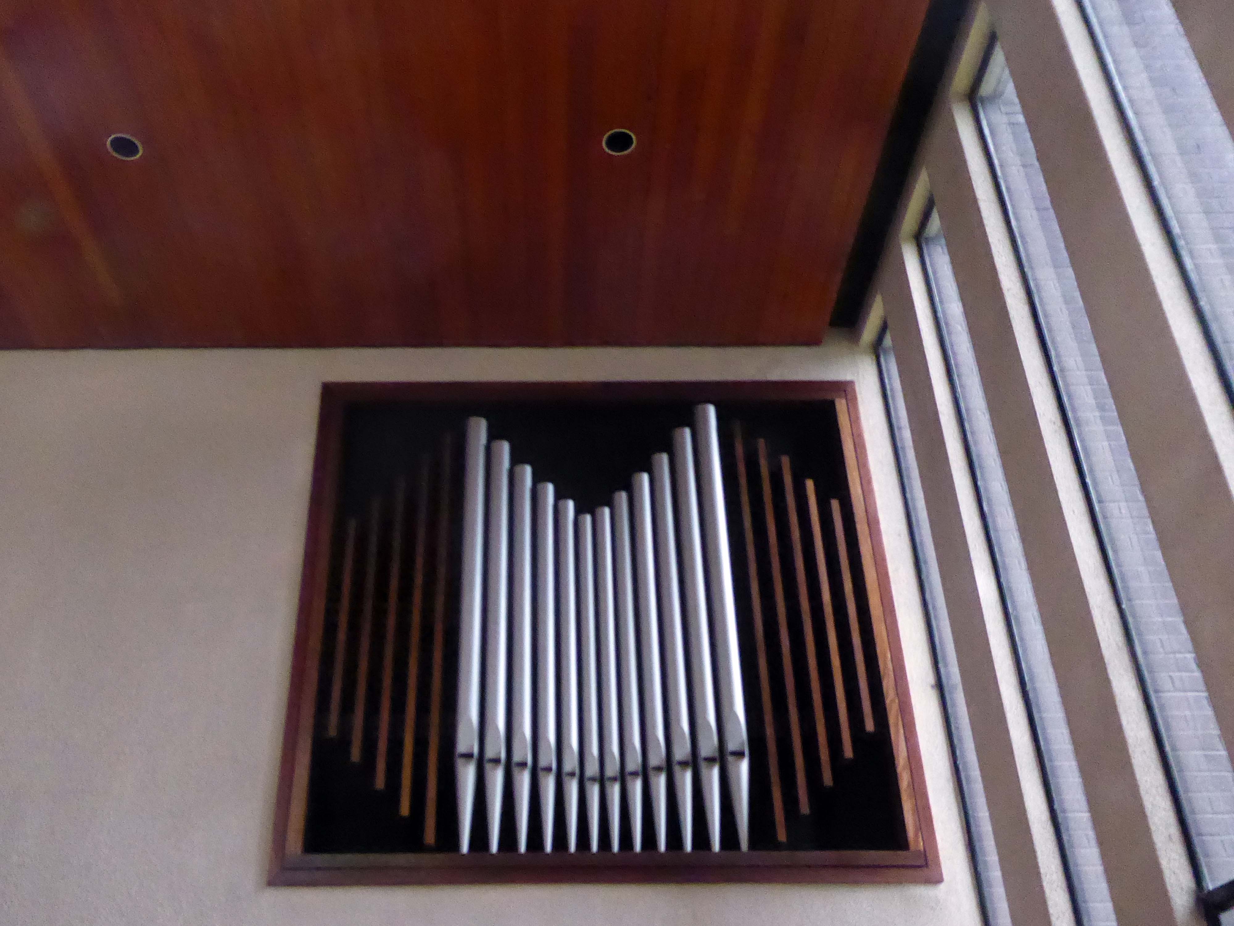
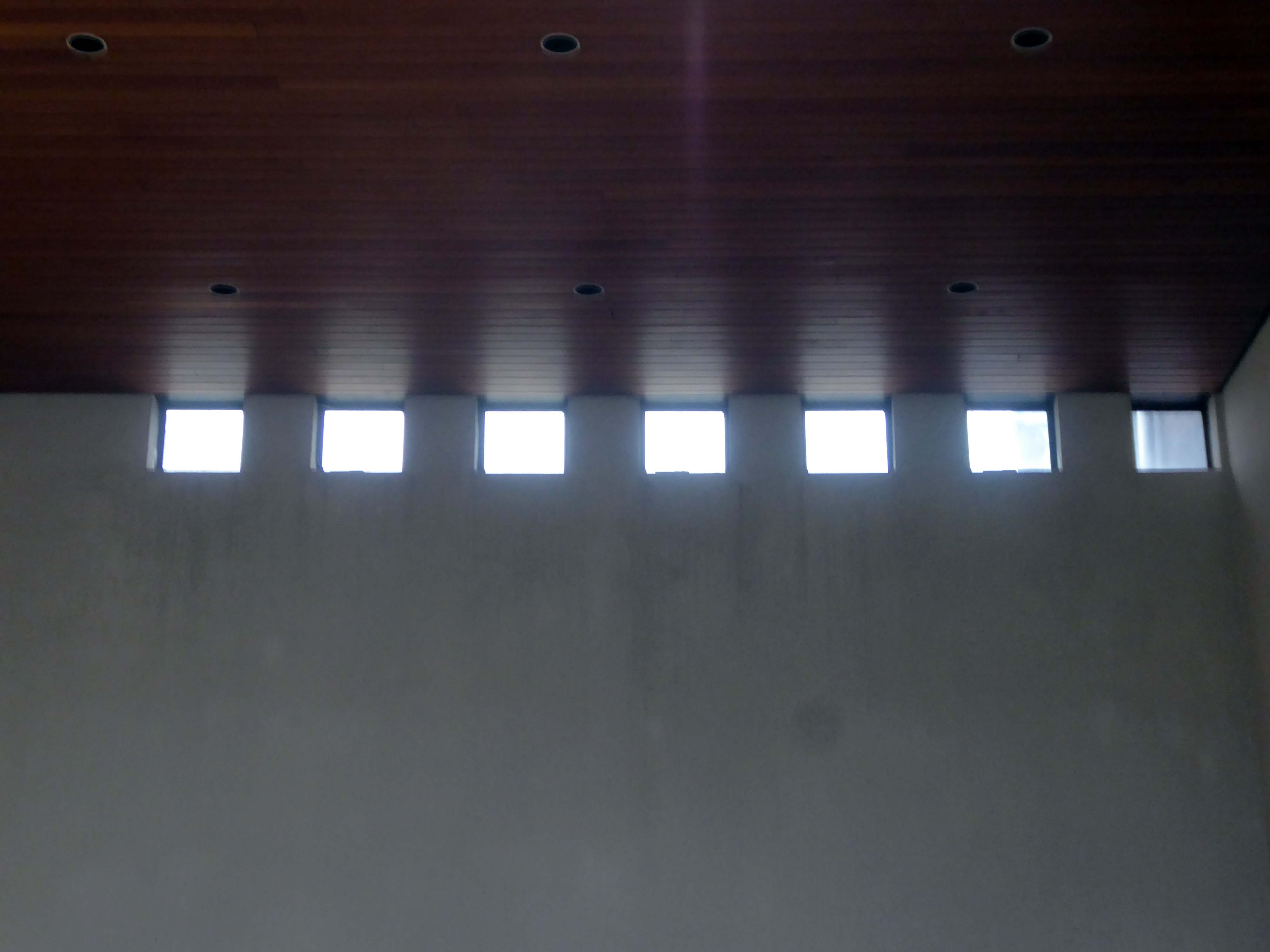
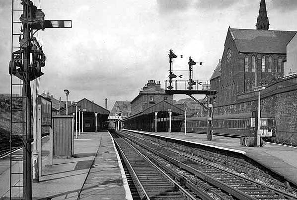
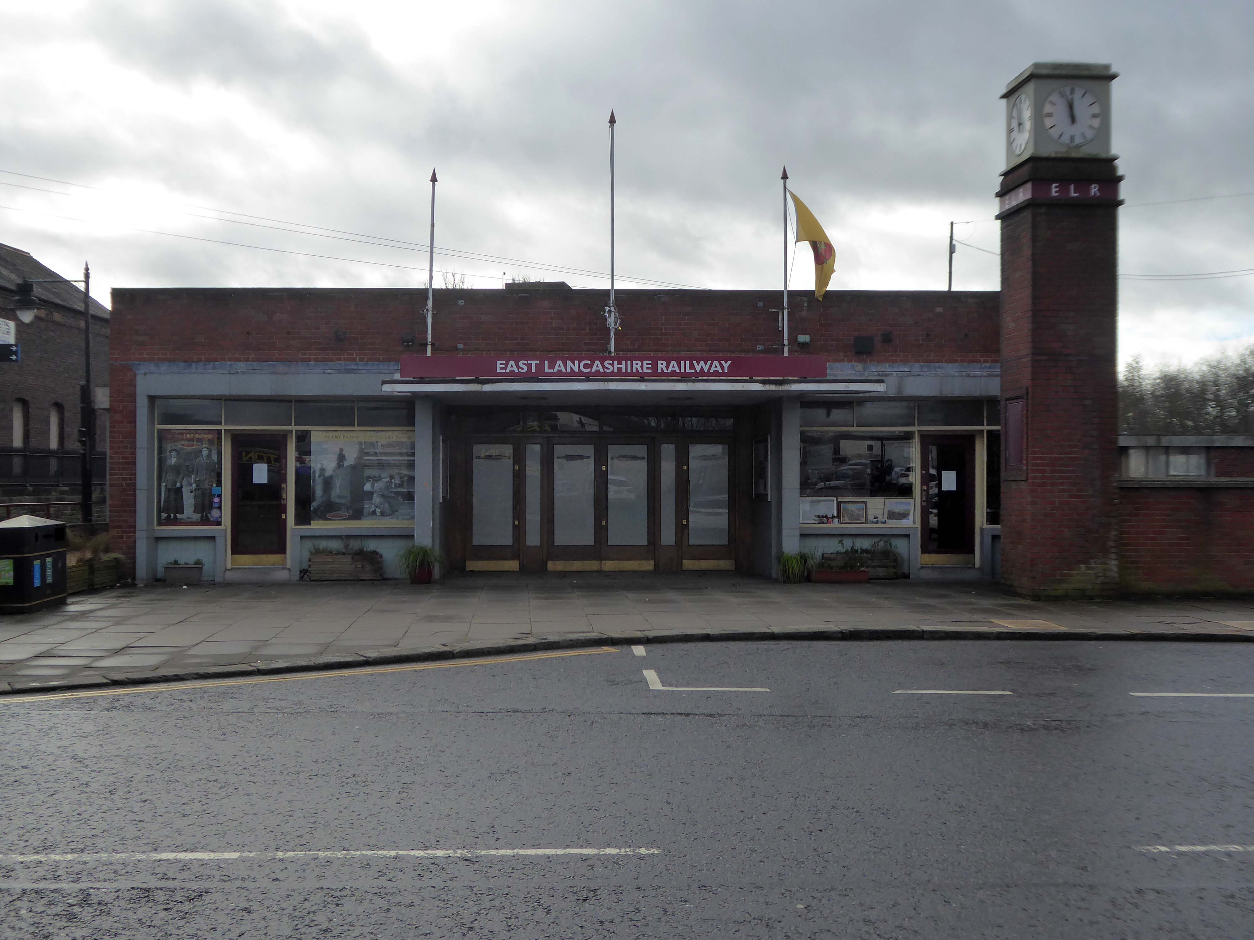
I was last here in 2022, I returned to Swinton Square on Saturday to lead a modernist walk for the Not Quite Light Festival.

So on a light bright sunny day, I took another look around.

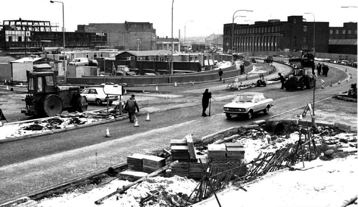
Salford’s town centres are important to the city’s future. They provide employment for local people, retail and leisure opportunities, homes, a sense of community, and a place for local people to interact. However, it is well known that town centres are changing and that they need to adapt and reposition themselves so that they can thrive and meet the needs of the local communities.

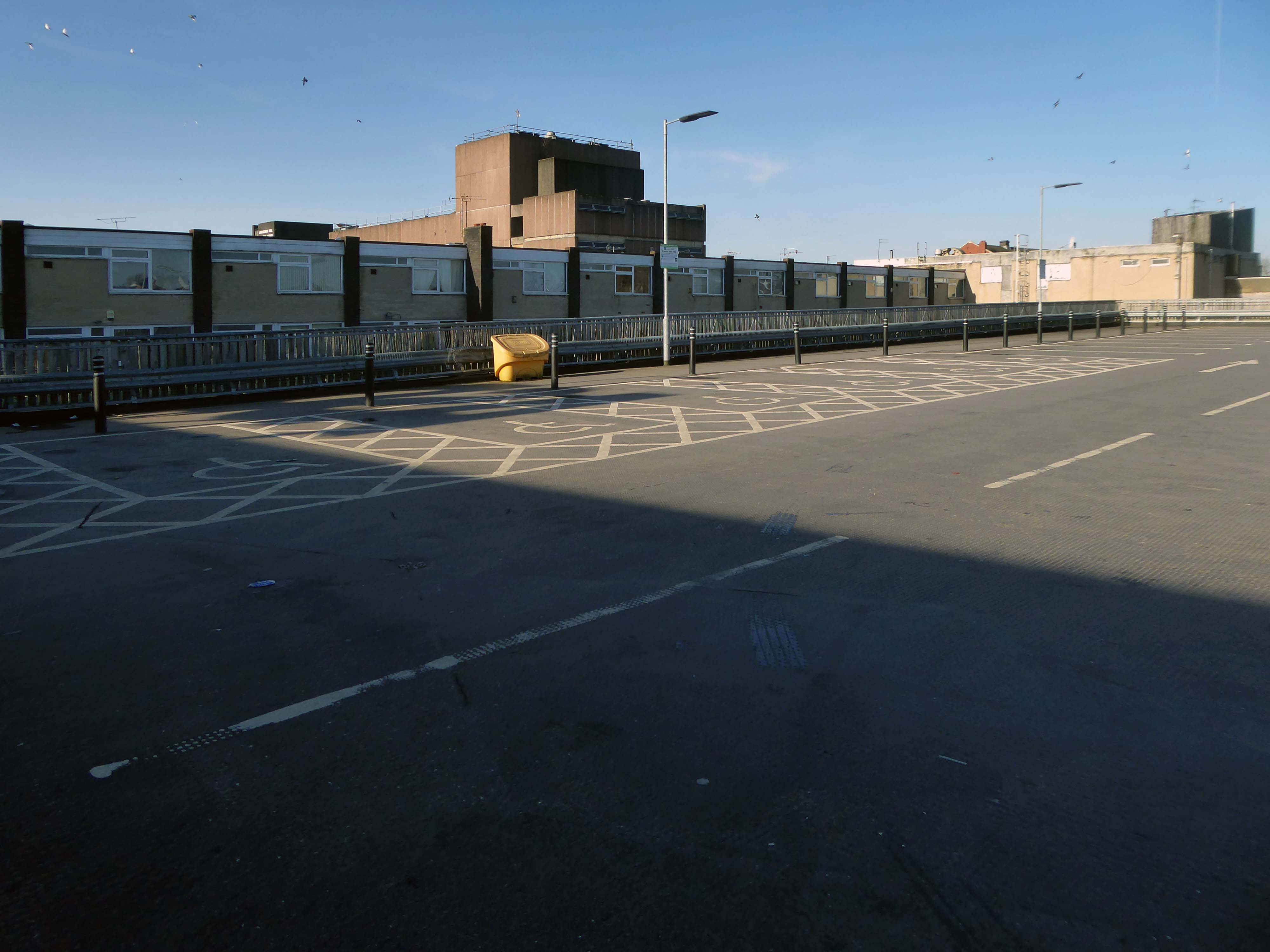
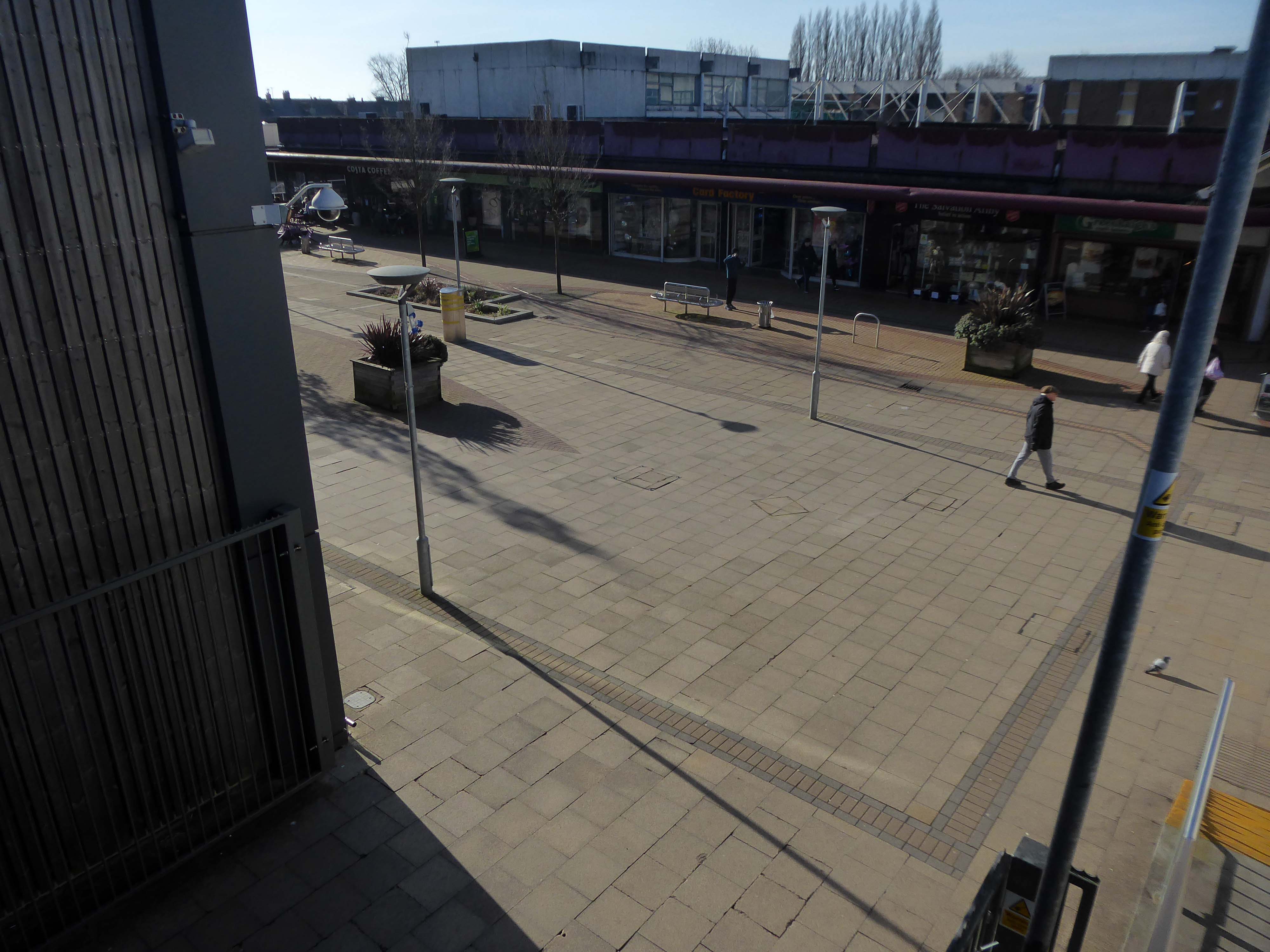
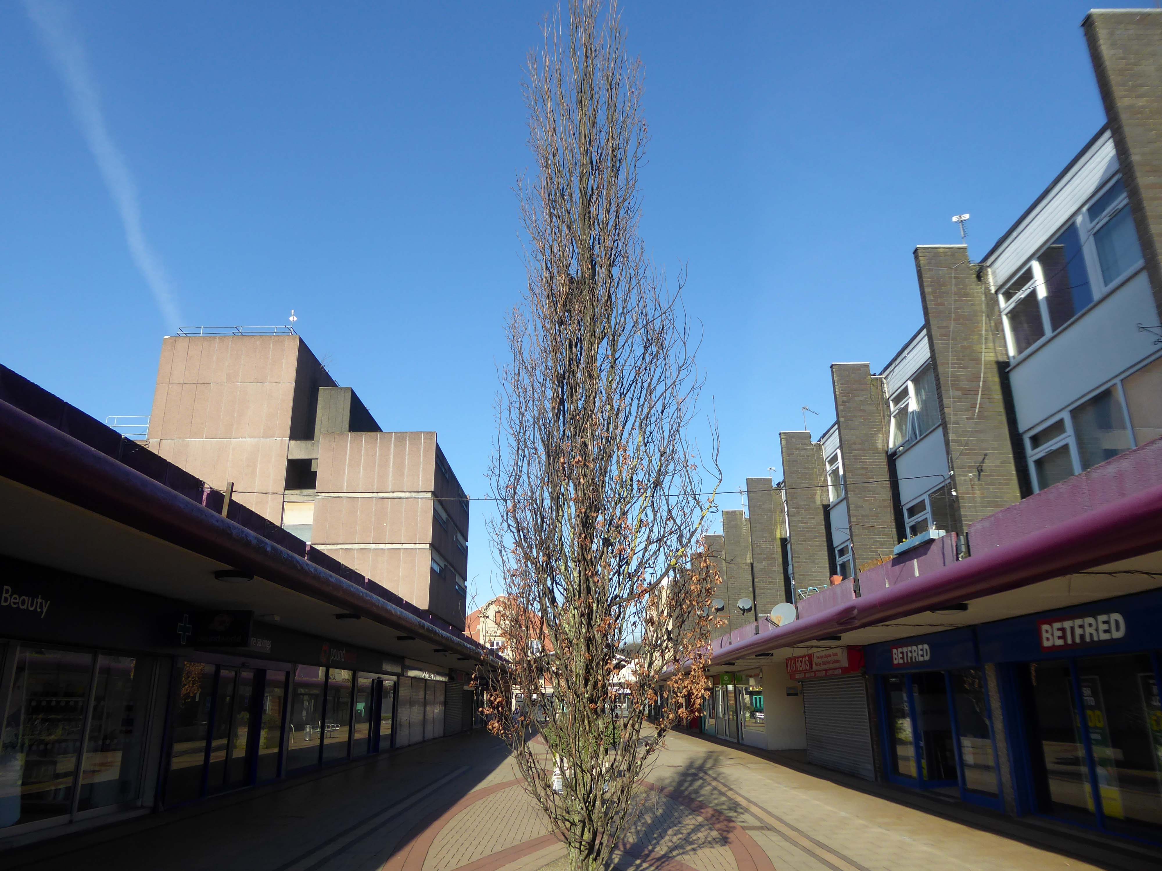
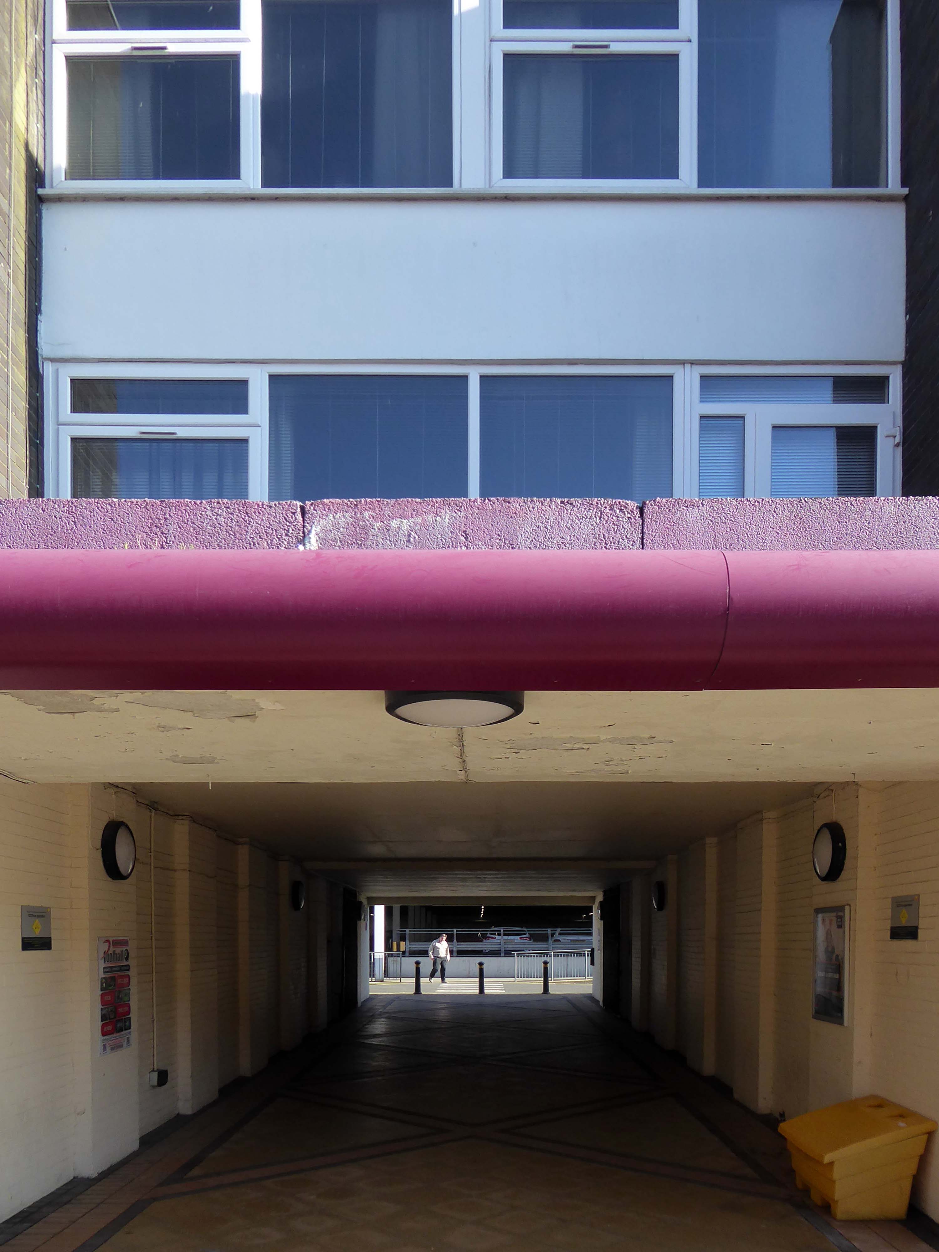
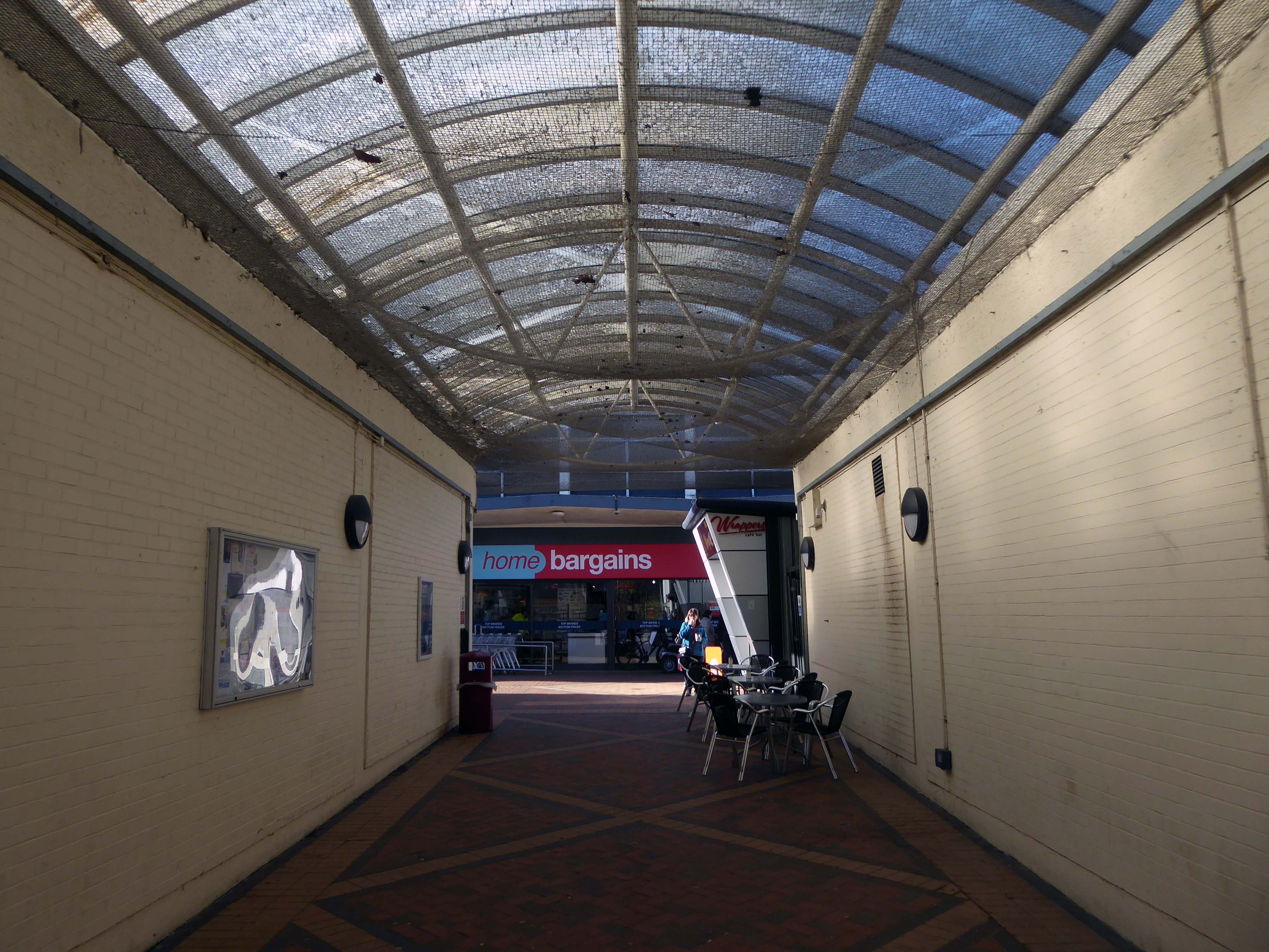
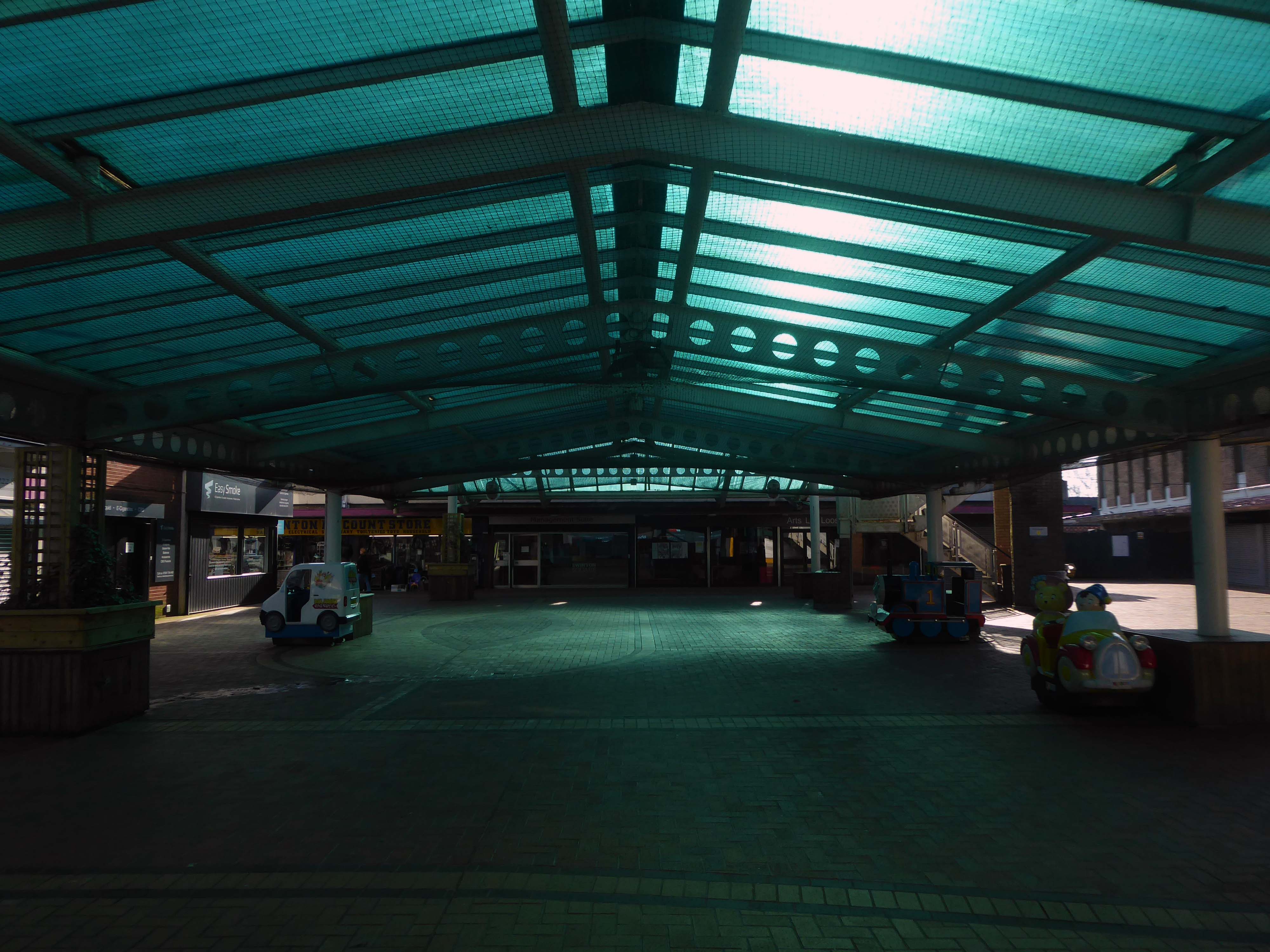
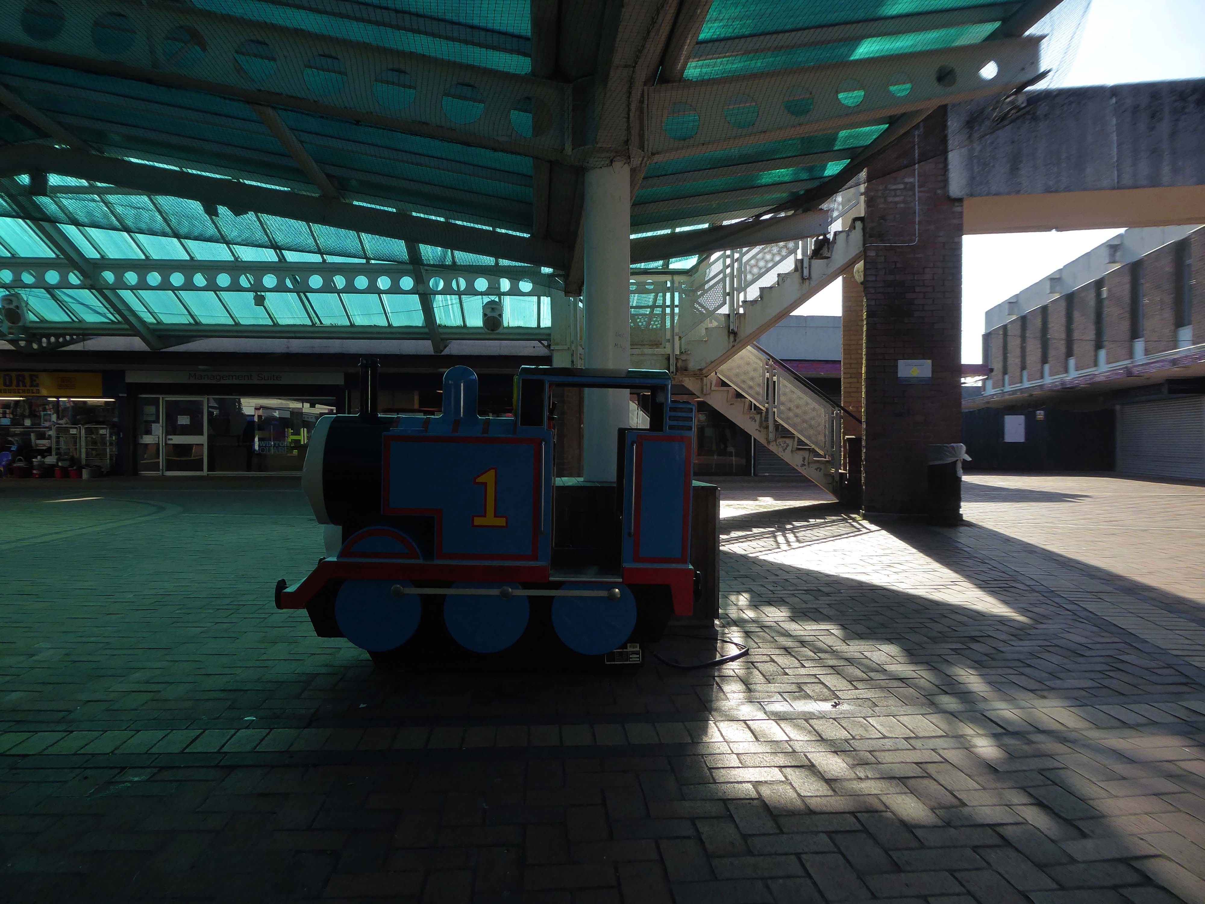
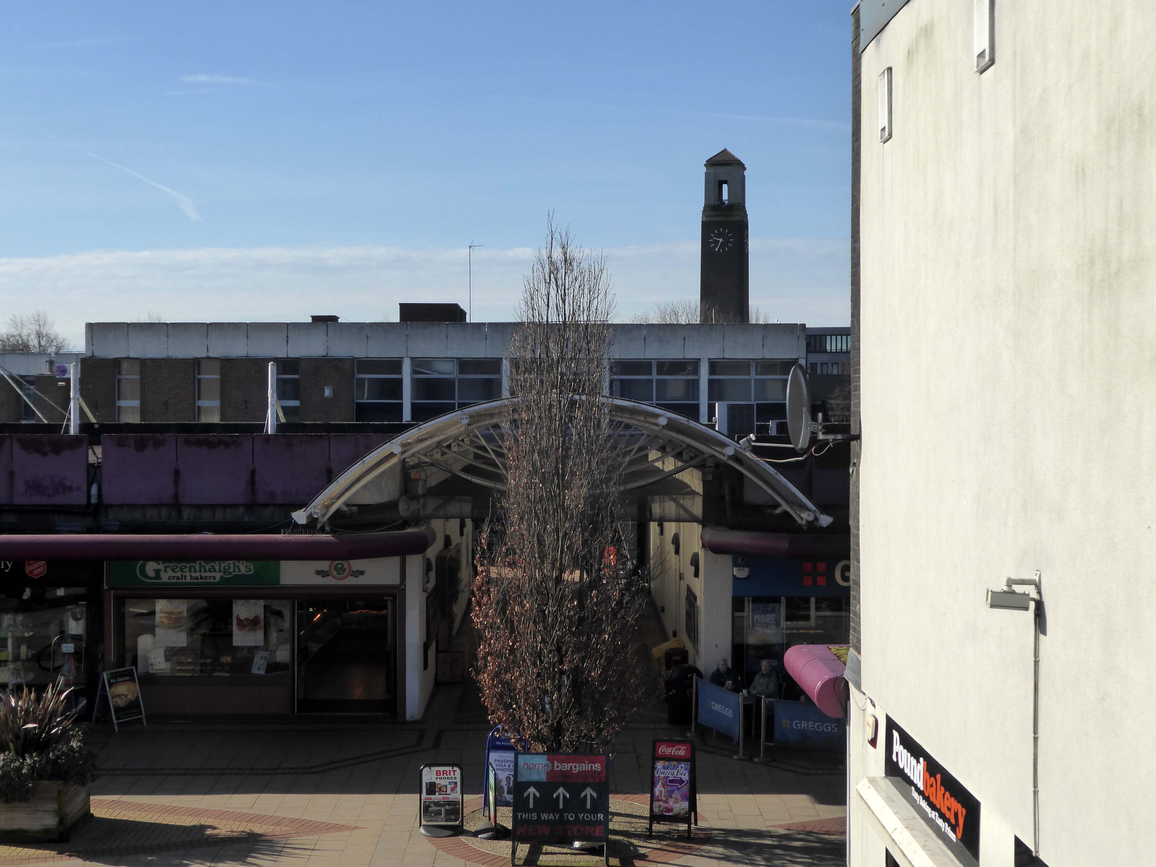
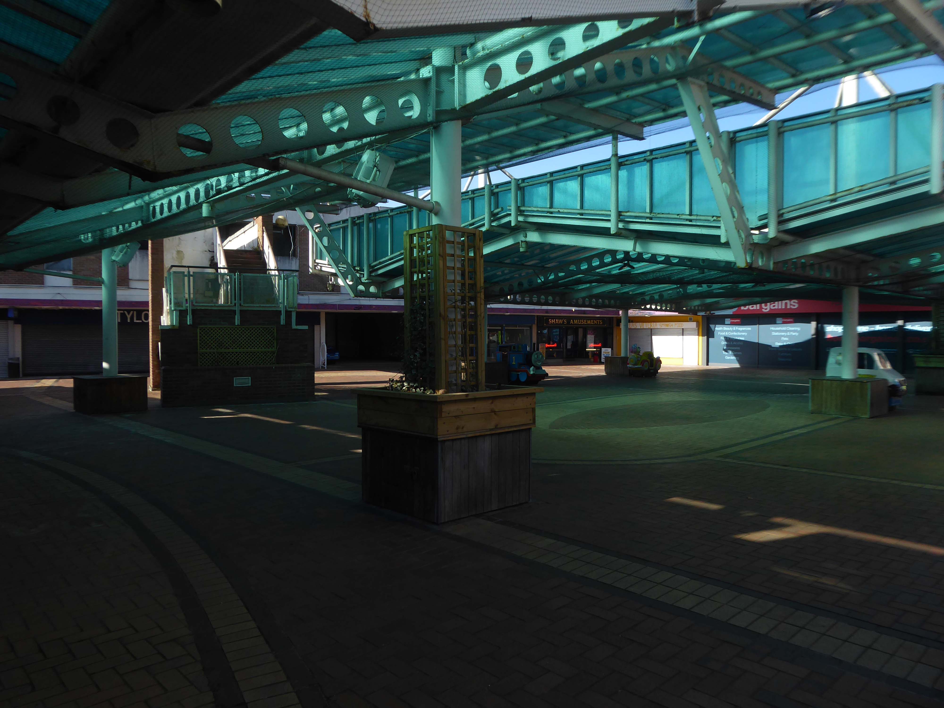
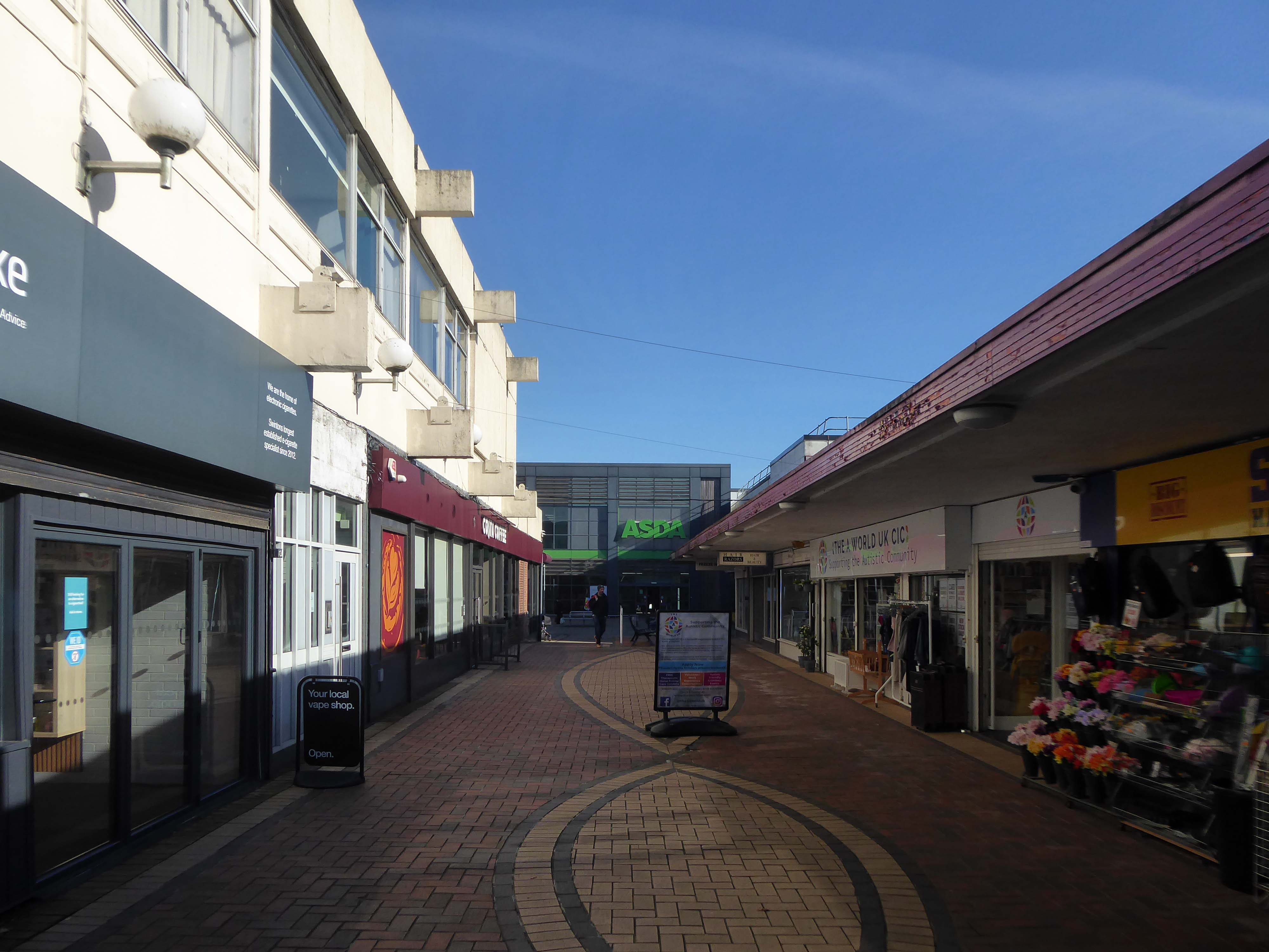
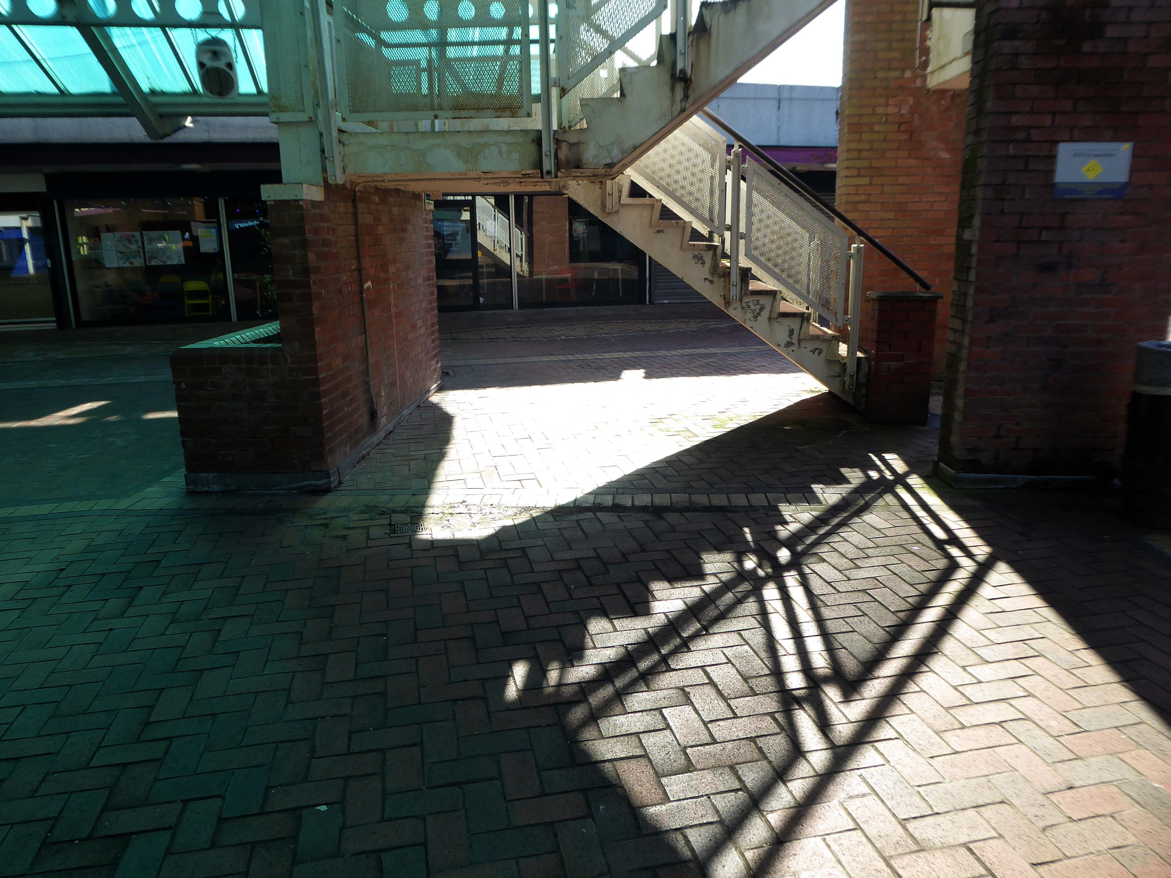
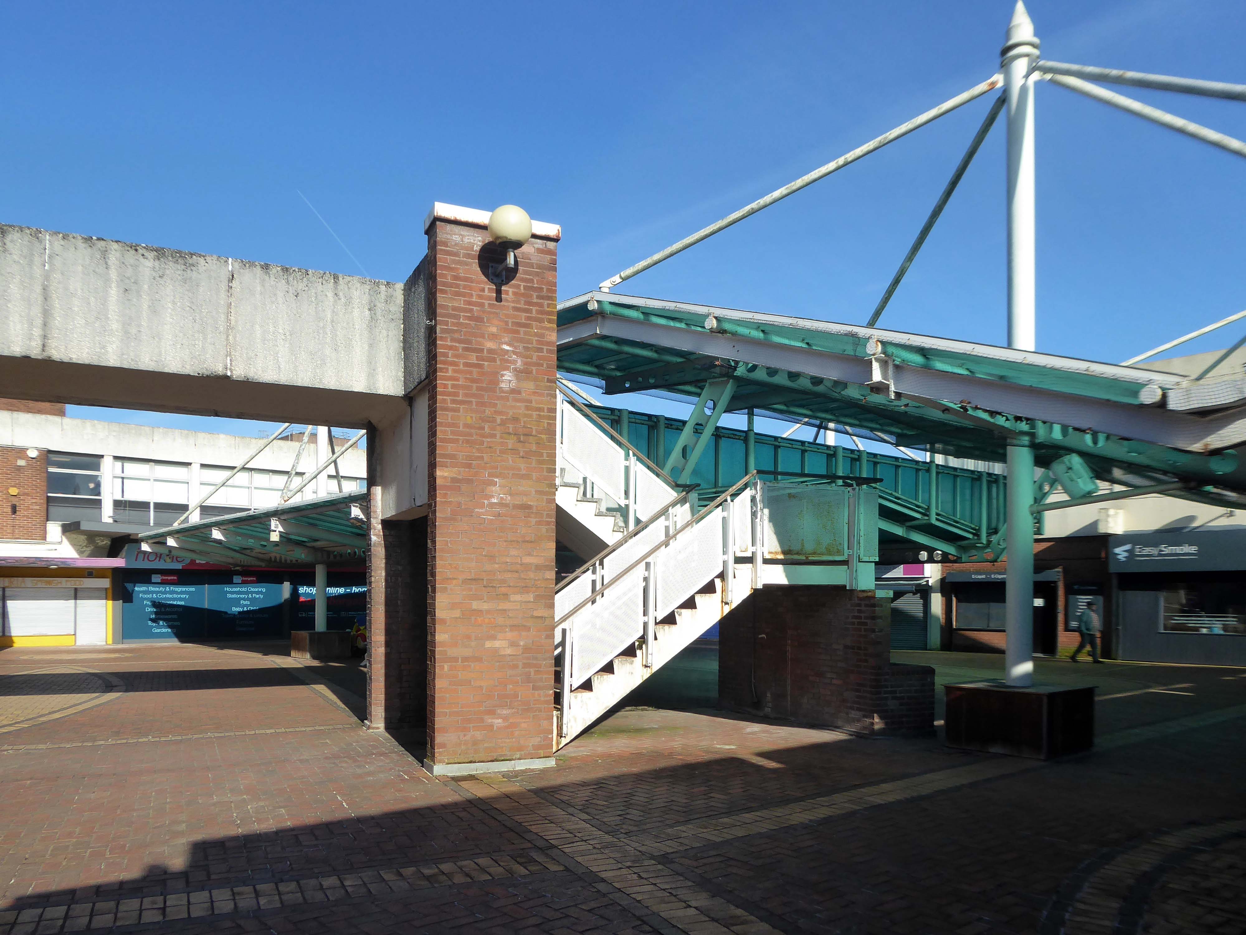
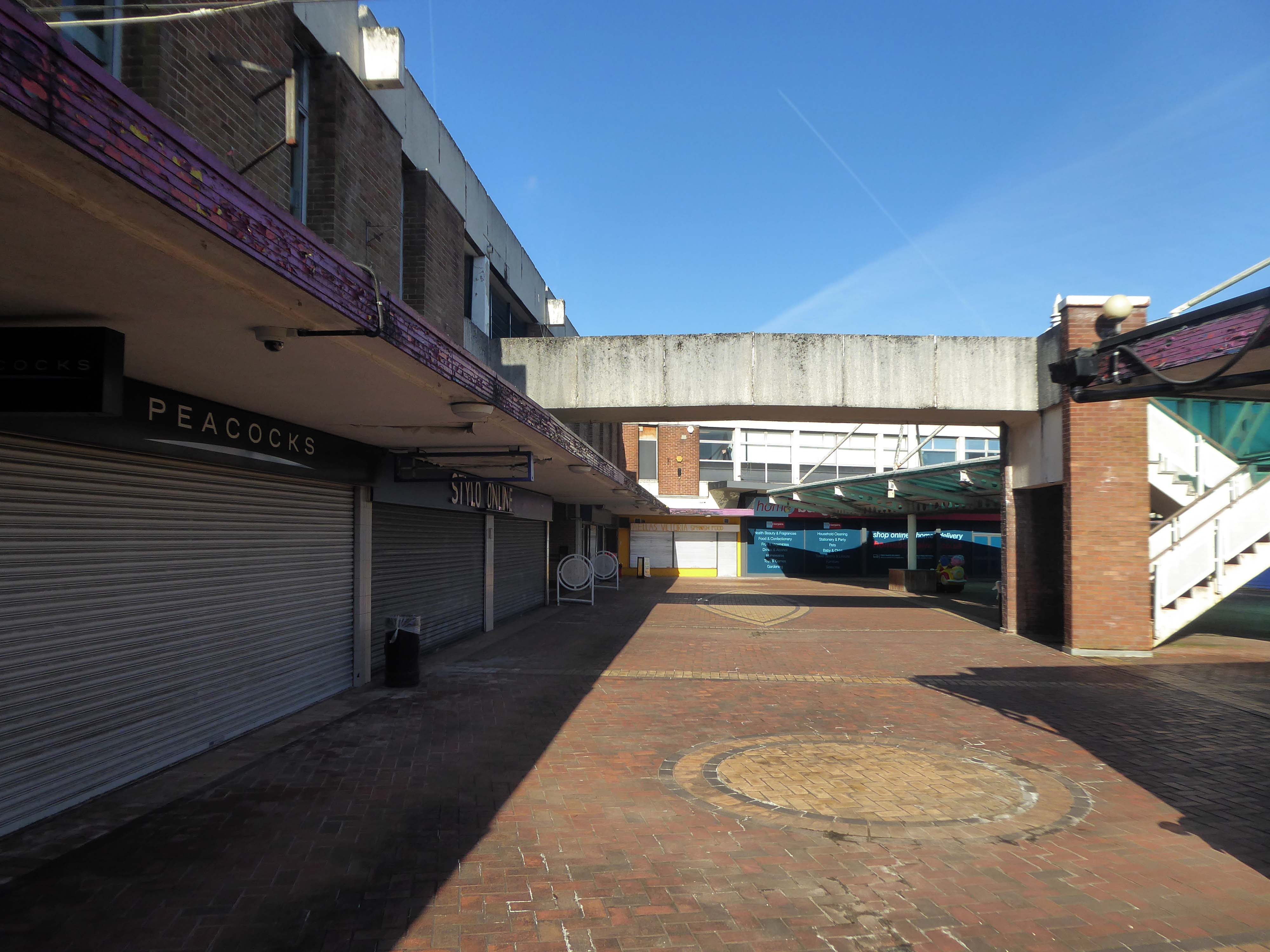
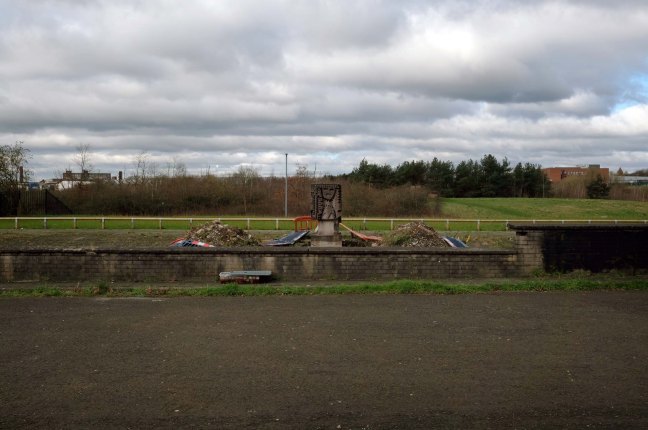
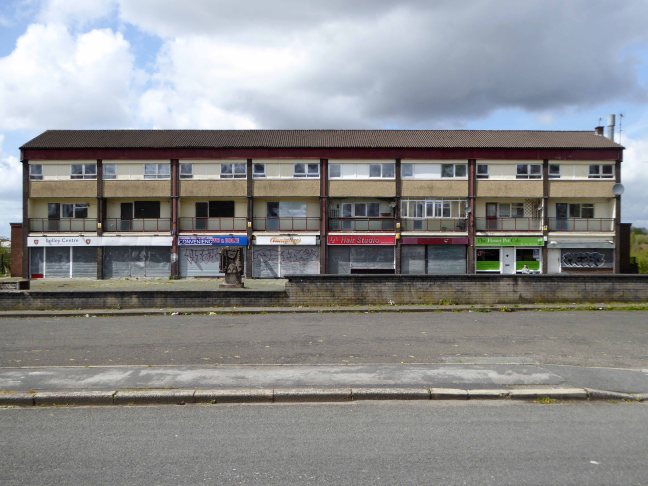
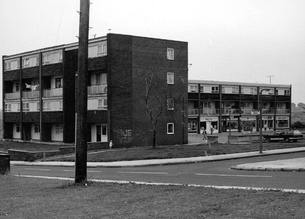
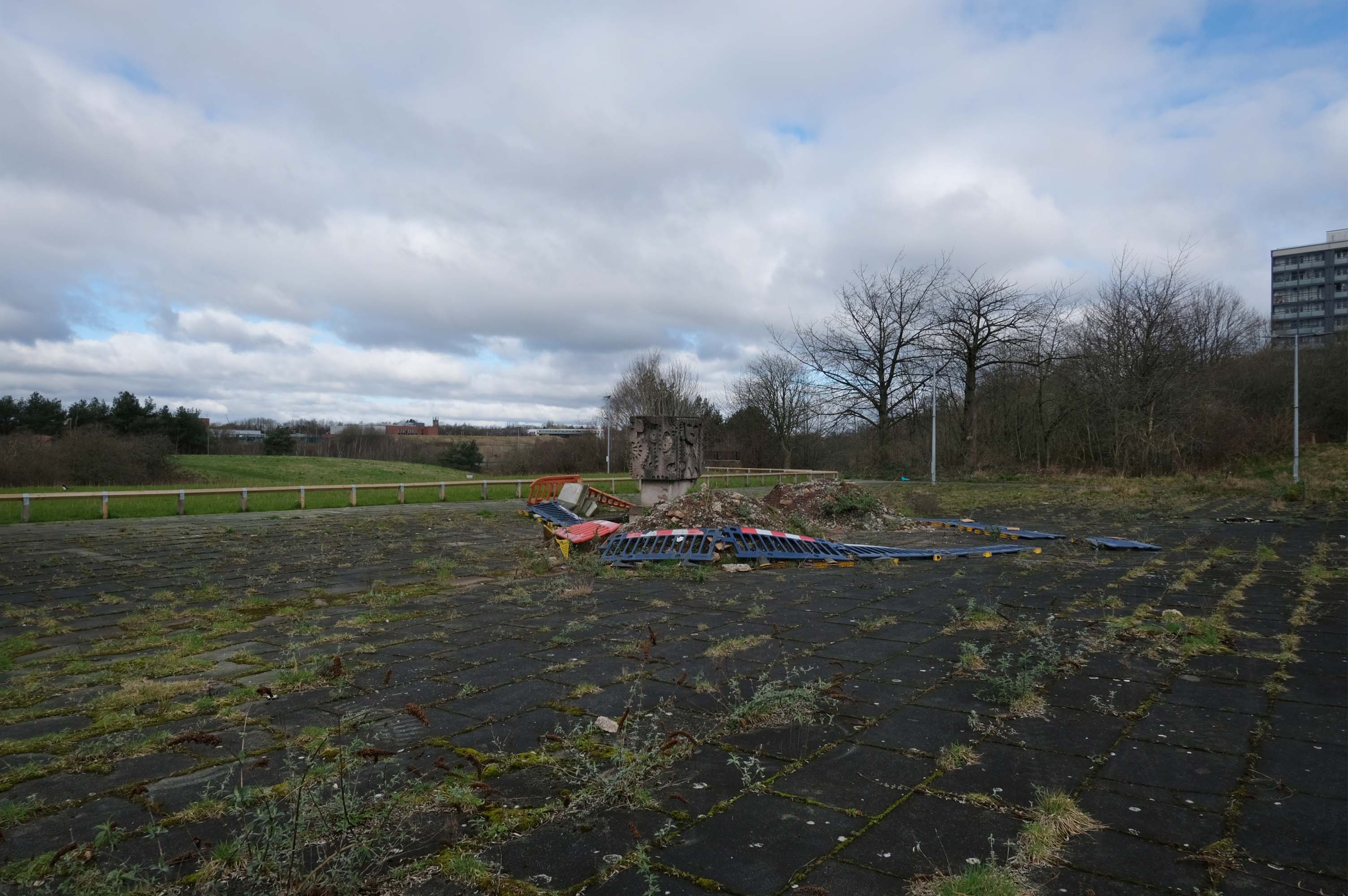
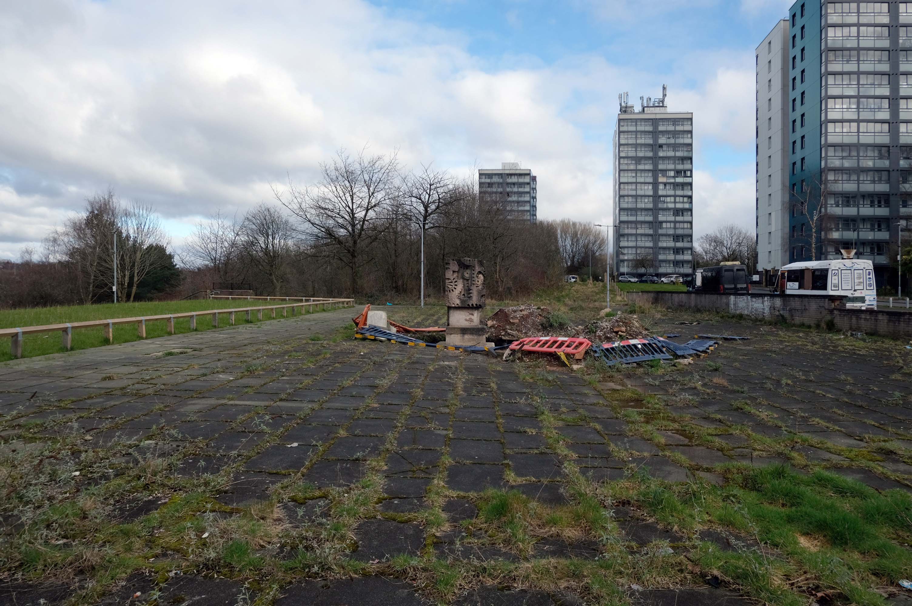
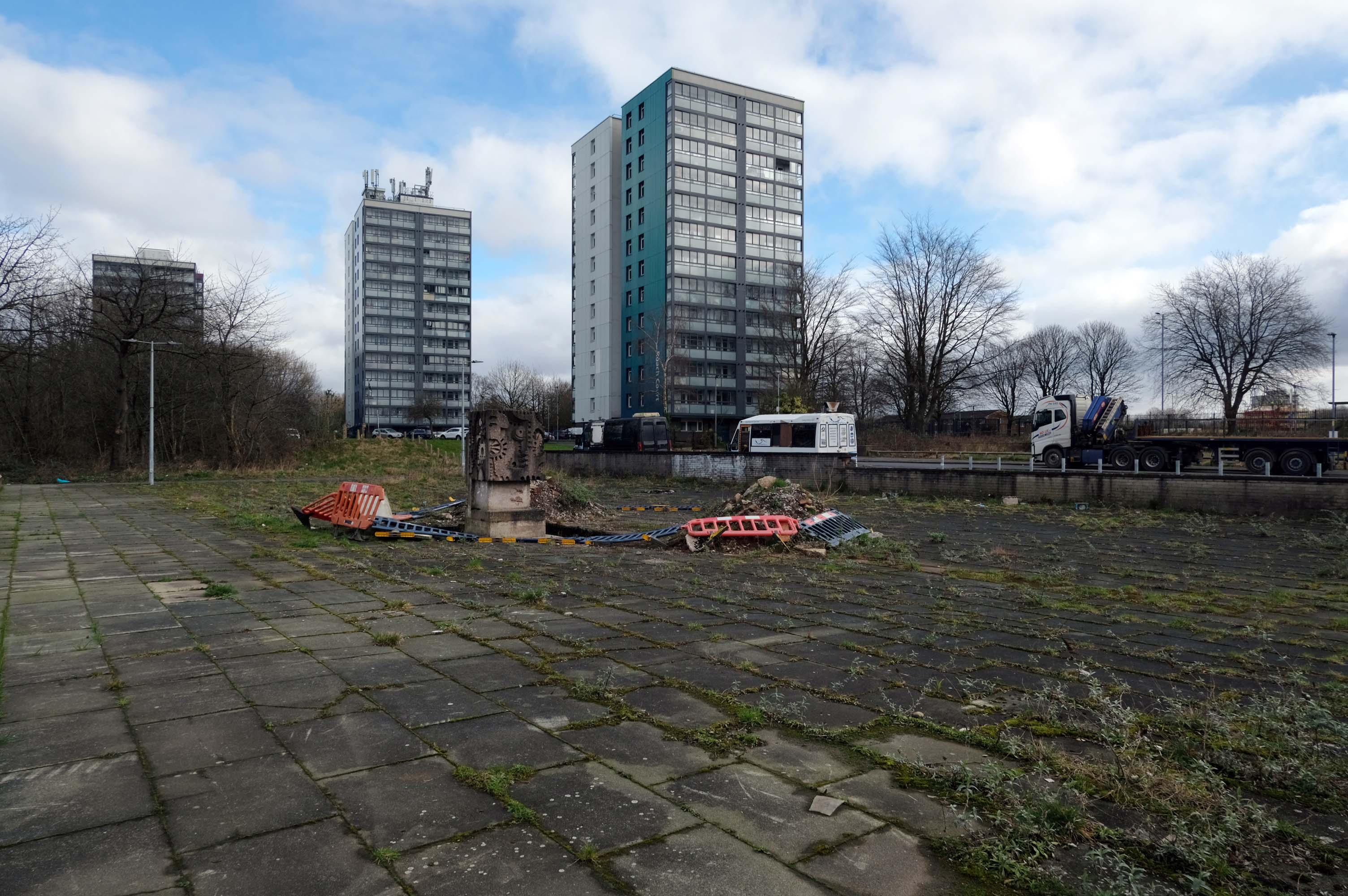
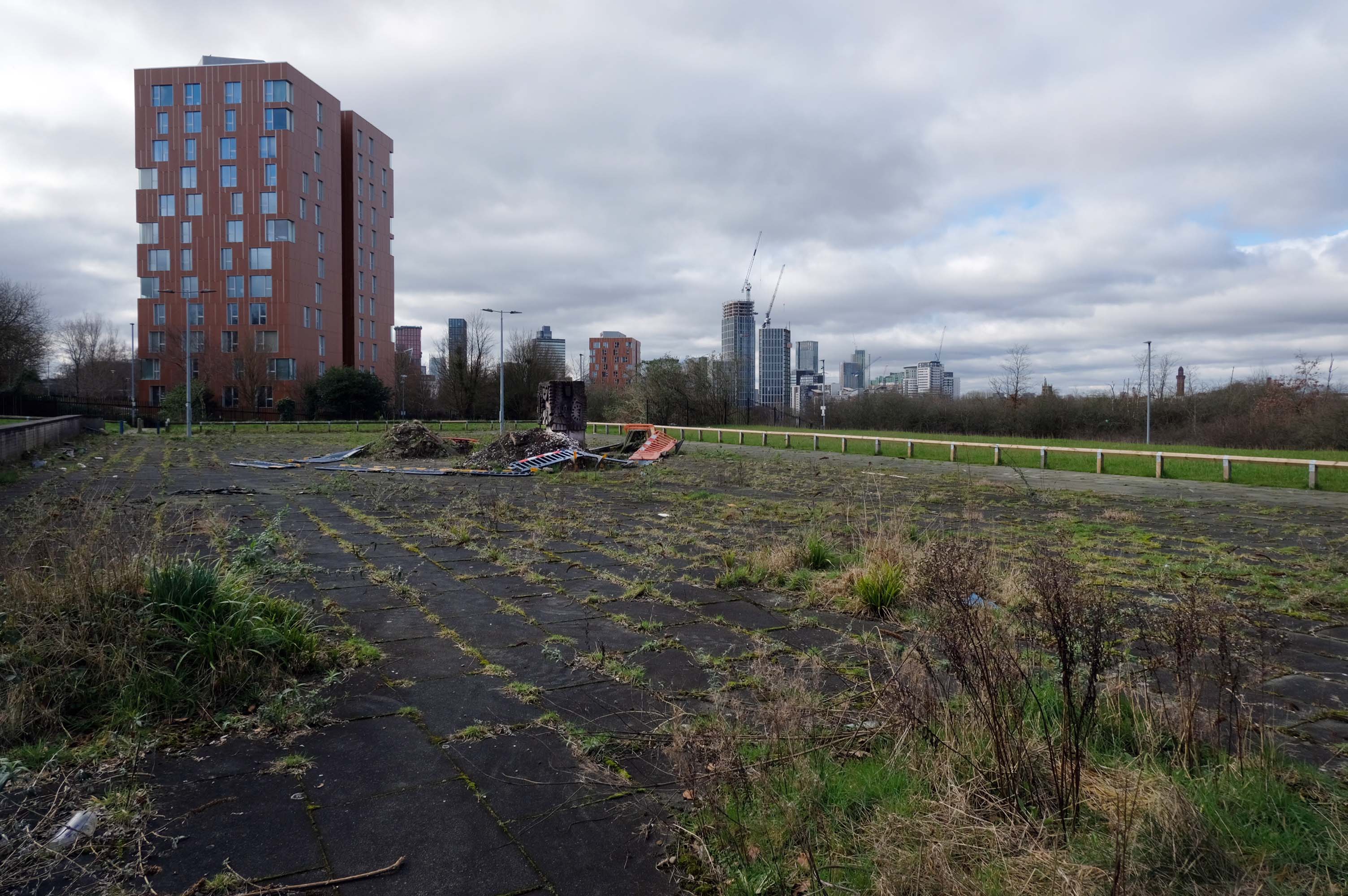
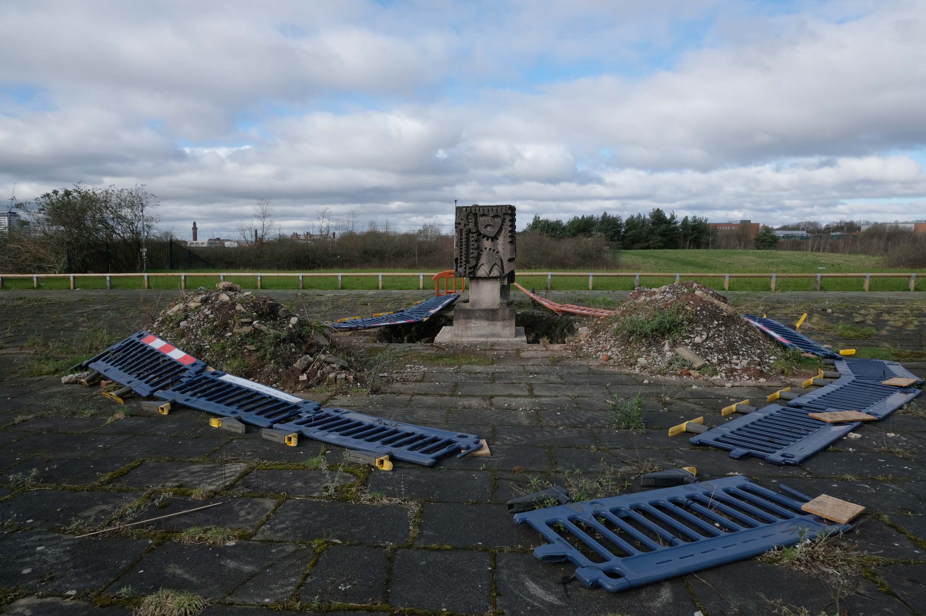
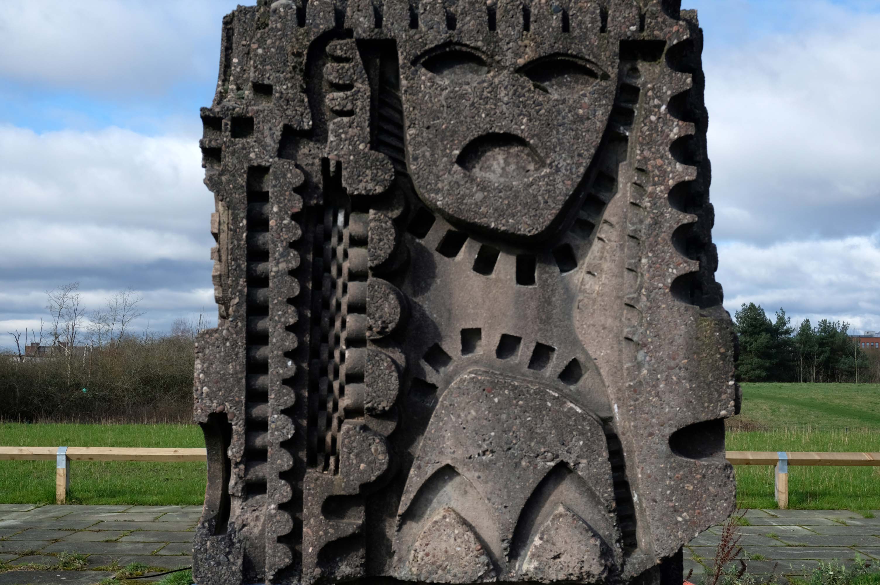
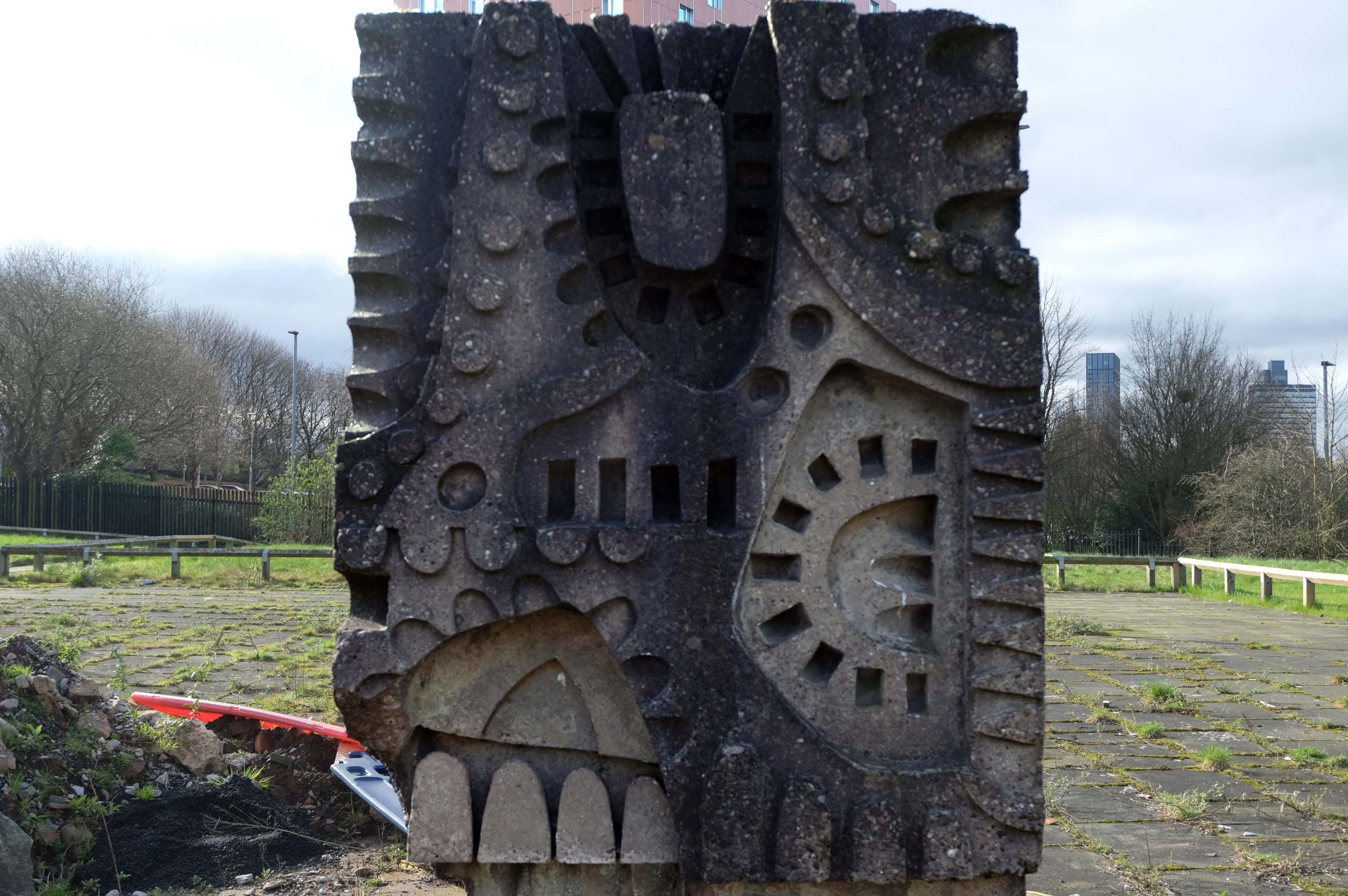
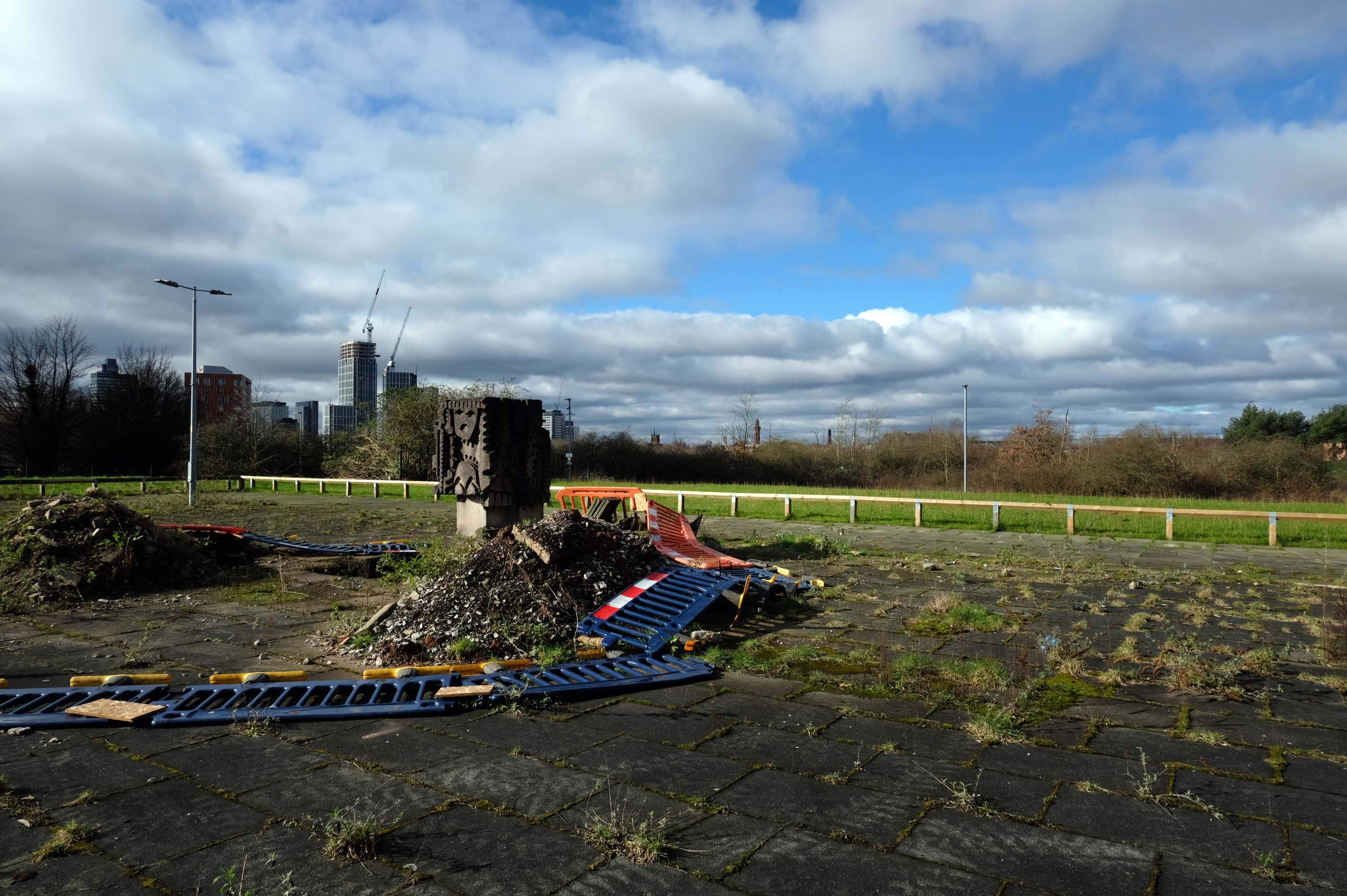
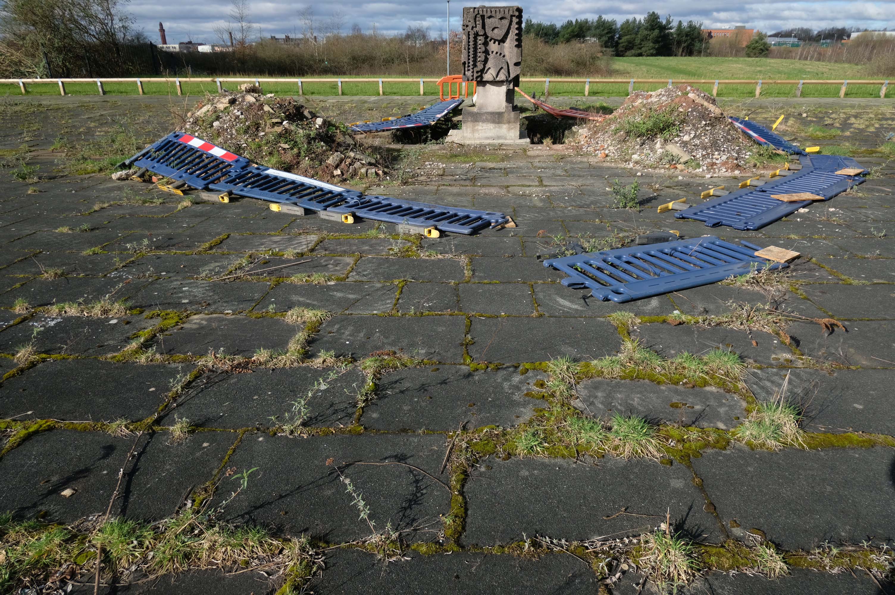
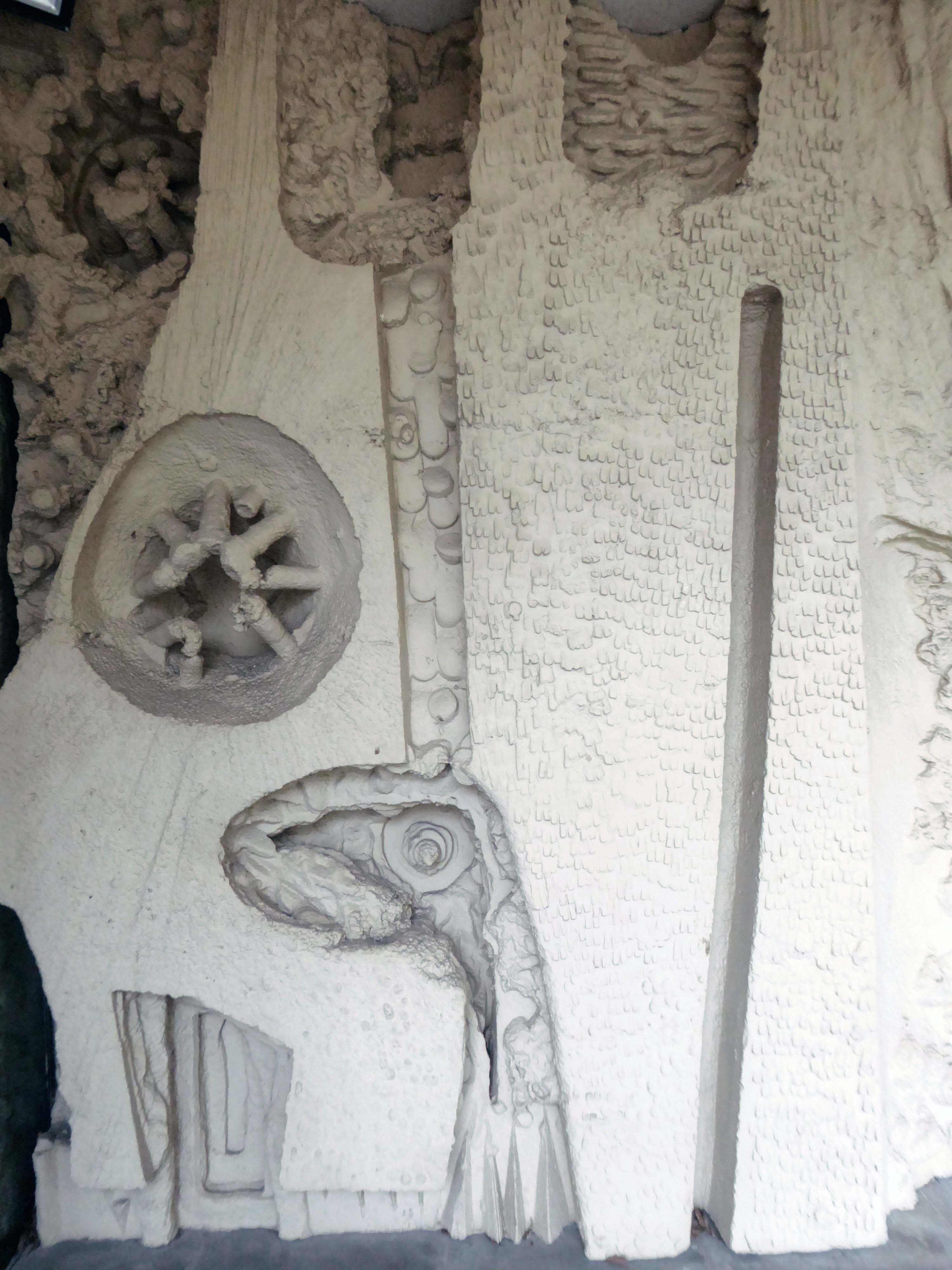
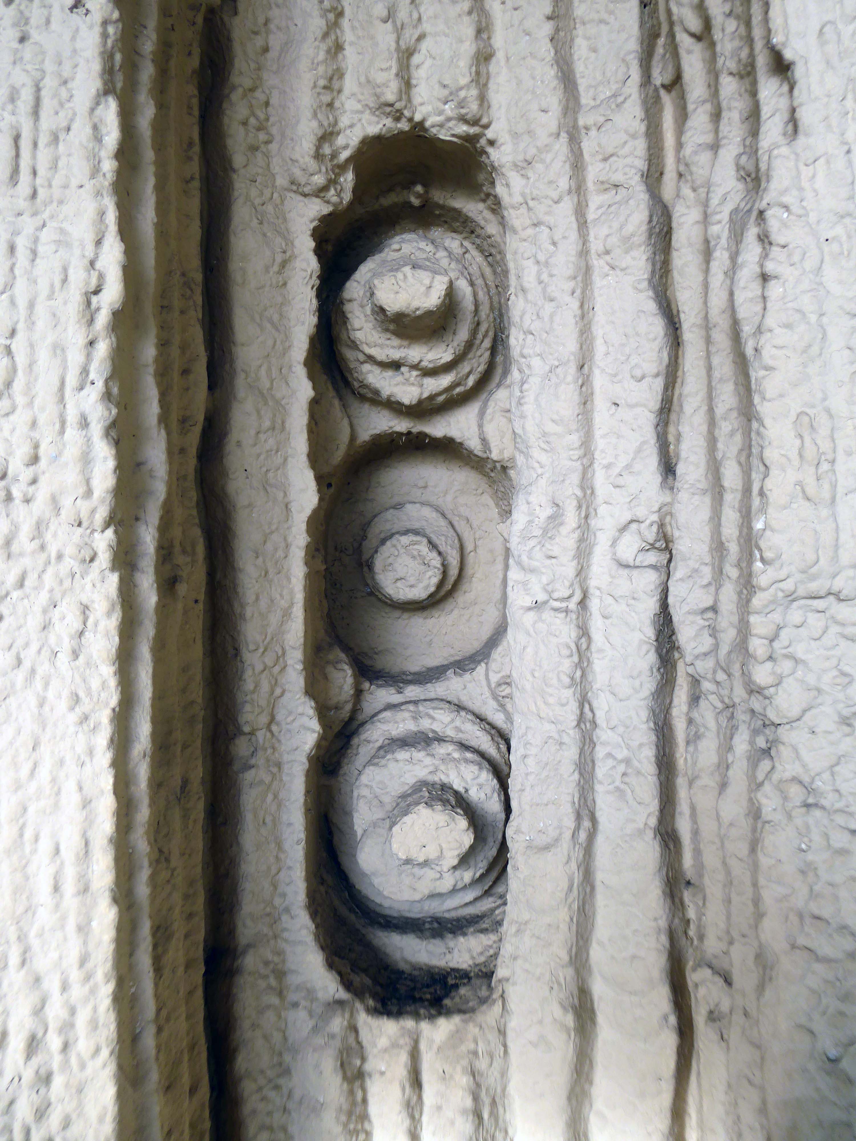
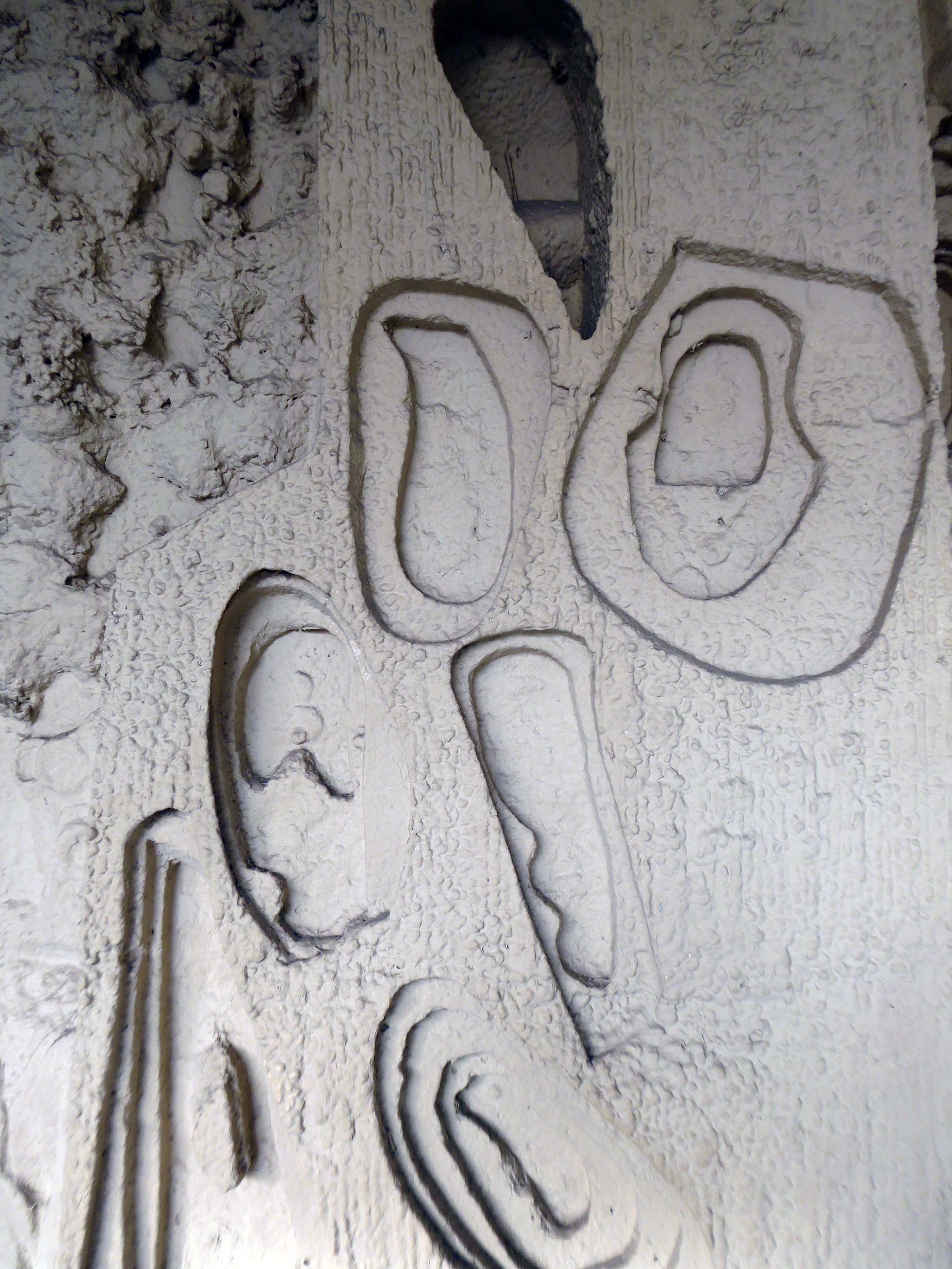
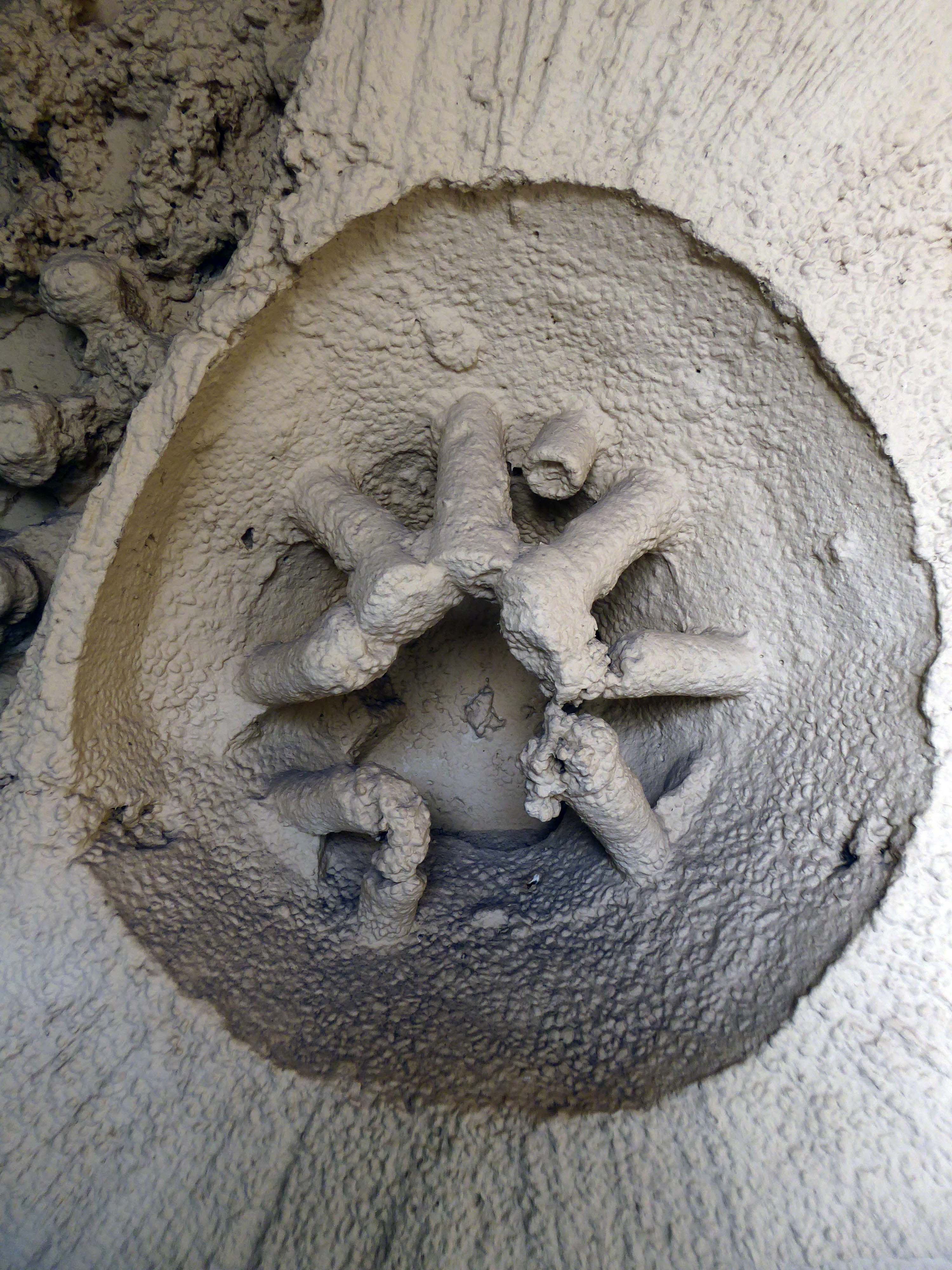
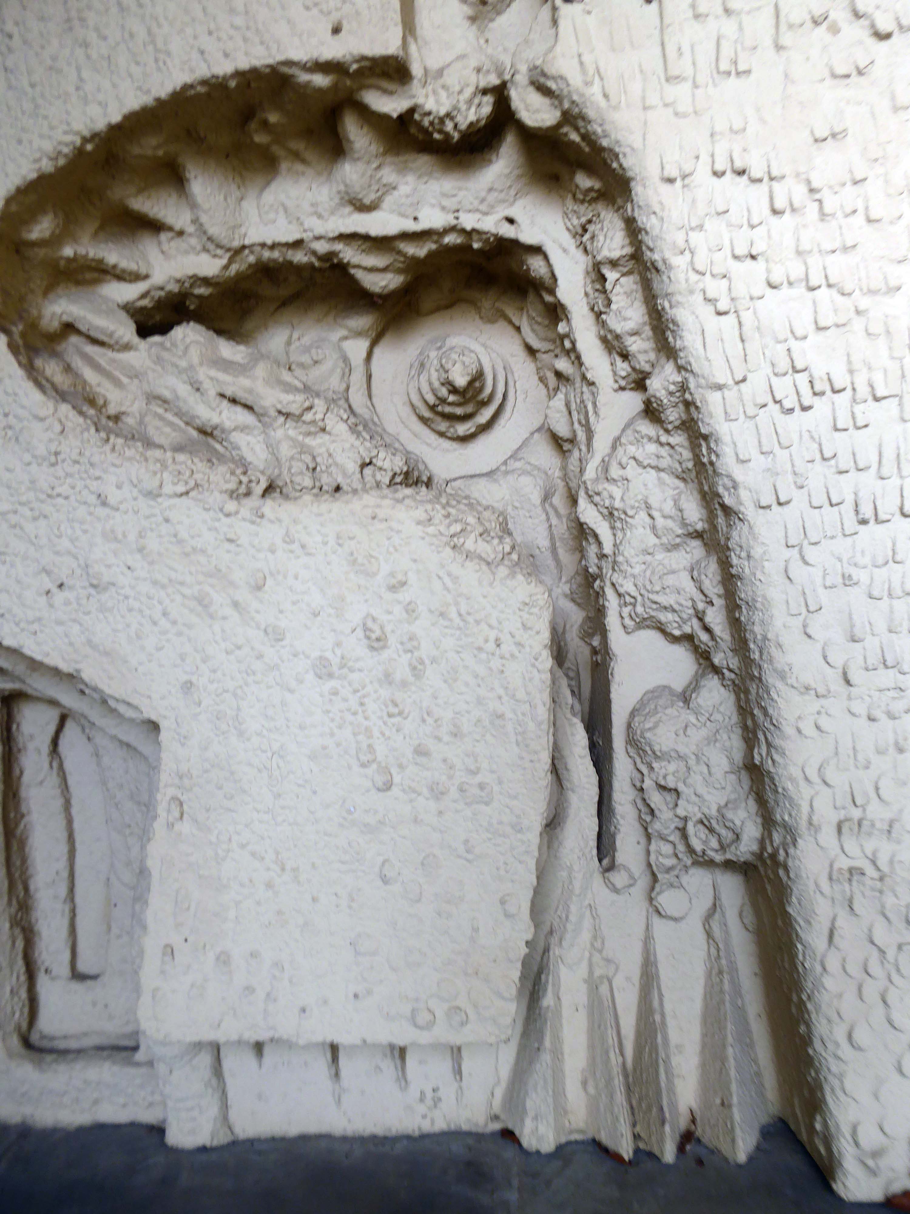
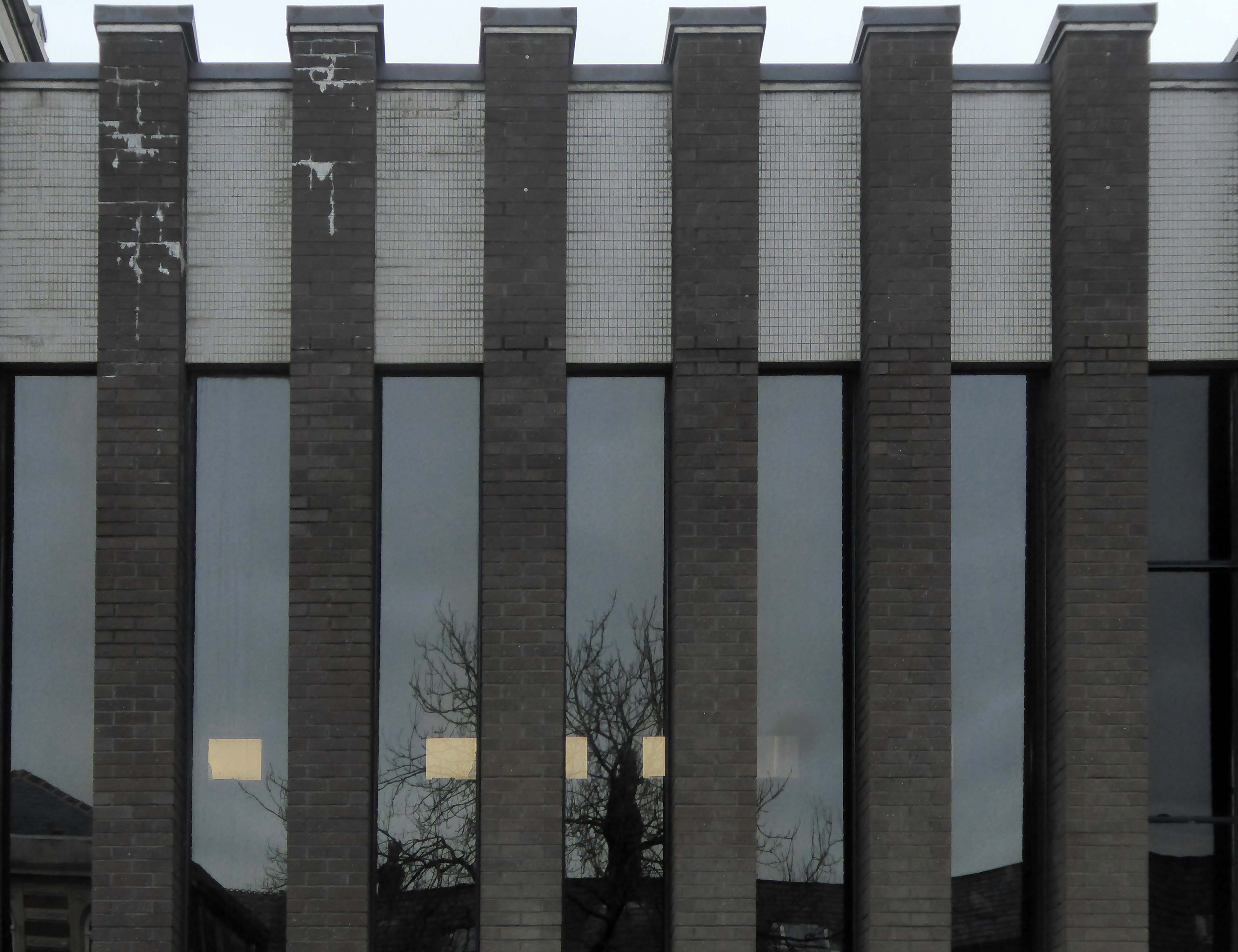
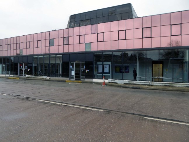
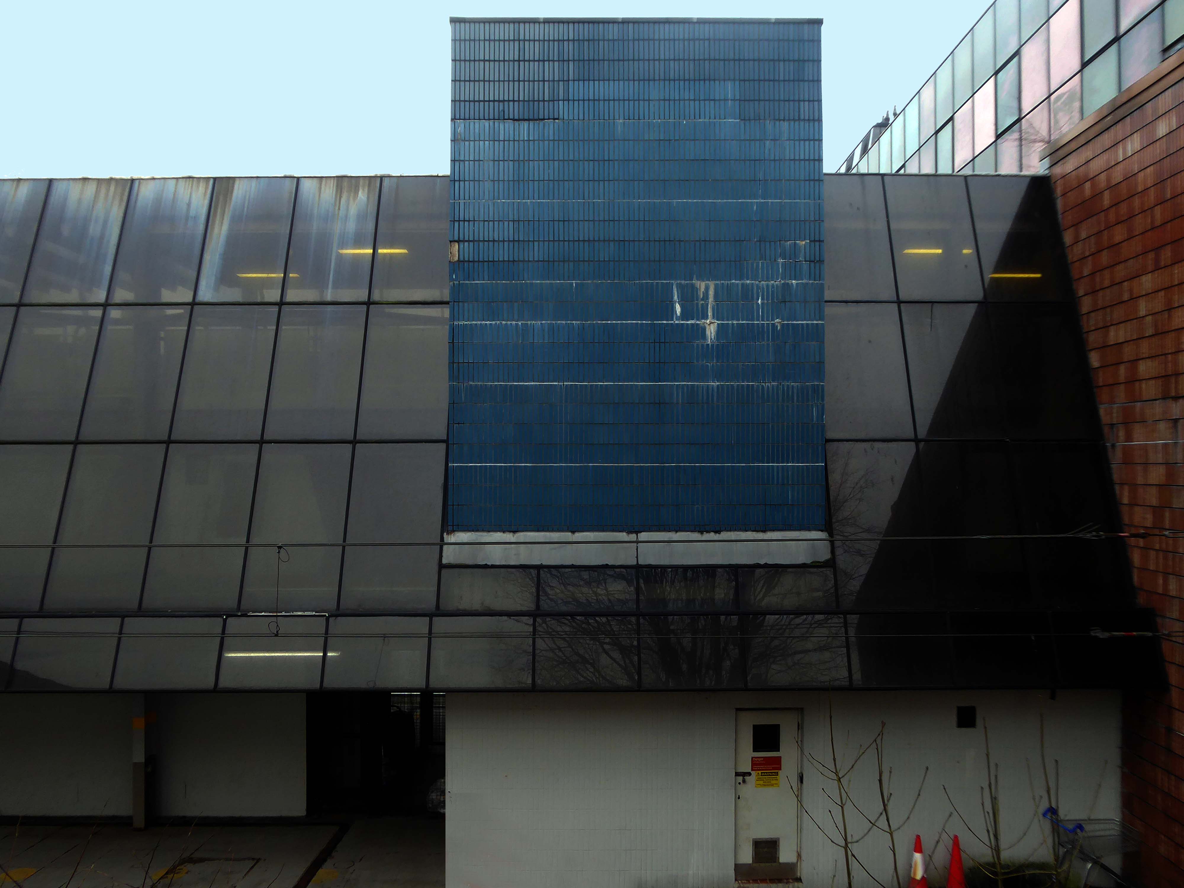
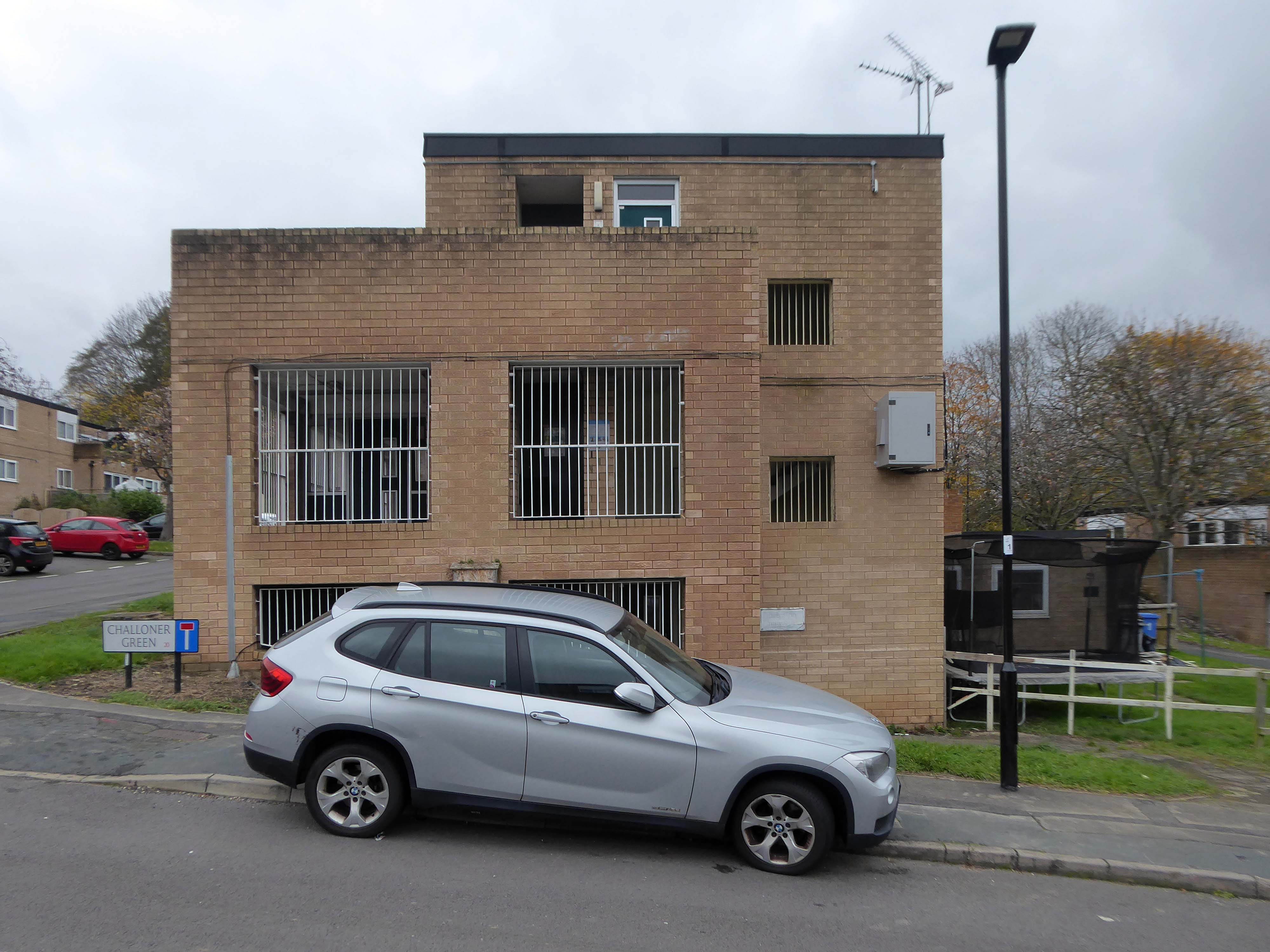
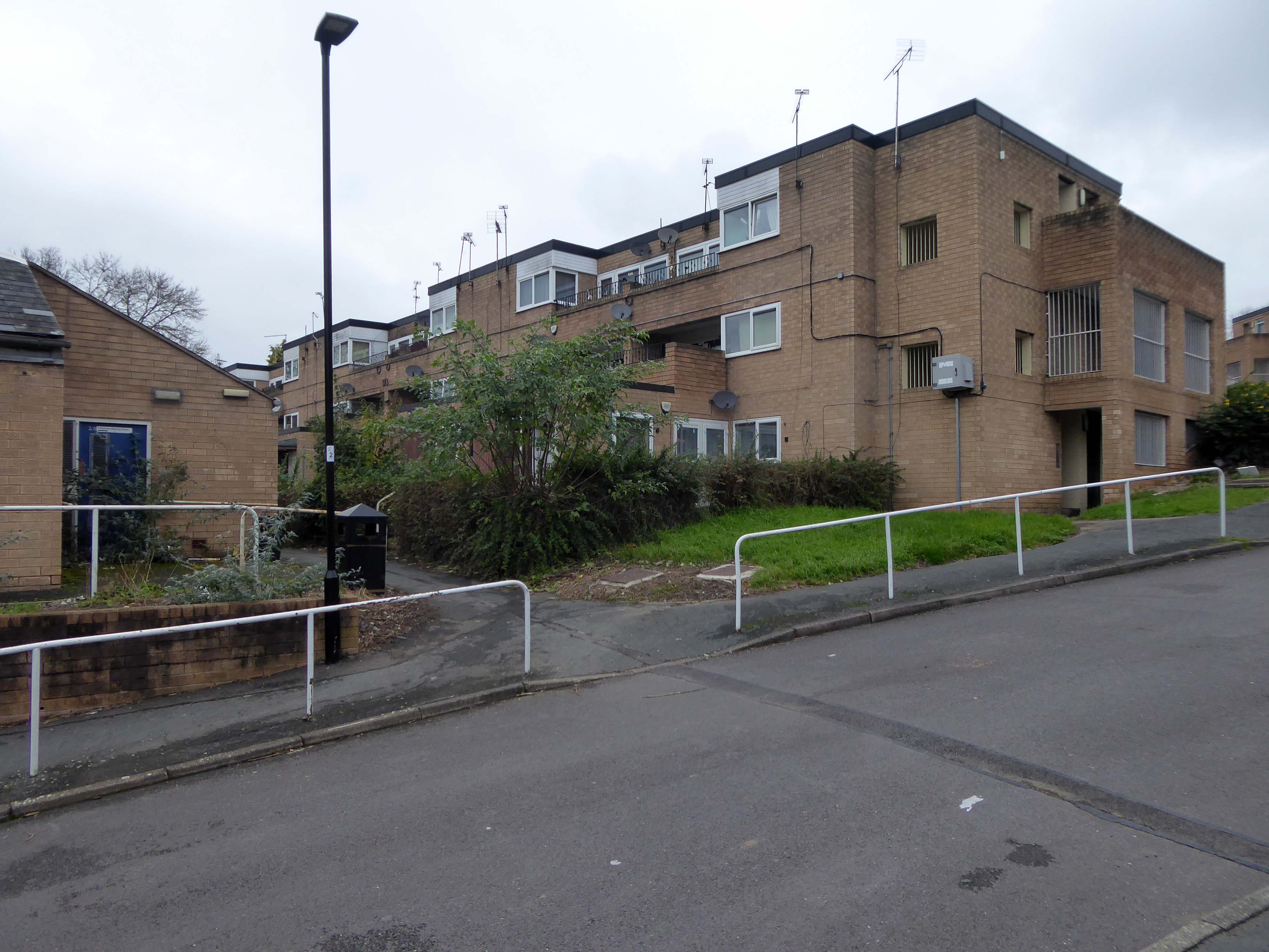
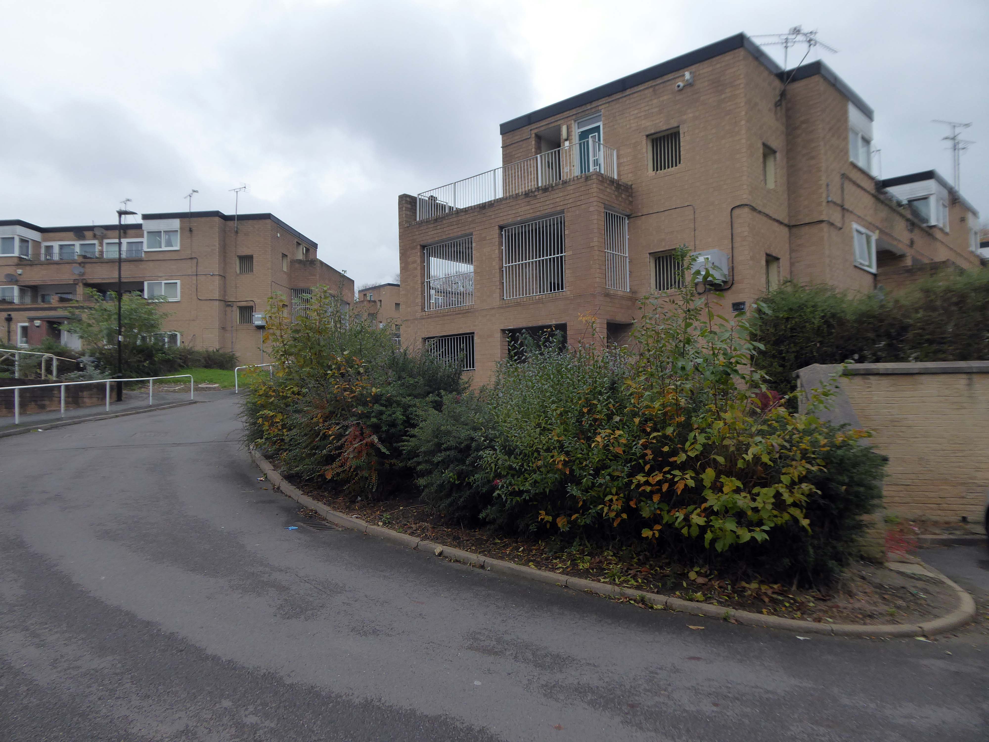
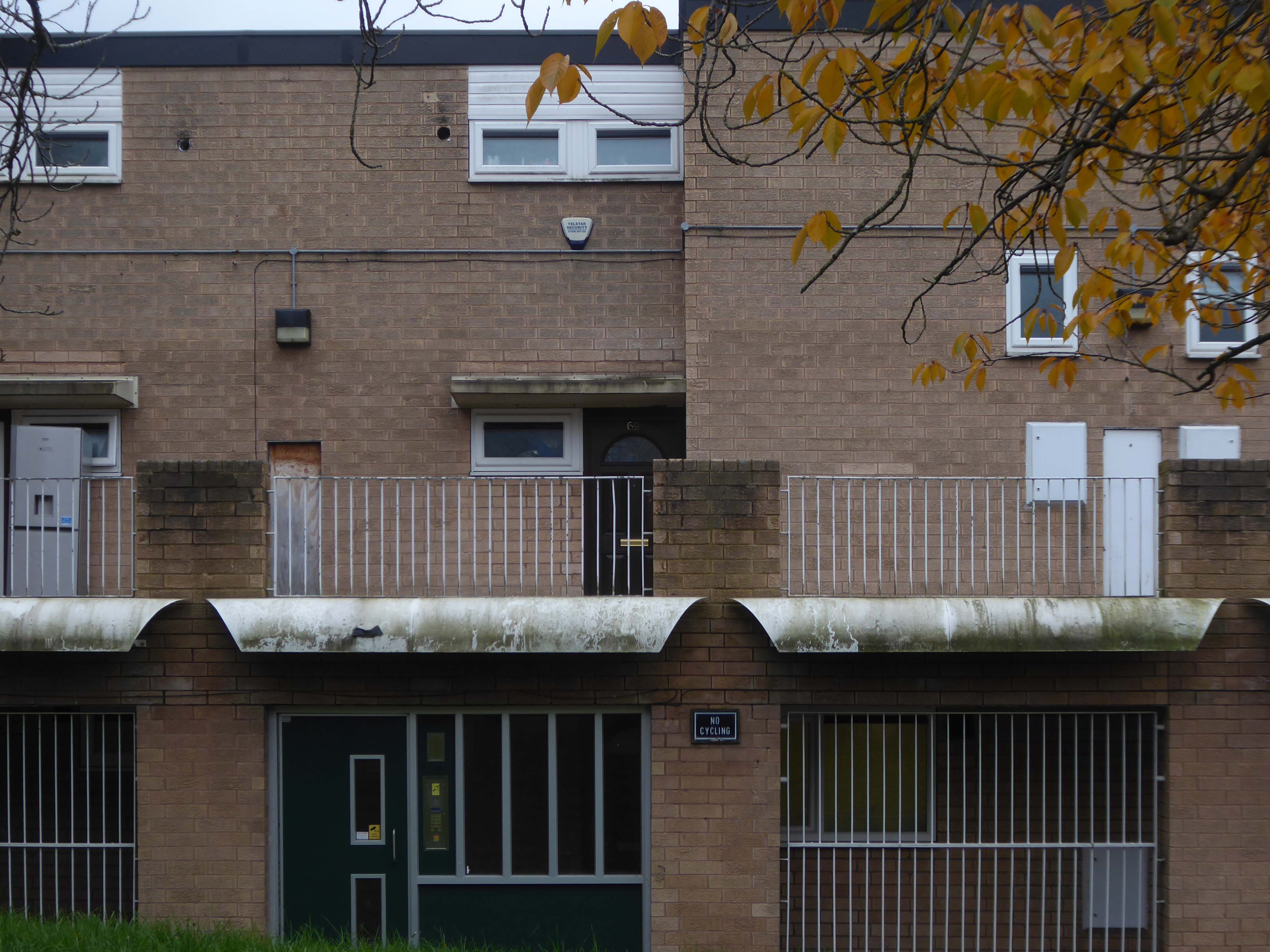
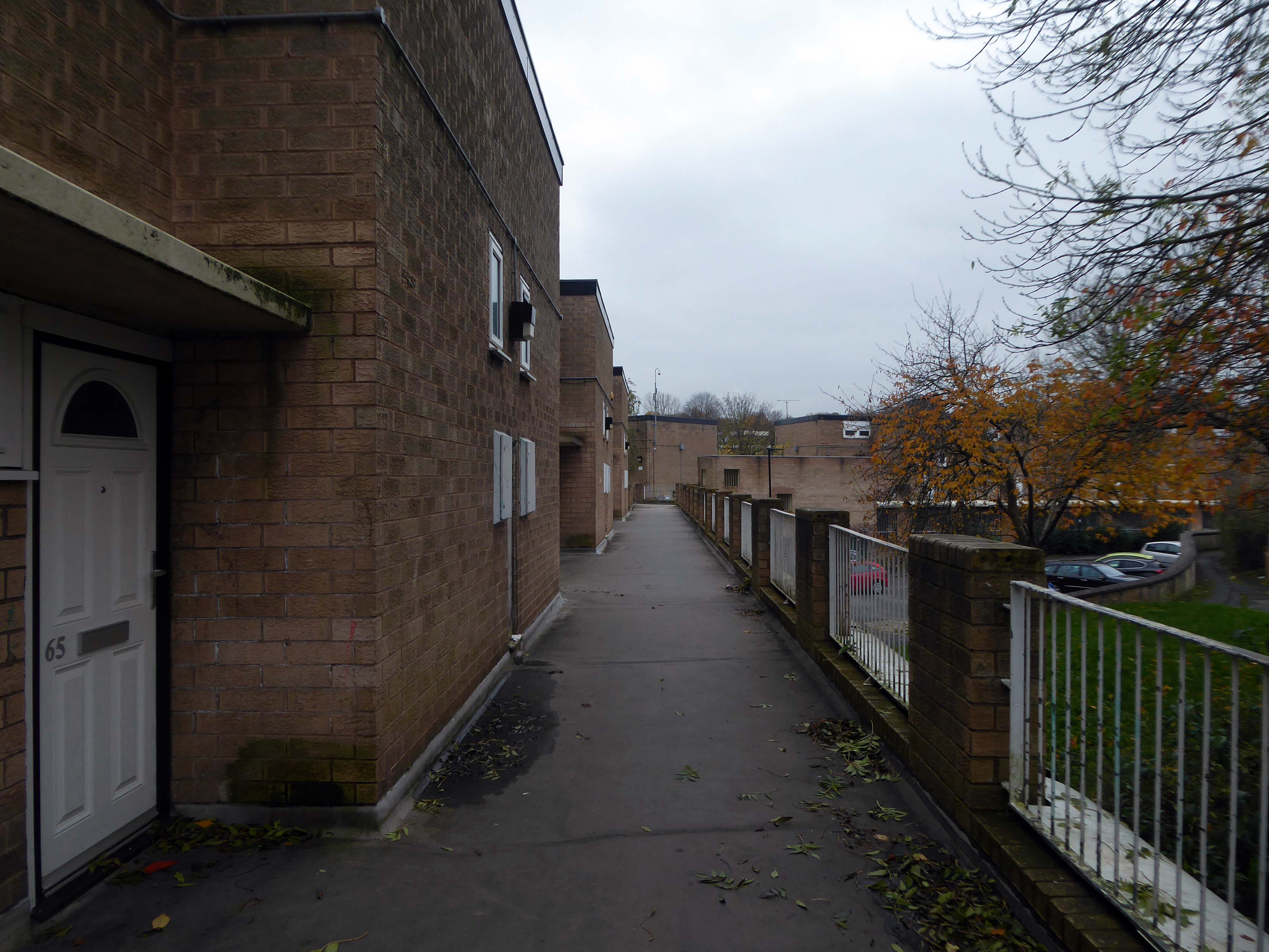
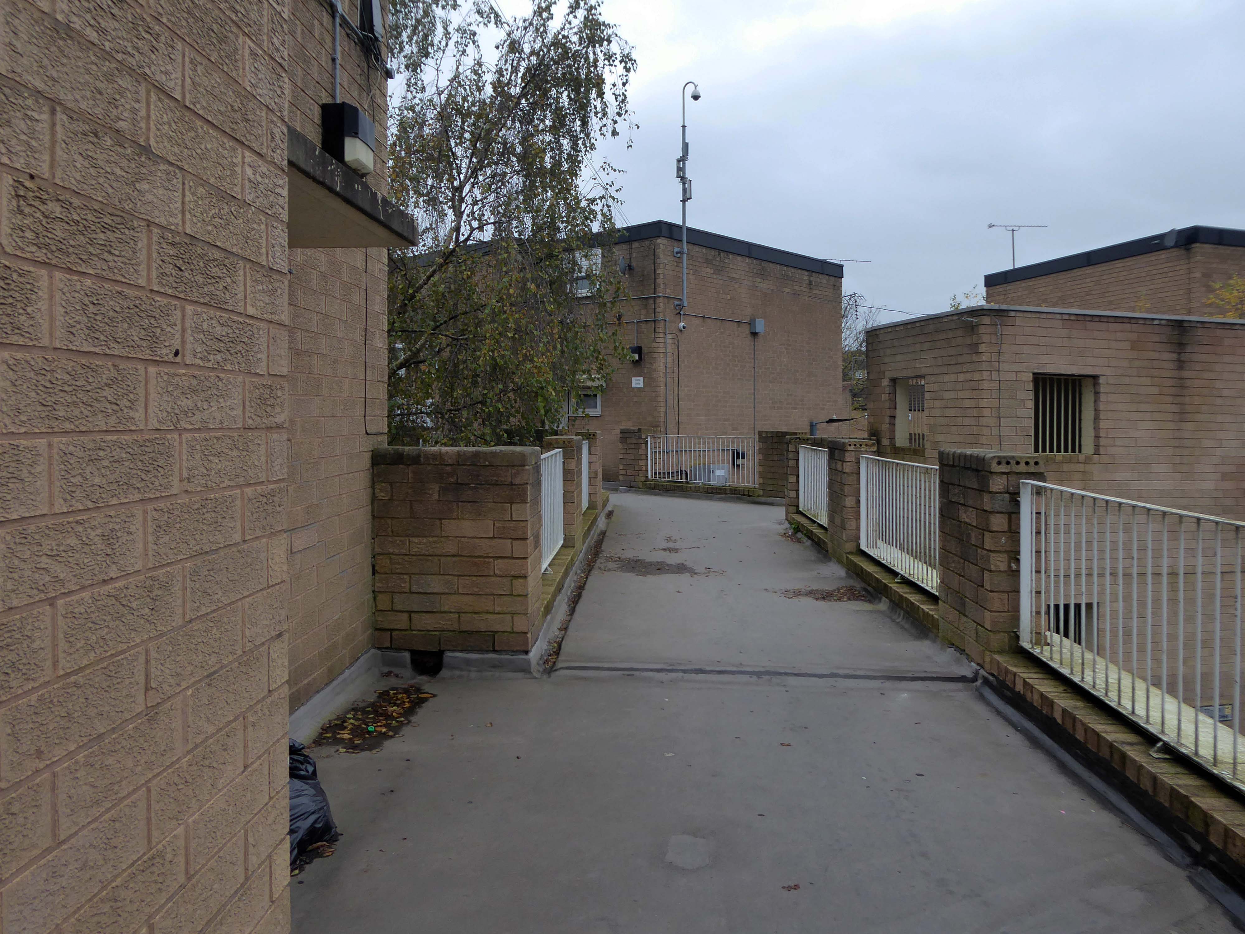
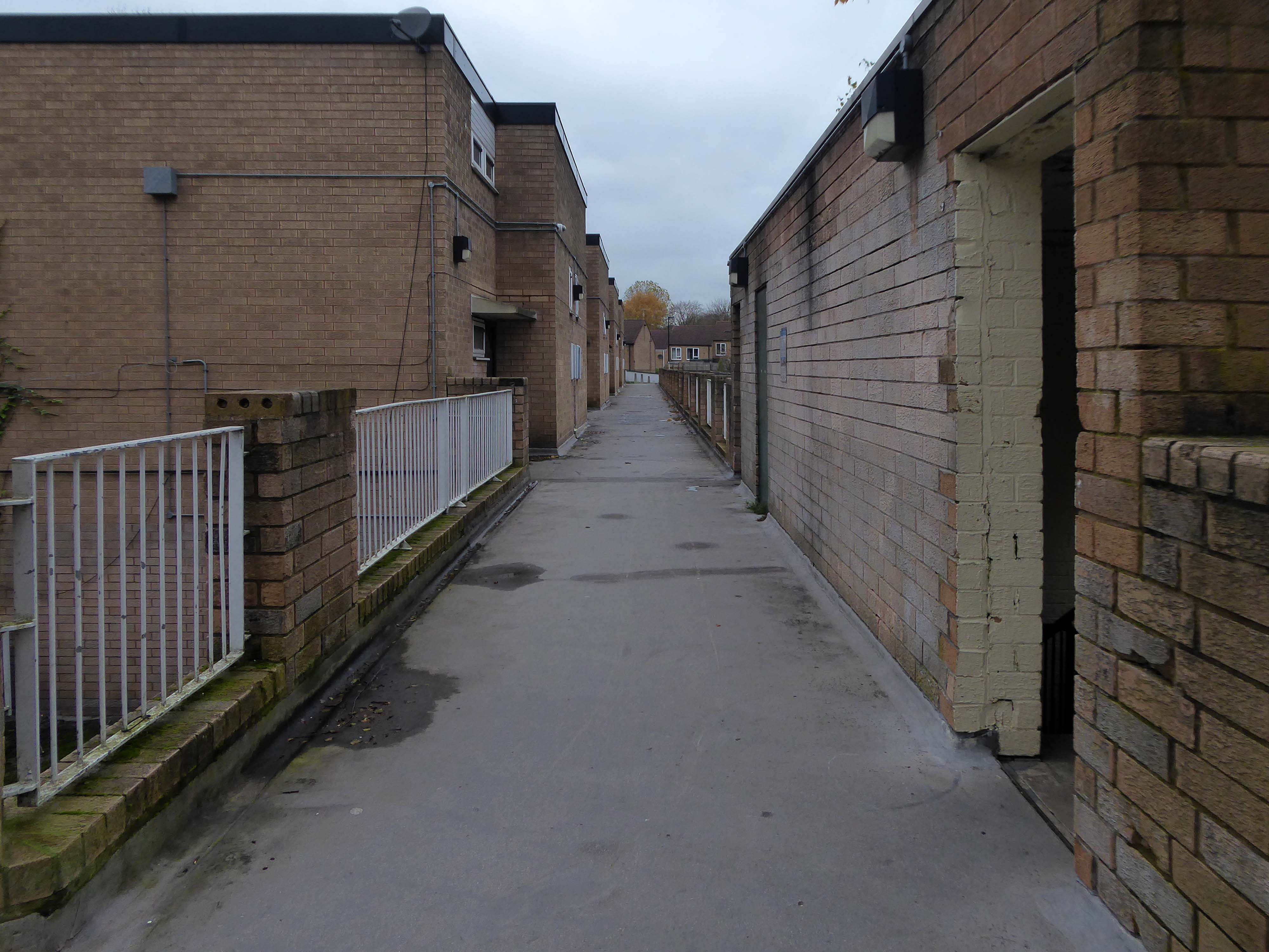
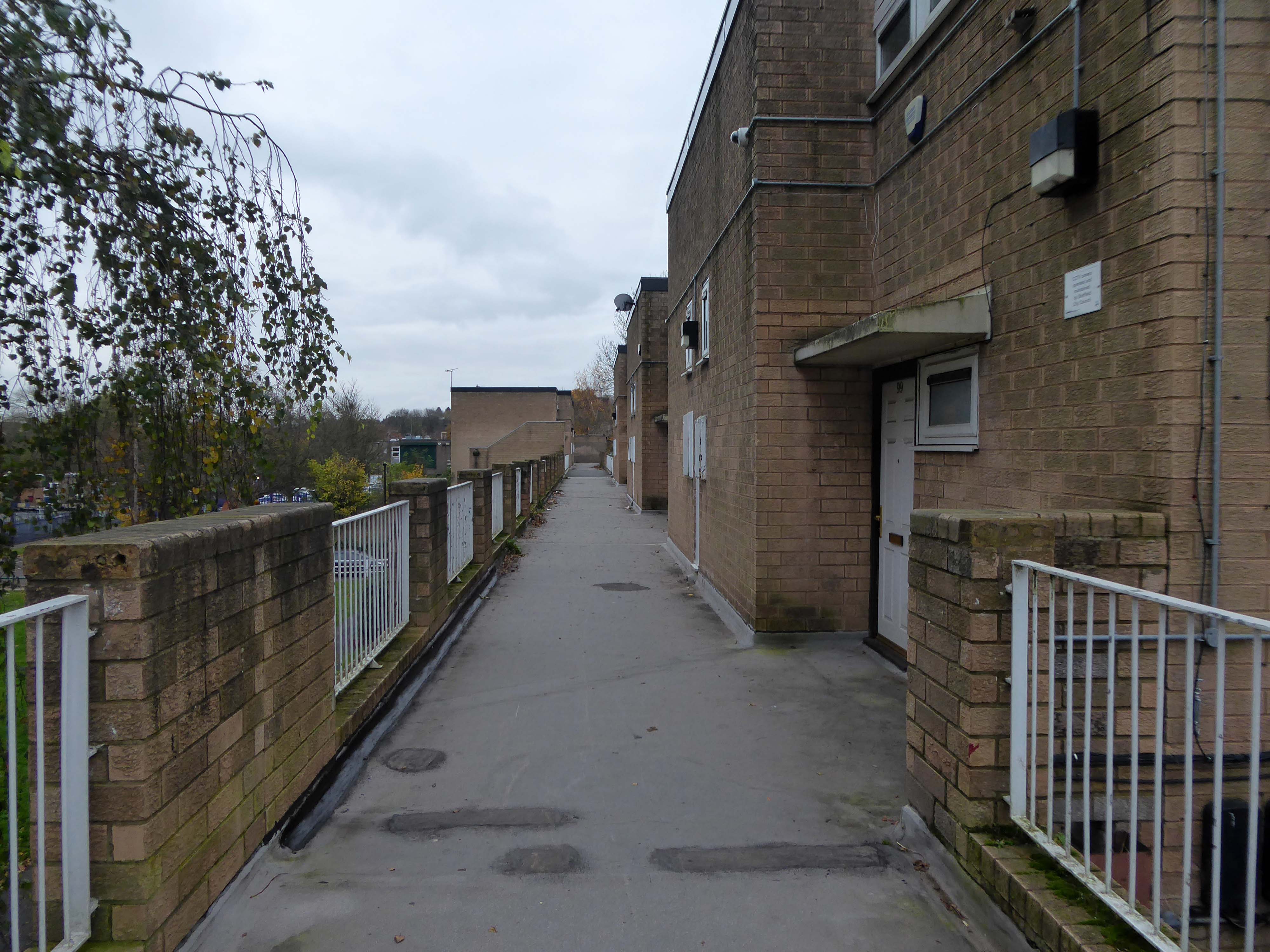
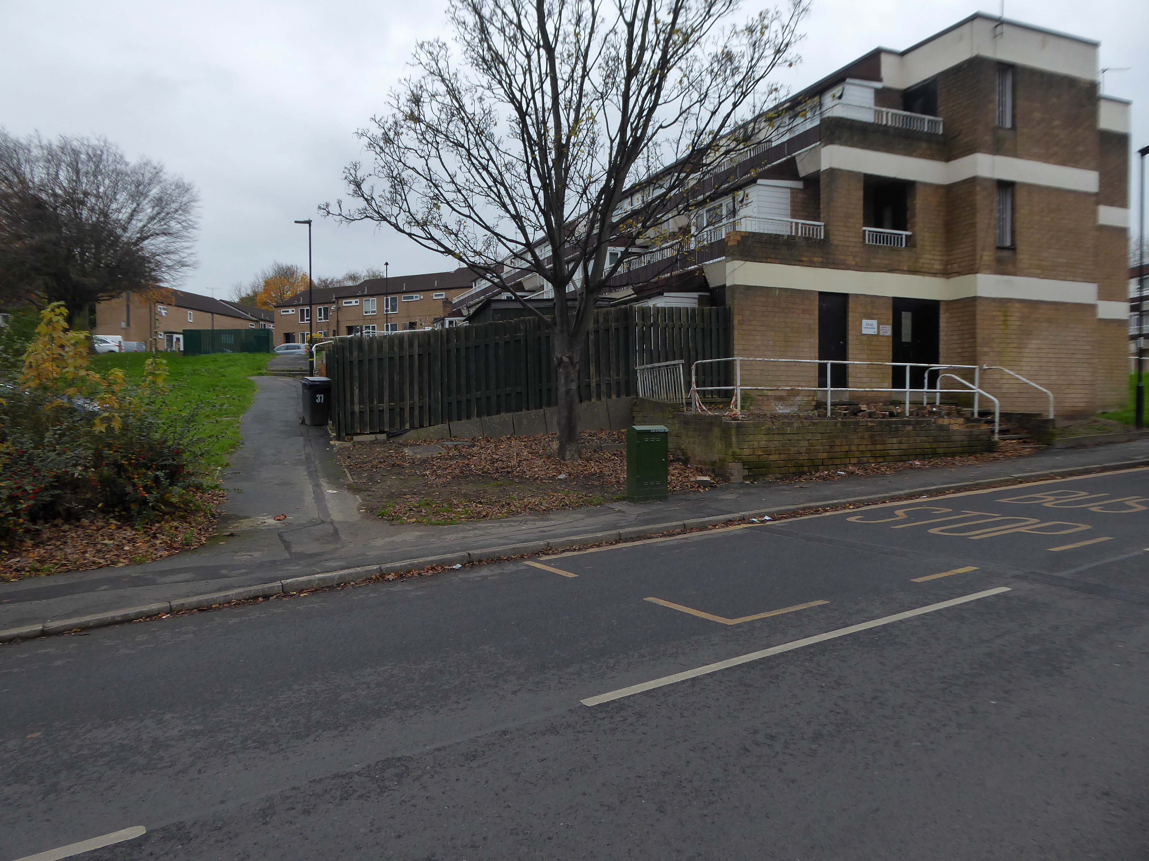
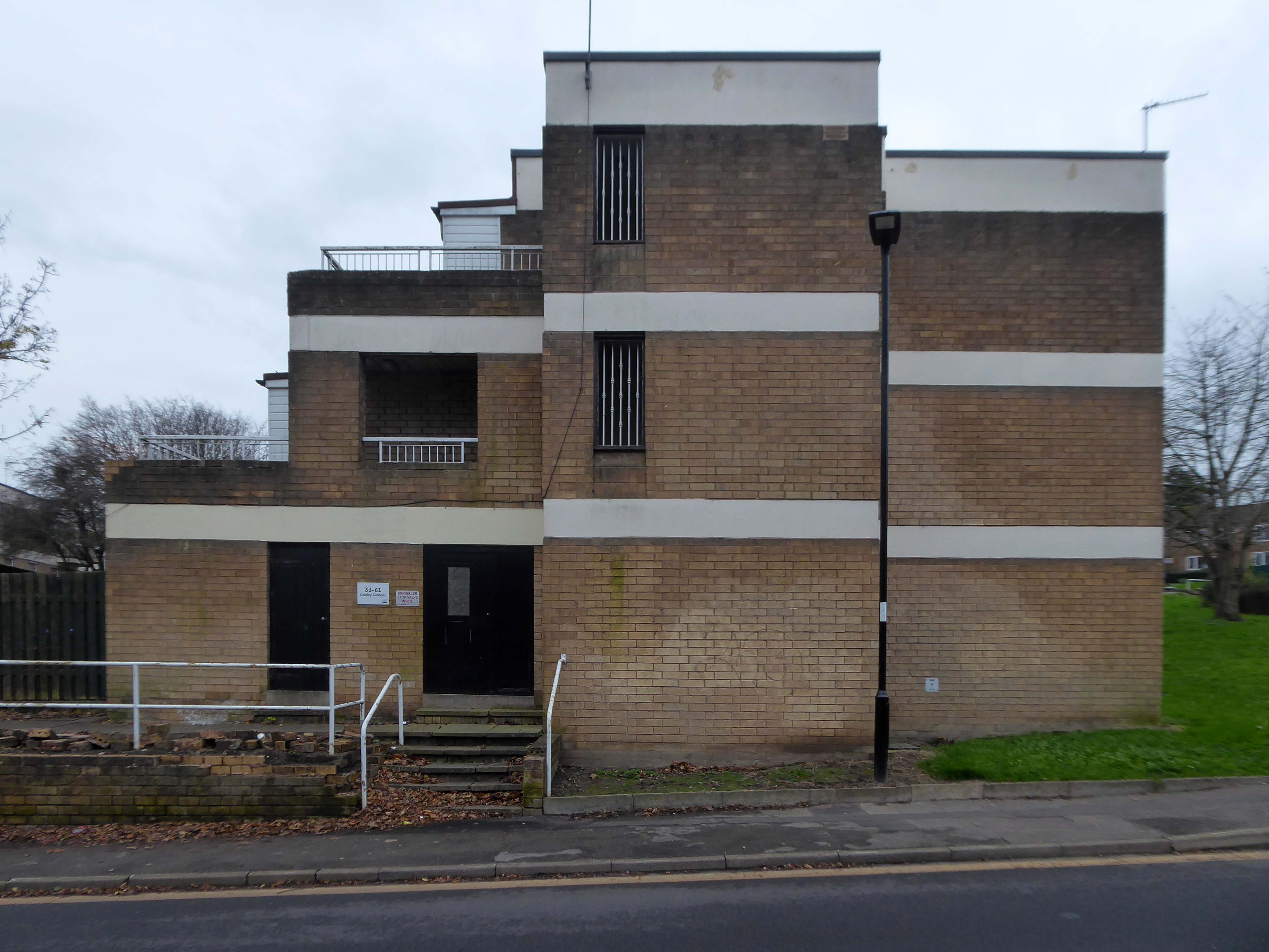
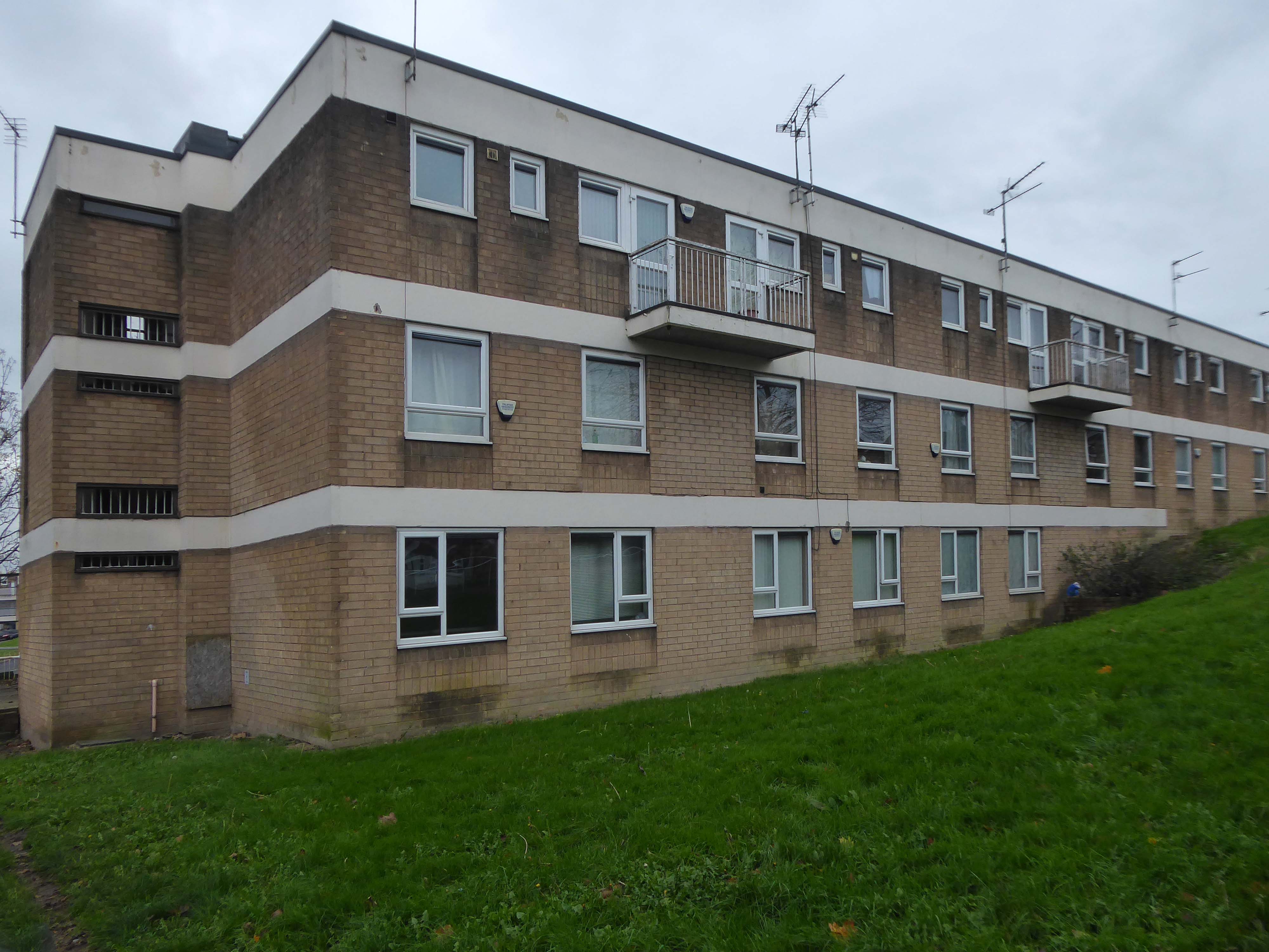
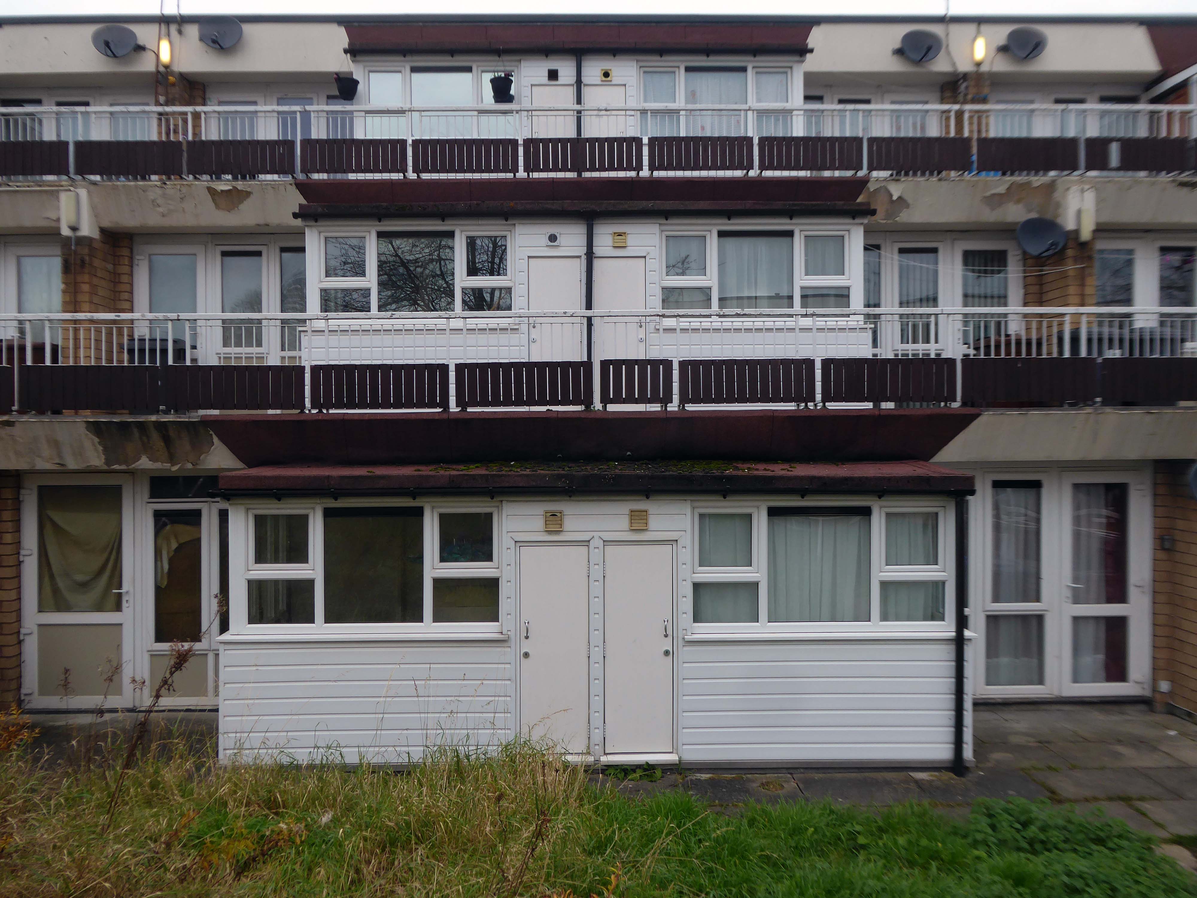
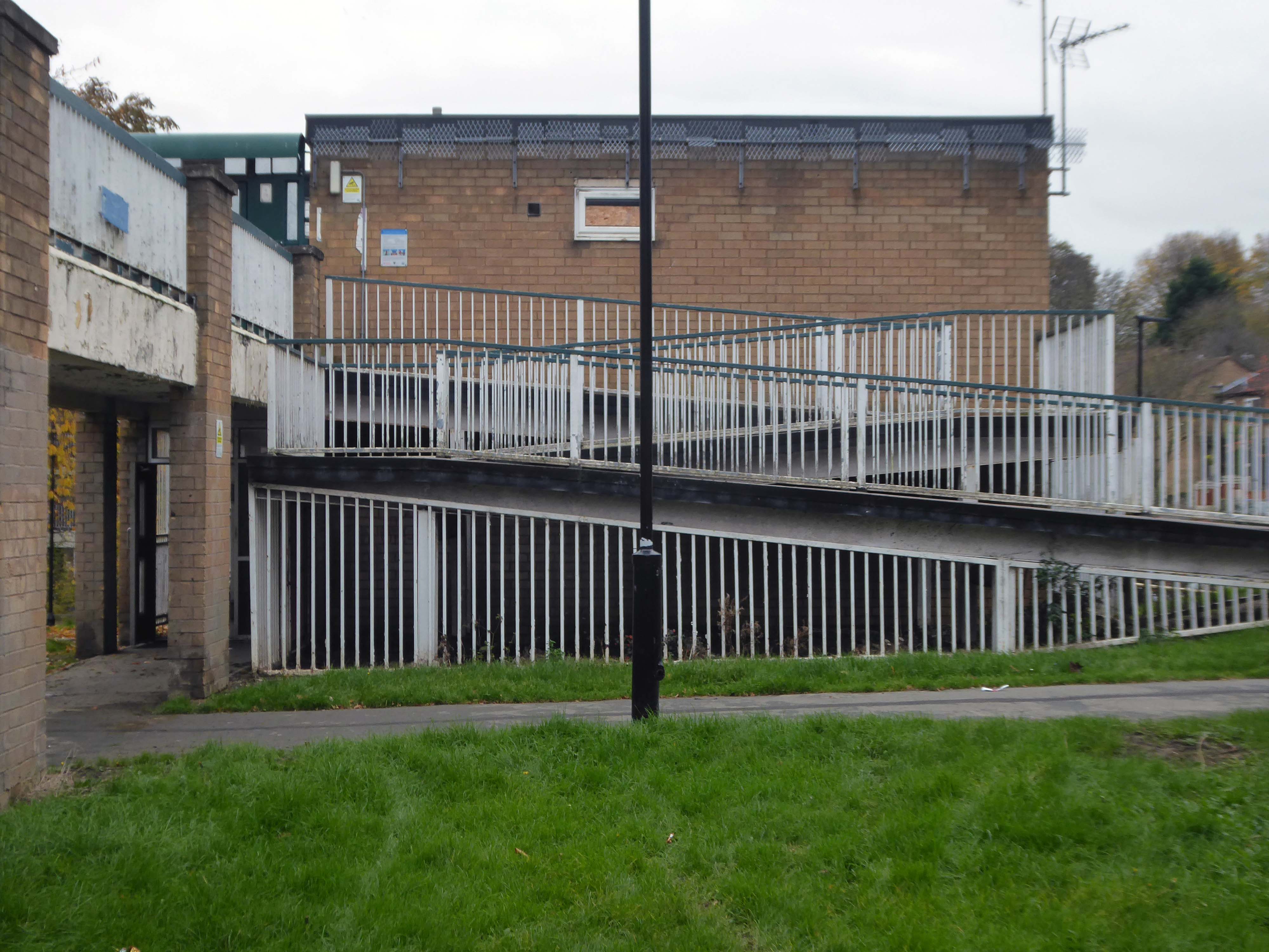
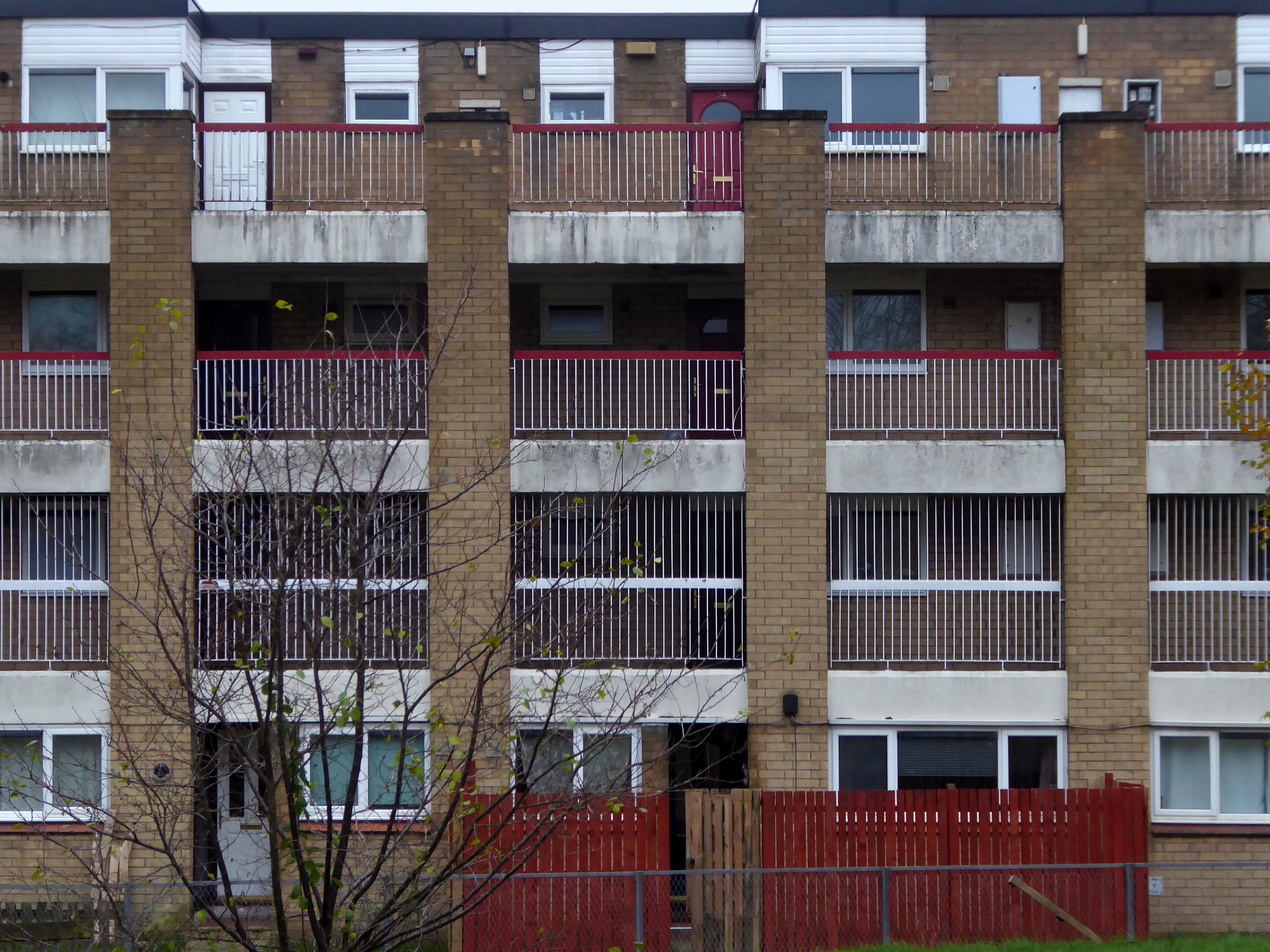
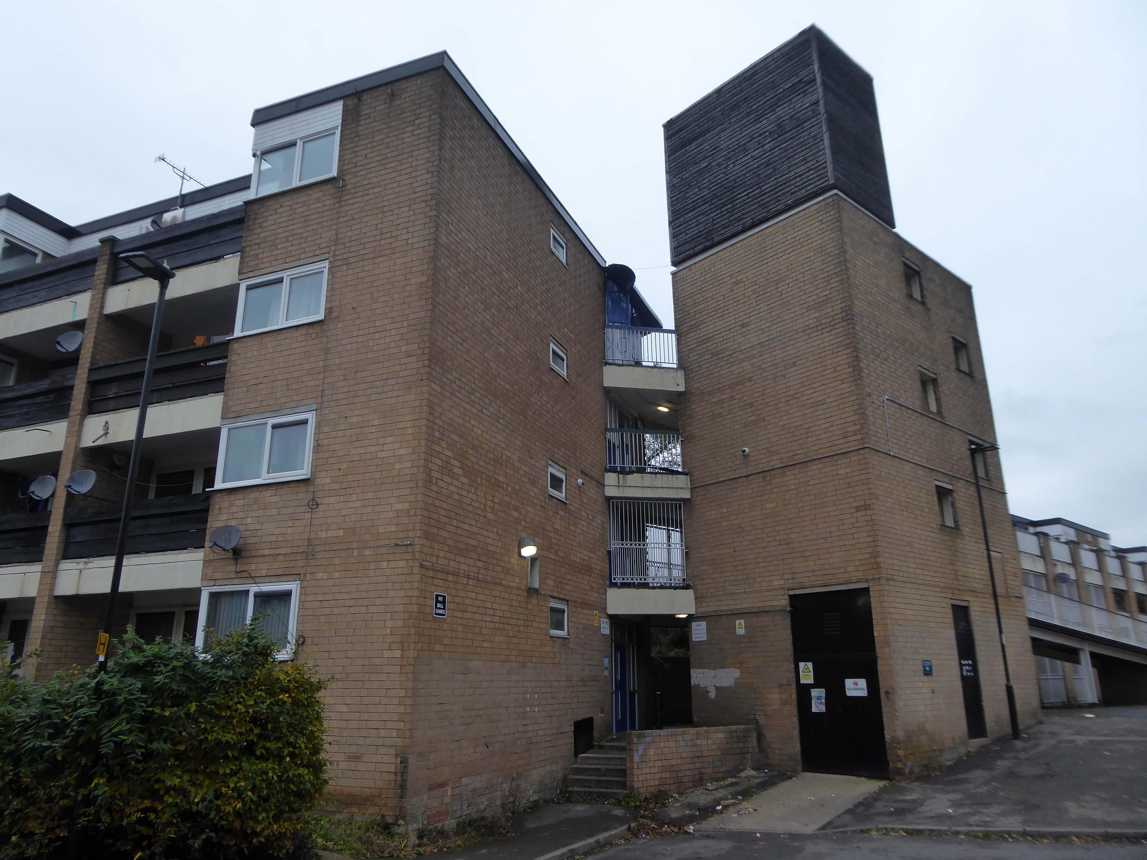
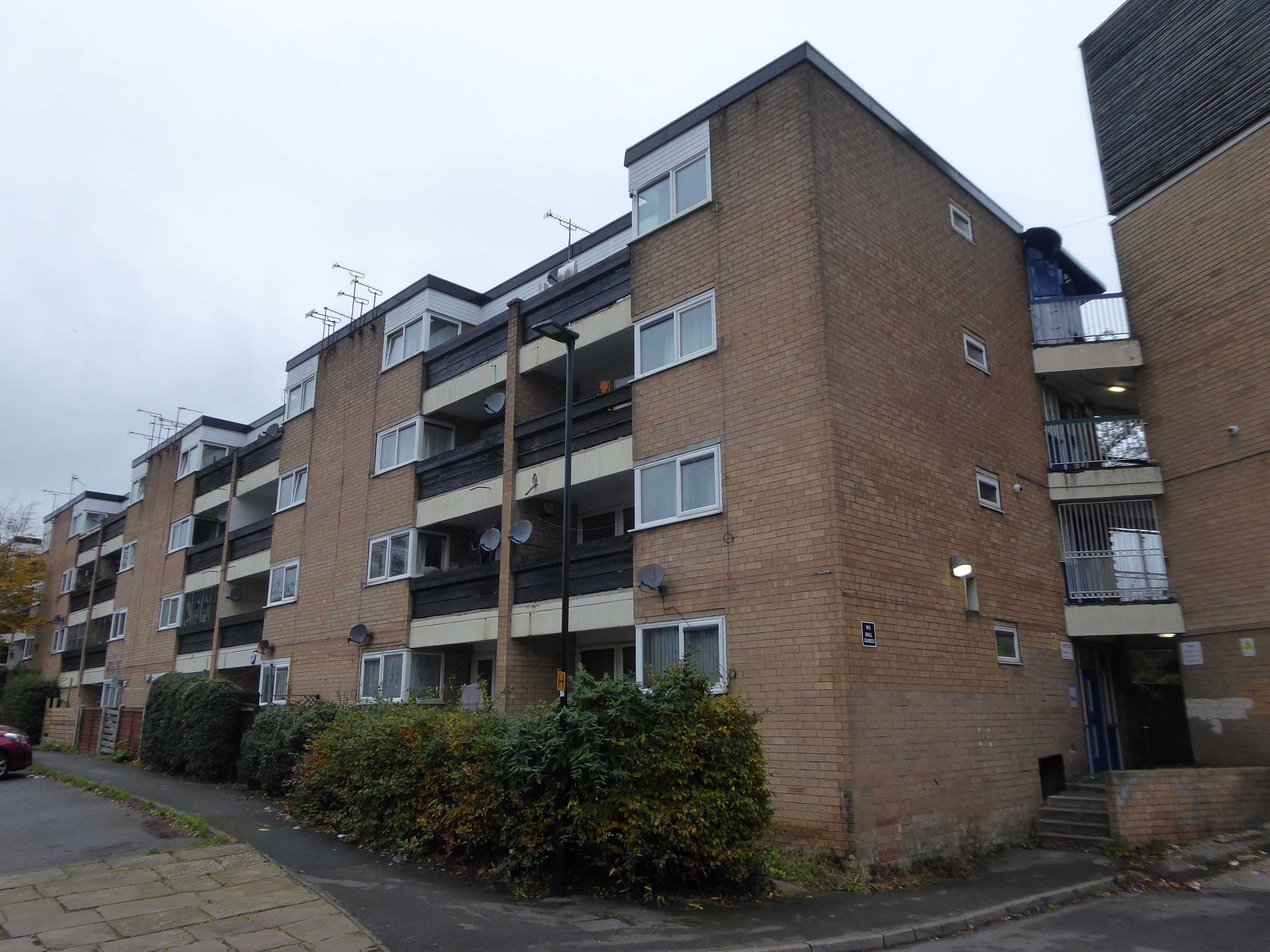
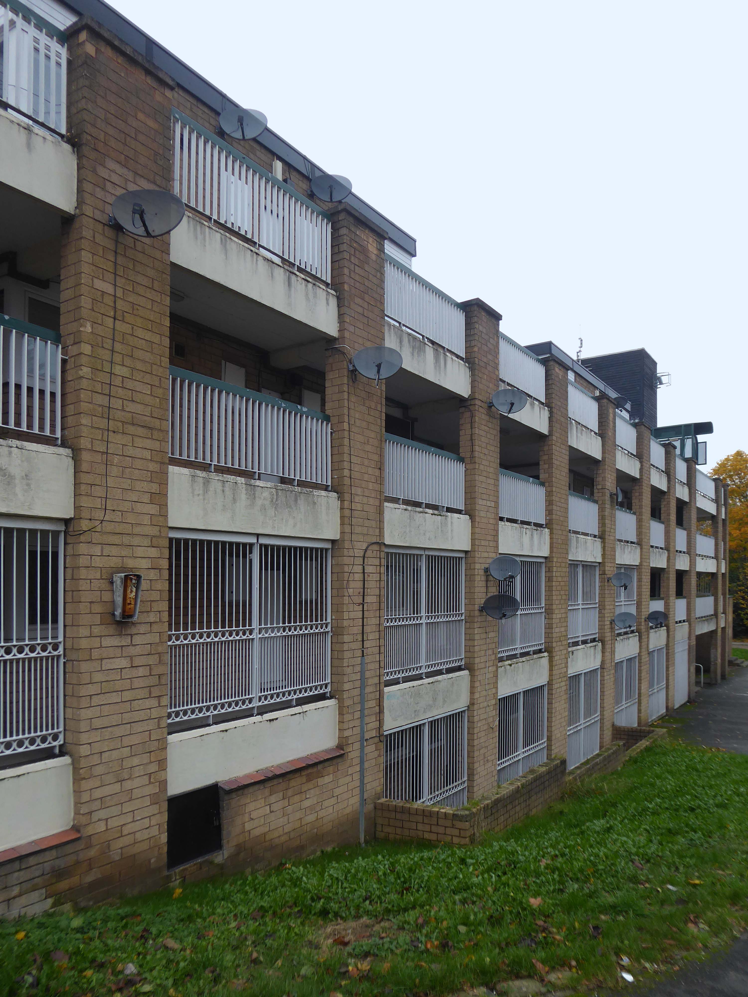
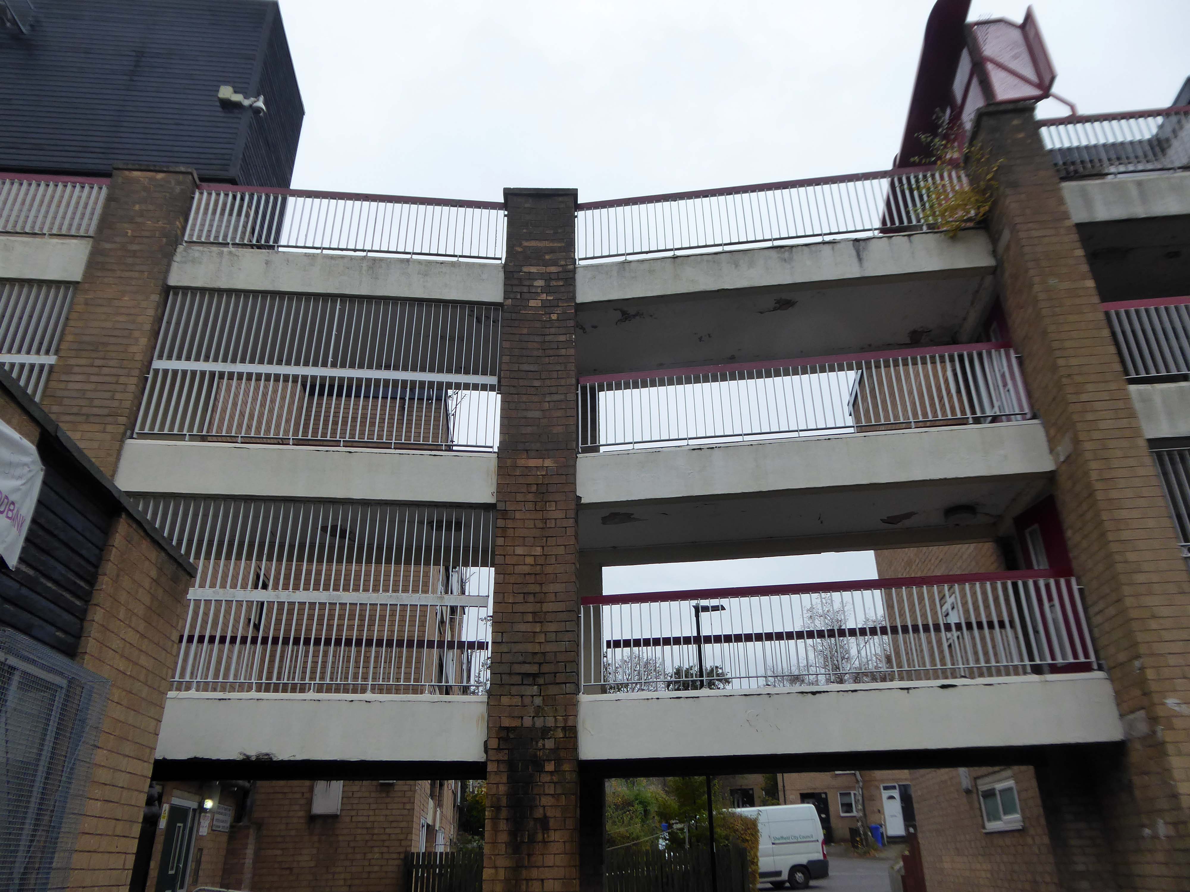
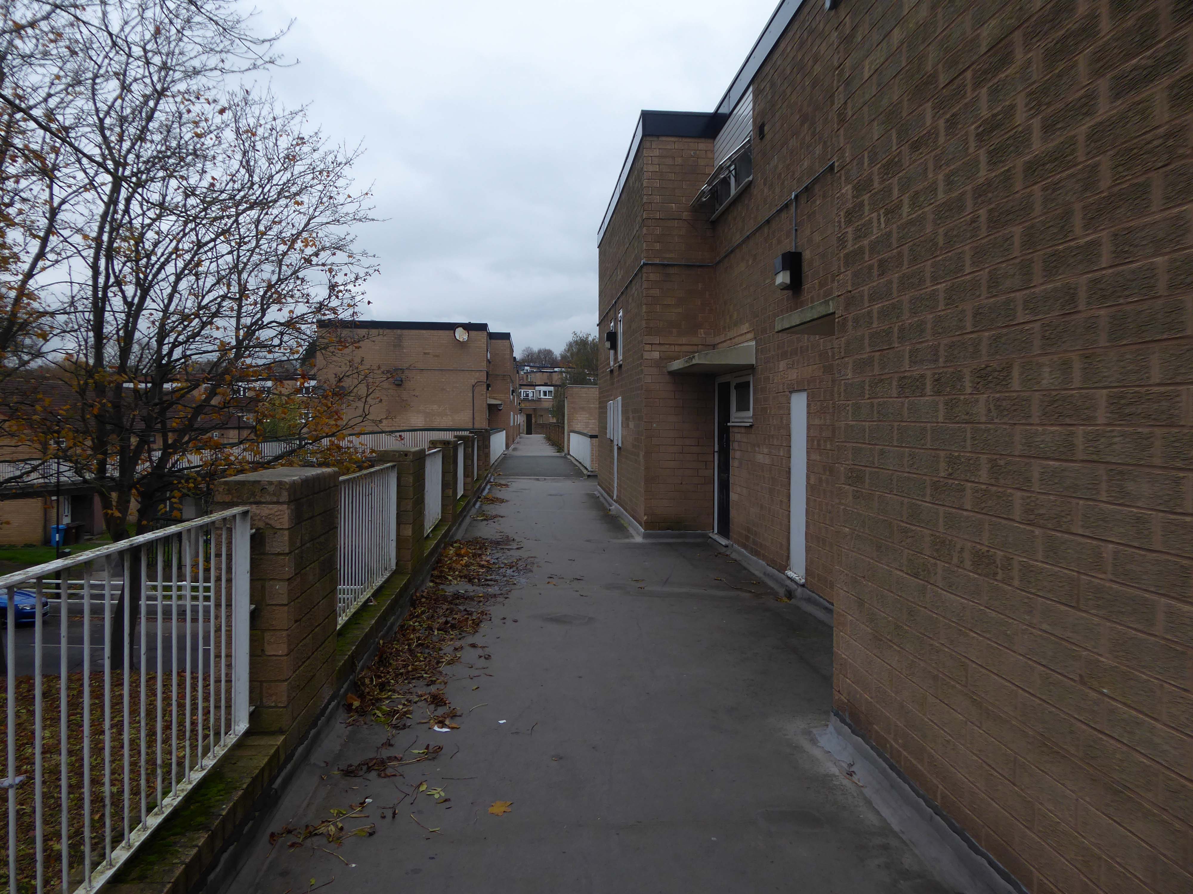
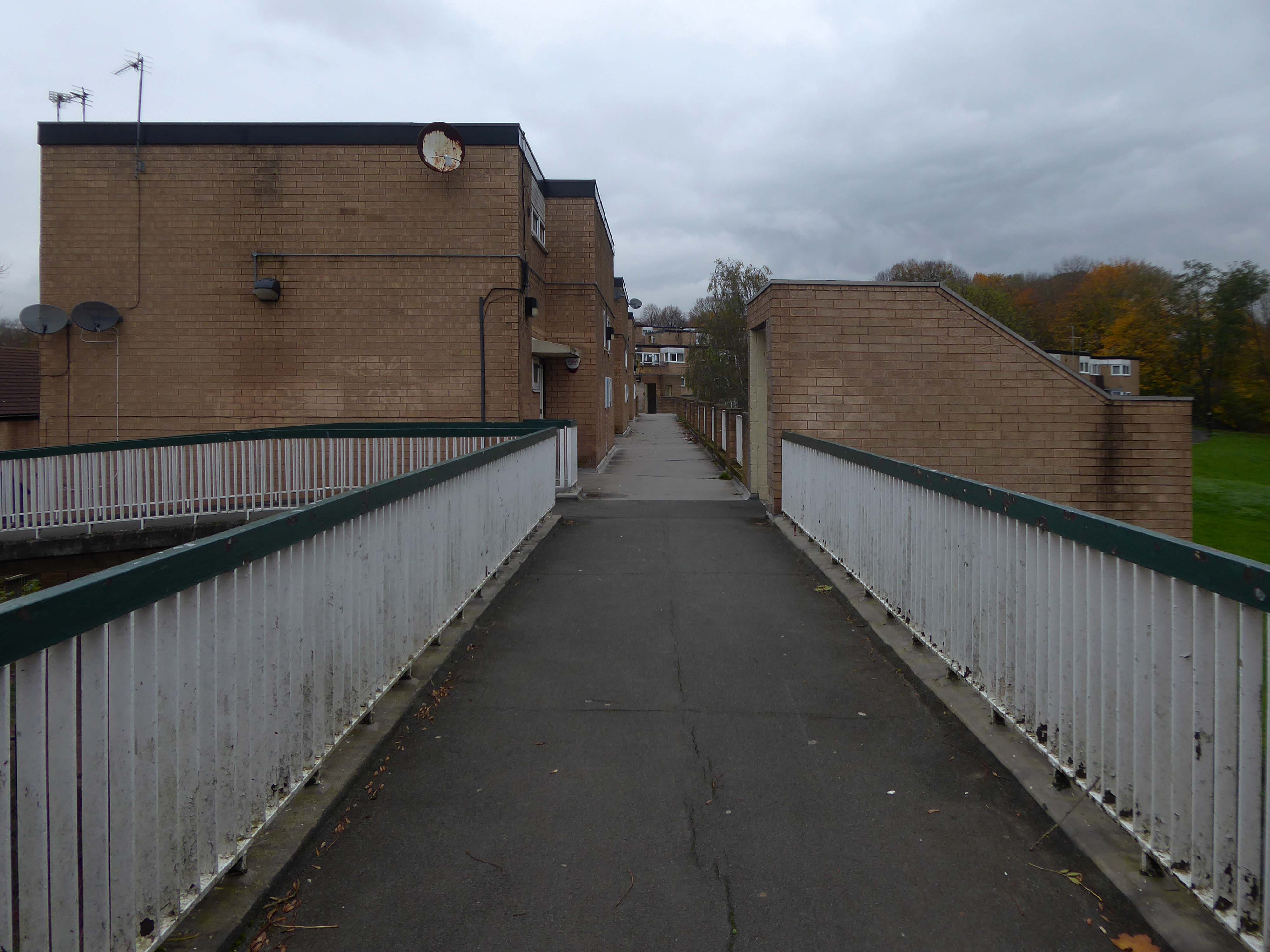
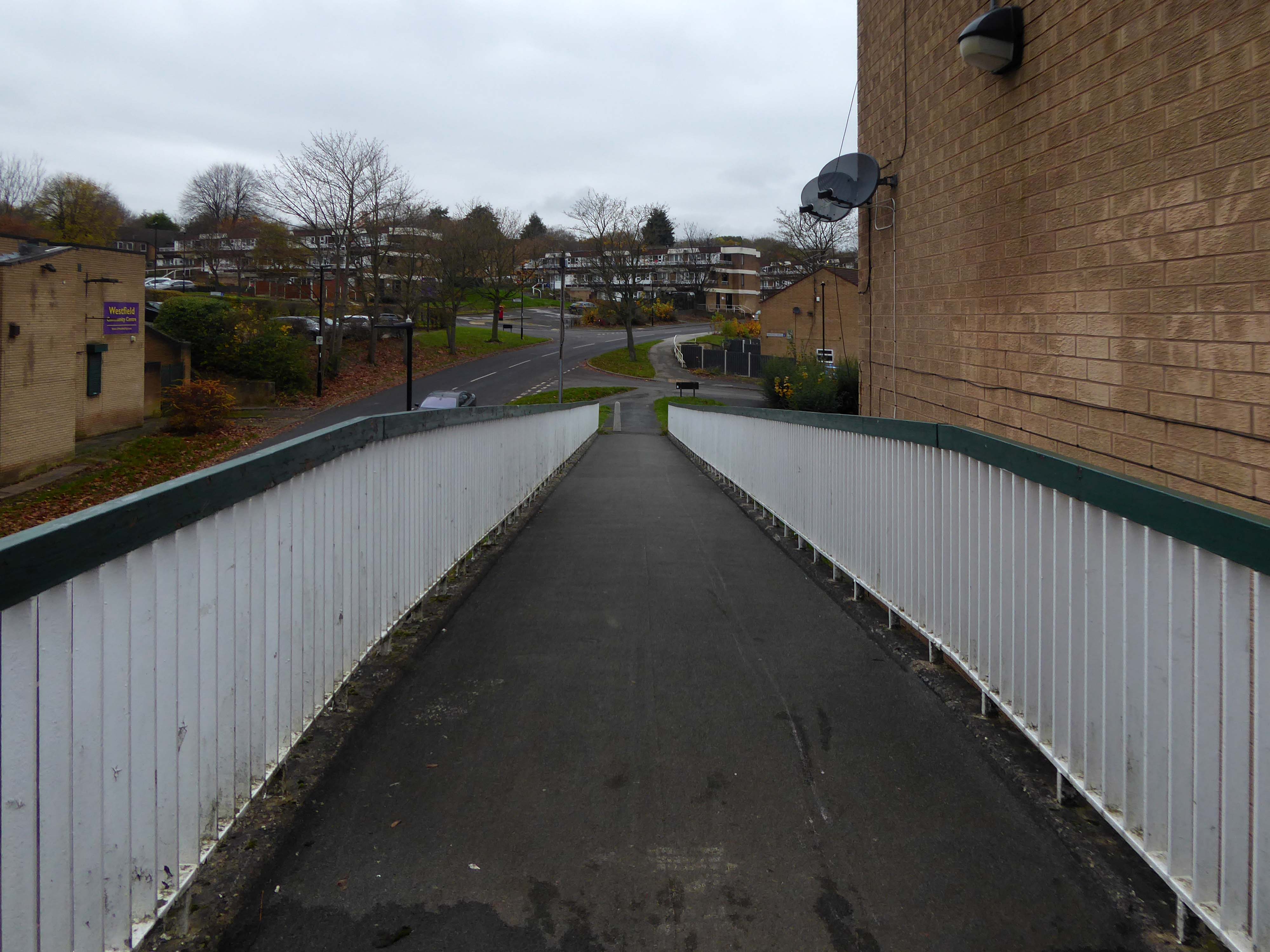
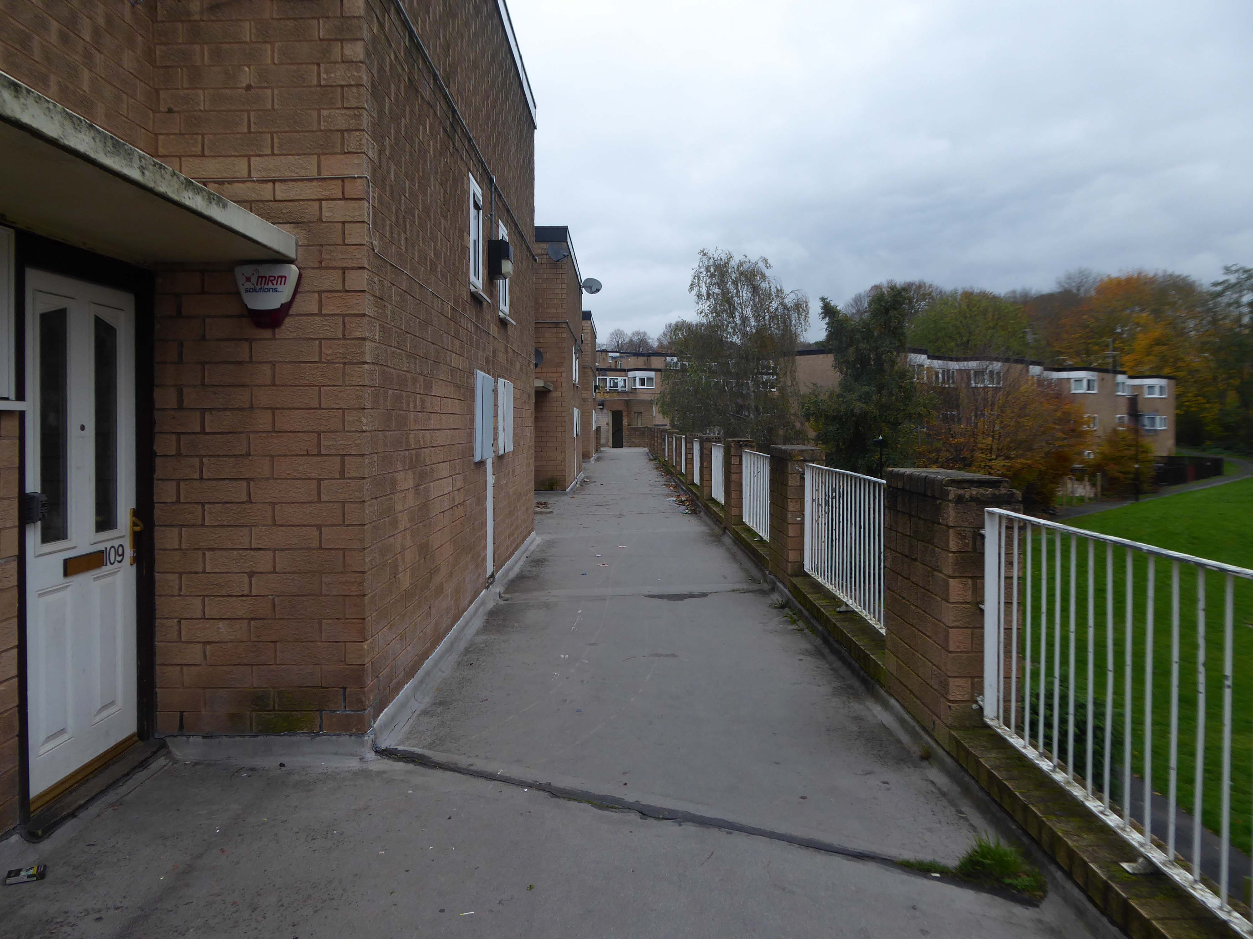
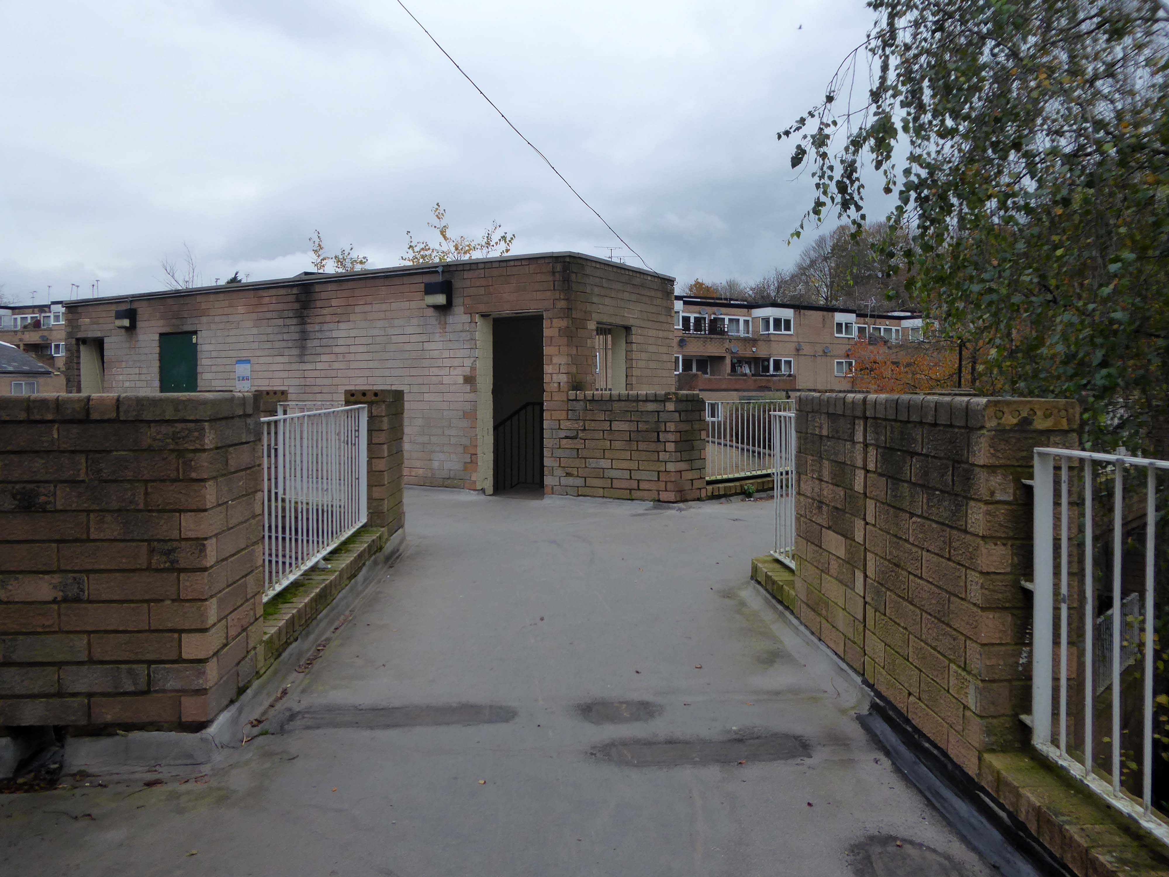
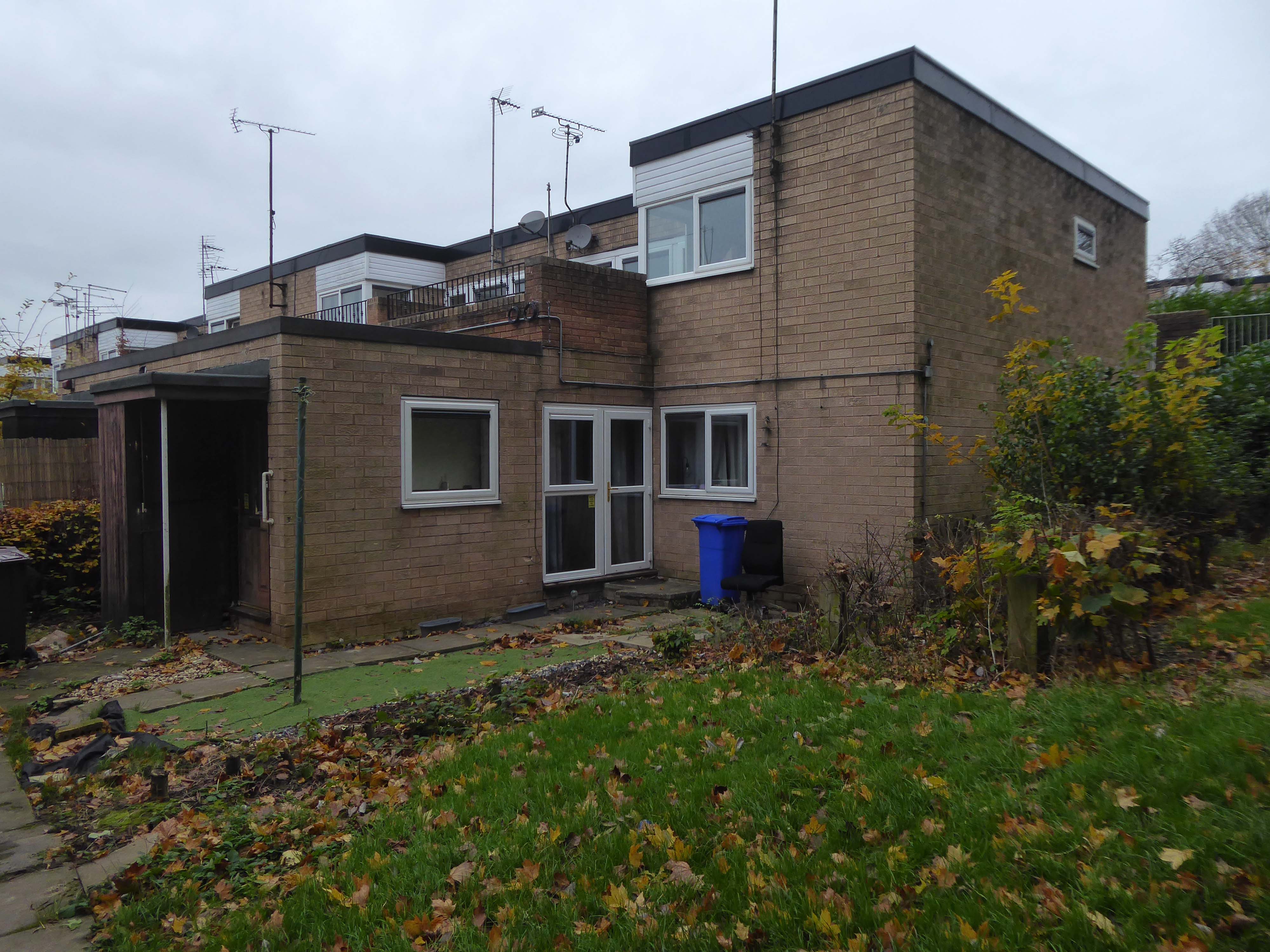
Despite Swinton’s many strengths, it faces similar challenges to other towns. The shopping centre and other buildings in the town centre are dated and in need of investment. Demand for local housing has grown by 23% in the last five years, but there is a lack of high-quality family and affordable housing in the right locations in the area.

The city council has identified Swinton town centre – along with Eccles, as a priority area for regeneration. On that basis, the council has engaged with the community and local stakeholders to establish a clear vision for the town that will help to guide change and future investment, whilst protecting what local people consider important for Swinton. 

The vision document can be viewed here.

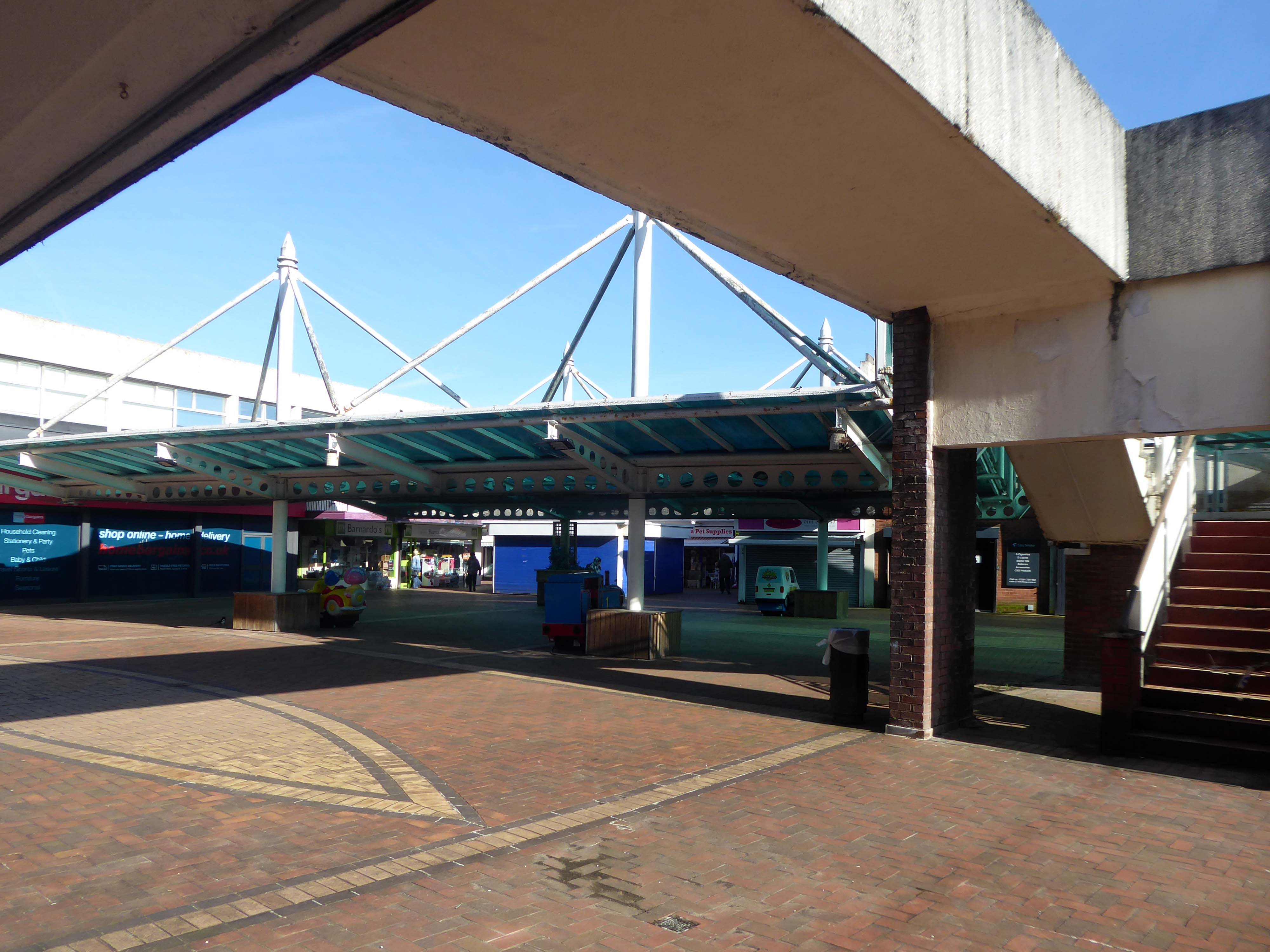
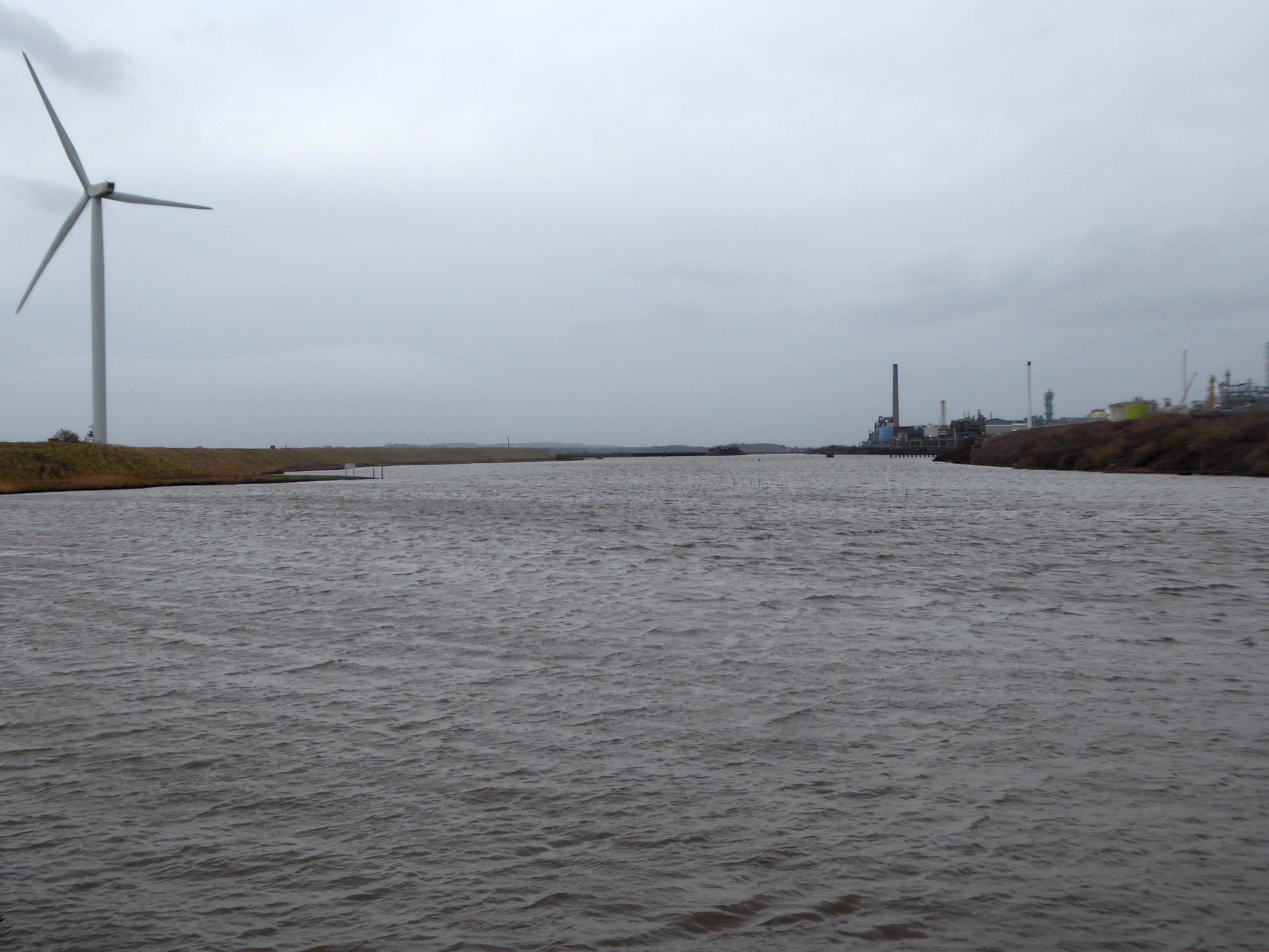
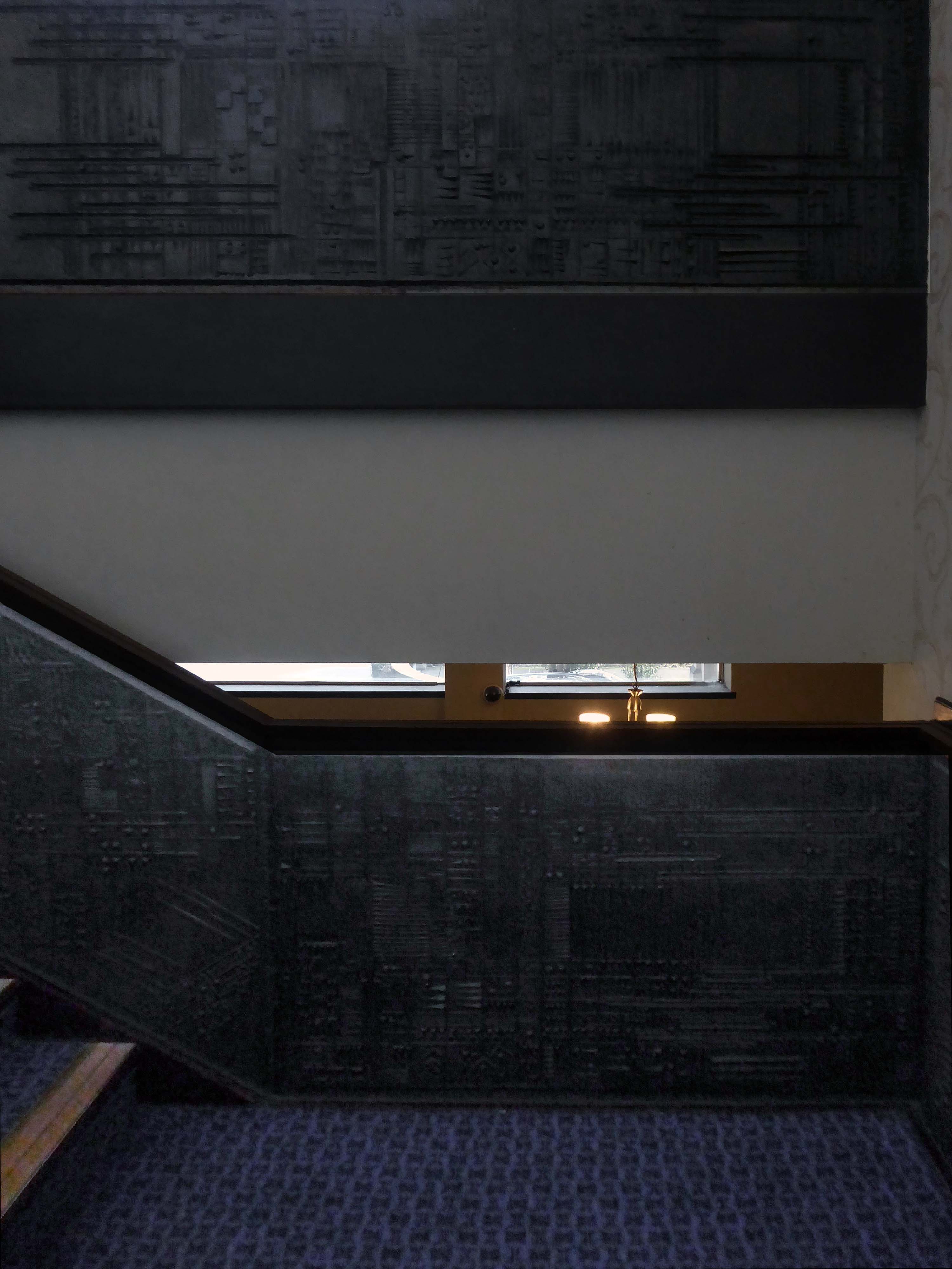
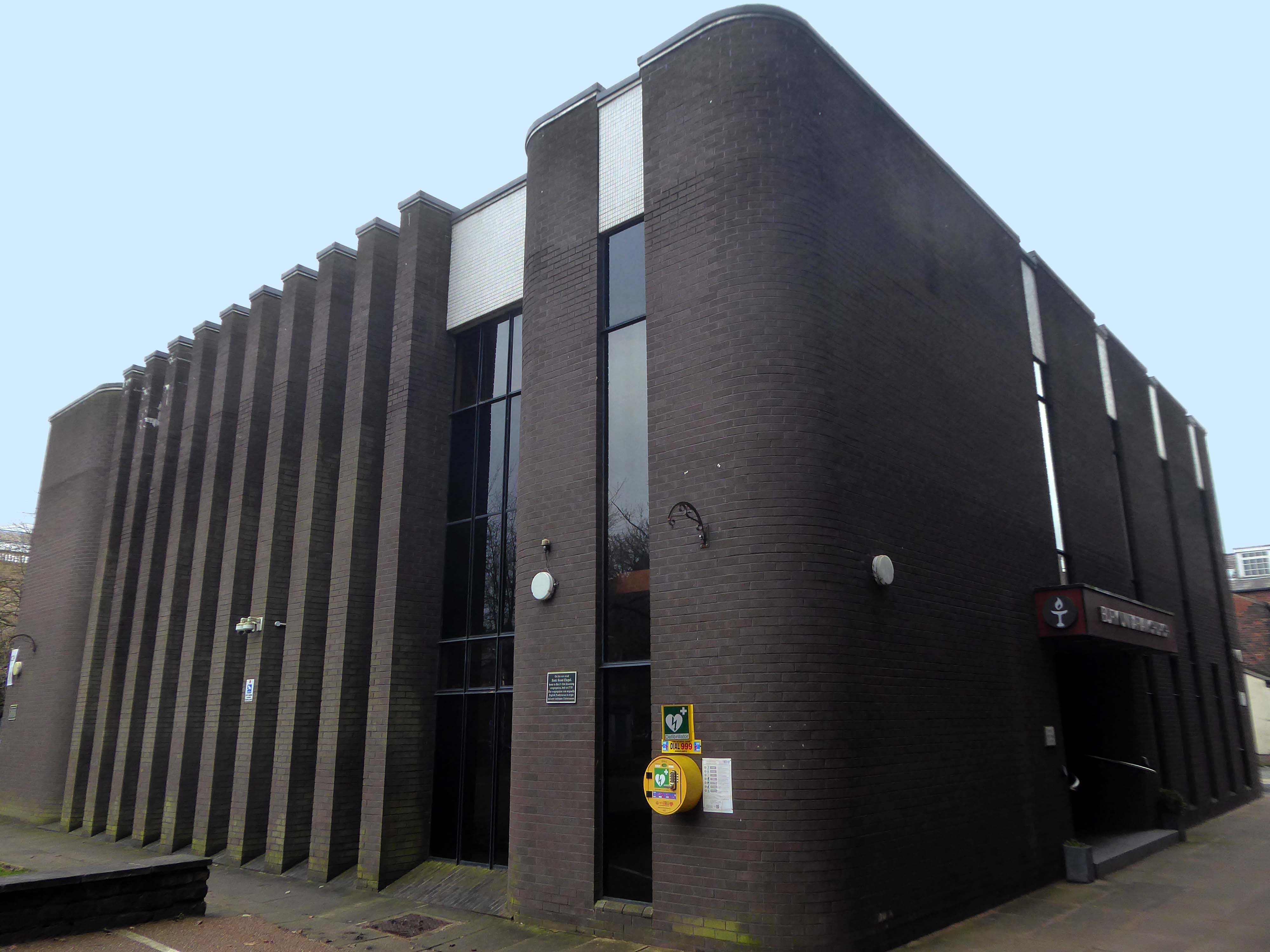
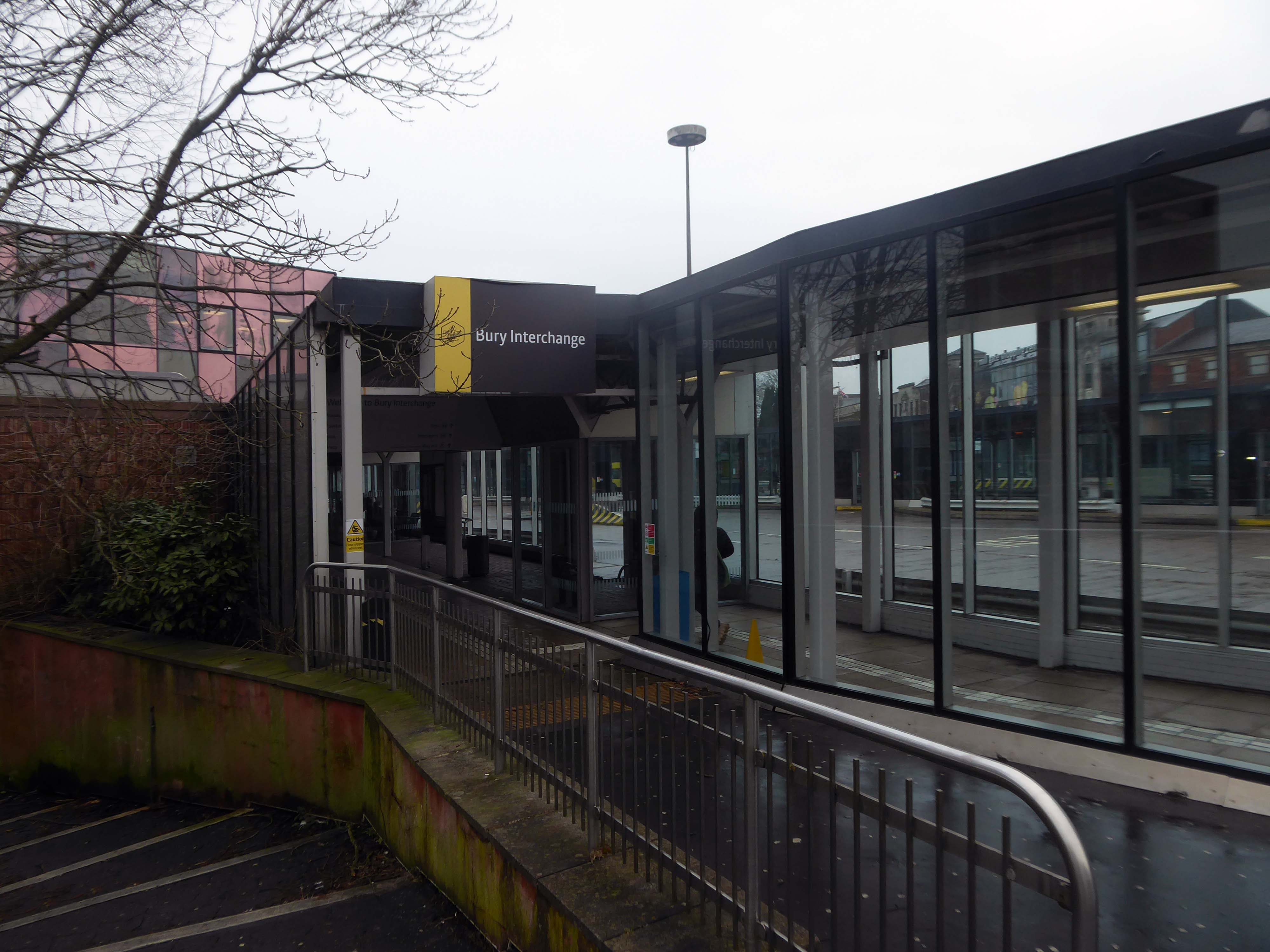
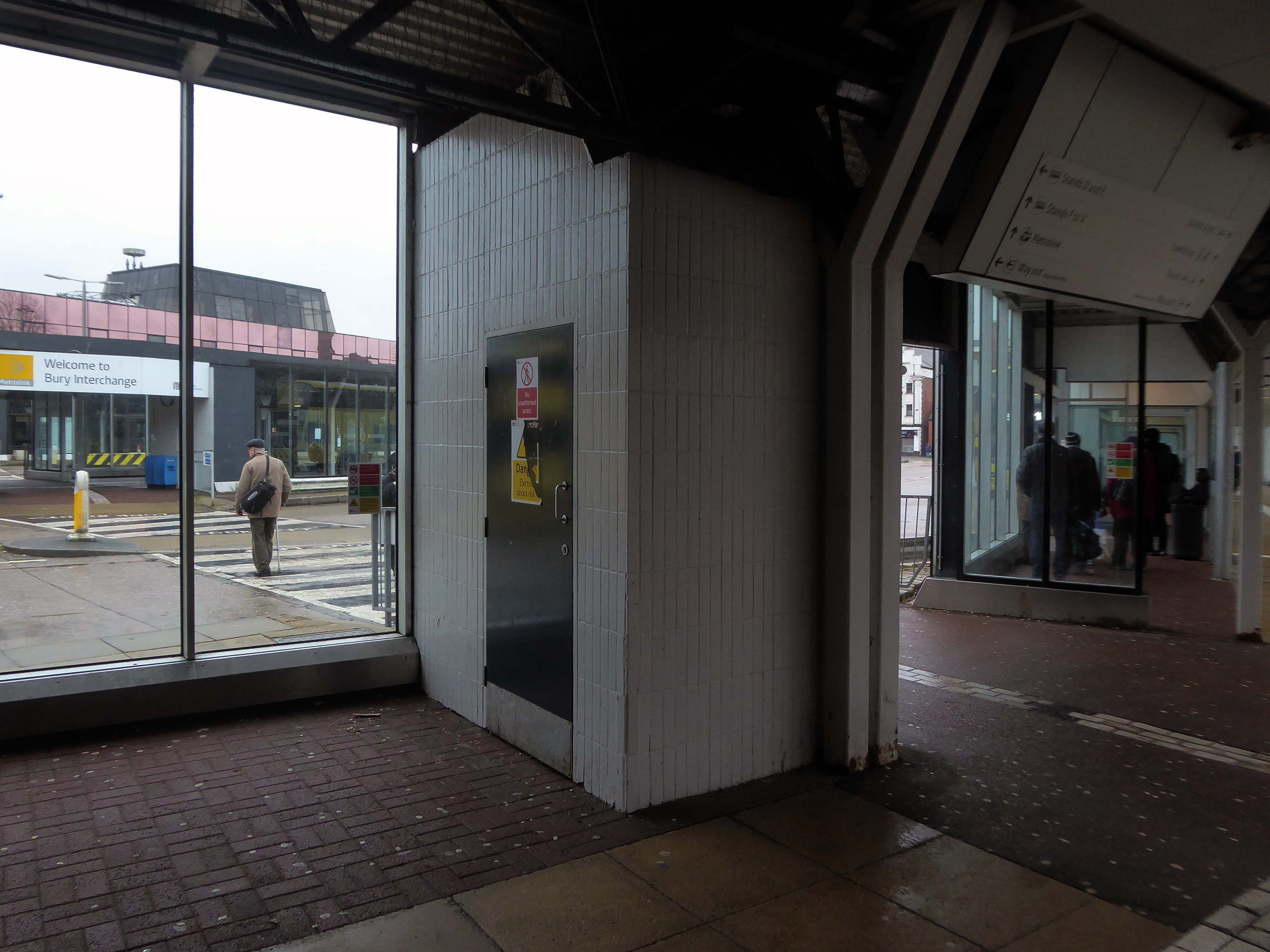
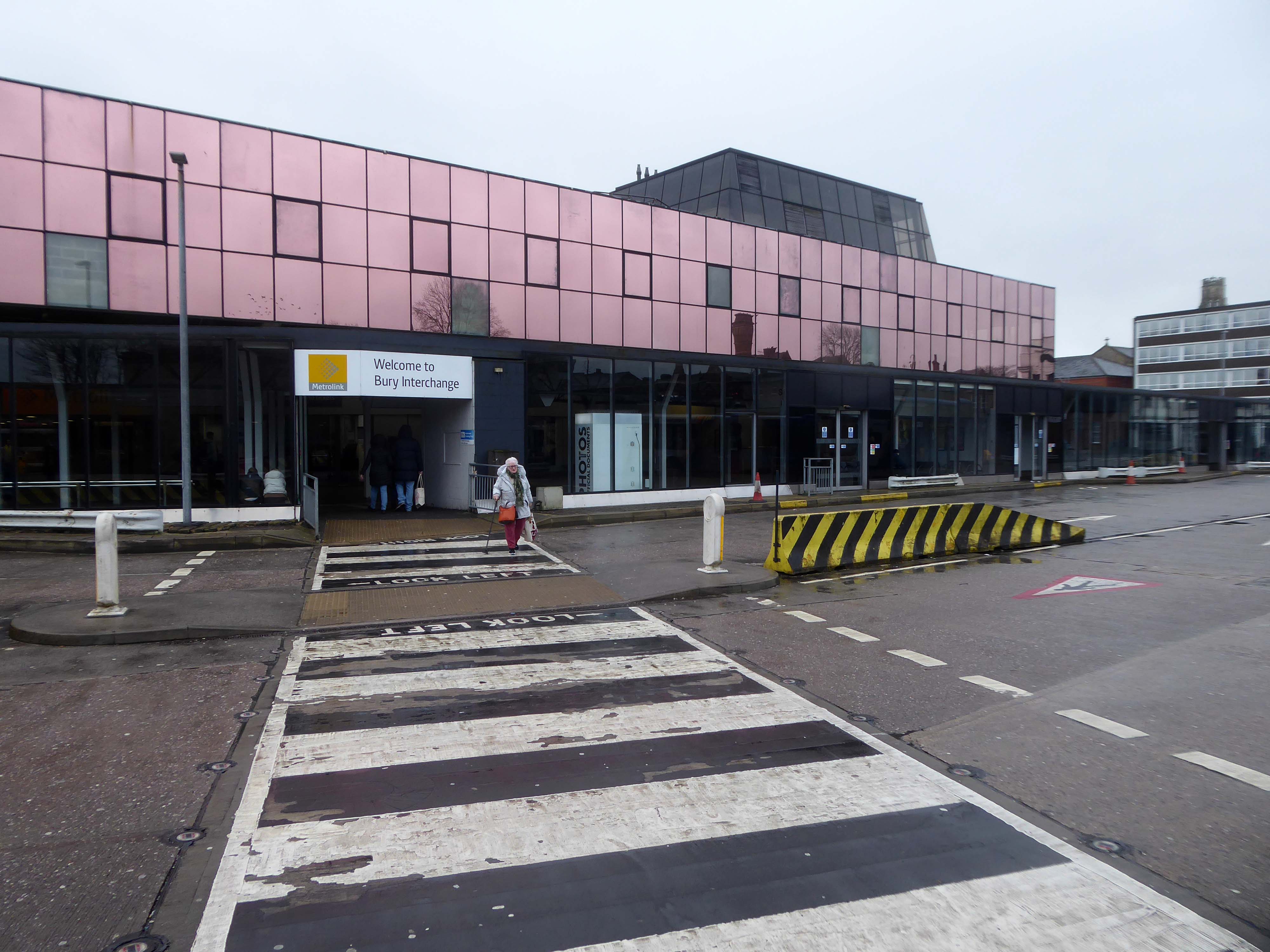
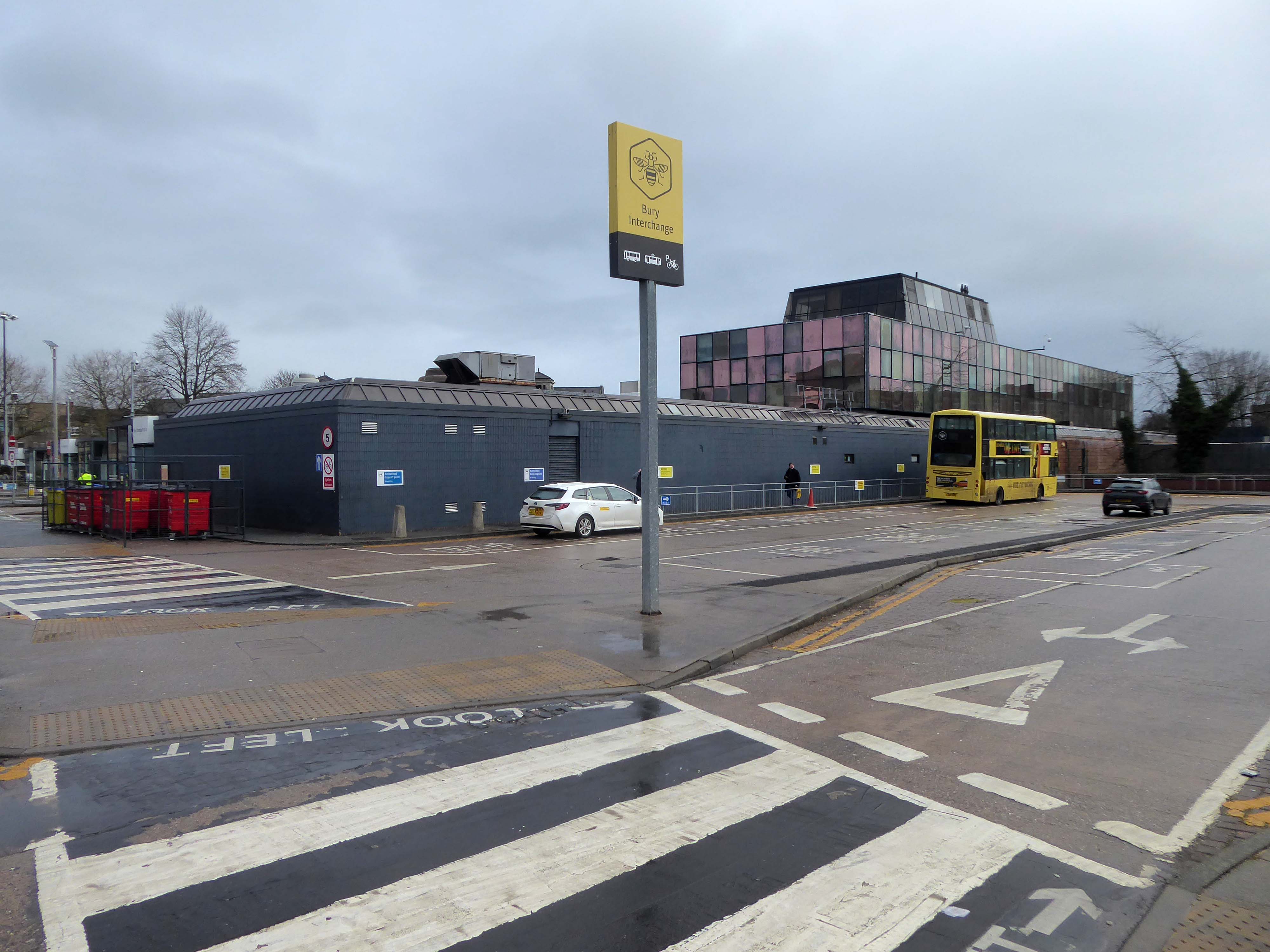
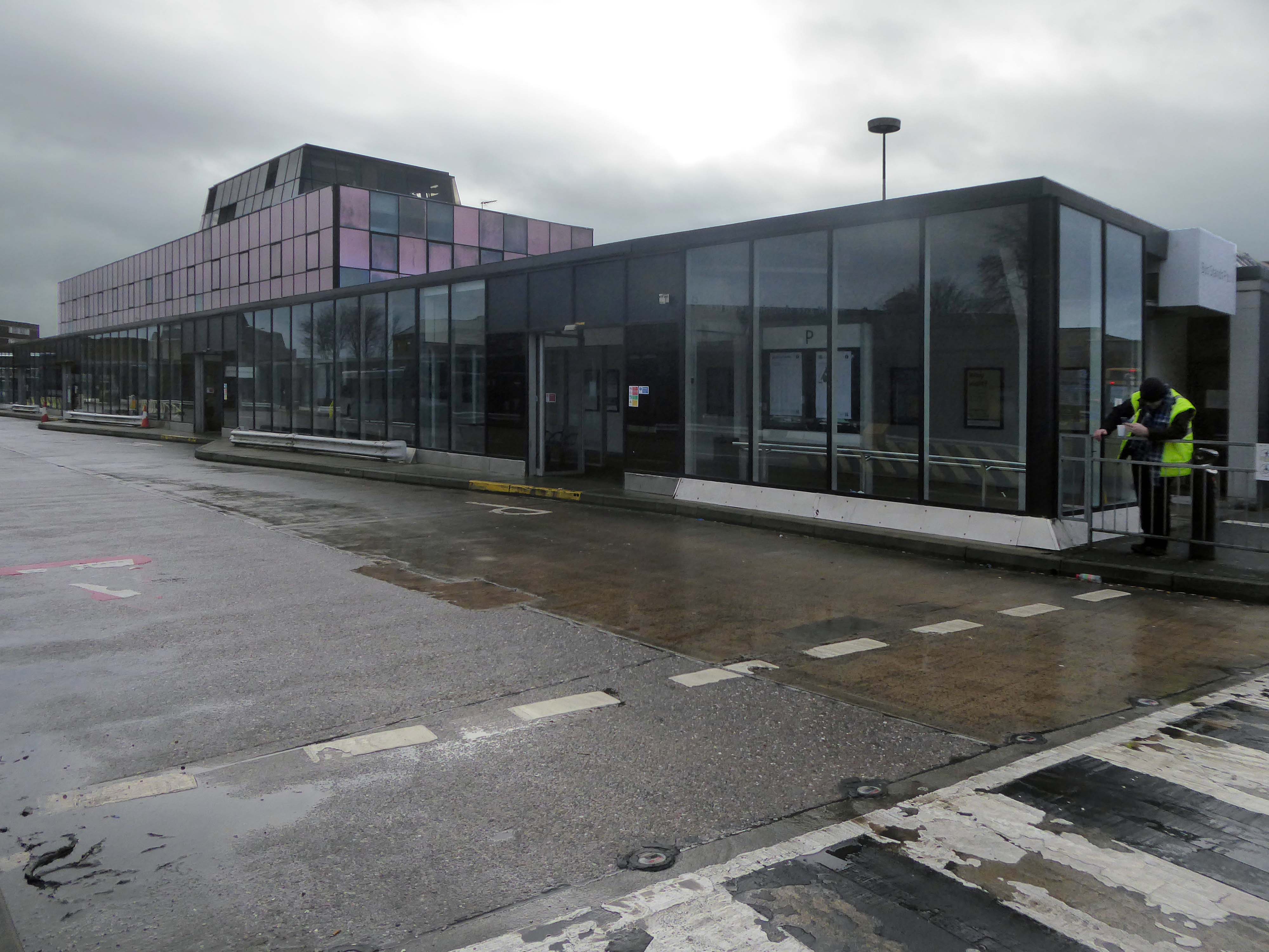
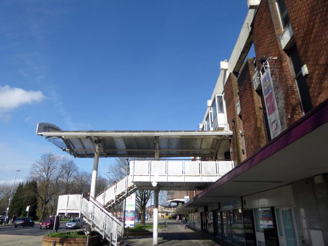
Swinton Square is in private ownership and therefore not something that the council has any direct control over. It is also important to acknowledge that the issues facing Swinton precinct are not unique to Swinton and those challenges are varied but linked to changing shopping habits, decline in the retail offer, competition from out-of-town centres as well as changes in the wider economy.

We do have an open dialogue with the owners of Swinton Square, the West Bromwich Building Society, who are aware of the vision and aspiration for Swinton.  

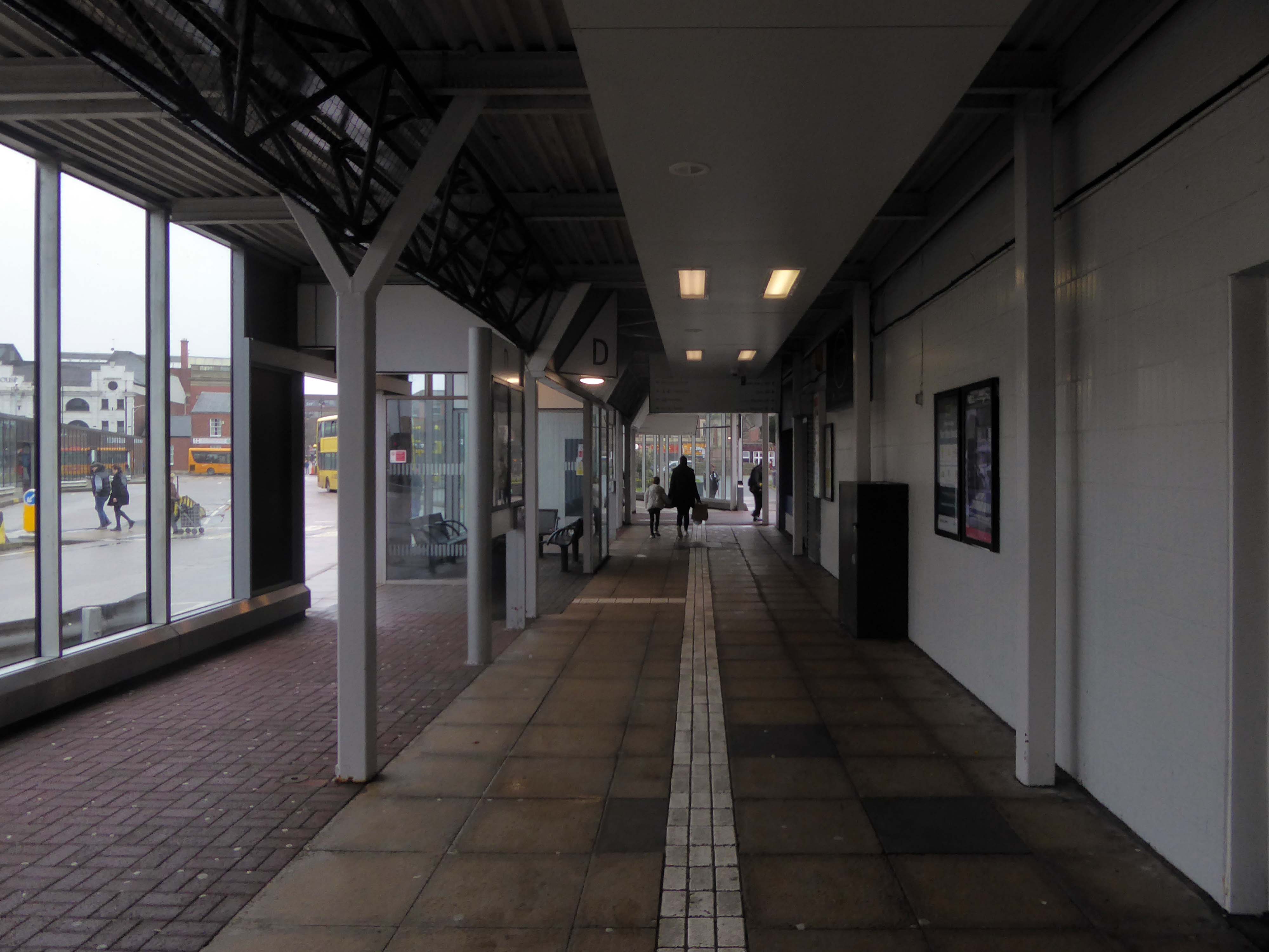
One of the aims of the council’s events and animation programme is to encourage additional footfall and dwell time within the town centre.

Salford Gov

Manchester Arterial – A662

Having photographed the arterial roads of Manchester in 2014  I have resolved to return to the task in 2024.

Some things seem to have changed, some things seem to have stayed the same on Ashton New Road.

Manchester Arterial 2024 – A664

Having photographed the arterial roads of Manchester in 2014, I have resolved to return to the task in 2024.

Some things seem to have changed, some things seem to have stayed the same.

Eastford Square Collyhurst – William Mitchell

It was 2016 when I first stopped to snap and blog – the shops, homes and William Mitchell concrete sculpture.

By then the missing housing block was already missing.

Returning in 2018 the shops are now shut and the homes stand empty.

In 2019 there’s still nobody home, but the totem is in place.

In 2020 the undergrowth has grown over the square.

It’s 2021 and stasis is the order of the day.

Fast forward to 2023 and the shops and homes are finally demolished – the totem still still in place.

The base has been dug out and the sculpture awaits removal to the adjacent flats.

I was told that one estimate for the job was £120,000 – given its weight and location over railway tunnels.

So as of today today 26th February 2024 – ain’t nothing shaking but the weeds twixt the flags.

A Short Walk Along The Weaver

Along with my almost lifelong friend Mr Tim Rushton – I took a trip along a short stretch of the River Weaver, walking from east to west.

River Weaver – rising on the boundary between the counties of Shropshire and Cheshire and then flowing 45 miles north to reach the Irish Sea estuary of the River Mersey to the west of Runcorn.

Below Winsford, the course of the river has been altered several times, by the construction of cuts and locks, to enable small ships to trade on it. The river formerly joined the River Mersey at Weston Marsh, but since the construction of the Manchester Ship Canal, begun in 1887, it has flowed into the canal, from where surplus water enters the Mersey by the Weaver sluices, just upstream of the junction. The tidal river section below Frodsham has been bypassed by the Weston Canal since 1810 and is no longer navigable, as Frodsham Lock is derelict.

Wikipedia

Railway viaduct over River Weaver and adjoining land by A Rendel Engineer and Thomas Brassey, contractor 1848-1850 – for Birkenhead Lancs & Cheshire Junction Railway Co.

Red sandstone, brown brick and cast iron, two segmental-arched iron spans of circa thirty metres over river; two round arches on west bank and twenty one on east bank. Piers to iron spans are rusticated tooled ashlar; the other spans have rusticated voussoirs, pier faces and quoins and rock-faced spandrels with brick reveals, cornice to iron-span piers, plainer imposts to others.

Top of central pier to river modified to take mid C20 concrete track bed.

Grade II Listed

Weaver Viaduct is one of the outstanding features of M56 and its design was approved by the Royal Fine Arts Commission. The three-quarter mile of elevated motorway and approach embankments over the River Weaver and Weaver Navigation Canal opened on 21 February 1971.

Design was by Husband and Co of Sheffield – acting for Department of Environment, who also supervised the project. The contractor was Christiani Shand with a tender price of £3,146,387 in March 1968.

Work began in April 1968 – the eventual cost was put at £3.5 million.

Sabre Roads

Thirty two 125-foot concrete 100-tonne beams were put into place in July 1970; the concrete beams were made by Matthews & Mumby of Windmill Lane Denton. 

High-Voltage Frodsham SubstationRock Savage power station

Rock Savage Power Station is an 800 MWe gas-fired power station.

It was opened by Queen Elizabeth II on 31 July 1998, and owned by InterGen, a company that is now jointly owned by Ontario Teachers’ Pension Plan and China Huaneng Group, it cost £375m.

It sponsors the Runcorn Jets baseball club, the Highfield Male Voice Choir and the Weston Angling Club.

The name comes from the nearby ruined Elizabethan mansion – Rocksavage.

Wikipedia

Koura Global – leader in the development, manufacture, and supply of fluoro products and technologies, opened a new HFA 152a production facility at their Runcorn site in the UK.

Chiesi, the international research-focused pharmaceuticals and healthcare group, signed a commercial agreement to use the new low carbon footprint medical propellant for inhalation product development and clinical trials in 2019.

Britain from Above 1948

Ineos Chemical Complex formerly ICI Rocksavage Works on the banks of the River Mersey River Weaver and Manchester Ship Canal in Runcorn formerly ICI works of Rocksavage and Castner Kelner Works which produced fluorcarbons such as aerosol propellants dry cleaning solvents and chlorine UK January 2007

Frodsham Wind Farm is one of England’s largest onshore generating stations, and the largest in the Cheshire region, with an installed capacity of more than 50 MW. Construction of the wind farm began in March 2015 and became fully operational in February 2017.

Tapton Hall – Sheffield

Shore Lane Sheffield S10 3BU

The Masonic Hall has an extension of 1967 by Hadfield Cawkson Davidson & Partners

The Masonic Hall has an extension of 1967 has a concrete mural by William Mitchell.

Symbolising the turmoil and chaos of the outside world, contrasting with the order of the Masonic Temple – a Freemason told me so.

I thought to propose the idea that this may well be a false dichotomy – then thought I’d better not.

These are the constituent panels.

These are the details.

Having been asked to speak to the Sheffield University Alumni Women’s Group – on the subject of Modernist Sheffield, I had easy access to the interior space.

I was ever so excited to discover these decorative panels on the stairway – I assume that they are also the work of William Mitchell.

Nobody knew.

The Masonic Hall is now a venue in addition to being a Masonic Hall.

It was once the home of steel magnate Edward Vickers.

Vickers was a successful miller who invested his money in the railway industry. In 1828 he garnered control of his father-in-law’s steel foundry business, formerly Naylor & Sanderson, and renamed it Naylor Vickers & Co. He went on to be Alderman and the Mayor of Sheffield and was the first President of the Sheffield Chamber of Commerce before he died in 1897.

Bury Unitarian Church

1 Bank StreetBuryLancashireBL9 0DN

The new Bury Unitarian Church was designed and constructed by local architects James T Ratcliffe.

An interesting article was published at the time in Sacred Suburbs Portfolio, in which the church design was described as:

A well detailed, functional, yet flexible building. 

The church was opened in 1974, with a service of dedication on Saturday, 9th March. The total cost, including furnishings, was £85,000 – It is now valued at about £1.5 million. The Churchwarden and Chairman of Trustees, at that time, was Bernard Haughton, who had succeeded Alex Rogers; he was to serve the Church in those capacities for the next 25 years. He was succeeded by Barbara Ashworth, our immediate past Warden. During this time, notwithstanding persistent problems with water leakage through its flat roof, the church continued to thrive and develop.

Enhancements have been made to improve the comfort and amenities of the building throughout the period with, for example, the installation of an improved heating – system, a sound – enhancement system in the church, and disabled access facilities including a lift to the upper floor. Through the efforts of Barbara Ashworth – past Church Warden, the proliferation of bequests, legacies and trusts which were complicating and restricting church-finances has been rationalised and the financial structure streamlined. Part of the land at Holebottom has been sold for development, and part has been upgraded as a public amenity.

The current congregation is still one of the best supported Unitarian Churches in the country and remains enthusiastic and committed to the Unitarian faith. There are many social groups  including The Women’s League, The Men’s Fellowship, The Luncheon Club the Book Club and most recently, our Camera Club; coffee is served every Saturday morning – a session which welcomes members of the public to the church, some of whom have subsequently become church-members. Frequent social activities are organised by The Efforts Committee and are well-supported by the congregation and their friends and raise money in support of the activities of the church snd local charities.

Church Website

The People Praising by Elizabeth Mulchinock is a 12 foot high original sculpture at the front of the church which represents the family of the church.

Bury Interchange

Bury Interchange is a transport hub opened in 1980, it is the northern terminus of the Manchester Metrolink’s Bury Line, which prior to 1992 was a heavy-rail line.

It also incorporates a bus station.

Bury Interchange replaced the bus termini scattered around Bury town centre, notably around Kay Gardens.

Under construction – January 1979

1980 – before the trams.

Class 504 units at the interchange in 1983.

2015 – Allen Williams

Bury Interchange was opened by British Rail in March 1980, integrating a new bus station with the northern terminus of the Bury-to-Manchester heavy railway line, a new short spur line was constructed to connect the new station.

Bury Bolton Street – Ben Brooksbank

The railway had originally run into Bury Bolton Street which was further away from the town centre, and was closed by British Rail on the same day that Bury Interchange opened.

Wikipedia

An £80m transformation is coming to the Bury Interchange, which will see step-free access at the Metrolink, a “vertical circulation core” to better connect the Metrolink with the bus facility, and an integrated travel hub with spaces for cycle storage.

The work is much-needed, explained Transport for Greater Manchester’s Alan Lowe, he said that the interchange was built in the 1980s and very much is of its time.

It’s not what we need for our customers need.

The new Bury Interchange project is expected to complete at the end of the decade.

Place North West

However as of February 2024 – it look like this.

Bury Bolton Street is now operated by the East Lancs Railway.

There are failed plans to reinstate the Bury to Rochdale railway as a Metrolink line.

Bury Knowsley Street railway station.

The line and station were closed on 5 October 1970 as part of continuing cutbacks in British Rail services and the line west to Bolton subsequently dismantled.

Manchester Arterial 2024 – A635

Having photographed the arterial roads of Manchester in 2014, I have resolved to return to the task in 2024.

Some things seem to have changed, some things seem to have stayed the same.

Manchester Arterial 2024 – A57

Having photographed the arterial roads of Manchester in 2014, I have resolved to return to the task in 2024.

Some things seem to have changed, some things seem to have stayed the same.

Manchester Arterial 2024 – A6

Having photographed the arterial roads of Manchester in 2014, I have resolved to return to the task in 2024.

Some things seem to have changed, some things seem to have stayed the same.

Manchester Arterial – A34

The A34 is a major route from the ports on the South Coast of England to the Midlands and the North West, with the standard varying from rural dual carriageway sections in the south to urban single carriageway in the north, and everything else in between.

Slade Lane junction, Rushford Park to Parr’s Wood, East Didsbury – to connect to Manchester Road to Cheadle. It continued on to Laneside Road as a residential road. Opened on 11 April 1923 by Mary Cundiff, Lady Mayoress, and Margaret Turnbull, daughter of Alderman Turnbull, Chairman of Manchester Town Planning Committee. Width was 100 feet and it was designed for tram tracks in the central reservation. The dual road carriageways were 20 feet wide. Manchester’s tram system was closed in 1949. The carriageways were widened and central reservation grassed over. Originally opened as A5079.

Laneside Road, East Didsbury to Schools Hill/ Wilmslow Road junction, Cheadle. Opened on 12 October 1959. The official opening was on 15 October 1959. Planning for the bypass had been halted by the war. In December 1949 Manchester Corporation stated that it was not a priority since the Corporation was only responsible for the 200 yards to the proposed bridge over the River Mersey and Cheshire County Council had not asked for a joint approach to Ministry of Transport to build it. Work was finally authorised in January 1957 and started in the June. Width was 90 feet with dual 24 foot carriageways. Expected cost was £600,000 to £700,000.

Sabre Roads

In 2014, having taken early retirement from teaching photography, I embarked on a series of walks along the arterial roads of Manchester.

See also Bury New Road and Cheetham Hill Road and Rochdale Road and Oldham Road and Ashton New Road and Ashton Old Road and Hyde Road and Stockport Road.

Manchester Arterial – A6

The A6 is Britain’s fourth longest road. Its route varies greatly from the lower lands of the South East, though the Peak District, right though the heart of Manchester city centre, then onwards towards Preston. It then goes though the historic city of Lancaster before skirting the Eastern fringe of the Lake District before ending in Carlisle, bang on the start of the A7.

Sabre Roads

North from Stockport towards Manchester, the A6 was a wide, four lane road, but still 30 mph, which usually flowed pretty well. According to Mudge, it looks like it has now been massacred by bus lanes and red paint. Shame. We meet the A57 from the east, just south of the city centre, and multiplex until we reach Mancunian Way, the A57 heading off as a short urban motorway, the A6 heading into the city centre via London Road/Piccadily, where it loses its number and vanishes. It would have gone straight down Piccadily/Market Street to meet Deansgate, and then across the River Irwell into Salford, and up Chapel Street, where the number reappears. Market Street has been pedestrianised for years, so the A6 has long ceased to be a through route.

Sabre Roads

In 2014, having taken early retirement from teaching photography, I embarked on a series of walks along the arterial roads of Manchester.

See also Bury New Road and Cheetham Hill Road and Rochdale Road and Oldham Road and Ashton New Road and Ashton Old Road and Hyde Road.

Manchester Arterial – A57

The A57 was nearly a coast to coast route. It passes through three major city centres (Liverpool, Manchester, and Sheffield – with elevated sections in each) and several smaller ones, multiplexes with the A6 and the A1, follows the banks of two canals and negotiates the remotest part of the Peak District. In one city it part of it is a tram route, whilst in another its former route is also a tram route. After all these adventures, it sadly gives up just 40 miles short of the east coast, Lincoln apparently proving too big an obstacle.

The A57 crosses the River Irwell at Regent Bridge before entering its moment of motorway glory as the A57(M) Mancunian Way skirting the south of Manchester’s city centre on an elevated section and crossing the A56 and A34. This includes a half-completed exit that goes the wrong way up Brook Street – a one way street. The original A57 ran further north through the city centre along Liverpool Road (now the A6143) and Whitworth Street – B6469 as far as the A6 London Road which marked the start of a multiplex.

At the end of Mancunian Way, we reach a TOTSO, straight on being the short unsigned A635(M) and thence the A635 – for Saddleworth Moor, Barnsley and Doncaster whilst the A57 turns south, briefly multiplexing with the A6, and then branching off along Hyde Road. This section of road was extensively cleared for the westward extension for the M67, and consequently has seen a lot of redevelopment.

Sabre Roads

In 2014, having taken early retirement from teaching photography, I embarked on a series of walks along the arterial roads of Manchester.

See also Bury New Road and Cheetham Hill Road and Rochdale Road and Oldham Road and Ashton New Road and Ashton Old Road.

Manchester Arterial – A635

The road now begins slightly further south than it used to. Instead of starting on Fairfield Street in Manchester city centre, it begins immediately as the Mancunian Way ends, which at this point is the unsigned A635(M). The motorway flows directly into our route. There’s a TOTSO right at a set of lights, and we pick up the old alignment, which now starts as the B6469.

We can see the new City of Manchester Stadium on the left, site of the 2002 Commonwealth Games and now home to Manchester City FC. The road switches between S2 and S4 as it passes through the rather run-down urban areas of Ardwick and Gorton. A short one-way system at a triangular-shaped junction with the A662 leads onto a wider stretch as we near the M60 junction. This area is set to see significant industrial growth, with whole swathes of land either side of the now D3 road cleared and ready for development.

Sabre Roads

In 2014, having taken early retirement from teaching photography, I embarked on a series of walks along the arterial roads of Manchester.

See also Bury New Road and Cheetham Hill Road and Rochdale Road and Oldham Road and Ashton New Road

Manchester Arterial – A662

Starting at traffic lights on the A665 the road heads northeastwards, initially with the Metrolink on the left and a factory building on the right. The road then bears right at traffic lights marking the first section of on-street running for the trams, which lasts until just before a bridge over the River Medlock, after which the road passes to the south of the Sportcity complex whilst the tram line runs through the middle.

The A6010 is crossed at traffic lights, after which we see the tram lines on the left once more. We go over the Ashton Canal, then the tram lines at grade before bearing to the right to pass Clayton Park before another section of on-street running for the Metrolink begins, which continues for some distance. Just after crossing the Manchester city limit there is a set of traffic lights, after which the road becomes D2 for a short distance to allow a tram stop – Edge Lane, to be located in the central reservation. The tram leaves the road to the right for the next stop – Cemetery Road, and the stop in Droylsden town centre is once again in the central reservation. In all three cases the street running recommences after the stop.

Sabre Roads

In 2014, having taken early retirement from teaching photography, I embarked on a series of walks along the arterial roads of Manchester.

See also Bury New Road and Cheetham Hill Road and Rochdale Road and Oldham Road.

Manchester Arterial – A62

The A62, which runs from Manchester to Leeds, via Oldham and Huddersfield, was once the main route across the Pennines, connecting the largest city in Lancashire with Yorkshire’s largest city. However with the completion of the M62 towards Leeds in the early 1970s it lost much of its importance and traffic to the motorway, which runs a few miles to the north. These days, the A62 serves as a busy primary route between Manchester and Oldham, an extremely very quiet route over the Pennines, and then a fairly busy local road linking Huddersfield with Leeds.

Most maps show that the A62 starts its journey in the middle of Manchester by leaving the A6 Piccadilly and running along Lever Street – the original route was the parallel Oldham Street. However, owing to a bus gate Lever Street is not generally accessible from Piccadilly. We head out easterly on a busy street – non–primary, until we meet the Ring Road where we pick up primary status that we retain until Oldham. We turn left at this point and then immediately right to start the A62 proper.

Sabre Roads

In 2014, having taken early retirement from teaching photography, I embarked on a series of walks along the arterial roads of Manchester.

This whole undertaking was prompted in part by Charlie Meecham’s 1980’s Oldham Road project .

The work questions whether a sense of local identity can be maintained in an area of constant redevelopment and community displacement.

This area was first developed in the 19th century for cotton manufacture, coal extraction and later electrical and heavy engineering. The road was lined with shops and there was a vibrant community.

When I first started working on the project, most of the early industry had ceased operating and the mills were either abandoned or being dismantled. However, some had been refurbished either for new industrial use or later, made into apartments. Some run down areas were cleared making way for new housing. Clearance also provided opportunity to build new schools, trading estates and create green space. Most of the older community centres such as theatres and cinemas along the road were also abandoned and later cleared.

See also Bury New Road and Cheetham Hill Road and Rochdale Road and Ashton New Road and Ashton Old Road and Hyde Road and Stockport Road and Kingsway and Princess Parkway.

Manchester Arterial – A664

The obvious place for the A664 to start is on the A665 Manchester & Salford Inner Relief Route, which at this point is actually two parallel one-way streets. However, many maps show the road continuing a short distance into the city centre to end at traffic lights by the Shudehill Interchange – this is presumably for historic reasons: the road originally continued along the High Street to its terminus on the A6 Market Street.

The road heads northeastwards through the suburbs, the street name Rochdale Road, already emphasising its destination. Initially dual, the road narrows just before crossing the bridge over the railway line east of Victoria station. It continues through Collyhurst and widens again just before crossing the A6010 Intermediate Ring Road, which here is made up of two parallel one-way streets, requiring two separate sets of traffic lights to cross.

Now non-primary – but still dual for a short distance more, the road runs in a more northerly direction through Blackley, where it becomes wooded for a short distance as it passes the Boggart Hole Clough park. Slightly further on the road has been straightened, after which it bears right to widen considerably and cross the A6104 at traffic lights just before M60 J20, which only has west-facing sliproads. The road narrows again on the far side of the motorway and leaves Manchester for Rochdale at the same point.

Sabre Roads

In 2014, having taken early retirement from teaching photography, I embarked on a series of walks along the arterial roads of Manchester.

See also Bury New Road and Cheetham Hill Road.

Manchester Arterial – A 665

Cheetham Hill Road is part of the designated A665. Cheetham Hill Road starts at the junction of the A6042 Corporation Street and the A665 Miller Street. It crosses the culverted River Irk to the east of Victoria Station. At its junction with New Bridge Street, it turns north-northeast and is straight for 1 km, to the A6010 Queen’s Road . This stretch was called York Street until about 1900. Cheetham Hill Road leads from here to the community of Cheetham Hill, where at Bourget Street and Crescent Road – formerly Sandy Lane, Cheetham Hill Road becomes Bury Old Road.

Wikipedia

In 2014, having taken early retirement from teaching photography, I embarked on a series of walks along the arterial roads of Manchester.

See also Bury New Road.

Westfield Estate – Sheffield

I was asked to give a talk for Photo North in response to Sean Madner’s photographs.

Speaking on behalf of the Sheffield Modernists.

On the day, I was eager to visit the Westfield Estate for the first time.

Westfield Estate Mosborough, formerly Waterthorpe Farm Estate, a rural township which was subsumed by Sheffield’s expanding housing schemes.

Mosborough, a vastly expanding village, eight miles North East of Chesterfield and six miles South East of Sheffield.

Waterthorpe Housing Estate near Beighton named after Waterthorpe – formerly Walterthorpe Farm.

Path which goes behind houses on Short Brook Close 1974

The Waterthorpe and Westfield housing estates were built from mid-1970s and were added to over a number of years. Eventually linking with both the old council estate of Beighton and the new estate of Halfway, the estates house a condensed significant number of almost wholly local authority owned properties following the phasing down and demolition of the original estates around Parson Cross and Shiregreen in the north of the city.

Wikipedia

Eastcroft Glen 1986

May Tree Lane

Archive photographs – Picture Sheffield

So I jumped the tram from Sheffield Station to Halfway alighting at Waterthorpe.

A long rambling ride, rolling in and out of rolling hills.

I headed over the footbridge and into the heart of the estate.