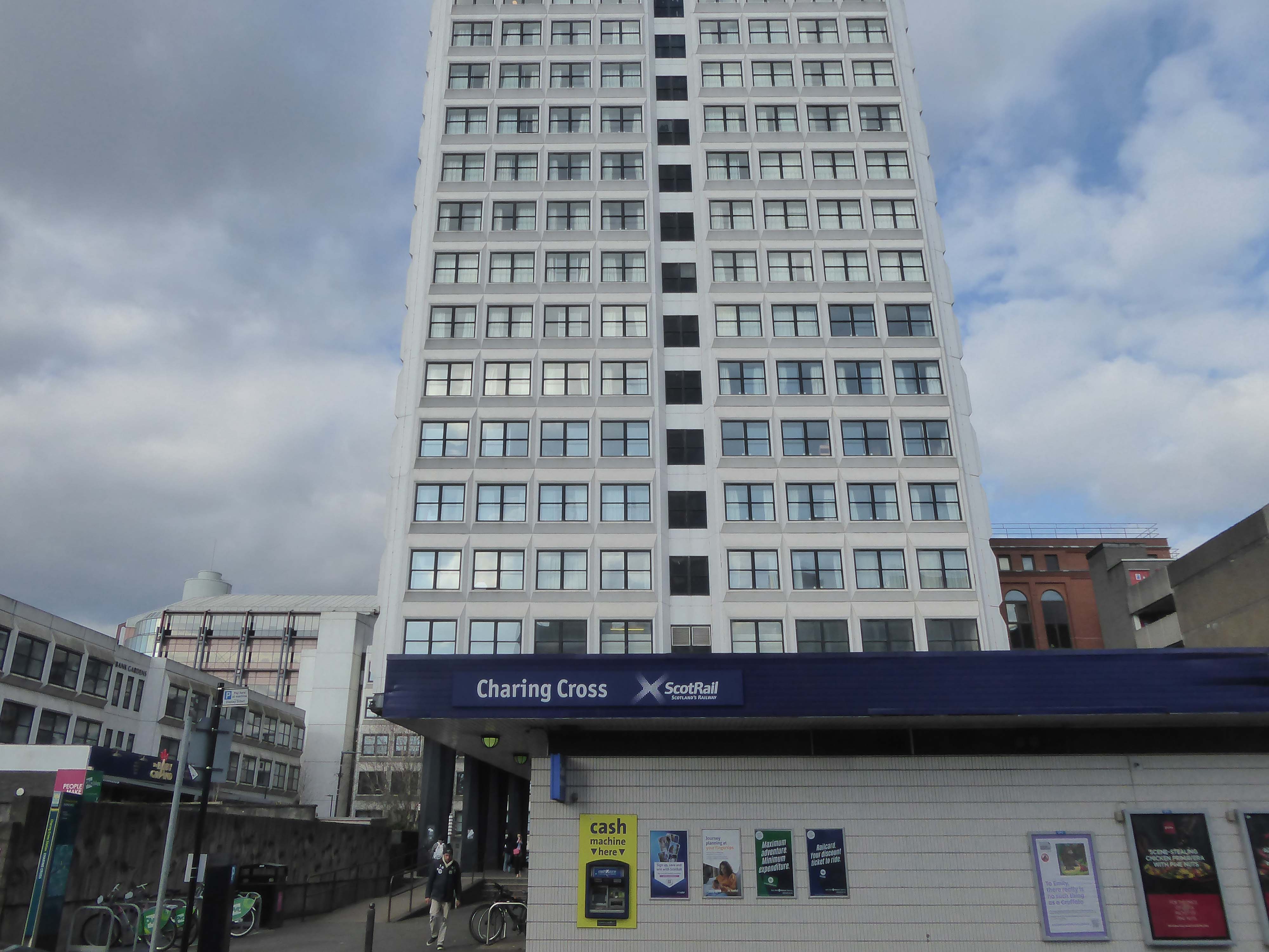
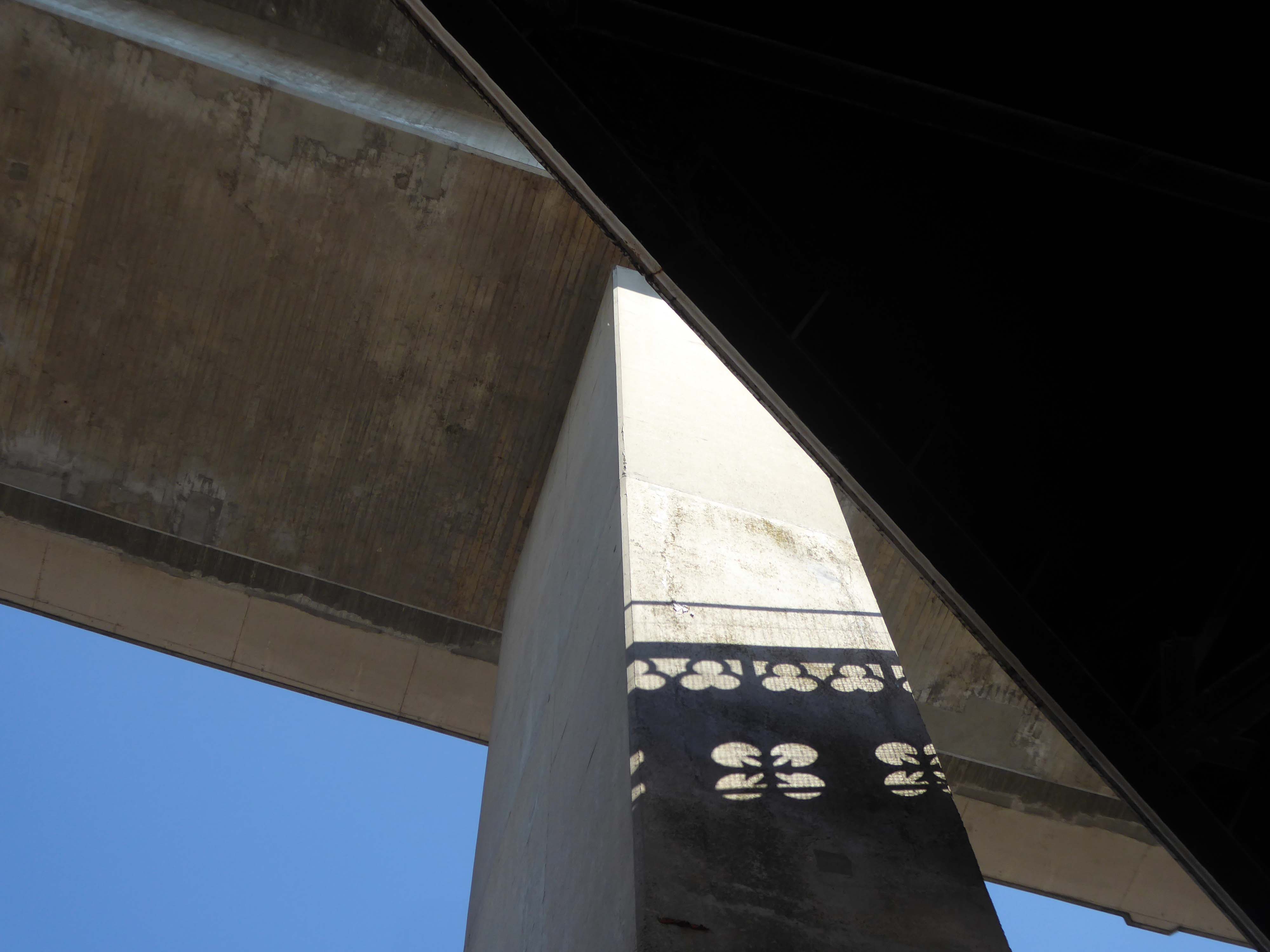
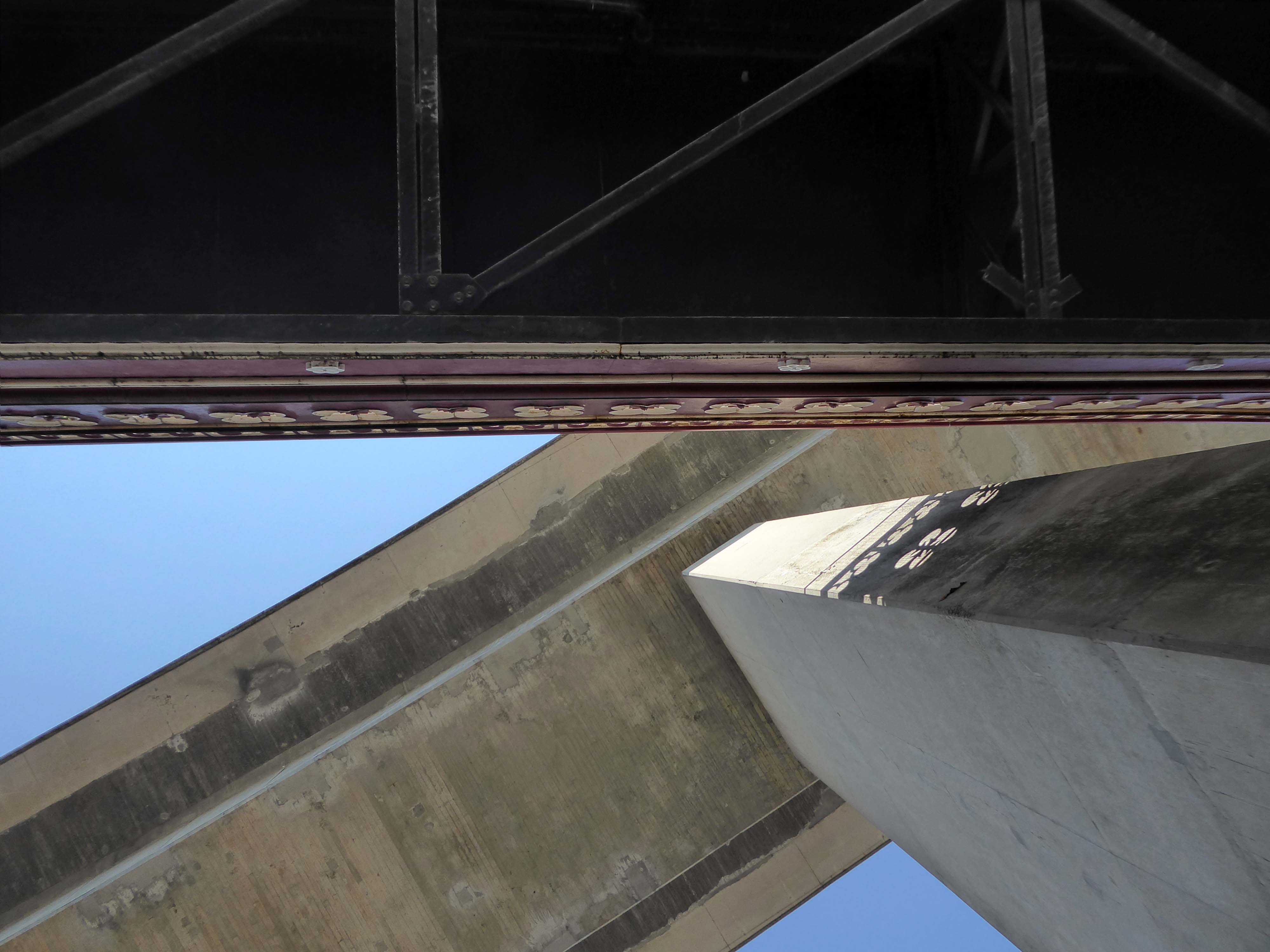
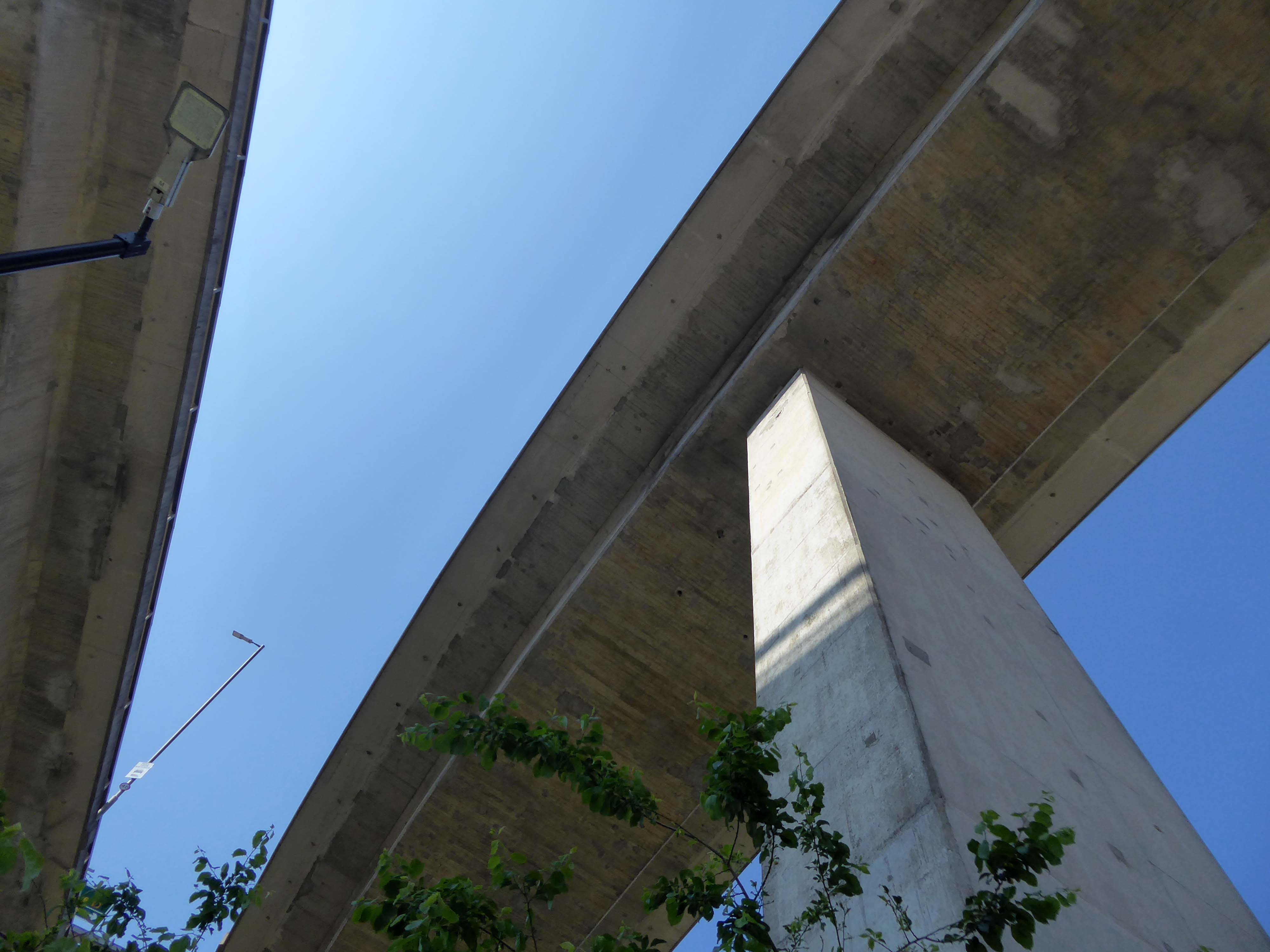
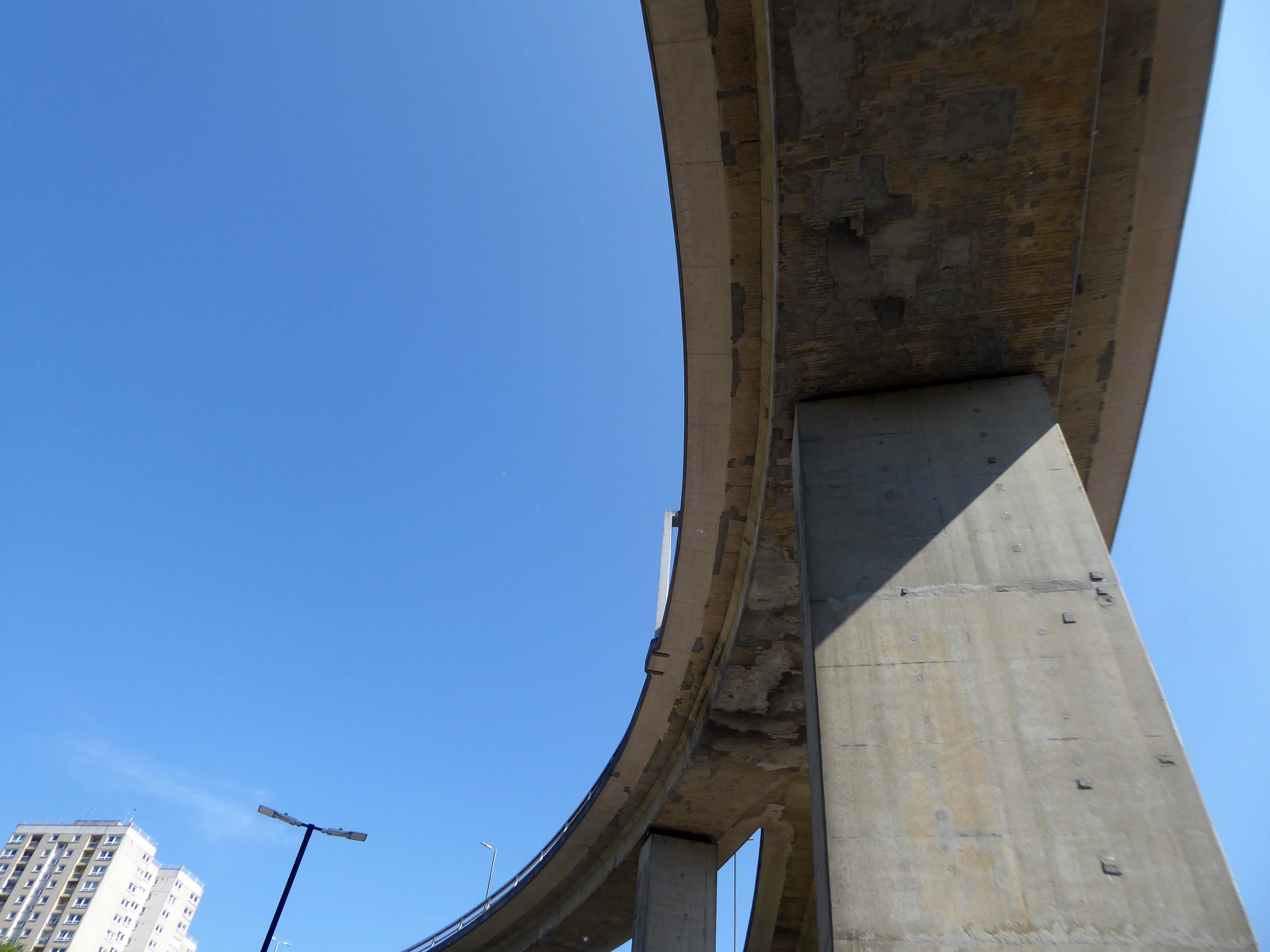
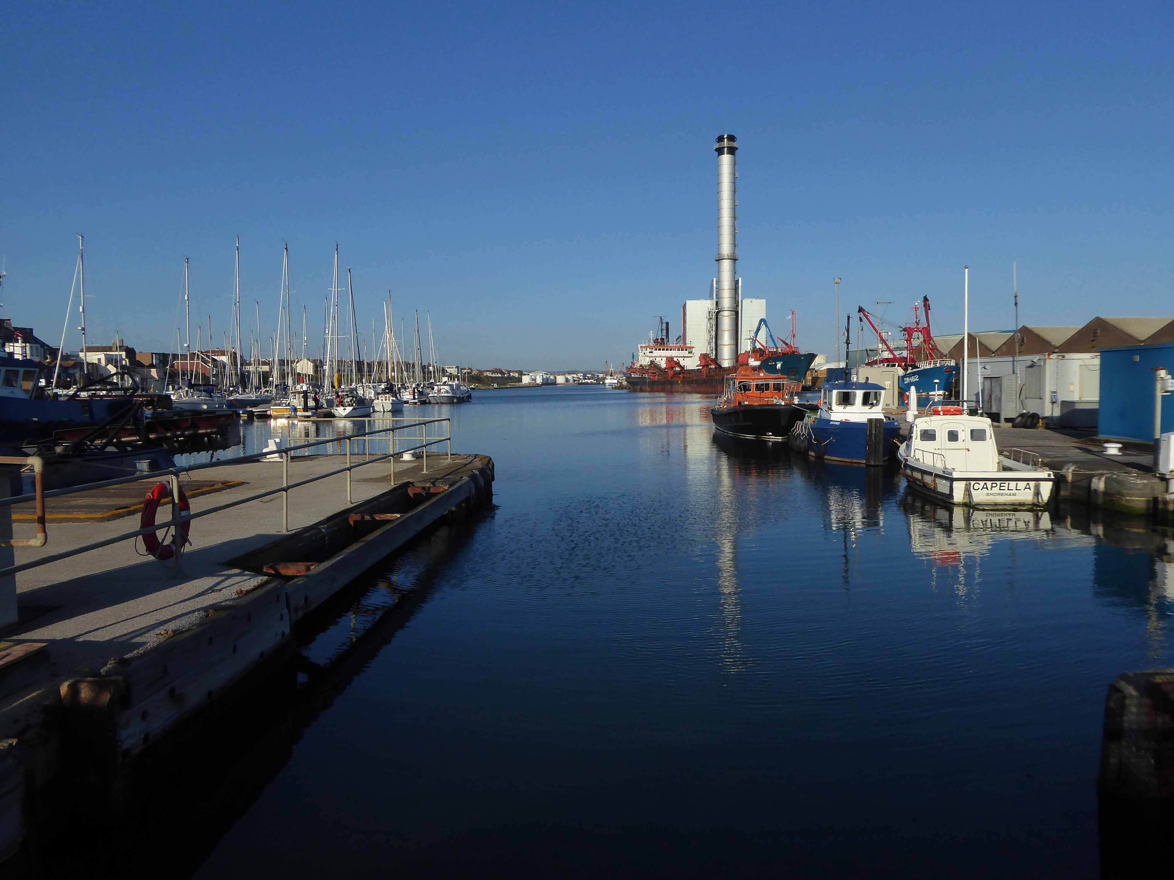
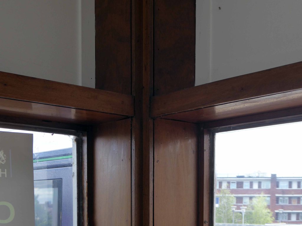
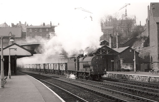
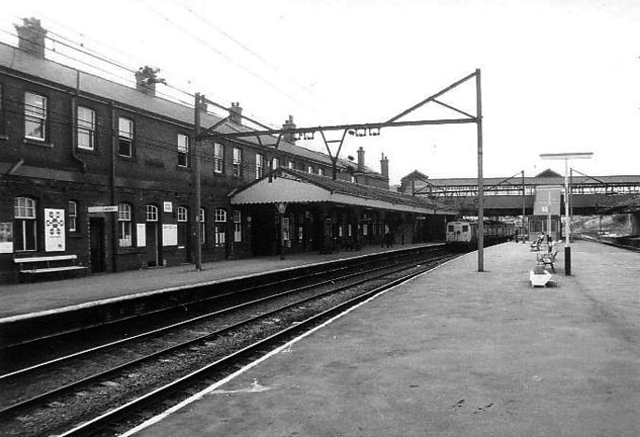
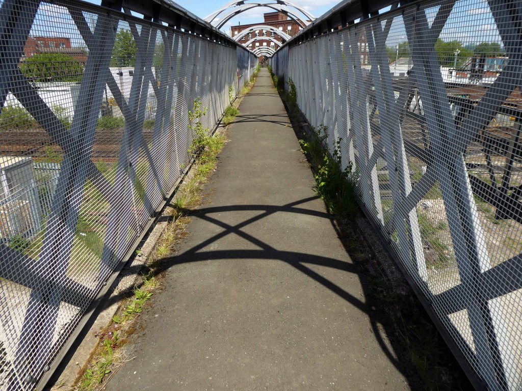
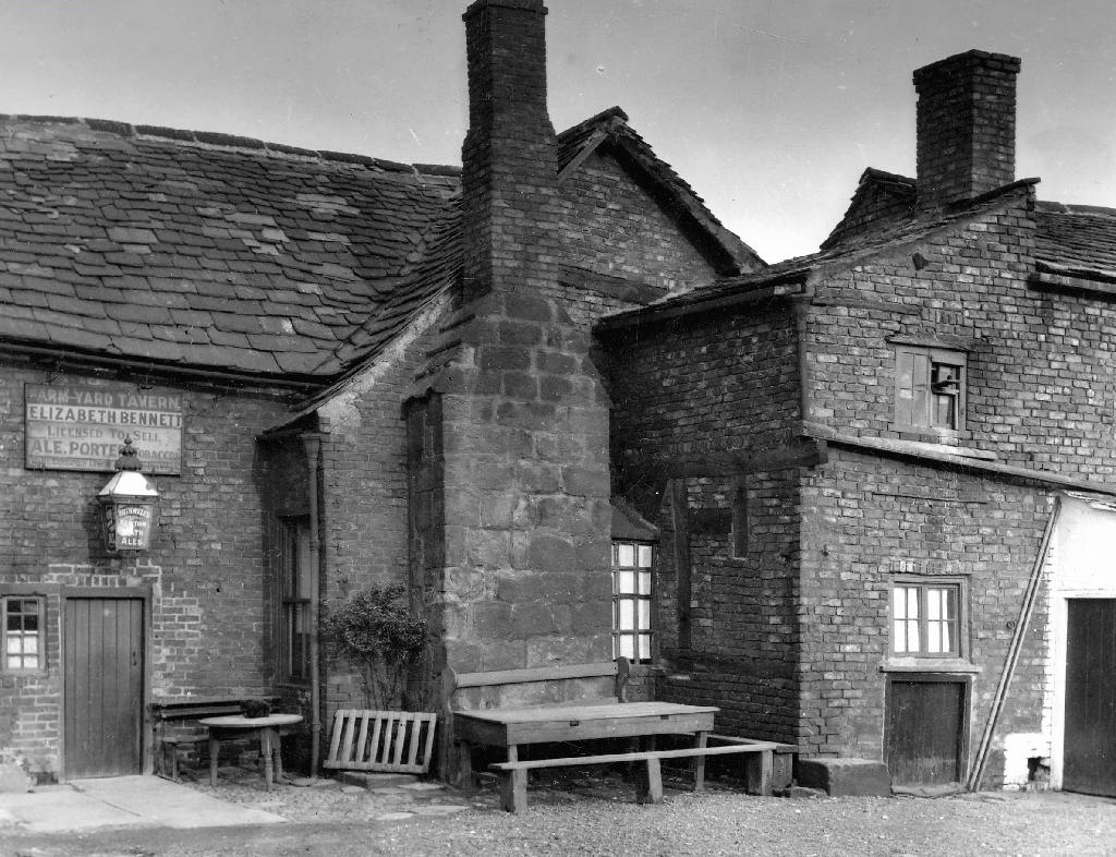
Dating from 1886, it was originally part of the Glasgow City and District Railway, the first underground railway in Scotland, and as such the station is built below the surface of the surrounding streets. The station was built using the cut and cover method, with the original walls being visible on the open air section at the western end of the platforms.
In 1968 it was demolished due to it being in the path of the new Glasgow Inner Ring Road, and the surface access to the station was moved to its eastern end, with a new surface building constructed as part of the Elmbank Gardens office complex in 1971 – the building was designed by the Richard Seifert & Partners.
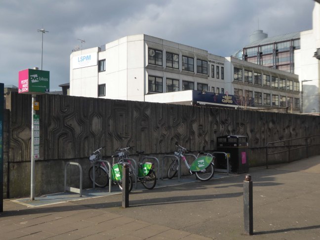
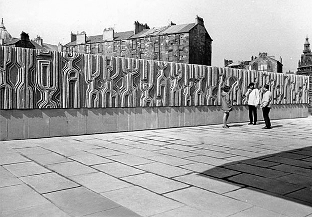
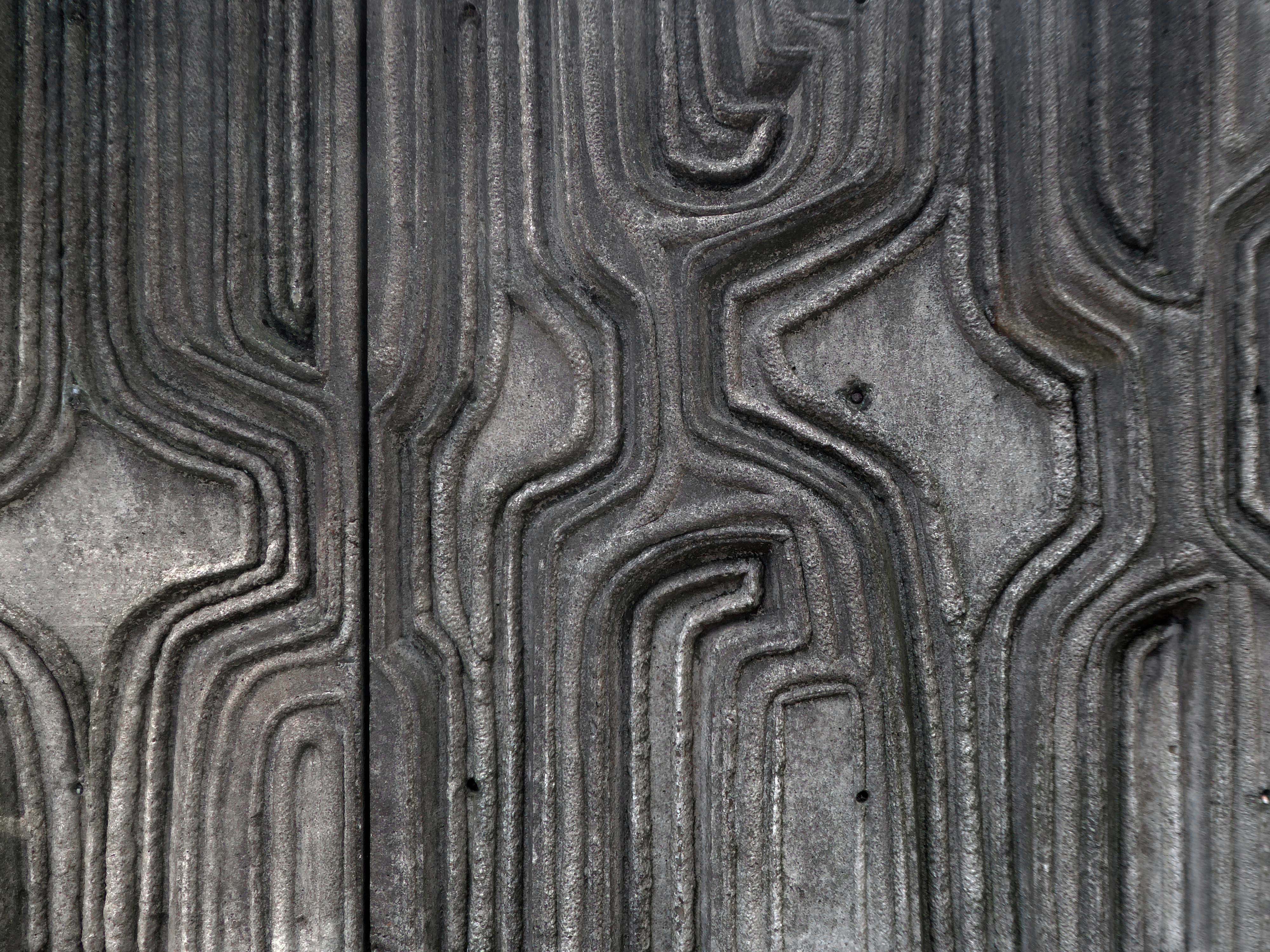
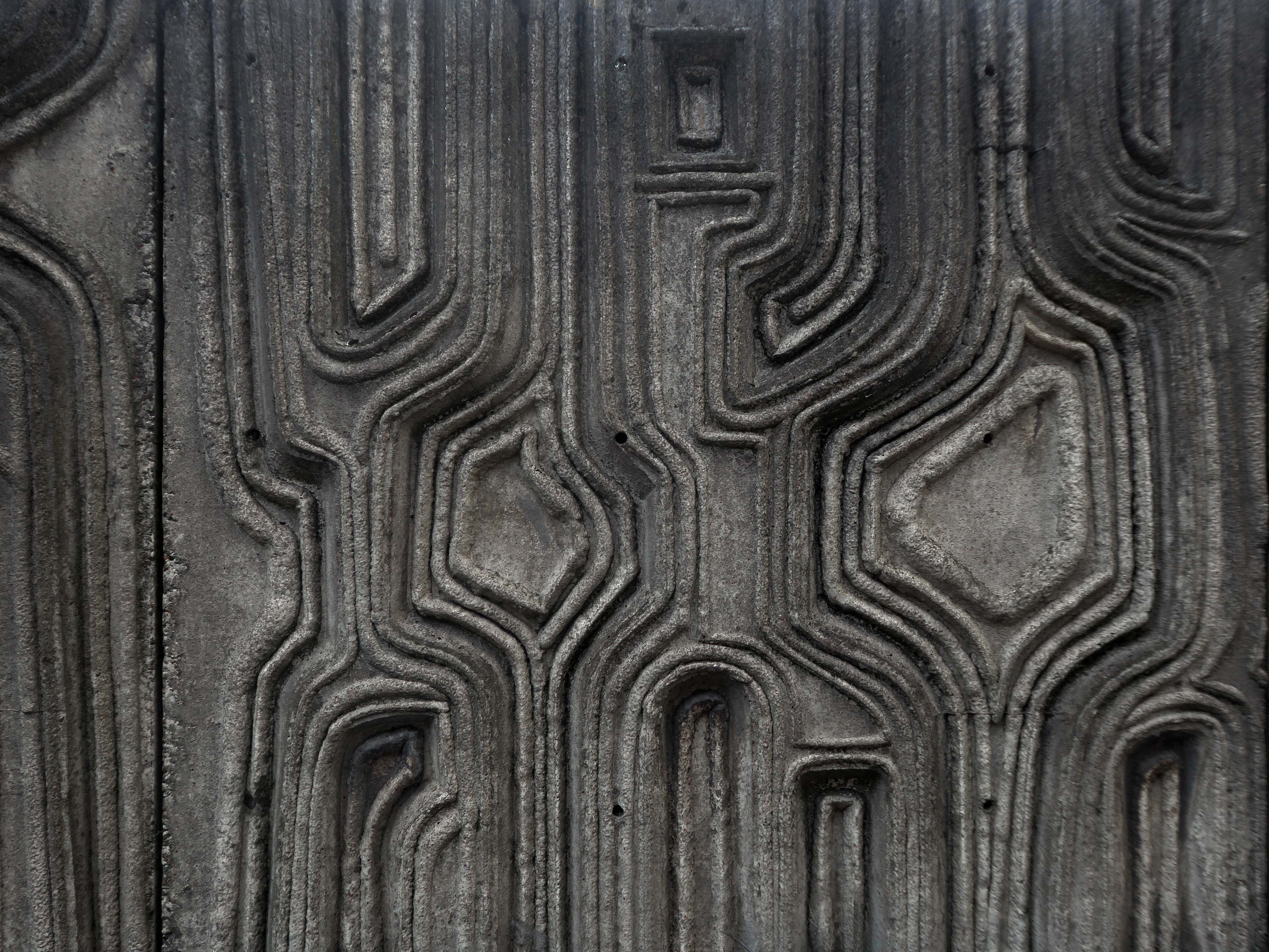
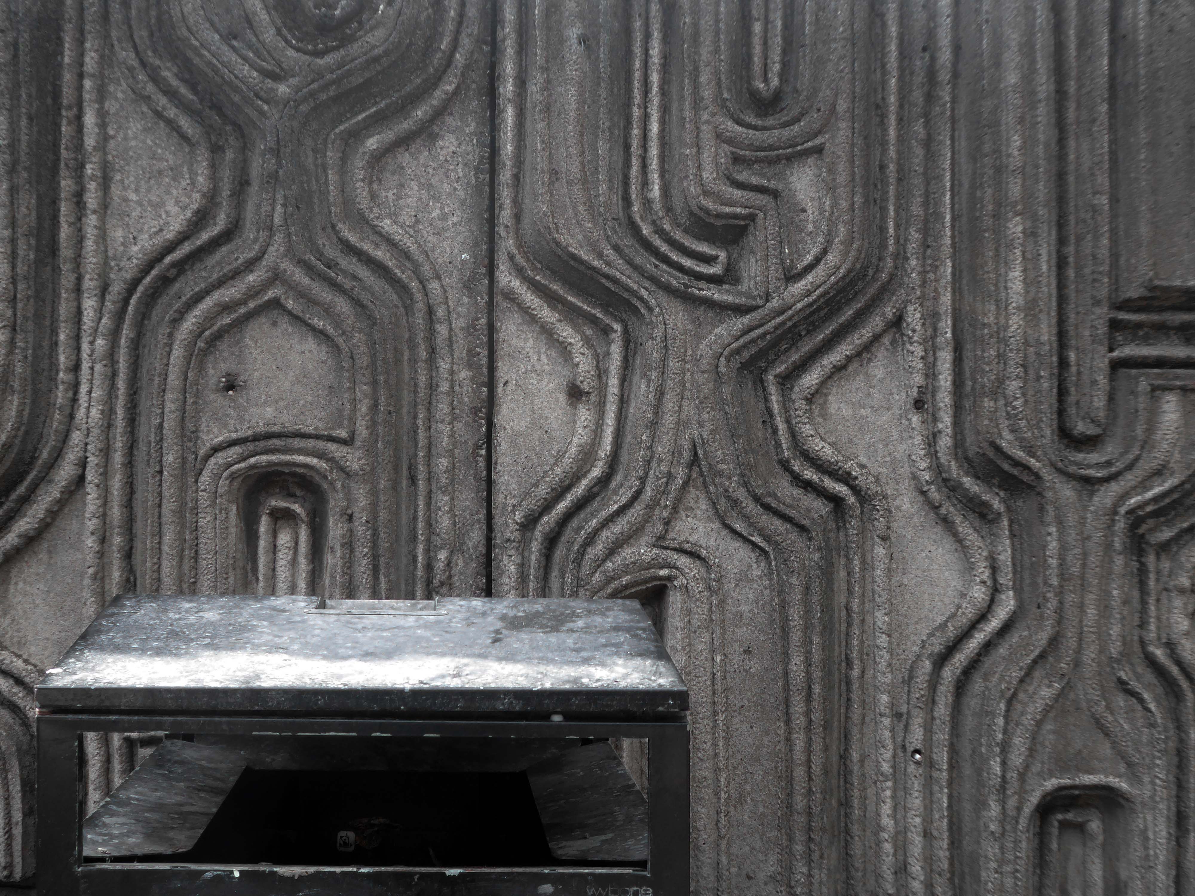
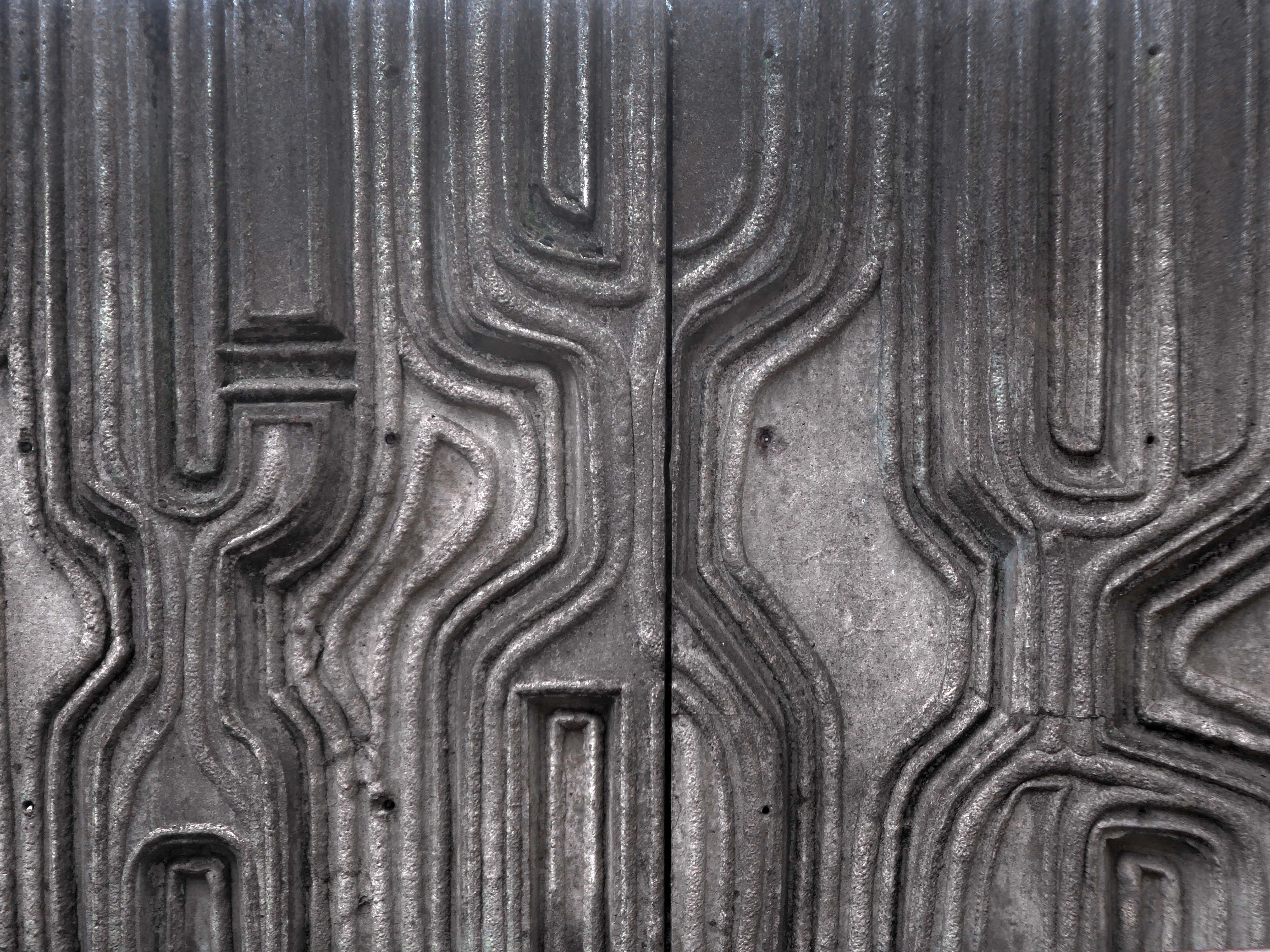
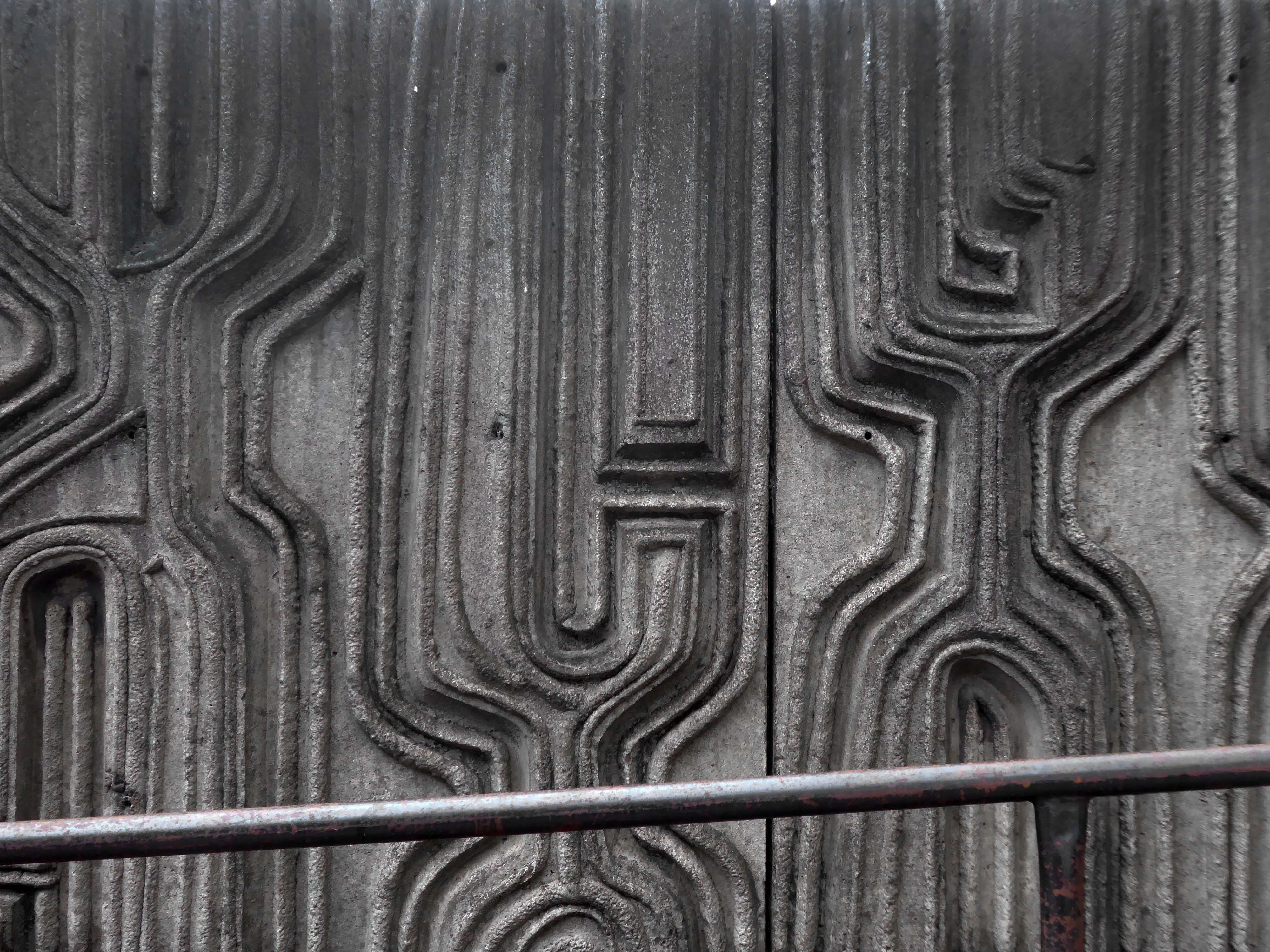
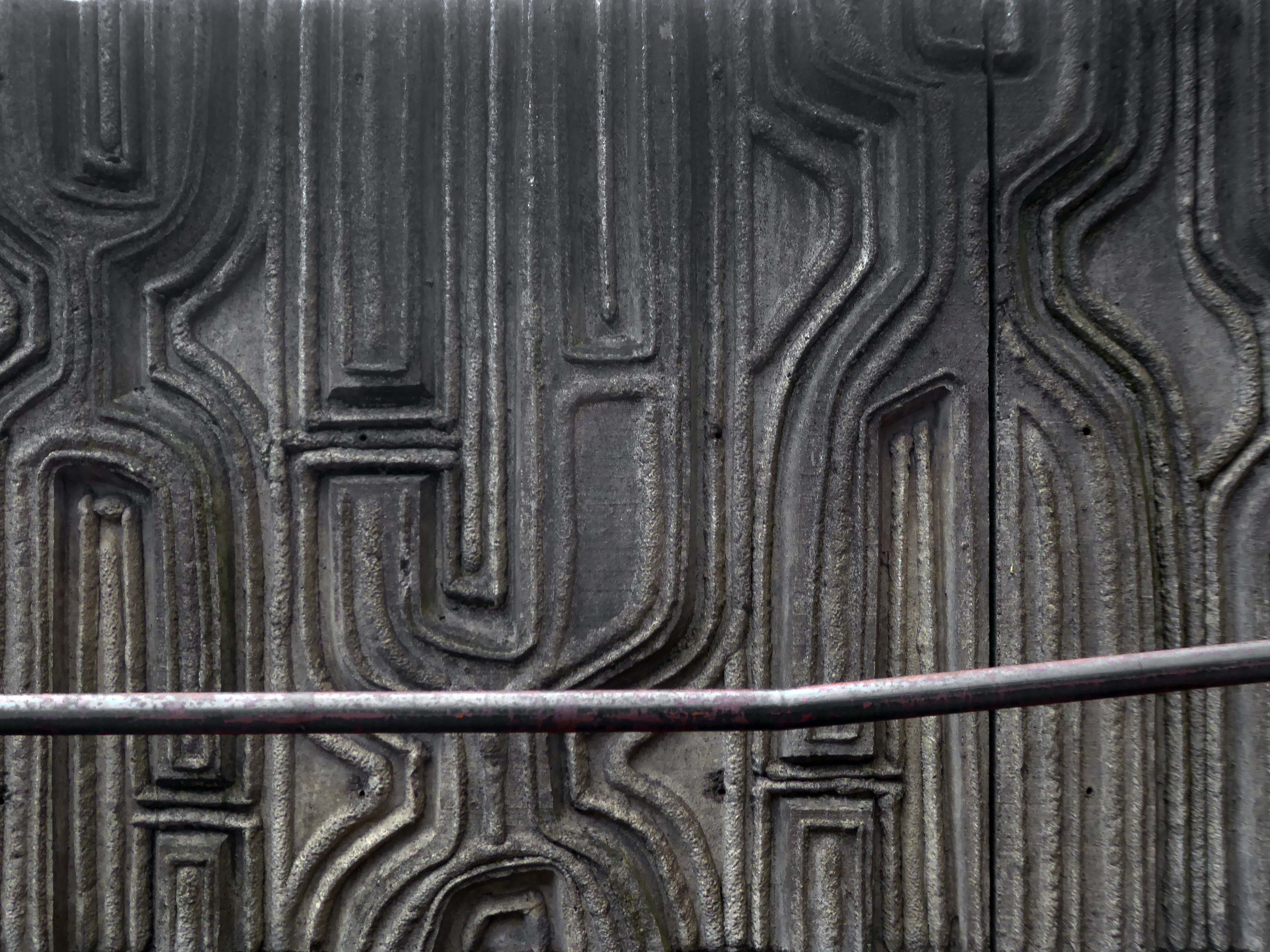
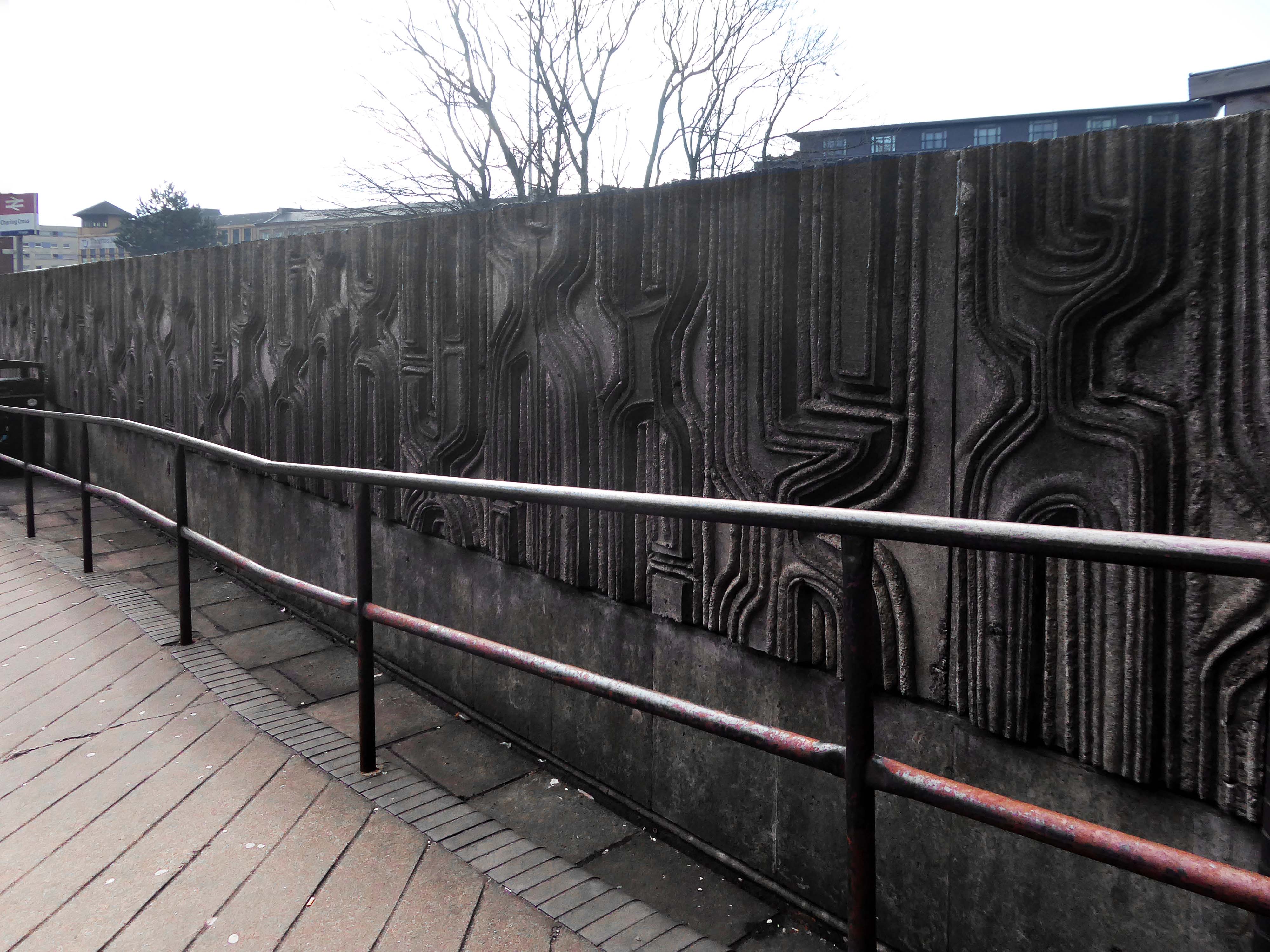
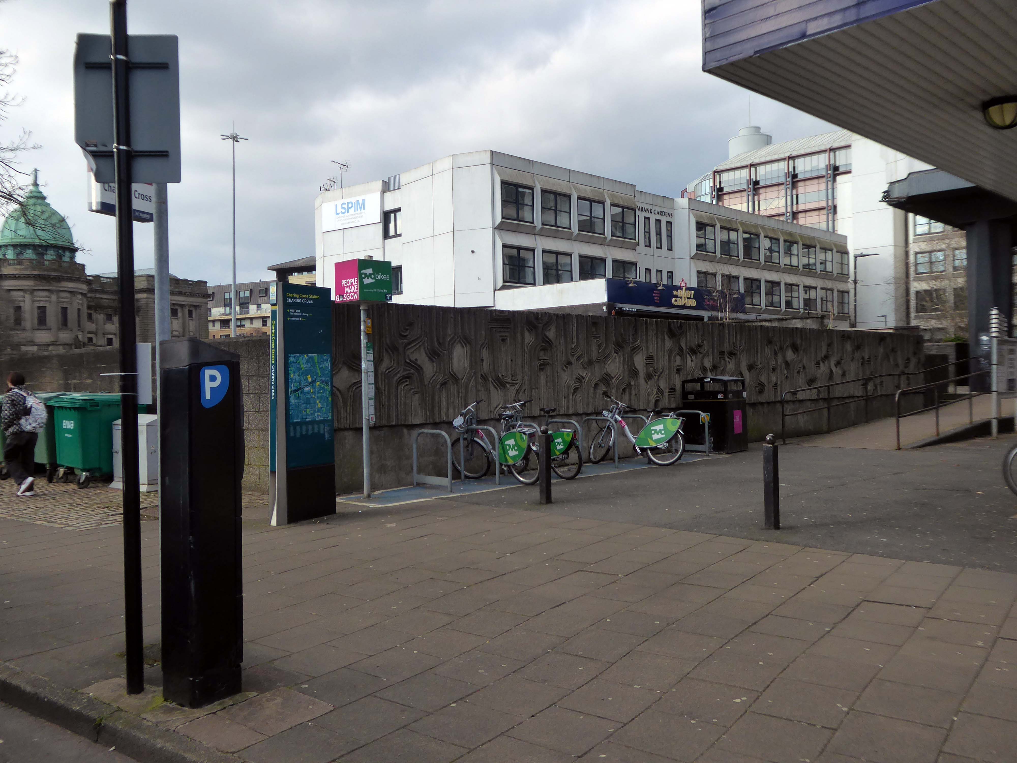
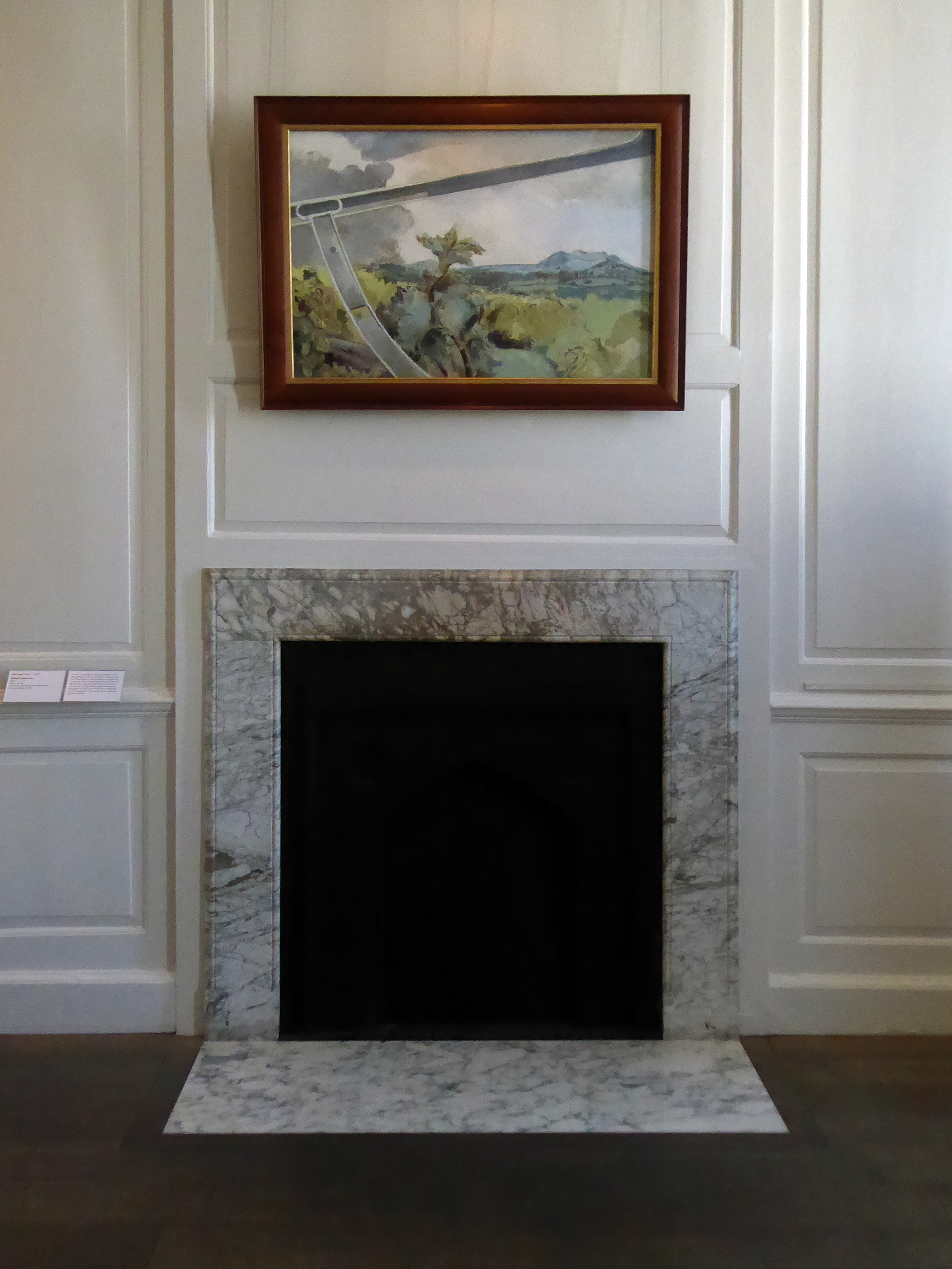
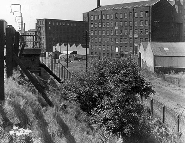
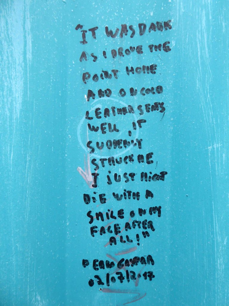
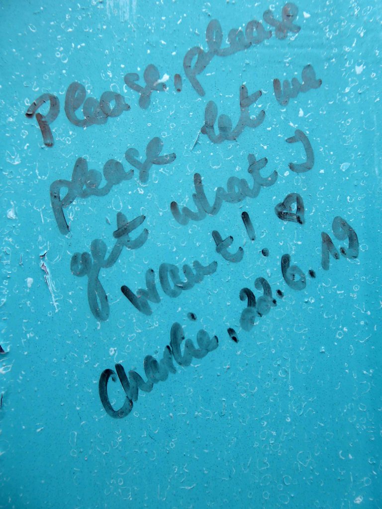
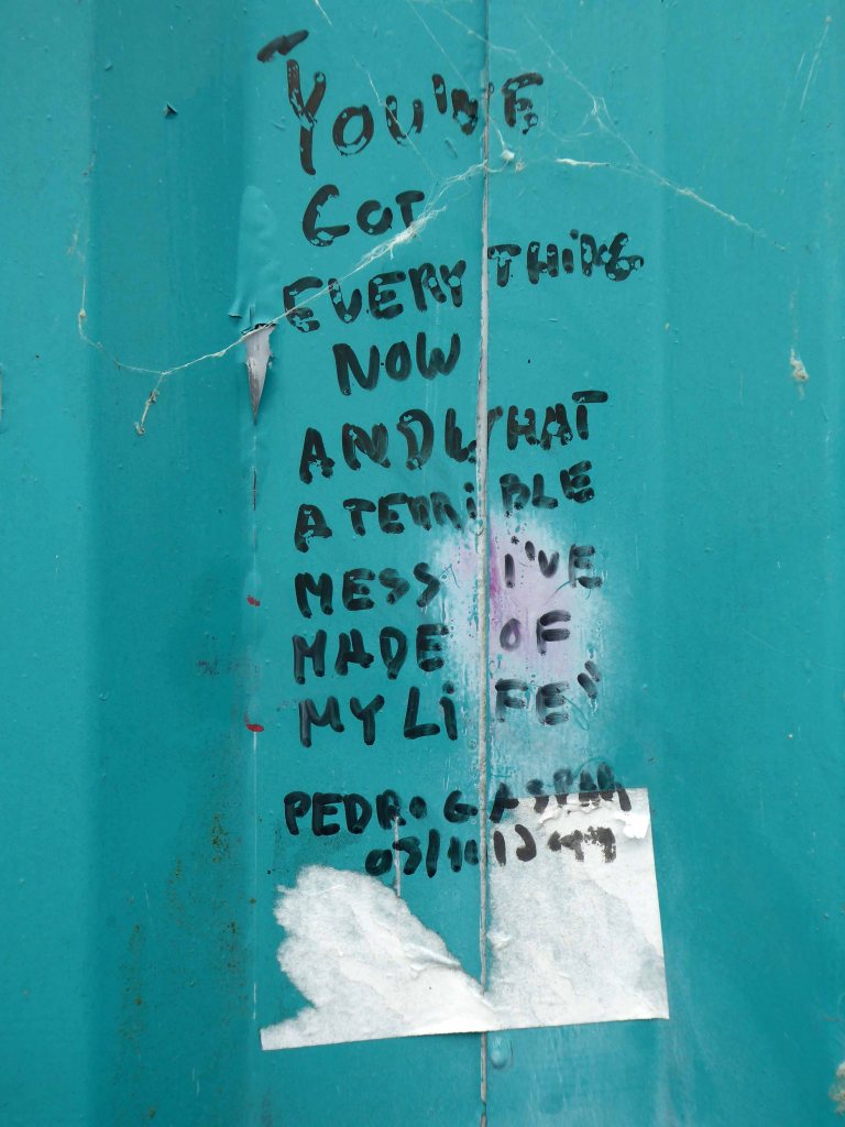
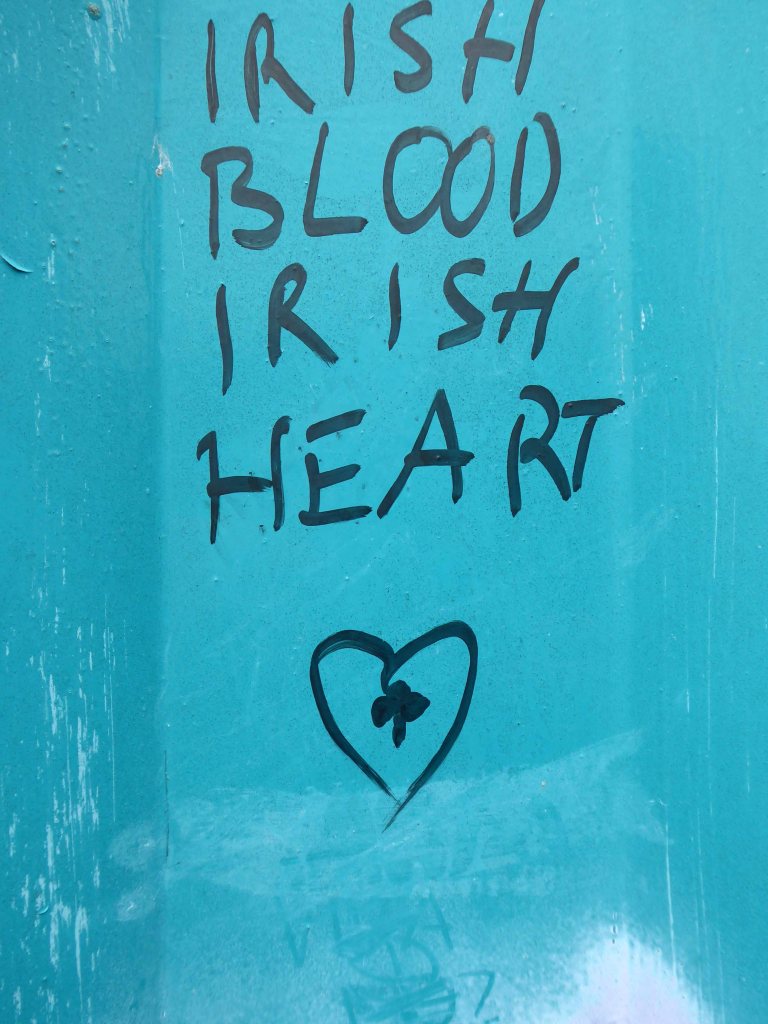
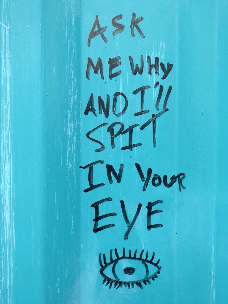
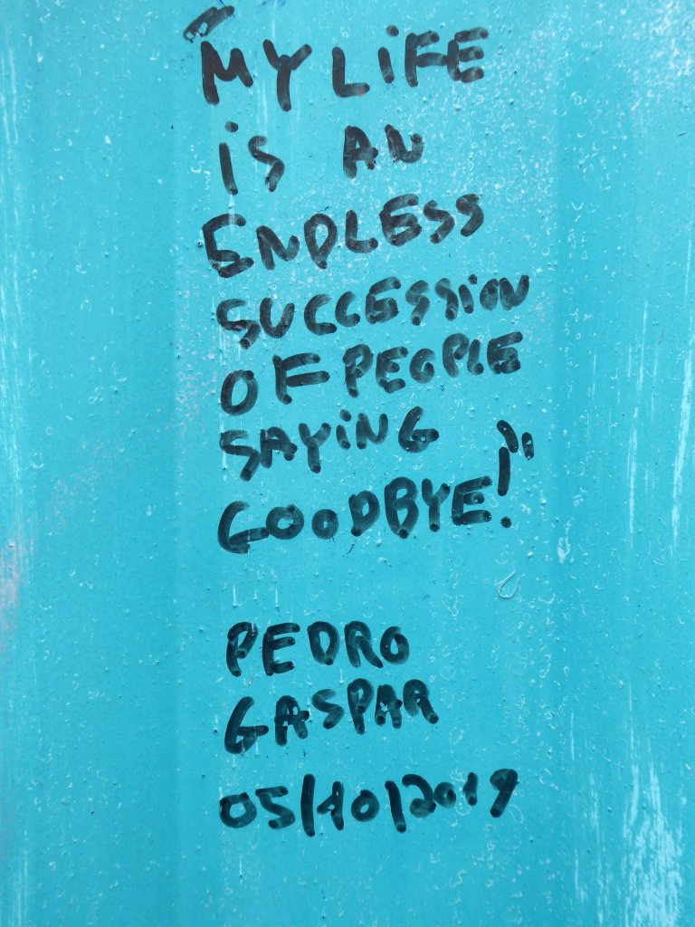
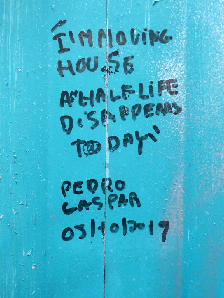
I was there in 2024 to photograph the Charles Anderson mural.
Constructed in situ – one third has now been removed at the northern end
Charles Anderson studied drawing and painting at Glasgow School of Art under David Donaldson, Mary Armour etc, graduating with Diploma in 1959. The following year he entered The Royal Scottish Academy painting competition for Post Graduate students and won the Chalmers Bursary. Joan Eardley – one of the adjudicators- took a keen interest in his work and encouraged him to exhibit at the RSA the same year.
Following a period of five years teaching art, He worked as a professional mural painter and sculptor for the next thirty years on major art and design projects throughout the United Kingdom, carrying out commissions for a wide variety of clients including local authorities, property developers, banks and major insurance companies. His most prestigious commission to date was the result of winning a national sculpture competition to provide a bronze figurative group which is entitled “The Community” for Livingston New Town in 1996. In early 1997 he returned to the painting of easel pictures and contributed to the annual exhibitions of The Royal Glasgow Institute, the Royal Scottish Society of Painters in Watercolours, The Royal Scottish Academy and The Paisley Art Institute. He has works in various private collections throughout the U.K. and abroad.
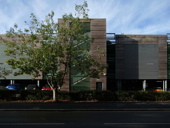
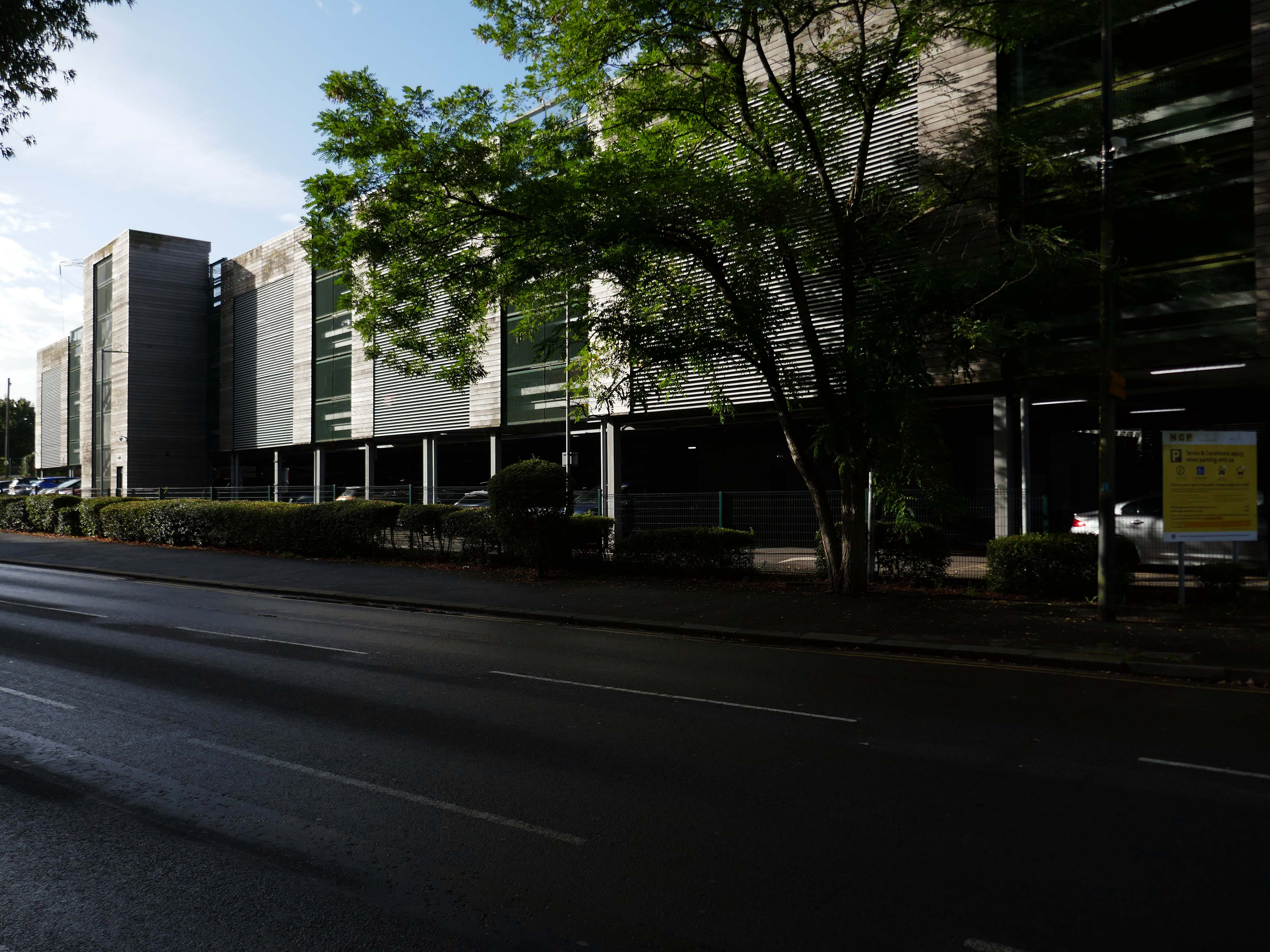
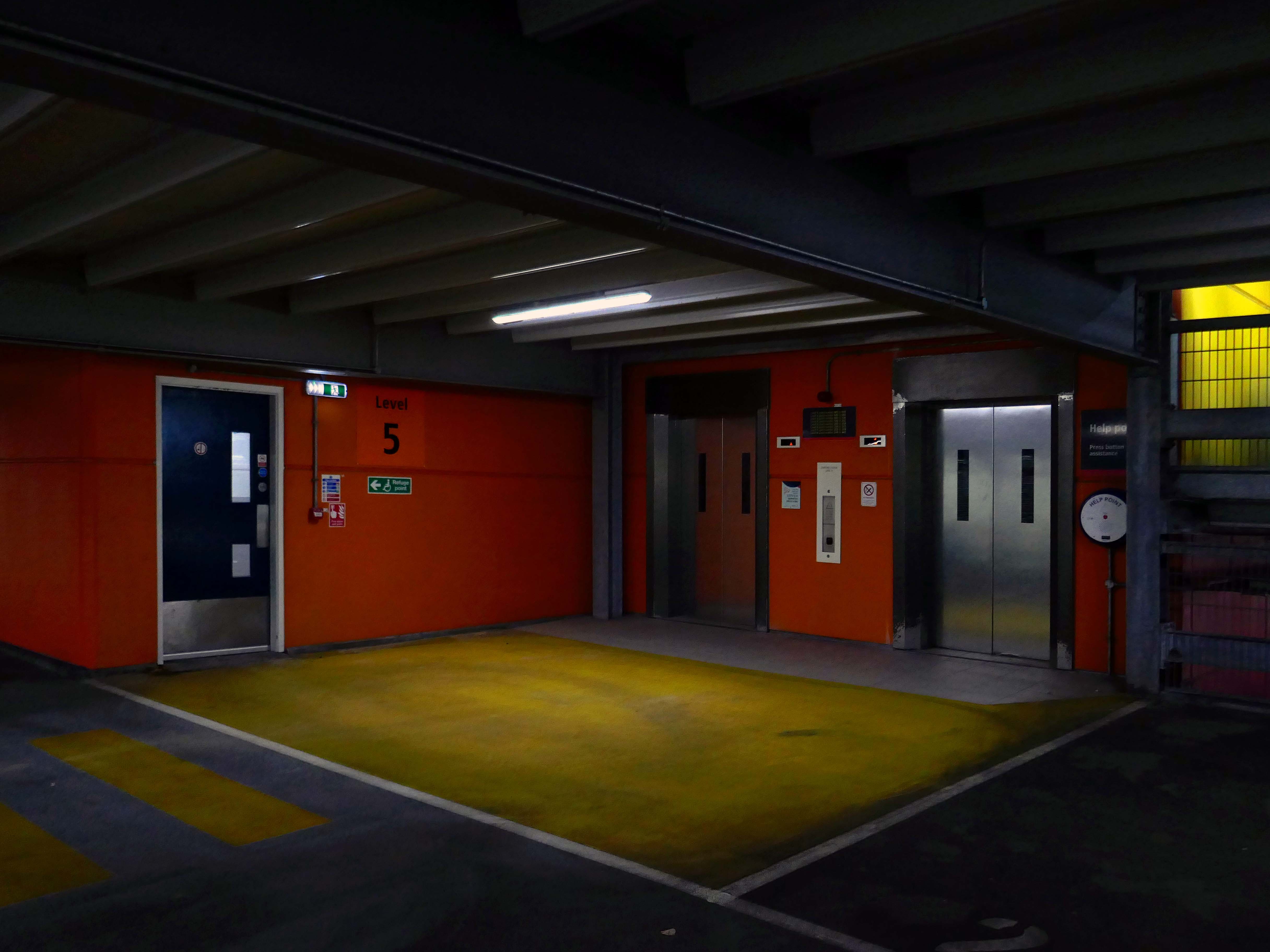
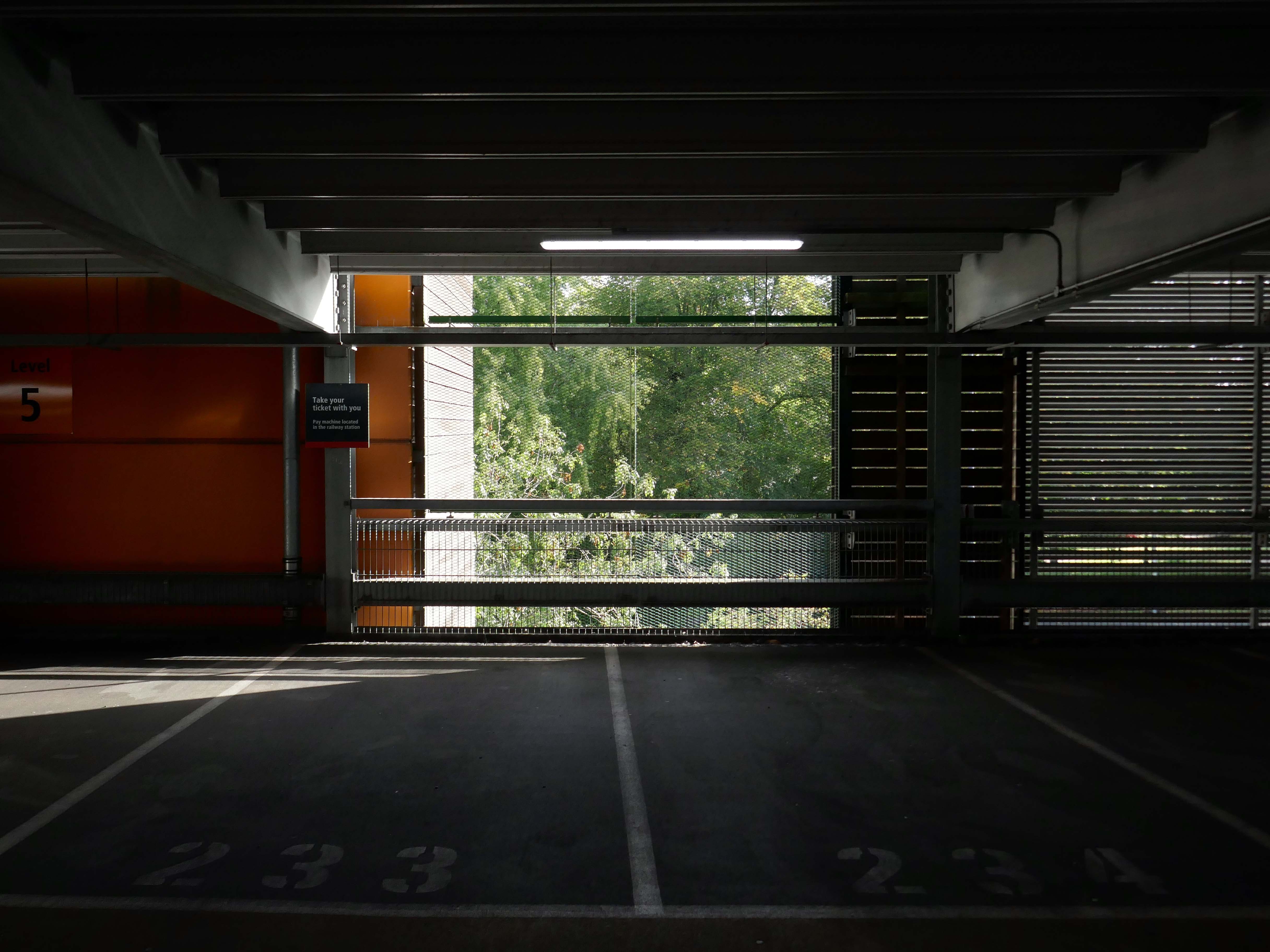
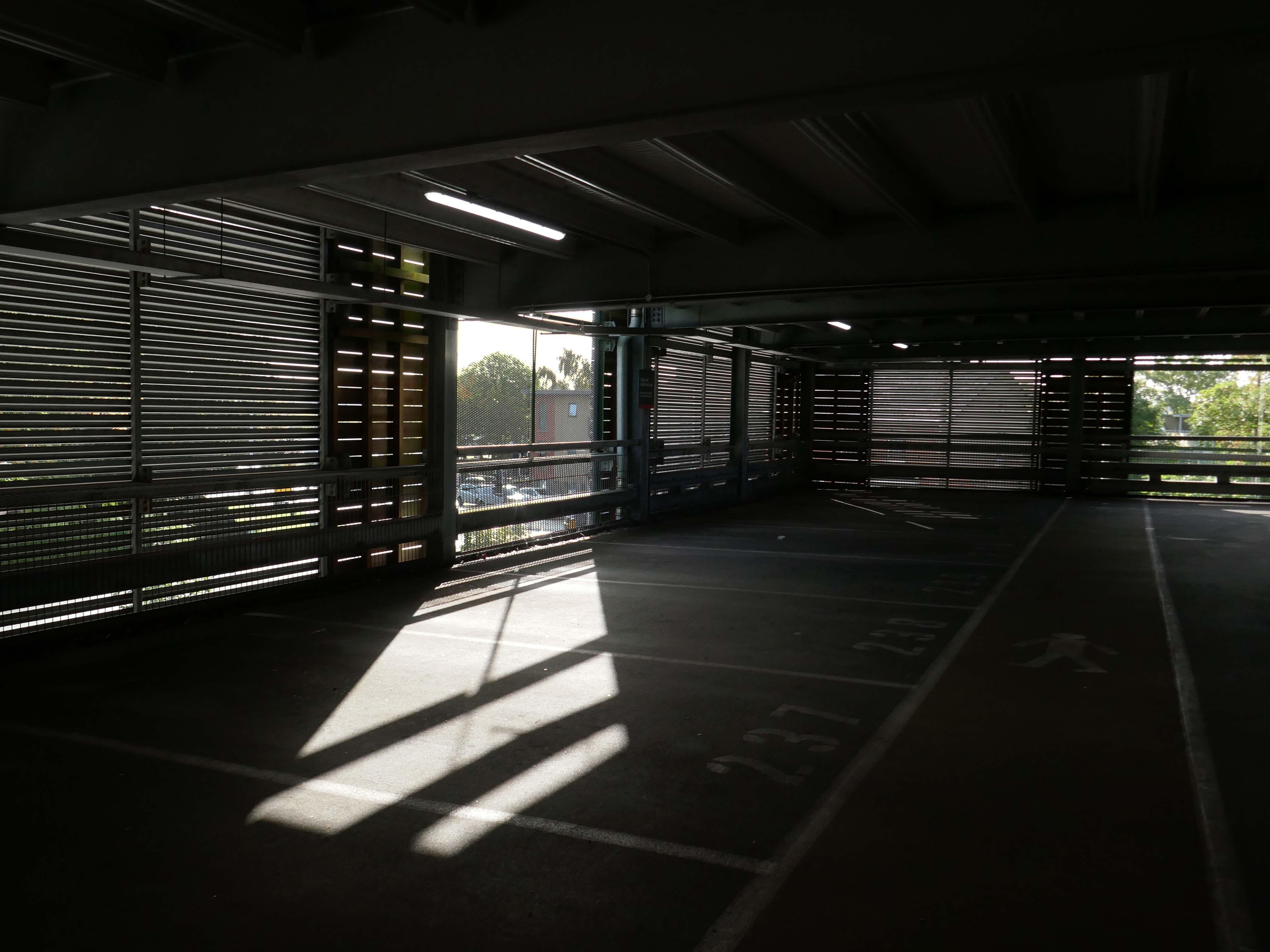
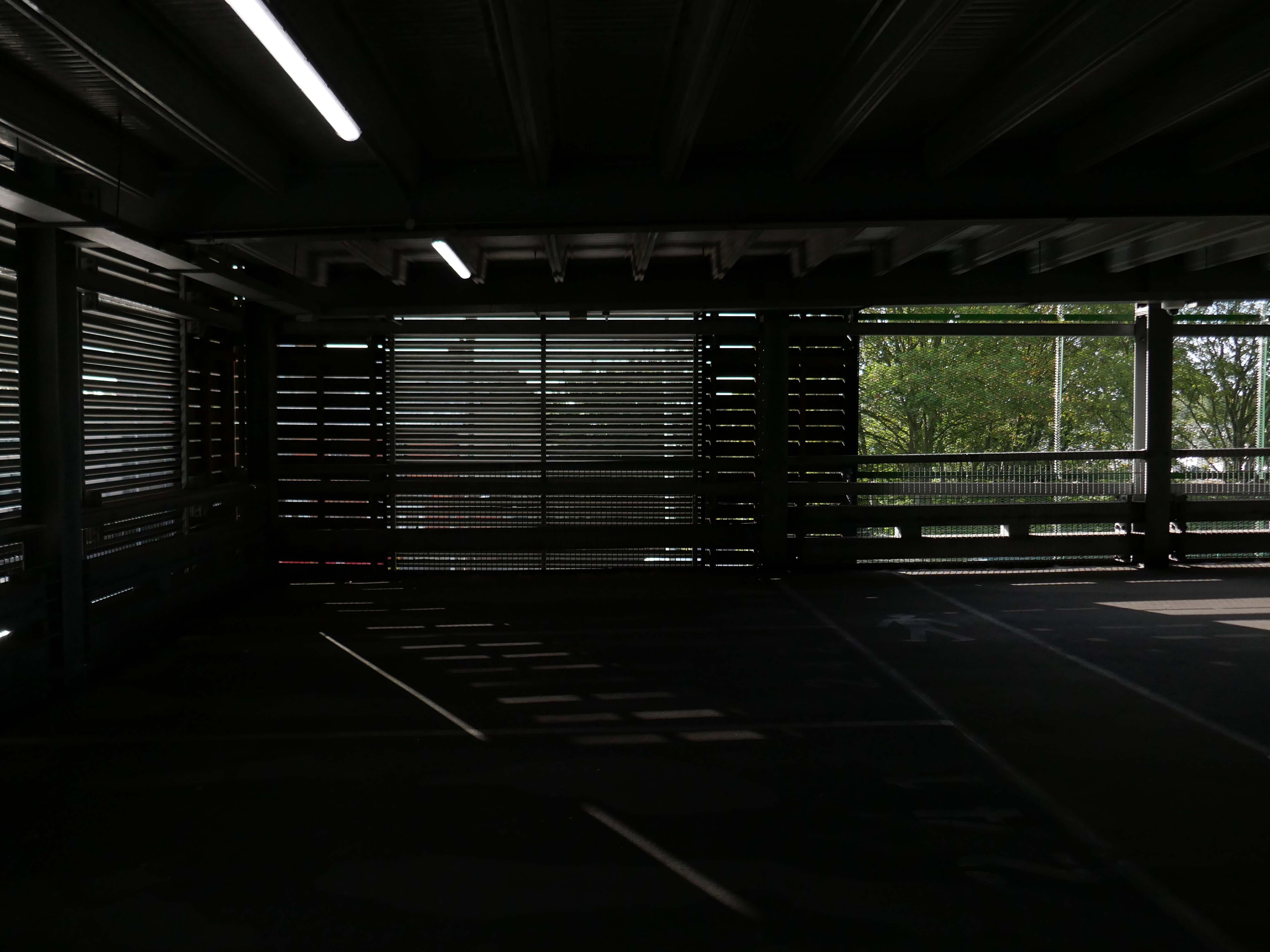
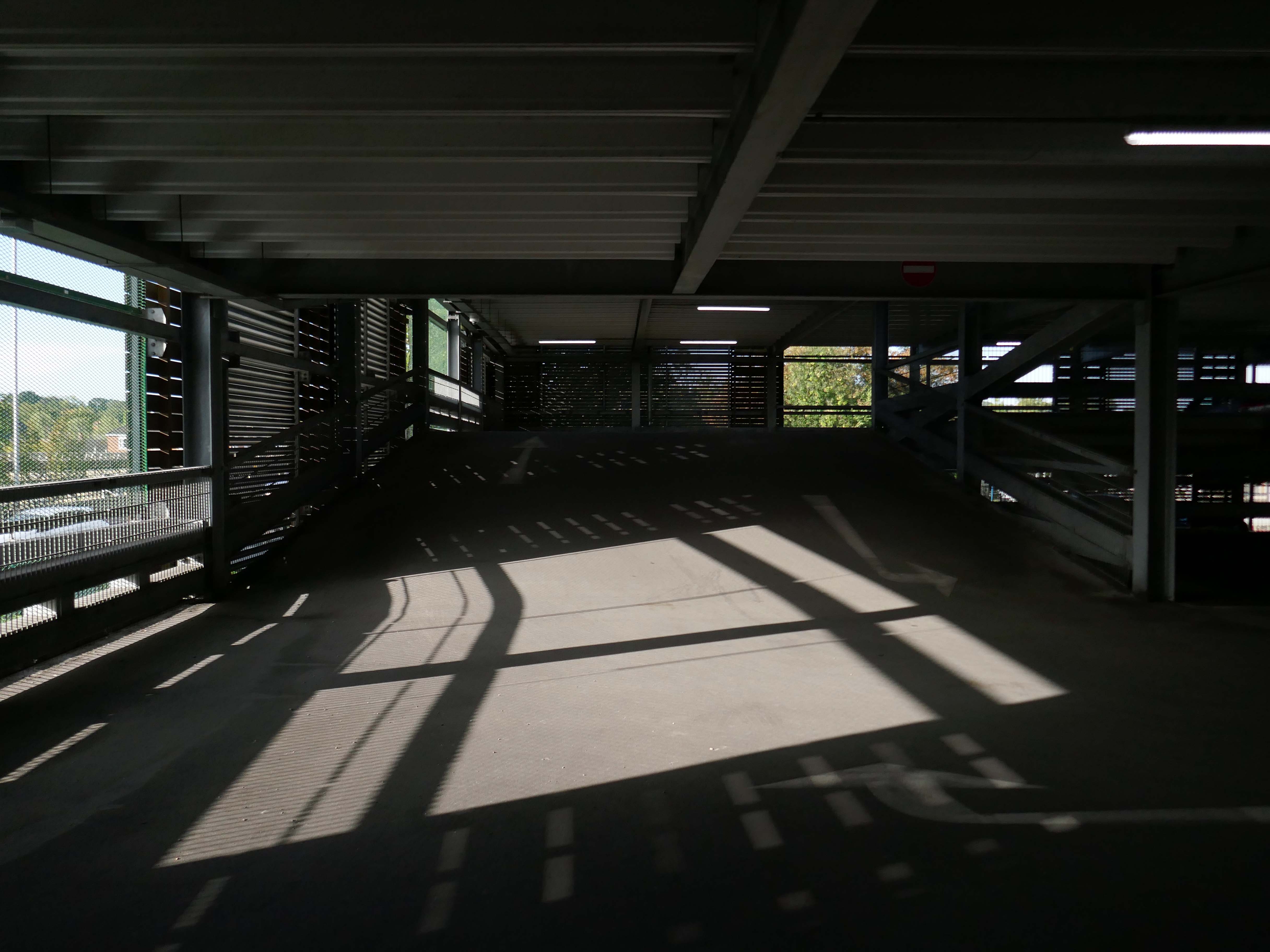
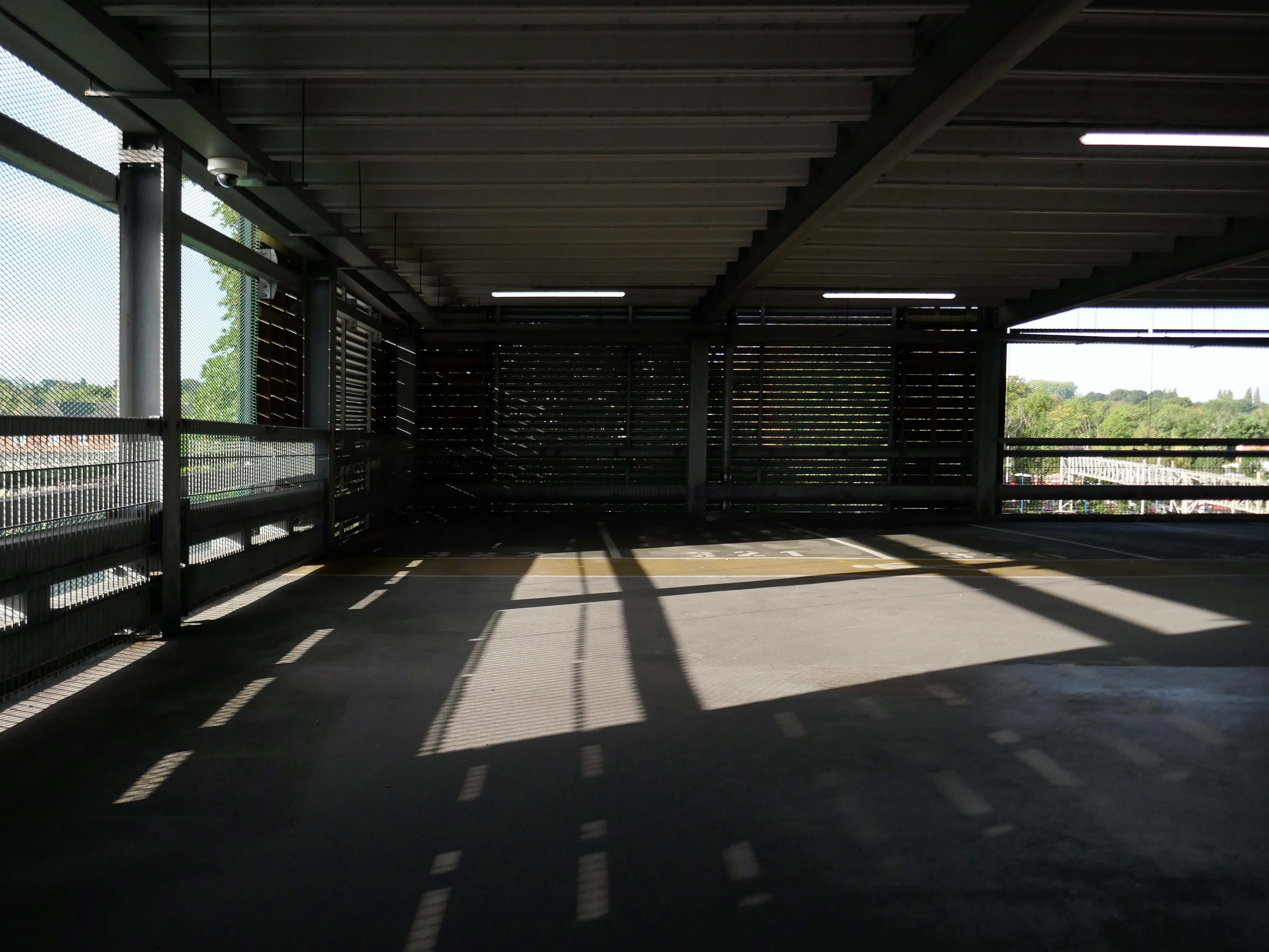
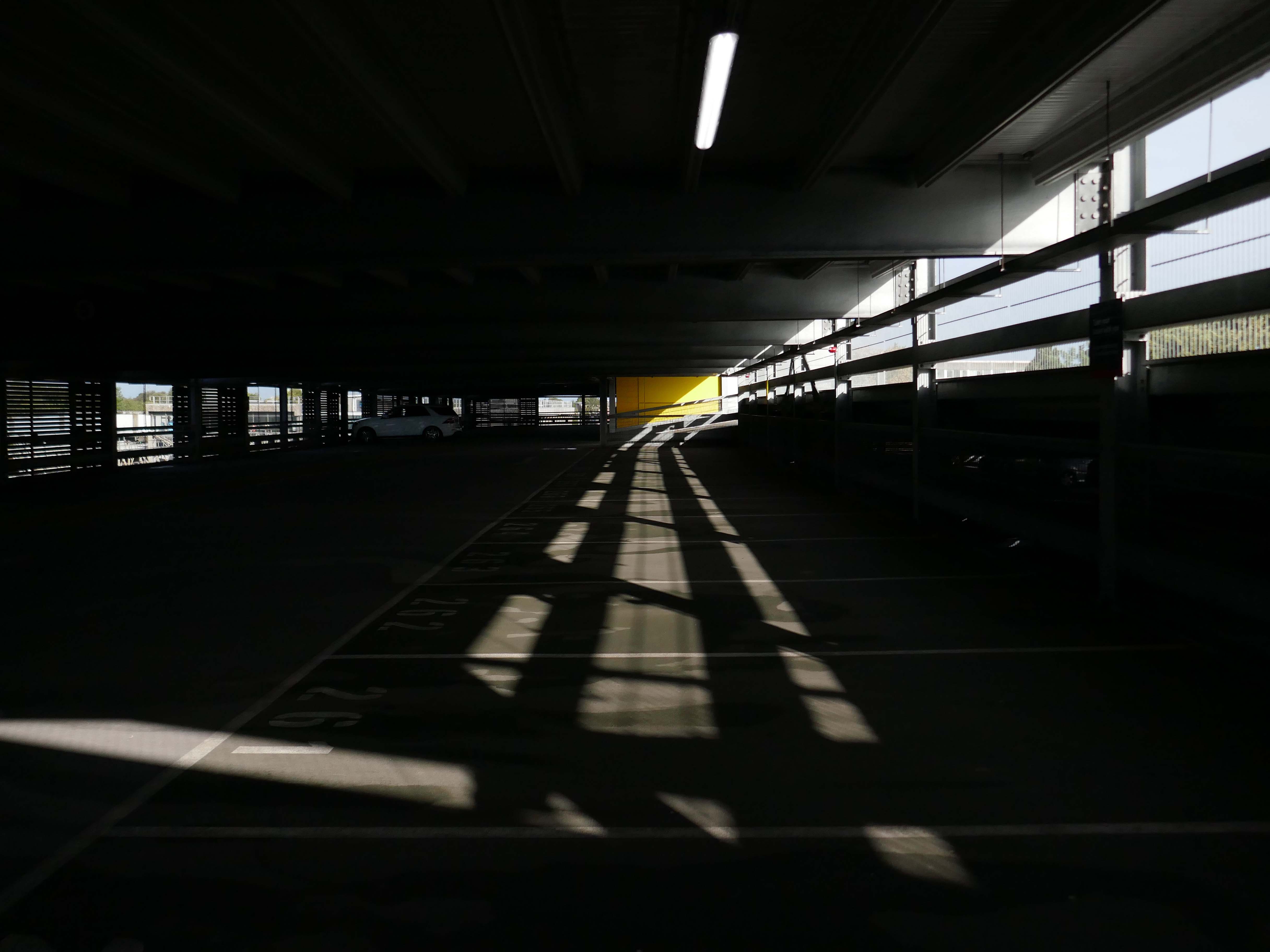
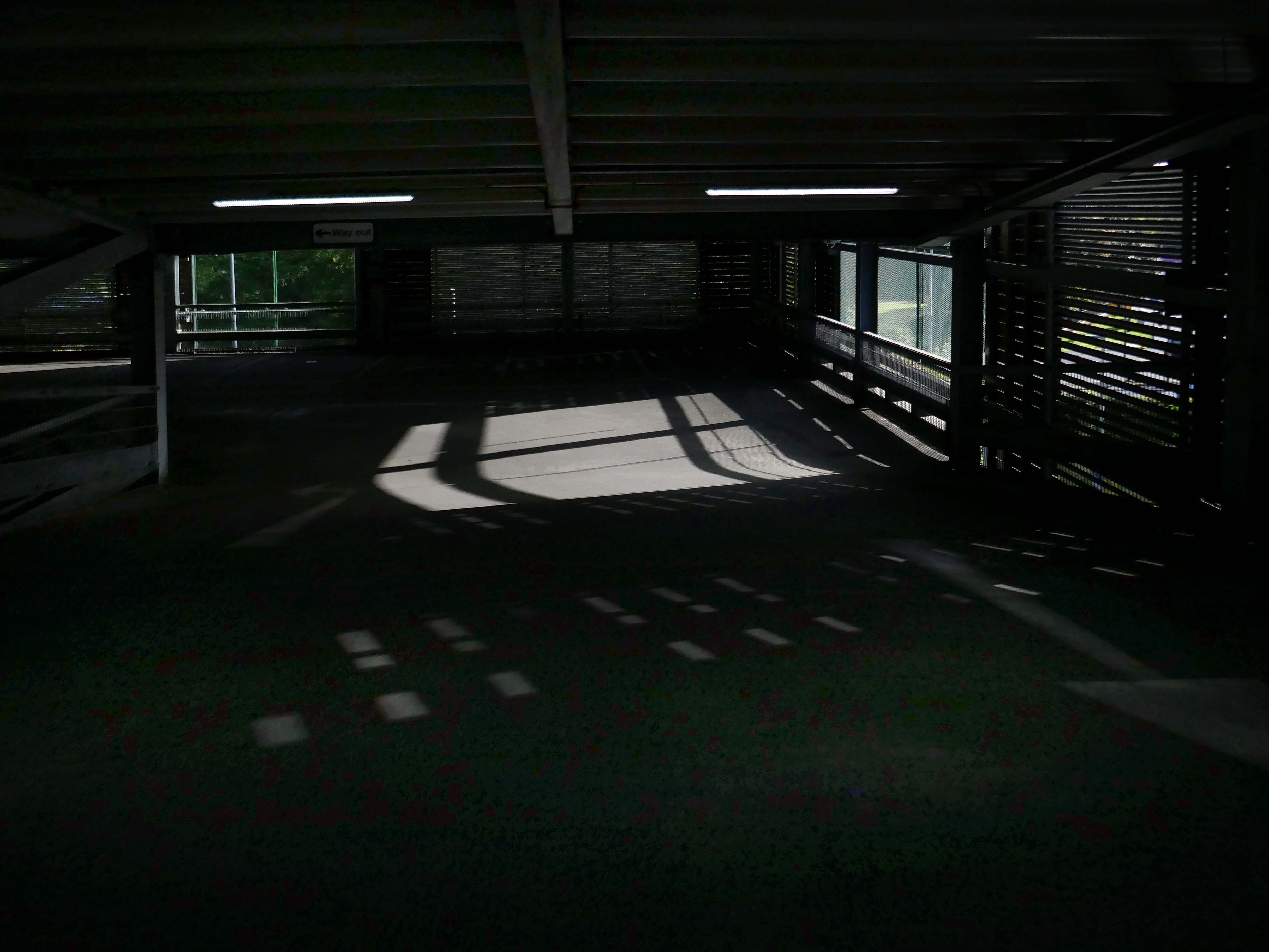
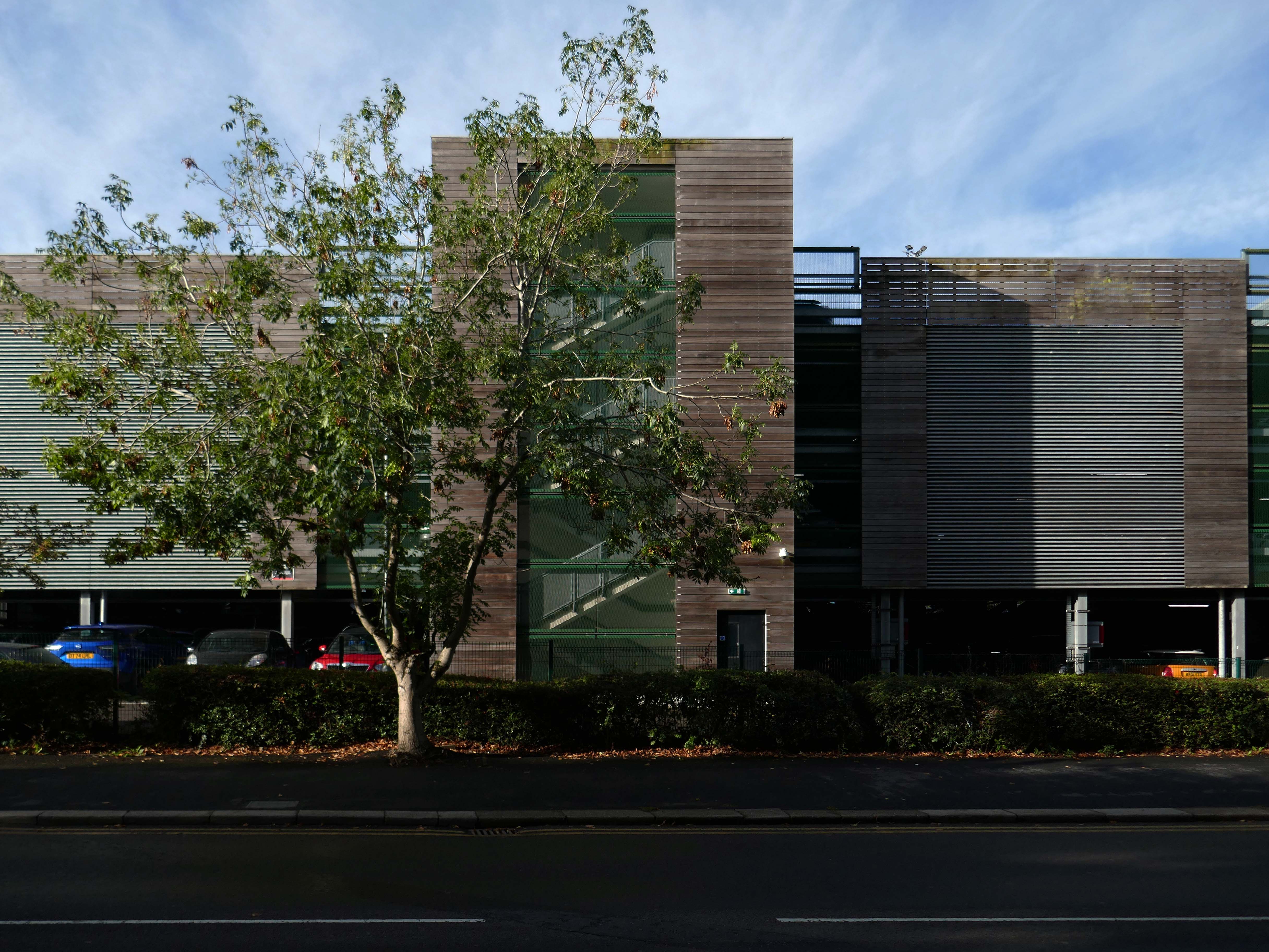
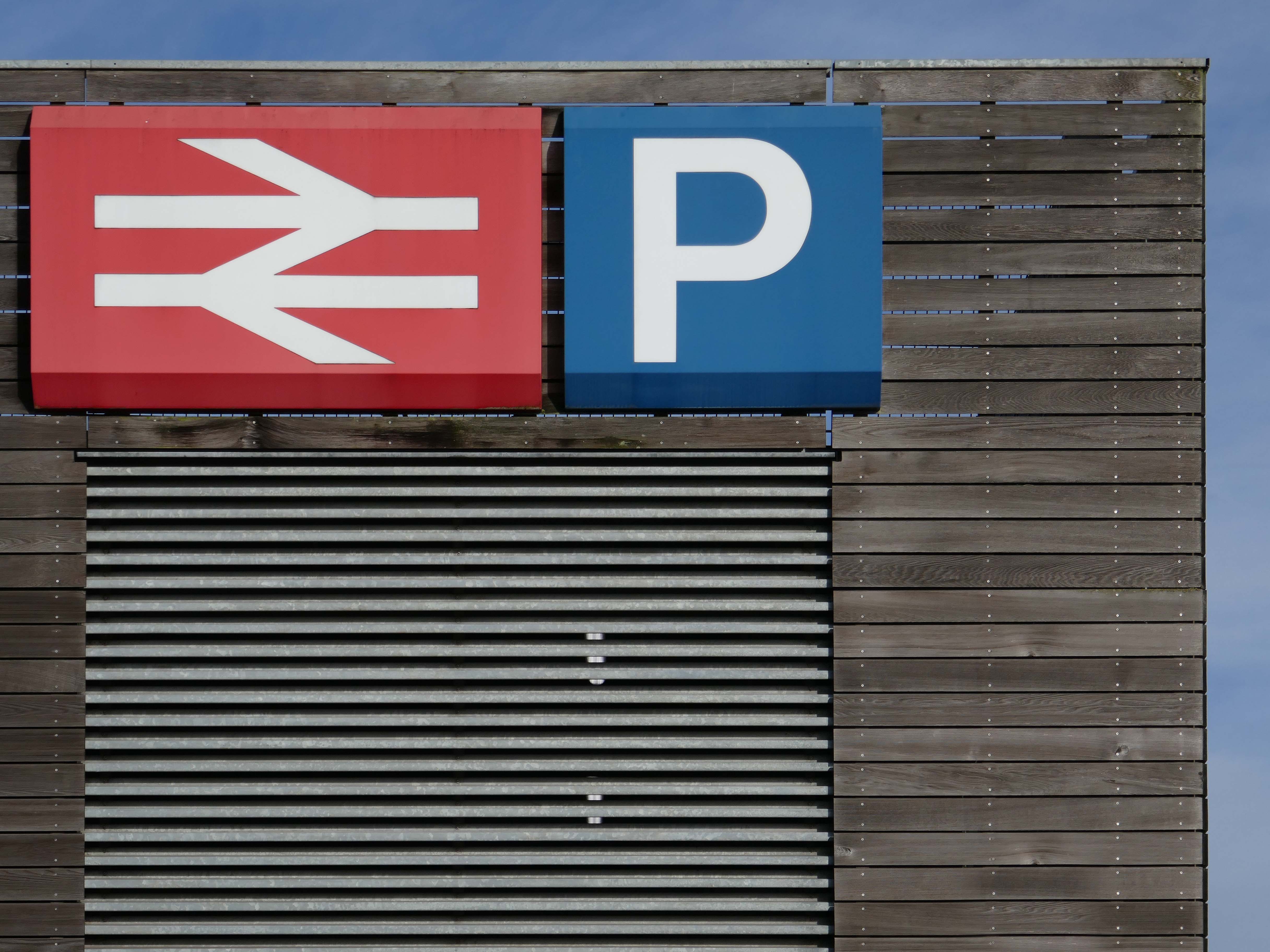
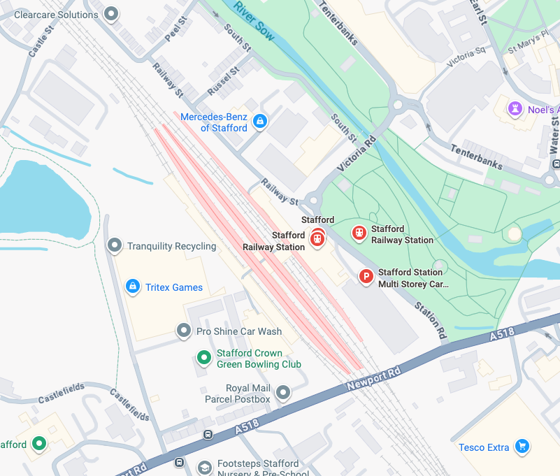
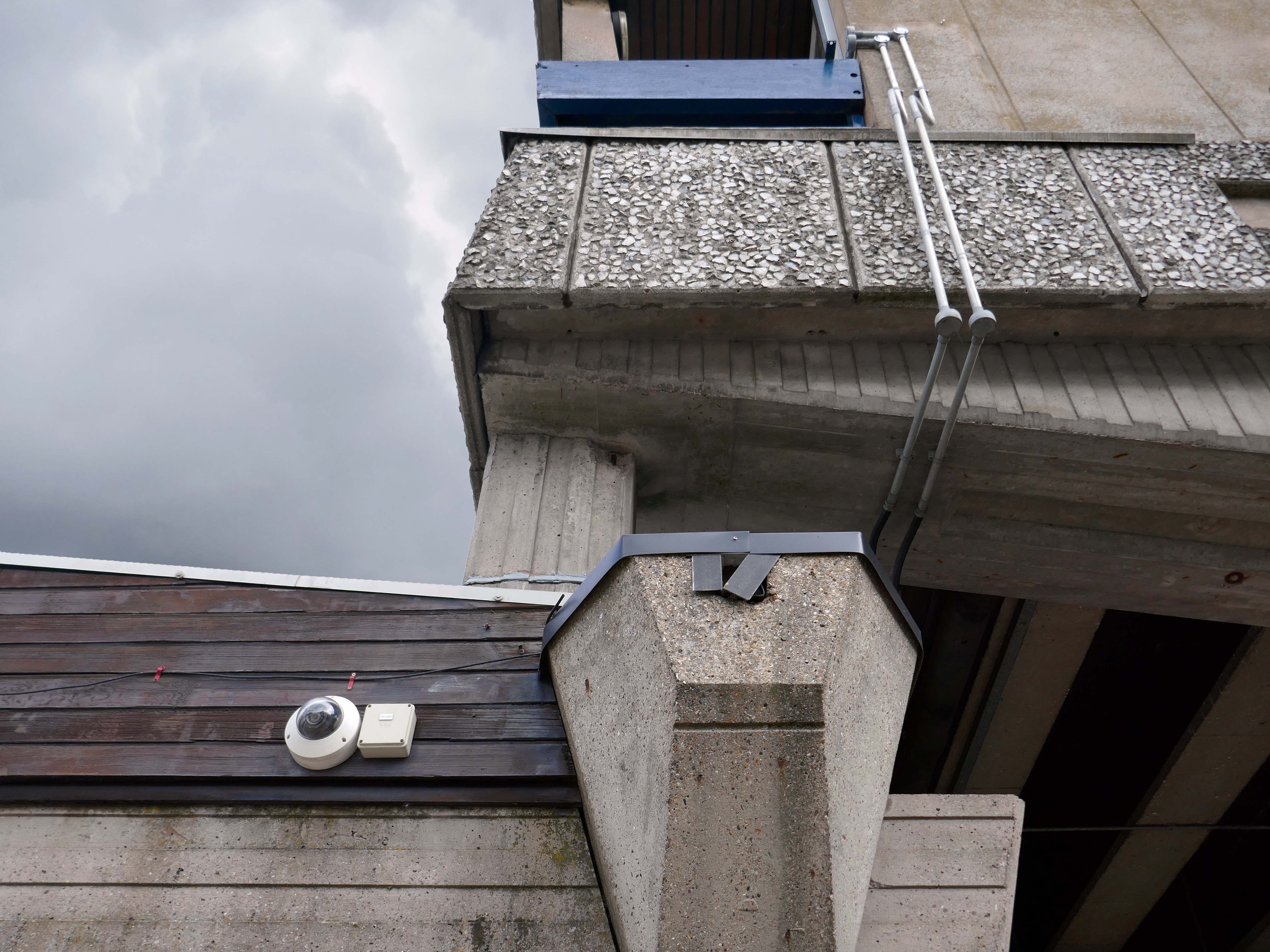
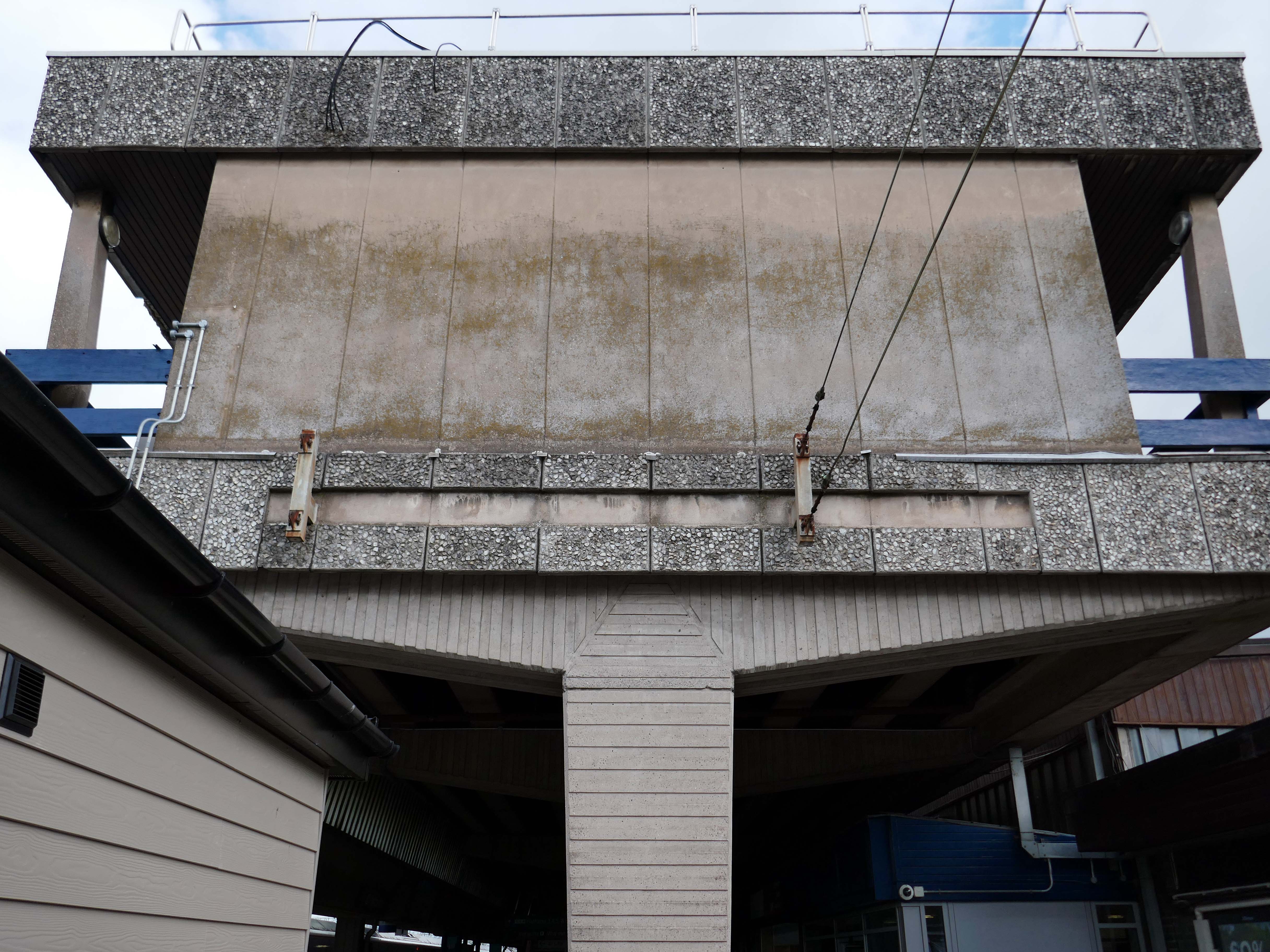
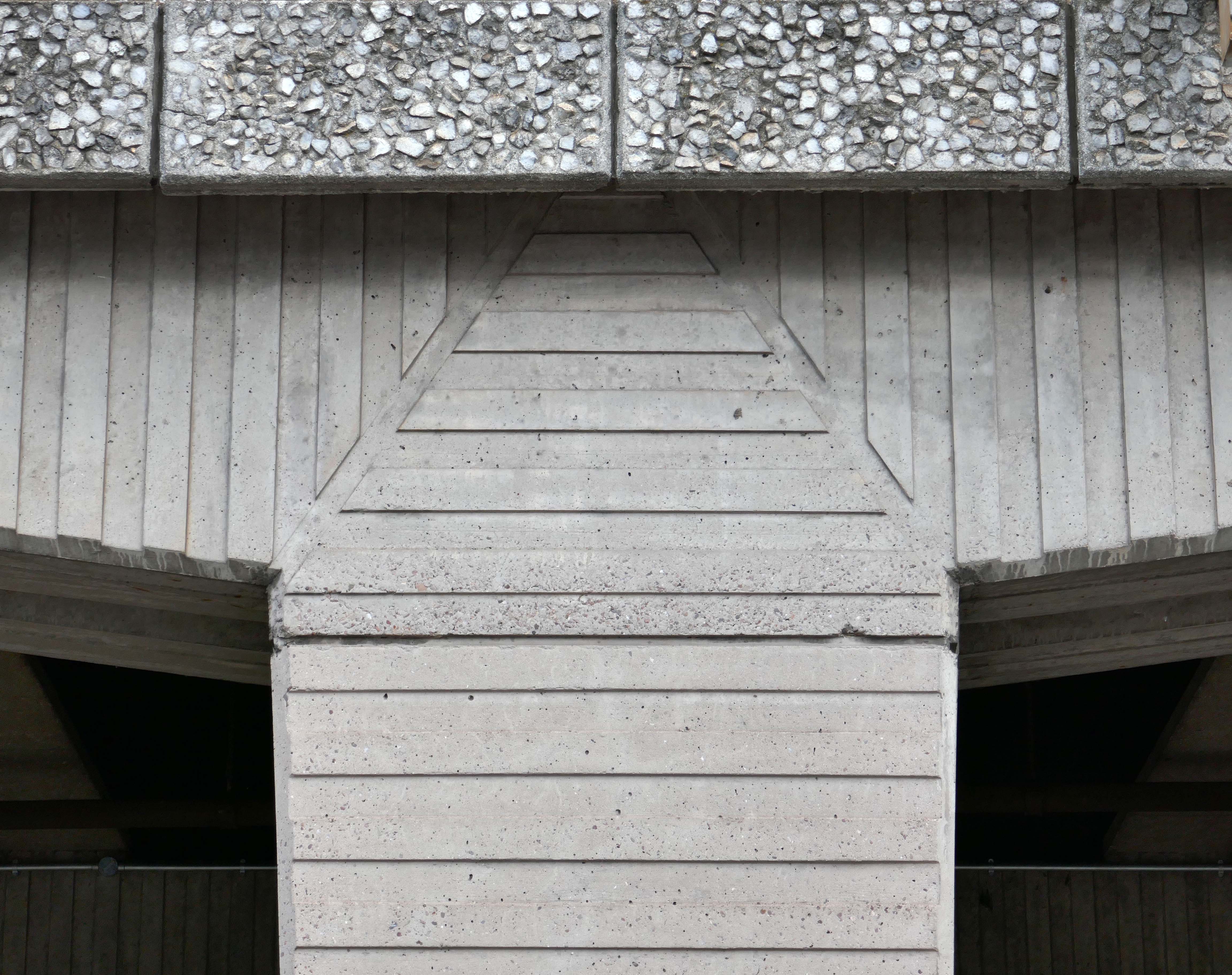
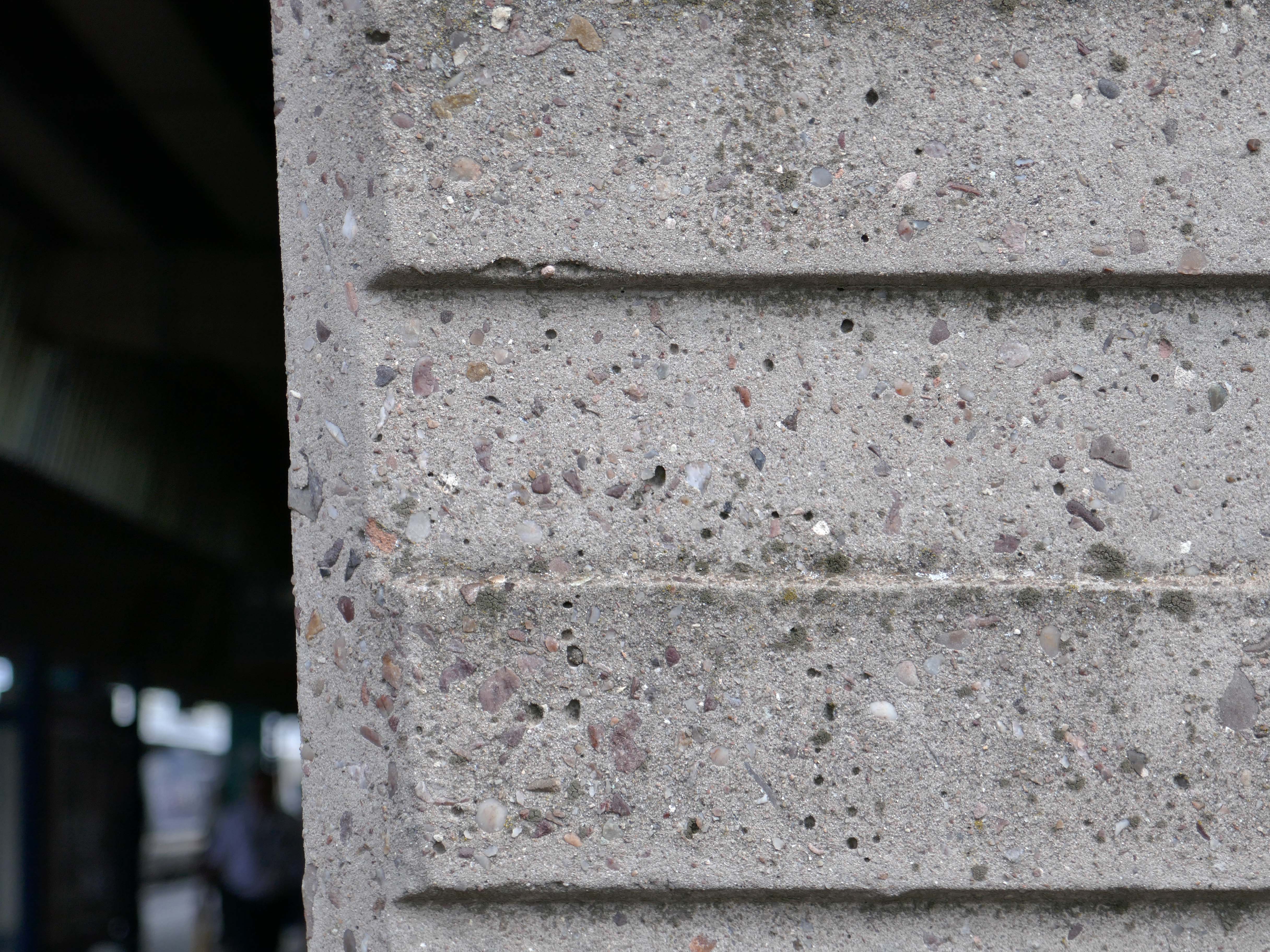
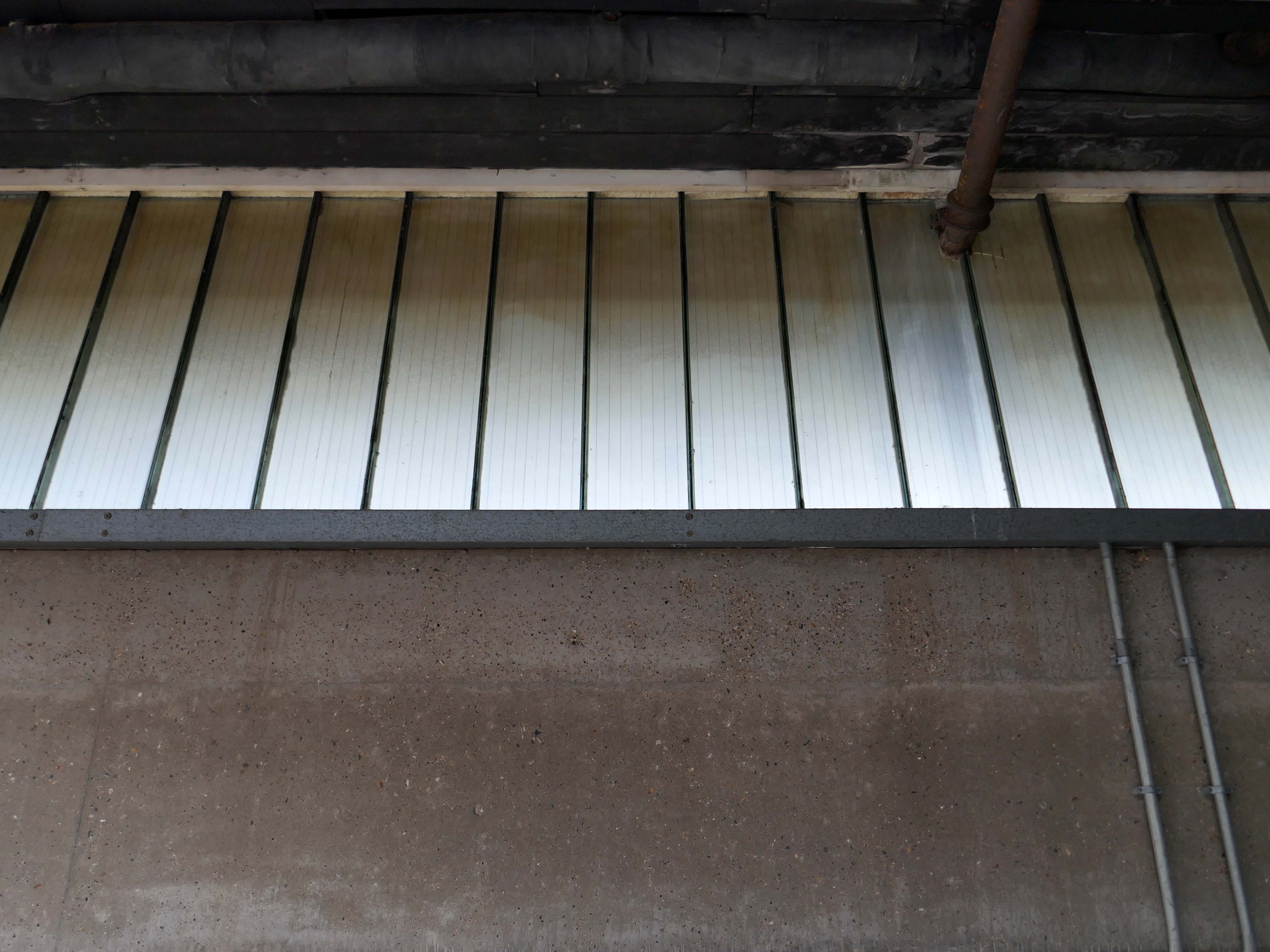
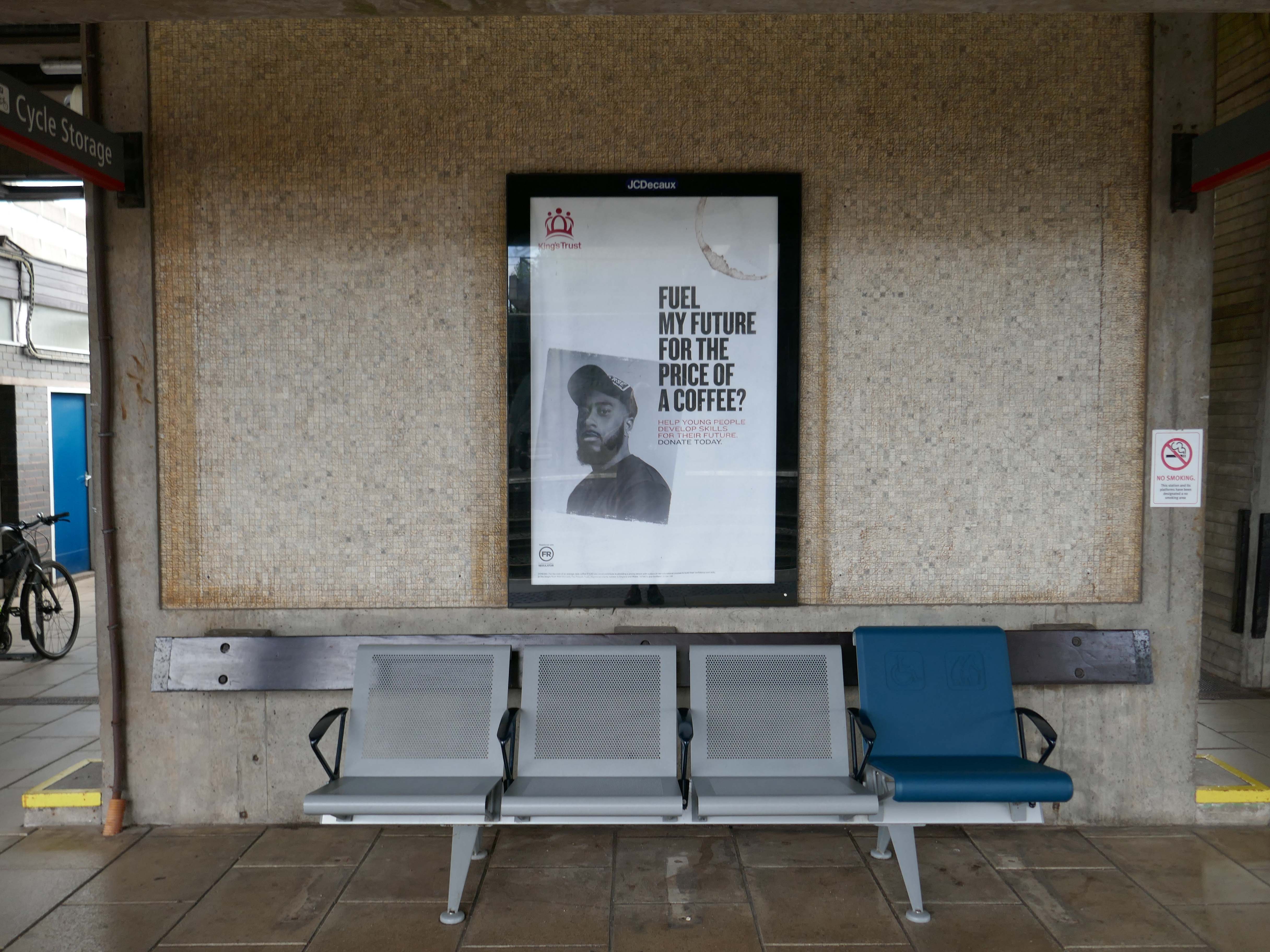
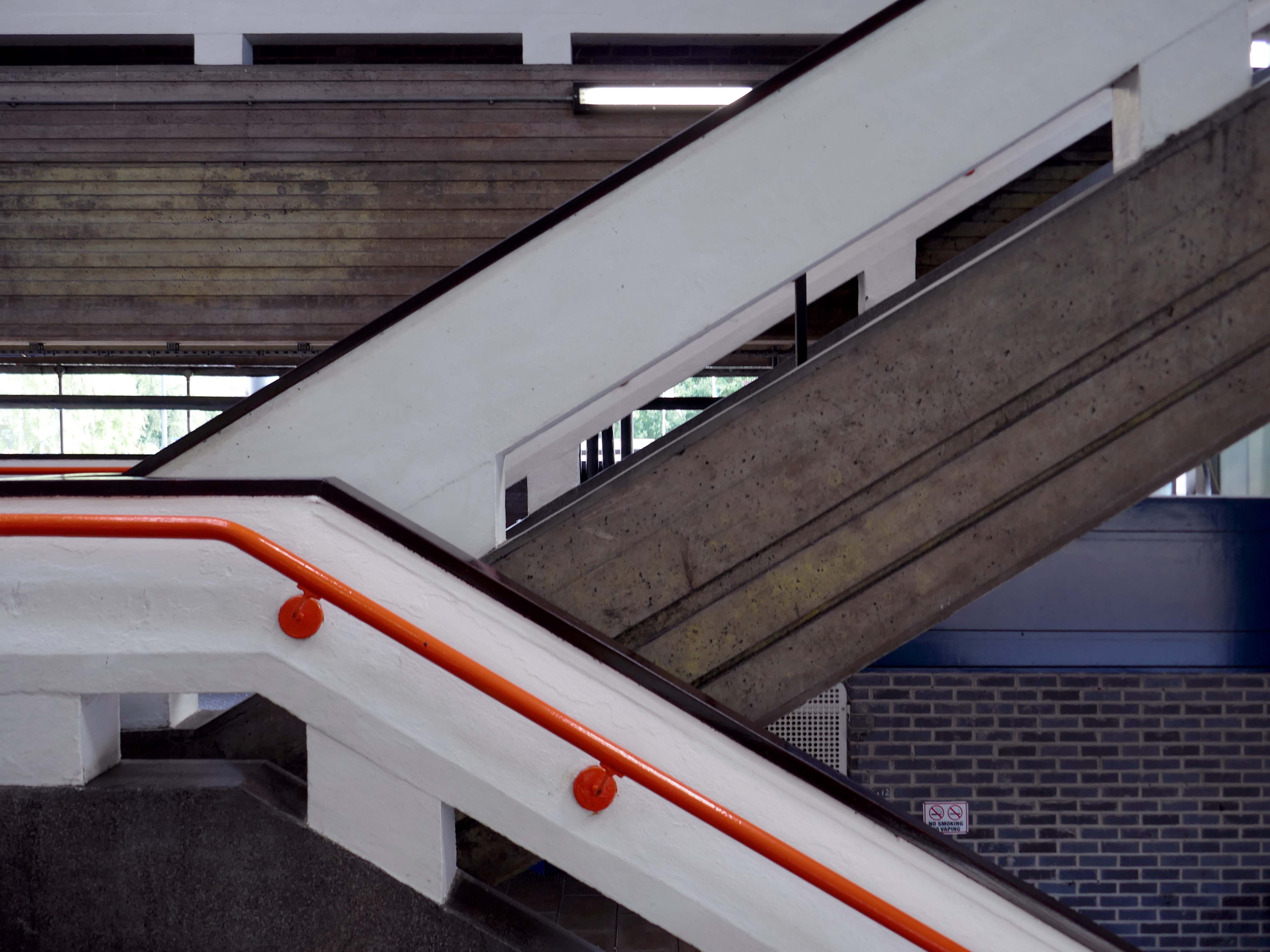
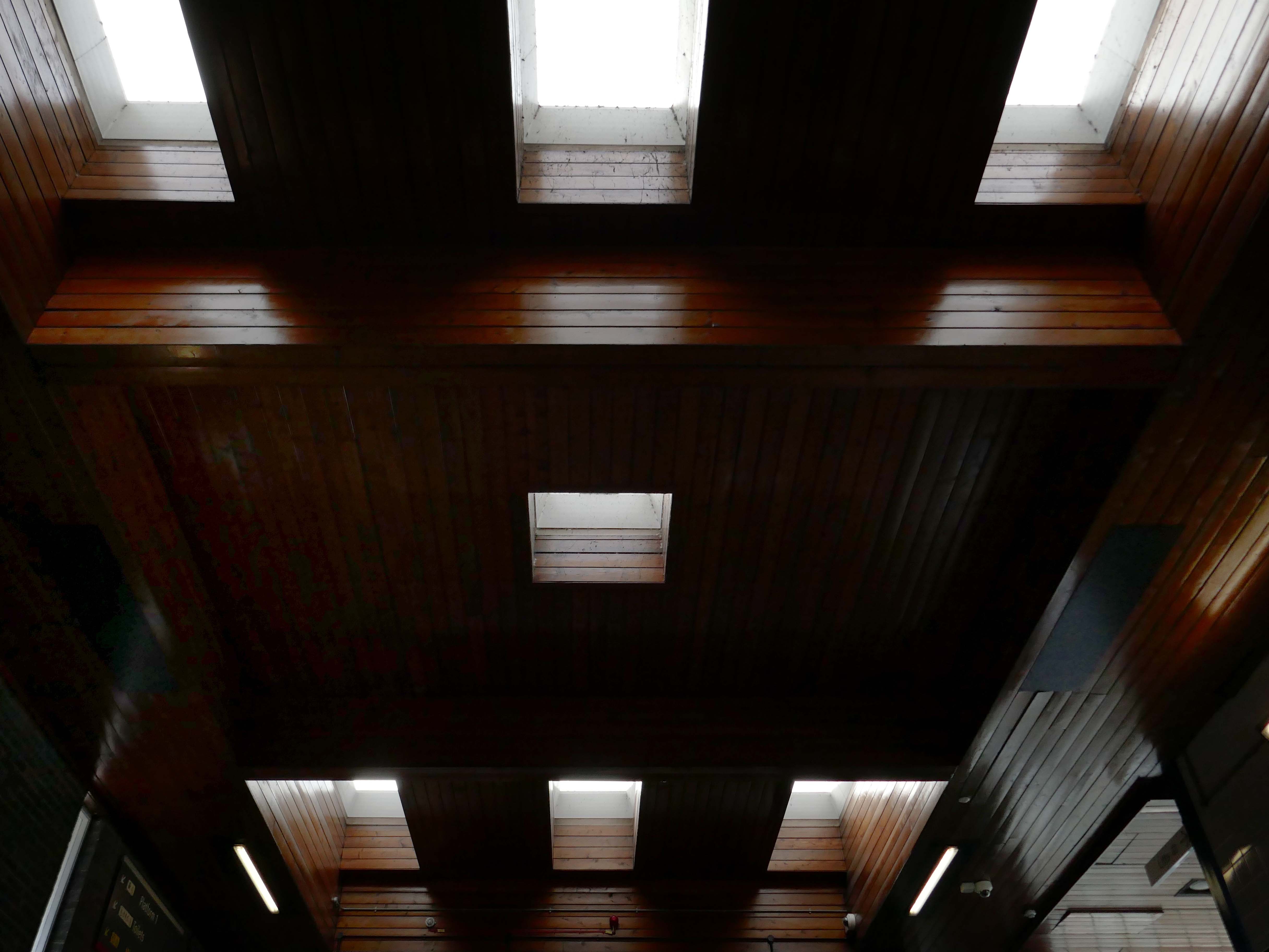
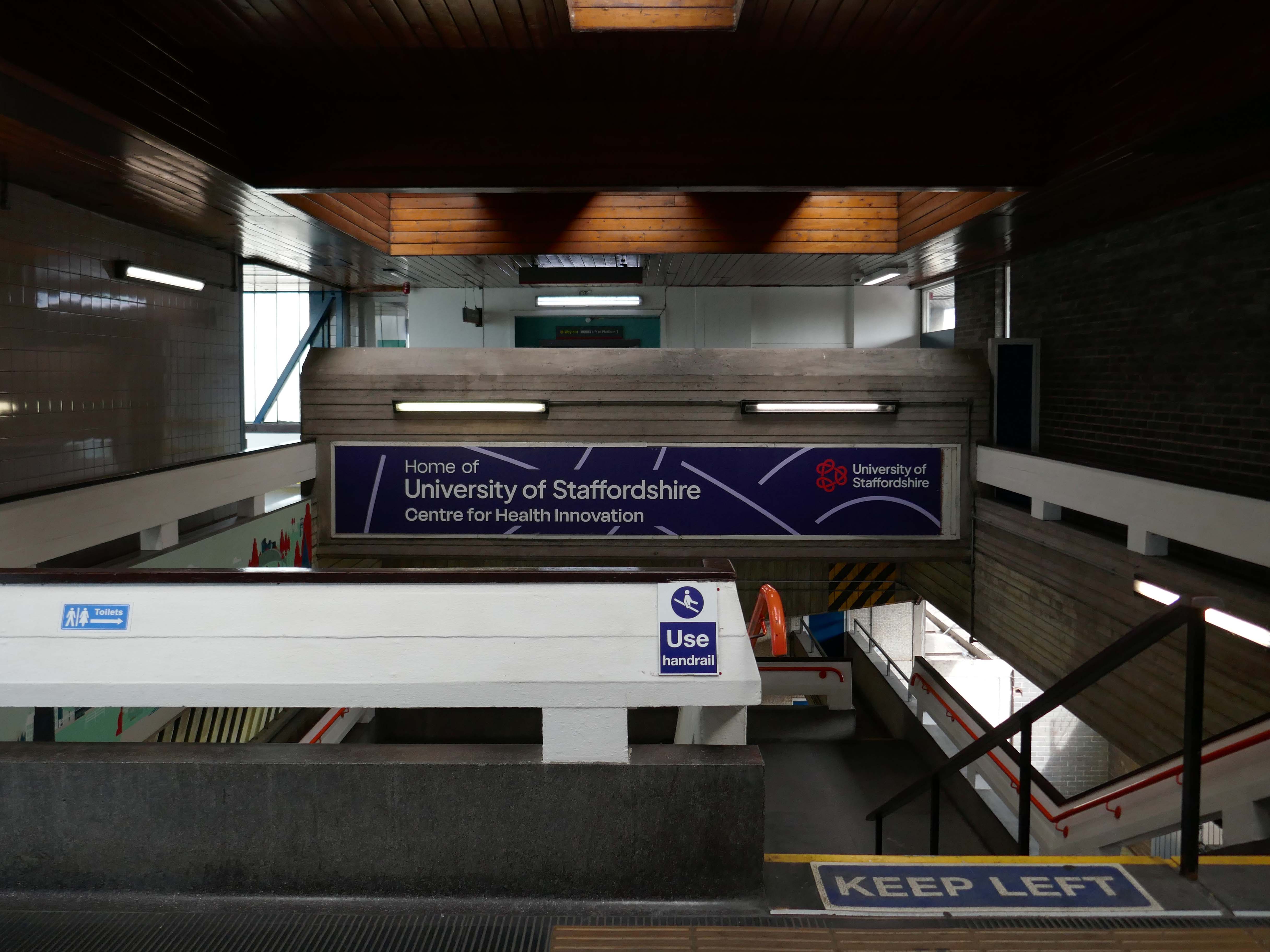
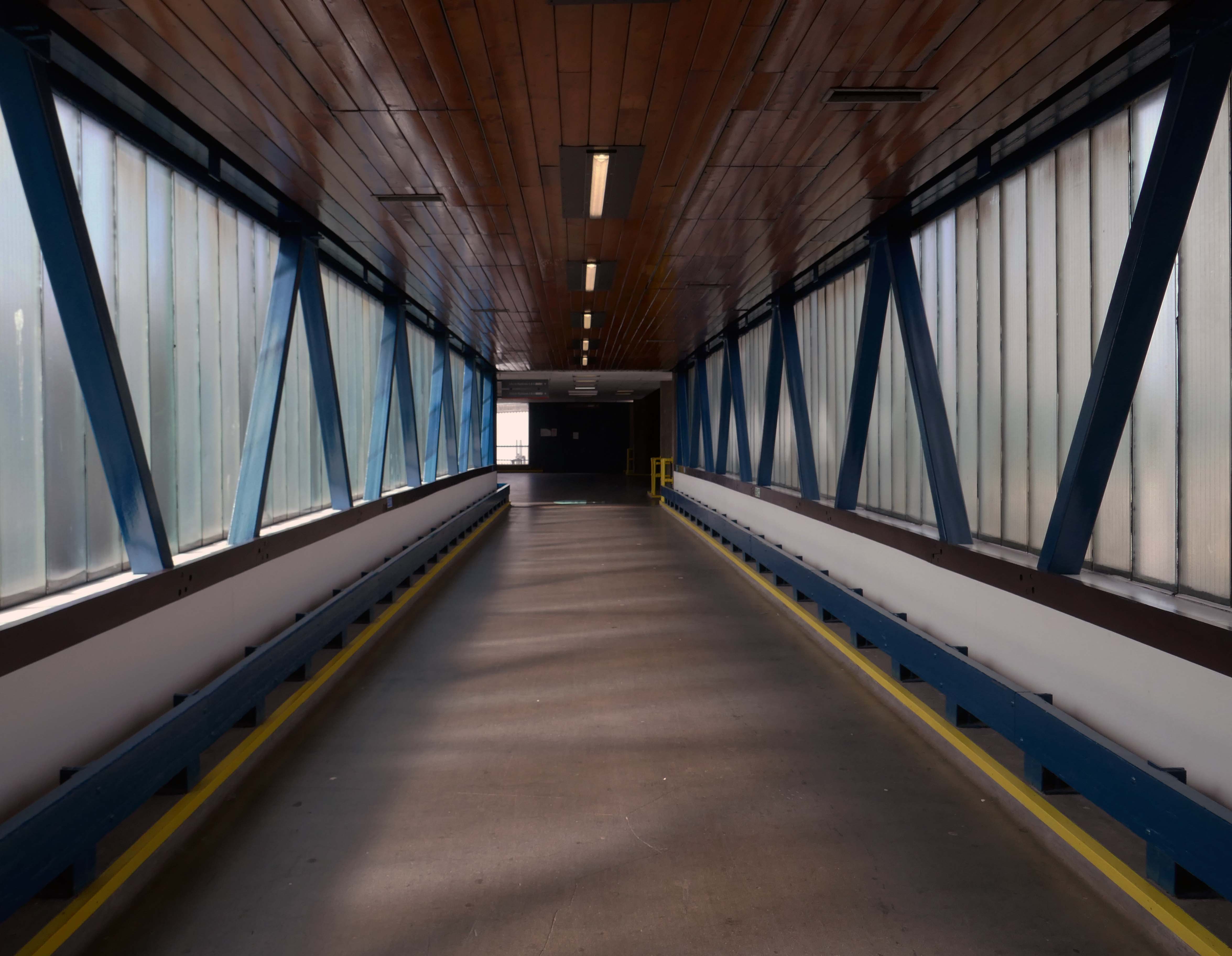
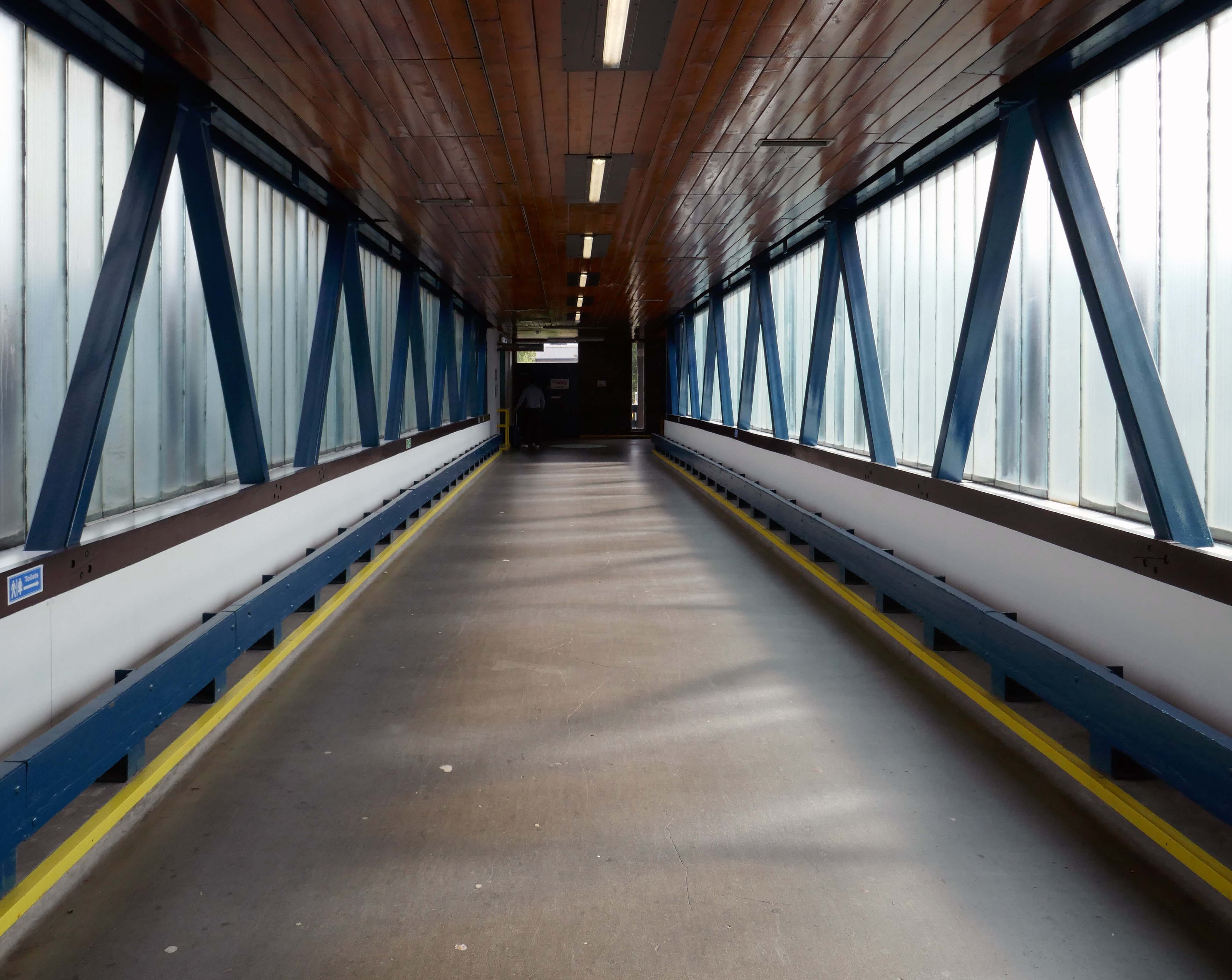
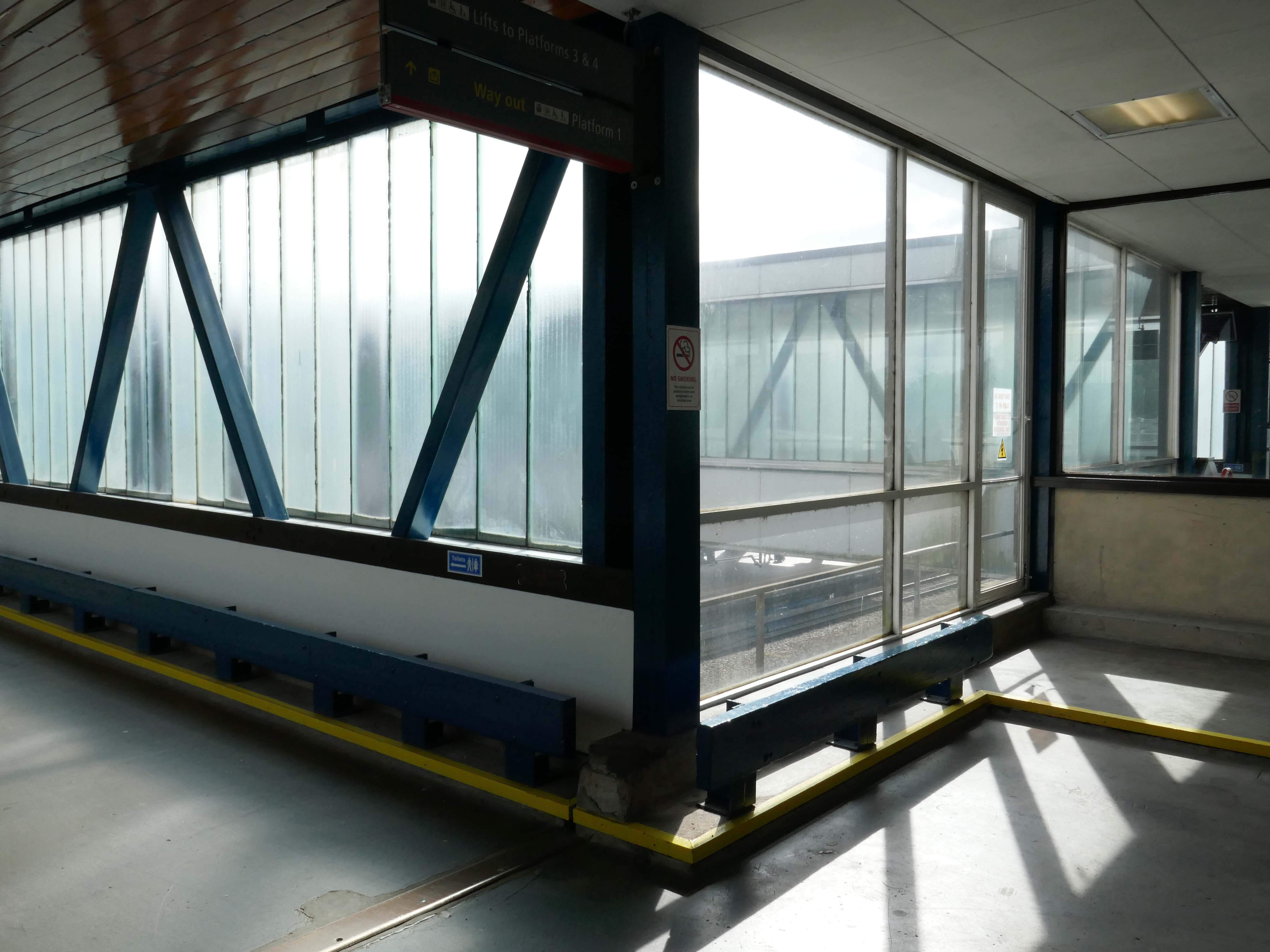
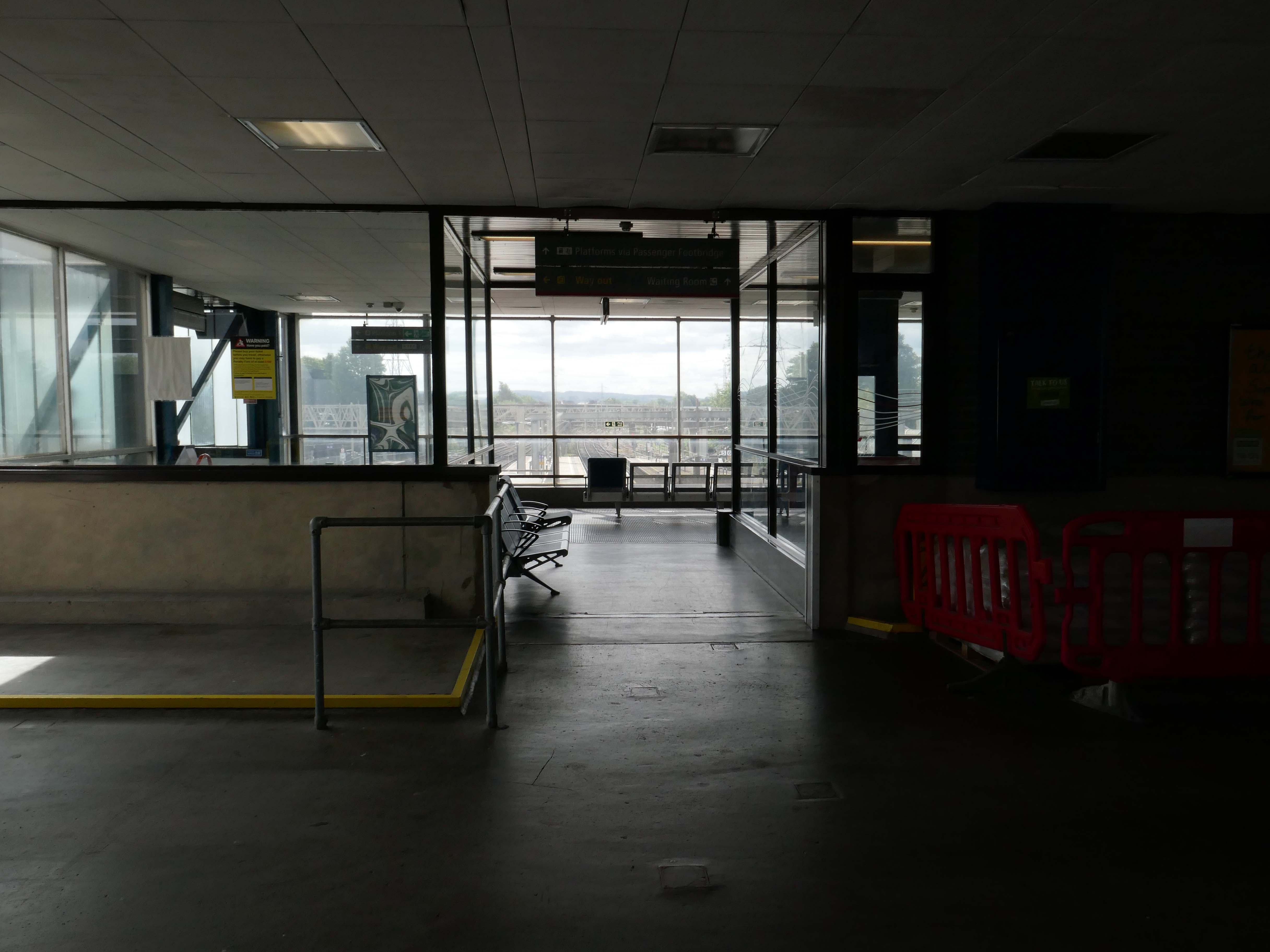
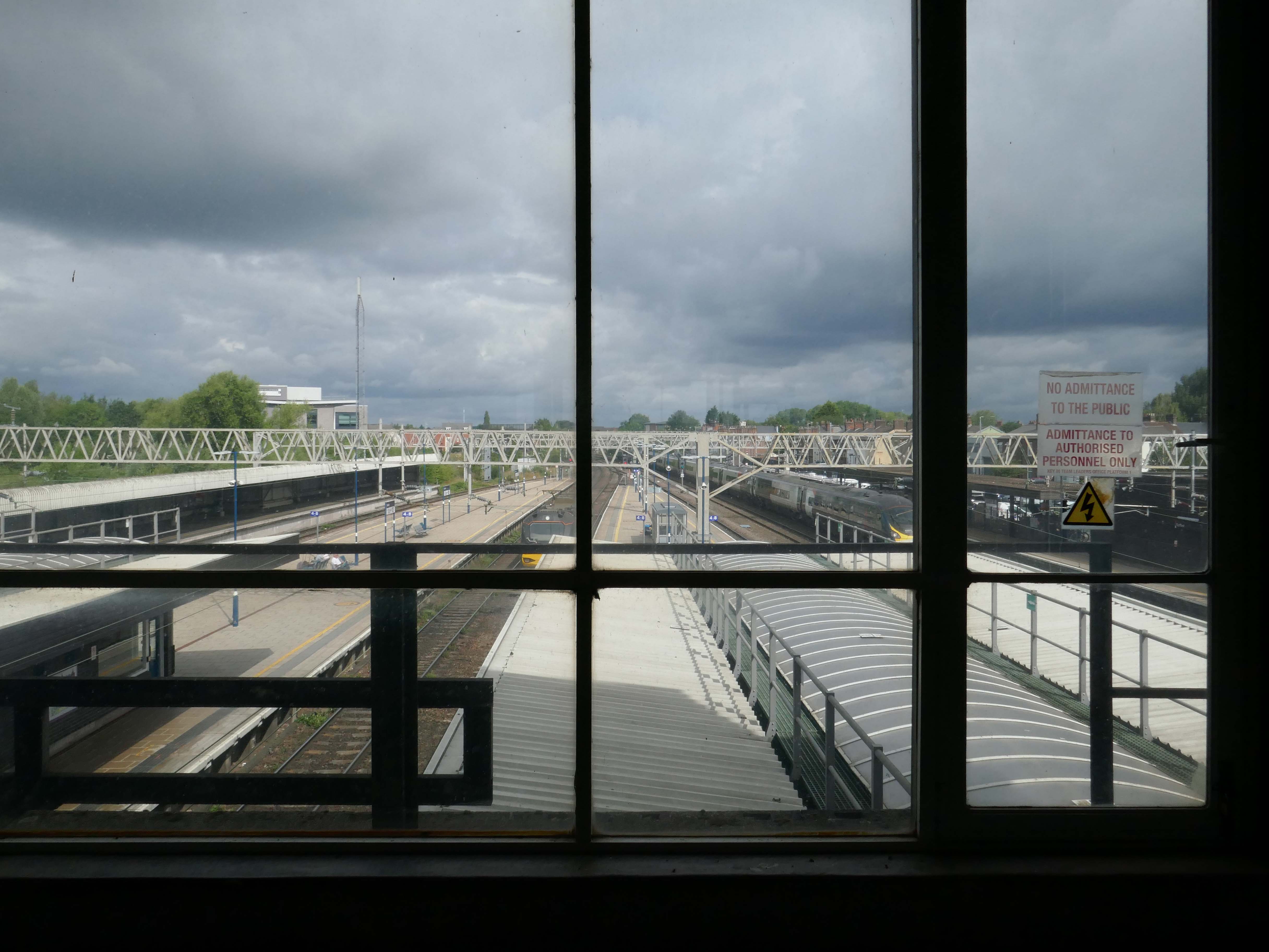
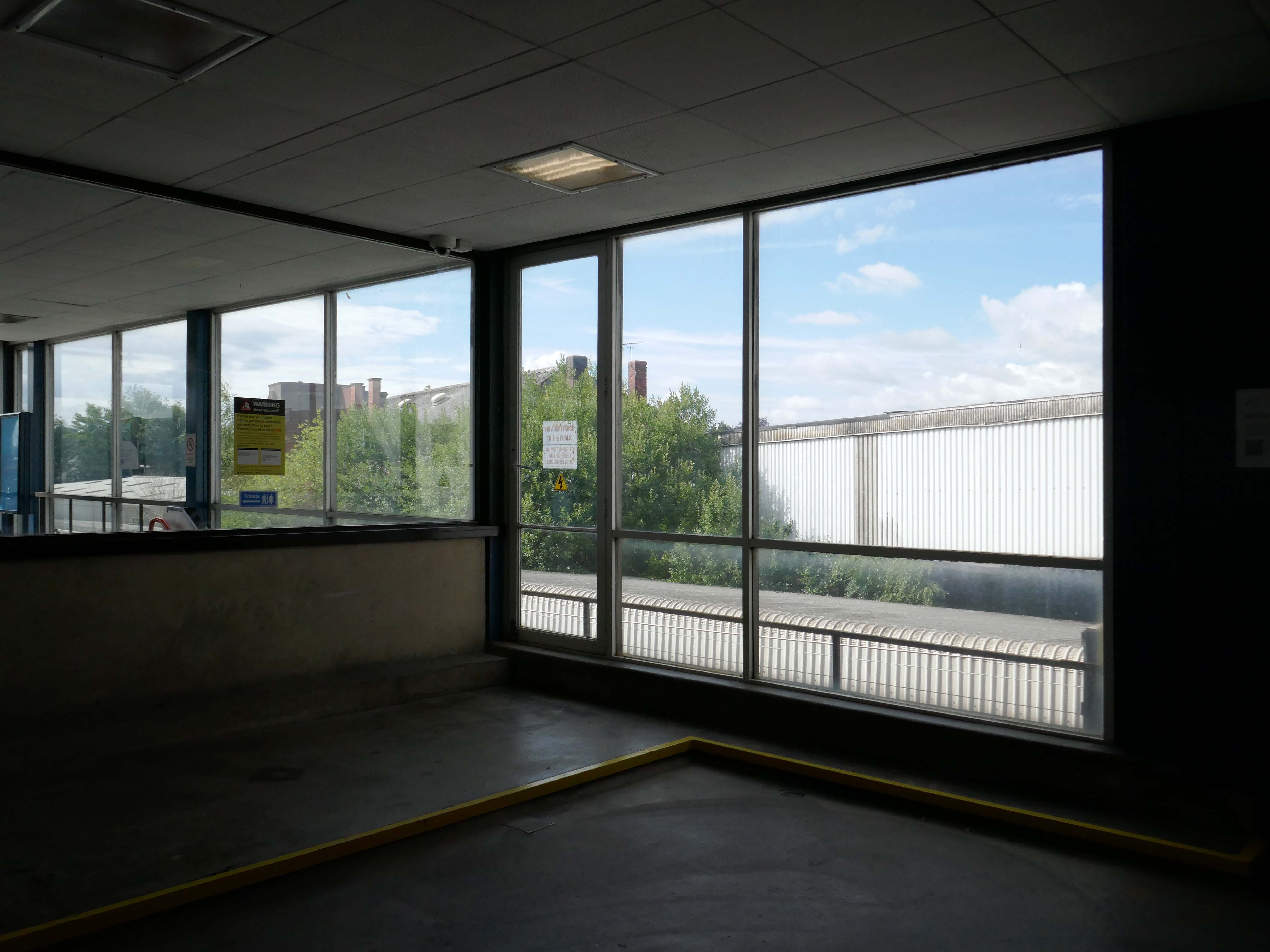
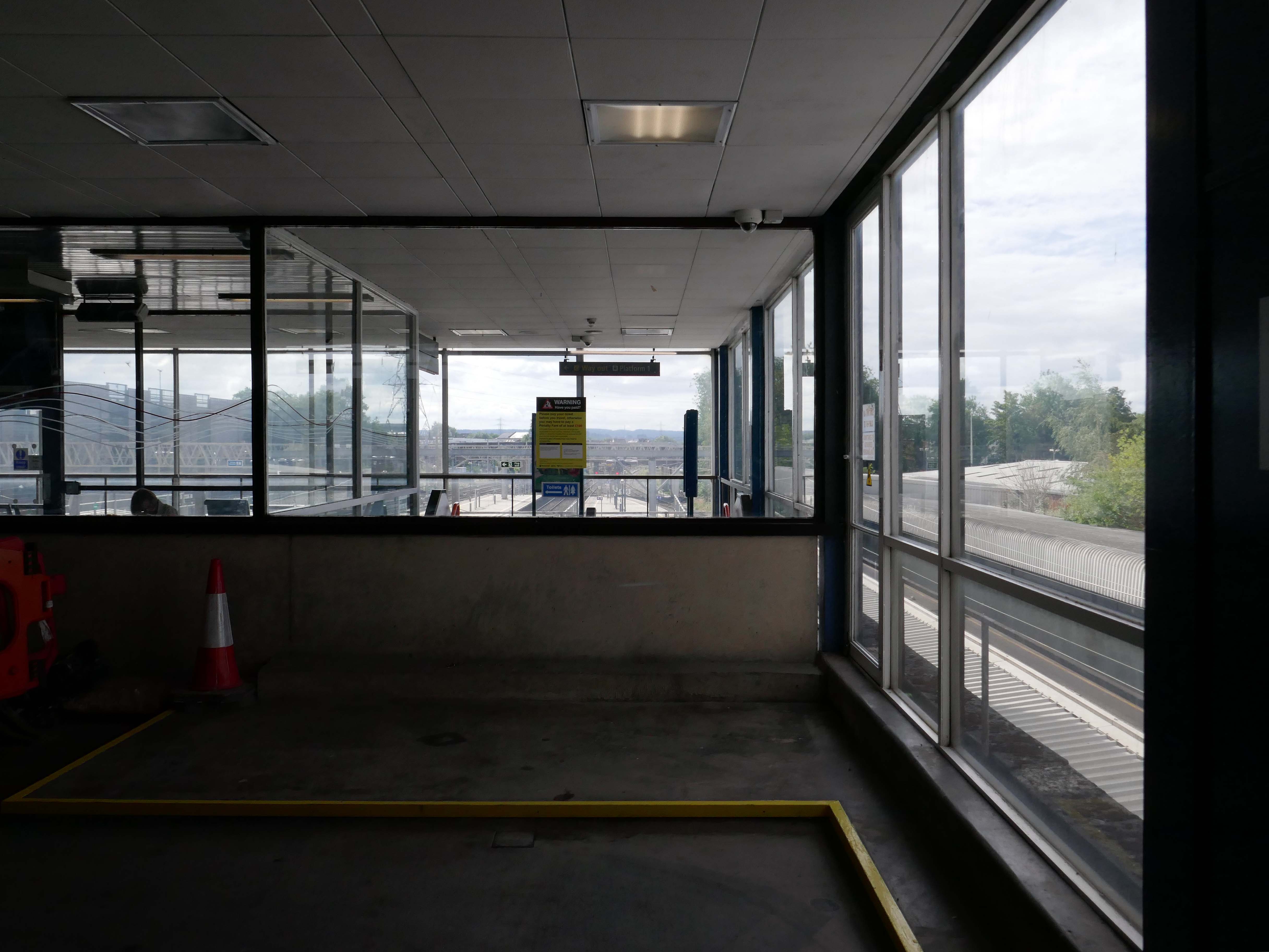
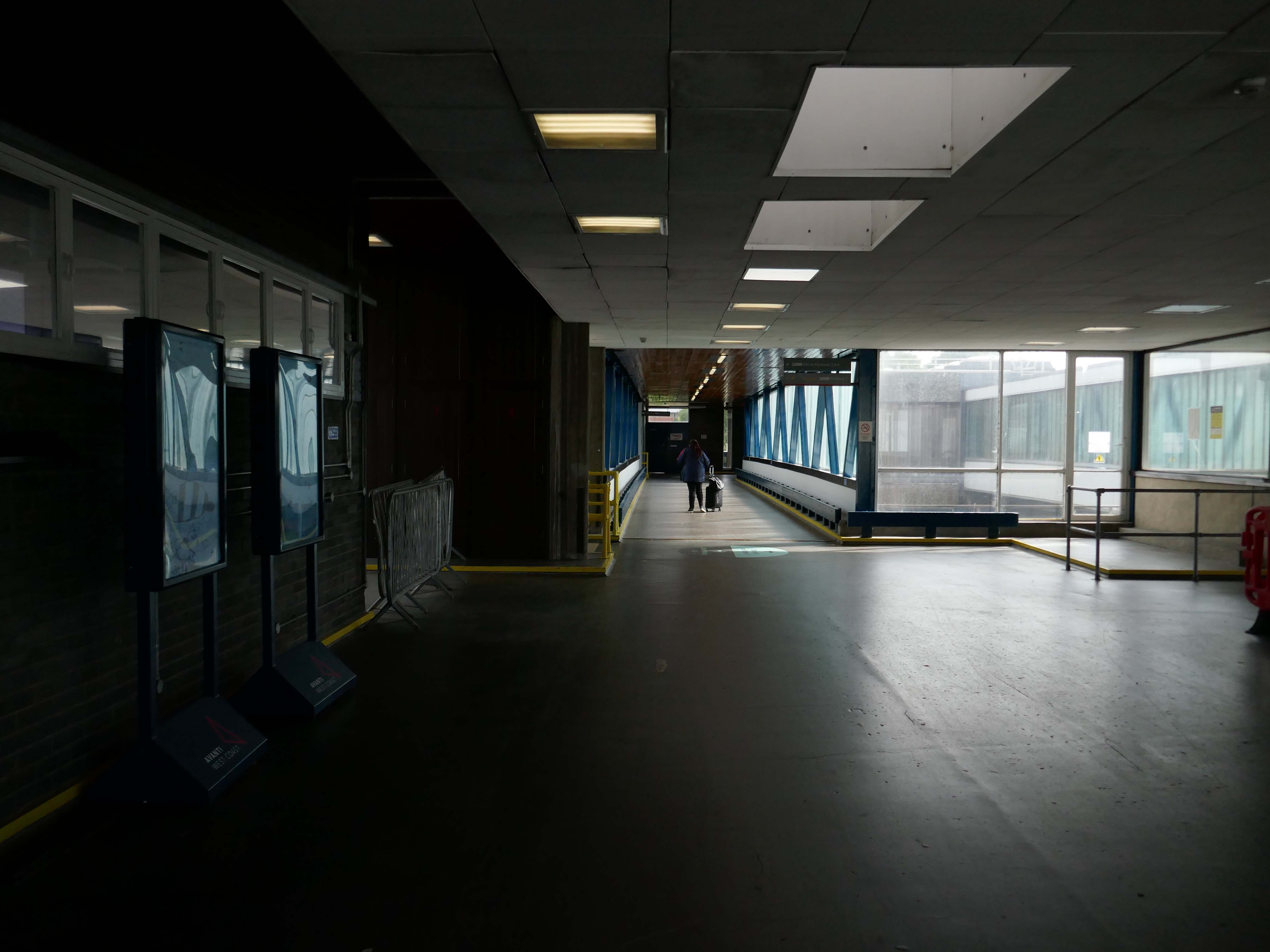
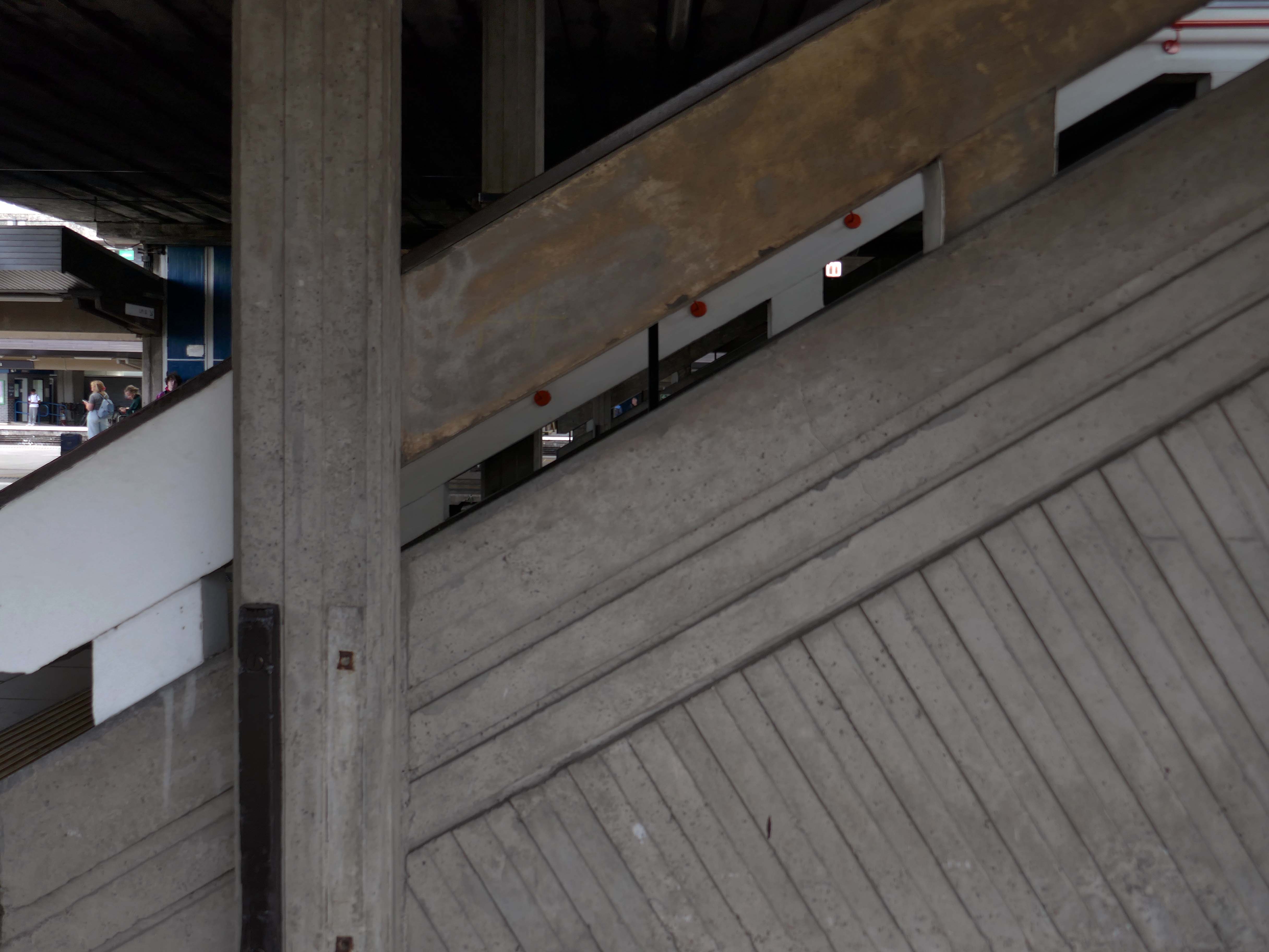
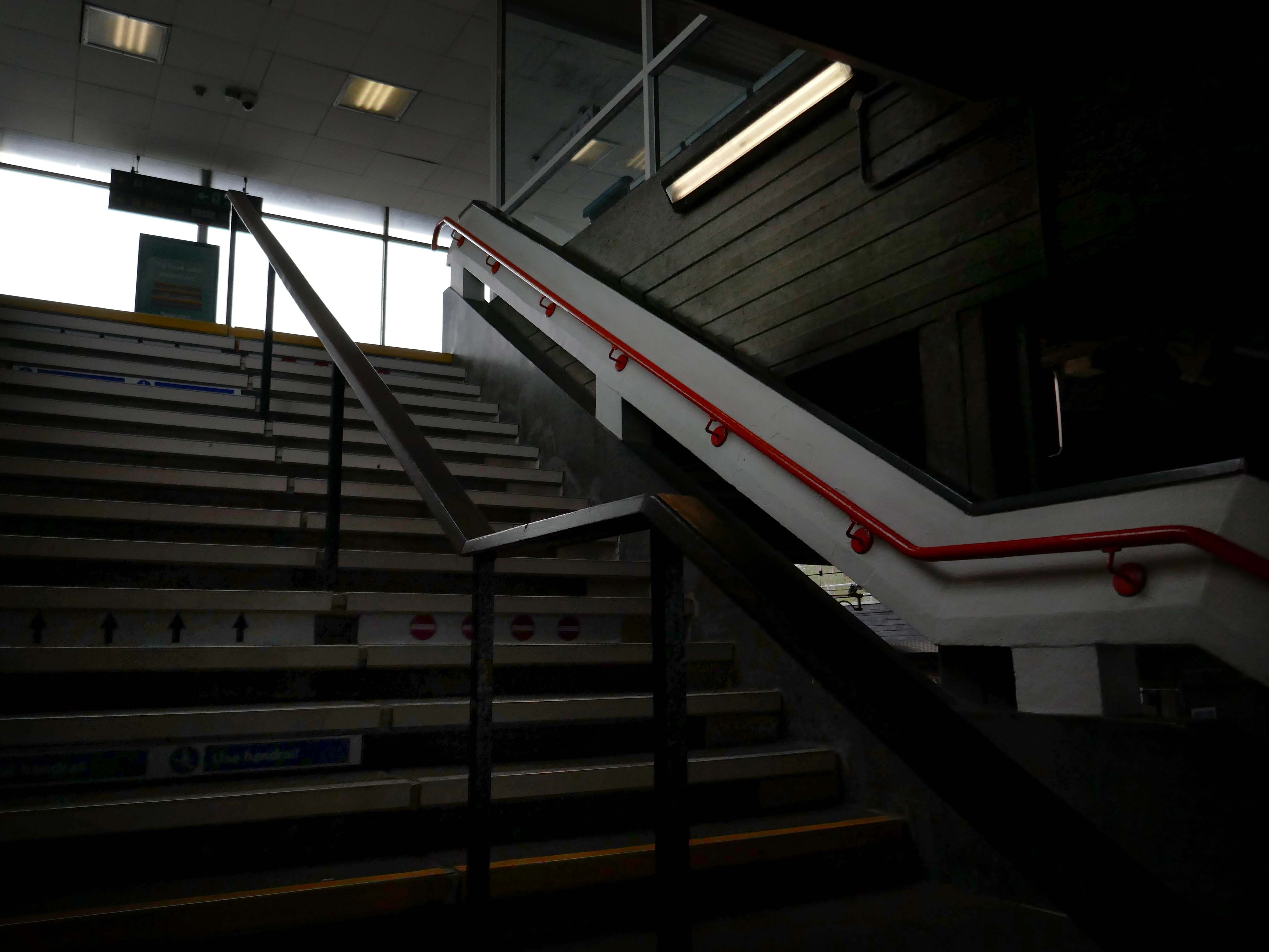
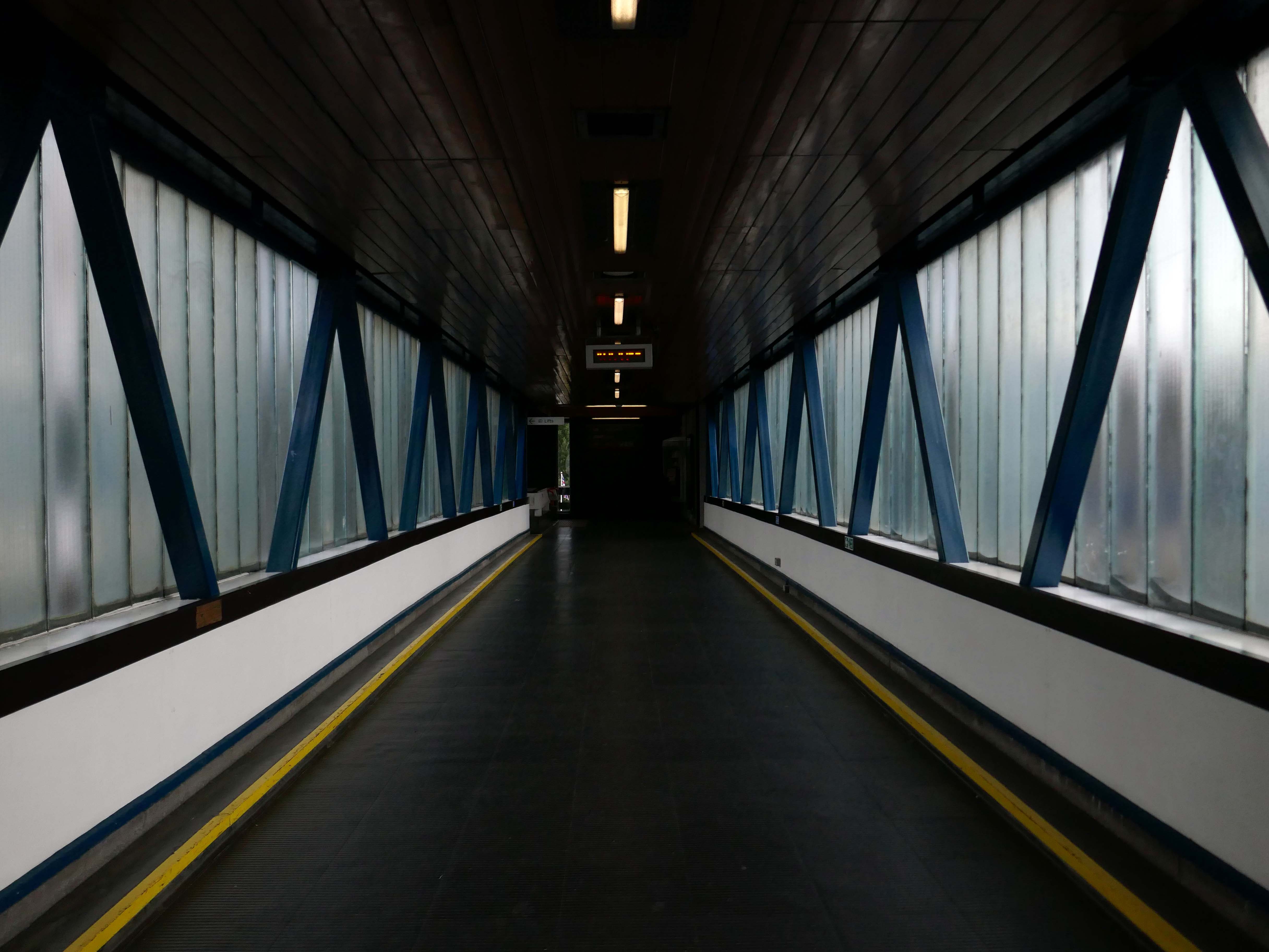
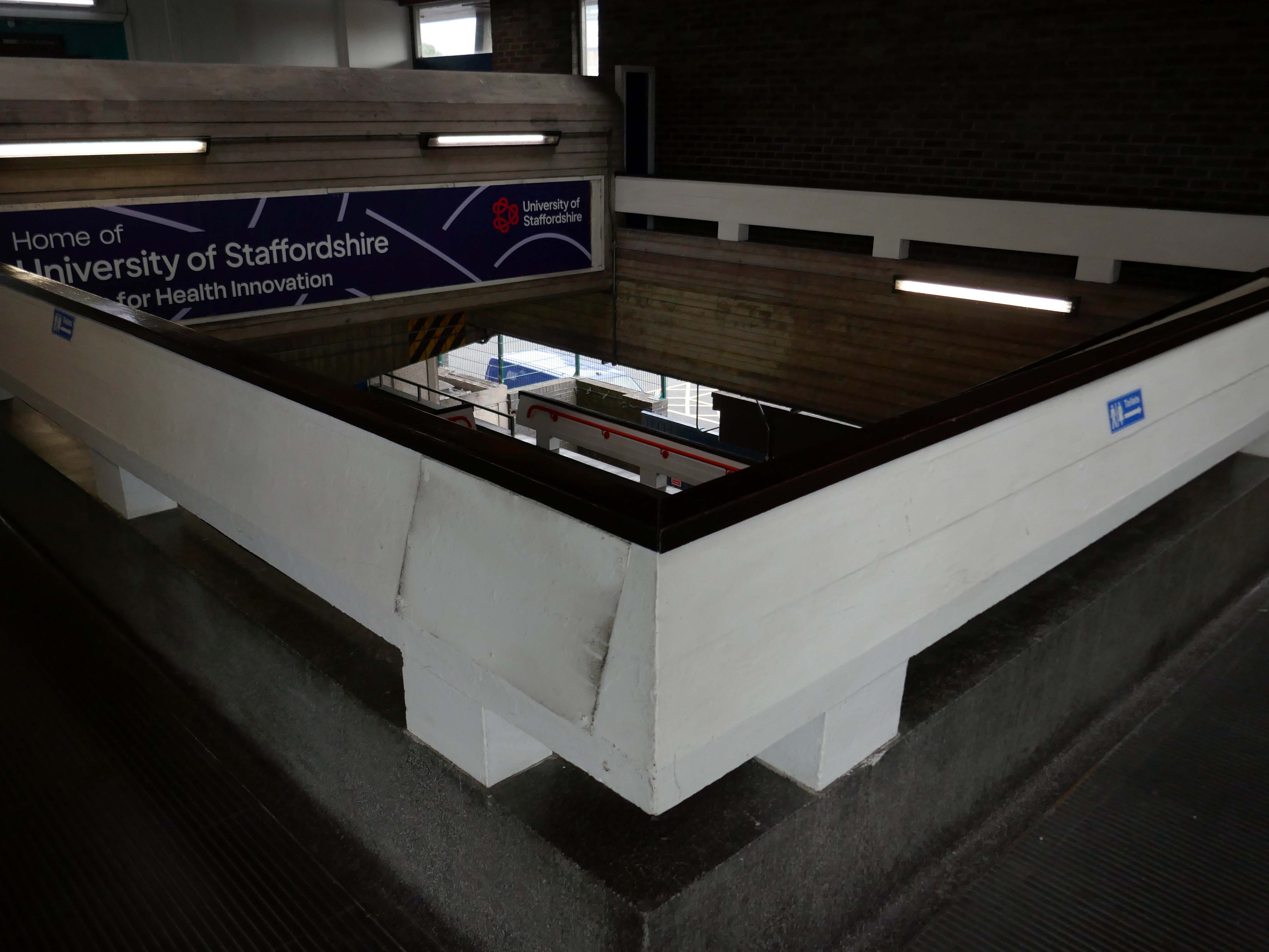
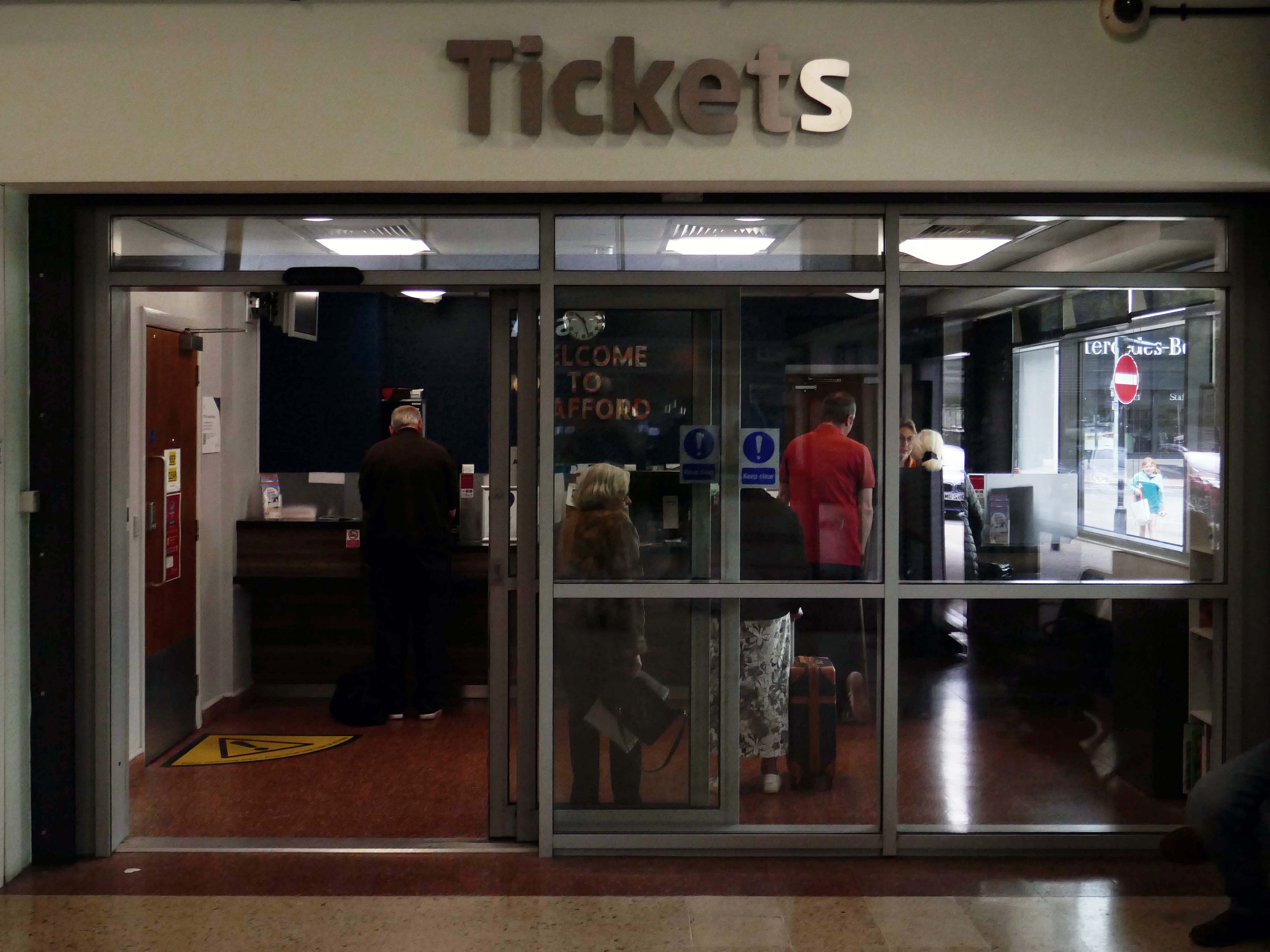
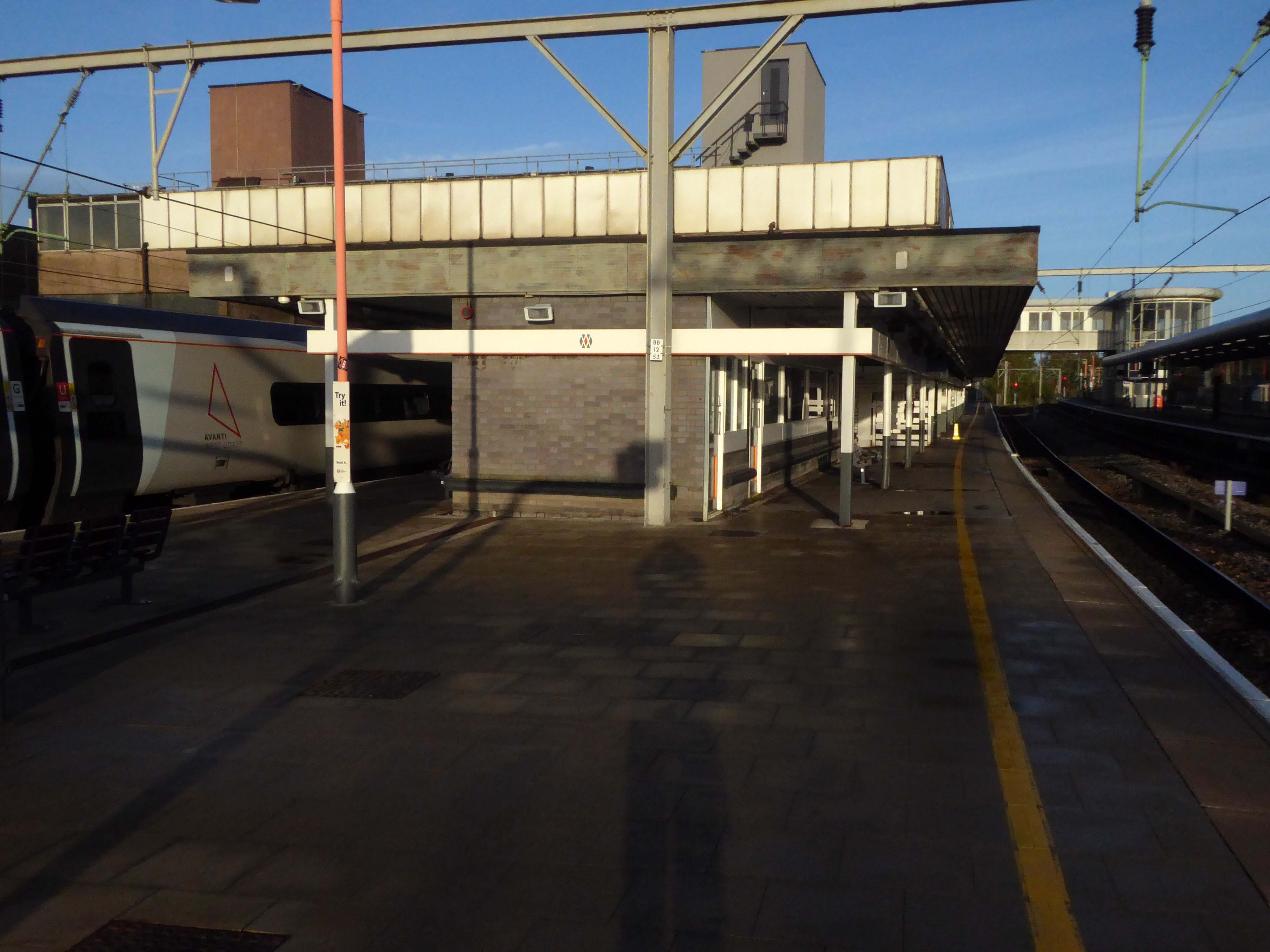
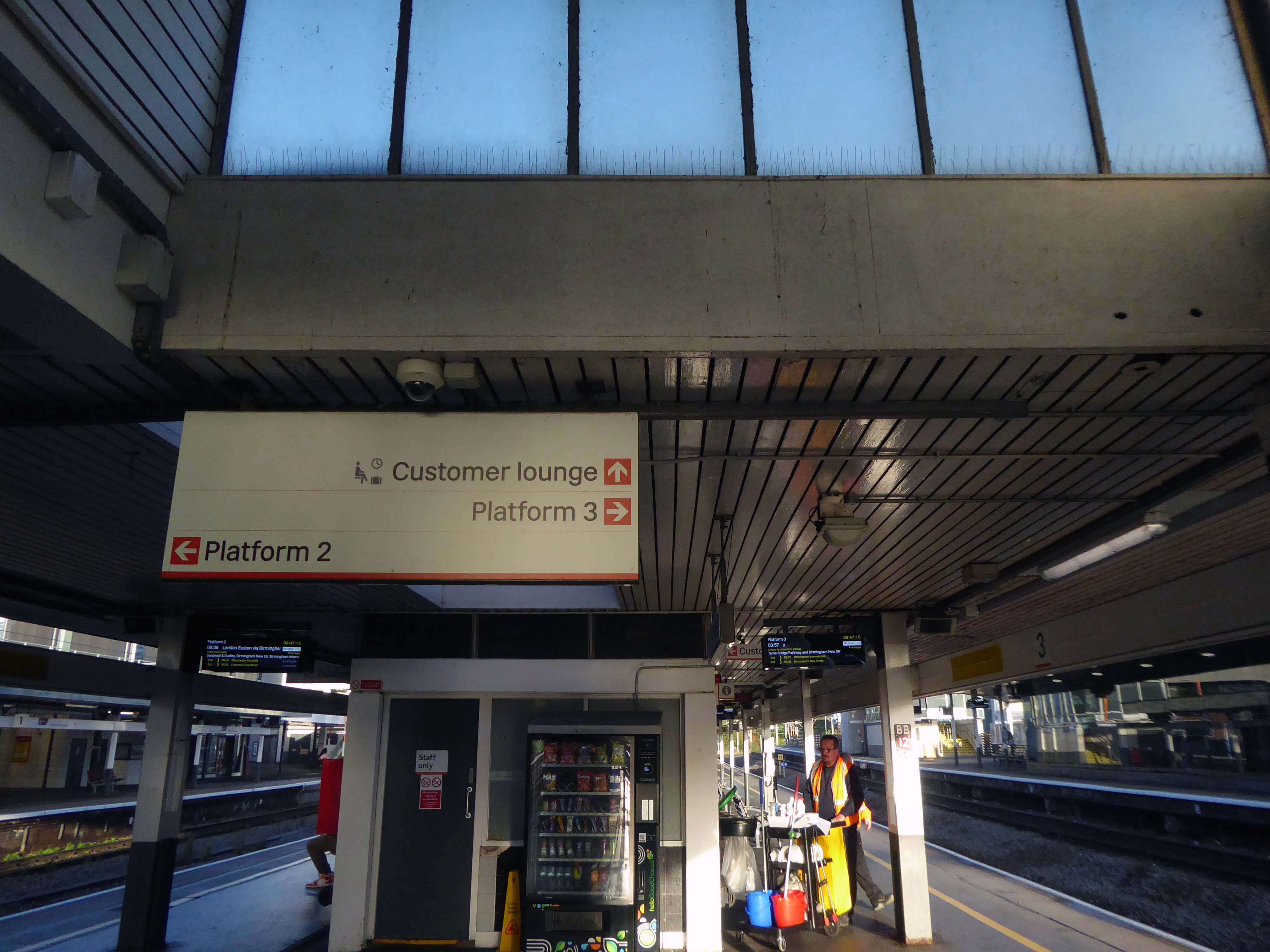
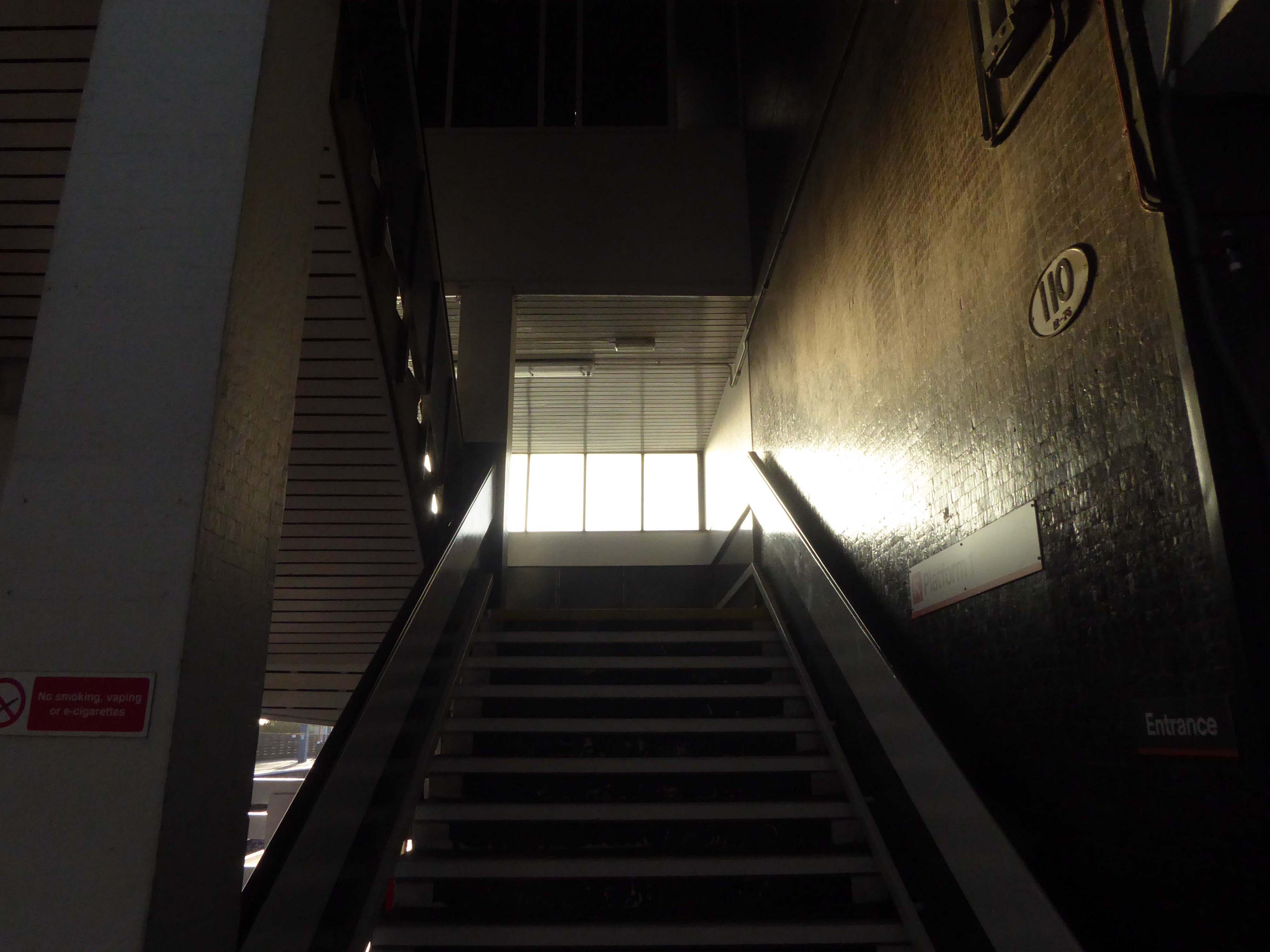
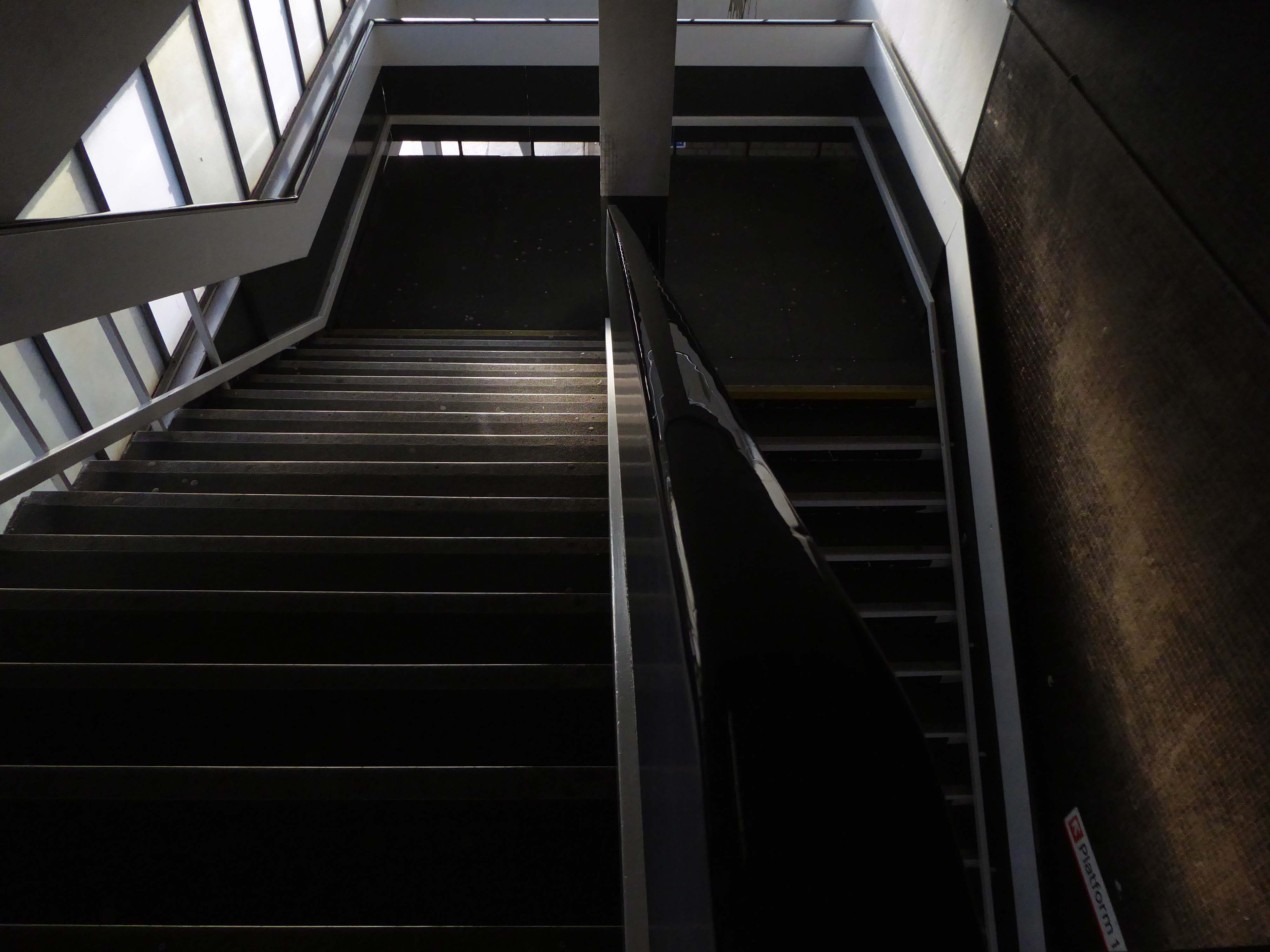
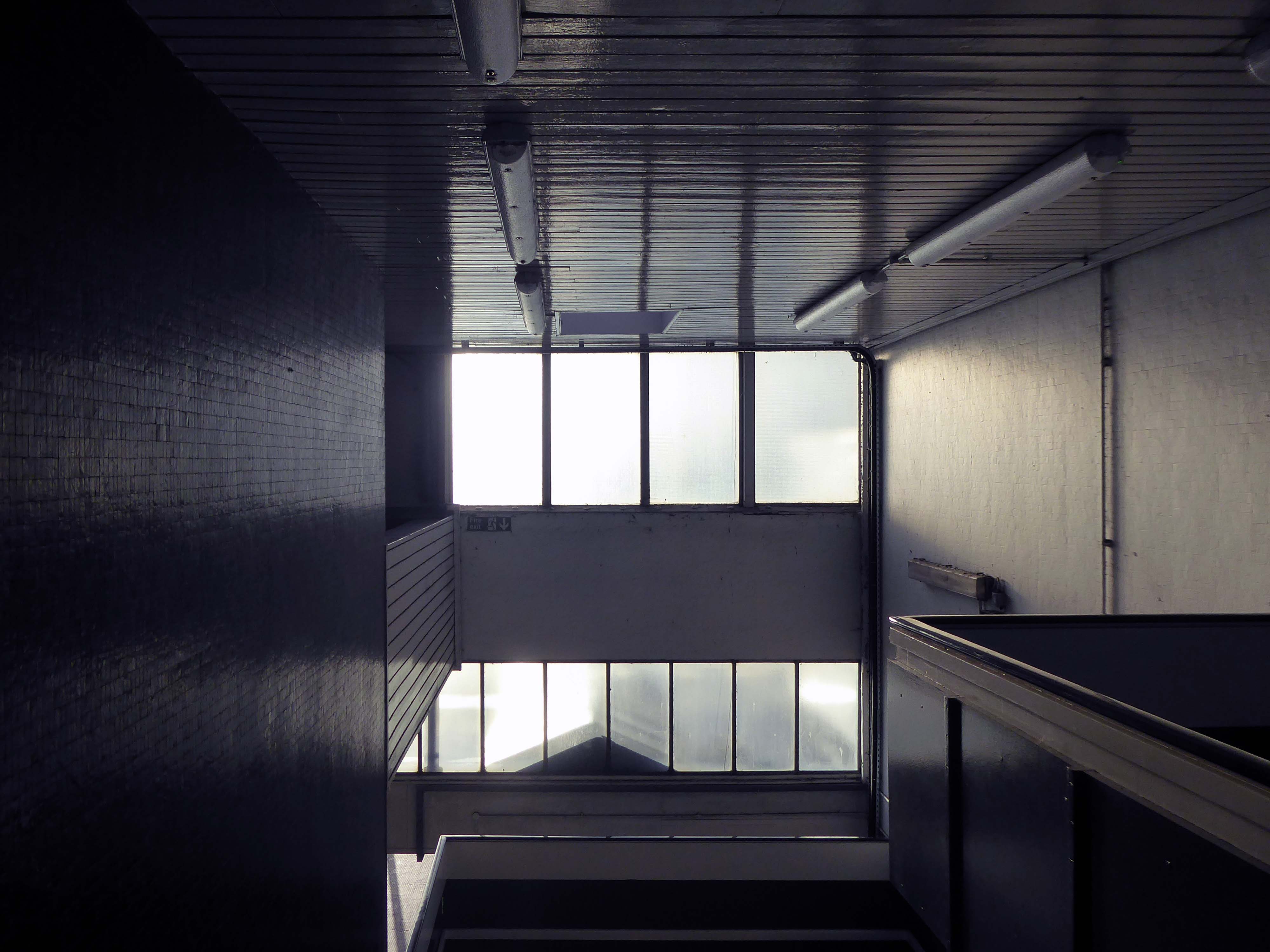
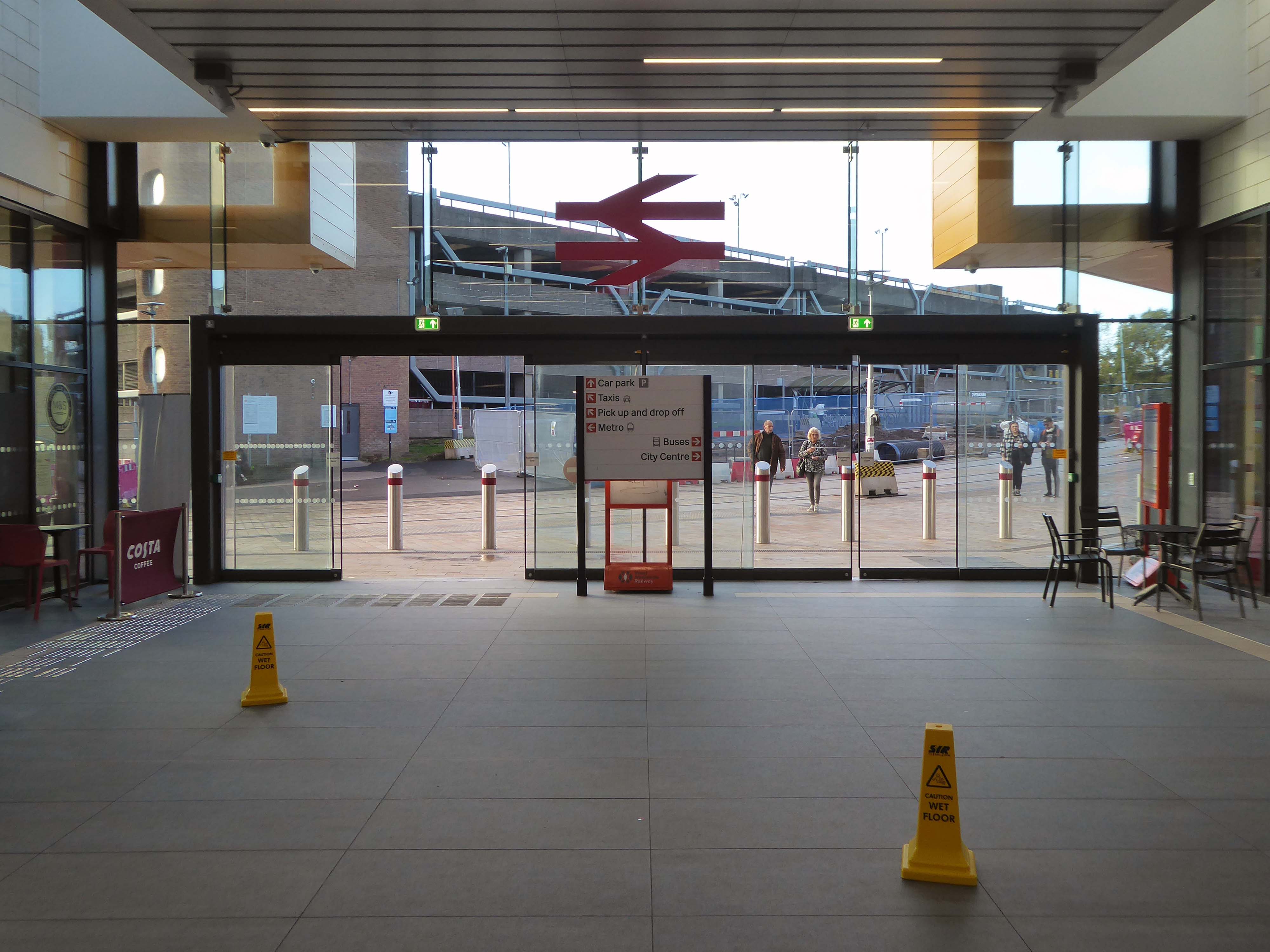
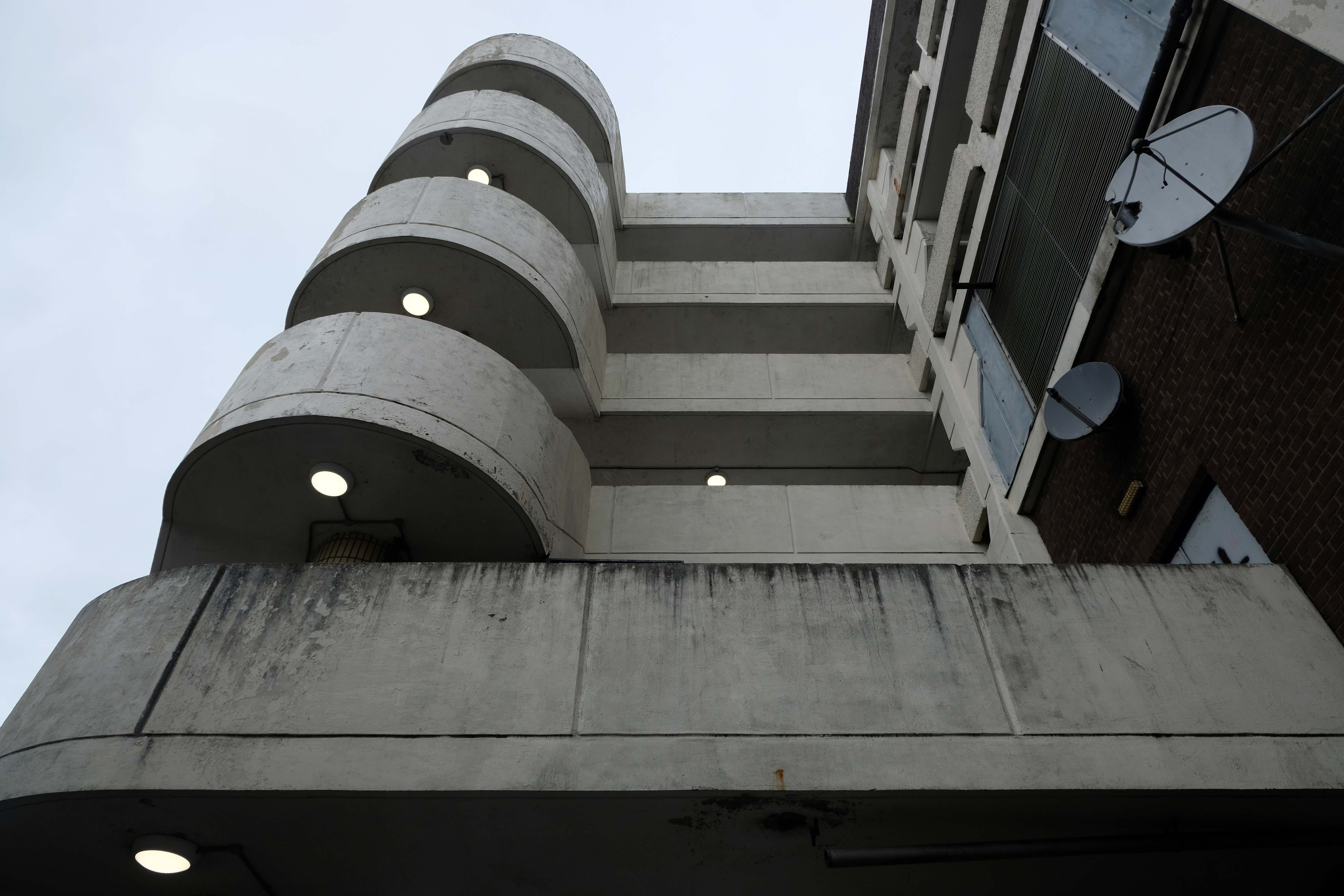
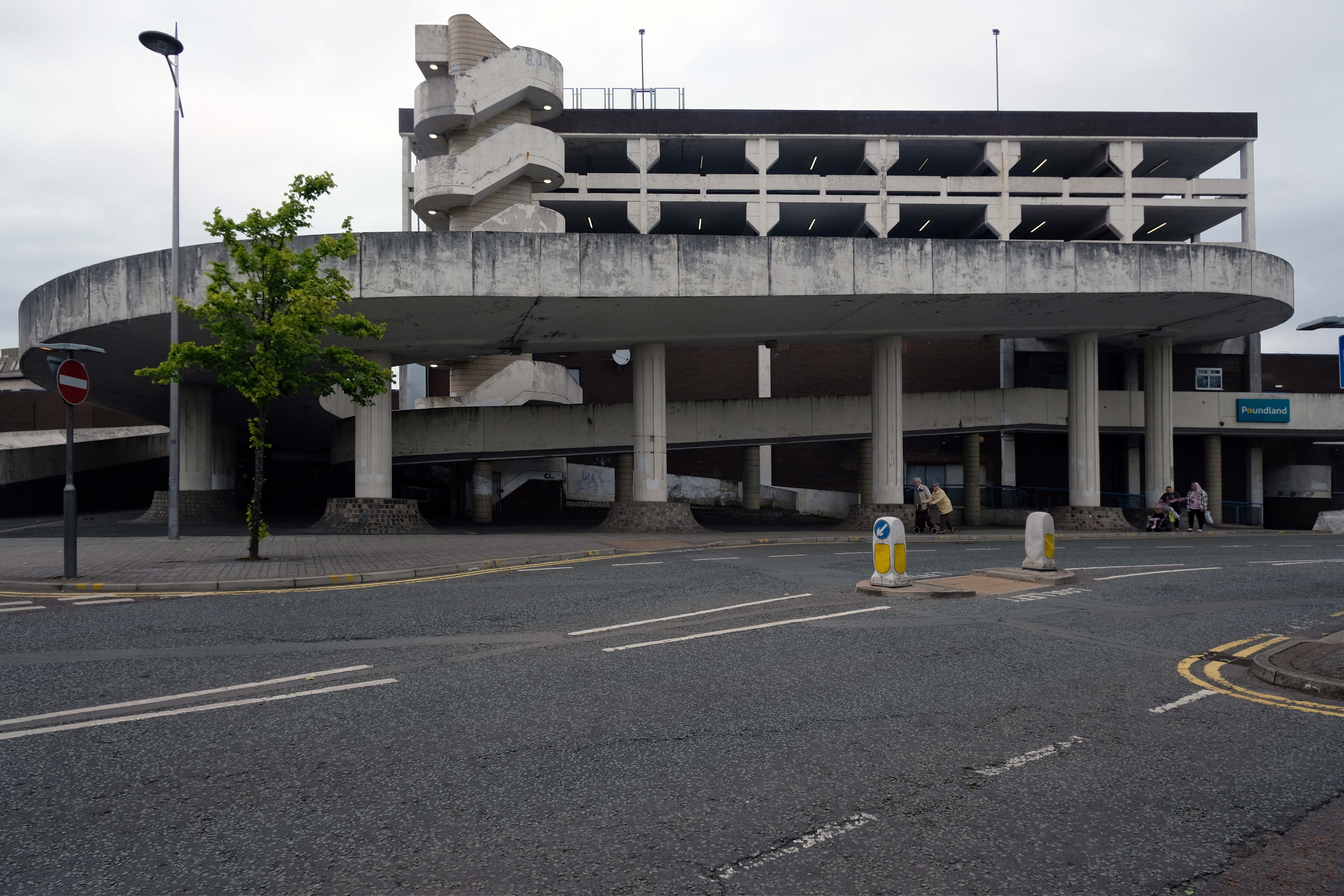
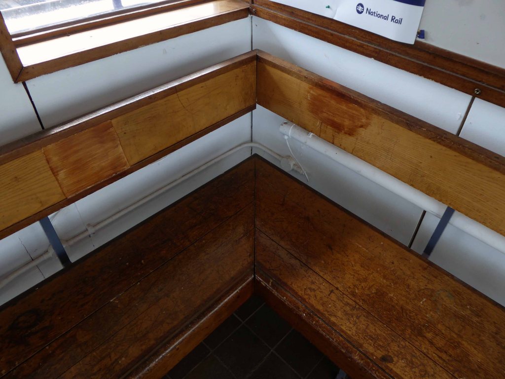
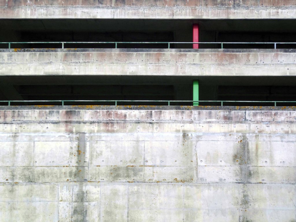
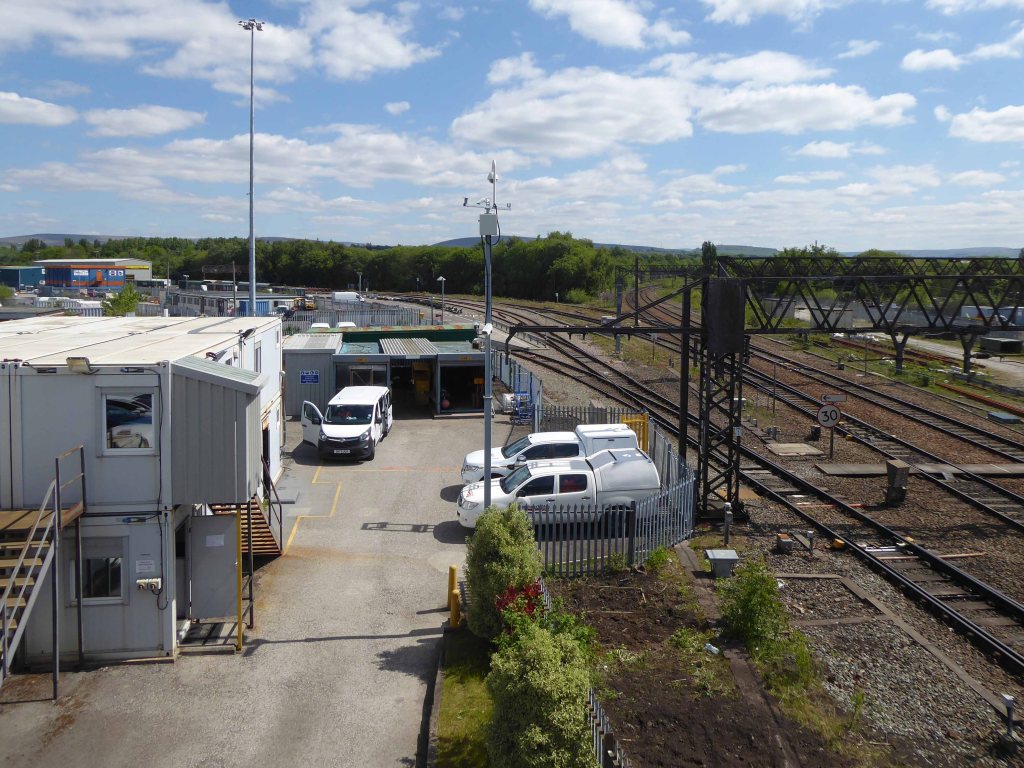
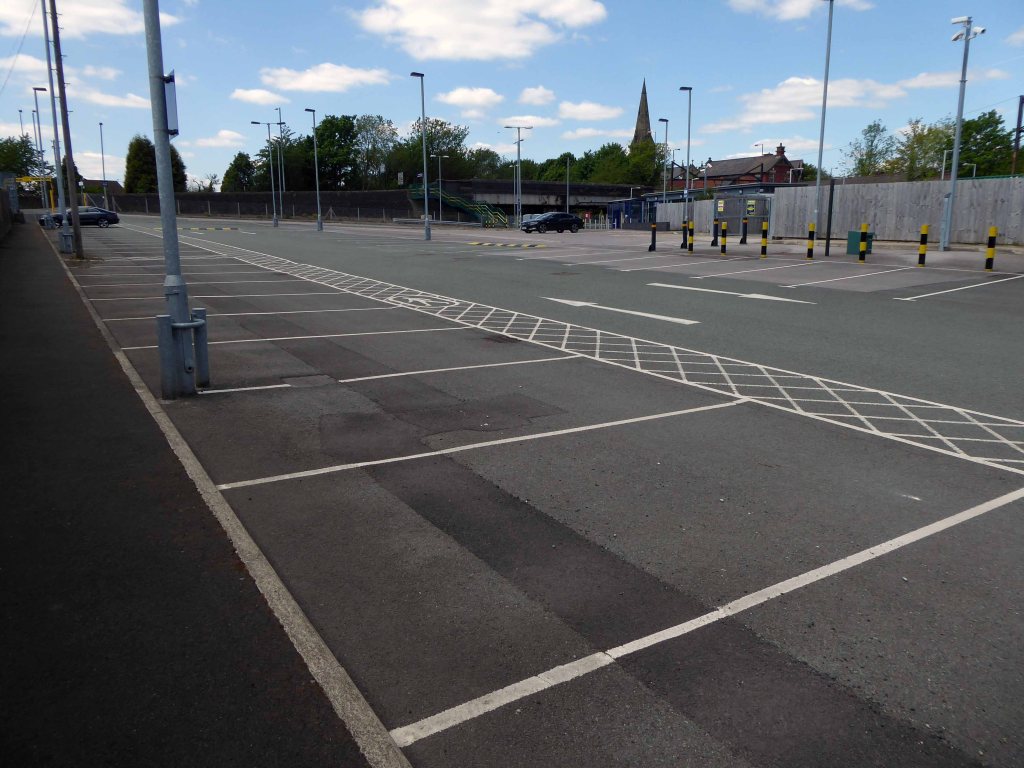
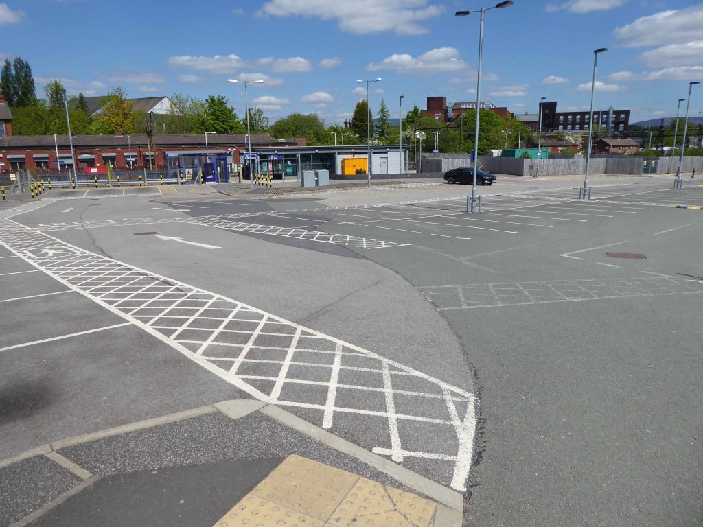
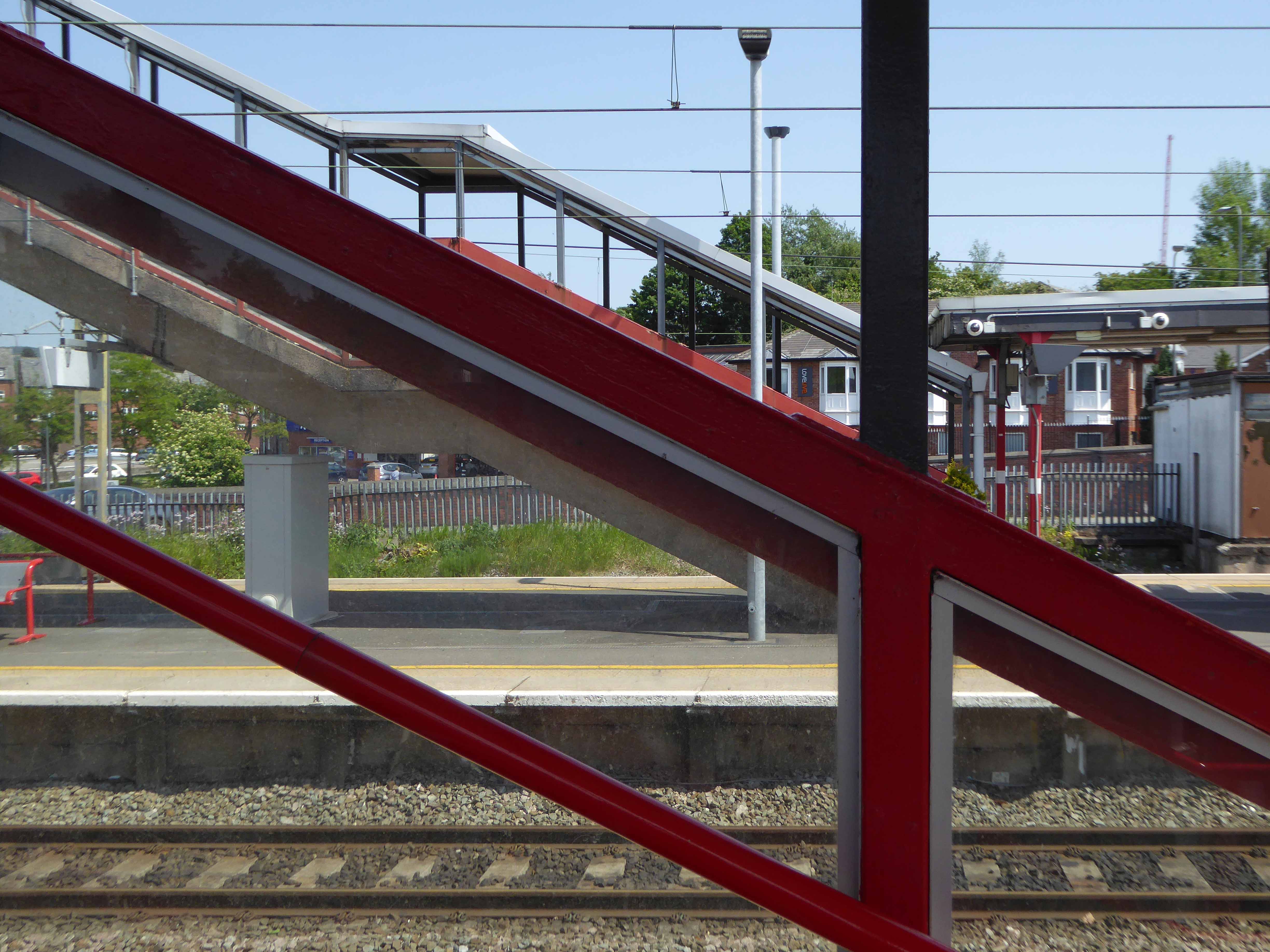
Stafford Station – Multi-Storey Car Park Station Road ST16 2AA
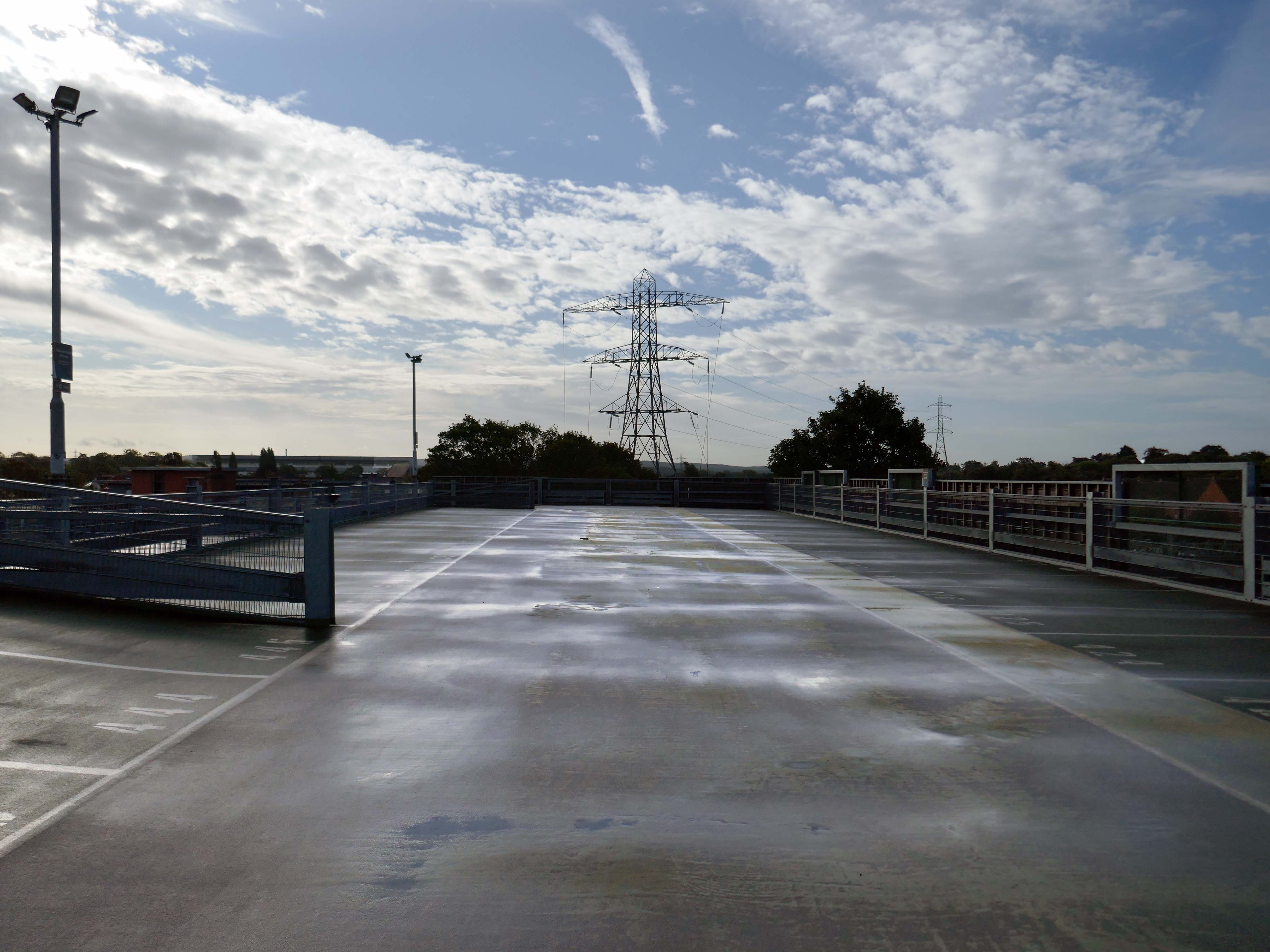
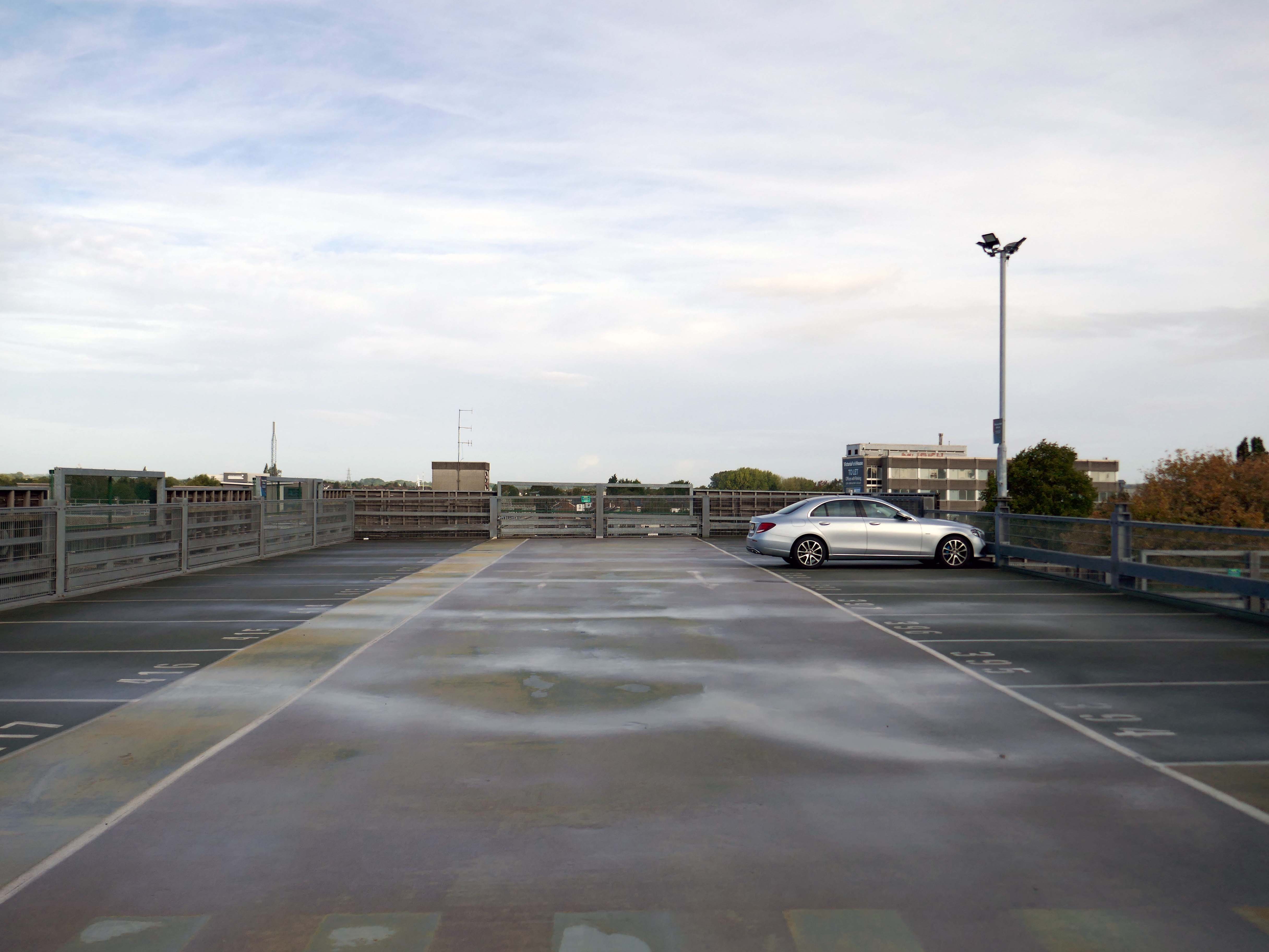
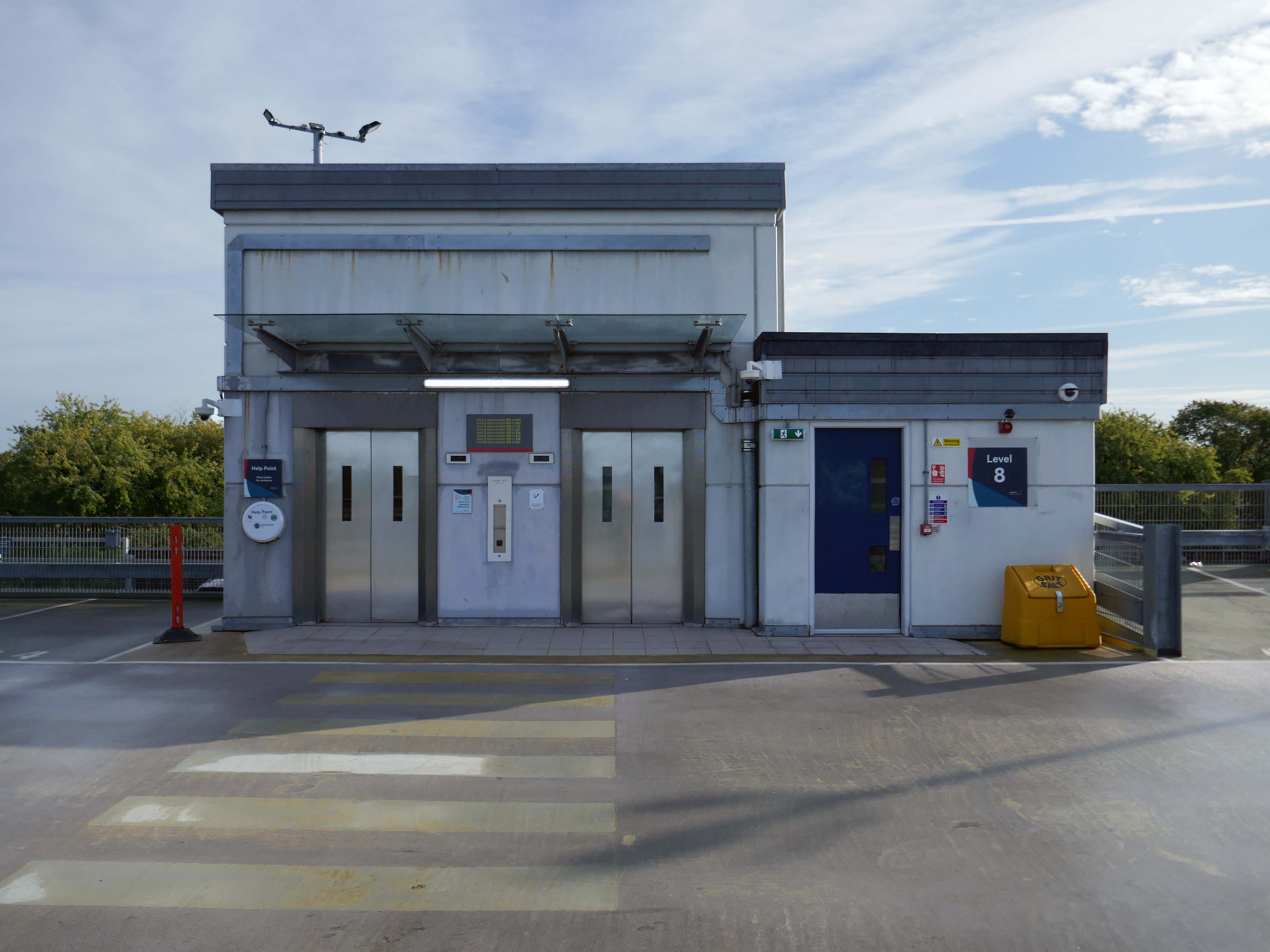
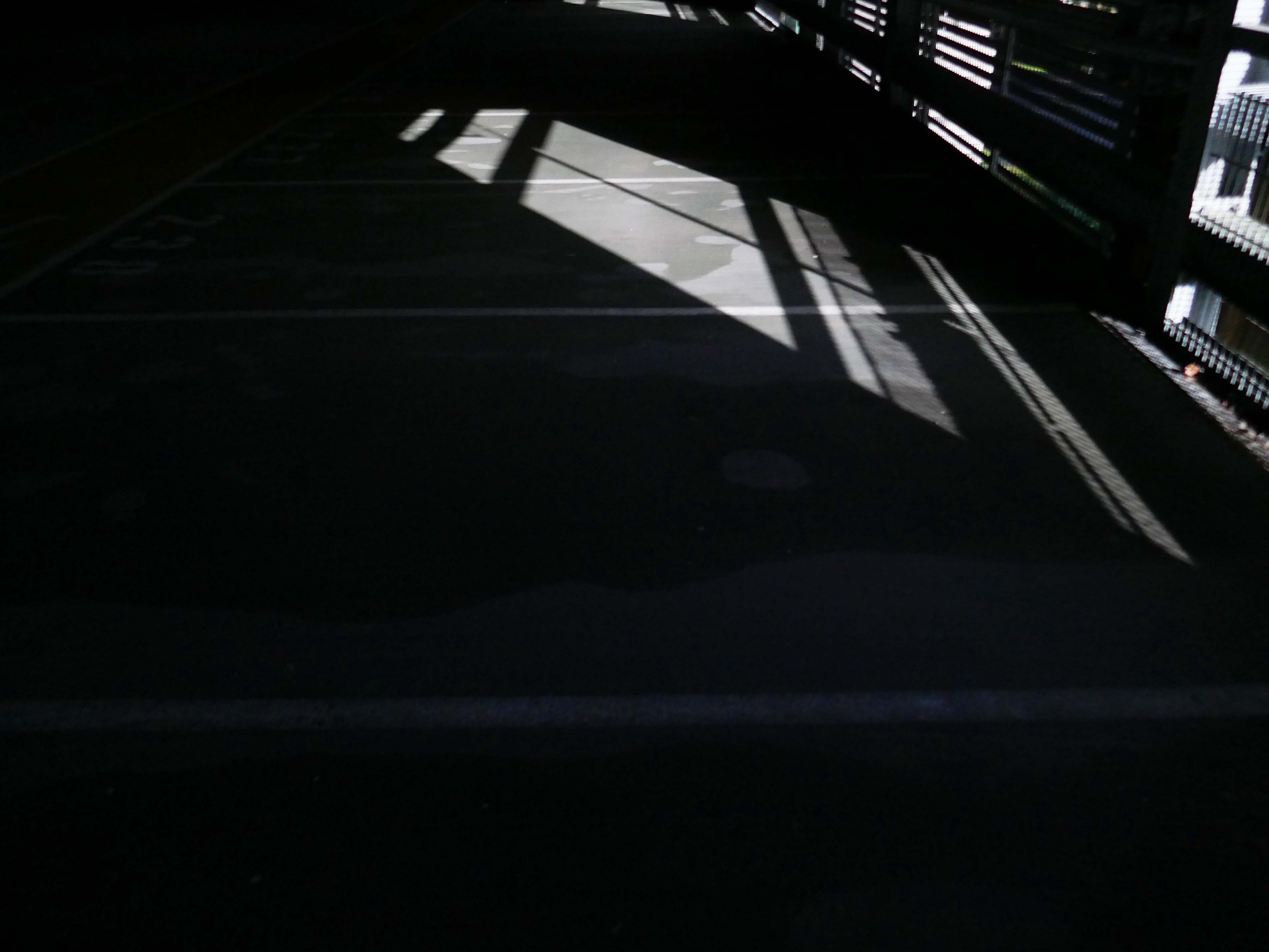
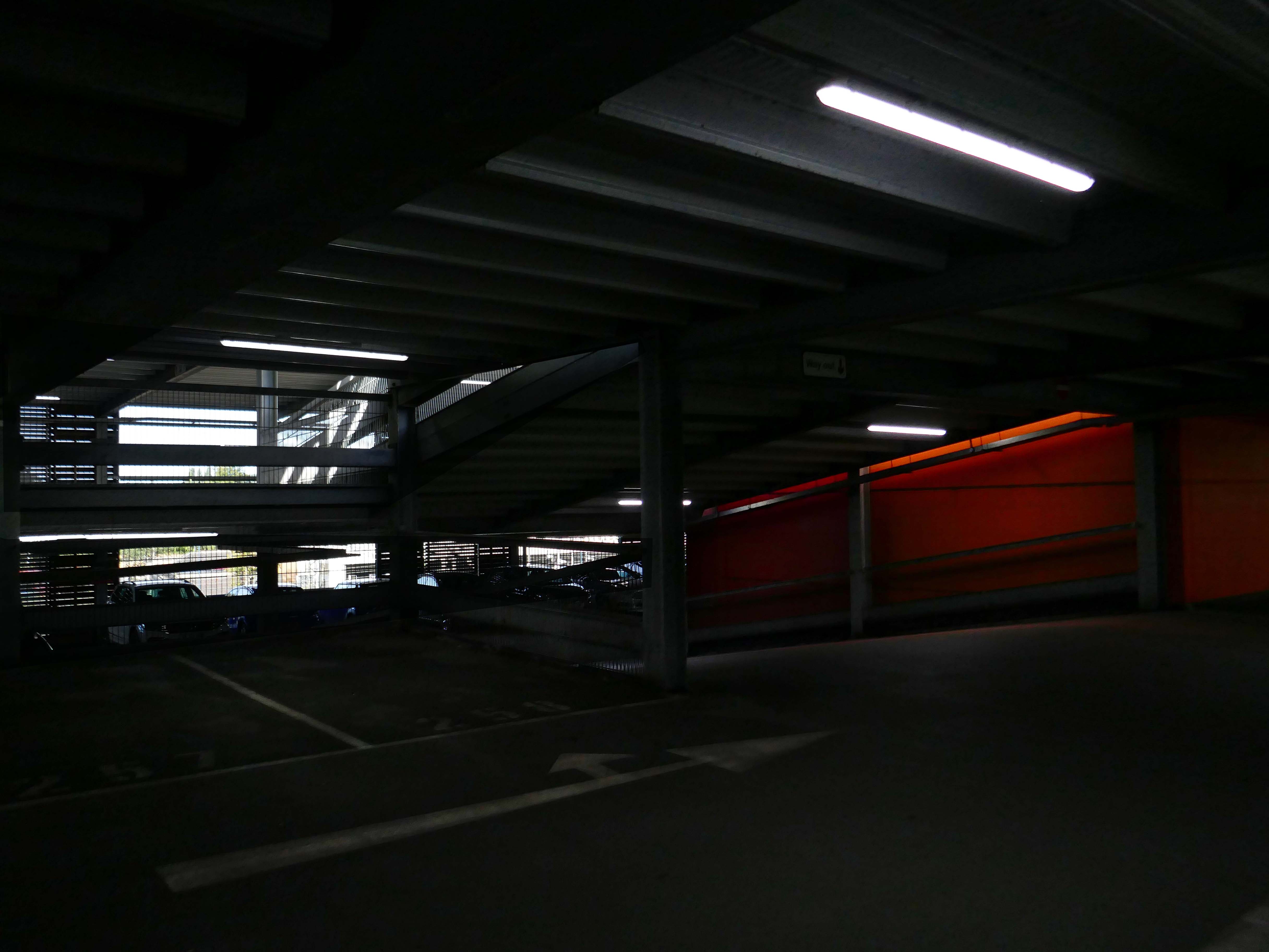
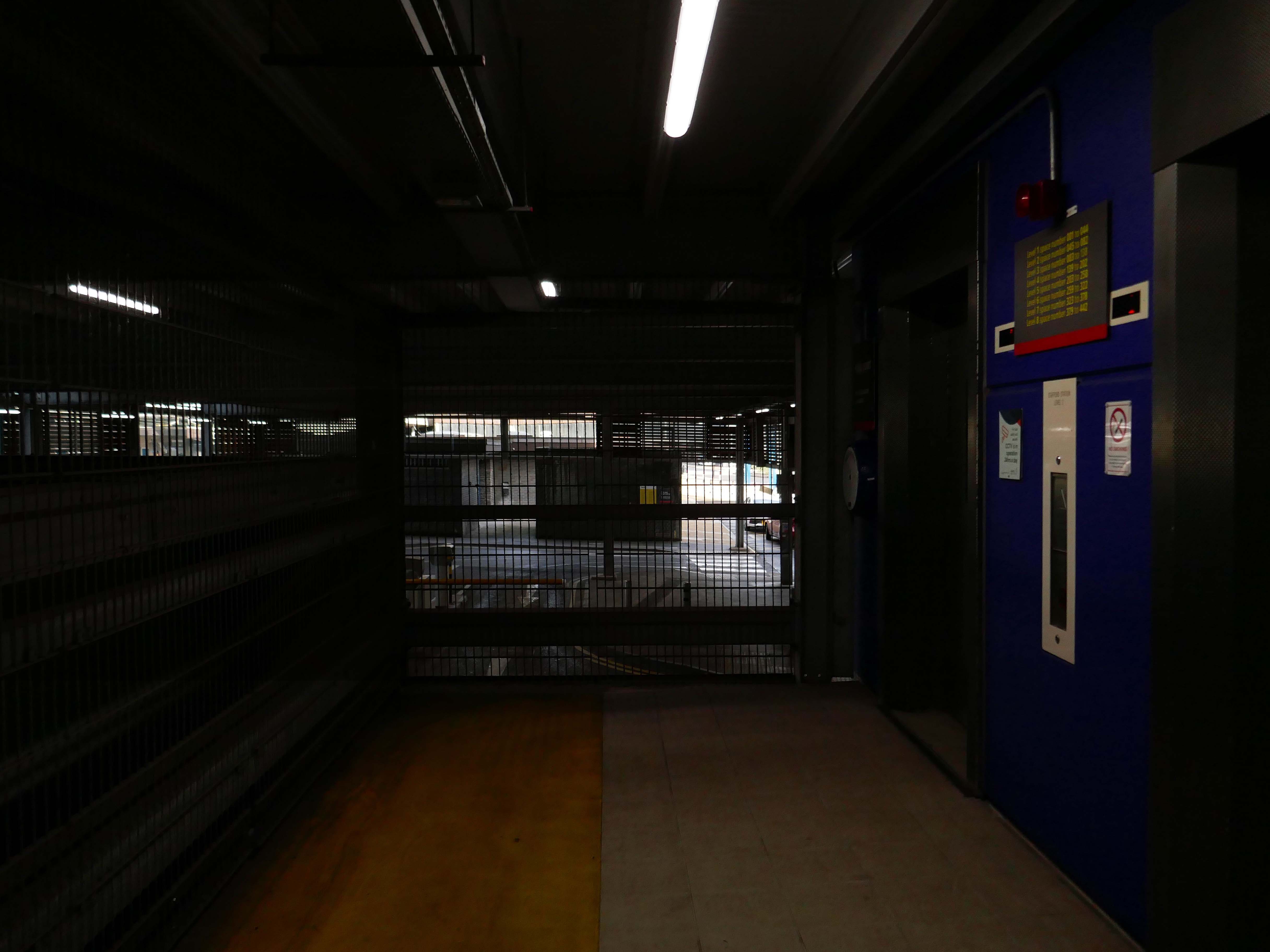
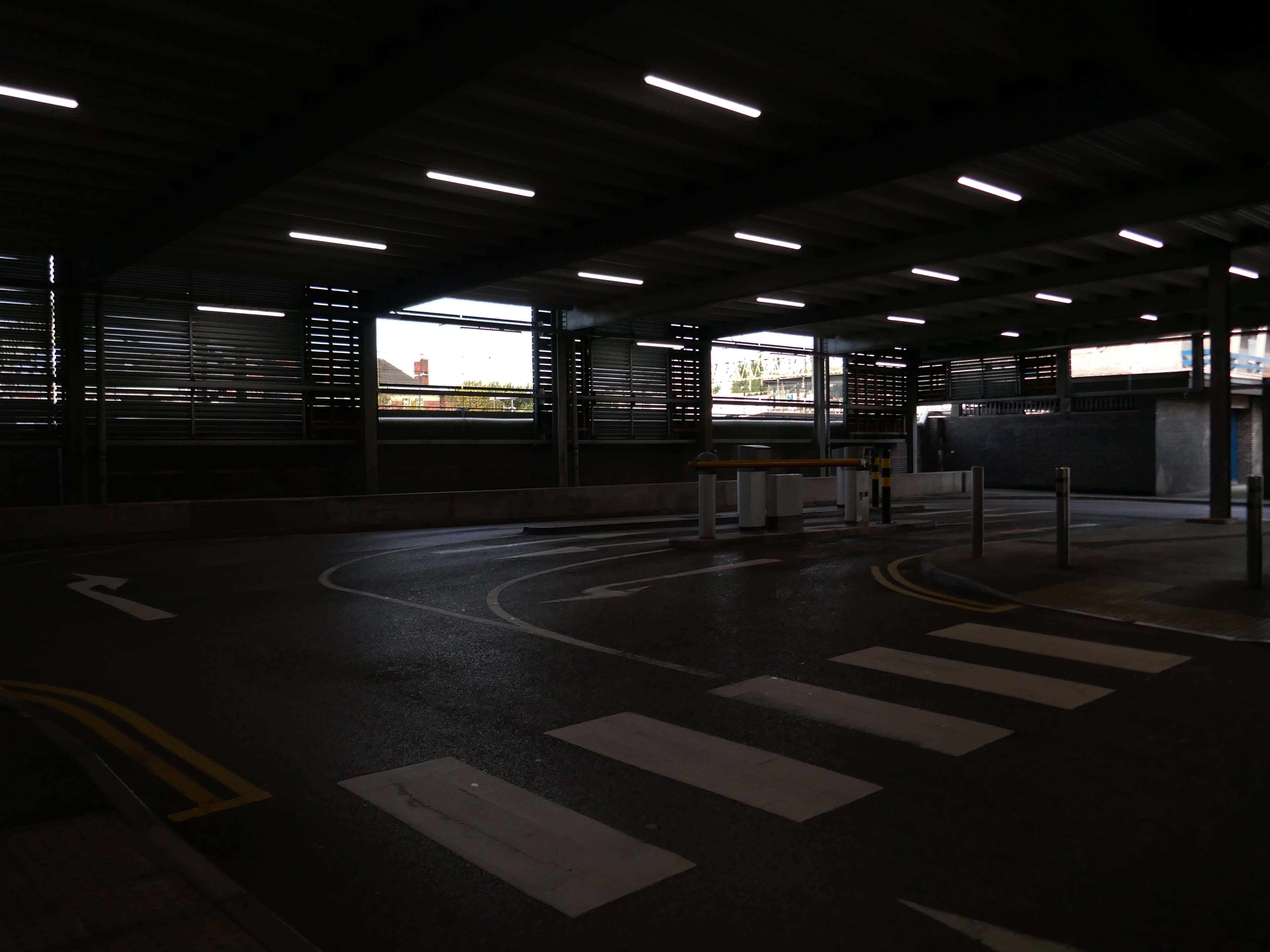
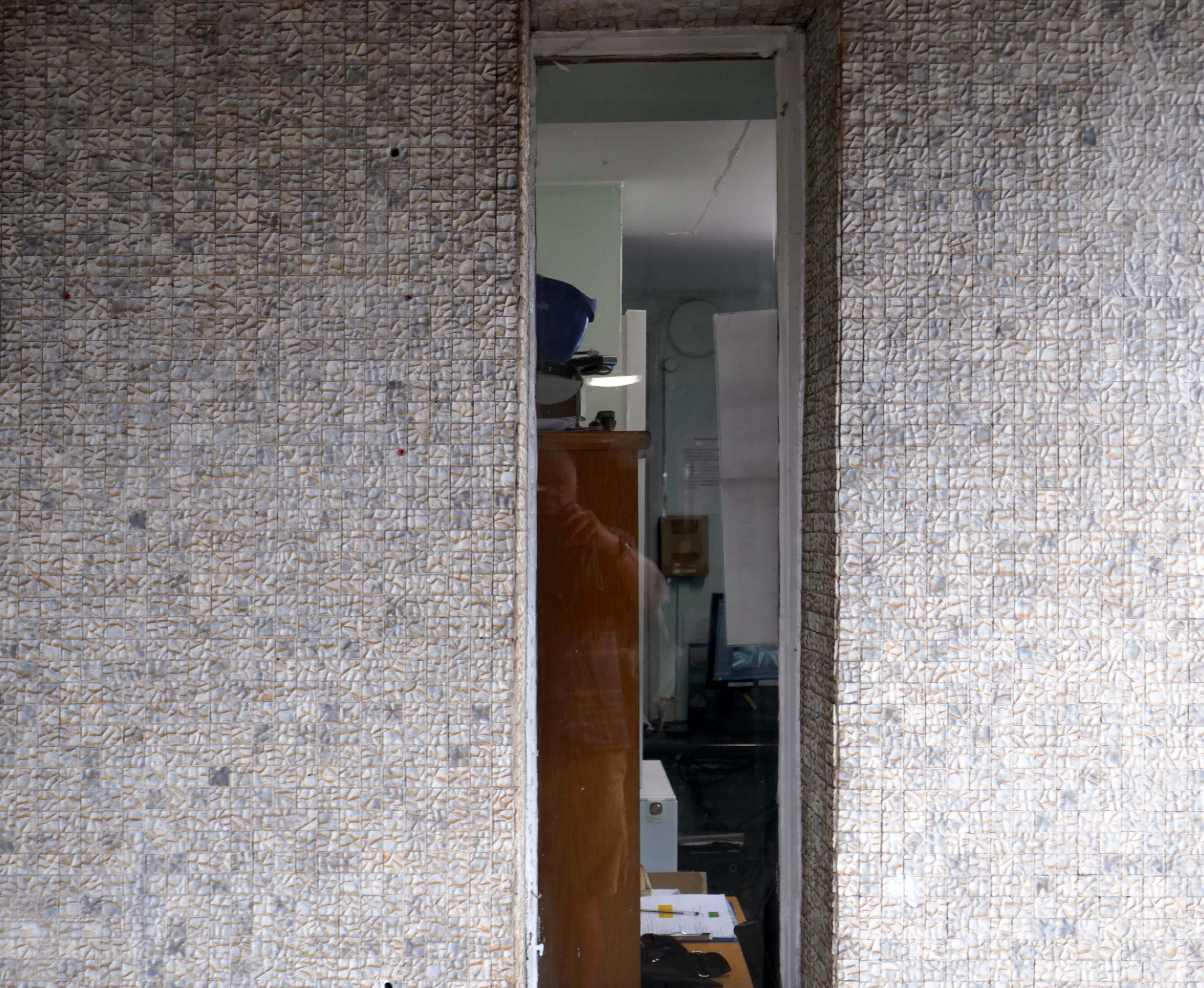
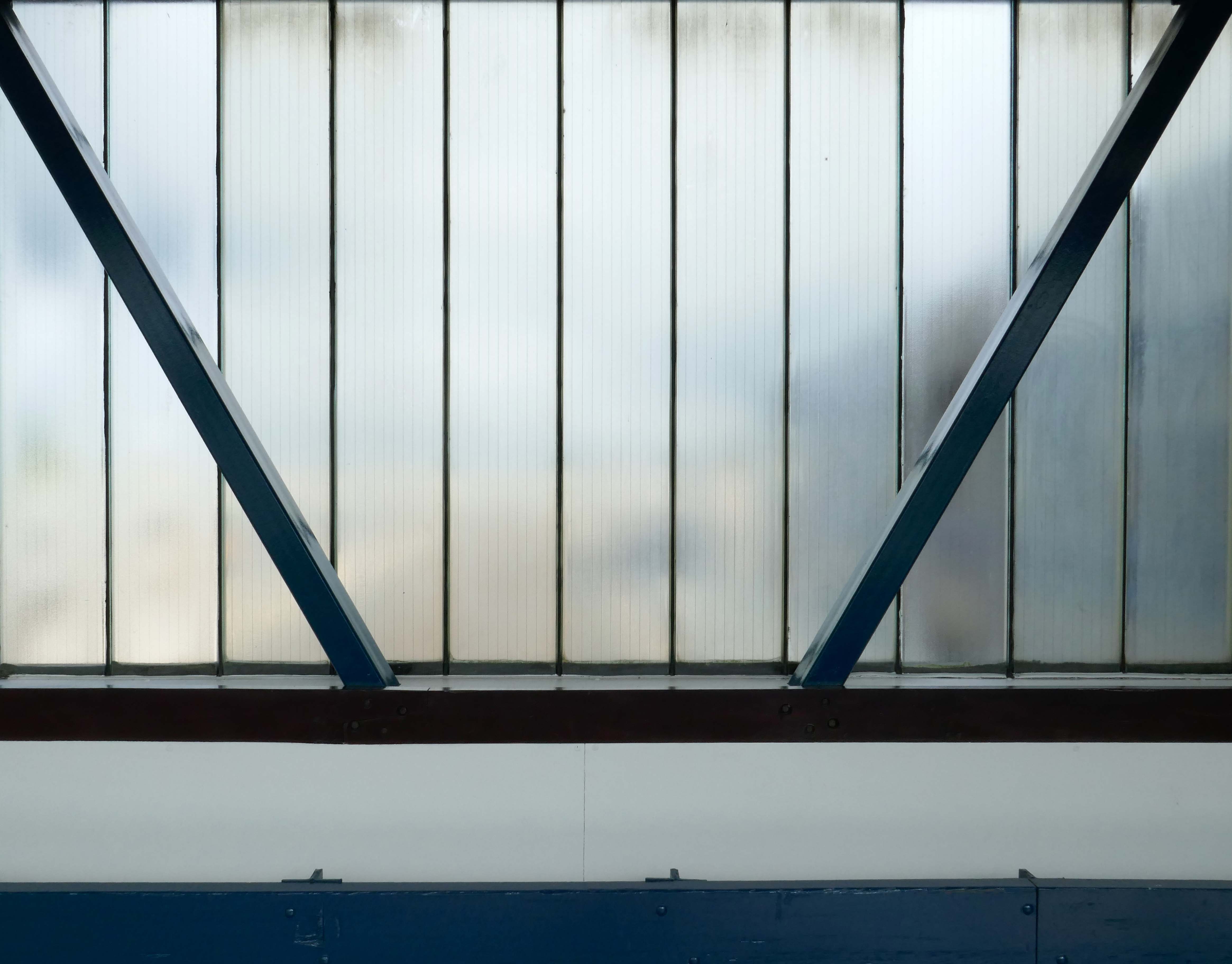
Arriving by train one Saturday morning at the Stafford Station, with time on my hands, I thought to take a look at the adjacent multi-storey car park.
As a pedestrian I found it to be first rate, clean and well signed and designed, easy access by both stairways and lifts, affording panoramic views of the town.
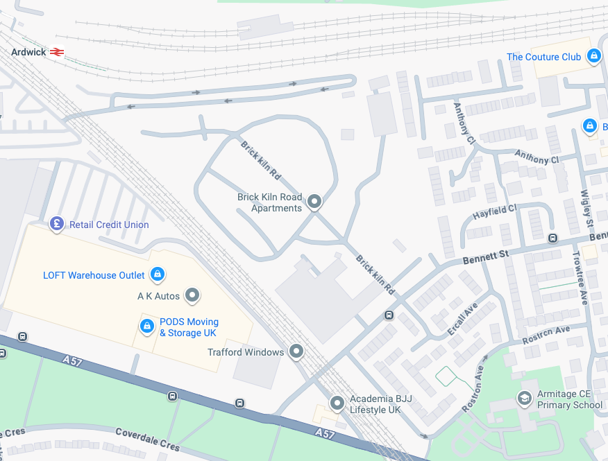
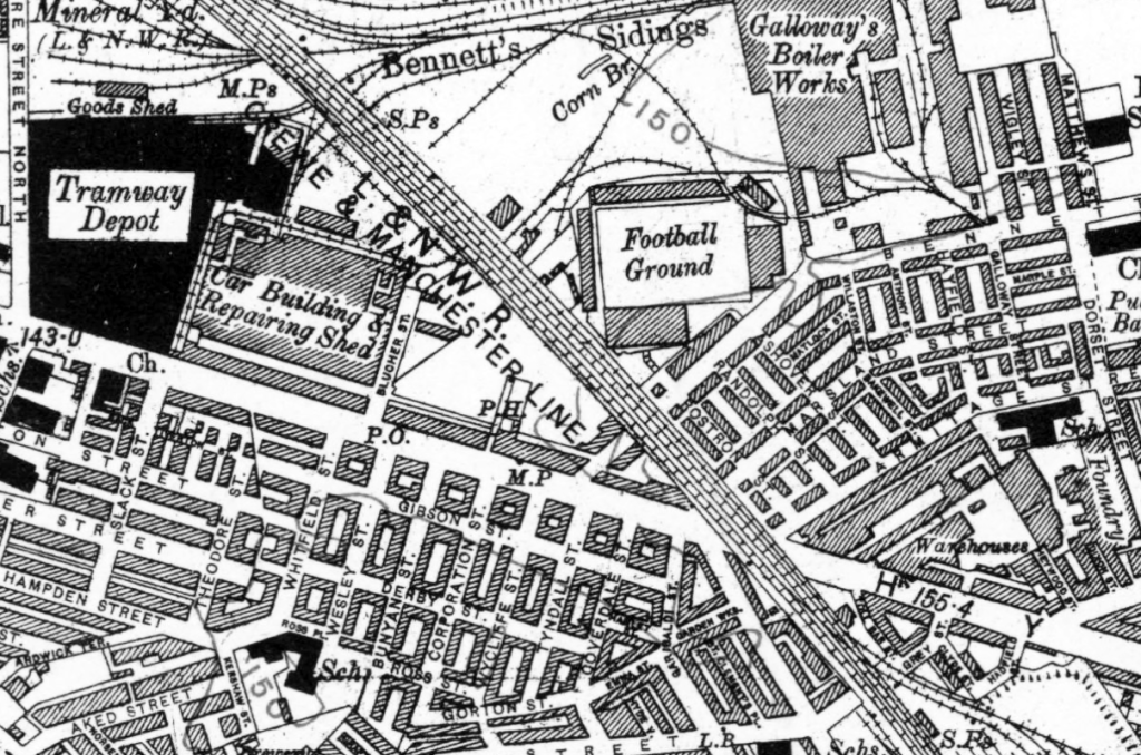
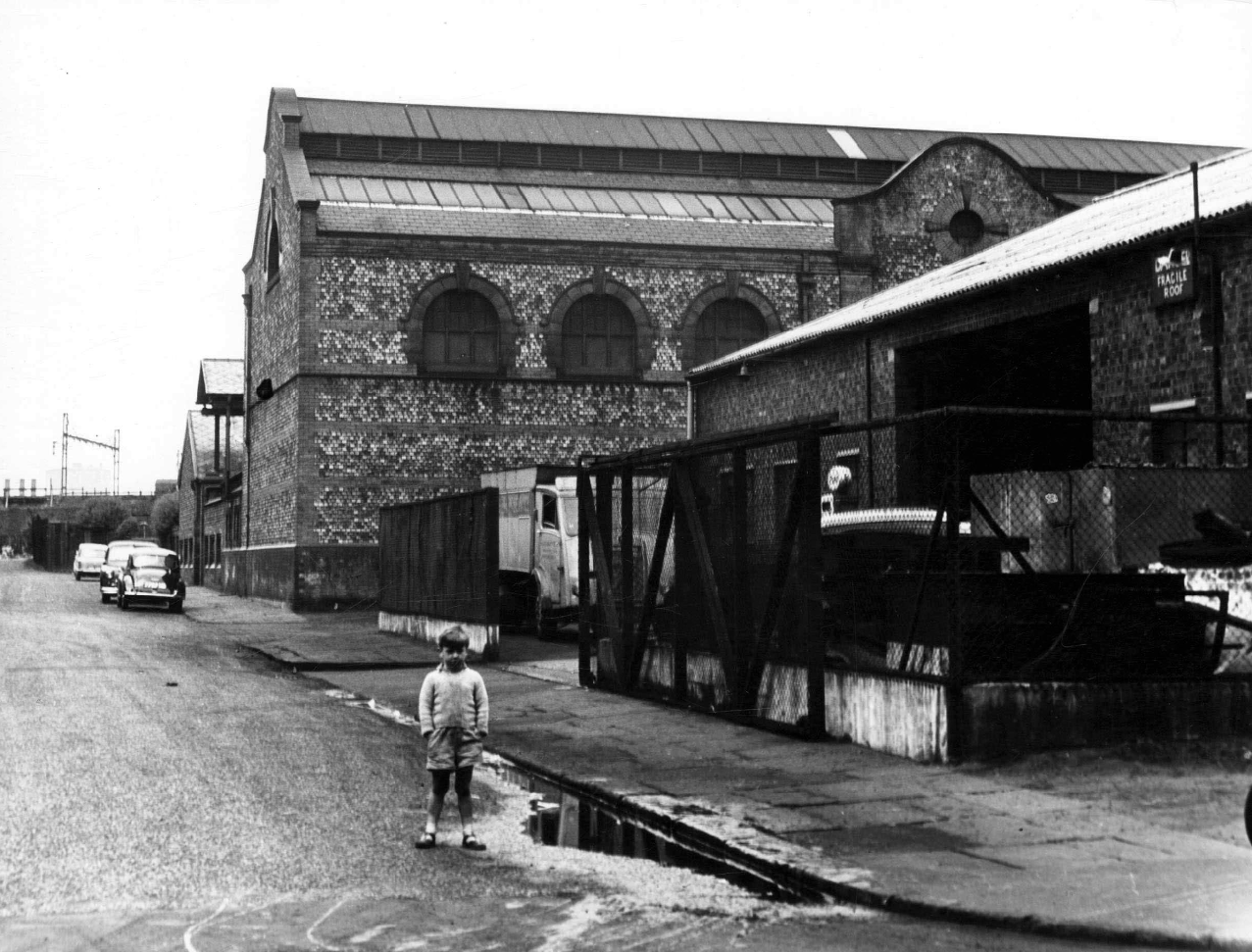
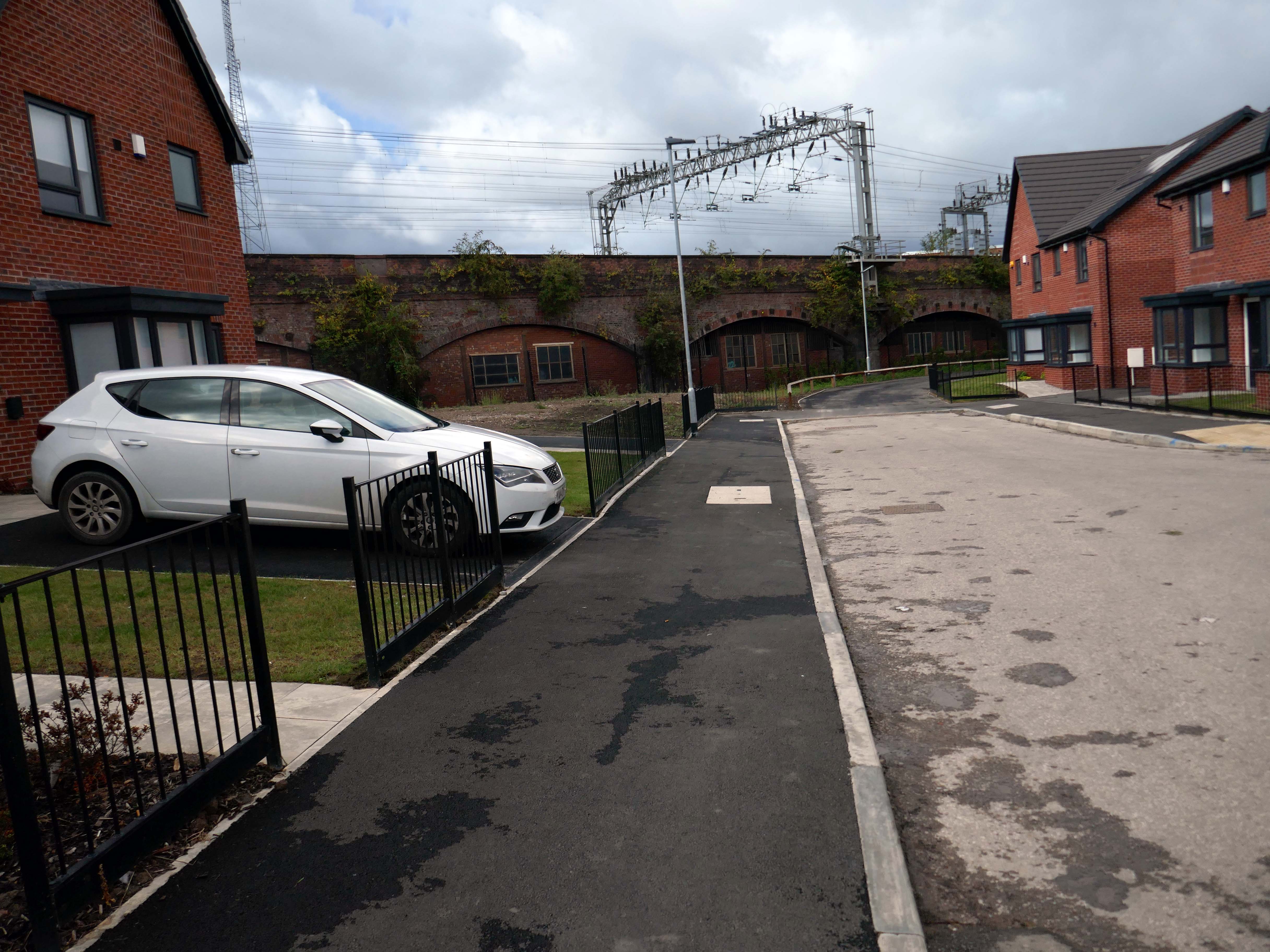
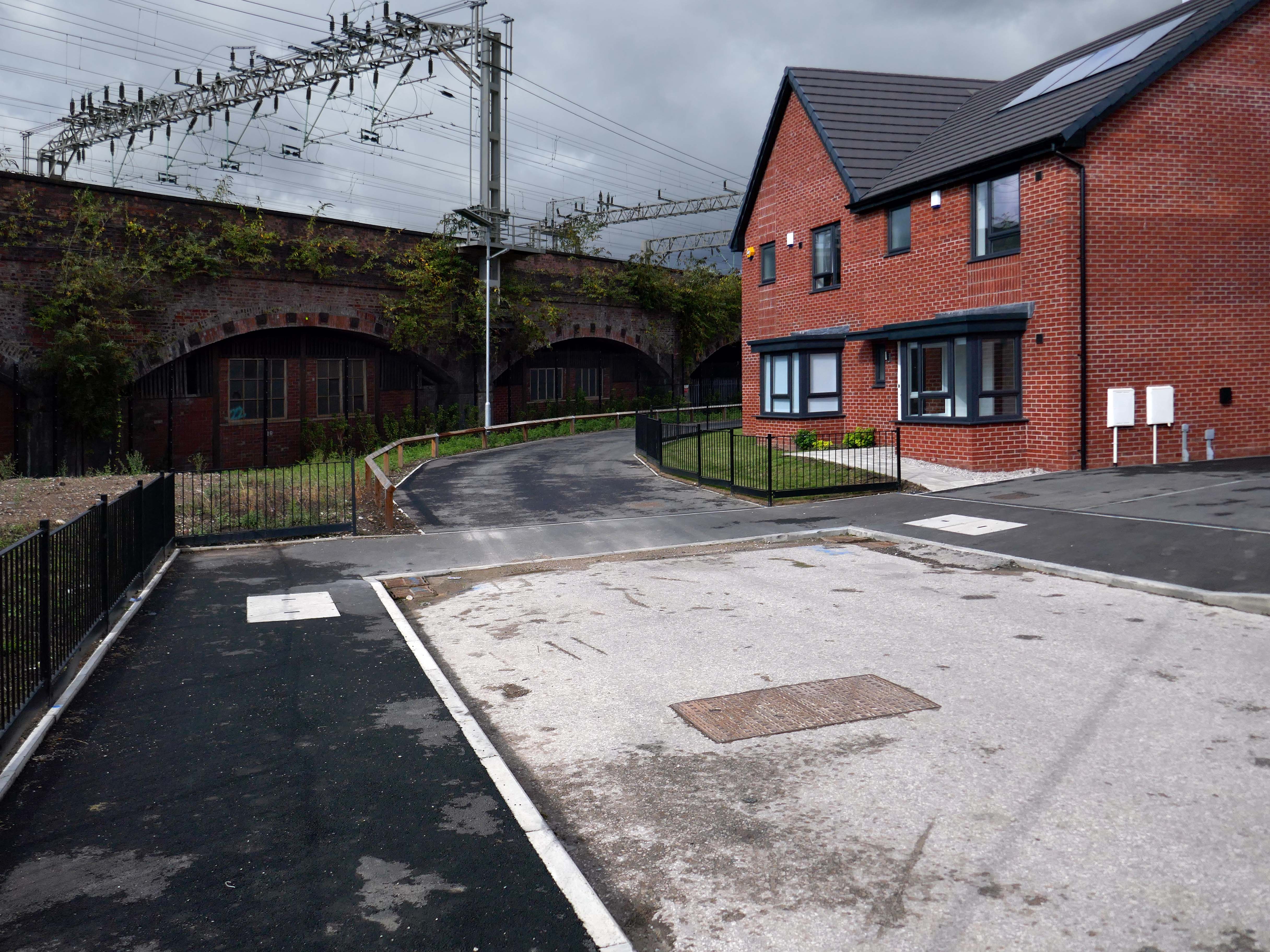
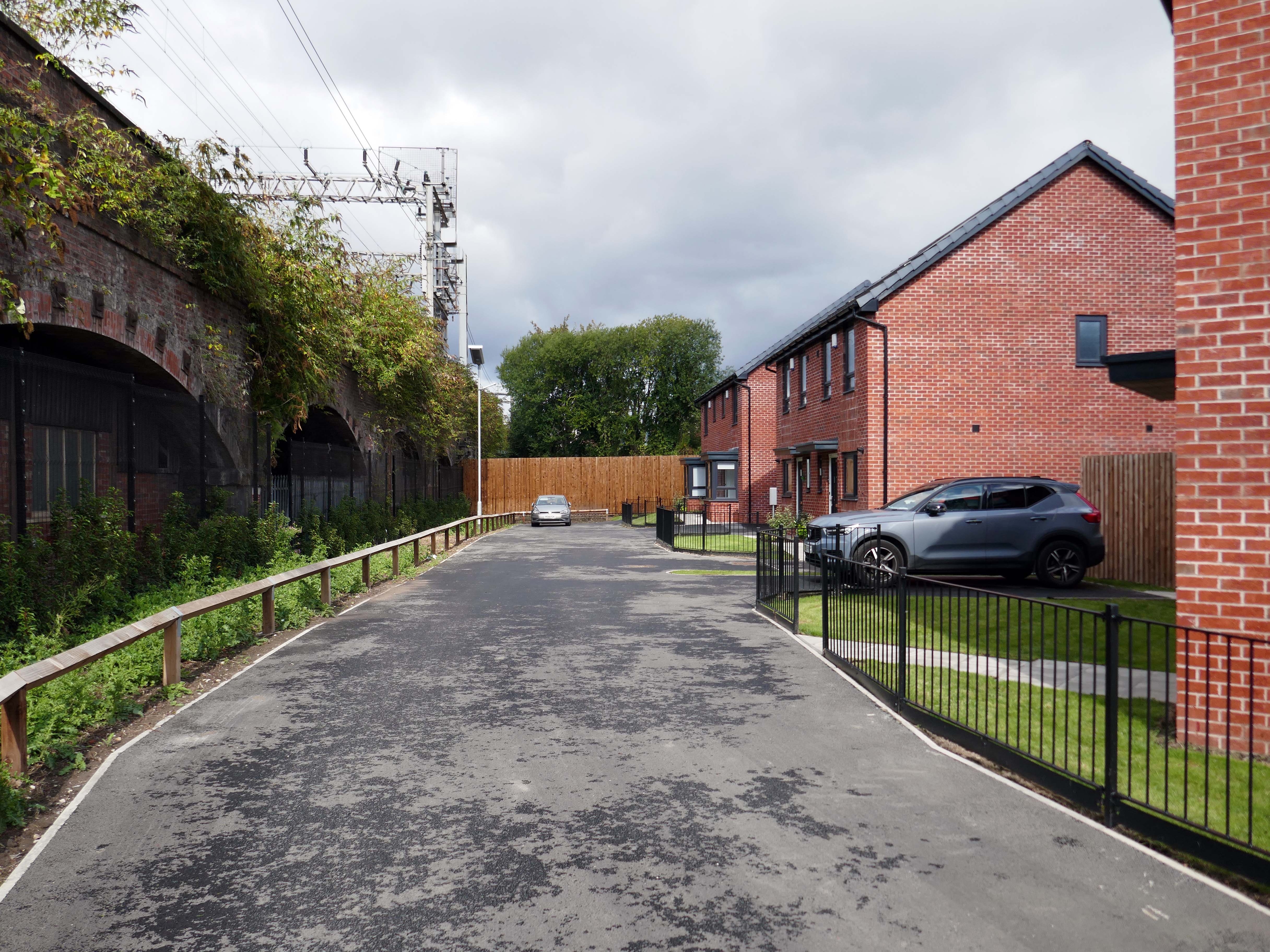
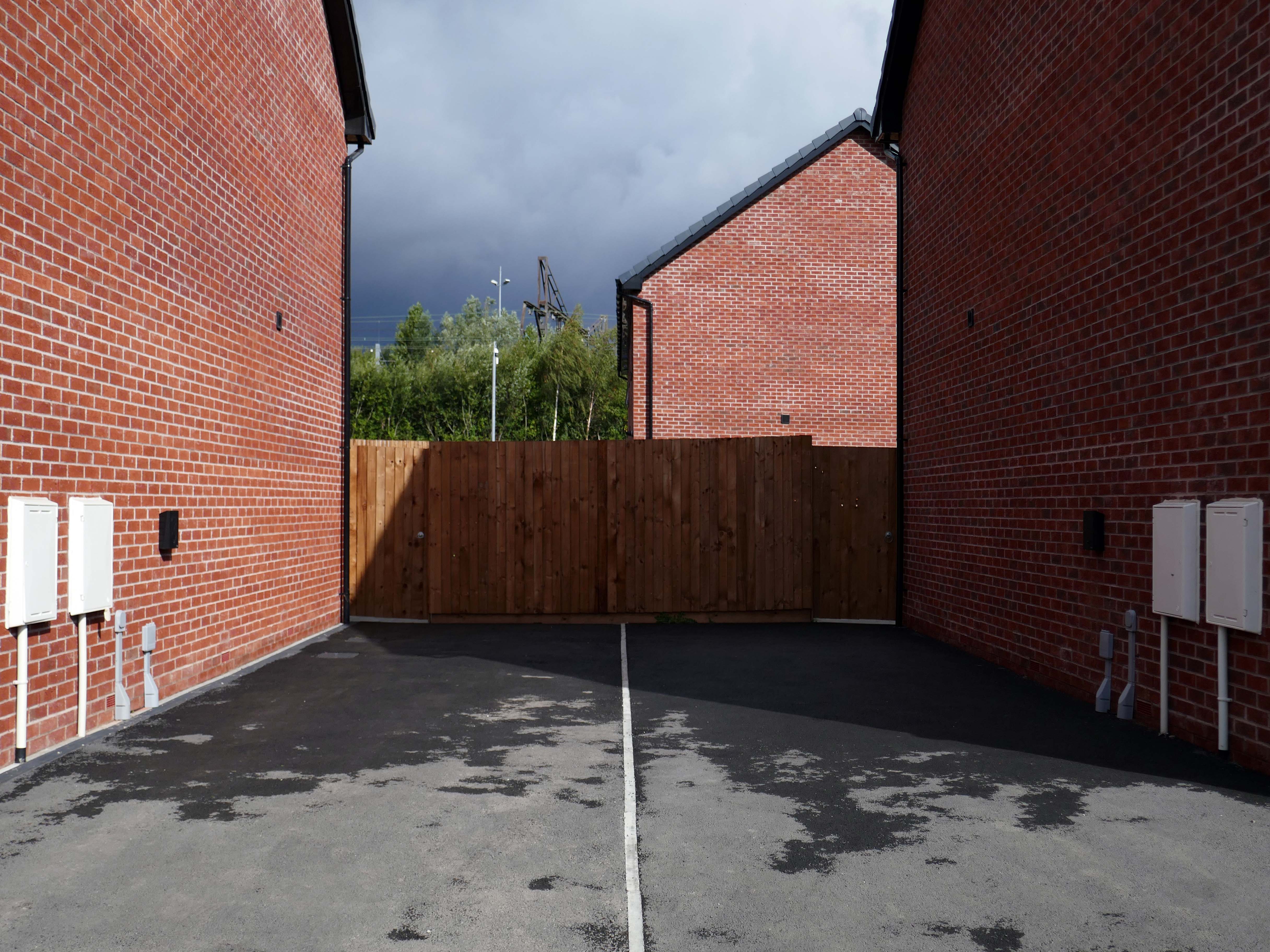
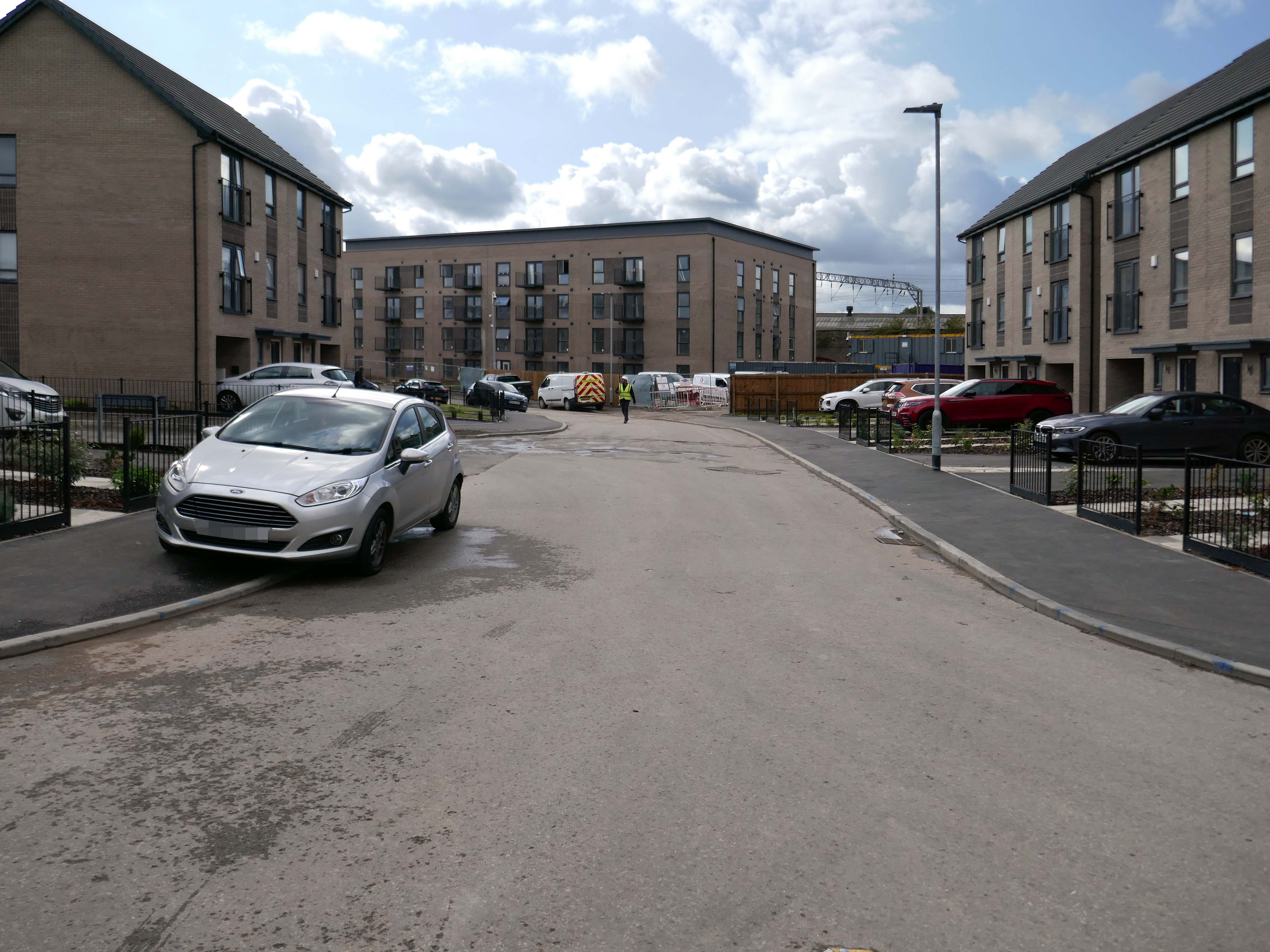
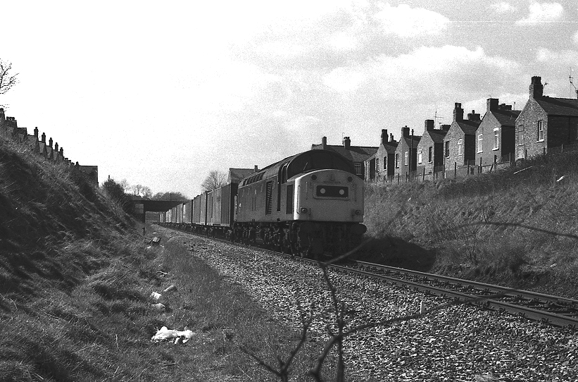
I have been here before recording the history ofManchester City FC on this site.
A football stadium surrounded by railways, roads, homes and industry.
The area is now much changed, though the railways and roads remain, the homes are in a state of flux.
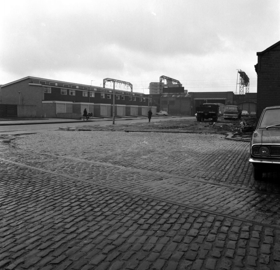
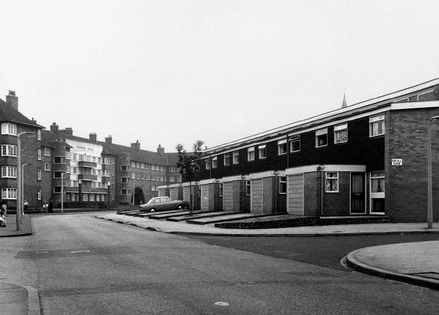
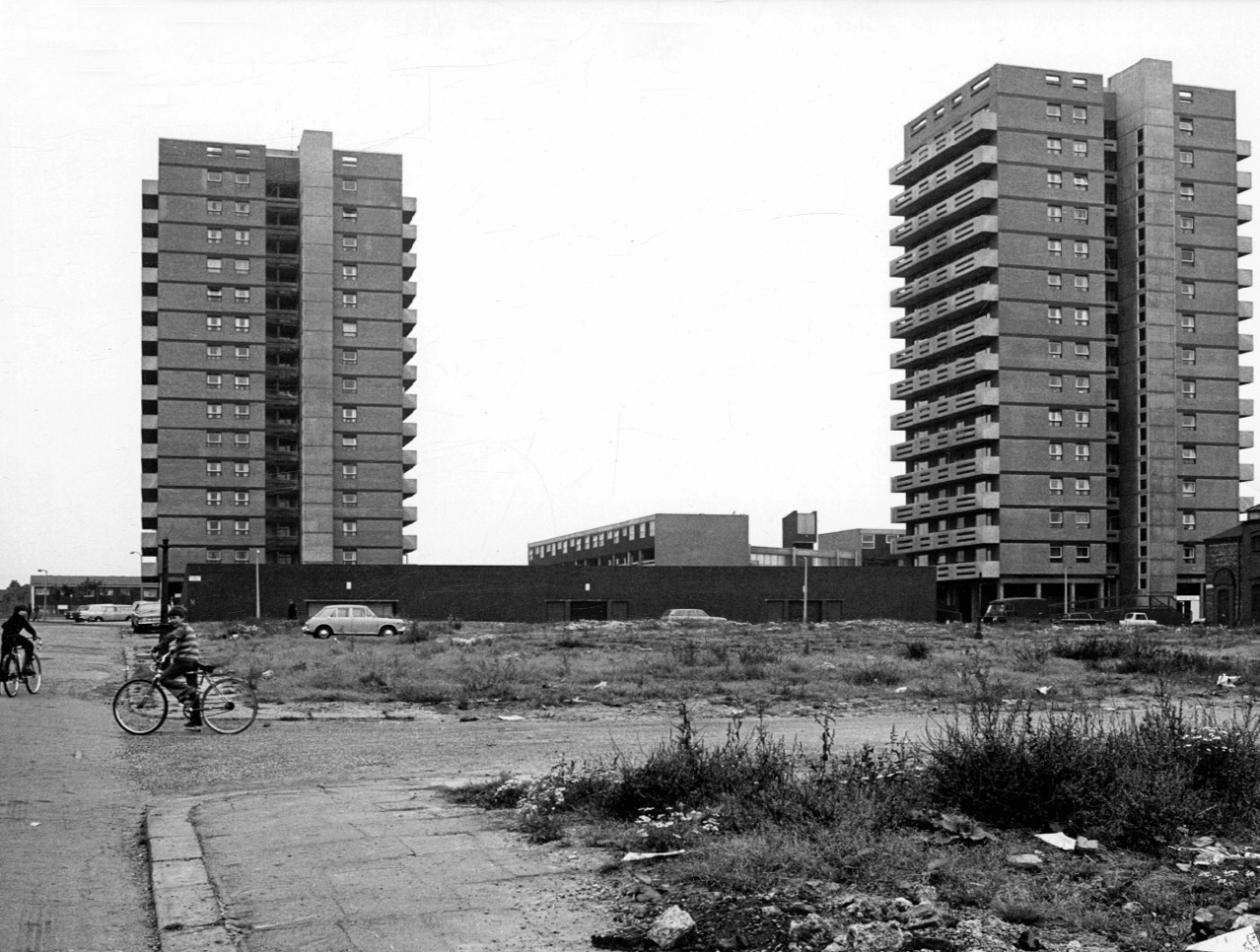
Local Image Collection: Bennett Street with Heywood House 1972 – photo Anne Jackson.
Local Image Collection: Wenlock Way flats taken from Bennett Street – Photo Ben Garth 1972
Local Image Collection: Matthews Street from Bennett Street 1964 – Photo Thomas Brooks
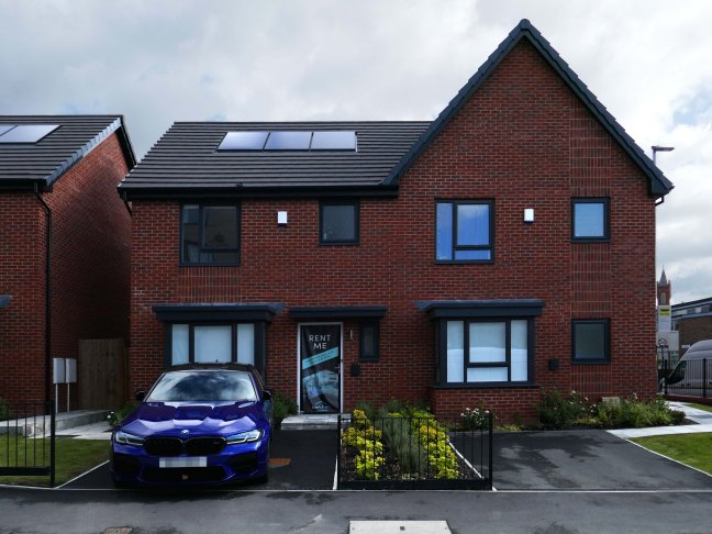
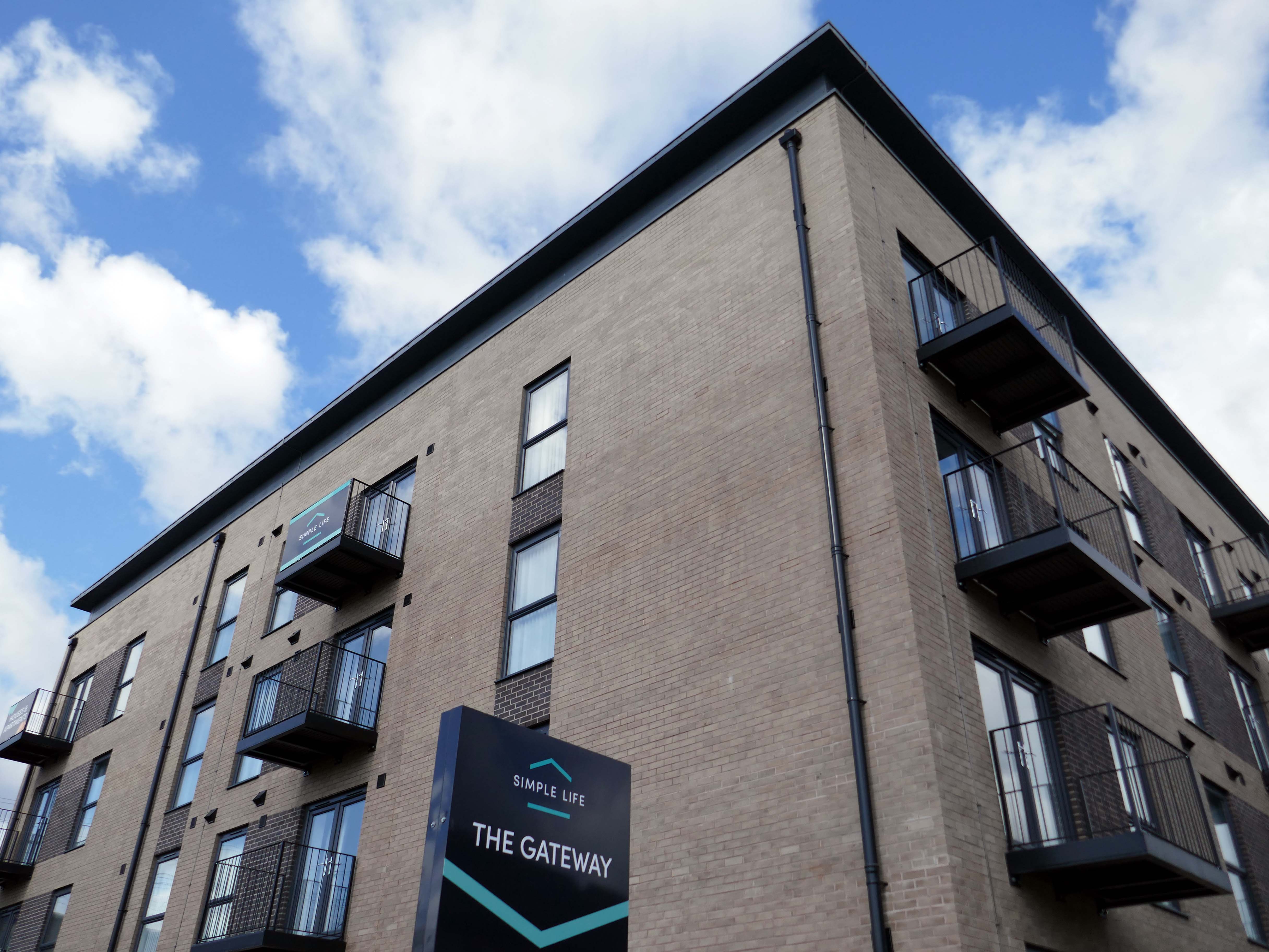
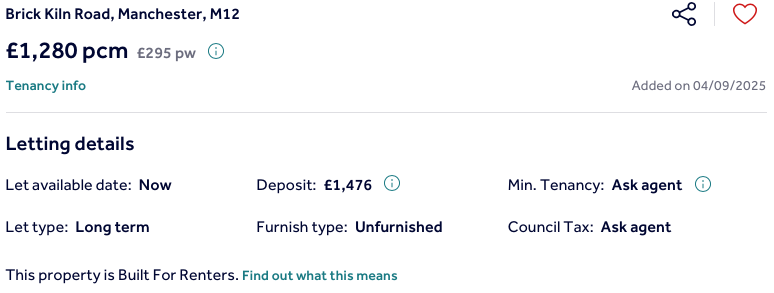
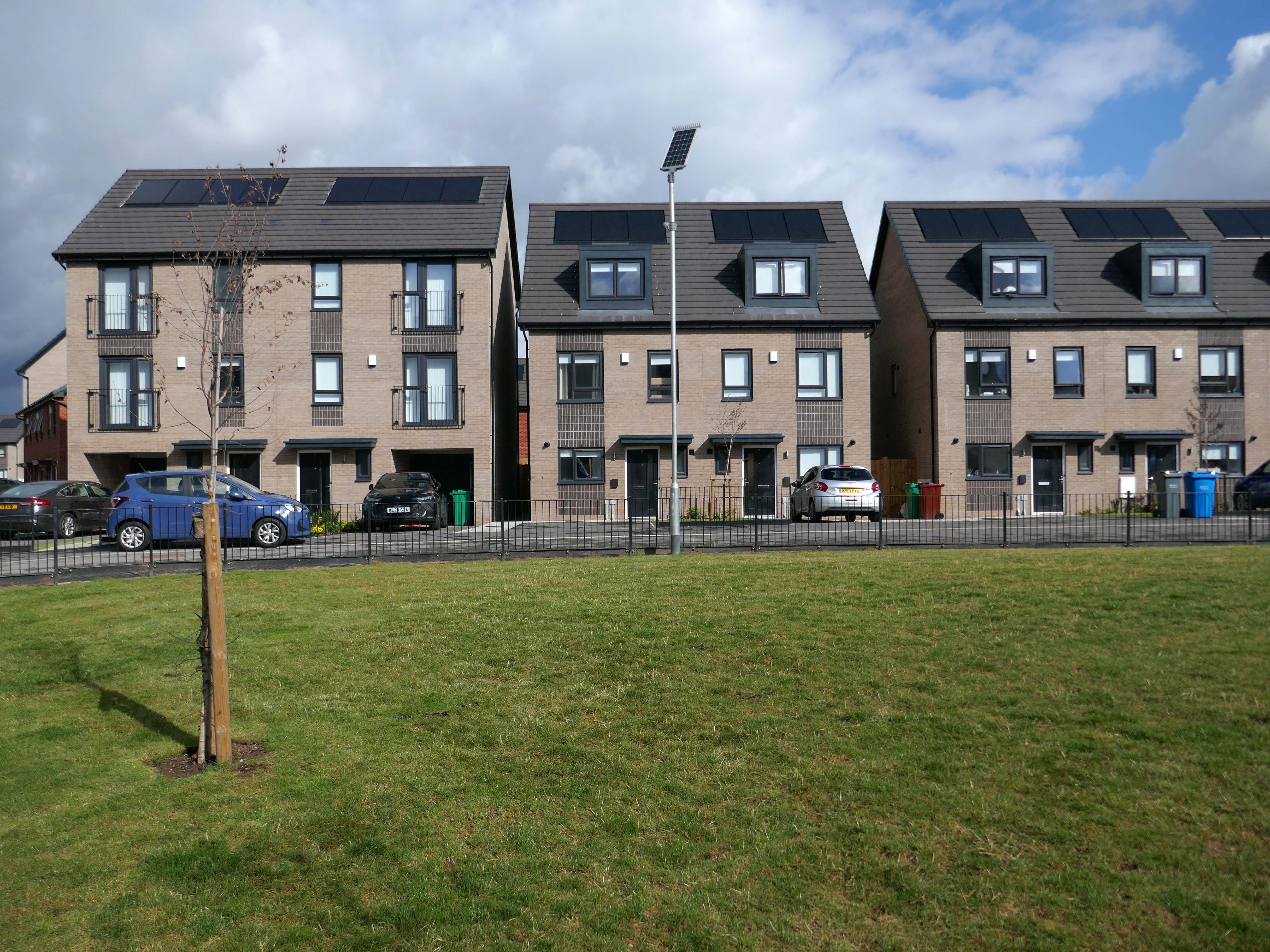
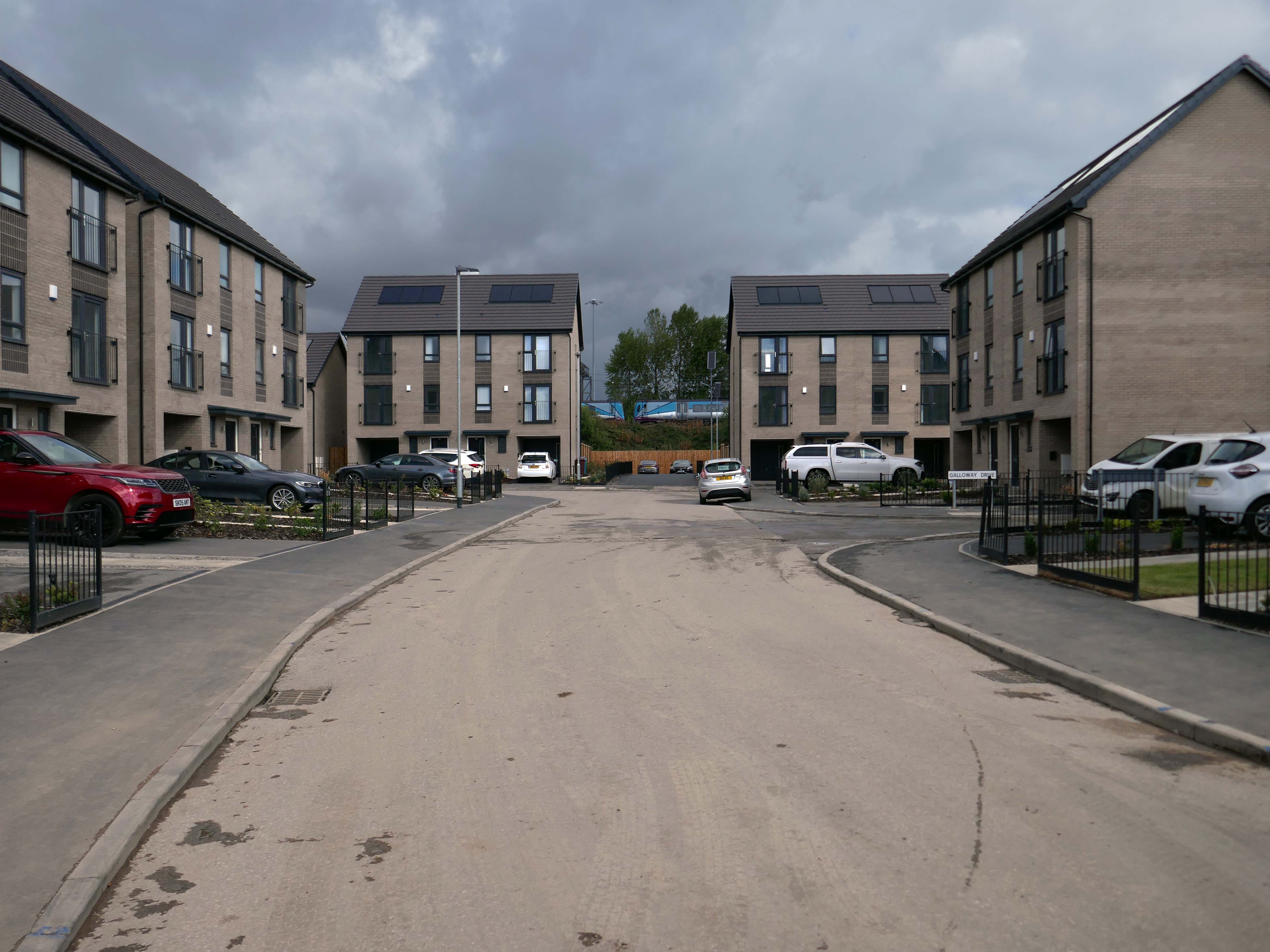
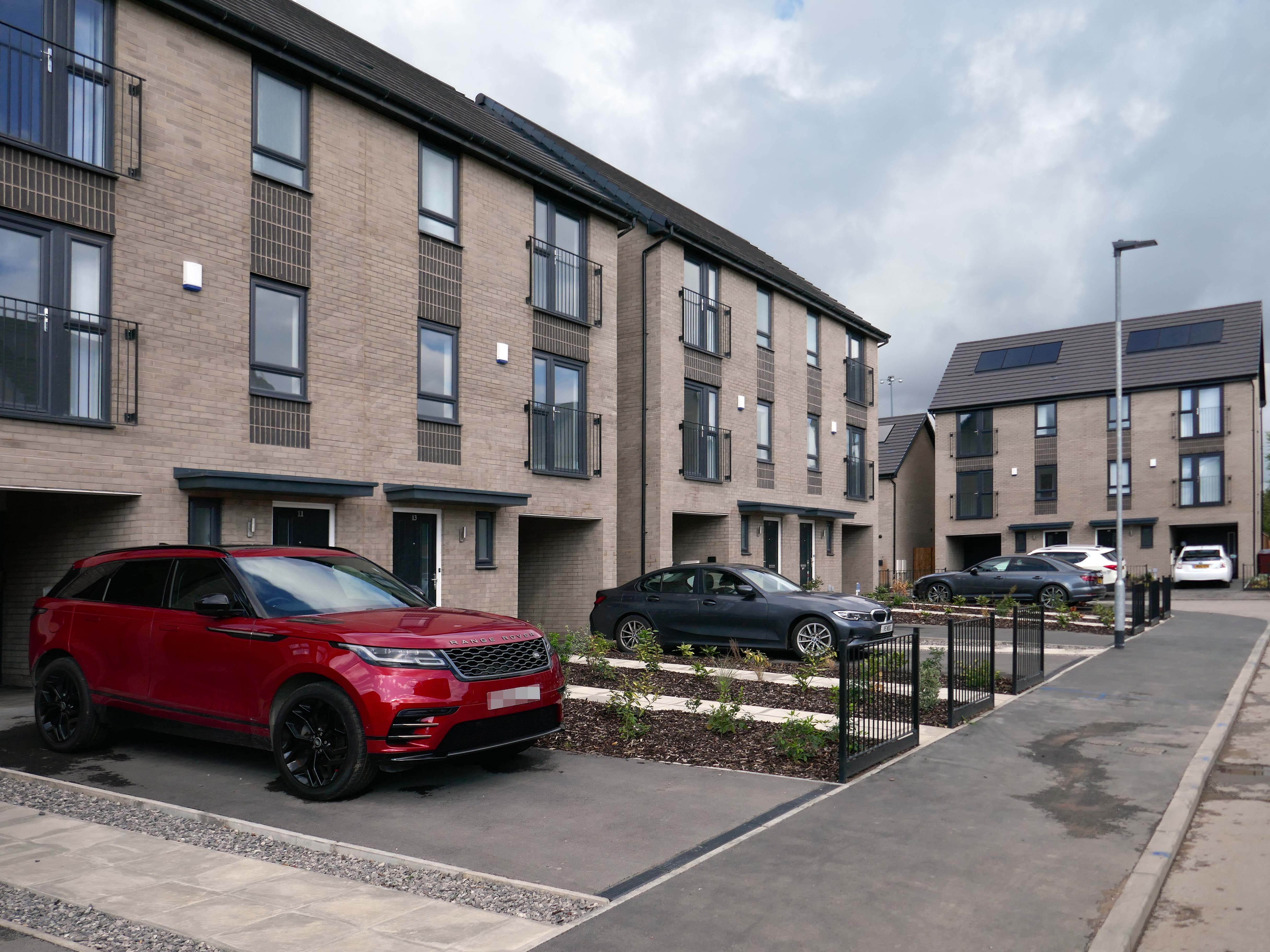
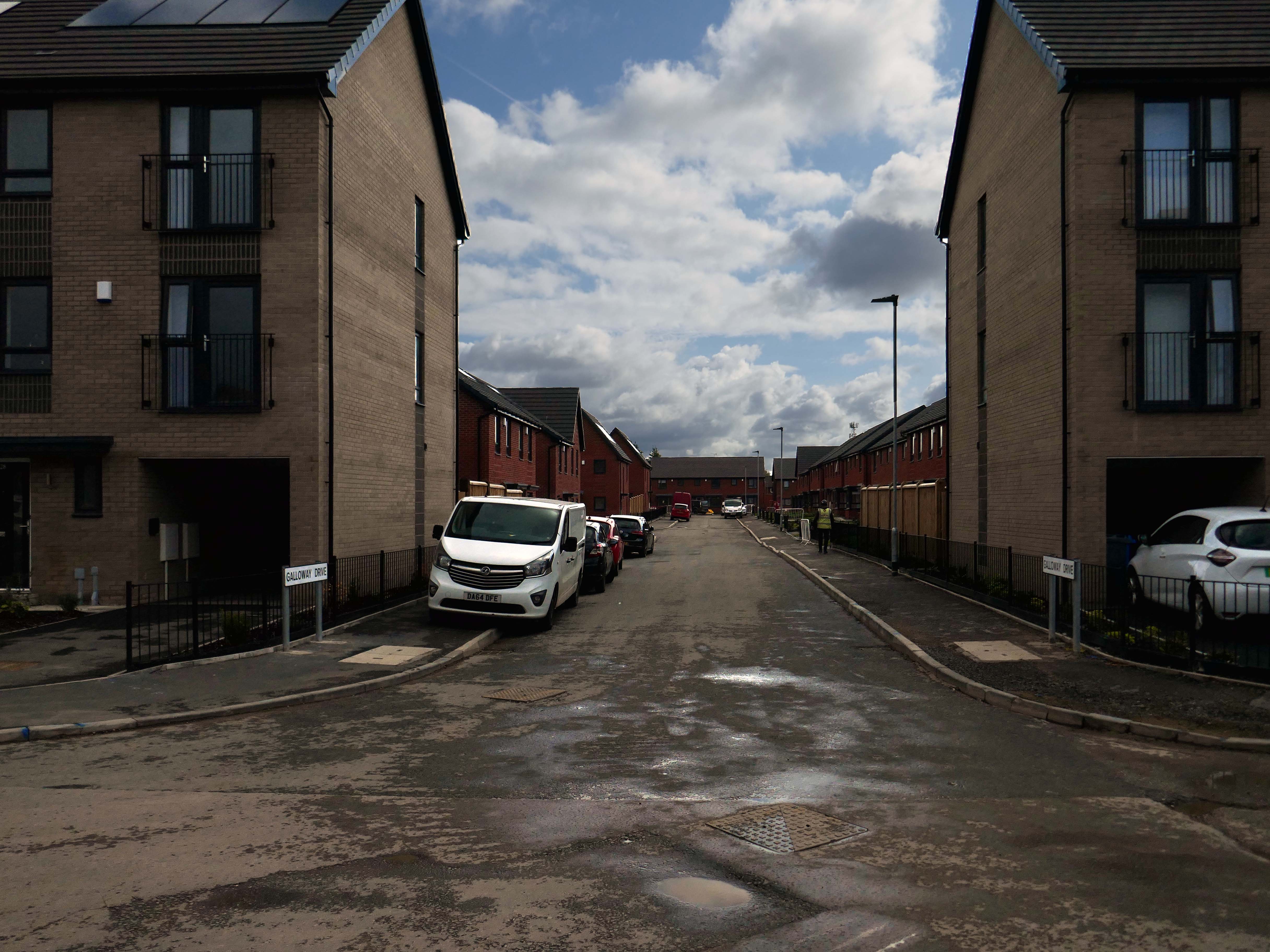
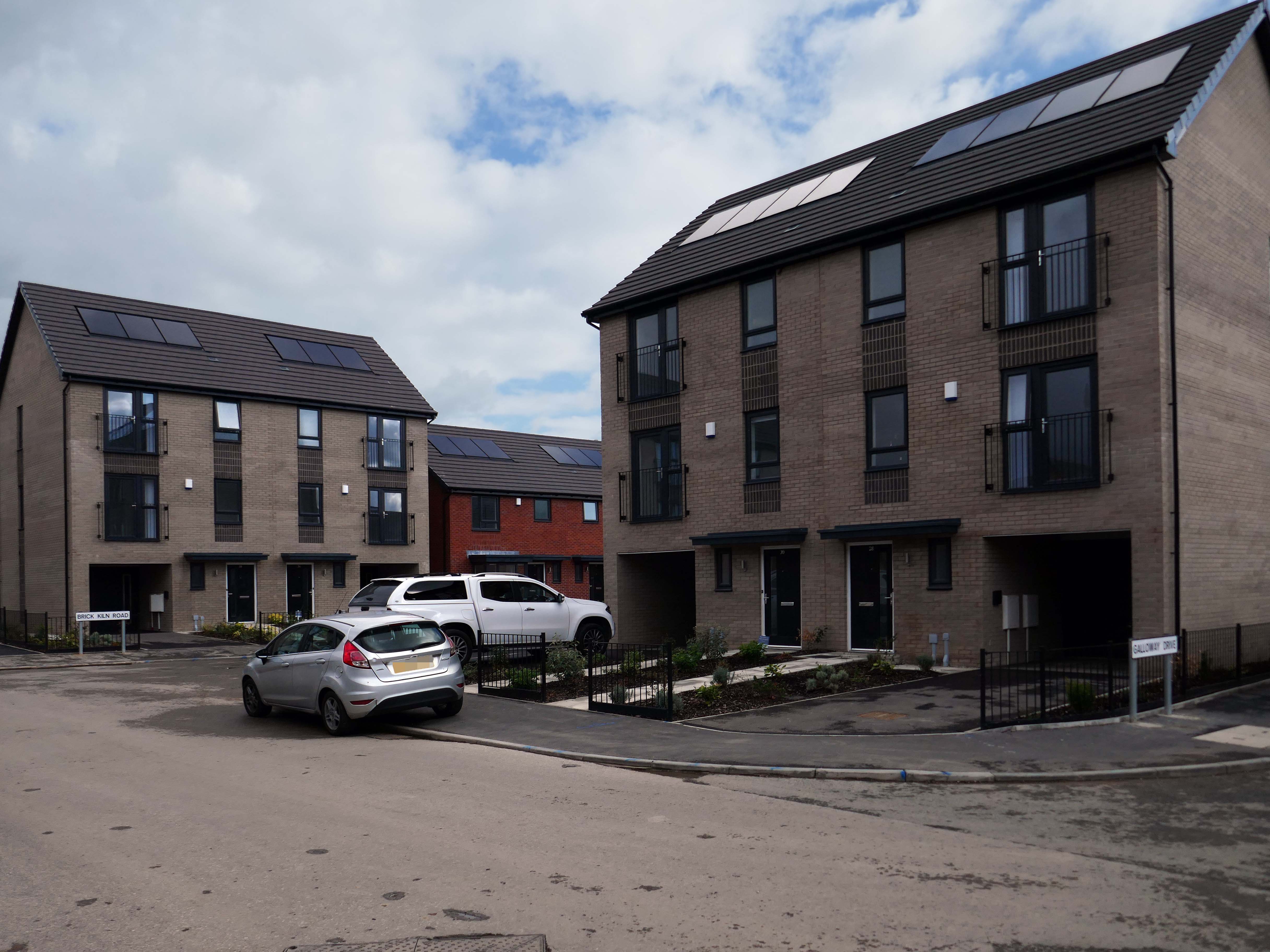
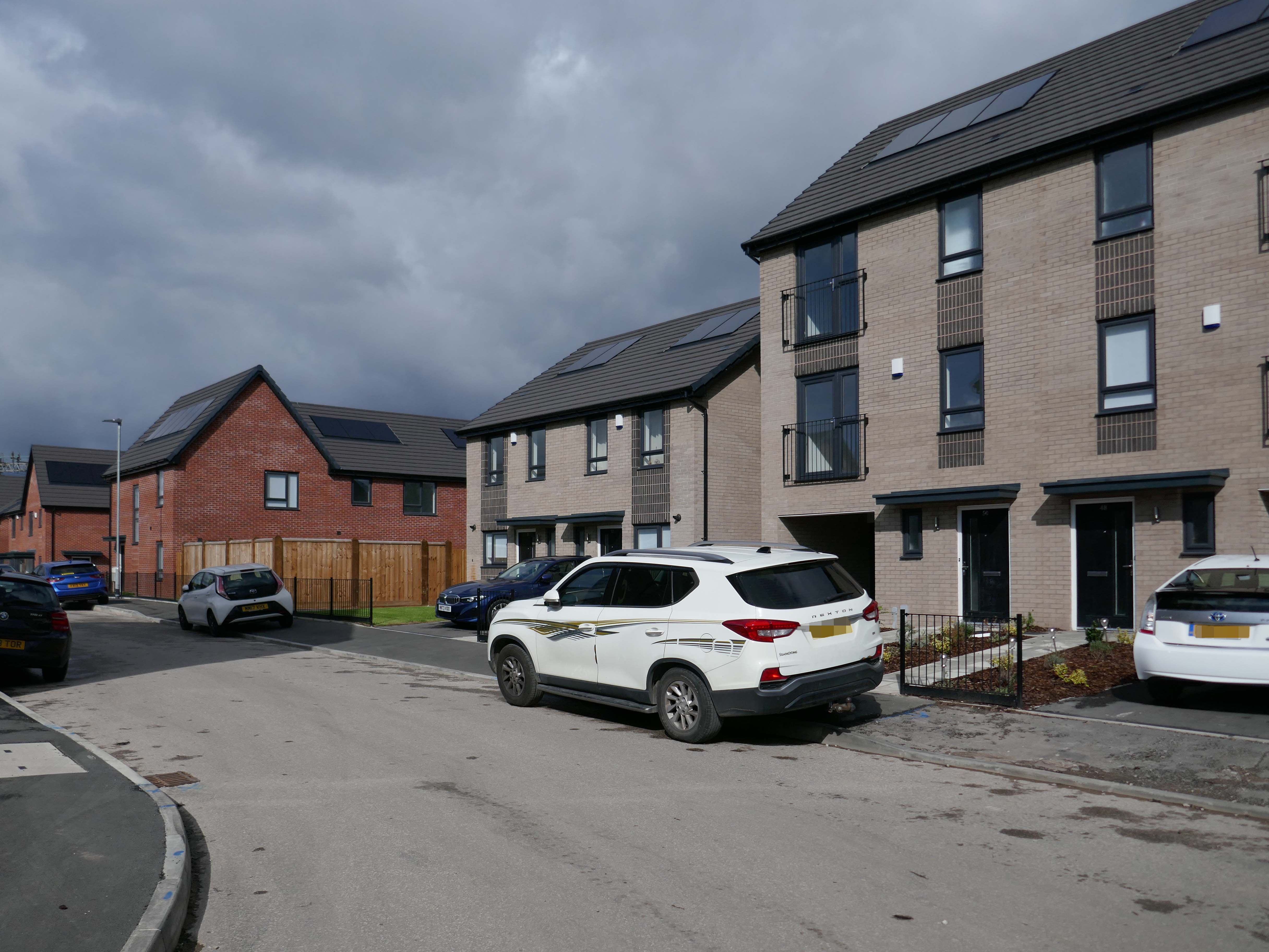
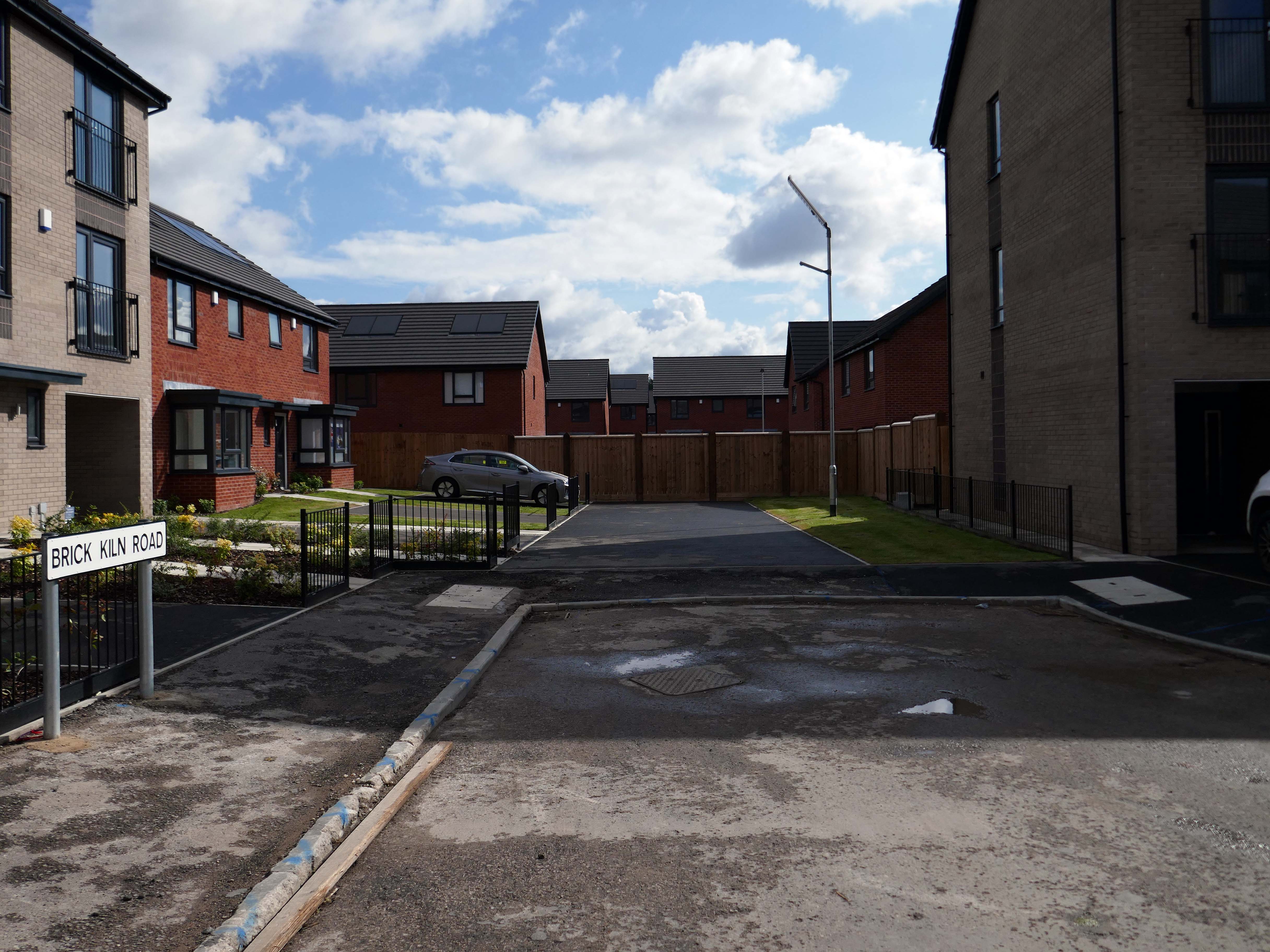
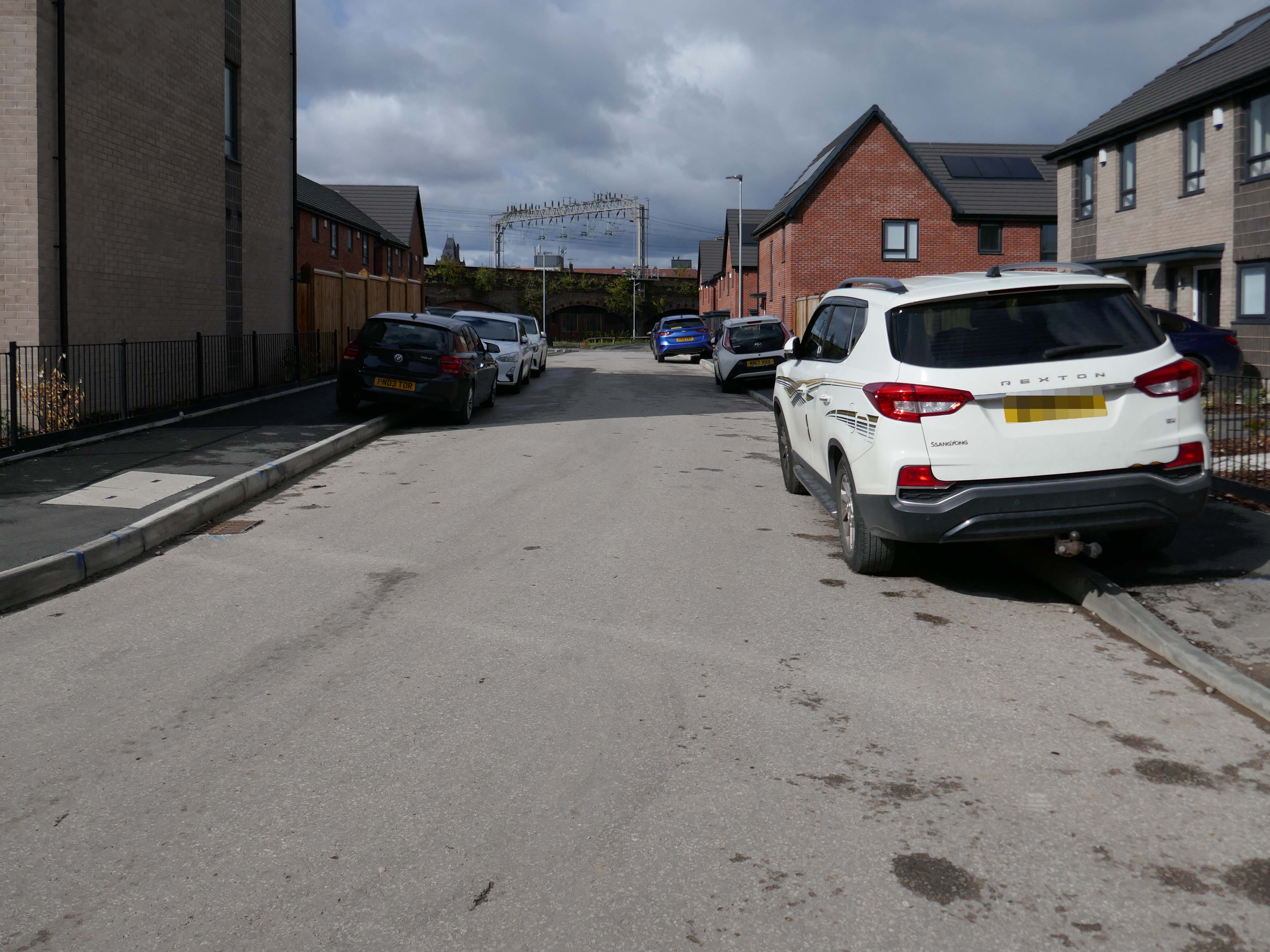
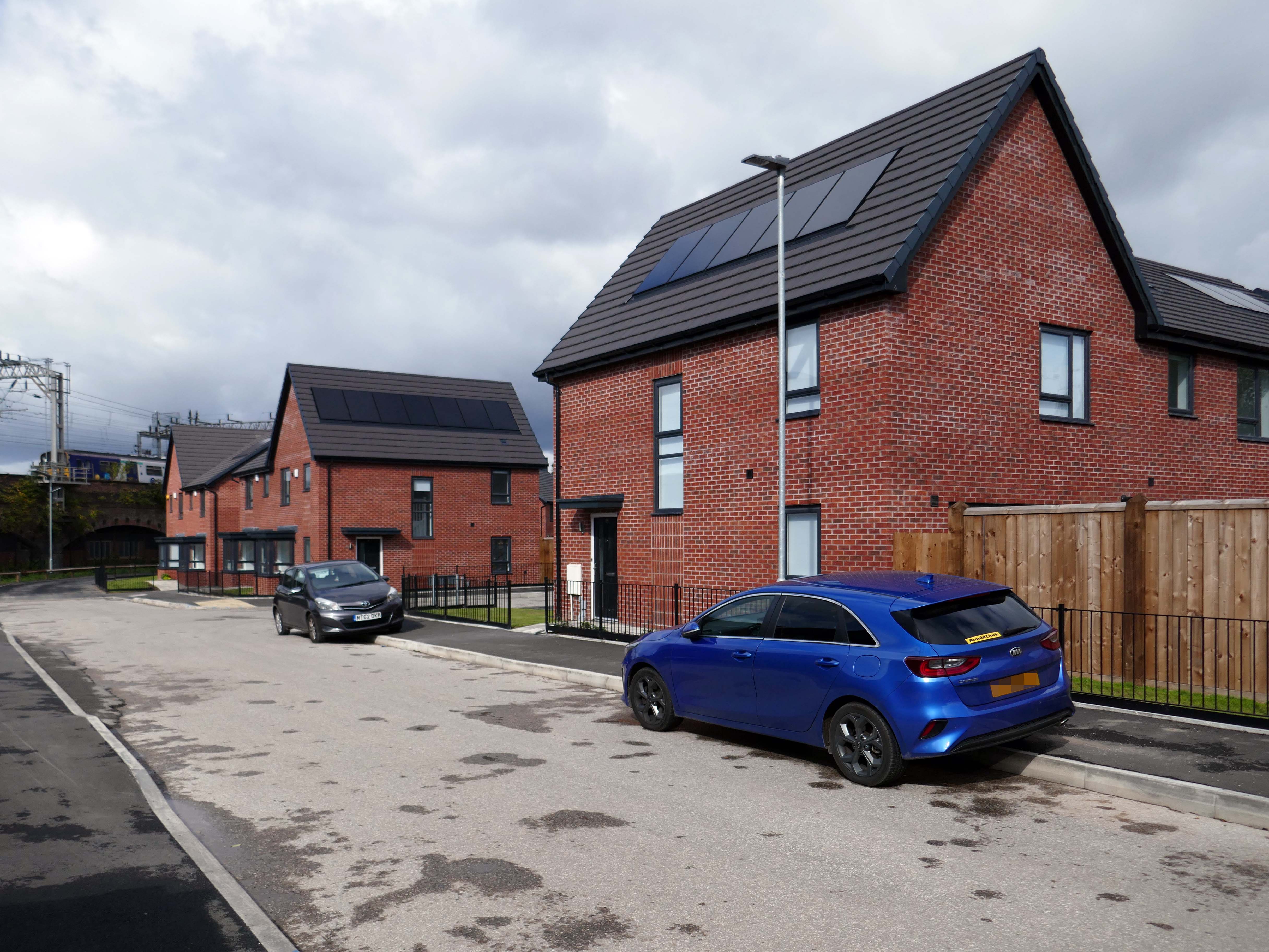
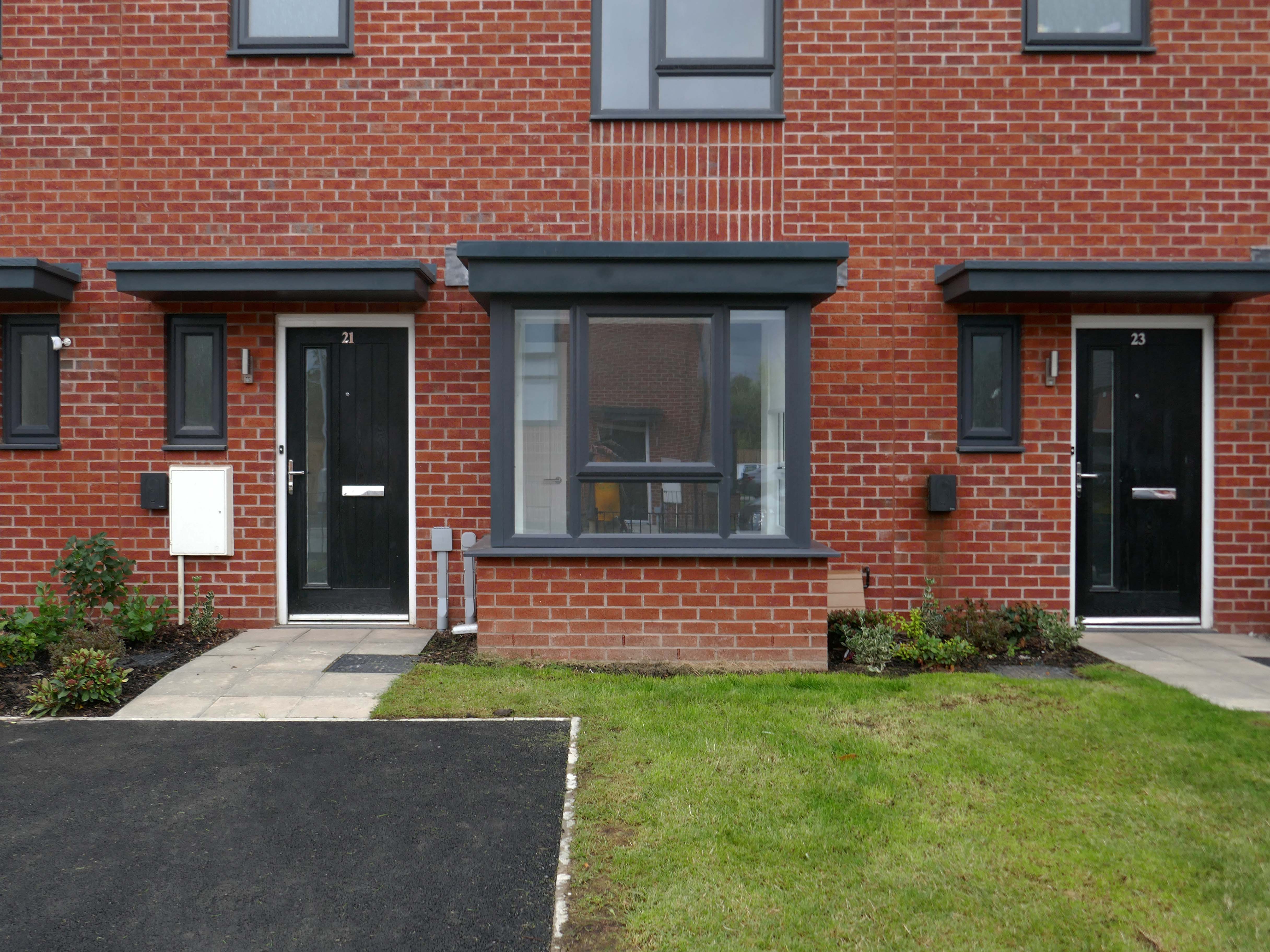
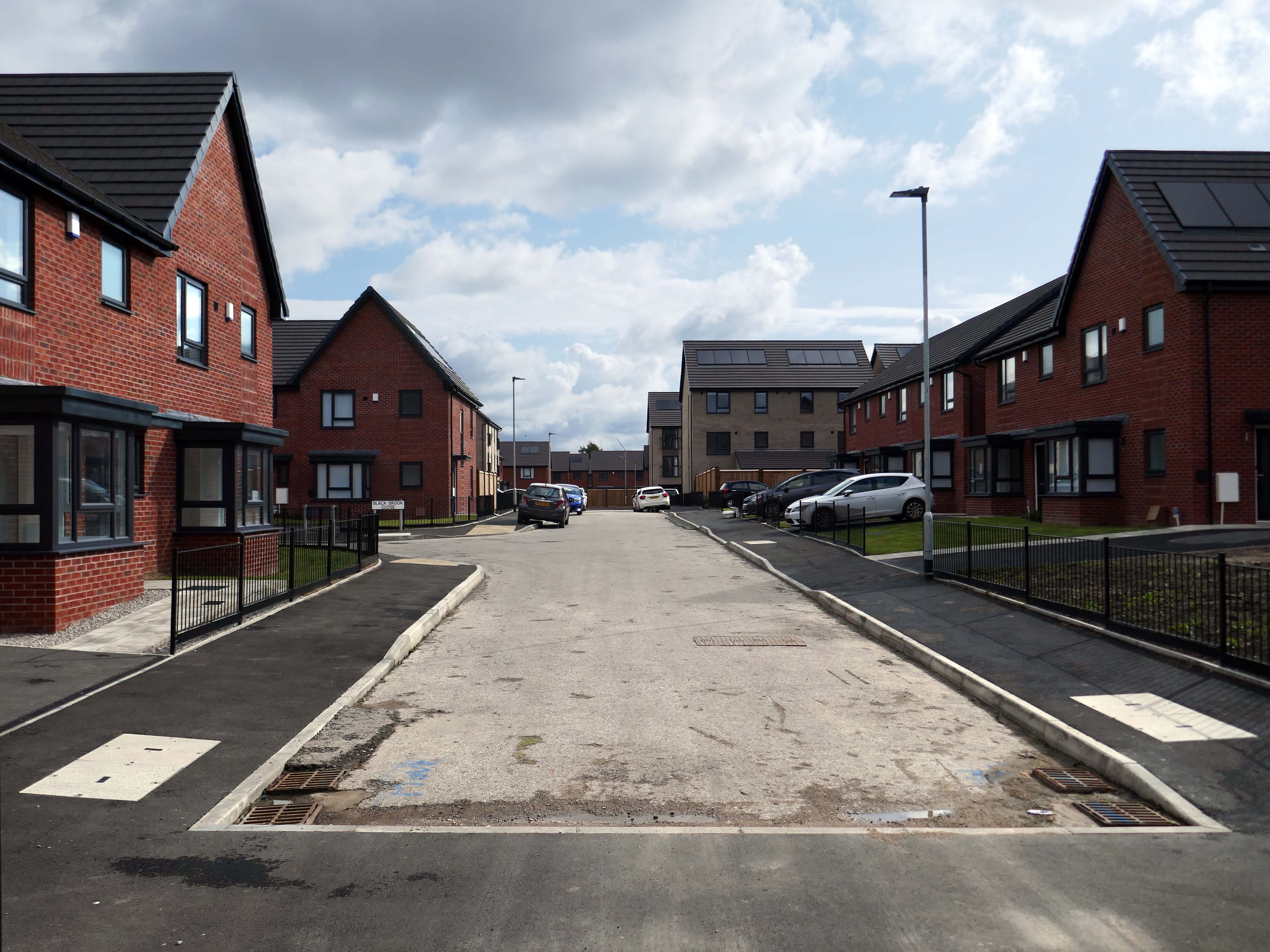
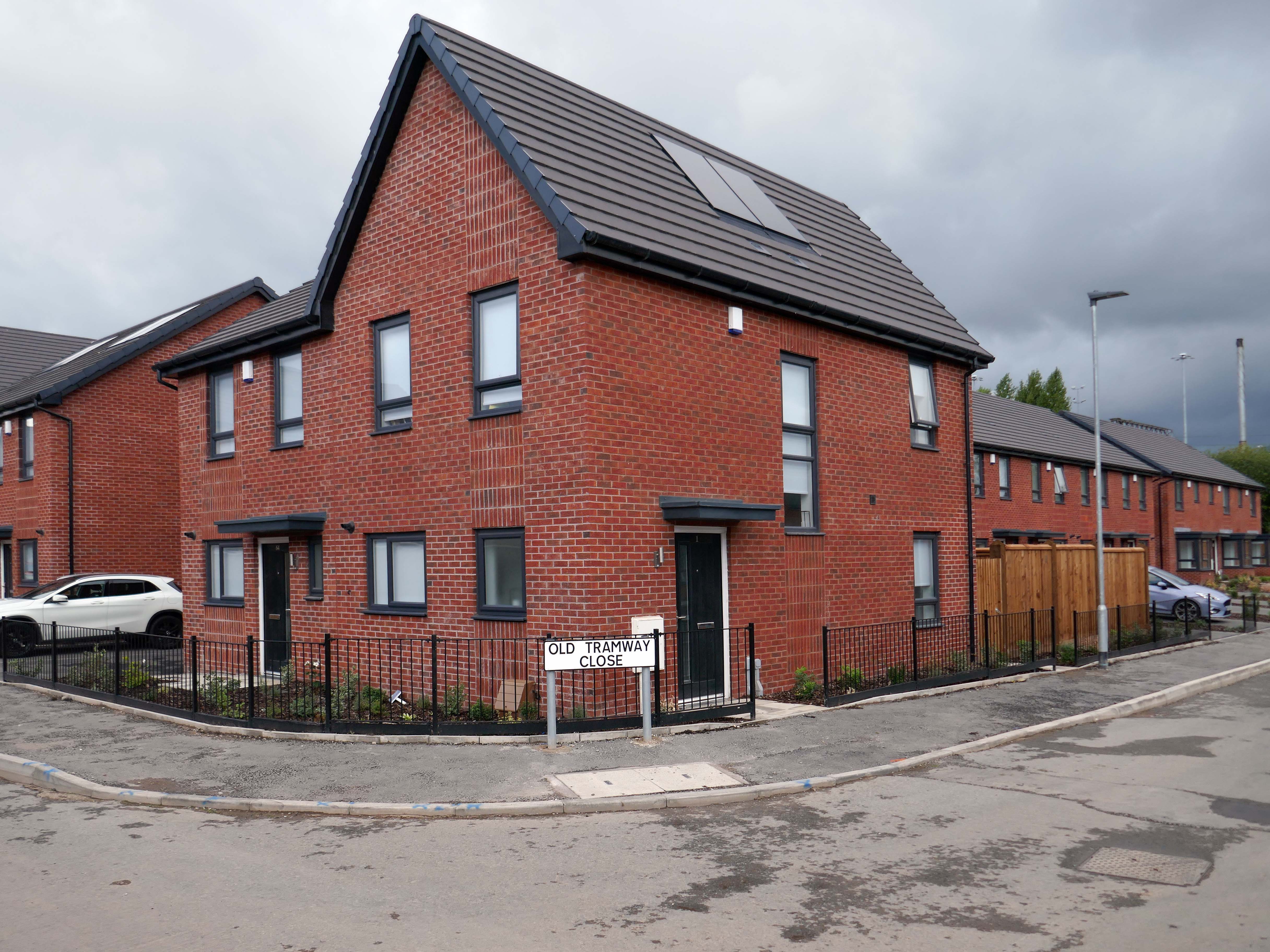
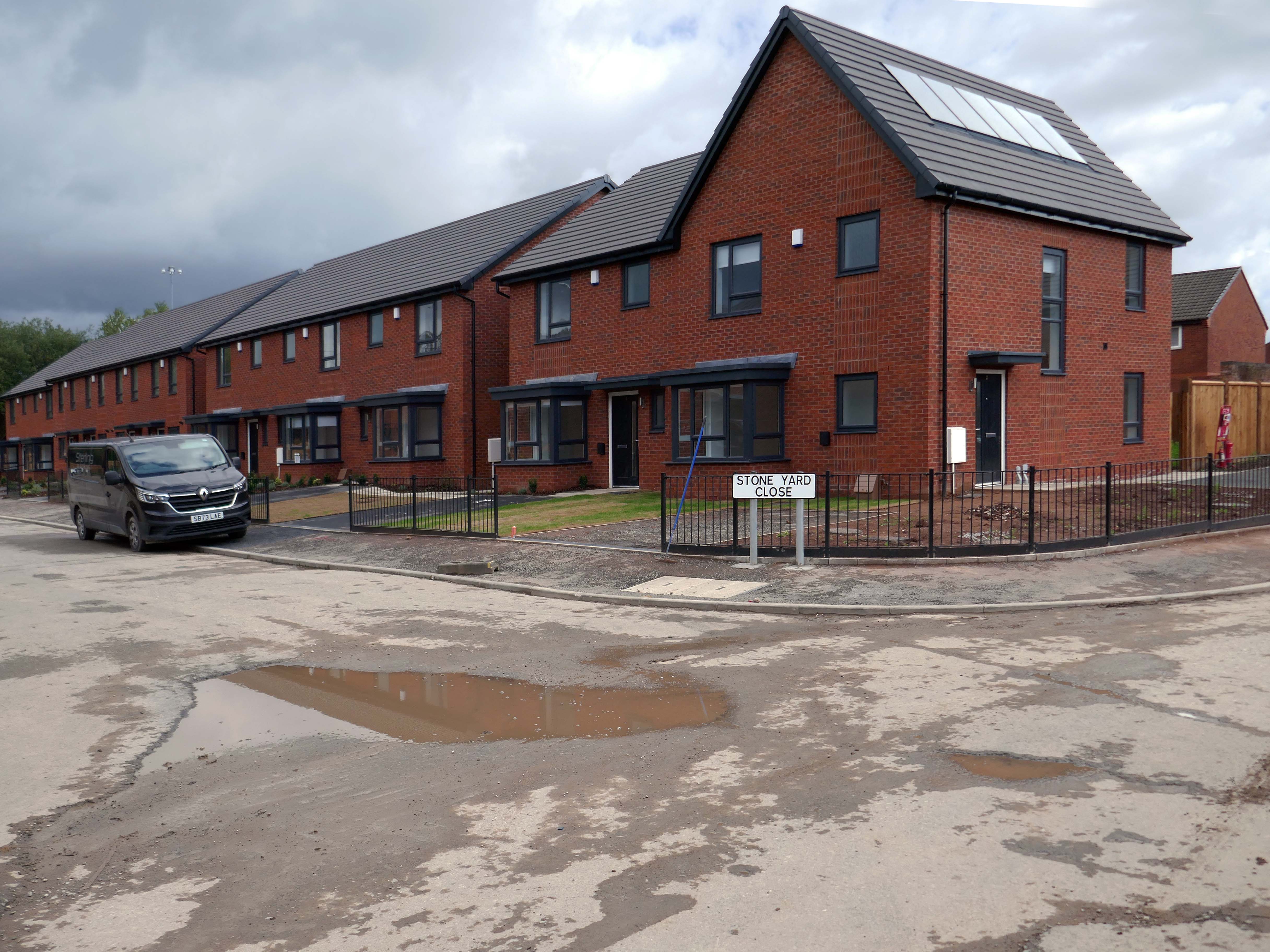
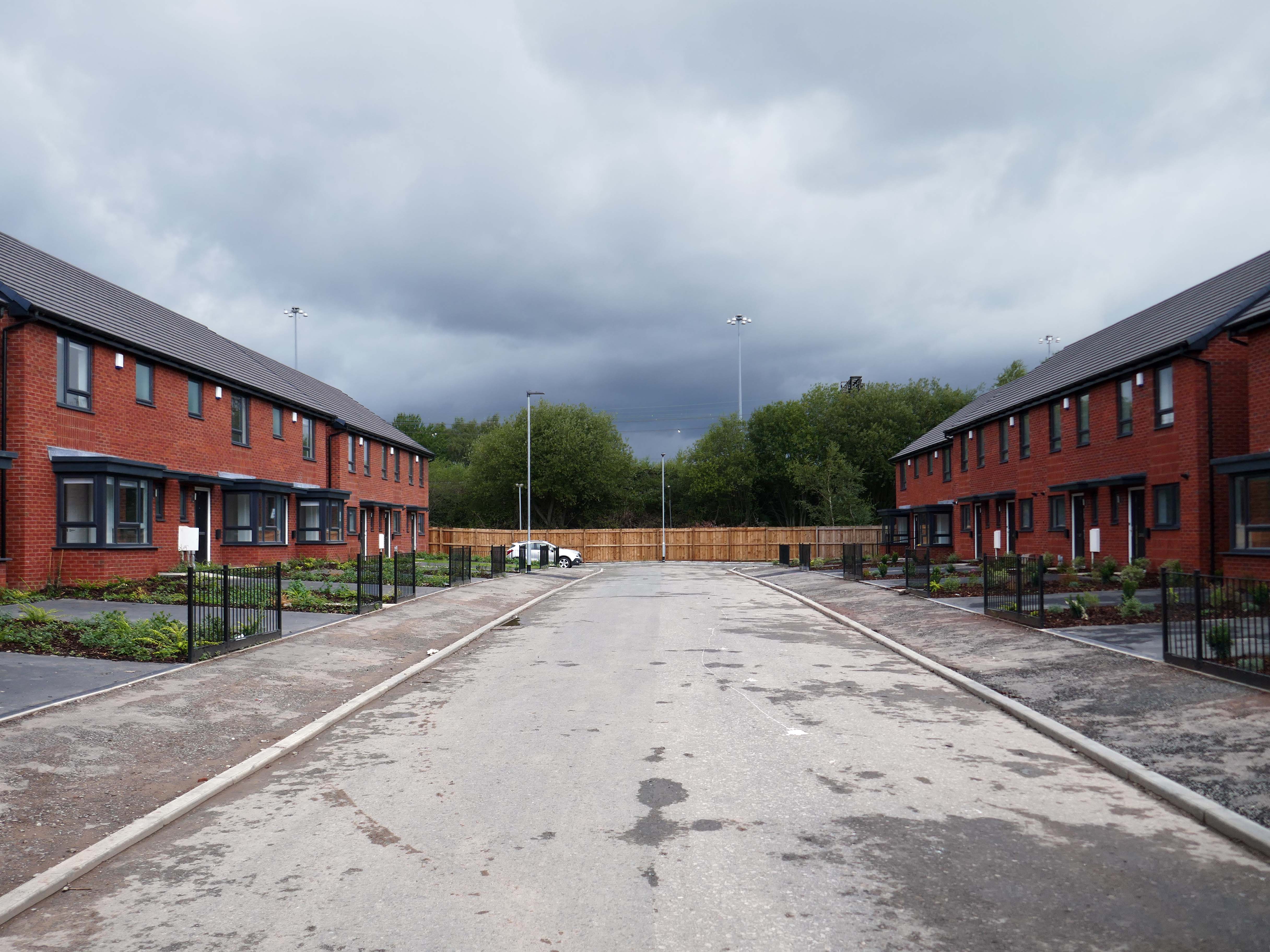
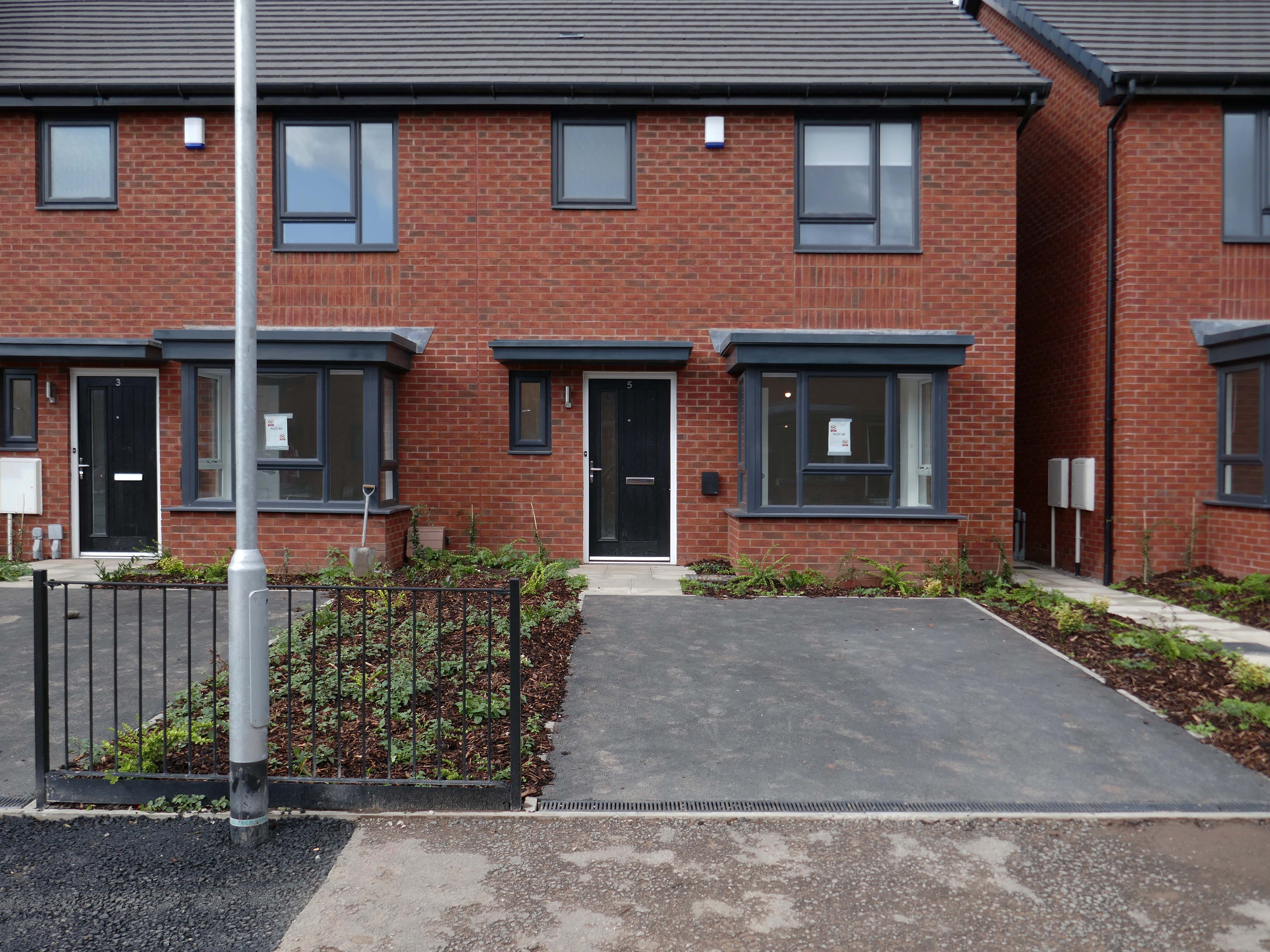
The Gateway to the Simple Life is here.
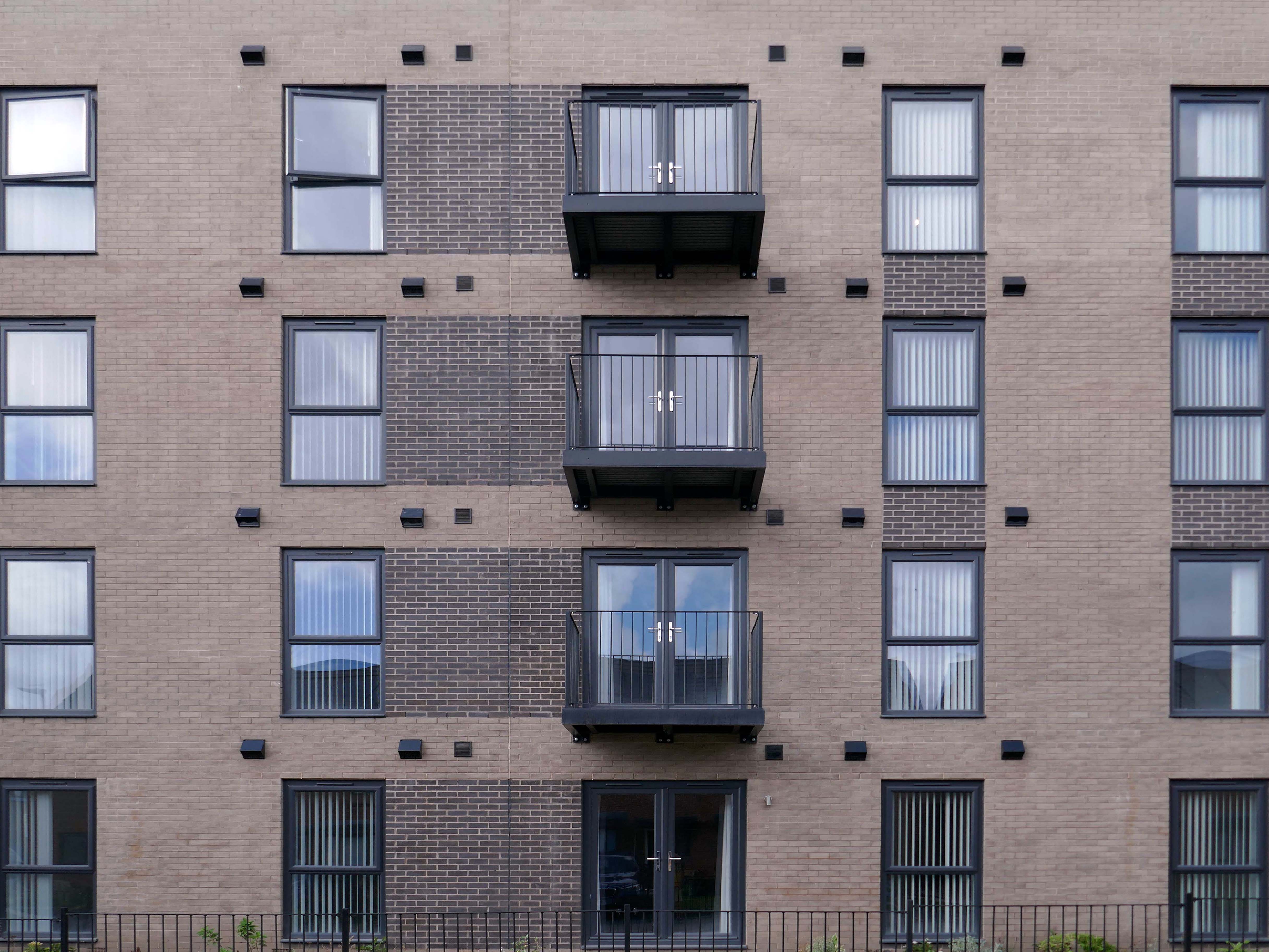
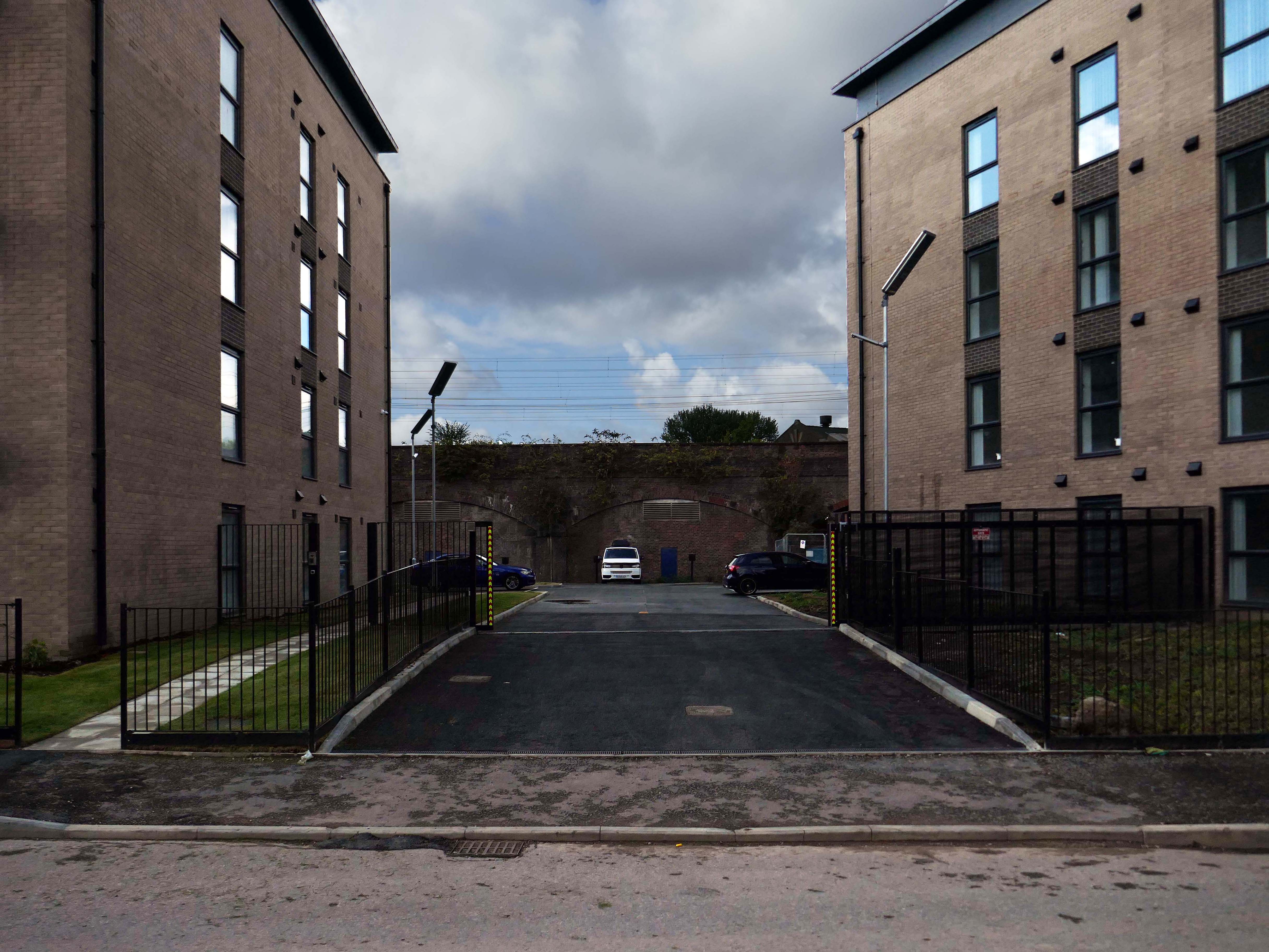
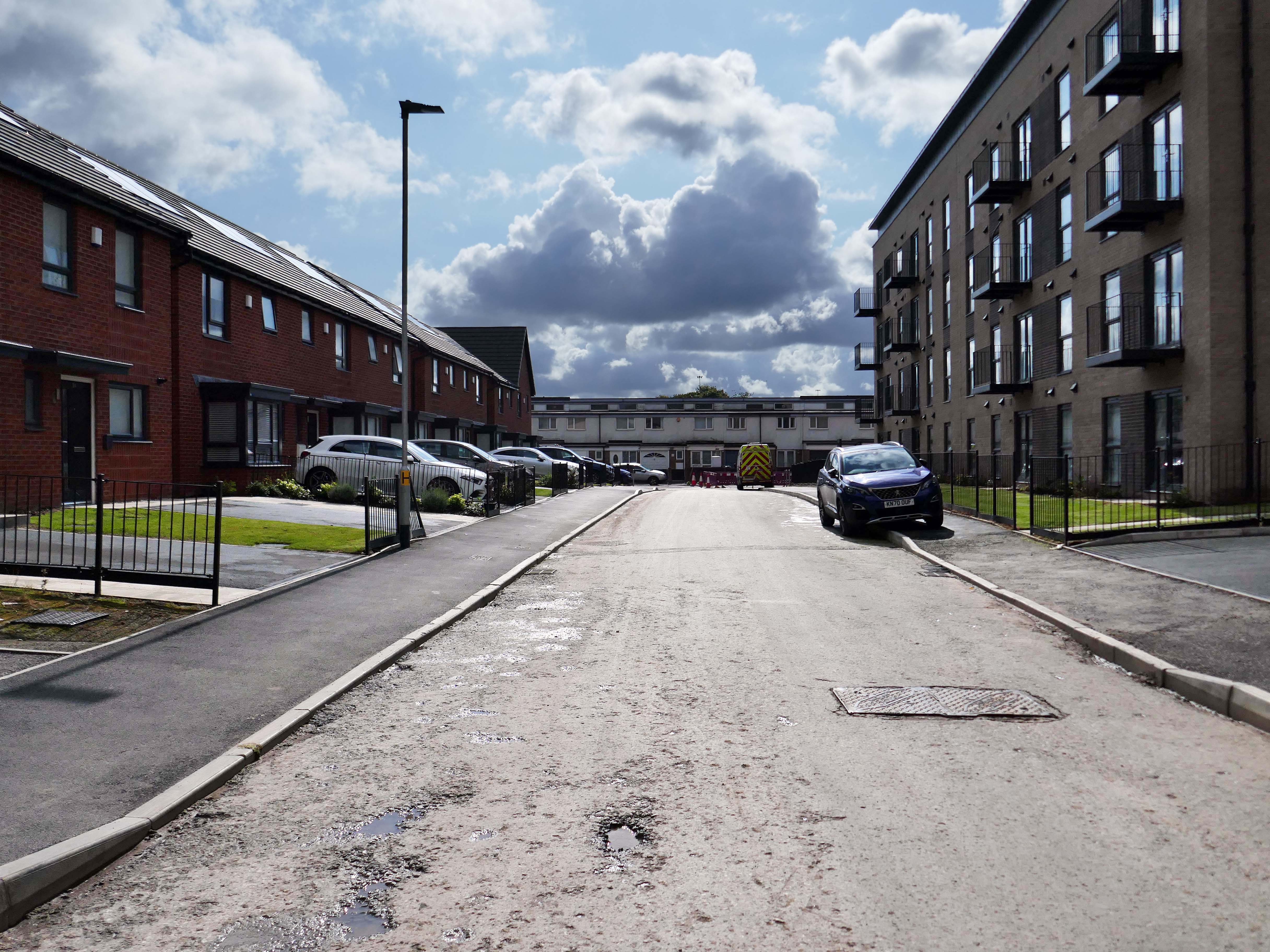
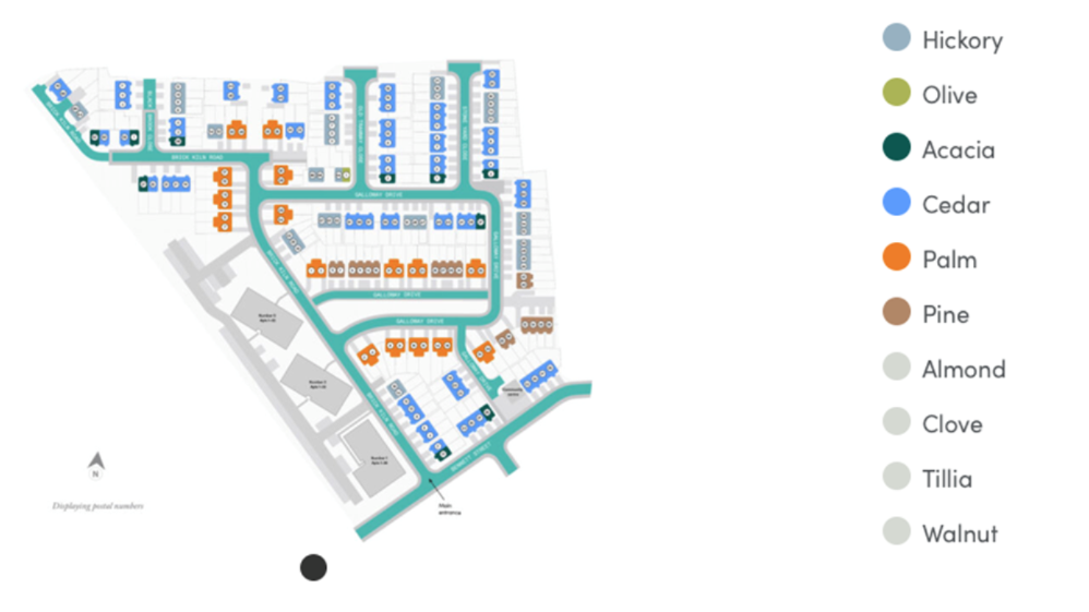
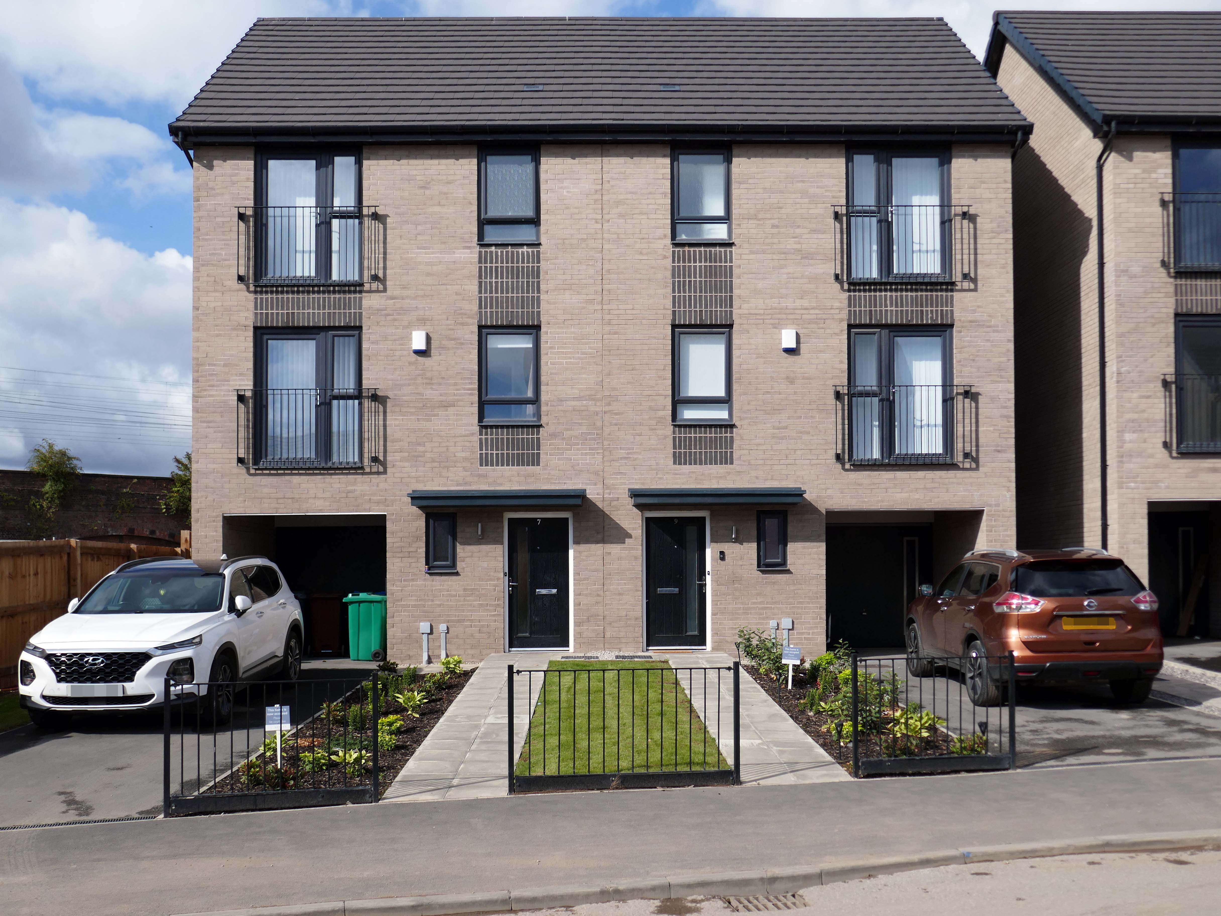
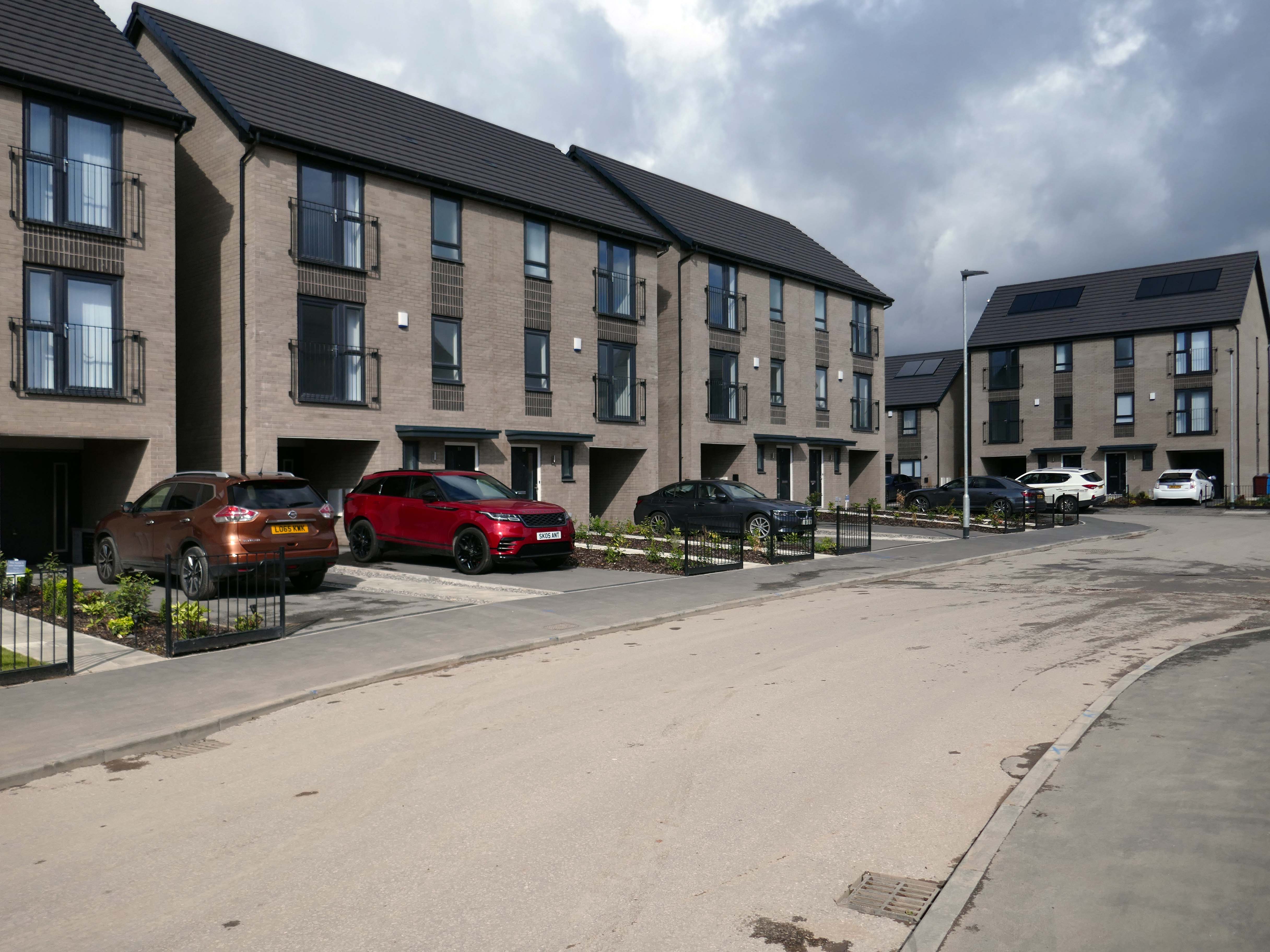
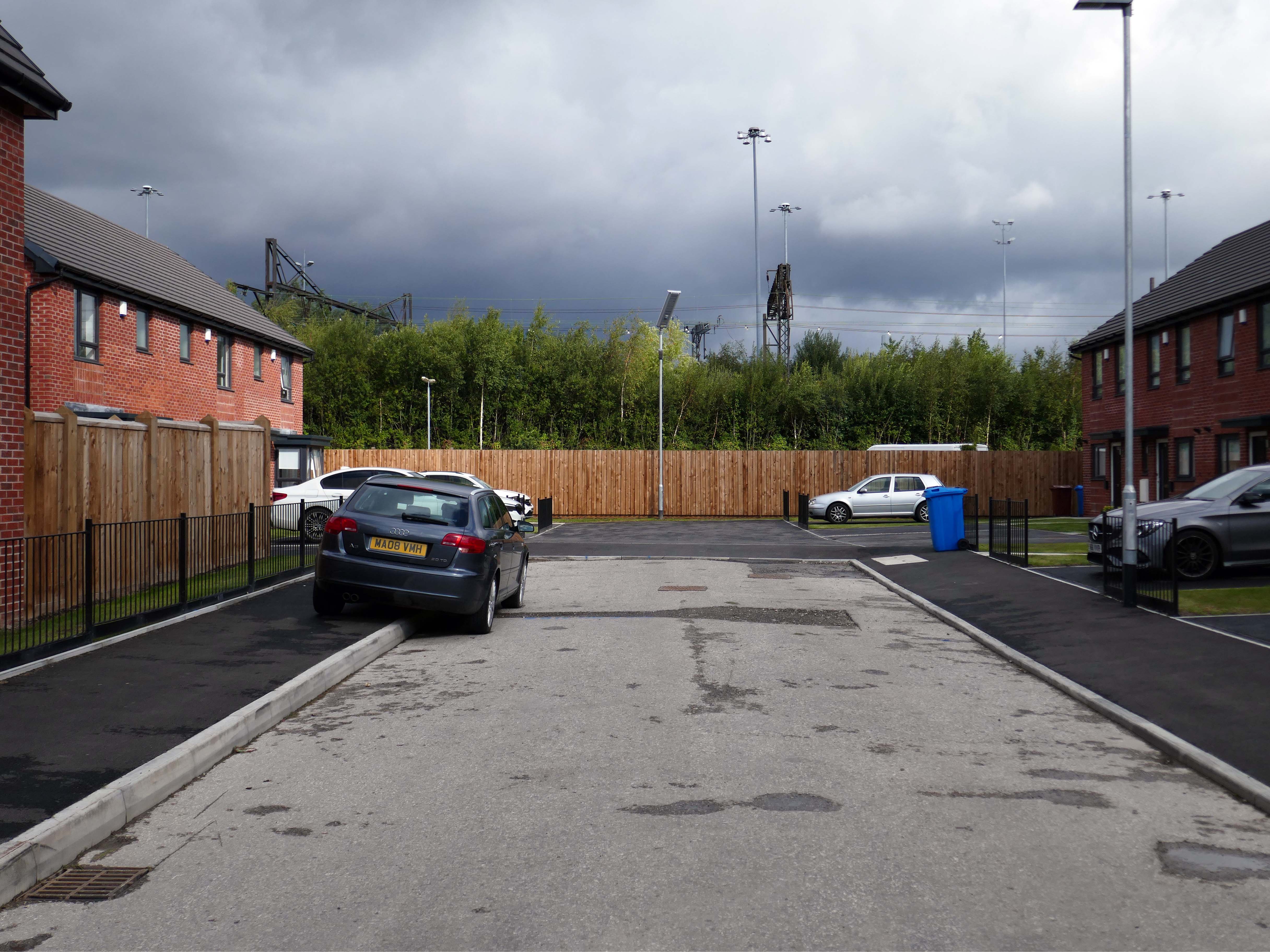
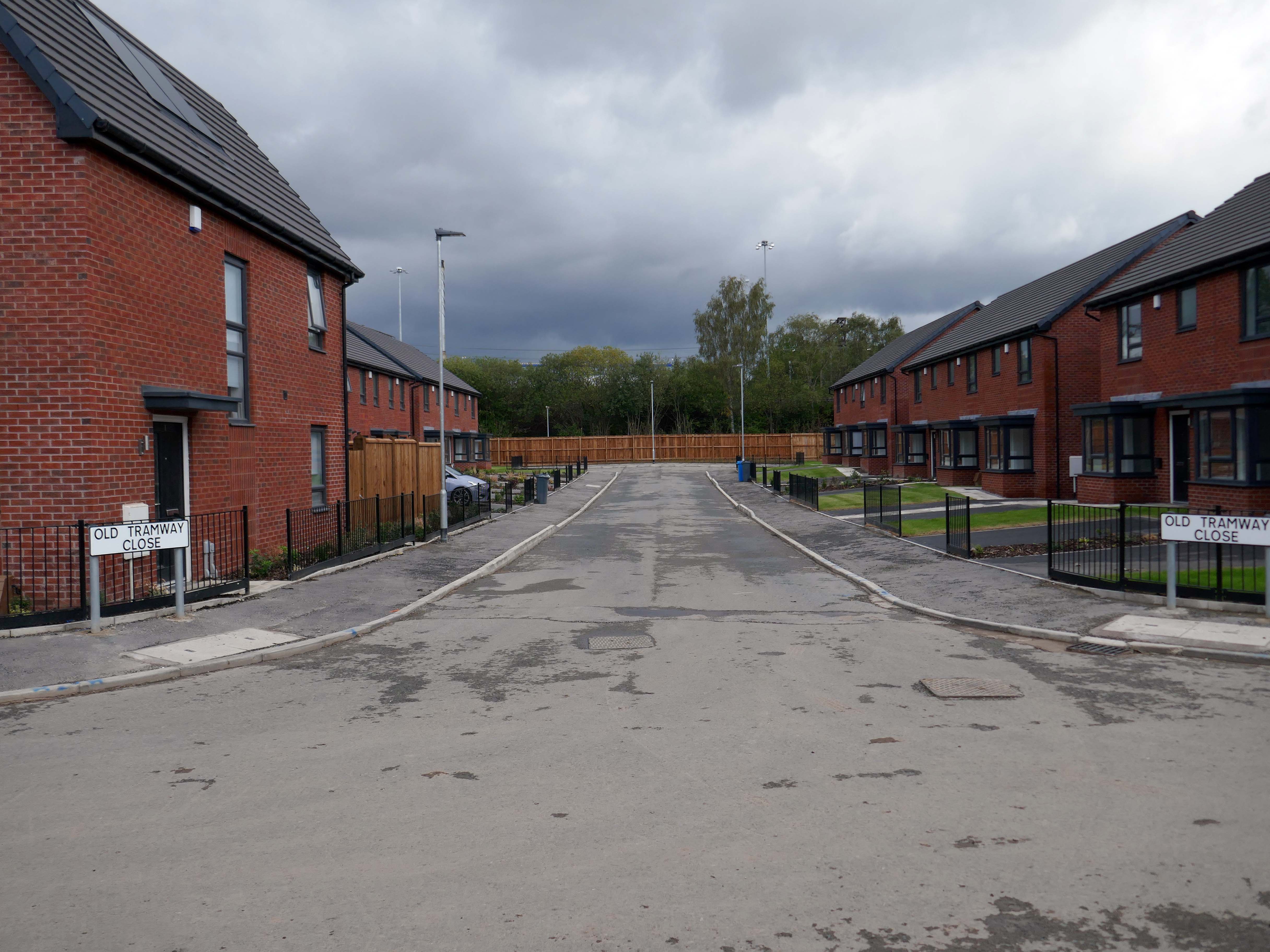
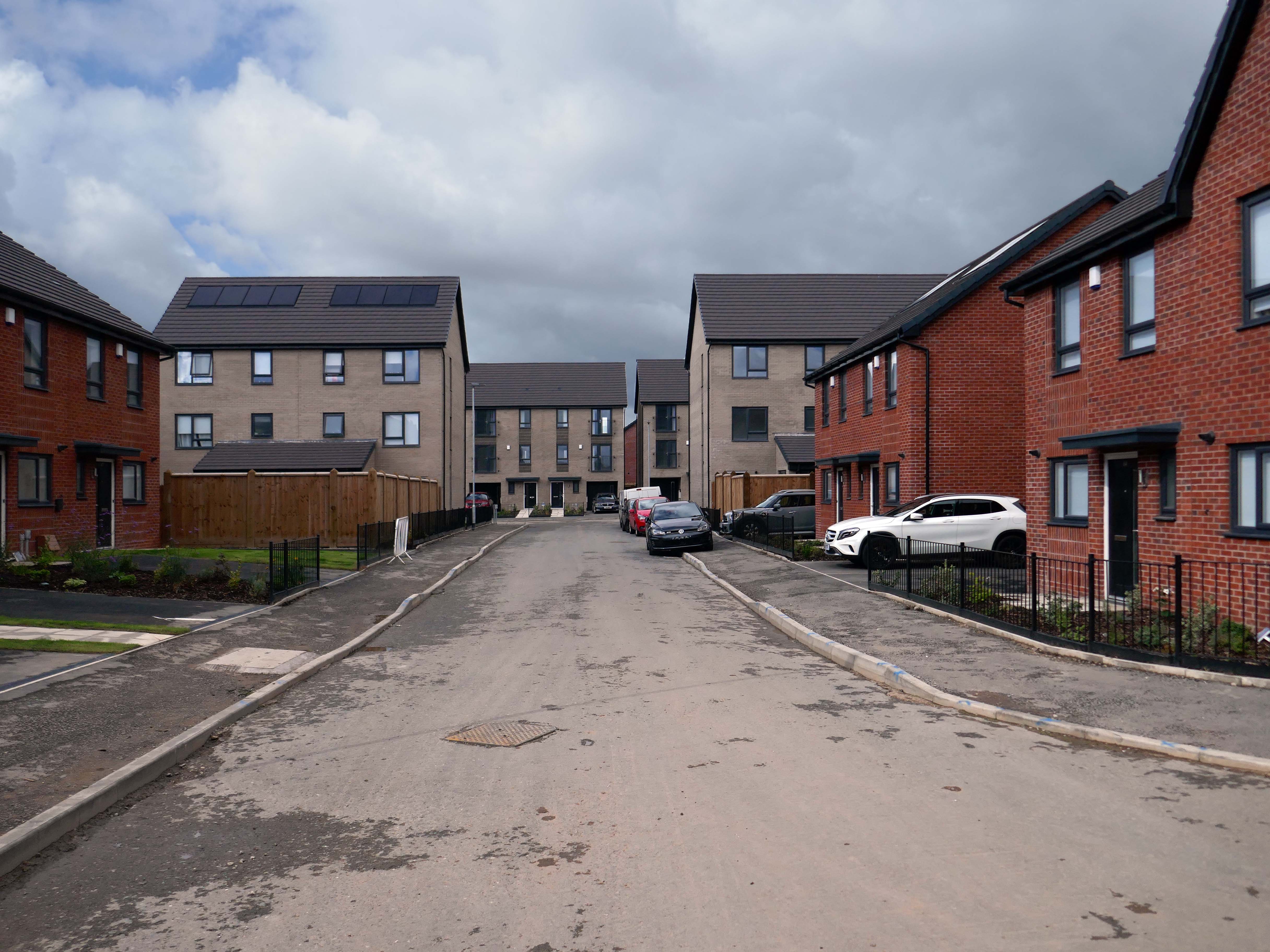
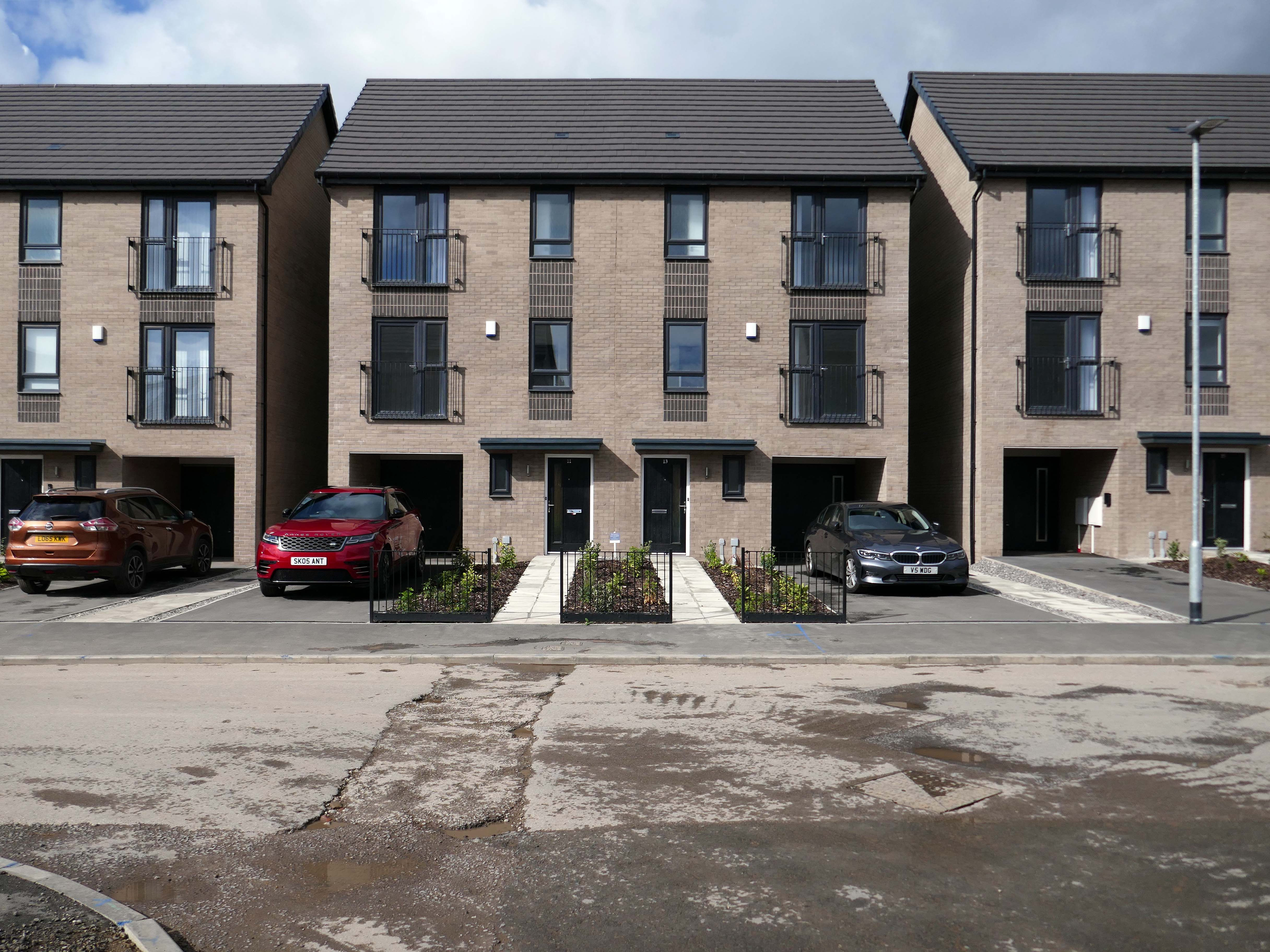
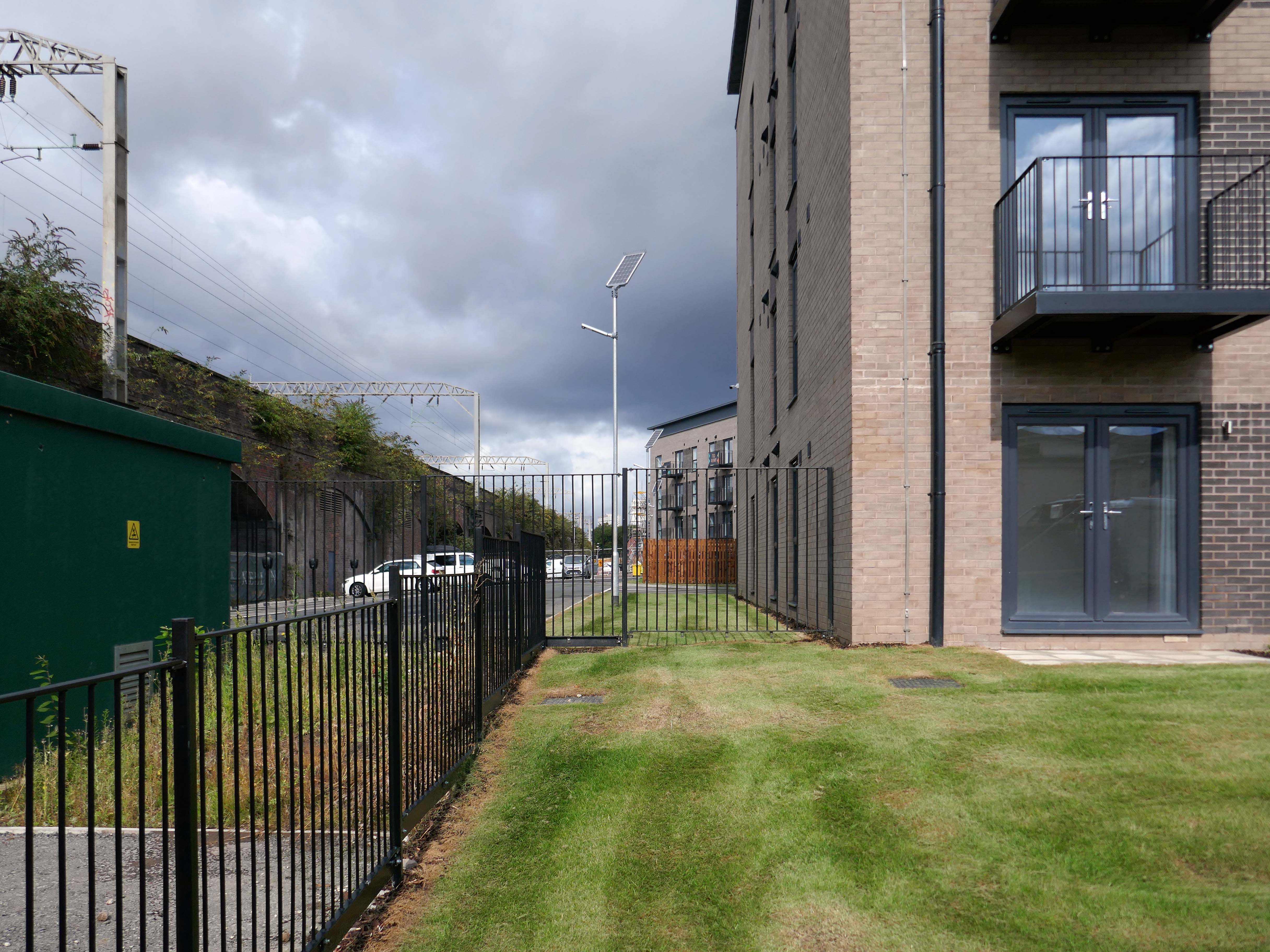
Situated in Ardwick, one mile outside of Manchester’s vibrant city centre, The Gateway is a distinctive development offering a collection of homes and apartments to rent.
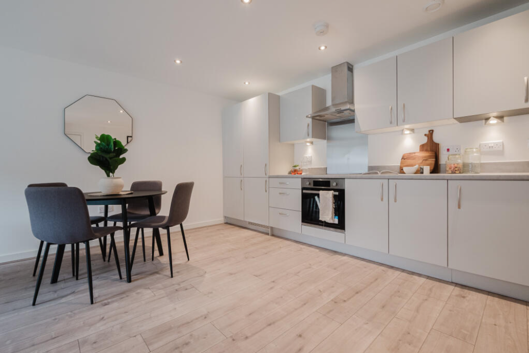
Enjoy living in the prime location of Manchester’s bustling city centre, where there is a vast range of employment opportunities, cafes, bars and restaurants. All year round, you can benefit from various fun days out with events and activities available on your doorstep.
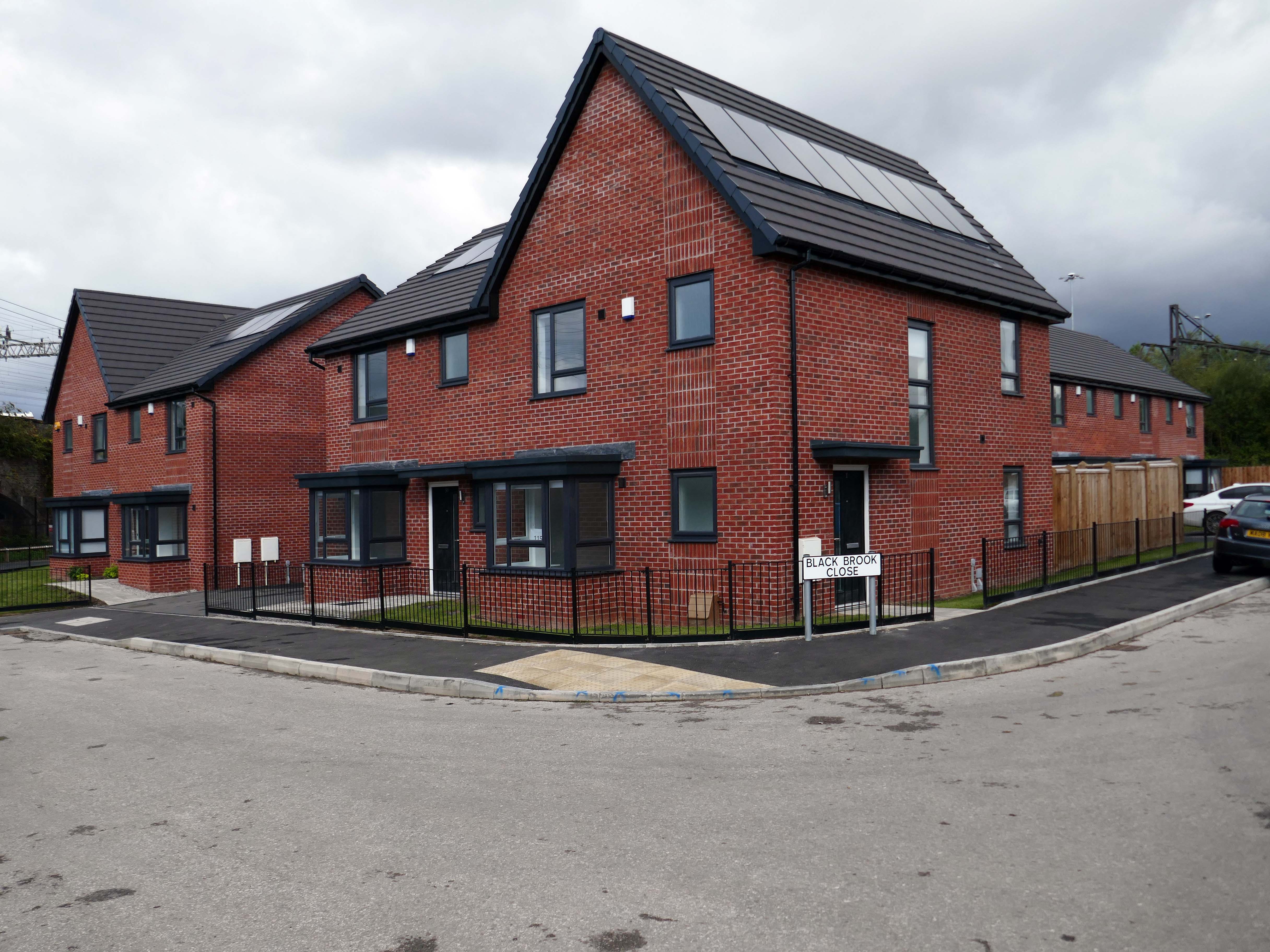
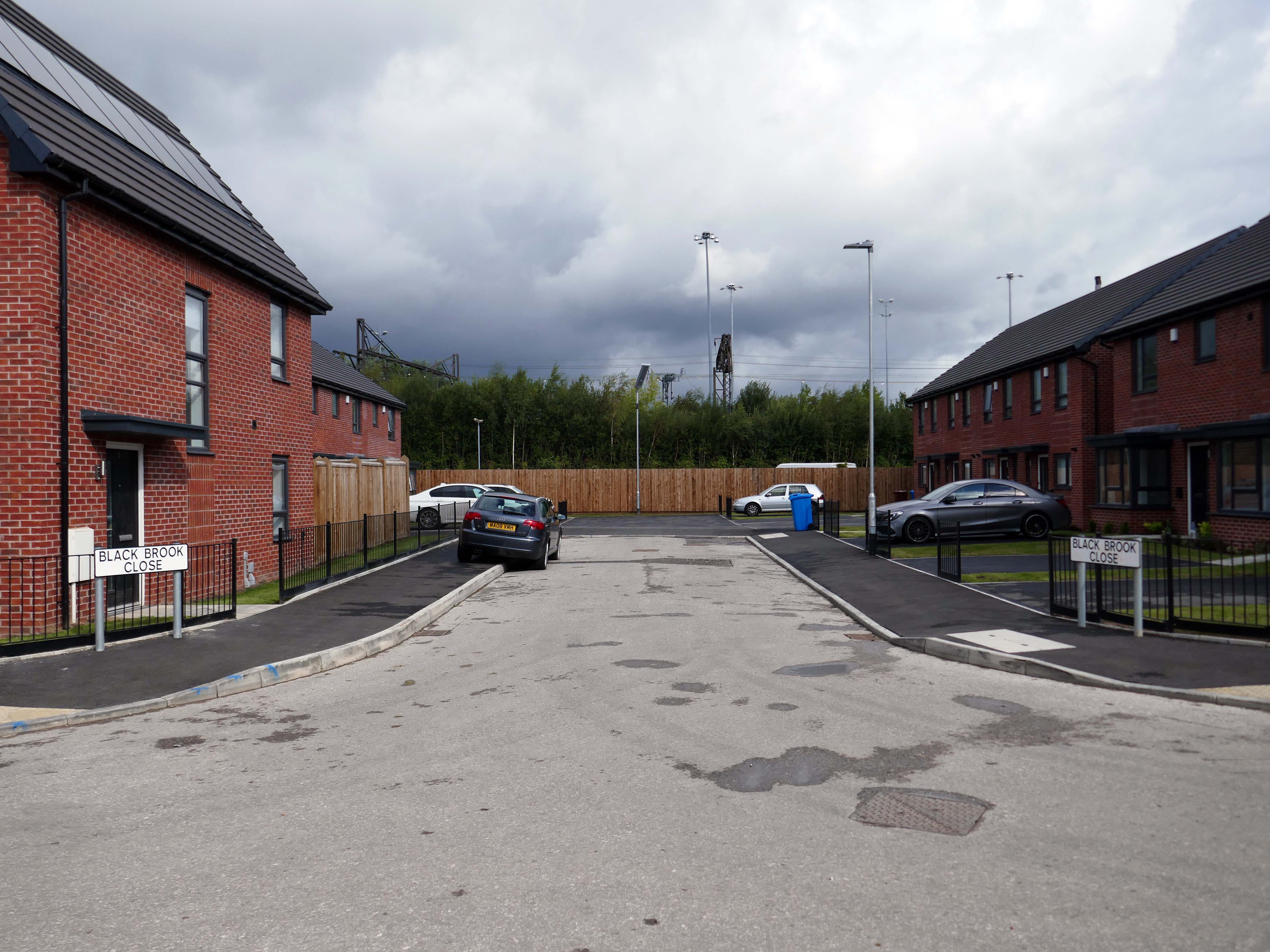
In addition to the apartments there is a mixed development of terraced, detached and semi-detached homes.
We pride ourselves on building places you can call your forever home, knowing it won’t be sold from beneath your feet. We offer renters a whole new experience which brings together the best of both worlds – all the perks of a private rental with the added excitement for customers at the start of a development to choose their own plot and watch it being built.
With home ownership becoming unaffordable for some and an unappealing lifestyle choice for others, we meet the need for a high quality home which still feels secure in the long term.
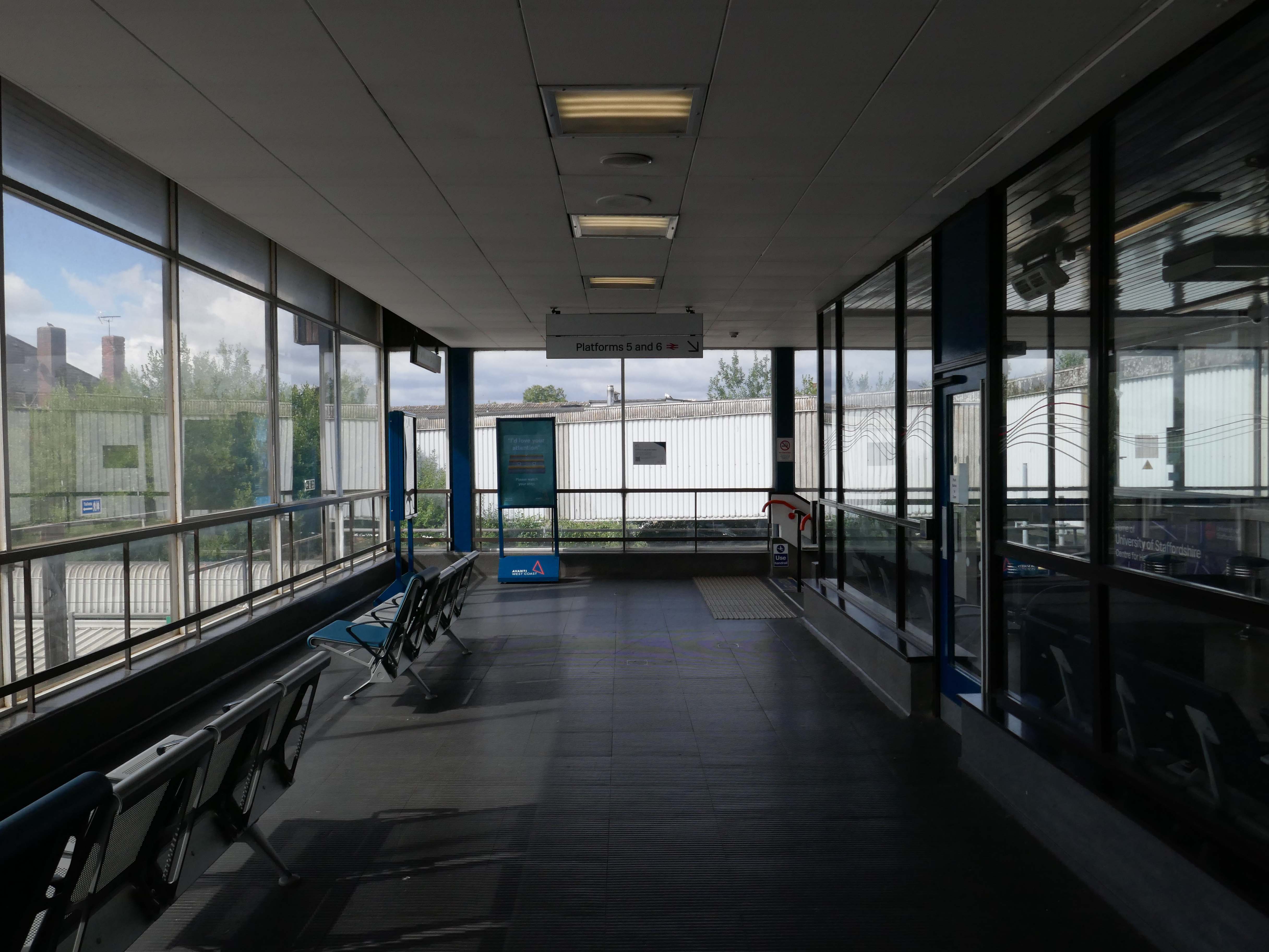
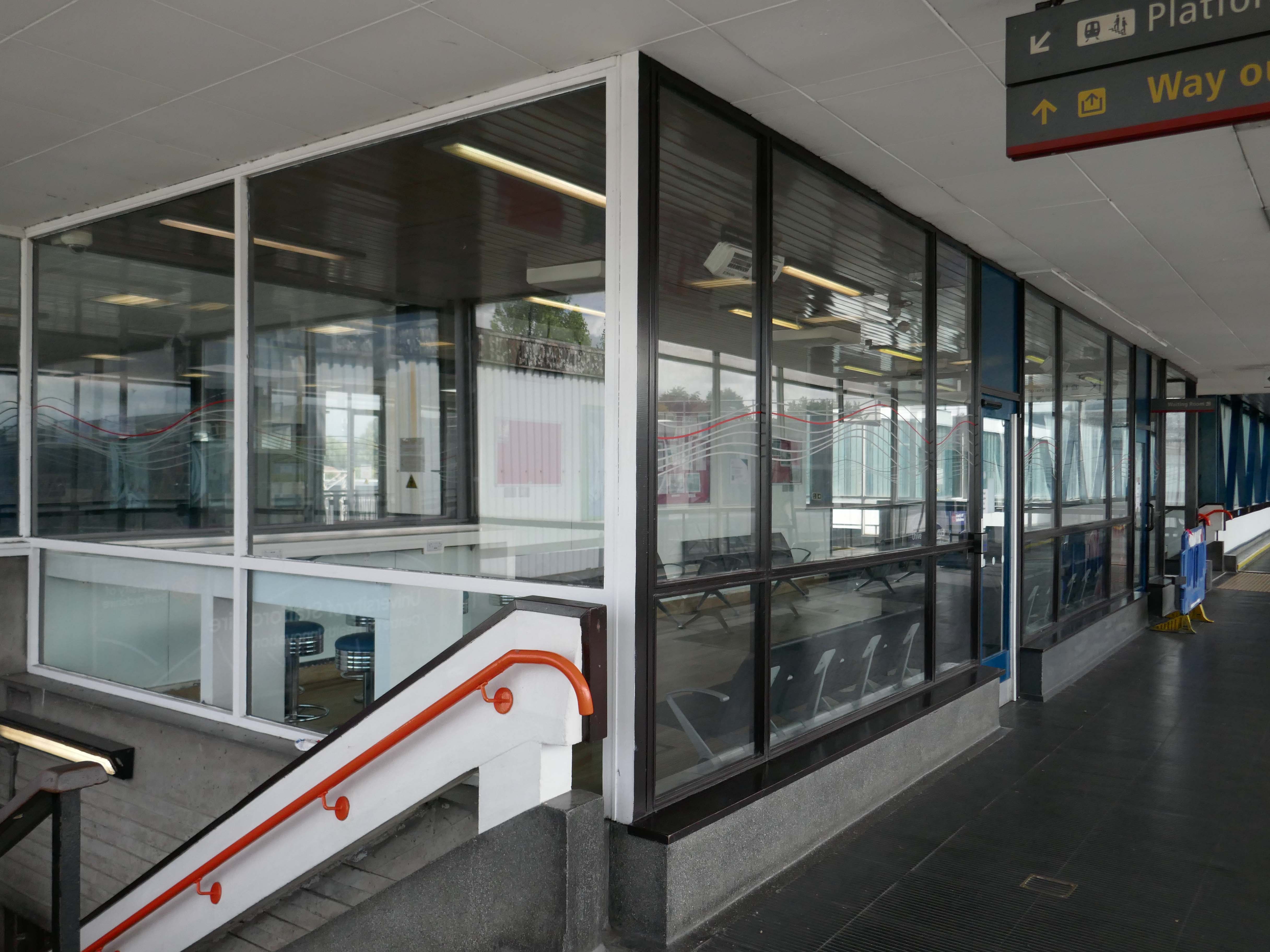
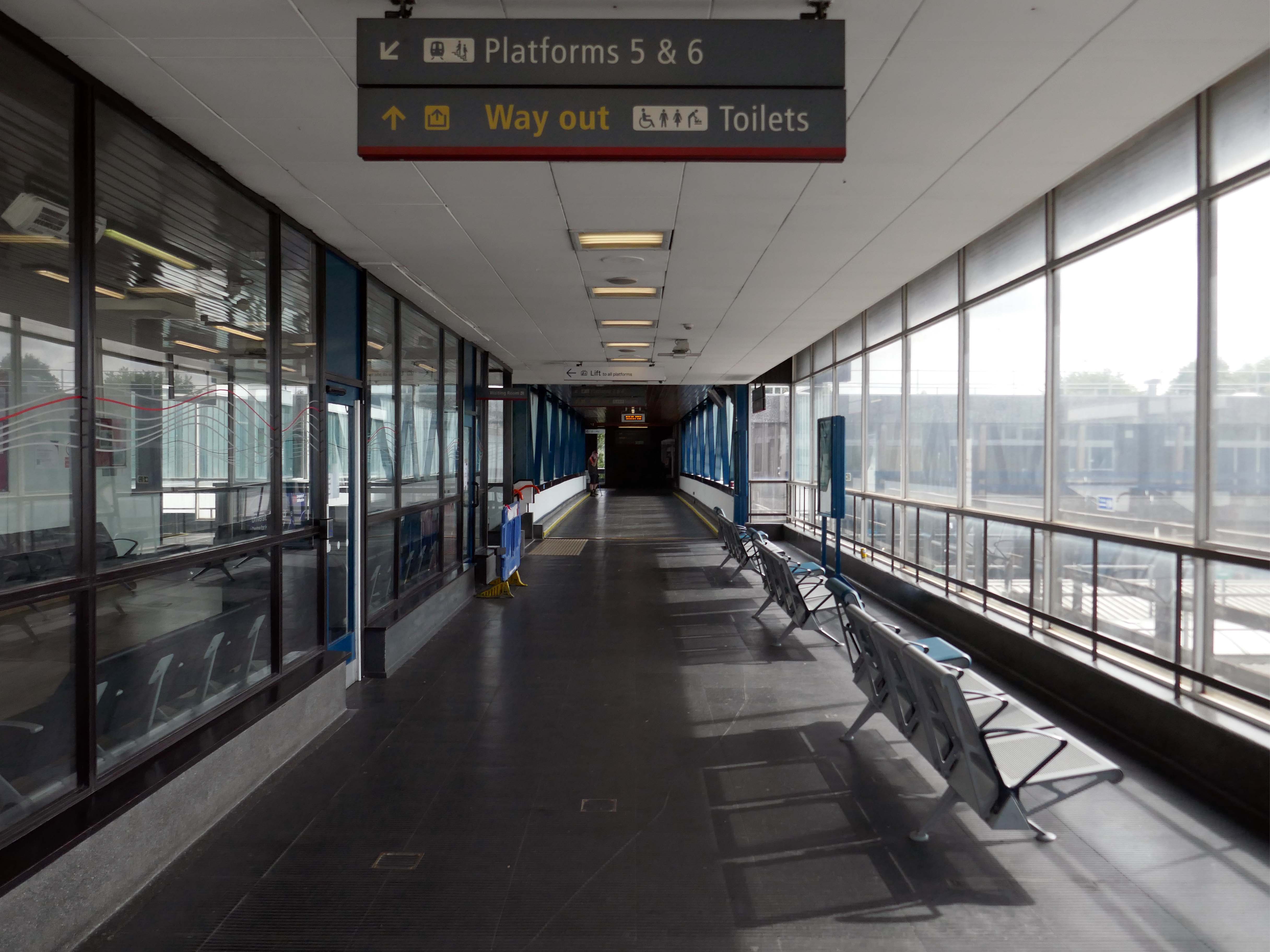
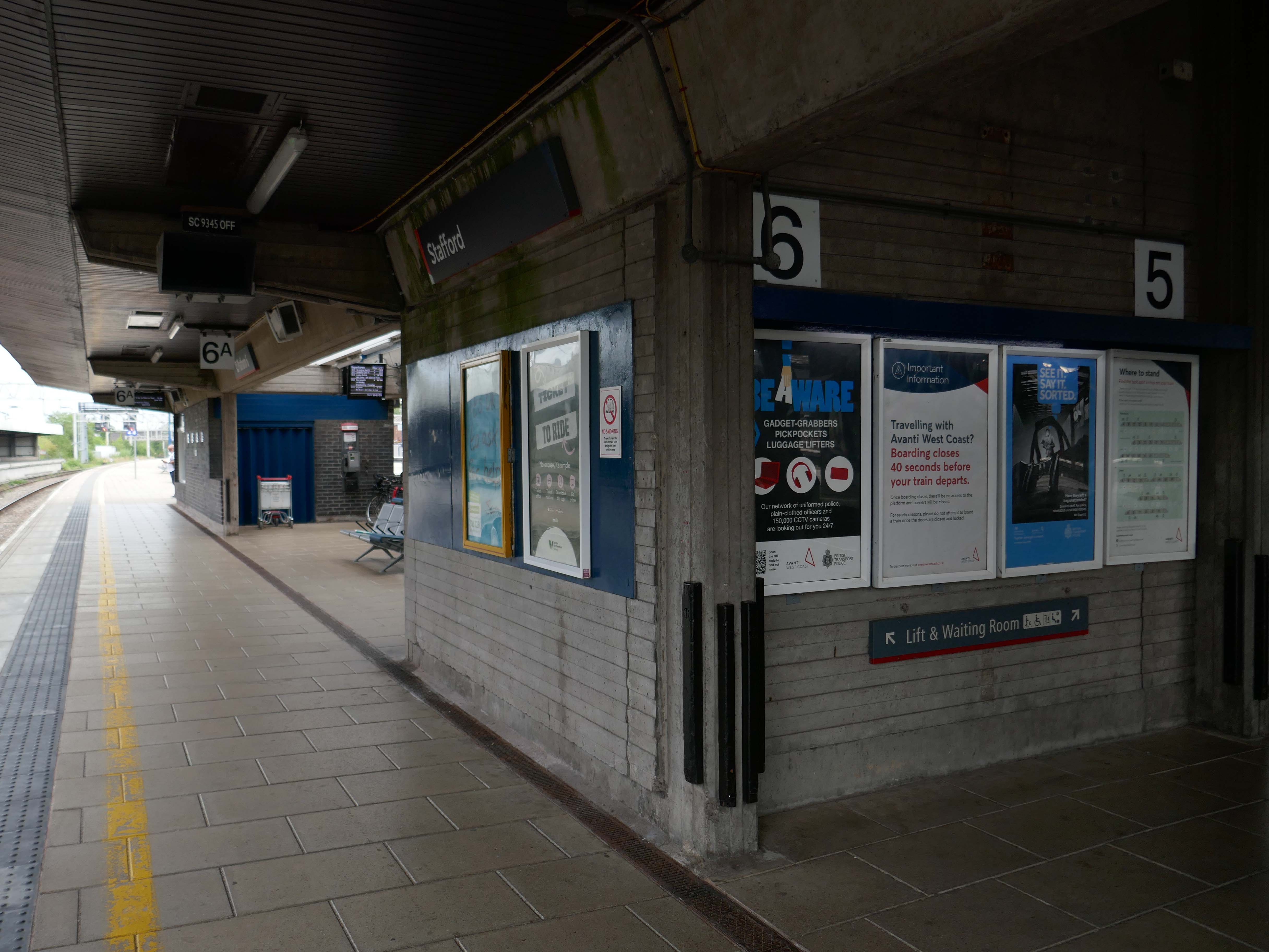
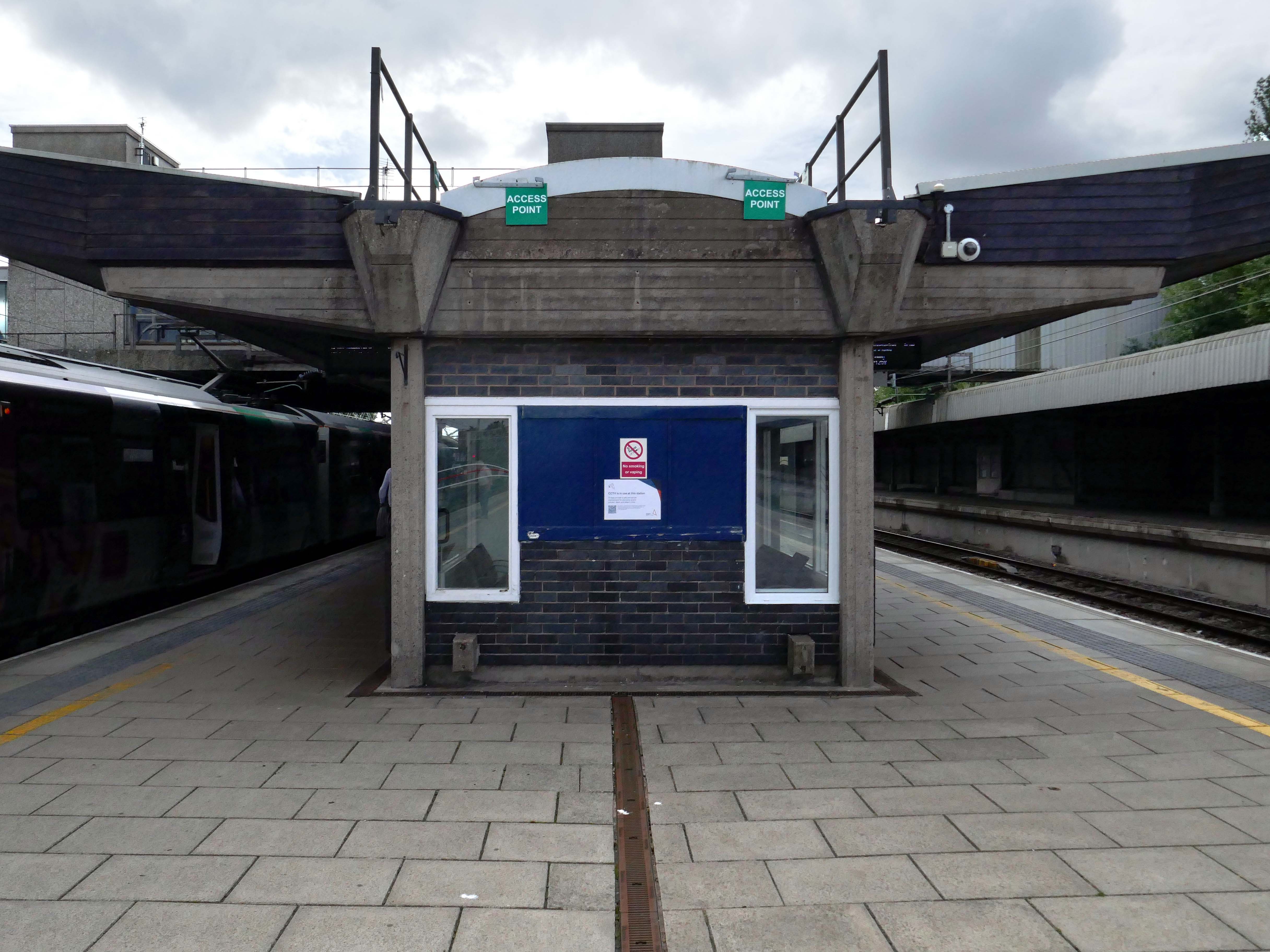
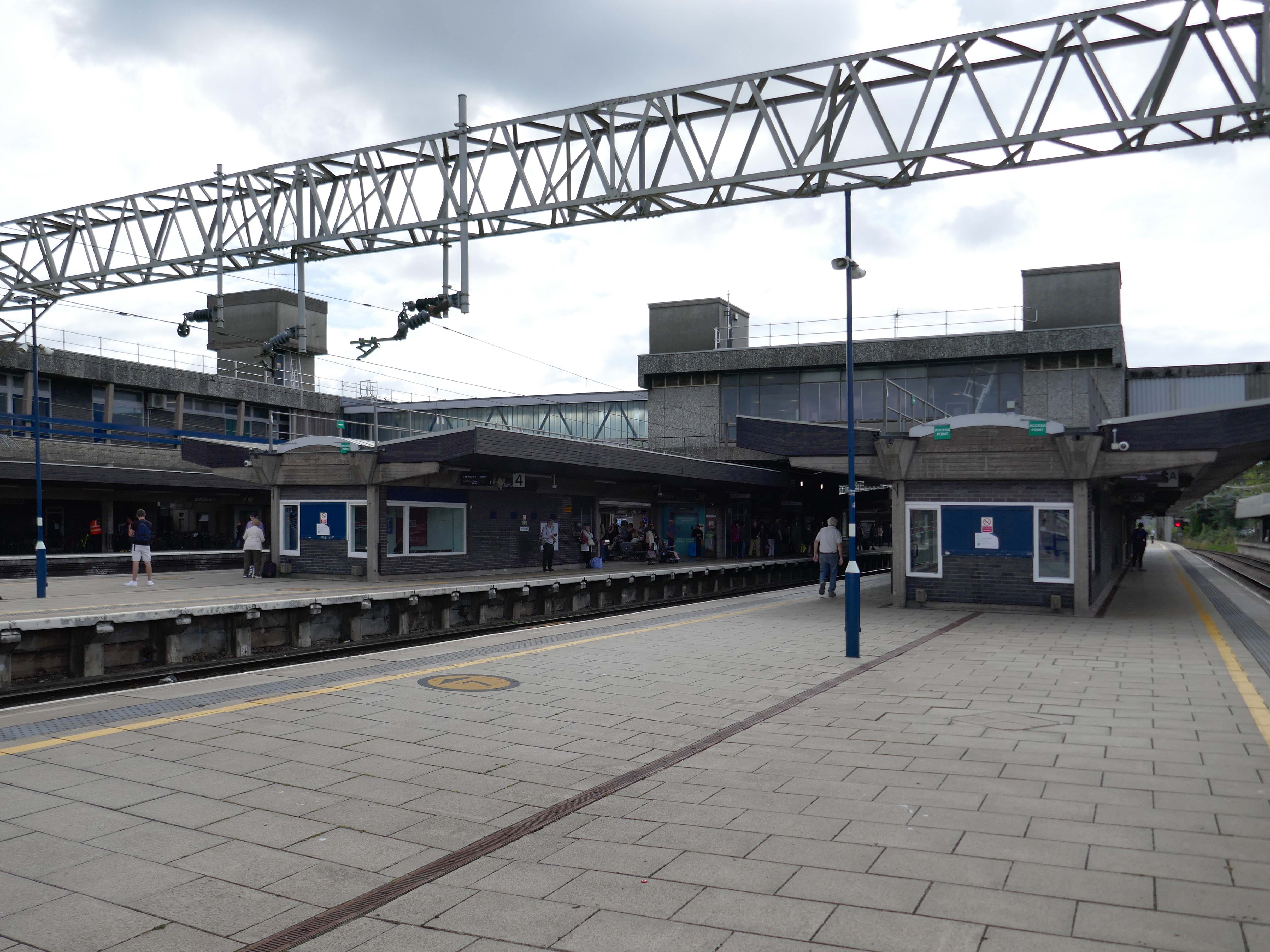
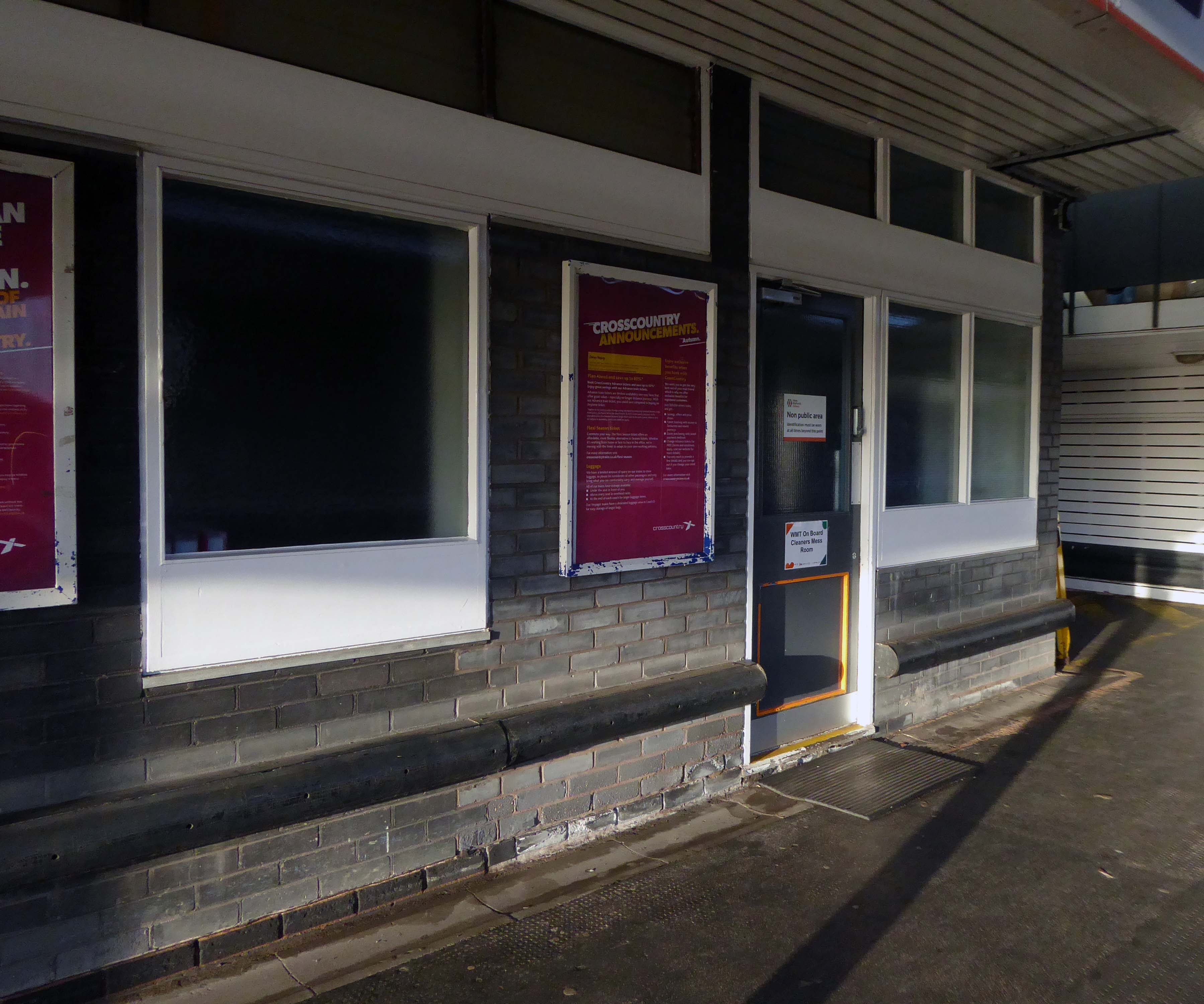
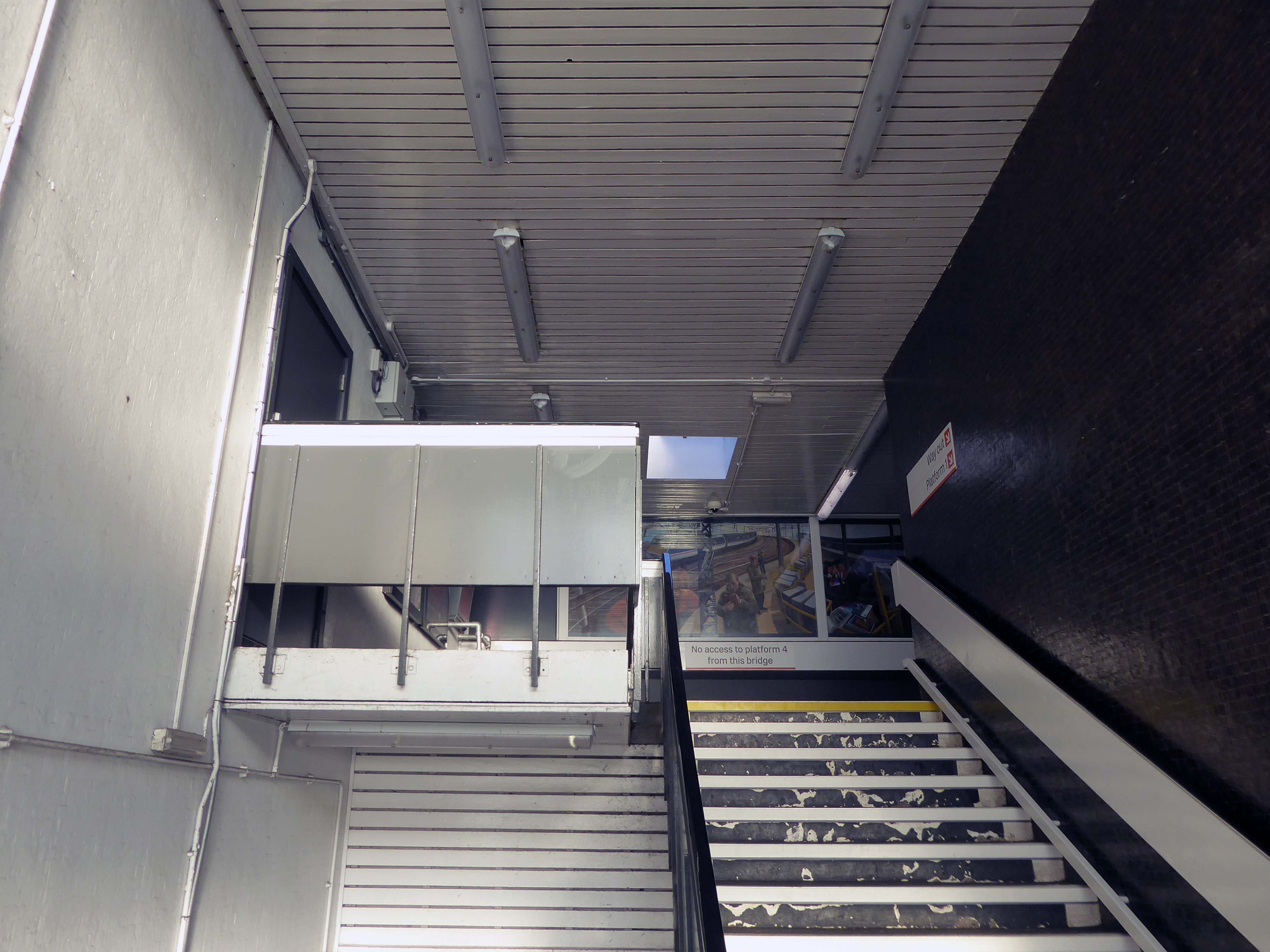
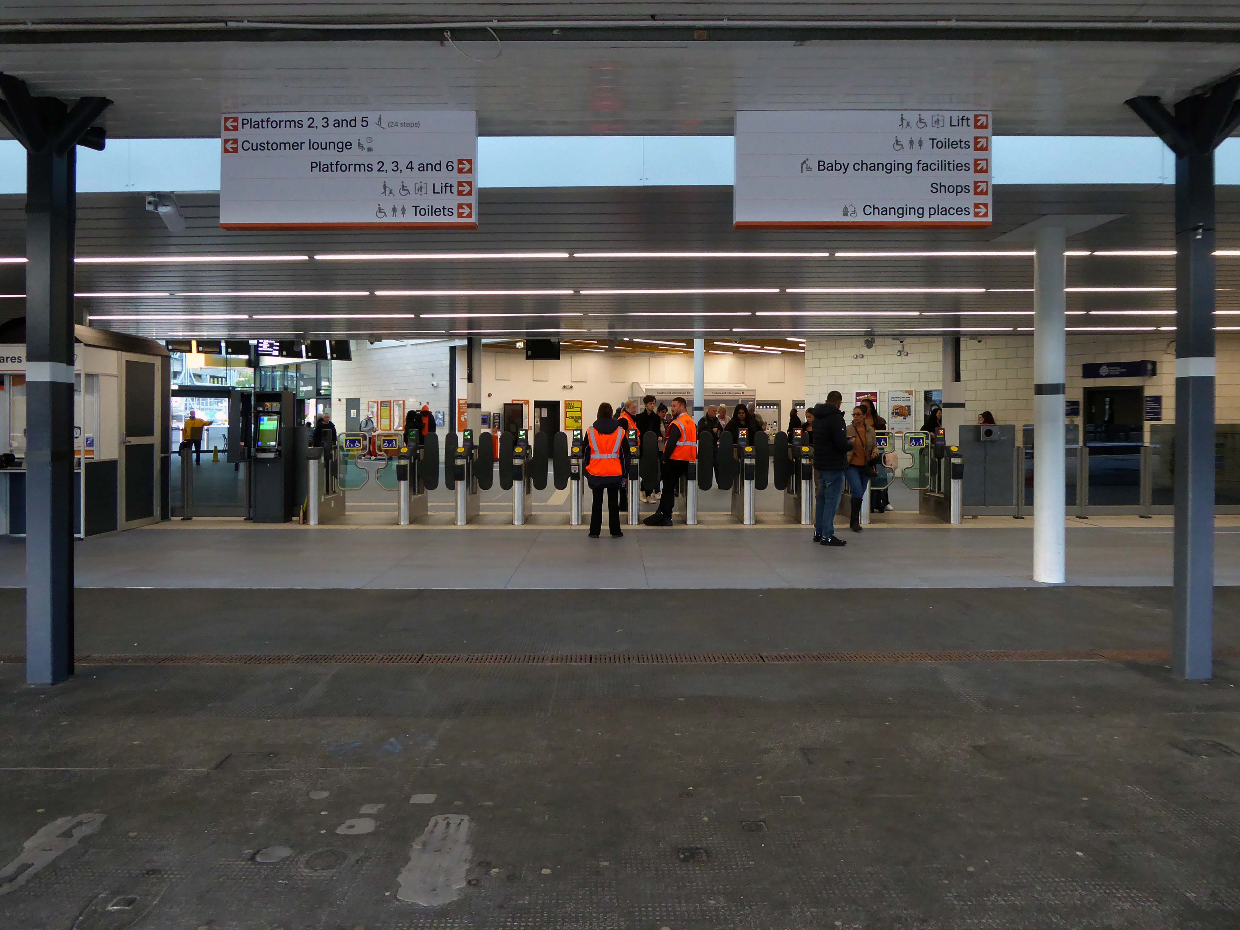
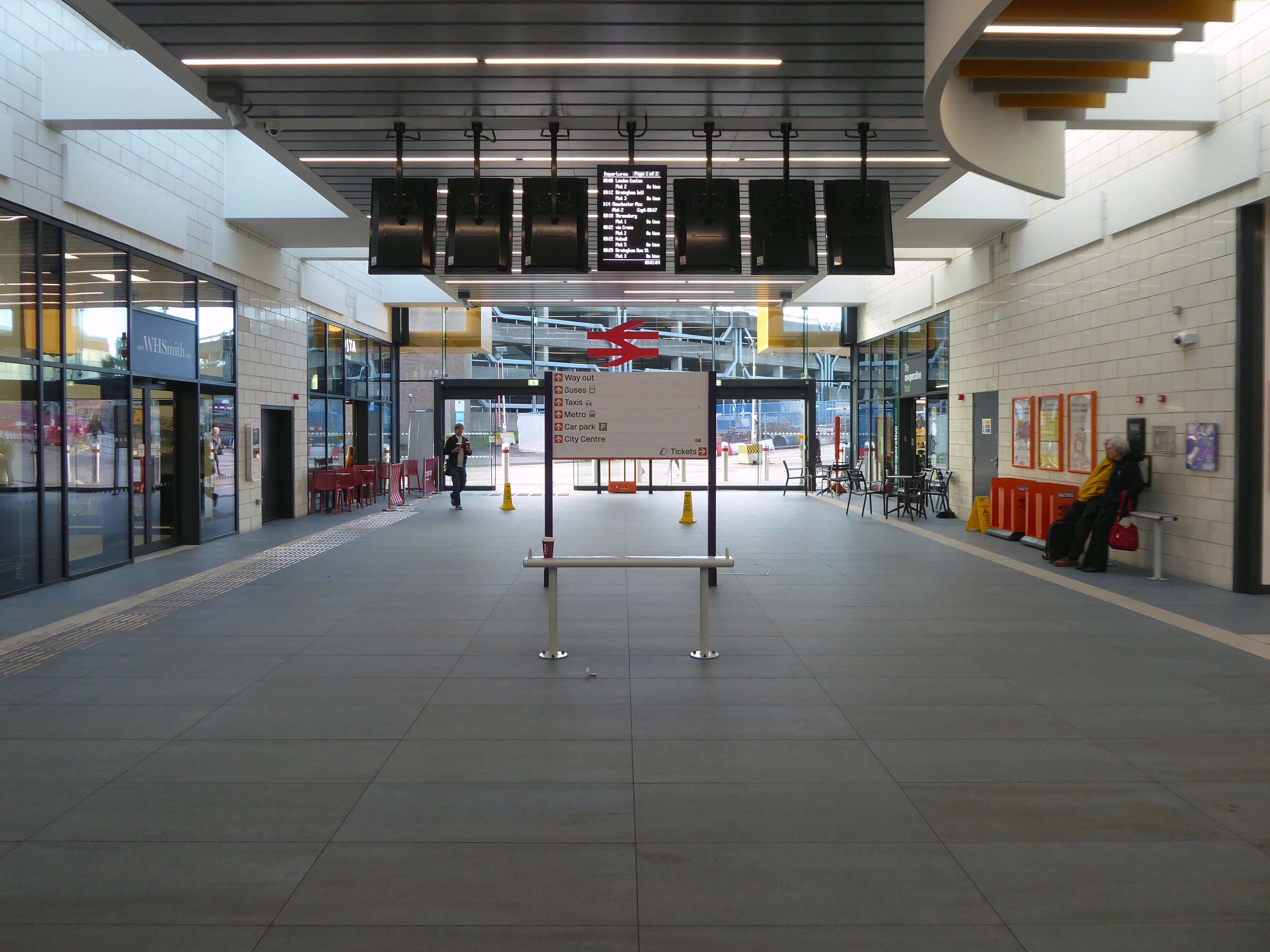
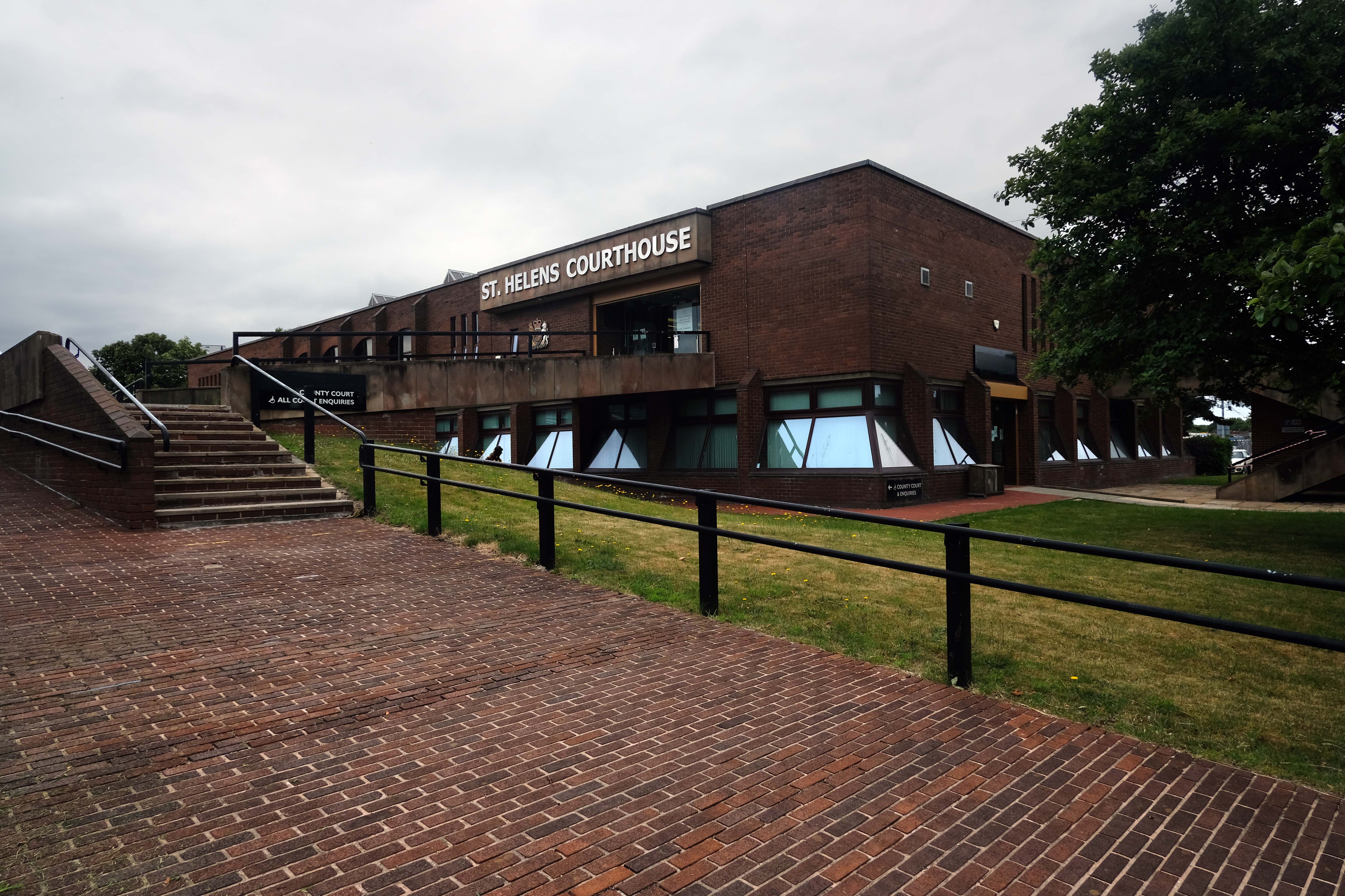
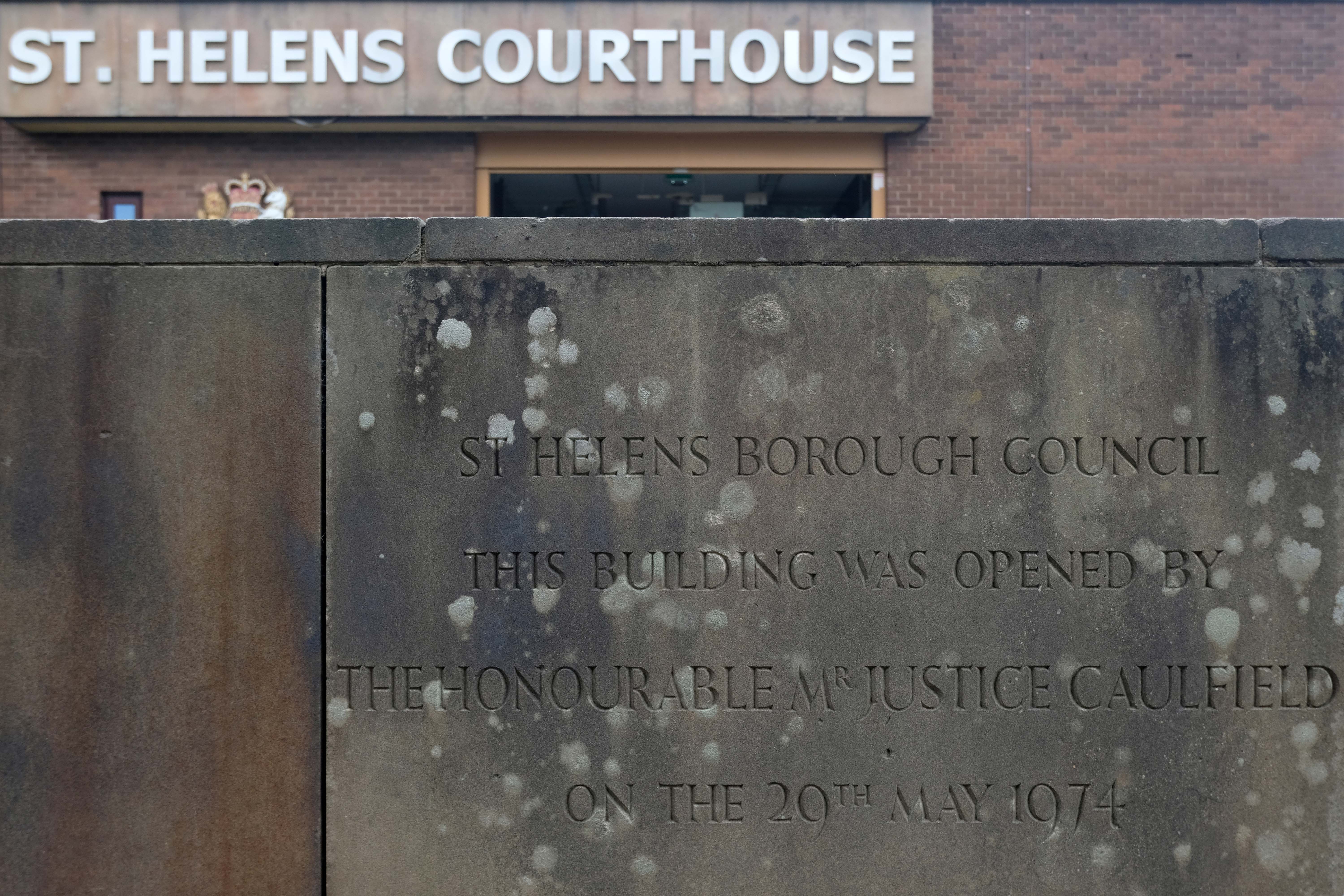
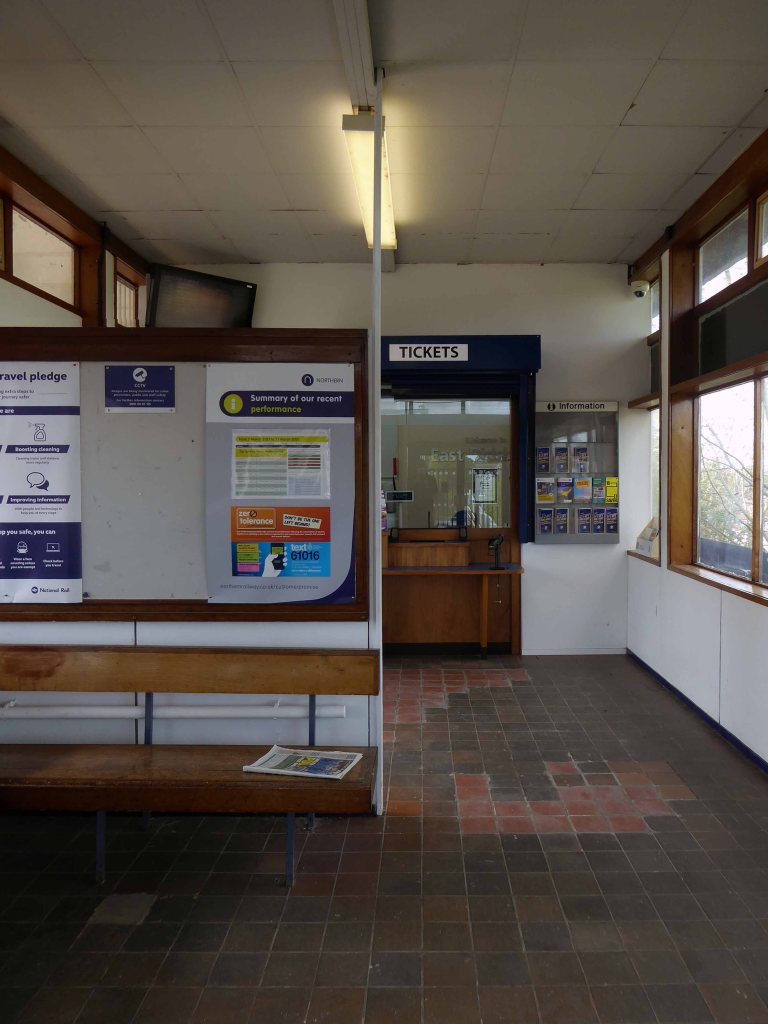
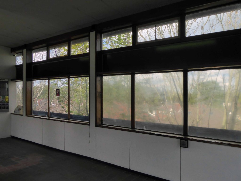
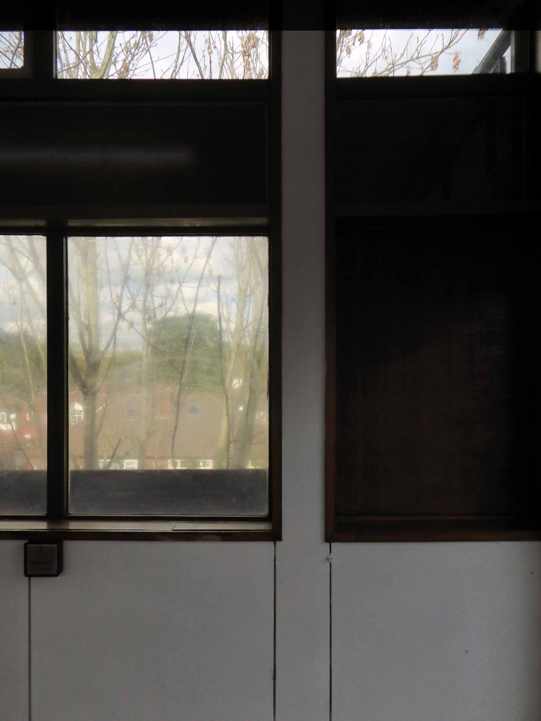
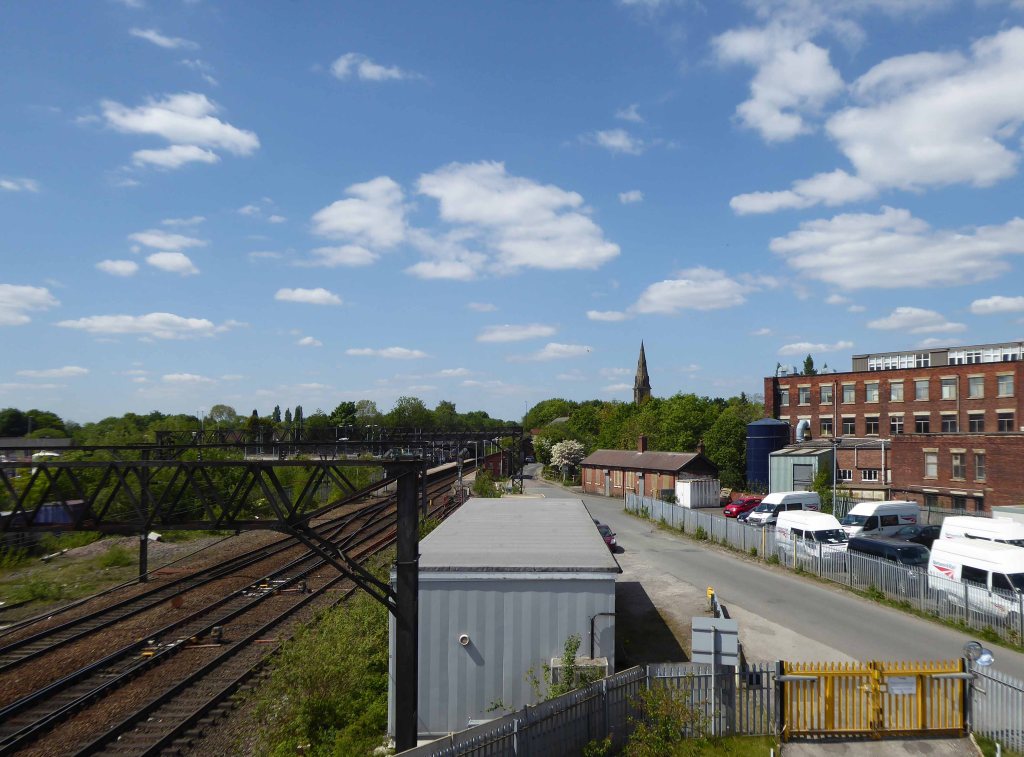
Having passed through here on more than one occasion, it only seemed polite to stop and take a look around.
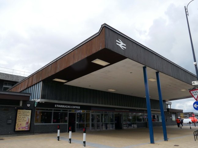
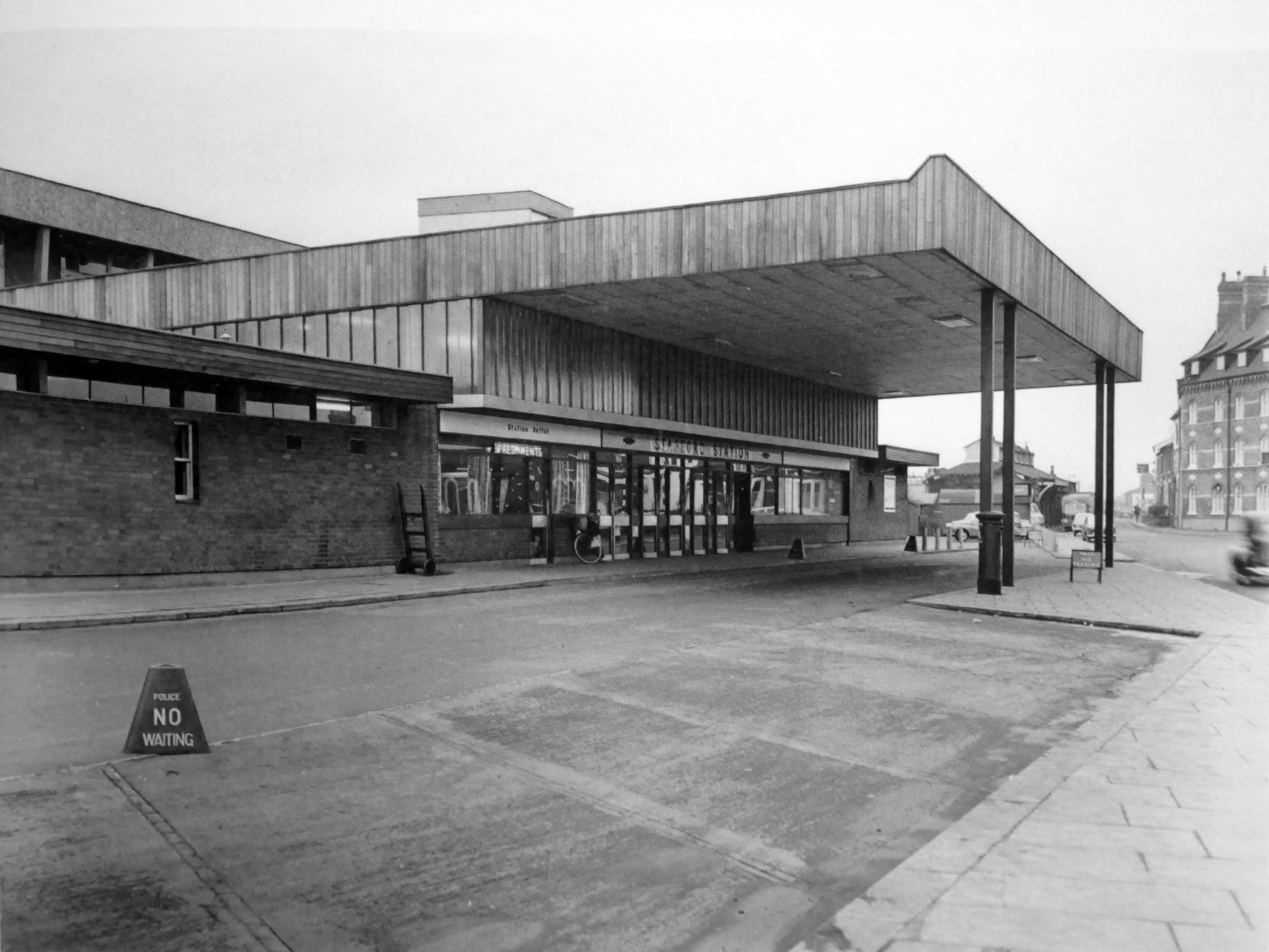
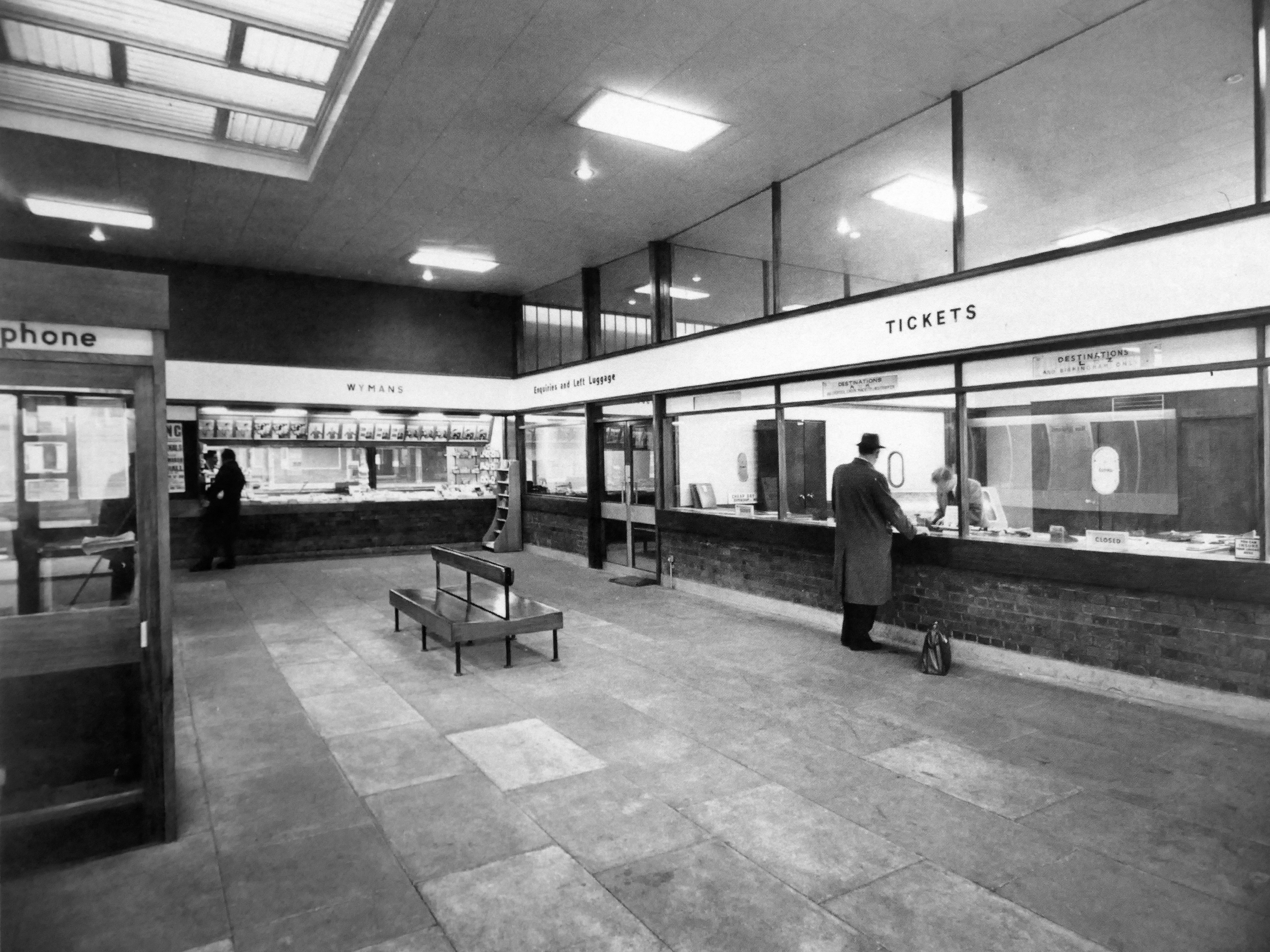
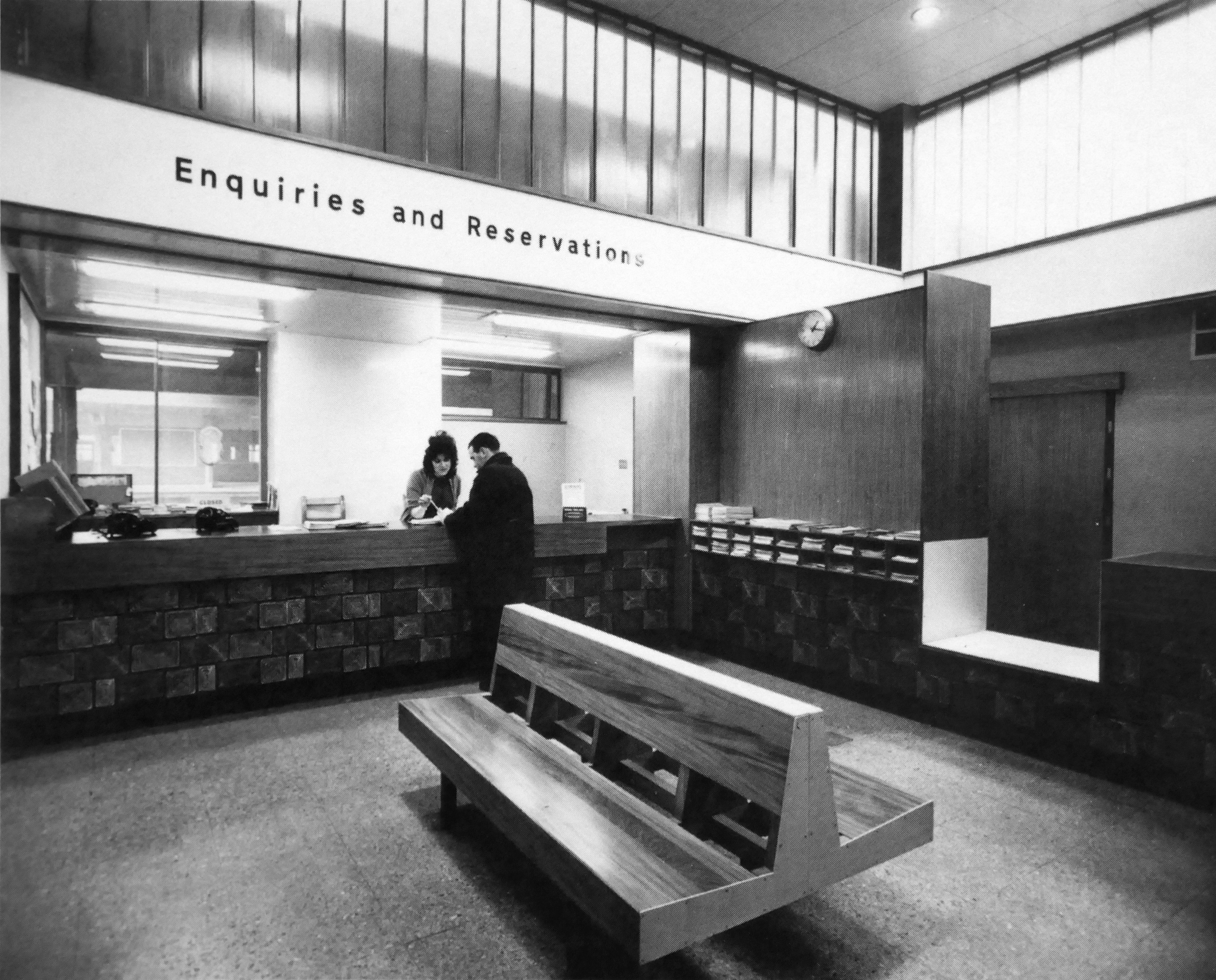
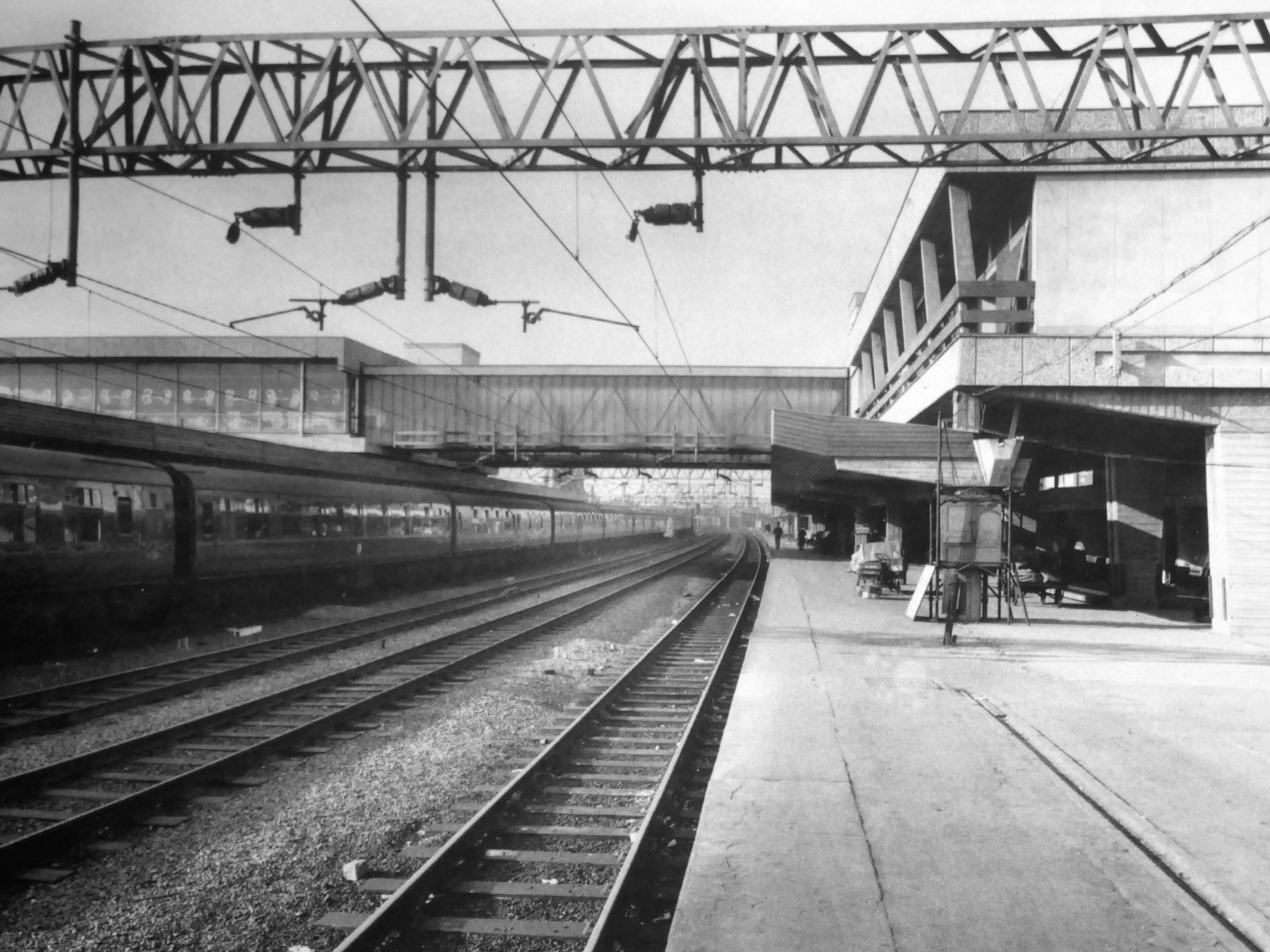
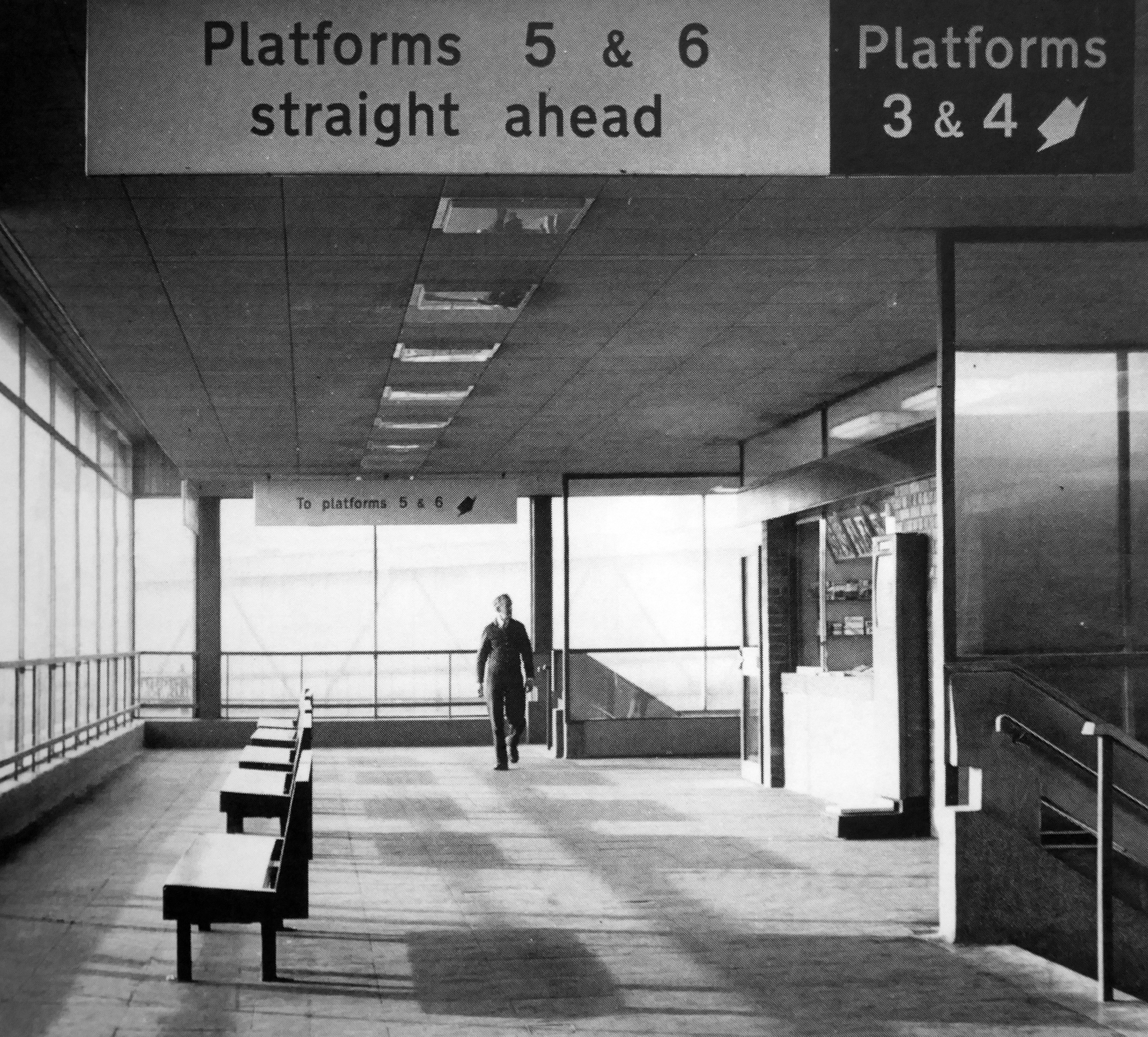
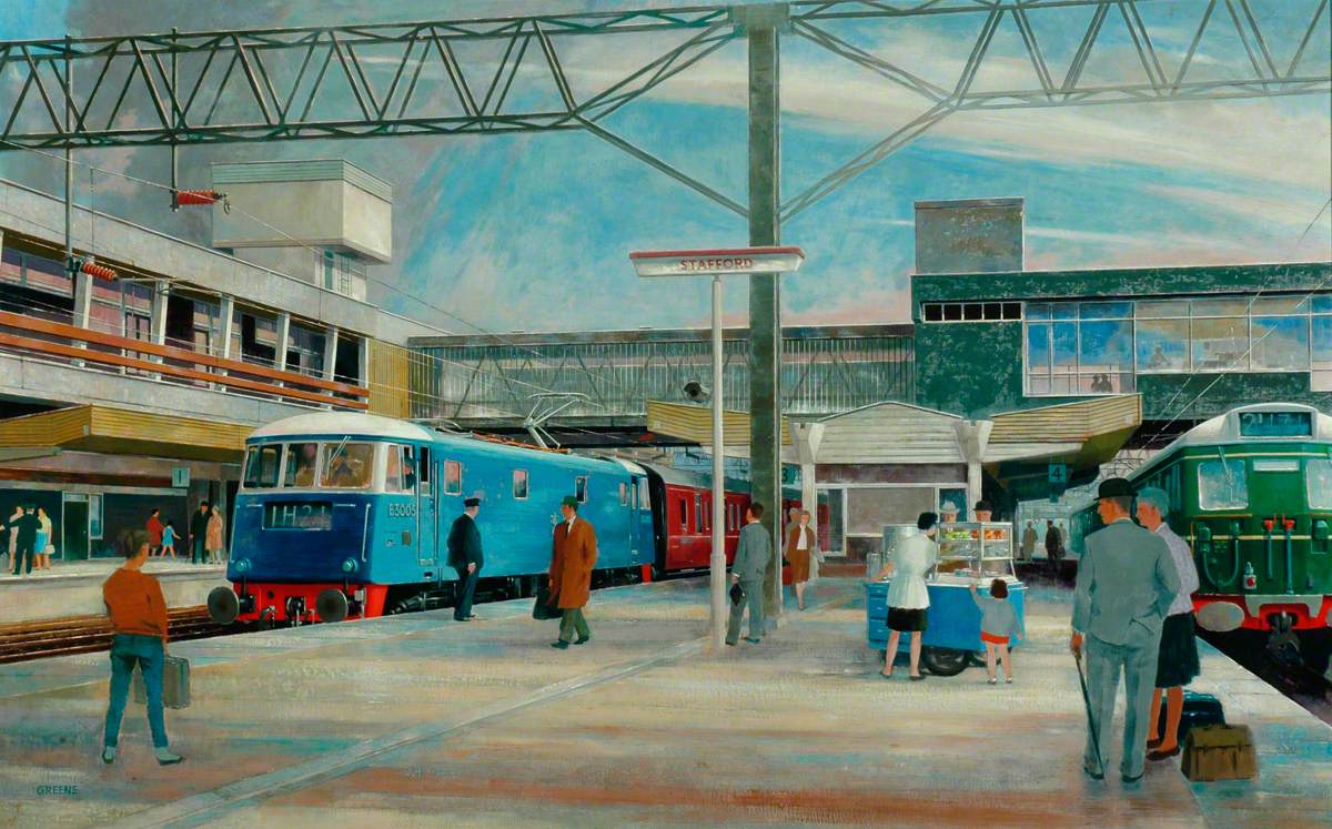
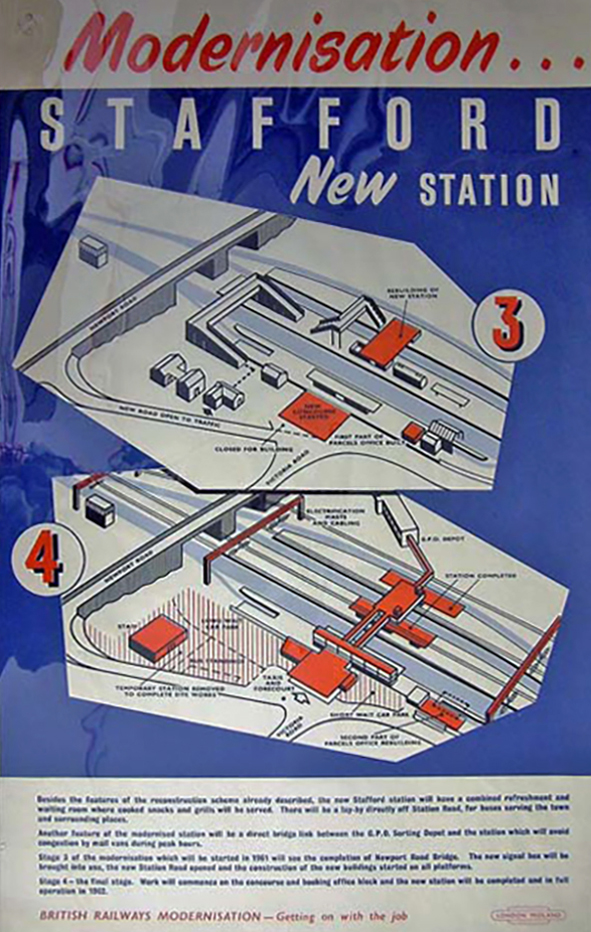
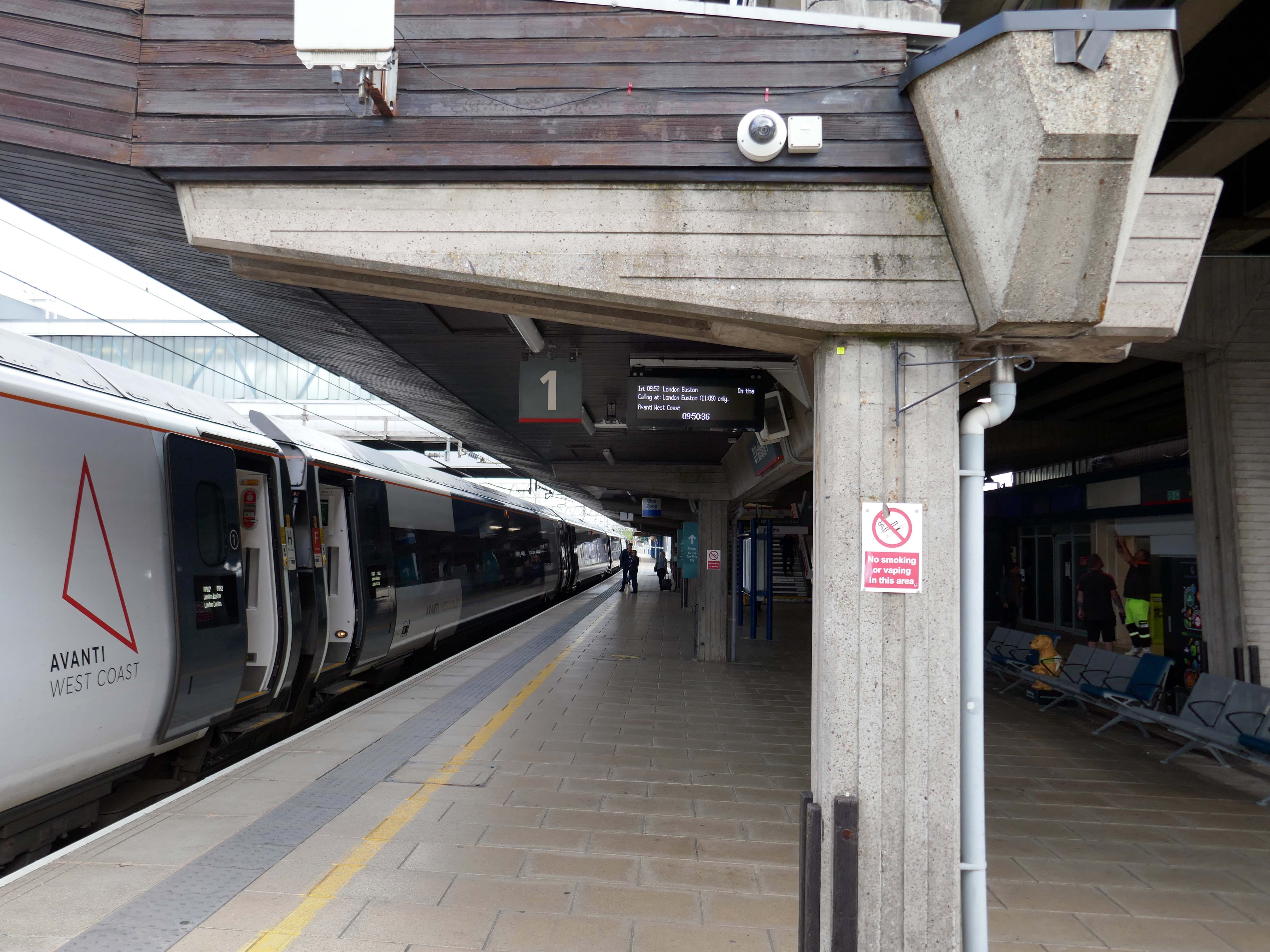
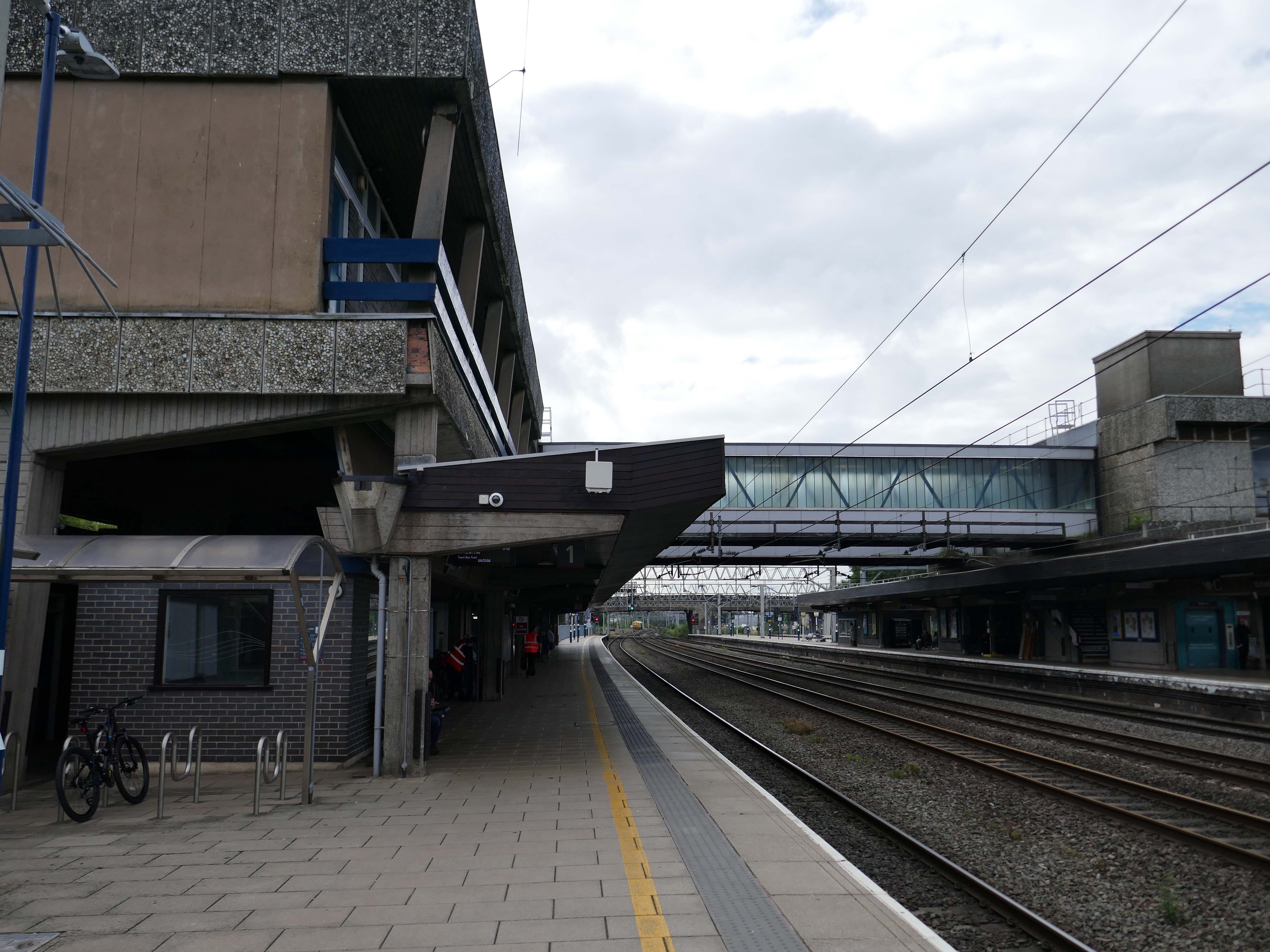
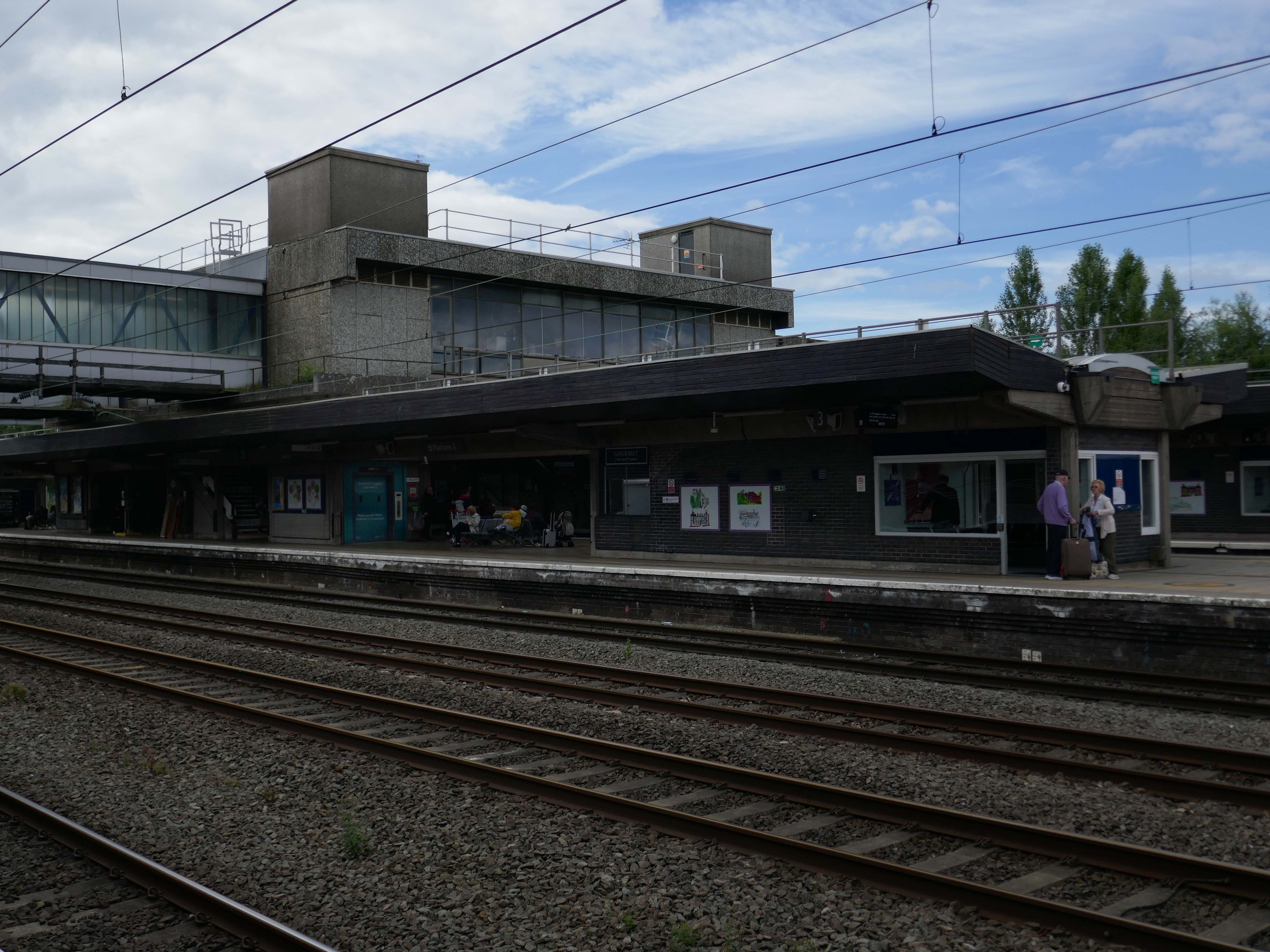
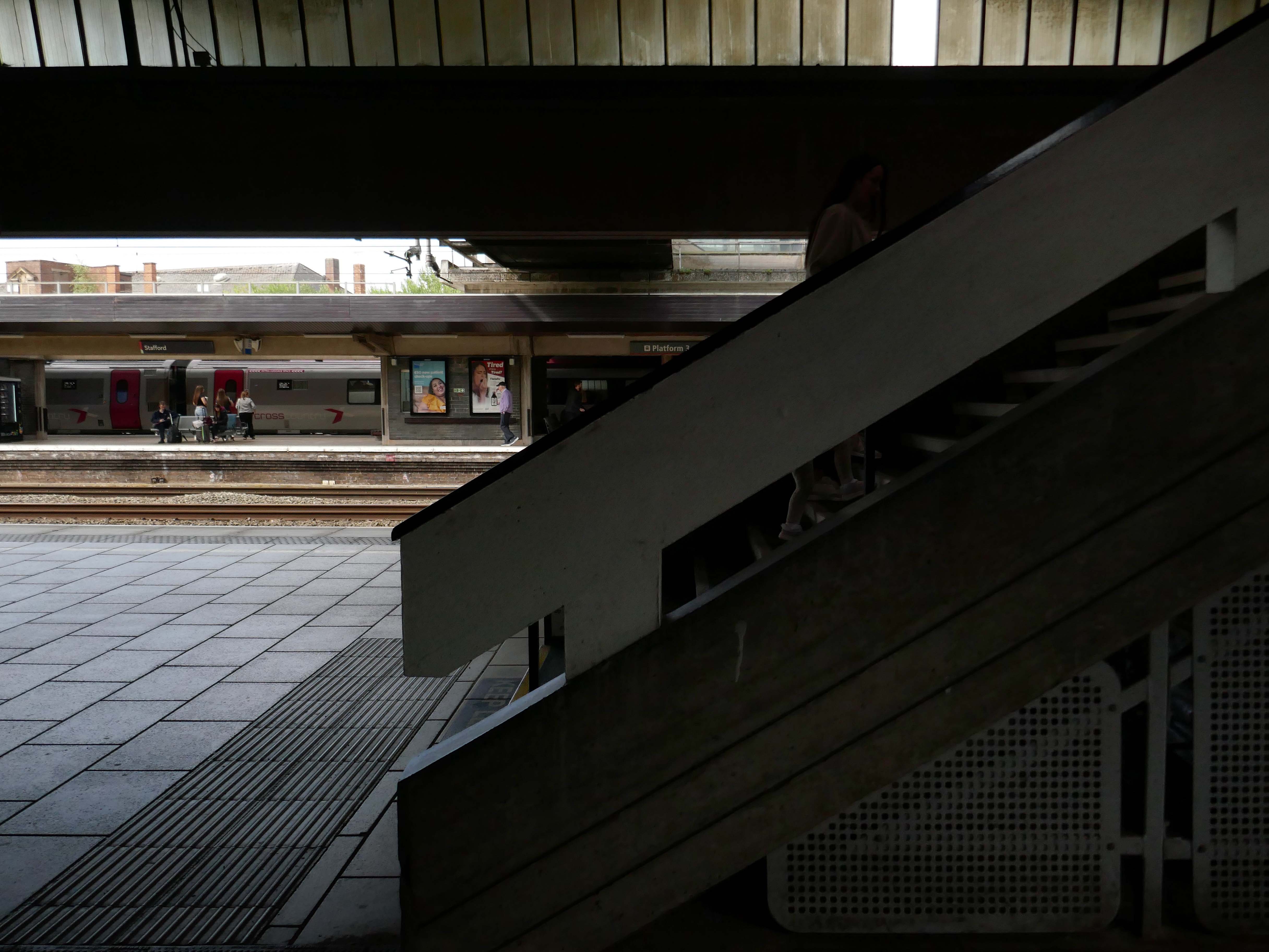
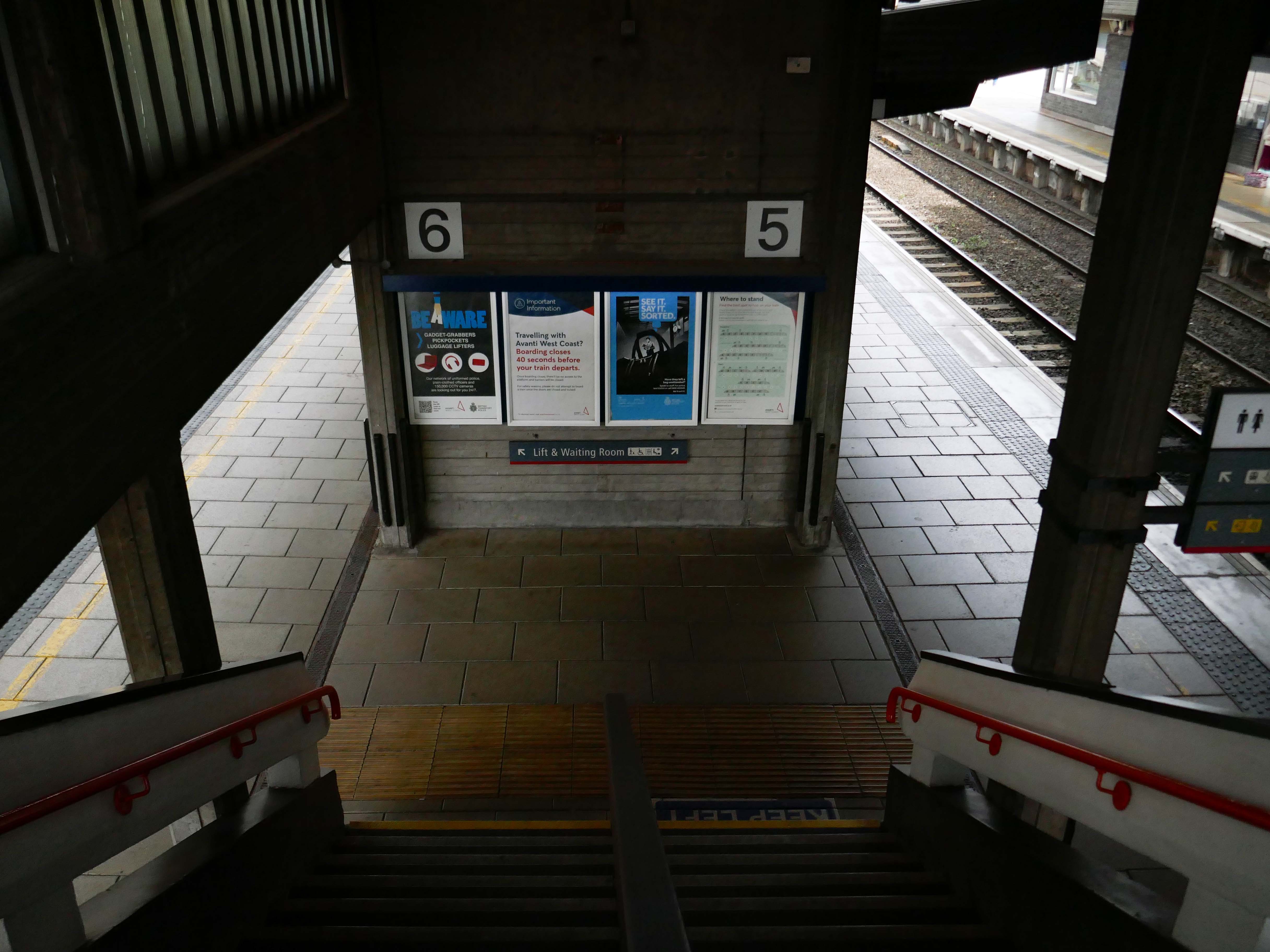
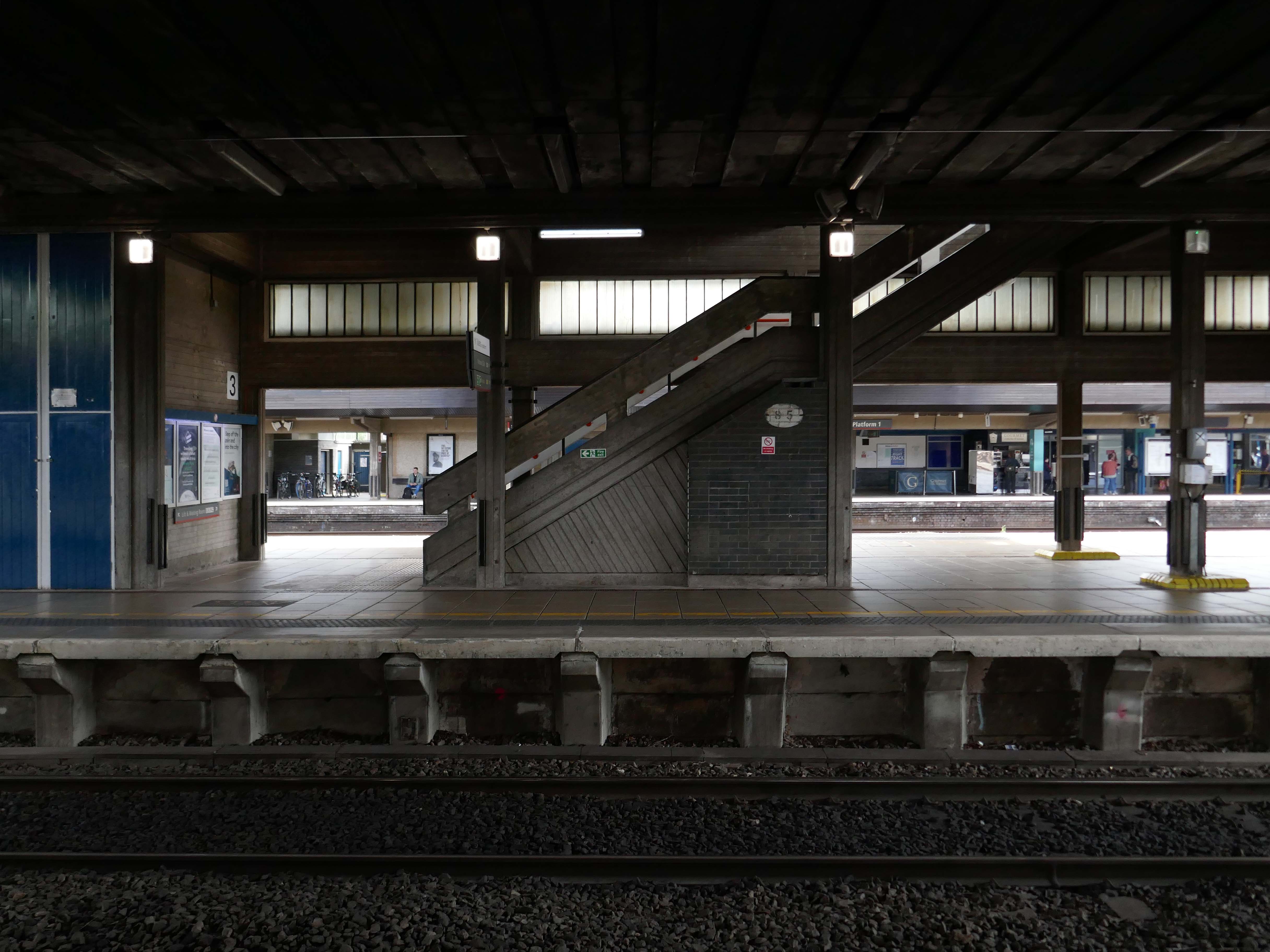
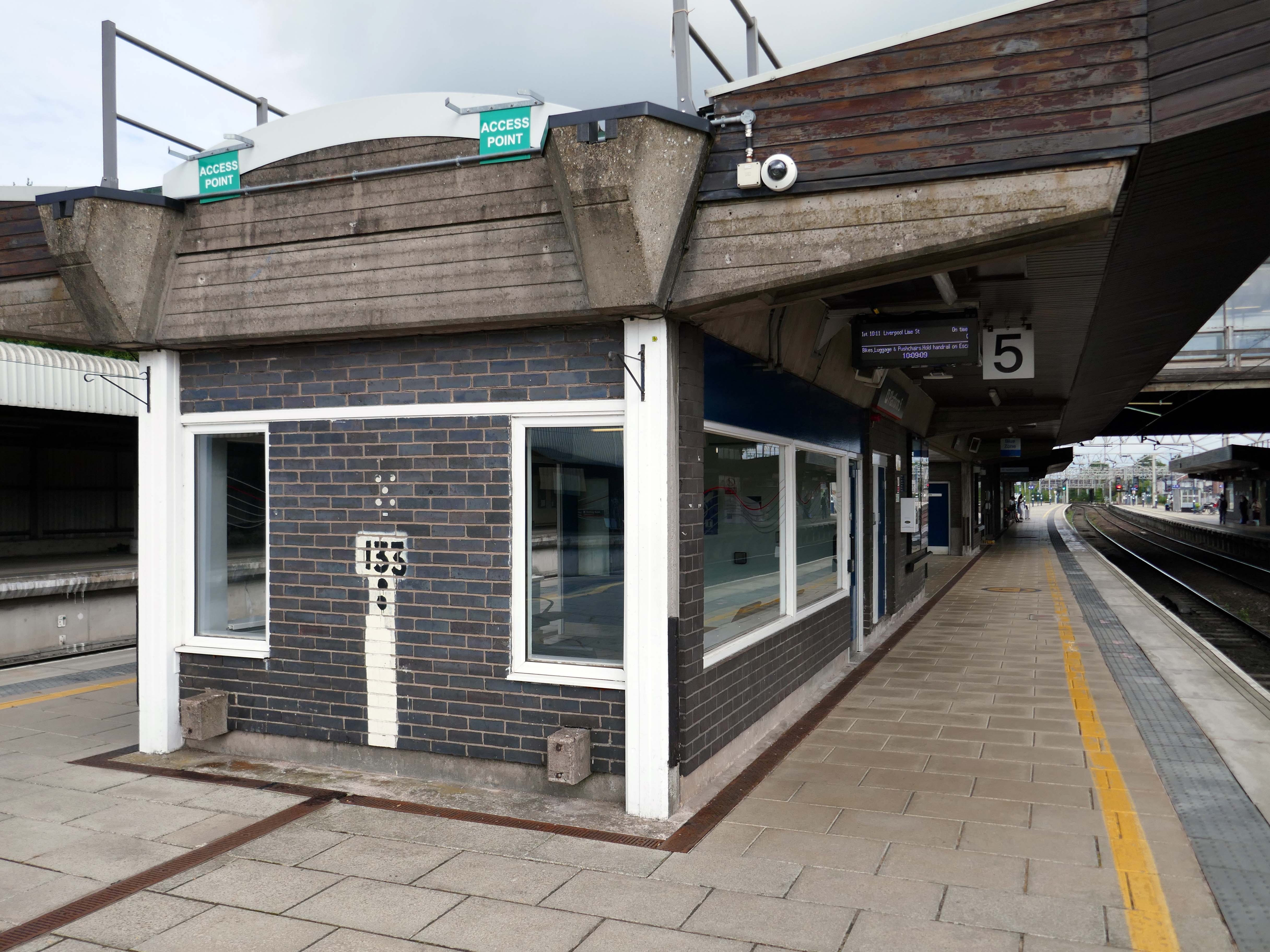
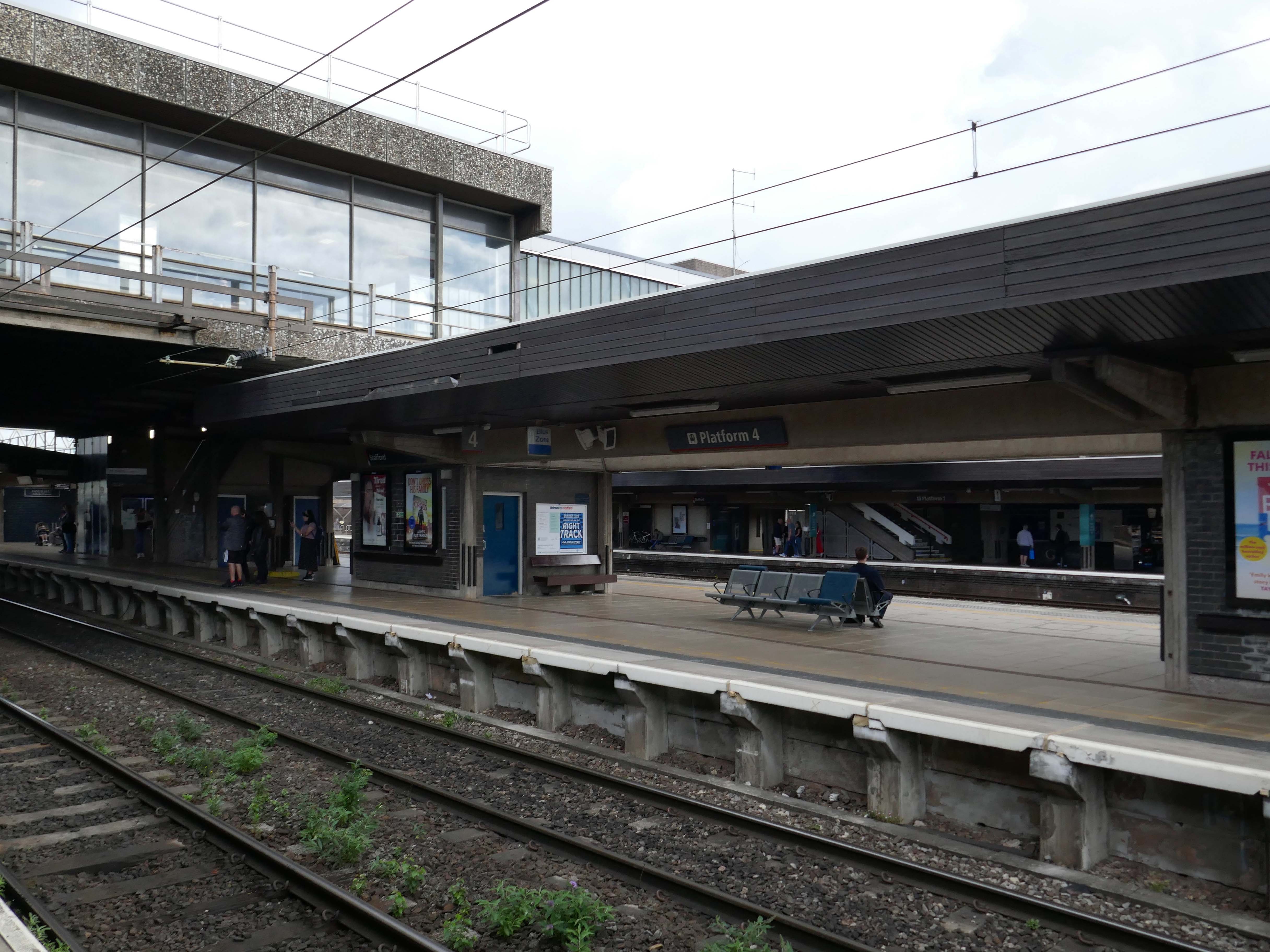
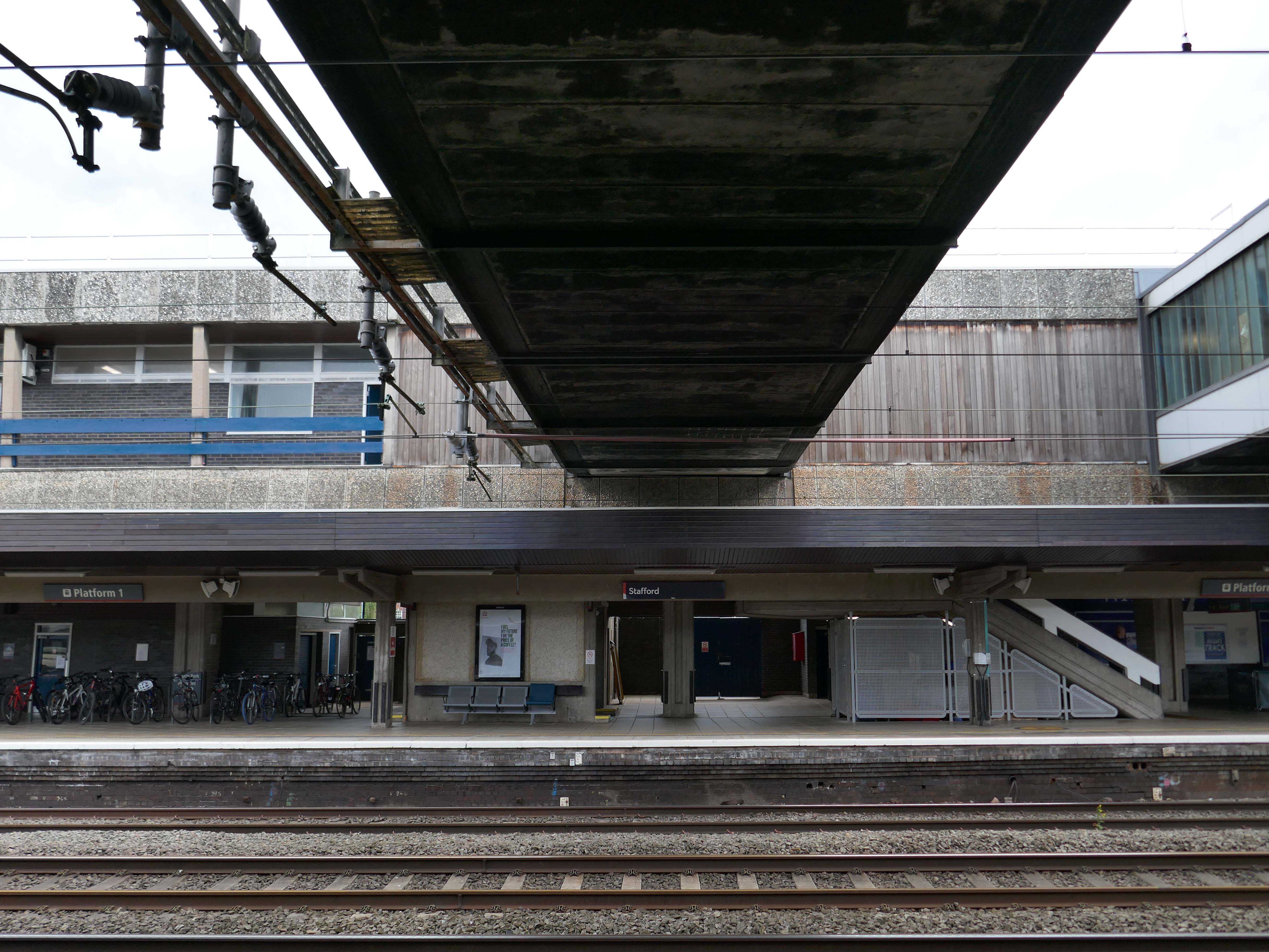
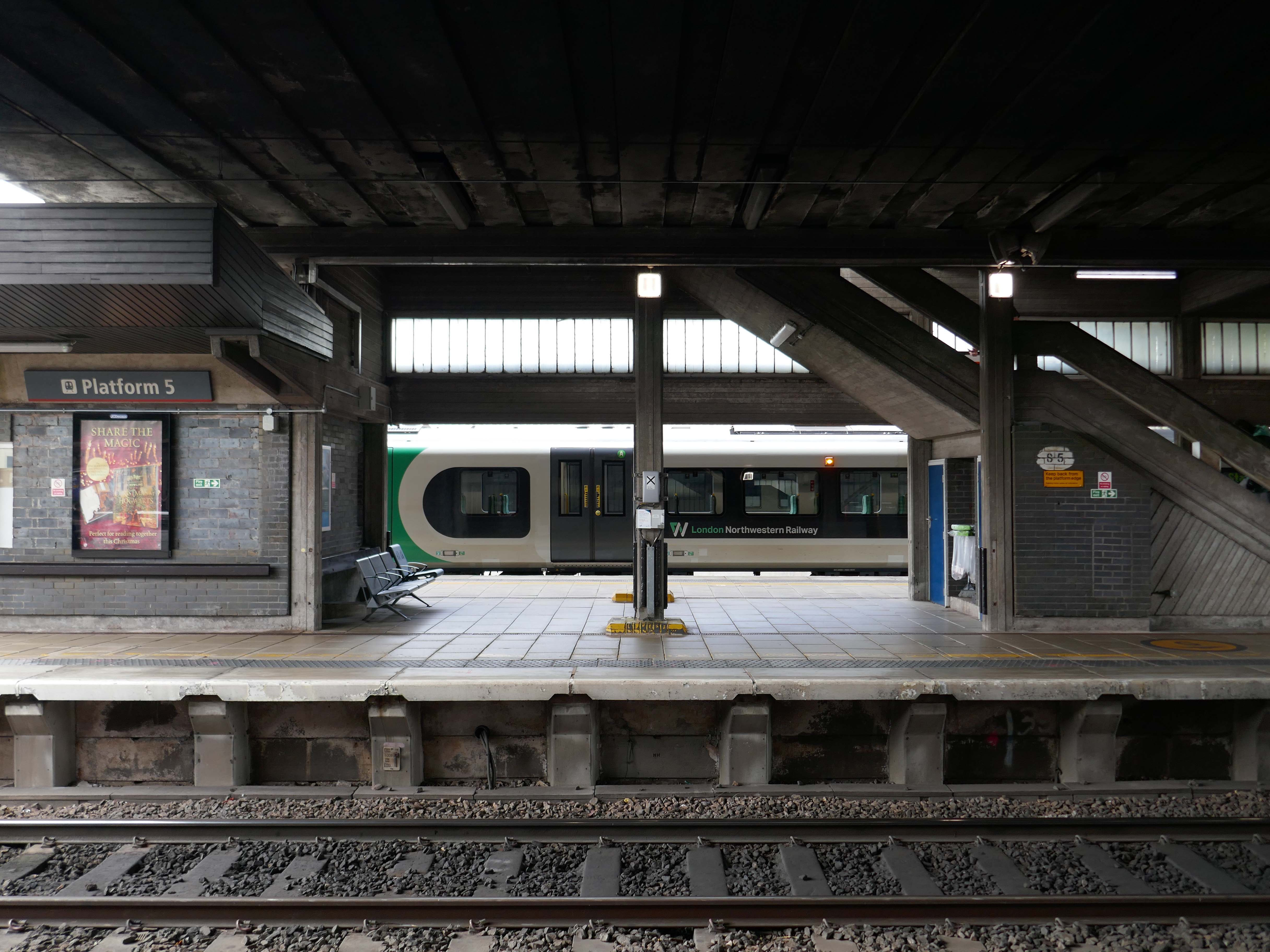
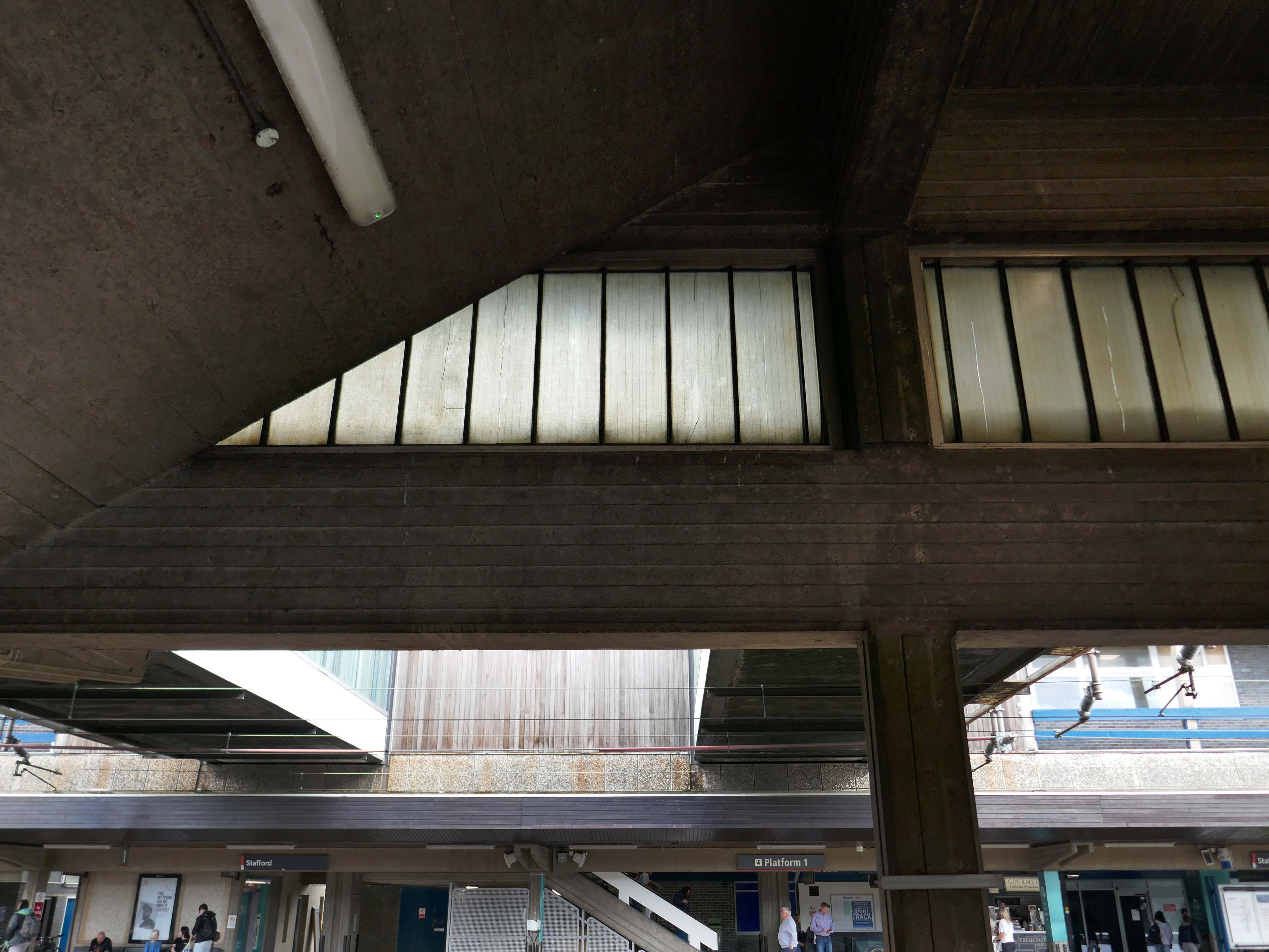
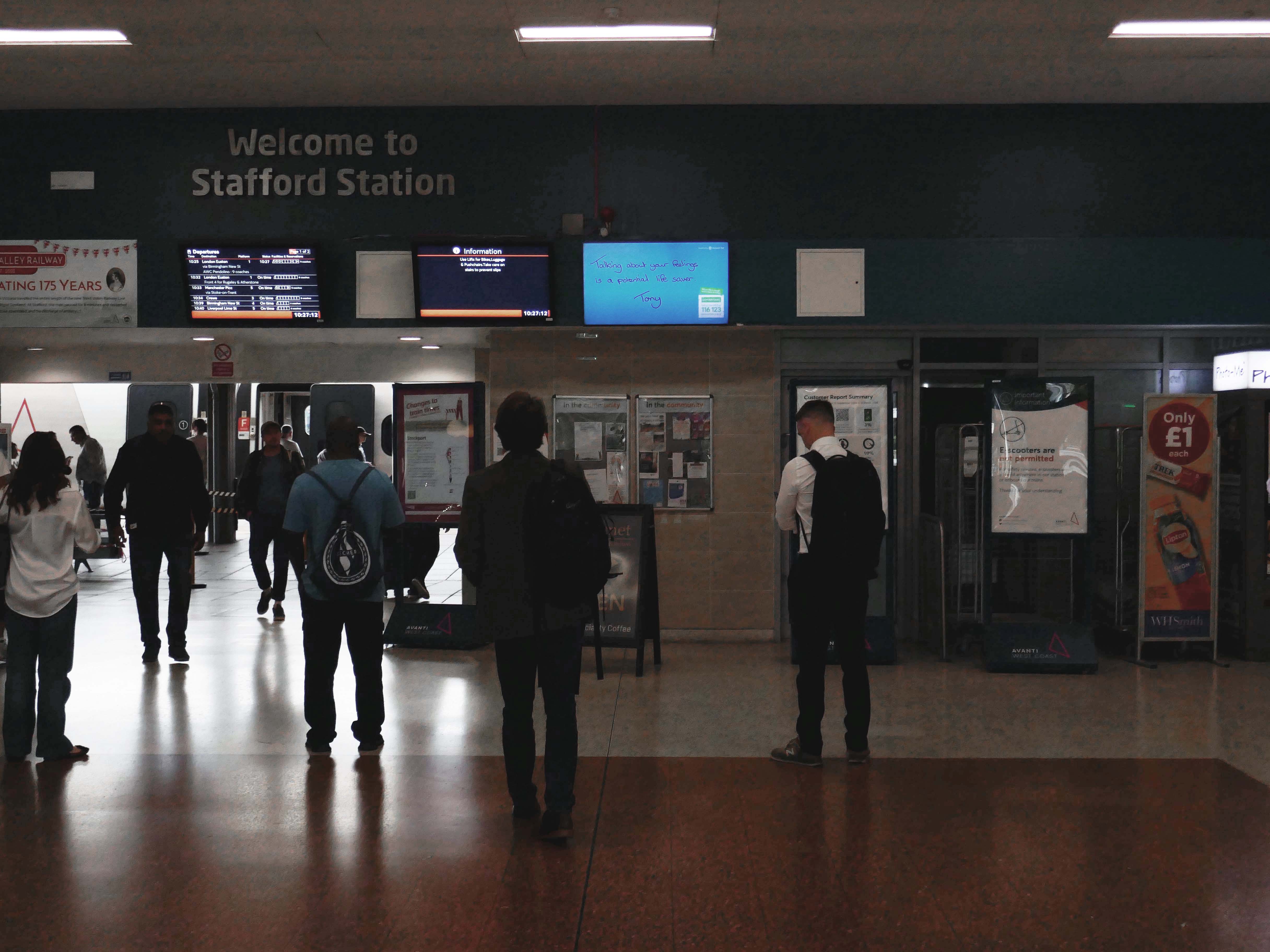
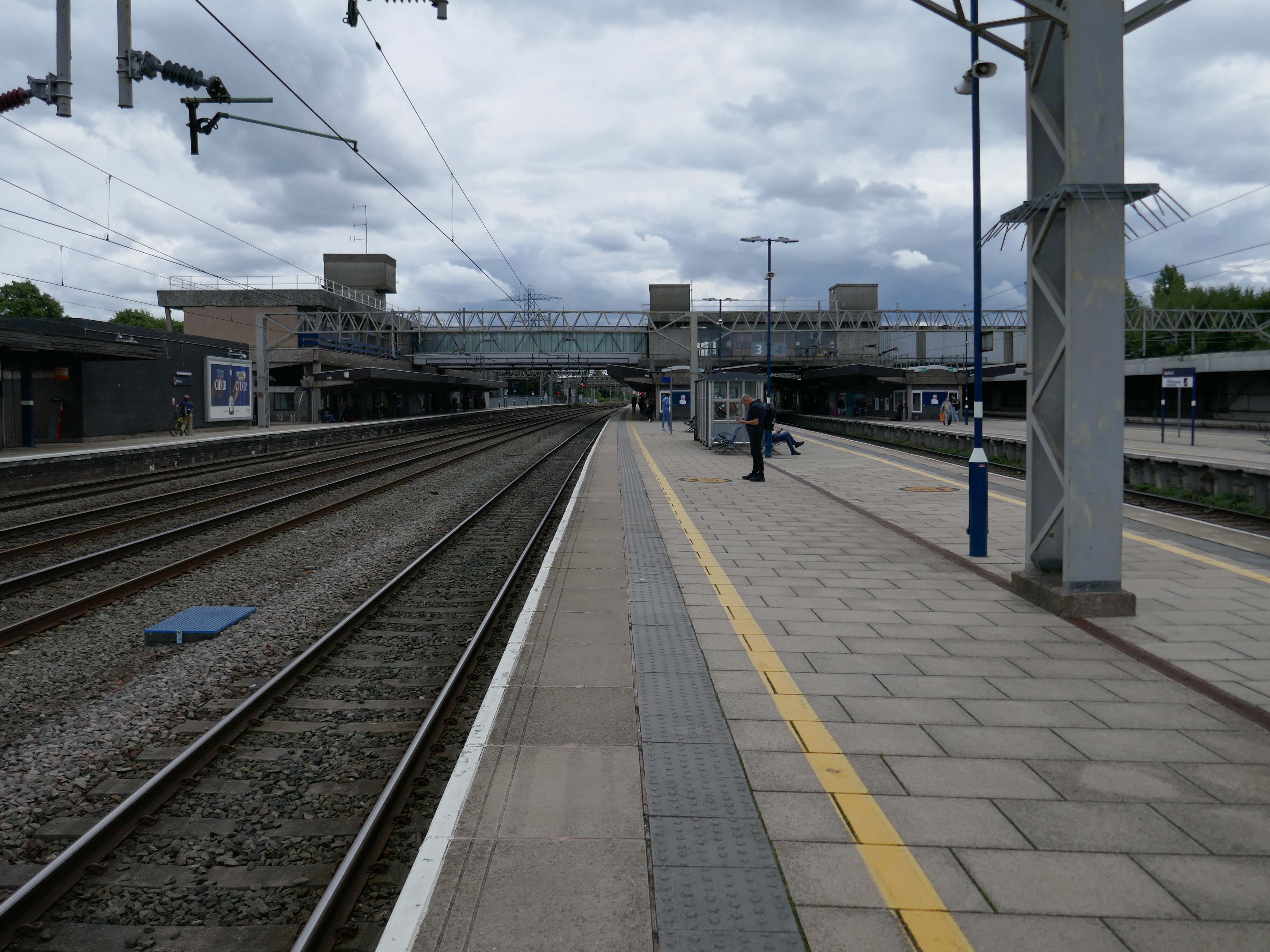
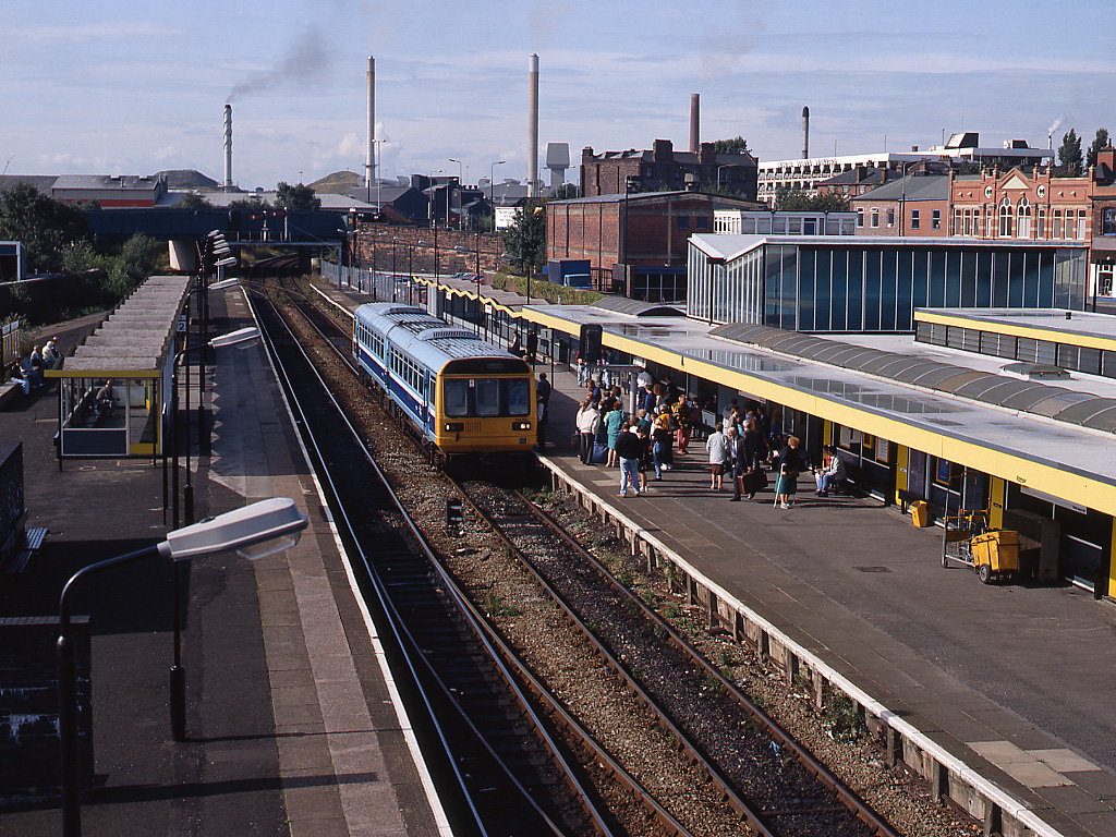
It is the second busiest interchange in the county, after Stoke-on-Trent. It serves the market and county town, as well as surrounding villages. The station lies on the junction of the Trent Valley line, the Rugby–Birmingham–Stafford line and the West Coast Main Line; it was also the terminus for the former Stafford–Uttoxeter and Stafford–Shrewsbury lines.
The current station was built in 1962, by the architect William Robert Headley, as part of the modernisation programme which saw the electrification of the West Coast Main Line.
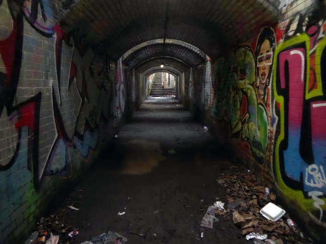
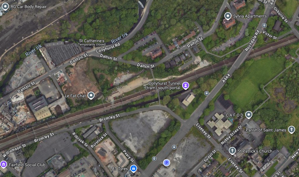
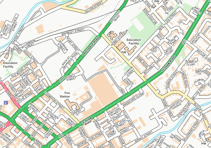
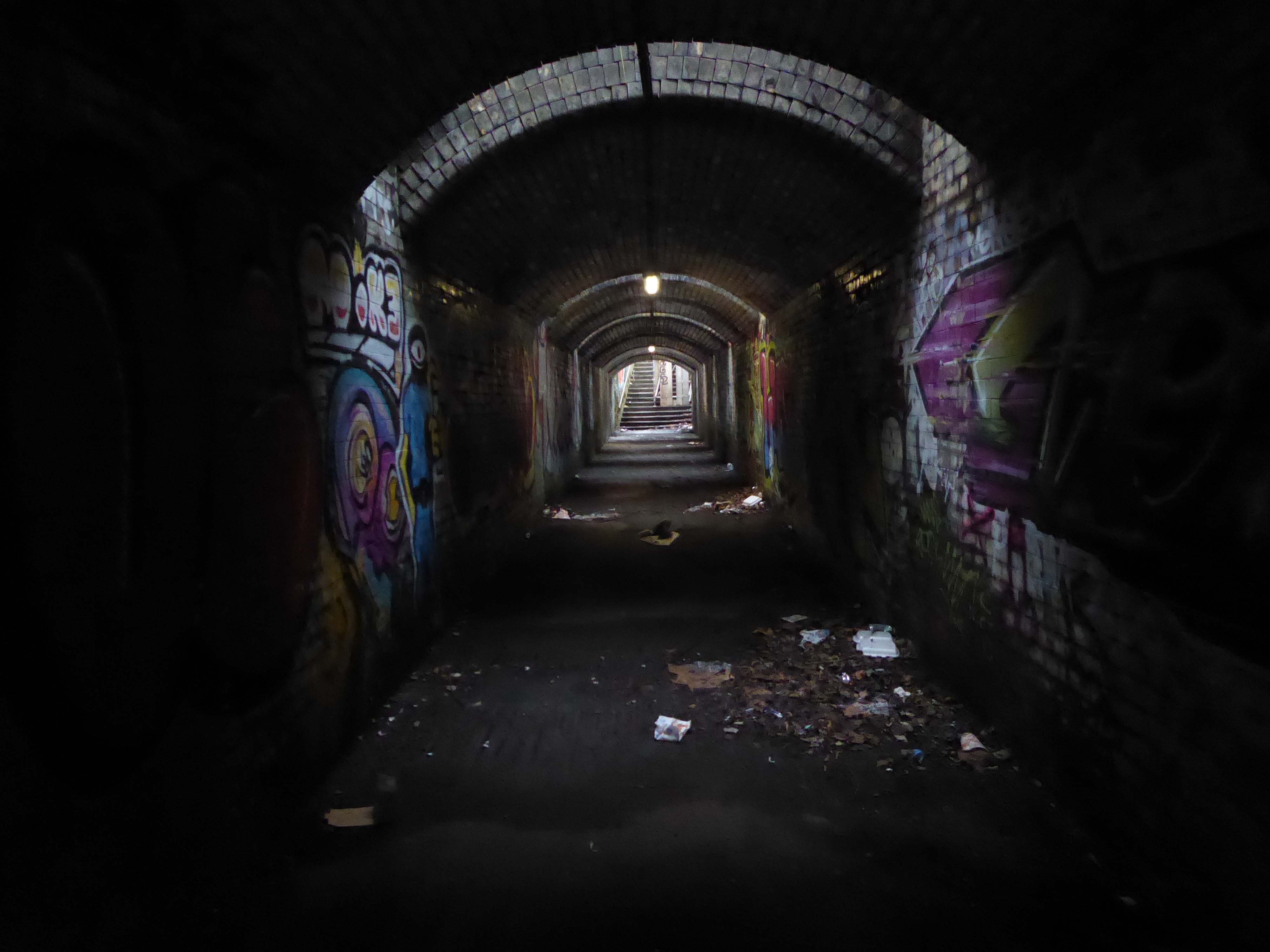
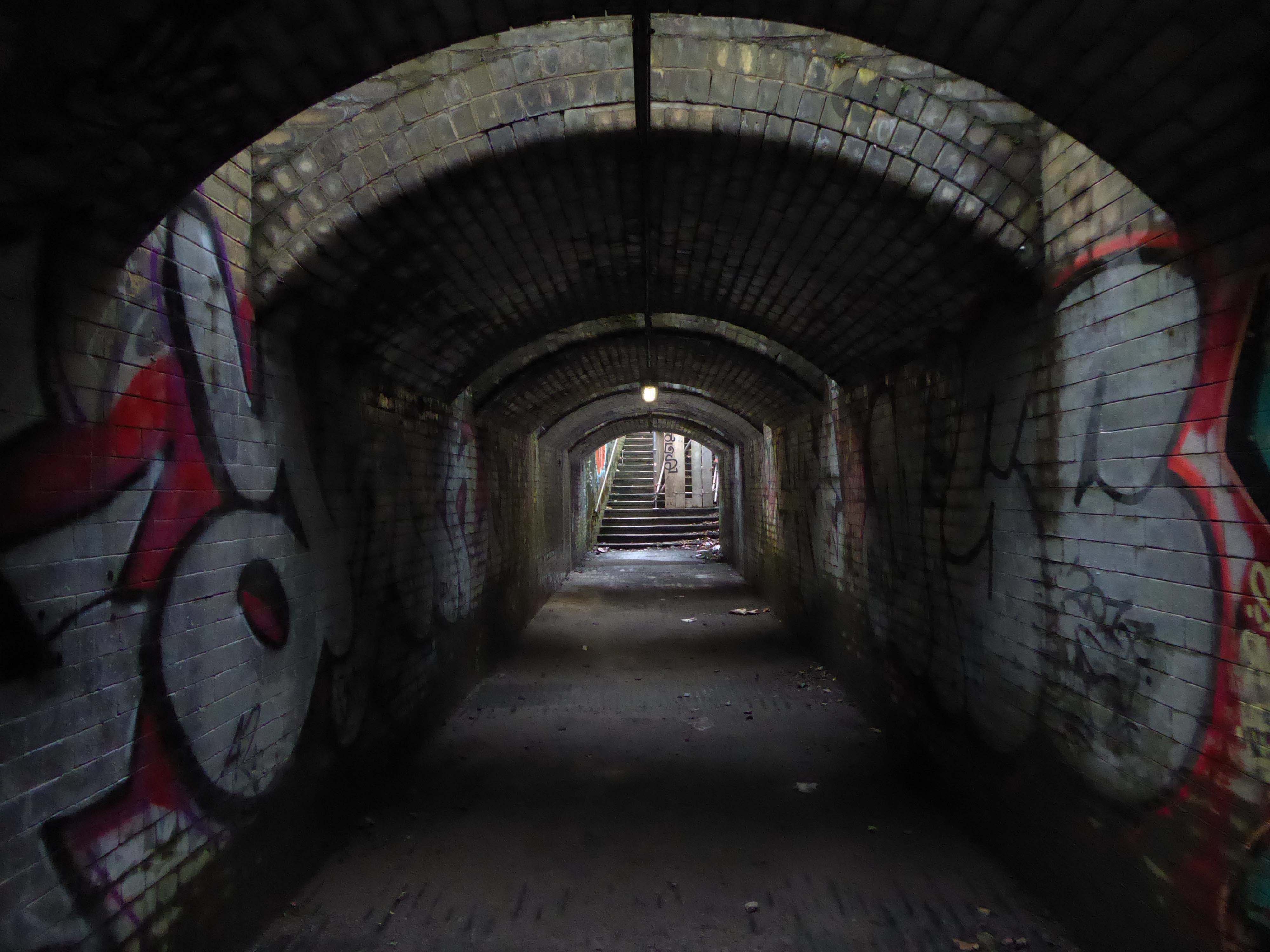
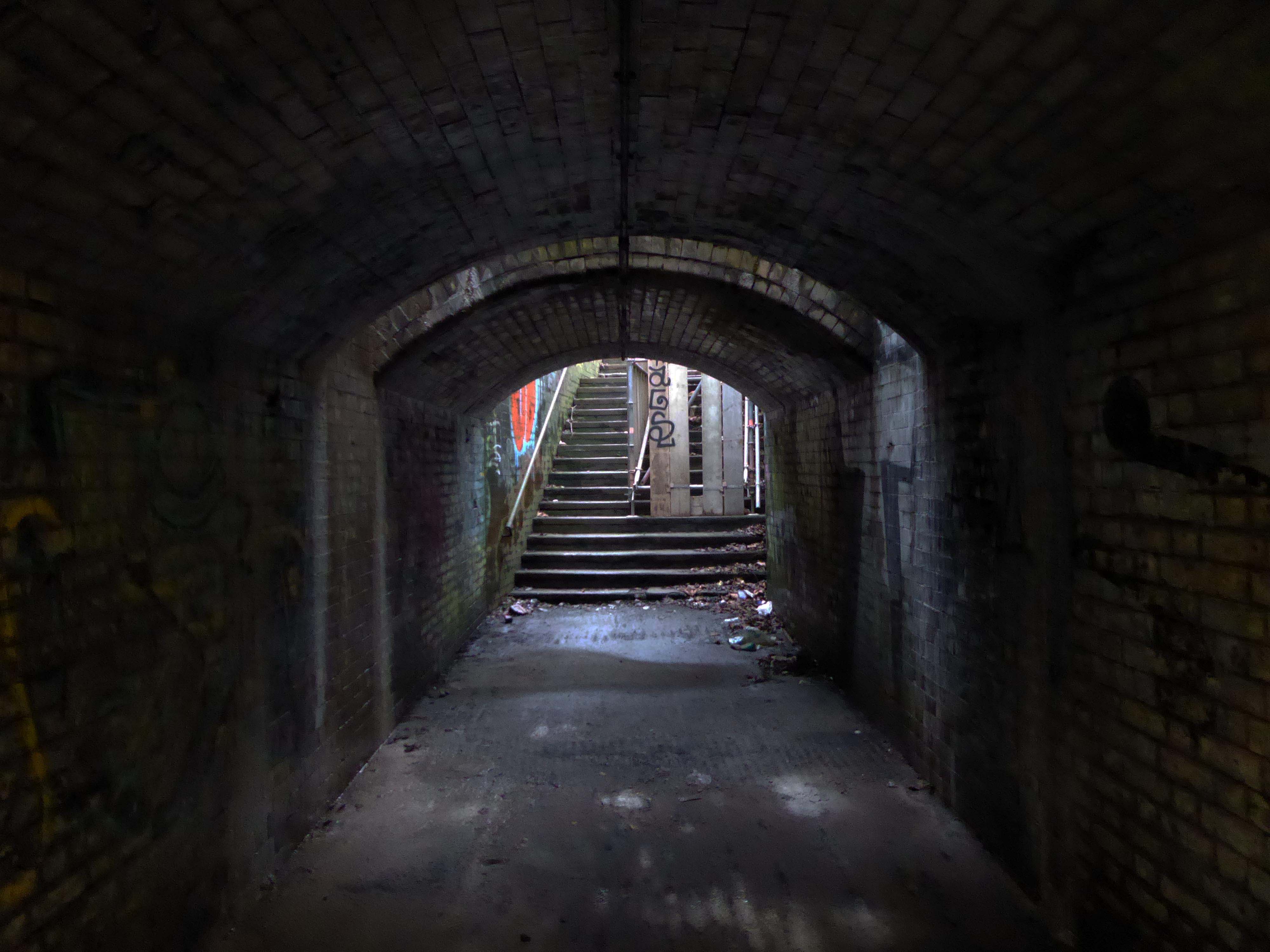
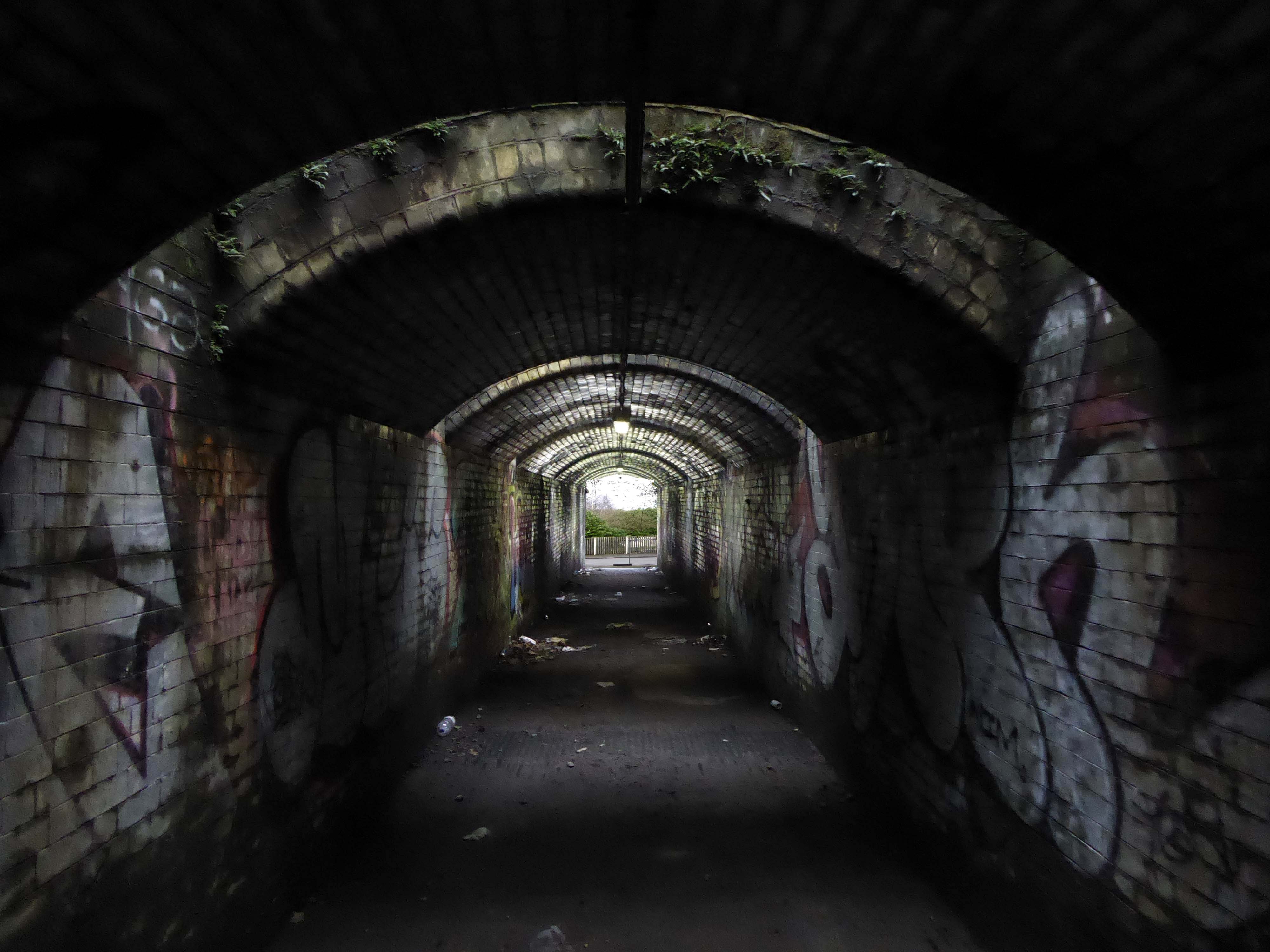
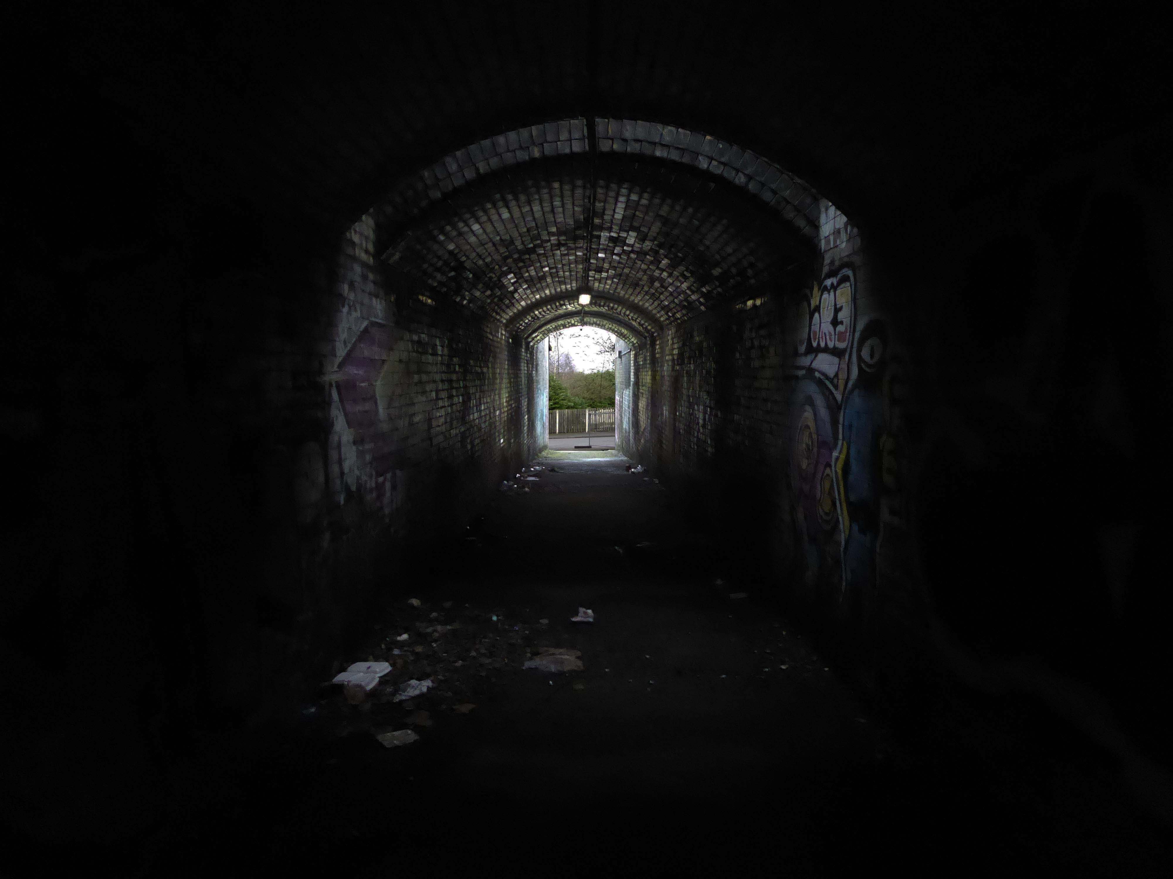
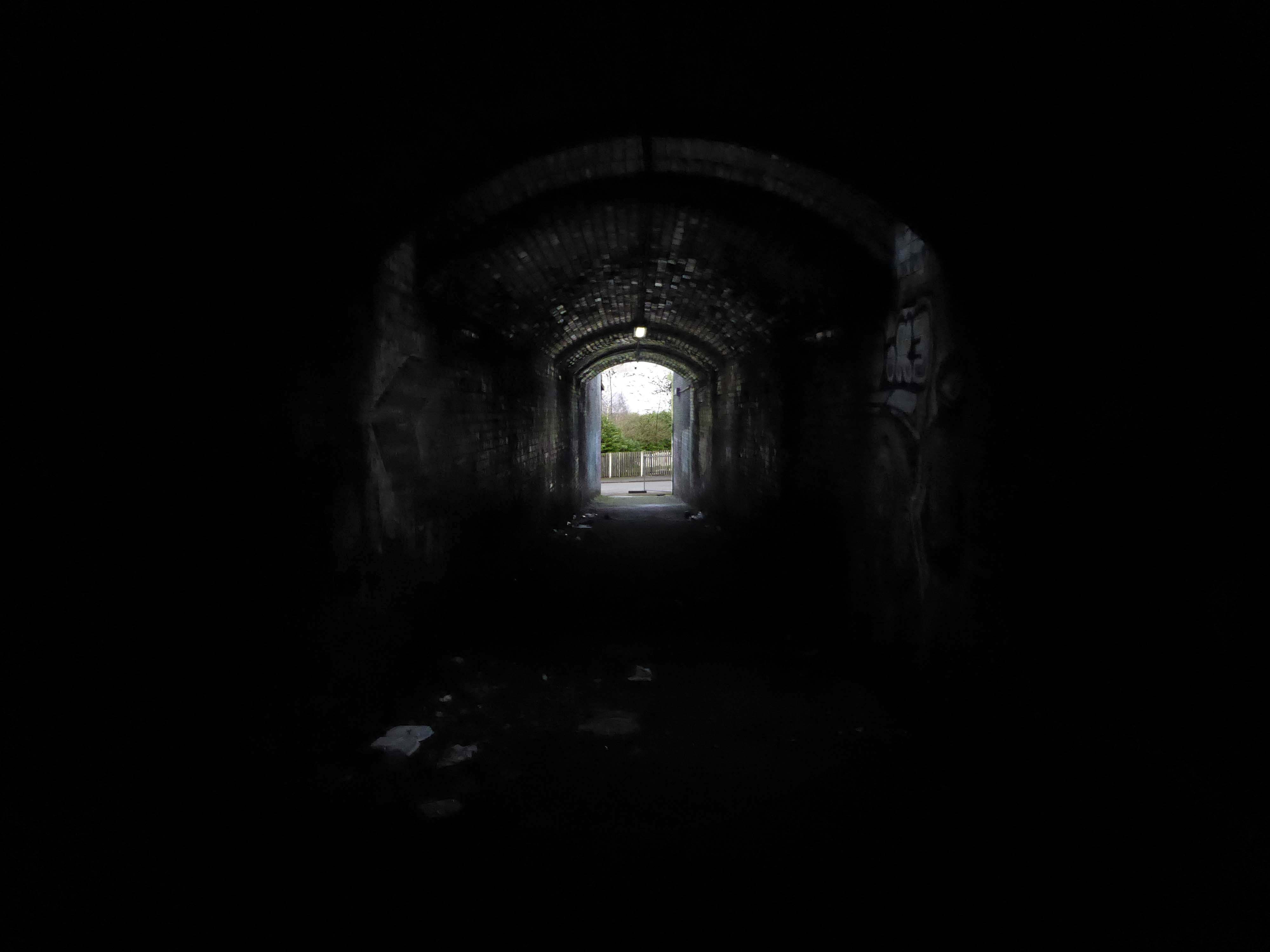
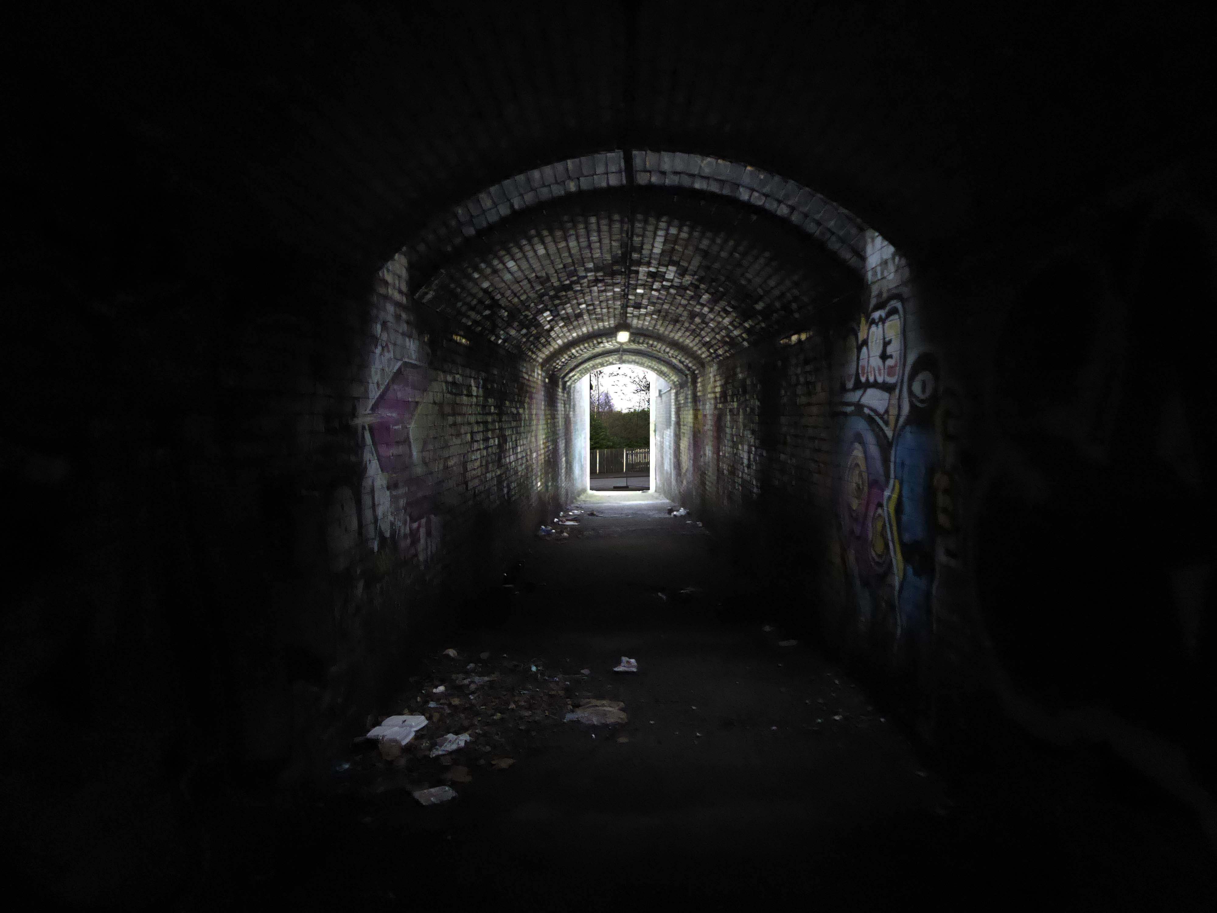
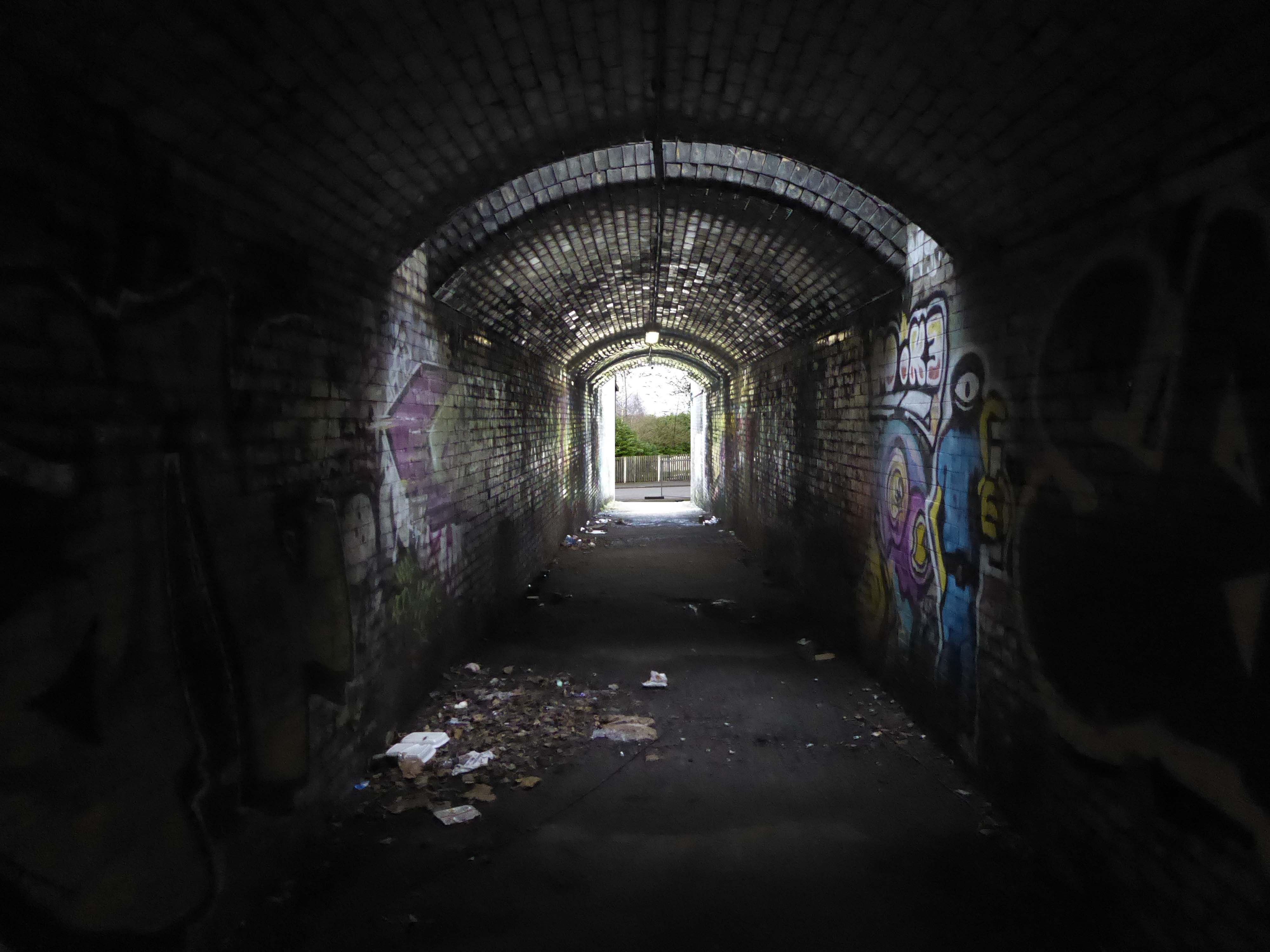
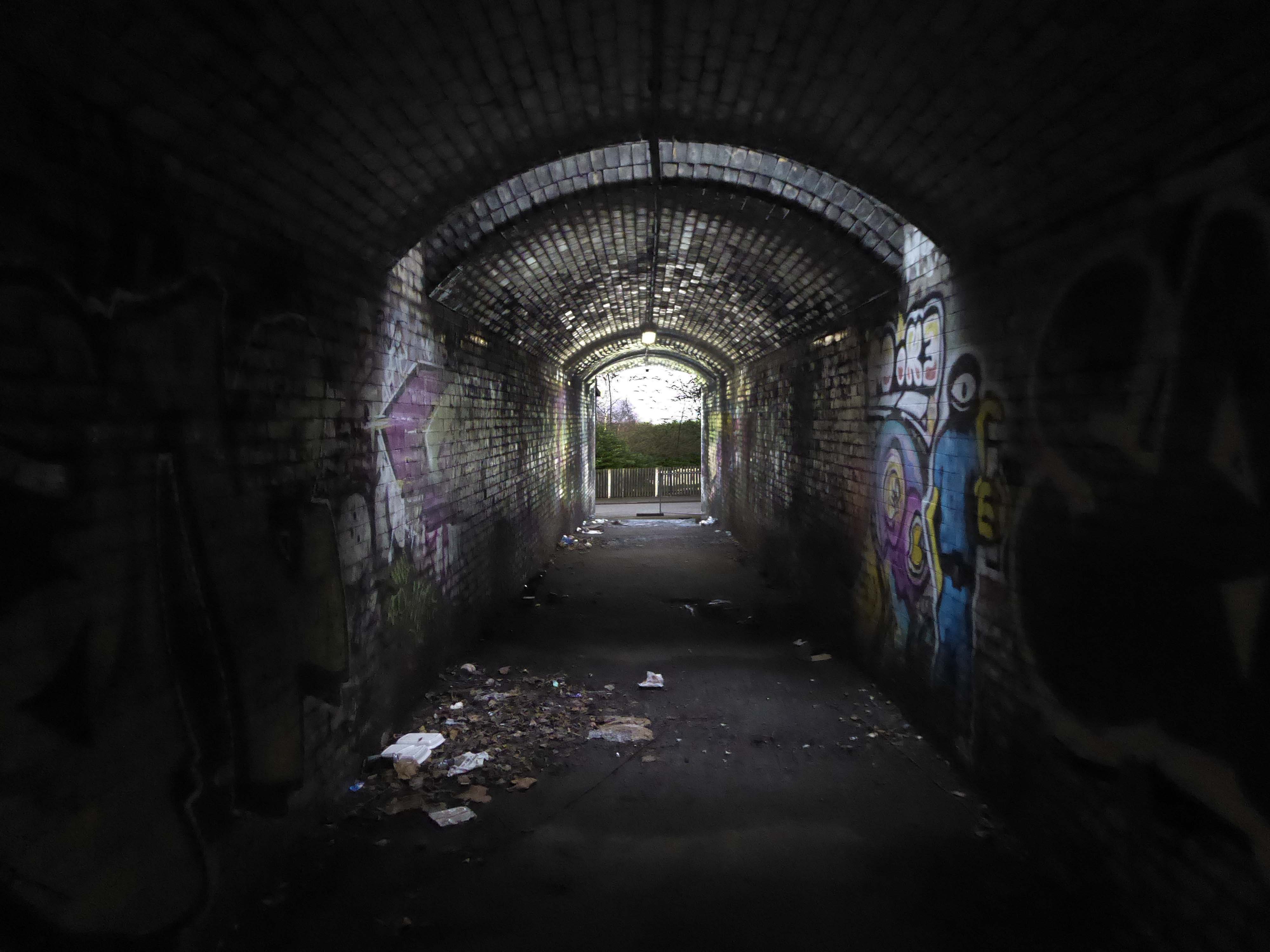
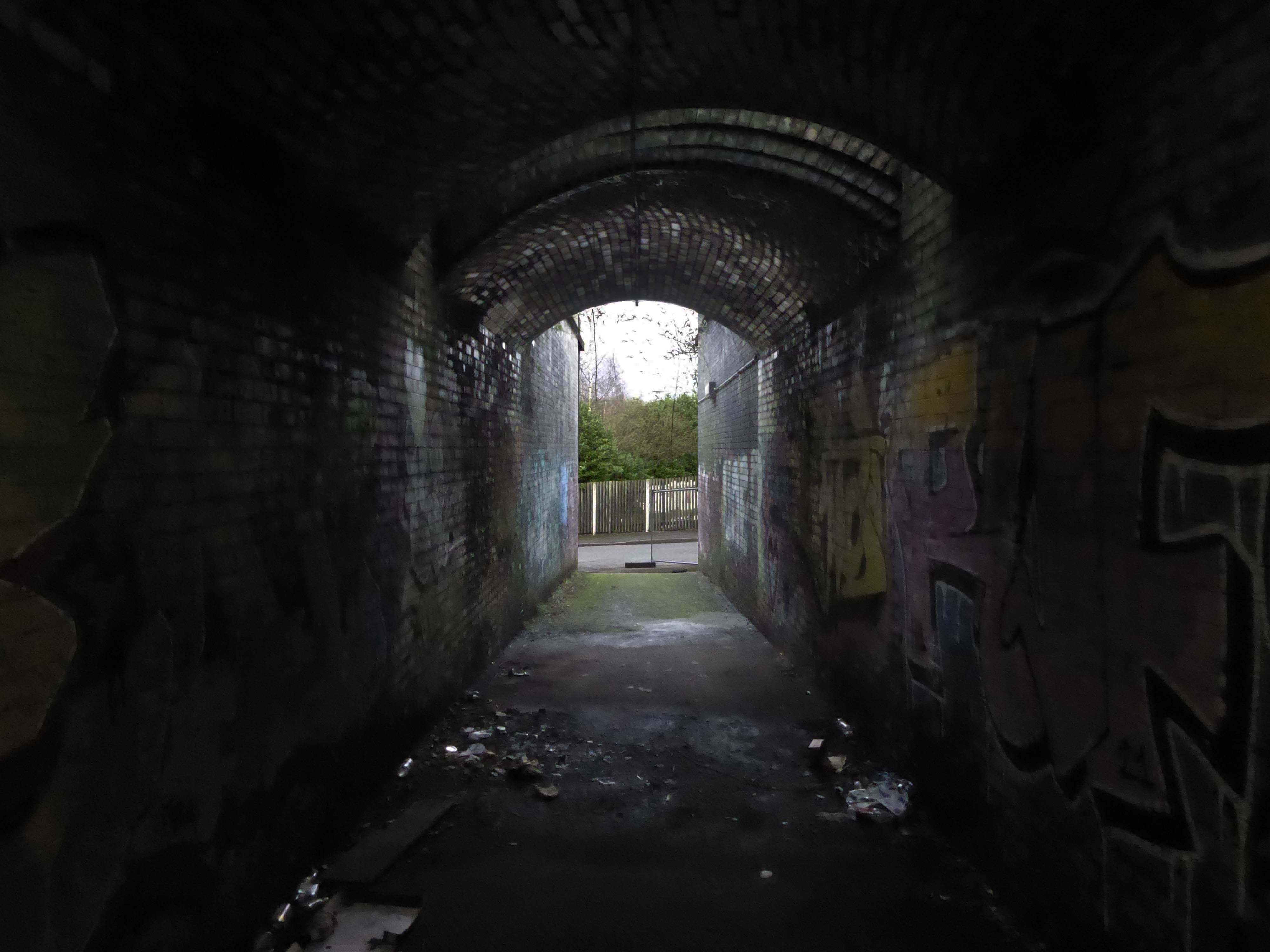
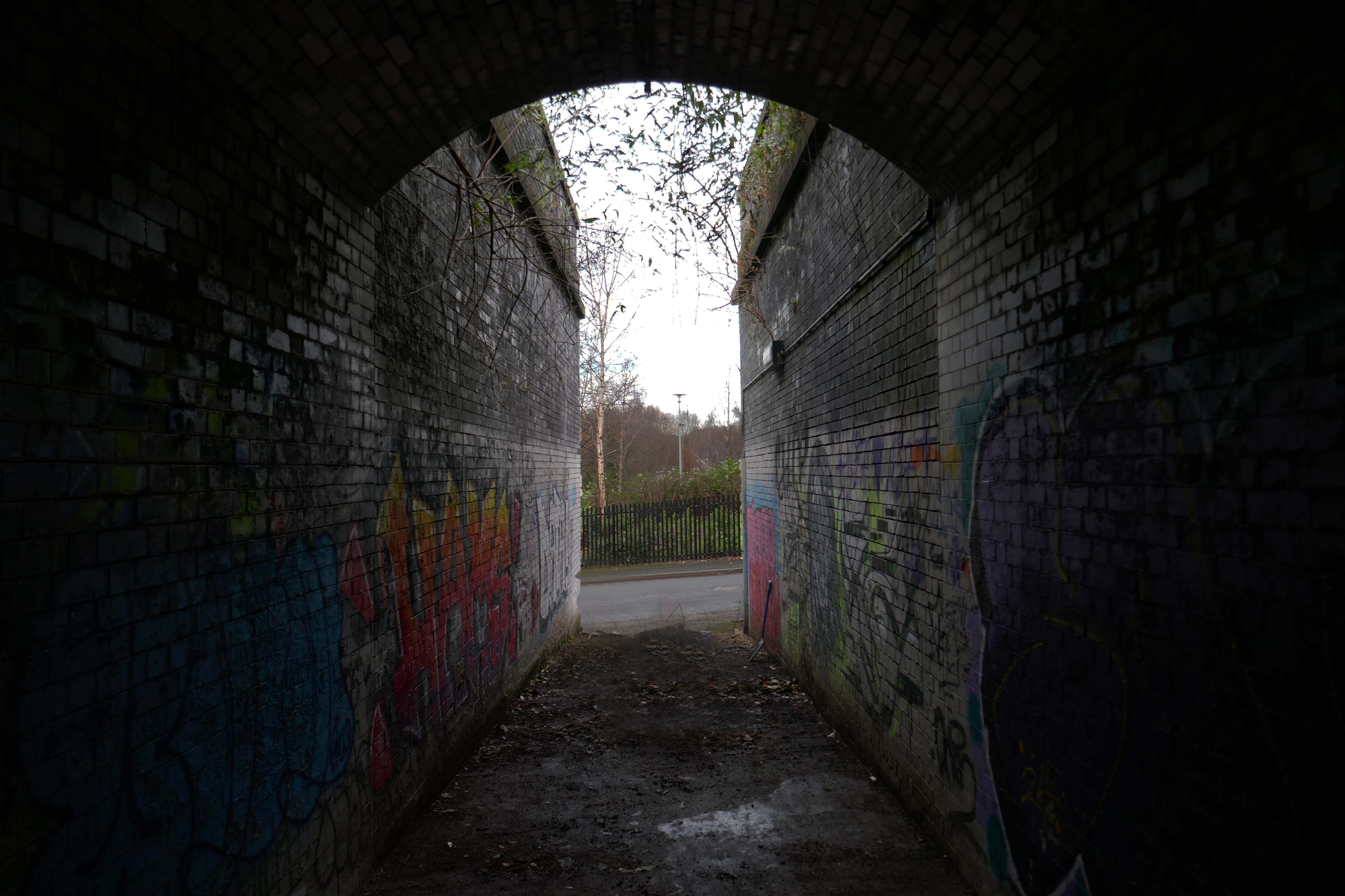
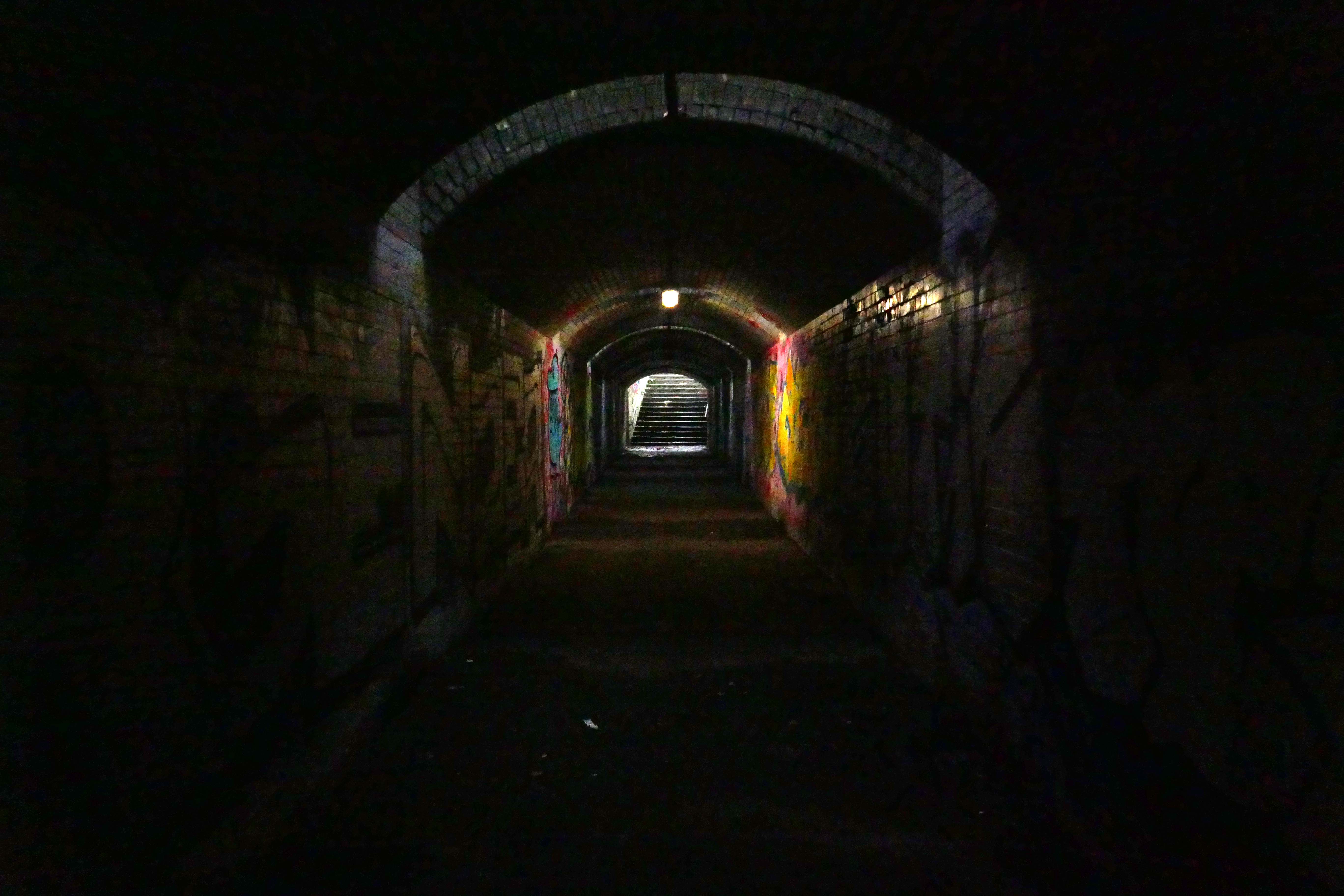
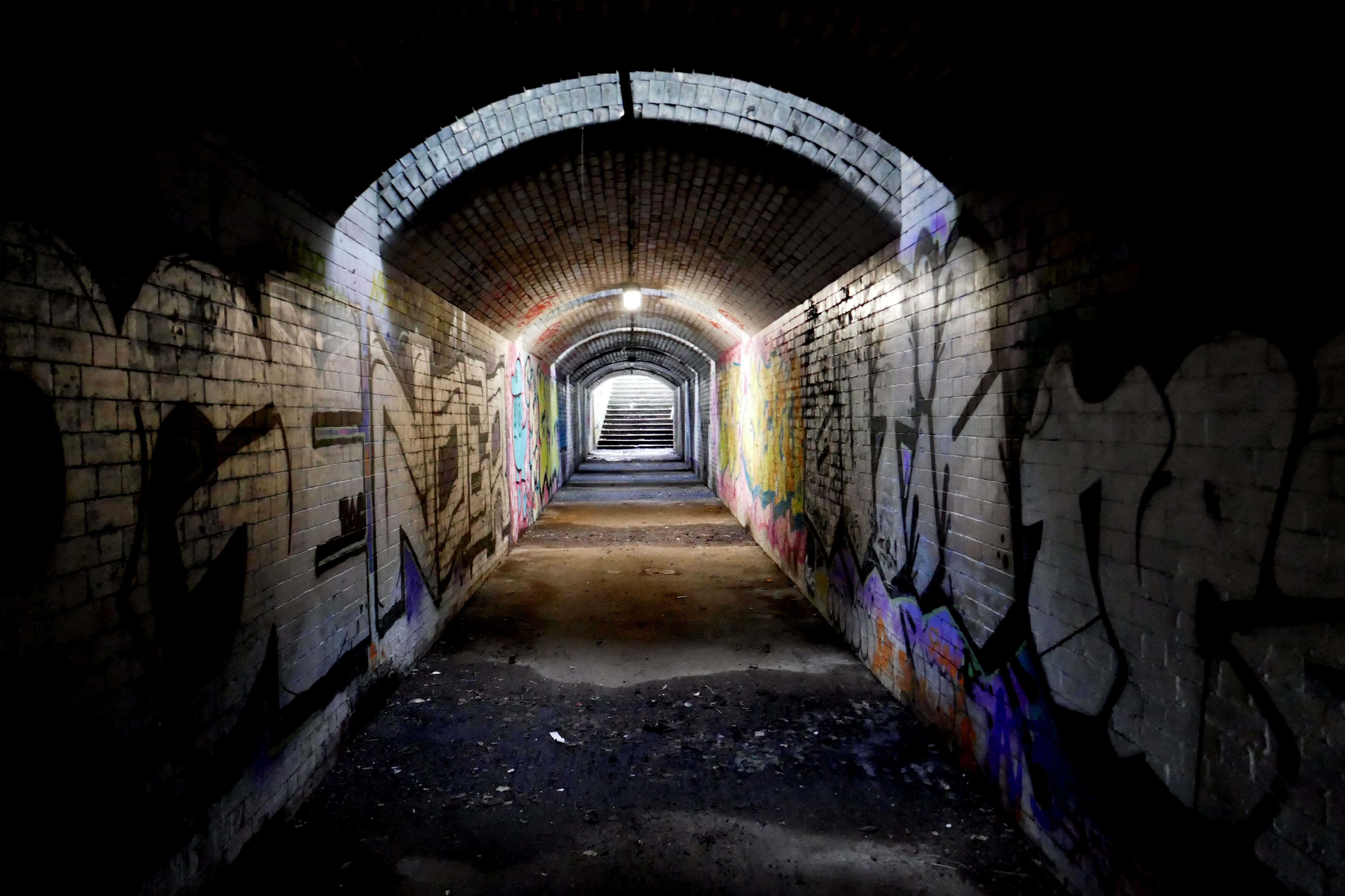
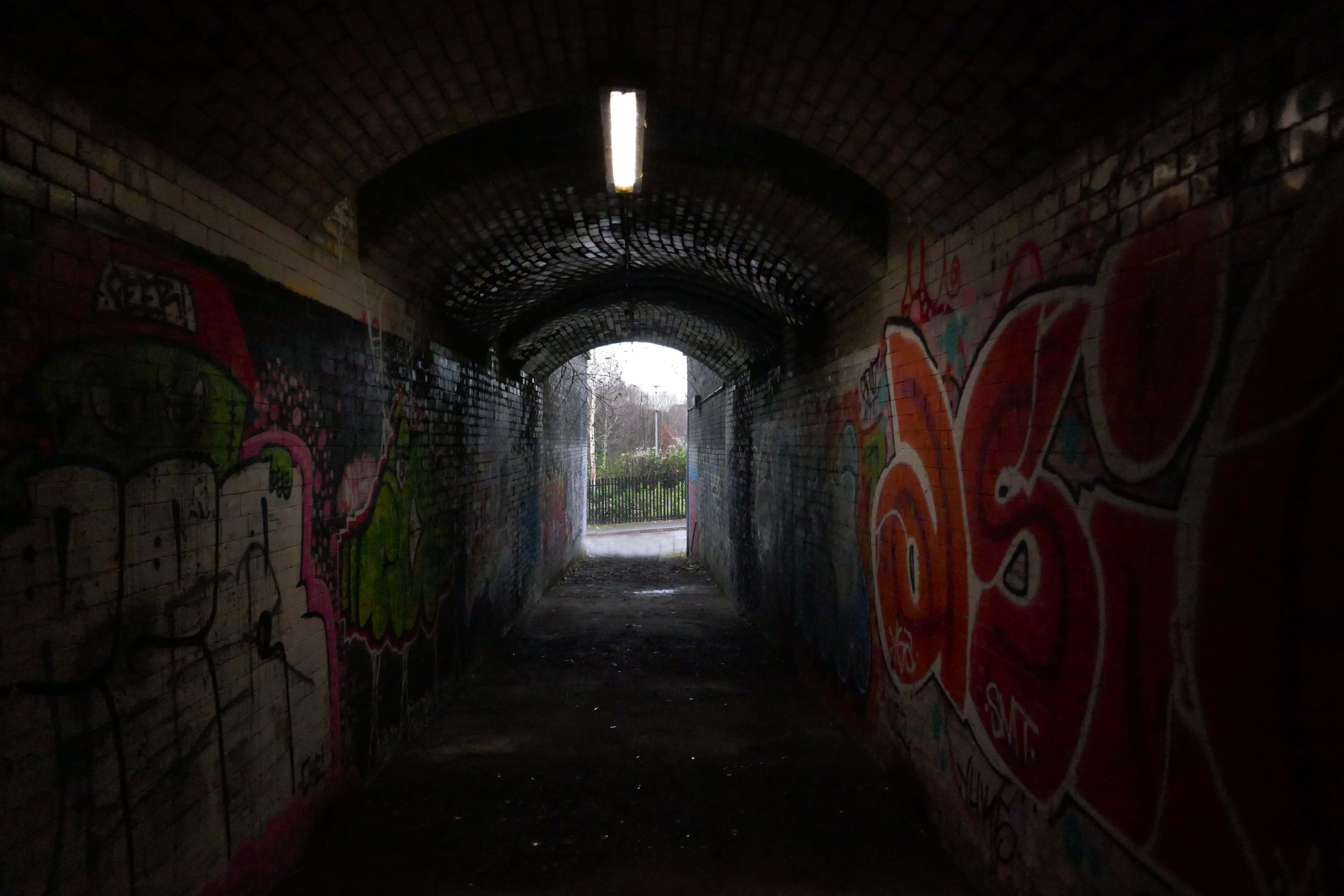
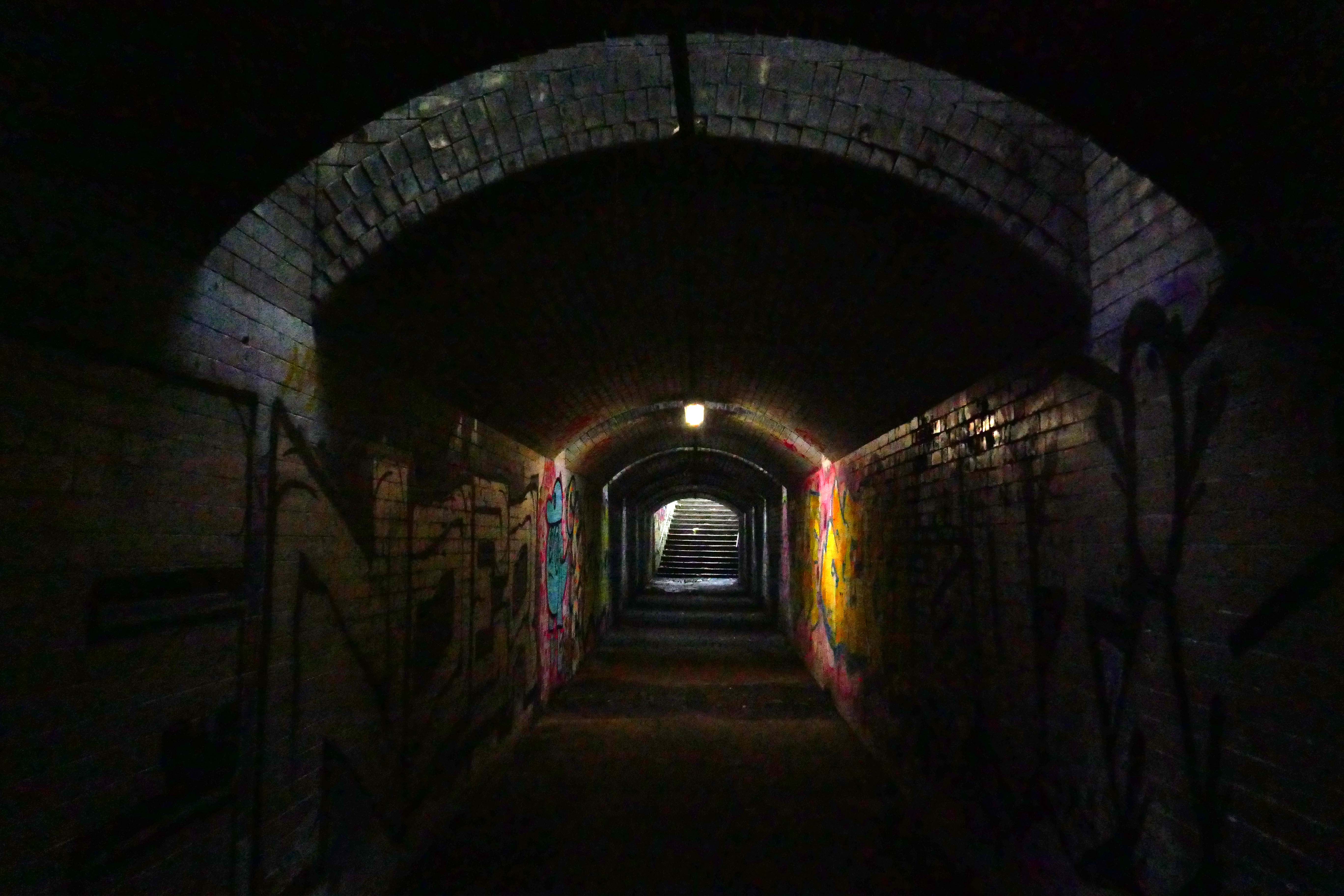
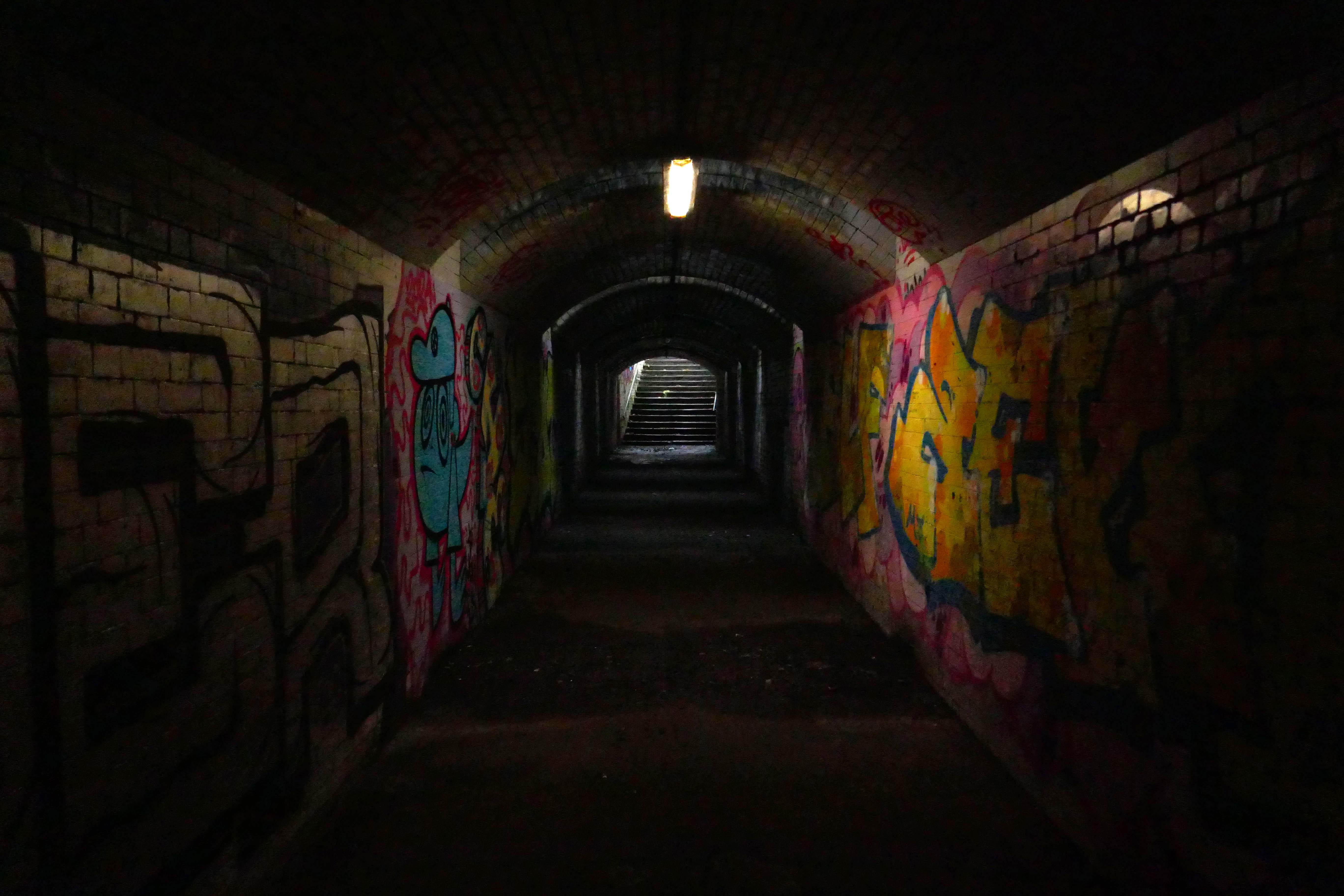
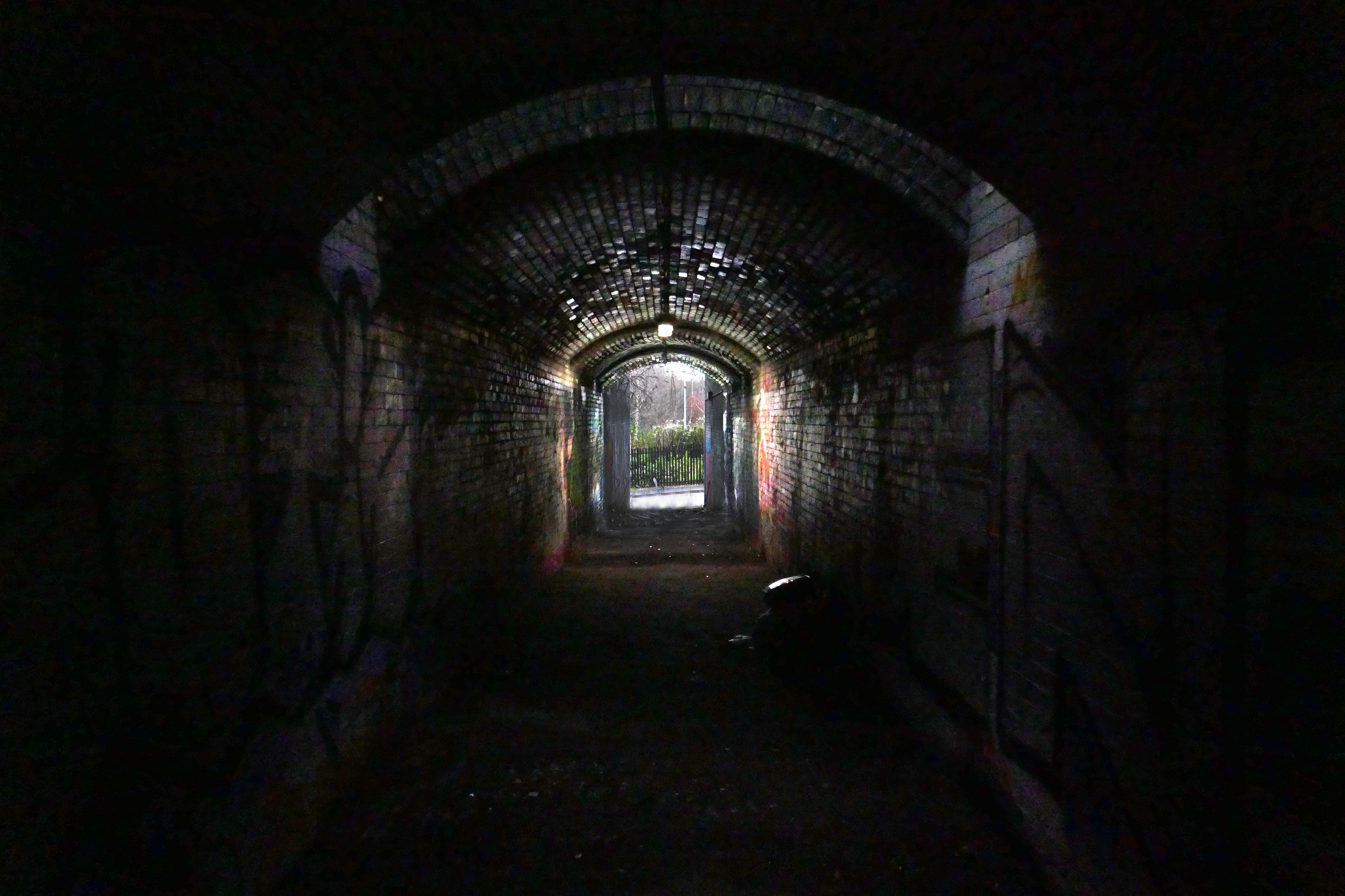
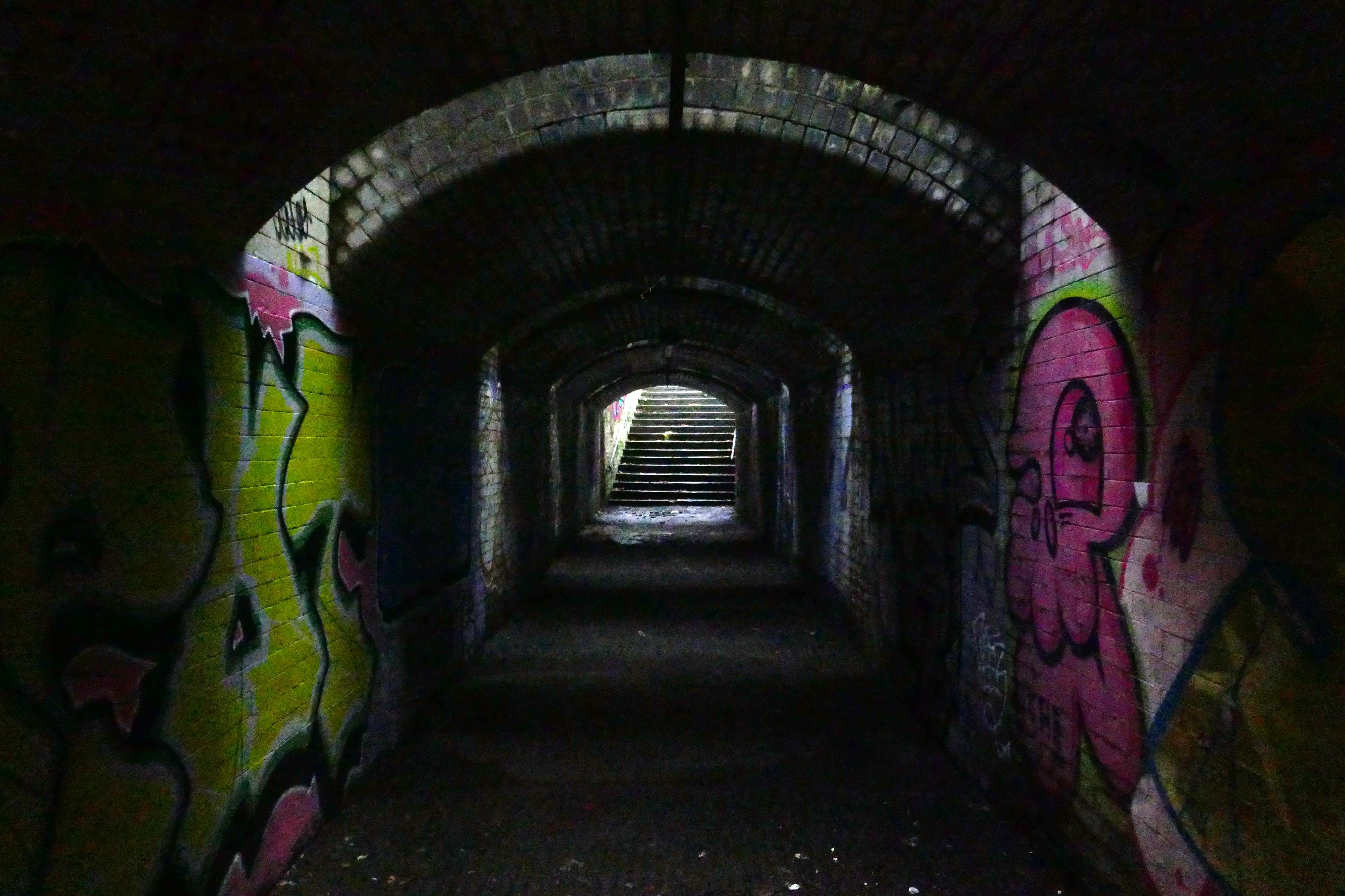
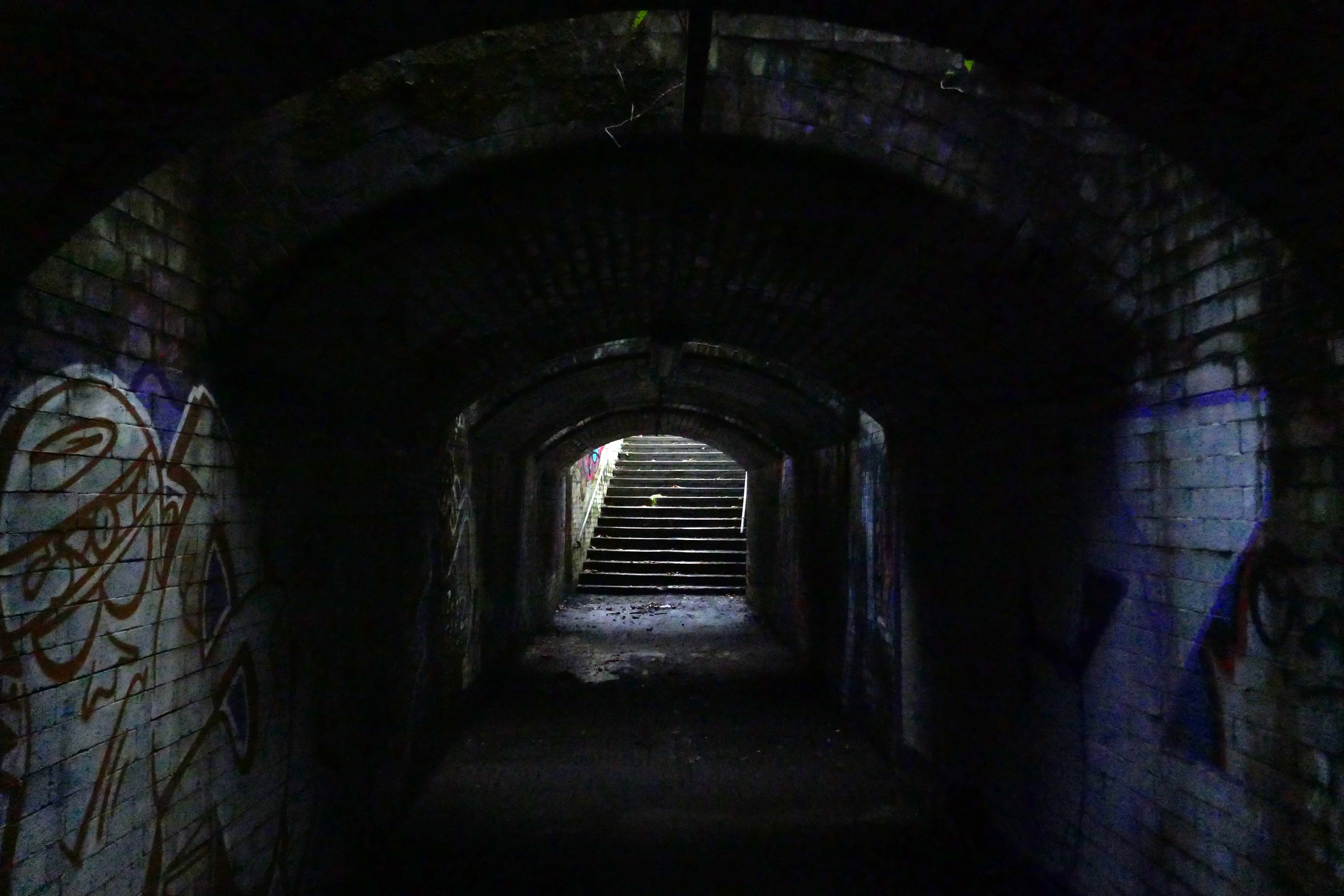
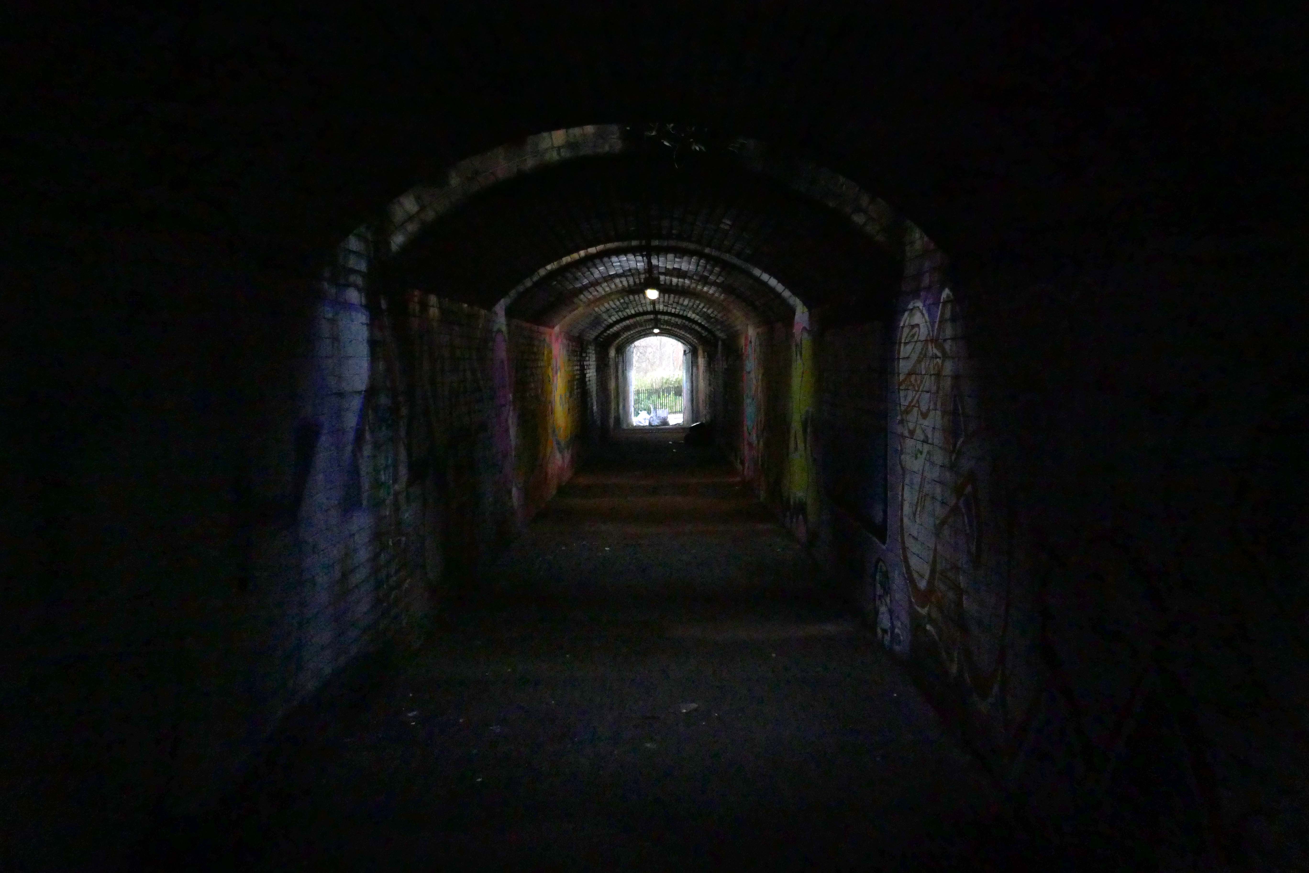
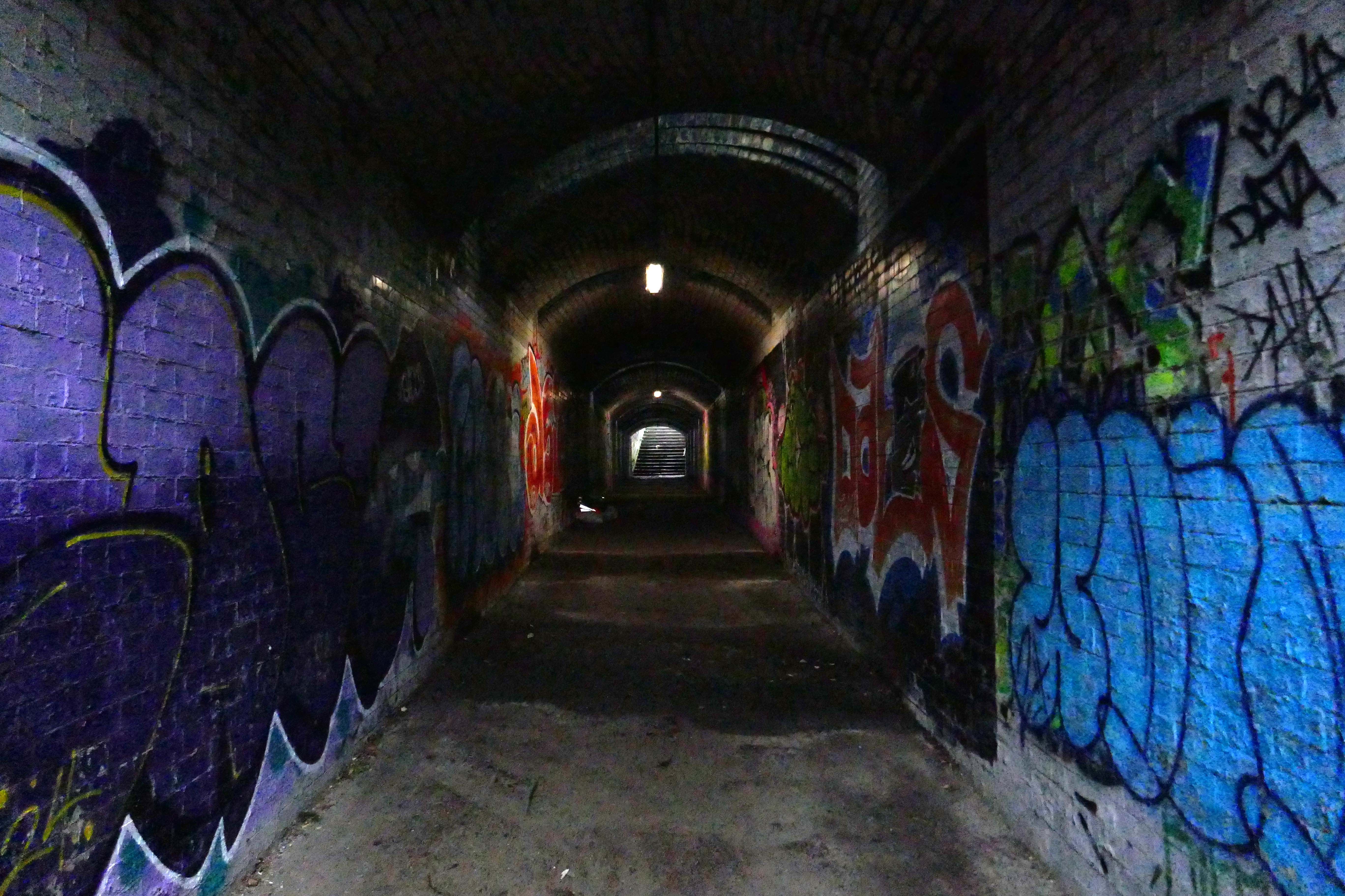
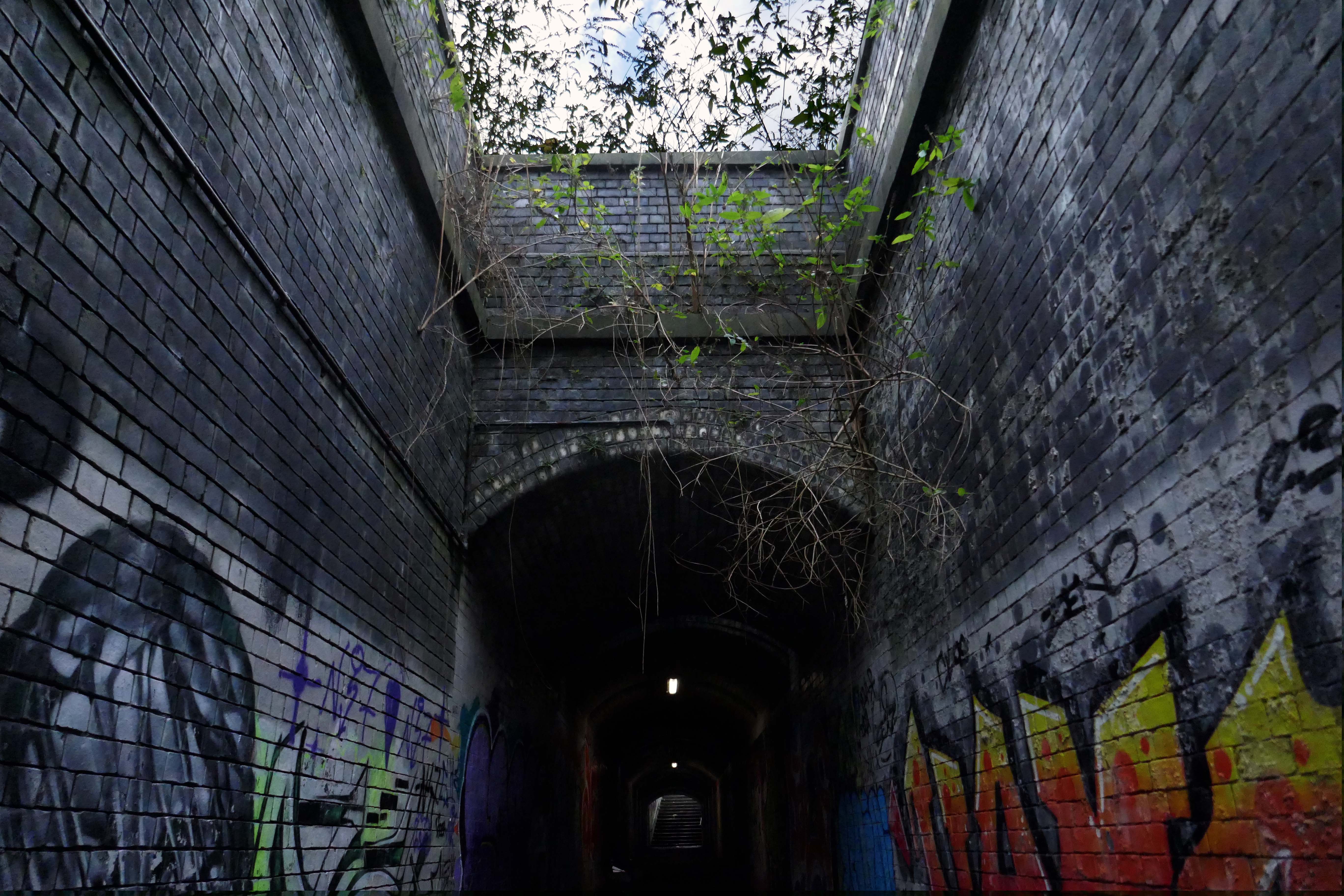
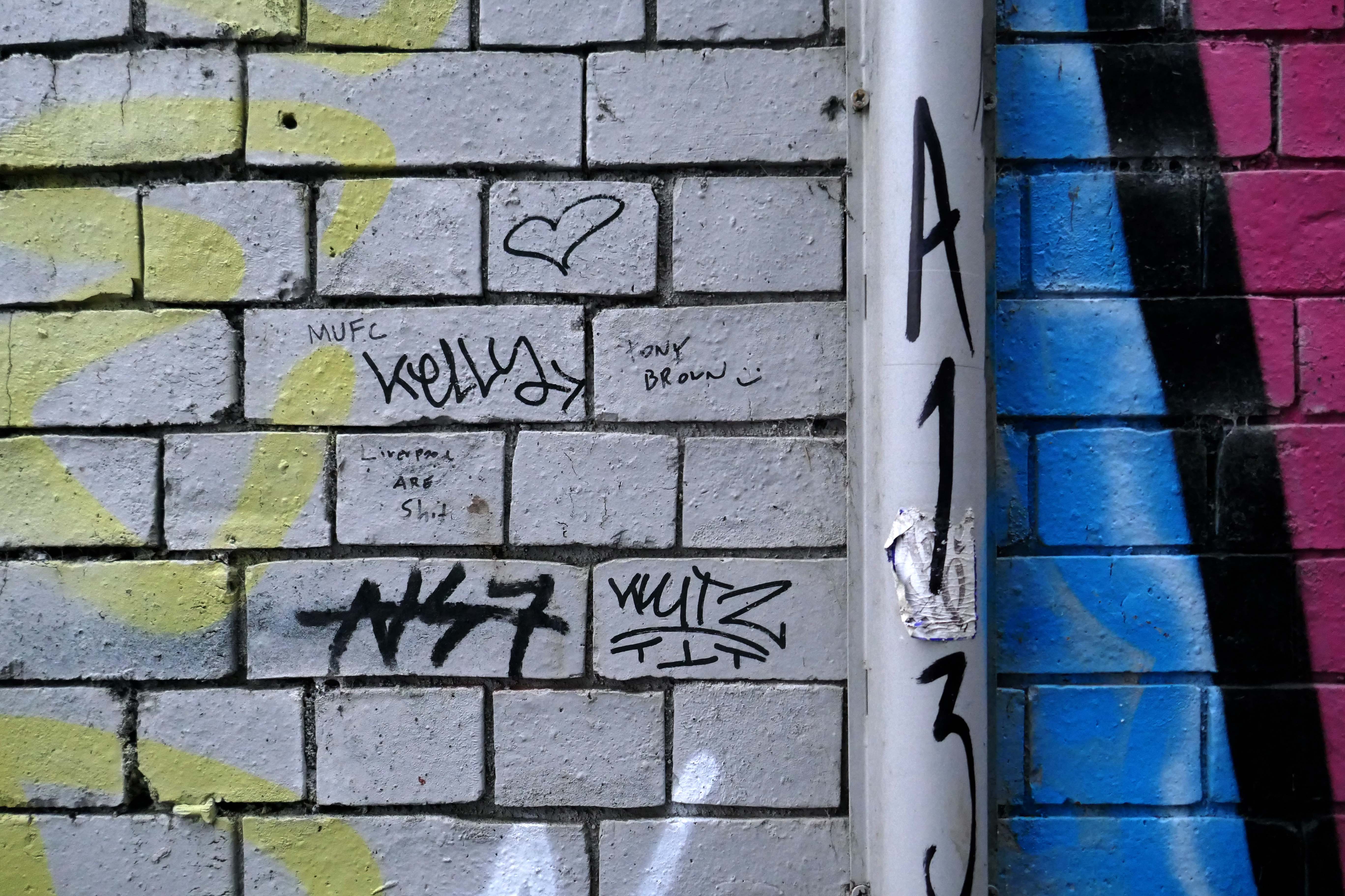
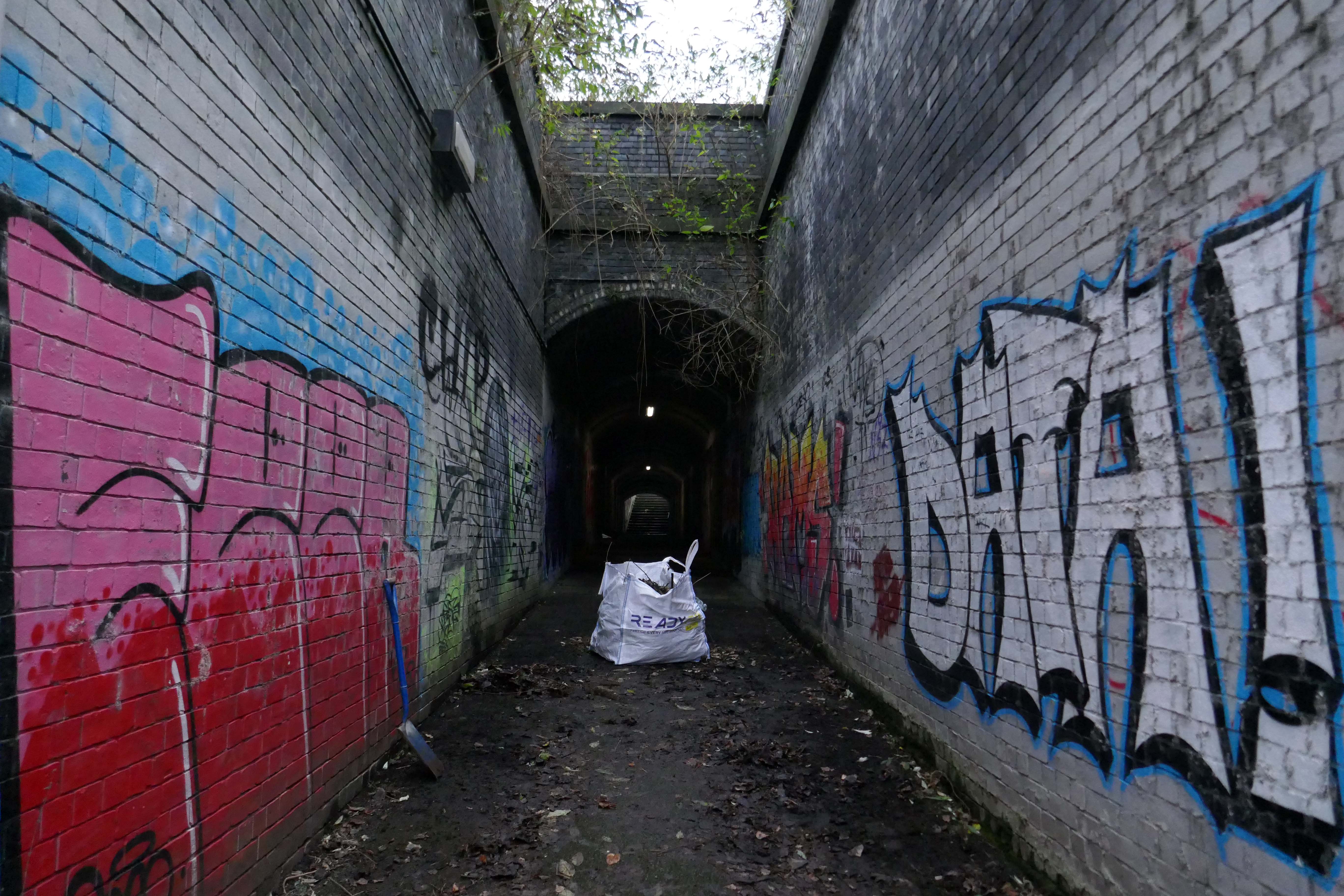
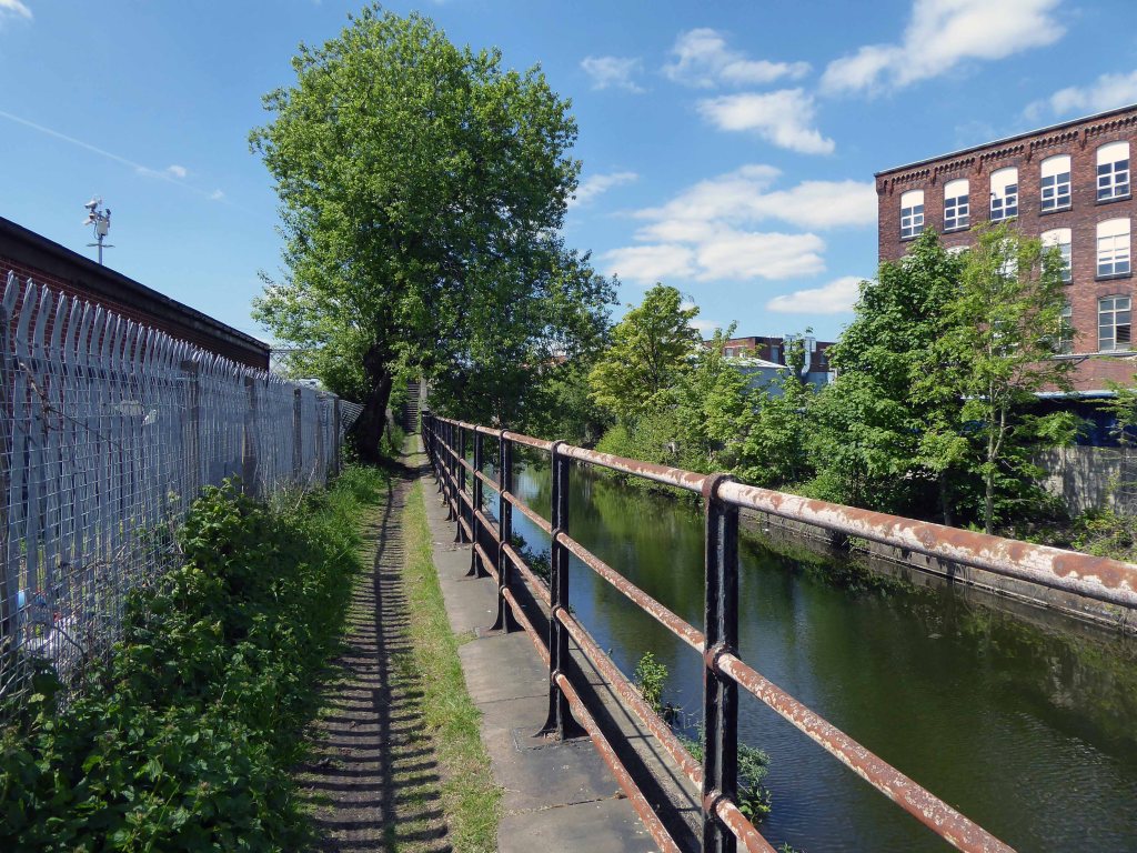
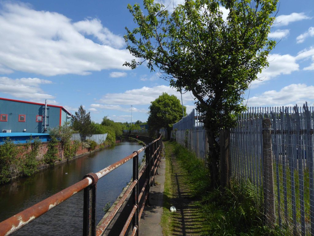
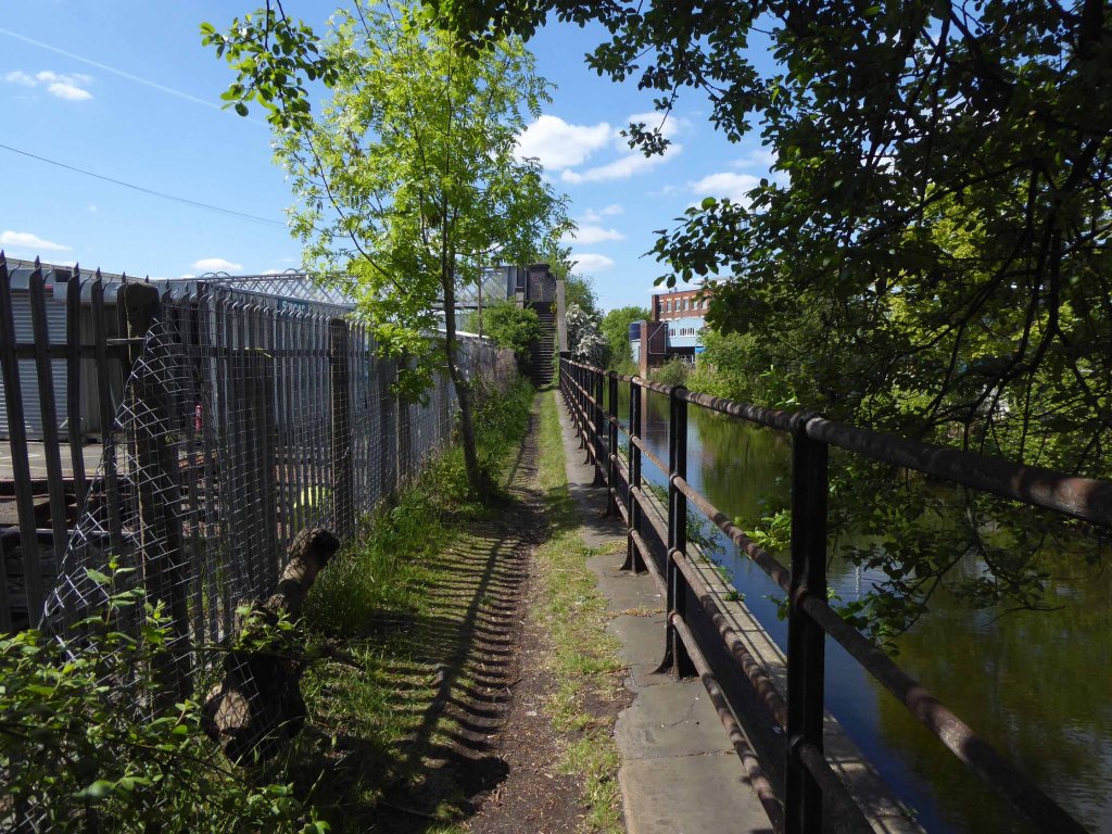
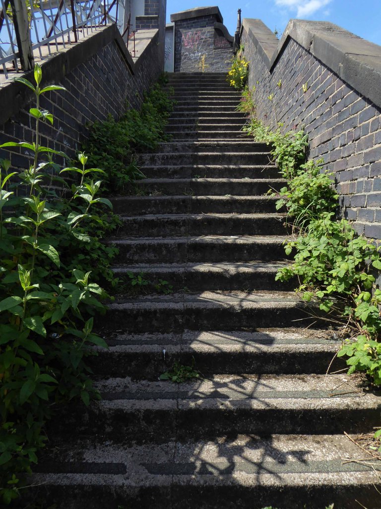
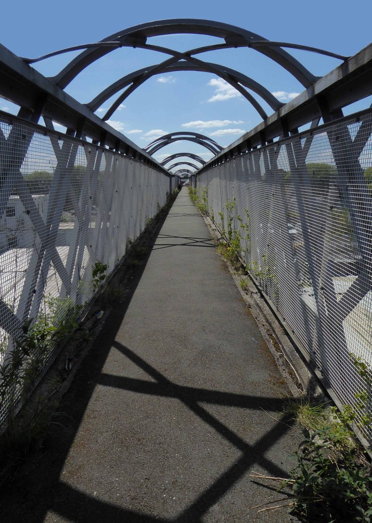
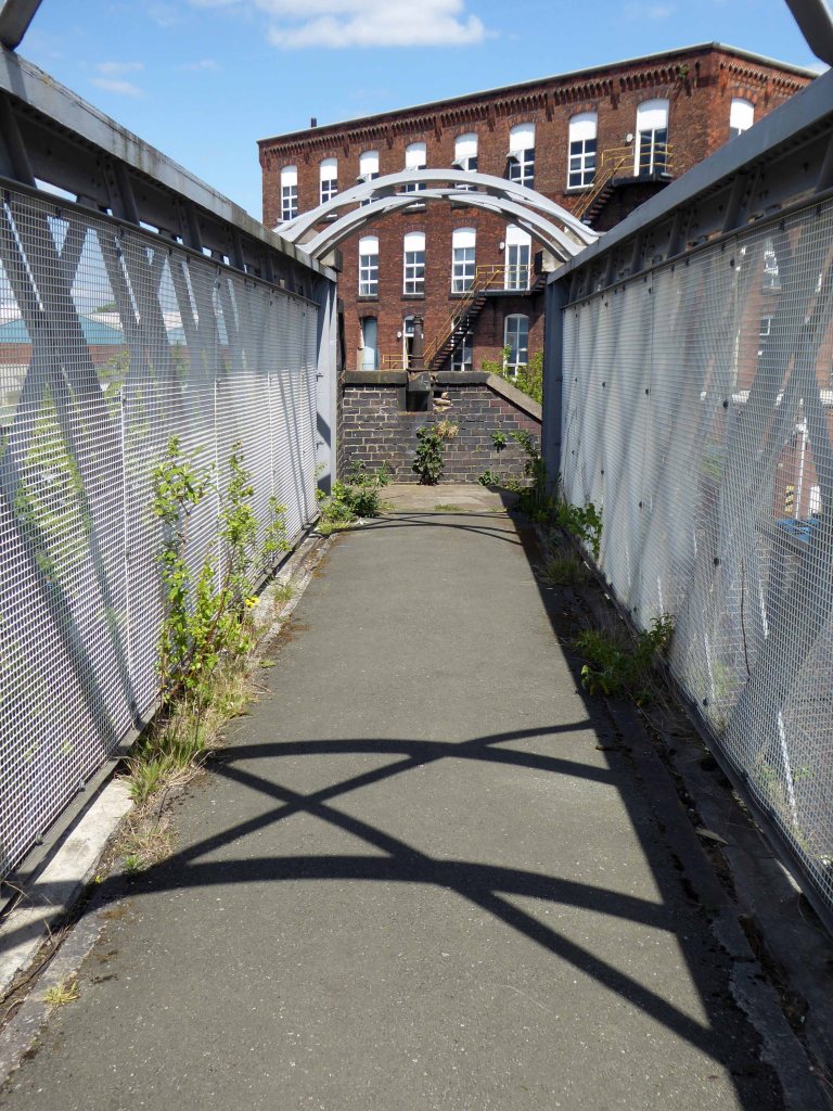
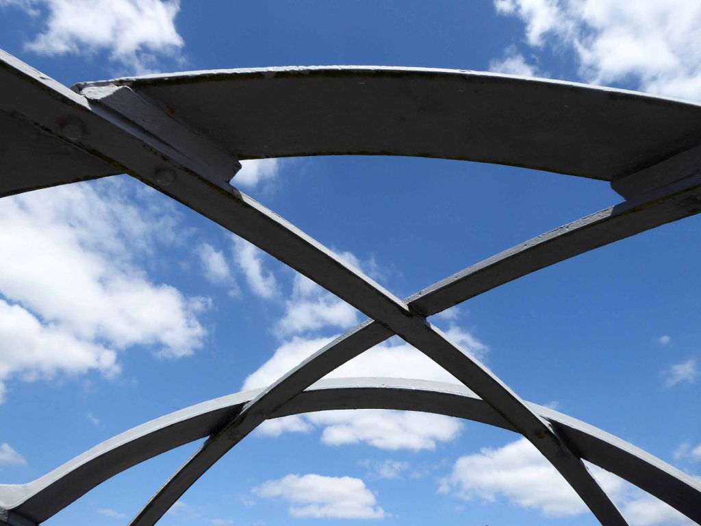
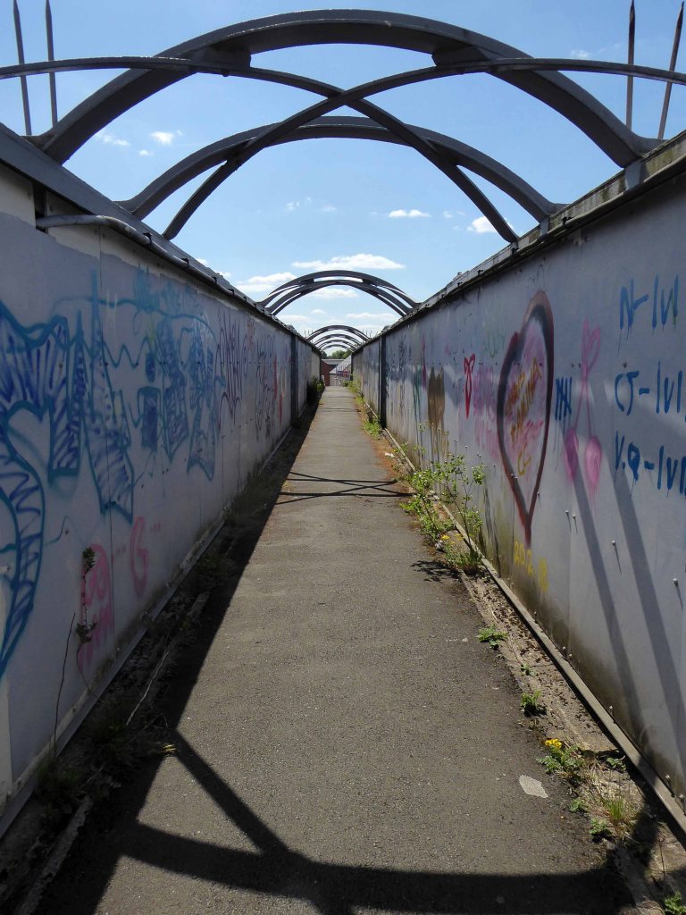
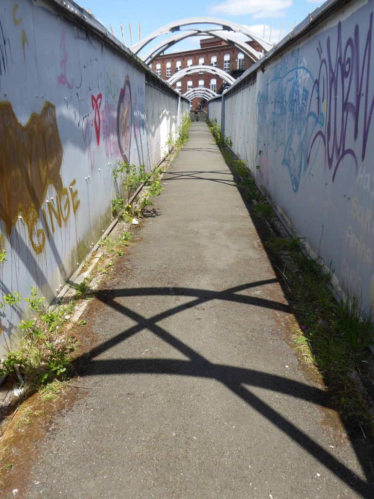
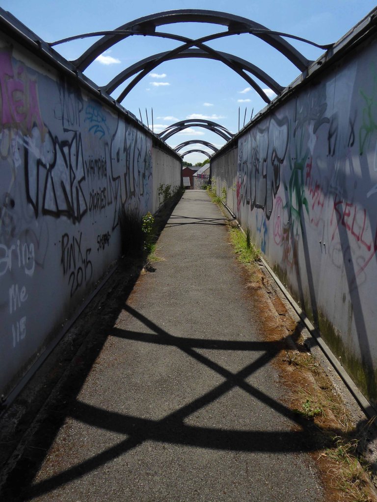
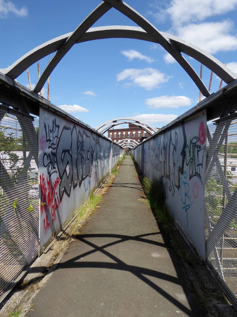
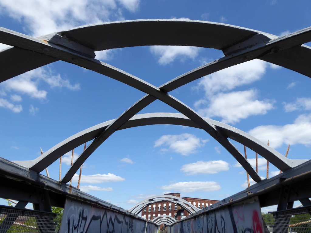
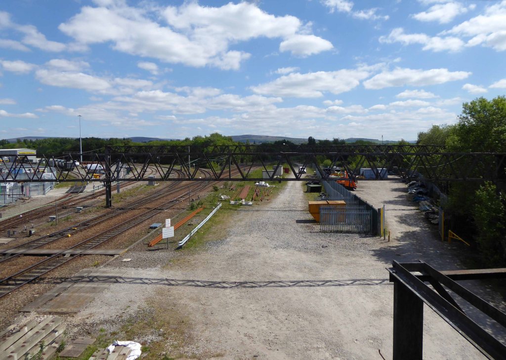
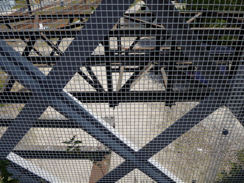
Passing between Dalton Street and Bromley Street is a pedestrian underpass, subway or tunnel.
Beneath both the Bury and Rochdale tram lines.
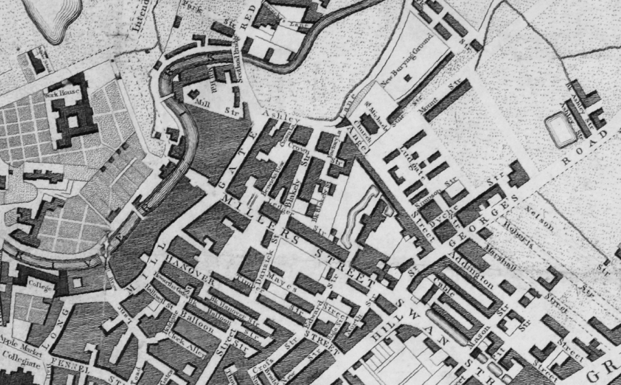
Once upon a time in 1807, it wasn’t there at all.
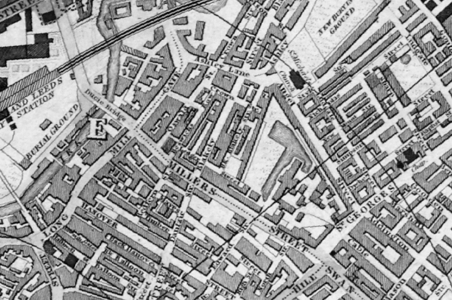
Then in 1848, it was there, as the L&Y had established a rail route.
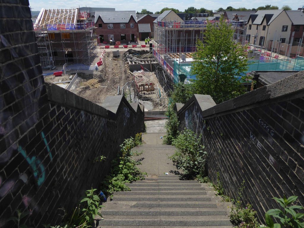
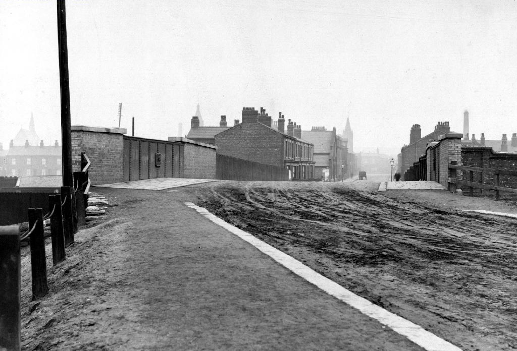
Studying historical maps, we can see the development of dense patches of housing, matching the city’s industrial growth, this is followed by a thinning of housing up to the present day – matching the city’s industrial decline.
There is yet another twist in the tale, as the development of Collyhurst Village and Victoria North, are adding another layer of housing history.
I have walked this area for several years now, recording the relentless but gradual change.
Including the pedestrian underpass, subway or tunnel.
On my most recent visit there were works cleaning the pedestrian underpass, subway or tunnel.
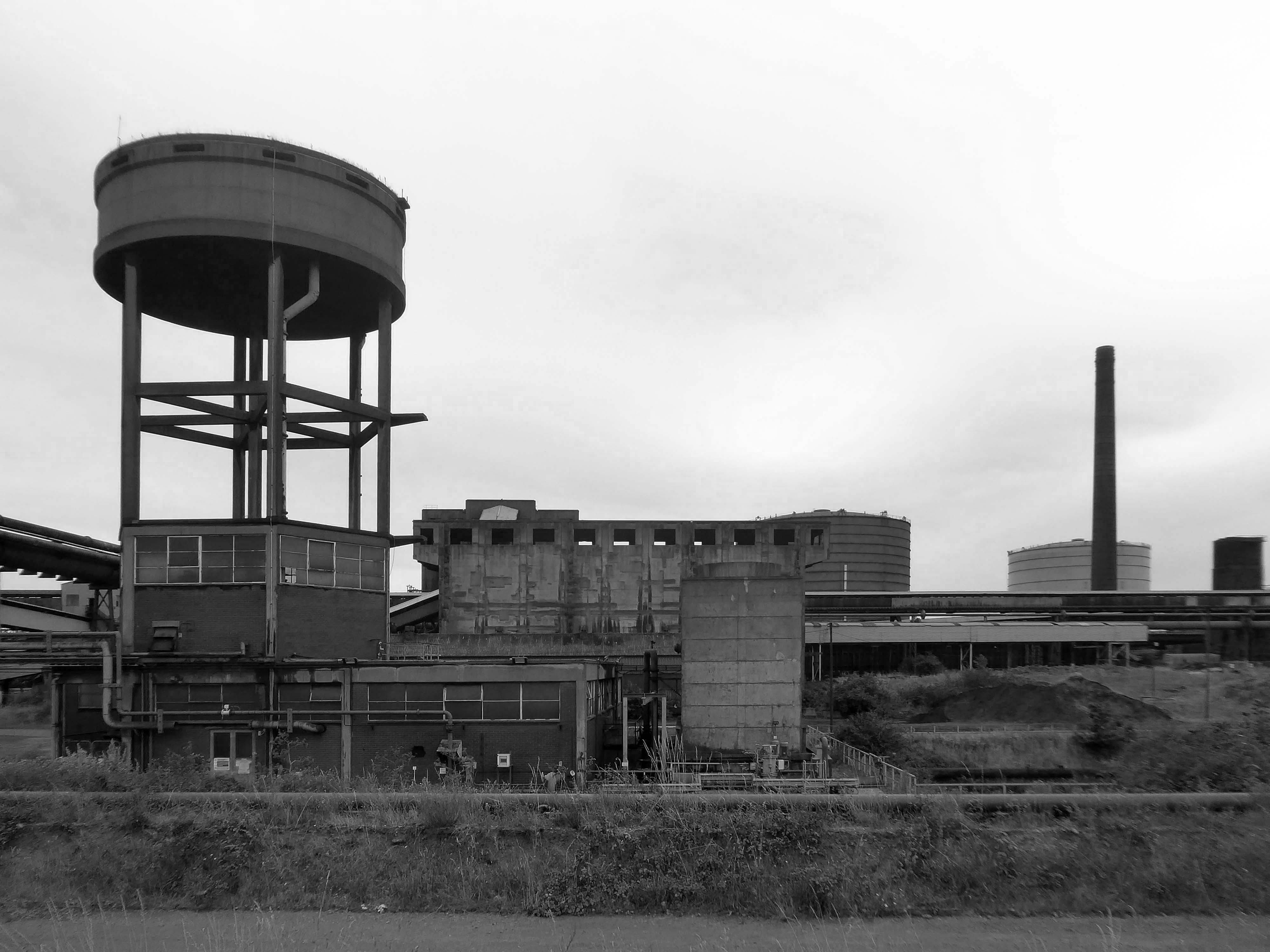
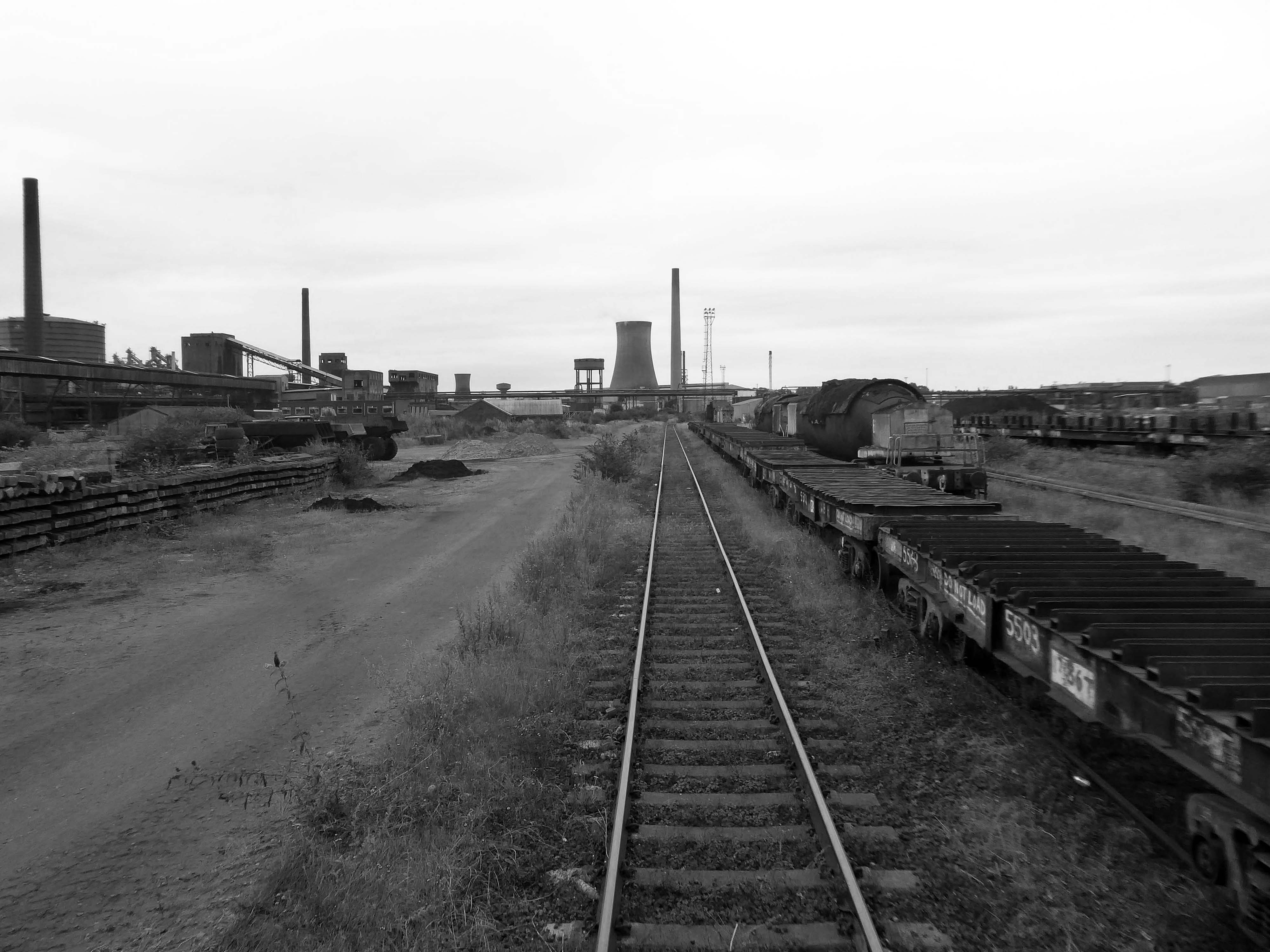
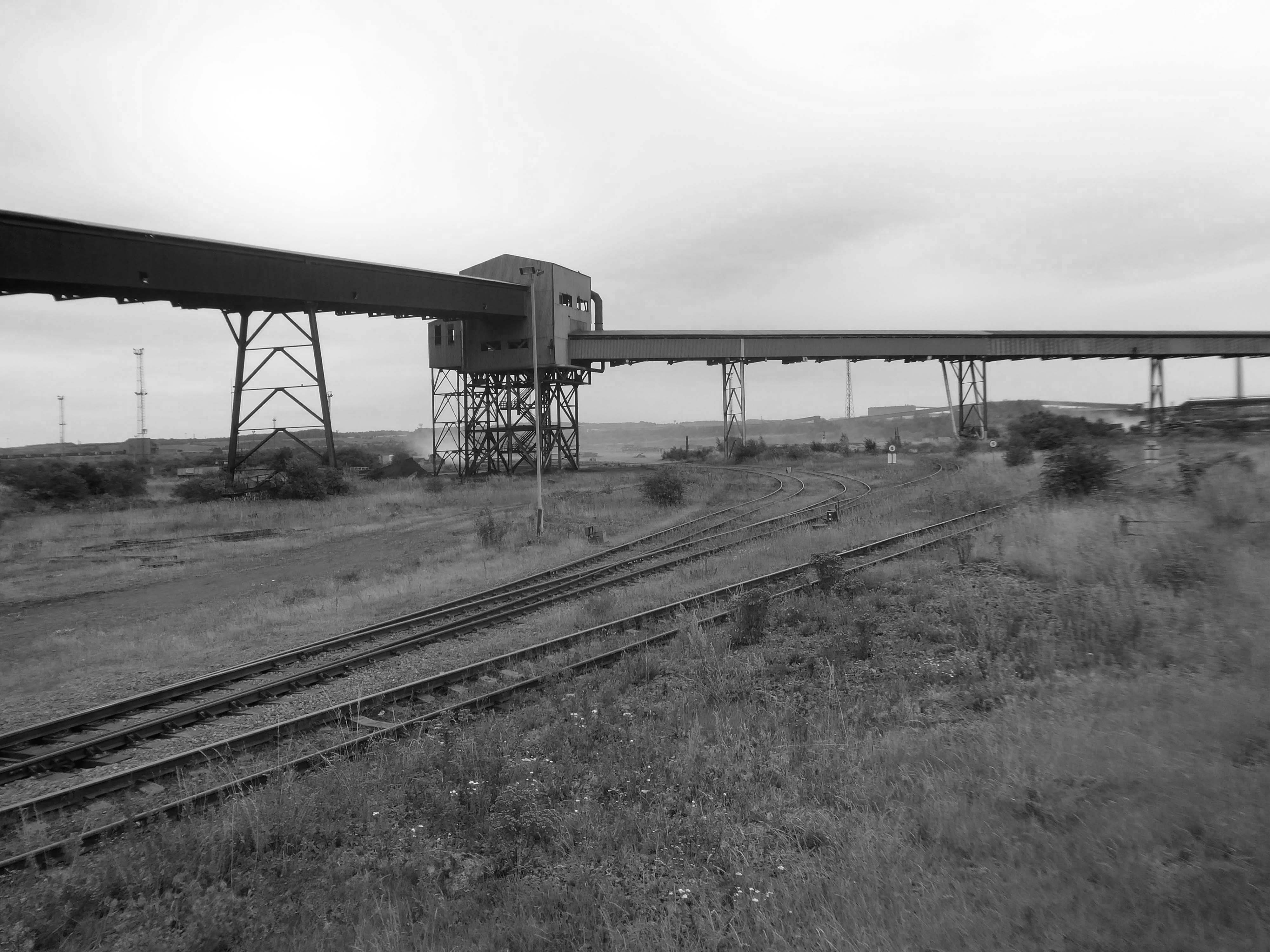
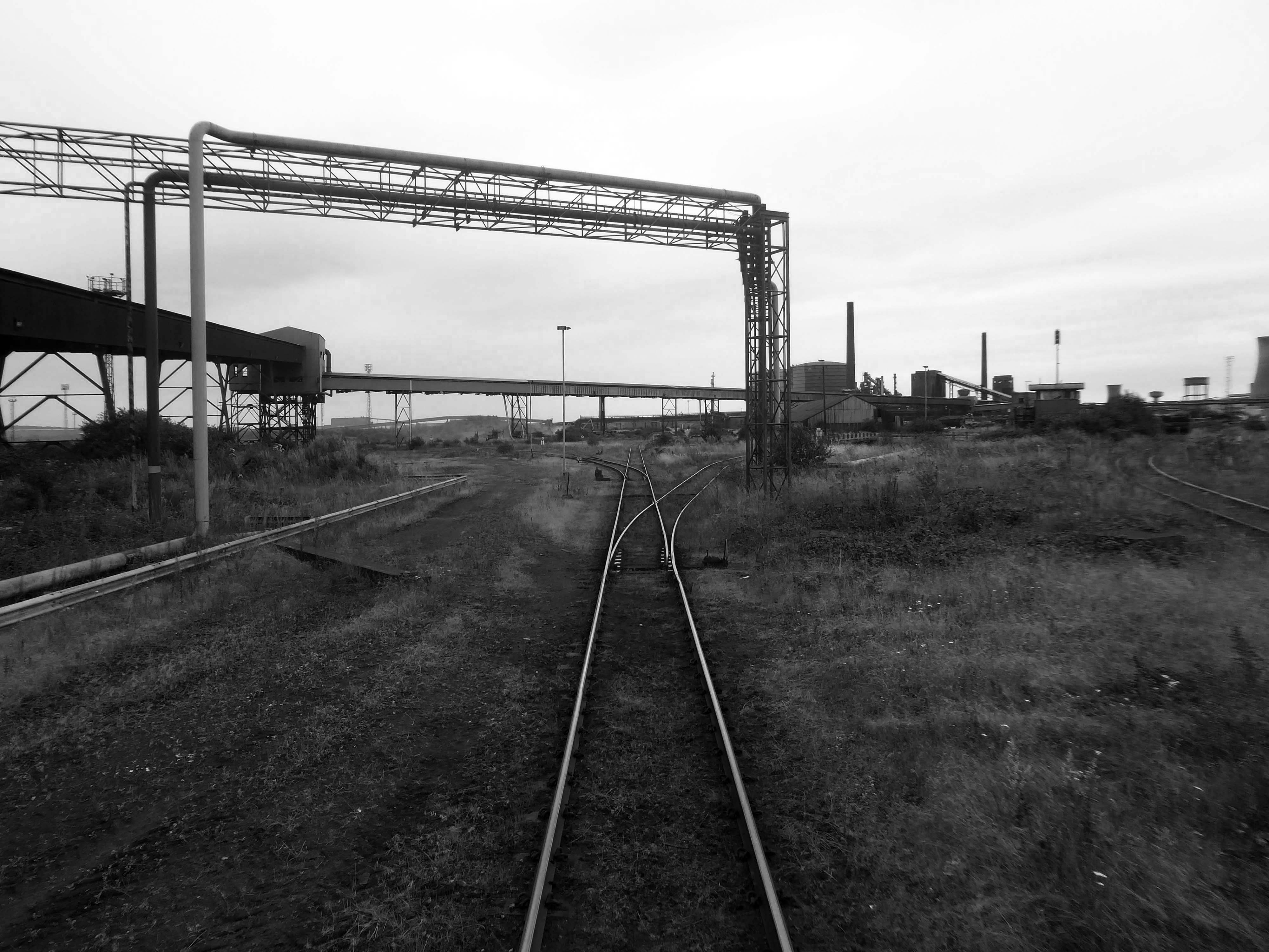
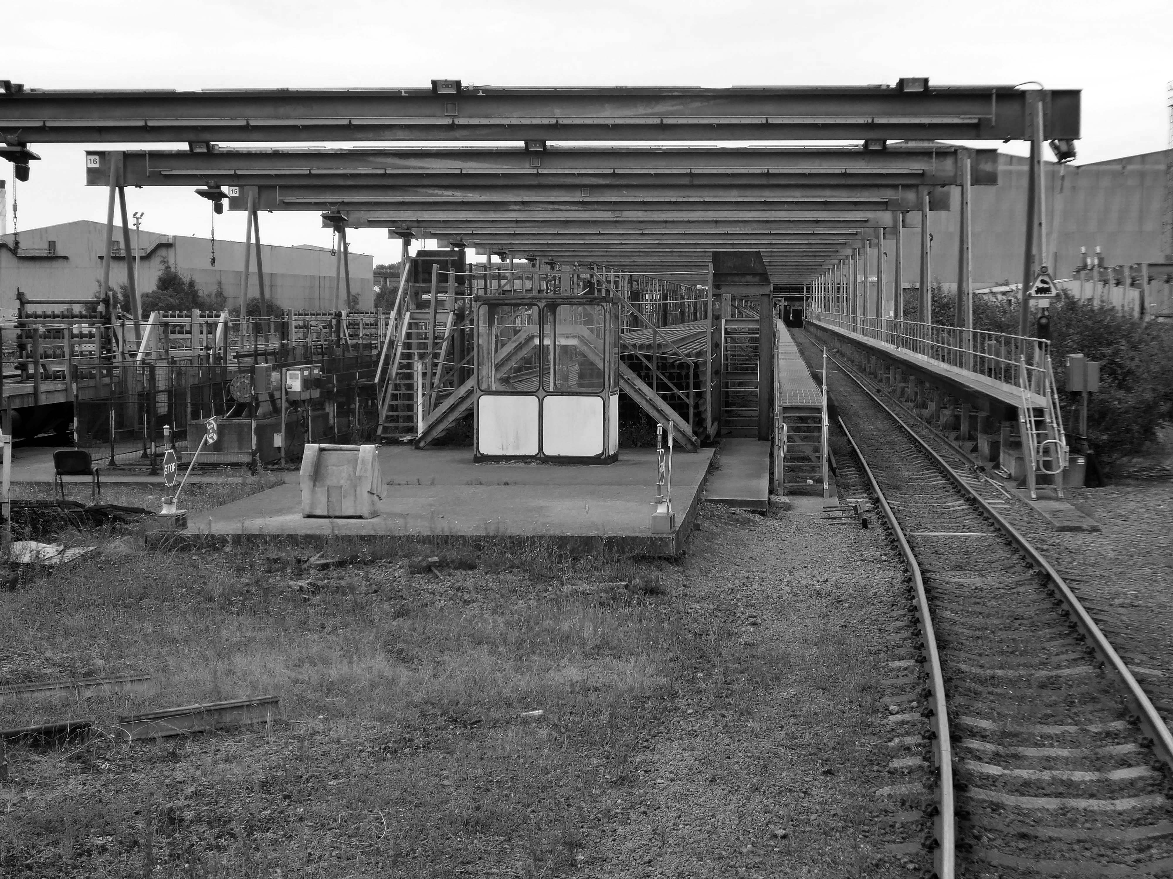
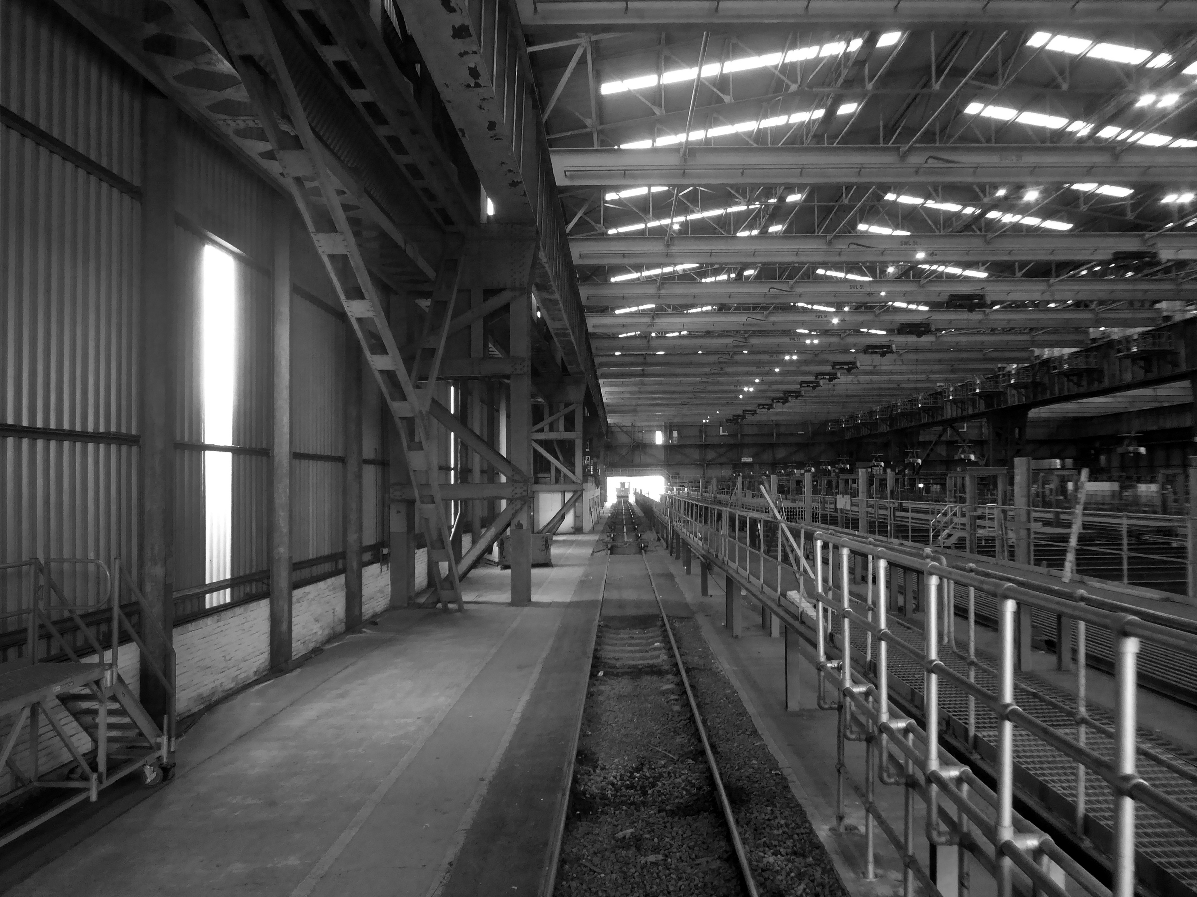
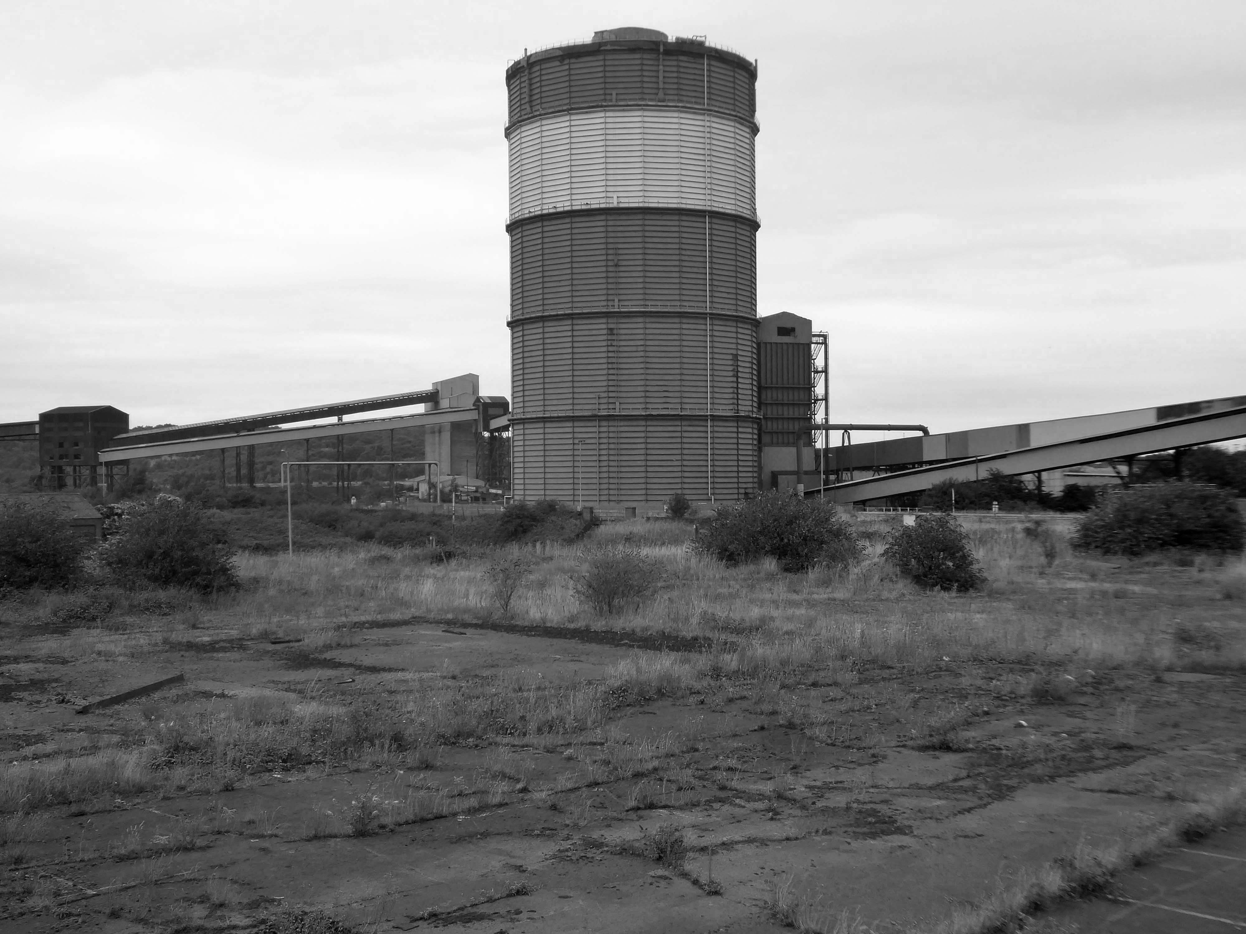
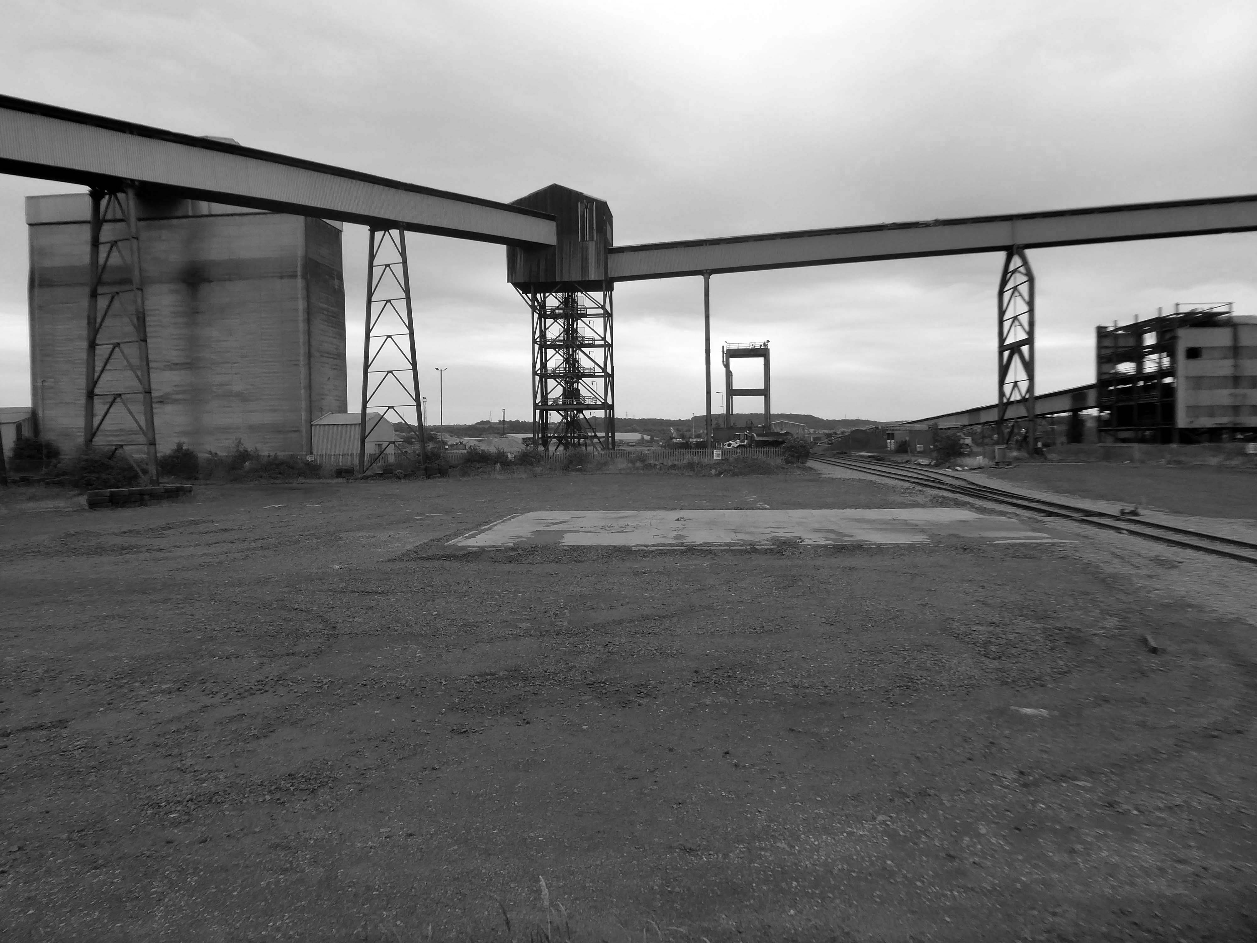
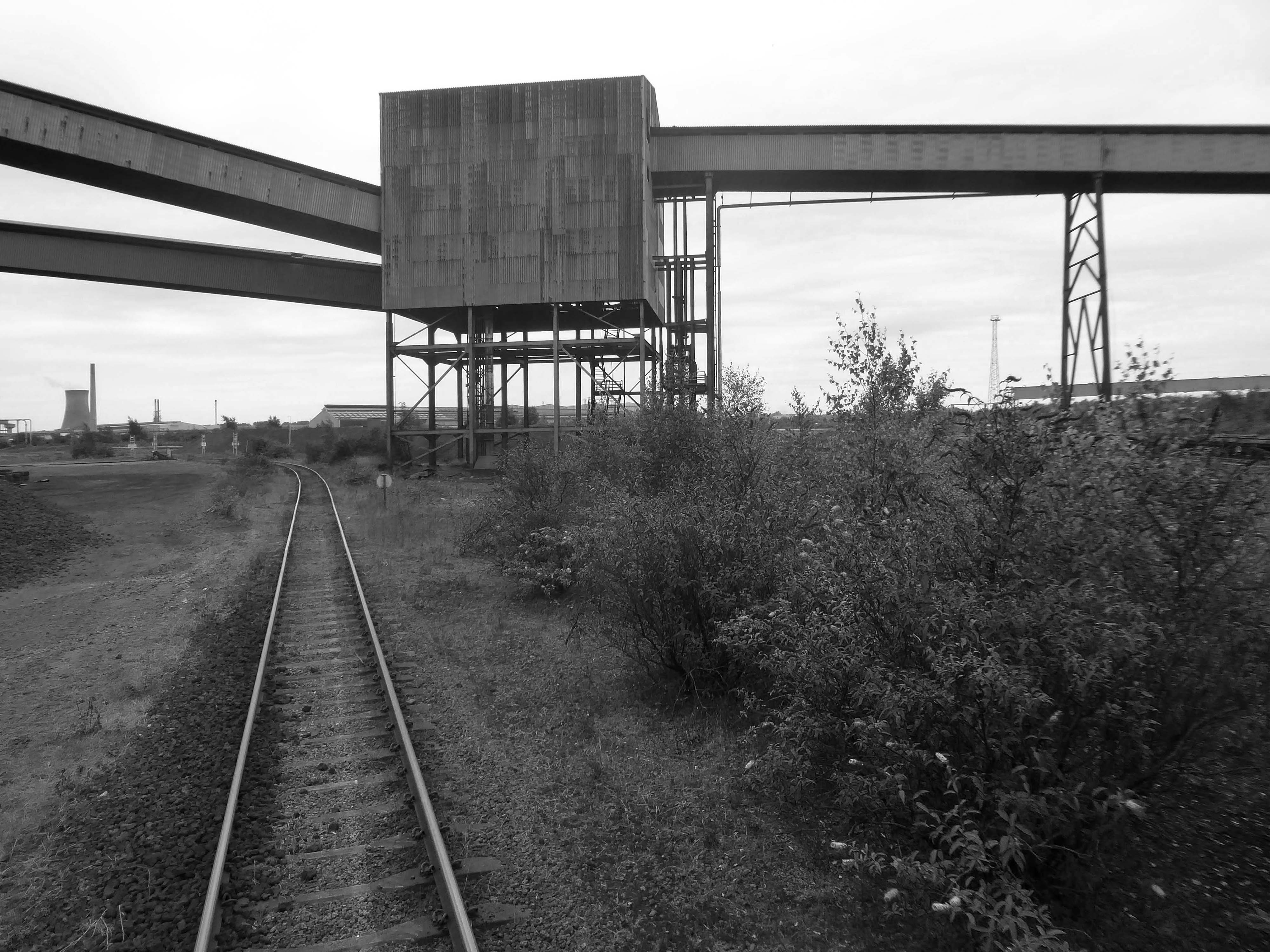
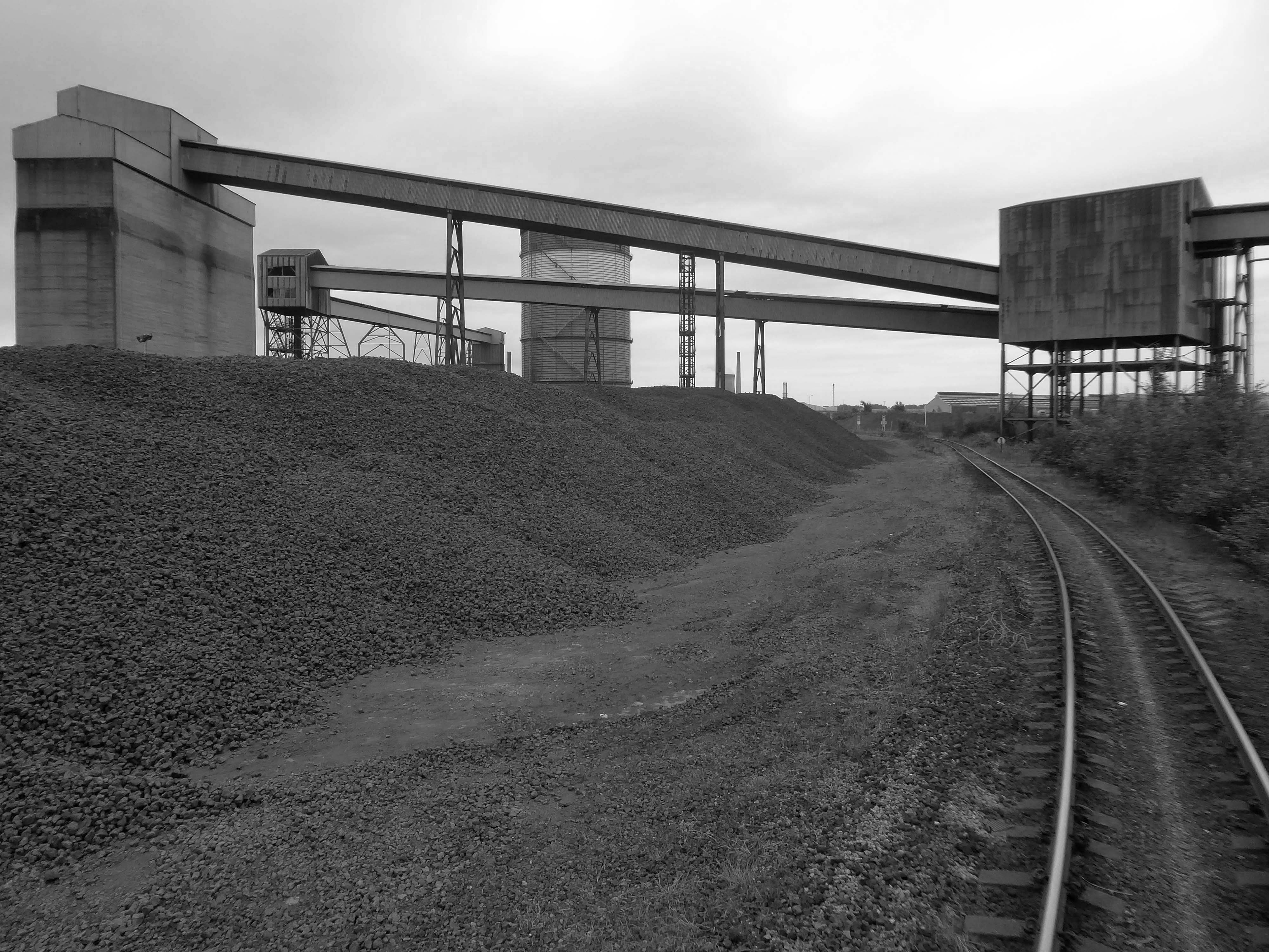
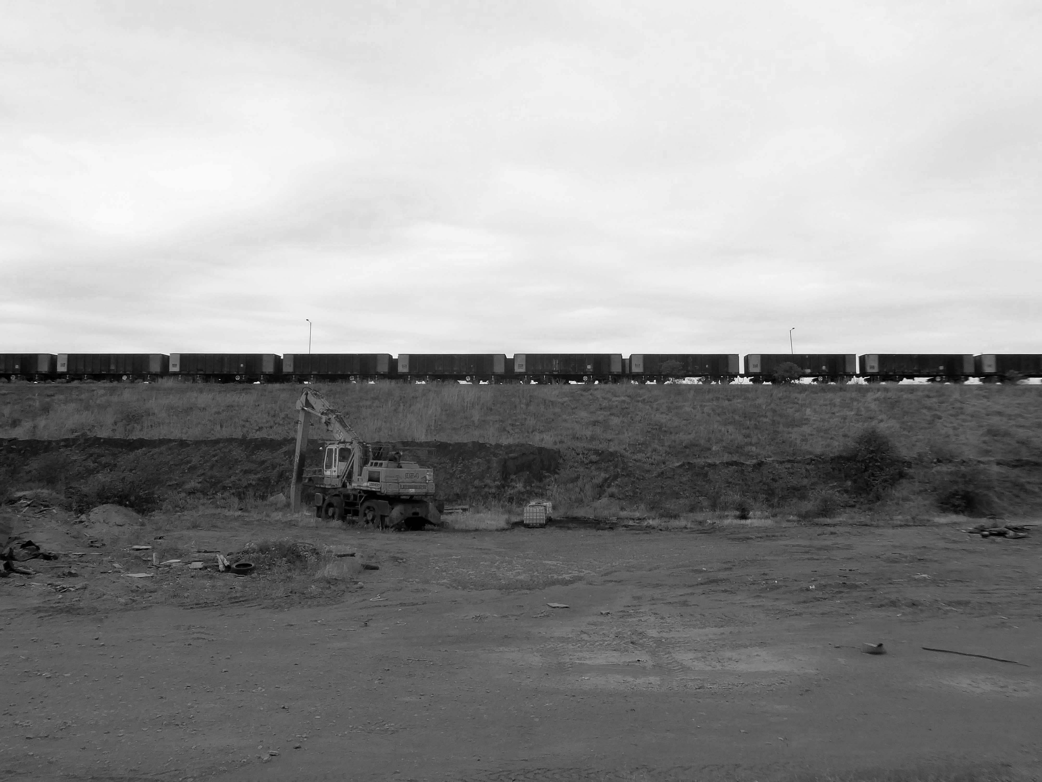
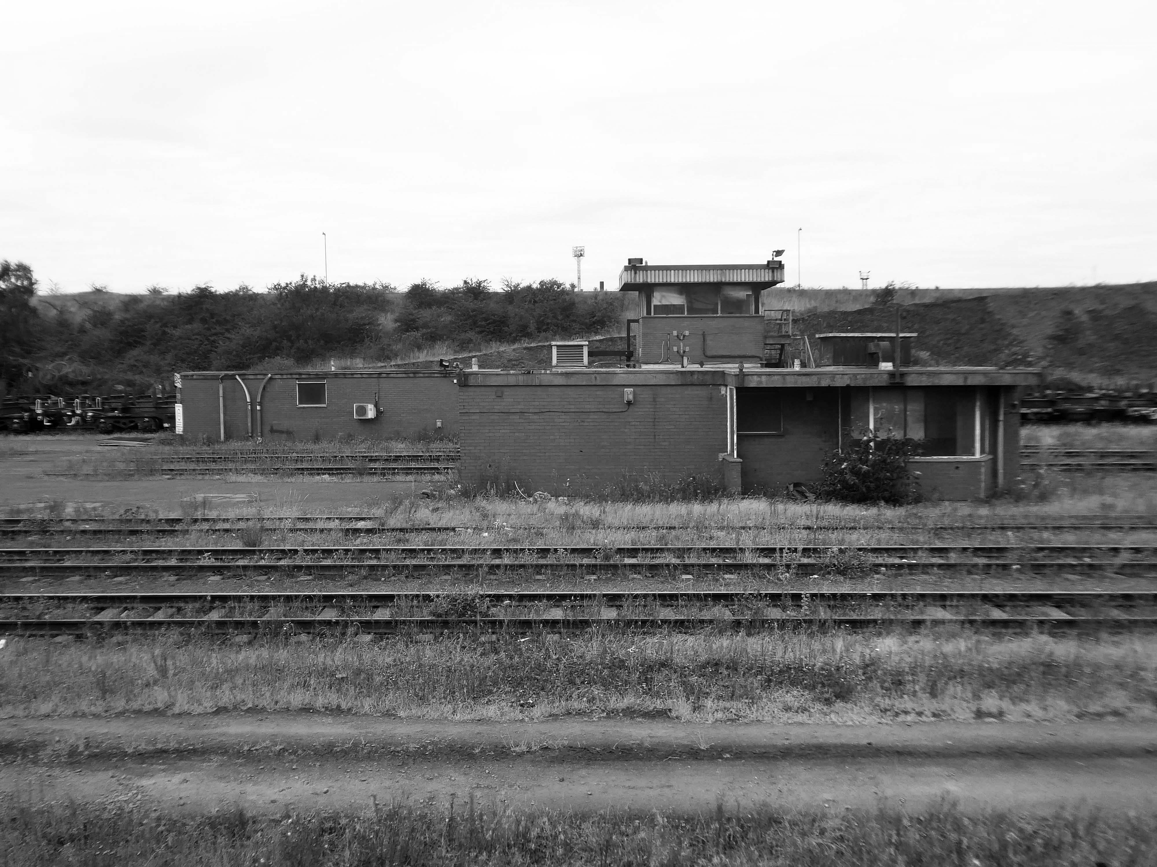
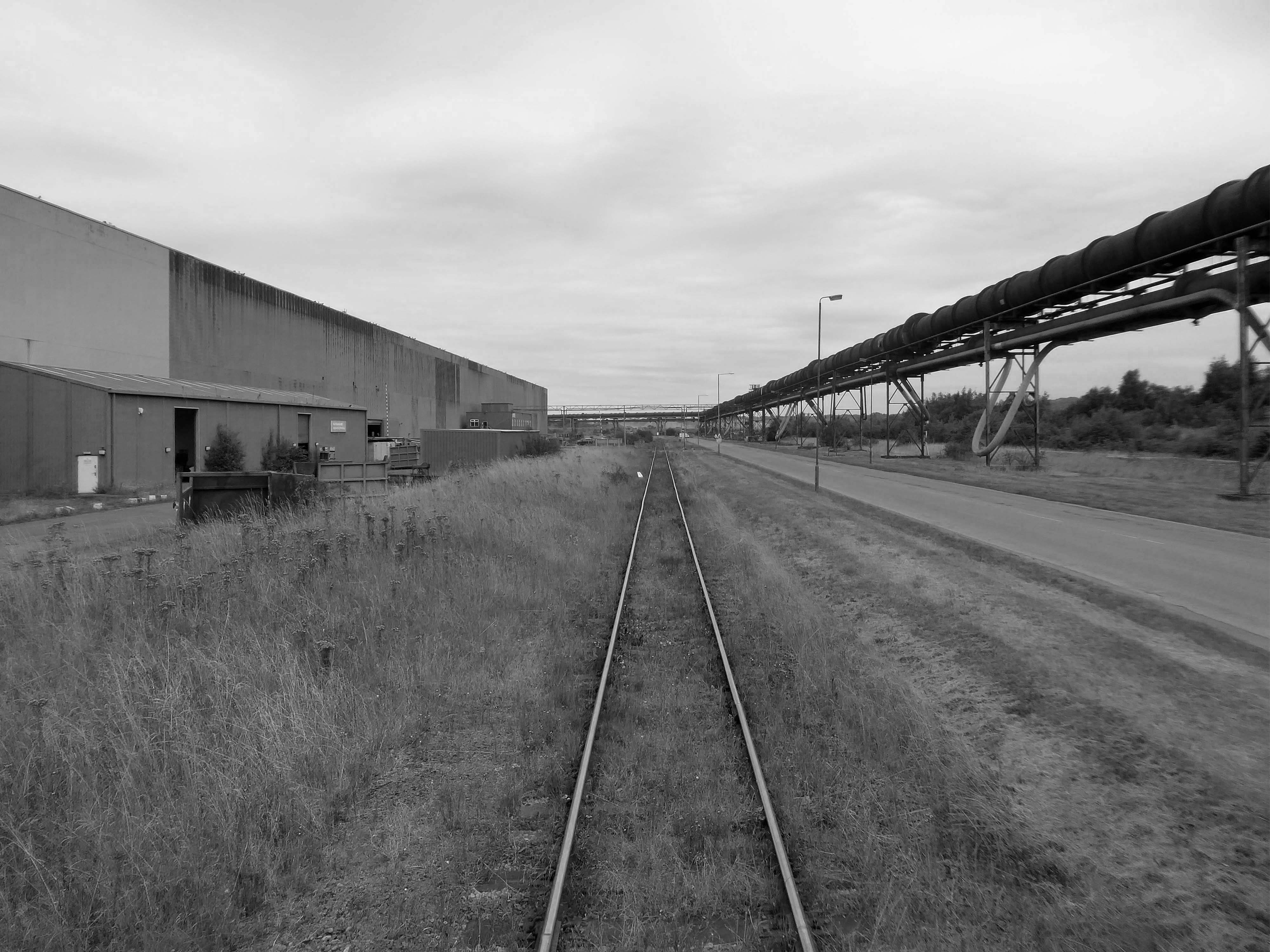
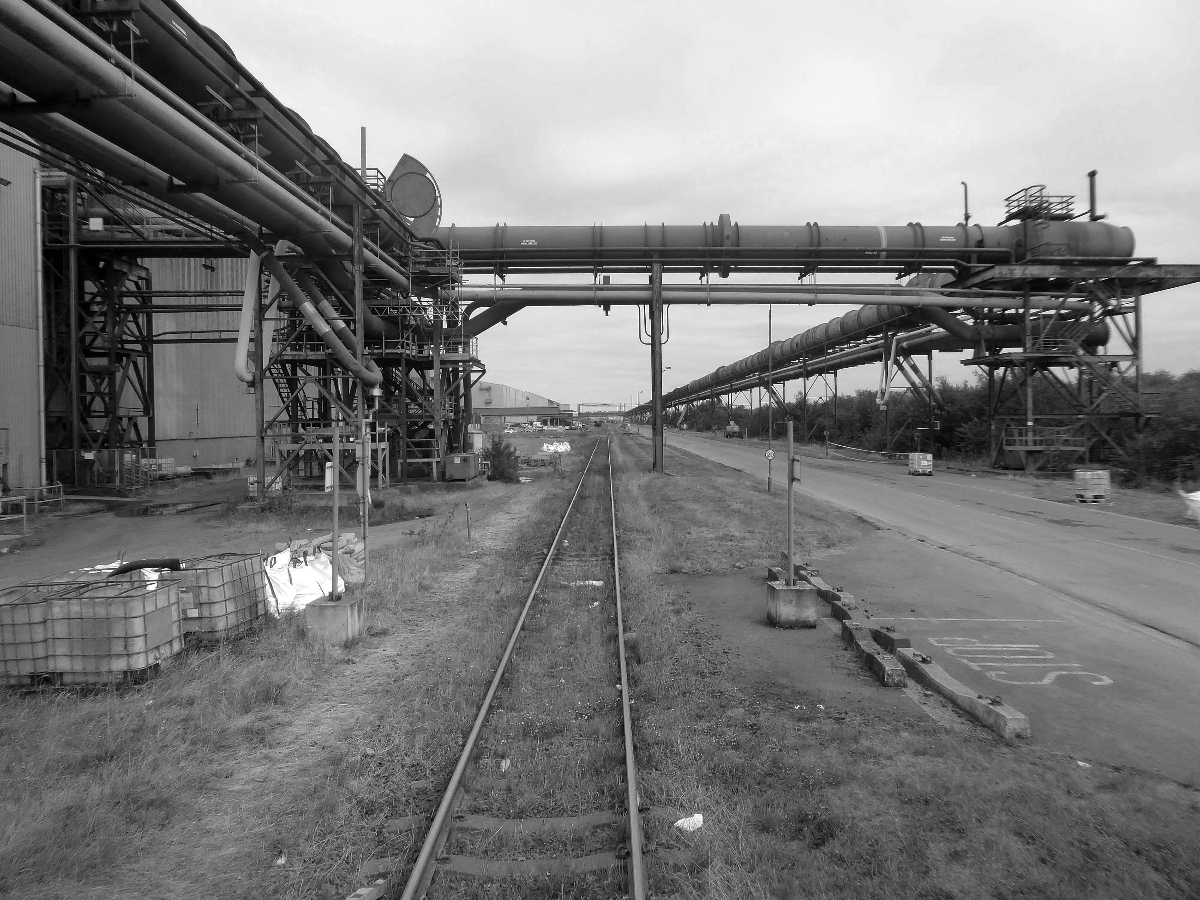
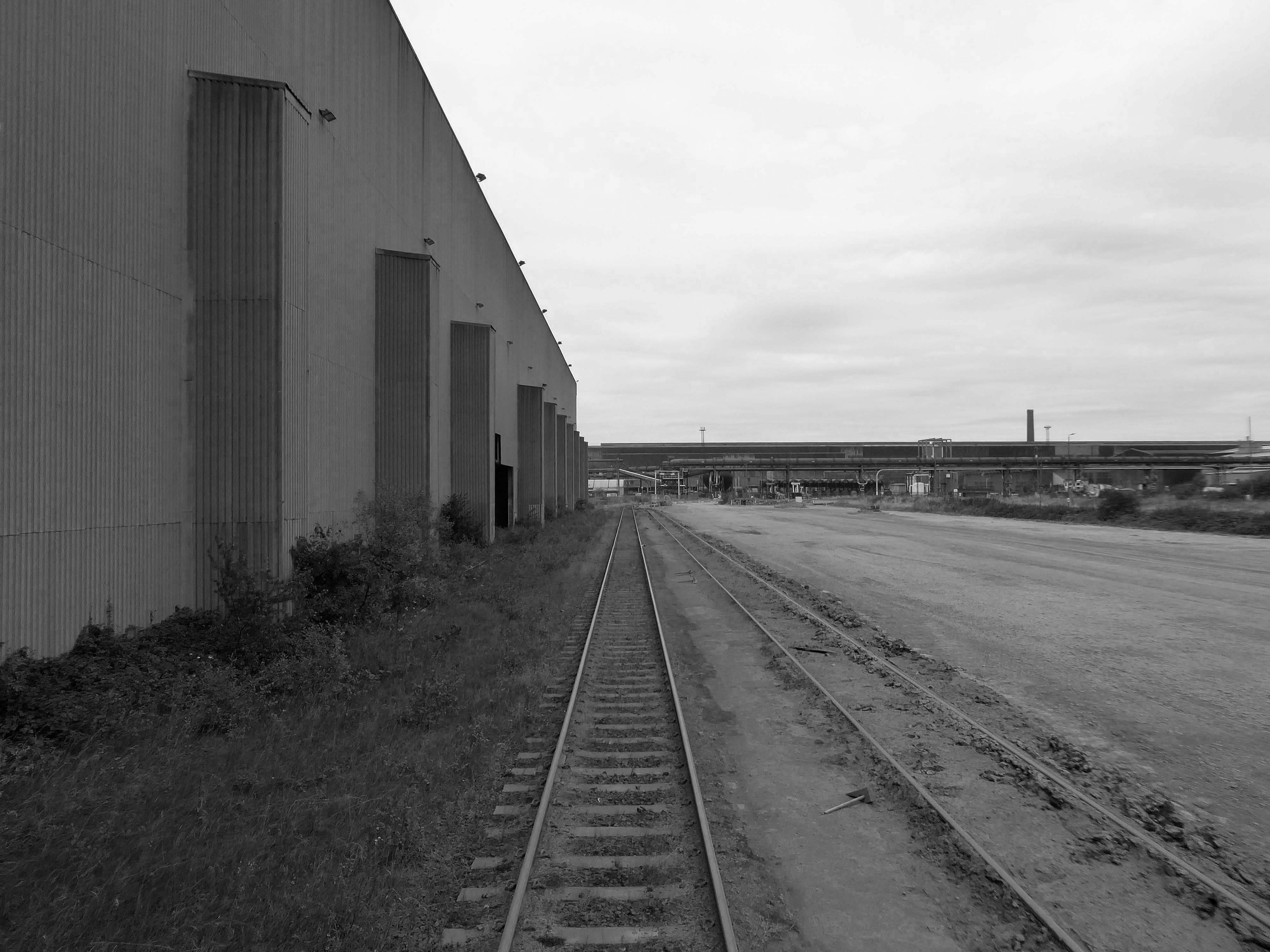
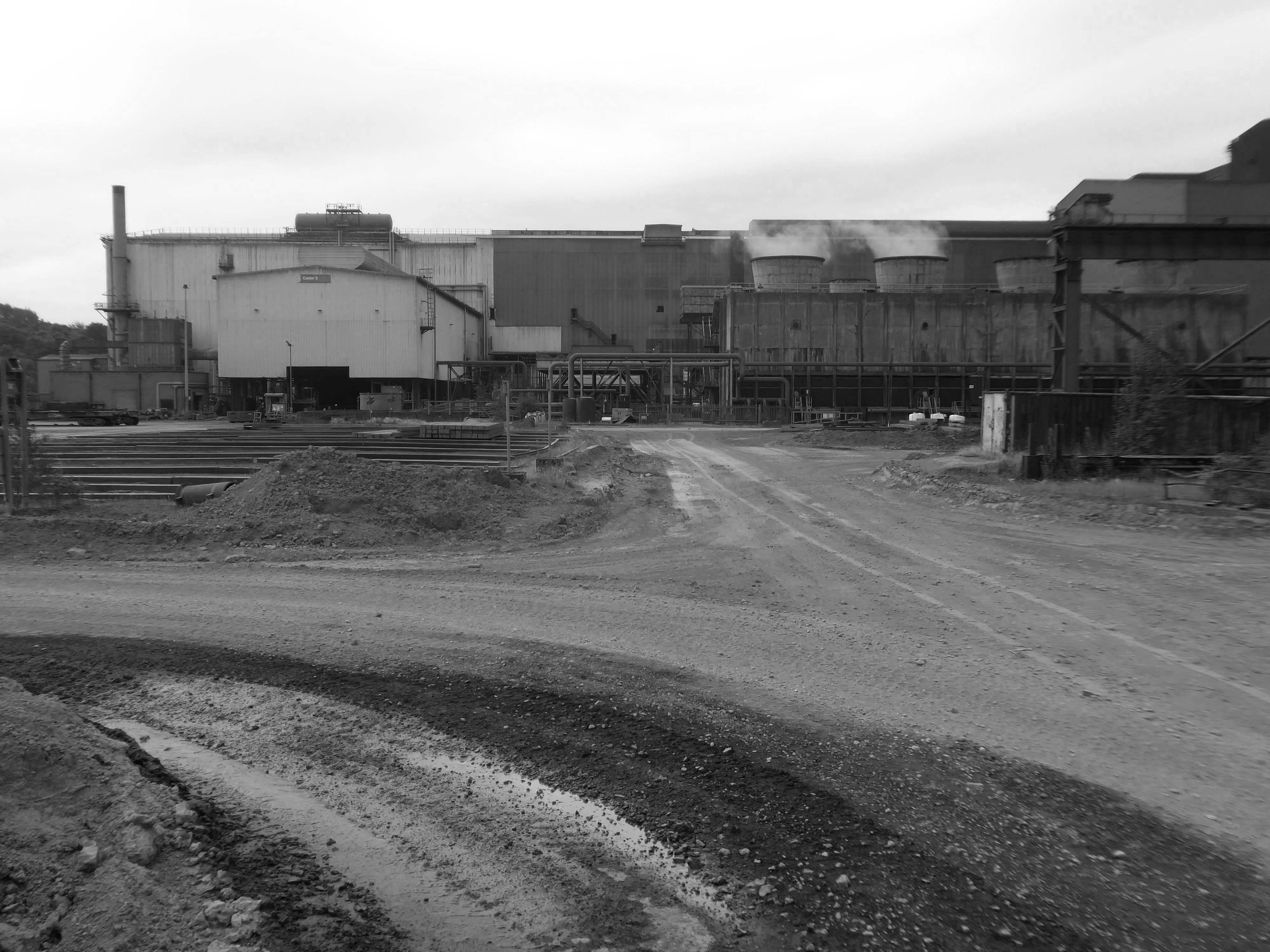
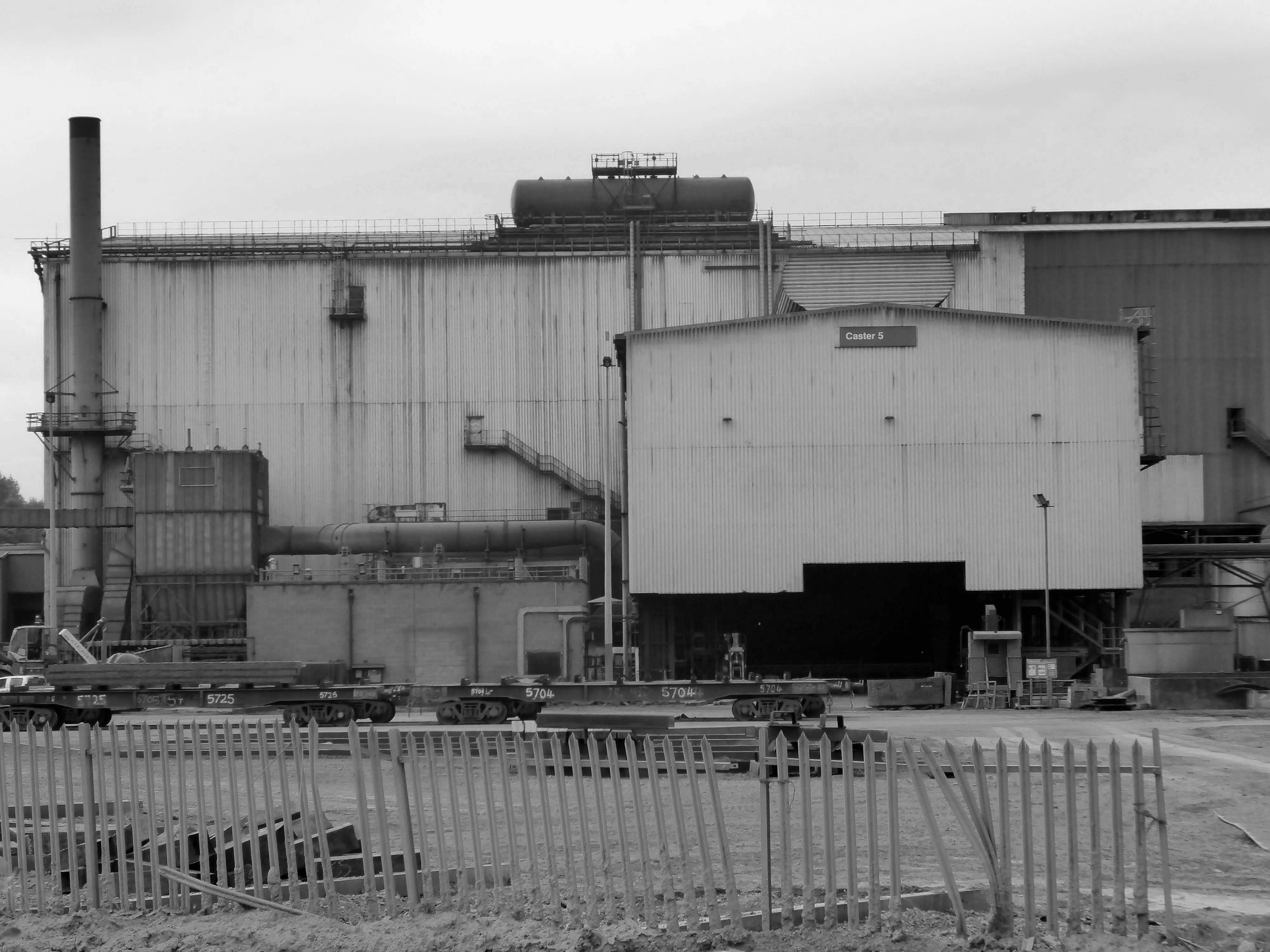
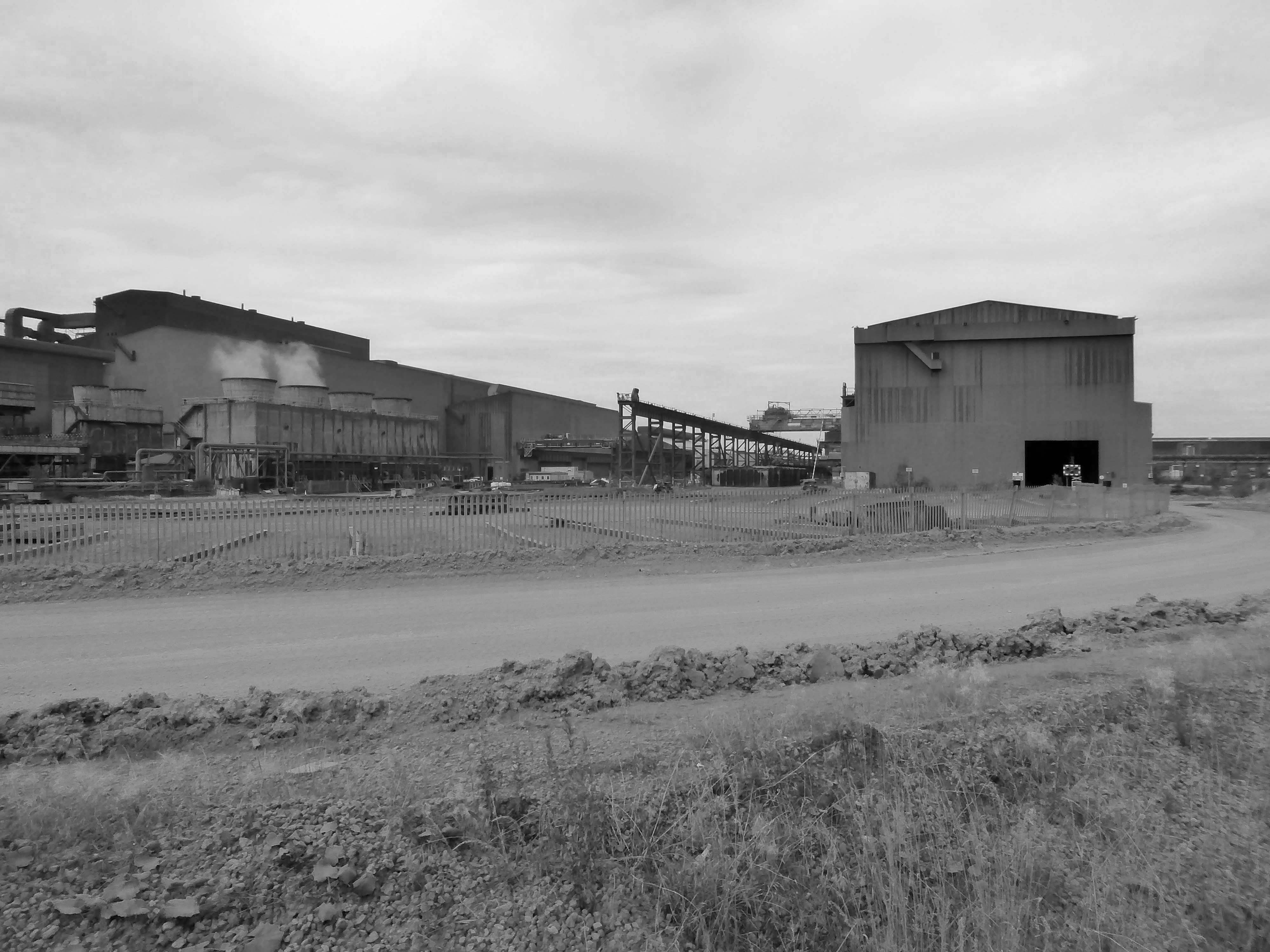
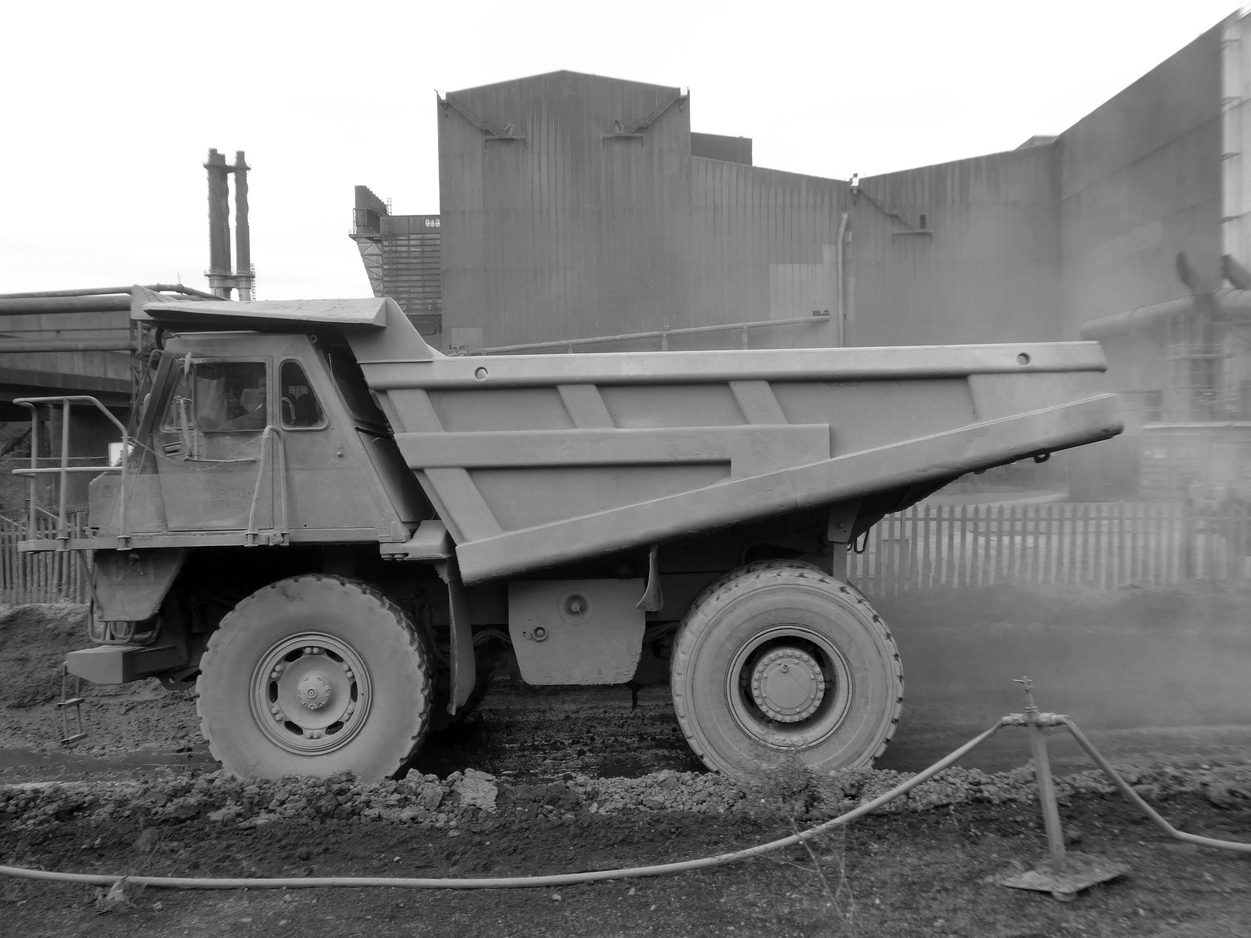
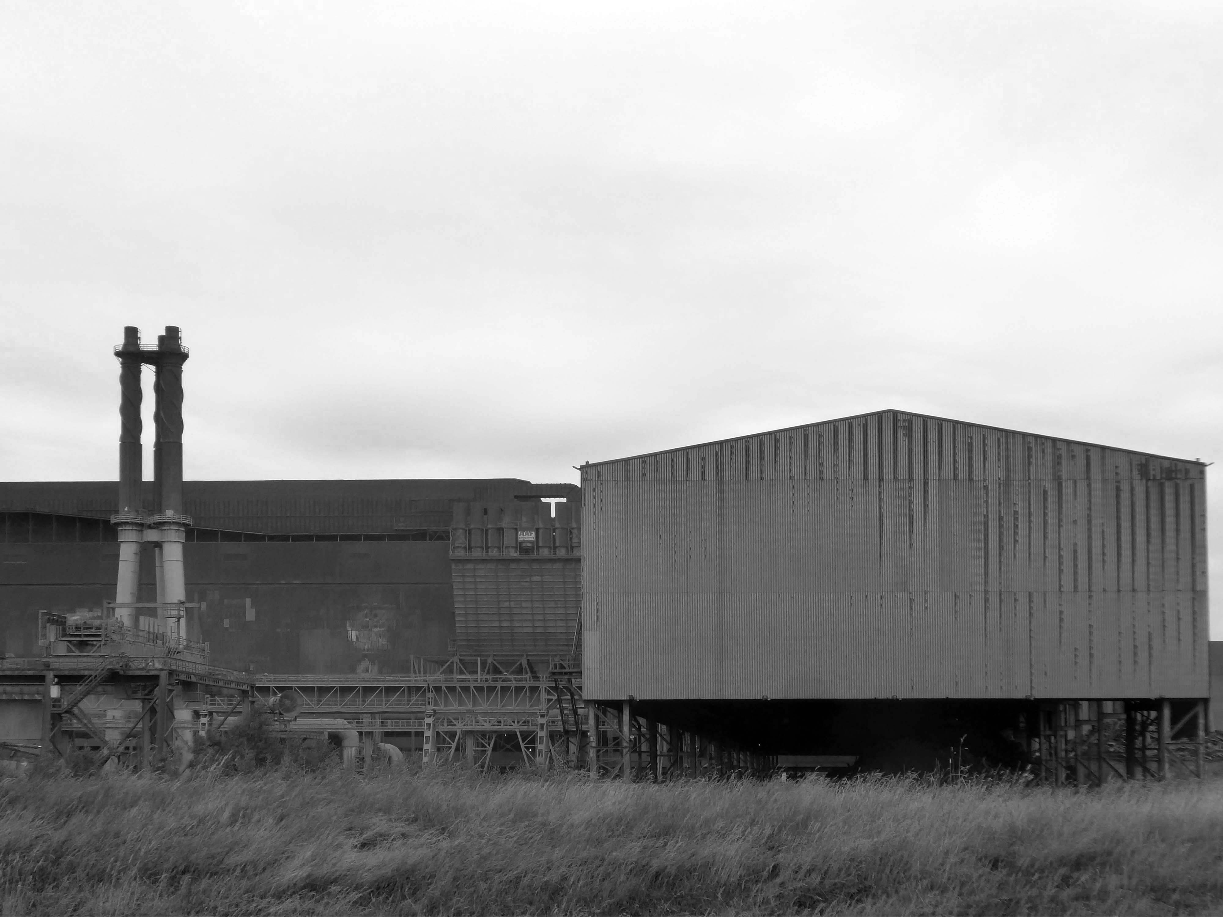
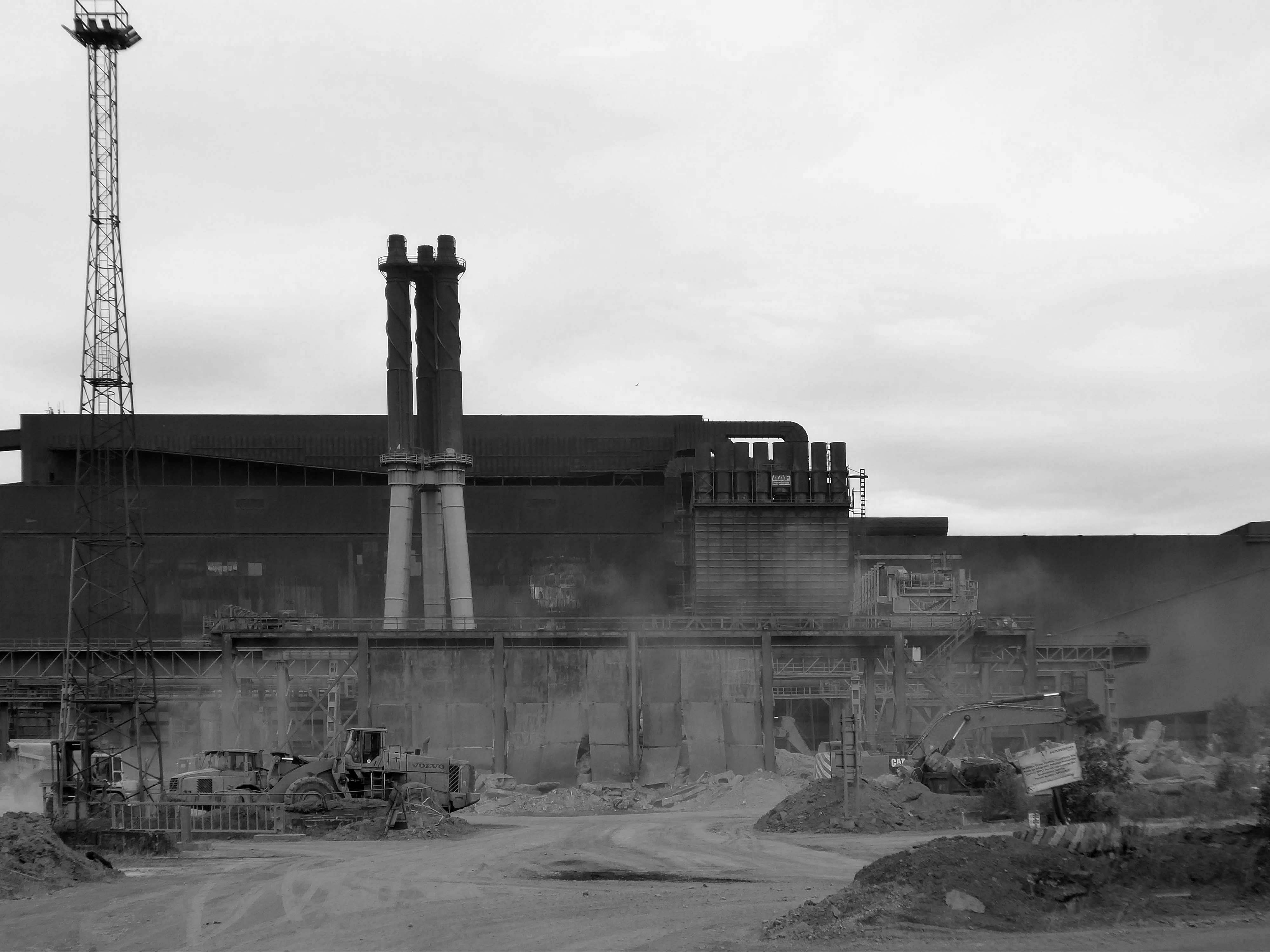
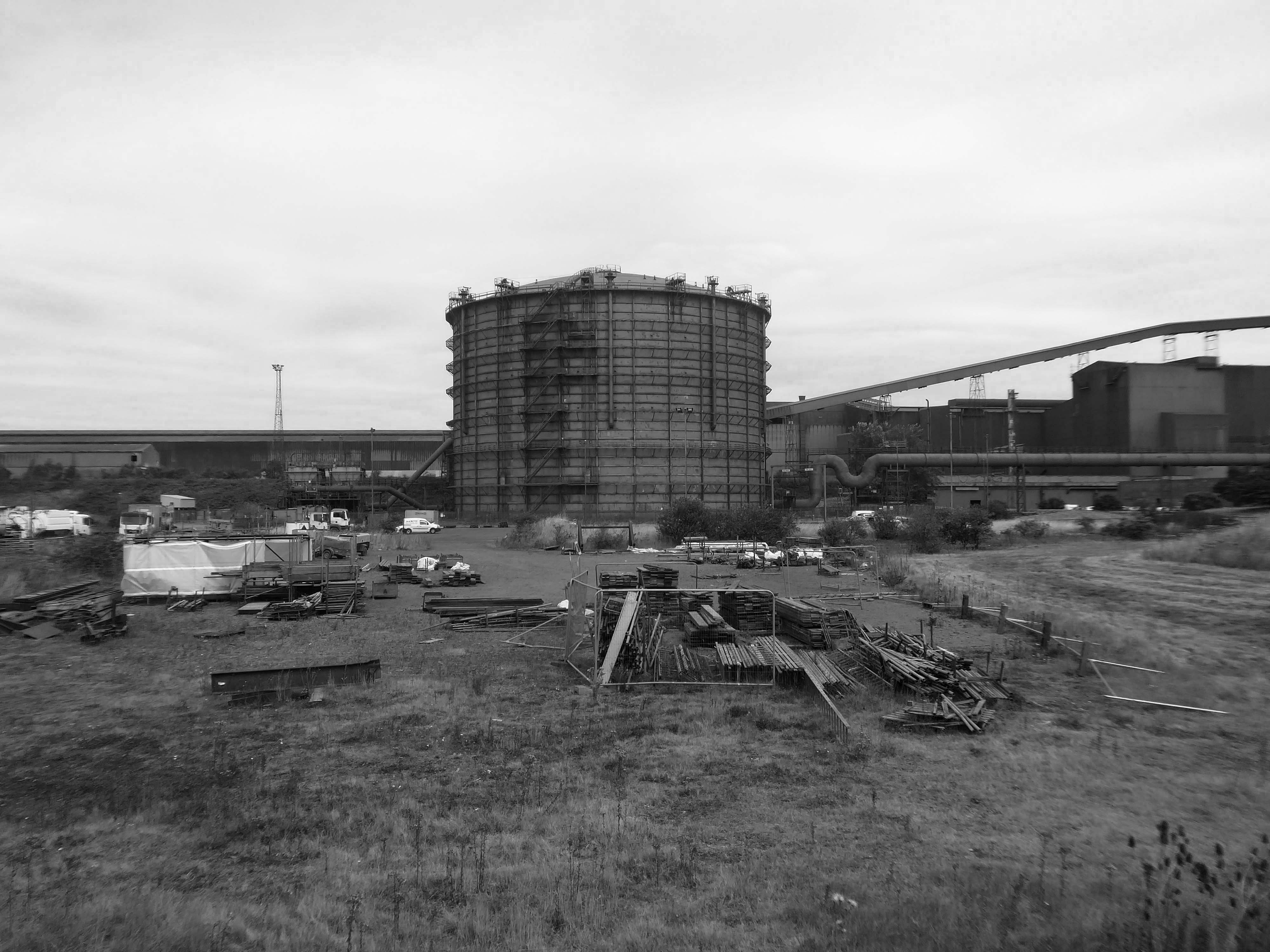
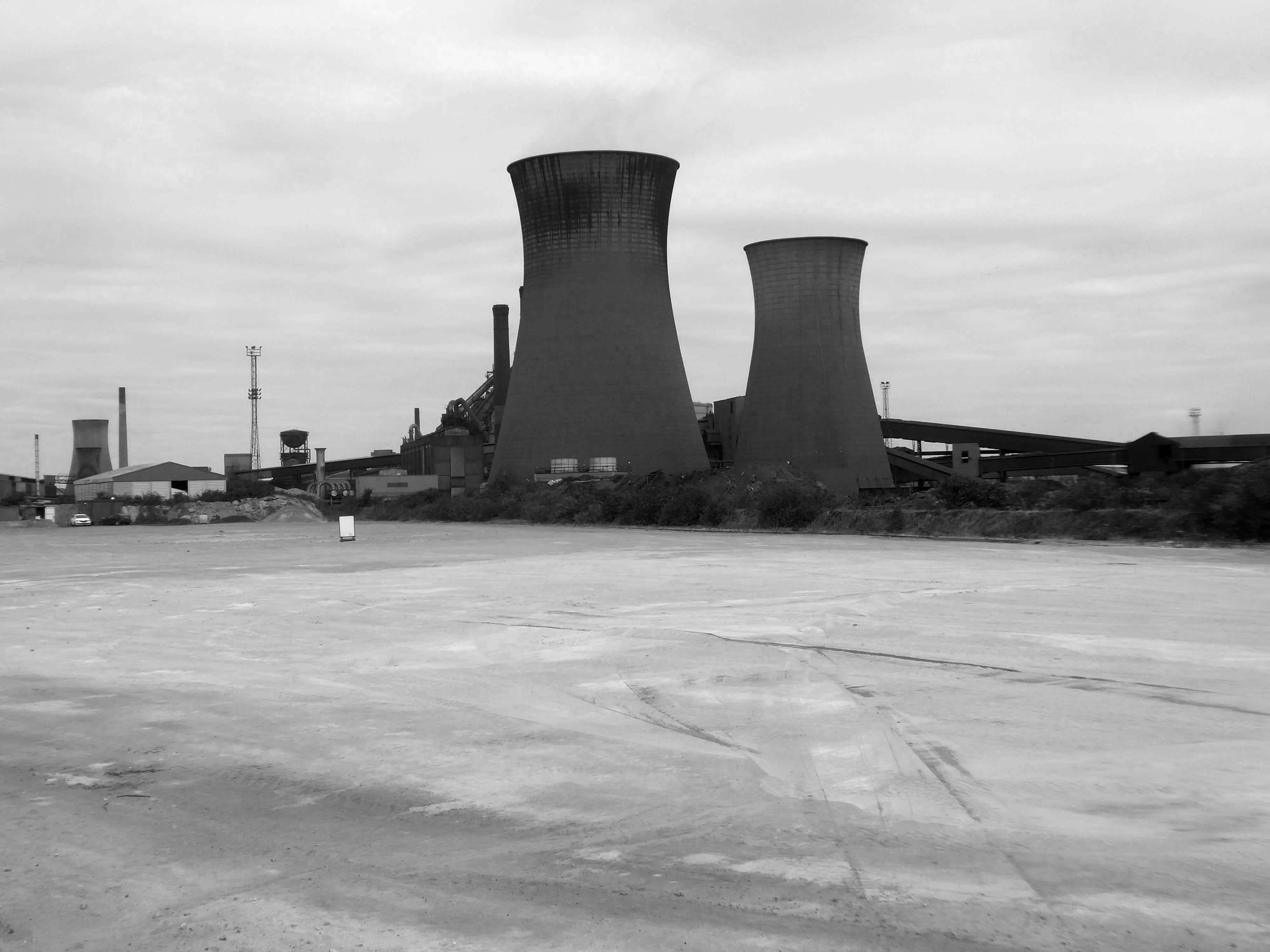
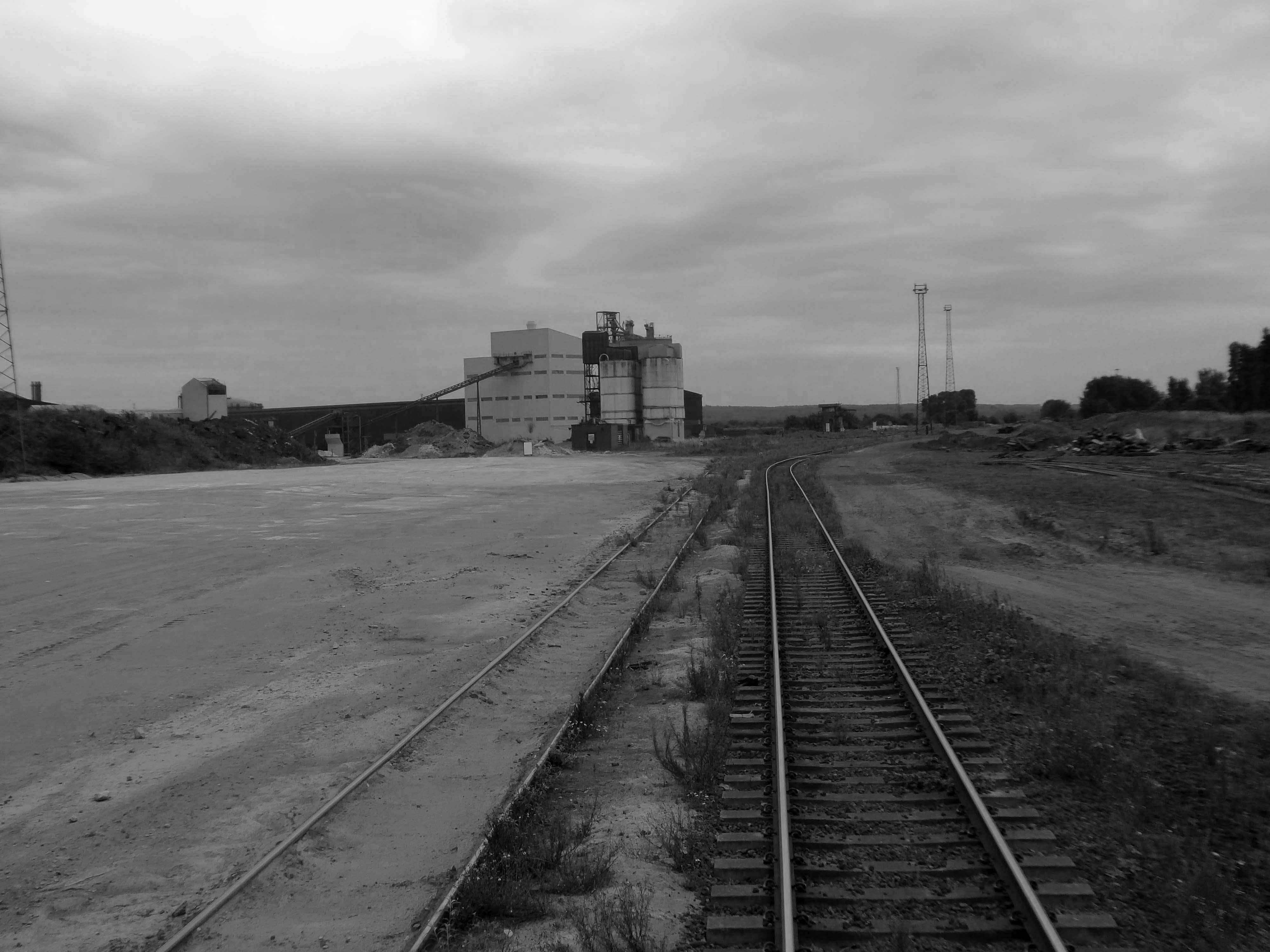
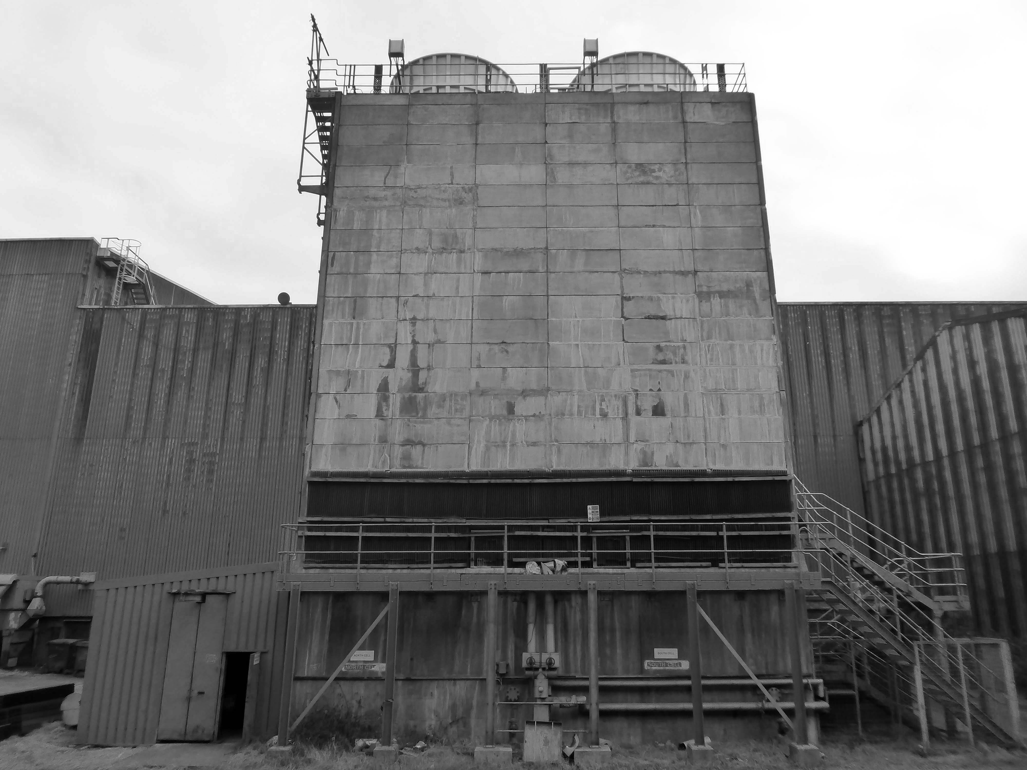
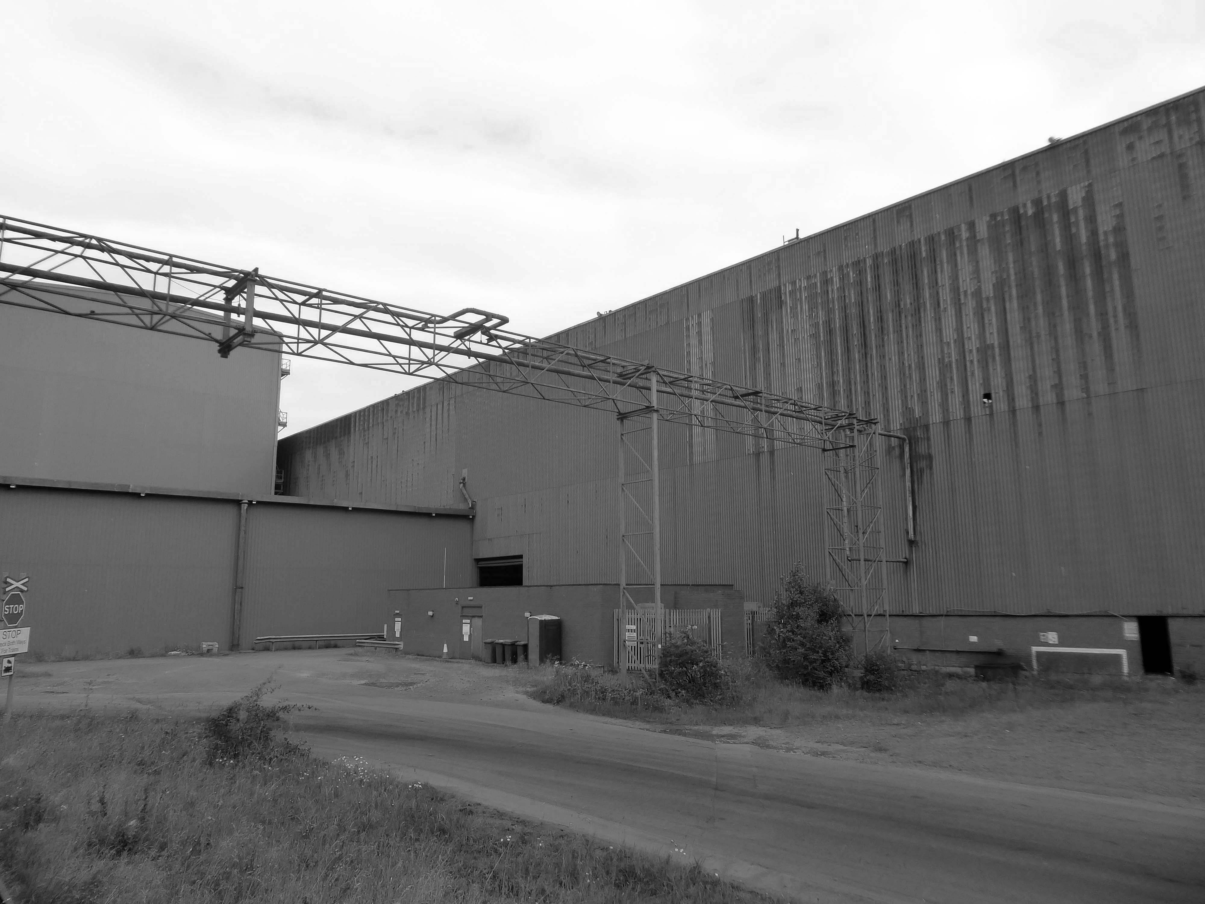
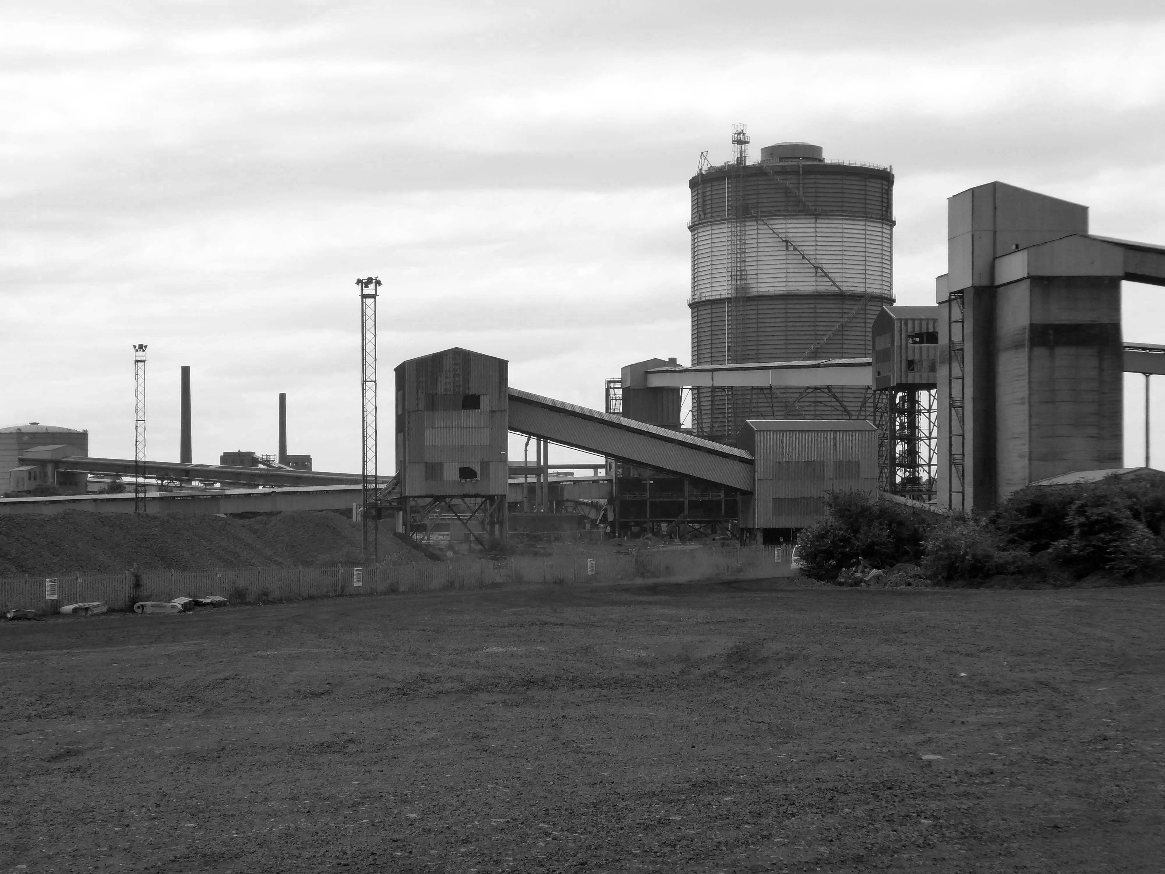
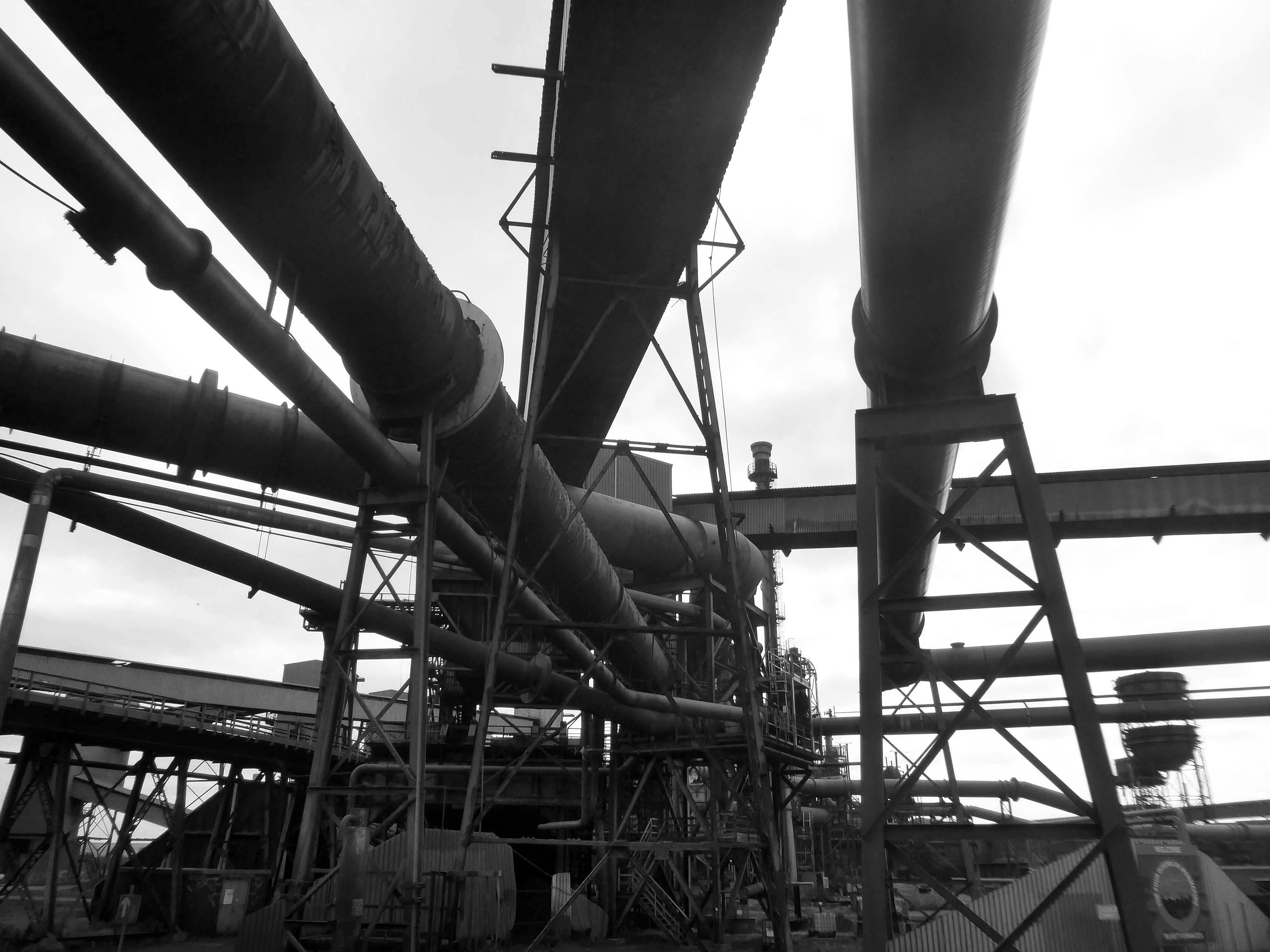
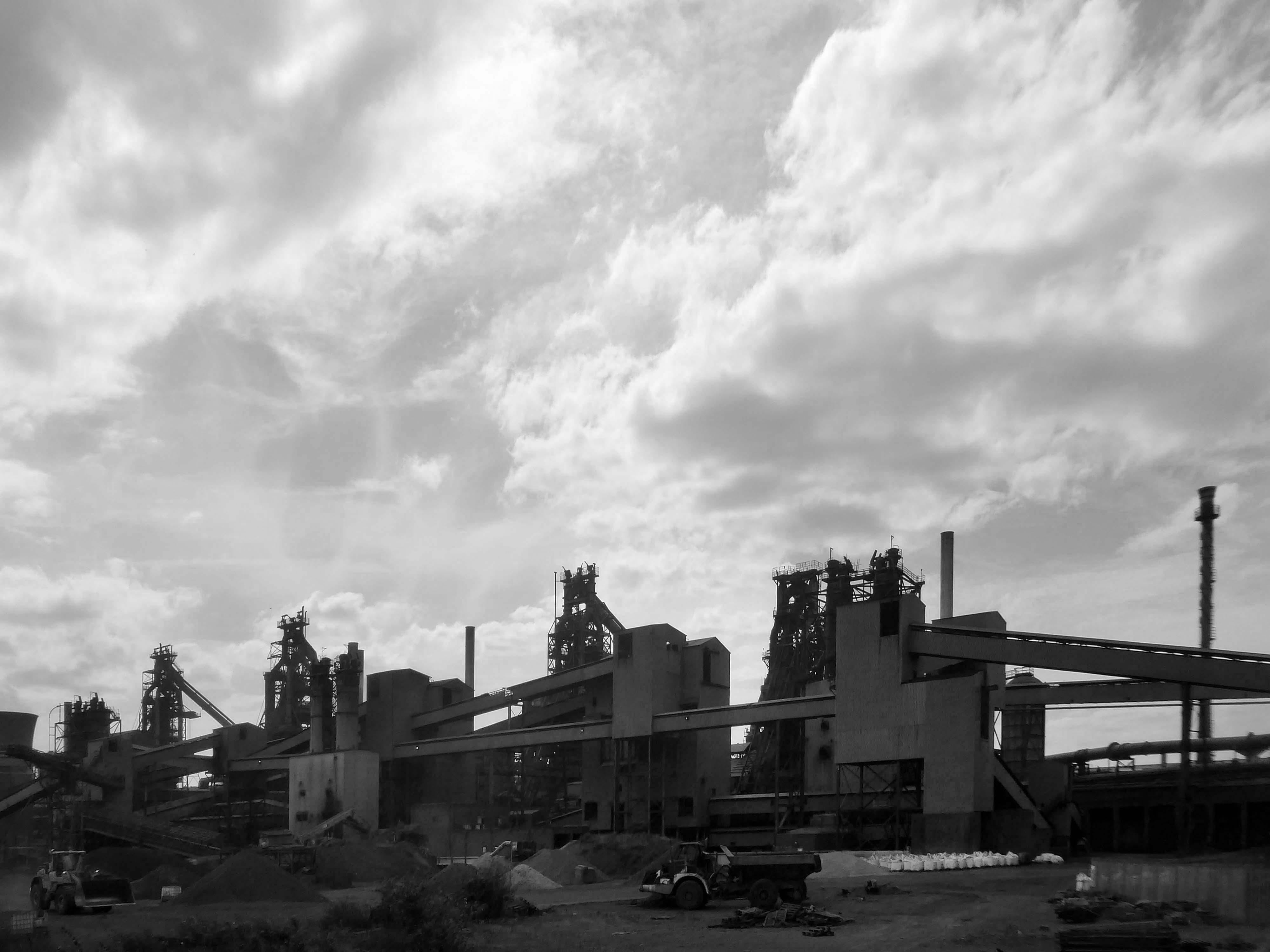
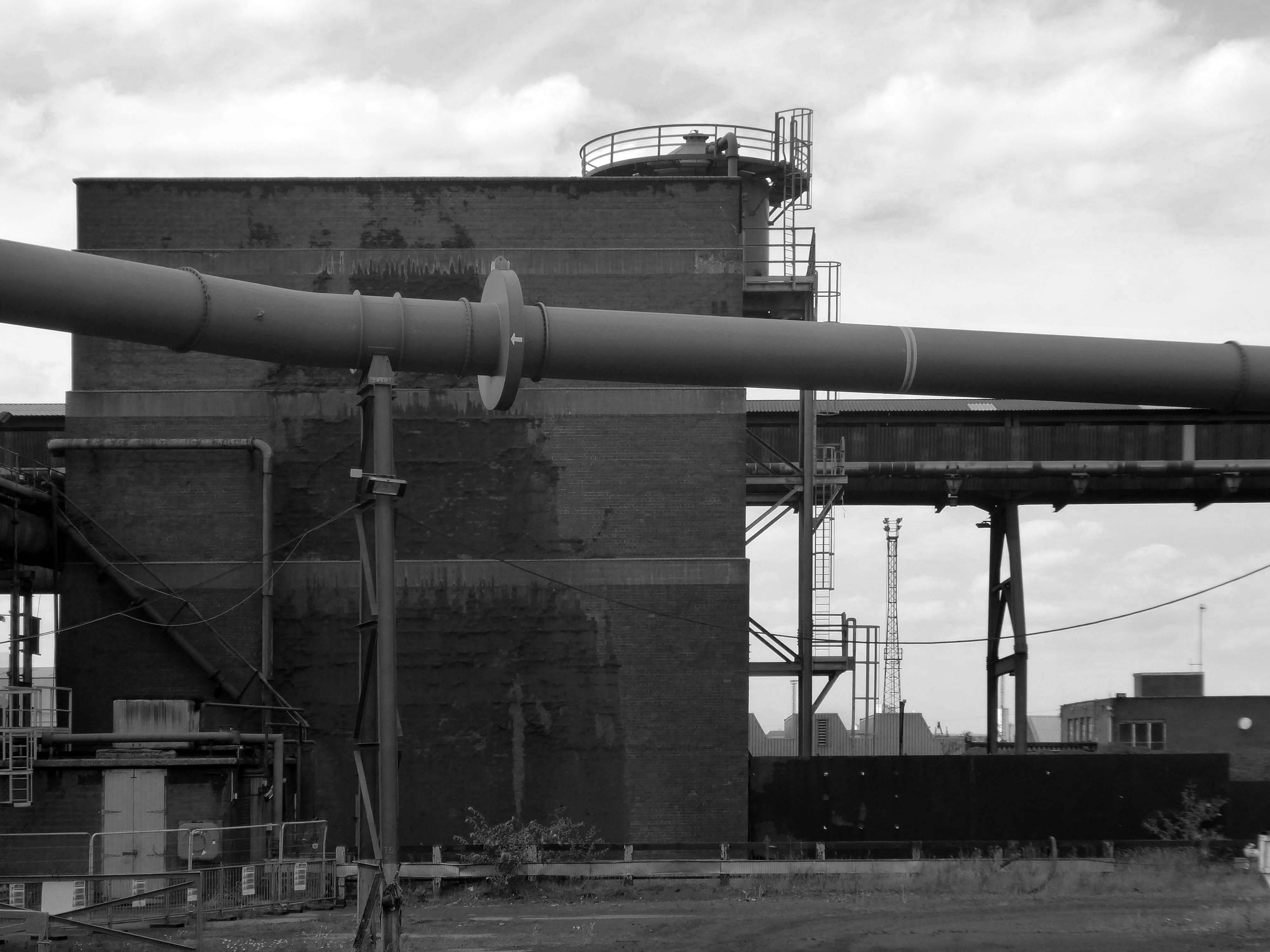
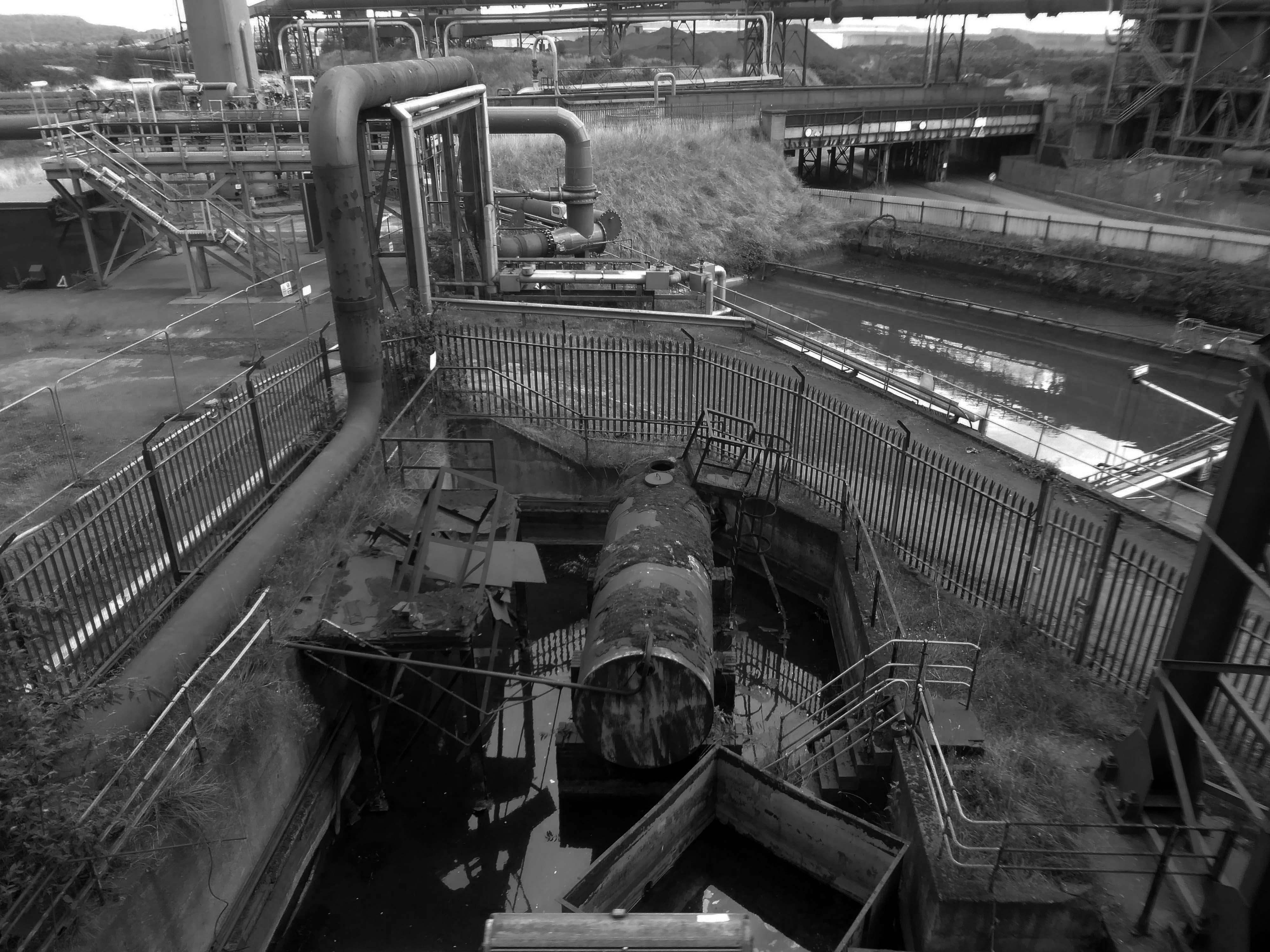
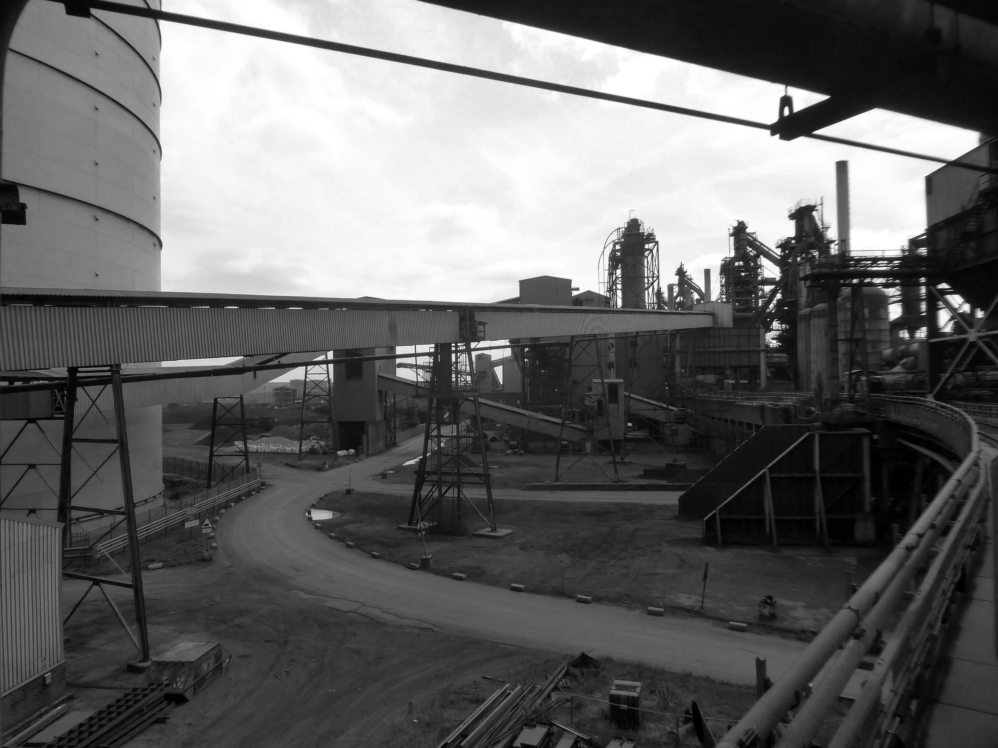
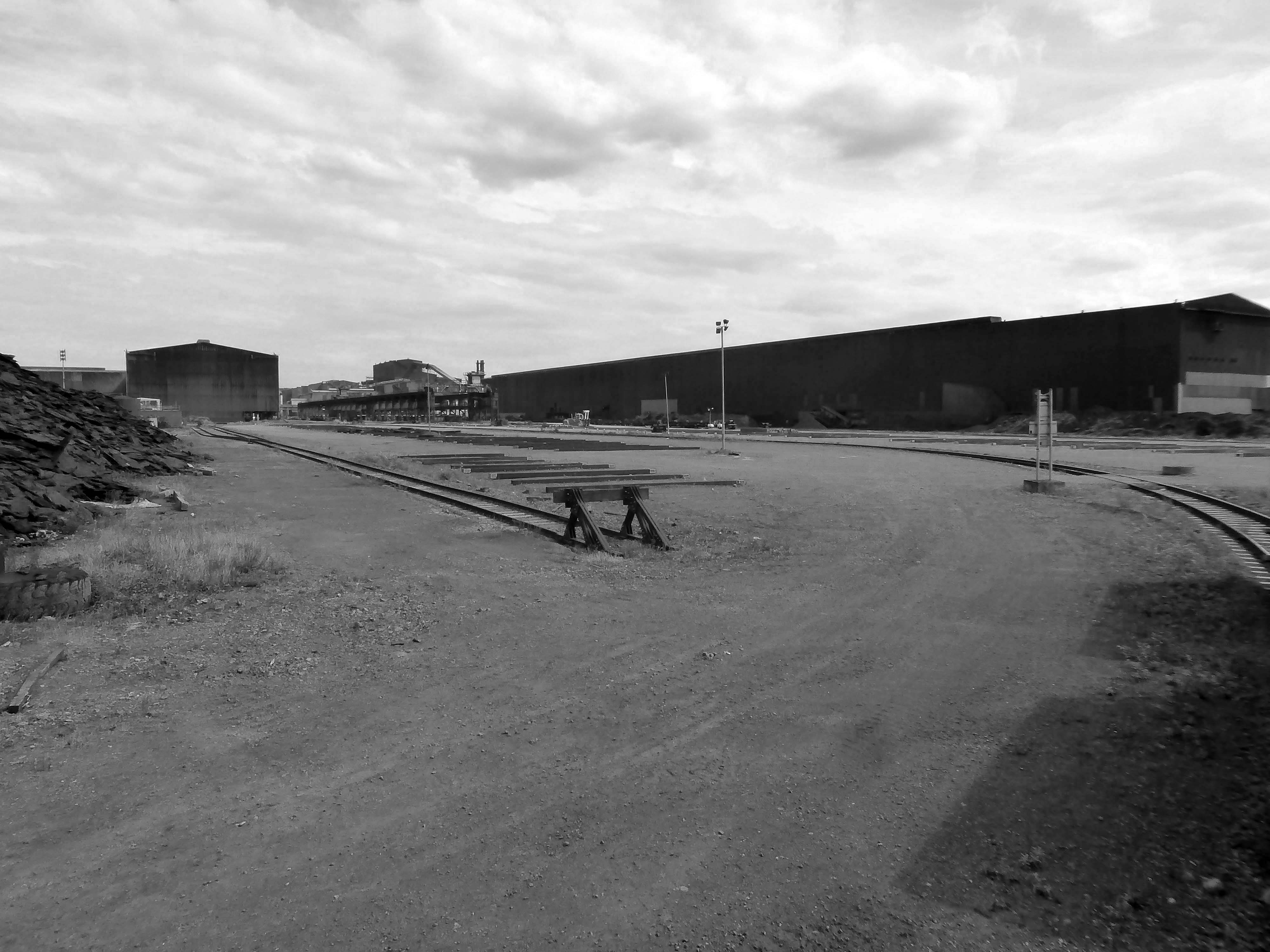
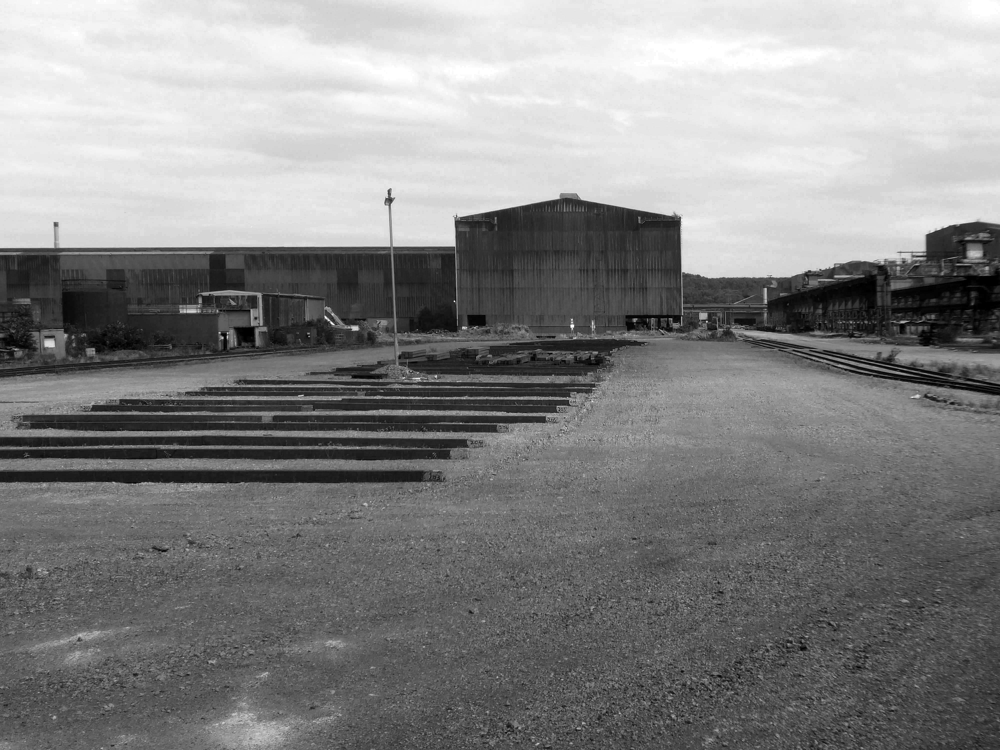
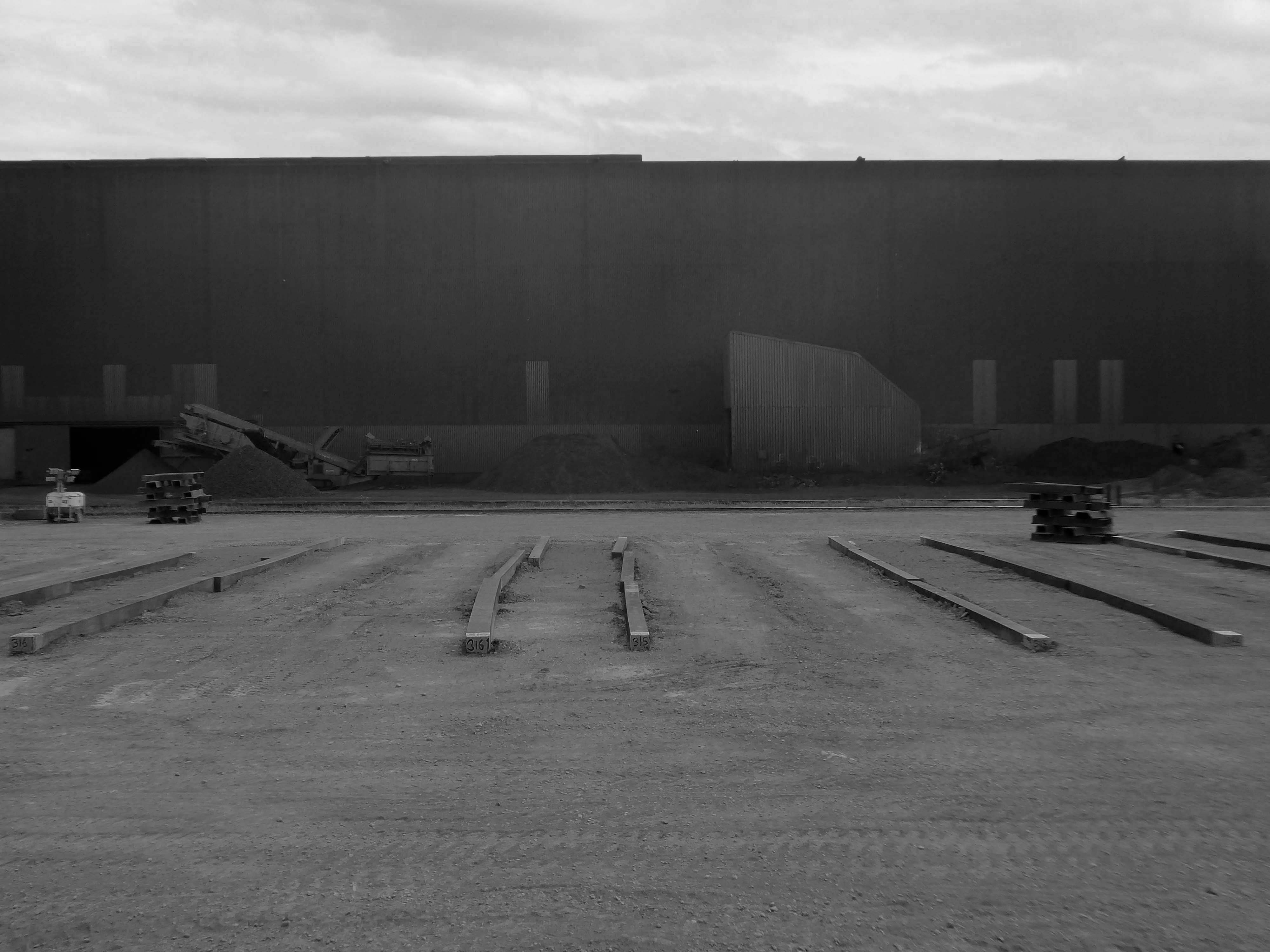
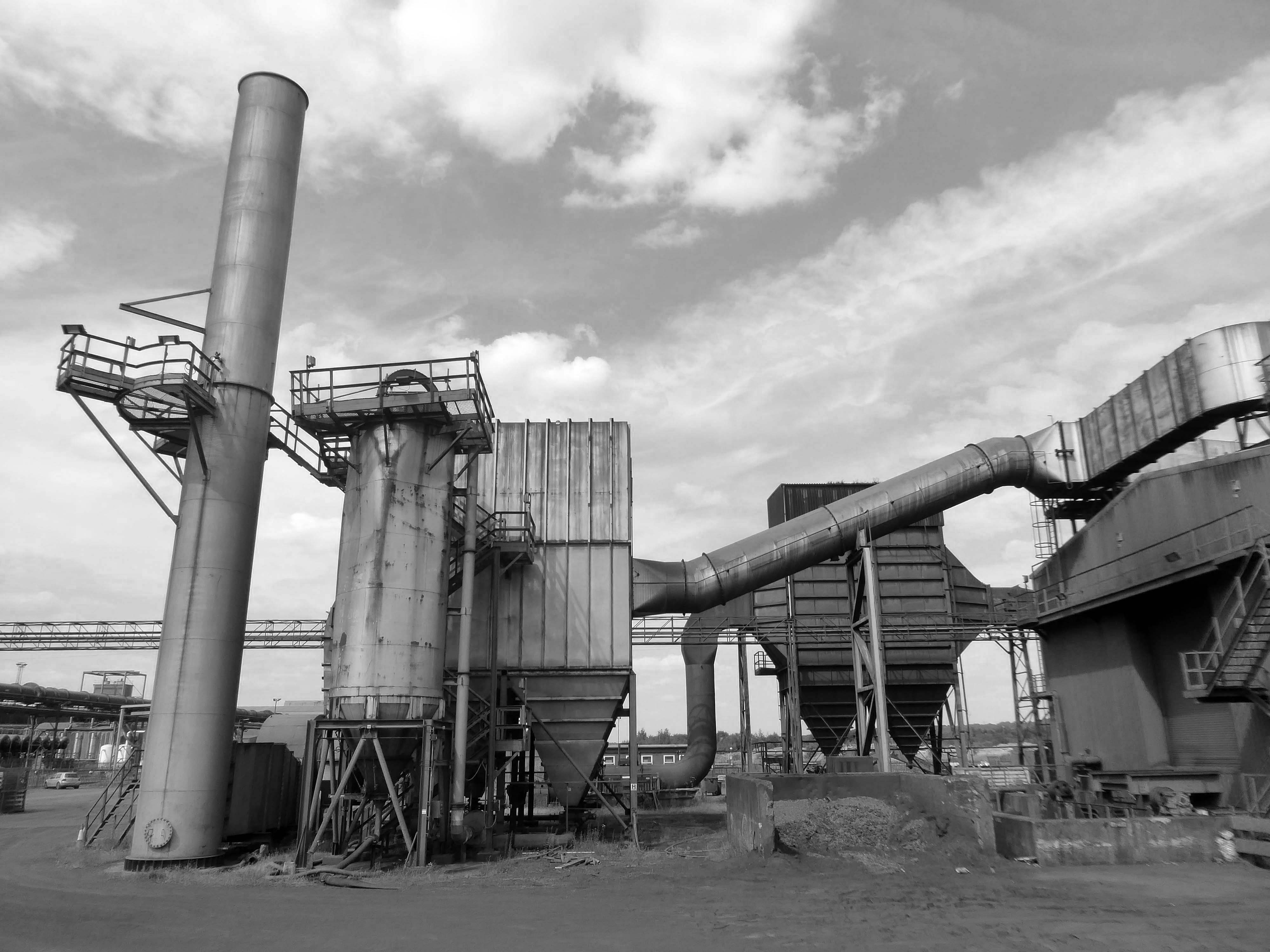
This video provides a refreshing and inspiring insight into the steel manufacturing industry and the people who make it happen.
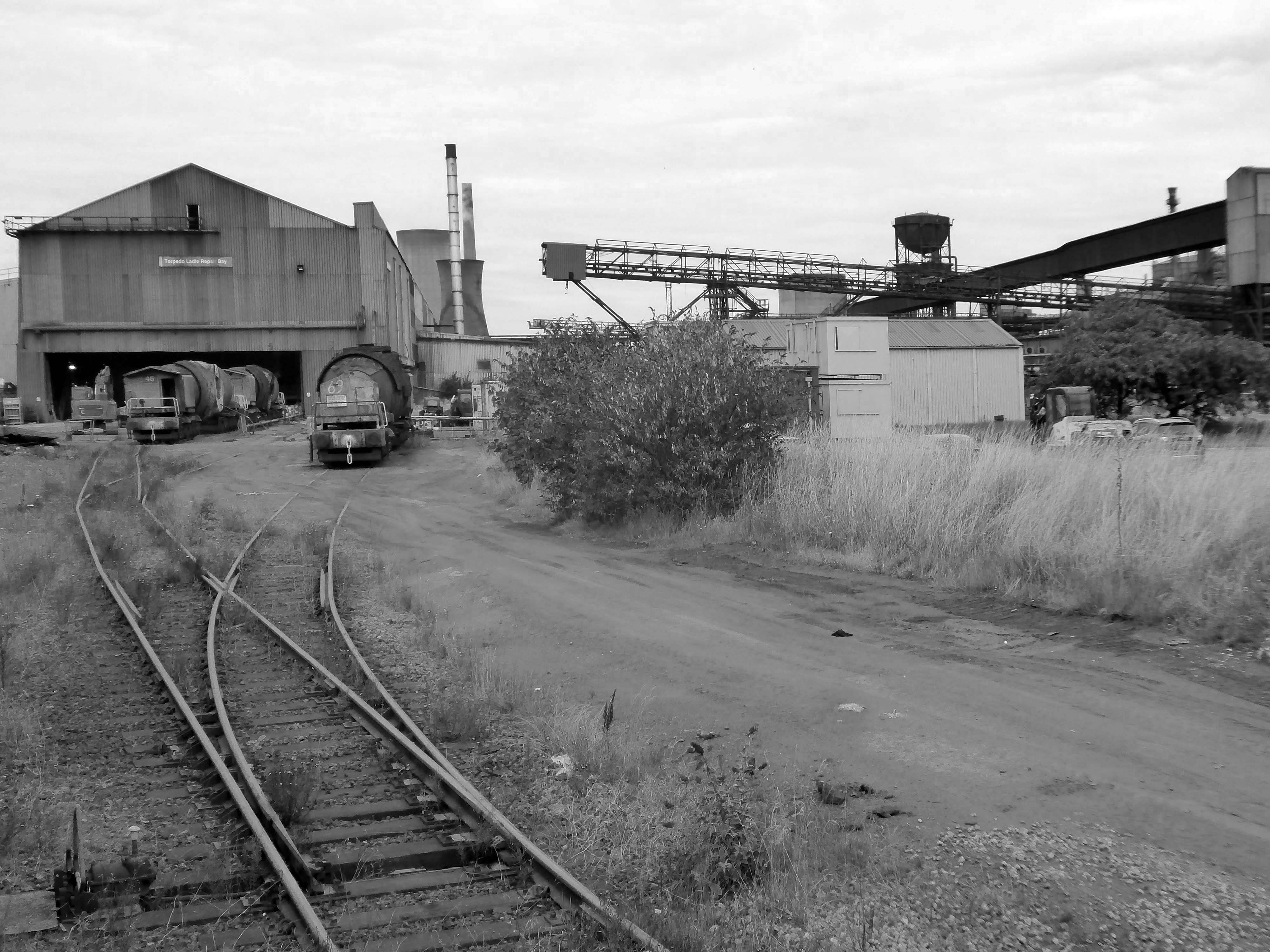
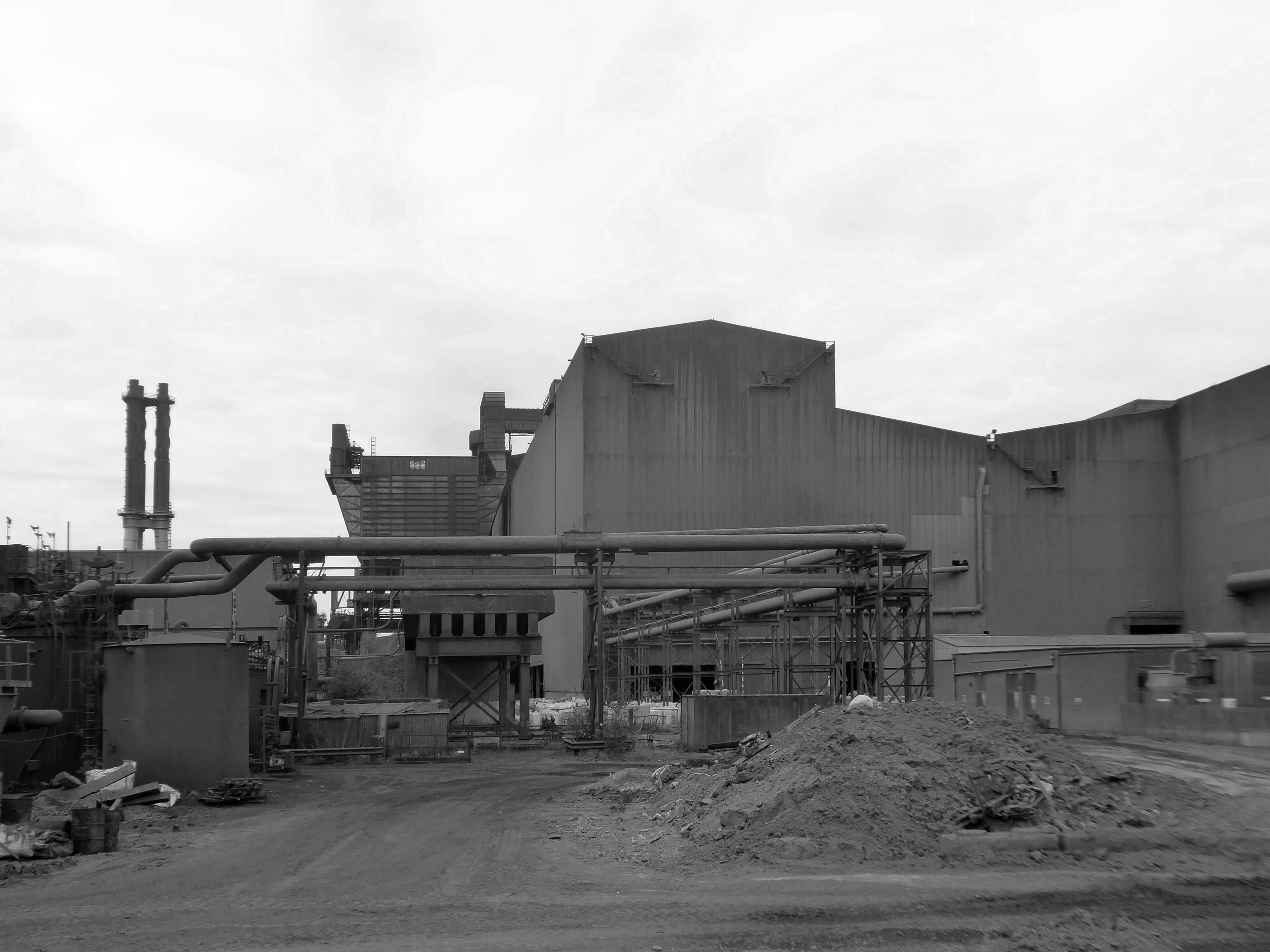
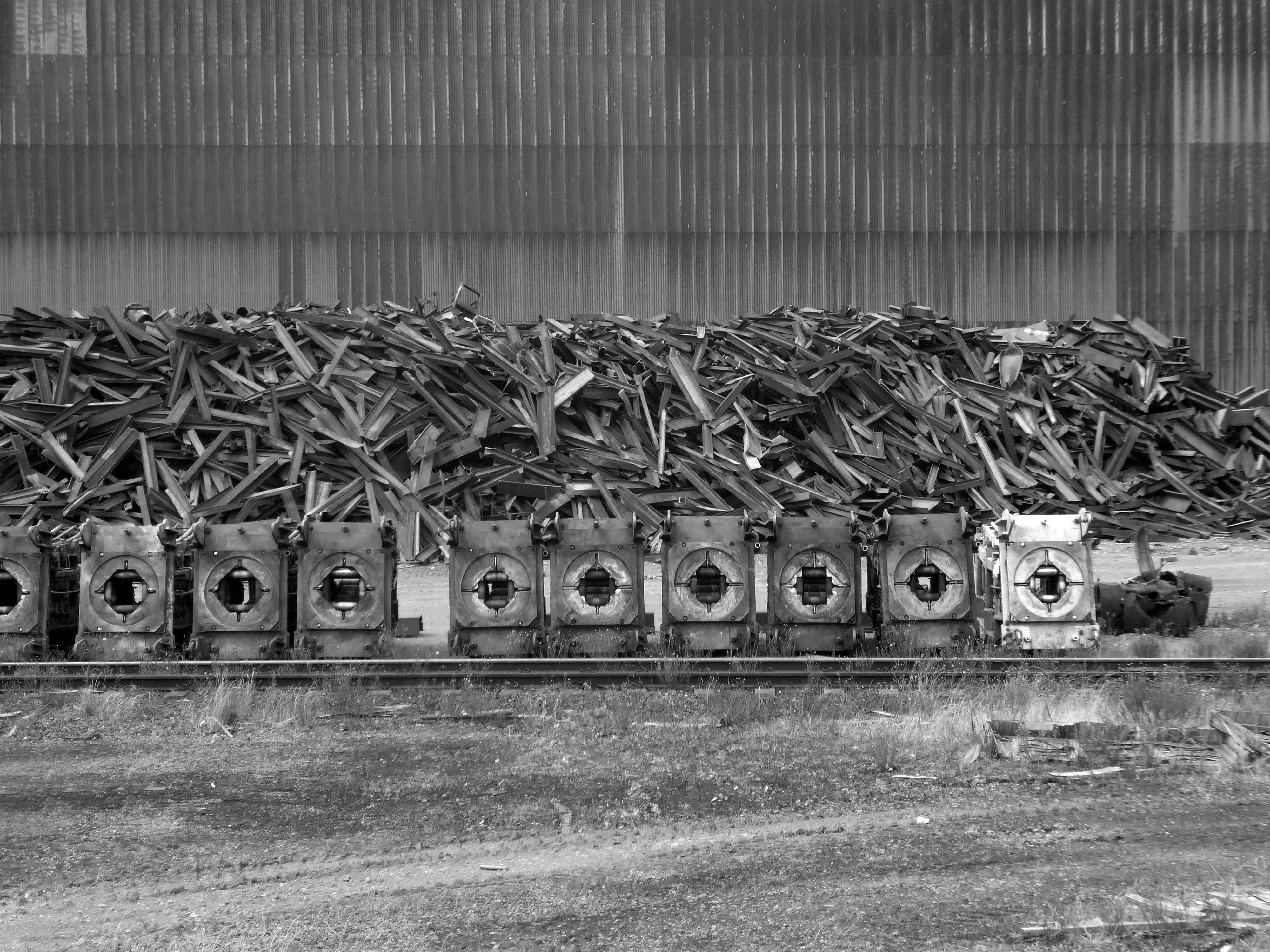
The Iron and Steel Industry in Scunthorpe was established in the mid 19th century, following the discovery and exploitation of middle Lias ironstone east of Scunthorpe.
In 1967 three works became part of the nationalised British Steel Corporation.
Following privatisation in 1988, the company together with the rest of BSC became part of Corus in 1999, in 2007 becoming Tata Steel Europe. In 2016 the long products division of Tata Steel Europe was sold to Greybull Capital with Scunthorpe as the primary steel production site.
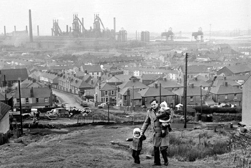
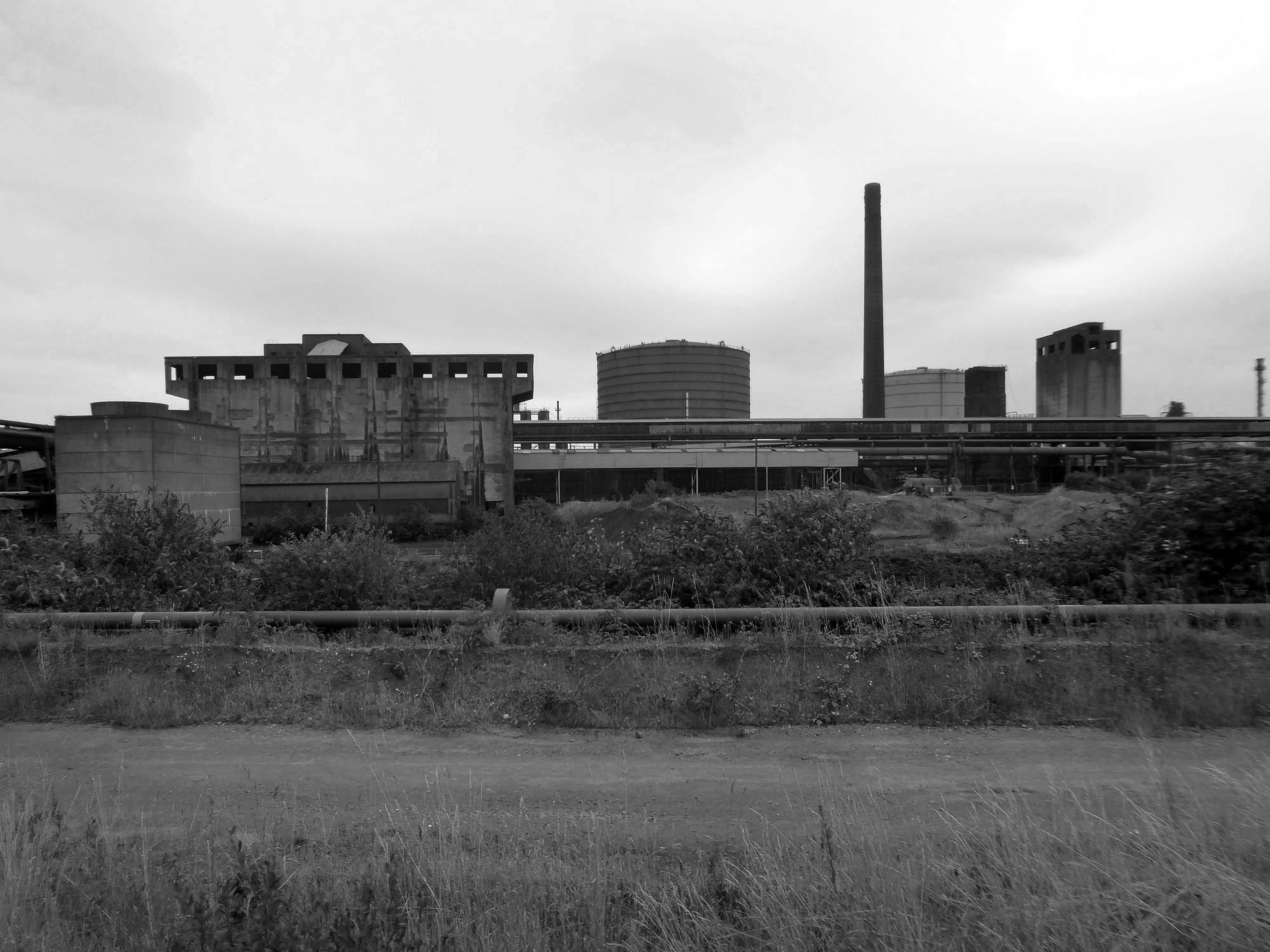
I took a brake van trip on the Appleby Frodingham Railway, touring the site’s network of working rail which encircles the works.
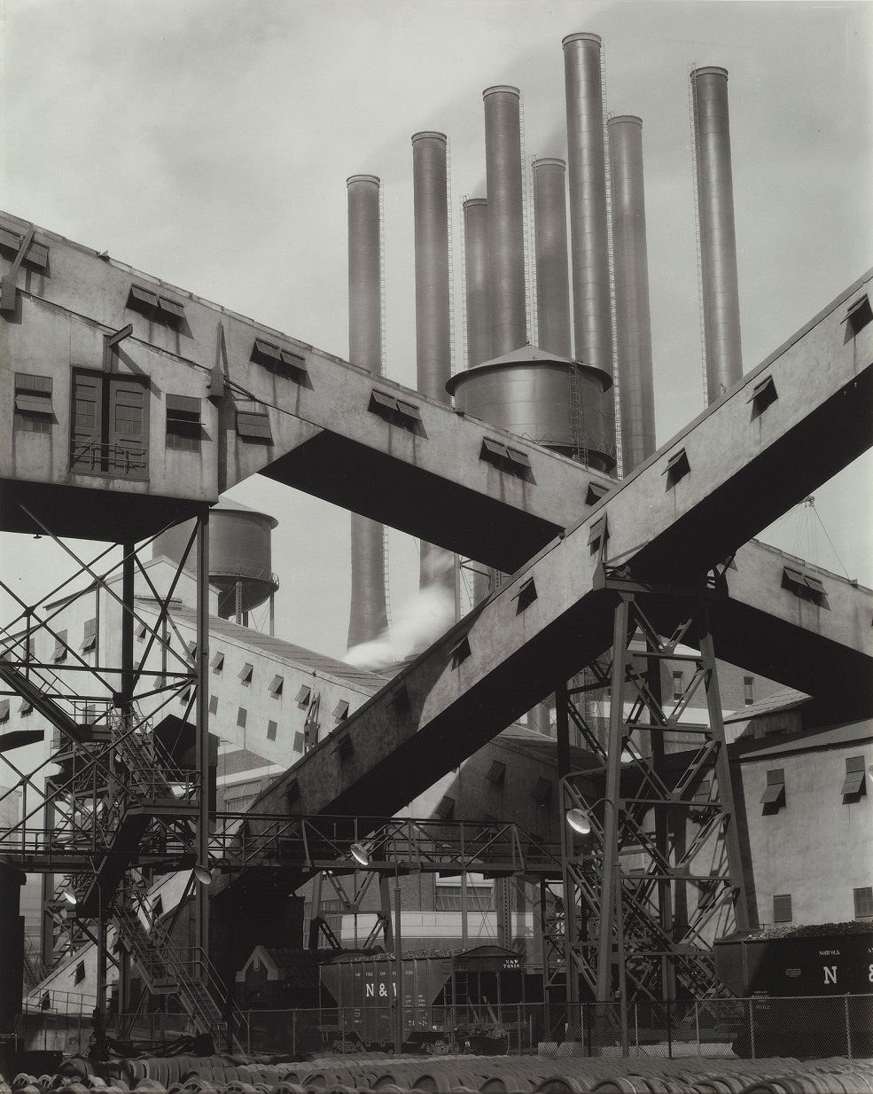
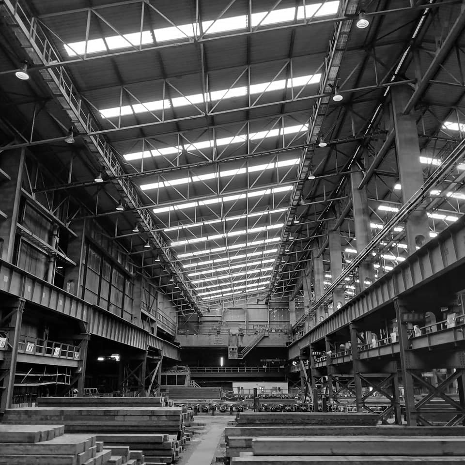
Very much in the spirit of Charles Sheeler’s Ford River Rouge Plant photographs, I was enthralled by the mass of massive buildings and their attendant infrastructure.
This is architecture on the grandest scale, the main furnace house being higher than St Pauls Cathedral.
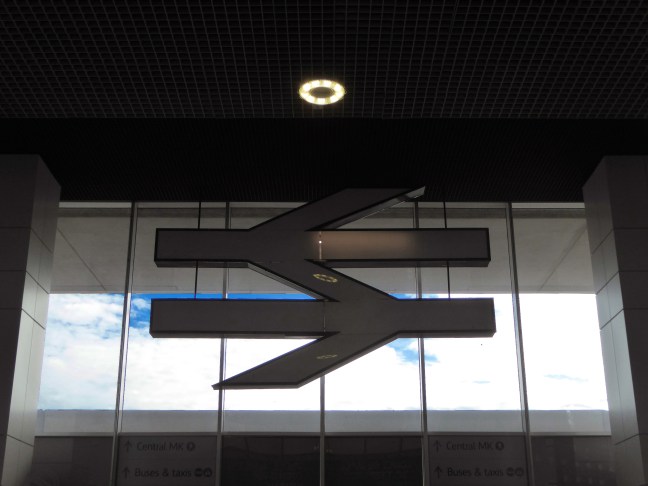
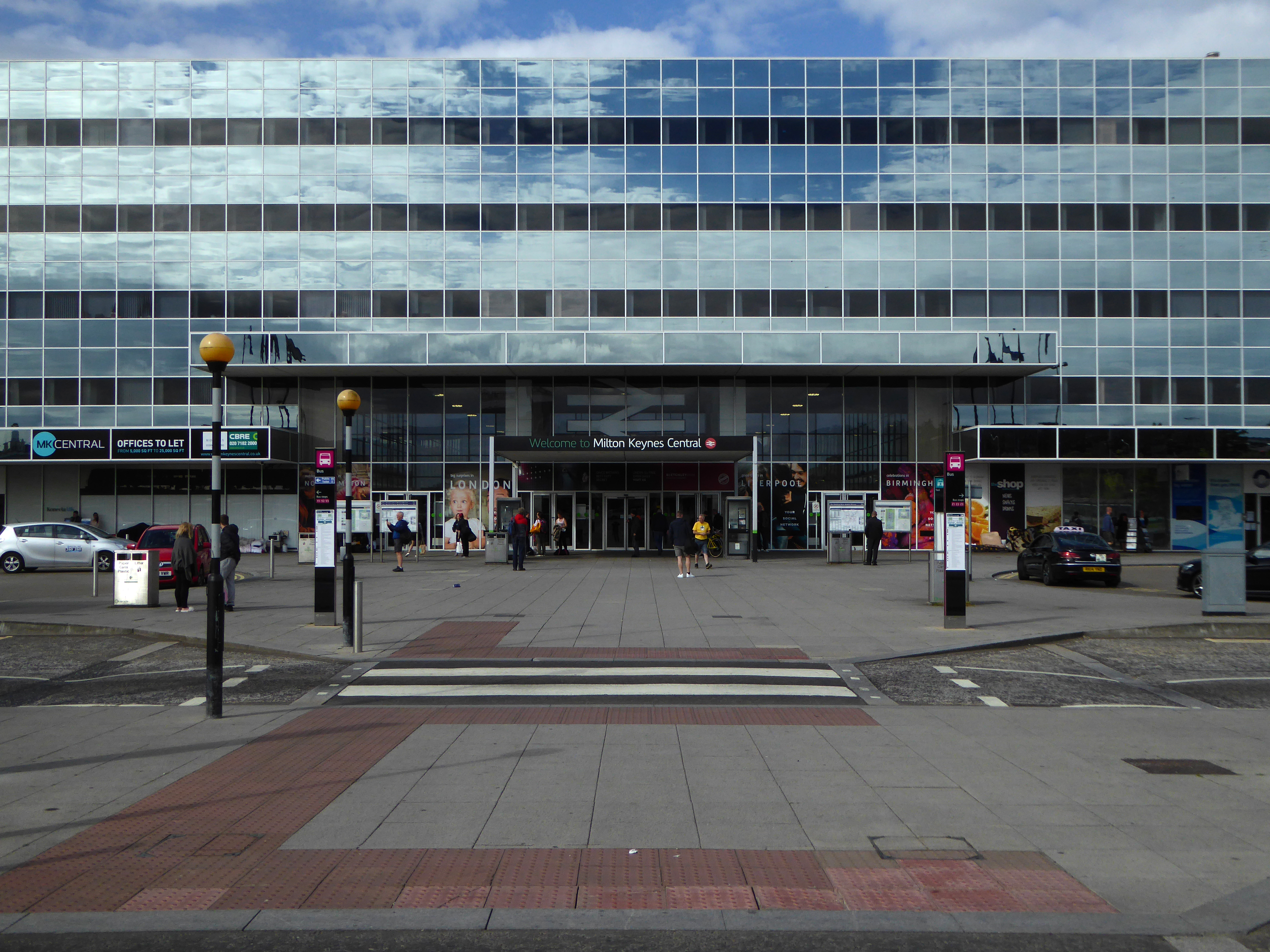
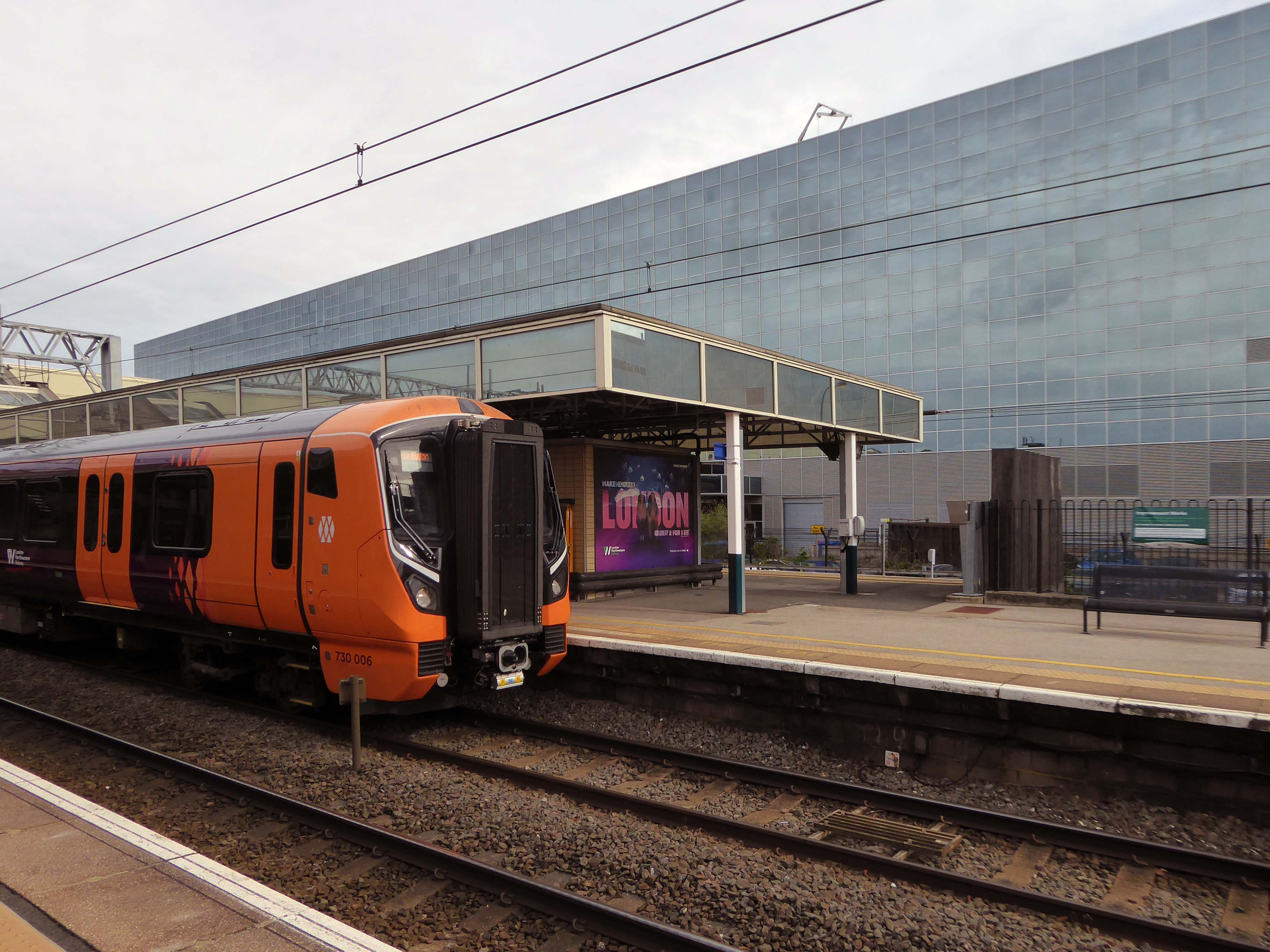
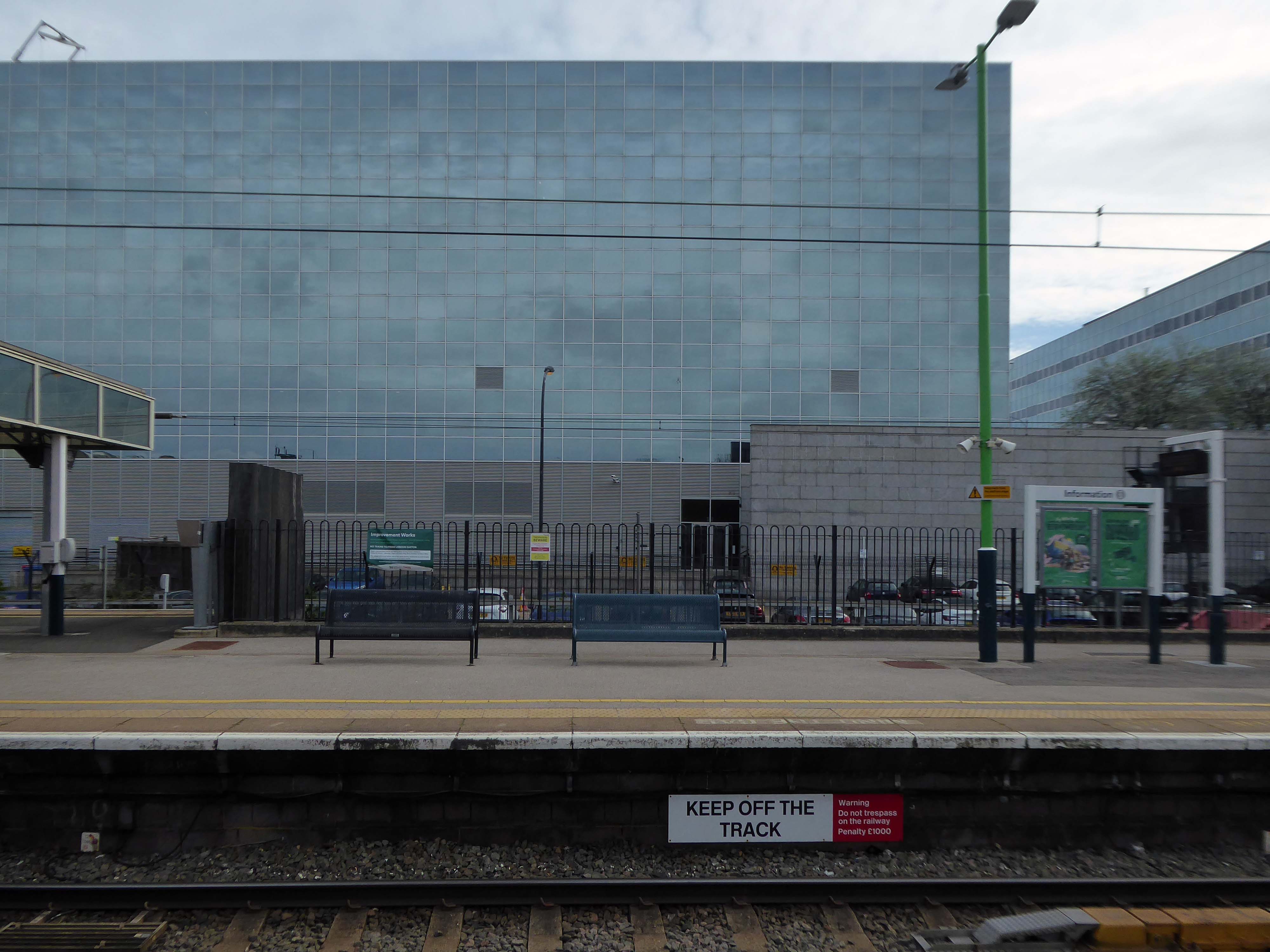
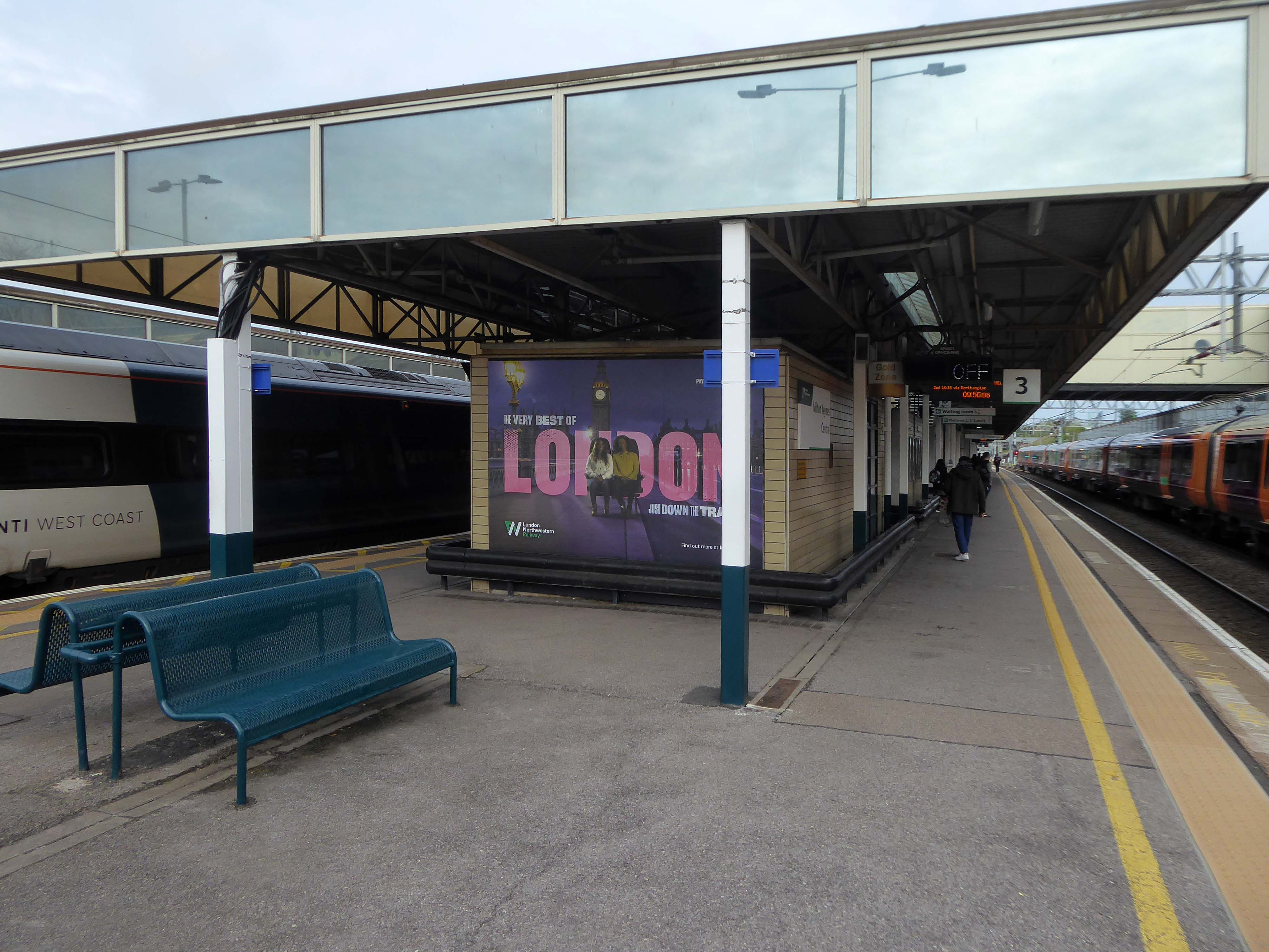
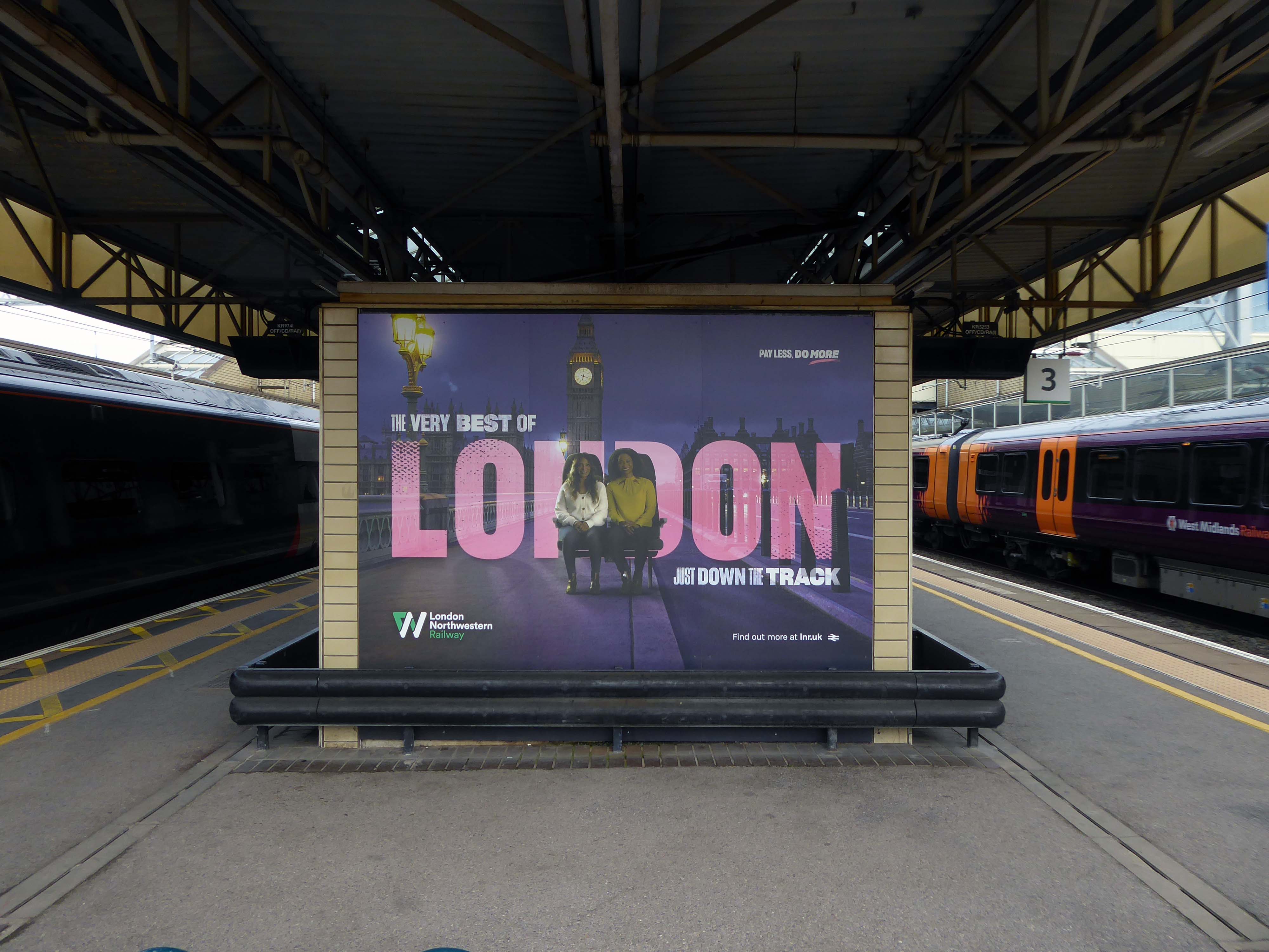
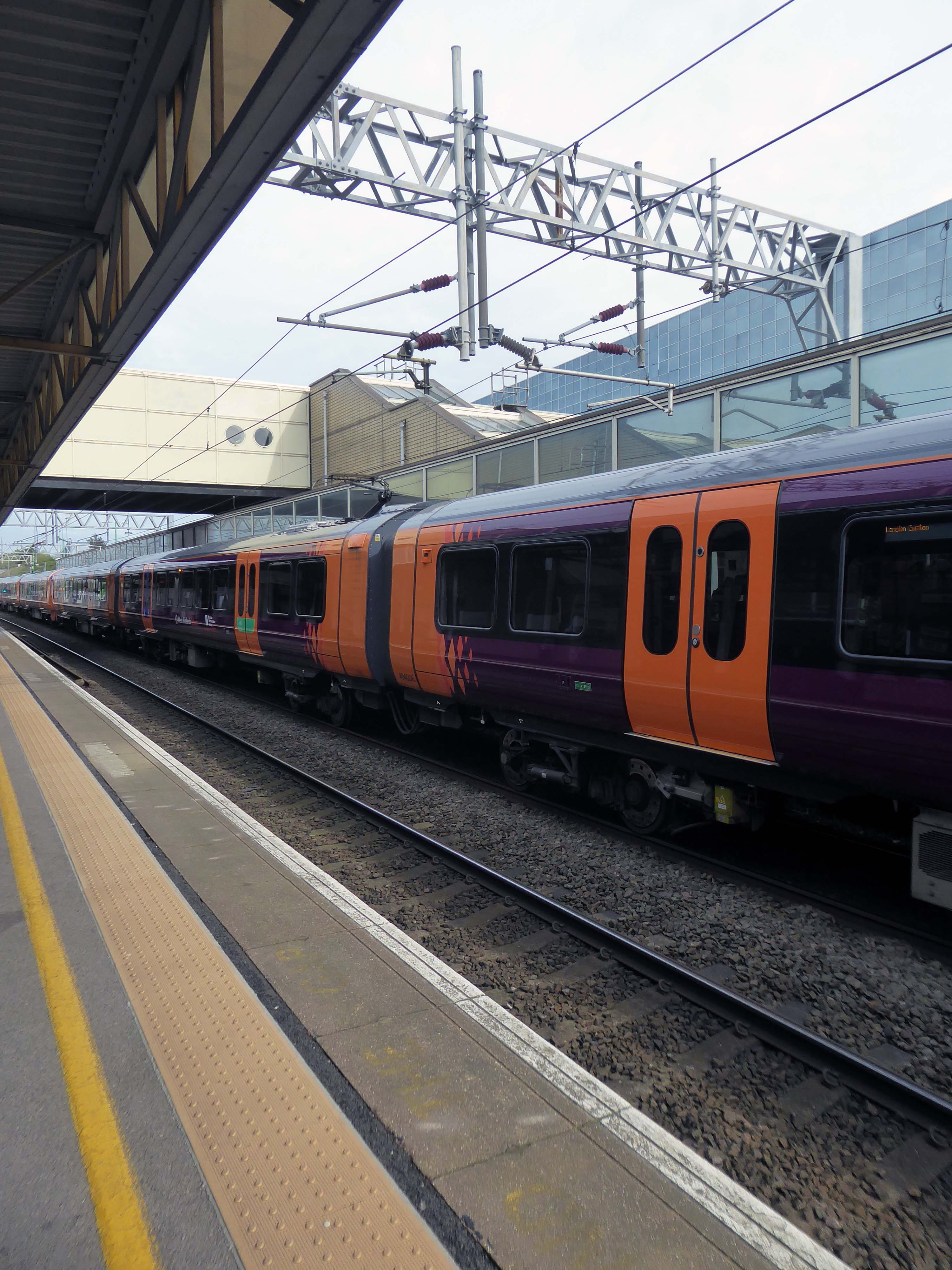
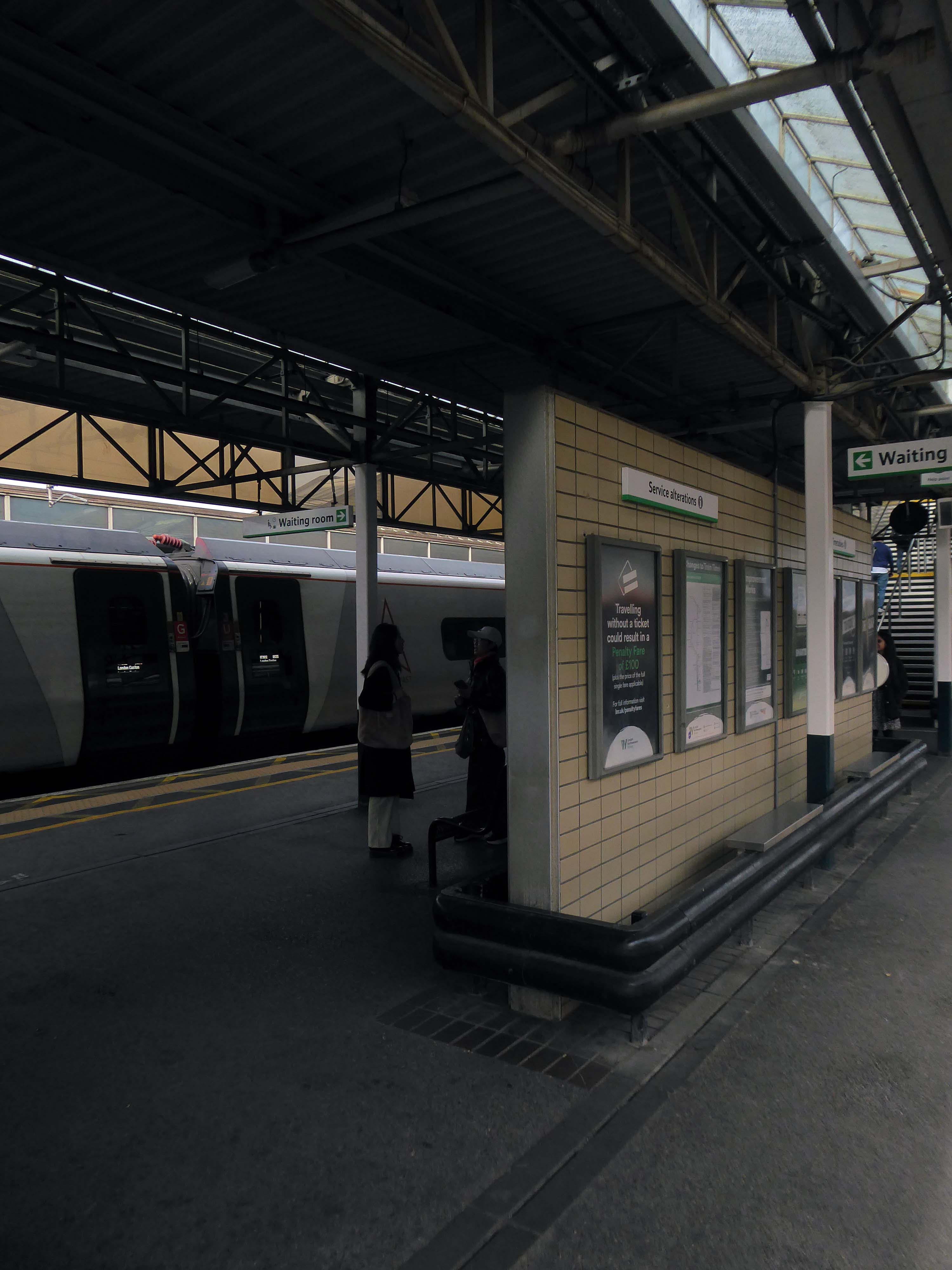
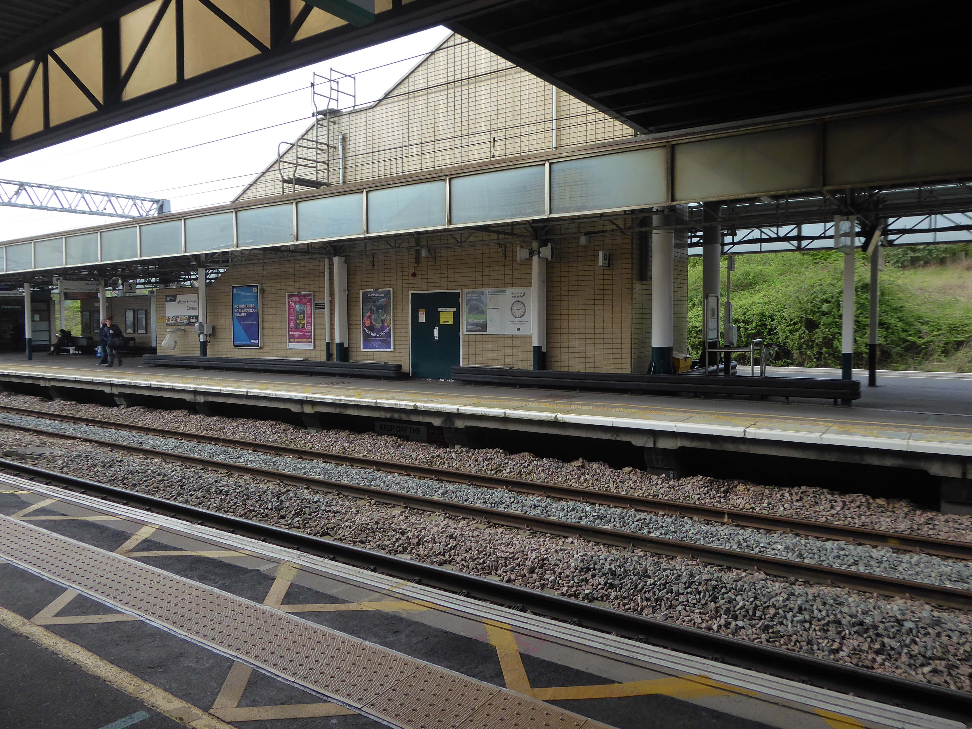
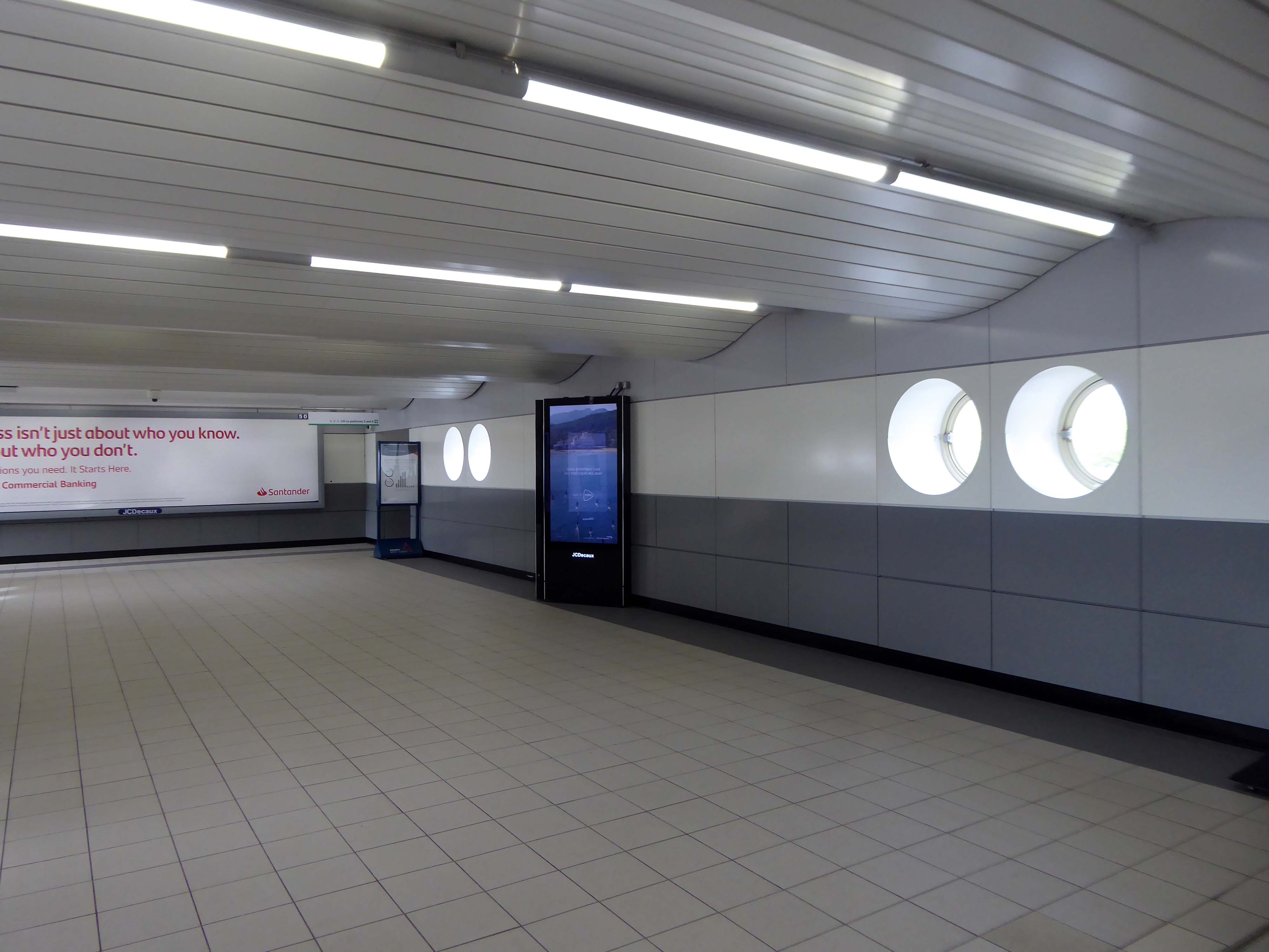
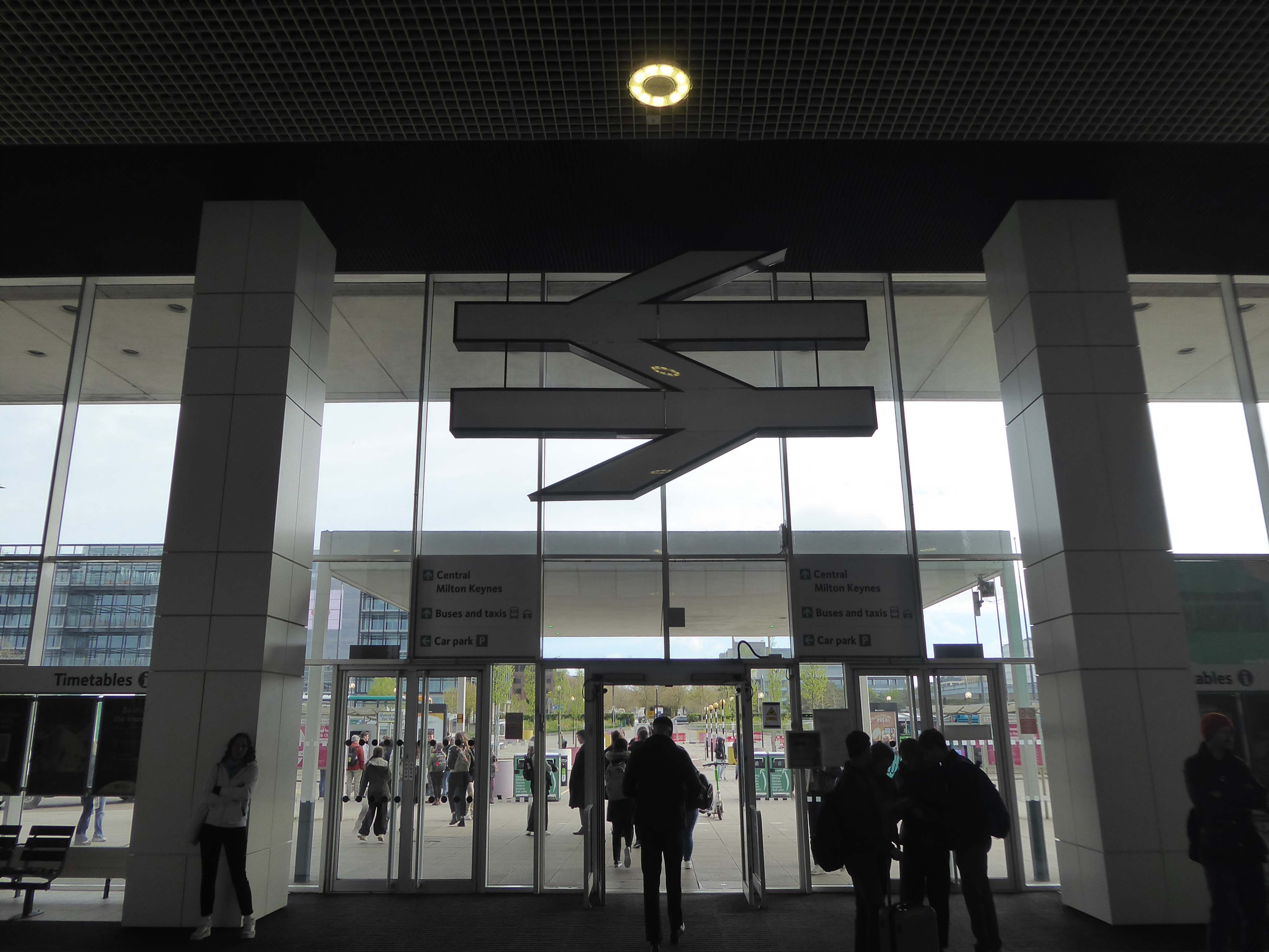
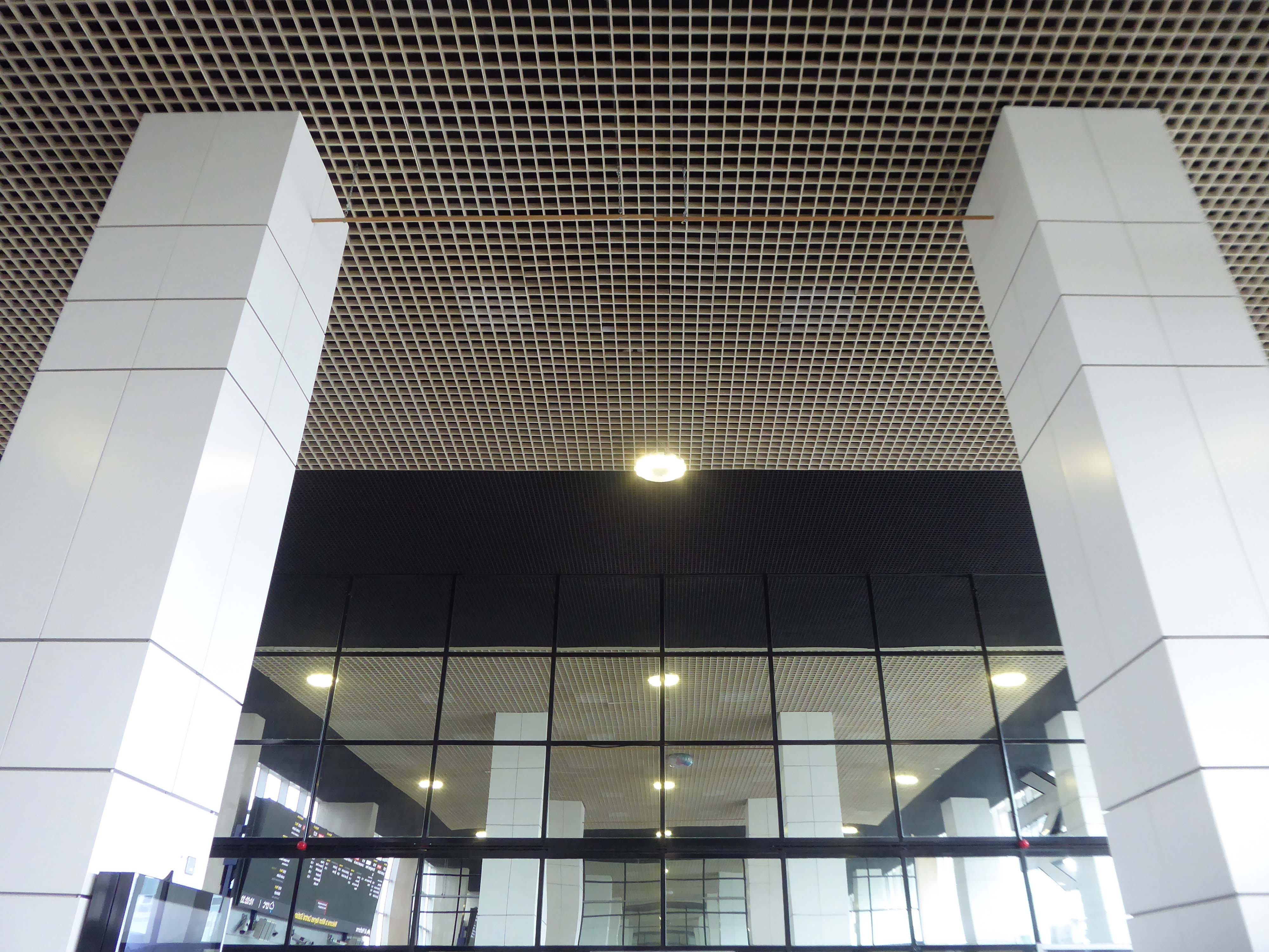
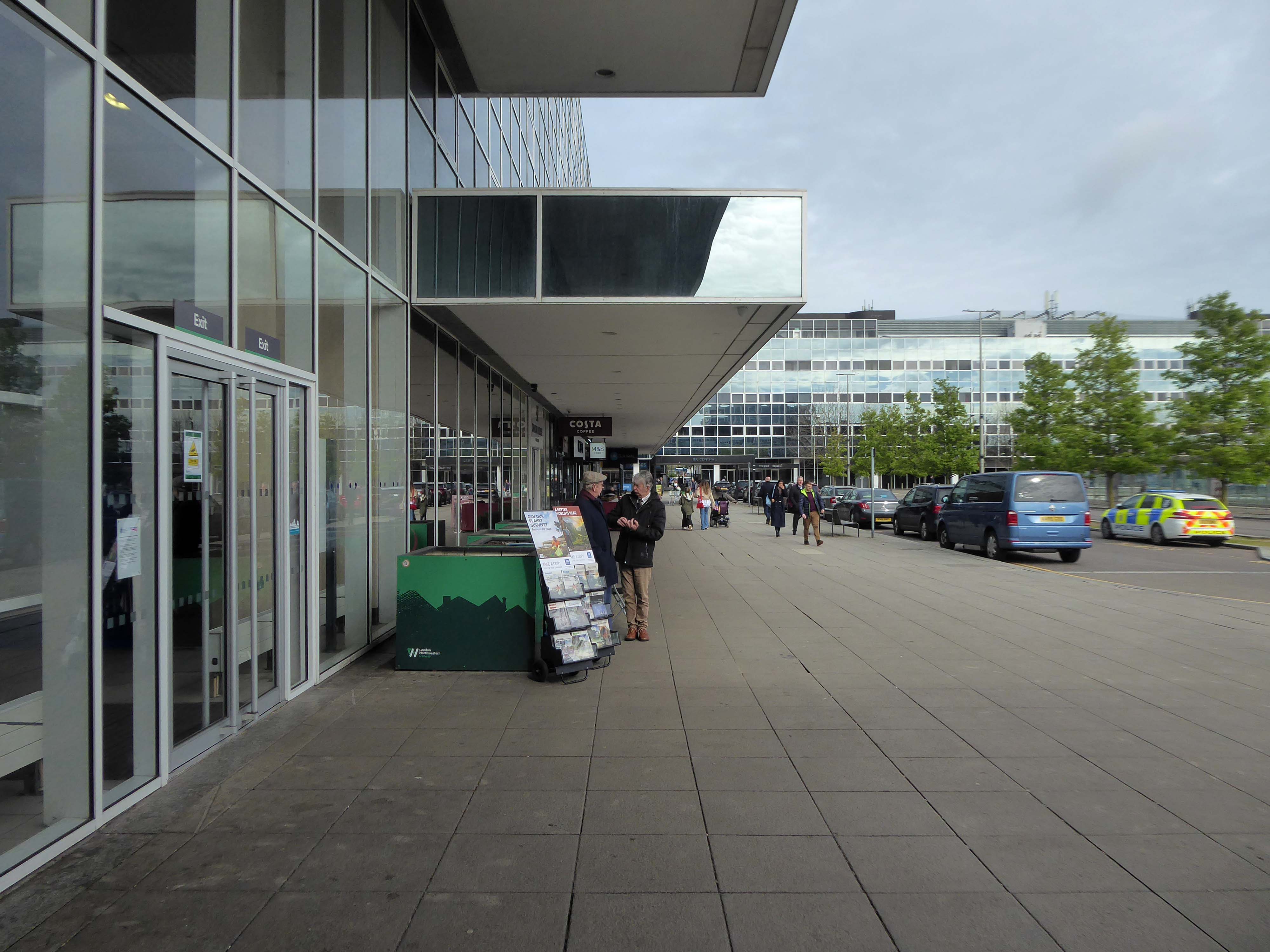
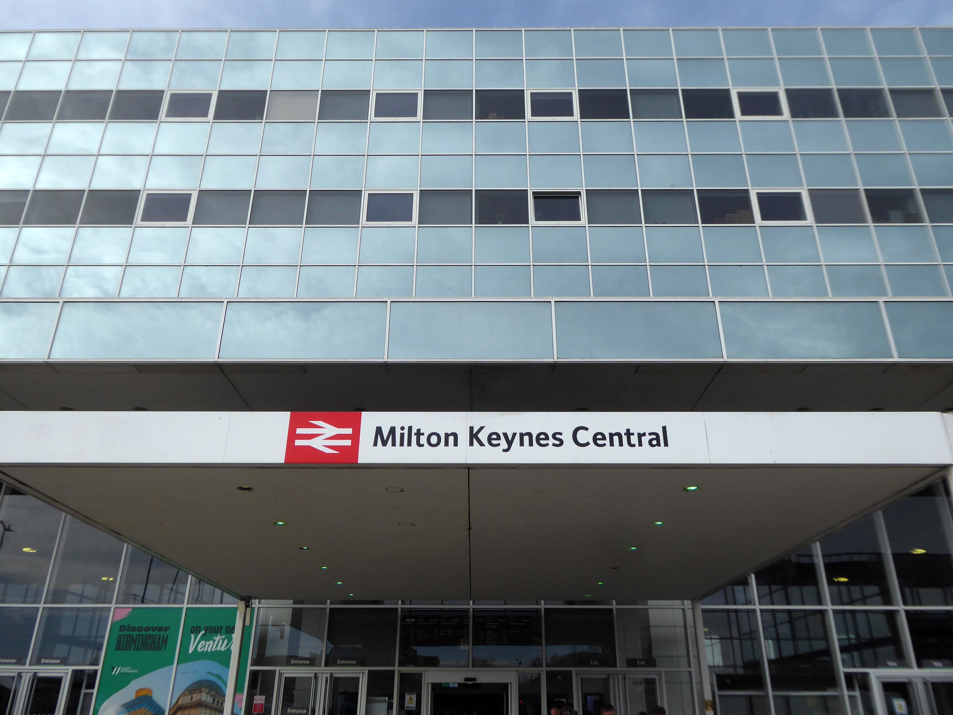
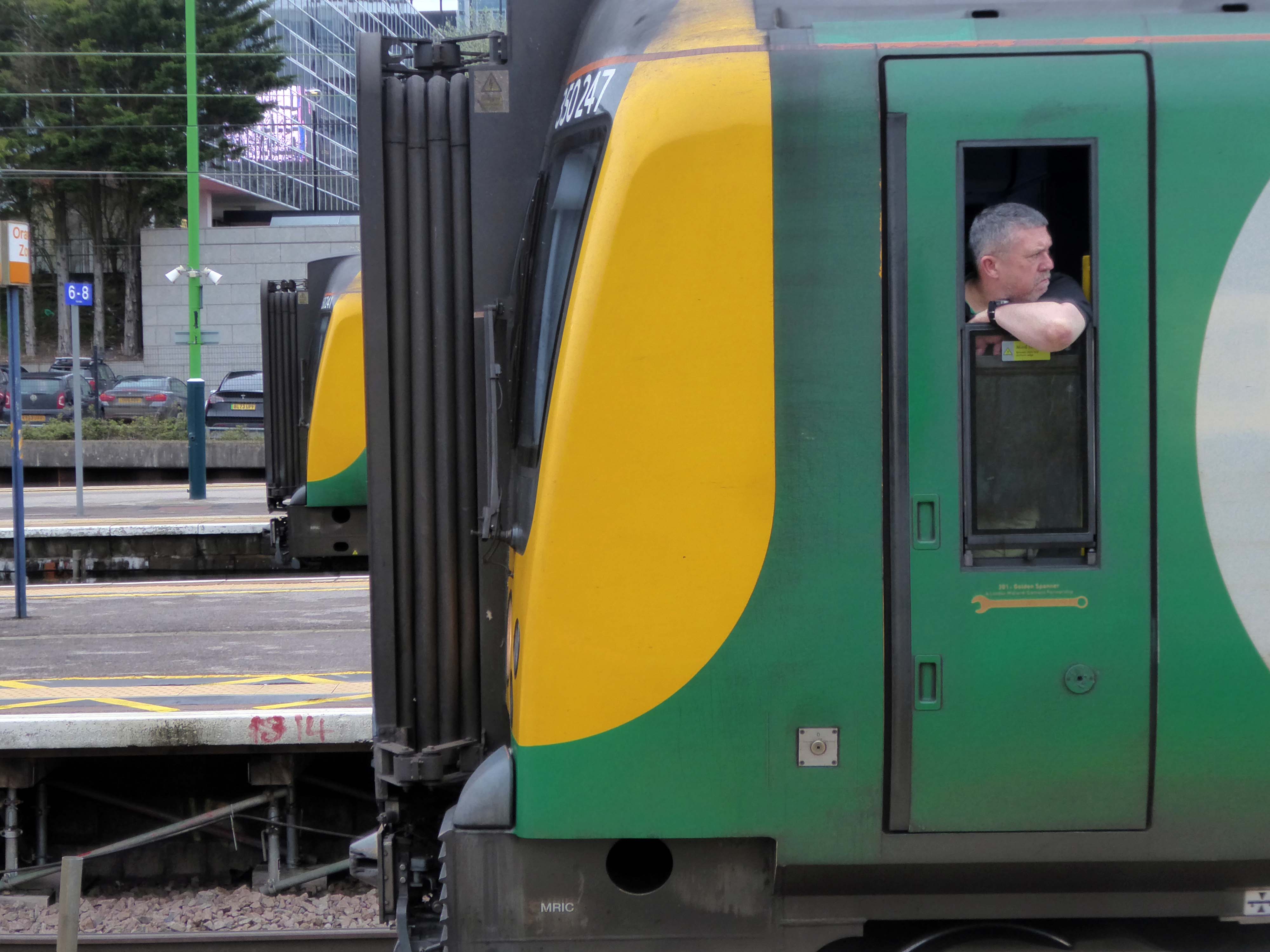
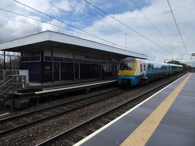
Milton Keynes Central railway station serves Milton Keynes and surrounding parts of Bedfordshire, Buckinghamshire and Northamptonshire. The station is located on the West Coast Main Line about 50 miles northwest of London. The station is served by Avanti West Coast intercity services, and by West Midlands Trains regional services.
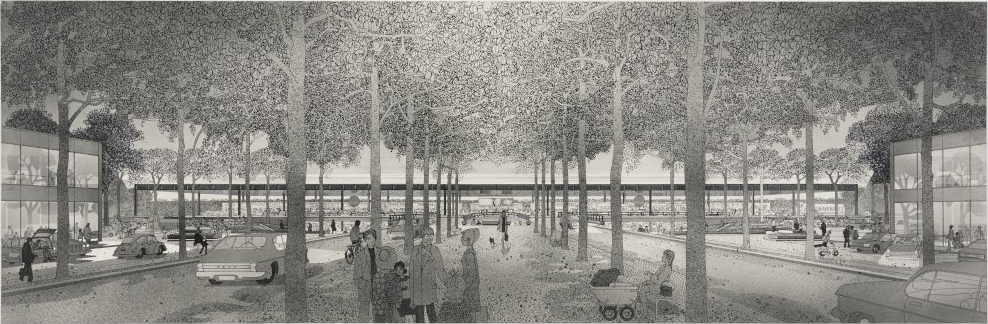
A new station to delimit the western end of the new central business district of Milton Keynes was a key objective for Milton Keynes Development Corporation. In the cash-strapped circumstances of the 1960s and 1970s, British Rail was unenthusiastic but eventually came round after a deal was done in 1978 on cost sharing. In 1979, MKDC architect Stuart Mosscrop designed the station building and office blocks to either side, framing a new Station Square and the vista uphill along Midsummer Boulevard – and the midsummer sunrise.
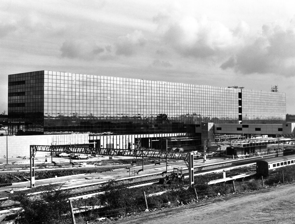
The Station Square and Station Building were designed by MKDC, the Station fitting out including the platforms, was designed by British Rail Architects, one third of the costs met by BR and two thirds by MKDC. For MKDC, the scheme was designed by MKDC architects Stuart Mosscrop, Derek Walker and Christopher Woodward; project architect David Hartley, assisted by Barry Steadman and Christopher Moxham; structural engineers Felix J Samuely. British Rail was responsible for the station concourse, footbridge and platform structures, the team comprising Jim S Wyatt, BR regional architect, and project architect John H Kitcher, assisted by Colin Eades.
The station opened on 14 May 1982, with an official opening by Charles, then Prince of Wales, conducted three days later.
Mother of two Jo Francis leans in for a kiss.
Older people are remembering when he previously came to Milton Keynes:
Crowds stood around the forecourt of the Tickford Street factory to watch, cheer and wave flags. Then suddenly, a five year old boy called Matthew Turvey reached into his mum’s shopping basket, took out a tin of baked beans and held them out to the young Prince.
Proposed designs for architecture and town planning of Milton Keynes: boulevard and railway station – 1970 Derek Walker Associates
1981 – Built using a high performance reflective solar control glass called Vari-Tran, creating a complete curtain wall to cover the whole construction.
Cheetham Hill Road is part of the designated A665. Cheetham Hill Road starts at the junction of the A6042 Corporation Street and the A665 Miller Street. It crosses the culverted River Irk to the east of Victoria Station. At its junction with New Bridge Street, it turns north-northeast and is straight for 1 km, to the A6010 Queen’s Road . This stretch was called York Street until about 1900. Cheetham Hill Road leads from here to the community of Cheetham Hill, where at Bourget Street and Crescent Road – formerly Sandy Lane, Cheetham Hill Road becomes Bury Old Road.
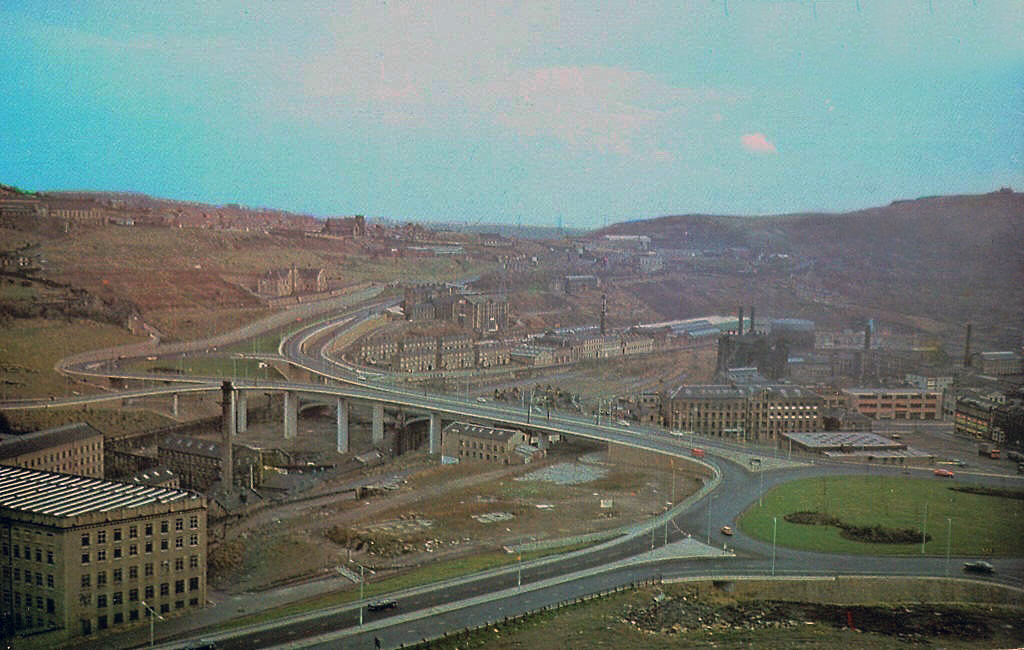
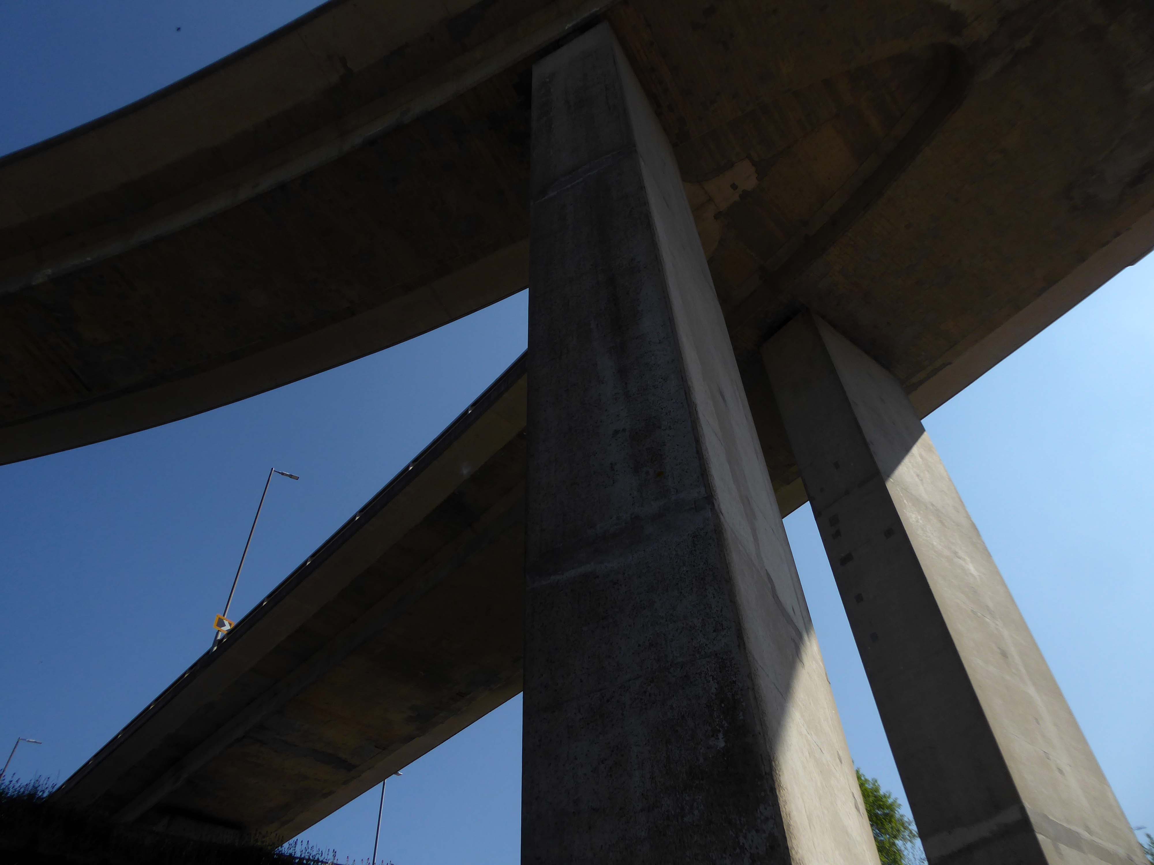
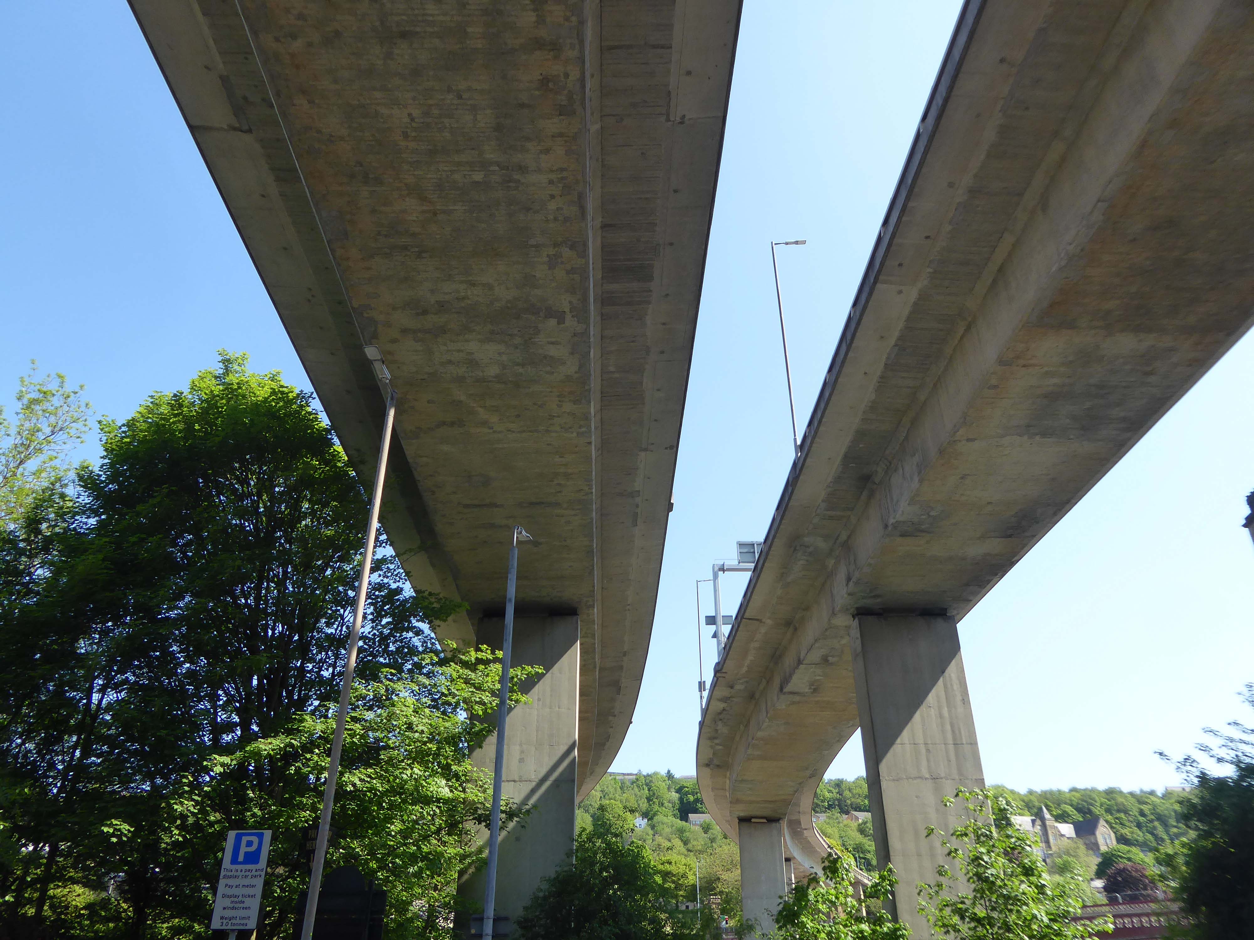
One man who saw the wisdom of building a road infrastructure to deal with high volumes of traffic passing through Halifax and to provide convenient links to the M62.
That man was prominent town councillor John Burdock.
Burdock Way, the modern flyover system, was opened in 1973 to take the A58 and A629 traffic over the River Hebble.
Faced with the problem of very high volumes of through traffic in its town centre, and with the impending construction of the M62 too far to the south to provide relief for the town, Halifax needed a bypass. The steep sided valley that the town centre inhabits prevented a conventional road from being built around the town, and so in the early 1970’s construction began on Burdock Way – one of the most adventurous relief road schemes built in Britain, certainly by a town the size of Halifax.
Only one phase of the futuristic road was ever built, but what exists is a partially grade-separated dual carriageway that runs through deep trenches and over tall viaducts close to the heart of the town. At its eastern end is a truly byzantine piece of traffic engineering that stretches the definition of a roundabout to its limit.
In October 1971 the official celebrations went anything but according to plan. It had been decided to give the people of Halifax a half day holiday so they could attend the opening, but there were not enough police on duty to control the sightseers. It was impossible to get complete silence for the speeches and arrangements to tell the artillery guns at Southowram Road when to fire broke down. They were fired prematurely while an archdeacon was offering prayers. The Mayor, HC McCrae, finally managed to announce that the bridge was officially open and he scurried back to the town hall where he hosted a banquet.
Burdock Way has never been fully completed as it is missing certain sections envisaged in the early 1960s plans. There are a number of reasons for this, but it is mainly owing to West Yorkshire County Council’s cost cutting in the 1970s.
Yorkshire Post
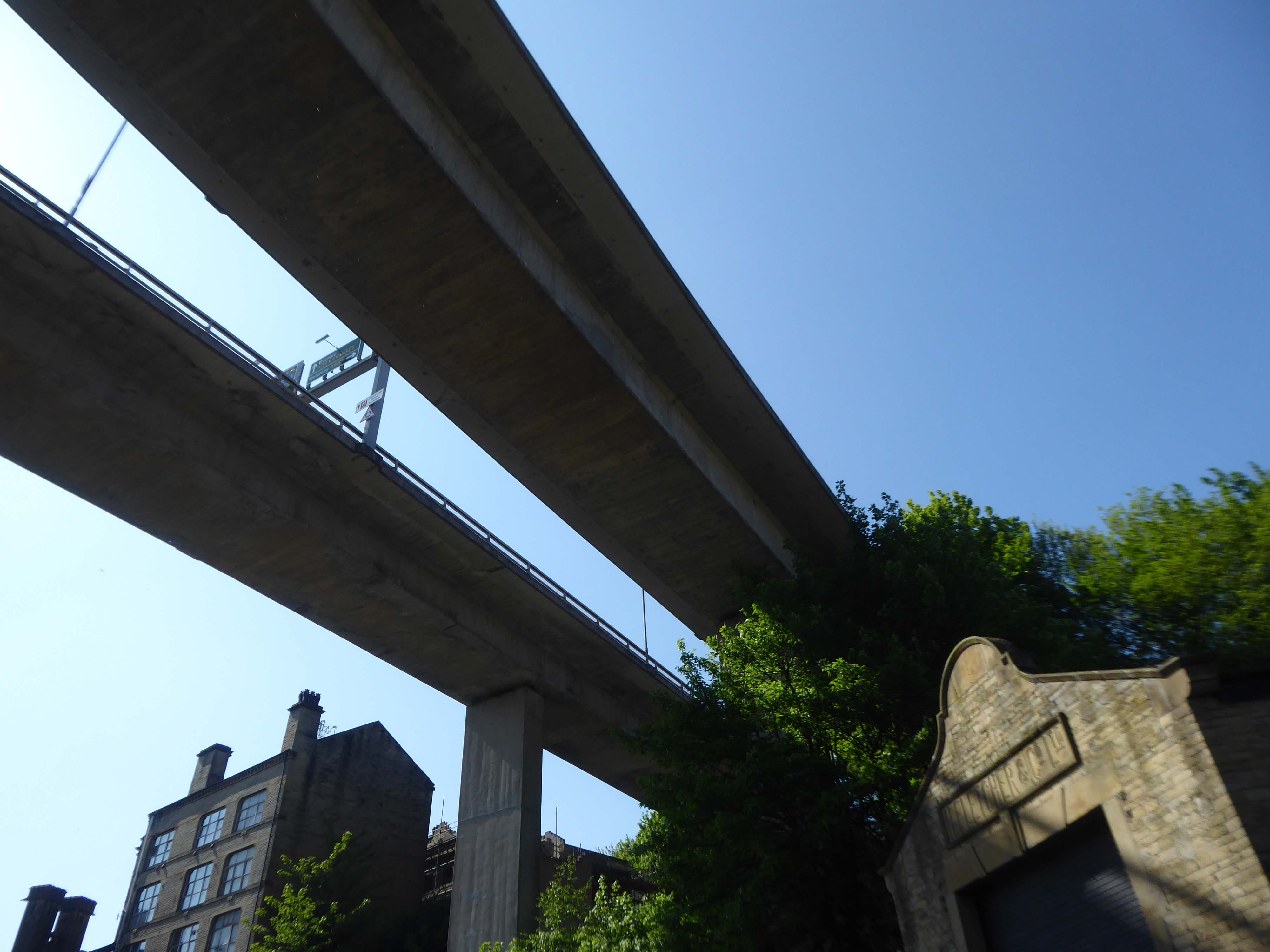
This is the Valley of the Gwangi in the West Riding – minus the dinosaurs.
An urban chasm, the gulf between everything and nothing.
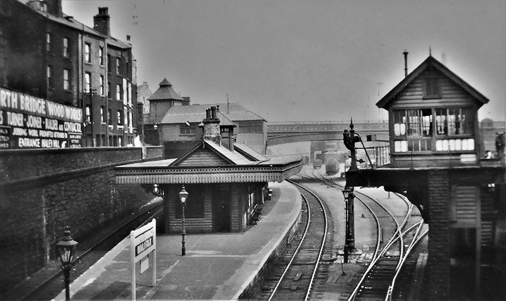
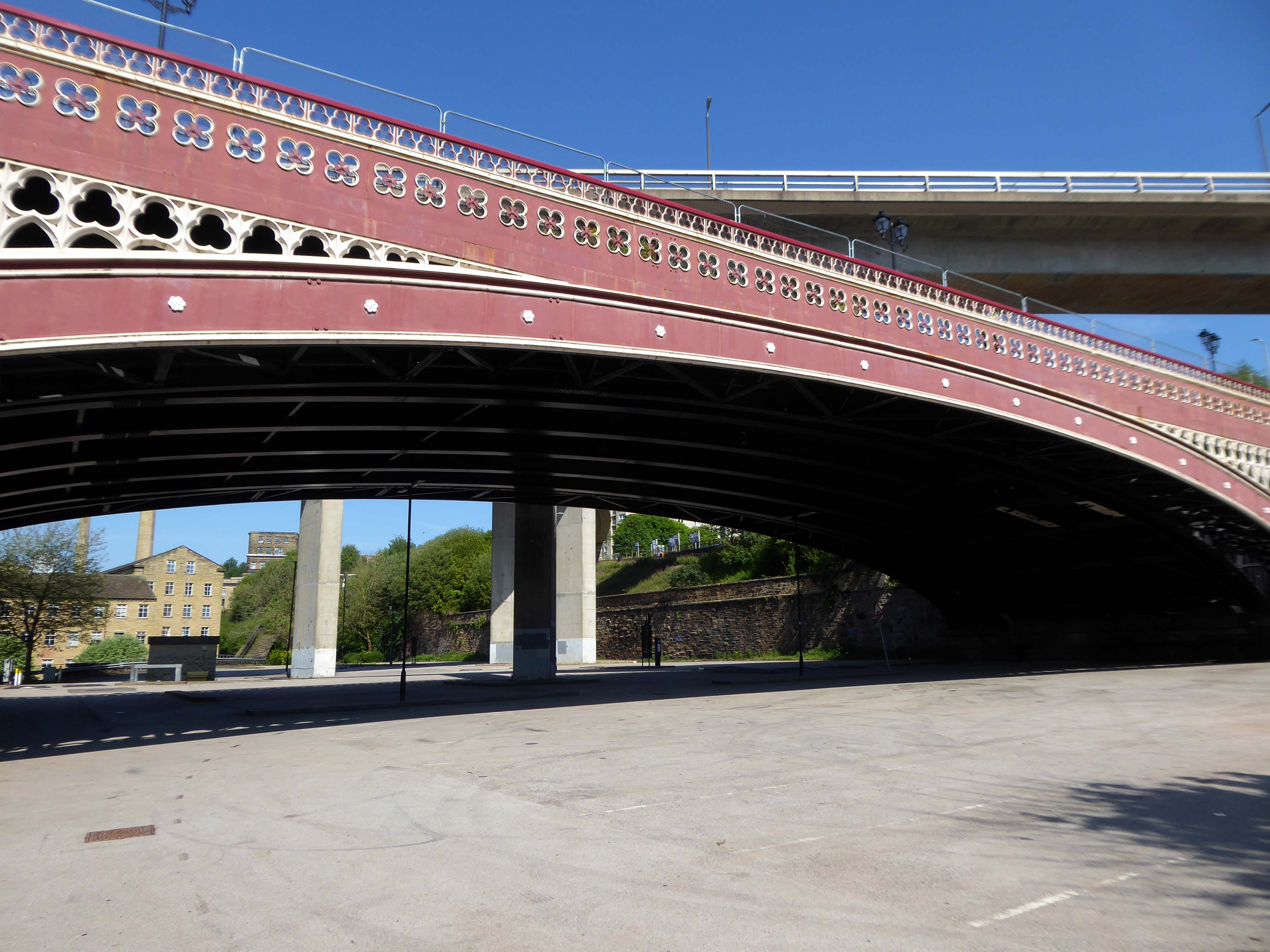
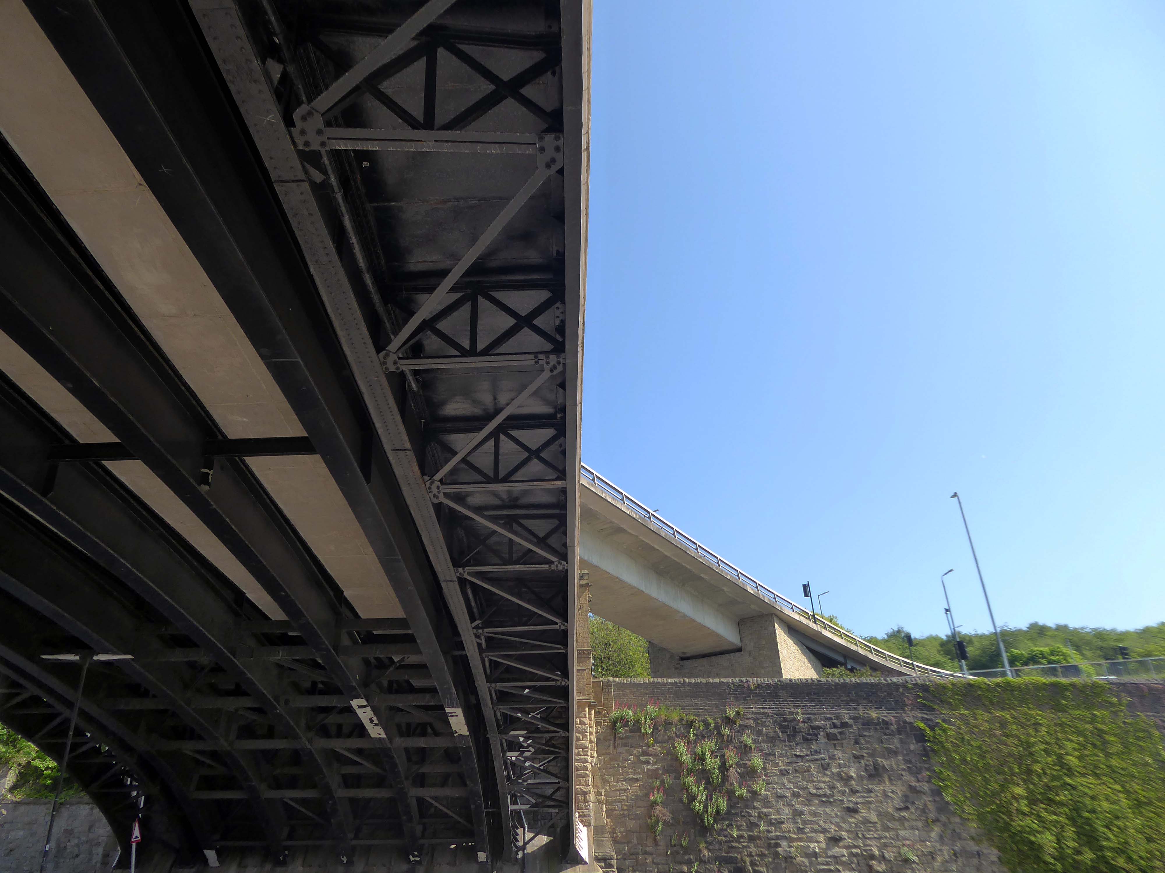
North Bridge is a Victorian iron and stone bridge crossing the valley of the River Hebble, connecting the town to roads to Bradford and Leeds. Replacing an earlier six arch stone bridge it was raised to allow the subsequent construction of the Halifax High Level Railway beneath it, along with an adjoining station.
Opened in 1871 amid chaotic crowd scenes it carried increasingly heavy traffic until it was by-passed by the Burdock Way in 1973.
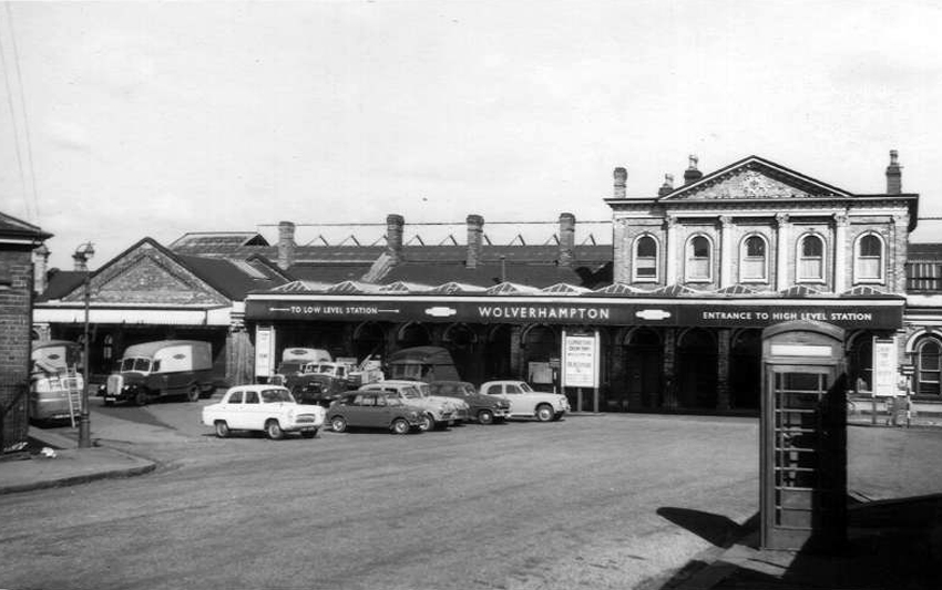
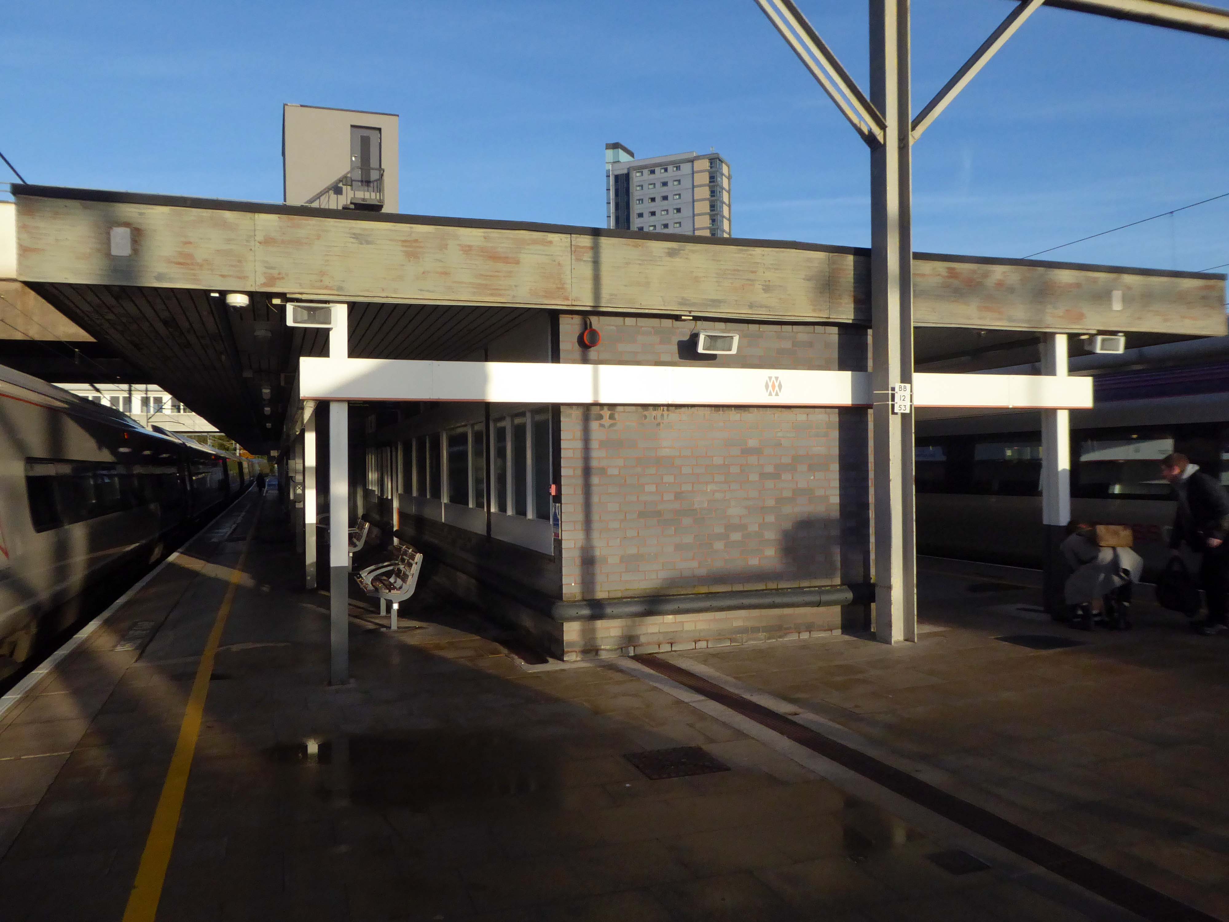
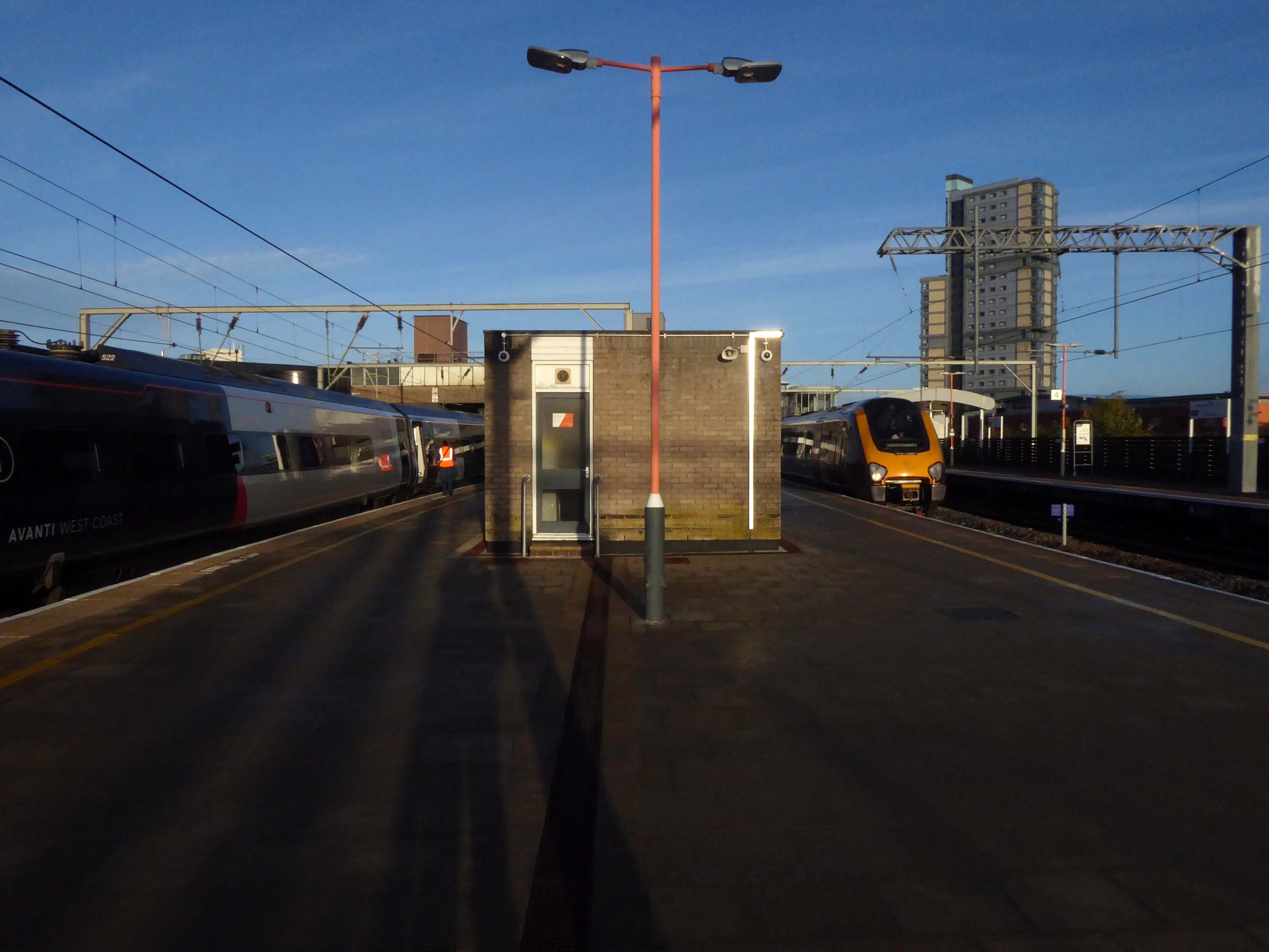
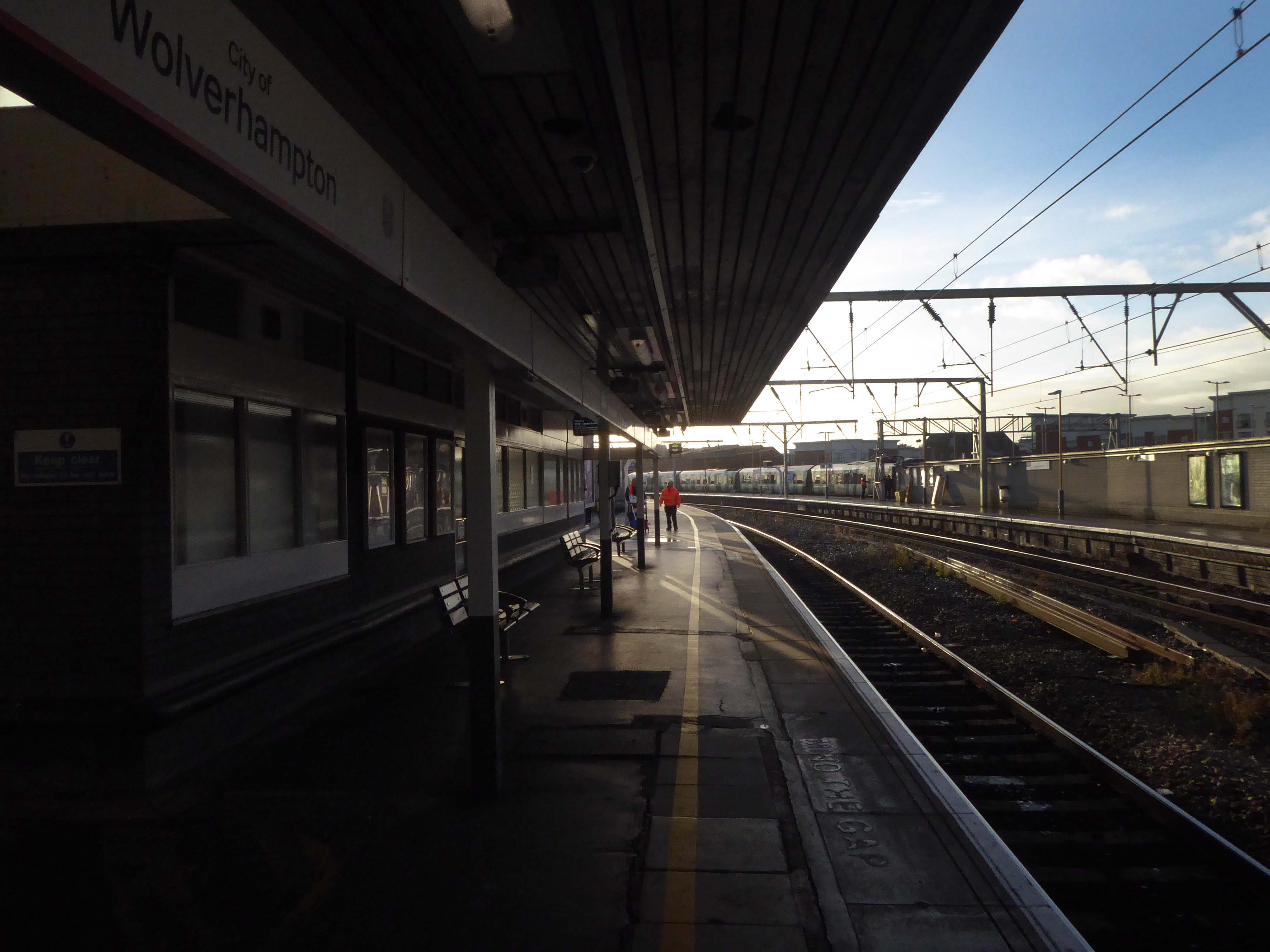
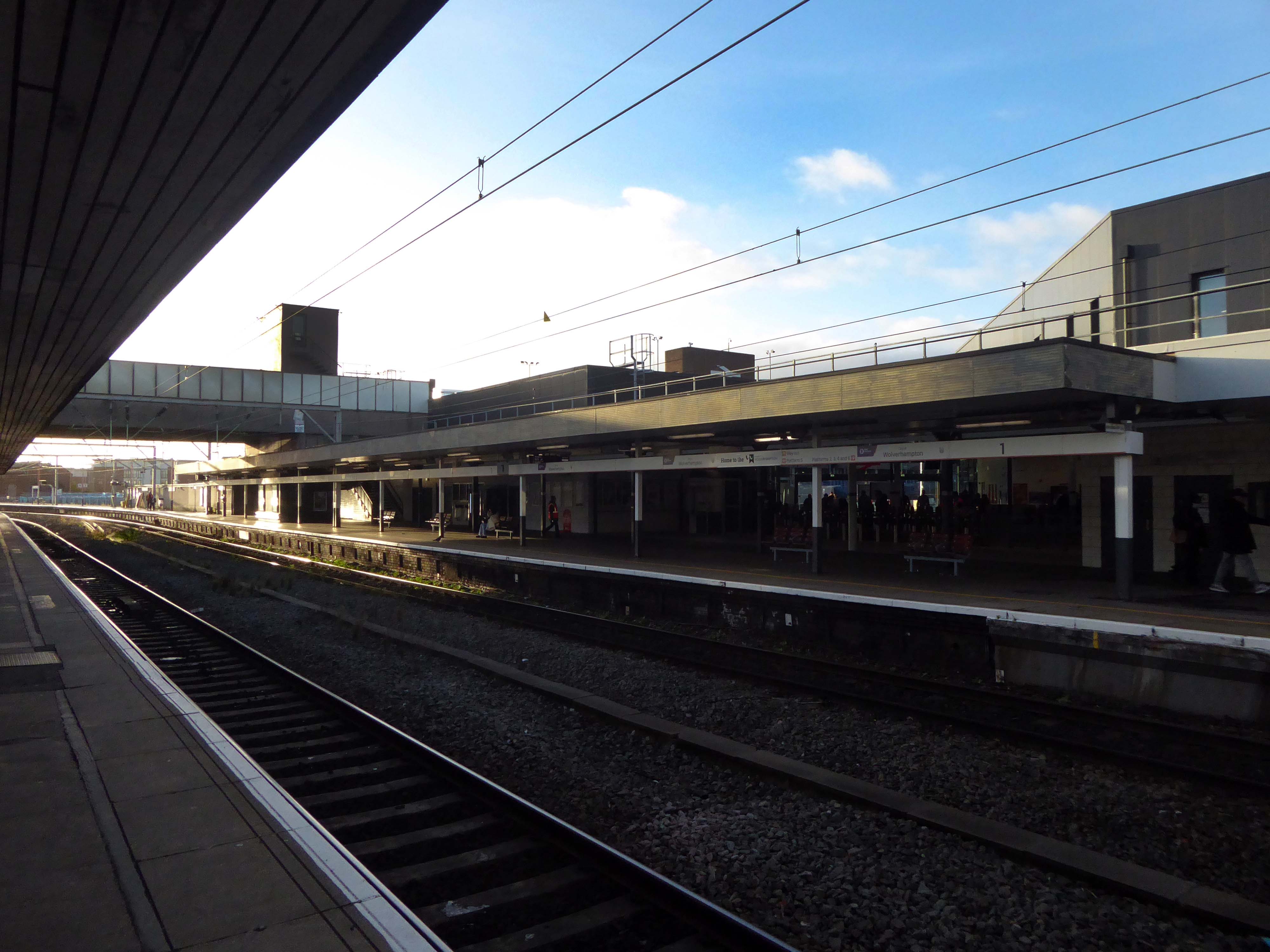
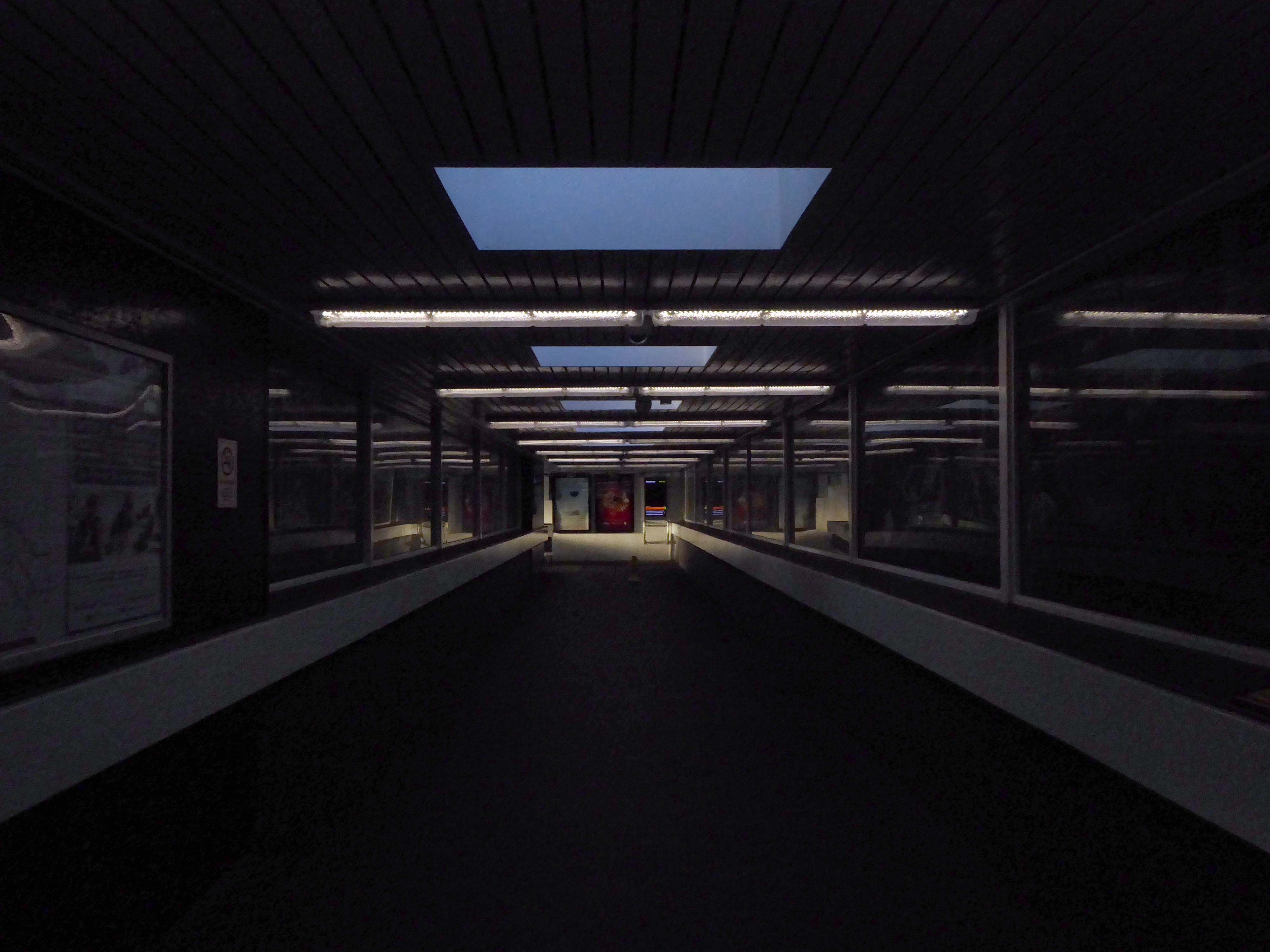
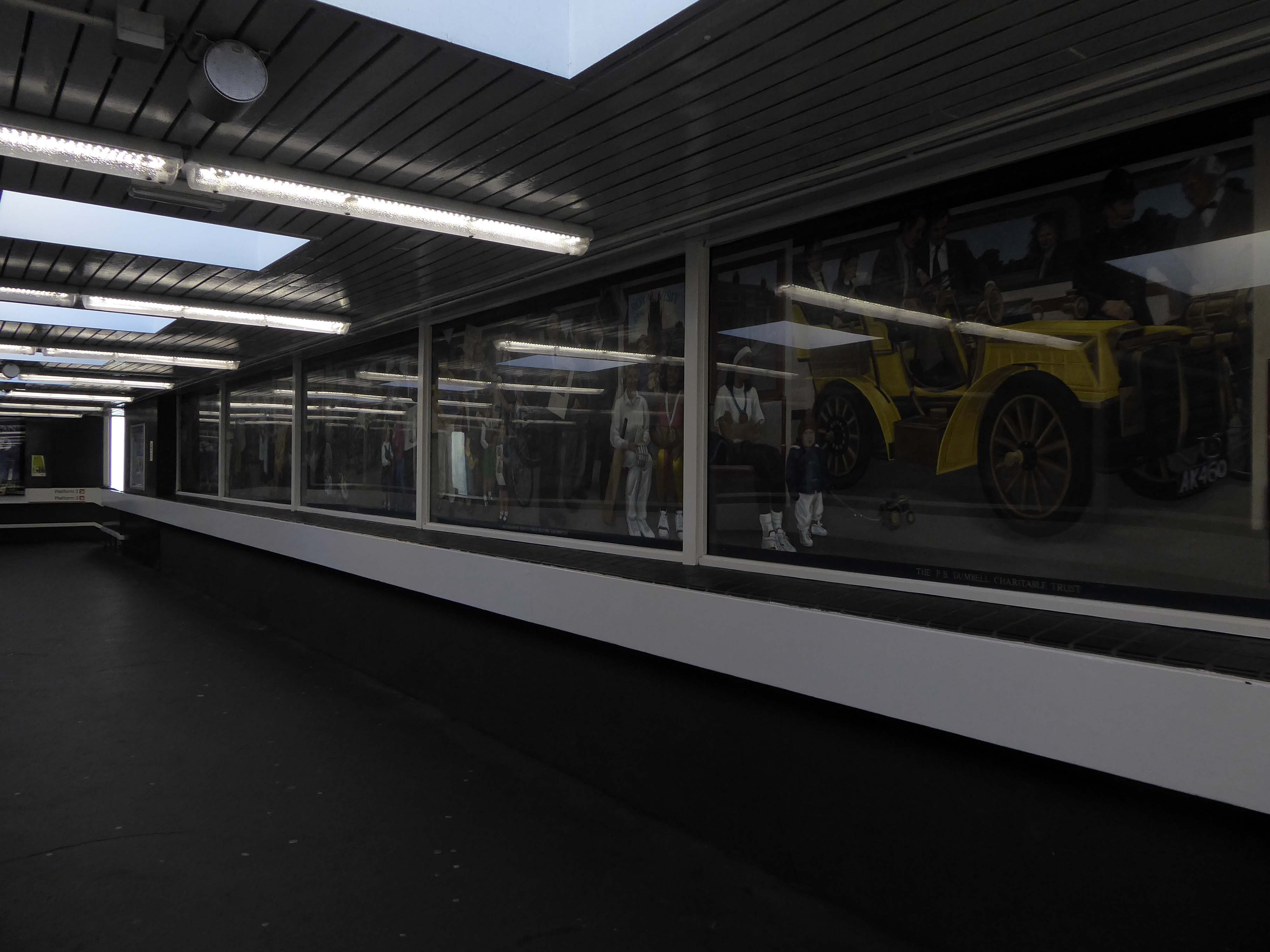
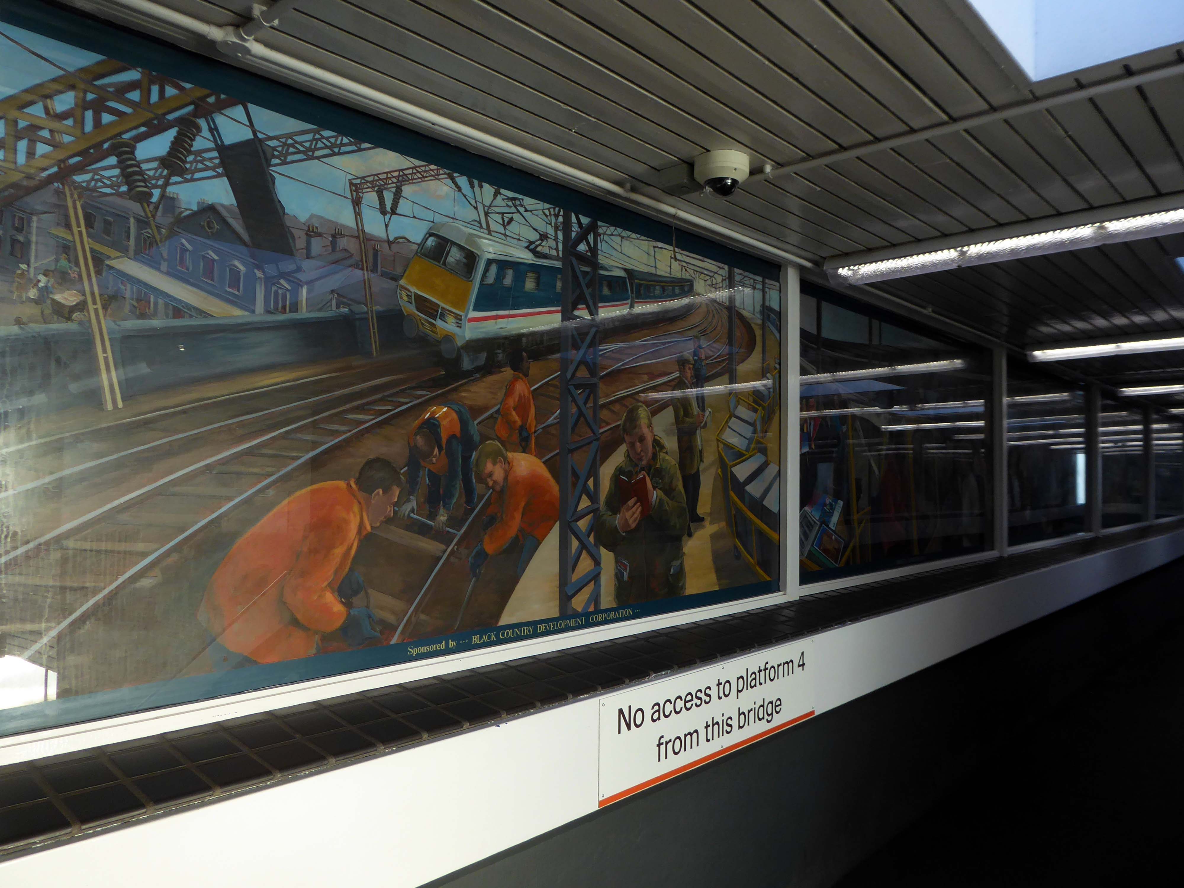
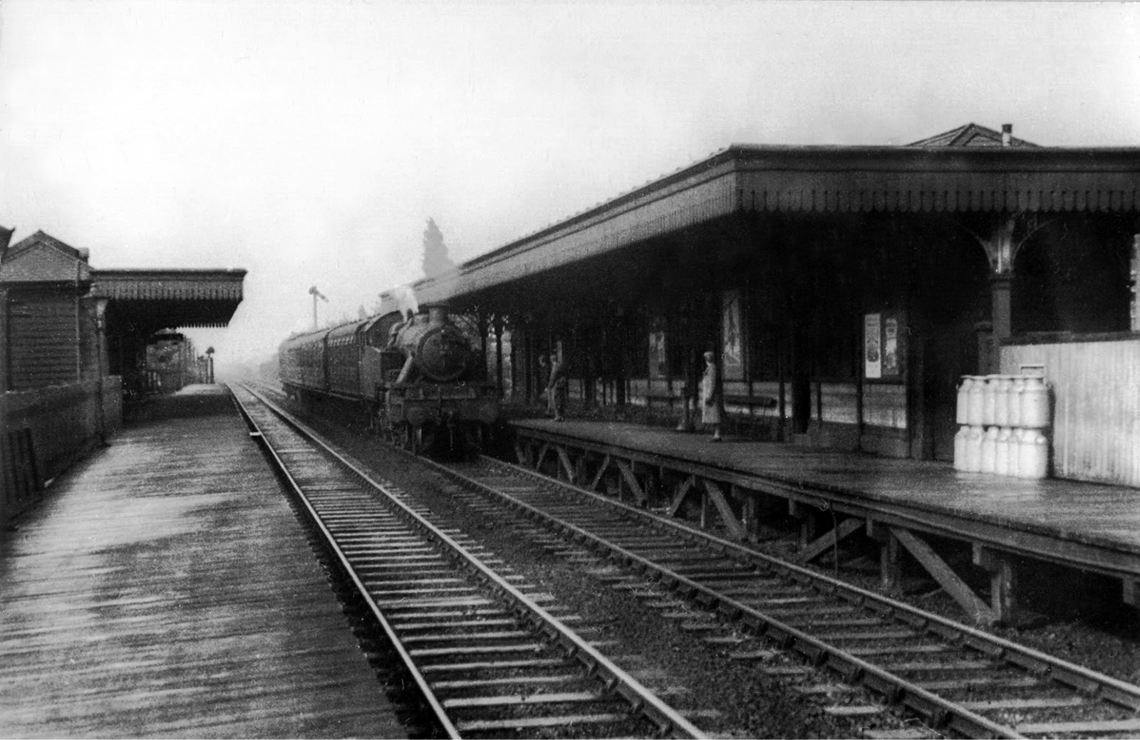
Wolverhampton High Level Station was built in 1852 and lay on what used to be known as the Stour Valley Line. The modern day Wolverhampton Station now occupies the site and there is little left of what my father photographed as the station suffered a major phase of modernisation in the mid 1960’s.
The present Wolverhampton station dates from 1964 to 1967 when the High Level station was completely rebuilt by the architect Ray Moorcroft as part of the modernisation programme which saw the West Coast Main Line electrified.
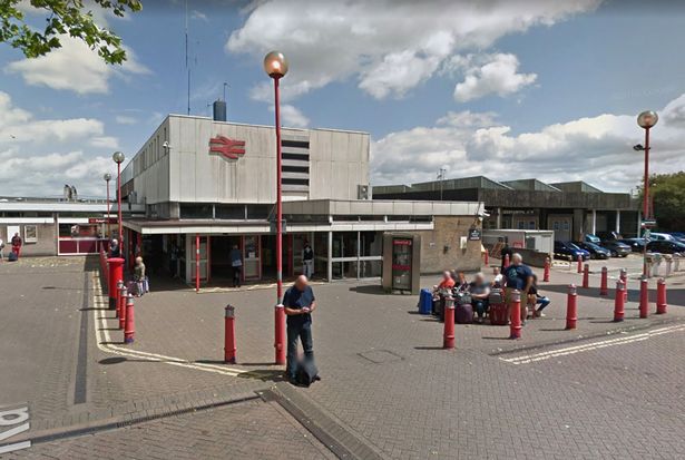
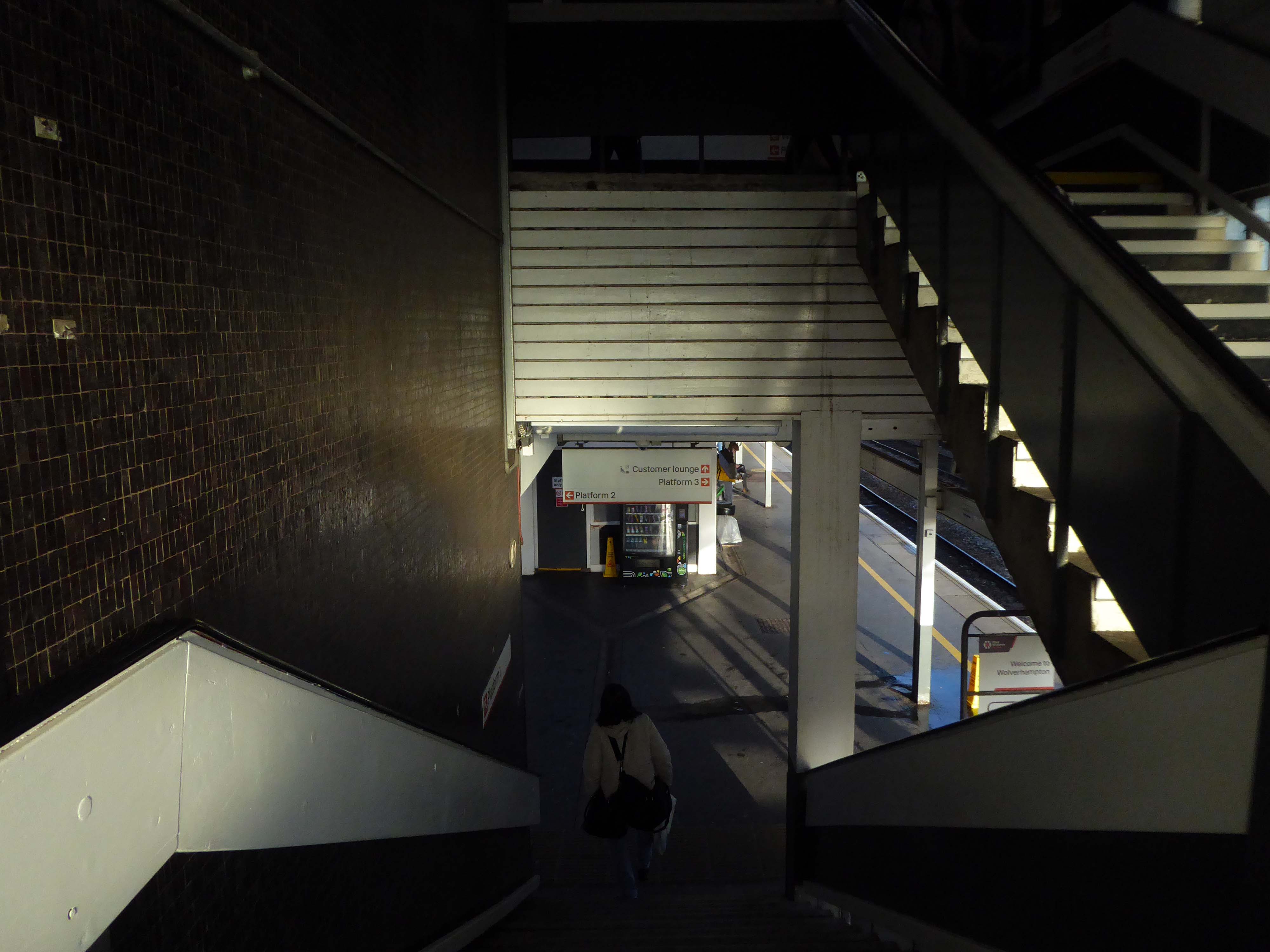
More recently in 2004, a new through platform – platform 4, was constructed on the site of infrequently-used sidings. This has greatly enhanced the capacity of the station. A new footbridge was also constructed, to allow access to the new platform but also to improve access to the existing ones.
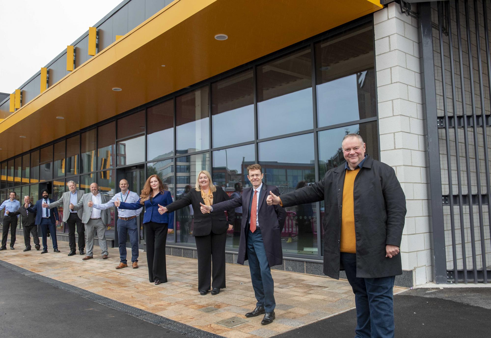
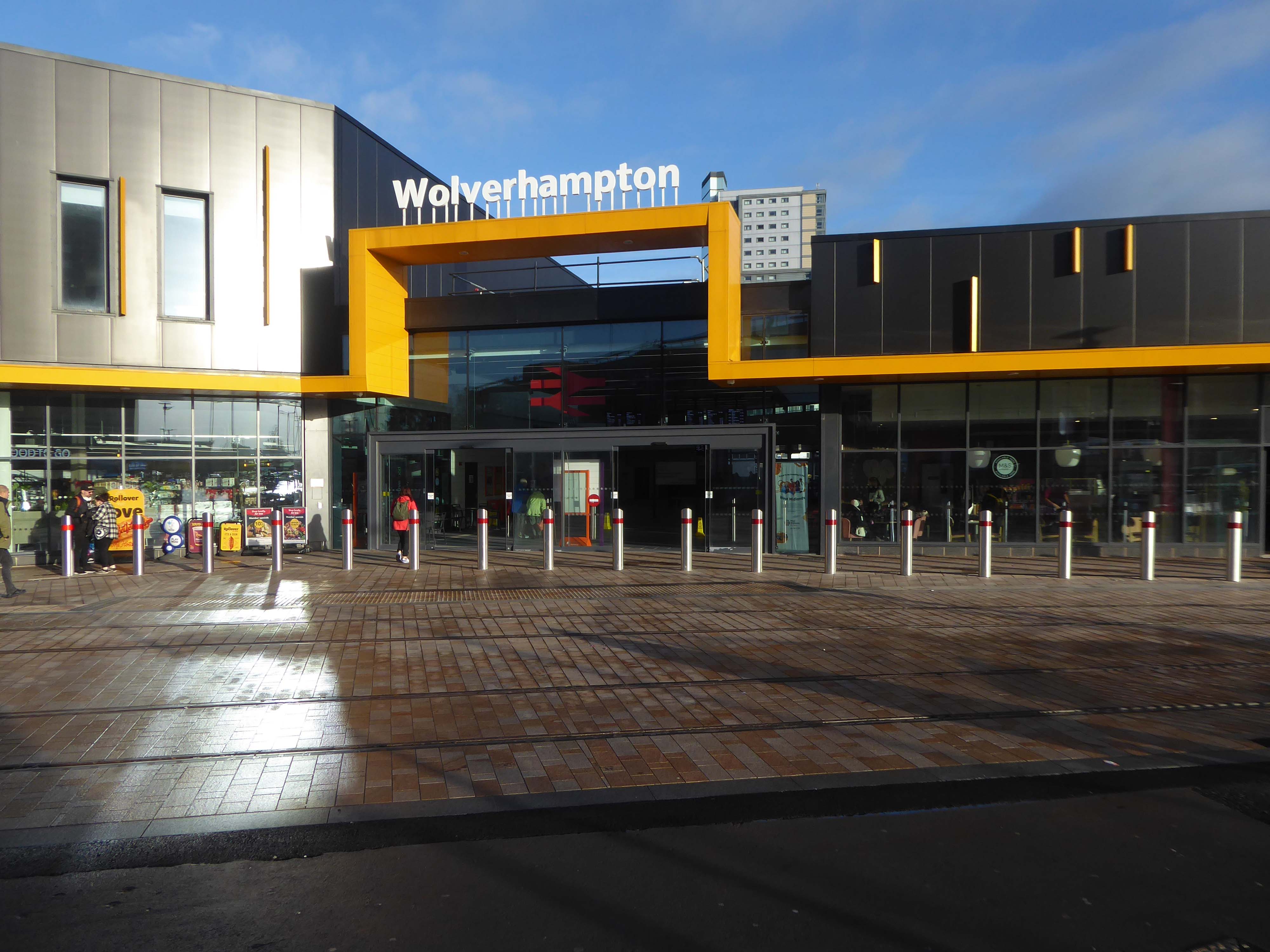
Members of the public are now able to access the second half of the new Wolverhampton railway station, following the completion of main construction on Phase 2 in March 2021.
The new station forms part of a significant local transformation being carried out, as part of the city’s £150m Interchange scheme. Within the city scheme, there are improvements planned for bus, Metro, cycle and train connectivity.
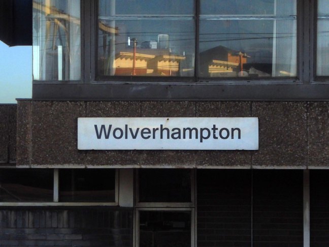
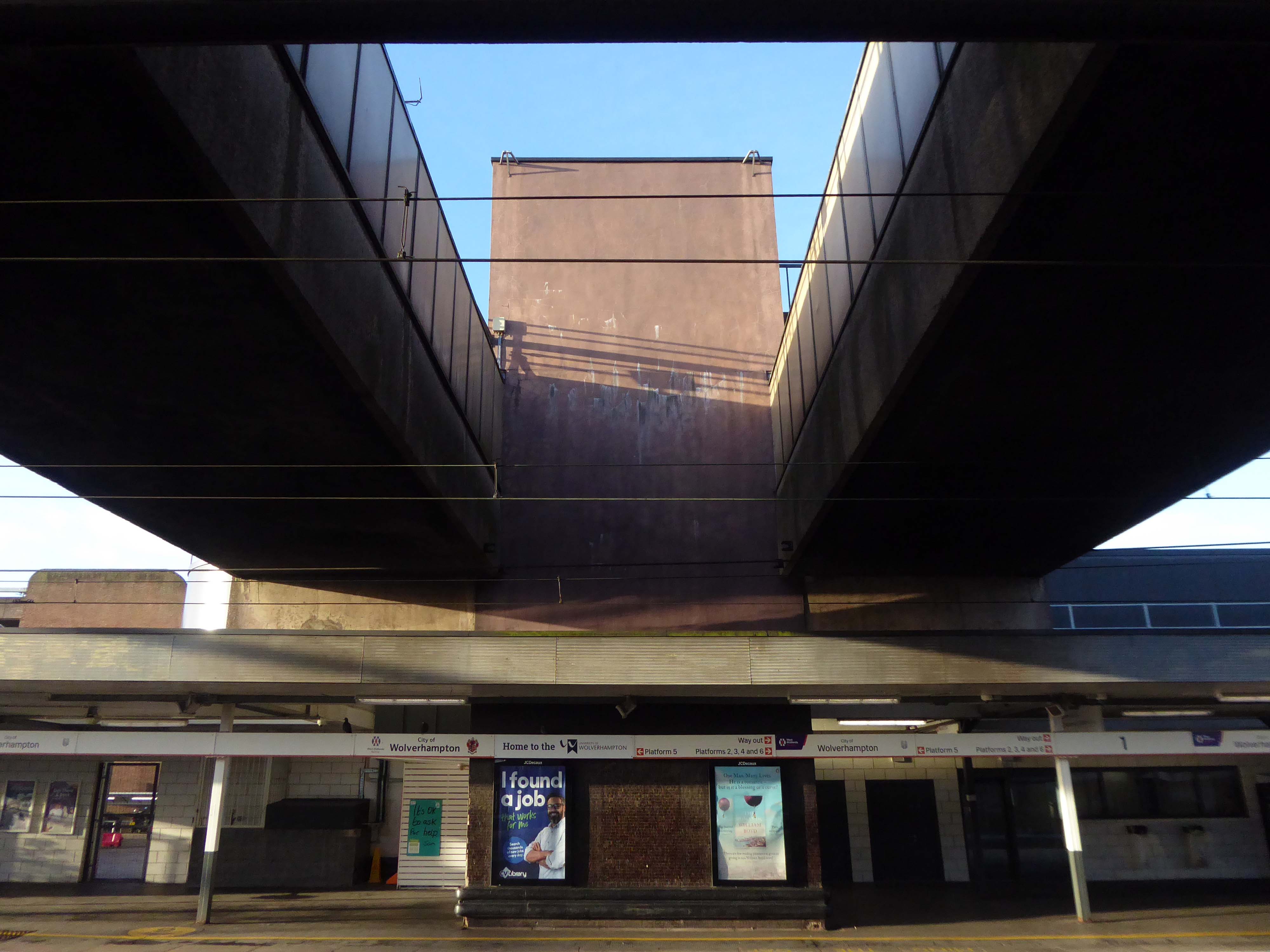
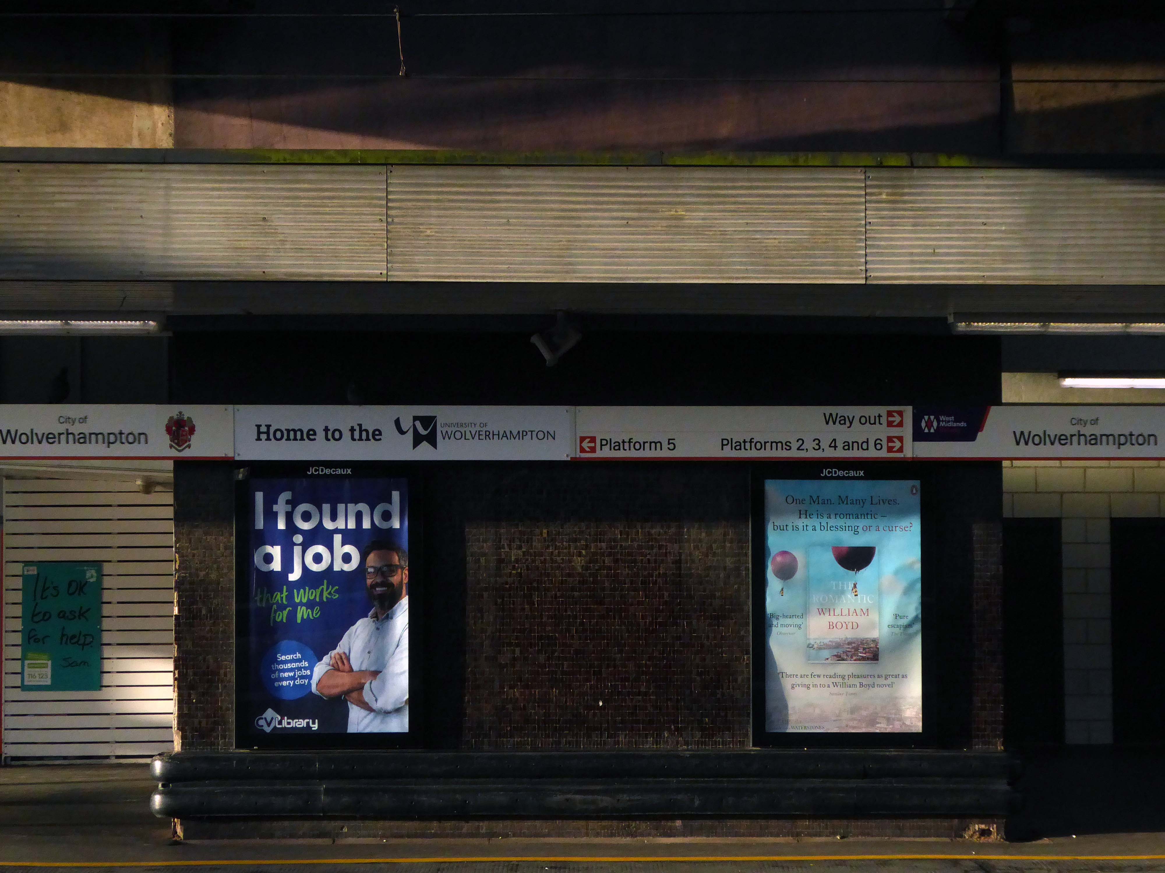
This was my first visit to Wolverhampton, arriving at 8.42 on a crowded Bournemouth bound Cross Country train, which was destined to terminate at Reading.
By wandering aimlessly, all places became equal, and it no longer mattered where he was.
Paul Auster City of Glass.
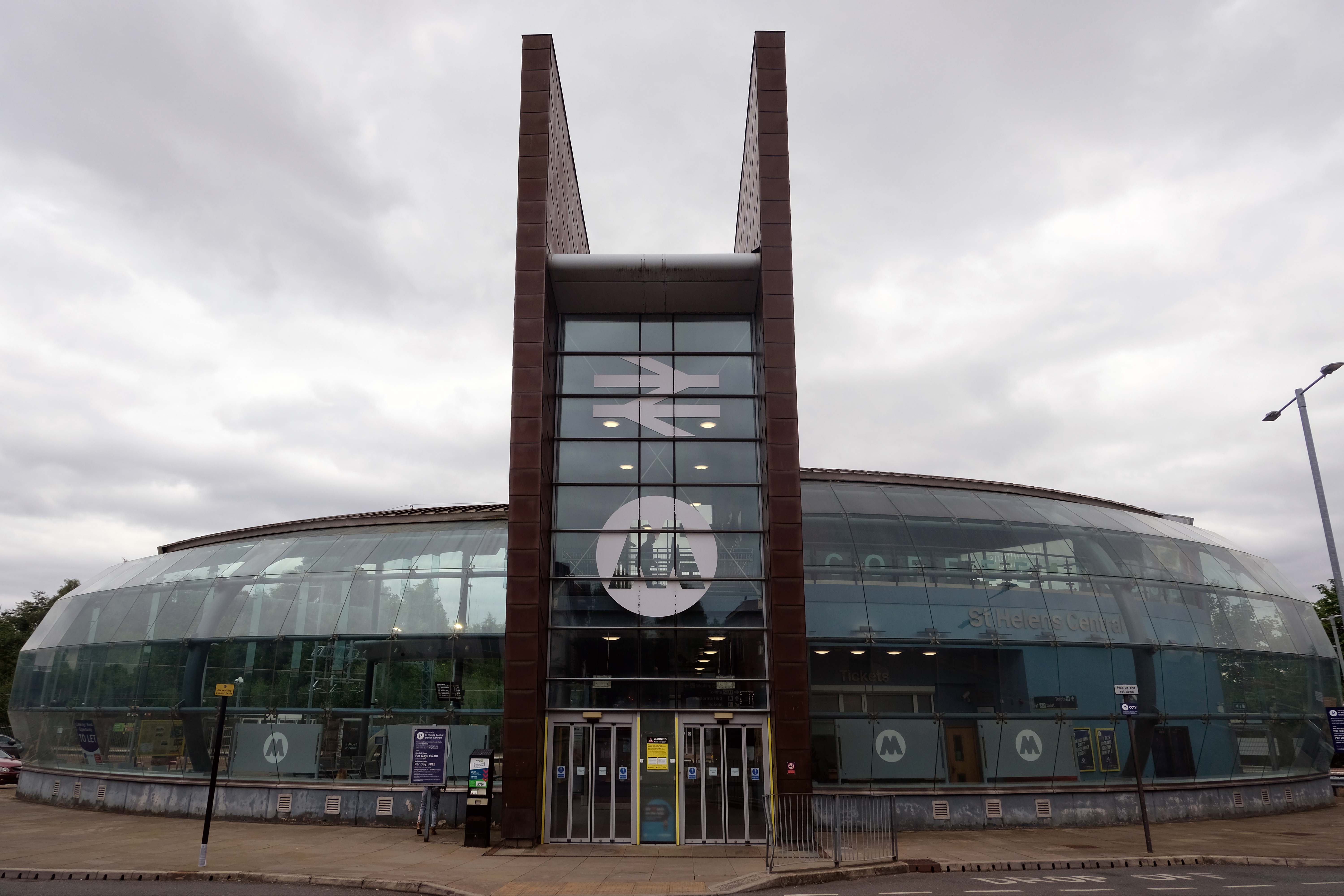
The station as built in 1961 to a design by the architect William Robert Headle, which included and advertised a significant amount of the local Pilkington Vitrolite Glass. The fully glazed ticket hall was illuminated by a tower with a valley roof on two Y-shaped supports. The platform canopies were free standing folded plate roofs on tubular columns.
The new station building and facilities were assembled just a few yards from the 1960s station building and is the third build on the same site. The project came in at a total estimated cost of £6 million, with the European Union contributing £1.7 million towards the total funding. The new footbridge was lifted into place in the early hours of 22 January 2007.
The striking Pilkington’s glass-fronted building was designed by architect SBS of Manchester. Construction work was completed in the summer, with the new waiting rooms and footbridge opened to passengers on 19 September. The new station building was officially opened on 3 December 2007.
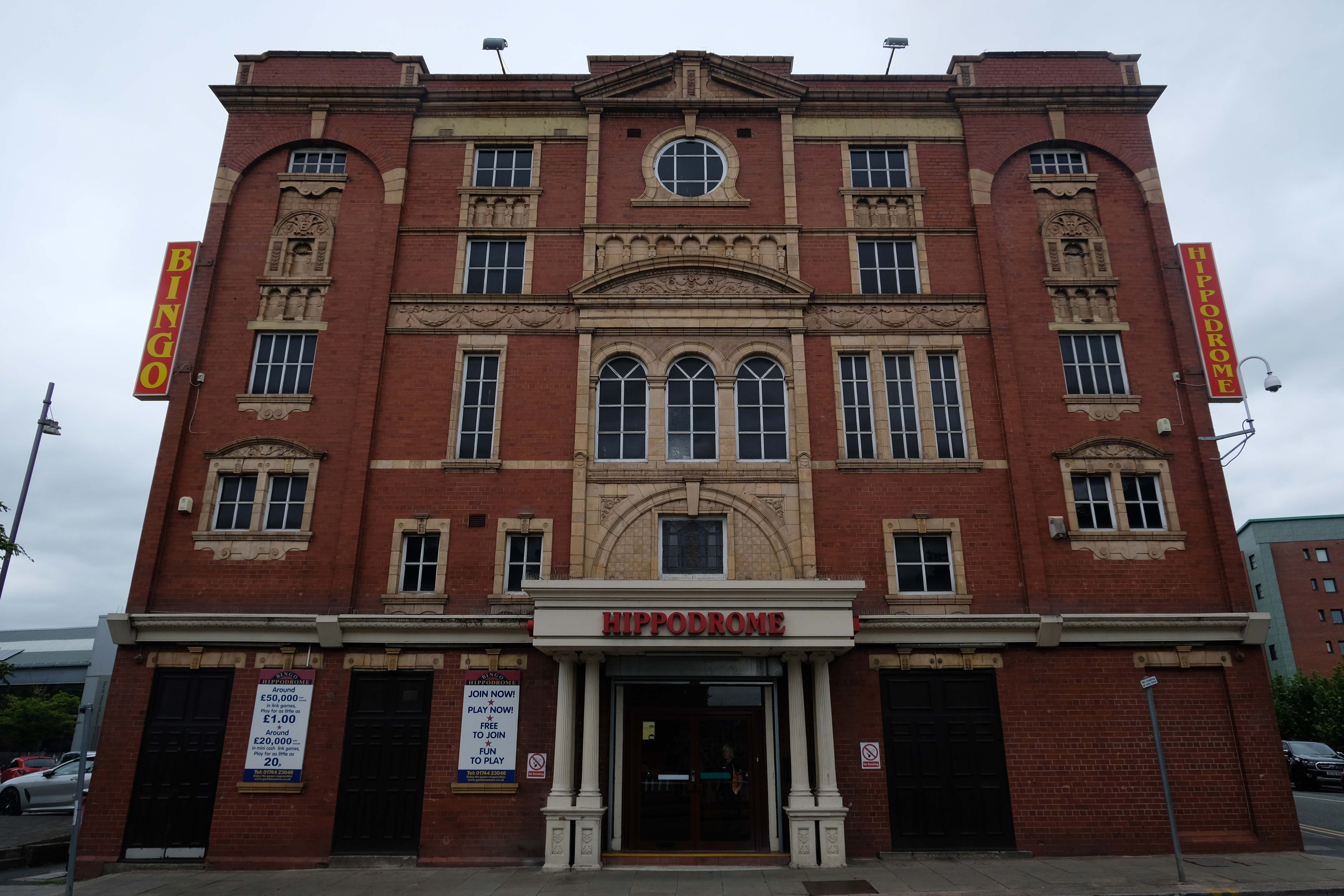
In the early Edwardian era a fine theatre was opened on 1st June 1903. It had been designed by local architect J A Baron and was on the site of an earlier theatre known as the Peoples Palace. It was operated as the New Hippodrome Cinema from 8th August 1938 when it reopened with Anna Neagle in Victoria the Great. On 1st September 1963 it was converted to a Surewin Bingo Club by Hutchinson Cinemas which continued to operate in 2008. By May 2019 it was independently operated as the Hippodrome Bingo Club.
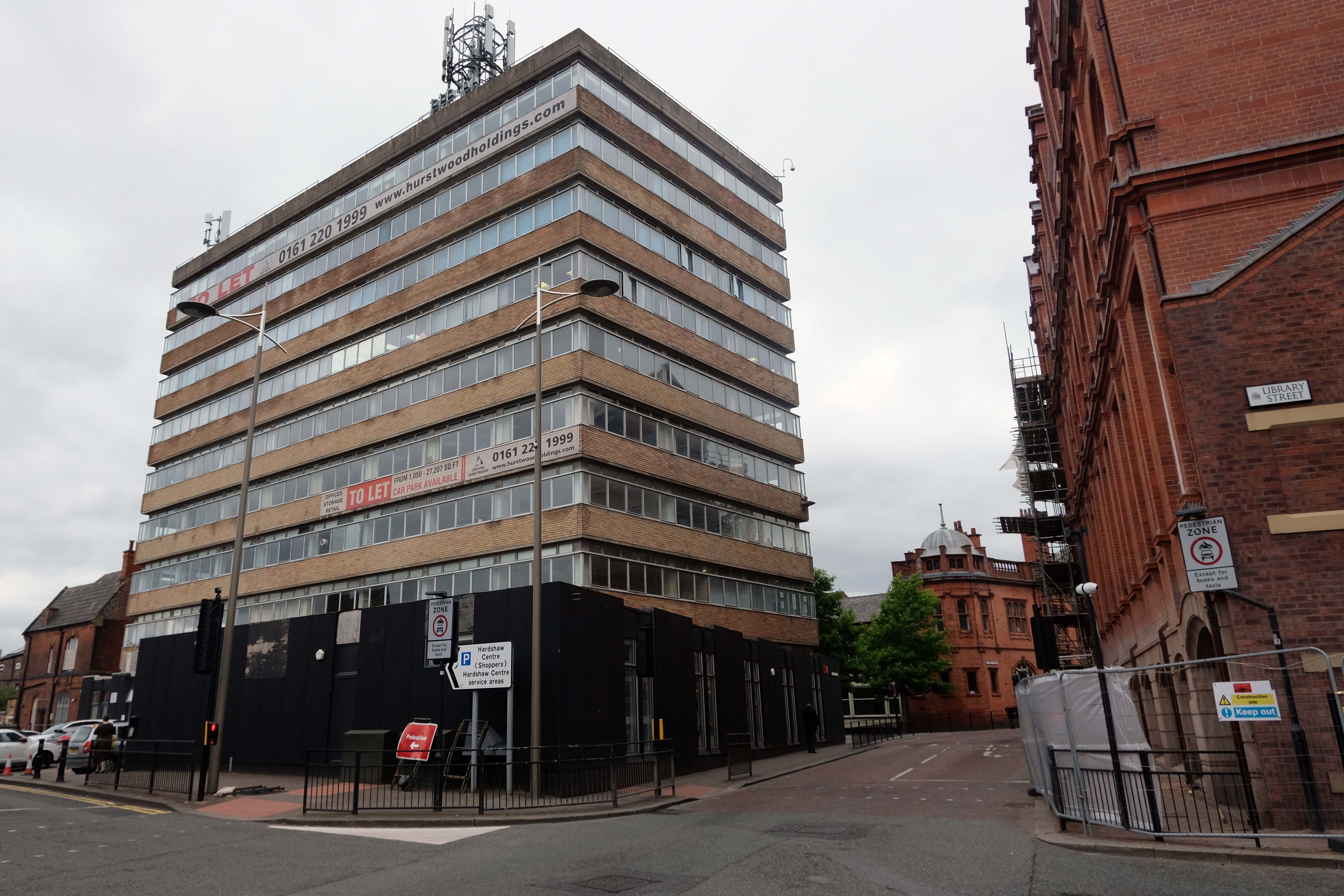
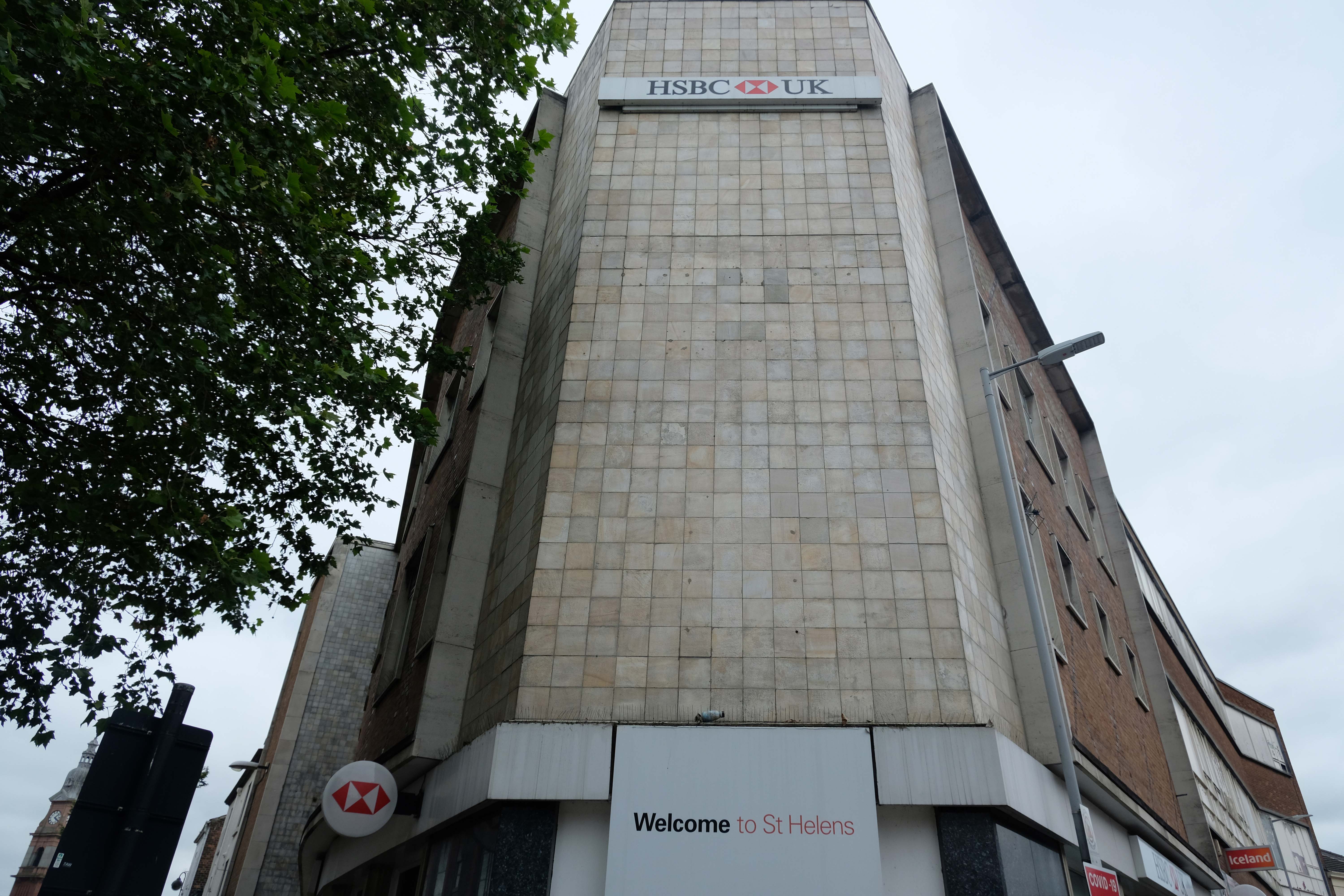
Onwards down Corporation Street to Century House, currently awaiting some care and attention and tenants.
Century House is a prominent landmark in St Helens town centre, being the tallest office building in place. The accommodation ranges over 9 floors, providing offices from a single person, to whole floors. In addition, all tenants benefit from the use of a modern break out space and meeting rooms, in addition to manned reception desk.
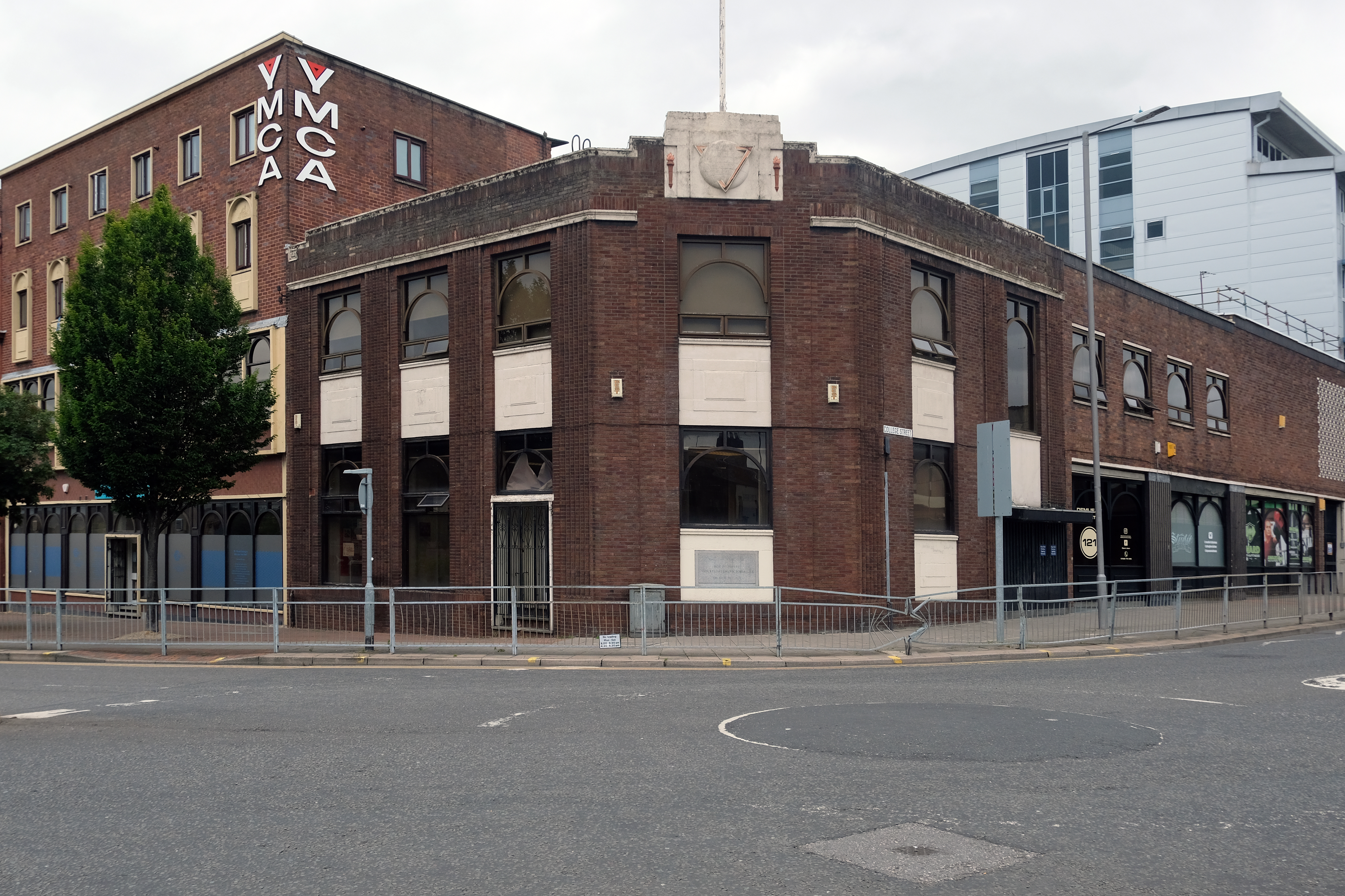
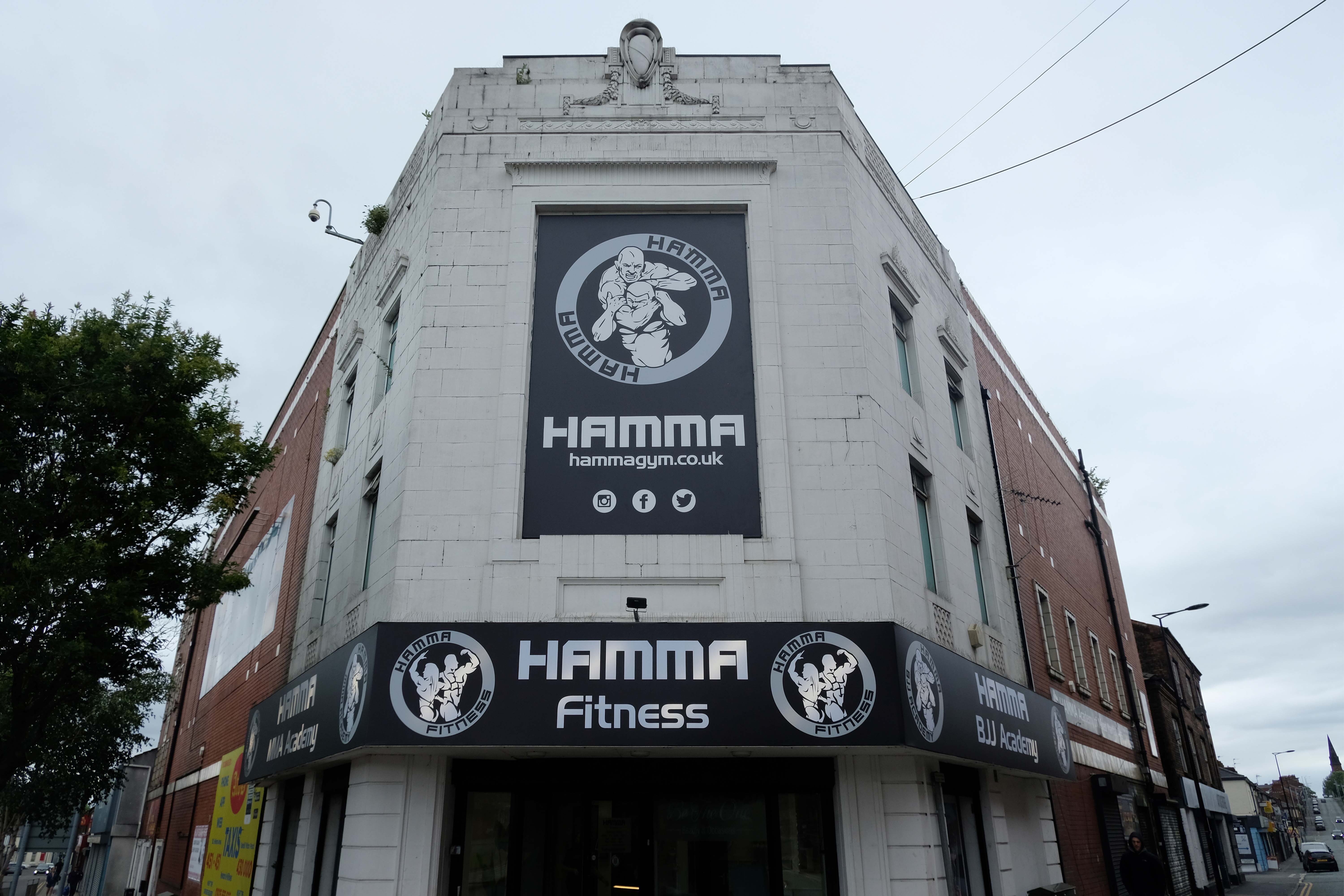
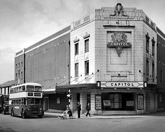
The Capitol Cinema opened on 3rd October 1929 by an independent operator. It stood on a prominent corner site at North Road and Duke Street – known as Capitol Corner.
The Capitol Cinema was taken over by Liverpool-based Regent Enterprises Ltd. in 1929, and by the Associated British Cinemas – ABC chain in 1935. It underwent a renovation in the 1960’s, and was closed by ABC on 9th December 1978.
The building was converted into a sports centre, by 2009 it was a Central Fitness gymnasium.
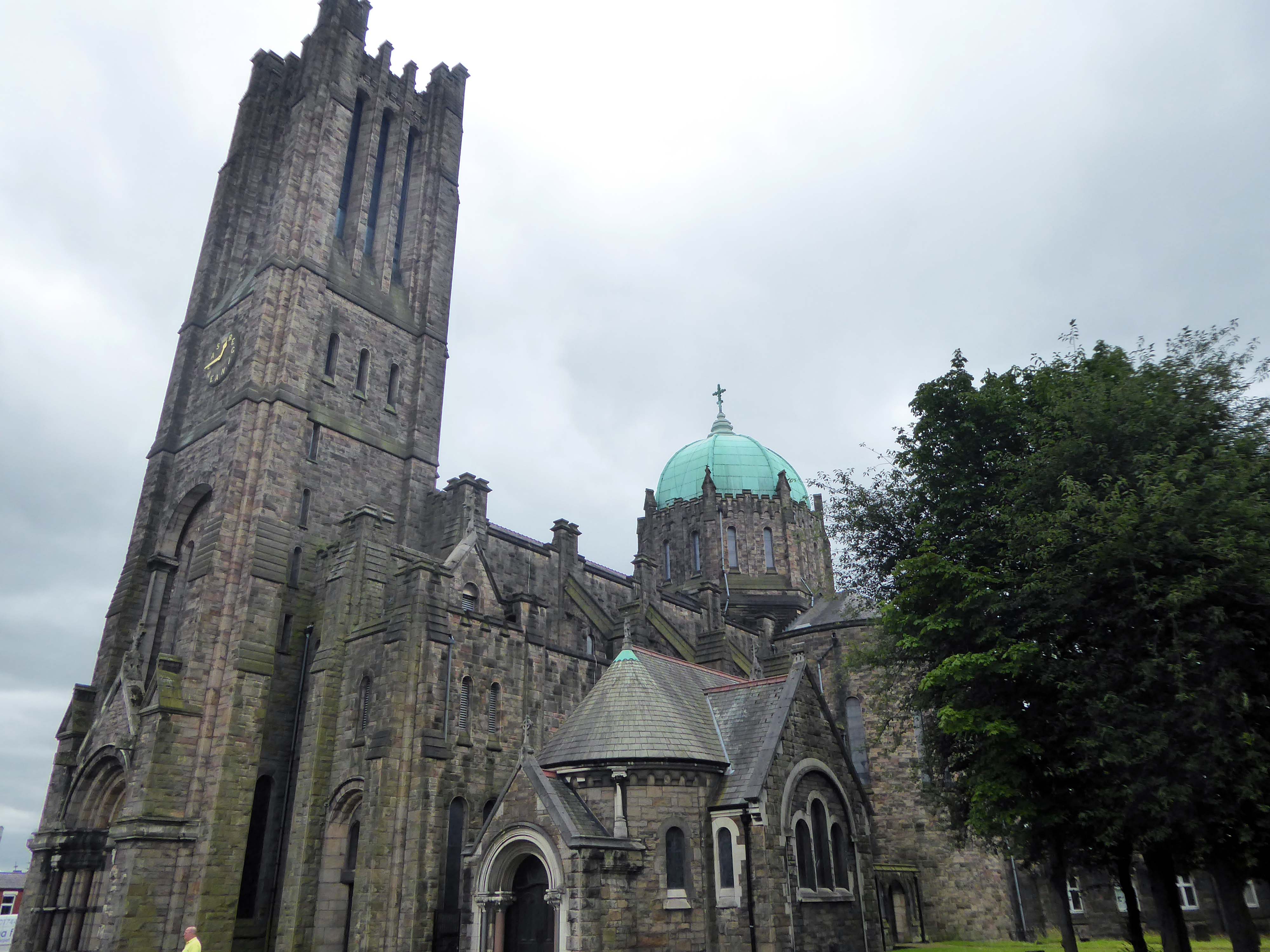
Along the way to St Mary Lowe House RC – the style is a combination of Gothic and Byzantine elements. One of the most unusual fittings is the carillon, one of the largest in the British Isles with 47 bells, which was installed in 1930 and is still played regularly.
The main approach is identified by a beak-like porch which projects from the main cladding. In this space hangs a recast eighteenth century bell, from the original chapel.
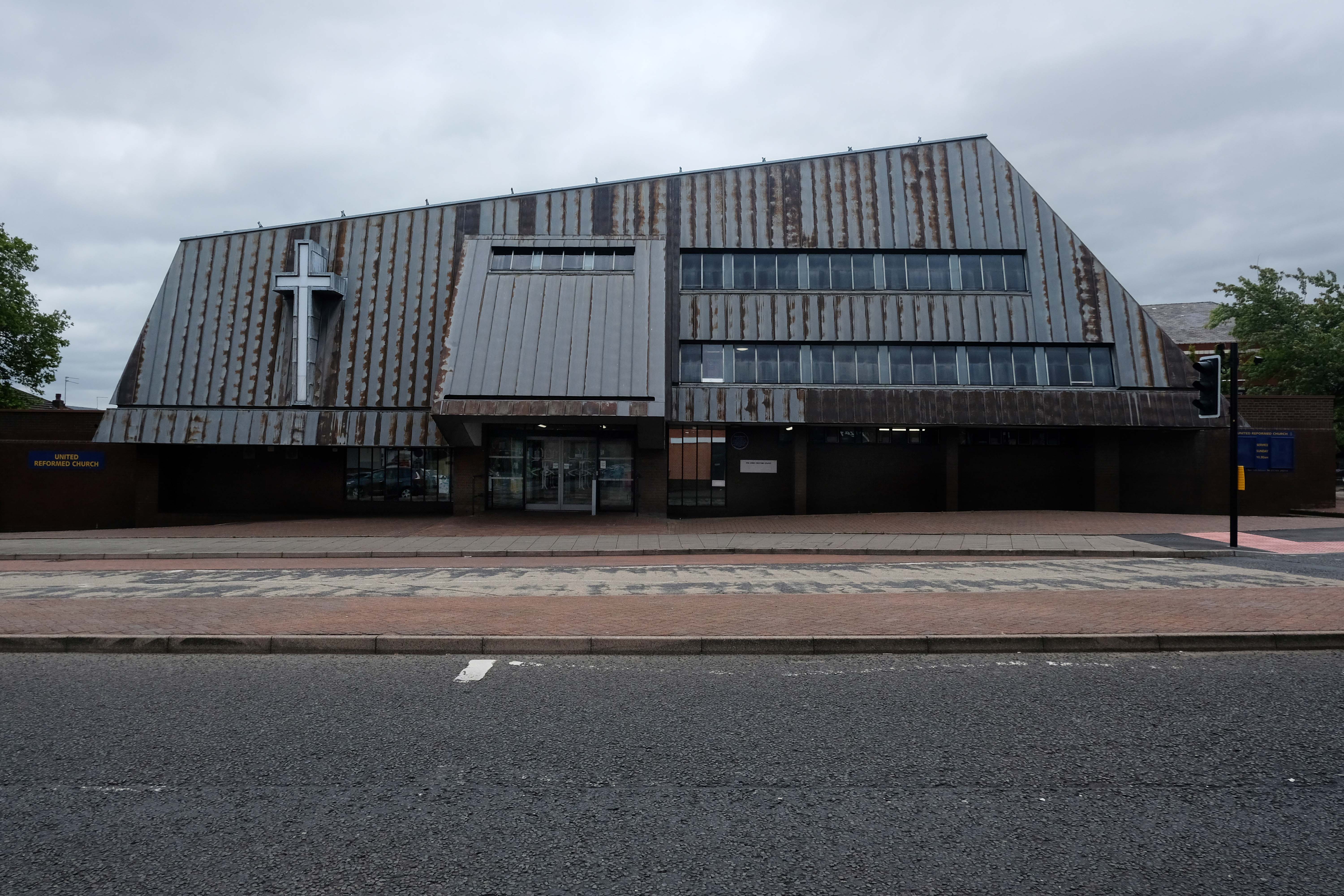
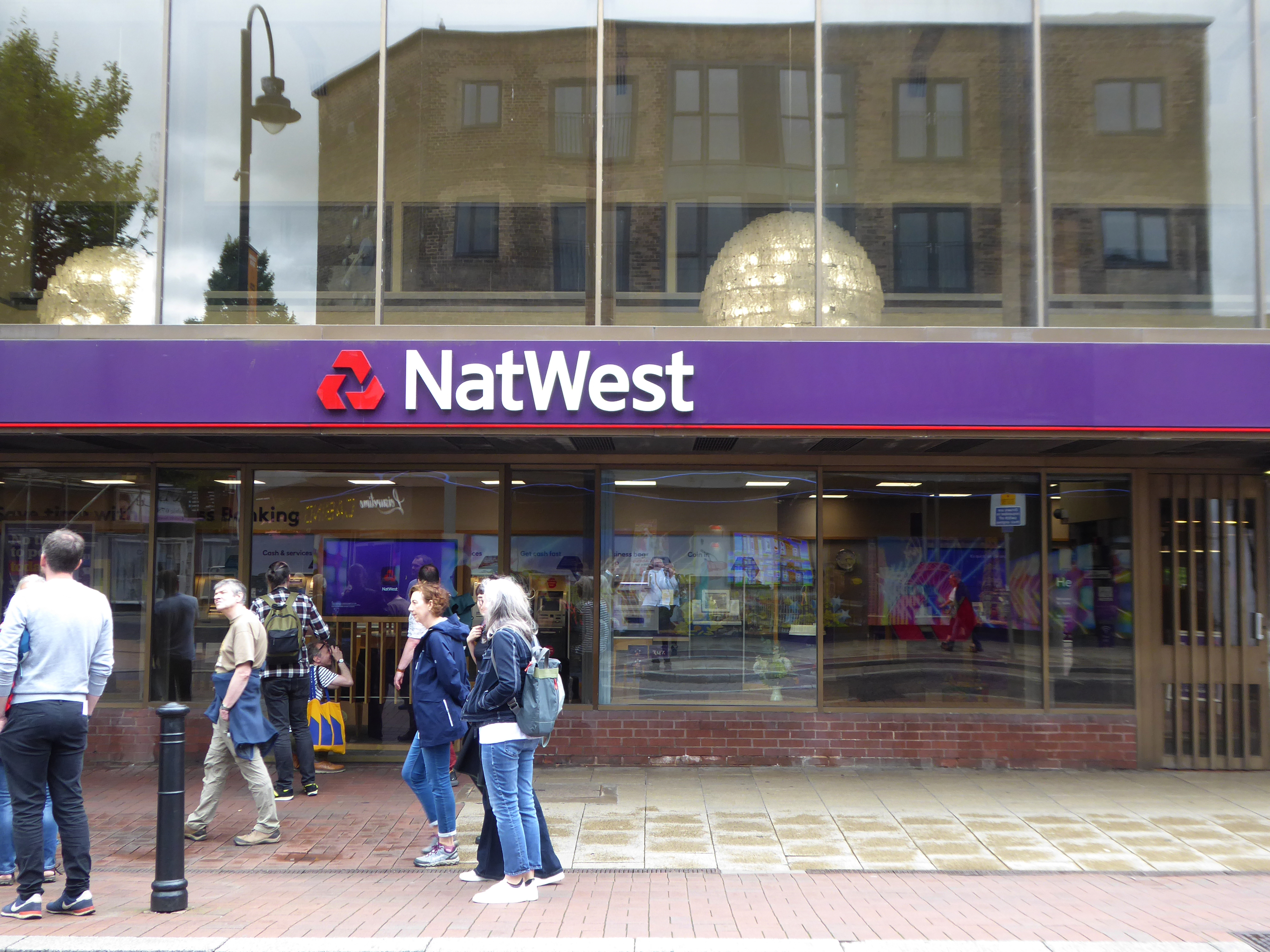
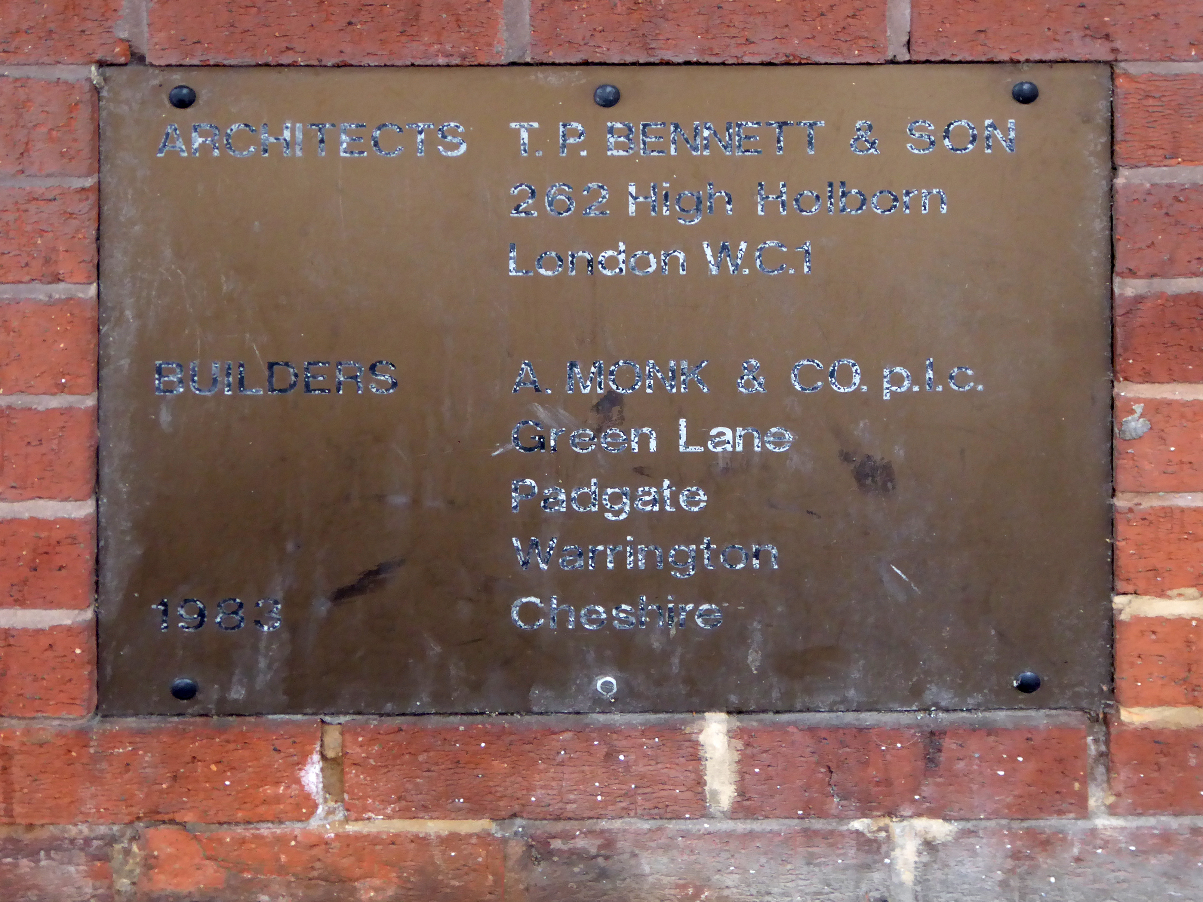
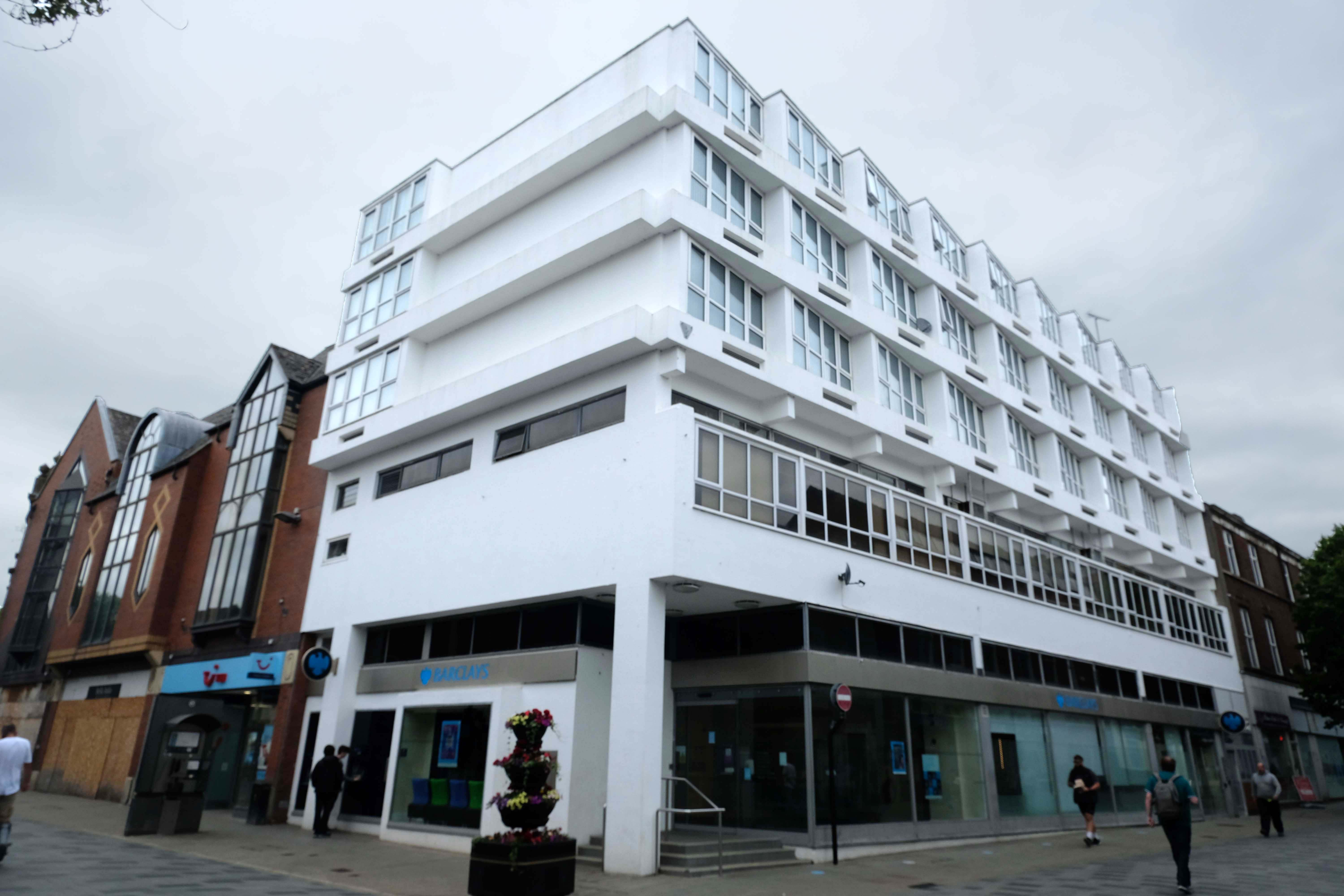
Let’s take it to the Midland, Nat West and Barclays Banks.
With an intermediate former Gas Showroom.
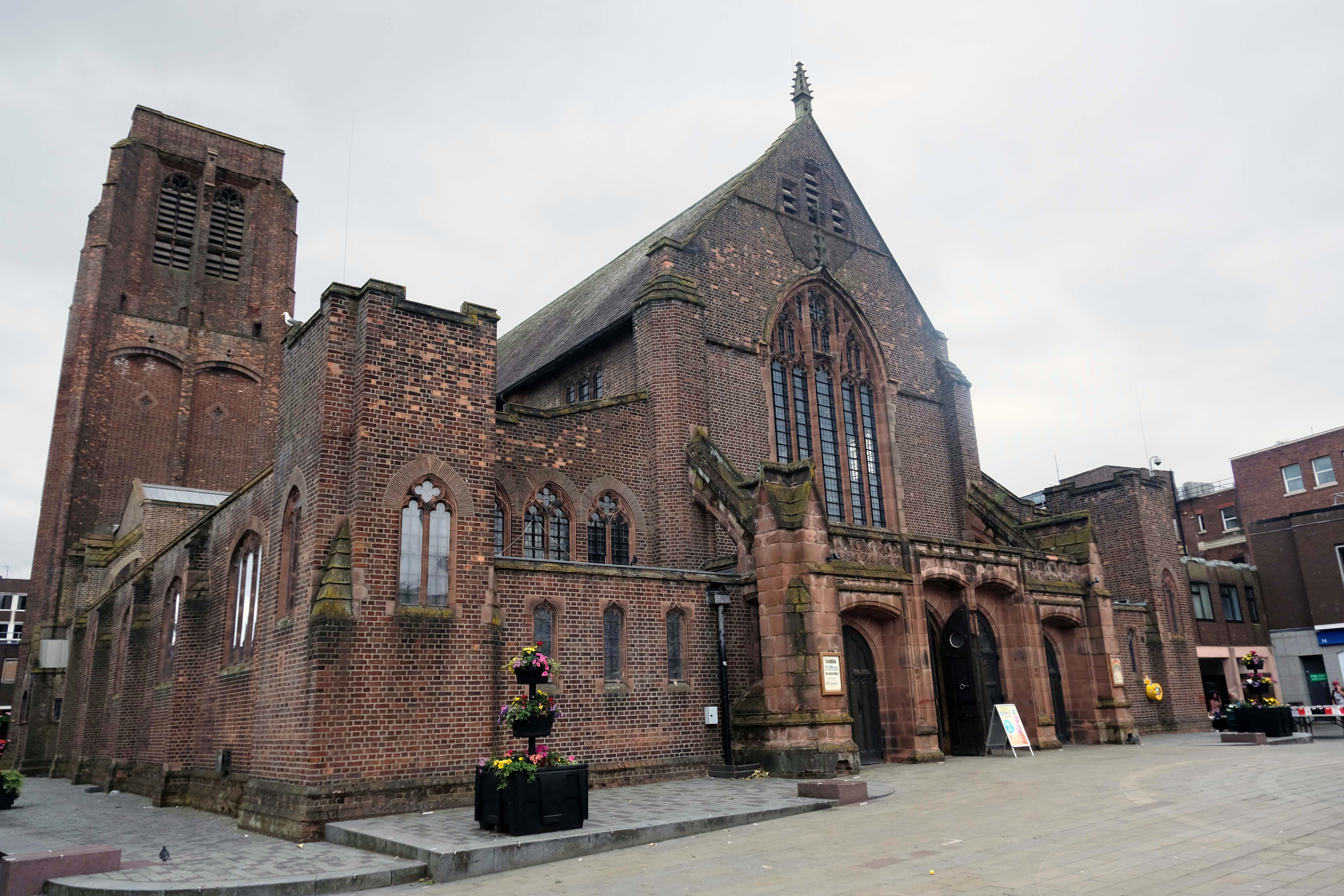
Next to the Church of St Helen.
Architect: WD Caroe 1920-26 Grade II Listed
A chapel has been on the site since at least the 16th century. The chapel was doubled in size in 1816, but burnt down in 1916. It is the parish church of the town, and stands in a prominent position.
St Mary’s Car Park a multi-storey masterpiece straight outa Dessau.
Next crossing a complex web of inner ring roads designed with the beleaguered pedestrian at the forefront of the planners’ minds.
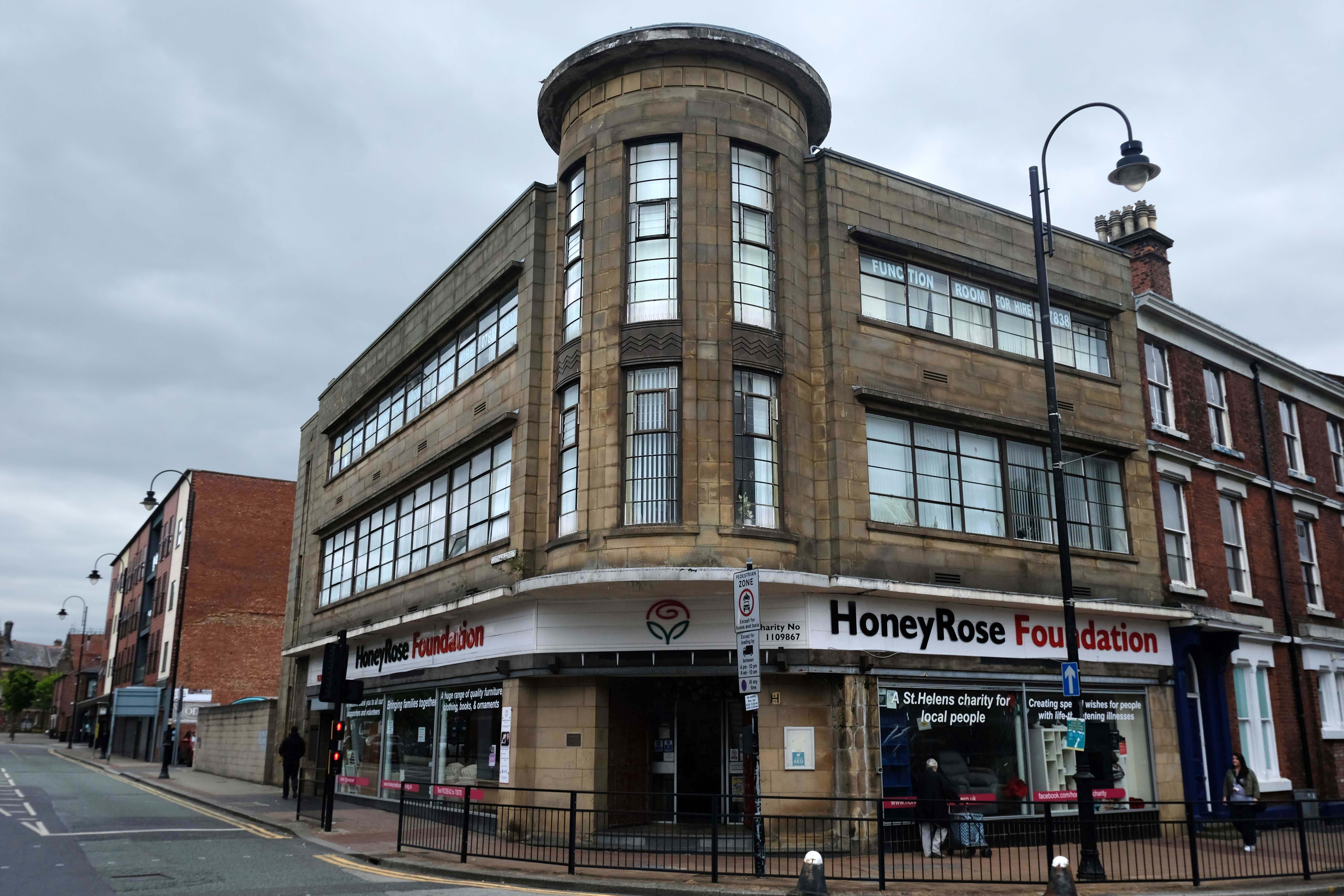
To the inter-war Pilkington’s Offices – Reflection Court
Architects: Herbert J Rowse and Kenneth Cheeseman 1937-41 Grade II Listed.
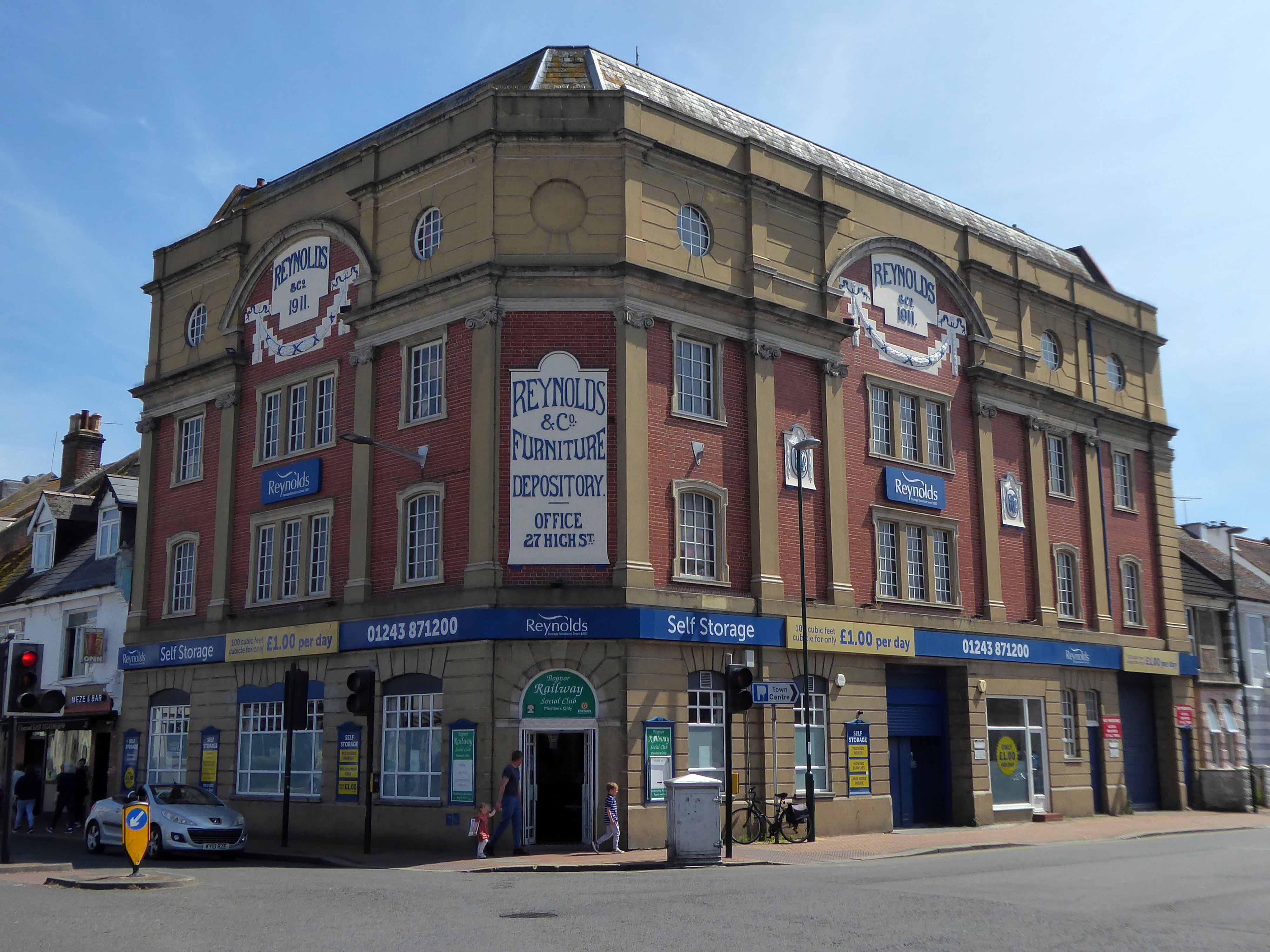
Since 1867 Reynolds has grown from a small shop to the largest furniture store in Sussex, with over 30,000 sq ft on four floors.
The Funeral Service now has three offices in Bognor Regis, Chichester and Littlehampton and the purpose built storage facility in Canada Grove continues to thrive.
We soon found ourselves in Felpham, amongst yet more interesting housing.
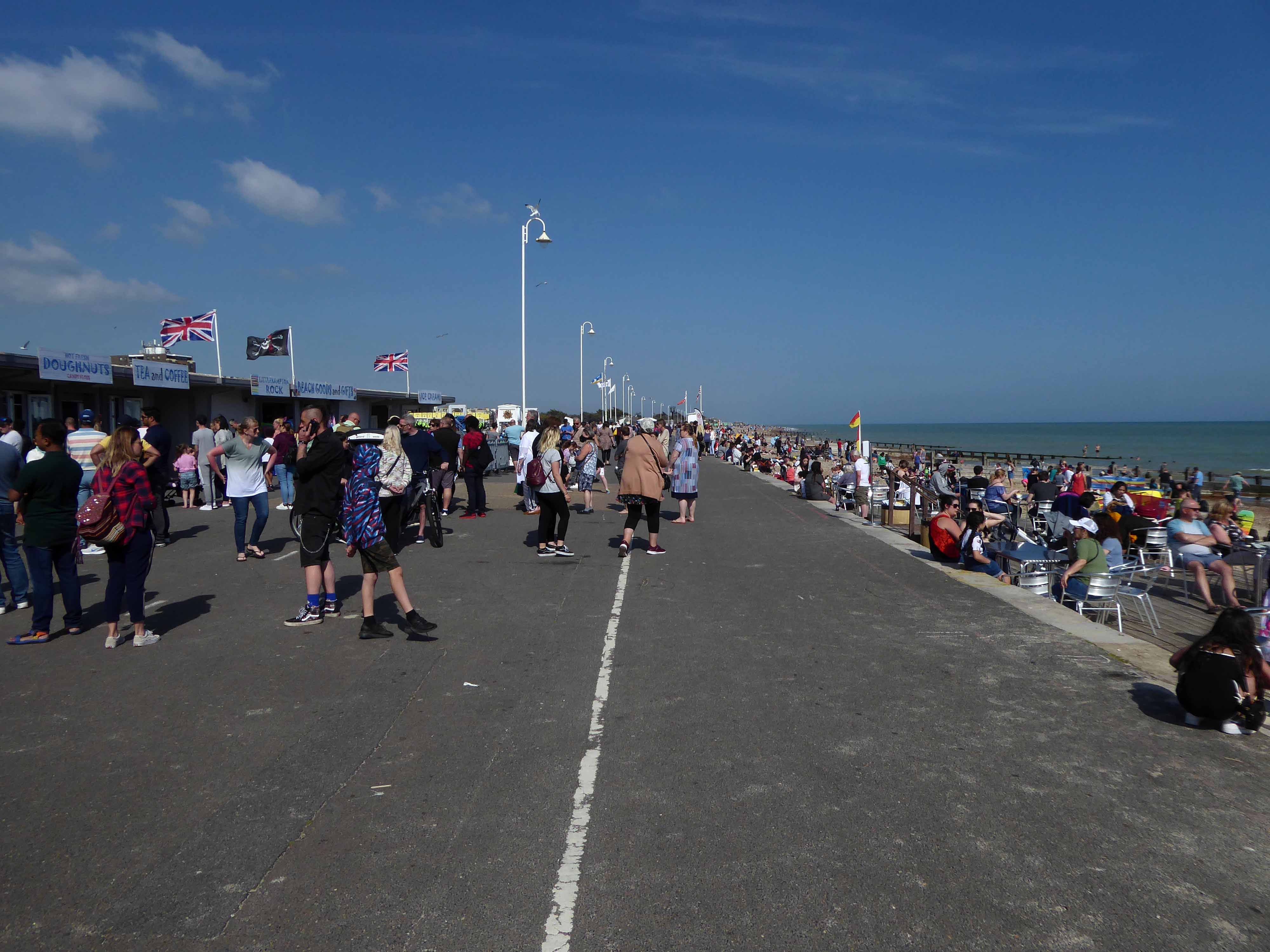
We traversed the River Arun at Littlehampton.
Then meshed with the milieu on the prom.
The day grew much hotter and we grew ever so slightly loster.
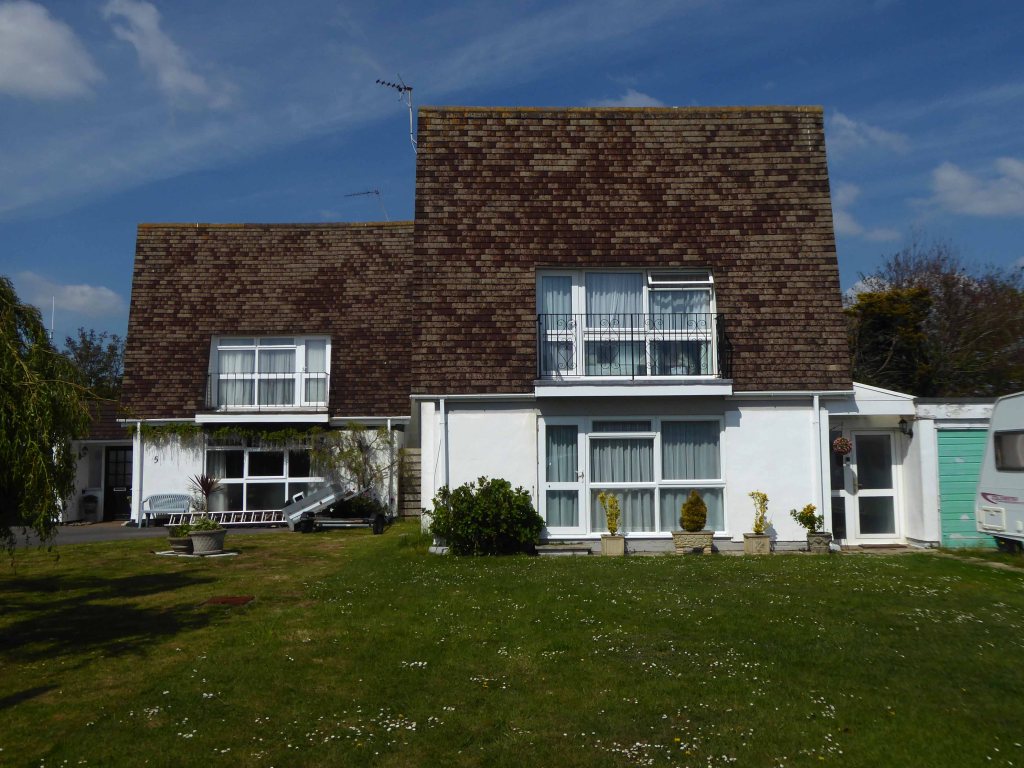
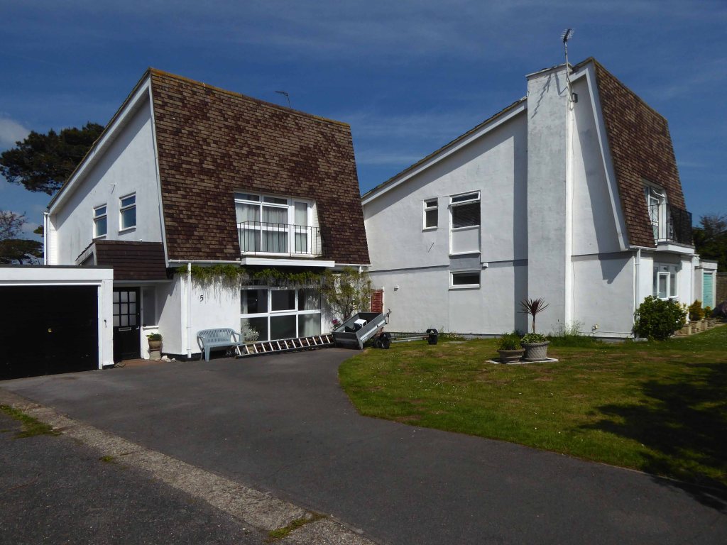
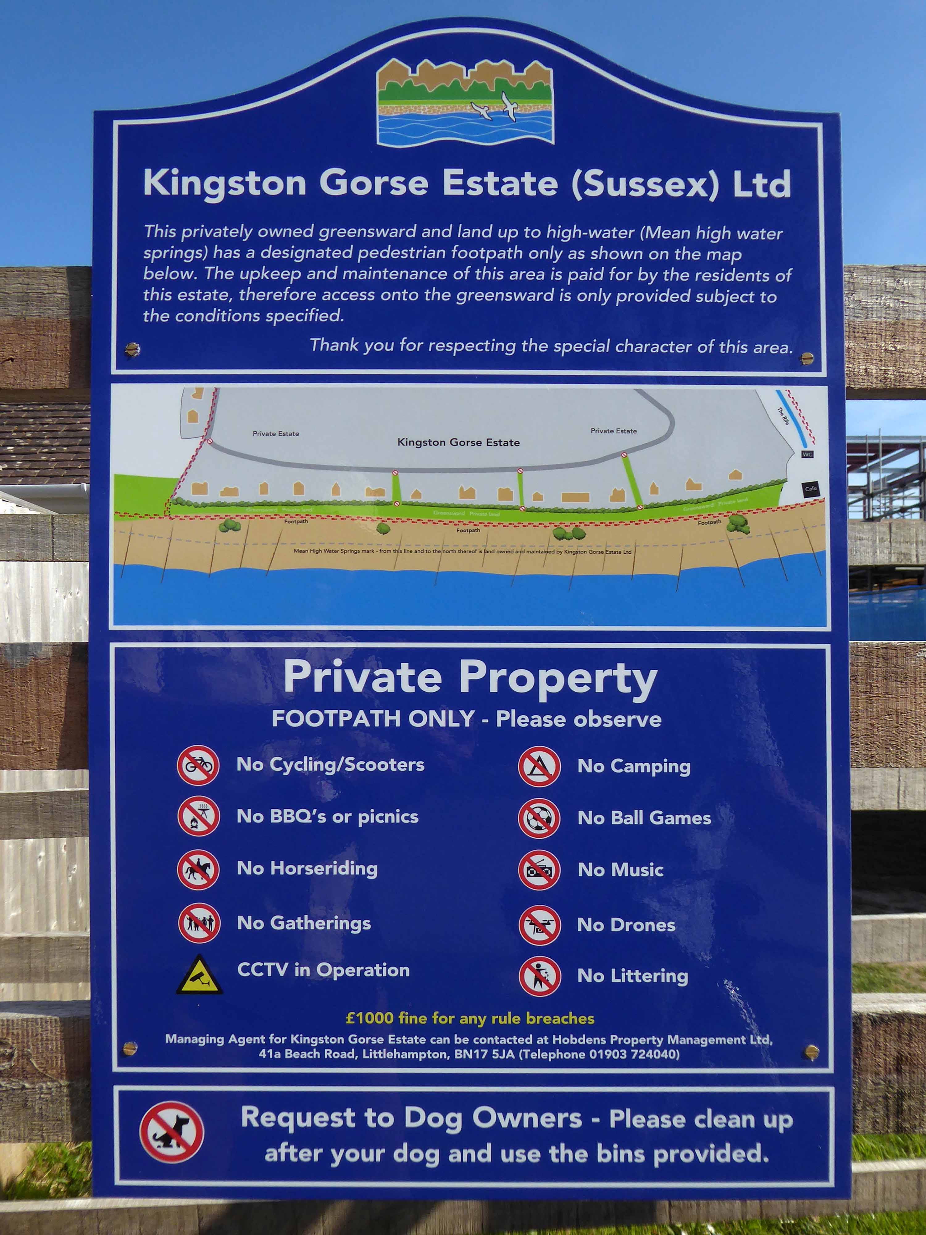
Finding our way back to the coast through the Kingston Gorse Estate – where almost everything is comprehensively prohibited.
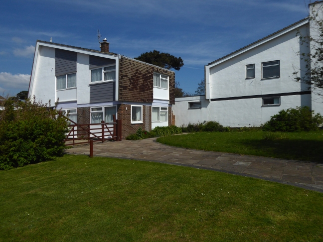
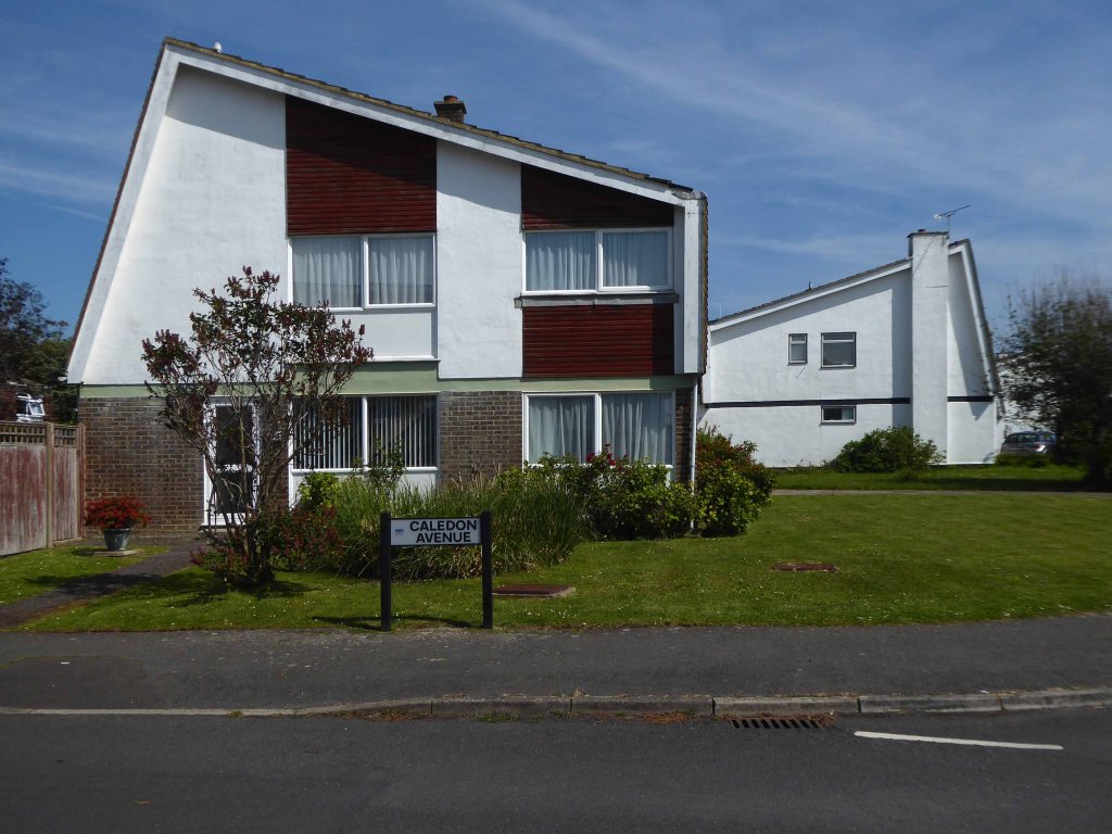
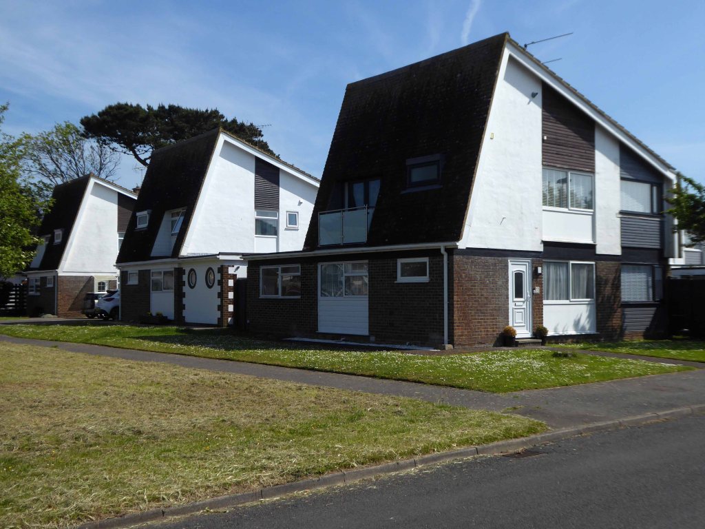
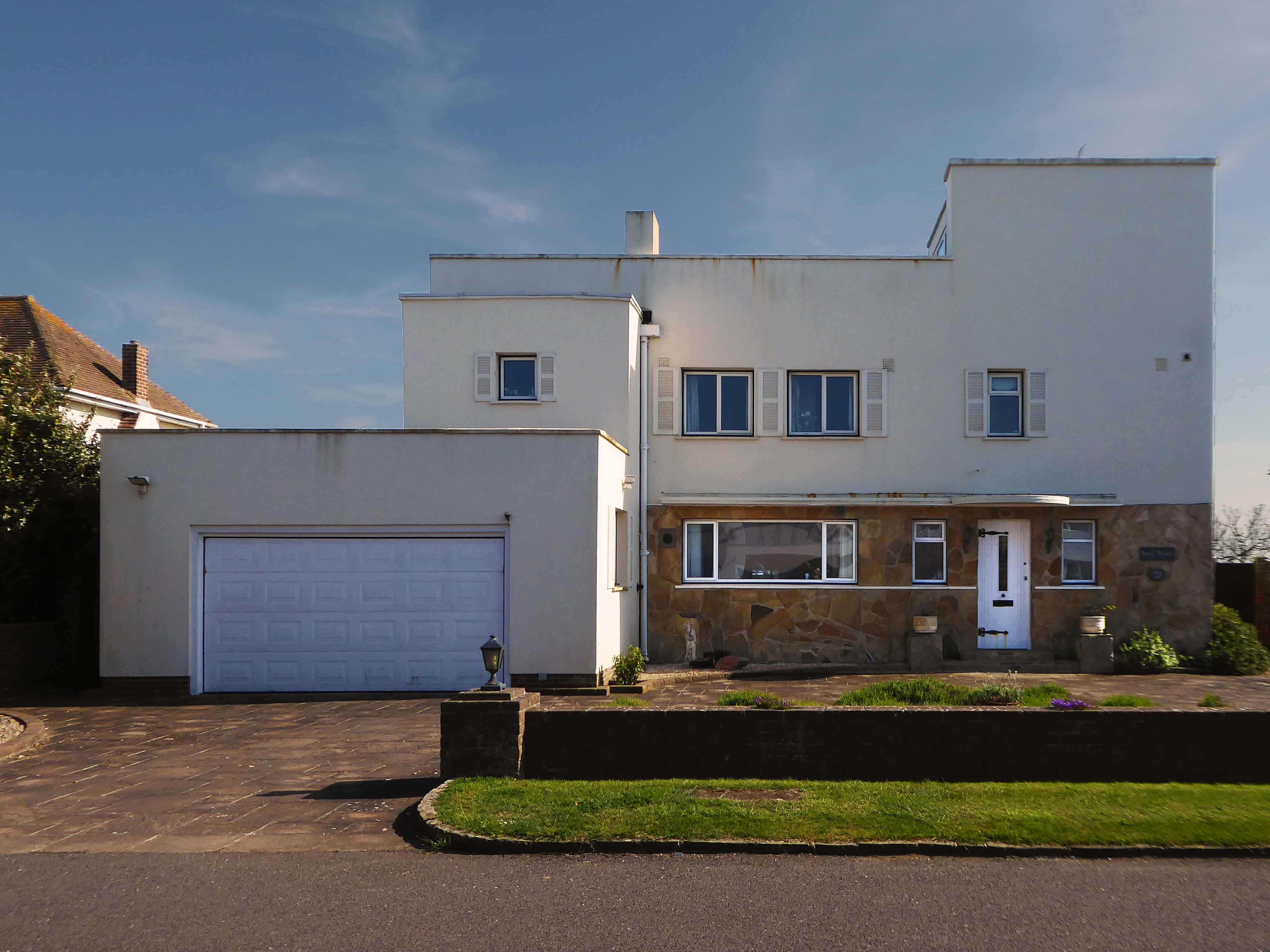
Kingston Gorse is a beautiful seaside location close to Goring-by-Sea in West Sussex. In Kingston Gorse, there is a gorgeous housing development with a number of three, four and five bedroom homes.
In 1918 JA Candy, who owned East Kingston Farm, sold the land on which Kingston Gorse now stands to the local builder G Pesket.
In the 1920s he constructed the infrastructure and developed approx. 30 plots including Imray, which he occupied.
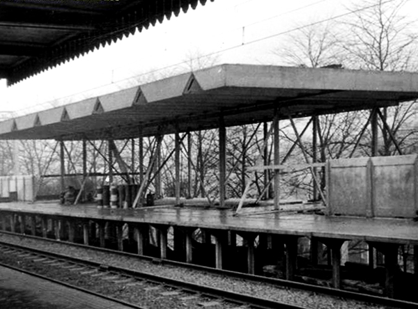
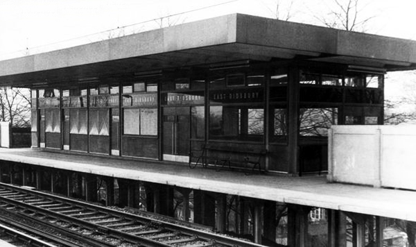
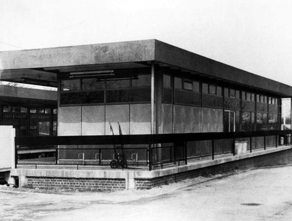
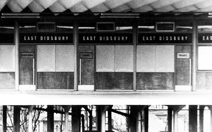
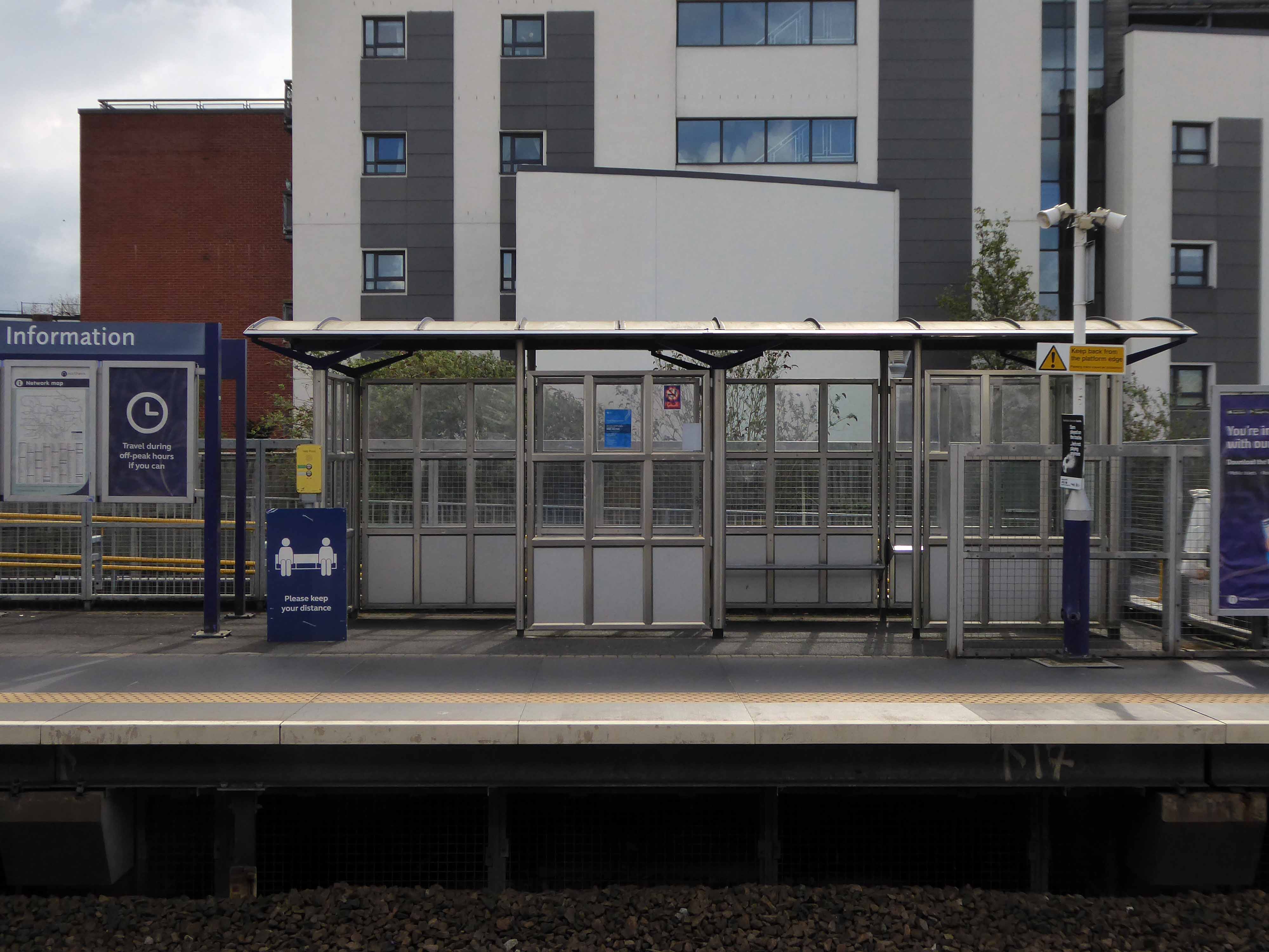
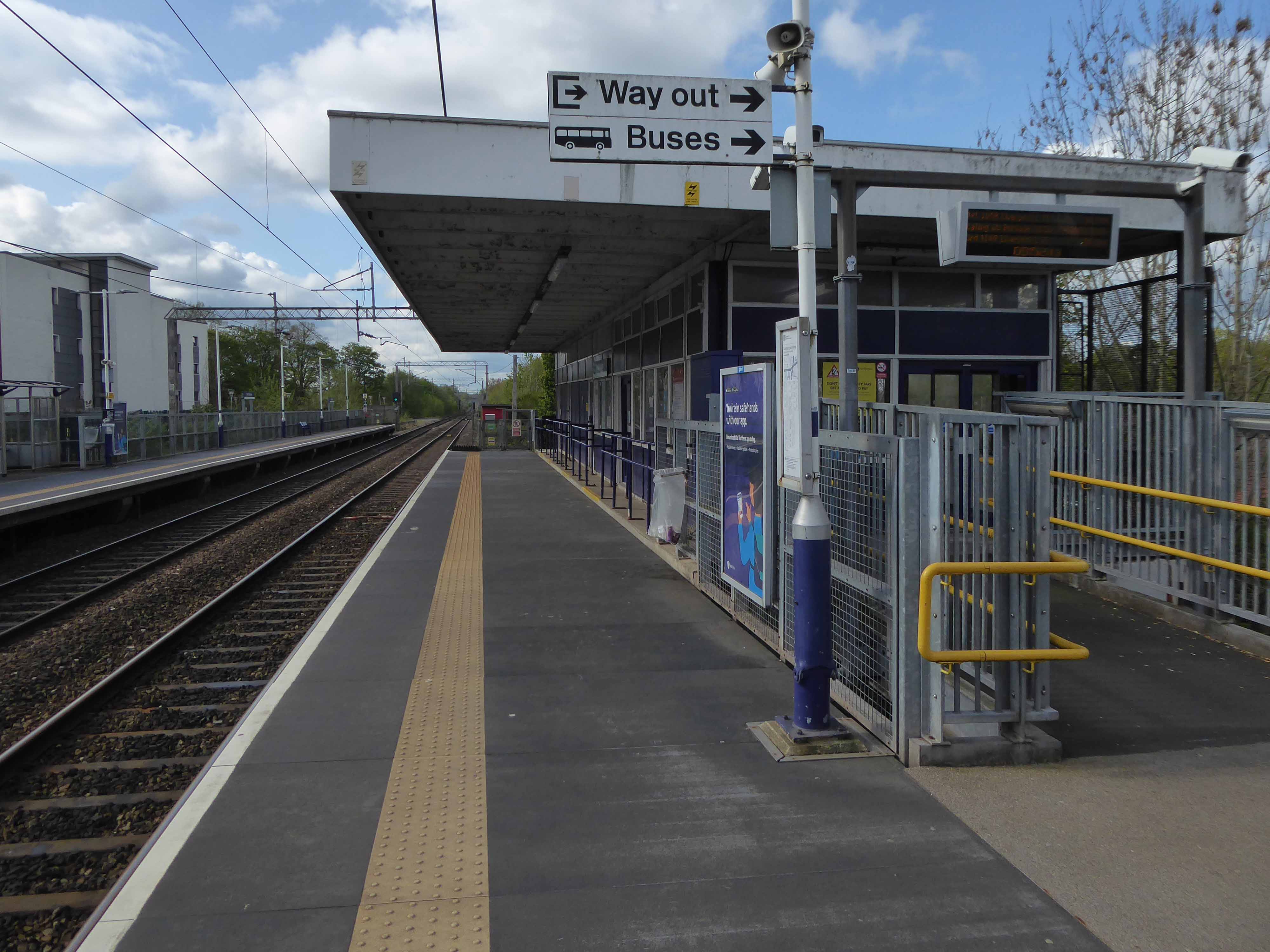
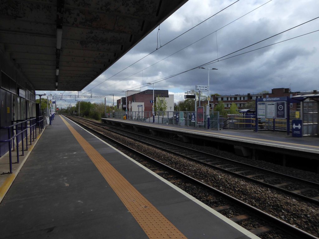
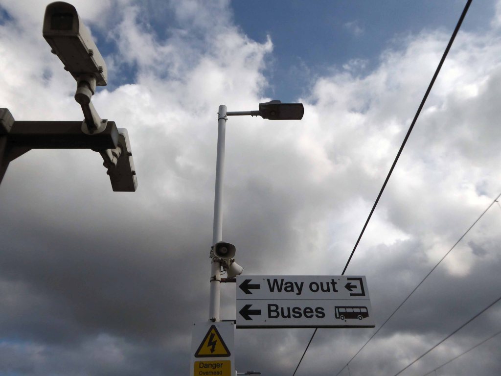
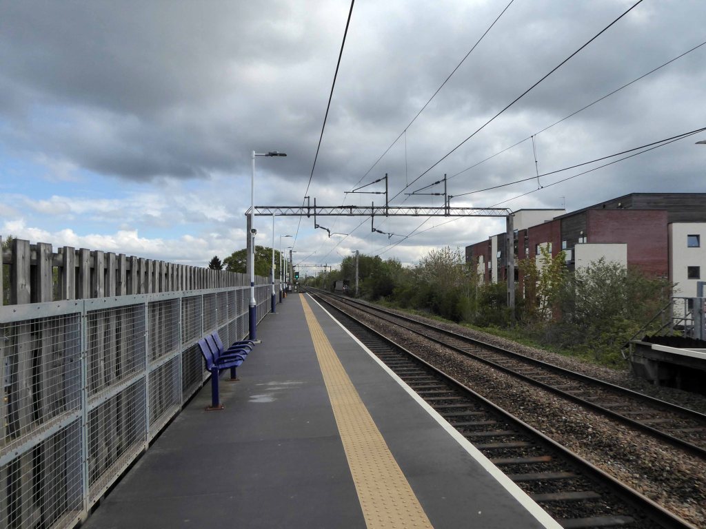
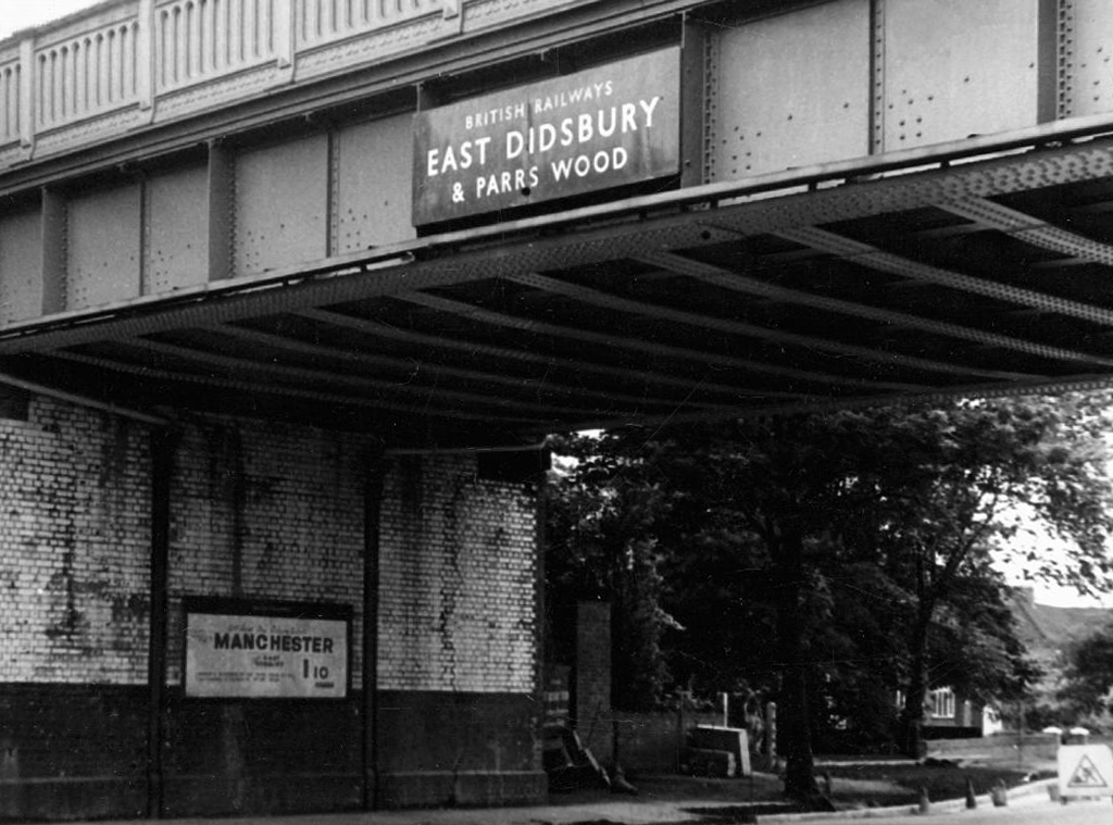
East Didsbury Station was opened in 1909 by the London and North Western Railway and, until 6 May 1974, was called East Didsbury and Parrs Wood.
From 1923, the line was operated by the London Midland and Scottish Railway. Following the formation in 1948 of British Rail, rail services were operated by the London Midland Region of British Railways, then North-Western Regional Railways.
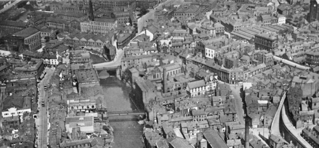
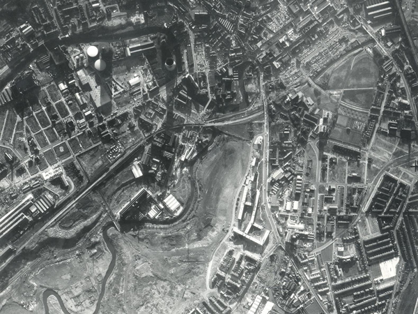
I often walk around here, the space enclosed by the River Tame and the M60, it was a maze of busy streets, home to peoples’ homes, industry, pubs, clubs and railways.
Much of that is now gone, either left to its own devices, untended rough empty ground, or overwritten by the newly built Tesco Extra and Porsche dealership.
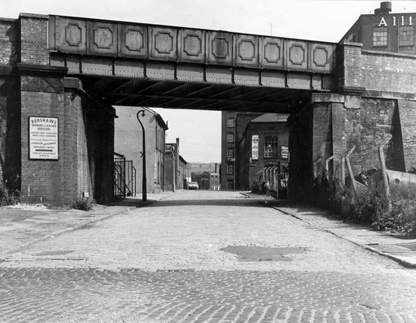
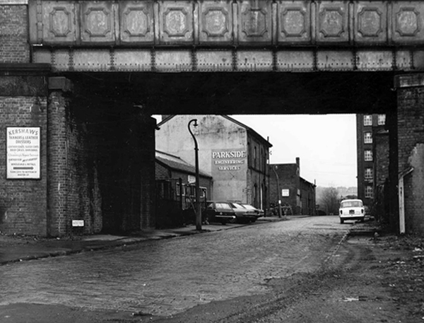
Water Street, Portwood looking north, taken from Avenue Street. Looking underneath the railway bridge, on the left hand side, the first building used to be a public house called ‘The Beehive’, further along was Kent & Swarbrick’s Tripeworks, now a precision engineers, then North West Concrete Works – Easymix. On the right is Coxson’s Brushworks, then the Portwood Mill, Kershaw’s Tannery and the Meadow Mill at the bottom of the street.
The area was also home to the Blood Tub boxing ring.
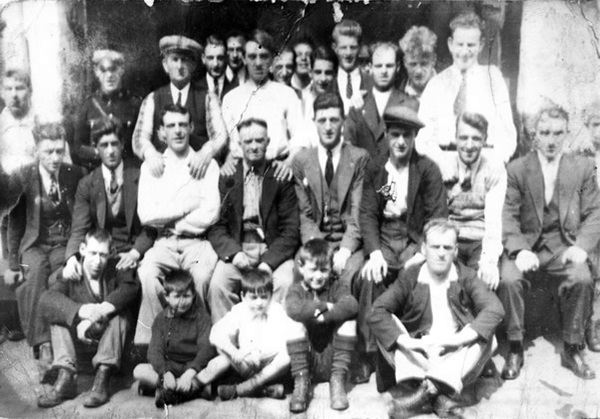
Outside the Blood Tub Back Water Street Portwood.
Centre row left to right Billy PittTaylor Micky PelhamJack HulmeJo Moran owner John MorryBobby RileyLaurie Glen a jockey
2nd row from the back – James Jimmy Rose.
Back row left to right – Charlie Dean An ambulance man Ike Irelands horse dealer – Team from Macclesfield.
Extreme right – Jo Mulrooney.
Front row left to right extreme left – Sidney Smith soft Sidney – a simpleton Jo Hulme.
Copied from a photograph lent by Eddie Pitt
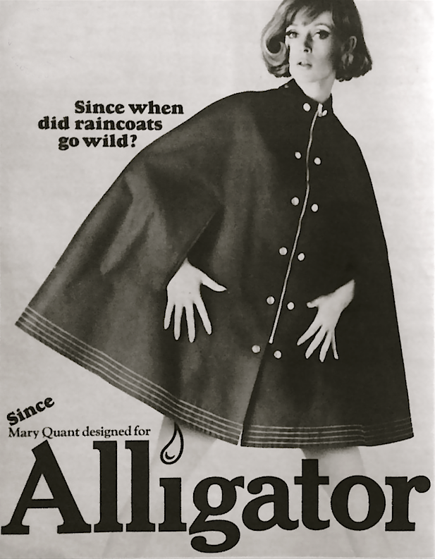
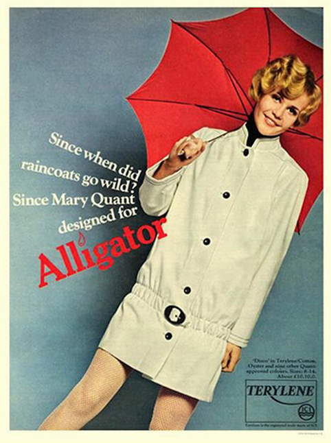
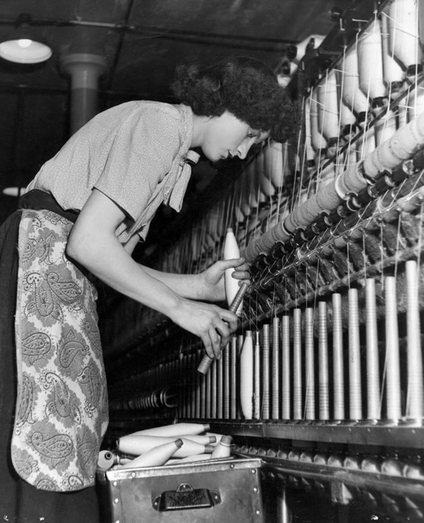
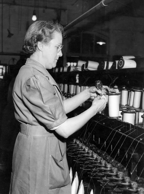
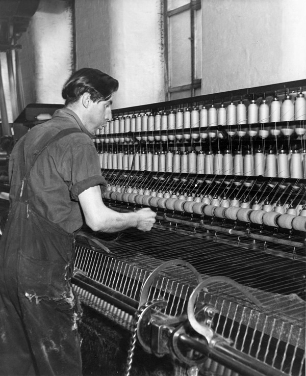
Alligator Rainwear – a British company, whose main factory was based in Beehive Mill. It was best known for its 1960s collaborations with Mary Quant in the design and production of her Wet Look collection of PVC raincoats.
The firm was started after the First World War by Reuben Satinoff, who had previously founded the London Waterproof Company – Silkimac. It was taken over by his sons after the Second World War. For decades, it manufactured traditional weatherproof raincoats in black, brown and beige, but the collaboration with Quant led to new fabrics including PVC and nylon, and a range of bright and vibrant colours.
At its peak in the 1960s and 1970s, Alligator had a turnover of £5 million per year and was exporting its products to Europe and North America. It was later owned by Baker Street Brands who describe it as one of their heritage brands.
Viewed from Tiviot Dale Viaduct
Tiviot Dale station was located on the Cheshire Lines Committee (CLC) operated Stockport, Timperley and Altrincham Junction Railway line from Portwood to Skelton Junction, a section of what became the Woodley to Glazebrook line. It was situated at the bottom of Lancashire Hill, next to the present motorway bridge. It was opened on 1 December 1865 and was originally known as Stockport Teviot Dale. From 1880, Tiviot Dale was also served by long-distance trains running on the Manchester South District Railway to London St Pancras.
Tiviot Dale remained a part of the CLC, which was jointly owned from 1923 by the London and North Eastern Railway and the London Midland and Scottish Railway, until 1948 when it became part of the British Railways London Midland Region.
The lines through the station remained in heavy use by coal trains heading for Fiddlers Ferry power station near Warrington from the Woodhead Line. These, however, ceased in 1980 when damage was caused to the nearby Tiviot Dale tunnel during construction work on the M63 motorway – now M60 motorway and the line temporarily closed for safety reasons. The closure was made permanent west of Bredbury’s stone terminal in 1982, following the demise of the Woodhead route; the track was subsequently lifted in 1986 and the tunnel partially filled in. The area surrounding the station was further altered at the beginning of the 21st century to allow the construction of a supermarket and office buildings, which now block the old trackbed.
Portwood Railway Station was on the Stockport and Woodley Junction Railway – later becoming part of Cheshire Lines Committee – Glazebrook to Woodley line. According to Bolger it opened to passengers on 12 January 1863, along with the rest of the Stockport and Woodley Junction Railway, although Butt suggests it opened on 1 December 1865 when the Stockport, Timperley and Altrincham Junction Railway opened.
The station opened for goods traffic in 1865, closing to passengers on 1 September 1875, when it became a goods station. It remained in use until 25 April 1966 when it closed except for coal traffic which continued until 27 March 1972 when it closed entirely except for a private siding.
Today no trace of the station remains, the site being buried under a slip road of the M60 motorway.
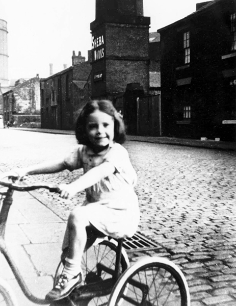
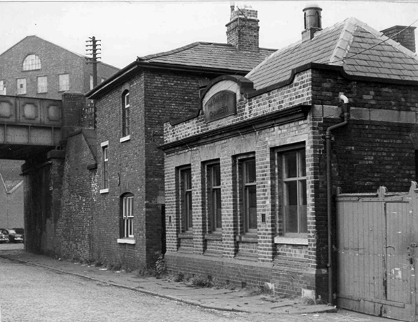
Monica Clarke on her tricycle in Marsland Street, behind her across the cobbled street is the Sheba Works – 1951.
Marsland Street east, showing the Haymarket Chambers – 1967
The front of Haymarket Chambers Marsland Street.
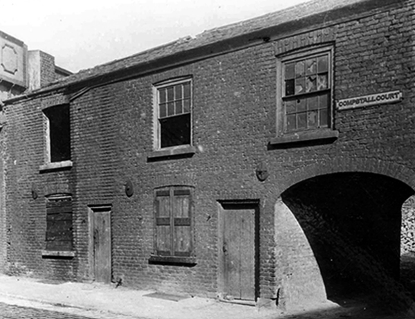
Boarded up dwellings on Compstall Court, off Marsland Street.
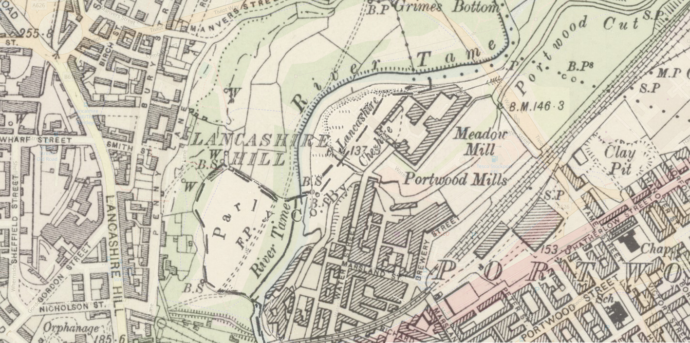
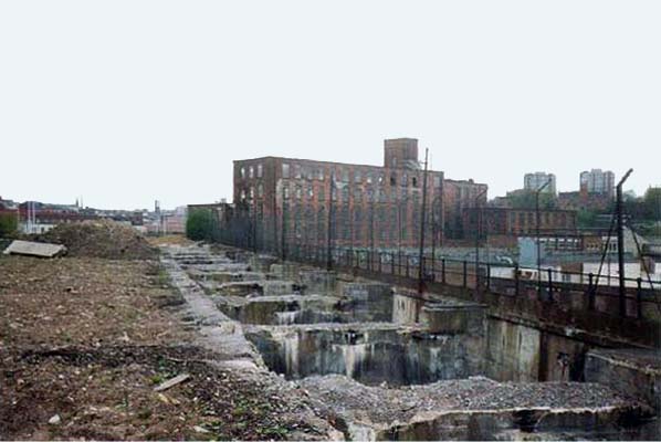
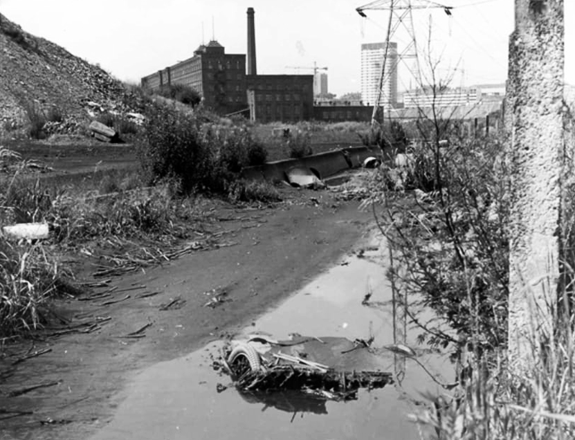
Portwood Cut 1968
James Harrison bought the manor of Brinnington in the early 1780’s – by 1790 Harrison had three factories in Portwood and others were to follow. In 1796, to provide sufficient water-power to this industrial zone he constructed a substancial millrace. Known as the Portwood Cut, it carried water across the Tame, between his Reddish and Brinnington estates. Harrison also planned the construction of factories at Wood Hall but that particular scheme was abandoned after his death in 1806.
Harrison’s Weir still survives on the river. To the south sections of the Portwood Cut also survive within Reddish Vale Country Park, both as a shallow depression and as water-filled, if somewhat silted and overgrown channel.
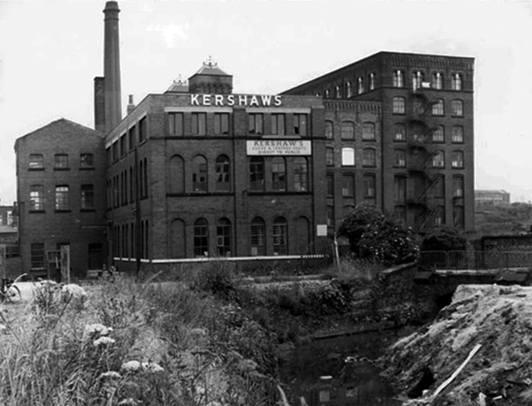
Kershaws is one of the only original businesses which still trades in the area.
Established back in 1855 by Joshua Kershaw, the company has gone from strength to strength.
Way back then, it was just a tannery. Today, seven generations on, Edward Kershaw heads a company that is known and respected for it’s quality leather in Europe, America and the Far East.
Kershaws also provide white leather for masonics and bagpipes.
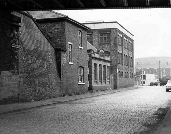
Brewery Street – a view of the steps leading to the railway footpath to Tame Street – 1967.
The mill in the foreground is the Portwood Spinning Mill now called Portwood Mill – on the front of the mill it states Sir Richard Arkwright Portwood Mill.
Employees – Portwood Spinning Company
Coal drops and yard at the rear of the Beehive Spinning Mill
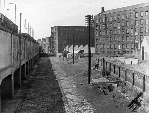
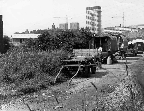
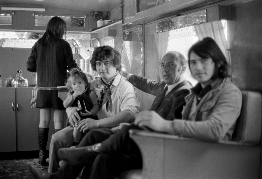
Tame Street gave motorized access to the Cut and here the caravans of travelling folk were parked several times a year, usually until the police ‘moved them on’. The men collected and sold scrap metal, the women sold clothes pegs and told fortunes from door to door. Many of the local people treated them with suspicion and some local pubs would not admit them.
Building work on Lancashire Hill can be seen in the background – 1968
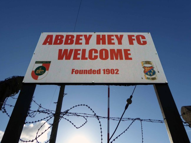
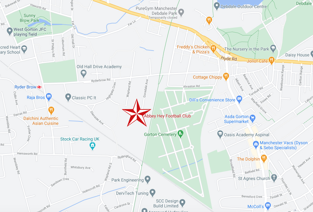
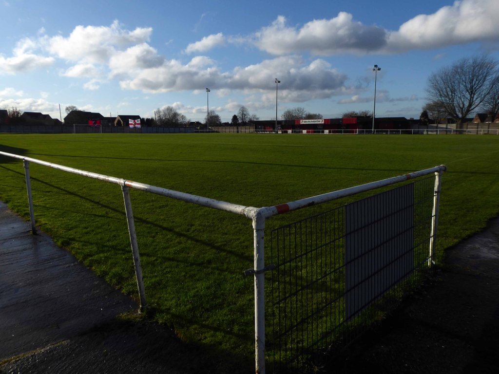
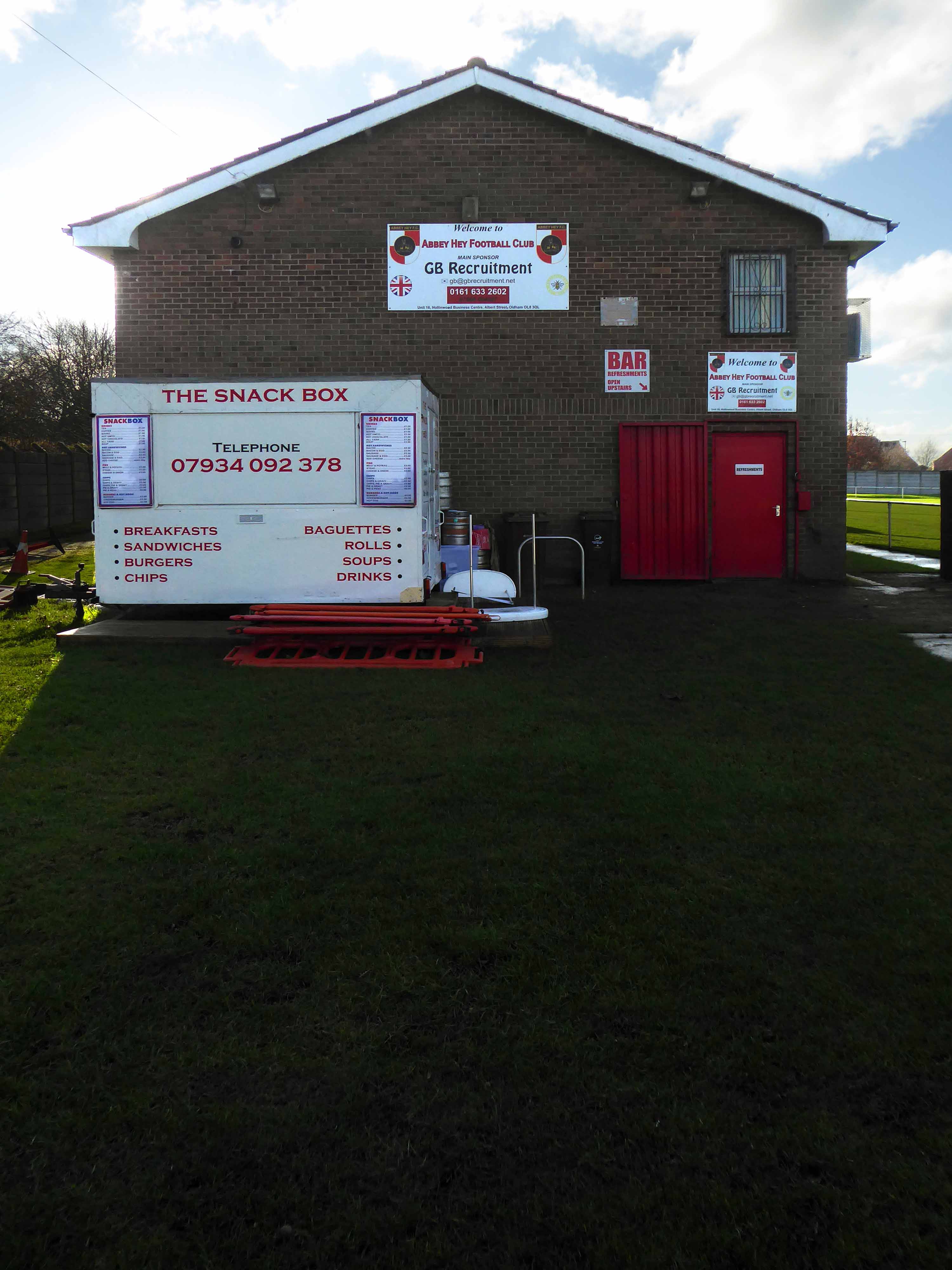
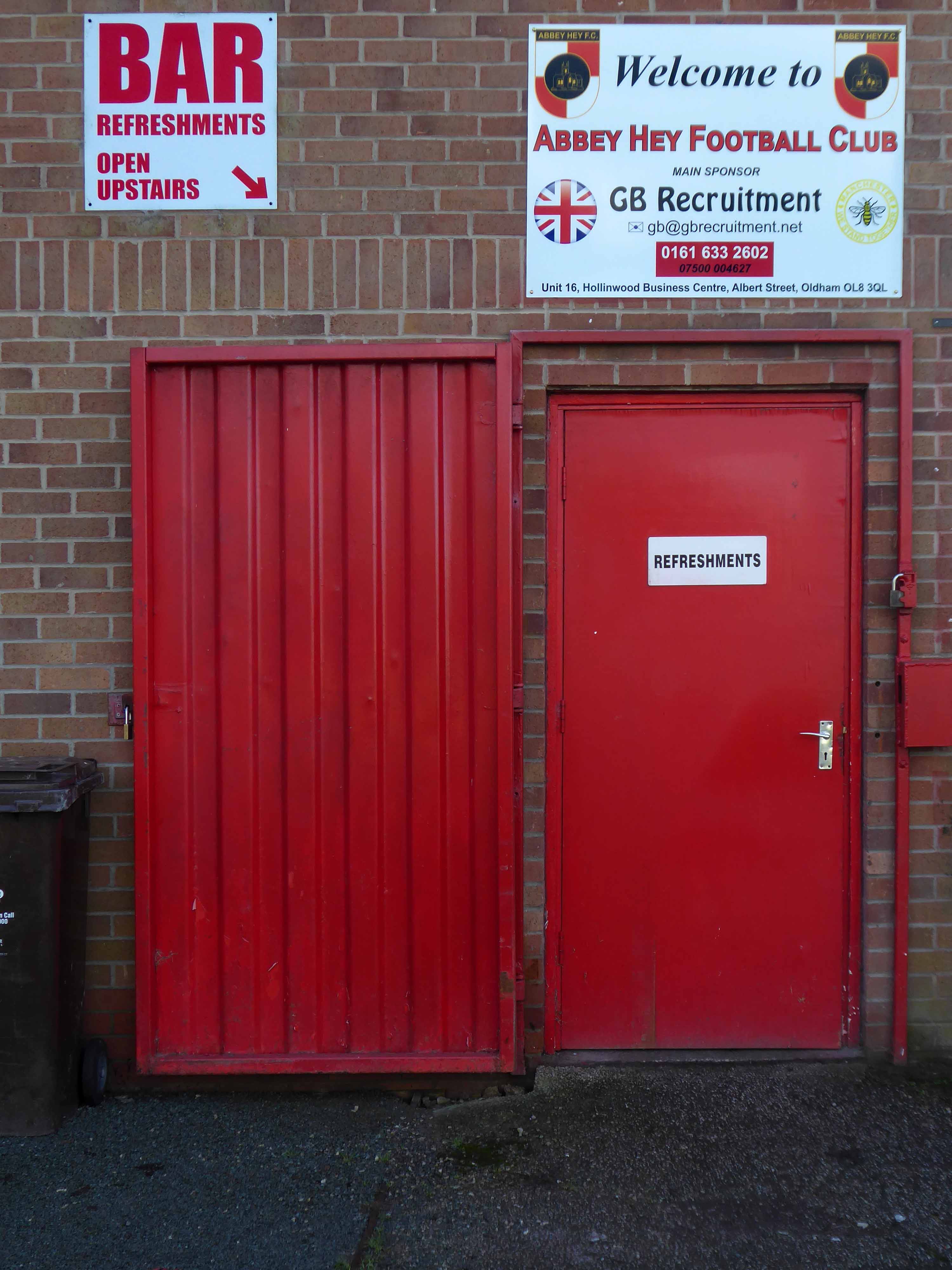
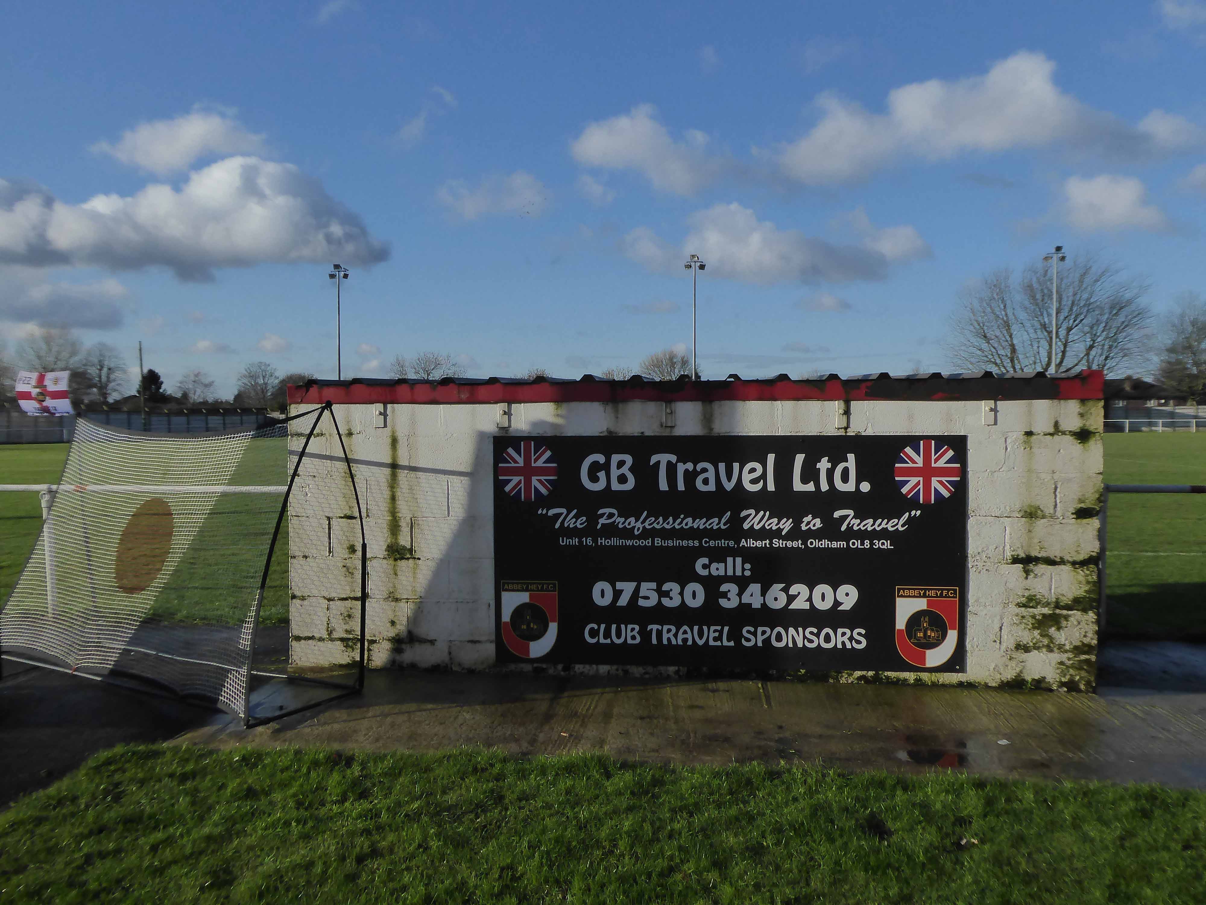
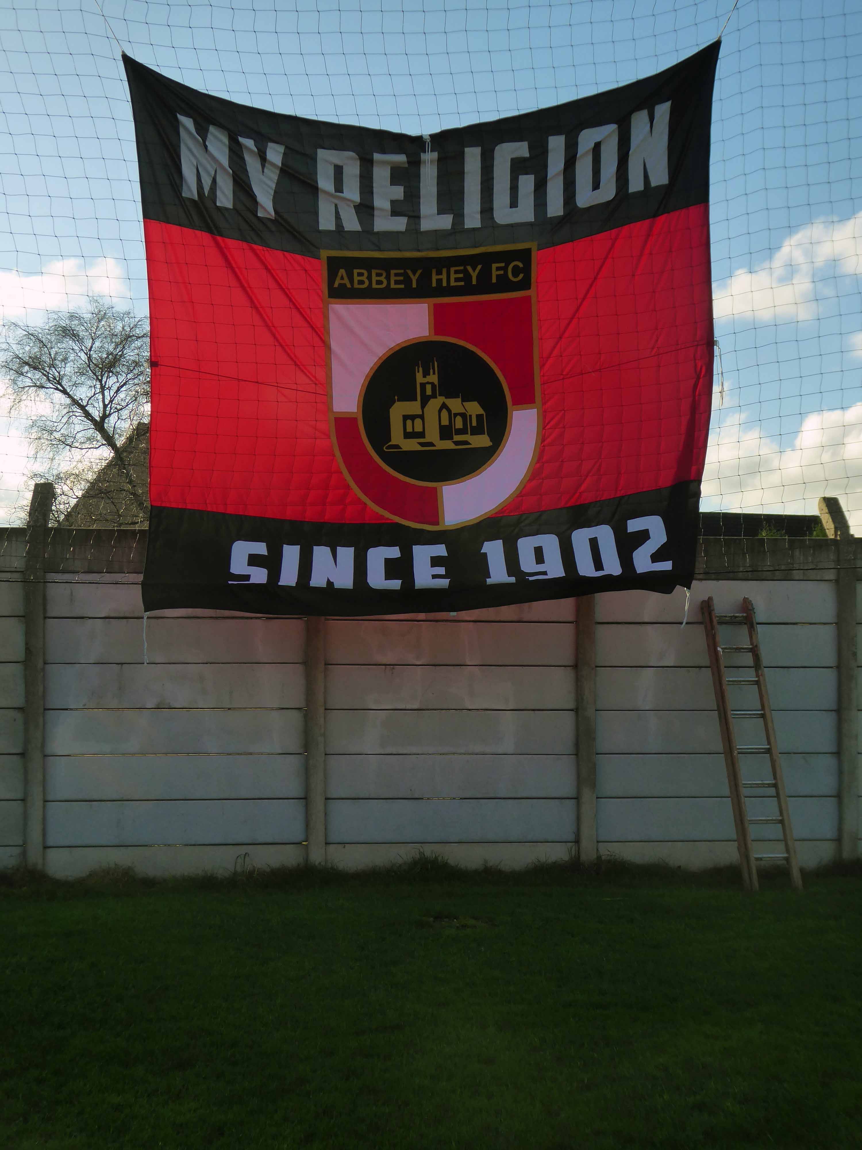
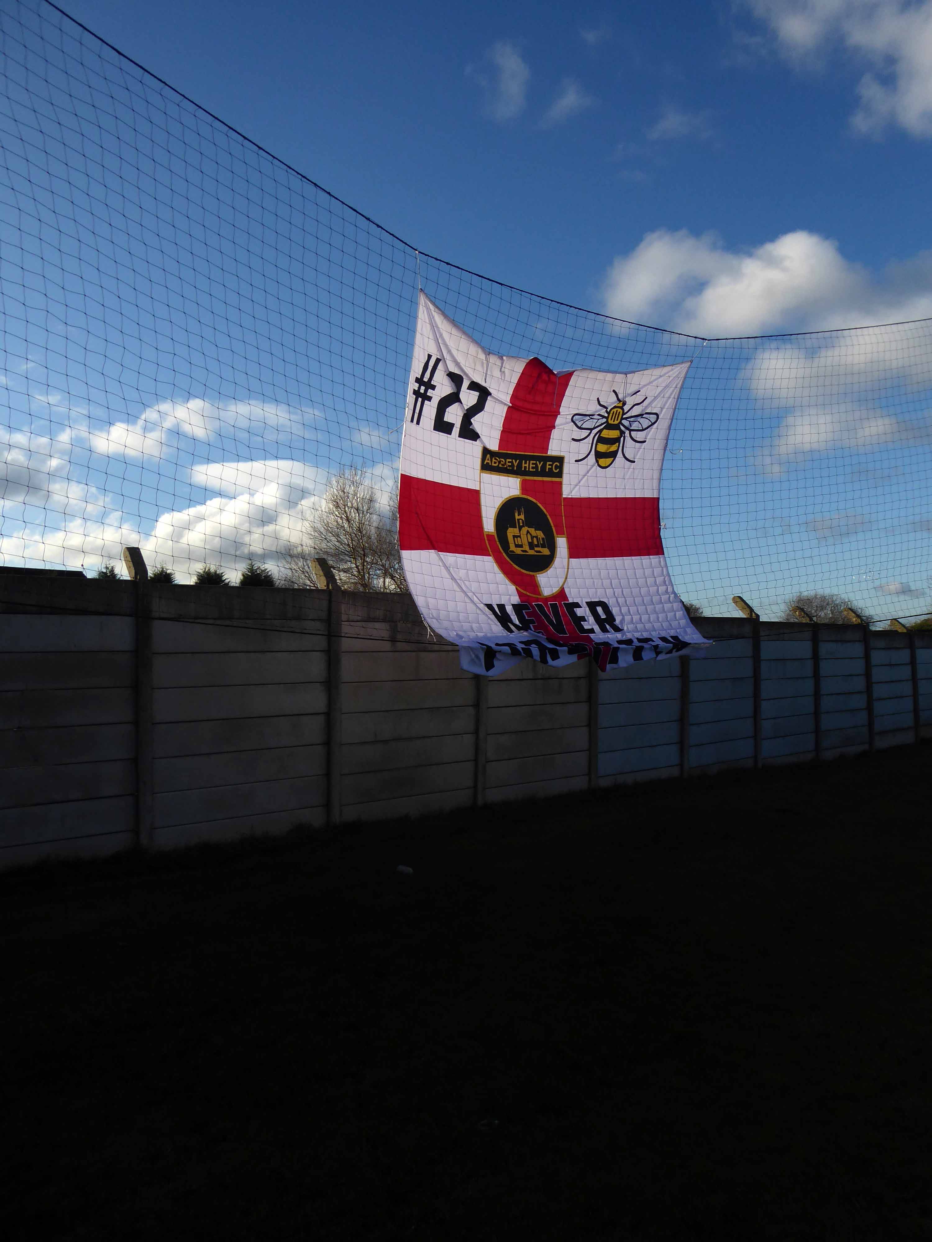
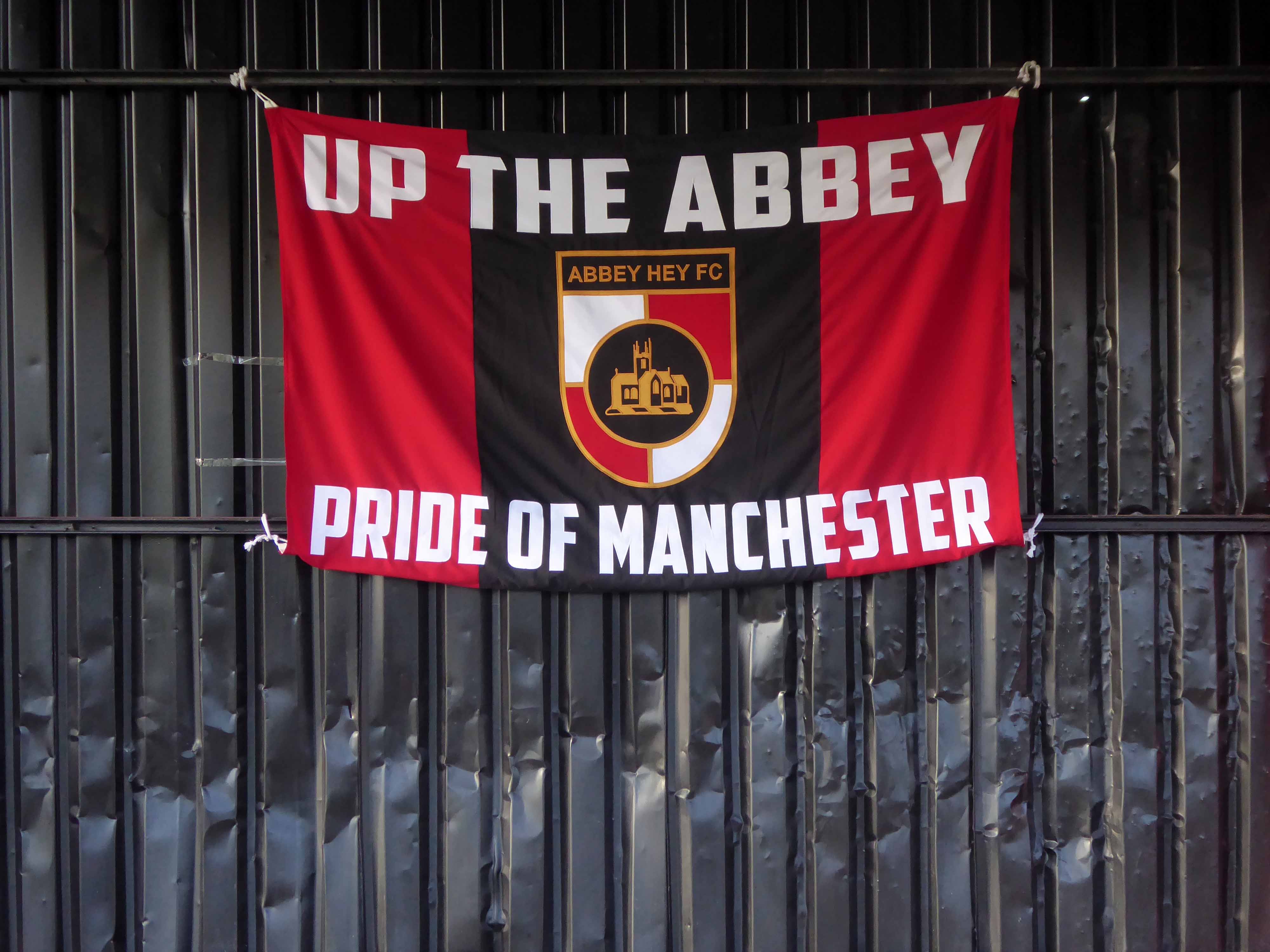
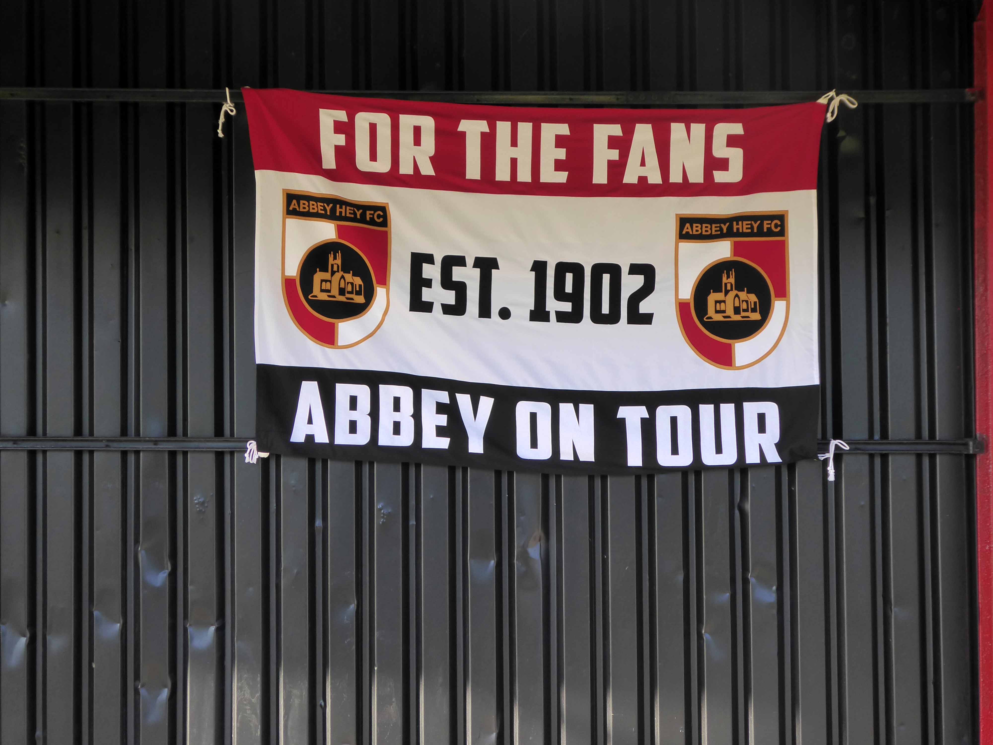
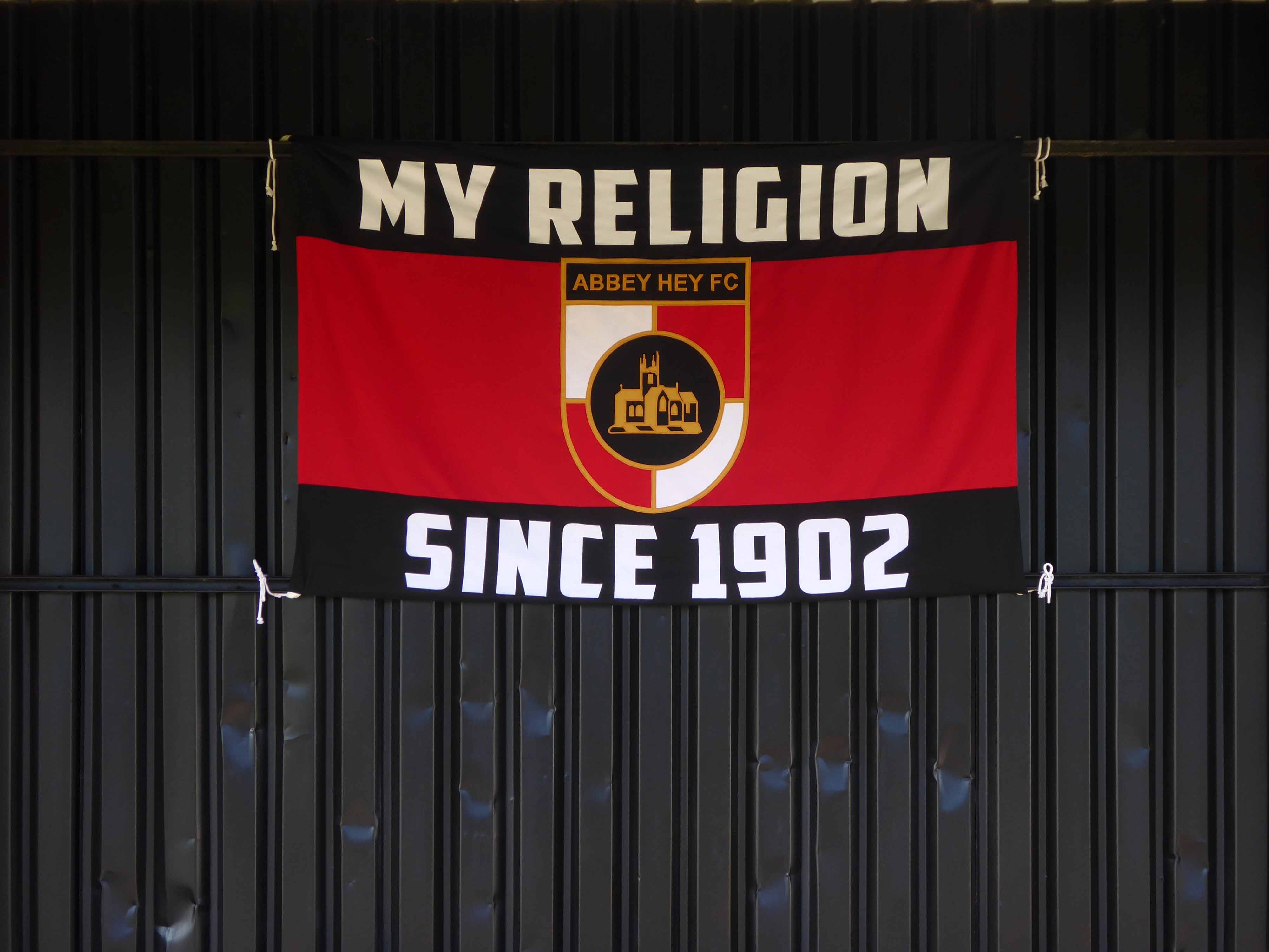
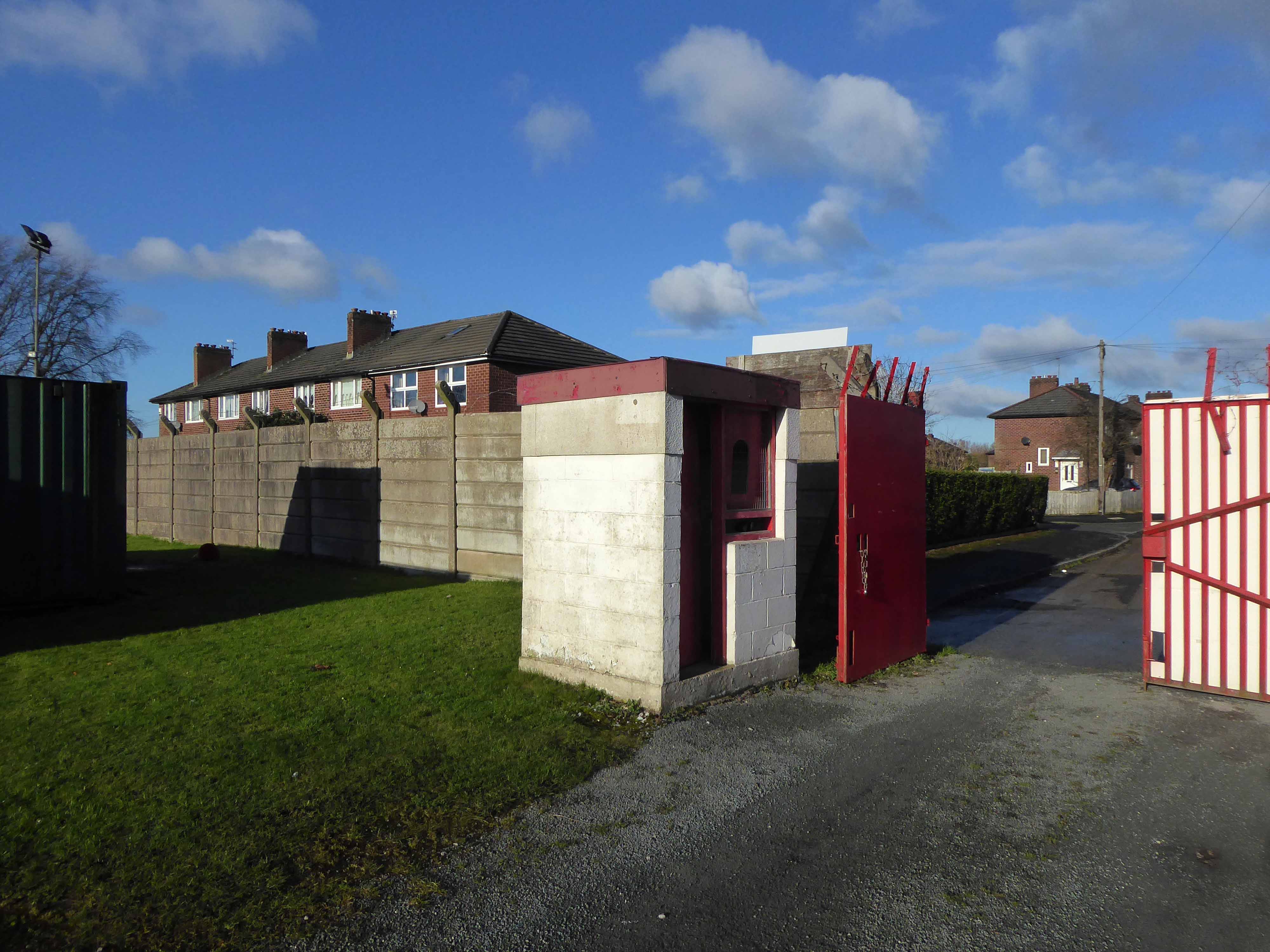
Abbey Stadium Goredale Avenue Gorton Manchester M18 7HD.
Abbey Hey FC was formed in 1902 in the Abbey Hey district of Gorton, some three miles away from the centre of Manchester. During their formative years and through the two World Wars, the club was disbanded and reformed on a number of occasions. Starting in the Church Sunday Leagues, they progressed through the Manchester Amateur Leagues during the intervening years but the club really came into it’s own in the 1960s after it took in the players of the Admiralty Gunning Engineering Department following it’s closure.
In 1978 with the club decided to apply for a position in the Manchester League, this meant that the club had to find an enclosed ground suitable for playing their home games. The nearest ground available at the time was in Chorlton at Werburghs Road.
In 1984 the club at last had their own home,improvements to the ground could only have been achieved by the hard work and dedication of the committee, who not only raised the money to carry out the improvements but also carried out 90% of the work themselves.
Promotion to the 1st Division meant that the club had to install floodlights. True to form, they designed, ordered, erected and wired them within a couple of months. The biggest job during the ground improvements was the building of the new clubhouse and dressing rooms. Planning permission was given with the majority of work once again being carried out by the club’s own members.
This is a story of persistence and commitment from members, managers and players – keeping a viable non-league football team alive at the centre of a Community.
I have cycled by here for years, along the Fallowfield Loop – and worked down here in the Seventies when the rail link was still extant.
Photo – Neil Ferguson-Lee via Robert Todd and Levy Boy.
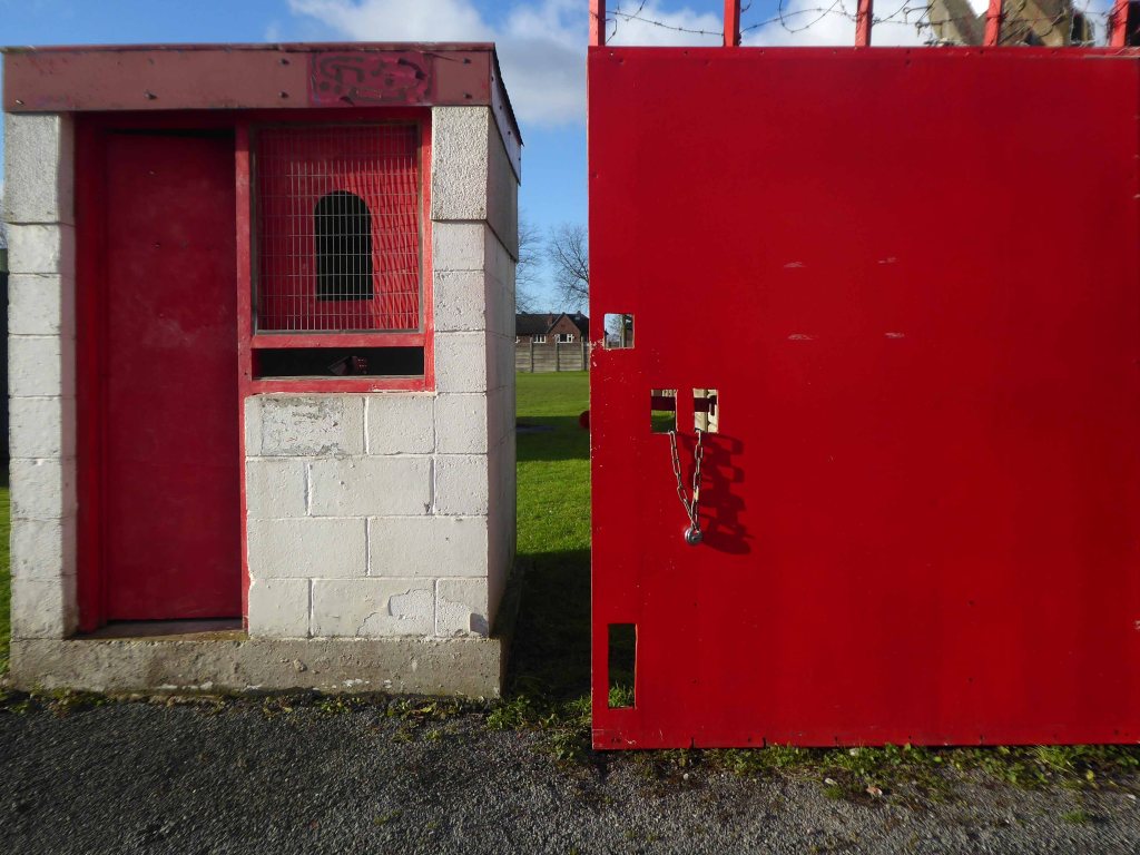
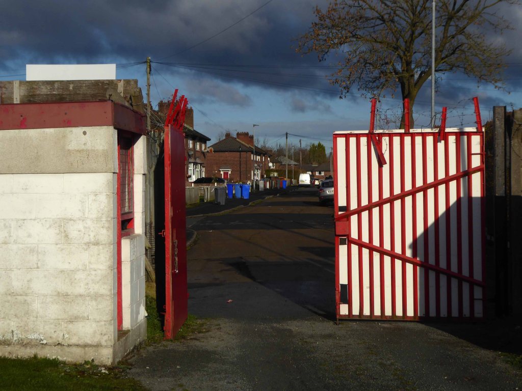
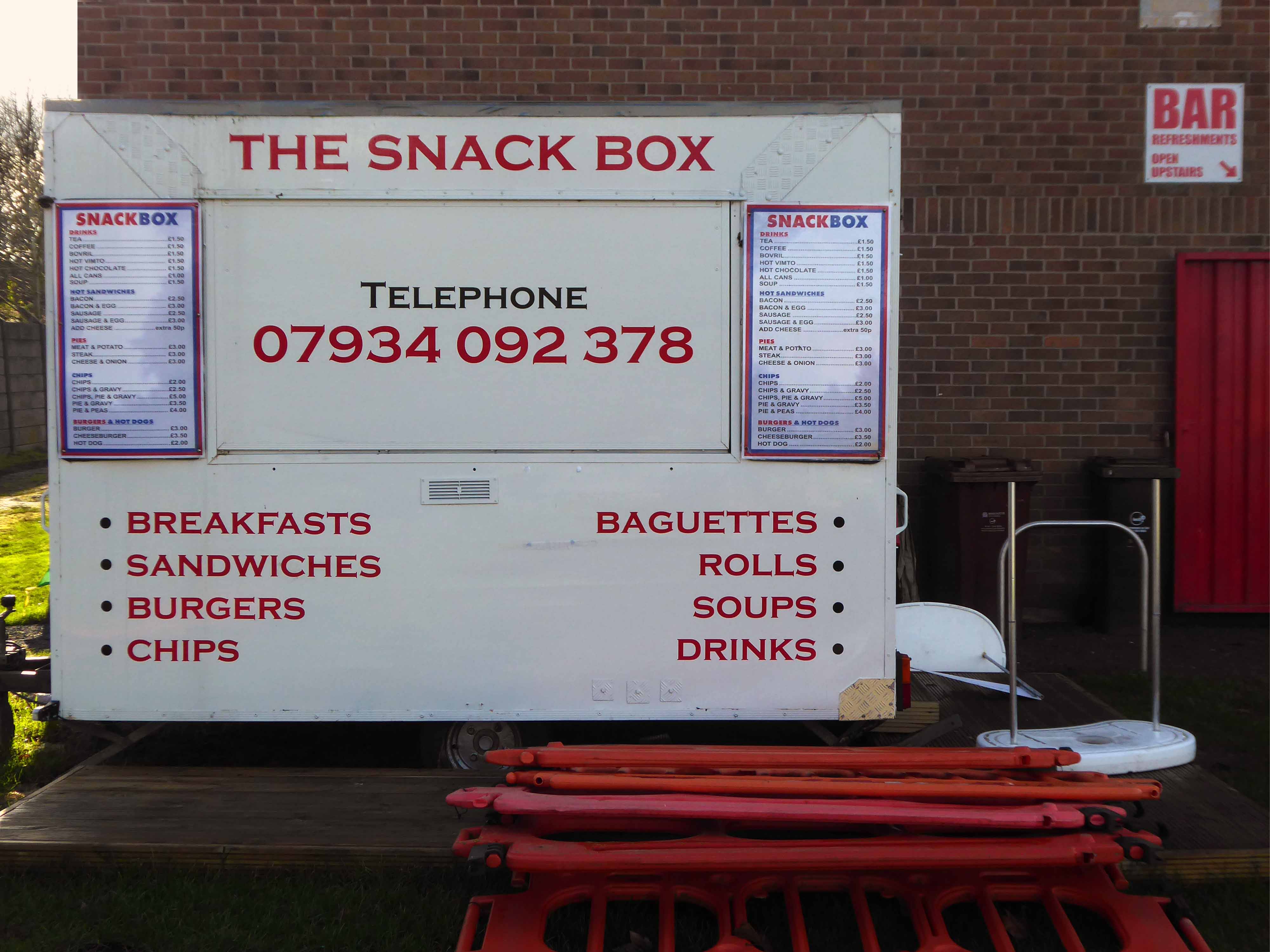
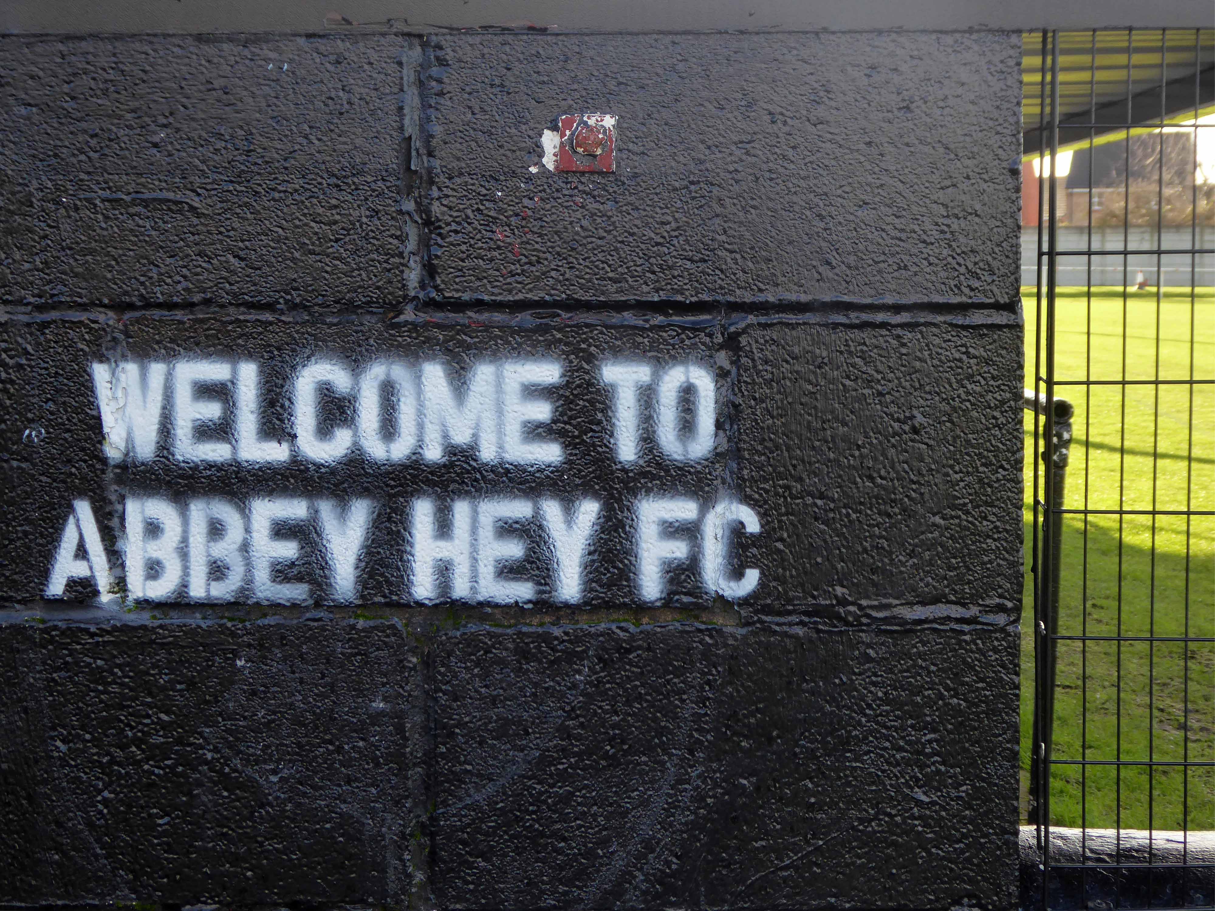
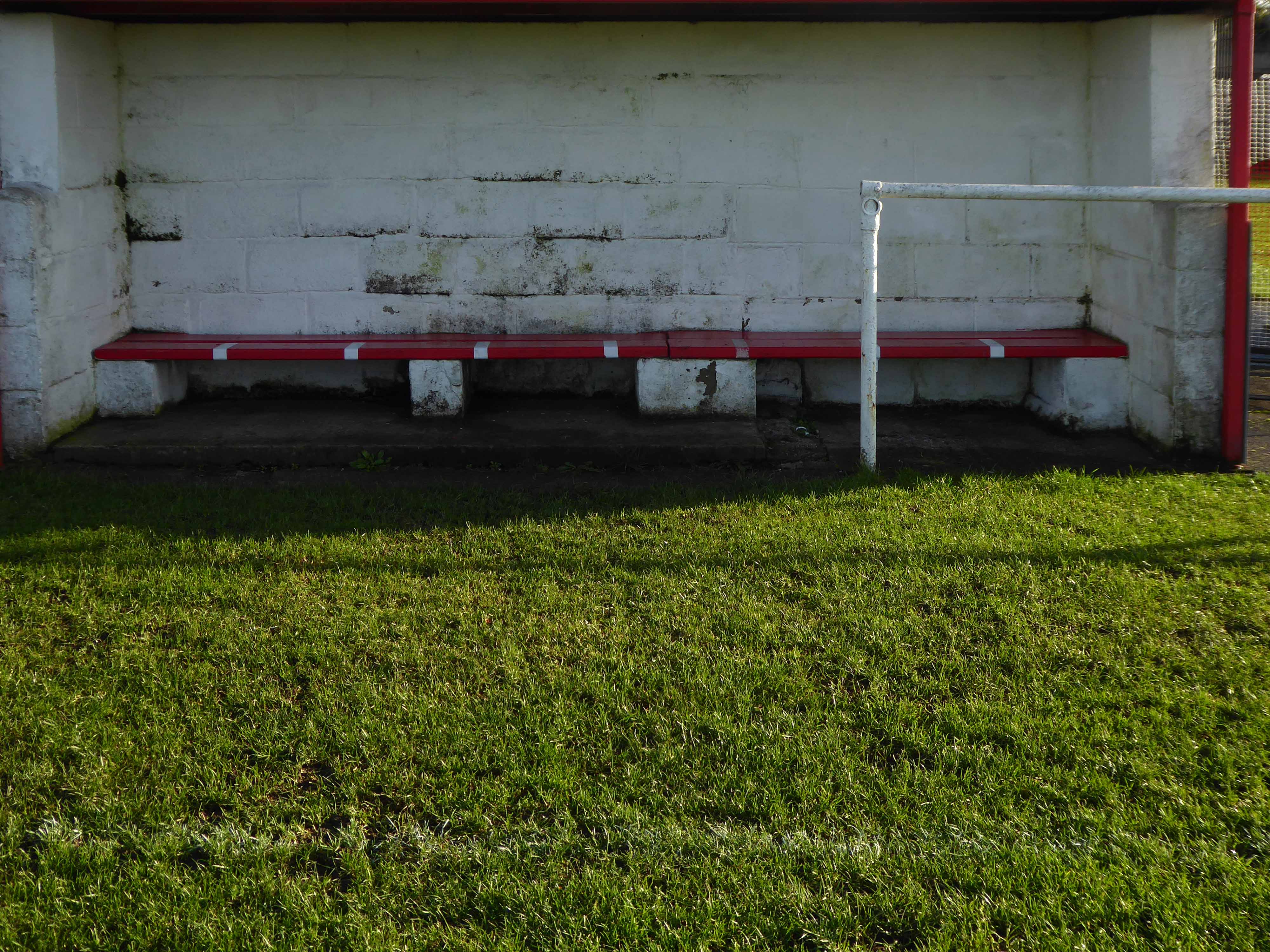
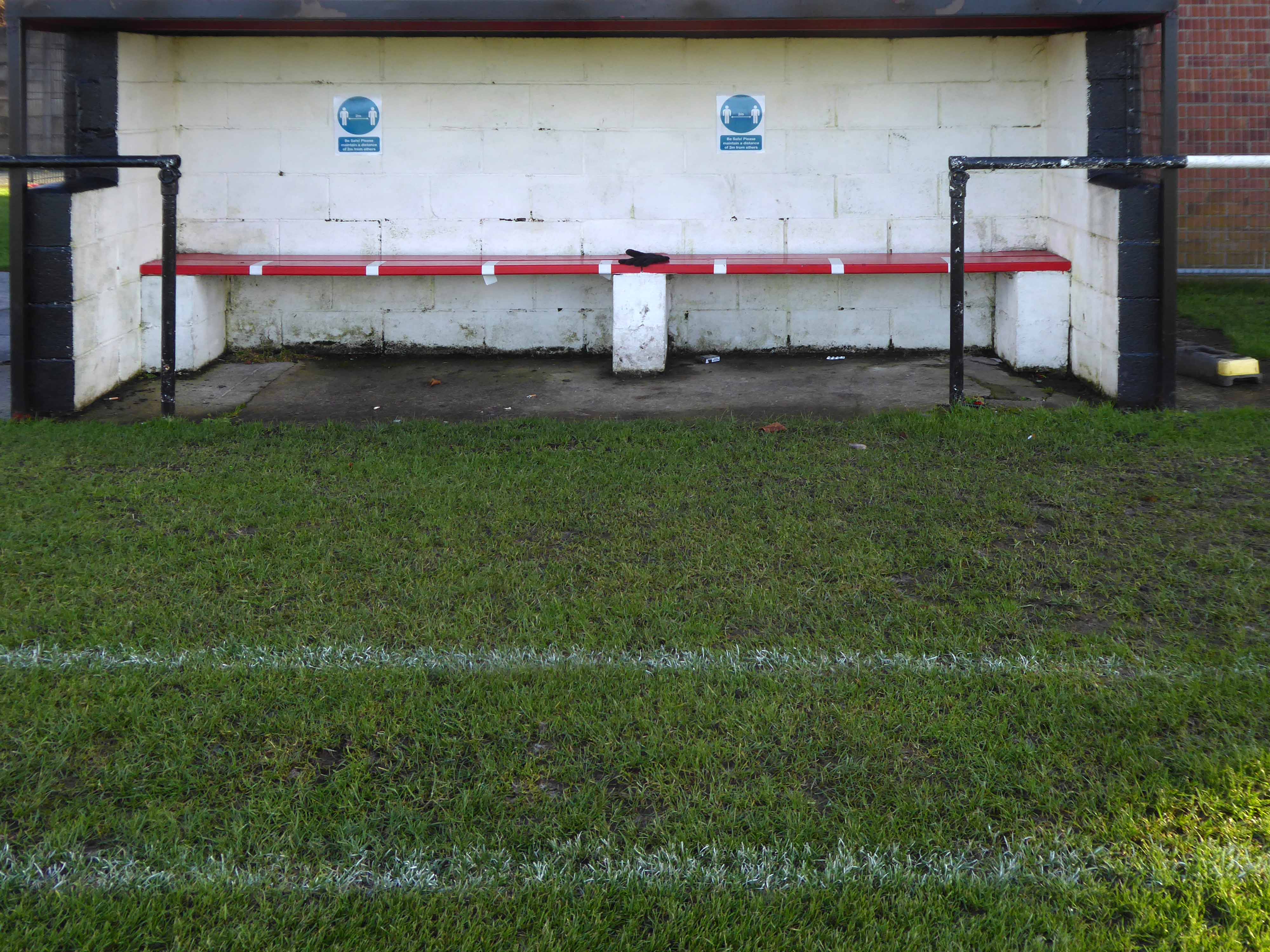
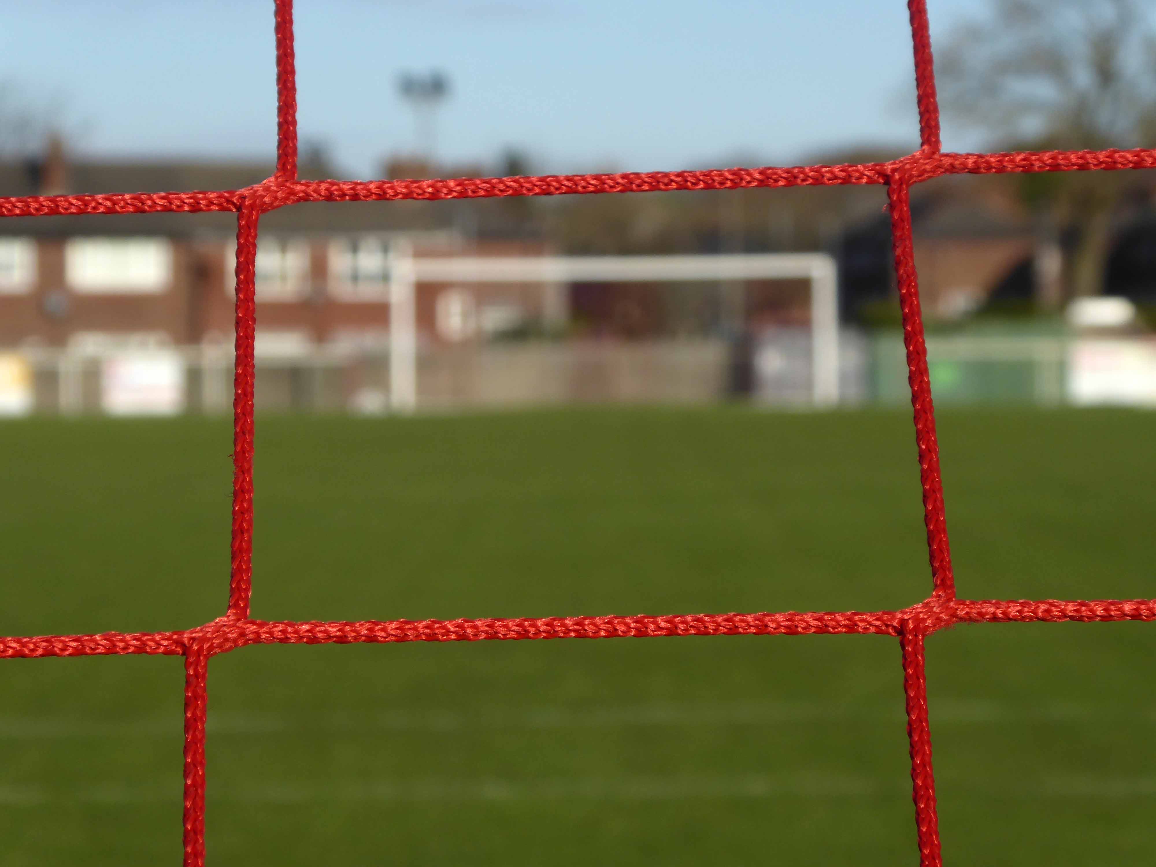
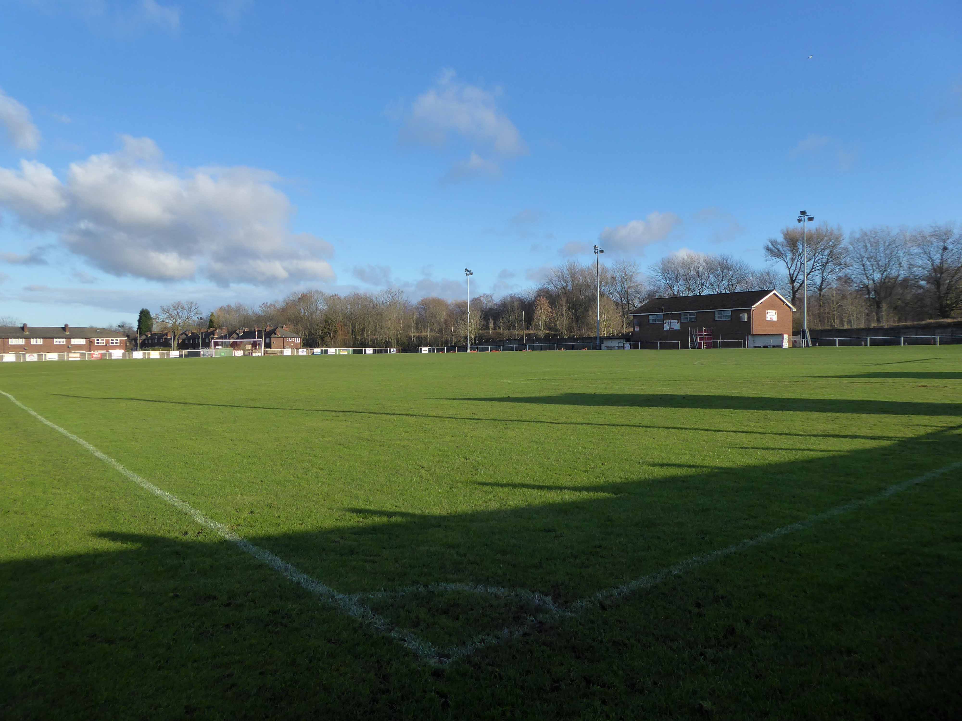
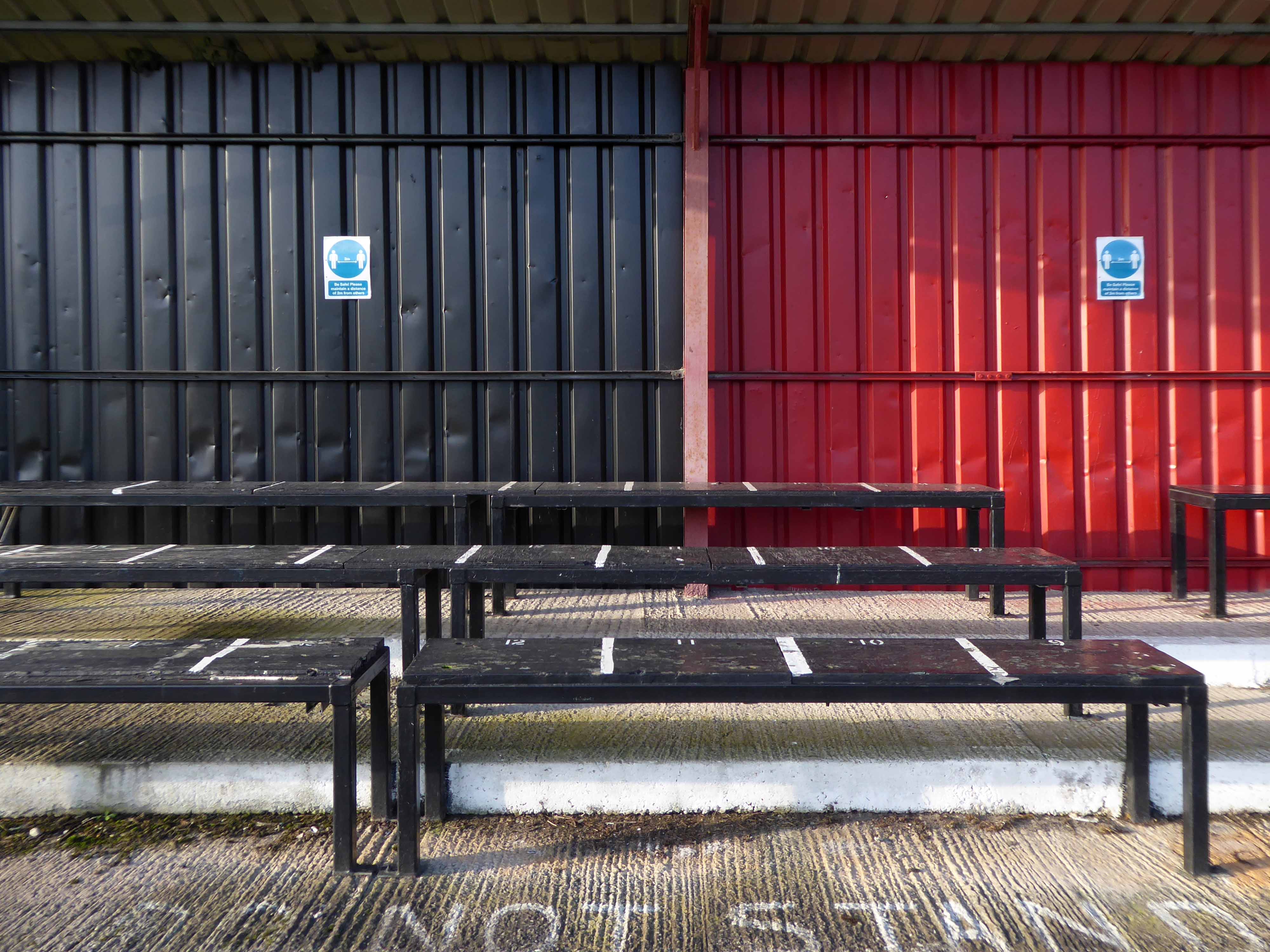
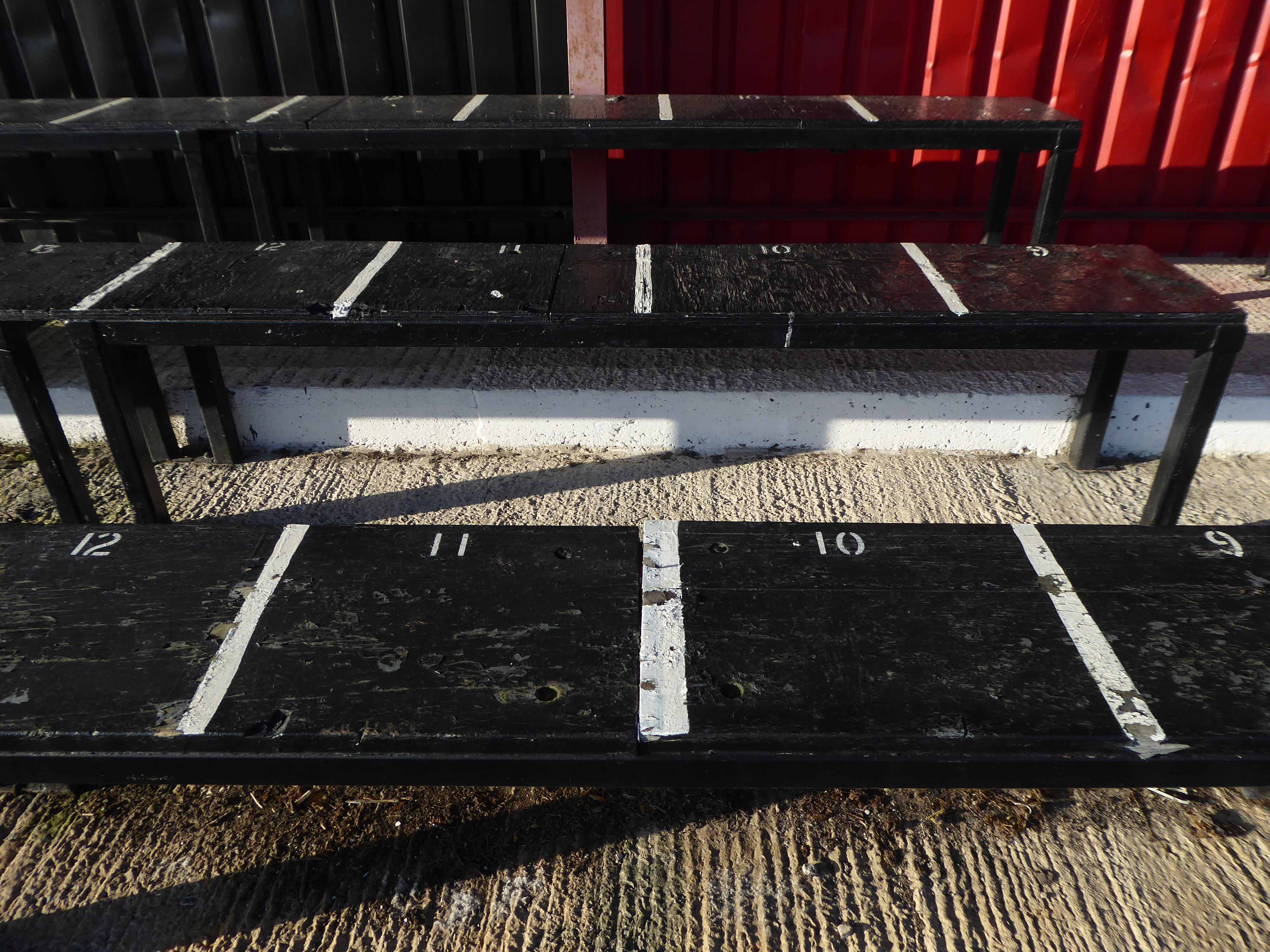
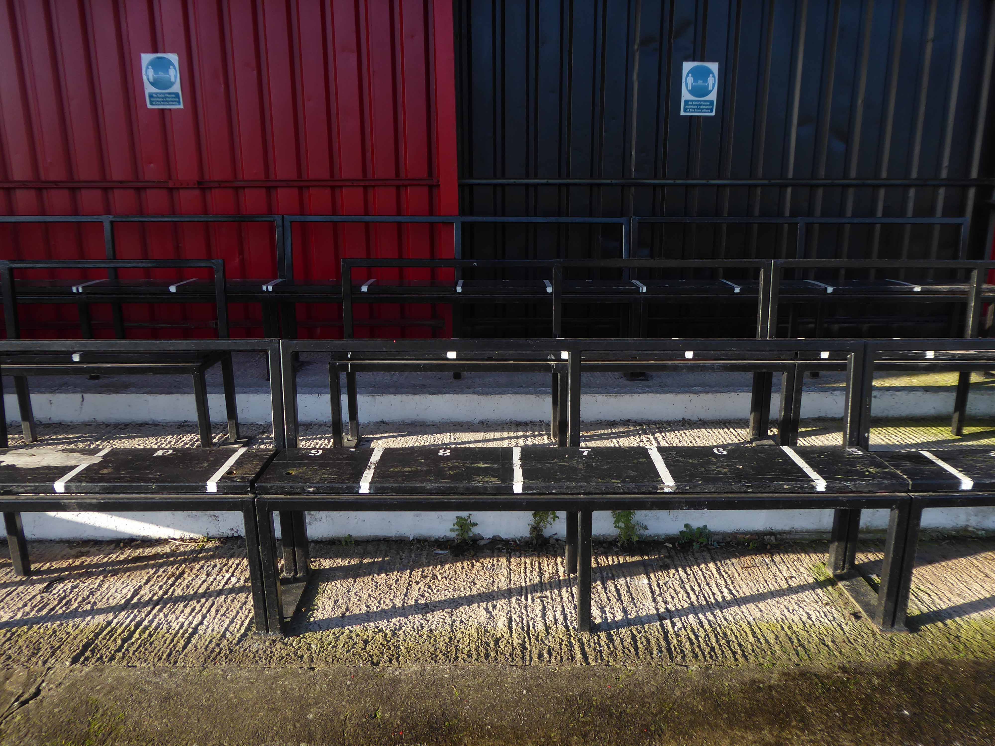
So today seeing the gates open, I decided to take a look around the ground – many thanks to groundsman Simon for taking the time to stop and chat.
Everything is spick and span, the playing surface in excellent nick, and all the stands seat and fences standing smartly to attention, having had a fresh coat of paint.
So let’s take a look around:
I’ll be back to watch a match, just as soon as the rules and regulations allow!
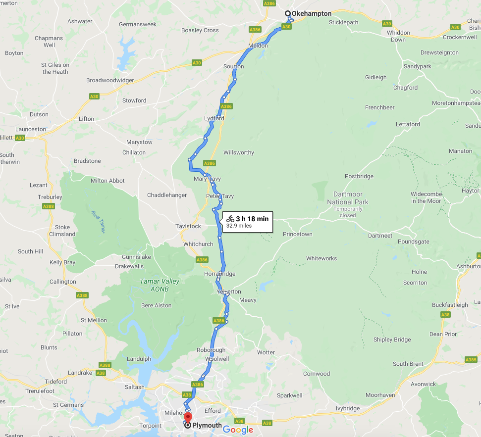
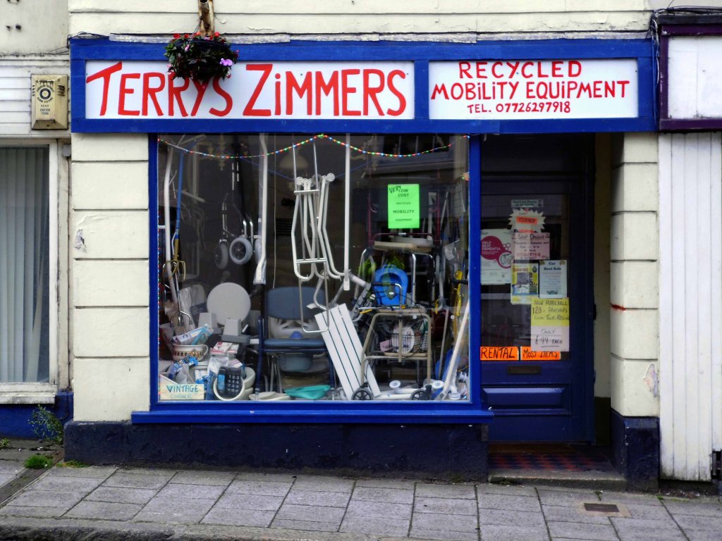
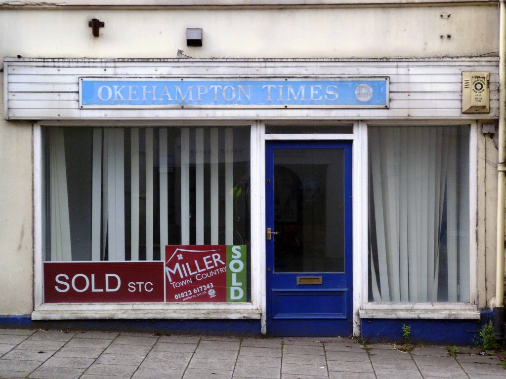
Tuesday 28th July 2015 waking up early on the outskirts of Okehampton – I went next door to explore – the Wash and Go.
I went back to Okehampton.
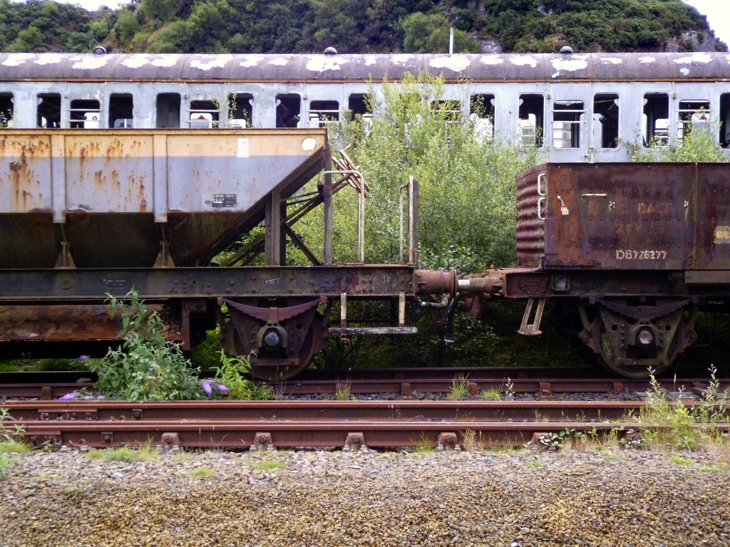
Headed out of town along the old railway line to Plymouth – where rests the solemn remains of previous railway activity and Meldon Quarry.
It’s believed that the first quarrying began around the late 1700s when the local limestone was extracted. Over the years this gradually gave over to aggregate quarrying and apelite quarrying until it final closure. The original owners of the quarry were the London and South Western Railway and then came Britsh Rail and finally EEC Aggregates.
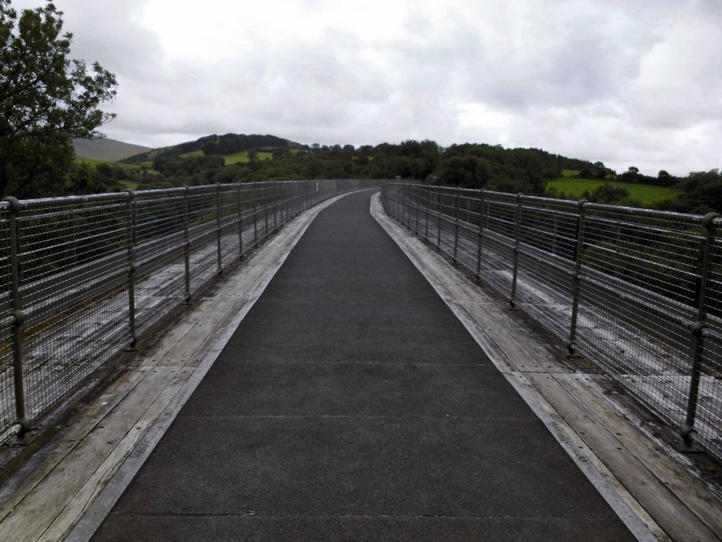
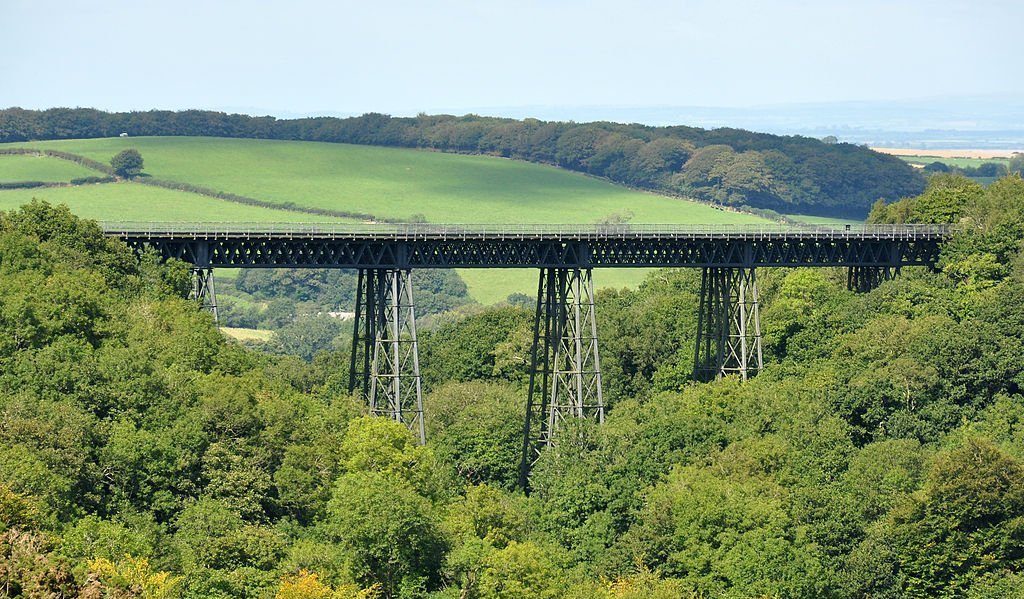
Crossing Meldon Viaduct.
Meldon Viaduct carried the London and South Western Railway across the West Okement River at Meldon on Dartmoor. The truss bridge, which was constructed from wrought iron and cast iron not stone or brick arches, was built under the direction of the LSWR’s chief engineer, WR Galbraith. After taking three years to build, the dual-tracked bridge opened to rail traffic in 1874. Usage was limited to certain classes of locomotive because the viaduct had an axle load limit. Although regular services were withdrawn in 1968, the bridge was used for shunting by a local quarry. In the 1990s the remaining single line was removed after the viaduct was deemed to be too weak to carry rail traffic.
The crossing is now used by The Granite Way, a long-distance cycle track across Dartmoor. The viaduct, which is a Scheduled Monument, is now one of only two such surviving railway bridges in the United Kingdom that uses wrought iron lattice piers to support the cast iron trusses – the other is Bennerley Viaduct between Nottinghamshire and Derbyshire.
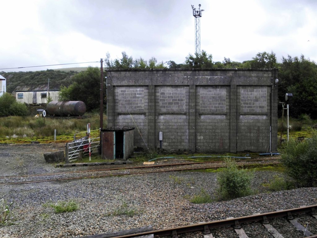
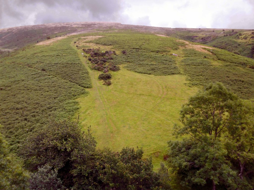
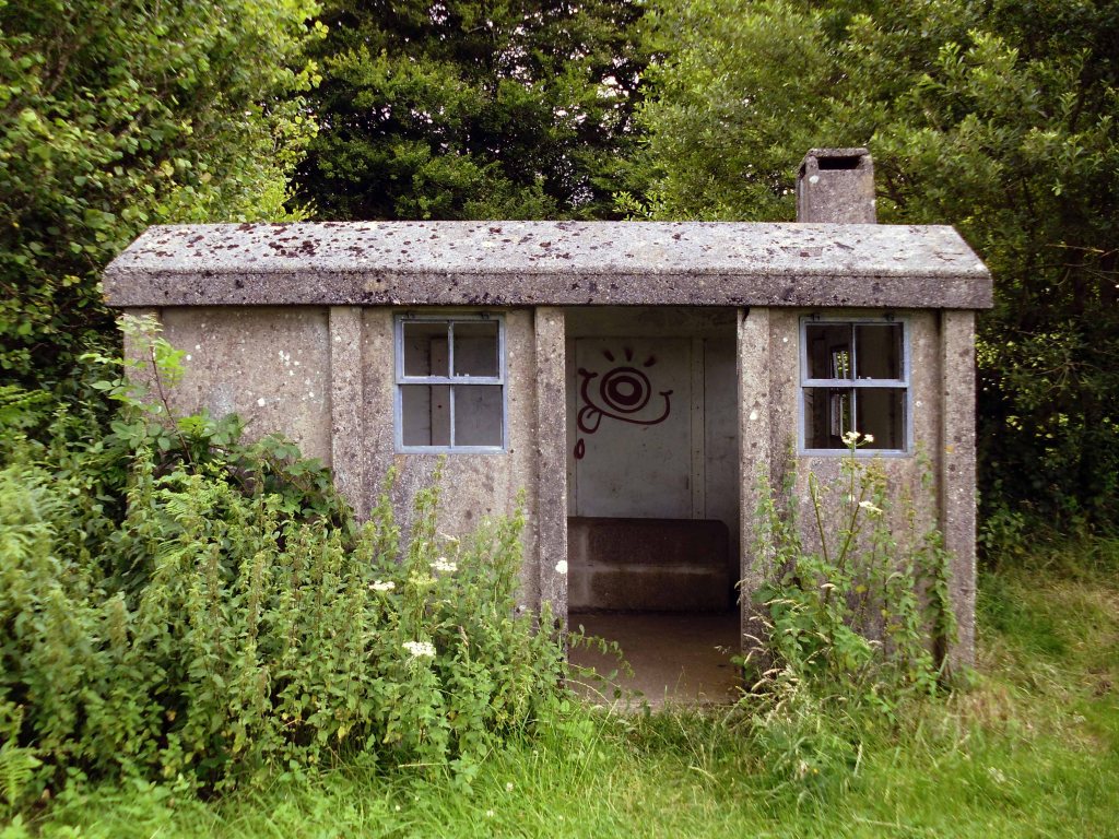
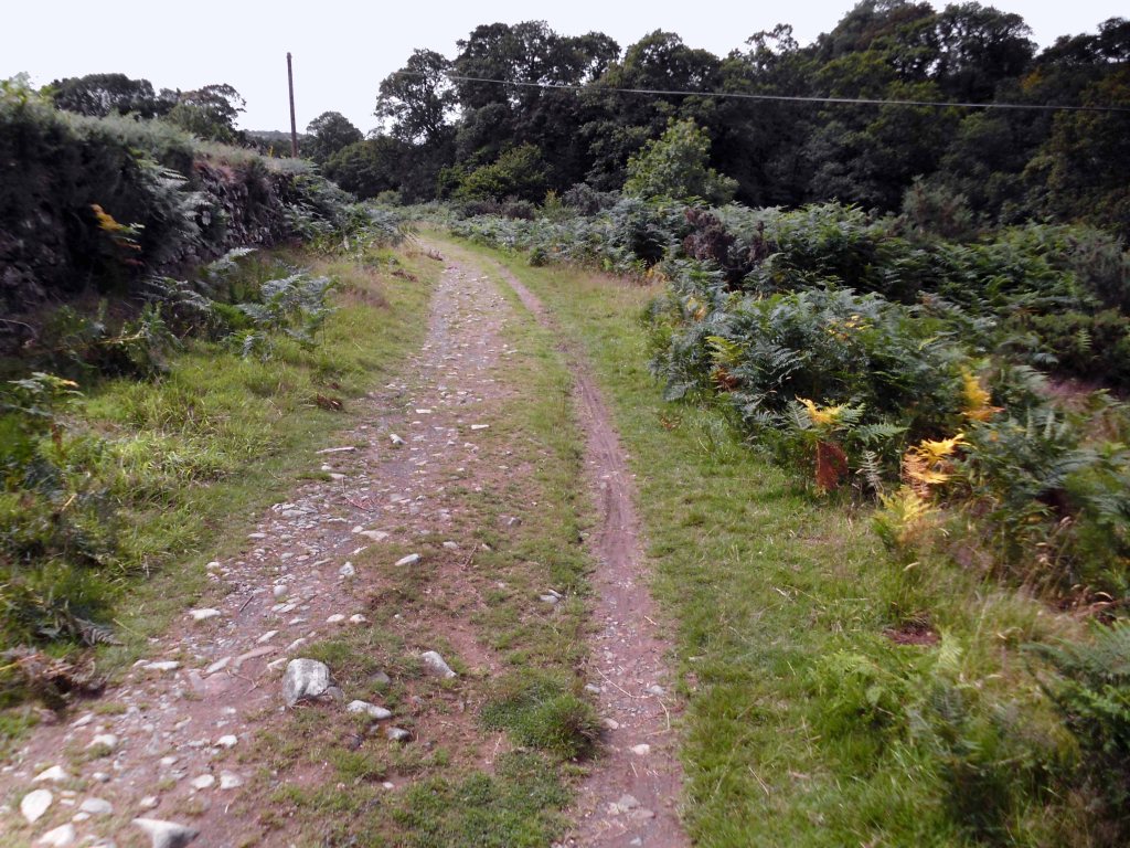
On an old railway line with prefabricated concrete railway huts.
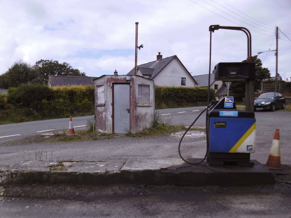
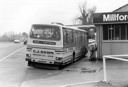
And a bus stop at Mary Tavy a village with a population of around 600, located four miles north of Tavistock.
And a population of one delightful litter bin.
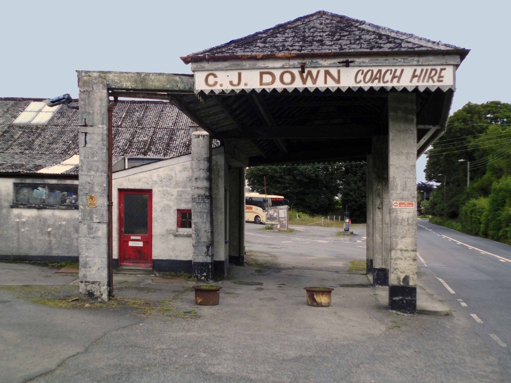
And CJ Down Coach Hire – the pride of Dartmoor.
Don’t the road look rough and rocky, will the sea look wide and deep?
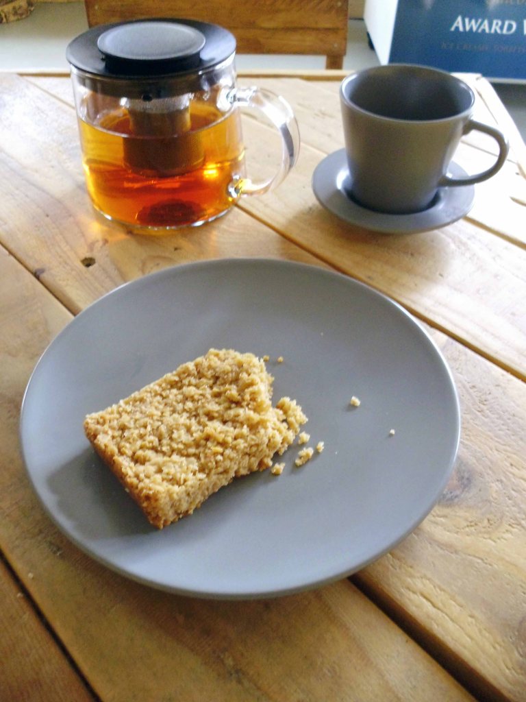
Time for a timely tea and flapjack stop.
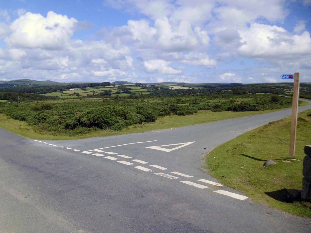
So far so good the nicest weather of the tour, shortest yet most amenable distance through moorland, upland and downland – with a final traffic free descent into Plymouth.
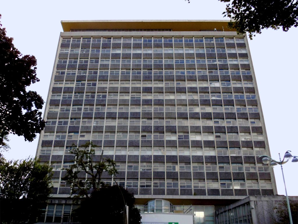
Back in the land of the tower block.
Chichester House Citadel Road The Hoe Plymouth PL1 3BA
Architects– Percy Bartlett and William Henry Watkins
Built on the site of the Andrews New Picture Palace, which had opened in 1910, and was demolished in 1930. The Gaumont Palace was opened on 16th November 1931 with Jack Hulbert in “The Ghost Train” and Sydney Howard in “Almost a Divorce”.
The imposing brick building has a white stone tower feature in the central section above the entrance. Seating inside the auditorium was provided for 1,462 in the stalls and 790 in the circle.
It was re-named Gaumont in 1937 currently closed and at risk.
The post war redevelopment of Plymouth produced this sizable Portland Stone Shopping Centre.
‘A Plan for Plymouth’ was a report prepared for the City Council by James Paton Watson, City Engineer and Surveyor, and Patrick Abercrombie, Consultant Architect, published in 1943.
Planning is not merely the plotting of the streets of a town; its fundamental essence is the conscious co-relation of the various uses of the land to the best advantage of all inhabitants. Good planning therefore, presupposes a knowledge and understanding of the people, their relationship to their work, their play, and to each other, so that in the shaping of the urban pattern, the uses to which the land is put are so arranged as to secure an efficient, well- balanced and harmonious whole.
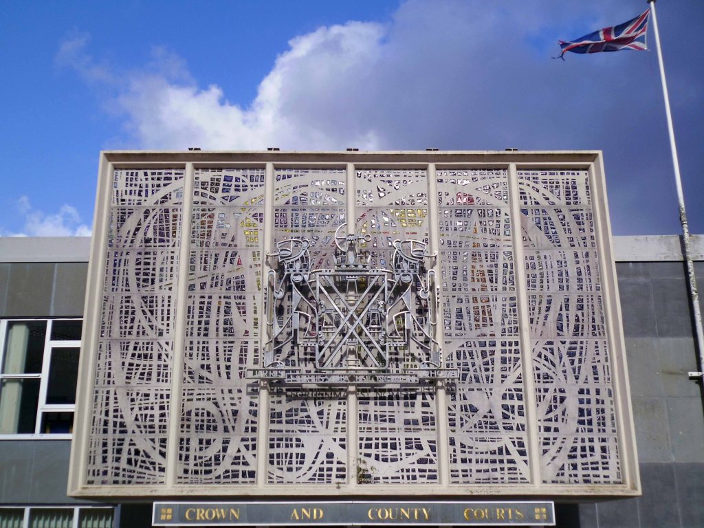
The magnificent dalle de verre fascia of the Crown and County Courts.
having had a good old look around I sought shelter for the night, with some difficulty I found a profoundly plain room. The town seemingly full of itinerant contractors, filling the vast majority of available space.
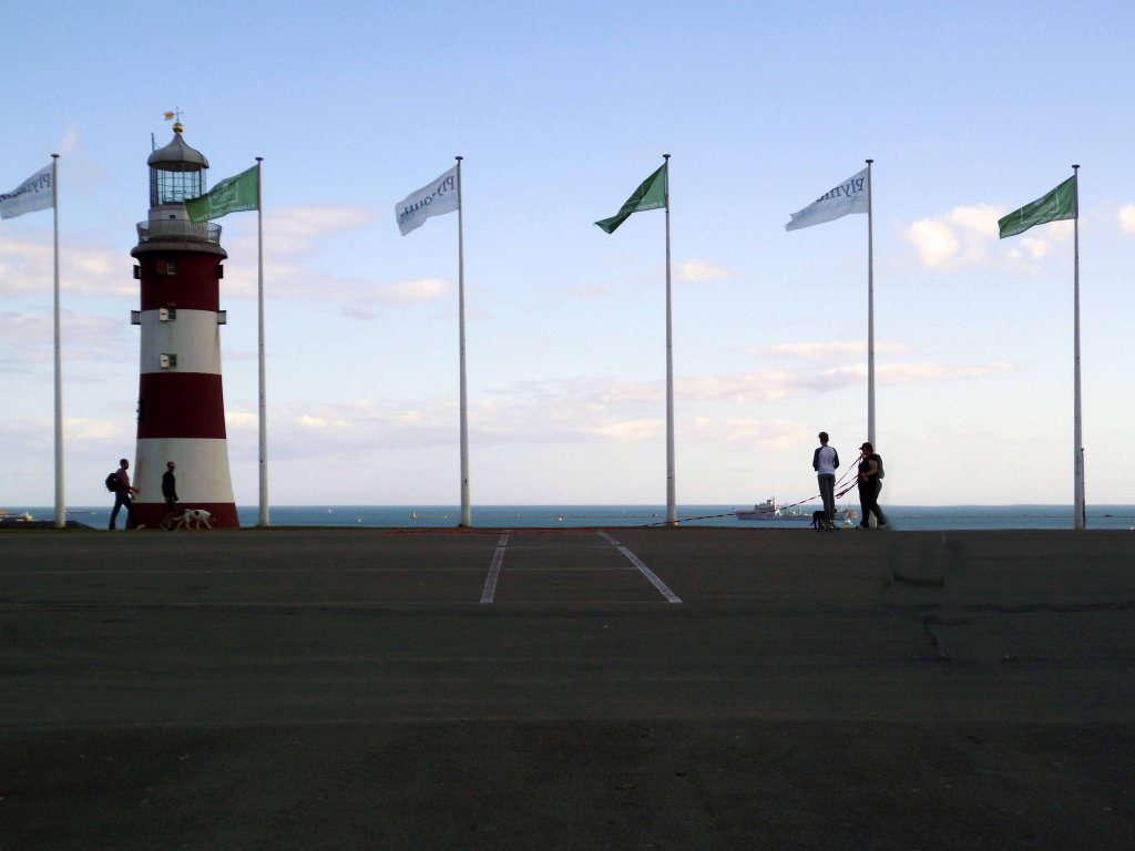
Not to worry let’s have a look at the seafront.
Tinside Lido by J Wibberley Borough Engineer, with Edmund Nuttall and Sons and John Mowlem and Company, builders, with entrance building of 1933 by the same engineer.
Set in a beautiful location overlooking the sea at the tip of Plymouth Hoe and voted one of the top 10 best outdoor pools in Europe, Tinside Lidois an attraction not to be missed.
Built in 1935, Tinside is a slice of the quintessential British seaside from a bygone era. The Lido is a wonderful example of art-deco style and is Grade II listed.
Time for a timely 99 tub – what ho!
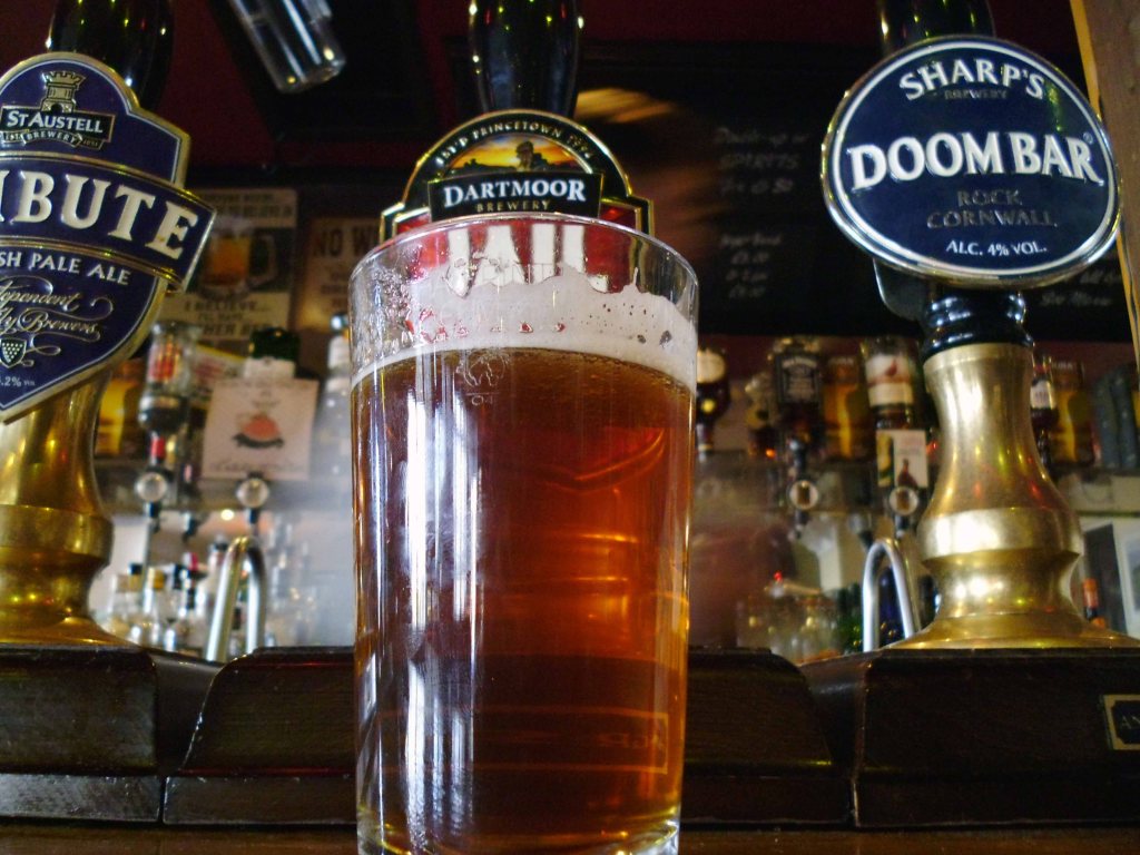
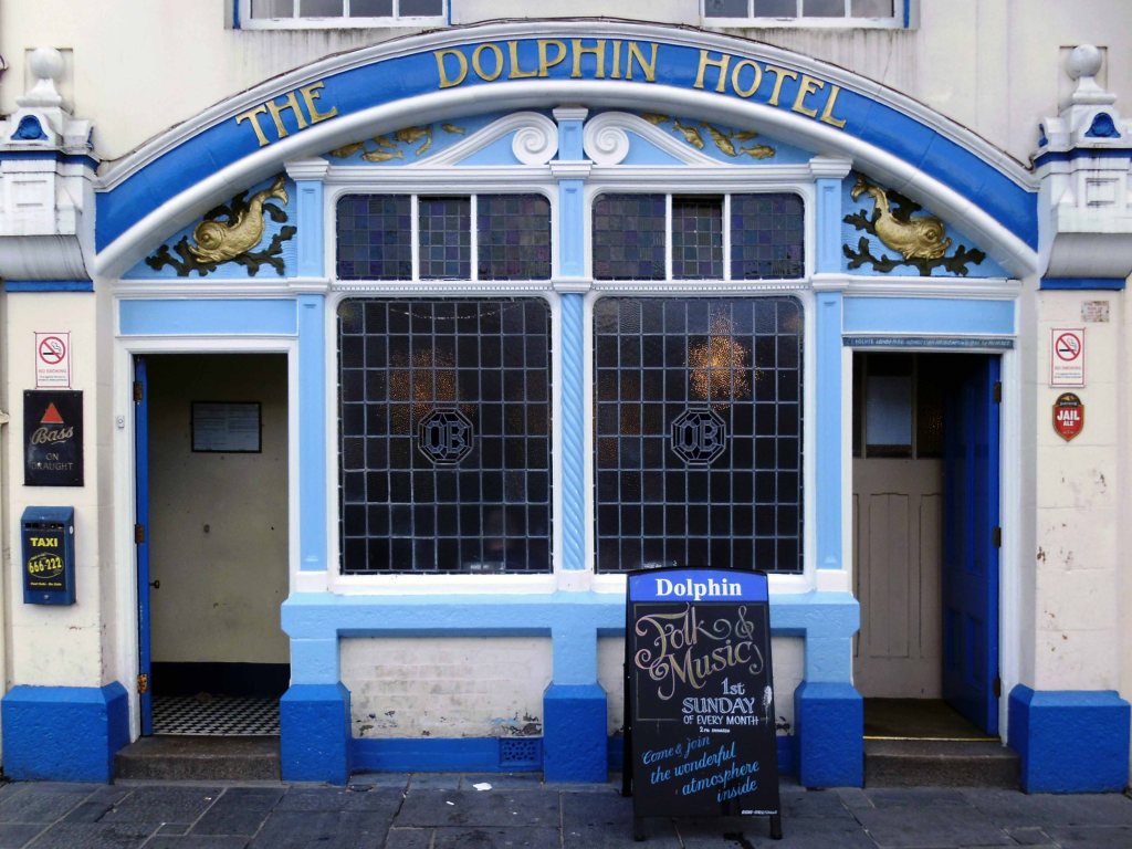
Followed by several pints of Dartmoor Jail in the delightful Dolphin Hotel.
The Dolphin Hotel is a pub on the Barbican , the building, which is known as either the Dolphin Inn or Dolphin Hotel, is a Grade II listed building. It notable as the setting of several of the artist Beryl Cook’s paintings.
The three storey building was constructed in the early 19th century, although it may contain fabric from an earlier structure. It has a slate mansard roof surrounded by a tall parapet with a moulded cornice. The front has white stucco with plaster reliefs of dolphins. The pub is associated with the Tolpuddle Martyrs, some of whom stayed at the hotel on their return from exile in Australia in 1838, when a Mr Morgan was the landlord.
It is a no-frills unmodernised pub famous for its cask ale, draught Bass served straight from the barrel. The sign on the front of the building has always called the pub the ‘Dolphin Hotel’. In 2010 the pub was refurbished, but vandalised in 2014.
This may seem sufficient to satiate the local historian’s voracious appetite for facts and general tittle tattle, but wait.
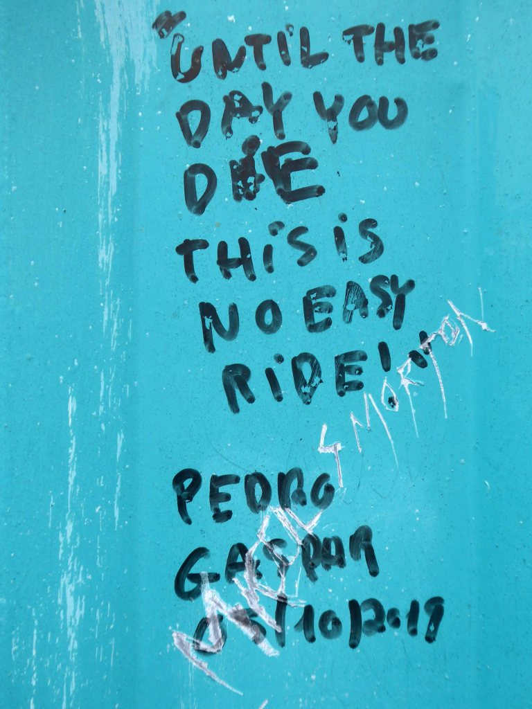
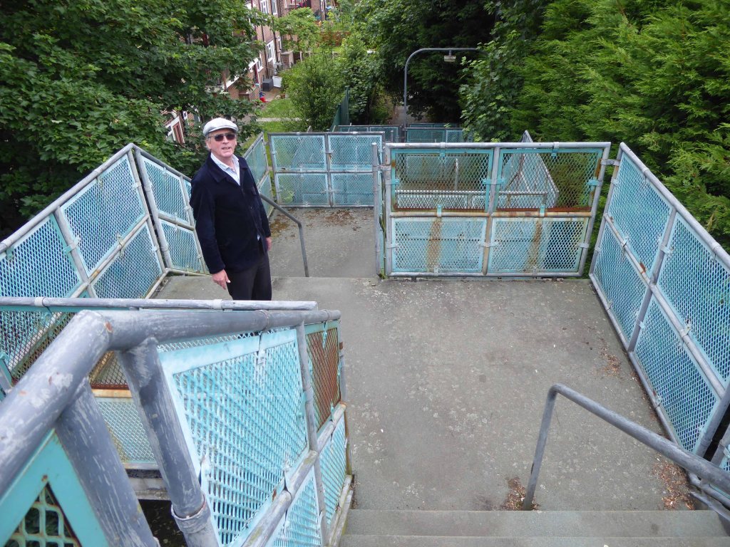
384 King’s Road was once home to pop sensation Steven Patrick Morrissey – seen here imitating himself in Elisabeth Blanchet’s photograph.
More than once this charming lad would have walked the bridge himself – on the way to goodnesses knows where.
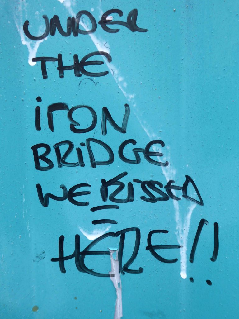
In later life he changed his name to The Smiths and wrote a chart topping tune Still Ill name checking the Iron Bridge.
Under the iron bridge we kissed And although I ended up with sore lips It just wasn’t like the old days anymore No, it wasn’t like those days, am I still ill?
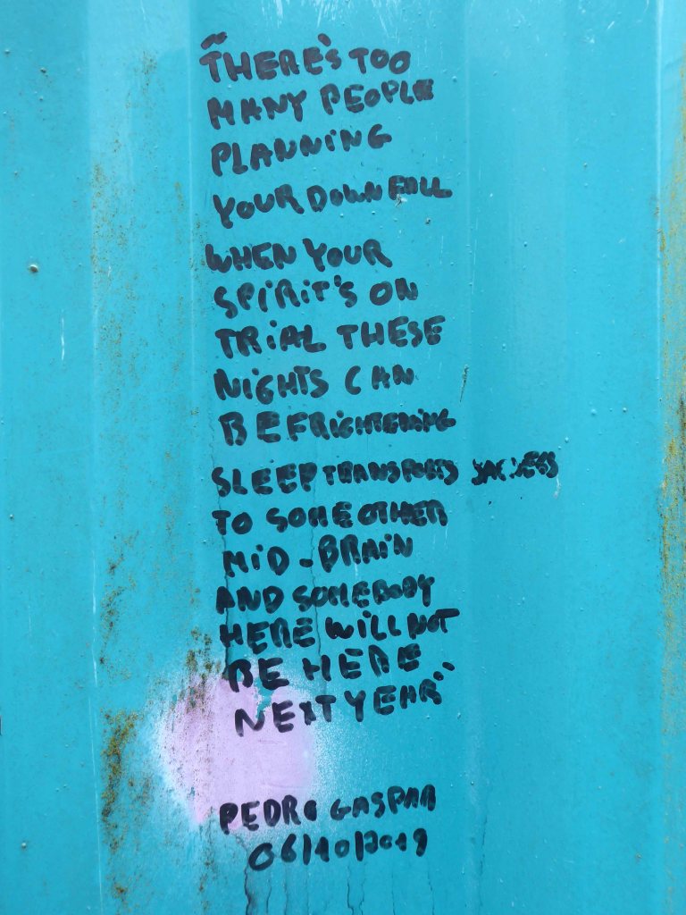
The location is now a place of pilgrimage for Morrissey’s deluded fans, who with depressing regularity, adorn the structure with their misquoted quotes.
Sun drenched faux-Californian Mr Morrissey does seem to be still ill in his own unique and unpleasant manner.
Let’s take a look at what he’s been missing.
What indifference does it make?
Self confessed Smiths sceptic Mr Mark Greer – currently incognito.
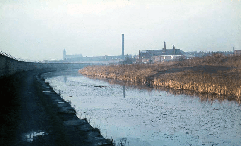
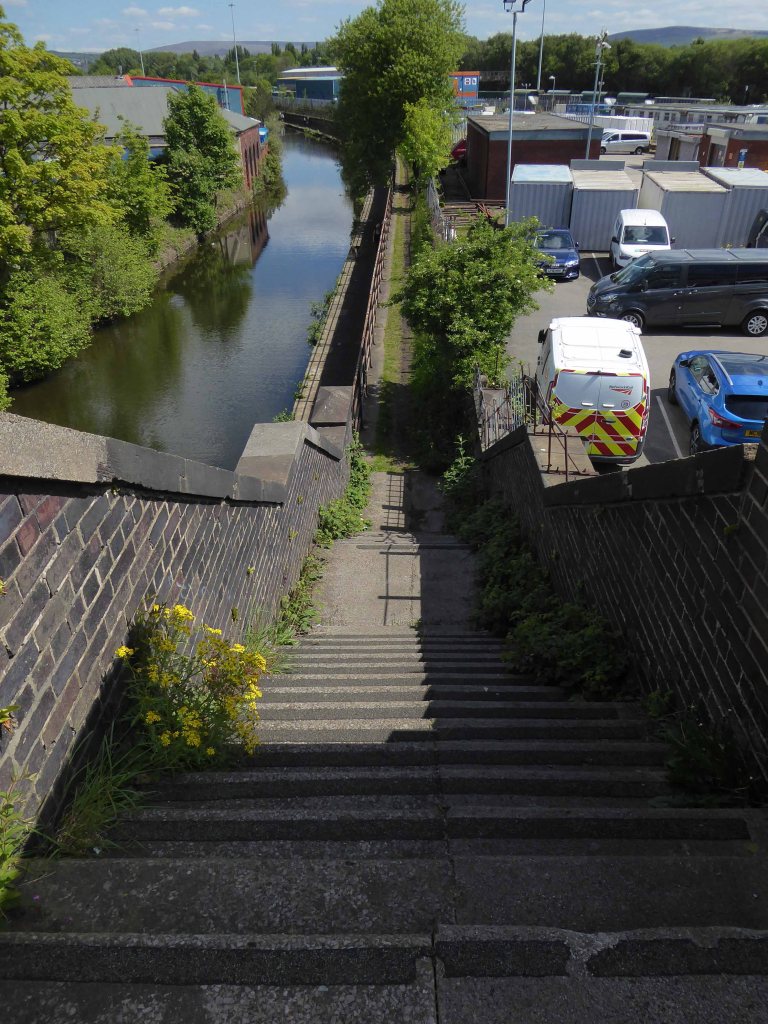
The canal received its Act of Parliament in 1792. It was built to supply coal from Oldham and Ashton under Lyne to Manchester. The first section between Ancoats Lane to Ashton-under-Lyne and Hollinwood was completed in 1796.
The Great Central Railway in England came into being when the Manchester, Sheffield and Lincolnshire Railway changed its name in 1897, anticipating the opening in 1899 of its London Extension. On 1 January 1923, the company was grouped into the London and North Eastern Railway.
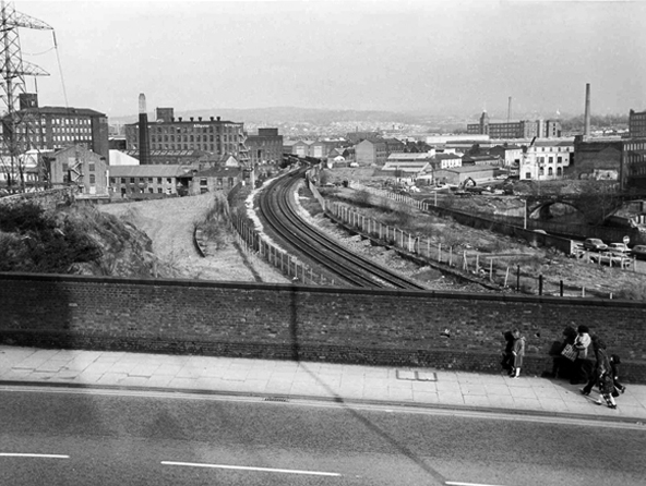
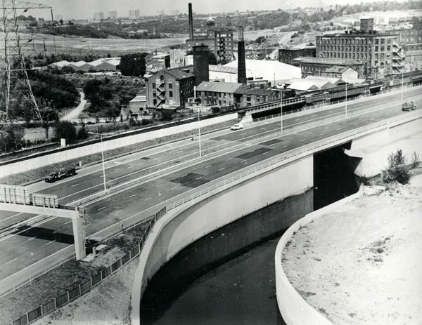
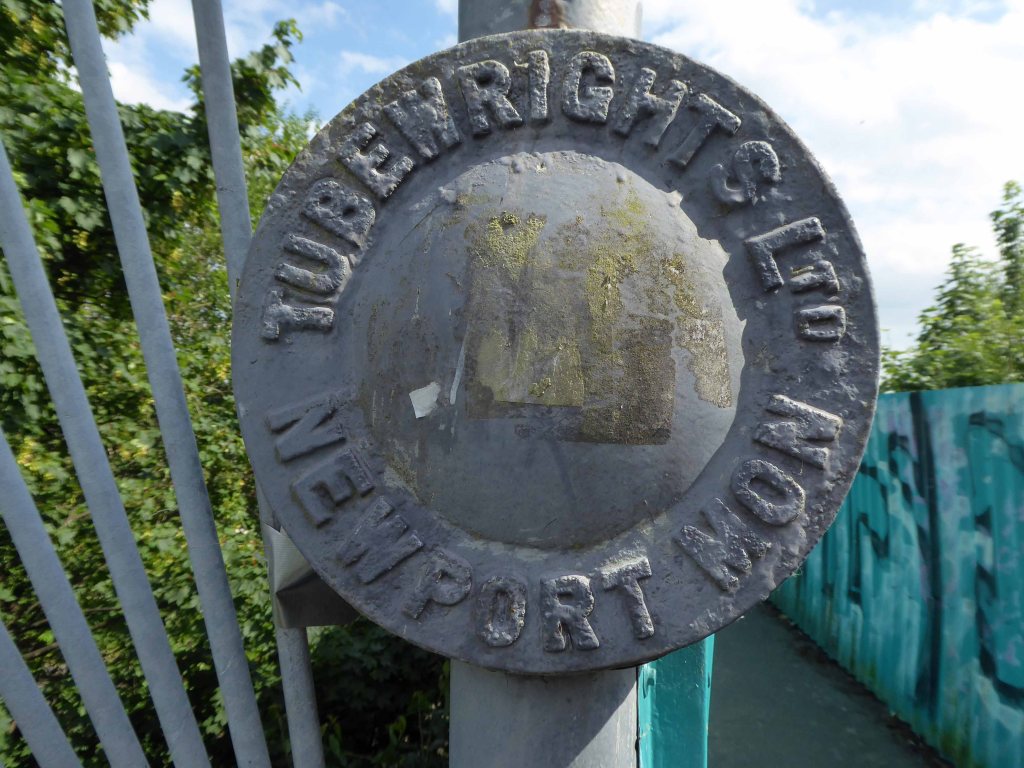
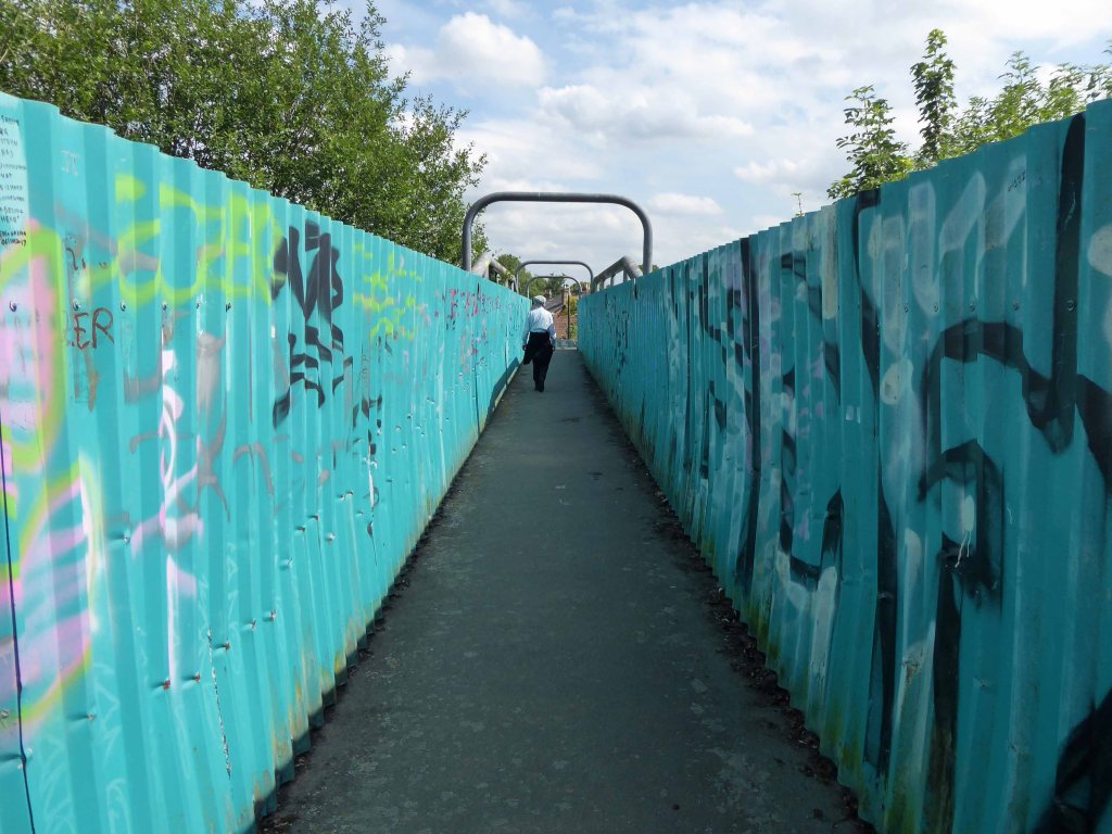
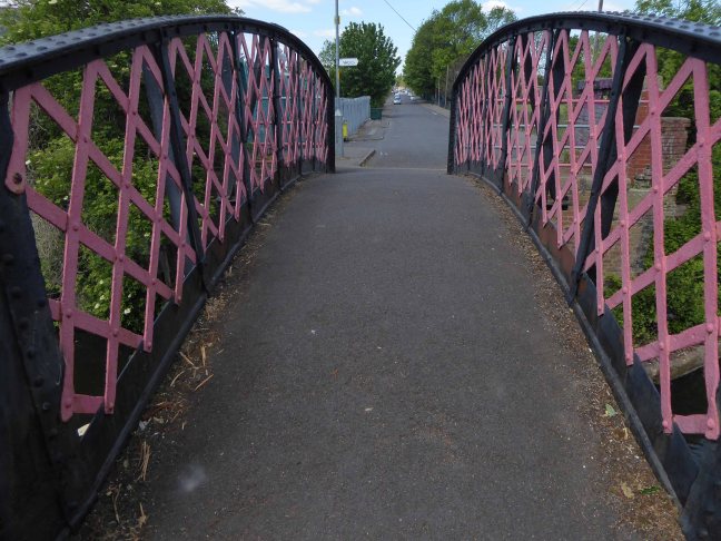
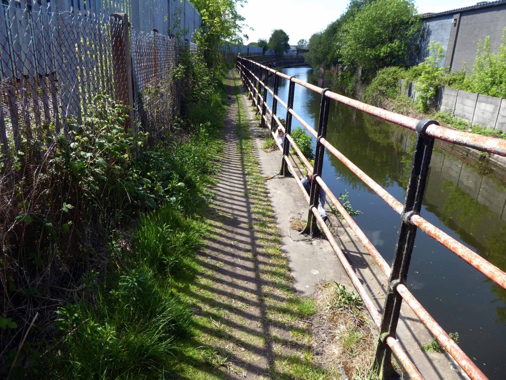
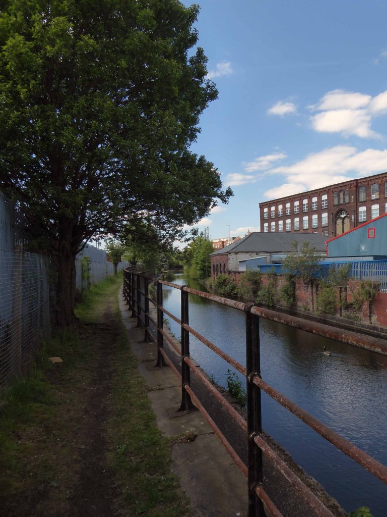
I had walked beside the elevated path, alongside the canal coming home from school, rode by it whilst working as a Guide Bridge goods guard.
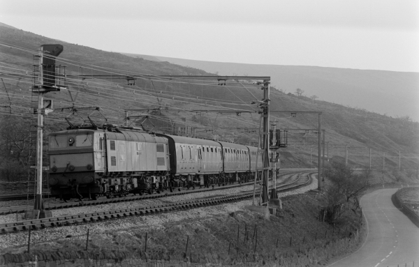
This was busy railway, steel coal, oil and people hurtling back and forth across the Pennines, under the DC wires of the Woodhead Line.
One memorable night the Royal Train stayed overnight, in what are now the SB Rail OTM sidings.
Toffs in dinner jackets were leaning from the windows, as we gazed in awe from the platform.
Swietelsky is one of Austria’s leading construction companies with international contracts encompassing highways, tunnelling, residential and commercial developments, alpine construction and railways.
The journey ends by the seriously depleted station buildings, the buffet bar, depot and engine shed long gone.
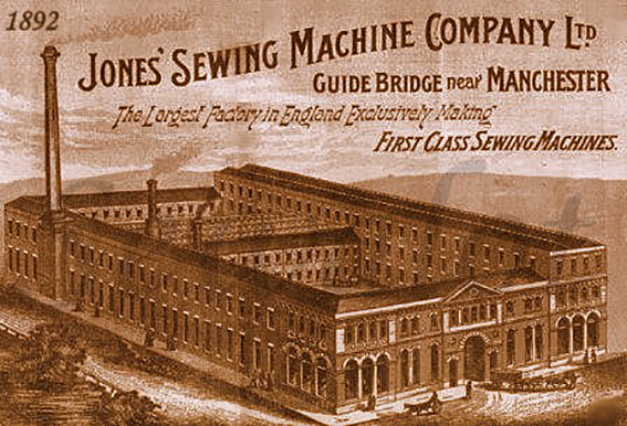
Thomas Chadwick later joined Bradbury & Co. William Jones opened a factory in Guide Bridge, Manchester in 1869. In 1893 a Jones advertising sheet claimed that this factory was the – Largest Factory in England Exclusively Making First Class Sewing Machines. The firm was renamed as the Jones Sewing Machine Co. Ltd and was later acquired by Brother Industries of Japan, in 1968. The Jones name still appeared on the machines till the late 1980s.
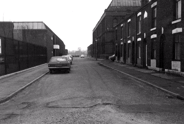
The site is now home to new homes and homeowners, as the area seeks to capitalise on the spread of wealth from Central Manchester.
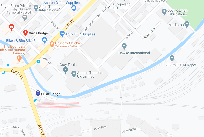
Arnfield Woods is an exclusive development offering two, three and four bedroom homes, located adjacent to the Guide Bridge train station, which provides direct access into Manchester City Centre and direct access into Glossop.
The world turns:
Time changes everything except something within us which is always surprised by change.
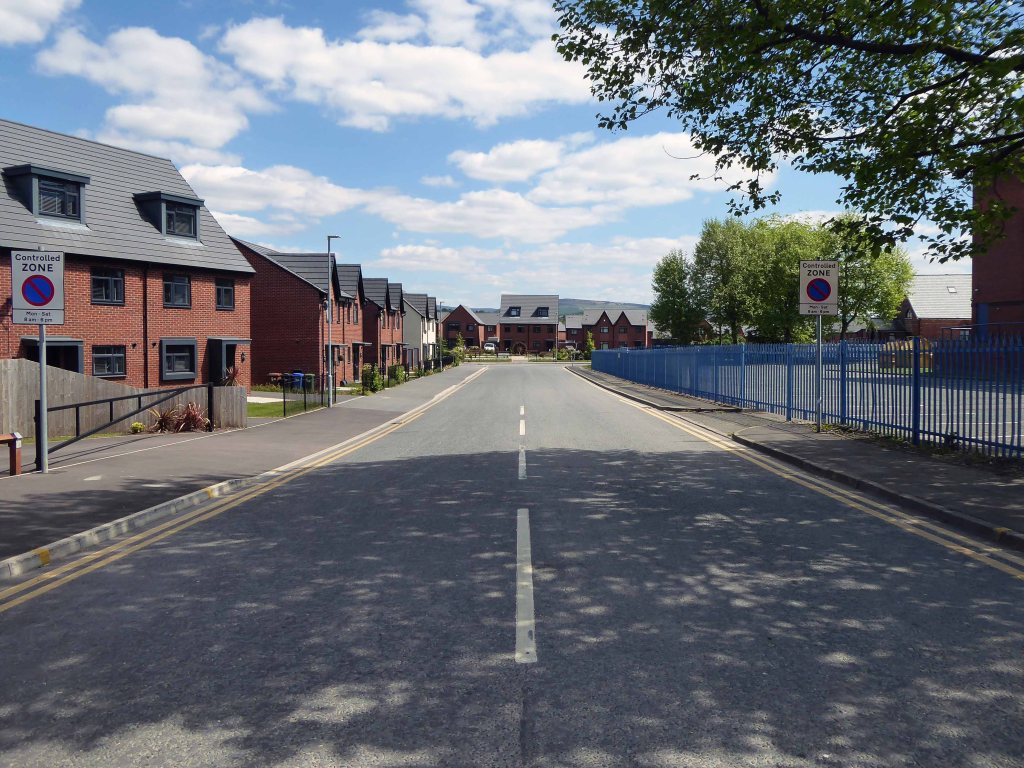
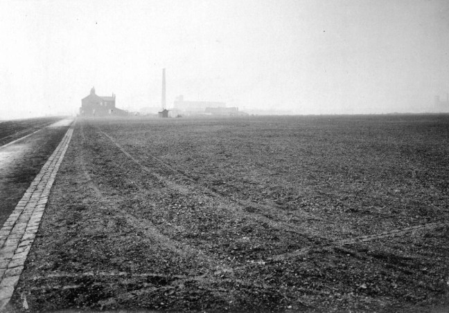
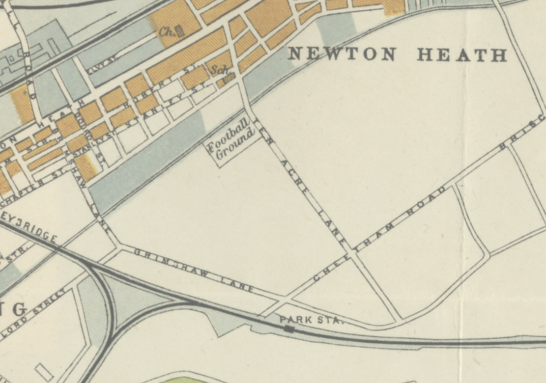
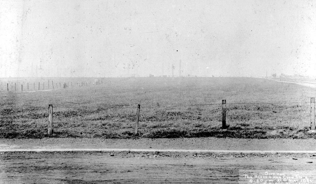
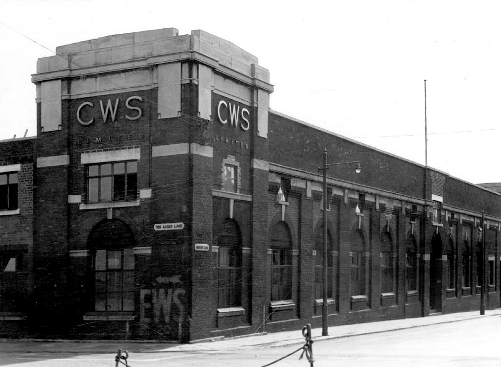
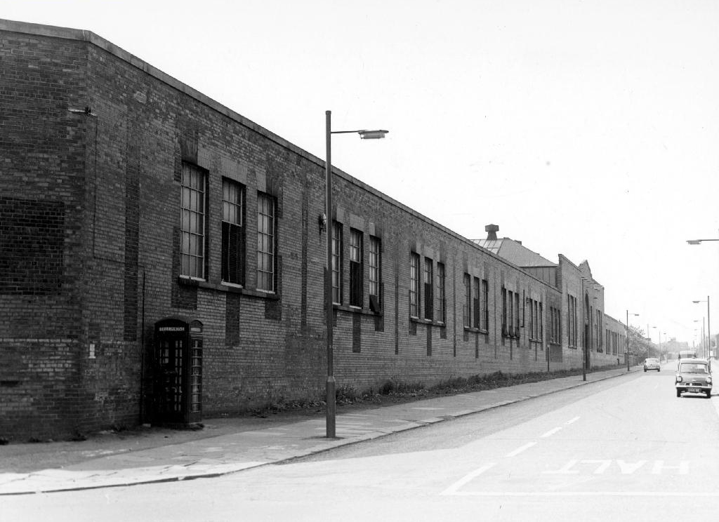
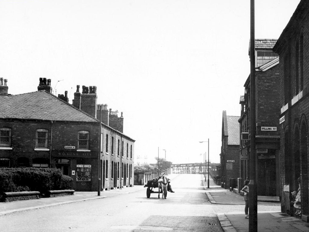
Ten Acres Lane 1904 running south from Oldham Road – not quite crossing under the Ashton and Stalybridge Railway.
I was propelled by the vague memory of an Ashton Lads football match way back in the 1970s – my dad Eddie Marland managed the team in the Moston and Rusholme League.
There was land given over to recreation from 1900, the area is famed for its links to the inception of Manchester United and almost but not quite became home to FC United.
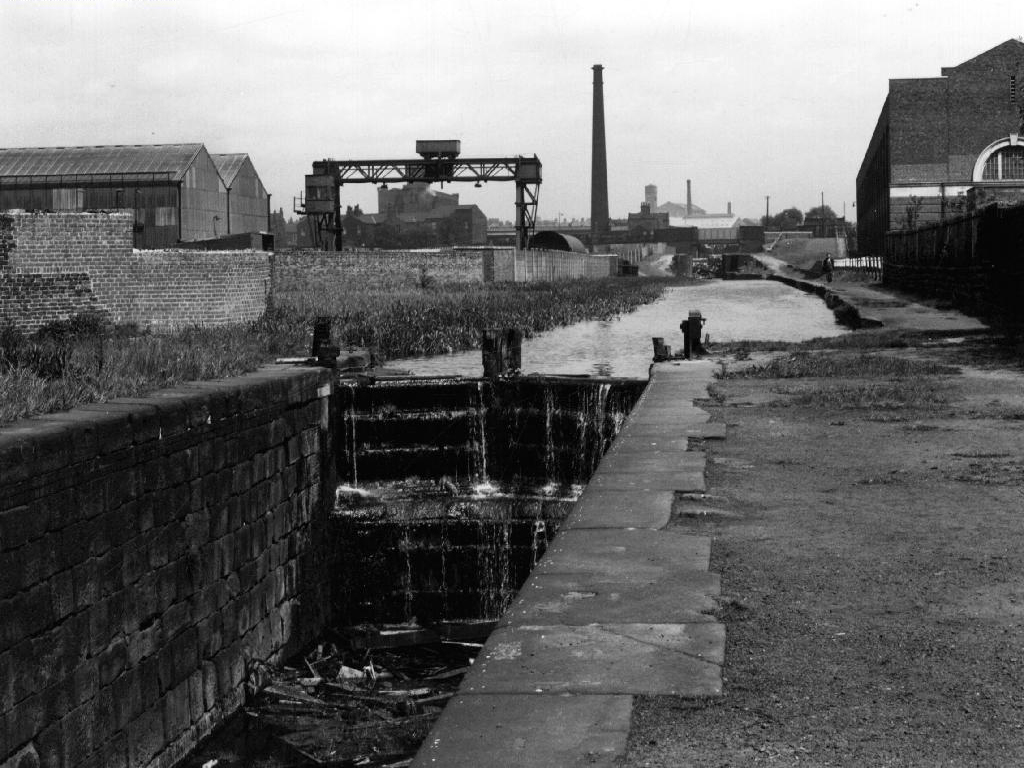
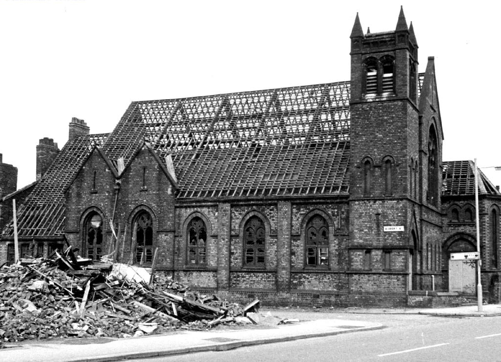
Going going gone St Paul’s Church seen here in 1972.
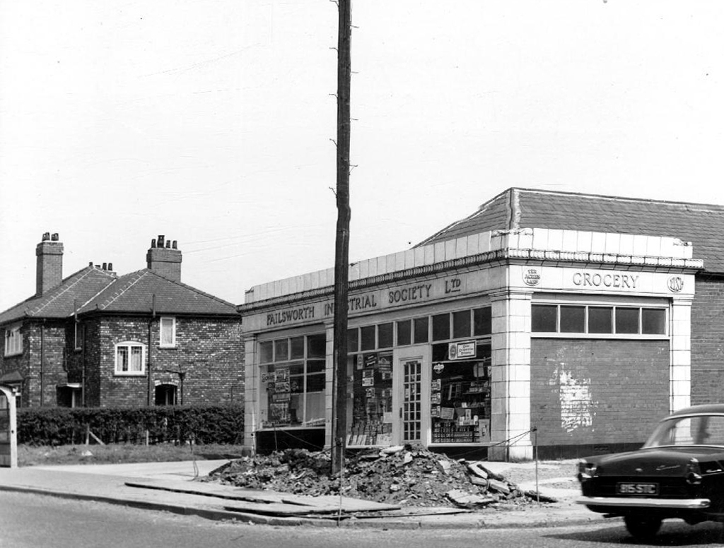
Victorian terraces and inter-war social housing – homes for a large industrial work force.
Many of the sights and sites above are still extant though their appearance and uses have changed along with the times. Manchester inevitably continues to from and reform for good or ill.
Sadly the old Rec the Moston and Rusholme League and my dad are all long gone – though it’s just as well to remember them all fondly, as we travel through our familiar unfamiliar city.
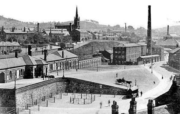
Where the Victorians modelled their stations on cathedrals, temples and palaces.
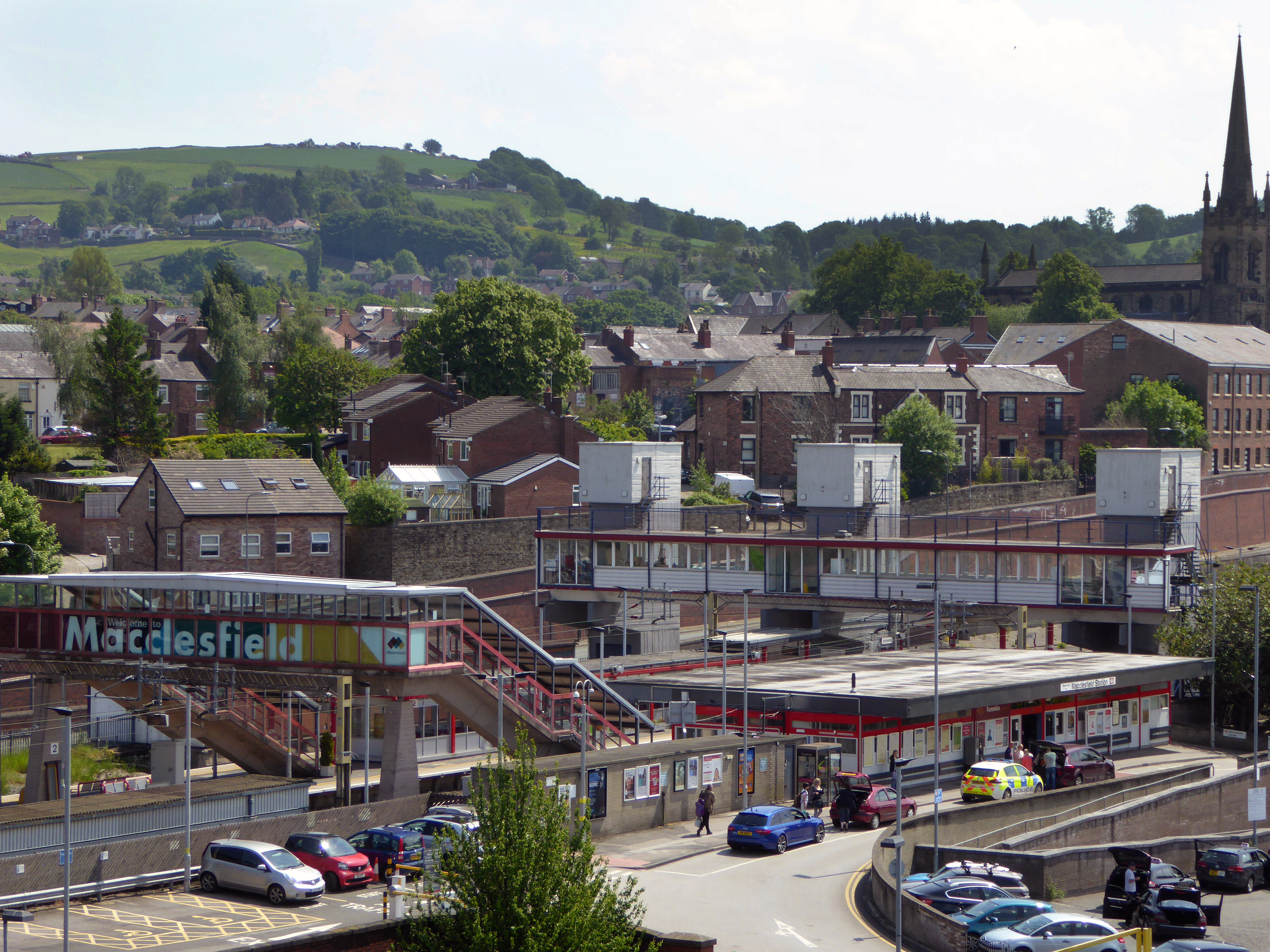
Modern Man models his on shopping centre and office blocks.
Richards and MacKenzie – The Railway Station
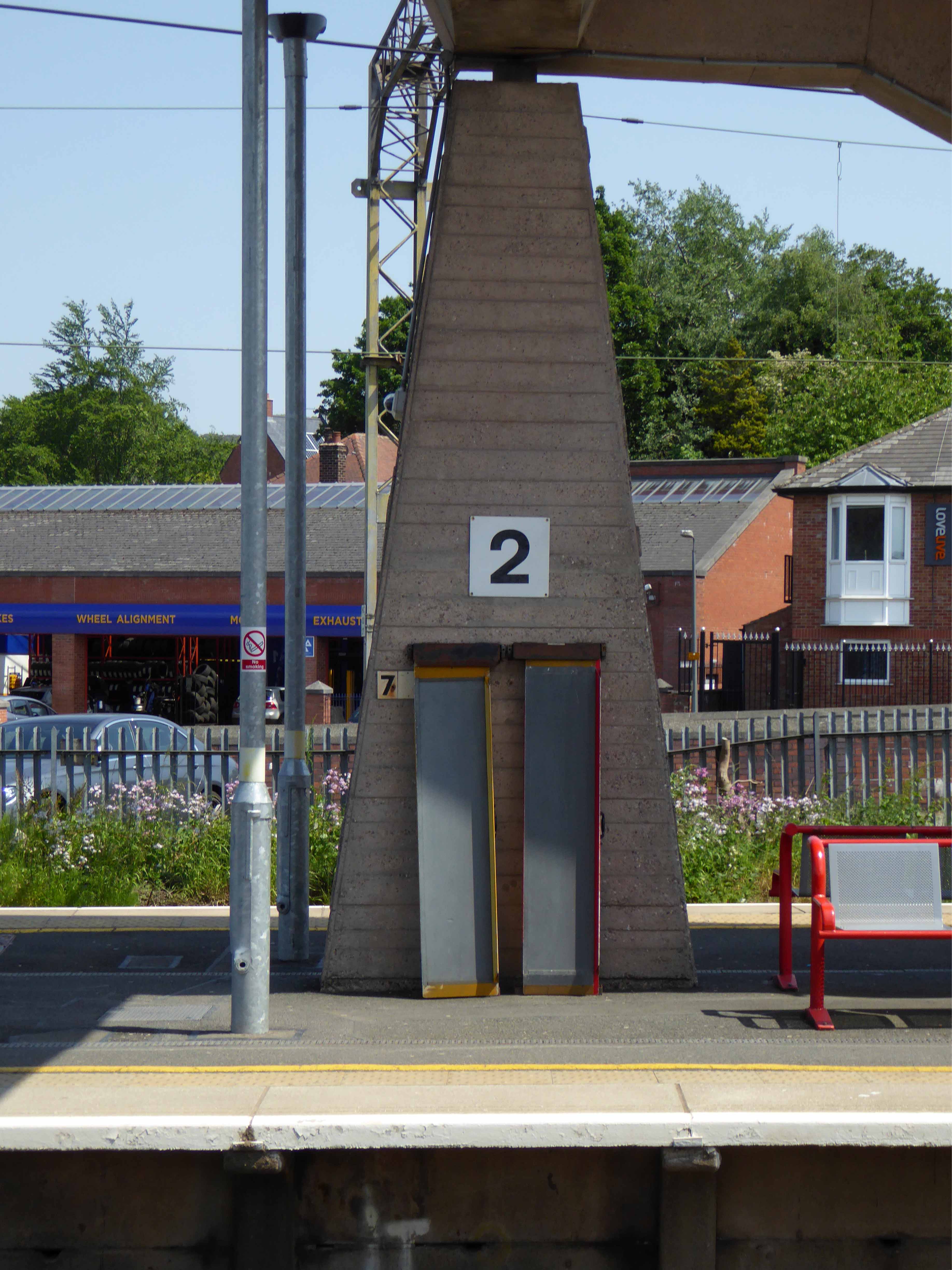
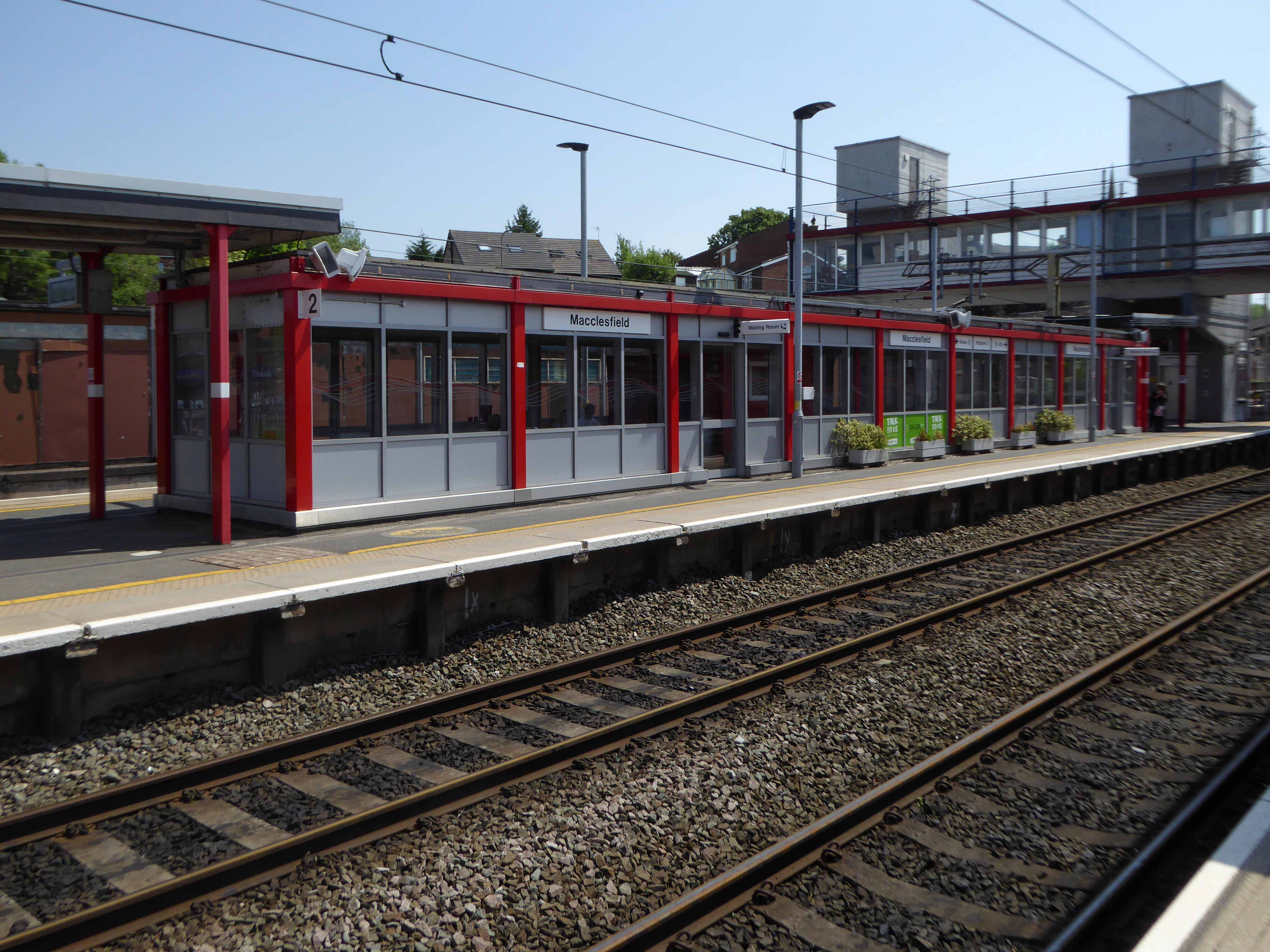
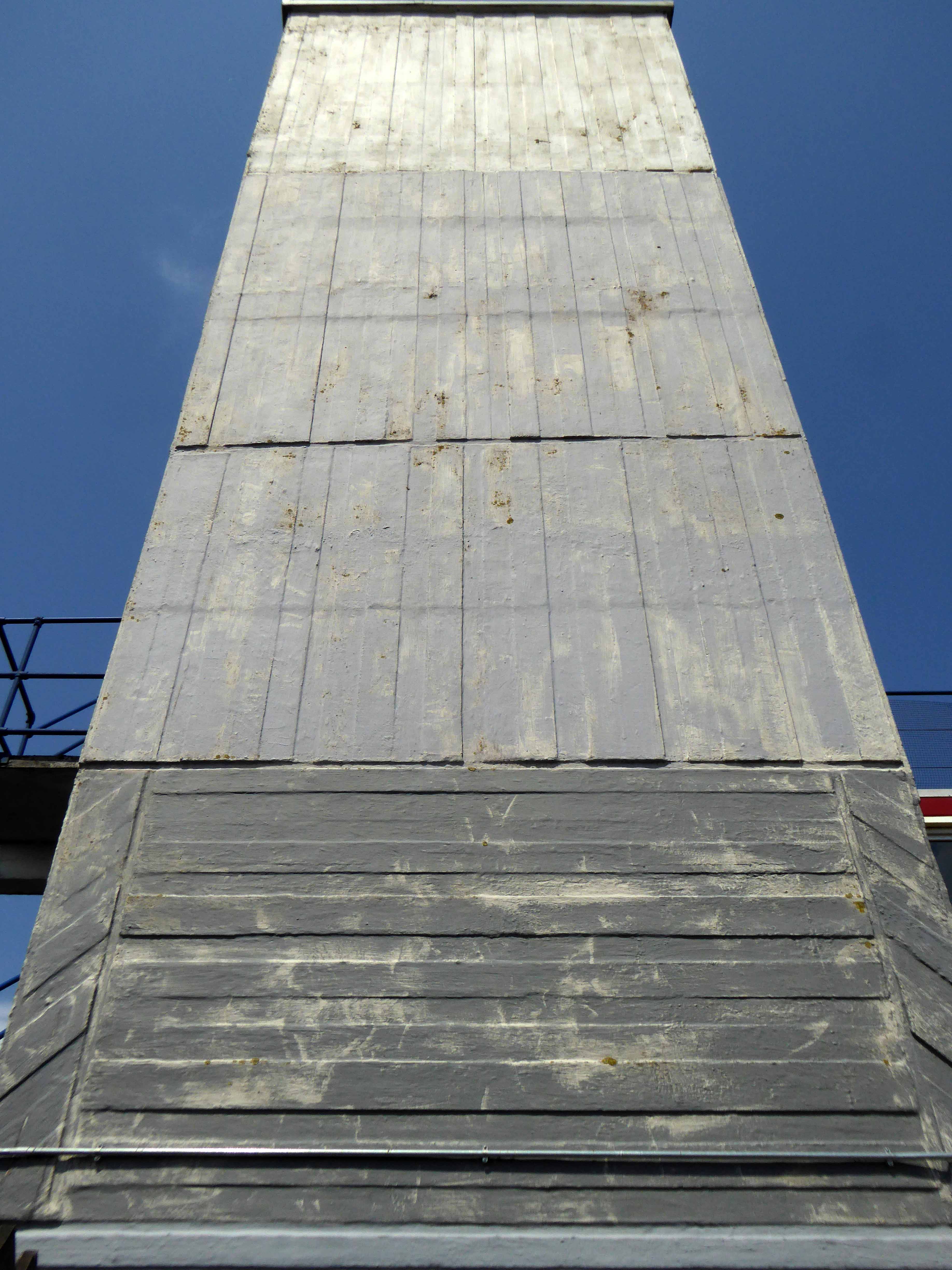
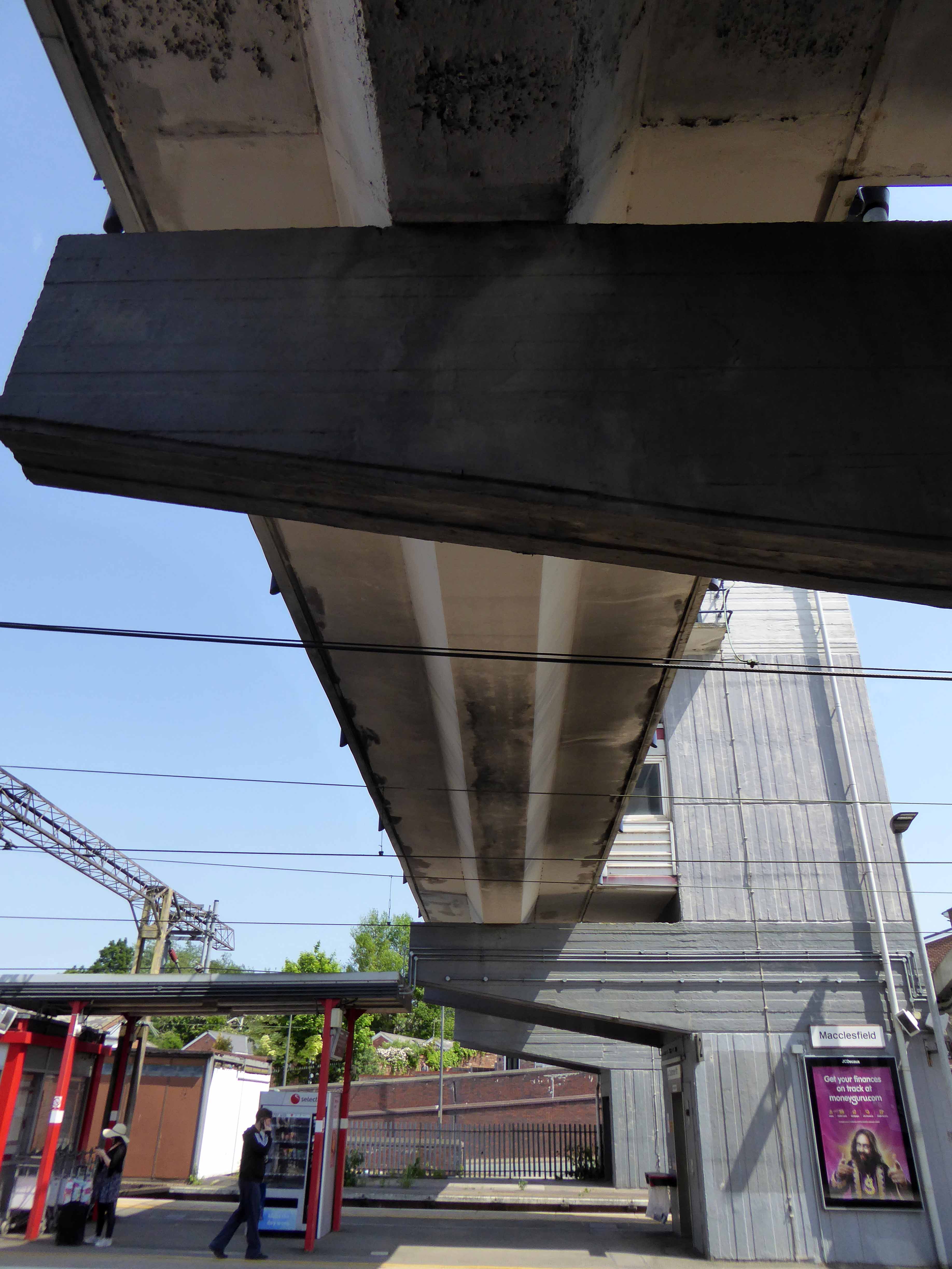
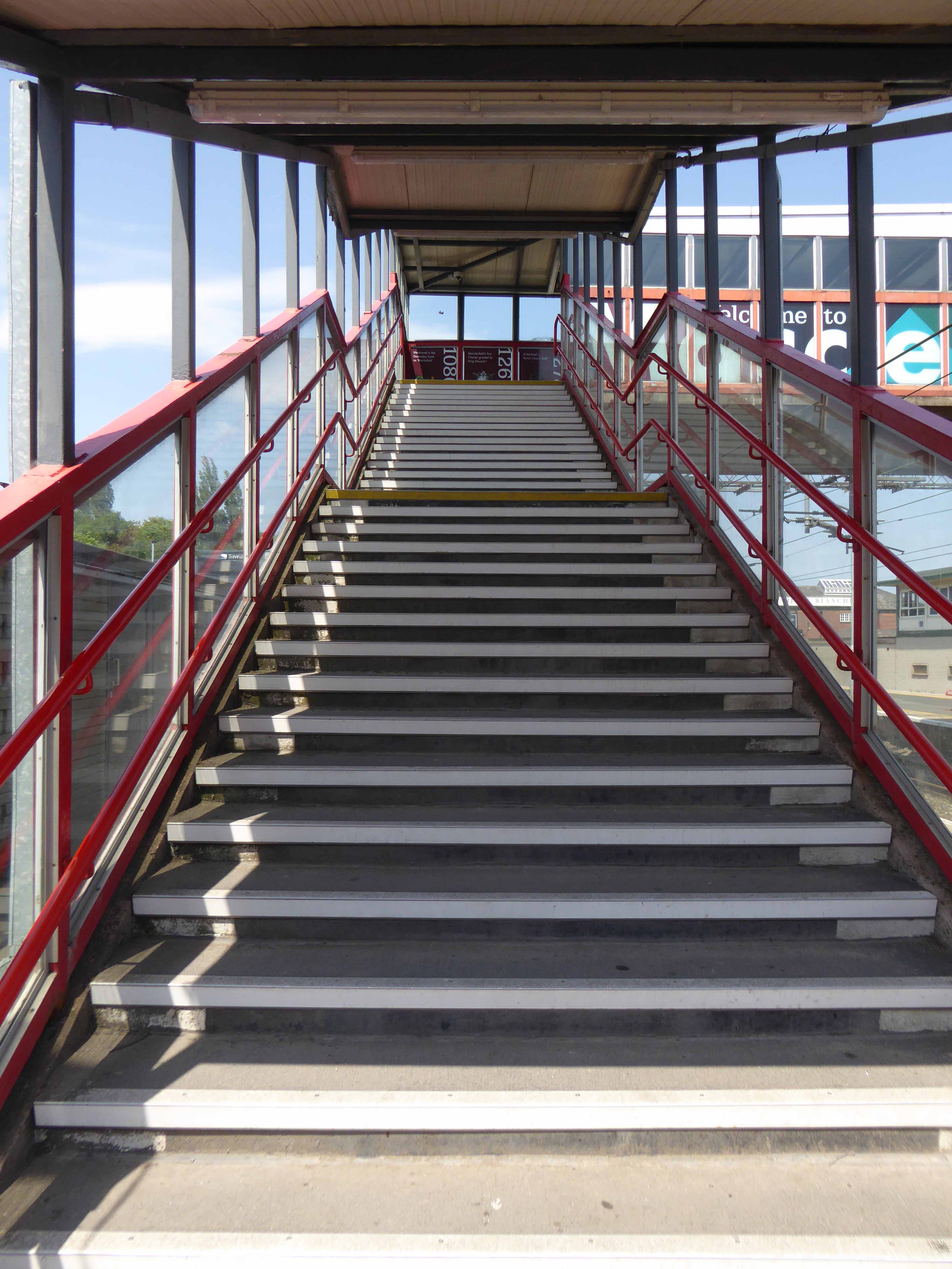
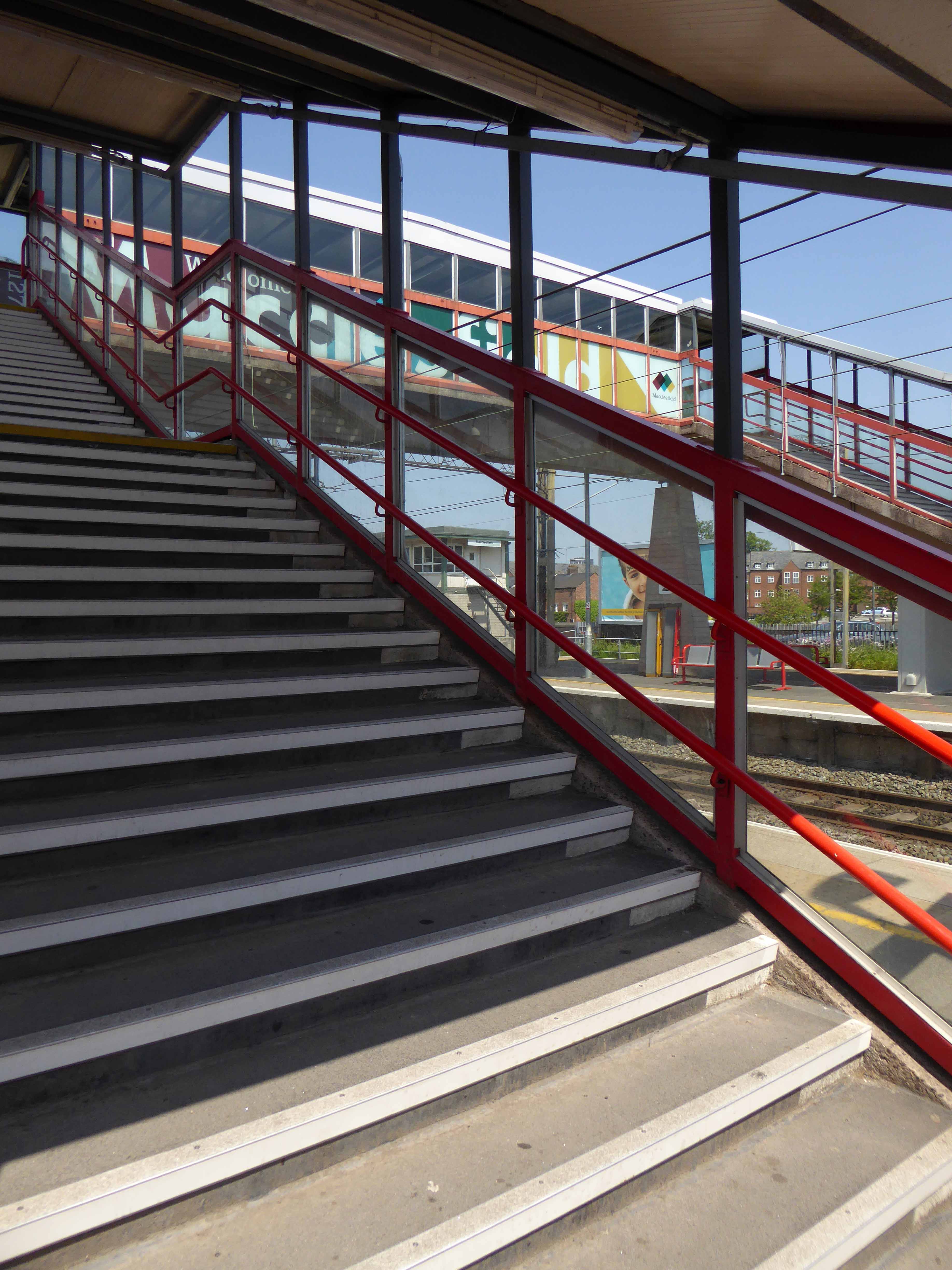
Though it seems to me that Macclesfield Station, in its earlier and current states, refuses to dovetail neatly into either of these sloppy binary paradigms.
The former – single storey buildings, fitting unostentatiously into the topographic and practical constraints of the site. A neat, tightly packed rhythm of brick arches with a compact and bijou porch welcoming the expectant traveller.
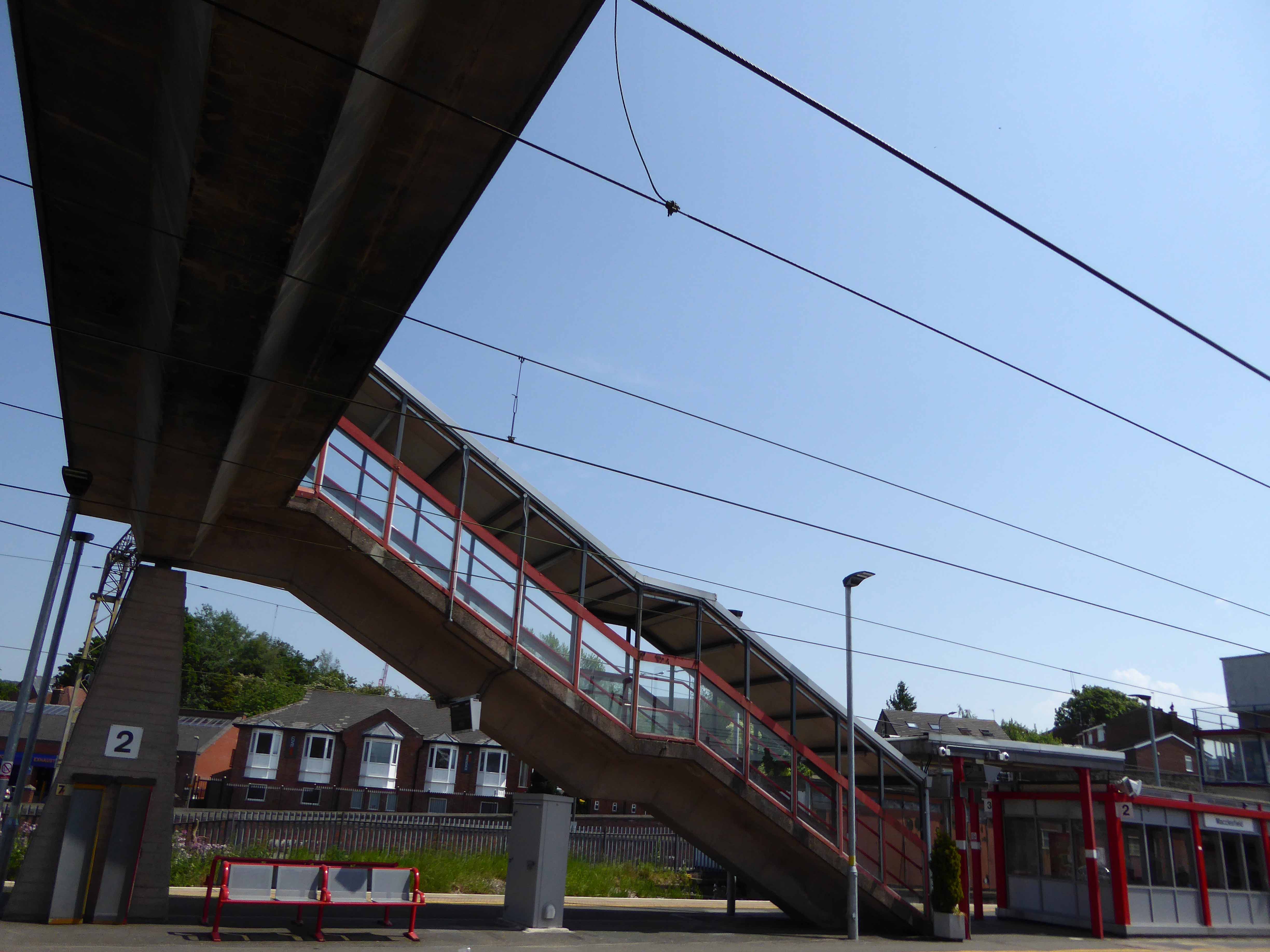
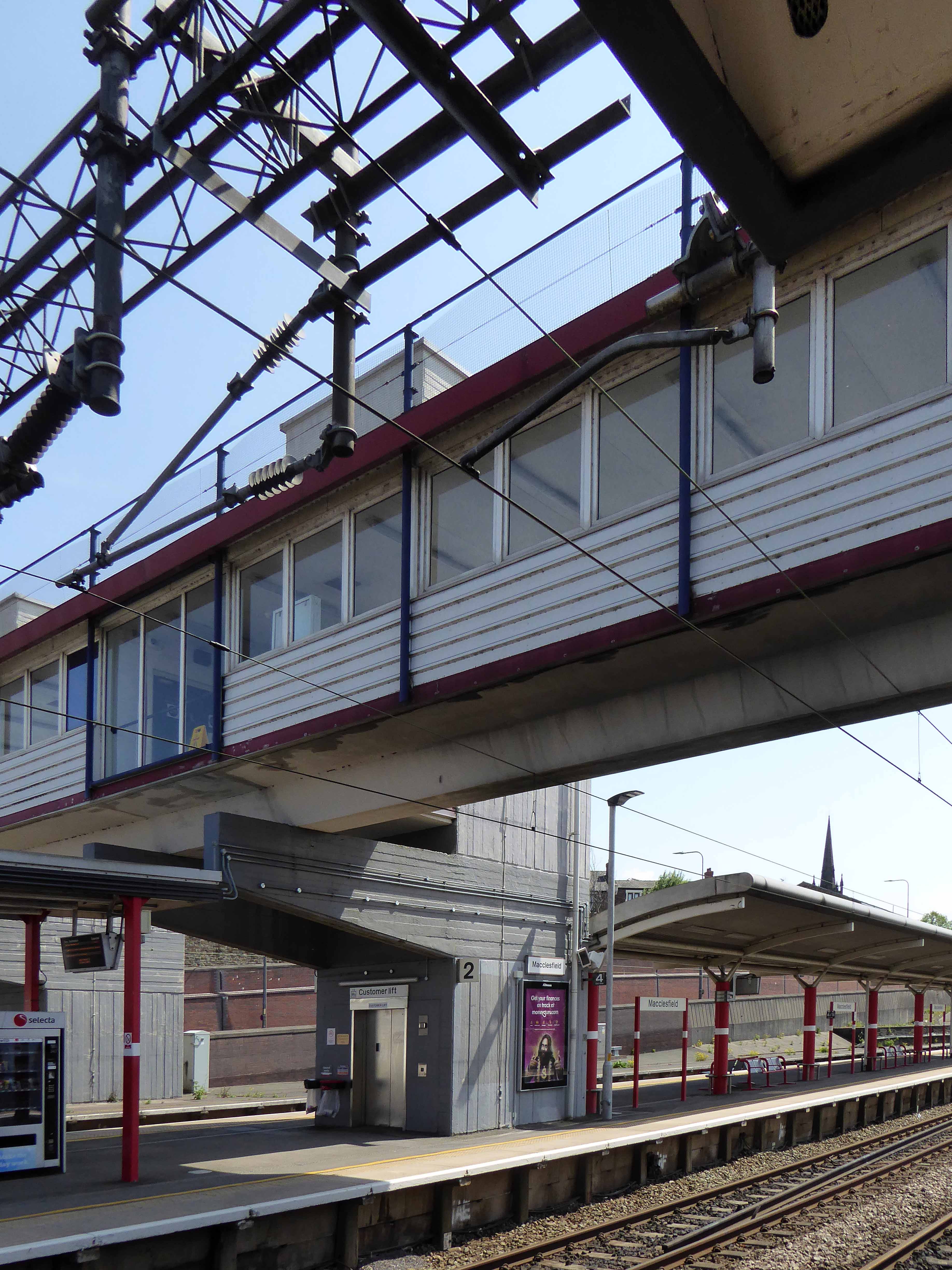
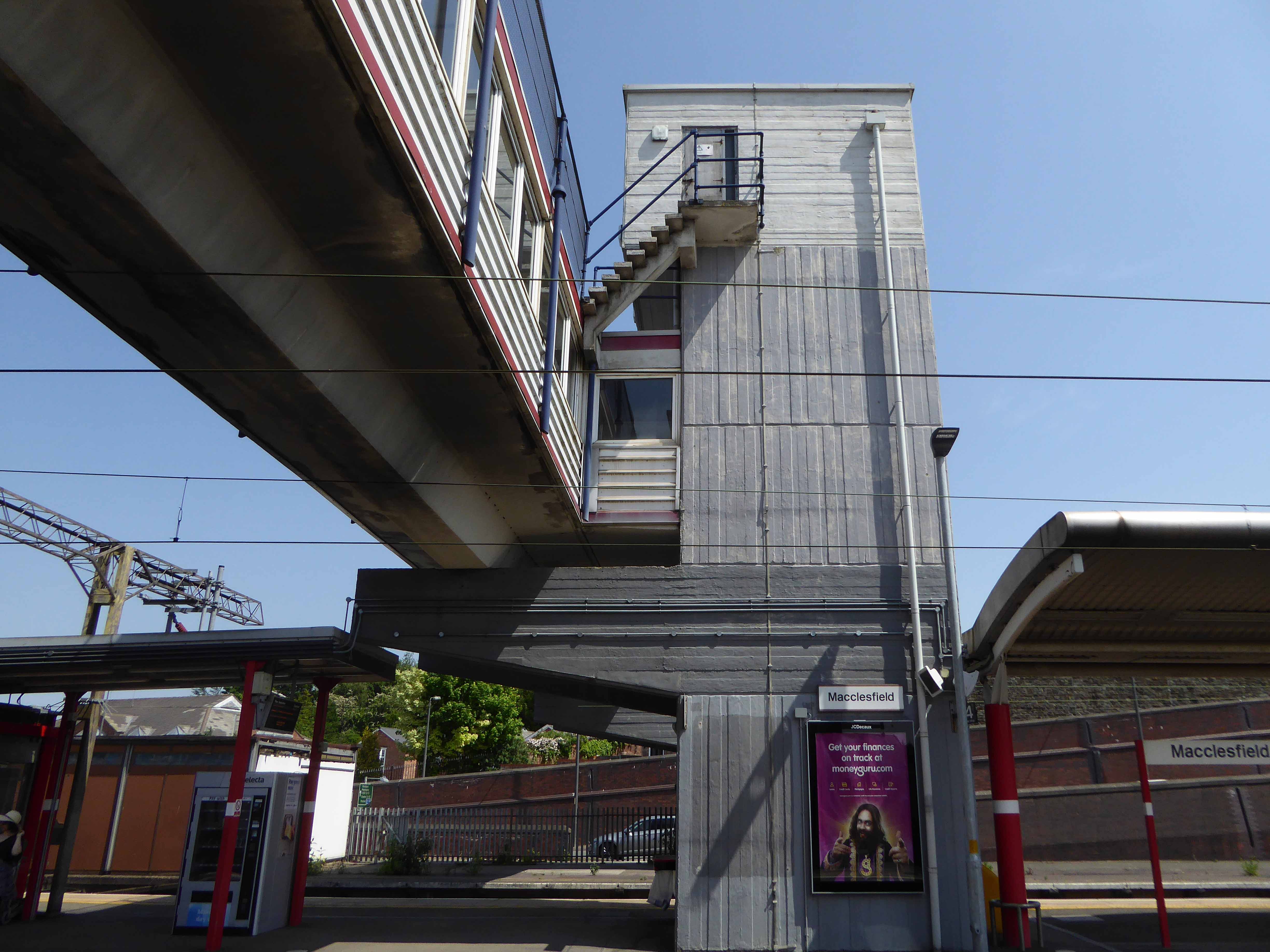
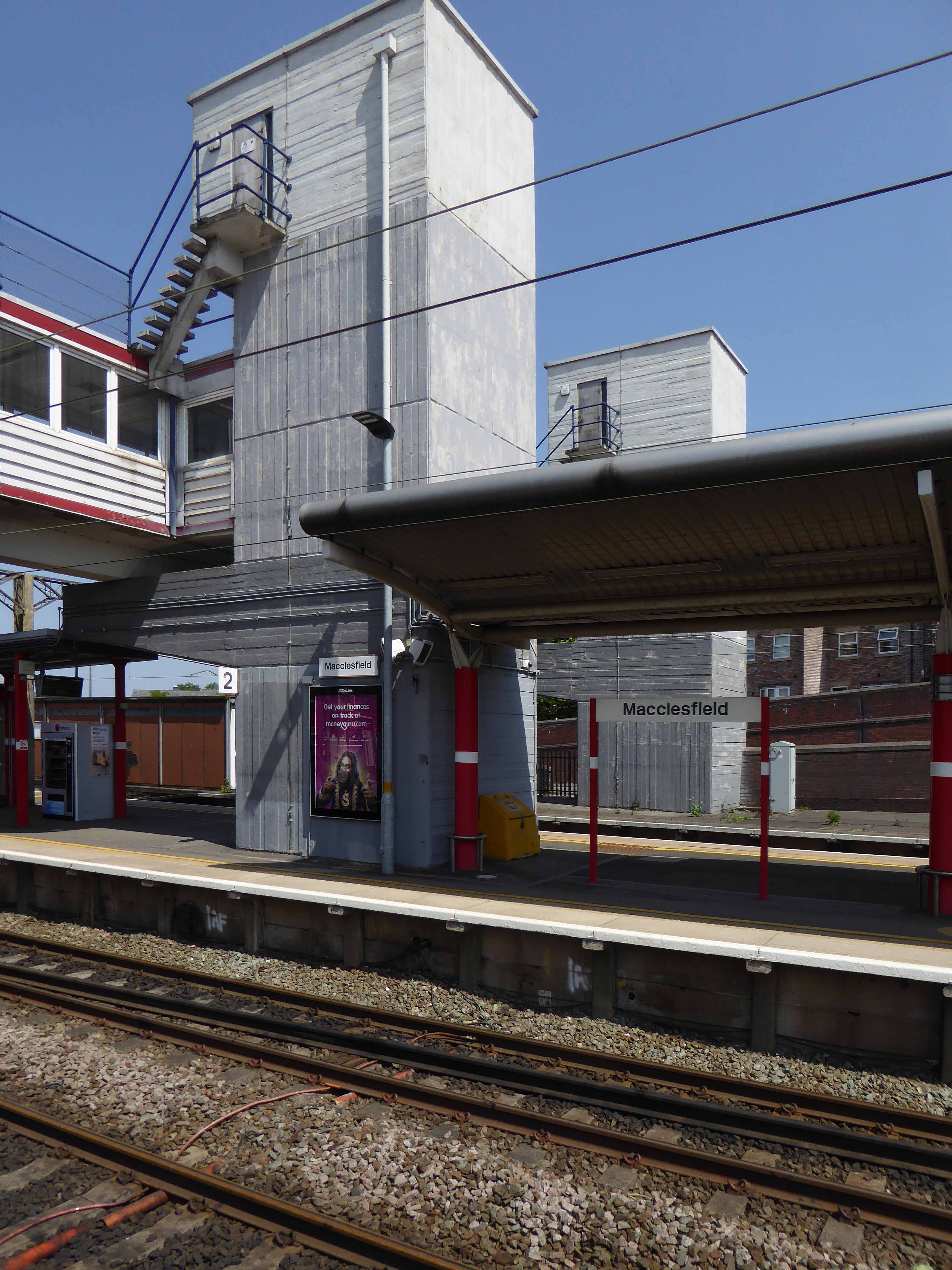
The latter a functionalist block, fully utilitarian crossings with lift access columns, embodying a particularly industrial demeanour.
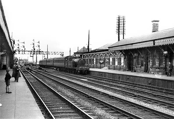
From the golden age of steam to the moribund years of diesel, Macclesfield sits comfortably somewhere, betwixt and between ugly duckling and fully fledged swan.
Nestled in the lea of the East Cheshire Highlands, offering practical everyday transport solutions to the beleaguered commuter.
No frills, no thrills.
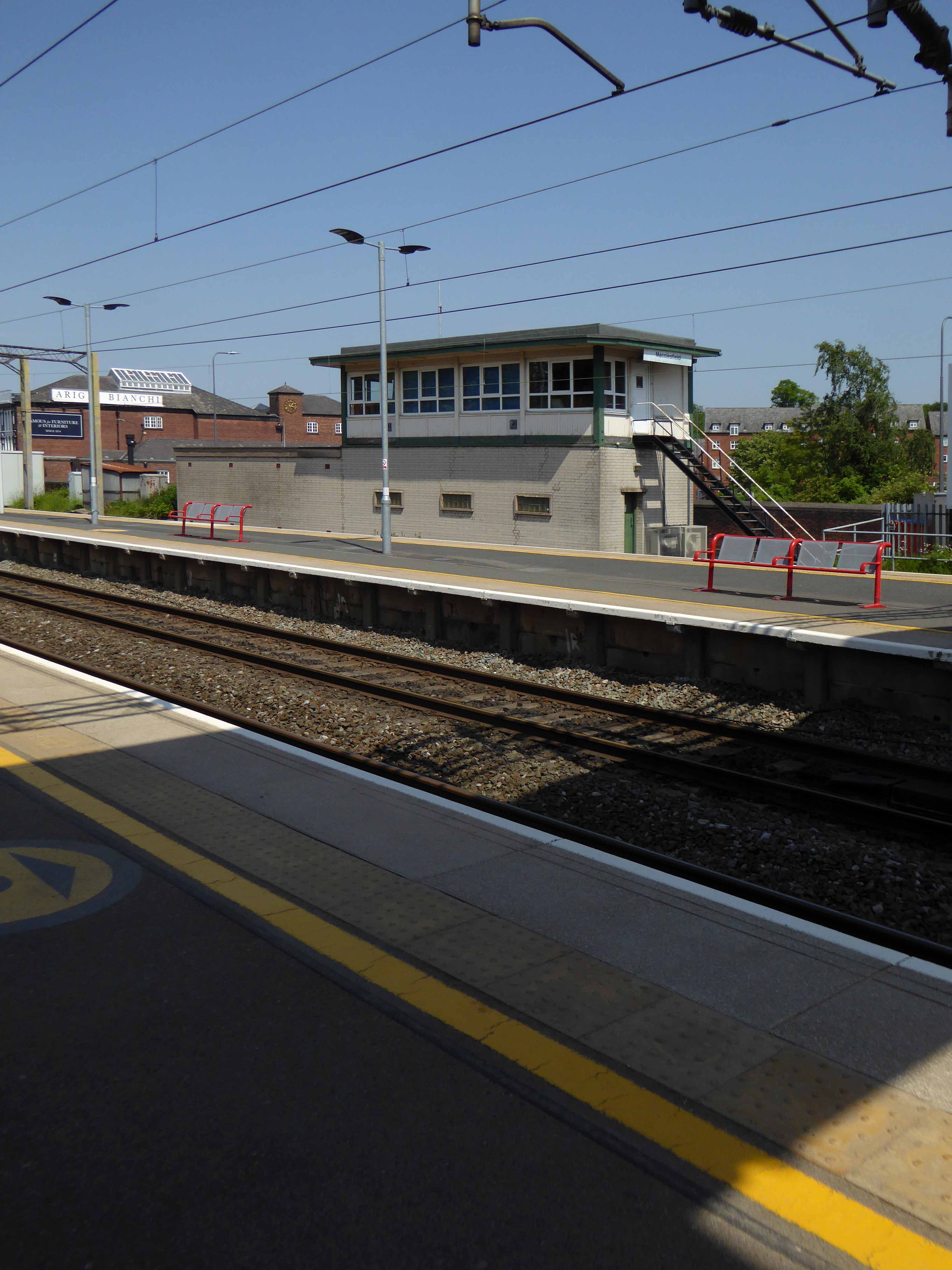
The London and North Western Railway opened the line between Manchester and Macclesfield on 19 June 1849 – Macclesfield Central was born. Later it would become a key station on the Stafford branch of the West Coast Main Line, remodelled in 1960 and rebranded as the much snappier Macclesfield Station.
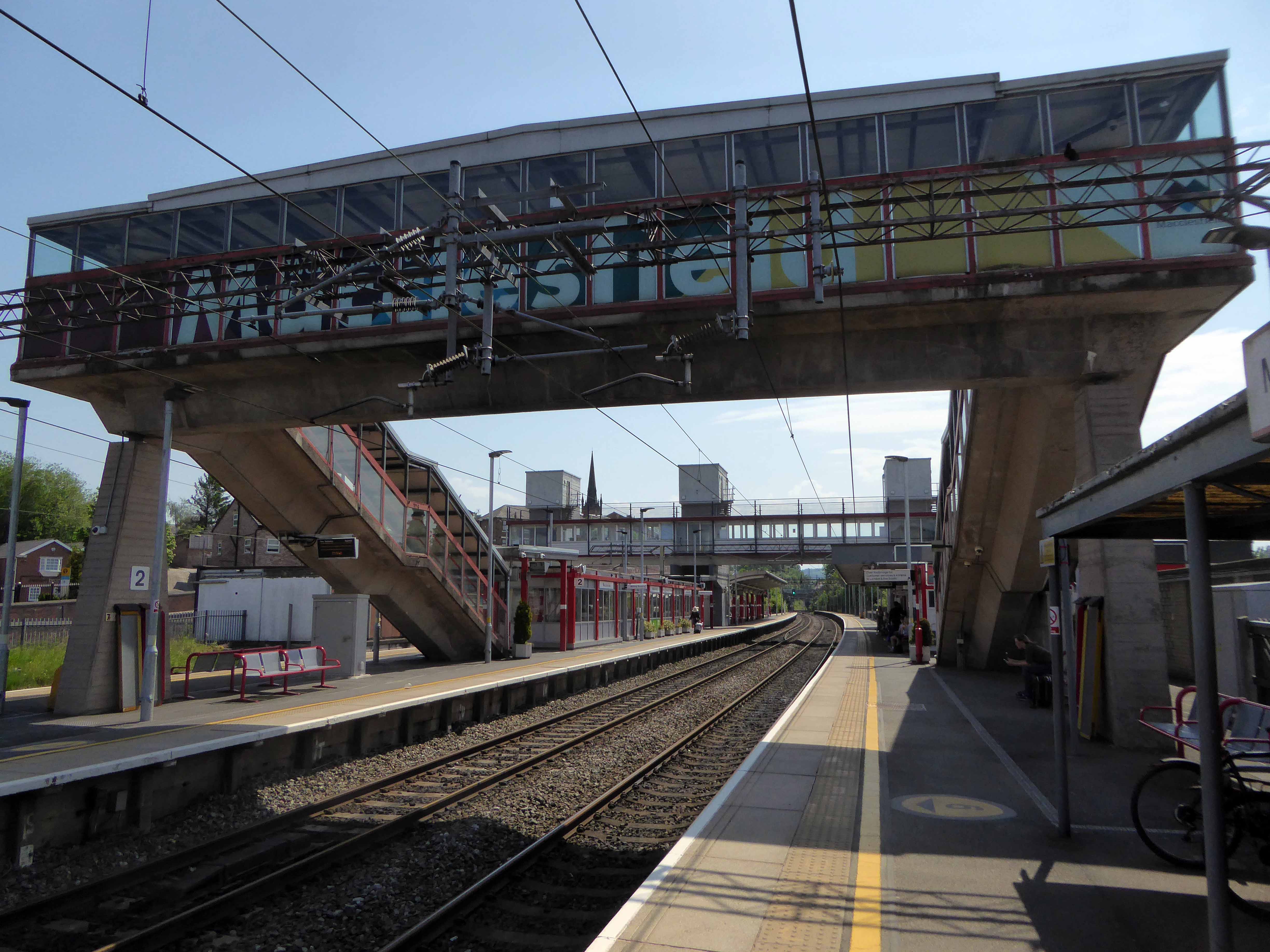
Which it proudly announces topically and typographically to the world.
Welcome to Macclesfield a town that is clearly going places, and so are you.
The station won the Best Kept Station in Cheshire Award for 2007, but was reported in summer 2011 to be distinctly shabby, with peeling paintwork.
And yet there is something in the constituent Platonic steel, glass and concrete forms that never ceases to amuse and amaze me, this is Brutalism on a human and provincial scale.
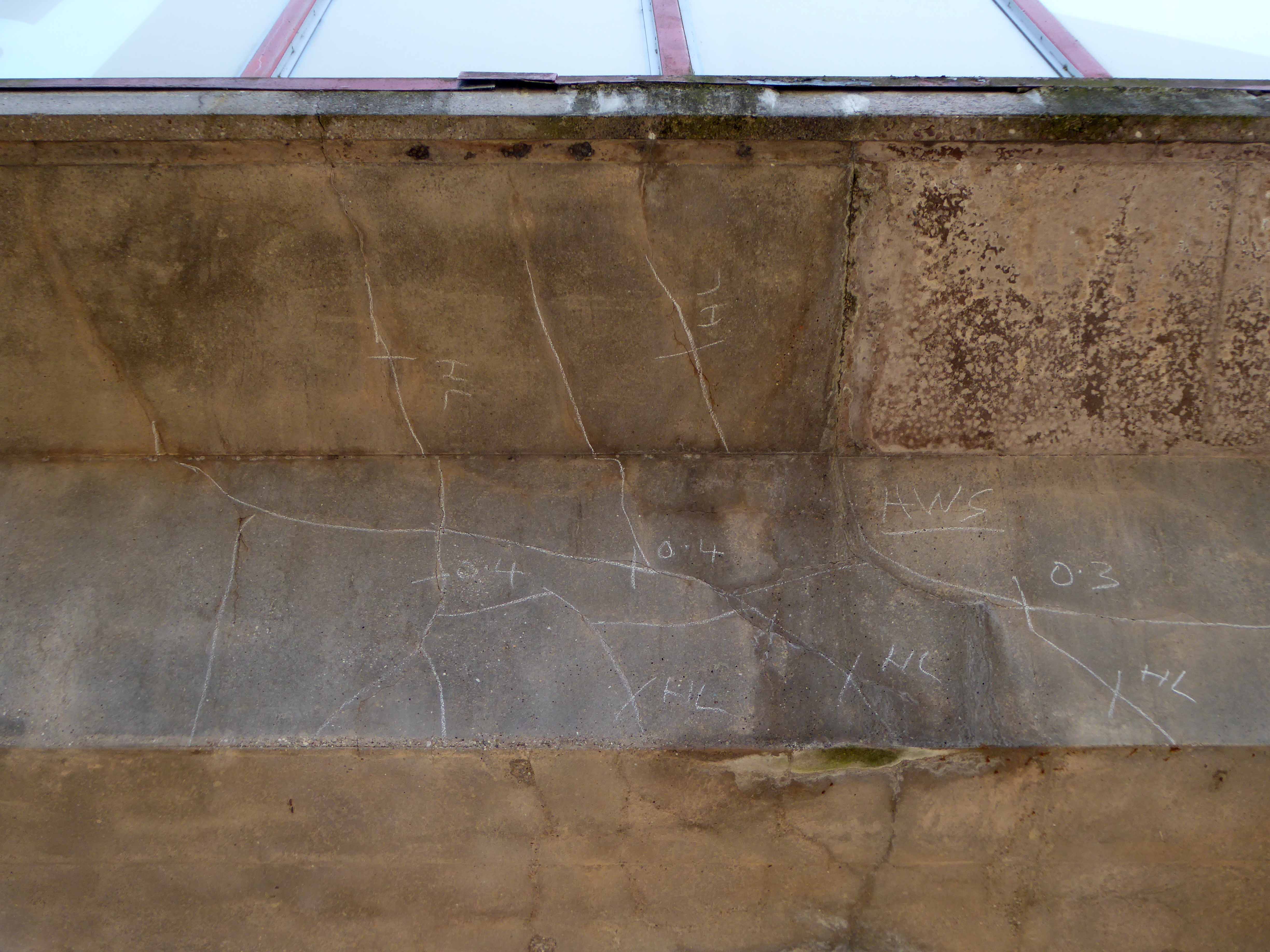
The raw concrete softened with three or four shades of grey, as a concession to the delicate suburban sensibilities of this once silk-fuelled town.
Take a trip with me – join the Cheshire train set.