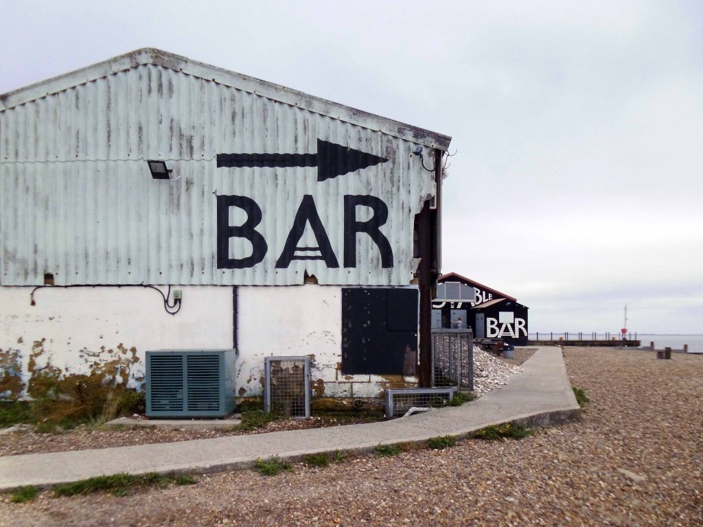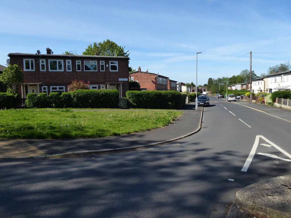
Sunday 2nd August 2015 – you awake and you’re still in Bournemouth and still in one piece, the possibility of late night stag and hen madness passed over without incident.
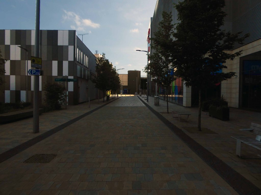
A quick look around town, then let’s get off to Pompey – where I was very proud to be a Polytechnic art student 1973/76, in good old Lion Terrace.
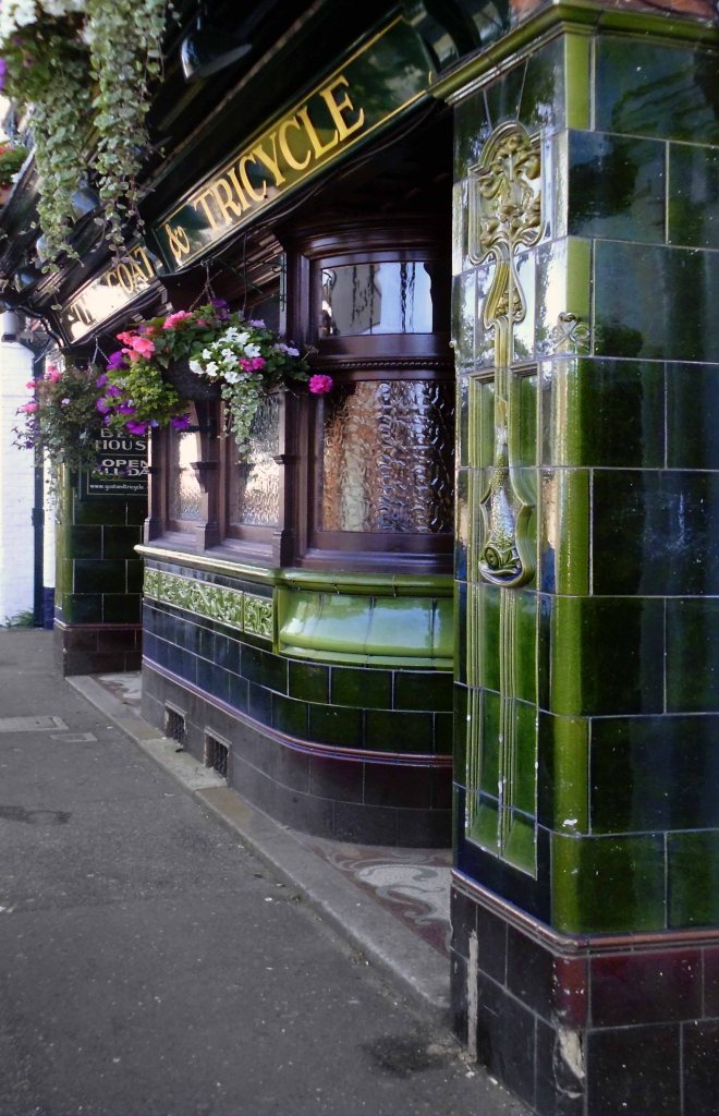

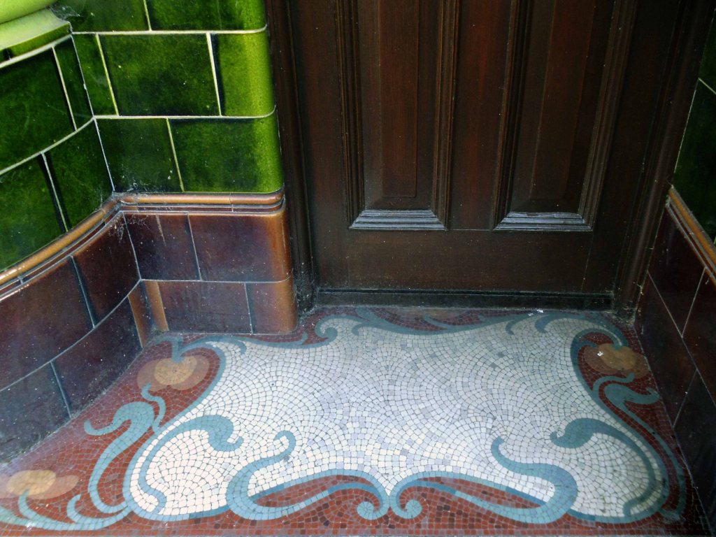
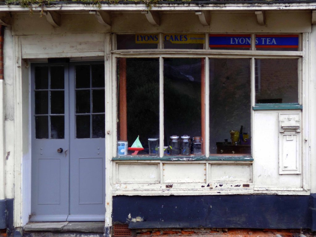
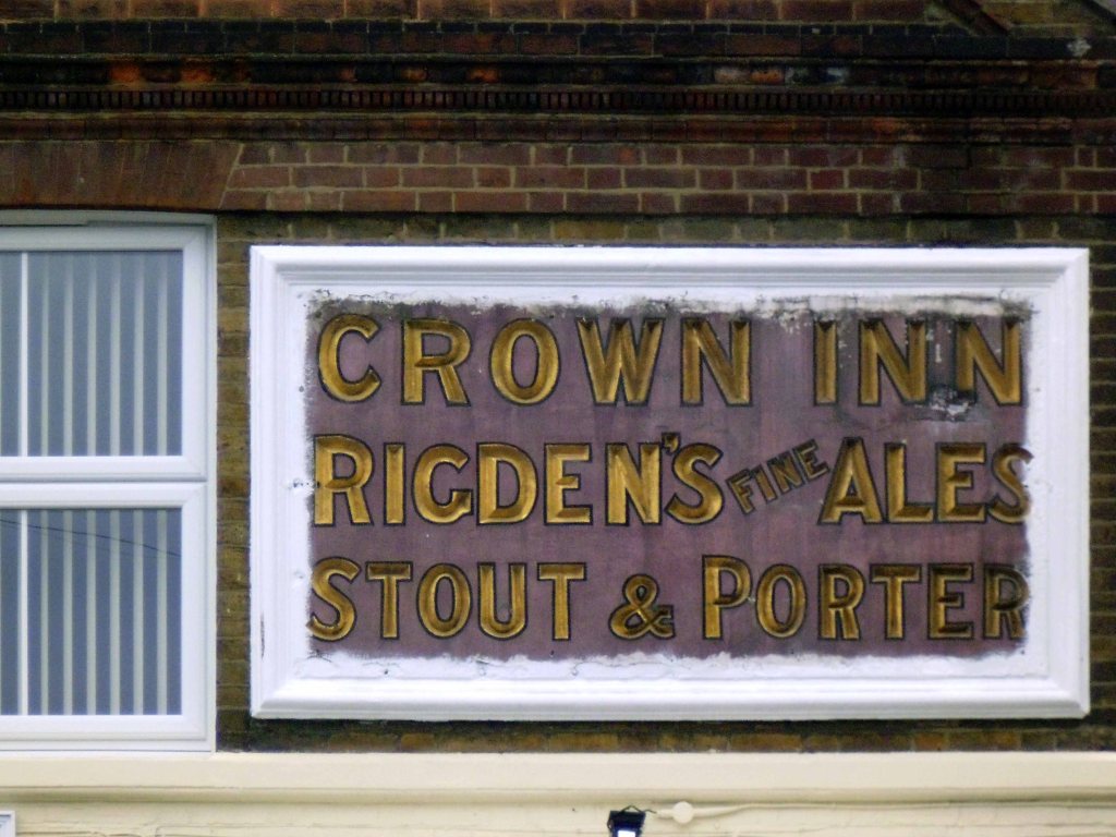
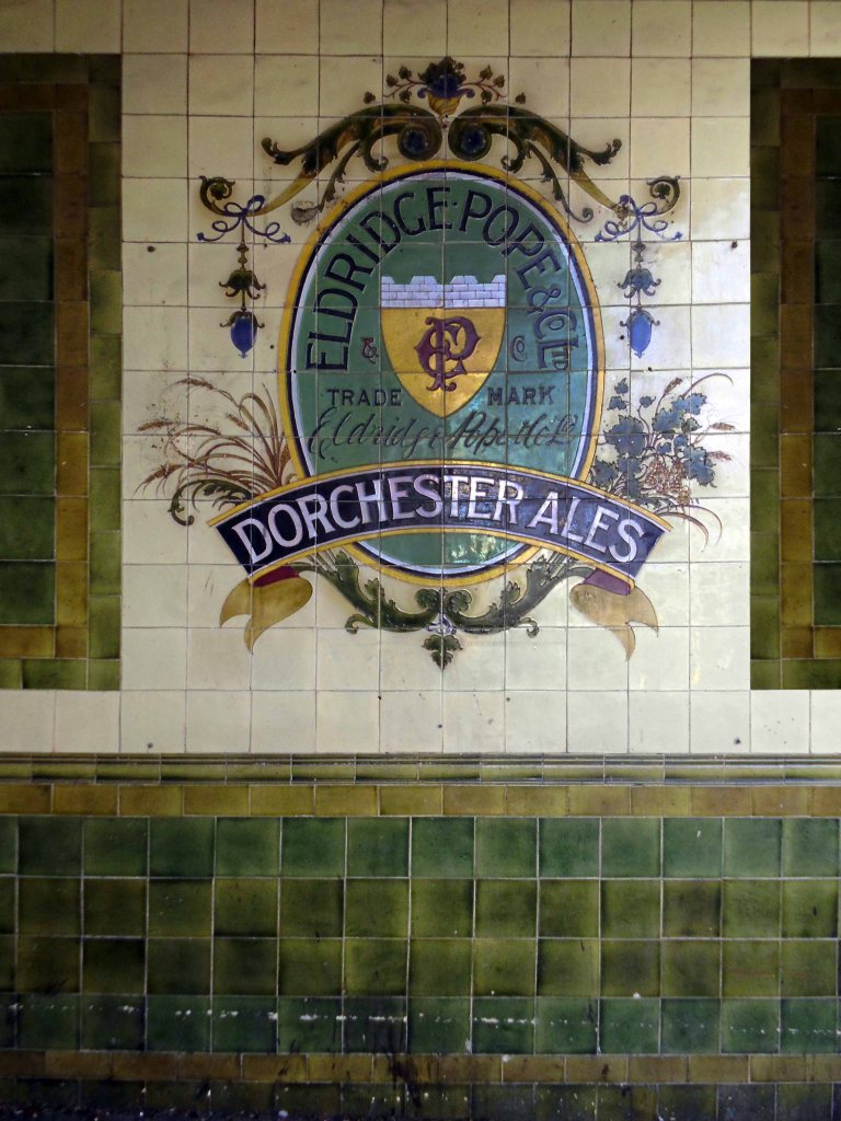
Last night’s late night drinking den with its fabulous faience frontage and doorstep mosaic.
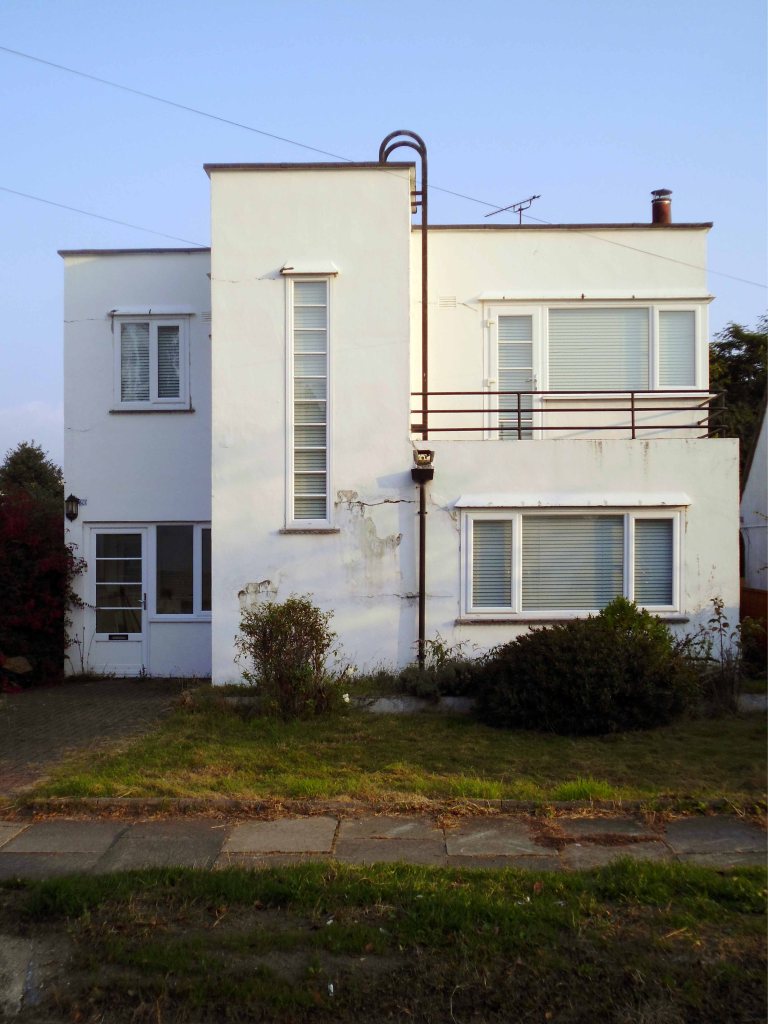
Close by this tiled porch at The Branksome.
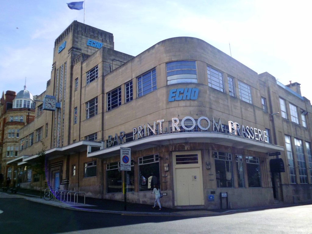
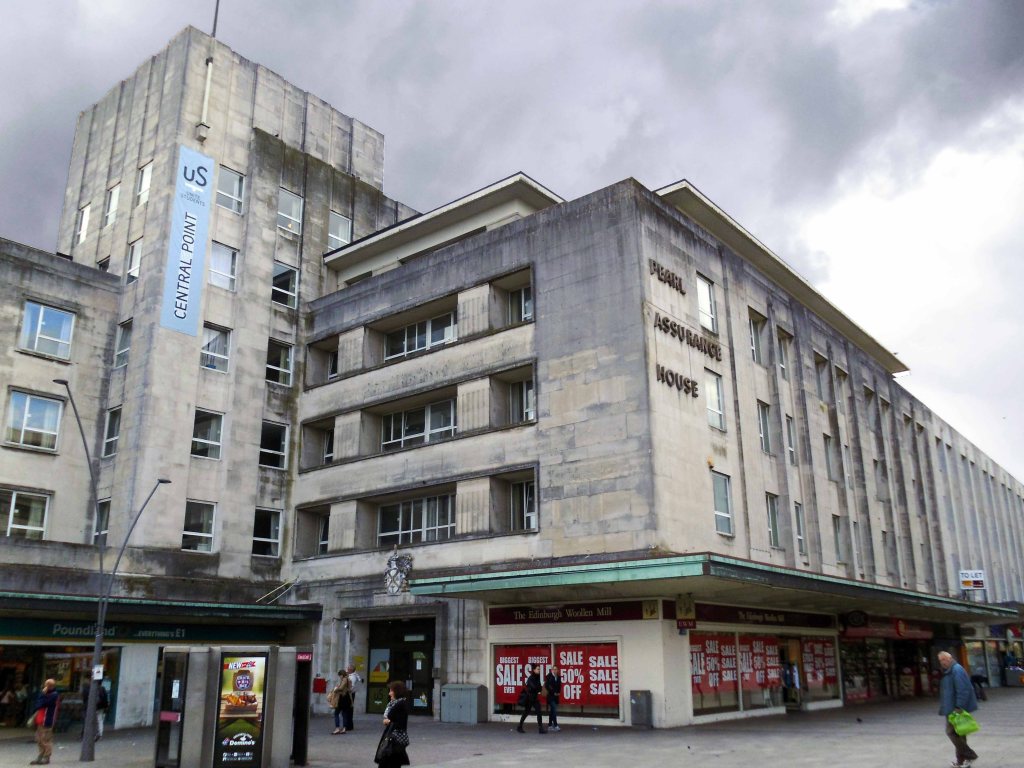
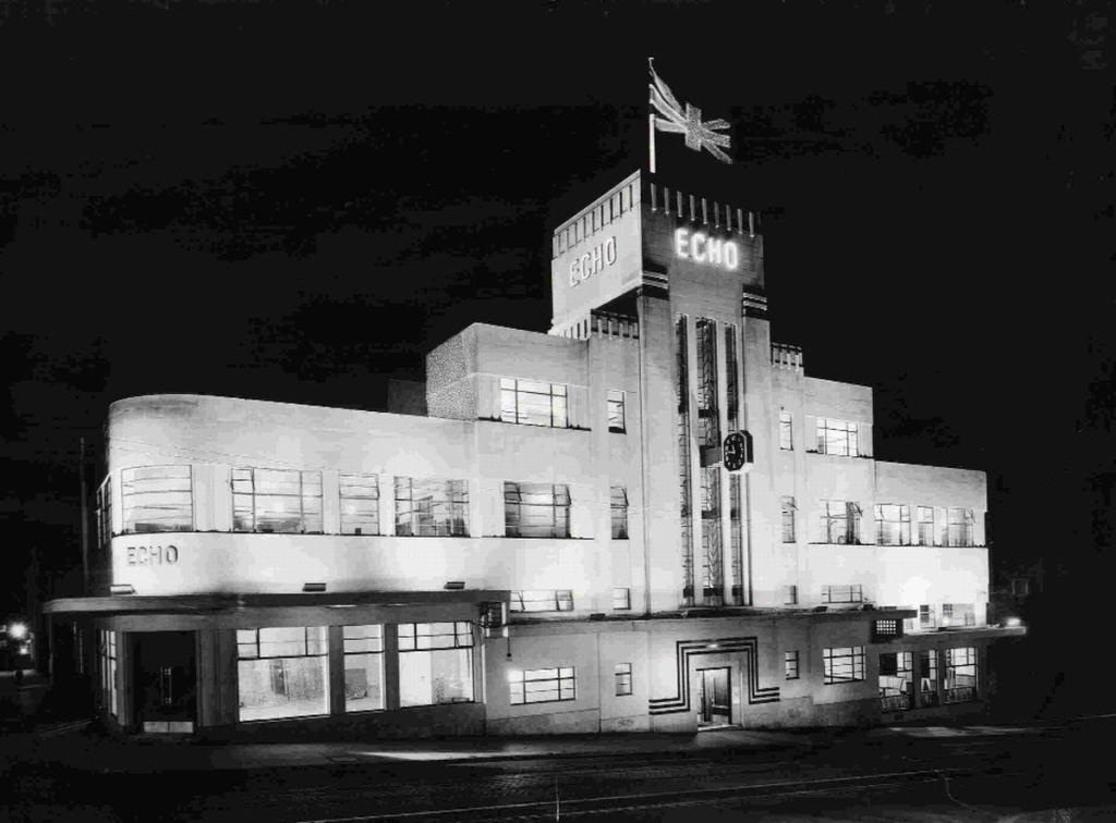
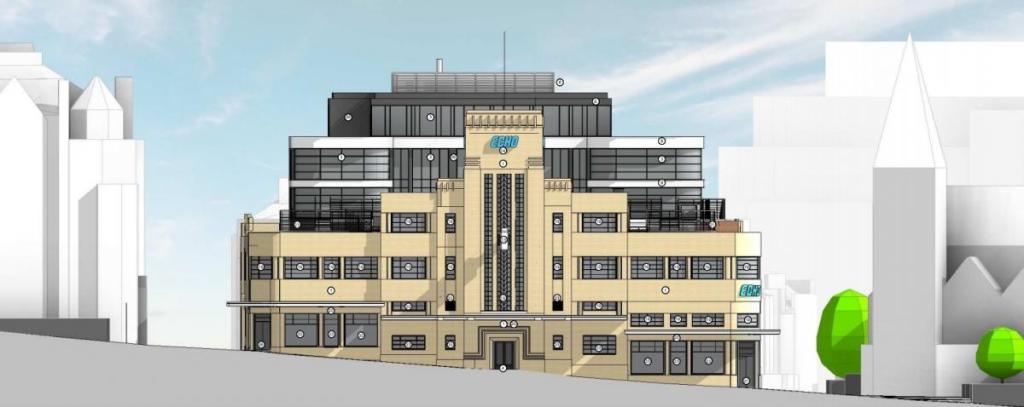
Built 1932 by Seal and Hardy as offices for the Bournemouth Echo, steel-framed, the main elevations faced in Monks Park Bath Stone.
Plans to redevelop the listed Daily Echo offices in Bournemouth were withdrawn shortly before they were due to be discussed by councillors.
That Group’s application to extend the Richmond Hill building to create more work space as well as a 30-bed hotel, café, gym and events space had been recommended for refusal before it was pulled from the agenda for Monday’s meeting.
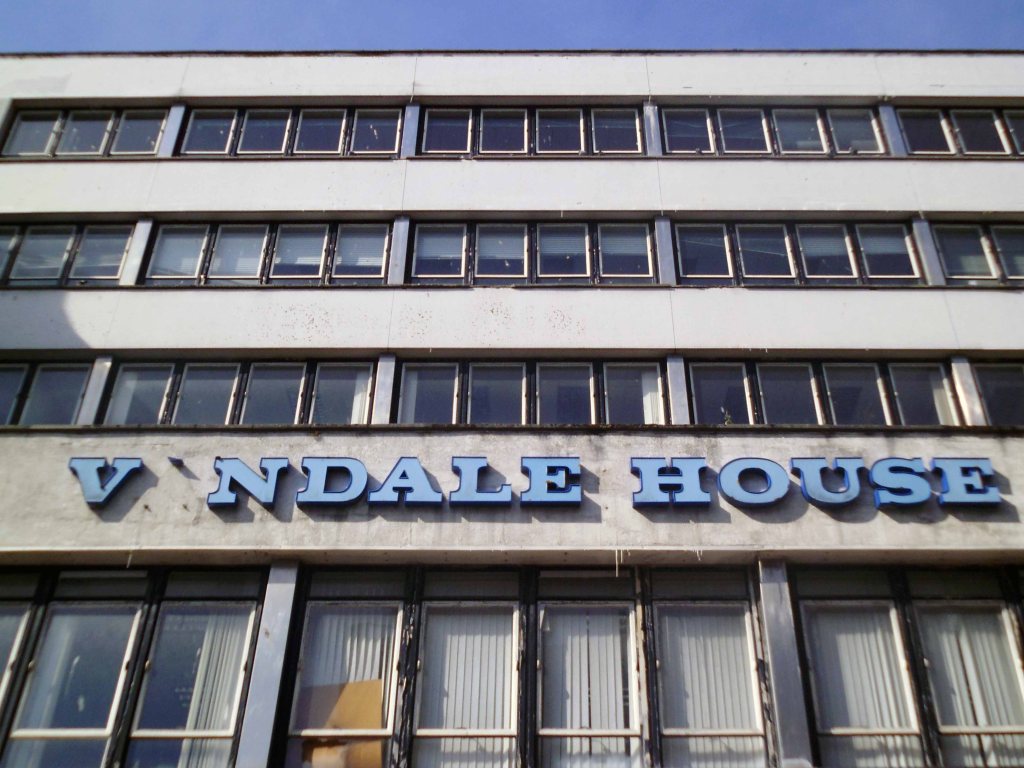
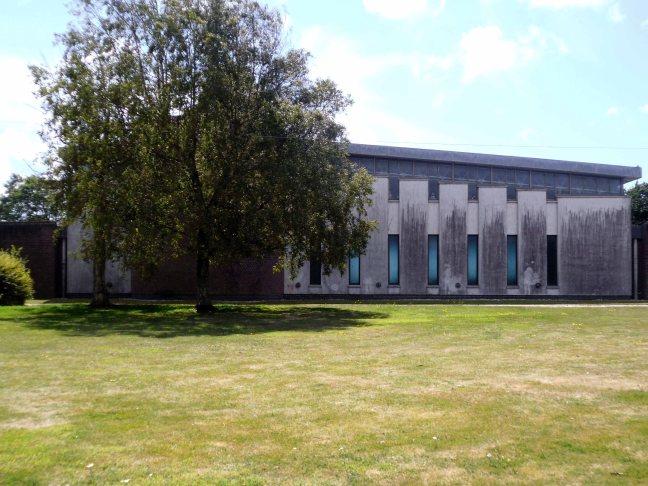
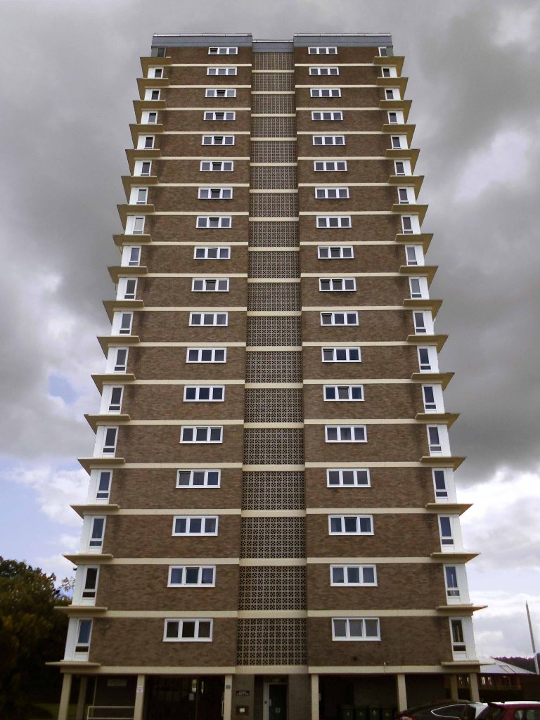
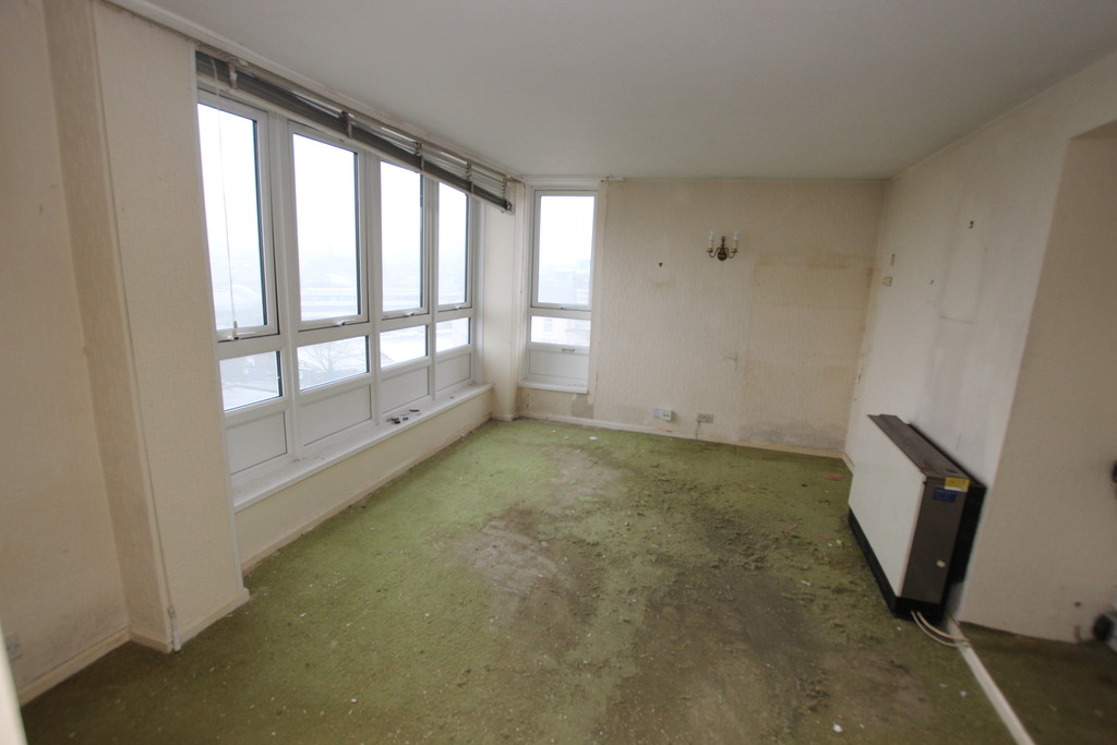
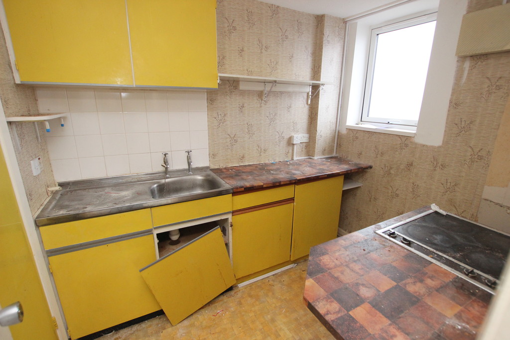
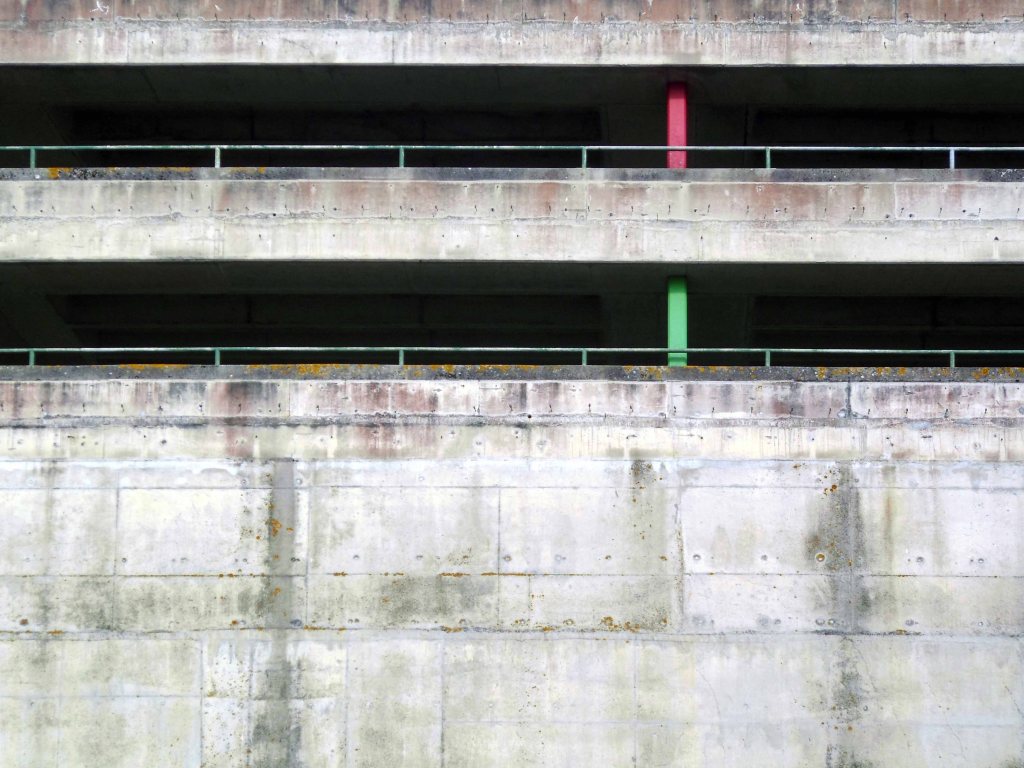
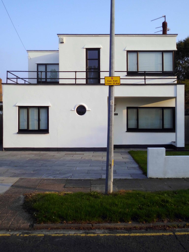
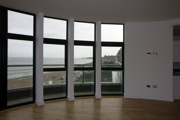
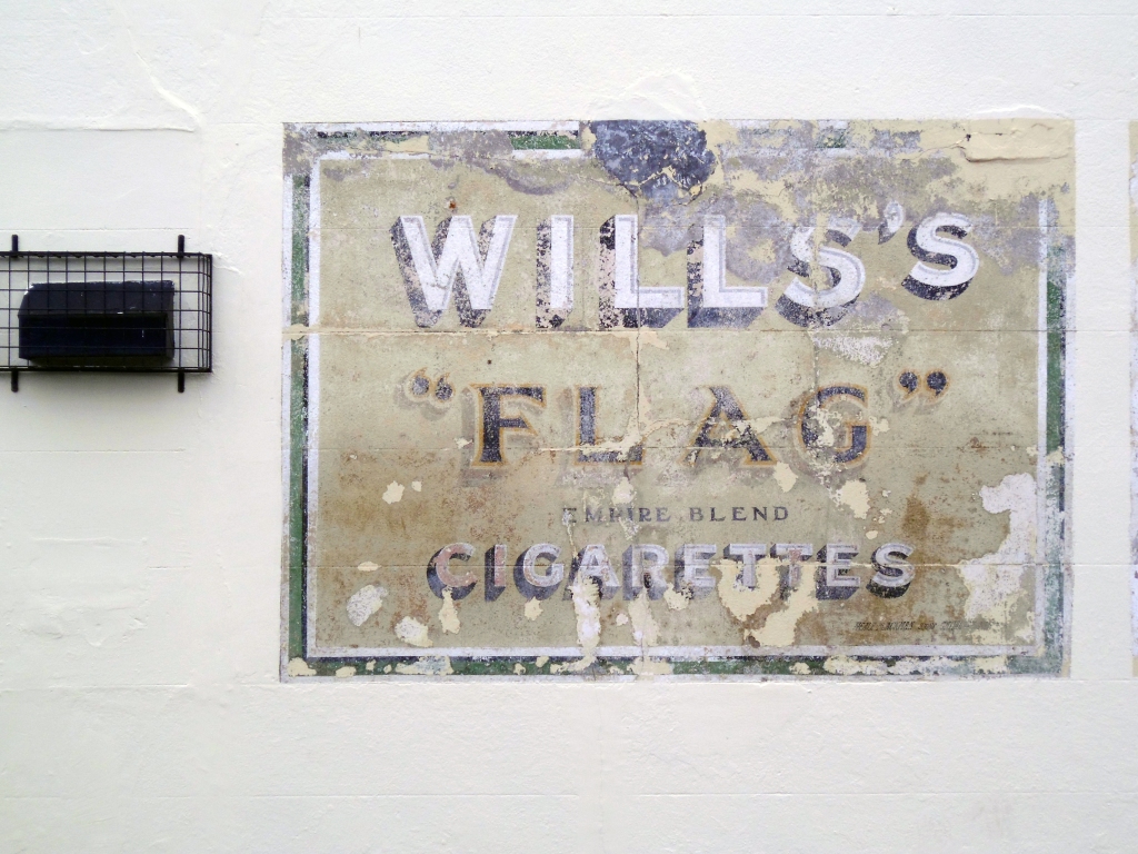
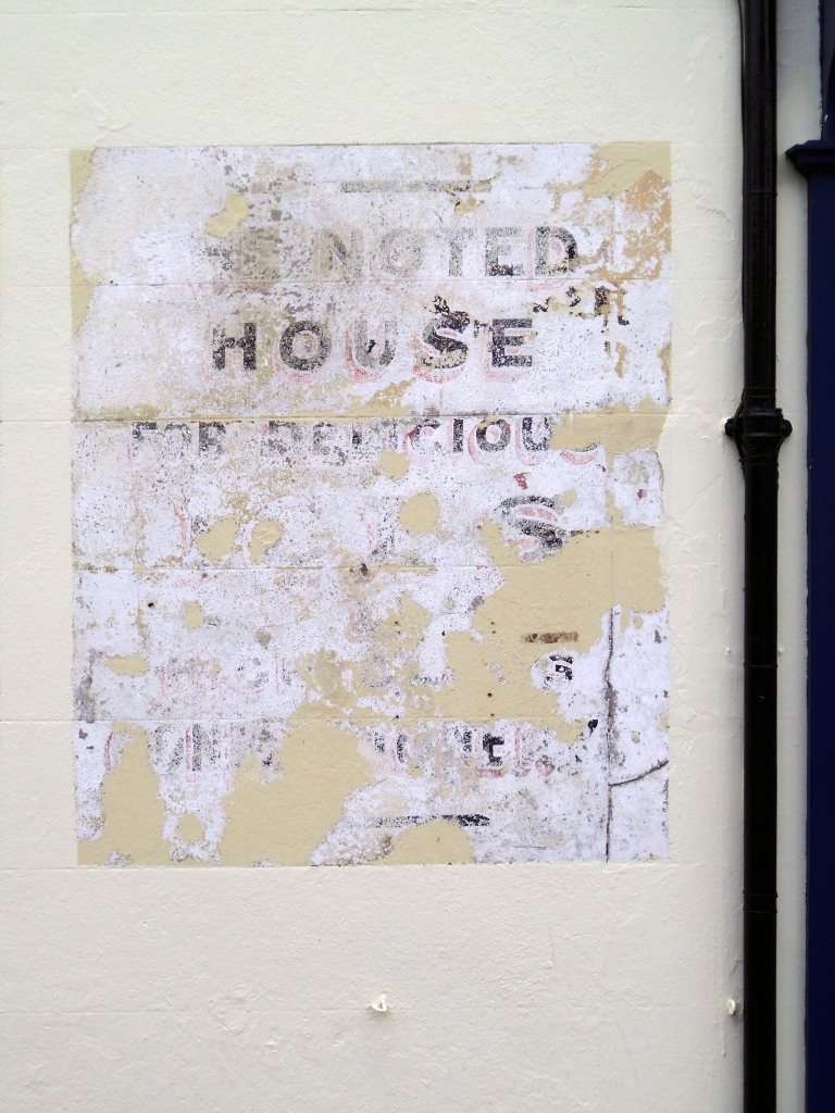
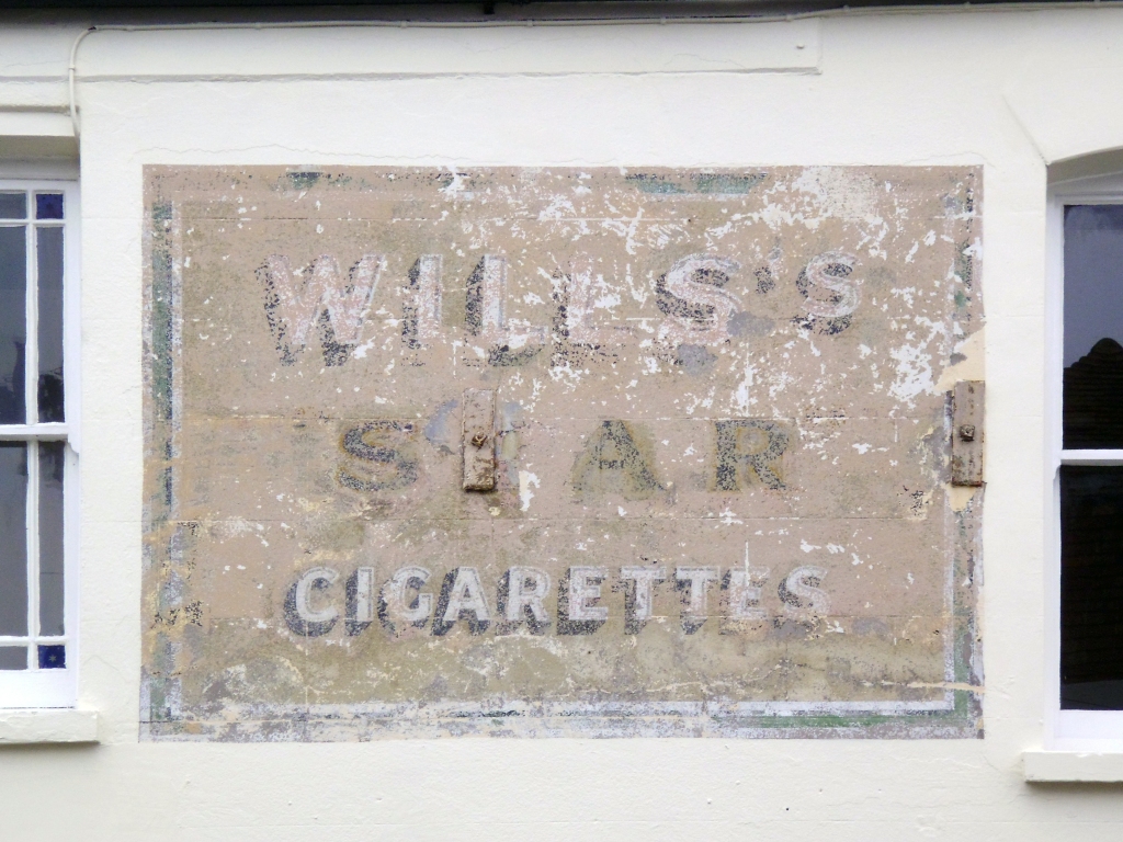
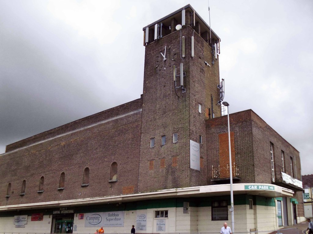
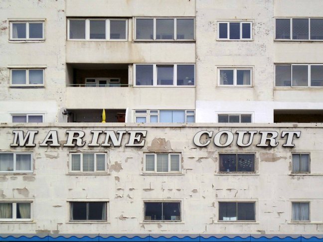
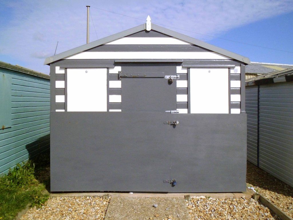
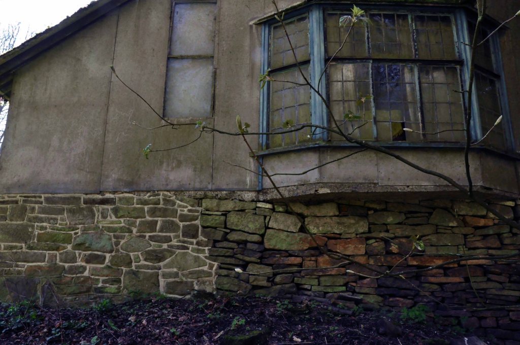
Vandale House appears to have been refurbished as flats, having lost its architectural type.
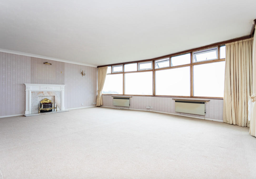
The property benefits from modern and contemporary décor throughout, large balcony and views over the Town Centre itself.
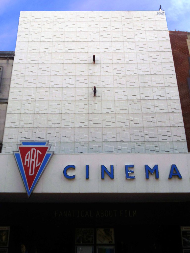
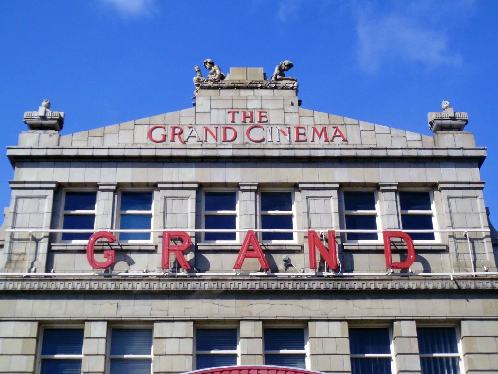
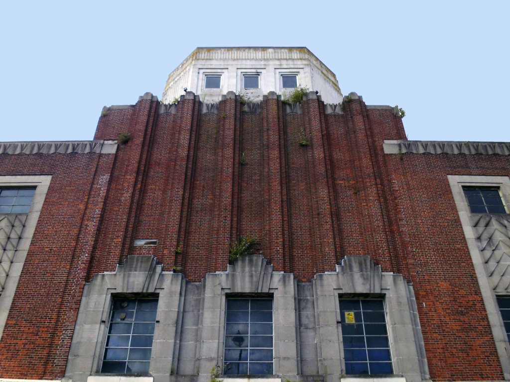
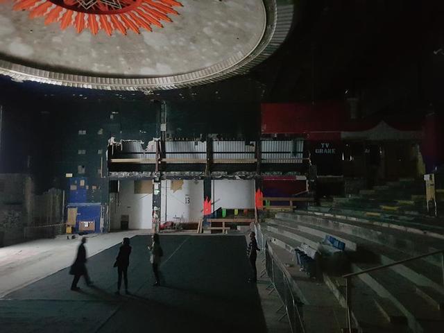
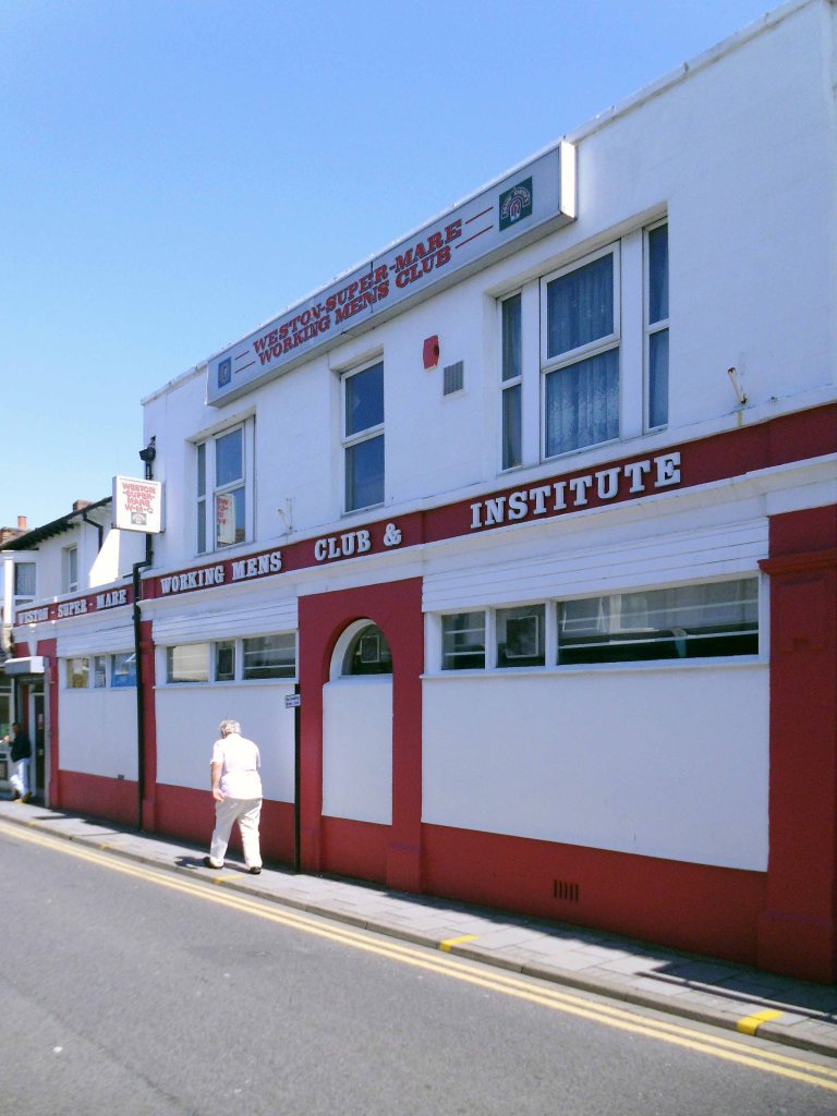
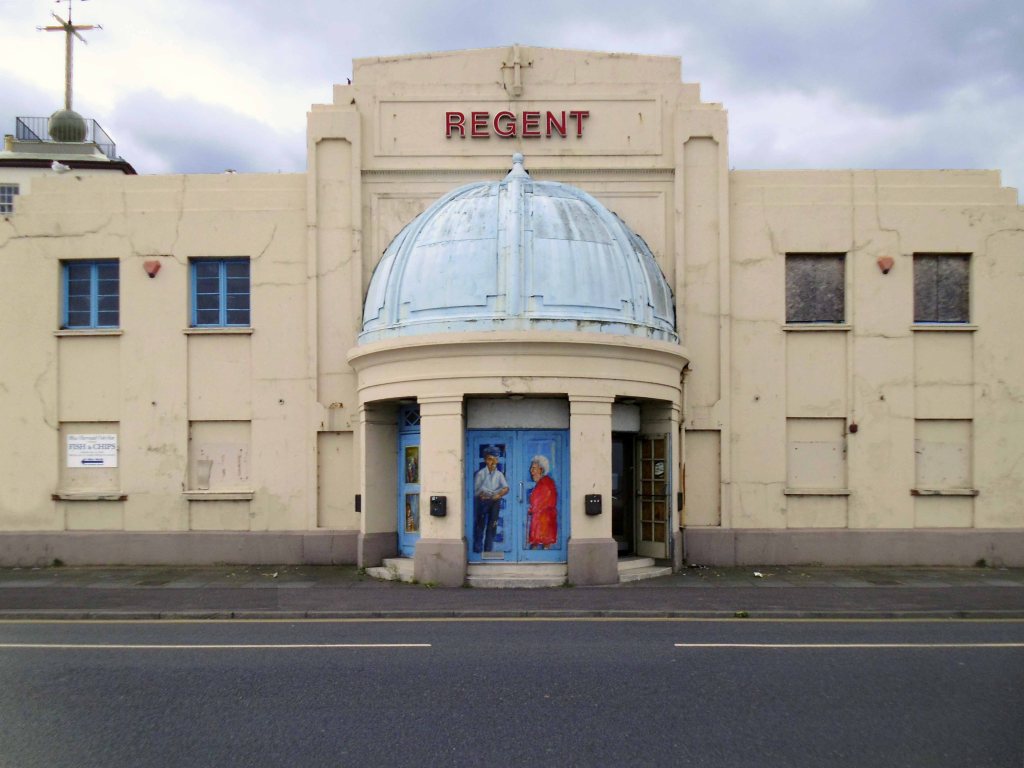
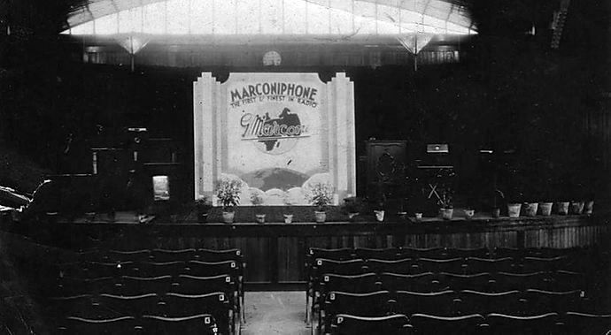
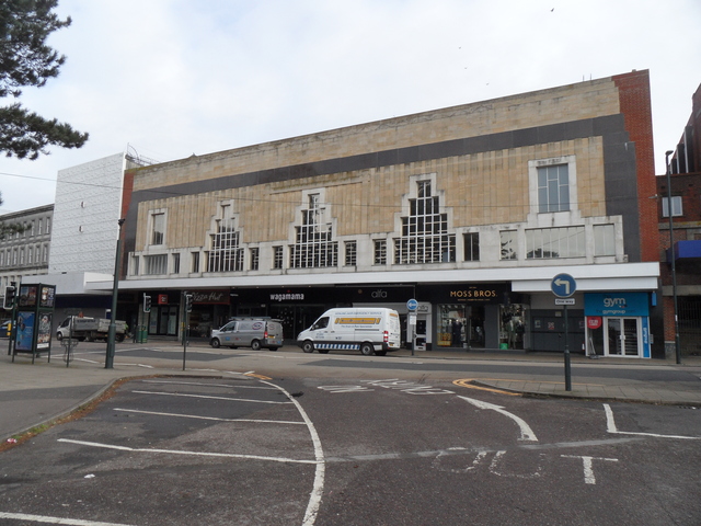
This art deco cinema was built for ABC and designed by their regular architect William Glen, it opened in June 1937.
The ABC, originally the Westover Super Cinema, entertained audiences for almost 80 years before it was closed in 2017 – along with the nearby Odeon – to make way for a new Odeon multiplex at the BH2 complex.
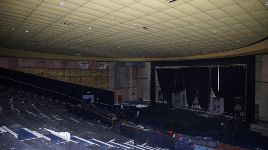
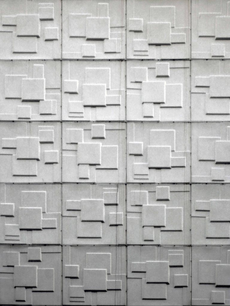
In its rejected plans for the site, Libra Homes had pledged to restore the cinema’s original Art Deco frontage, if it survives under the cladding that was added in the 1960s.
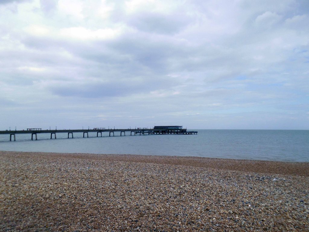
Boscombe Pier – is the perfect vantage point to watch volleyball, table tennis and mini golf. If you are feeling adventurous, try scaling the nearby, purpose built boulders next to the pier or have a go at slacklining!
There are nearby are cafés, takeaways and beach shops all within walking distance from Boscombe Pier. The pier is free to enter and has a plethora of activies that individuals and families can enjoy!
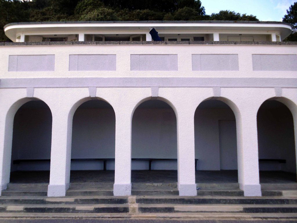
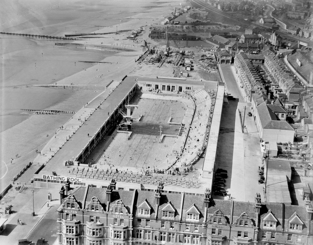
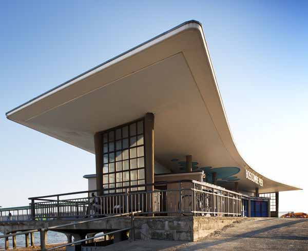
Designed by Archibald Smith, the 600 foot pier opened on 28th July 1889. In 1924/5 and 1927, the head was renewed in high alumina concrete and, between 1958 and 1960, the neck was reconstructed using reinforced concrete.
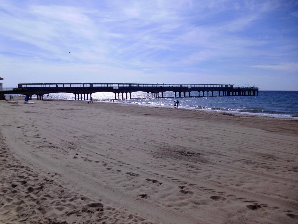
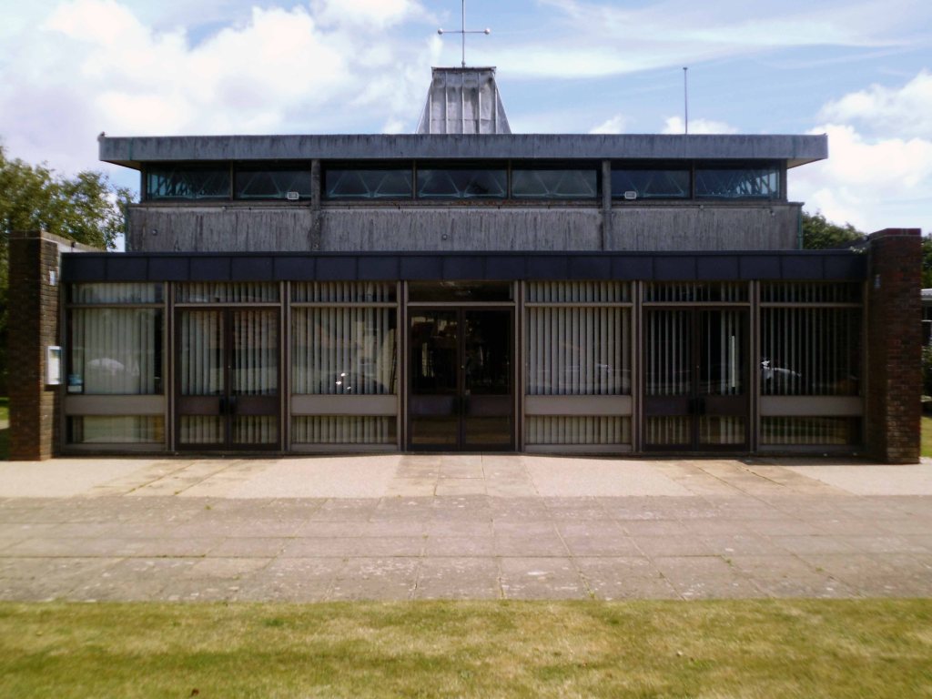
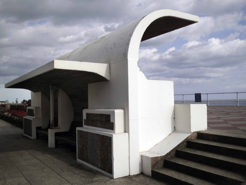
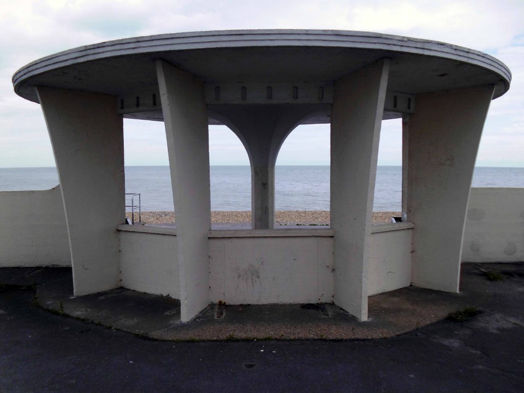
The neck building is a design by the Borough Architects, demonstrating great verve and vivacity. The contemporary style associated with Frank Lloyd Wright’s Usonian houses and made popular with Californian homes in the 1940s was well suited to the requirements of an architecture that combined ‘sun and fun’. The contemporary style made a feature of expressing different elements or planes of a composition with different materials, and here the combination is honest and each element well detailed. The sweep of the cantilevered, boomerang-shaped roof is a particularly joyous feature. It is a building that would have been despised as being exactly of its date until recently; now it is a building that can be celebrated for that very reason, and a rare example of pier architecture from these years.
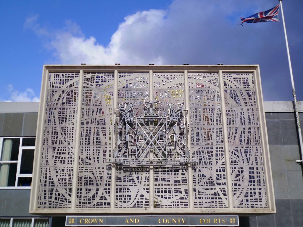
Historic England Listing
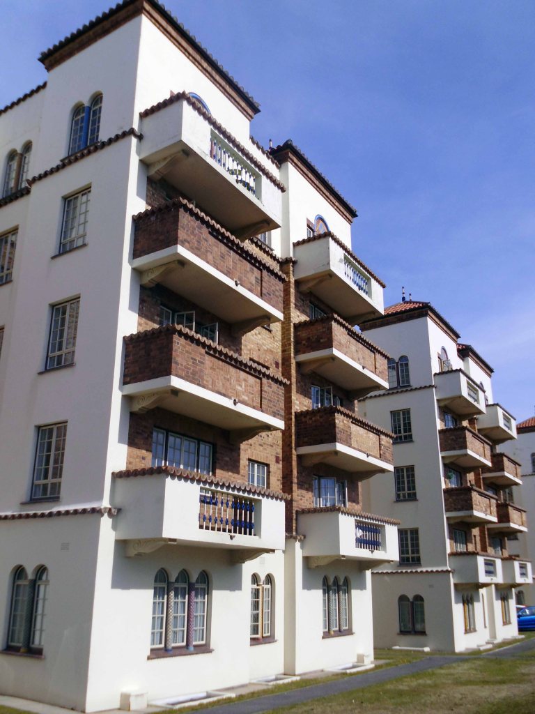
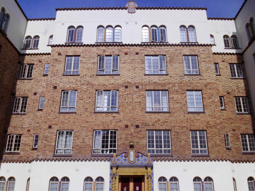
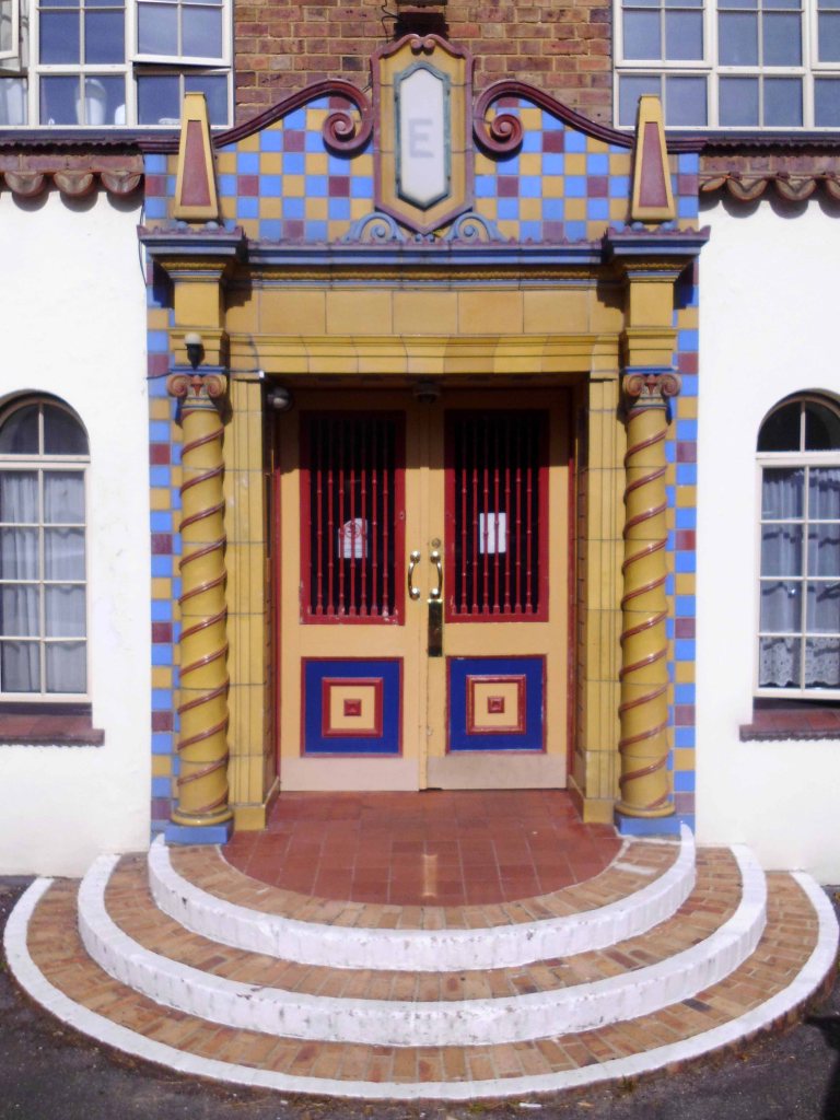
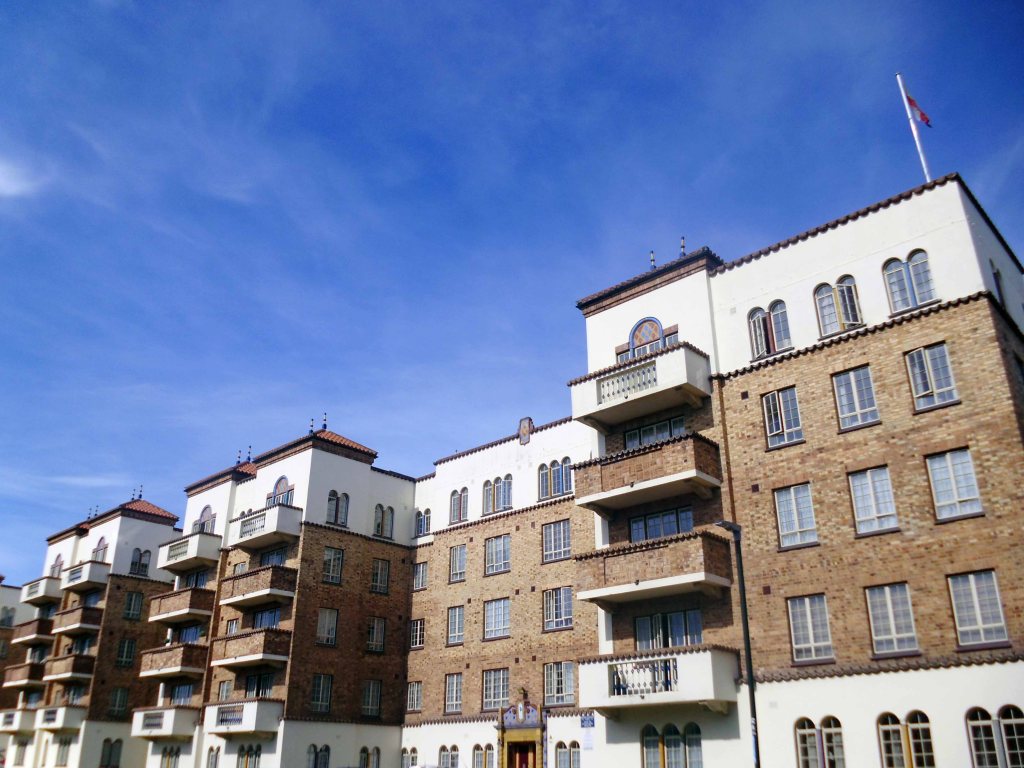
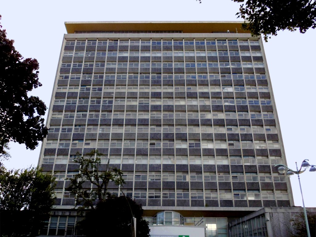
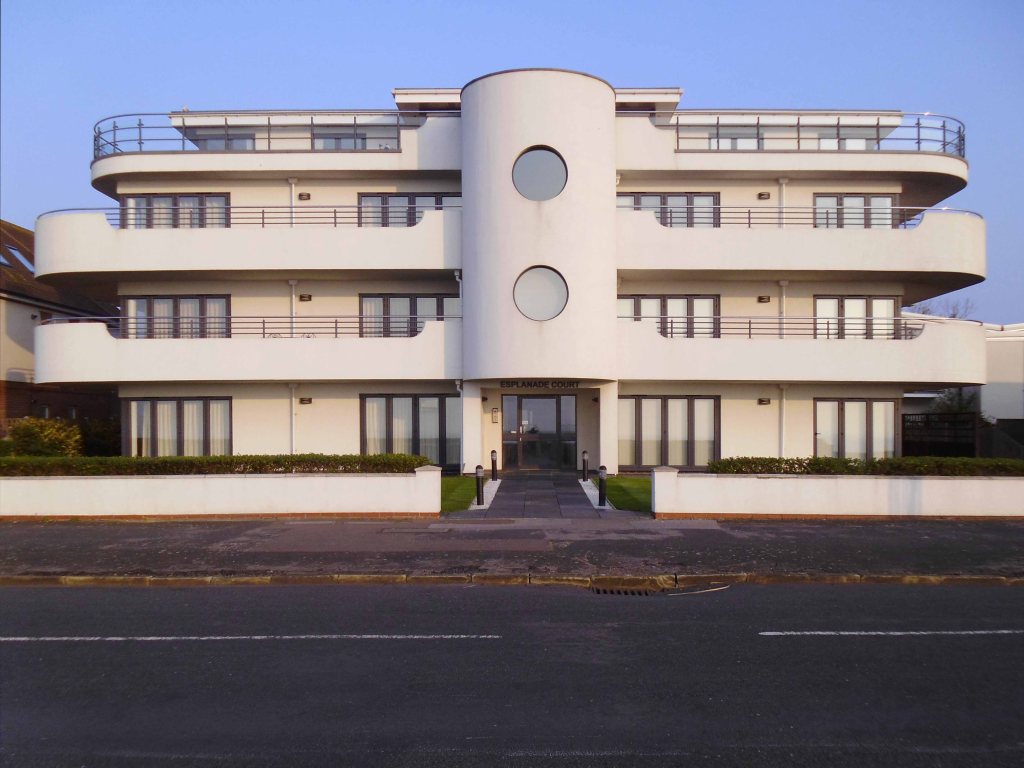
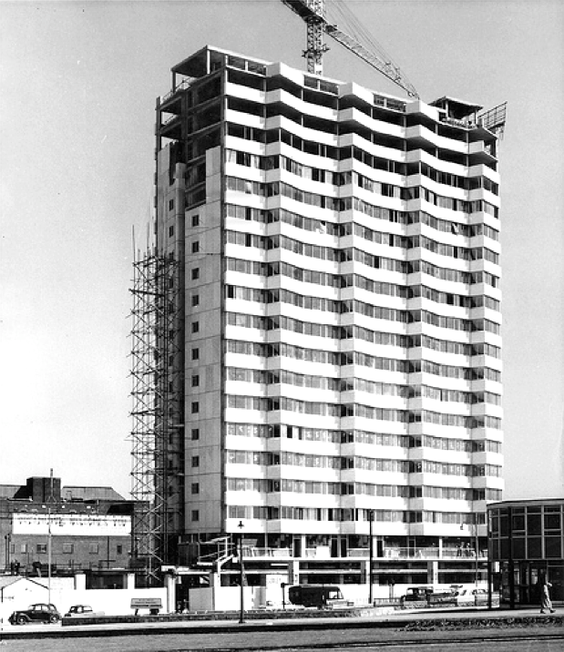
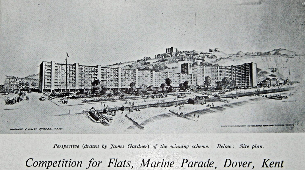
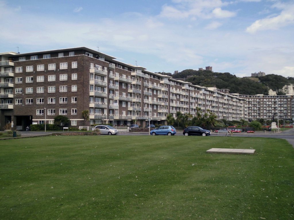
San Remo Towers a block of 164 flats, with penthouse and office, over basement garage. 1935-8 by Hector O’Hamilton.
Facilities offered as inclusive in this price included centralised hot water and central heating, an auto vac’ cleaning system, centralised telephones, a resident manager, a porter, daily maid, boot cleaning and window cleaning services. There was a Residents’ club with a reading room card room, billiard room and library, and a children’s recreation and games room. There were kiosks in the ground-floor lobbies selling tobacco and convenience items, where the staff took orders for the local tradesmen. The fifth-floor restaurant offered a la carte meals, which could be taken at pension rates of 38s per week. A simpler dinner cost 2/6d. The use of an American architect, Hector O Hamilton, may be an explanation for the building’s large range of facilities, including the grand underground car park and sophisticated servicing
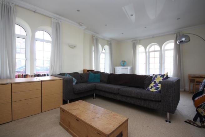

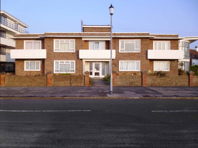
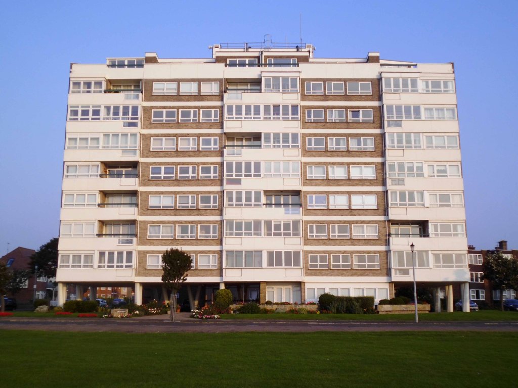
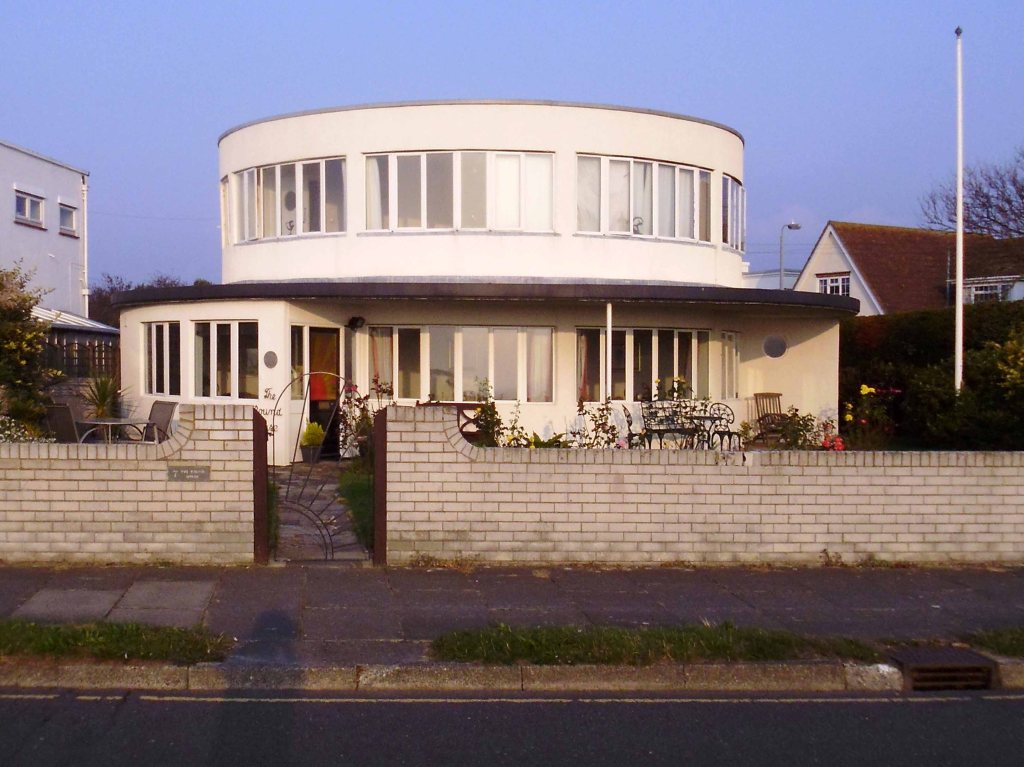
Carlinford benefits from commanding views over Poole Bay looking to the Isle of Wight across to the Purbecks. Included in the annual service charge is a Caretaker, Gardener & the communal areas are kept in good order. A fabulous location and a great place to call home.

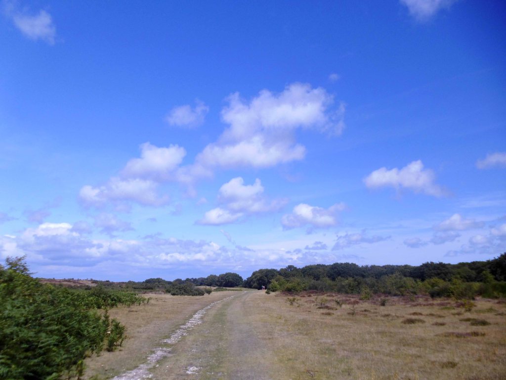
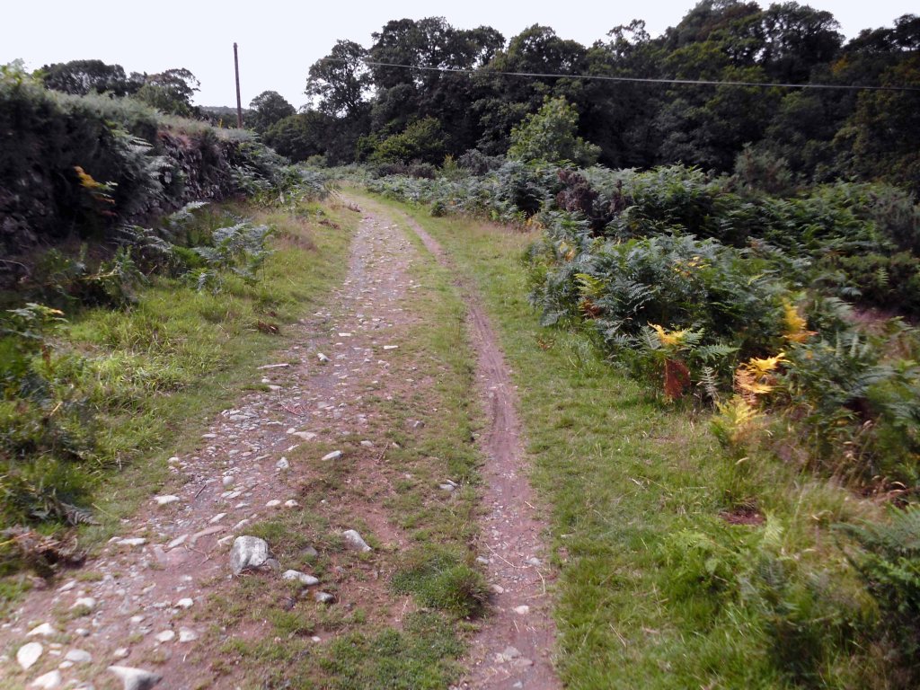
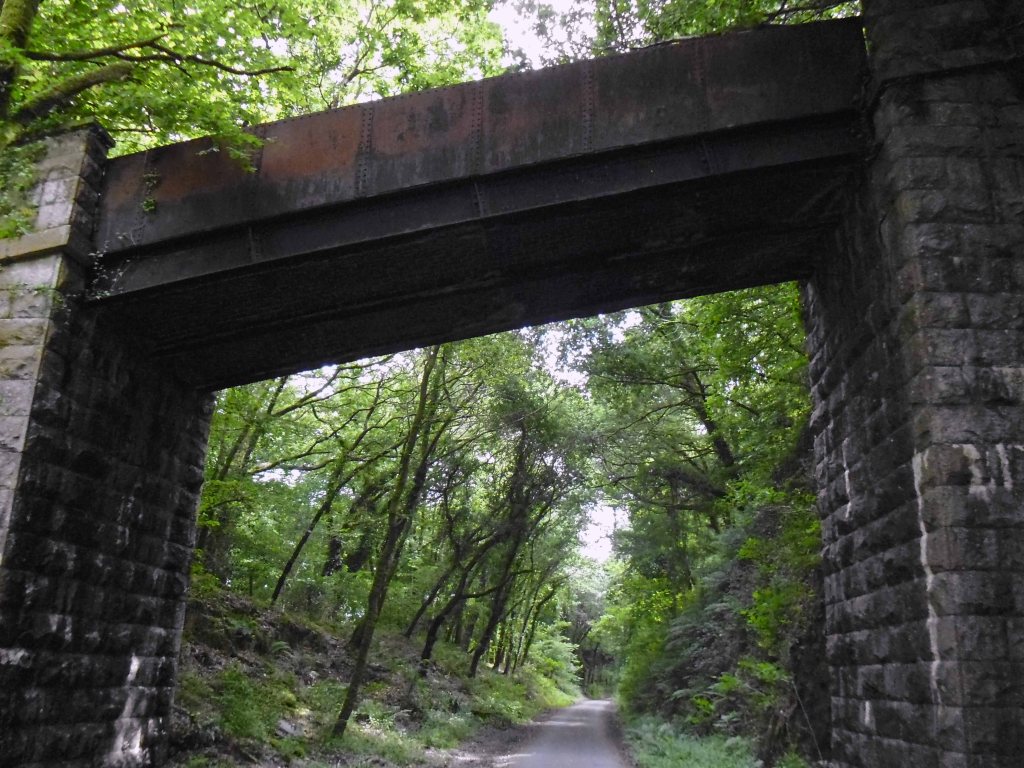
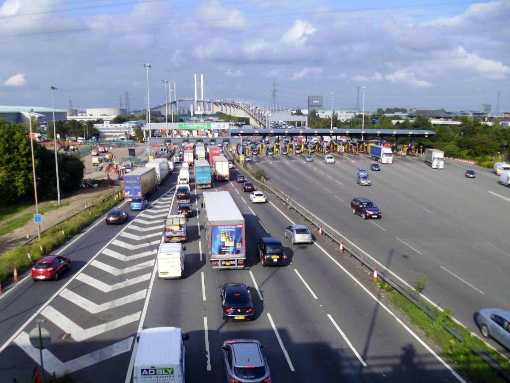
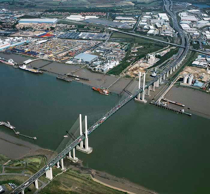
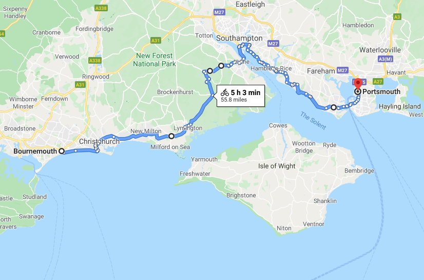
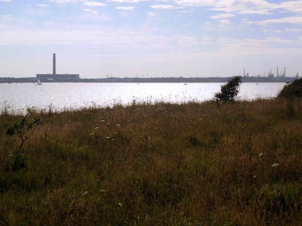
Crossing the New Forest and arriving in Hythe.

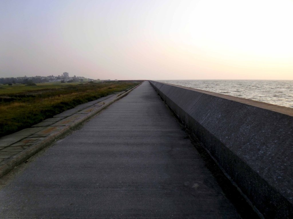
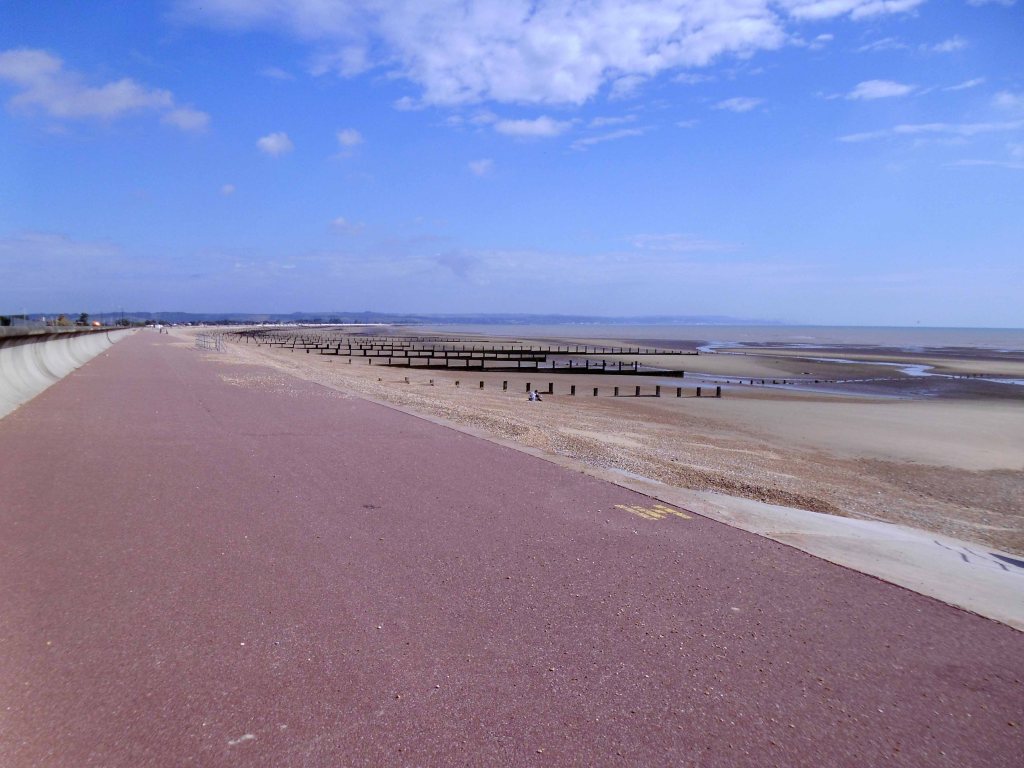
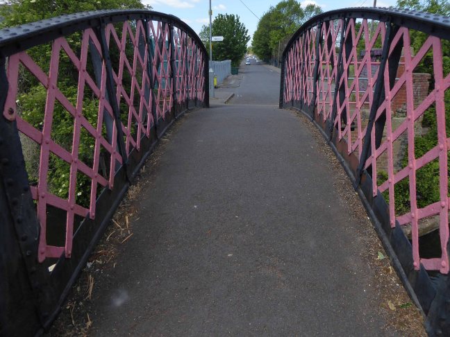
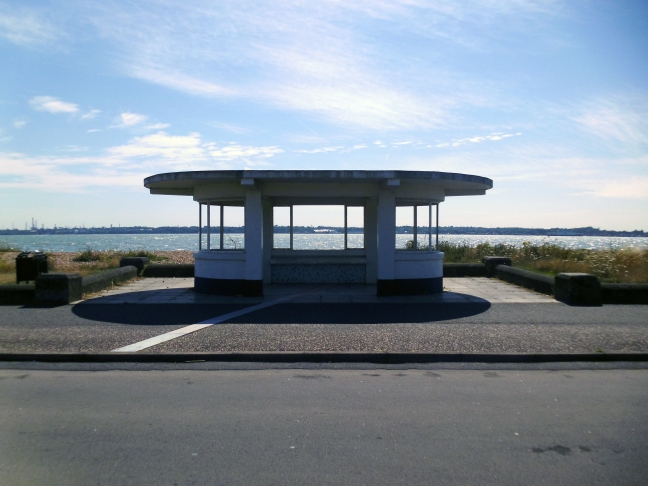
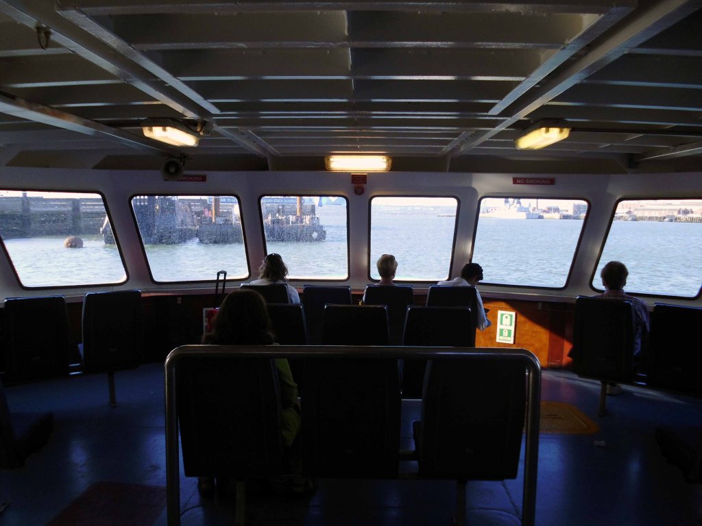
Running the length of the pier to catch the ferry across Southampton Water.
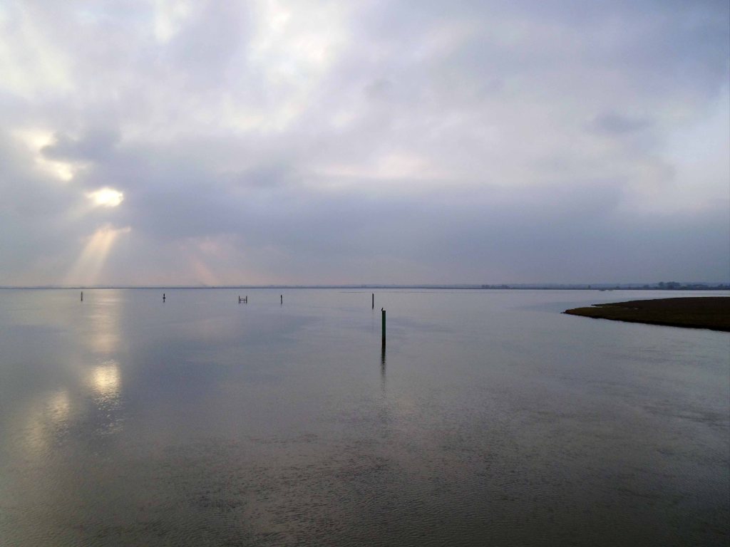
Where one is able to see many large ships.

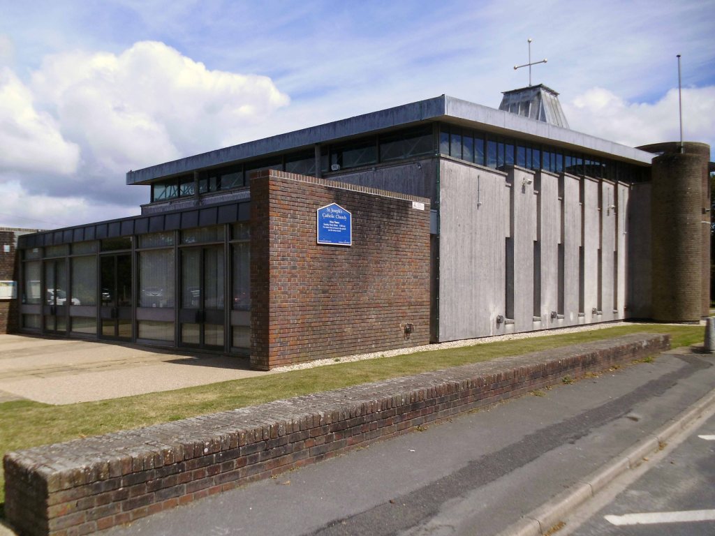
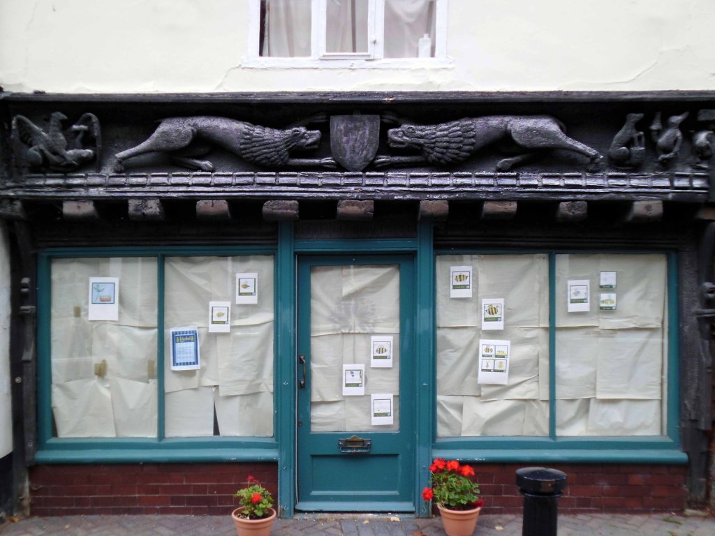
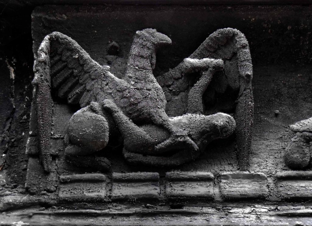
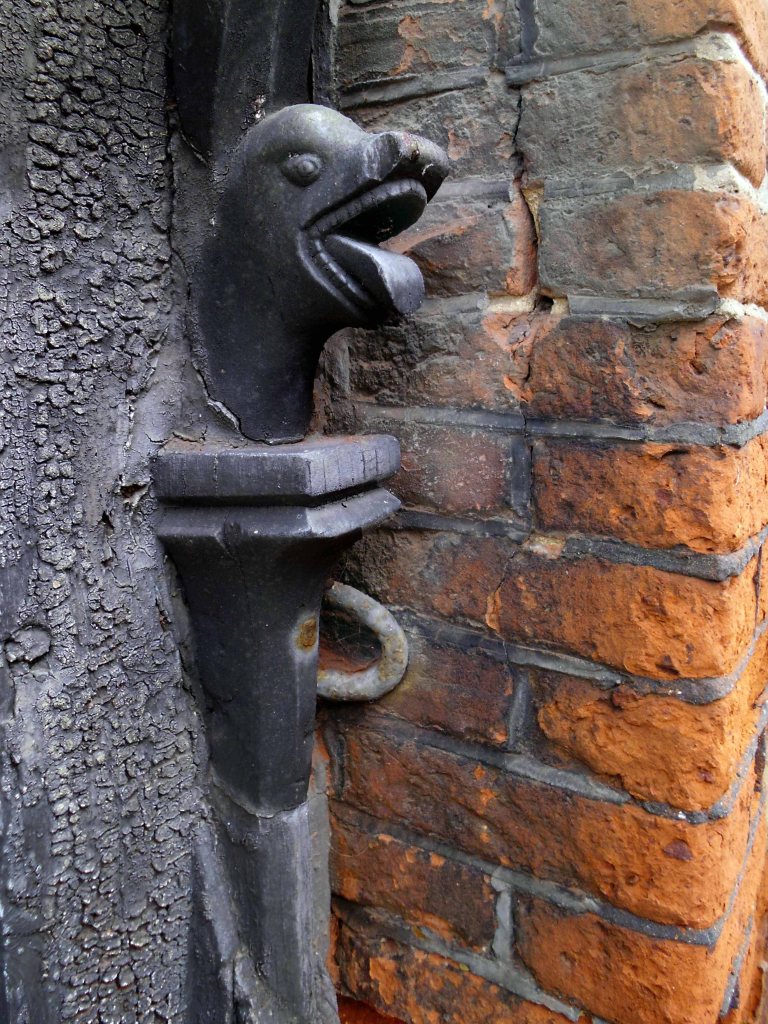
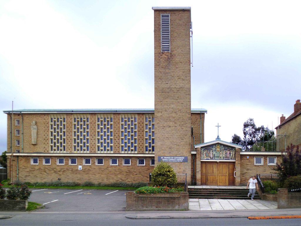
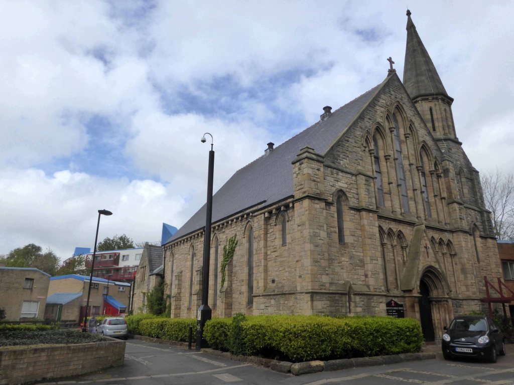
St Patrick’s Catholic Church 1939
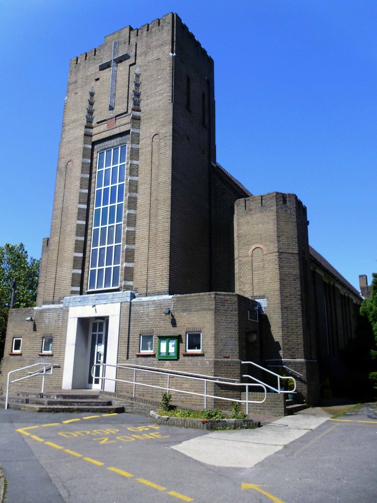
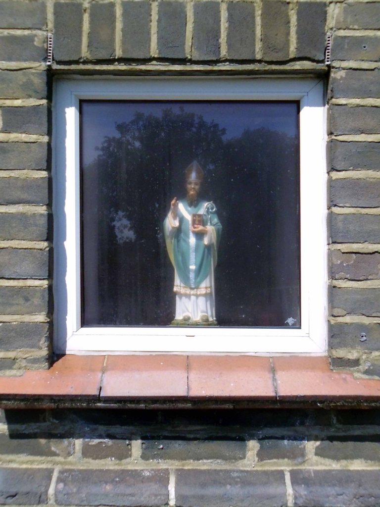
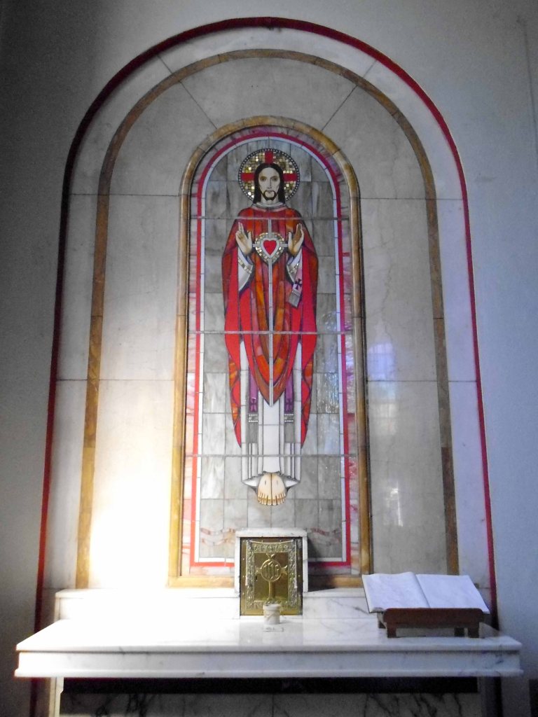

W.C. Mangan’s last church in the diocese, with a moderne Gothic character rather than the basilican style he favoured elsewhere. The design is not without character and is in the mainstream of brick church building around middle of the twentieth century.

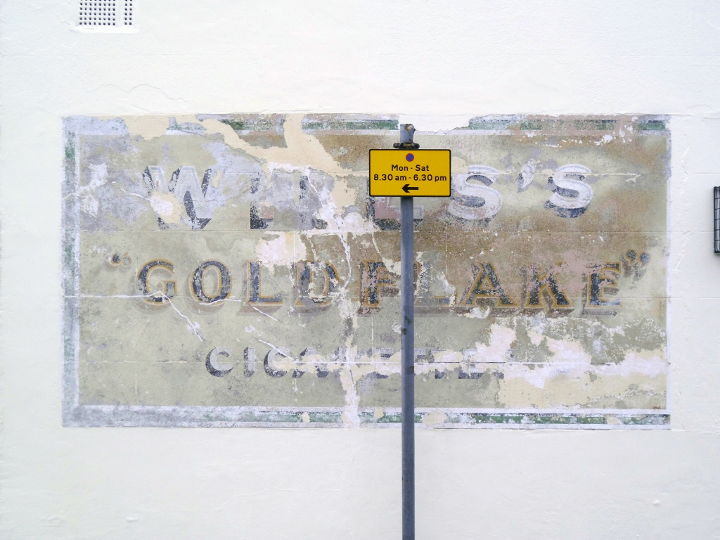
First siting of Stymie Bold Italic/Profil since Devon
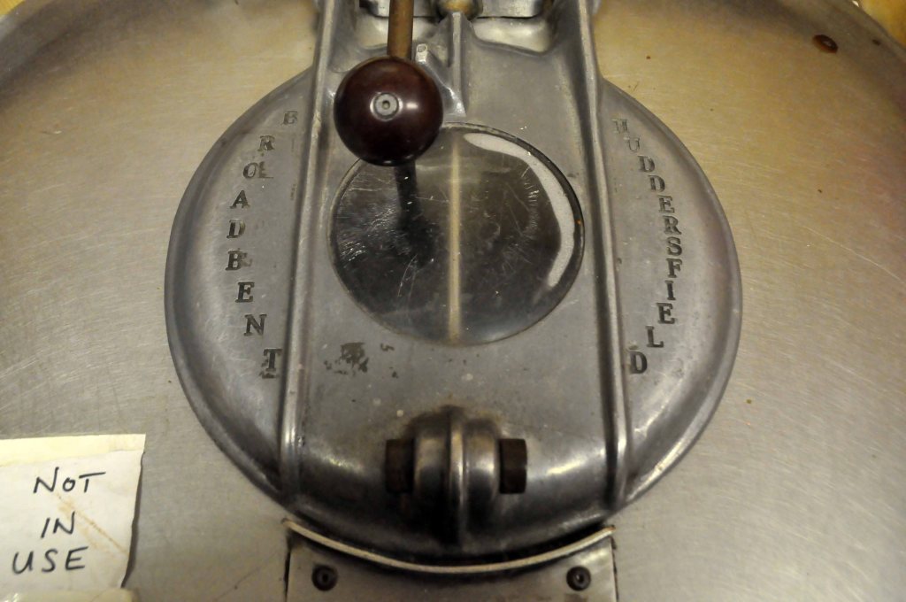
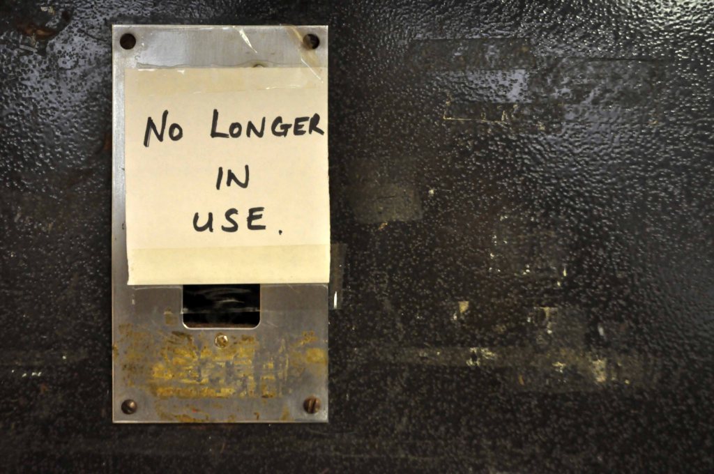
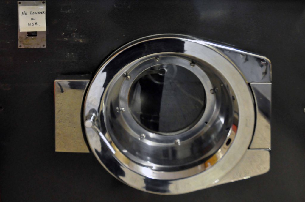
Sadly the Hovercraft Museum was closed – Founded 1987 as a registered charity, the Museum Trust is the worlds greatest collection of Hovercraft archive, film, and historic craft, dating back to to John Thonycroft’s 1870 air lubricated boat models and the then Dr. Cockerell’s 1955 annular jet experiments.


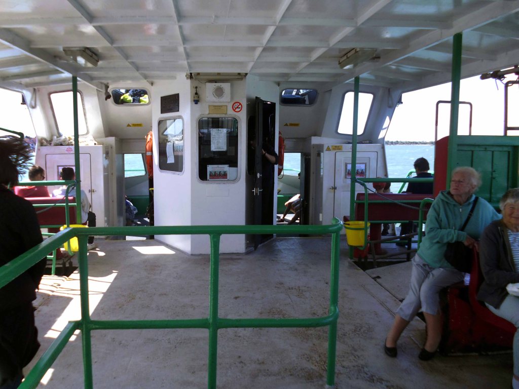
So excited to be boarding yet another ferry.
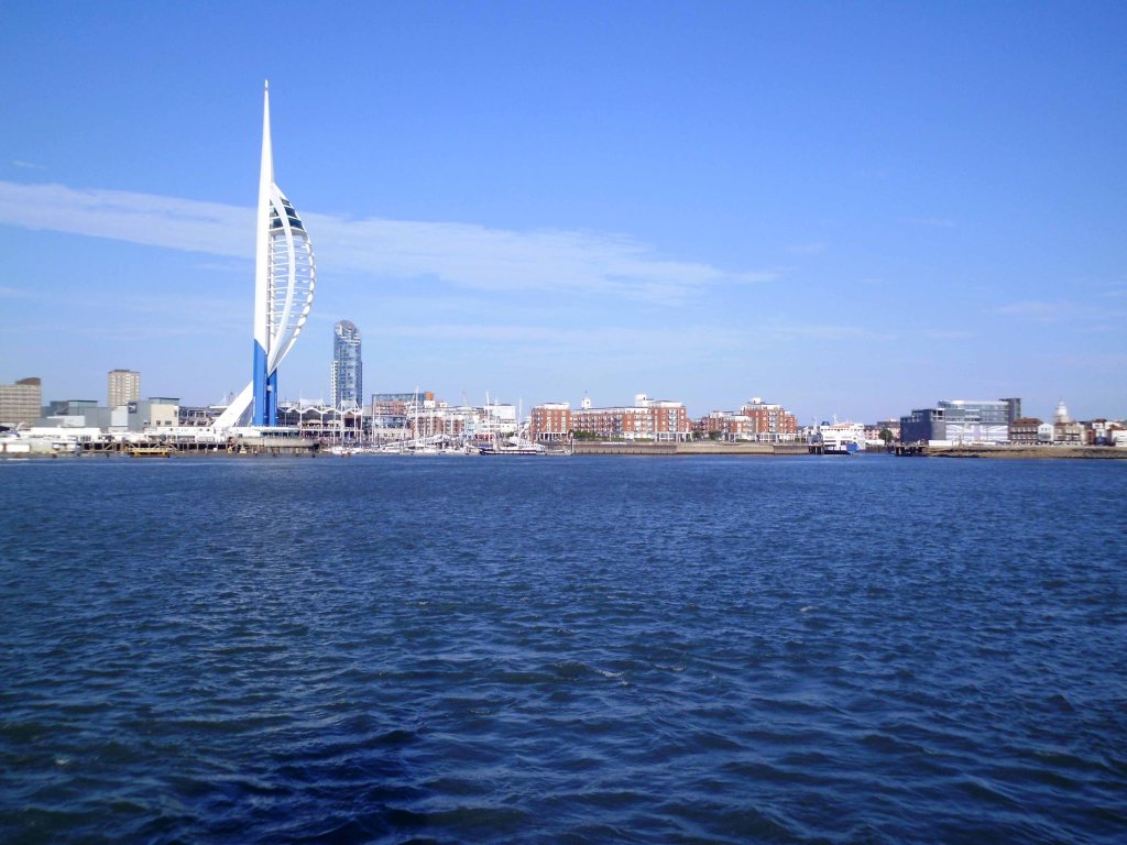
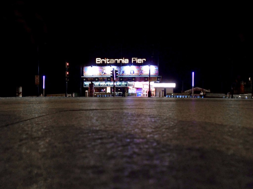
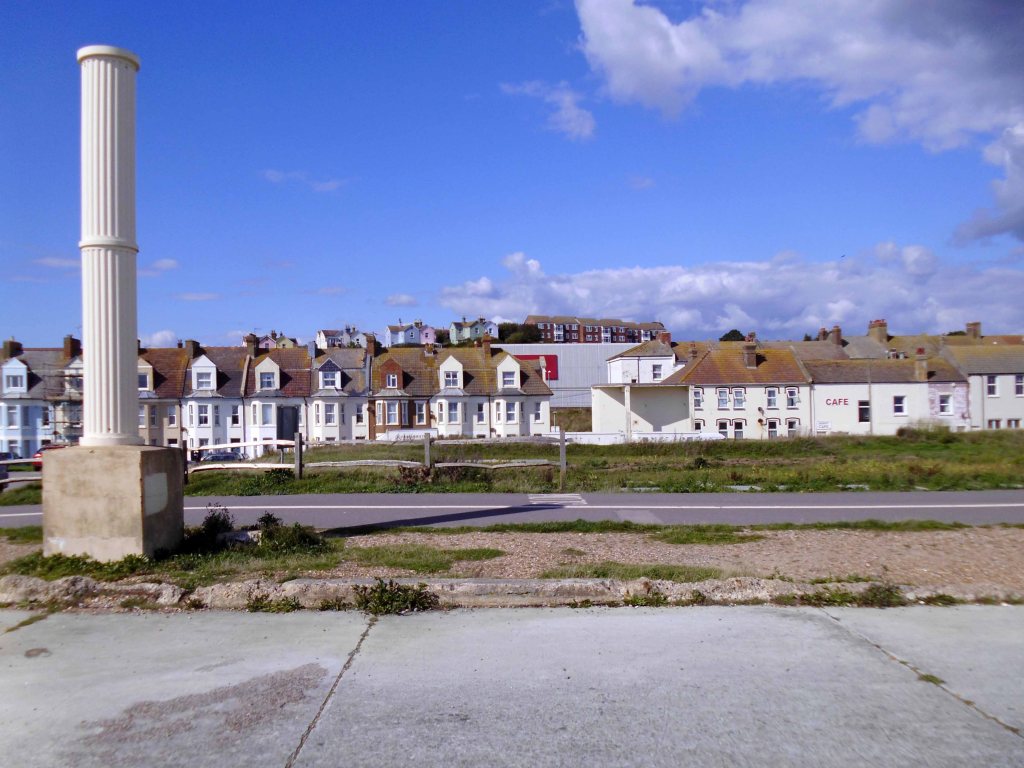
Seeing Portsmouth for the first time in a long time.
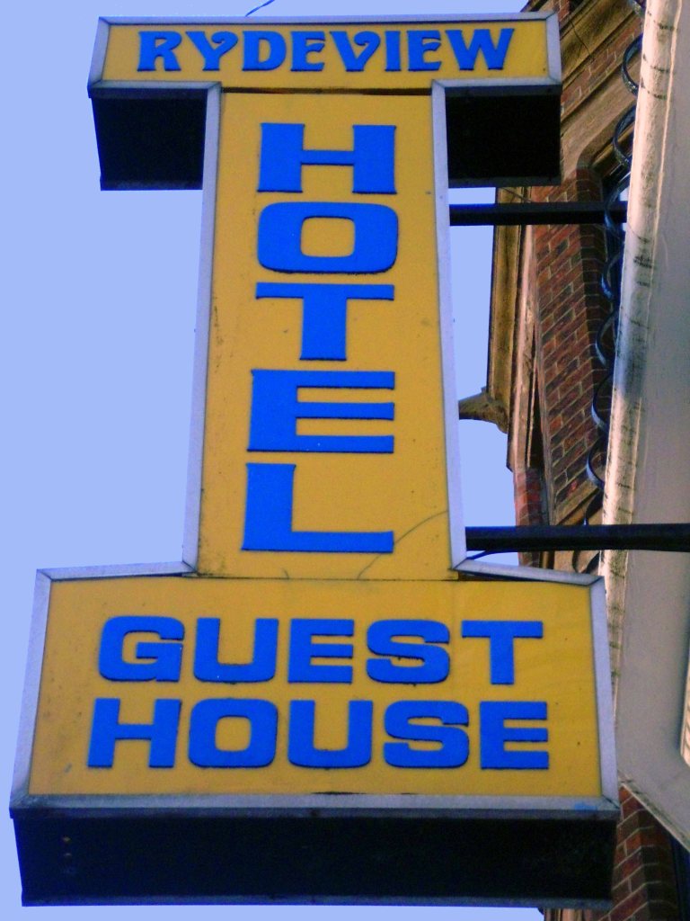
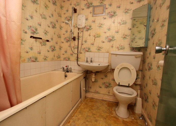
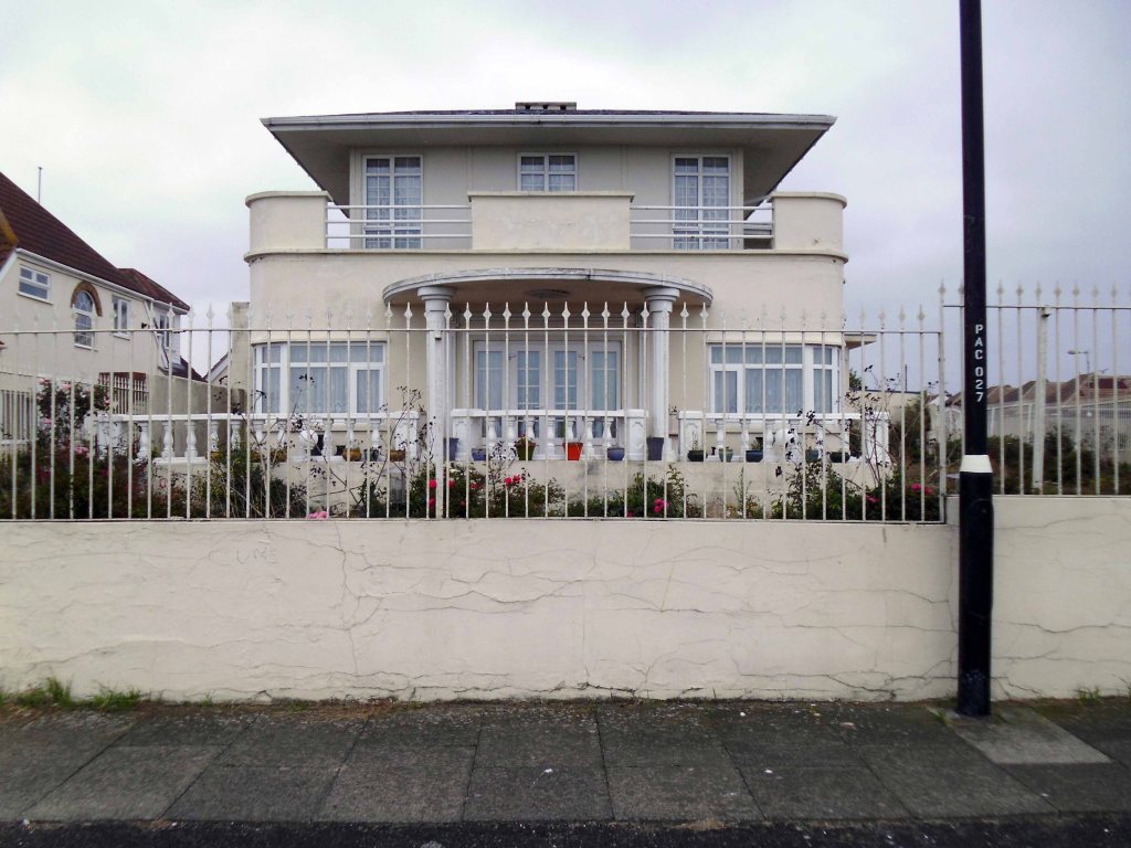
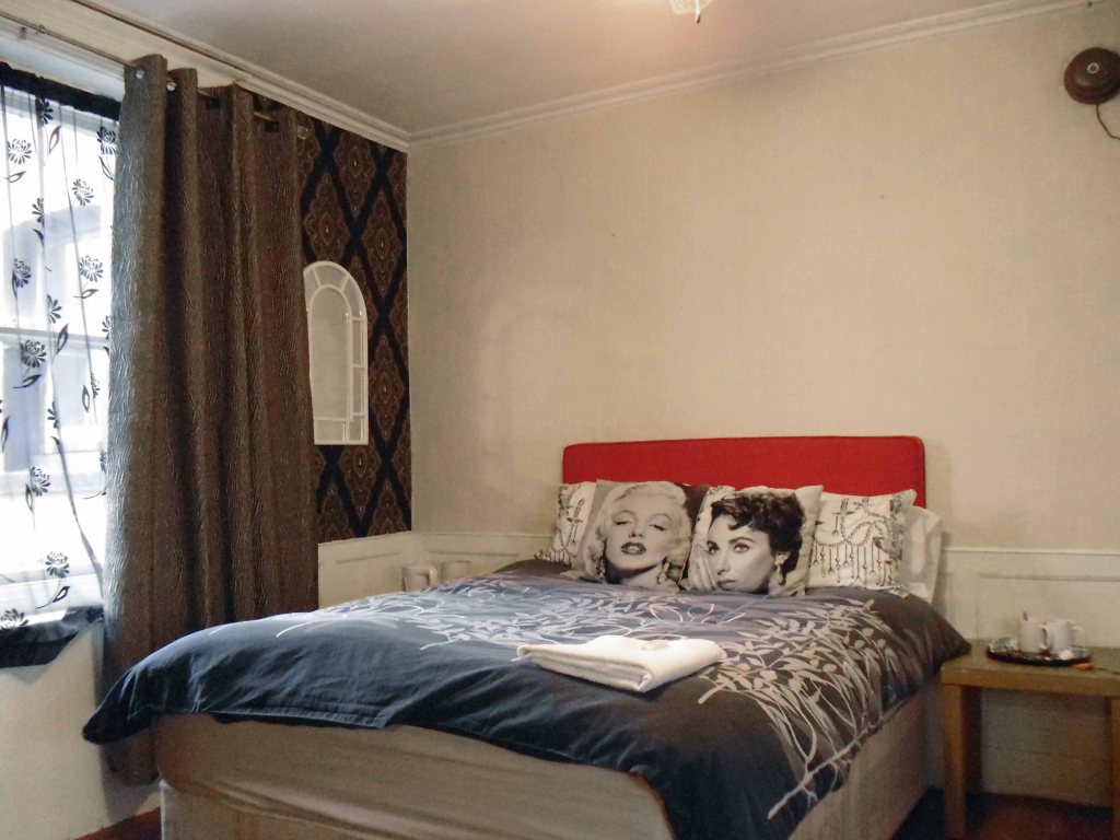
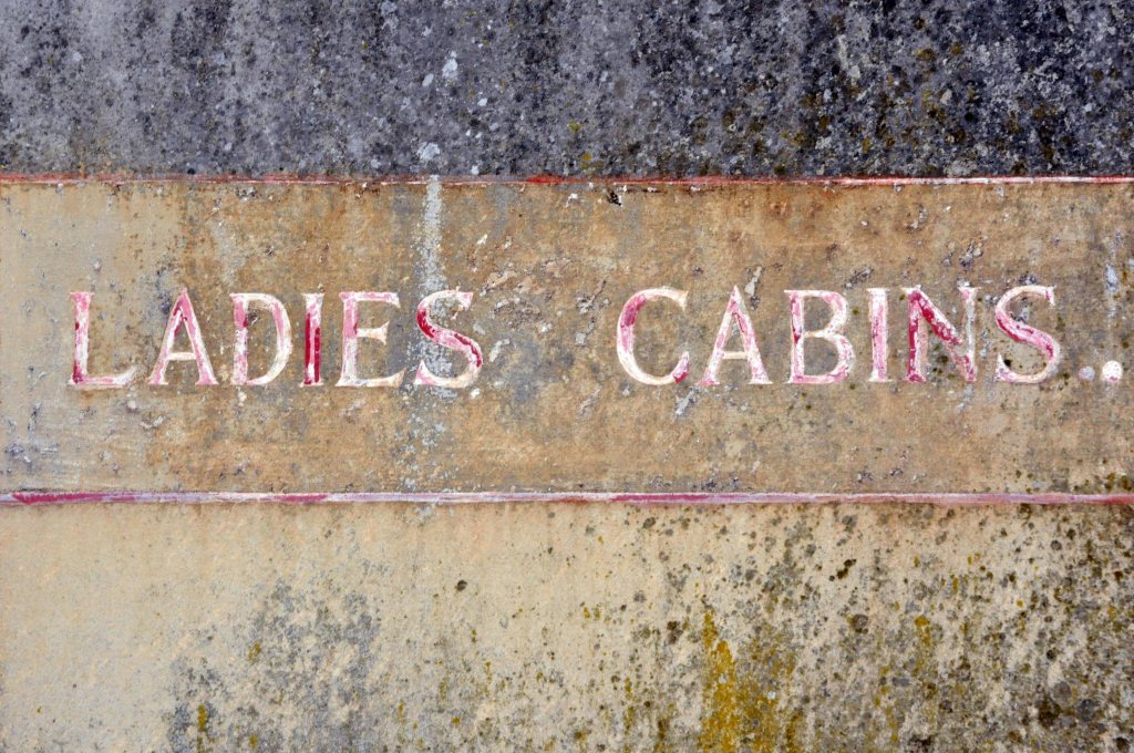
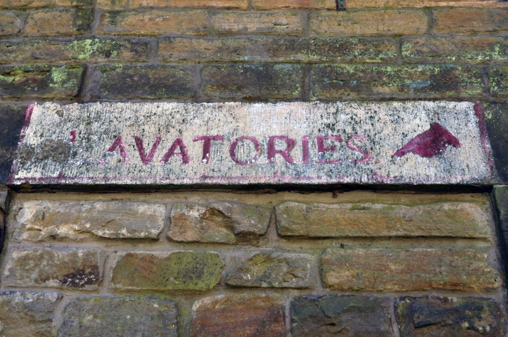
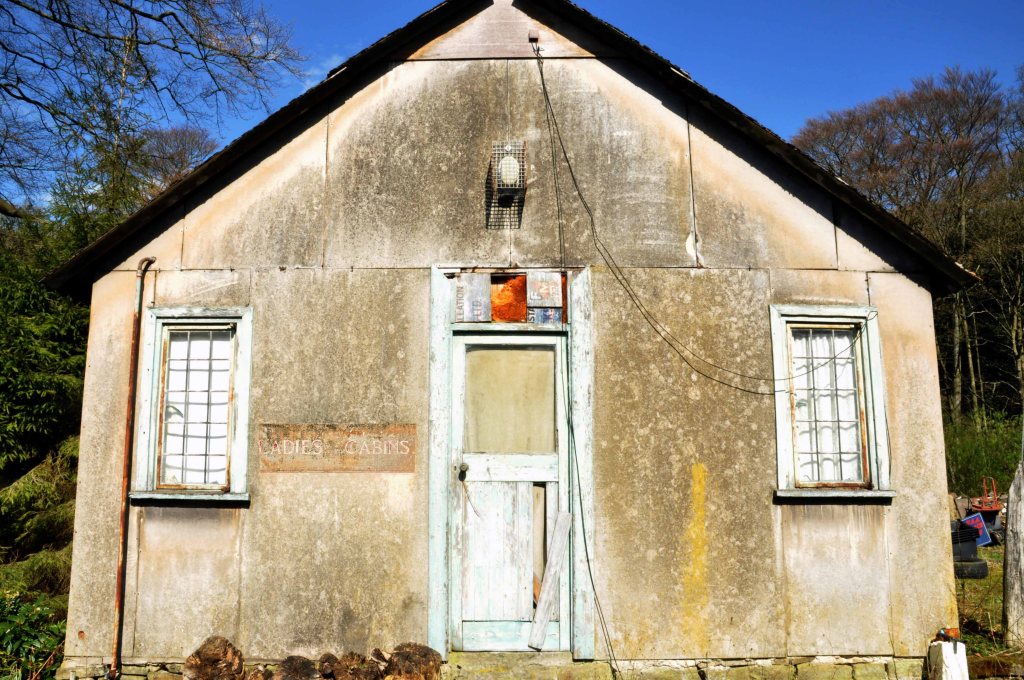
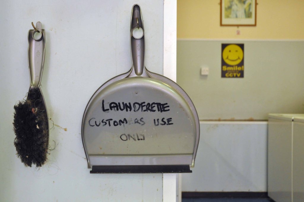
Finding cheap digs at the Rydeview Hotel.
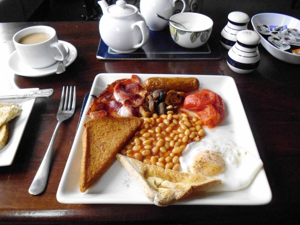
My partner and daughter stayed here recently and the warm reception we received was great, thought it was going to be real value for money however when getting into the family room, which was a decent size, the curtain was half hanging down, iron marks and stains on the carpet, dirty windows, mould on the bathroom ceiling, hole in the bathroom floor and a very random shower head coming from the toilet that was very unpleasant. When we checked in we asked about breakfast and we were told this was going to be an additional £3 – we thought this was great value for money for a full English only to be left hungry and out of pocket! My daughter had one slice of toast, we asked for the full English what we received was cold and hard beans, and un-cooked egg and a rank sausage, the eating area was dirty – cobwebs everywhere.
I too stayed in the Family room with a delightful mouse for company and enjoyed one of the worst meals I’ve ever not eaten.
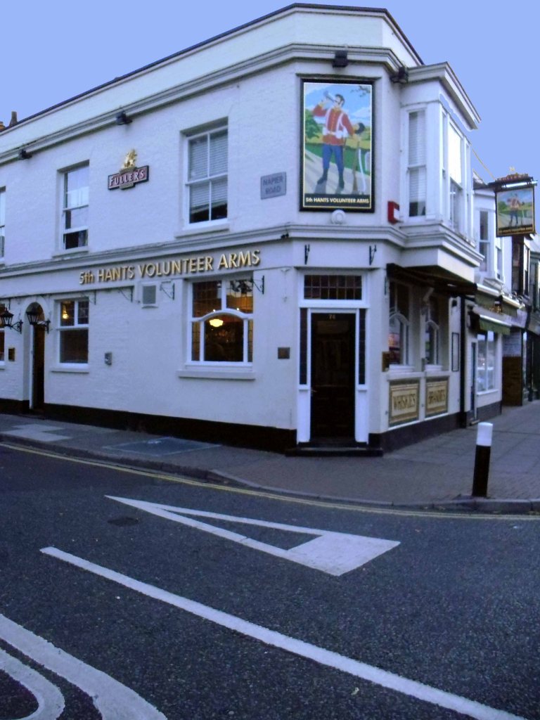
I headed for the 5th Hants Volunteers where I formally kept company with Felim Egan, Norman Taylor and Ian Hunter way back when.
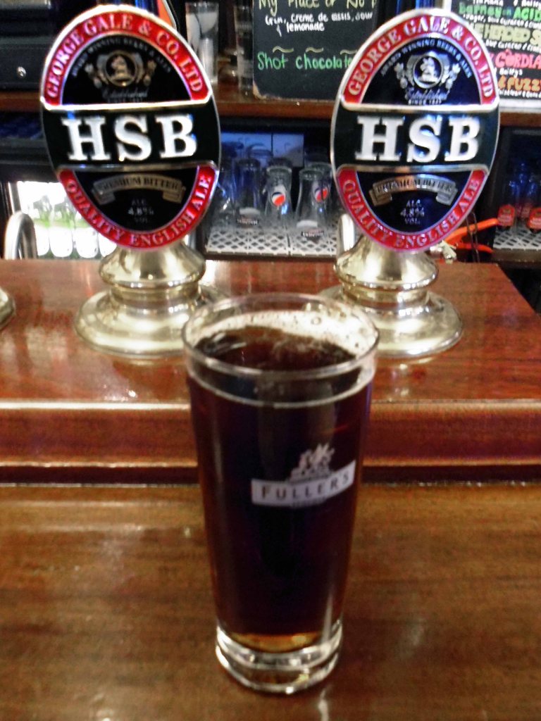
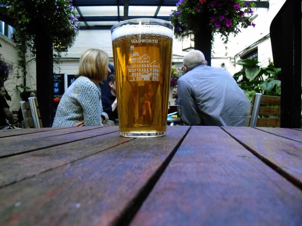
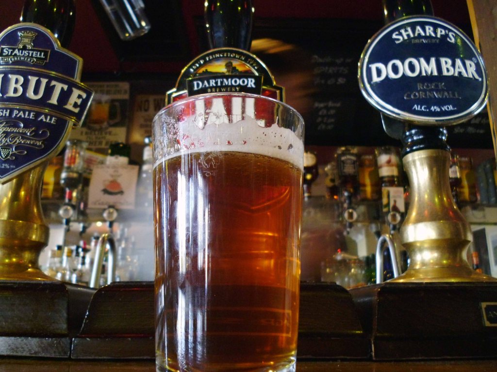
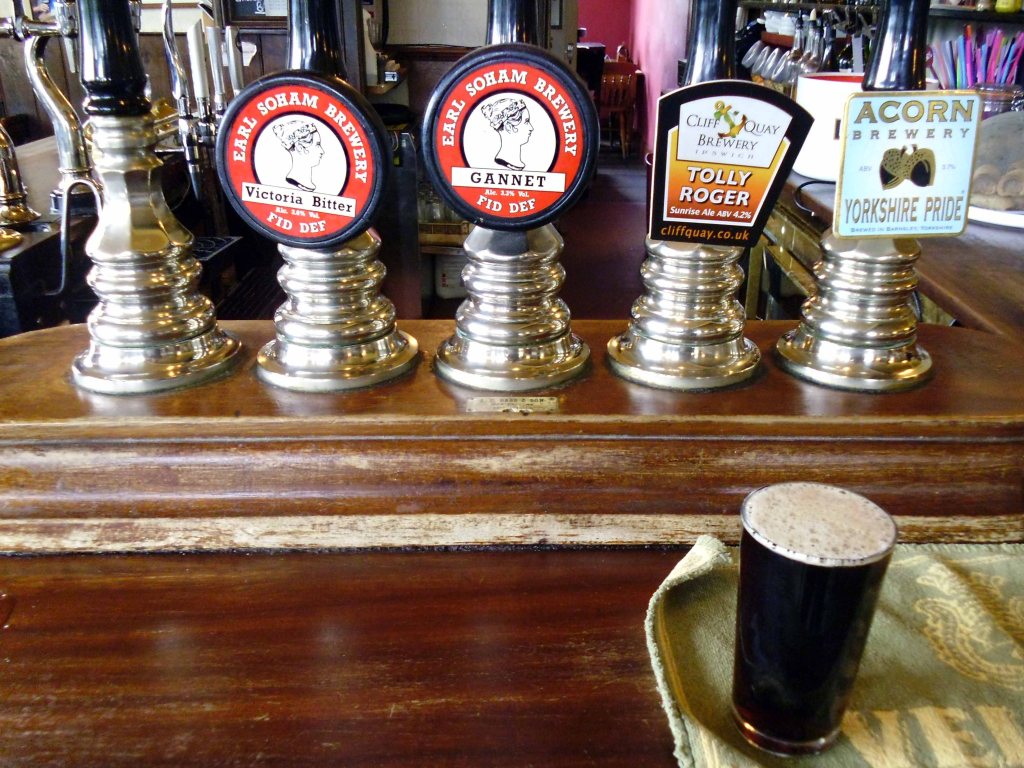
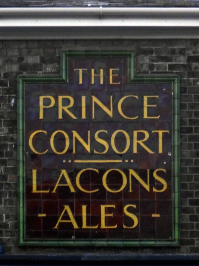
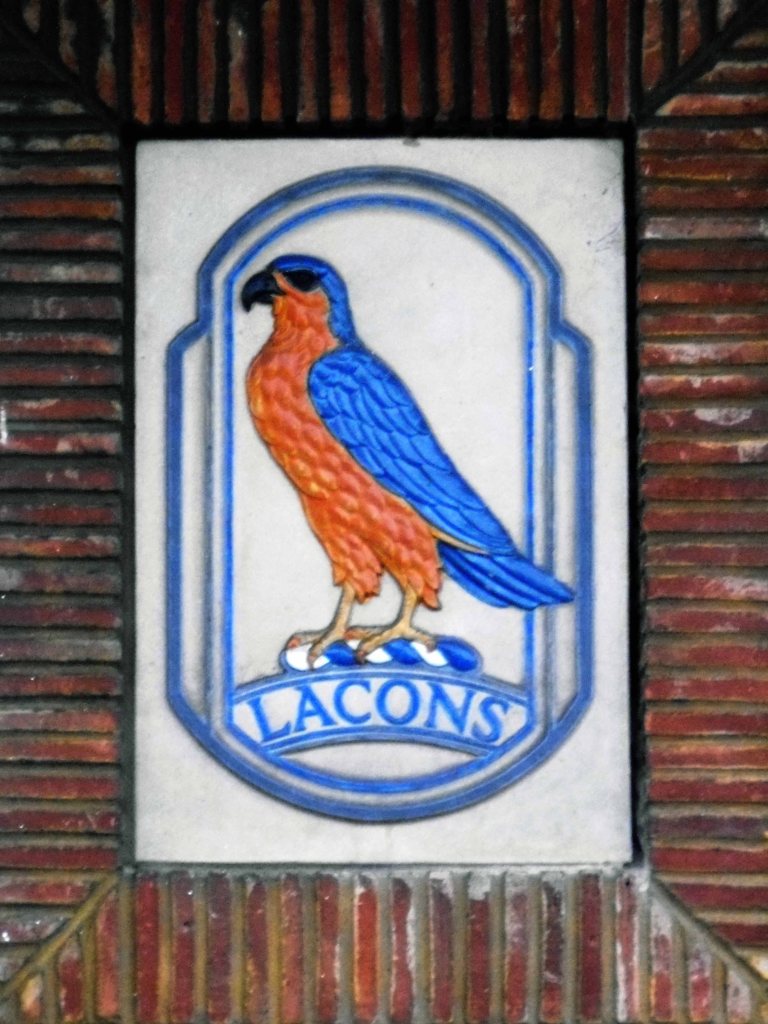
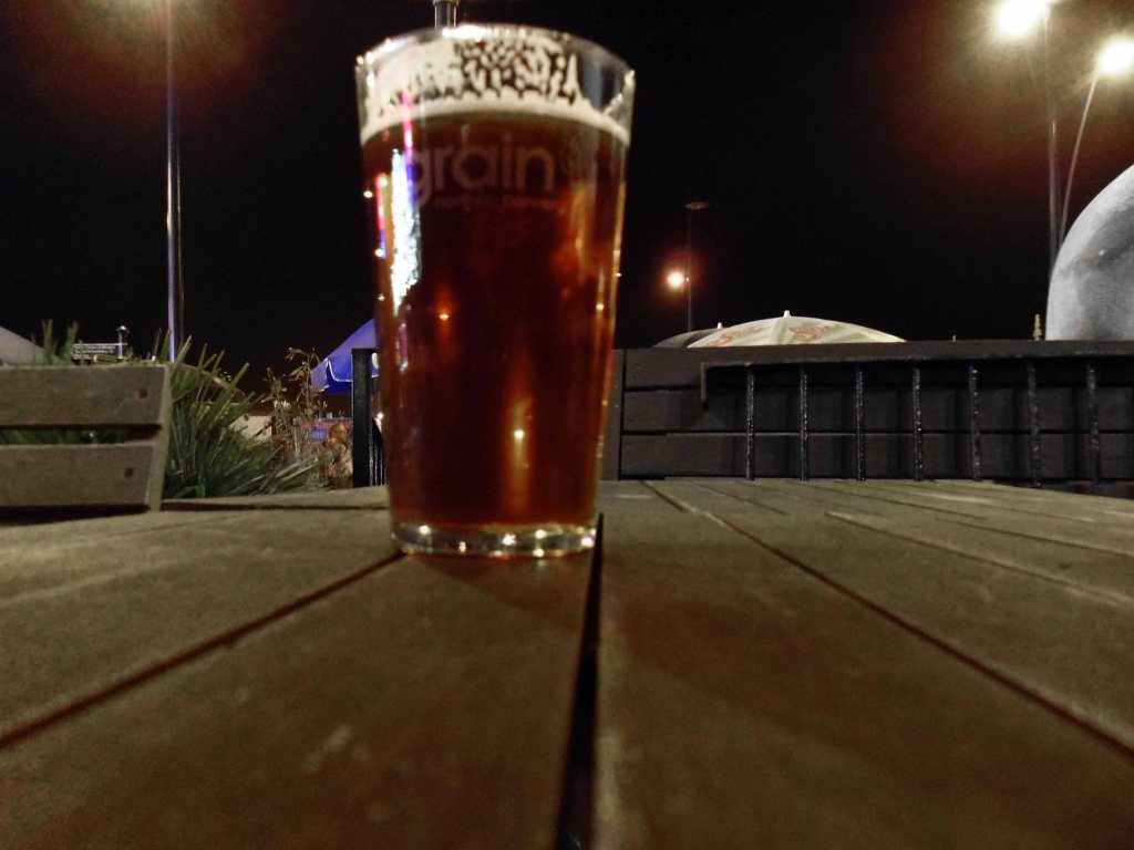
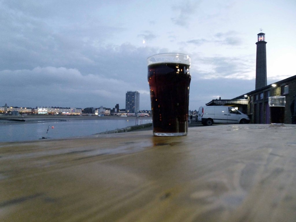
Drinking Gales HSB – formerly a local brew now owned by Fullers
Established in 1847 Gales Brewery (George Gale & Co. Ltd) was an old brewery situated in Horndean, on the edge of Waterlooville. It made the nutty HSB – Horndean Special Bitter and the newer Gales Bitter. It took its water from its own well situated under the brewery which is fed from the South Downs, and the yeast and liquor, coupled with the local brewing style, produced beers with a sparse head, quite dark in colour.
In late 2005 Fuller’s Brewery bought Gales for £92 million. In January 2006, Fuller’s began cutting jobs at the Horndean brewery, and it was announced on 27 February 2006 that the brewery would close at the end of March 2006, although distribution and warehousing would continue in the area.
It didn’t tater the same and the pub had been gutted – gutted.
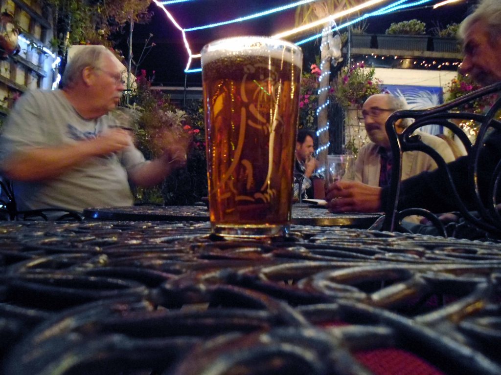
I beat a retreat to the Barley Mow – where I fell in with a gang of former Poly students from the 70s – they had studied and never left.
Eventually we all left.
Night night.