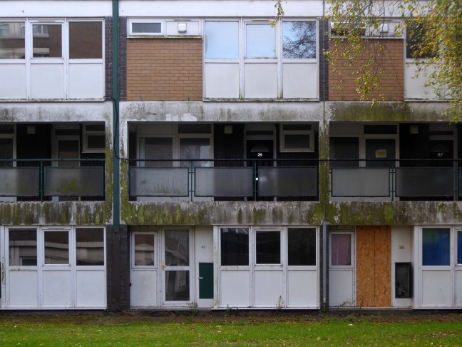
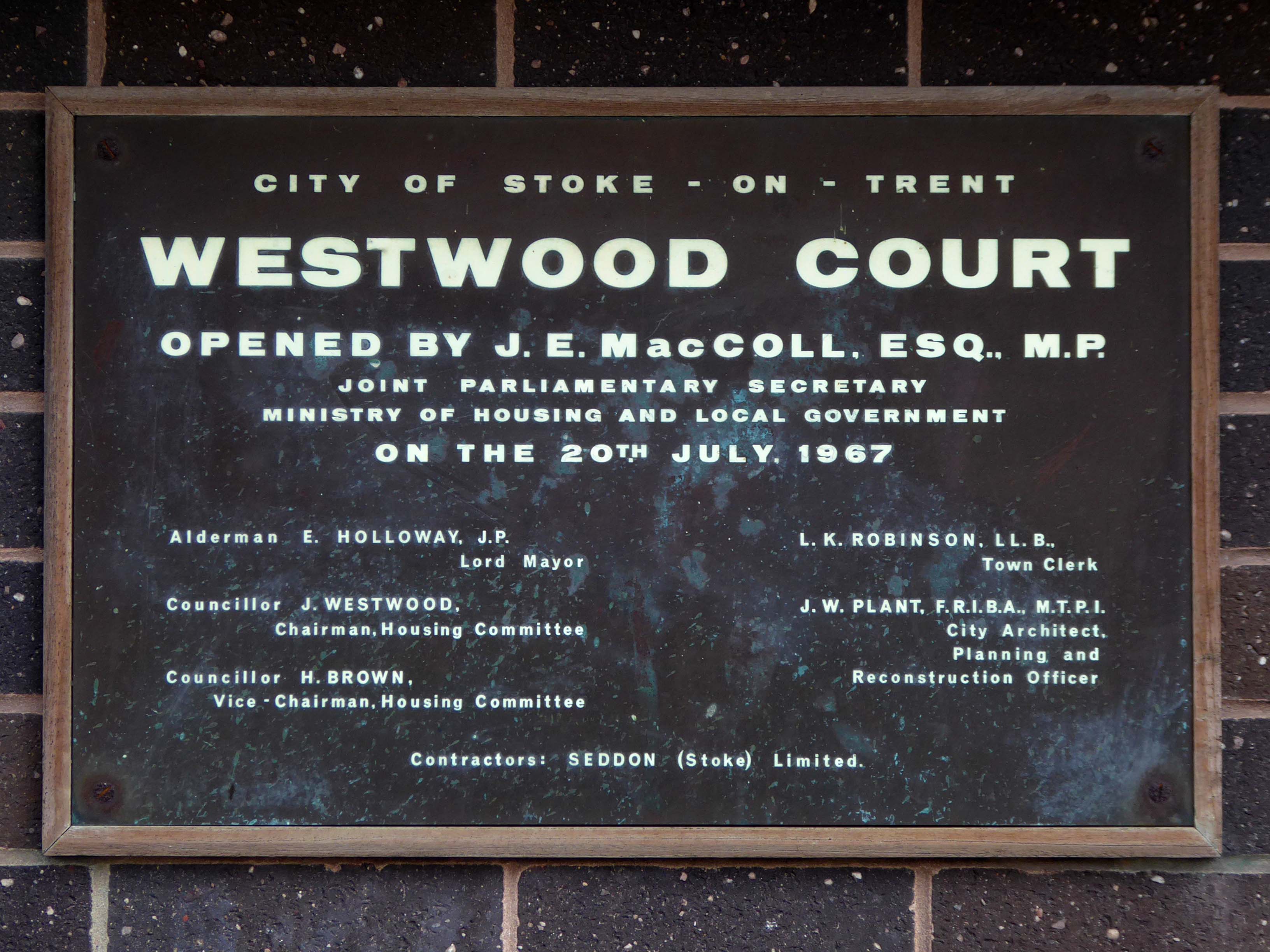
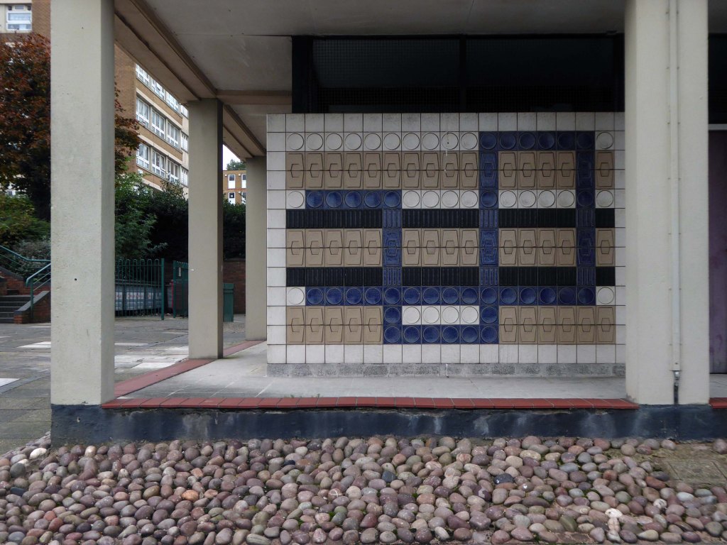
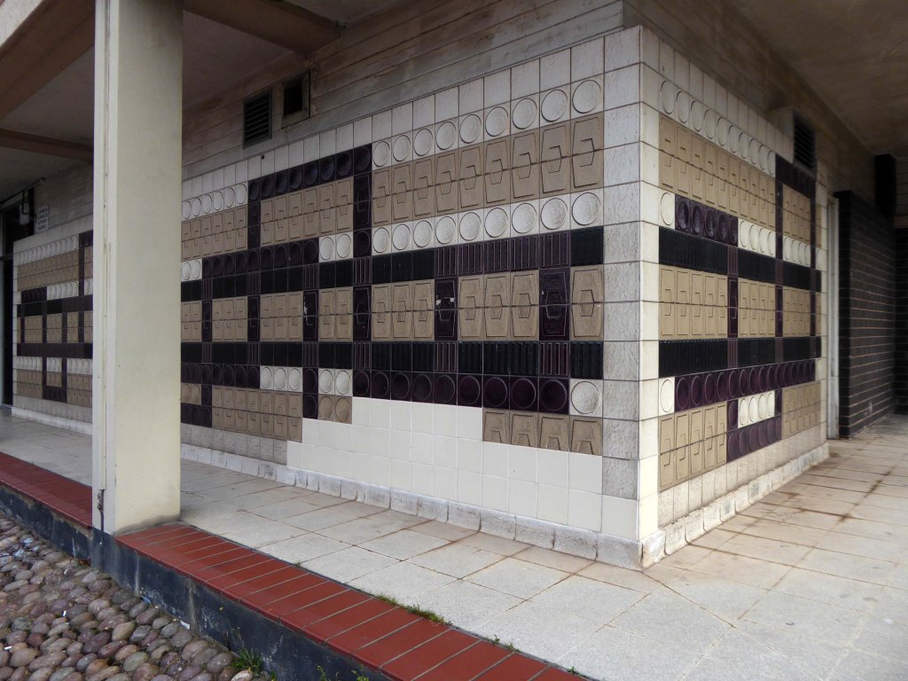
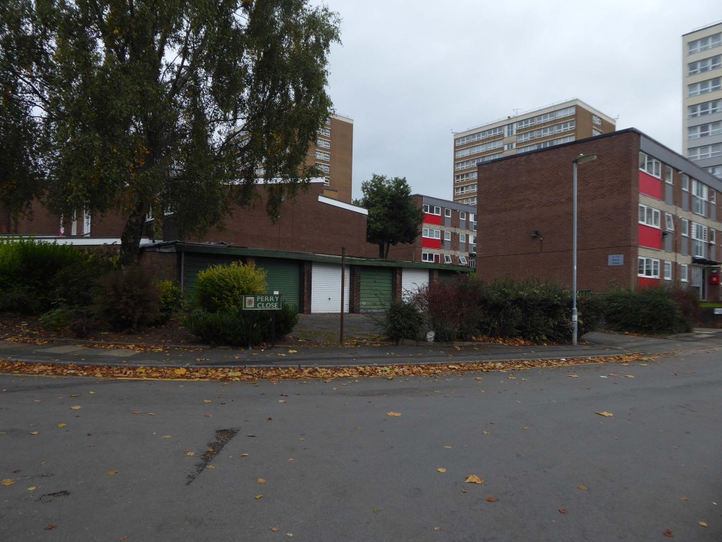
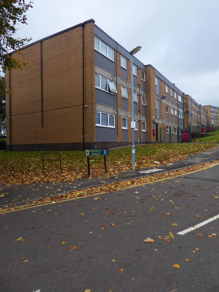
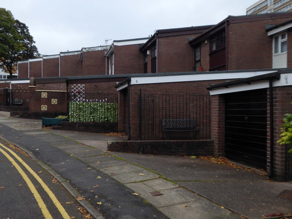
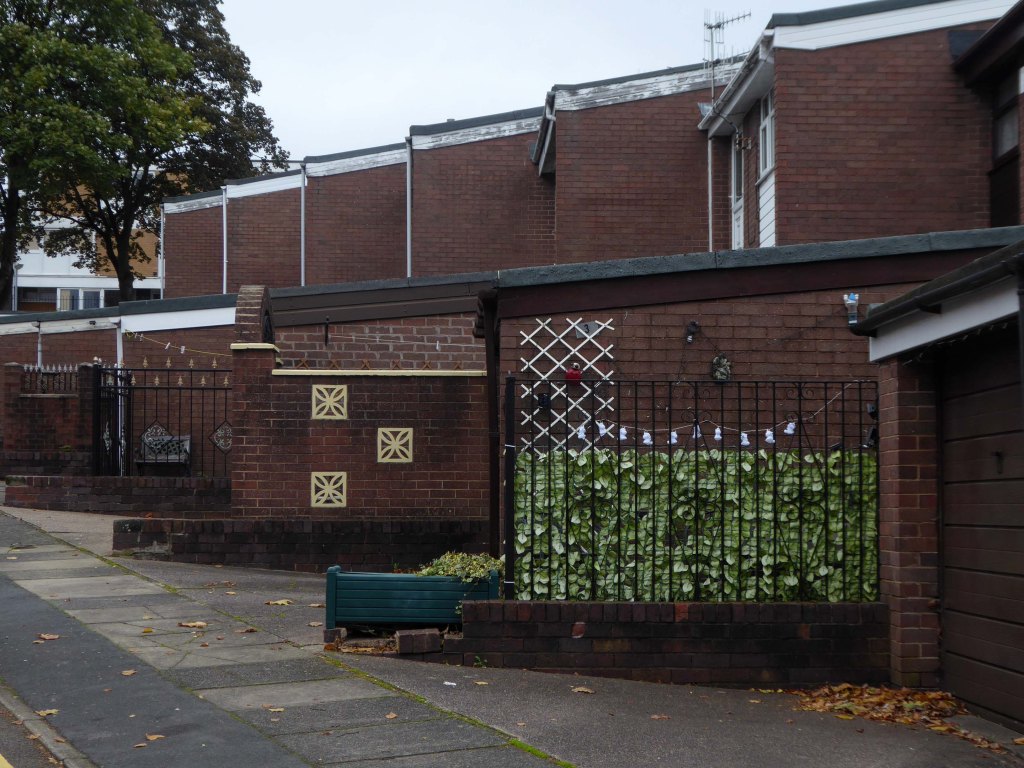
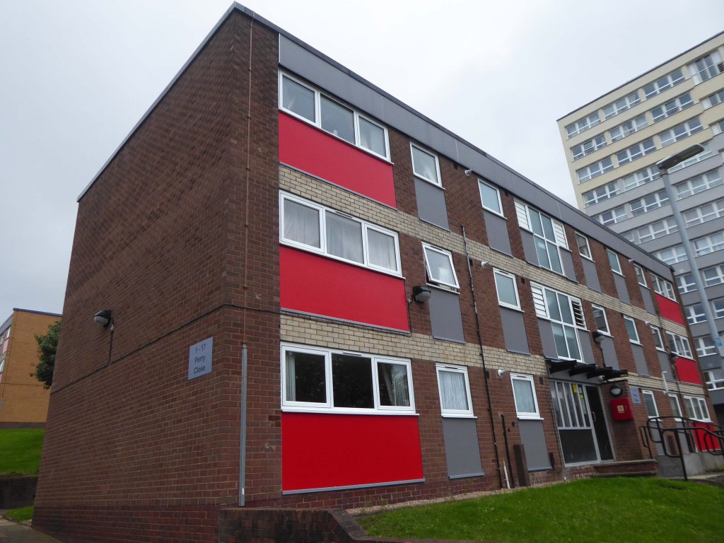
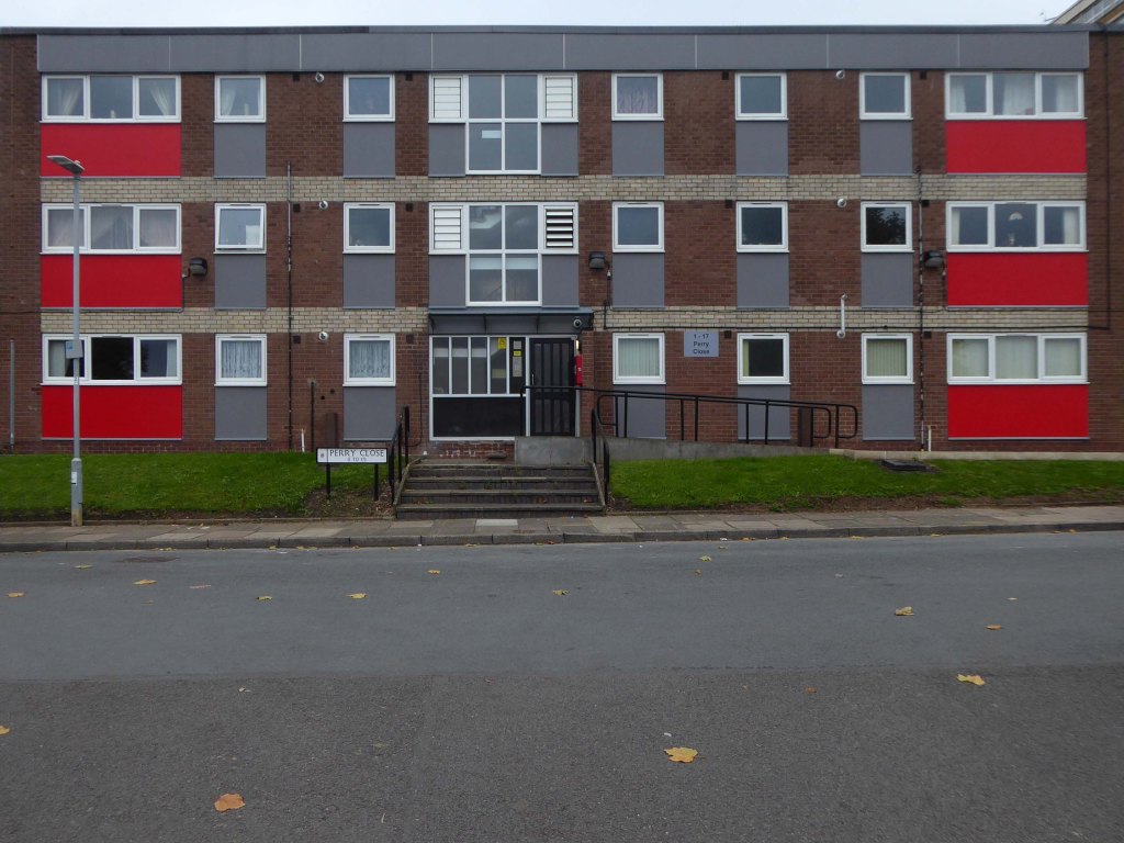
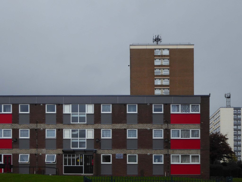
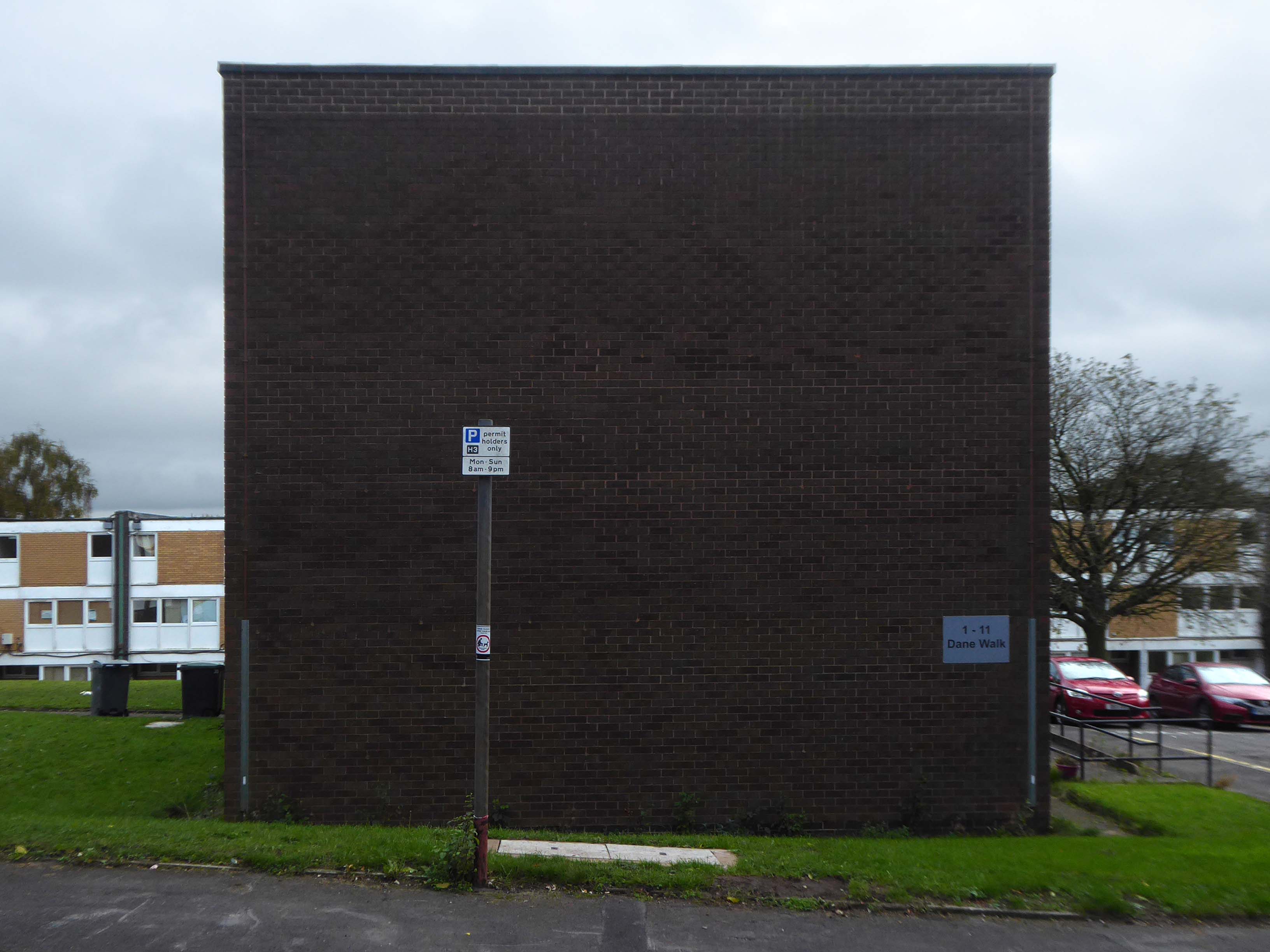
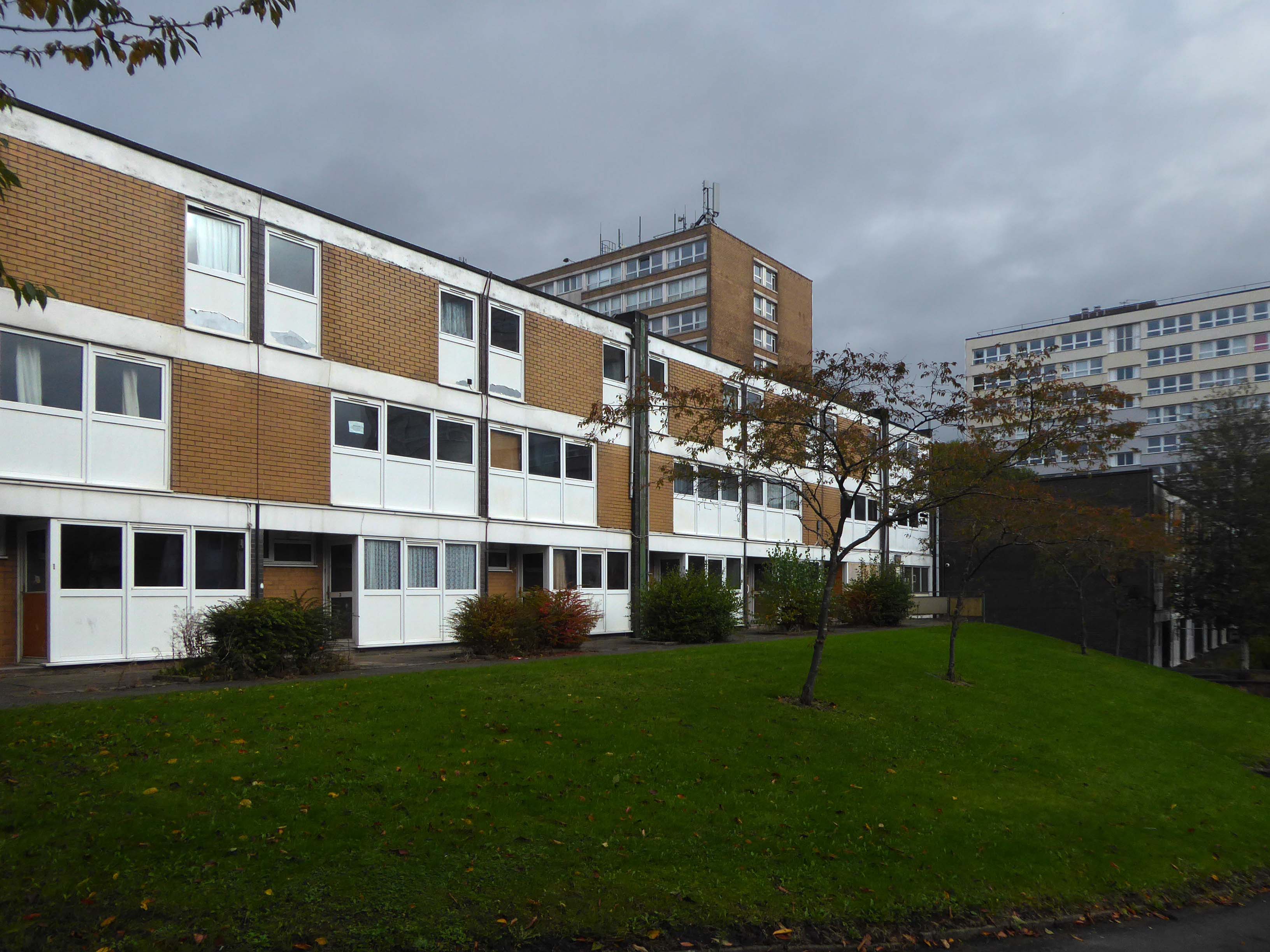
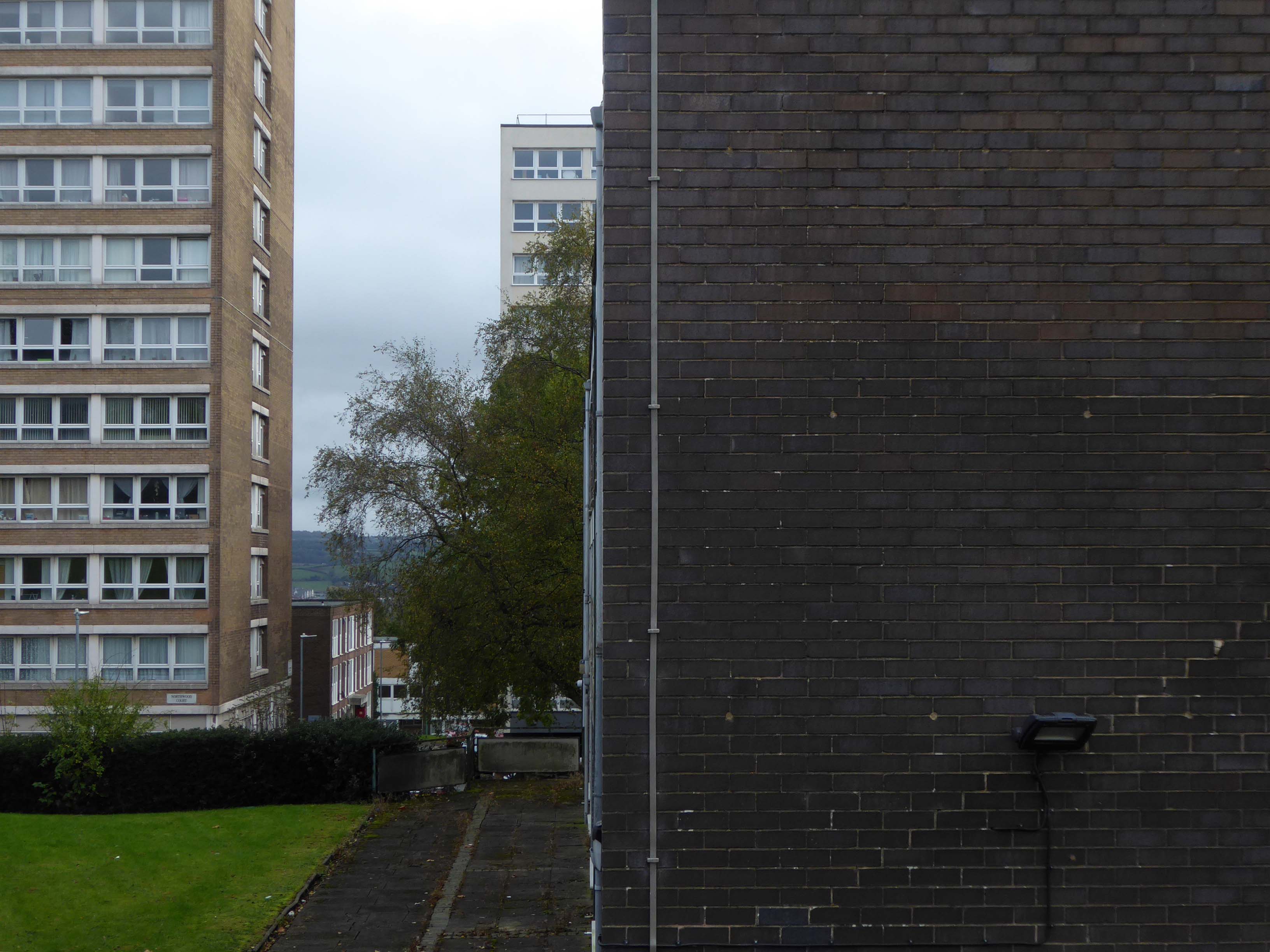
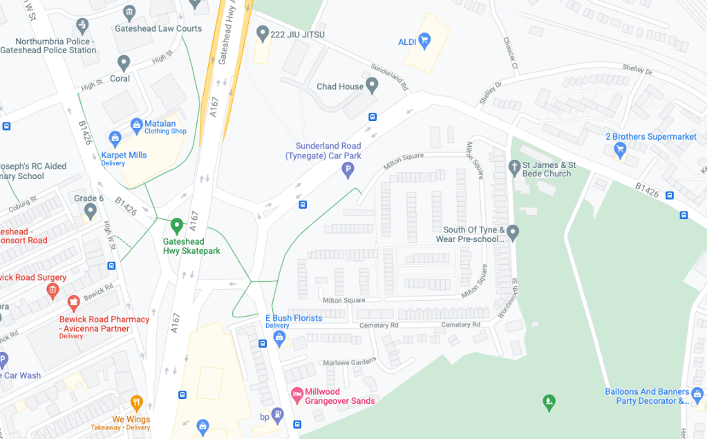
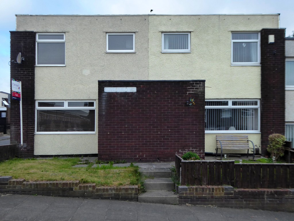
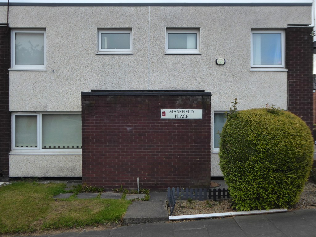
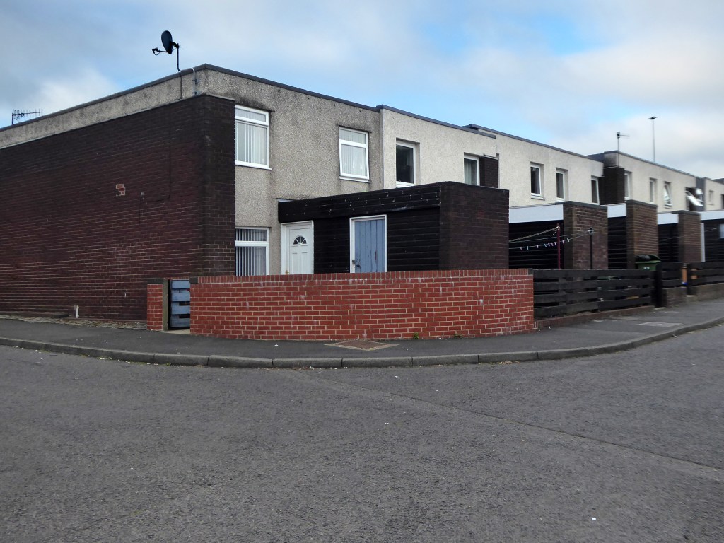
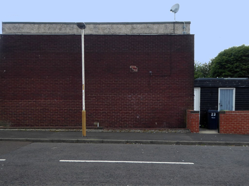
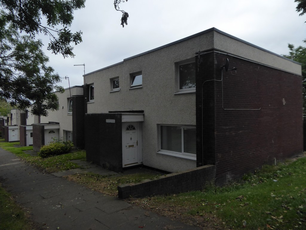
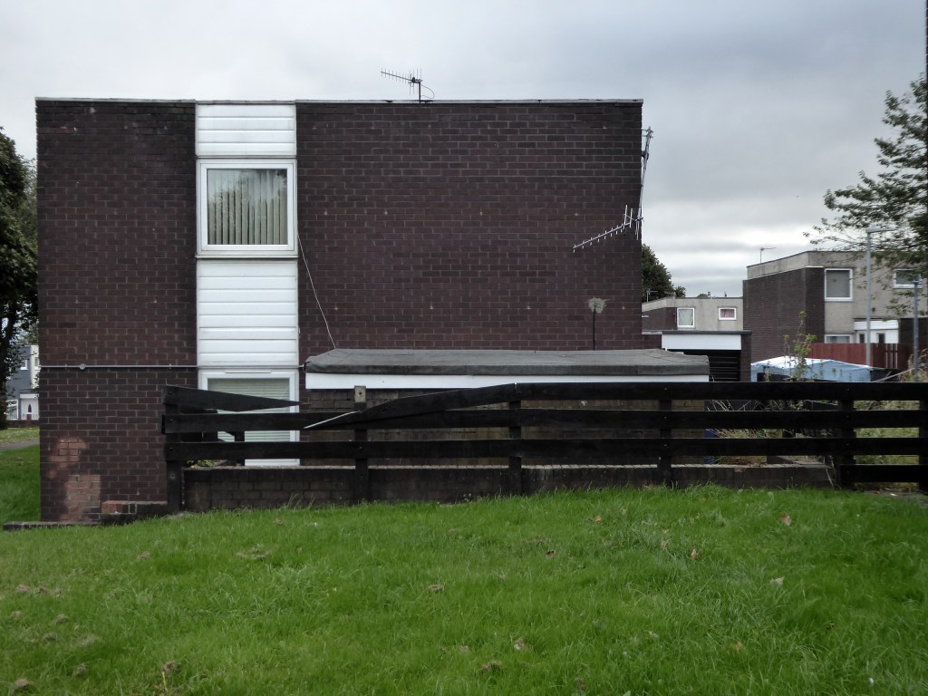
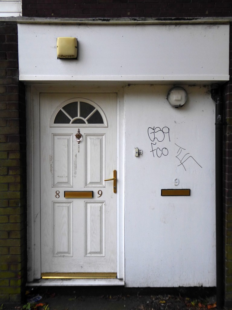
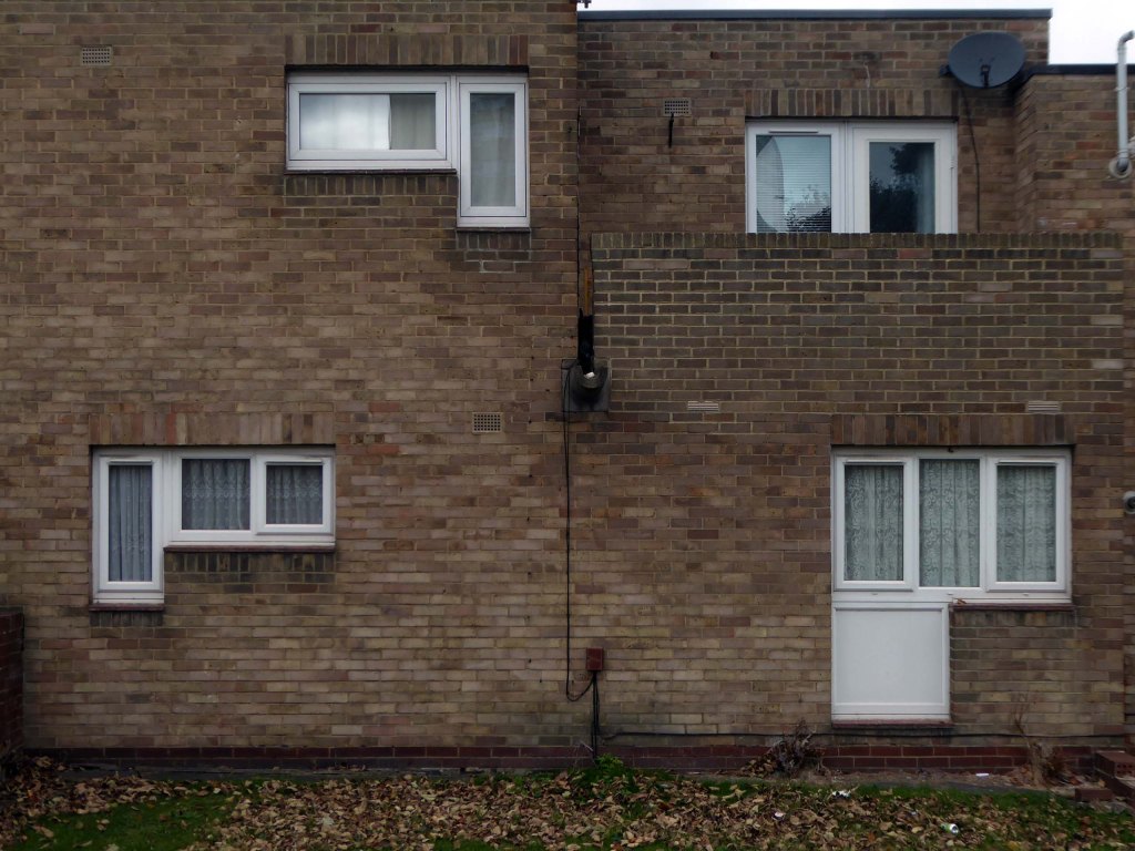
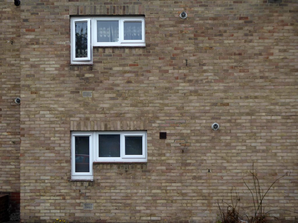
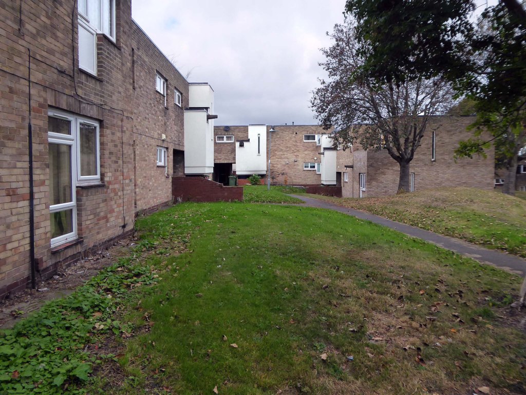
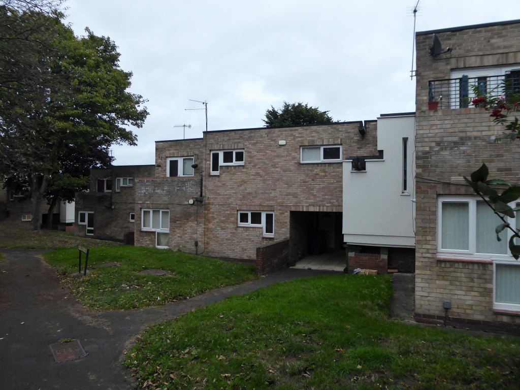
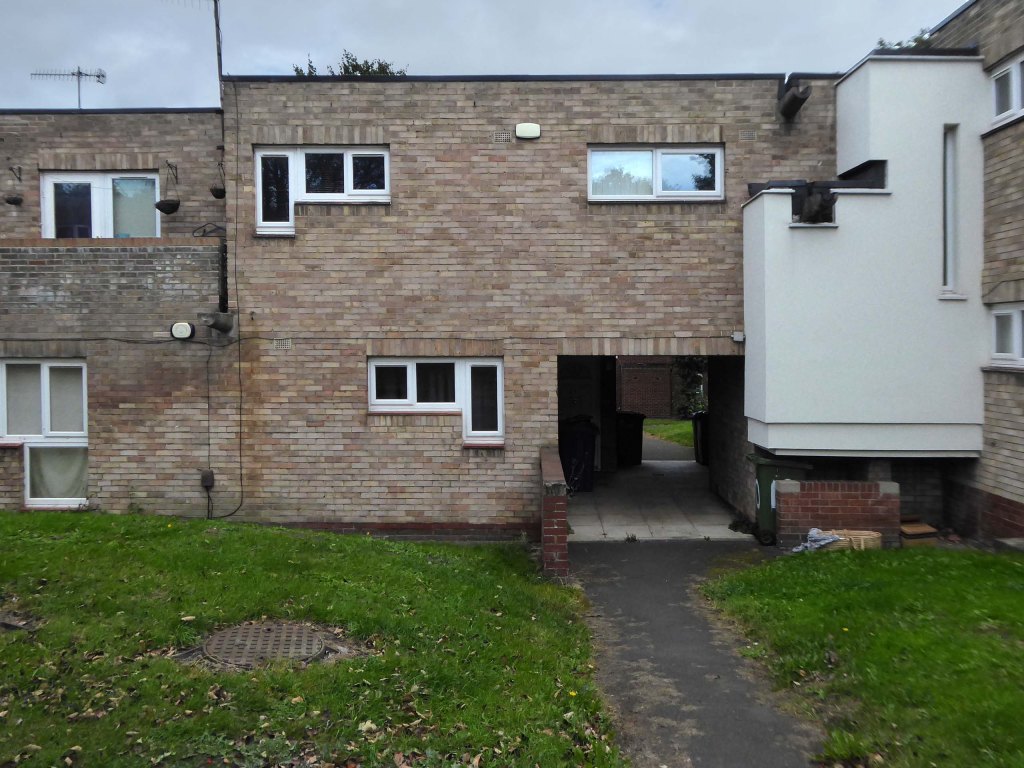
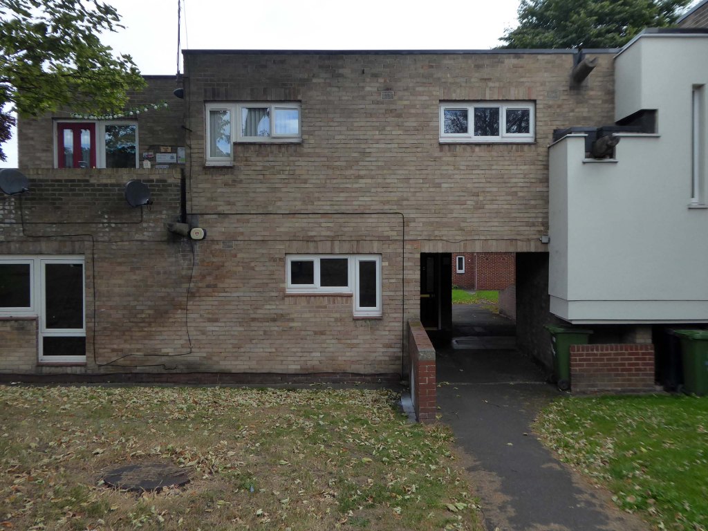
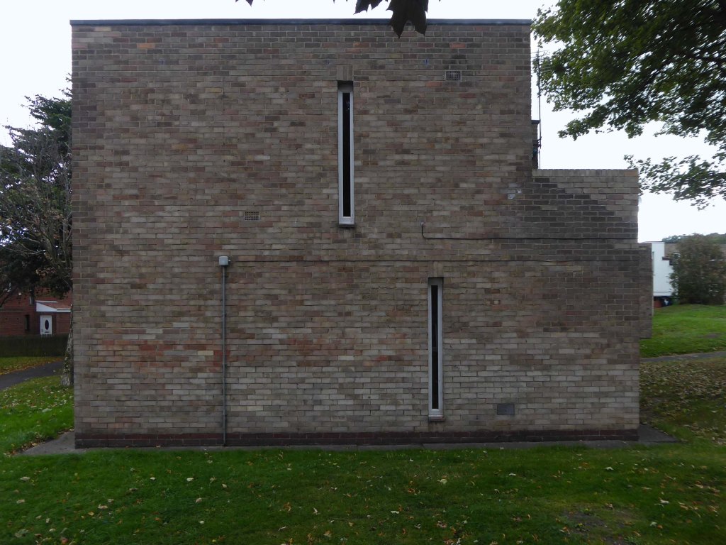
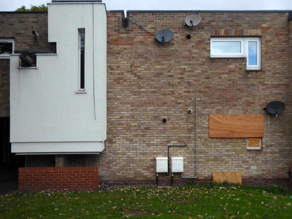
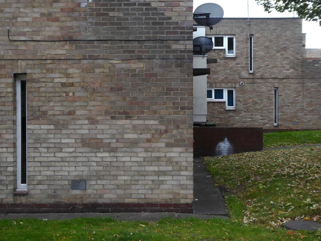
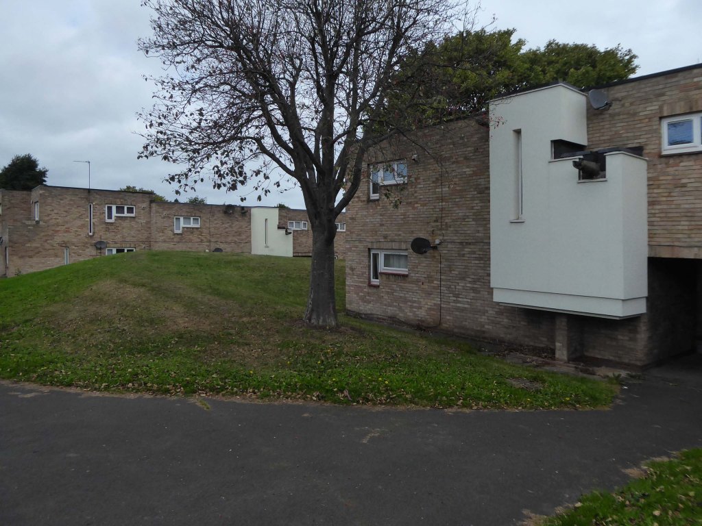
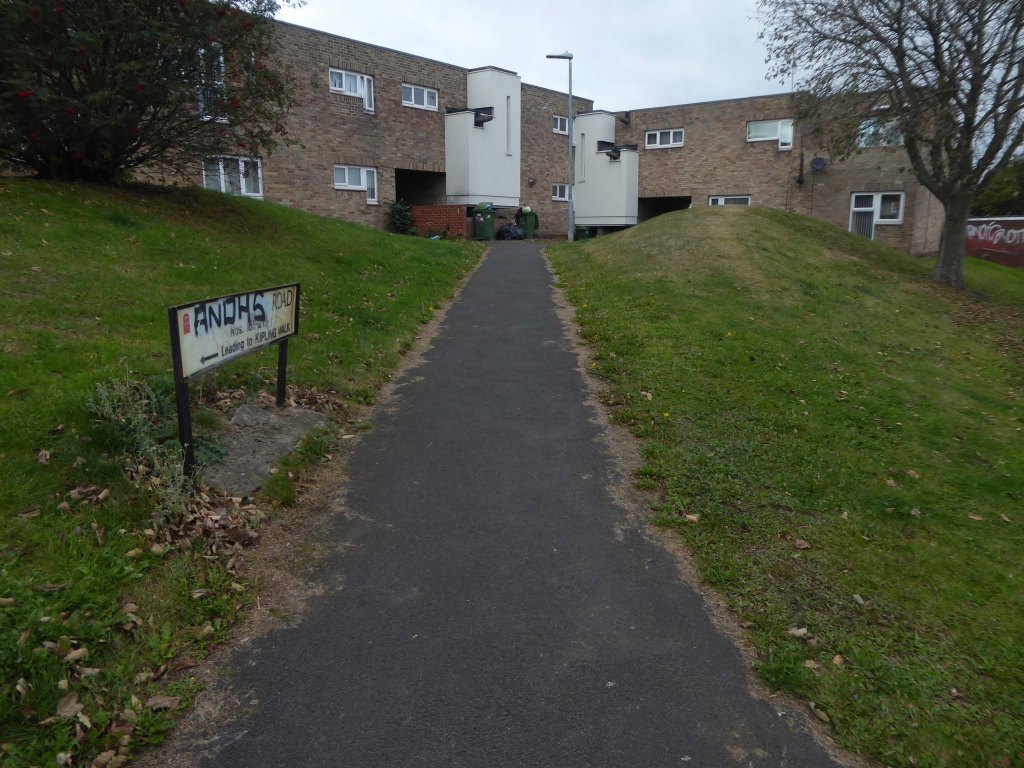
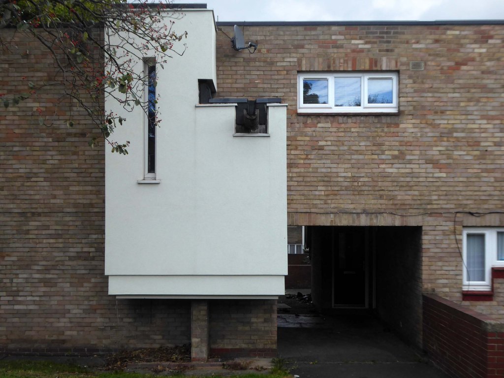
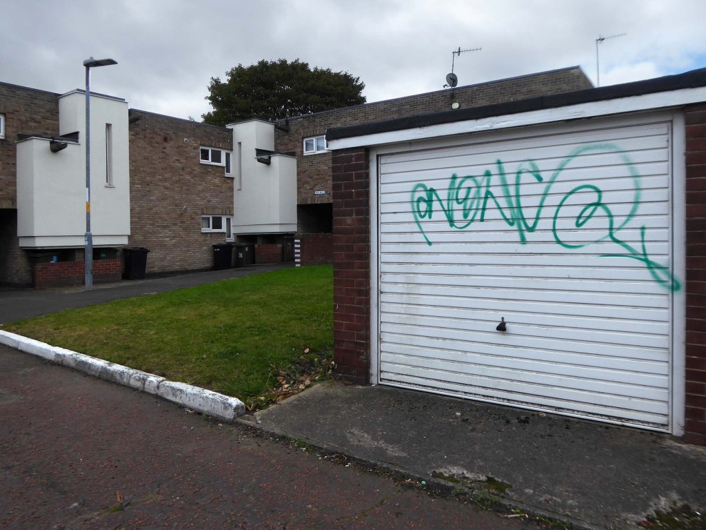
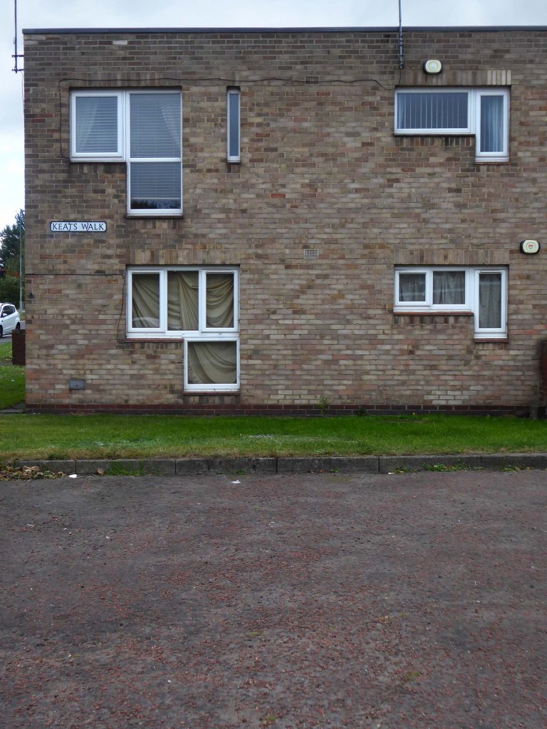
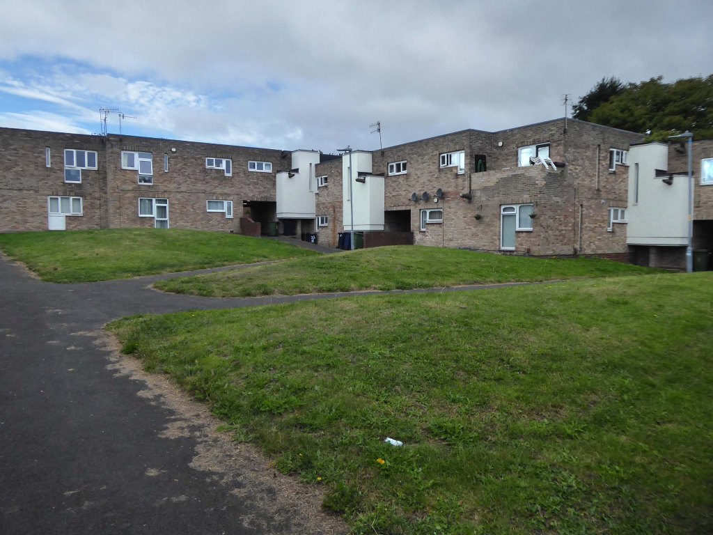
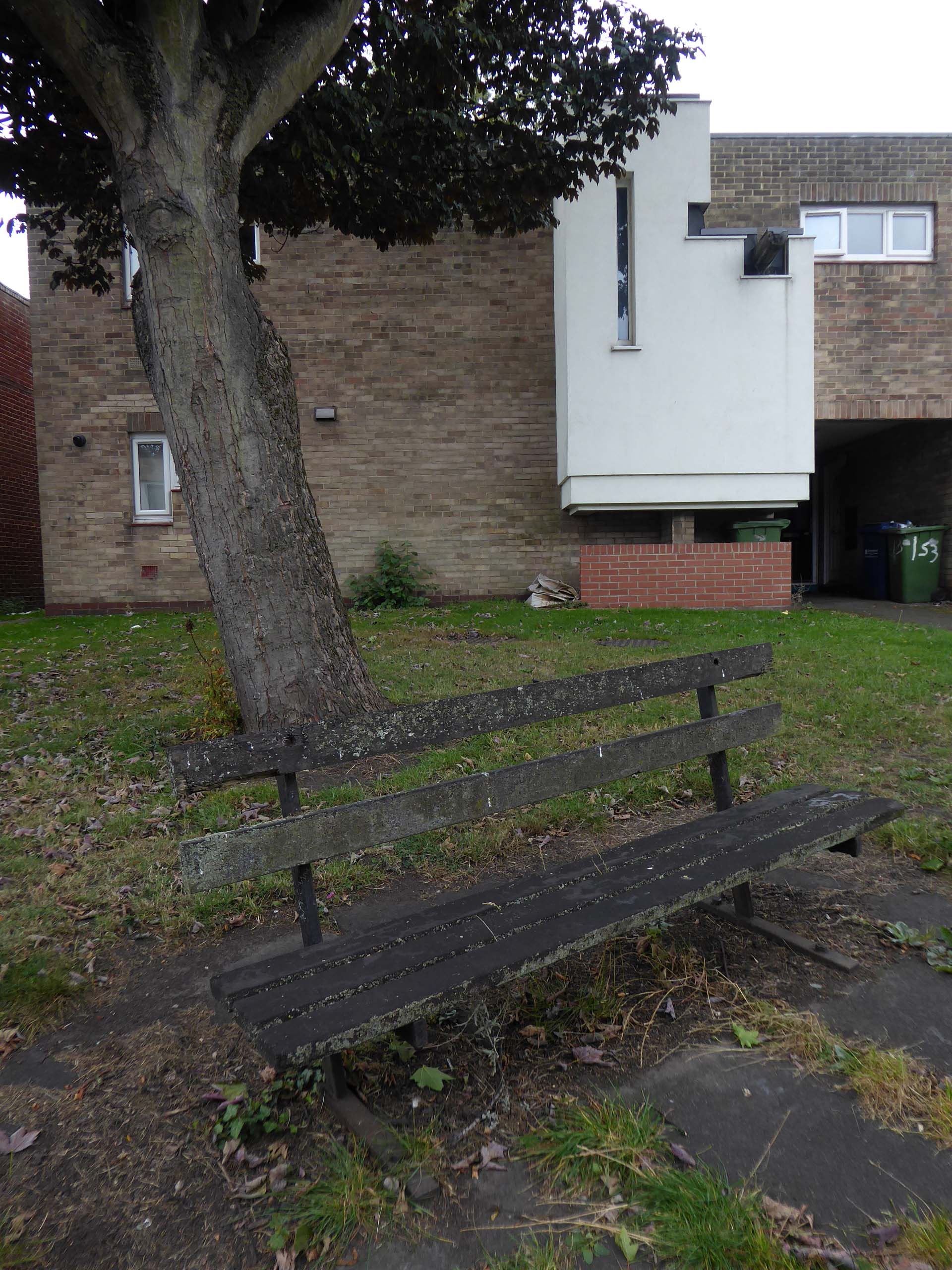
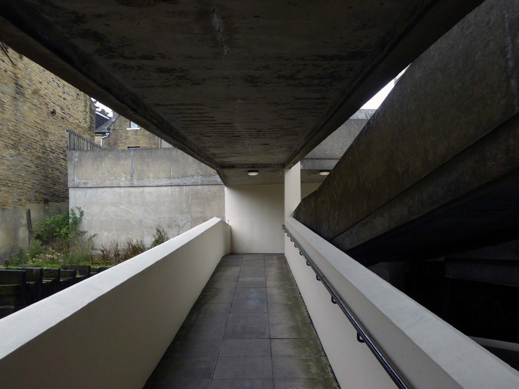
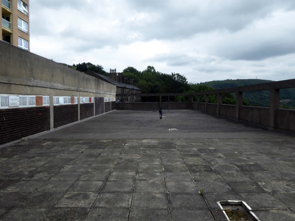
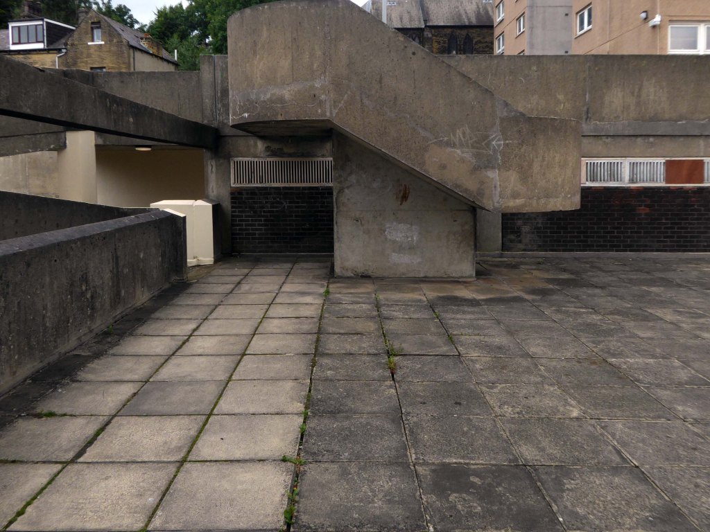
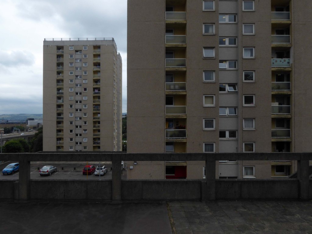
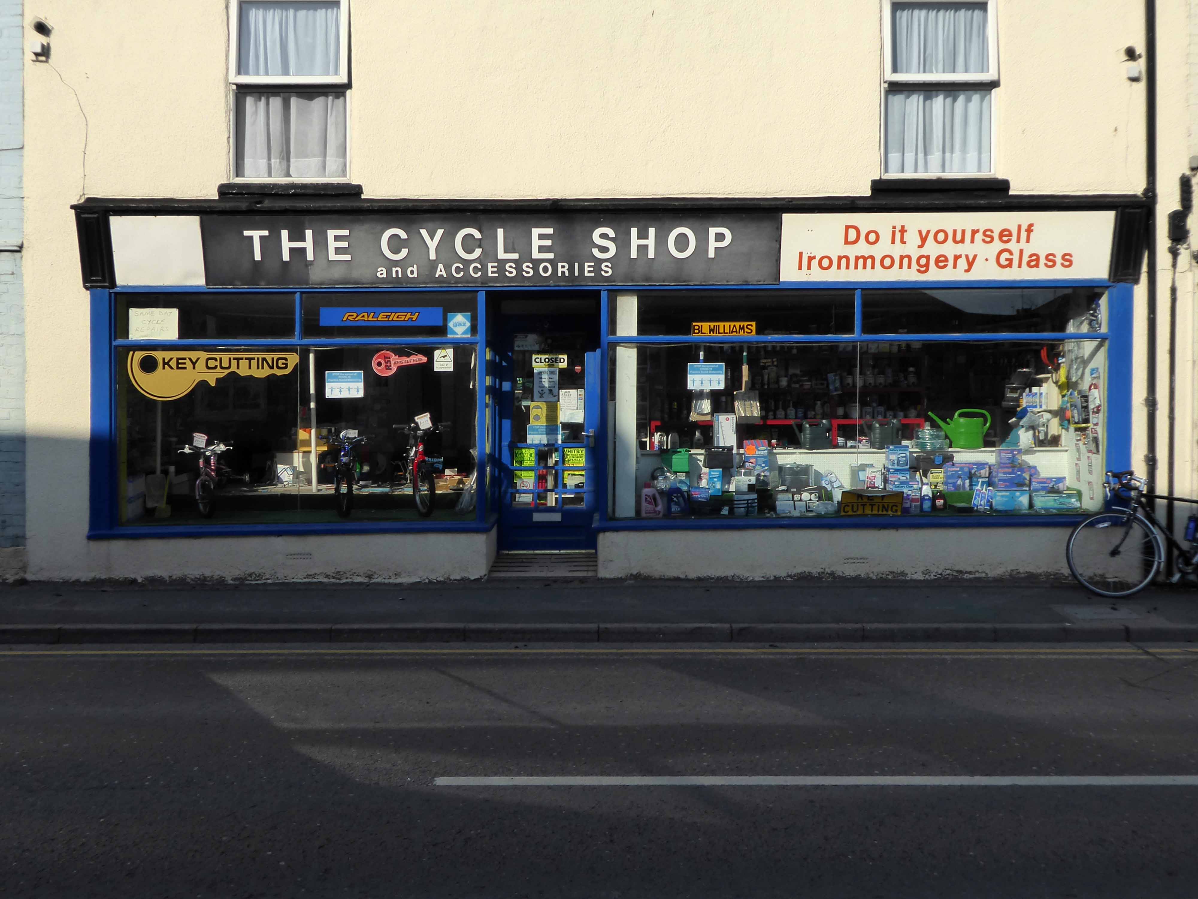
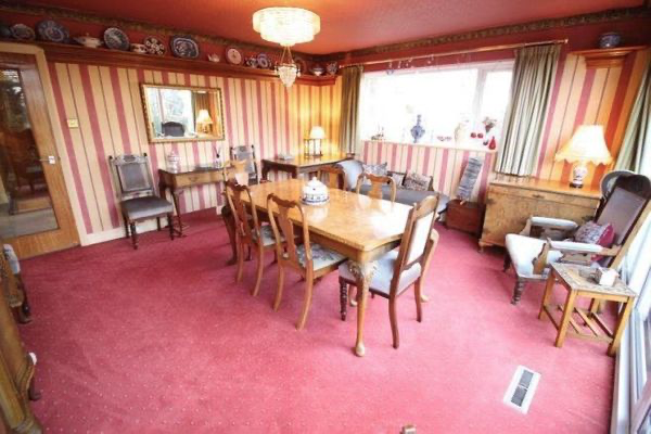
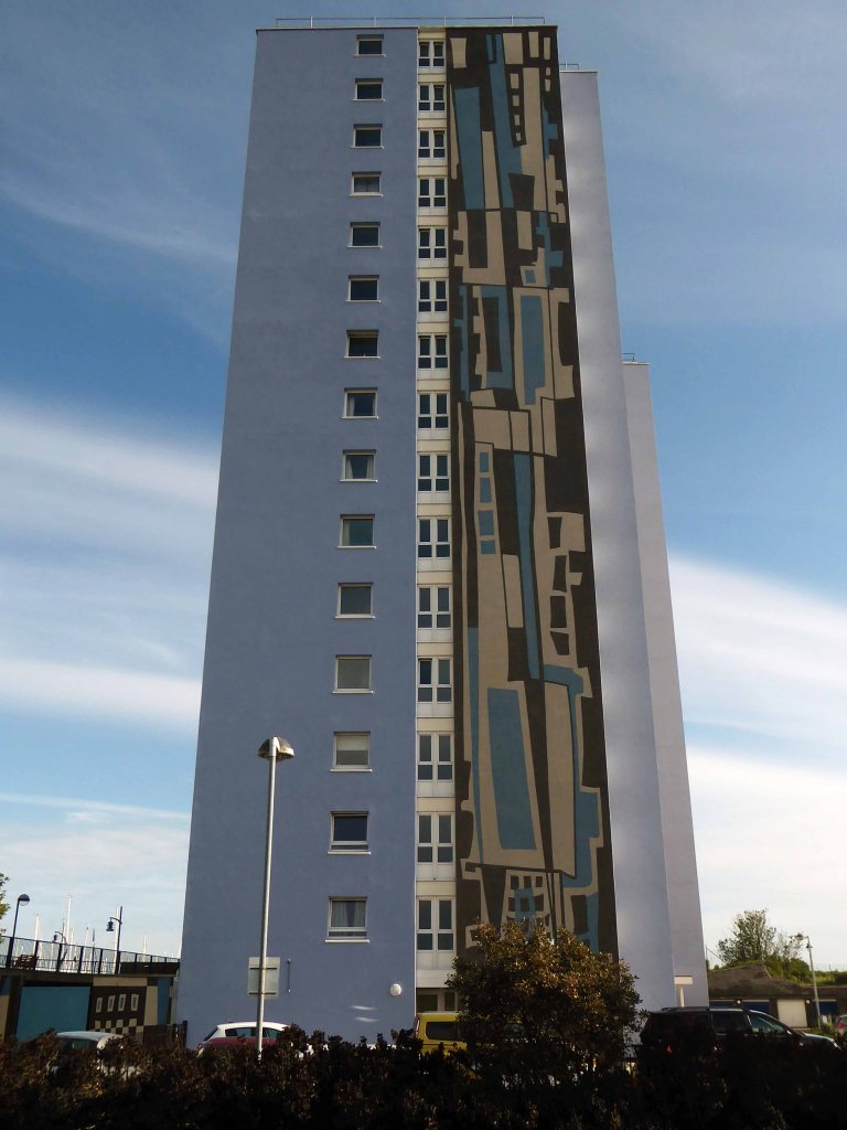
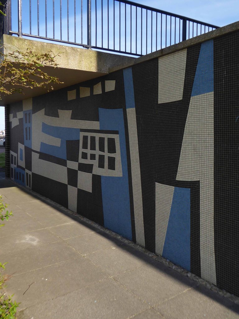
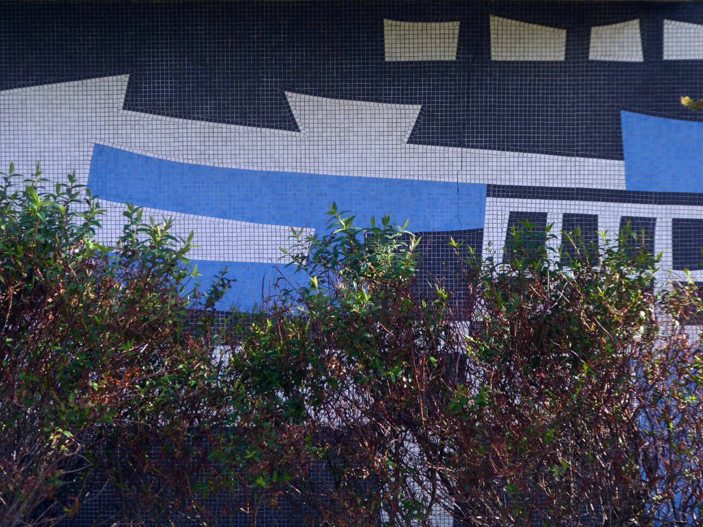
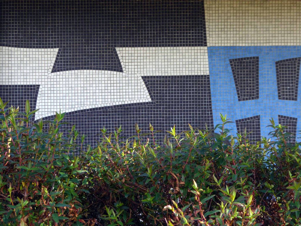
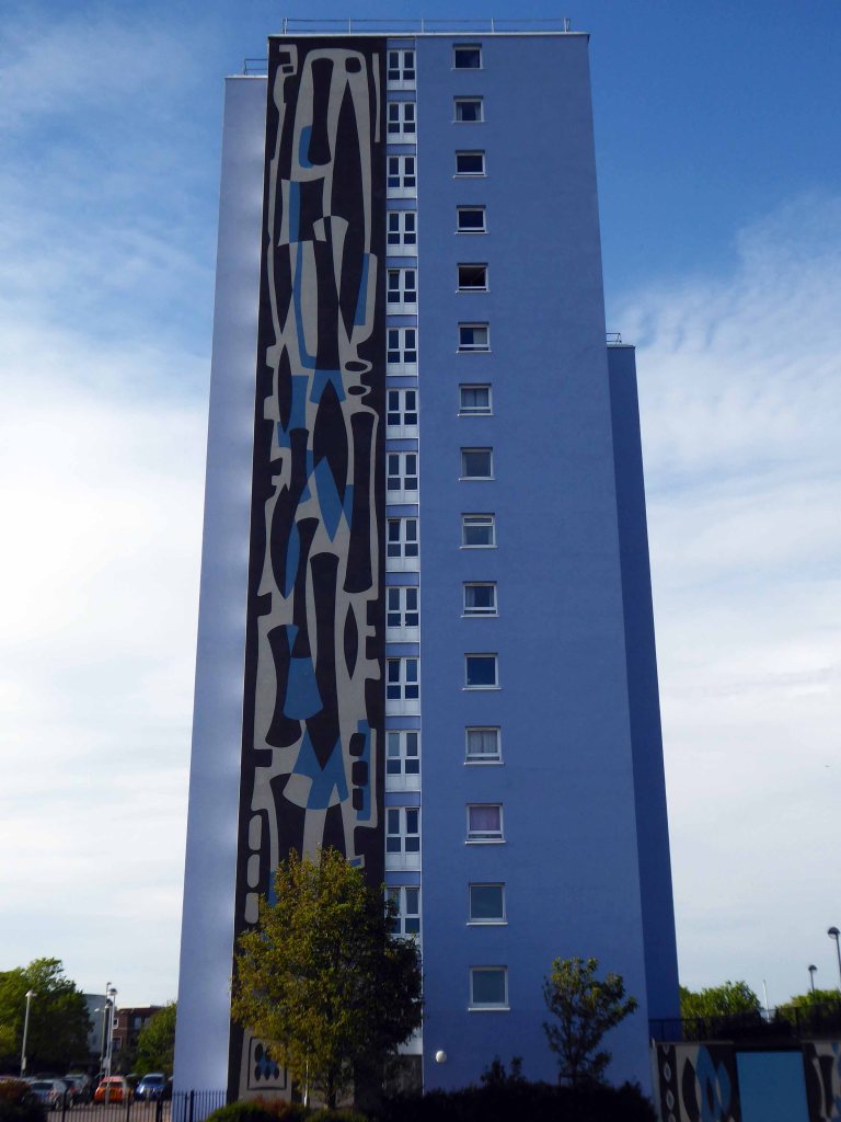
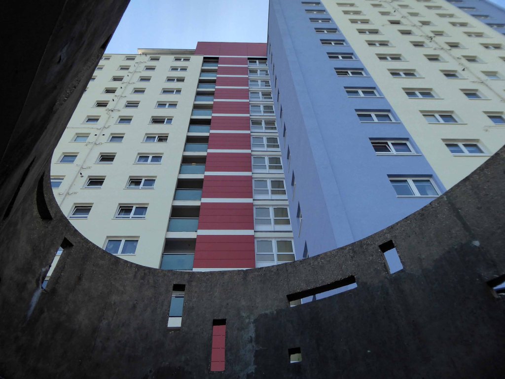
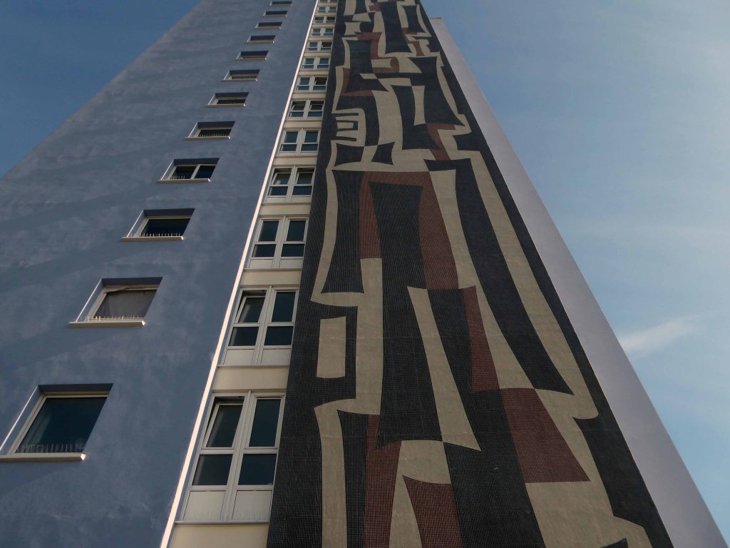
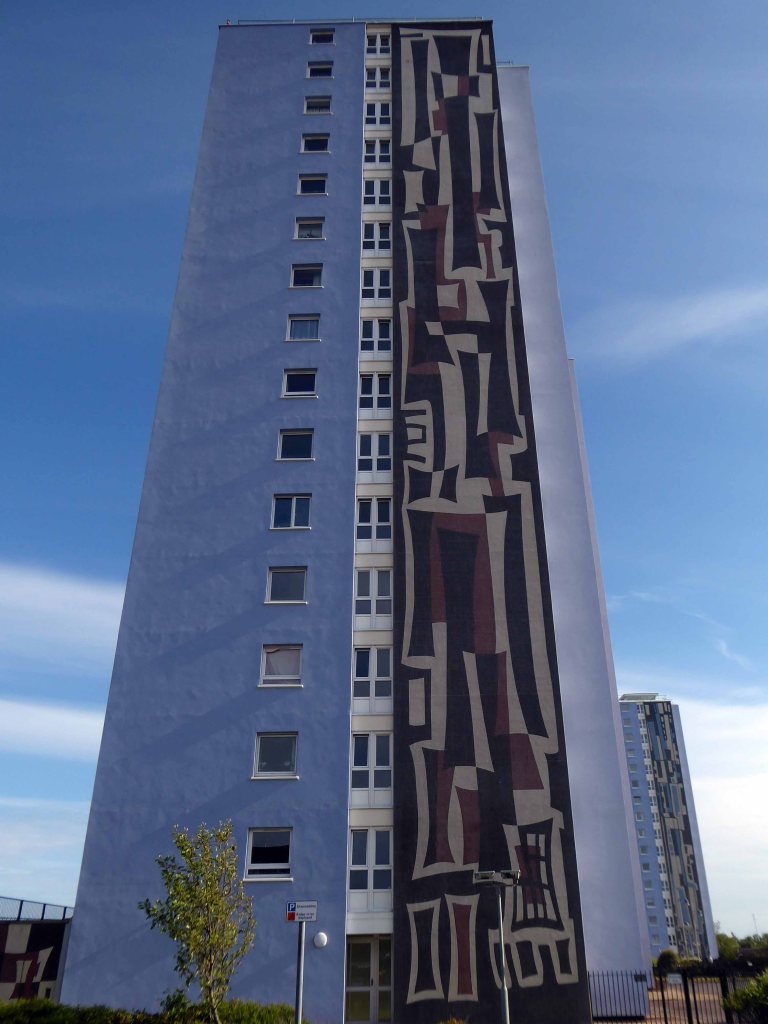
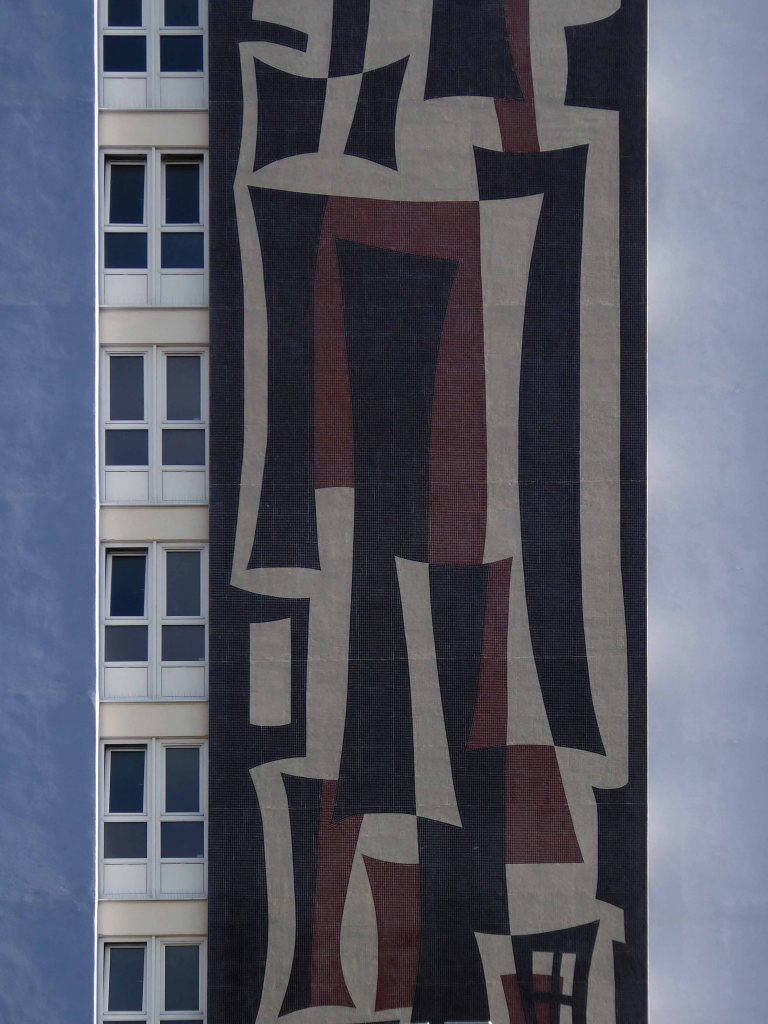
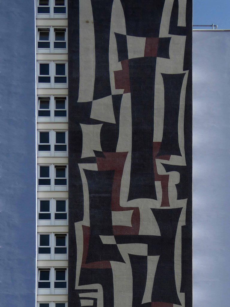
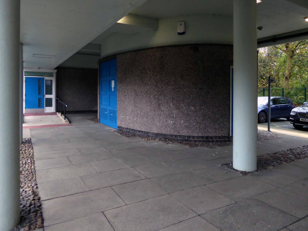
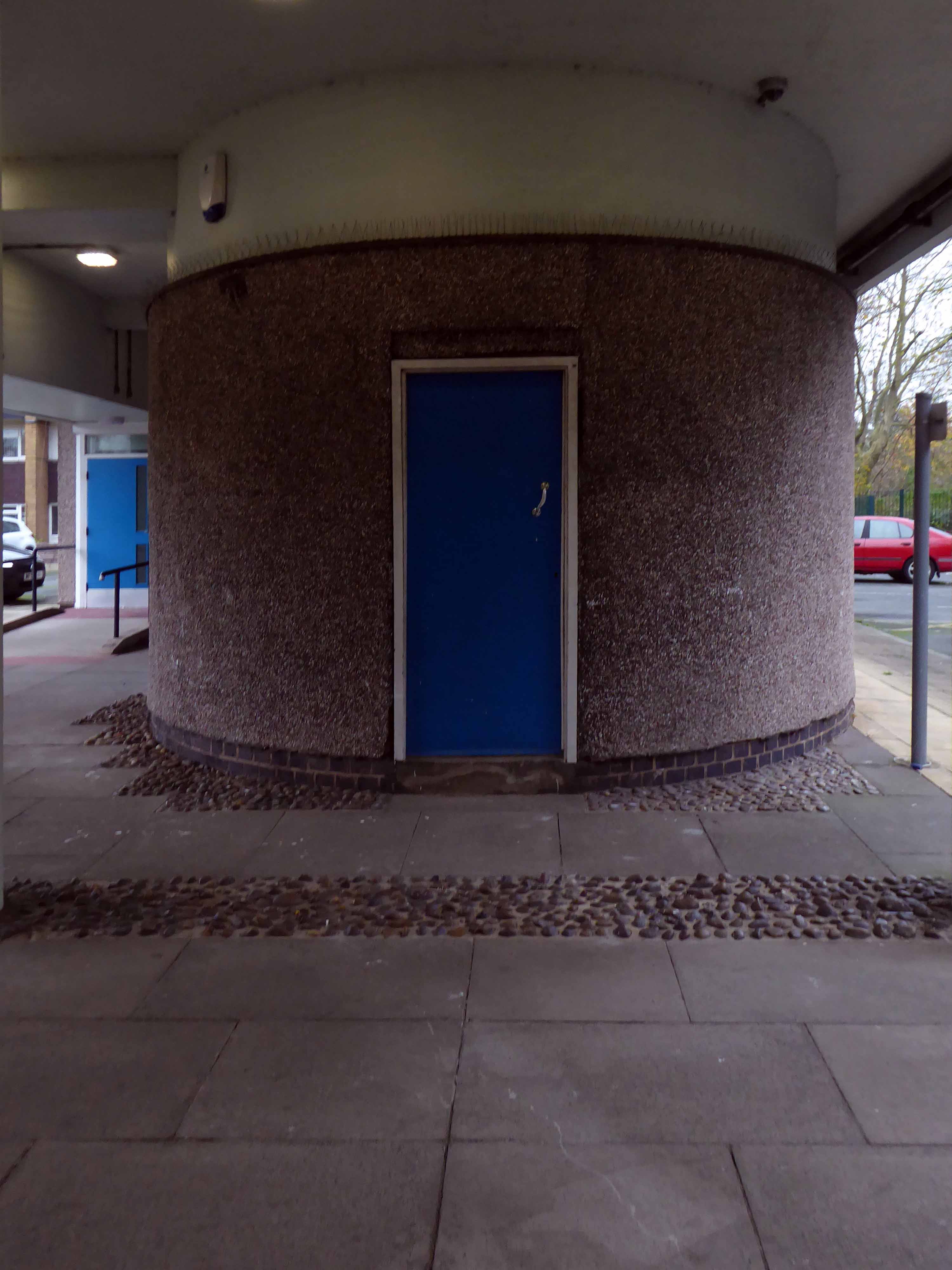
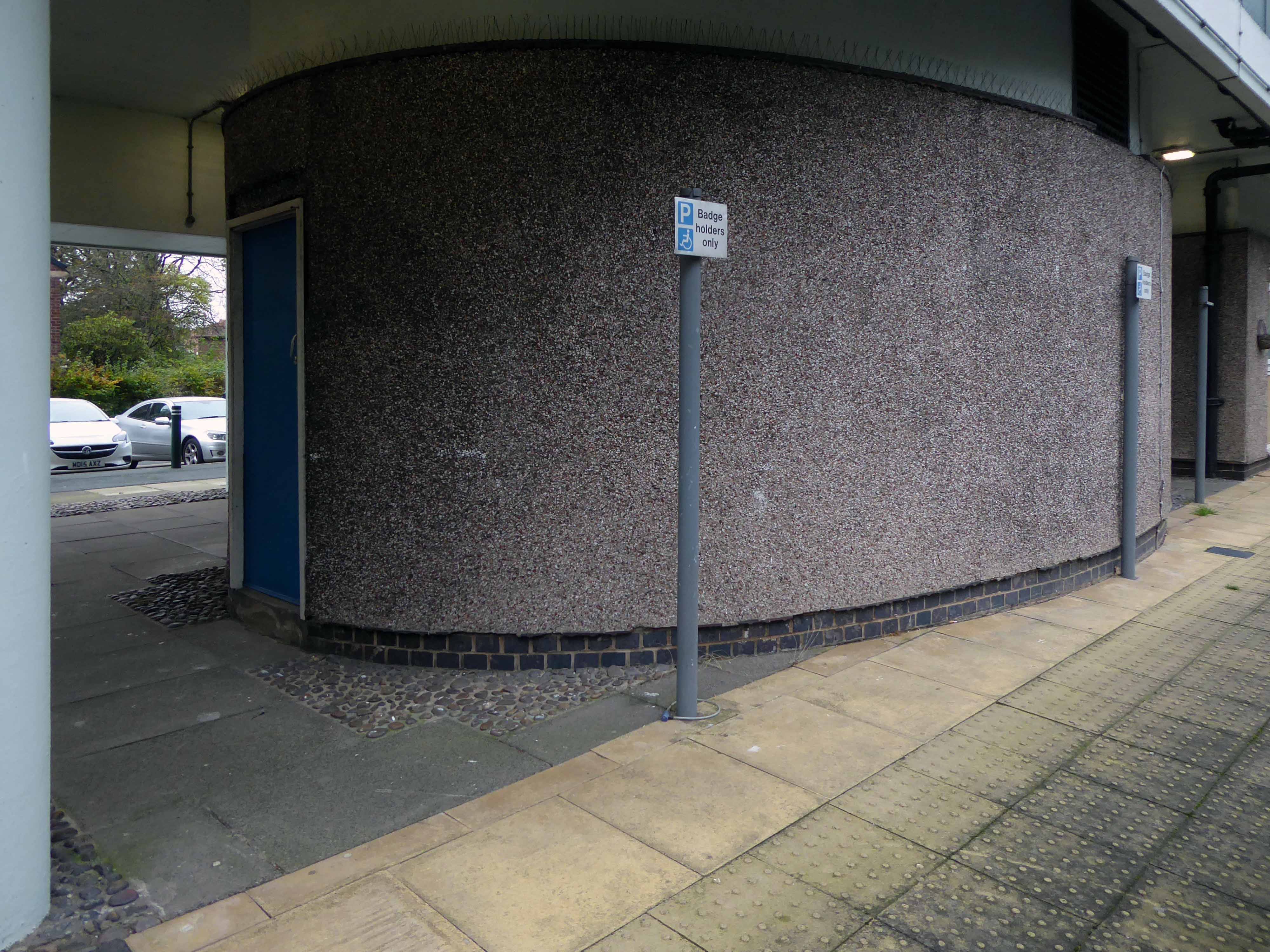
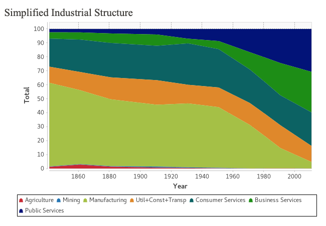
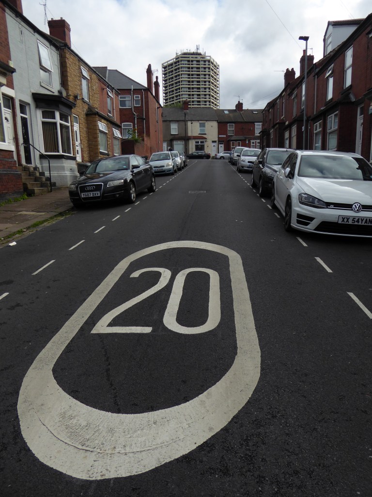
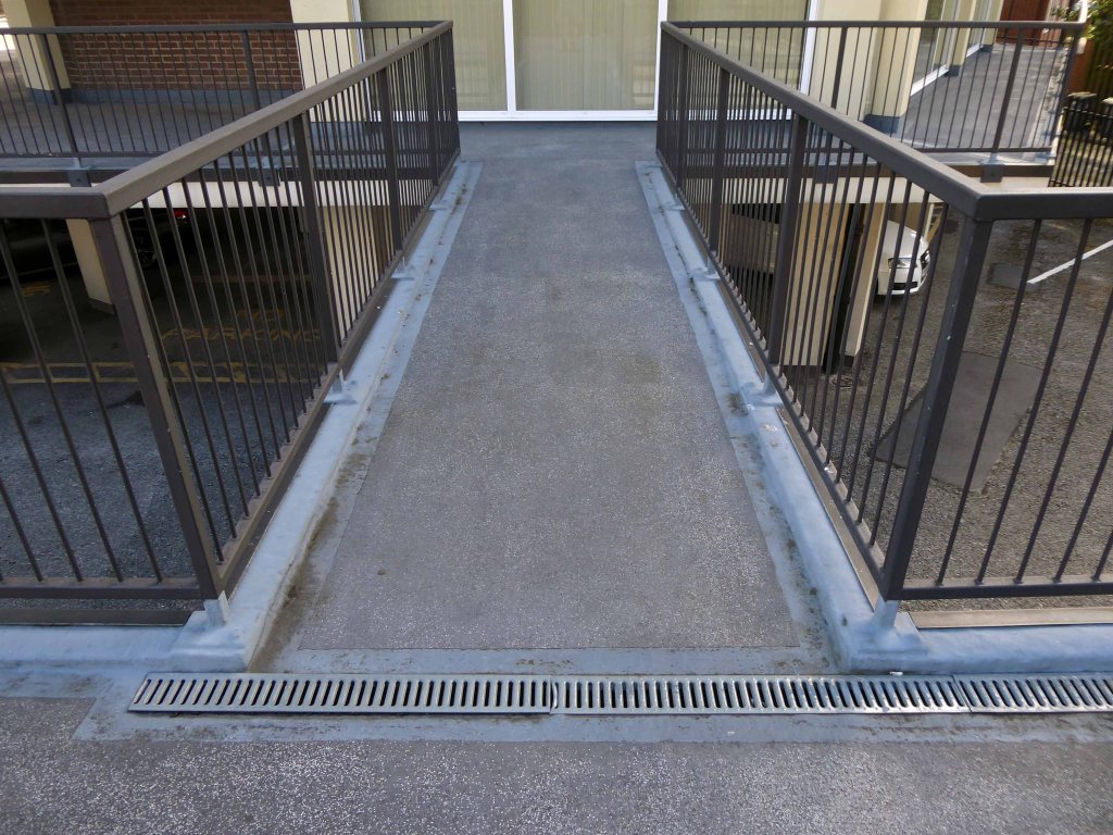
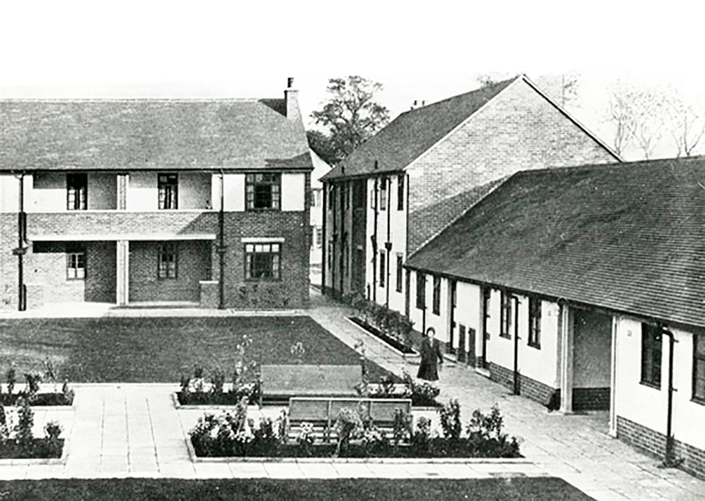
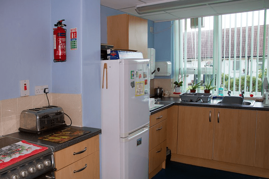
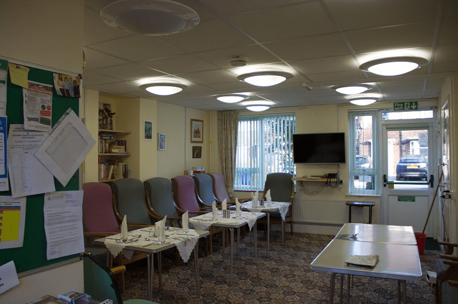
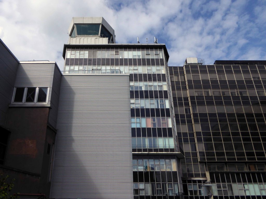
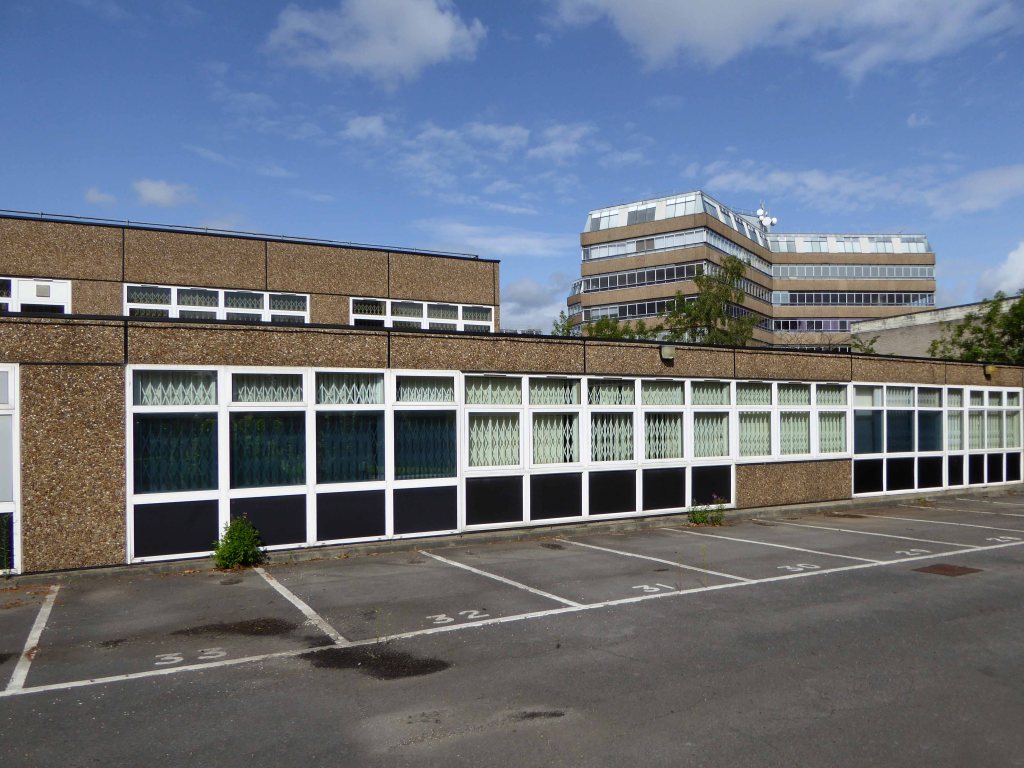
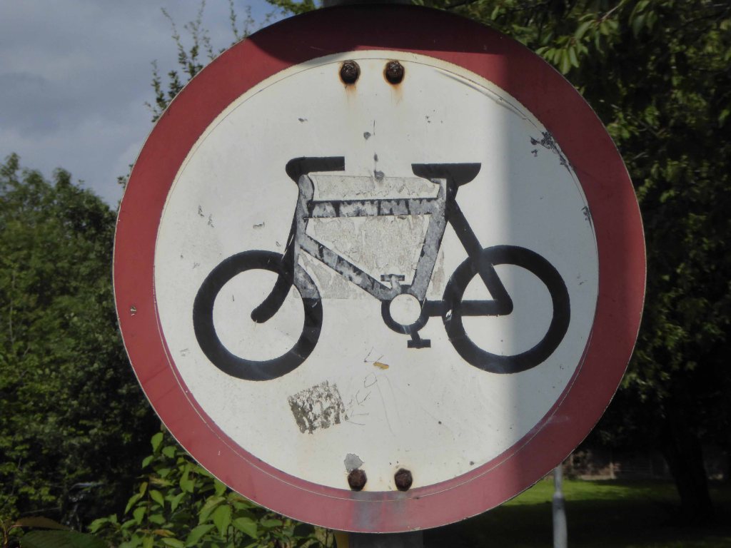
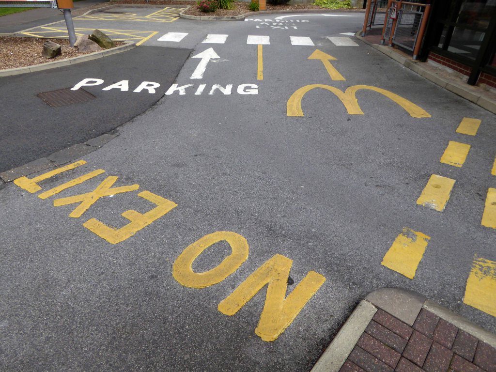
A tale of tower blocks and low rise terraces and maisonettes.
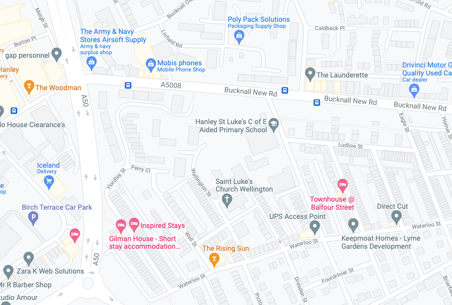
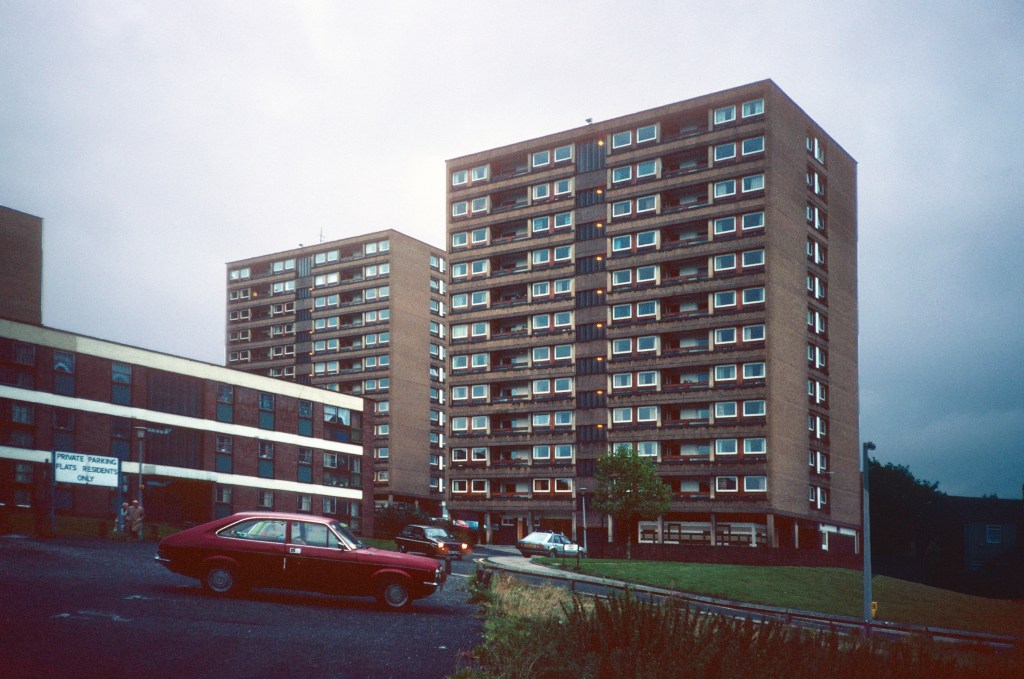
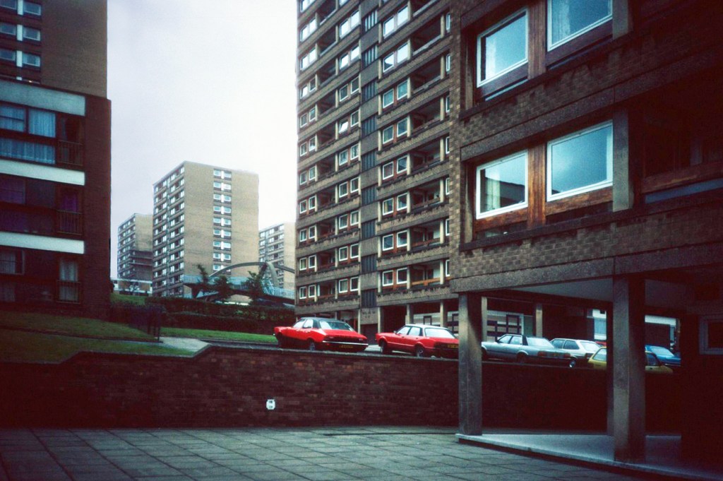
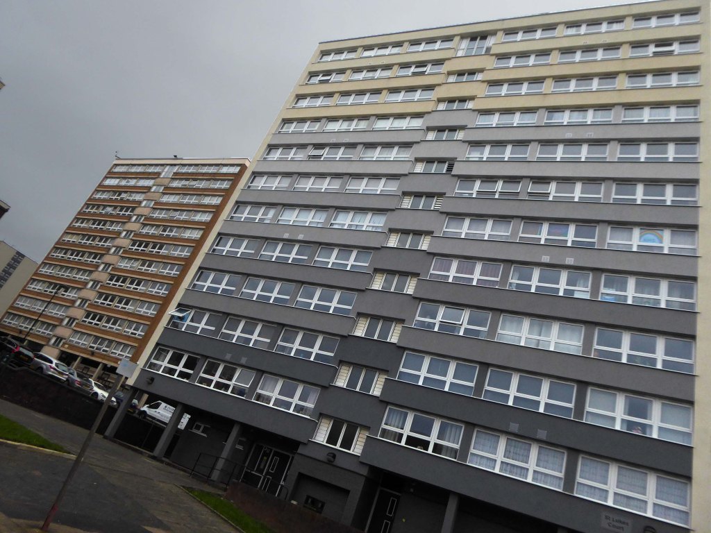
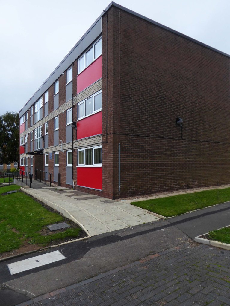
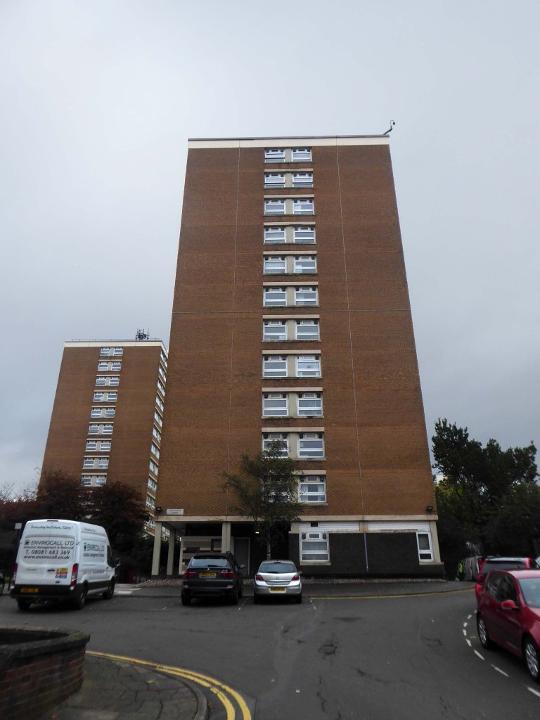
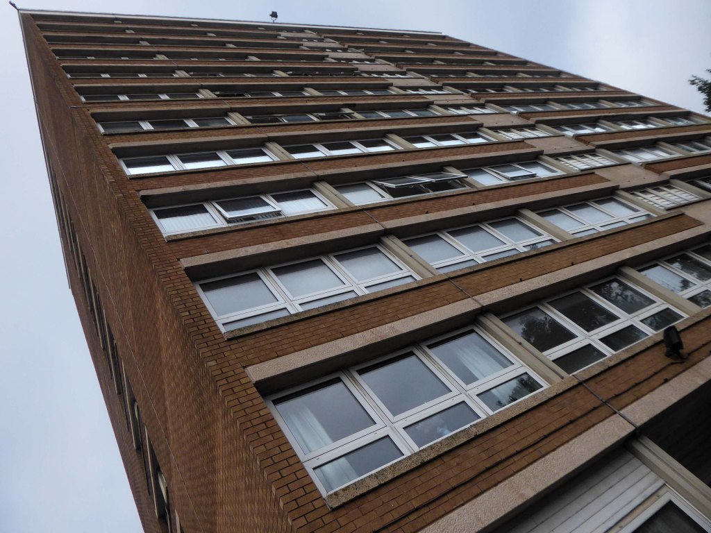
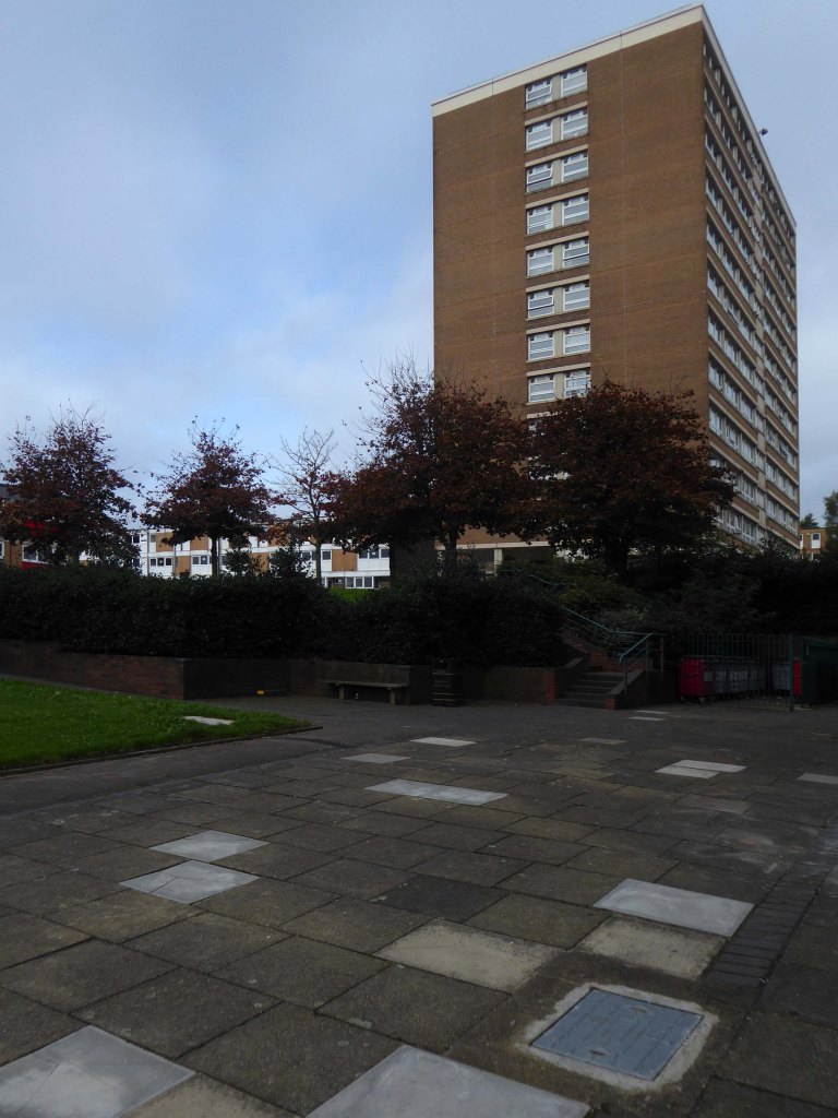
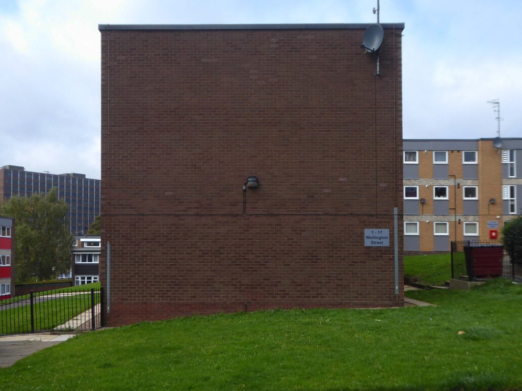
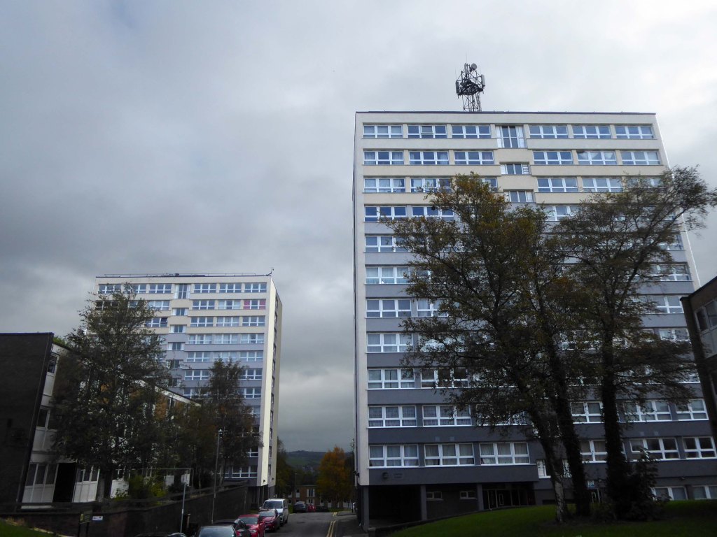
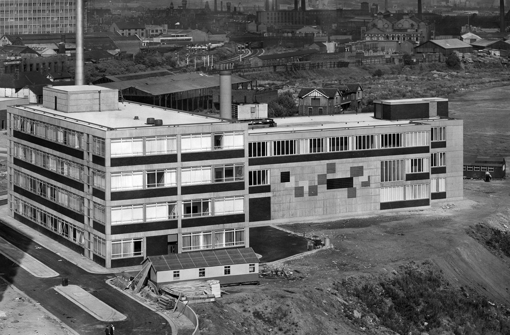
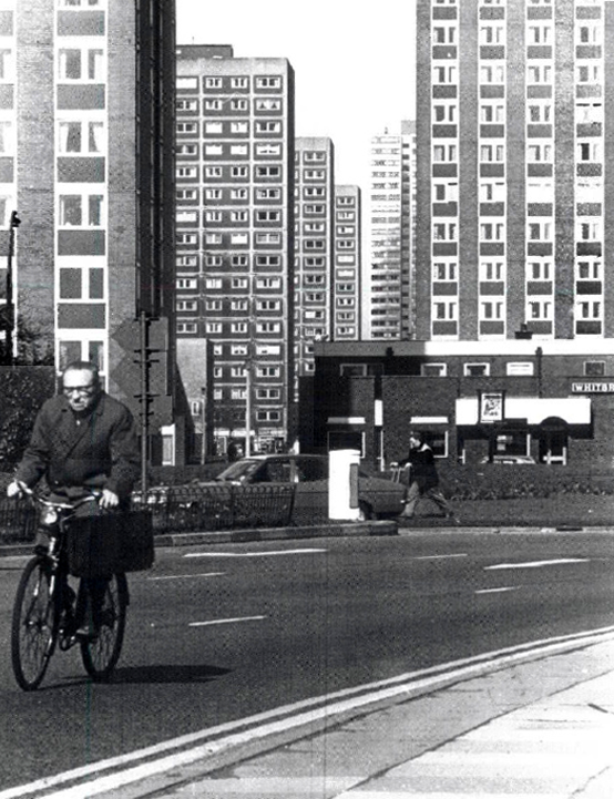
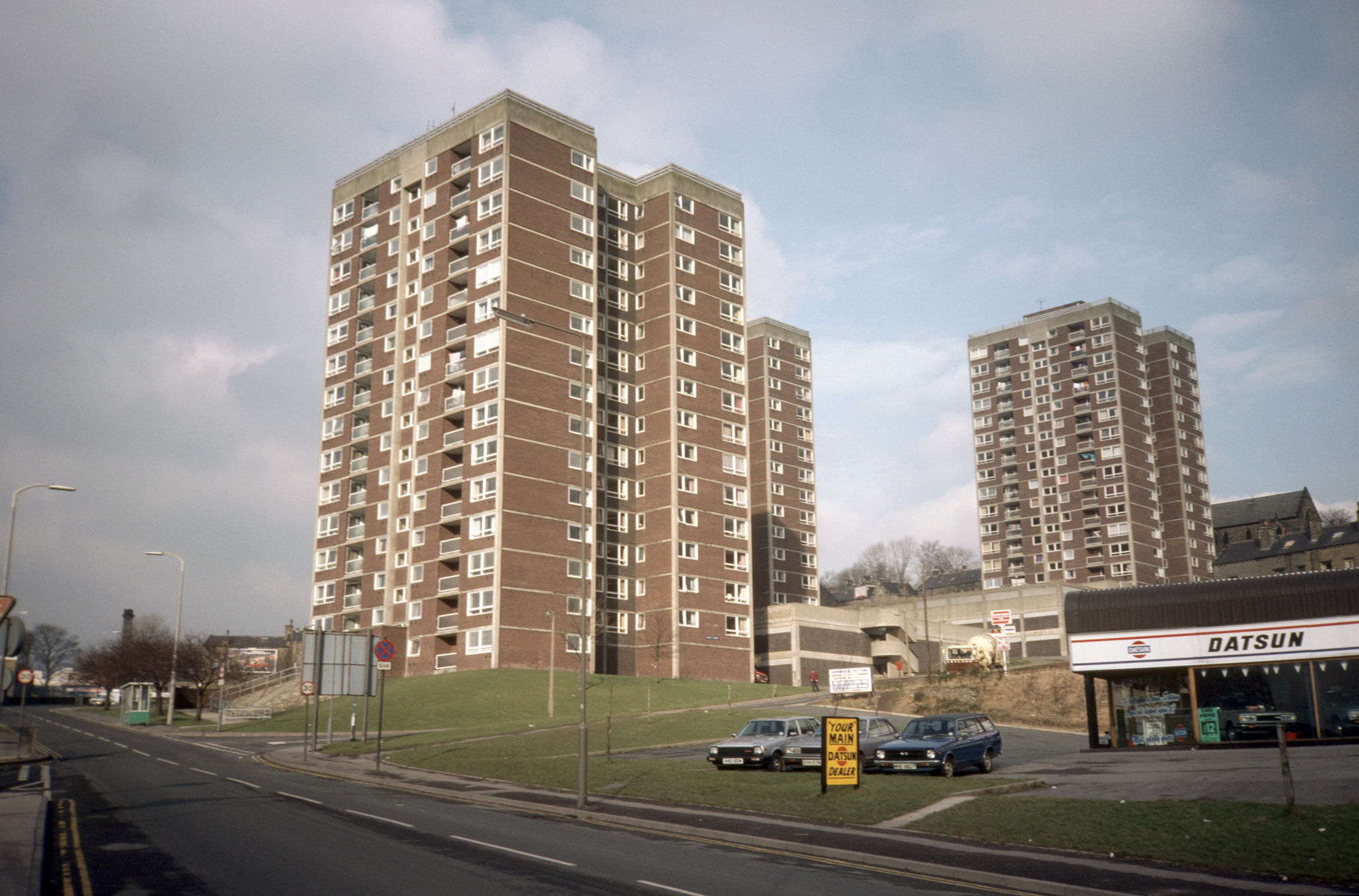
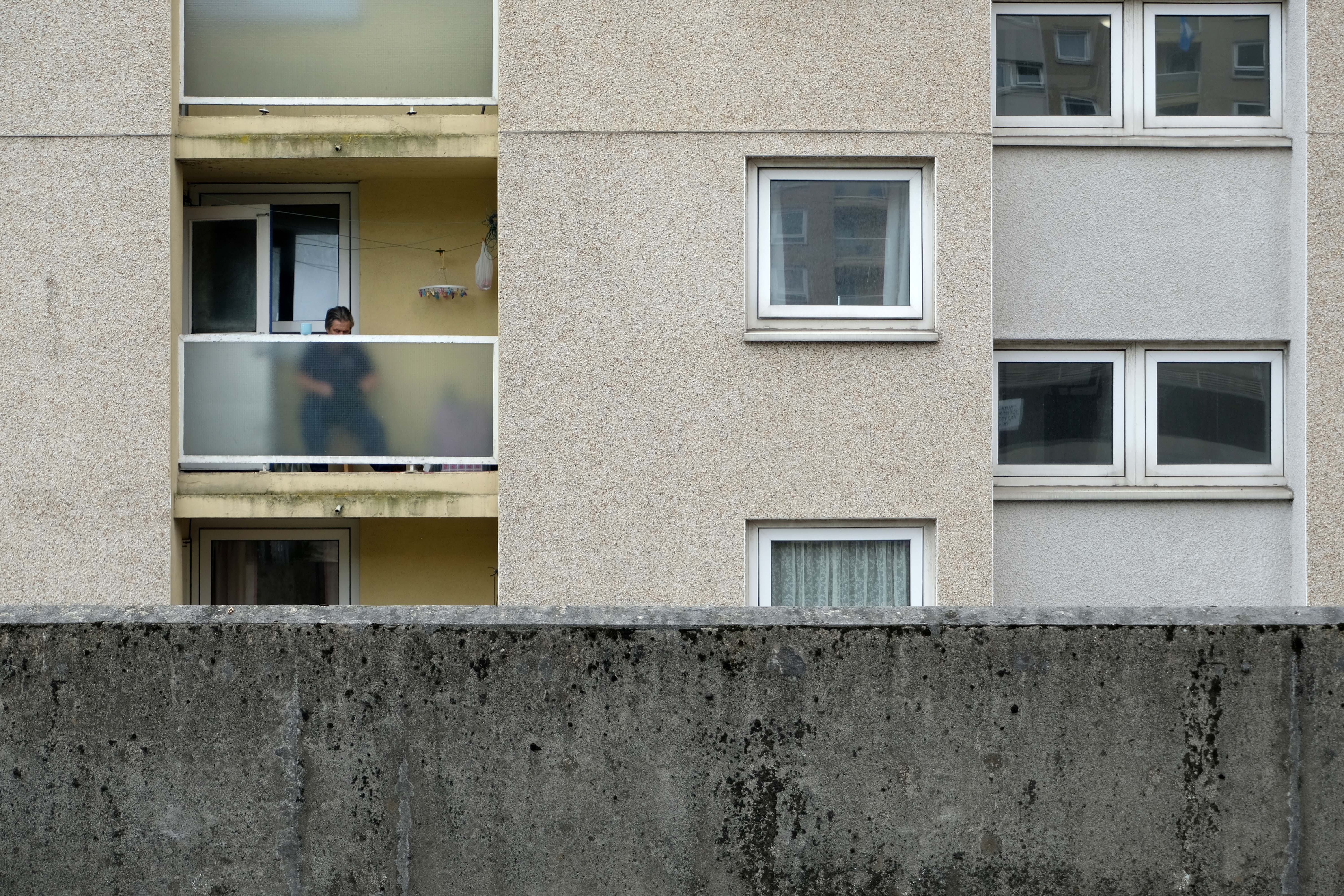
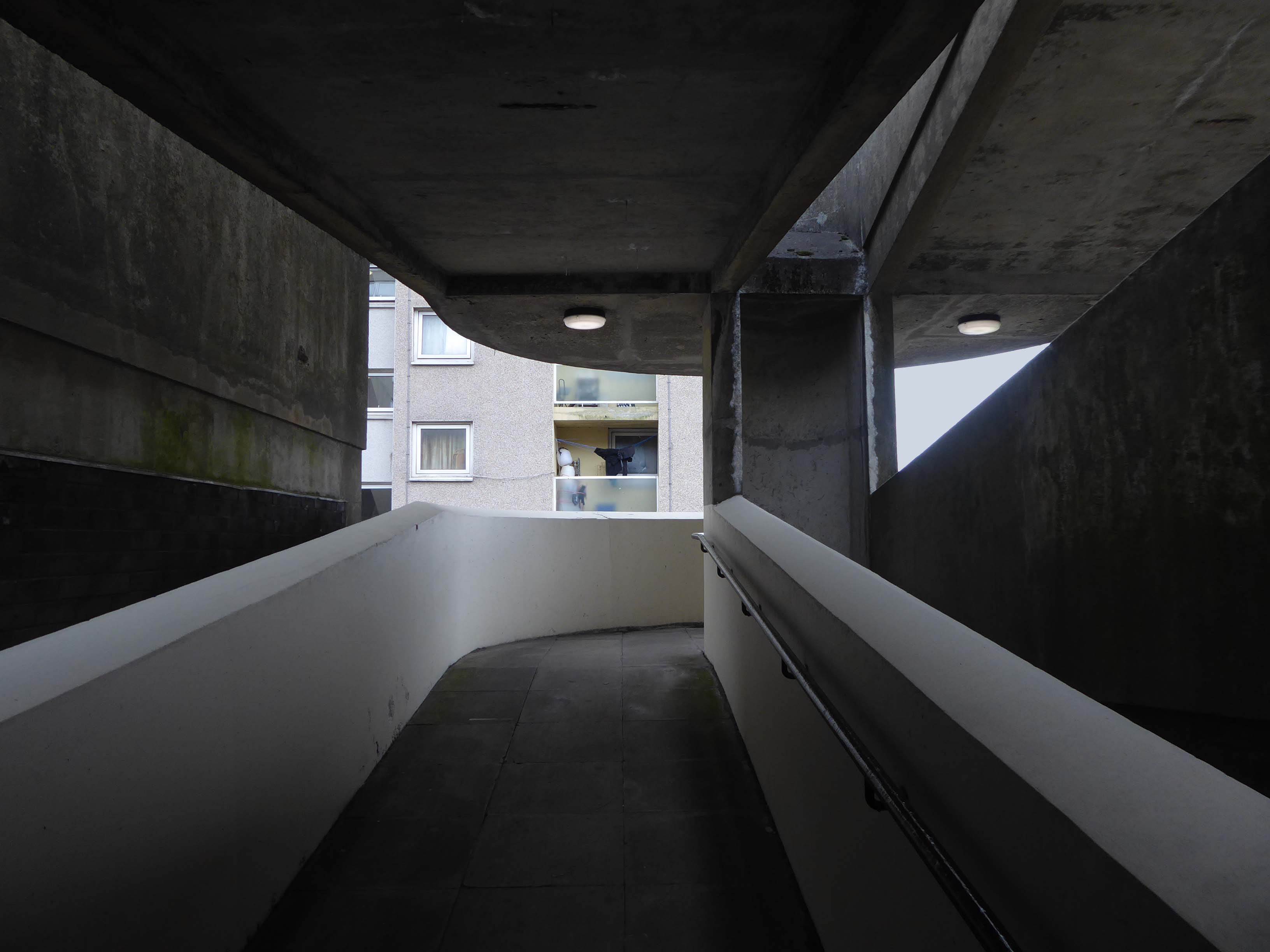
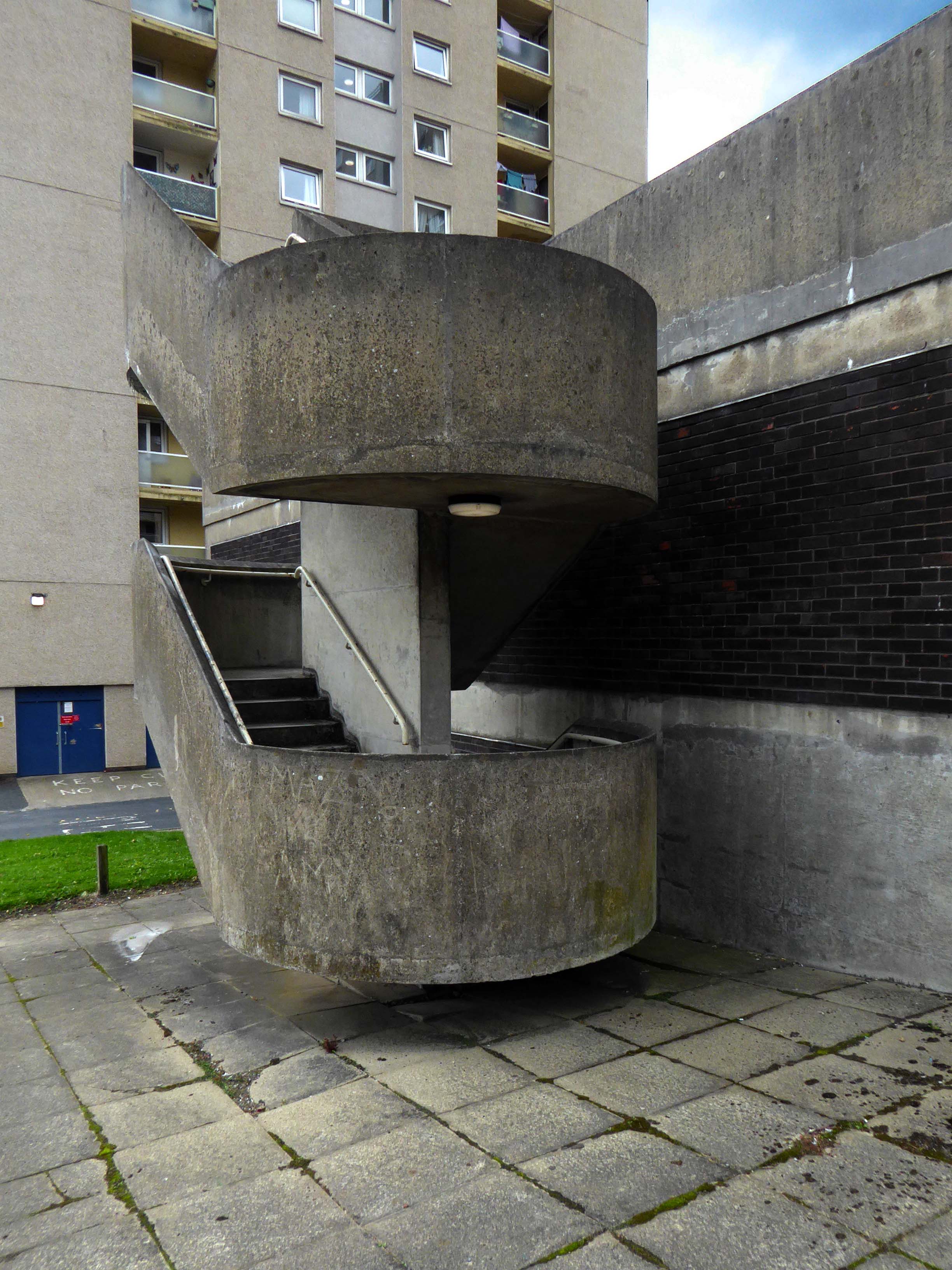
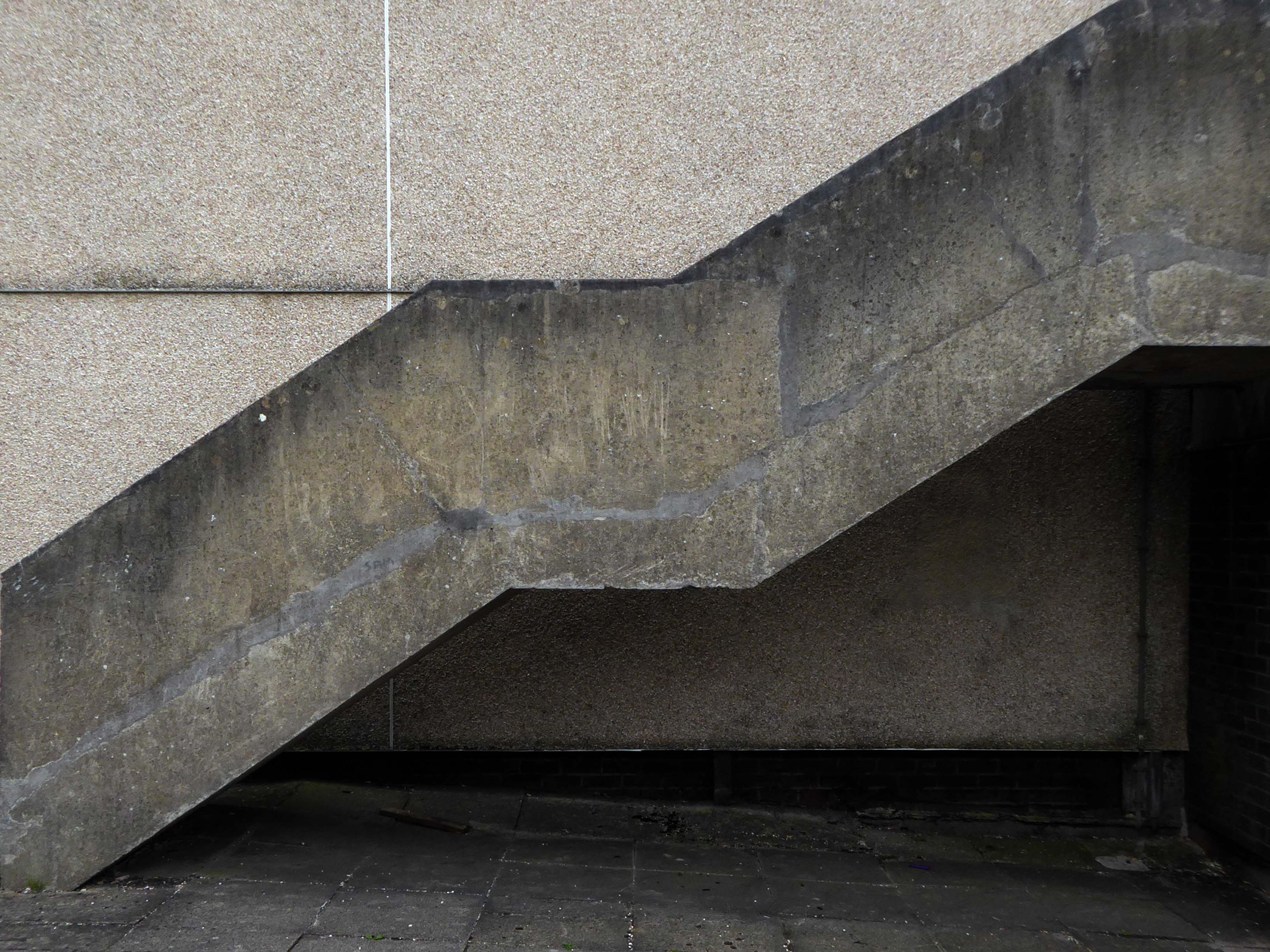
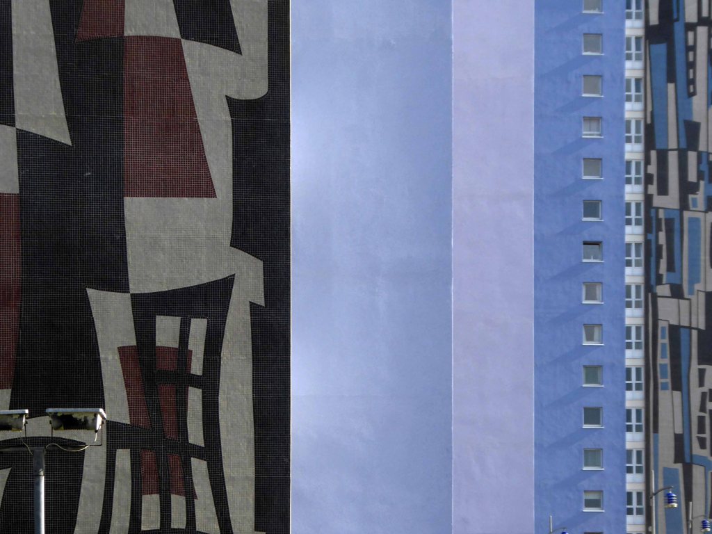
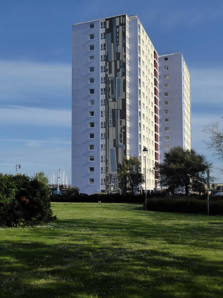
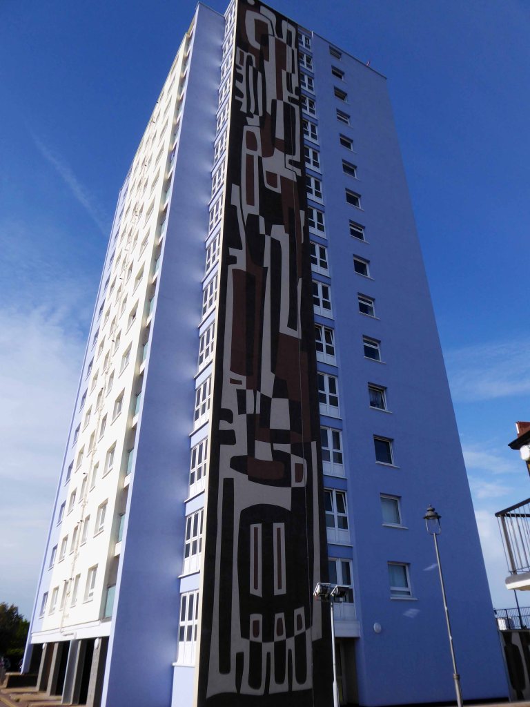
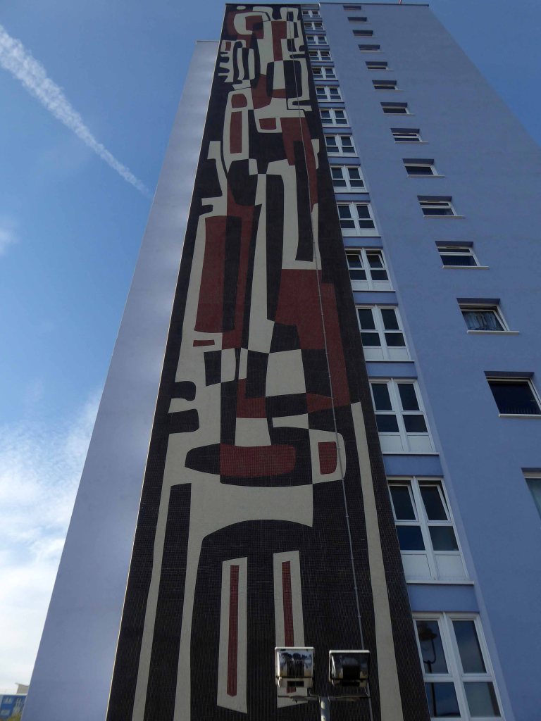
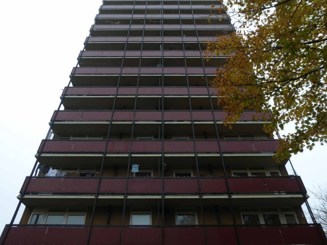
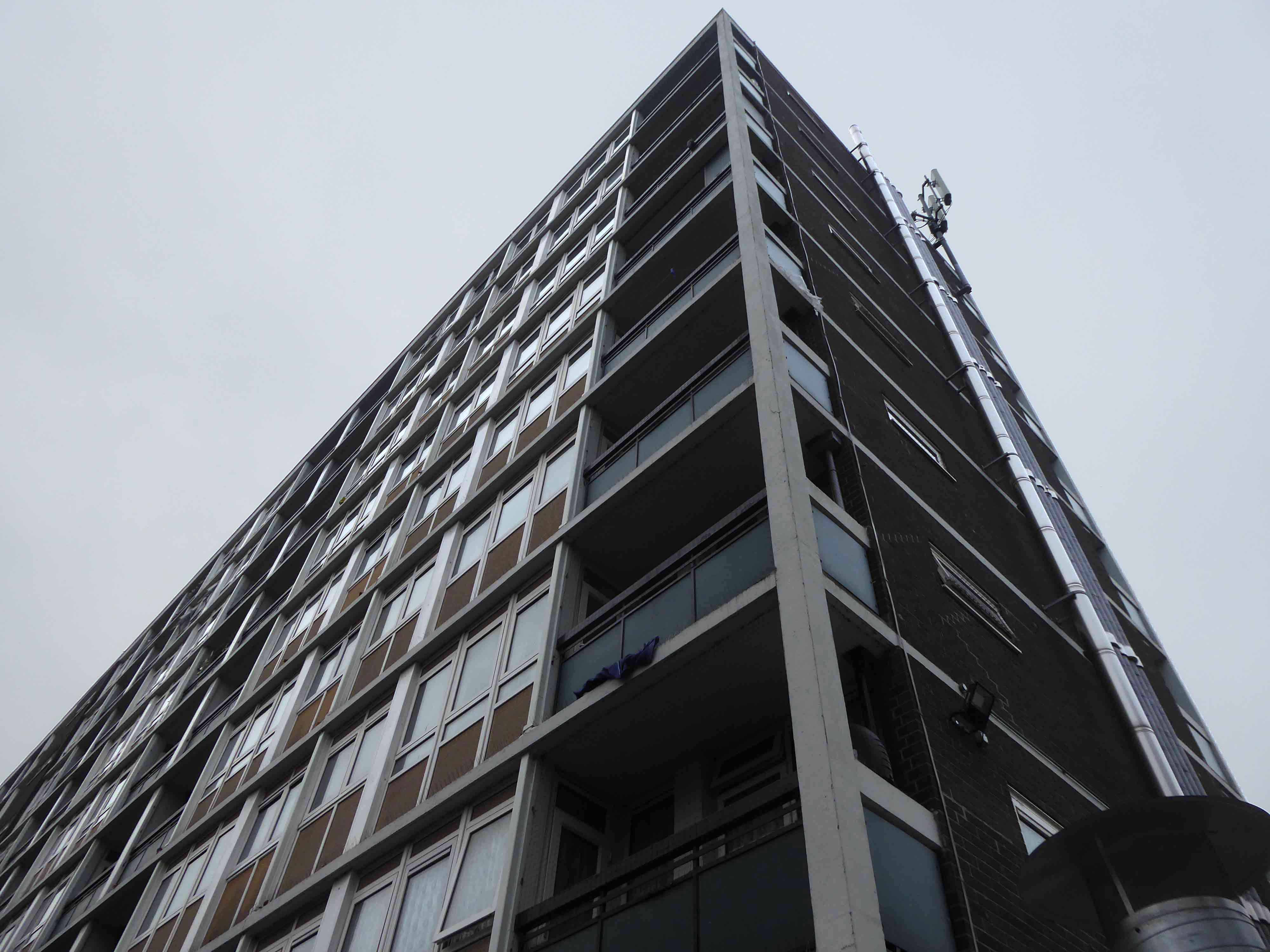
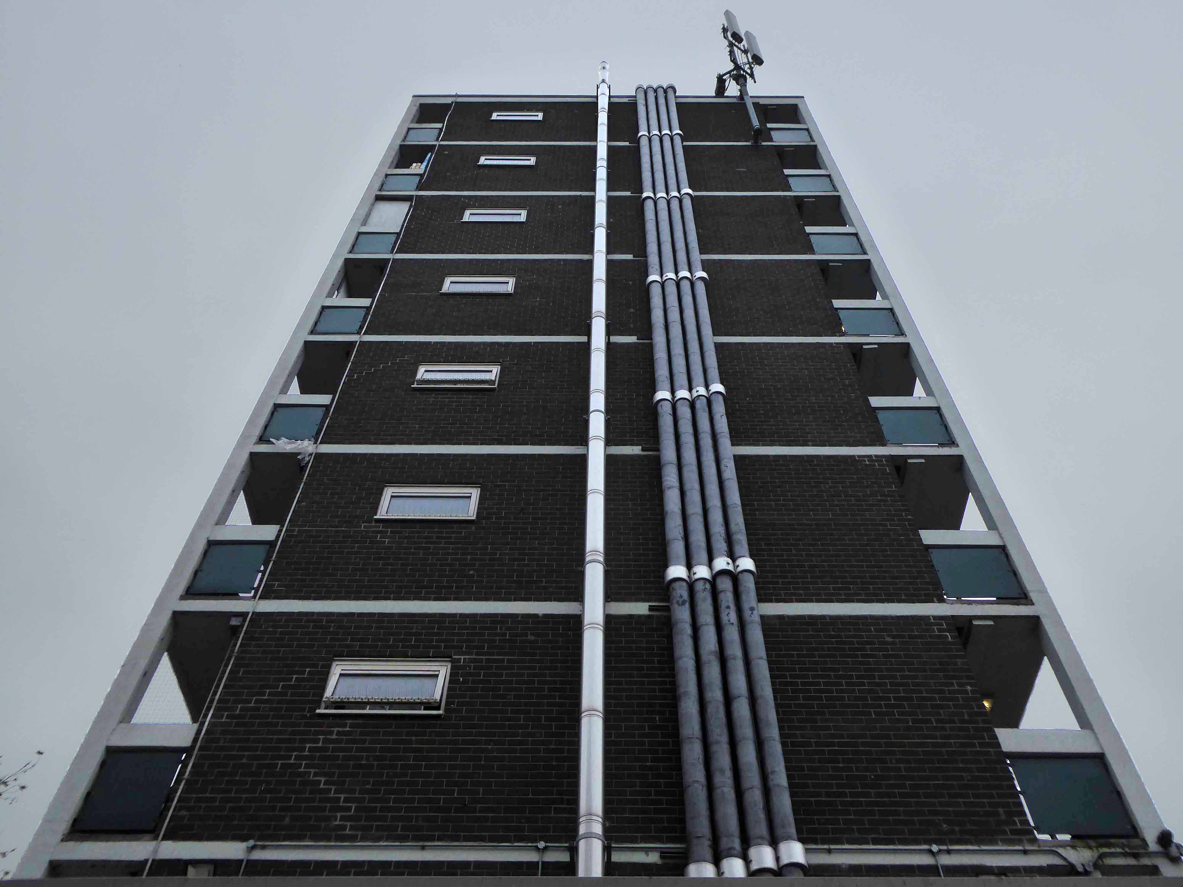
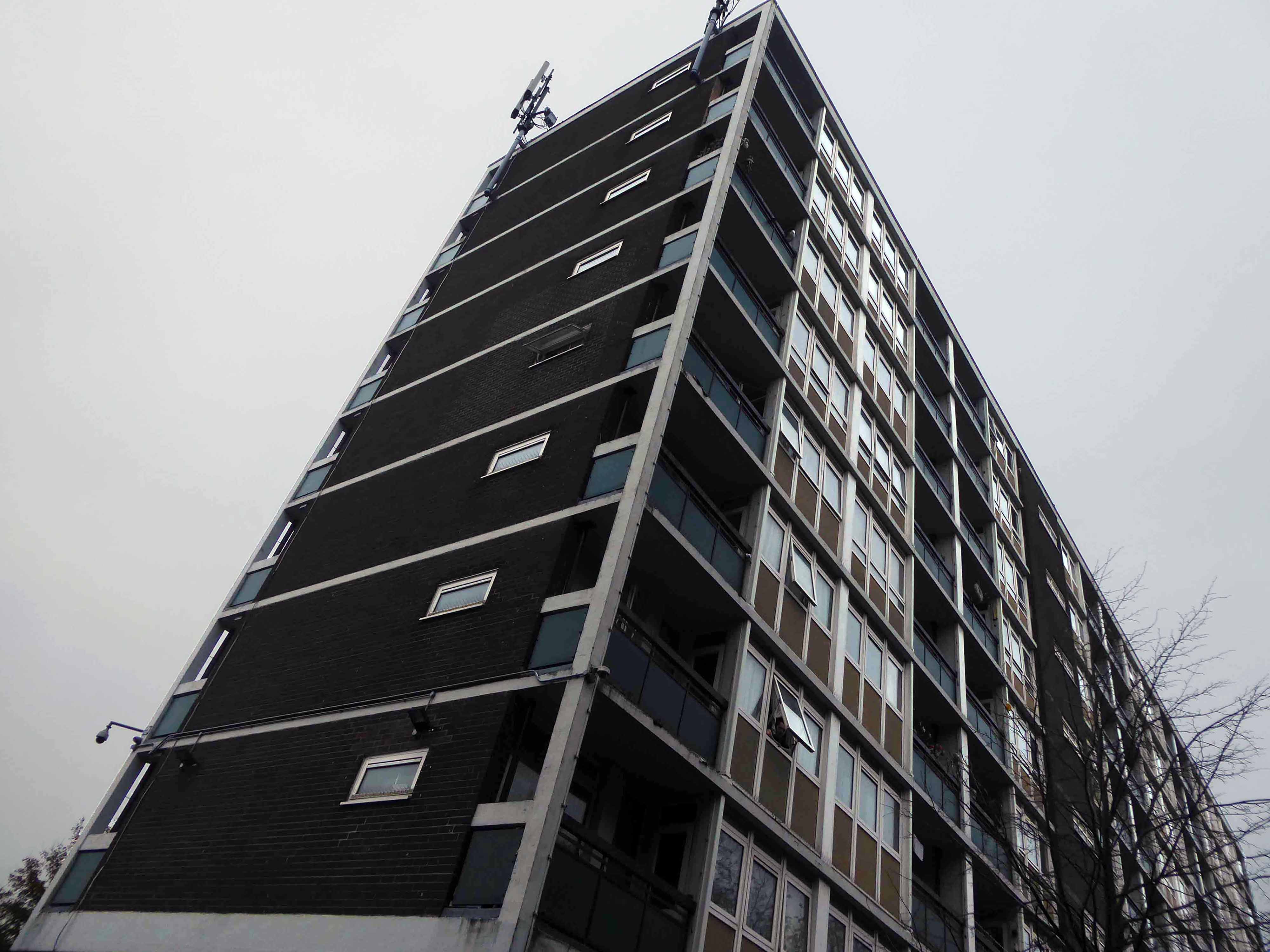
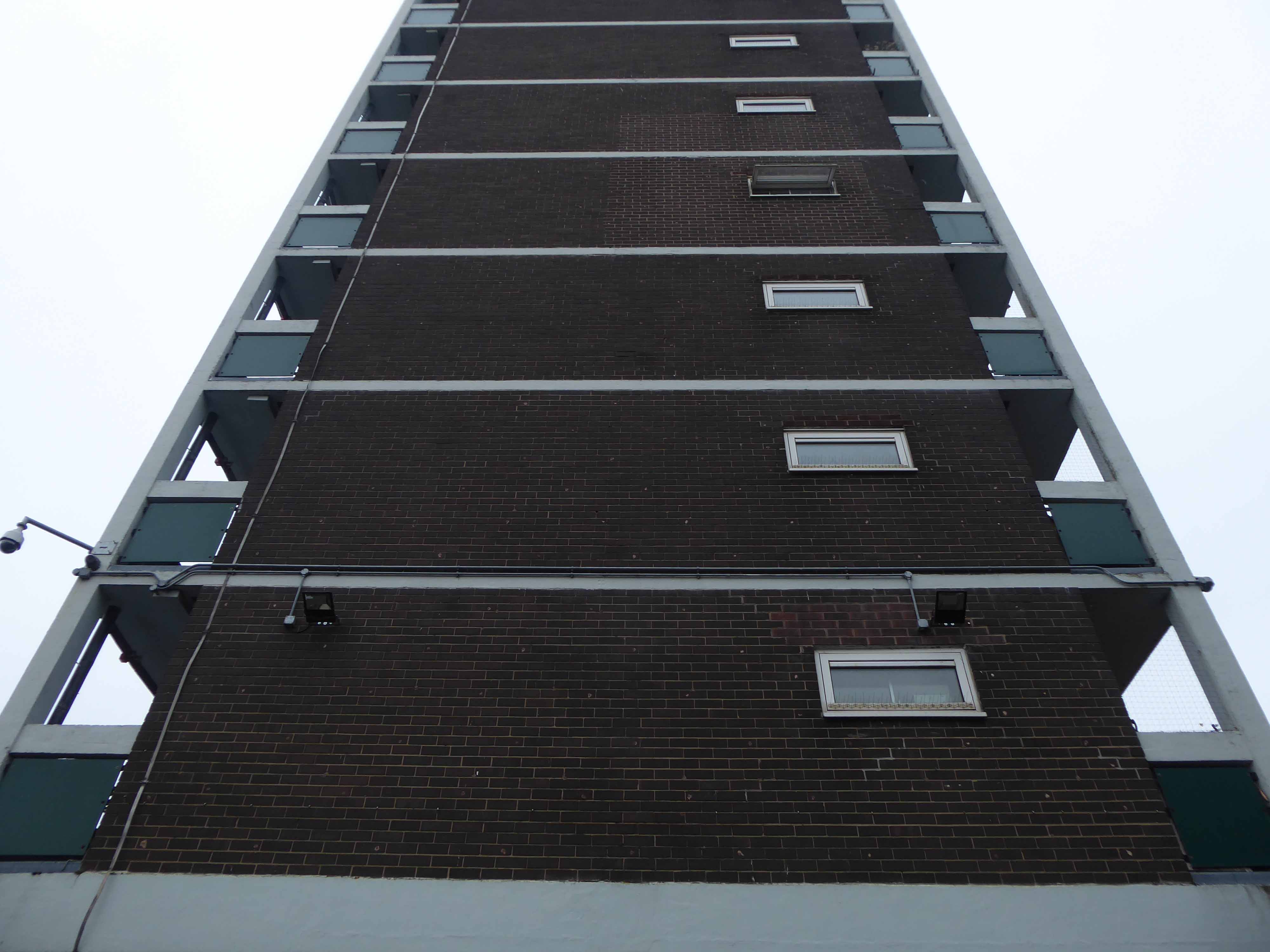
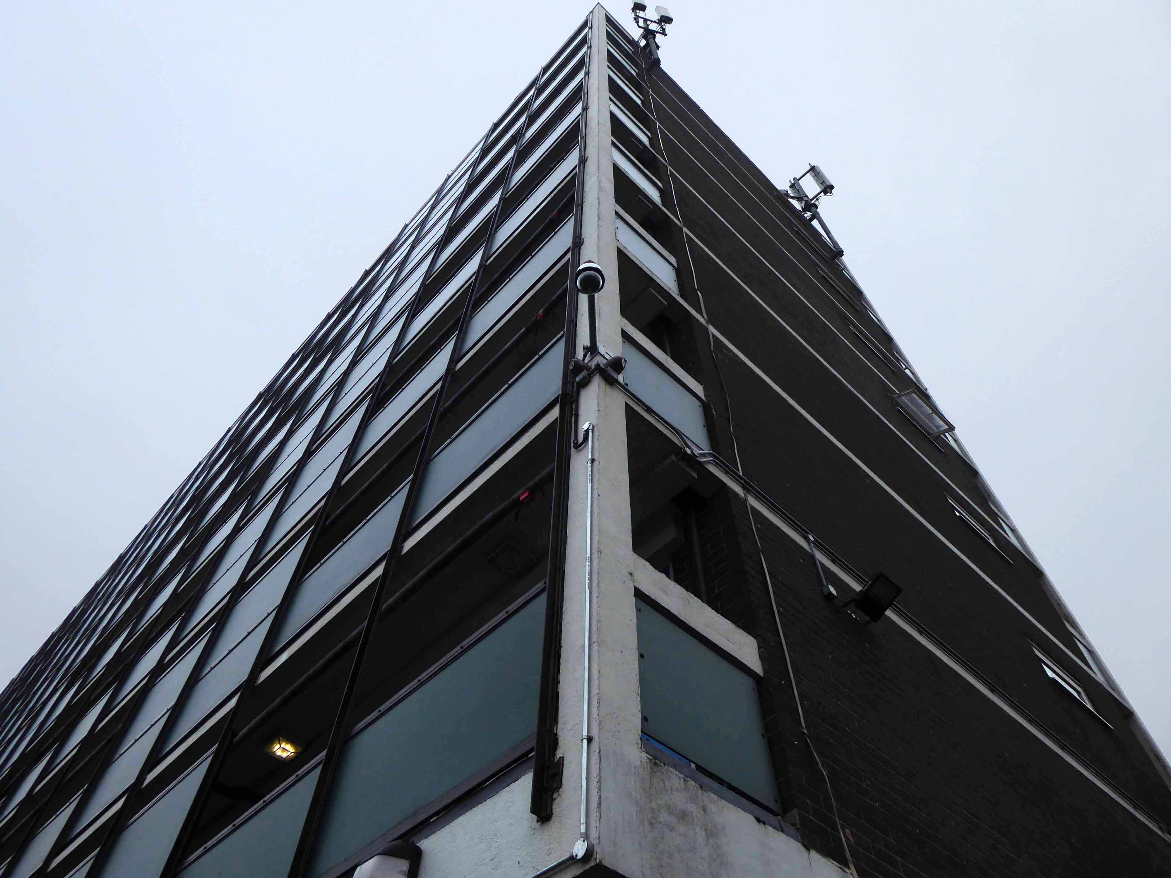
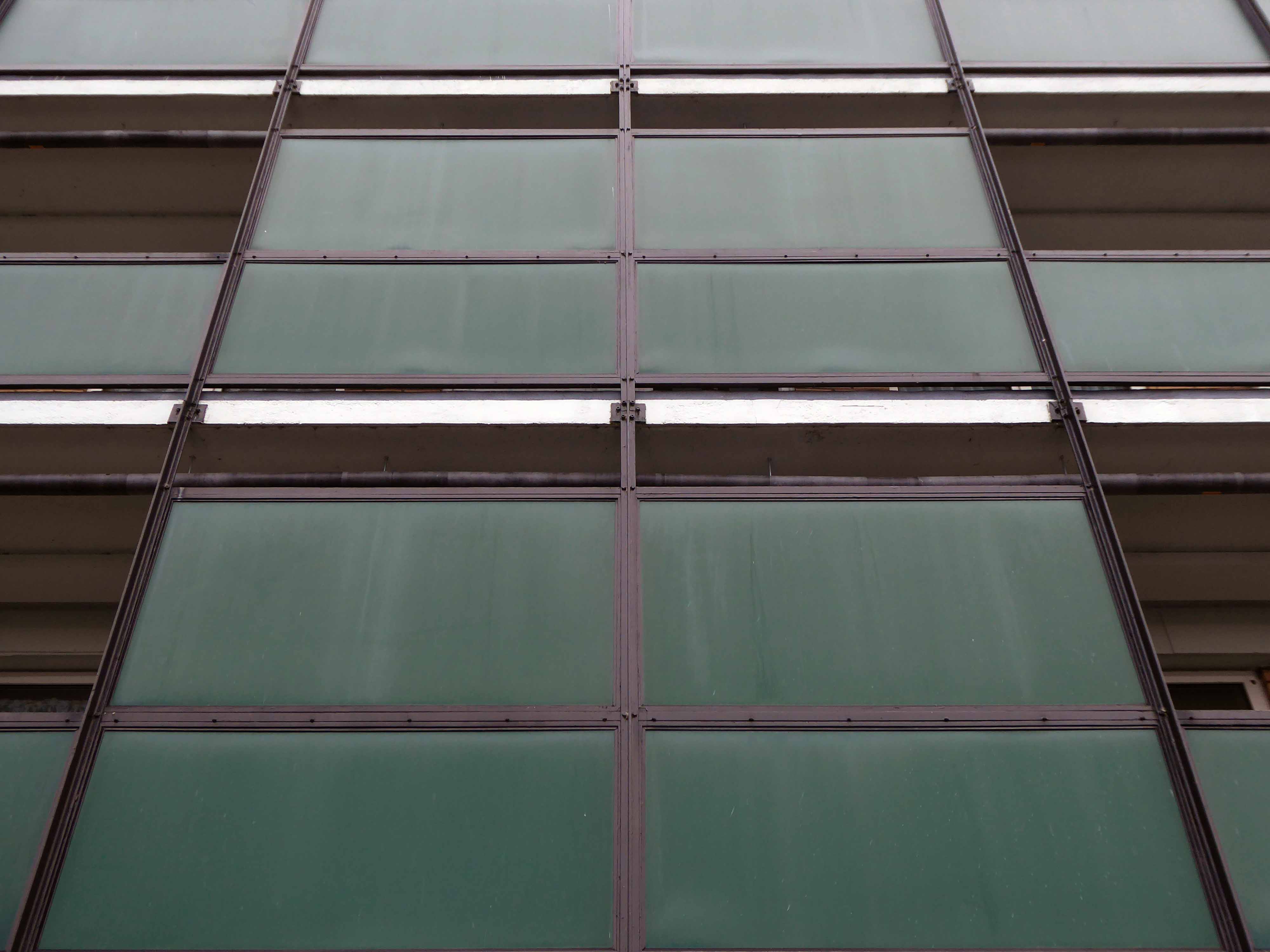
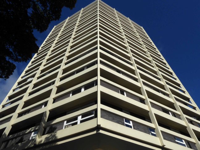
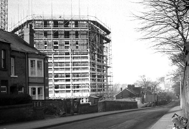
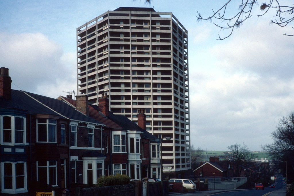
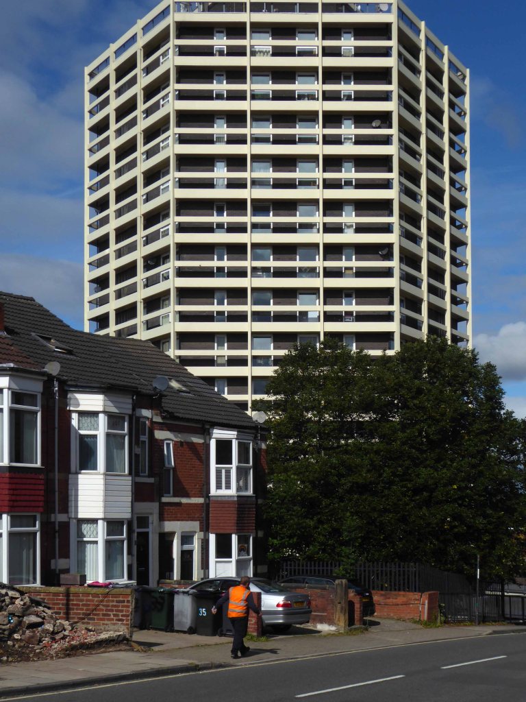
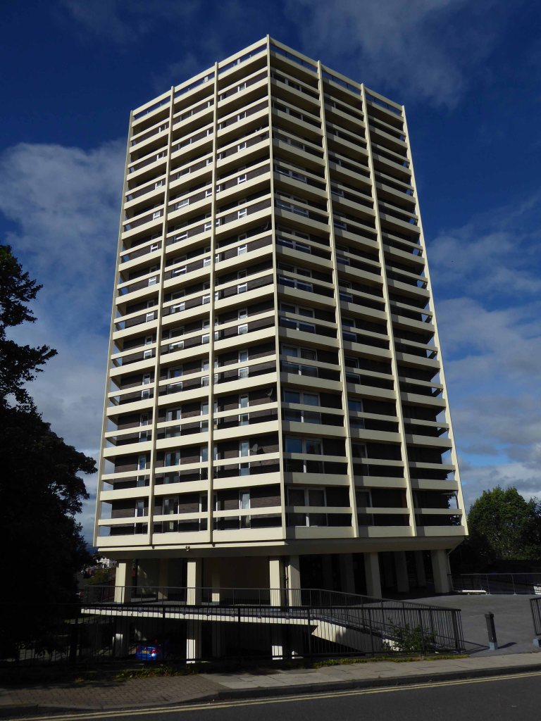
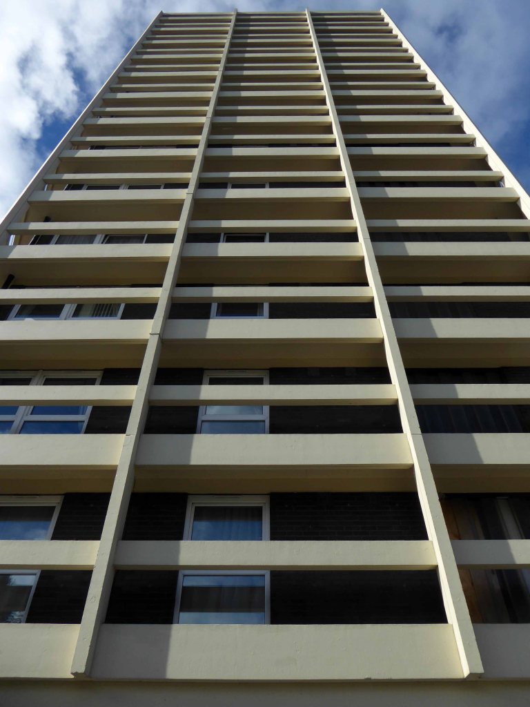
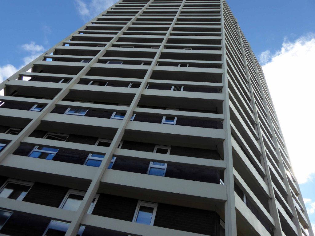
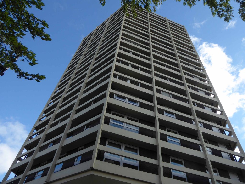
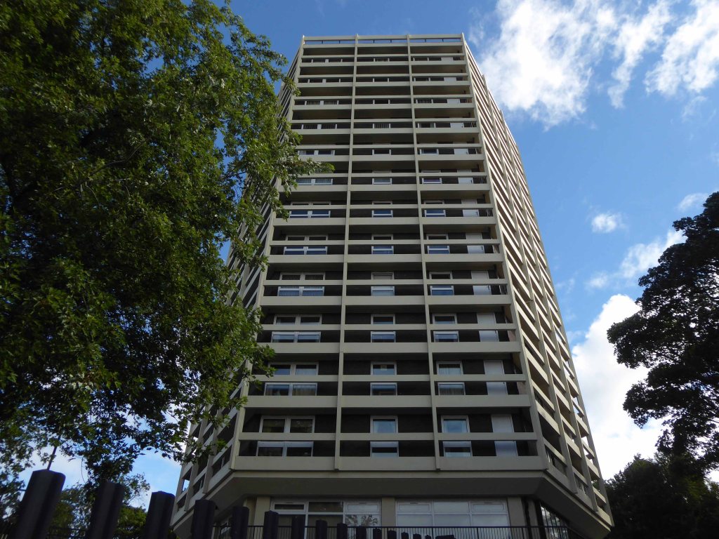
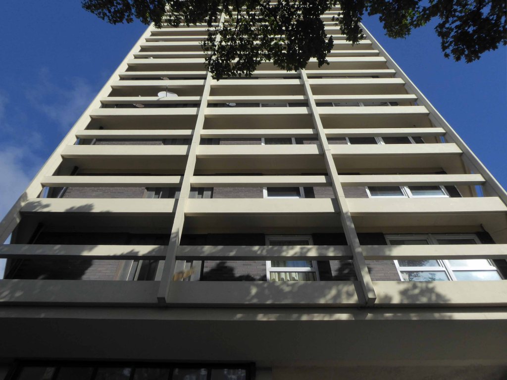
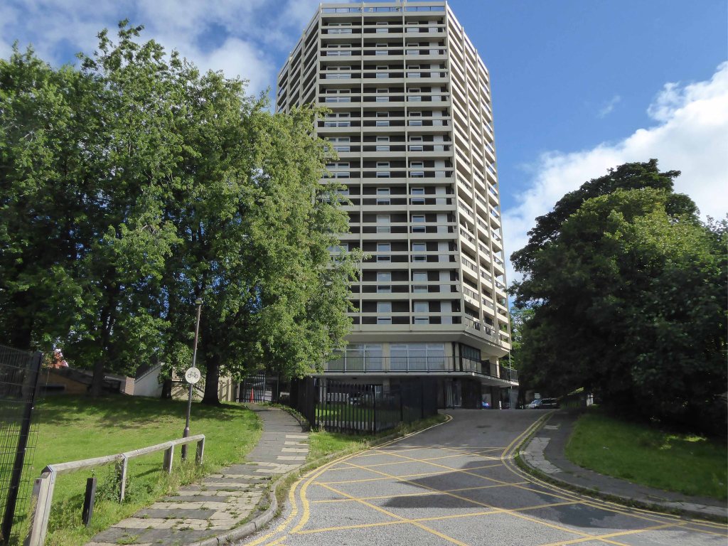
The first group of 1965, the work of City Architect JW Plant grouped around Westwood, Wellington and St Lukes Courts three 12-storey blocks containing 138 dwellings named Bucknall New Road Stage I.
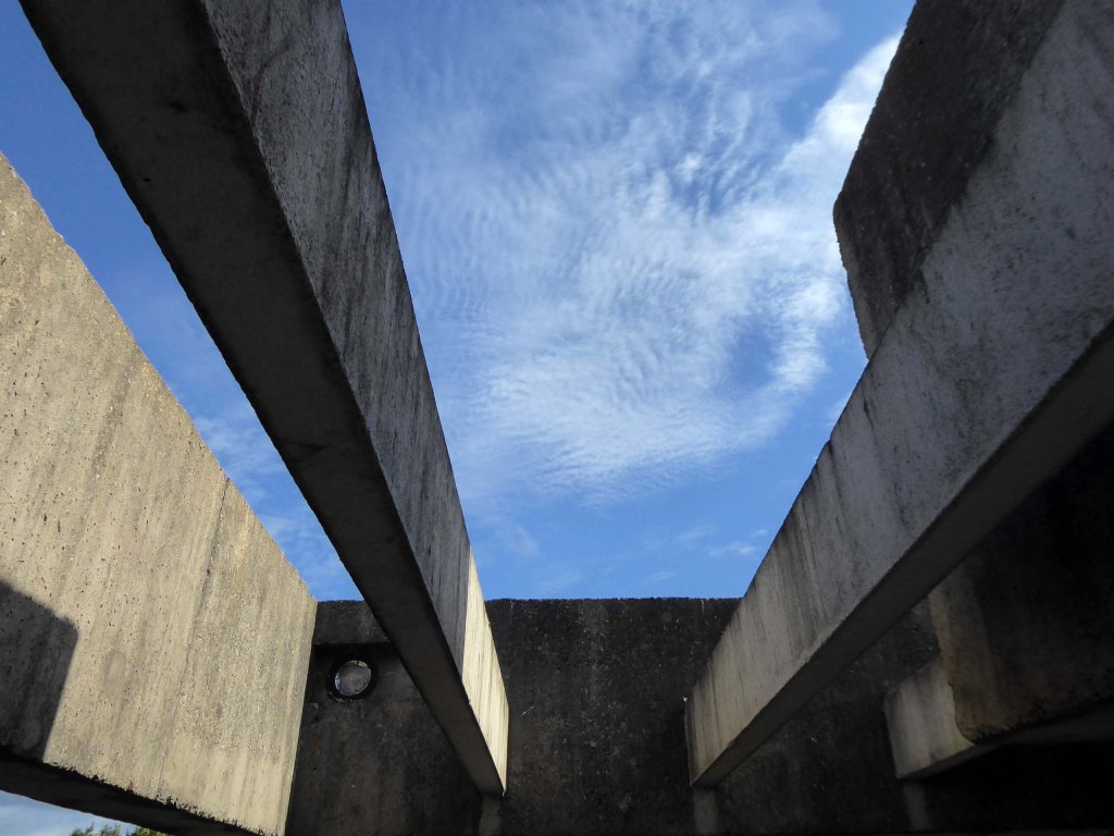
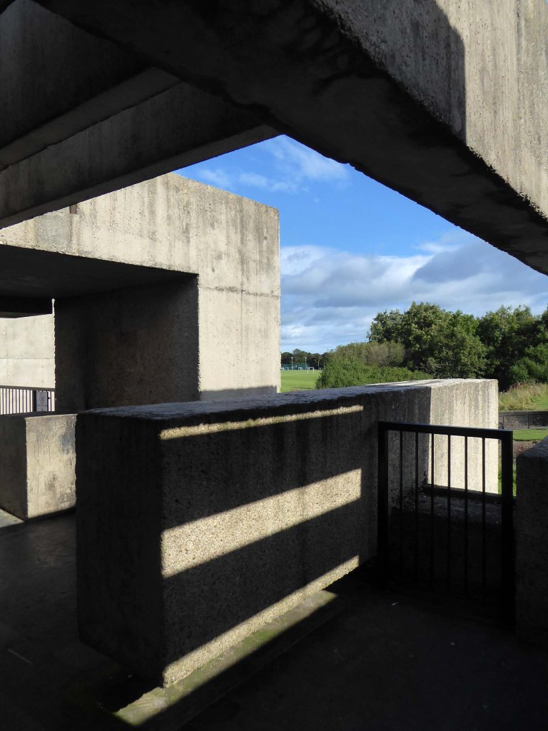
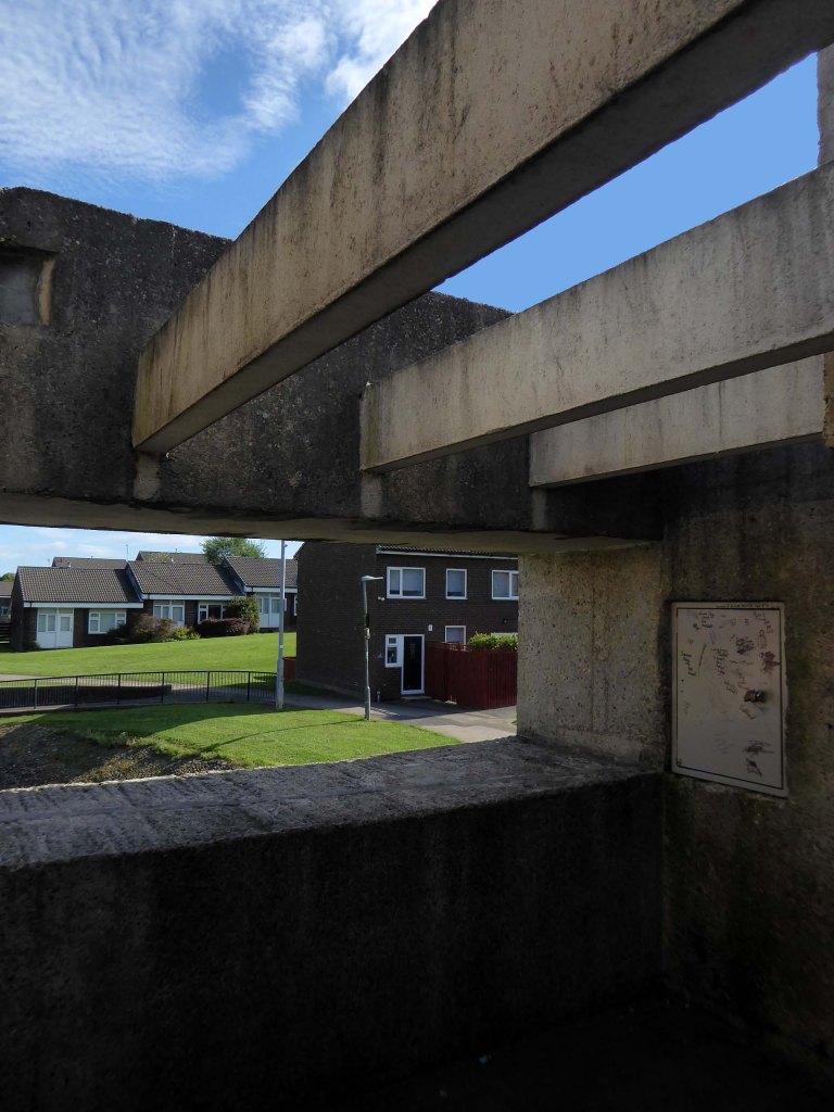
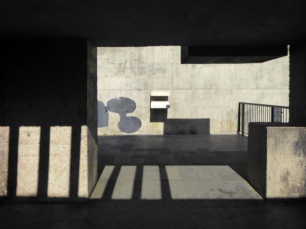
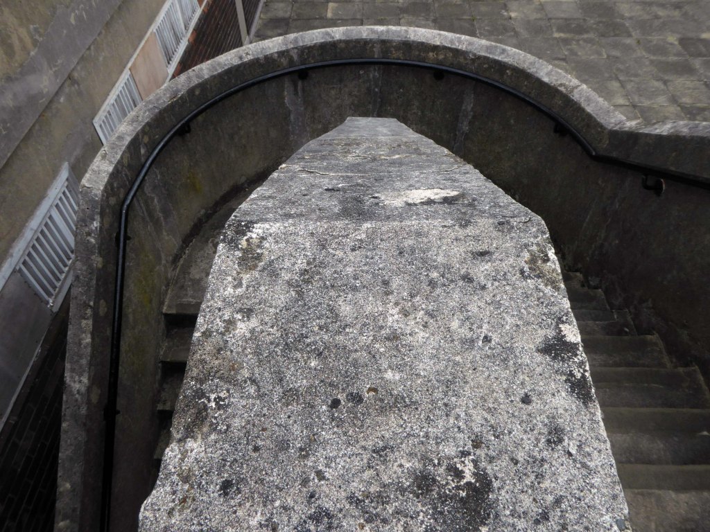
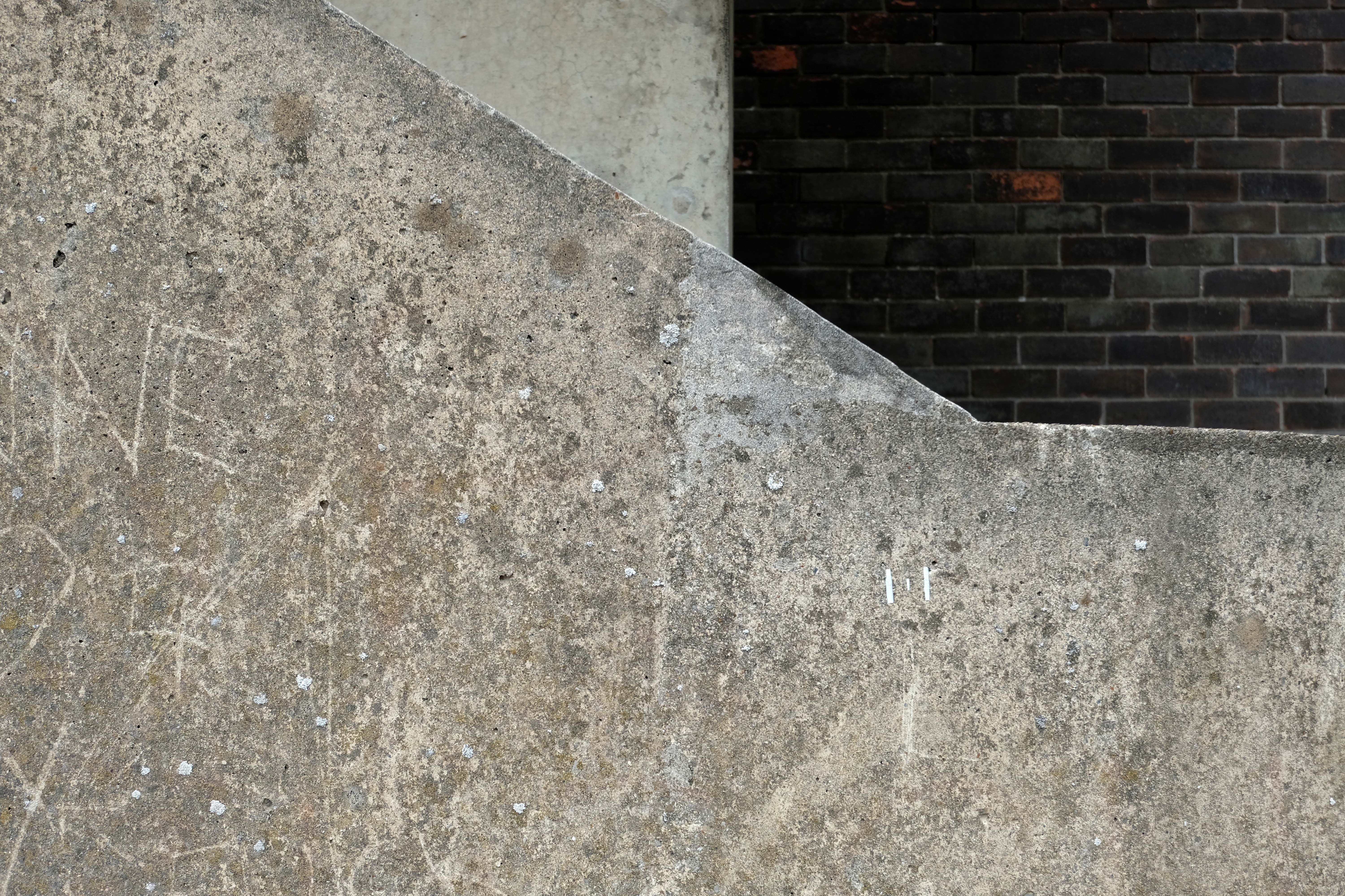
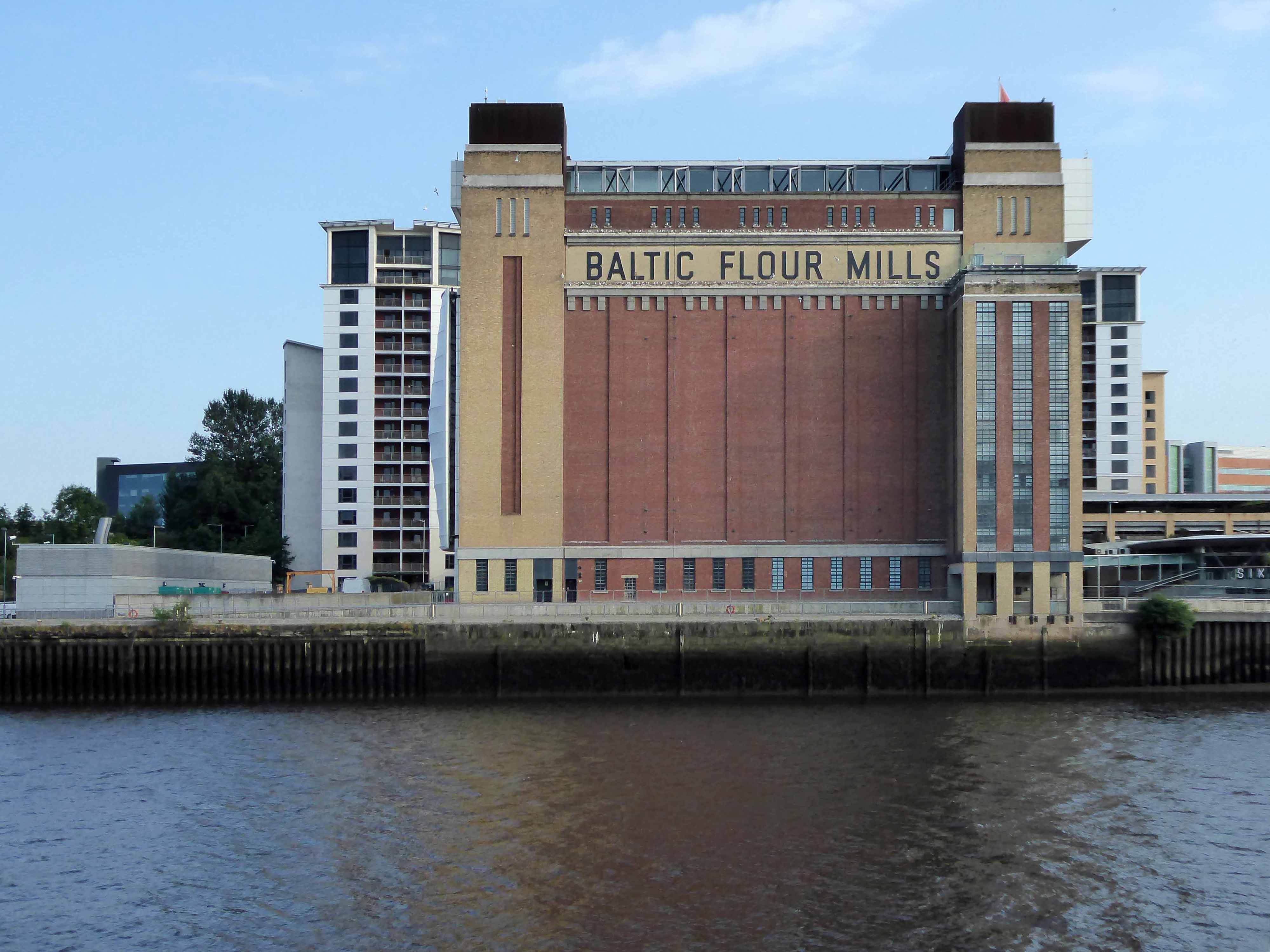
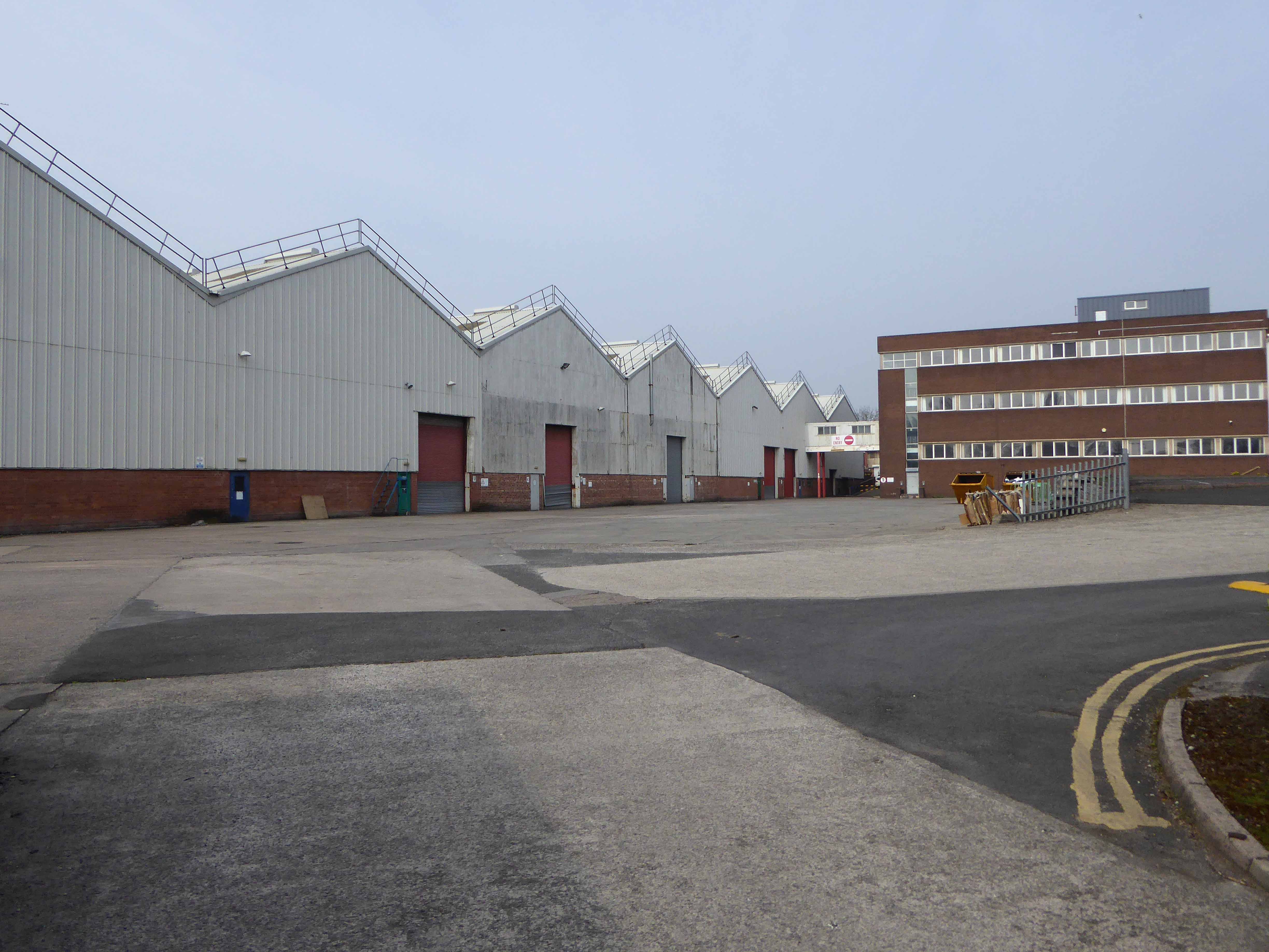
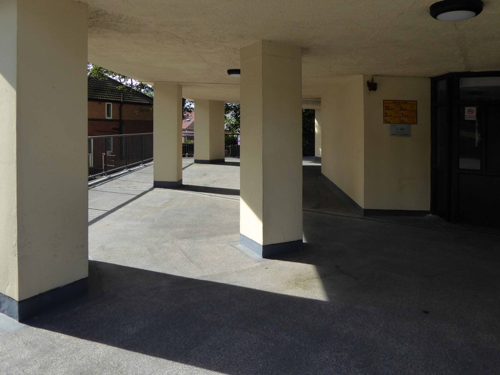
Photographs Tower Block
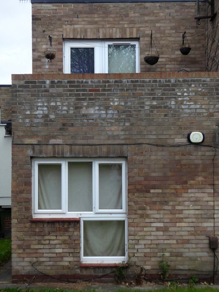
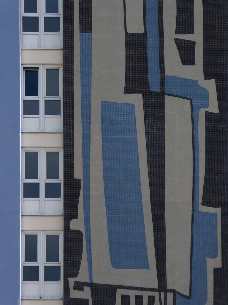
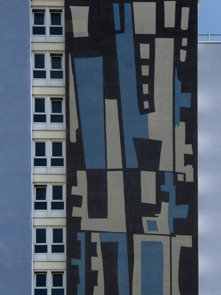
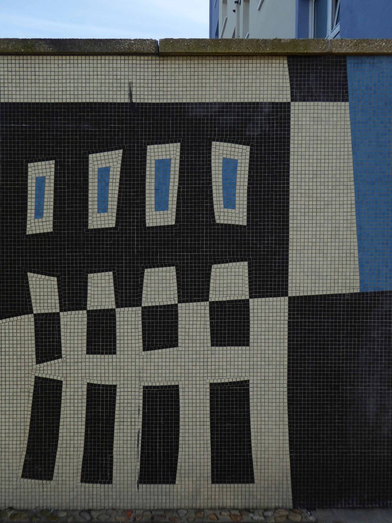
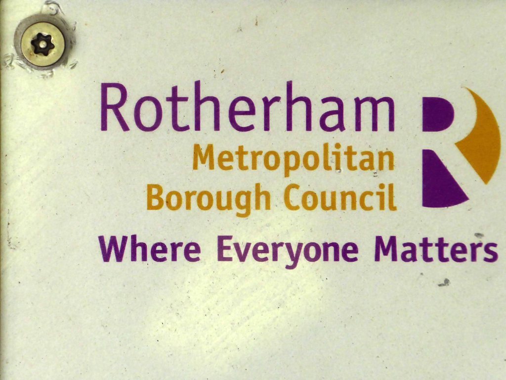
From a time when civic pride celebrated the development of social housing with a small plaque.
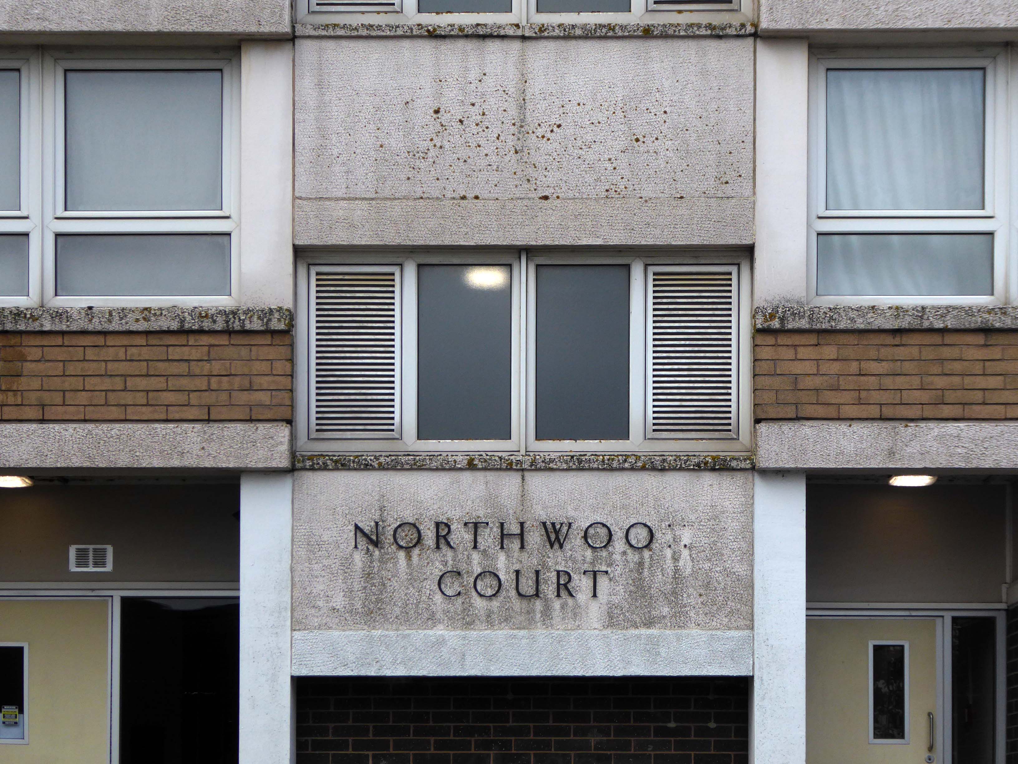
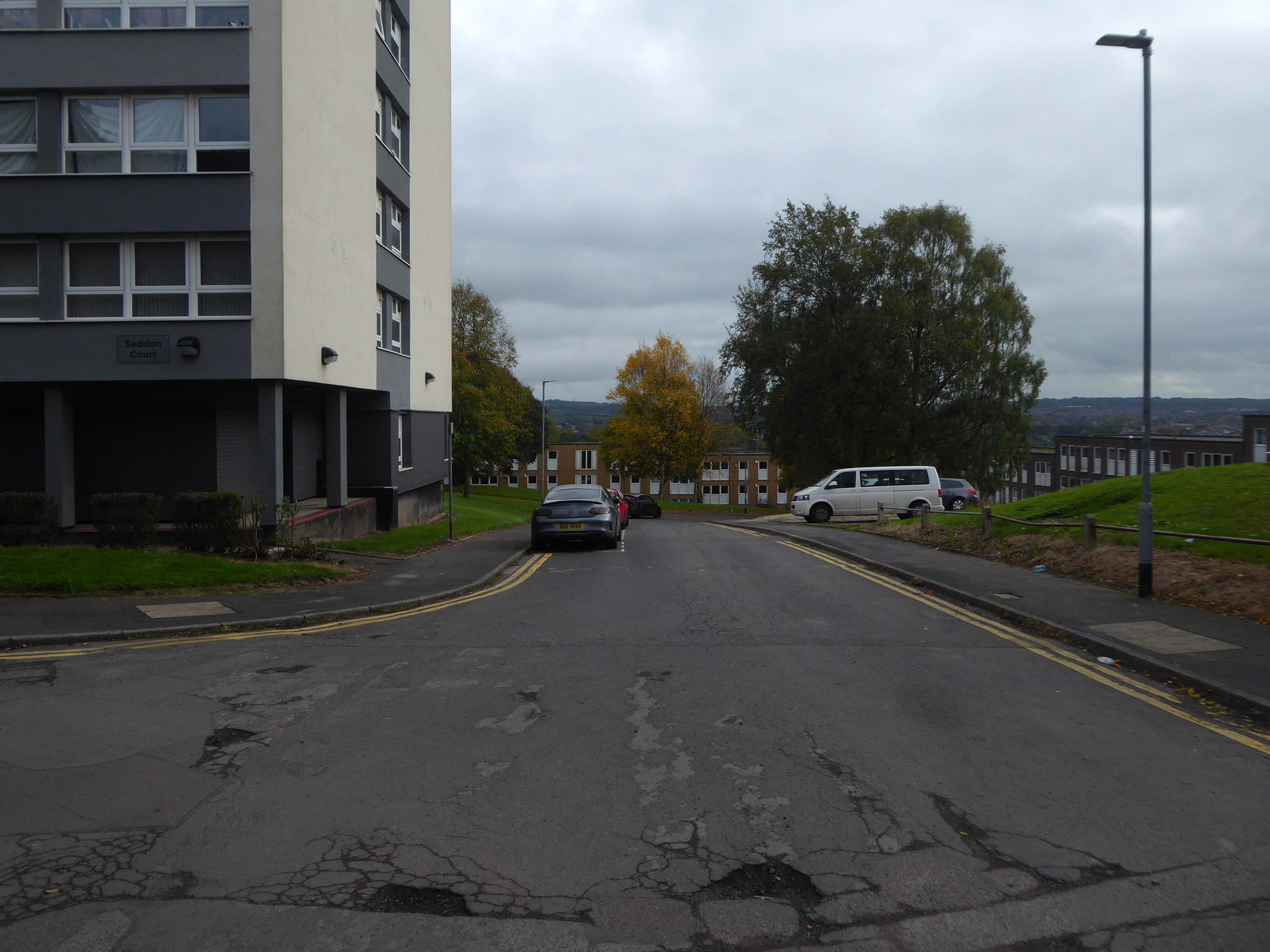
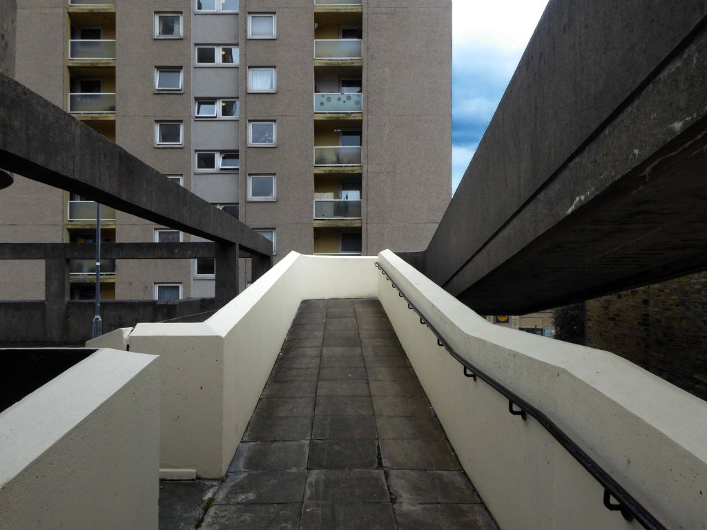
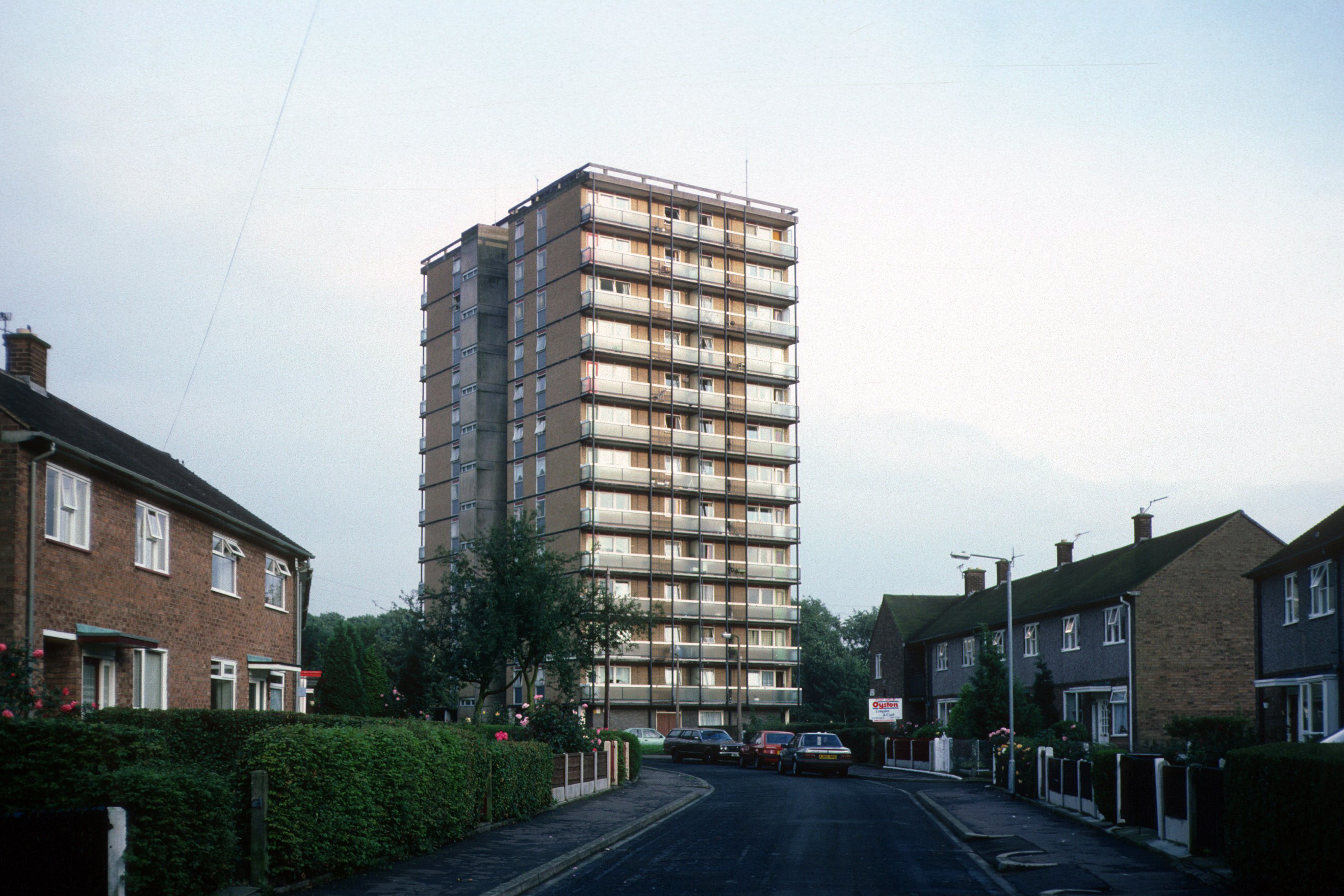
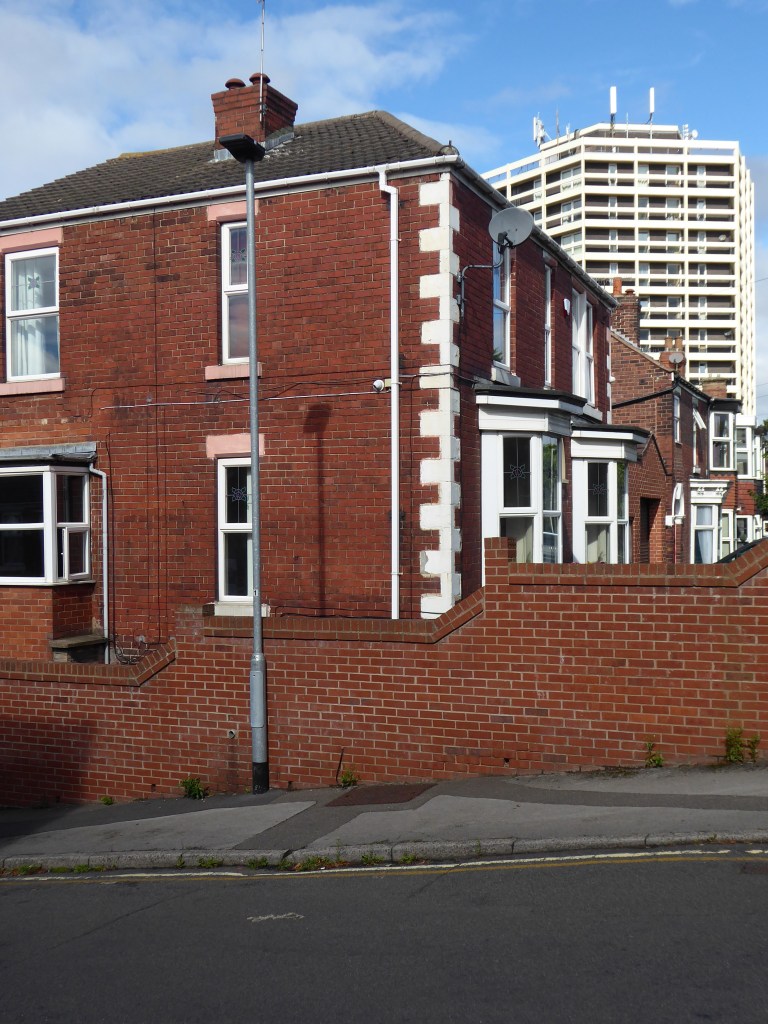
The second group Bucknall New Road Stage II 1968 – also the work of JW Platt Seddon, Northwood and Lindop Courts.
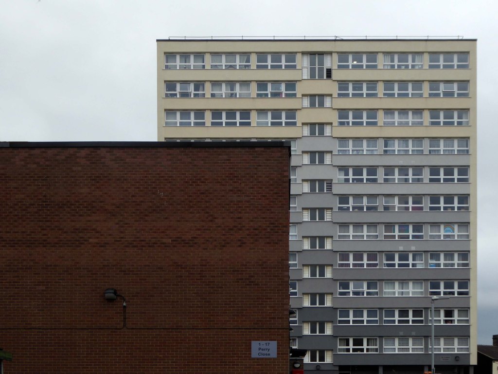
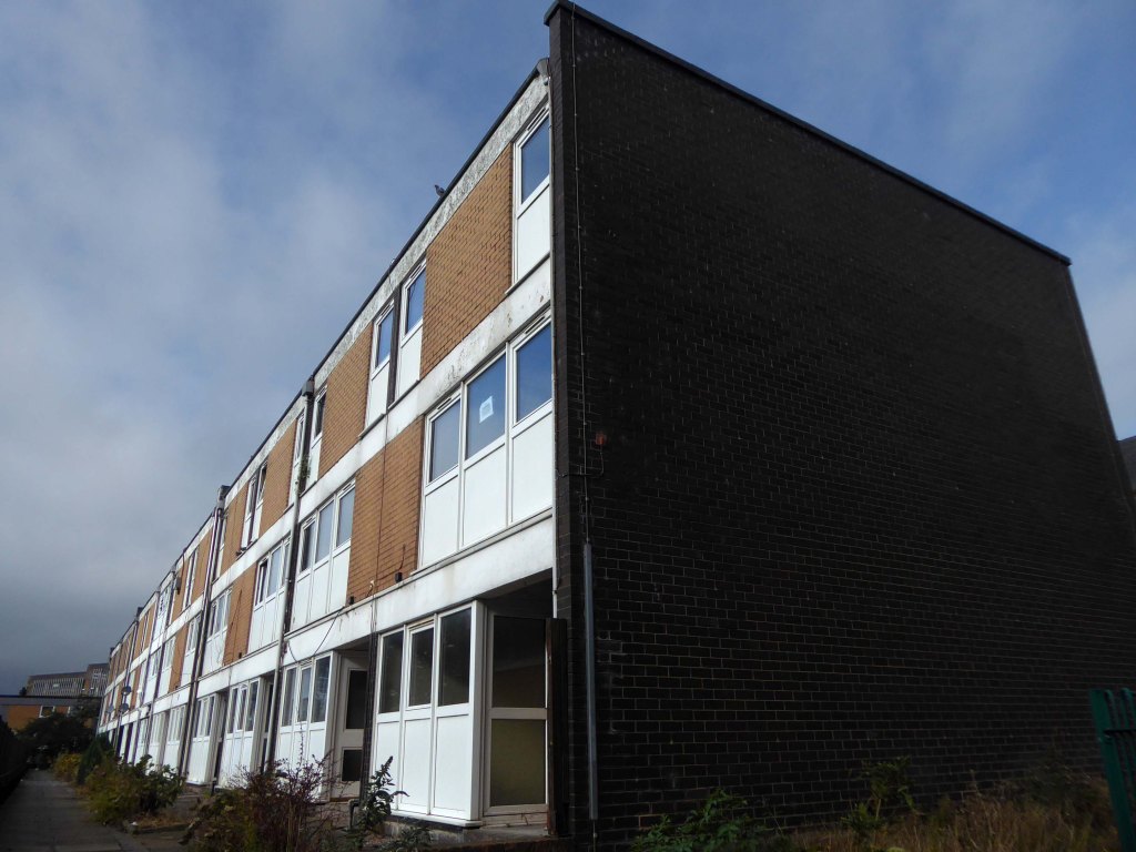
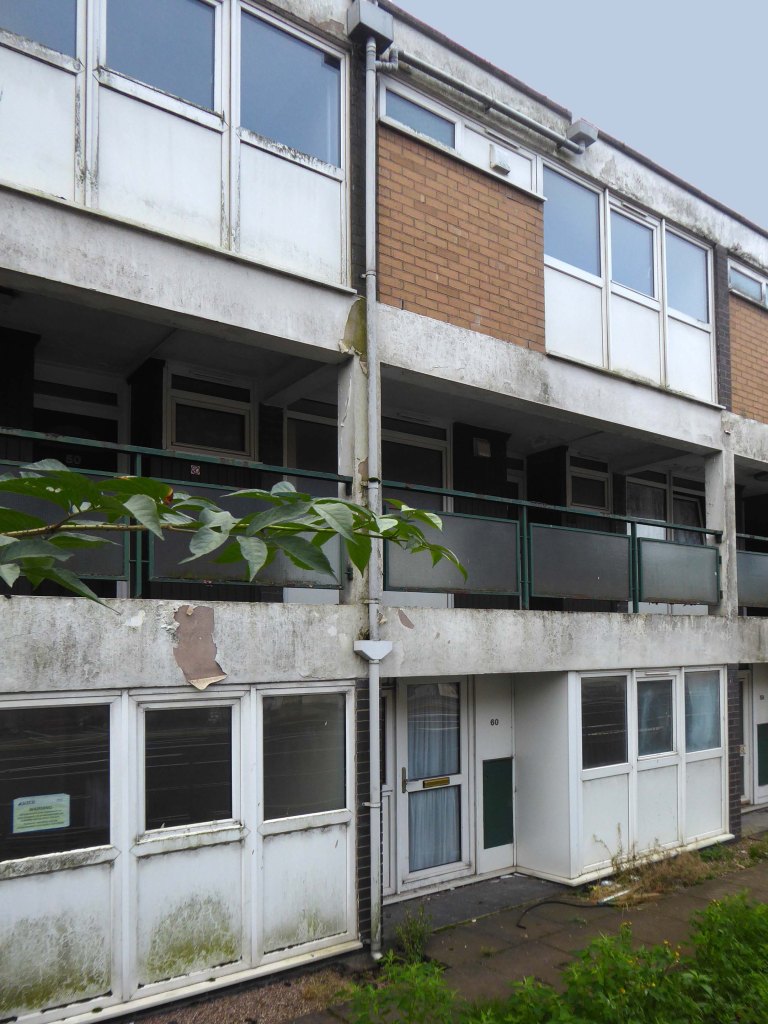
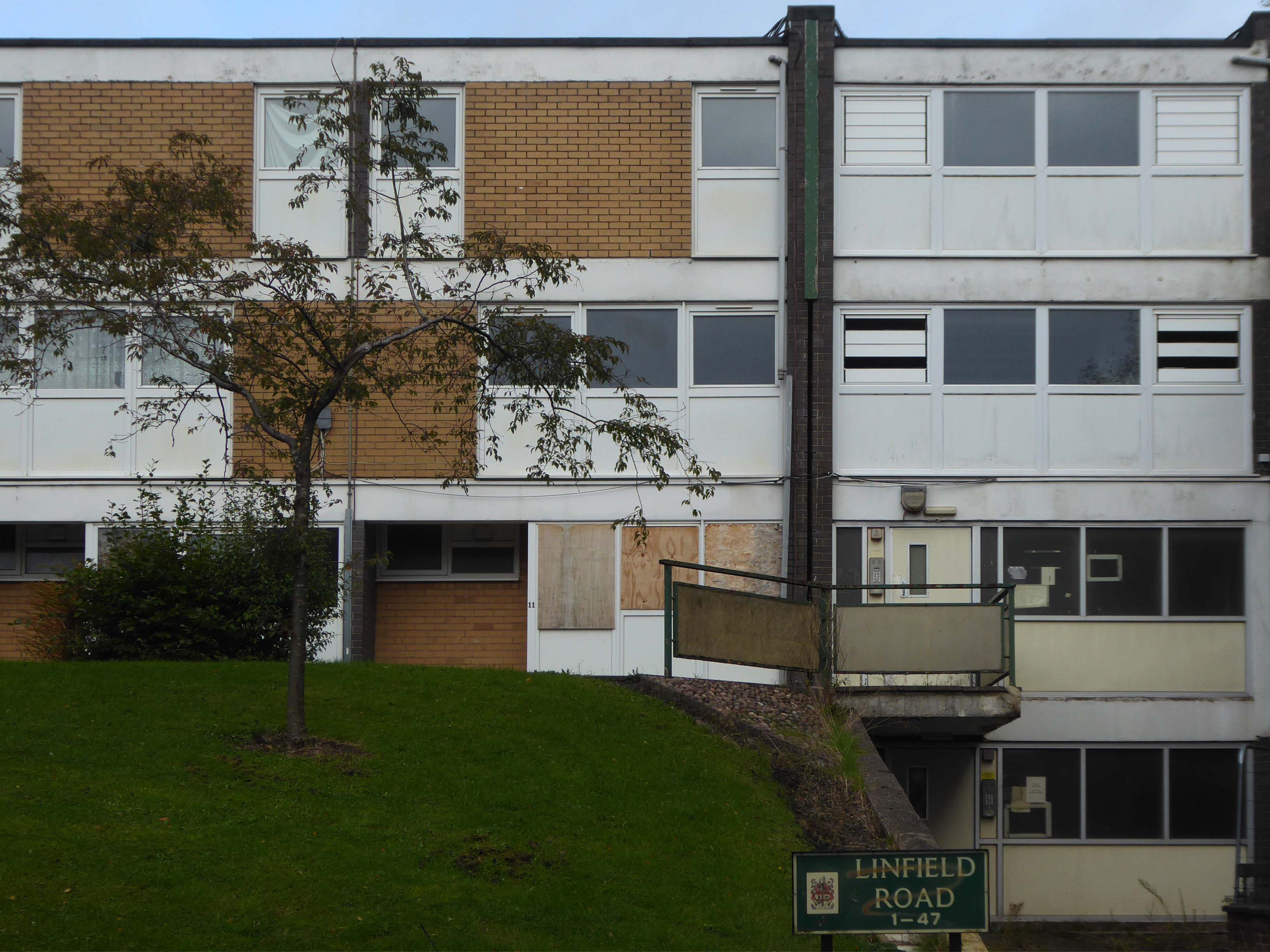
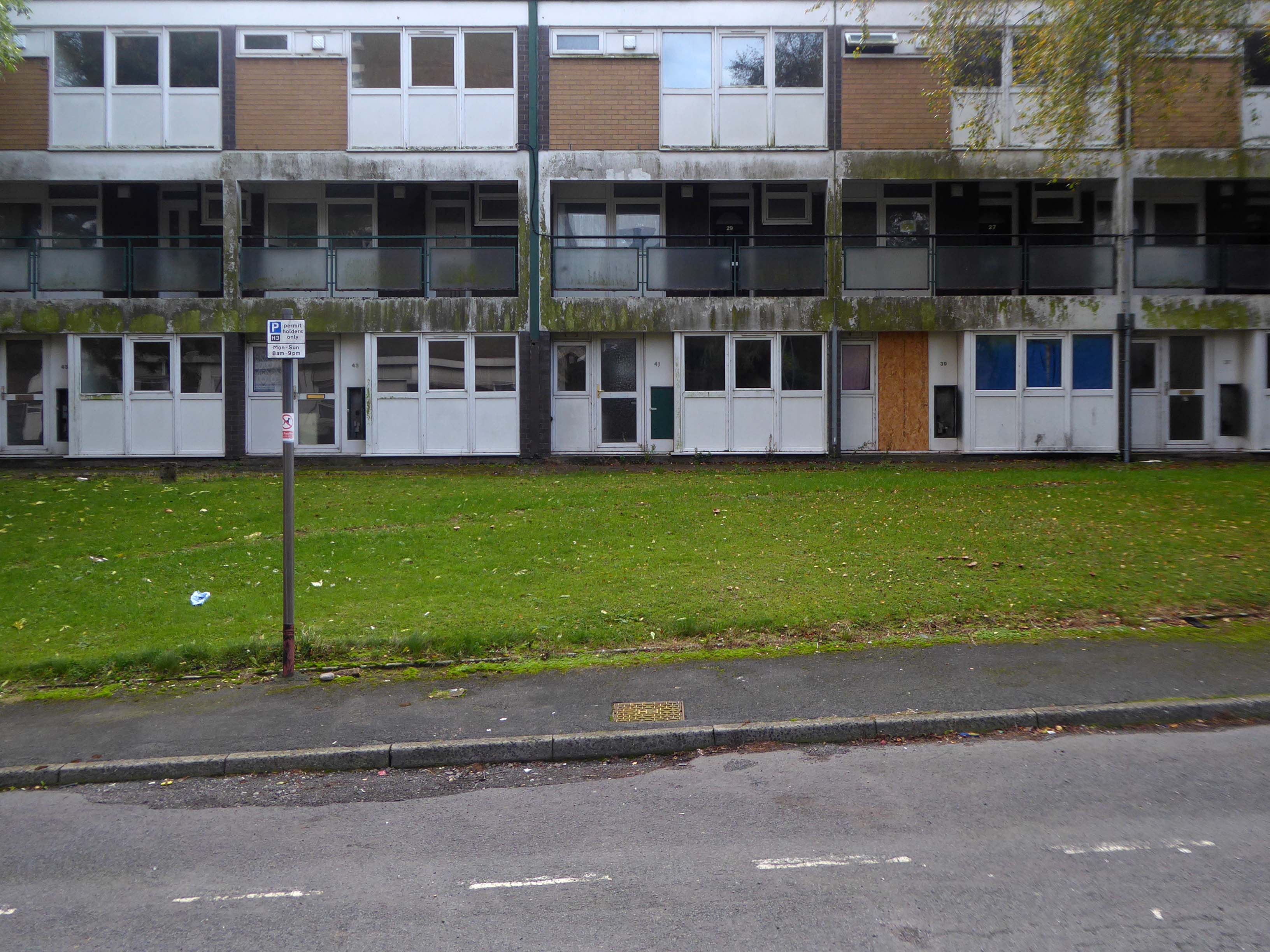
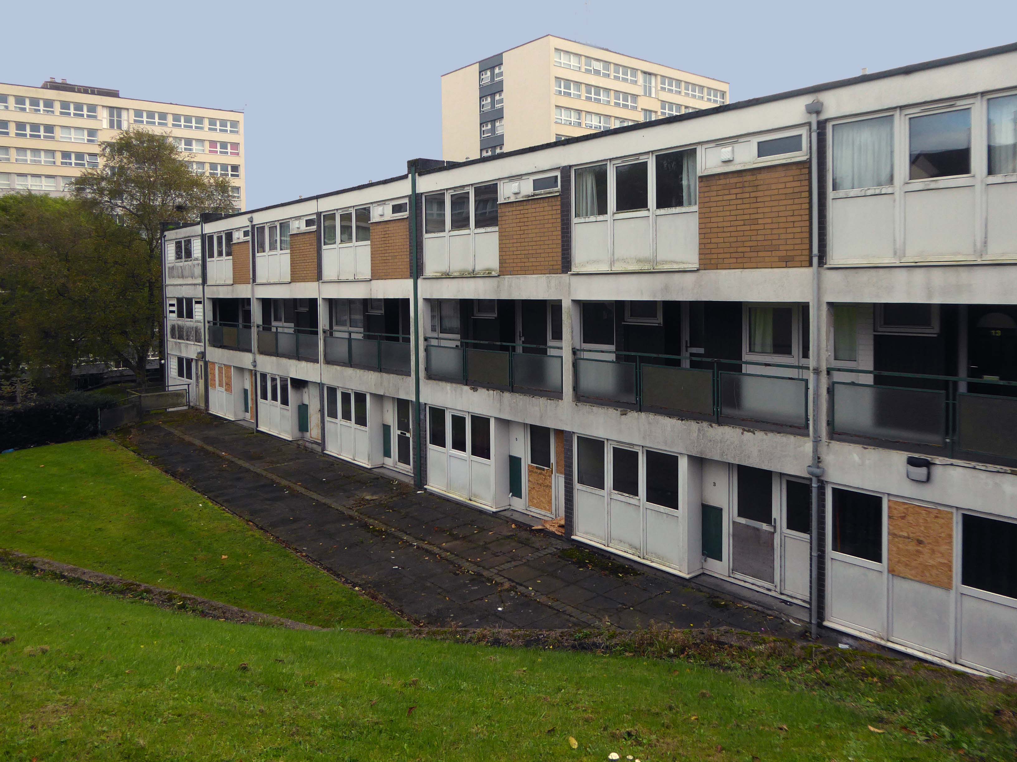
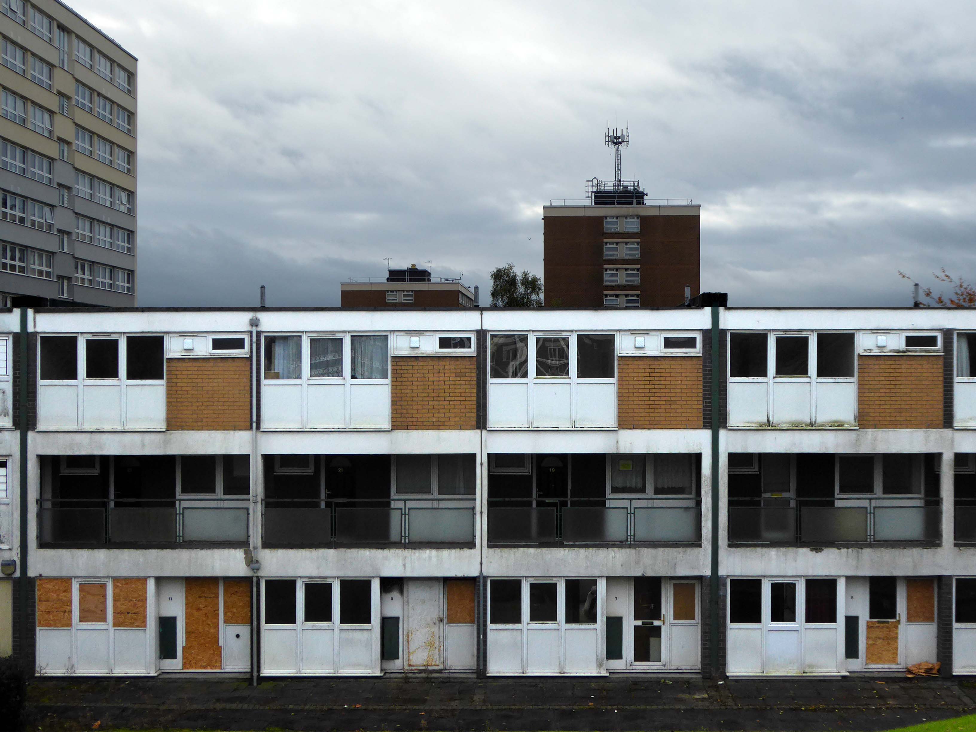
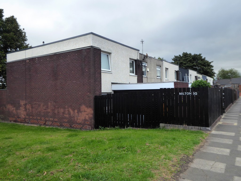
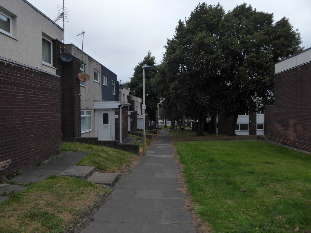
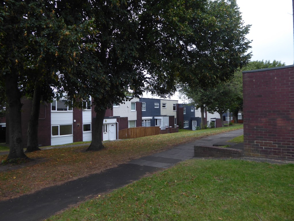
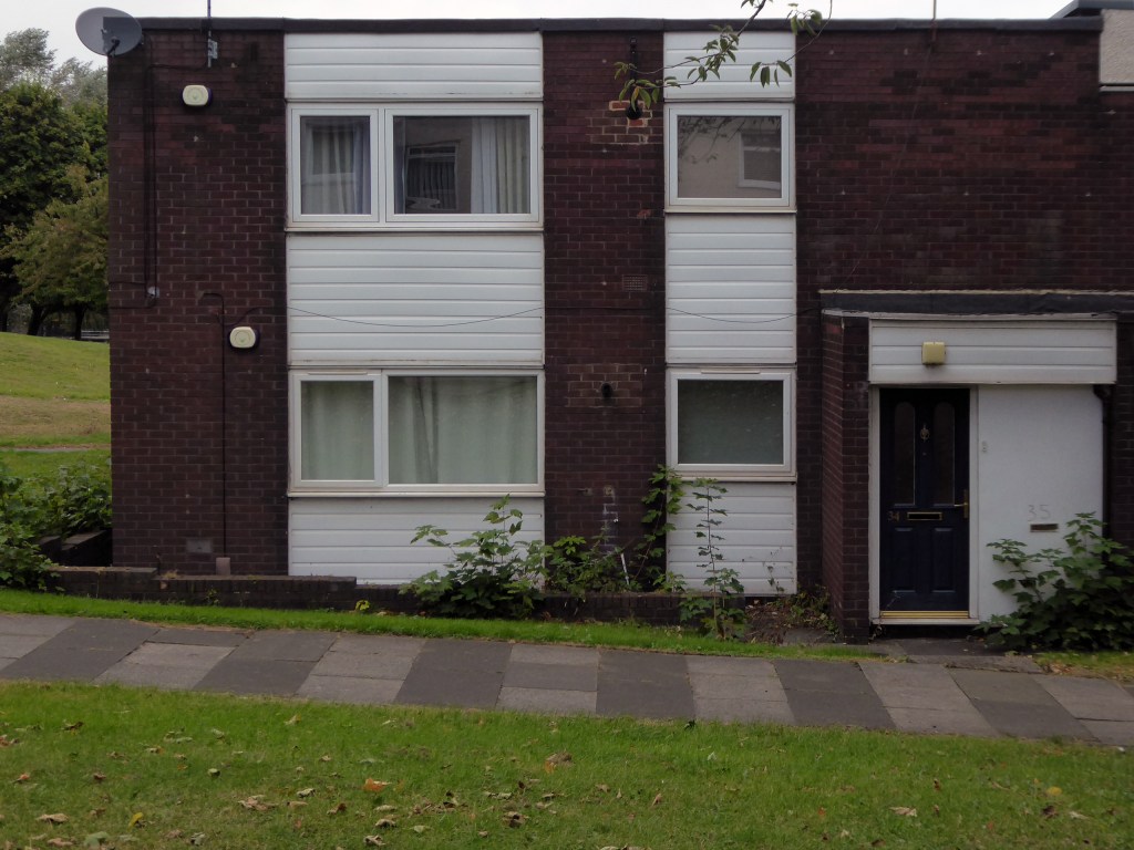
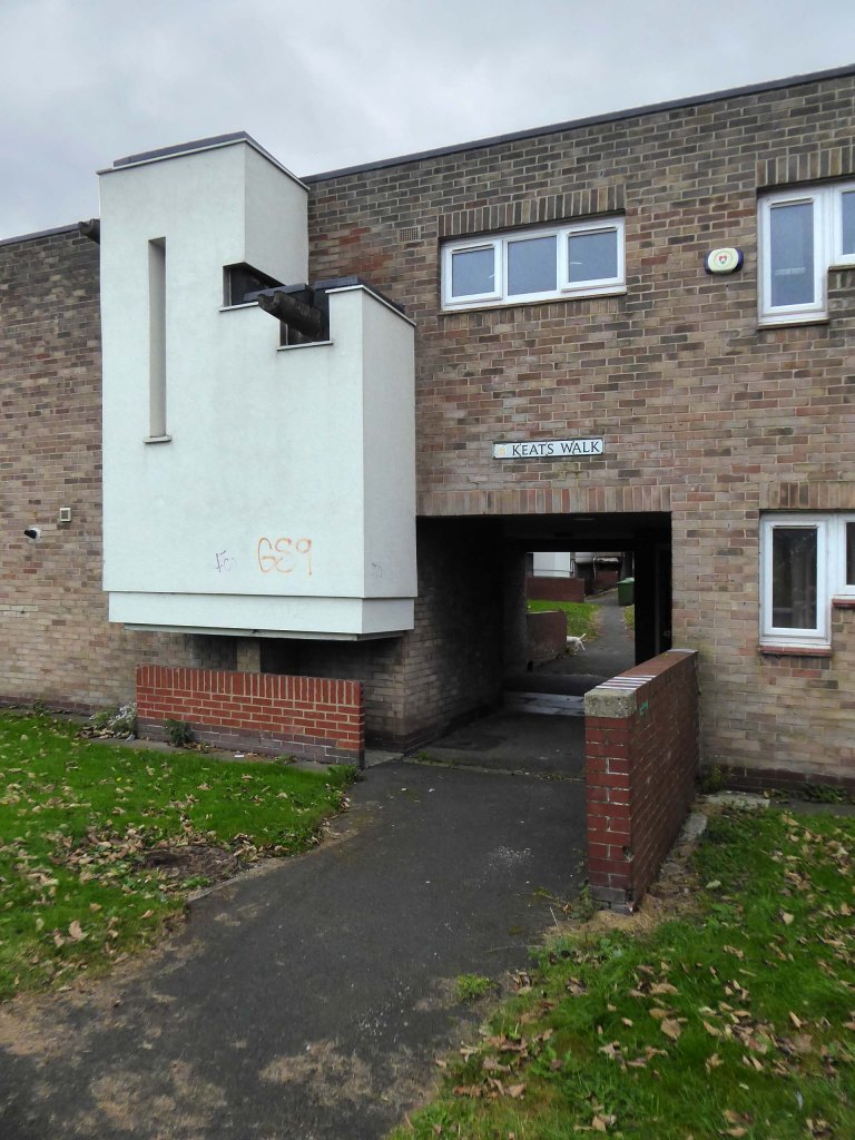
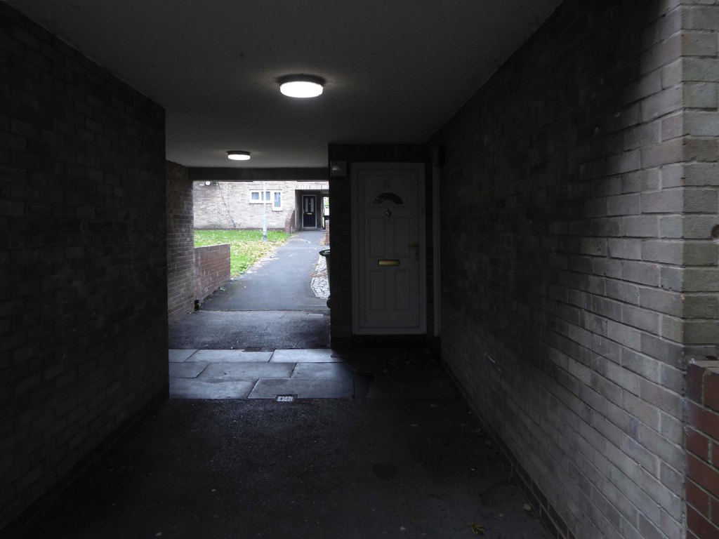
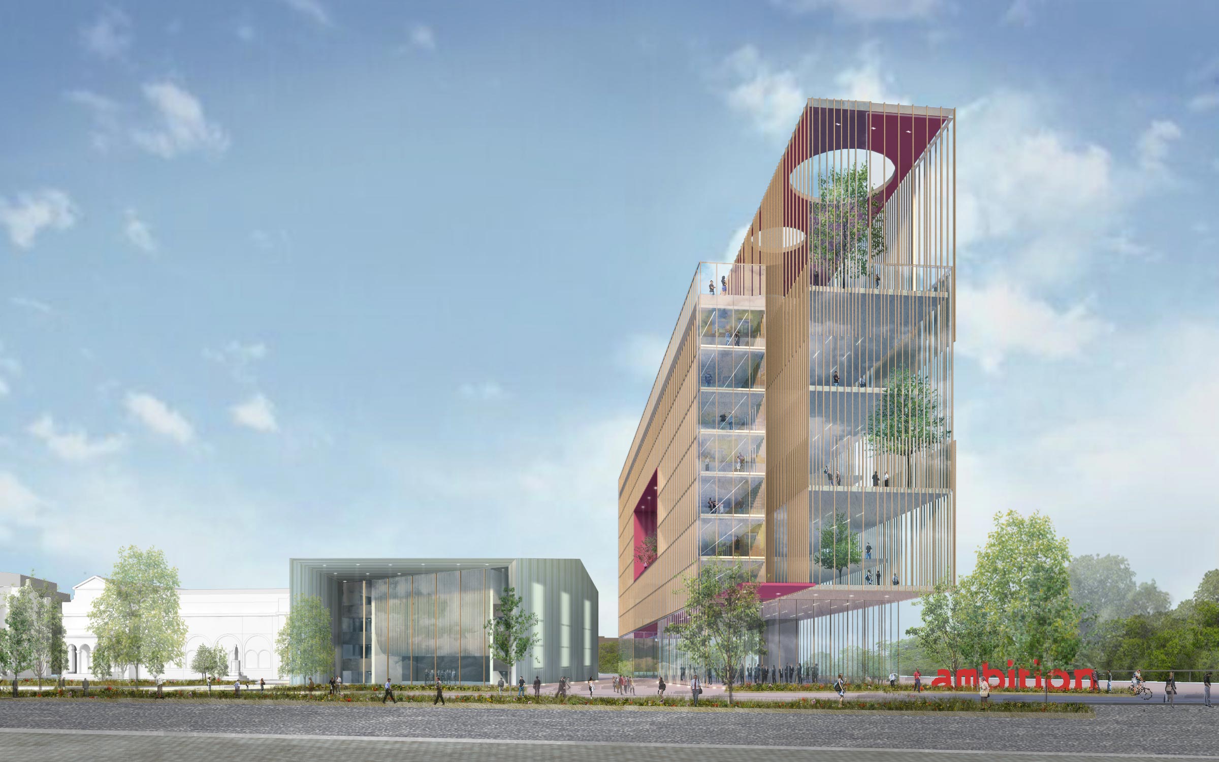
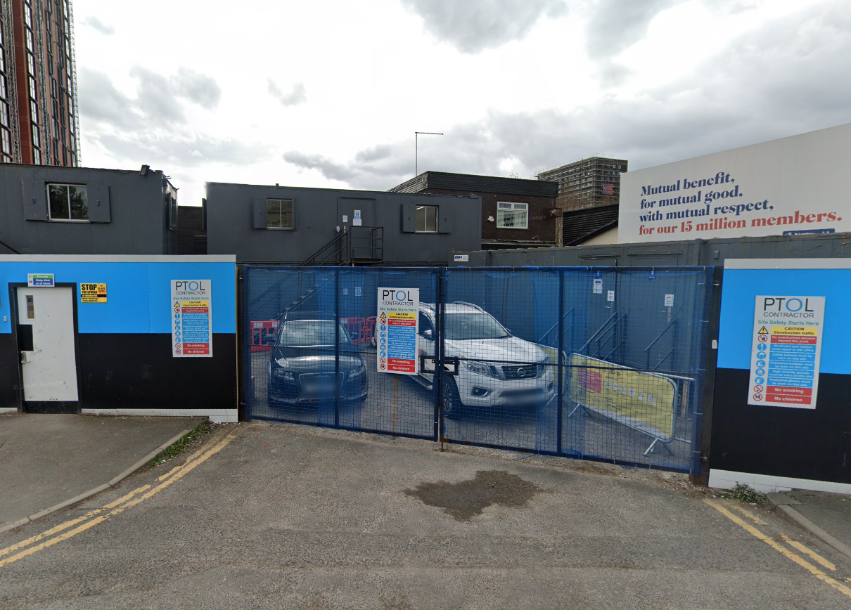
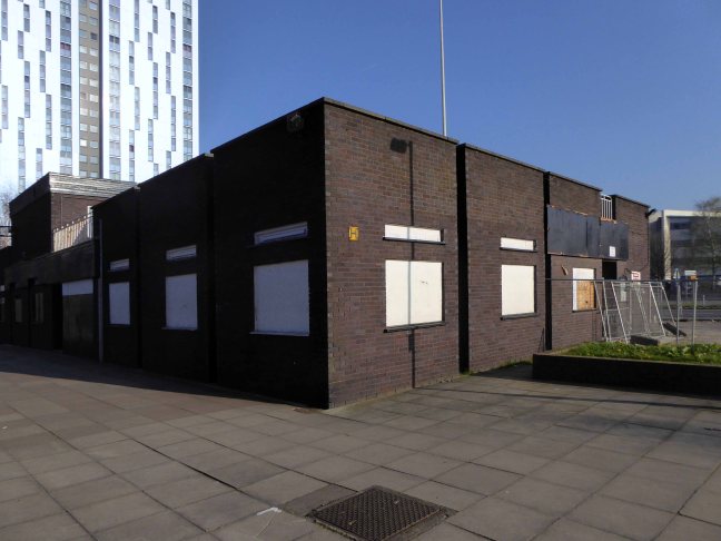
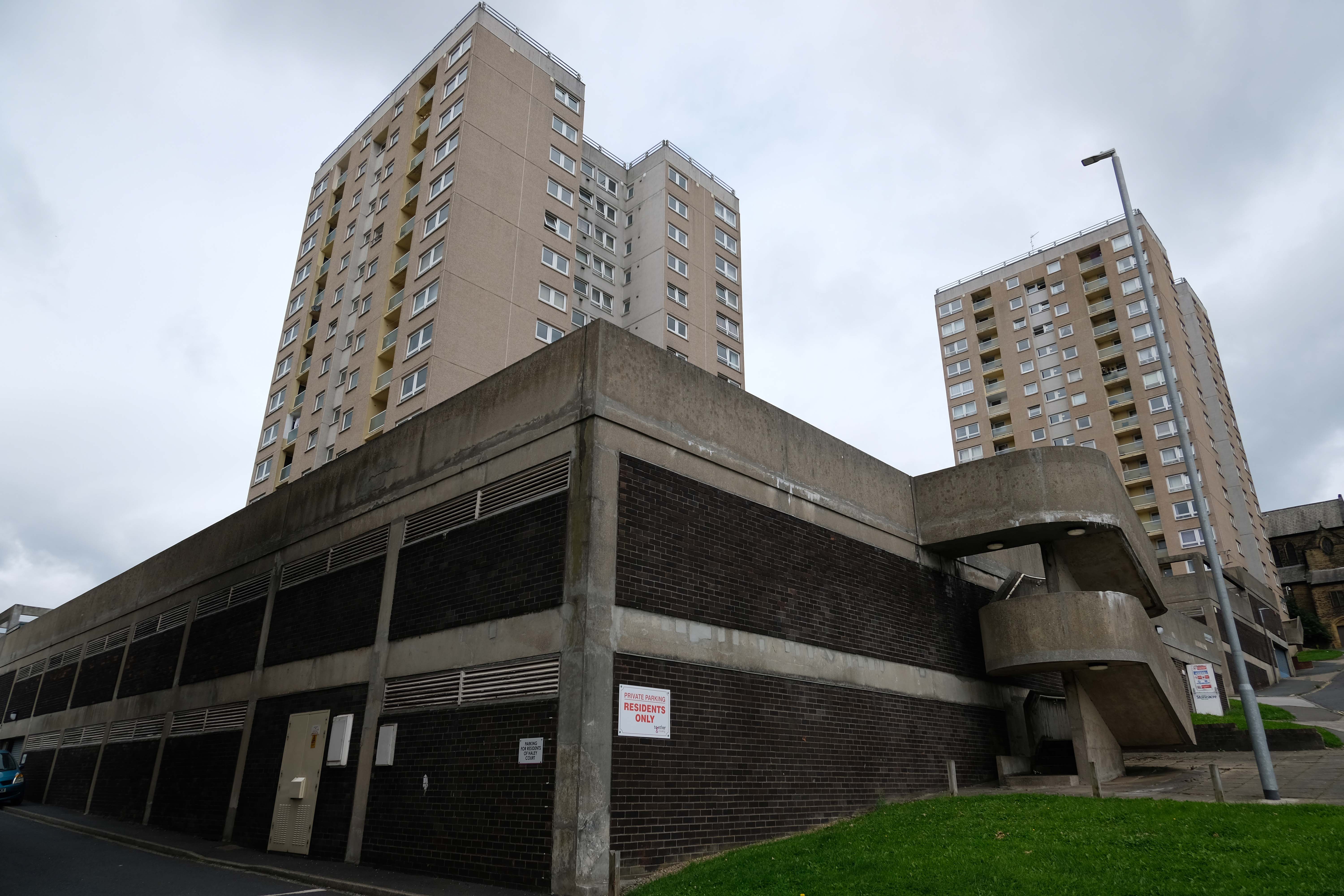
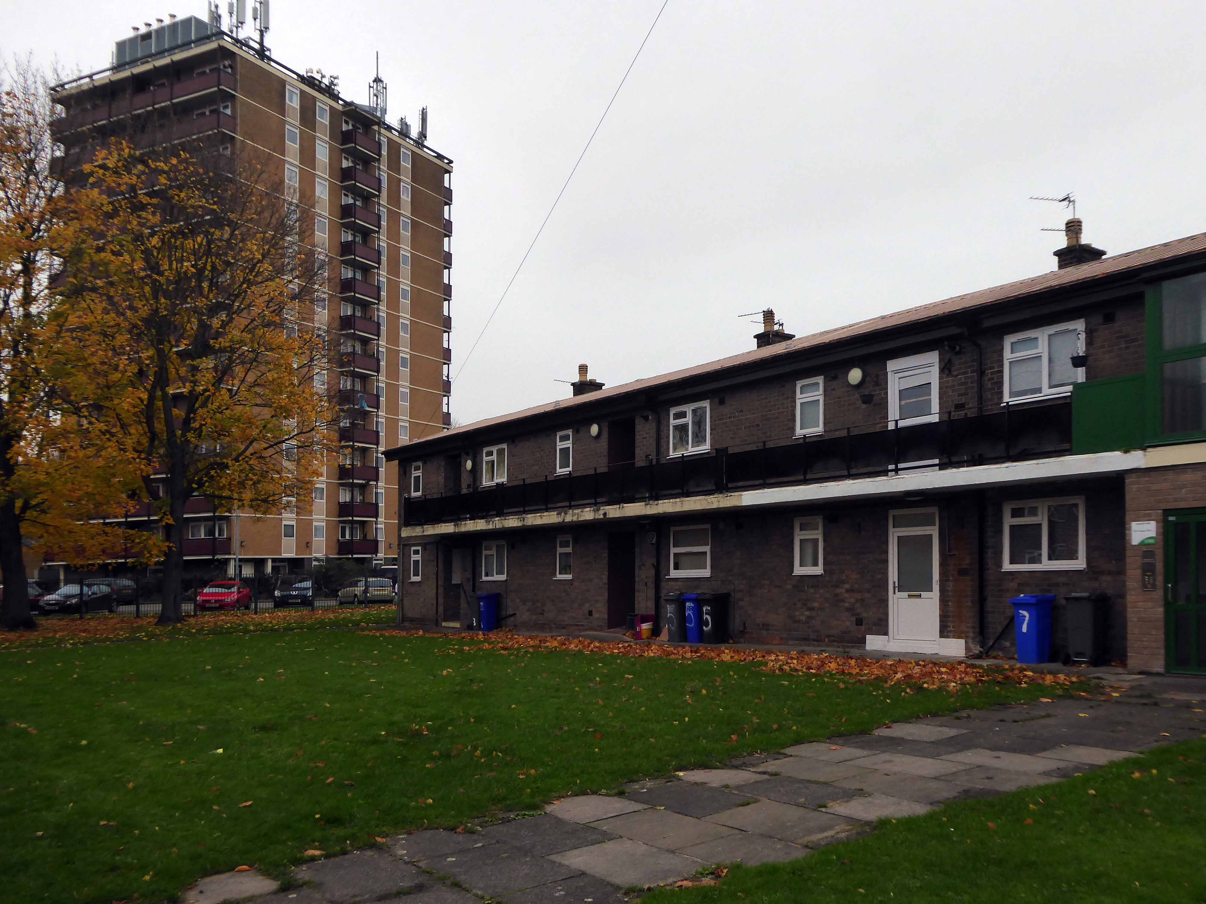
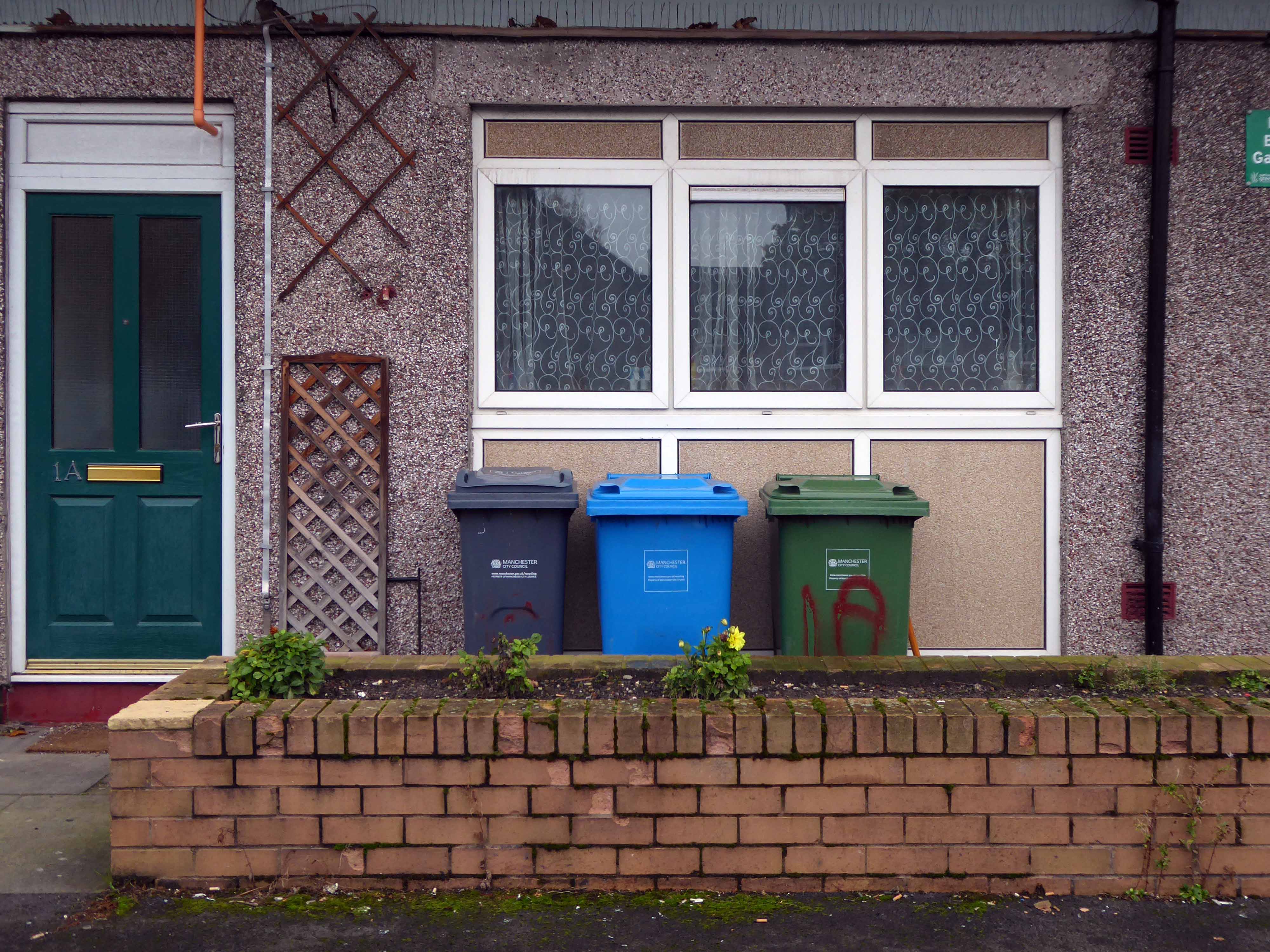
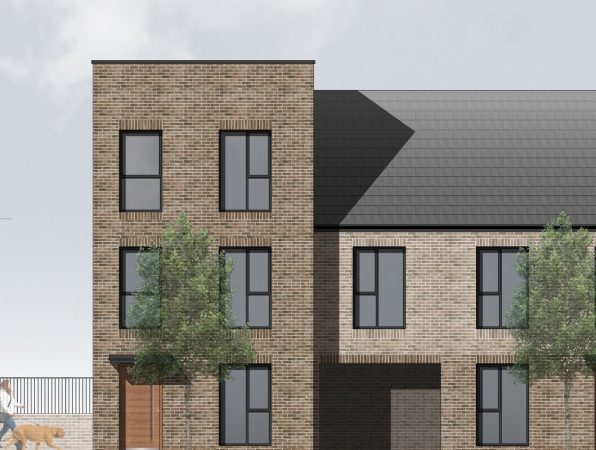
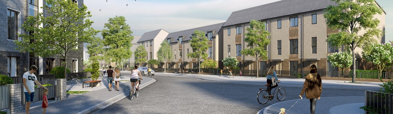
There are plans afoot awaiting finance to demolish and replace some of the terraces, as part of a wider plan for the City’s social housing.
The project would see the council join up with a social property investor and apply for government funding for the works.
The plans would see 226 apartments at Bucknall New Road, and 51 flats and 62 houses at Pyenest Street.
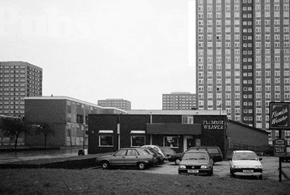
A total of 155 low rise flats and maisonettes at Bucknall New Road would be cleared, creating a net gain of 224 new affordable homes.
Cllr Randy Conteh, cabinet member for housing, communities and safer city, said: “This is a major initiative for the city and the first time a scheme of this scale and ambition has been developed.
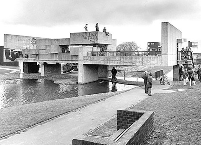
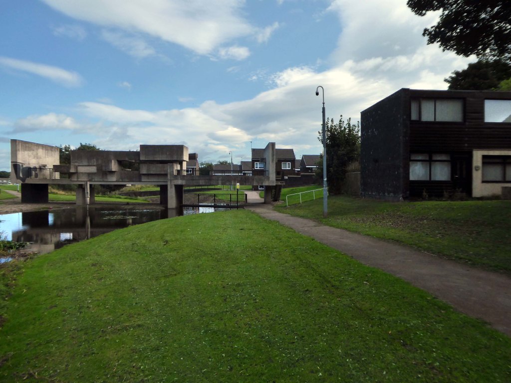
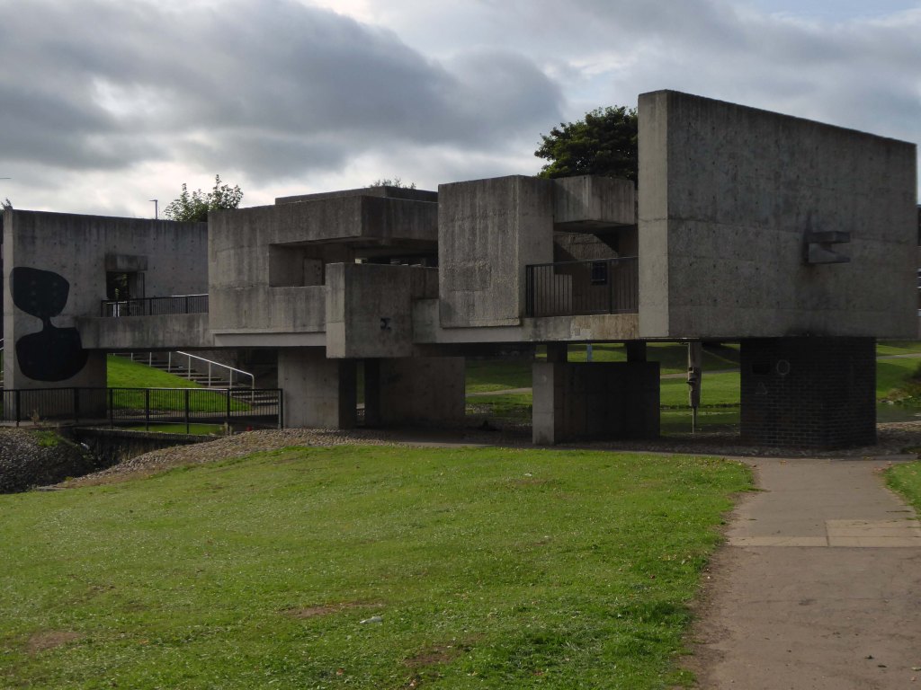
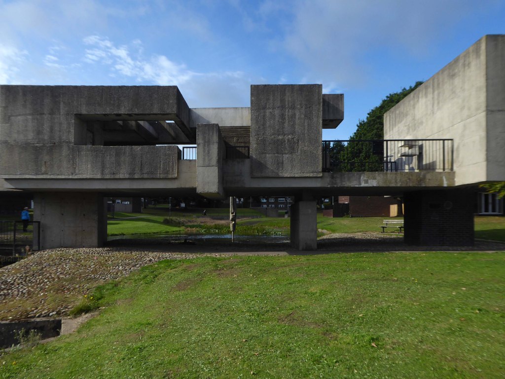
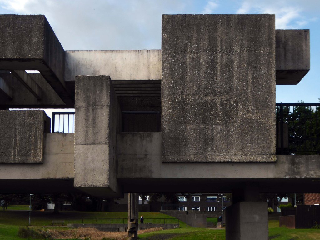
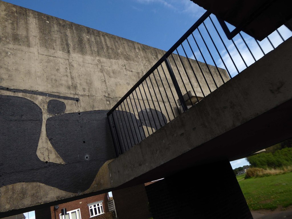
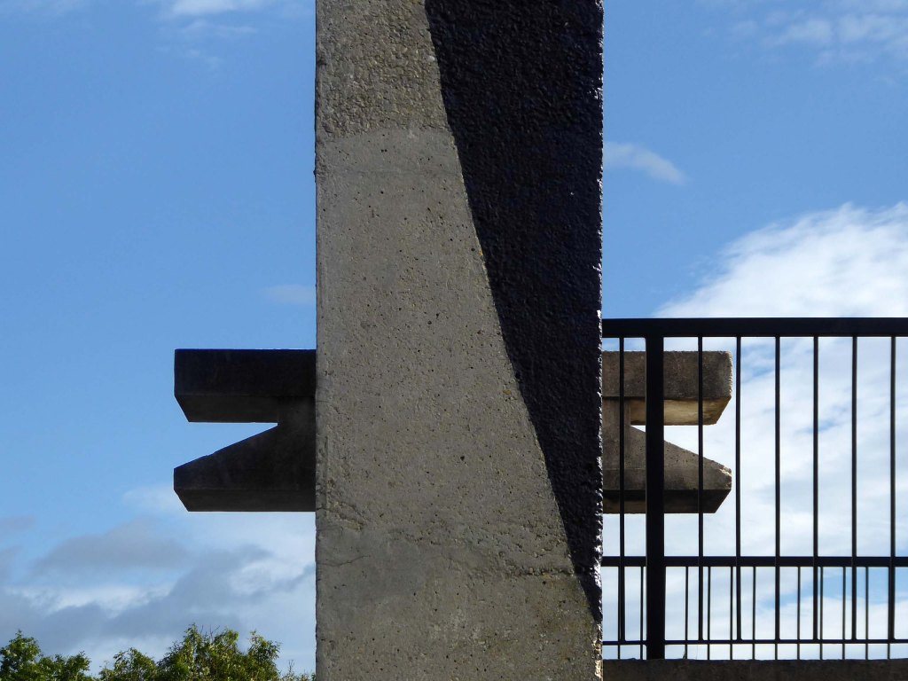
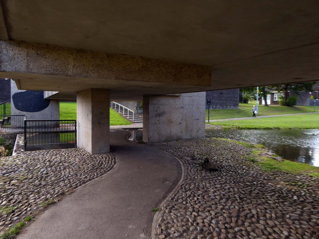
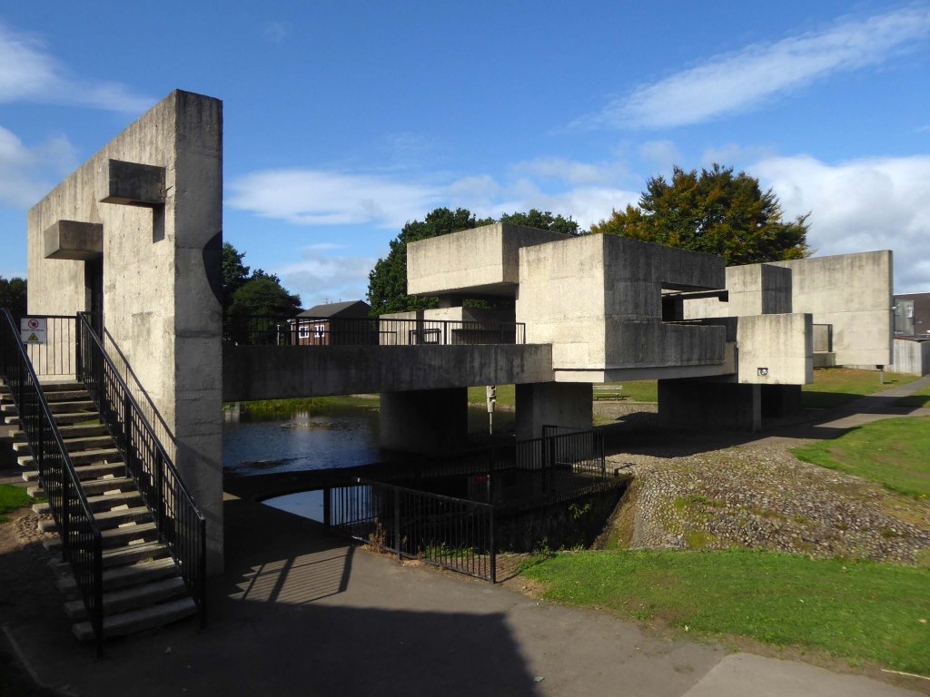
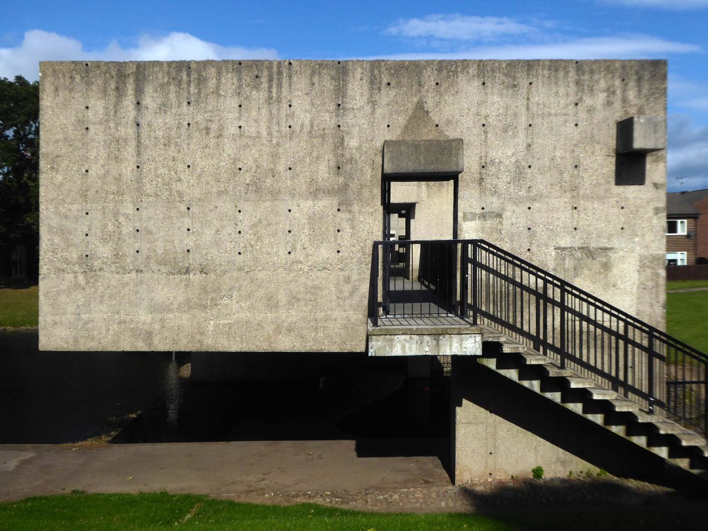
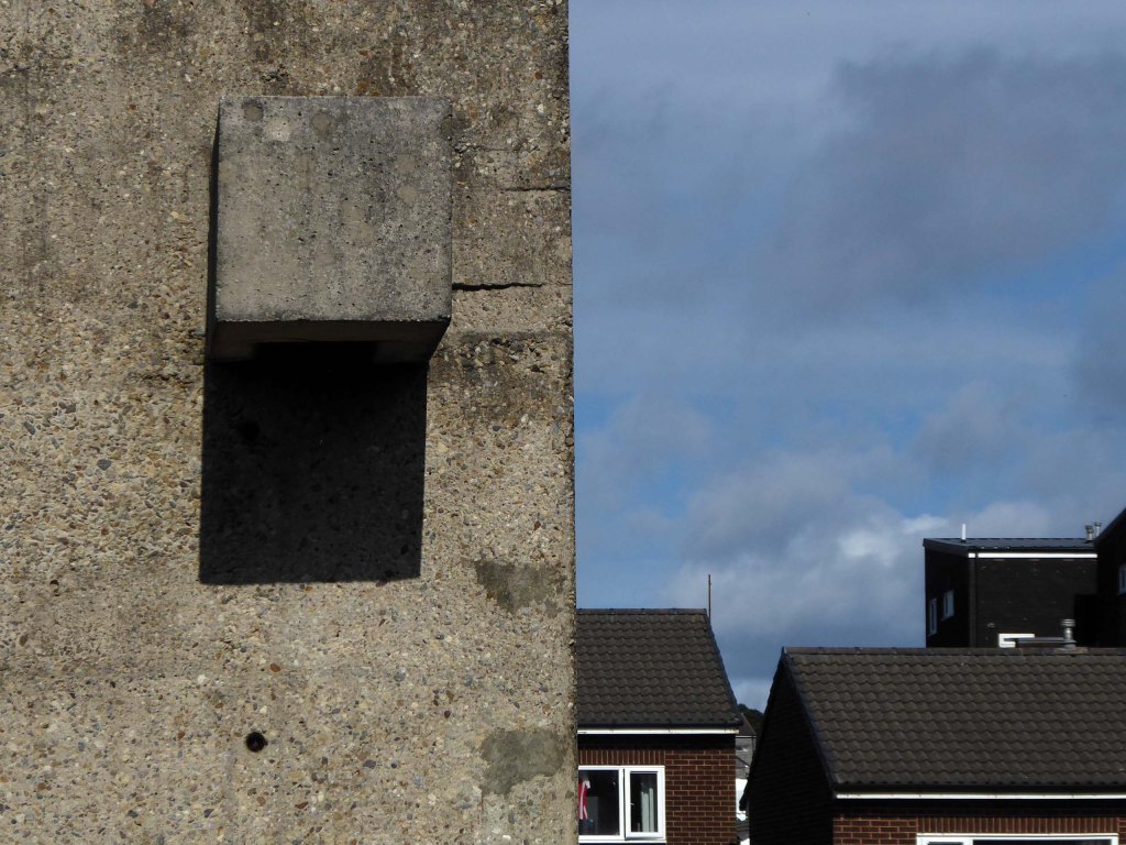
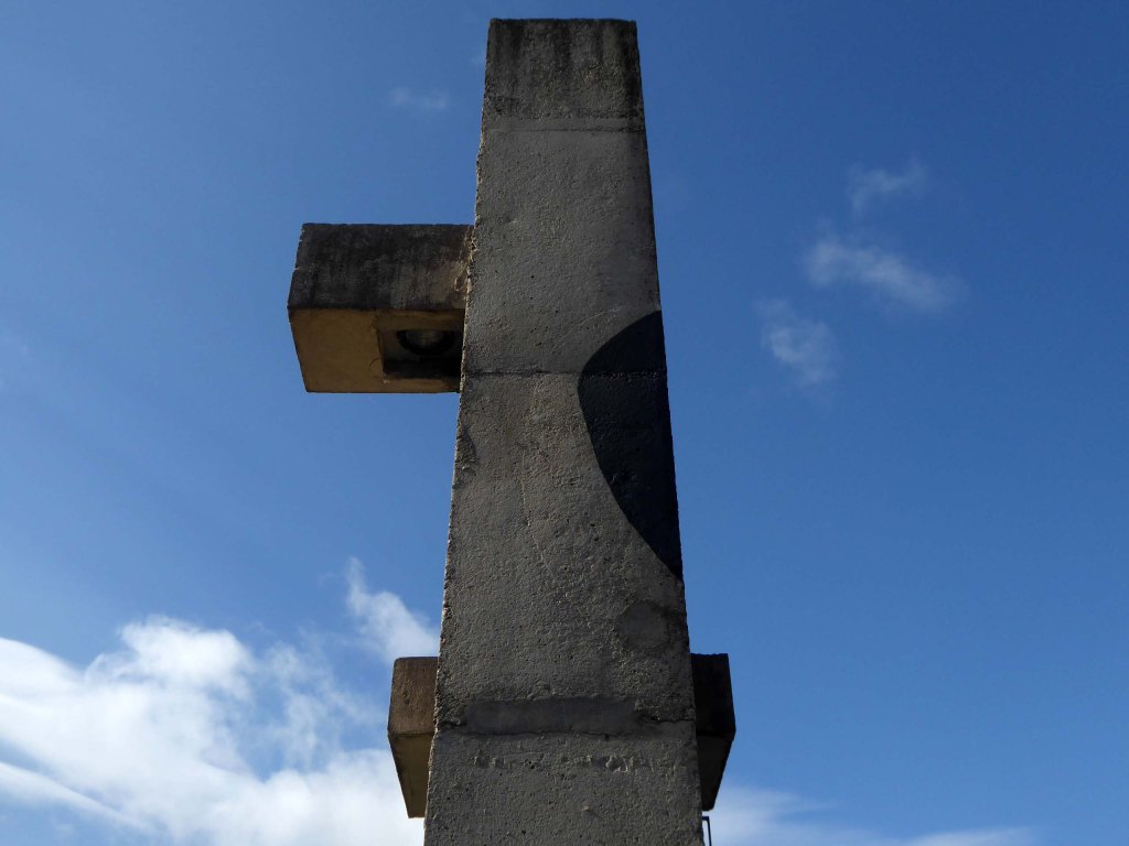
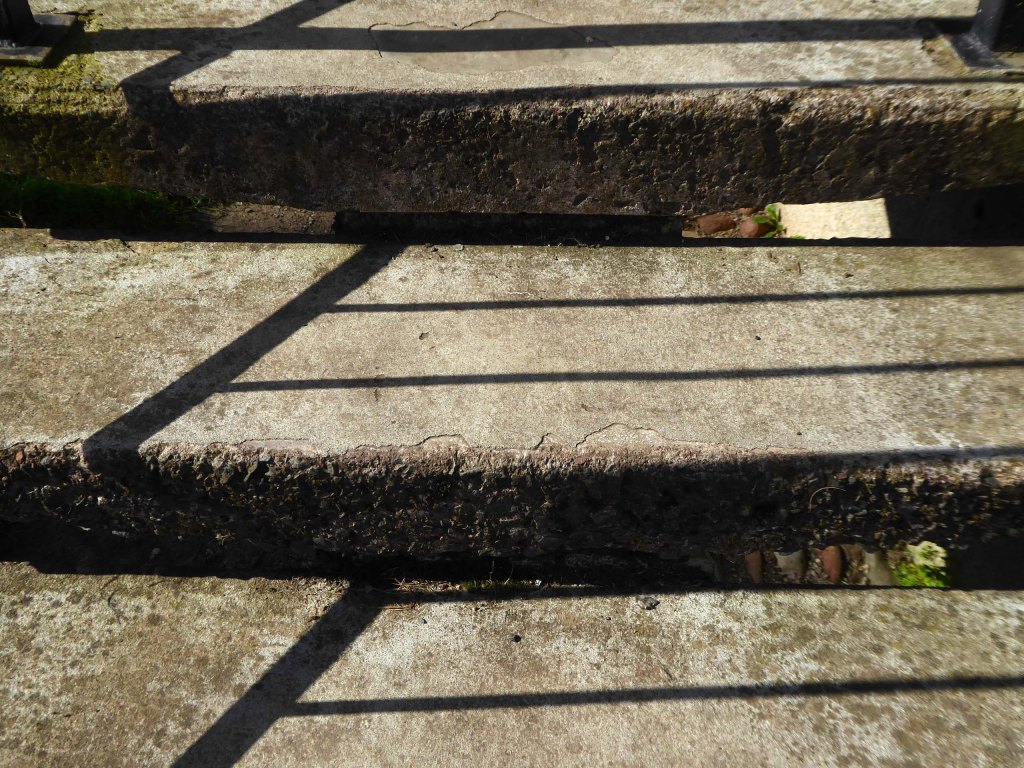
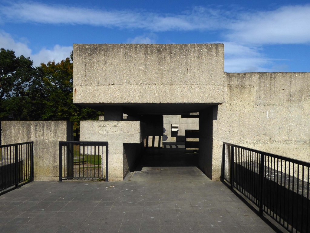
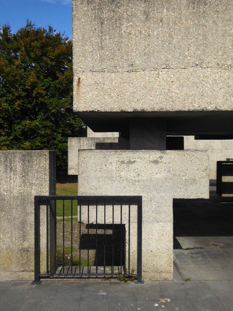
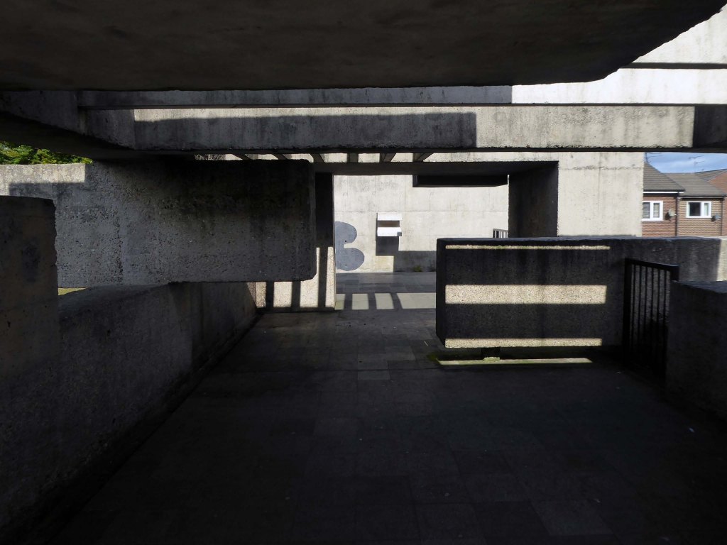
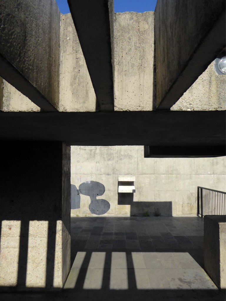
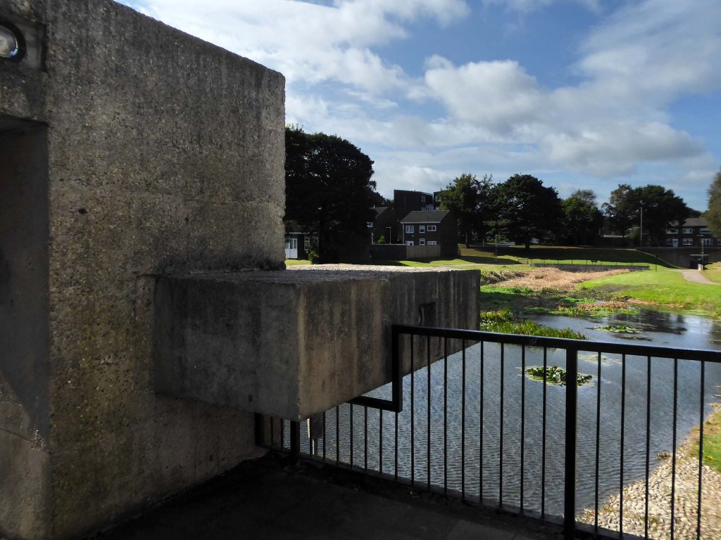
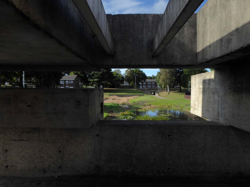
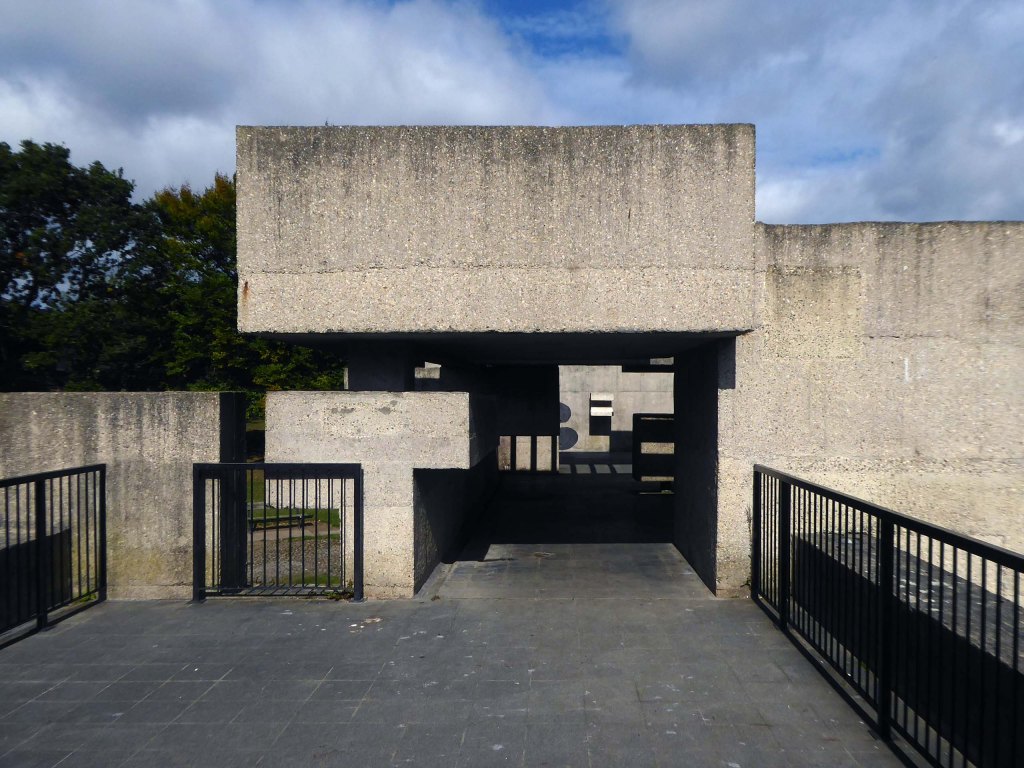
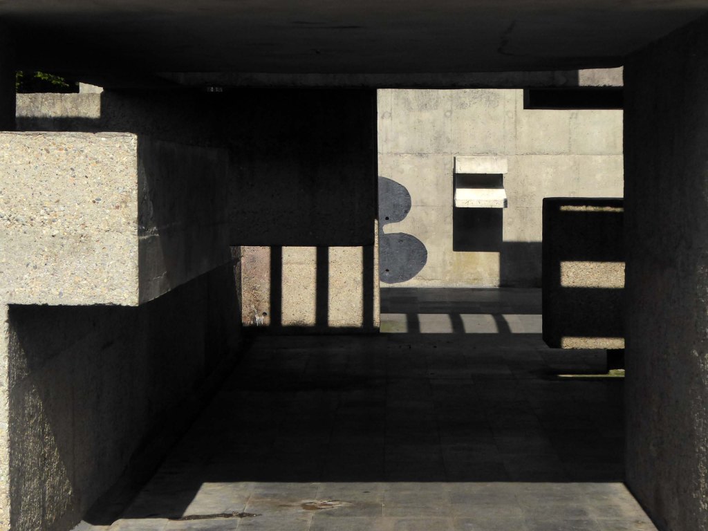
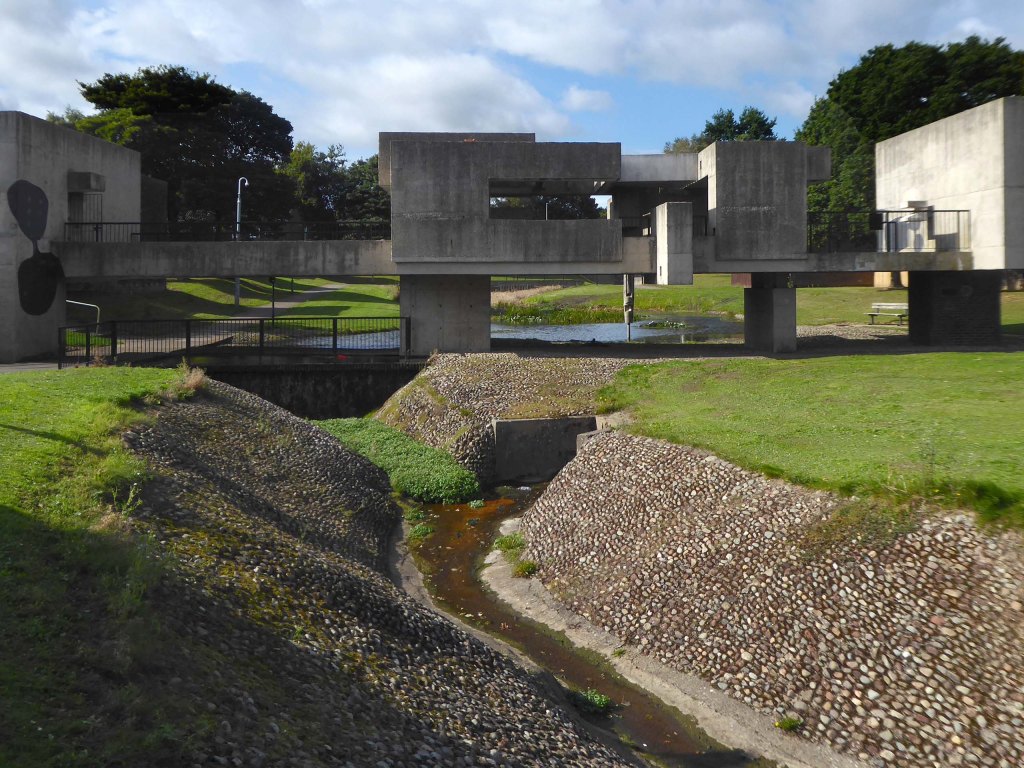
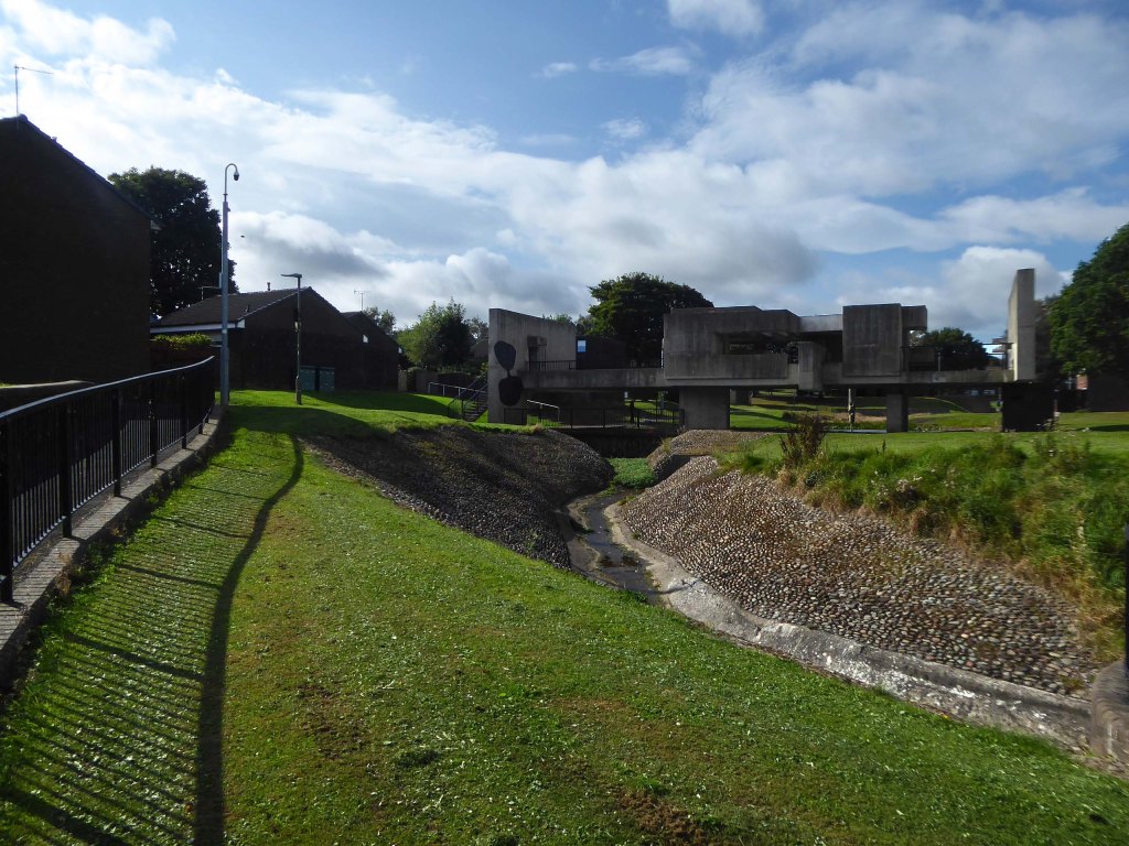
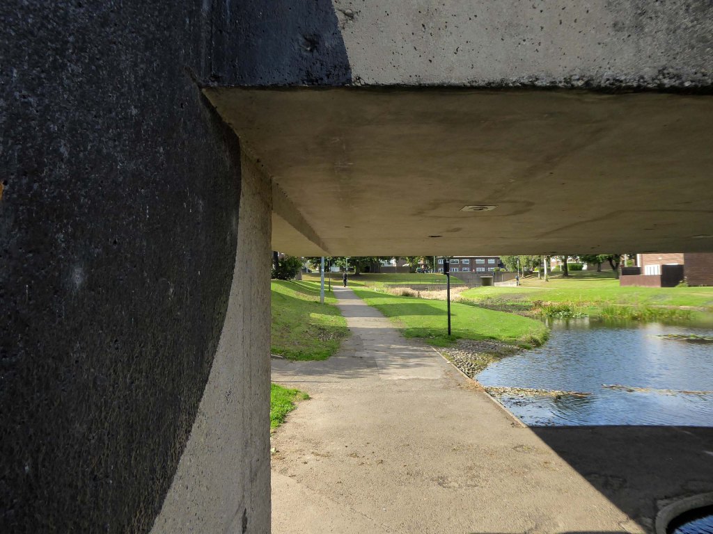
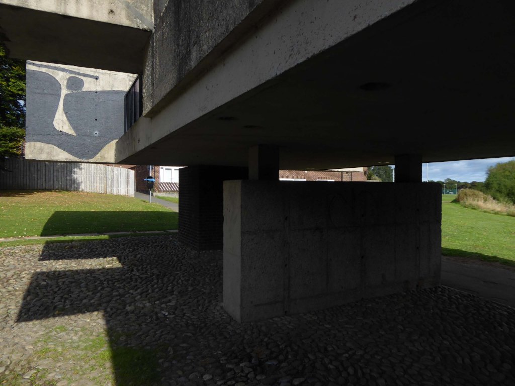
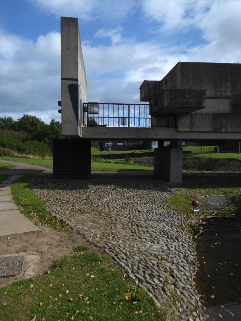
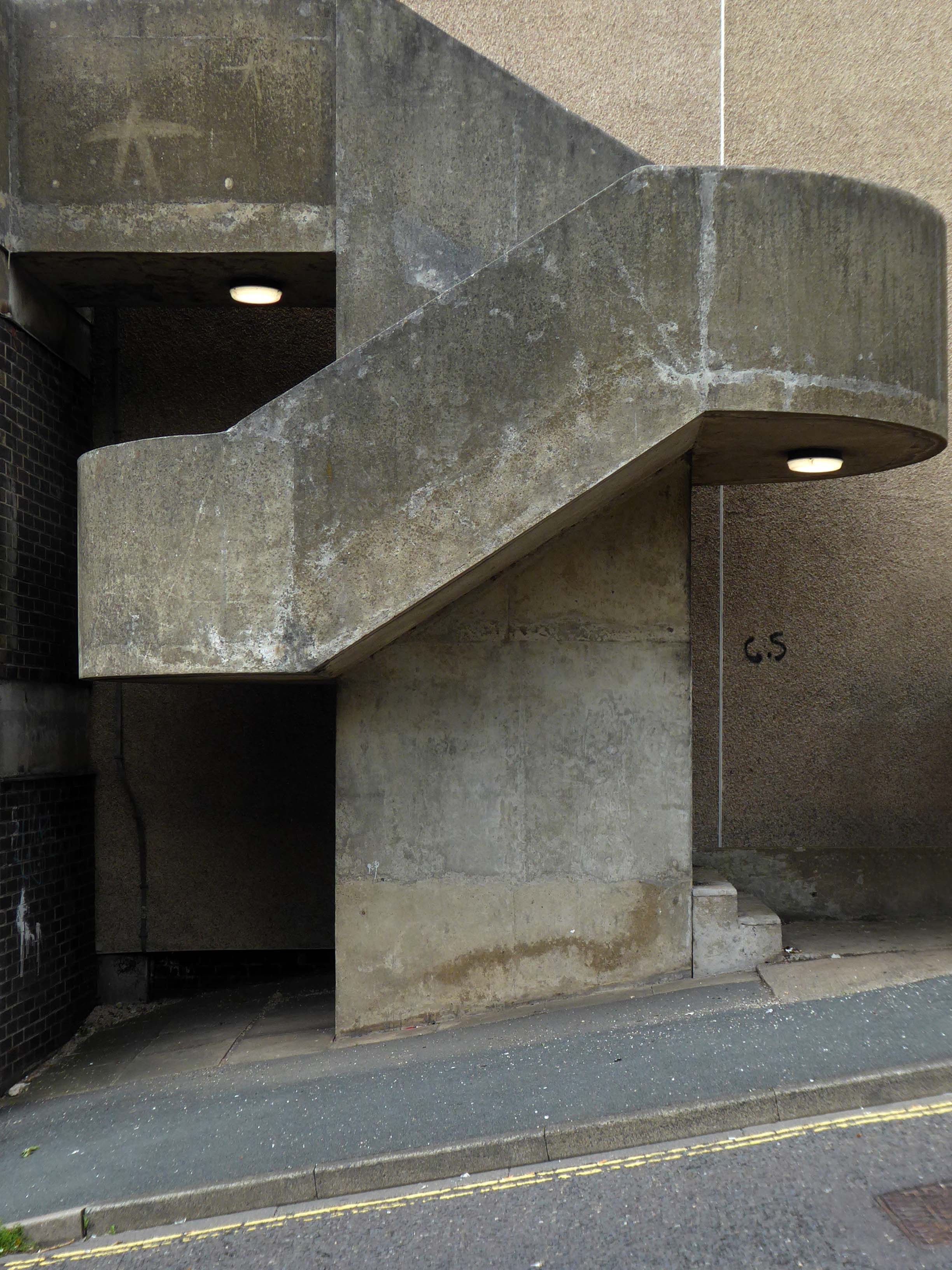
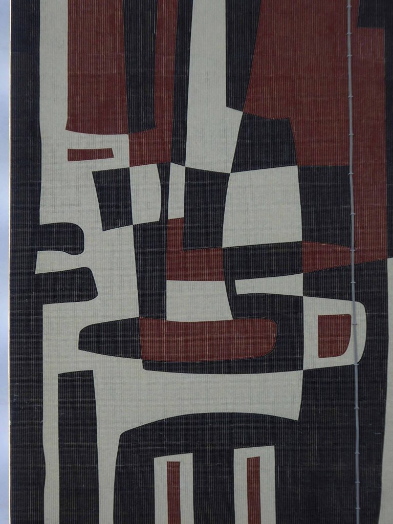
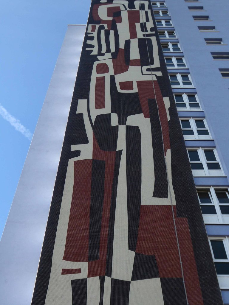
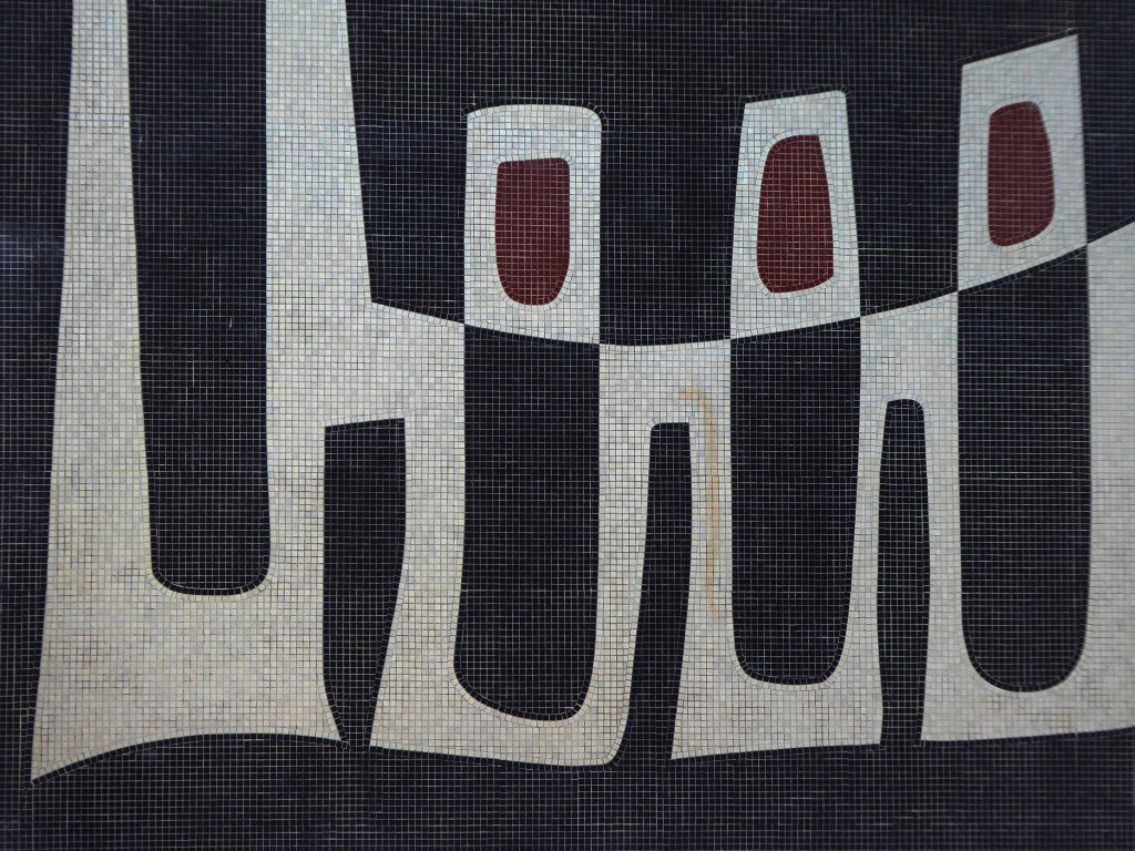
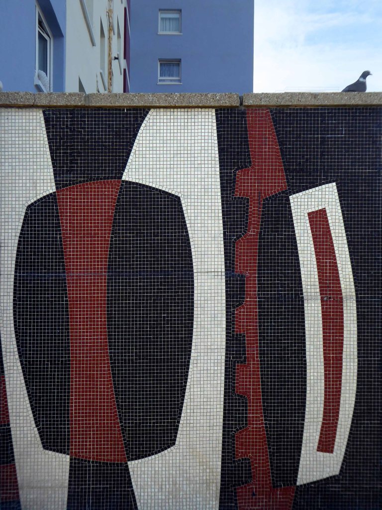
An architecture and sculpture of purely abstract form through which to walk, in which to linger and on which to play, a free and anonymous monument which, because of it’s independence, can lift the activity and psychology of an urban housing community on to a universal plane.
The idea for the Apollo Pavilion was the culmination of Victor Pasmore’s involvement with the planning and design of the new town of Peterlee in County Durham which began in 1954 with his appointment by A.V. Williams, the General Manager, as a consultant architectural designer to the Corporation. The brief was to inject a new initiative into the new town’s design, which had been limited by practical and financial constraints. The early departure of Berthold Lubetkin from the original design team, and the limitations imposed by building on land subject to underground mining, had led to a deterioration in the quality of the architecture being produced at Peterlee.
At Peterlee Pasmore worked initially alongside architects Peter Daniel and Franc Dixon to develop the Sunny Blunts estate in the south-west area of the town, though by the time the Pavilion was built Dixon had left and the team included the more experienced Harry Durell, Colin Gardham and landscape architect David Thirkettle. Pasmore continued to be involved with Peterlee until 1978 and designed the Pavilion as a gift to the town.
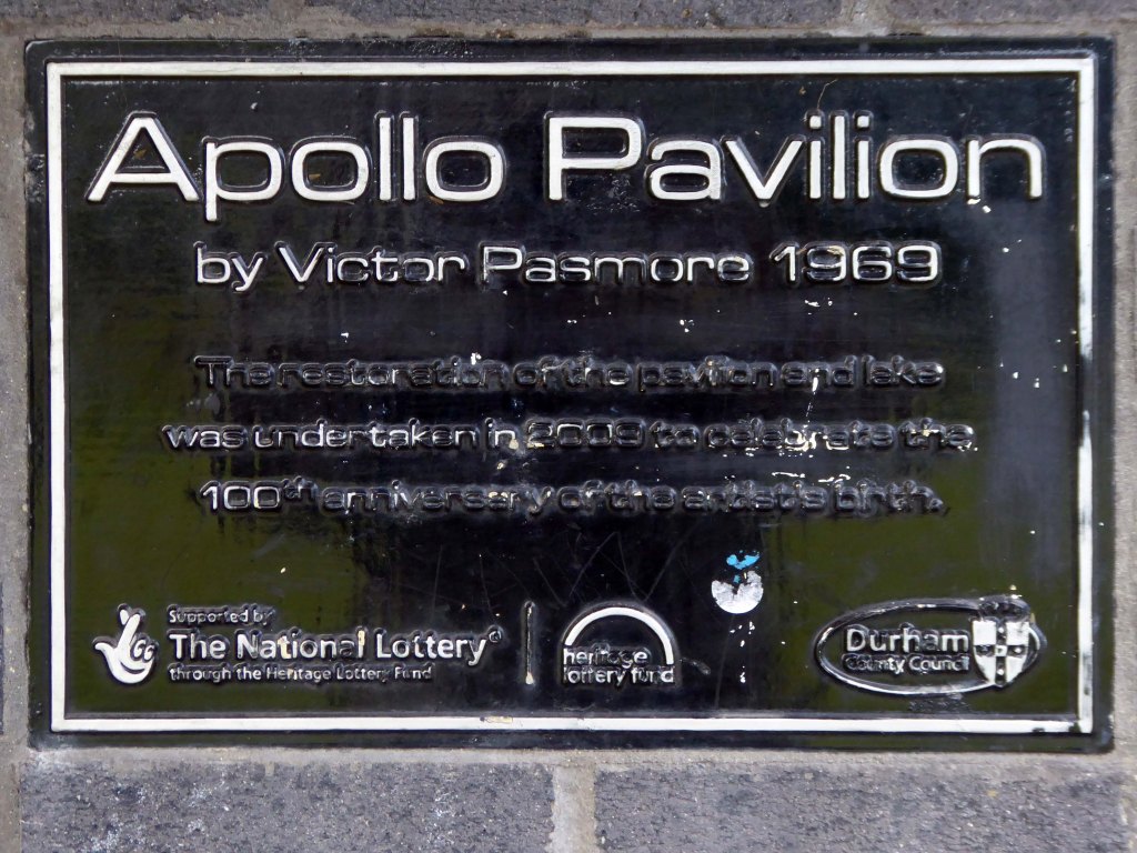
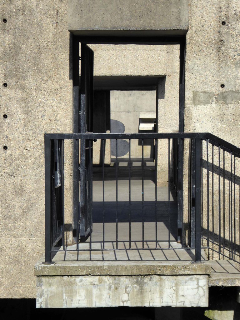
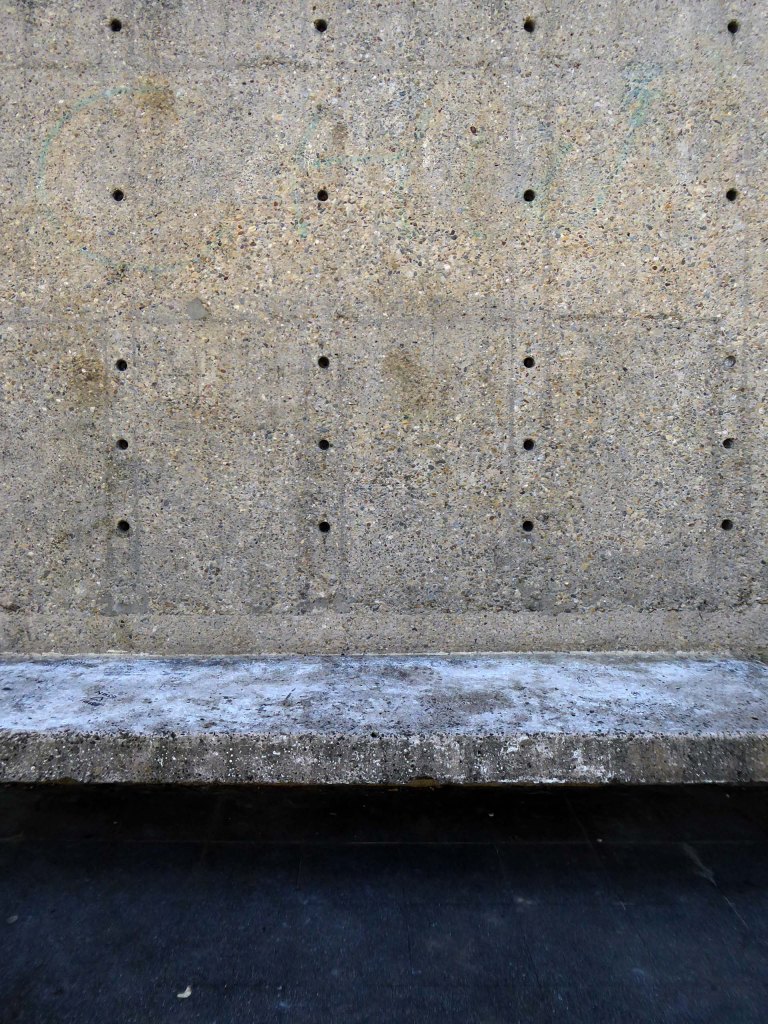
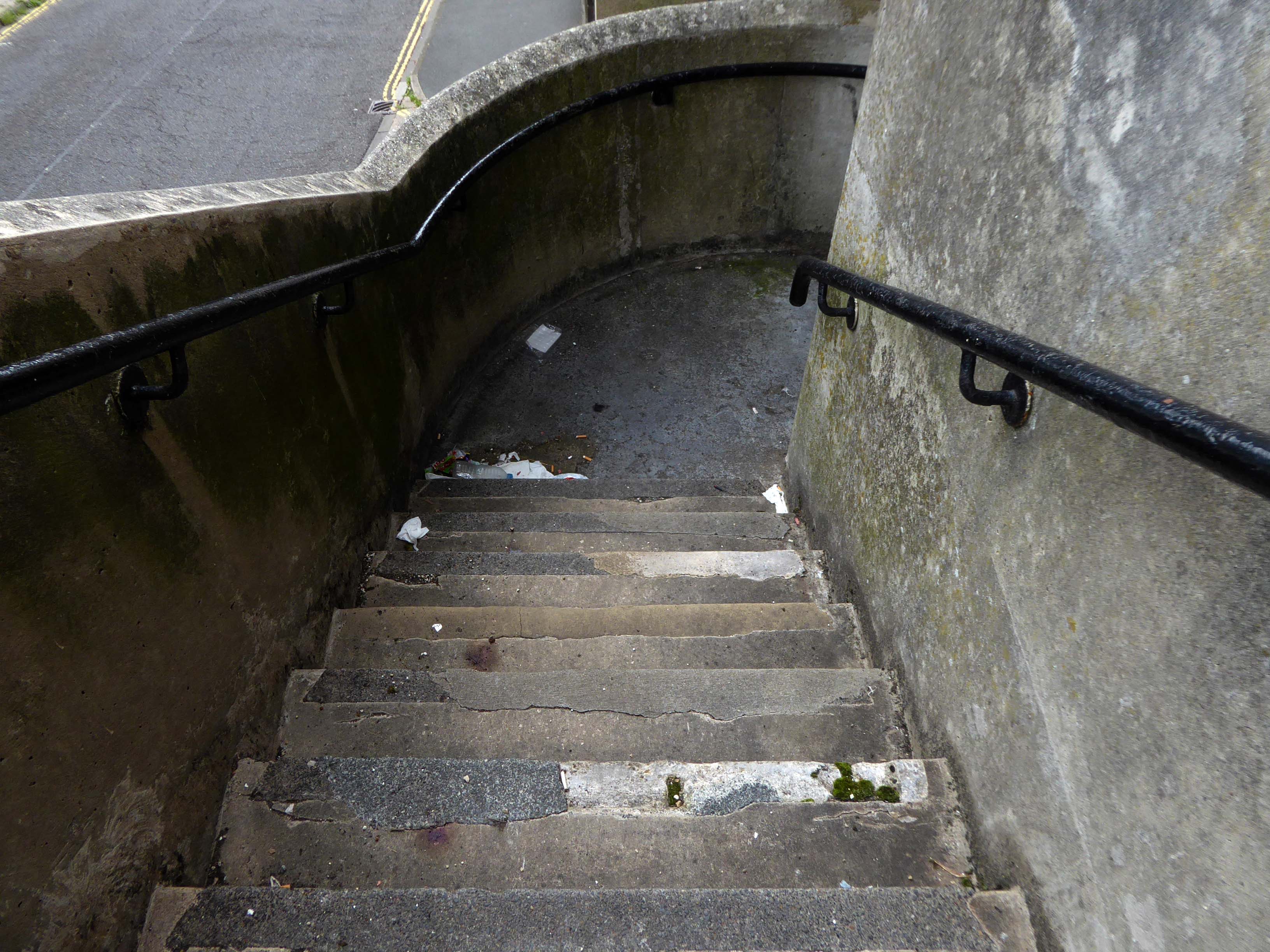
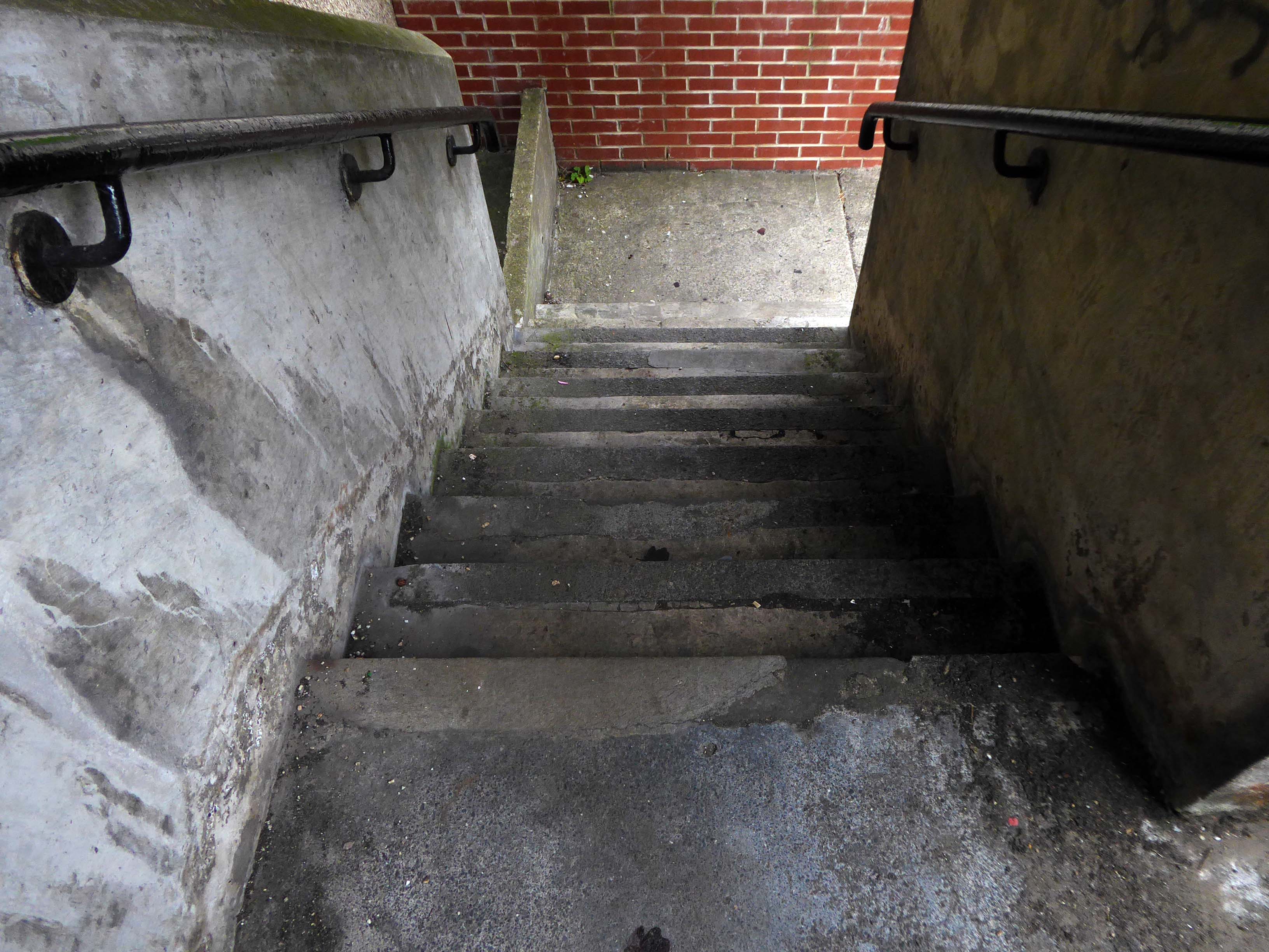
It was restored in 2009 with the help of a Heritage Lottery Grant of £336,000. The restoration restored the south side stairway – the other had not been part of the original design, reset the cobbles in the surrounding area and reinstated the two murals on the north and south walls.
A metal gate restricting access at night time to the upper level has been introduced, and the original lighting scheme, out of action since the mid 1970s, has been reinstated.
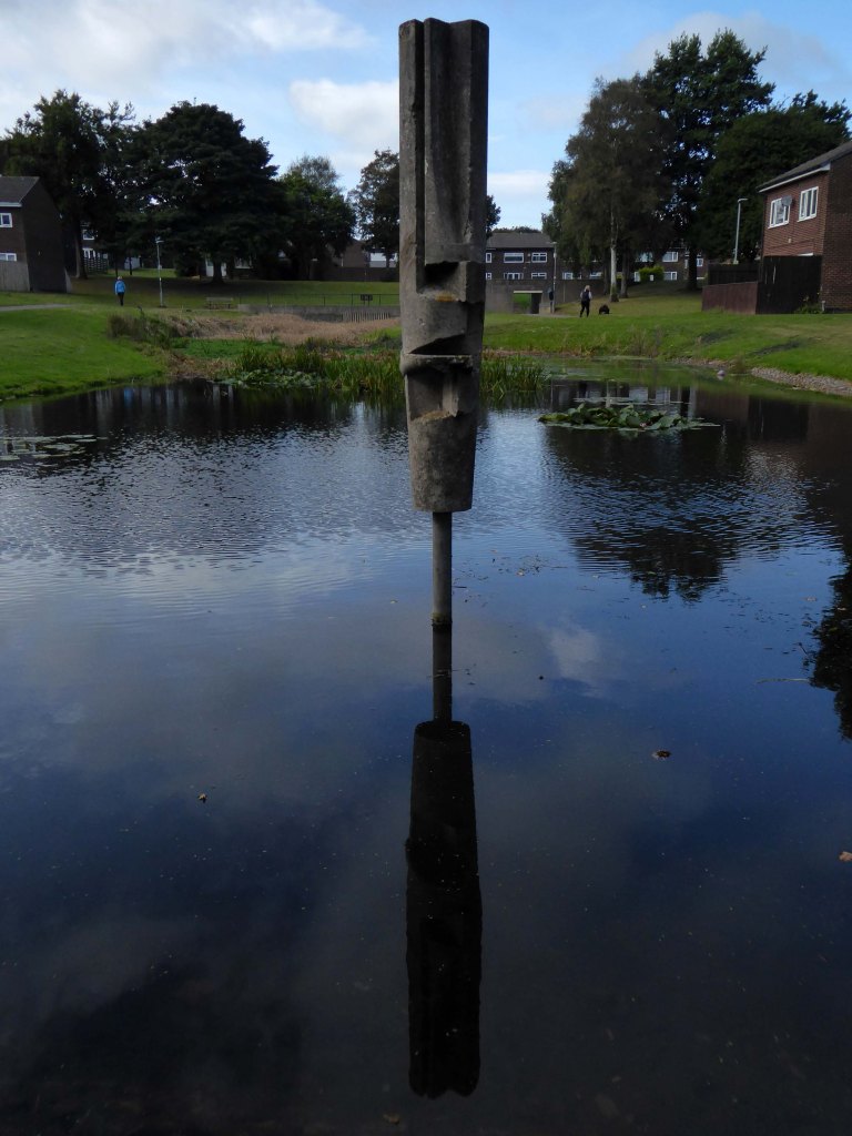
I jumped the X9 bus and headed for Peterlee – walked the wide open streets in search of signs.
There were no signs.
I found it instead by chance and instinct.
Here it is.
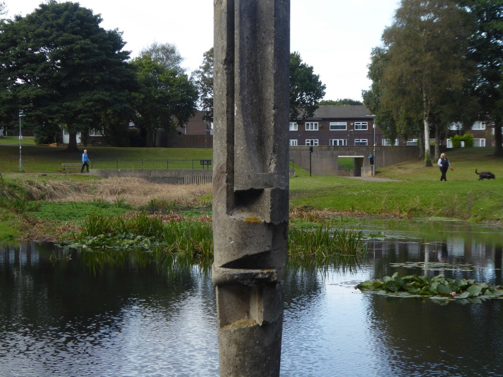
Peterlee was to be the miners’ capital of the world and was named after the well-known miner and councillor Peter Lee.
Architect Berthold Lubetkin’s plans included everything from football pitches and tennis courts, to a rock-climbing centre and a zoo. However, to Berthold Lubetkin’s frustration, the National Coal Board opposed his plan and, after numerous failed attempts to agree on the siting of housing, Lubetkin quit the project in 1950. He later gave up architecture altogether and took up pig farming.
It remains a grand place to live it seems, tidy housing set in rolling greenery.
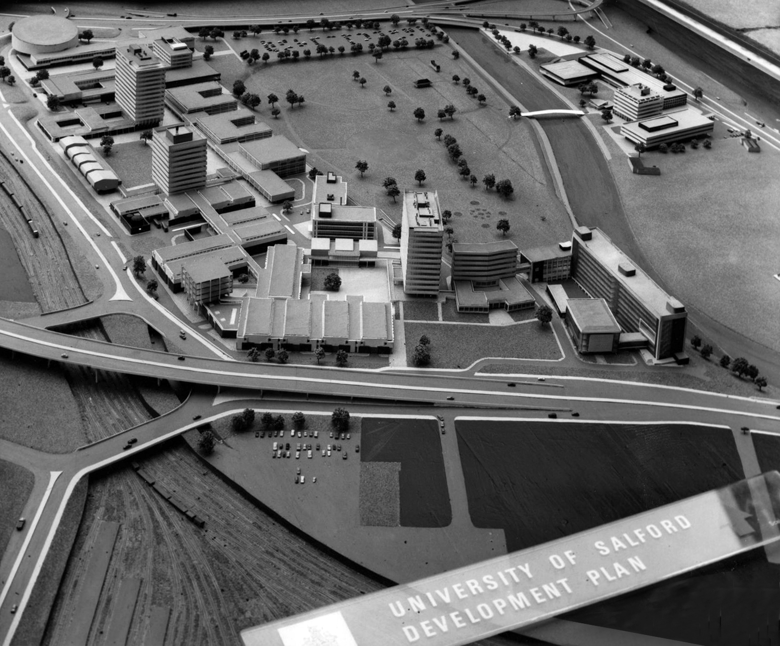
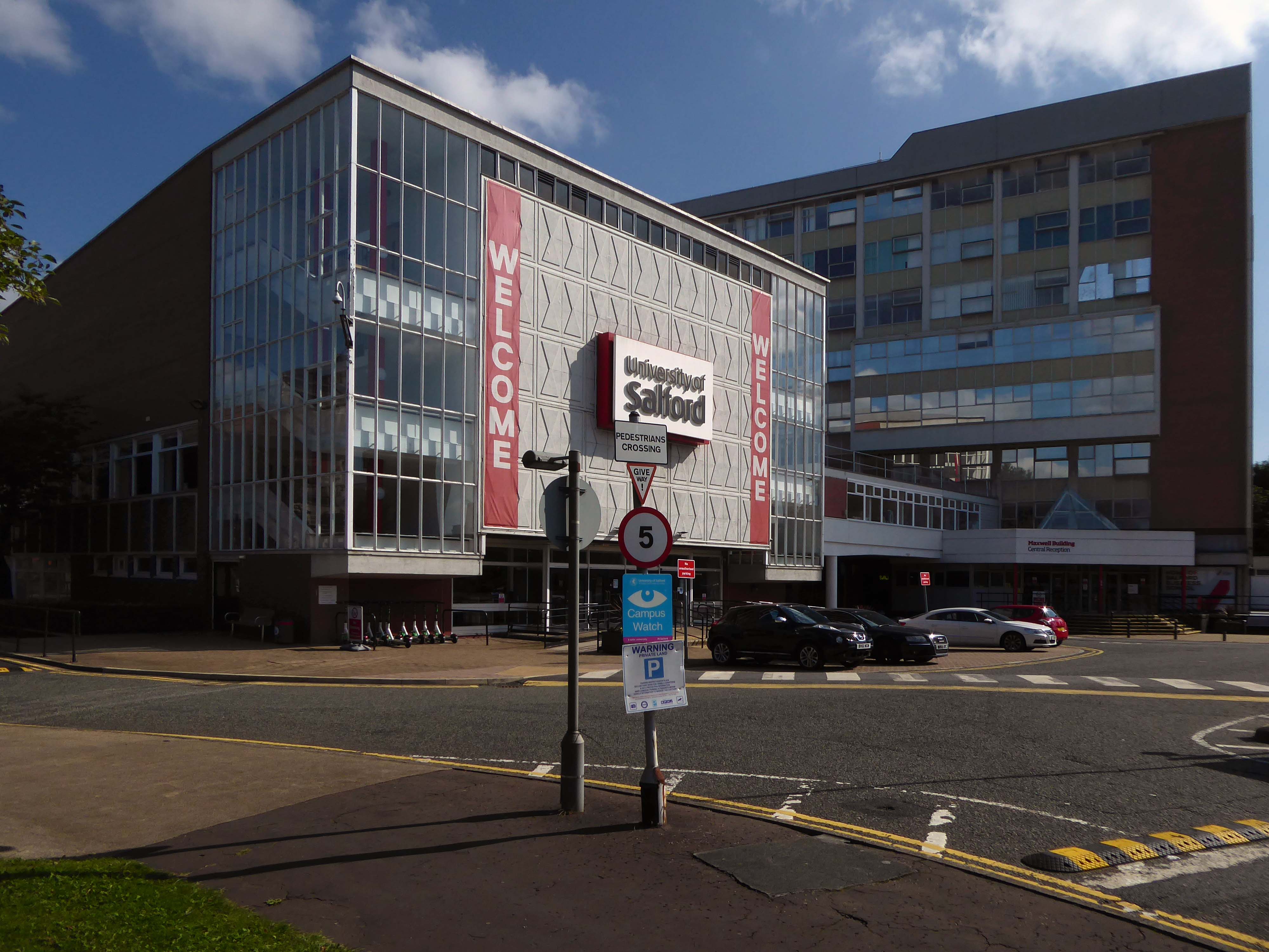
The original master plan would have swept away the Victorian Technical Institute and Salford Art Gallery.
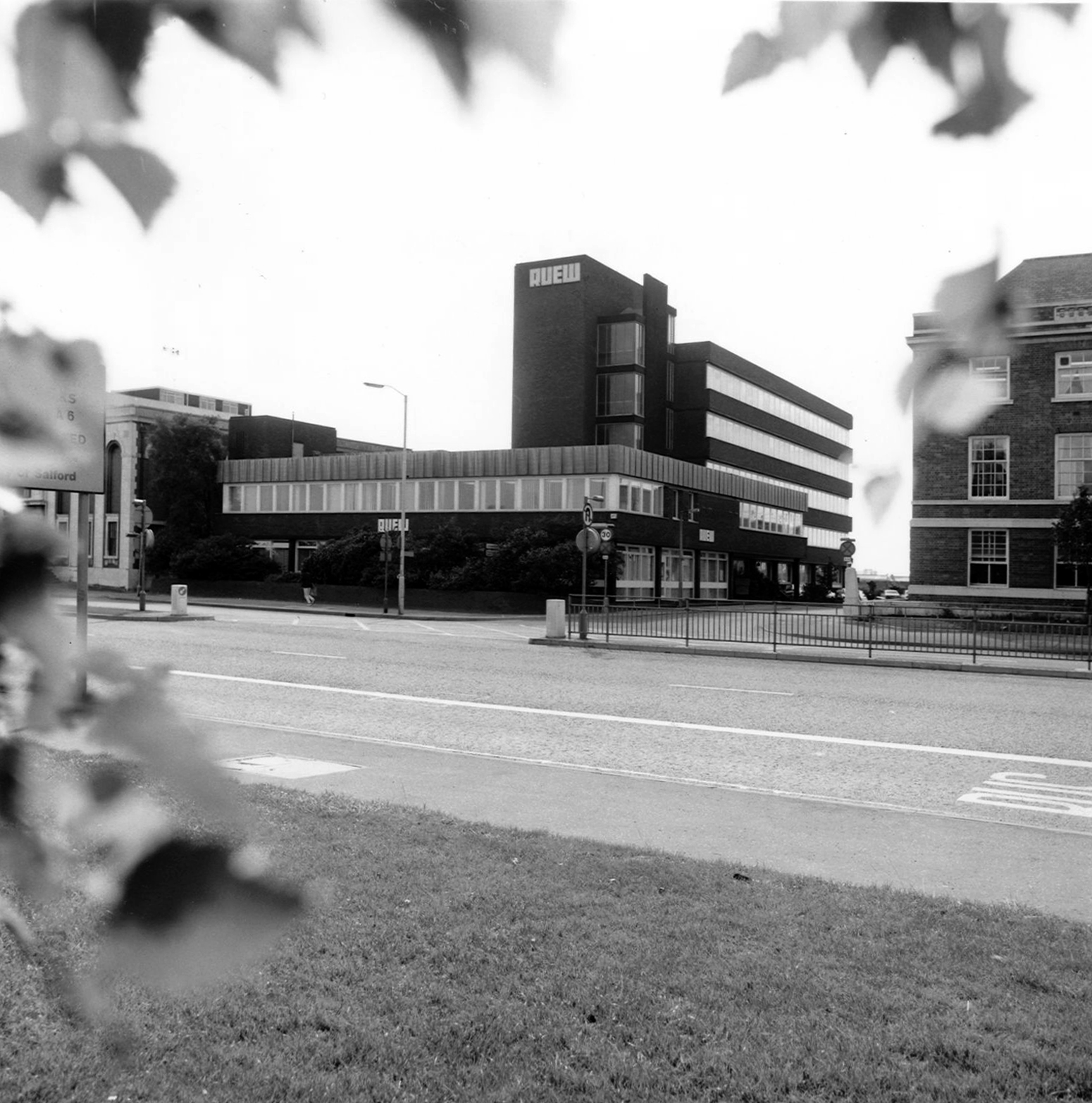
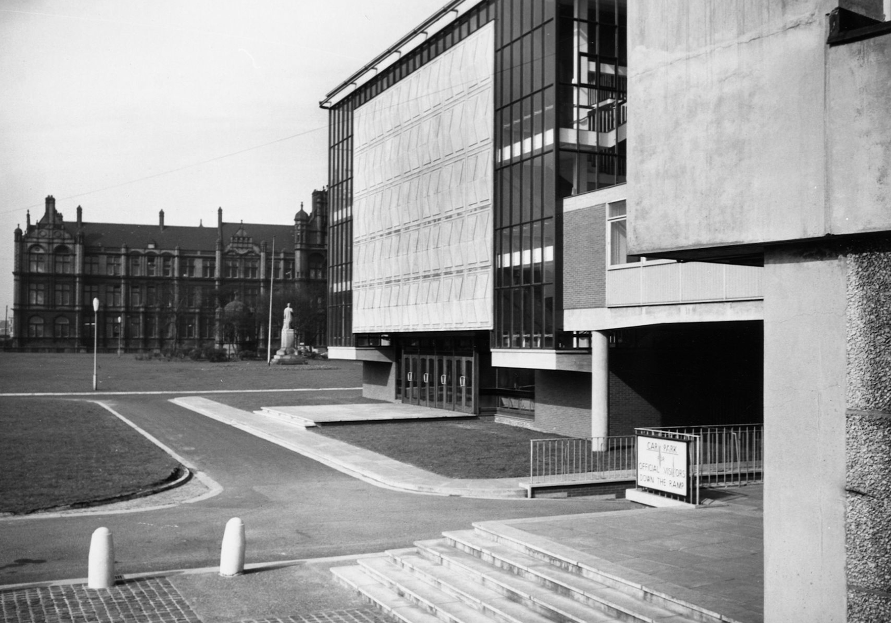
Across the road are the Maxwell Buildings.
They were built between 1959 and 1960 to a design by the architect C H Simmons of the Lancashire County Architects Department.
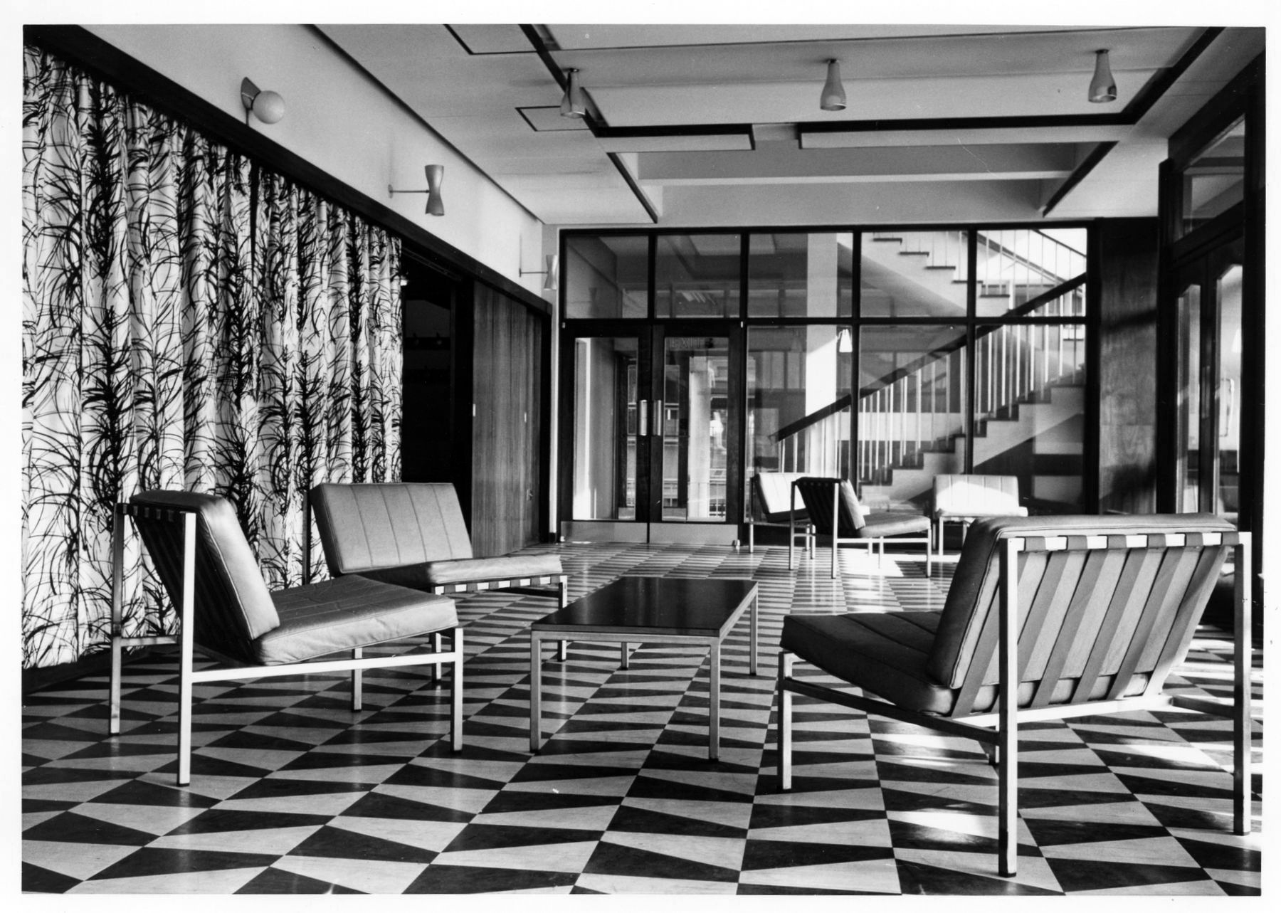
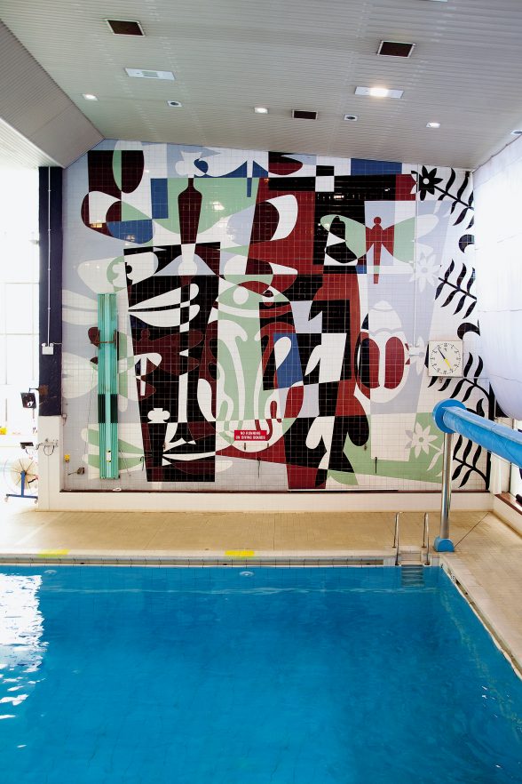
The interior decorative order of Sixties’ institutions was integral to the architectural design, sadly this is no longer so.
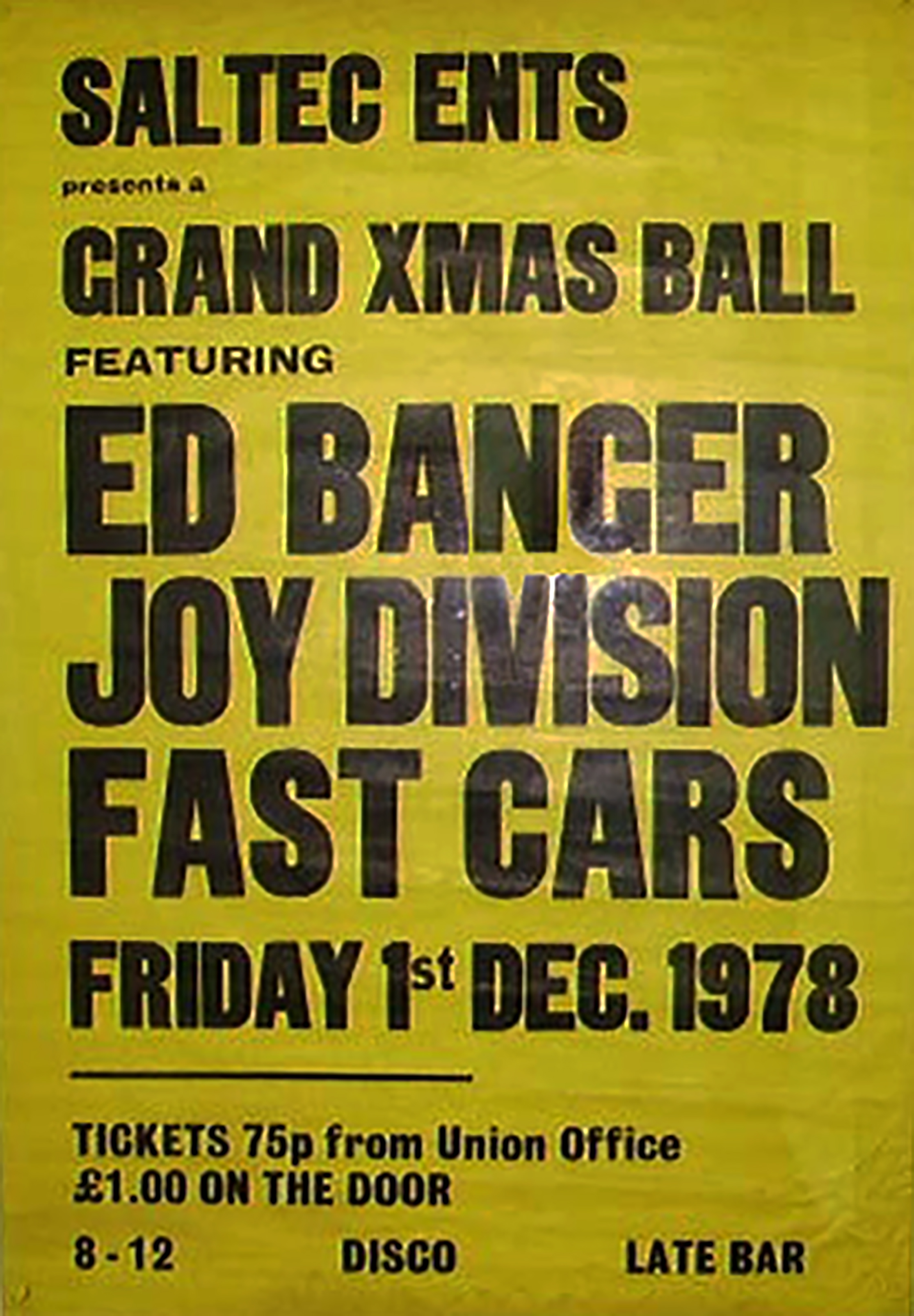
The hall has a great musical heritage.
Featuring the Fast Cars who we have previously encountered in Swinton at the Lancastrian Hall.
Which may be the subject of ambitious redevelopment.
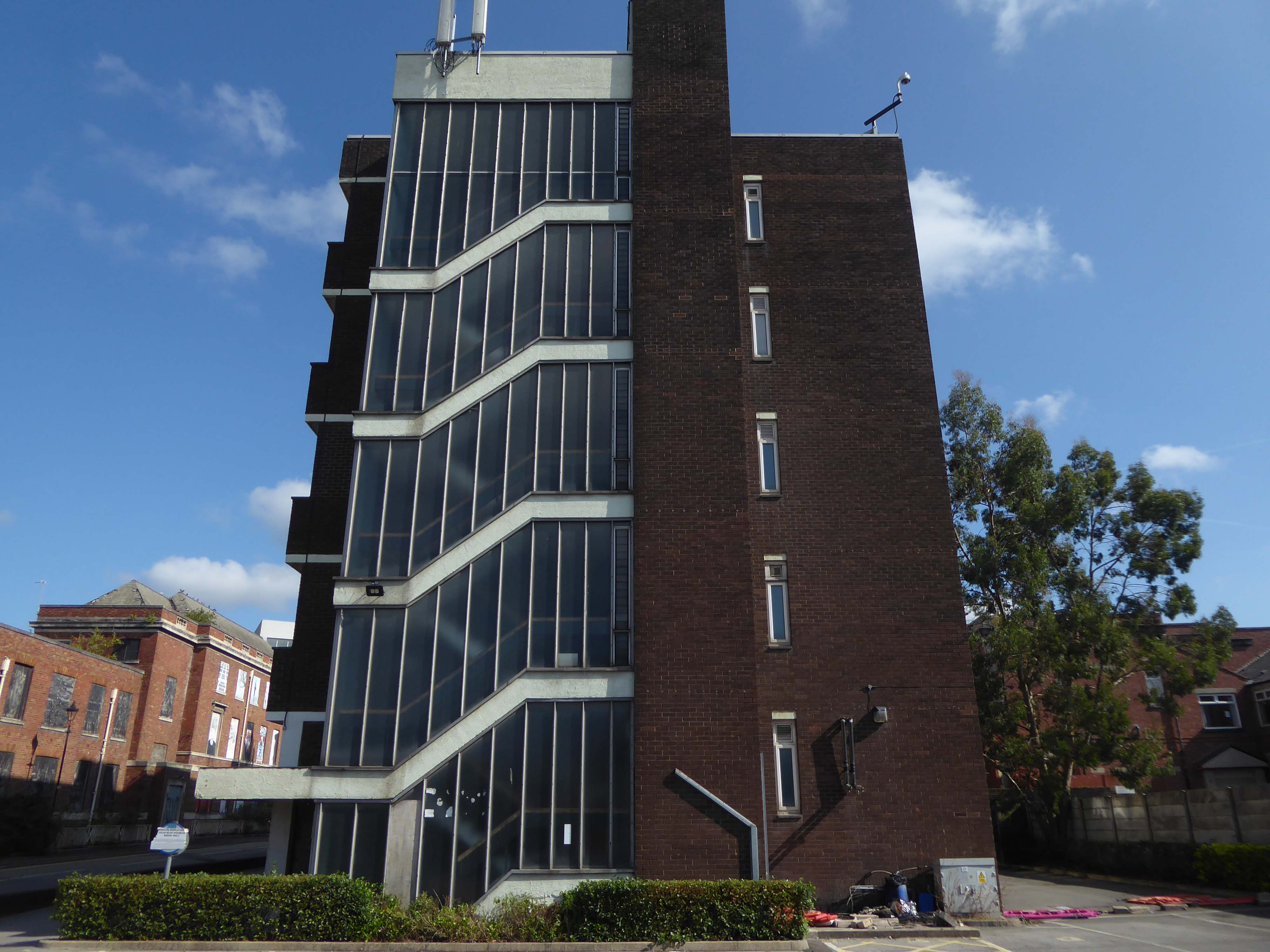
Take a turn around the corner to the Cockcroft Building.
The east facing mural painted out and obscured by retrofitted infrastructure.
These incised stone panels obscured by plants.
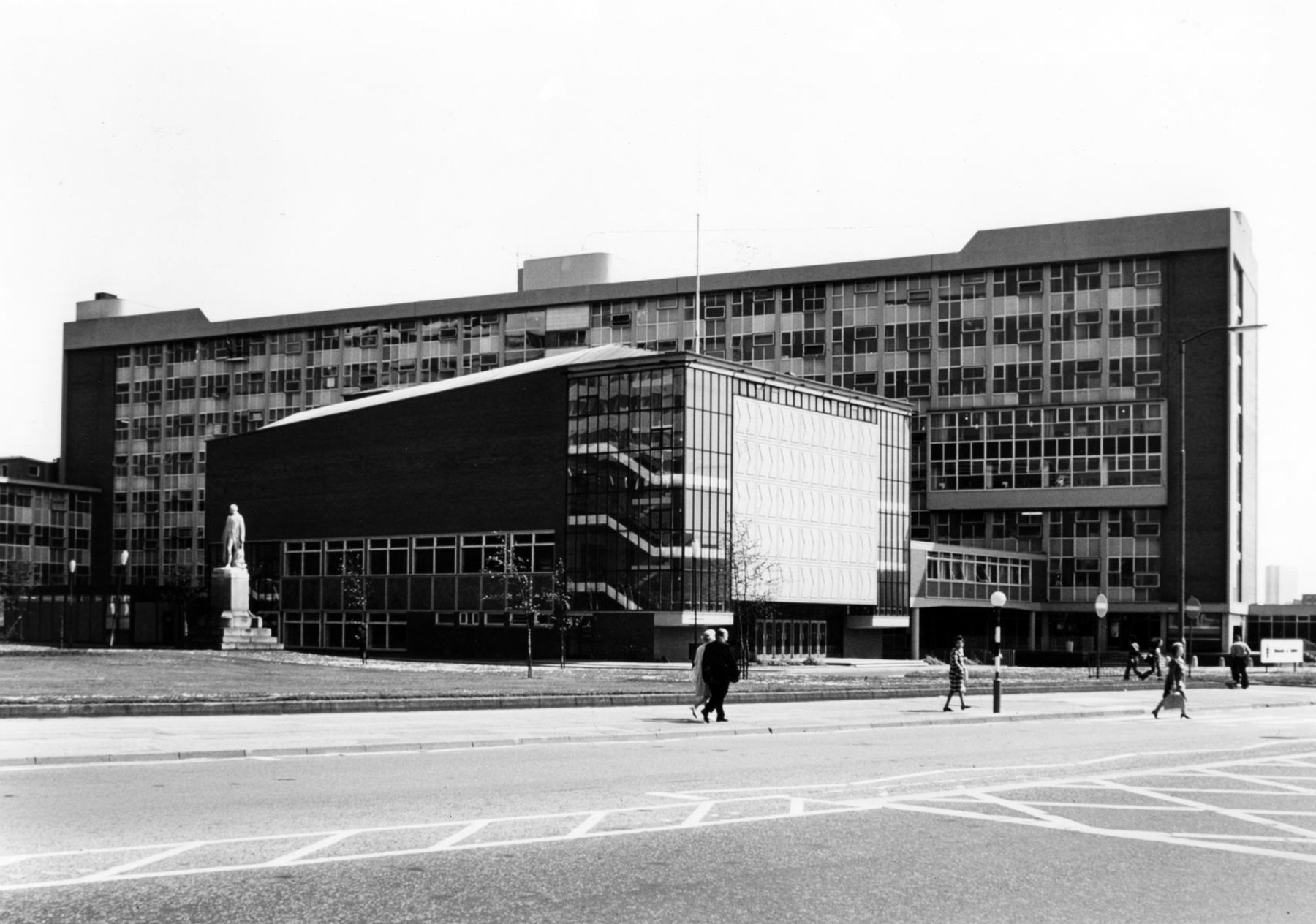
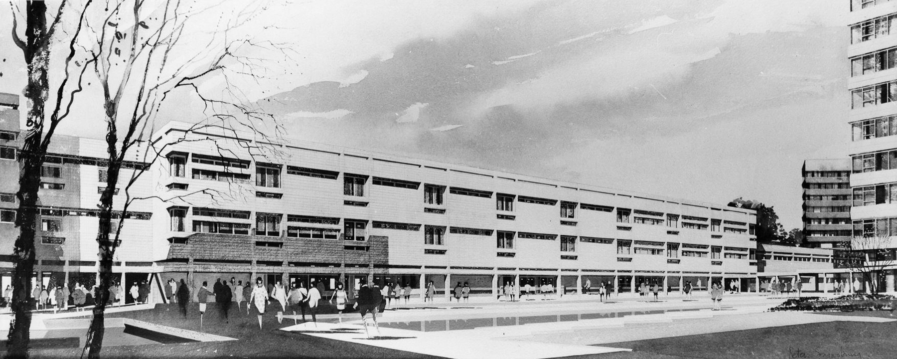
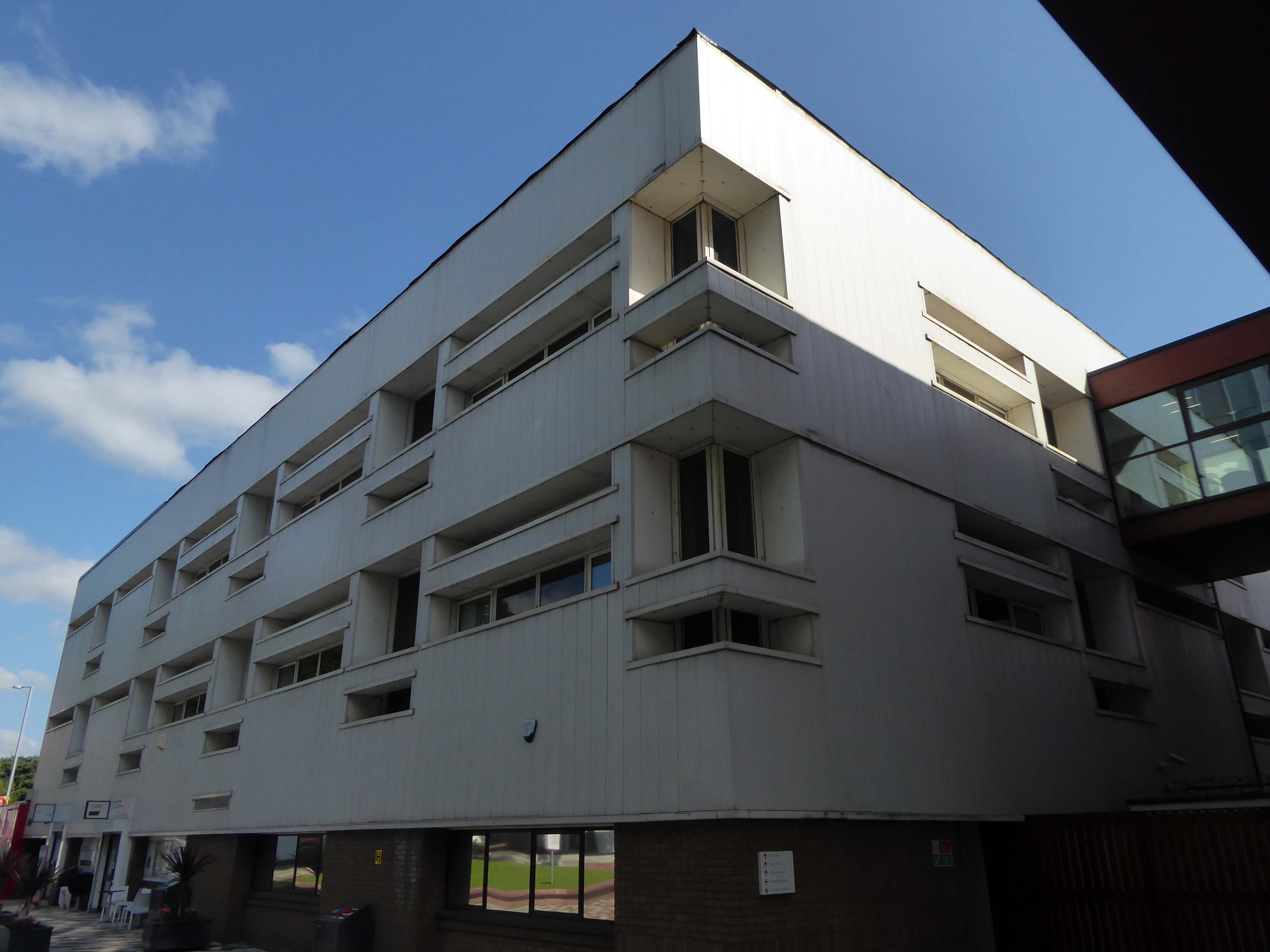
To the left is the Clifford Whitworth Library – this is the original architectural impression – signed Peter Sainsbury.
The original fascia was tile clad.
Subsequently replaced by uPVC boards.
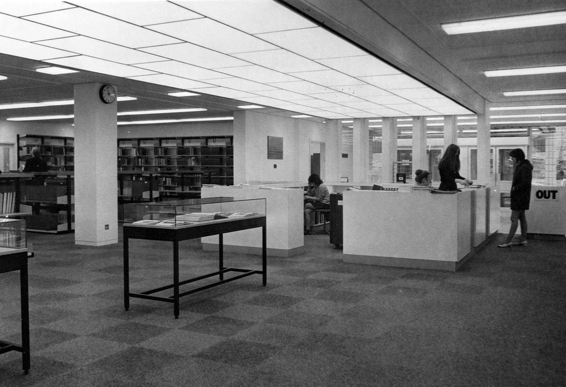
Yet again the original interior was integral too the architectural scheme and period.
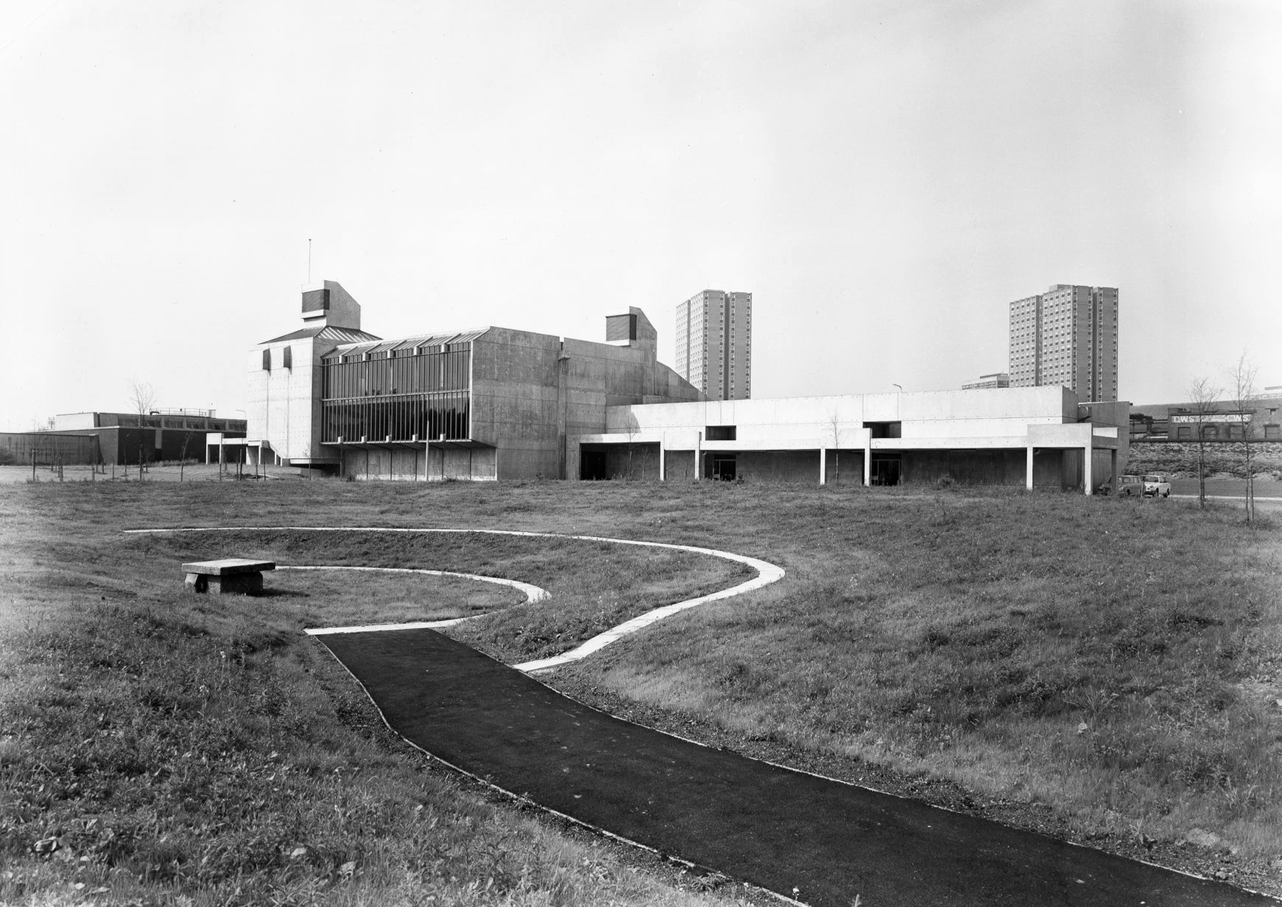
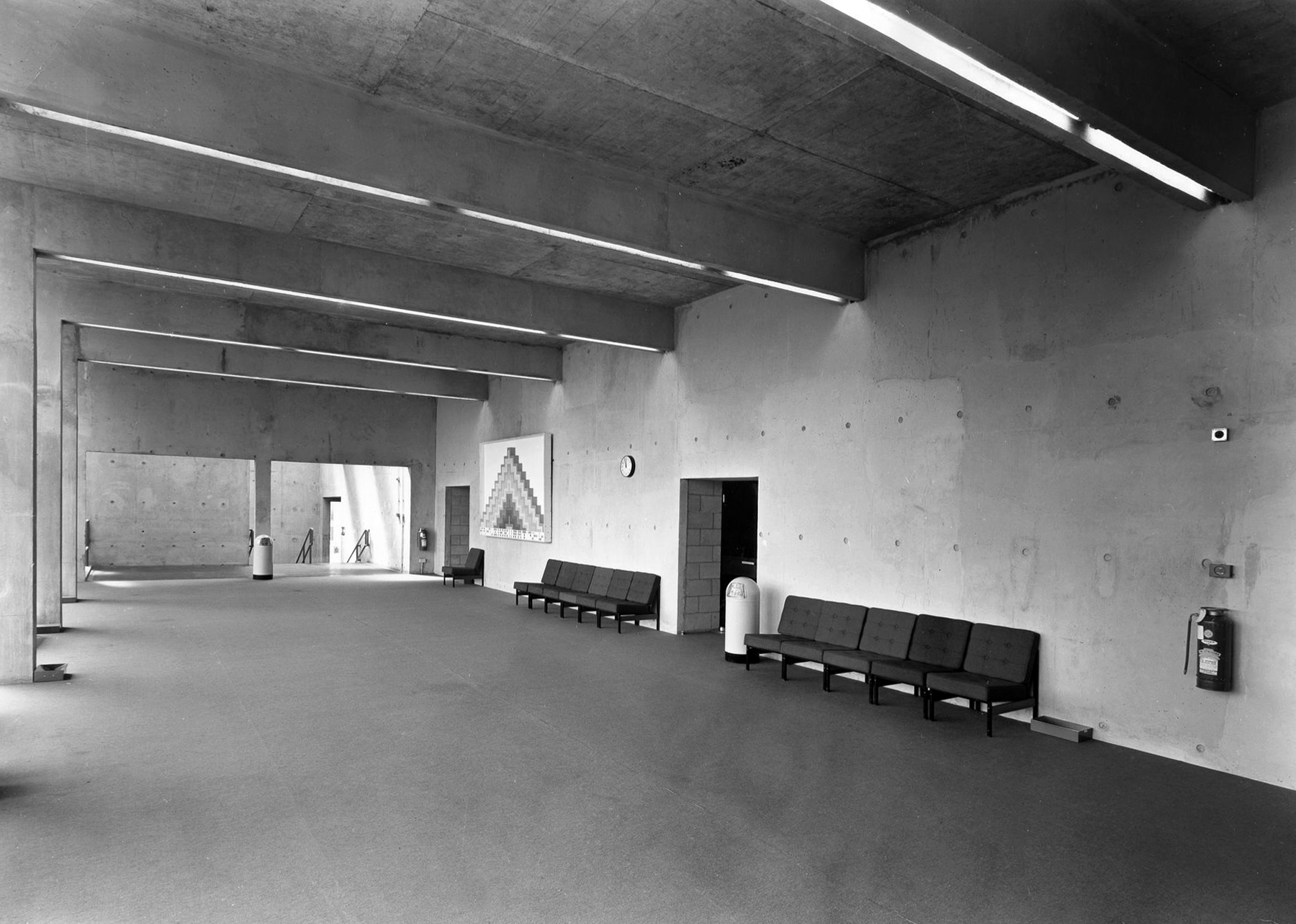
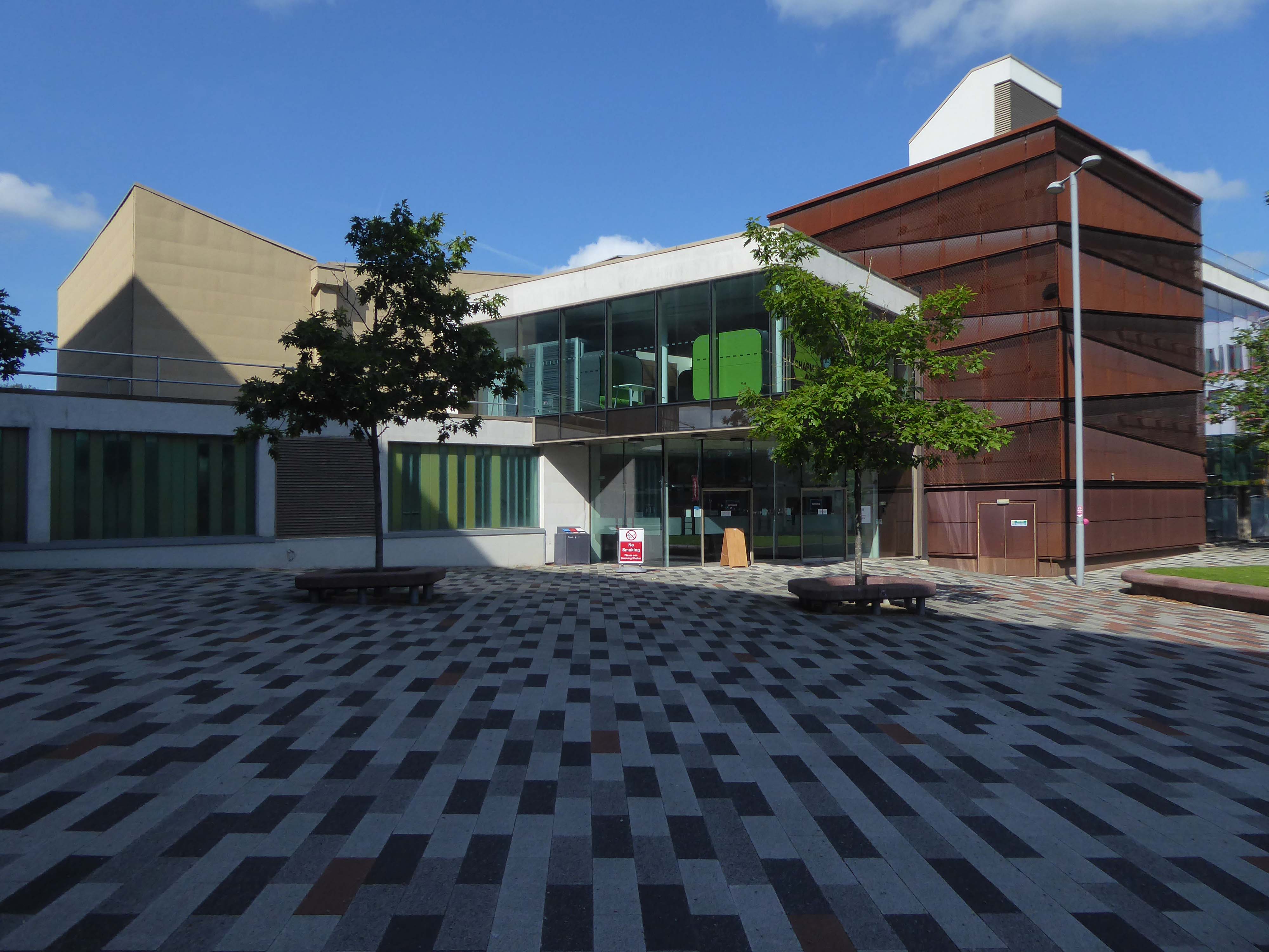
Across the way the Chapman Building.
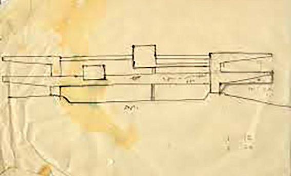
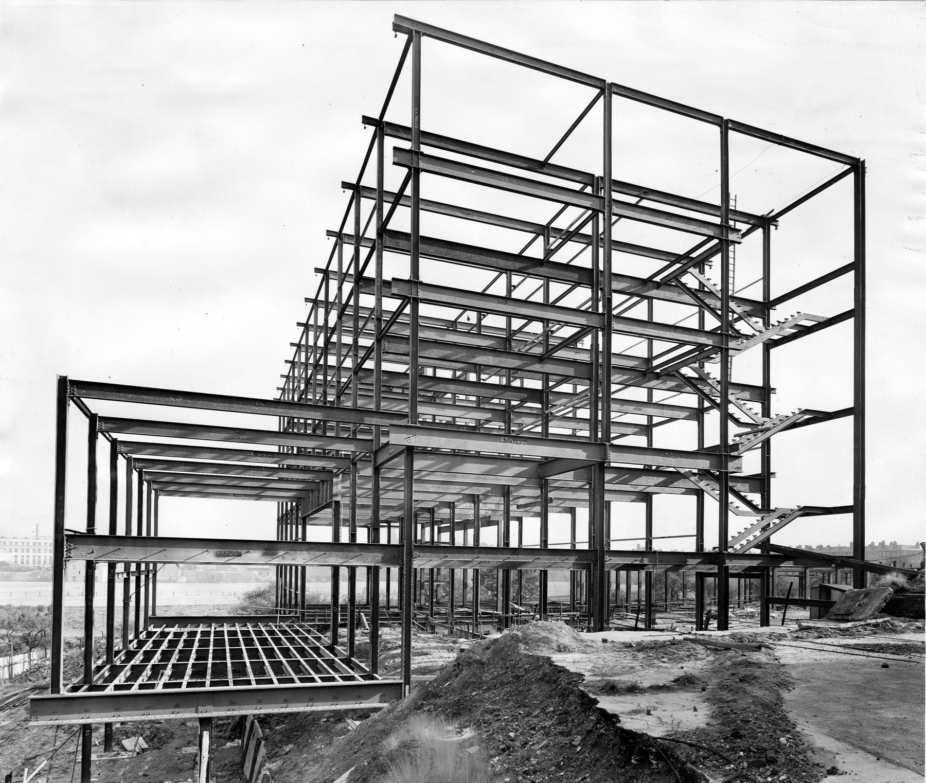
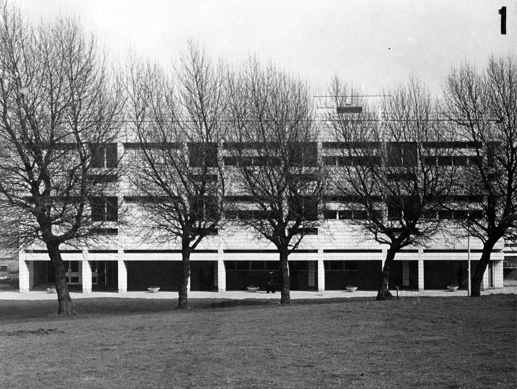
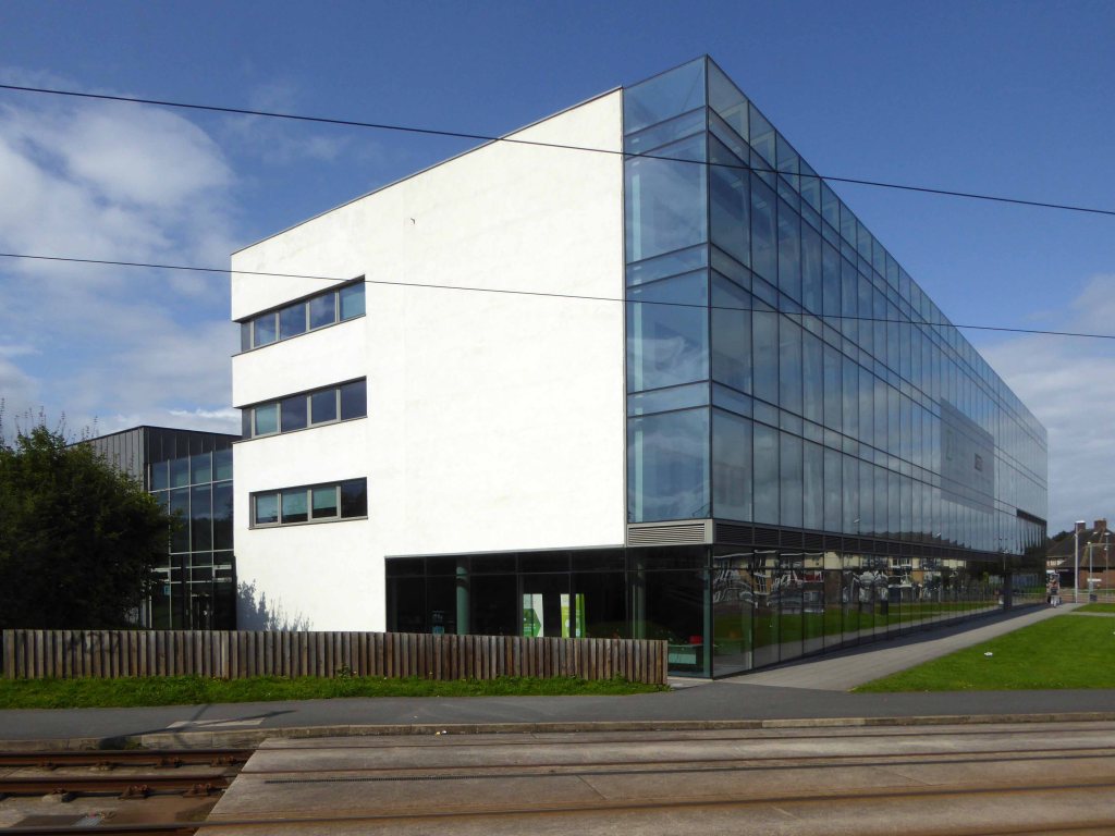
It was designed by WF Johnson and Partners of Leamington Spa, as a lecture theatre block and gallery. It sits with its long axis running parallel to the railway behind. The series of grey volumes, occasionally punctuated by colourful floods of red and green trailing ivy, hang together in a less than convincing composition. The orientation and access to the building seem confused and detached from any cohesive relationship to the rest of the campus, but there is something perversely attractive about the right essay in the wrong language. The reinforced concrete building contained five lecture theatres, communal spaces, an art gallery, AV support areas and basement plant rooms. Following a major refurbishment in 2012, several additions were made to the exterior and its total concrete presence somewhat diminished. It still houses lecture theatres and a number of other learning and social spaces.
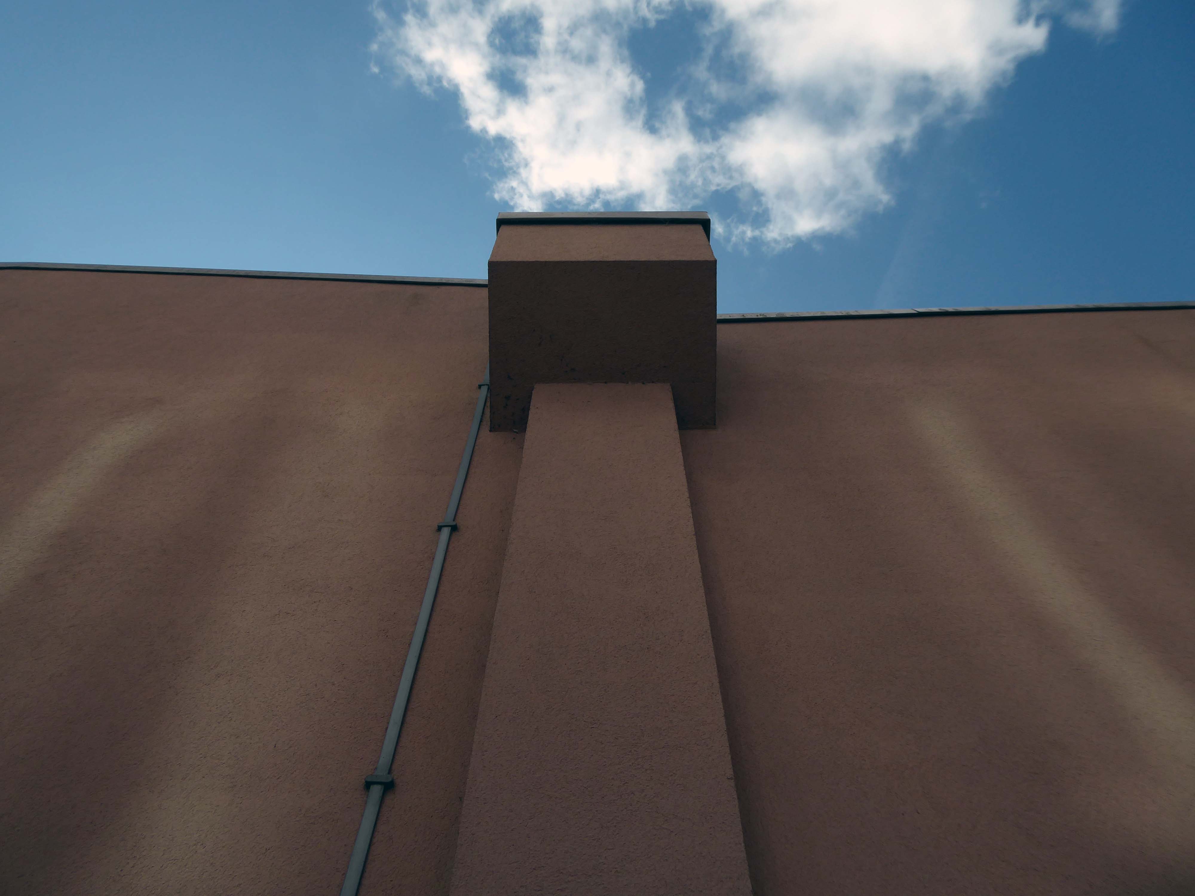
To the rear of the building there are some of the original details, now painted a series of funny colours.
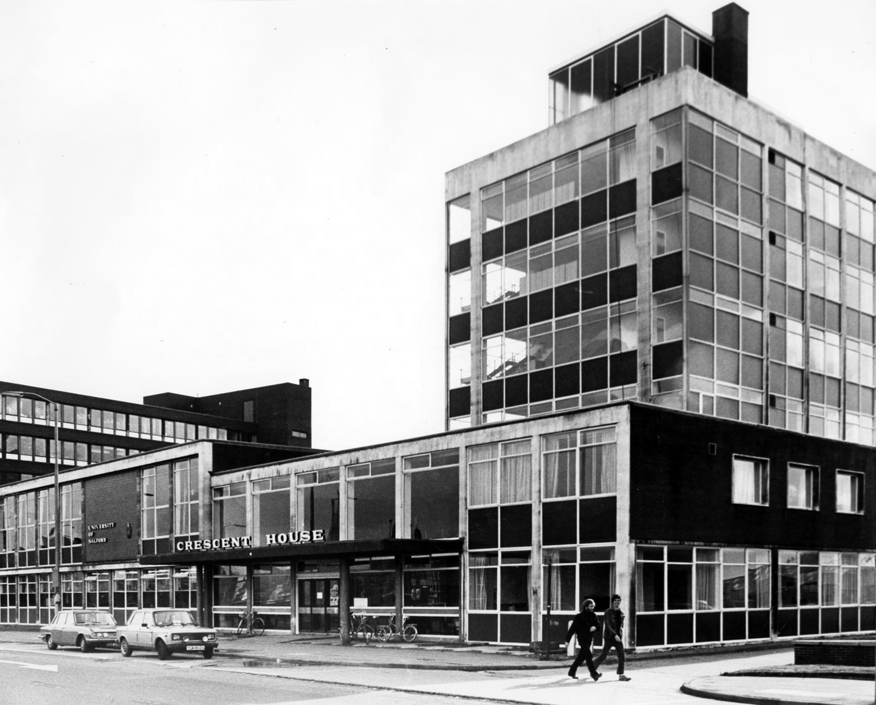
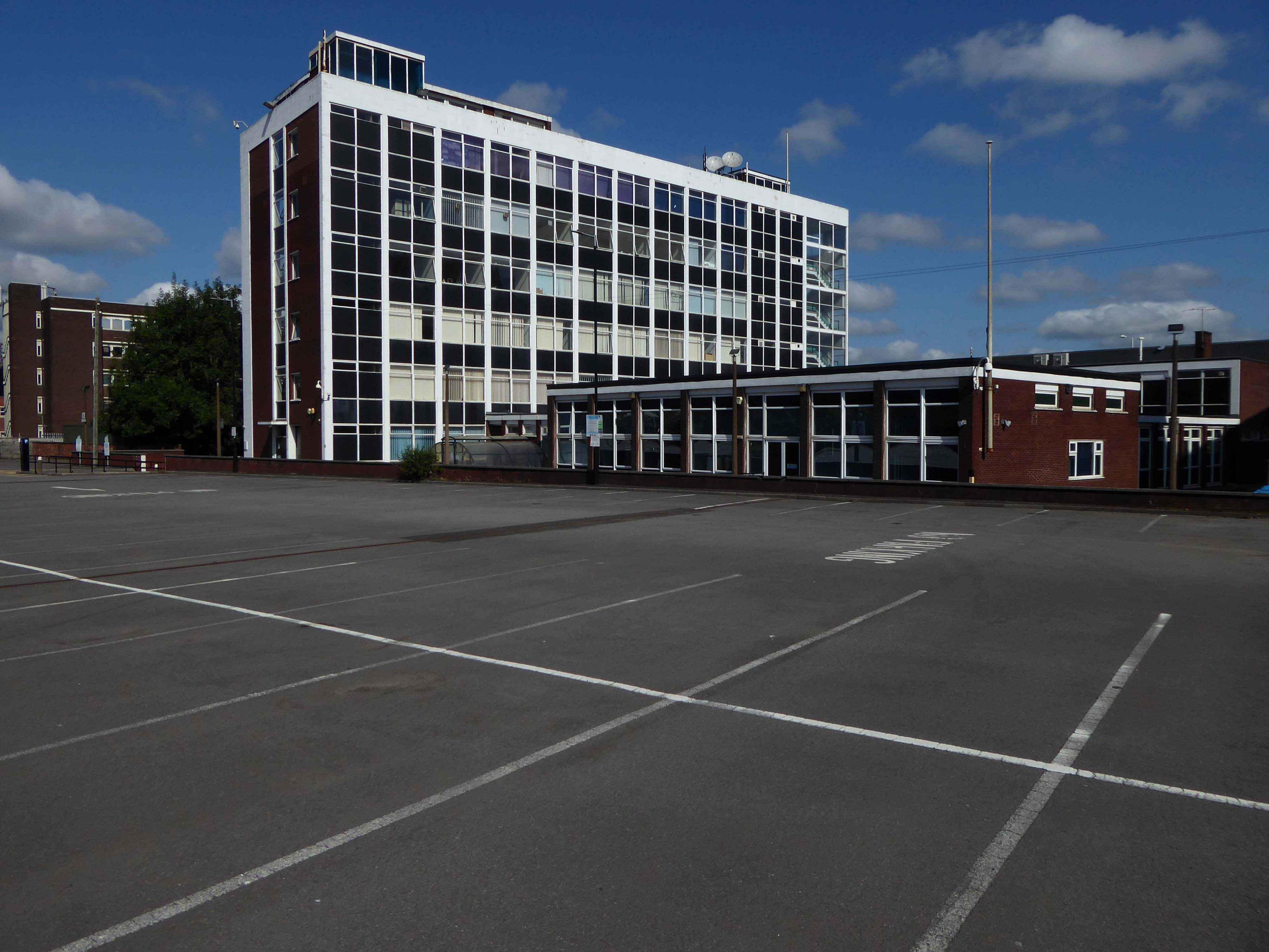
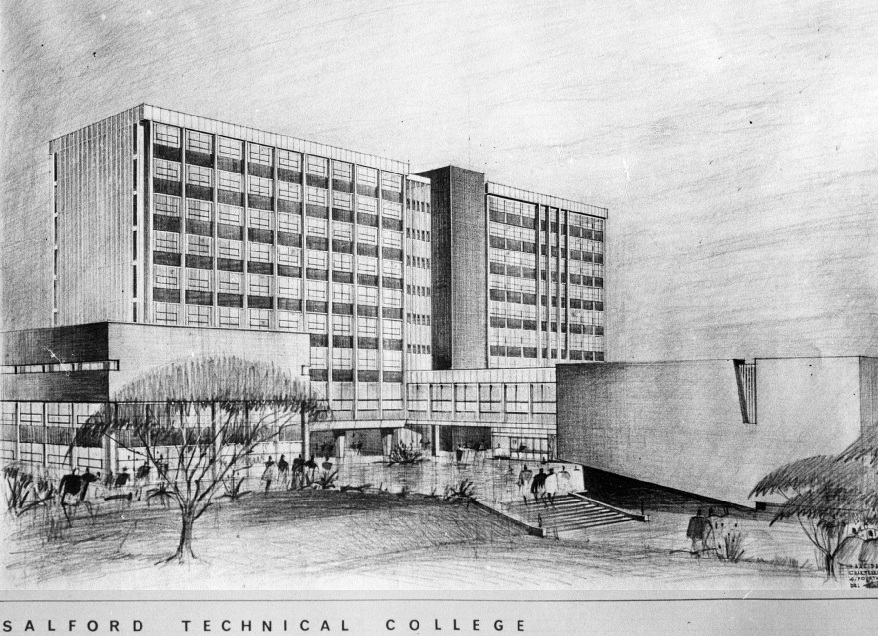
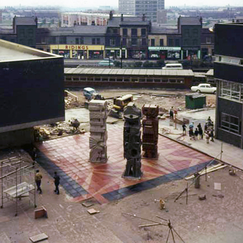
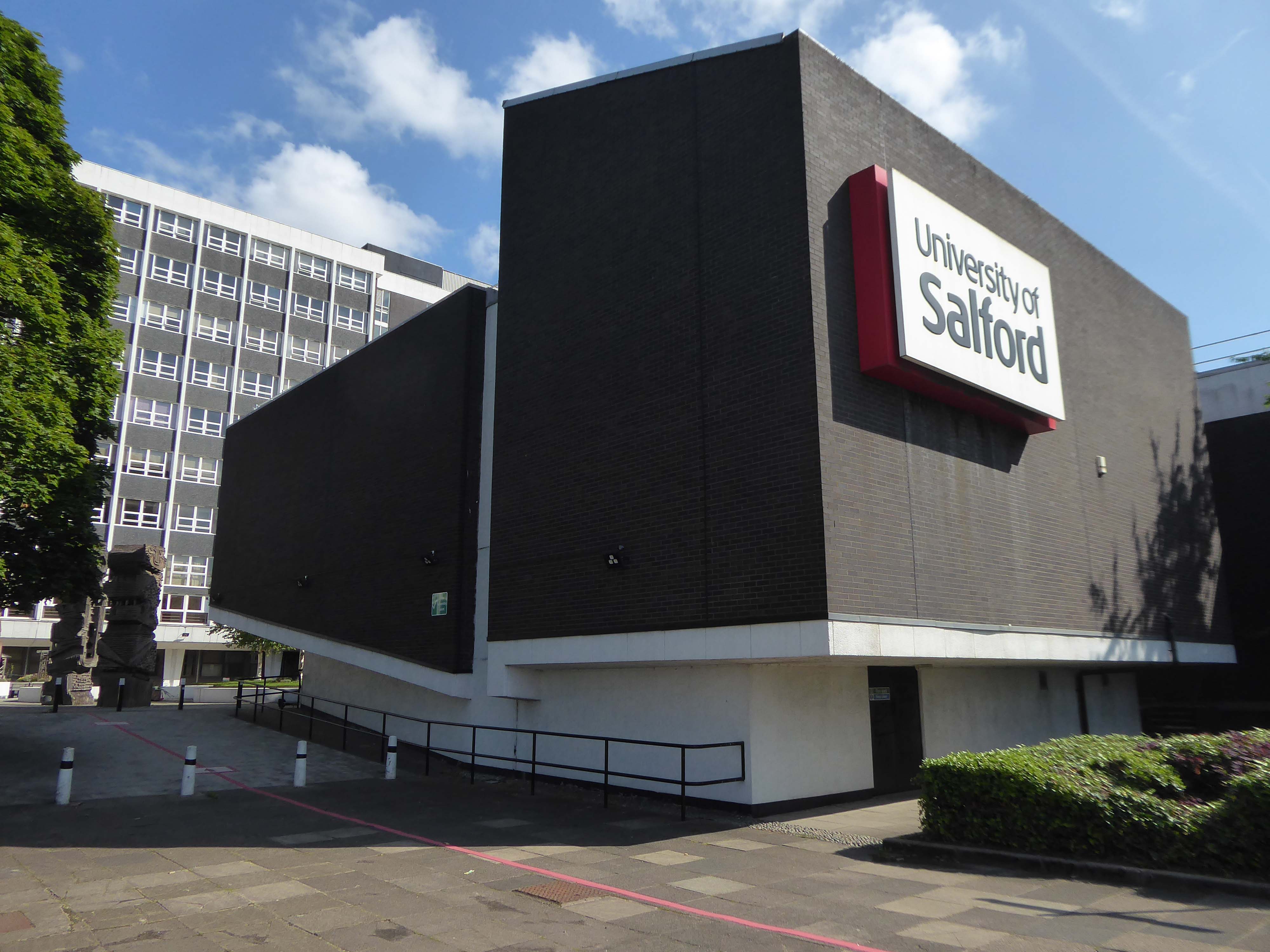
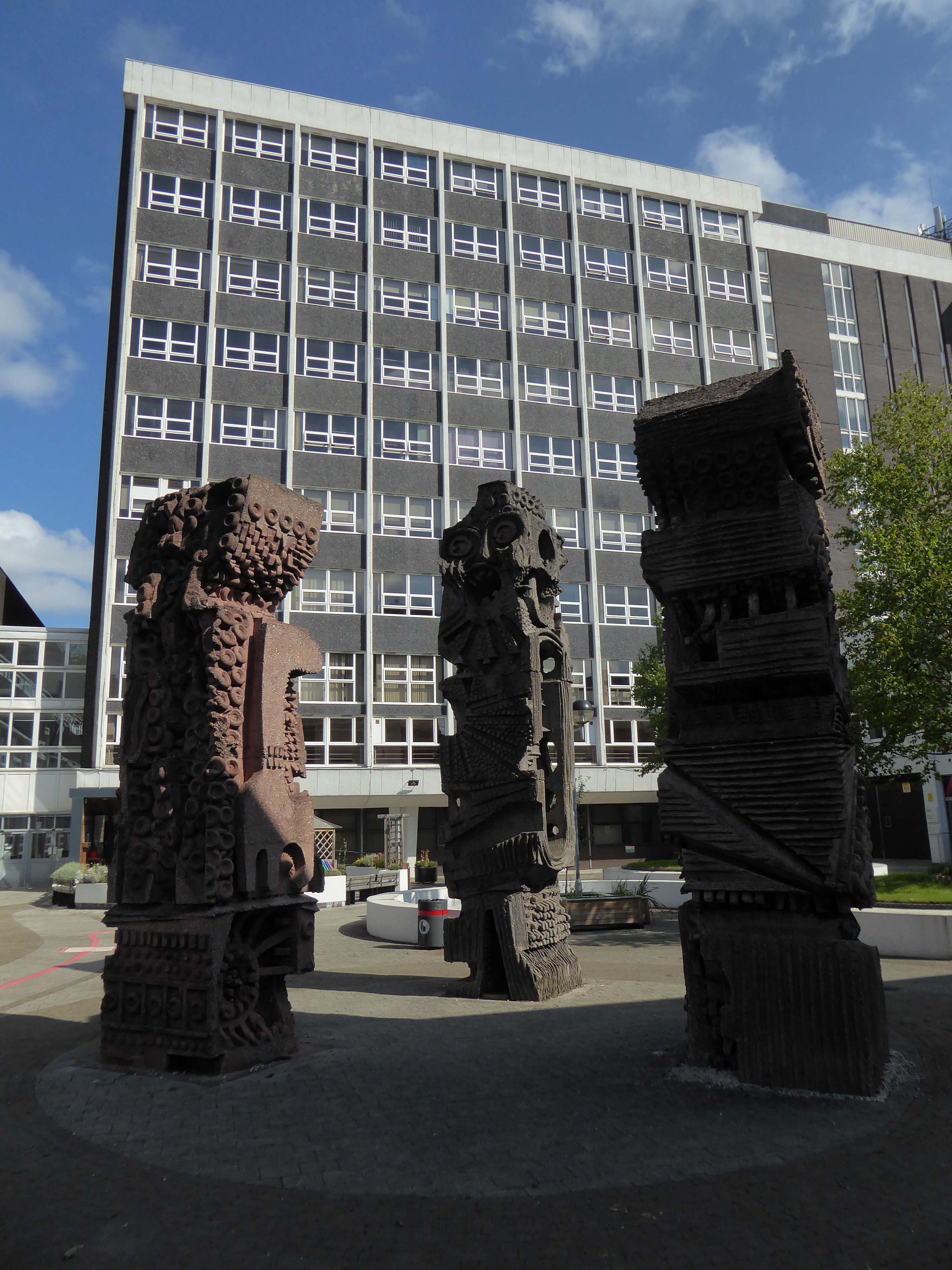
A ways down the road the former Salford Technical College.
Now the part of the University of Salford, this grouping is probably the most significant work by Halliday Meecham during this period. The blocks wrap to almost enclose a courtyard and they step up in height towards the rear of the site. To the front is a lecture theatre block in dark brick. The multi-storey elements are straightforward in their construction and appearance and have had their glazing replaced. Perhaps the richest elements here are the three totemic structures by artist William Mitchell, which were listed at Grade II in 2011. Mitchell was actively engaged with the experiments of the Cement and Concrete Associations during the 1960s and produced a wide variety of works for public and private clients; other works regionally include the majority of the external art and friezes at Liverpool Metropolitan Cathedral and the Humanities Building at Manchester University. These textured concrete monoliths appear to have an abstract representation of Mayan patterns and carry applied mosaic. They were made on site using polyurethane moulds. There is another Mitchell work hidden behind plasterboard in the inside of the building.
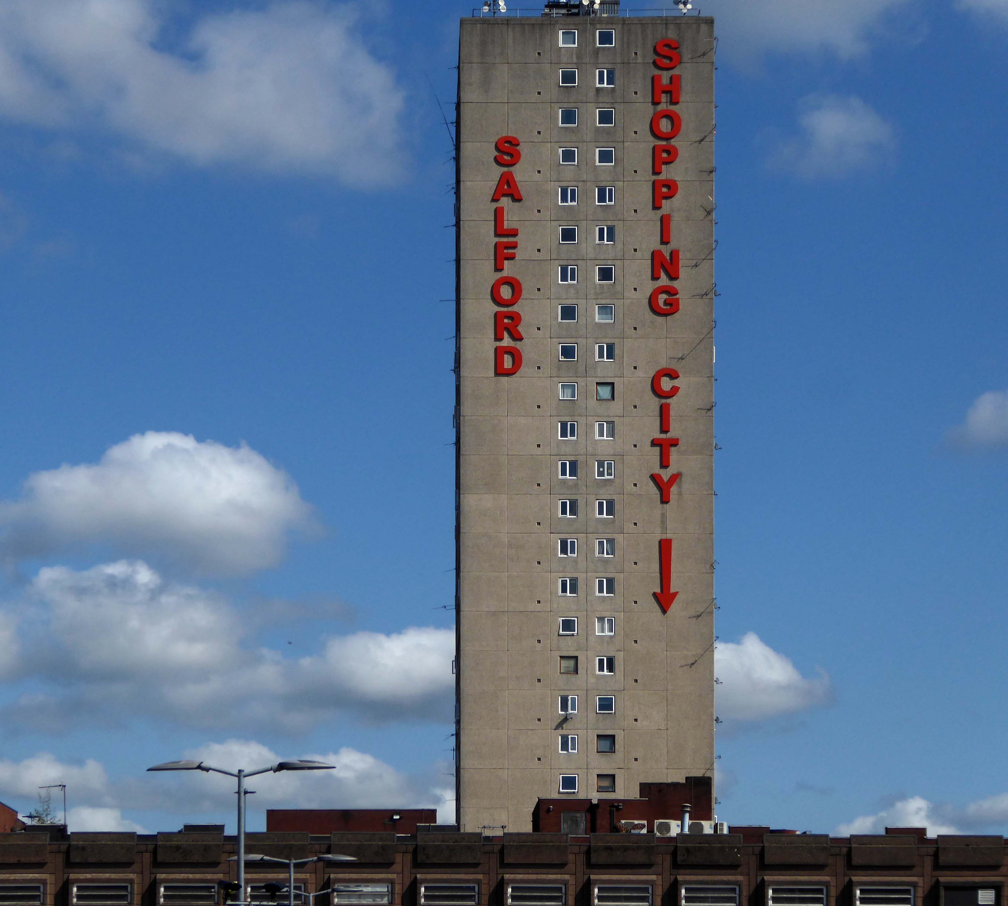
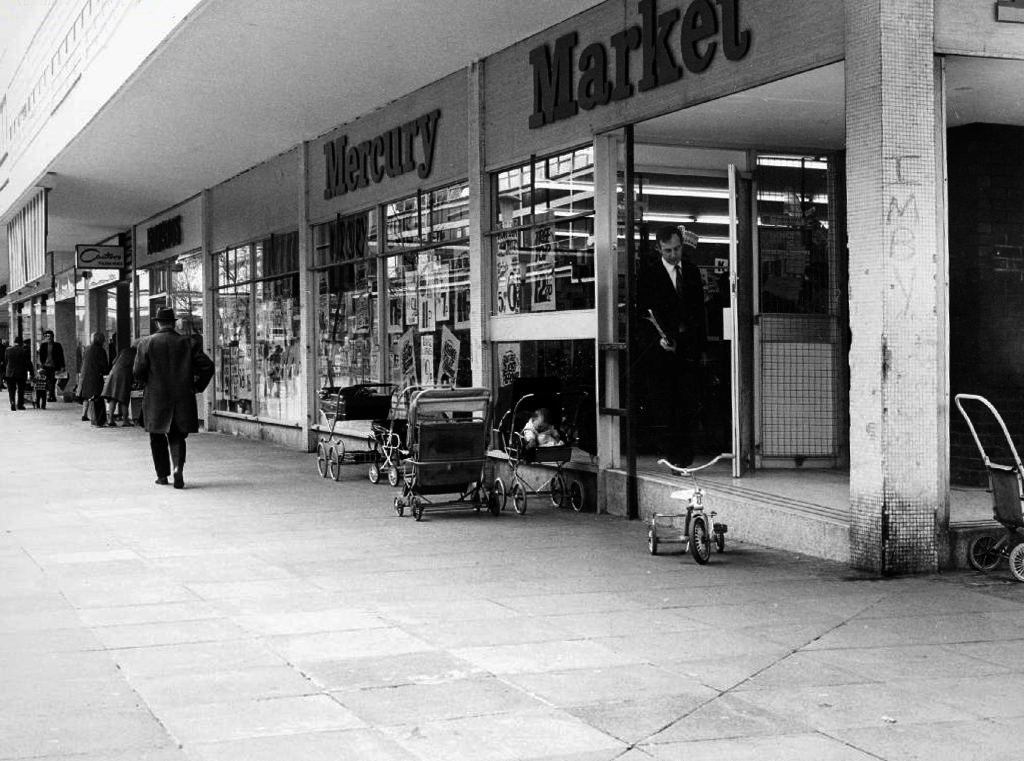
April 1965 saw the Salford City Reporter proudly boast in an article that
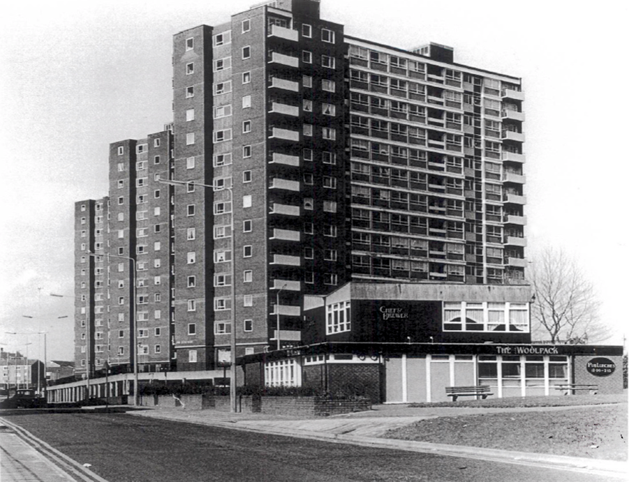
The Ellor Street dream begins to come true – complete with interviews with residents of the newly constructed Walter Greenwood, Eddie Colman and John Lester Courts all which towered some 120 feet above the Hanky Park skyline.
These particular blocks of flats were of special significance because their completion was the end of the first stage of the Ellor Street redevelopment scheme which was to provide 3,000 new homes, the £10 million pound Salford Shopping Precinct and a new civic centre – which never got built – making this A Salford of the Space Age.
The tower blocks are now clad and the site a construction base for cladders.
Full details of Salford’s complex and extensive redevelopment can be found here at Tower Block.
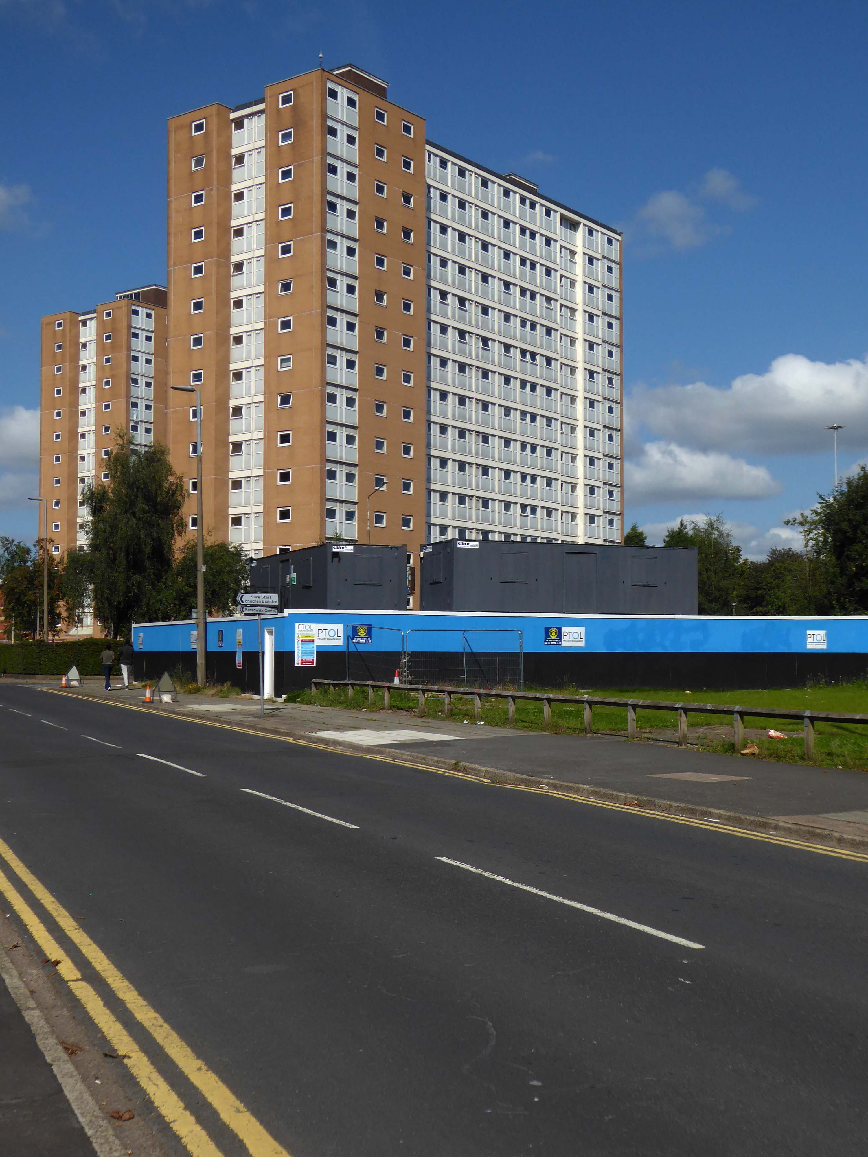
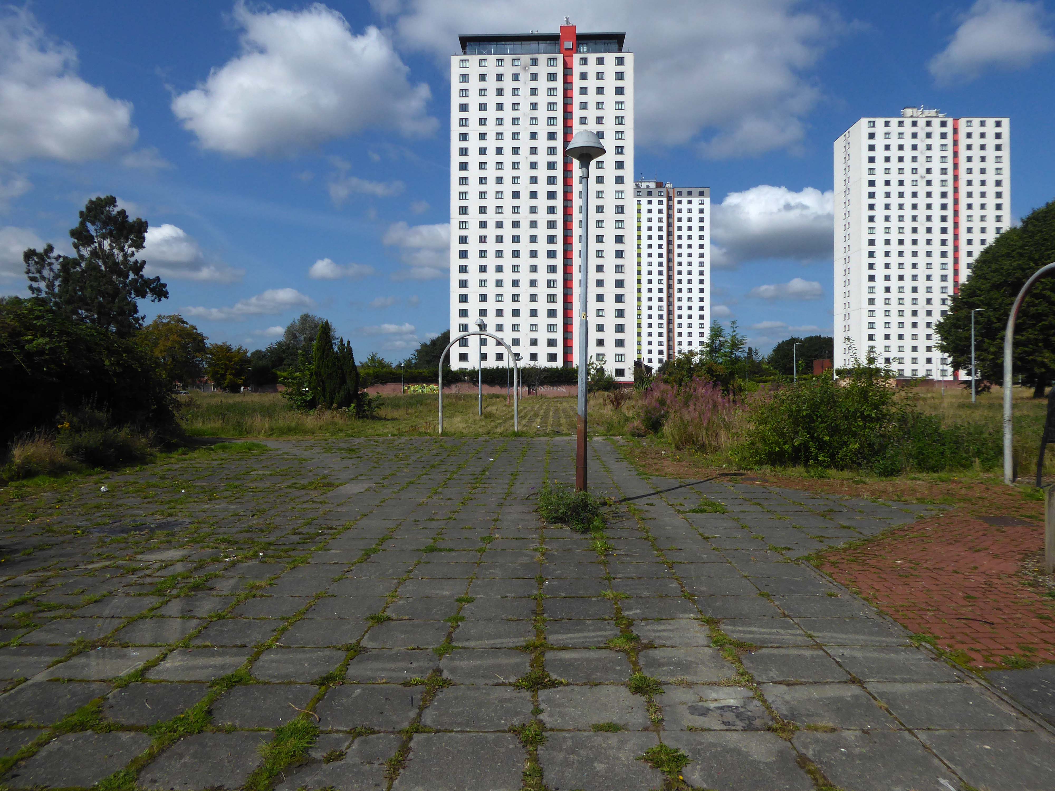
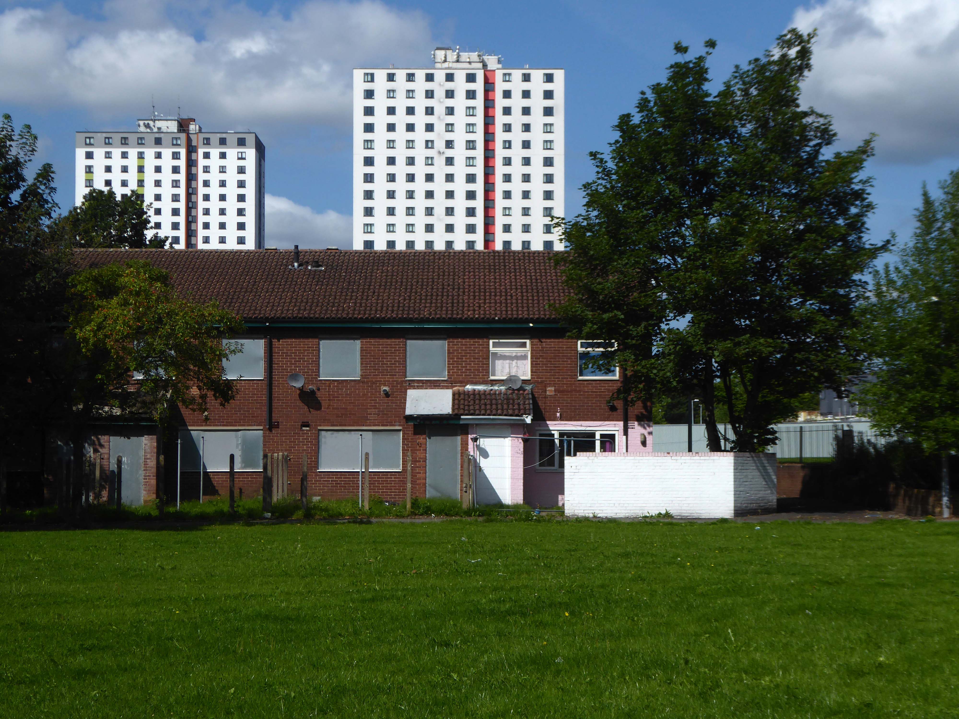
Walter Greenwood Court was demolished in 2000/2001, whilst Eddie Colman and John Lester Court are now student accomodation for the nearby Salford University.
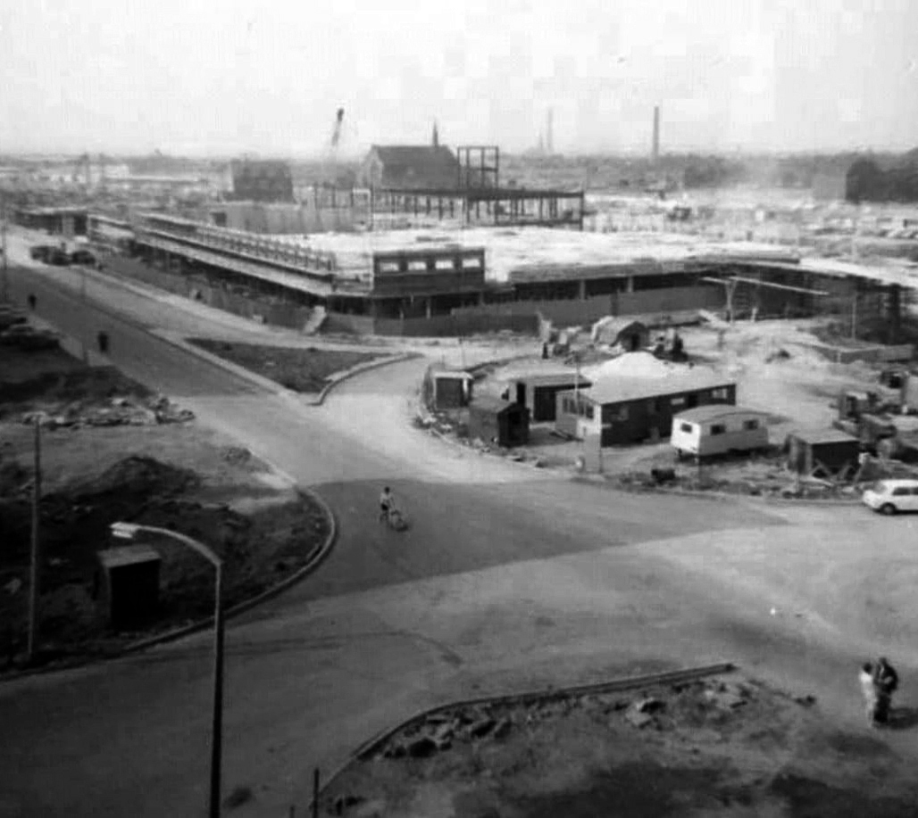
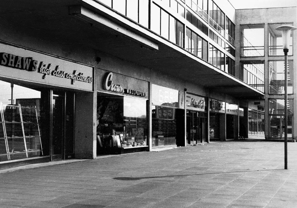
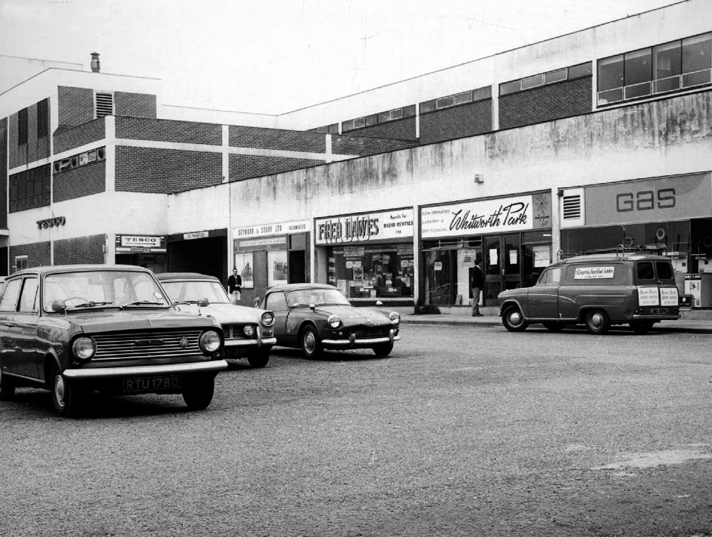
The construction of the shopping centre and surrounding areas continued and on 21 May 1970 the new Salford Market officially opened. From 1971 onwards new shops inside the precinct itself began to open.
However, due to a lack of funds and a political scandal which saw chairman Albert Jones jailed for eight months construction of Salford Precinct was halted. The site had only 95 shop units compared to the proposed 260, the hotel and two storey car park were never built.
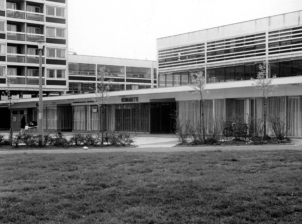
The architectural core of the site has been retained, including the 23 storey Briar Court residential tower.
Tucked in behind is Mother of God and St James RC Church.
Clearances took place from the middle of the twentieth century and new high-rise housing blocks were built, as well as a shopping centre.
There was a Catholic presence in the area from 1854, when schools were built. What was described in The Tablet as a beautiful church, an Early English Gothic design by M. Tijou – presumably Herbert Tijou, architect of the chapel to Loreto College, Manchester, was opened by Cardinal Manning, Archbishop of Westminster in 1875.
One hundred years later this church was demolished and replaced by the present building.
The architects were Desmond Williams & Associates, the design bearing some similarity to their St Sebastian, Salford. In 2010 the church of All Souls, Weaste, was closed, and the marble sanctuary furnishings brought to the church.
Description
All orientations given are liturgical. The church is steel framed with brick walls and a monopitch roof (originally covered with copper, now with felt). Bold brick forms create a presence, and the design is somewhat defensive, with few windows. The building is entered from a lower porch which forms a narthex. The slope of the roof and the stepped clerestory lighting create a striking impression inside, and full-height windows towards the east end incorporate stained glass figures said to have originated in the previous church. Marble sanctuary furnishings are presumably those from the church in Weaste and appear to be of later twentieth century date, while the font is of traditional type with a clustered stem and may have come from the earlier church.
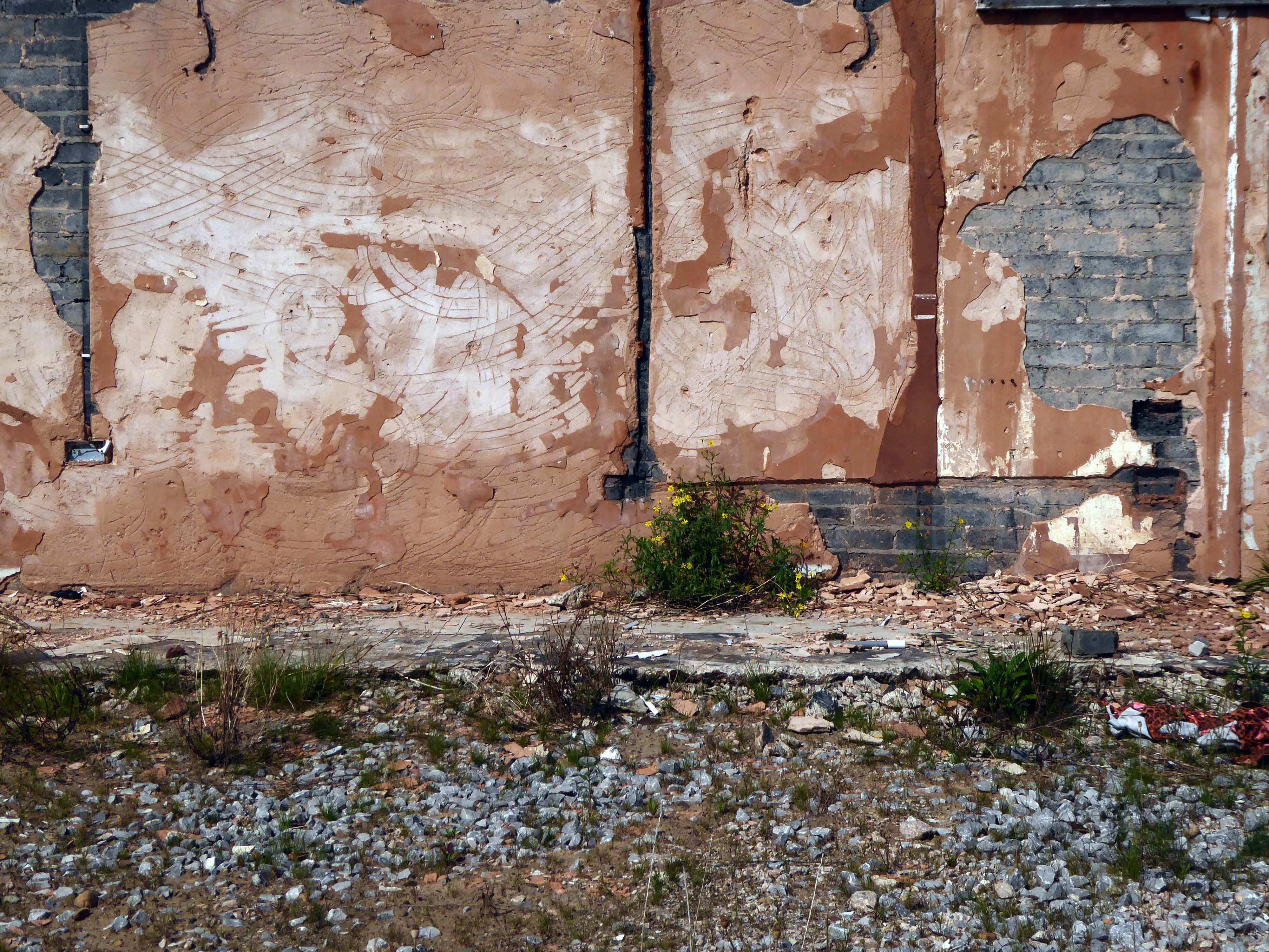
Returning to The Crescent the High Street Estateis all but demolished, save for one resident and their row.
This is an area which has seen a succession of clearances, redevelopment and shifts in demographics during a relatively short and intense period of change.
That process of change continues to hastily unfold.
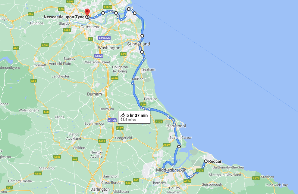
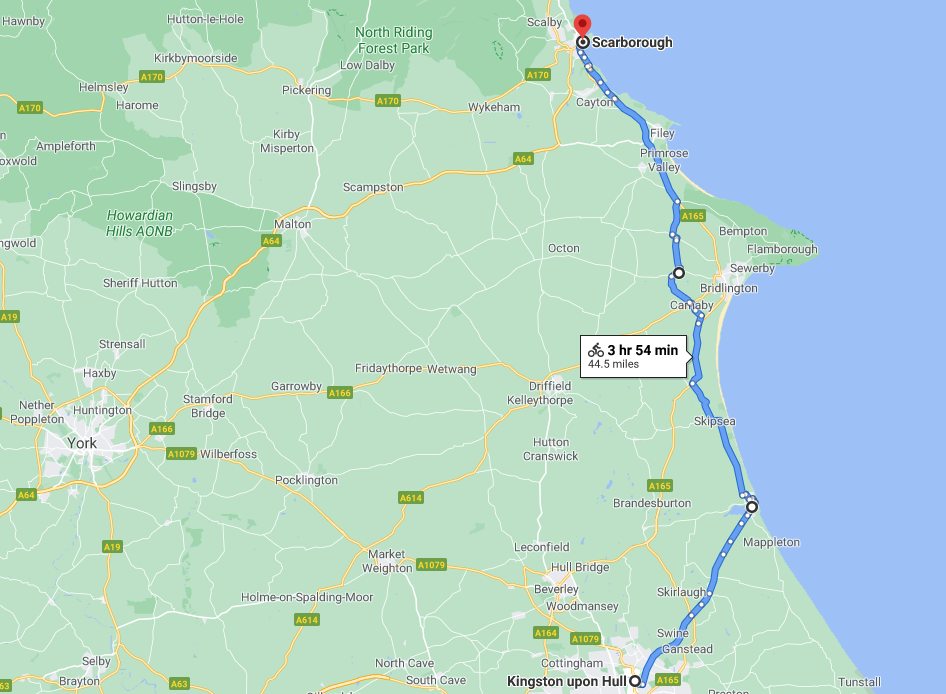
An early start on another sunny day, cycling along long straight roads out of town, towards Middlesborough.
Having previously visited Hull and Scarborough and all points in between.
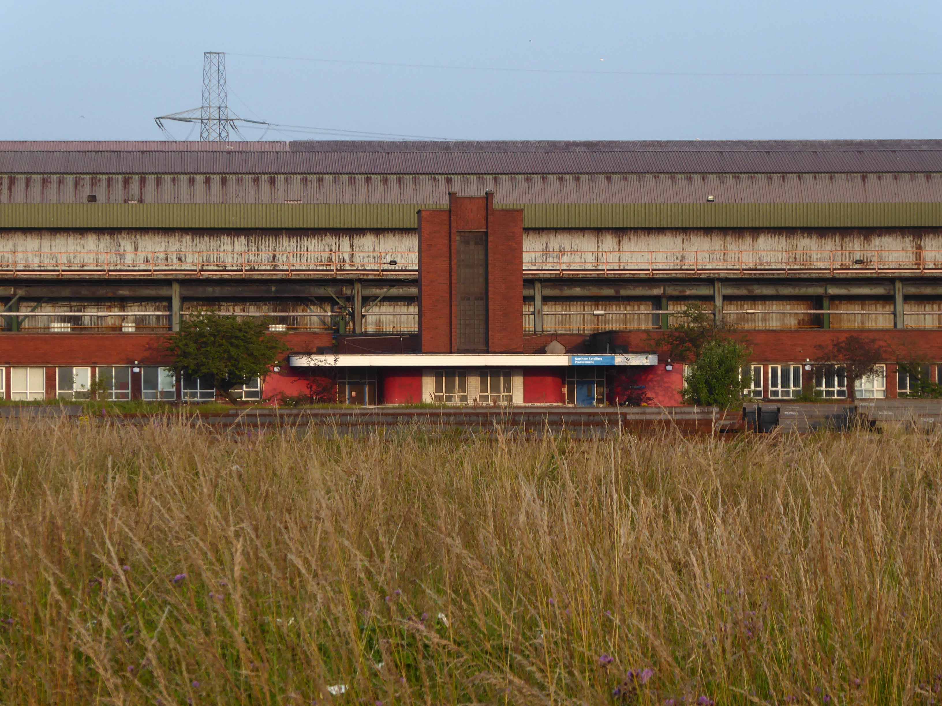
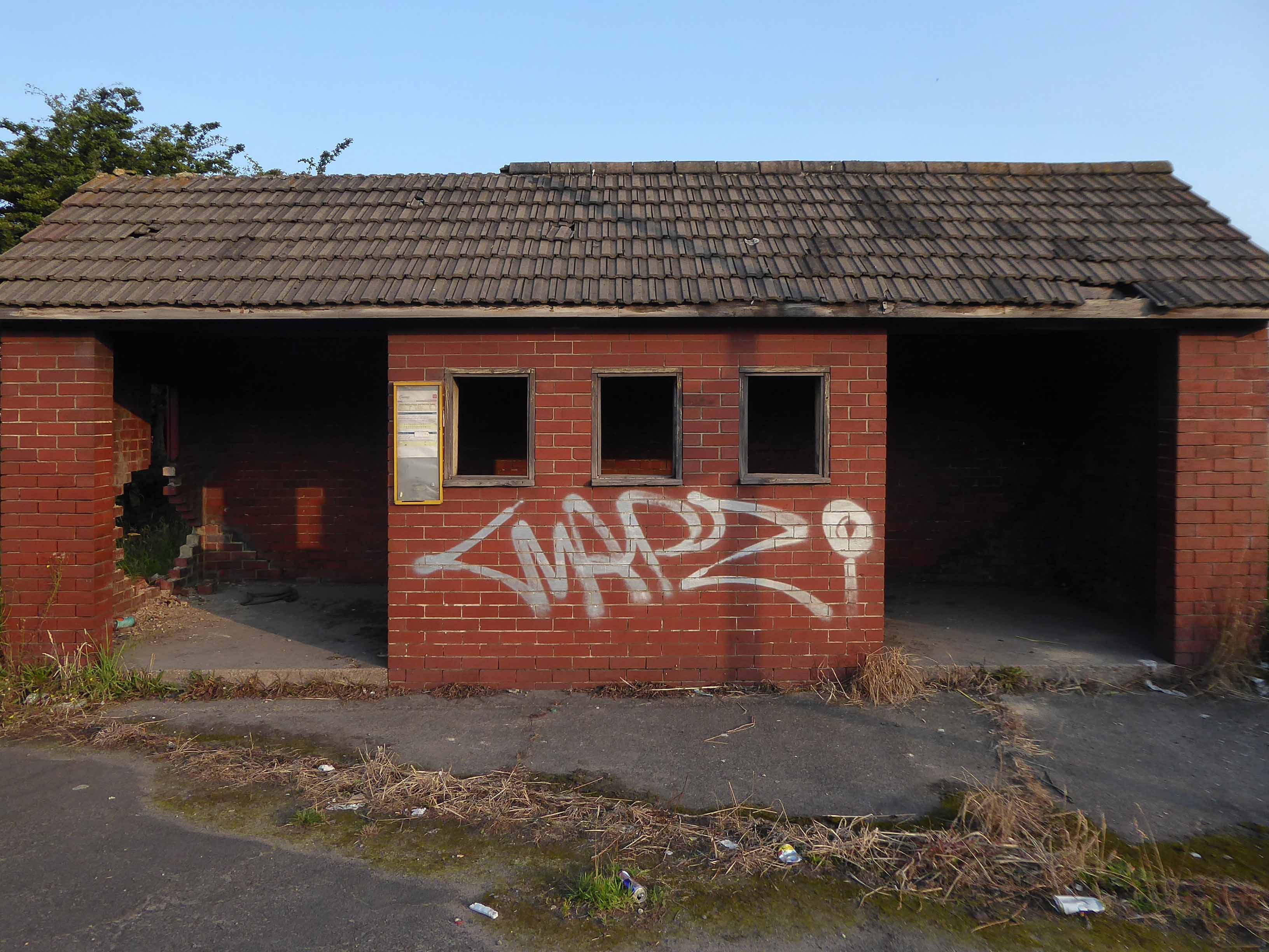
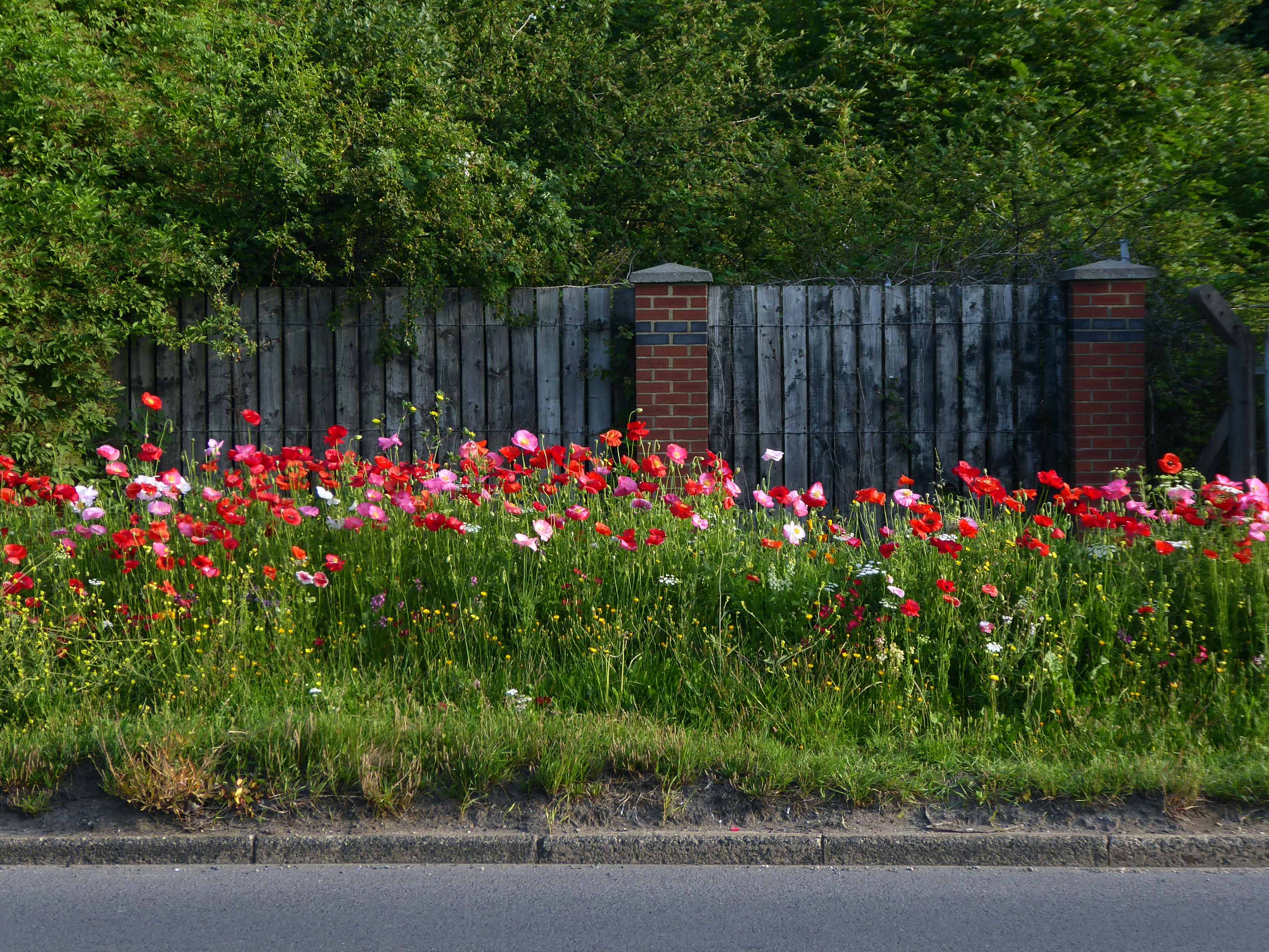
Slowly passing sleepy factories and desolate bus shelters.
Bunker like social clubs and flower lined roads.
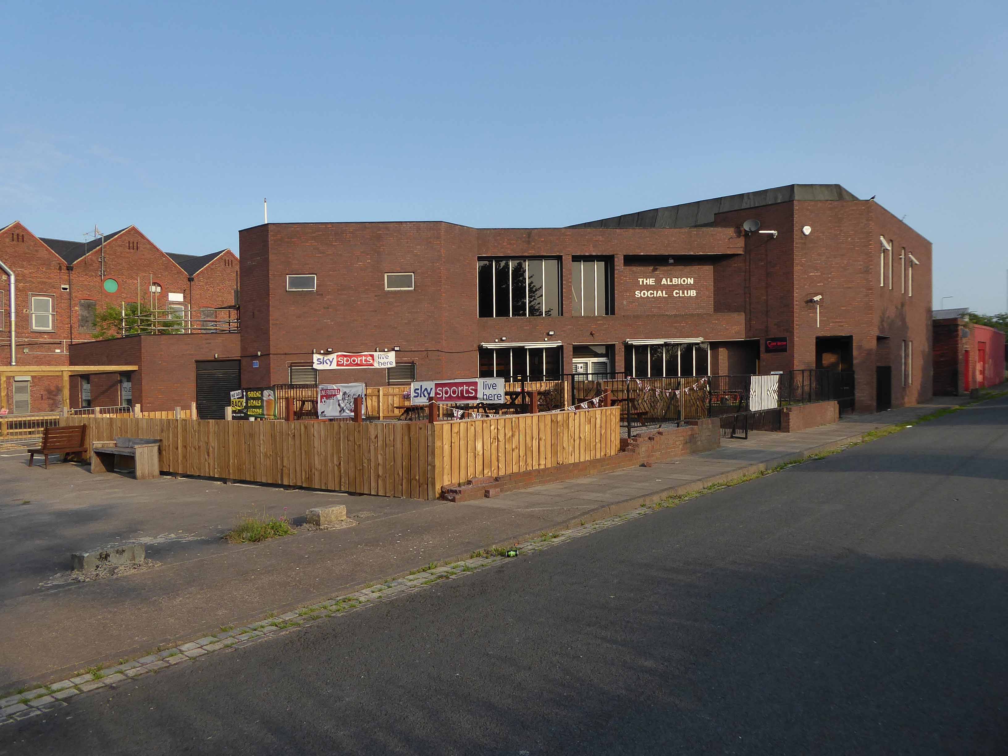
The Albion club in South Bank has stood empty for the last three years.
Now local lad Mark Trainor has the keys – and says opening the doors to the club his own family frequented for years will be a dream come true.
He’s planning to cater for everyone, he says, and it won’t just be all about drinking.
Parents will be able to call in for a coffee after dropping the kids at school, there will be pool nights and Mark’s personal favourite – Pie Day Fridays.
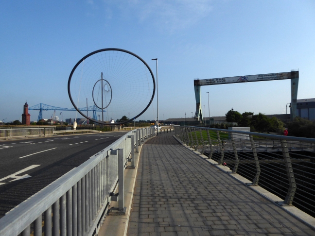
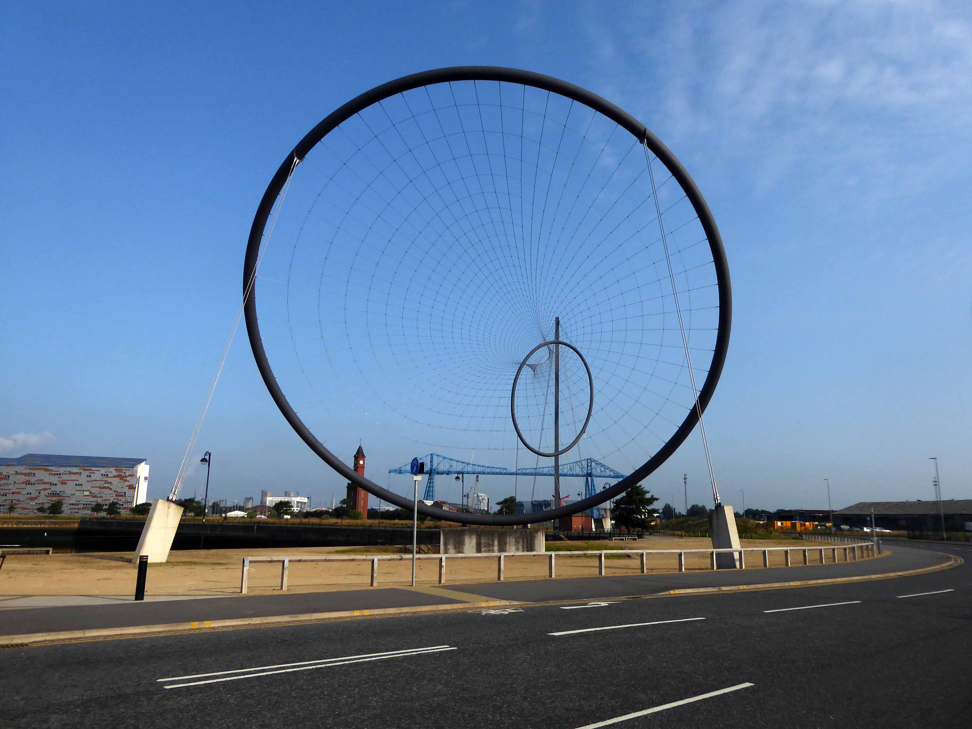
Temenos is a Greek word meaning land cut off and assigned as a sanctuary or holy area.
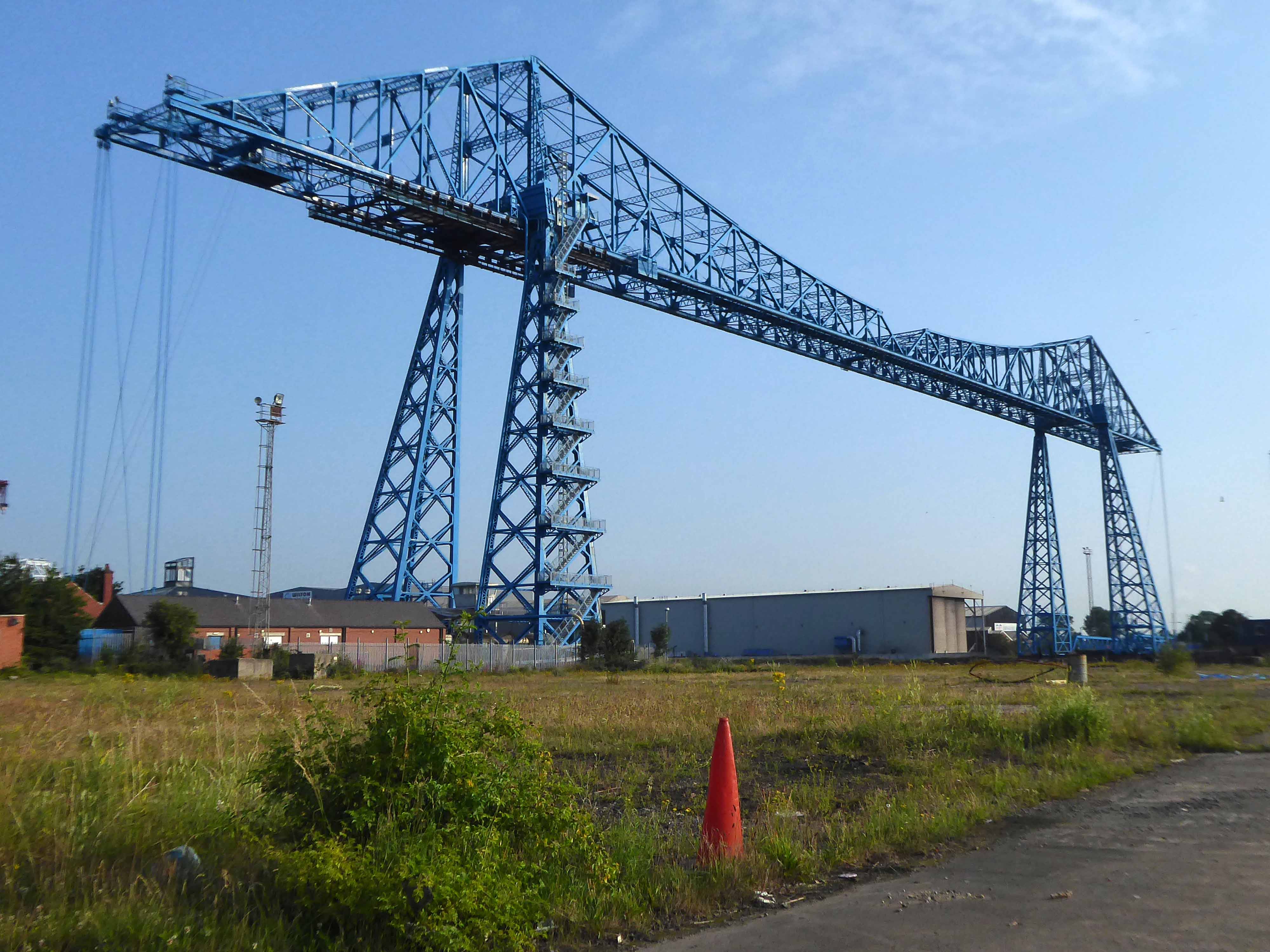
Following a 1907 Act of Parliament the bridge was built at a cost of £68,026 6s 8d by Sir William Arrol & Co. of Glasgow between 1910 and 1911 to replace the Hugh Bell and Erimus steam ferry services. A transporter bridge was chosen because Parliament ruled that the new scheme of crossing the river had to avoid affecting the river navigation.
The opening ceremony on 17 October 1911 was performed by Prince Arthur of Connaught, at its opening the bridge was painted red.
In 1961 the bridge was painted blue.
In 1974, the comedy actor Terry Scott, travelling between his hotel in Middlesbrough and a performance at the Billingham Forum, mistook the bridge for a regular toll crossing and drove his Jaguar off the end of the roadway, landing in the safety netting beneath.
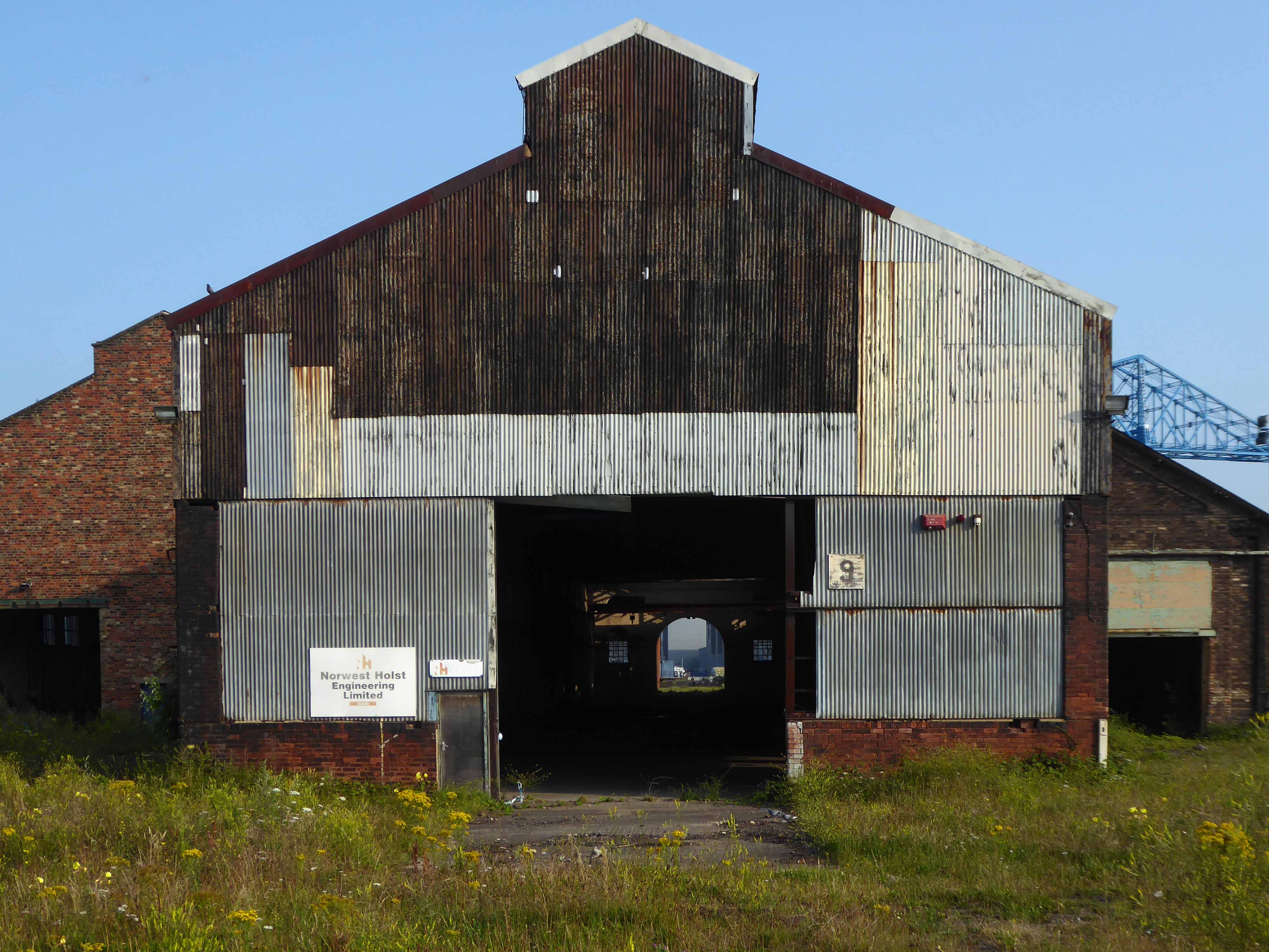
The cycle track followed the river, which sports a fine array of industrial architecture.
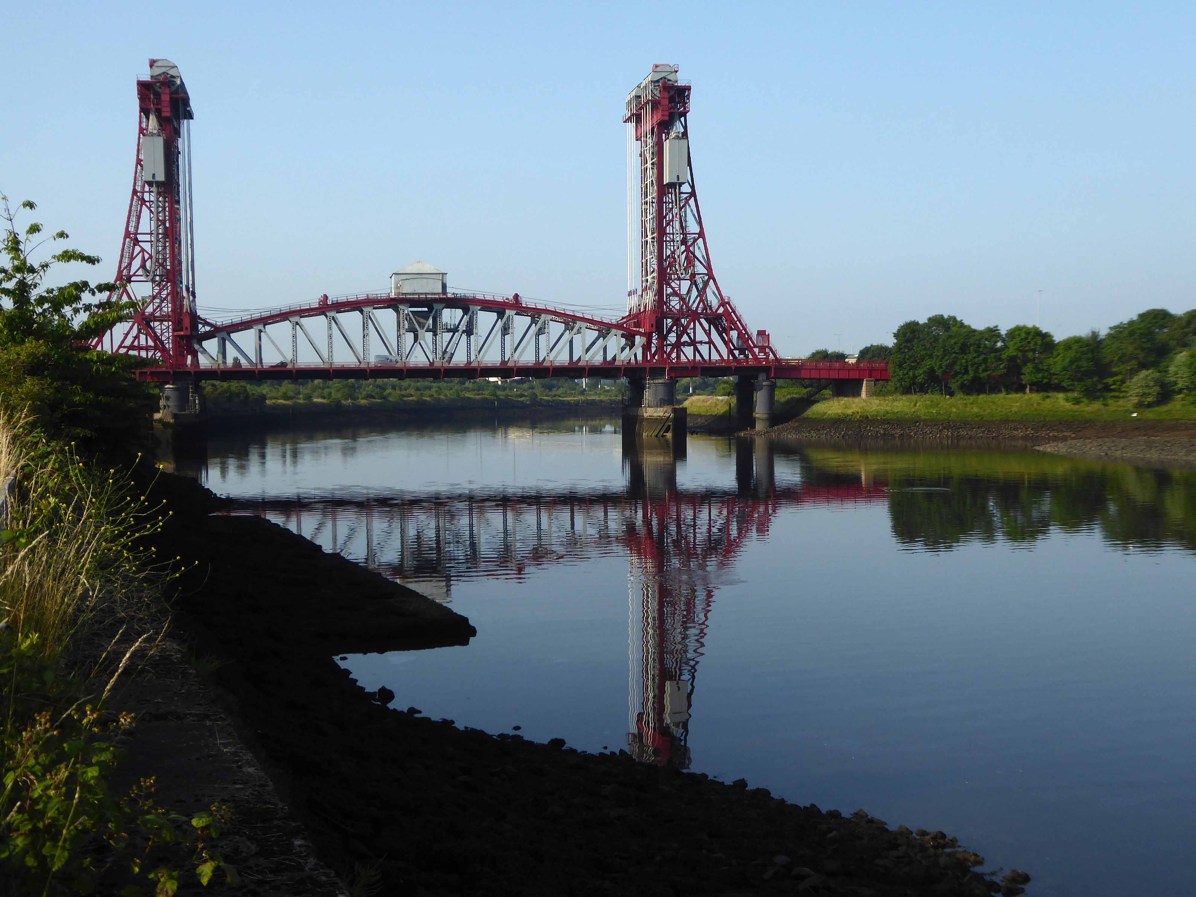
Tees Newport Bridge designed by Mott, Hay and Anderson and built by local company Dorman Long who have also been responsible for such structures as the Tyne Bridge and Sydney Harbour Bridge, it was the first large vertical-lift bridge in Britain.
In a slightly more upbeat mode St James the Apostle Owton Manor.
I convinced myself that this building on Station Road Seaton Carew was a former pub, I discovered following consultation with the local studies offices, that it was in fact a former children’s home destined to become a doctors.
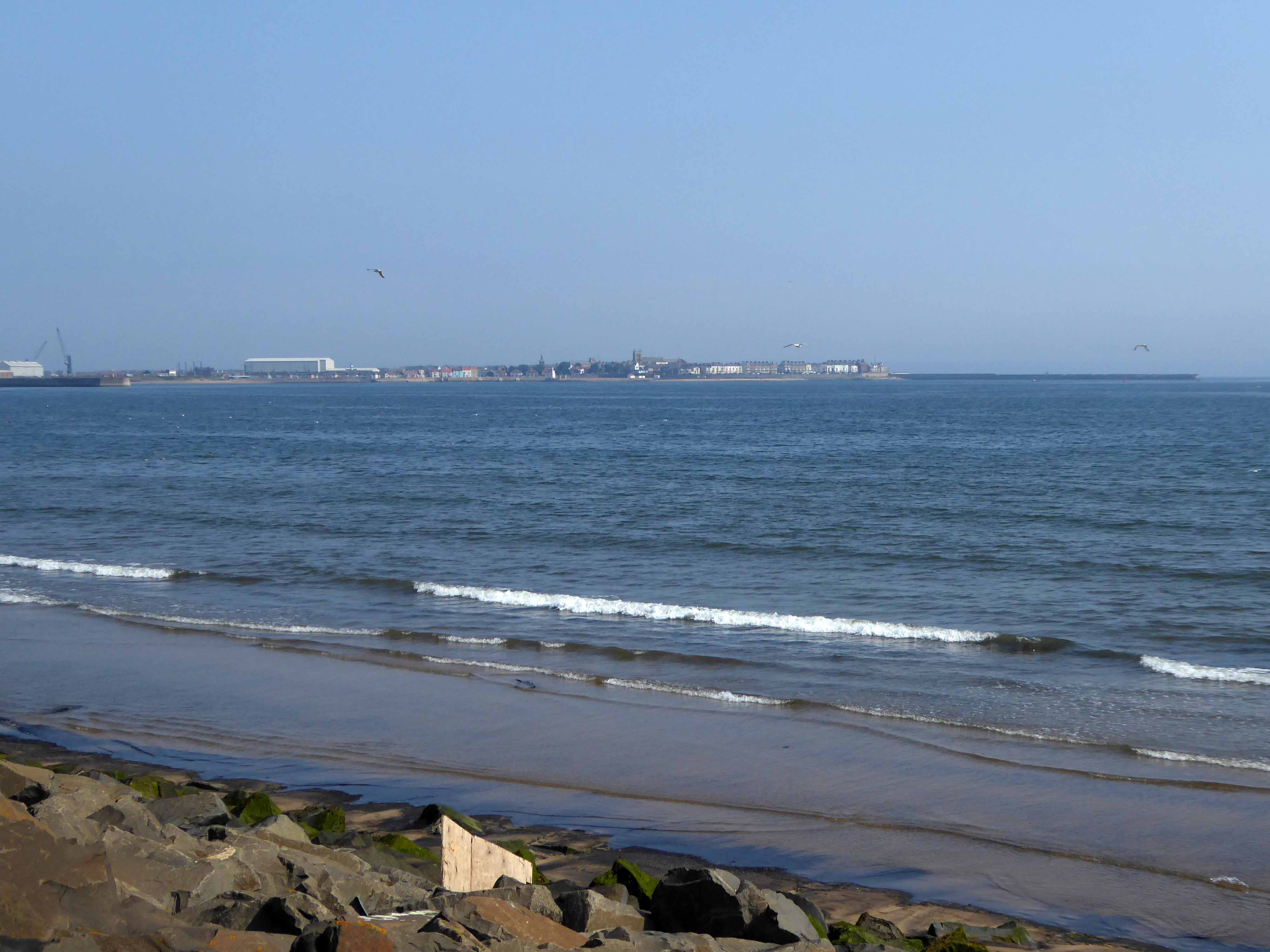
I found myself looking back across the estuary to Redcar.
Northward toward Hartlepool.
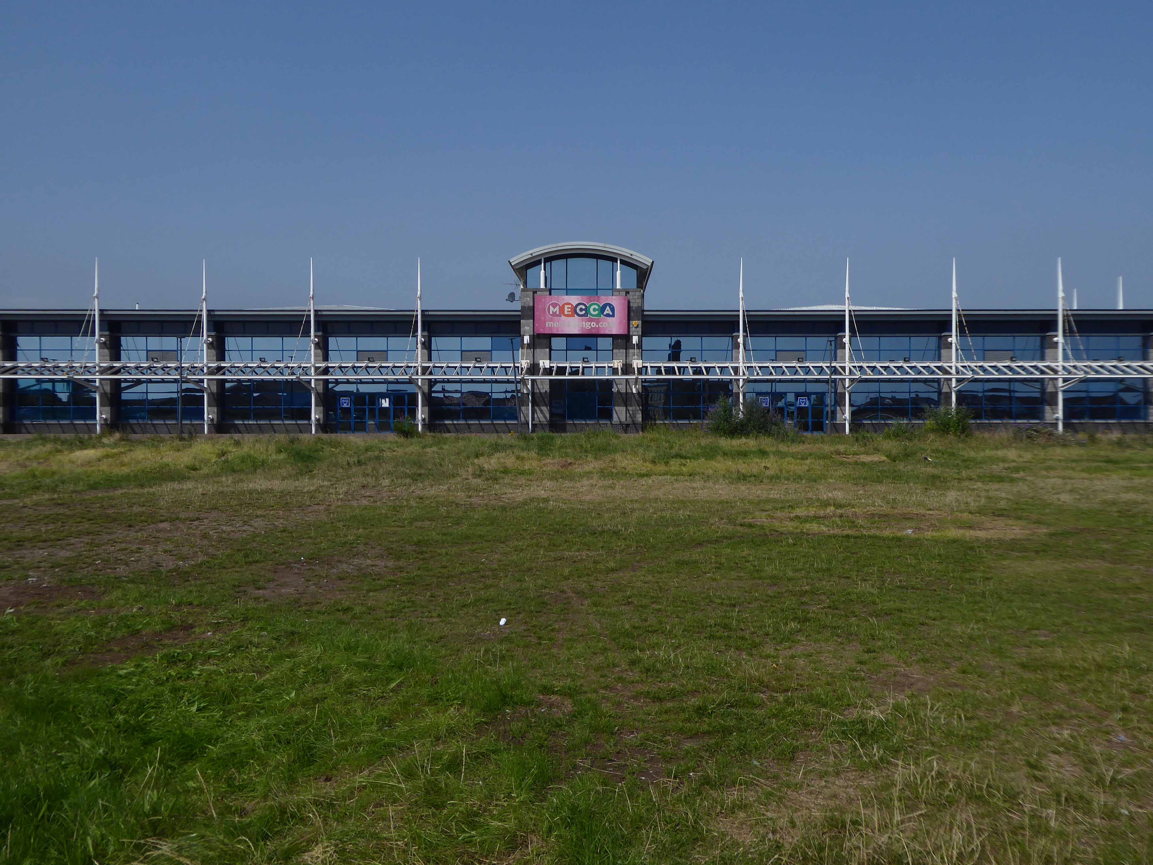
Where the bingo was closed and the circus had left town.
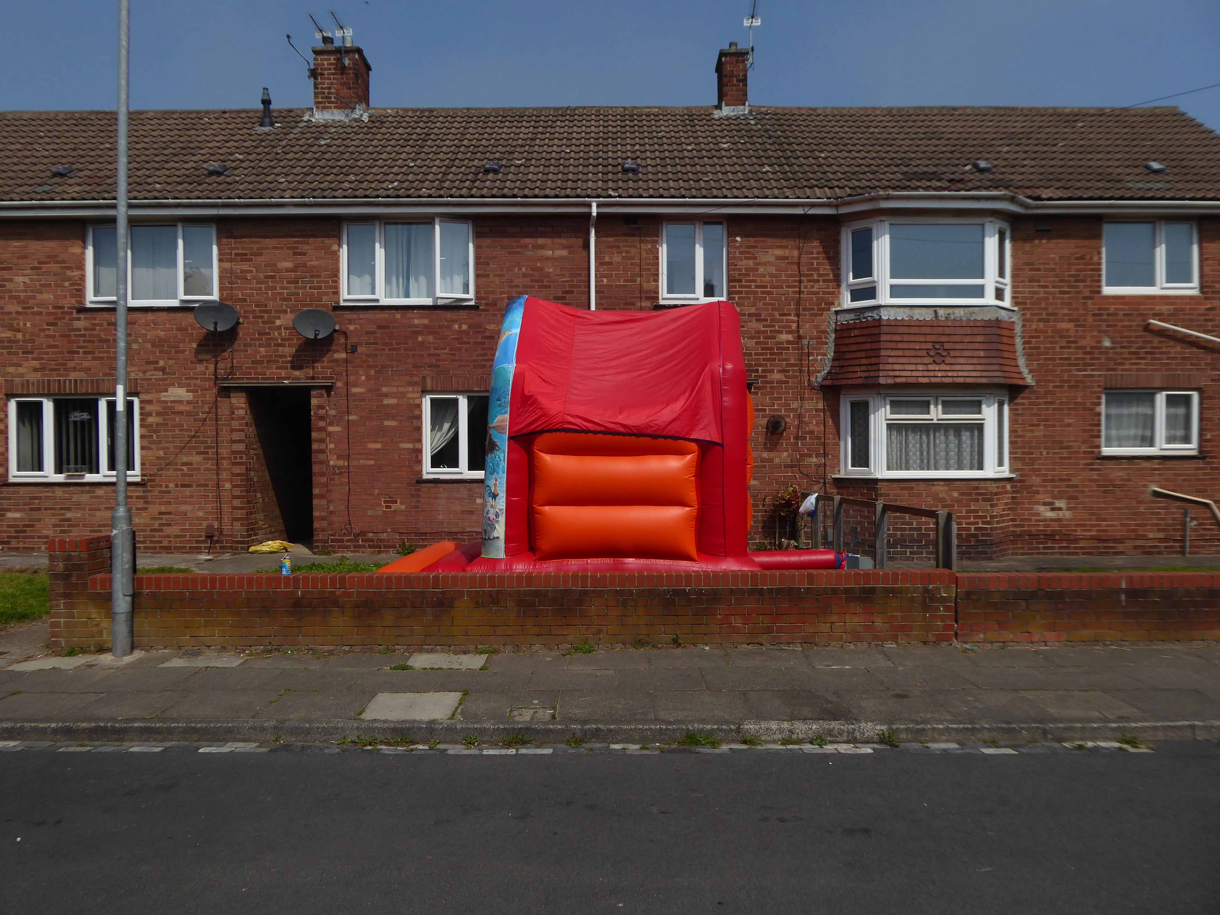
Every Englishman’s home is a bouncy castle.
St John Vianneylocated on King Oswy Drive West View Estate.
Architect: Crawford & Spencer Middlesbrough 1961.
A large post-war church built to serve a housing estate, economically built and with a functional interior. The campanile is a local landmark.
The parish of St John Vianney was created in 1959 to serve the growing West View Estate, on the north side of Hartlepool. The church was opened by Bishop Cunningham on 4 April 1961. The presbytery was built at the same time.
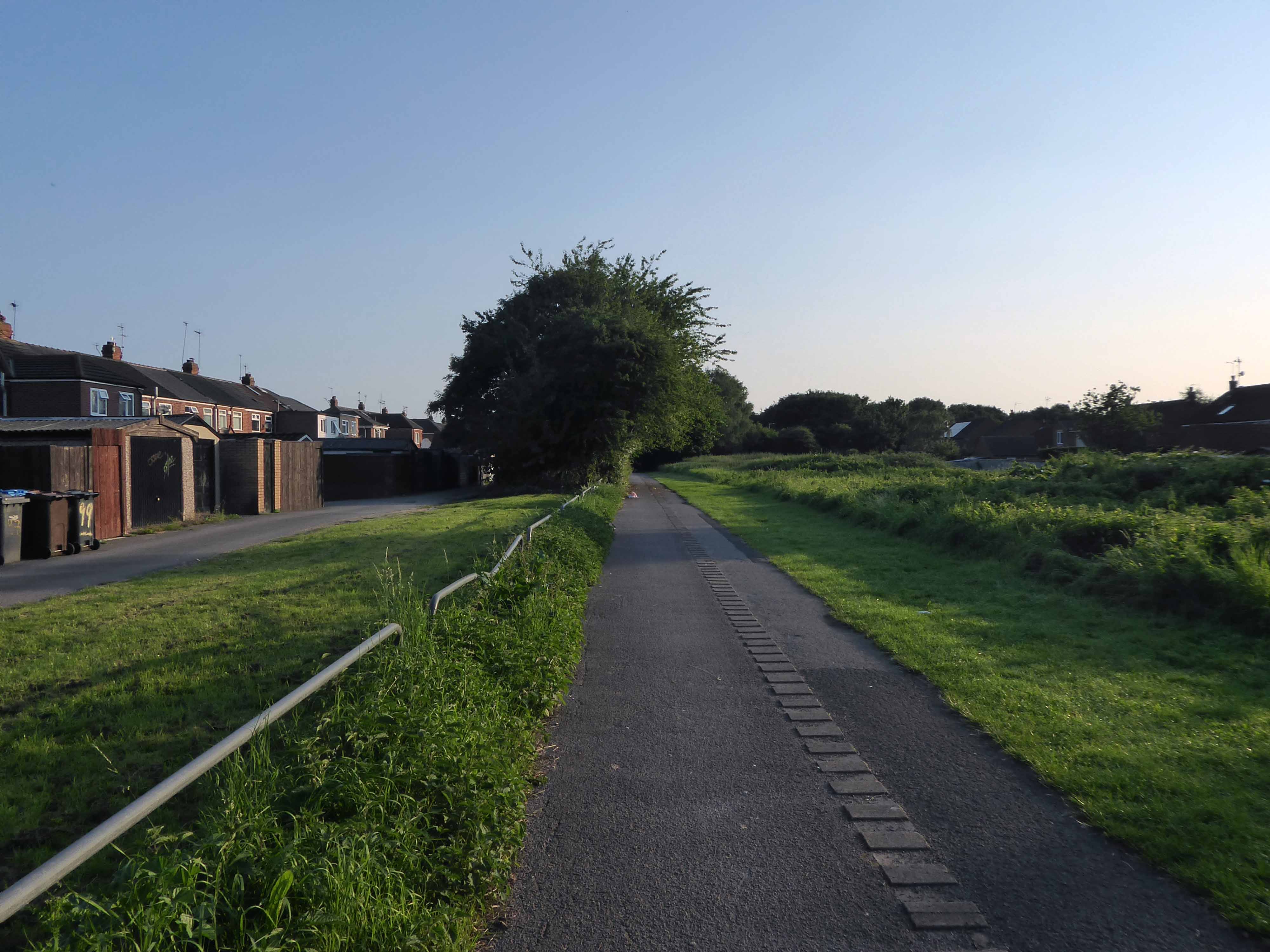
I found myself on yet another former railway line.
The Cycleway was once a railway line designed by George Stephenson to take coal from the Durham coal fields to the docks in Hartlepool, where the coal was then distributed throughout the world.
Seeking assistance from a passing cyclist I negotiated a safe passage to Sunderland.
The Sunderland Synagogue is a former synagogue building in Sunderland, England. The synagogue, on Ryhope Road, was designed by architect Marcus Kenneth Glass and completed in 1928. It is the last surviving synagogue to be designed by Glass.
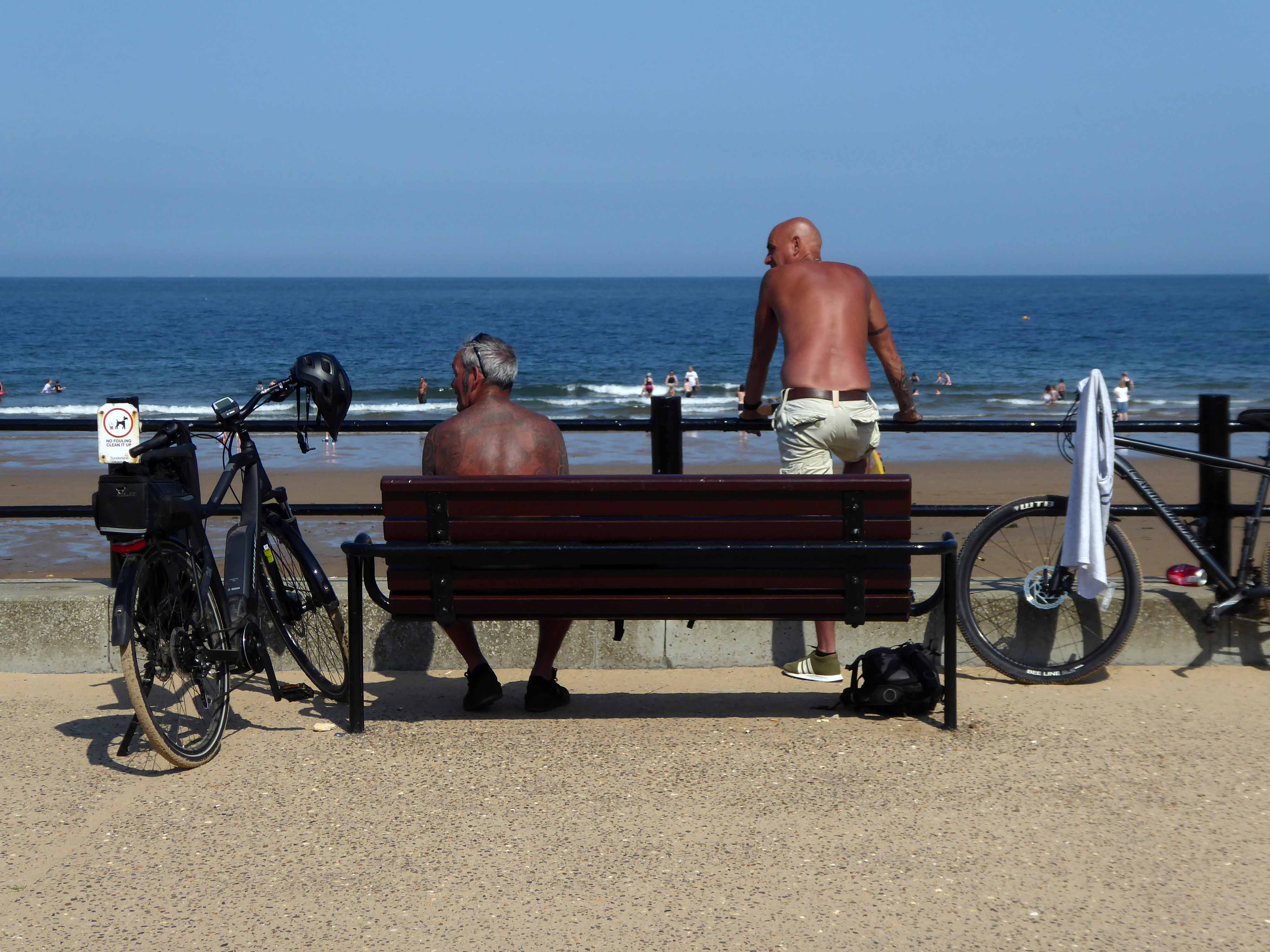
I took a right and arrived in Roker, where I saw these well tanned and tattooed cyclists taking a rest.
Pressed on, largely alongside the coast to South Shields.
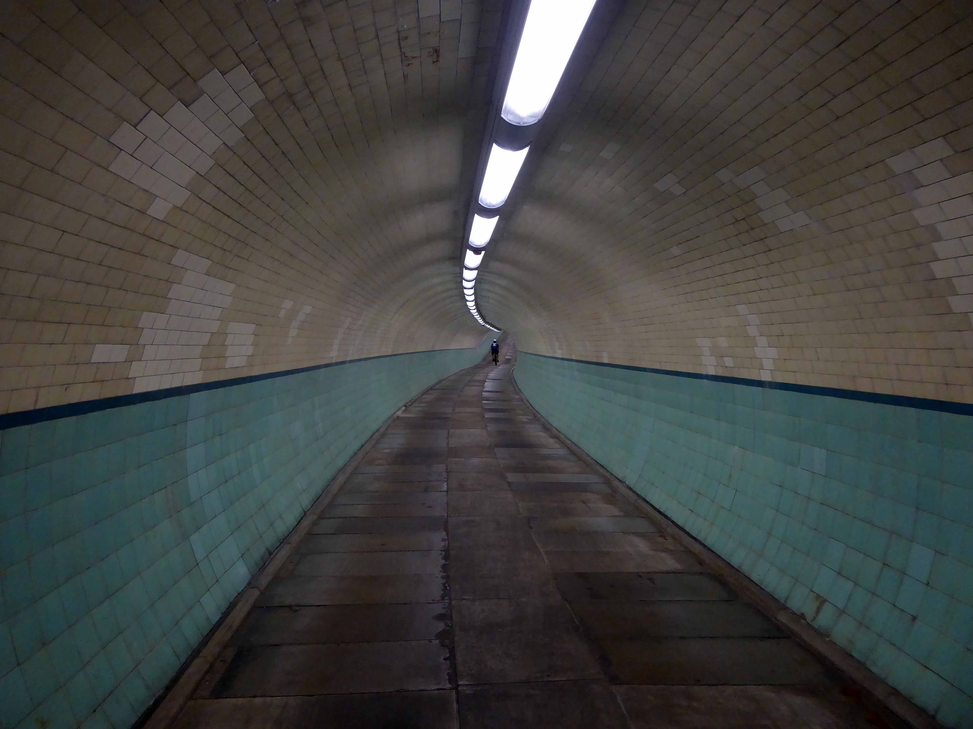
Under advisement from a jolly passing jogger I took the Tyne Pedestrian Tunnel.
Tyne Cyclist and Pedestrian Tunnel was Britain’s first purpose-built cycling tunnel. It runs under the River Tyne between Howdon and Jarrow, and was opened in 1951, heralded as a contribution to the Festival of Britain.
The first leg of my journey northwards to Berwick, many thanks to all those kind souls who filled my water bottle, directed, redirected and misdirected me along my merry way.
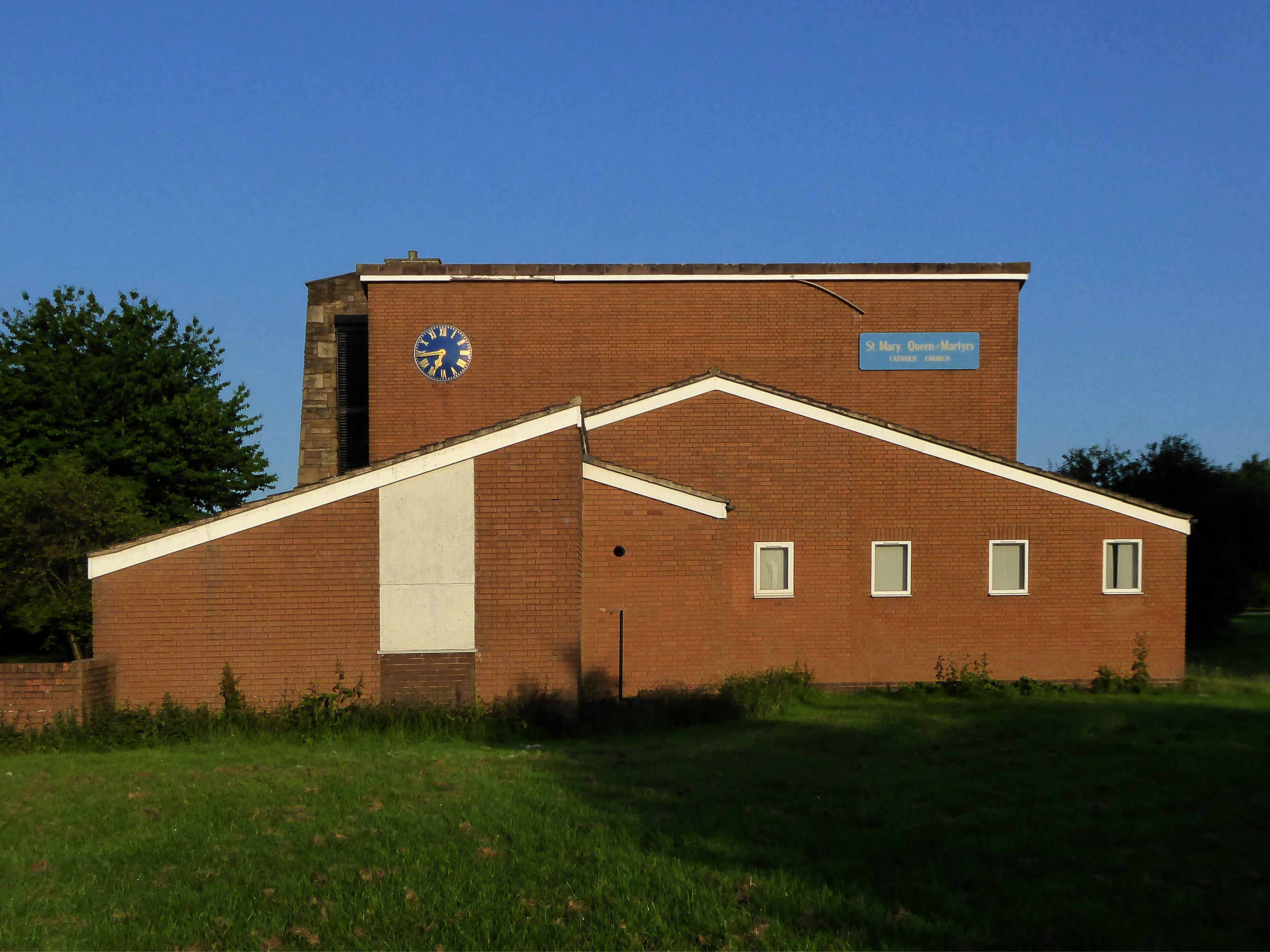
Good fortune however had pointed me in the direction of this functional yet charming brick built church, on the edge of a huge roundabout – St Mary Queen of Martyrs RC in Bransholme.
The new St Mary Queen of Martyrs church was built at Bransholme in 1976-7 and the old St Mary’s church closed and demolished in 1982.
Architect for the new church was JT Reid of The Reid Partnership – Pontefract.
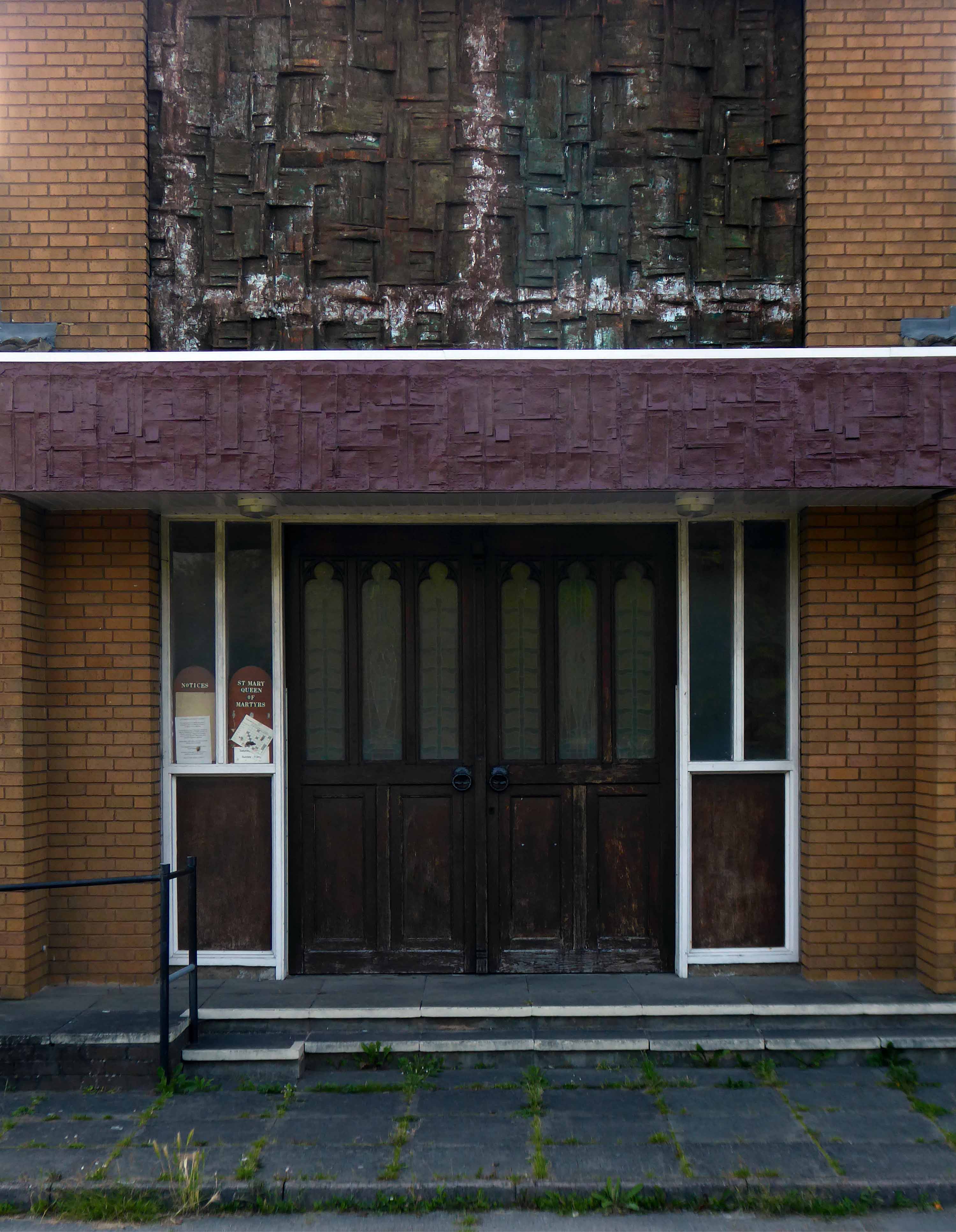
The entrance graced by these textured fascias.
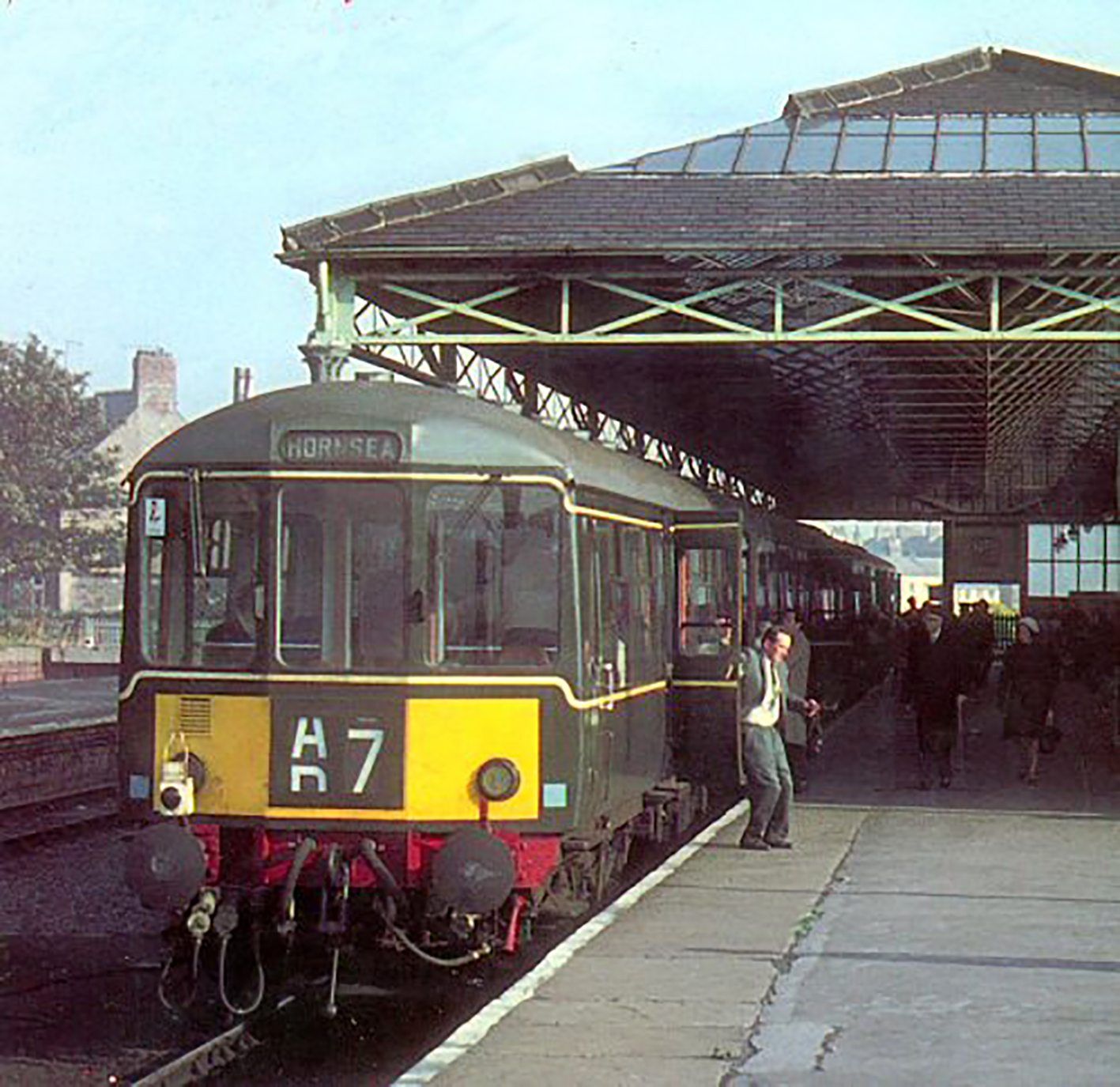
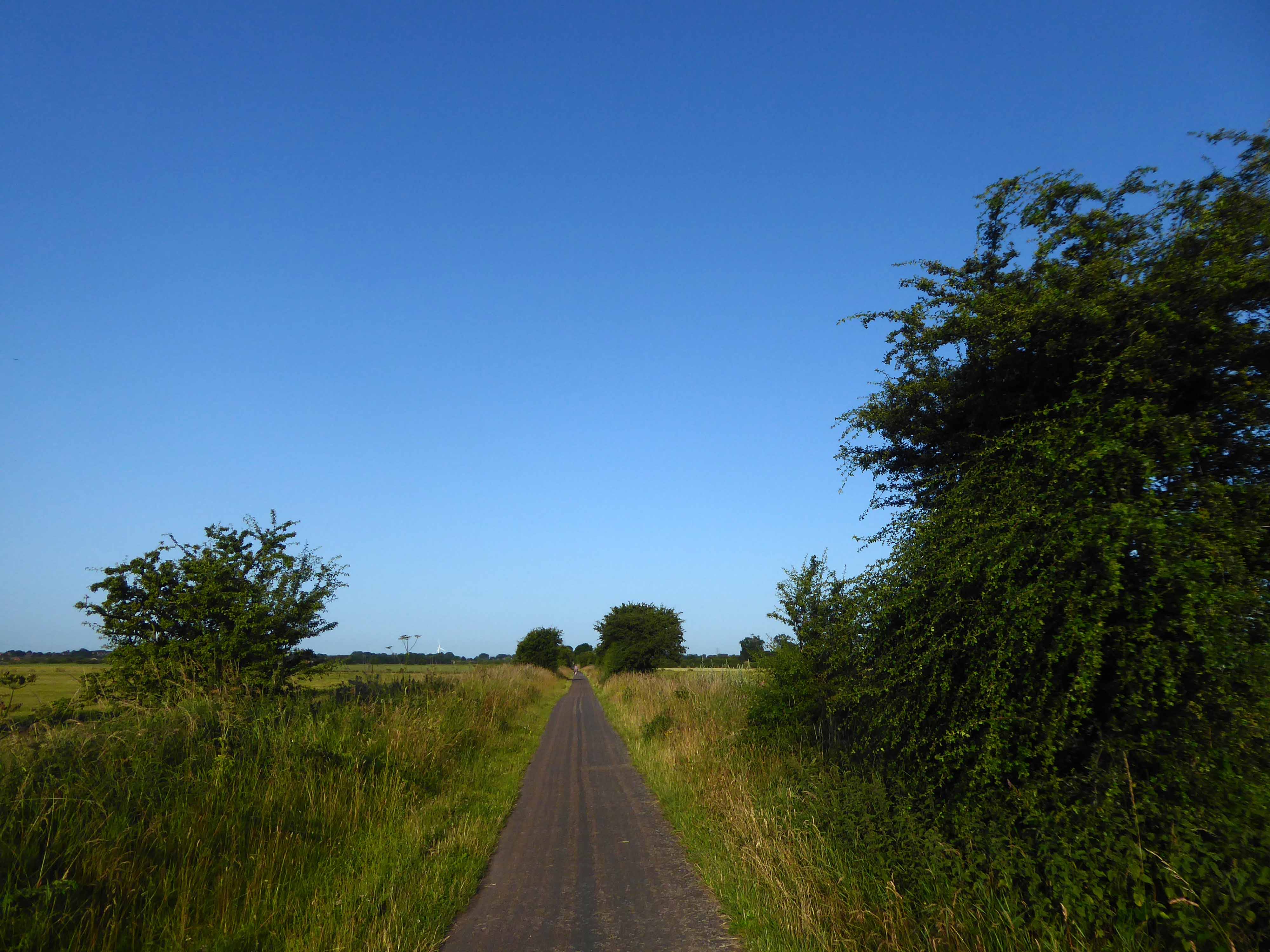
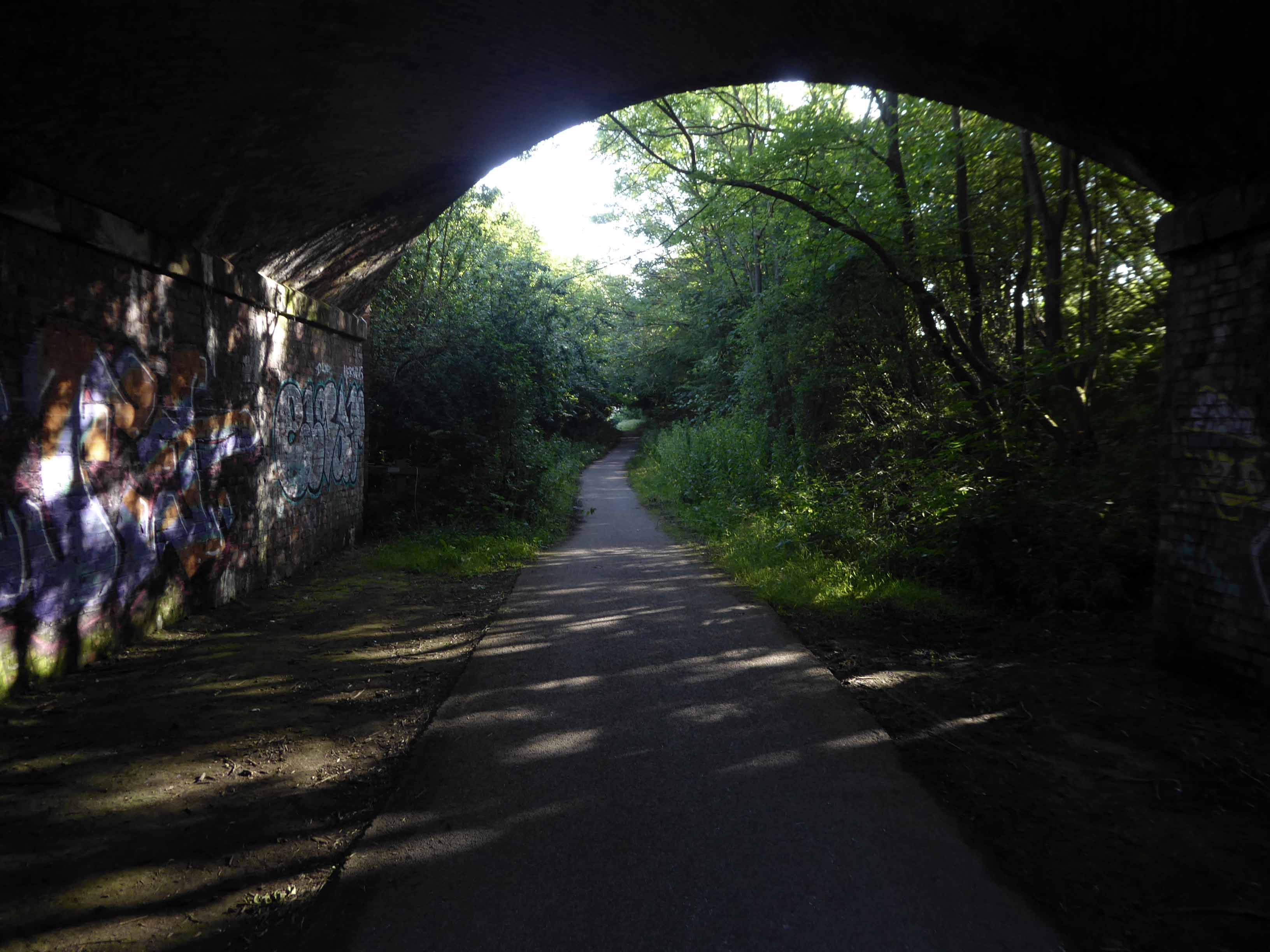
Following a series of brief engagements with various local benefactors, I regained my intended route and joined the Hornsea Rail Trail – the bed of the former branch line.
The line was officially opened on 28 March 1864, the last passenger train ran on 19 October 1964.
Goods traffic continued to use the line as far as Hornsea Bridgeuntil 3 May 1965.
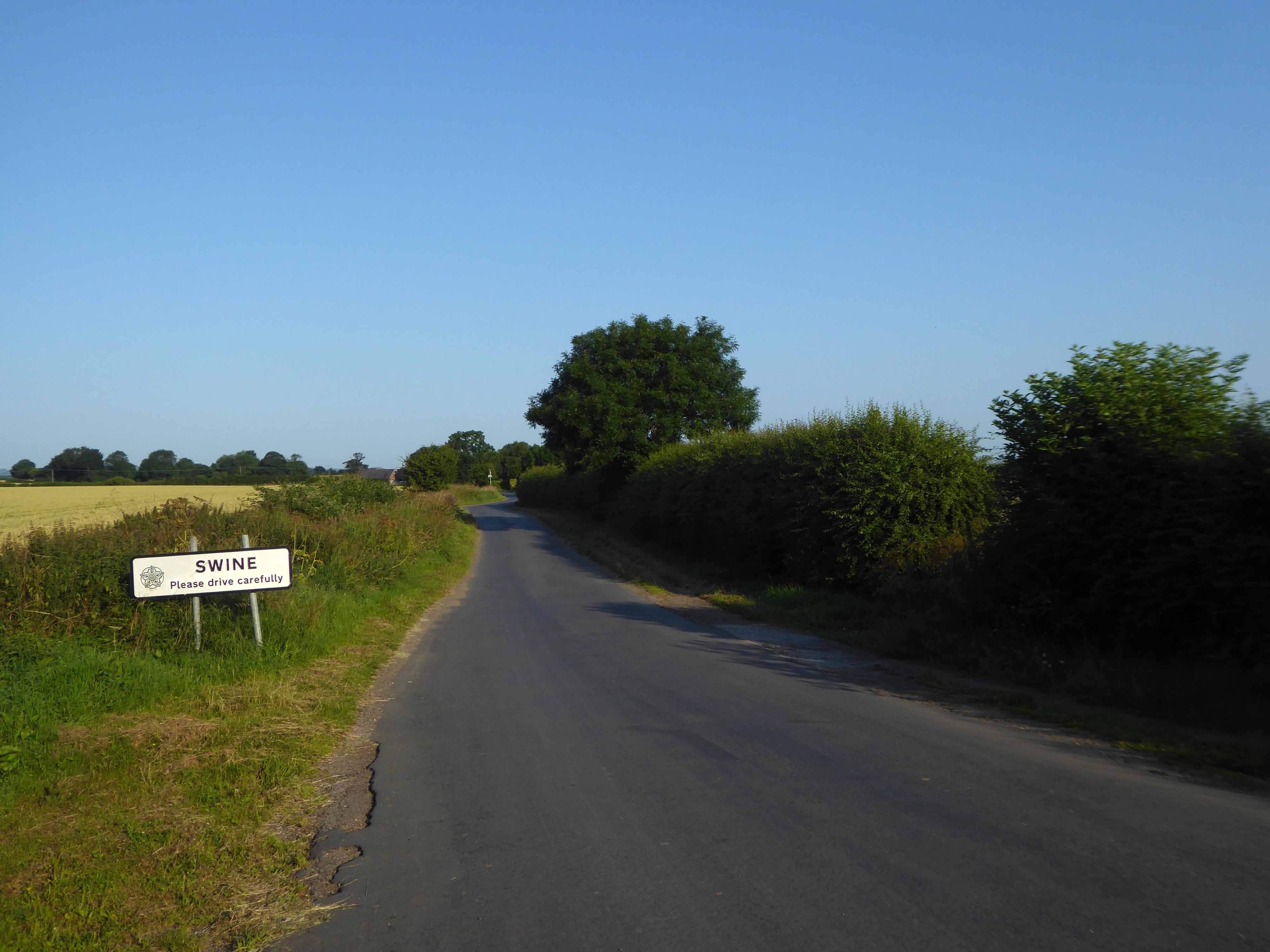
The place-name Swine is first attested in the Domesday Book of 1086, where it appears as Swine.
It appears as Suine in a charter of circa 1150, the name perhaps derives from the Old English swin meaning creek.
Whilst cycling twixt Redcar and Newcastle one sunny Monday morn, I espied a tower on the distant horizon.
I pedalled hurriedly along and this is what I found.
Dawson House aka Kingsway.
A fifteen-storey circular tower block of 60 one-bedroom flats and 29 two-bedroom flats, making 89 dwellings in total. The block was built as public housing at the western fringe of the Town Centre development that began in 1952. Approved in 1973, the block is of triangular concrete-beam construction.
The architects were Elder Lester Associates.
The block was built by Teeside County Borough Council.
Stanley Miller Ltd.’s tender for the contract was £778,850.
The tower block was opened on 3rd April 1975 by the Mayor of Stockton Borough Council, John Dyson.
The block is described as ‘gimmicky circular tower block’ in The Buildings of England: County Durham by N. Pevsner.
In November 2013, a time capsule was buried in front of The Family, under a stone with the inscription Forever Forward 30 11 2013.
The capsule is not to be unearthed until the year 2078.
Twenty million pound bid to take back control of the centre of Billingham.
The council says: Proposals include addressing the physical condition of Billingham town centre in support the Council’s ambition to take back control of the centre. Redevelopment would solve the challenges of changing retail trends that are contributing towards excess retail space and high vacancy rates.
This includes exploring options for mixed-use redevelopment and high-quality public spaces that improve accessibility within the town centre and a modern retail offering.
Built in 1968 by local architects Elder Lester and Partners as part of the expansive plans for the town centre along with the Forum, La Ronde nightclub was to form part of the expansive plans for Billingham focused on the pursuit of increased leisure time.
La Ronde’s distinct cylindrical form comes from the car park access ramp that winds around the stair core to the upper floors of the club. The elevated drum-like form inset with cross latticed concrete webs was cast entirely in-situ.
In 2006, the council demolished La Ronde and Forum House at the cost of £500,000 to make way for a supermarket.
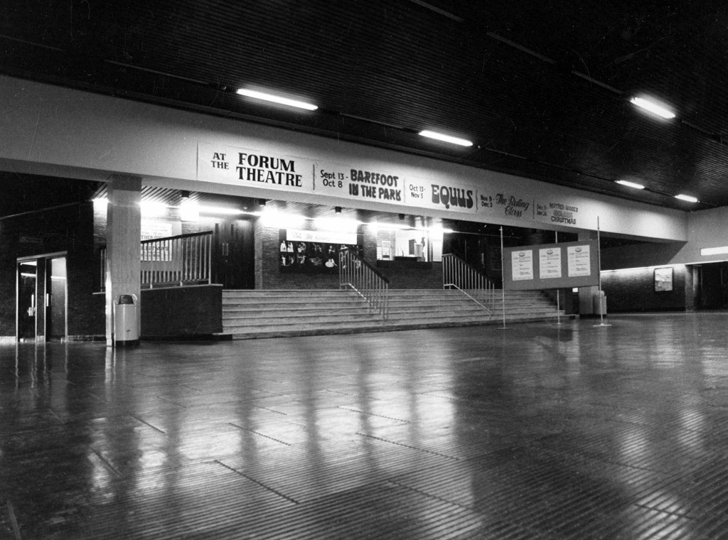
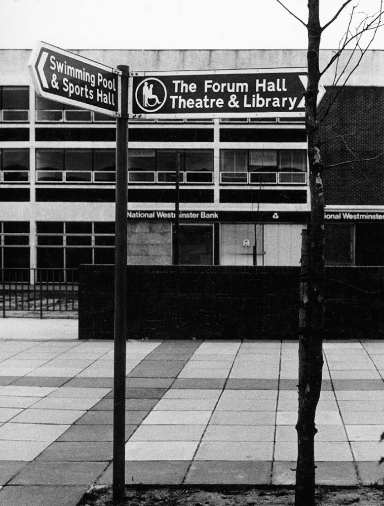
The Forum
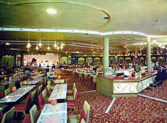
In 1960, Billingham Urban District Council, began one of the most ambitious new leisure centres in Europe. The Forum was funded by the district’s new-found wealth – a product of the local petrochemical industry. It was designed by local architects Elder Lester and Partners and brought together a variety of recreational activities including an ice rink, swimming pool, sports centre, theatre, and bar all under one roof. The Forum opened in July 1967 to great enthusiasm. Weekly attendance over the first six months was between 20 000 and 30 000 people, far exceeding all expectations.
The inclusion of the theatre alongside the sports facilities broke new ground in recreational planning and in the shift from sport to the broader notion of ‘leisure’, the Forum predated architectural thinking of the time by nearly a decade. The building’s form is derived from the functions within, expressed in a variety of bulbous elements. The most distinctive is the canopy of the ice rink roof which is hung using steel cables running the length of the roof and cross-braced to achieve a clear 73m span.
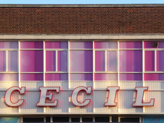
Turn right out of the station toward the Cecil Cinema.
The Theatre De-Luxe was built in 1911 at the corner of Anlaby Road and Ferensway with its entrance in Anlaby Road and its auditorium along the side of the pavement in Ferensway. Kinematograph Year Book of 1914 lists 600 seats and the owners as National Electric Picture Theatres Ltd.
In 1925, the theatre was rebuilt to a radically altered ground-plan and renamed the Cecil Theatre.
The Cecil Theatre’s demise came during bombing on the night of 7/8 May 1941 when German incendiary bombs reduced the building to a shell; and it remained like that until demolition in 1953.
Work on the new Cecil Theatre was begun in April 1955 and it was opened on 28th November 1955 with 1,374 seats in the stalls and 678 in the balcony.
Architects: Gelder and Kitchca
At the time of opening it had the largest CinemaScope screen in the country measuring 57 feet wide, and the first film shown was Marilyn Monroe The Seven Year Itch.
In the 1980’s it was taken over by the Cannon Cinemas chain. The cinema operation was closed on 23rd March 1992 and the cinemas were ‘For Sale and/or Lease. It was taken over by Take Two Cinemas and renamed Take Two Cinema. It was closed on 27th February 1997 and the two screens in the former circle were stripped out and converted into a snooker club.
Whilst bingo continues in the former stalls area of this post war cinema, the former mini cinemas in the circle still contain the snooker tables, but the space is unused. The screen in the former restaurant/cafe area remains basically intact, but is unused.
Whilst circumnavigating the Cecil one can’t help but notice the KCOM HQ – and its distinctive white telephone kiosks.
The work of City Architect A Rankine OBE RIBA
When Hull City Council founded KCOM back in 1904, as Hull Telephone Department, it was one of several local authorities across the country granted a licence to run its own phone network.
1952 Call Father Christmas service was introduced.
Having heard of a recorded message service in Scandinavia, Hull Councillor J M Stamper suggested the idea of putting Father Christmas on the telephone. The Call Father Christmas service was introduced shortly afterwards, the first of its kind in the UK. By dialling a Hull Central number children could hear recordings of a Christmas story and carol singing.
The success of the Father Christmas service led to the creation of other recorded information lines, such as Bedtime Stories, Teledisc and Telechef.
This recipe line was introduced in 1950s and was still going strong until the 1990’s, with 50s recipes such as meat loaf and corned beef with cabbages being replaced by dishes such as Italian Chicken Bake.
Sea trade created a large Danish community which Hull’s very own Amy Johnson was descended from. Her grandfather was Anders Jorgensen, who anglicised his name to the more pronounceable Andrew Johnson. A Danish pastor was appointed and an old chapel in Osborne Street was purchased in 1841.
It was on May 9, 1954, that the present church, with its now familiar separate bell tower, was consecrated by the Bishop of Copenhagen.
Hull was the most severely damaged British city or town during the Second World War, with 95 percent of houses damaged. It was under air raid alert for one thousand hours. Hull was the target of the first daylight raid of the war and the last piloted air raid on Britain.
Of a population of approximately three hundred and twenty thousand at the beginning of the war, approximately one hundred and fifty two thousand were made homeless as a result of bomb destruction or damage.
Overall almost one thousand two hundred people were killed and three thousand injured by air raids.
Despite the damage the port continued to function throughout the war.
The earliest housing was built just after World War II, starting with what is known locally as Australia Houses.
A circular five storey housing block off Porter and Adelaide Streets, with a communal garden in the middle. These flats consist of deck access flats and some traditional style Art Deco tenements. Some are three bedroom, and have been refurbished over the years.
Porter Street – three six-storey blocks containing seventy dwellings of 1954
Contractor J Mather
New Michael Street and Melville Street aka Upper Union Street one hundred and eight dwellings in three nine-storey blocks of 1958
Contractor Truscon
The designer behind Hull’s tower blocks was Andrew Rankine RIBA, who from 1939 remained City Architect until his retirement in 1961.
Just around the corner:
Over the last three years both companies have worked on undertaking the complex development of an off-site constructed, low carbon, Code 5 housing product. Working with Hodson Architects on the design the project will provide 3-bed family houses on the Thornton Estate in Hull. The scheme will increase provision of suitably sized accommodation in the area for families.
The project will see Premier Interlink manufacture the steel framed modules at the factory in Brandesburton East Yorkshire starting this March. The five houses are to be prefabricated off-site, with each house comprising of four separate units which are then assembled on site. This offers the benefit of reducing construction time, improving efficiency, reducing material wastage and offering an improved thermal envelope.
The Goodwin Trust, a brilliant and pioneering community group, decided the new version of pre-fab, or ‘modular’ housing, was exactly what was needed to provide affordable housing for the people it also cares for in so many other different ways.
Back toward the station and Hammonds of Hull/House of Fraser – soon to be a food court, artisan everything outlet.
Built in 1952 on Paragon Square to designs by T. P. Bennett, with extensions added in 1954 and 1957. Within a couple of years the business had grown again by opening its own hairdressing salon, and in 1960 added a new warehouse to accommodate their furniture workshops and stock rooms. This itself was extended within four years, while a fourth floor was added to the main store.
On the right a civic building Festival House of 1951.
Apprenticed to Lutyens‘ assistant Oswald Milne and later working with Charles Cowles-Voysey
With his good friend, John Betjeman, he helped found the Victorian Society in 1958.
On 1st May 1951, the foundation stone of Festival House was laid, to commemorate the first permanent building to be built in the city centre since the 1941 Blitz. Placed under the stone was a time capsule containing coins, stamps, a Festival of Britain programme, a copy of that day’s Hull Daily Mail, and a booklet about the city. Festival House was owned by Hull Corporation on behalf of the people of Hull.
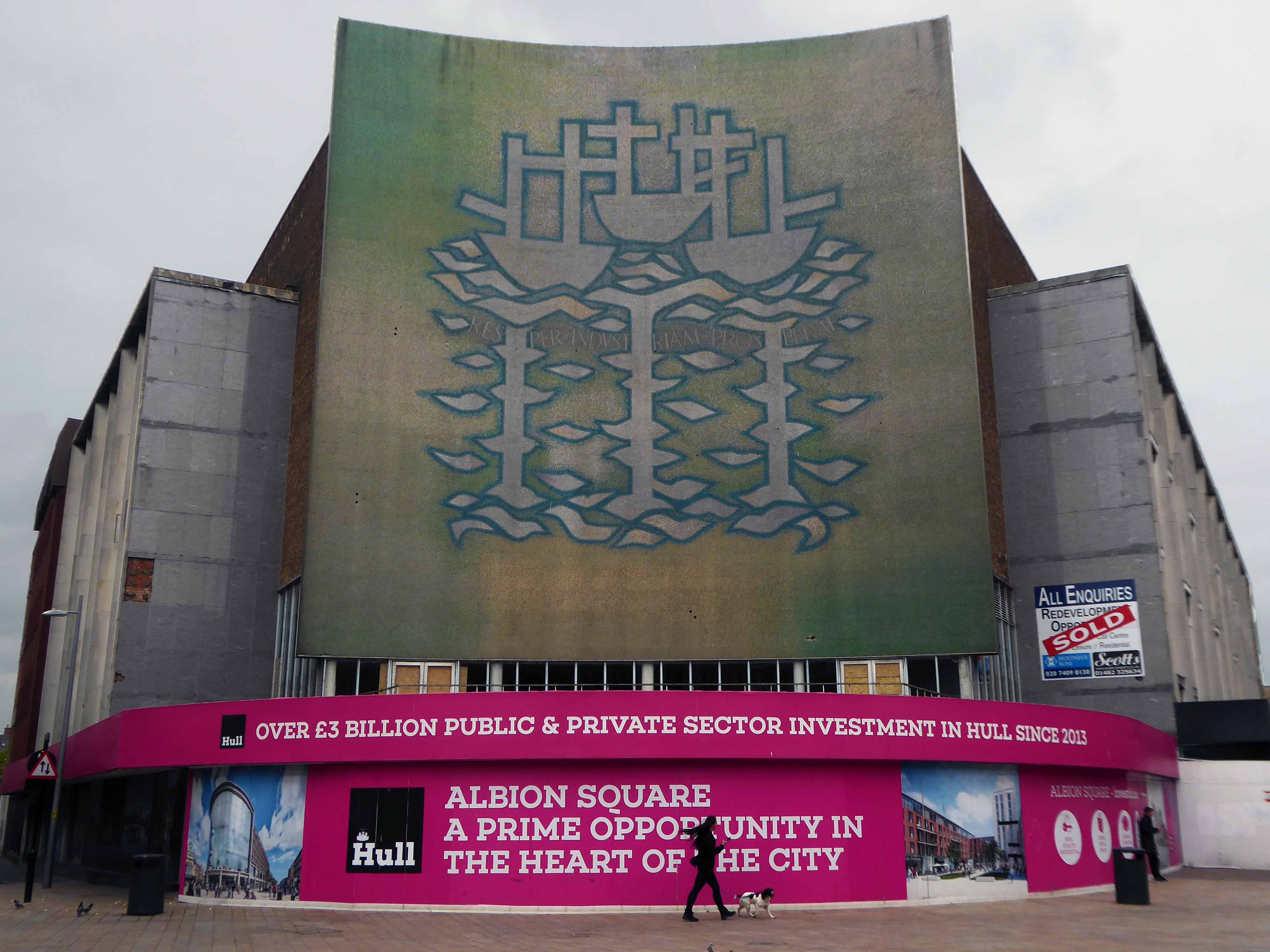
Before us Alan Boyson’s Three Ships – now listed and set for preservation.
The fate of the attached former CO-OP/BHS is less secure.
Architect: Philip Andrew
Onward to the Queens Gardens the almost filled in former Queens Dock – forever fourteen feet below sea level.
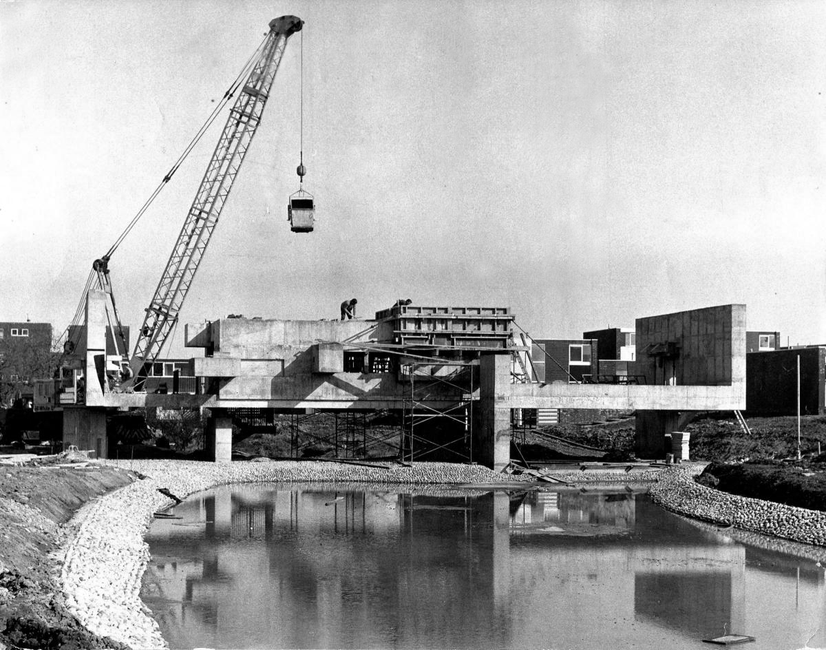
We encounter Tonkin Liu’s Solar Gate – a sundial that uses solar alignment to mark significant times and dates in Hull. The super-light innovative two-shell structure is place-specific, responding to pivotal historic events and to the cultural context of its location in Hull’s Queens Gardens adjacent to the ancient site of Beverley Gate.
Carved stone panels Kenneth Carter1960 – Ken’s art career began as an inspiring teacher, first at his alma mater, Hull College of Art, and later as principal lecturer at Exeter College of Art.
A number of decorative fountains featured in the ponds; those at the eastern end designed as part of the sculptured panels of 1960, byRobert Adams, described by Herbert Read as belonging to:
The iconography of despair. Here are images of flight, of ragged claws, scuttling across floors of silent seas, of excoriated flesh, frustrated sex, the geometry of fear.
And behind we glimpse Frederick Gibberd’s fine Technical College.
We arrived safely by train from Stockport at Southampton Central.
Following lengthy consideration we headed off on our bikes.
Whilst halting to review our progress, I realised that I had lost the map, a map vital to our further progress.
Returning to the station I found it nestled against the kerb.
Further assessment of our onward journey resulted in yet another retracing of steps.
In the shadow of Southampton Station dwarfed by Norwich House.
Resolute, we confront the fact that we are unsure of the route and following close scrutiny of the map, our environs and the surrounding signage, we proceed eastward towards our destination.
Wyndham Court – architects Lyons Israel Ellis, E.D. Lyons being the partner in charge along with Frank Linden and Aubrey Hume.
Leaving the city and heading along the Weston Shore – Southampton Water.
To our right several Seaside Moderne shelters
Tim feasts on a Mint Club biscuit.
To our left are the tower blocks of Weston Farm Foreshore – L. Berger City Architect 1963
In the distance Canberra Towers Ryder and Yates 1967
Residents living on the second floor of 24-floor block Canberra Towers, on Kingsclere Avenue in Weston, were told to evacuate as flames erupted inside a kitchen.
The Daily Echo spoke to the residents of the affected flat, who said the cat knocked paper that was on top of the microwave, which then fell onto the toaster.
Tracey Long said:
I’ve got two cats, and Sponge was the one who knocked the paper.
He knocked paper off the microwave and into the toaster, it was quite scary.
I lost him in the flat but now I’ve found him again.
Arriving just in time to be too late, next thing you know we’re bobbing along on the Hamble Warsash Ferry.
The obliging ferry folk having taken us across the estuary, despite our tardiness.
The village and the River featured in the 1980s BBC television series Howards’ Way.
Sadly little evidence of the successful TV show remains, however happily Henry VIII’s Dock and an Iron Age Fort have prevailed.
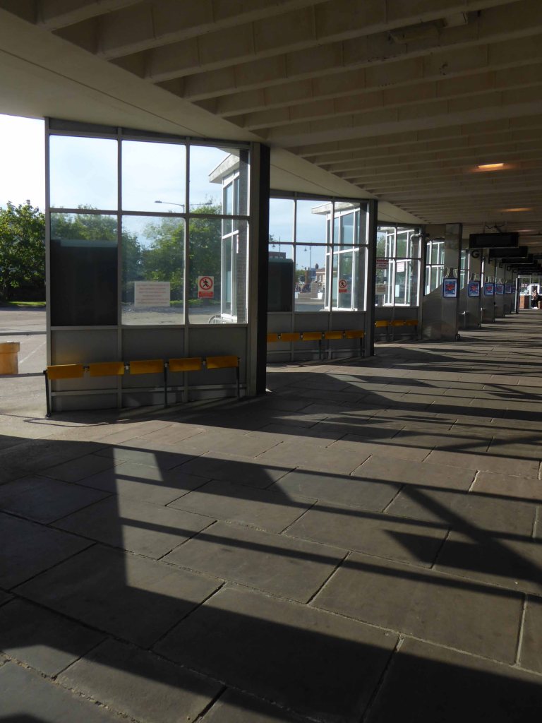
Onward to Gosport where we happen upon a diminutive yet perfectly formed Bus Station.
Originally built in the 1970s, the bus station was described in 2012 as knackered by the council chief executive at the time, Ian Lycett, and an investment plan was drawn up.
Talk of redevelopment then resurfaced in 2015, before the site was put on the market in 2016.
Keith Carter, retiring owner of Keith’s Heel Bar in Gosport Precinct, has described the bus station as a missed opportunity.
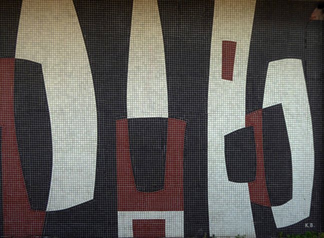
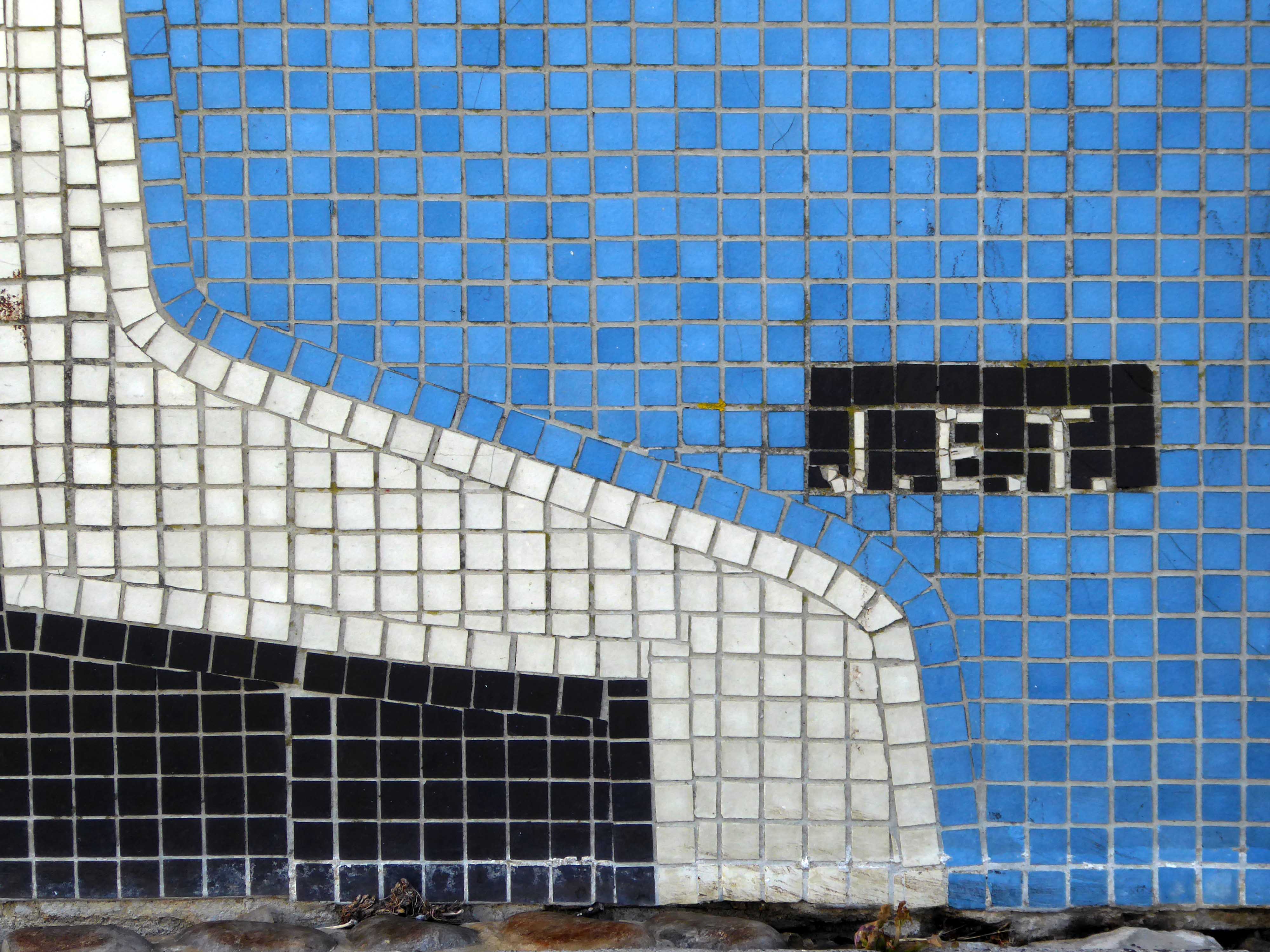
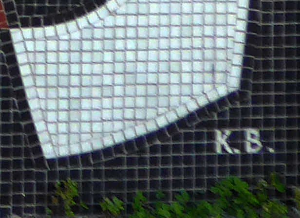
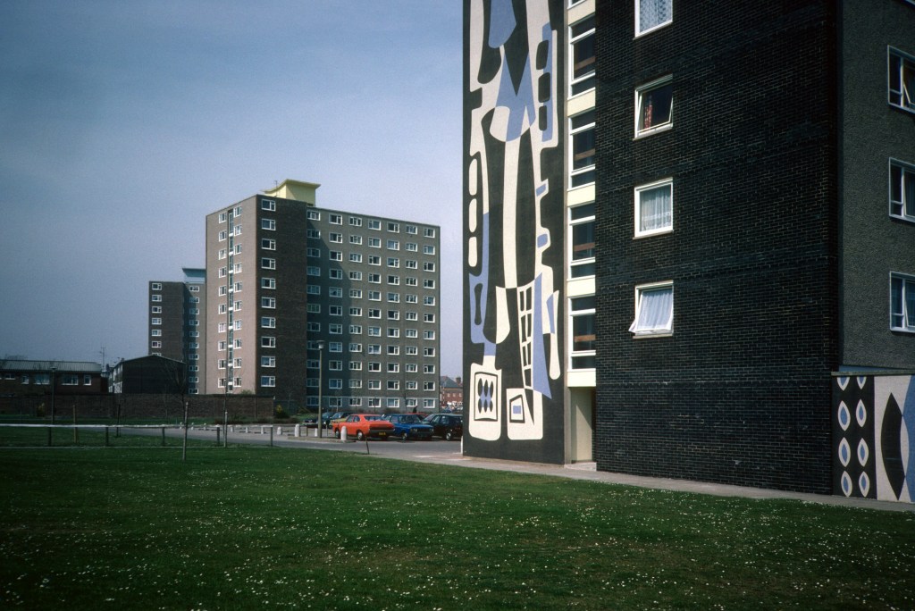
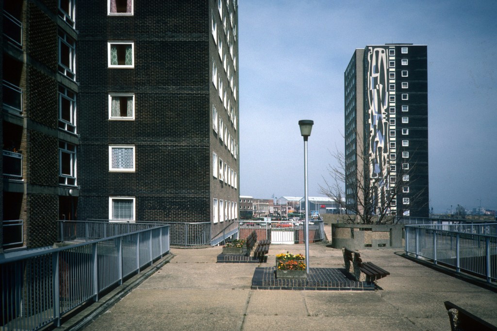
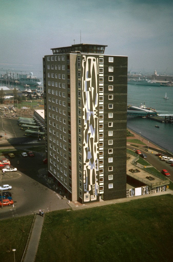
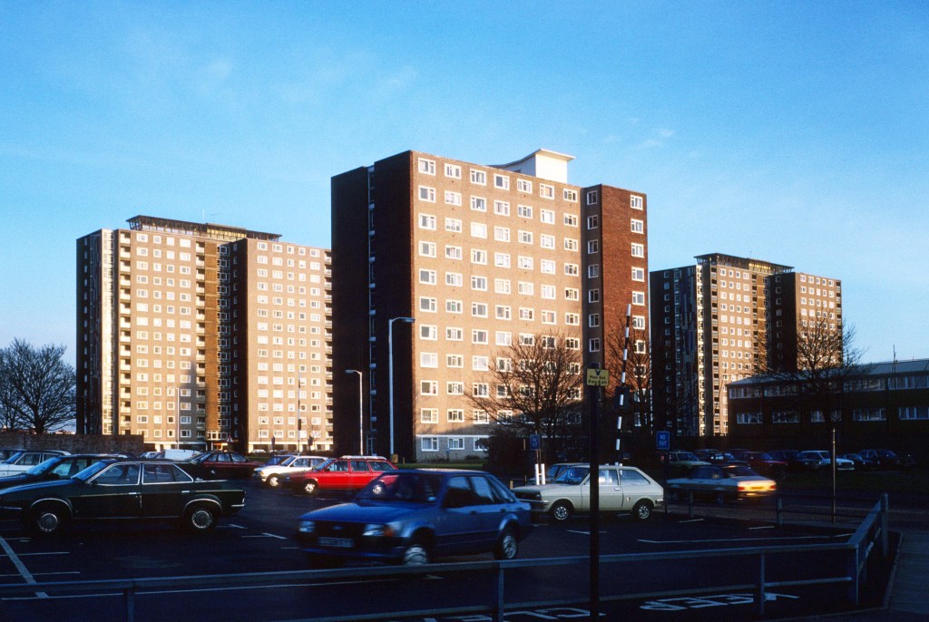
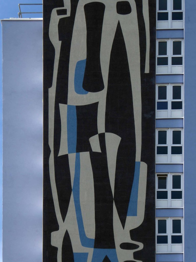
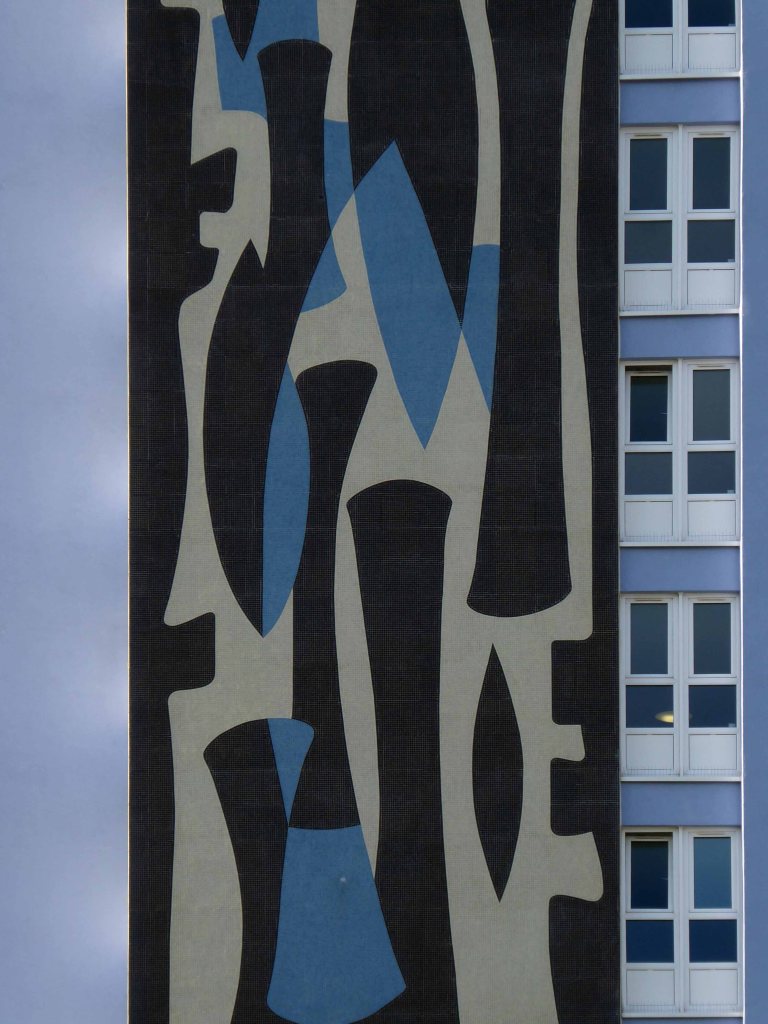
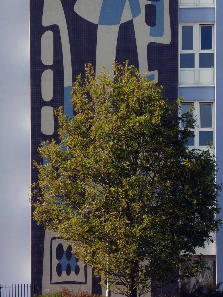
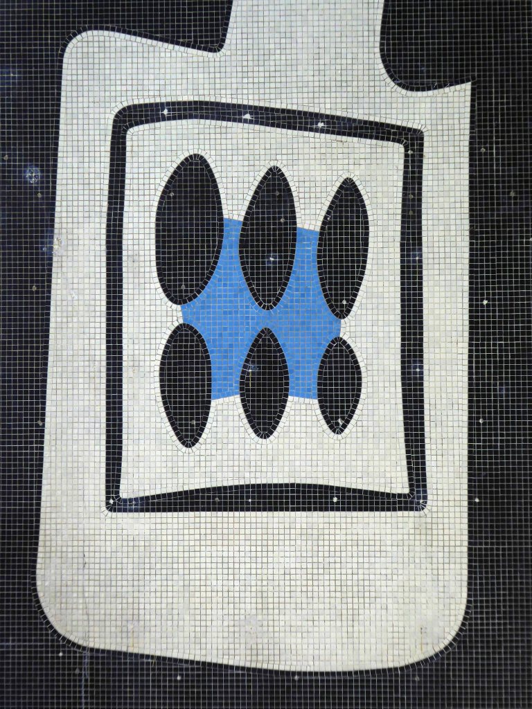
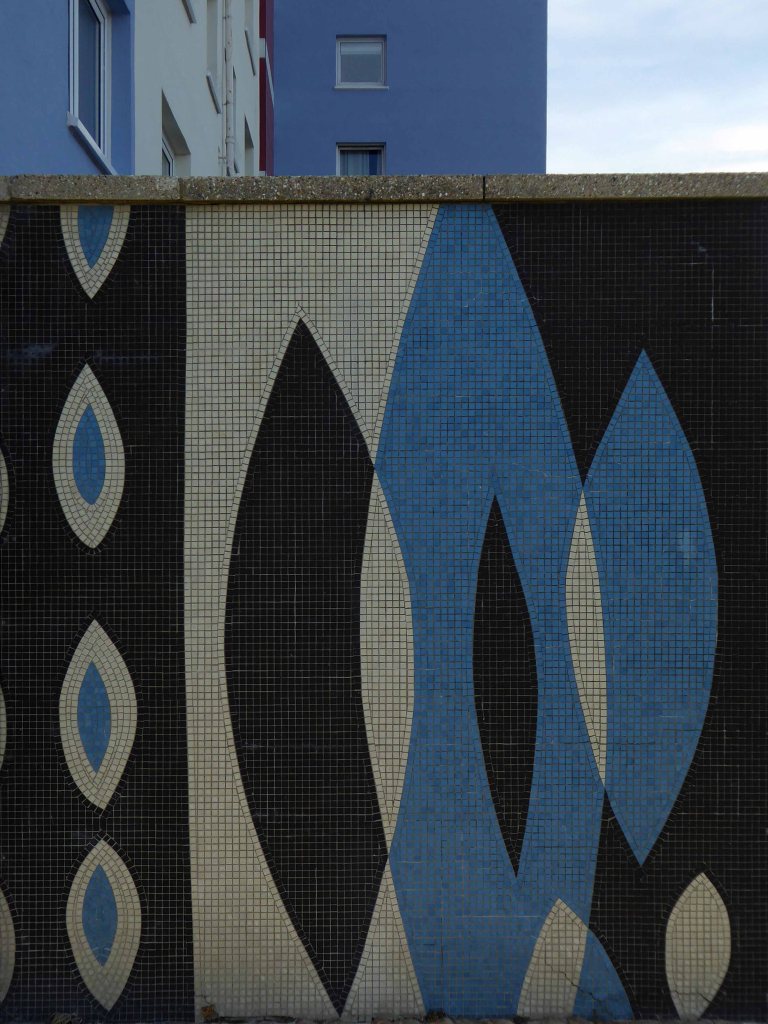
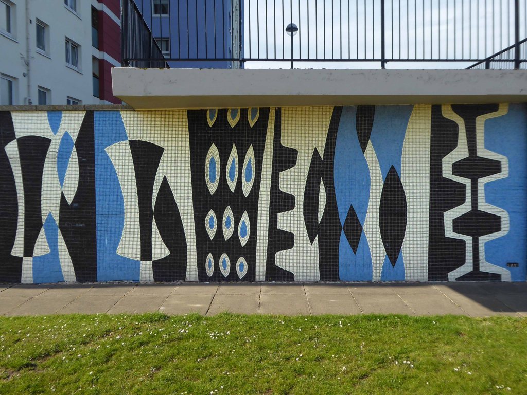
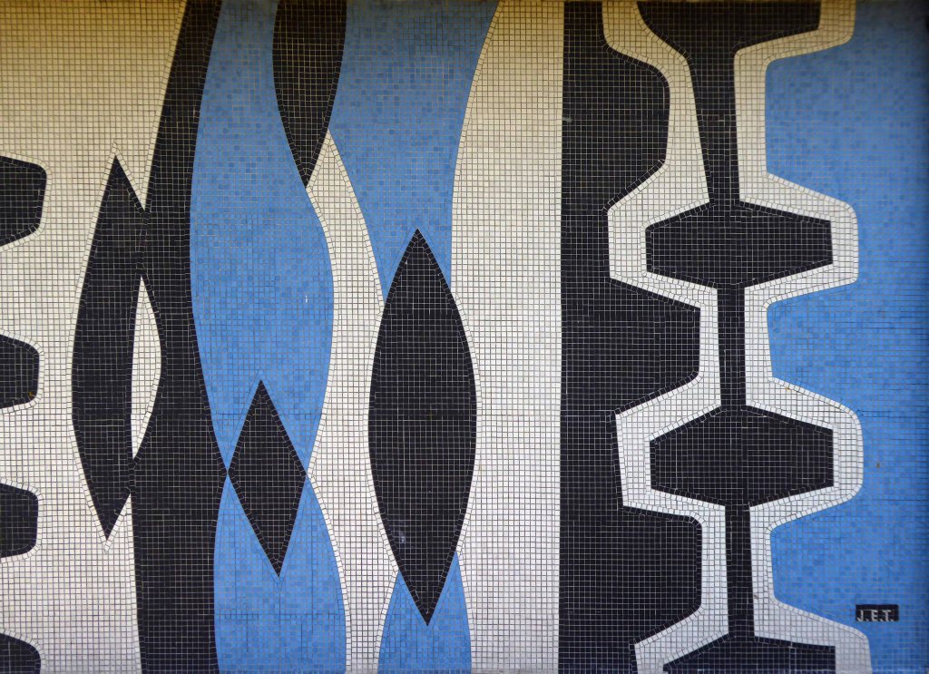
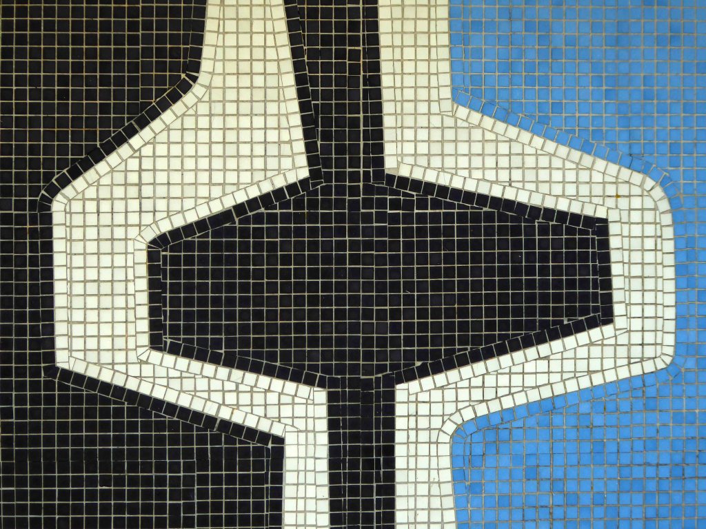
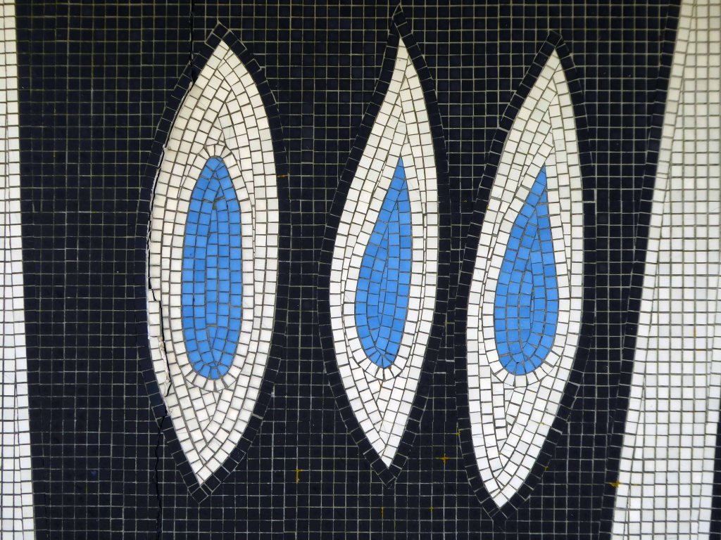
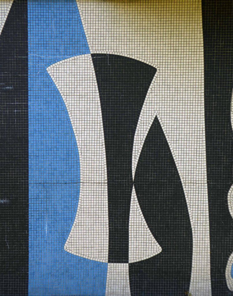
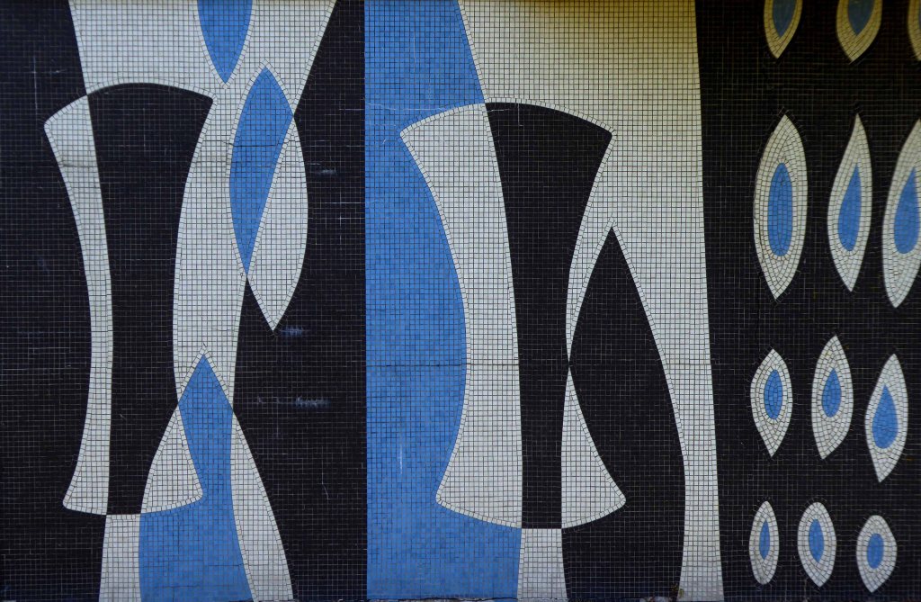
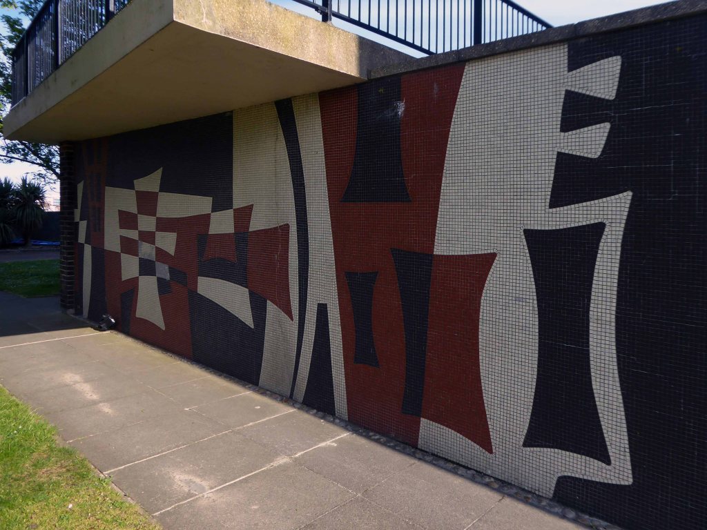
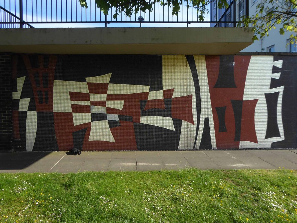
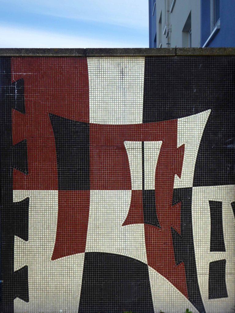
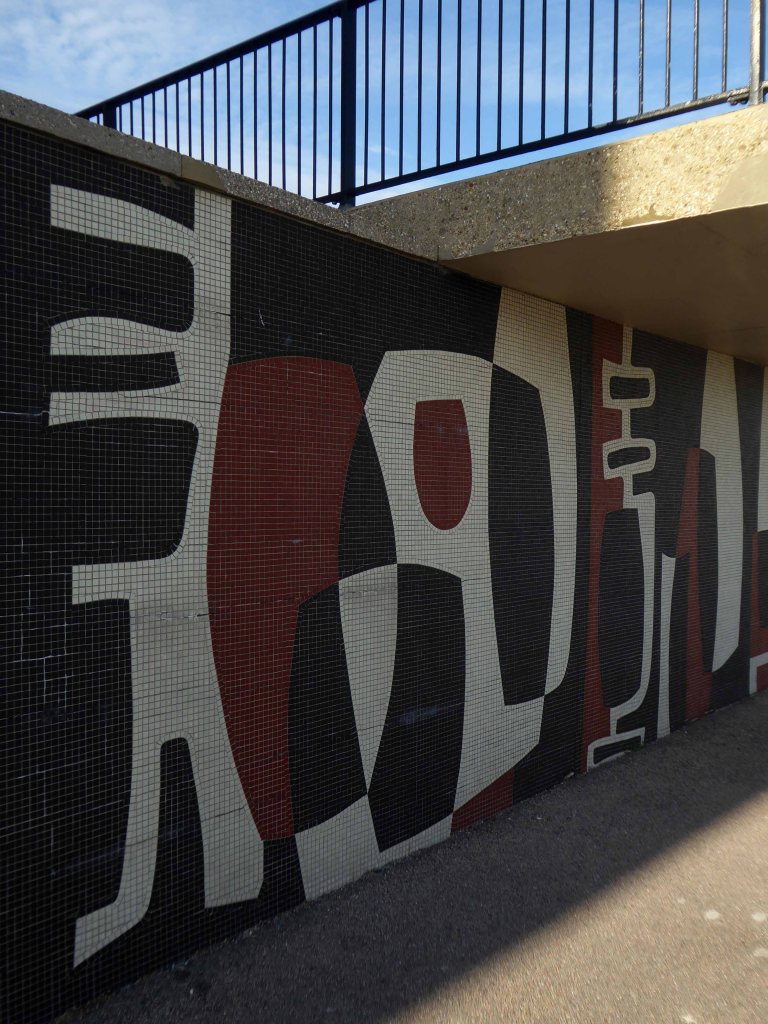
The nearby Harbour and Seaward Towers have faired a little better, newly clad and their tiled murals intact.
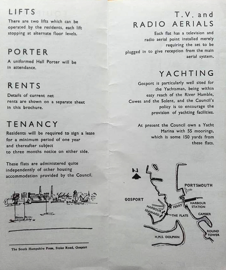
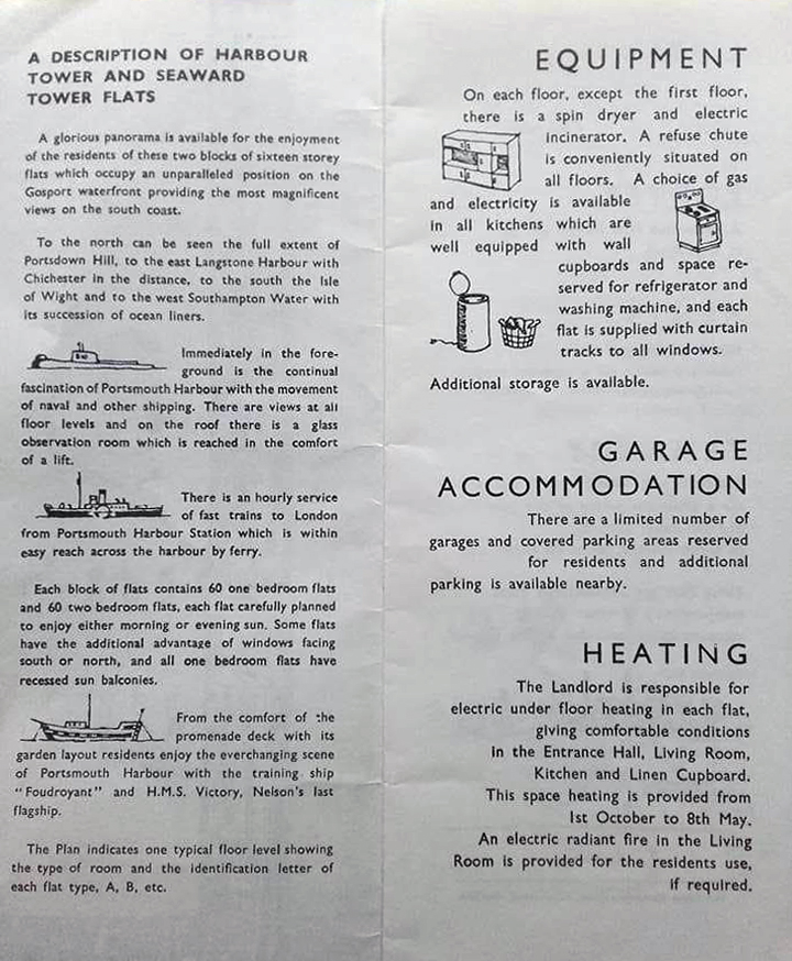
While working for George Wimpey and Co. Ltd, and together with J E Tyrrell, Chief Architectural Assistant to Gosport Borough Council, Kenneth Barden was responsible for tiled murals on Seaward Tower and Harbour Tower, two sixteen-storey tower blocks built in 1963 on the Esplanade in Gosport.
They really are something they really are.
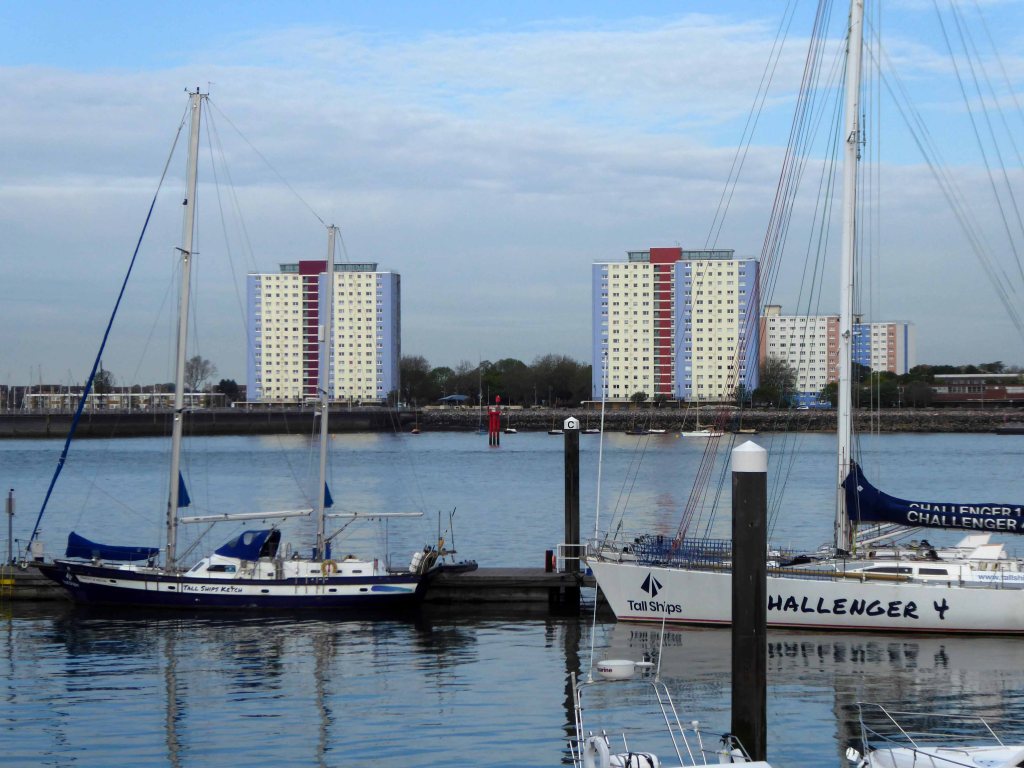
And so following a ride on the Gosport Ferry we arrive at Portsmouth Harbour.
The land where British Rail signage refuses to die!
I have passed this way before on a Bournemouth to Pompey trip and both Tim and I were students at the Poly here in the 70s – more of which later.
While working for George Wimpey and Co. Ltd, and together with J E Tyrrell, Chief Architectural Assistant to Gosport Borough Council, Kenneth Barden was responsible for tiled murals on Seaward Tower and Harbour Tower, two sixteen-storey tower blocks built in 1963 on the Esplanade in Gosport.
The surfaces of the tower blocks are covered in mosaic murals designed by Barden that rise the full 135 foot height of the buildings. They were controversial initially but are now a tourist attraction.
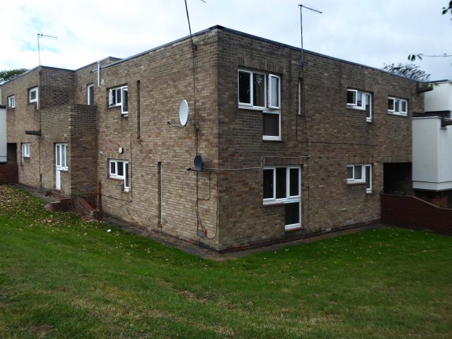
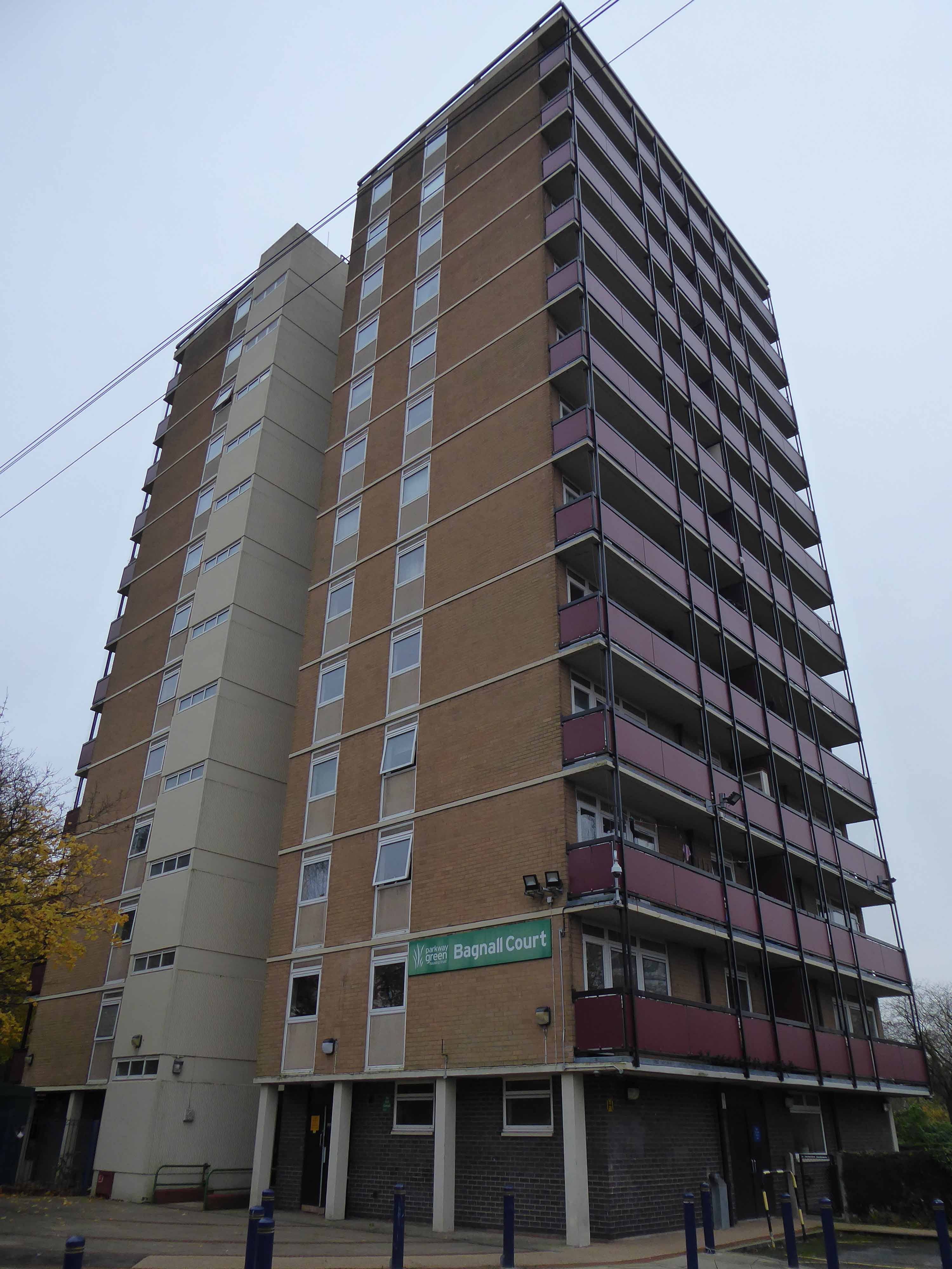
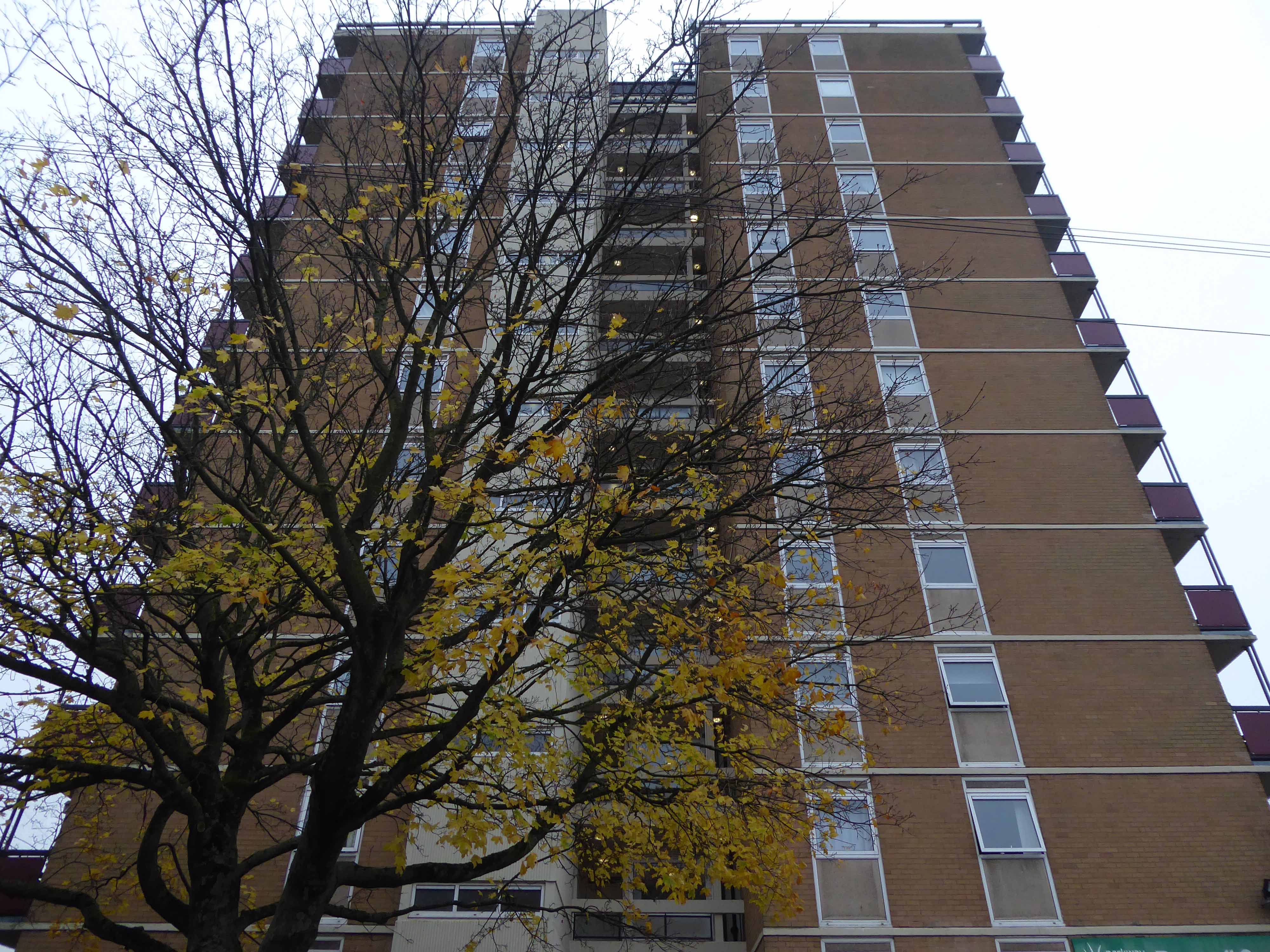
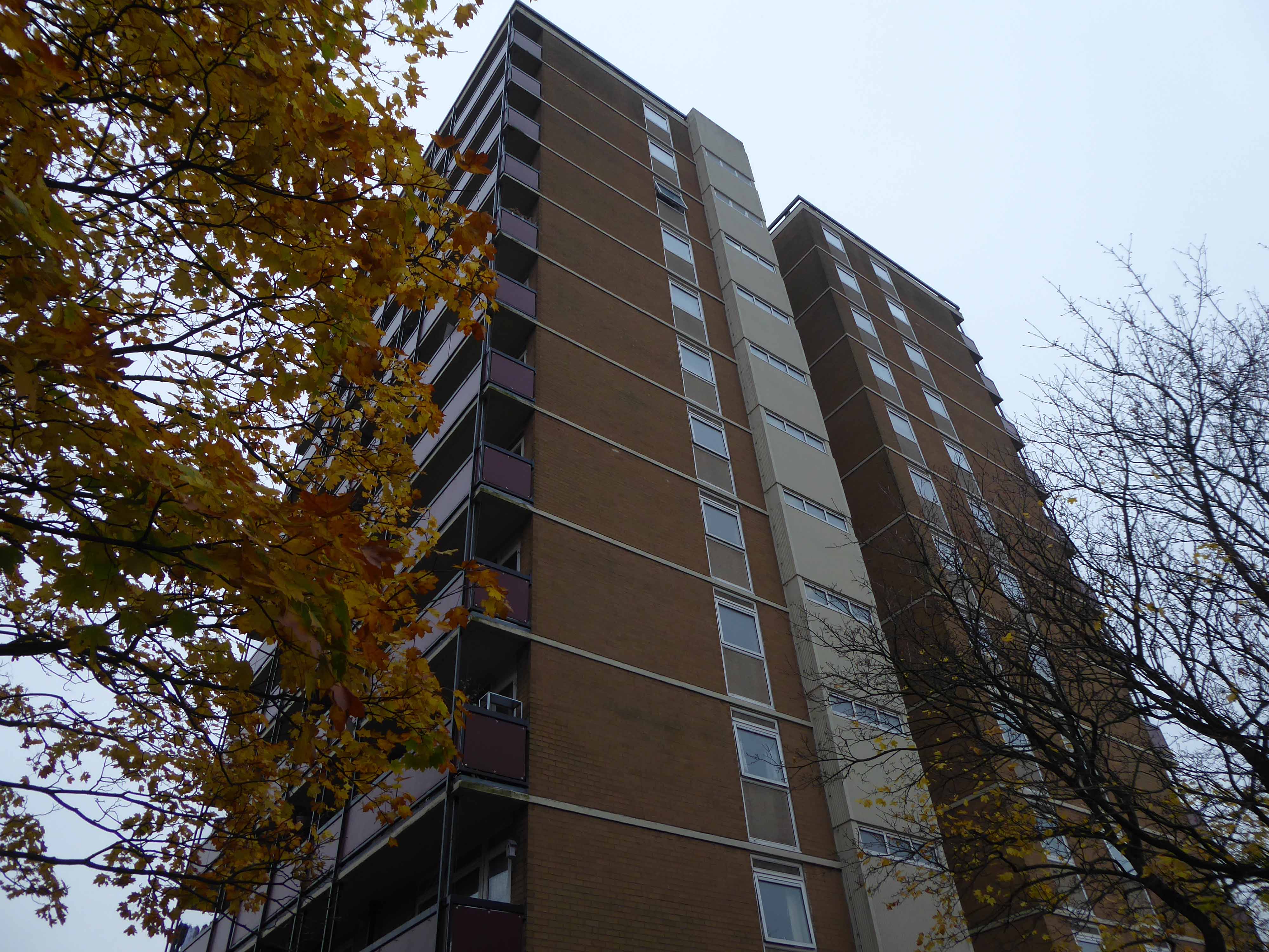
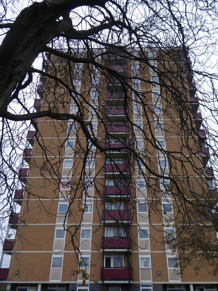
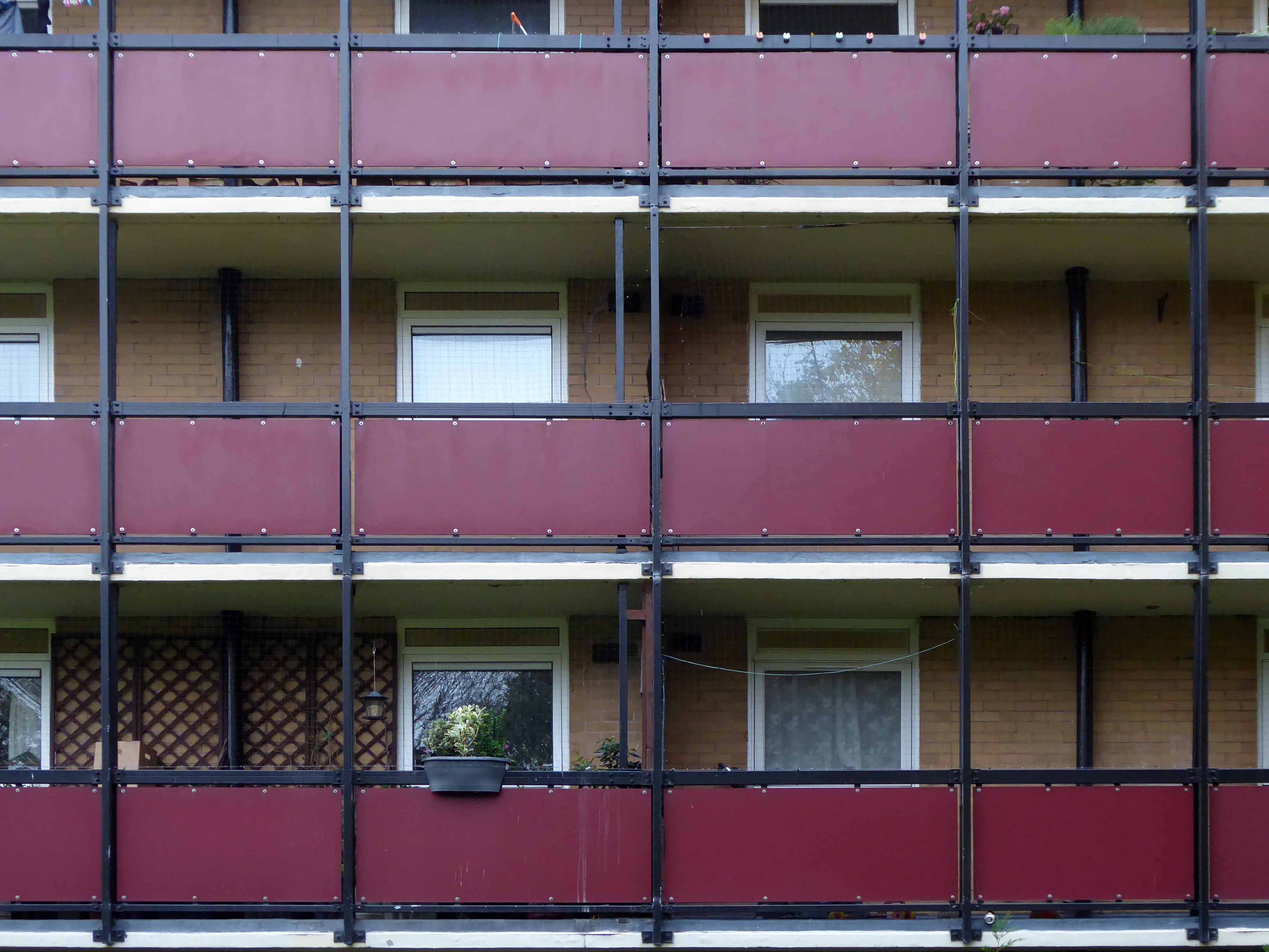
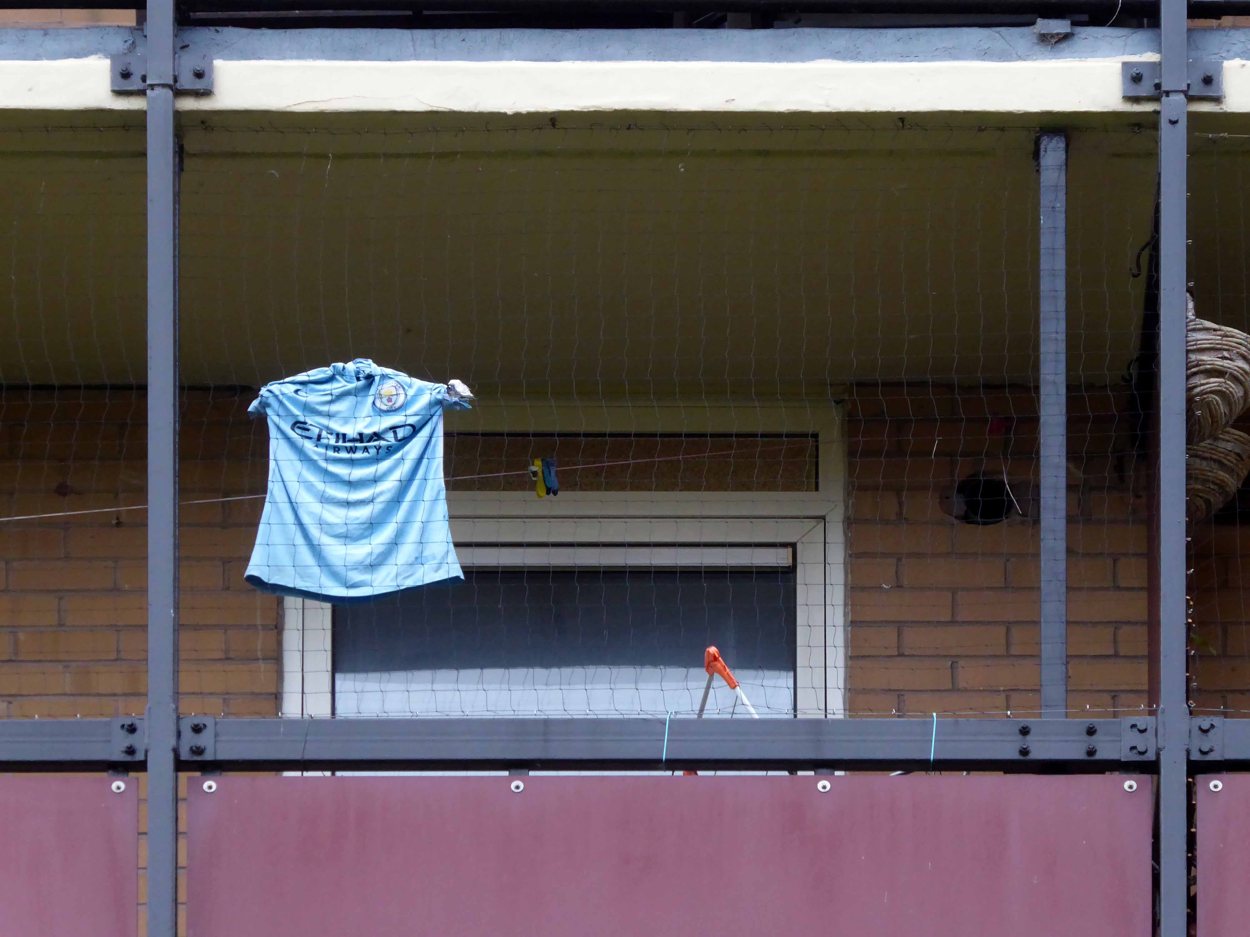
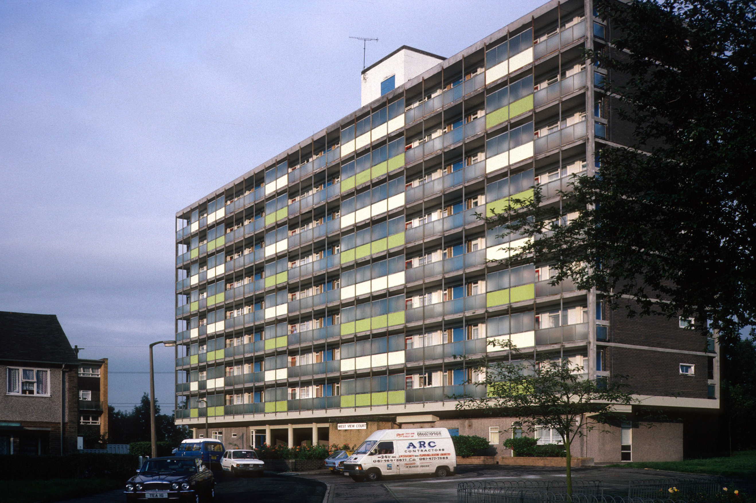
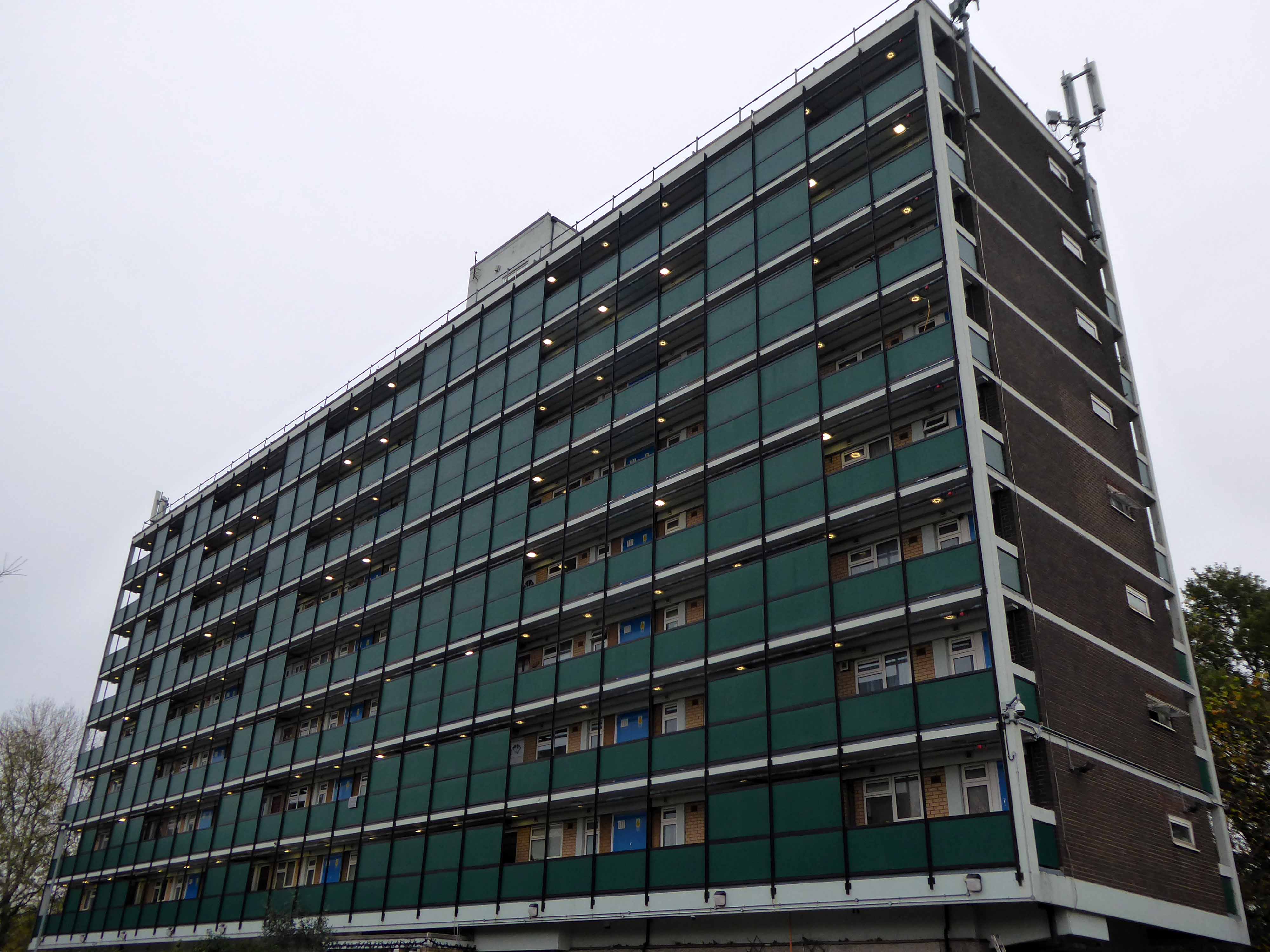
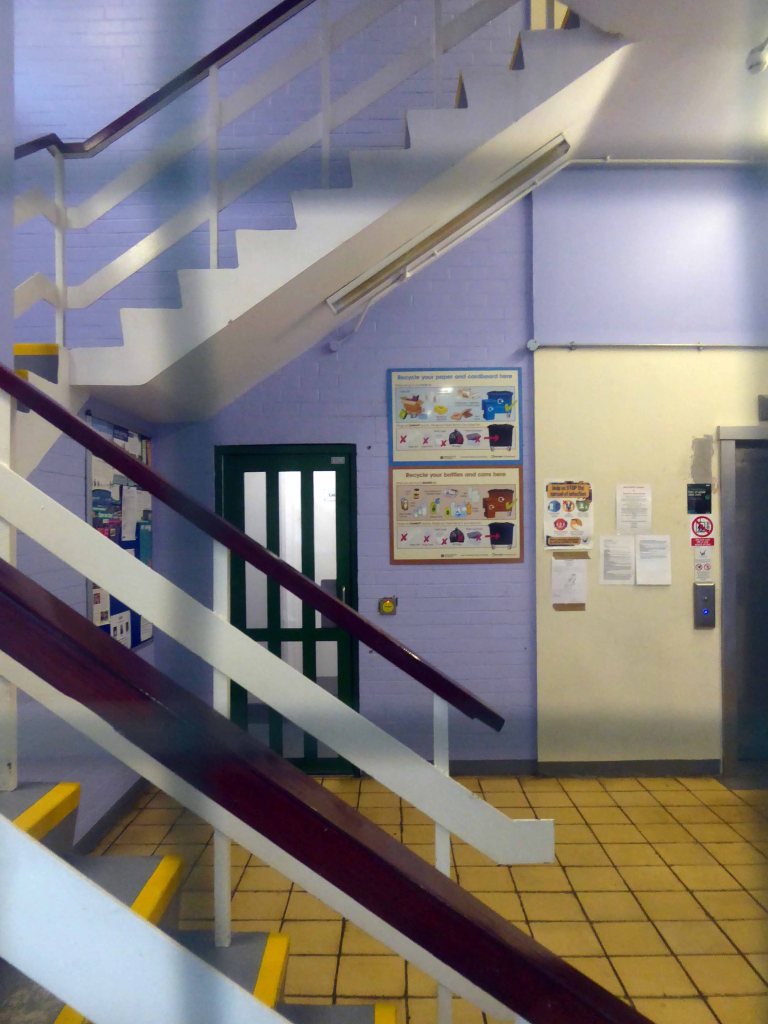
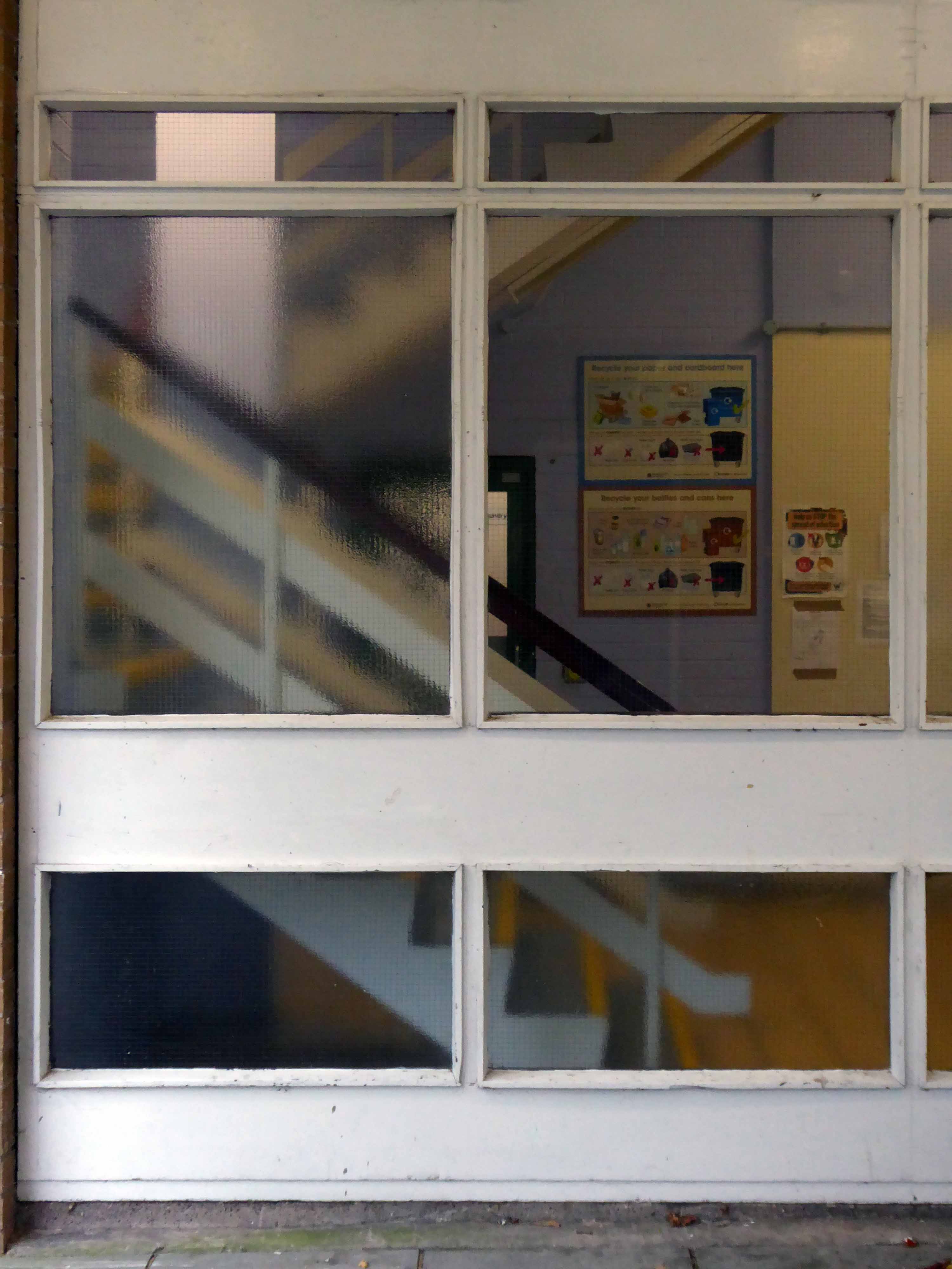
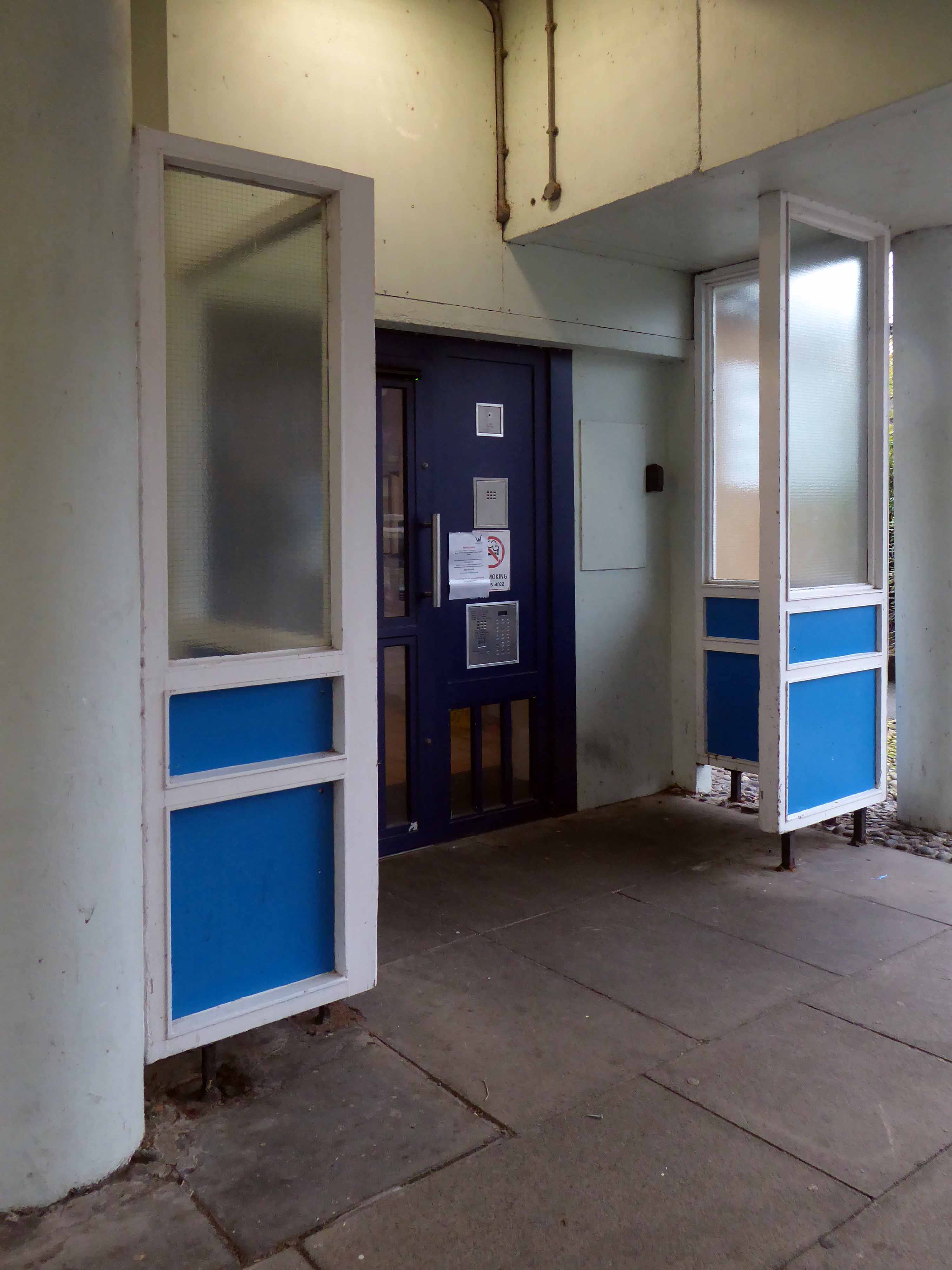
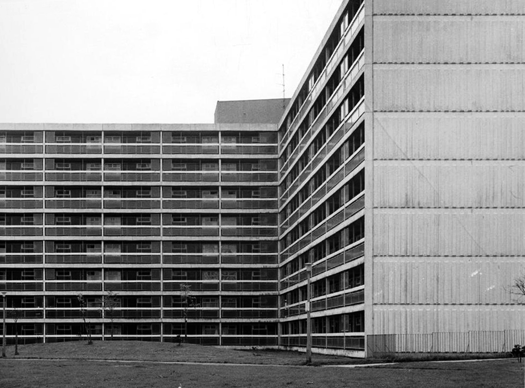
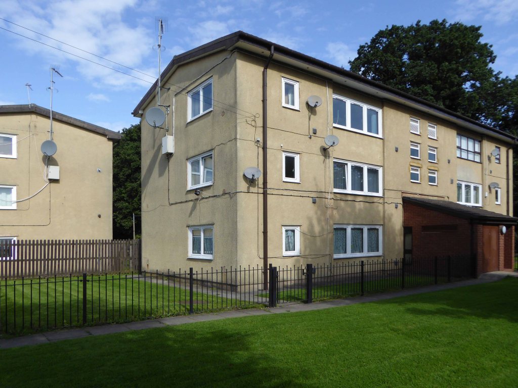
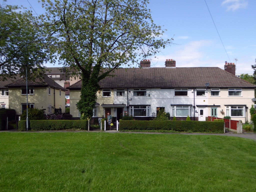
Around the corner to West View Court – also commissioned by Manchester Borough Council, built by Direct Works and contractors Holst, currently managed by Parkway Green.
Nine storeys in height containing seventy three homes.
The city, however, does not tell its past, but contains it like the lines of a hand, written in the corners of the streets, the gratings of the windows, the banisters of the steps, the antennae of the lightning rods, the poles of the flags, every segment marked in turn with scratches, indentations, scrolls.
Italo Calvino – Invisible Cities
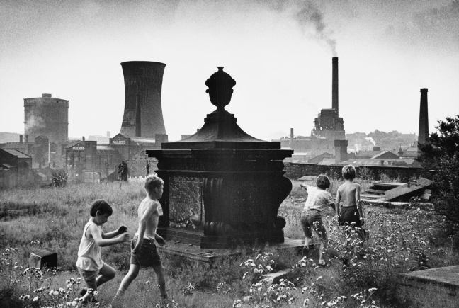
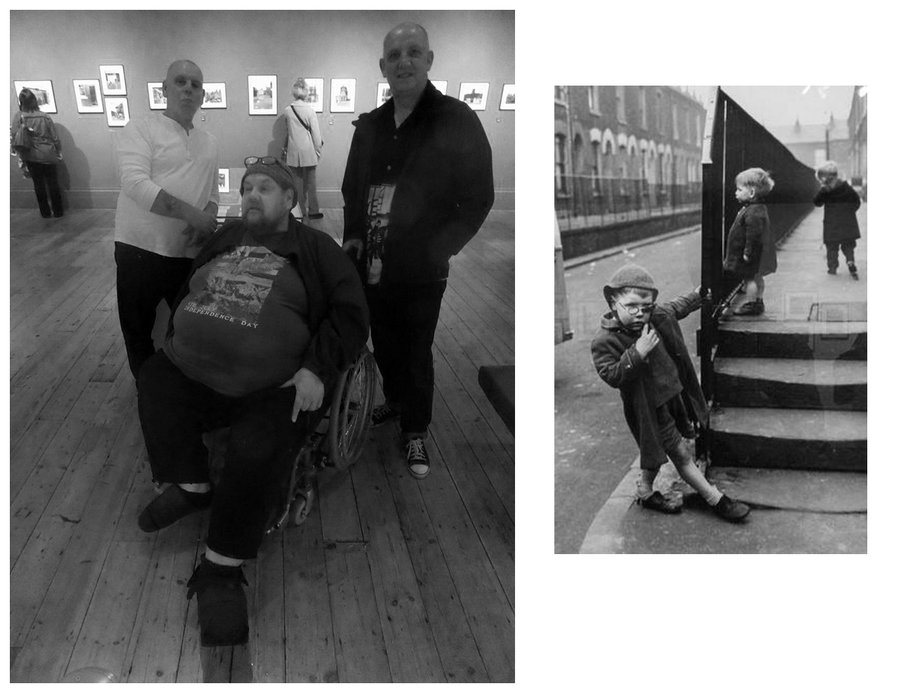
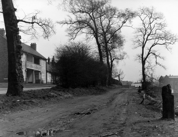
Paul Dobraszczyk posted this Shirley Baker photograph, he was puzzled by its exact location, it puzzled me too.
For nearly all that is depicted here, is now no longer extant, save one hopes, for the group of playmates.
All that is solid melts into air, all that is holy is profaned, and man is at last compelled to face with sober senses his real conditions of life, and his relations with his kind.
Shirley Baker was a renowned documentary photographer, who worked extensively in Greater Manchester.
I love the immediacy of unposed, spontaneous photographs and the ability of the camera to capture the serious, the funny, the sublime and the ridiculous. Despite the many wonderful pictures of the great and famous, I feel that less formal, quotidian images can often convey more of the life and spirit of the time.
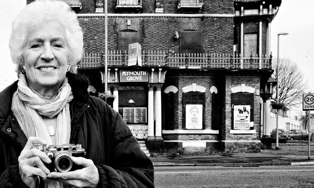
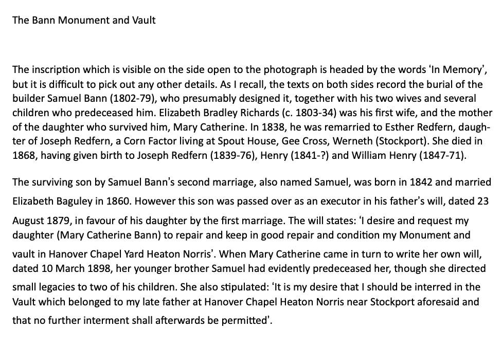
I am grateful to Stephen Bann who has identified the monument as the Bann Family vault:
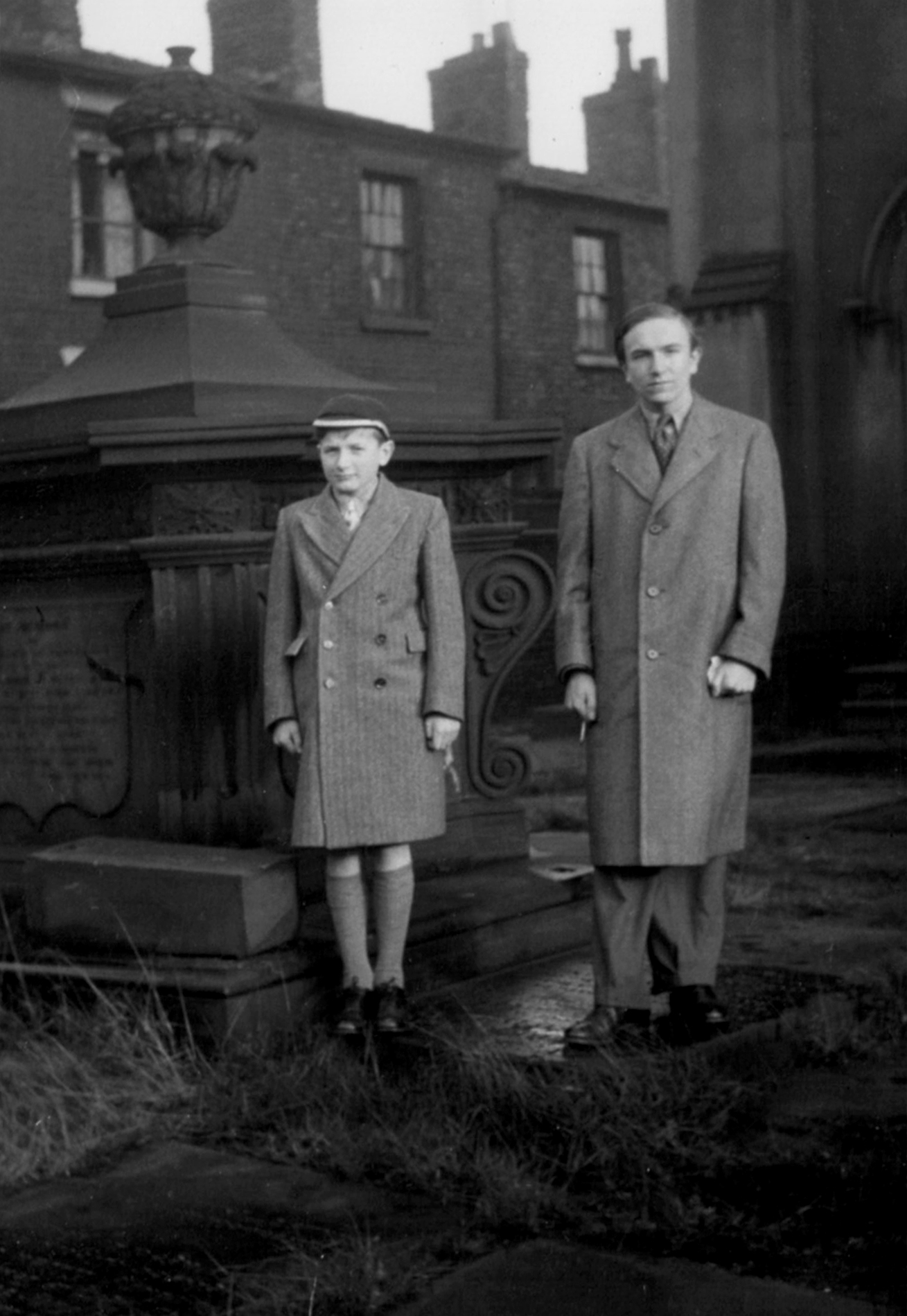
Stephen Bann and his younger brother – many thanks for the text and photograph Stephen.
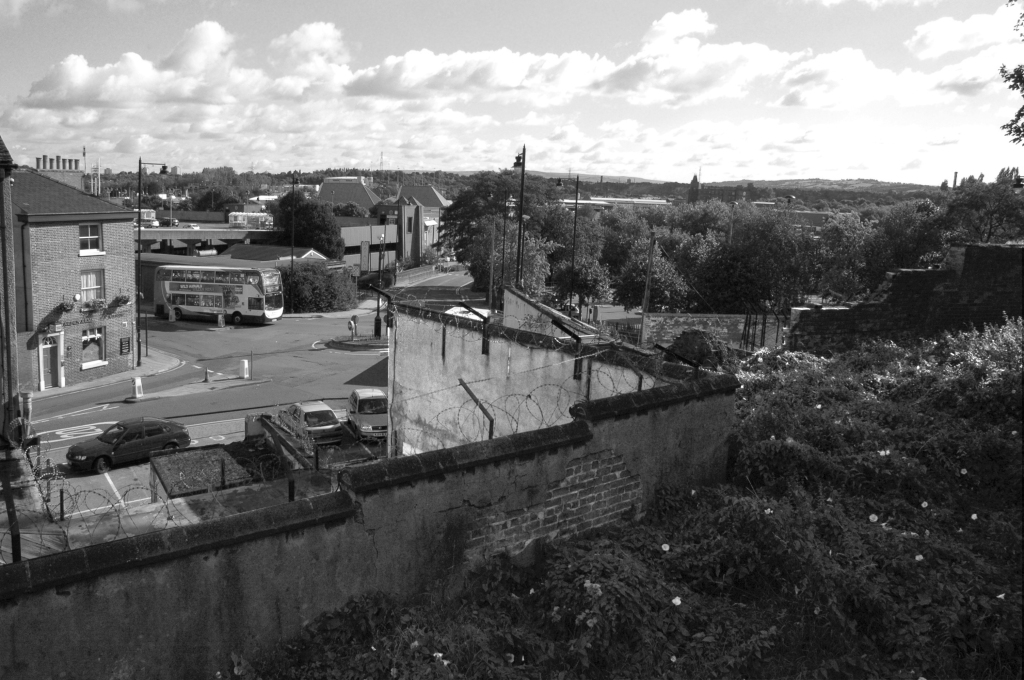
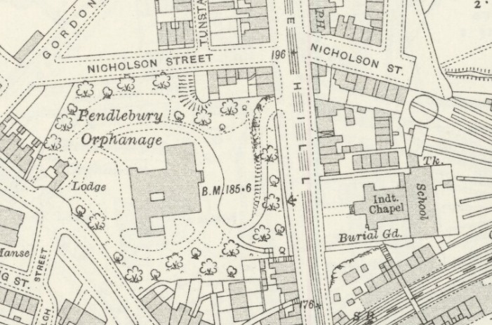
Her photograph was taken in Stockport 1967 – I first assumed it was taken from St Mary’s Church, looking toward the former power station.
I was mistaken.
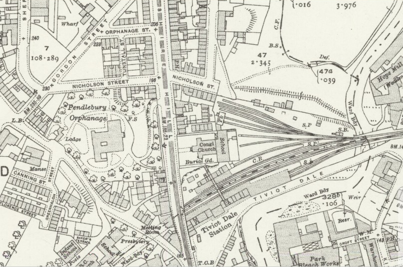
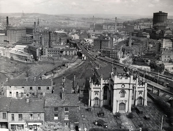
Using the Stockport Image Archive, I found the possible site, in this photograph of Tiviot Dale Station.
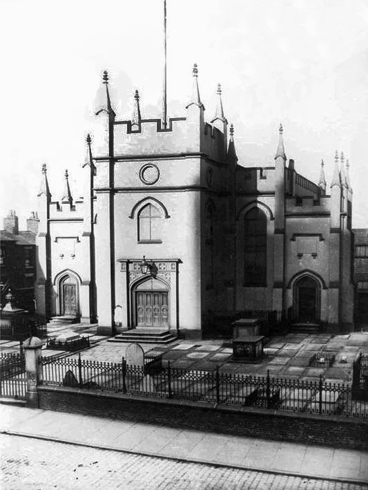
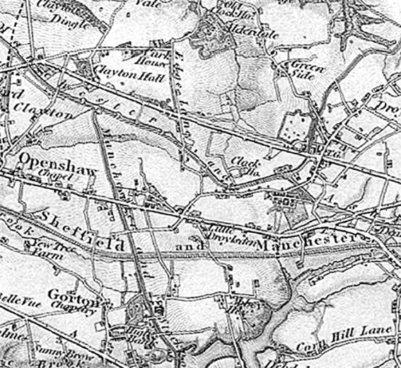
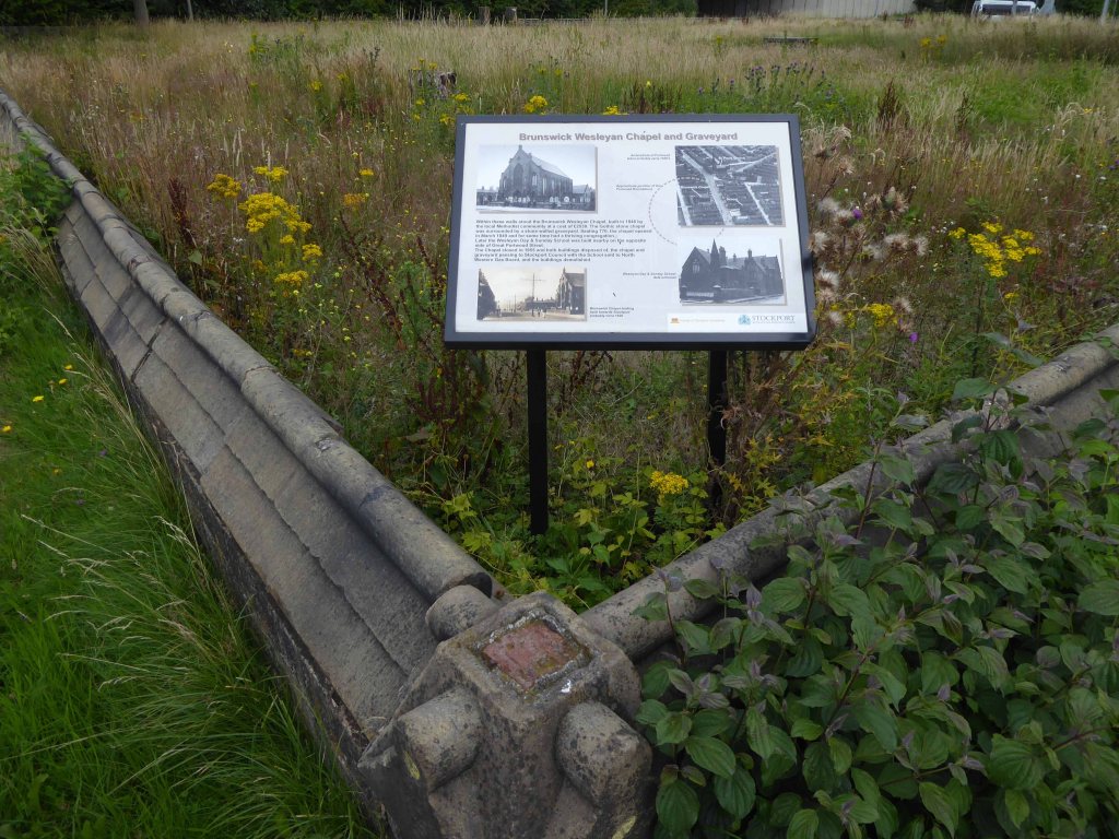
There on the eastern edge of Lancashire Hill – Hanover Chapel.
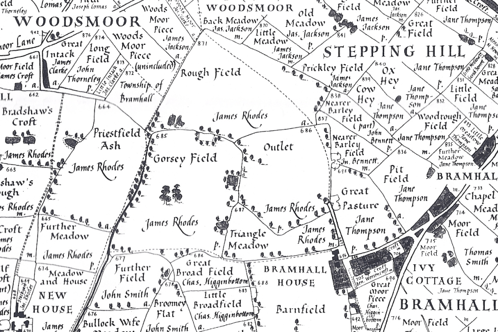
Seen here on the maps of 1917 and 1936.
An area of intense activity, road, rail, housing and infrastructure.
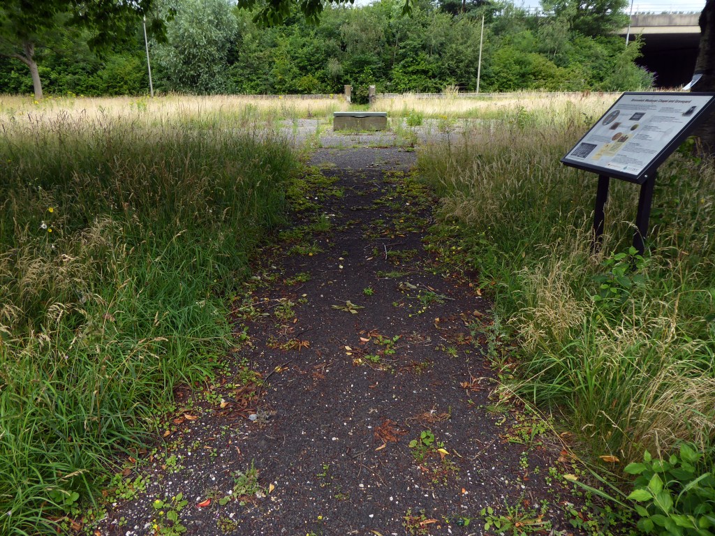
Hanover Chapel closed 1962 – though we may assume from Shirley Baker’s photograph, that following its demolition the graveyard remained intact but untended.
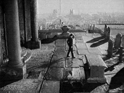
The chapel is thought be seen in the 1954 film Hobson’s Choice, directed by David Lean and starring John Mills, here awaiting his bride to be – the parish church of St Mary’s on the skyline.
Though closer examination reveals that this is not Hanover Chapel – where did those pillars come from?
Where are we, in a labyrinth of invention with a superimposed Stockport backdrop?
My thanks to Robert Collister for these observations.
Improbably out of time, the cooling towers are yet to be built, or blown up.
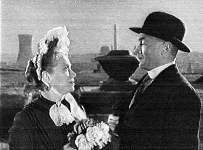
Here John is joined by Salford born Brenda Doreen Mignon de Banzie, playing Maggie.
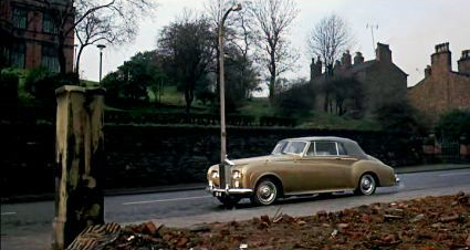
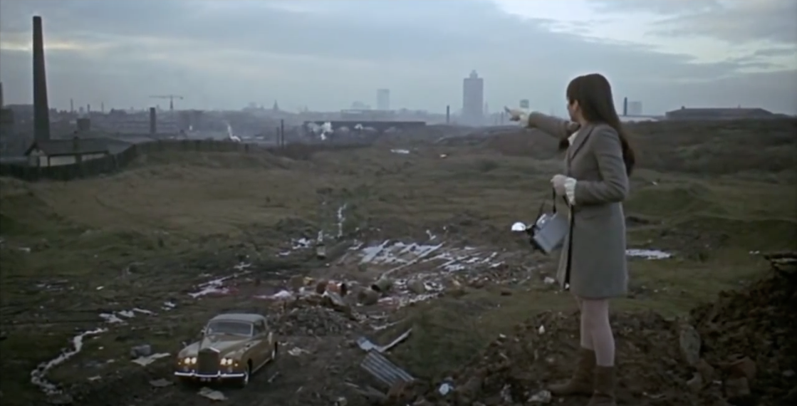
The demolished chapel rubble appears in the foreground of Albert Finney’s gold Roller CB 1E in Charlie Bubbles.
The film’s screenplay was the work of Shelagh Delaney, whose previous work A Taste of Honey also used local locations.
Where Finney has pulled up, feeling proper poorly.
As a serendipitous symmetry, Charlie Bubbles co-star Liza Minelli plays a photographer recording Salford’s disappearing streets.
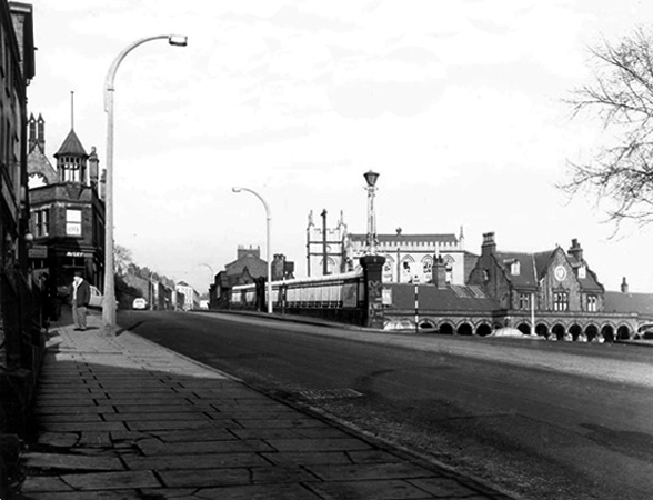
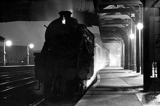
Bit by bit everything disappears, Tiviot Dale Station closed completely on January 2nd 1967.
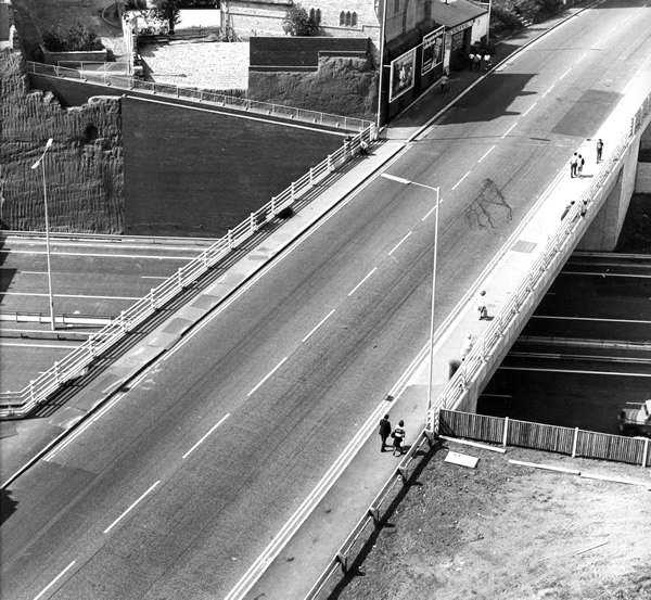
Where once there was a continuous run from the chapel to the town centre, the motorway has since intervened.
The Tiviot Dale pub on the right is no more, closed in 2013.
We had people from all parts of the country turn up on our final day,some of them brought their children who wanted to come because they remember the pub so fondly from their childhood. It was really humbling to see that our pub had touched so many lives.
I remember this pub as a Boddingtons house in the 1970’s. Excellent bitter served by handpump from small vault at the front and a larger “best room” behind, both very narrow given the width of the pub. The landlord employed an unusual method of ensuring everyone got a full pint; a half pint glass of beer was kept between the pumps and your pint was topped up from the half which was constantly replenished to keep it fresh. I have not seen this practice in any other pub.
Phil Moran
When’s the next tram due?
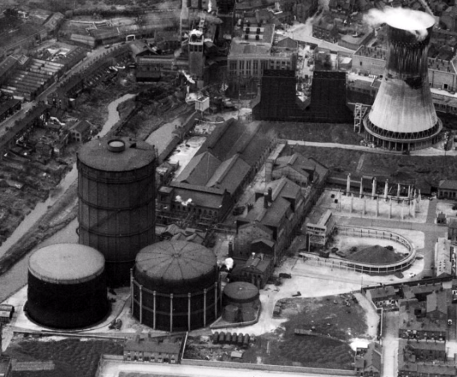
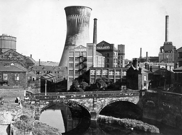
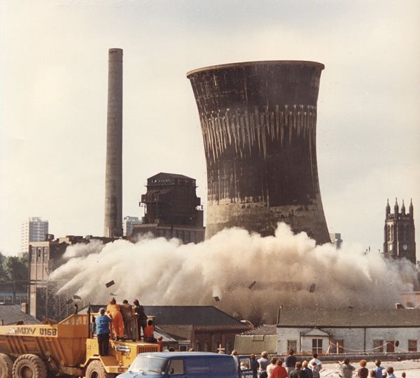
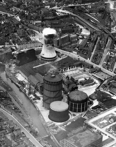
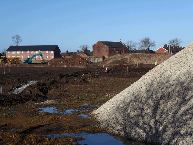
Millgate Power Station operated until 1976.
At the adjacent gas works – gas holder number three was dismantled in 1988, gas holders one and two were removed in 2019.
The nature of infrastructure, housing and industry has changed radically.
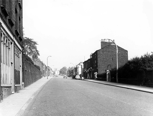
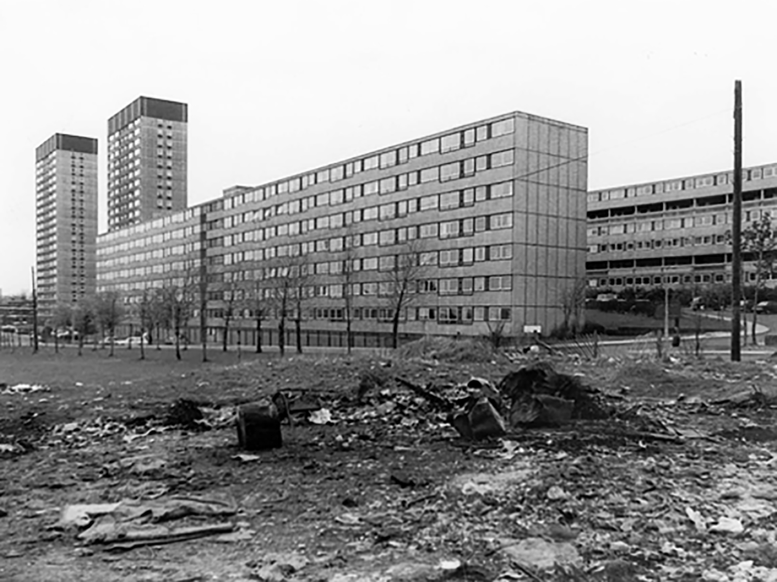
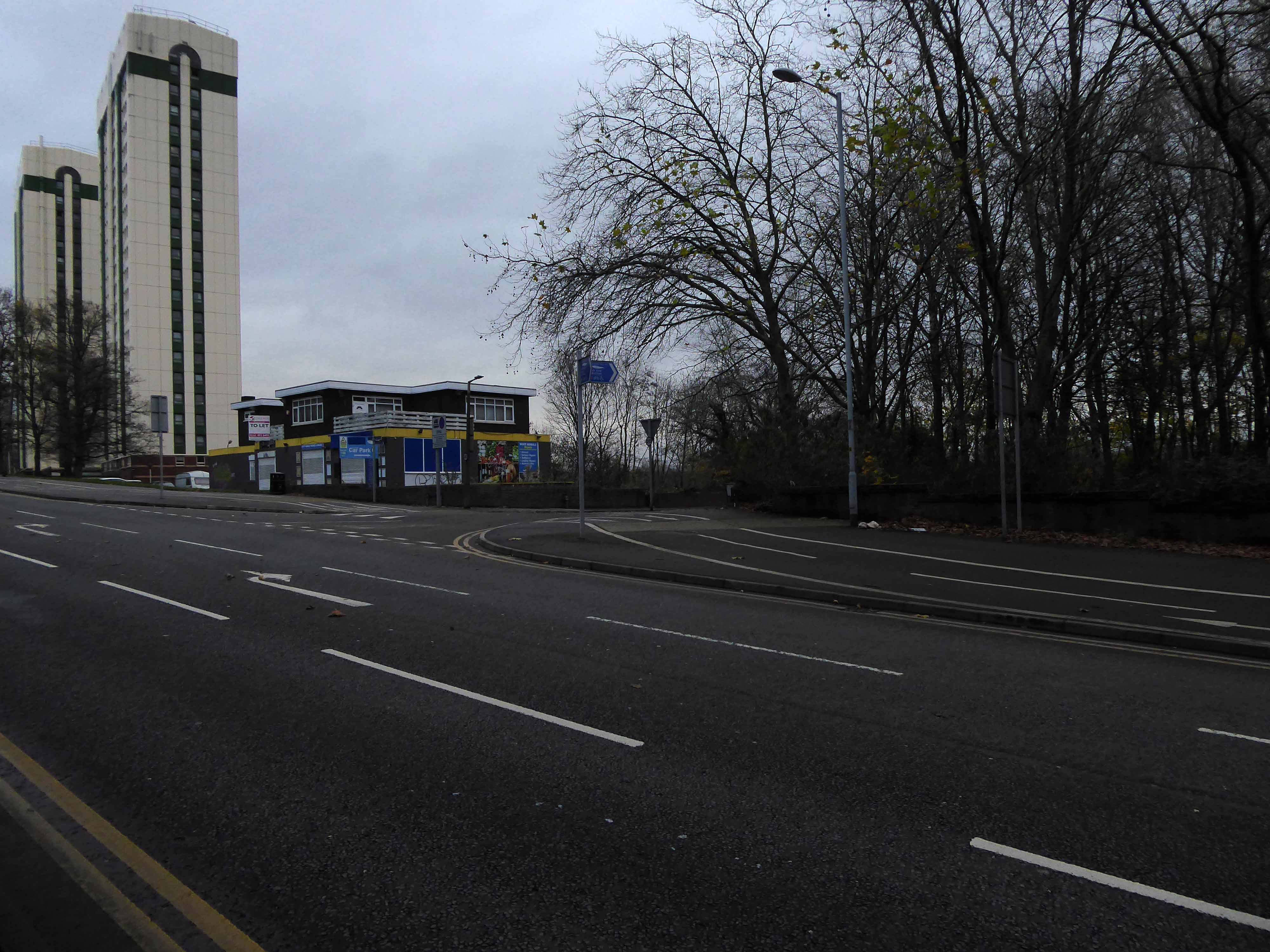
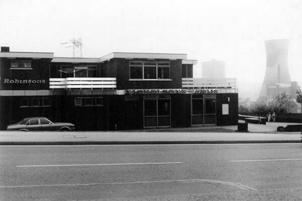
Lancashire Hill flats were built in the 60s, designed by City Architect JS Rank, two seven storey blocks containing 150 dwellings; two six storey blocks containing 120 dwellings.
Replacing tight rows of terraced housing.
They themselves clad and revamped.
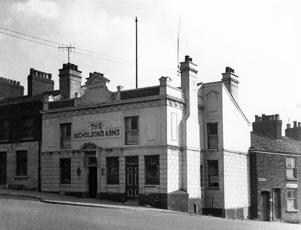
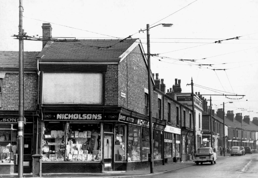
The Nicholson’s Arms built to serve the flats closed and currently empty, signs say to let – replaced an earlier pub, sited on the corner of long gone Nicholson Street.
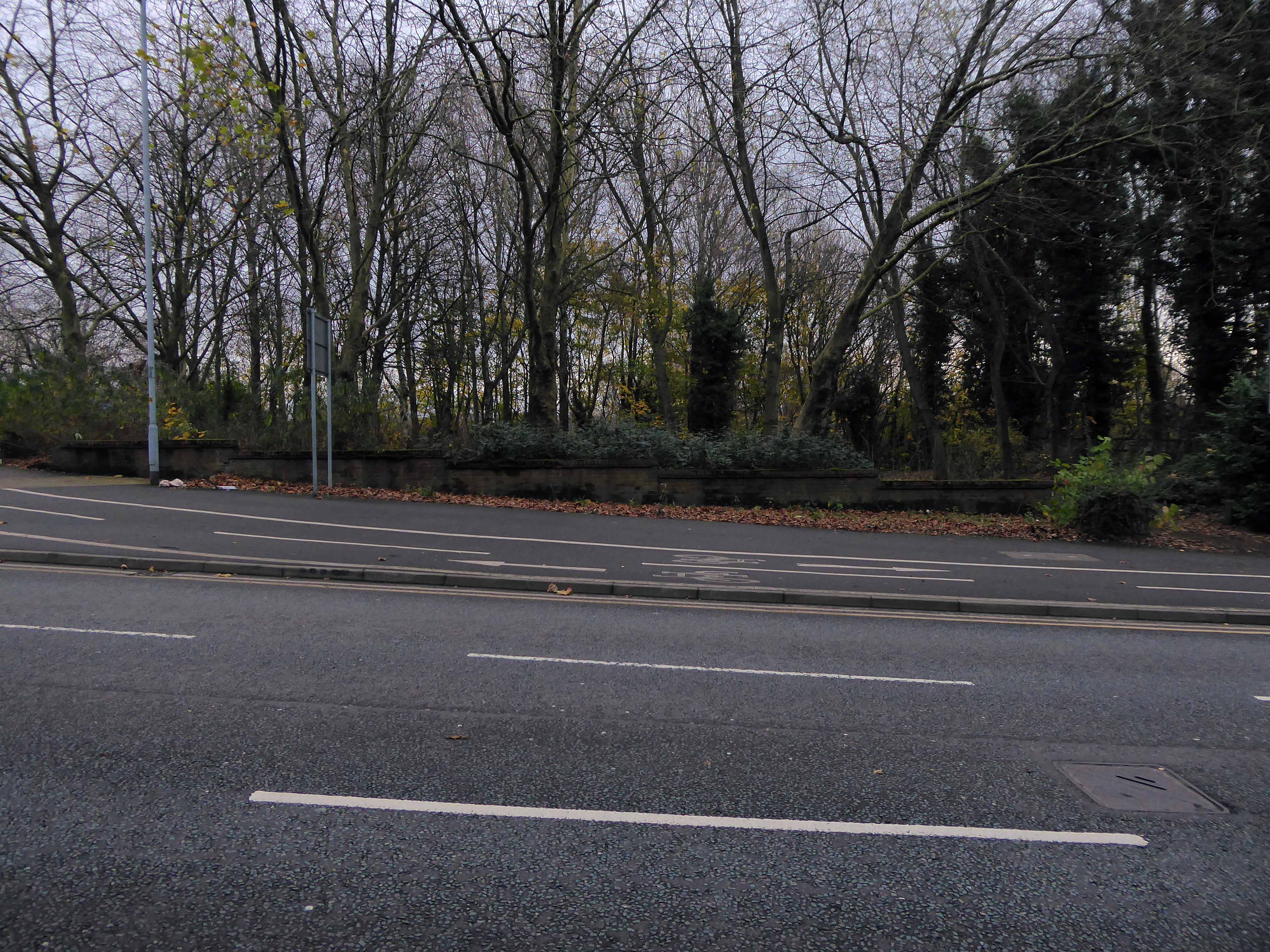
Today from the road there’s simply no trace of the site’s past purpose.
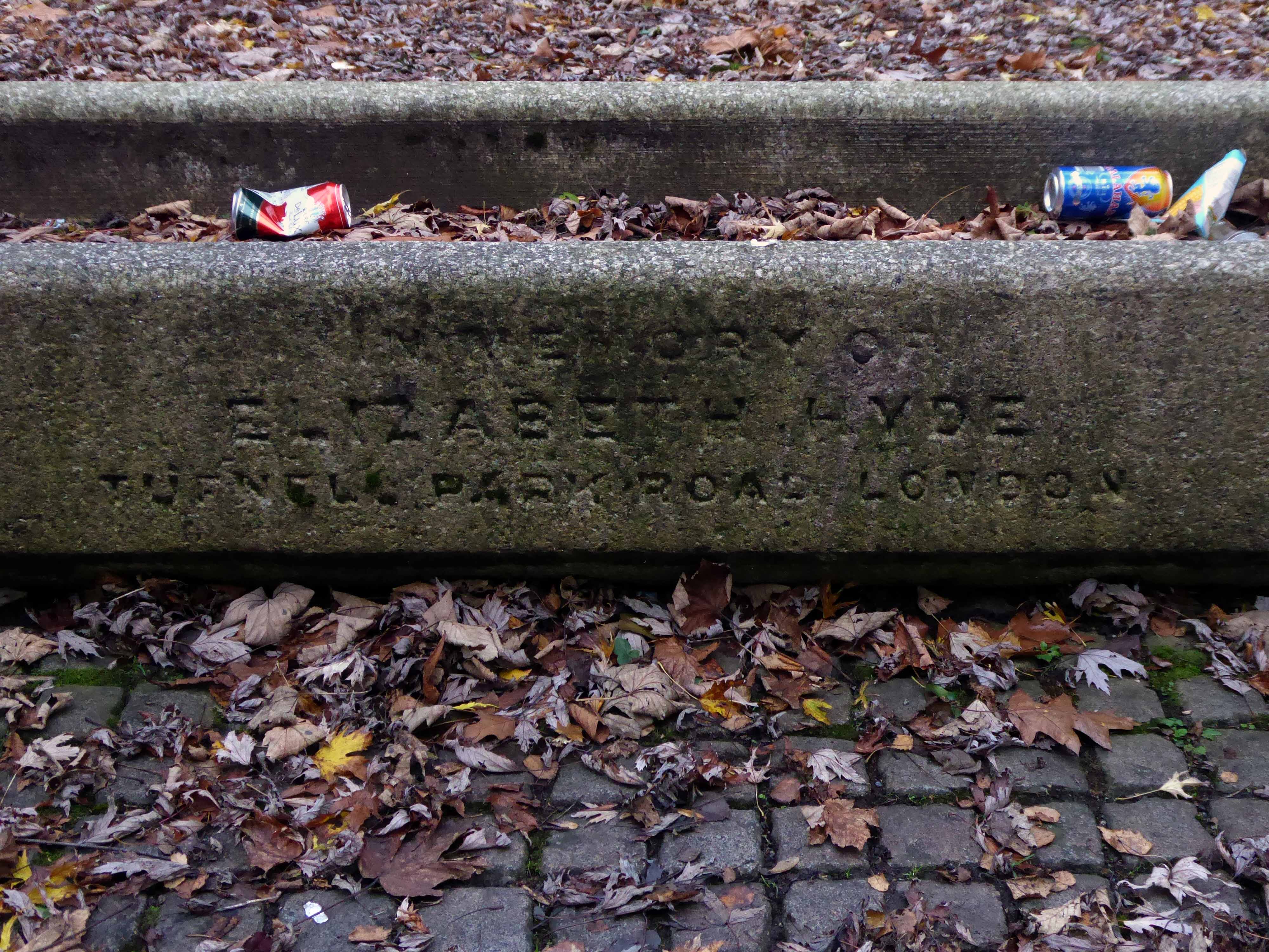
At the centre of what is now a compact civic grassed area – a trough.
Incongruously in memory of Elizabeth Hyde of Tufnell Park Road London.
The dense stand of trees is impenetrable – no longer a view of the non existent power station and beyond.
And they that shall be of thee shall build the old waste places: thou shalt raise up the foundations of many generations; and thou shalt be called, the repairer of the breach, the restorer of paths to dwell in.
Isiah 58:12
As a footnote I did meet brothers Stephen, Derek and Peter who appeared in this Shirley Baker photograph 55 years ago – she promised them an ice cream each – they never ever received an ice cream.
They are seen in Sunnyside Street Ordsall – long since demolished.
A commemorative plaque from the Chapel still exists, sited now on the wall of Wycliffe Congregational Church Georges Road Stockport.
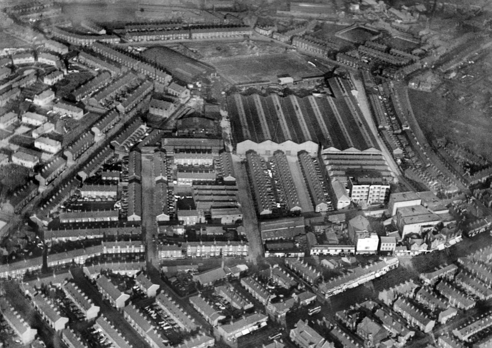
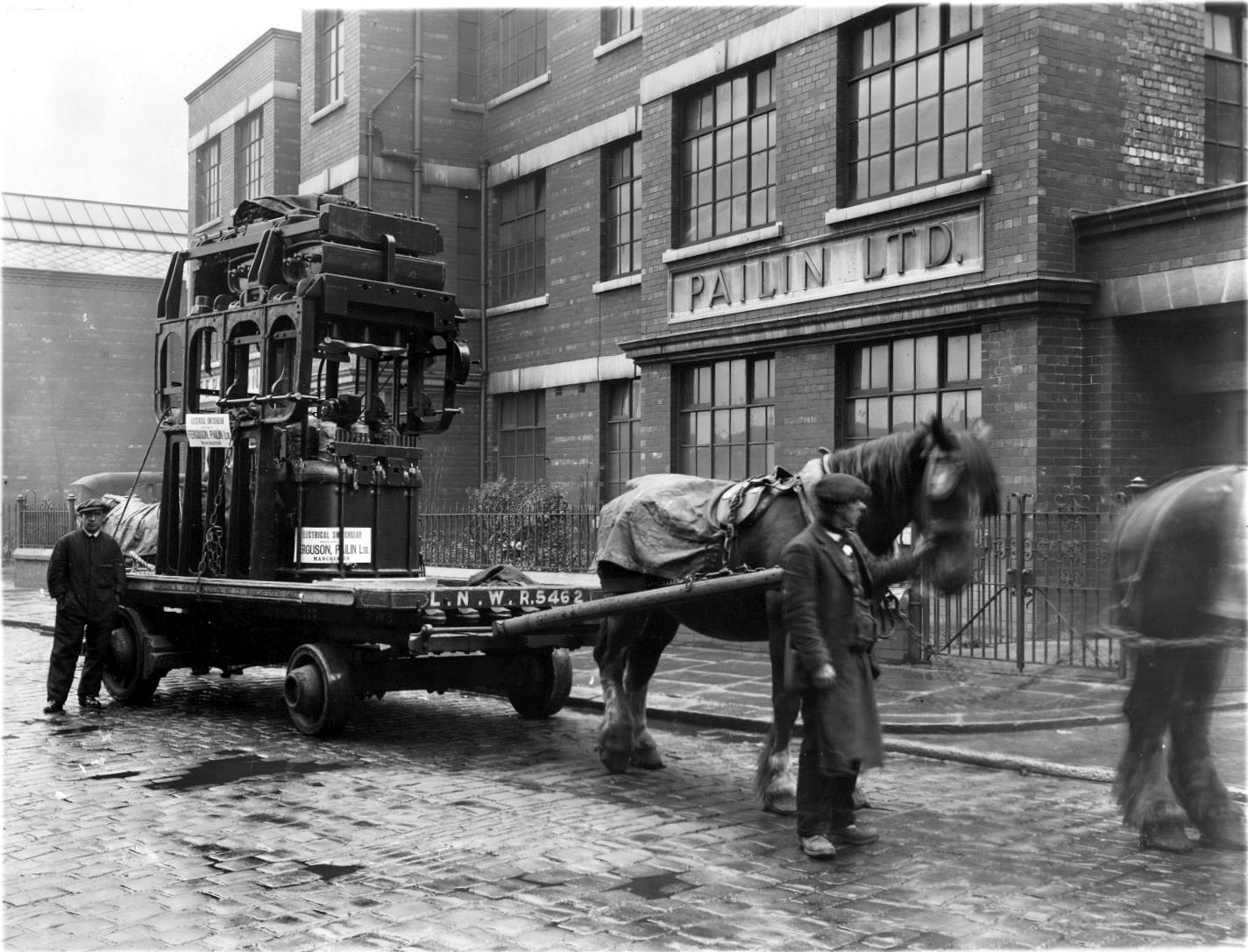
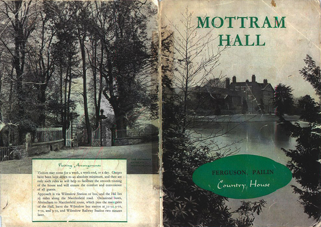
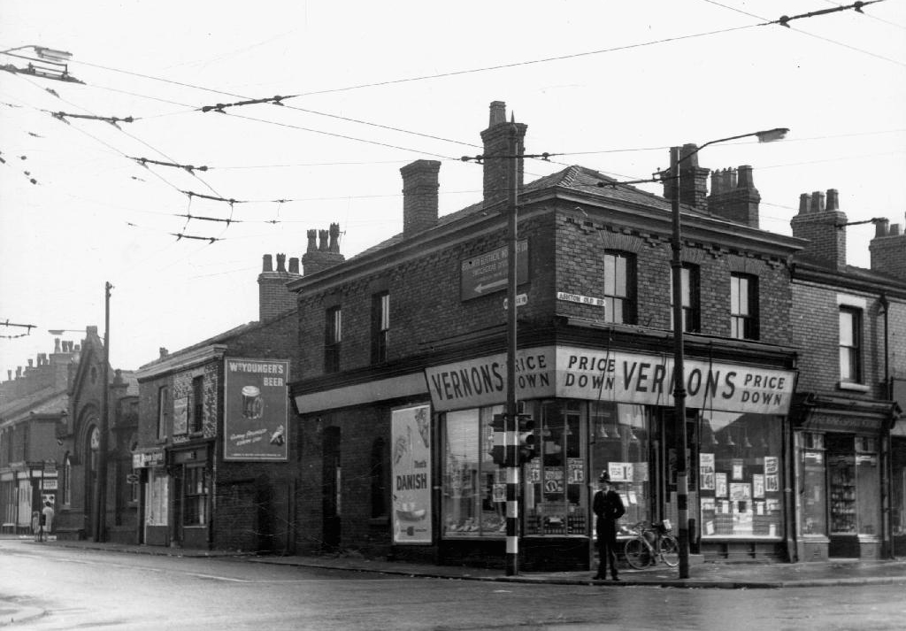
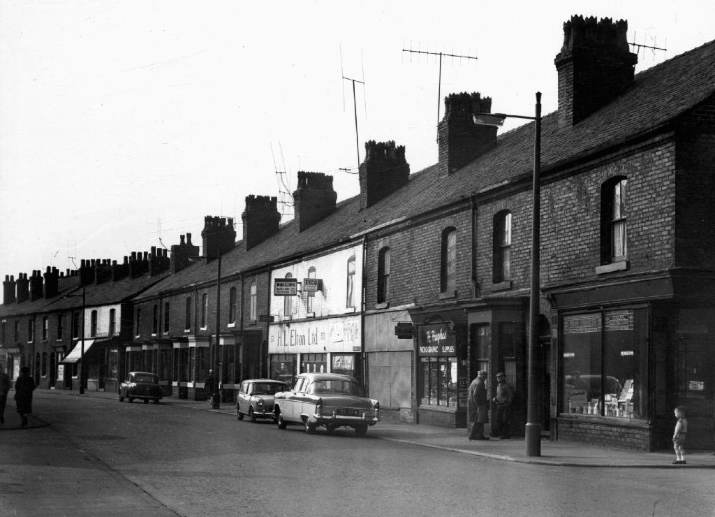
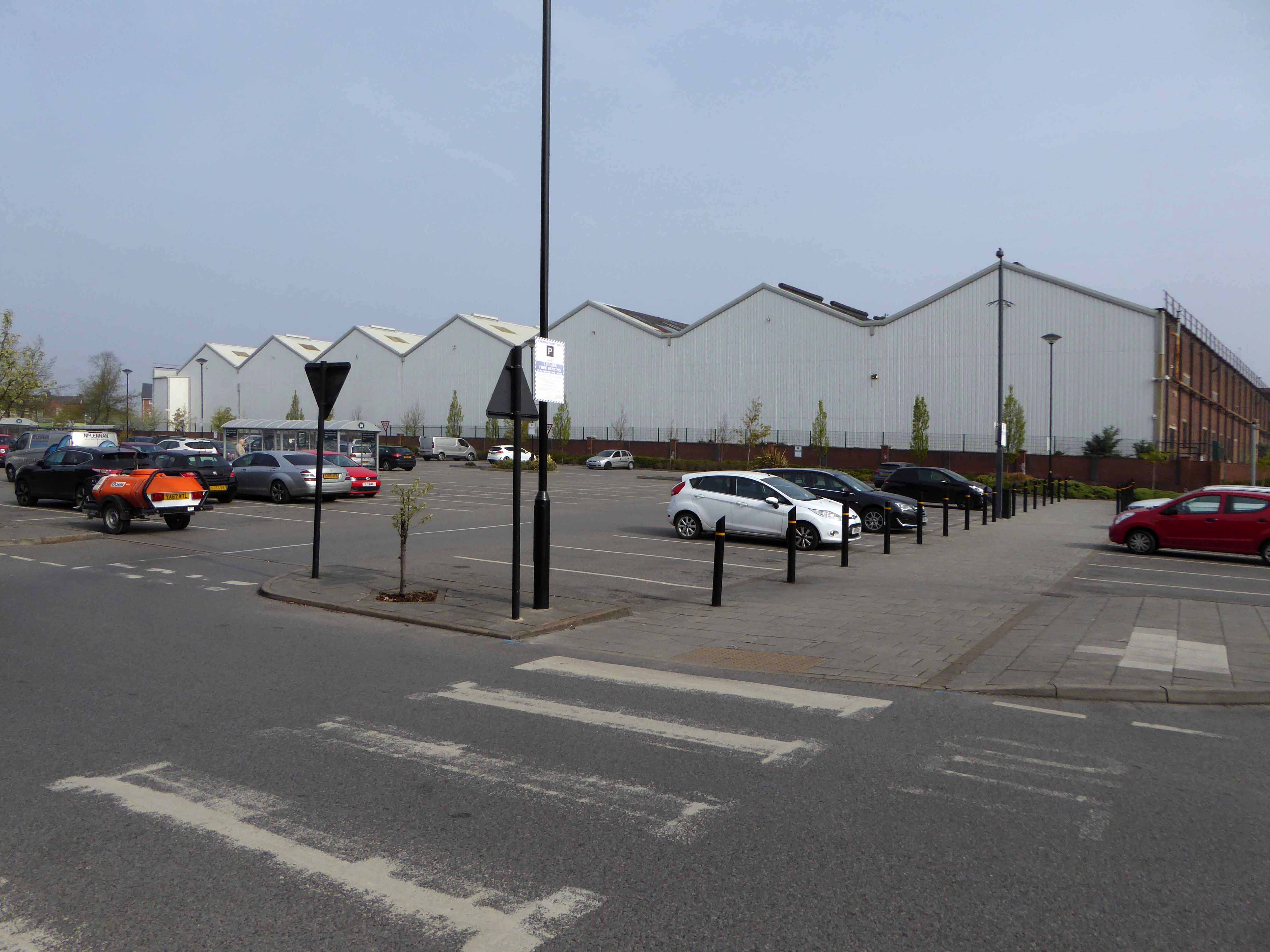
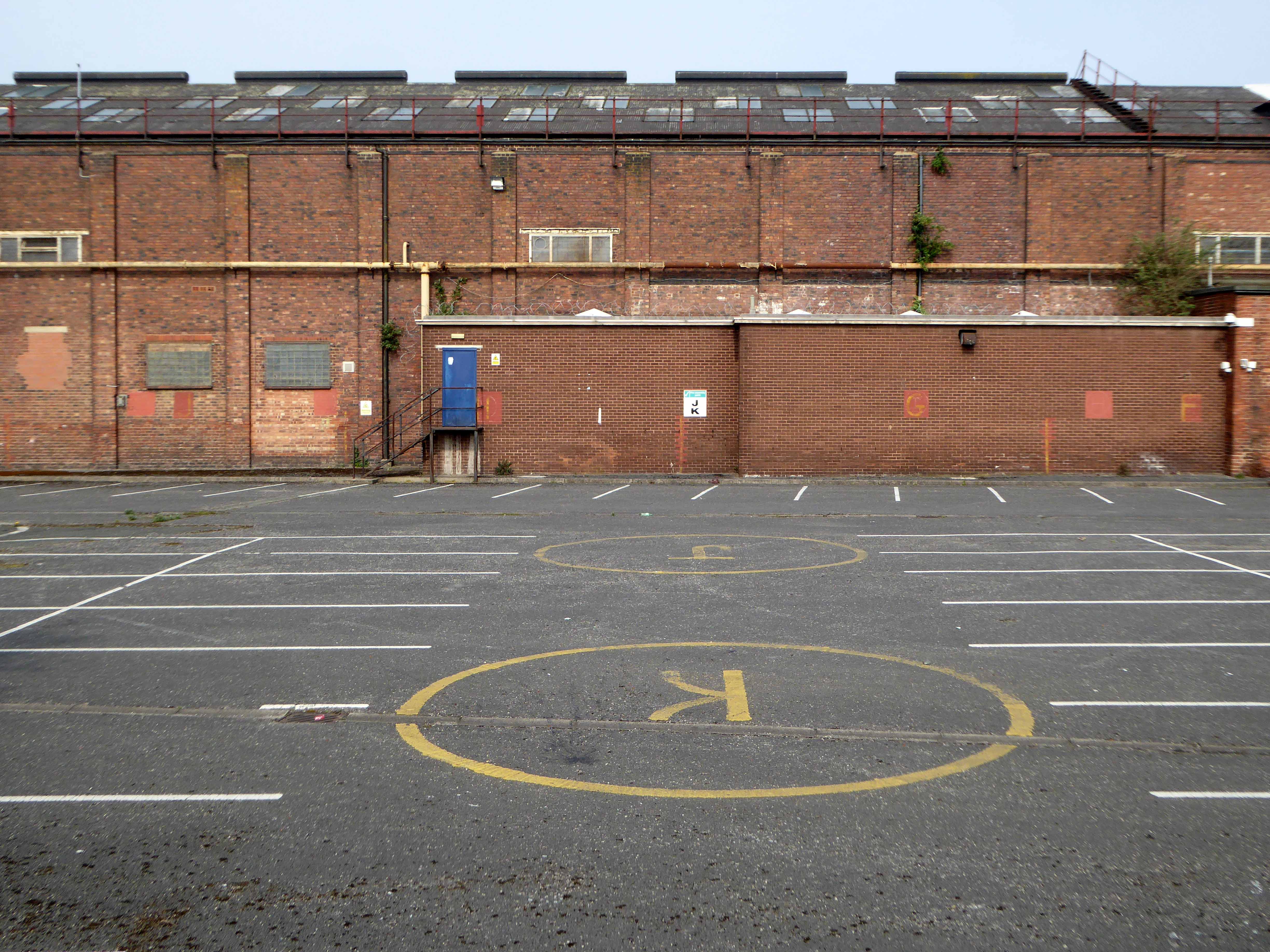
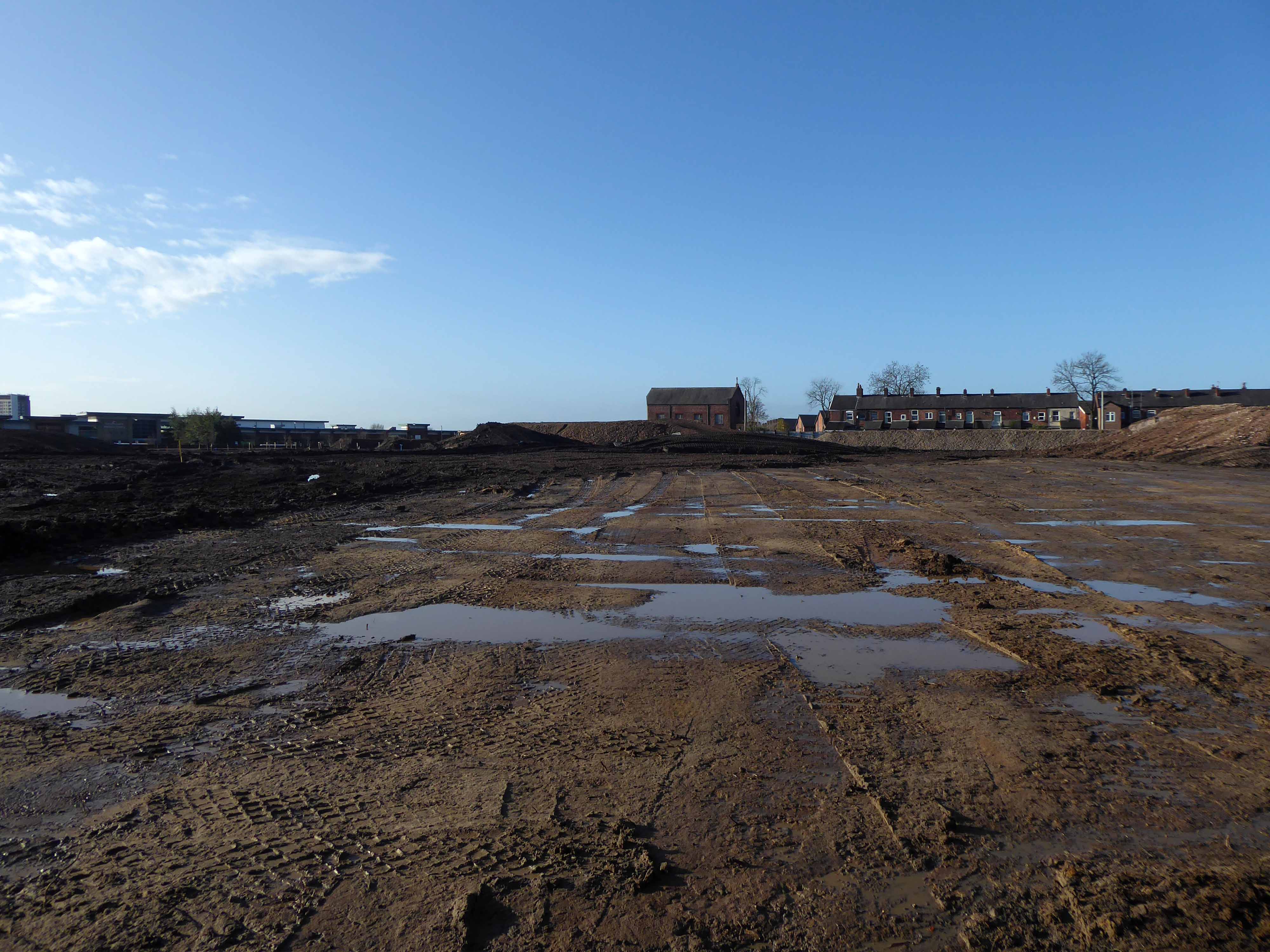
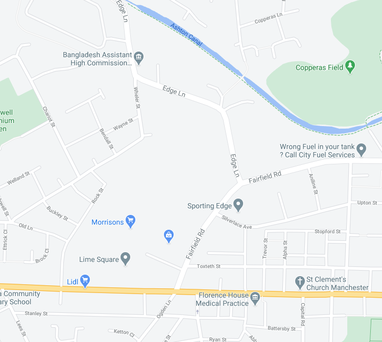
Ferguson Pailin Electrical Engineering are established in 1913 on Fairfield Road/Edge Lane.
By 1939 the factory is fully formed and the area a dense warren of industry and terraced housing.
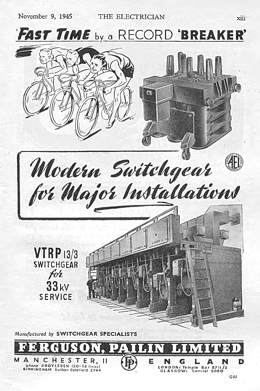
Makers of heavy duty electrical switchgear and general electrical engineers, of Higher Openshaw, Manchester.
1913 Ferranti Ltd sold its switchgear patents and stock to Ferguson, Pailin Ltd. Samuel Ferguson and George Pailin had worked for Ferranti as switchgear engineers. They left in 1913 to set up their own switchgear business at a factory in Higher Openshaw, Manchester.
The company was acquired by Associated Electrical Industries (AEI) in 1928. Following the restructuring of AEI in 1960, Ferguson, Pailin & Co ceased to be a separate subsidiary and was merged into AEI switchgear. Following the takeover of AEI by GEC in 1967, the Higher Openshaw works became part of GEC Switchgear. In 1989, GEC merged its electrical engineering interests with those of Alsthom to form GEC Alsthom. The factory was later closed by Alstom in 2003, with most of the employees finishing on 22 November 2002.
The company has a Facebook page which shares former employees memories – from which these archive photographs were taken.
Notably the firm provided extensive leisure facilities for their employees.
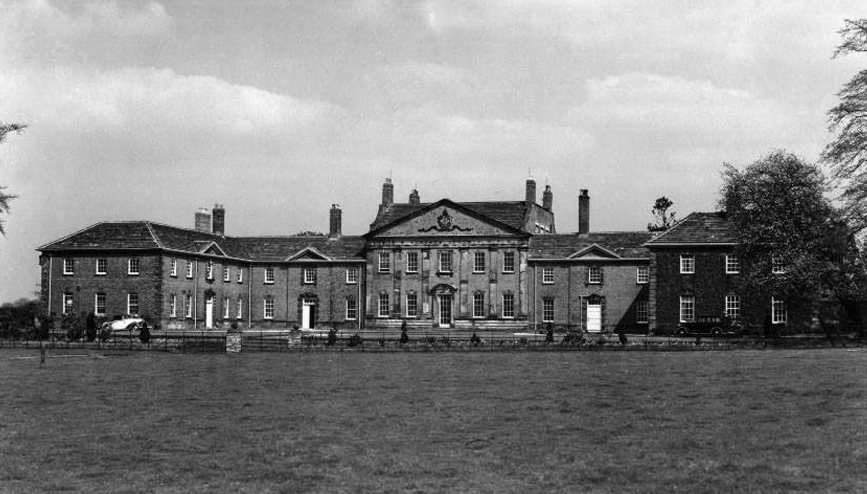
The company acquired Mottram Hall to give employees an opportunity to go on affordable holidays during World War II. The company bought three properties in 1939/40 in order to provide holidays for staff and workers during the war. Mottram Hall was bought for the works, a small hotel in Llandudno for the middle level staff and a property in Criccieth for senior staff. Mottram Hall was sold as surplus to requirements by GEC in 1968 and is now a luxury country house hotel.
Sadly the days when benevolent employers thought to take care of their employees in such a manner, are largely a thing of the past.
For business guests, our sleek and sophisticated conference rooms feature the latest technology to get your agenda off to a prompt and professional start. Plus, catering facilities and a plush break out space for comfortable downtime between meetings.
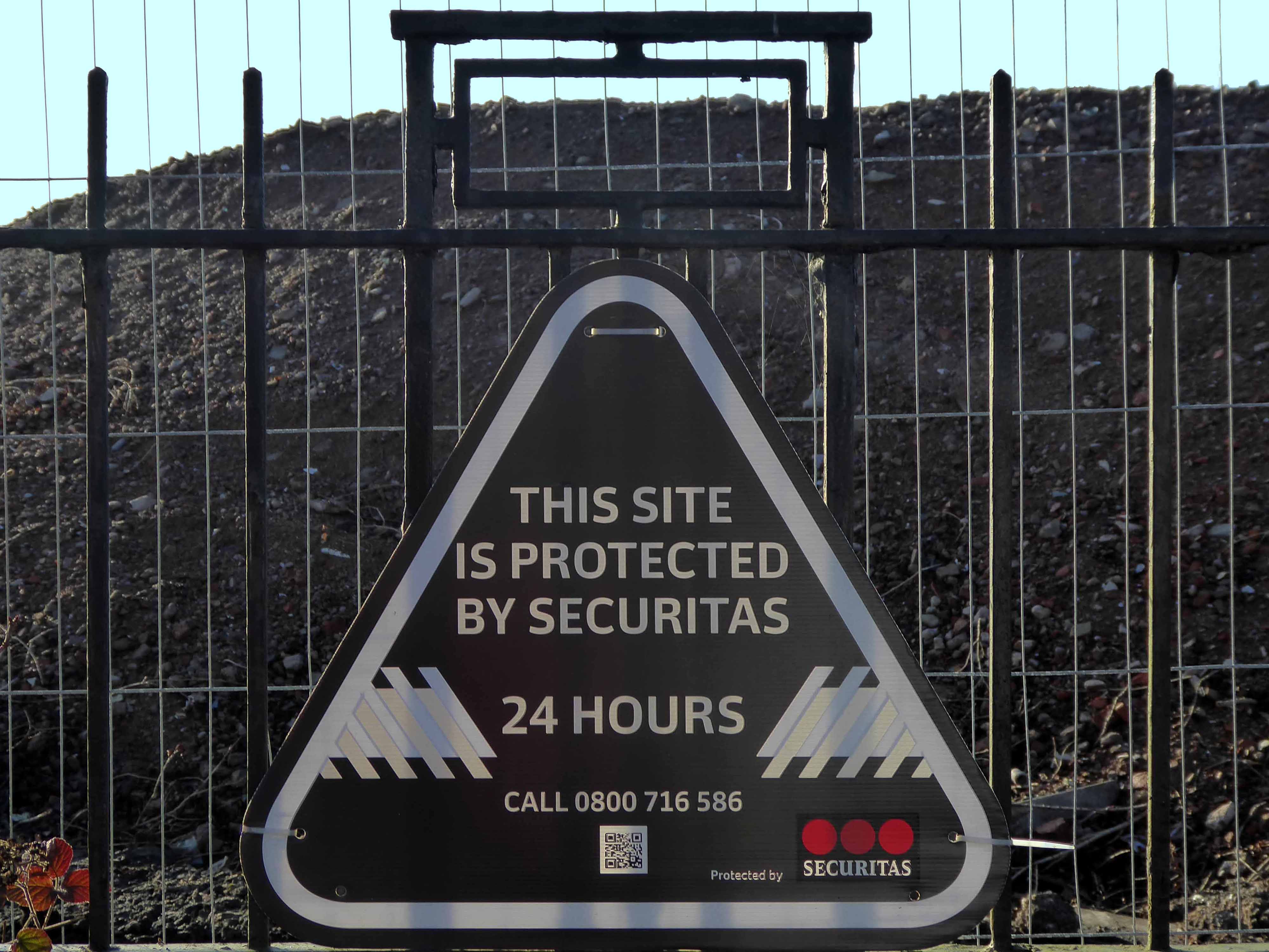
Last time I passed through many of the factory buildings were still extant though underused. A portion of the site lost to the development of the Lime Square Shopping Centre.
Lime Square is a shopping destination which is helping to put the heart back into Openshaw district centre here in east Manchester. Lime Square is home to the stunning Steamhammer sculpture and a host of great High Street names.
By and large replacing the plethora of busy local businesses which once thrived in the area.
Part of the site became the site of a car park for B&M Bargains.
Empty car parking and to let signs in superabundance.
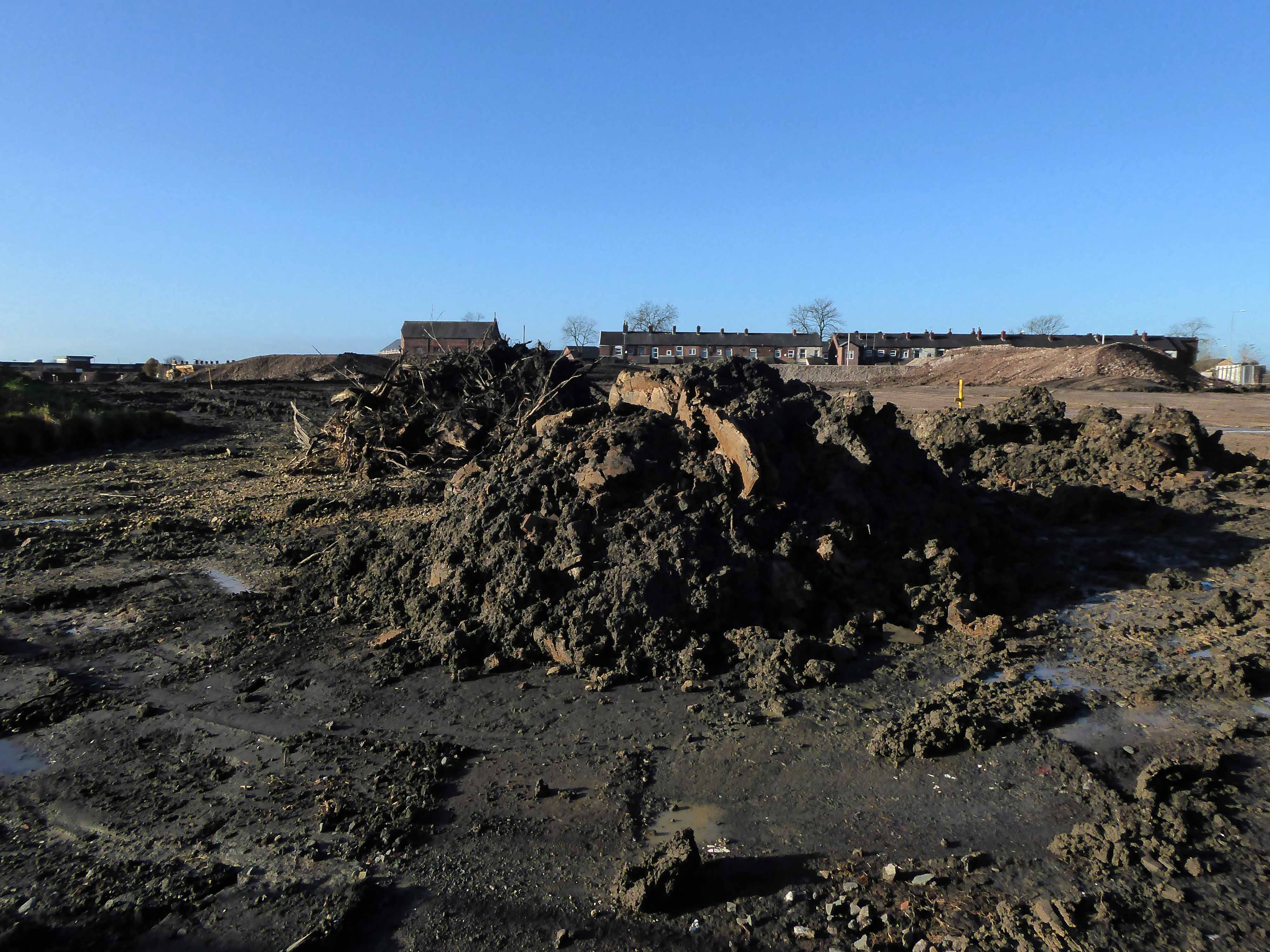
So there we are the end of an era – the decline in manufacturing, the structure ending life as an empty warehouse.
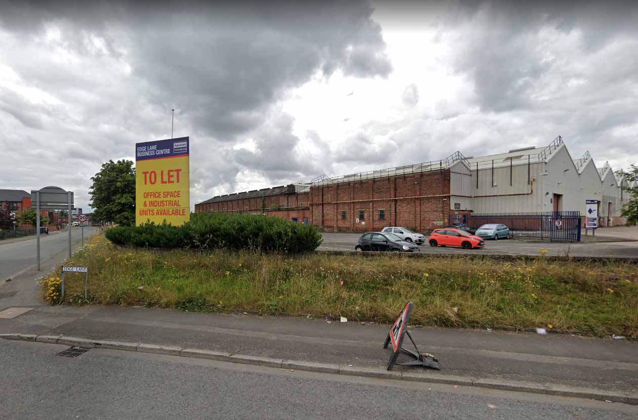
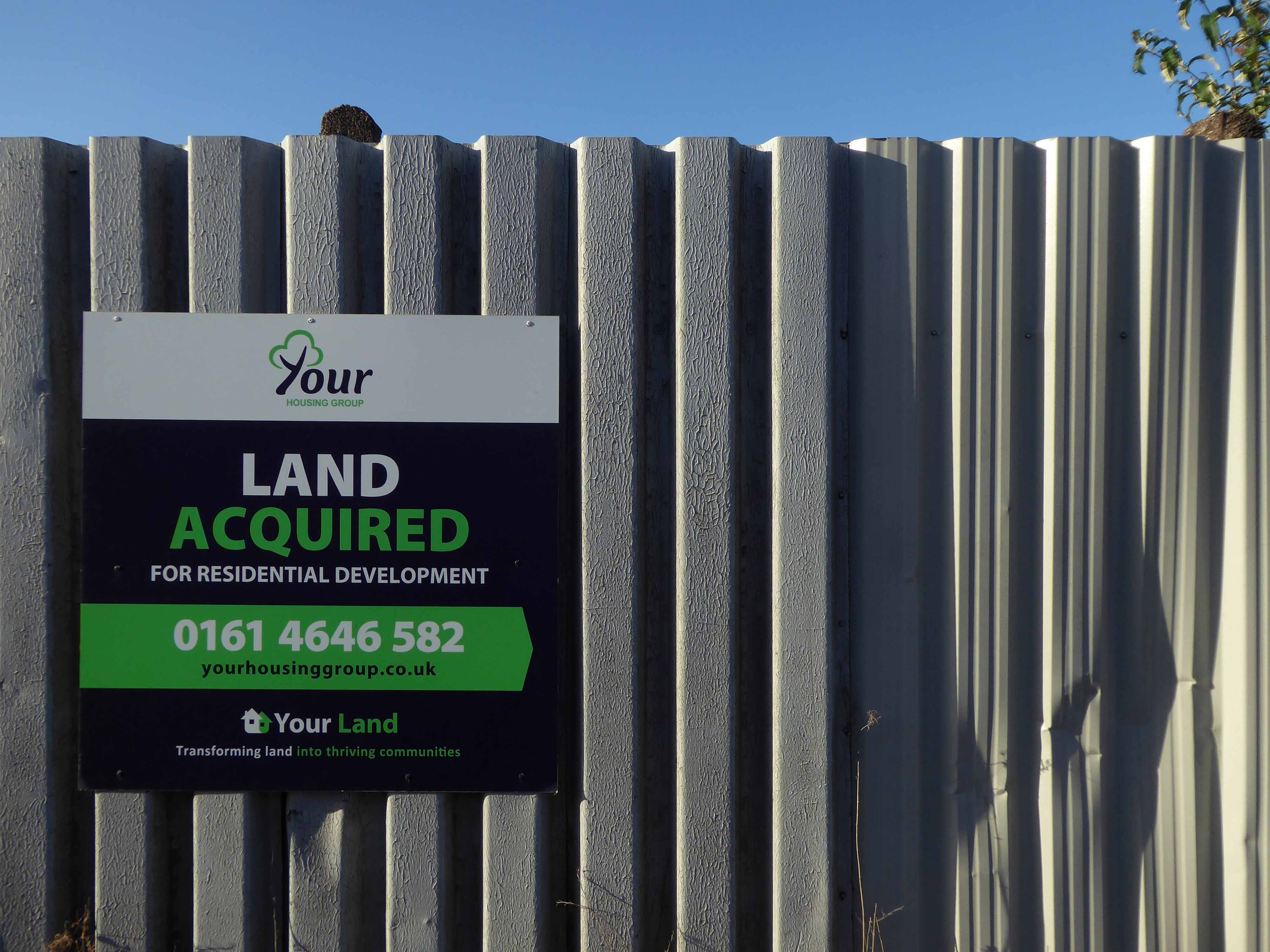
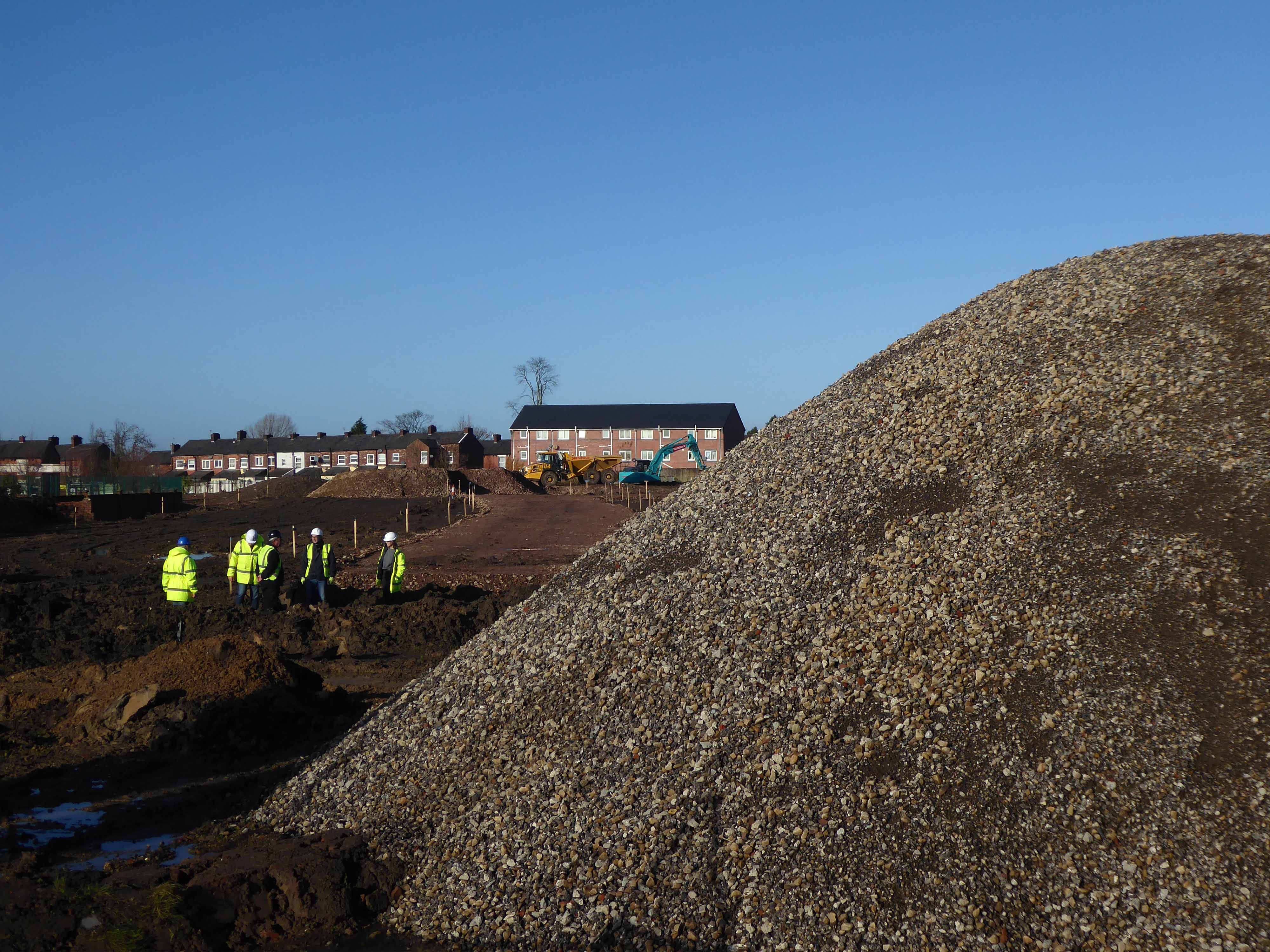
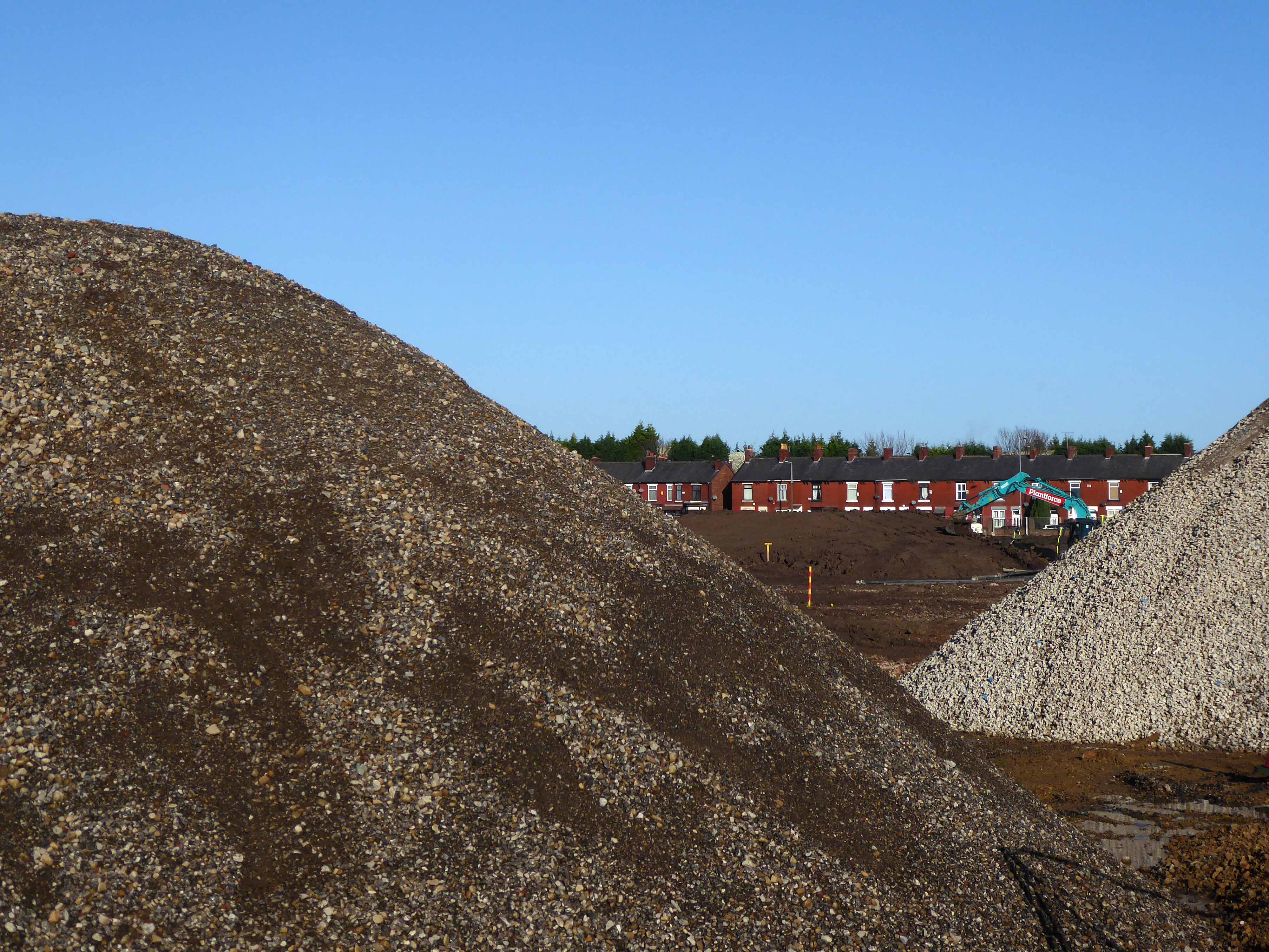
But wait, what’s all this?
Your Housing Group, the Warrington-based affordable housing provider, wants to build a residential scheme on the site of a former warehouse on Edge Lane, with work starting this summer subject to consent.
The project in Openshaw comprises 216 homes available on a mix of tenures, according to a planning application submitted to Manchester City Council. A total of 72 will be for sale as shared ownership schemes, another 72 will be for private rent, and 72 will be for affordable rent.
So there we are another phase of development for one small area of Manchester, should you change to pass, just spare a moment to recall those thousands of souls that laboured their whole working lives – right here on Fairfield Road and Edge Lane.
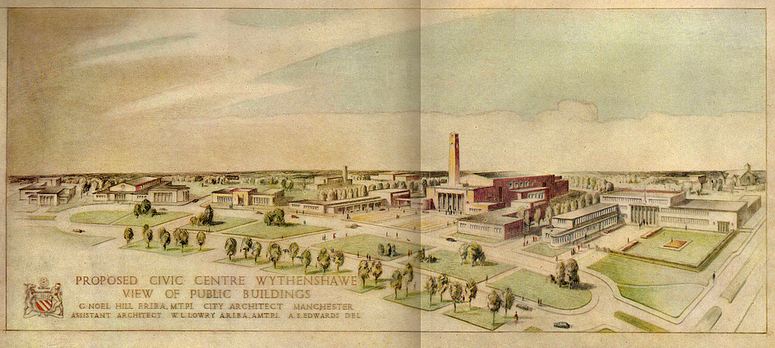
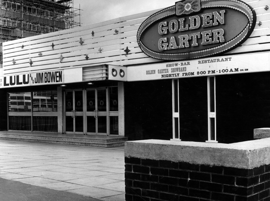
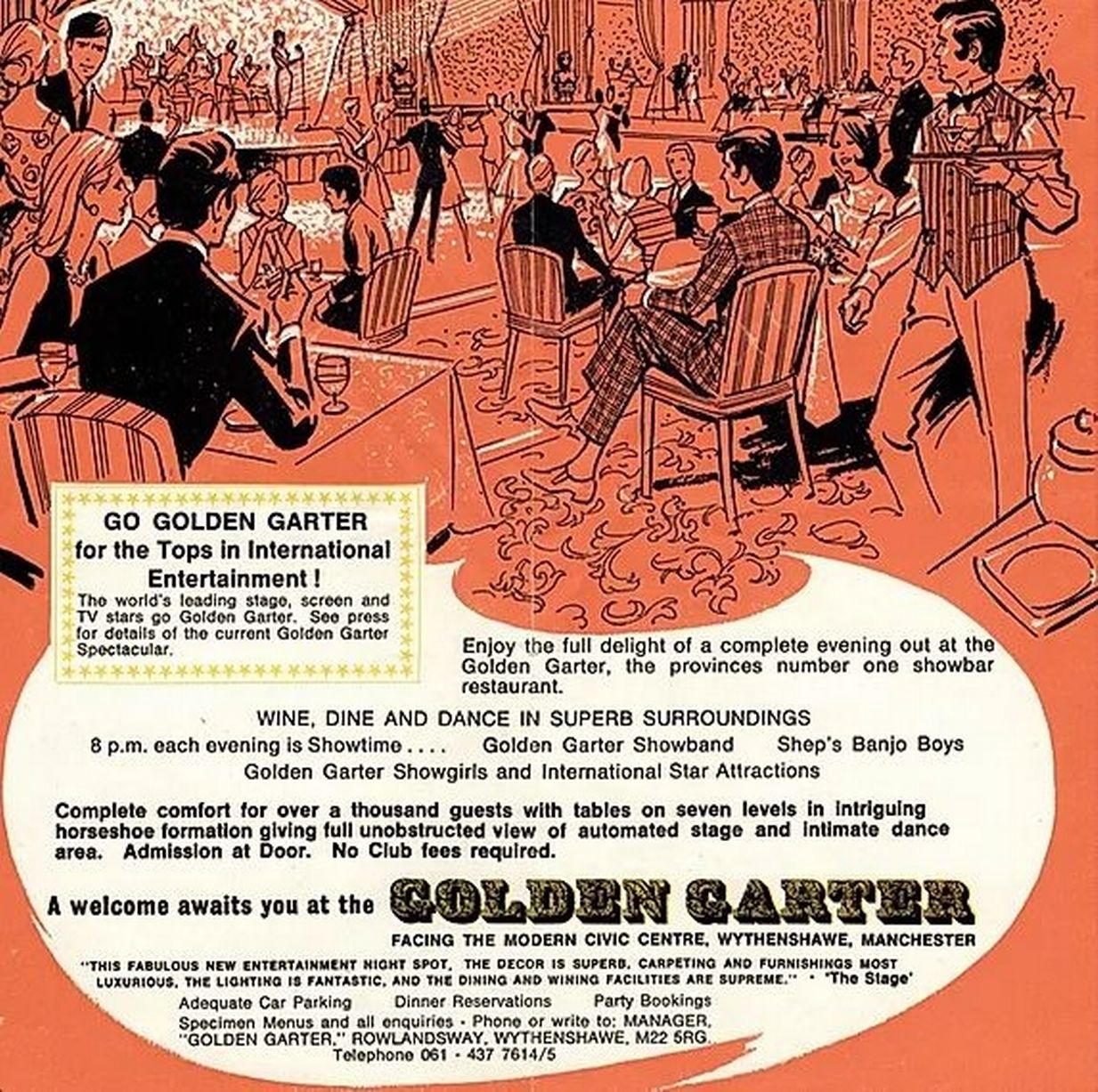
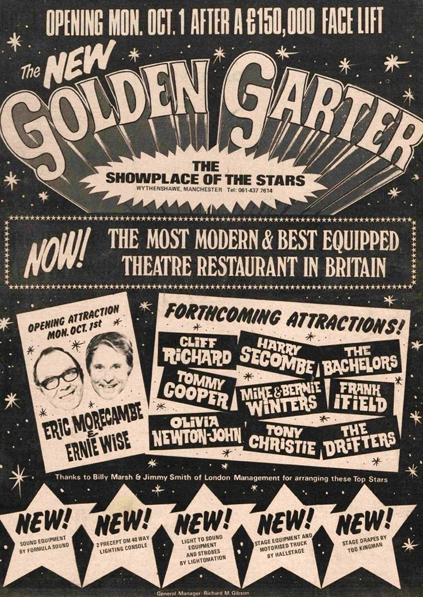
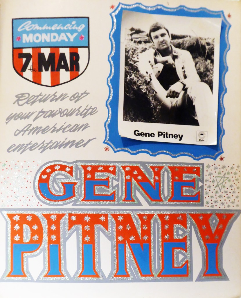
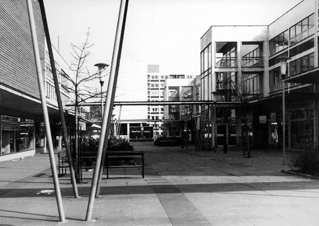
A social history of Wythenshawe and its Civic Centre can be found here at Archives +.
A general history of the garden city’s development can be found here at Municipal Dreams.
Lest we forget, the story begins with a level of overcrowding and human misery that is – thankfully – almost unimaginable in Britain today. In 1935, Manchester’s Medical Officer of Health condemned 30,000 (of a total of 80,000) inner-city homes as unfit for human habitation; 7000 families were living in single rooms.
The estate was always considered to be, in some sense, the realisation of an ambitious vision.
The world of the future – a world where men and women workers shall be decently housed and served, where the health and safety of little children are of paramount importance, and where work and leisure may be enjoyed to the full.
Cooperative Women’s Guild
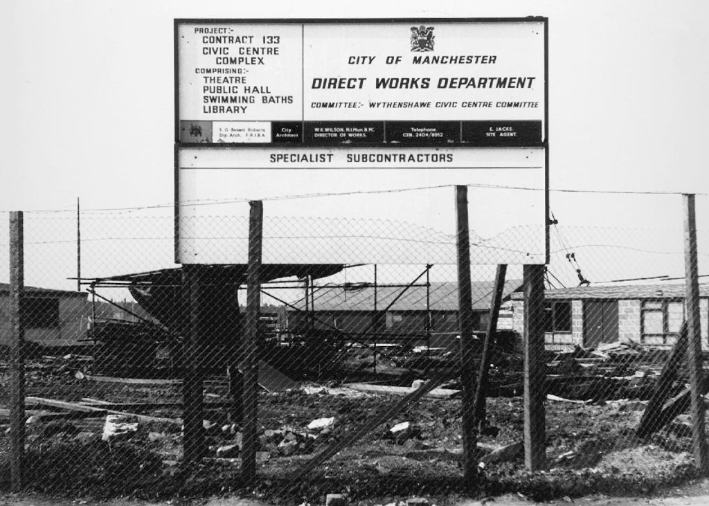
Work began in the interwar years, and continued following the hiatus of 1939-45. The shopping centre named the Civic Centre was open in 1963, the actual Civic Centre containing a swimming pool, theatre, public hall and library in 1971.
A triumph for Municipal Modernism conceived by the City Architects and realised by Direct Works. This post war development owed more to the spirit of Festival of Britain optimism, new construction methods and materials, rather than the grandiose functionalist classicism of the original scheme.
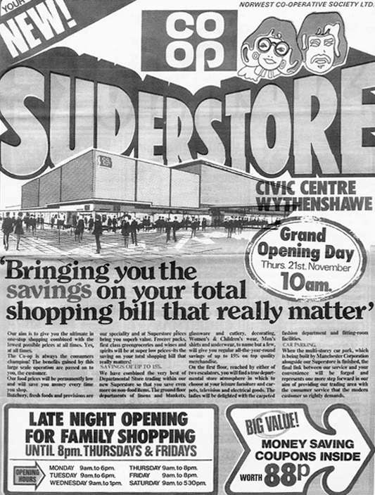
The Co-operative Superstore was a key element in the provision of provisions.
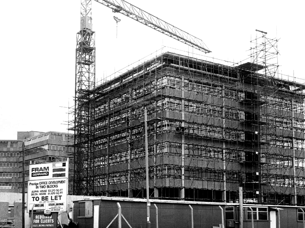
There still is – The Forum is a bright and modern hub for co-located services used by community and business.
The original Forum opened in 1971. One of Manchester’s largest public buildings, it had a leisure centre, library, theatre, main hall and meeting rooms. By the mid 1990’s it was under used, had deteriorated internally and externally and needed substantial investment.
The new Forum, along with a new police sub-divisional headquarters and improved transport link was designed to help strengthen the town centre, and provide a landmark project to raise Wythenshawe’s profile within Manchester and beyond.
In the 1980’s they put on a superb array of shows including Roll on 4 O’Clock which starred John Jardine, Jack Smethurst and Glynn Owen. Oh What a lovely War; What the Butler Saw and Habeas Corpus by Alan Bennett. Bury’s own Victoria Wood starred in Talent which she wrote. Another Manchester icon Frank Foo Foo Lammar, famous as the top drag queen of the North-West whose club was re-known for its great party nights appeared in The Rocky horror Show.
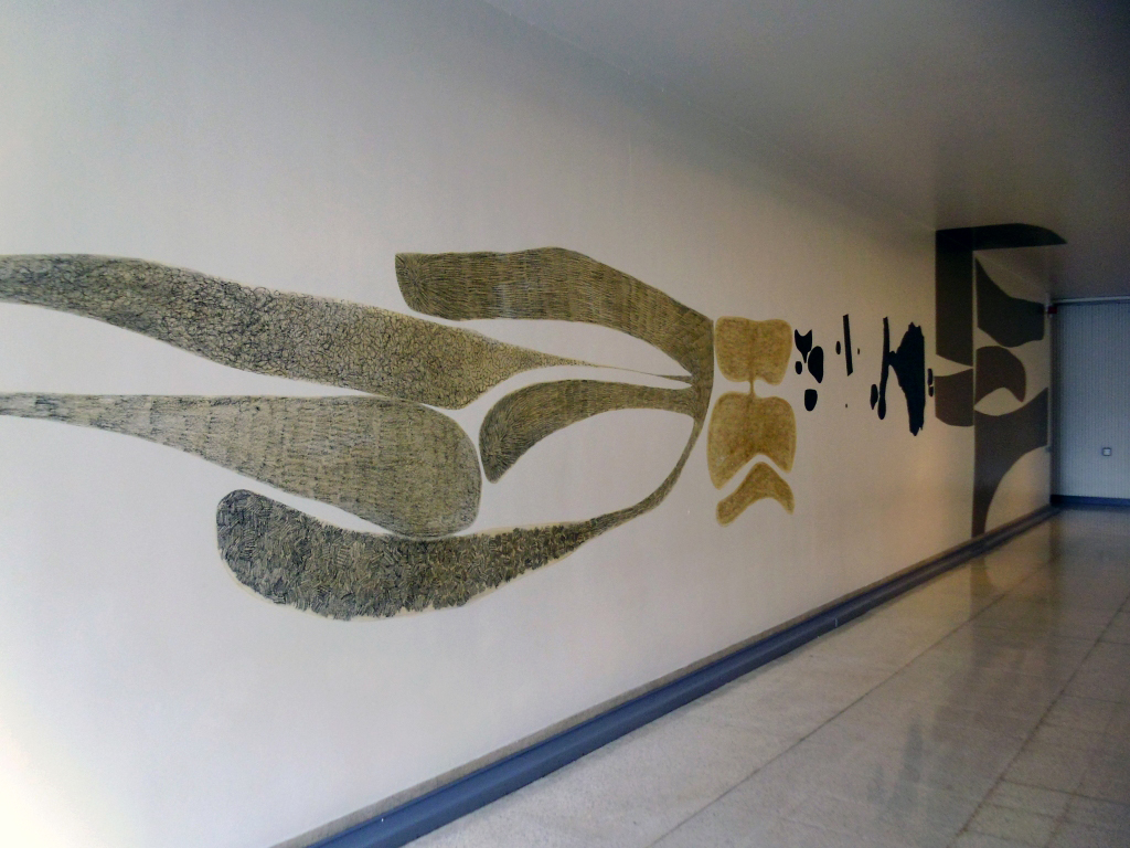
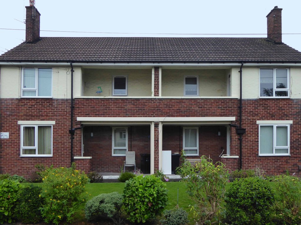
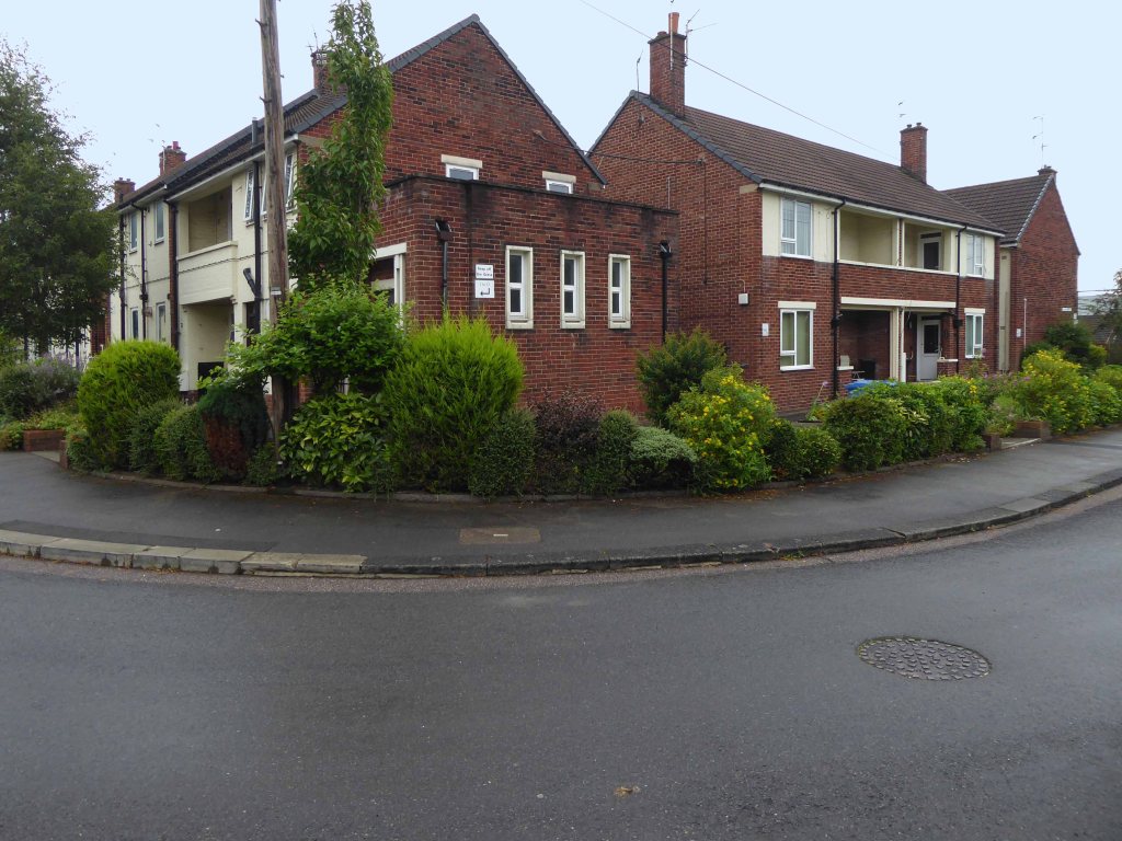
A land of elegant covered walkways and raised beds.
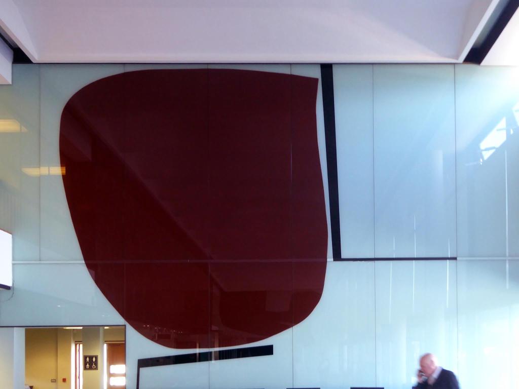
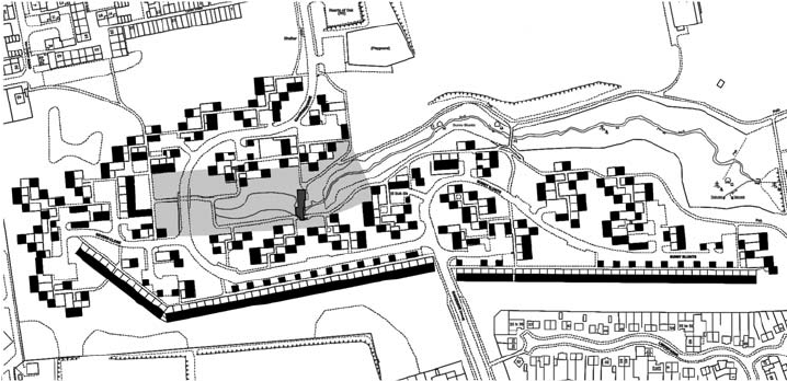
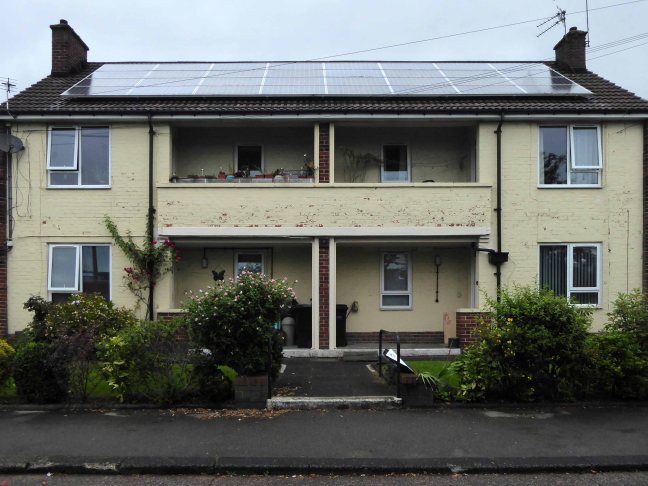
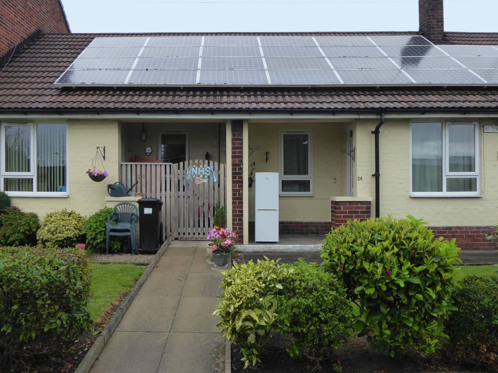
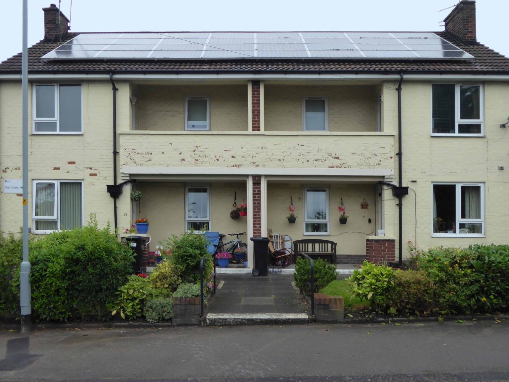
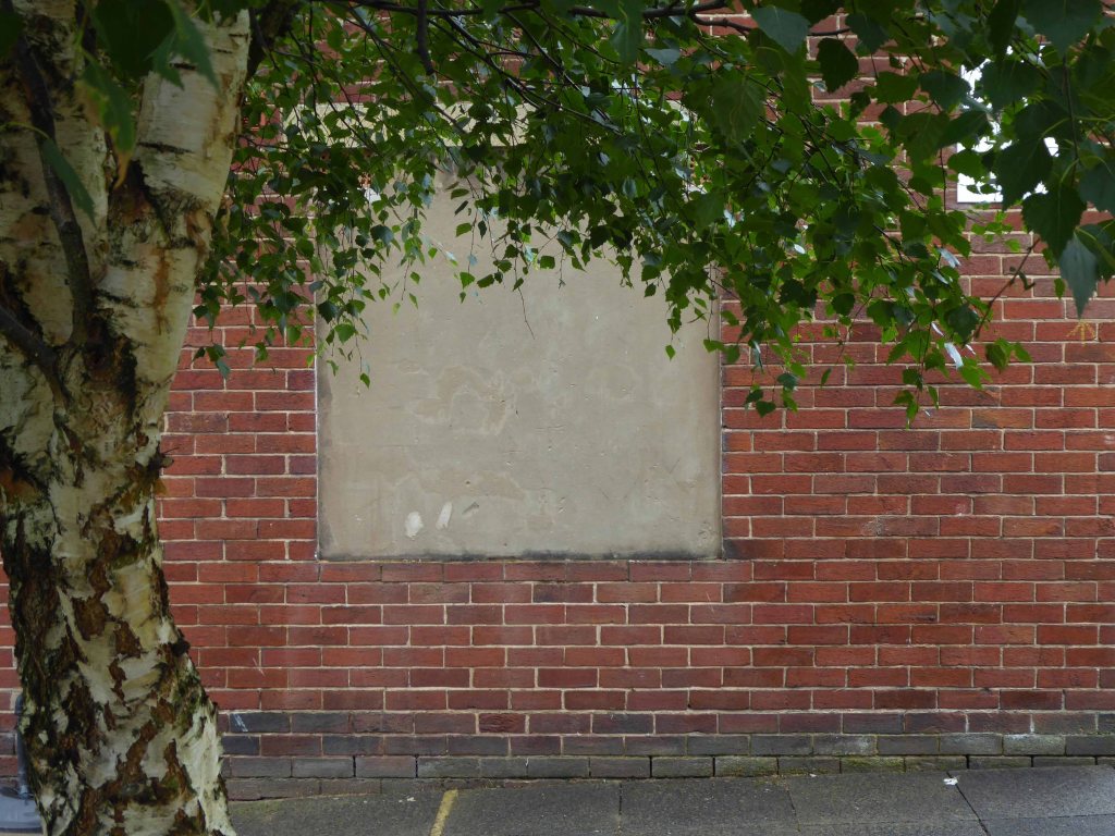
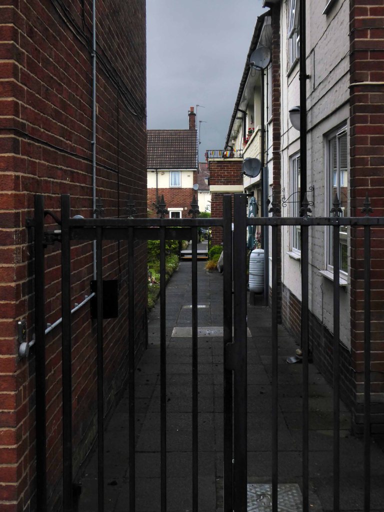
I live just around the corner and often walk by, intrigued by this small rectangle of rectangular sheltered homes, I chose to take a closer look.
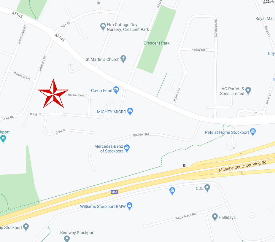
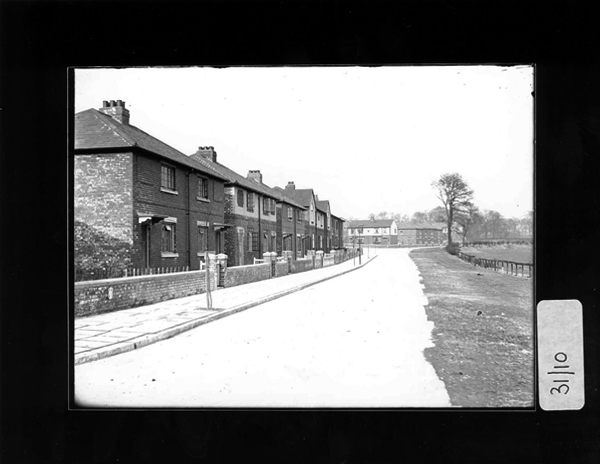
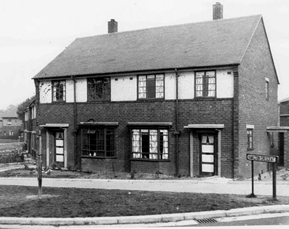
On adjoining Craig Road there are a group of interwar semi-detached homes, social housing built in 1930, facing on to open ground which leads down to the Mersey.
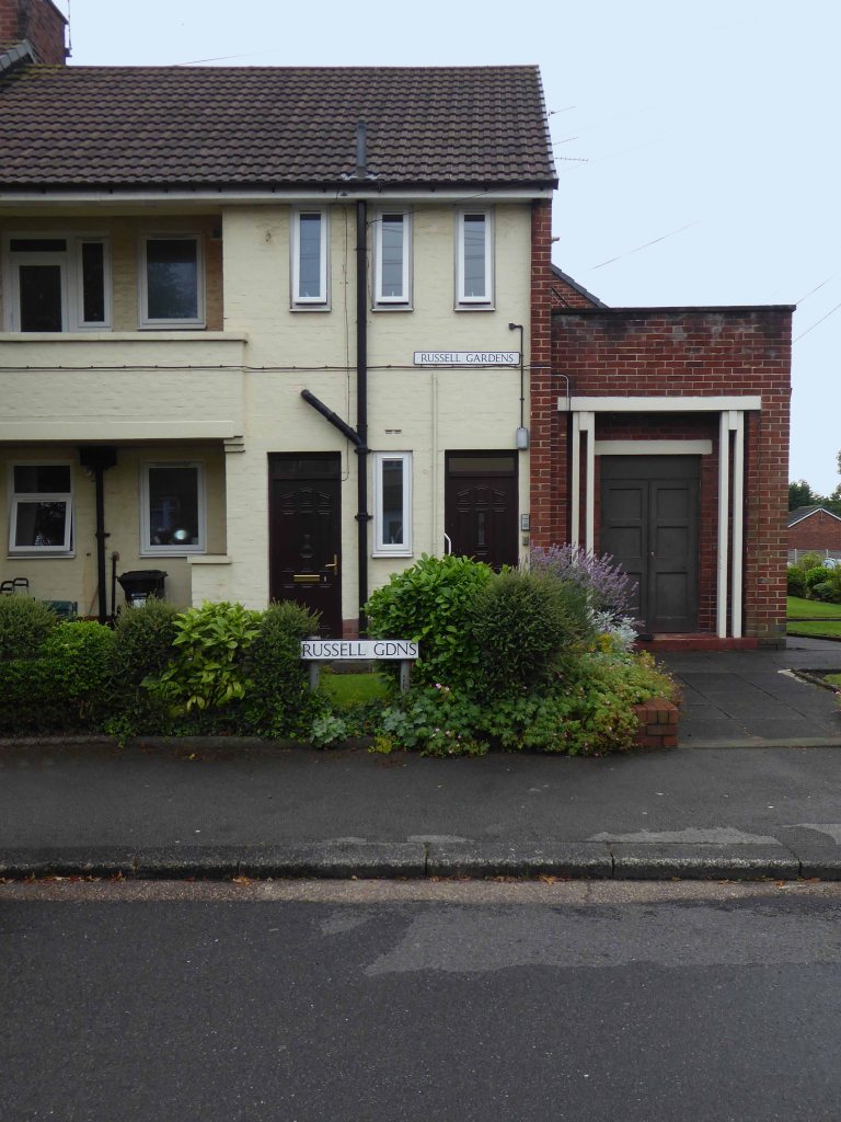
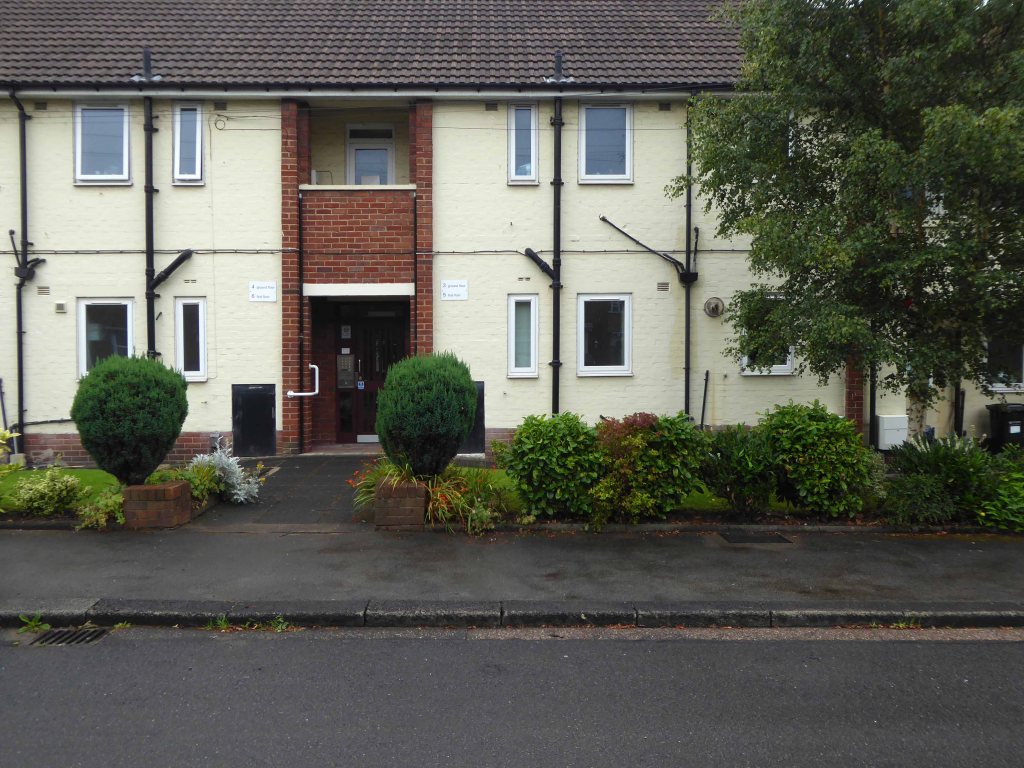
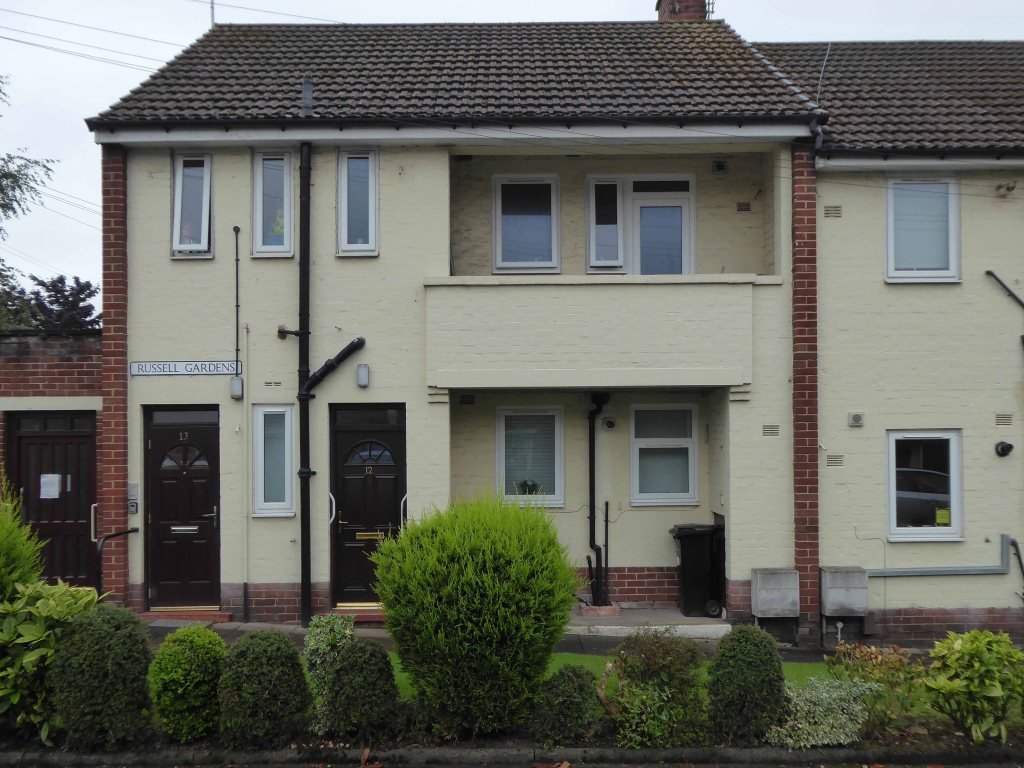
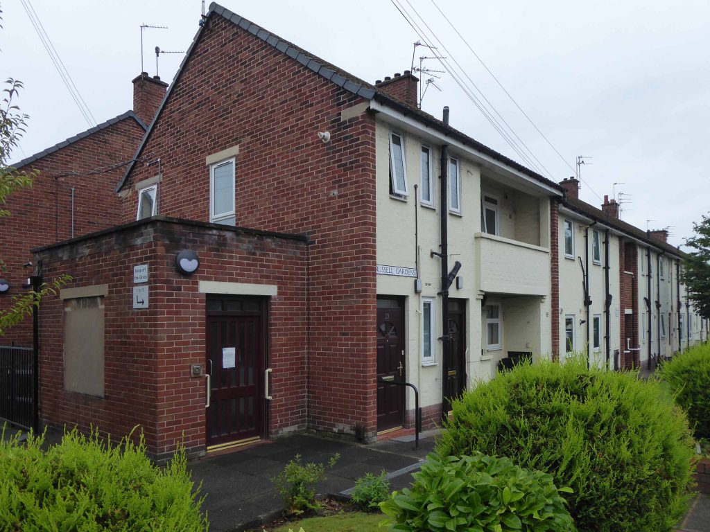
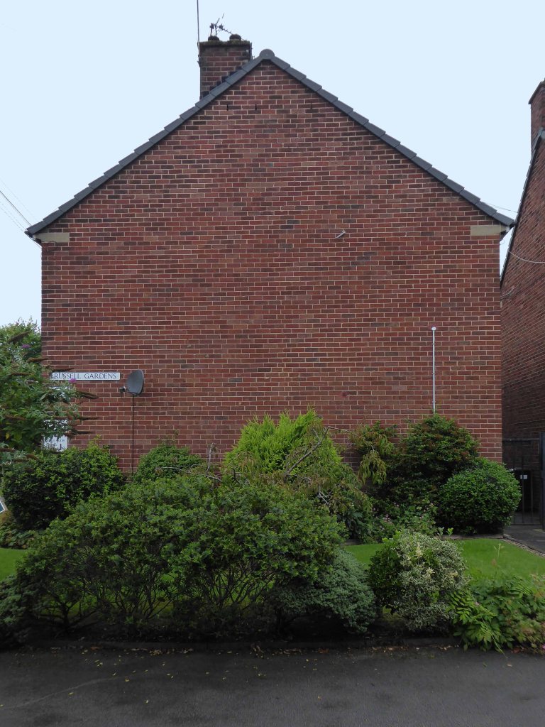
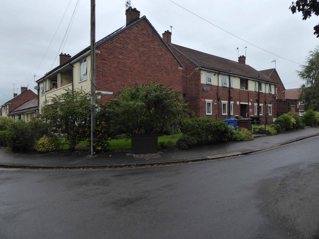
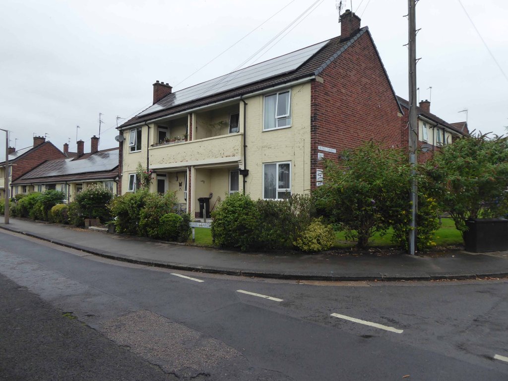
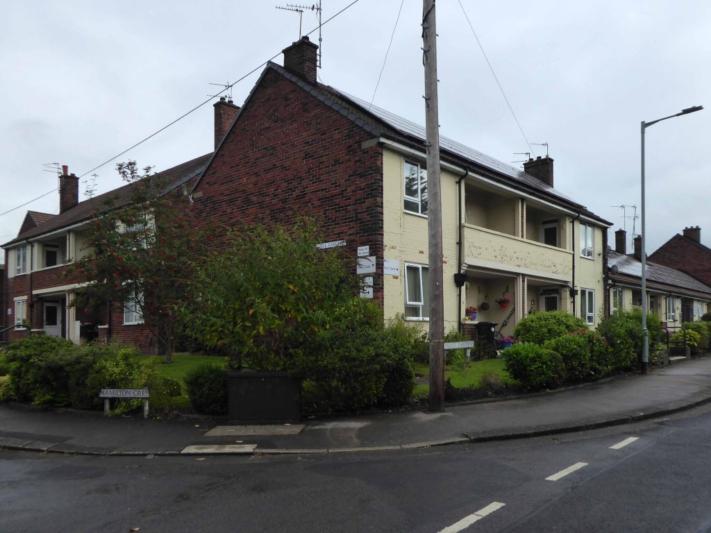
There is an arc of post war social housing on Hamilton Crescent, which surrounds Russell Gardens.
The homes that constitute Russell Gardens built in 1947 were illustrated in the town’s 1948/49 guide book, considered to be something of value.
Designed as a diminutive Garden Village, smaller in scale to those found in Burnage or Fairfield, but based on the principle of shared green space and community services.
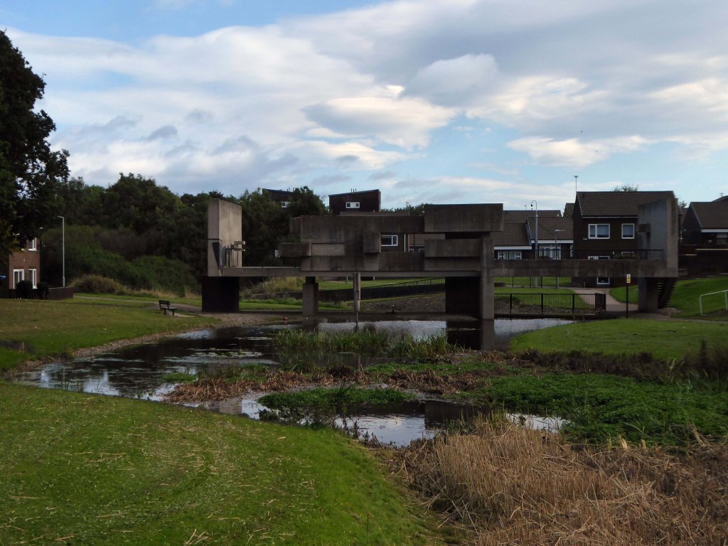
In the 1970s the land to the south, now occupied by the Craig Close development, was yet to be built upon.
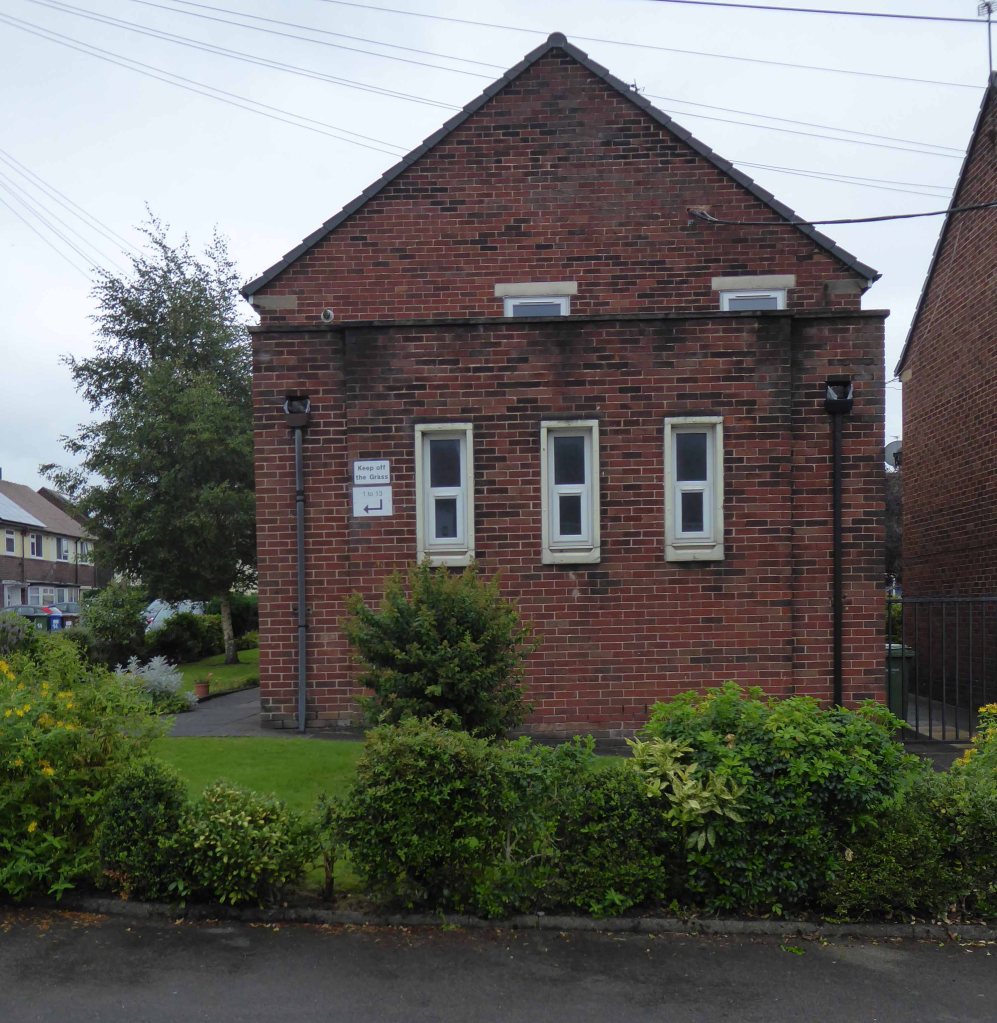
And the Cadbury Works still stood close by on the Brighton Road Industrial Estate:
Built in the late 1800s this was originally Silver Spoon (Pan) Fruit Processing Works, then in the 1920s was Faulders’ Cocoa and Chocolate Works. By the 1930s it was Squirrel Chocolate Works and in 1960s became a distribution depot for Cadbury’s. A friend remembers playing among the pallets of the ‘chocolate factory’ in the 1950s. Later it was occupied by small businesses. The works comprises a large rectangular block with sawtooth roof, and central entrance house with tall chimney. The adjacent rail line, built in 1880, branched into the site.
Though many of the surrounding homes were sold off during the Right to Buy era:
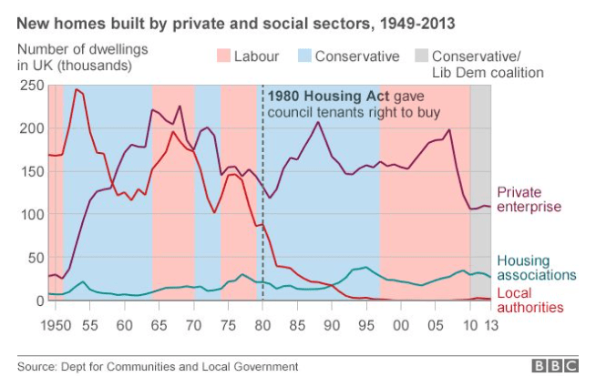
After the election of May 1979 a new Conservative government drafted legislation to provide a Right to Buy but, because this would not become law until October 1980, also revised the general consent (May 1979) to enable sales with higher discounts matching those proposed in the new legislation. The numbers of sales completed under this general consent exceeded previous levels. Between 1952 and 1980 over 370,000 public sector dwellings were sold in England and Wales. Almost a third of these were in 1979 and 1980 and it is evident that higher discounts generated and would have continued to generate higher sales without the Right to Buy being in place.
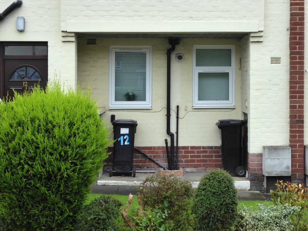
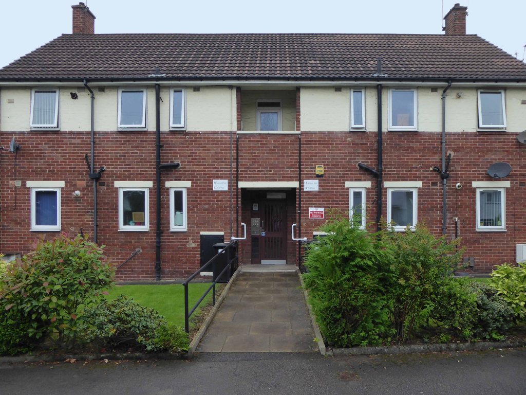
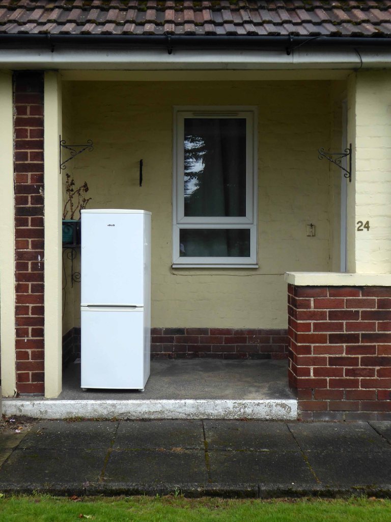
Russell Gardens remains the estate of Stockport Homes managed as sheltered housing for the over 60s.
Retirement housing
33 one bedroom flats built in 1947
Non-resident part time management staff and Careline alarm service
Lounge, Laundry, Garden
The houses are now some fifty years old and in good order, the residents with whom I spoke, seemed more than happy with their homes.
Would that more and more affordable homes for folks of all ages could be built.
The post-war consensus and political will that created this upsurge in construction, has been swept away by market forces.
Let’s take a look at the vestiges of more enlightened times.
I’ll do anything twice or more – so here we are again, this time on foot.
Let’s start at the very beginning, a very good place to start – in the middle, the section from the town centre to Hazel Grove.
Maps are available here for free – we declined the offer, deciding to follow signs instead, many of which were missing or rotated, the better to misinform and redirect – such is life.
We are mostly lost most of the time, whether we like it or know it or not.
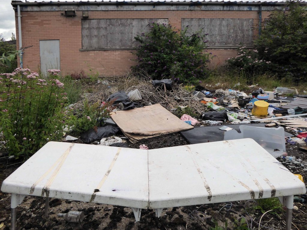
We begin at the confluence of the rivers Mersey and Goyt – which no longer seems to be a Way way, the signs having been removed, and proceed down Howard Street, which seems to have become a tip.
The first and last refuge for refuse.
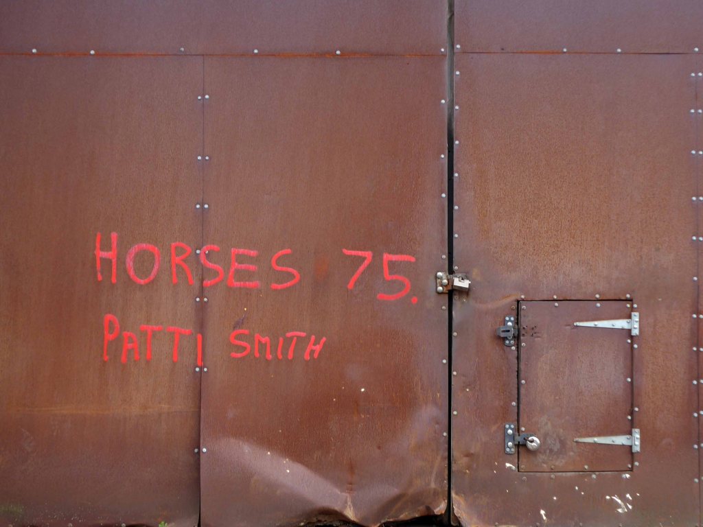
Passing by the kingdom of rust – Patti Smith style.
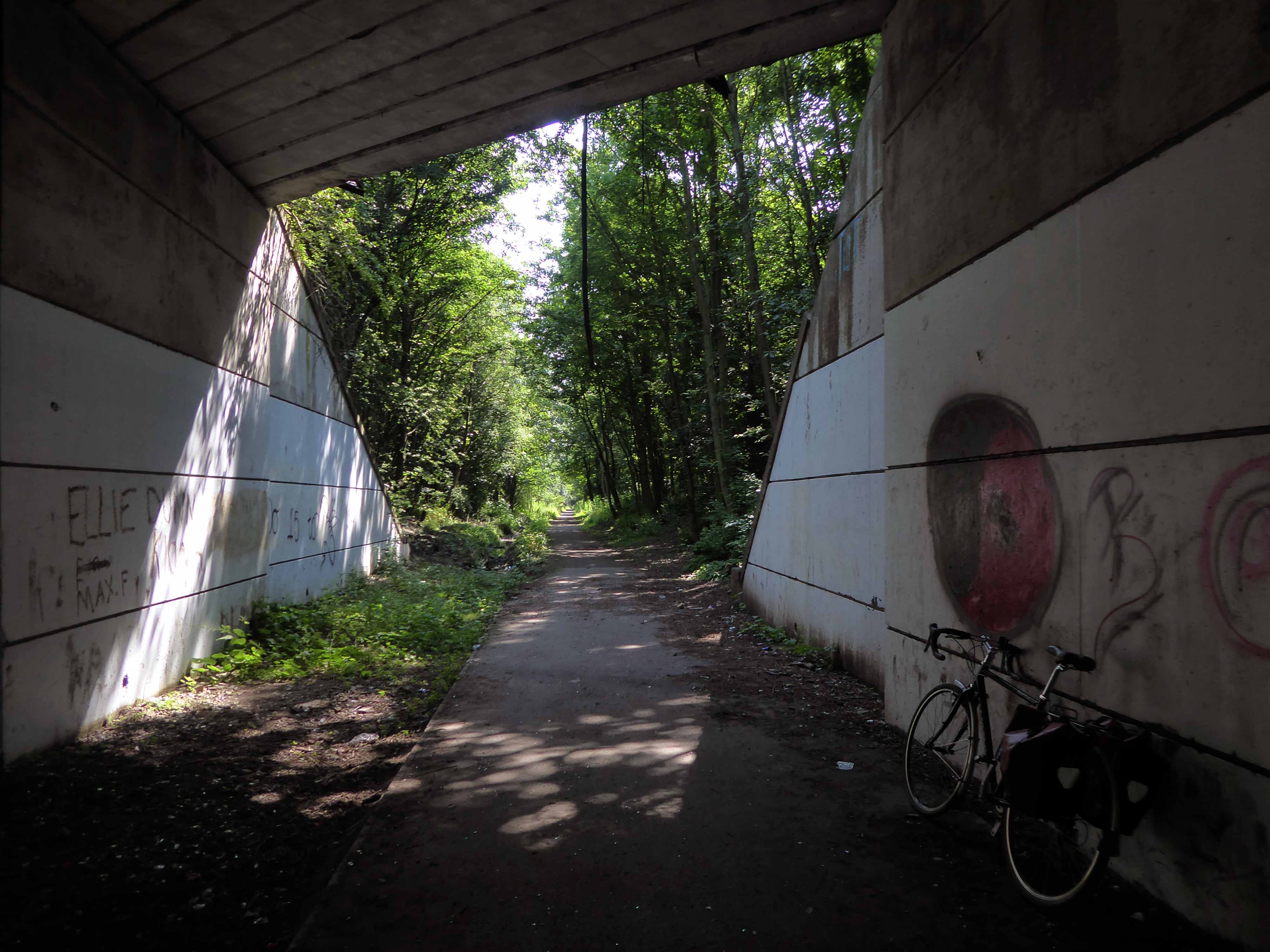
Passing under the town’s complex internal motorway system by underpass.
Almost opposite the entrance to the museum, now set in shrubbery, are the foundations, laid in September 1860, of what was to be a forty metre high Observatory Tower. Despite a series of attempts, funds for the tower could not be raised and the ‘Amalgamated Friendly Societies of Stockport’ eventually had to abandon the idea.
Historic England
Out east and passing alongside the running track.
Lush meadows now occupy the former football field, twixt inter-war semis and the woodland beyond.
Out into the savage streets of Offerton where we find a Buick Skylark, incongruously ensconced in a front garden.
The only too human imperative to laugh in the face of naturalism.
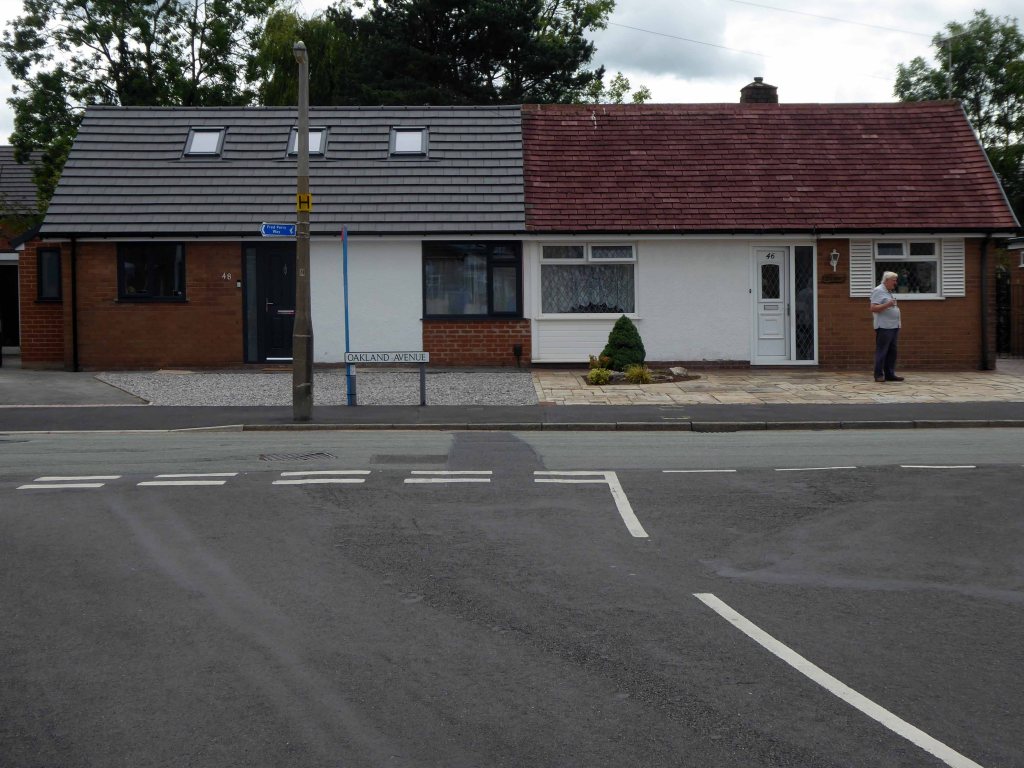
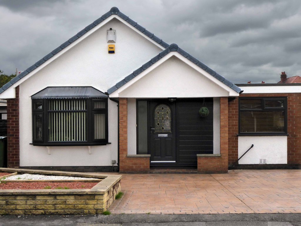
We have crossed over Marple Road and are deep in the suburban jungle of mutually exclusive modified bungalows.
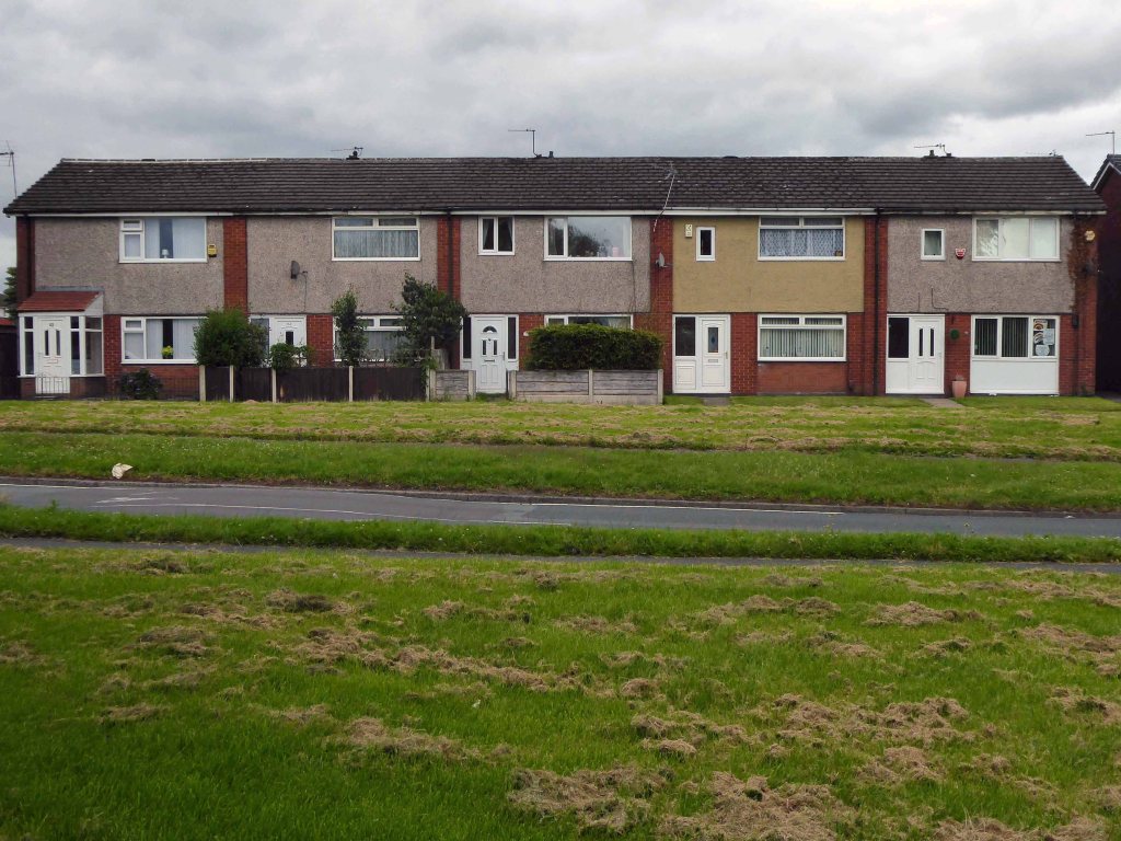
Off now into the wide open spaces of the Offerton Estate – the right to buy refuge of the socially mobile, former social housing owning public.
People living on Offerton Estate have been filmed for a programme entitled ‘Mean Streets’ which aims to highlight anti-social behaviour in local communities.
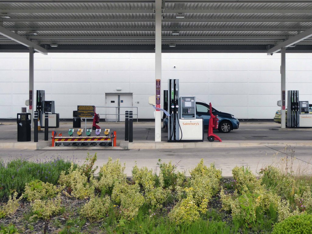
The next thing we know we’re in a field, a mixed up melange of the urban, suburban and rural, on the fringes of a Sainsbury’s supermarket filling station.
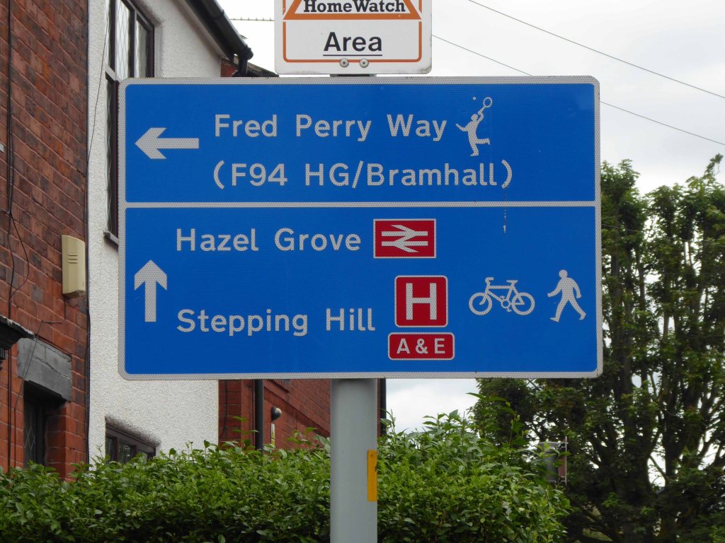
We cross the A6 in Hazel Grove and here for today our journey ends
Ignoring the sign we went in the opposite direction.
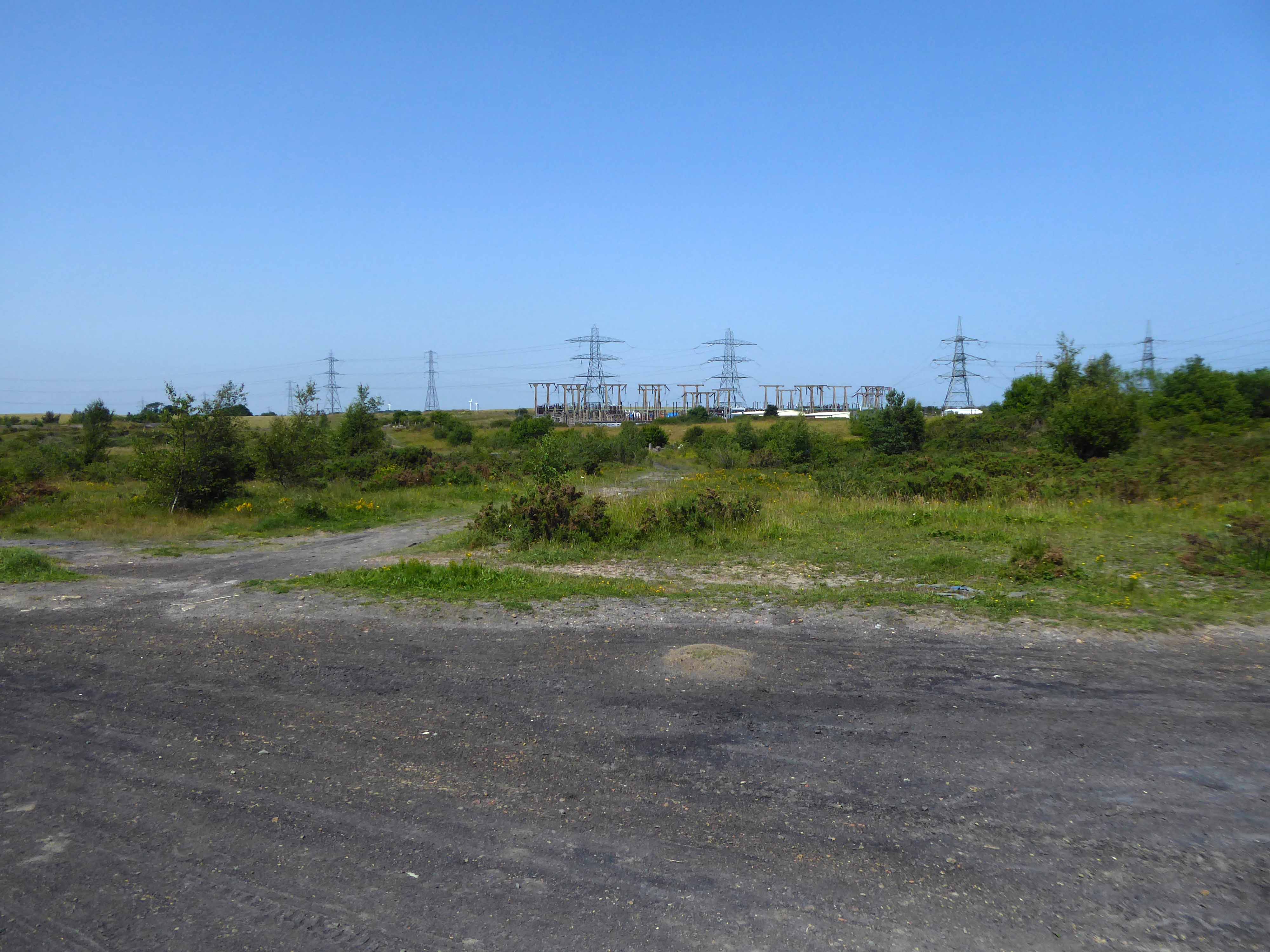
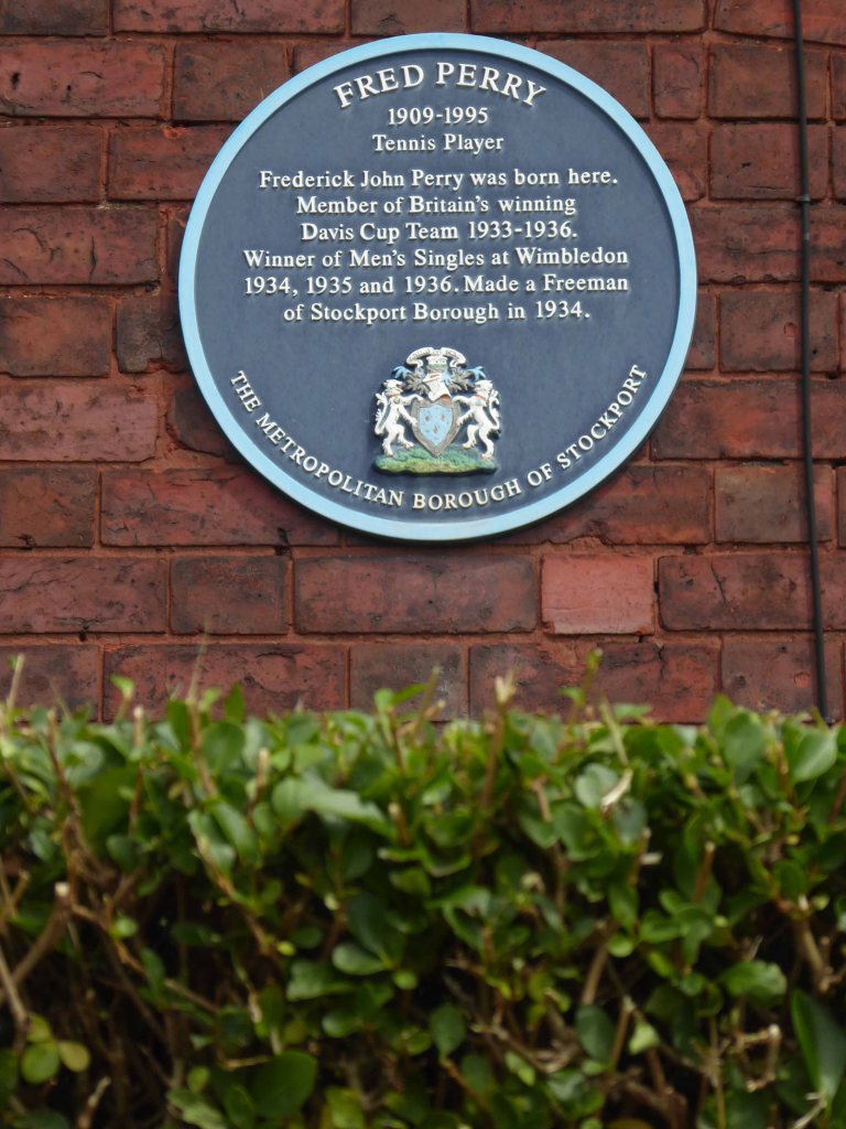
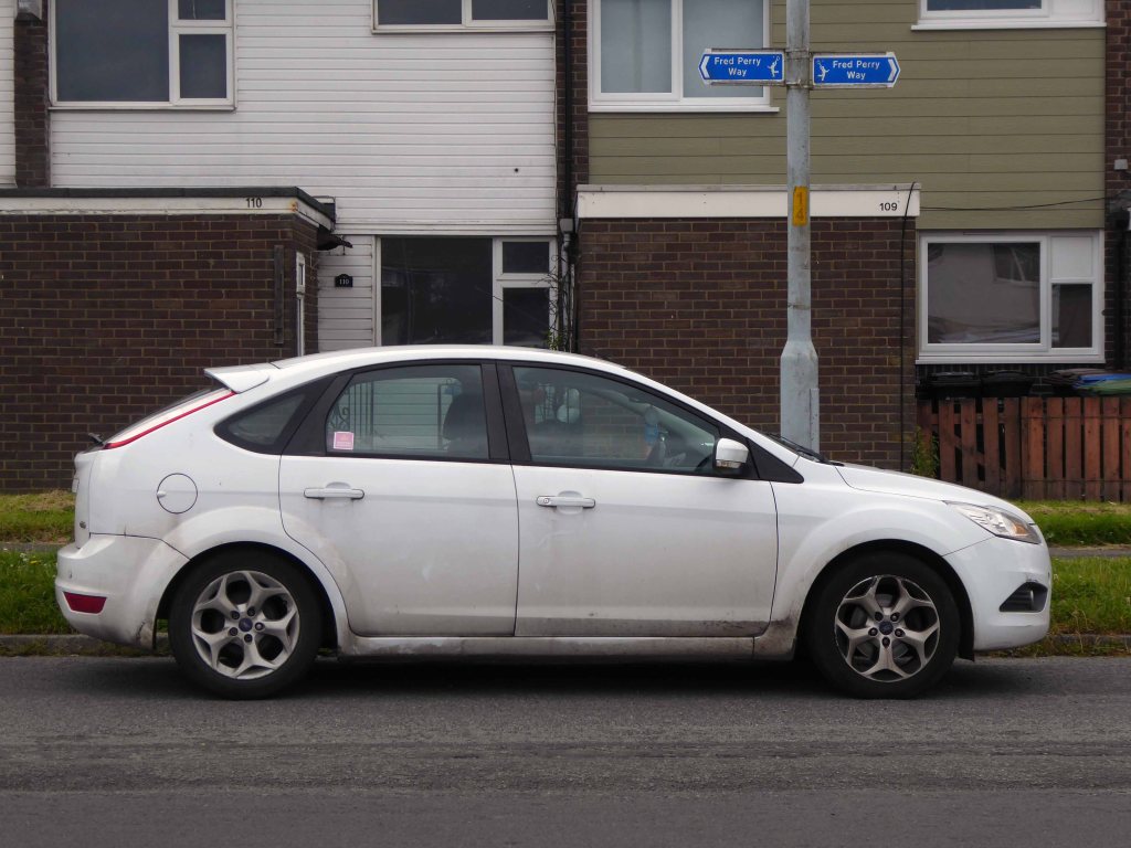
As we reach the edge of Mirrlees Fields – the site of the only Fred Perry laurel leaf logo emblazoned way marker.
The Fields are currently designated as a green space and are not available for residential development. But MAN would like to overturn this designation for over one third of the Fields.
MAN Energy Solutions UK is the original equipment manufacturer of Mirrlees Blackstone diesel engines.
Before the Blackstone MAN came in 1842 – the fields were all fields.