Central Retail Park – Great Ancoats Street Manchester

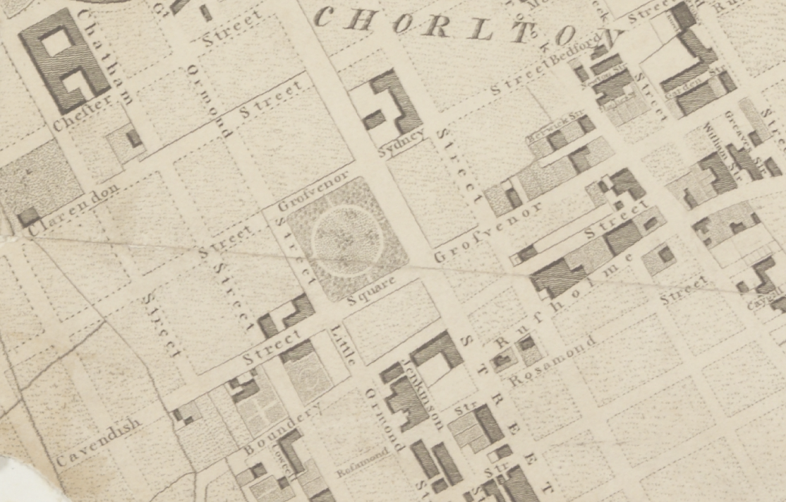
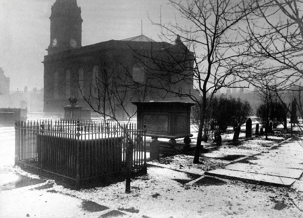
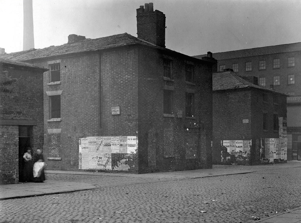
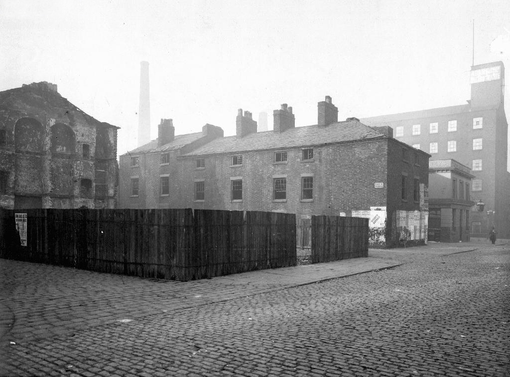
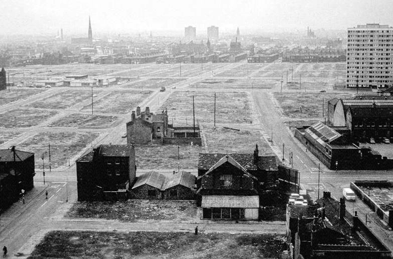
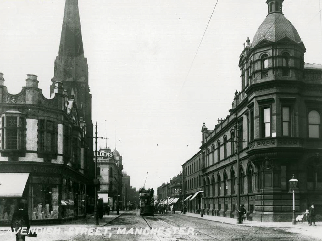
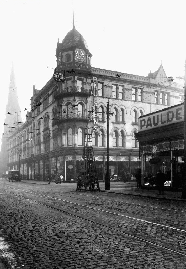
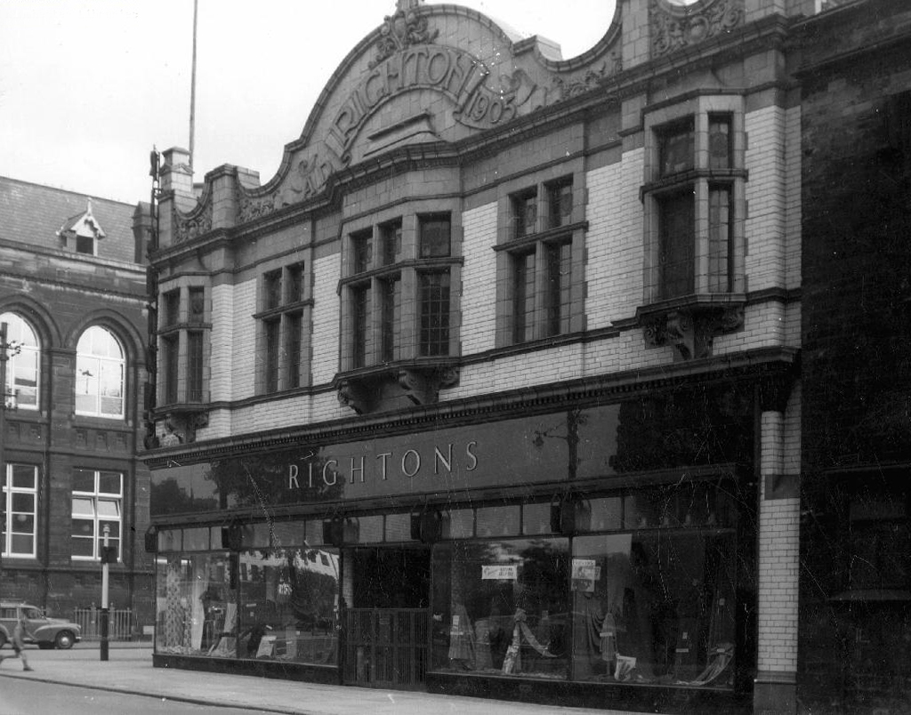
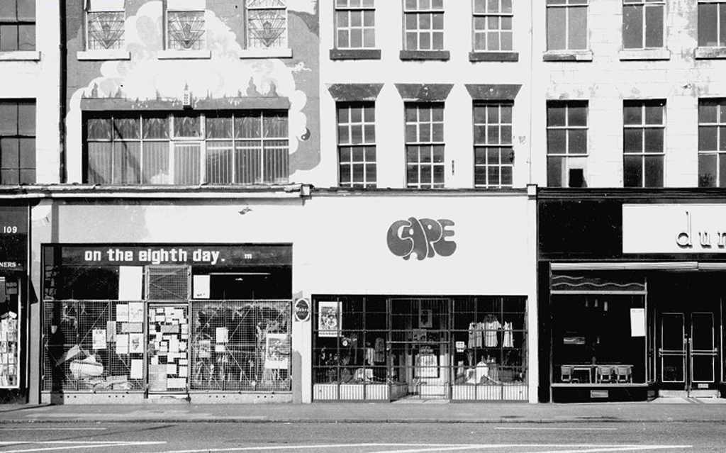
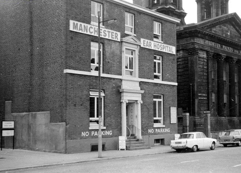
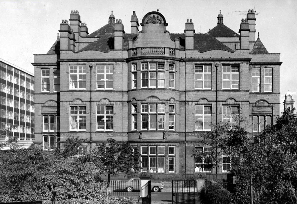
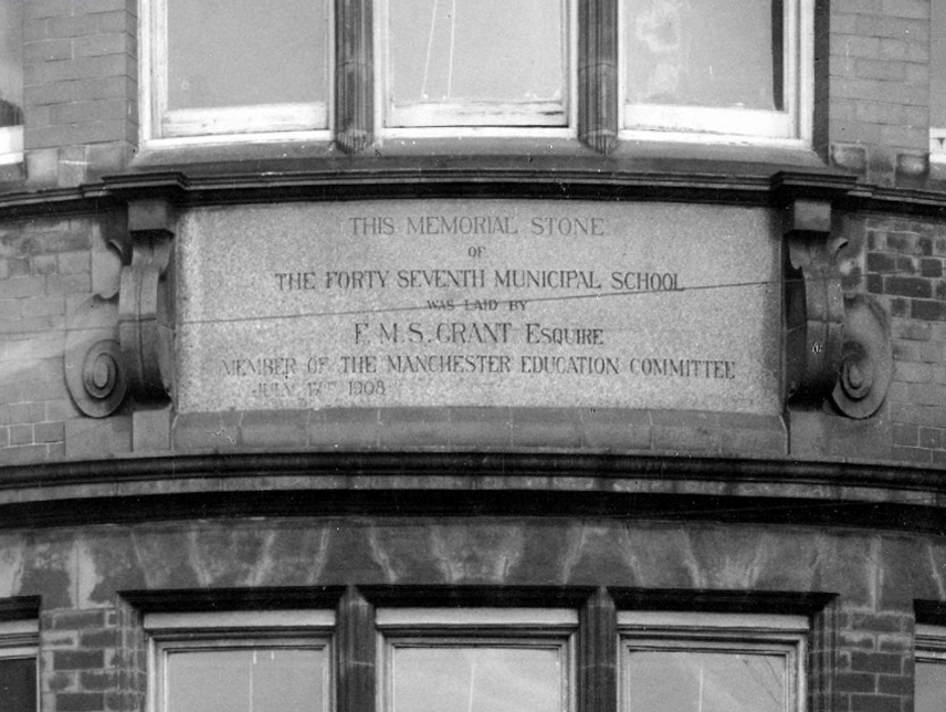
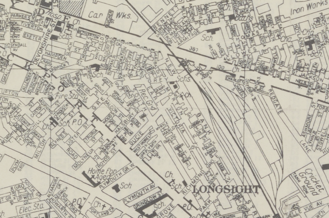
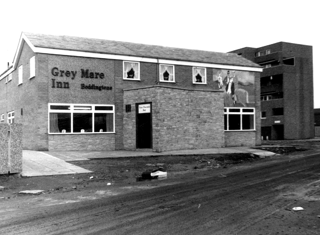
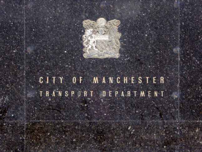
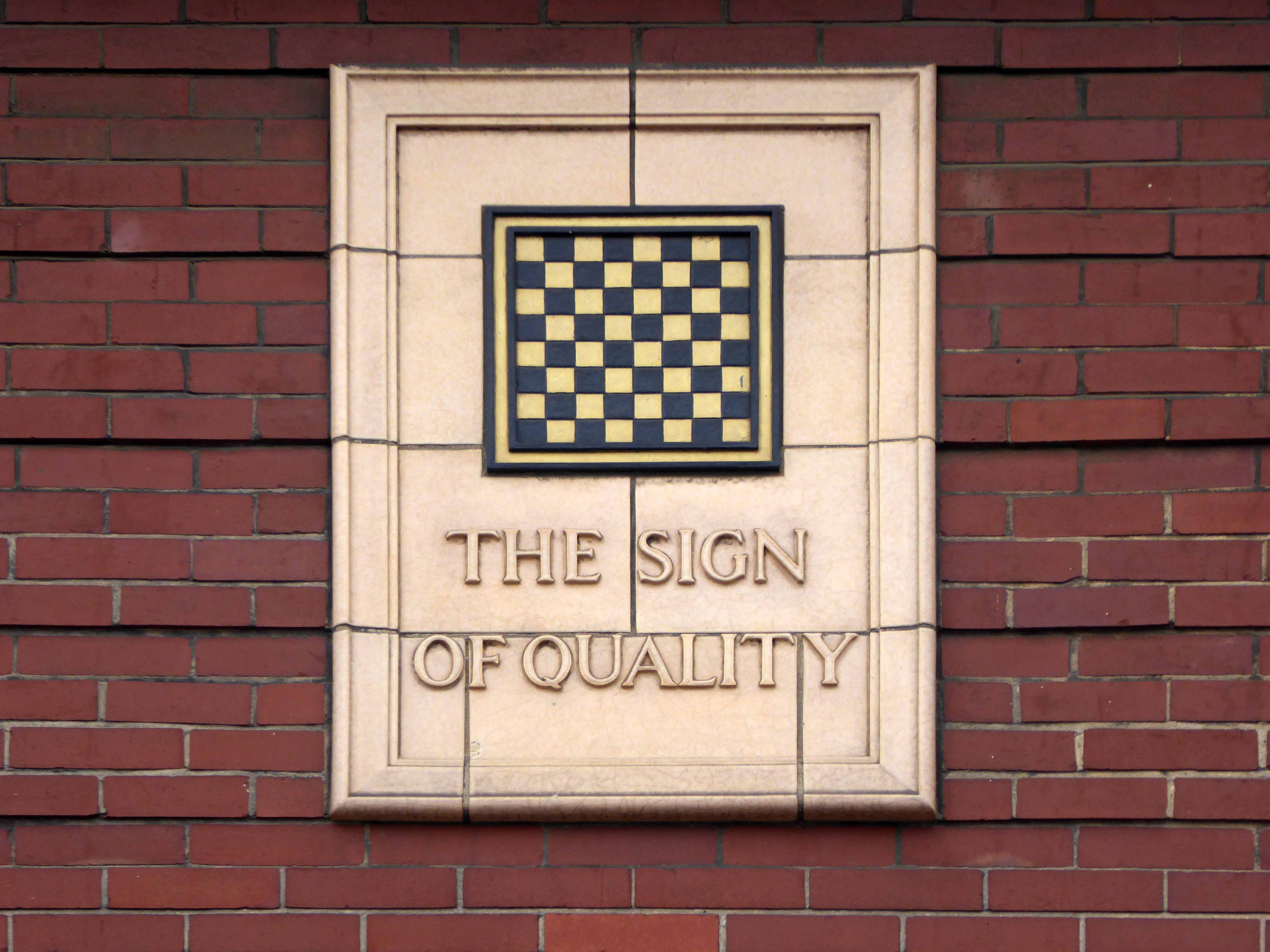
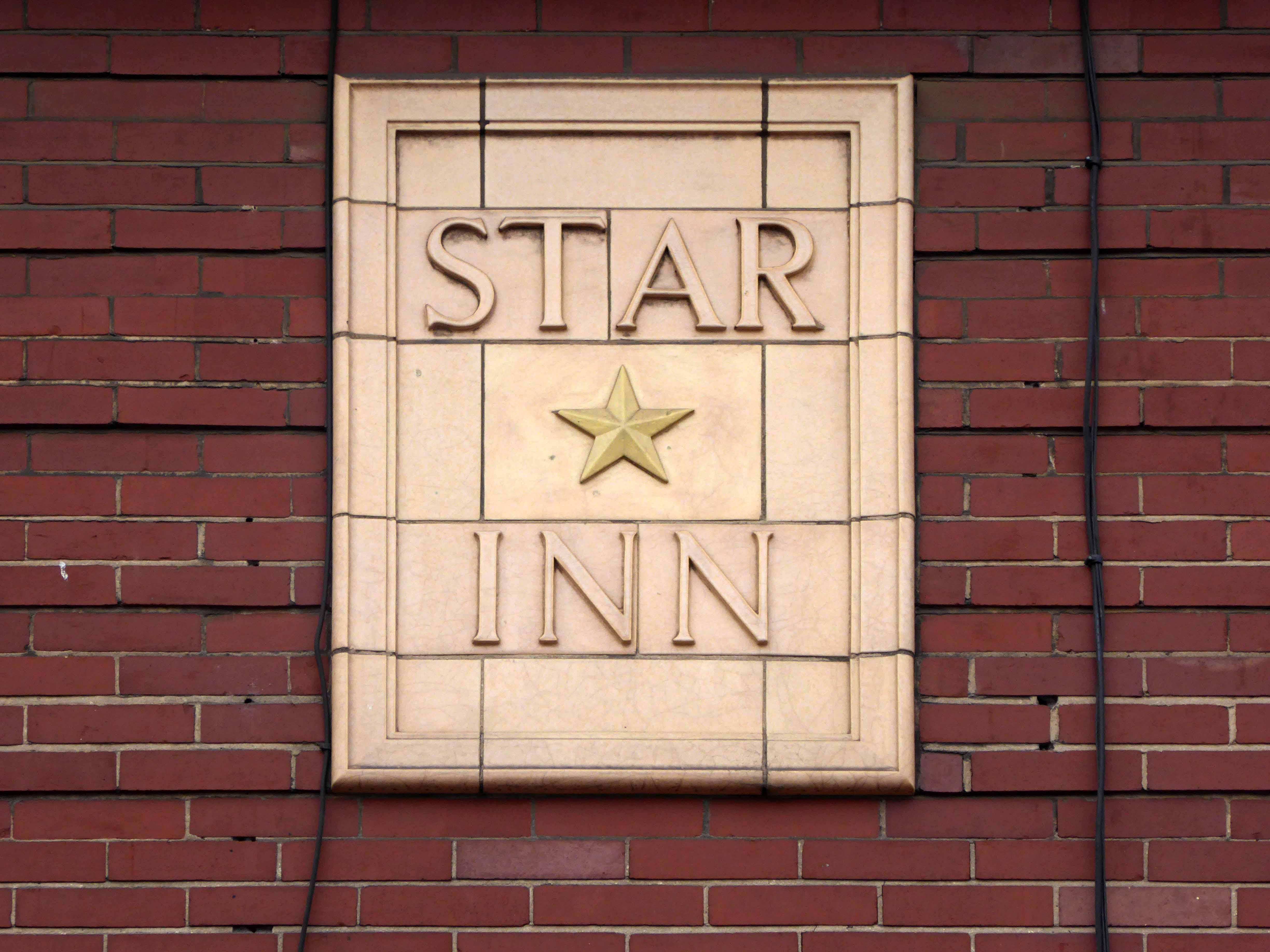
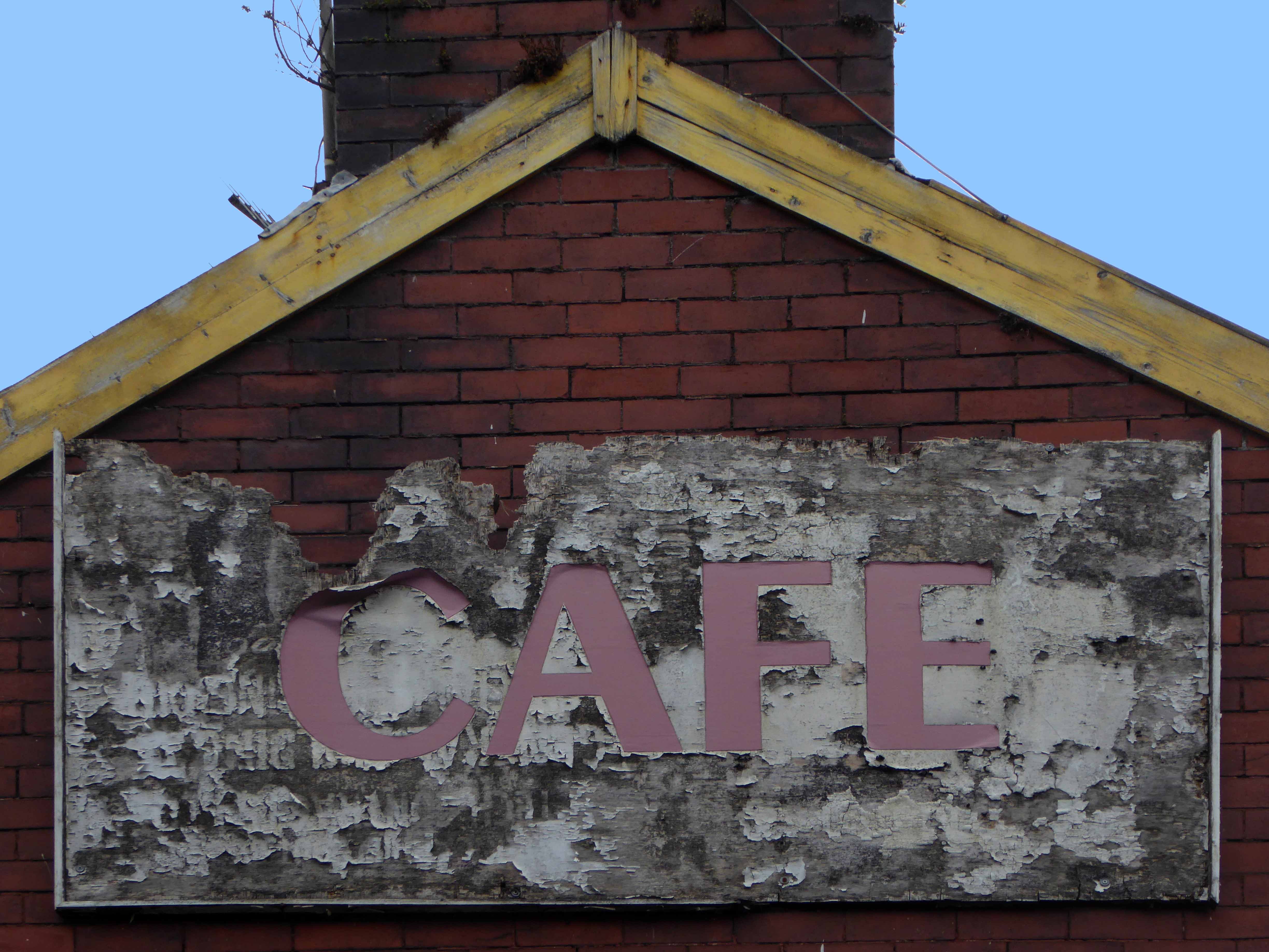
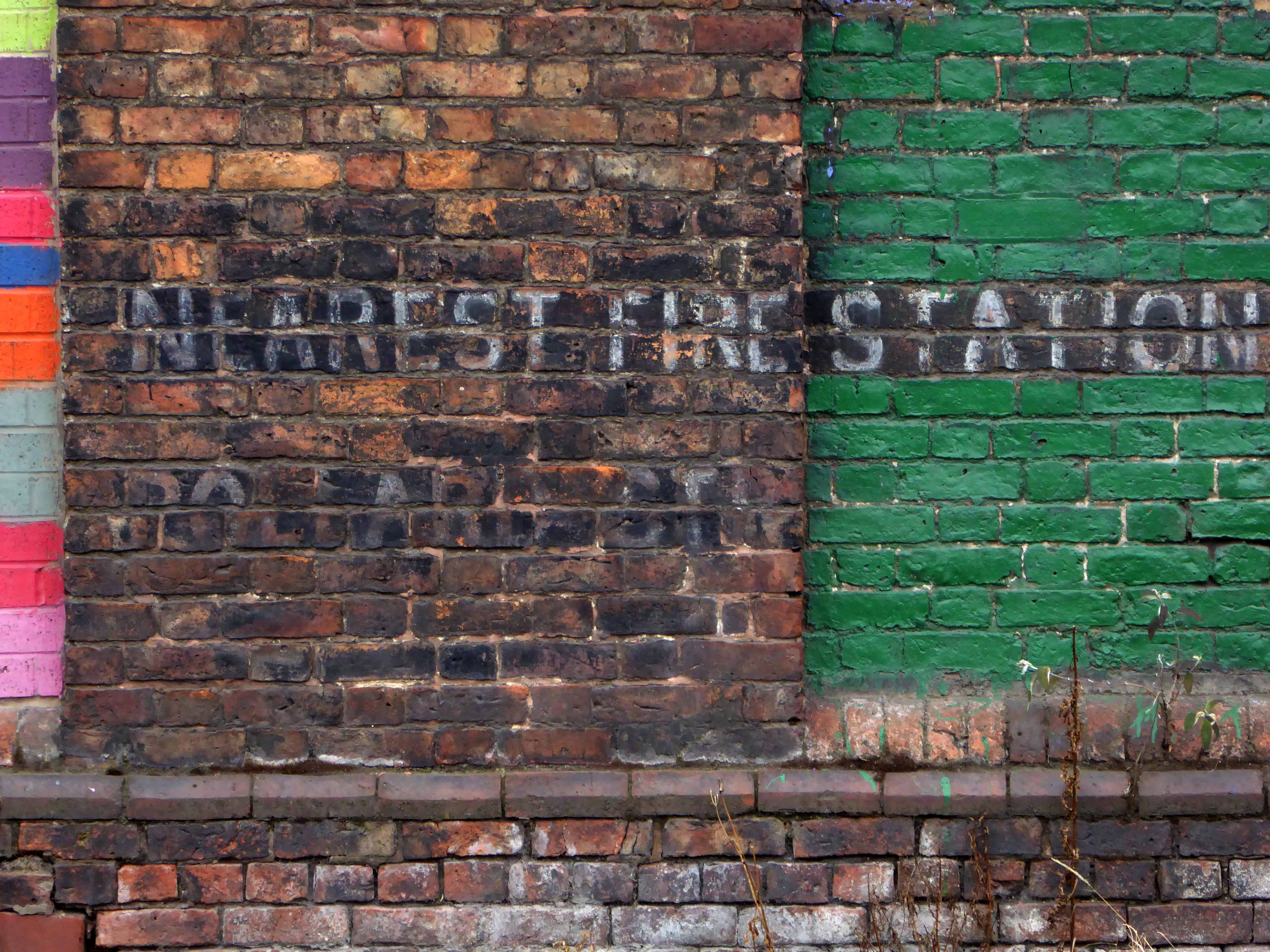
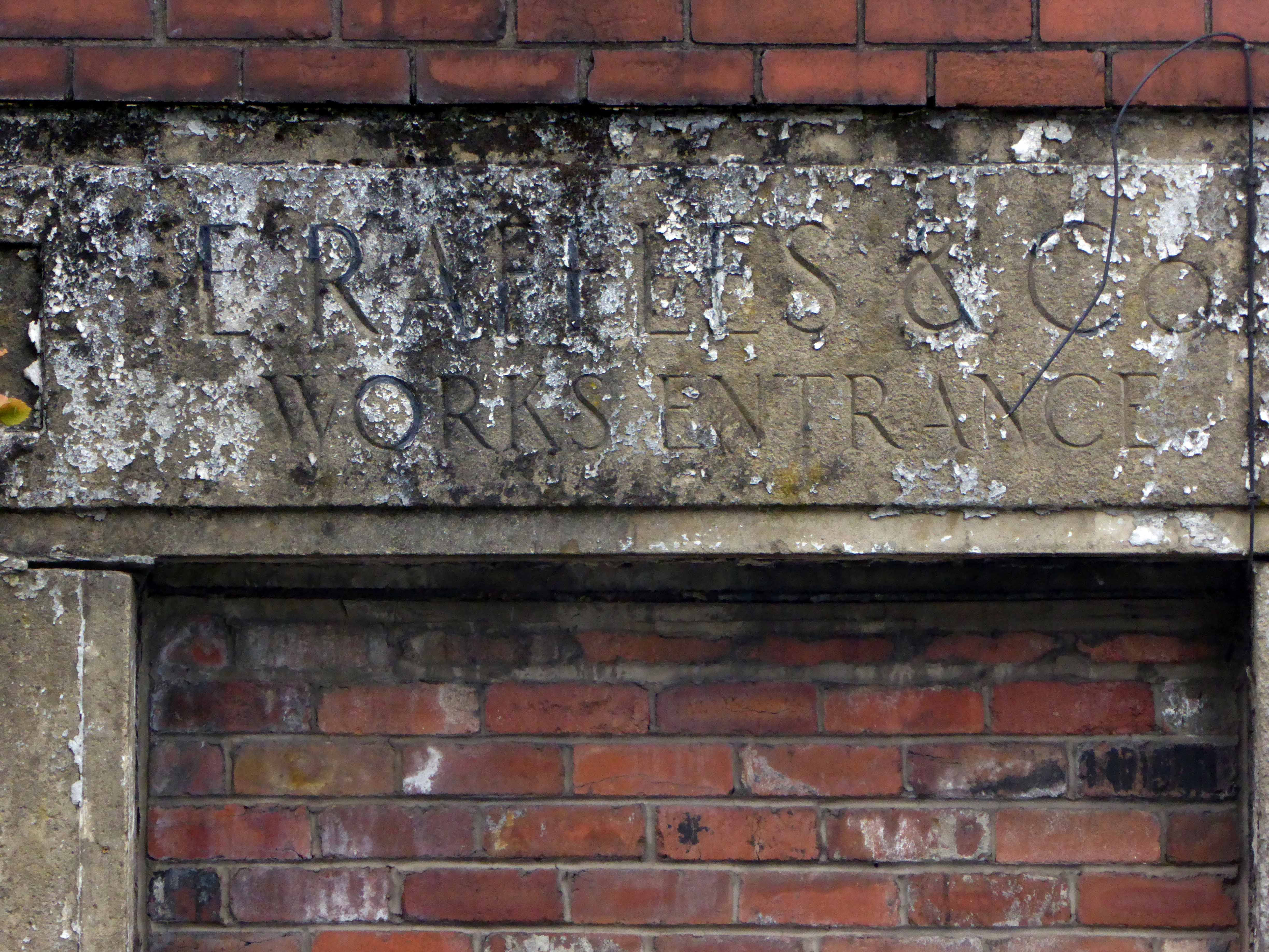
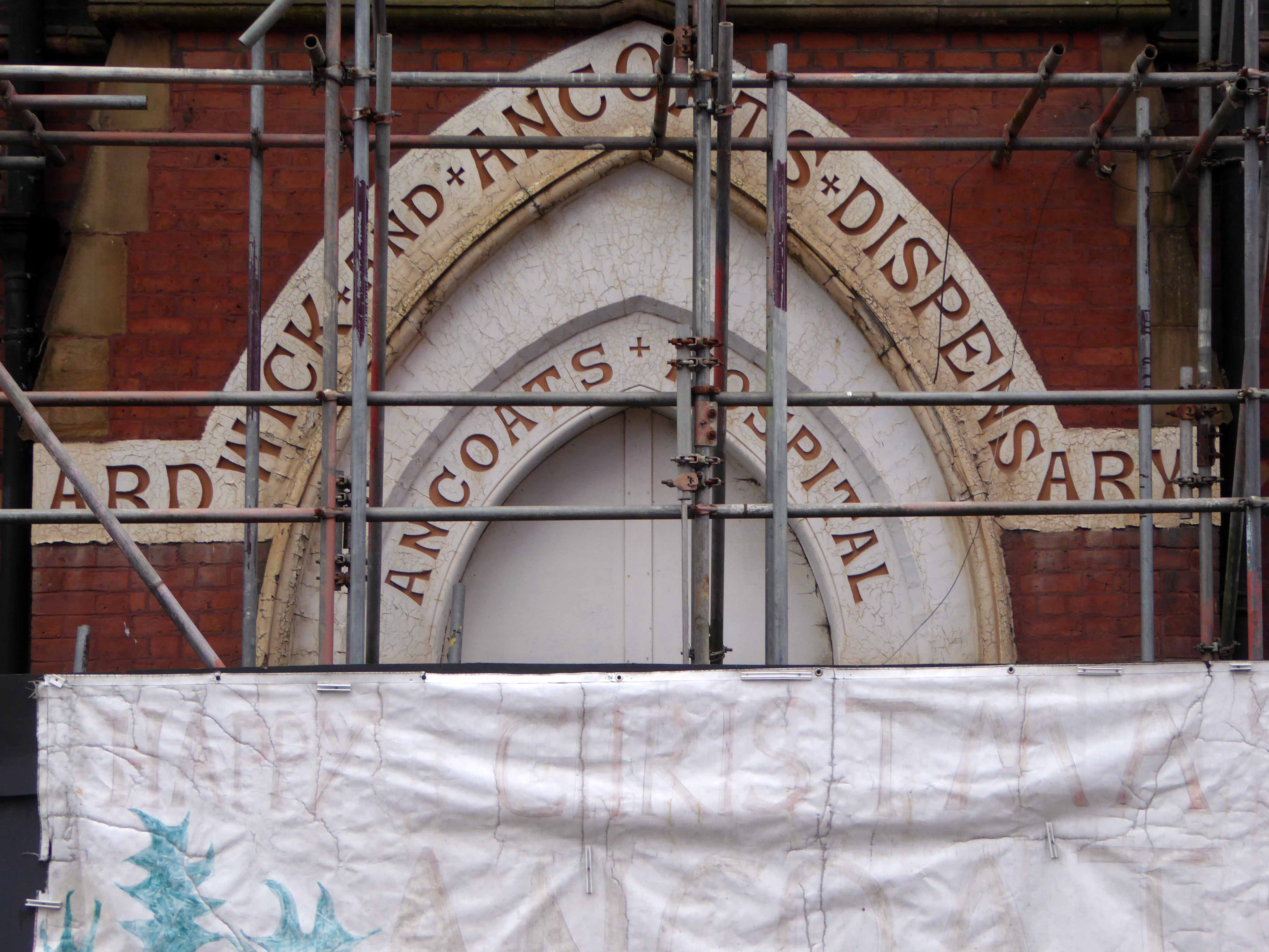
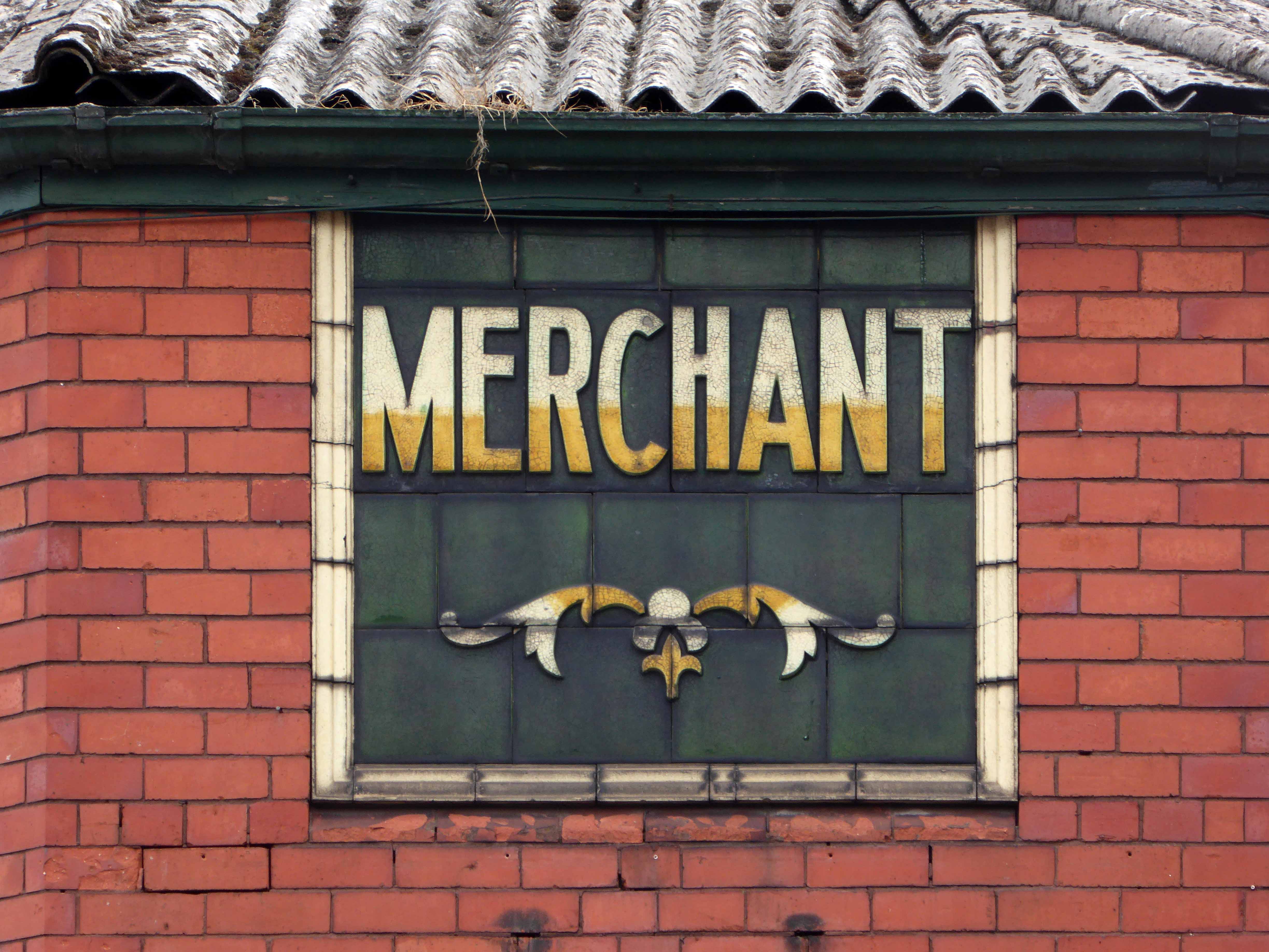
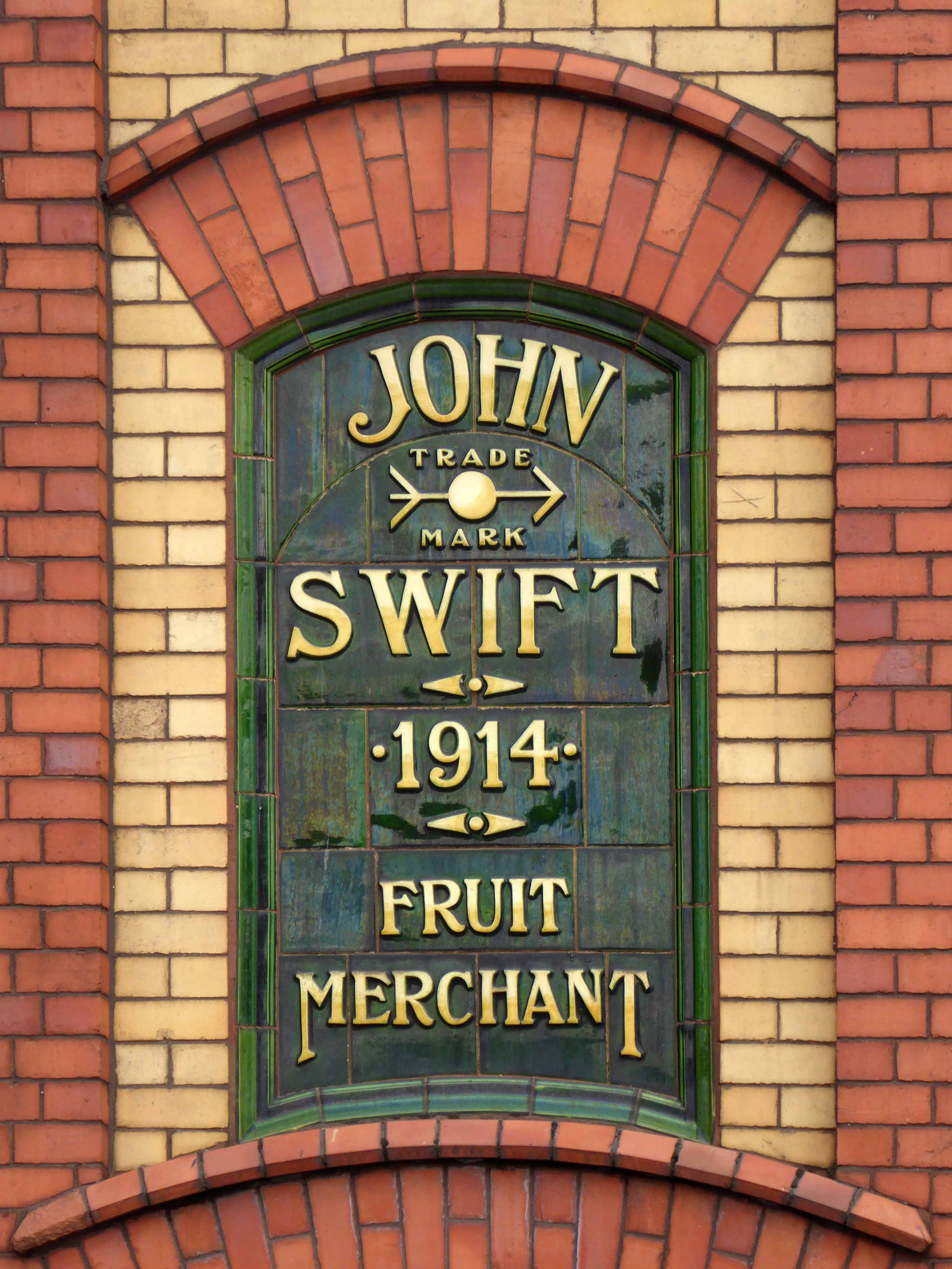
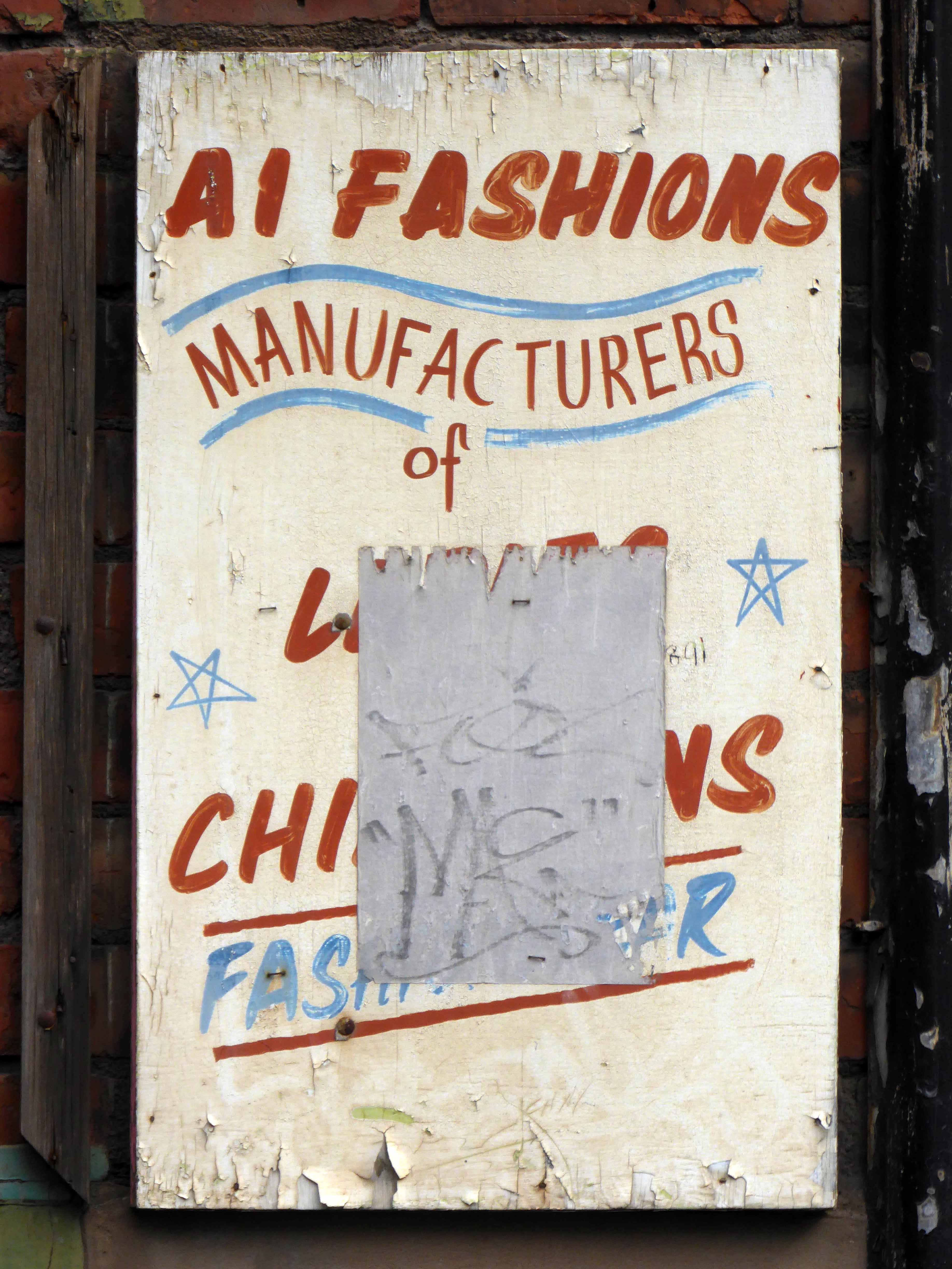
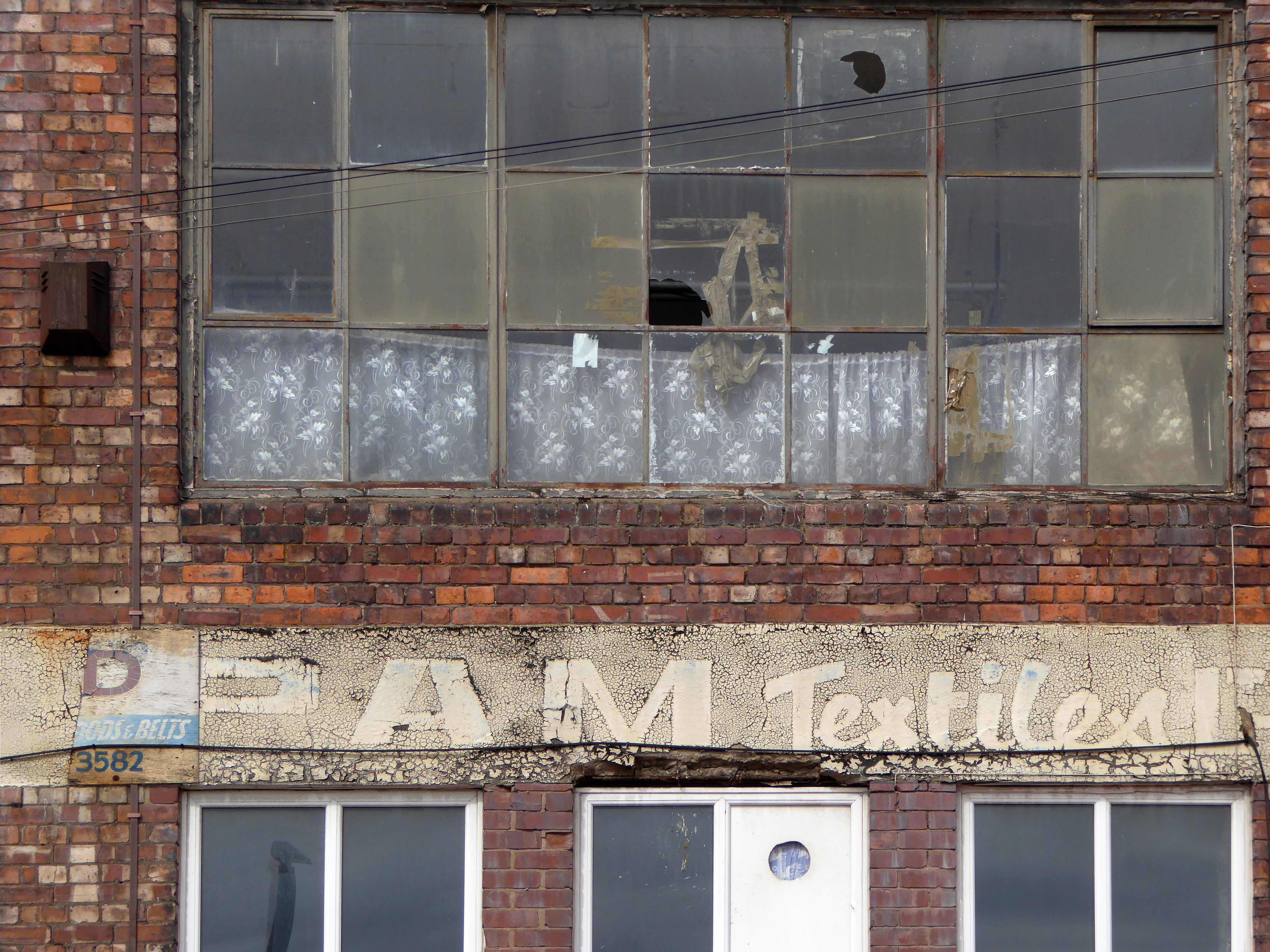
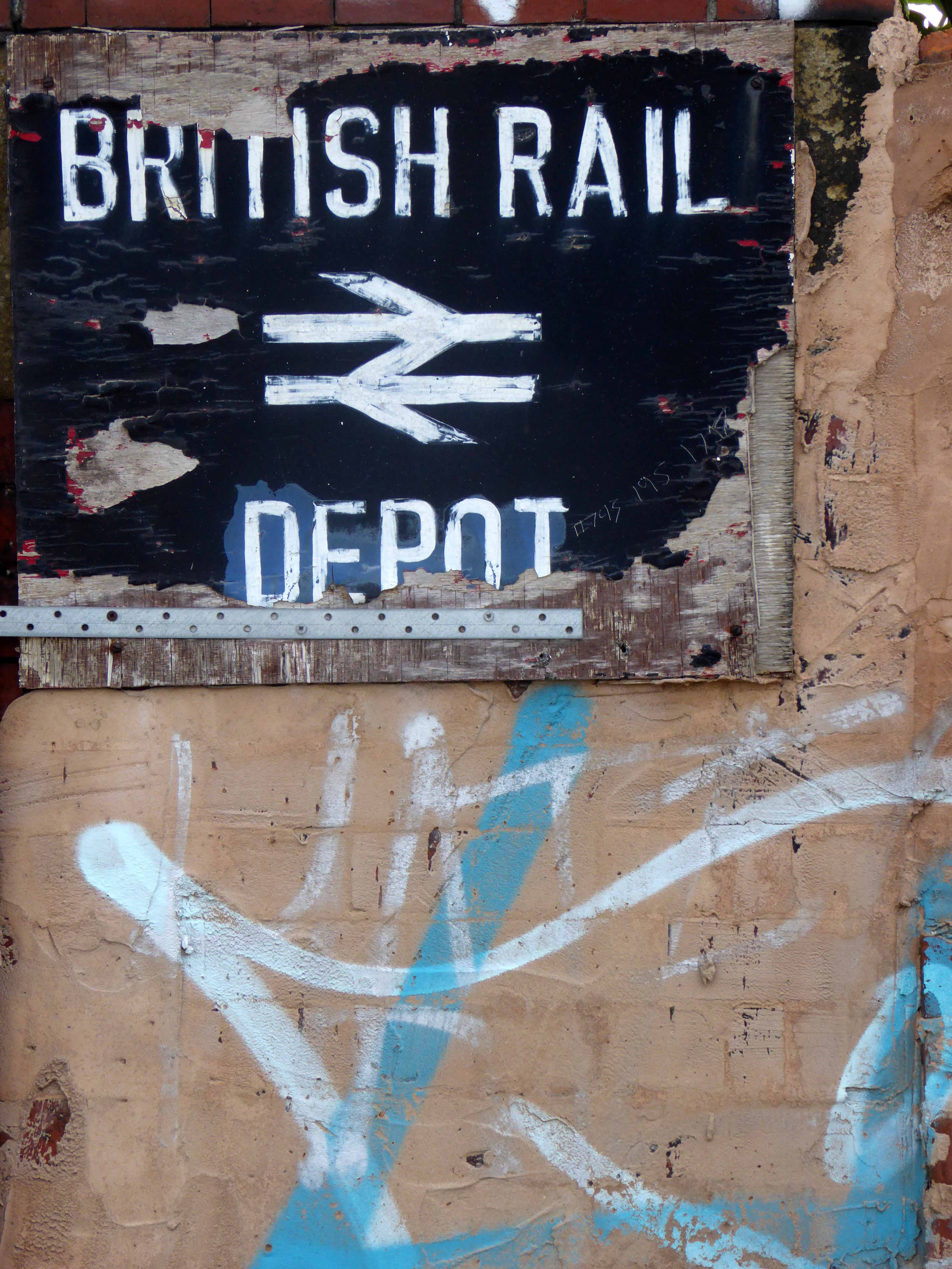
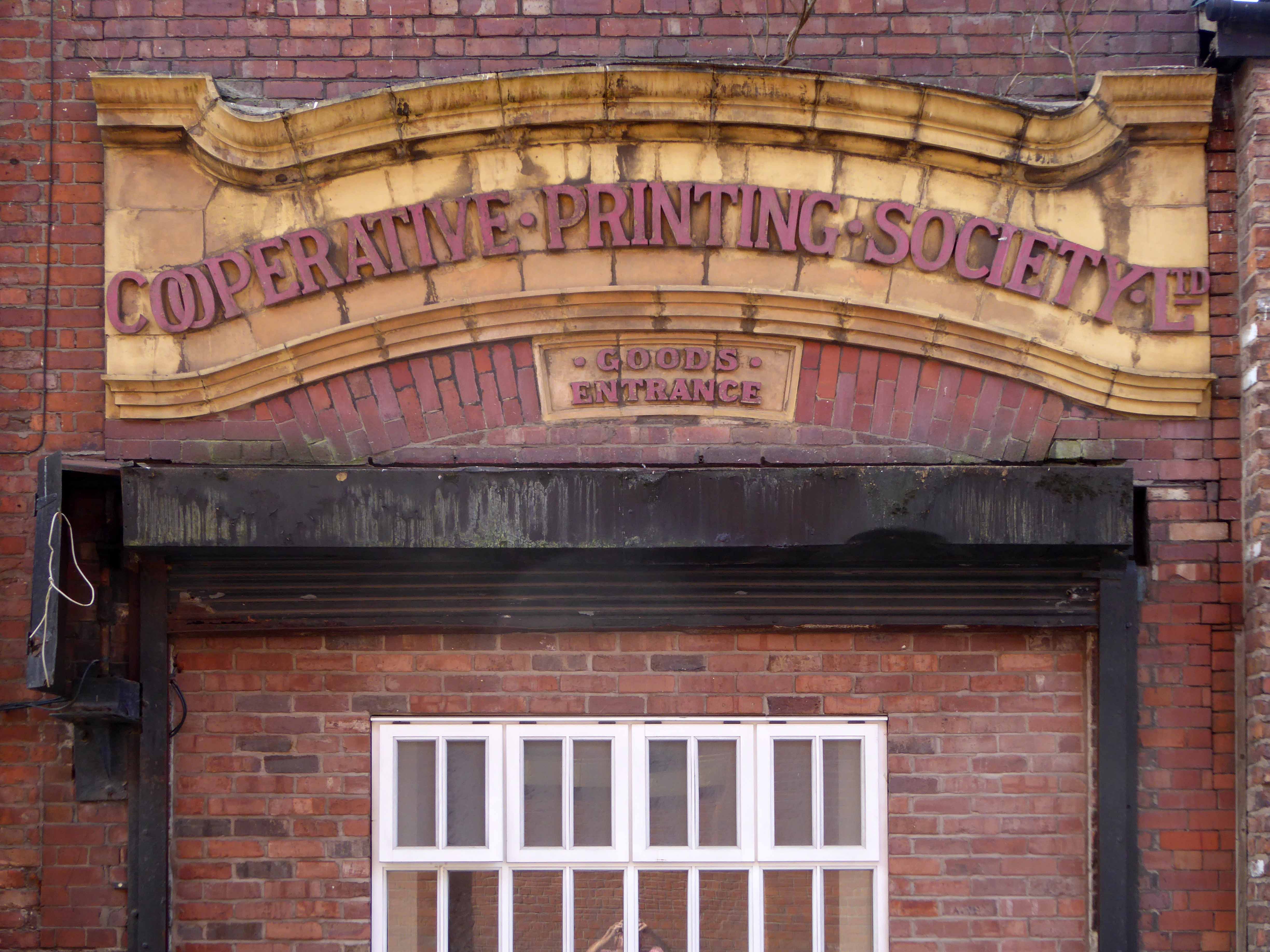
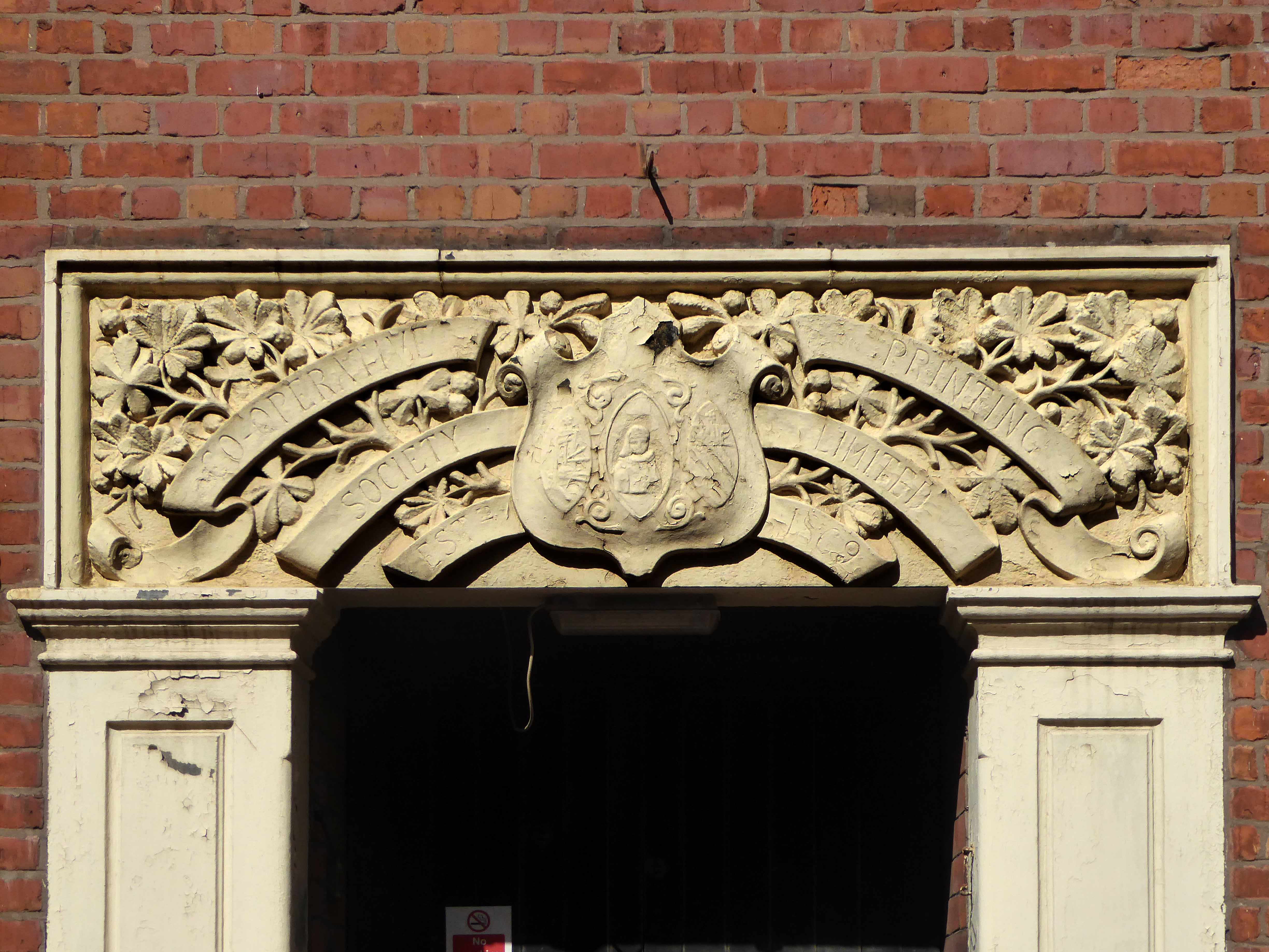
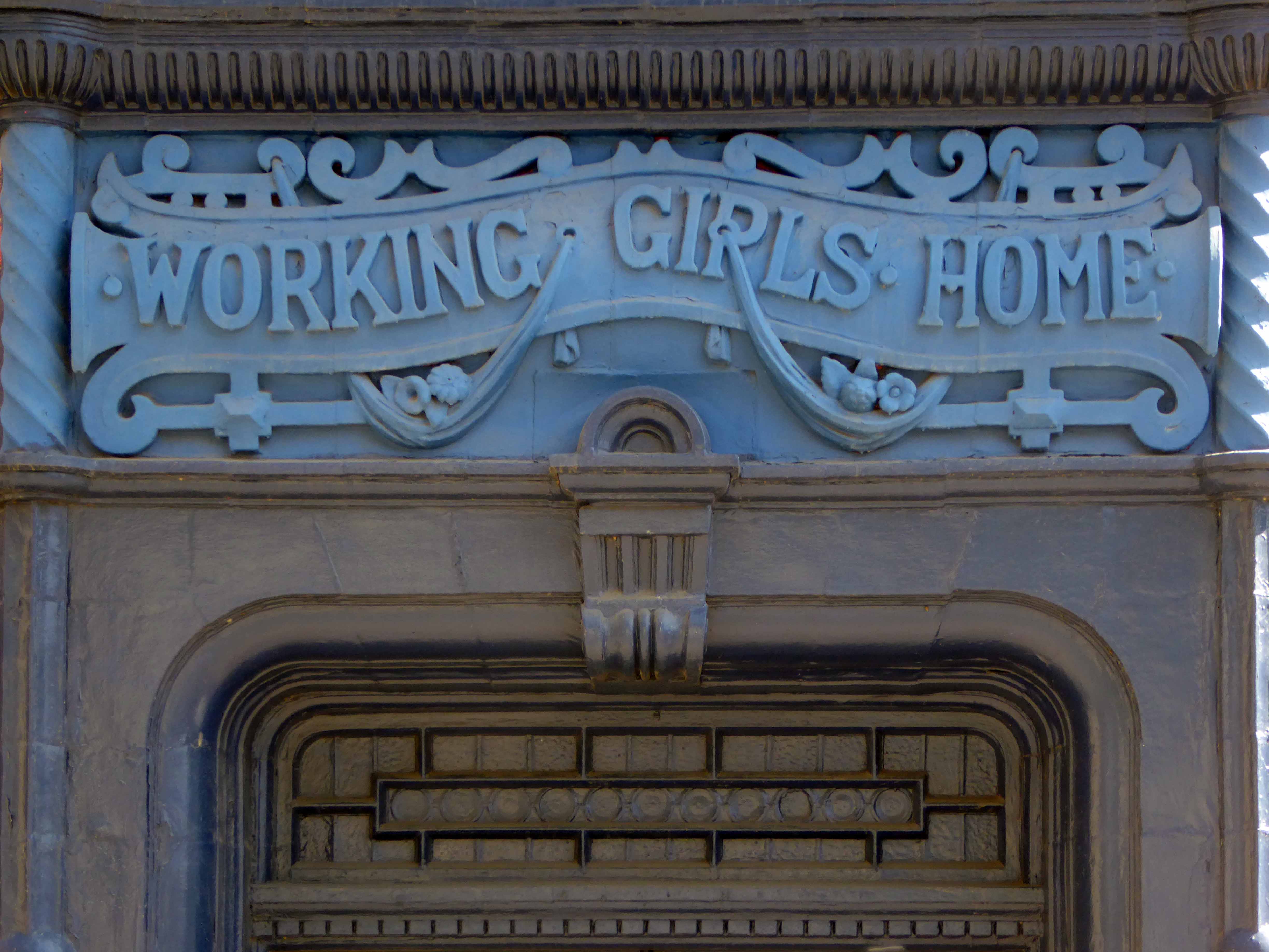
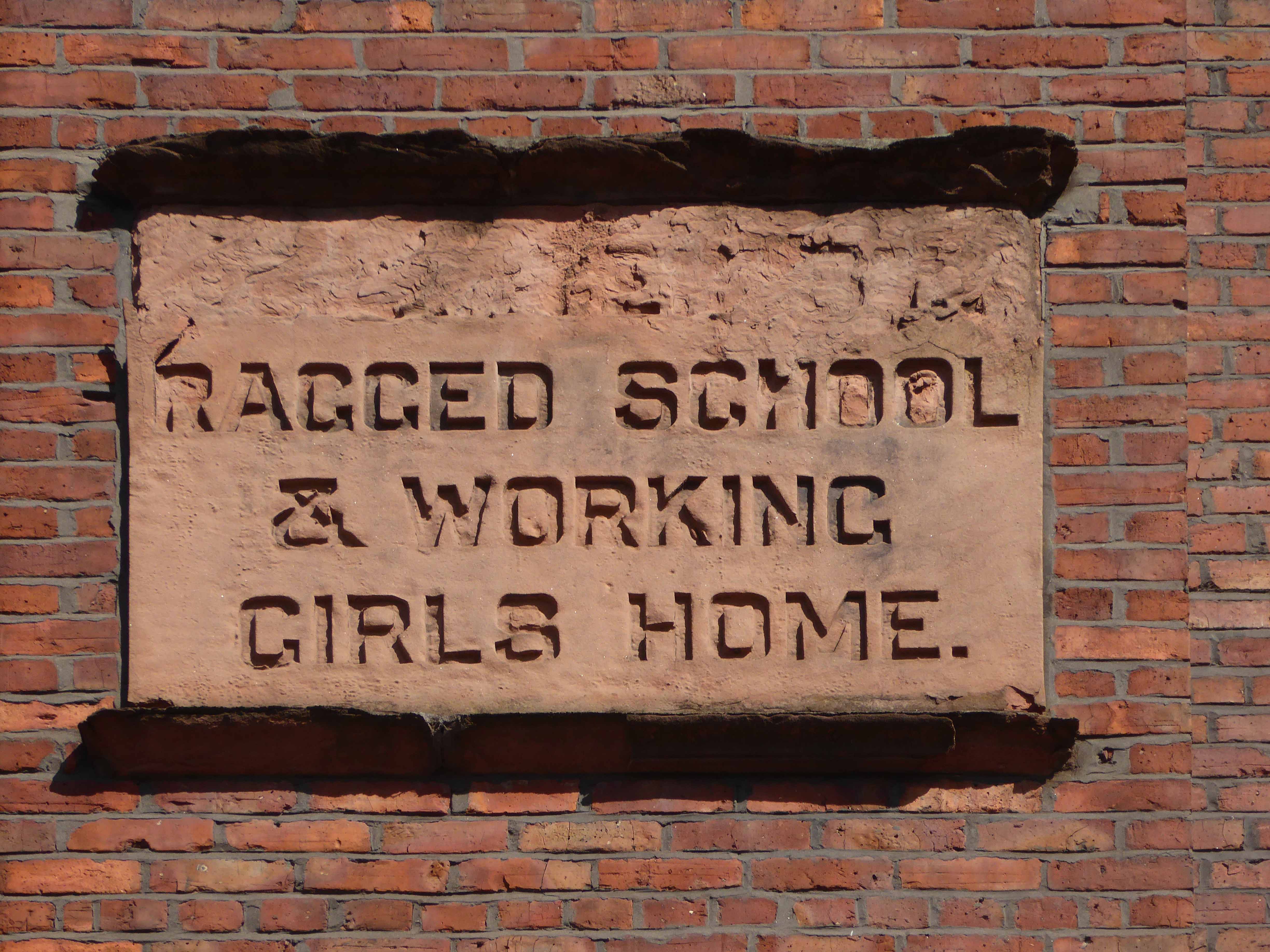
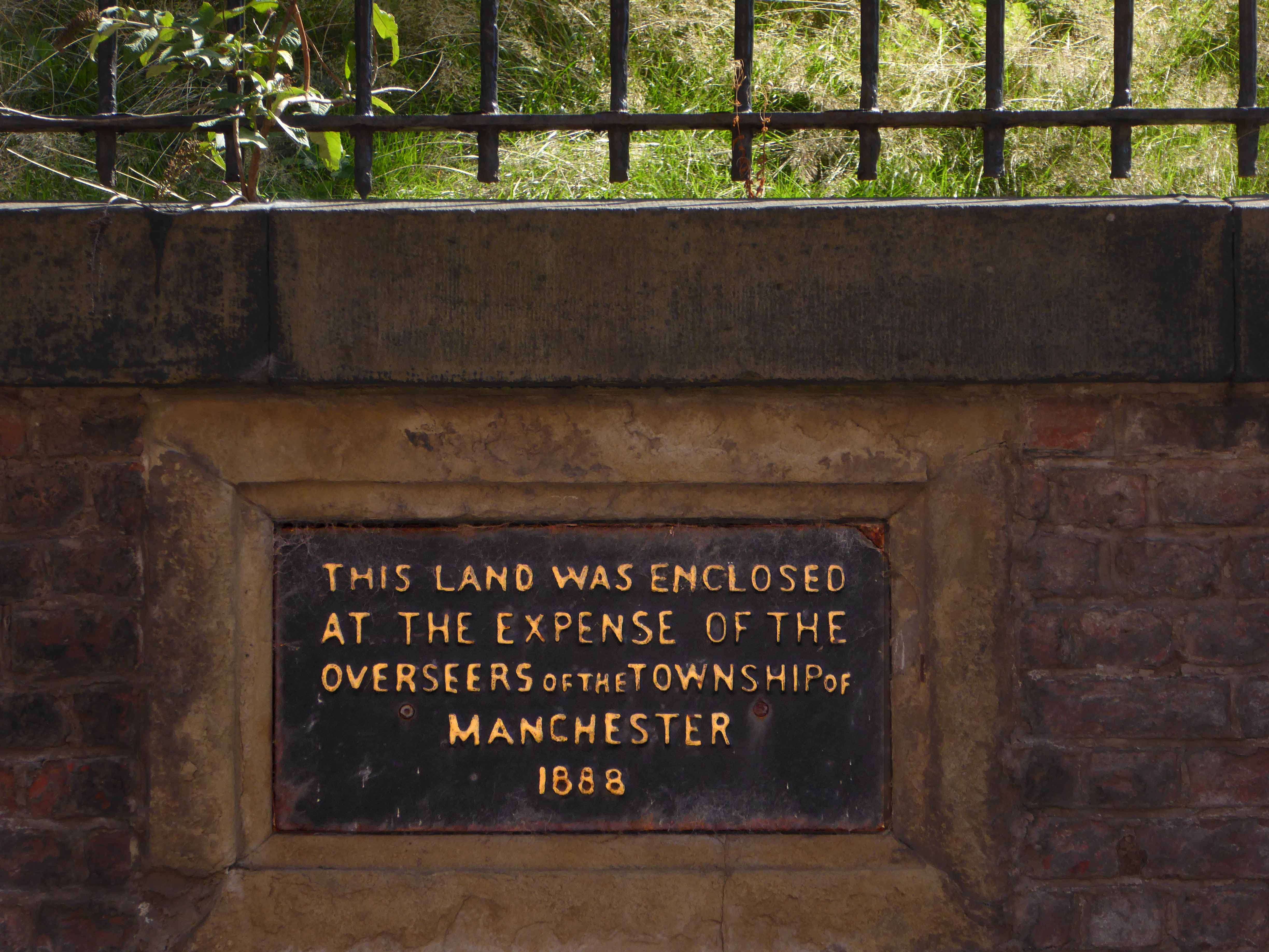
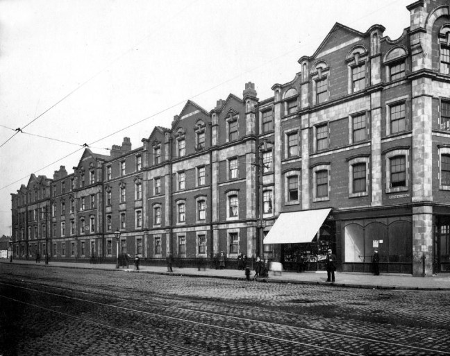
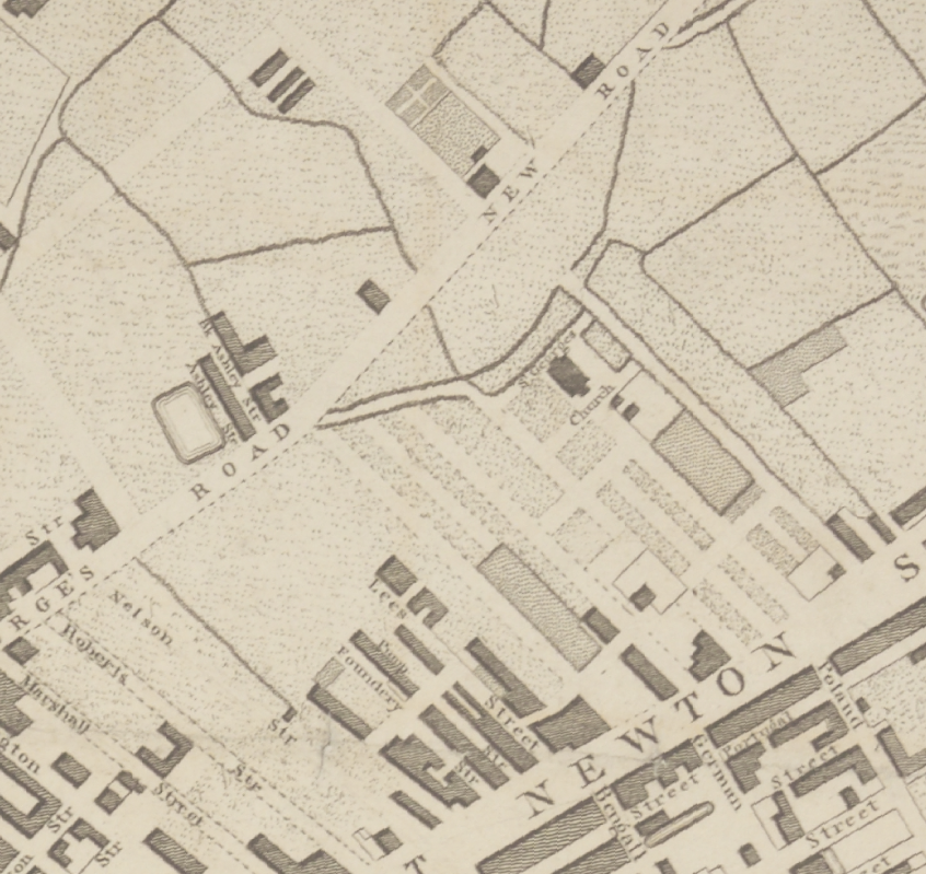
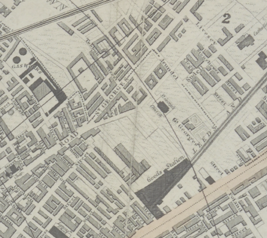
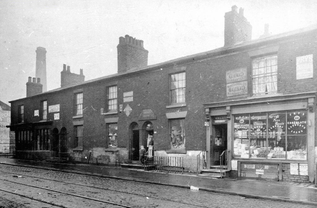
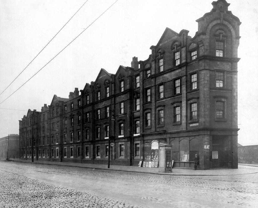
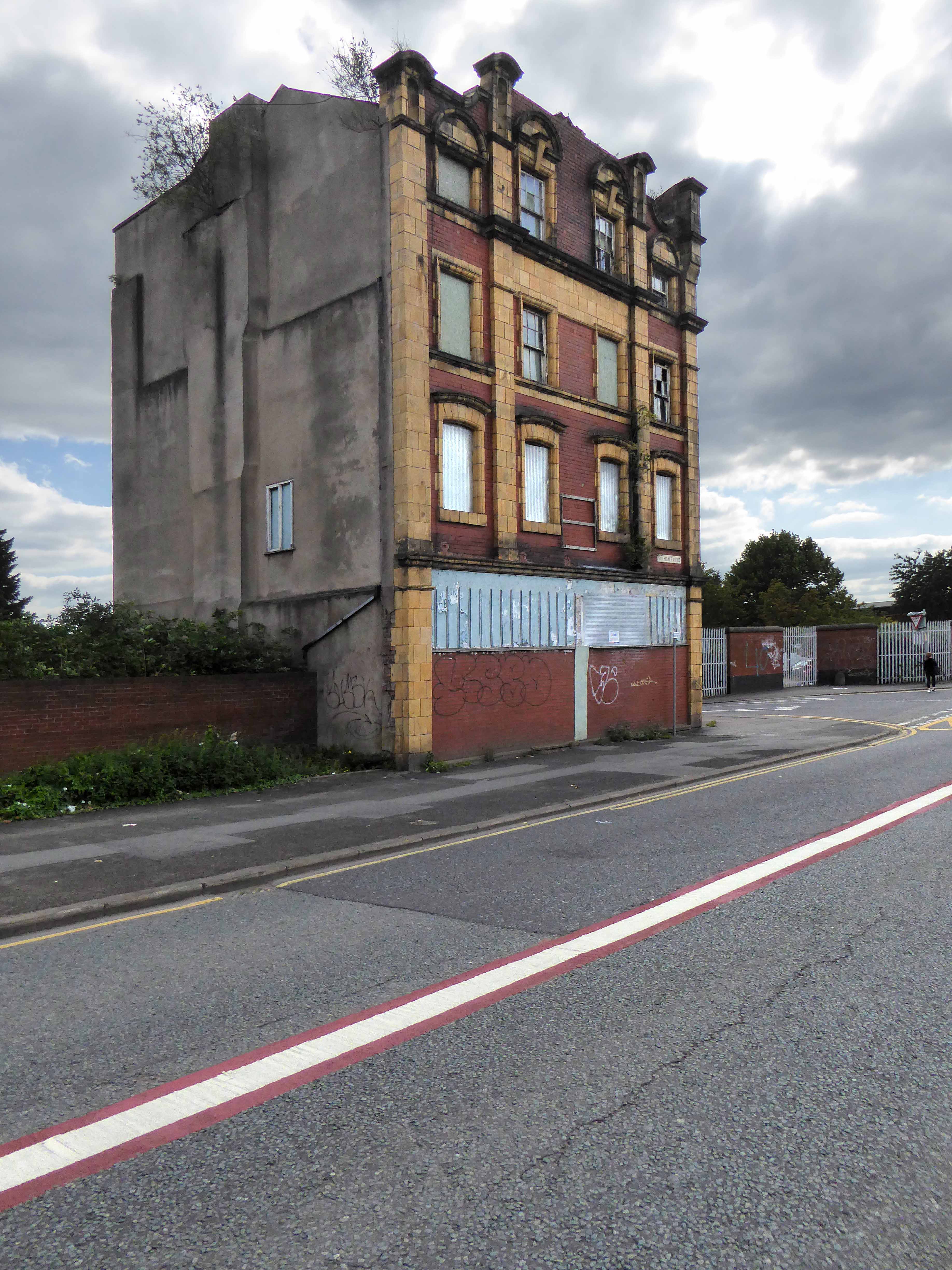
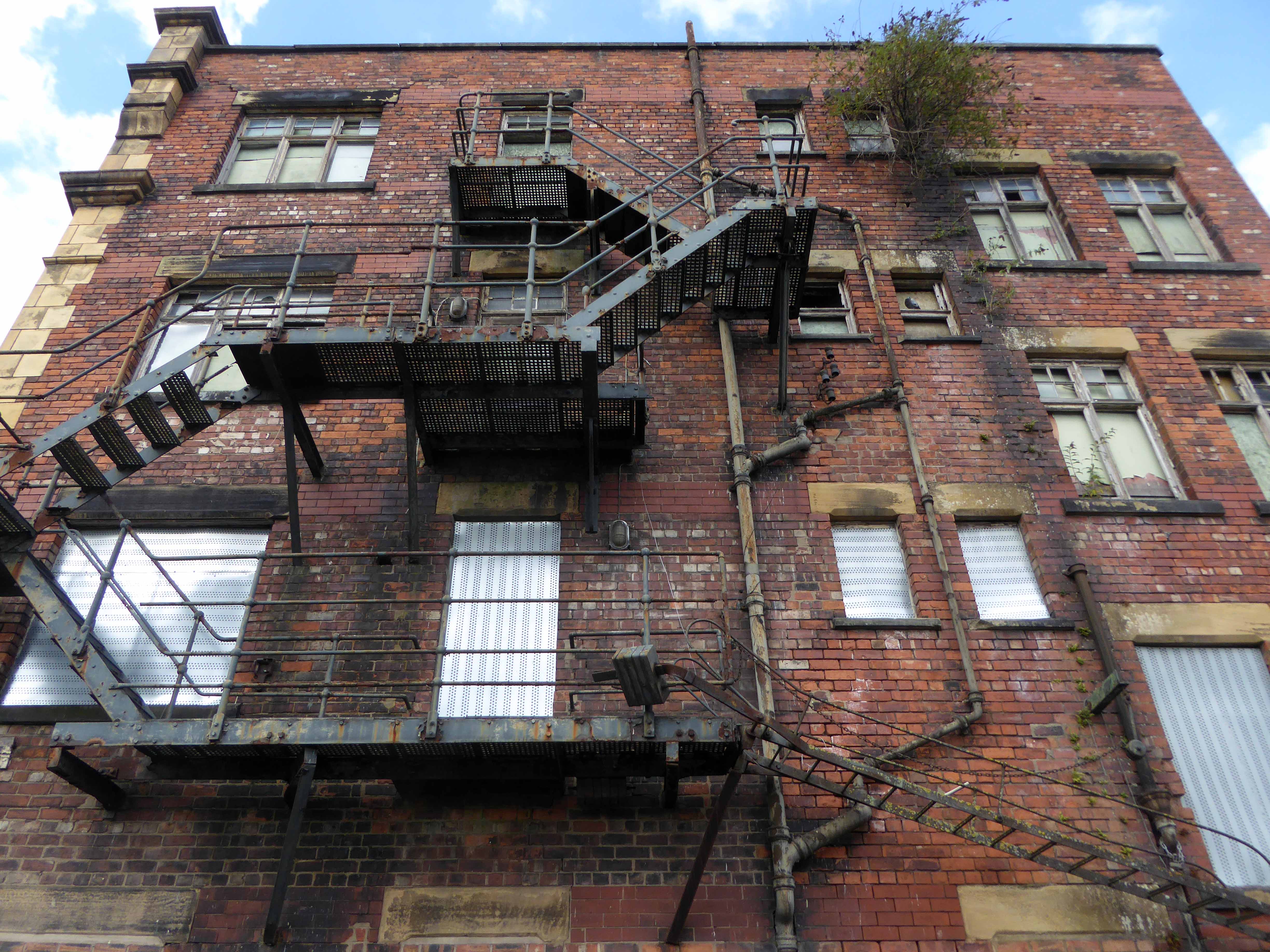
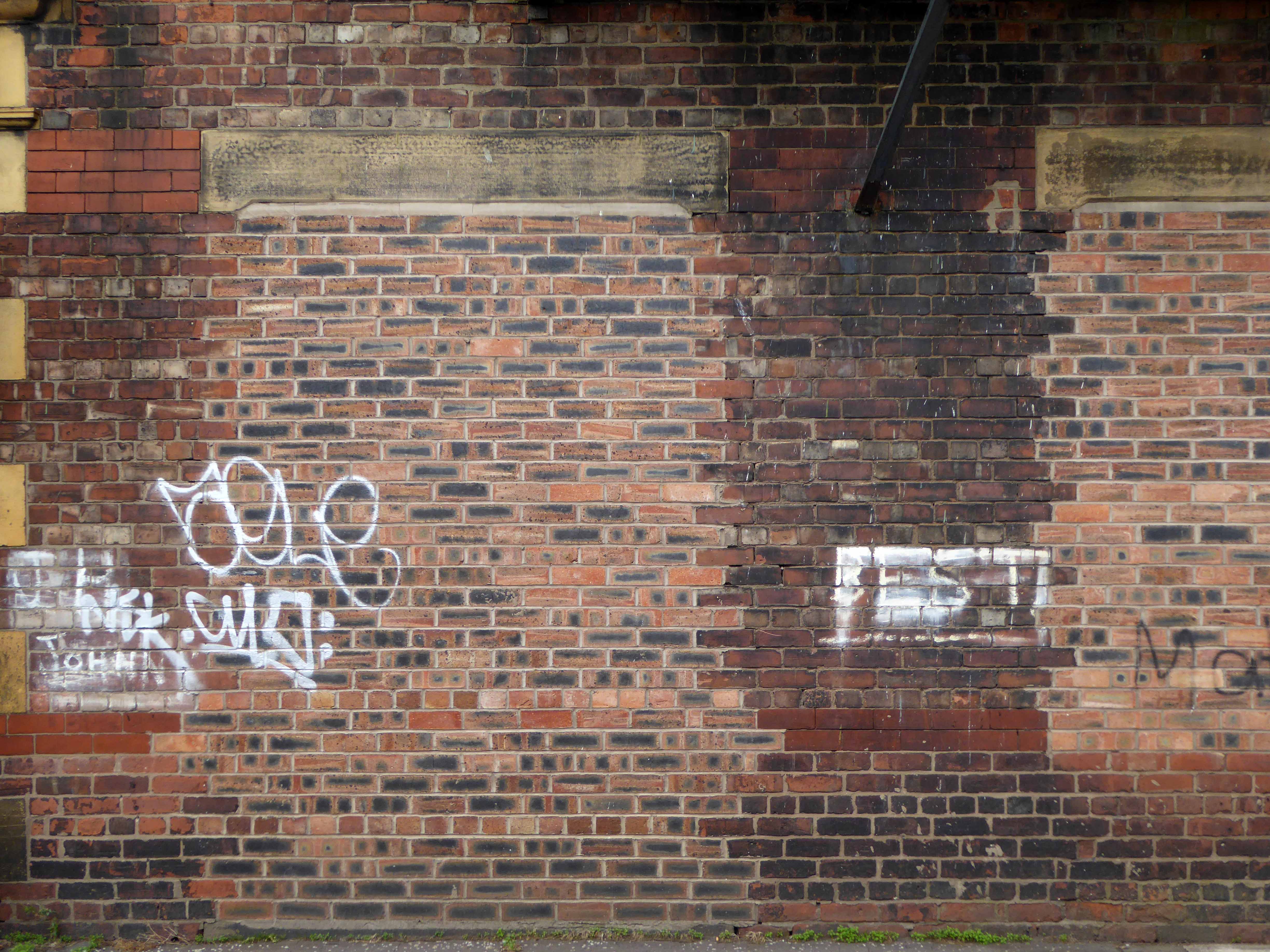
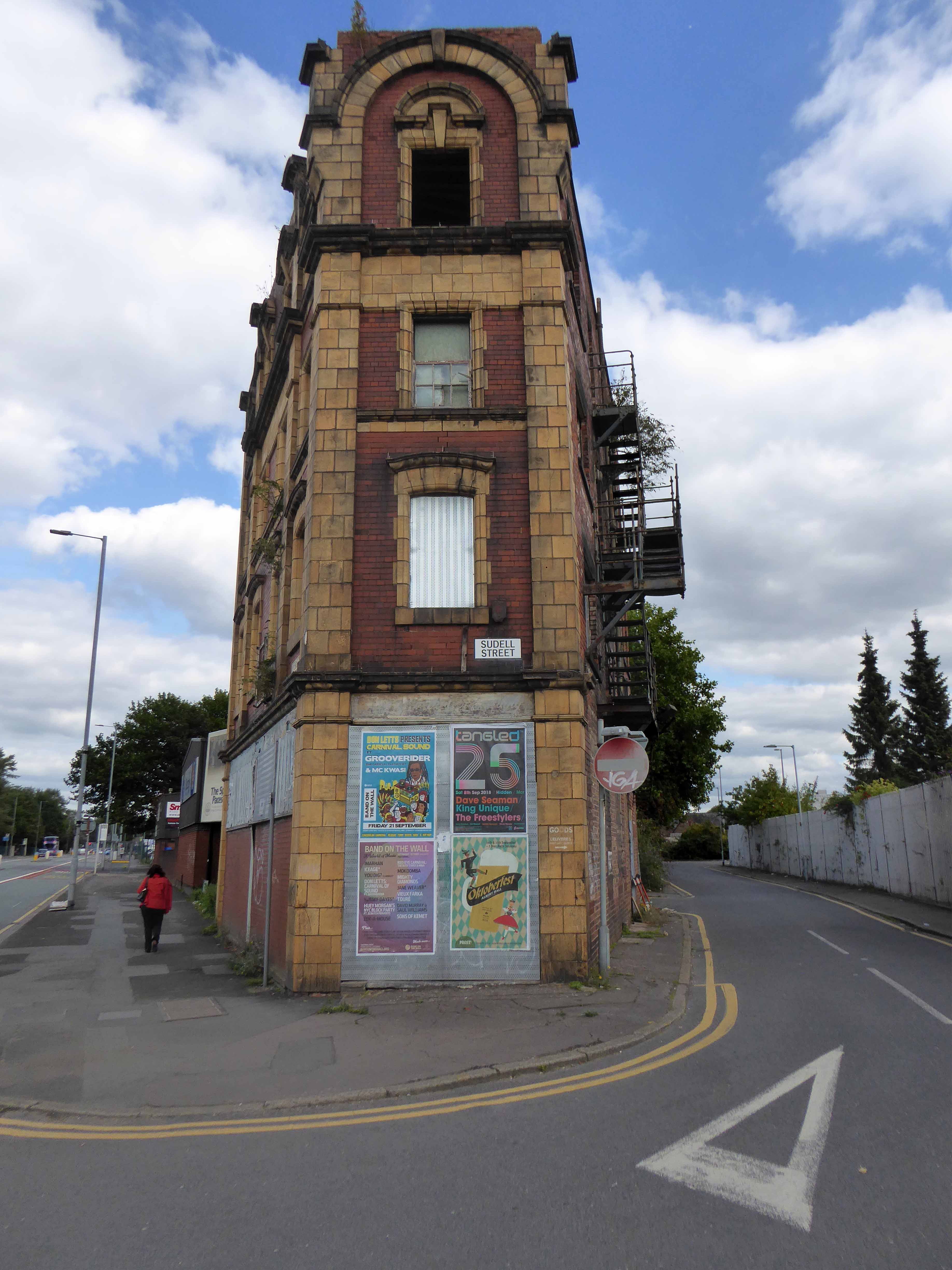
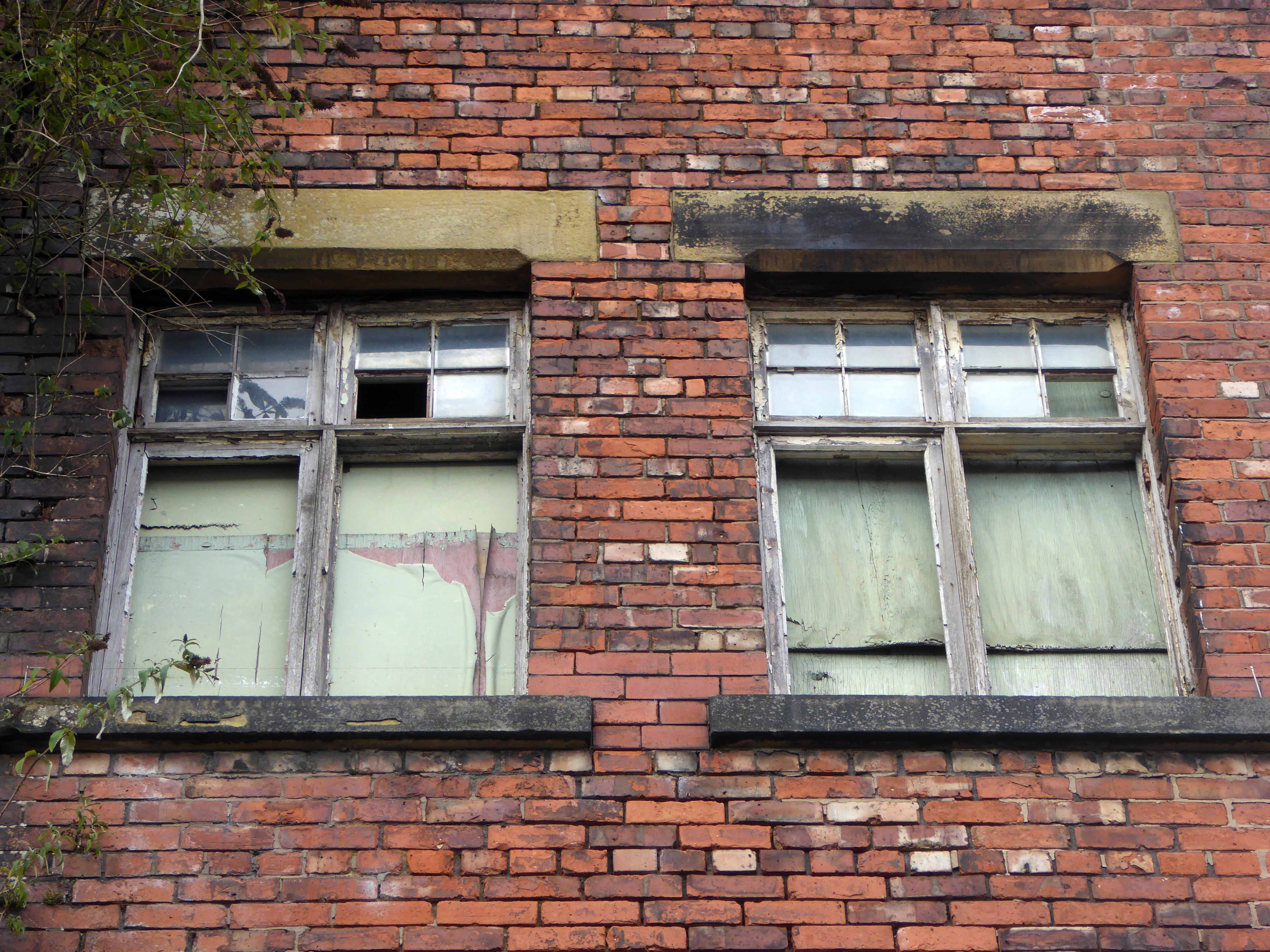
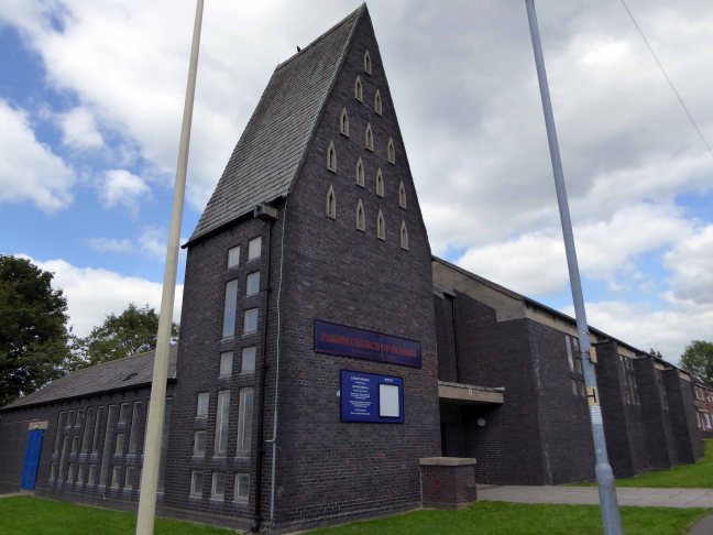
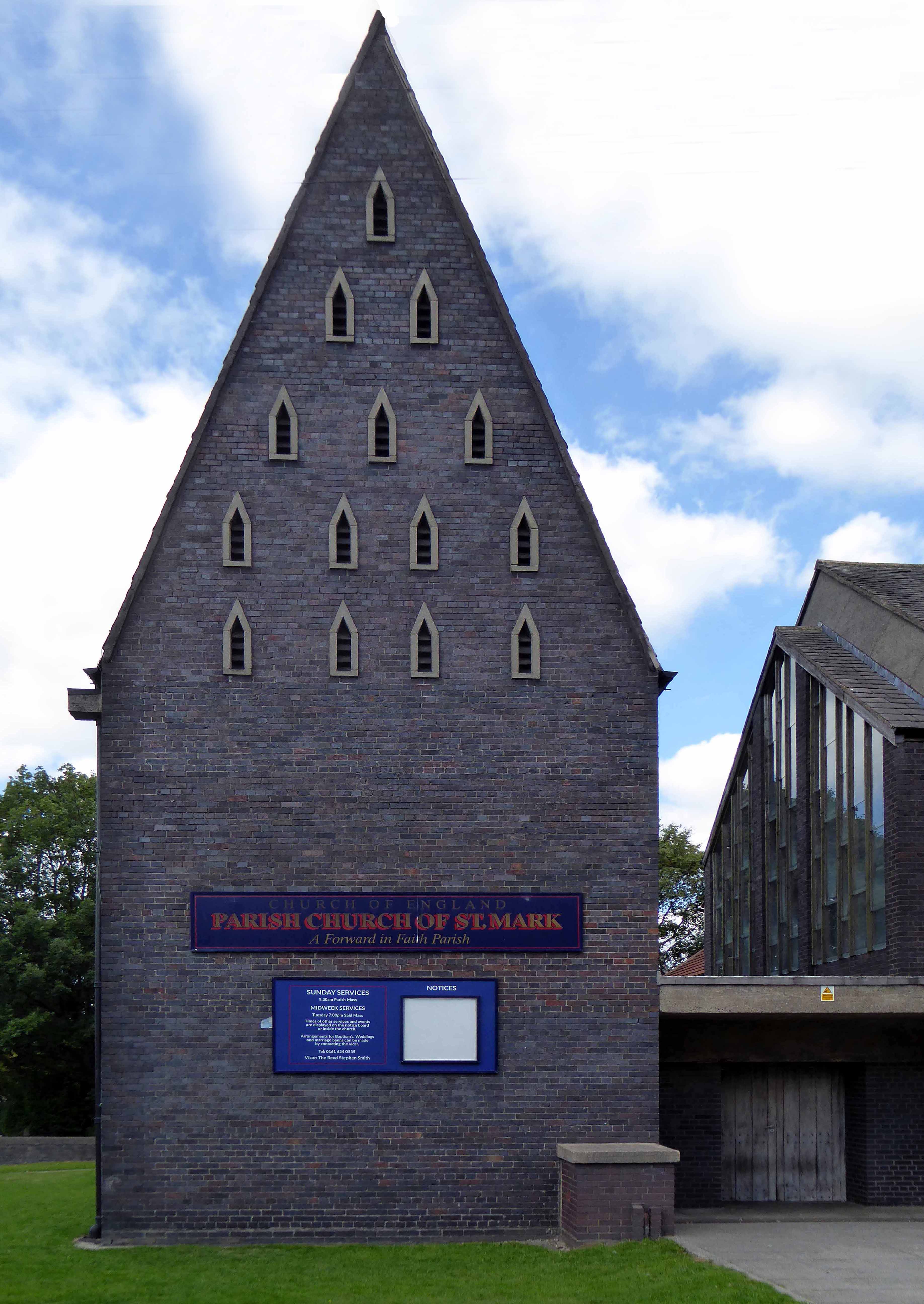
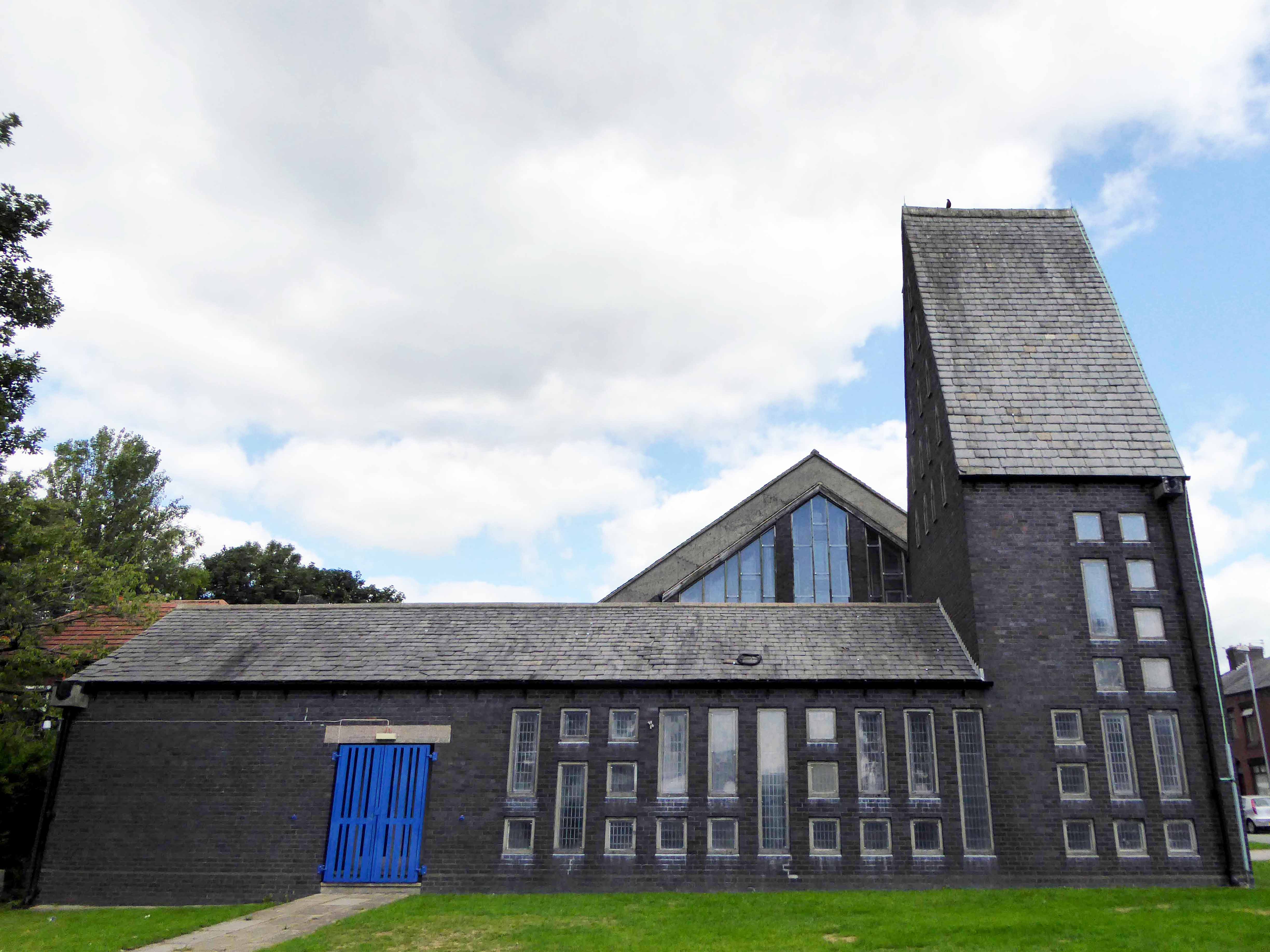
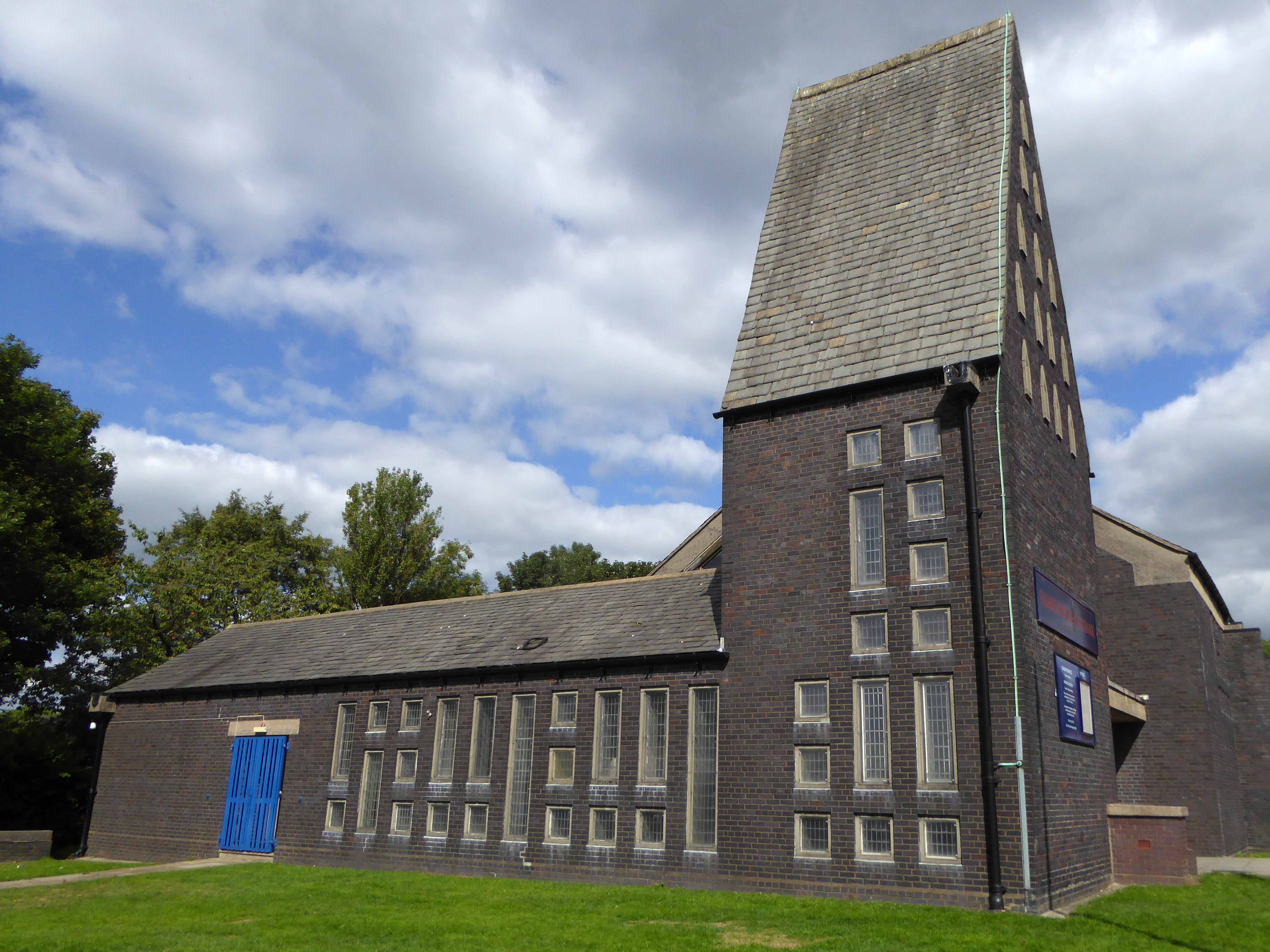
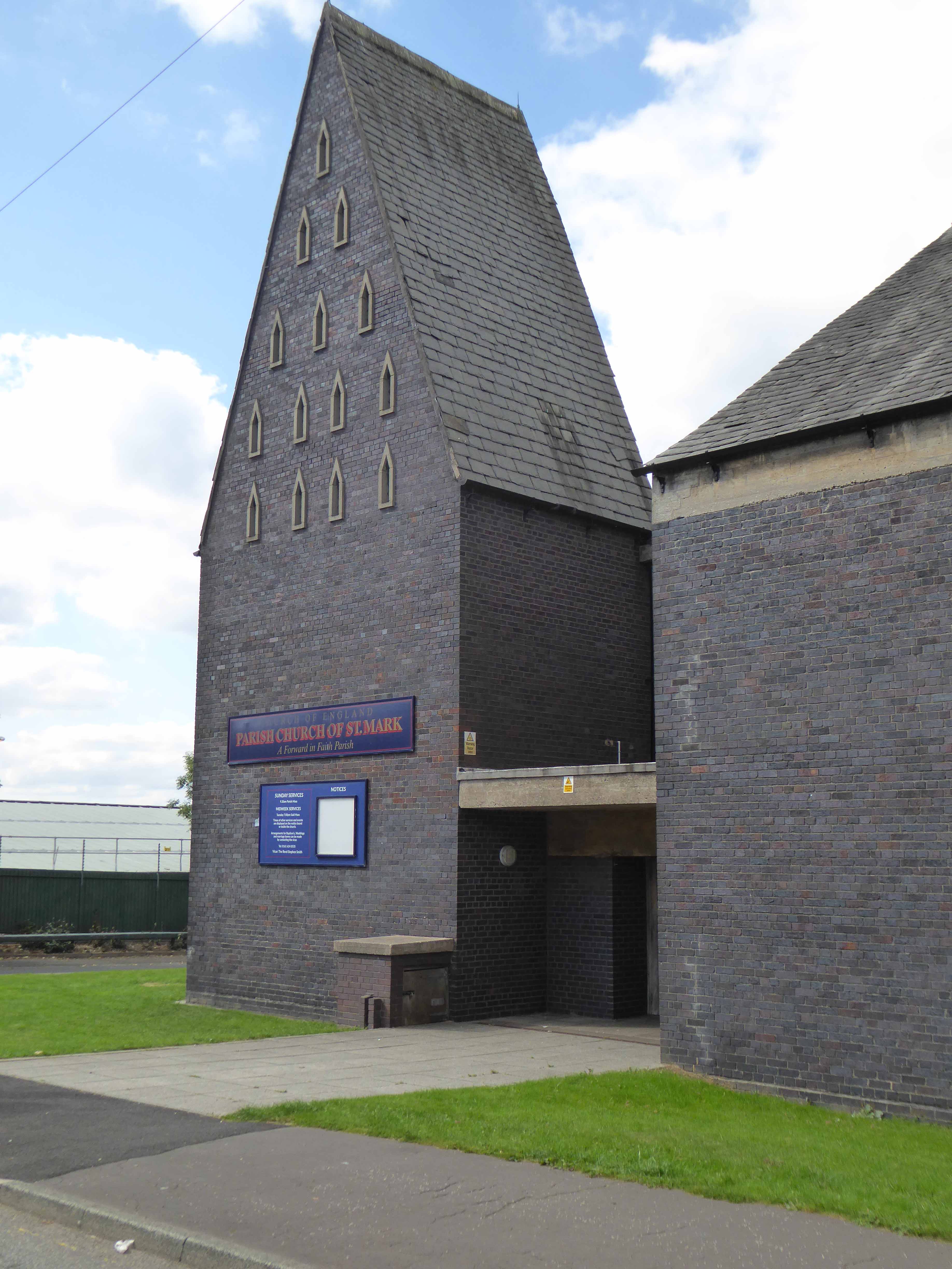
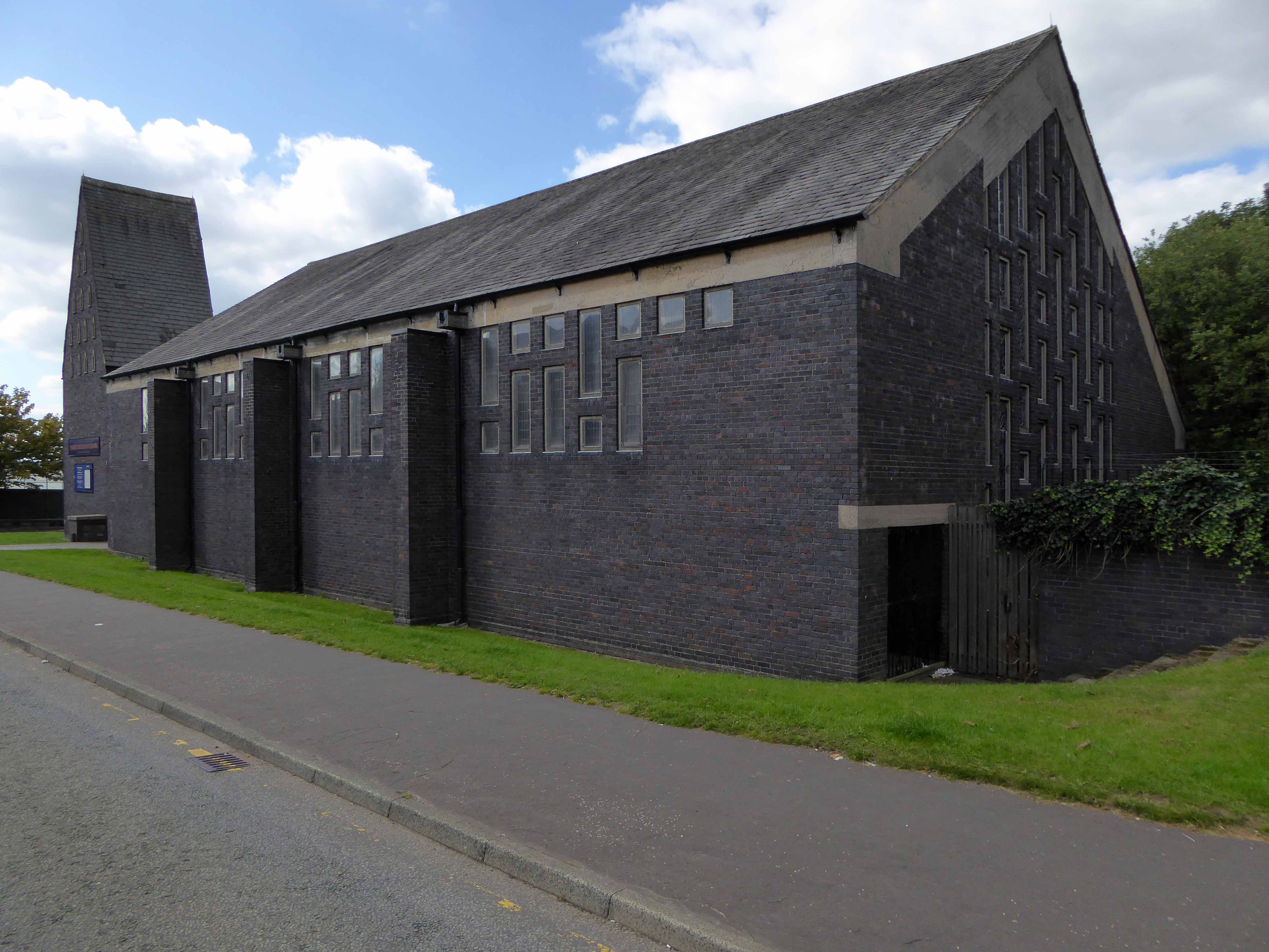
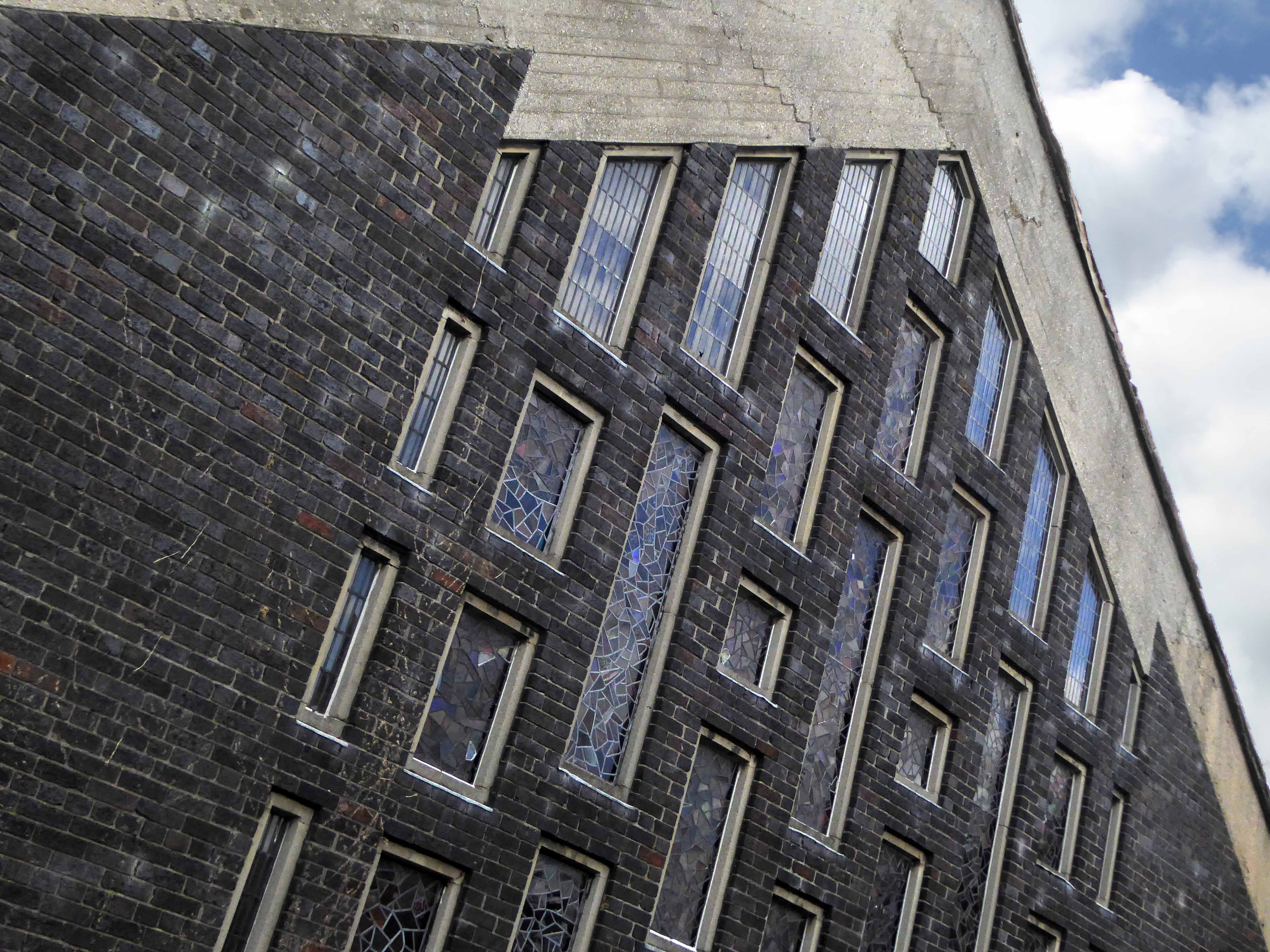
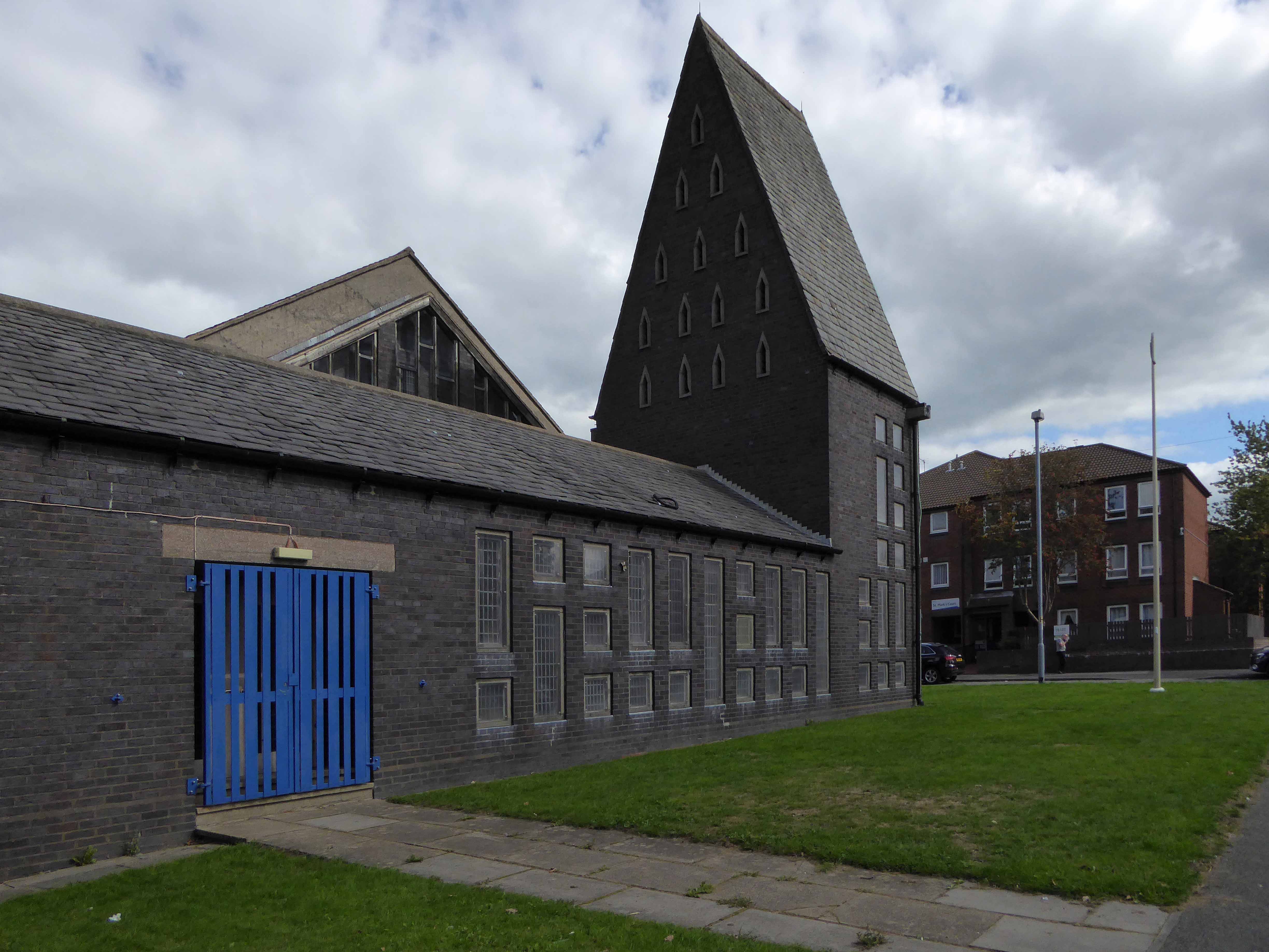
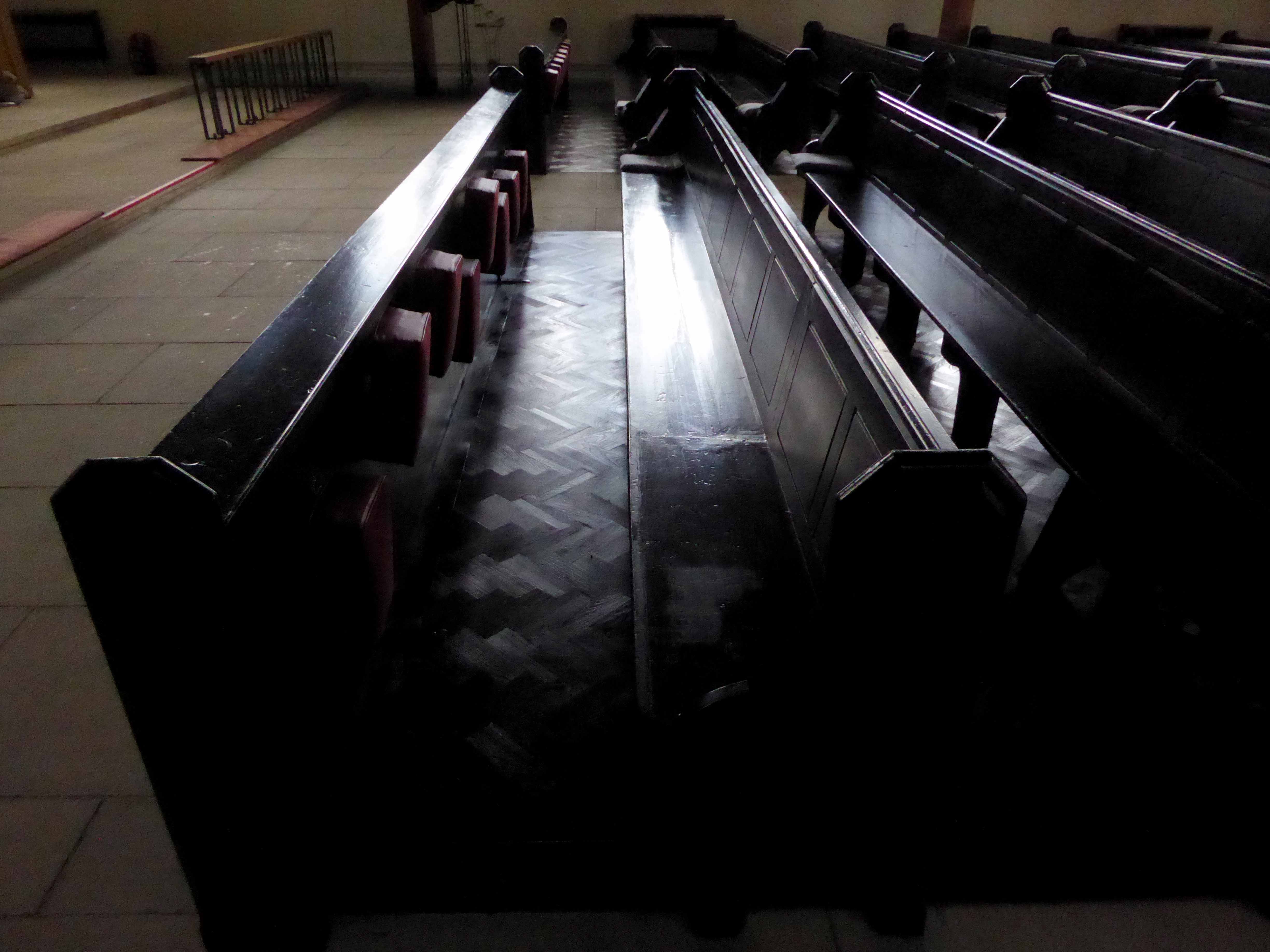
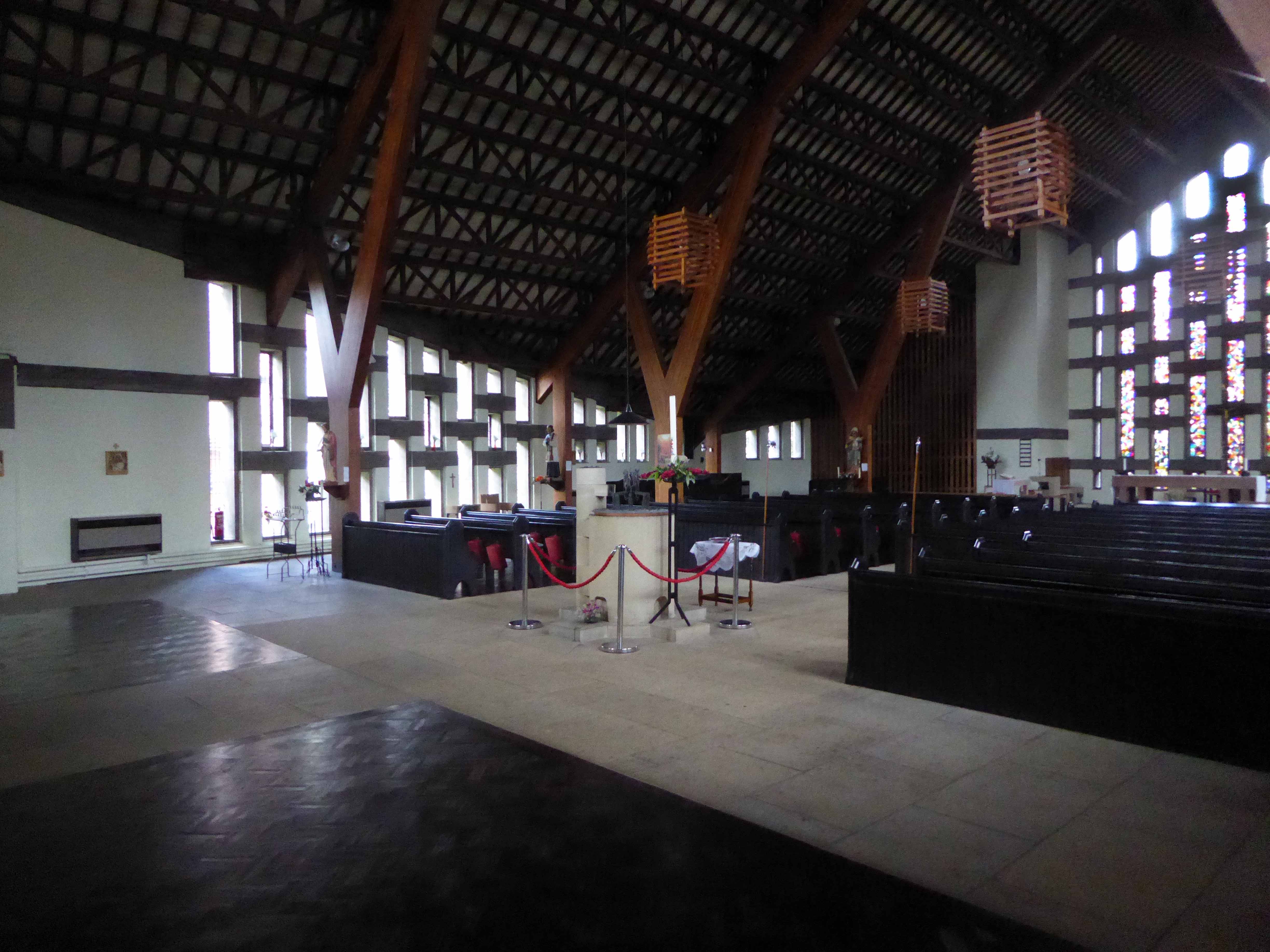
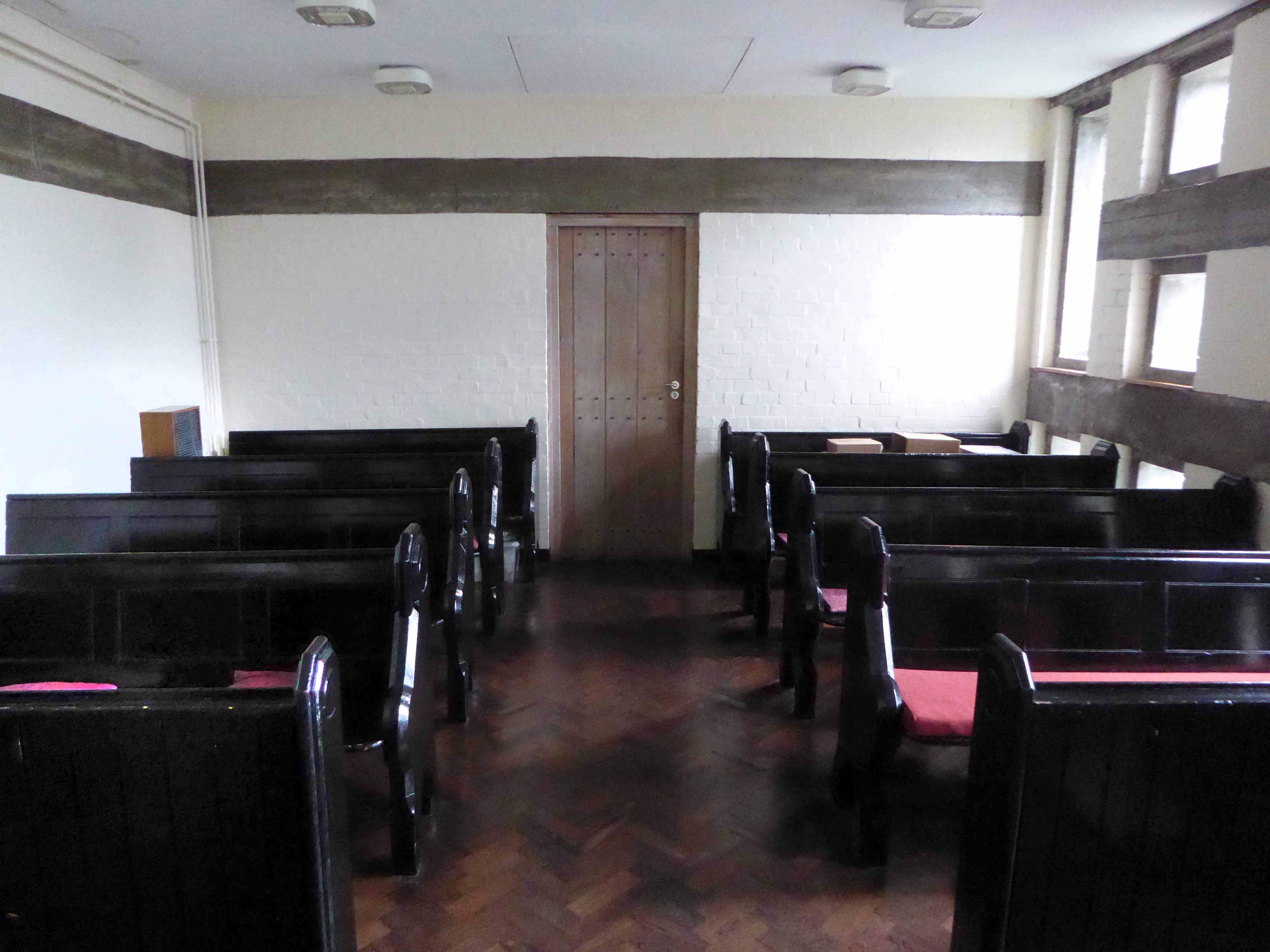
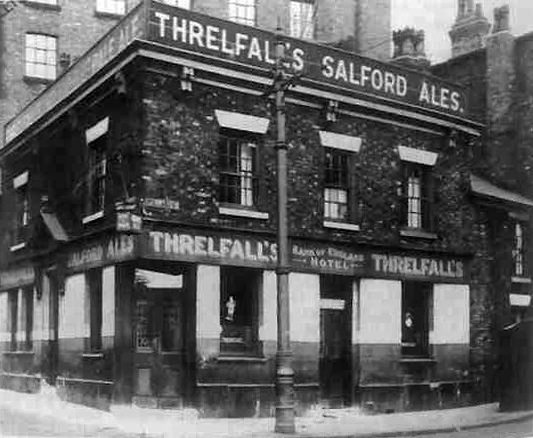
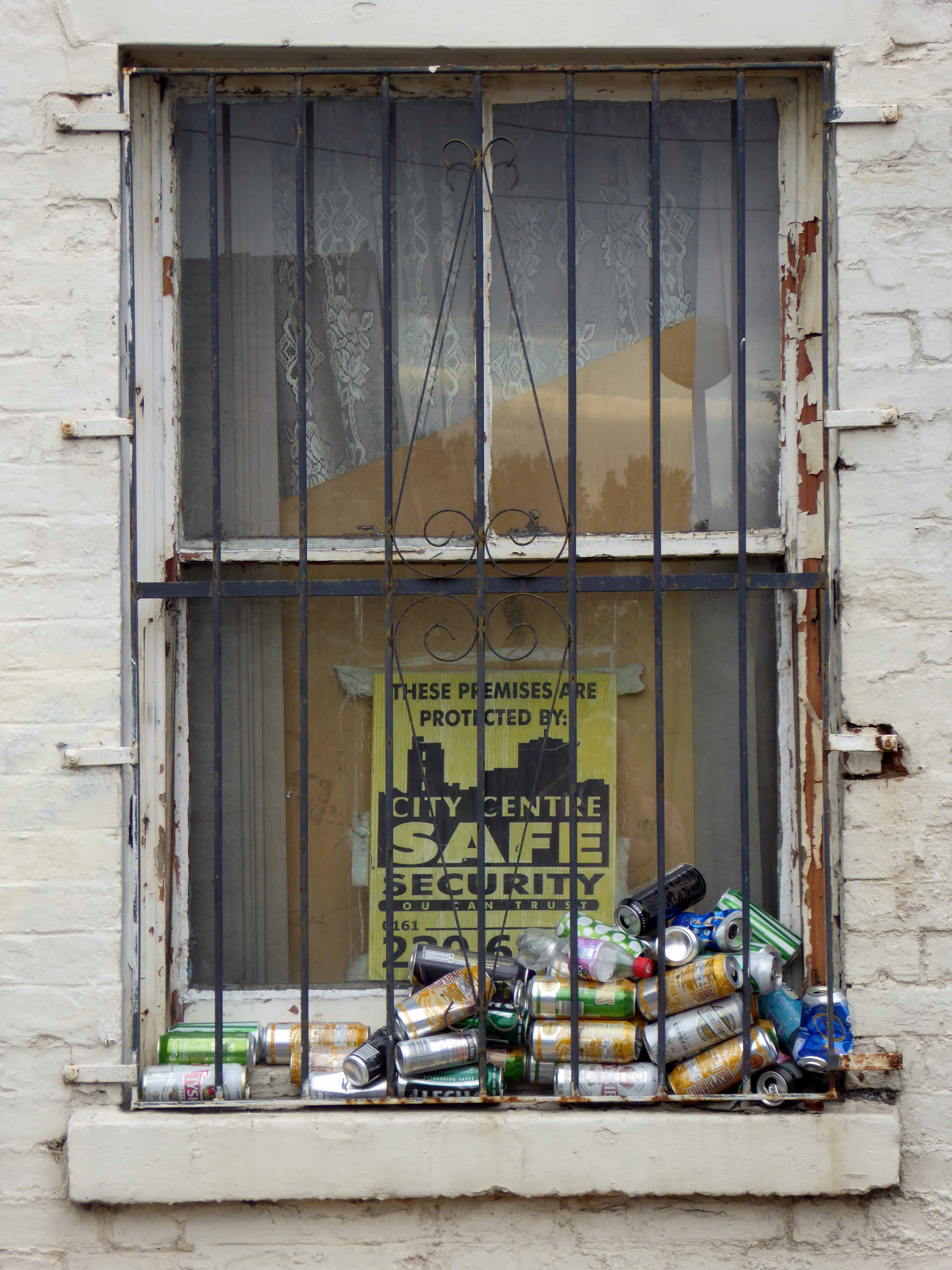
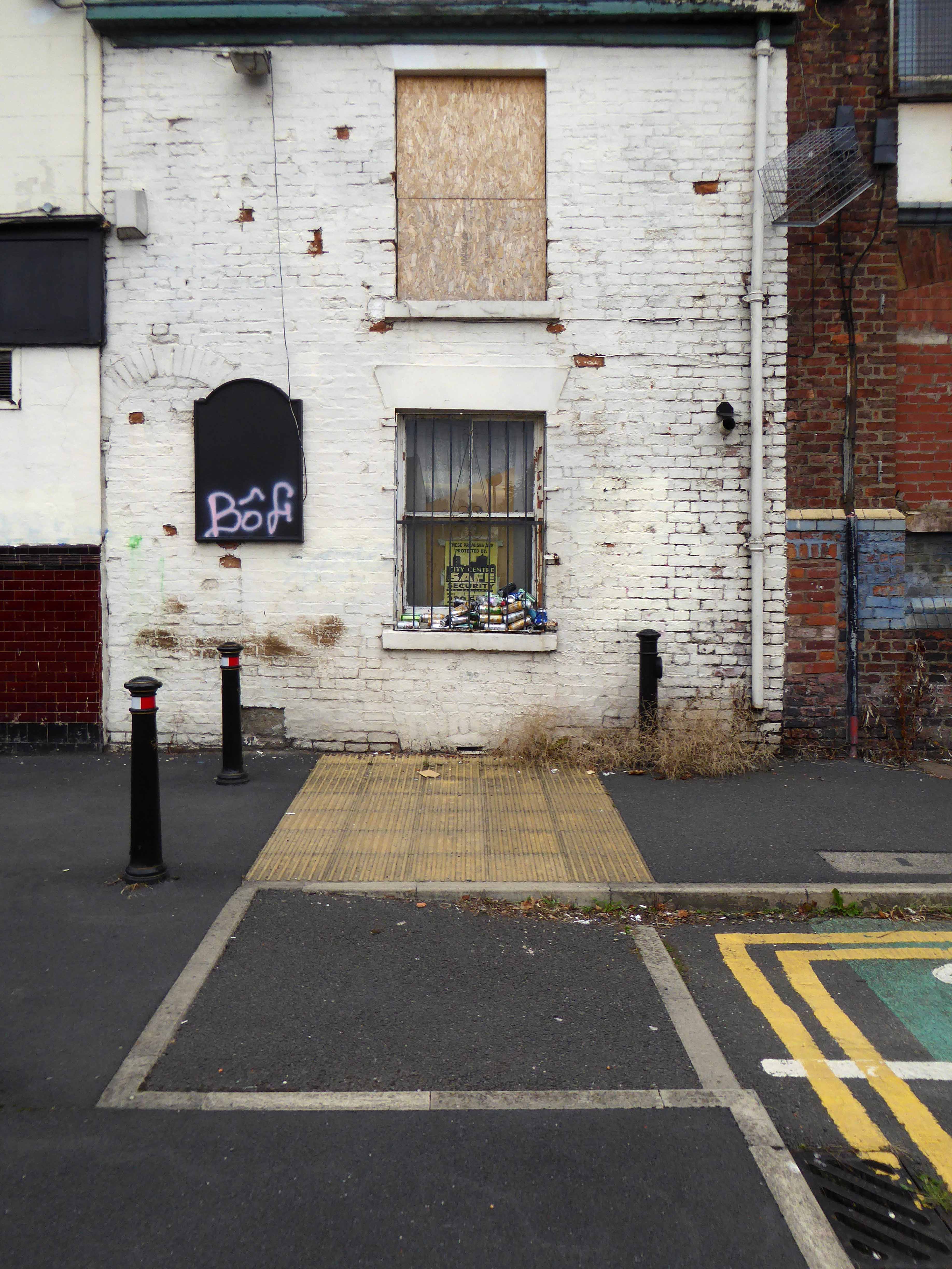
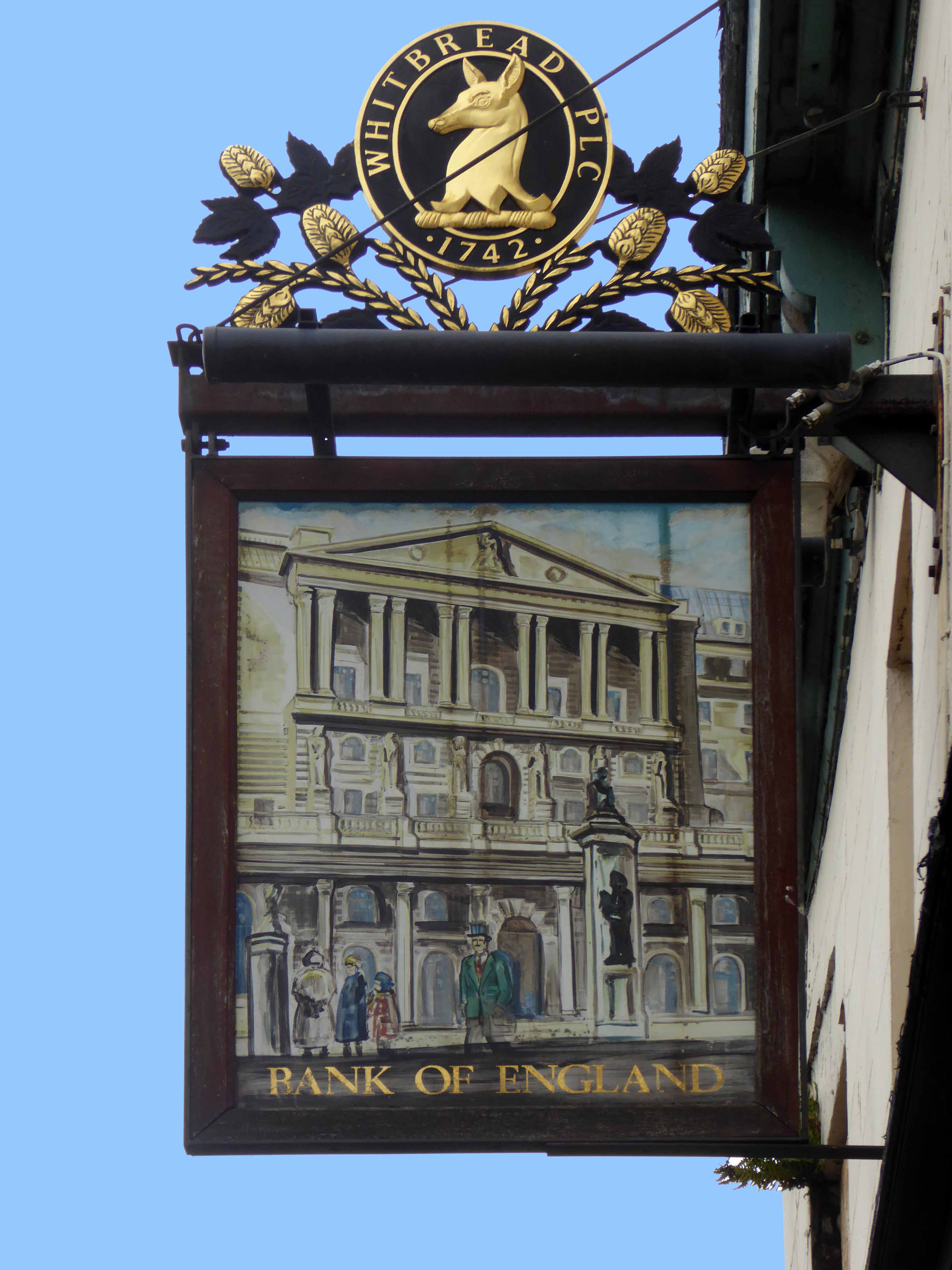
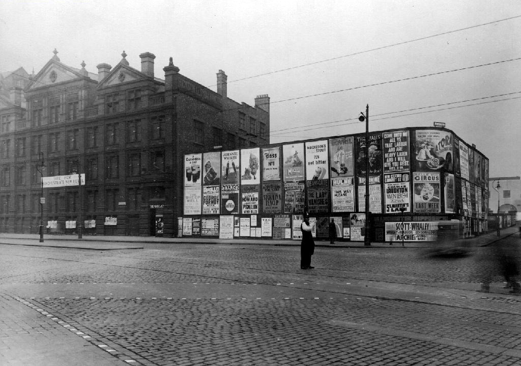
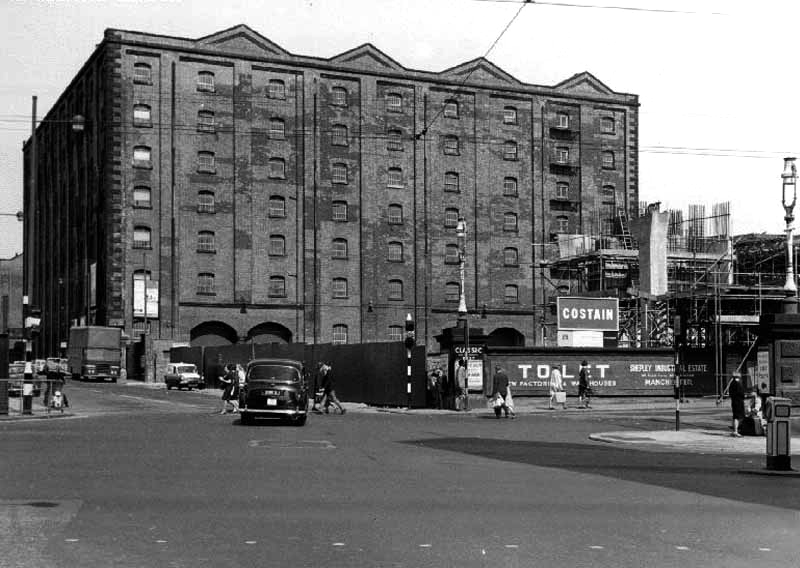
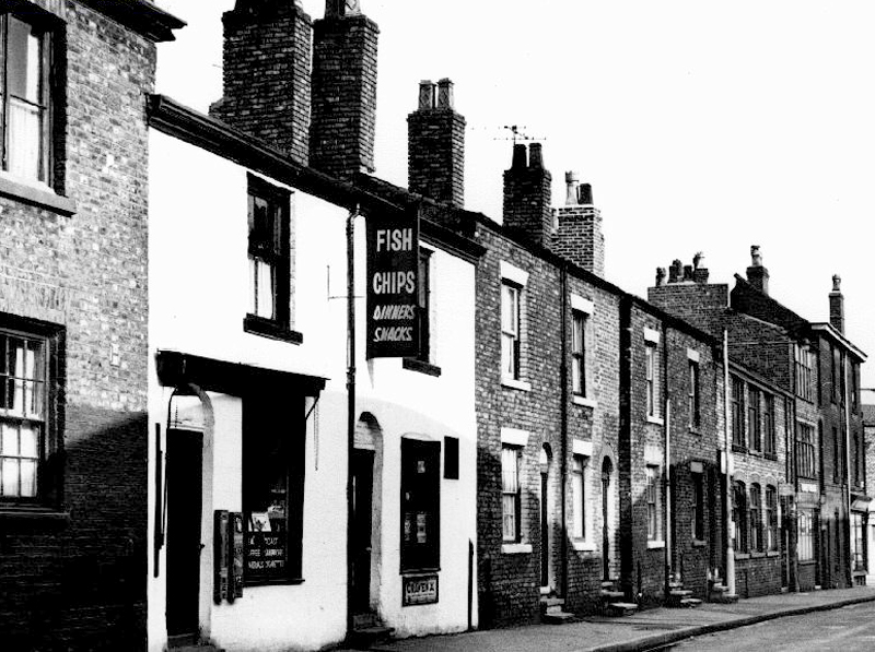
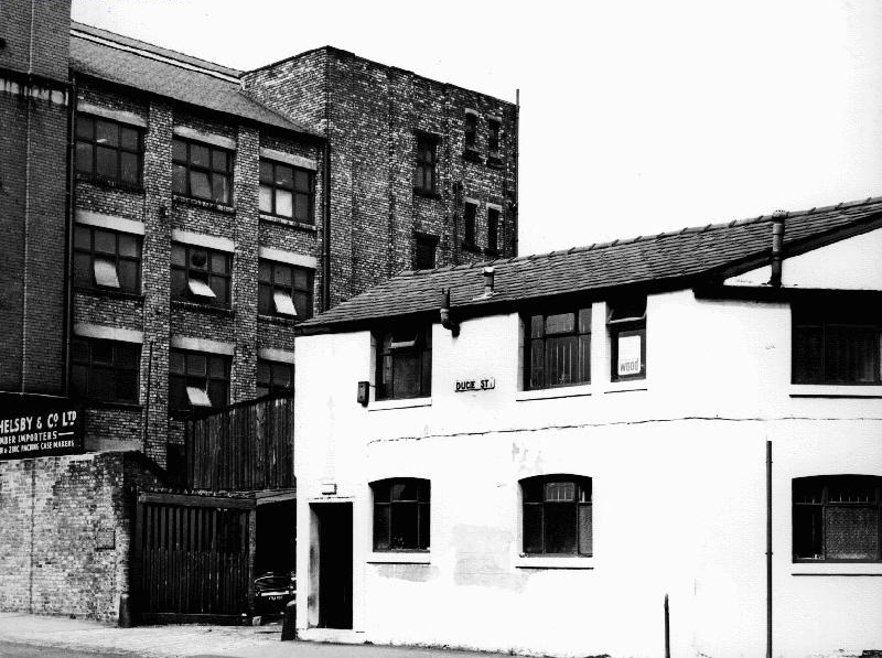
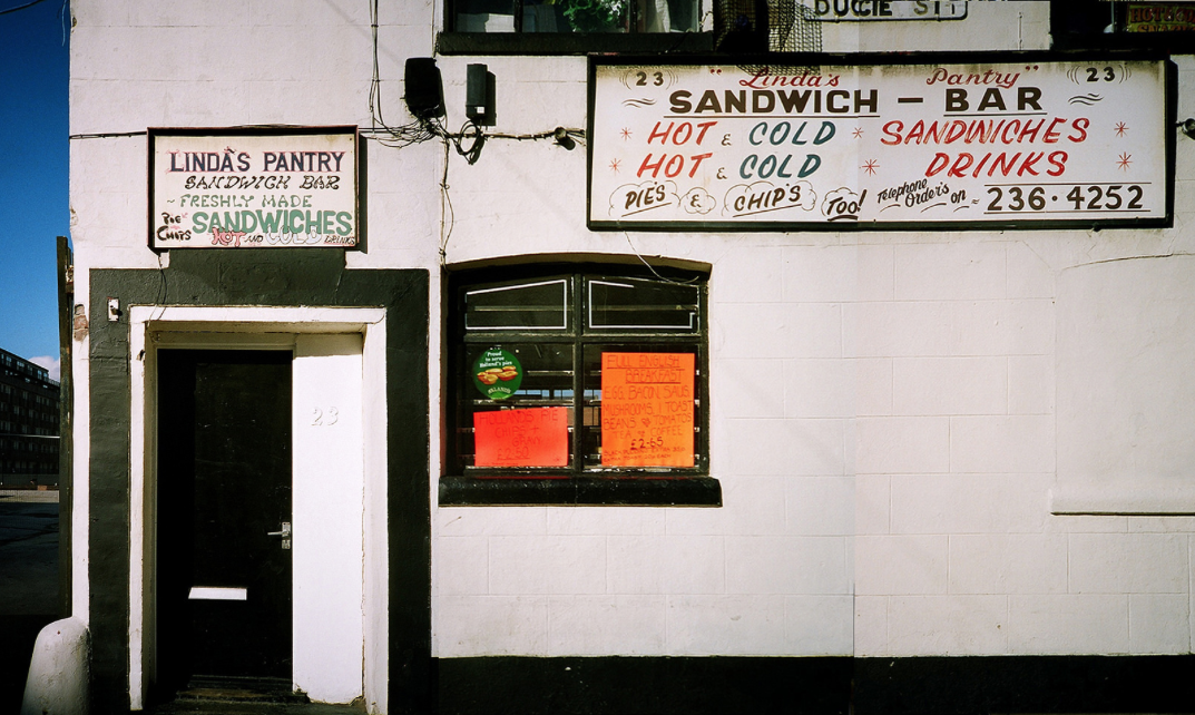
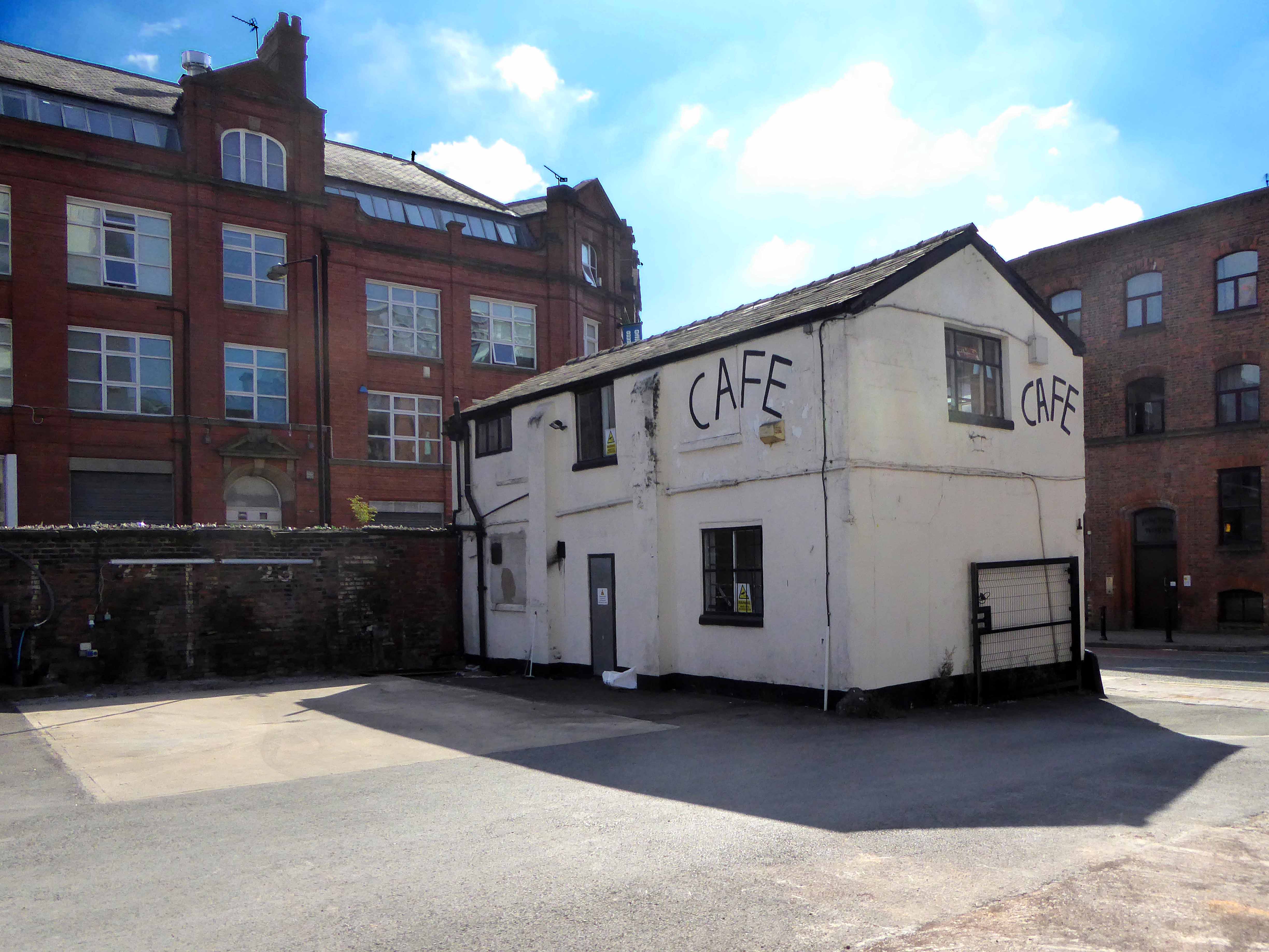
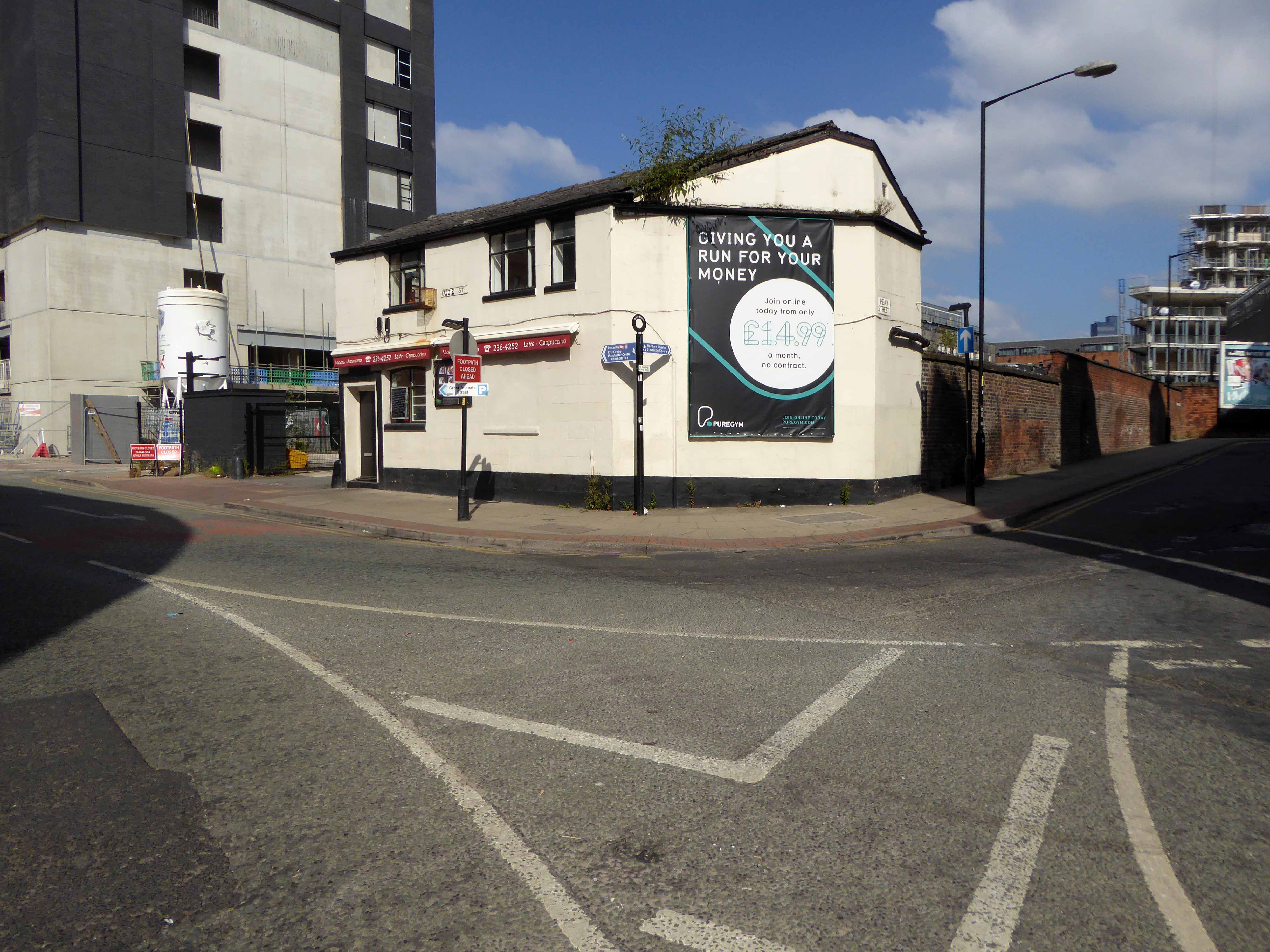
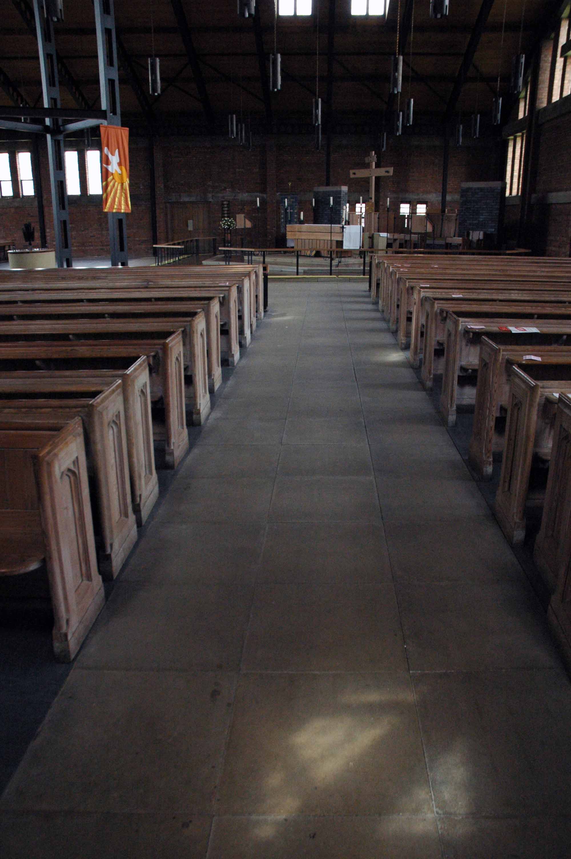
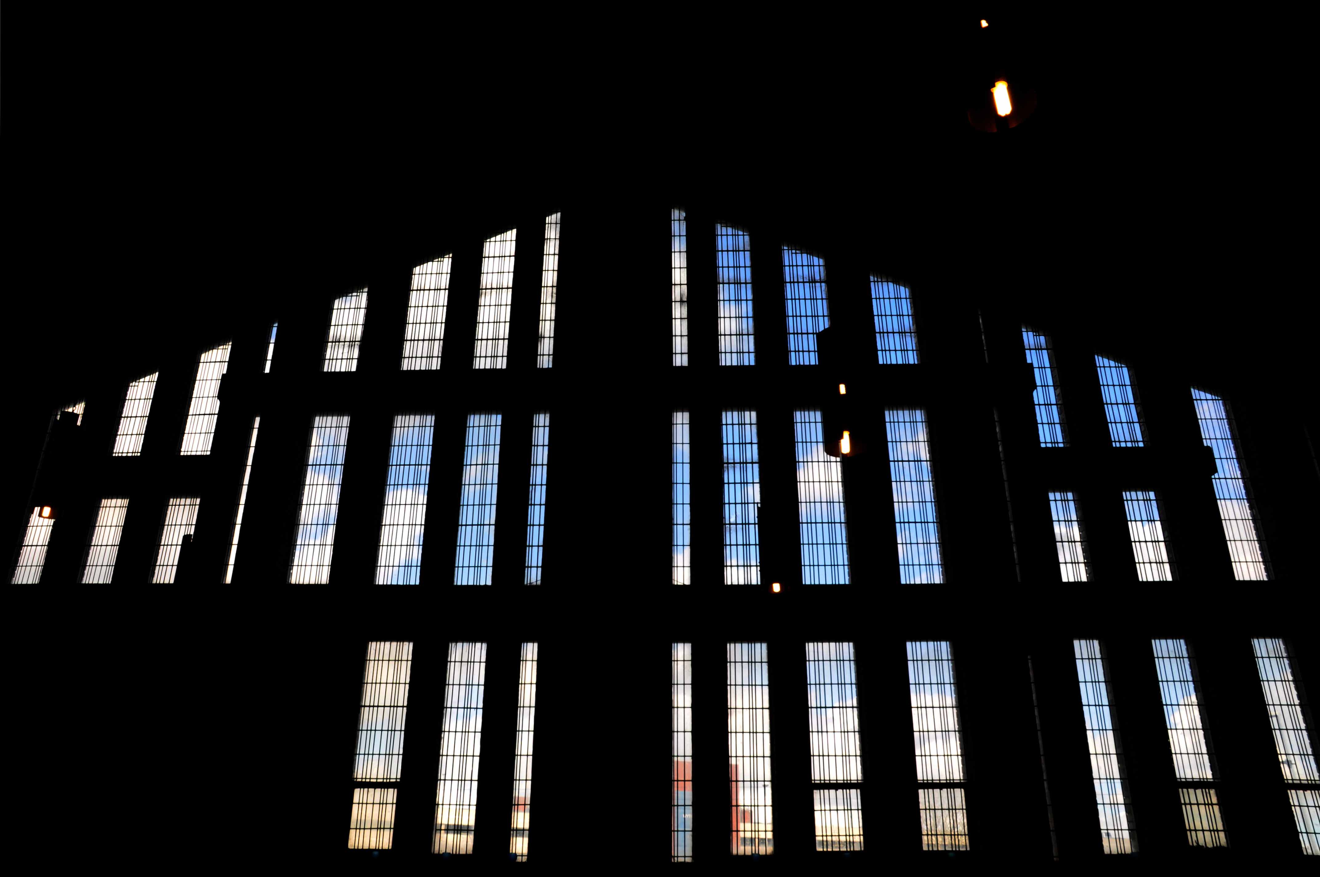
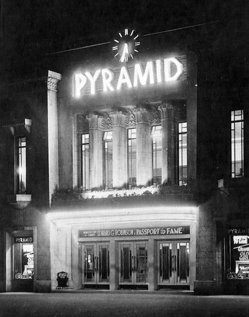
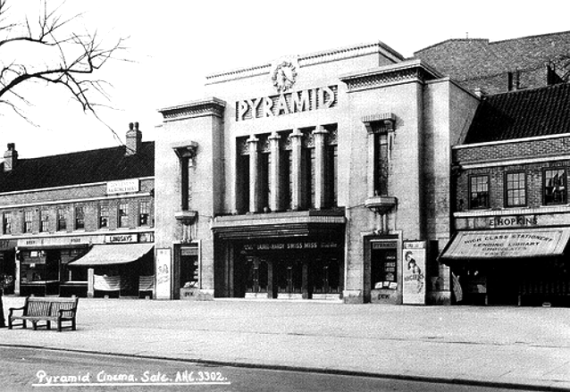
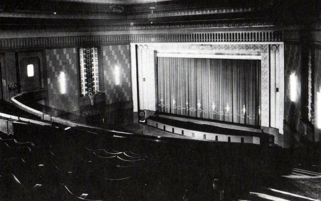
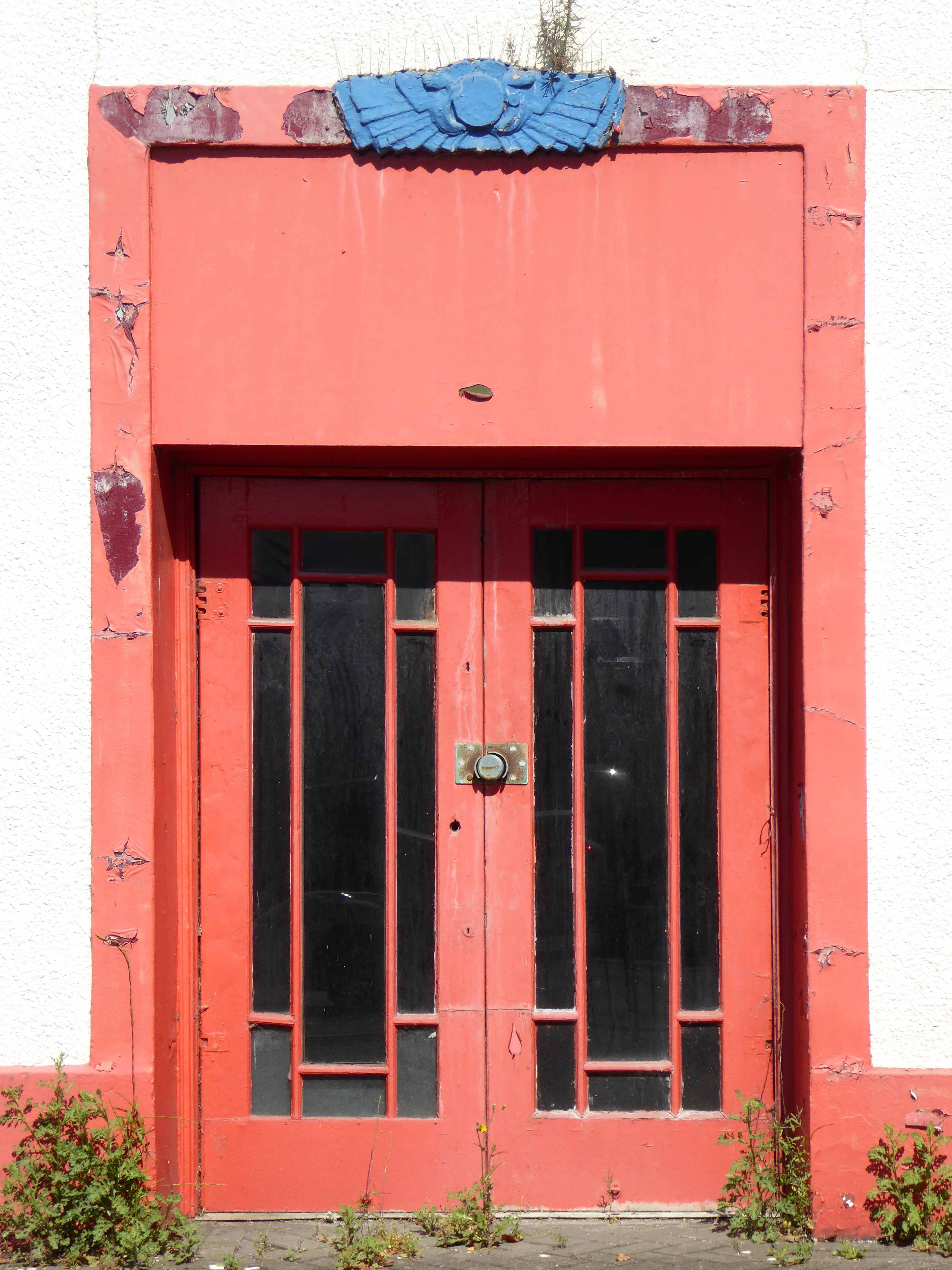
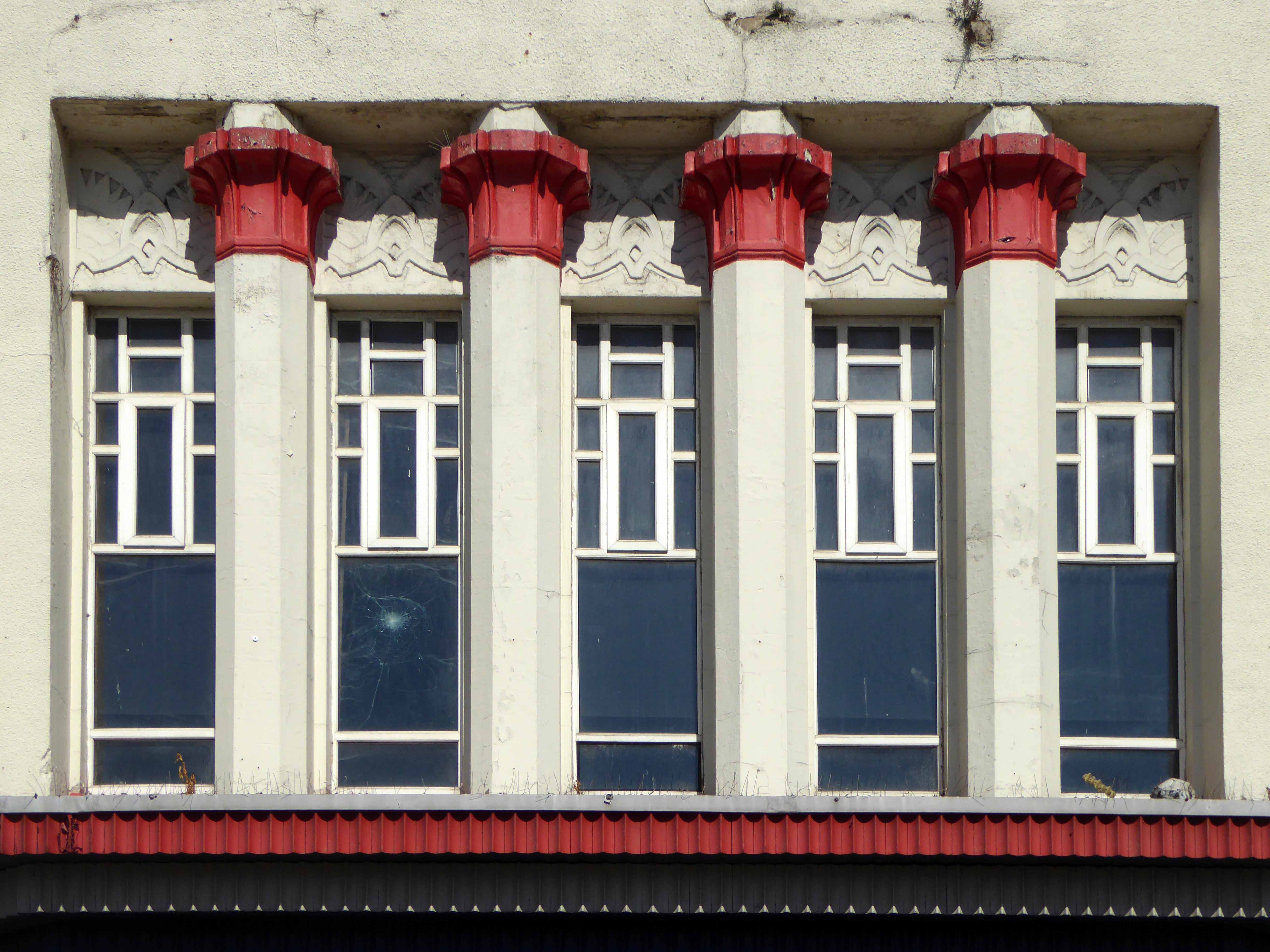
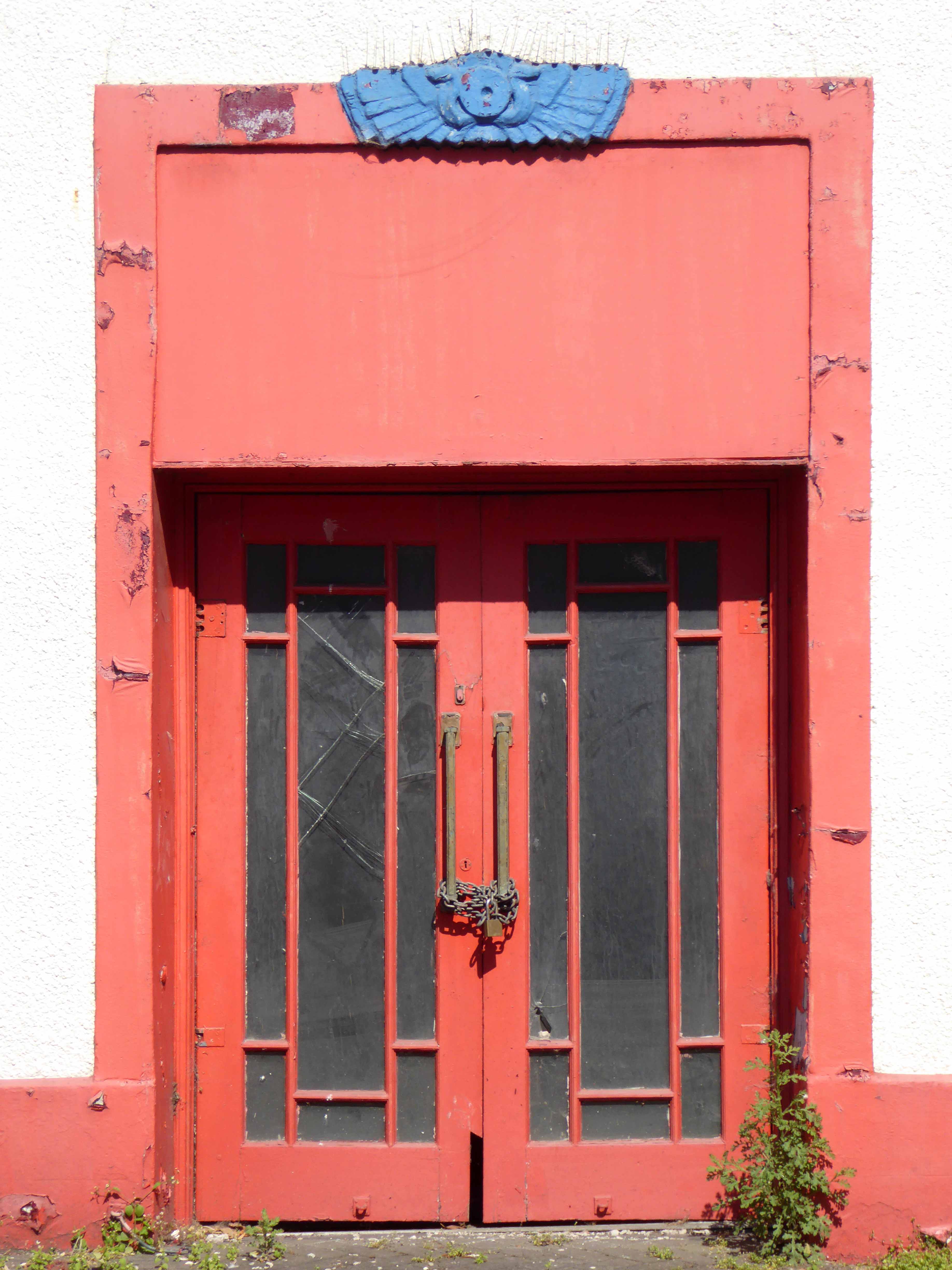
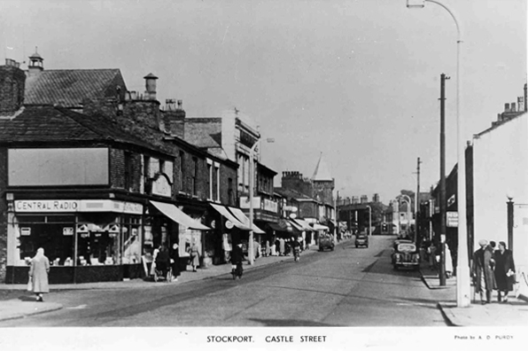
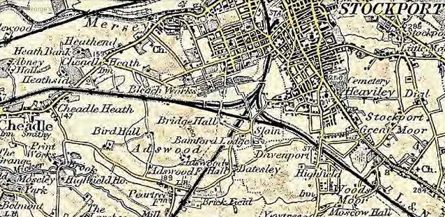
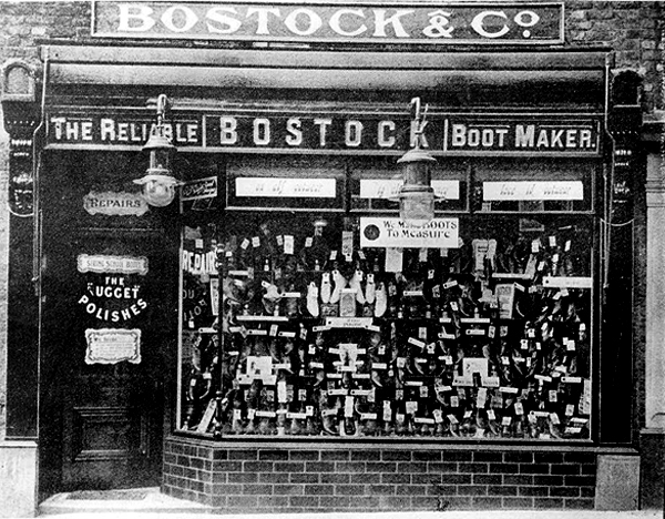
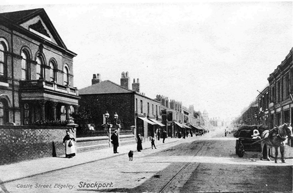
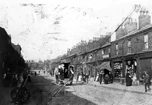
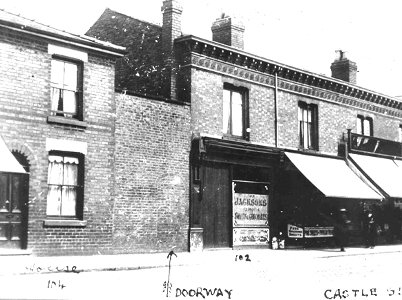
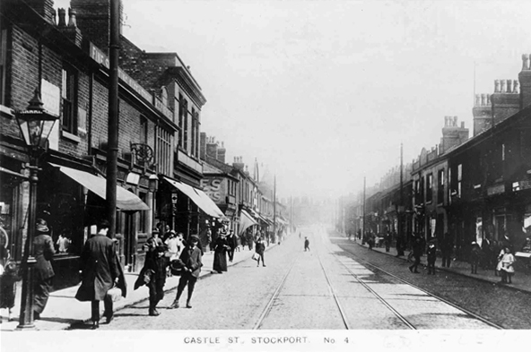
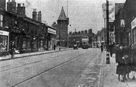
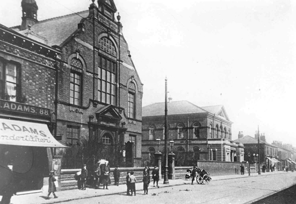
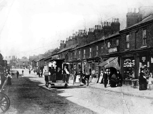
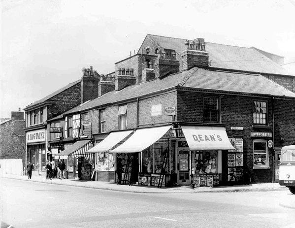
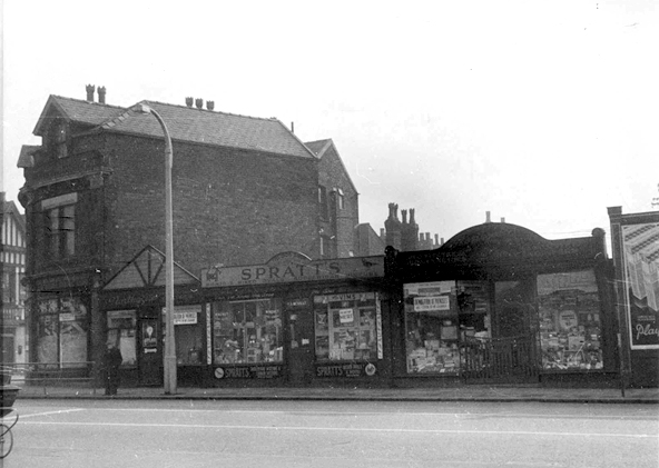
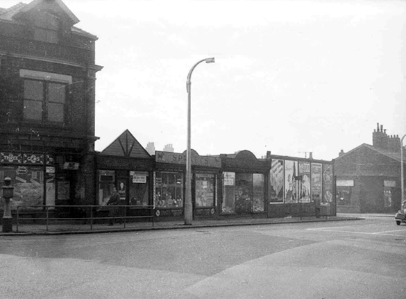
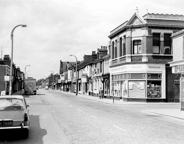
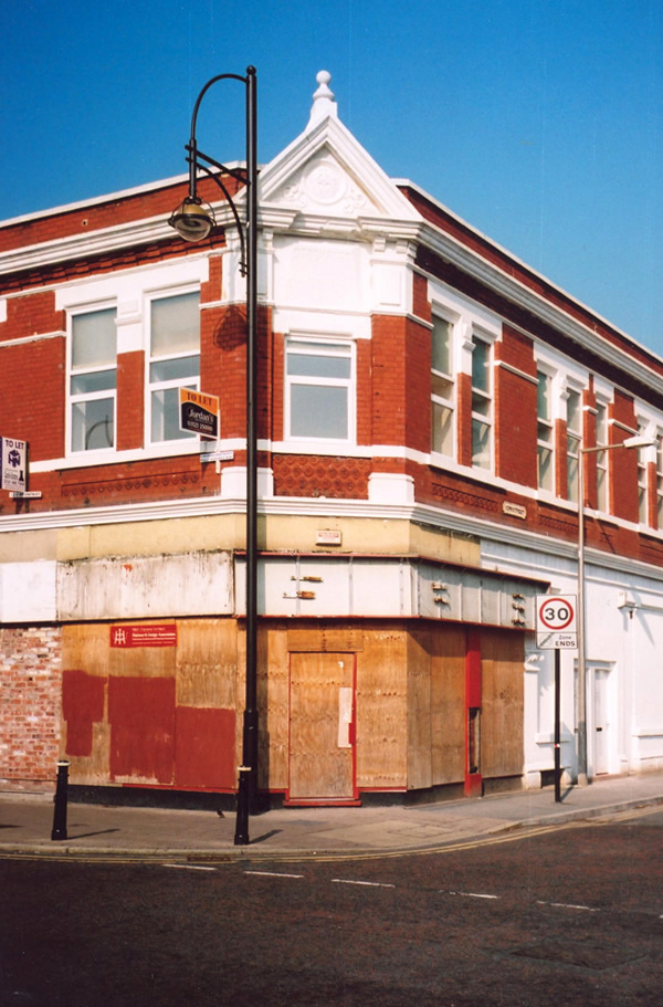
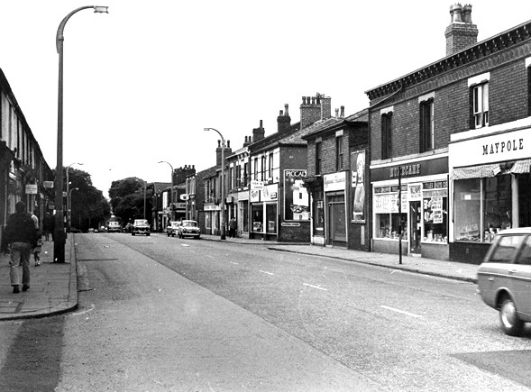
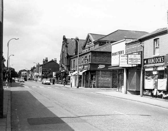
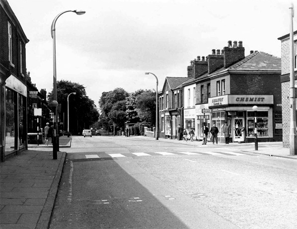
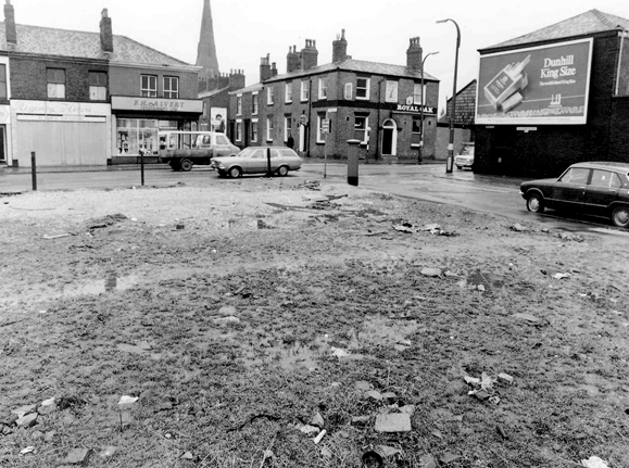
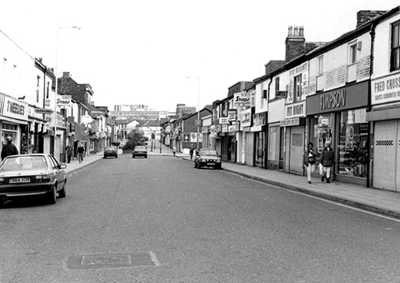
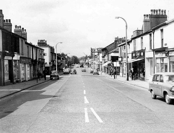
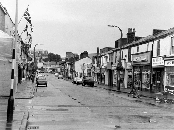
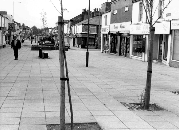
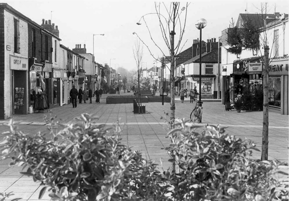
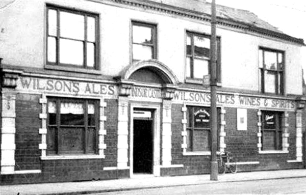
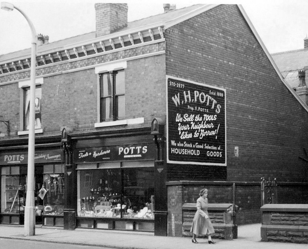
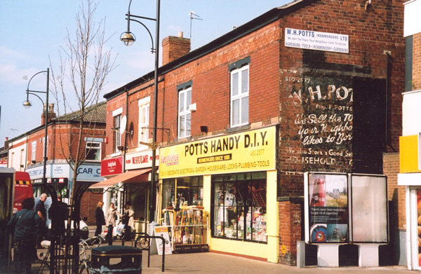
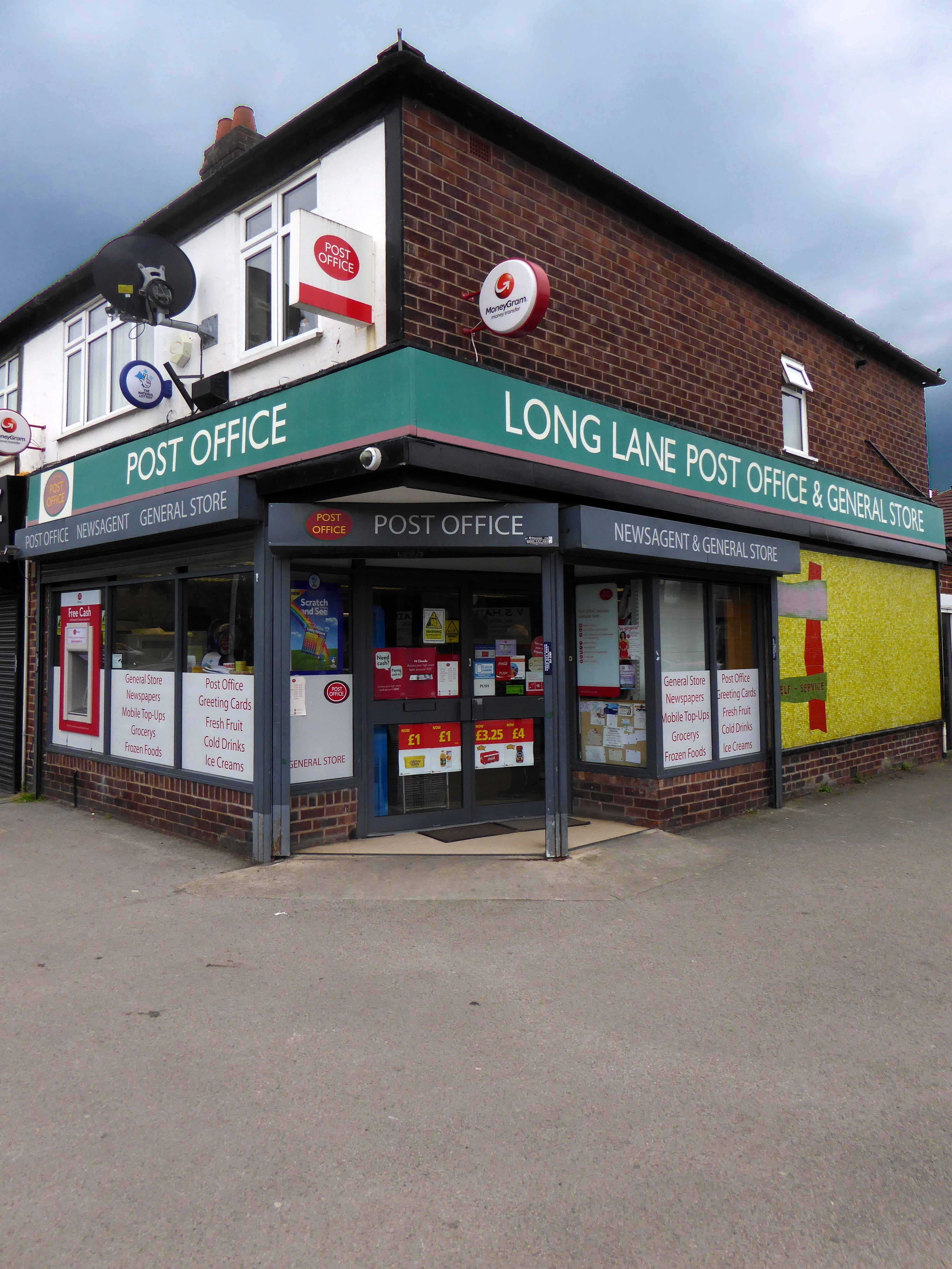
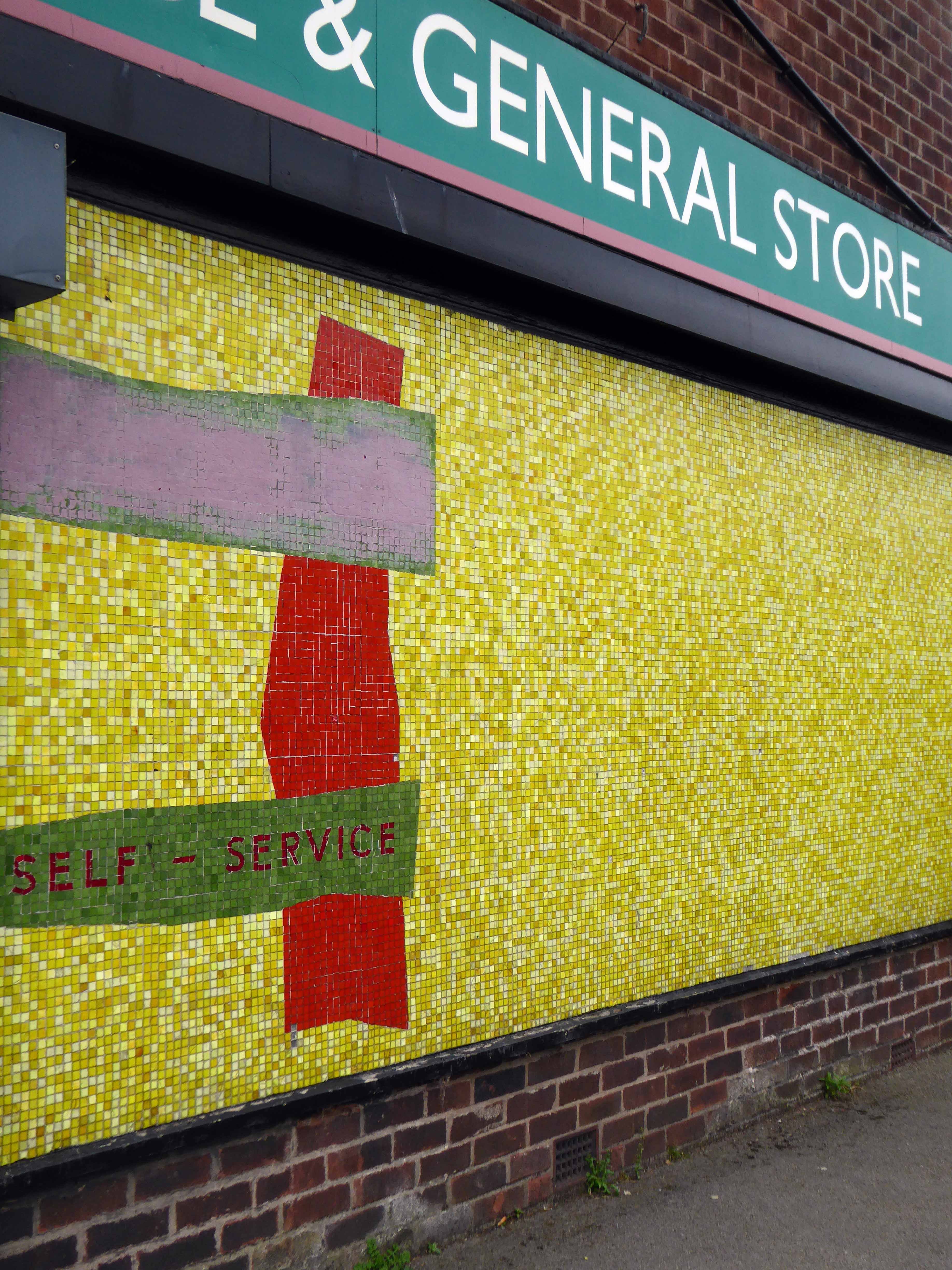
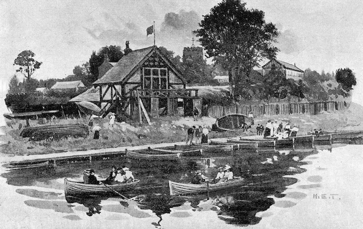
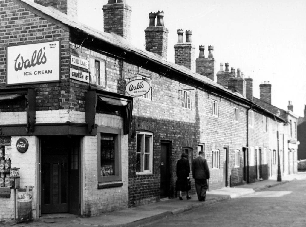
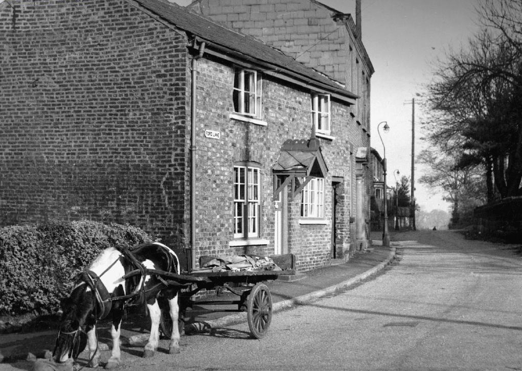
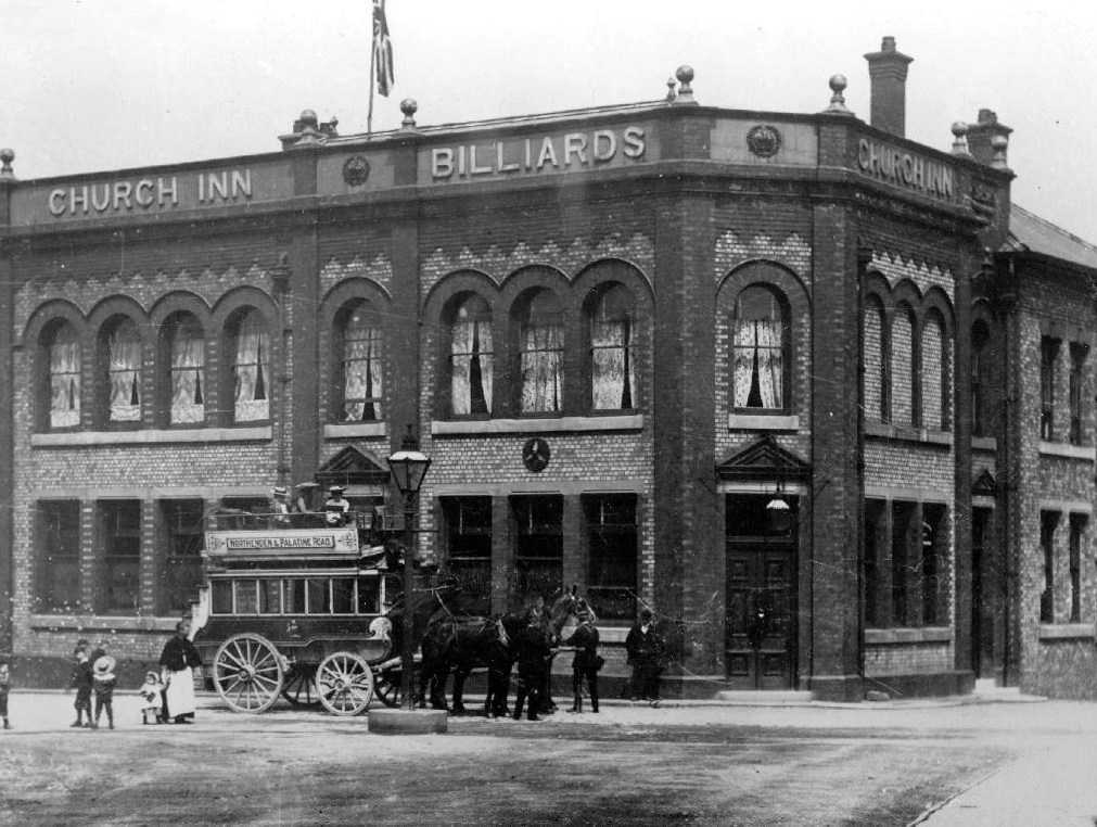
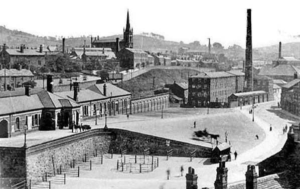
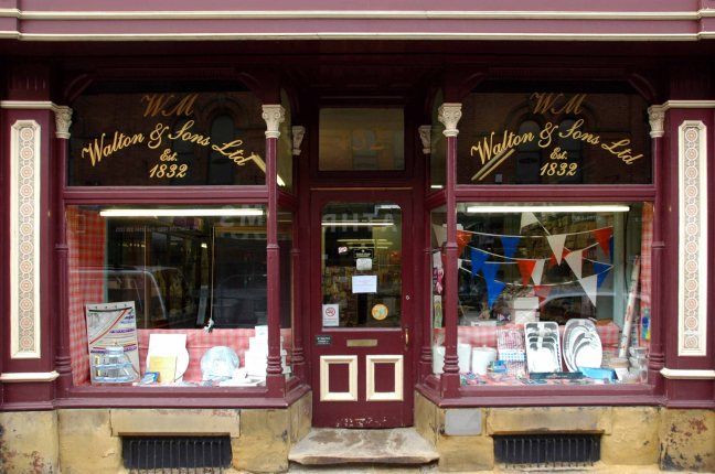
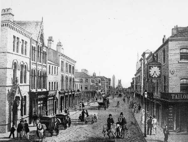
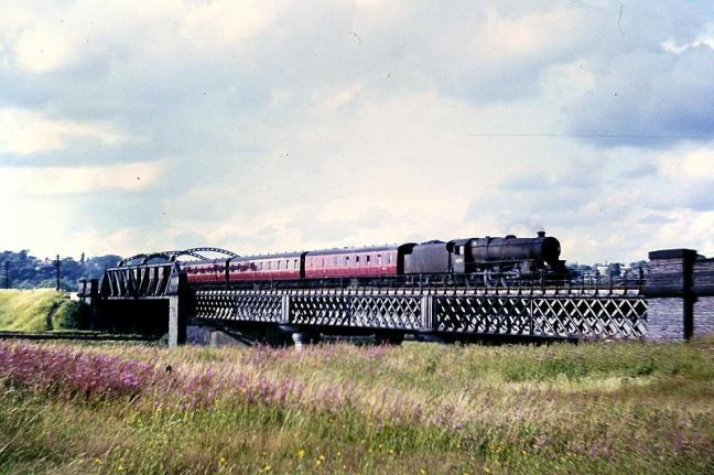
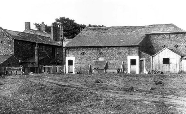
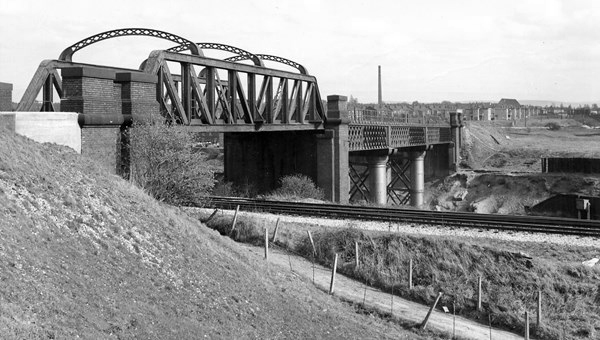
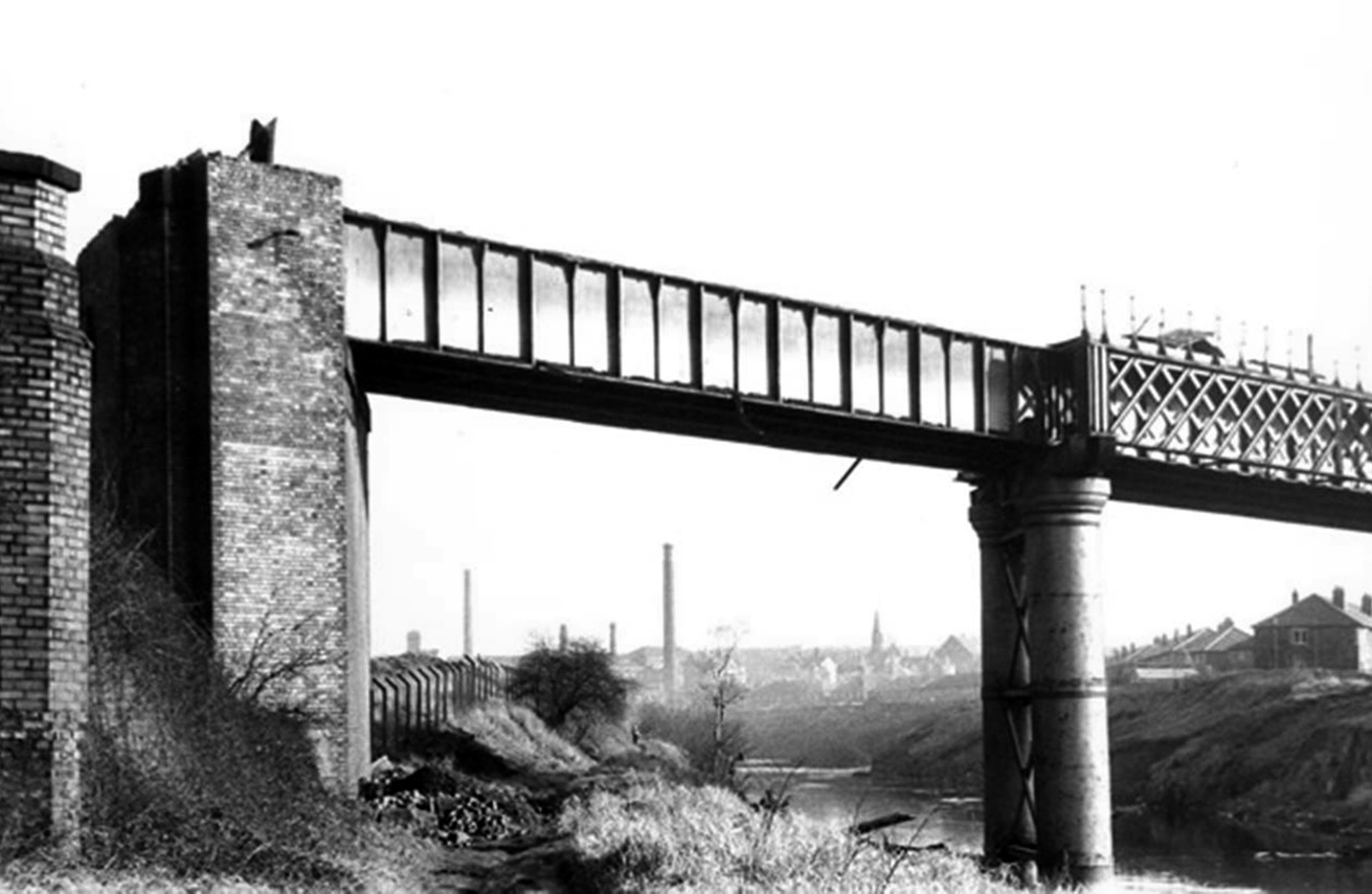
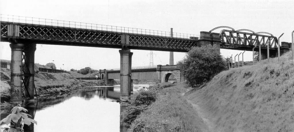
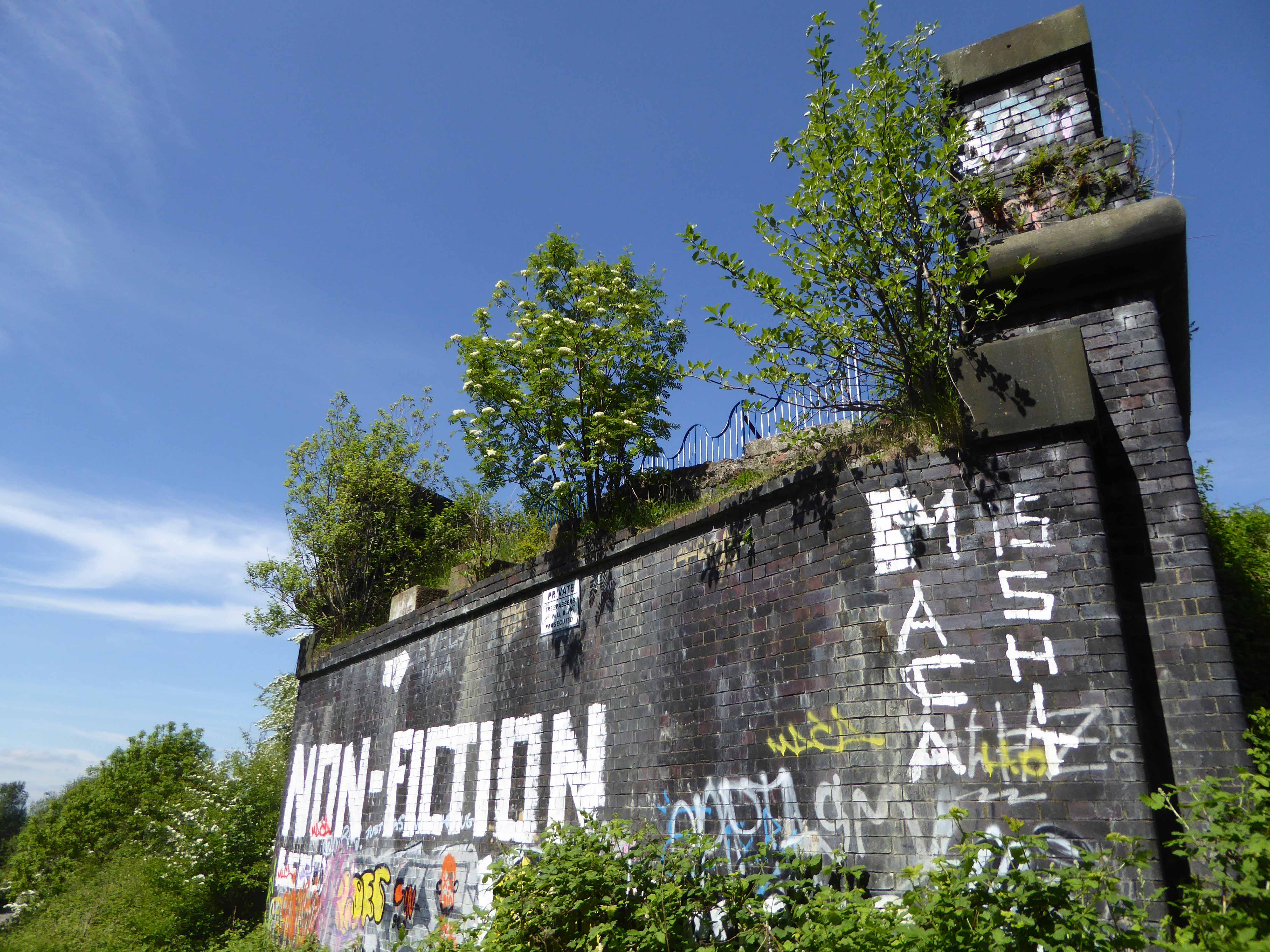
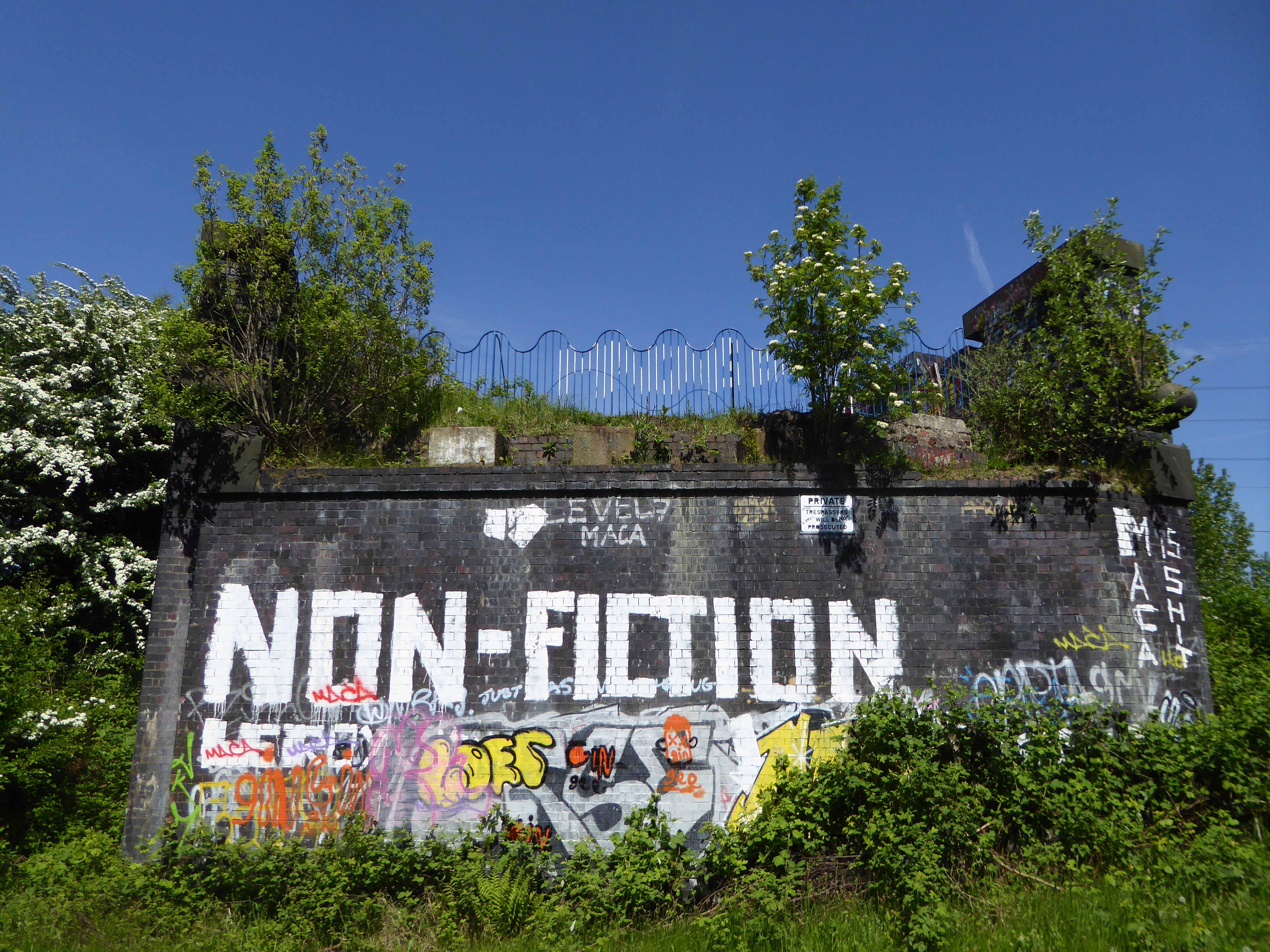
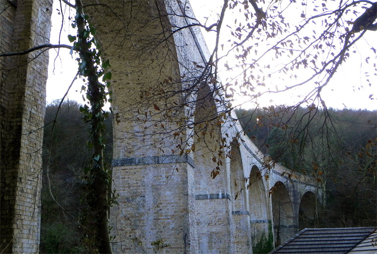
Way back when, when the city was a maverick mixed up maze of citizens, industry, pubs, shops and places of worship the world looked a lot like this.

Local Image Collection

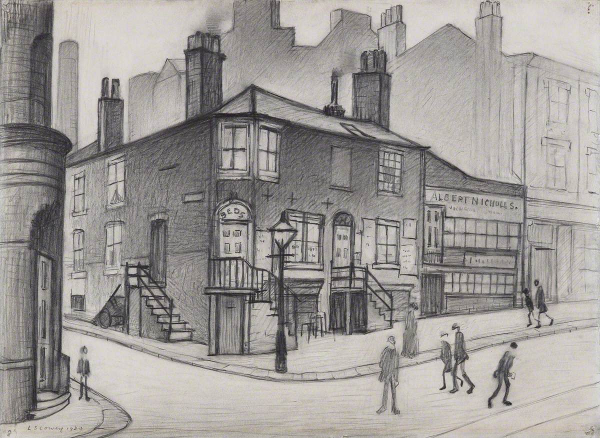
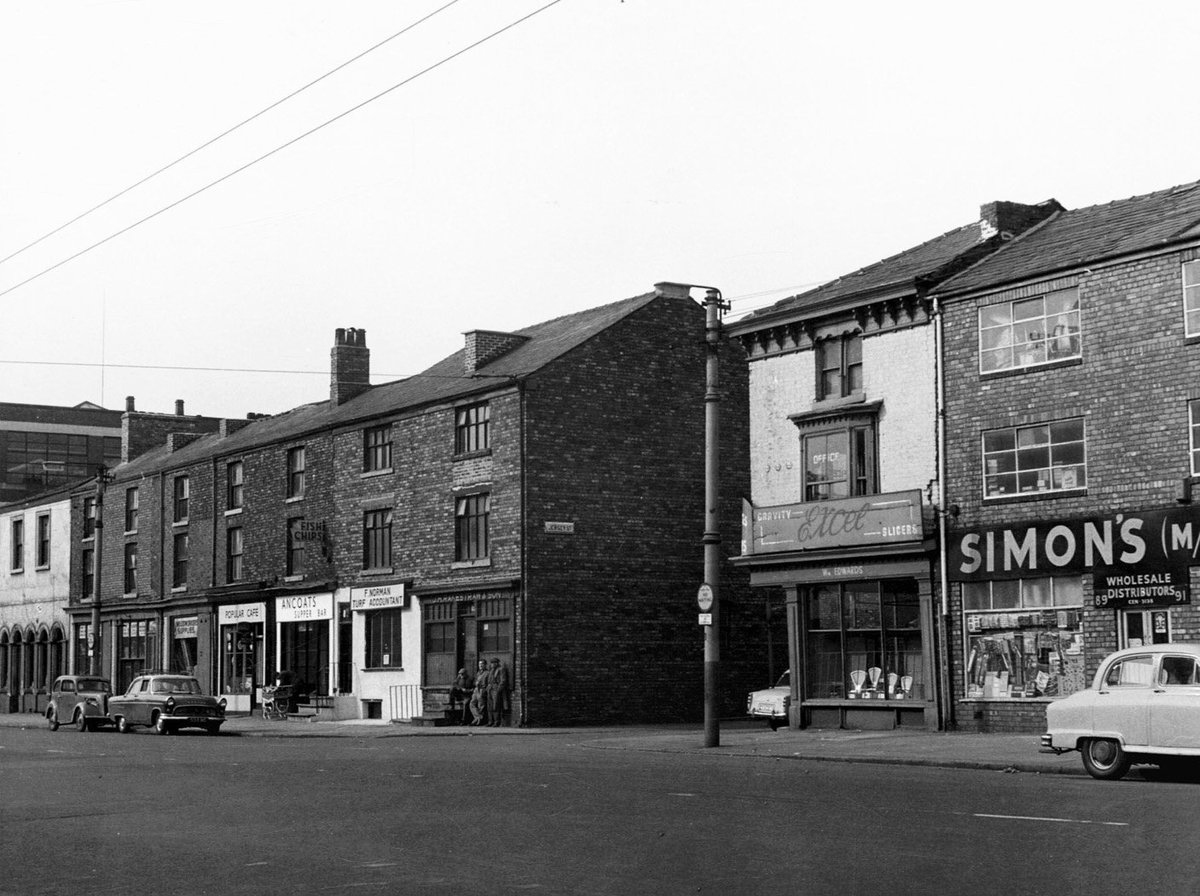
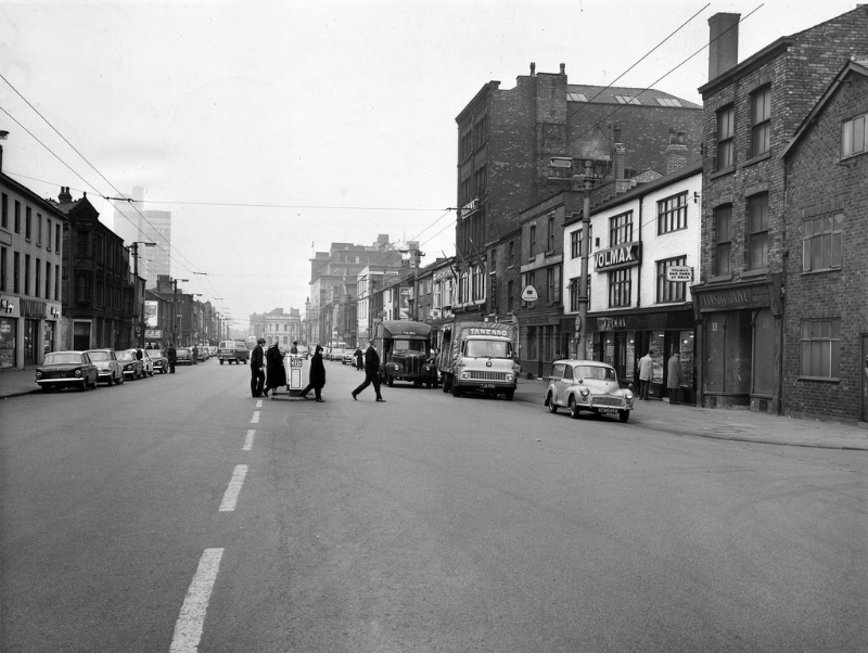
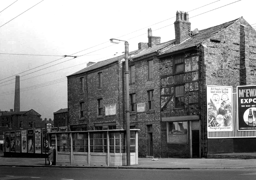
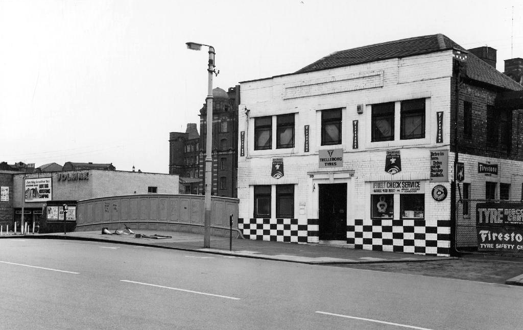
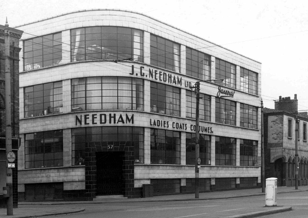
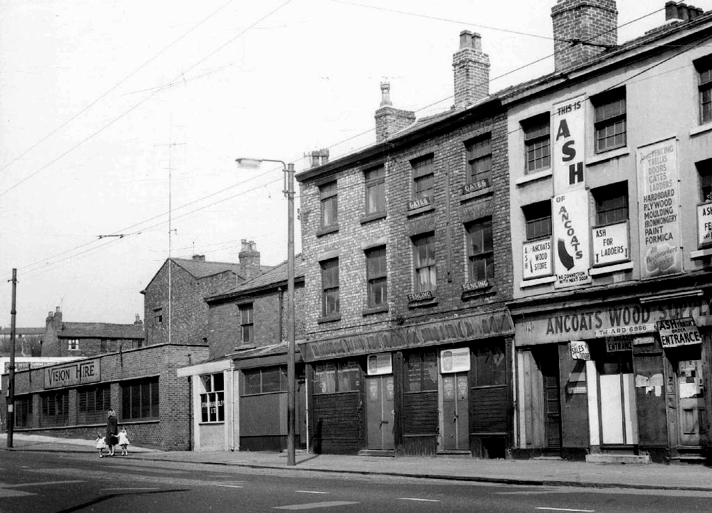
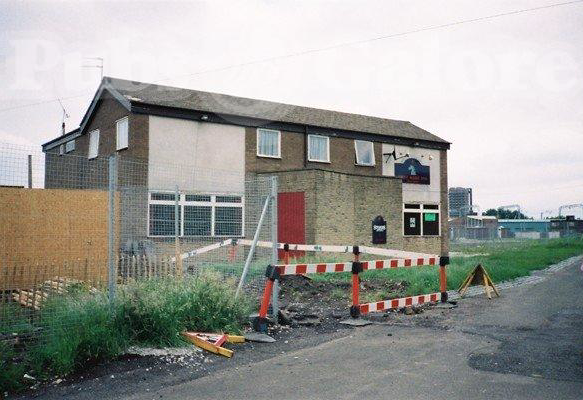
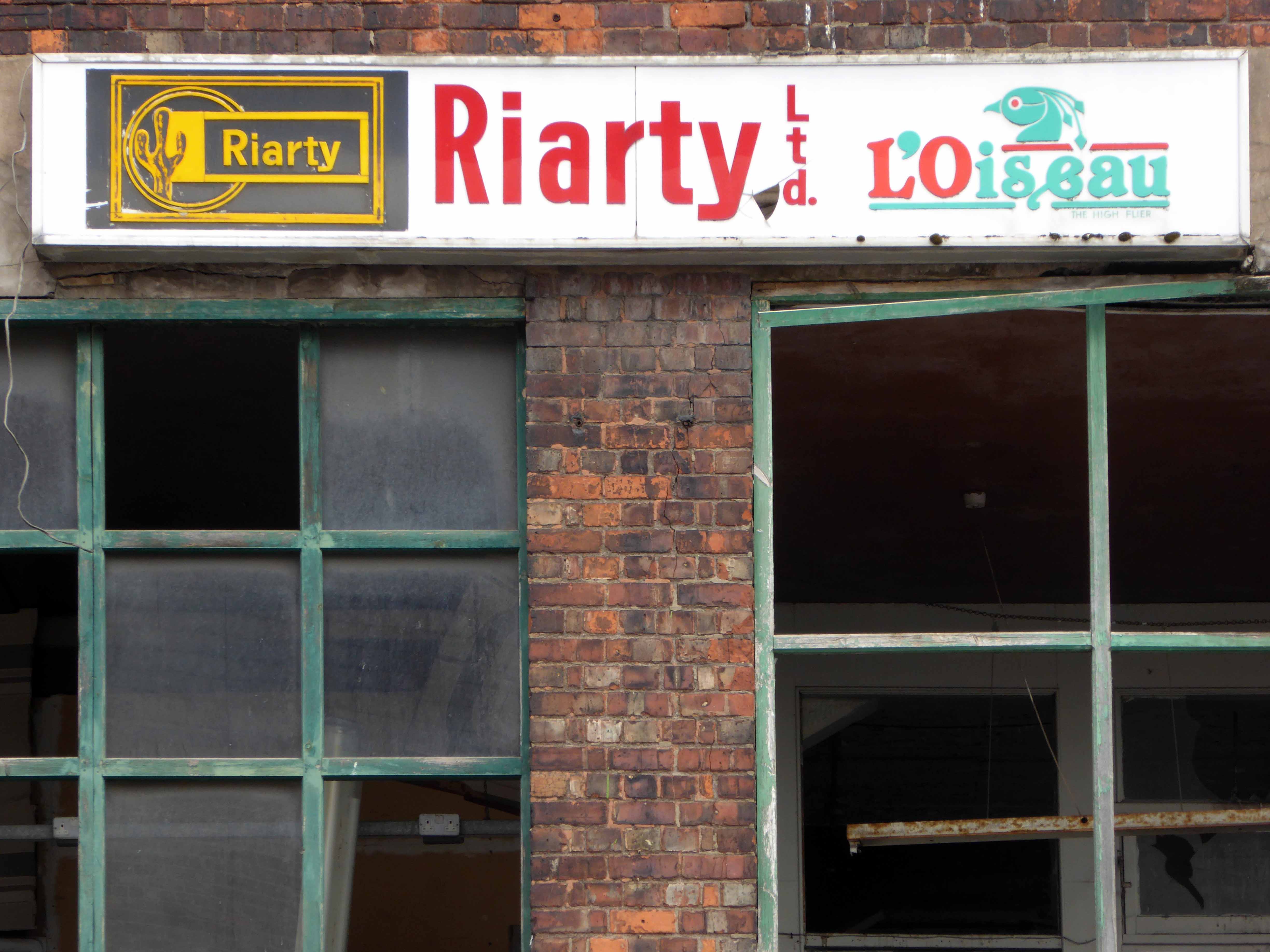
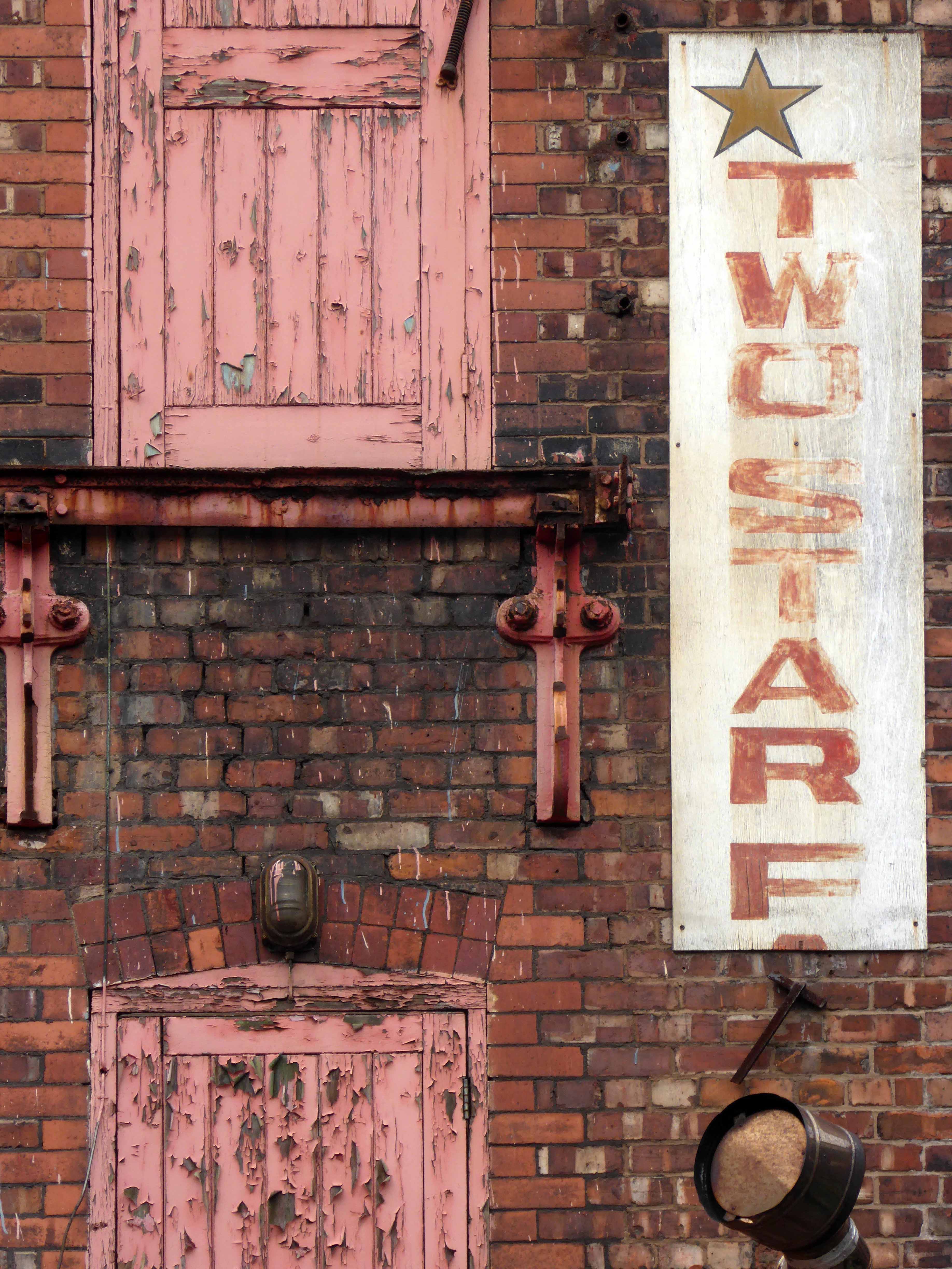
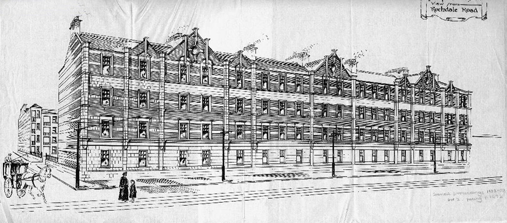
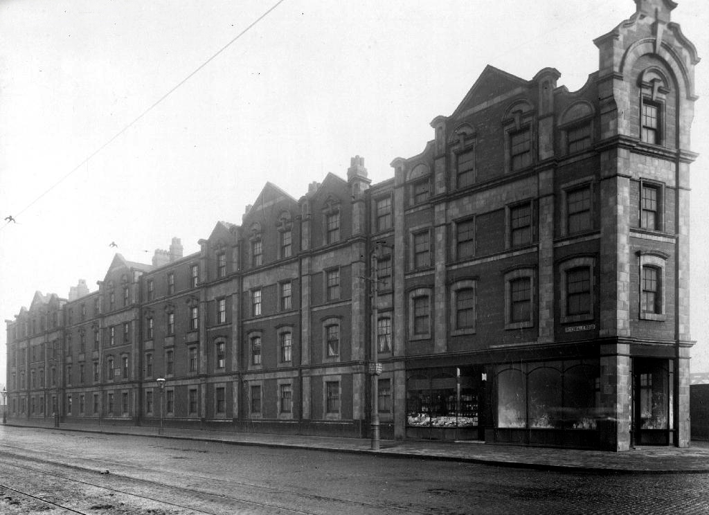
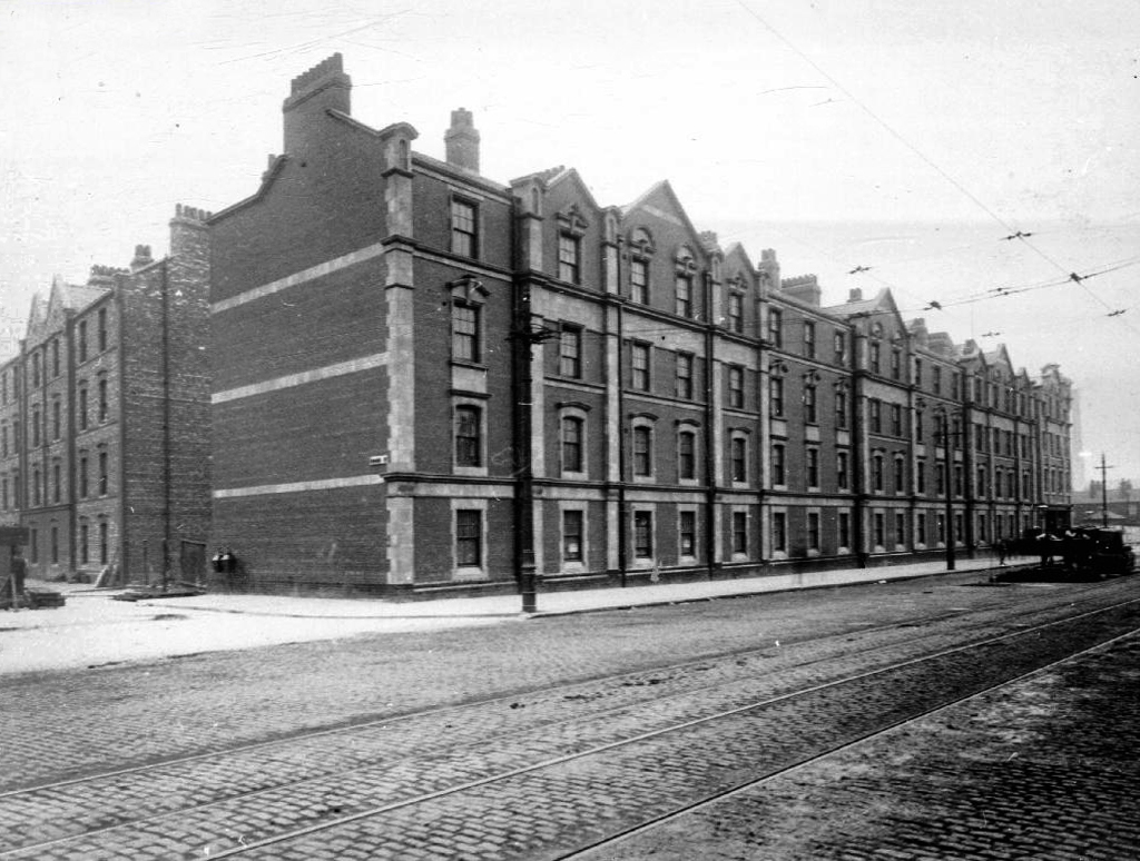
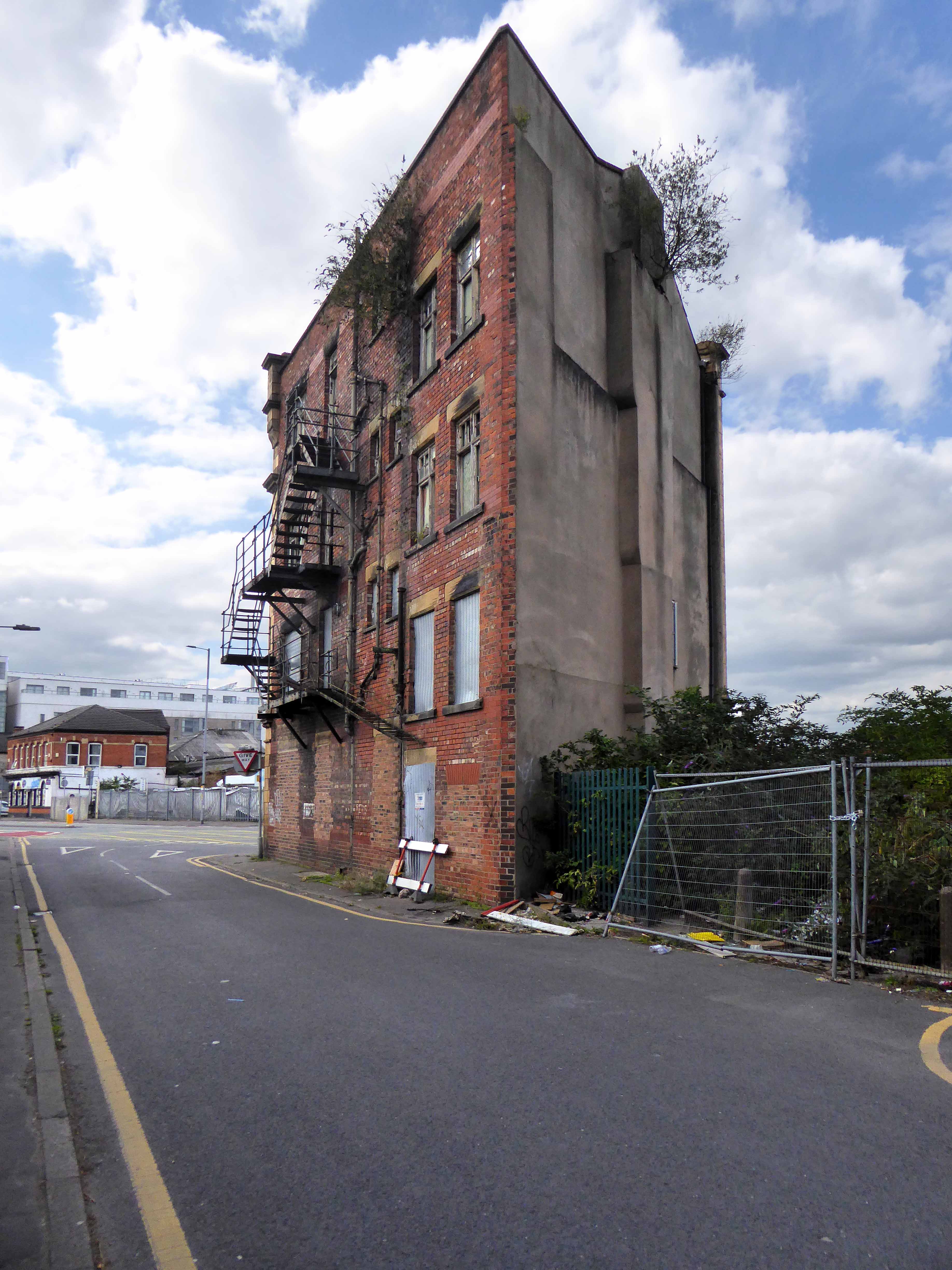
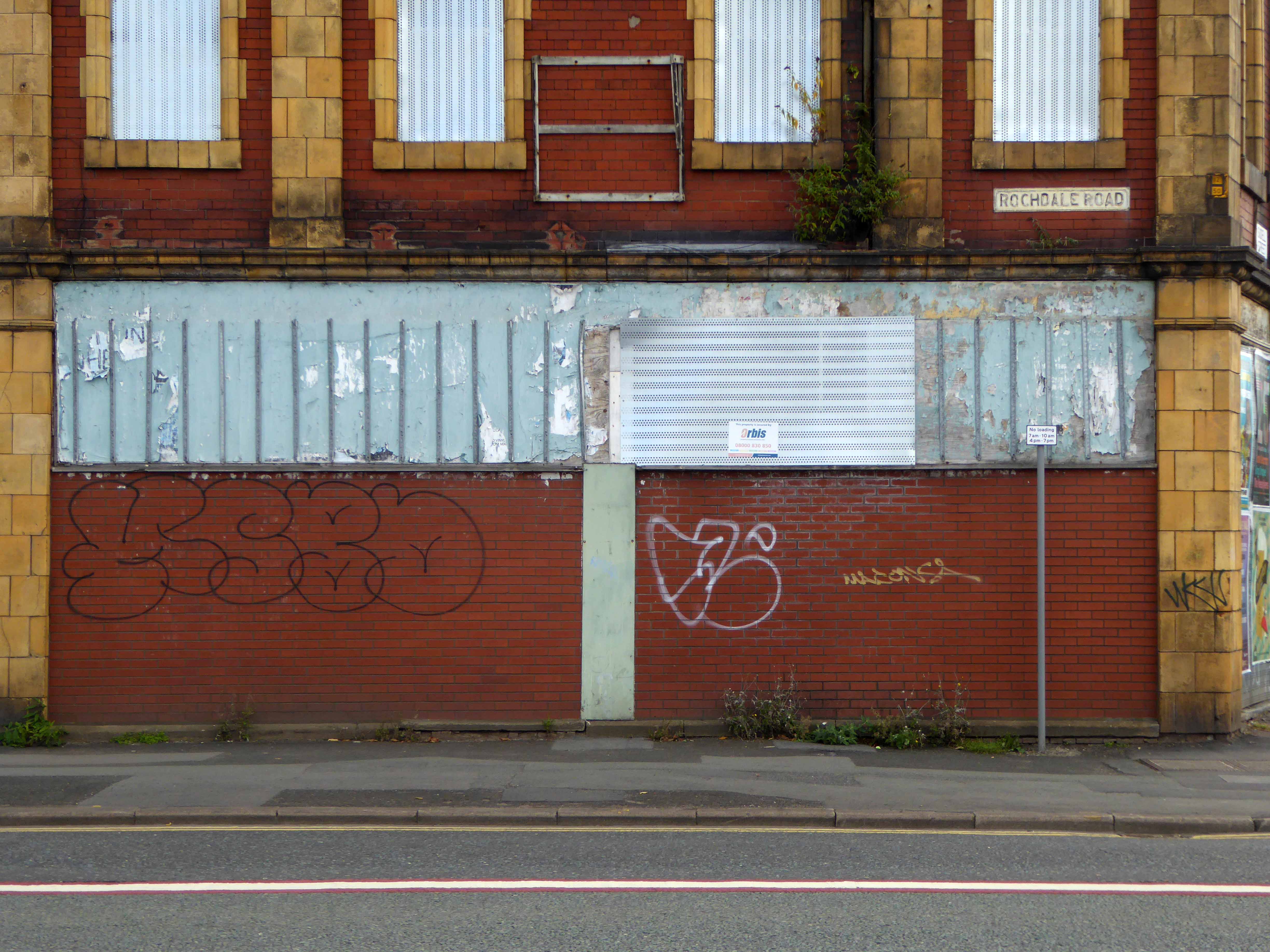
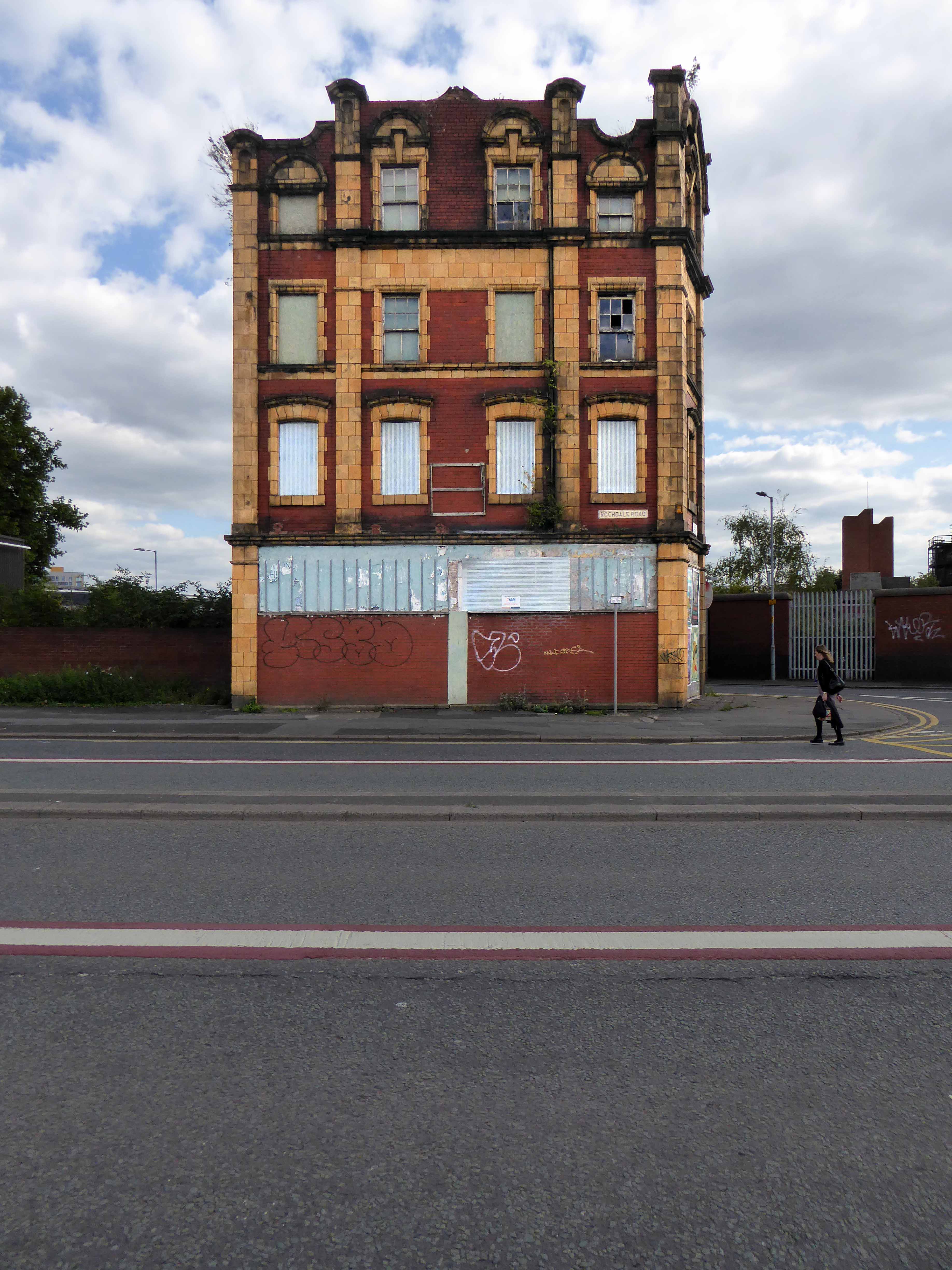
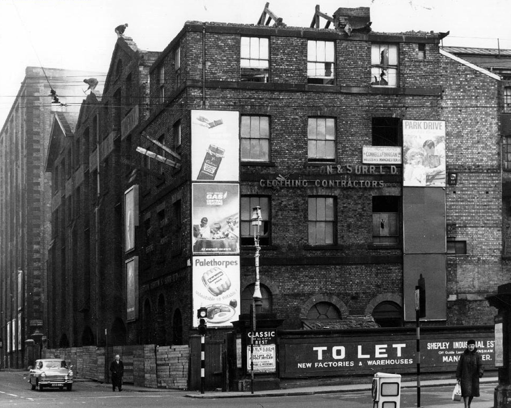
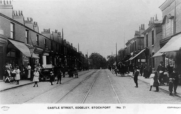
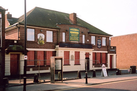
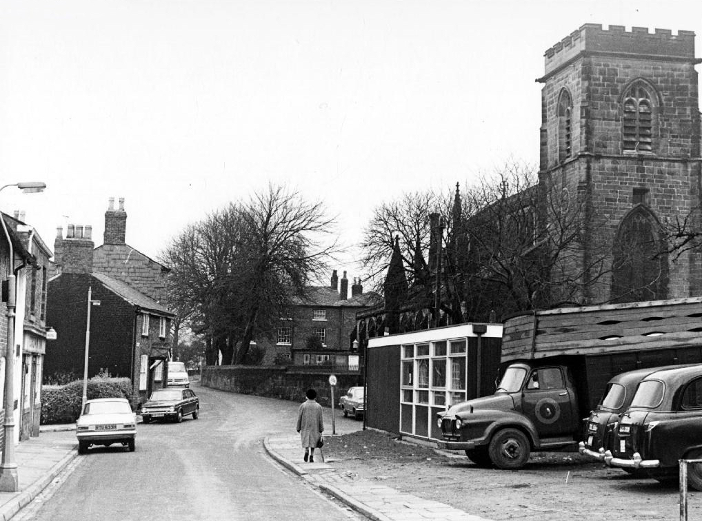
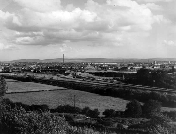
However the process of clearance and redevelopment radically changed and reduced the population and appearance of Great Ancoats Street and its environs.

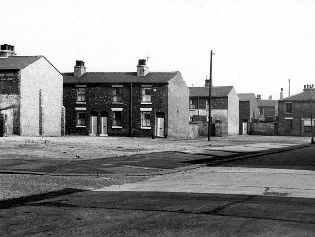
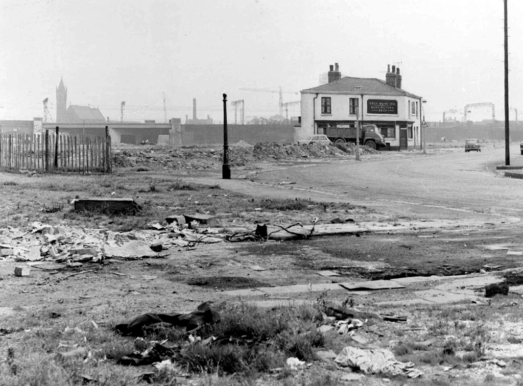
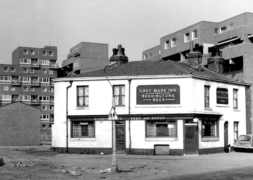
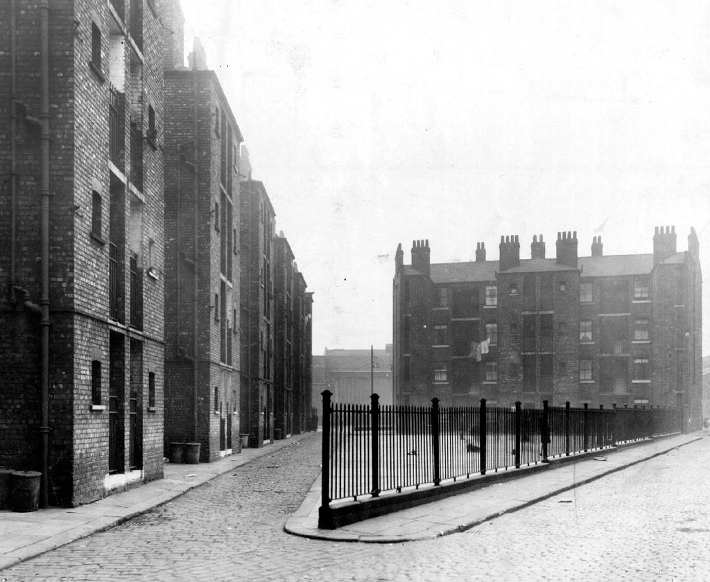
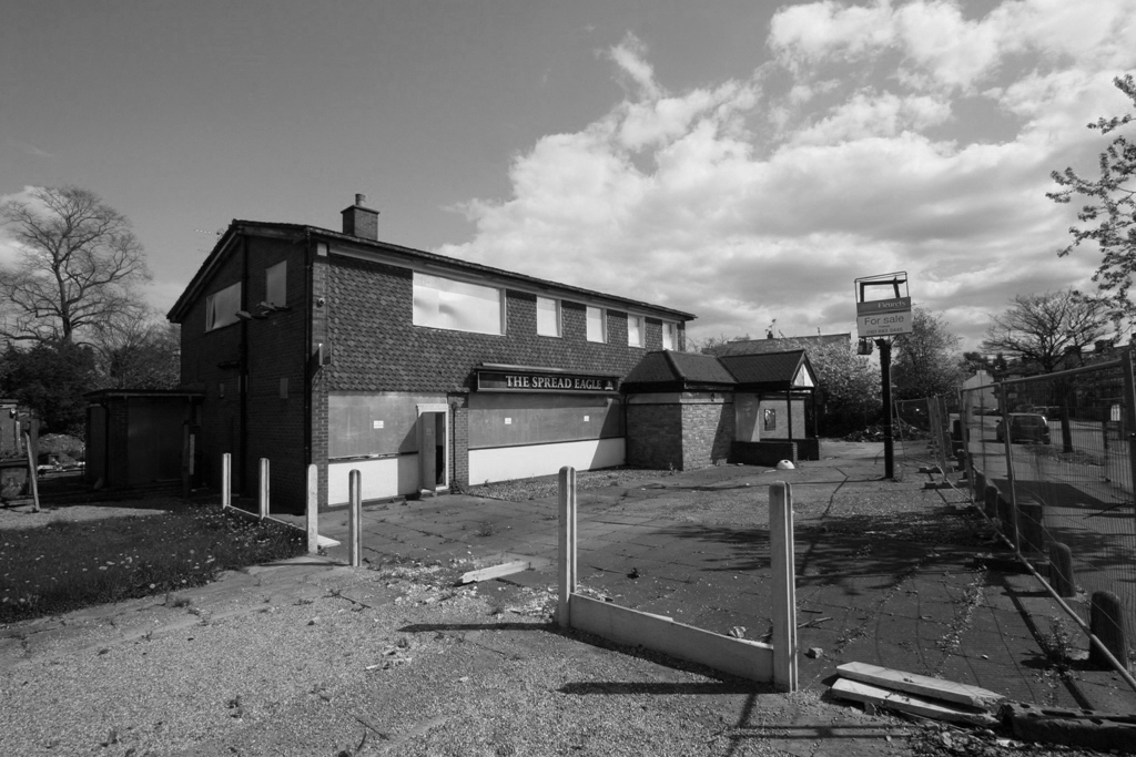
The back to backs aren’t coming back and their occupants shifted from pillar to post along with the businesses that served them. Following years of decline Manchester takes a long hard look at itself and decides to modernise.

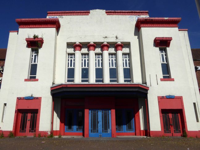
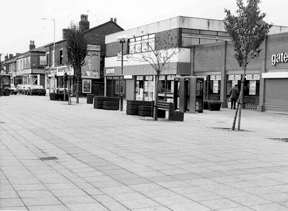
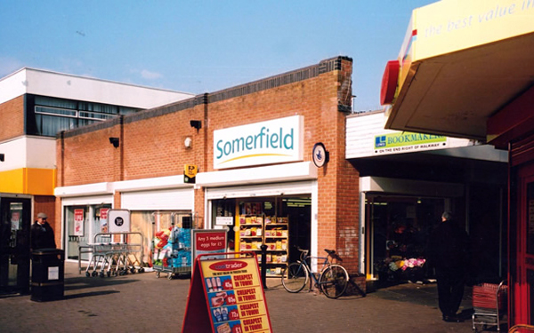
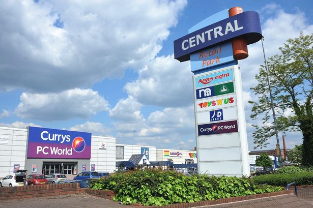
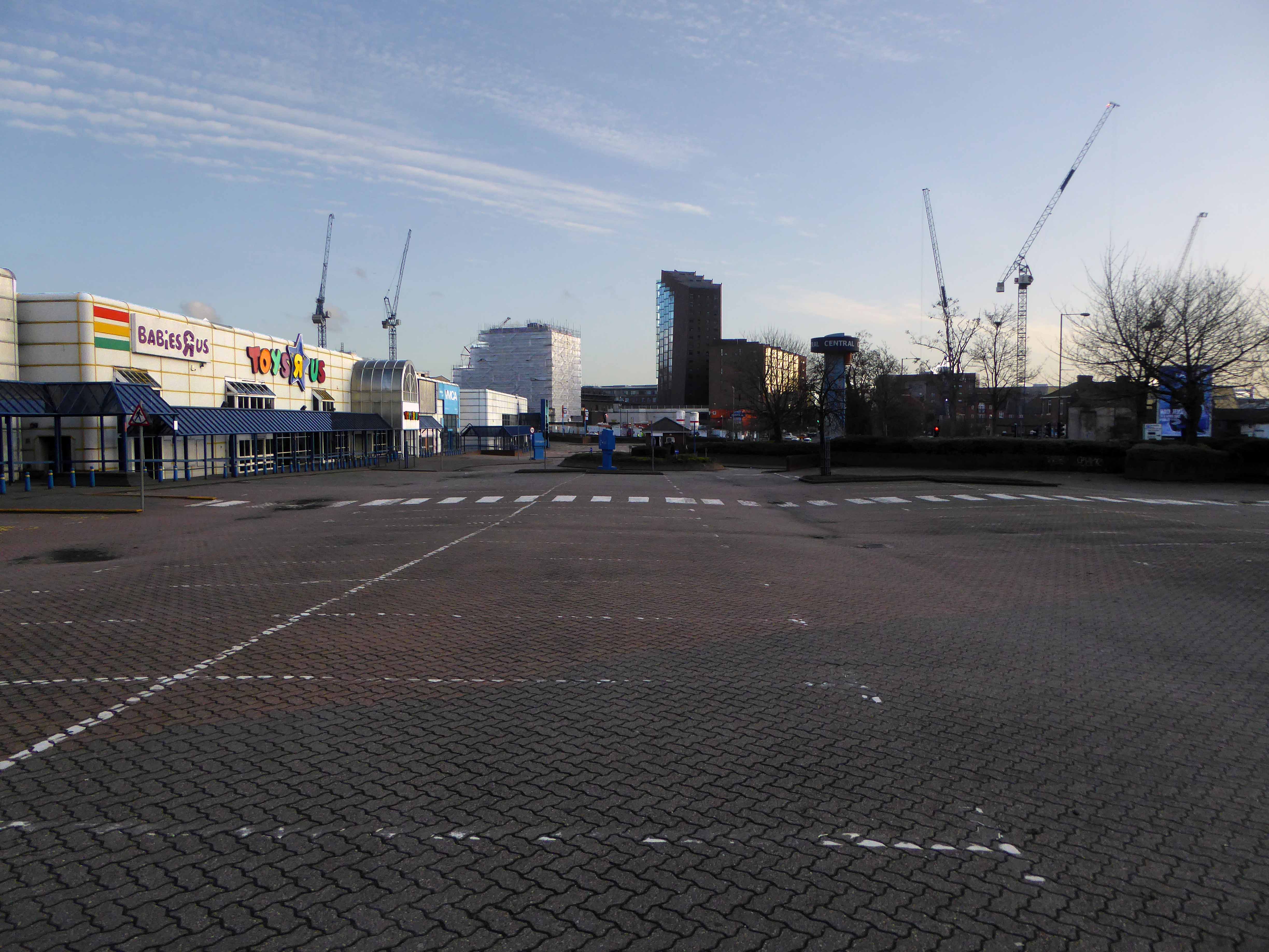
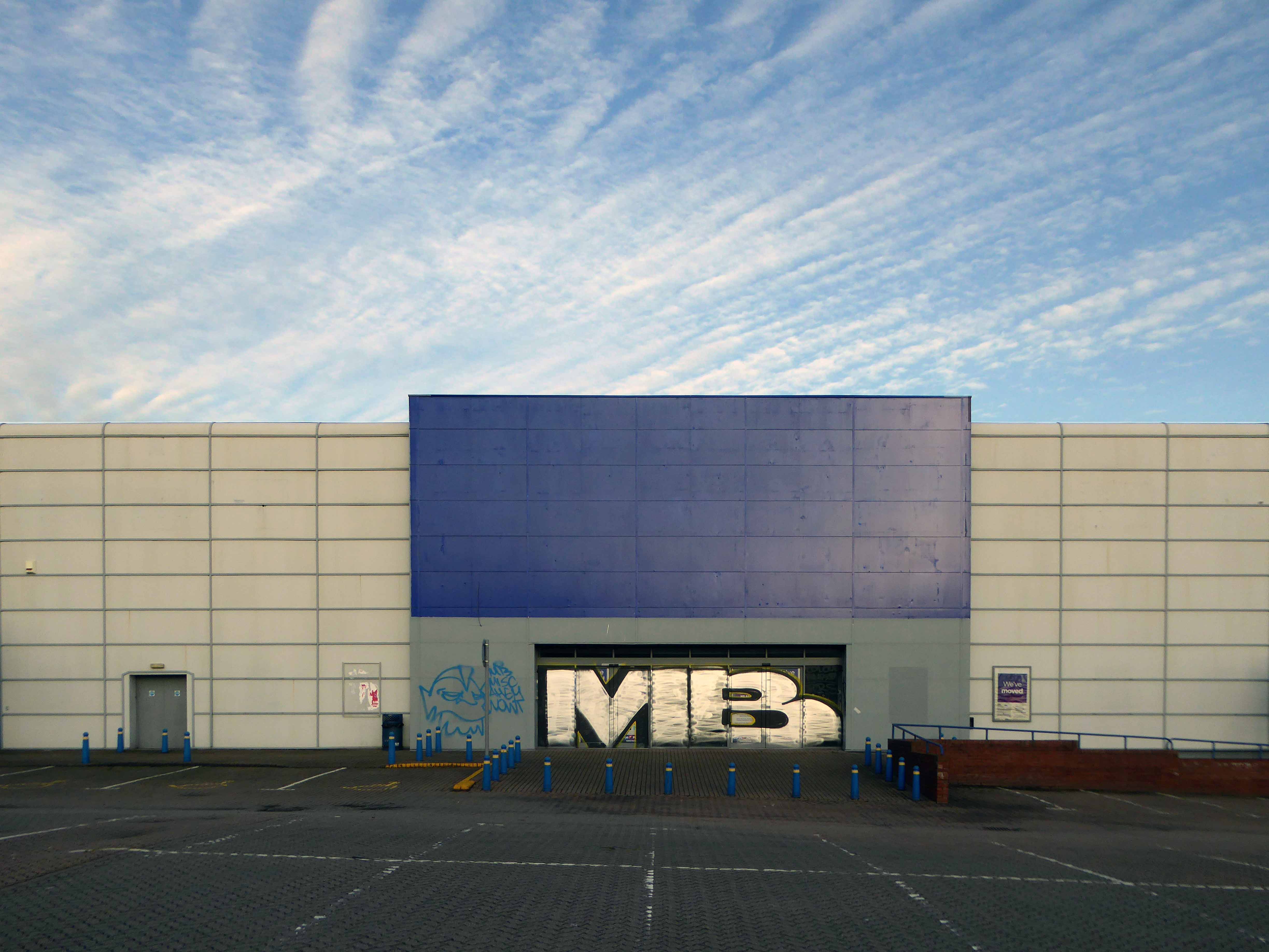
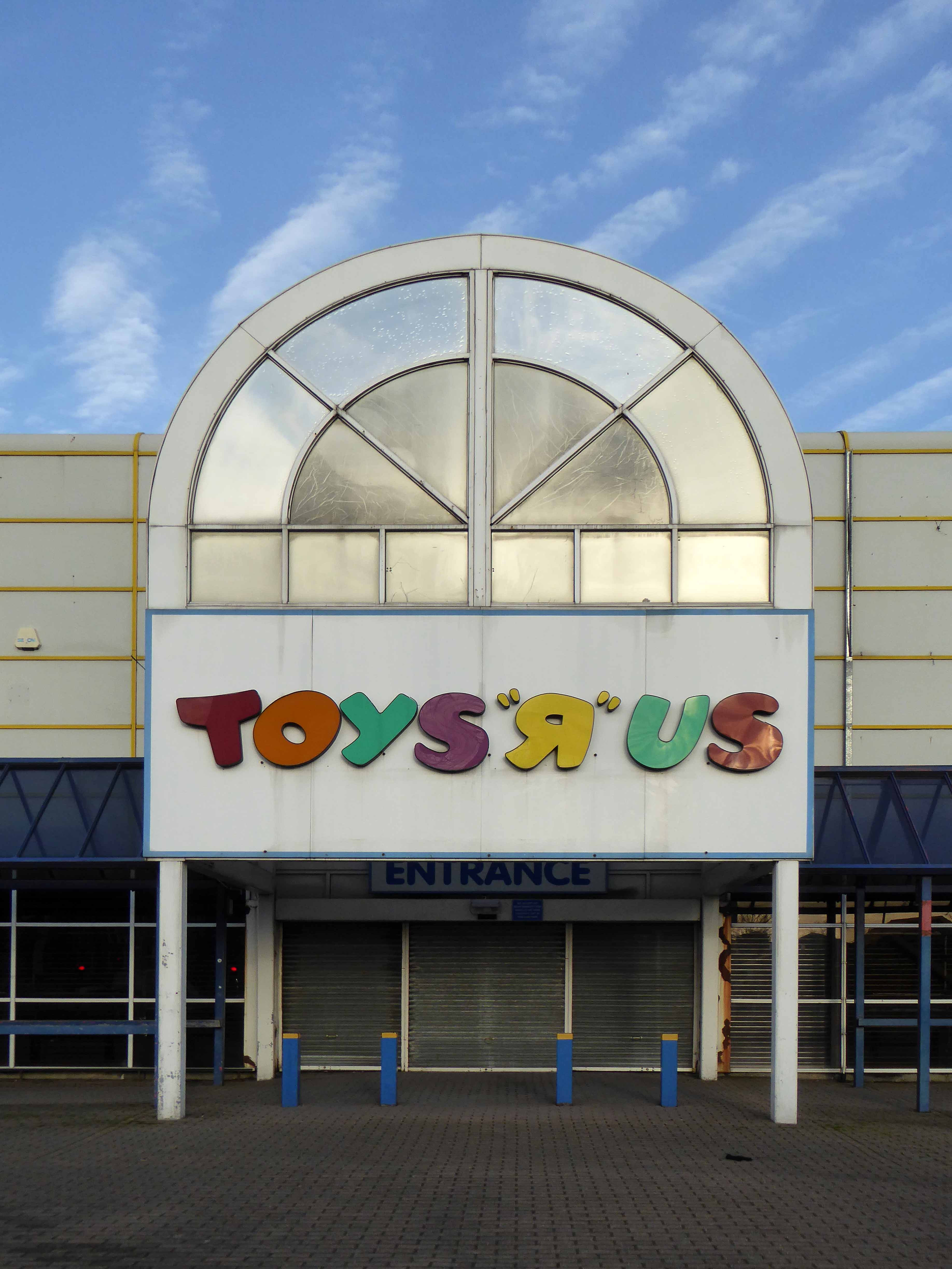
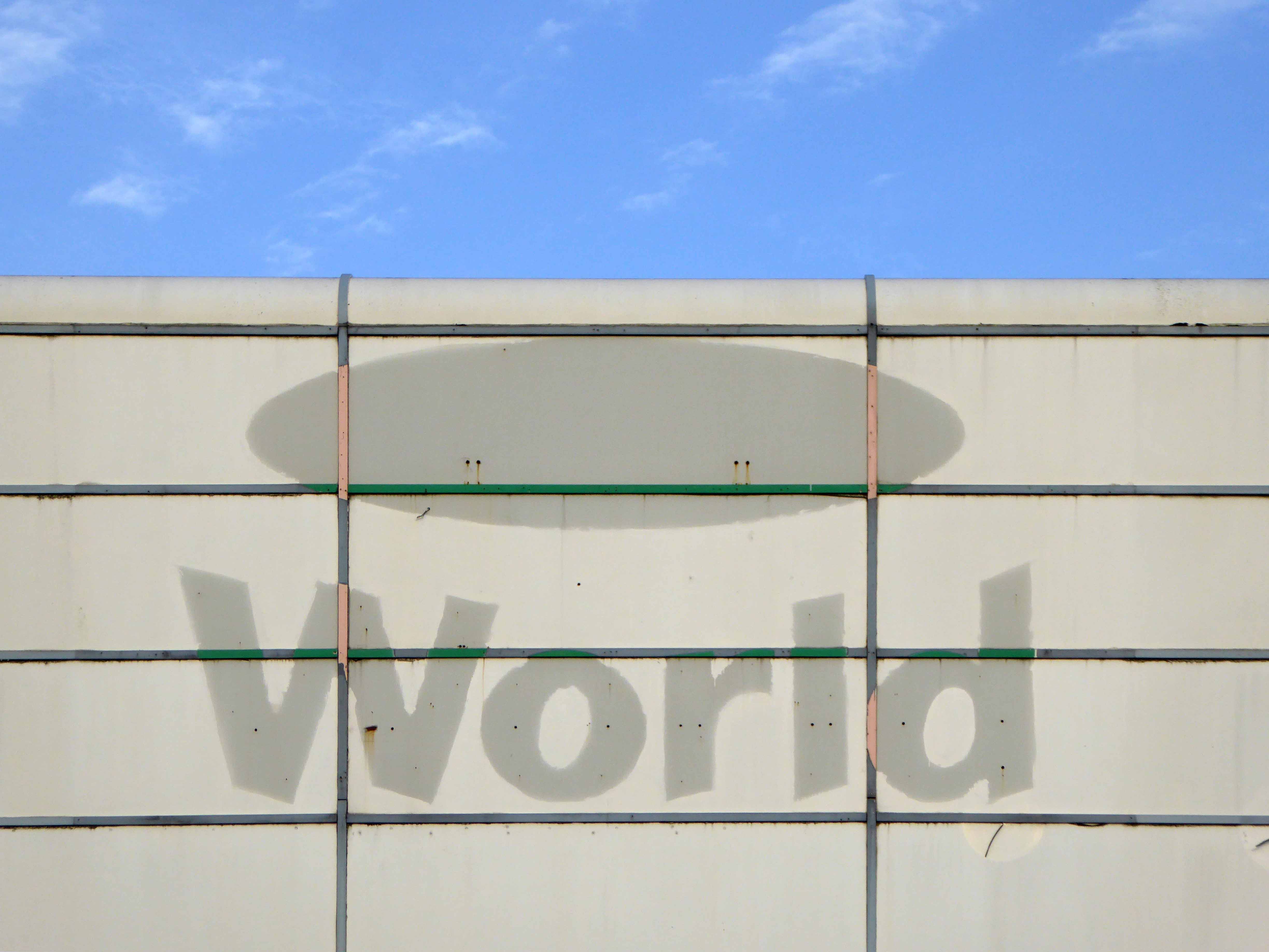
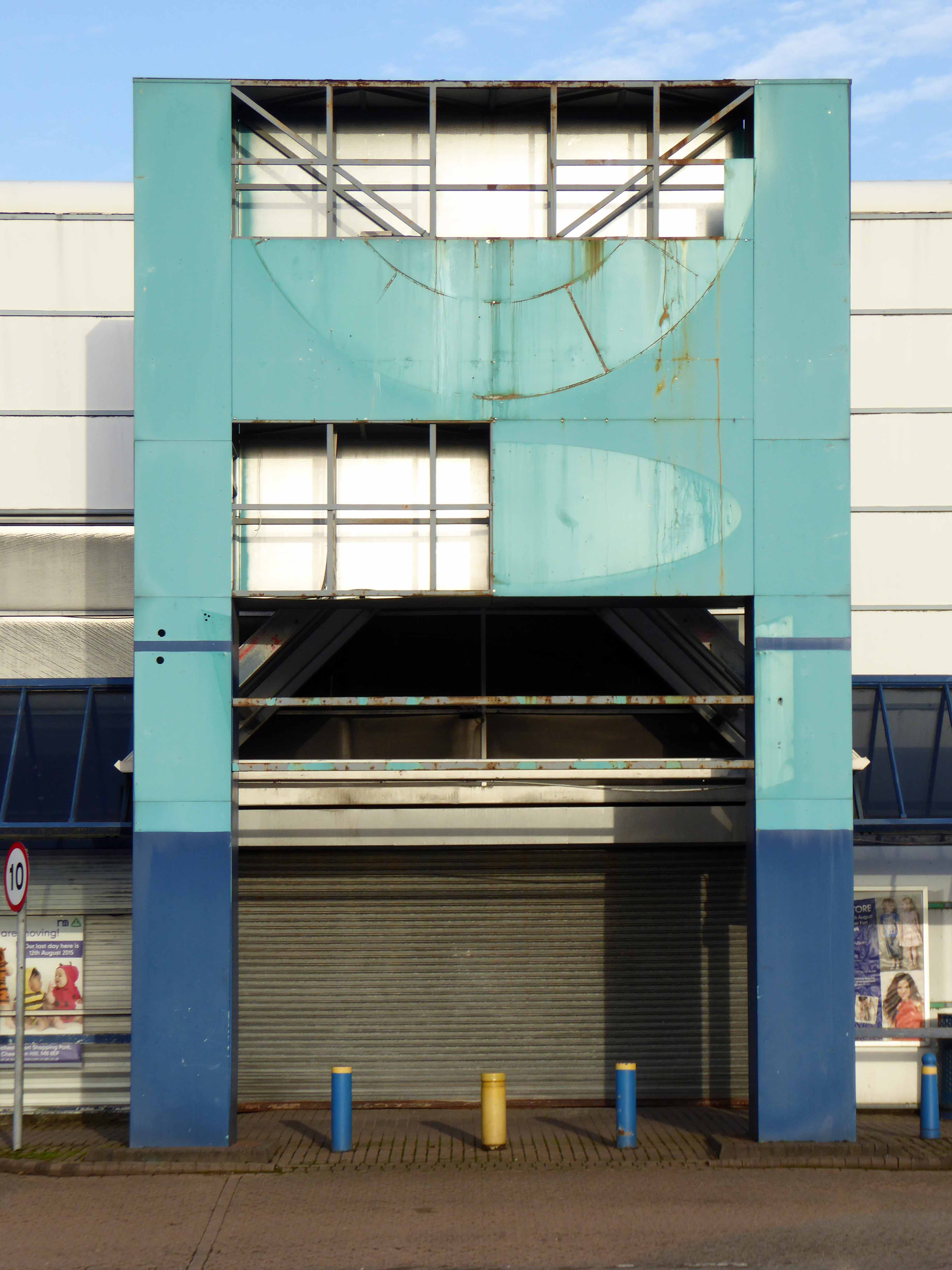
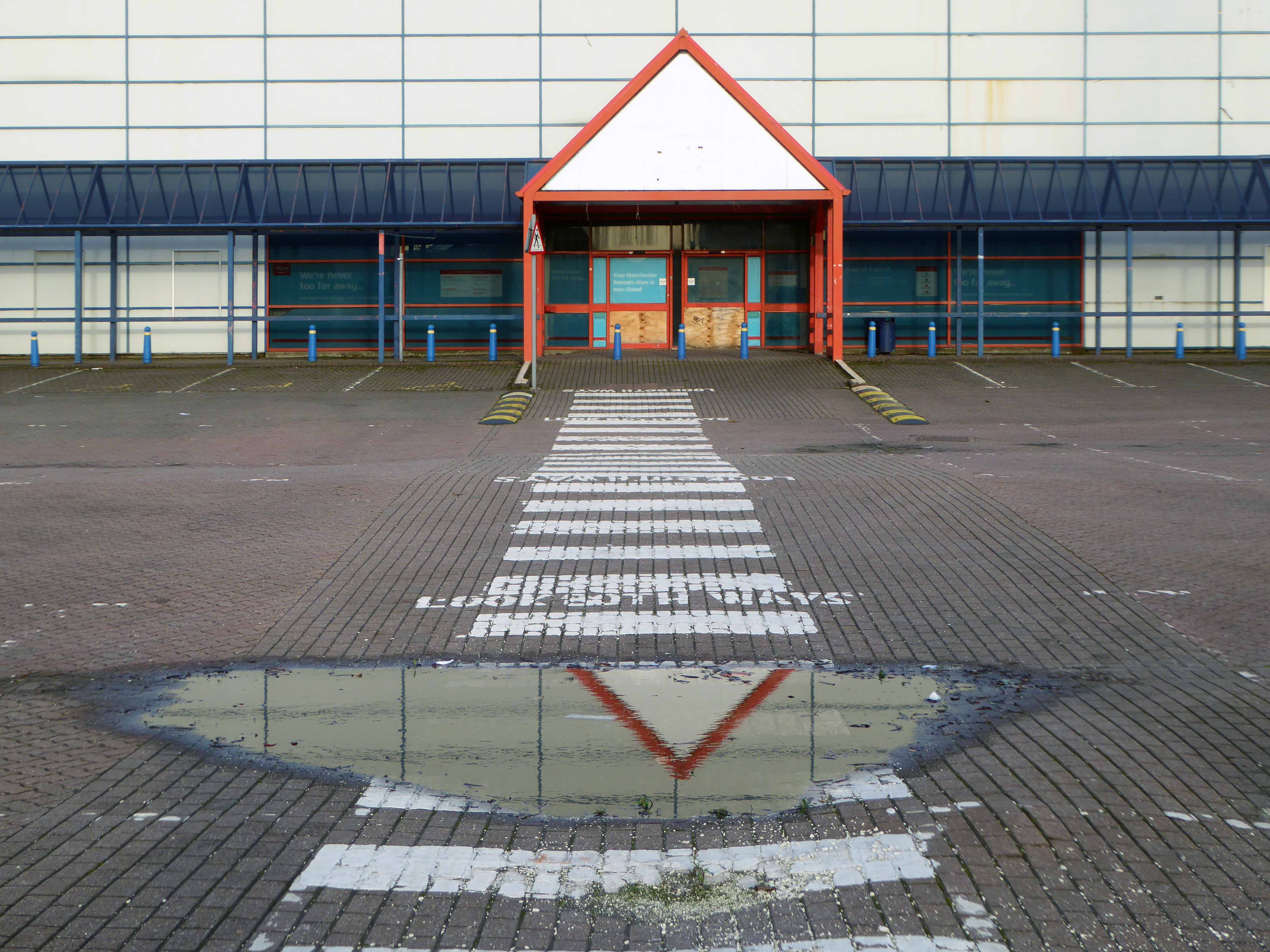
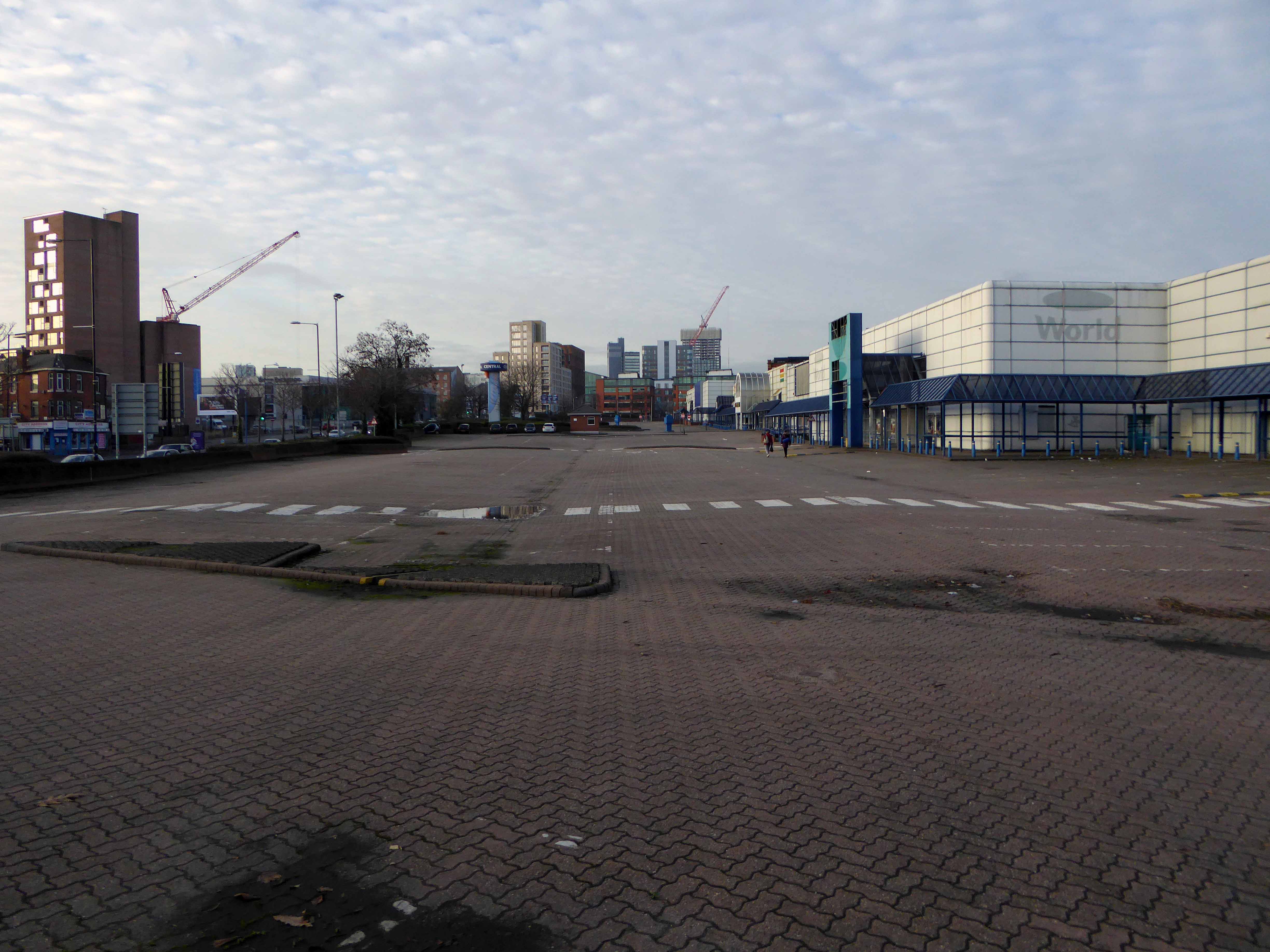
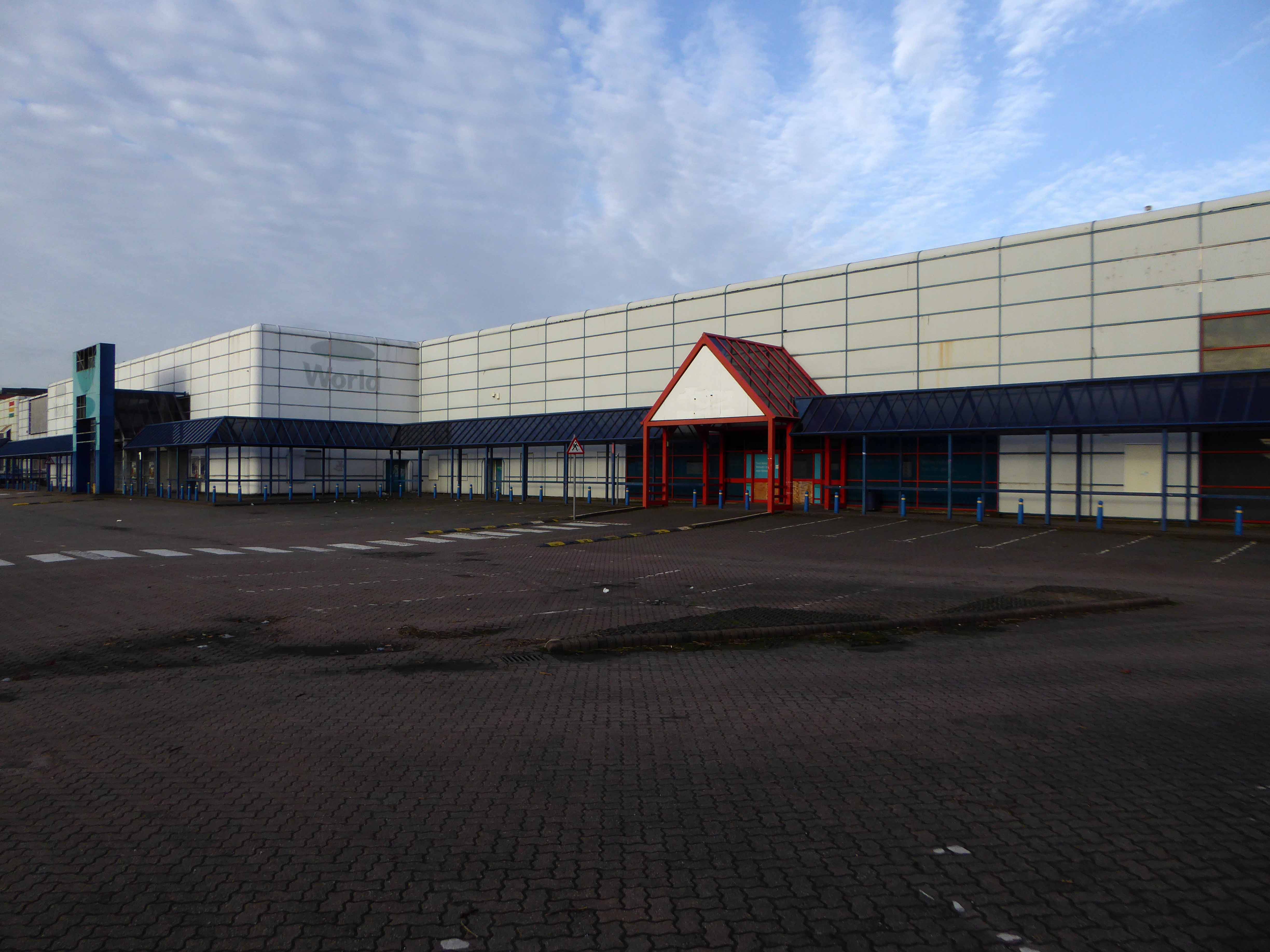
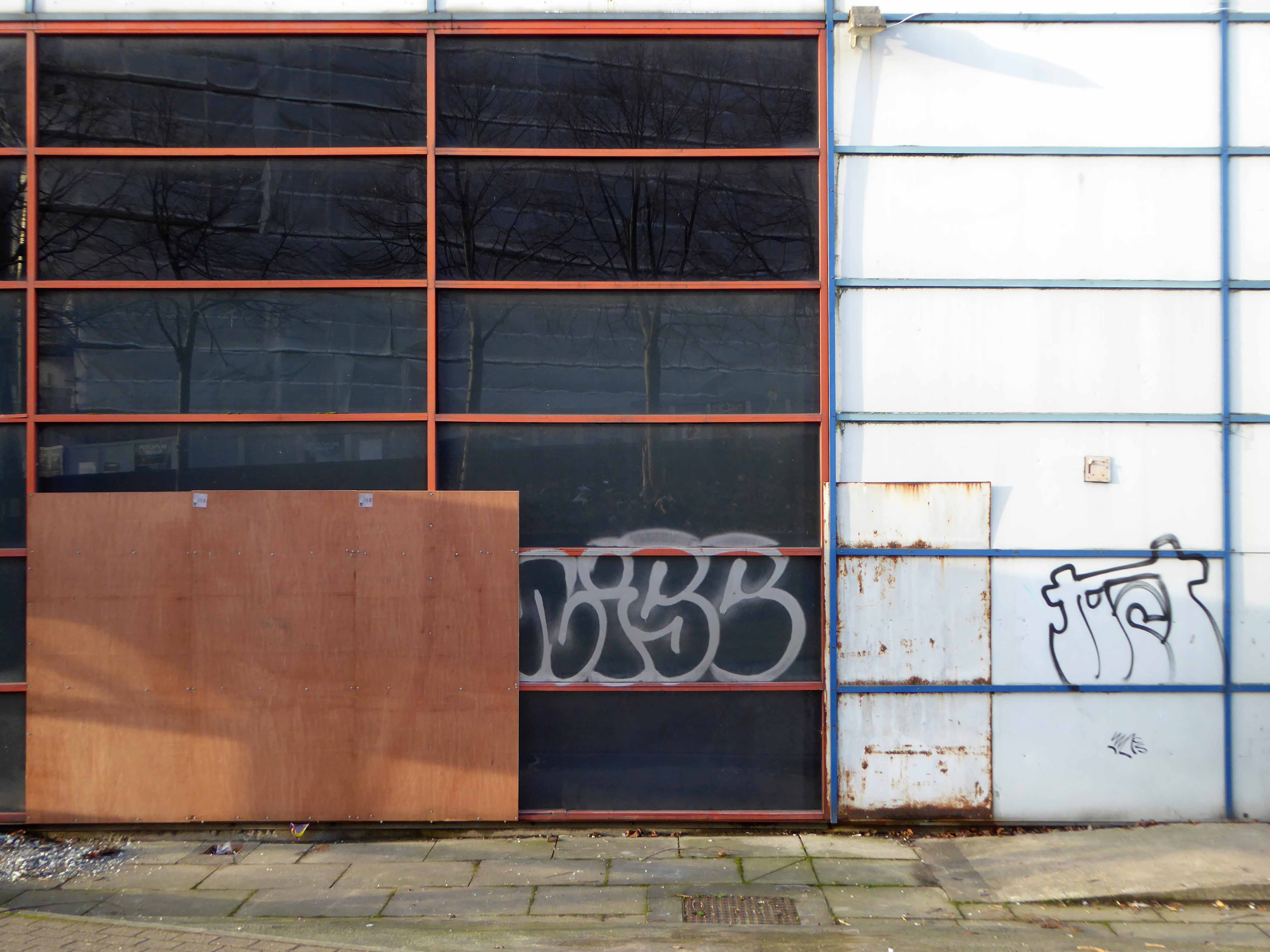
In 1989 an out of town inner ring road shopping centre in the architectural style de jour is built – the anonymous industrial retail hangar appears.

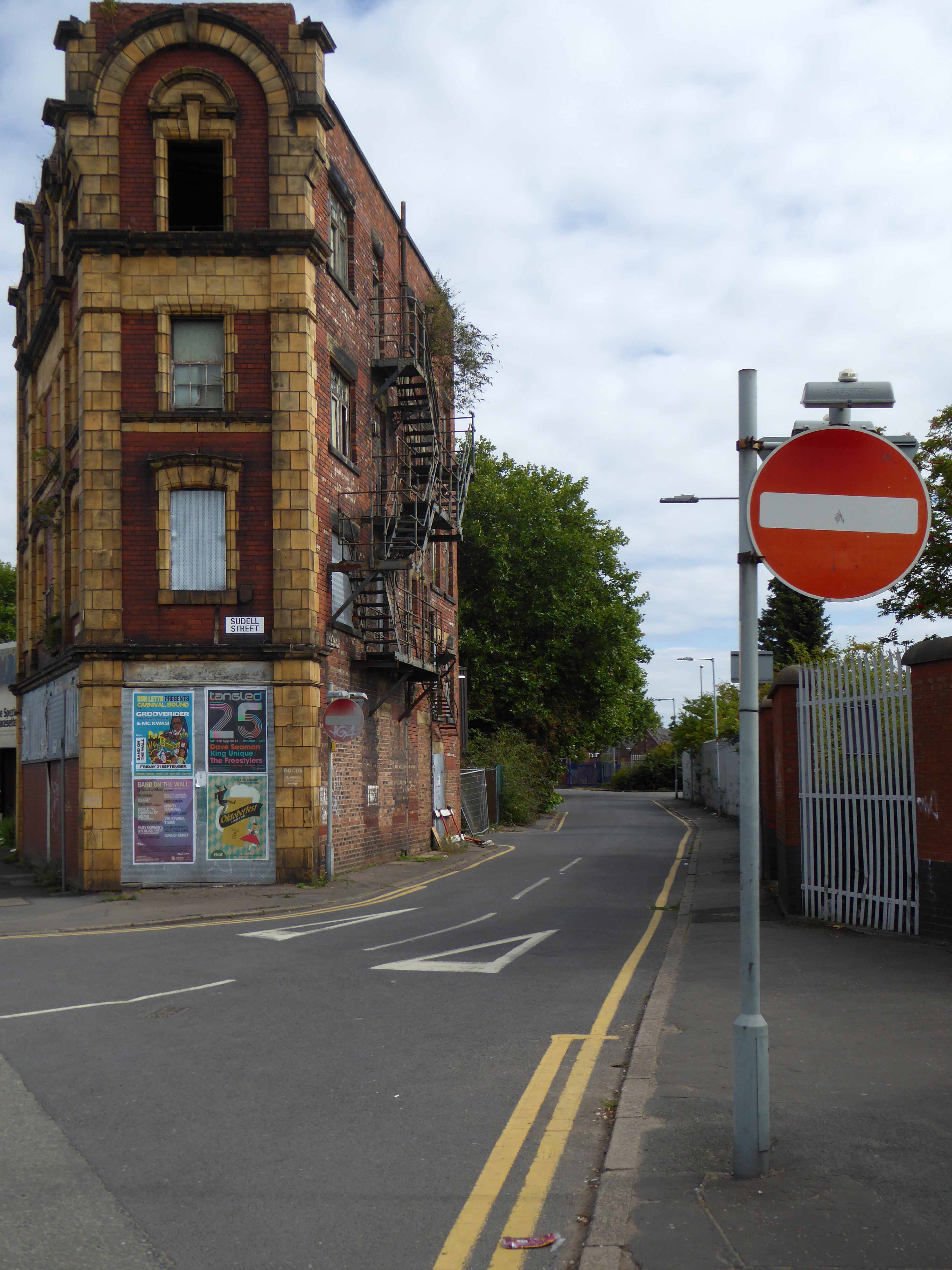
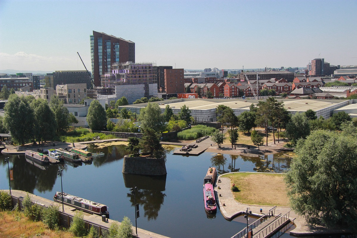
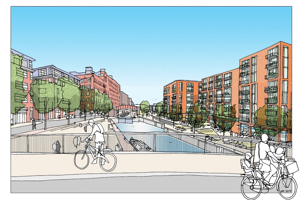
2018 and the nexus of the city has shifted yet again – Ancoats is designated as the hippest place on earth and has no time for an outmoded shopping experience.

All these developers have a certain sensitivity towards this history of the area without neglecting modern tastes. 

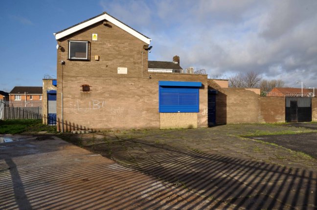
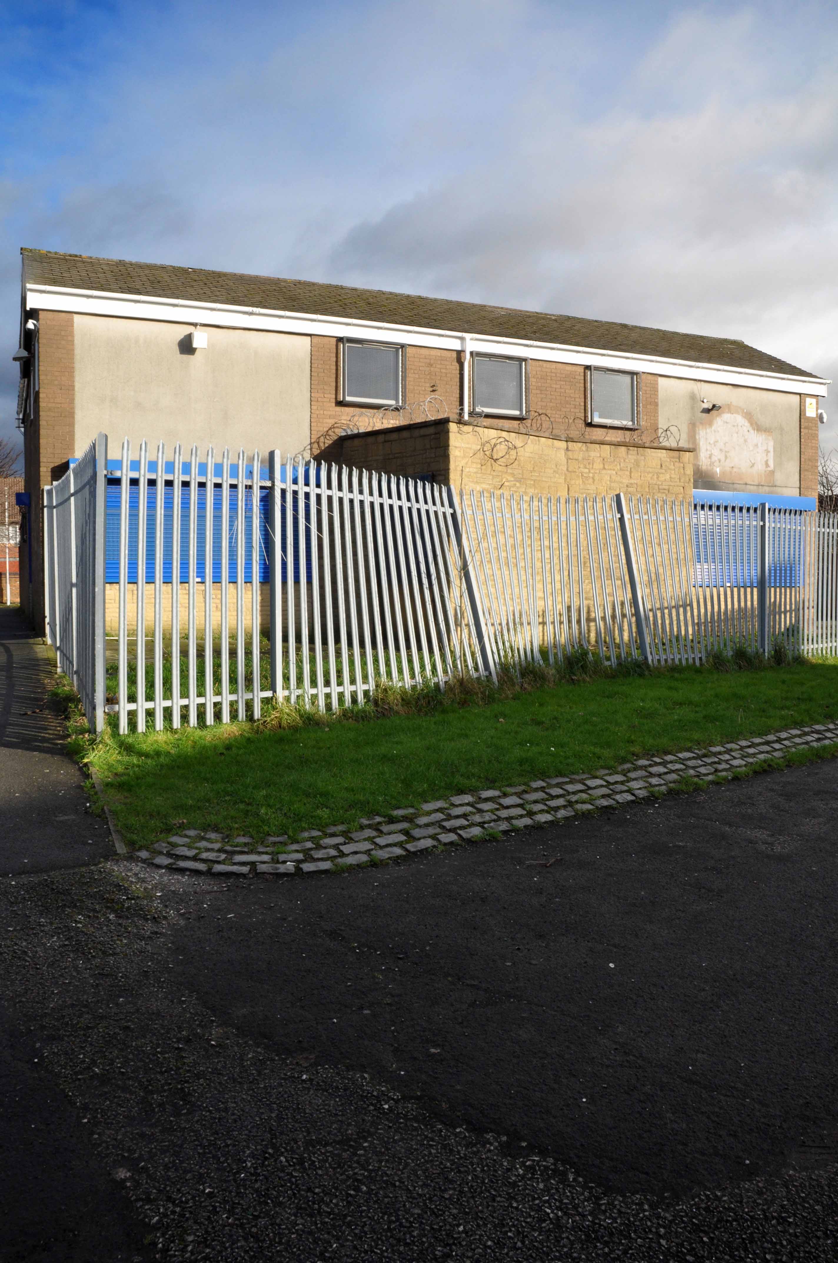
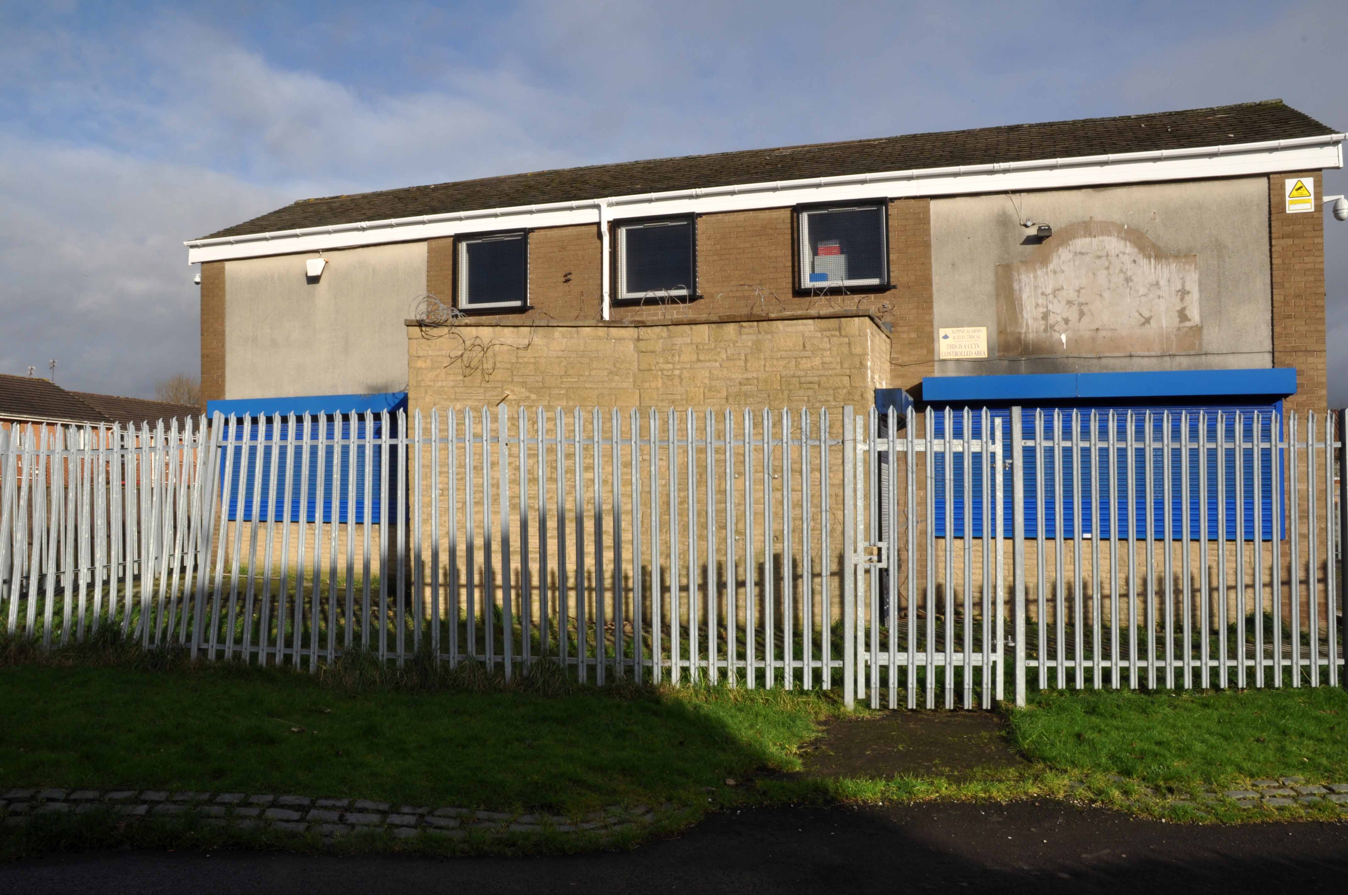
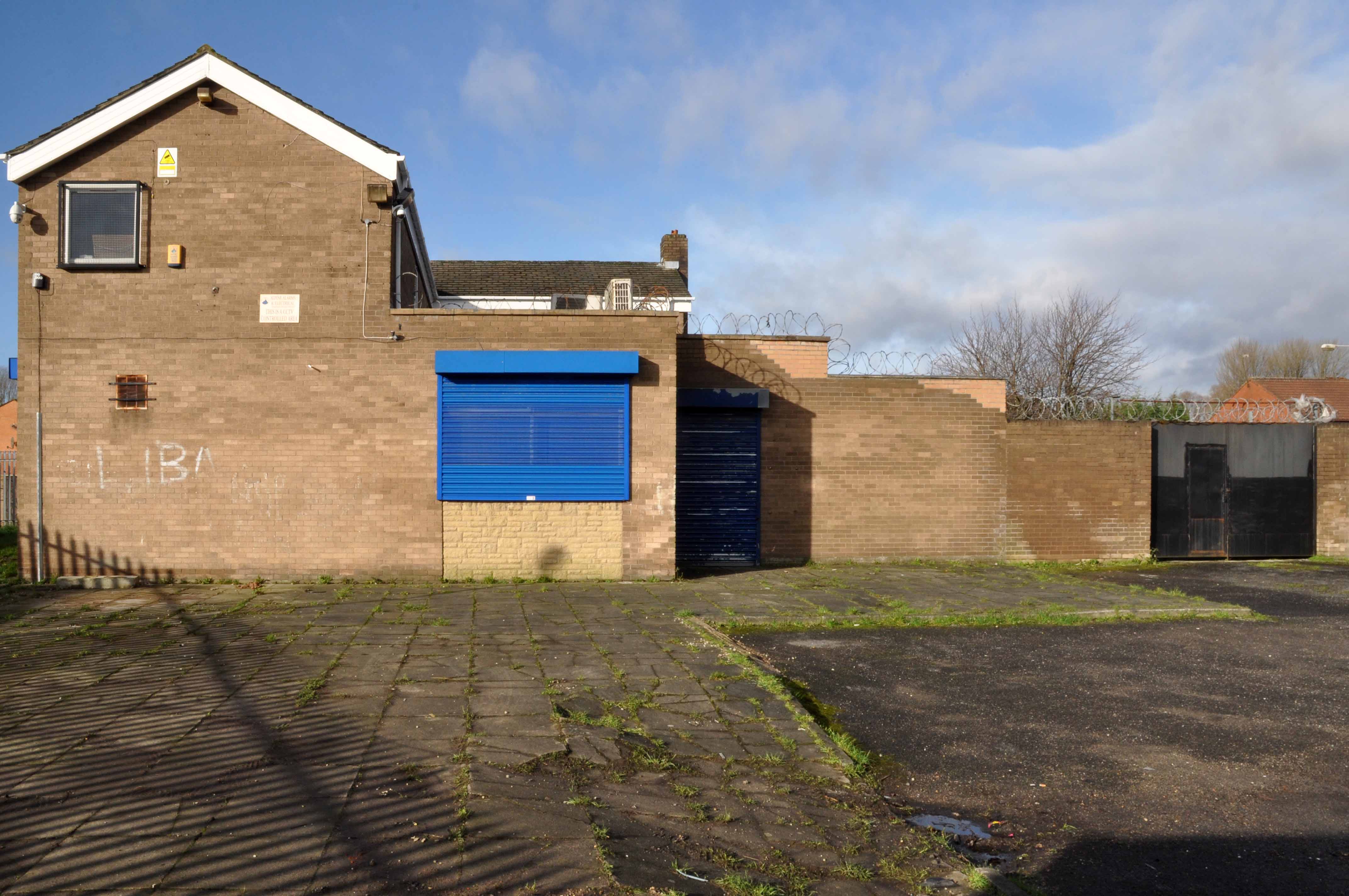
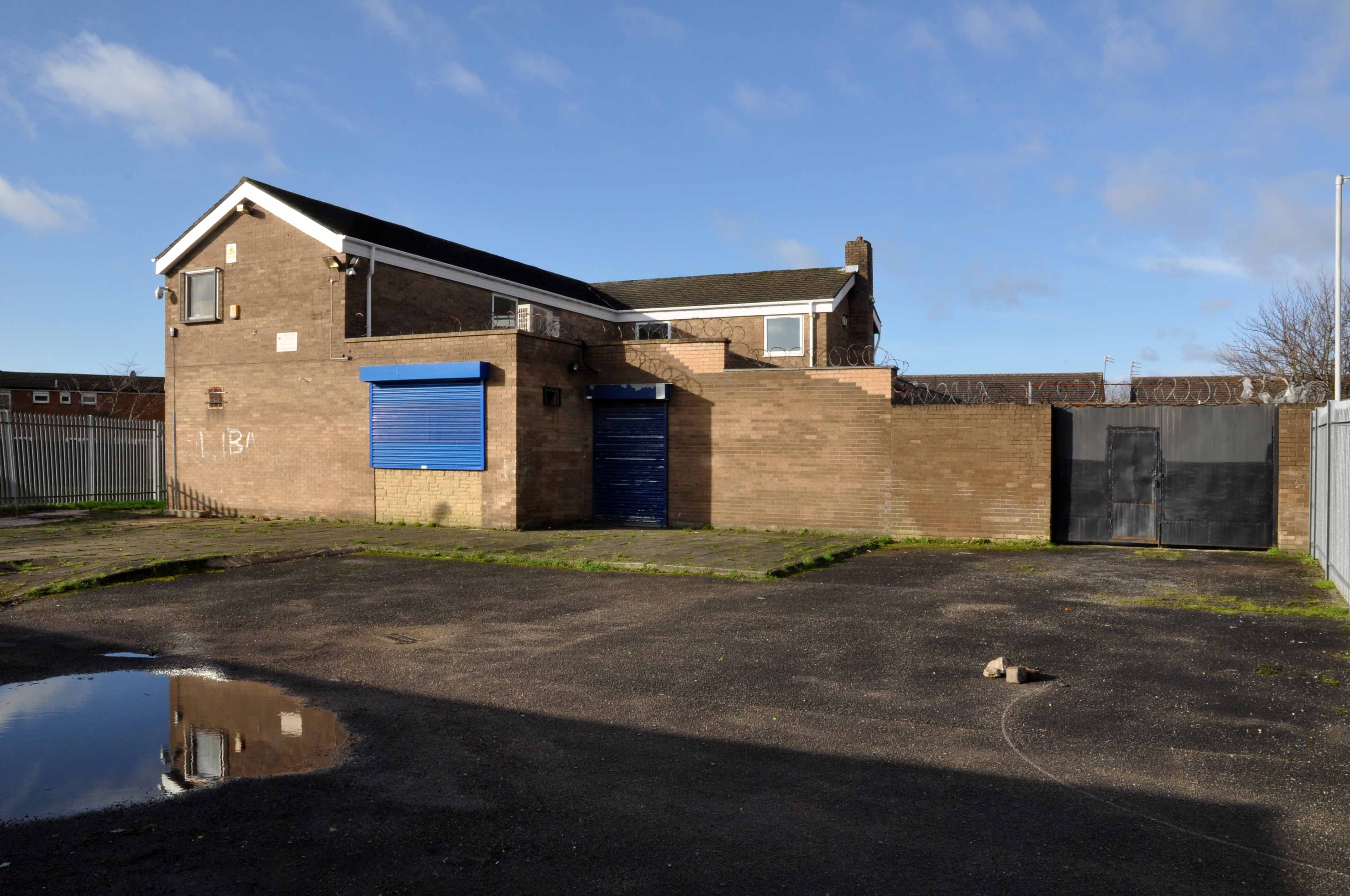
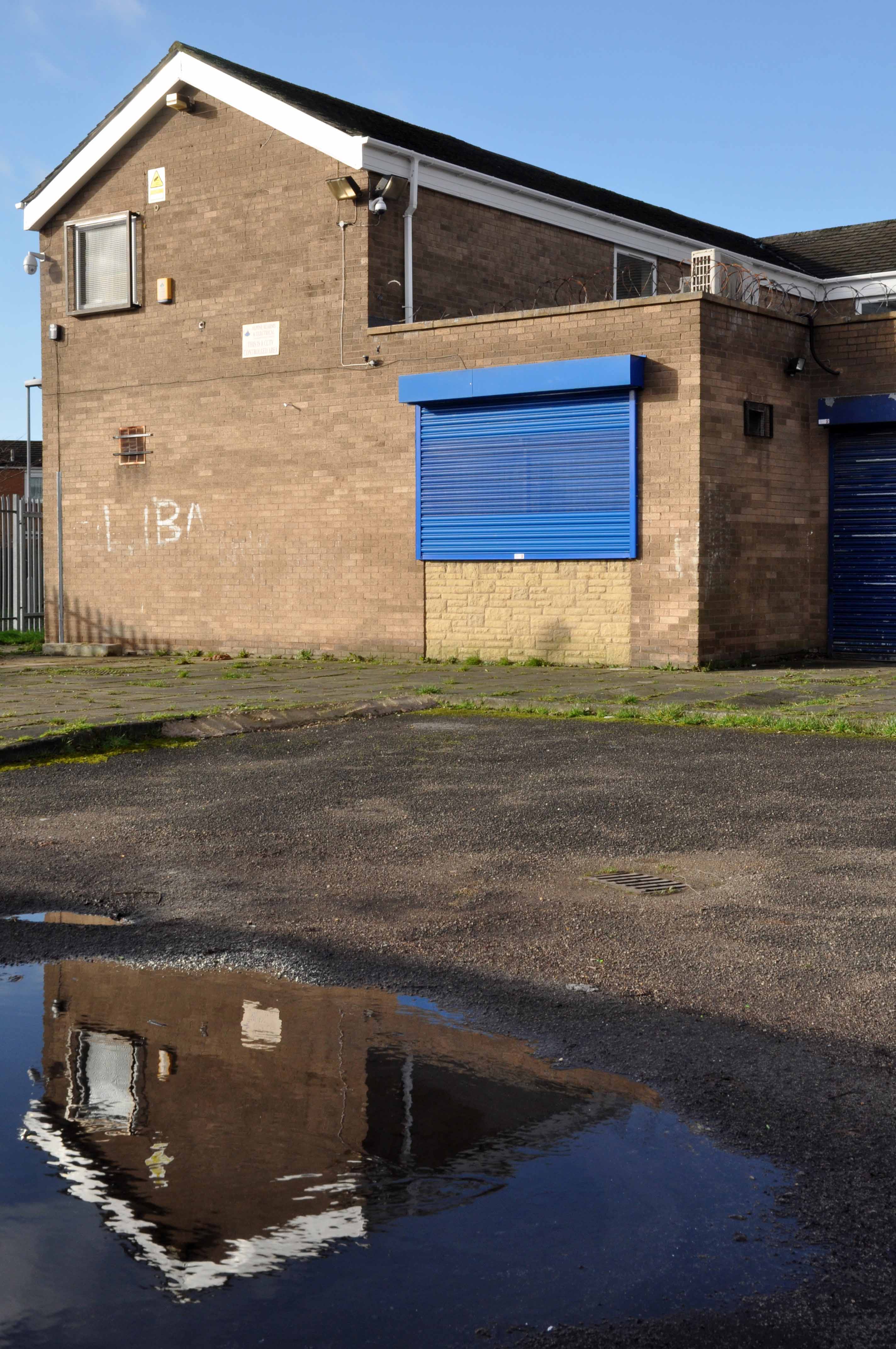
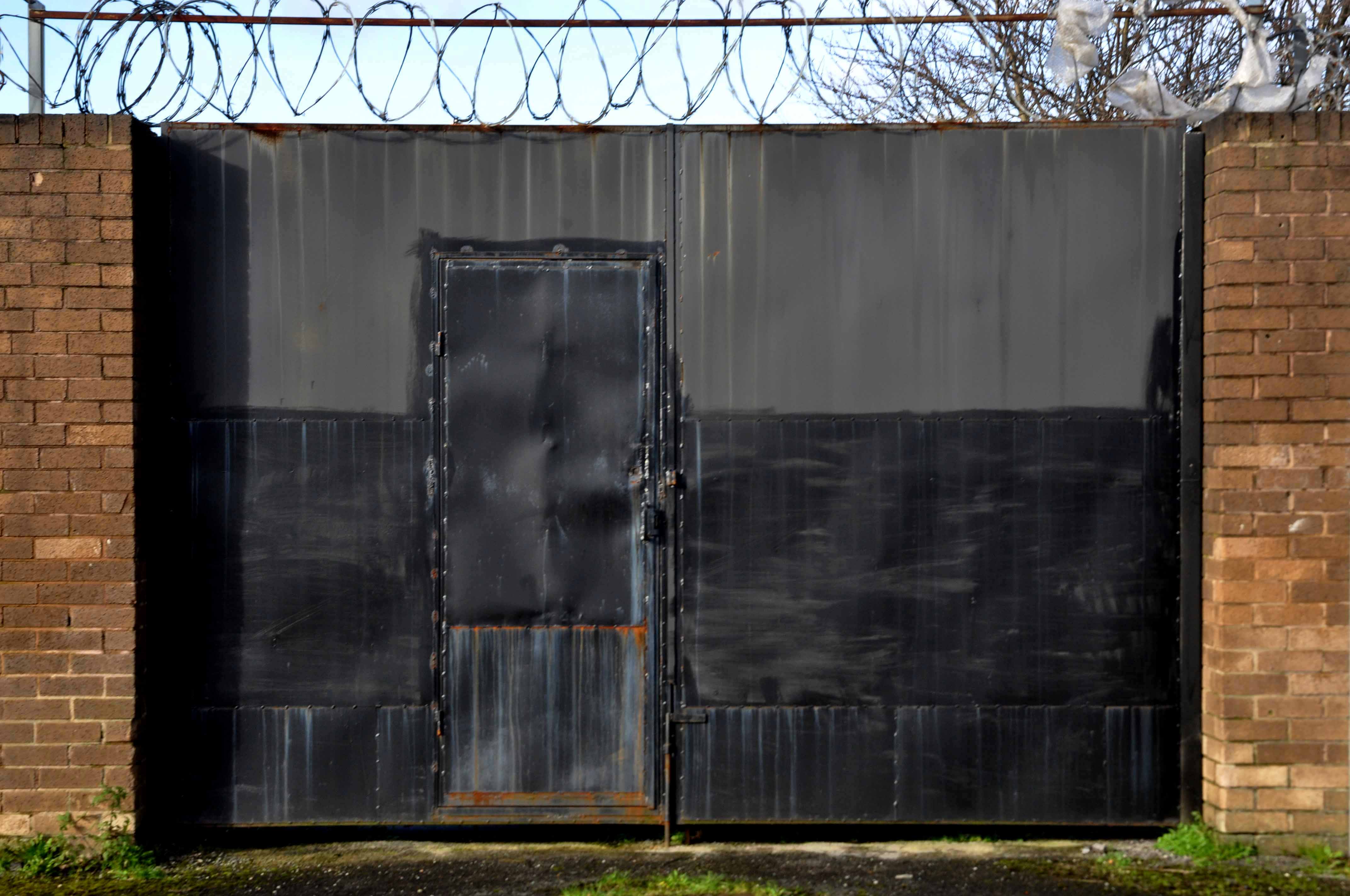
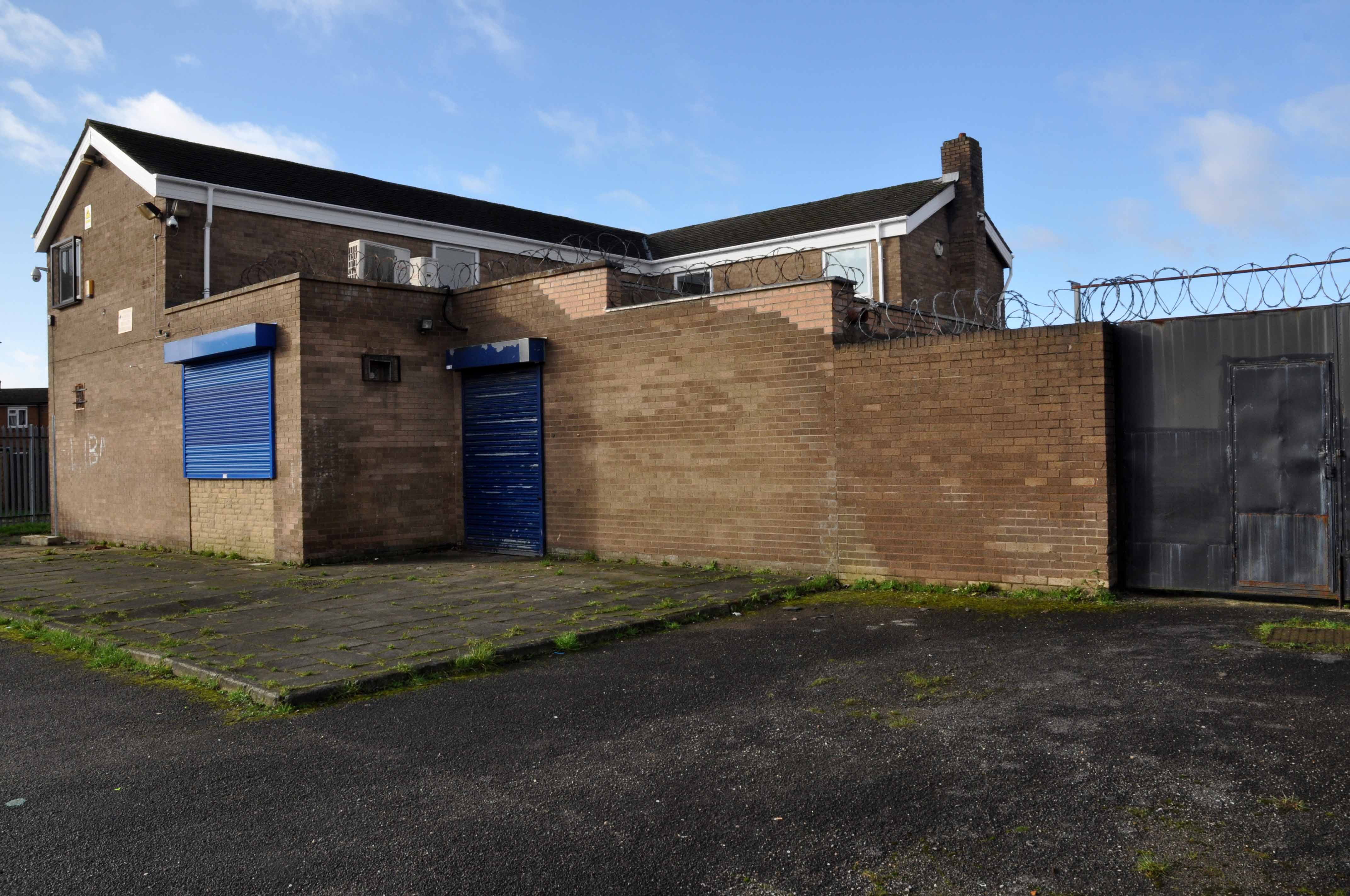
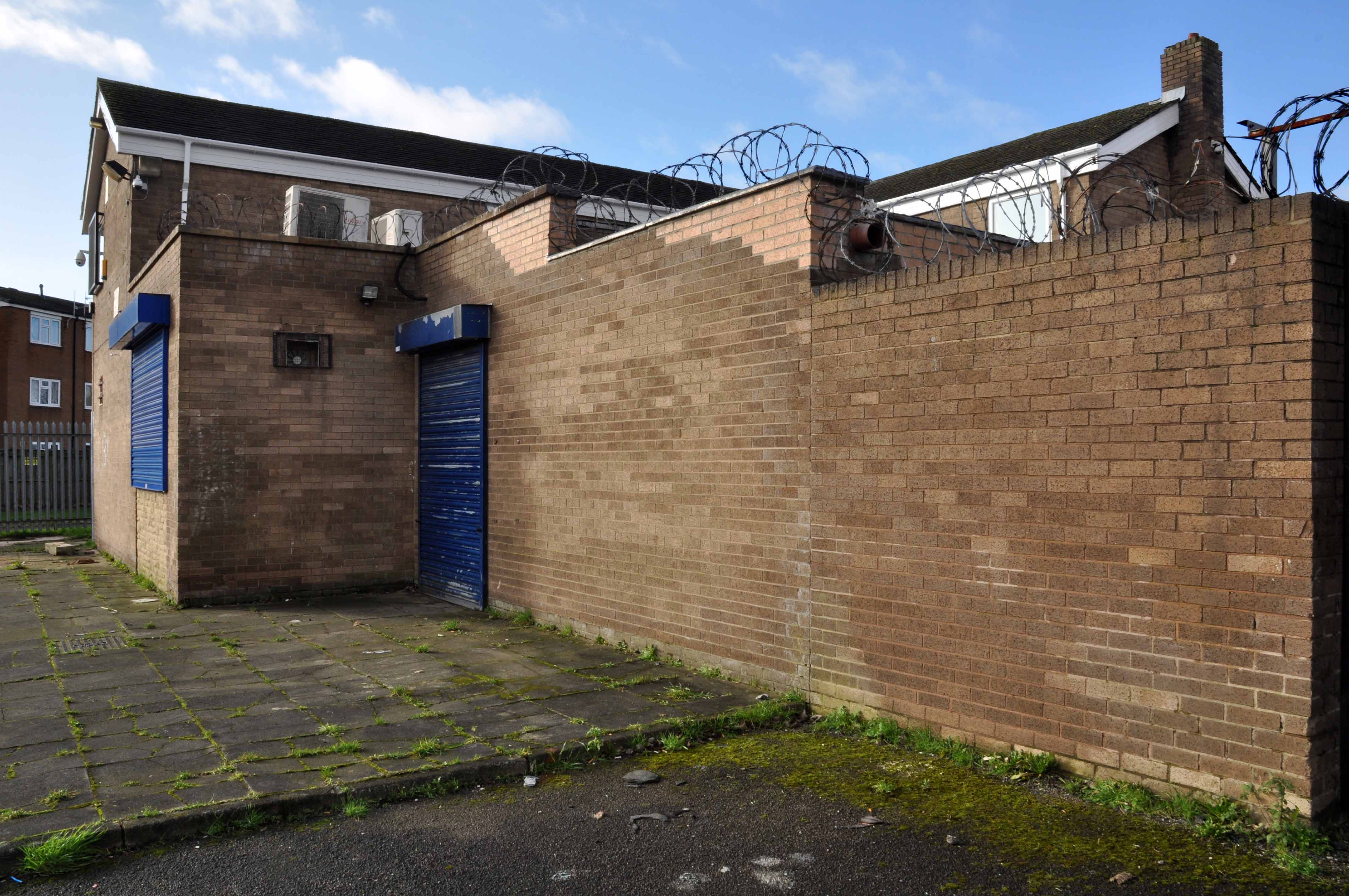
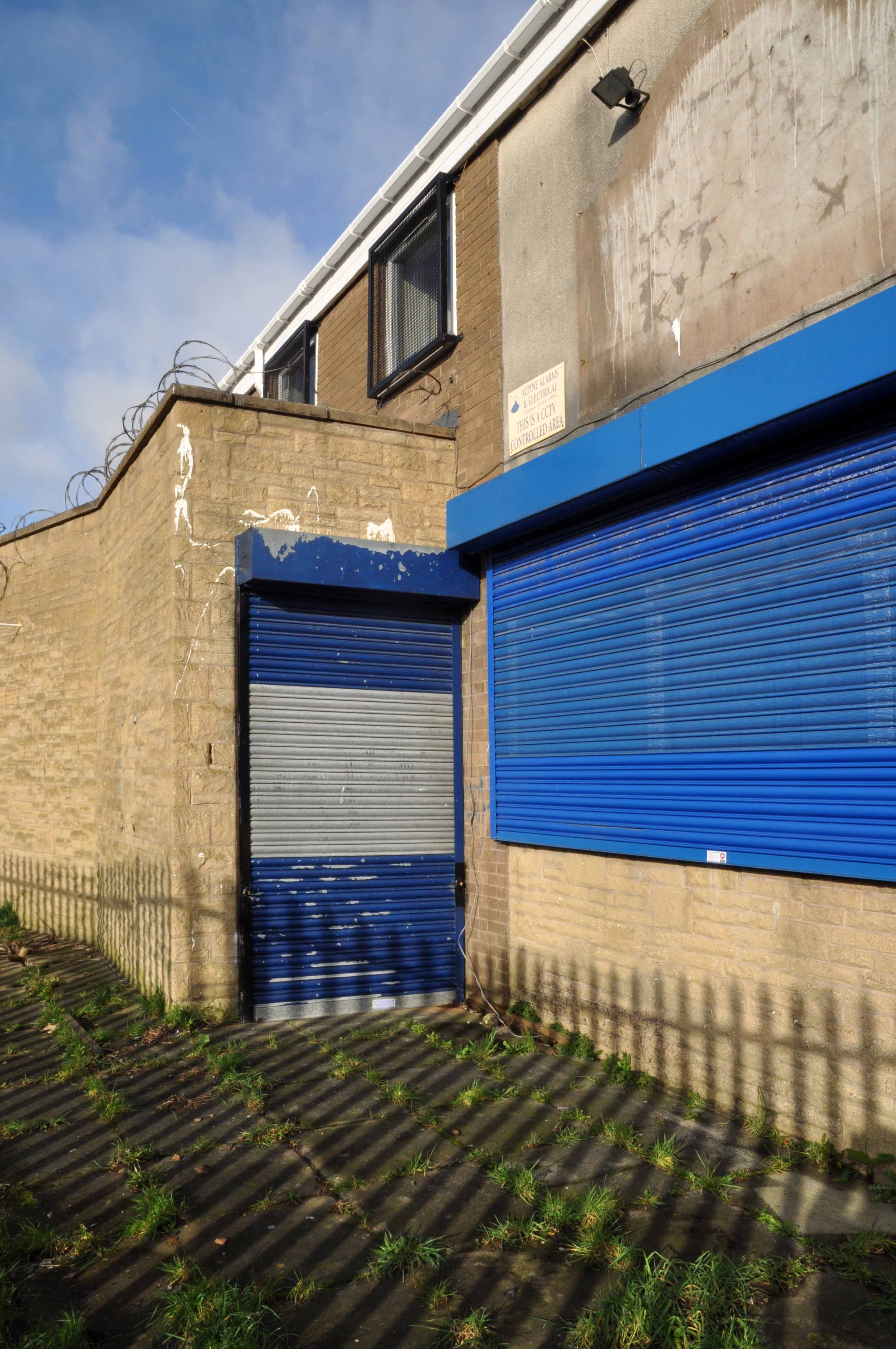
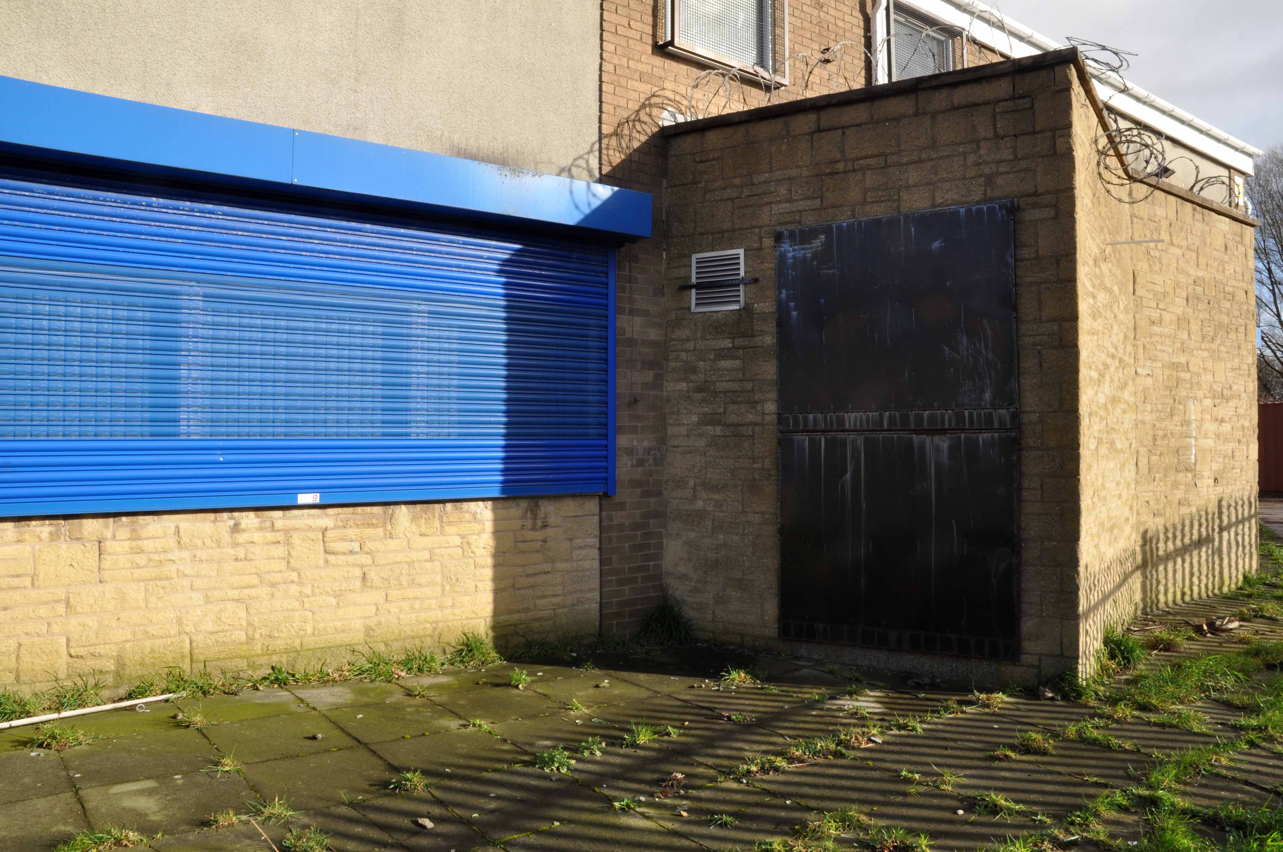
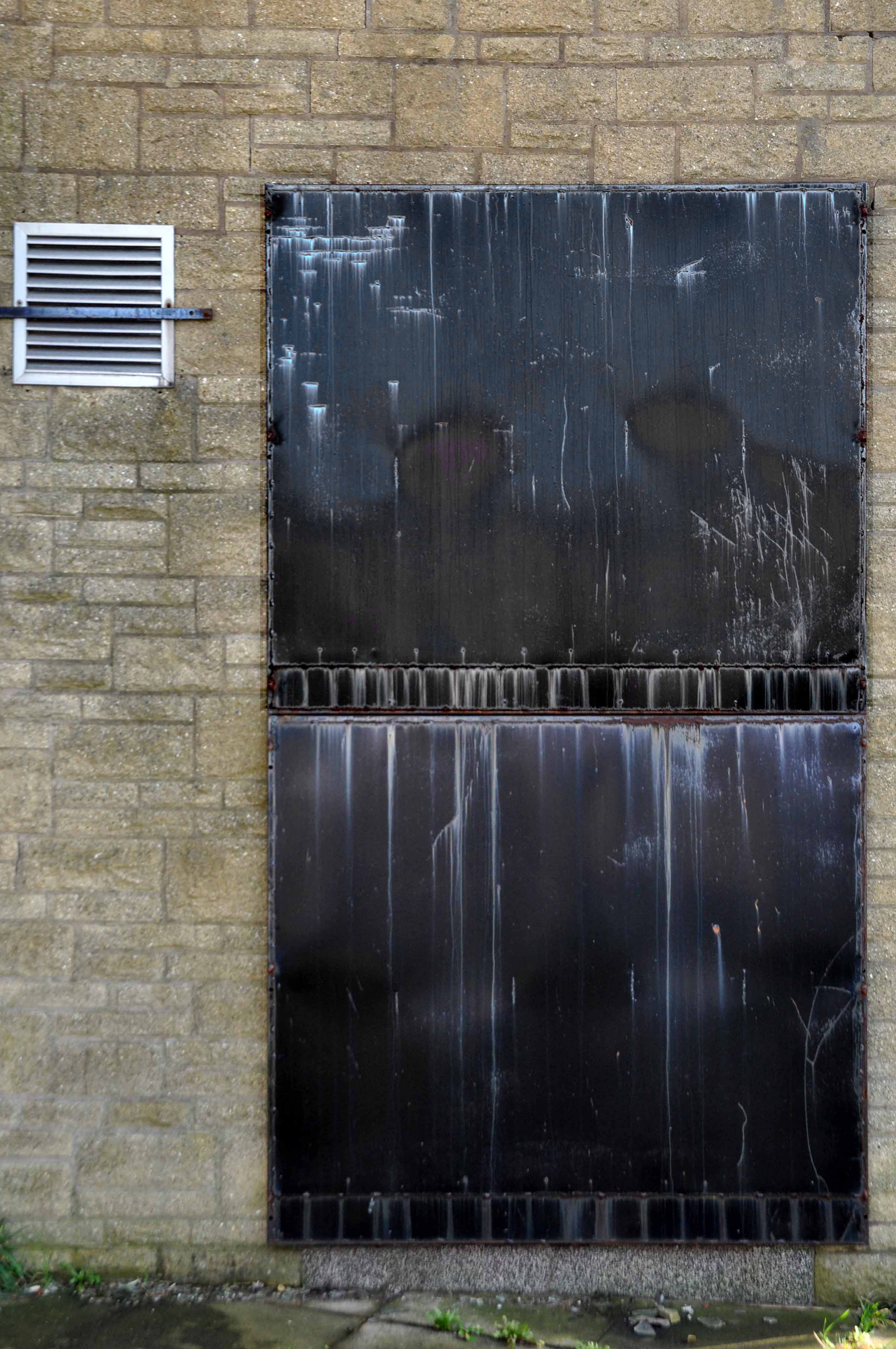
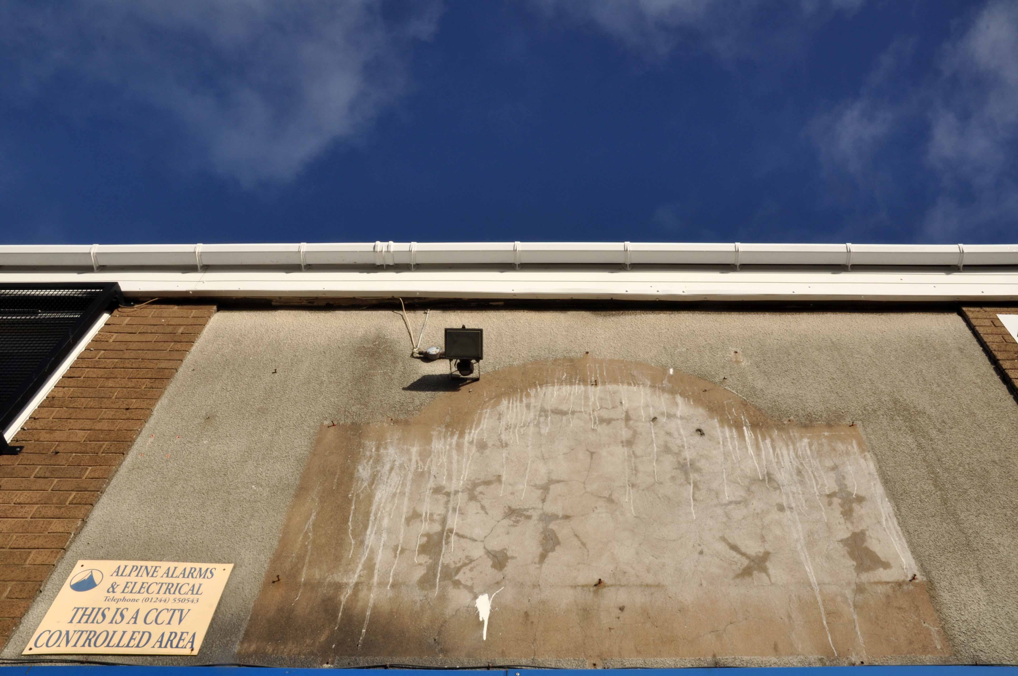
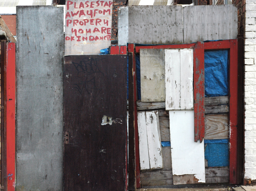
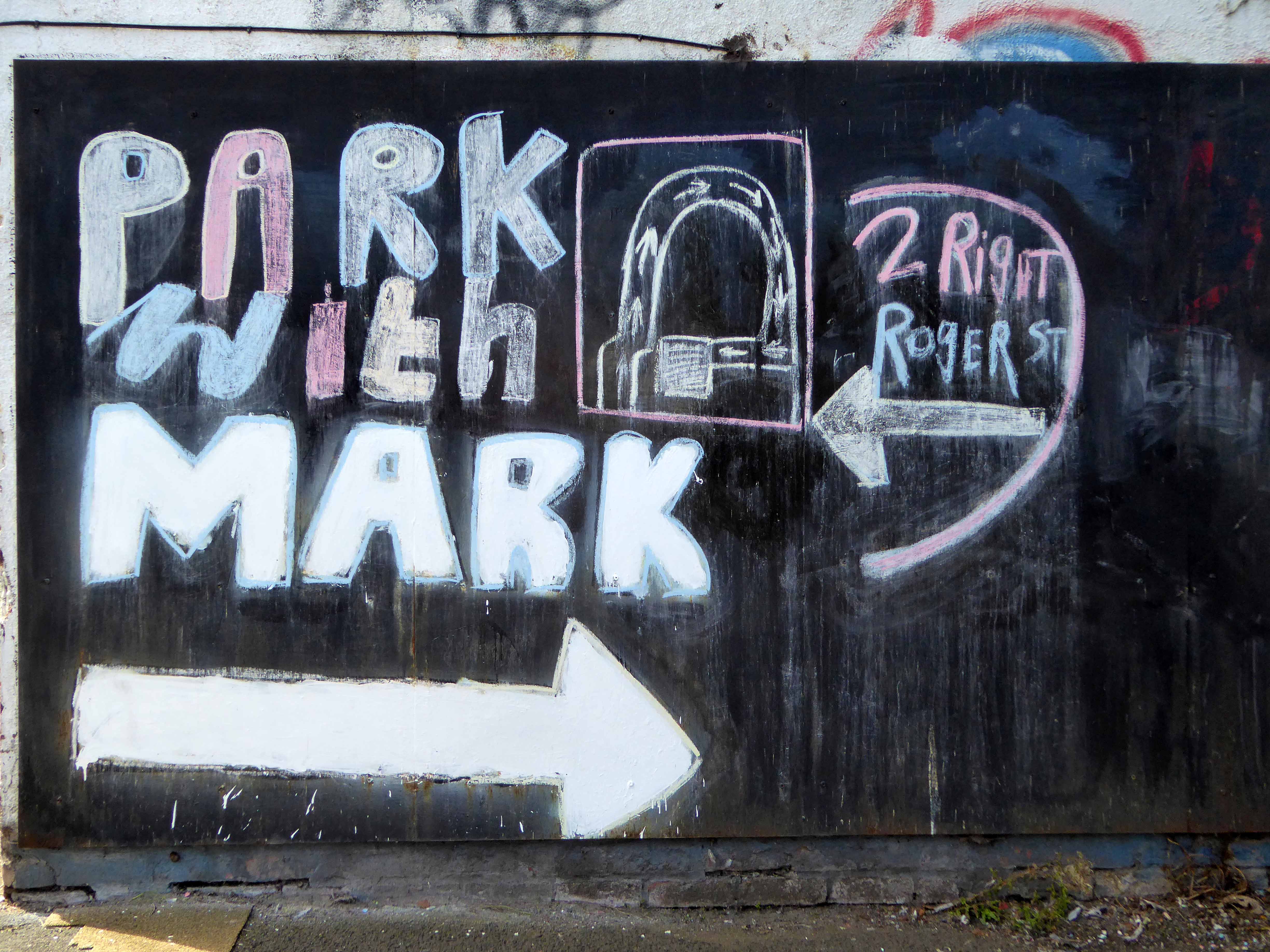
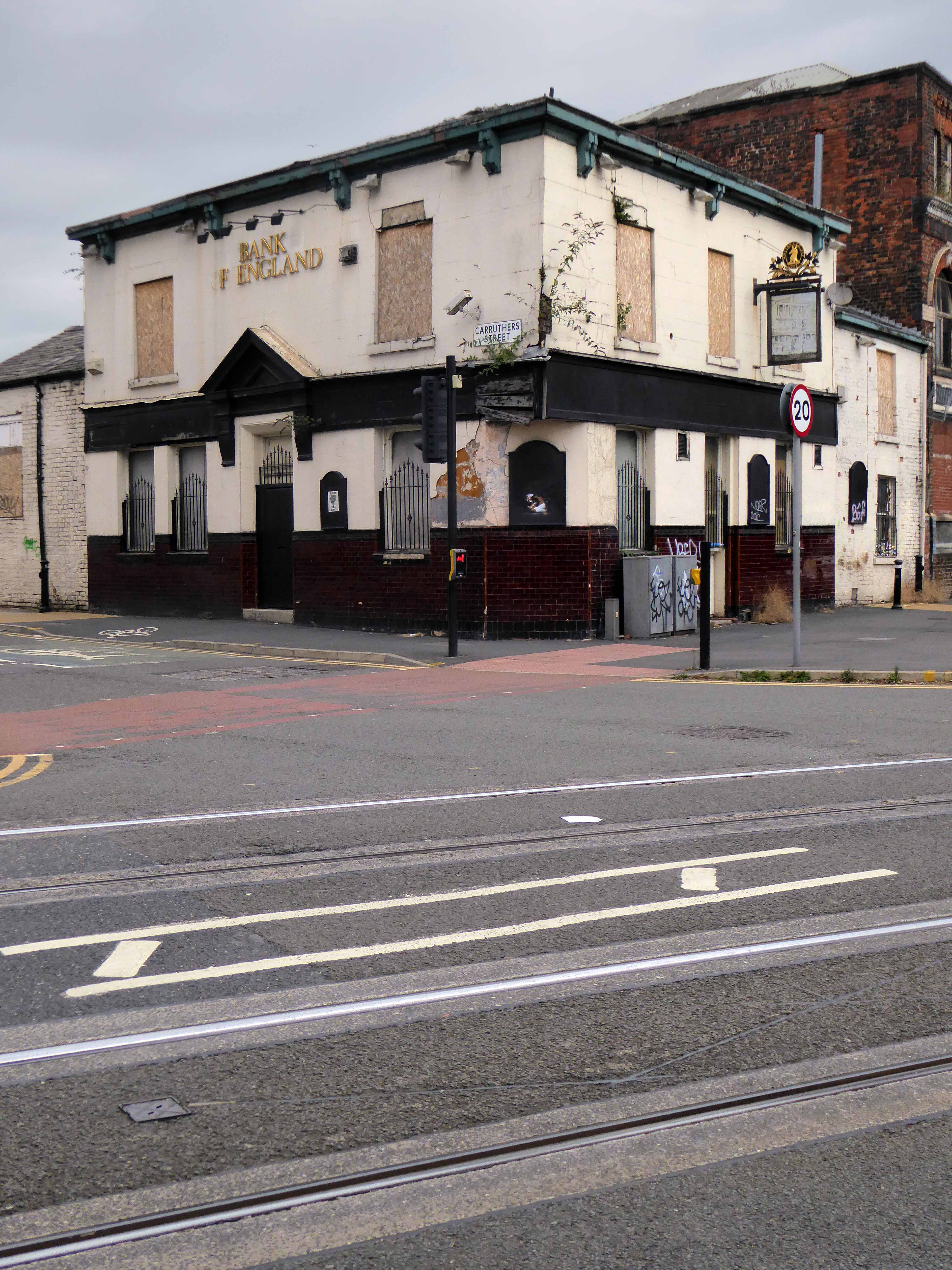
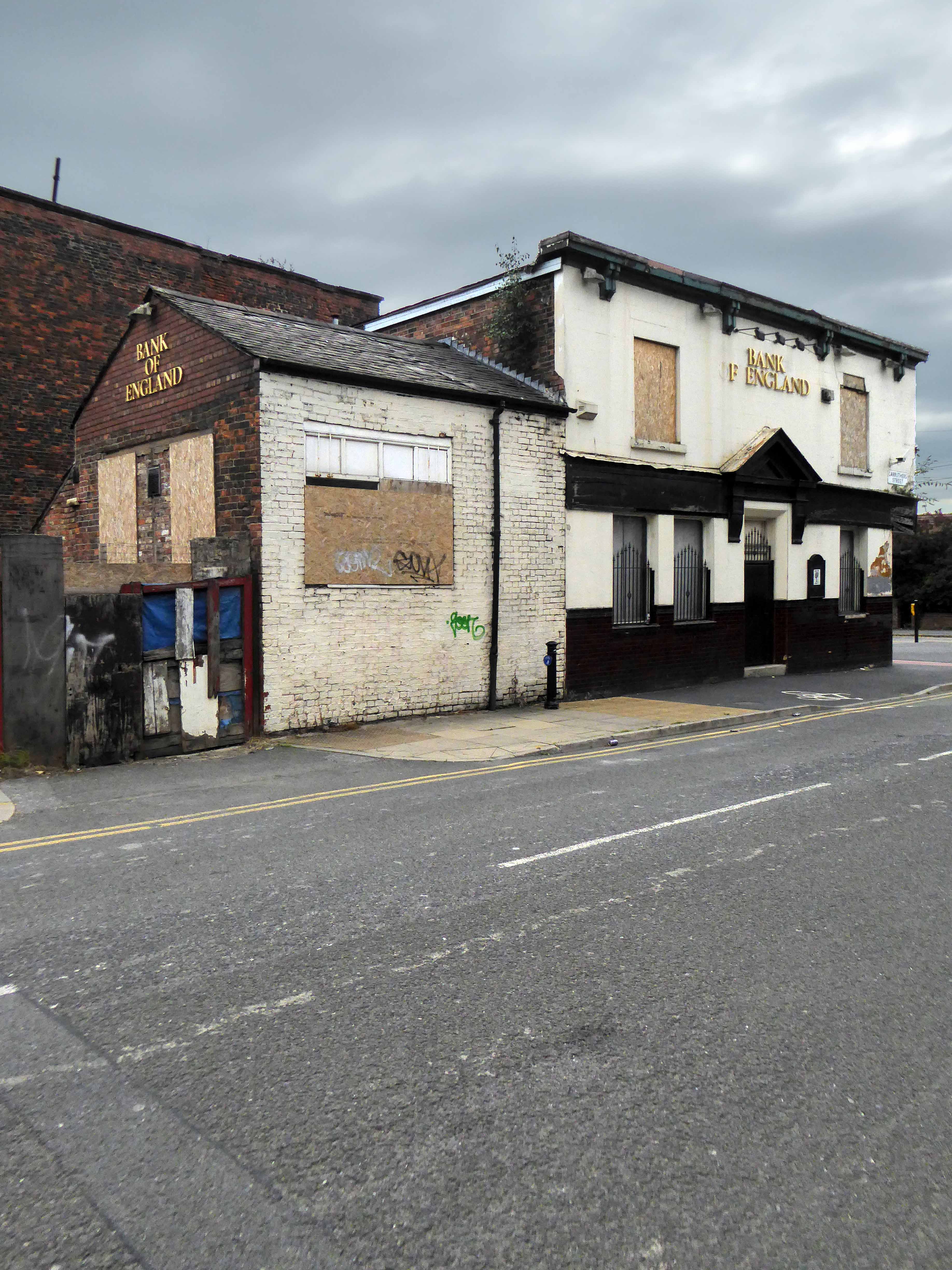
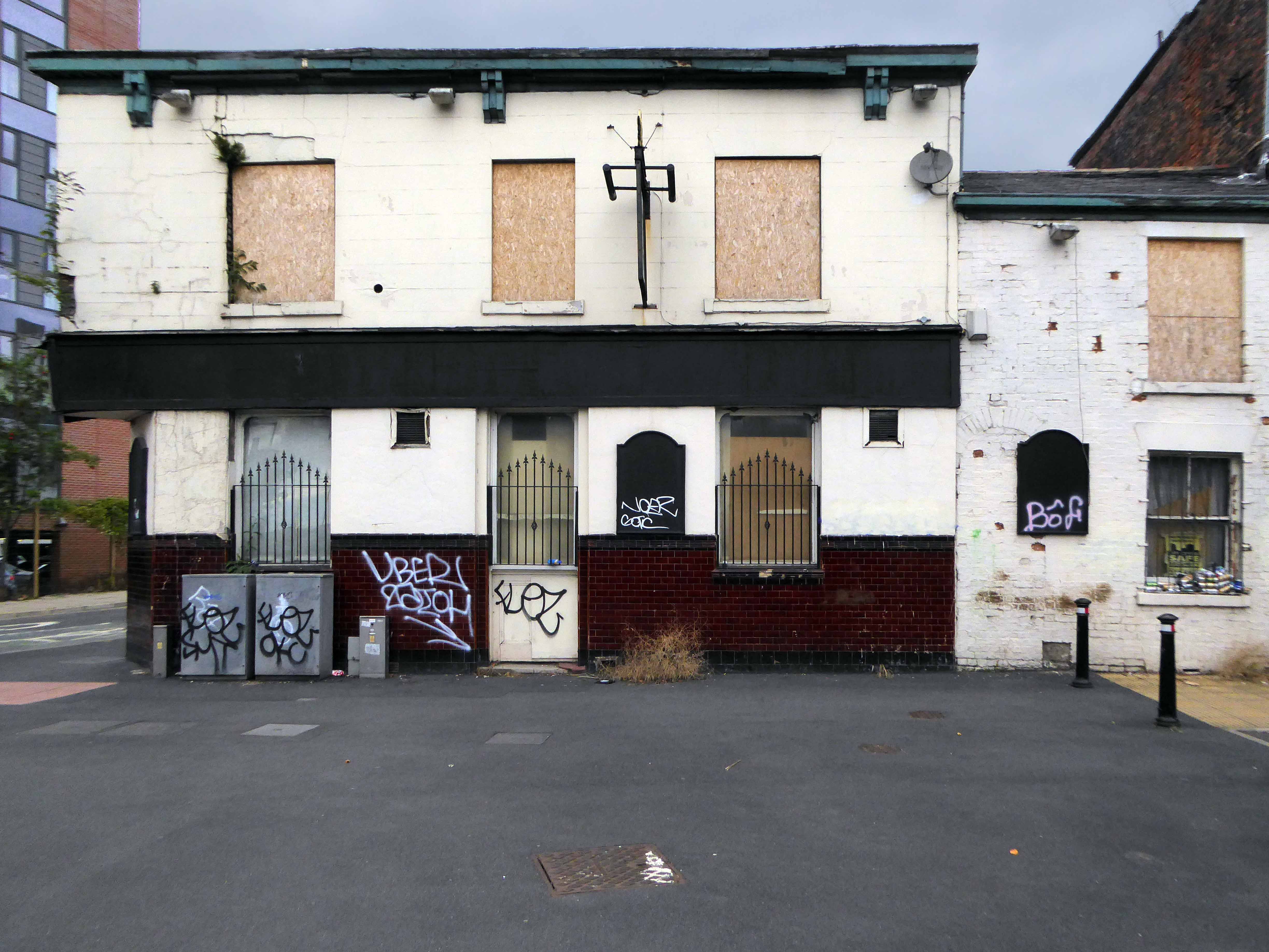
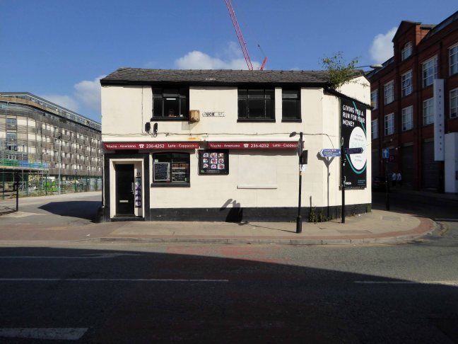
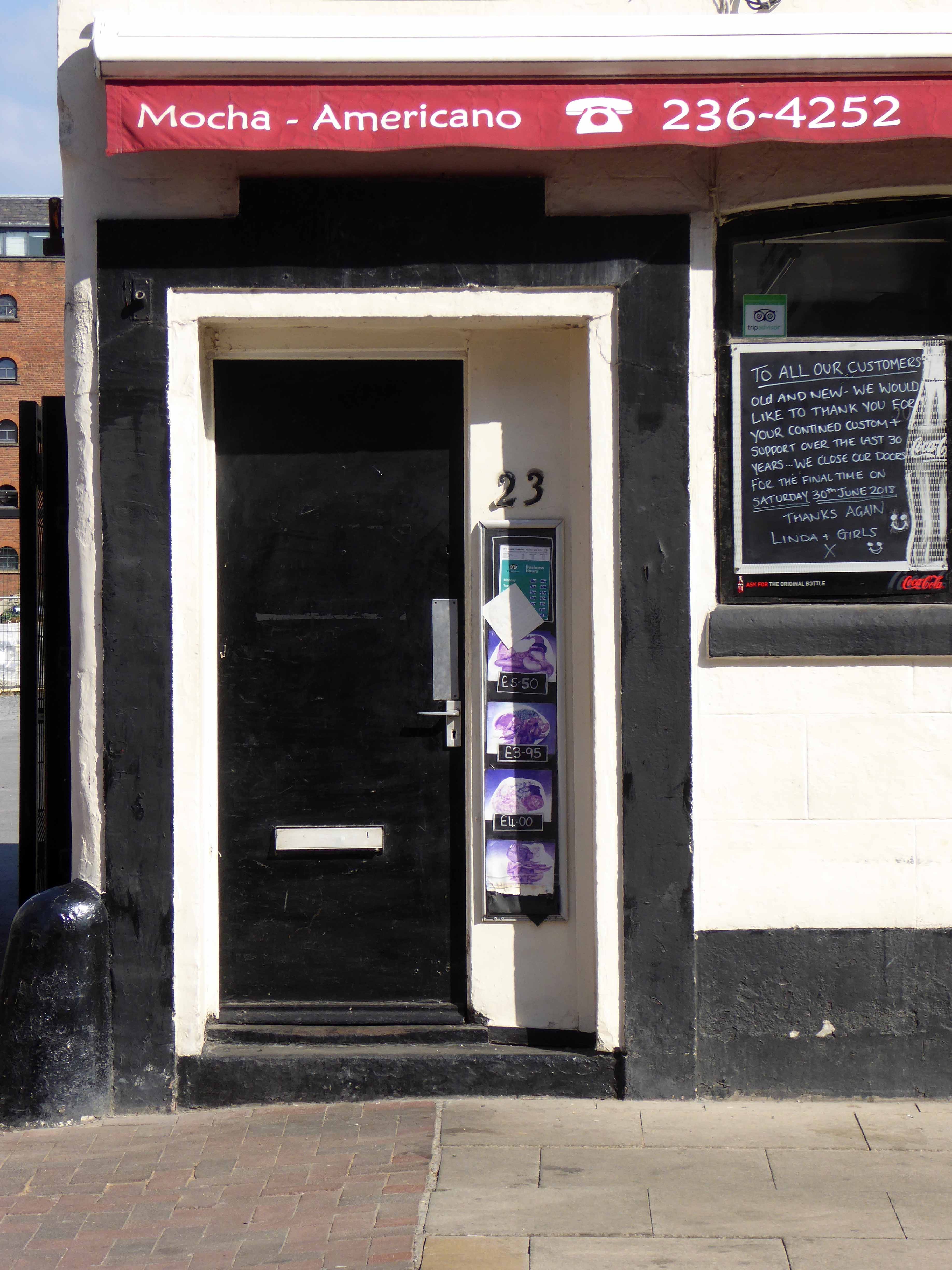
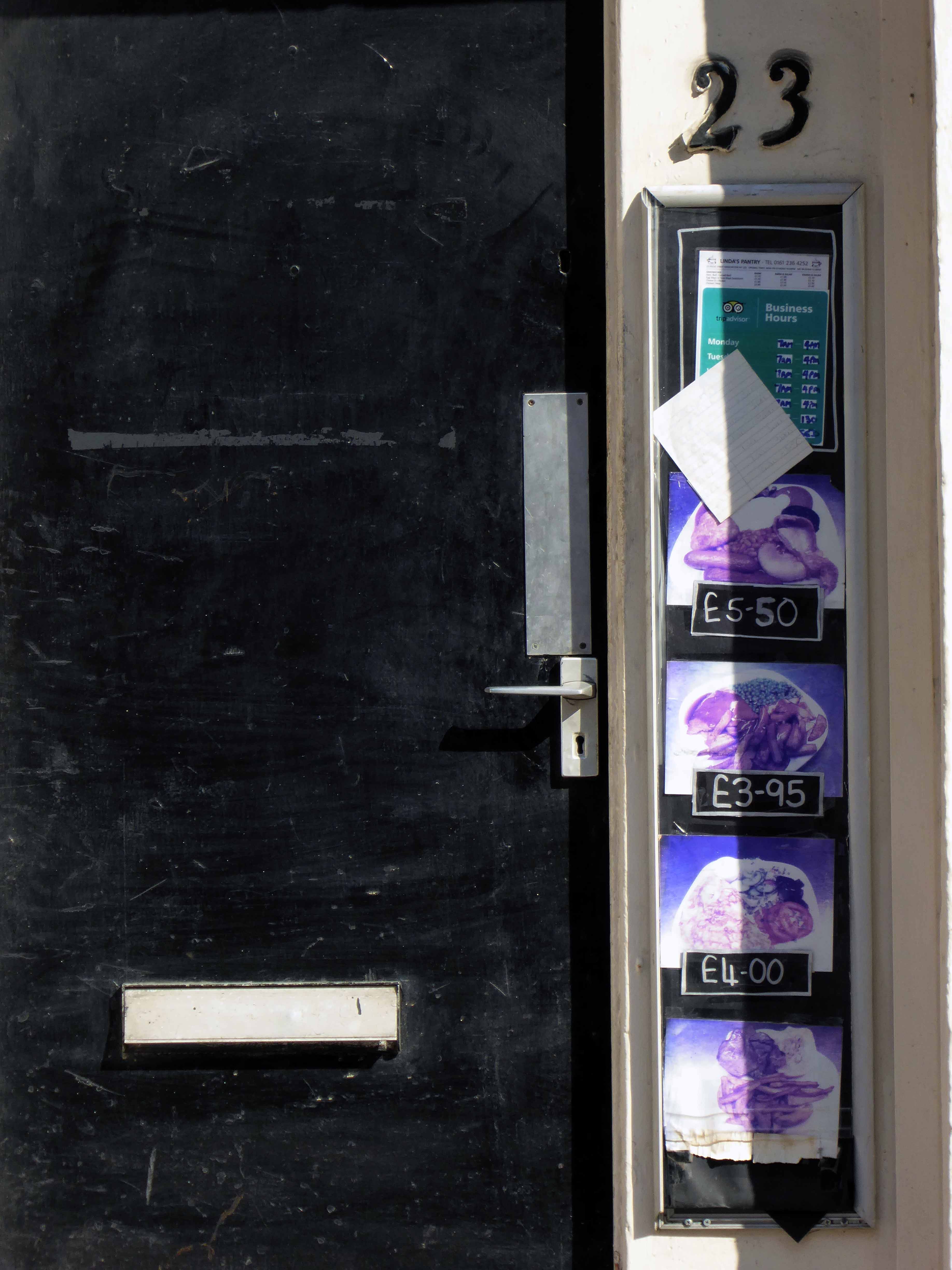
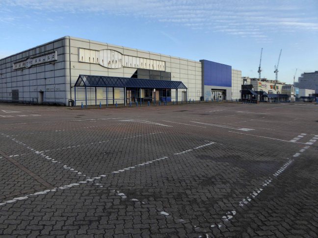
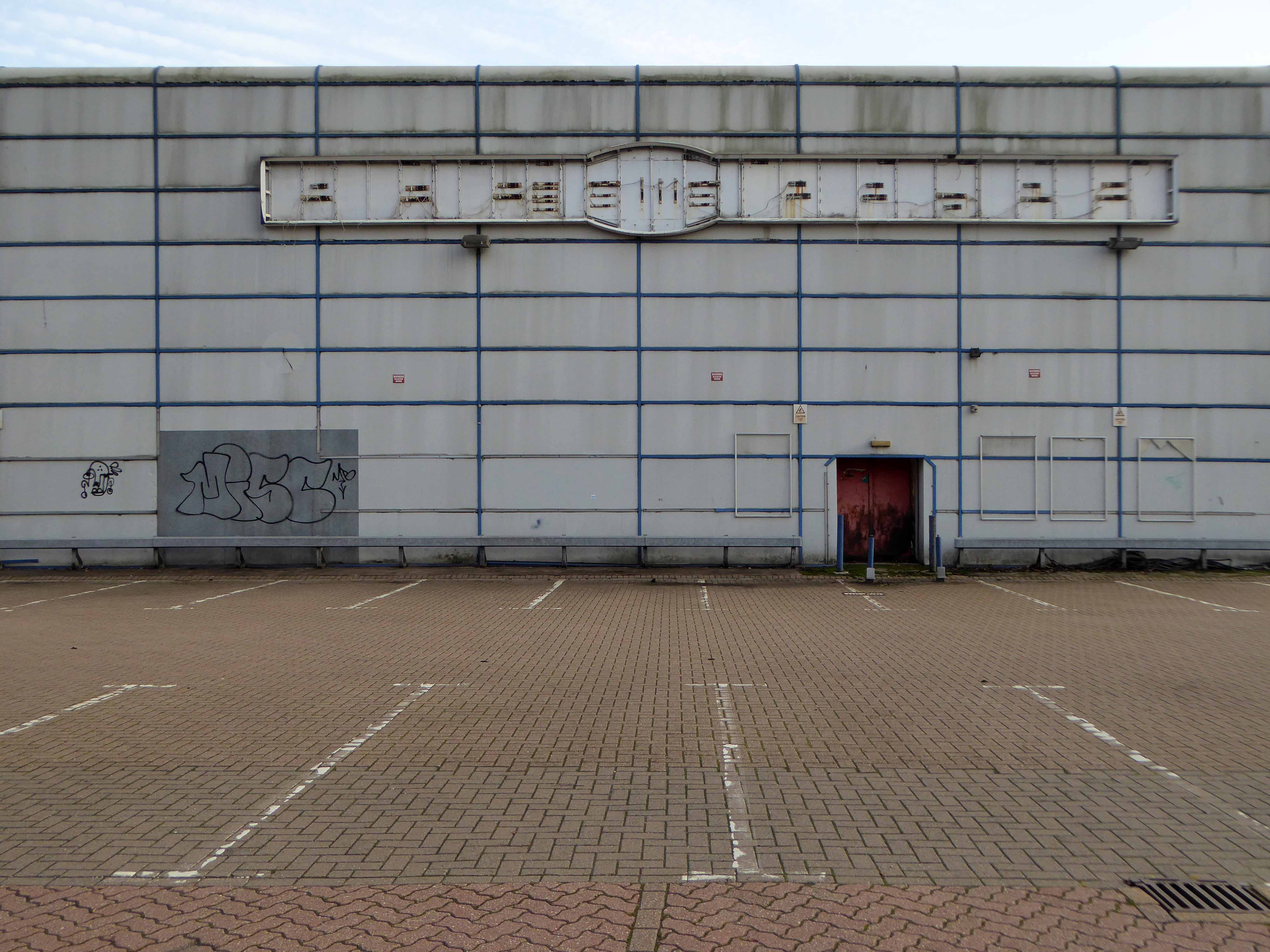
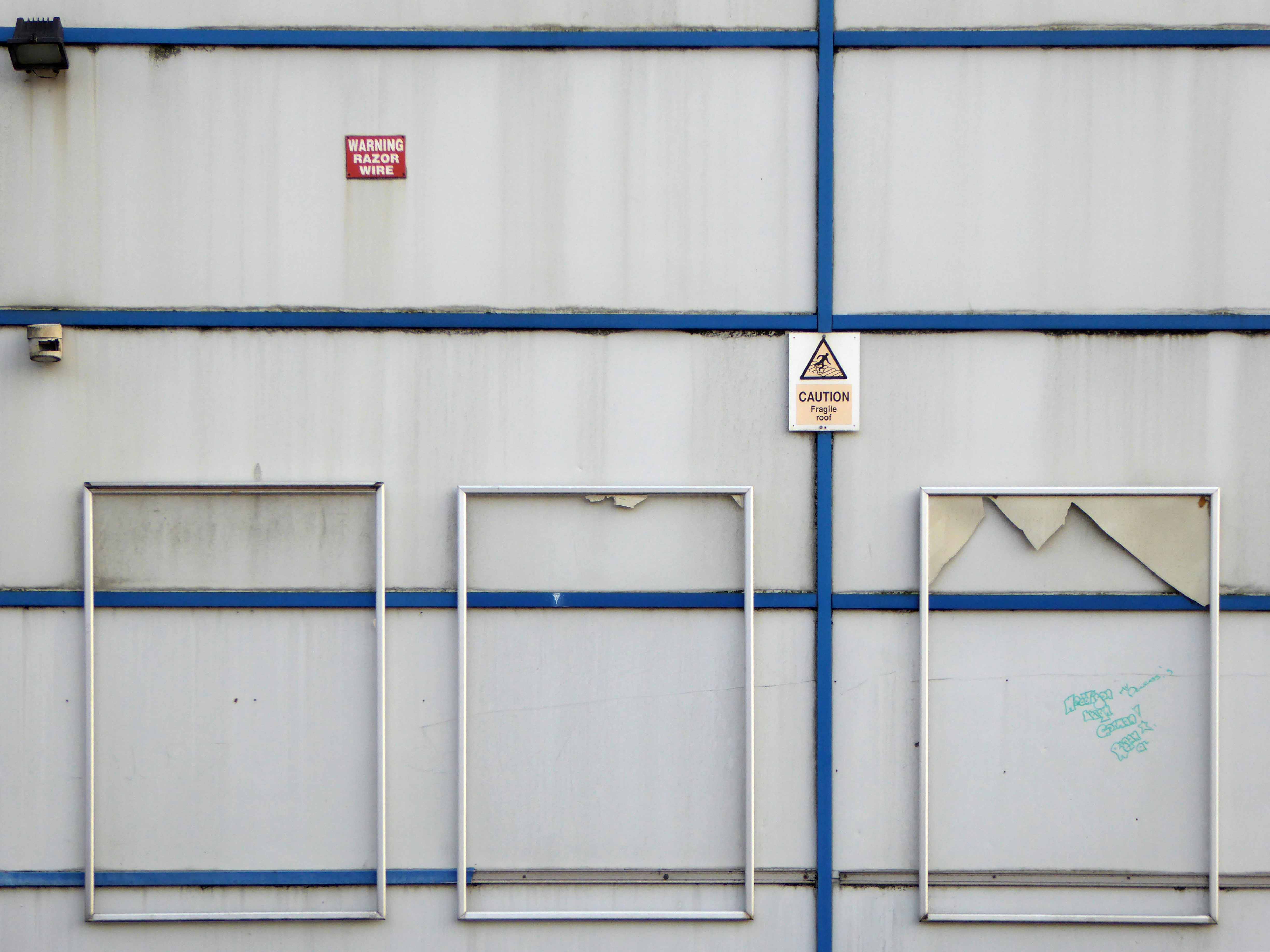
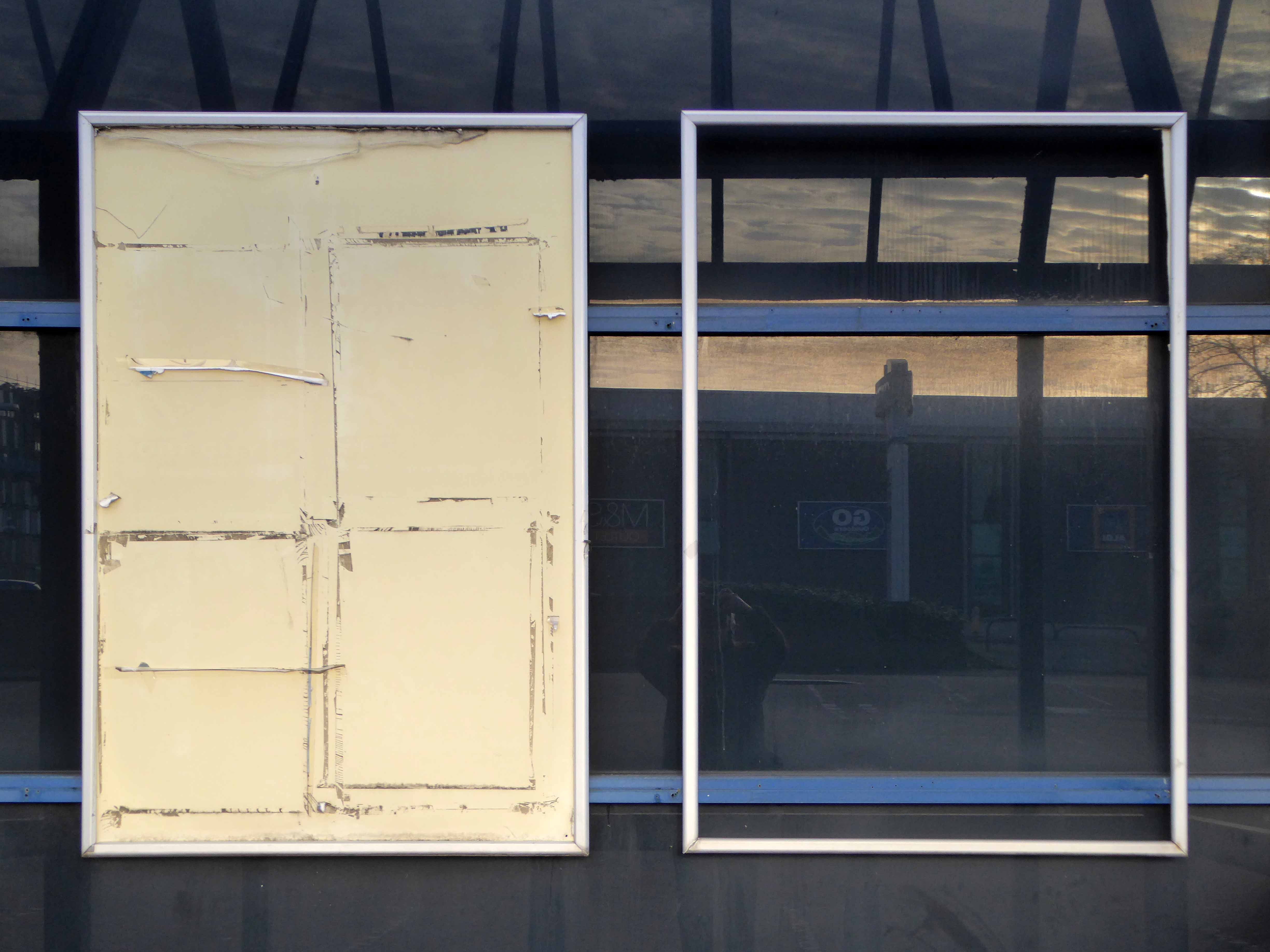
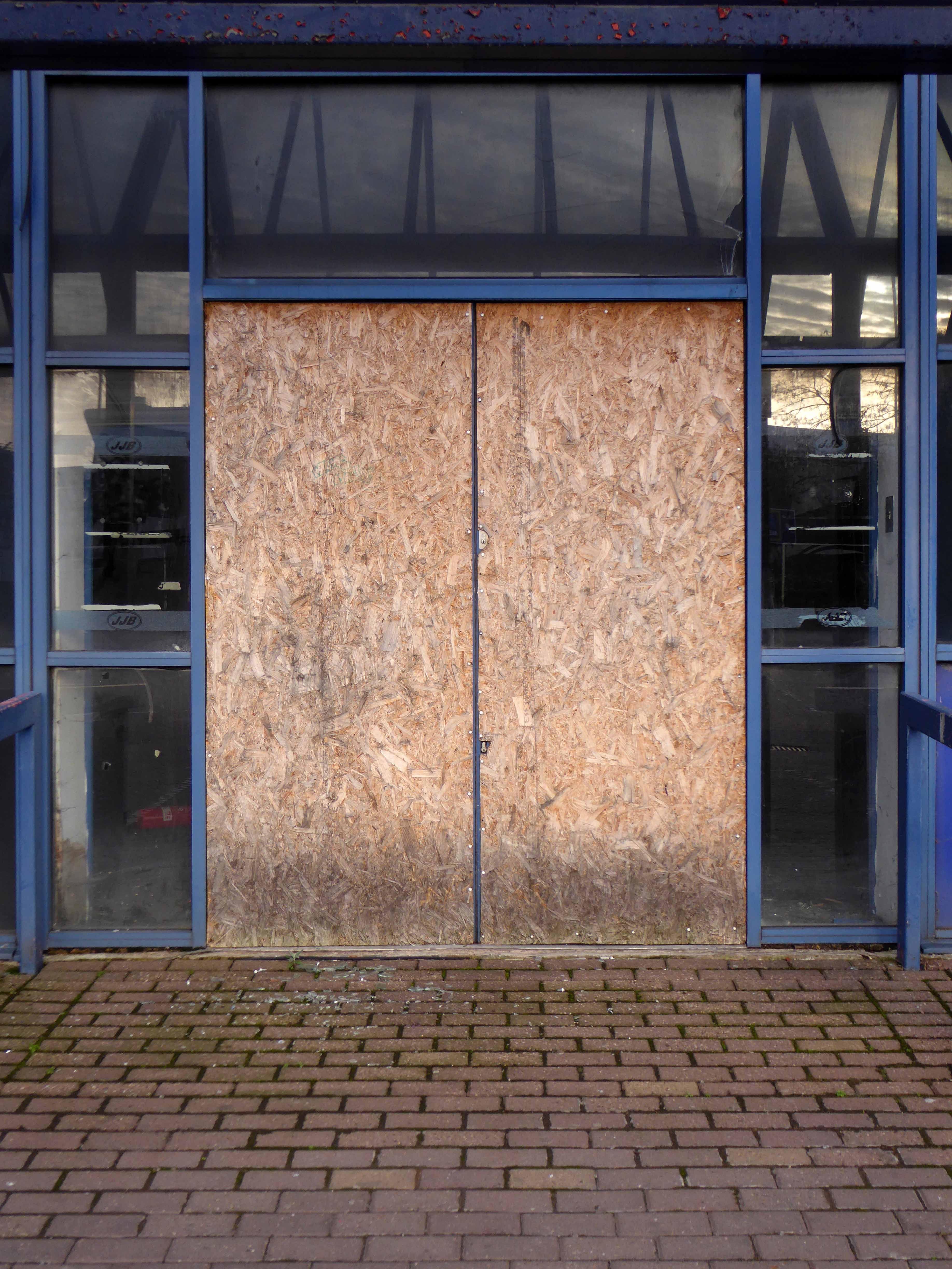
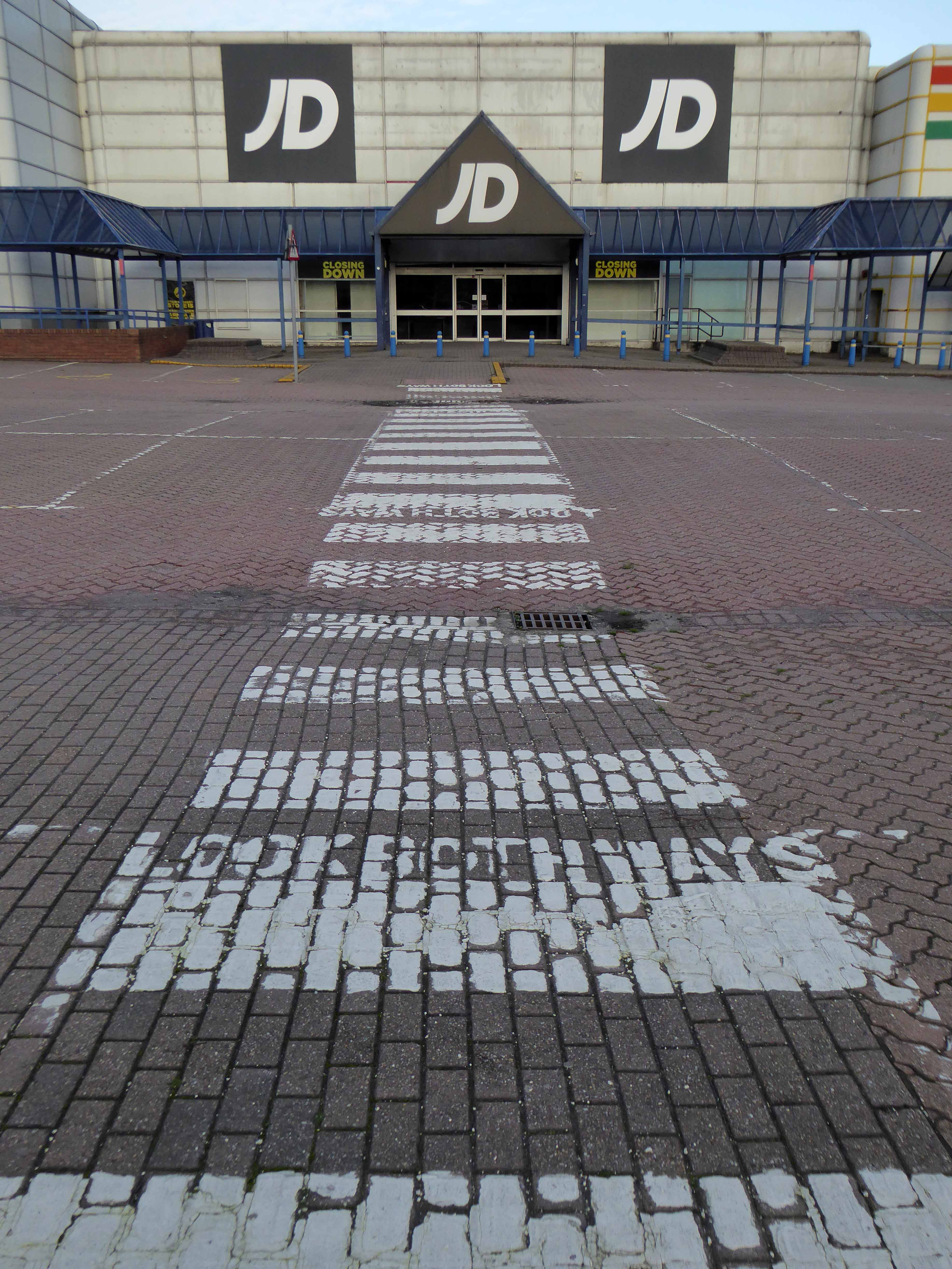
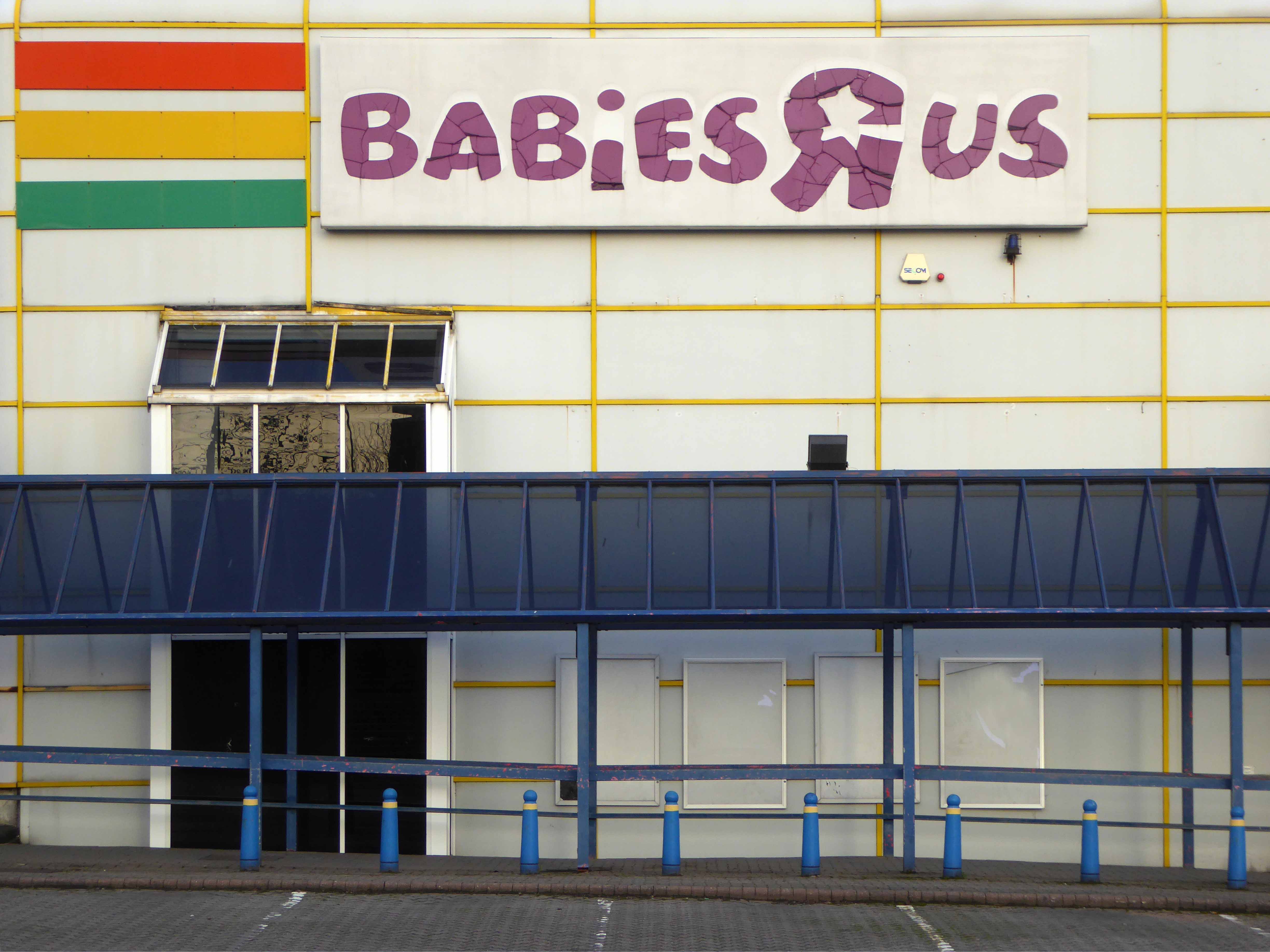
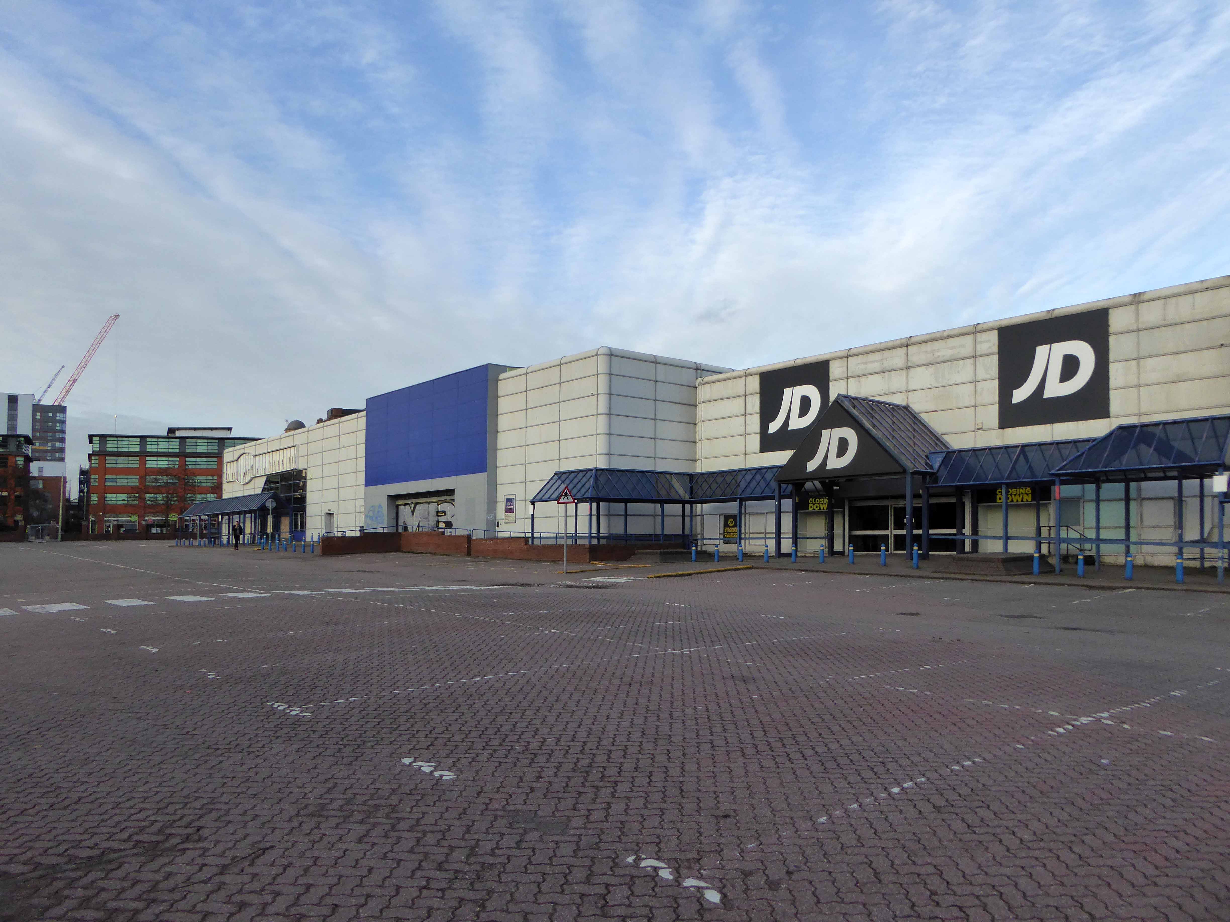
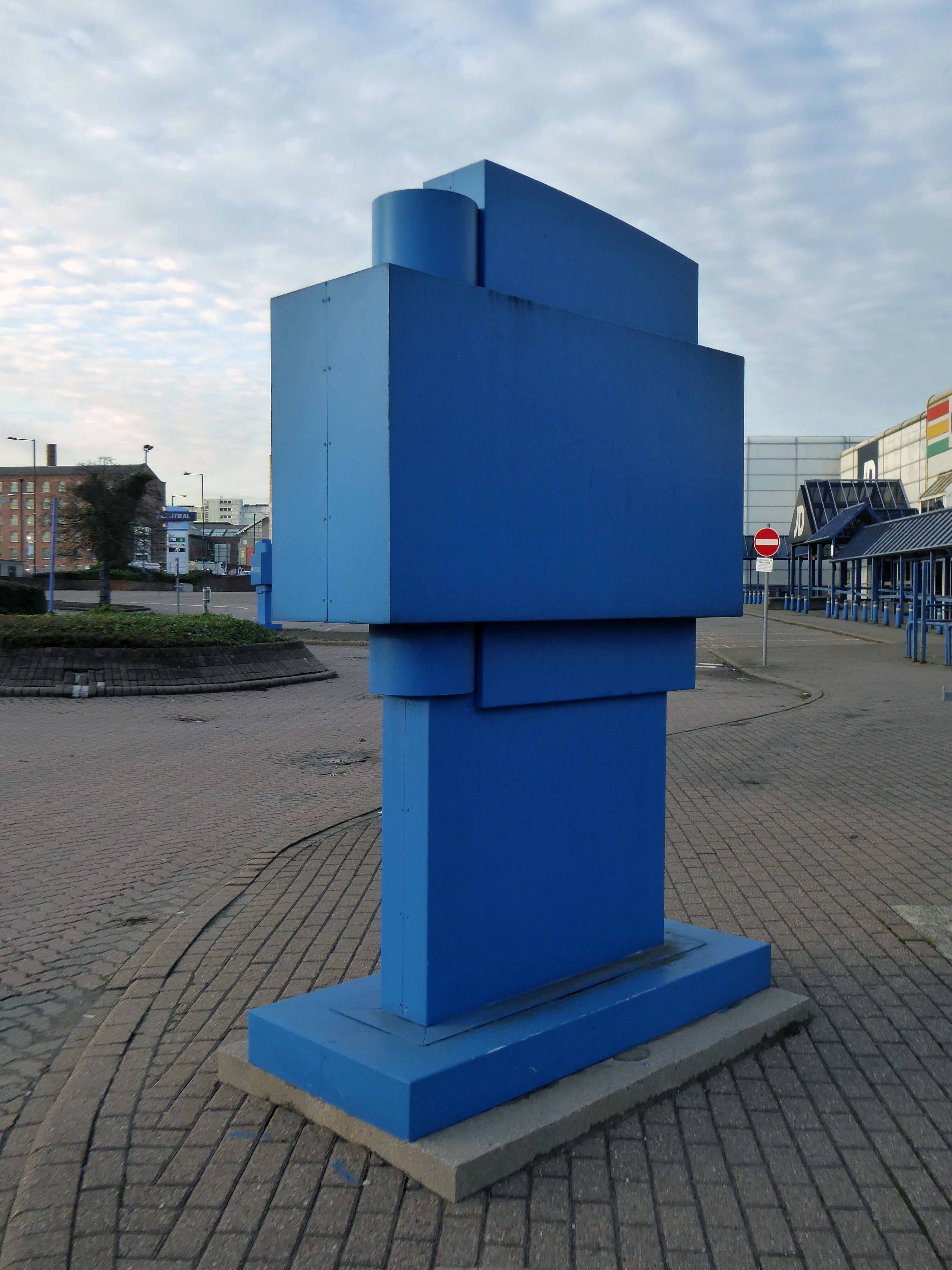
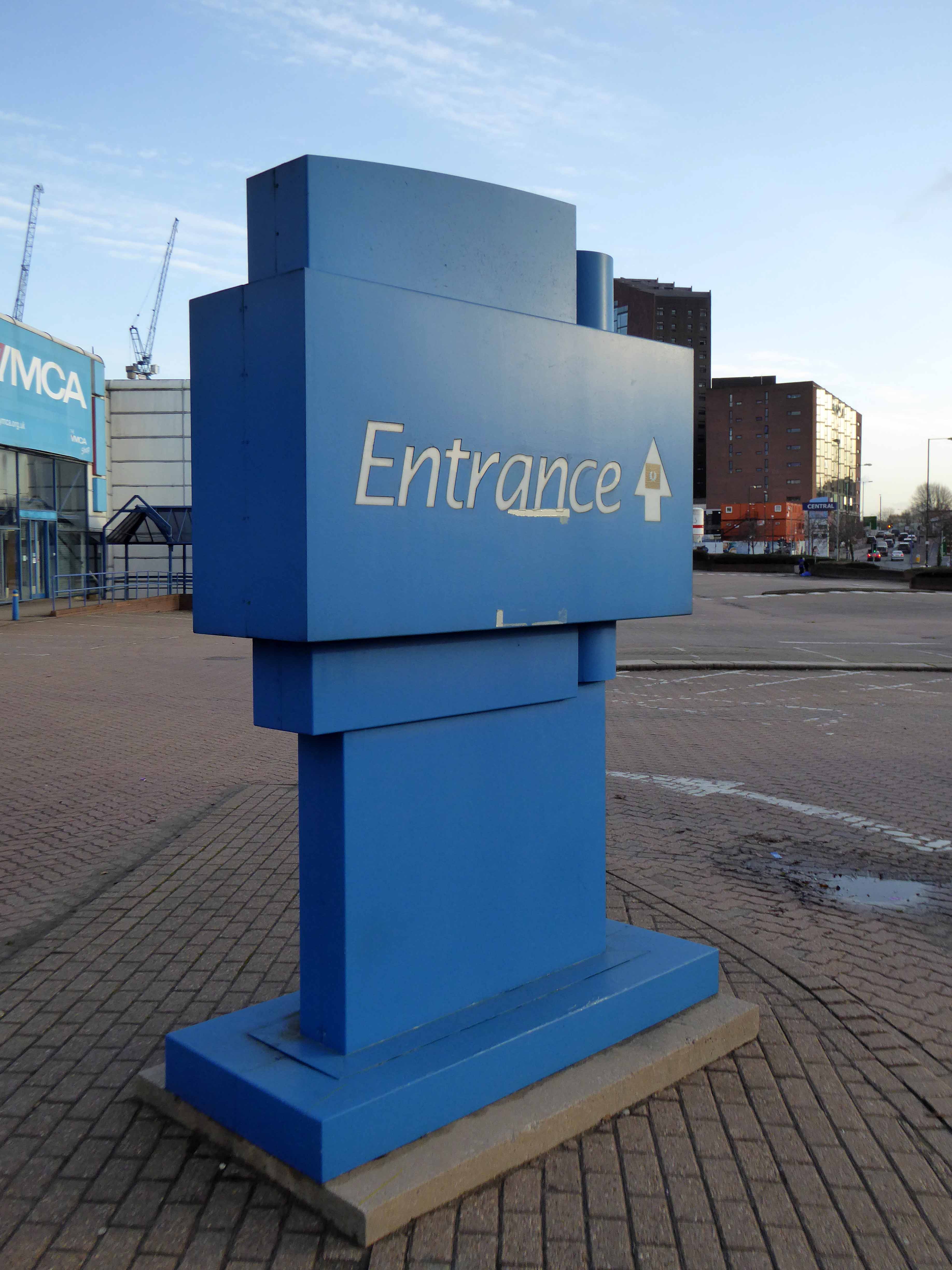
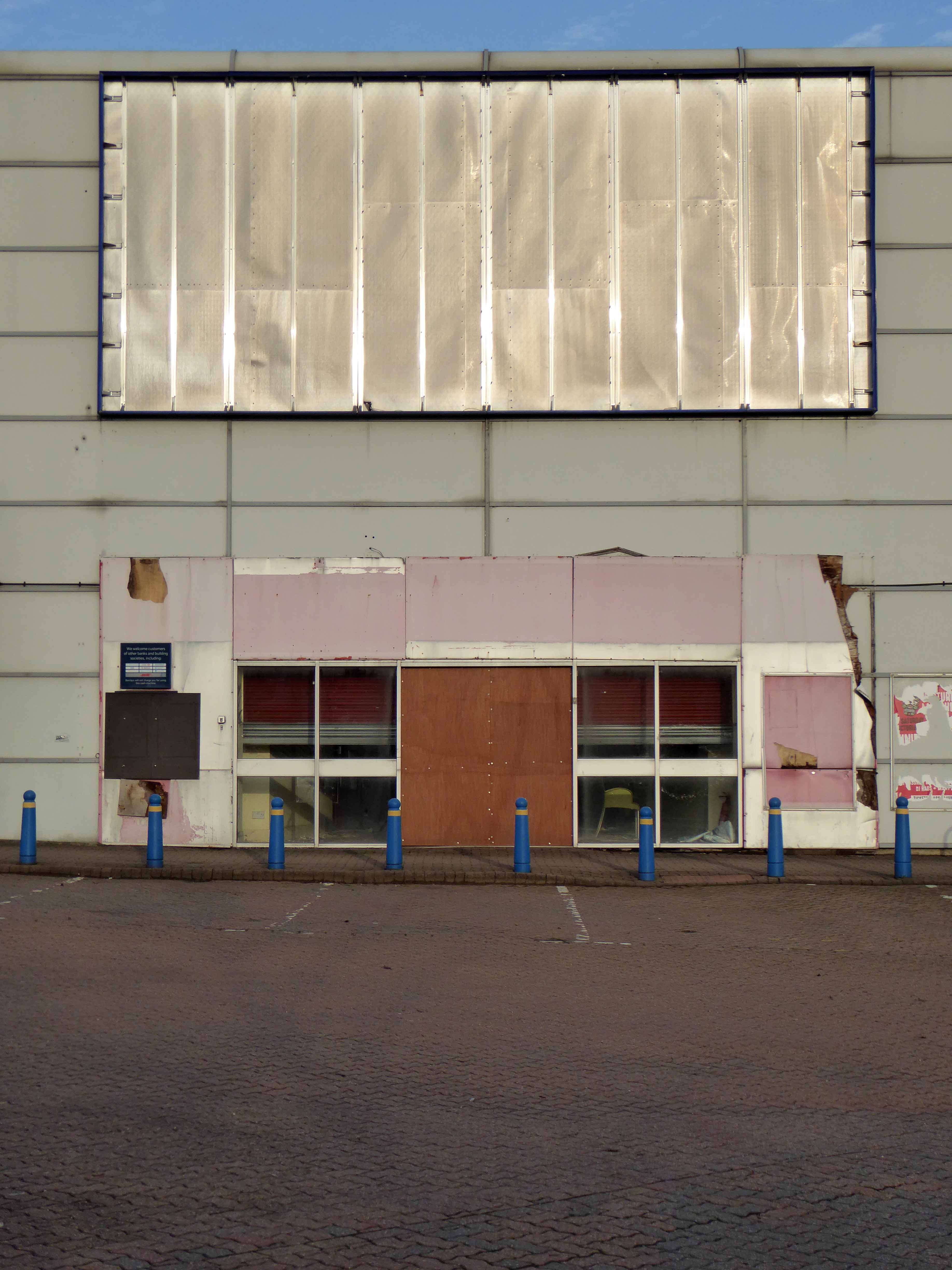
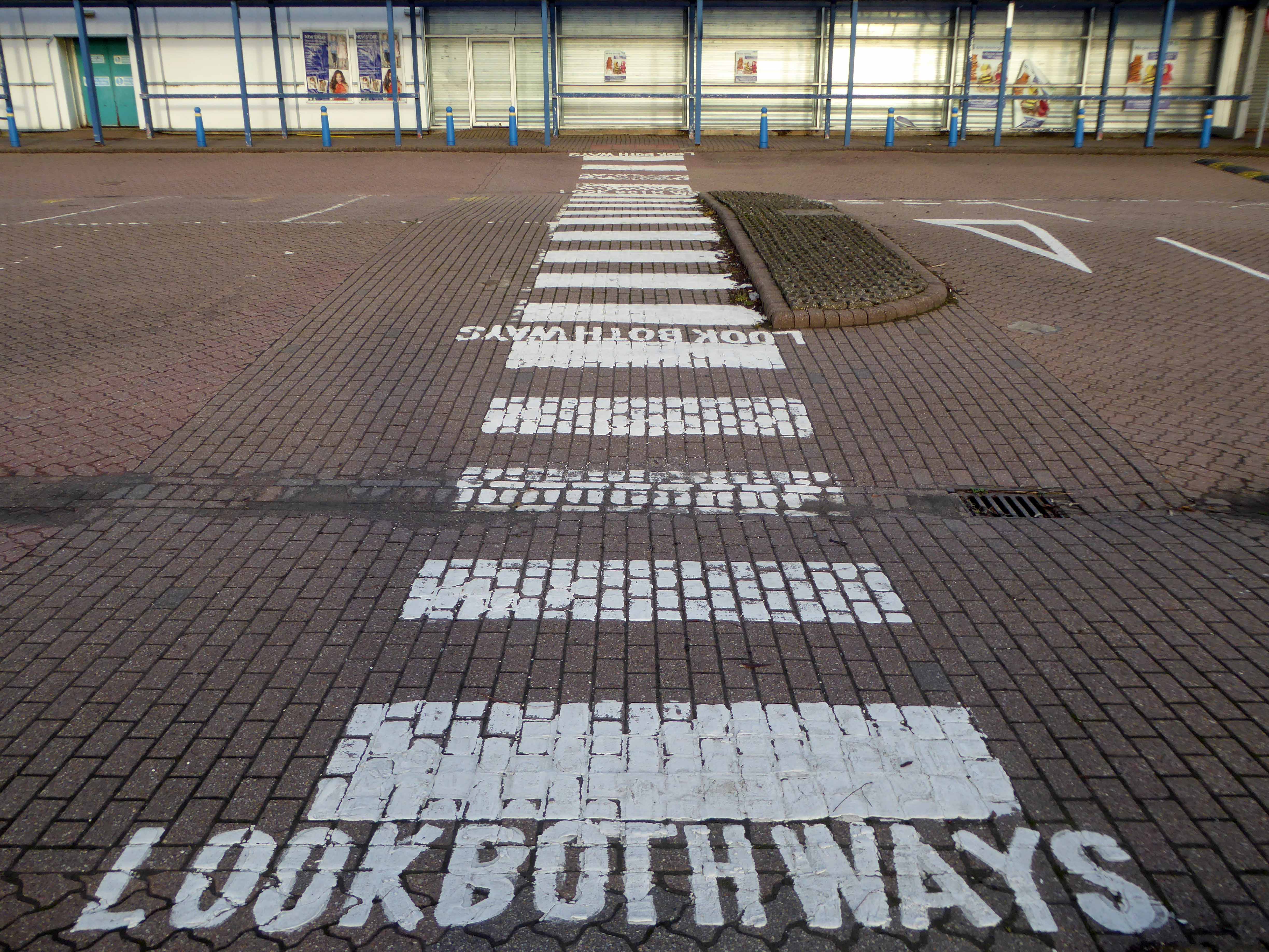
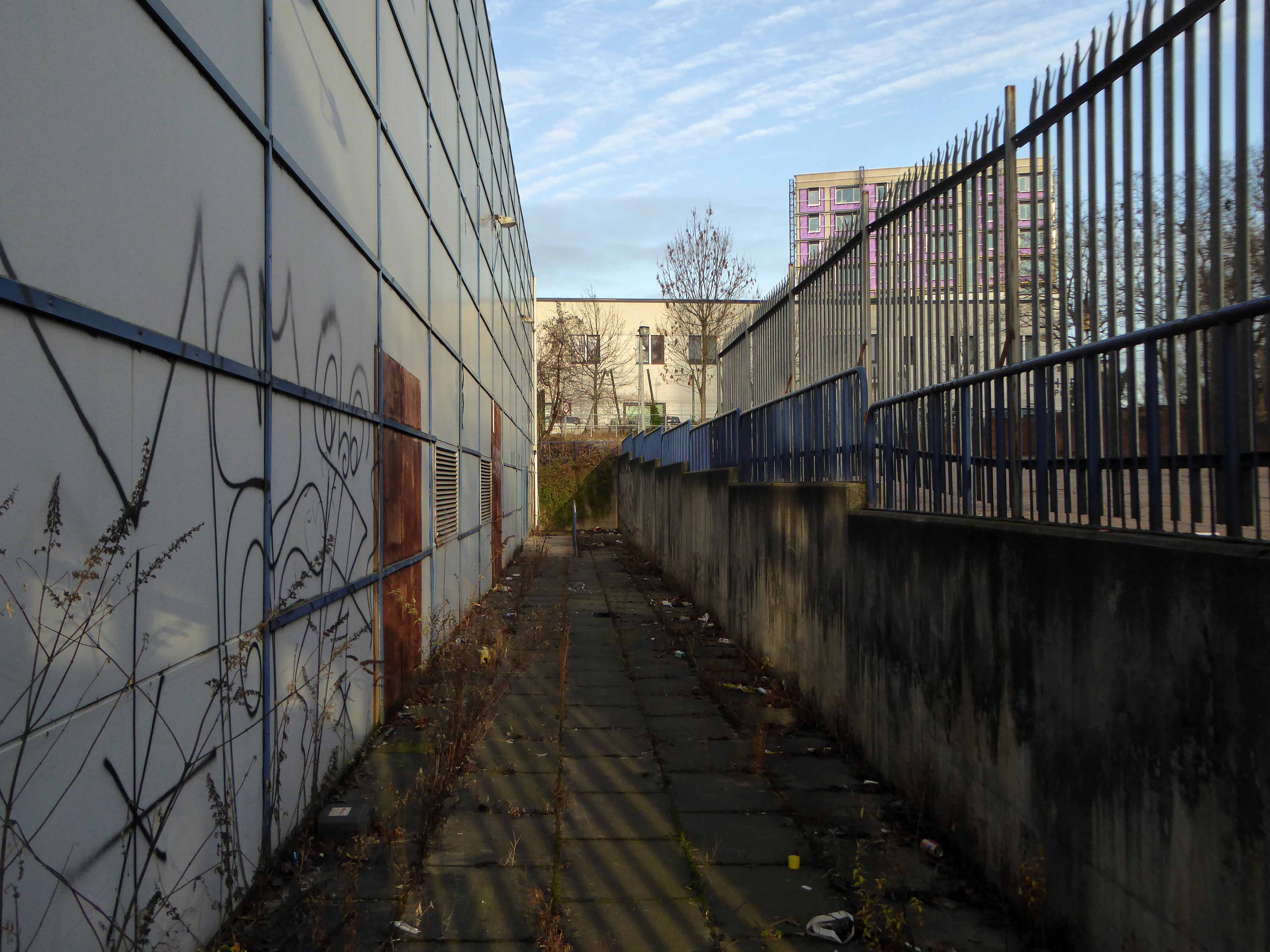
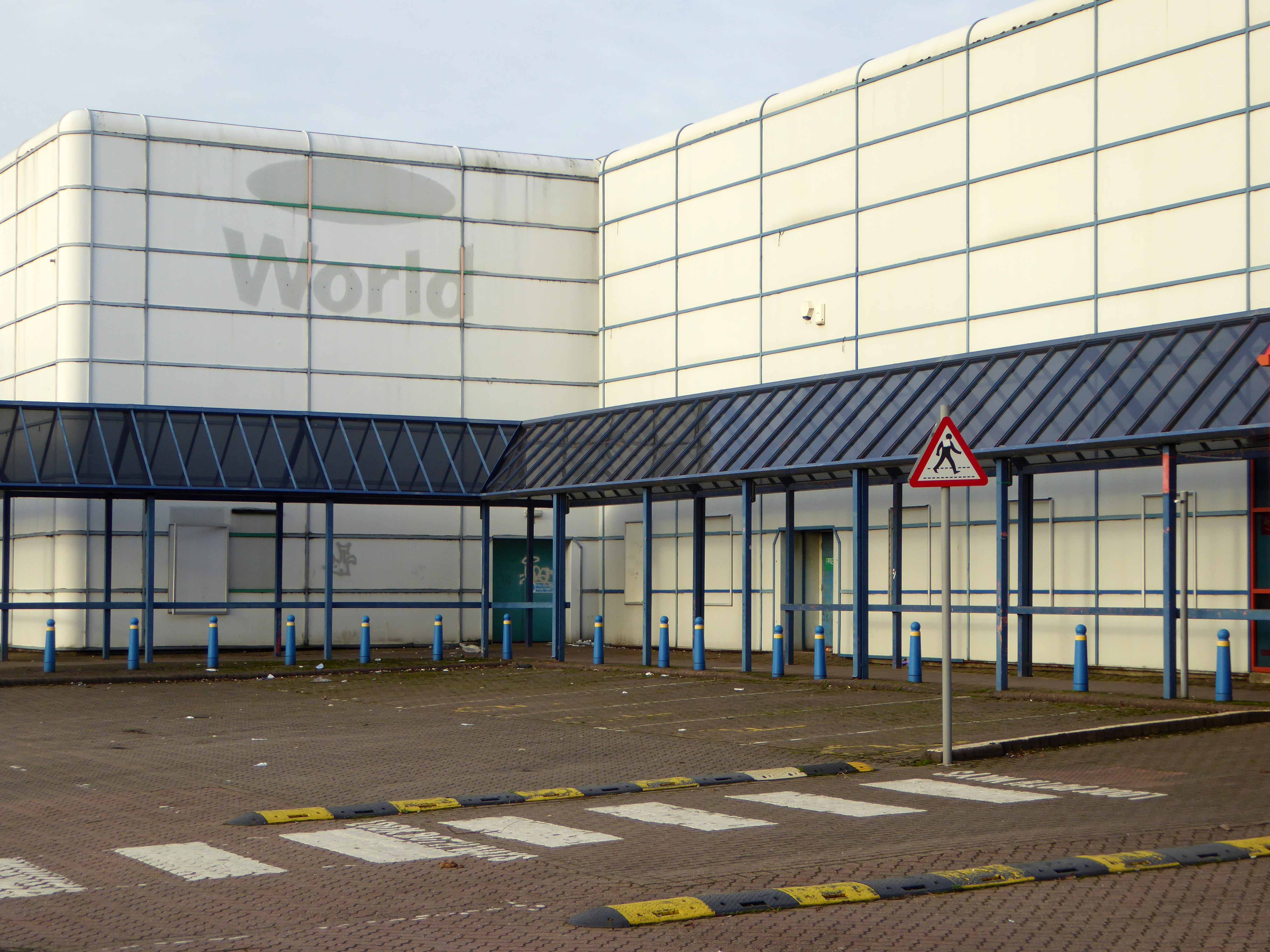
So the Central Retail park awaits its fate.

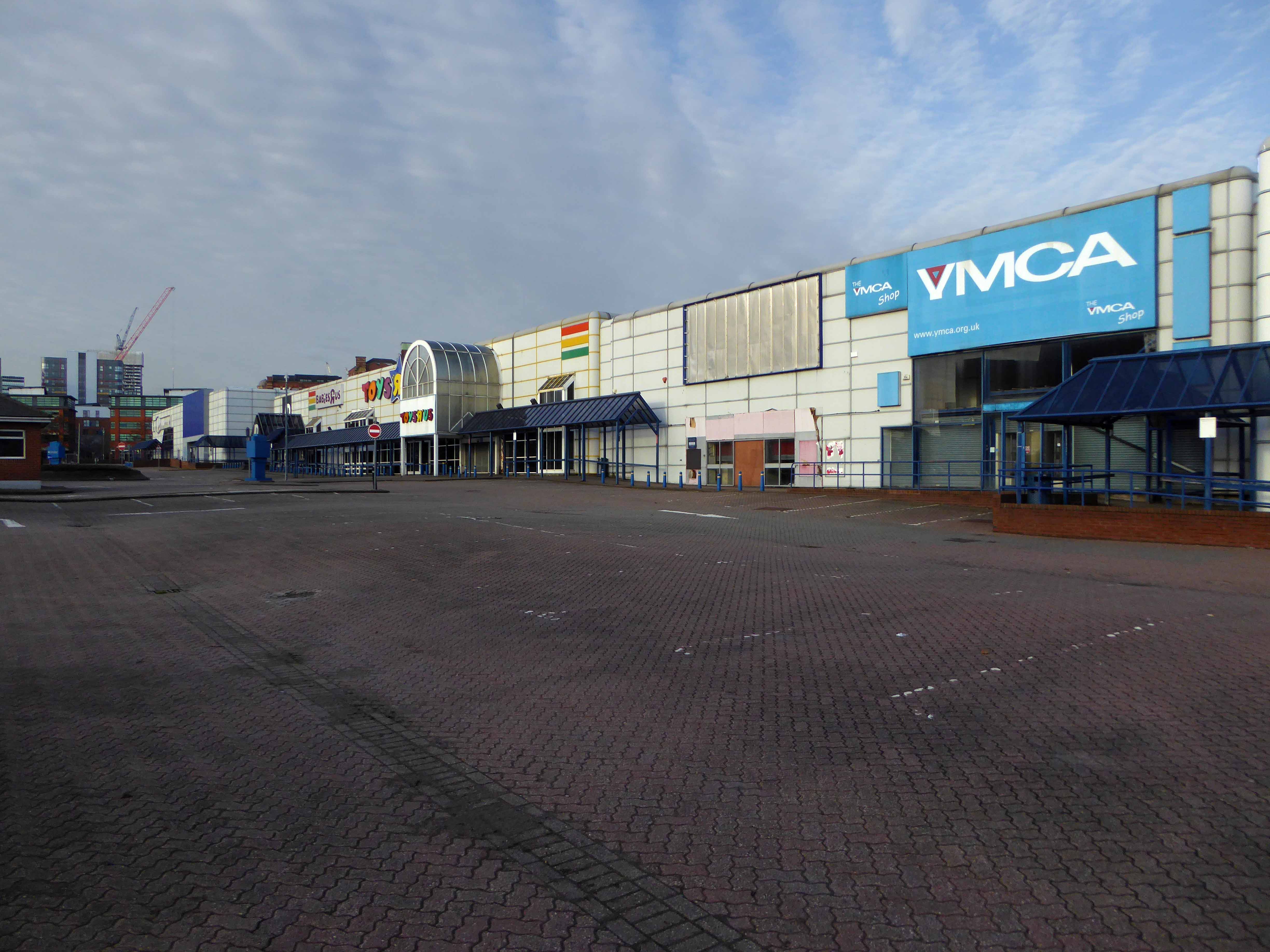
There was to have been another retail complex.

Henderson Global Investors, on behalf of its flagships £1 billion Retail Warehouse Fund, has received detailed planning permission for a food store led regeneration at Central Retail Park, Manchester, investing £40 million in the scheme.

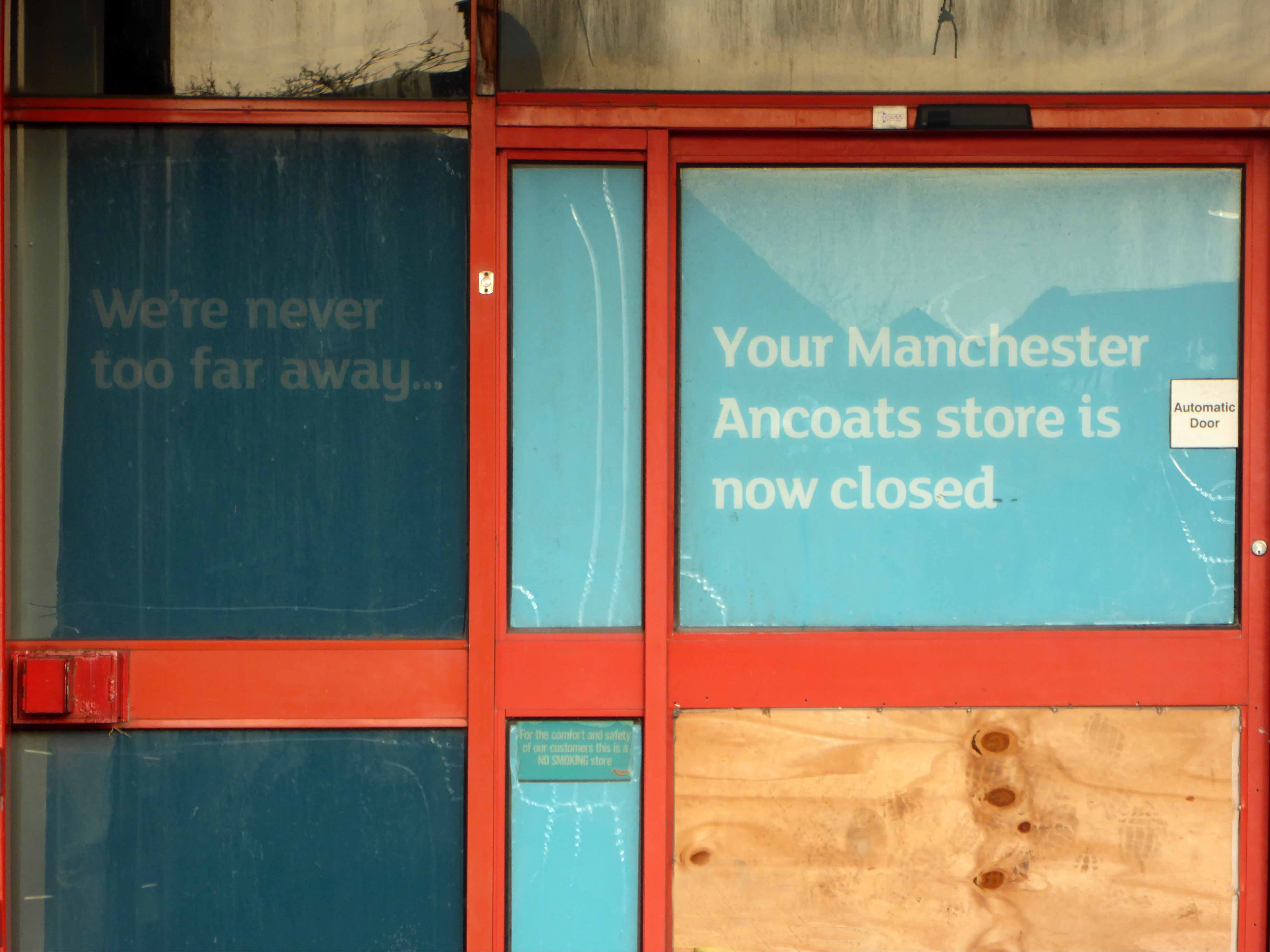
Though nothing lasts forever and the scheme came to nothing.

The latest proposal according to Place North West is for housing – with the attendant heated debate regarding affordable homes.

Of the 61 big residential developments granted planning permission by Manchester city council’s planning committee in 2016 and 2017, not one of the 14,667 planned flats or housesmet the government’s definition of affordable, being neither for social rent nor offered at 80% of the market rate.

Demolition of the former retail units would enable the development of the site by Manchester Life, the city’s joint venture with Abu Dhabi United Group. Previous site owner TH Real Estate, was unable to deliver the project, finally sold the Central Park site to the city council in November 2017.

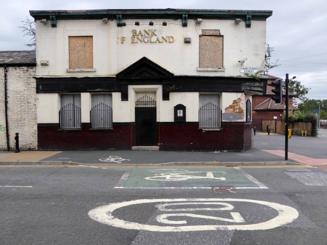
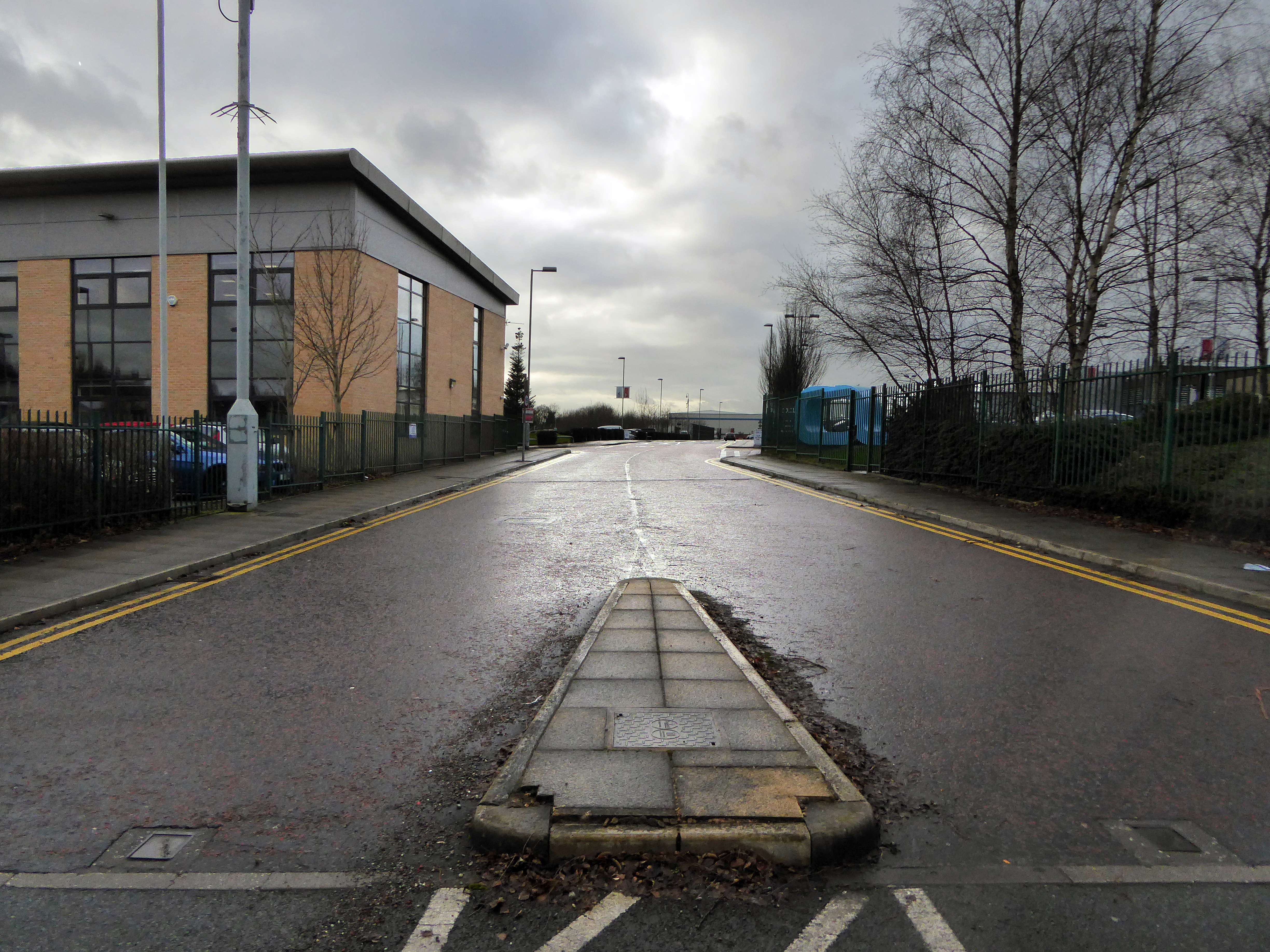
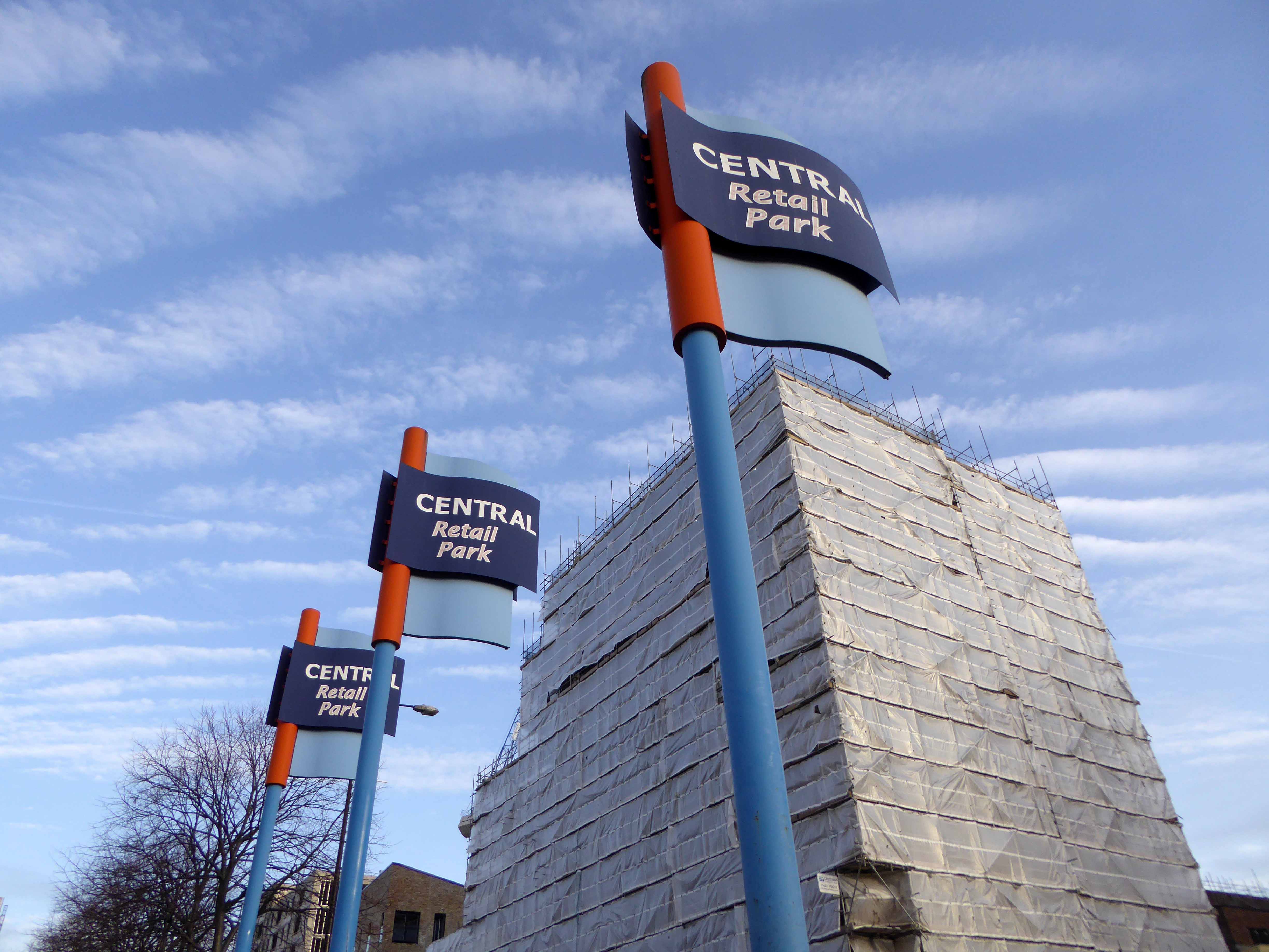
The long awaited development of the site on Manchester’s inner ring road has edged closer, with site notices posted declaring that demolition is to start on 20 August.

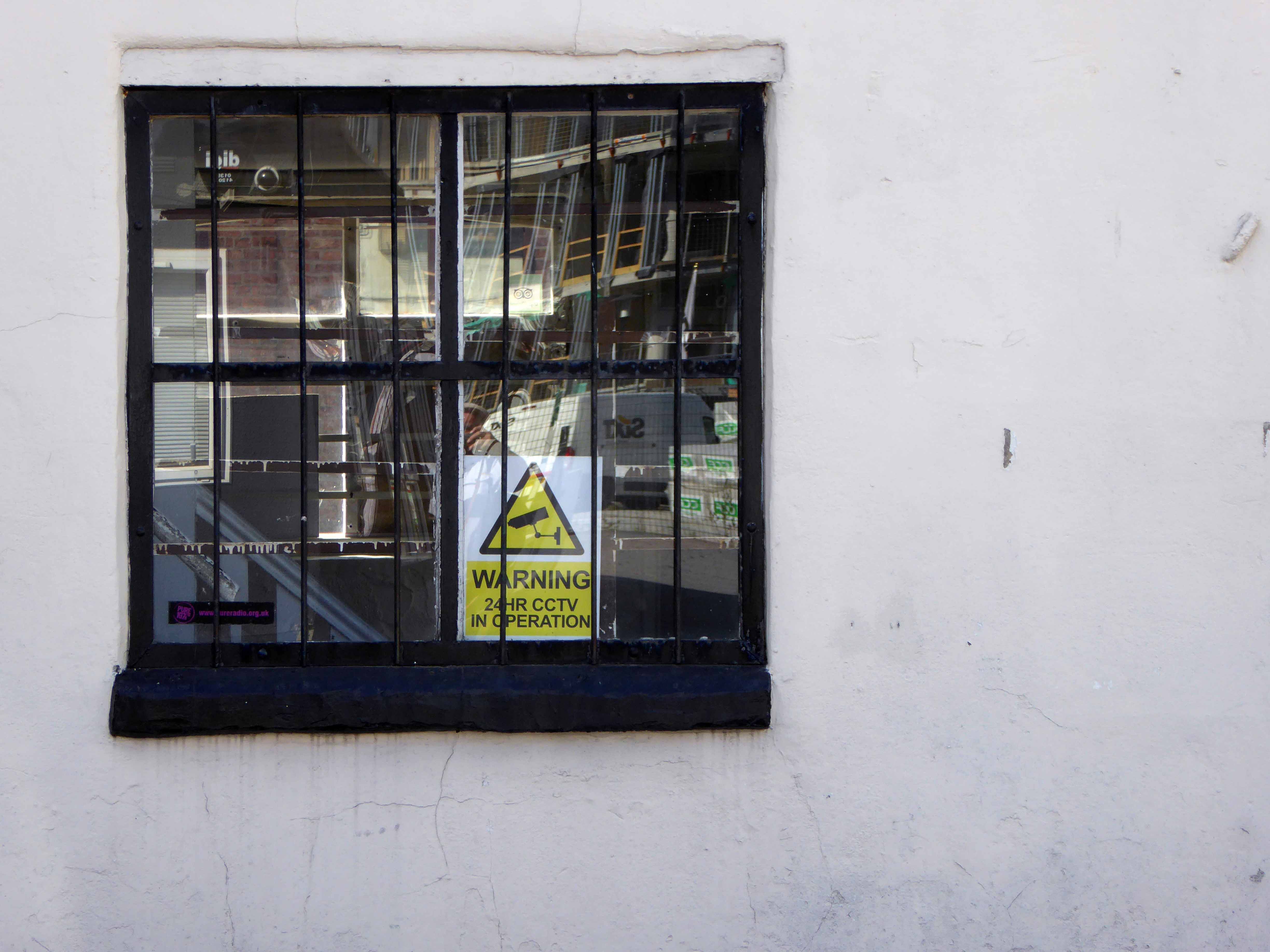
As of last week the lone security guard at home in his brick cabin informs me that demolition has been delayed by the discovery of asbestos on the site.

Watch this forlorn windswept wet space.

All Saints – Grosvenor Square Manchester

Once upon a time there was almost nothing, as there often is.

Green fields, sylvan glades and a pleasant park in Grosvenor Square.

1813

Then all of a sudden, at the heart of the Square sat All Saints Church.

Underneath Manchester’s All Saints Park is a hidden history – an estimated 16,000 bodies. For this was the site of a former Victorian Cemetery, set up to cater for the parishioners of All Saints.

webmedia-10.php

All Saints Burial Ground officially opened on Wednesday 19 April 1820. The first interment was that of twenty-one-year-old Fanny Knowles, who lived on London Road. Her funeral was conducted by the founder himself, Charles Burton. It would be another month before the next interment took place. In the first year burials were slow with only 55 interments, however, by 1851 the number had increased to over 600 per annum. 

Michala Hulme

webmedia-9.php

Bombed in the Blitz the damaged structure was demolished – and a play area established which lasted until the 1980s

MMU Visual Resources 

The whole area having been a centre of housing, education, entertainment, commerce, public services and worship, was becoming the fiefdom of first the Polytechnic and subsequently the Manchester Metropolitan University.

But formerly there were peoples’ homes here.

Then the 1960s saw a huge programme of slum clearance in Manchester and whole communities across the Square and nearby Hulme were moved, rehoused in a thoroughly modern milieu.

webmedia-3.php copy

webmedia-1.php copy

hulme-redevelopment-mid-1960s-c-mmu

Shops came and went.

webmedia-1.php

webmedia-6.php

Paulden’s magnificent store was destroyed by fire in 1957

webmedia-4.php

Rightons haberdashers has survived though no longer haberdashing, having been amalgamated into MMU.

One day On The Eight day moved a little to the left

webmedia-3.php

The Manchester Municipal School of Art was built in Cavendish Street in 1880–81 to the designs of G.T.Redmayne.

webmedia-7.php

The fascia has been retained but the name has not been changed to protect the innocent.

Next door the Chorlton on Medlock town hall still has its portico in place, the adjacent Adult Education building has been surgically removed.

webmedia-10.php

Richard Lane, the architect of the Friend’s Meeting House on Mount Street, designed the Chorlton-on-Medlock Town Hall on Grosvenor Street.  It continued in  that role from 1831 until 1838 when Chorlton-on-Medlock became part of the city of Manchester.  In the years that followed it was used by the local community for a variety of functions but the redevelopment of the area meant that the local population diminshed and the building became redundant.  In 1970, the interior was removed, a new structure added to the rear and it became part of the Polytechnic which became the Manchester Metropolitan University.

The Fifth Pan African Conference was held there between October 15th and 21st in 1945. Ninety delegates from across Africa, Europe and the Caribbean, attended the meeting and among the delegates were a number of men who went on to become political leaders in their countries including: Hastings Banda, Dr Kwame Nkrumah, Obafemi Awolowo and Jomo Kenyatta.

Manchester History

ormond 1972

Former Chorlton Poor Law Guardian’s HQ then Registry Office, now the Ormond Building of Metropolitan University – and at the far right edge St Augustine RC.

webmedia-3.php

webmedia-2.php

The Manchester Ear Hospital on Lower Ormond Street, shortly before being transferred to Manchester Royal Infirmary. Most of the building was demolished, but the facade retained as part of MMU’s Bellhouse Building.

To the right the Presbyterian Church.

webmedia.php

Cavendish Street School

Screenshot 2018-12-05 at 13.59.22

The memorial stone on the front of the school, laid on June 17th, 1908,  declared that it was the Forty Seventh Municipal School.  Strangely, it seems that it was called the Cavendish Street School despite the fact that it wasn’t on Cavendish Street.

Manchester History

It was subsequently utilised by the Polytechnic sculpture department – then demolished to make way for something else of an educational nature.

Some or all of our social and architectural history has been overwritten, lost or swept aside by the tide of history.

Though on a dark snowy night you can still make out the bright red corporation buses,  passing by in a dark cloud of diesel.

Room on top.

webmedia-5.php

Archive images Local Image Collection

Grey Mare – Longsight

Exeter Close/Warmington Drive Manchester Longsight M12 4AT

Once there was this.

Once there was that.

Then there wasn’t.

That’s just the way of it.

Screenshot 2018-11-12 at 12.57.23.png

A dense web of streets awash with back to backs, jobs for all – in conditions perceived to be unfit for purpose.

Of a total of 201,627 present dwellings in Manchester, some 54,700, or 27.1 per cent., are estimated to be unfit. A comparison of slum clearance action taken by six major local authorities, Manchester, Leeds, Birmingham, Liverpool, Sheffield and Bristol, shows that for the five years ending 30th June, 1965, Manchester was top of the league, both in compulsory purchase orders confirmed and the number of houses demolished or closed.

Manchester’s figures -13,151 houses demolished or closed .

Alfred Morris MP Hansard
webmedia-6.php

Along came a wrecking ball and left the pub bereft

webmedia-3.php

The original Grey Mare on Grey Street

Whenever mass slum clearance was carried out, the pubs tended to remain, often for just a short time  because – the story goes – demolition workers refused to touch them, as they wanted somewhere to drink during and after their shift.

webmedia.php

Then along came the cavalry – the bold boys from Fort Ardwick – Coverdale Crescent Estate

webmedia-1.php

A new dawn – and a new pub.

This vision of municipal modernity was short lived, the estate was demolished in the 1980s and the new Coverdale Estate was constructed on the site in 1994.

Screenshot 2018-11-12 at 13.30.46

Image – Pubs Galore

Built in 1972 the pub outlived the system built blocks that surrounded it.

Screenshot 2018-11-12 at 12.57.53

Another new gold dream, another day.

DSC_0066

Despite the high hopes embodied by the low rise rebuilding of the new estate.

The Grey Mare shuts its doors – forever.

DSC_0039

DSC_0040


DSC_0042

DSC_0043

DSC_0044

DSC_0046

DSC_0047

DSC_0048

DSC_0049

DSC_0050

DSC_0051

DSC_0053

DSC_0054

DSC_0056

DSC_0057

DSC_0058

DSC_0059

DSC_0061

DSC_0062

DSC_0063


Type Travel – Manchester

This is a journey through time and space by bicycle, around the rugged, ragged streets of East Manchester.

Undertaken on Sunday September 2nd 2018.

This is type travel – the search for words and their meanings in an ever changing world.

map

Hyde Road

P1280955
P1280956

The Star Inn – former Wilsons pub

Devonshire Street North

P1280961

Former Ardwick Cemetery

P1280962

Great Universal Stores former mail order giant

Palmerston Street

P1280979

The River Inn abandoned pub

Every Street

P1290001

All Souls Church – listed yet unloved

Pollard Street East

P1290008.jpg
Screen Shot 2018-09-04 at 08.37.57

The Bank Of England abandoned pub

P1290020

Ancoats Works former engineering company

Cambrian Street

P1290024.jpg

The Lunchbox Café Holt Town

Upper Helena Street

P1290028

The last remnants of industrial activity

Bradford Road

P1290046

Brunswick Mill

P1290048

The little that remains of Raffles Mill

P1290052

Old Mill Street

P1290054

Ancoats Dispensary loved listed and still awaiting resuscitation

P1290056.jpg

New life New Islington

Redhill Street

P1290057

Former industrial powerhouse currently contemporary living space

Henry Street

P1290063

King George VI and Queen Elizabeth passed by in 1942

Jersey Street

P1290064

Former School the stone plaque applied to a newer building

Gun Street

P1290065

The last of the few Blossom Motors

Addington Street

P1290067
P1290069

Former fruit merchants – refurbished and home to the SLG creative agency

Marshall Street and Goulden Street area

P1290070
P1290071
P1290073
P1290081
P1290086
P1290087

The last remnants of the rag trade

Former bed spring manufacturer – latterly became the County Archive.

Sudell Street

P1290089
P1290090

All that’s left of Alexandra Place

P1290092

Entrance to the former Goods Yard

Back St Georges Road

P1290096

Sharp Street

P1290099
P1290100

Simpson Street

P1290101

Where once the CWS loomed large

Charter Street

P1290102
P1290107

Ragged but right

Aspin Lane

P1290109
P1290117

Angel Meadow 

Corporation Street

P1290118

Rochdale Road – Manchester

Each and every time I wandered by, I wondered.

The whys and wherefores of your seemingly unknowable comings and goings.

Standing alone, aloof and unloved on the corner of Rochdale Road and Sudell Street.

Something was missing.

I was missing something.

1813

In 1813 there’s a field

1836

In 1836 something’s there, but not it’s you.

Yet.

1900

By 1900 the days of the two up, two downs are numbered – sanitary dwellings are the order of the day, plans are drawn up, the local council have decreed that workers dwellings are to be built.

webmedia-2.php

1905

1912

1932

back 38

Local Image Collection

Known as Alexandra Place or The Dwellings.

You must have been home to many too many to recall, then you were gone again.

Save for one old triangle, refusing to jingle jangle to the modern dance.

I do not know what fate awaits you, I only know you must be strong.

A change is gonna come.

P1290088 copy

P1290089 copy

P1290090 copy

P1290357

P1290358

P1290359

P1290360


P1290362

P1290363

P1290364

P1290365

P1290366

P1290367

P1290368


Church of St Mark – Chadderton

Life is full of little surprises, to turn from Middleton Road into Milne Street in downtown Chadderton and discover a triangular, blue-grey brick tower soaring into the September sky.

So solid geometries pierced by rectangular, triangular and angular gridded windows, deservedly Grade II Listed in 1998, made all the more extraordinary by its seemingly ordinary surroundings.

The interior mixes tradition with modernity, reusing pews and fragments of stained glass. Restrained natural lighting, complemented by slatted wooden, almost oriental boxed light shades. The furniture, fixtures and fittings bringing together a coherent decorative order.

The whole an uplifting and embracing space, punctuated by the curved y-shaped wooden supports, rising to the timber framed roof structure.

It was a pleasure to meet the current incumbent Father Stephen and a privilege to spend some time exploring this altogether delightful and impressive church.

Thank you.

I suggest that you do the same.

Contact details and location.

G.G. Pace 1960-63 – Blue engineering brick; graduated slate to pitched roofs – low pitched to church and entrance and steeply pitched to tower. Concrete dressings around windows. Five sided aisled space, three walls being orthoganal and the liturgical north side being canted outwards to provide room for the choir. Entrance with narthex to west and west also is a small rectangular chapel. Corner site, the corner itself dominated by a low rectangular brick tower with a high gabled roof. Four bay nave, the bays separated by buttresses and with rectangular windows set in varying groups high in the wall. West wall of nave is visible, and secondary glazing has been sensitively installed over the west window between the western buttresses. Thick exposed board-marked concrete beam at eaves. On return elevation, tower is flush with small chapel, with irregular groups of rectangular windows to both. Rectangular leaded lights. Recessed entrance with two doors of timber and leaded-glazing in vertical strips. Liturgical north and south faces of the tower each has a stack of 14 small pointed louvres. Jutting gutter spouts in exposed board-marked concrete.

Internally the bays are divided by three pairs of varnished laminated timber `y’ shaped supports and trusses, supporting timber trussed purlins (with prominent bolts) and timber rafters. Walls are white-painted brick with exposed board-marked concrete bands, which act as bonding strips between brick piers and as lintels for windows. Original altar of limed timber with four pairs of legs, is in original position, set forward from the east wall. Sanctuary raised by two steps. Limed timber pulpit, also chunky and so is altar rail with thick black metal supports and thick limed timber handrail. Priest’s chair to match, against east wall. Black metal crucifix also in characteristic Pace manner. Stone sedilia built into the north and south walls of the sanctuary. East window with stained glass which comprises broken and reset fragments of nineteenth-century glass. Font sited in central aisle towards the west end; this is of tooled cream stone, the bowl comprising a monolithic cylinder, flanked by a smaller cylinder which rises higher and has a prominent spout. Elaborate font cover in roughly textured cast aluminium, rising to flame-like pinnacles. Reused nineteenth-century benches, painted semi-matt black. Narthex and west chapel with limed timber doors, which have decorative nail-heads in rows. West chapel has open truss timber roof, painted white. Sanctuary light and cross are characteristic of Pace’s style.

A fine example of Pace’s idiosyncratic manner, this church shows the influence of the Liturgical Movement, especially in the forward placement of the altar.

British Listed Buildings

A fine companion to Pace’s William Temple Church in Wythenshawe.

P1290252

P1290256


P1290258

P1290260


P1290266

P1290267

P1290270

P1290275

P1290277

P1290280

P1290281

P1290283

P1290284

P1290286

P1290287

P1290288

P1290289

P1290290

P1290294

P1290299

P1290306

P1290309

P1290311

P1290314

Lady Chapel

P1290321

P1290323

P1290326

P1290329


The Bank Of England – Manchester

Standing stately on the corner of Carruthers and Pollard Street, safe as houses.

As safe as the houses that are no longer there, along with the other public houses, along with the jobs, along with the punters – all long gone, it’s a long story.

Look out!

Mind that tram, full of the boys and girls in blue, off to shriek at a Sheikh’s shrine.

The Bank of England was one of Ancoats’ first beerhouses, licensed from 1830 and ten years later it was fully licensed with attached brewhouse.  The brewery did well, in fact it had another tied house, the Kings Arms near Miles Platting station nearby.  The brewery was sold off in the 1860s but continued as a separate business for a few years.

Pubs of Manchester

Bank of Enland 30s

Ancoats, the core of the first industrial city, a dense cornucopia of homes, mills and cholera – its citizens said to find respite from disease, through the consumption of locally brewed beer.

Once home to a plethora of pubs, now something of a dull desert for the thirsty worker, though workers, thirsty or otherwise are something of a rarity in the area.

One worker went missing, some twenty years ago Martin Joyce was last seen on the site, the pub grounds were excavated – nothing was found.

JS101647765

Manchester Evening News

When last open it was far from loved and found little favour amongst the fickle footy fans.

Screen Shot 2018-09-03 at 14.14.03

To the north a tidal wave of merchant bankers, to the east redundant industry.

The Bank of England has gone west.

So clean the mills and factories 

And give me council houses too

And work that isn’t turning tricks

Like building homes and making bricks.

Danny Moran

P1290007

P1290009

P1290010

P1290011

P1290012

P1290013

P1290014

P1290015

P1290016

P1290017

P1290018

P1290019


Eva Brothers – Clayton Manchester

Eva Brothers of Crabtree Forge, Crabtree Lane, Clayton, Manchester.

Im1960Ry-Eva

1909  The partnership of James Eva, Archibald William Eva, Victor Eva, Arthur Eva, and Frank Eva, carrying on business as Forge-masters, at Crabtree-lane, Clayton, Manchester, under the style or firm of Eva Bothers was ended. All debts due would be settled by Archibald William Eva, Victor Eva, Arthur Eva, and Frank Eva, who continued the business under the same style.

By 1953 The EVA group of companies was the largest edge tool makers in the world, exporting most of their products. The associated companies included: Chillington Tool Co, Edward Elwell Limited of Wednesbury, A. W. Wills and Son Limited of Birmingham, John Yates and Co Limited of Birmingham, and the Phoenix Shovel Co Limited of Cradley Heath.

1958 Acquired T. Williams Drop forgings and Tools of Small Heath, Birmingham

1959 Planned to convert into a holding company; depressed demand for heavy engineering but continued group prosperity were anticipated.

1960 Eva Brothers paid dividends and made scrip issue; changed the name to Eva Industries as the holding company.

1976: Eva Brothers continued to be a part of Eva Industries.

Graces Guide – for further information.

P1270879

This is where Manchester’s prosperity was created, engineering along with King Cotton, formed the financial foundations of the city. These industries are now all but vanished, along with the communities and skills that created them, work and wealth are elsewhere.

Years of free-market economics, acquisition, asset stripping, amalgamation and monopoly have bequeathed a legacy of loss.

Once bustling and business like sheds and yards, are now forests of buddleia and bramble. The sound of metal on metal, but a dull memory, amidst the wilder side of wildlife and the gentle whisper of peeling paint.

Come with me now to the Kingdom of Rust.

P1270883

P1270882

P1270881

P1270880

DSC_0091

DSC_0086

DSC_0083

DSC_0080

DSC_0079

DSC_0072

DSC_0070

DSC_0066

DSC_0061

DSC_0060

DSC_0058

DSC_0057

DSC_0050

DSC_0056

DSC_0053

DSC_0051

DSC_0047

DSC_0045

DSC_0041

DSC_0040

DSC_0037

DSC_0035

DSC_0033

DSC_0032

DSC_0029

DSC_0028

DSC_0026

DSC_0025

DSC_0022

DSC_0021

DSC_0020

On The Waterfront – Llandudno

A welwyd eisoes.

I’ve been here before, as have others before me.

The town of Llandudno developed from Stone Age, Bronze Age and Iron Age settlements over many hundreds of years on the slopes of the limestone headland, known to seafarers as the Great Orme and to landsmen as the Creuddyn Peninsula.

Some years later.

In 1848, Owen Williams, an architect and surveyor from Liverpool, presented landowner Lord Mostyn with plans to develop the marshlands behind Llandudno Bay as a holiday resort. These were enthusiastically pursued by Lord Mostyn. The influence of the Mostyn Estate and its agents over the years was paramount in the development of Llandudno, especially after the appointment of George Felton as surveyor and architect in 1857.

4358C48B00000578-0-image-m-113_1503056487584

The edge of the bay is marked by concrete steps and a broad promenade, edging a pebbled beach which arcs from Orme to Orme.

Walk with me now and mark the remarkable shelters, paddling pools and bandstand screens, along with the smattering of people that people the promenade.

P1270521

P1270522

P1270445

P1270447

P1270448

P1270449

P1270450

P1270453

P1270456

P1270458 1

P1270460 1

P1270461

P1270463

P1270465

P1270466

P1270467

P1270469

P1270470

P1270471

P1270473

P1270476

P1270477

P1270481

P1270482

P1270484

P1270485

Mitzi Cunliffe – Owen’s Park Manchester

Mitzi Solomon Cunliffe January 1st 1918  December 30th 2006

American born, resident of Didsbury Manchester, sculptor and designer, responsible for, amongst other things, the BAFTA mask.

Mitzi_Cunliffe_Design

Her first large scale commission was two pieces for the Festival of Britain in 1951. One, known as Root Bodied Forth, shows figures emerging from a tree, and was displayed at the entrance of the Festival. The second, a pair of bronze handles in the form of hands, adorned the Regatta Restaurant. She created a similar piece, in the form of knots, in 1952 which remains at the School of Civic Design at Liverpool University, along with The Quickening in the rear courtyard.

p1090554

p1090555-copy

Cunliffe developed a technique for mass-producing abstract designs in relief in concrete, as architectural decoration, which she described as sculpture by the yard. She used the technique to decorate buildings throughout the UK, but particularly in and around Manchester.

d9d483ddd467272577443b6391e5a66a

Particularly this example of four modular panels named Cosmos, set in the wall of the student halls of residence in Owens Park, Fallowfield, Manchester.

P1270299

P1270300

P1270302

P1270303

P1270304

P1270306

P1270307

P1270308

P1270309

P1270310

P1270311

P1270312

P1270313

P1270314

P1270315

P1270316

P1270317

P1270318

P1270321

P1270322

P1270323

P1270324

P1270325


Linda’s Pantry – Manchester

Turn off London Road and into Ducie Street, it’s just around the corner from Piccadilly Station.

Enter a world of warehouses, homes and industry.

webmedia-1.php

webmedia-4.php

webmedia-1.php

webmedia-3.php

webmedia-2.php

Return some fifty years later and you’ll find a café on the corner.

Screen Shot 2018-07-09 at 19.55.53

Return last Saturday you’ll find that it’s gone.

P1270029

No more of this.

b872c05fb8251eb973cf30b3cee7e421


Top class scran at prices to suit all pockets.

EGP_MEN_LindasPantry_201017_007JPG

Linda and her crew have packed up the pans and scrammed.

Read all about it – Manchester Evening News

The face of the city changes, as one by one faces and places disappear, new build and mass tourism making ever new demands on space.

The rag trade is in tatters and the tatters are long gone.

It would seem that there is no place for the traditional café or its customers.

So thank you and goodnight, the last pie, chips and gravy has left the counter.

Shut the door and turn out the lights.

P1270025

P1270027

P1270028

P1270033

P1270034

P1270035

P1270038

P1270039

P1270042

P1270044

P1270048

P1270051

P1270052


William Temple Church – Wythenshawe

The Anglican Church of William Temple was opened in 1965 on the corner of Robinswood Road and Simonsway as the church of the Civic Centre. The mission was already well-established, having begun many years previously in Shadow Moss School Room, latterly operating in a dual-purpose building on Simonsway. The architect, George Pace, agreed with the proviso that he should not design a ‘pseudo’ building, but that it should be modern in concept. This he did and particular attention was paid to the acoustics with a view to music and drama being performed there. One of Pace’s stipulations was that, as with all the churches he designed, there must be no plaques attached to the walls commemorating the dedication of the church or in memory of anyone, for he said he built his churches to the Glory of God. The only lettered stone is on the back wall of the church and it has on it the date of the consecration and a symbol, which is Pace’s original sign for William Temple Church.

The internal supports of the church are black-painted steel girders, not romantically symbolising the industry of the area, as it is sometimes said, but because when it was discovered that the church had been built on swampy ground an extra £2,000 was needed for foundations; the wooden beams of the original design had to be changed for cheaper steel ones. There is symbolism, however, in the placing of the font between and beneath the three main weight-bearing supports of the church.

The pews have an interesting history, having been brought from derelict churches in and around Manchester. The present lady churchwarden said:

“whenever we heard of a church being demolished we borrowed Mr. Owen’s coal cart and went off to see if we could buy any of the pews. Many times I’ve sat on the back of the wagon, in the pouring rain, with the pews, bringing them back to Wythenshawe to be stored until our church building was completed!”

Some time after the building was opened a fire damaged some of the pews. With the insurance money all the pews were stripped and bleached, giving an element of uniformity and a bright welcoming atmosphere in the church generally. An interesting thought was voiced that as many people living in Wythenshawe now had their origins near to the centre of Manchester they may be sitting in the same pews in which their ancestors once sat.

historicengland.org.uk

DSC_0072 copy

DSC_0073 copy

DSC_0075 copy

DSC_0080 copy

DSC_0081 copy

DSC_0082 copy

DSC_0084 copy

DSC_0085 copy

DSC_0086 copy

DSC_0087 copy

DSC_0088 copy

DSC_0089 copy

DSC_0113 copy

DSC_0116 copy

DSC_0117 copy

DSC_0118 copy

DSC_0121 copy

DSC_0122 copy


Sale Pyramid Odeon Cinema

Cinema Treasures

Located in Sale, Cheshire, now part of Greater Manchester. Designed by the famous British cinema architectural firm, Drury & Gomersall, the Pyramid Theatre is a classic example of an Egyptian-style cinema in Britain and had a 1,940 seating capacity.

The frontage although not particularly Egyptian in overall design does have various Egyptian style mouldings and fluted pillars. Internally, the Egyptian theme was again largely mouldings and finishes like Graumans Egyptian Theatre in Hollywood. The theme was included in the specially designed Christie Organ, which was installed in the Blue Coat School in Oldham.

Following a request by the school to remove the organ in 2008, the organ was in storage for five years. The Christie has now been donated to the Lowe Side Trust, by the LTOT,  along with funding for refurbishment and installation, of both consoles, into Lowe House Catholic Church, St. Helens, Lancashire. As of the beginning of 2018 the the original pit console is now fully functioning in the Church. The Egyptian style stage console is now under refurbishment to full theatre specification. Website for this project will be available shortly.

Lancastrian Theatre Organ Trust

bccolcr

The Pyramid Theatre changed hands a couple of times between its opening on 24th February 1934 and 21st December 1942 when it was taken over by Oscar Deutsch’s Odeon Theatres Ltd. chain. It was re-named Odeon on 18th June 1945.

large-1

In 1981, the Rank Organisation closed 29 of its Odeon cinemas and the lease for the Odeon Sale was bought by the Tatton Cinemas group and it was re-named Tatton Cinema. Stage shows returned to the theatre, however the runing costs caused the lease to revert to Rank in 1984 and the building was closed.

Screen Shot 2018-06-28 at 07.51.12

odsastr

The cinema was purchased by Trafford Borough council for £200,000, but by 1987 the costs to the council were estimated at £1.5 million. A campaign was started to save it from demolition.

In 1988, it was advertised for sale by tender and by 1990 the cinema was converted into an American themed nightclub, known as JFK’s

The nightclub closed around 2001 and the auditorium was transformed into a franchised L.A. Fitness Centre, using a former front stalls exit as its entrance. The main entrance and foyers are currently unused. In 2013 it became a Sports Direct Fitness Club.

The Pyramid Theatre was designated a Grade II Listed building in November 1987.

It is currently closed and seemingly unused.

OLYMPUS DIGITAL CAMERA

Screen Shot 2018-06-28 at 07.51.49

I often cycle passed and wonder about your past, and a possible future.

large

Our cinema heritage is and always had been under threat, listed and unloved desperately seeking the care and attention to survive into another other century. Subsequent repurposing has proved temporary and unsustainable, without the concerted efforts of local authority, charitable trust and enthusiastic amateurs, you will remain a silent pharaonic sentinel by the side of Washway Road.

Forever.

“Only the best is good enough for Sale”


P1260515

P1260517


P1260519

P1260520

P1260521

P1260522


P1260524

P1260525

P1260527

P1260529

P1260514


Castle Street – Edgeley #1


adswood2-generalarea.jpg

I have shuffled and shopped up and down Castle Street for some forty years or so – things have come and things have gone – and continue to do so. High streets have always been subject to so many external forces, they reshape and reform, in rhythm with the times and tides of history.

Horse drawn carriages and trams are long gone, along with the double-decker bus, people powered people rule in a pedestrianised precinct, charity begins at Barnardo’s, the Co-op has been and gone and returned, just up the way.

Two whole chapels, pubs and cinemas seem to have just disappeared.

So let’s take a short trip through time and space along a short strip of Stockport’s past.

Get your boots on.

Pictures from Stockport Image Archive

1908

28729

1902

24436

1917a

1950

36876

1890

1917

1962.jpg

1958

1958a

1951

1 6 69

07b

69

69a

69b

74

93c

1969

1981

93

1983

07 a

93a

84

34929235_10216853242823182_2882427370675896320_n

07 copy

C_71_article_1073950_image_list_image_list_item_0_image

Screen Shot 2018-06-13 at 19.59.23

07

Long Lane Post Office – Heald Green

Screen Shot 2018-05-30 at 14.09.16

190 Wilmslow Rd, Heald Green, Cheadle SK8 3BH

The original Long Lane Post Office is still there but not here:

40249

However – I digress.

One fine day, some time ago there popped into my consciousness a Sixties retail mosaic in the Heald Green area – I tracked down its precise whereabouts online, in the modern manner.

Thinks – one fine day, just you wait and see I’ll pay a visit to the Heald Green area.

So today I did, it started off fine and finished up less so.

Jumped the 368 from Stockport Bus Station alighted at The Griffin.

Walked aways up the road and there it was, almost intact – it’s original name obliterated with lilac exterior emulsion – did it once read healds?

Why of course it did – the local dairy and retailers were the shop’s original owners.

il_570xN.1484313889_n91e

A few tesserae are missing otherwise the piece is as was – a wobbly jumble of text, shape and colour.

Self service – at your service.

P1250715

P1250711

P1250712

P1250713

P1250714


P1250717

P1250718

P1250719

P1250720

P1250721

P1250722

P1250723

P1250724

P1250725


Ford Lane – Northenden

And so our journey continues, leaving behind the semi-detached haven of East Didsbury.

Once again graciously greeting Mr Henry Simon and his wondrous footbridge across the Mersey – the greenest of structures on the greyest of days.

No more fords and/or ferries, say goodbye to wet feet.

webmedia-12.php

We are down by the river, a place of pleasure and practical workaday goings on – on our way to Northenden.

Northenden was mentioned as Norwordine in the Domesday Book of 1086; its name came from Anglo-Saxon Norþ-worþign – north enclosure. It was then a small farming community with a manor house and woodland.

Northenden is on a major crossing place of the Mersey on the salt road from Cheshire to Manchester. The ford was an important way into and out of and into Manchester, in 1745 Bonnie Prince Charlie’s army built a troop-bridge out of big poplar tree trunks where the B5095 now crosses the Mersey, south of Didsbury, in his abortive attempt to seize the crown of England.

The Northenden ford was unusual because its northern and southern ends were not opposite each other, but people using the ford had to wade about 500 feet along the riverbed. The Simon’s Bridge was built at the ford in 1901 to help access to Poor’s Field, and the rent from this field was used by the church to buy blankets and clothes for the needy.

webmedia-9.php

Little is known of Northenden’s Saxon origins other than that it was one of the few disembarkation points on the Mersey flood plain between Stockport and Stretford. A church was recorded here in the Domesday book of 1086. The village has grown in importance since 1641, when a ferry boat for crossing the River Mersey was installed. In 1642 a ford was also constructed, hence the names Boat Lane and Ford Lane. There was a water mill and, it is rumoured, a public house. The plan form of the village was established with properties being built along the two lanes, which intersected near the church.

webmedia-8.php

Little change occurred for the next two centuries until, by the mid 19th century, market gardens in and around the village supplied food for the rapidly expanding population of Manchester. The only routes to the City were via the ferry boat or the ford until, in 1862, Palatine Road was opened and provided a bridge crossing. Northenden was still a rural village and, towards the turn of the century, good quality semi-detached houses were built for clerks and managers who were able to commute to Manchester on the horse-drawn bus and the tram.

In the 1940s the new suburb of Wythenshawe was largely completed, and by then Northenden’s rural character had gone. Palatine Road was developed for shopping and other commercial uses, and slum clearance removed many of the village’s early cottages around the church.

The water mill, which had provided a flour-milling service for a wide area, survived until the 1950s. It was situated on the banks of the Mersey where the weir, to create the change in water level and power the machinery, is still in existence.

Northenden Conservation Area

Ford Lane affords a rural route twixt suburban settlements, tree lined and river-run.

Once the province of pleasure gardens, cruisers, boaters.

And wrestlers.

webmedia-10.php

webmedia-7.php

manchester-northenden-1901-old-antique-vintage-print-picture-MHNWCF

The lane is home to several listed buildings – the most prominent being St Wilfrids – the oldest part of the church is the tower, the rest having been rebuilt in 1873–76 by J. S. Crowther. The new part of the church is built in sandstone from Alderley Edge, with slate roofs, and is in Perpendicular style.

church

The Old Rectory and Northern House both mid to late 18th century, form a group of notable homes clustered around St Wilfrids.

webmedia-5.php

webmedia-6.php

webmedia-2.php

webmedia-13-php.jpeg

Also in close proximity were a number of public houses – most notably The Tatton Arms.

Built in 1873 by the Tatton family and originally known as The Boat House.

webmedia.php copy

webmedia-2.php copy

s-l1600

Closed in 2007 and still standing, still awaiting proposed redevelopment into an apartment complex.

1908

The Church Inn built in 1897 closed in 2006 – burnt out left for dead eventually refurbished into flats.

Spread Eagle Royle

The Spread Eagle built to replace an old pub of the same name, the Spread Eagle was the second estate-style boozer on Royle Green Road, and it outlasted the Jolly Carter by almost a decade – long gone, following a shooting in 2008, the site now developed as housing.

Happily The Crown is still standing and still serving – cyclists and walkers welcome!

Screen Shot 2018-05-29 at 08.12.25

This was once my way to work, Stockport to Northenden each and every day, the river on occasion liable to flood  – foolishly I cycled the Mersey in Spate, against the current clinging to the handrail, up to my axles in the raging torrent.

ManMerseyFlood0Y06

I lived to tell the tale.

Photographs from the Manchester Local Image Collection


Macclesfield Railway Station

Where the Victorians modelled their stations on cathedrals, temples and palaces.

Modern Man models his on shopping centre and office blocks.

Richards and MacKenzie – The Railway Station

Though it seems to me that Macclesfield Station, in its earlier and current states, refuses to dovetail neatly into either of these sloppy binary paradigms.

macclesfield_central_1900.s

The former – single storey buildings, fitting unostentatiously into the topographic and practical constraints of the site. A neat, tightly packed rhythm of brick arches with a compact and bijou porch welcoming the expectant traveller.

P1250546

The latter a functionalist block, fully utilitarian crossings with lift access columns, embodying a particularly industrial demeanour.

From the golden age of steam to the moribund years of diesel, Macclesfield sits comfortably somewhere, betwixt and between ugly duckling and fully fledged swan.

Nestled in the lea of the East Cheshire Highlands, offering practical everyday transport solutions to the beleaguered commuter.

No frills, no thrills.

macclesfield(harden4.1954)centrall_old4

c964acf720e0b759fda2f4788256c528

The London and North Western Railway opened the line between Manchester and Macclesfield on 19 June 1849 – Macclesfield Central was born. Later it would become a key station on the Stafford branch of the West Coast Main Line, remodelled in 1960 and rebranded as the much snappier Macclesfield Station.

Which it proudly announces topically and typographically to the world.

P1250547

Welcome to Macclesfield a town that is clearly going places, and so are you.

The station won the Best Kept Station in Cheshire Award for 2007, but was reported in summer 2011 to be distinctly shabby, with peeling paintwork.

And yet there is something in the constituent Platonic steel, glass and concrete forms that never ceases to amuse and amaze me, this is Brutalism on a human and provincial scale.

The raw concrete softened with three or four shades of grey, as a concession to the delicate suburban sensibilities of this once silk-fuelled town.

Take a trip with me – join the Cheshire train set.

P1250548

P1250549

P1250550

P1250551

P1250552

P1250553

P1250554

P1250555

P1250557

P1250558

P1250560

P1250564

P1250565

P1250566


Walton’s – Ashton Under Lyne

William Walton’s and Sons – 152 Stamford Street, Ashton-under-Lyne, OL6 6AD

Stamford-Street-Ashton-under-Lyne

Founded in 1832 – when Stamford Street looked a lot like this.

Much has changed during the ensuing years, Walton’s it seems has not.

On Monday 24th October 2011 I had the privilege of meeting current owners Marilyn and Dave, spending time chatting and taking photographs.

Thank you.

They tell their own tale – take a look.

DSC_0013

DSC_0015

DSC_0018

DSC_0020

DSC_0023

DSC_0026

DSC_0027

DSC_0028

DSC_0029

DSC_0035

DSC_0036

DSC_0037

DSC_0038

DSC_0039

DSC_0041

DSC_0042

DSC_0043

DSC_0045

DSC_0047

DSC_0049

DSC_0050

DSC_0051

DSC_0052

DSC_0053

DSC_0055

DSC_0056

DSC_0058

DSC_0060

DSC_0067

DSC_0069

DSC_0072

DSC_0076

DSC_0077

DSC_0078

DSC_0079

DSC_0082

DSC_0087

DSC_0088

DSC_0089

DSC_0090

DSC_0092

DSC_0093

DSC_0095

DSC_0096

DSC_0097

DSC_0098

DSC_0099

DSC_0101

DSC_0103

DSC_0104

DSC_0105

DSC_0107

DSC_0108

DSC_0113

DSC_0114

DSC_0115

Heaton Mersey Vale – Stockport

A mighty river valley was formed in the second Ice Age, as the glaciers receded and rushed seaward.

The mighty River Mersey was formed on the eastern edge of Stockport, at the confluence of the Tame and Goyt/Etherow rivers.

Thousands of years in the making, as the water-powered mills of the adjacent Pennine Hills migrate to the lower reaches of the towns, in search of water, workers and steam, the full force of the Industrial Revolution takes shape in the west.

The mixed farming of the alluvial valley, which opens up onto the Lancashire and Cheshire Plains, meets and greets the incursion of dye and brick works, mills and manufacturing.

31891

Fred Schofield’s farm 1930

1963

View towards Stockport from Heaton Mersey Park

Serviced by a complex and competing rail system based around Heaton Mersey Shed.

edgeley2016-11

Opened in 1889 and served until May 1968 operating steam locomotives to the end -Coded 9F.

Heaton_Mersey rail map

Here we were at the centre of a rail hub spreading out in all directions, to and from the ports, cities and resources of the country and beyond.

Great movements of steel, cotton, coal, people and manufactured goods.

Screen Shot 2018-05-16 at 19.27.37

38106

Fireman Eddy “Ned” Kelly

heaton(nigel_bruce7.1965)mersey_old7

Heaton Mersey railway station was opened on 1 January 1880 by the Midland Railway and lay on the newly opened line which ran from Heaton Mersey East Junction to Chorlton Junction and on to Manchester Central station.

The station was situated at the southern end of Station Road which still exists. The station was later operated by the London Midland and Scottish Railway and was closed by the London Midland Region of British Railways on 3 July 1961.

The area was criss-crossed by railways – its bridges traversing the roads, fields and river, dominating the landscape in a wild flurry of steam and smoke.

2633

32822

32625936_2079214925657568_2140863625928114176_o

HeatonMerseyHLBridge3

Screen Shot 2018-05-16 at 10.04.03

Further photographs from Grip 99

Crossing the Mersey – the link between Gorsey Bank and the Shed

10220

Surviving until 2007

screen-shot-2018-05-16-at-10-17-14.png

B&W photographs Stockport Image Archive

The end of steam – as drivers, fireman and staff were transferred to Newton Heath, was followed by the slow demise of the rail network, freight moved to road and passengers purchasing their first cars and a passport to illusory freedom.

The mighty Mersey is now flanked by newer neighbours, a shiny blue administrative pyramid, business park, car showrooms and nature reserve, the only certainty is change.

Screen Shot 2018-05-16 at 10.19.19

P1220916 copy

P1220917 copy

Great volumes of earth are moved to from a new topography a topography of leisure – the gentle stroll, jog and cycle replaces the clank of fire doors and shovel on coal.

NEW-GWEB

But take a look around you and you will see the remnants of the industrial age, shrouded in fresh hawthorn and enshrined in birch and beech.

P1250163

P1250164

P1250169

P1250178

P1250179

P1250180

P1250182

P1250185

P1250186

P1250187

To walk this landscape is to traverse geological, agrarian, industrial and post-industrial time – they all coexist and coalesce. Have an eye, ear and heart open to their resonance and presence, transcend time and space in the Mersey Valley today, you’re part of the leisured generation.


Marland Bricks

What’s in a name?

That which we call a brick, by any other name would smell as sweet.

Chancing across a written reference to the Marland Brick in the book The Trains Now Departed, I was slightly taken aback – from wither and whence it came and went.

I was aware of the my patronymic local connection:

This most interesting surname is of Anglo-Saxon origin, and is a locational name from Marland, a minor place in the parish of Rochdale, in Lancashire. The placename itself is composed of the Olde English elements “mere”, a lake, pool, and “land”, land.

However:

There are also places called Peters Marland in Devon, recorded as “Merland” in the Domesday Book of 1086 (the site of a church dedicated to St. Peter), and Marlands in Somerset.

So our southern cousins were clay-mongers, manufacturers of fine bricks to boot.

Marland Cream brickwork is a feature of North Devon. The hard cream bricks were made at Marland Moor by a succession of companies using stoneware ball clays dug from the Petrockstowe Basin. 

3895334_94deff16

3895347_4854f4c8

Between Great Torrington and Hatherleigh, in north Devon, lie alluvial deposits of ball clay, a particularly useful clay which first found use for pottery and clay pipes in the seventeenth century. However the remoteness of the location prevented the growth of the industry and by the nineteenth century it only met local needs for pottery and bricks.

The impetus for the industry came, perhaps, with the opening of the London & South Western Railway to Torrington in 1872 for a few years later the owner of Clay Moor, William A. B. Wren, started to exploit his land. By 1877 he had sunk several pits and erected at the Marland Brick & Clay Works kilns, cottages and stables. Clay was being taken to Torrington station behind a traction engine but over six or so miles of poor quality roads this was not very efficient.

North_Devon_and_Cornwall_Junction_Light_Railway_map

With the coming of the railway to Torrington, in 1881 a private mineral line was built to connect to the Marland area. This led to a great increase in production and was a factor in the opening in 1925 of the North Devon & Cornwall Junction Light railway, between Torrington and Halwill Junction, which superceded the mineral line. Closing to passengers in 1965, the section between Meeth and Barnstable remained open for freight, but by the 1980’s was moribund.

1bdagjs_3380_l

1ooak62_32b4_l


There are still remnants of the Marland Works Branch visible to this day.

17582047479_7ca9f17a00_b

fowler diesel

Ruston Diesel

Images from 28 days later

One of our famed family brick built achievements is the Chelfham Viaduct:

A railway viaduct built in 1896-97 to carry the Lynton and Barnstaple Railway across the Stoke Rivers valley. Designed by L&B engineer, FW Chanter, and containing over a quarter of a million Marland bricks, its eight arches – each 42 feet wide and 70 feet high – meaning that the 132-yard long viaduct is the largest narrow gauge railway structure in England.

94_image_7

image5

Im20101212-Chelfham2

The L&BR’s peak period came between 1902 and1913 when it carried almost 97,000 passengers a year. Yet the considerable endeavour invested in the railway was not enough to save it; as traffic dwindled, the line succumbed to closure by Southern Railways on 29th September 1935. Most of the trackbed and buildings were sold at auction in 1938. Although Chelfham Viaduct was retained, its parapets were taken down to about one foot above ballast level. In 1943, it featured in a film, The Flemish Farm, representing the Franco-Belgian border.

The structure was granted a Grade II listing on 25th February 1965. In 2000, in partnership with the Railway Heritage Trust and the Lynton & Barnstaple Railway Trust, British Railways Board completed a programme of remedial works.

Then later today, casting my mind back to my 2105 cycle tour from Weston Super Mare via Ilfracombe and  Plymouth and onward to Hastings, I remembered a former chance encounter.

P1010238 copy

I had been here before, blissfully unaware of the local family connections along the Tarka Trail – thick as a Devon cream-tea coloured brick.

So when I eventually return to the area to fully explore our family heritage, I shall be sure to doff my cycling cap and smile whilst passing the warm cream expanses of Marland Brick.