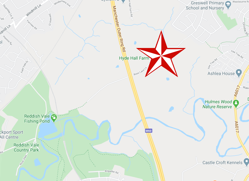
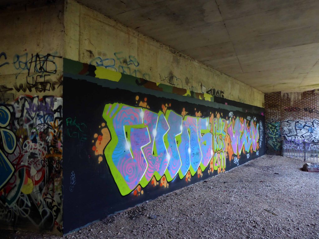
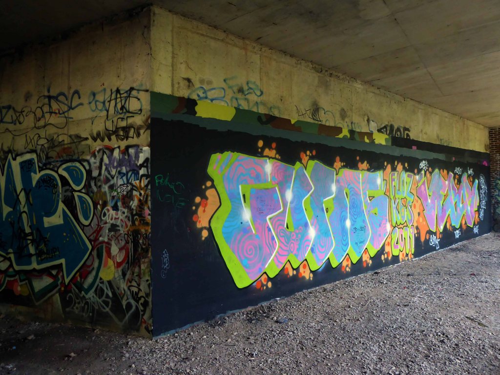
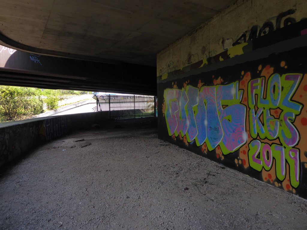
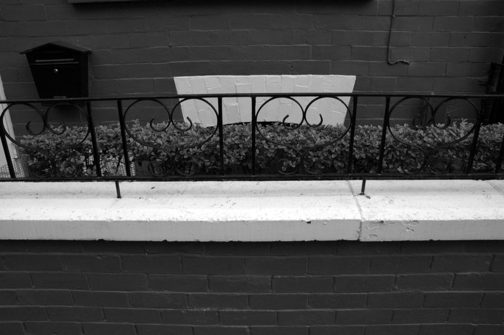
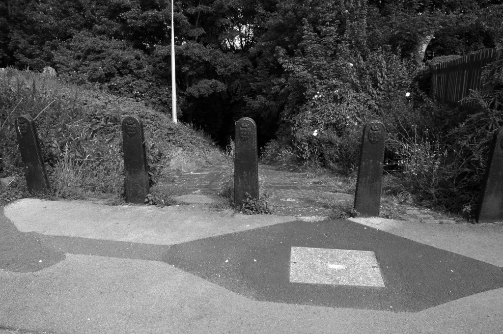
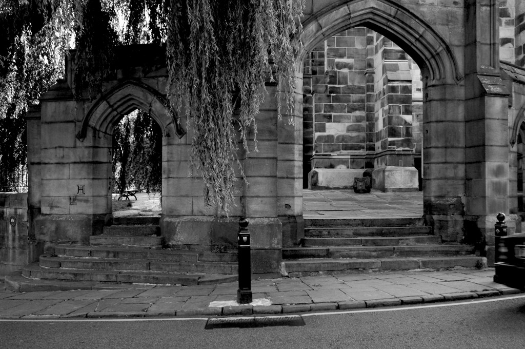
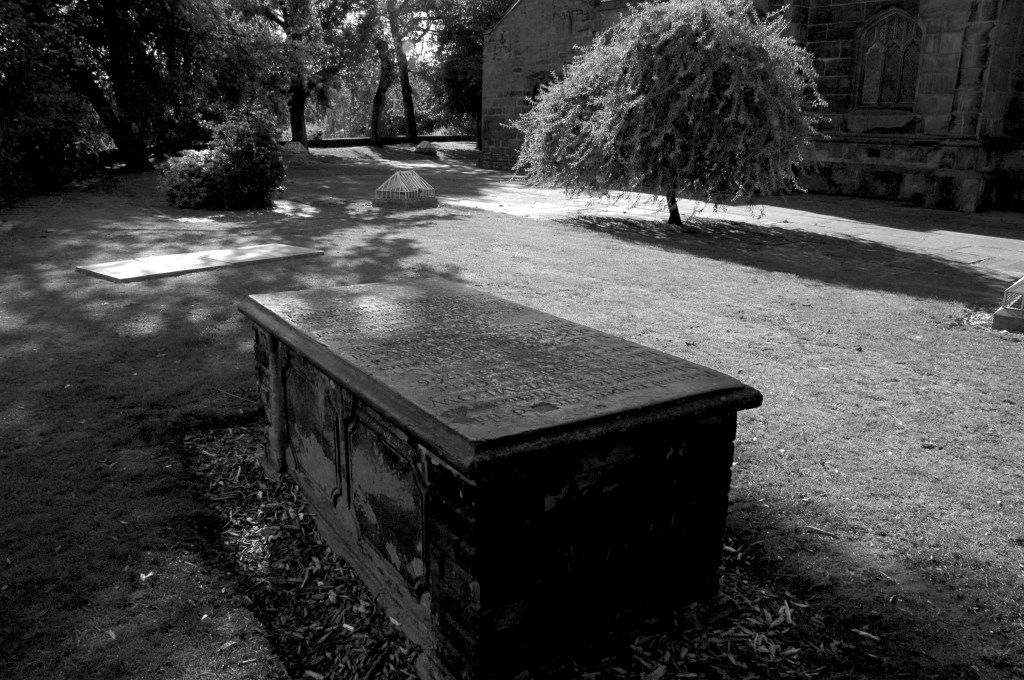
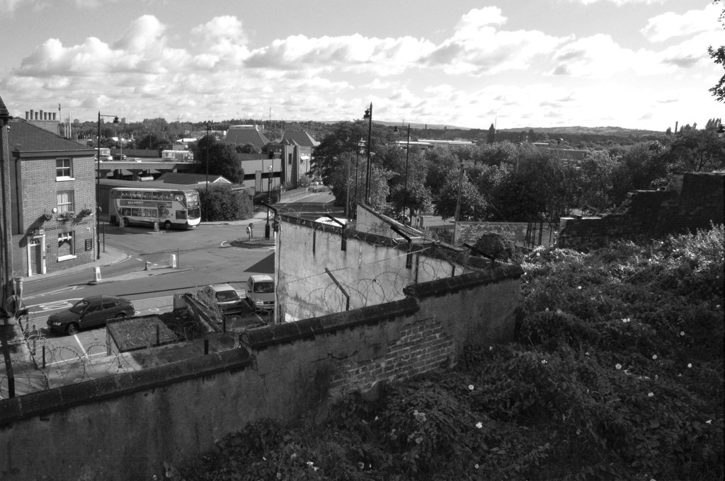
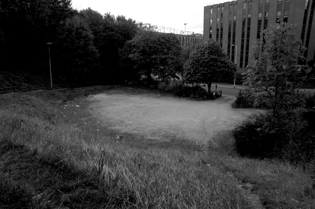
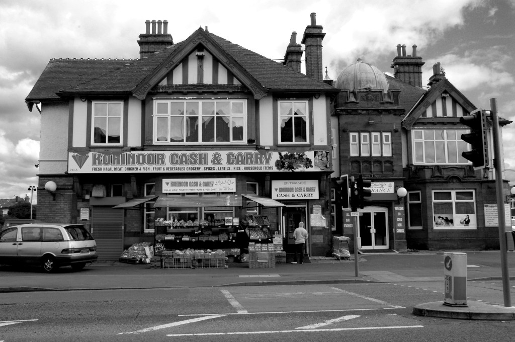
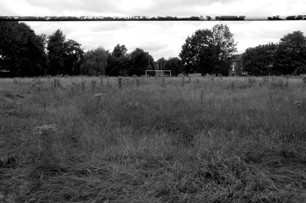
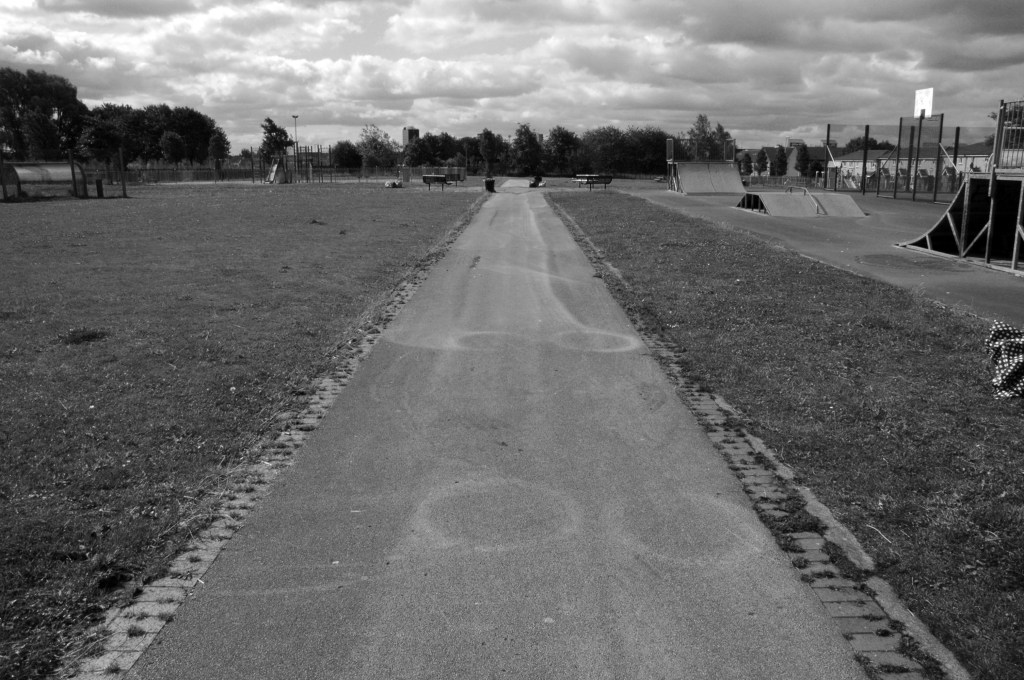
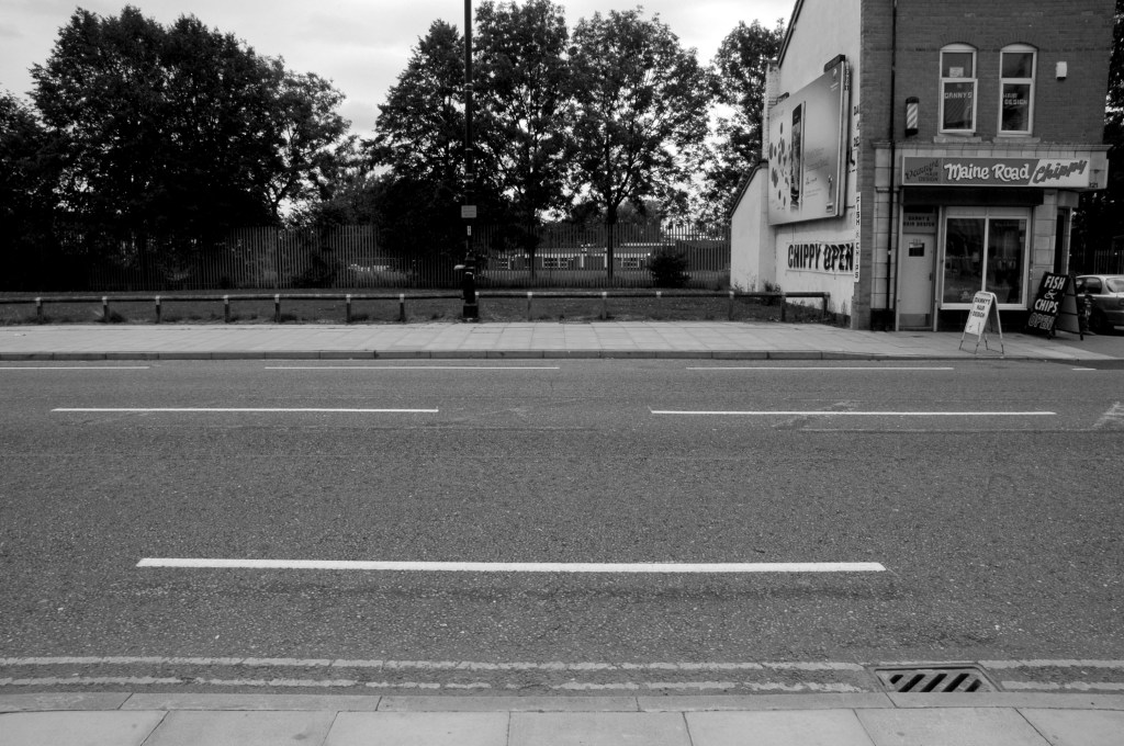
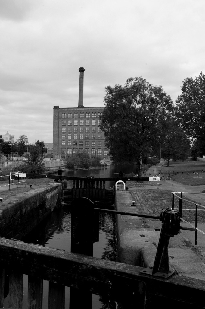
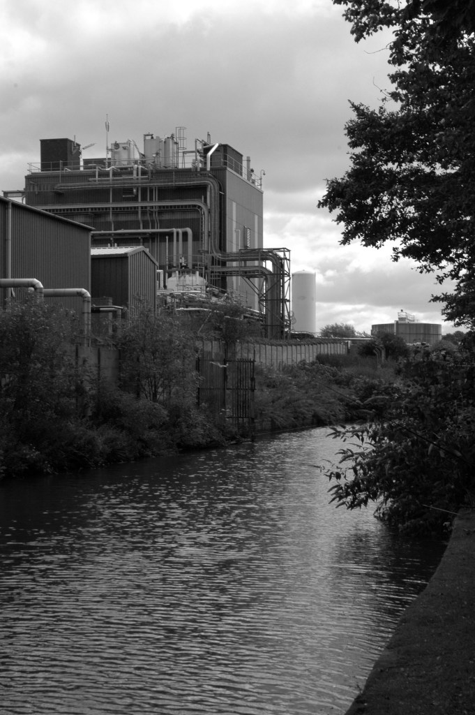
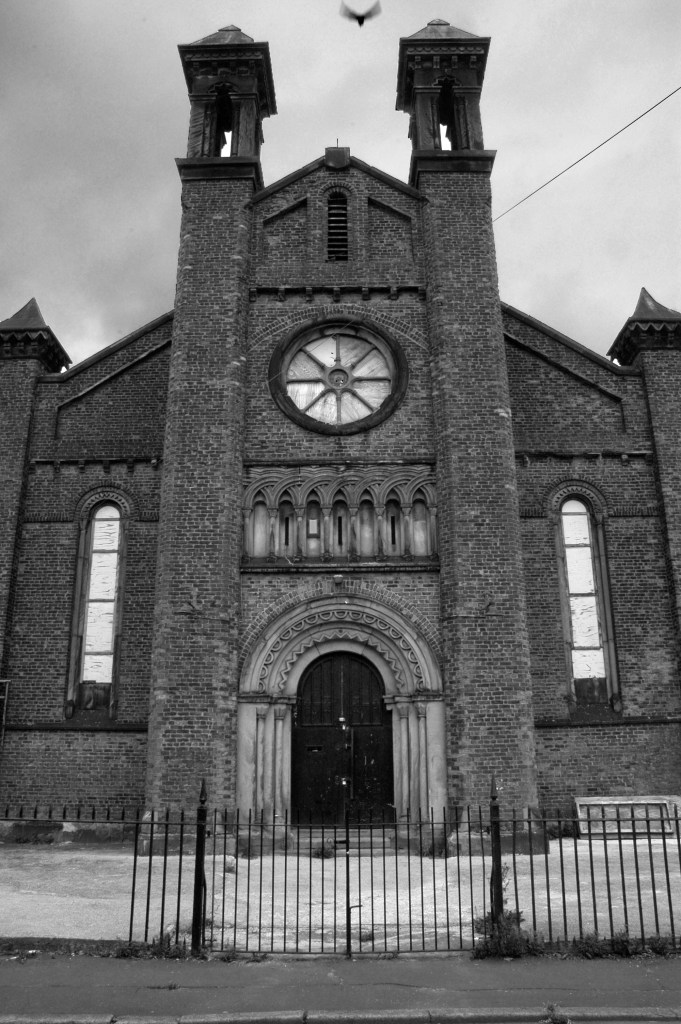
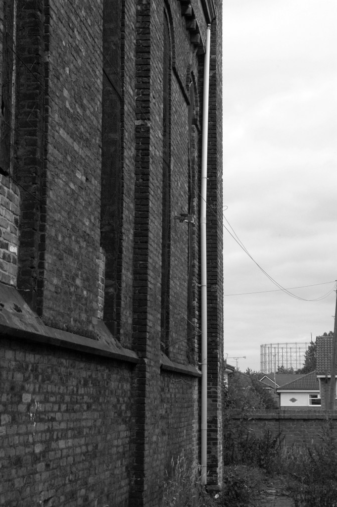
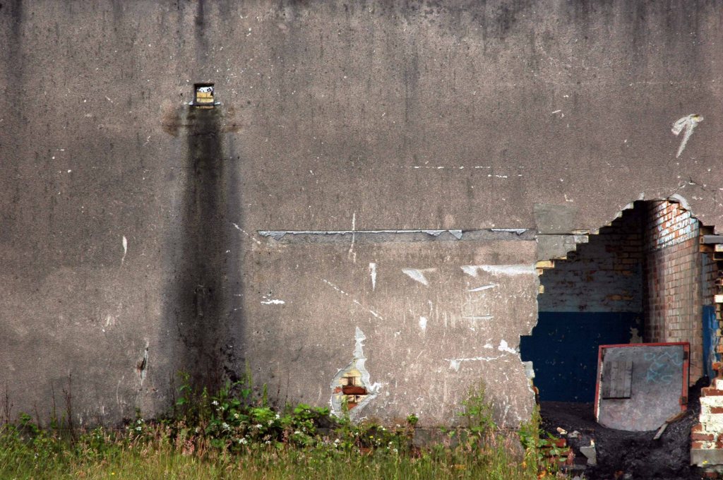
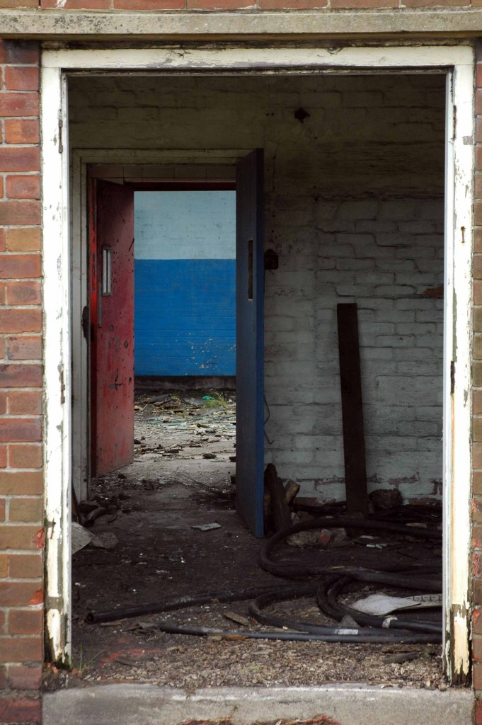
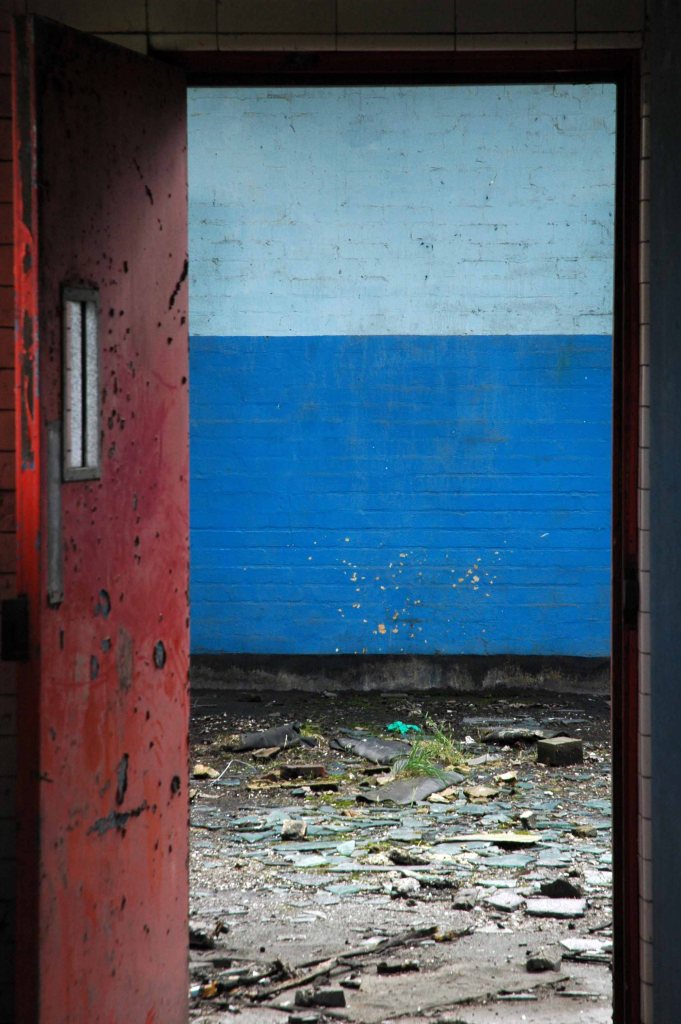
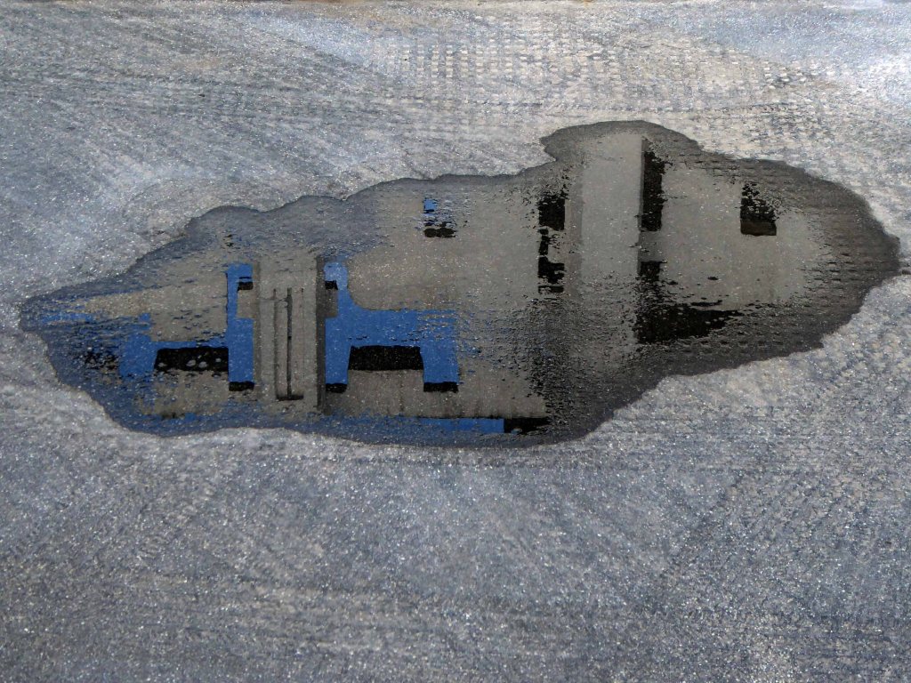
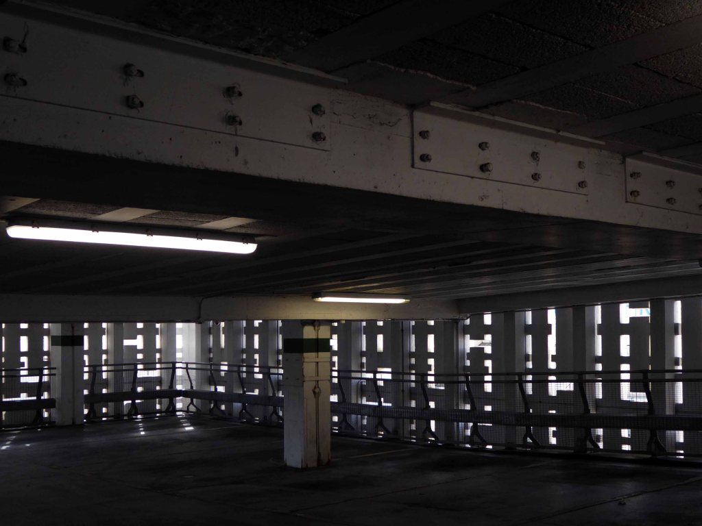
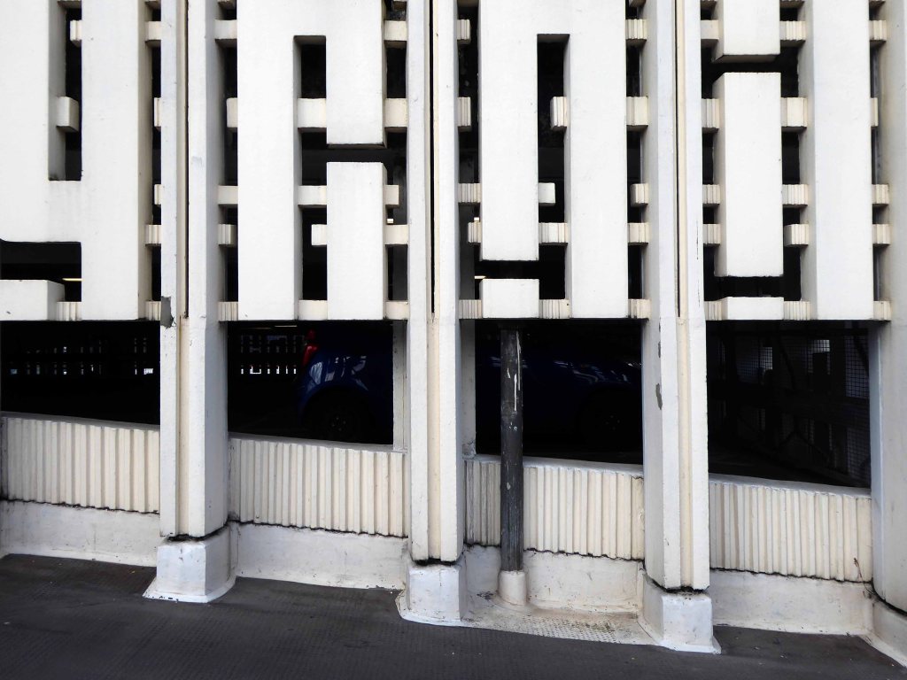
Hyde Hall Farm is Grade II Listed one of the few Tudor model farms in the region, a building of immense importance.
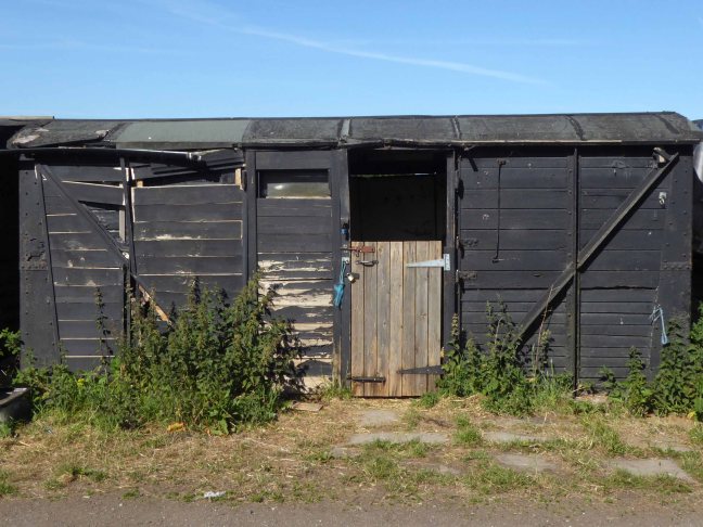
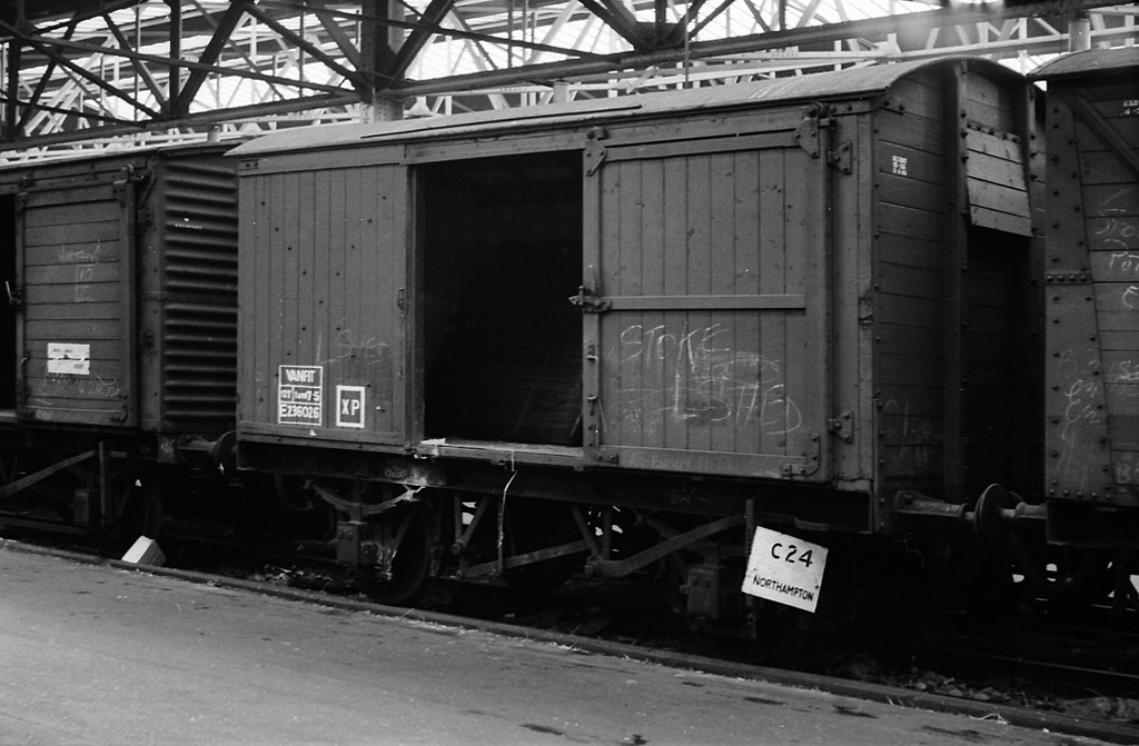
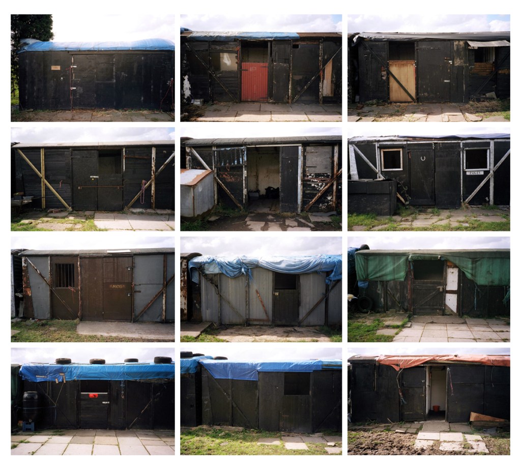
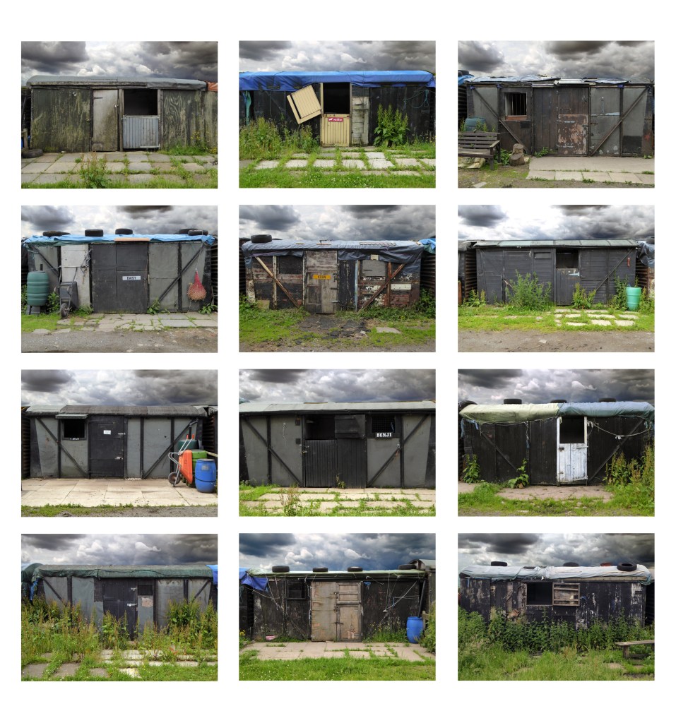
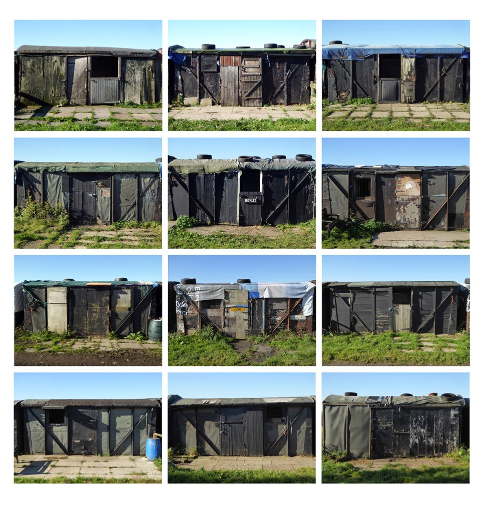
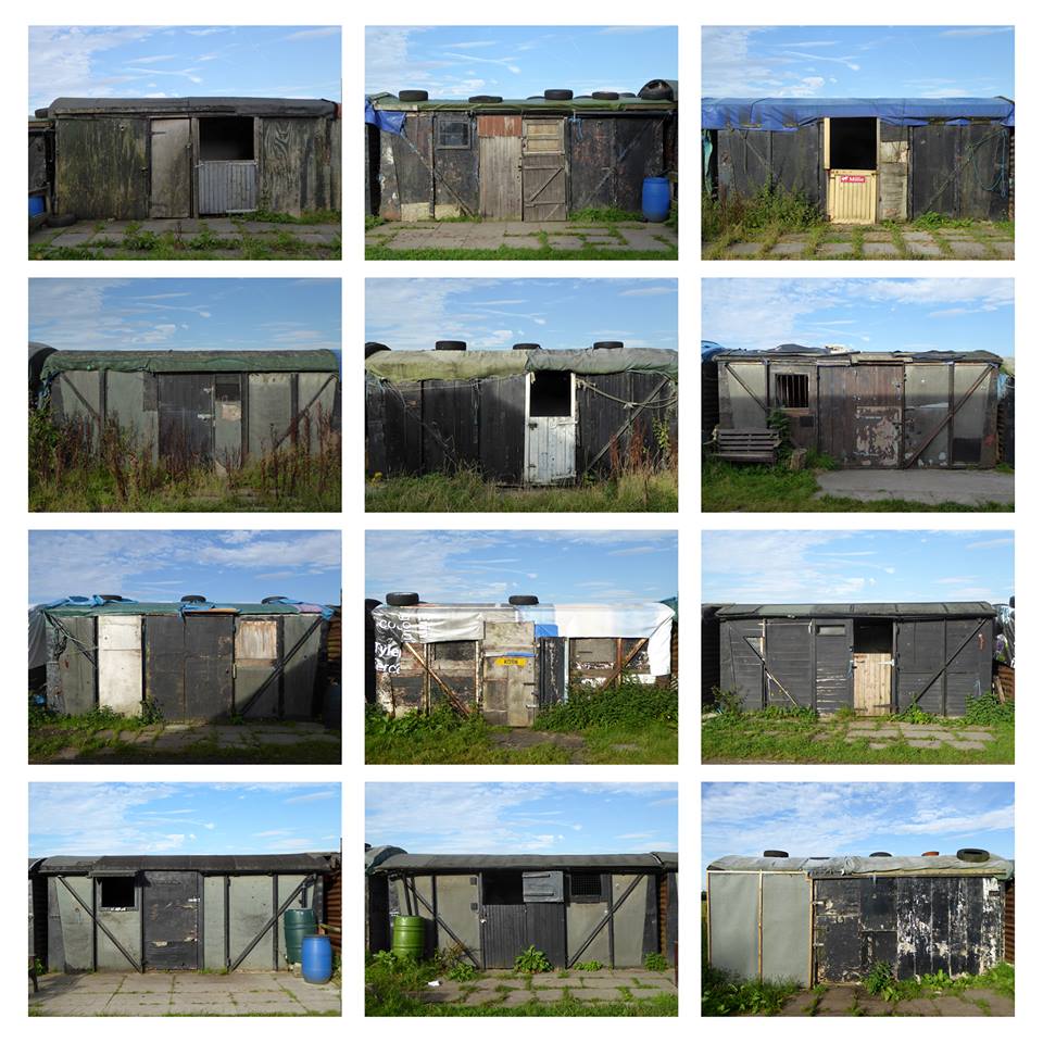
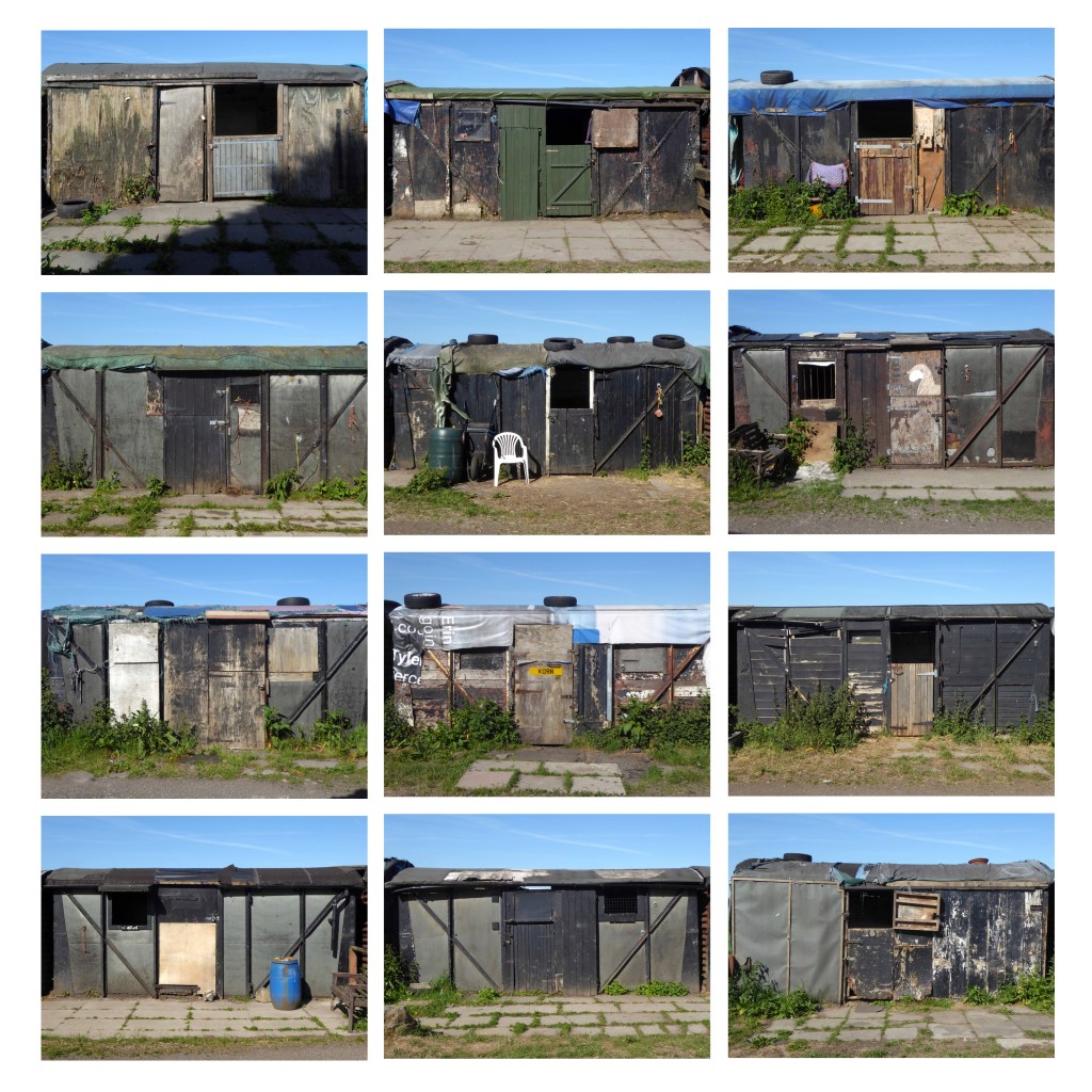
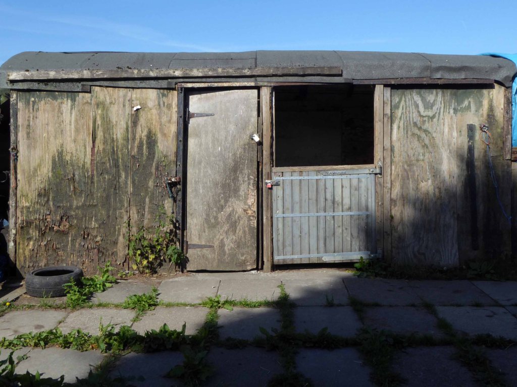
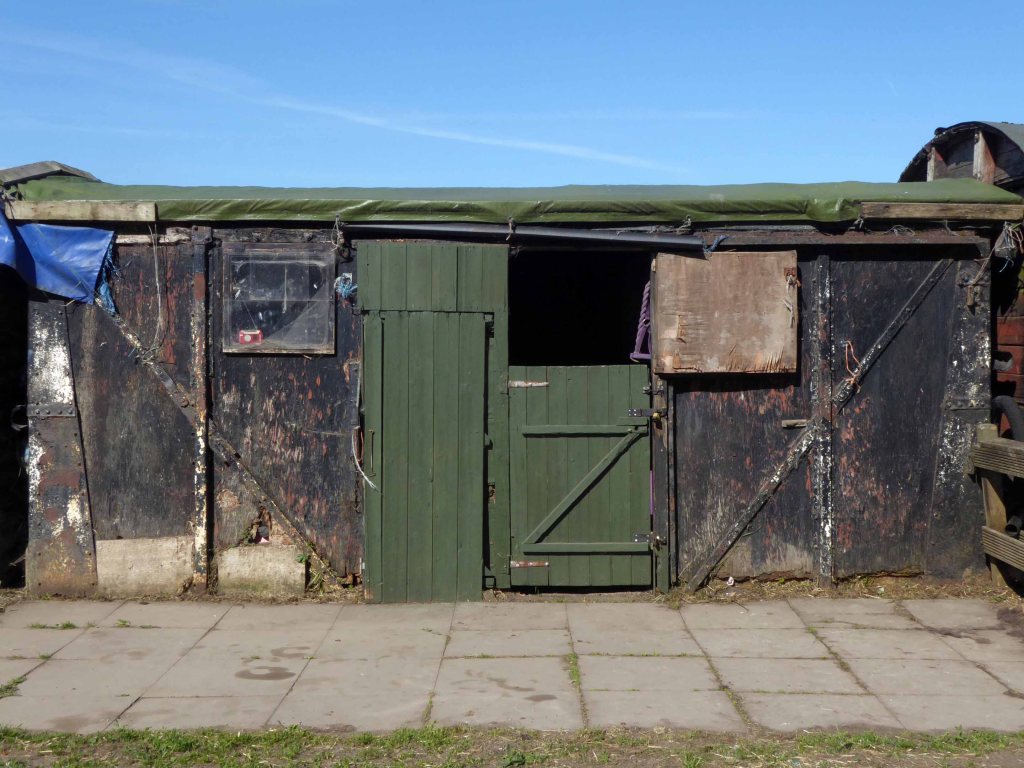
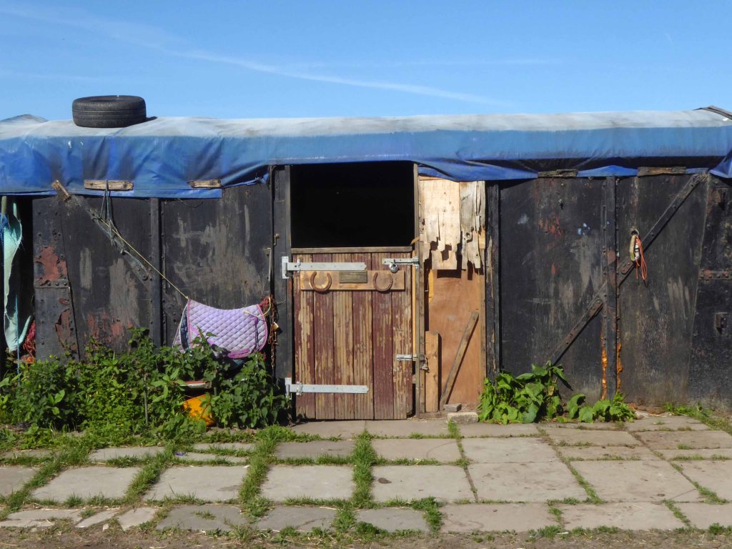
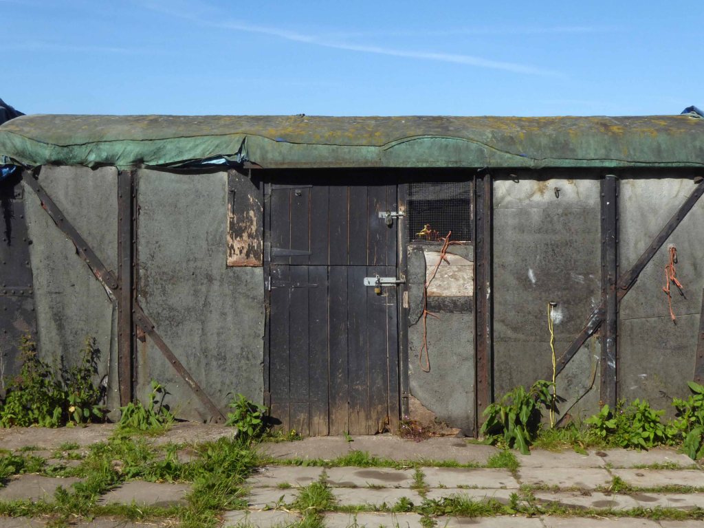
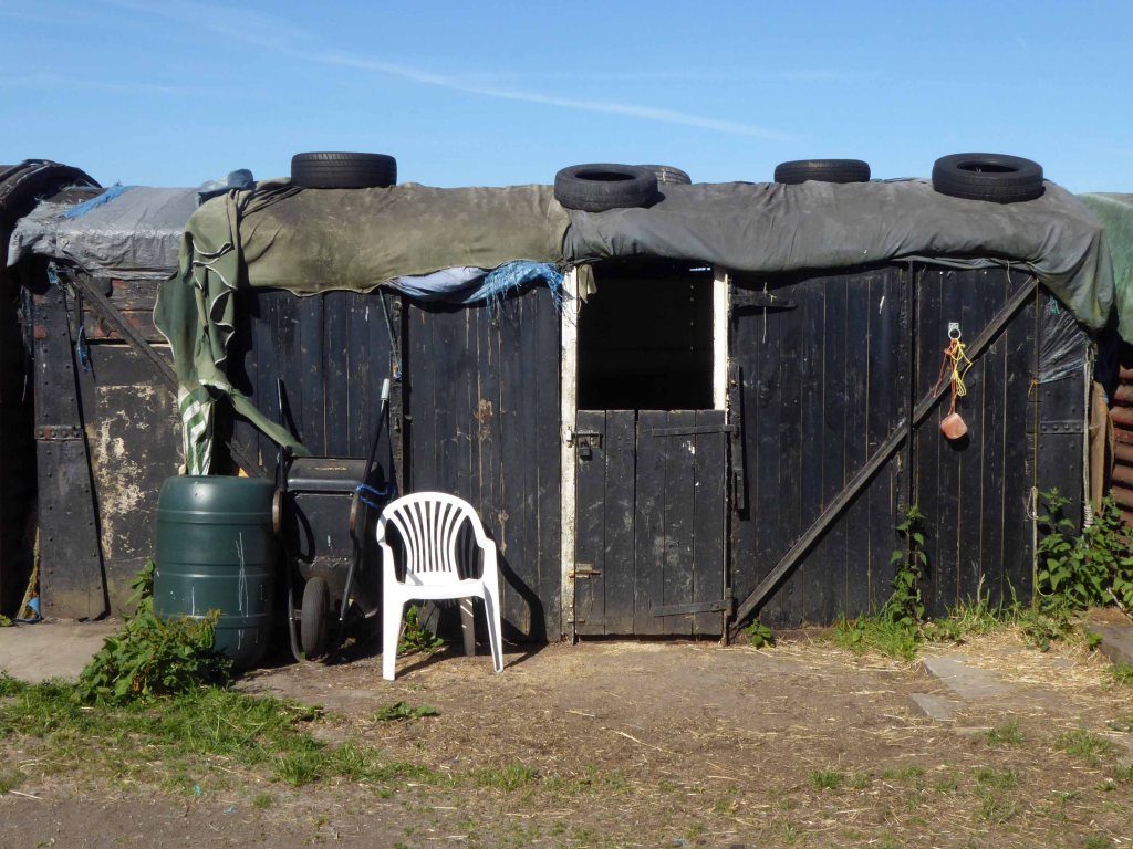
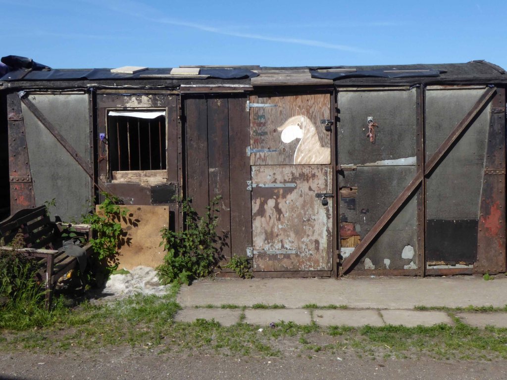
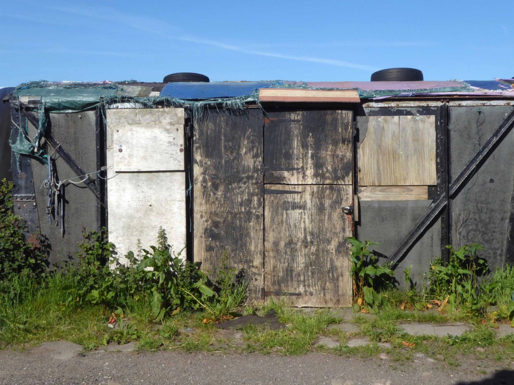
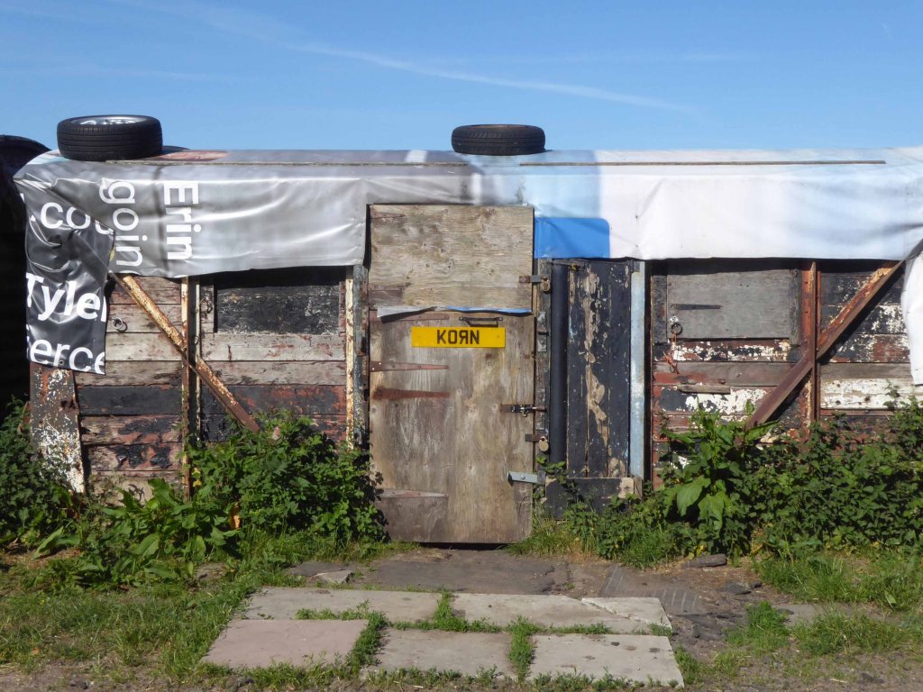
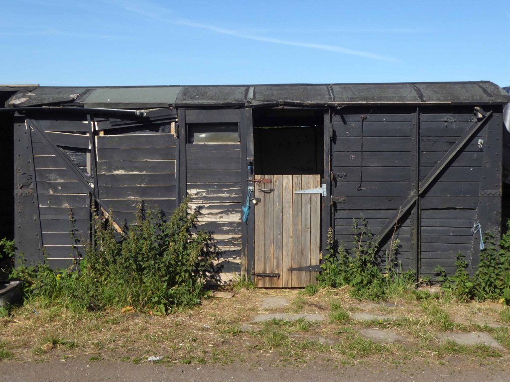
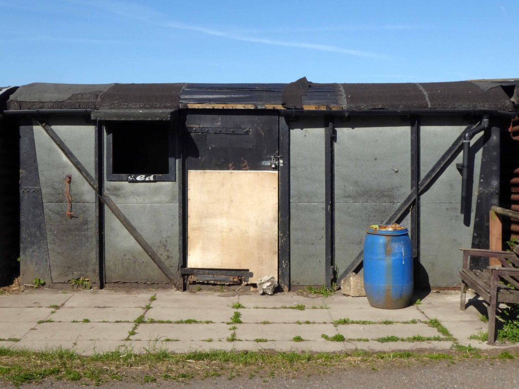
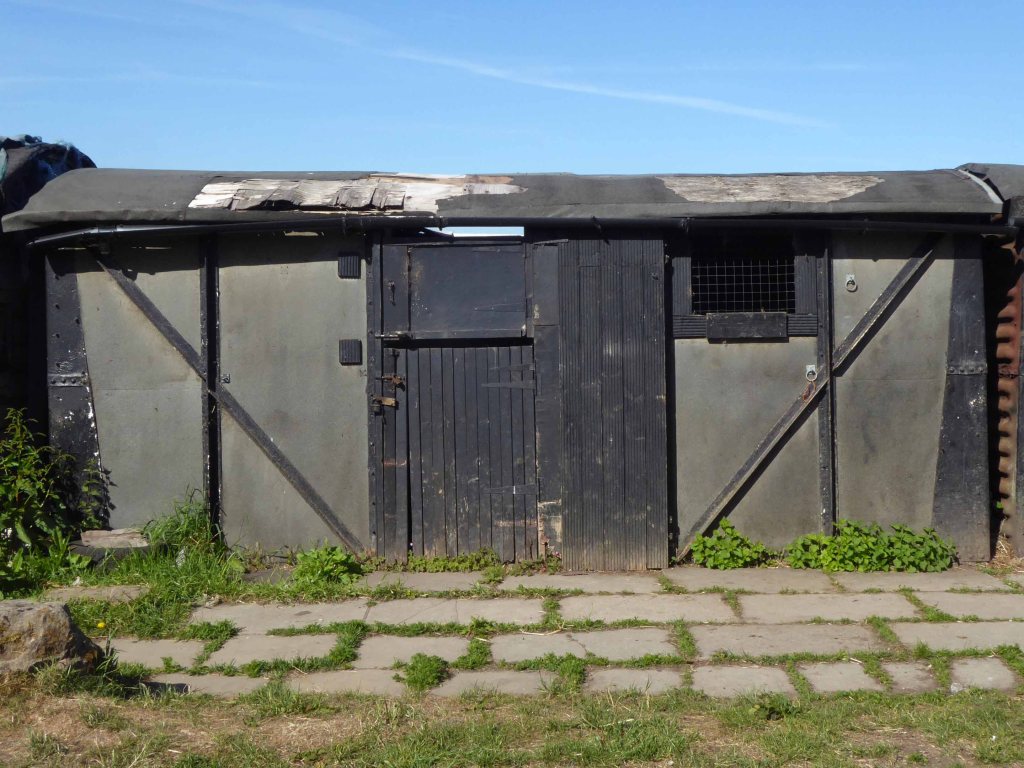
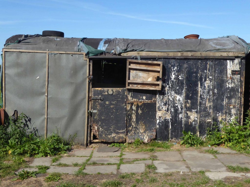
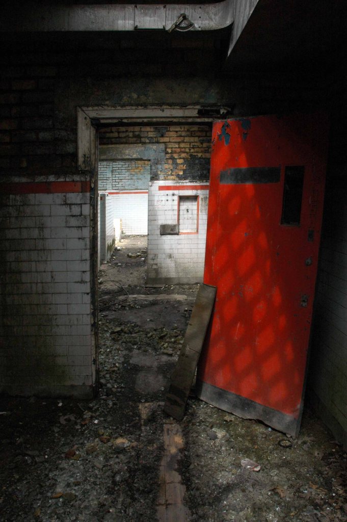
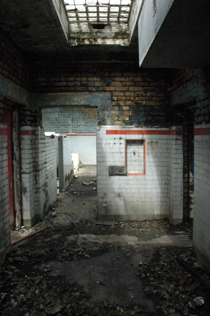
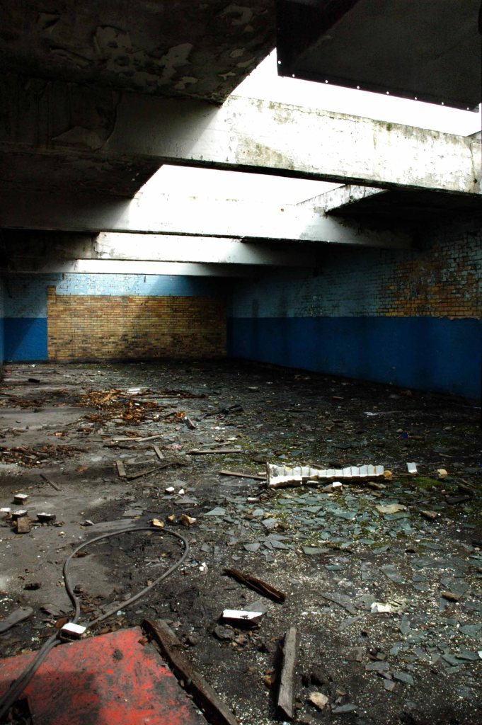
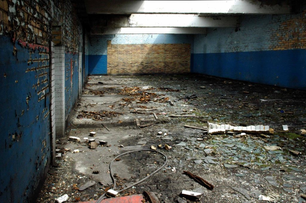
Alongside the farm are twelve stable blocks, formed from former British Rail Vanfit rolling stock.
Derby Works
I have cycled by here for some fifty years ago man and boy, sadly observing a slow decline, as the structures are kept in service with the addition of sheeting, rope, tyres and will power.
In recent years I have stopped to take photographs:
20082016201720182020
They have survived wind, rain and hail, just about intact, providing adequate shelter for their equine inhabitants.
The area was formerly a dense web of housing and industry.
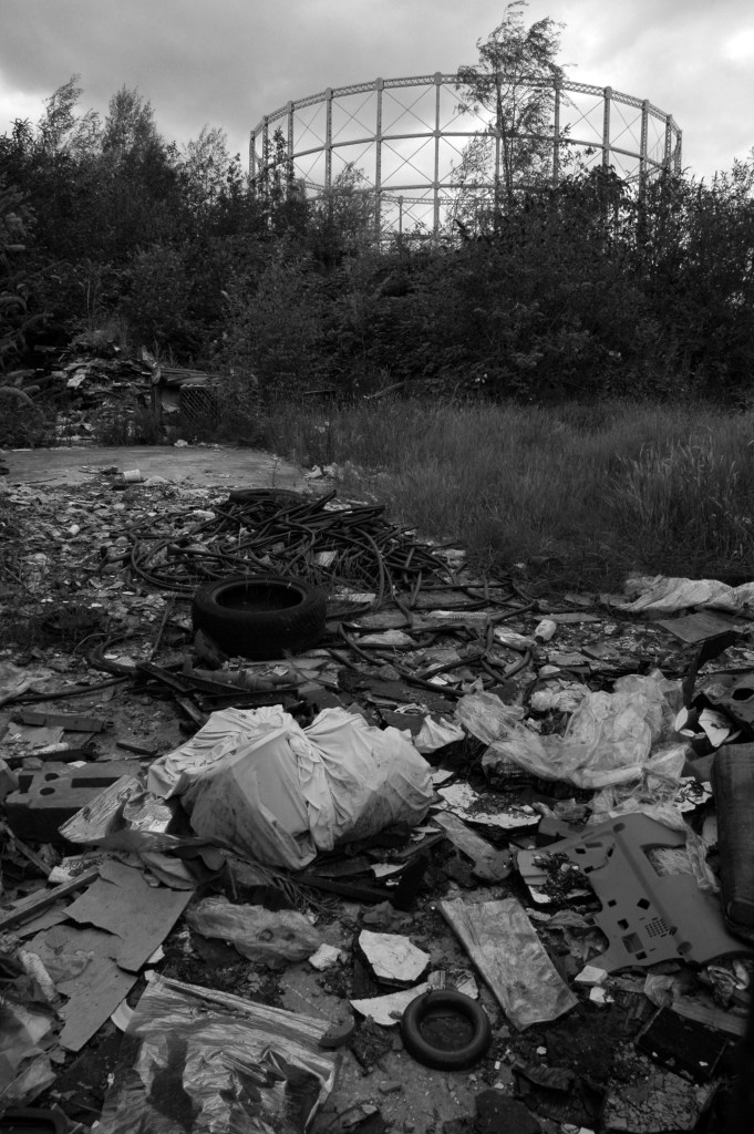
With the gas works at its heart .
High speed gas once the fuel of the future is almost a thing of the past. Coal Gas produced in coke retorts long gone, North Sea Gas hissed off.
Low carbon heating will replace domestic boilers from 2025, the need for gas storage holders is minimal.
Goodnight Mr Therm.
There are currently 53 listed holders on the Historic England site.
Some have been repurposed – WilkinsonEyre has completed work on Gasholders London; a development of 145 apartments within a triplet of listed gasholder guide frames.
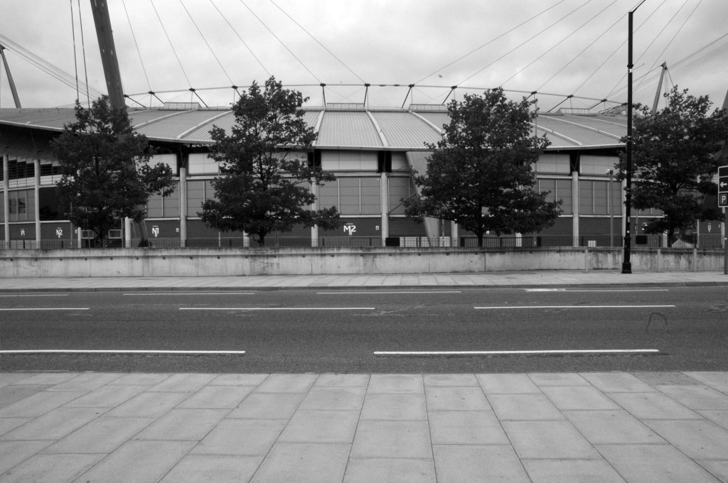
Little now remains of the Portwood Gas Works.
These are the rearranged remnants re-sited by Dunelm Mill – it’s curtains for our industrial heritage.
Your business is unique, so we don’t offer a one-size-fits-all.
Instead, we layer six Protective Services for your complete security.
Unlock six Protective Services
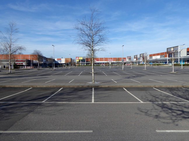
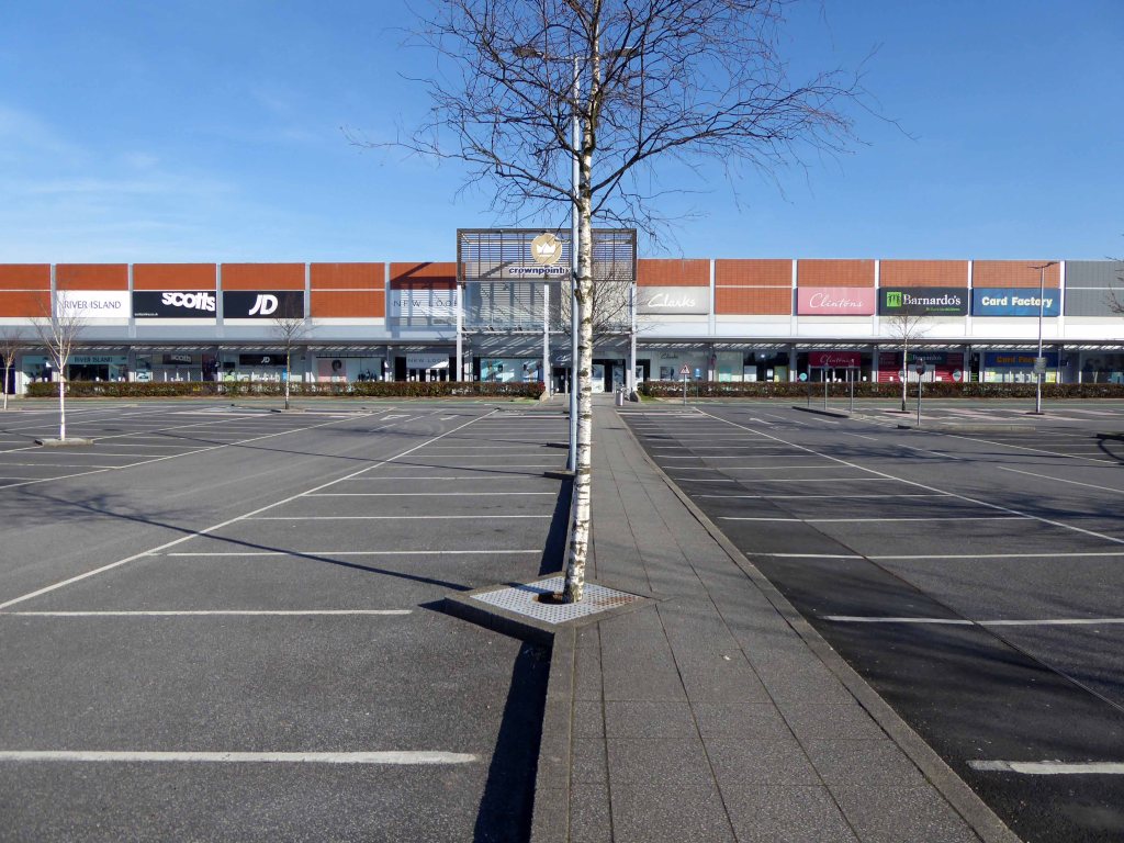
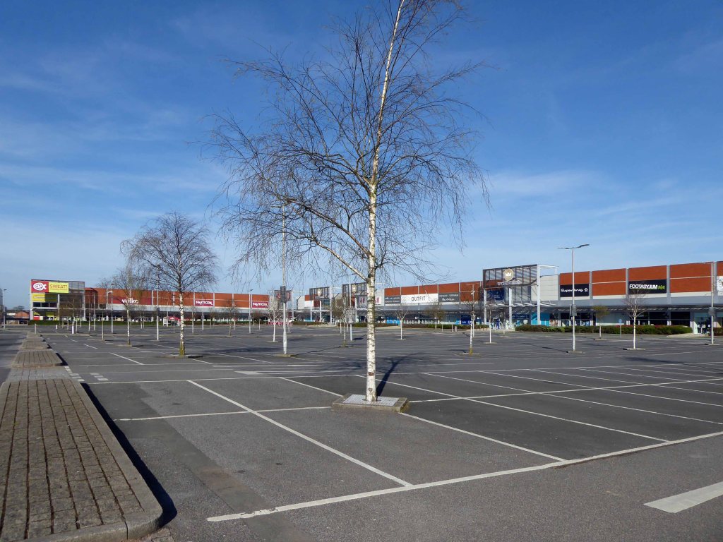
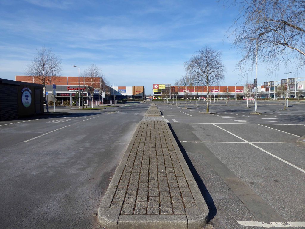
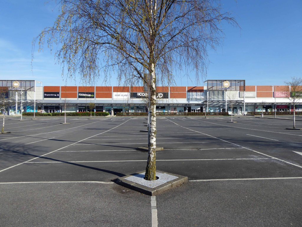
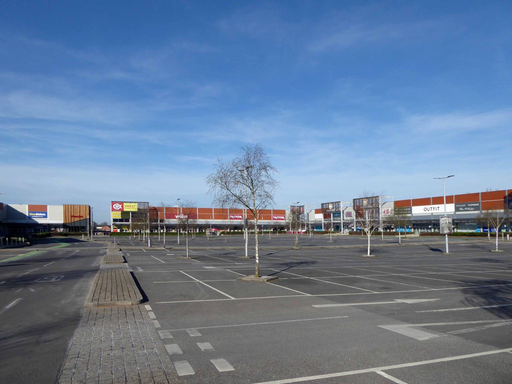
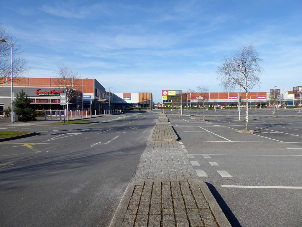
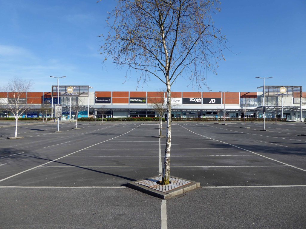
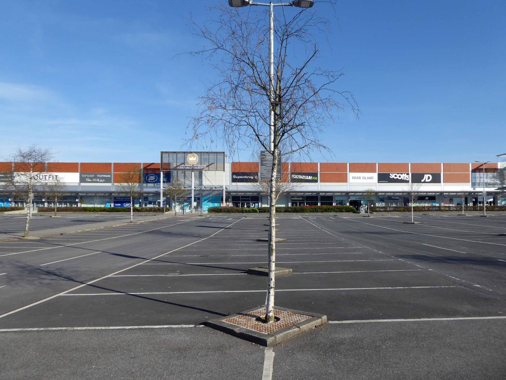
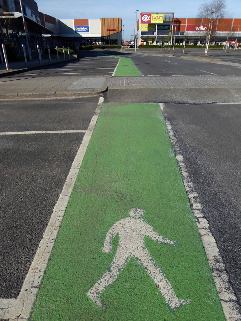
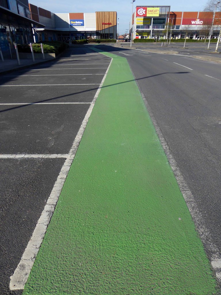
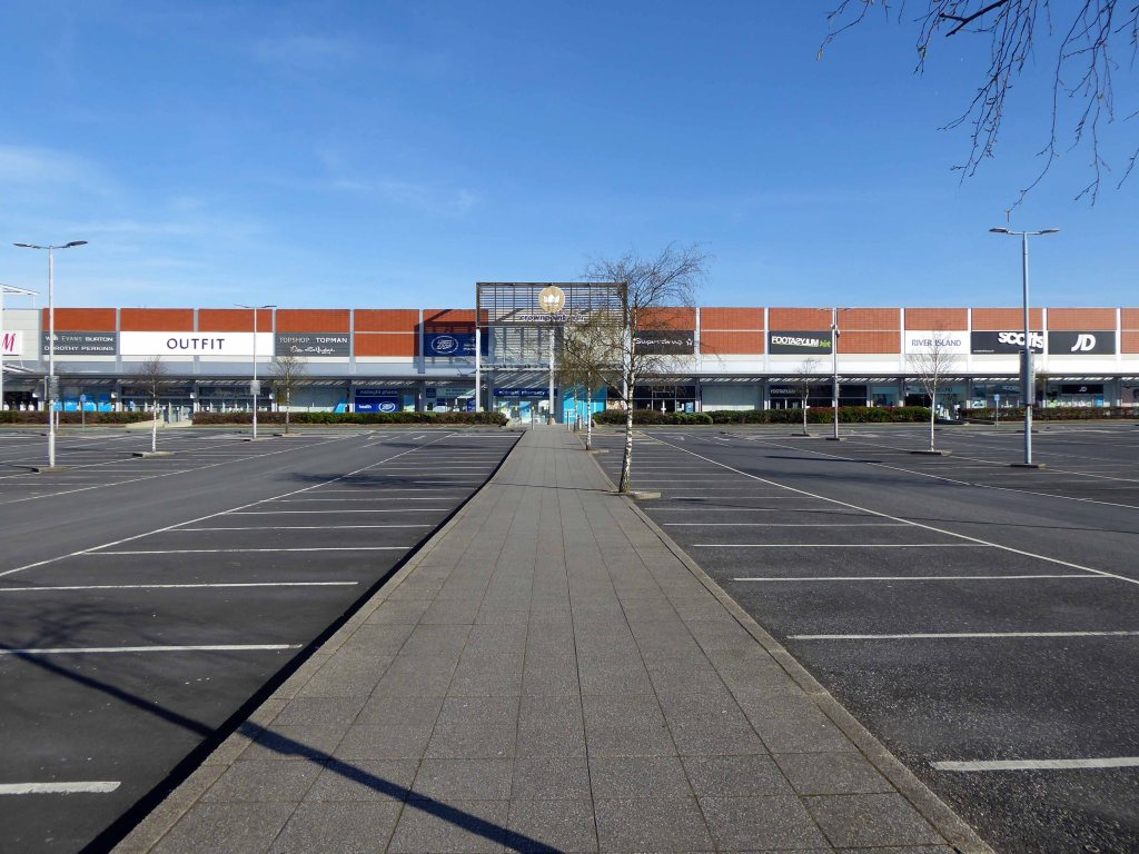
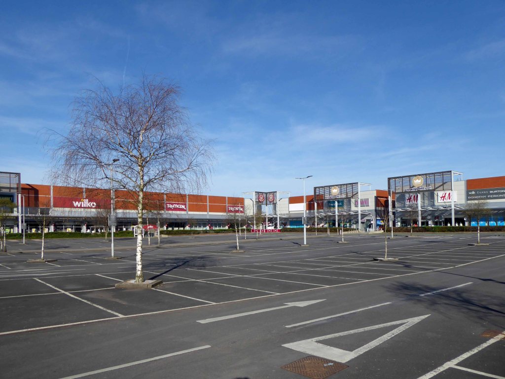
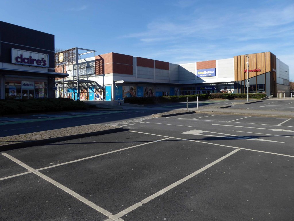
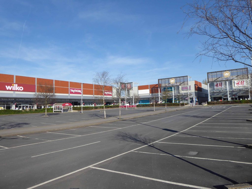
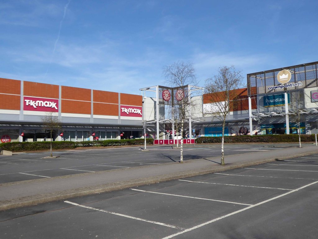
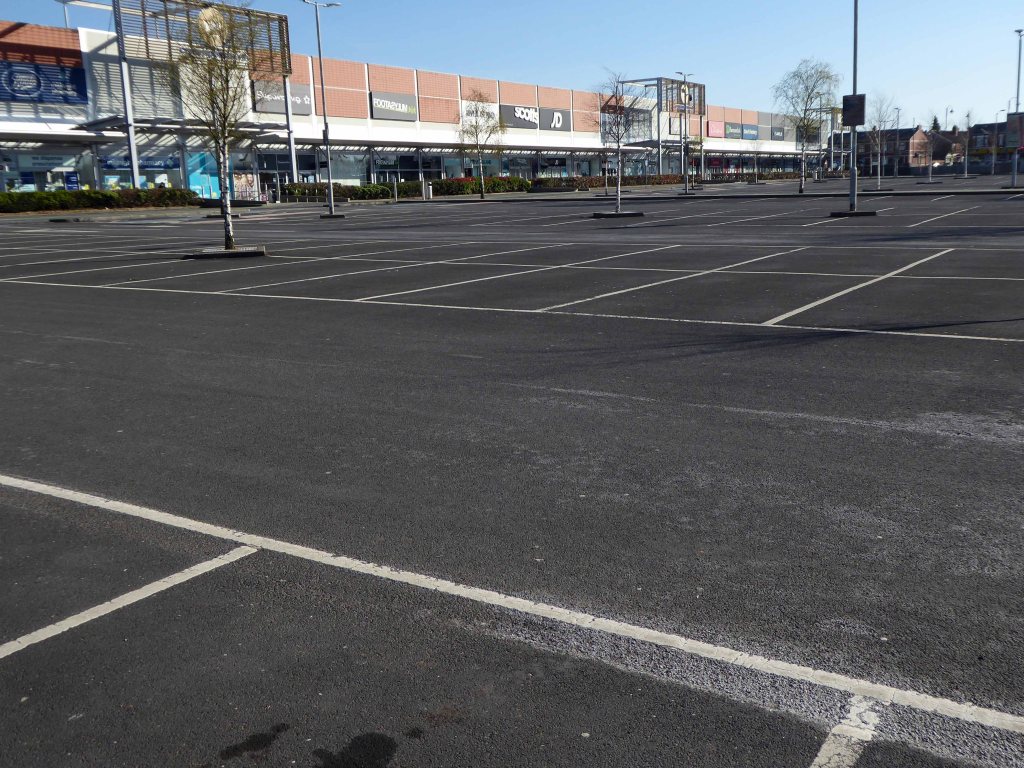
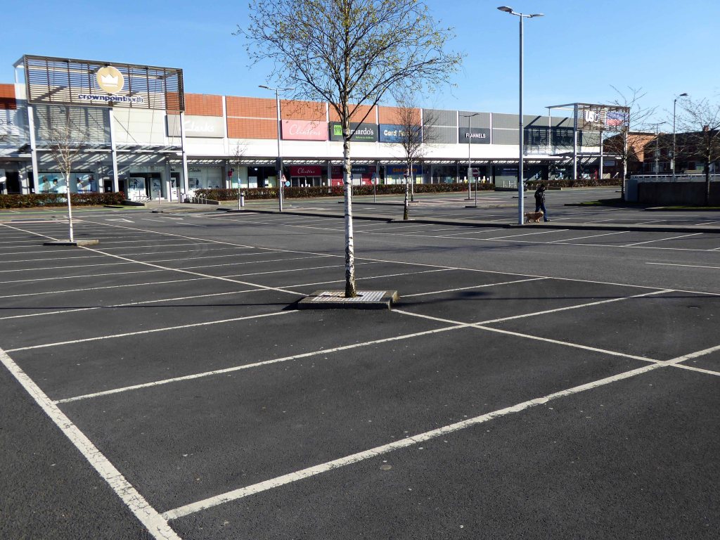
One of the UK’s largest retail parks, Stockport Retail Park benefits from a strategic location on the M60 Manchester orbital motorway making it one of the city’s most accessible parks. The park forms a natural extension to the town centre, offering a wide range of uses from value convenience to fashion and home as well as a number of cafés and restaurants.
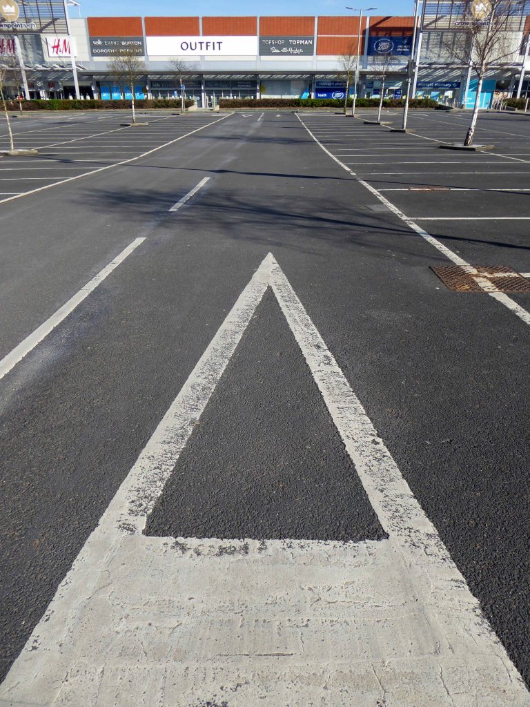
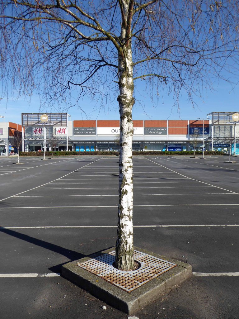
This is the post industrial landscape of consumption and its infrastructure that faces the defunct and mothballed site, whatever next?
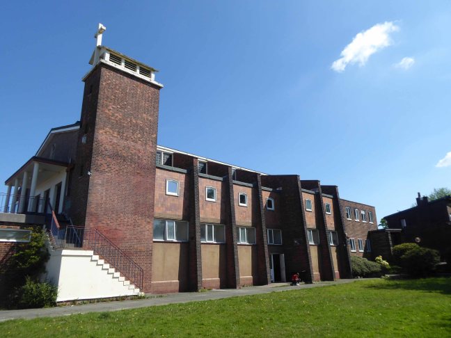
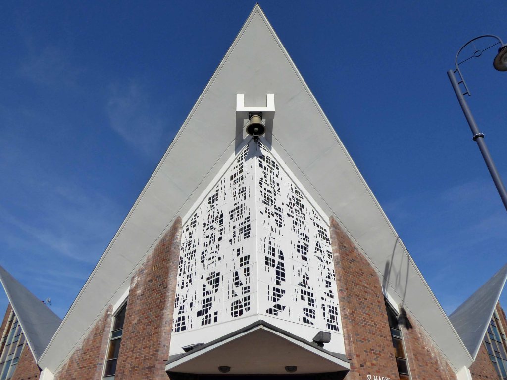
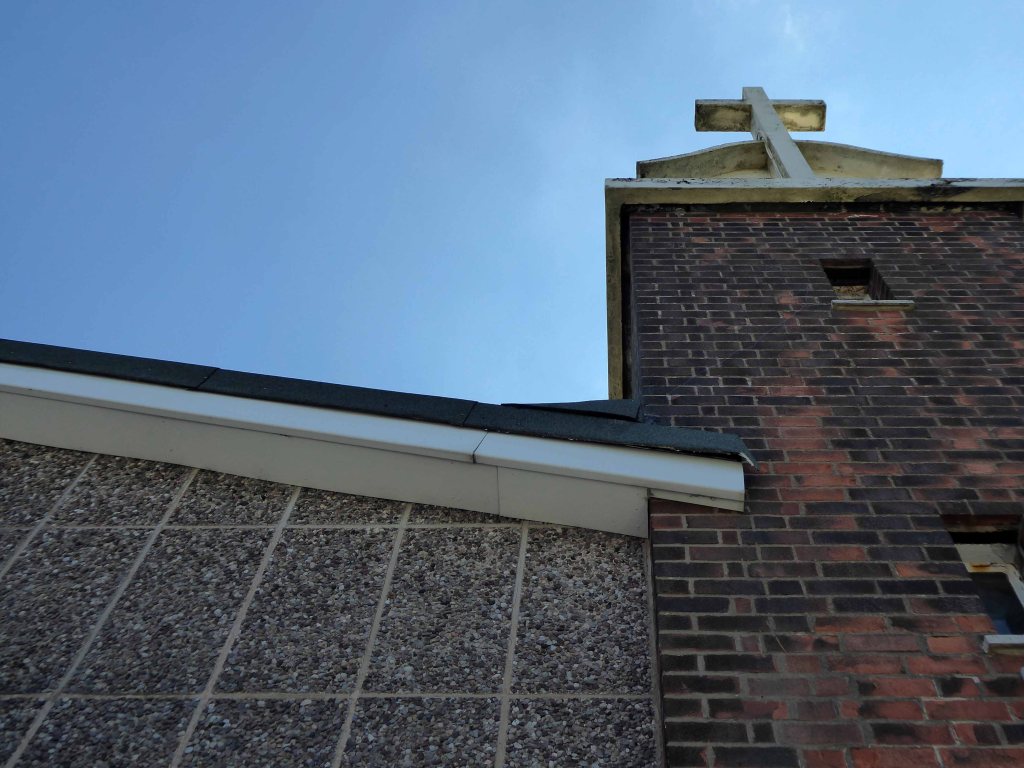
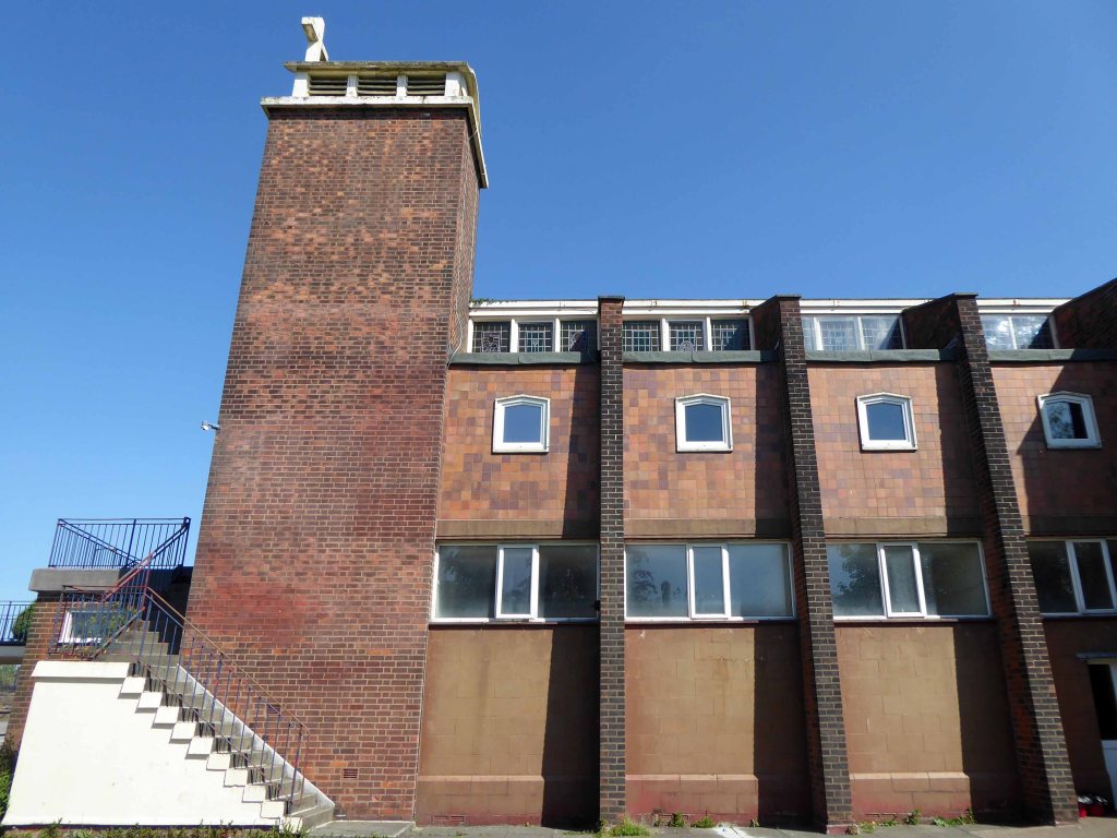
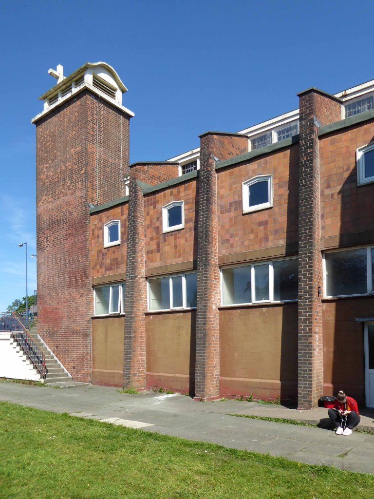
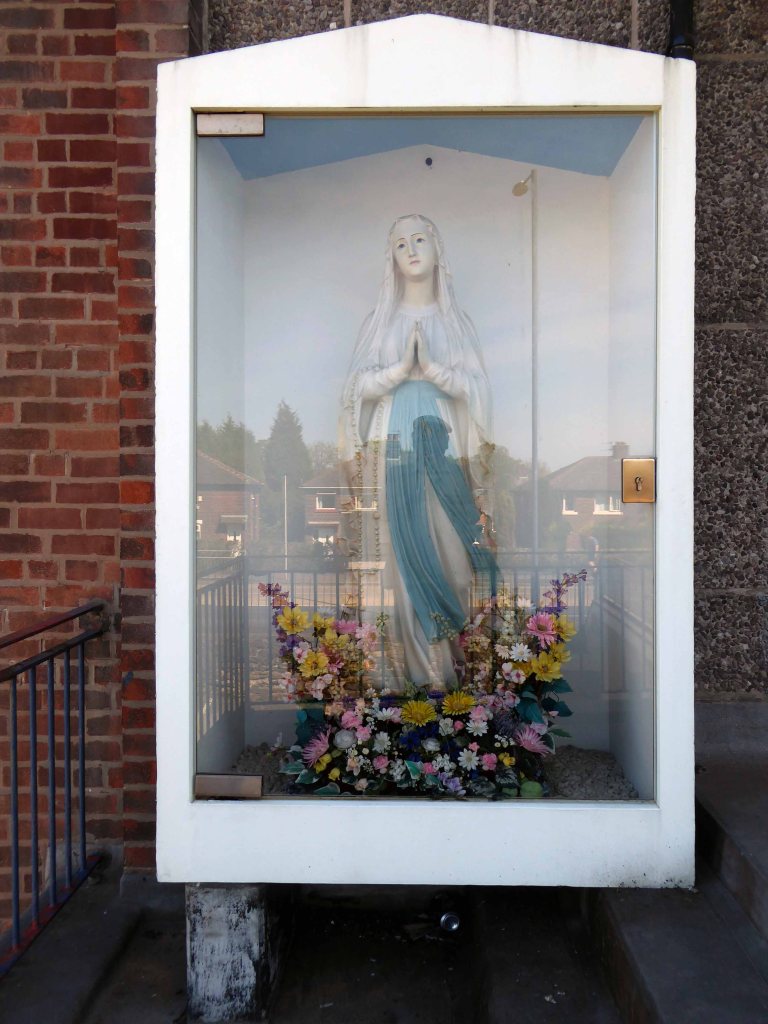
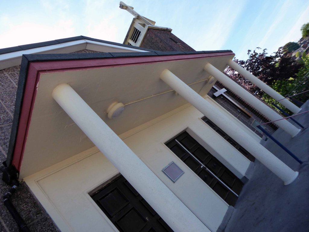
A post-war design consisting of an upper church over a lower hall, the prominent campanile making it something of a local landmark. The portal frame construction, materials and design are standard for the time. The interior has been reordered but retains some original furnishings.
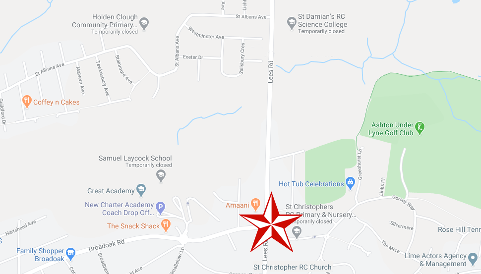
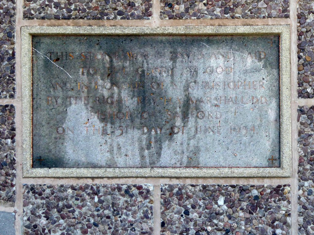
A new post-war parish was created to serve the growing residential area in Hurst Cross, previously served from St Anne’s, Ashton. Fr Kelly built the new church, whose foundation stone was blessed by Bishop Marshall on 5 June 1954. The first Mass was held on Easter Monday, 1955.
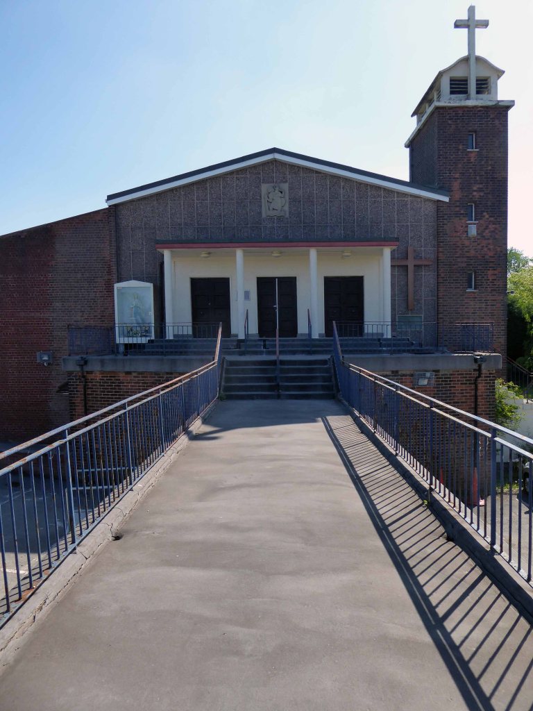
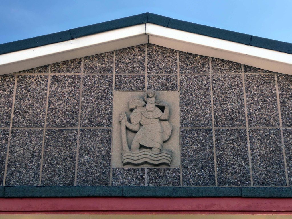
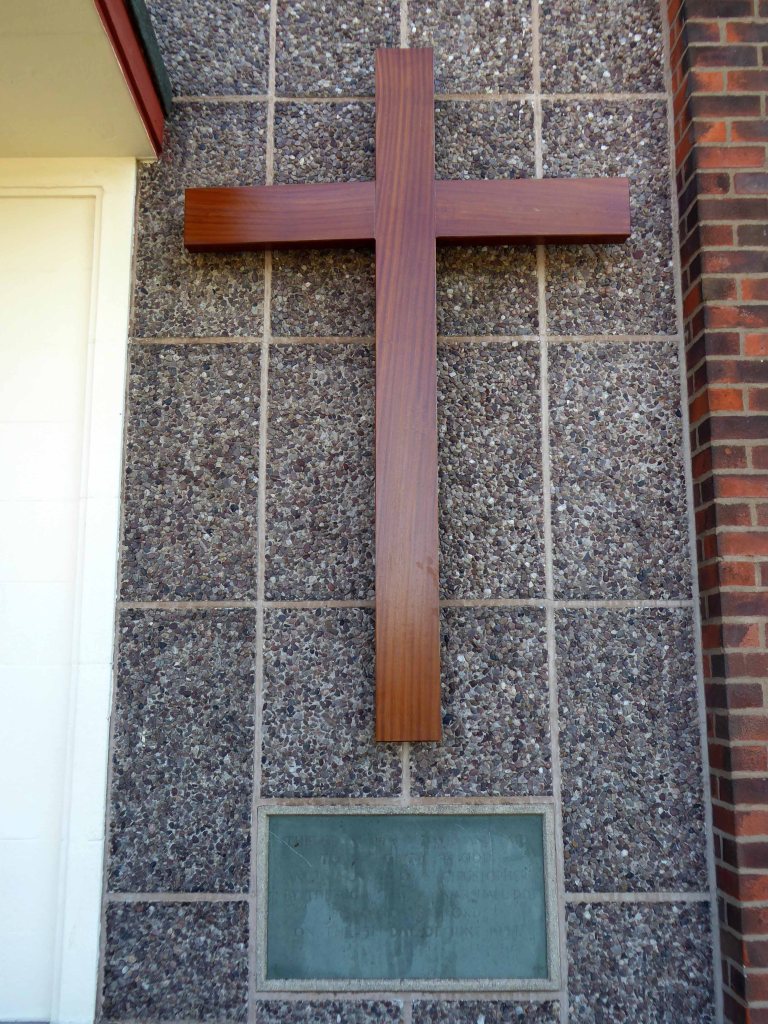
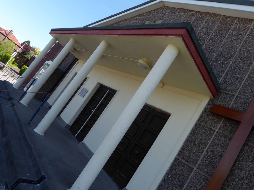
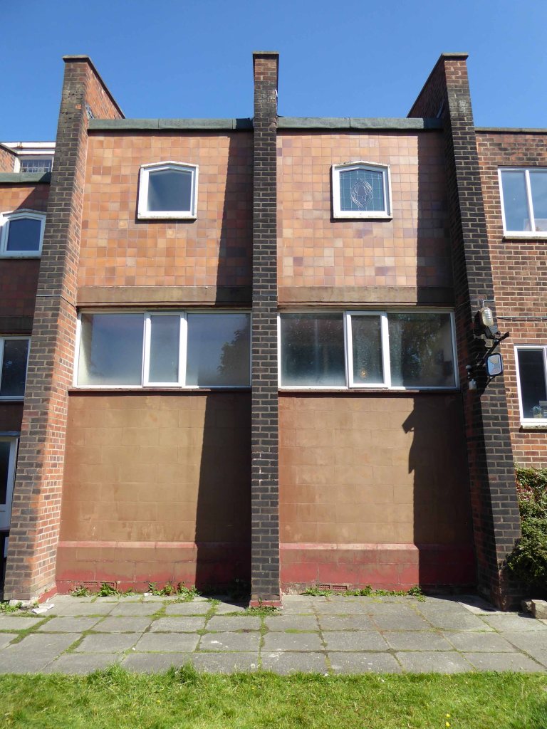
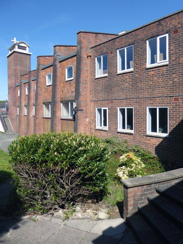
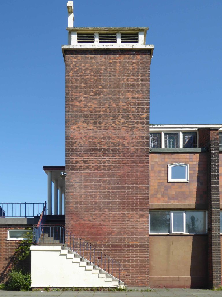
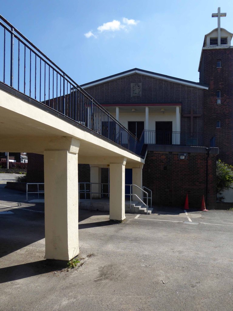
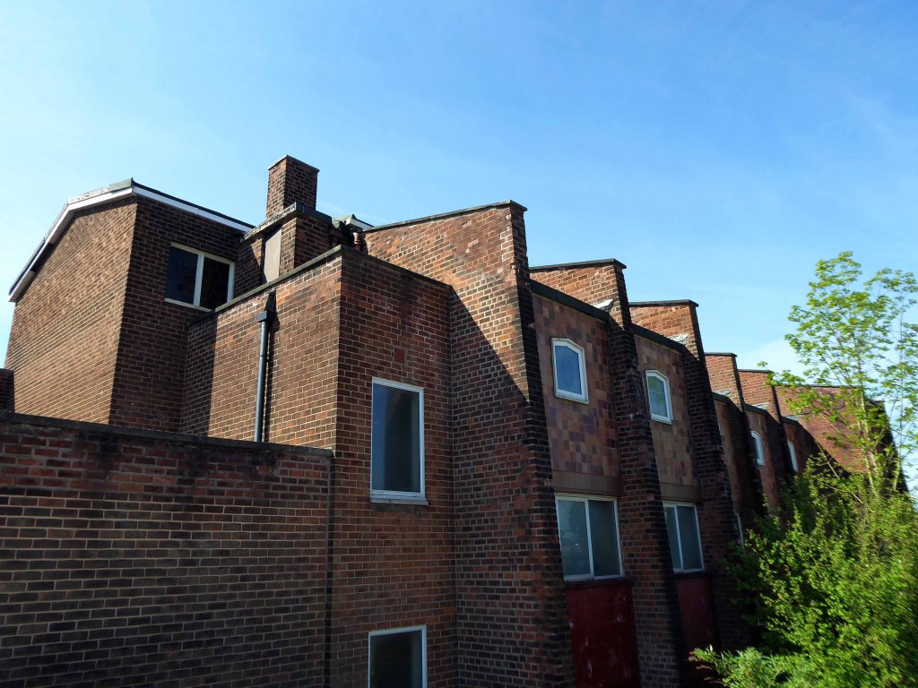
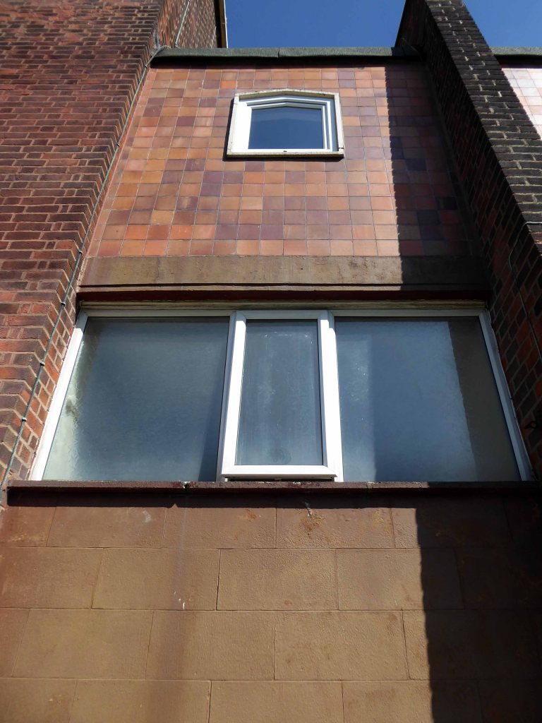
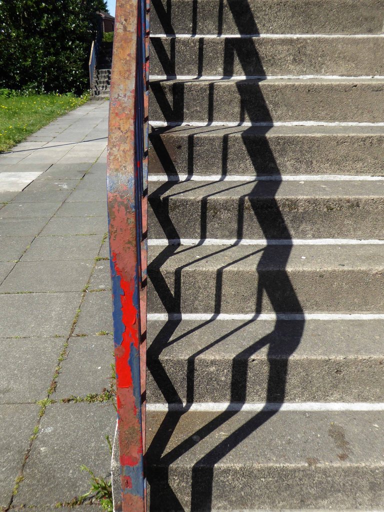
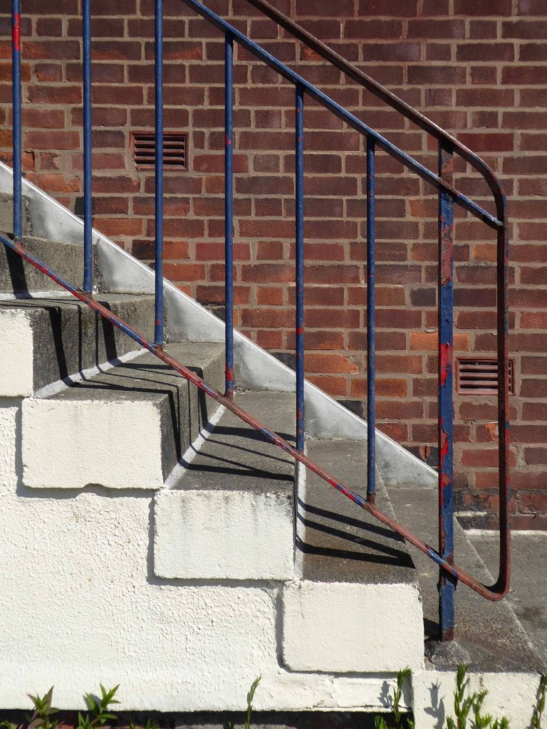
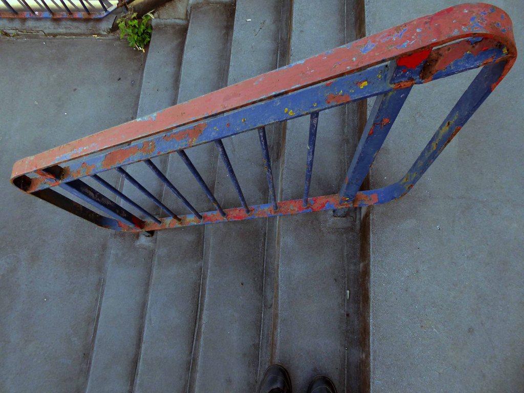
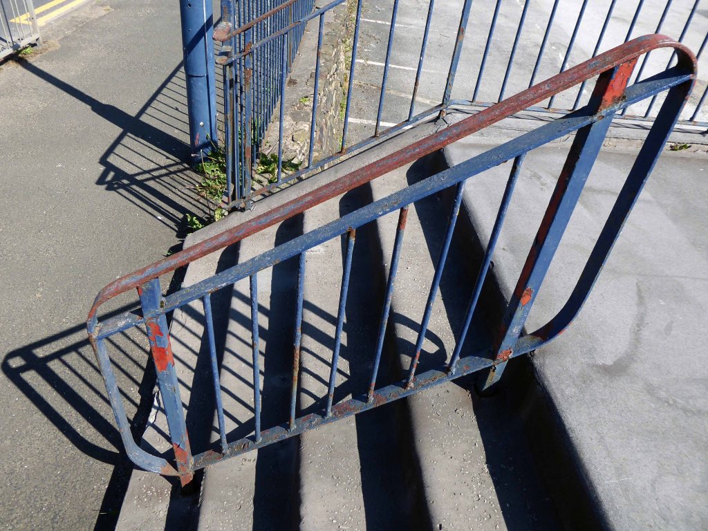
The church is conventionally orientated with the sanctuary to the east. Less conventionally, it is a two-storey building, with a ground floor parish hall and a first floor church. The church is reached from Lees Road by a reinforced concrete bridge and steps. A brick campanile marks the southwest corner. The structure of the portal-framed building is expressed externally by raking brick buttresses to side elevations. The west gable end is faced in aggregate panels with a concrete relief depicting St Christopher over a plain three-bay flat-roofed portico. The aisles are faced in ceramic tiled panels to the upper level with render to the parish hall level. The nave is lit by three-light clerestory windows with smaller windows to the aisles. The shallow-pitched roof is laid with mineral felt. A two-storey blockcontaining a large sacristy connects to the contemporary presbytery.
Inside, the six-bay upper church has a plain west gallery above a narthex with glazed screen. The aisles have arcades of square brick piers and plain plastered walls. The clerestory windows are leaded with coloured glass margins. The ceiling is lined with acoustic panels and the concrete floor is laid with carpet or linoleum tiles. The reordered sanctuary retains the original polished concrete altar in a forward position; the 1950s altar rails and pulpit have been removed. The east wall is now hung with wallpaper, but was originally fair-faced brick; the Crucifix and painted timber high altar canopy are part of the original arrangement. The side chapels also retain original 1950s polished concrete altars. The octagonal font with oak cover dates from the late nineteenth or early twentieth century, of unknown provenance. The hardwood pews were designed for the church.
I have known this church for some fifty years – living just up the road.
It was probably along with St Mary’s Denton my first experiences of Modern Architecture.
I went to the youth club in the social area beneath the church.
St Mary
It is typical of the Italianate styling of the time, a functional mix of glass brick and concrete, far from ostentatious – and sitting comfortably in its setting.
On the day of my visit the country is in lockdown, Mass suspended and the body of the church used as a homeless shelter, prior to rehousing – signs of the times.
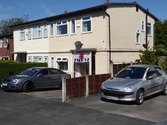
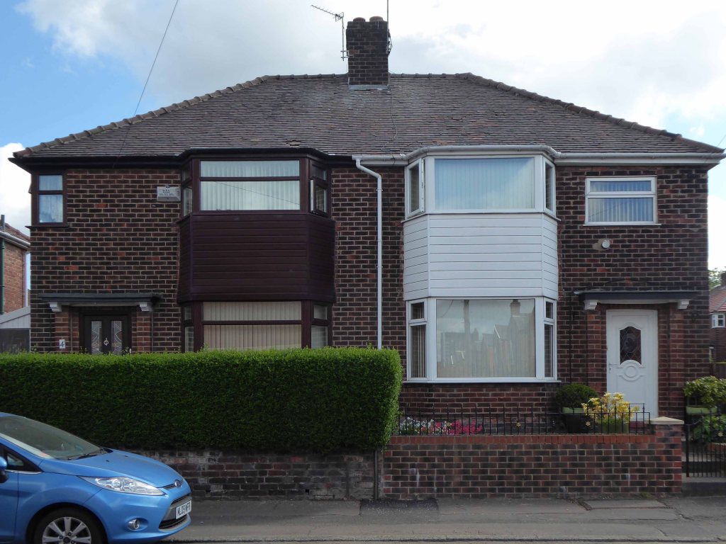
I have been here before in 2015 en passant, snapped the homes chatted to a resident and off, she had informed me that they had been post-war experimental concrete homes.
I thought no more about it – but subsequently I did, returning to the road to take another look.
Here’s one I didn’t make earlier.
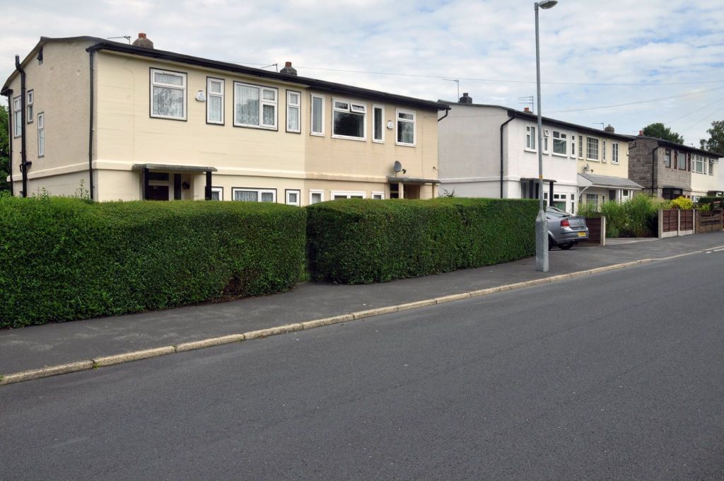
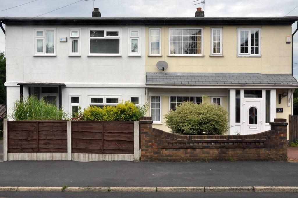
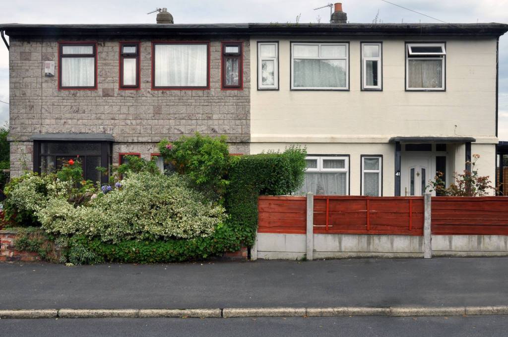
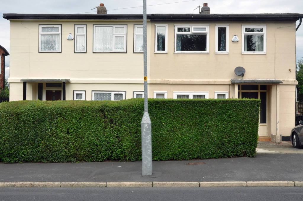
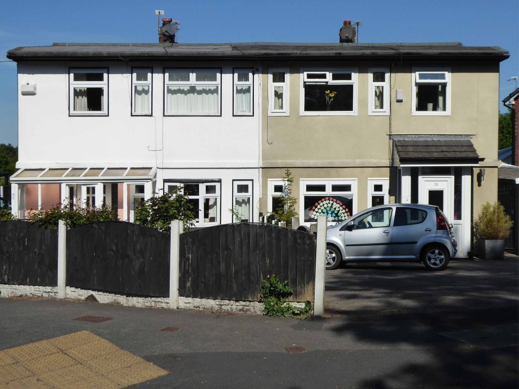
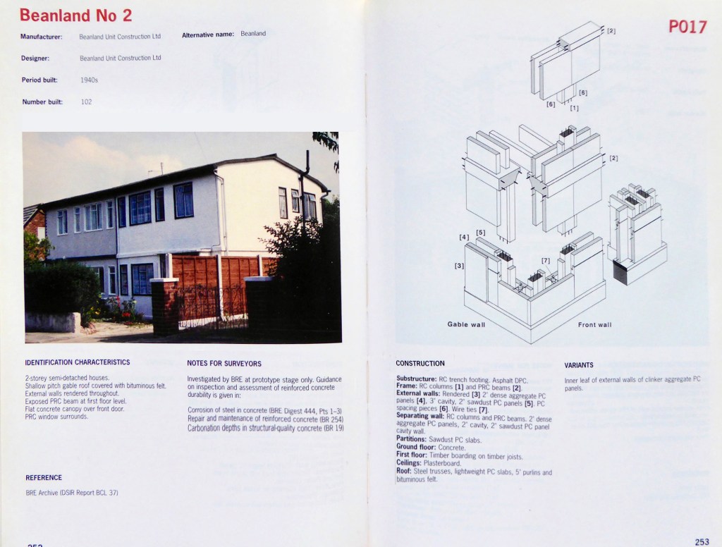
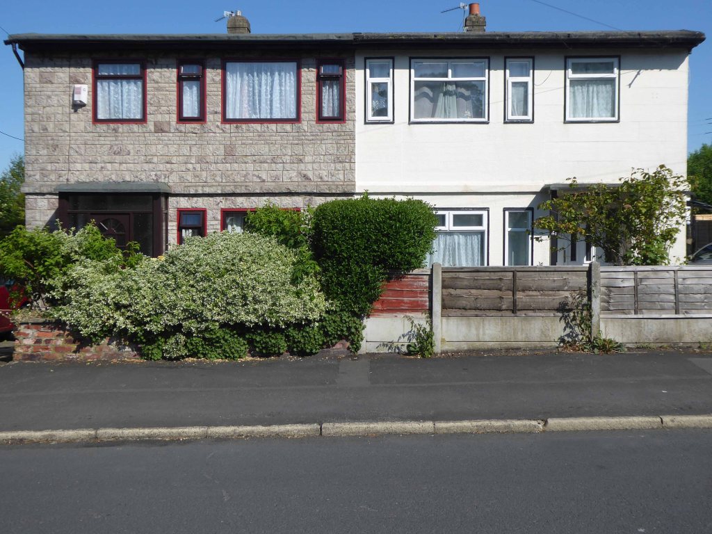
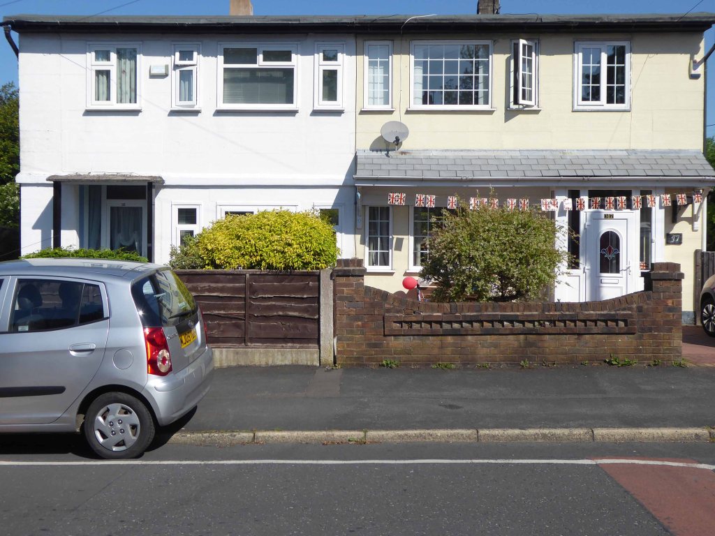
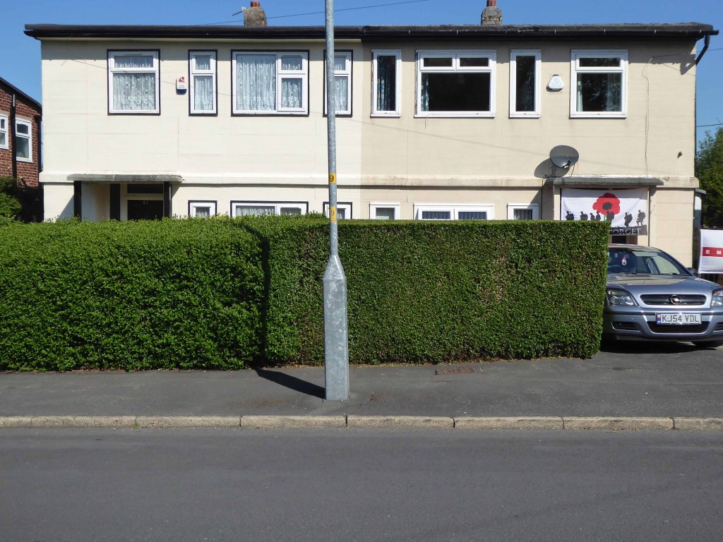
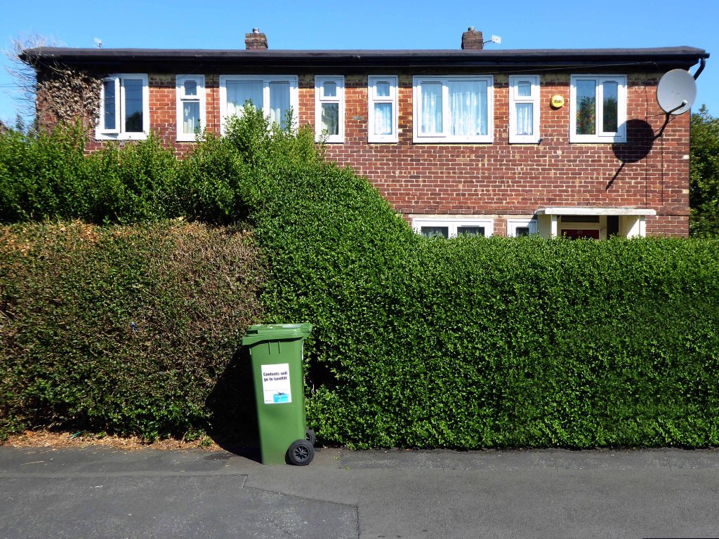
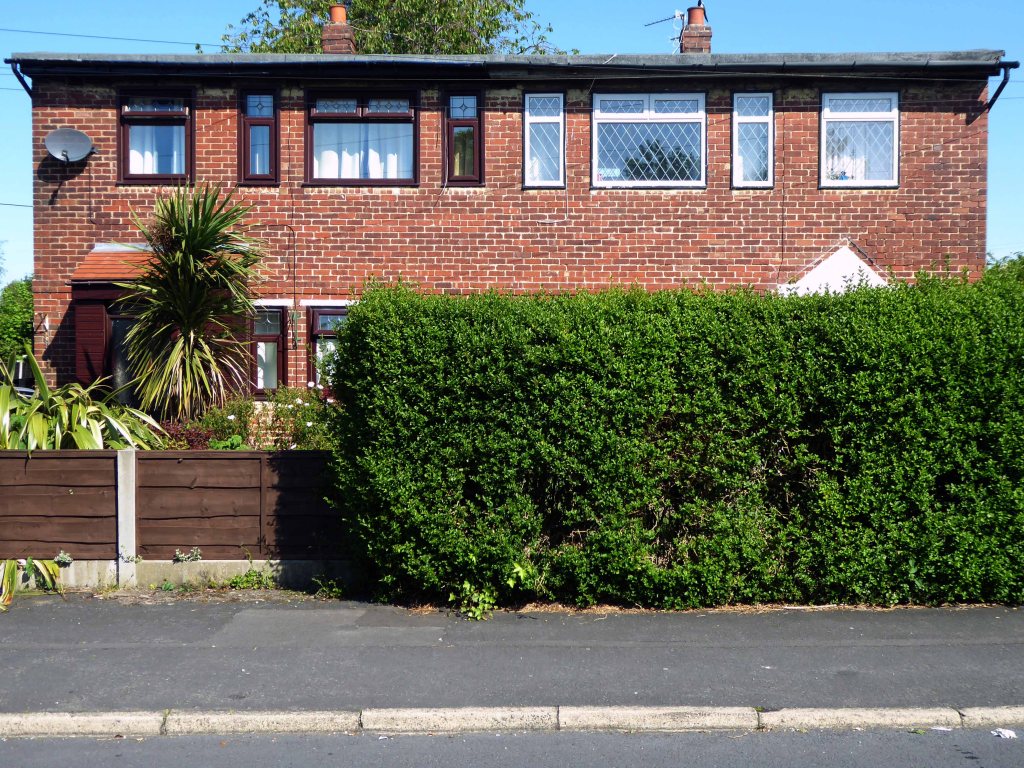
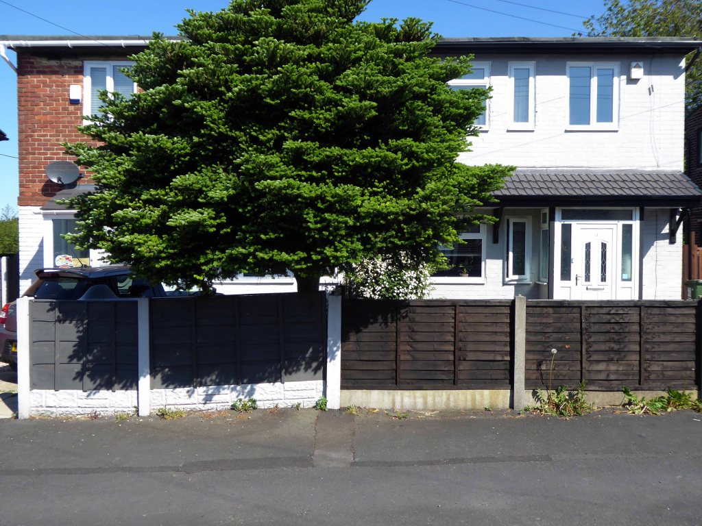
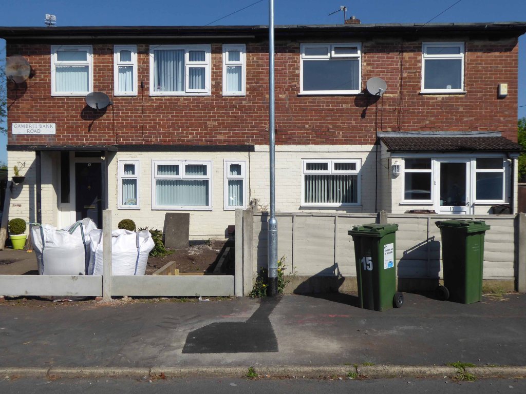
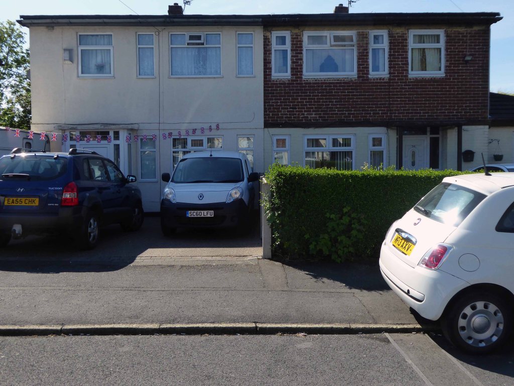
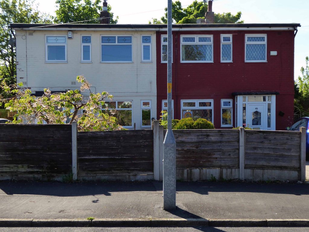
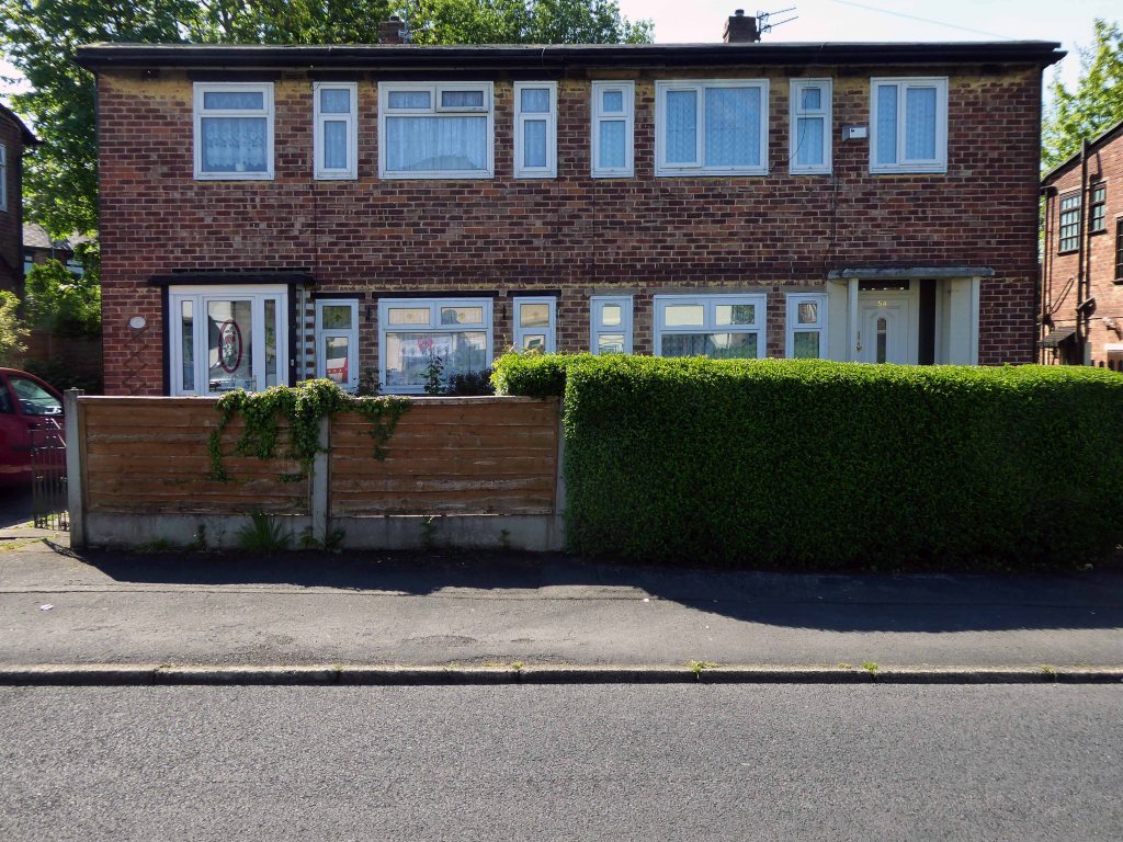
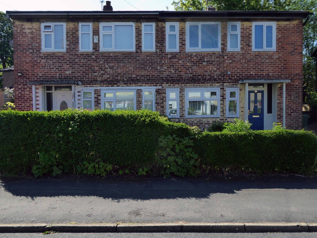
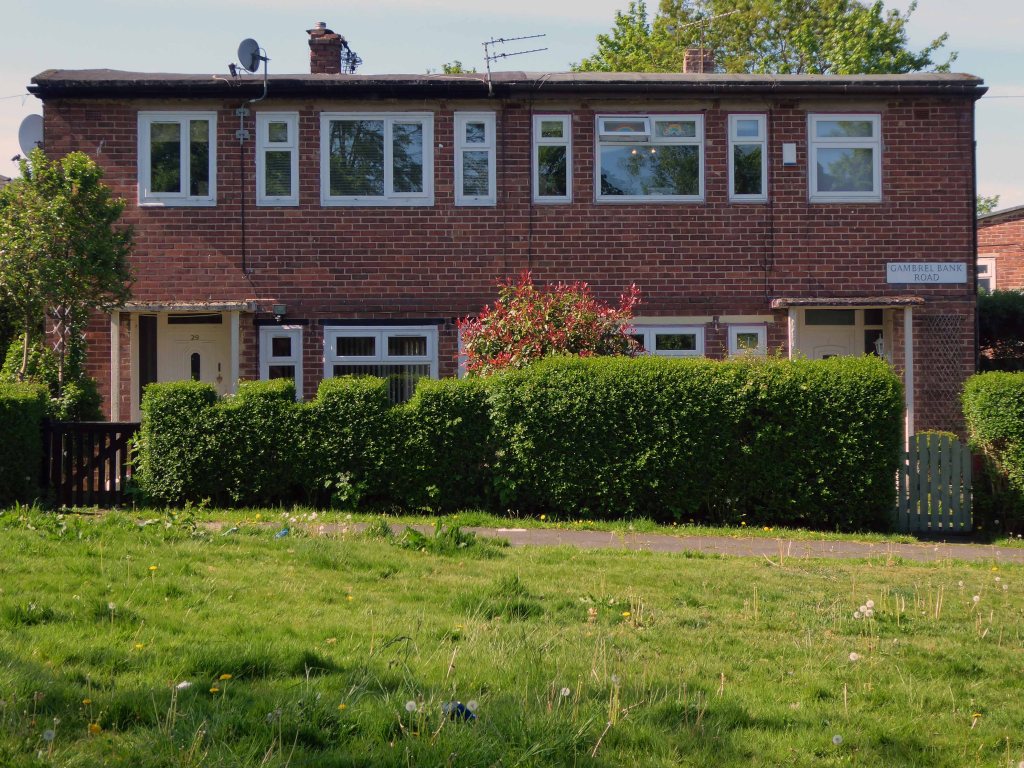
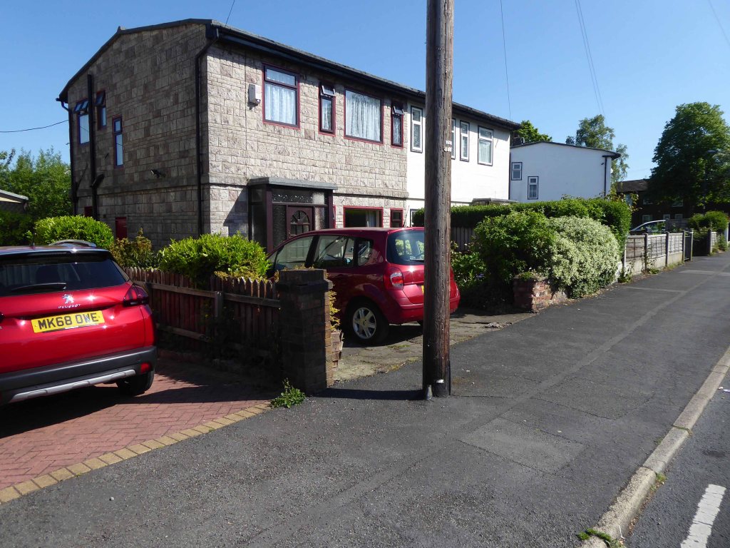
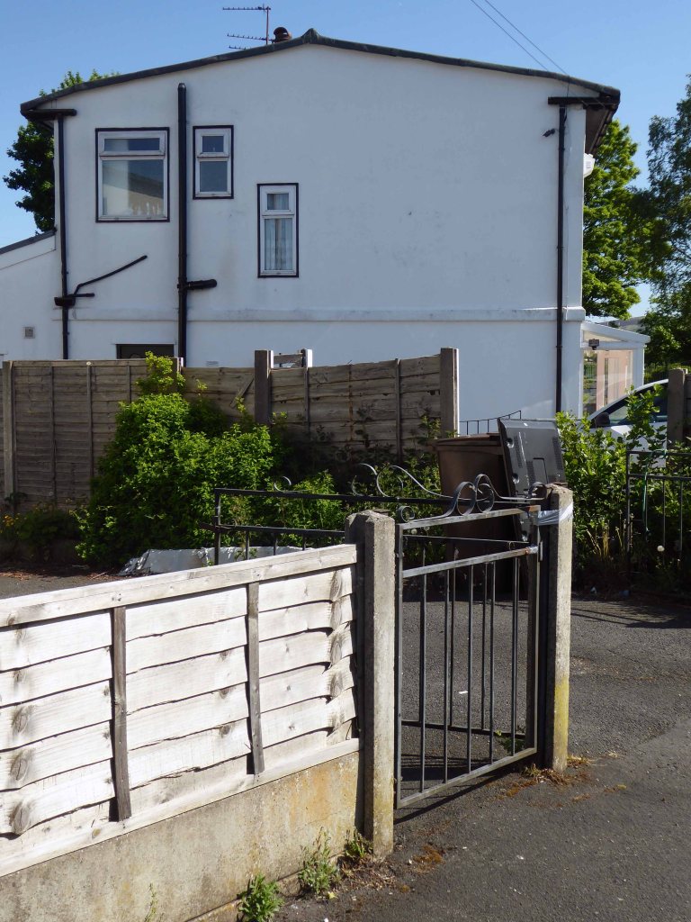
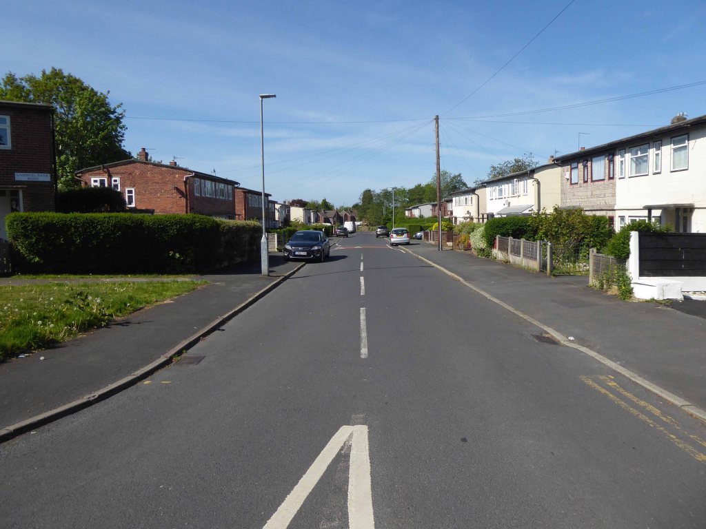
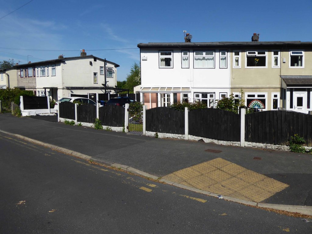
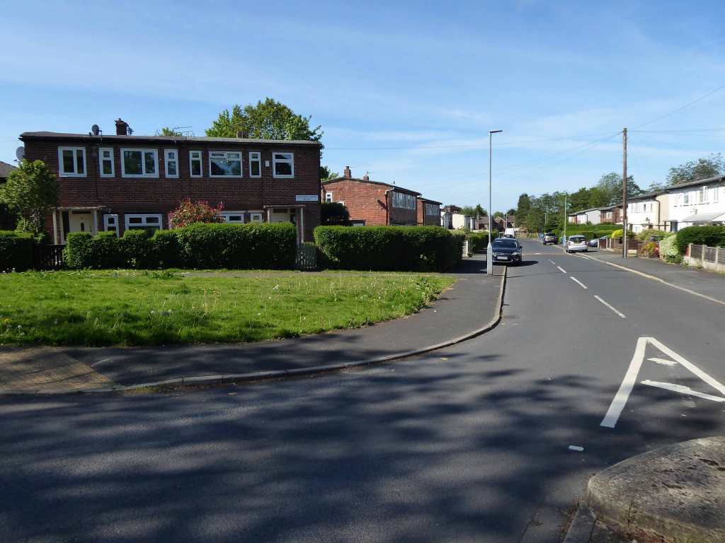
There are four semi detached homes constructed from concrete, rendered painted and clad over the years, windows replaced, additions and amendments made.
Though the basic design characteristics have been retained.
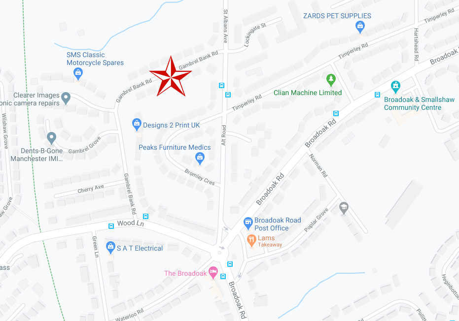
There are no local archival images or histories, I assume that they were post-war, an addition to the inter-war Smallshaw council estate.
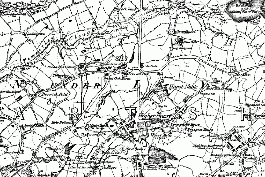
In an area which in 1848 was given over to mining and agriculture.
I have subsequently learnt from an online contact Mr Sid Cat, that the homes are Beanland No 2.
They are listed on the BISF site – 102 were built.
More than this I cannot say – further searches for Beanland proving largely fruitless.
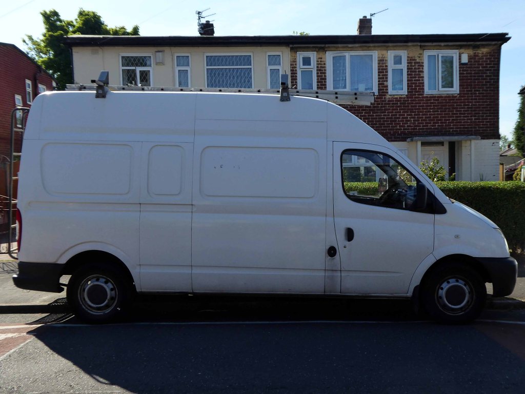
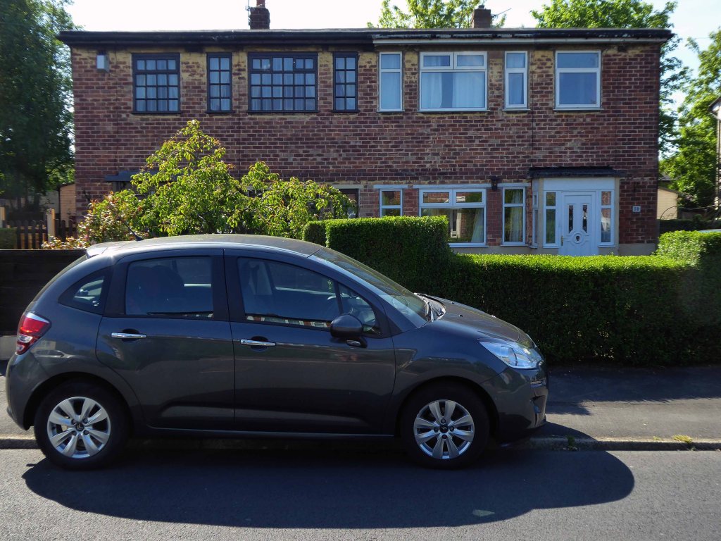
In addition there are also several semi detached houses of identical shape and proportion faced in brick – why?
Suffice to say here we are now and here they all are.
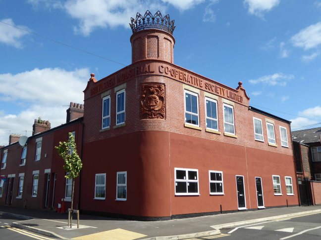
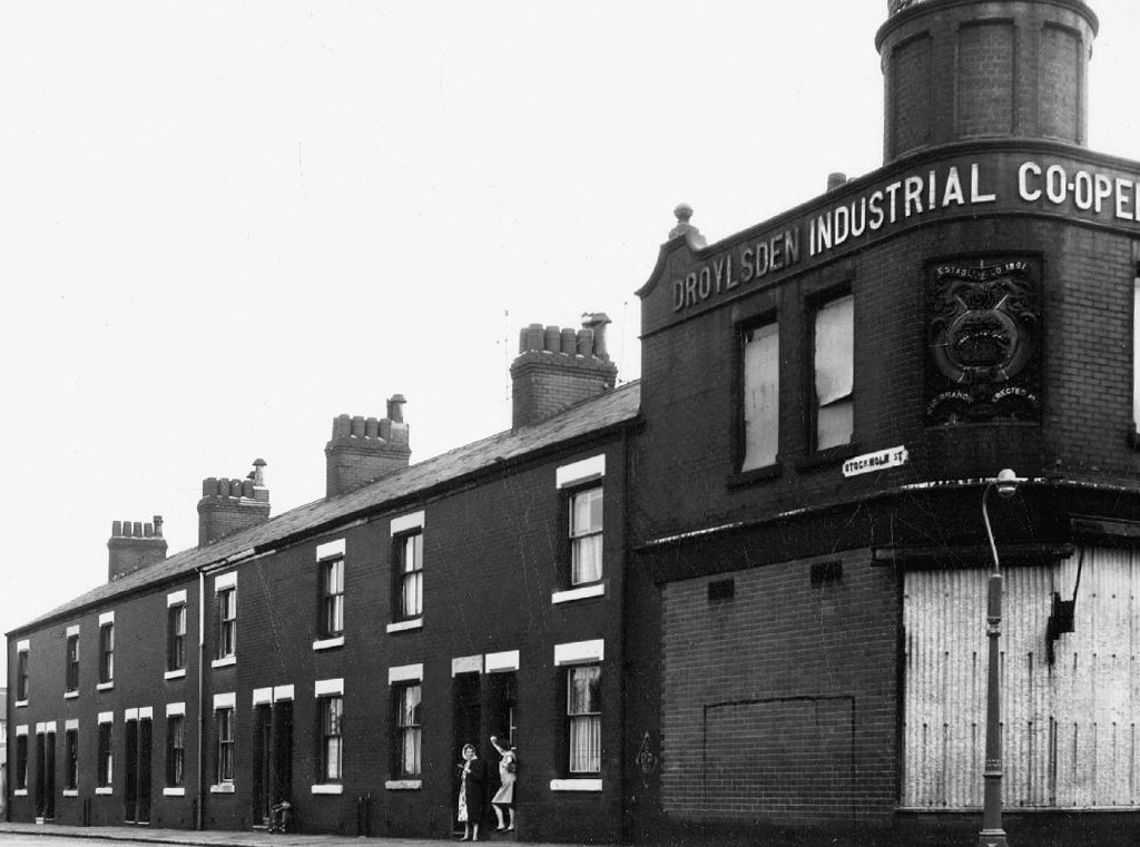
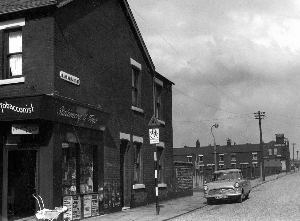
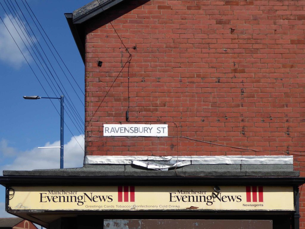
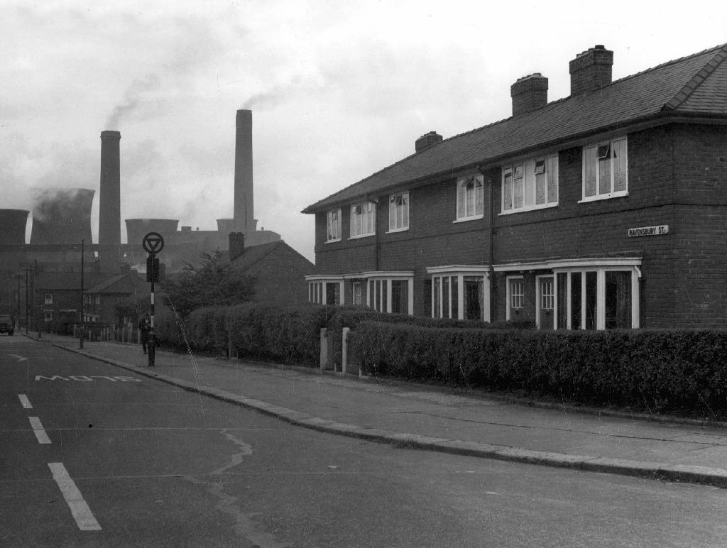
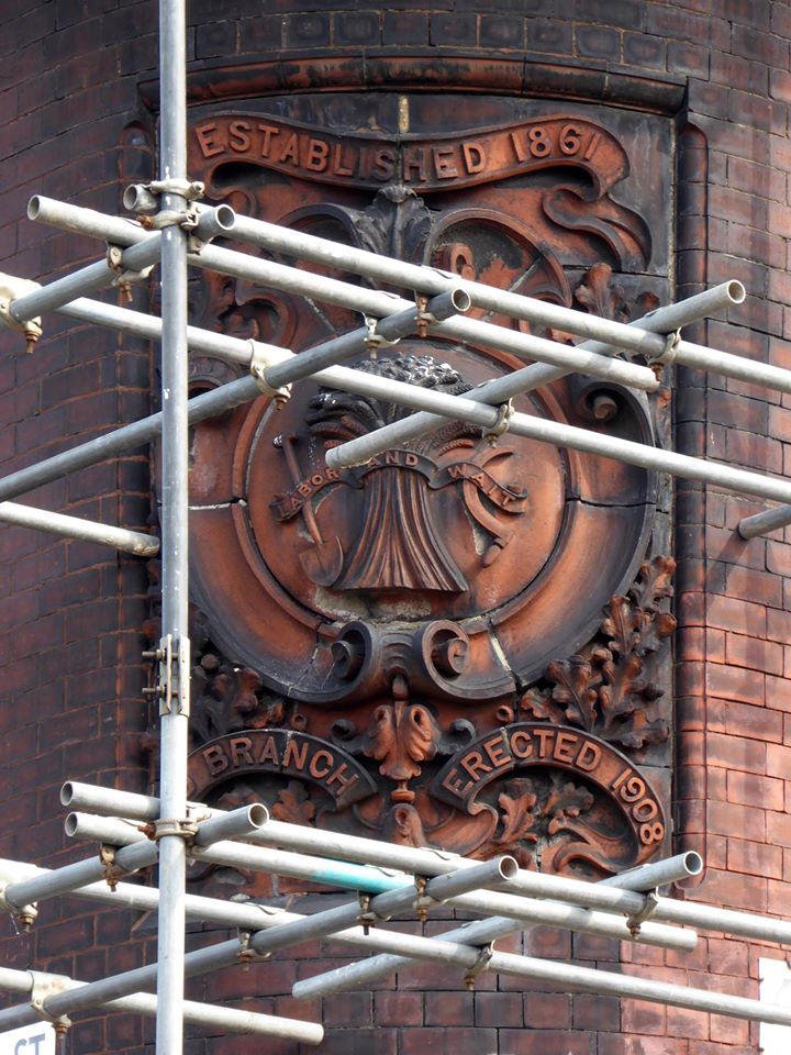
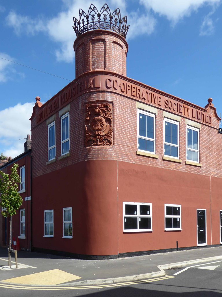
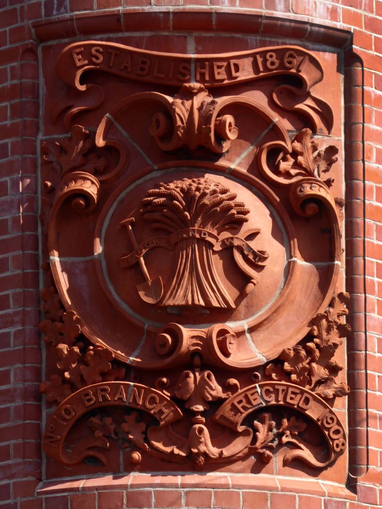
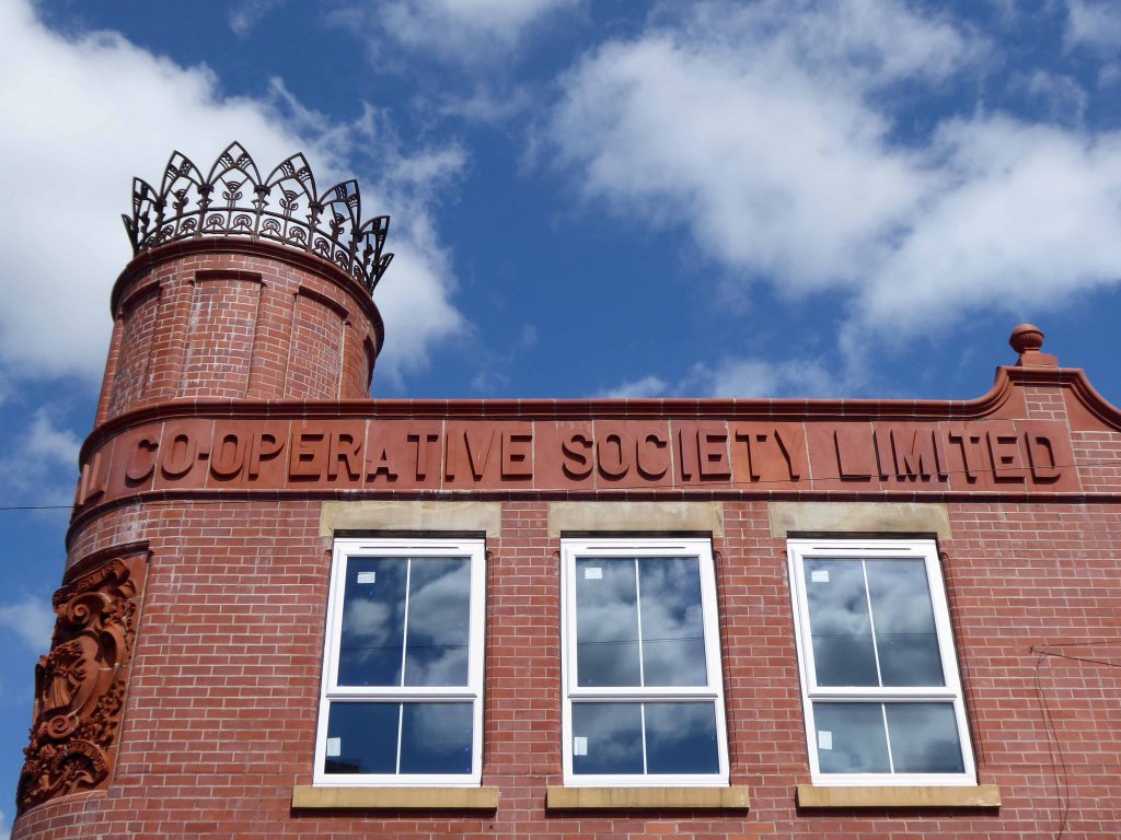
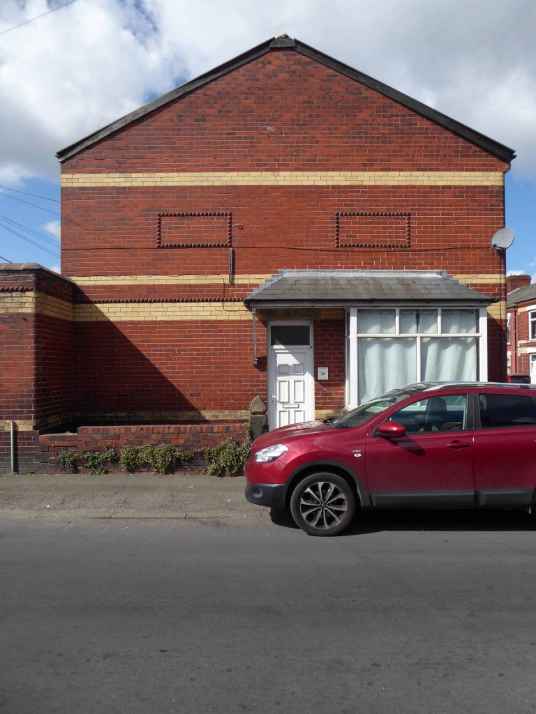
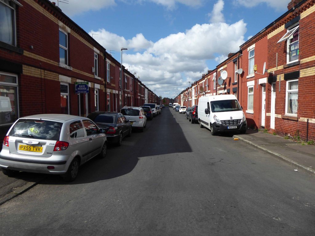
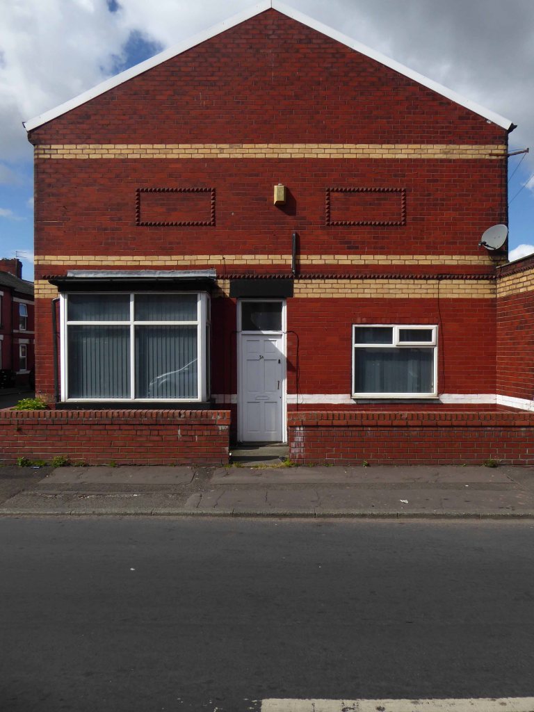
On the corner of Ravensbury and Stockholm Street Clayton Manchester there stands a Cooperative Shop of 1908.
We have previously visited another fine example on Northmoor Road.
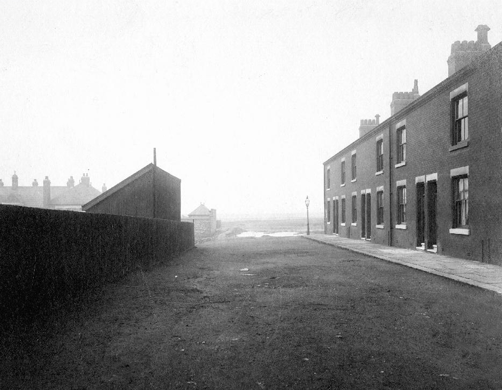
In 1902 the area is still set to open ground.
This Manchester Local Image Collection photograph of 1912 shows new terraced homes emerging to meet the housing needs of the world’s first industrial city.
Changing patterns in shoppers habits sealed the fate of many local and corner shops, as larger supermarkets opened, increased mobility and car ownership became more common.
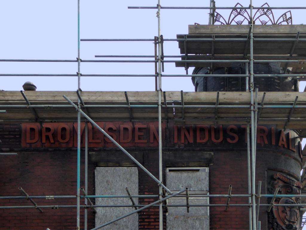
When I first visited the building was undergoing renovation work.
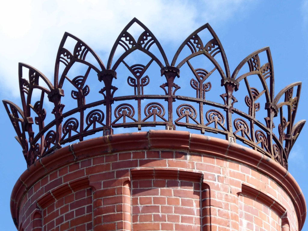
The beautiful terracotta tile work and corona obscured by scaffolding .
I returned last week to find the job almost done – converted to flats, in an area which has seen a great deal of improvement to the general housing stock, paving and street furniture.
A joy to see a fine building almost returned to its former glory, with a much needed social purpose, reviving the city’s western edge.
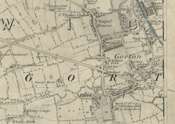
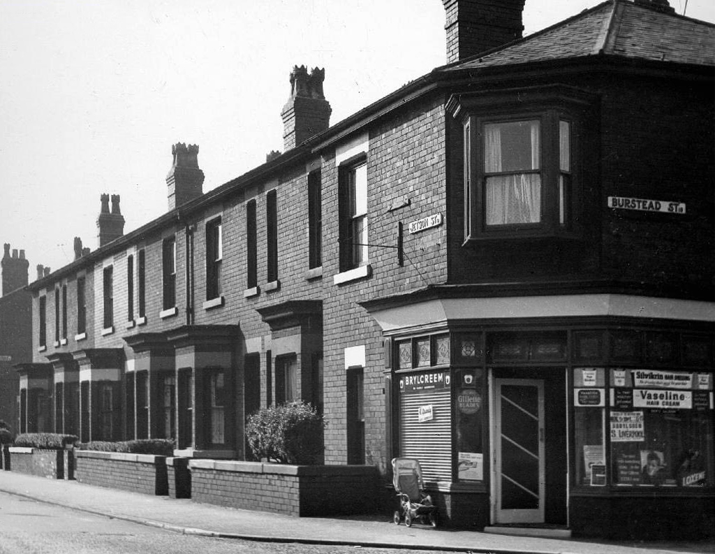
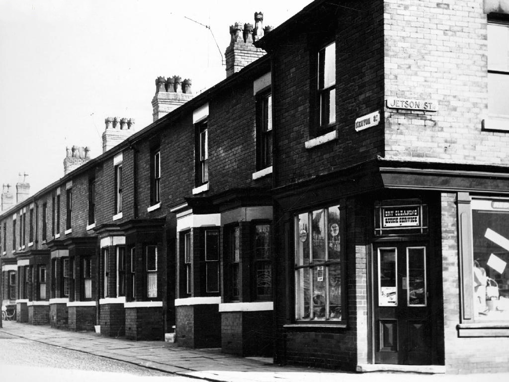
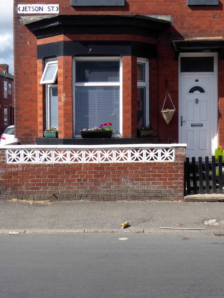
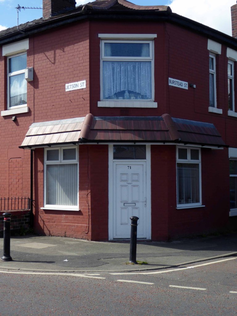
We are travelling backwards and forwards in time – firstly back to 1845 when the street was yet to be built, before the Industrial Revolution created the need for workers’ homes, to house the workers from the newly built workplaces, which also did not yet exist.
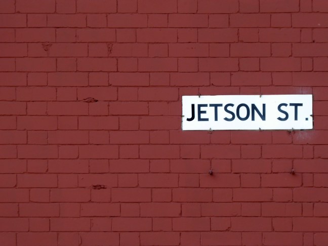
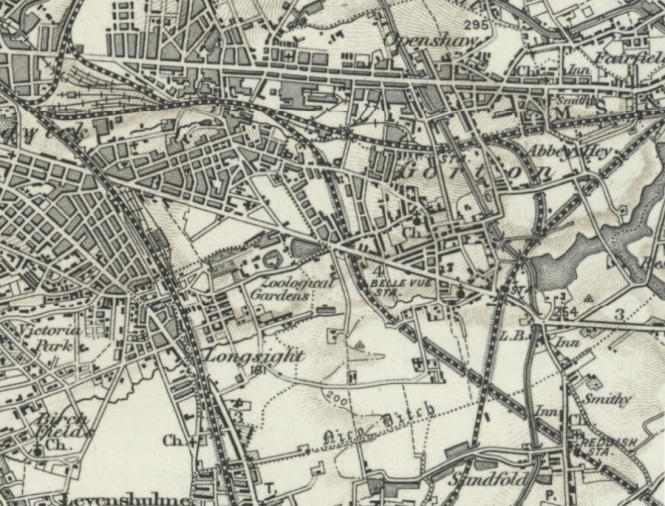
A little further forward to 1896 when Jetson Street has emerged fully formed from the fields, along with rail, road, amusement and industry.
1896
Fast forward to today and it’s all almost still there – though most of the work and the majority of the amusement has evaporated into a cloud of post-industrial, Neo-Liberal economic stagflation.
So why am I here – fast forward to the fictional future!
As a kid I watched as the Jet Age emerged before my very square eyes, giving the street a certain cosmic charm – I was curious.
I have searched online – this seems to be the one and only Jetson Street in the whole wide world – I searched online for its origins.
The name Jetson means Son Of Jet and is of American origin.
Which quite frankly seems unreasonably glib.
The name Jetson is from the ancient Anglo-Saxon culture of the Britain and comes from the names Judd and Jutt, which are pet forms of the personal name Jordan. These names are derived from Jurd, a common abbreviation of Jordan, and feature the common interchange of voiced and voiceless final consonants.
The surname Jetson was first found in Hertfordshire where they held a family seat from very ancient times, some say well before the Norman Conquest and the arrival of Duke William at Hastings in 1066 A.D.
Which quite frankly seems unreasonably obscure.
Let’s jet back to 1964.
T Brooks wandered these streets taking thousands of photographs for the Manchester Corporation, possibly the housing or highways departments – they all still exist here on the Local Image Collection.
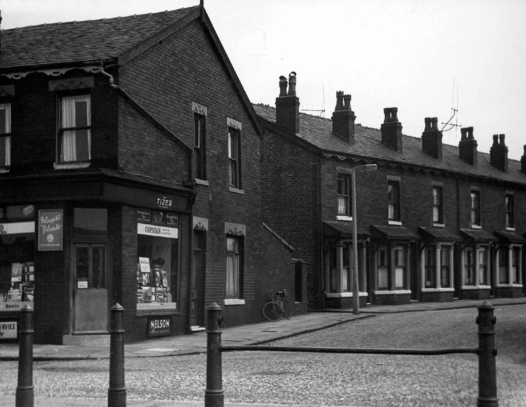
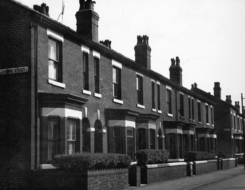
This was a world of corner shops on ever corner, settled communities full-employment, neatly ordered rows of sturdy brick-built homes.
I follow in his hallowed footsteps, what if anything remains of this world – fast forward to 2015 my first fleeting visit.
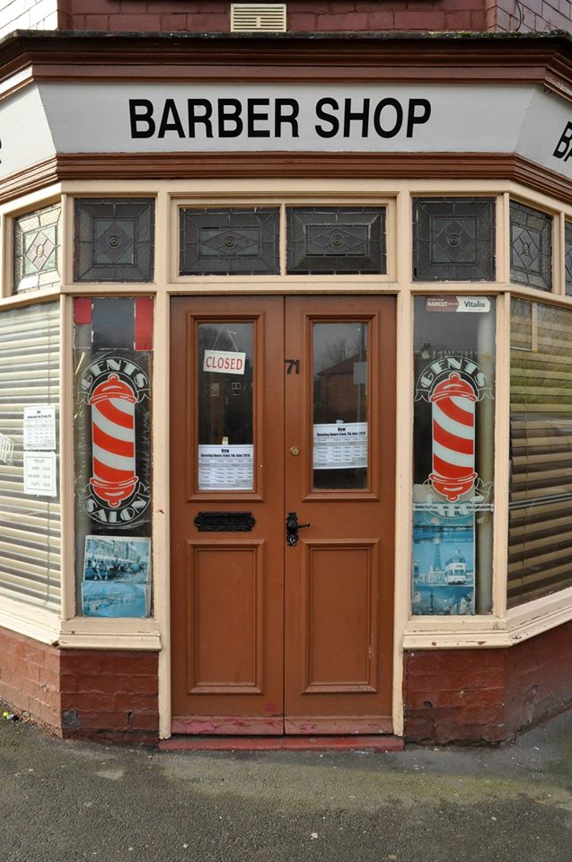
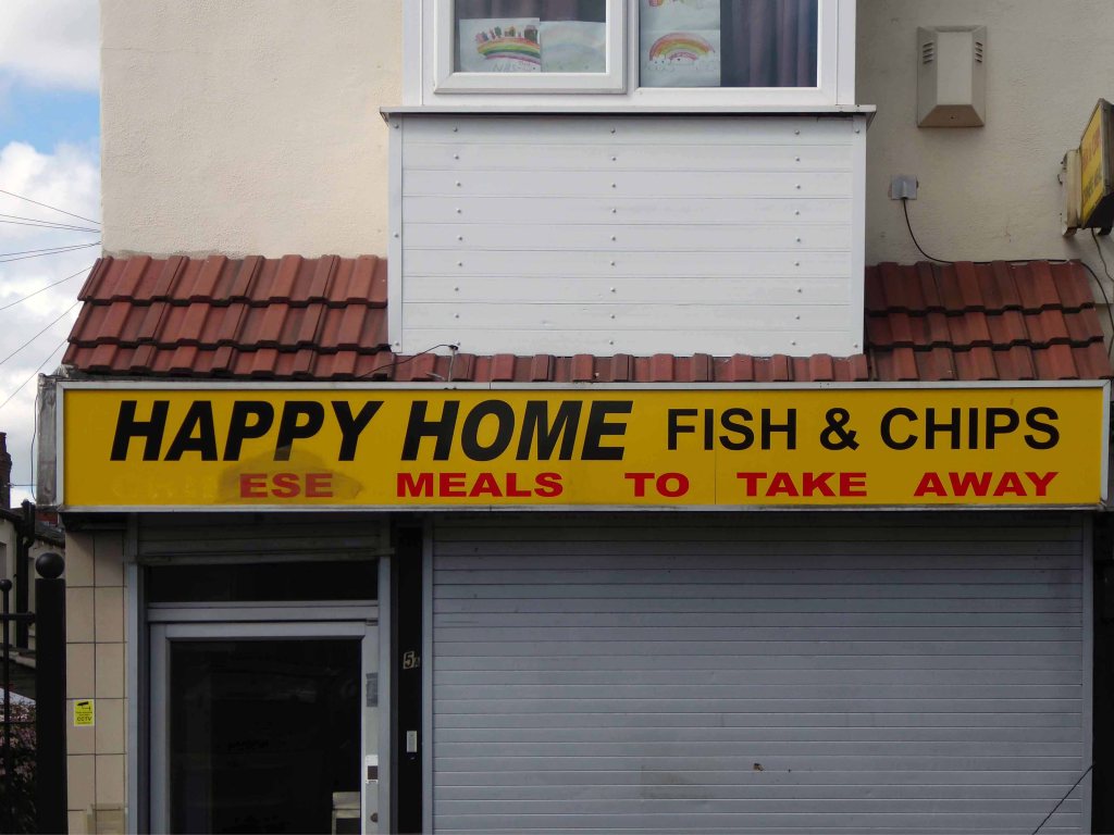
Now trading as Happy HomeA barber shop no more
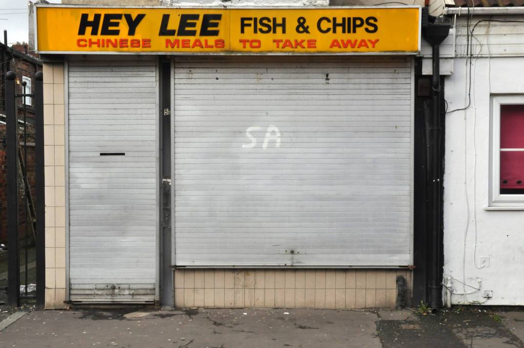
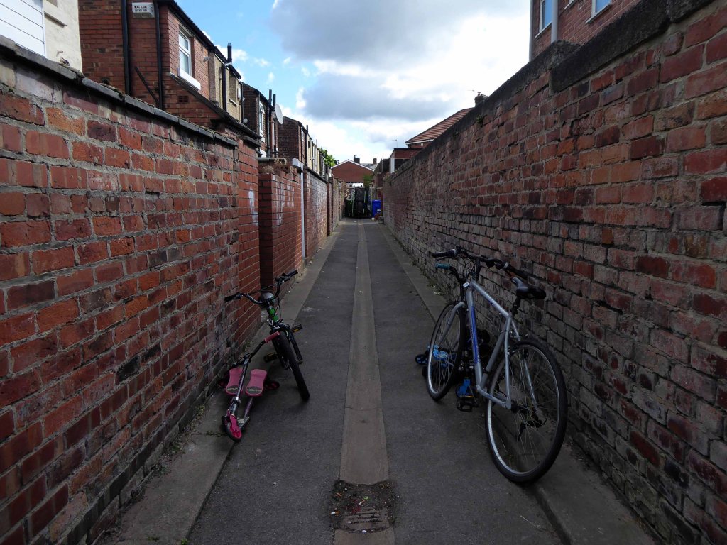
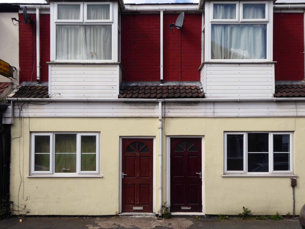
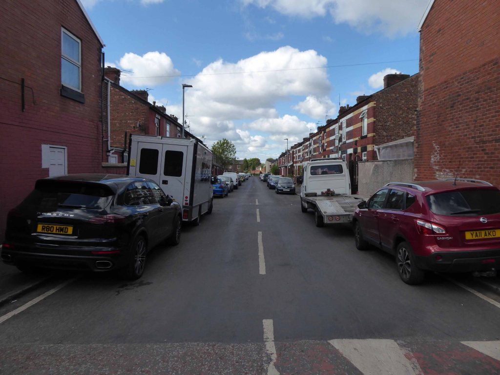
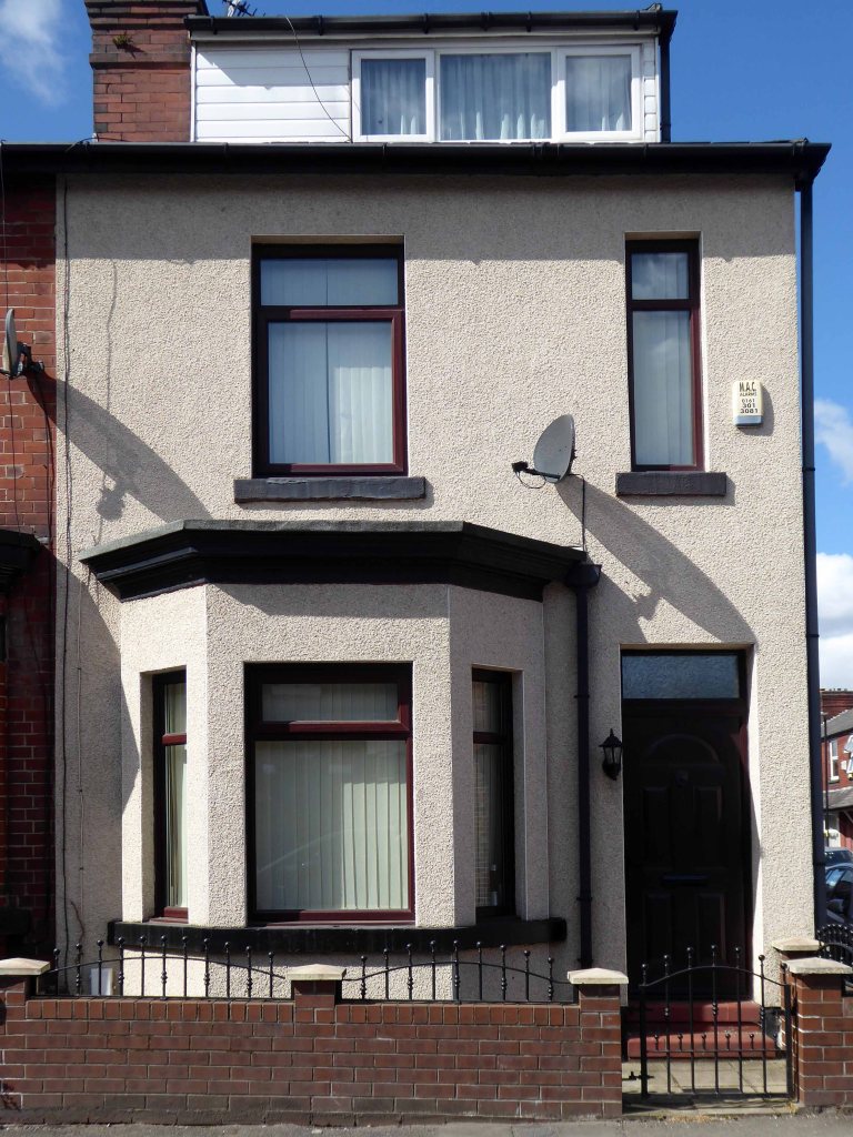
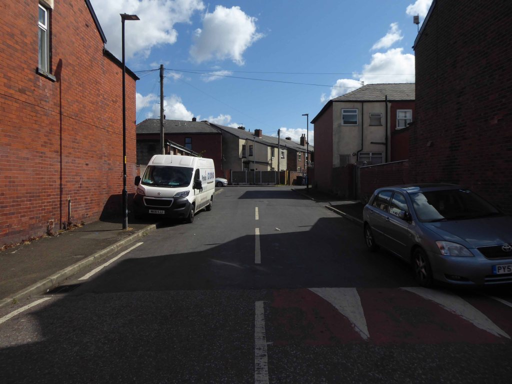
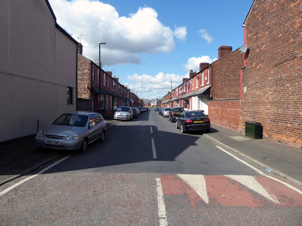
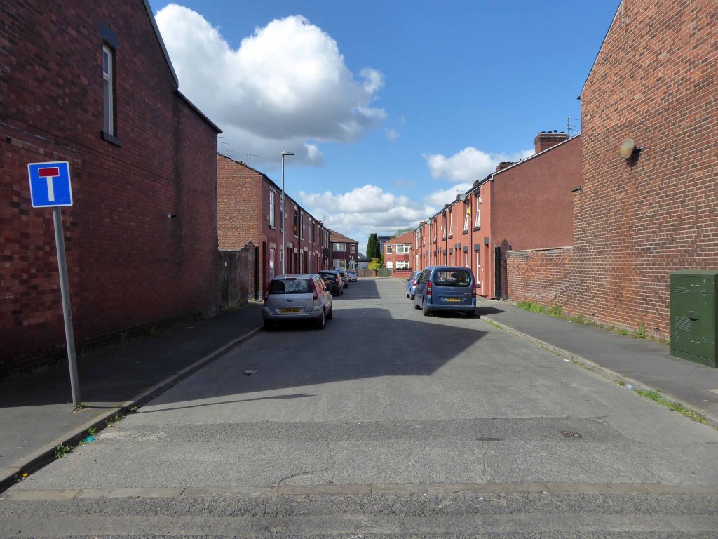
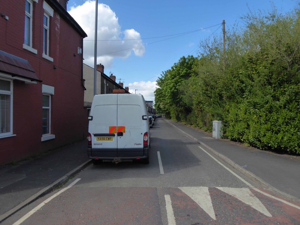
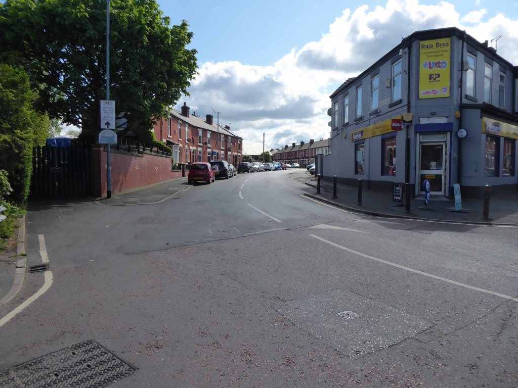
The area now has a richer racial mix – having recently become home to many African and Eastern European families. The architectural consistency of the houses has been swamped by render, window frame replacement, addition and extension, and the arrival of a plethora of motor cars. The majority of shops now long gone, as the once pedestrian community spread their retail wings and wheels elsewhere.
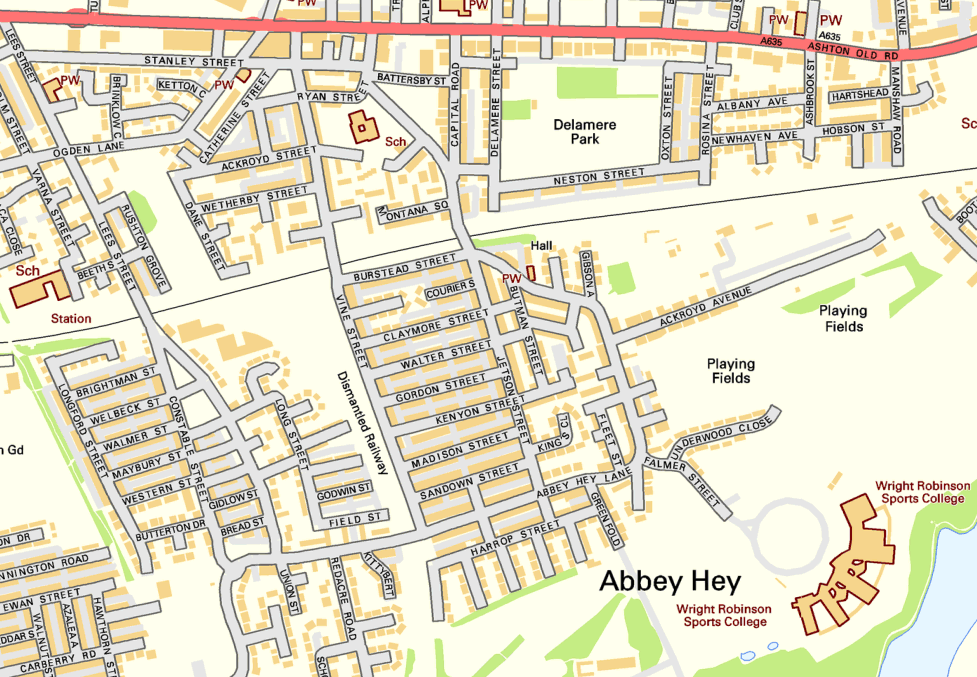
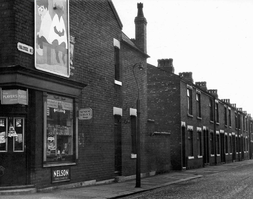
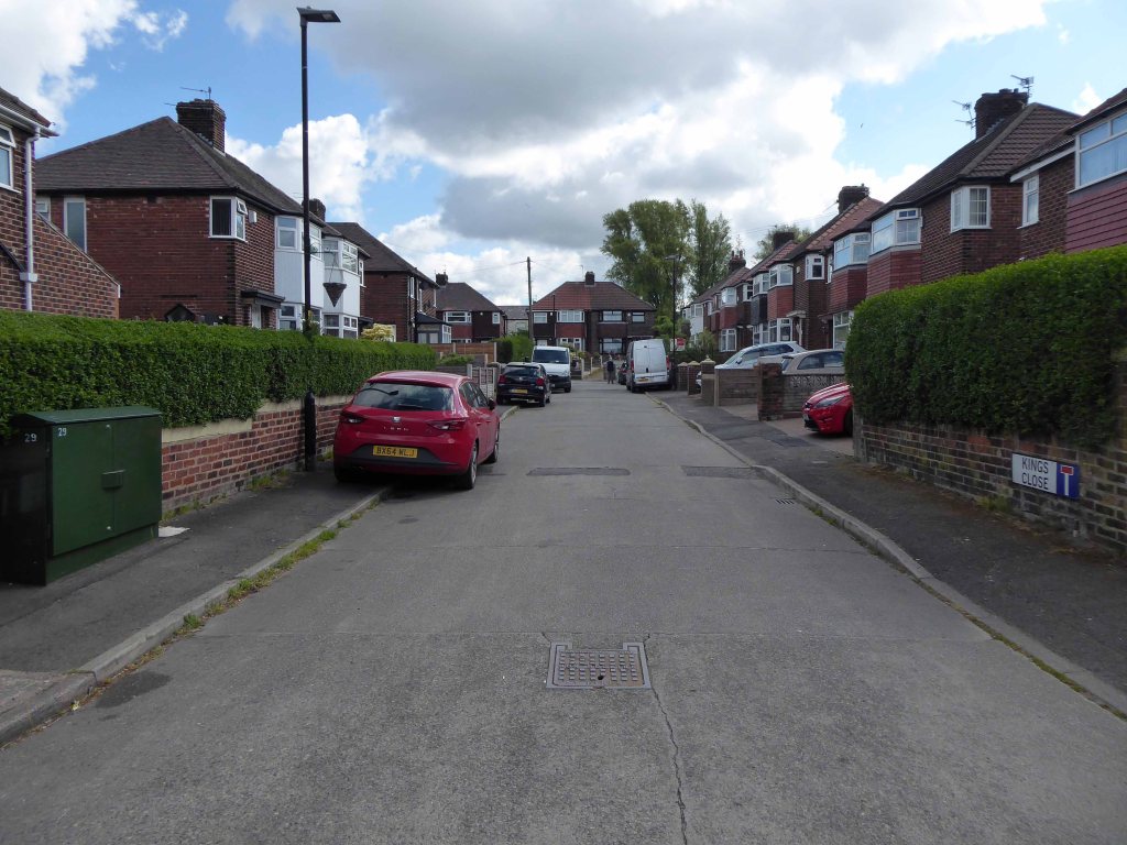
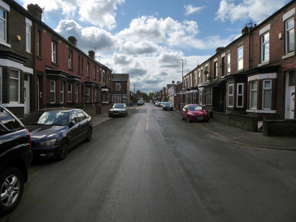
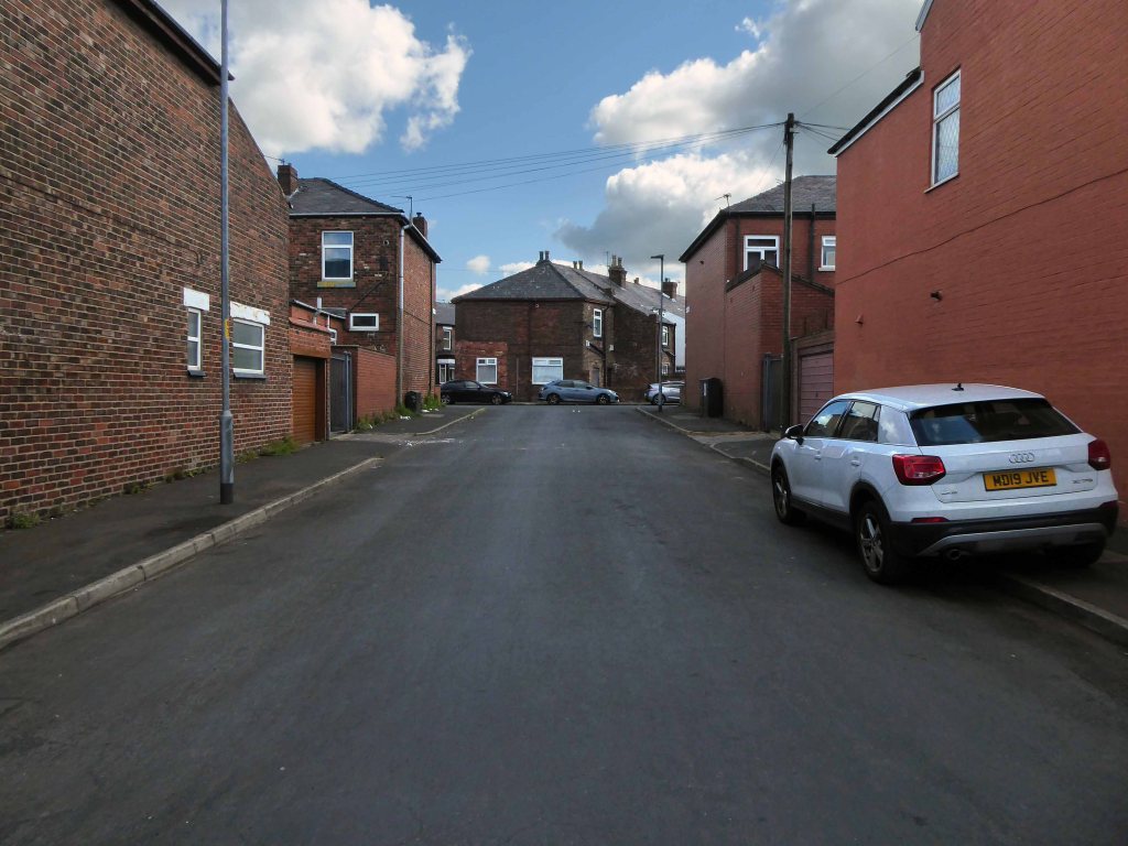
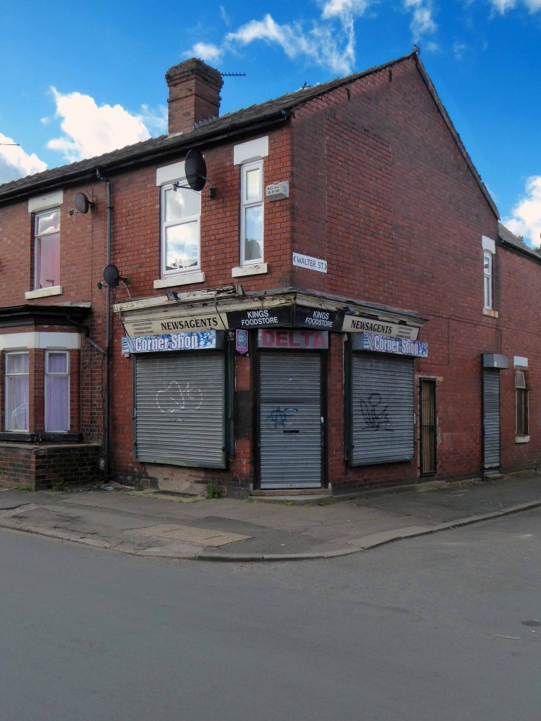
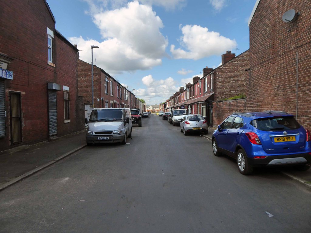
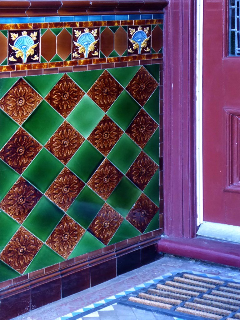
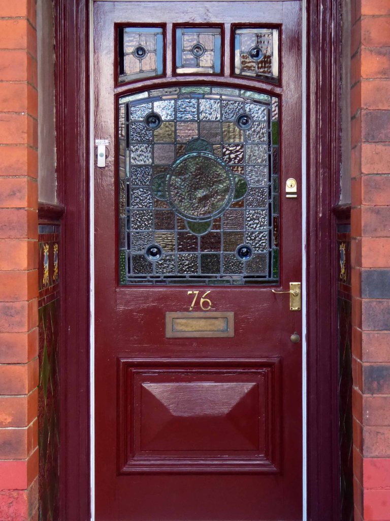
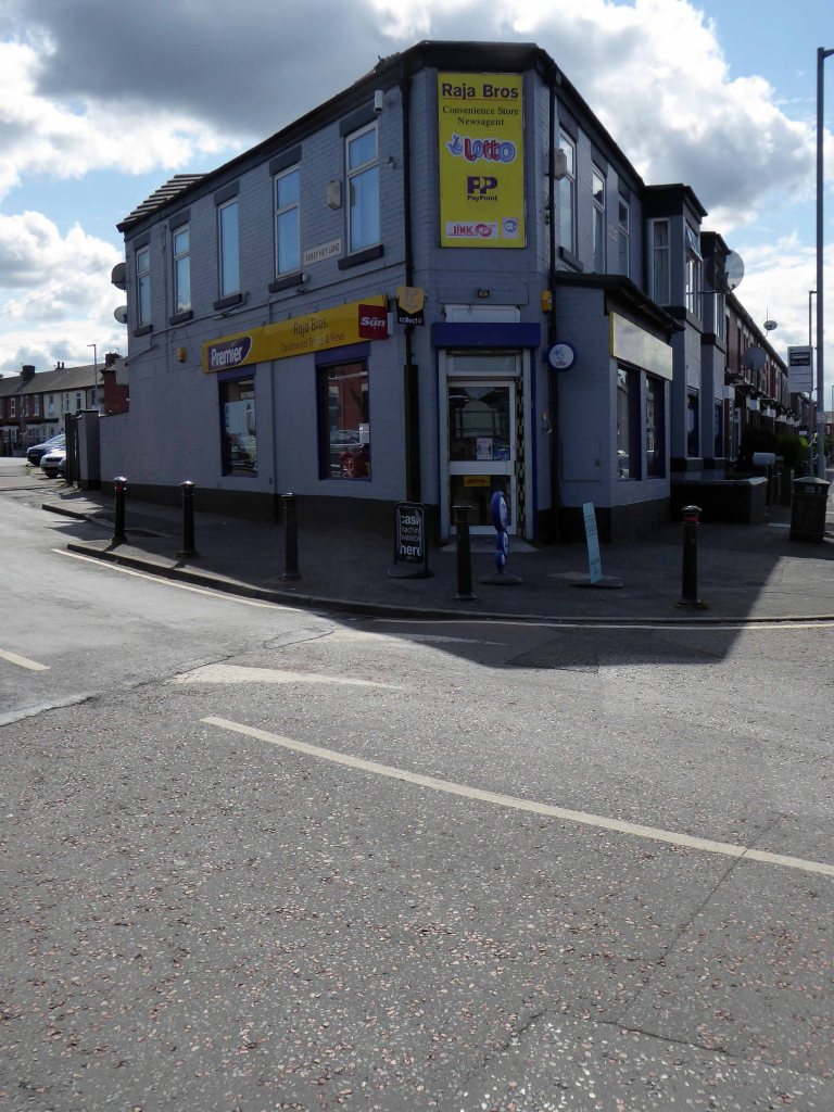
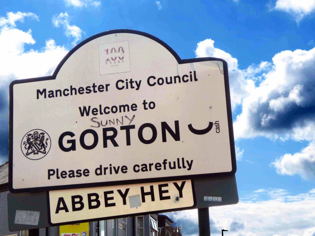
Jetson Street – NorthSandown StreetKings CloseMadison StreetKenyon StreetKenyon StreetSign of the timesGordon StreetJetson Street – NorthJetson Street – SouthWalter StreetWalter StreetClaymore StreetClaymore StreetCourier StreetThe only remaining front doors and tiled porch every other having been given over to the allure of uPVC and the enclosed doorwayMy on street correspondent congratulated the Raja Brothers on the sound service they had provided during these difficult times.Where the barbers wasBurstead StreetAbbey Hey Lane
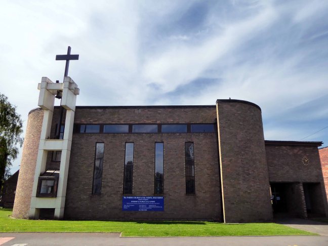
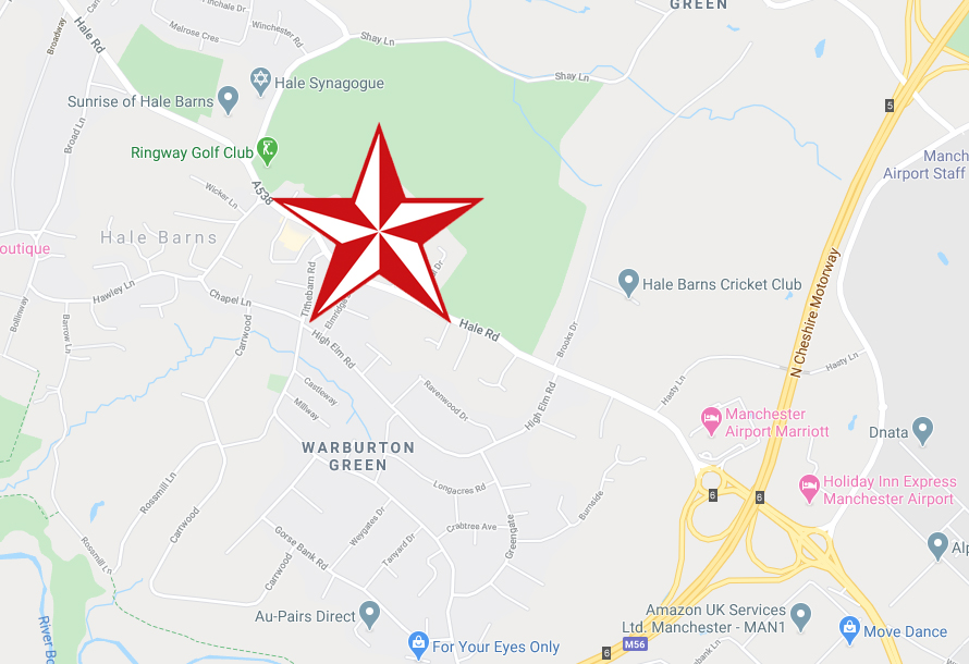
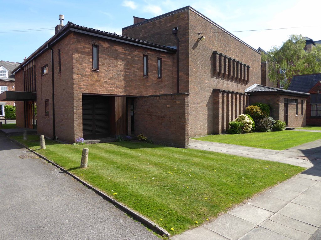
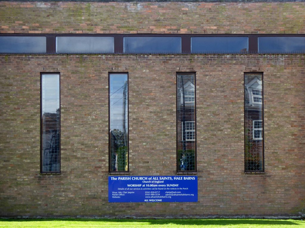
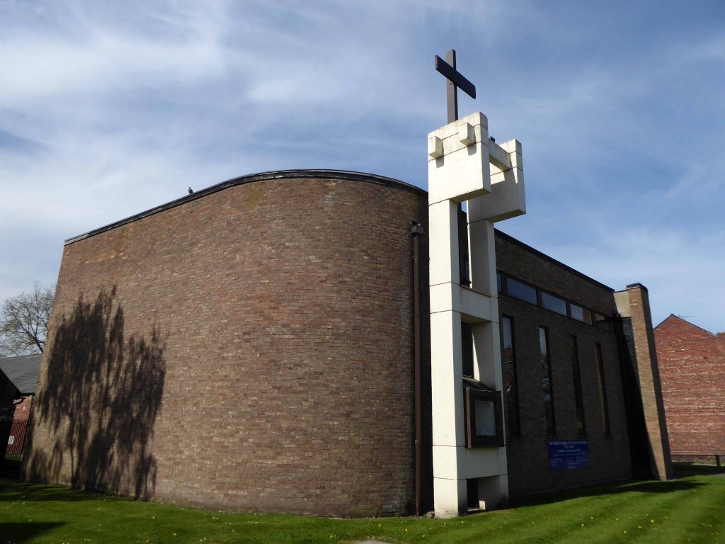
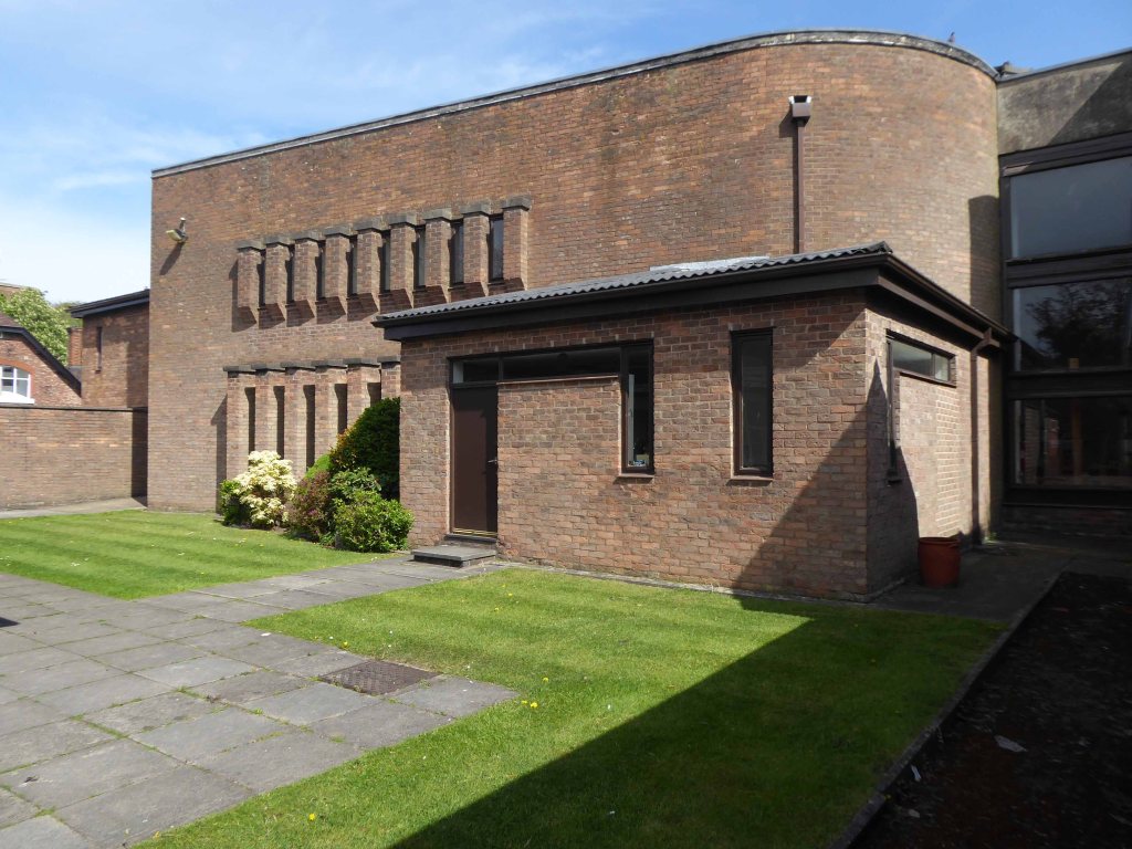
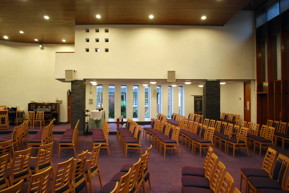
As Hale Barns grew in the 1950s and 1960s it was clear that the small daughter church was less than adequate in terms of size and facilities, and under the leadership of the Rev Fred Cox, the then Vicar, a new church was planned for the site. Designed by Brian Brunskill, All Saints Church was consecrated in 1967.
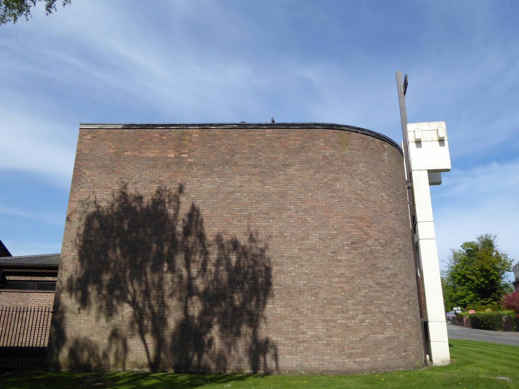
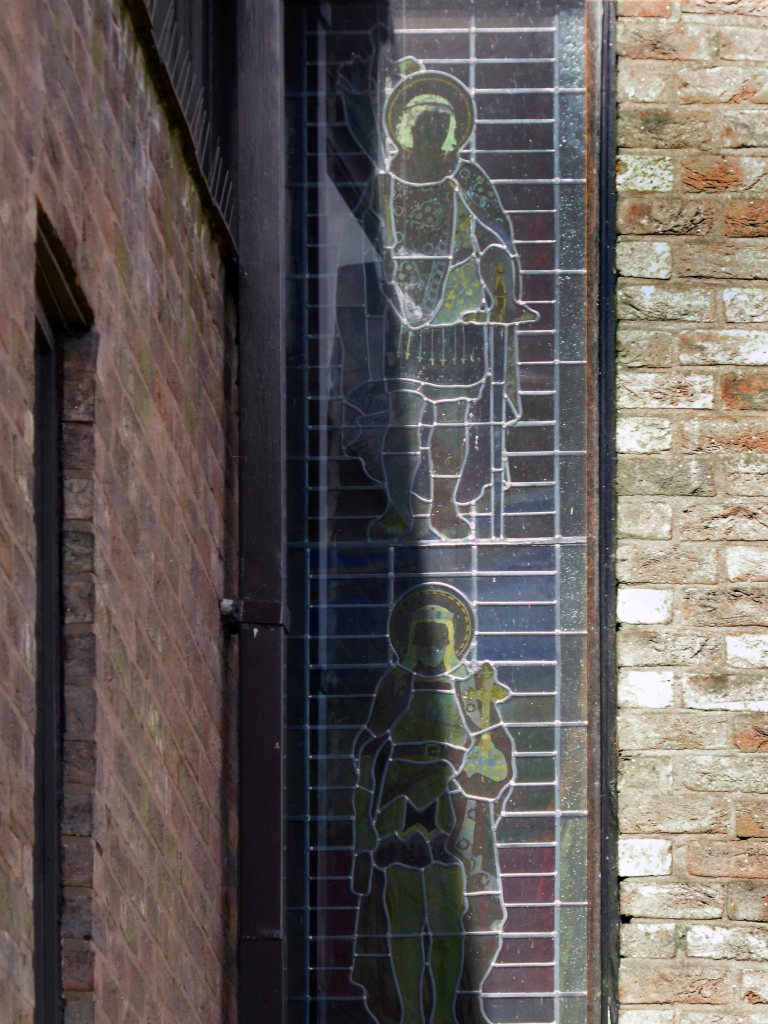
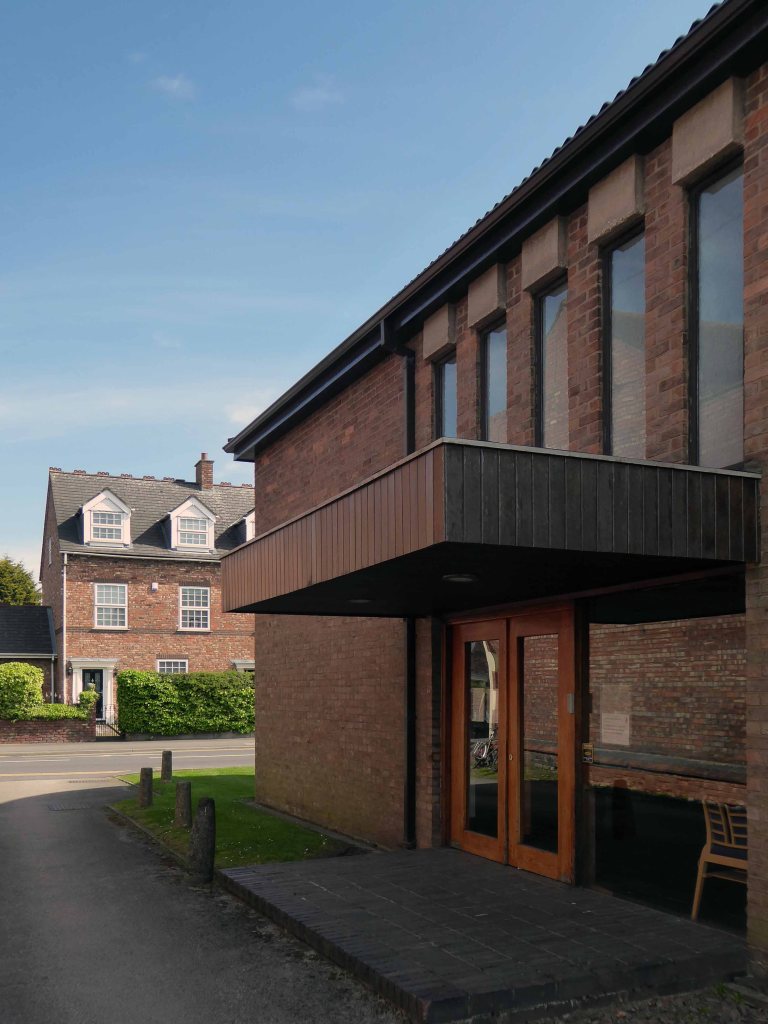
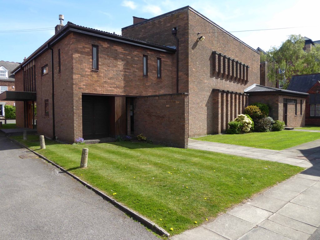
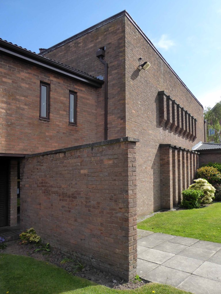
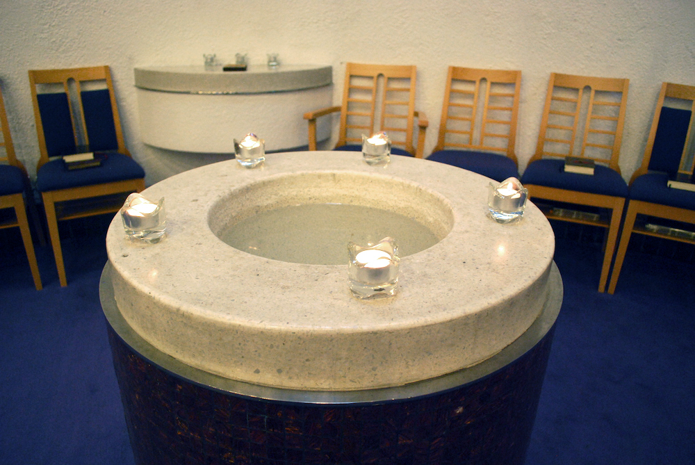
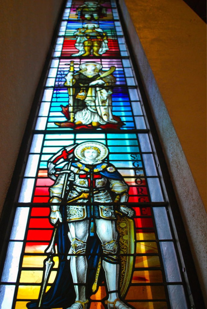
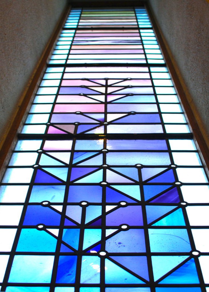
Outside it can seem a rather stark building, of brown brick, set back from the busy Hale Road but inside it is full of light and space. The influence has clearly been that of the French architect Le Corbusier, and there is a wonderful interplay of curved and straight walling. At first there was no stained glass, but in the early 1980s glass by the Japanese artist Sumiko was installed in the north windows. This includes a stylised tree-of-life design. In the baptistry there is some Victorian glass brought from St Mary’s Church.
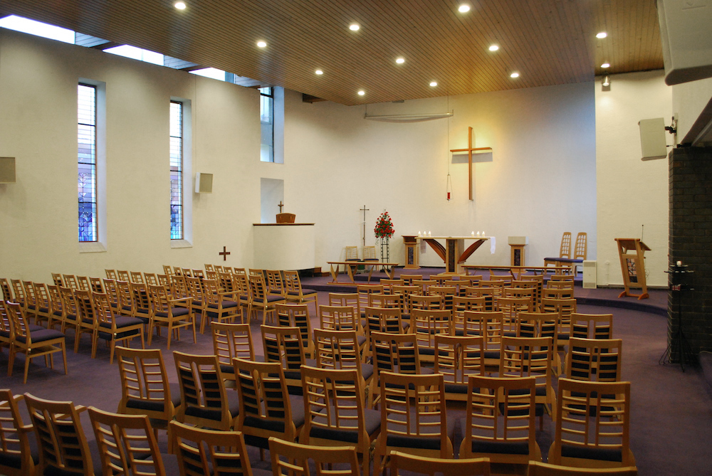
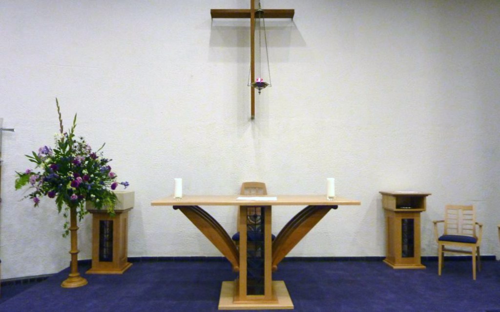
In 2009 a radical and daring re-ordering of the building was completed. The church was carpeted and new furniture of high quality, designed and made by Treske, woodcarvers of Thirsk, North Yorkshire, was installed. The tree-of-life design in the 1980s glass has been echoed in the glass inserts to the Lectern and High Altar and also in the metal uprights of the Altar Rail. All the fittings are moveable, giving a flexible space. This flexibility give opportunities to explore how the building itself can enrich worship at different seasons of the Church’s year.
My first time in Hale Barns – hence my first visit to All Saints.
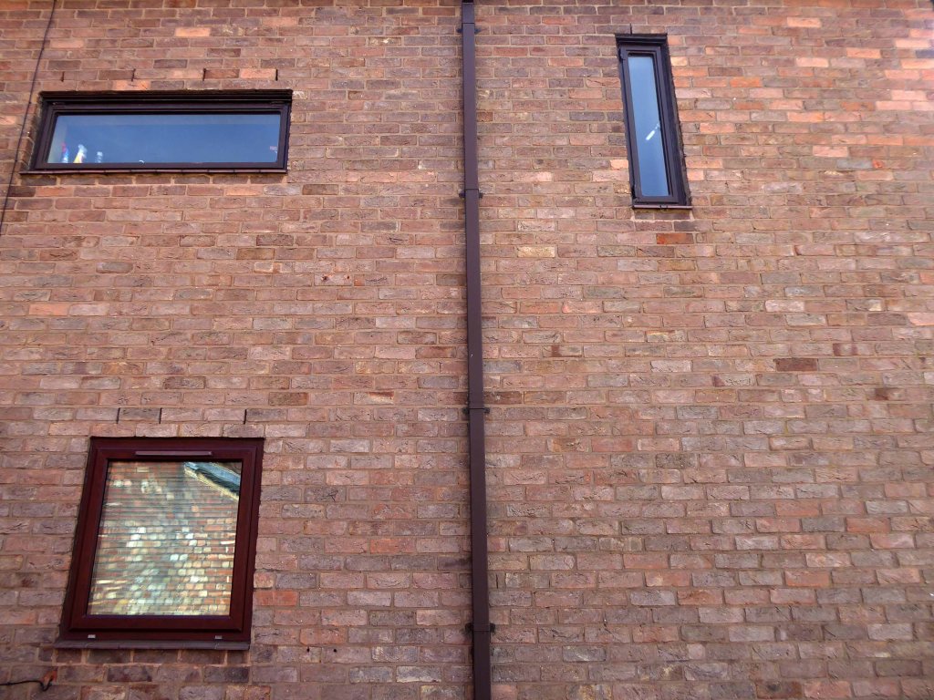
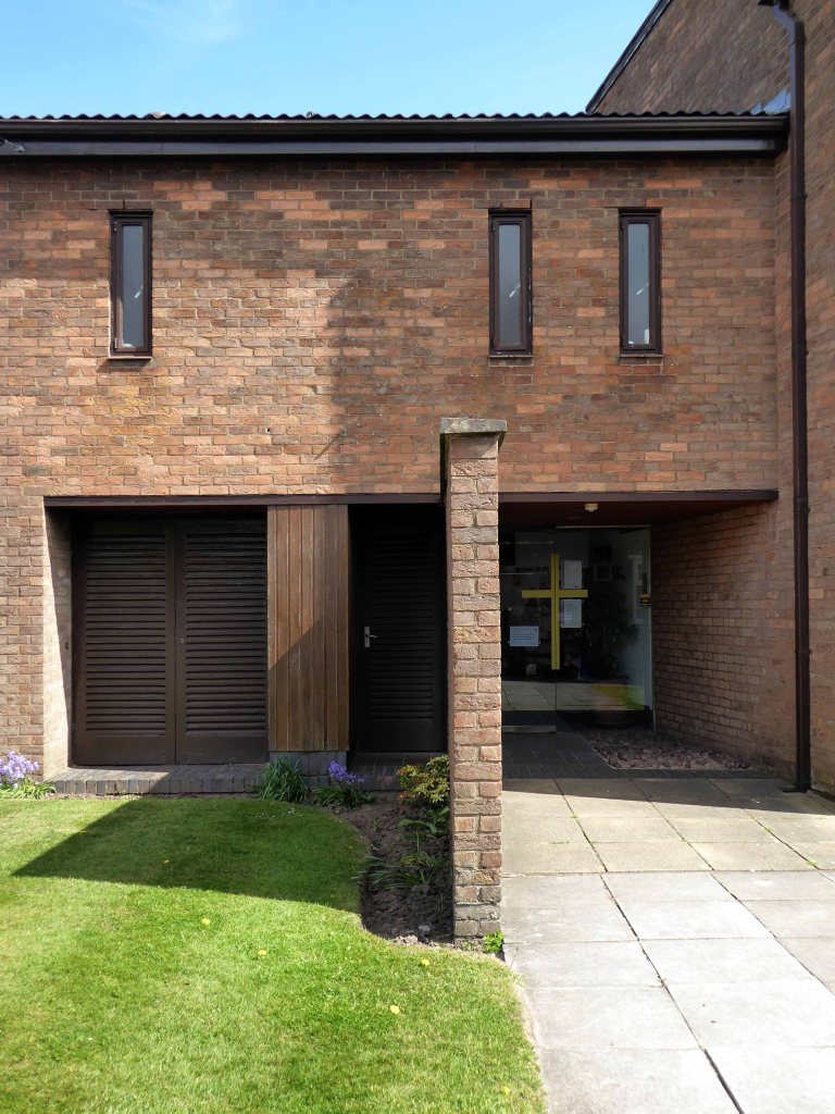
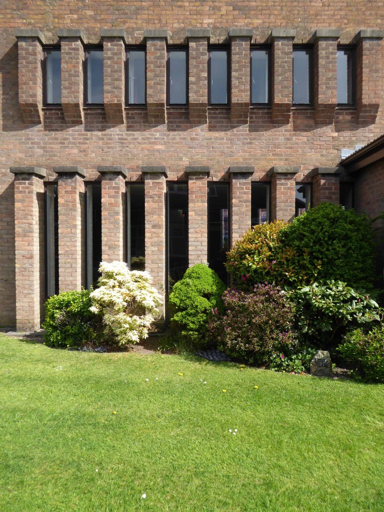
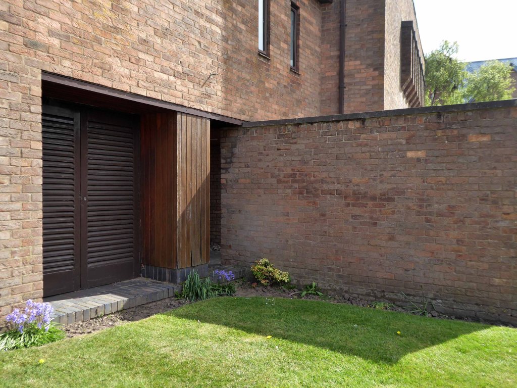
Small in scale, but large in ambition – a wonderful exercise in the calm controlled use of brick, rich in small details, along with an expressive mix of warm curves within a rigid grid.
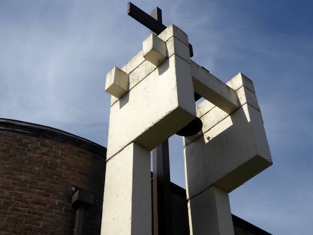
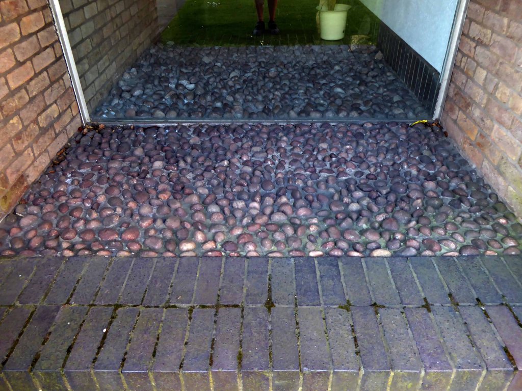
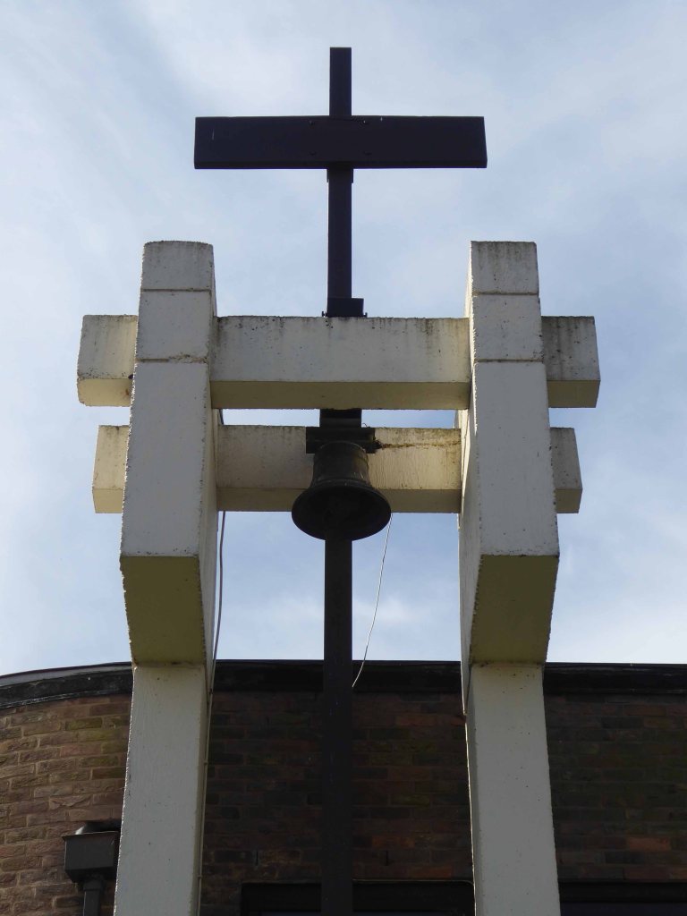
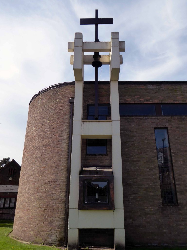
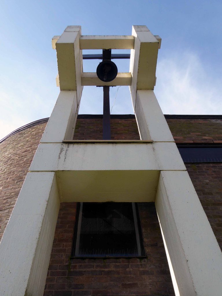
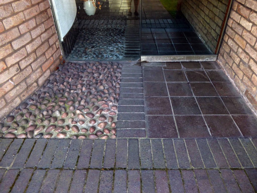
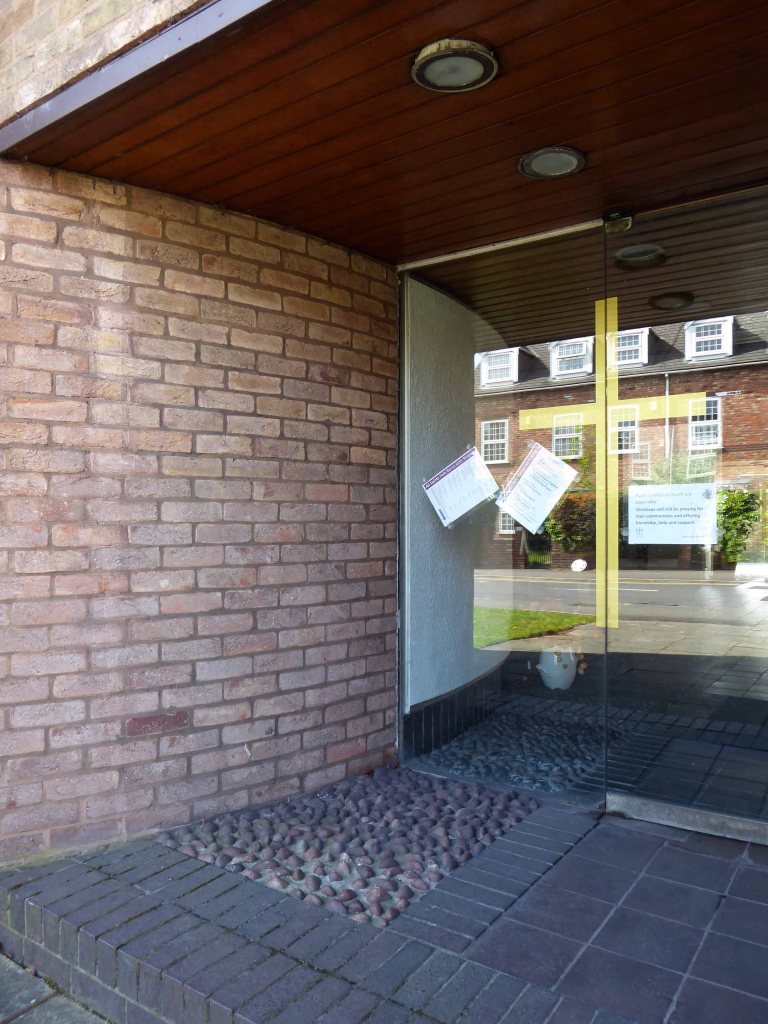
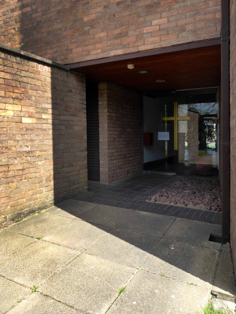
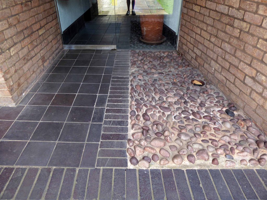
Of particular note is the sculptural concrete bell tower, the exterior use of pebbles in the porch which flow into the interior space, along with a discrete palette of grey tiling.
It demands to be circumnavigated – fresh surprises await around each turn, simple hard landscaping of flags, softer restrained planting and open areas of lawn, so very well tended.
Let’s take a look around.
Here are some images of the reworked interior taken from the All Saints gallery.
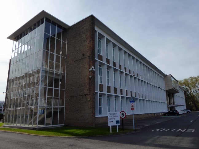
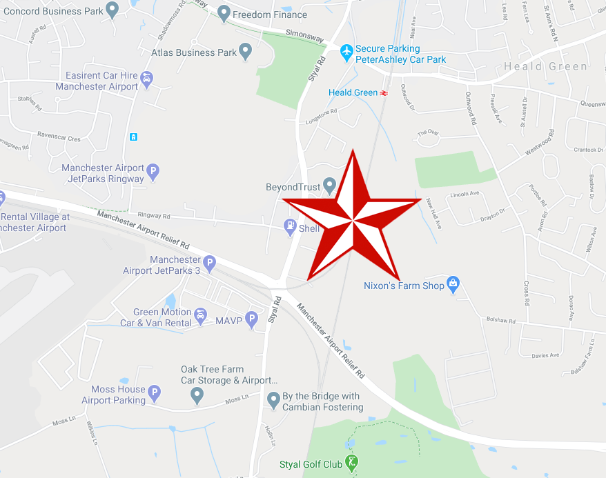
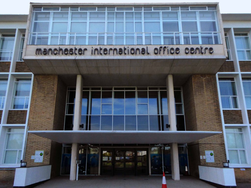
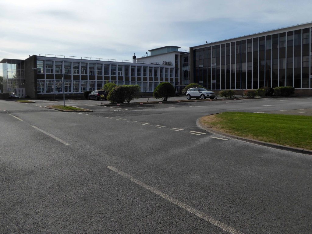
Manchester International Office Centre 11 Styal Rd Wythenshawe Manchester M22 5WB
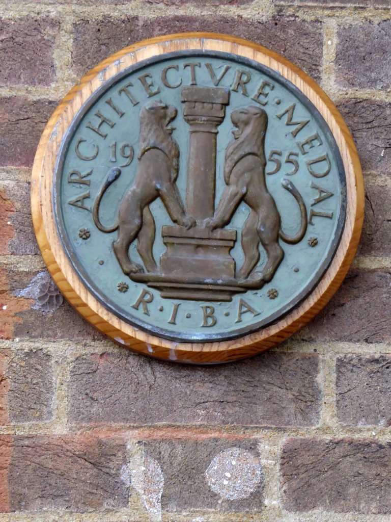
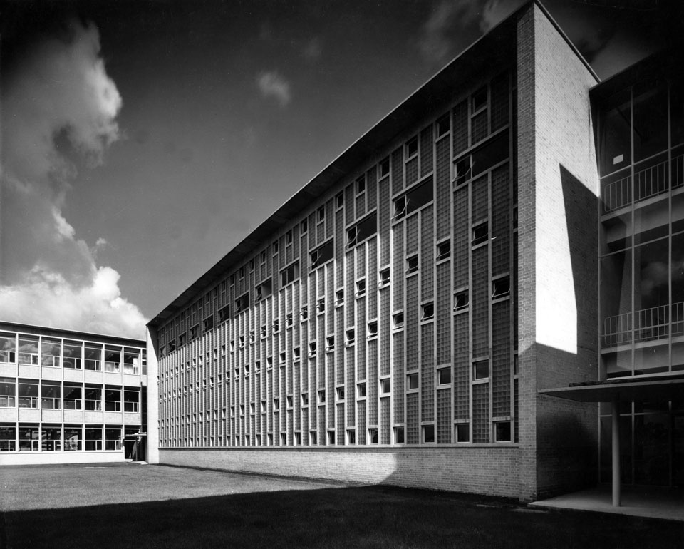
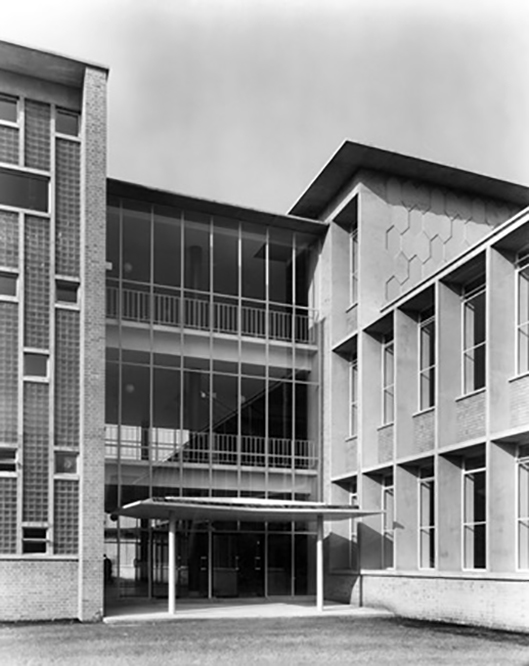
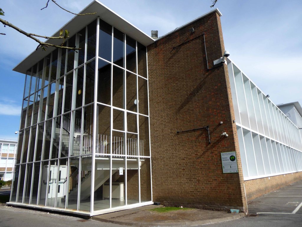
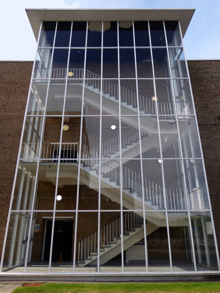
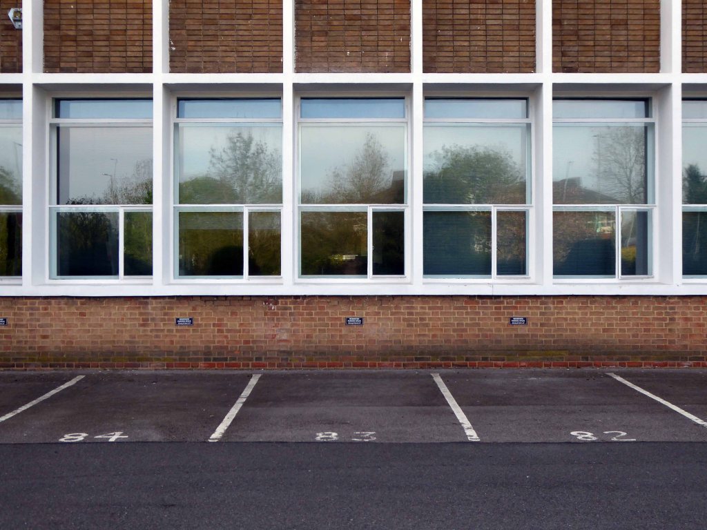
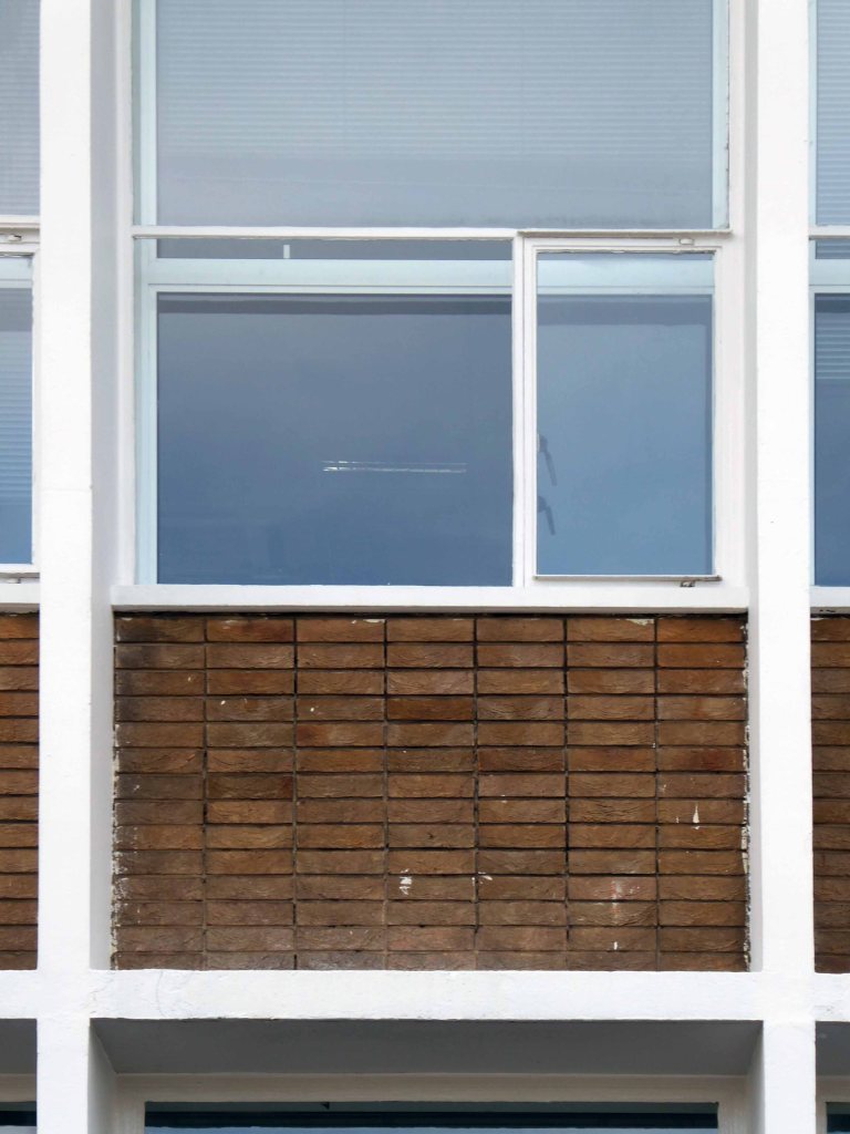
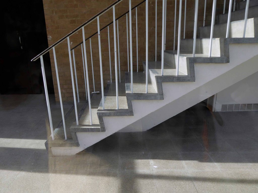
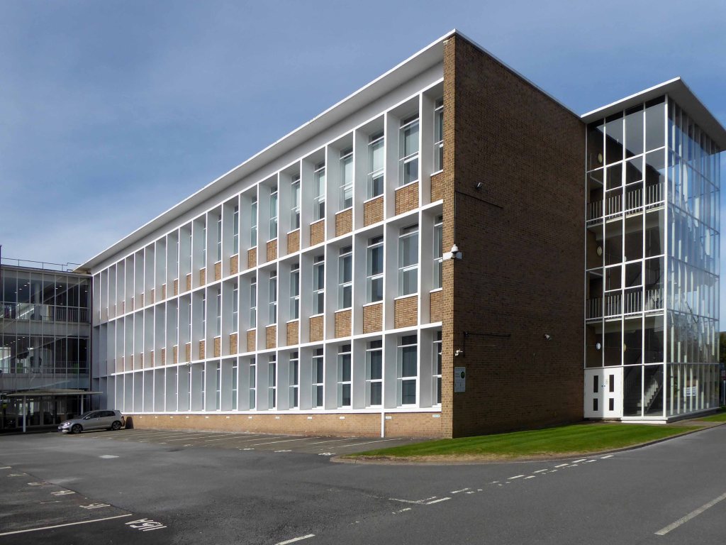
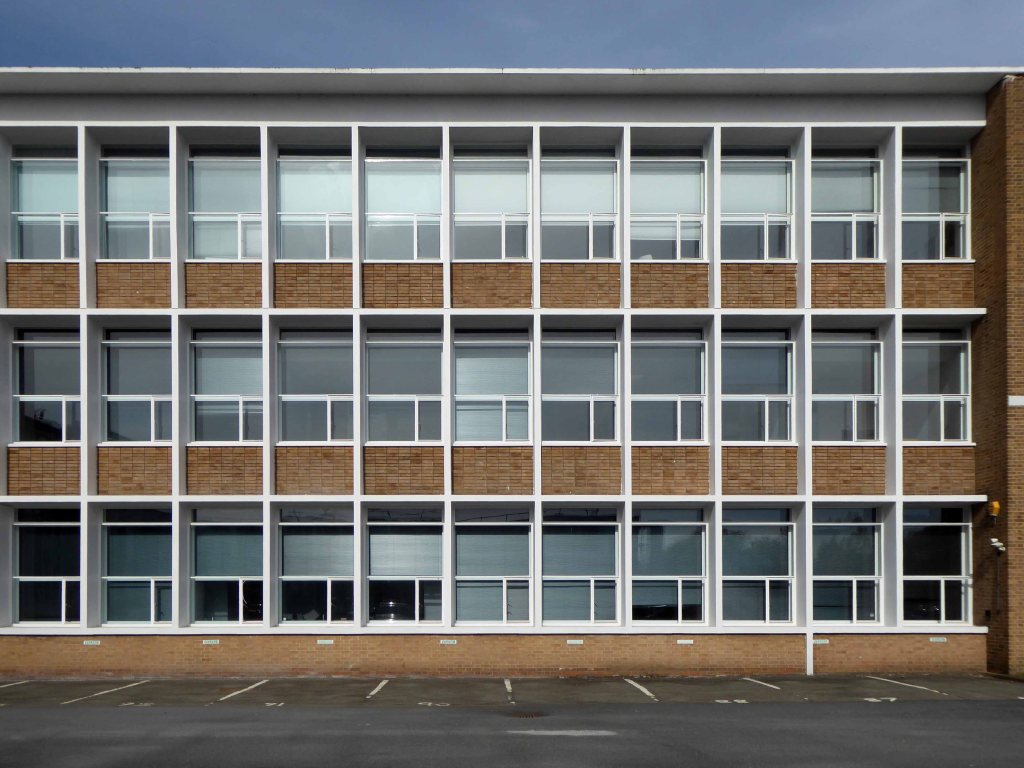
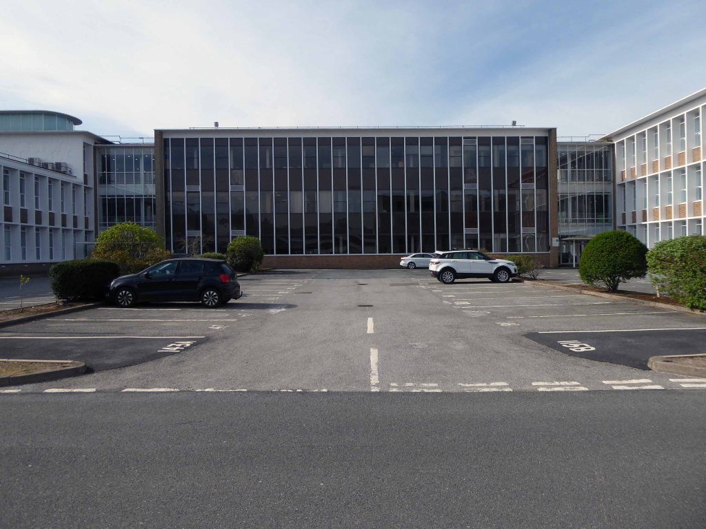
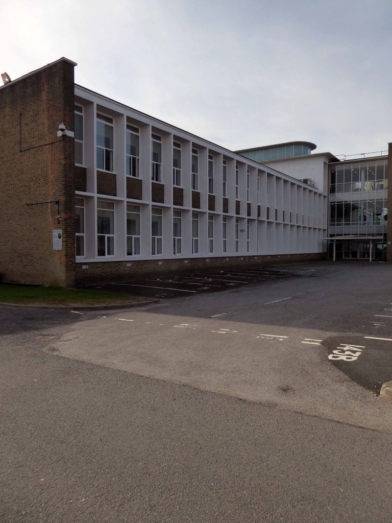
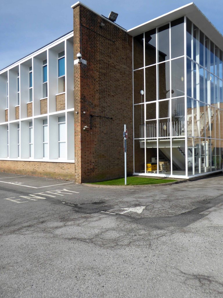
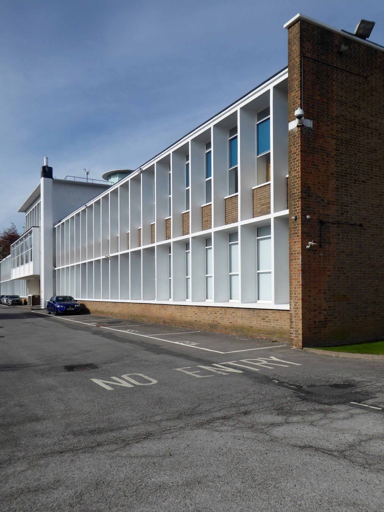
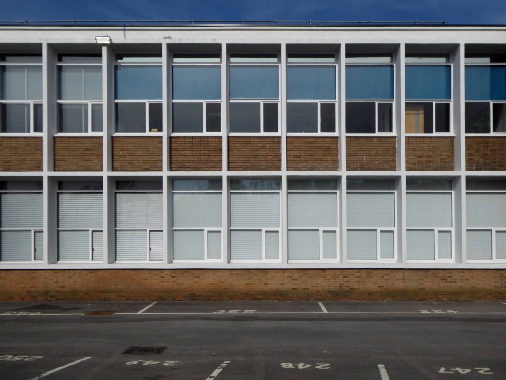
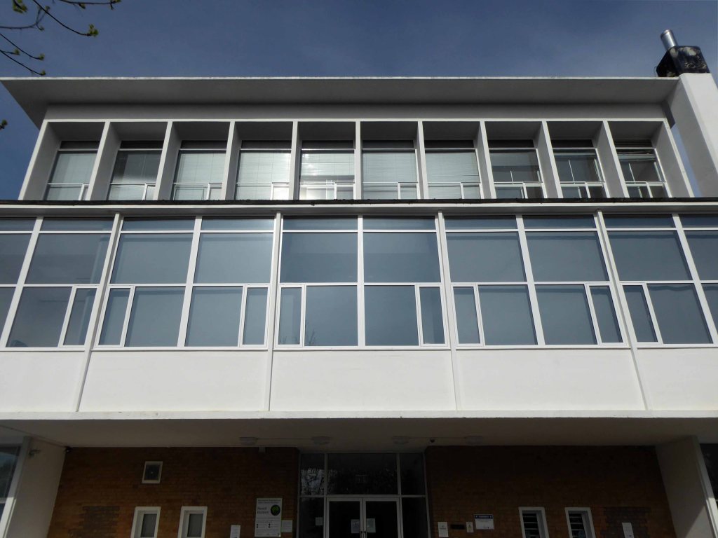
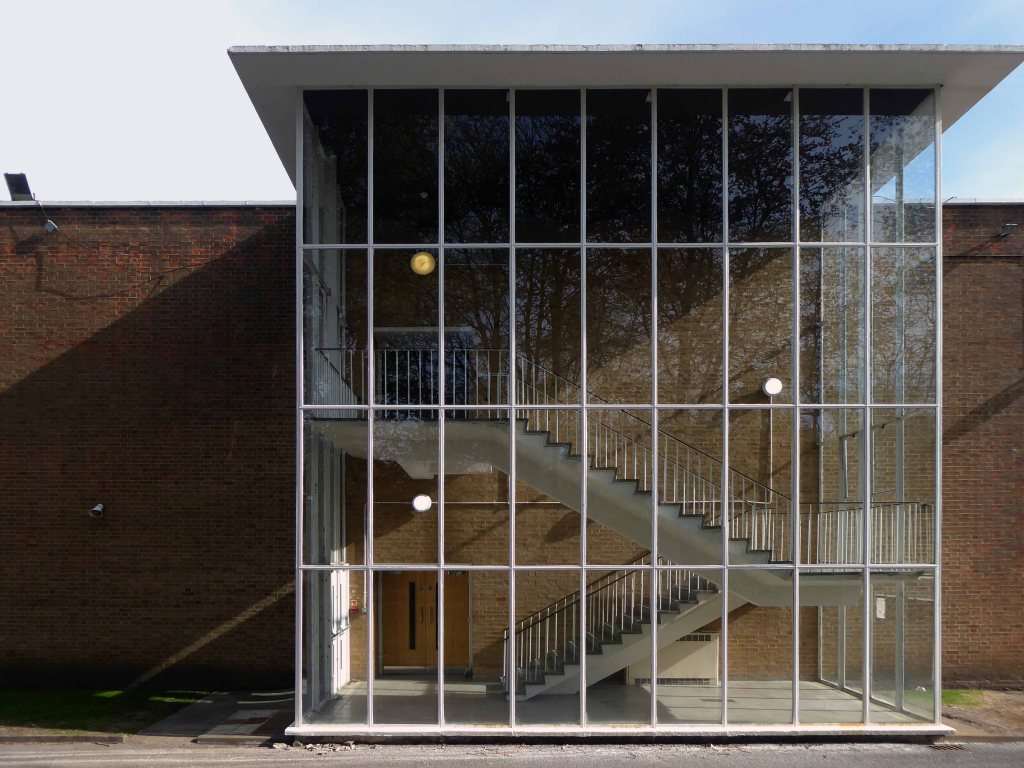
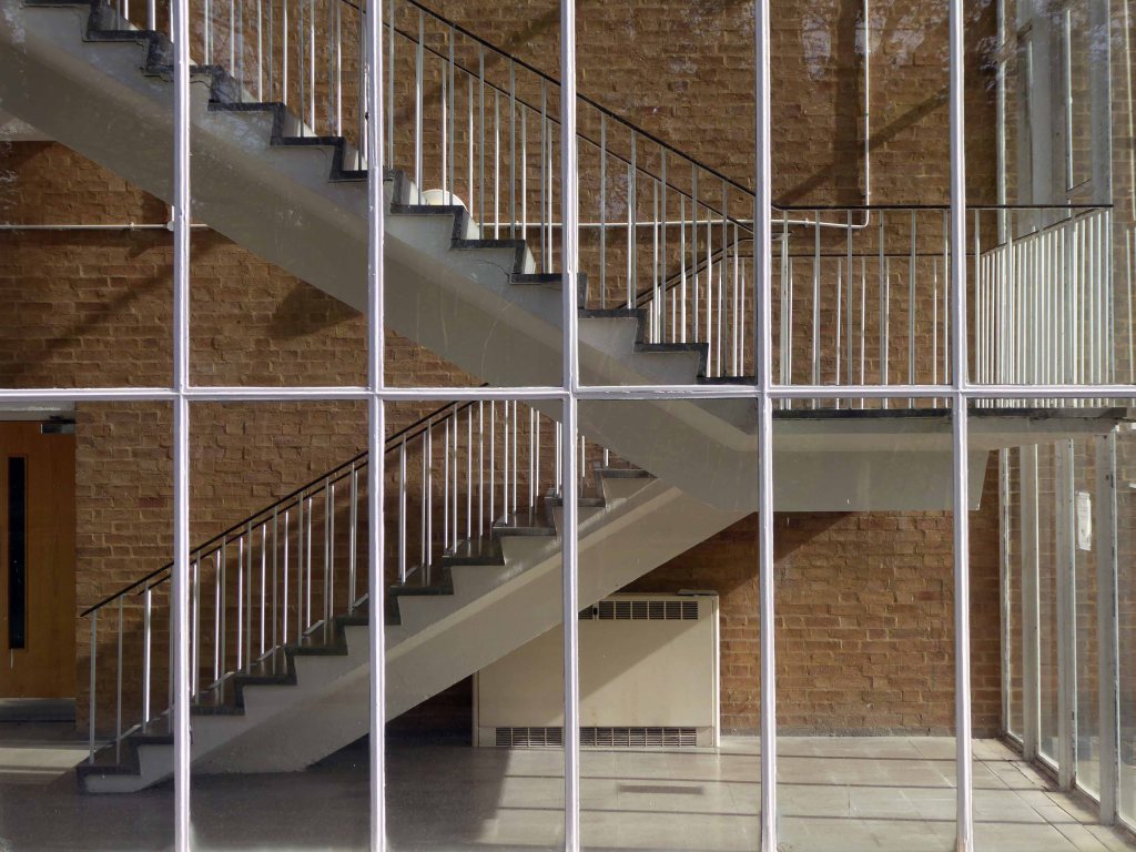
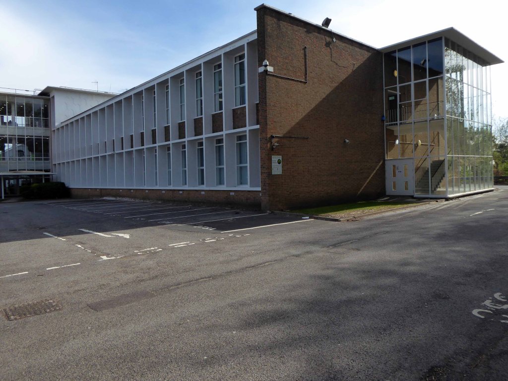
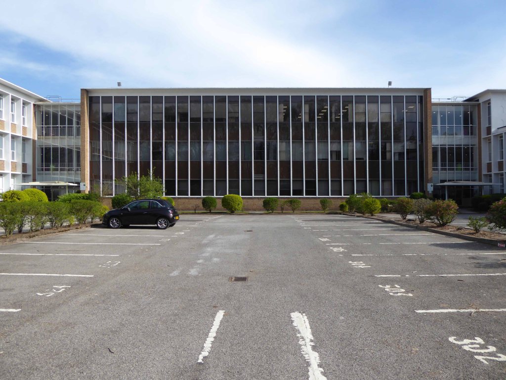
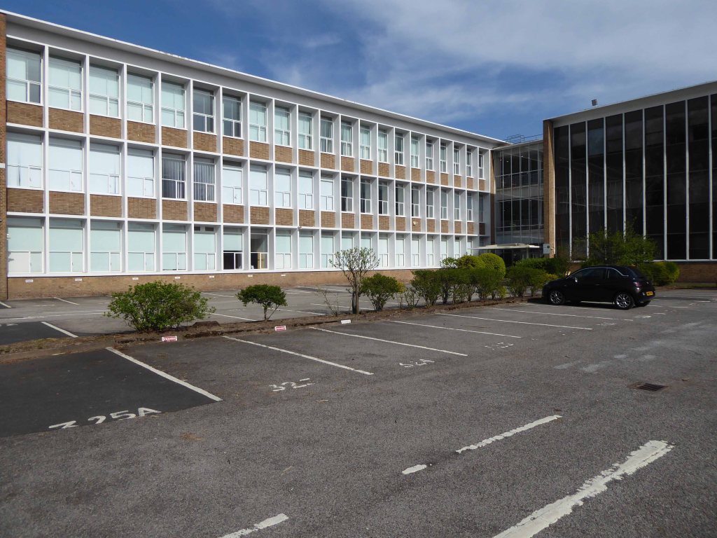
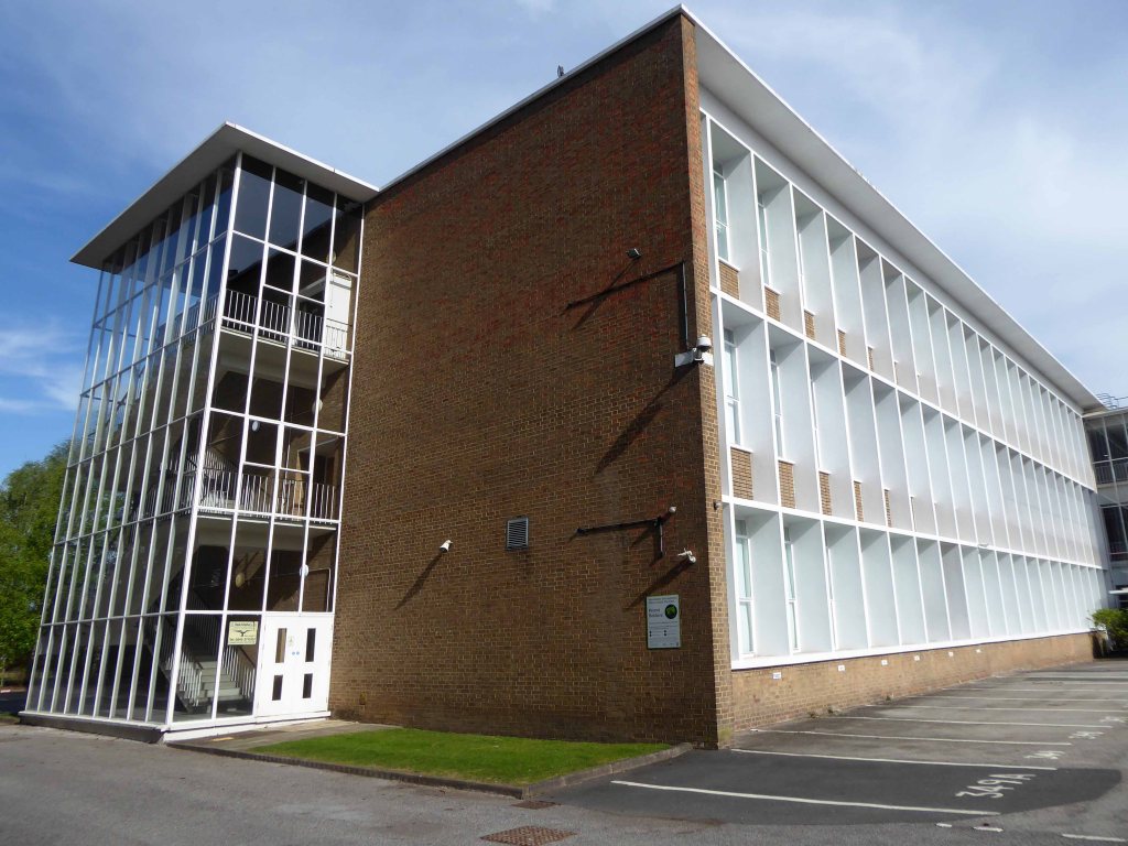
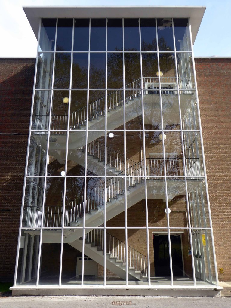
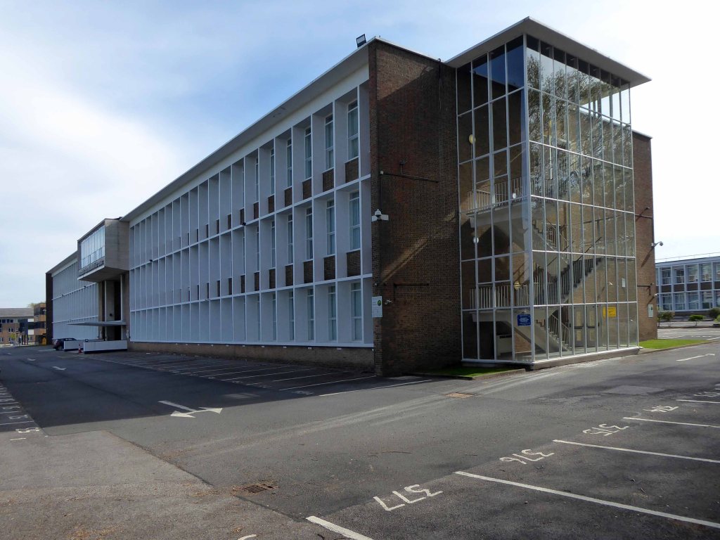
Renold Chains were once a huge firm employing thousands in south Manchester, their main factory at Burnage, now demolished to make way for a supermarket. This grouping was designed as the administrative headquarters for the company and was in receipt of an RIBA Architecture Bronze Medal in 1955. The scheme, of two parallel wings connected by a central hub running perpendicular, now seems fairly pedestrian, though still exudes some presence by virtue of the evident control in the design and construction of relief within the main façade. This building, though, actually points toward the moment where Cruickshank & Seward were turning, with the rest of the profession, toward new engineered, curtain walling solutions. The three storey glazed stair towers are made of a relatively fine steel section glazing bar and are clearly expressed at the ends of the blocks; these perhaps pre-empt the altogether more refined towers at the Renold Building and Roscoe Building of the Universities. The third floor boardroom was also positively expressed as a curved solid, cantilevered above the entrance canopy. That the building was developed in such close proximity to the airport has ensured its continued viability as office and conferencing space. The firm also delivered the adjacent building for the same client in the 1970s.
Four weeks into a pandemic – cycling somewhere else. I turned off and into the grounds of the former Renold House, currently trading as Manchester International Office Ccentre.
Manchester International Office Centre (MIOC) is a prominent landmark office building extending to some 100,000 sq ft which provides occupiers with high quality space ranging from suites of 450 to 8,000 sq ft.
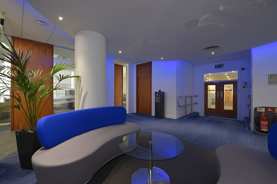
The building has undergone a complete internal transformation with a total refurbishment of the reception and common areas. The office suites provide a superb working environment in line with the demands of todays occupier.
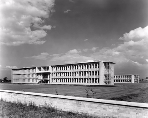
On arriving home I hungrily rustled up a few RIBA Archive images from 1954.
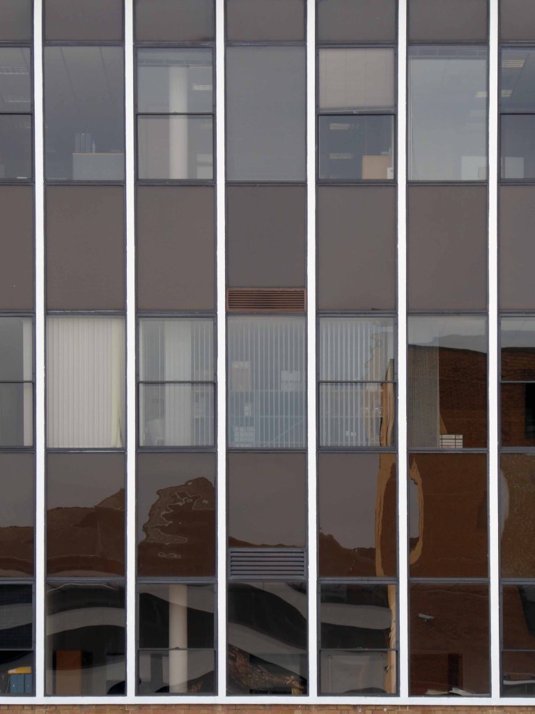
Much remains intact – though gone is the concrete grid and glass brick insertions of the 1954 central section – replaced with a slick glass and steel skin.
And there are unpleasant intrusions made by the fitting of contemporary security and lighting – using intrusive exterior conduit.
It’s a sunny day with a southwest light – there’s nobody about, let’s take a look around.
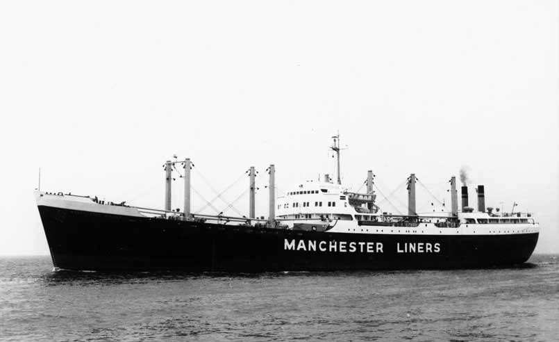
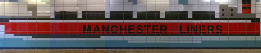
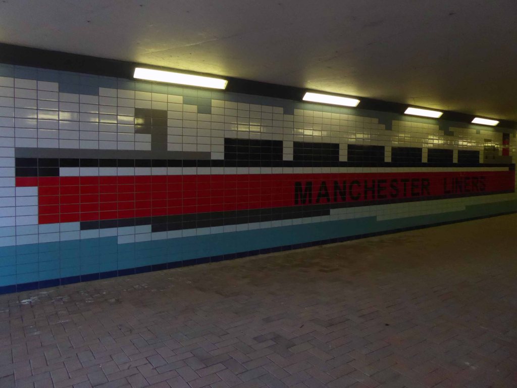
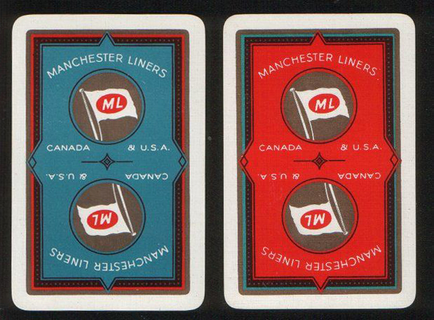
In 1898 Manchester Liners Ltd was launched, four second hand ships were purchased and the company naming policy of applying the prefix Manchester was established.
The company began to operate services to Canada and the USA. Manchester Liners started WW1 with 15 ships in its fleet. During the war 10 ships were lost to enemy action, but because of the purchase of replacements the fleet was at 12 in 1918.At the outbreak of WW2, Manchester Liners had 10 ships in service. War losses were 7 ships, but the delivery of war-standard ships maintained the fleet at 8, which was sufficient to resume a weekly service to Canada.
The Manchester dockworkers strike record became so bad, that in 1973 the company decided to move half of its container services to Felixstowe. Furthermore, to obtain lower costs per unit, container ships were becoming bigger than the Canal limits.
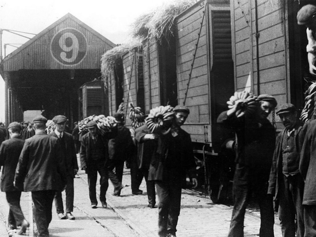
This was a history of economic growth and prosperity, for some. Tangible commerce, the wealth of a nation built on making things, moving things. Cranes, ships, stevedores and sailors, the world and his wife converging at the base of the Manchester Ship Canal.
All this is long gone, containerisation, recession and state engineered shifts in global manufacture and trade.
They took away the cranes.
The area is now awash with intangible activity – what goes on behind the smoked and mirrored glass?
Just who is moving what around, how, where and why?
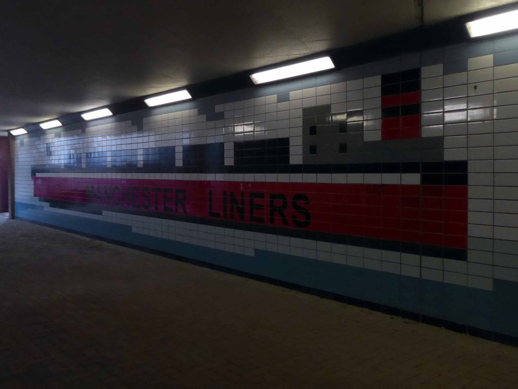
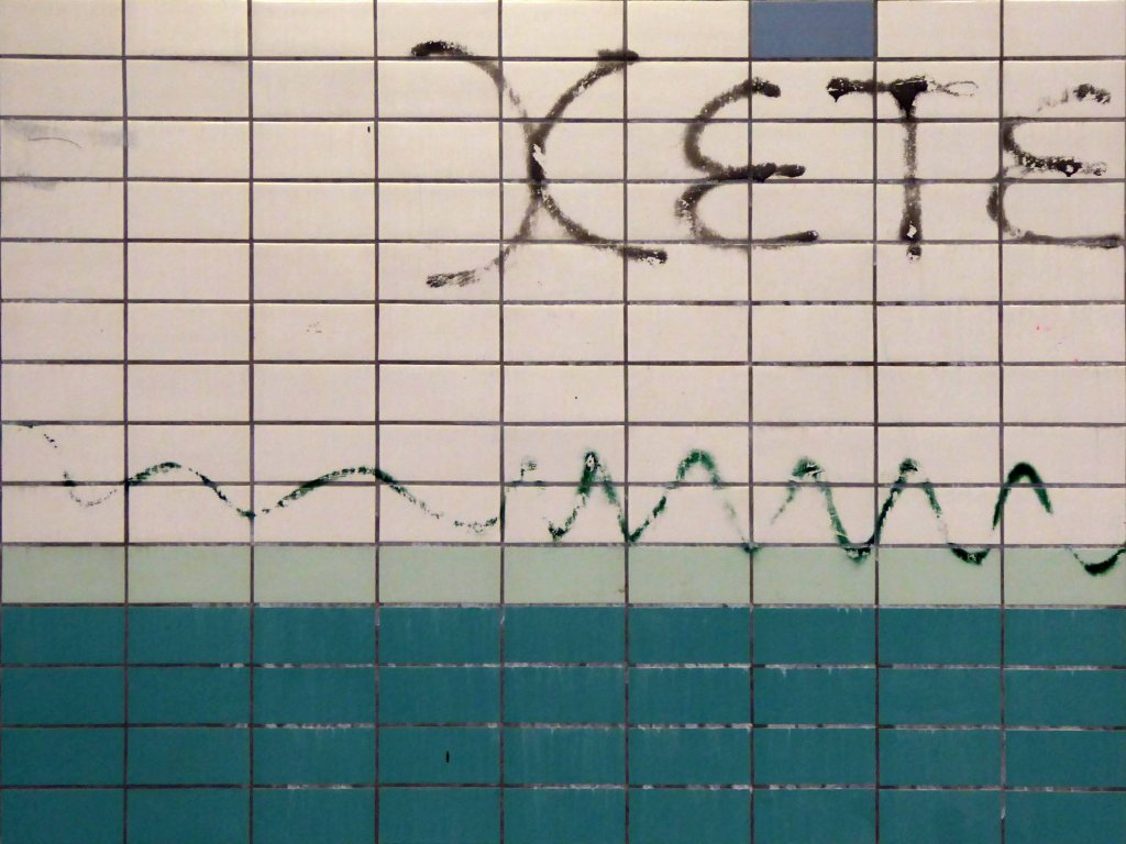
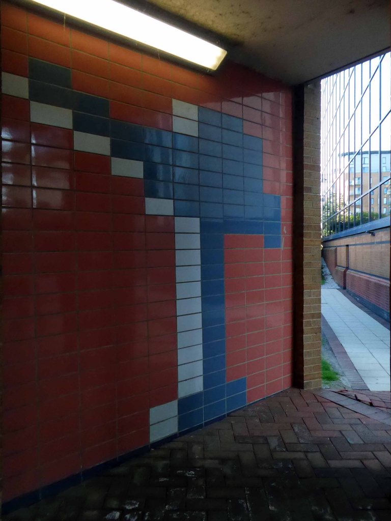
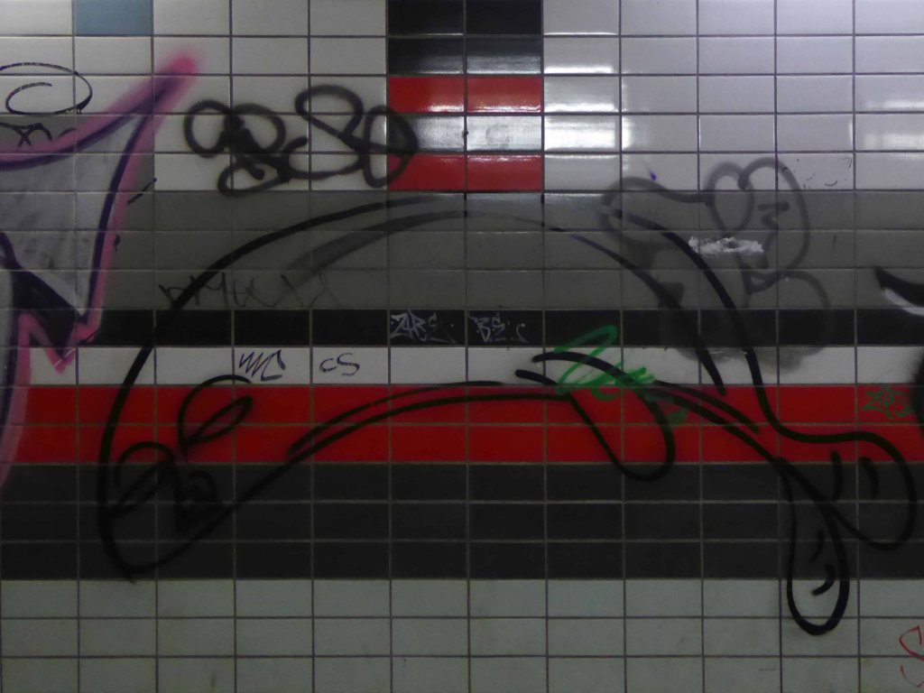
But hidden away between here and there is a tiled underpass.
A permissive path.
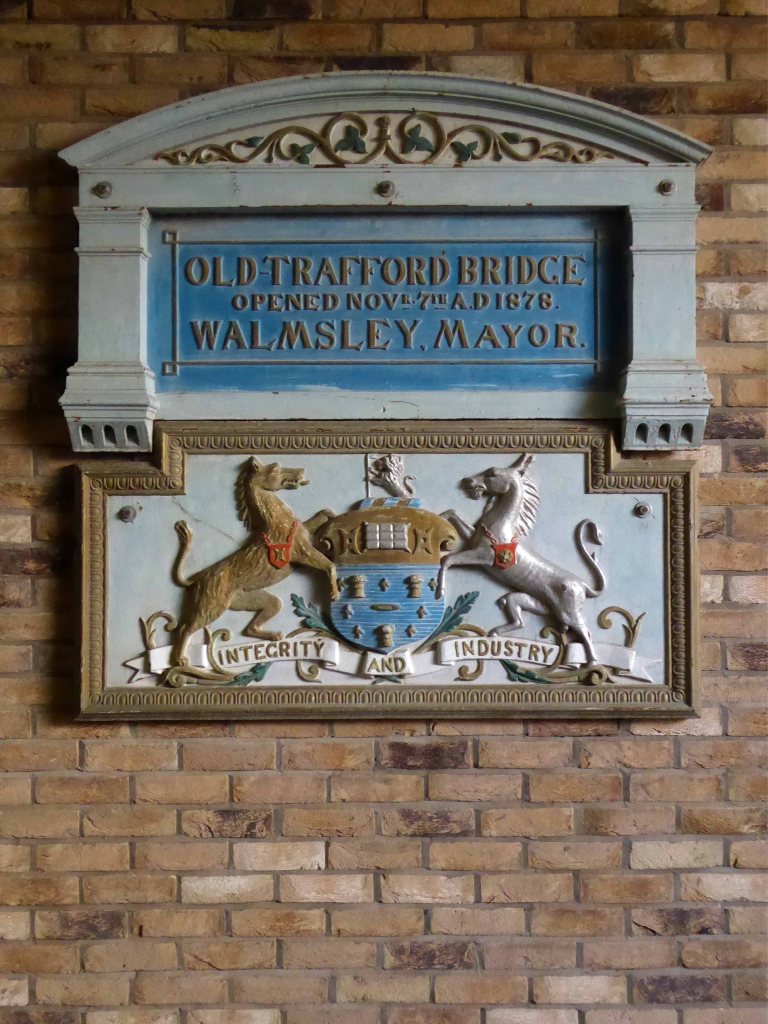
Where once there was a bridge – before the Manchester Ship Canal was built, the course of the River Irwell was approx. 50-100 yards further north of where the Ship Canal now passes under Trafford Road. This plaque is next to a pedestrian tunnel under Trafford Road, roughly on the line of the old navigation.
So here it is a hidden, harshly lit, slightly disabused tribute to the brave souls who sailed the seven seas, stayed ashore, weighed, loaded and shifted stuff.
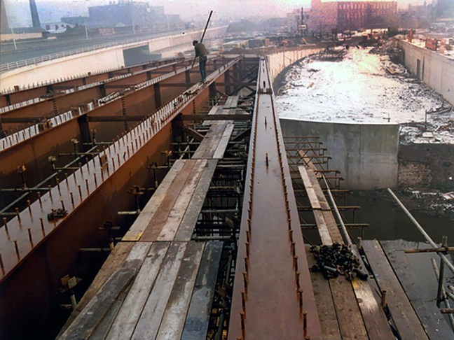
He reached the foot of the embankment, and waved with one arm, shouting at the few cars moving along the westbound carriageway. None of the drivers could see him, let alone hear his dry-throated croak, and Maitland stopped, conserving his strength. He tried to climb the embankment, but within a few steps collapsed in a heap on the muddy slope.
Deliberately, he turned his back to the motorway and for the first time began to inspect the island.
Maitland, poor man, you’re marooned here like Crusoe – If you don’t look out you’ll be beached here for ever. He had spoken no more than the truth. This patch of abandoned ground left over at the junction of three motorway routes was literally a deserted island.
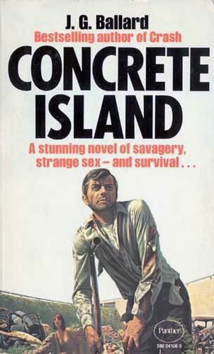
JG Ballard Concrete Island
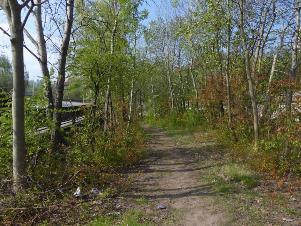
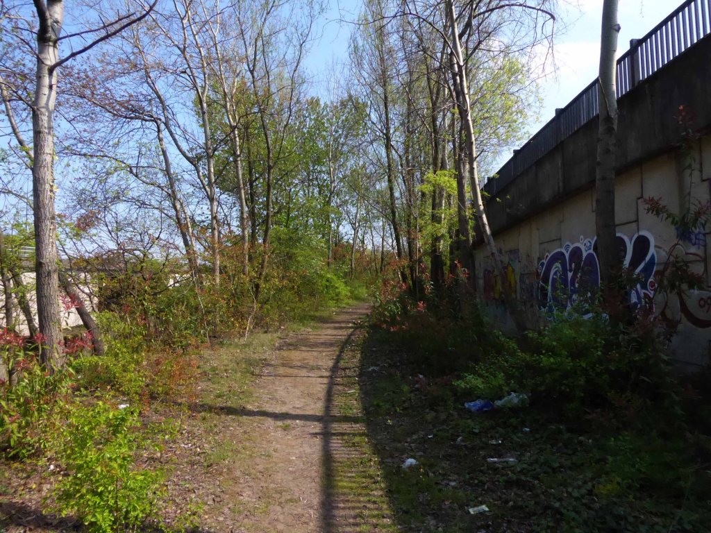
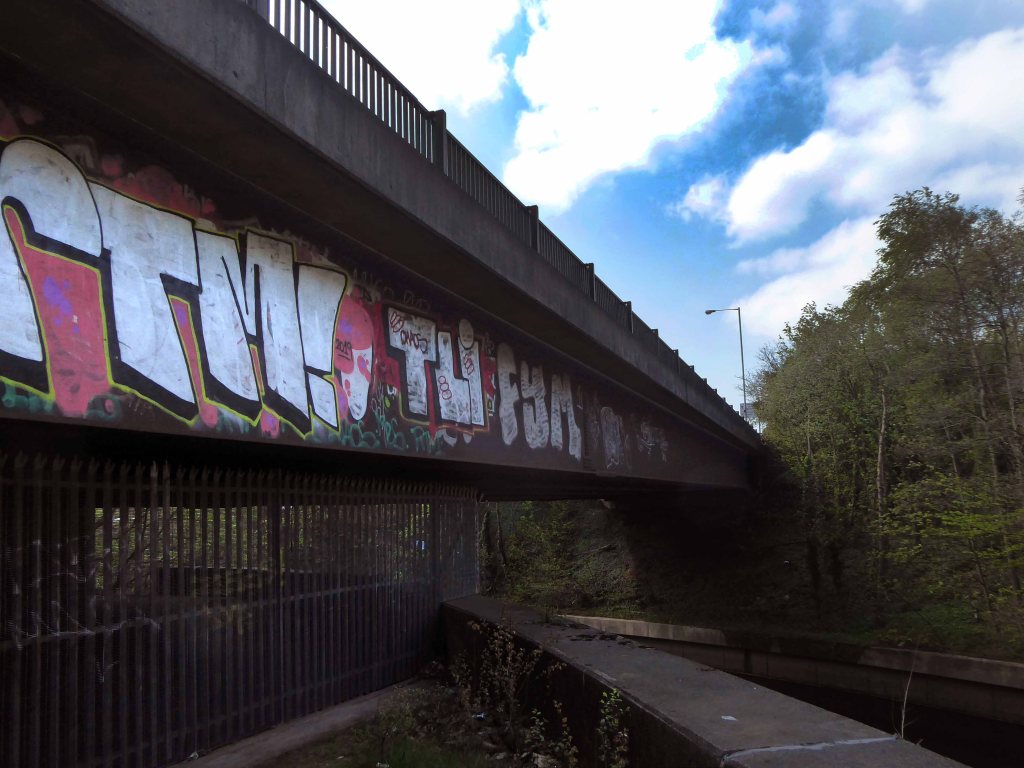
I’m in a different place – the same but different, whilst out walking I went through an open gate, following a well worn path, for the very first time.
Leading who knows where.
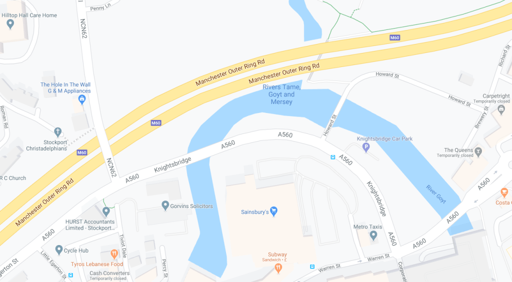
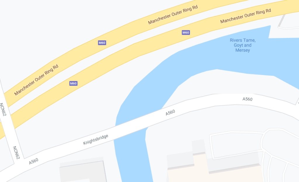
The confluence of three rivers, the meeting of motorway and main road.
I ventured further – where if anywhere are we going?
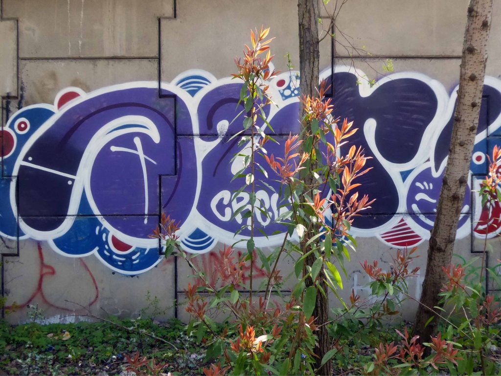
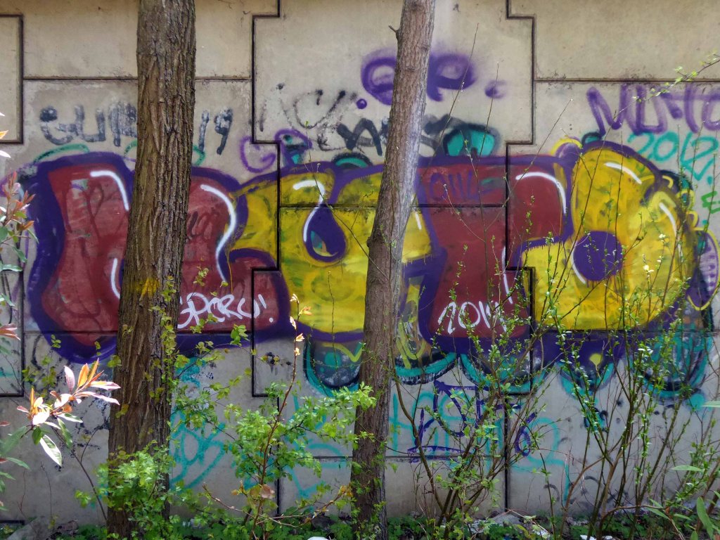
This tight tree lined and paint daubed triangle offers no answers.
Tamed thirty years or so ago, with concrete and steel.
Further and further.
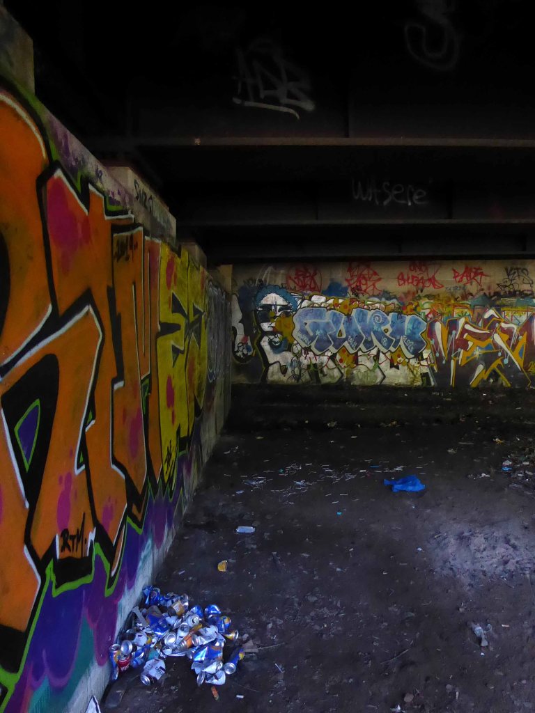
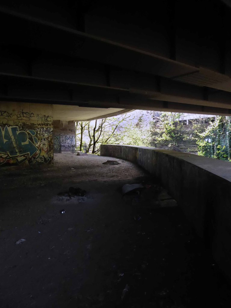
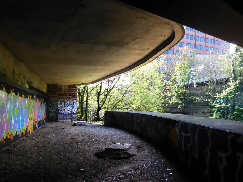
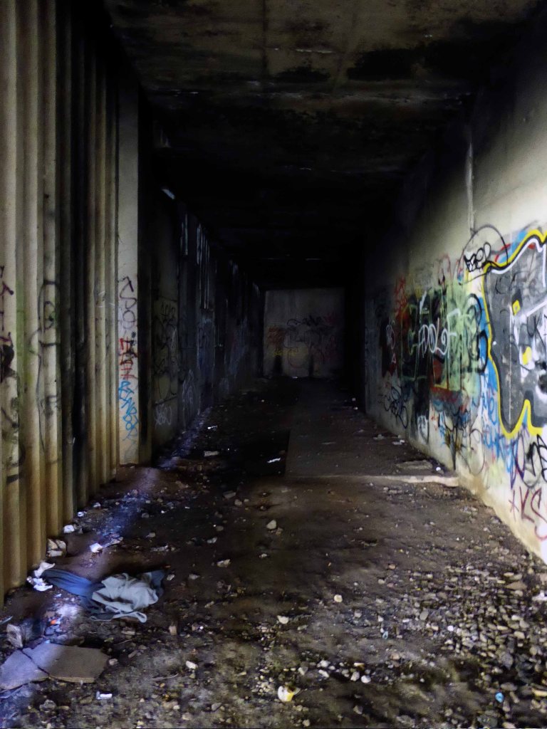
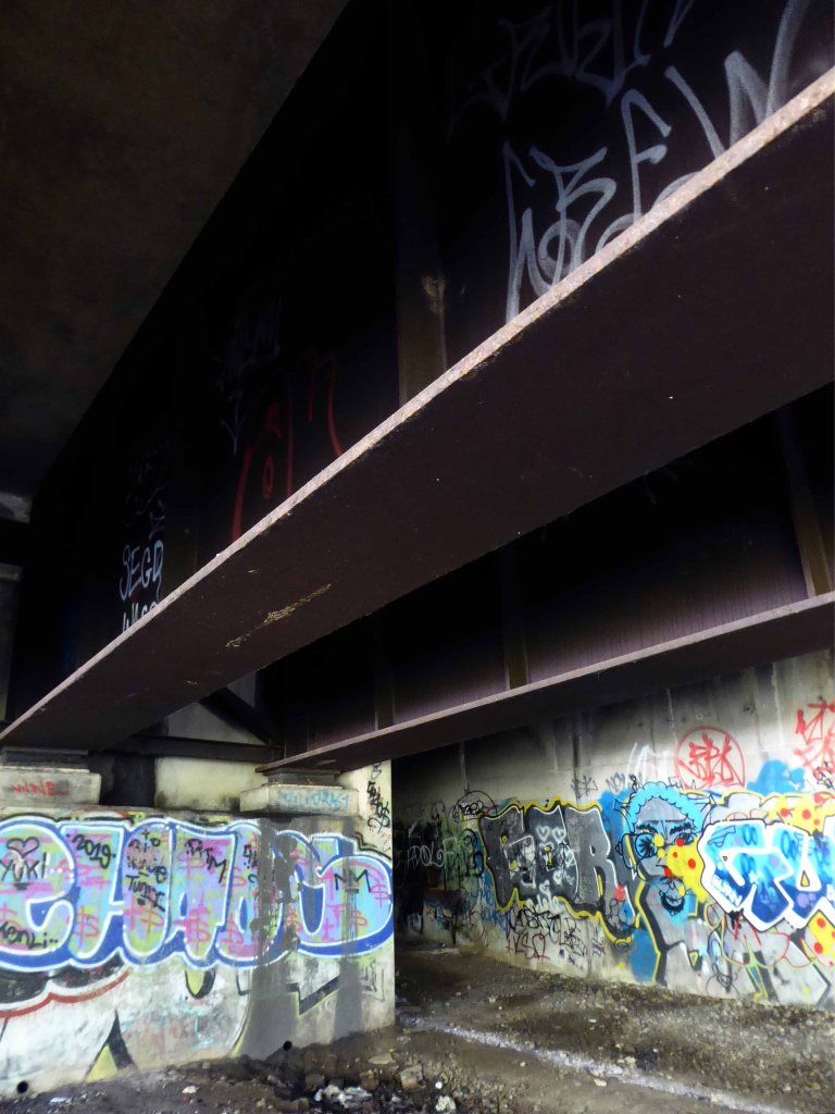
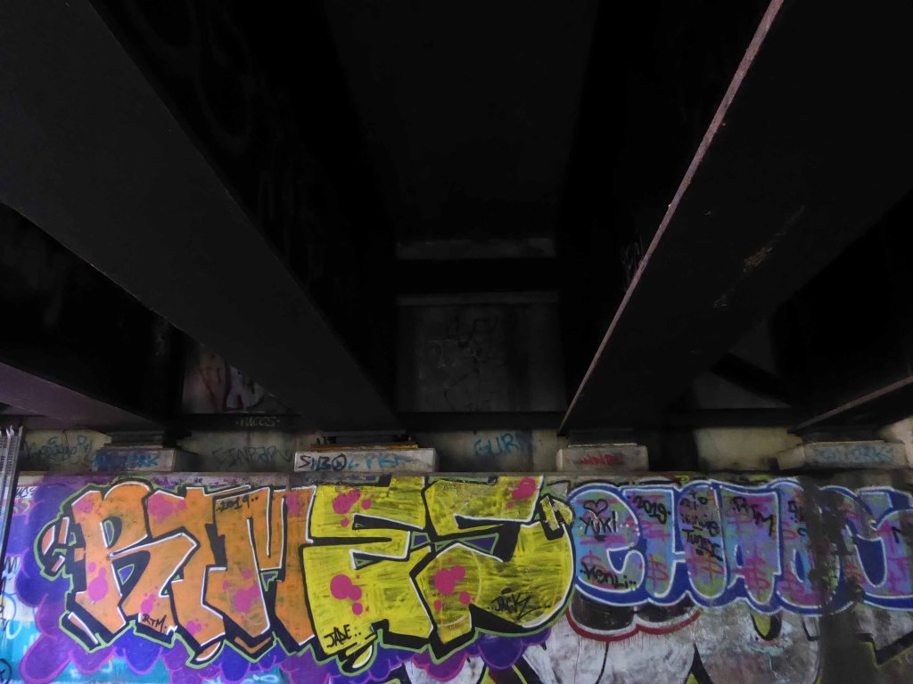
Into an underground world.
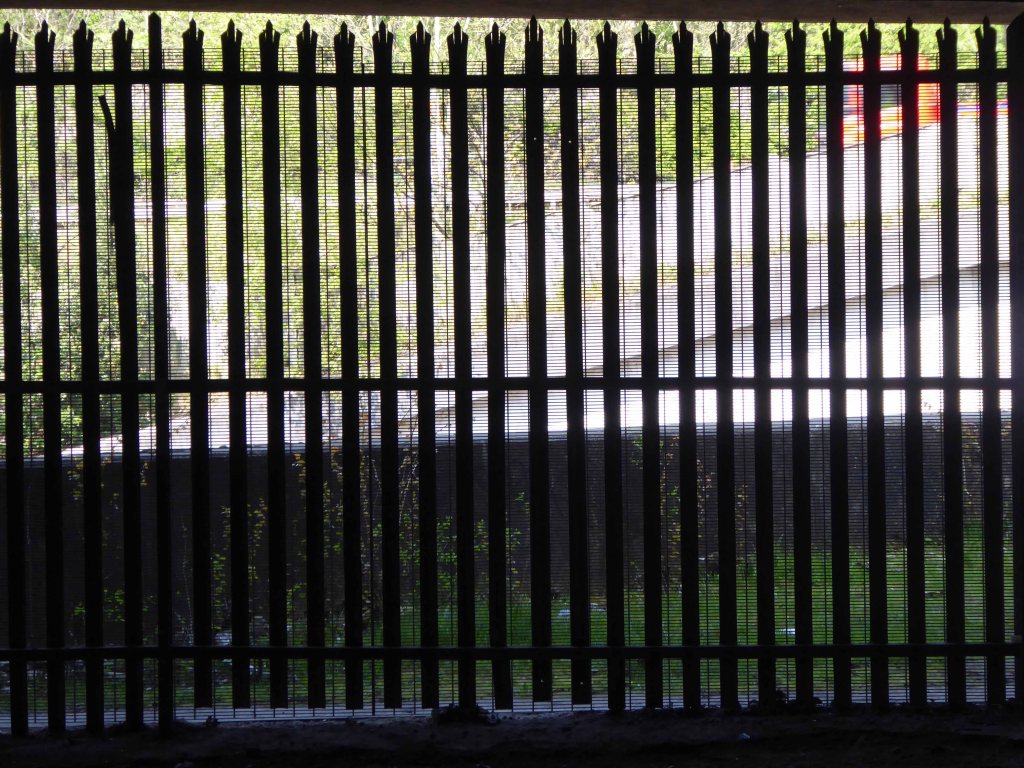
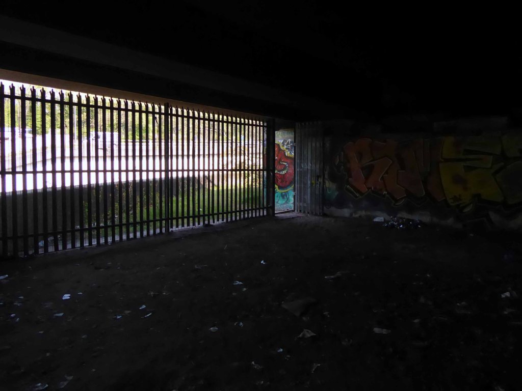
Through the railings and into a void – a void that had become home to the otherwise engaged, seeking solace somewhere, finding shelter from the storm. A storm of Twenty First Century austerity, man made – moving money around until those without are out, out in the open, nowhere else to go but here.
How often have I lain beneath rain on a strange roof, thinking of home.
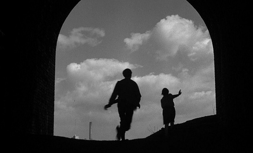
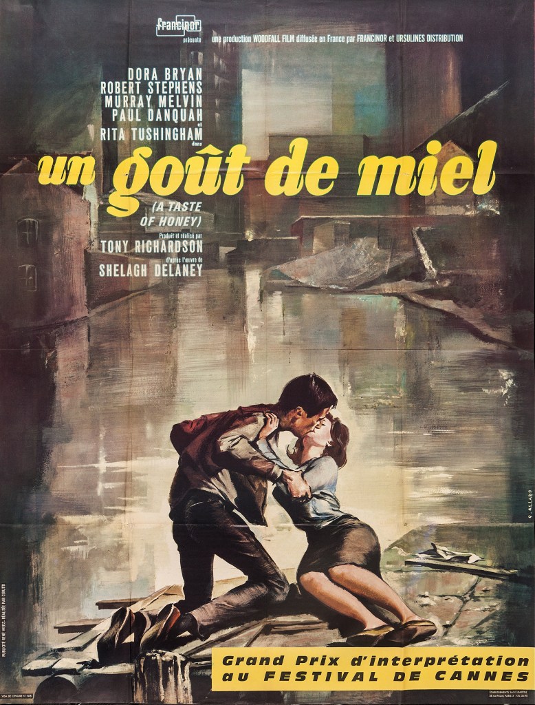
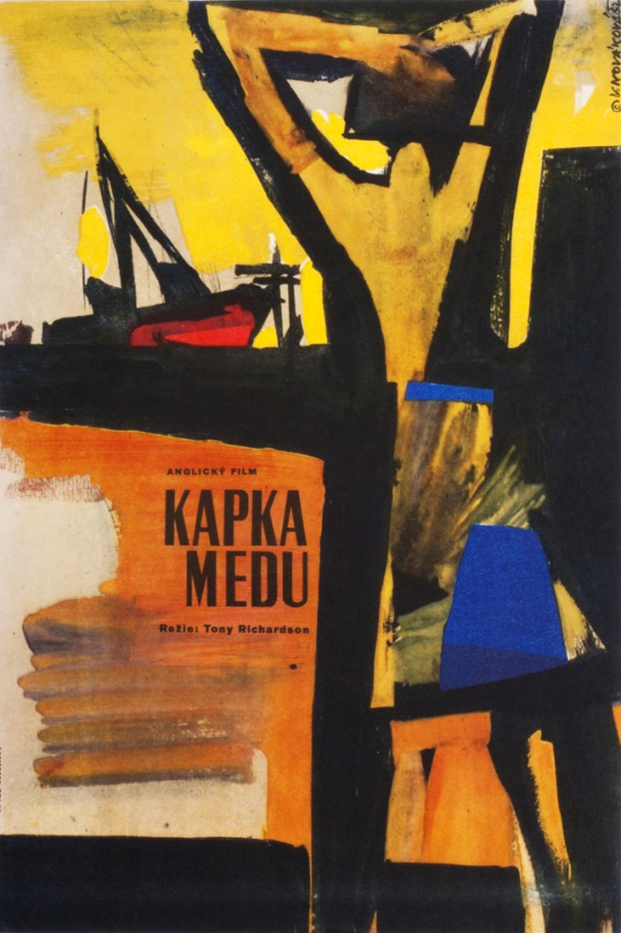
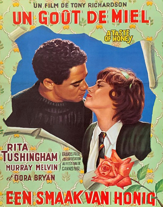
This is a film that has stayed with me for most of my life – first seen as a nipper, fascinated by the fact that it was shot in a very familiar landscape.
As years have passed I have watched and rewatched it, finally resolving to track down the local locations used in its filming.
Studying and pausing the DVD, making thumbnail sketches of frames, researching online – referring to Reelstreets.
I have previously written about the way in which the movie shaped a particular image of the North.
And examined particular areas of Manchester such as Barmouth Street.
The film generated world wide attention and remains just as popular today.
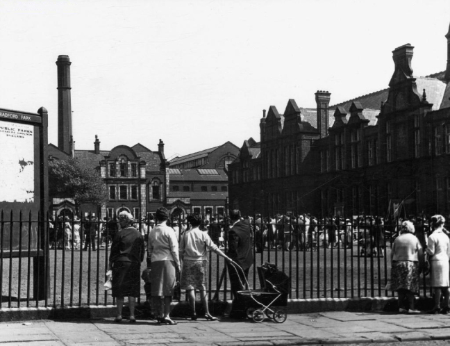
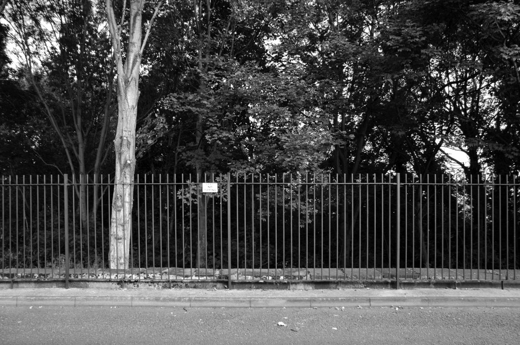
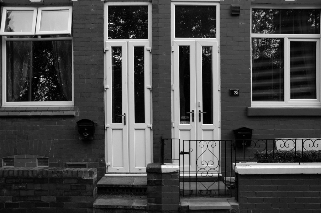
Still watched, still loved, still relevant – here are a selection of photographs I took in 2011 – cycling around Manchester, Salford and just a little closer to home in Stockport.
Timpson’s shoe shop now demolished opposite the Etihad
Phillips Park the back of the gas works in Holt Town
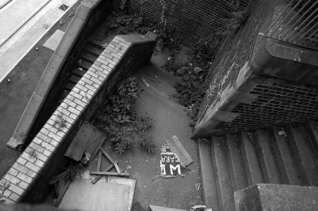
The Devil’s Steps Holt Town
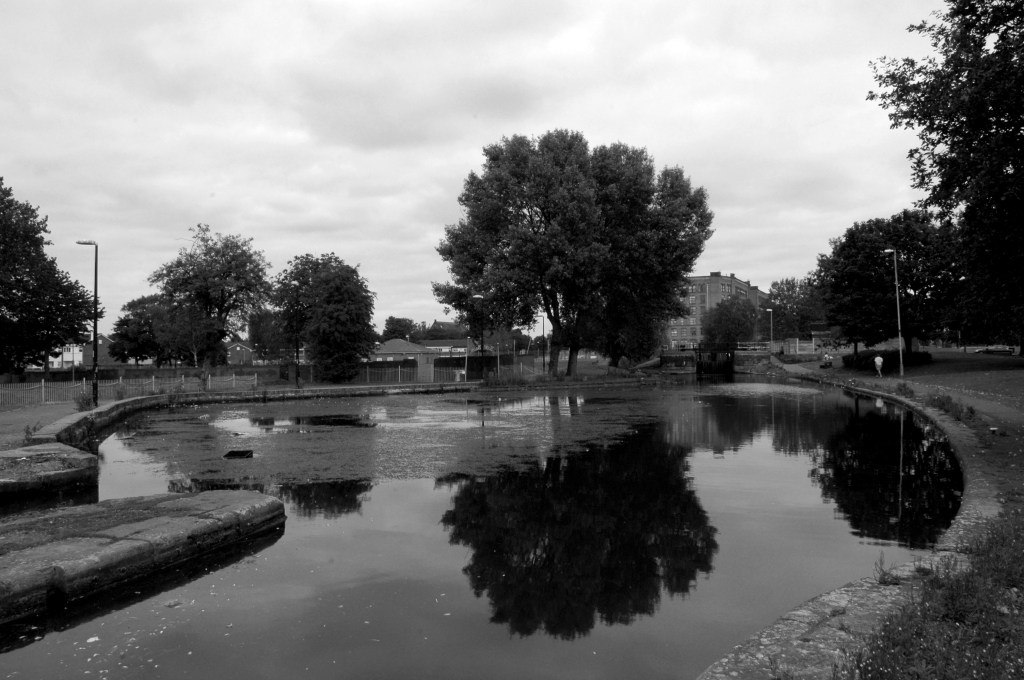
Rochdale Canal
Ashton Canal
All Souls Church Every Street Ancoats
Piccadilly Gardens as we view the city from a moving bus.
Manchester Art gallery – where they watched the Whit Walks.
Albert Square part of the earlier bus ride.
Trafford Swing Bridge
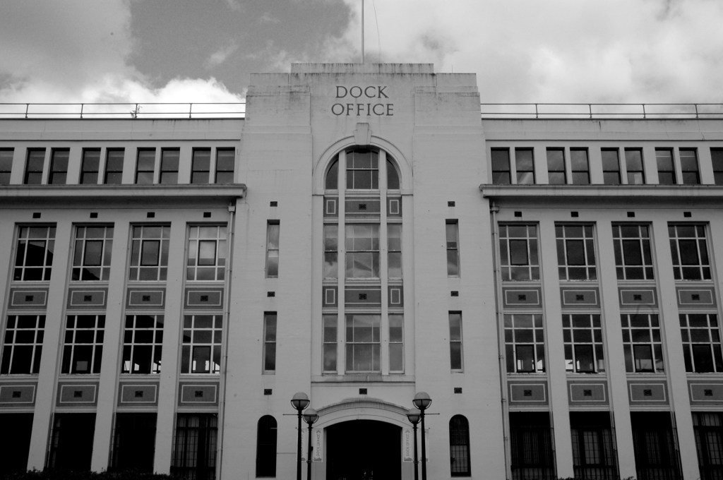
Dock Offices
Chimney Pot Park Salford
Pendleton
Barton Aqueduct
Through my tour I have attempted to capture a sense of the settings as they are – how, if at all, the areas have changed.
There may be some minor inaccuracies or omissions which I am happy to amend.
You may wish to visit the sites yourselves, the majority of which are easily accessible, above all watch the film and appreciate that which is around you.
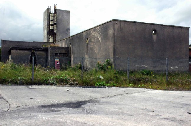
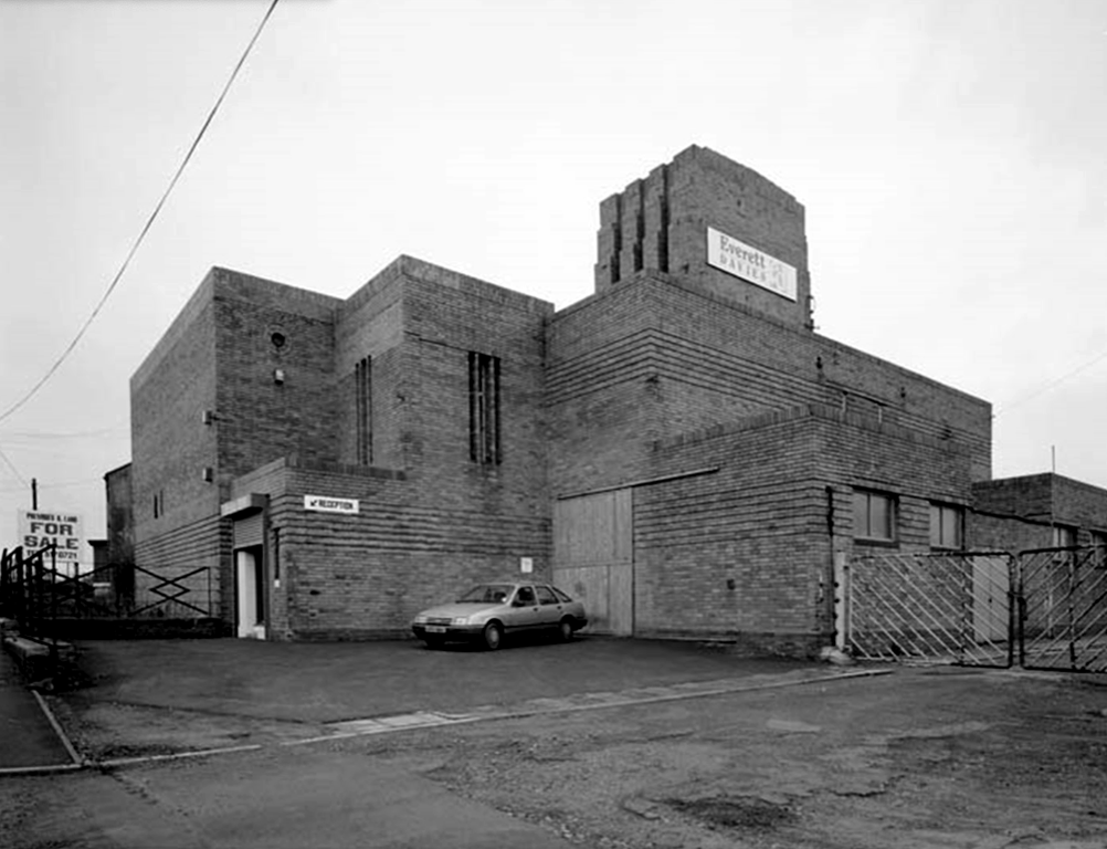
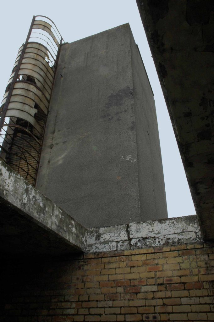
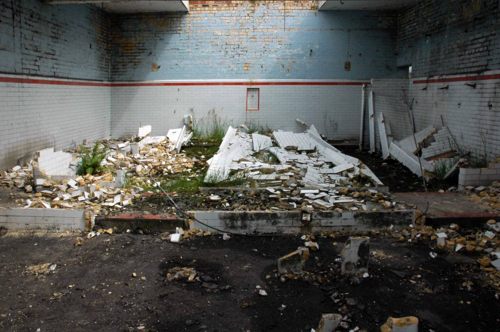
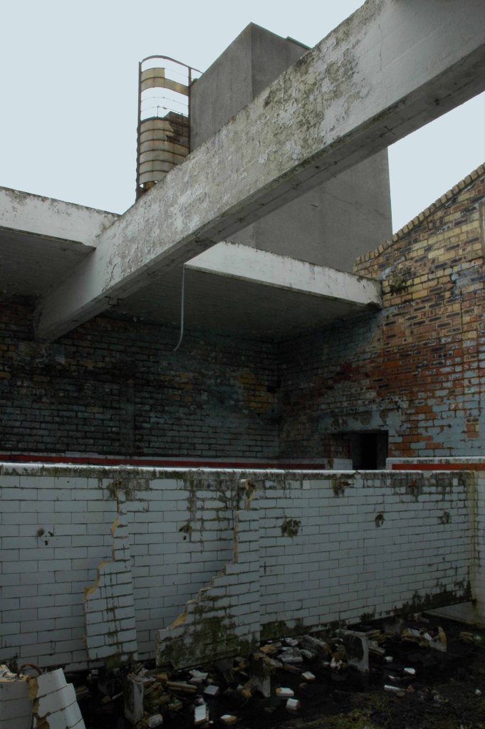
Pebbledashed over white brick. Roofs part concrete slab, part glazed behind parapet. Irregular plan, Modern Movement style. Group of blocks of varying height round tall central tower with rounded, glazed stair turret. Walls mainly sheer, with plinth and slight roof projection.
Long block on east of tower has central south projection with glazed, banded steel double door under high strip of windows beneath eaves overhang. Taller storeroom to west has similar doors in 2 recessed banded glazed bays; and abuts on south-east corner of tower. Similar double doors in base of tower. Large lower south-western canteen wing abuts on west side of tower and has banded glazing around two sides above a projecting sill. Slightly-projecting 3-bay office section to north has steel cross casements; on its return another casement and a door with hollow-chamfered jambs and flat hood. Taller bath block behind. Wave pattern on rainwater heads.
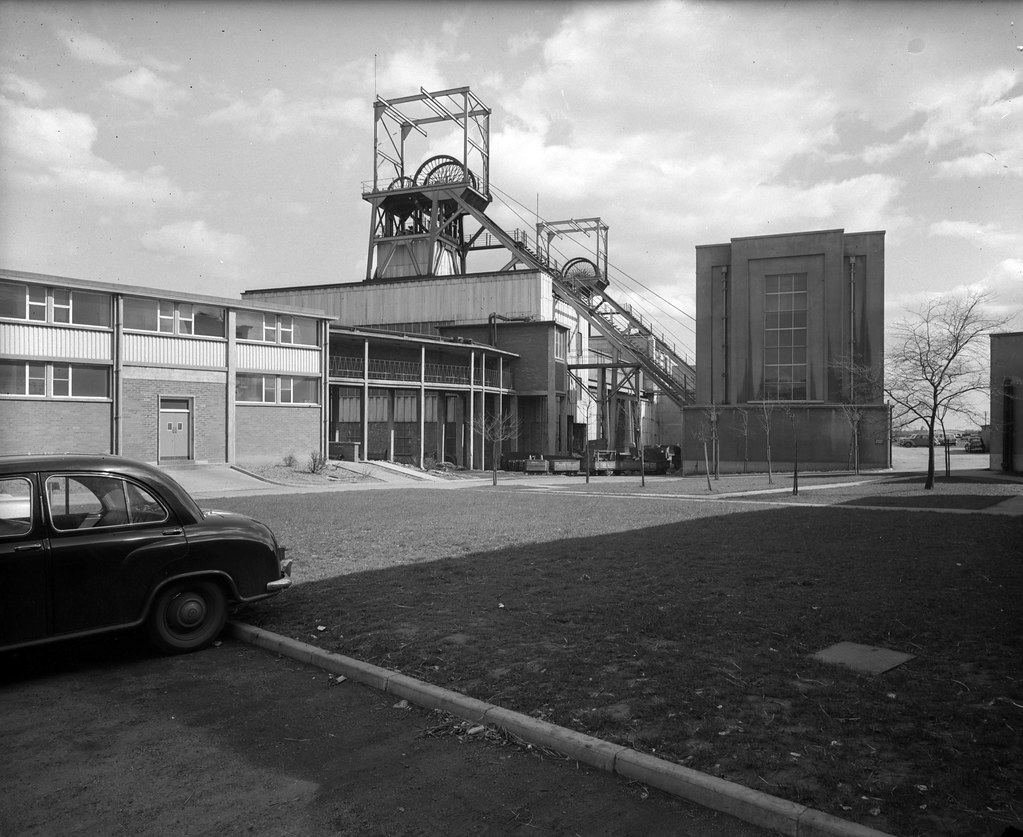
This is the youngest colliery in the neighbourhood, having commenced operations for the Ashington Coal Co Lt. in 1934. The shafts, which are situated comparatively near to the coast, are two in number, and both were sunk to the High Main seam level, which is 486 ft from the surface. The downcast No. 1 is 18 ft in diameter and is used for coal-raising on two shifts per day, and the upcast, which has a diameter of 15 ft, is used for ventilation and emergency man riding only.
The seams being worked are the High Main, the Diamond, the Main, and the Yard. Each of these seams shows practically the same nature of roof and floor as throughout the two neighbouring collieries and the distance between the seams is also comparable. They are, of course, found at slightly greater depths at Lynemouth, the Yard seam, for example, being 660 ft. below the surface near to the shafts, as compared with some 300 ft. at Ellington.
It was one of Britain’s largest collieries until it was closed in 1994.
I was cycling the coast in July 2012 and happened by, seeing the tower of the baths from an adjacent path, passing by the faded signage.
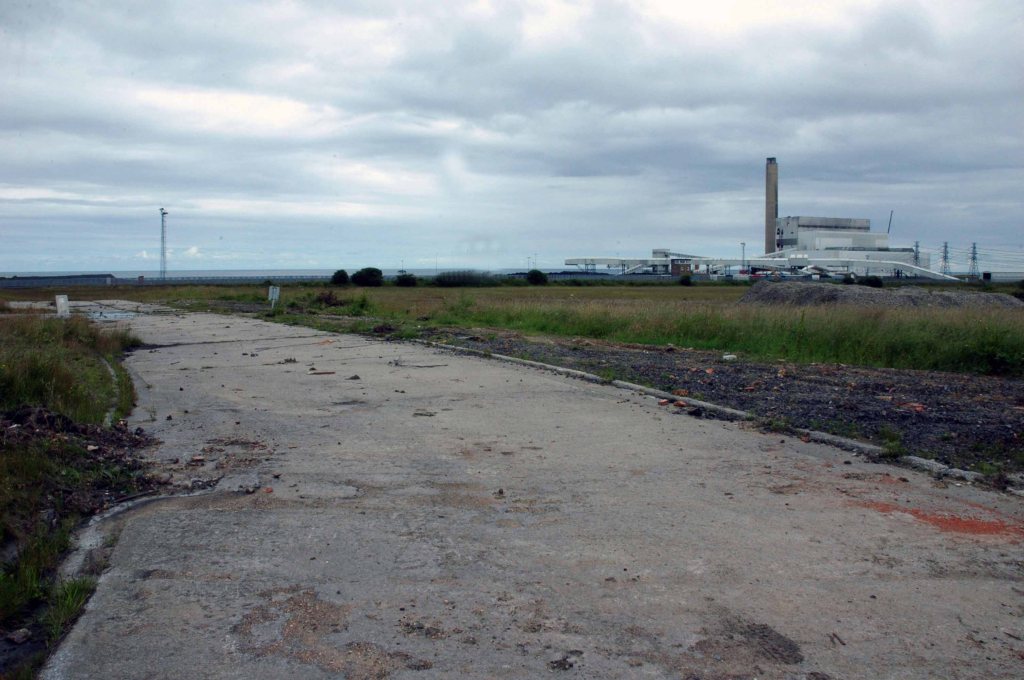
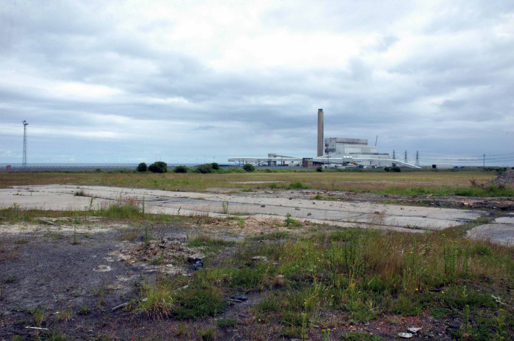
Into the raw expanse of a now empty post-industrial landscape.
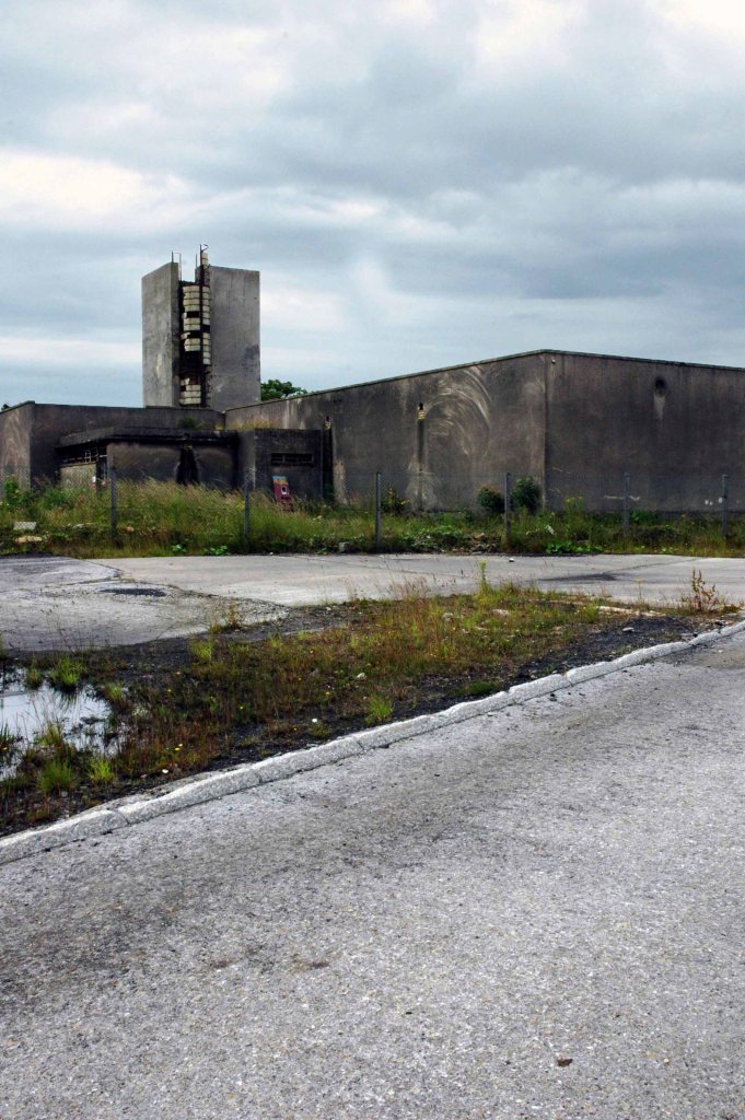
And on towards the bath house.
I am not by nature an urbex urban explorer, simply an explorer.
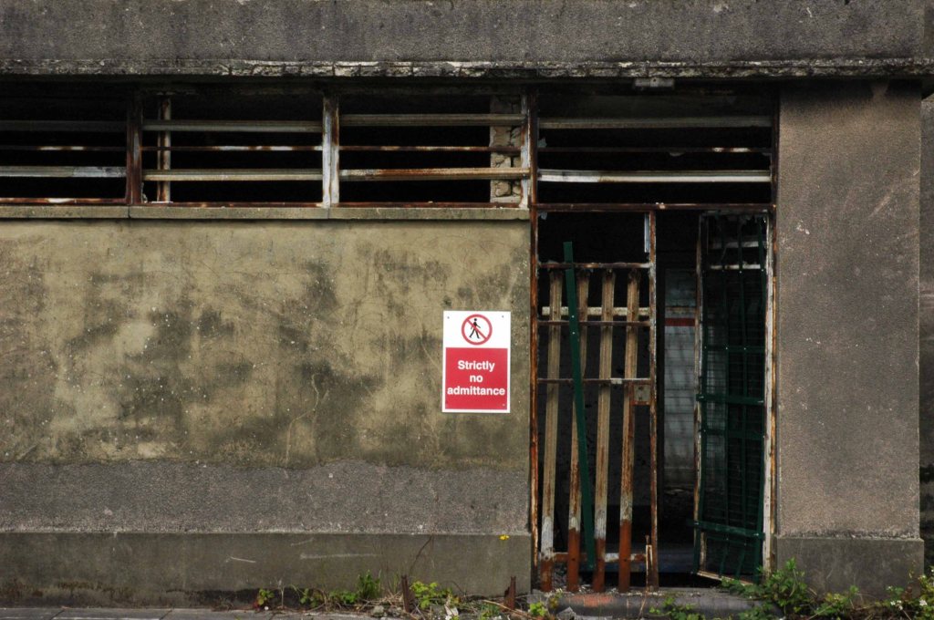
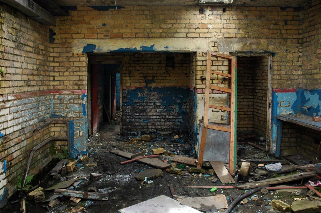
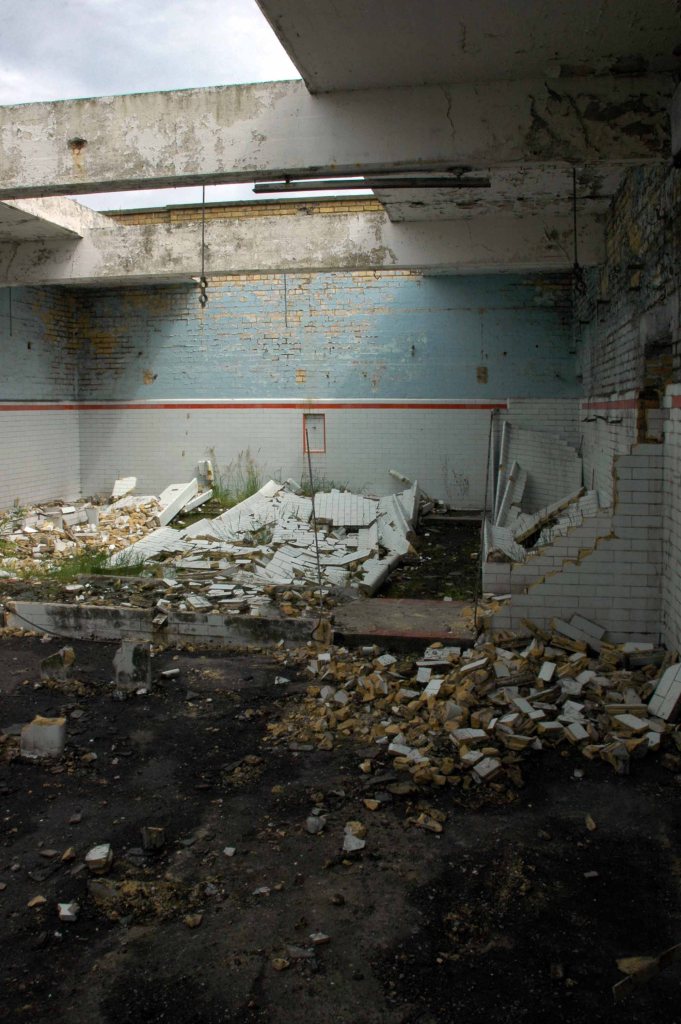
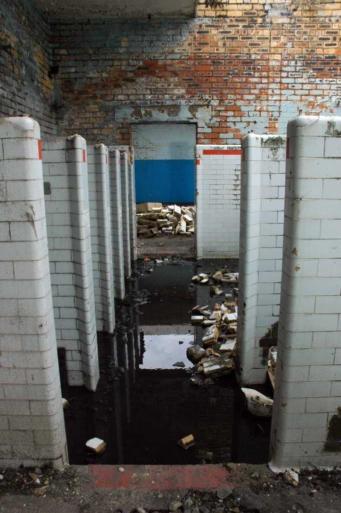
Entering the open site, I was well aware of the significance of the building and its history – working lives that had constructed the baths, entered and left through those very same doors.
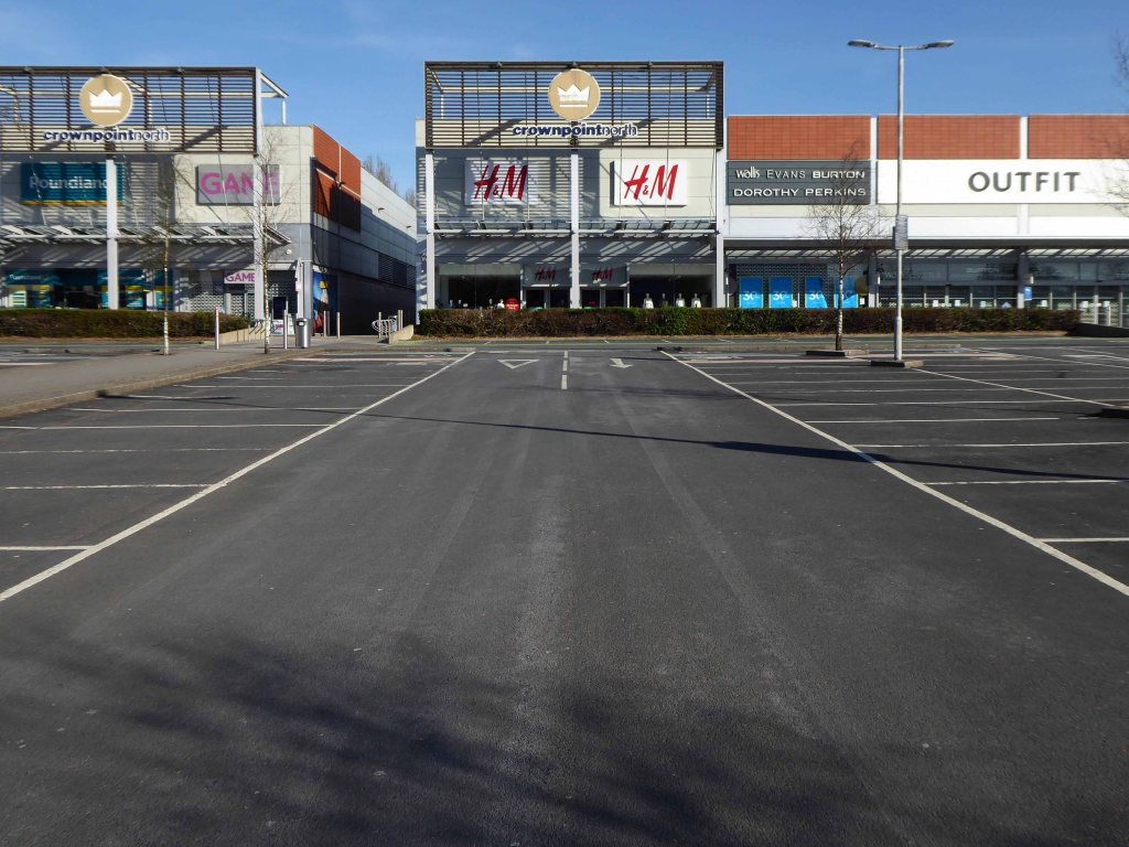
The court heard the accused had agreed to detonate a bomb at Crown Point North as a diversion before driving to their school, murdering teachers and pupils and then killing themselves.
We live in strange and troubled times, the urban landscapes we have created are often far from convivial.
Deserts possess a particular magic, since they have exhausted their own futures, and are thus free of time. Anything erected there, a city, a pyramid, a motel, stands outside time. It’s no coincidence that religious leaders emerge from the desert. Modern shopping malls have much the same function. A future Rimbaud, Van Gogh or Adolf Hitler will emerge from their timeless wastes.
I’m more than partial to a picture postcard – I have penchant for the picaresque.
And in these troubled times there’s no safer way to travel.
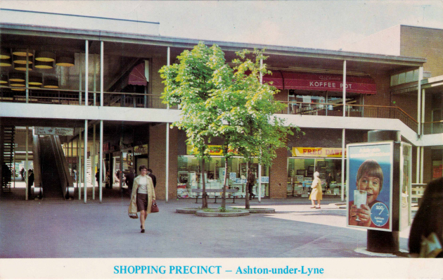
I have some previous experience, exploring the precincts of our fair land – here and there.
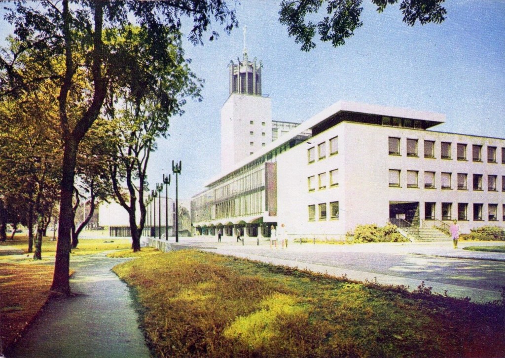
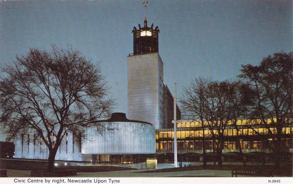
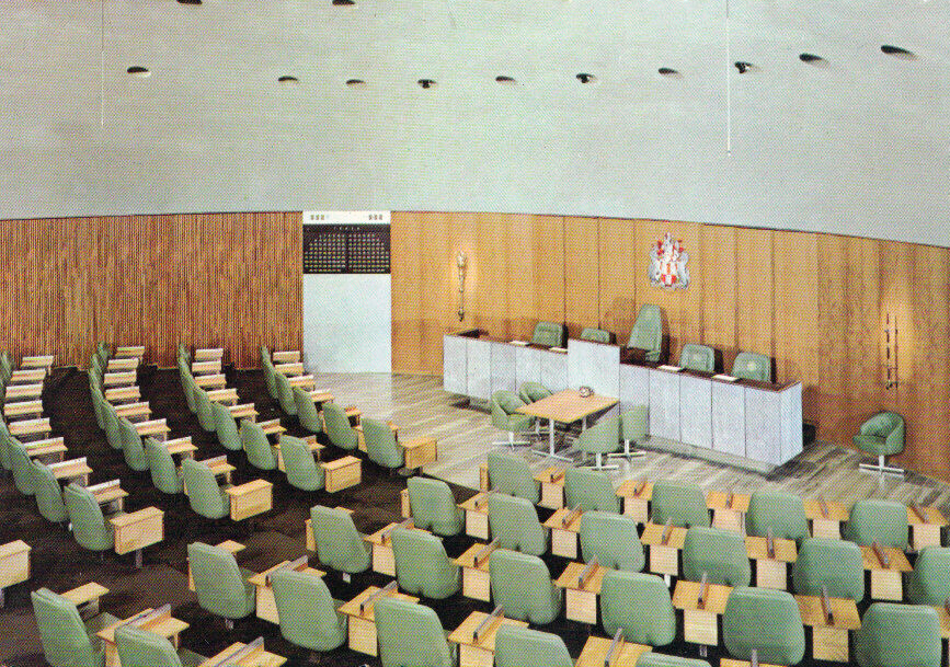
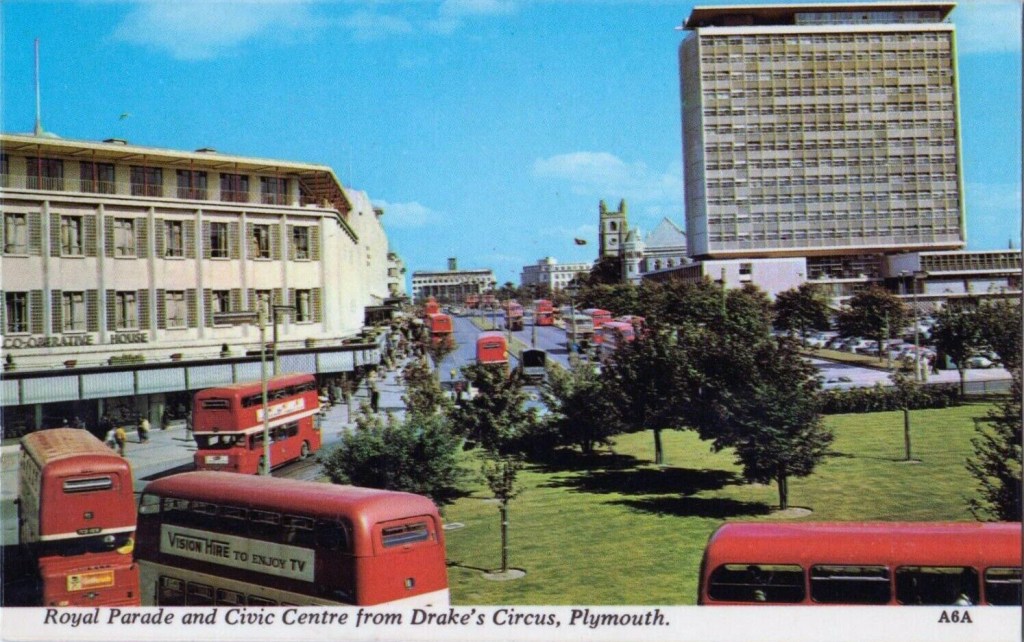
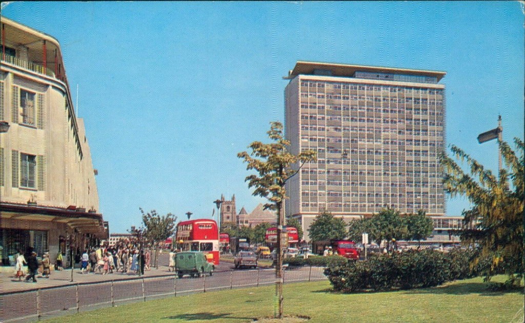
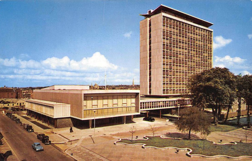
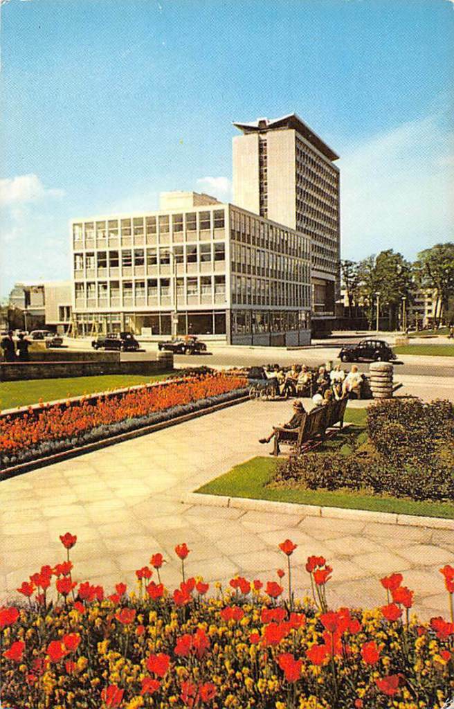
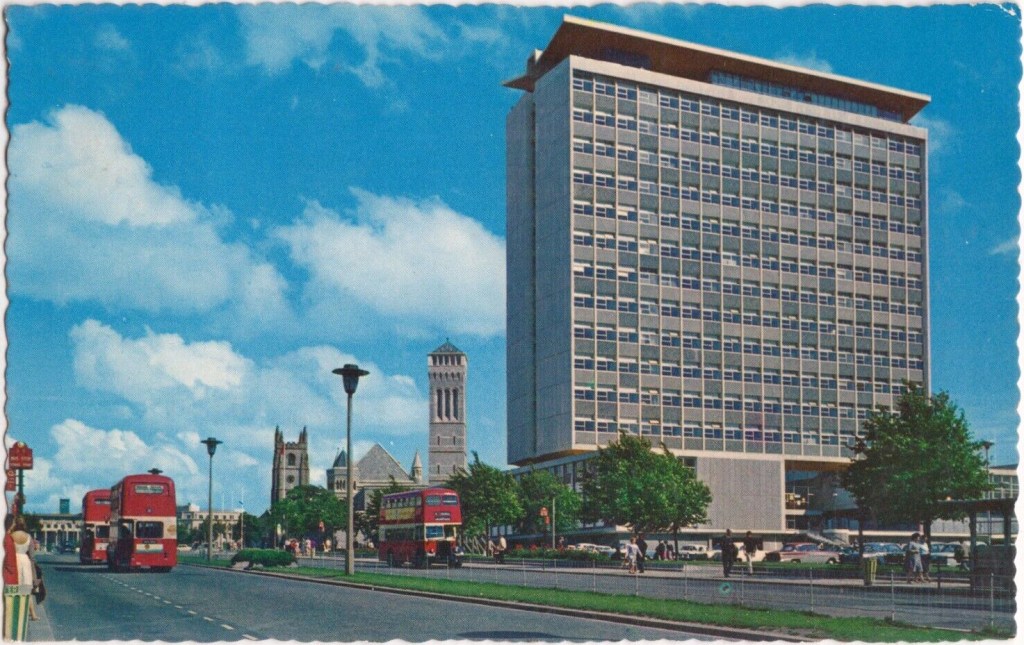
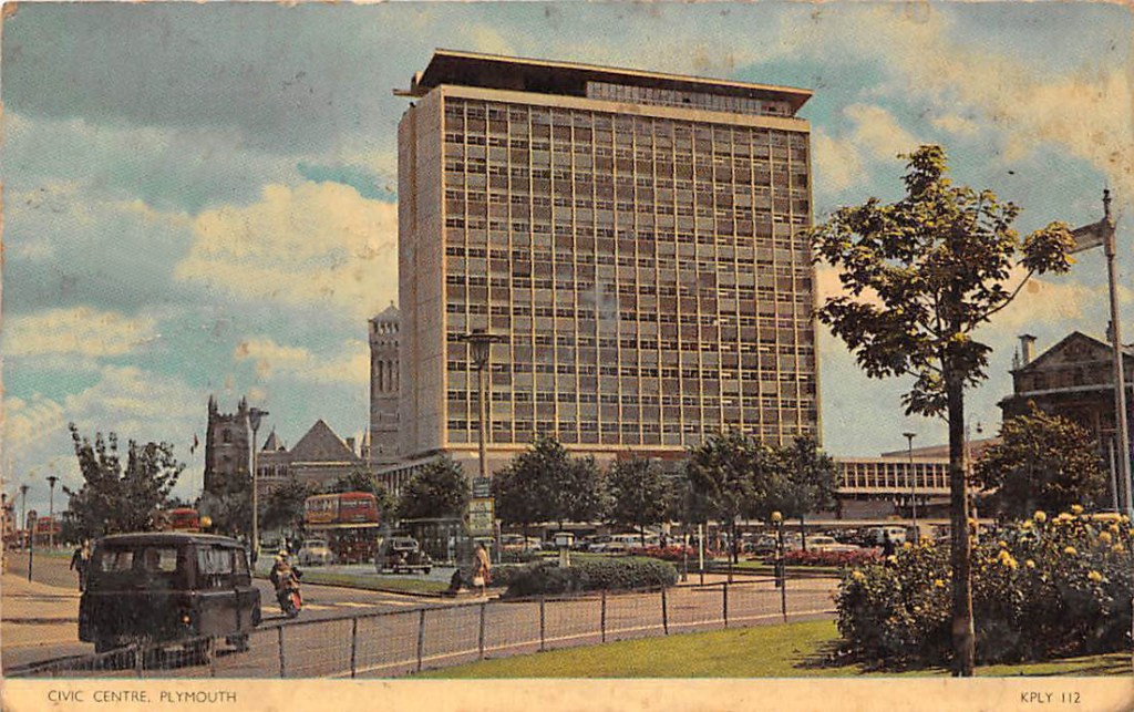
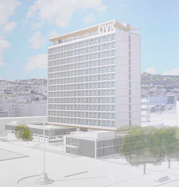
Prompted by a post from Natalie Bradbury – I became intrigued by Newcastle Civic Centre cards, I have visited the site, but in this instance, we are taken there thus:
The scheme also proposes a mix of uses for the ground and first floors including shops, offices, cafes and restaurants, bars, hot food takeaway, art gallery, gym, creche and day nursery.
Built 1961-1963 – architects Ivan Johnston & Partners of Liverpool.
The proposed modernistic architecture of the building, caused some qualms among members of Stockport’s Planning and Development Committee, which was still discussing the plans early in 1962, but in the end it was built much as the architect had intended.
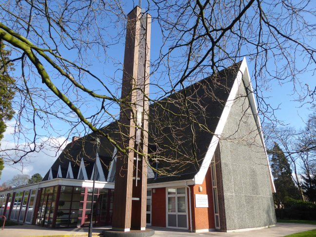
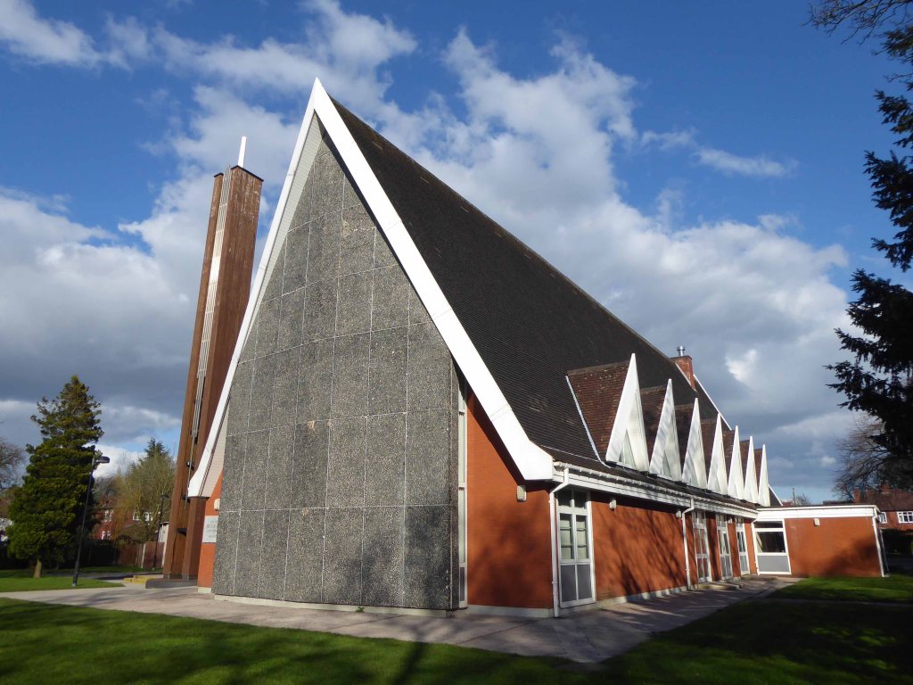
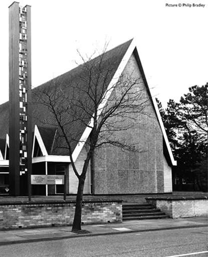
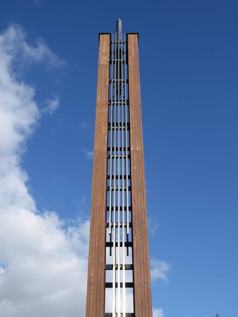
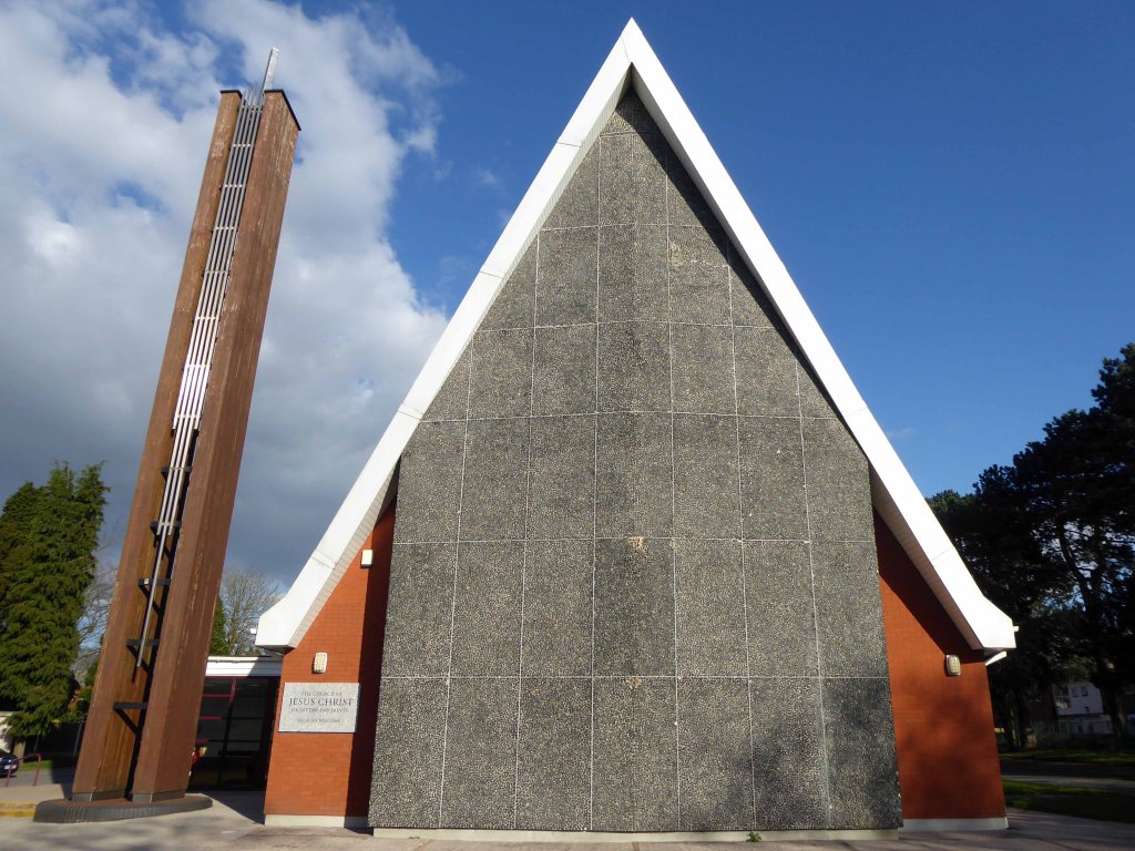
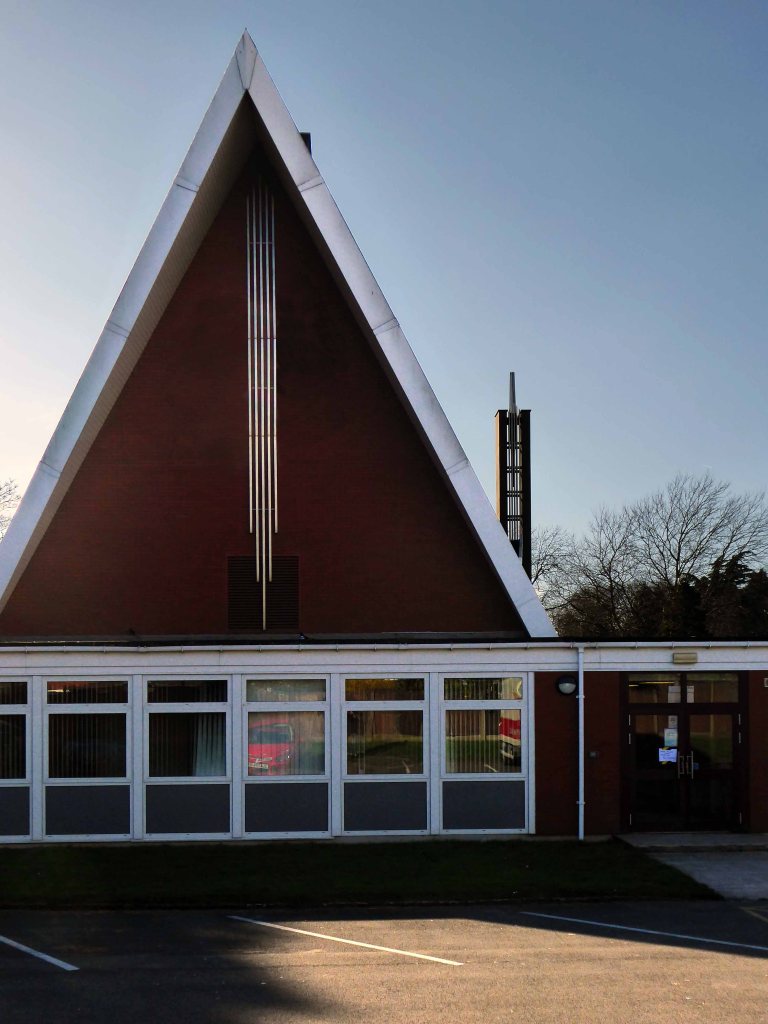
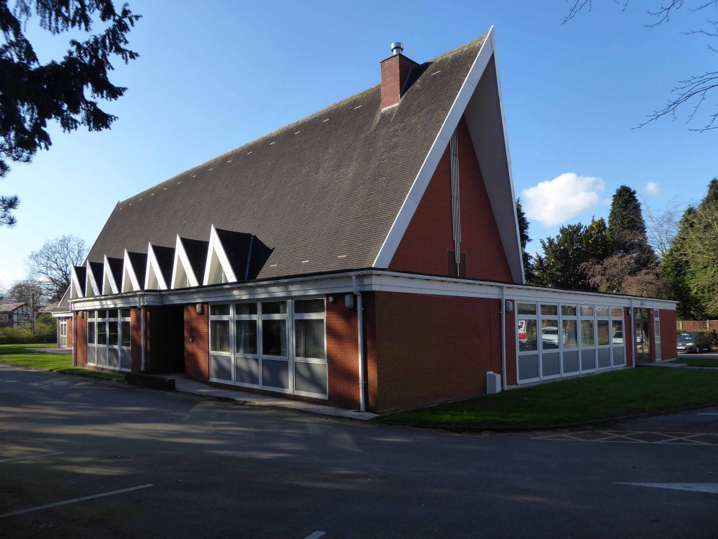
A 70ft. spire on Bramhall-lane Davenport, will be a new landmark in Stockport next year when the no-labour-cost £41,000 chapel of the Mormons – The Church of Latter-Day Saints, from America – is expected to be complete. The Stockport branch of 150 members will fund over £8000 of the cost and will provide food, shelter and pocket money for volunteer builders from all over the country.
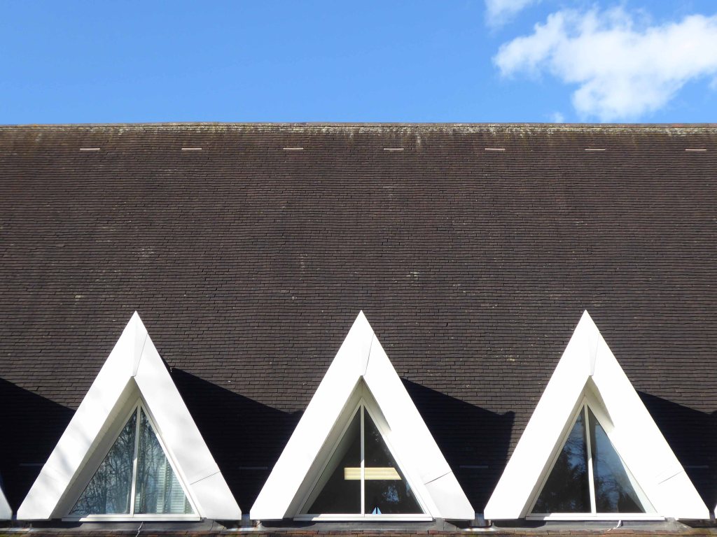
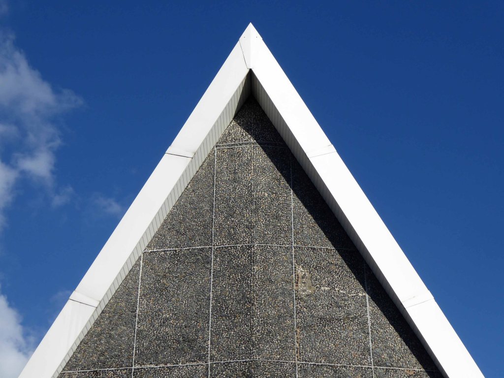
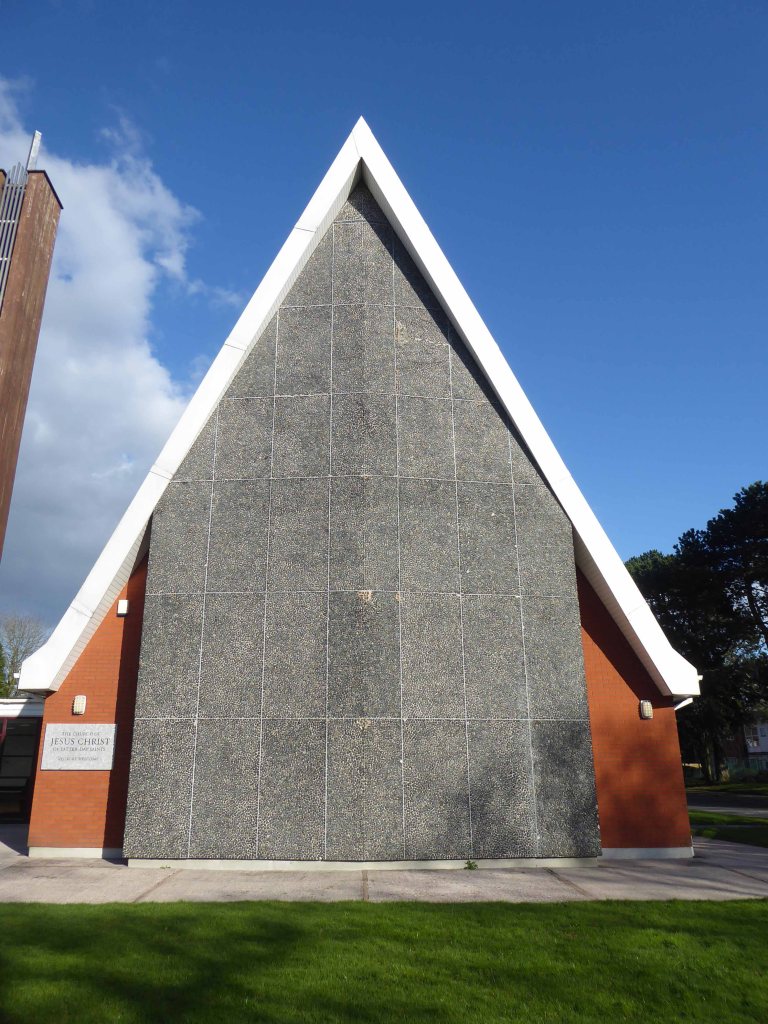
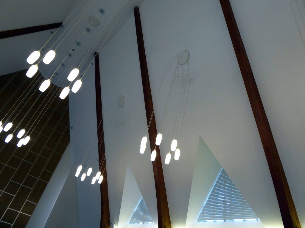
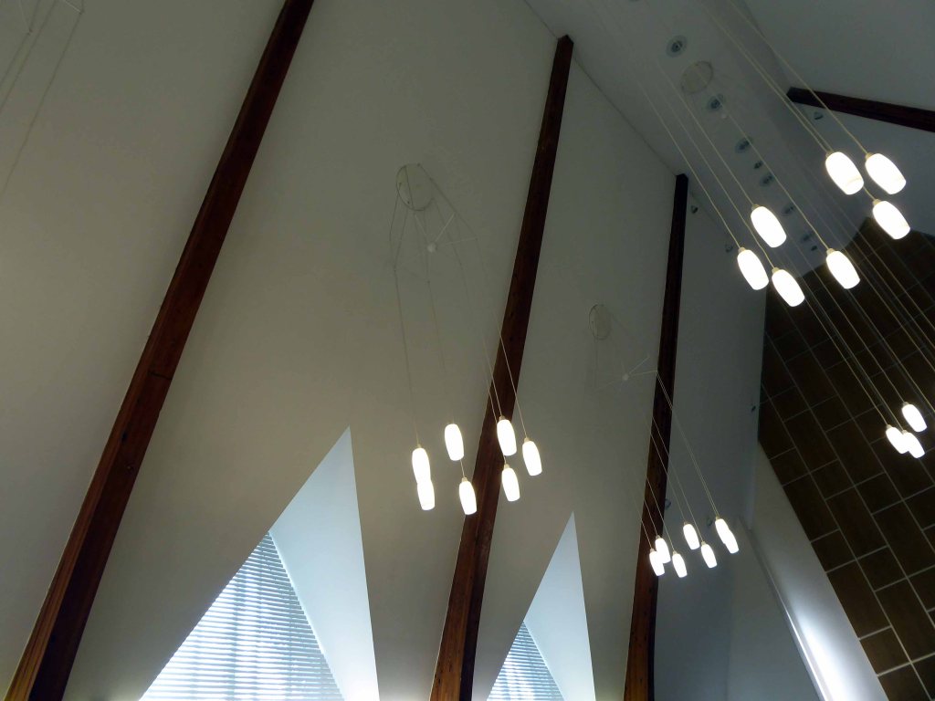
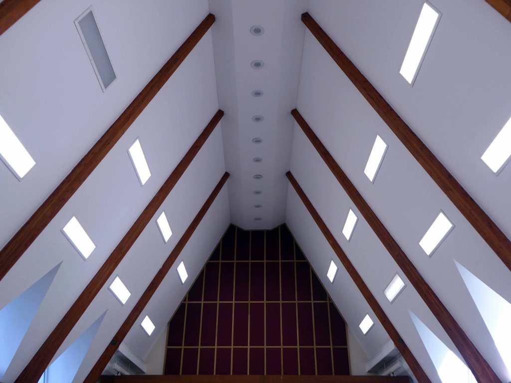
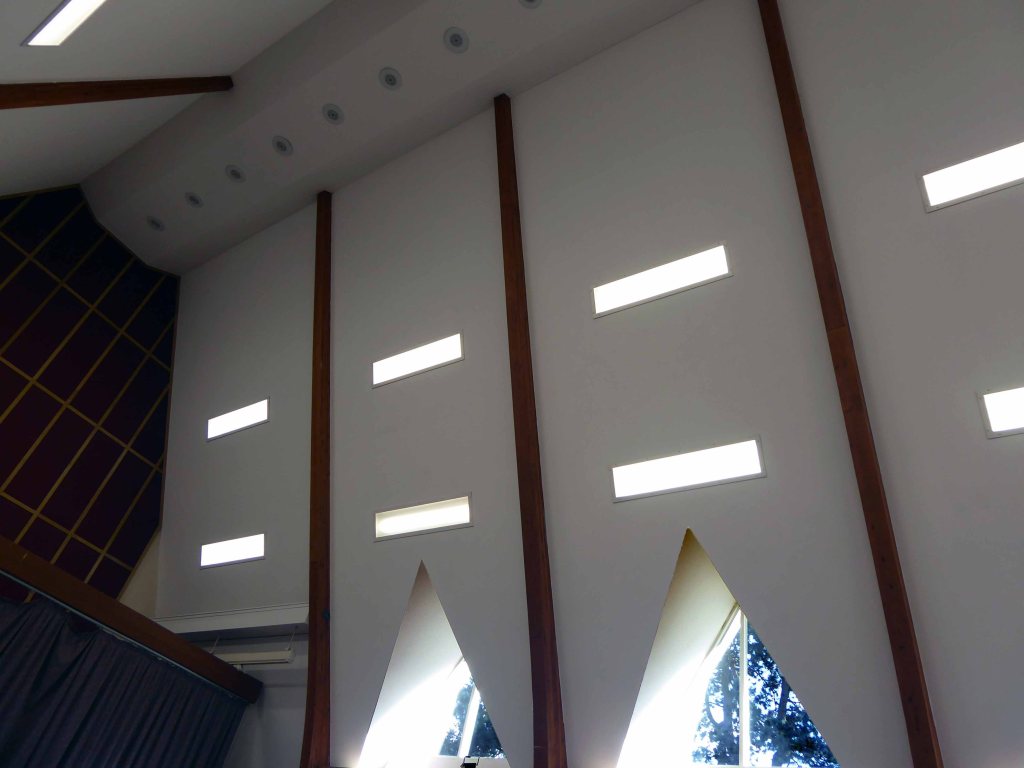
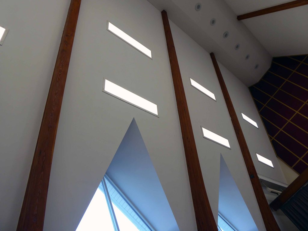
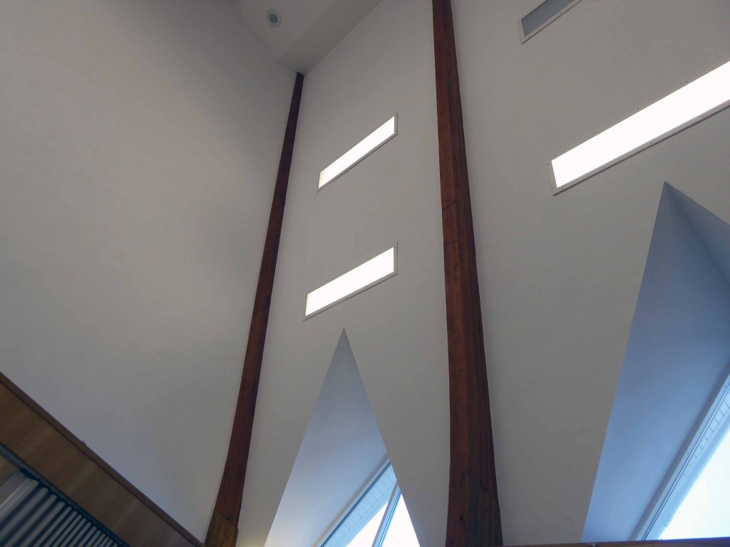
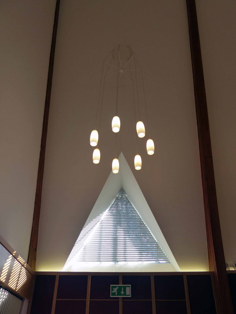
A striking A Line addition to the Stockport skyline – its steeply pitched roof punctuated by prominent triangular bays, and partnered with a prominent remote tower of wood and steel.
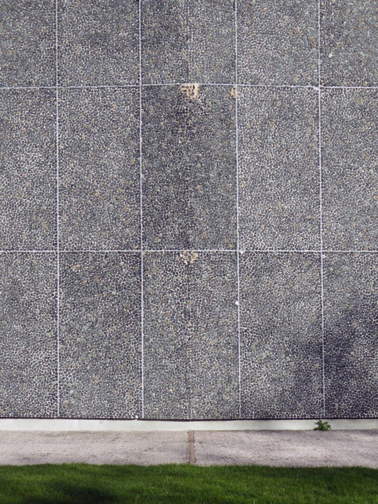
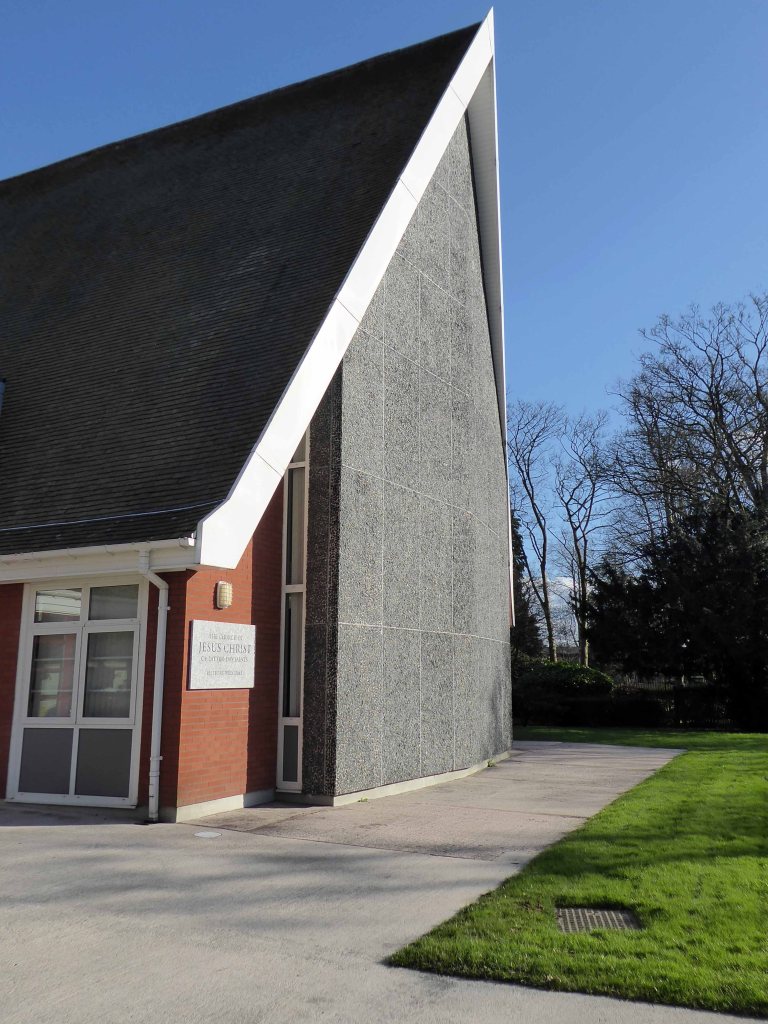
The front elevation is of concrete, constructed with panels of a rough grey aggregate.
Take a walk around, there have been some additions of single storey ante rooms.
This remains a simple, confident and assured building.
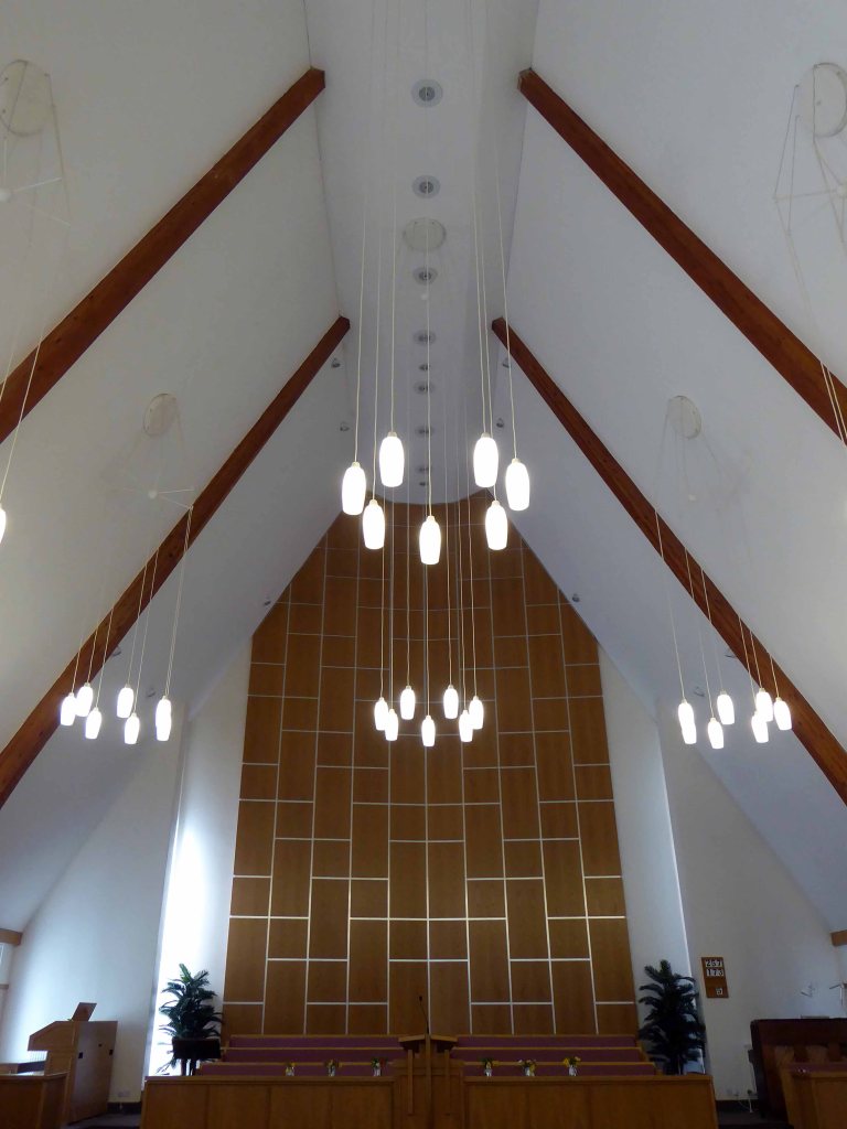
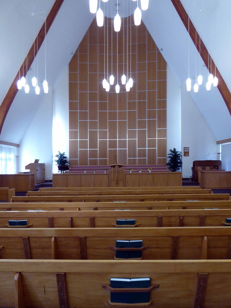
I had gone along today as a blood donor – so granted access to the splendid, elevating well-lit interior.
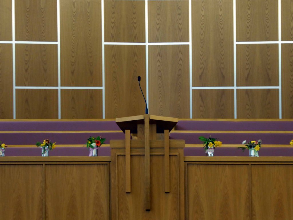
The front portion of the main body is given over to worship, furnished with light wood pews, altar and panelling.
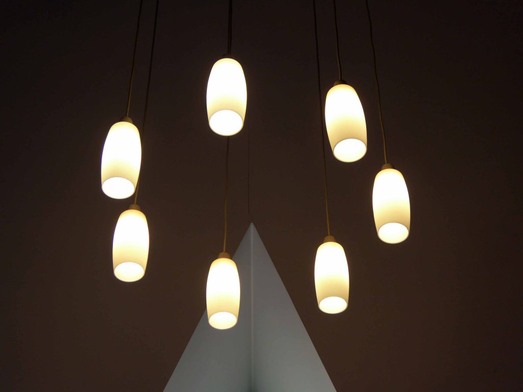
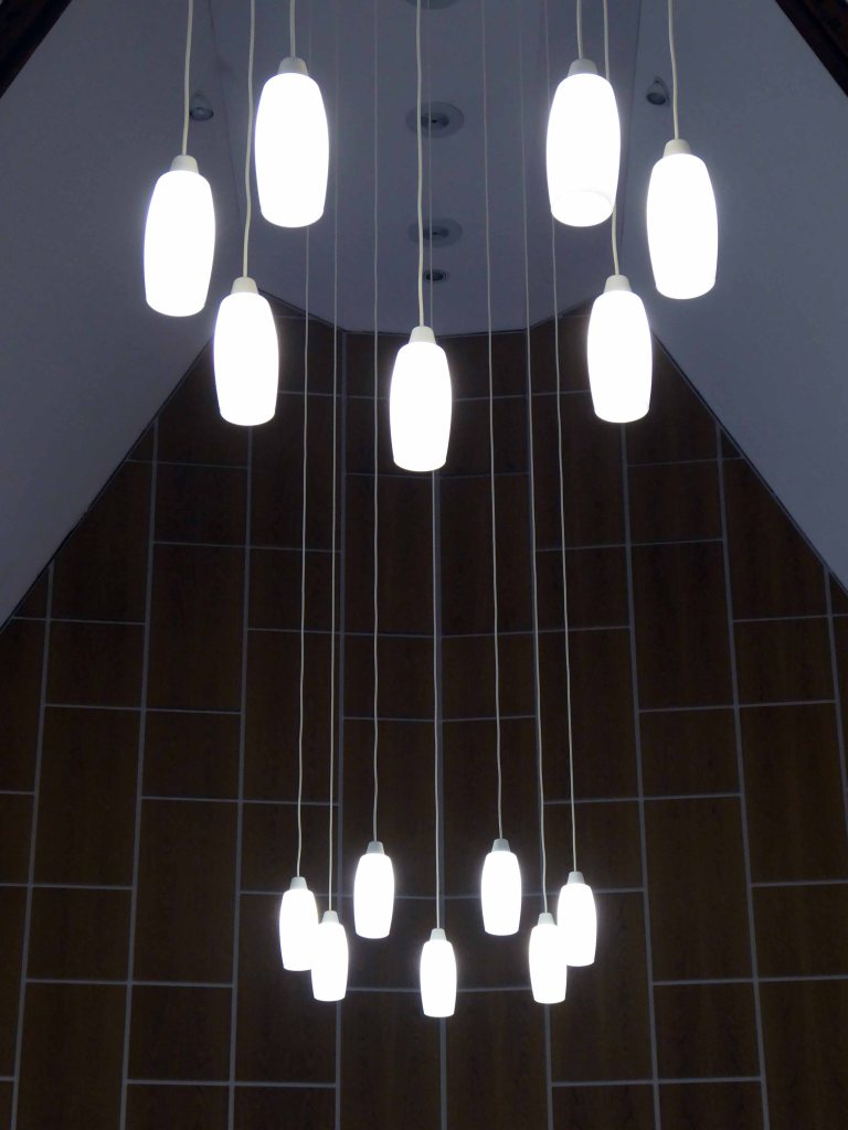
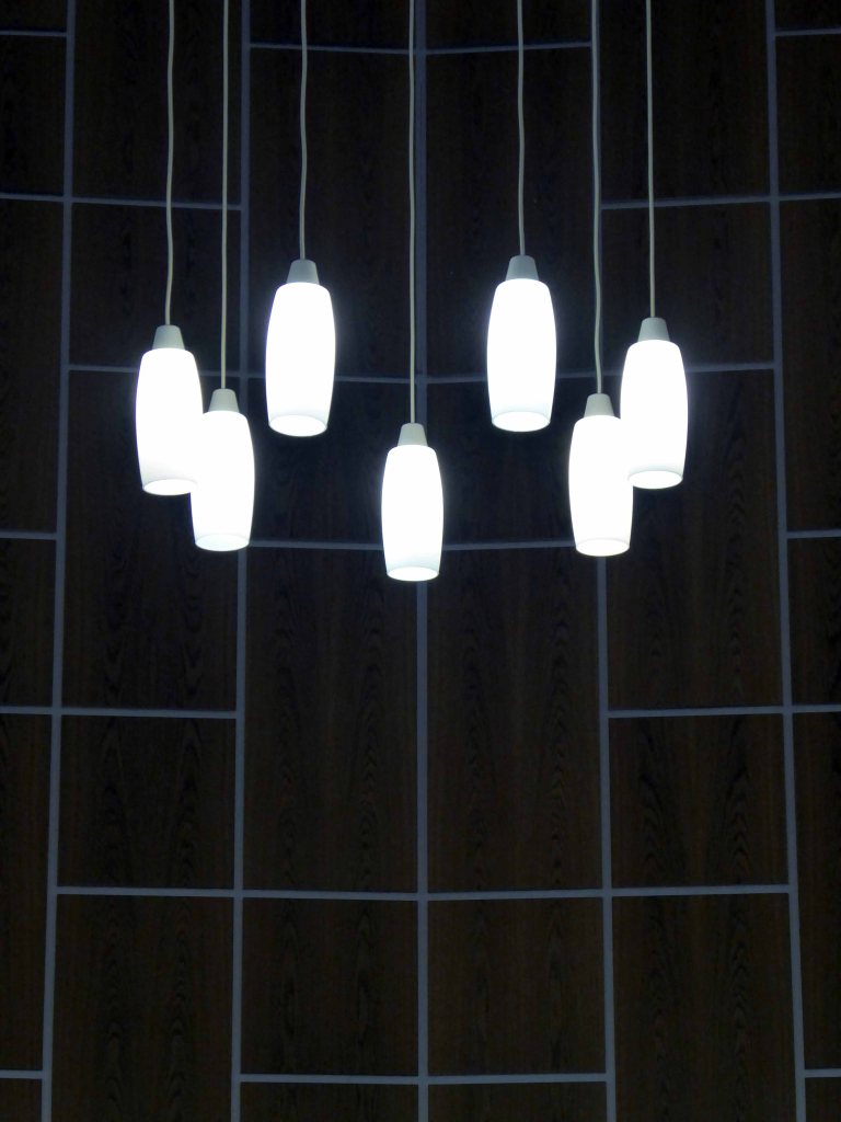
The suspended lighting groups are of particular note.
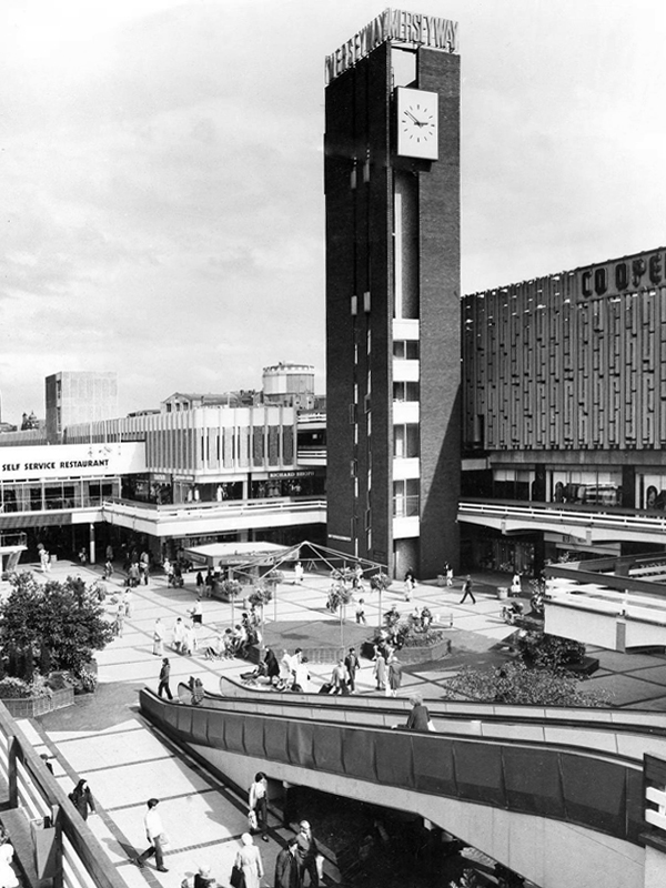
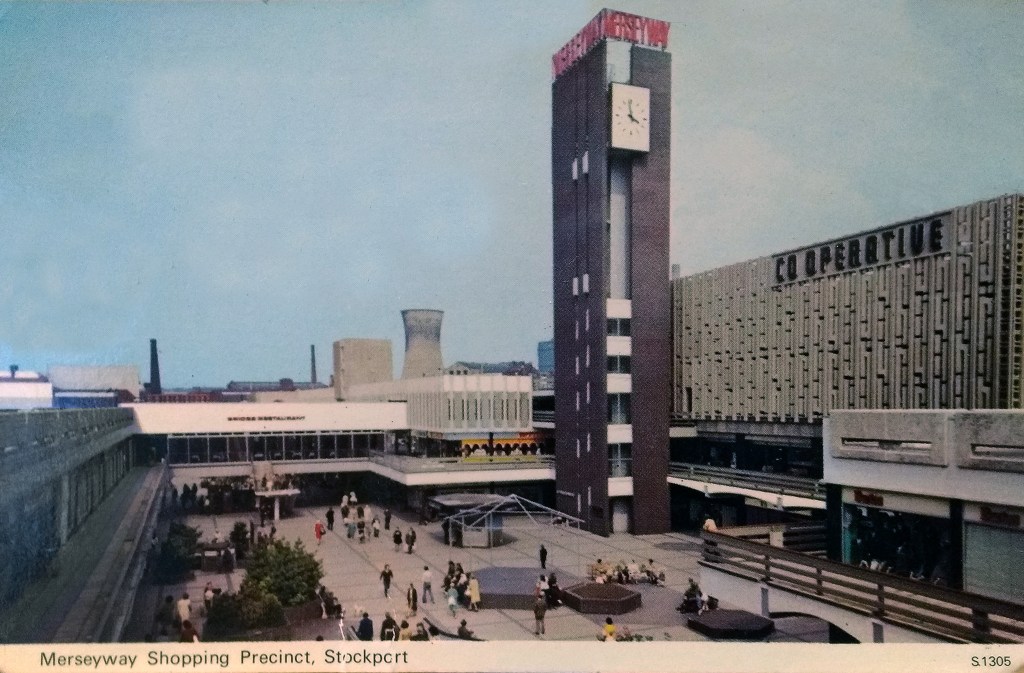
Once widely admired, Ian Nairn esteemed architectural writer, thought it an exemplary exposition of modern integrated shopping and parking, sitting perfectly in its particular topography – way back in 1972.
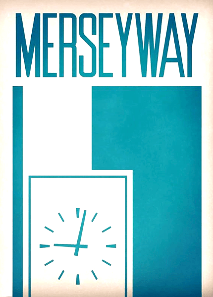
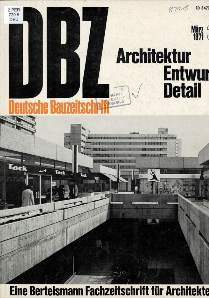
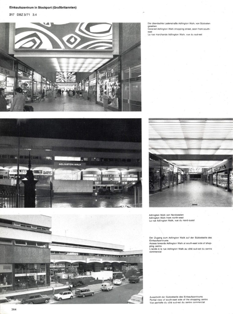
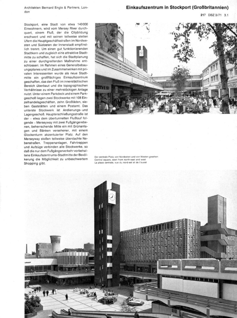
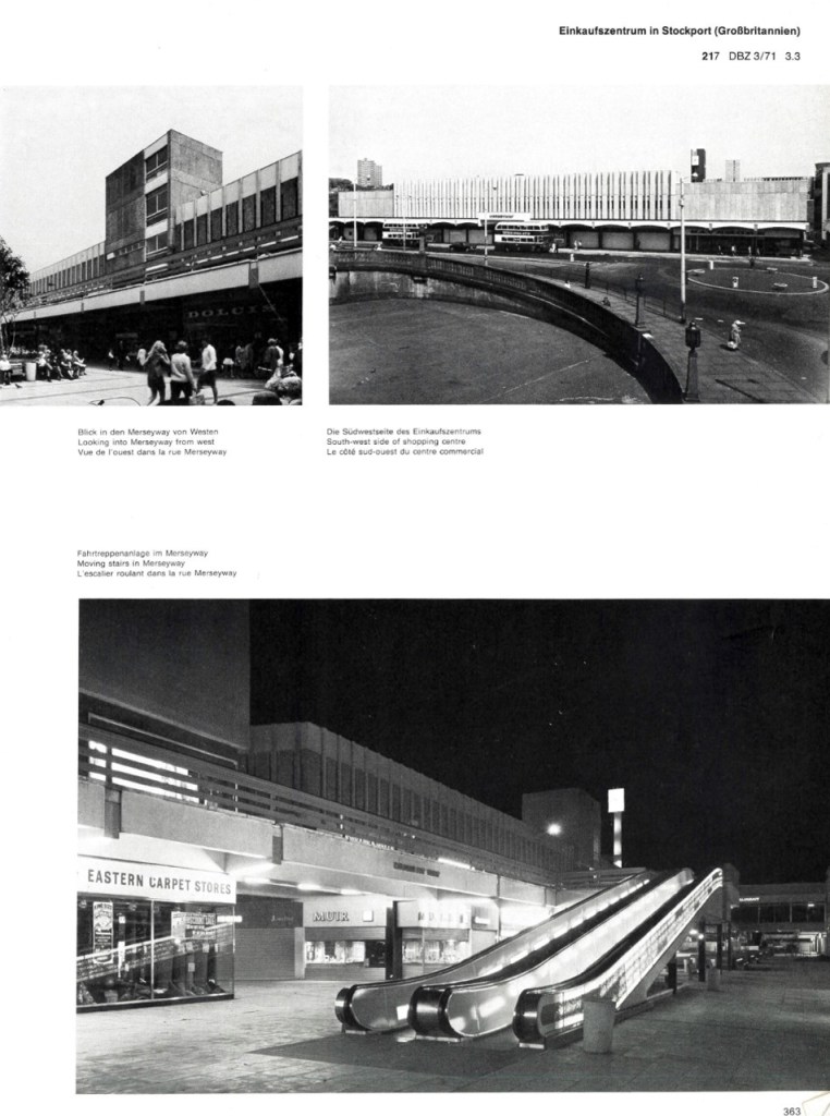
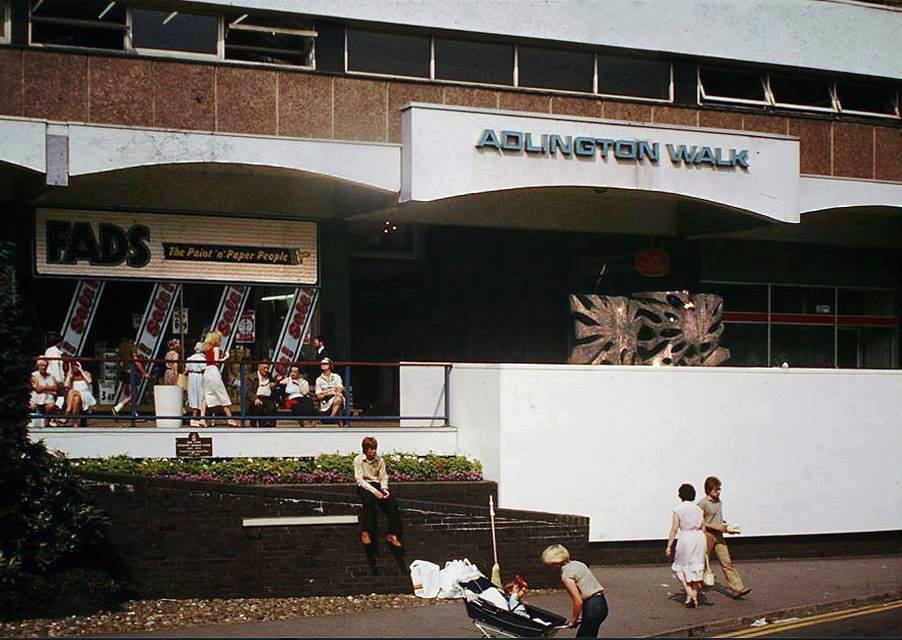
This German magazine dedicated several pages to coverage of Merseyway back in 1971.
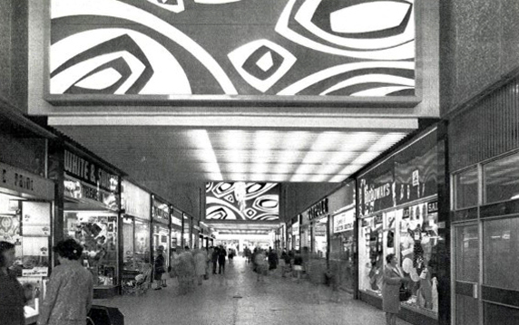
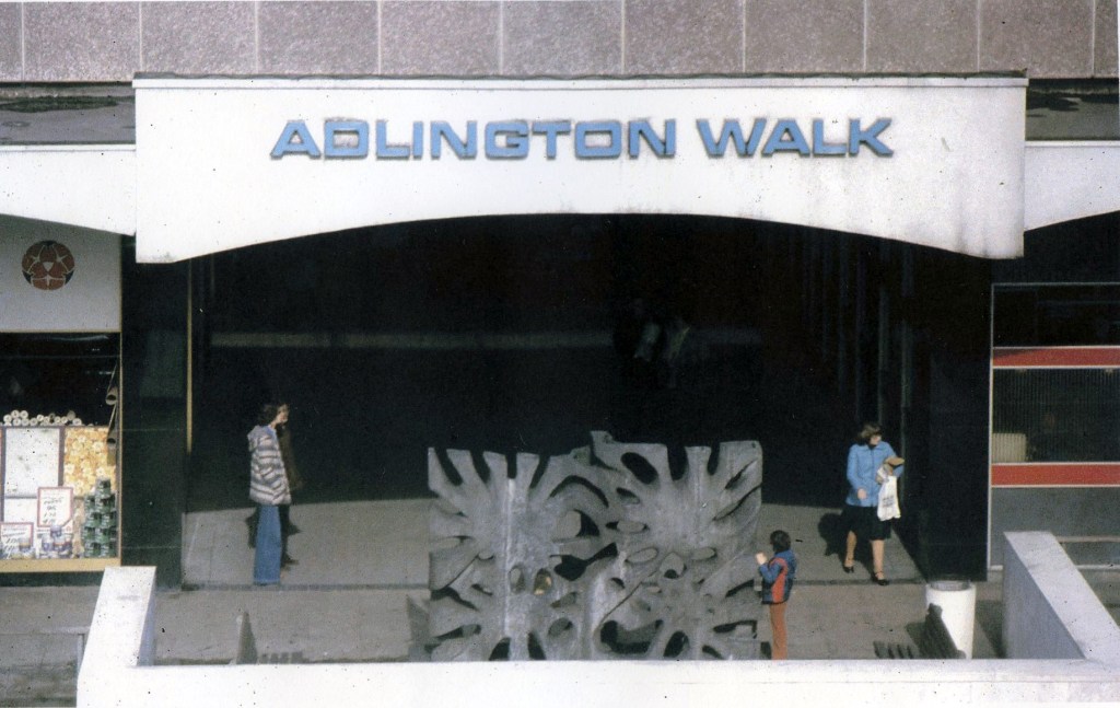
Note the long lost decorative panels of Adlington Walk.
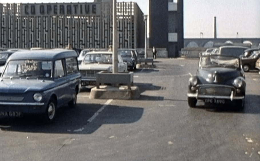
Many thanks to Sean Madner for these archive images.
Mainstream Modern has recorded its conception and inception, as part of a wider appreciation of Greater Manchester’s architecture.
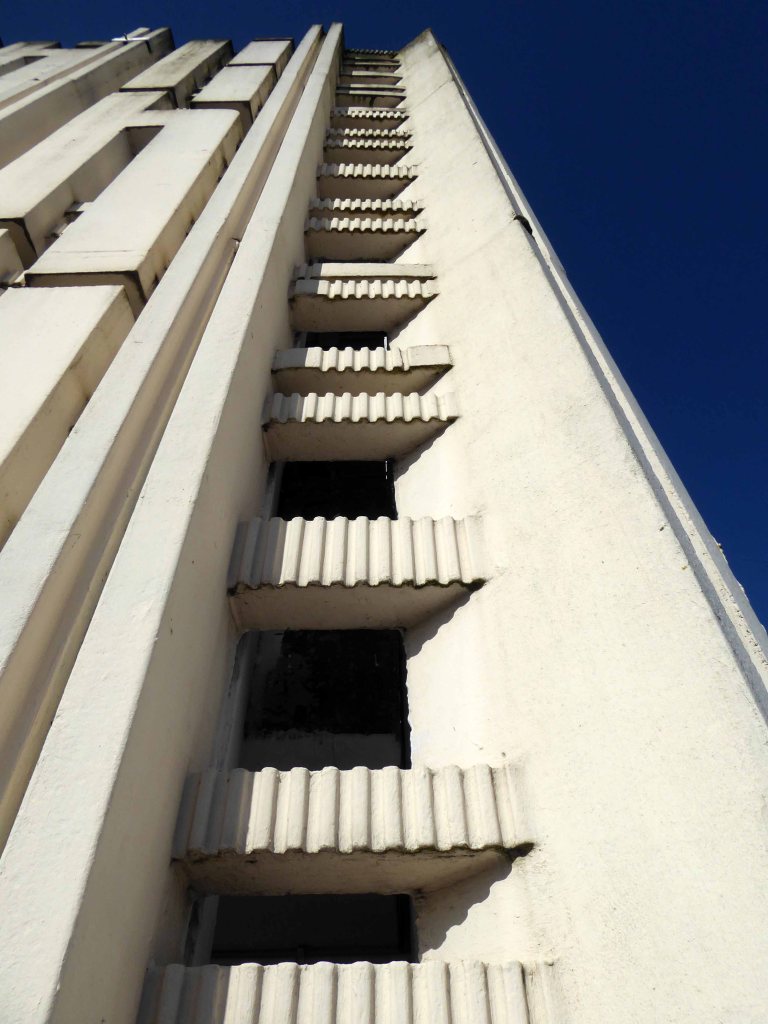
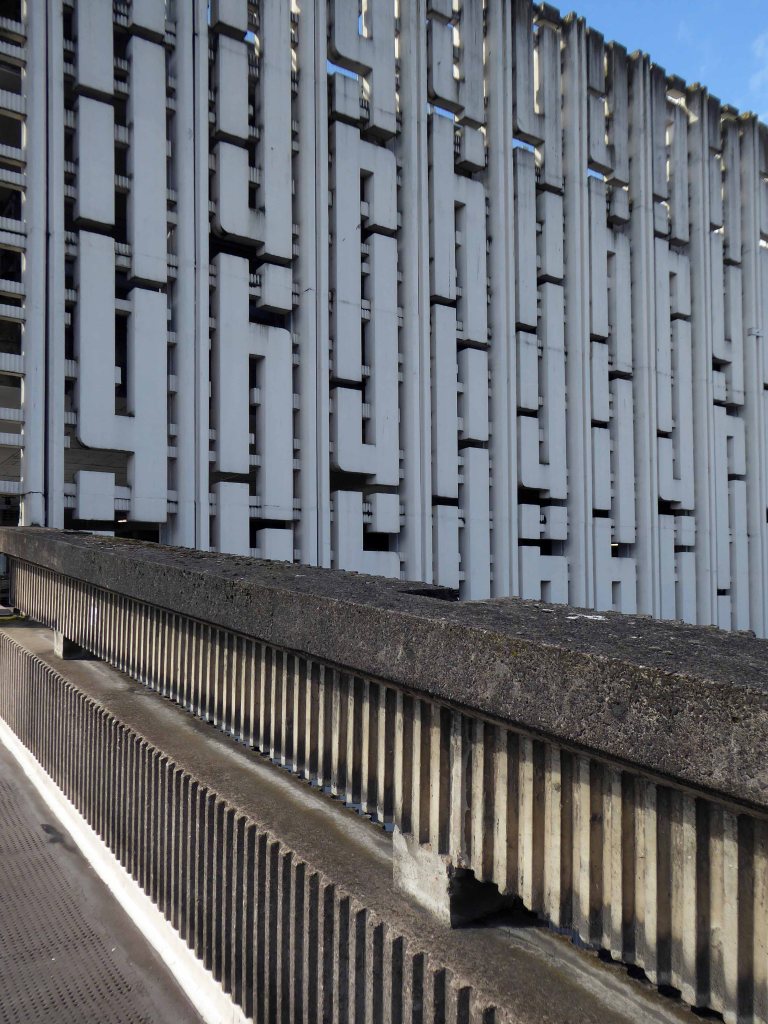
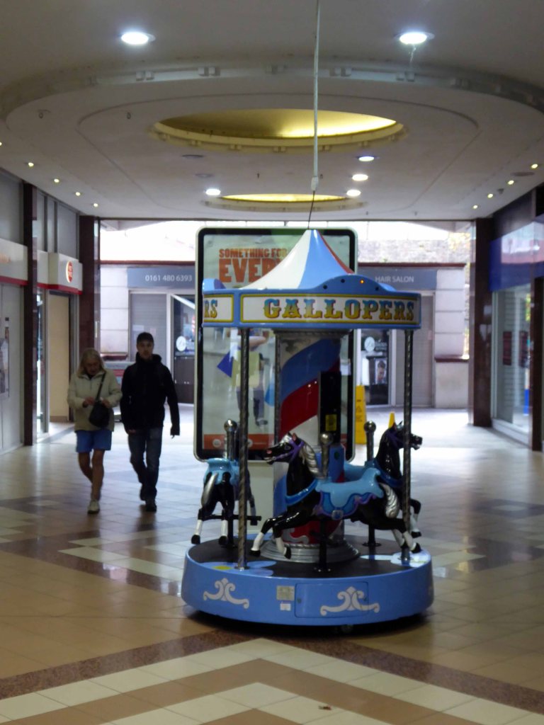
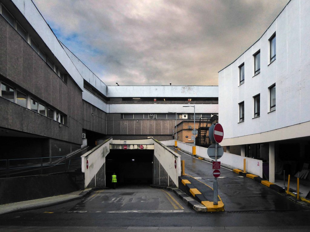
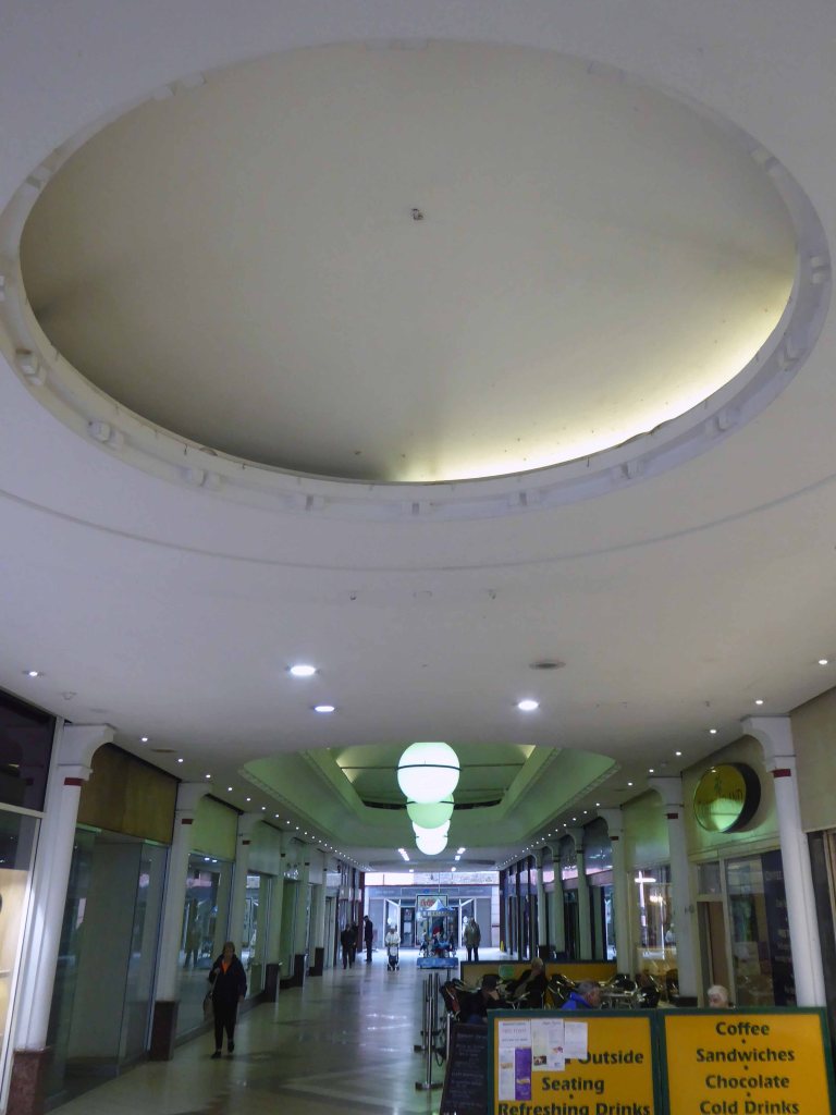
The architects were Bernard Engle and Partners in conjunction with officers of Stockport Corporation and the centre opened in 1965. The separation of pedestrians and cars, the service areas, the multi level street, the city block that negotiates difficult topography to its advantage, are all planning moves that are of the new, ordered and systemised, second wave modernism in the UK. The aggregate of the highways engineering, the urban planning and the shifting demands of retailers frequently arrived at a form and order such as this. In this way Merseyway is unremarkable, it’s like many other centres in many other towns – consider the rooftop landscape of Blackburn. It is, however, typical and has been typically added to and adjusted during its life and presents perhaps the face of the last retail metamorphosis before the out-of-town really made the grade.
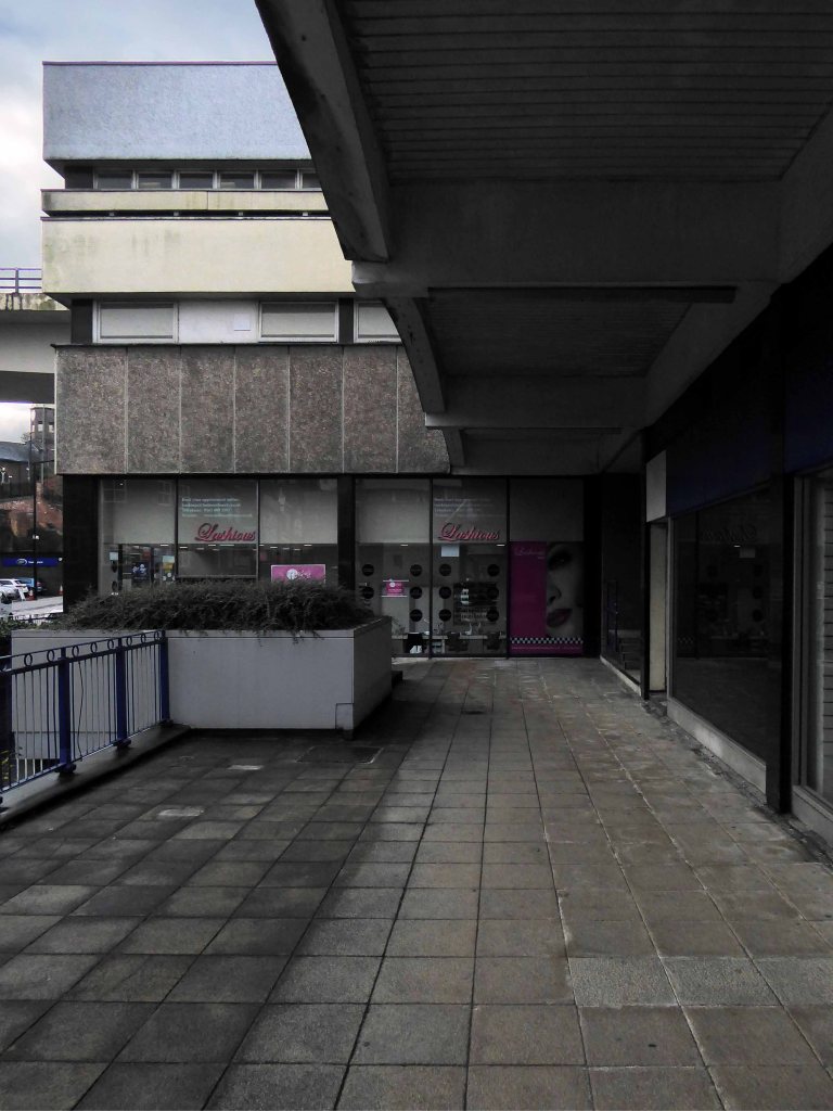
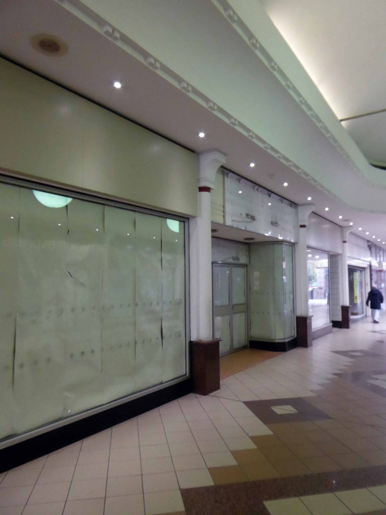
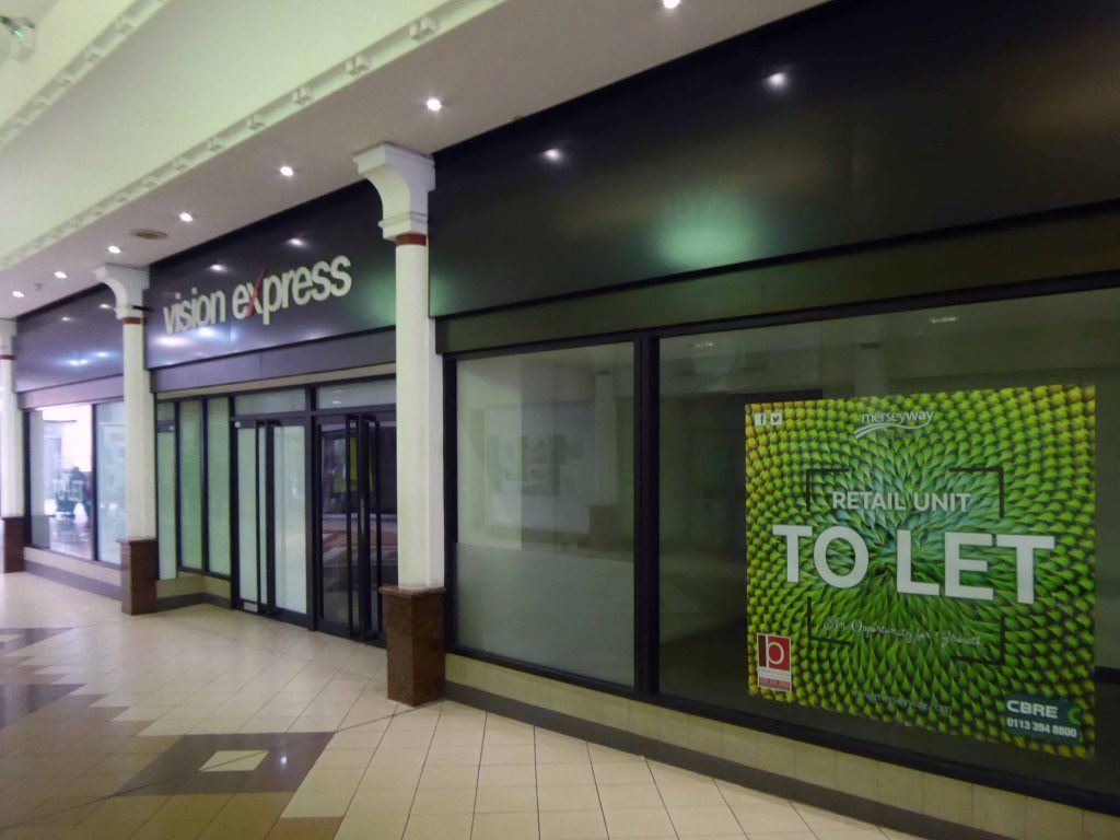
Each successive remaking and remodelling has seriously compromised the integrity of the development. We are left with dog’s dinner of poorly realised Post Modern and Hi-Tech additions, along with a failure to maintain the best of the original scheme.
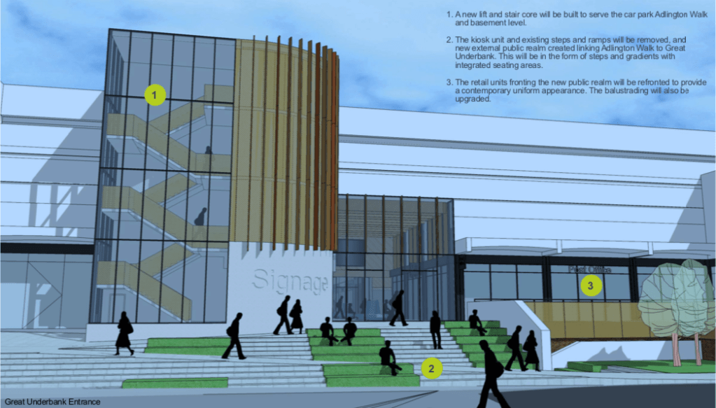
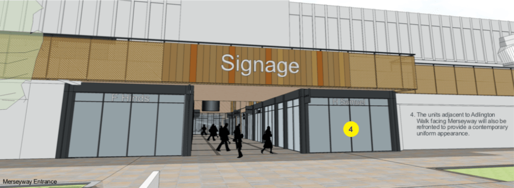
Plans are now afoot to revamp the precinct – starting with Adlington Walk.
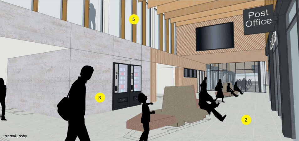
Proposed facilities include a soft play space, new seating, buggy stores, high grade toilets, parent and child facilities and a multi faith prayer room.
The Theatre De-Luxe was built in 1911 at the corner of Anlaby Road and Ferensway with its entrance in Anlaby Road and its auditorium along the side of the pavement in Ferensway. Kinematograph Year Book of 1914 lists 600 seats and the owners as National Electric Picture Theatres Ltd.
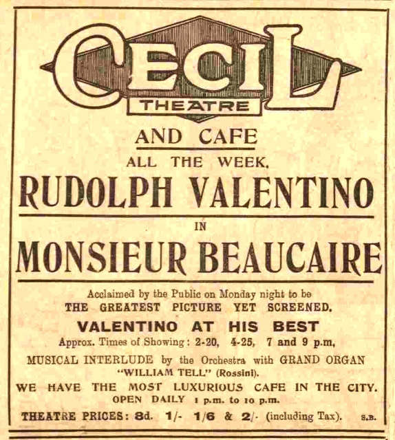
In 1925, the theatre was rebuilt to a radically altered ground-plan and renamed the Cecil Theatre. The opening night was Monday 28th September 1925. The entrance was in a curved façade at the Anlaby Road/Ferensway corner. The alignment of the new, larger, auditorium was at right angles to Ferensway, and parallel to Anlaby Road. Effectively, the length of the Theatre De-Luxe auditorium became the width of the Cecil Theatre’s. Seating was 1,700 with 700 of those in the balcony, according to the Hull Daily Mail. The Cecil Theatre was originally designed for silent movies with a full orchestra pit. KYB 1931 lists it having Western Electric sound installed; and a 1931 aerial view shows that a brick horn-chamber had been built onto the wall at the rear of the stage. It had a 35 feet wide proscenium. The cinema also had a café attached.
The Cecil Theatre’s demise came during bombing on the night of 7/8 May 1941 when German incendiary bombs reduced the building to a shell; and it remained like that until demolition in 1953.
Work on the new Cecil Theatre was begun in April 1955 and it was opened on 28th November 1955 with 1,374 seats in the stalls and 678 in the balcony.
Architects: Gelder & Kitchca
At the time of opening it had the largest CinemaScope screen in the country measuring 57 feet wide, and the first film shown was Marilyn Monroe The Seven Year Itch. The proscenium was 60 feet wide, and the cinema was equipped with a Marshall Sykes 3Manual/15Ranks organ, which was opened by organist Vivian Newall.
There was also a 100-seat restaurant & bar which in 1971 was converted into a second screen seating 137 (Cecil 2). The following year the main auditorium was spilt into 2 smaller cinemas in the balcony (Cecil 1 & 3 each seating 307) and an entertainment hall in the former stalls which became a Mecca Bingo Club, with Mecca also operating the cinemas.
In the 1980’s it was taken over by the Cannon Cinemas chain. The cinema operation was closed on 23rd March 1992 and the cinemas were ‘For Sale and/or Lease. It was taken over by Take Two Cinemas and renamed Take Two Cinema. It was closed on 27th February 1997 and the two screens in the former circle were stripped out and converted into a snooker club.
Whilst bingo continues in the former stalls area of this post war cinema, the former mini cinemas in the circle still contain the snooker tables, but the space is unused. The screen in the former restaurant/cafe area remains basically intact, but is unused.
I worked at the Cecil in the three years before it closed in the 90’s. MGM owned the place before the Virgin group bought it and closed it. It was a good place to work and an interesting building. Behind the scenes had remained unchanged since Anna Neagle first opened it. The organ had been removed however but the organ room was still in tact in the bingo section of the building. The fire exits led to long dark corridors that were always being infiltrated by kids sneeking in for a free shows. I understand that this was always the case. The resturant kitchen was fully intact and resembled something out of a Kubrick film – very spooky place!
Bilko2000
And so the projectors whirr no more, house is called at the Cecil – possibly the most oddly named cinema in the land.
Happily it remains an imposing presence in the centre of the city – a mammoth modern temple of entertainment – reflecting the ever changing tastes of the day and the morning after.
The Humber Ferry was a ferry service on the Humber between Kingston upon Hull and New Holland in Lincolnshire which operated until 1984, after the completion of the Humber Bridge in 1981.
I walked from Hull to Hessle – but you were always on my mind.
Glimpsed once or twice from a train, I’d never been up close and personal.
The Humber Bridge was opened by Her Majesty Queen Elizabeth II in 1981.
It is one of the marvels of modern engineering and was, until 1998, the longest single span suspension bridge in the world but there are now five other longer bridges of this type. However it is still the longest that can be used by pedestrians.
The bridge is 2,220 metres long and the towers, which are farther apart at the top than the bottom to compensate for the curvature of the earth, are 155 metres high. It was built at the narrowest point of the estuary known as the ‘Hessle Whelps’ and when completed it was admired for its design and elegance, but reviled by others as a bridge from nowhere to nowhere, the crossing comprises a dual carriageway with walkways for pedestrians and cyclists on both sides.
Although approval to build the bridge was granted in 1959 work did not begin until 1972 due to difficulties in financing the project. In 1966 Harold Wilson, the Prime Minister of the day, allowed Barbara Castle, the Minister for Transport, to give permission for the bridge to be built, hoping that the announcement would be a vote winner in the forthcoming Hull North by-election.
Construction Team
The consulting engineers for the project were Freeman Fox & Partners . Sir Ralph Freeman had produced the first ideas in 1927 and in the early 1930s the cost of the project was estimated at £1.725 million and that the bridge would be unlikely to recoup the construction or maintenance costs. In 1935 he had an idea for a 4,500-foot suspension bridge for the Humber Tunnel Executive Committee. Sir Gilbert Roberts produced more ideas in 1955 for a bridge with a 4,500-foot central span, costing £15 million, to be paid for by East Riding County Council and Lindsey County Council. Once it was likely that a bridge would be constructed, Bernard Wex produced the design in 1964 that was actually built. The bridge was built to last 120 years.
The architect was R. E. Slater ARIBA. The administration building for the tolls, was designed by Parker & Rosner. The landscaping was designed by Prof Arnold Weddle. Wind tunnel testing took place at the National Maritime Institute at Teddington and the road deck is designed for wind speeds up to 105 miles per hour (170 km/h).
Even on the calmest of days the power and sway, push and pull of wind and tide is an uplifting, hair-raising and visceral experience.
The elegantly engineered giant towers above as you gaze from the shore.
An elegy to human endeavour in concrete and steel.
The bridge is of necessity firmly anchored to the ground.
The walkway wide and high astride the estuary.
The tall towers towering above.
The whole structure tied down, anchored and suspended securely.
The mid brown waters of the Humber flowing gently below.
I walked back and to in the company of a handful of fellow travellers, on foot and bike, one of life’s best ever free rides, and reluctantly bade farewell as I headed home to Hull.
But just like just like General MacArthur I came through andI shall return.