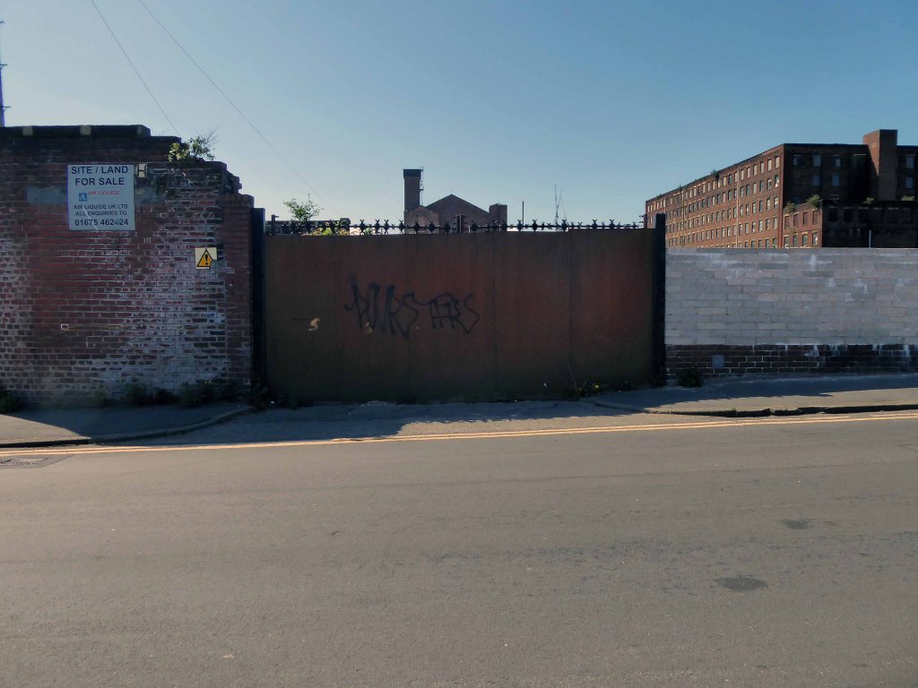
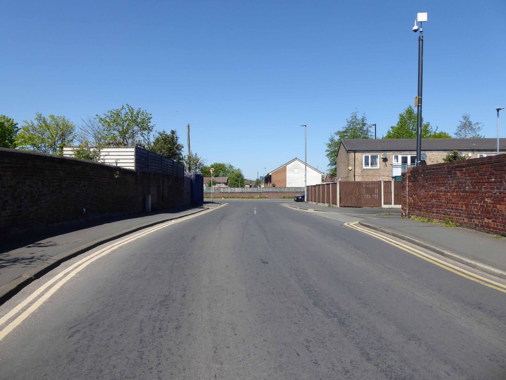
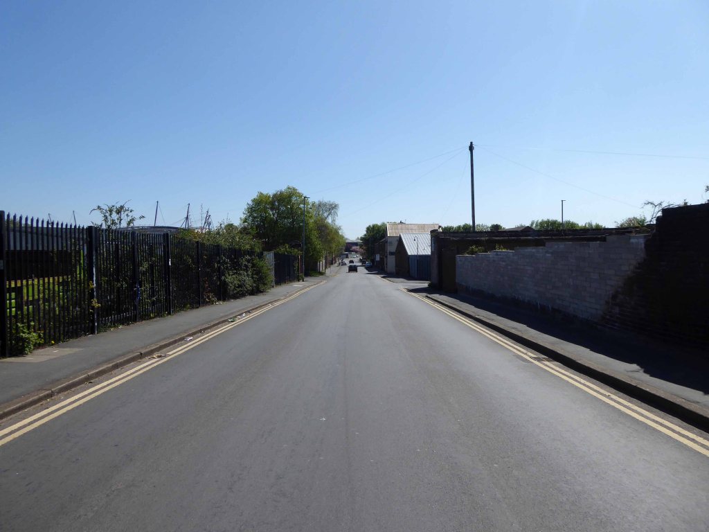
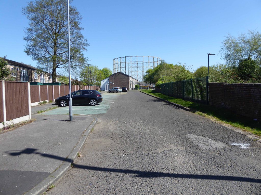
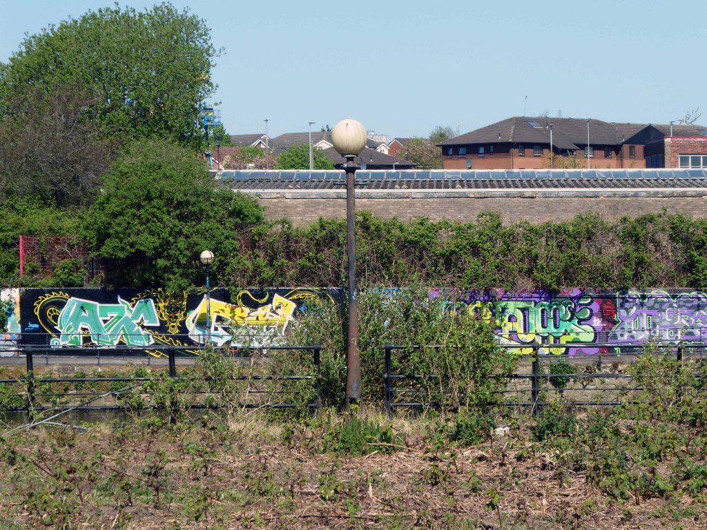
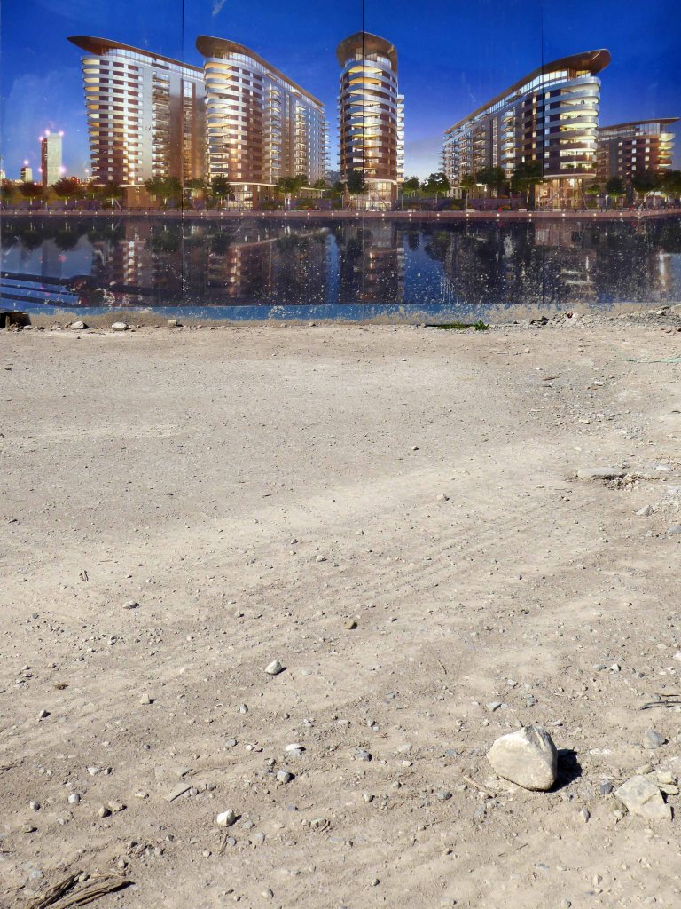
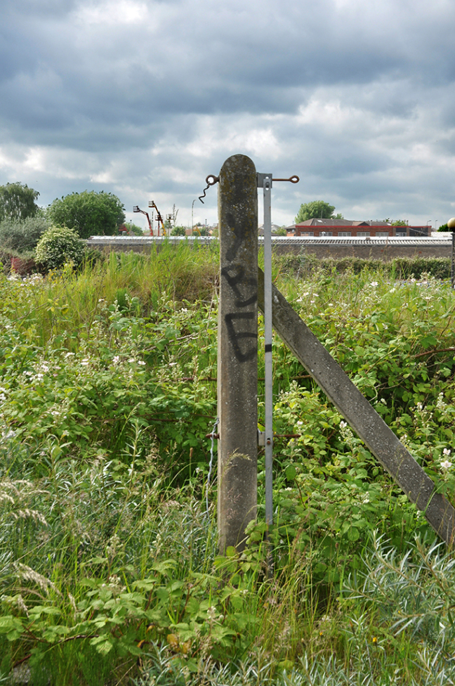
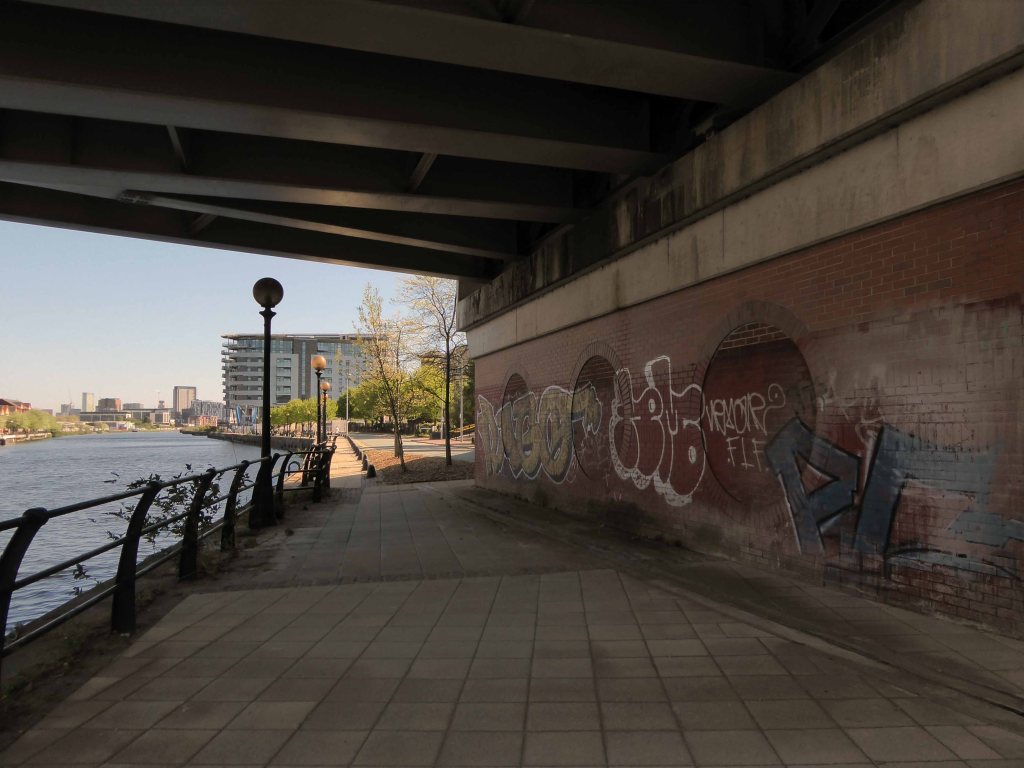
All that is solid melts into air as Marx and Marshall Berman told us.
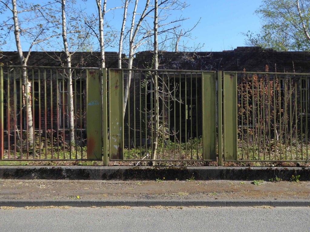
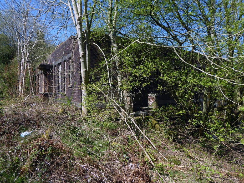
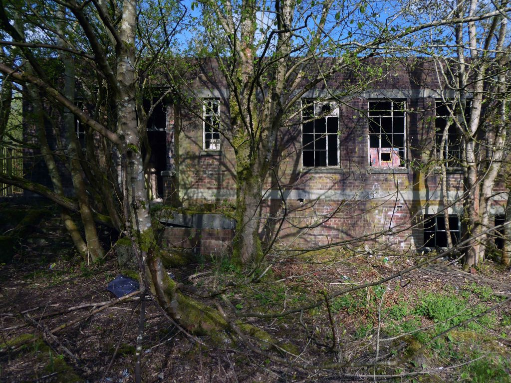
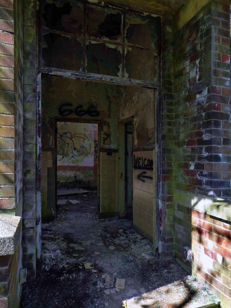
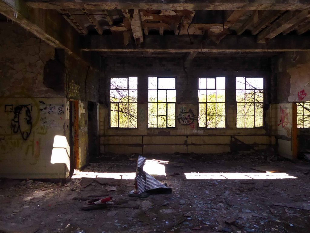
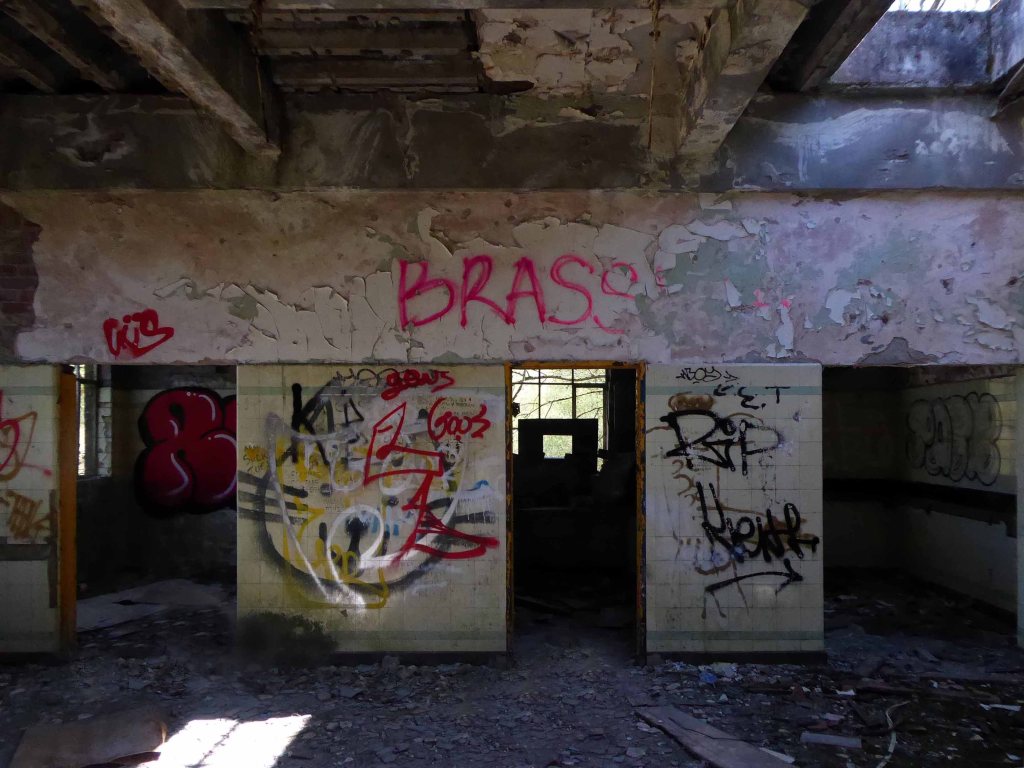
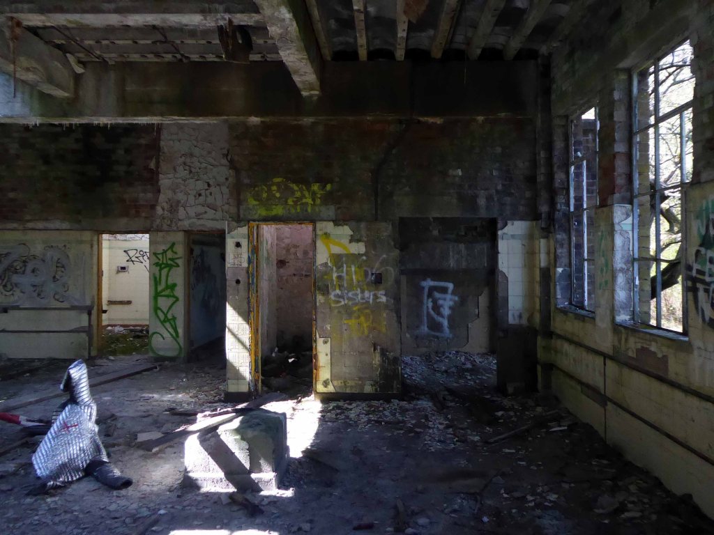
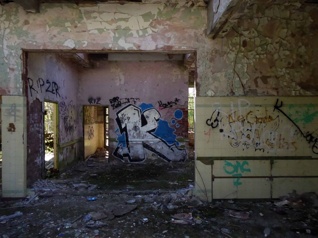
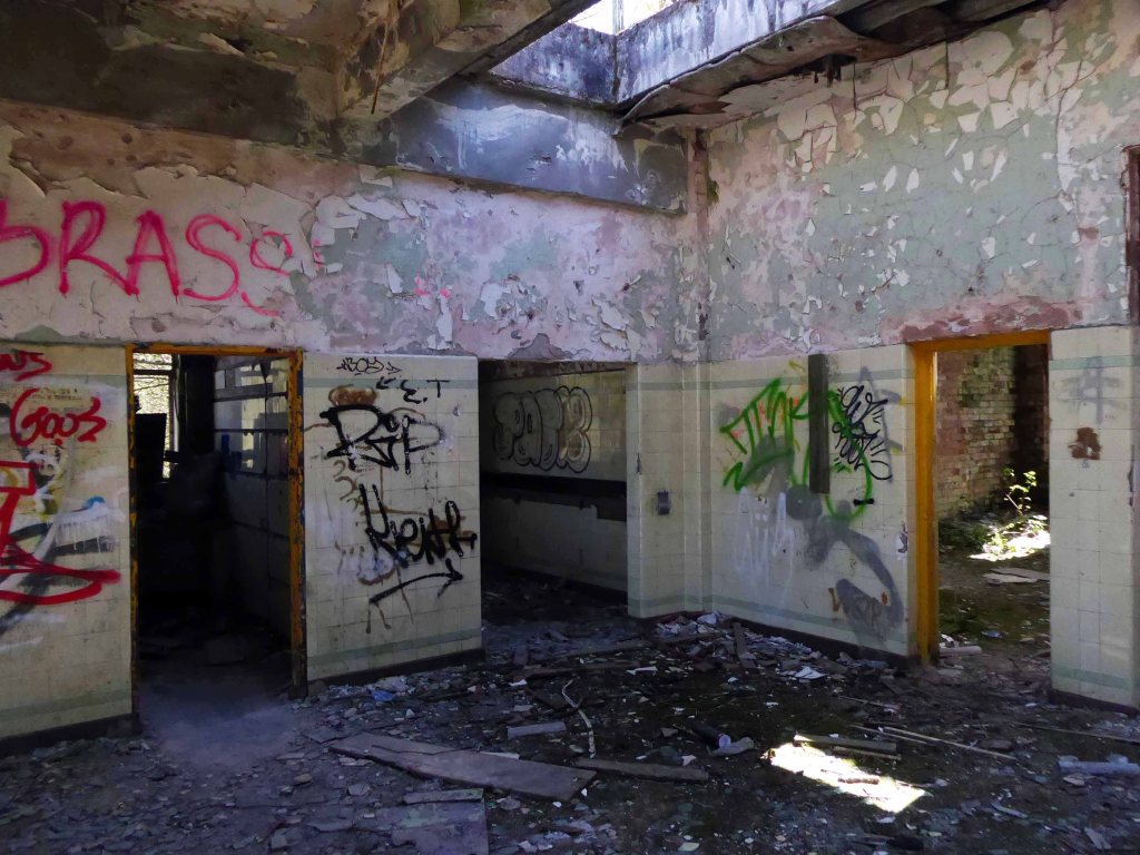
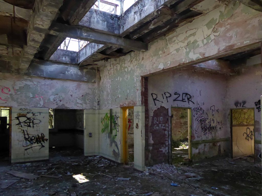
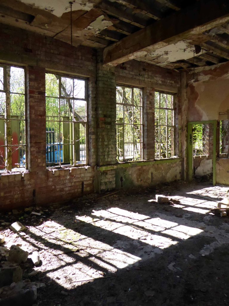
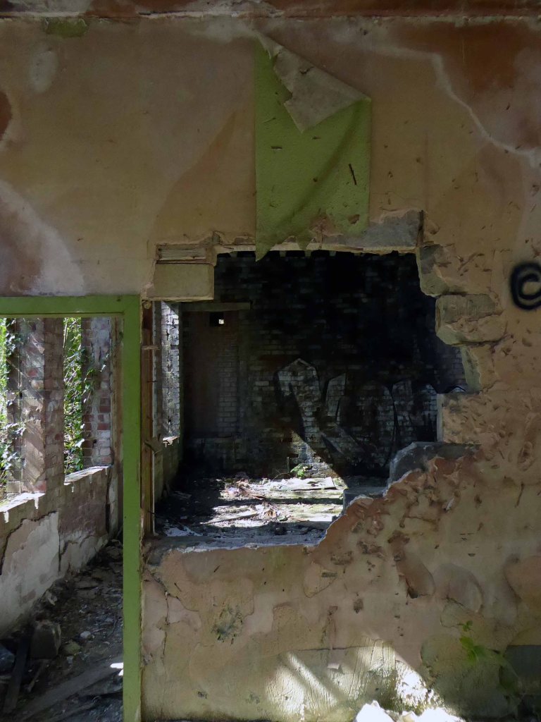
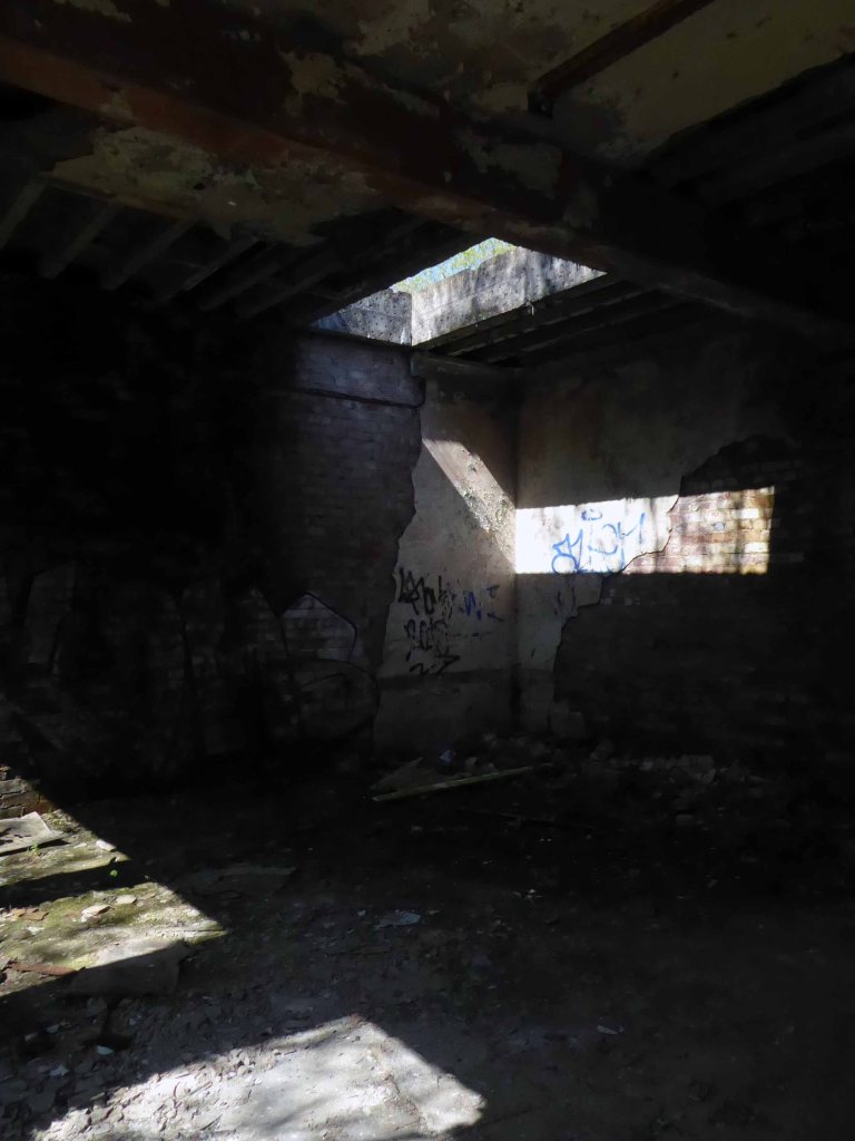
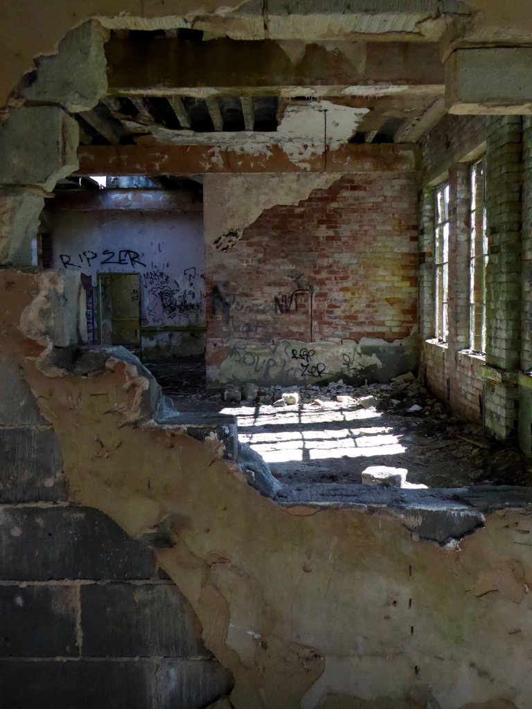
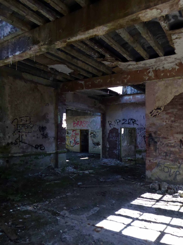
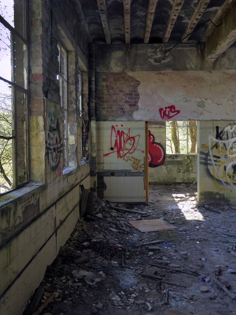
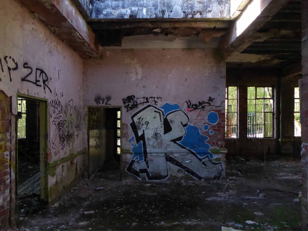
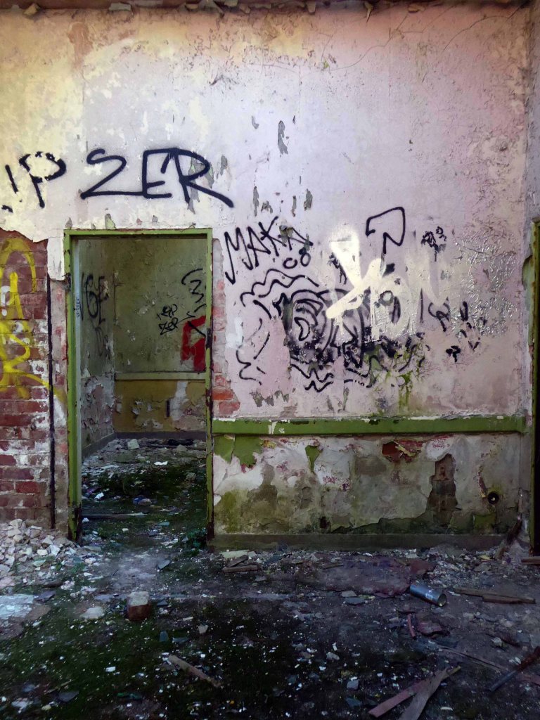
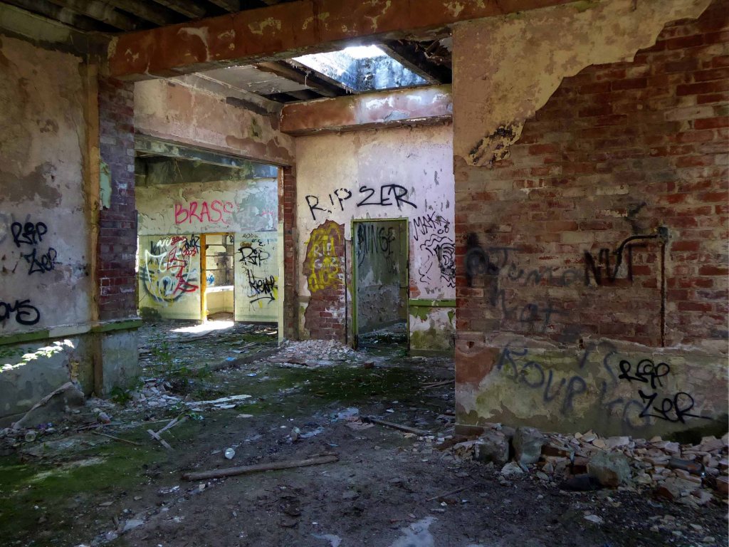
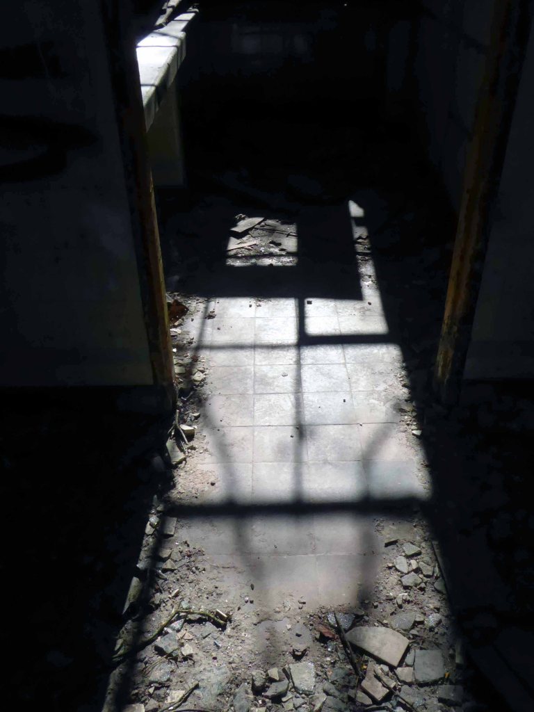
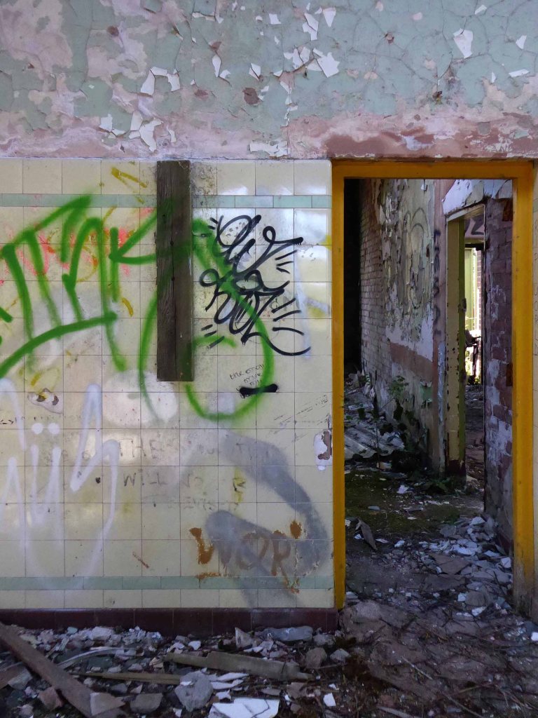
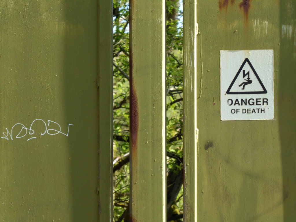
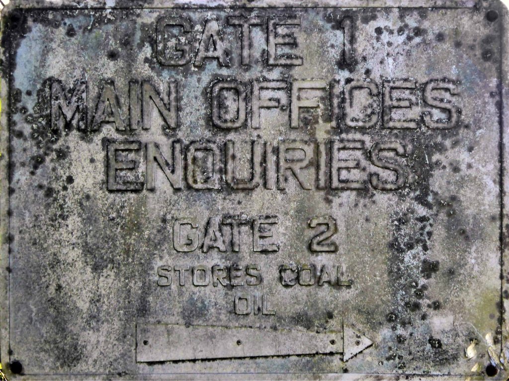
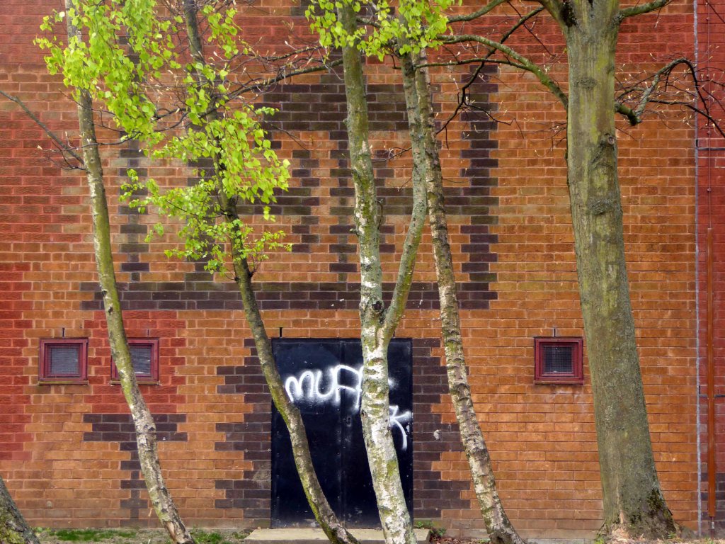
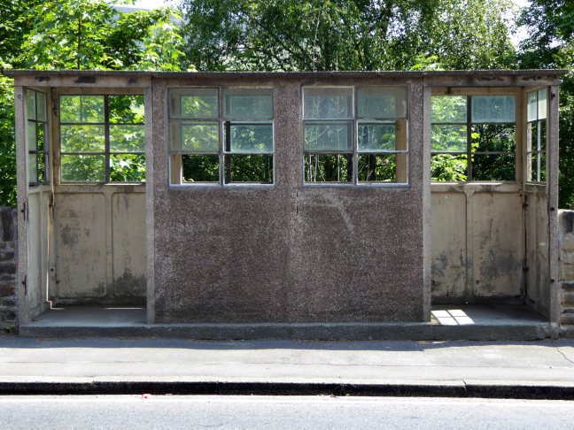
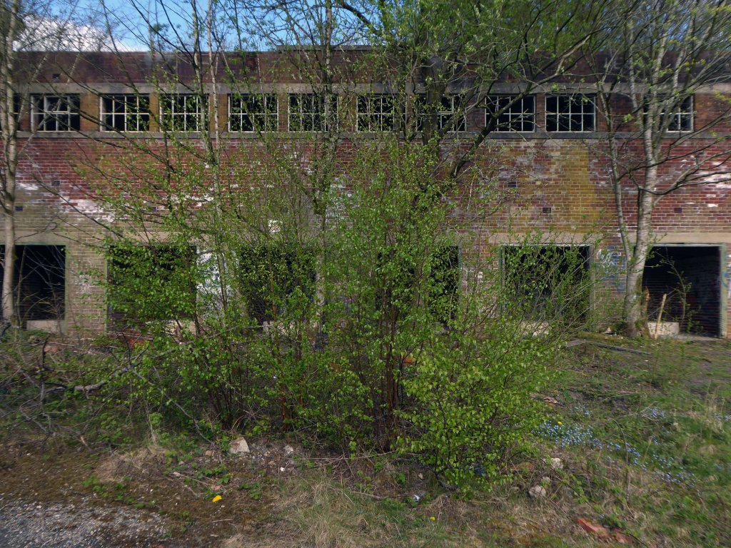
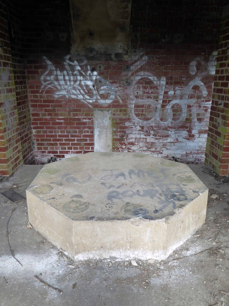
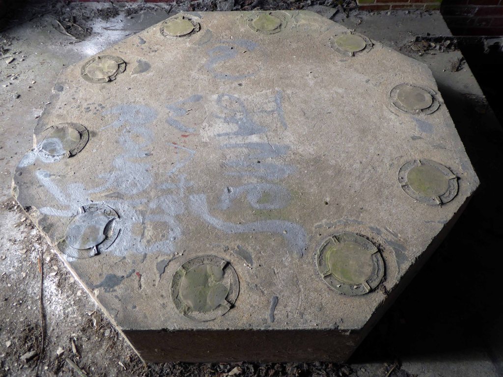
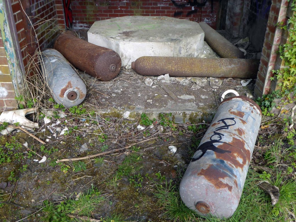
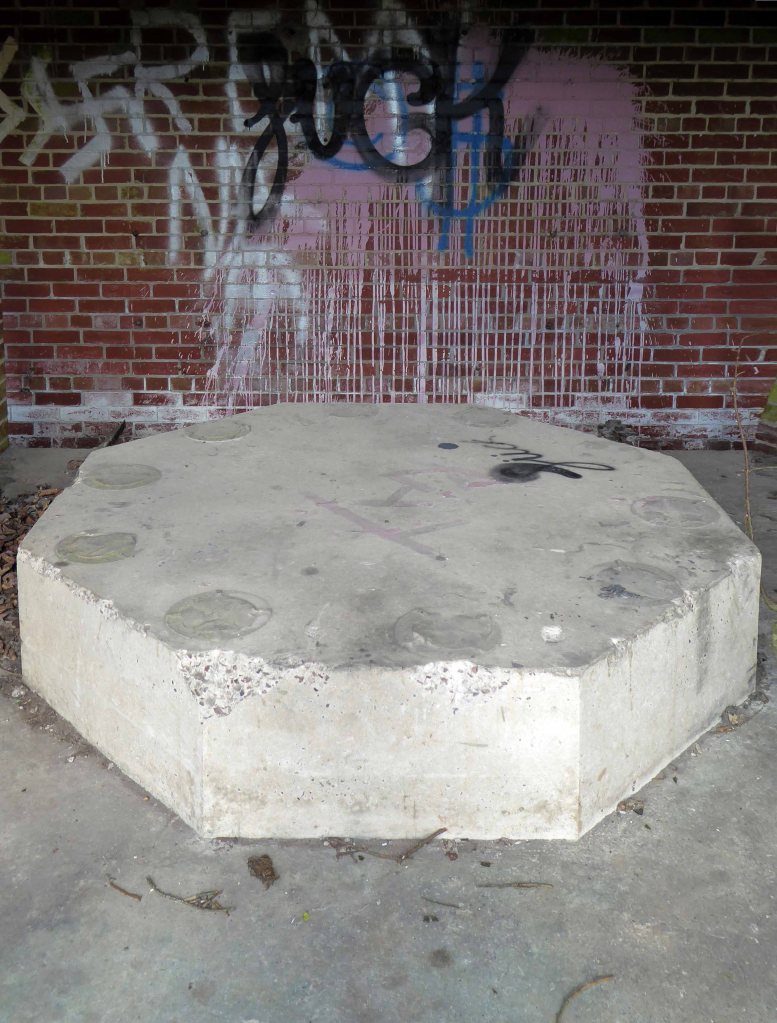
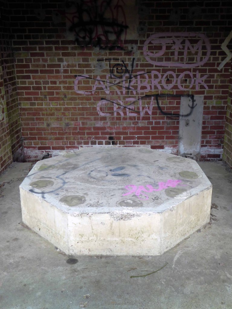
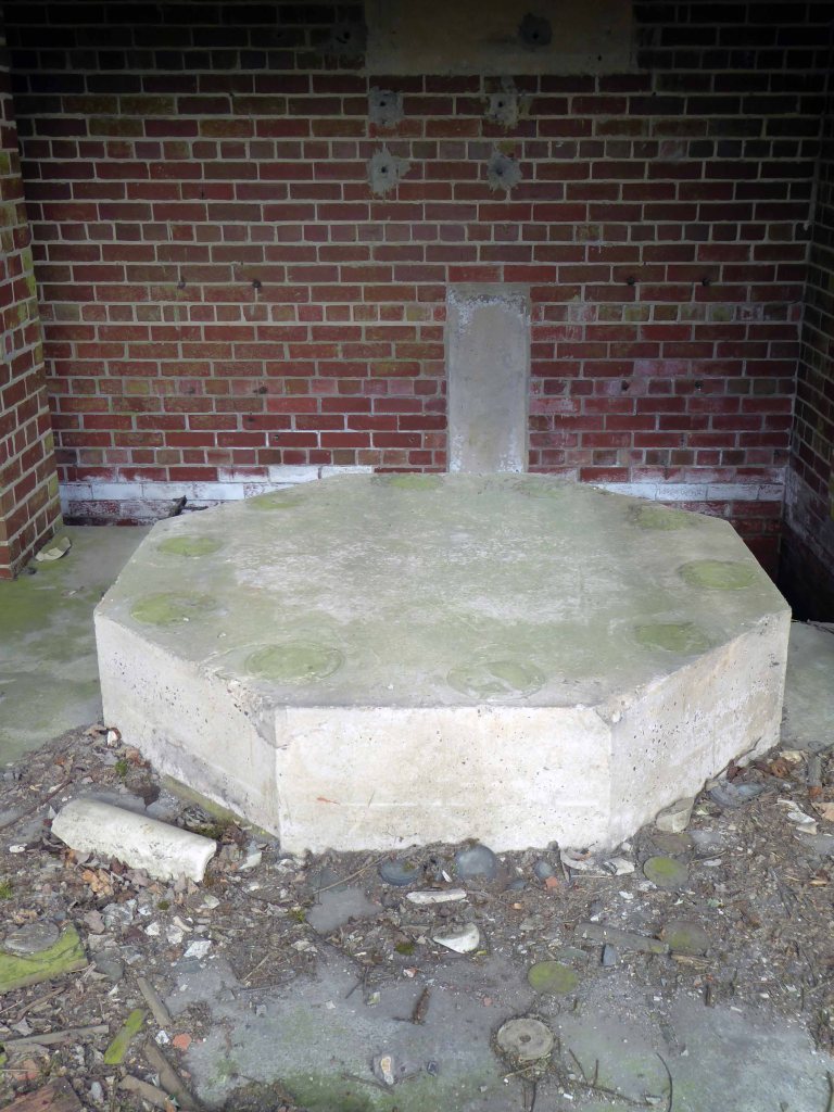
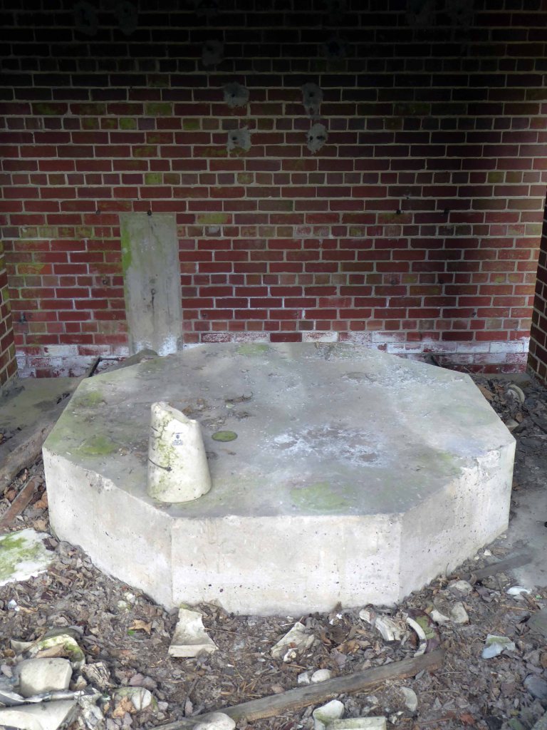
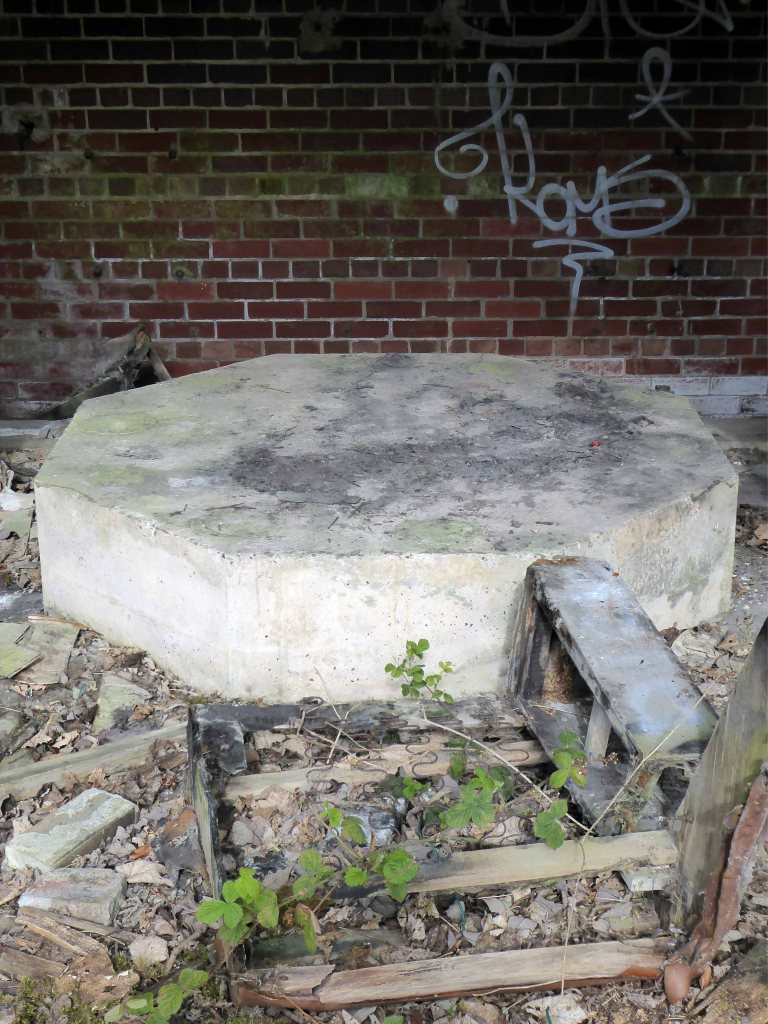
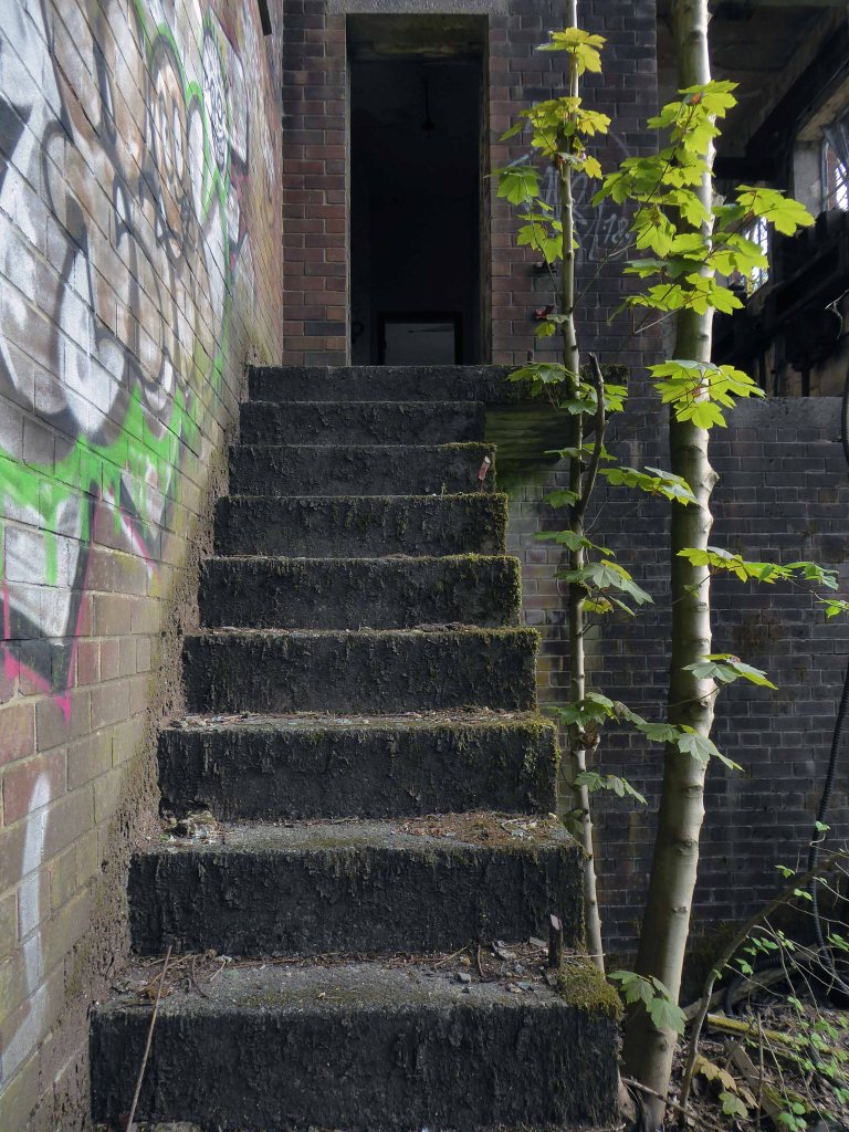
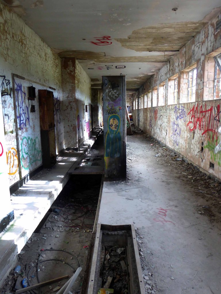
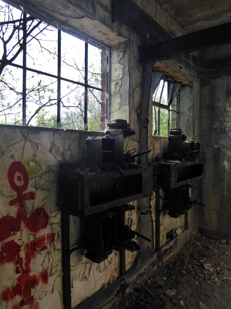
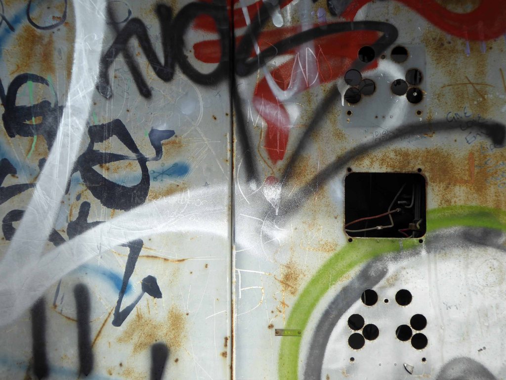
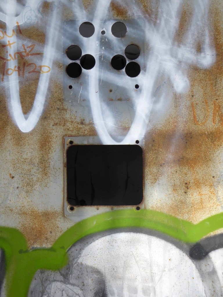
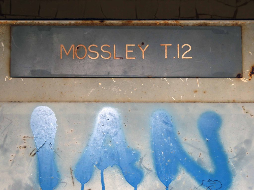
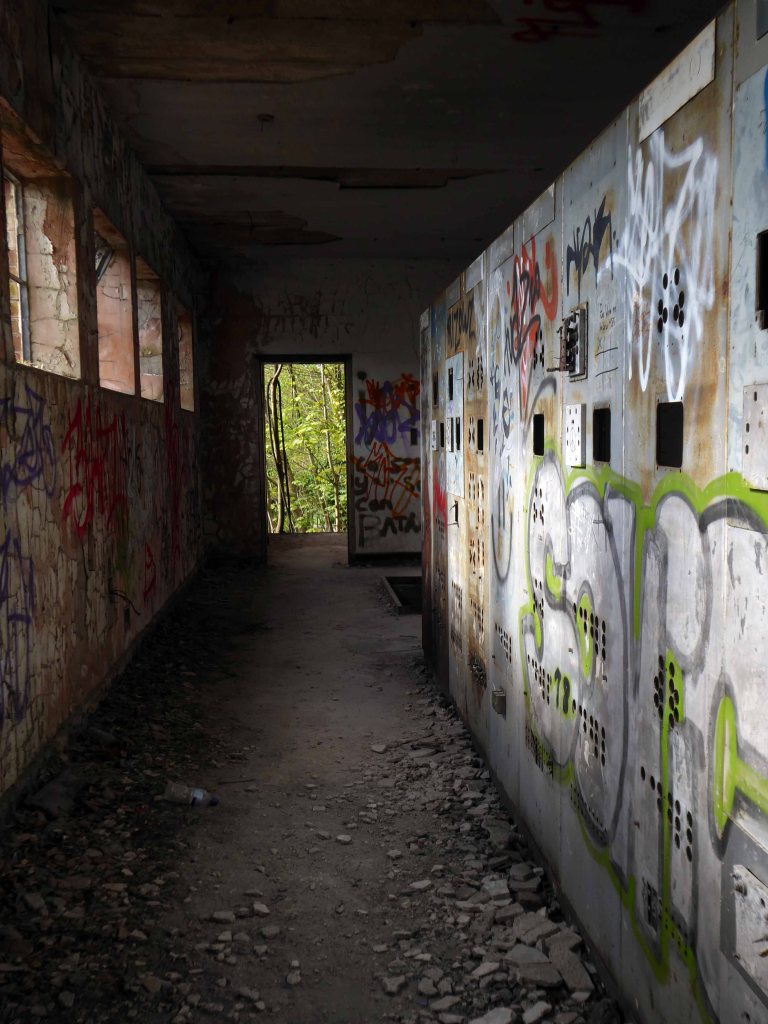
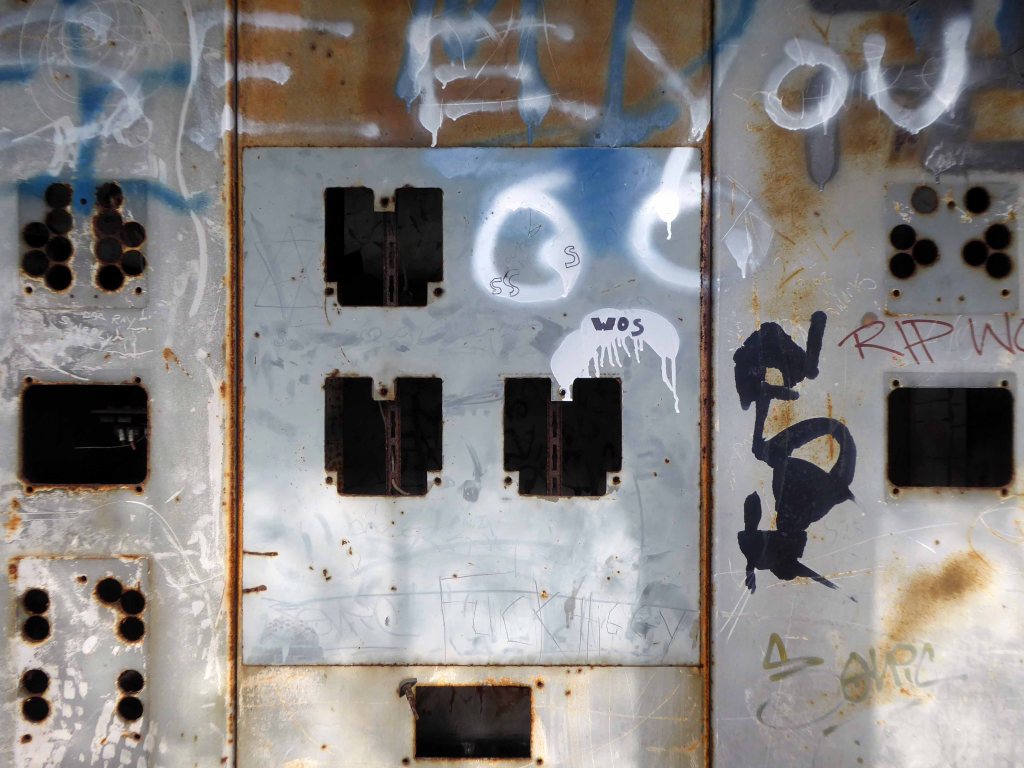
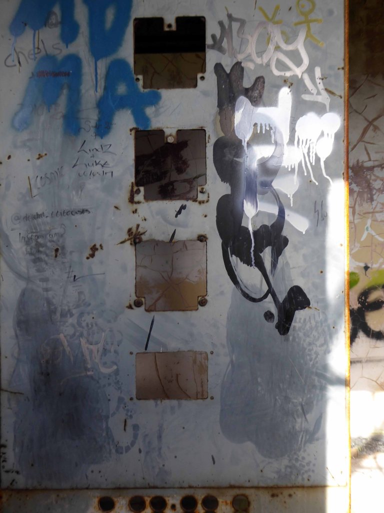
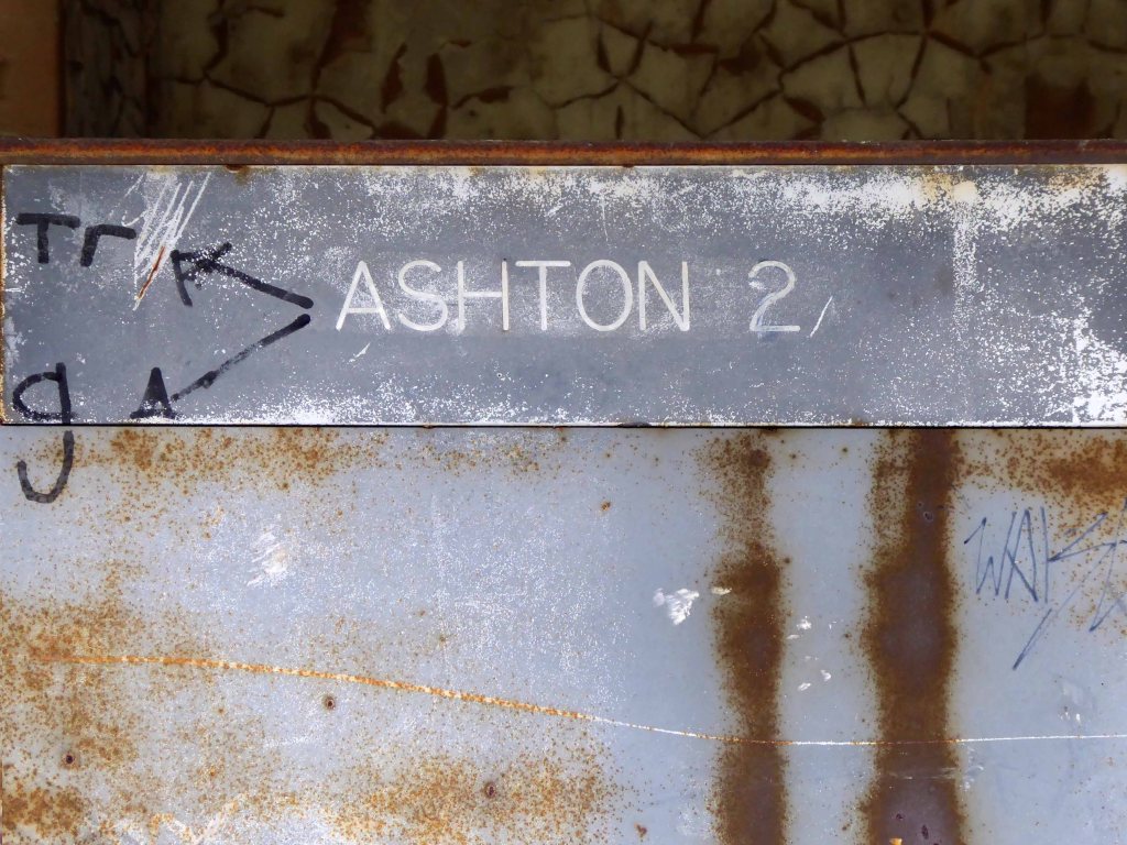
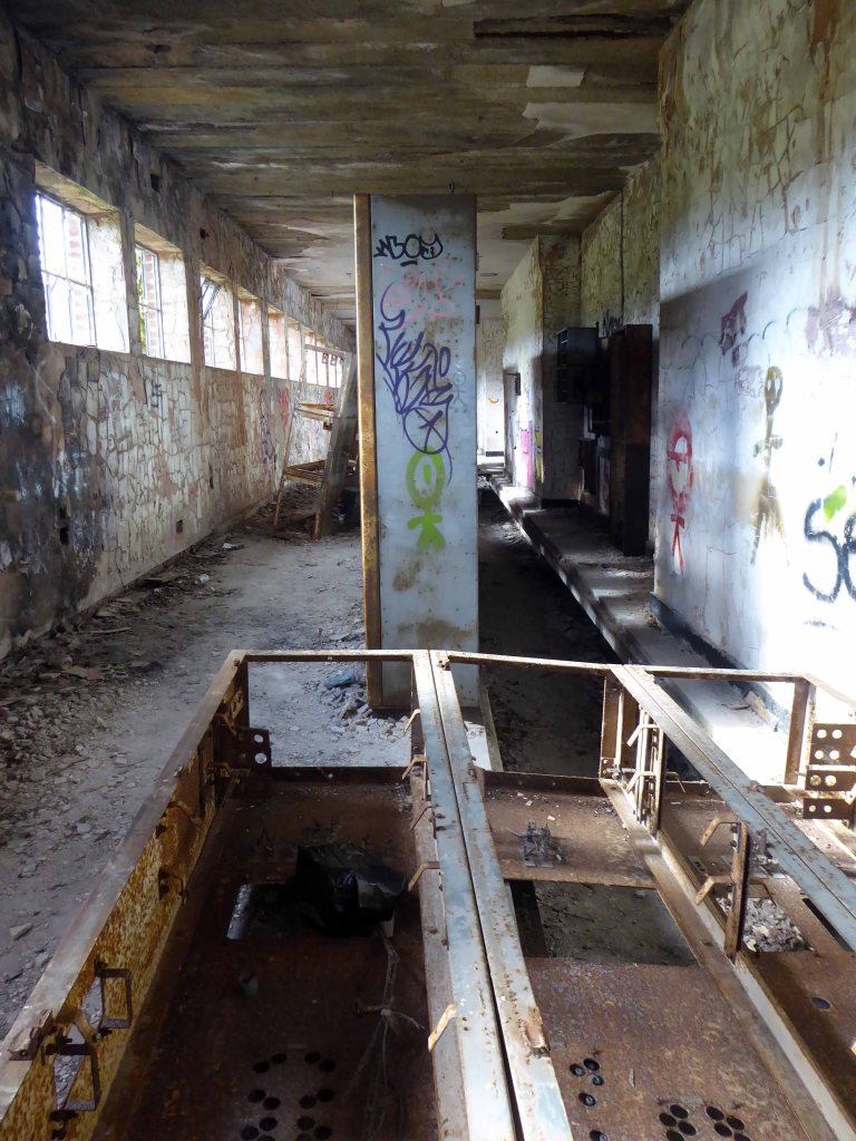
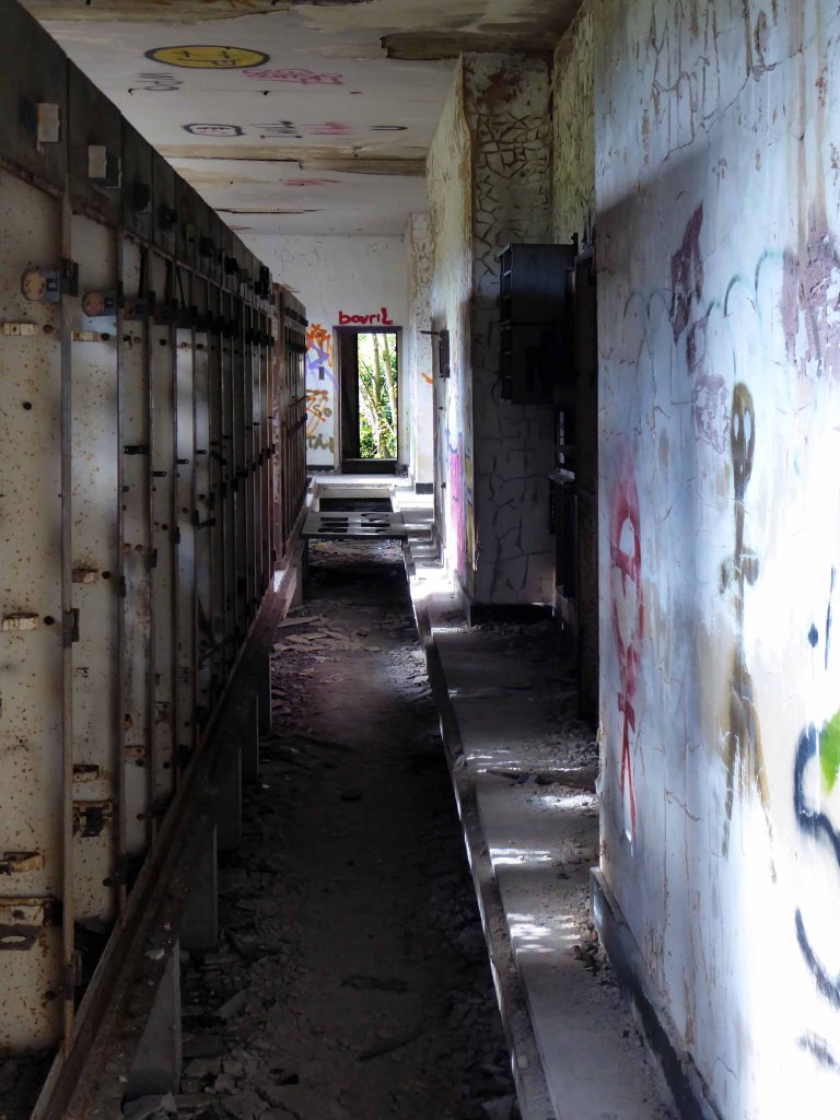
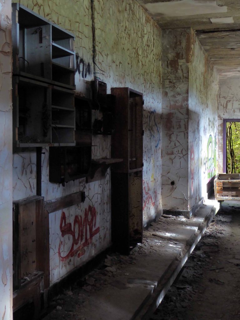
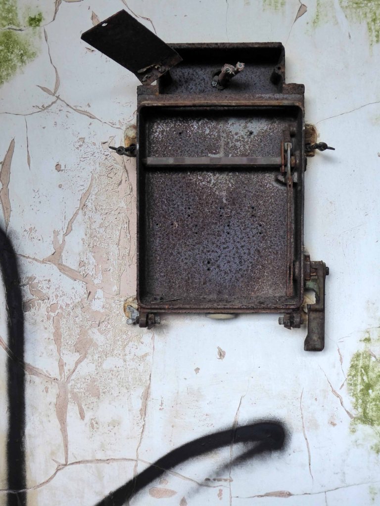
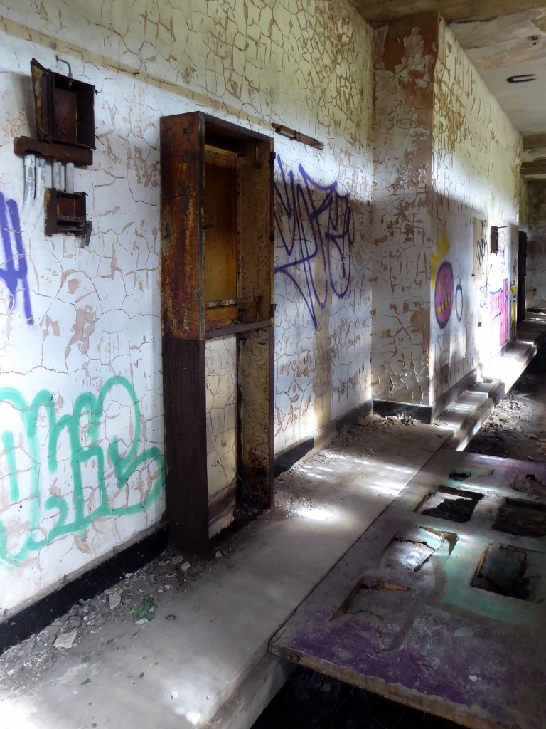
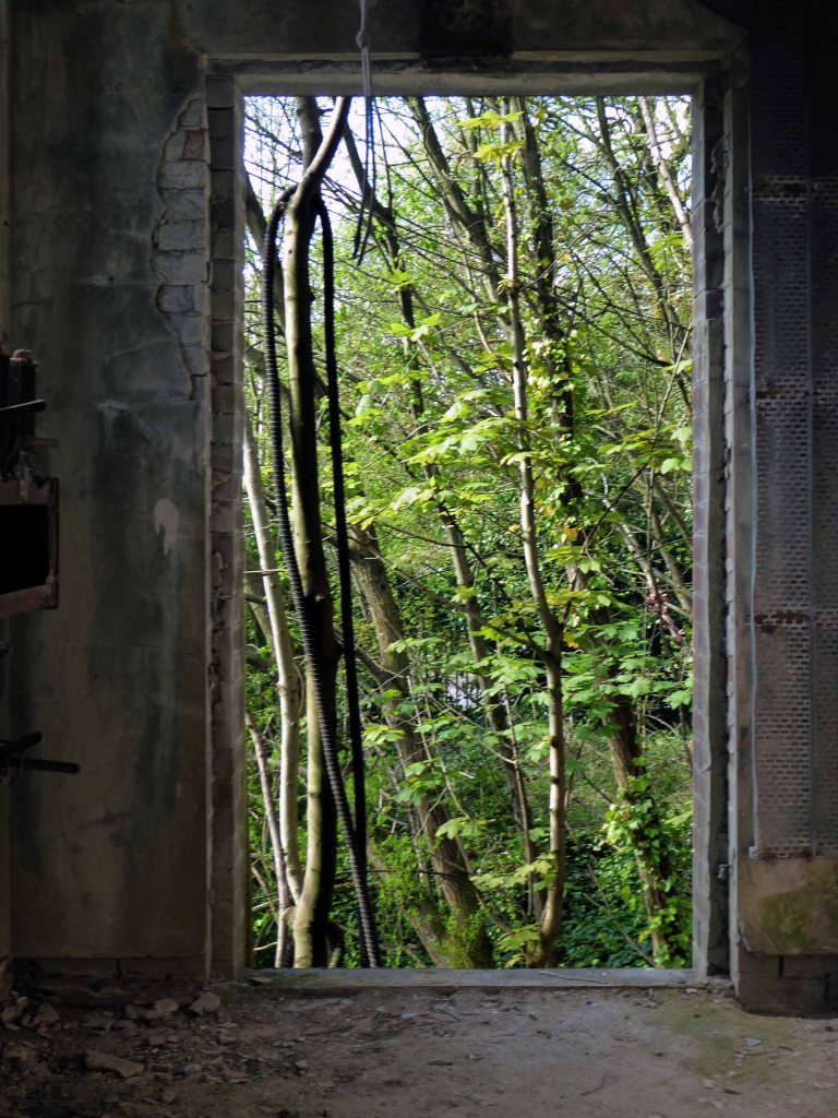
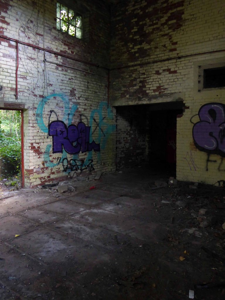
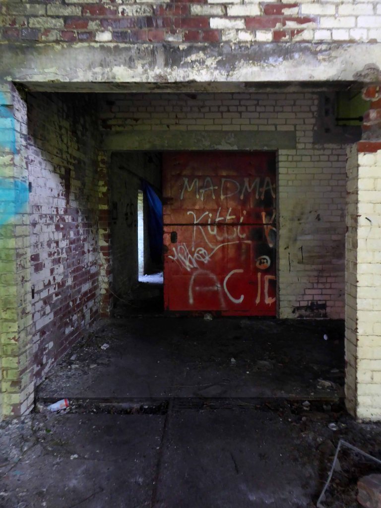
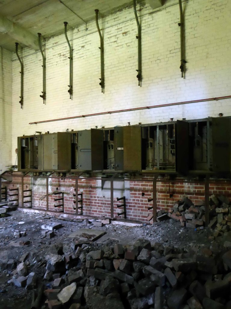
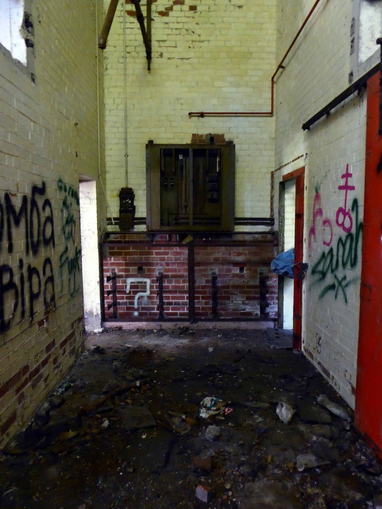
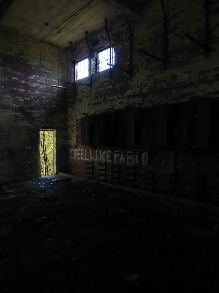
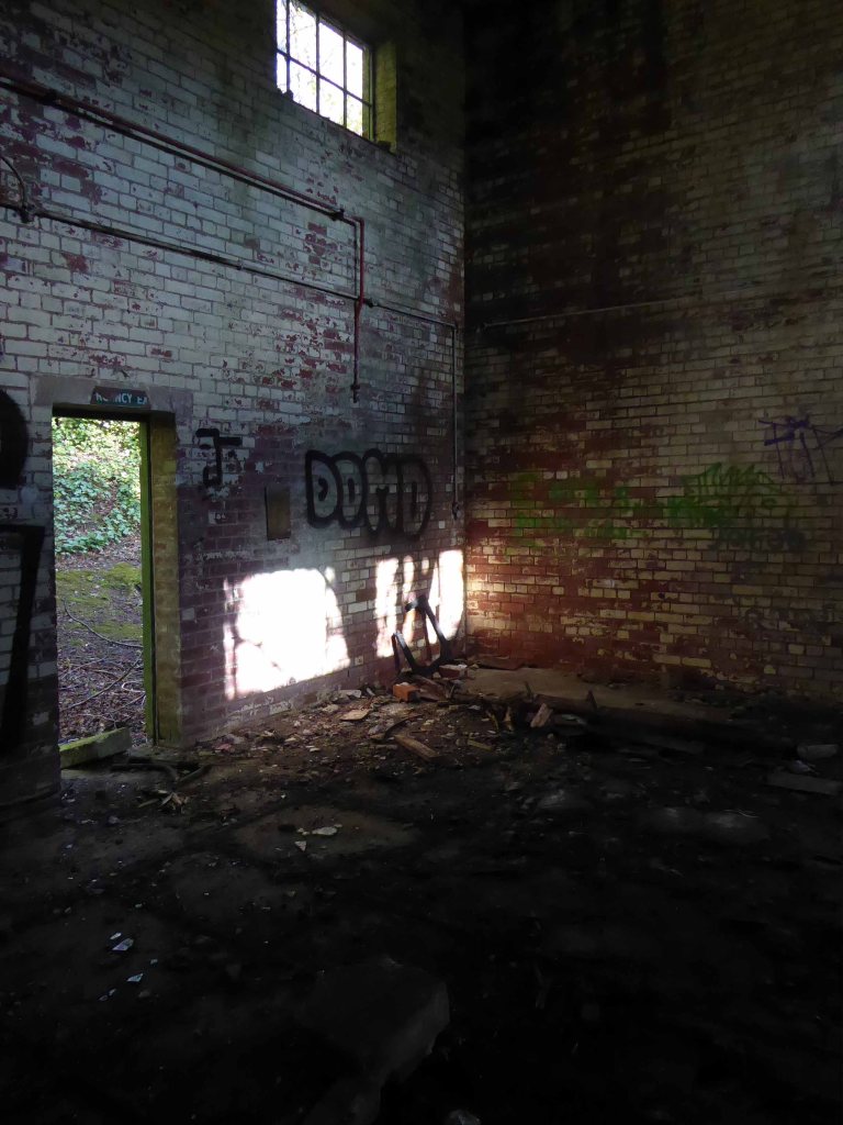
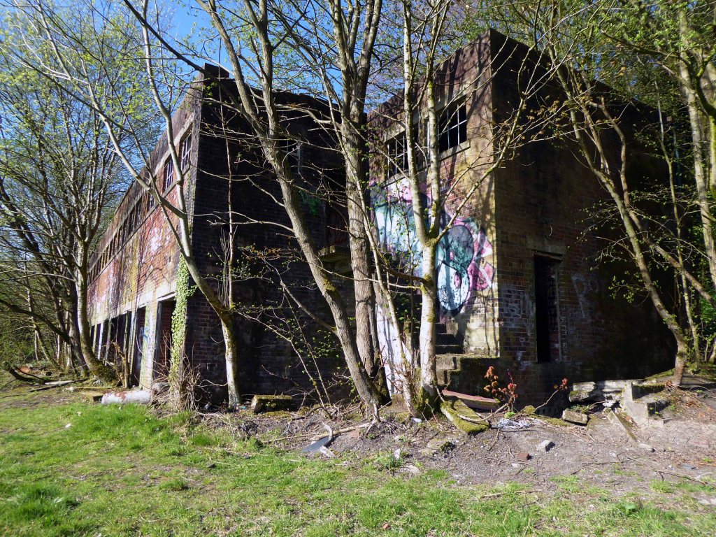
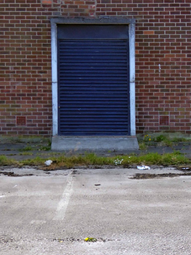
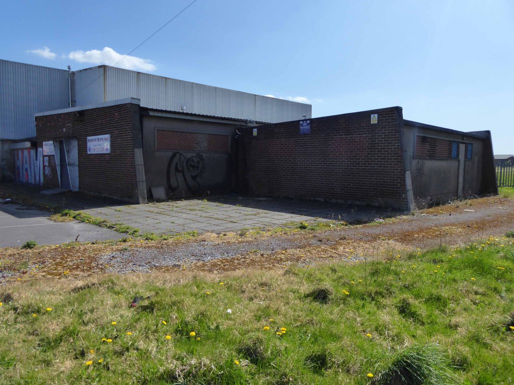
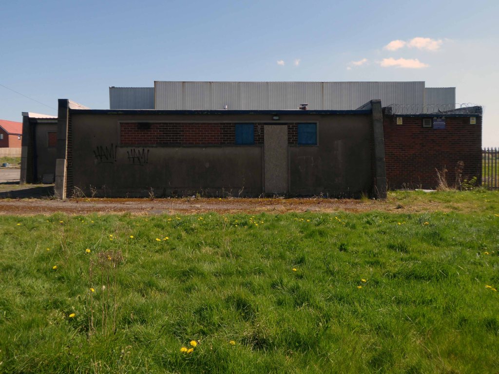
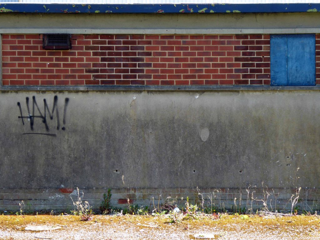
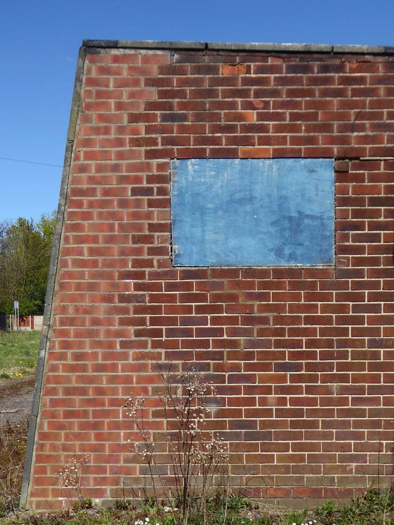
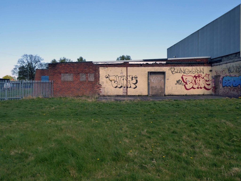
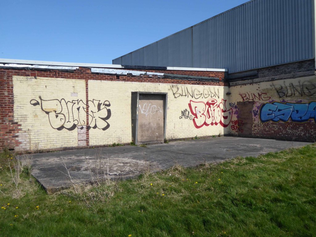
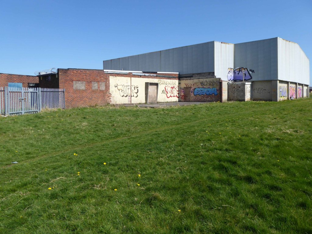
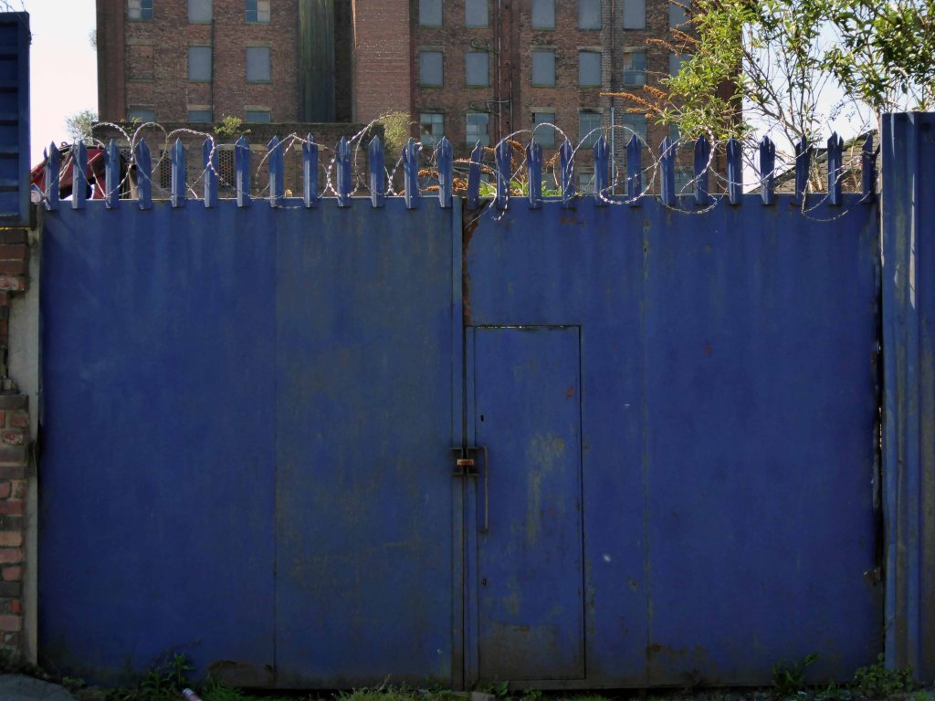
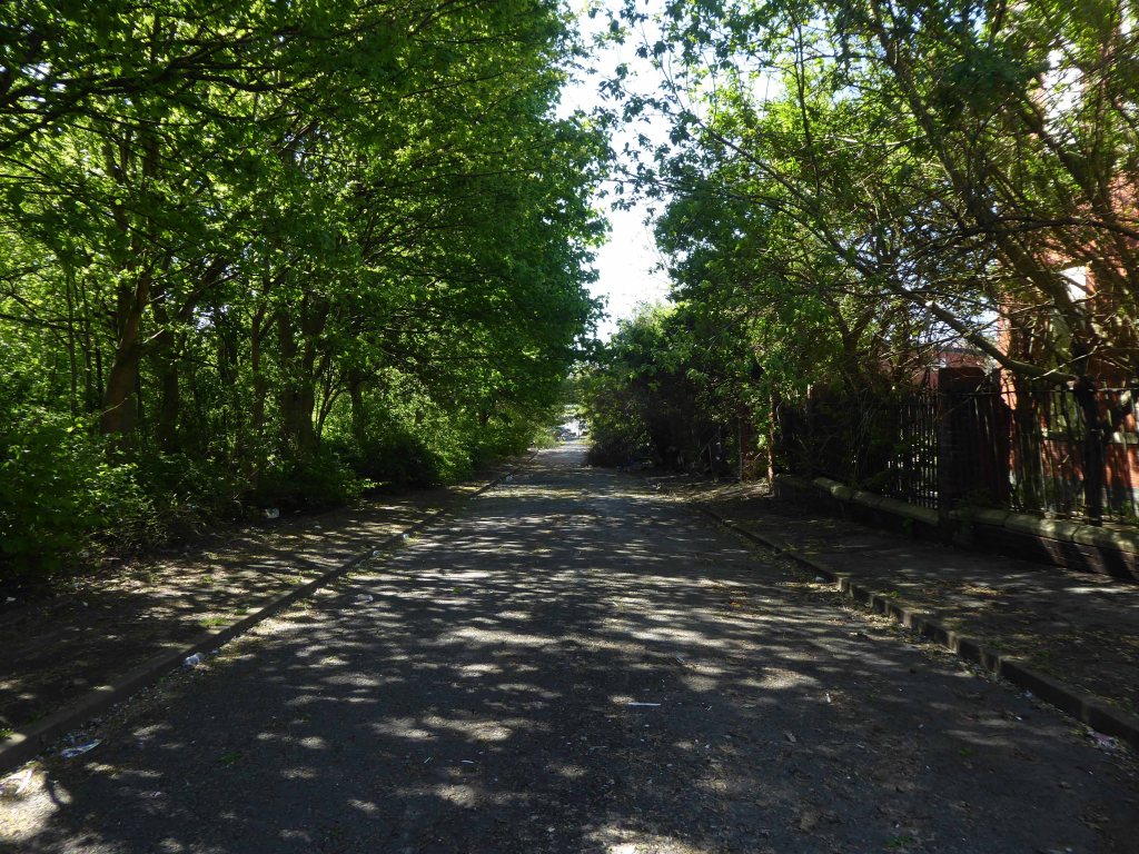
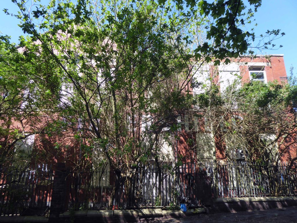
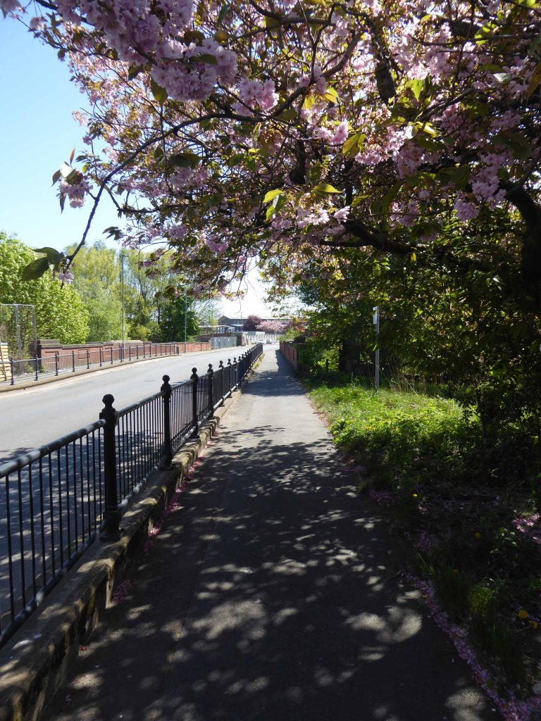
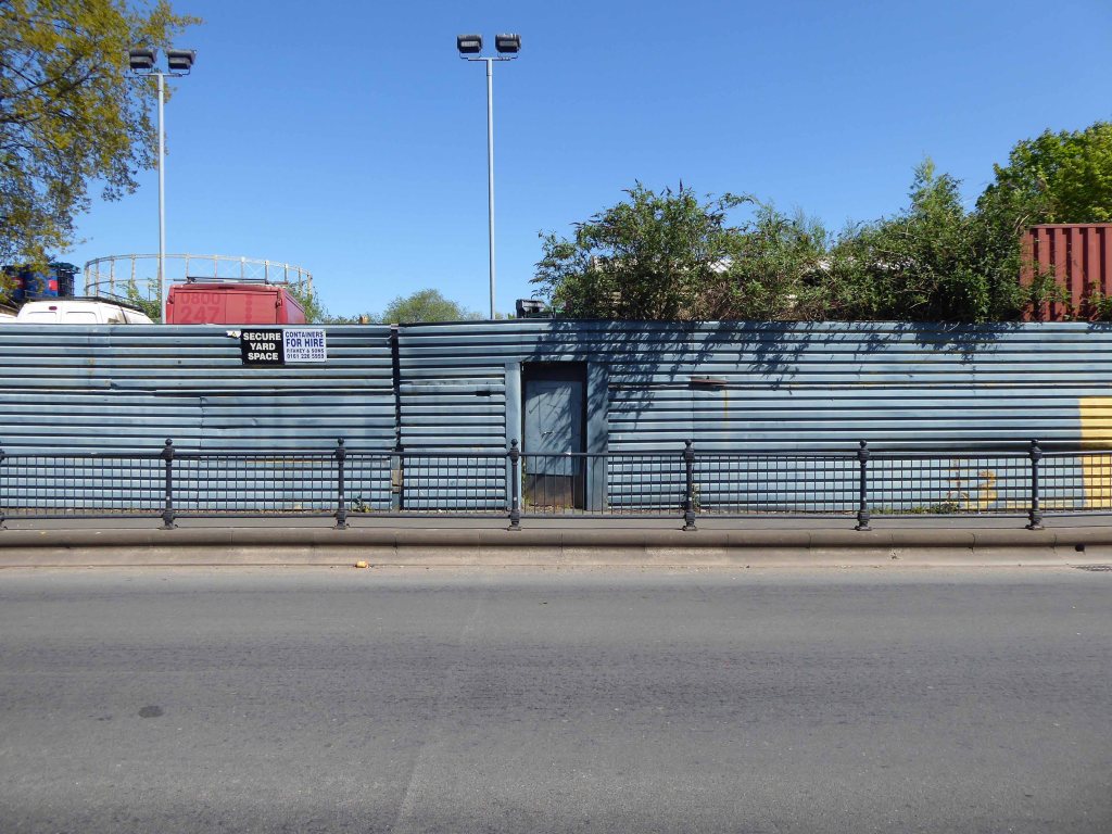
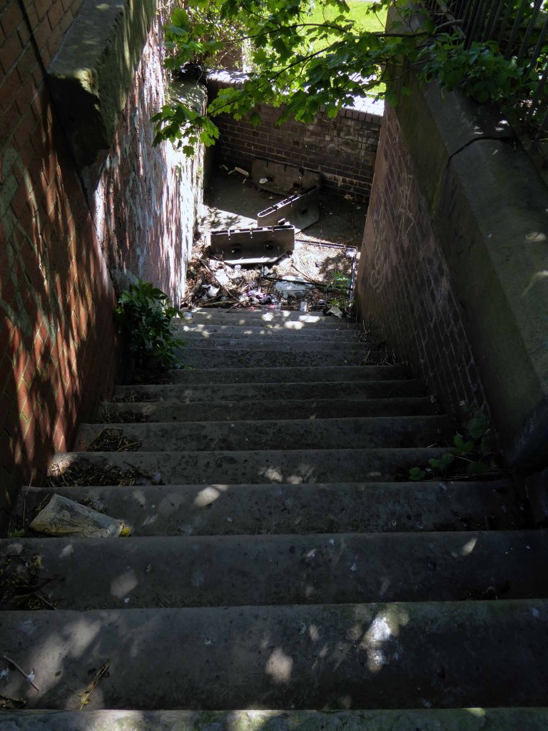
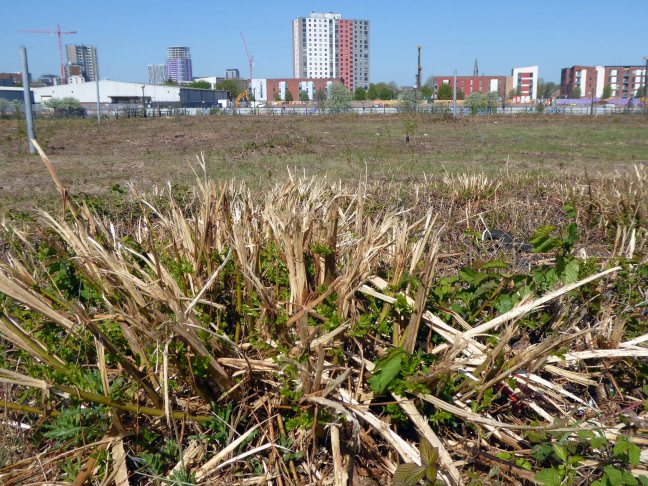
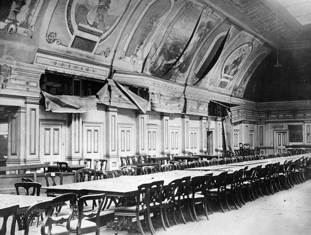
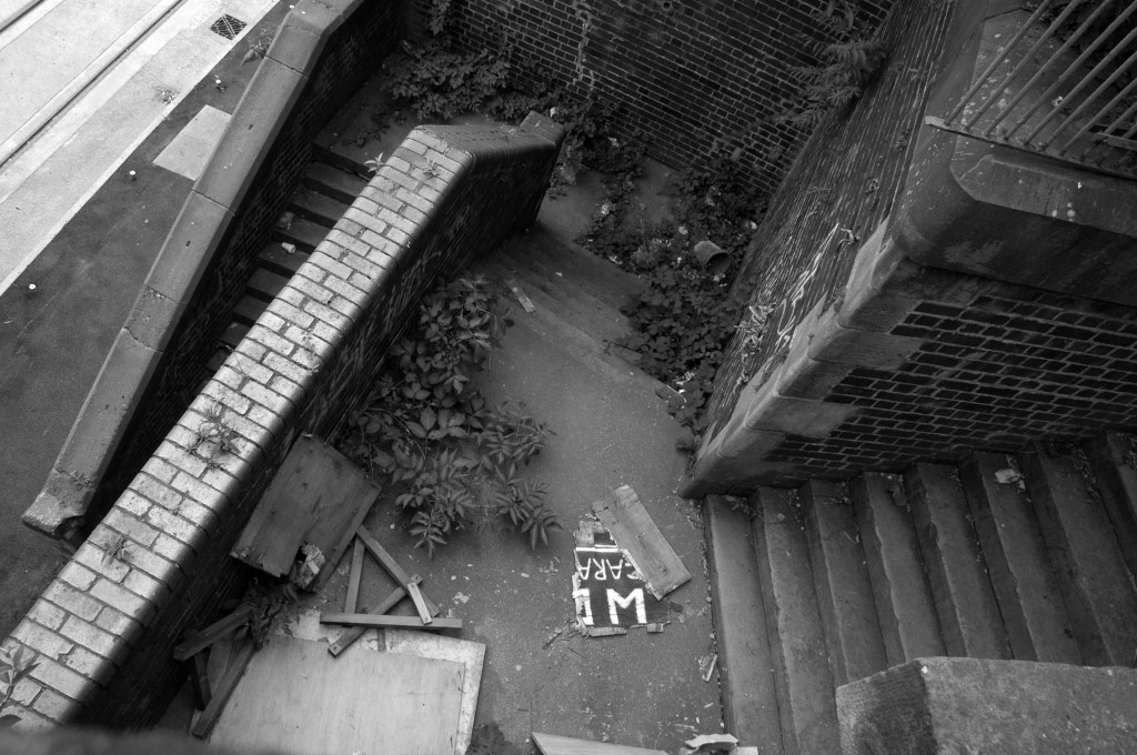
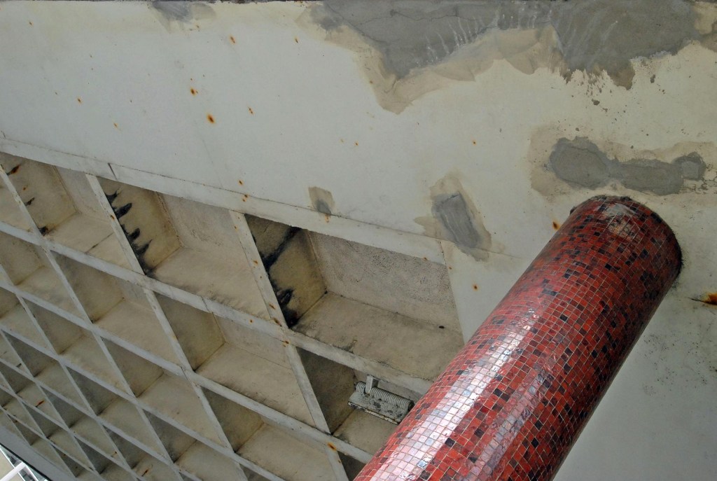
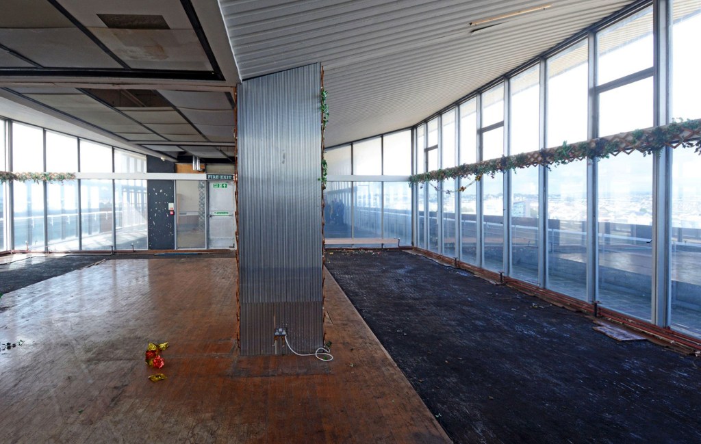
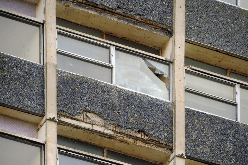
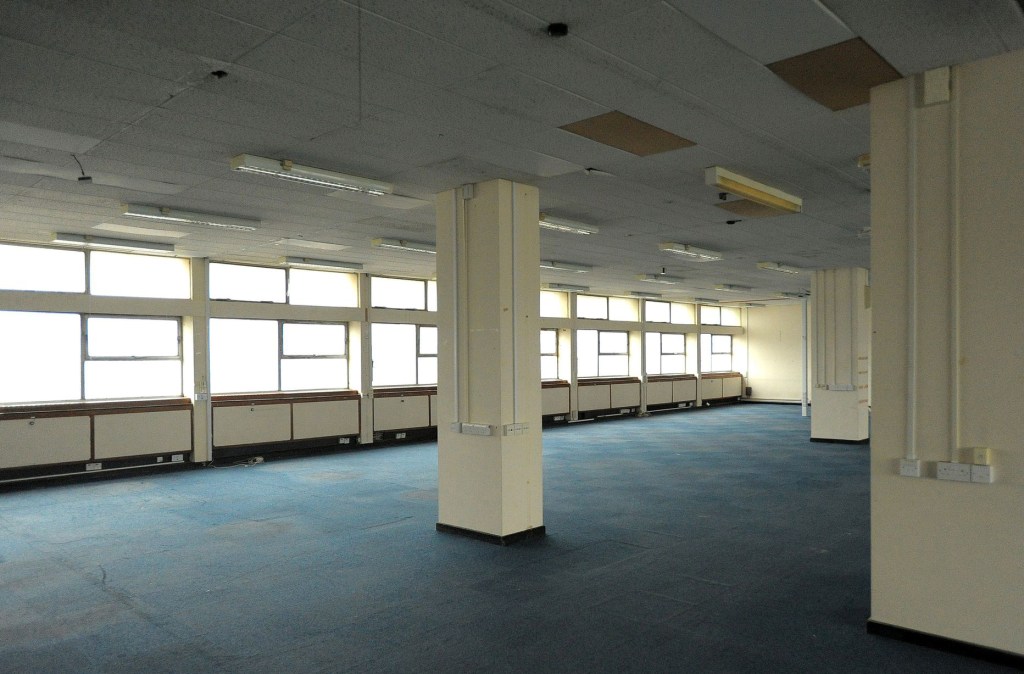
Though remnants remain – this is a short journey through a hole in fence, down into the warren of power station offices past.
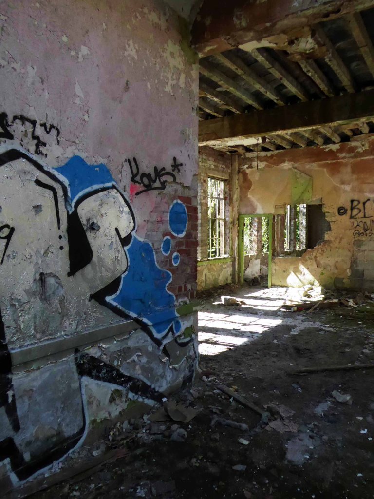
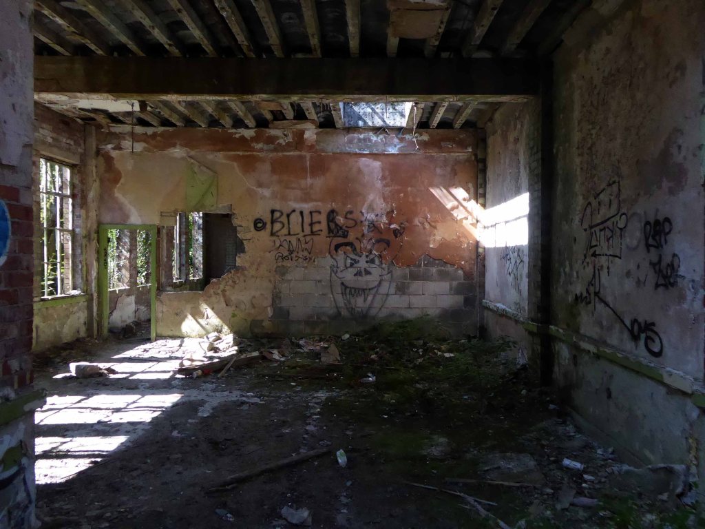
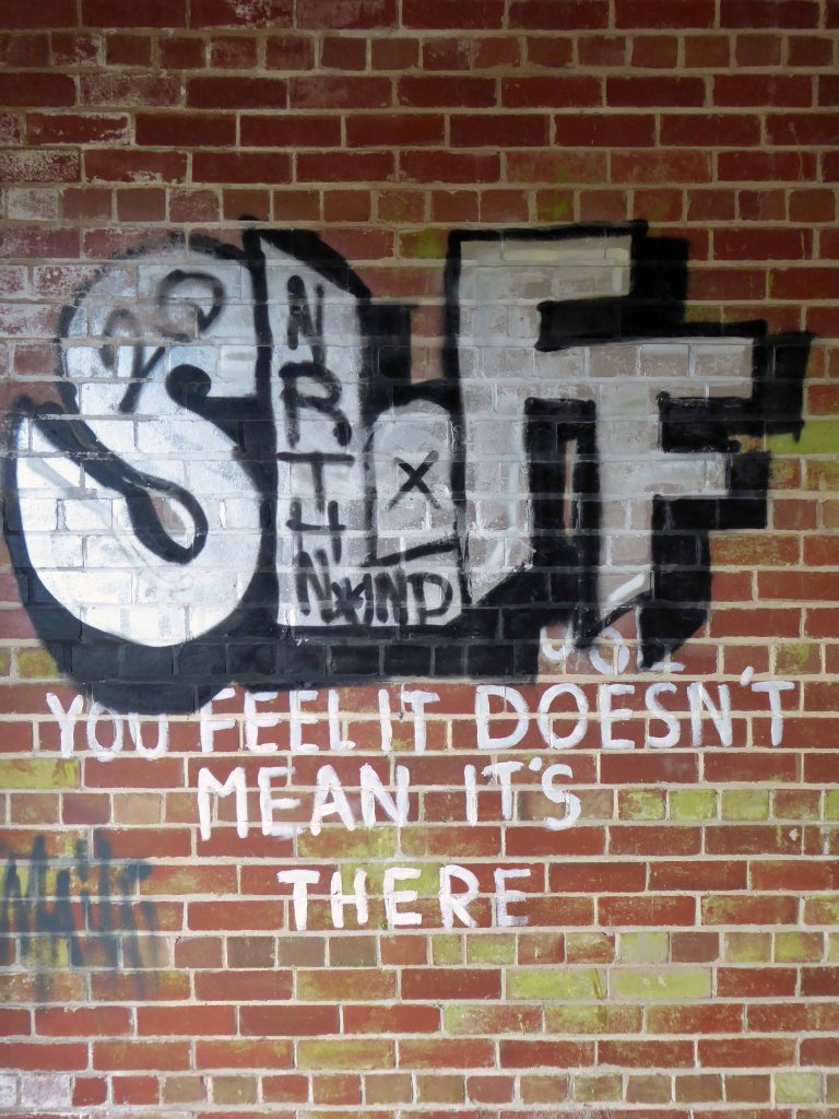
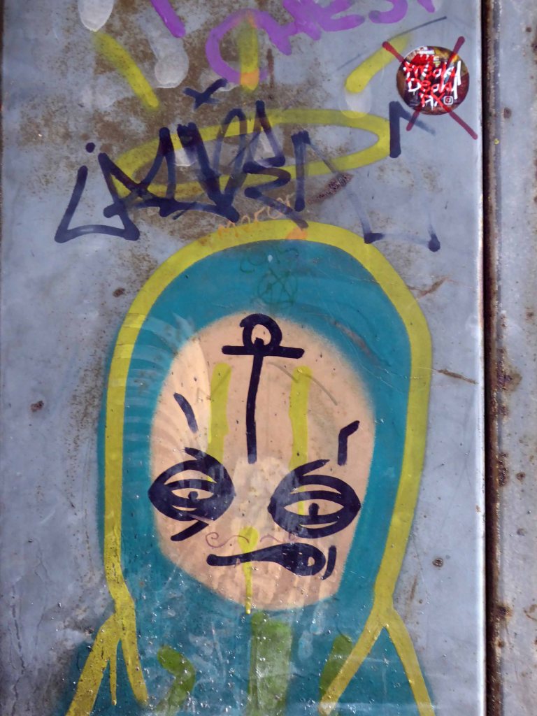
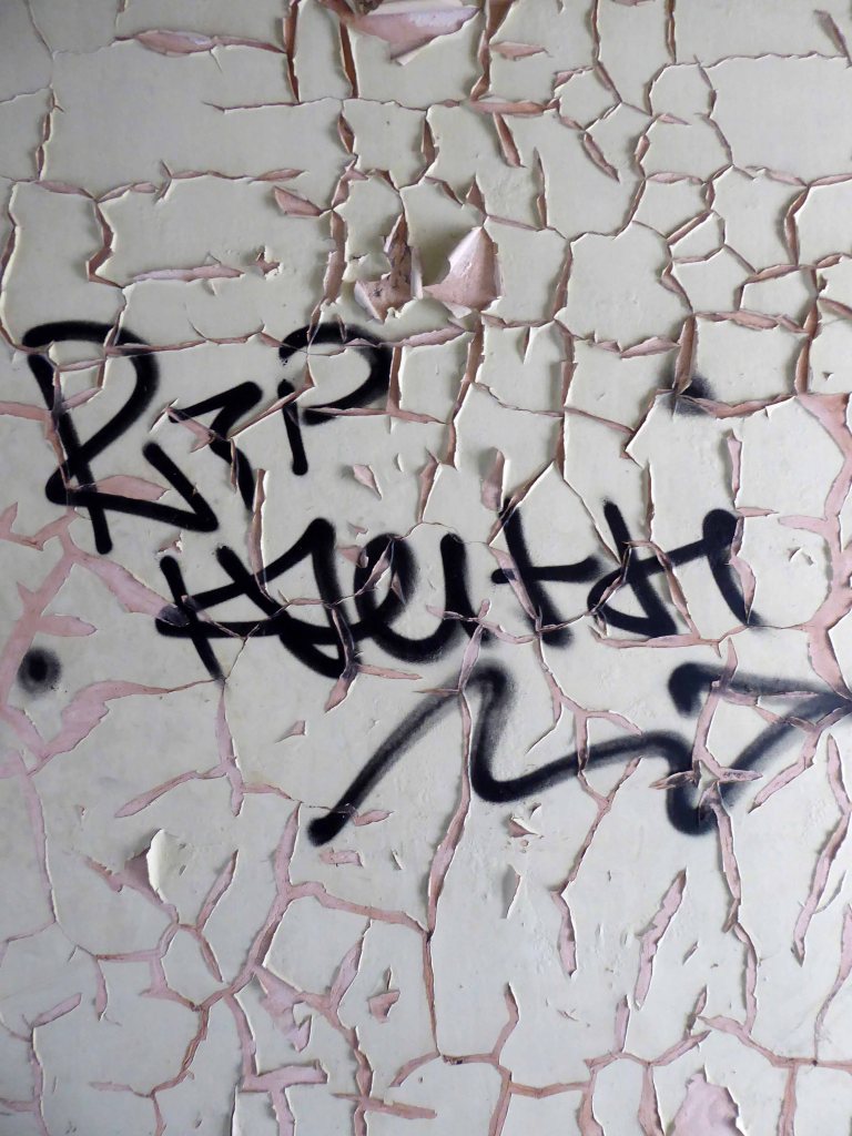
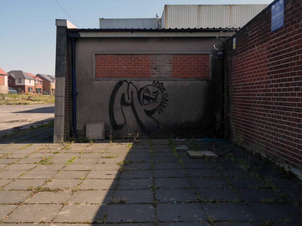
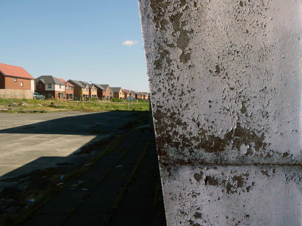
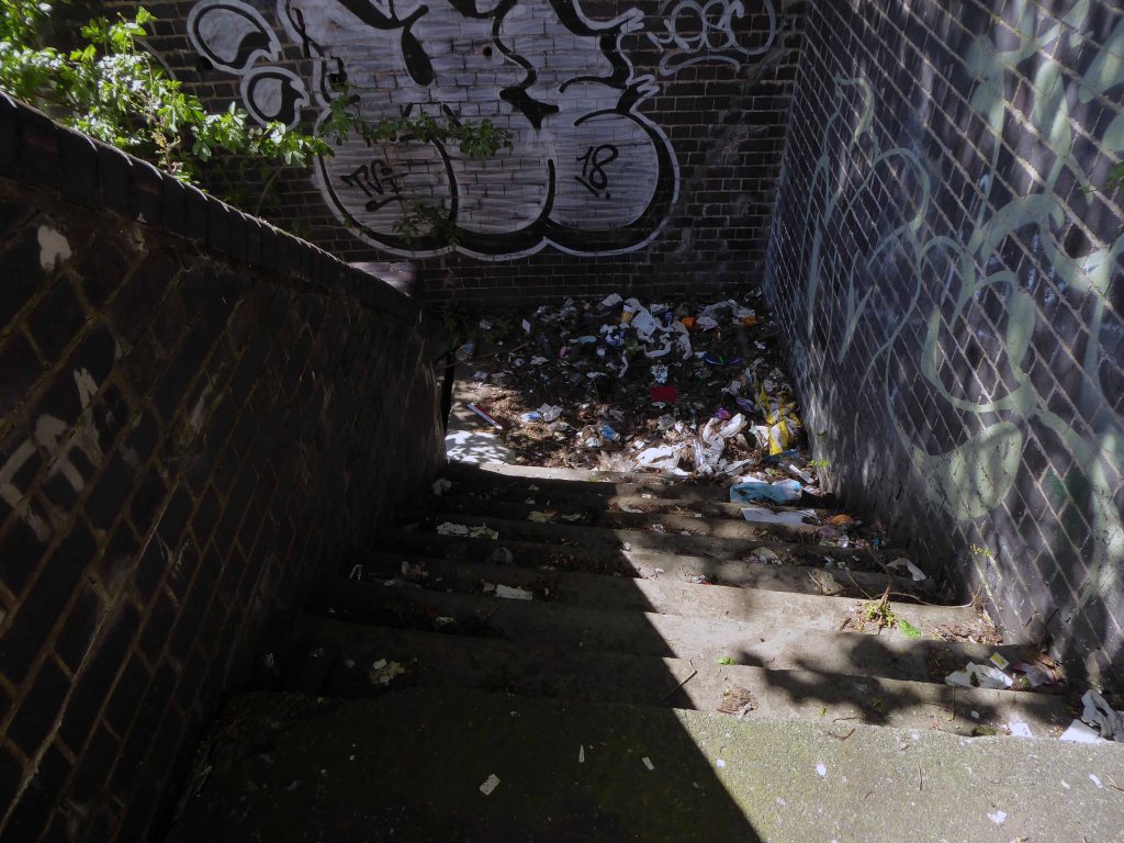
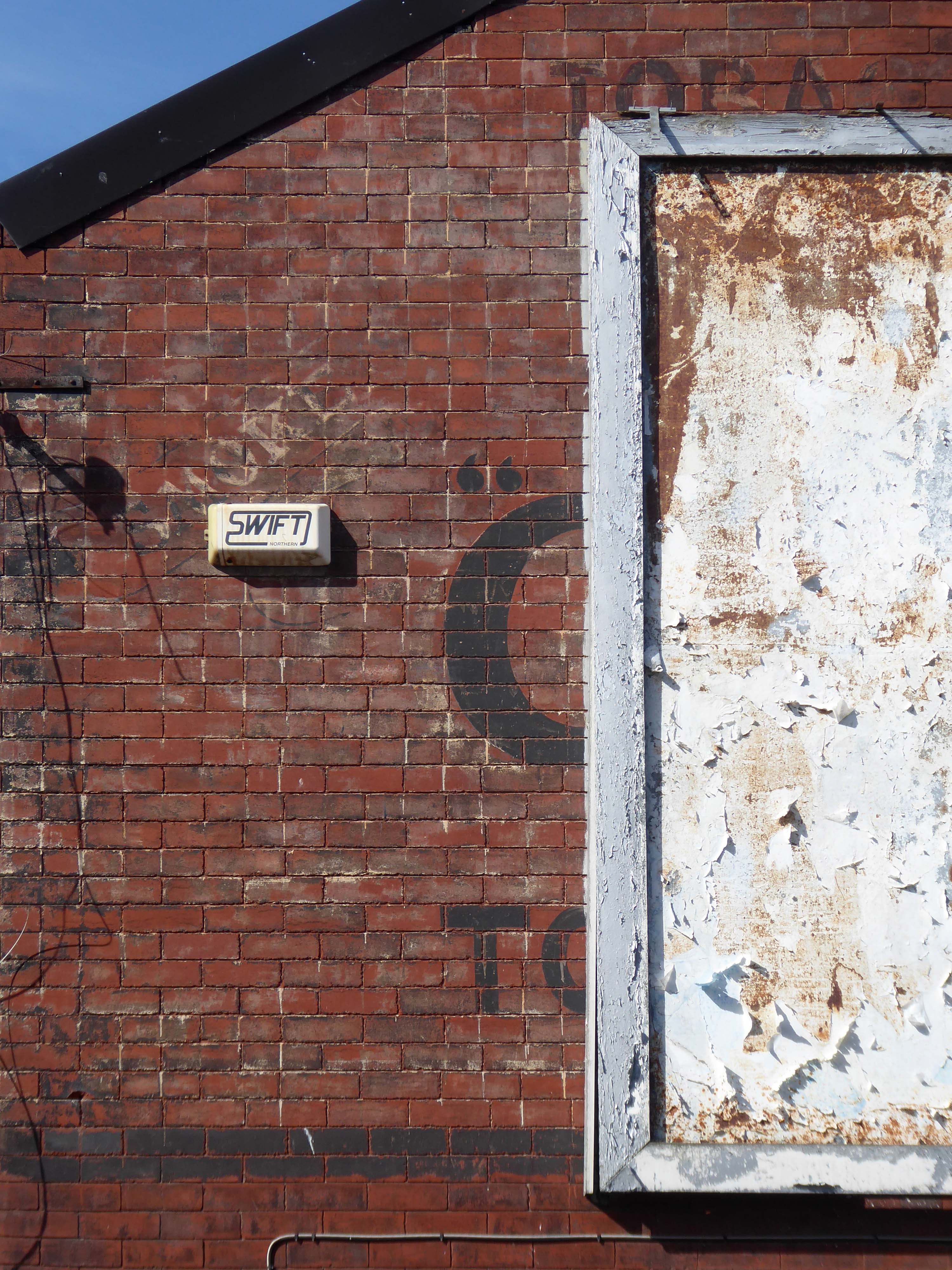
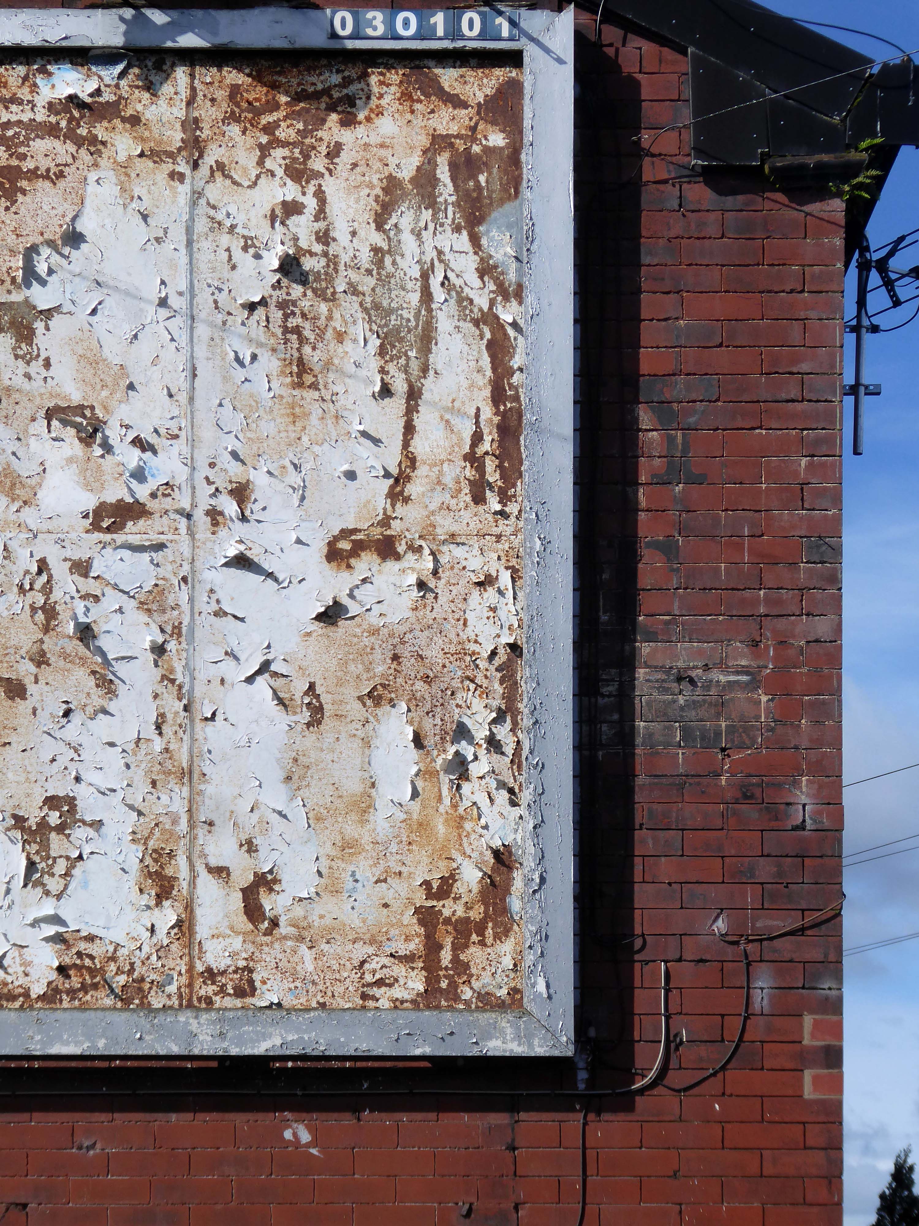
They have been stripped of their former use and meaning, transformed into a transitory art performance space, paint and plaster now peeling, appealing to the passing painter, partially reclaimed by nature.
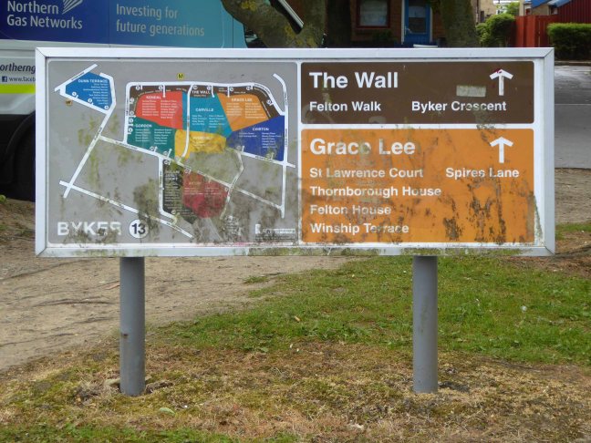
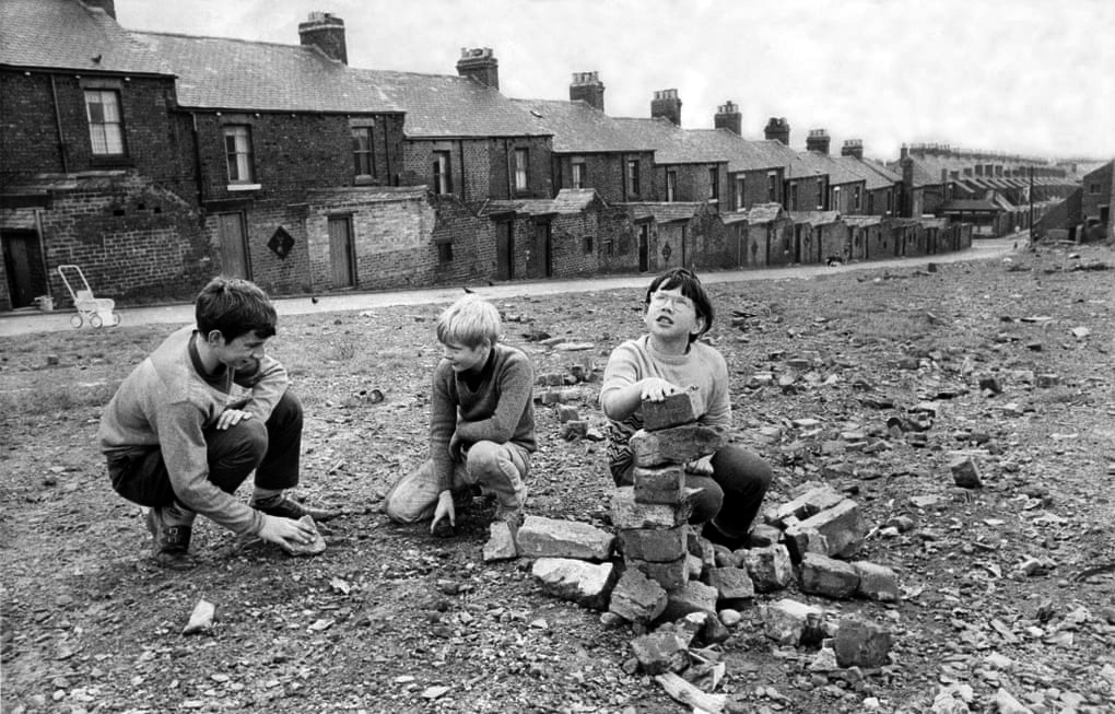
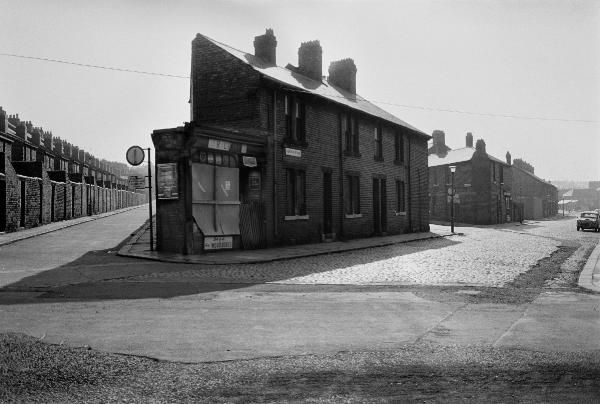
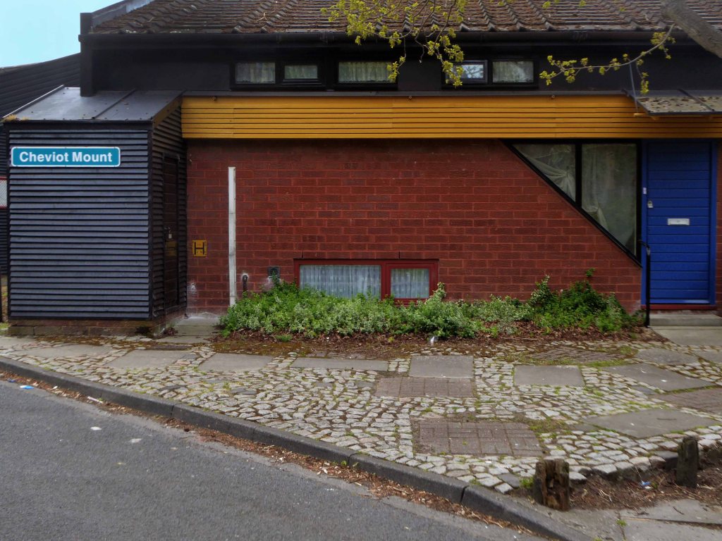
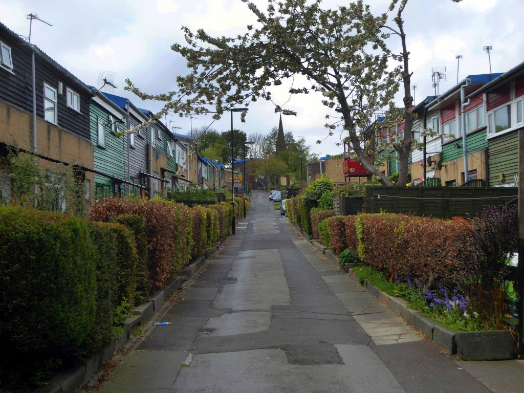
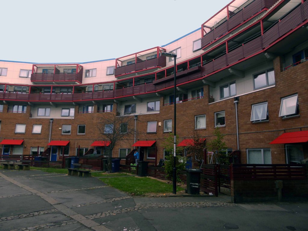
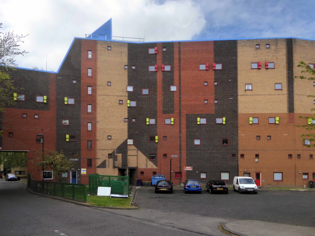
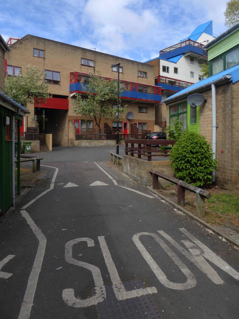
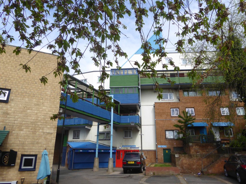
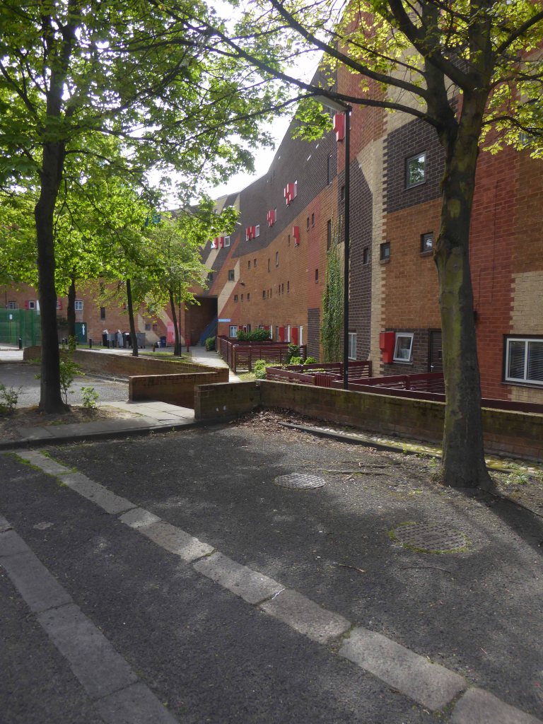
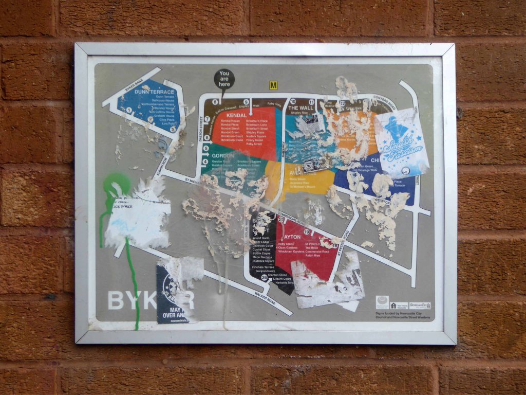
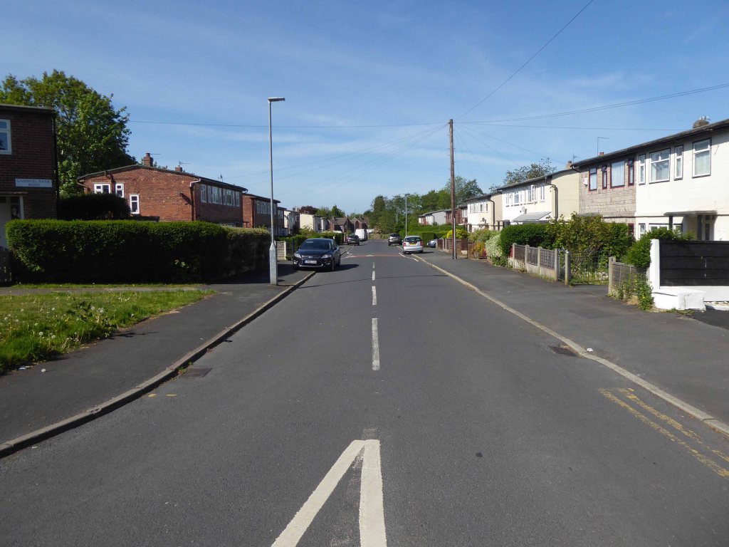
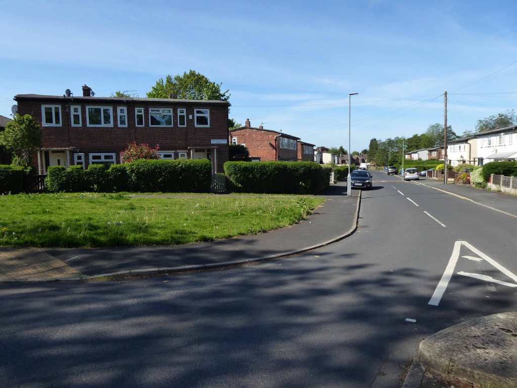
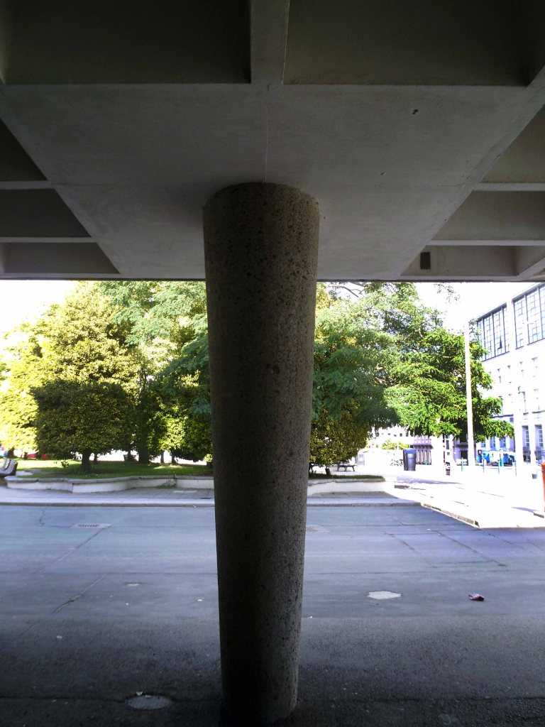
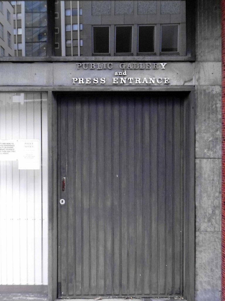
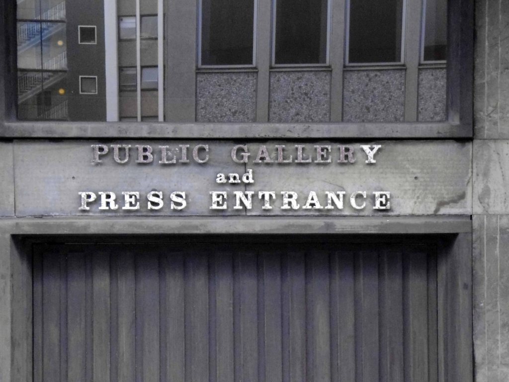
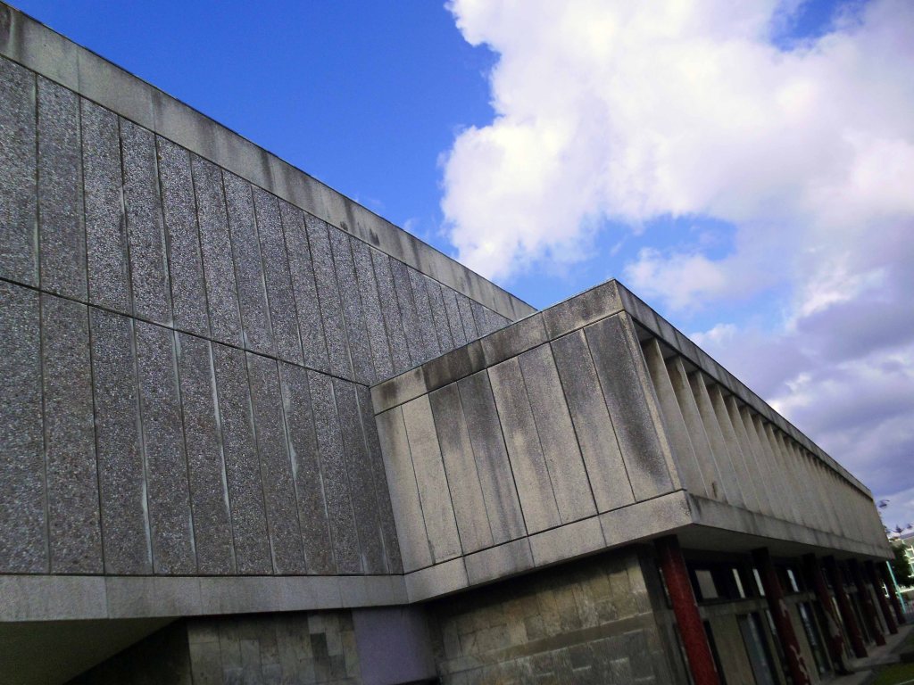
The Wall, along with the low rise dwellings built to its south, replaced Victorian slum terraced housing. There were nearly 1200 houses on the site at Byker. They had been condemned as unfit for human habitation in 1953, and demolition began in 1966.
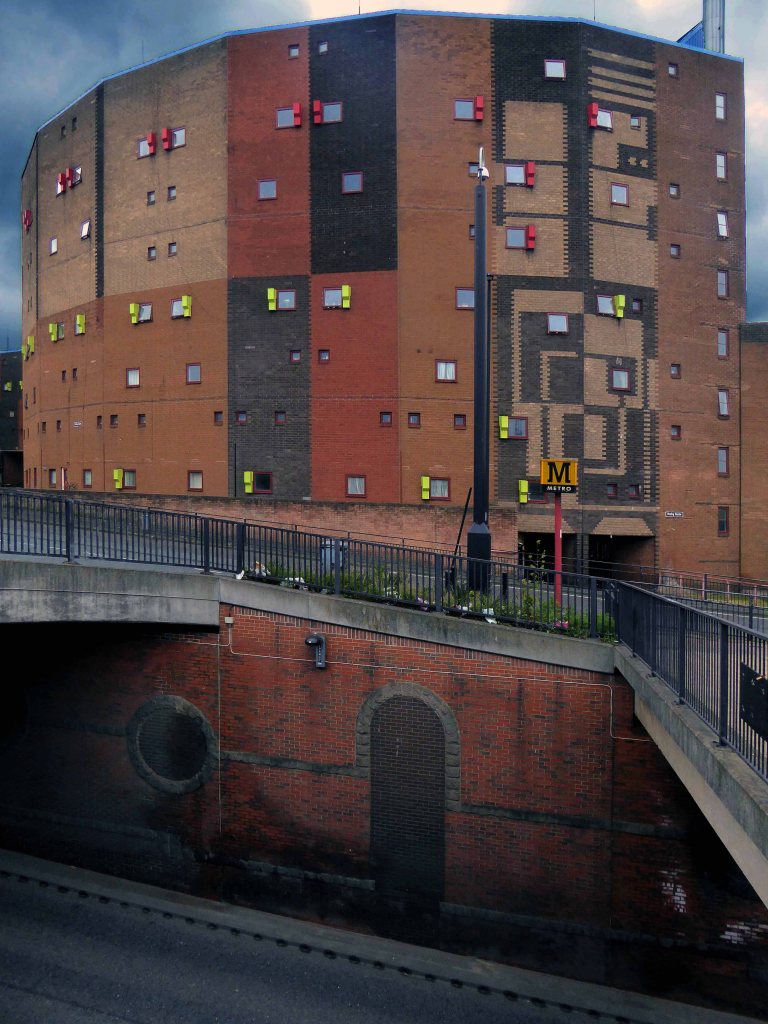
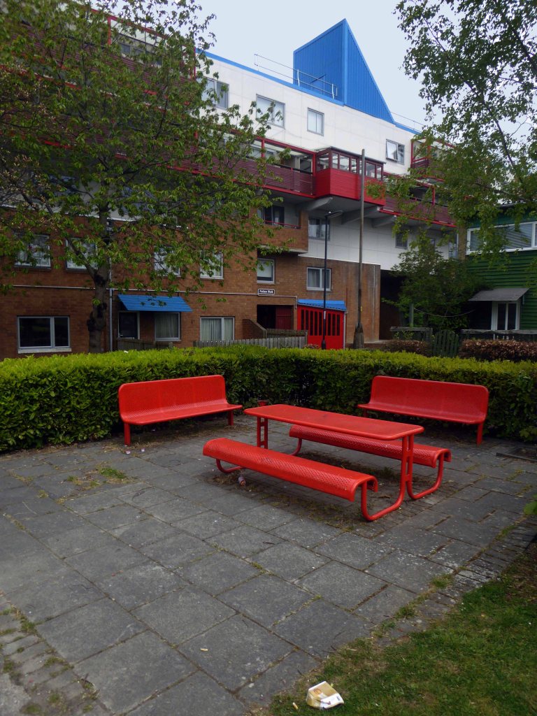
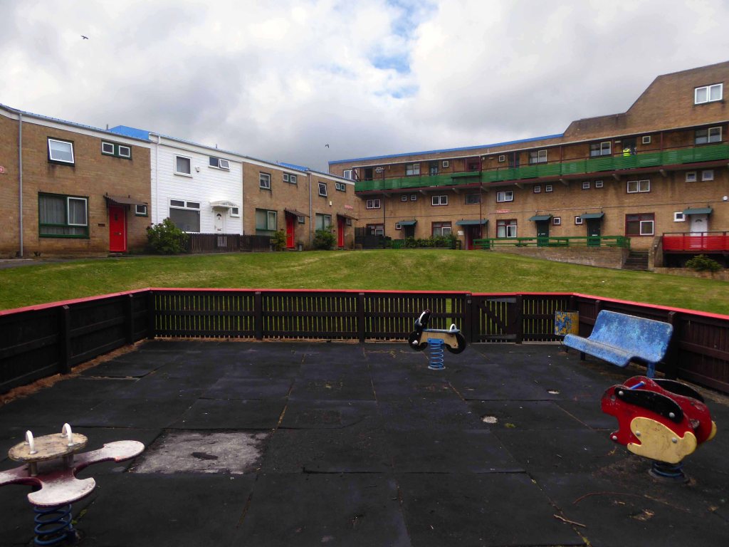
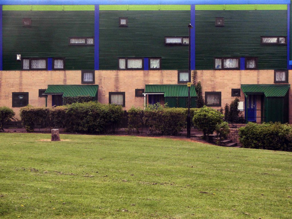
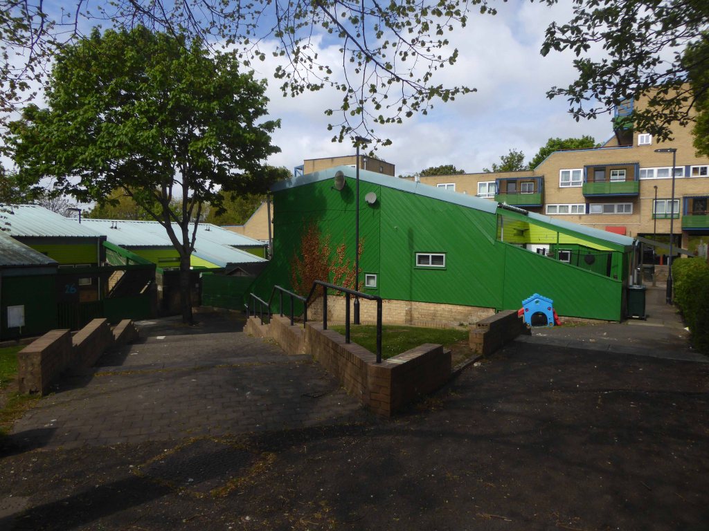
The new housing block was designed by Ralph Erskine assisted by Vernon Gracie. Design began in 1968 and construction took place between 1969 and 1982. The architects opened an office on site to develop communication and trust between the existing residents. Existing buildings were to be demolished as the new accommodation was built.
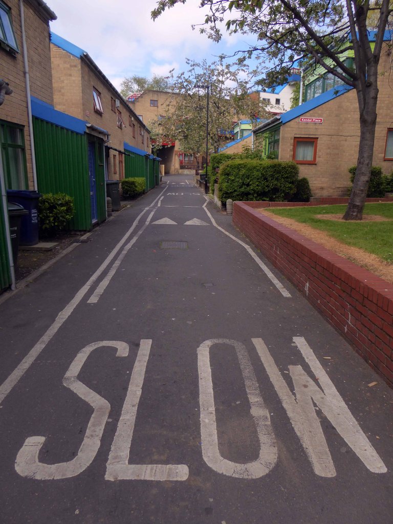
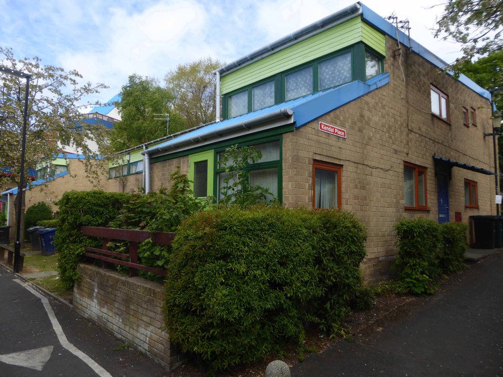
The new high-rise block was designed to shield the site from an intended motorway, which eventually was never built. Construction materials for Byker Wall were relatively cheap, concrete, brick and timber. Surfaces were treated with bright colours, while brick bandings were used on the ‘Wall’ to indicate floor levels.
Its Functionalist Romantic styling with textured, complex facades, colourful brick, wood and plastic panels, attention to context, and relatively low-rise construction represented a major break with the Brutalist high-rise architectural orthodoxy of the time.
There area has been well documented over time, notably by photographer Sirkka-Liisa Konttinen.
It’s reputation has had its ups and downs but most recently:
It’s been named the UK and Ireland’s best neighbourhood – it’s got top schools, friendly neighbours and community art classes – alongside high levels of poverty.
When Historic England awarded Byker its Grade II* listing in 2007, they praised both its ‘groundbreaking design, influential across Europe and pioneering model of public participation’. The estate’s main element, the Byker Wall, is – like it or loathe it – an outstanding piece of modern architecture. The conception and design of the estate as a whole was shaped by unprecedented community consultation.
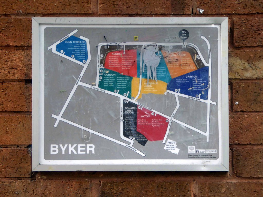
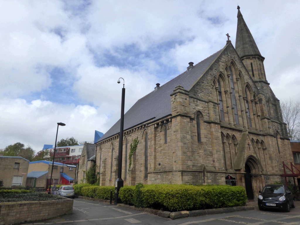
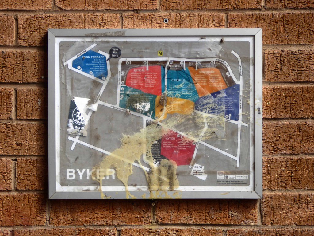
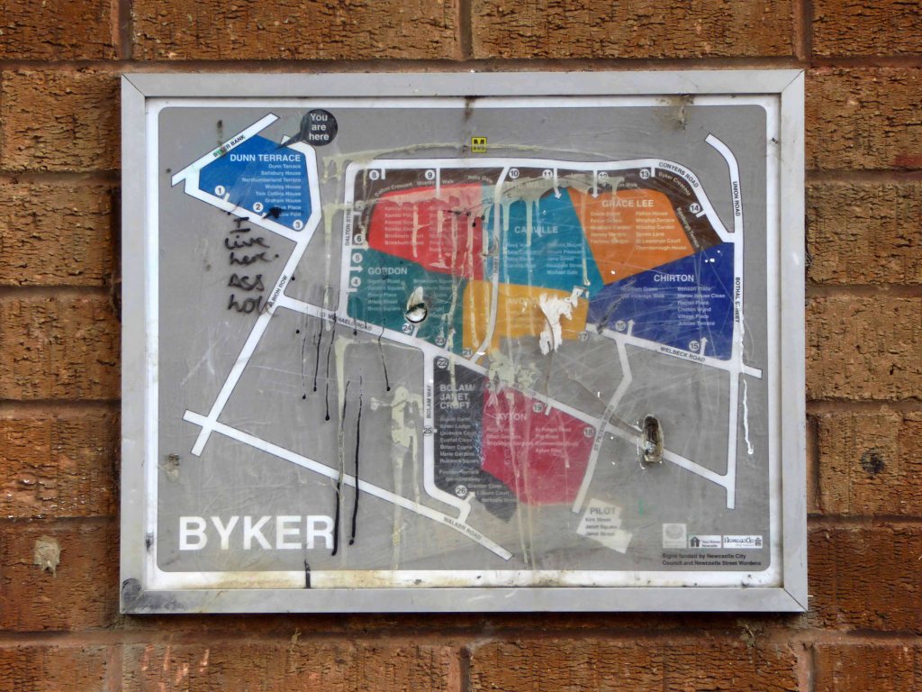
I went for a walk around one morning in May 2017, the photographs are in sequence as I explored the estate. It’s hard to do justice to the richness and variety of architecture in such a short time, but I only had a short time.
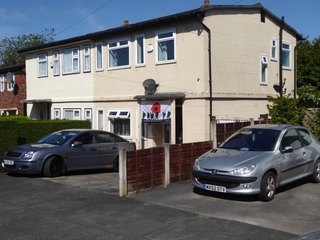
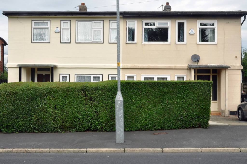
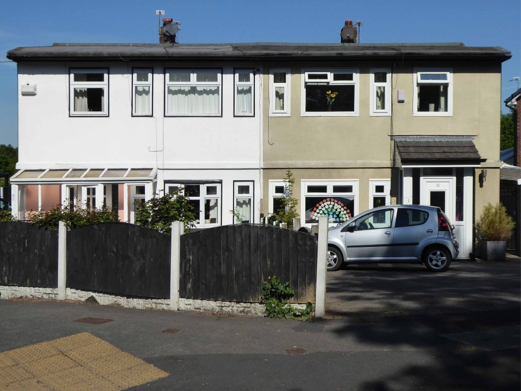
I have been here before in 2015 en passant, snapped the homes chatted to a resident and off, she had informed me that they had been post-war experimental concrete homes.
I thought no more about it – but subsequently I did, returning to the road to take another look.
Here’s one I didn’t make earlier.
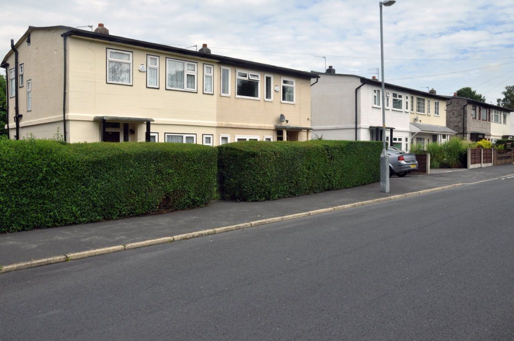
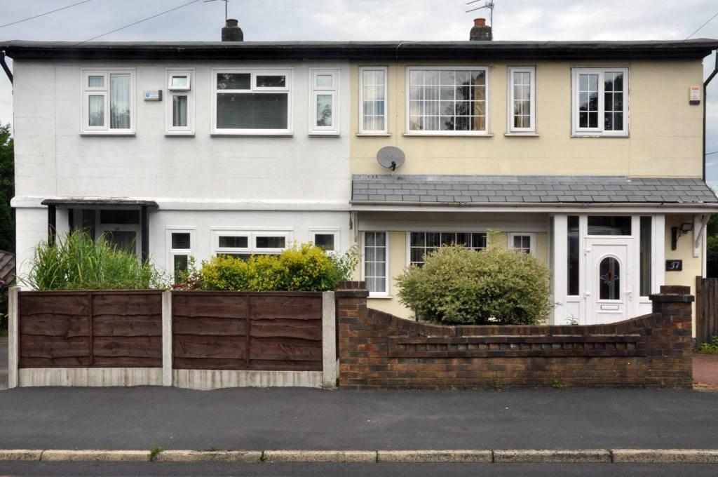
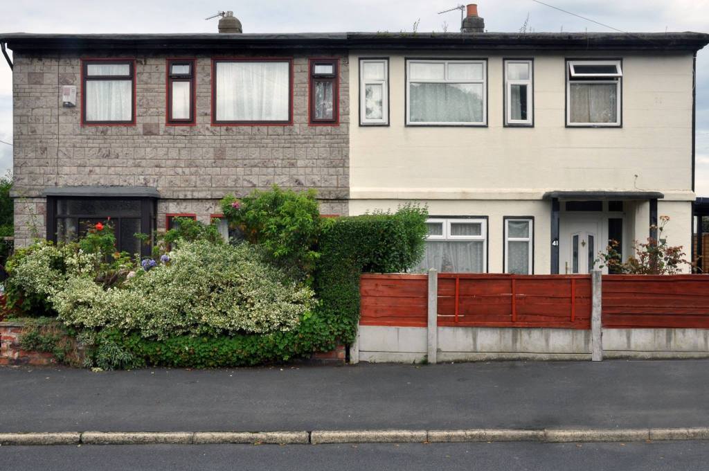
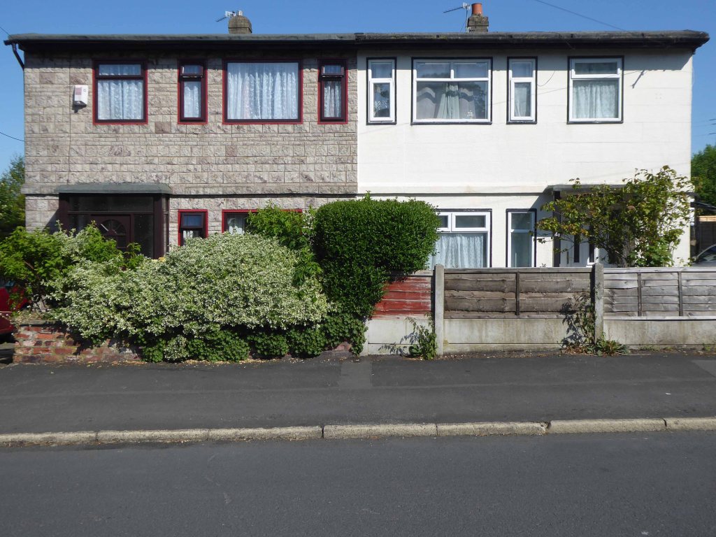
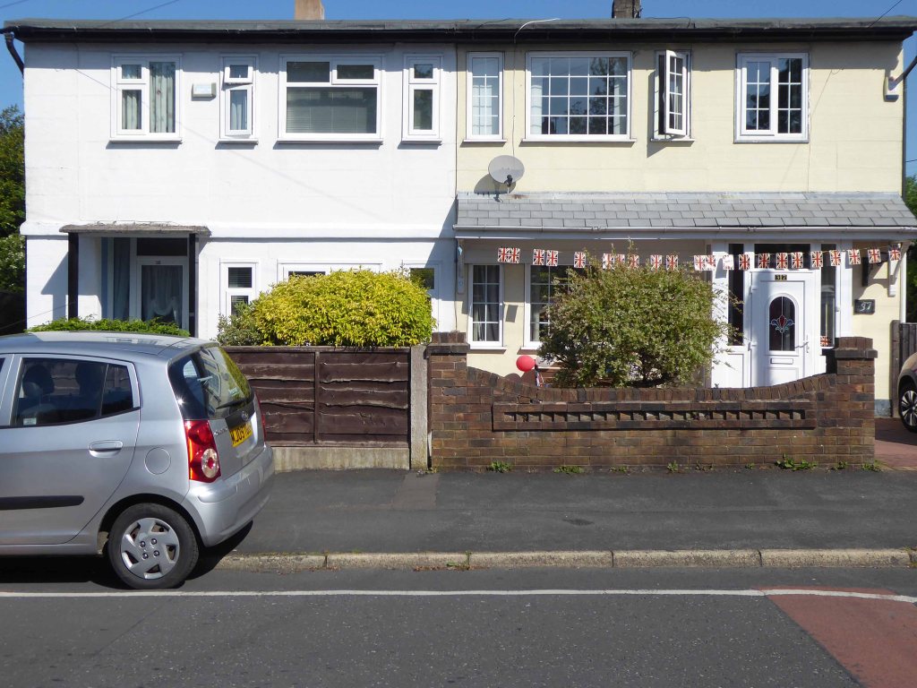
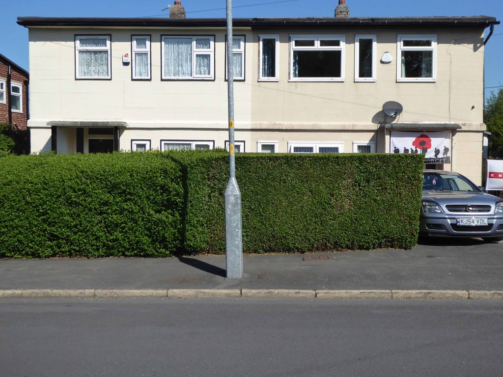
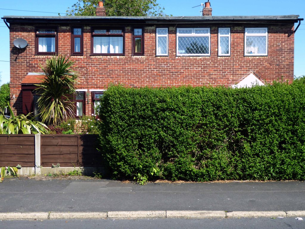
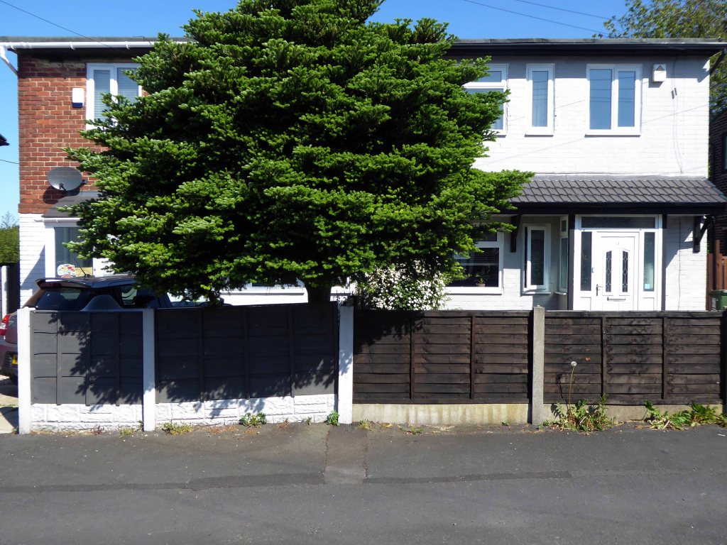
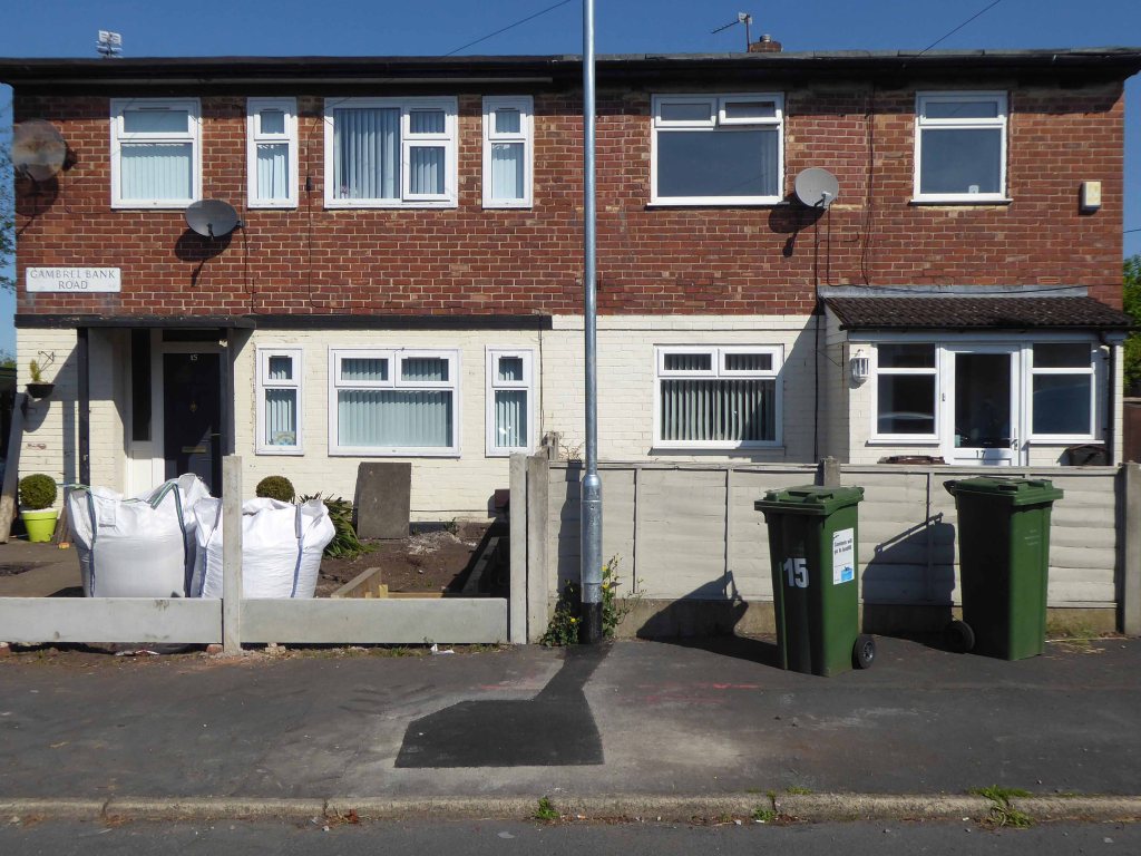
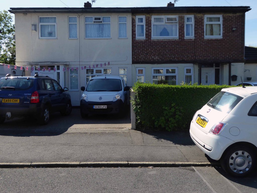
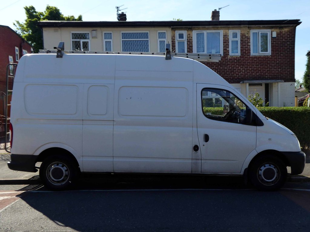
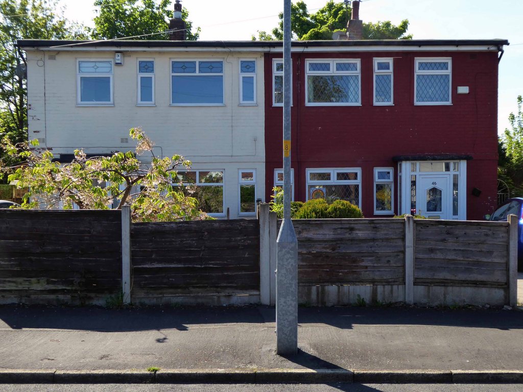
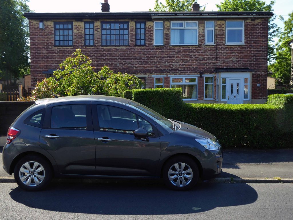
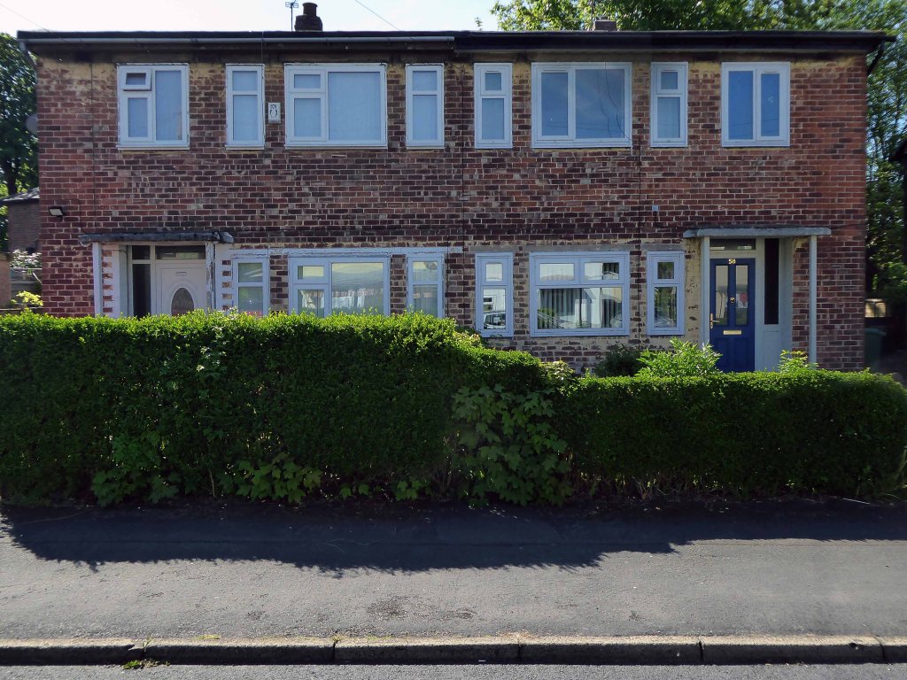
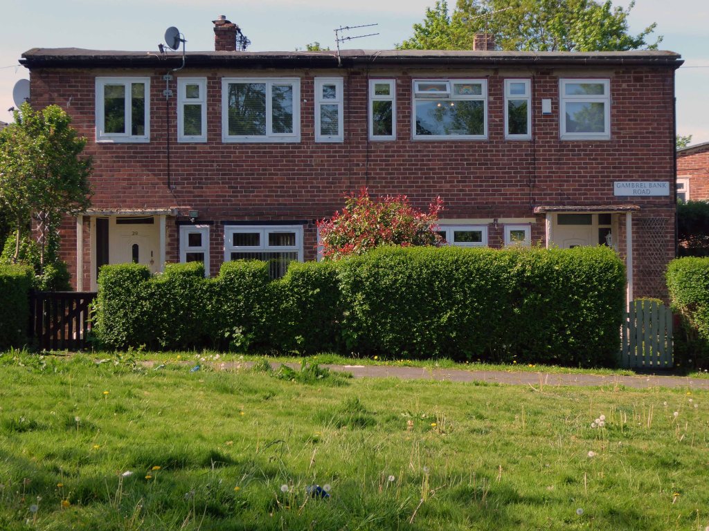
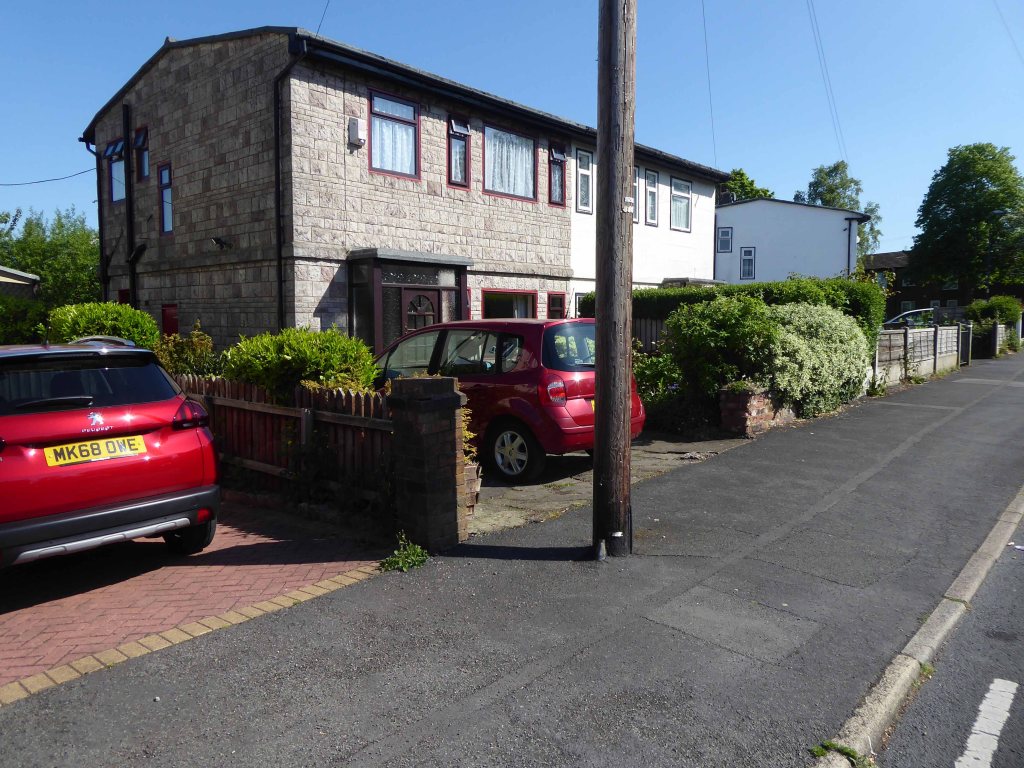
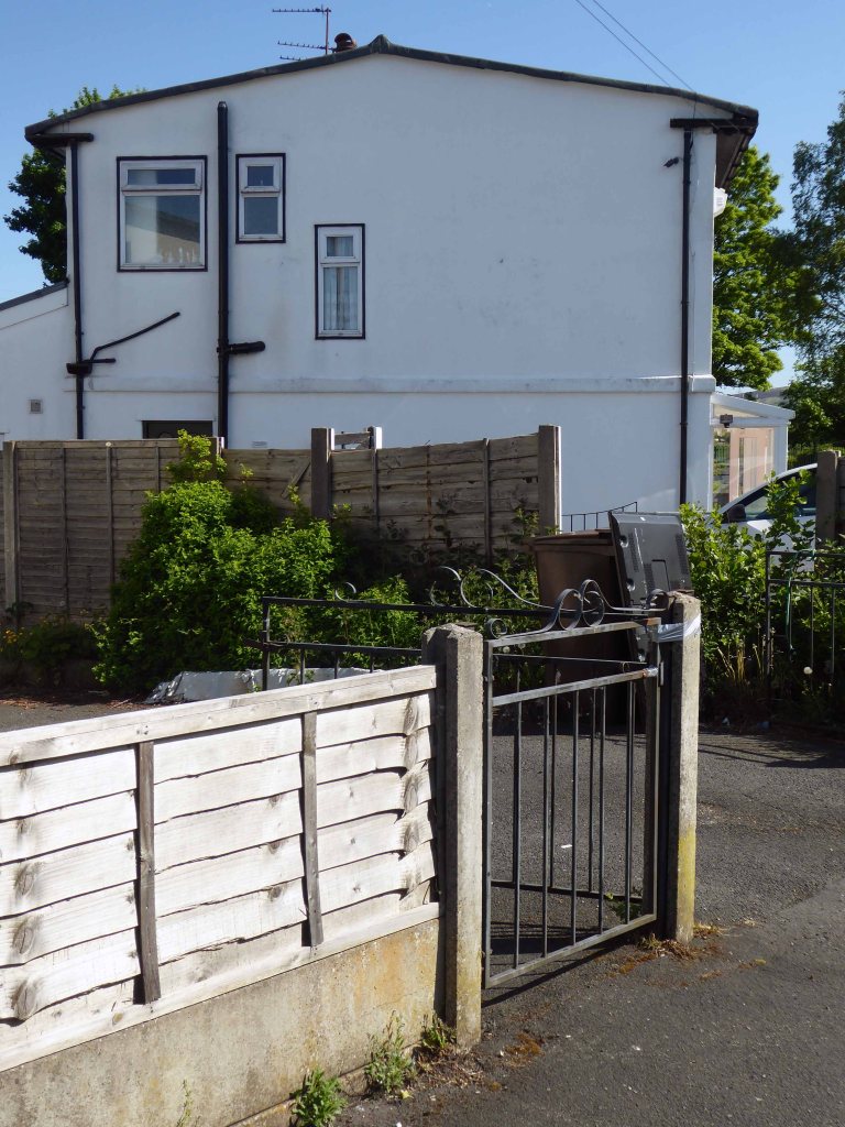
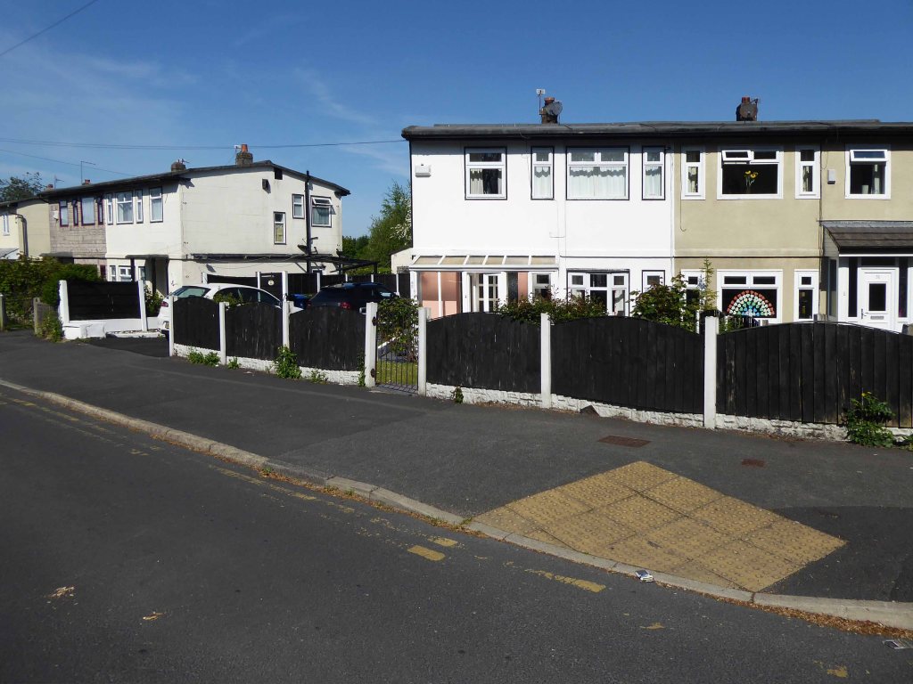
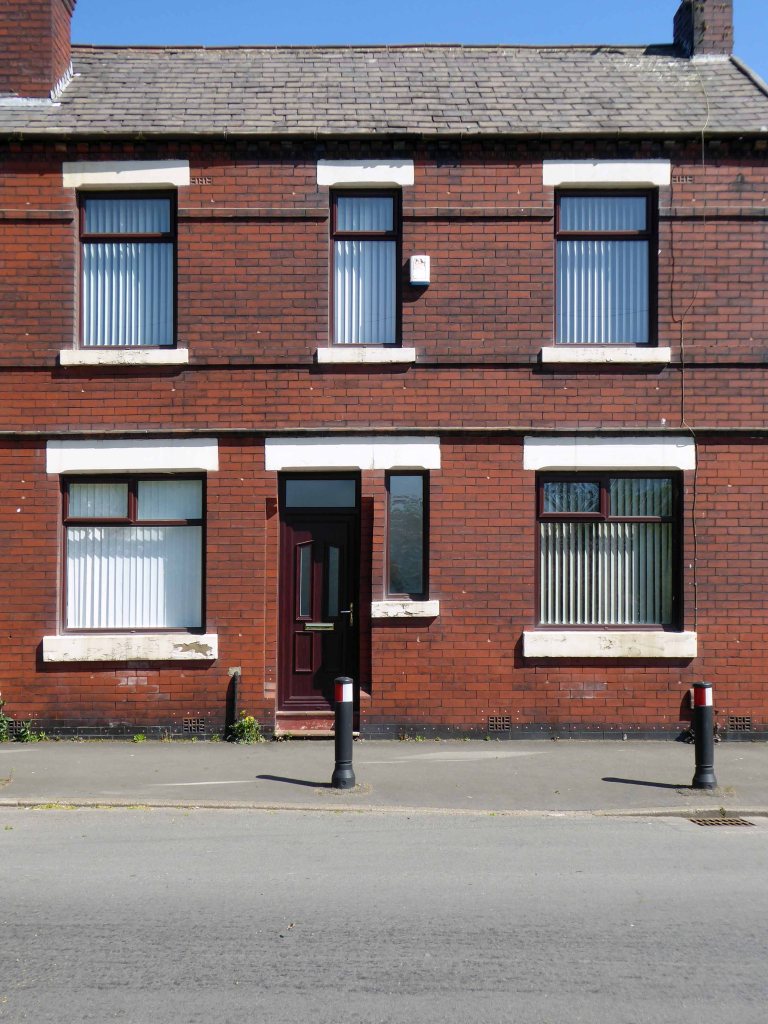
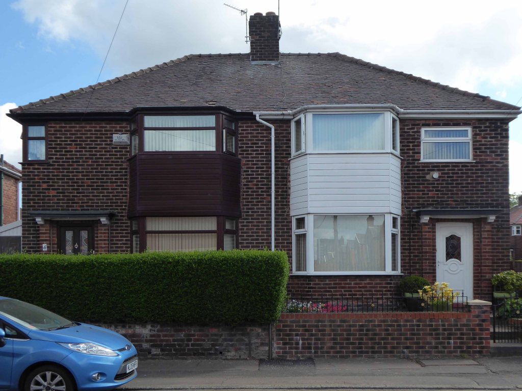
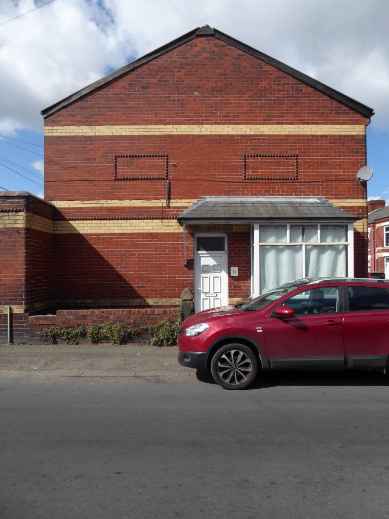
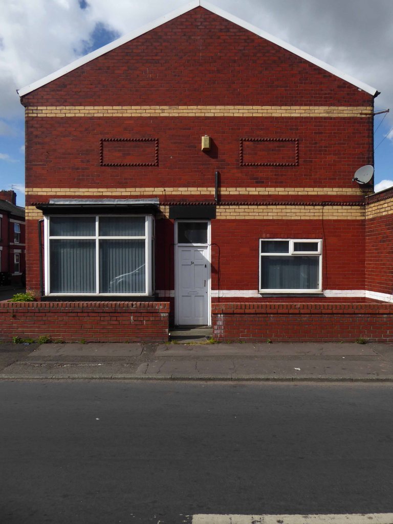
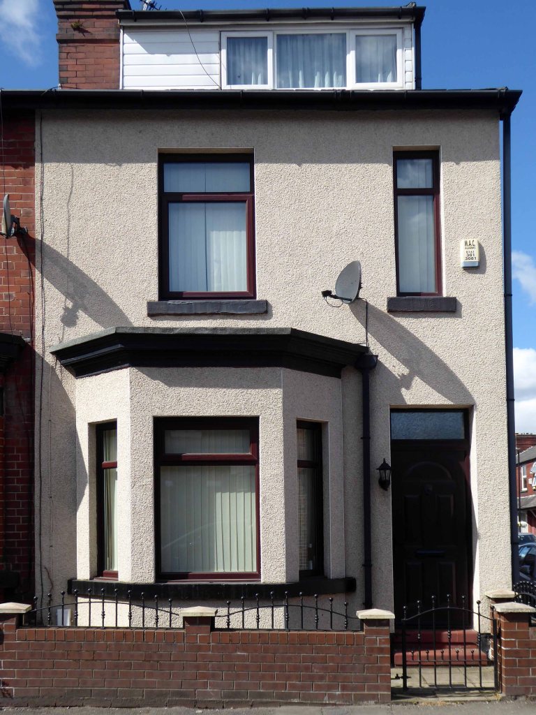
There are four semi detached homes constructed from concrete, rendered painted and clad over the years, windows replaced, additions and amendments made.
Though the basic design characteristics have been retained.
There are no local archival images or histories, I assume that they were post-war, an addition to the inter-war Smallshaw council estate.
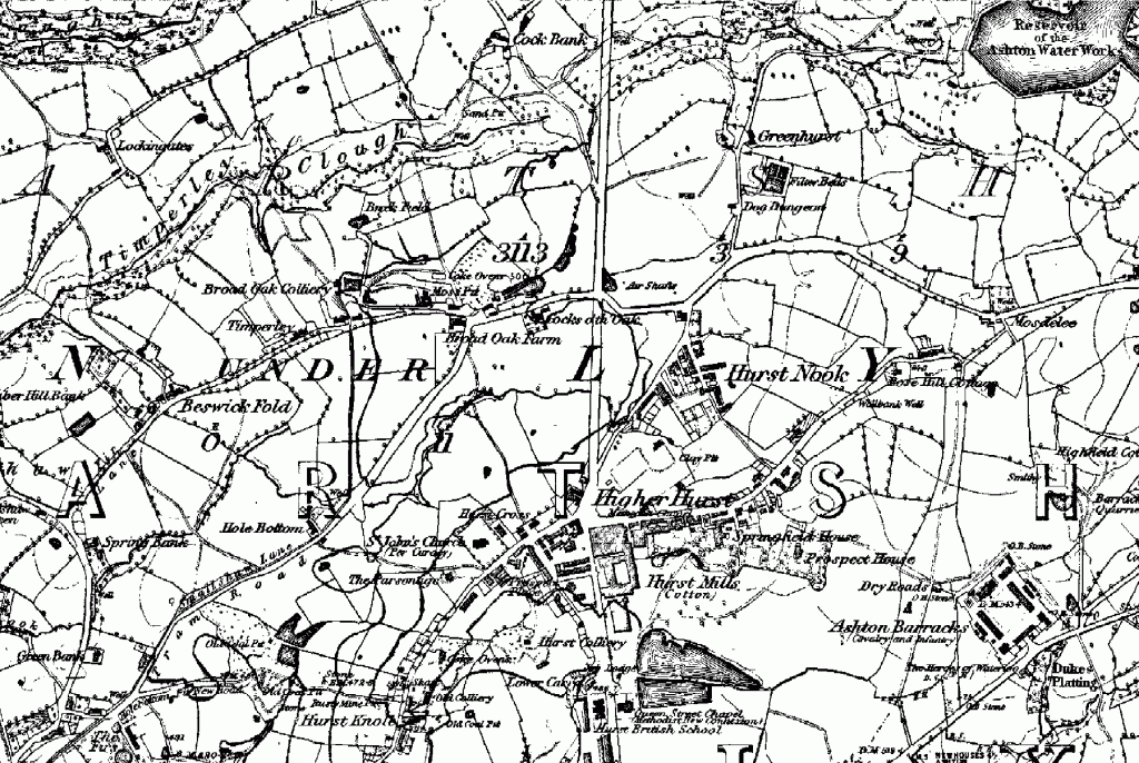
In an area which in 1848 was given over to mining and agriculture.
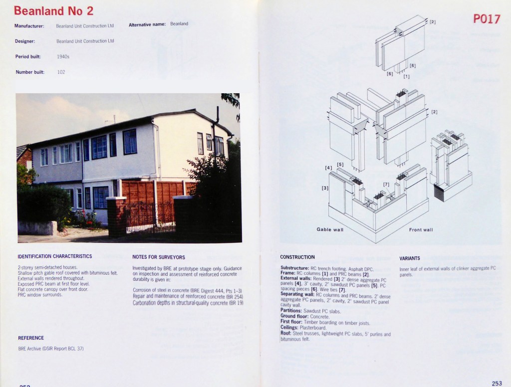
I have subsequently learnt from an online contact Mr Sid Cat, that the homes are Beanland No 2.
They are listed on the BISF site – 102 were built.
More than this I cannot say – further searches for Beanland proving largely fruitless.
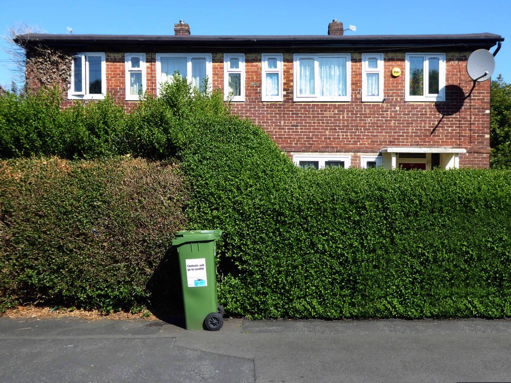
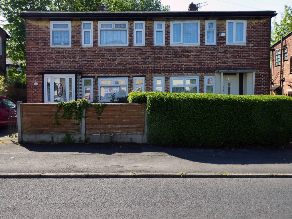
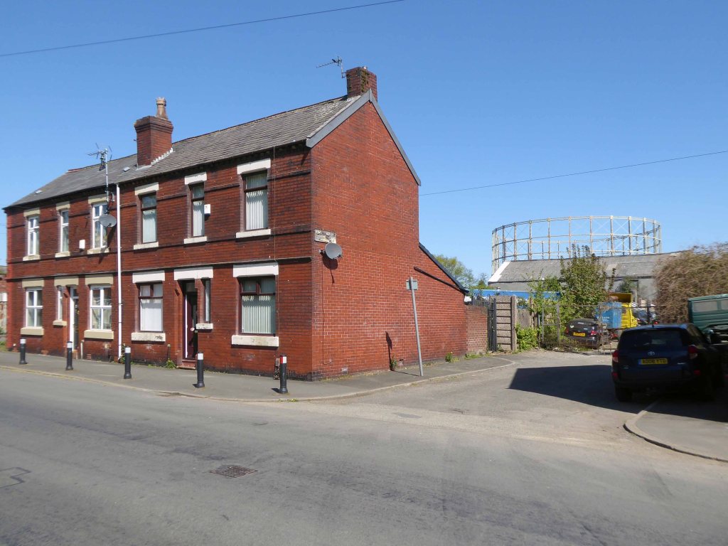
In addition there are also several semi detached houses of identical shape and proportion faced in brick – why?
Suffice to say here we are now and here they all are.
Charles Dreyfus was a French emigrant chemist and entrepreneur, who founded the Clayton Aniline Company on 29 May 1876. The company obtained a lease on a parcel of land in Clayton, Manchester, sandwiched between the Manchester and Ashton Canal and Chatham Street – later known as Clipstone Street.
1904
At its peak in the 1970s, the site occupied over 57 acres and employed over 2,000 people. However, due to the gradual demise of the British textile industry, most textile production shifted to countries such as China and India with the textile dye industry following.
1960
In 2002, the company made 70 members of staff redundant and in 2004 the announcement was made that the site would be closing with the loss of over 300 jobs. A small number of staff were retained to assist in the decommissioning of the plant. The last workers left the site in 2007 and the remainder of the buildings were demolished shortly afterwards.
Like much of the industry of east Manchester its tenure was relatively short – money was made and the owners departed, without wiping their dirty feet.
The site remained derelict until demolition, followed by extensive site cleansing – to remove the dangerous detritus of 200 years of hazardous chemical production.
Vincent Kompany had just completed his £6million move from Hamburg when he realised that Mark Hughes’ sales pitch about the direction the club was going was not entirely accurate.
They took me for a look around the training ground at Carrington – it wasn’t fit for purpose, it was a dump.
I remember there was a punch bag in the gym – and only one boxing glove. And even that had a big split in it!
Then in 2008 the corrupt boss Thai PM Thaksin Shinawatra is bought out by Sheik Mansour – the rest is history/mystery.
Mr Peter Swales makes no comment.
My interest lies in the company’s Ashton New Road offices – seen here in 1960.
Demolished and replaced by a distinctly Modernist block by 1964.
A flank was added on Bank Street along with a bank.
The office complex is still standing, now home to Manchester Police, I risked arrest and incarceration, in order to record the distinctive tile work, rectilinear grid and concrete facades.
Attracting several suspicious stares from the open glazed stairwells.
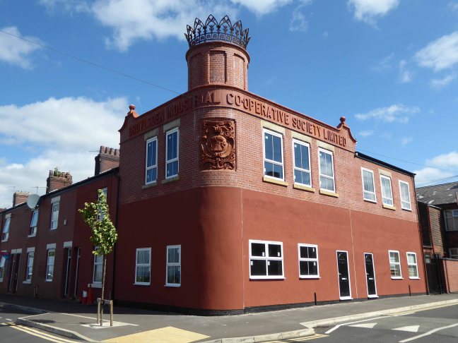
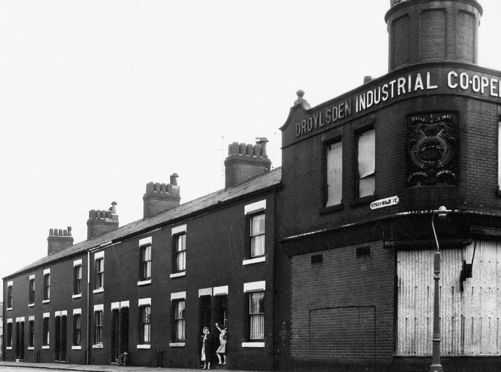
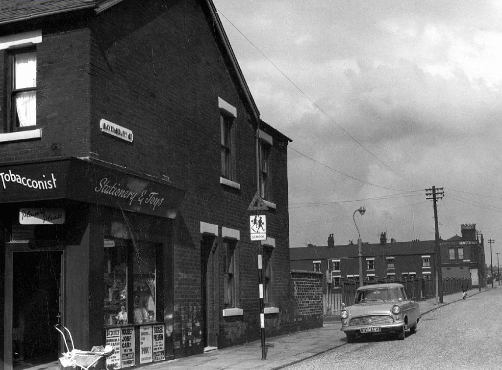
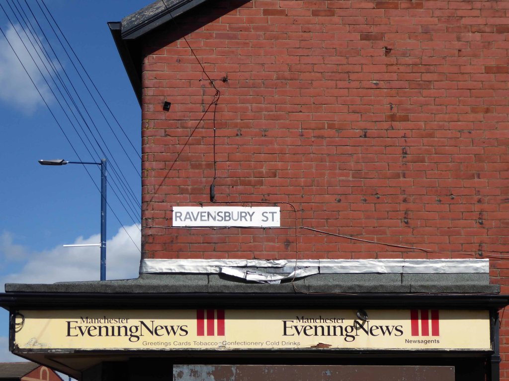
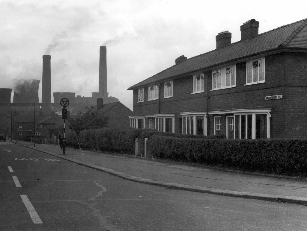
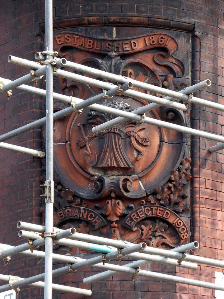
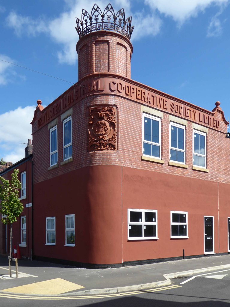
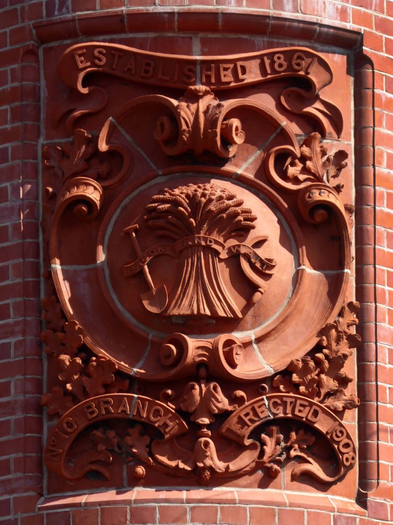
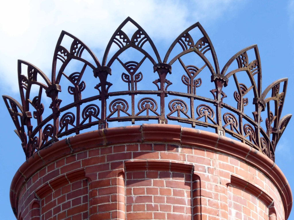
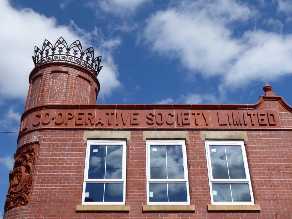
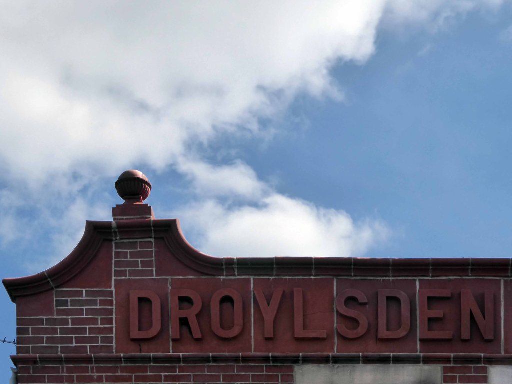
On the corner of Ravensbury and Stockholm Street Clayton Manchester there stands a Cooperative Shop of 1908.
We have previously visited another fine example on Northmoor Road.
In 1902 the area is still set to open ground.
This Manchester Local Image Collection photograph of 1912 shows new terraced homes emerging to meet the housing needs of the world’s first industrial city.
Changing patterns in shoppers habits sealed the fate of many local and corner shops, as larger supermarkets opened, increased mobility and car ownership became more common.
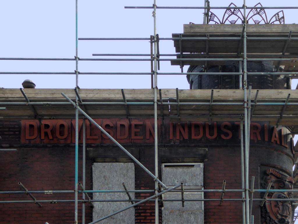
When I first visited the building was undergoing renovation work.
The beautiful terracotta tile work and corona obscured by scaffolding .
I returned last week to find the job almost done – converted to flats, in an area which has seen a great deal of improvement to the general housing stock, paving and street furniture.
A joy to see a fine building almost returned to its former glory, with a much needed social purpose, reviving the city’s western edge.
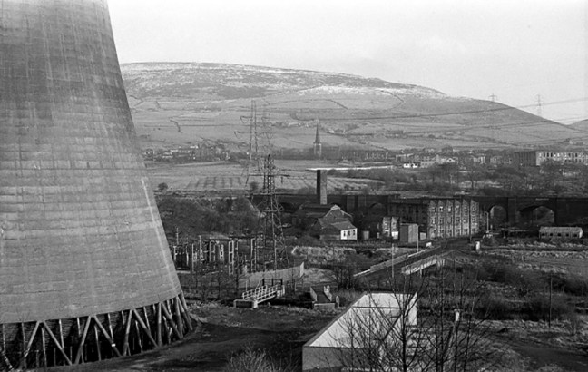
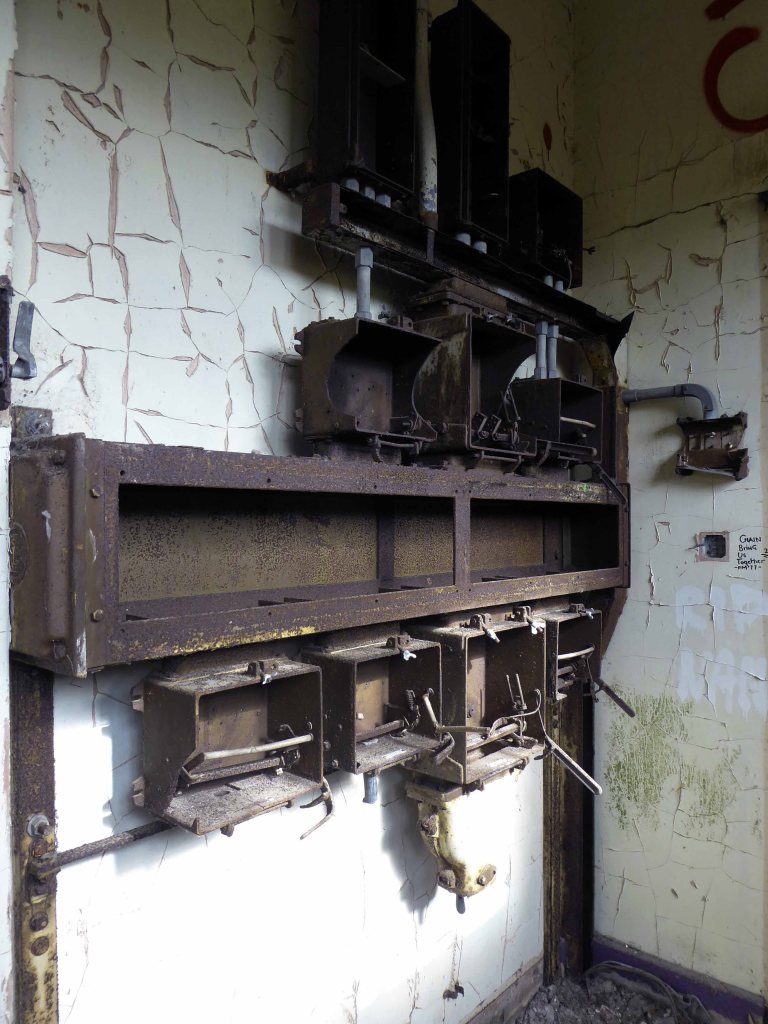
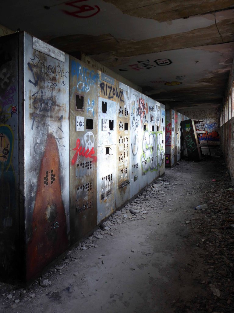
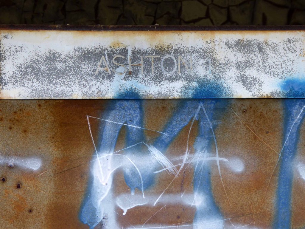
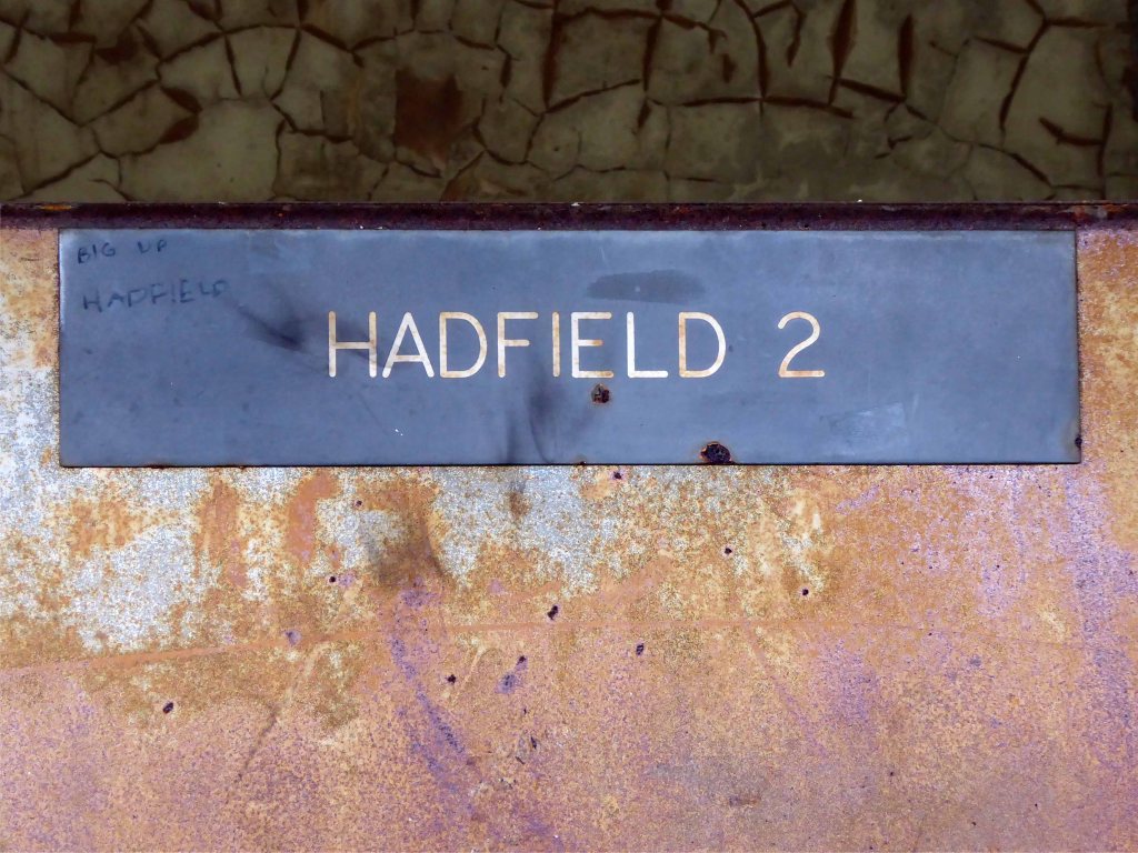
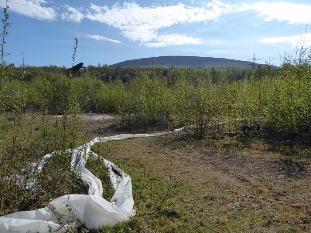
I’m back here to day in search of an abandoned control centre at the long gone Hartshead Power Station.
The station was opened in 1926 by the Stalybridge, Hyde, Mossley and Dukinfield Transport and Electricity Board.
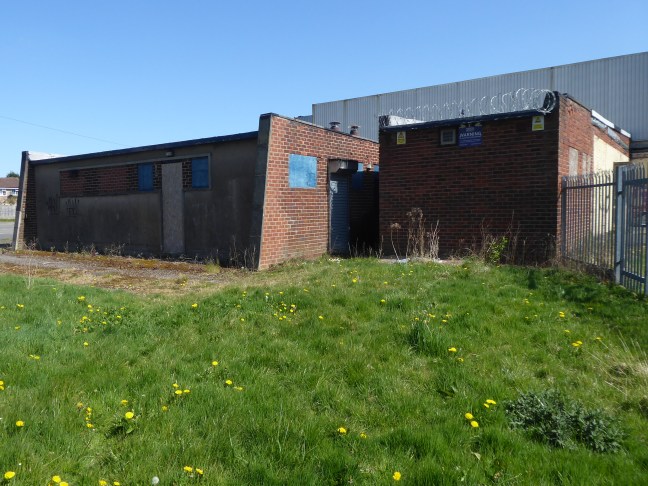
The station was closed on 29 October 1979 with a generating capacity of 64 megawatts. It was demolished during the late 1980s, although part of the site is still used as an electrical substation.
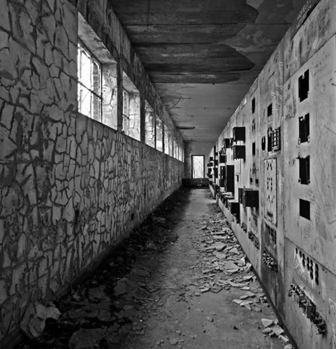
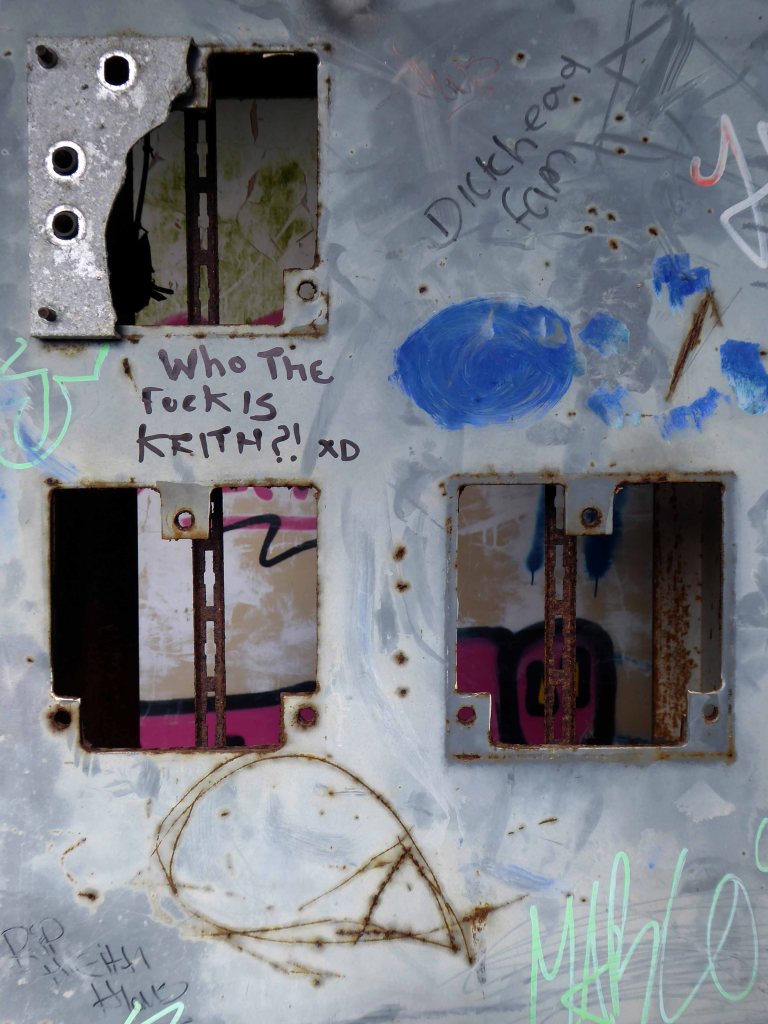
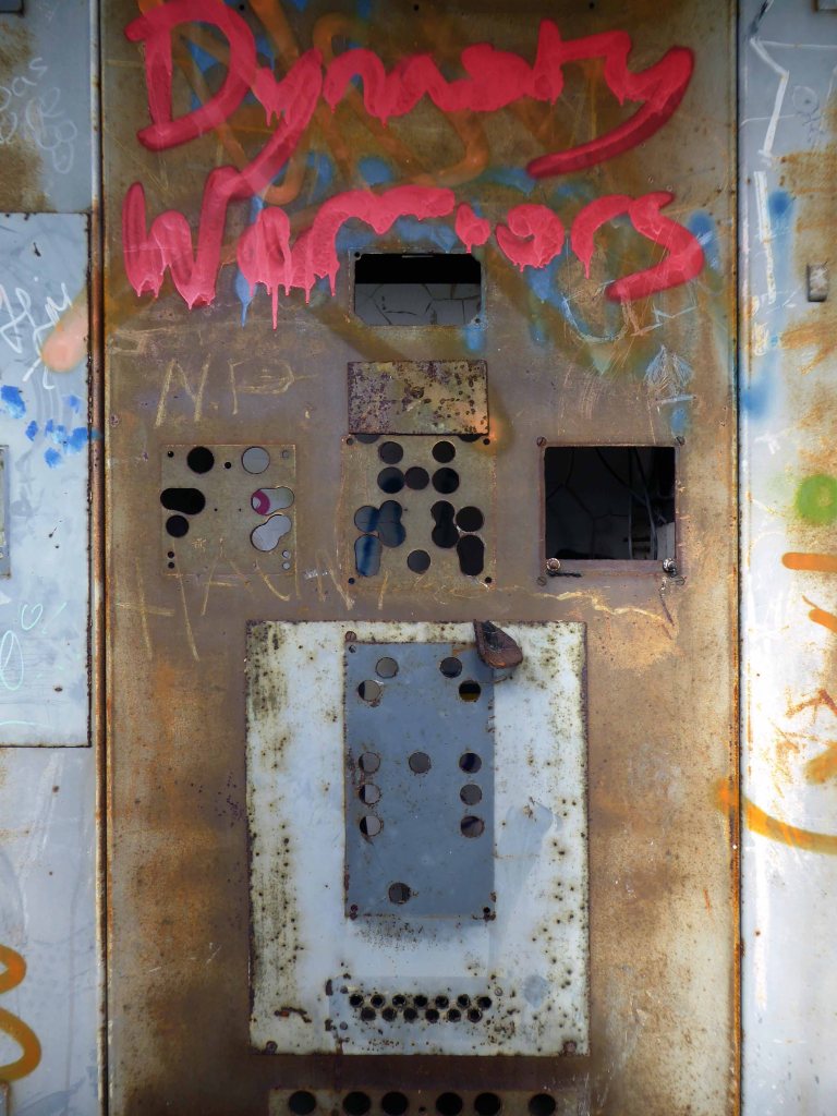
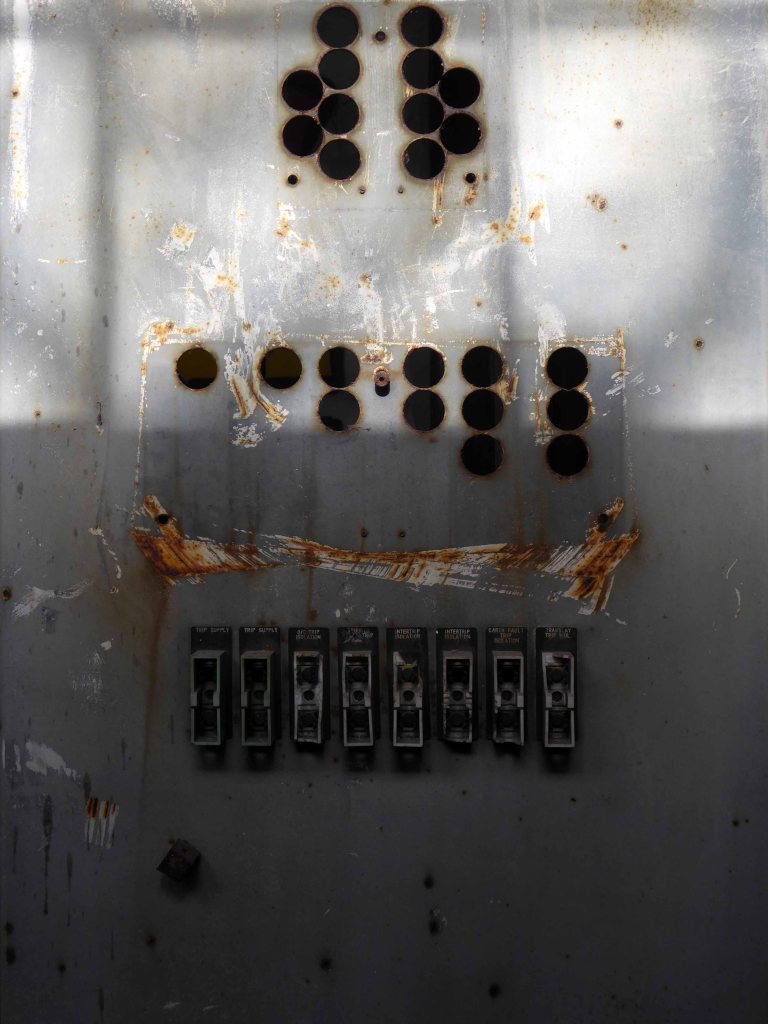
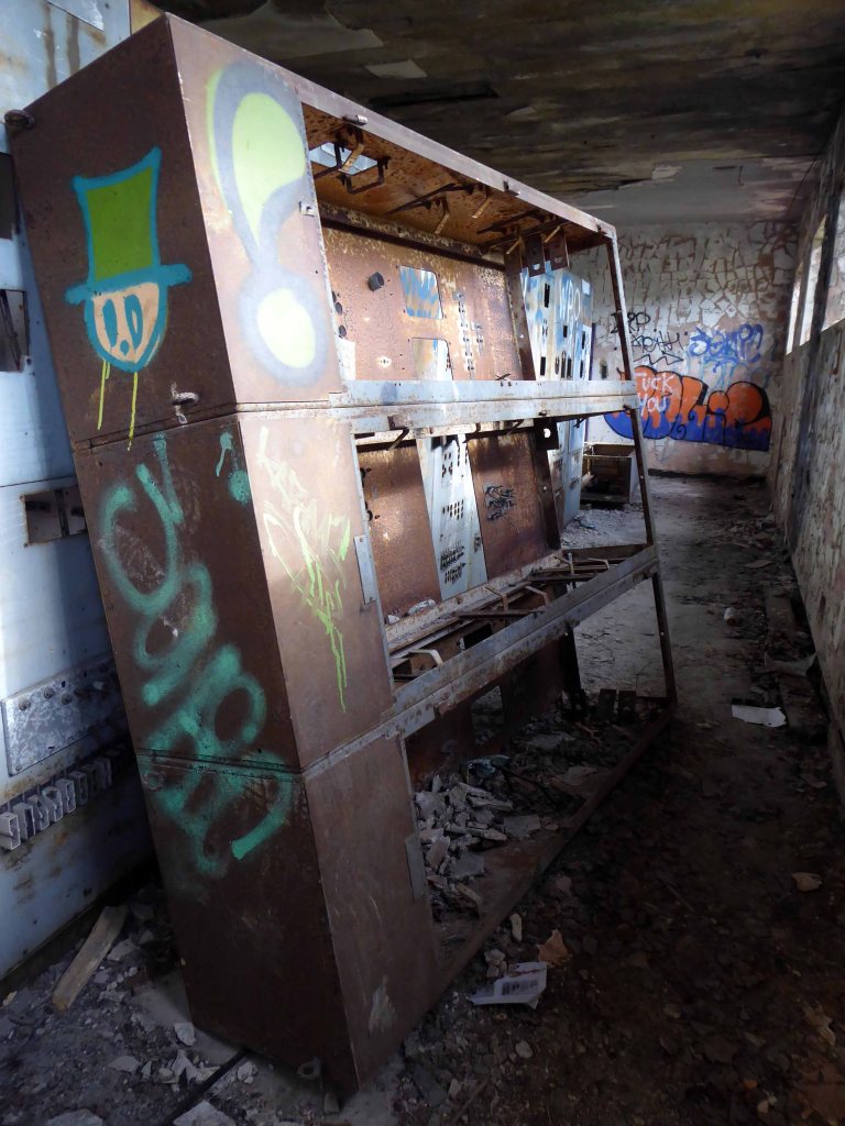
First glimpsed on an urban exploration site, I had awaited an opportunity to slip through the fence and take a look around – here’s what I found.
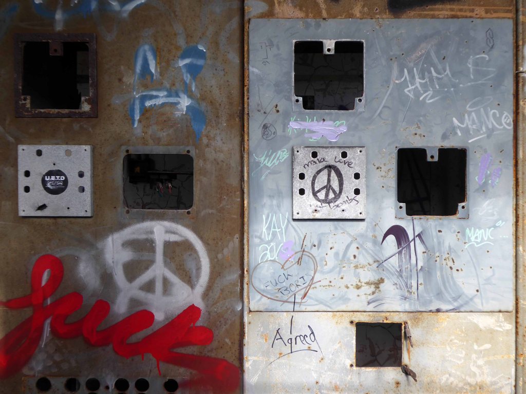
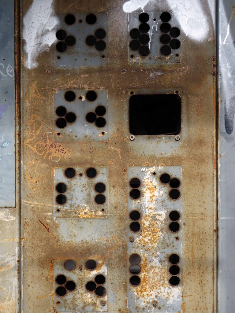
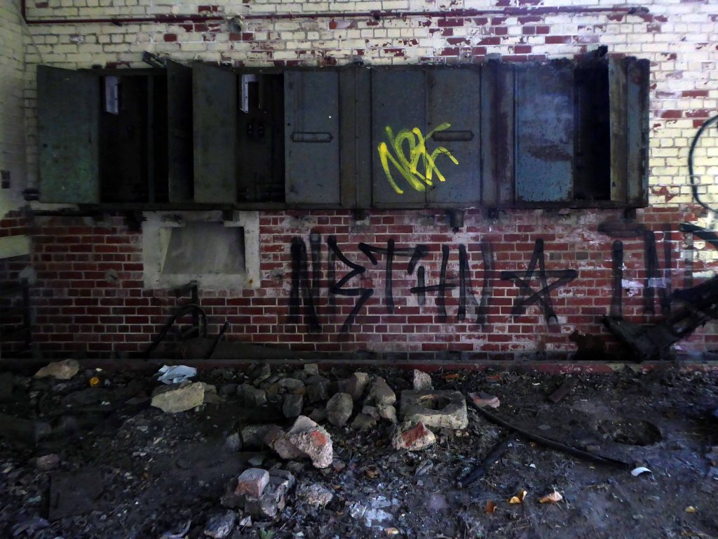
Most of the valuable equipment stripped out leaving and empty shell, covered in layers of the taggers’ interventions.
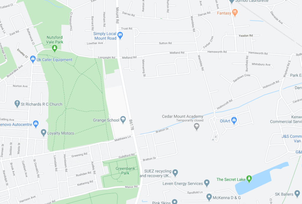
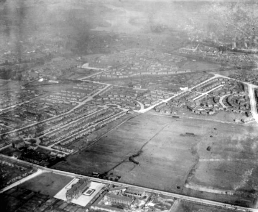
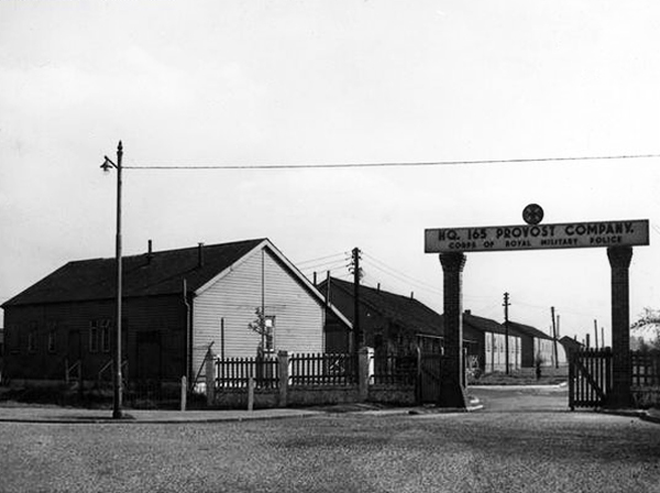
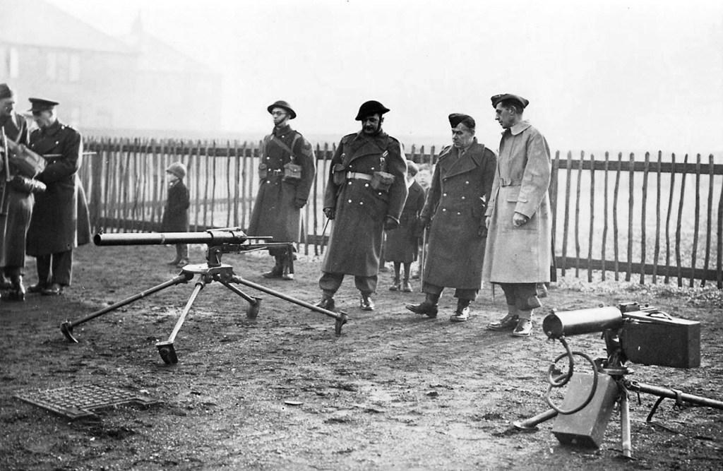
As a Military Police and POW CampThe 48th Battalion Manchester Home Guard used the facilities
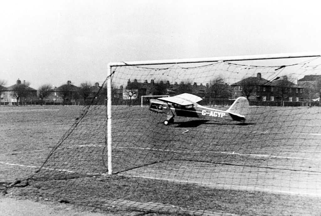
Photograph Brian Wood
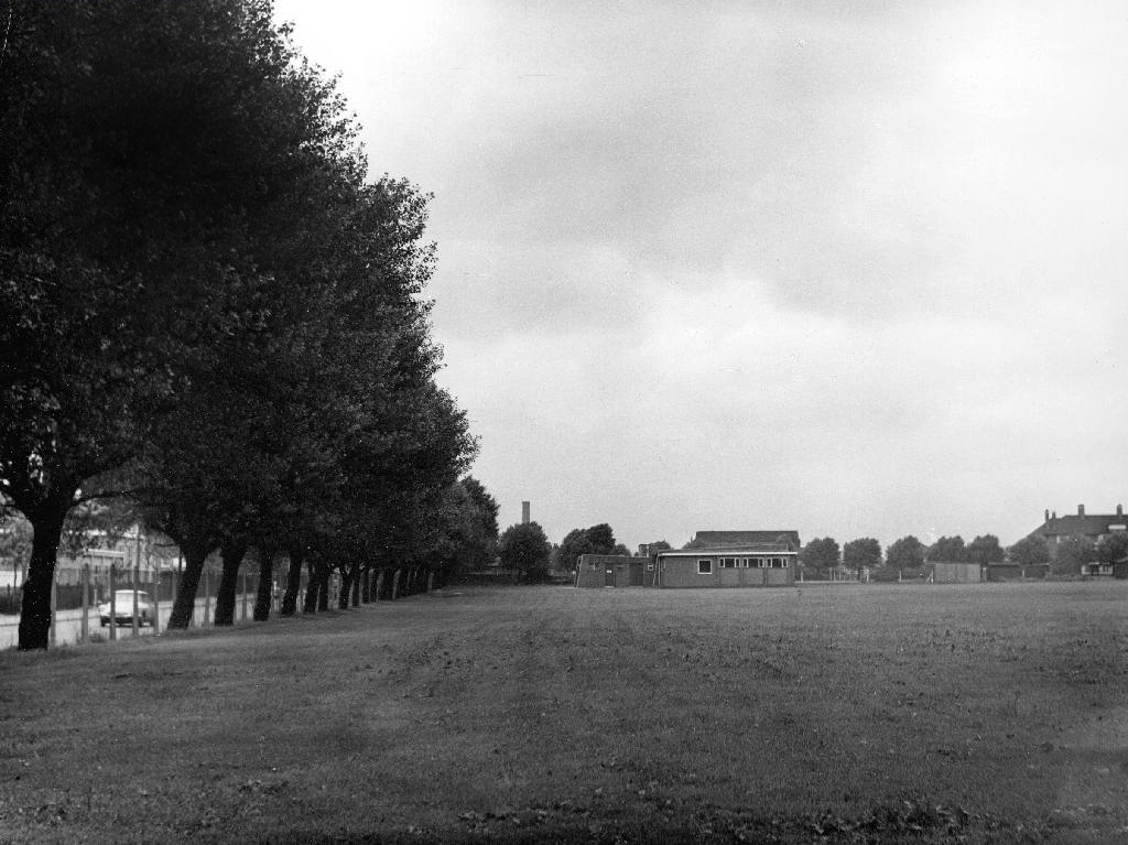
I remember from the 60’s onwards the fields in use for amateur football – pubs, clubs, schools and works all supplying teams to the plethora of leagues across the city.
Auster Aircraft of Airliners forced to land at Melland Playing Fields whilst towing banner 19611963
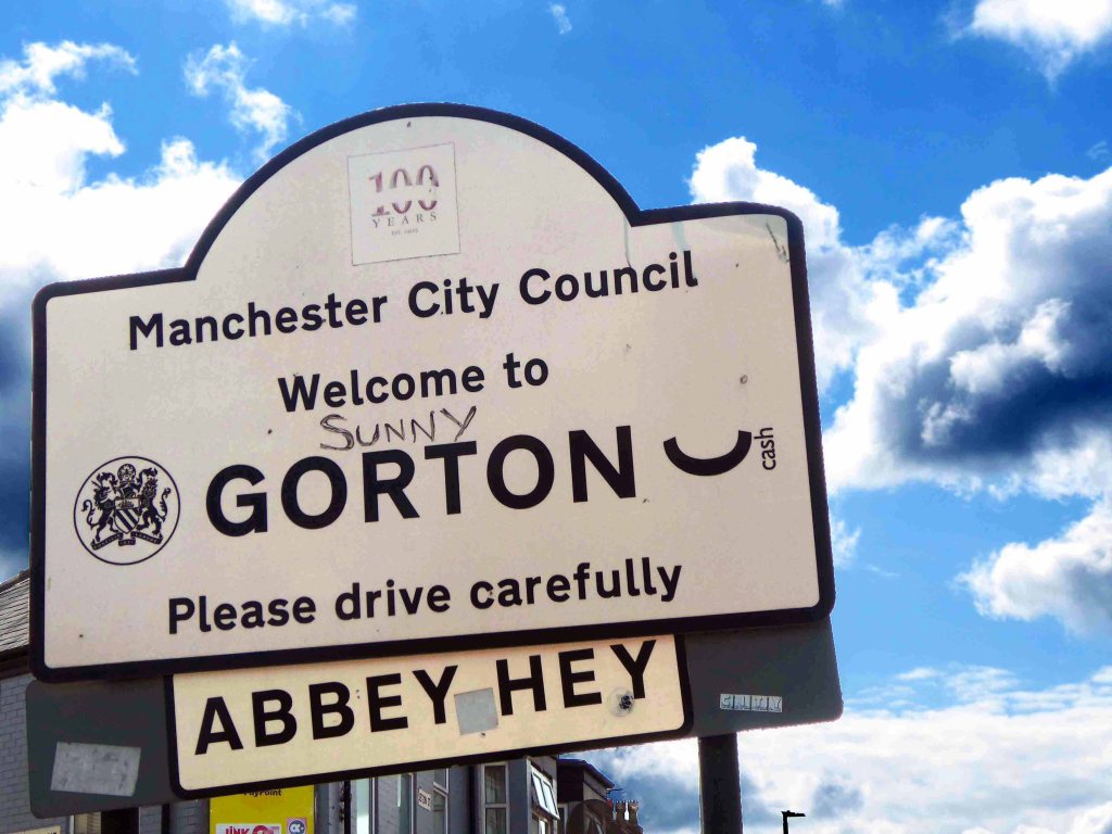
Gorton has received significant regeneration and investment over recent years as have nearby areas including Levenshulme. This is an aspirational, exciting new development and Arkwright Place has something for everyone – from first time buyers to growing families and downsizers – with a huge range of beautiful homes on offer.
A local campaign was organised to preserve the open space:
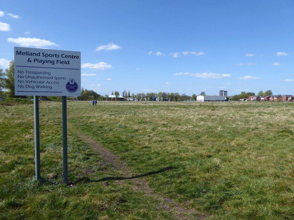
At present the fields are fenced and secured – though gaps have been made to allow access for strollers.
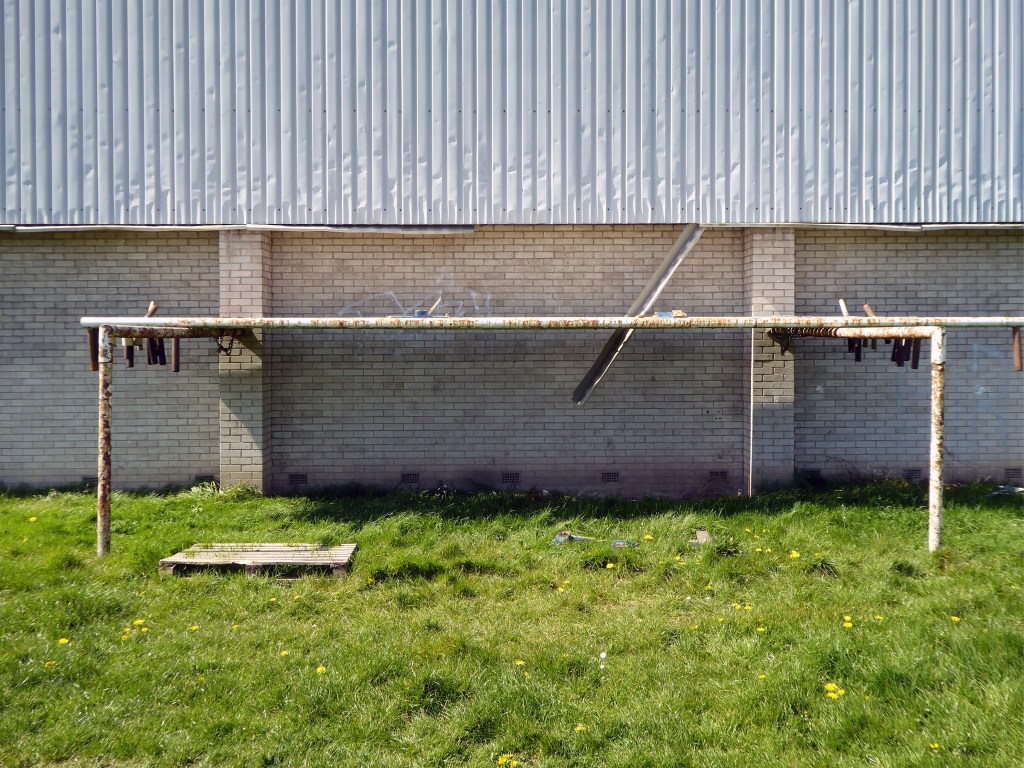
The goalposts still stand though currently without crossbars.
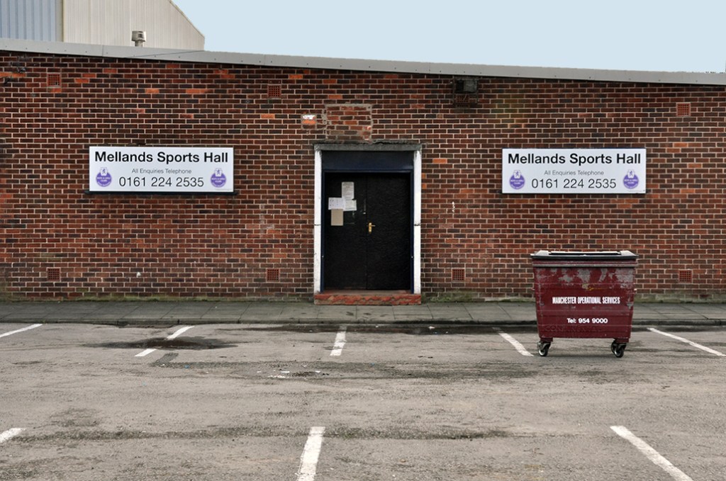
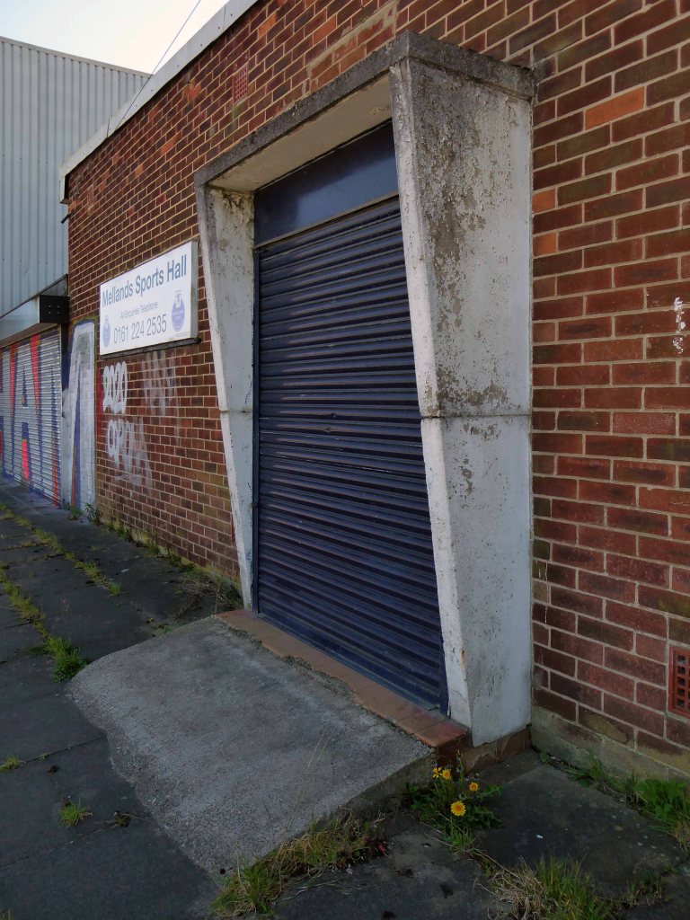
Which are stored by the Sports Hall.
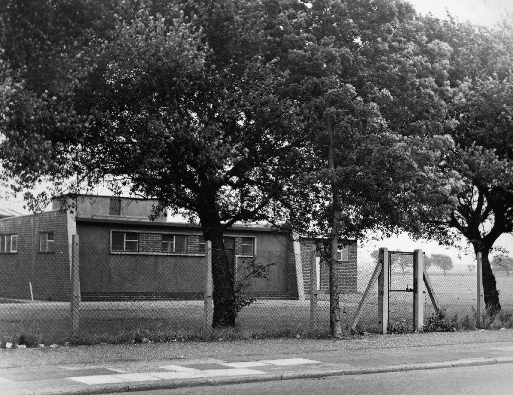
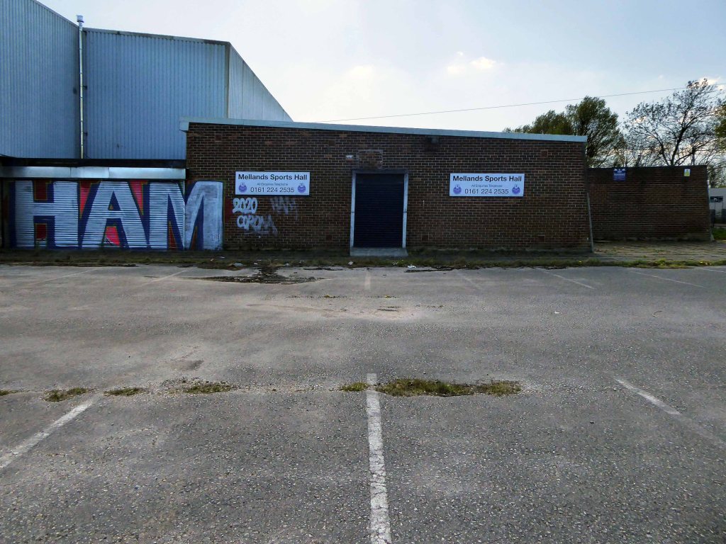
The buildings are mothballed – awaiting what?
For me the concrete and brick functionalist changing rooms are a thing of beauty and seem to have been a part of my life for quite some time, as I cycled back and to – on my way to work.
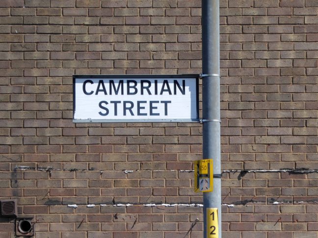
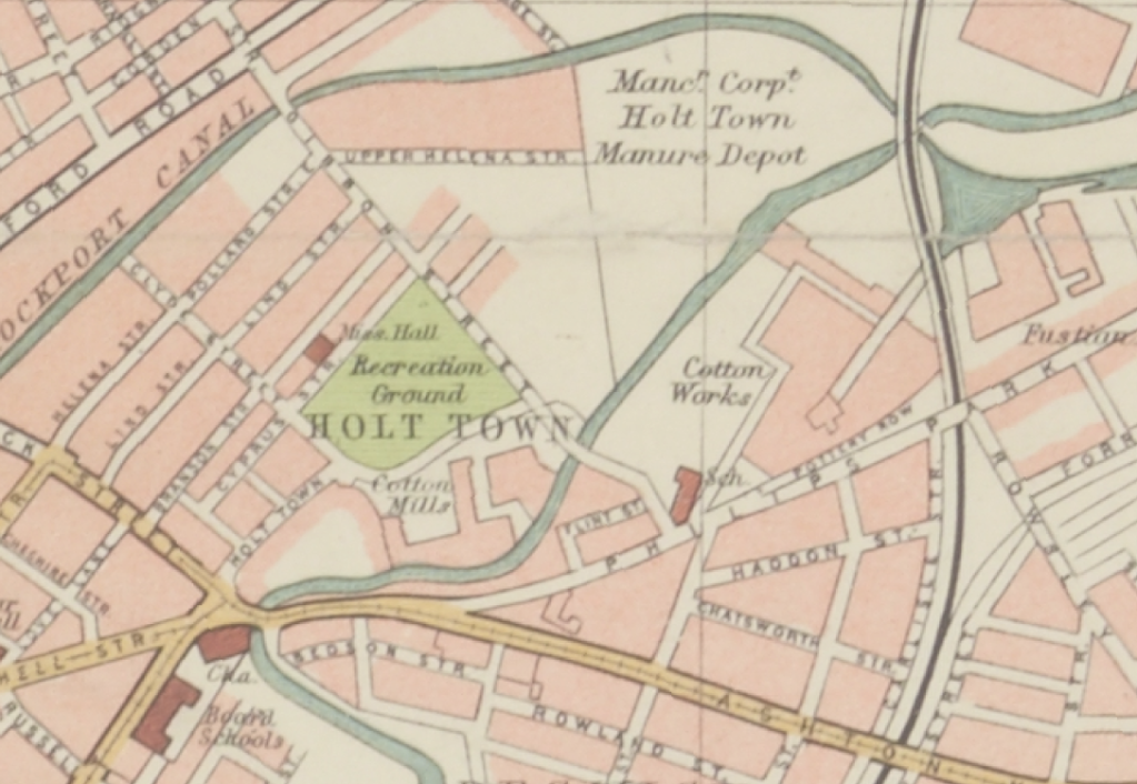
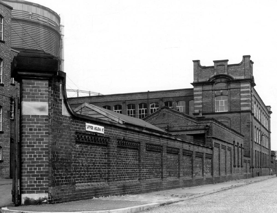
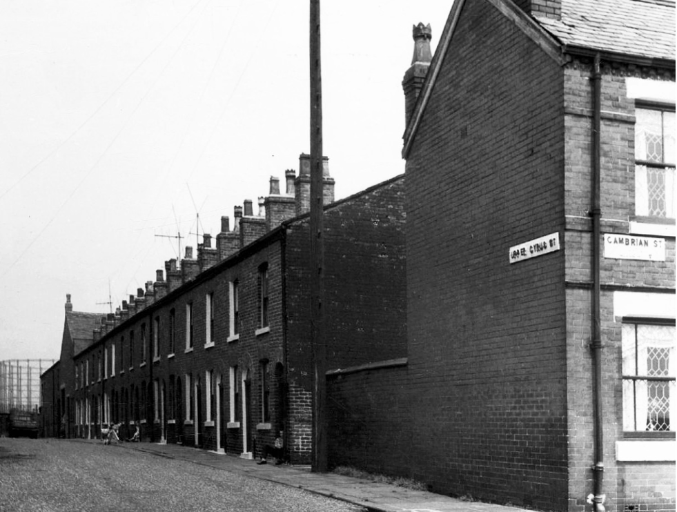
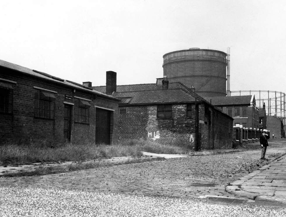
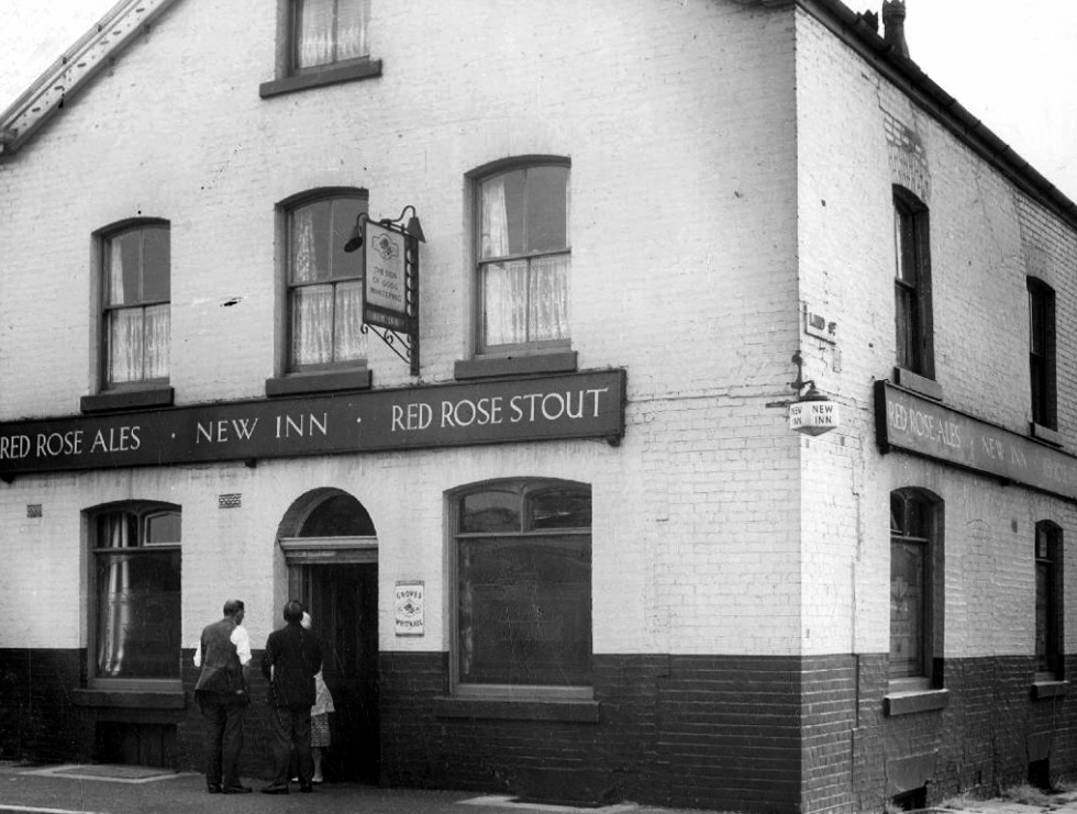
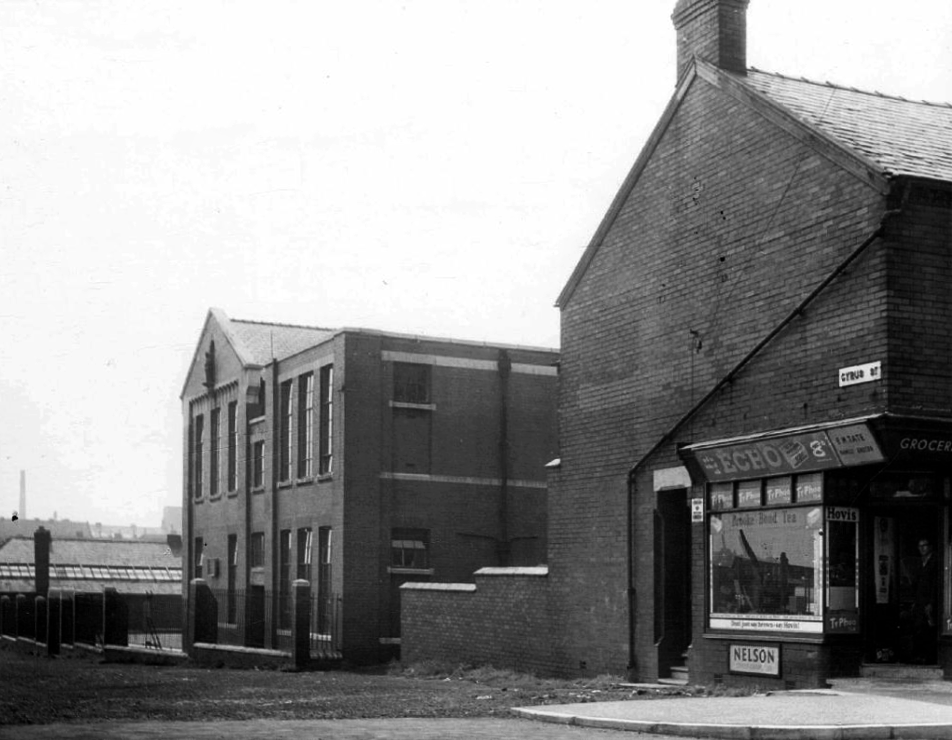
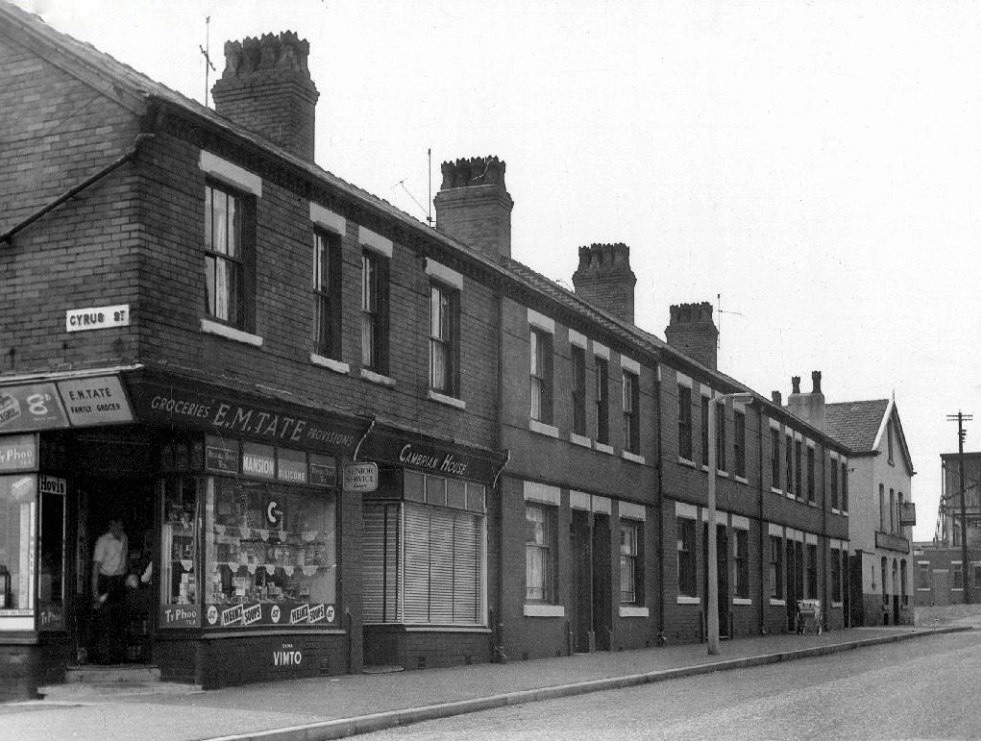
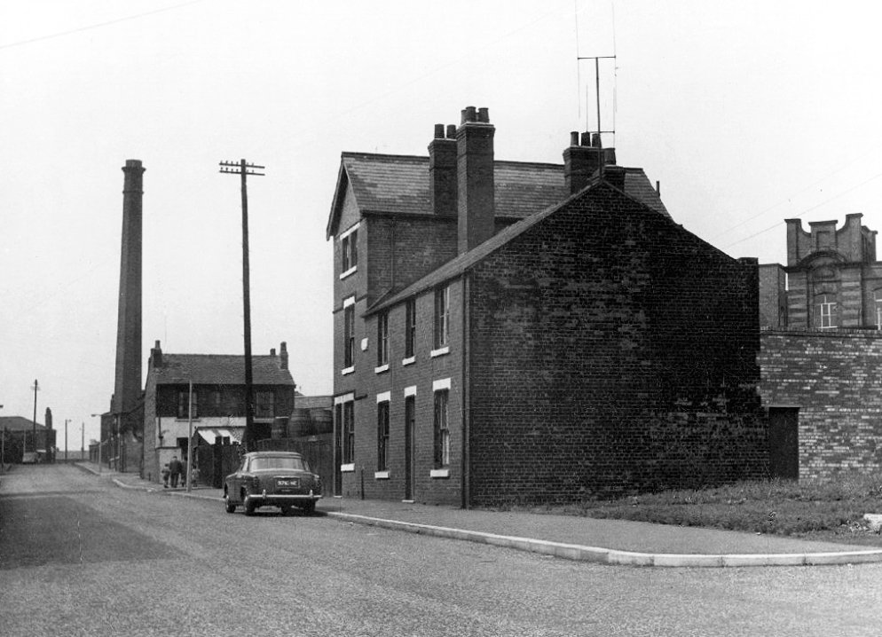
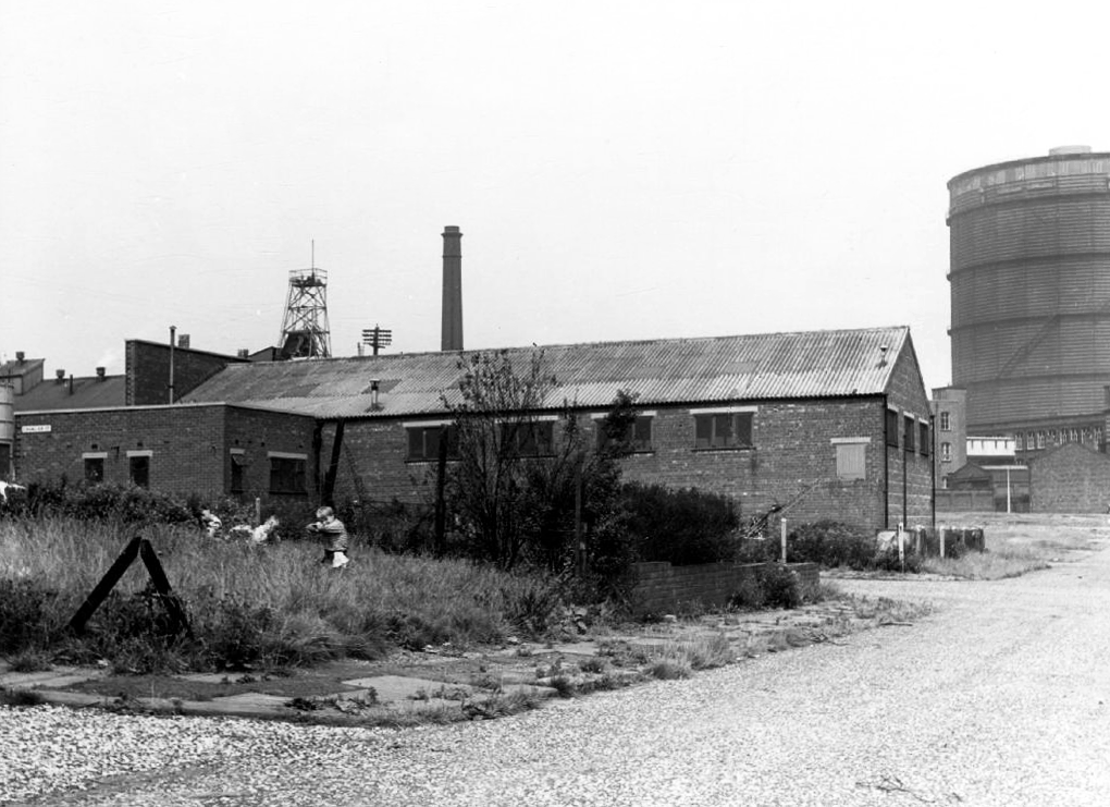
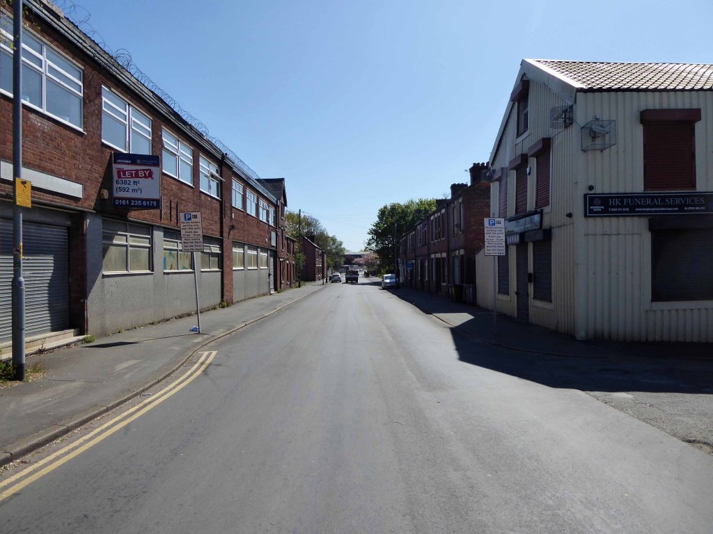
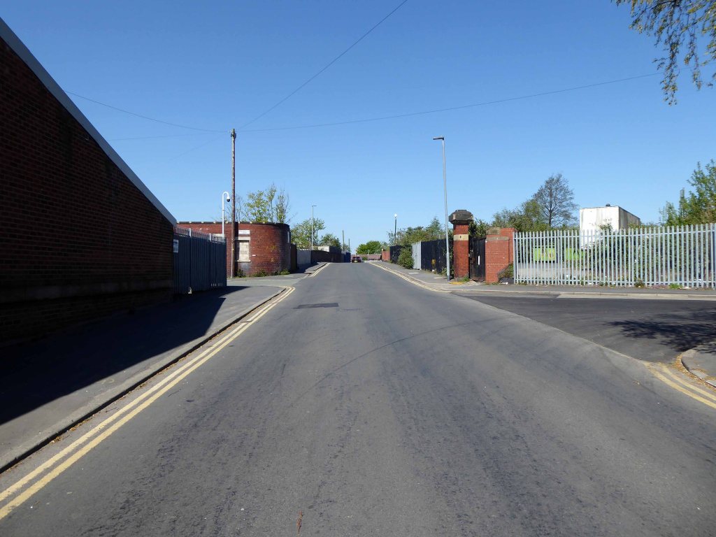
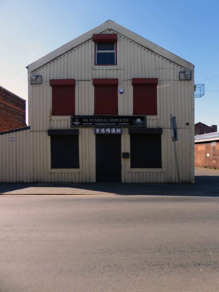
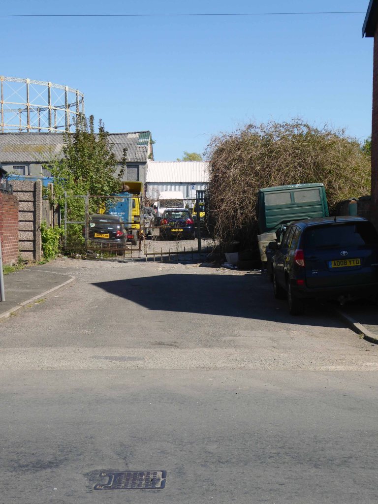
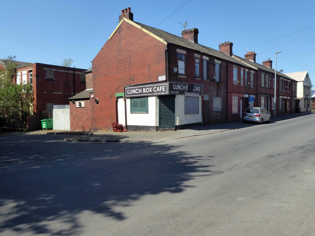
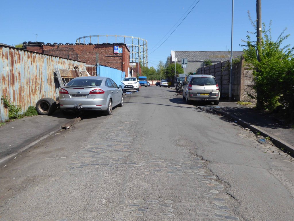
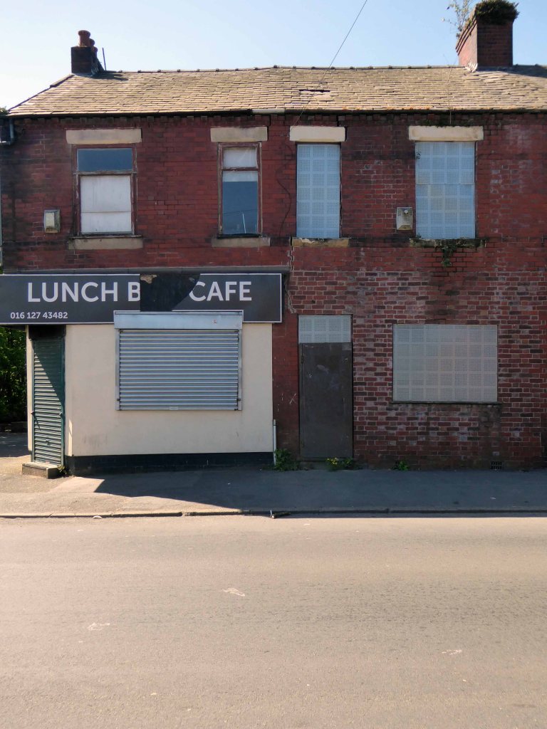
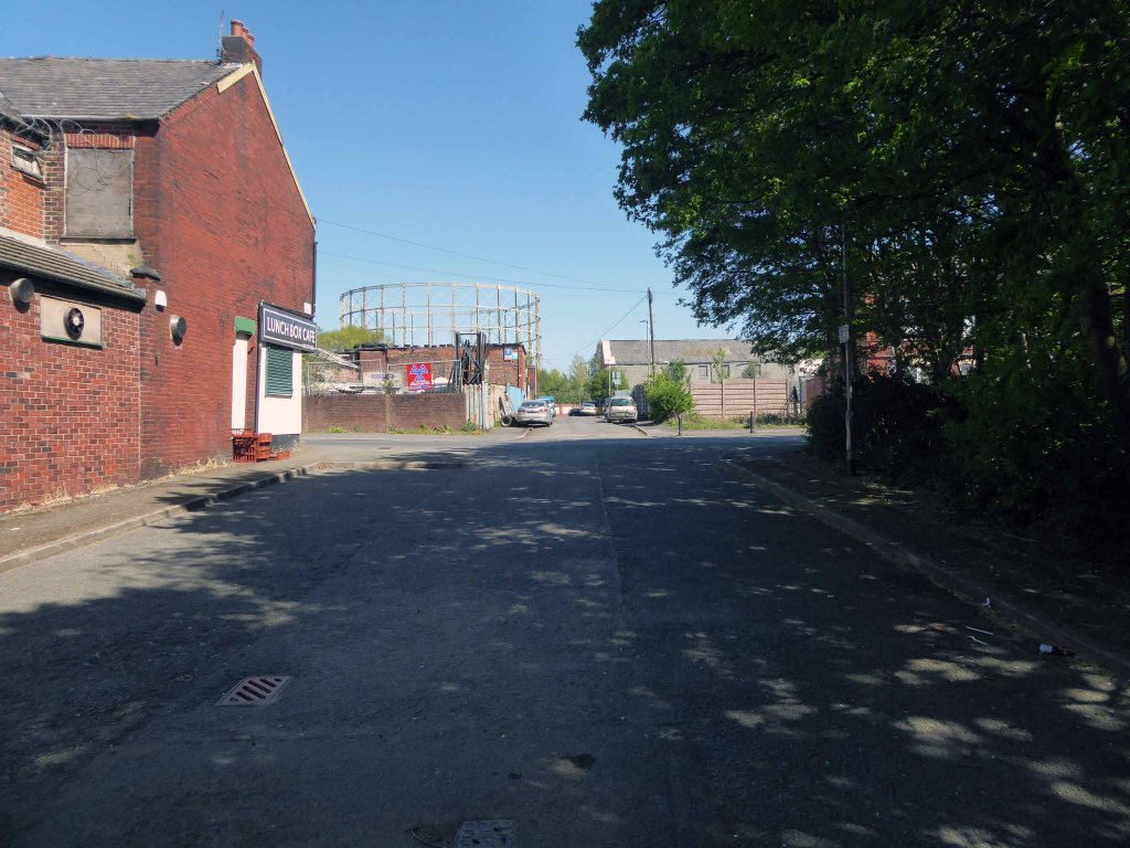
Nothing now remains of this mill complex on Upper Helena StreetThe homes on Upper Cyrus Street are long goneCyrus Street now over grown and Big Bertha demolishedThe New Inn now the Hong Kong Funeral HomeSt Annes School and the shop now closedIt had become the Luchbox Café now also closedStill standing
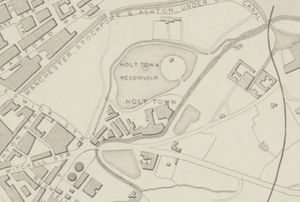
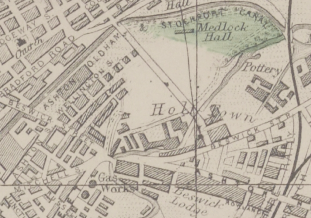
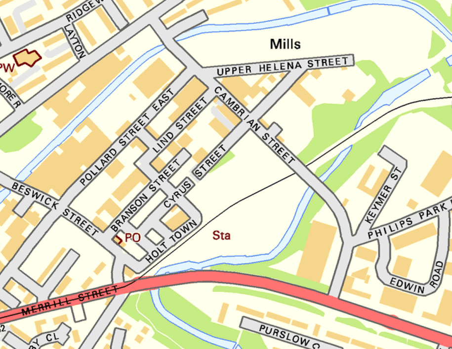
The area was my playground. Holt Town was always a but scary, there were old factories along the opposite side with wartime helmets in. A scrap yard under the arch. I remember sucking up mercury off the floor with a straw obviously from a spillage, no thoughts of danger, I’m alright now. The Seven Wonders, as we knew it, River, canal, railway, road, waterfall all crossing each other, not sure why? A fantastic industrial area to grow up in. The Don Cinema at the top corner at Mitchell Street and Ashton New Road.
I could go on.
Philip Gregson
Time’s up for the tiny urban cowboys.
Let’s see what’s going on.
Former football fieldUpper Cyrus StreetLind StreetUpper Helena StreetPollard StreetLanstead DriveCyrus StreetSt Annes SchoolCyrus StreetDevil’s StepsRiver Medlock
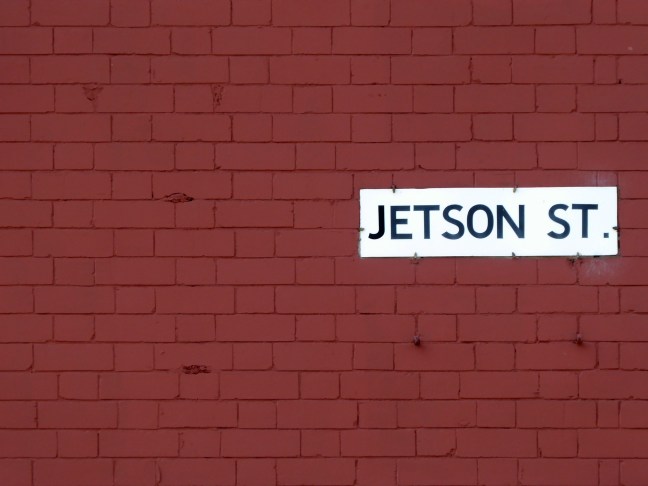
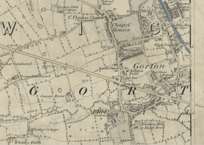
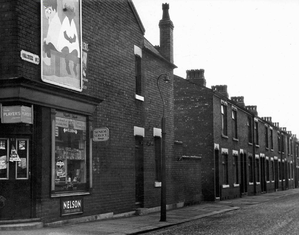
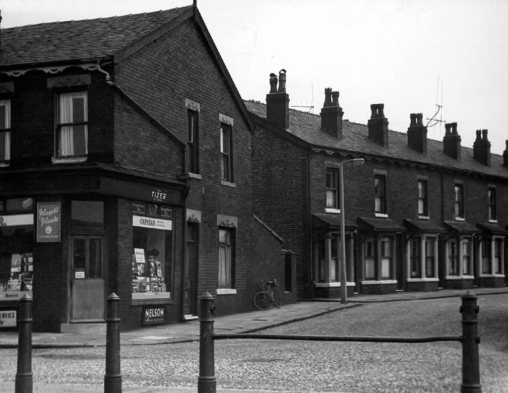
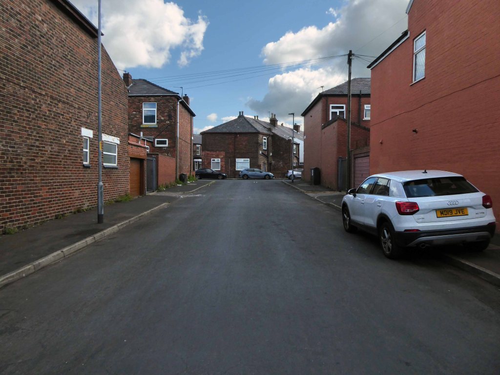
We are travelling backwards and forwards in time – firstly back to 1845 when the street was yet to be built, before the Industrial Revolution created the need for workers’ homes, to house the workers from the newly built workplaces, which also did not yet exist.
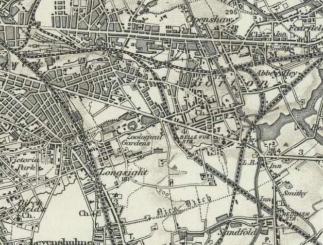
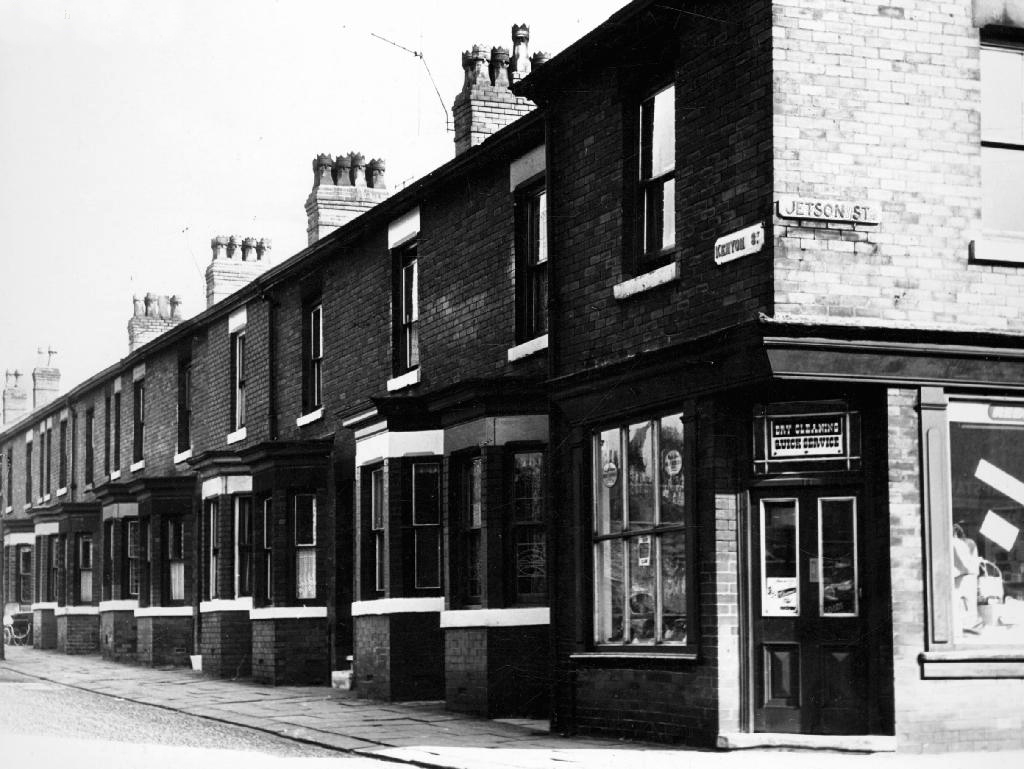
A little further forward to 1896 when Jetson Street has emerged fully formed from the fields, along with rail, road, amusement and industry.
1896
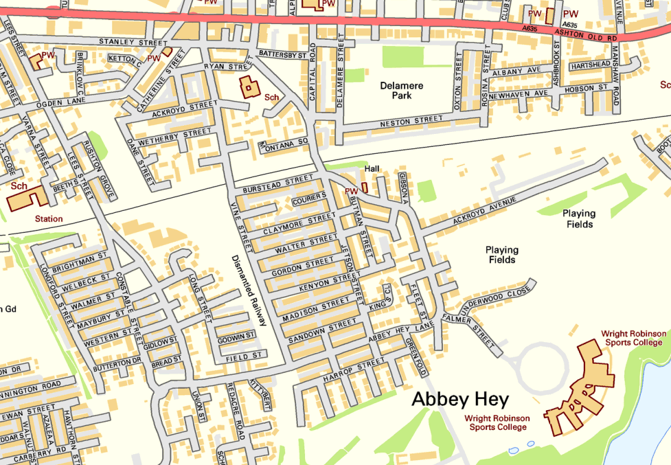
Fast forward to today and it’s all almost still there – though most of the work and the majority of the amusement has evaporated into a cloud of post-industrial, Neo-Liberal economic stagflation.
So why am I here – fast forward to the fictional future!
As a kid I watched as the Jet Age emerged before my very square eyes, giving the street a certain cosmic charm – I was curious.
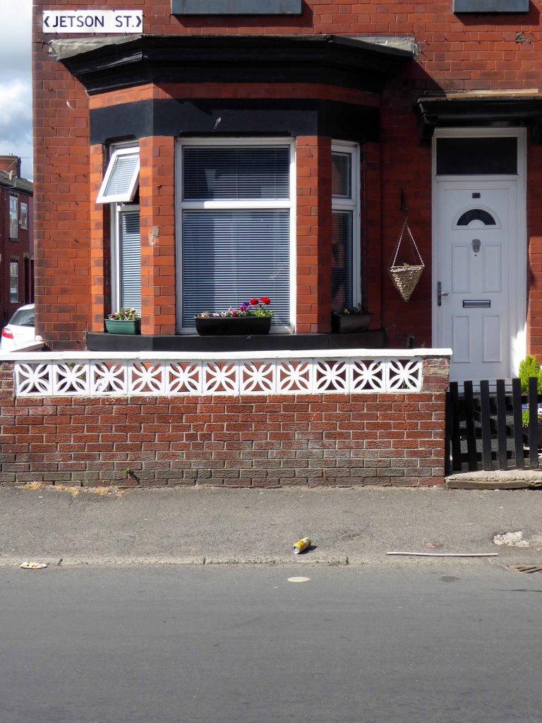
I have searched online – this seems to be the one and only Jetson Street in the whole wide world – I searched online for its origins.
The name Jetson means Son Of Jet and is of American origin.
Which quite frankly seems unreasonably glib.
The name Jetson is from the ancient Anglo-Saxon culture of the Britain and comes from the names Judd and Jutt, which are pet forms of the personal name Jordan. These names are derived from Jurd, a common abbreviation of Jordan, and feature the common interchange of voiced and voiceless final consonants.
The surname Jetson was first found in Hertfordshire where they held a family seat from very ancient times, some say well before the Norman Conquest and the arrival of Duke William at Hastings in 1066 A.D.
Which quite frankly seems unreasonably obscure.
Let’s jet back to 1964.
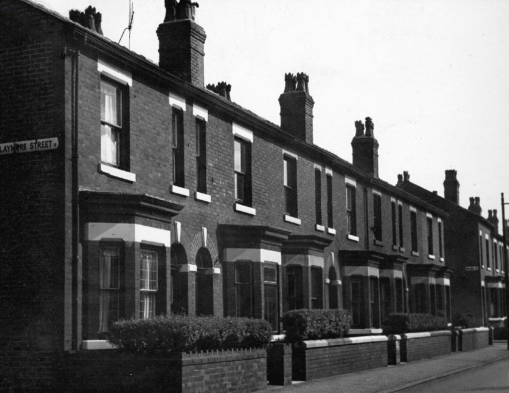
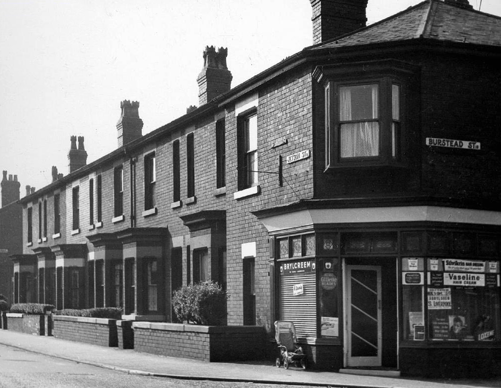
T Brooks wandered these streets taking thousands of photographs for the Manchester Corporation, possibly the housing or highways departments – they all still exist here on the Local Image Collection.
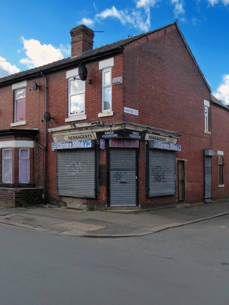
This was a world of corner shops on ever corner, settled communities full-employment, neatly ordered rows of sturdy brick-built homes.
I follow in his hallowed footsteps, what if anything remains of this world – fast forward to 2015 my first fleeting visit.
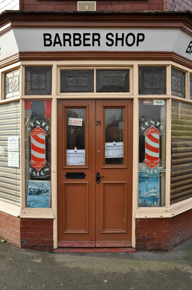
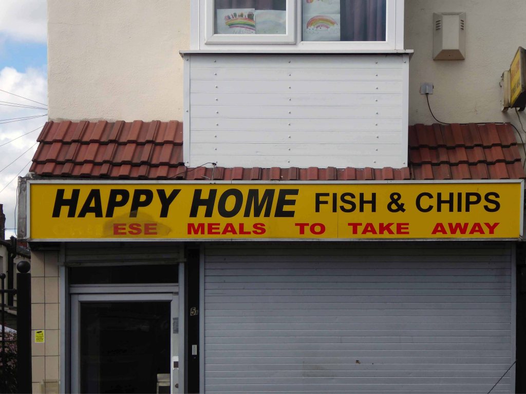
Now trading as Happy HomeA barber shop no more
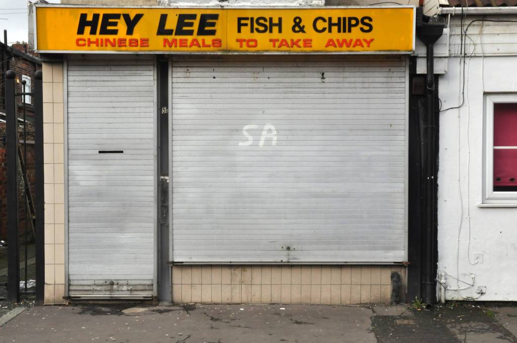
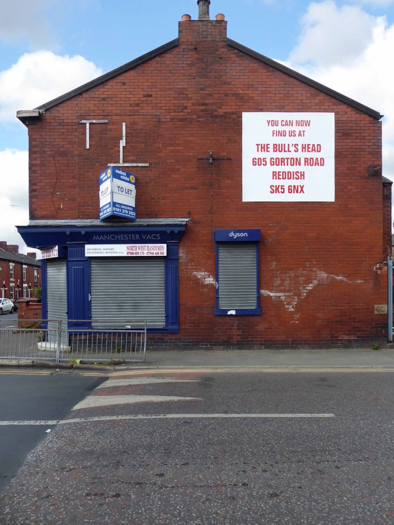
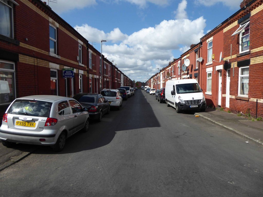
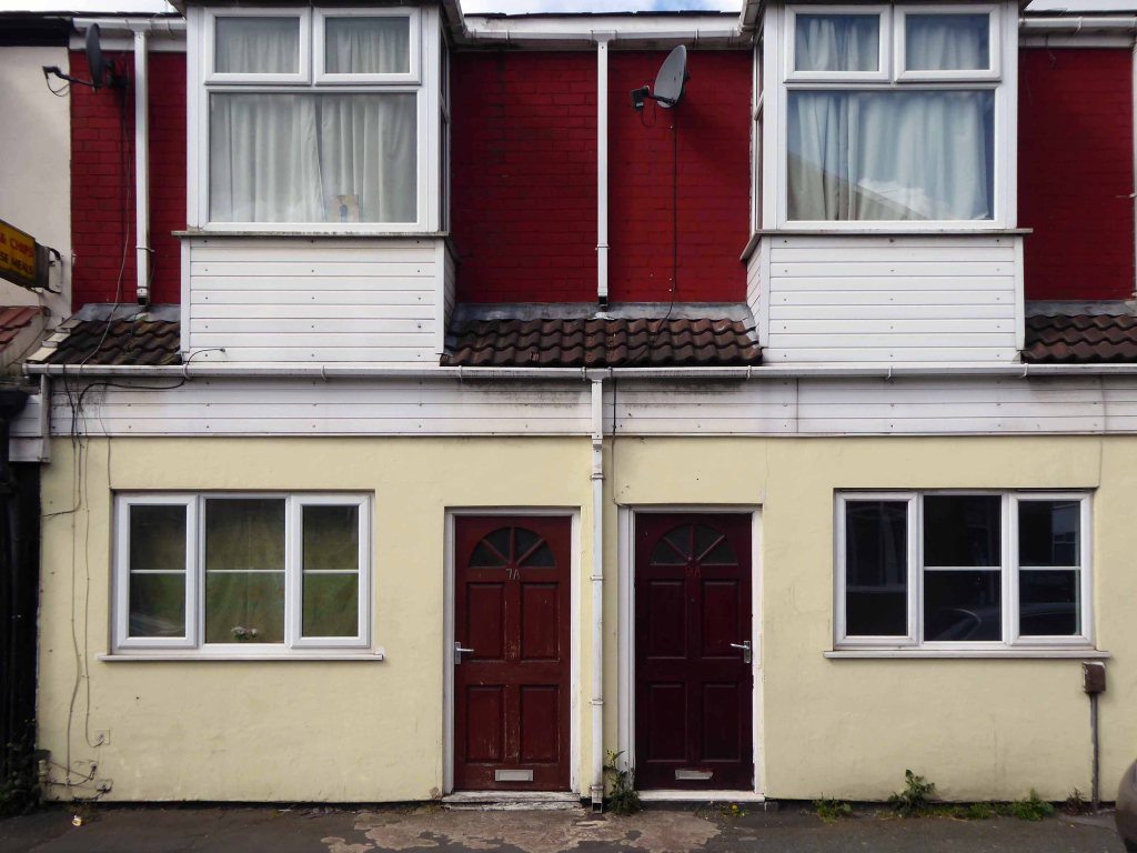
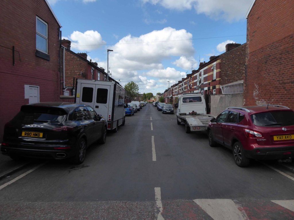
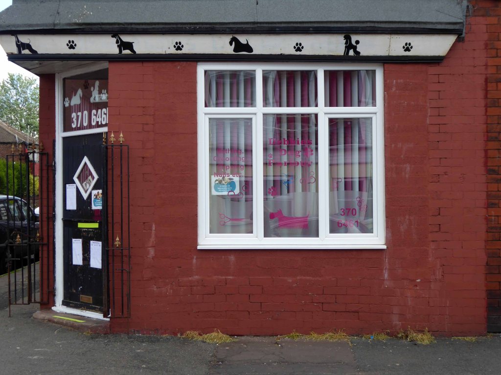
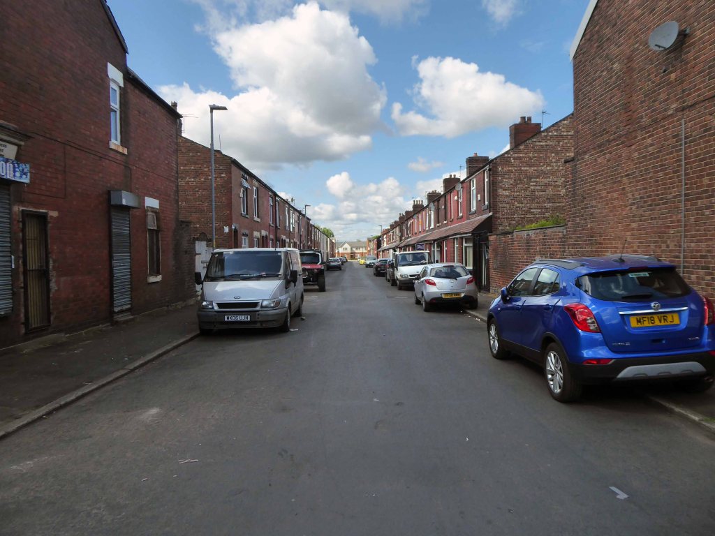
The area now has a richer racial mix – having recently become home to many African and Eastern European families. The architectural consistency of the houses has been swamped by render, window frame replacement, addition and extension, and the arrival of a plethora of motor cars. The majority of shops now long gone, as the once pedestrian community spread their retail wings and wheels elsewhere.
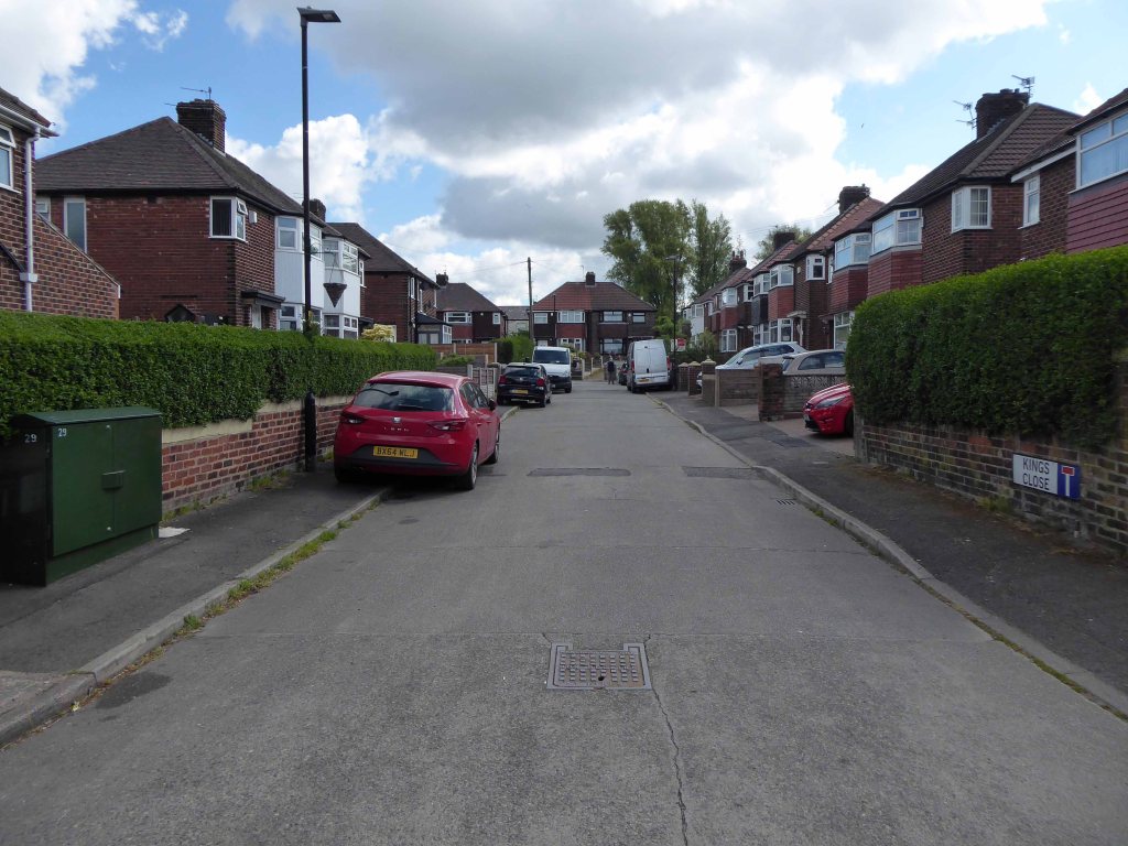
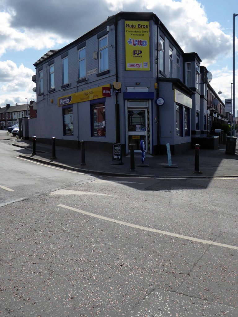
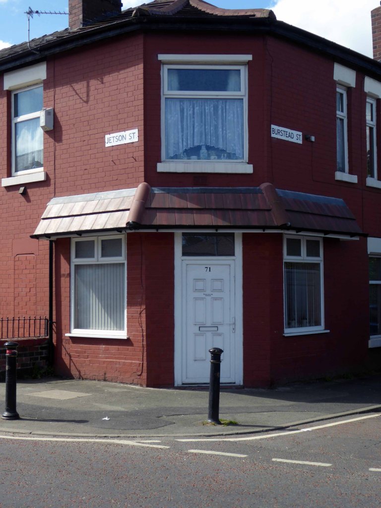
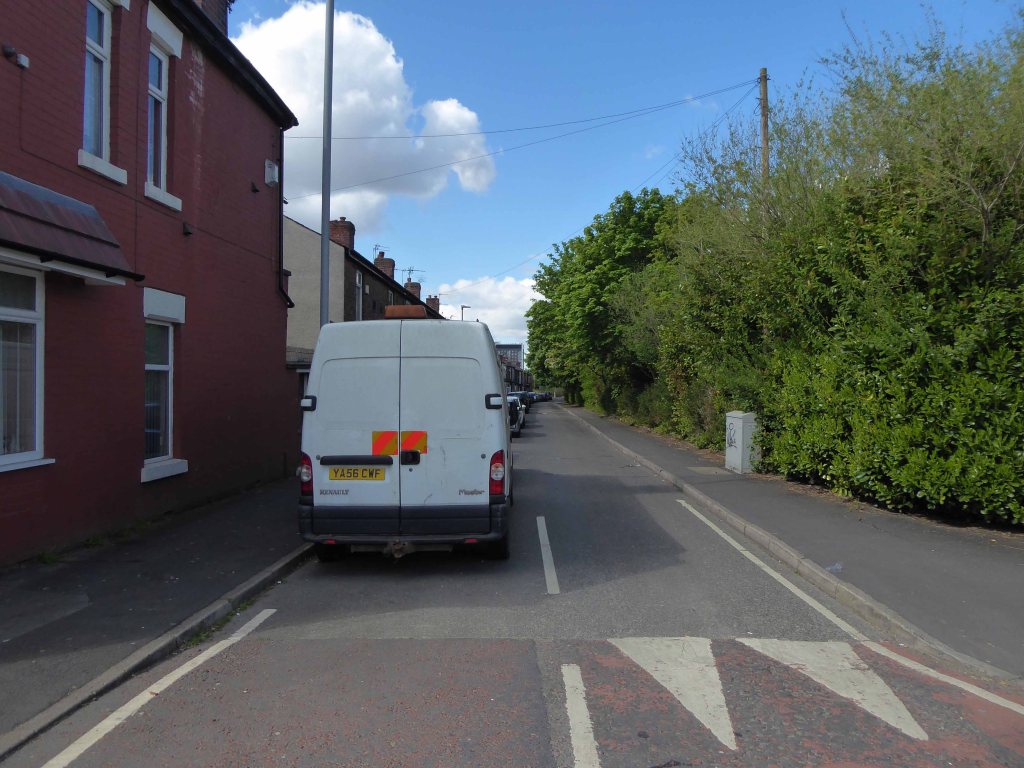
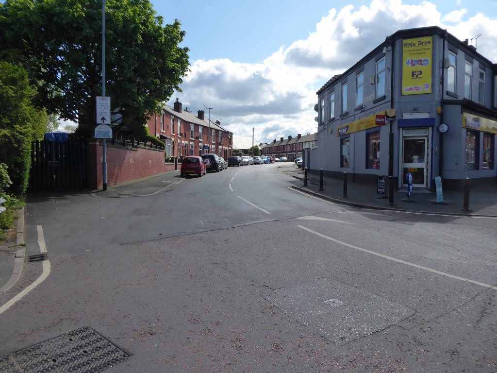
Jetson Street – NorthSandown StreetKings CloseMadison StreetKenyon StreetKenyon StreetSign of the timesGordon StreetJetson Street – NorthJetson Street – SouthWalter StreetWalter StreetClaymore StreetClaymore StreetCourier StreetThe only remaining front doors and tiled porch every other having been given over to the allure of uPVC and the enclosed doorwayMy on street correspondent congratulated the Raja Brothers on the sound service they had provided during these difficult times.Where the barbers wasBurstead StreetAbbey Hey Lane
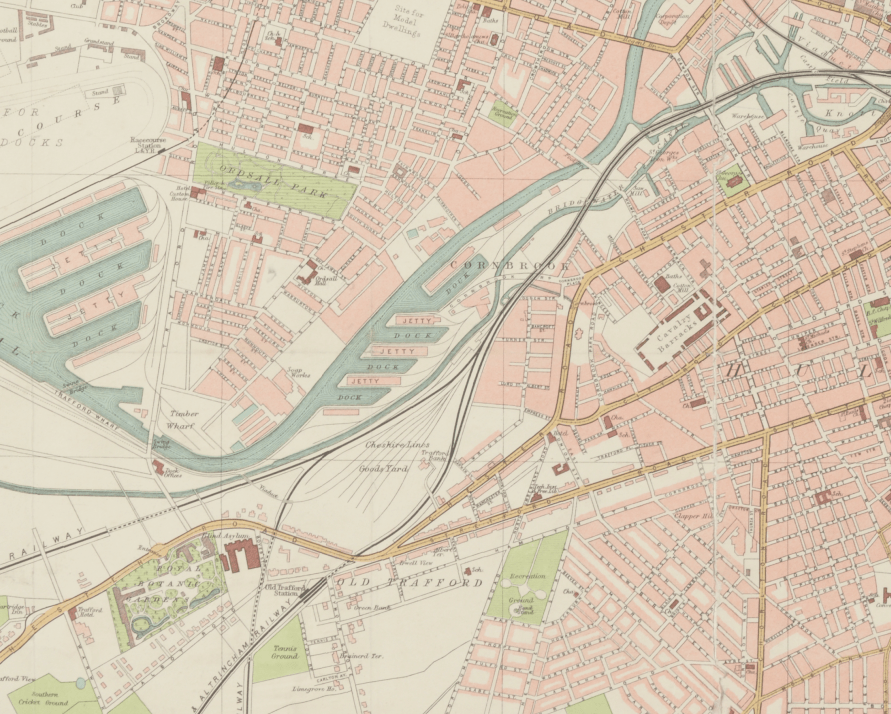
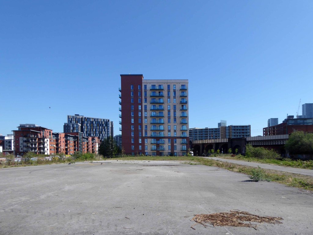
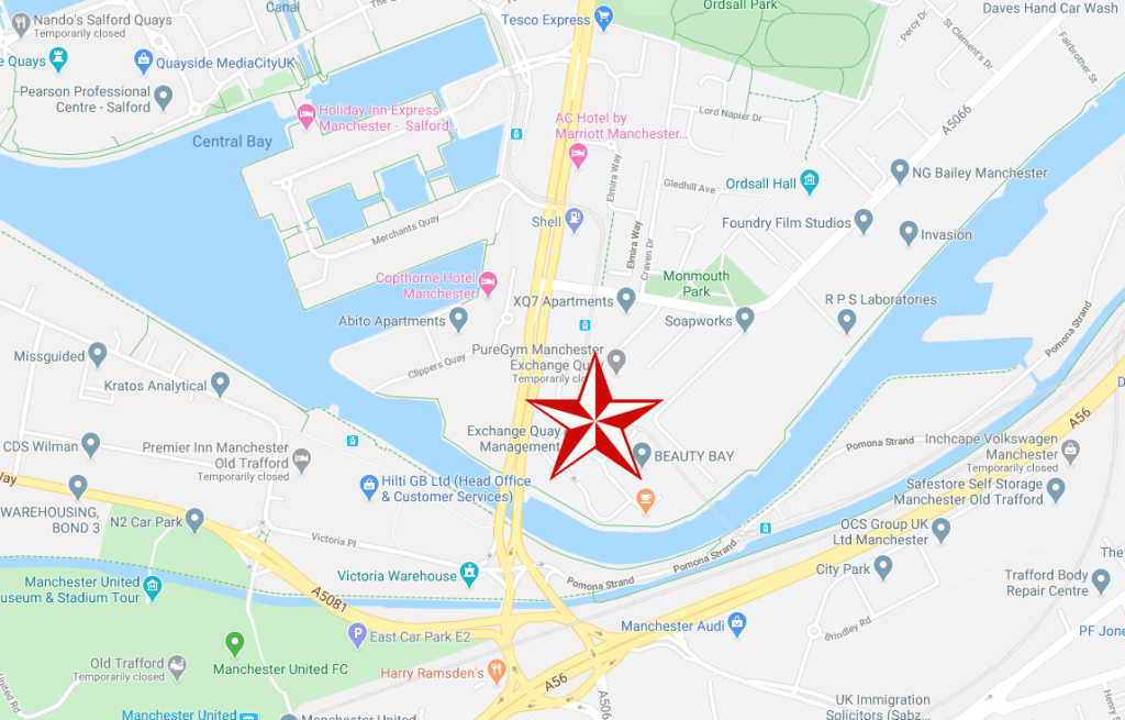
The River Irwell bisects Salford and Manchester, joining the rivers Irk and Medlock, and then turns west toward Irlam, as part of the Manchester Ship Canal. Its course ends just east of Irlam, where it empties into the Mersey.
Urban development is ever so often dependent upon rivers – for sustenance, commerce and amusement. The Irwell and latterly the developments of the canal system has provided all of these in superabundance.
By 1870 the Pomona Gardens is thriving , boasting a concert hall and banqueting suite – further details here from Skyliner.
In the summer of 1887, a nearby chemicals factory exploded, damaging the palace – the area was under threat and destined to rot away to obscurity: the following year the gardens closed forever.
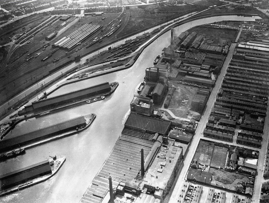
By 1900 the Ship Canal, docks and railways had arrived – Manchester and Salford are at the centre of an unprecedented growth in manufacture and trade.
189119231950
During the 1970’s the docks began a rapid decline, largely due to containerisation. The increasing size of freight-carrying ships meant they could no longer navigate the ship canal and this, combined with increased trading with Europe and the east, saw use of Manchester Docks decrease. In 1982 the remaining docks closed and the area became derelict. Recognising the need to redevelop the area, Salford City Council purchased the docks in 1984 using a derelict land grant. The Salford Quays Development Plan was adopted in May 1985, proposing complete reclamation and development of the area for commercial, residential and leisure use.
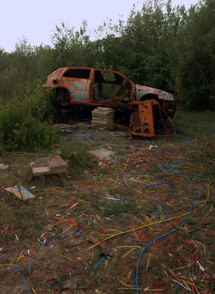
Manchester and Salford begin the long haul from post industrial decline to service centred cities – there were even seeds sewn for the development of a luxury marina. When I first visited Pomona the area was seriously overgrown and the underground wiring stripped out.
201020102020
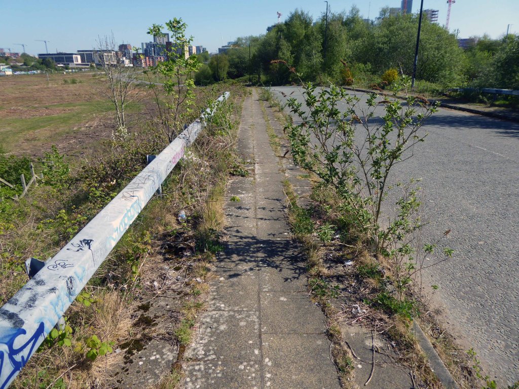
Remnant of the initial scheme – pedestrian access, balustrade and lighting.
What would poor old Pomona make of all this?
There was a failed attempt to prevent further development and return the area to nature. Peel Holdings prevailed and pressed on relentlessly with their programme of urbanisation.
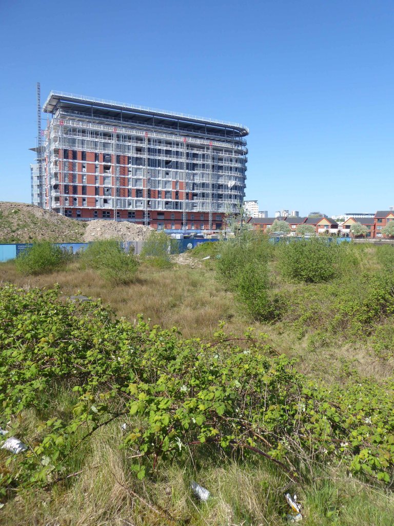
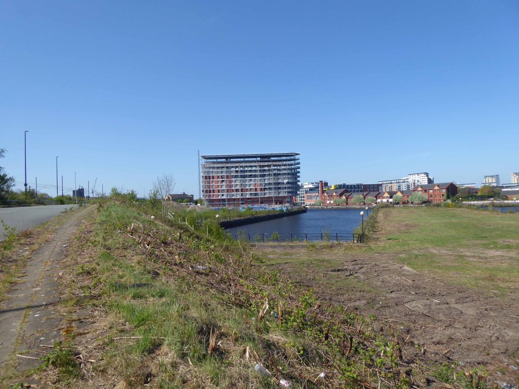
So it’s April 2020 – I’m on my way from somewhere else to somewhere else, I’ll cut across Pomona Island – the building site is in lockdown – ain’t nobody home.
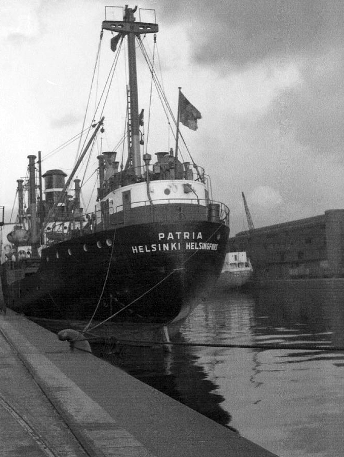
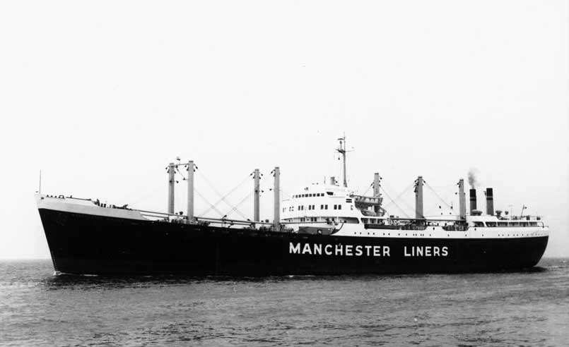
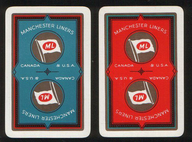
In 1898 Manchester Liners Ltd was launched, four second hand ships were purchased and the company naming policy of applying the prefix Manchester was established.
The company began to operate services to Canada and the USA. Manchester Liners started WW1 with 15 ships in its fleet. During the war 10 ships were lost to enemy action, but because of the purchase of replacements the fleet was at 12 in 1918.At the outbreak of WW2, Manchester Liners had 10 ships in service. War losses were 7 ships, but the delivery of war-standard ships maintained the fleet at 8, which was sufficient to resume a weekly service to Canada.
The Manchester dockworkers strike record became so bad, that in 1973 the company decided to move half of its container services to Felixstowe. Furthermore, to obtain lower costs per unit, container ships were becoming bigger than the Canal limits.
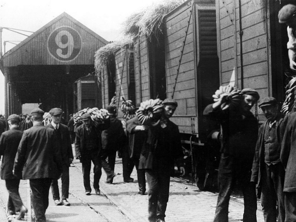
This was a history of economic growth and prosperity, for some. Tangible commerce, the wealth of a nation built on making things, moving things. Cranes, ships, stevedores and sailors, the world and his wife converging at the base of the Manchester Ship Canal.
All this is long gone, containerisation, recession and state engineered shifts in global manufacture and trade.
They took away the cranes.
The area is now awash with intangible activity – what goes on behind the smoked and mirrored glass?
Just who is moving what around, how, where and why?
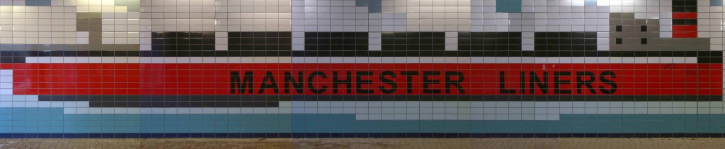
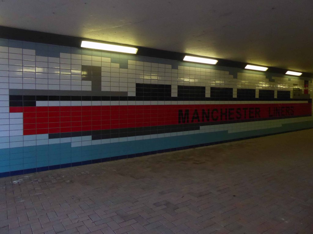
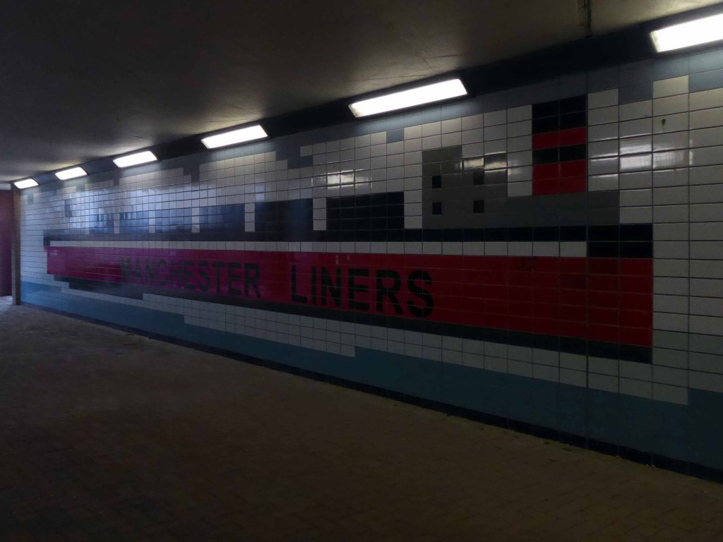
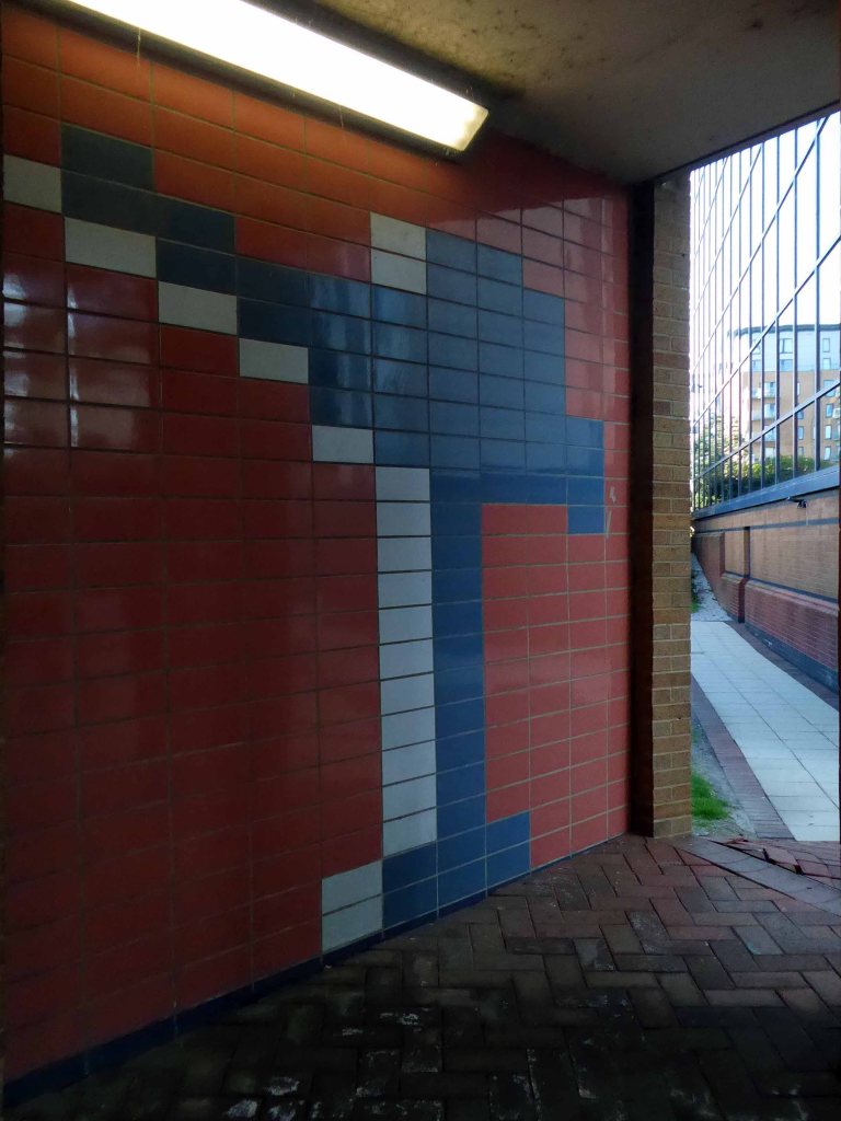
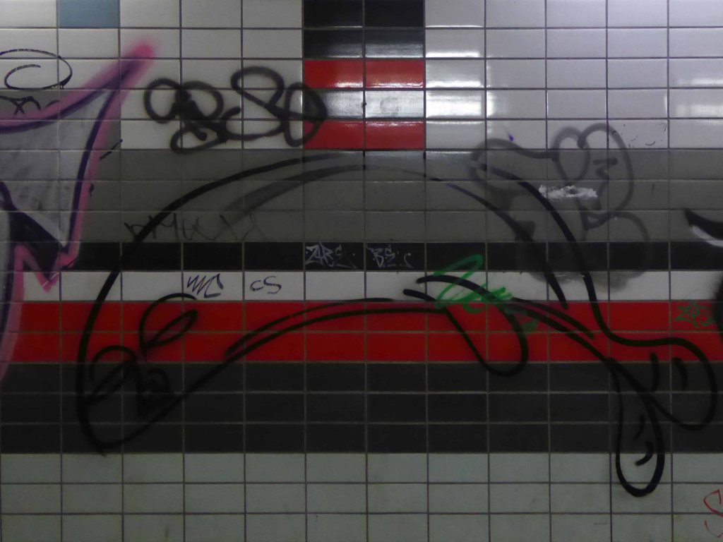
But hidden away between here and there is a tiled underpass.
A permissive path.
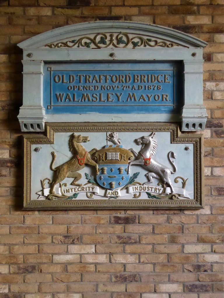
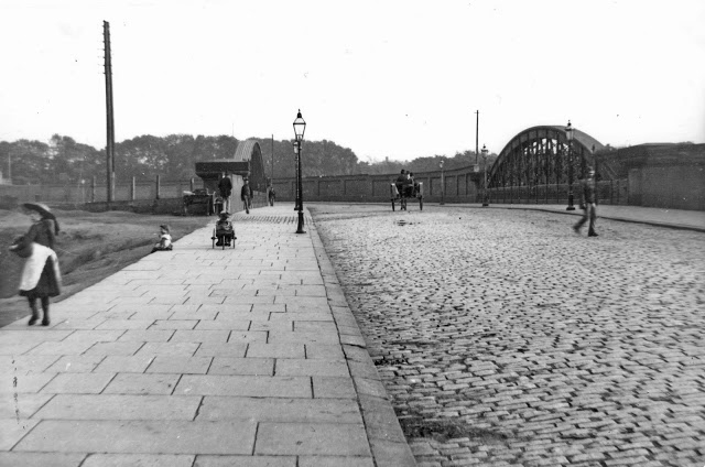
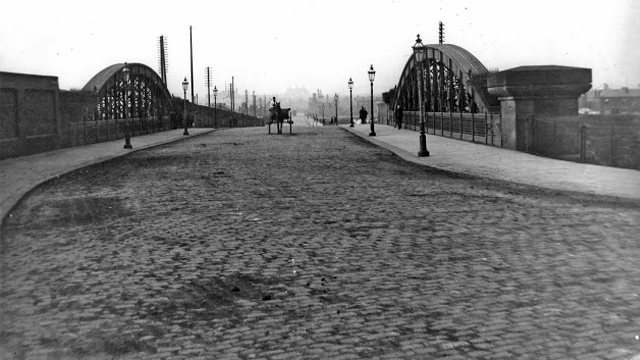
Where once there was a bridge – before the Manchester Ship Canal was built, the course of the River Irwell was approx. 50-100 yards further north of where the Ship Canal now passes under Trafford Road. This plaque is next to a pedestrian tunnel under Trafford Road, roughly on the line of the old navigation.
So here it is a hidden, harshly lit, slightly disabused tribute to the brave souls who sailed the seven seas, stayed ashore, weighed, loaded and shifted stuff.
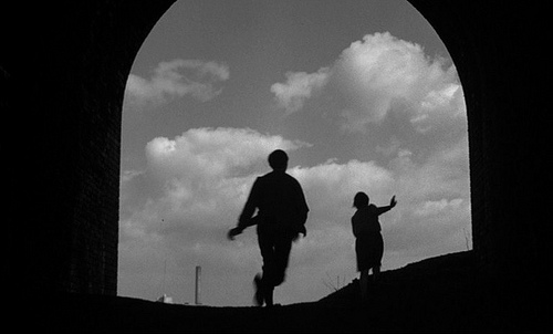
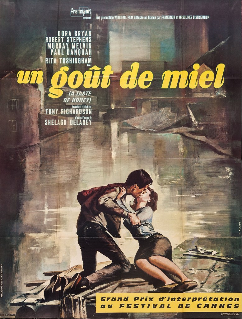
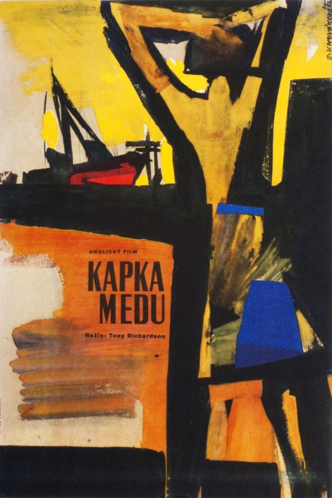
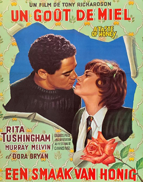
This is a film that has stayed with me for most of my life – first seen as a nipper, fascinated by the fact that it was shot in a very familiar landscape.
As years have passed I have watched and rewatched it, finally resolving to track down the local locations used in its filming.
Studying and pausing the DVD, making thumbnail sketches of frames, researching online – referring to Reelstreets.
I have previously written about the way in which the movie shaped a particular image of the North.
And examined particular areas of Manchester such as Barmouth Street.
The film generated world wide attention and remains just as popular today.
Still watched, still loved, still relevant – here are a selection of photographs I took in 2011 – cycling around Manchester, Salford and just a little closer to home in Stockport.
Timpson’s shoe shop now demolished opposite the Etihad
Phillips Park the back of the gas works in Holt Town
The Devil’s Steps Holt Town
Rochdale Canal
Ashton Canal
All Souls Church Every Street Ancoats
Piccadilly Gardens as we view the city from a moving bus.
Manchester Art gallery – where they watched the Whit Walks.
Albert Square part of the earlier bus ride.
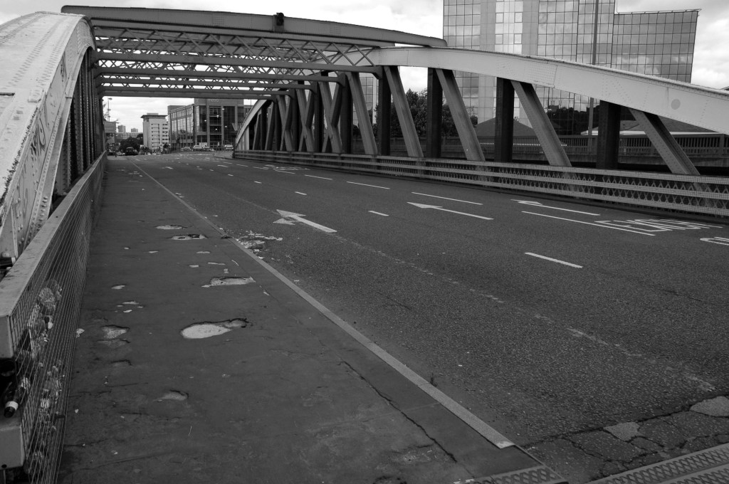
Trafford Swing Bridge
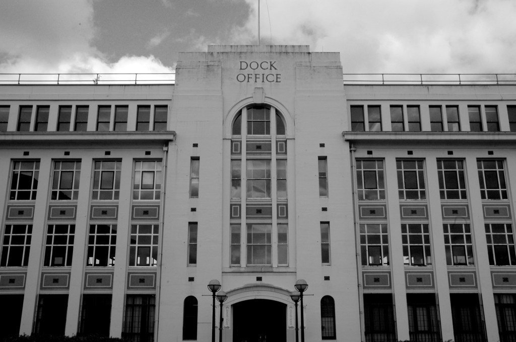
Dock Offices
Chimney Pot Park Salford
Pendleton
Barton Aqueduct
Through my tour I have attempted to capture a sense of the settings as they are – how, if at all, the areas have changed.
There may be some minor inaccuracies or omissions which I am happy to amend.
You may wish to visit the sites yourselves, the majority of which are easily accessible, above all watch the film and appreciate that which is around you.
It’s lockdown so we can’t go far, so from home in Stockport to Collyhurst is within my daily exercise allowance.
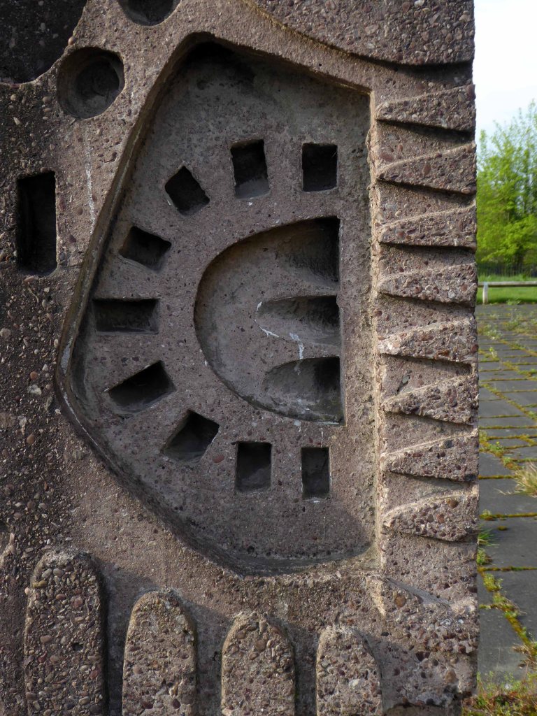
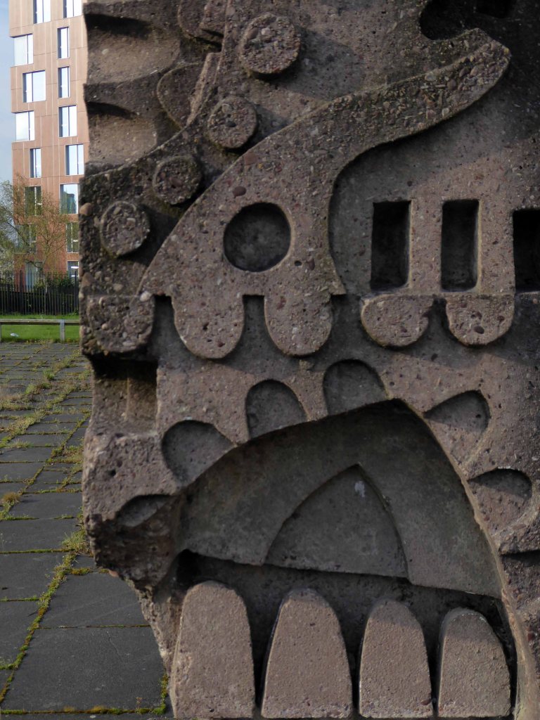
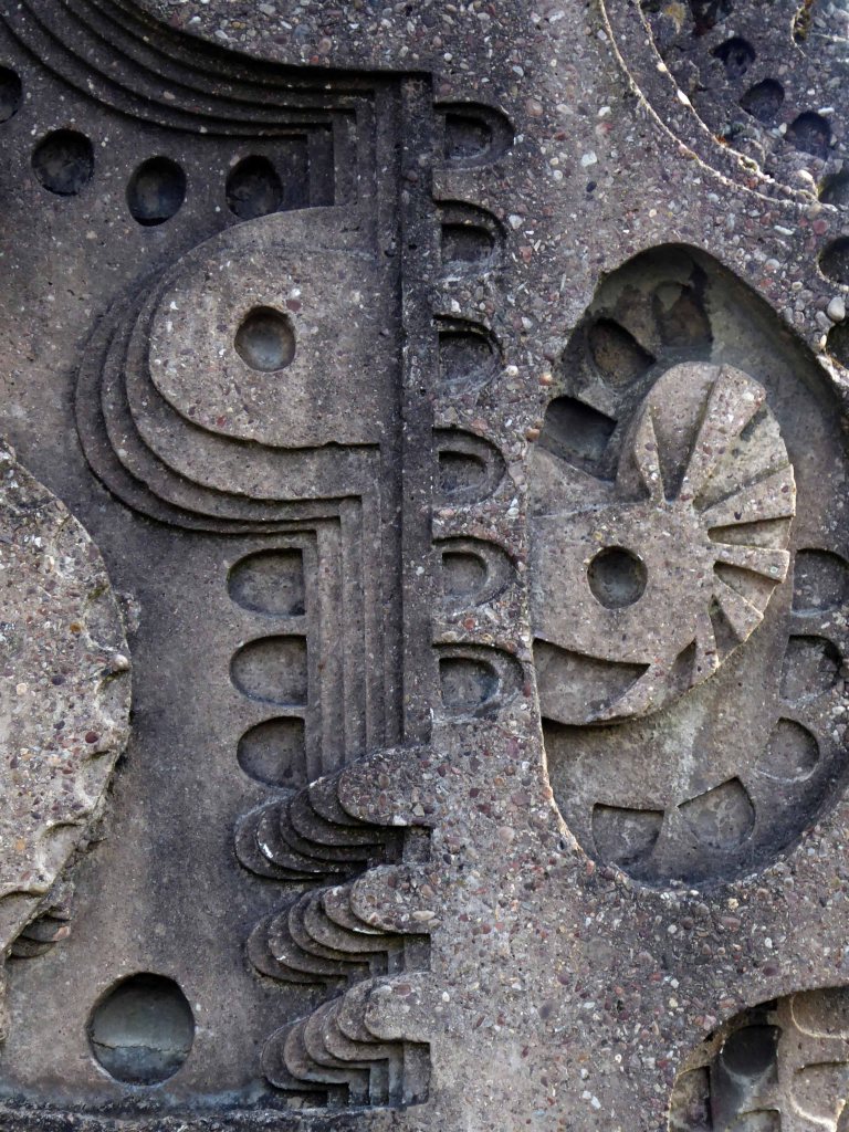
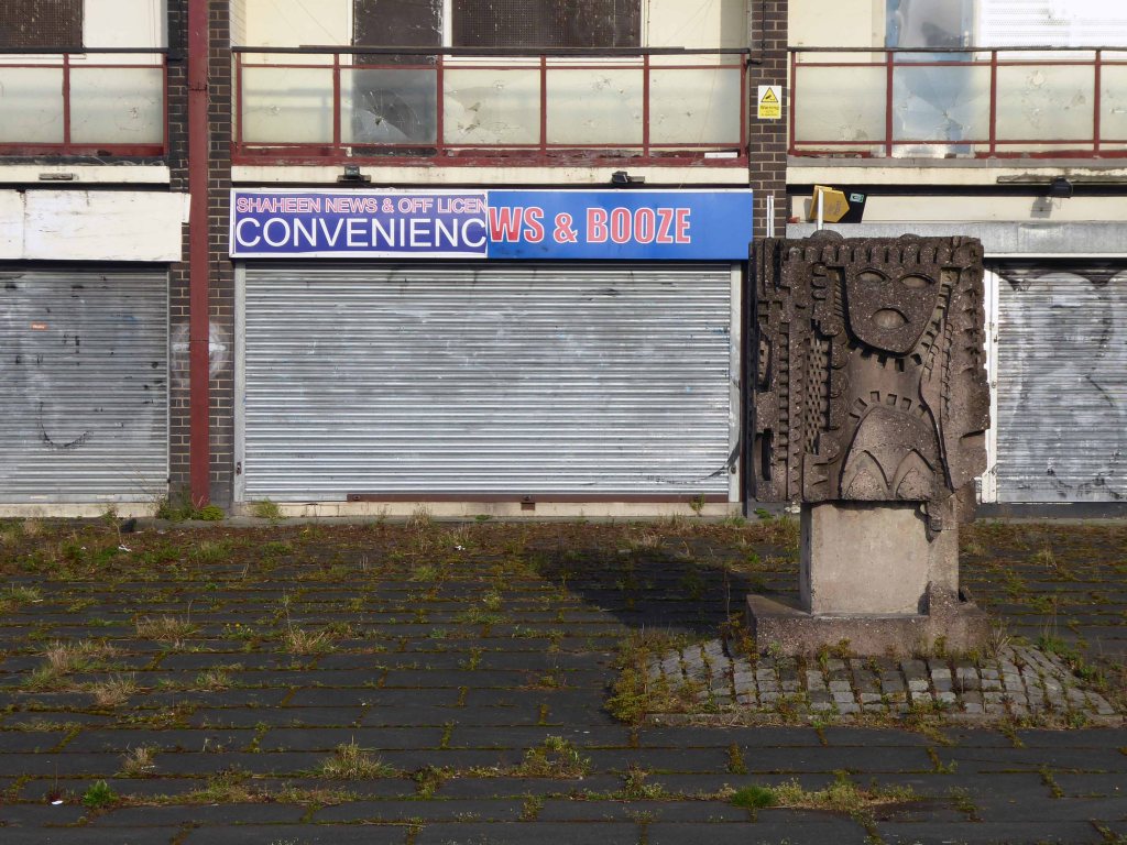
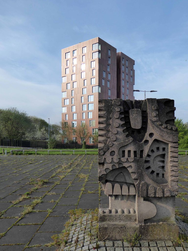
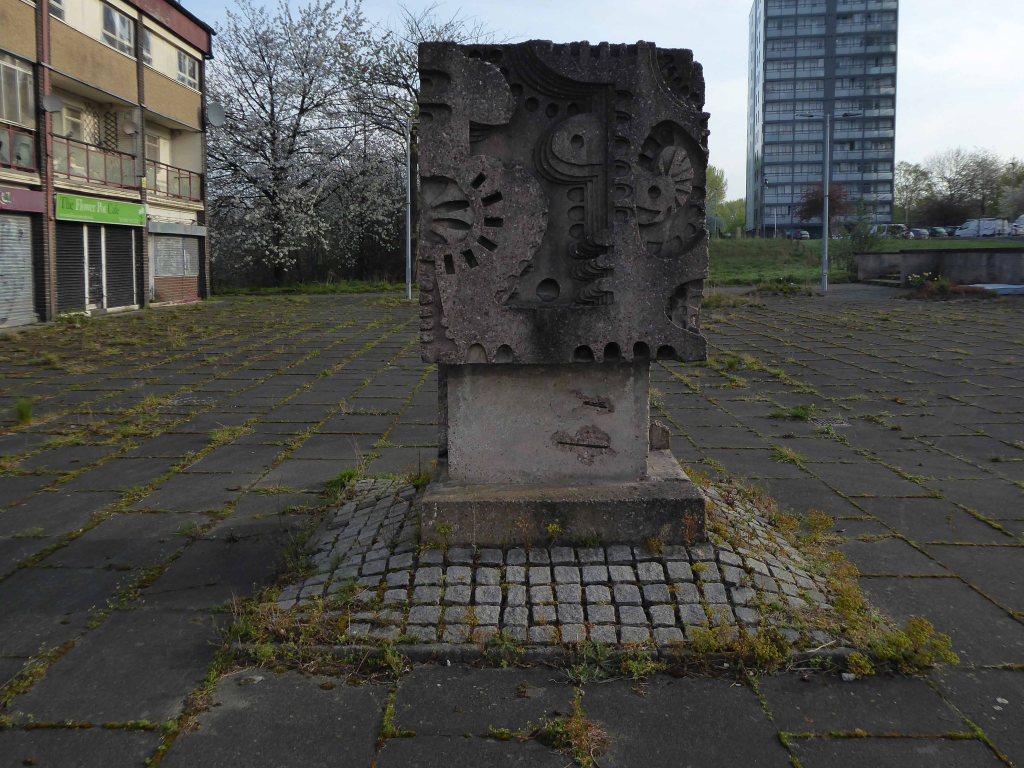
There is talk of relocation for the diminutive Mitchell totem, but as of today no sign of any action – all is in abeyance.
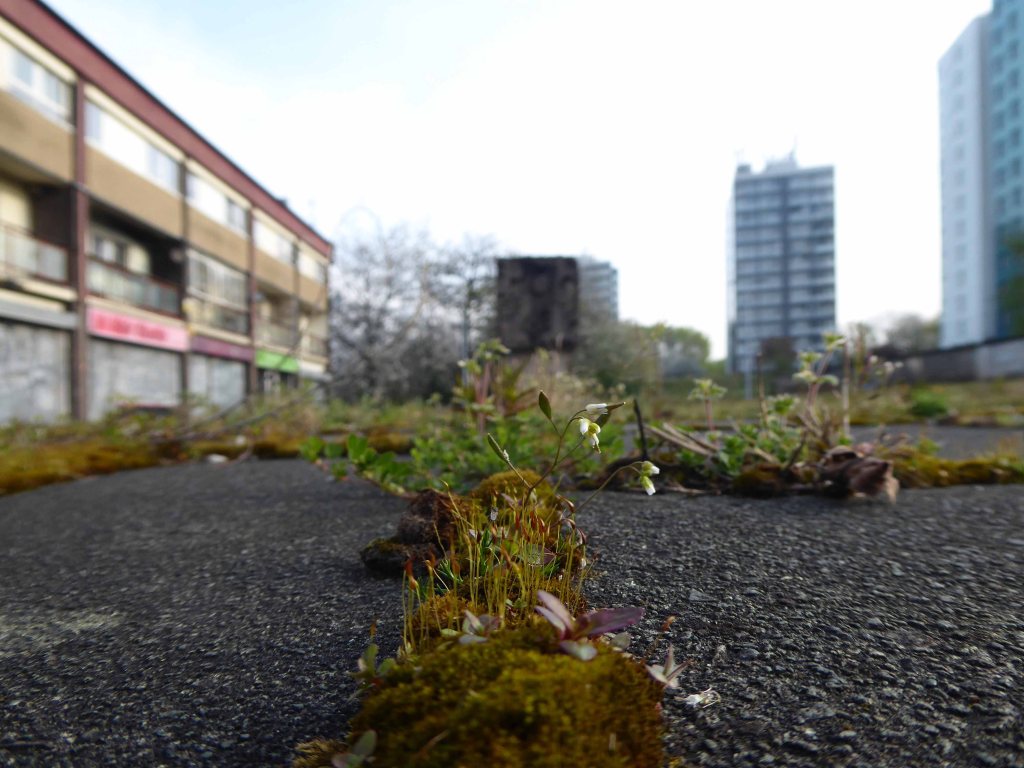
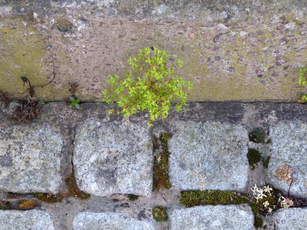
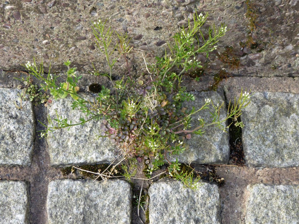
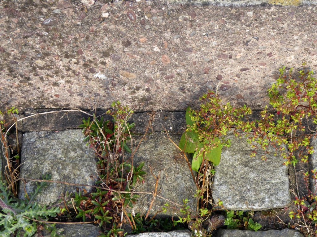
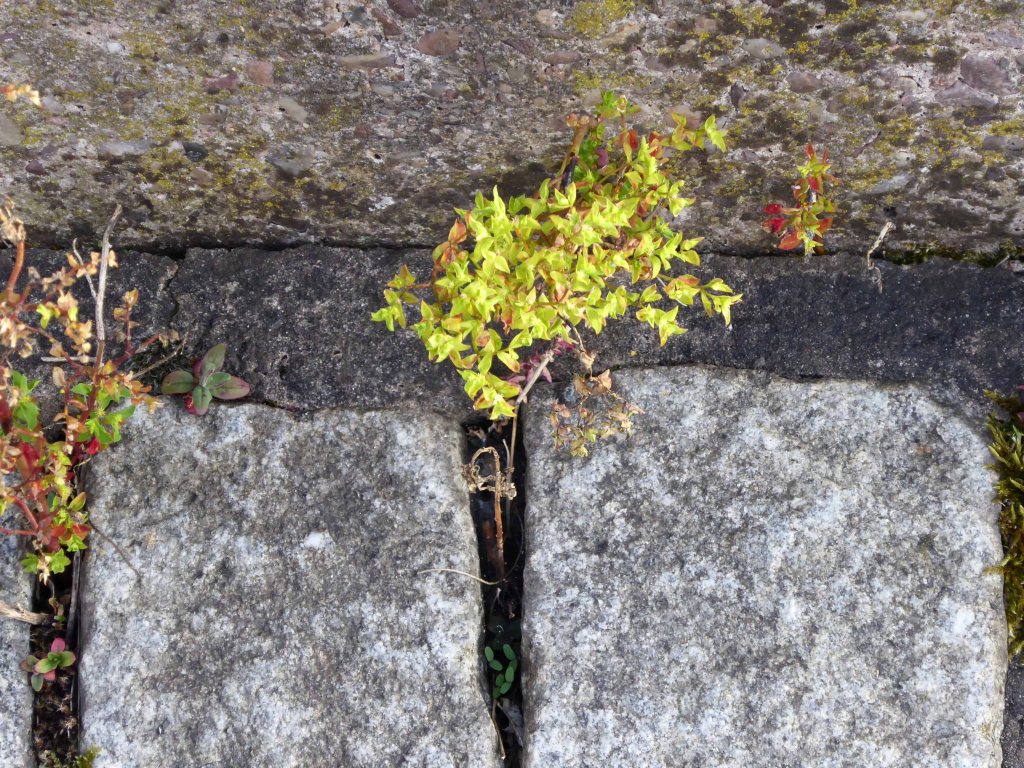
What we do see is the encroachment of flora, cleaner air, low or no level human activity encourages growth between the cracks.
And at the base of the plinth
I took the opportunity to get in close.
Move around in a merry dance.
Quite something to spend time in an ever changing urban space – devoid of company, save for the calming sound of birdsong and the distant rumble of a distant train.
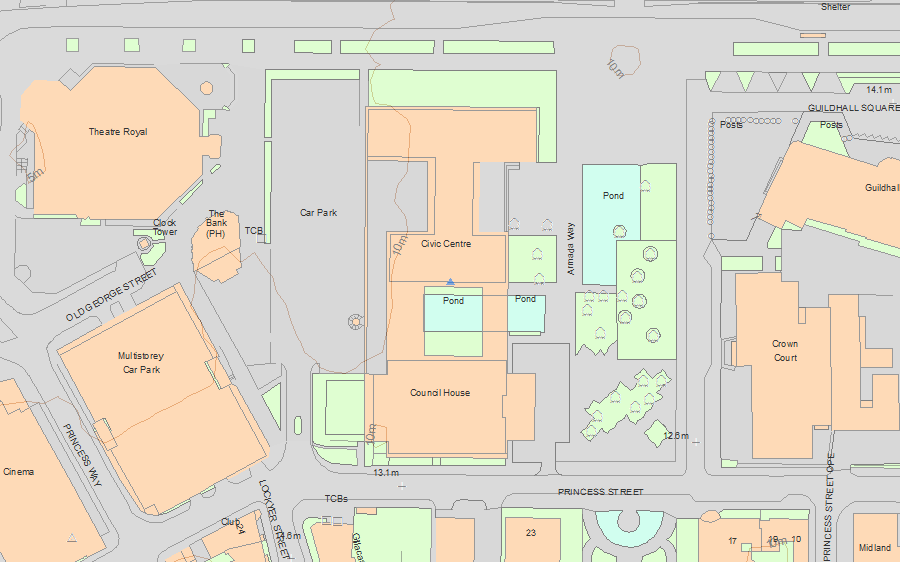
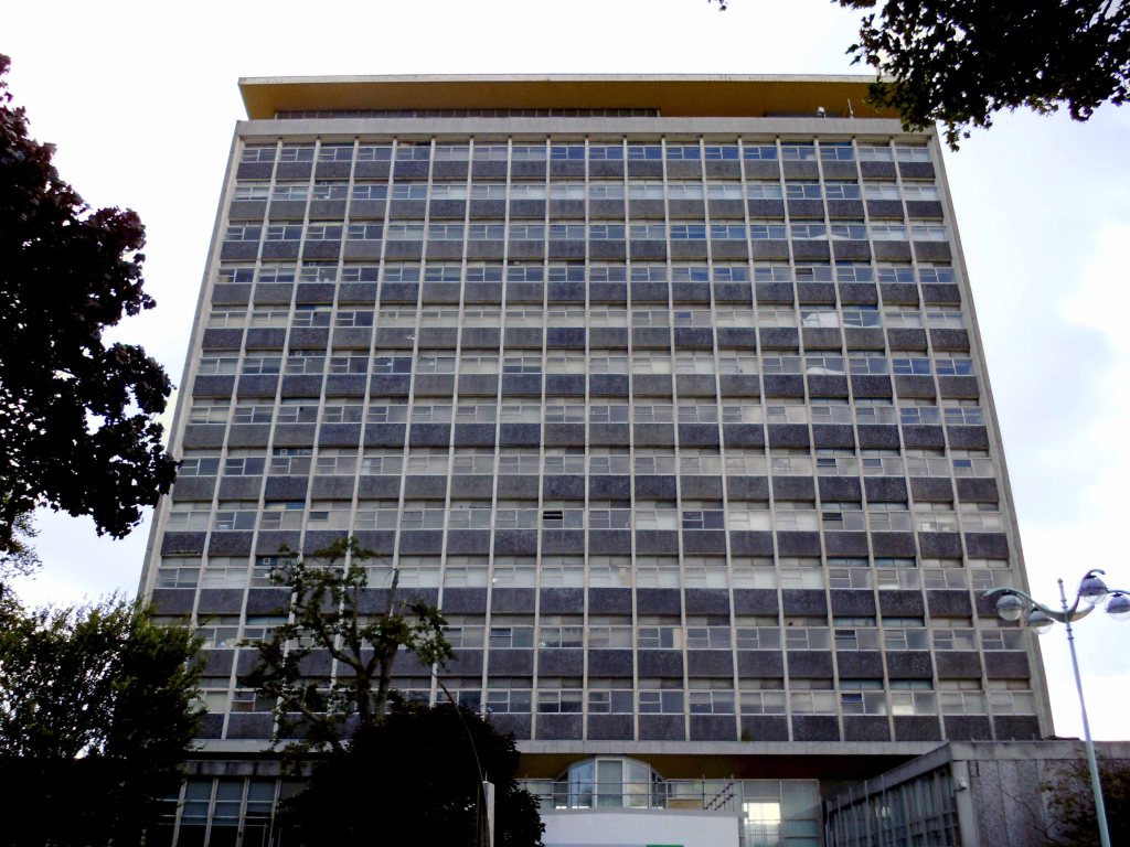
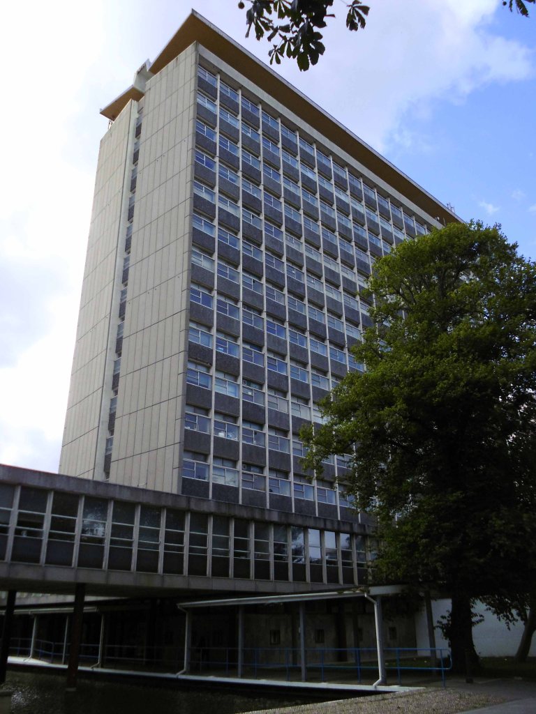
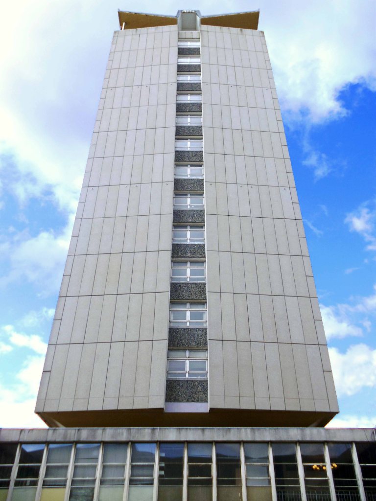
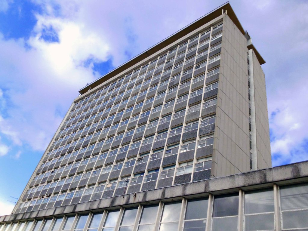
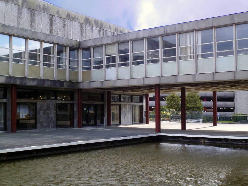
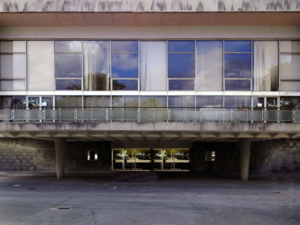
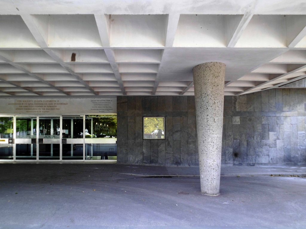
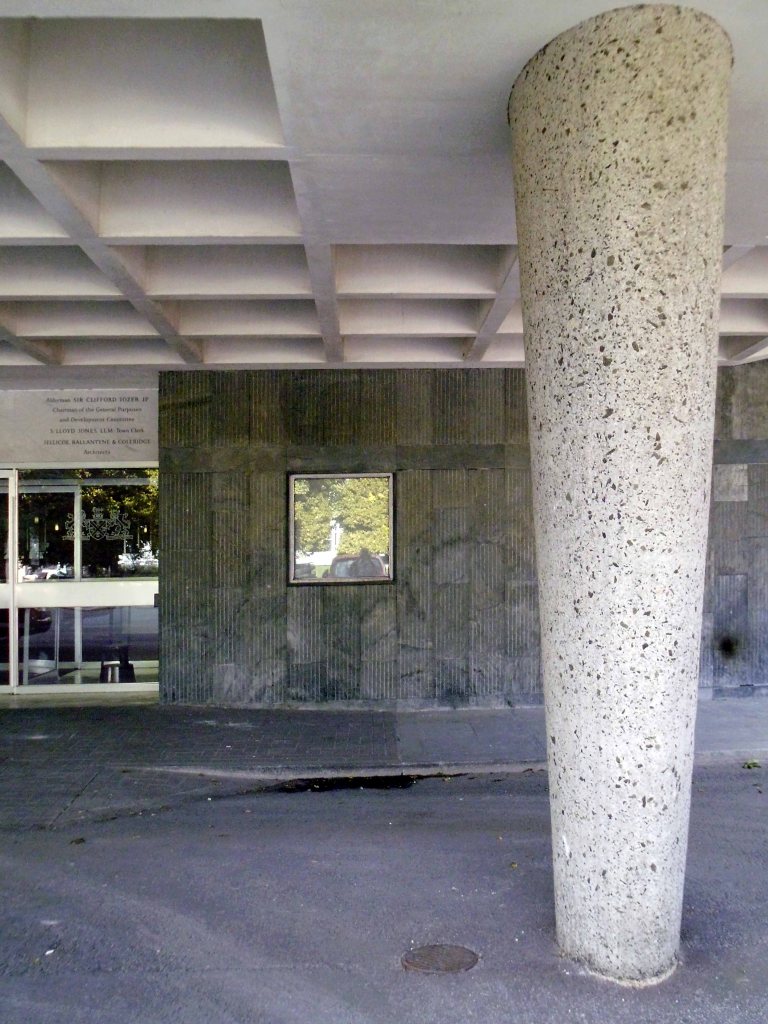
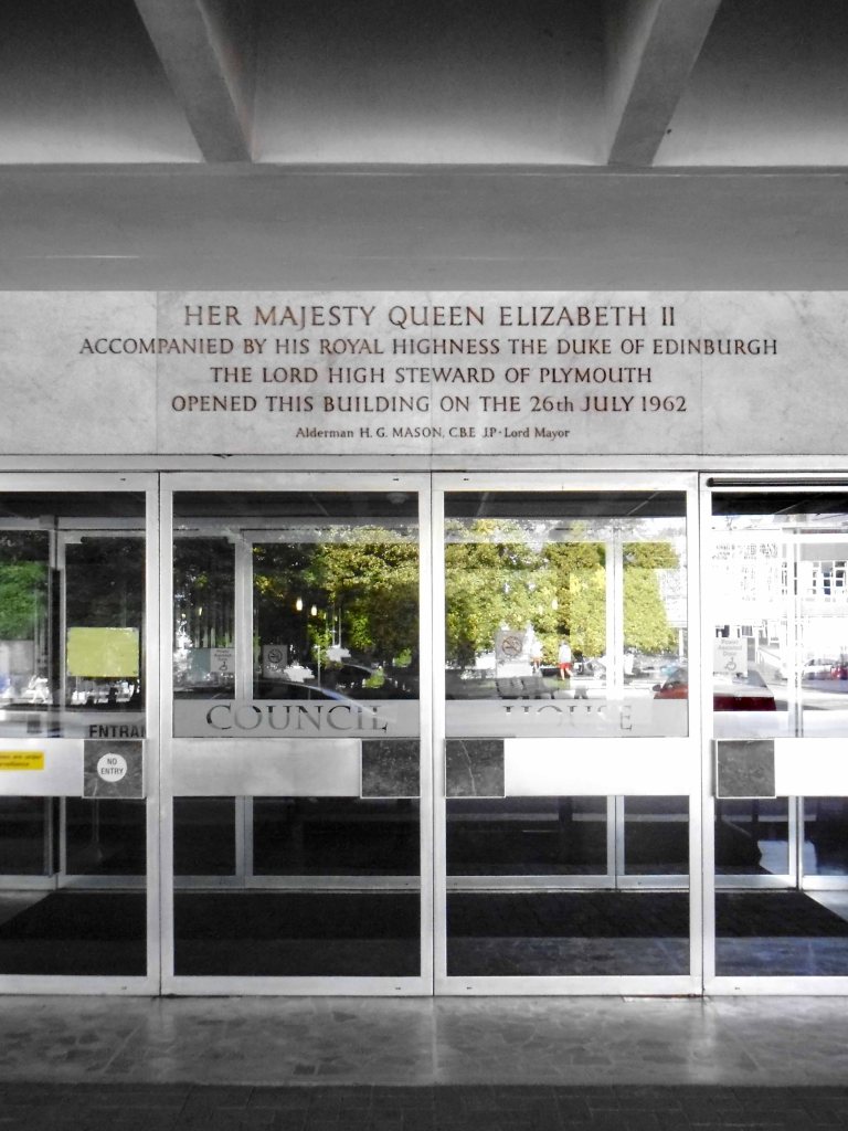
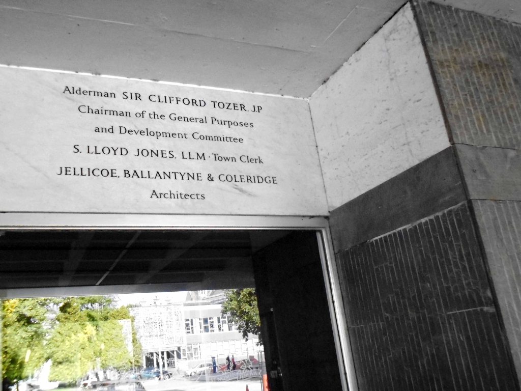
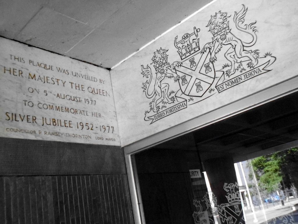
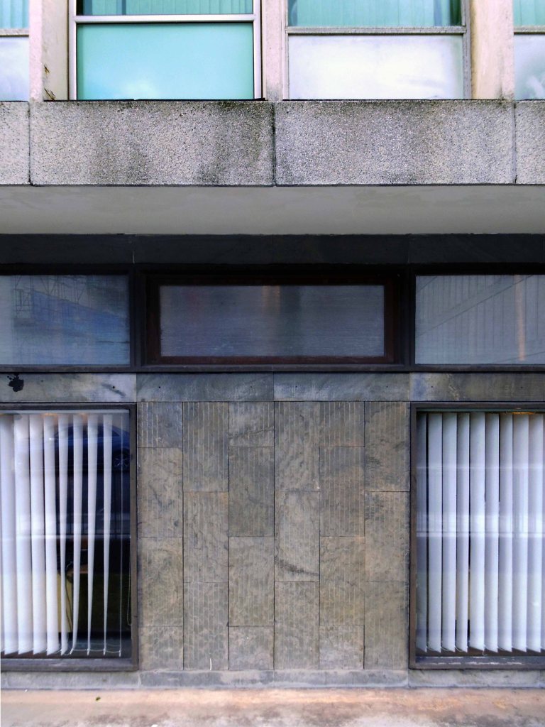
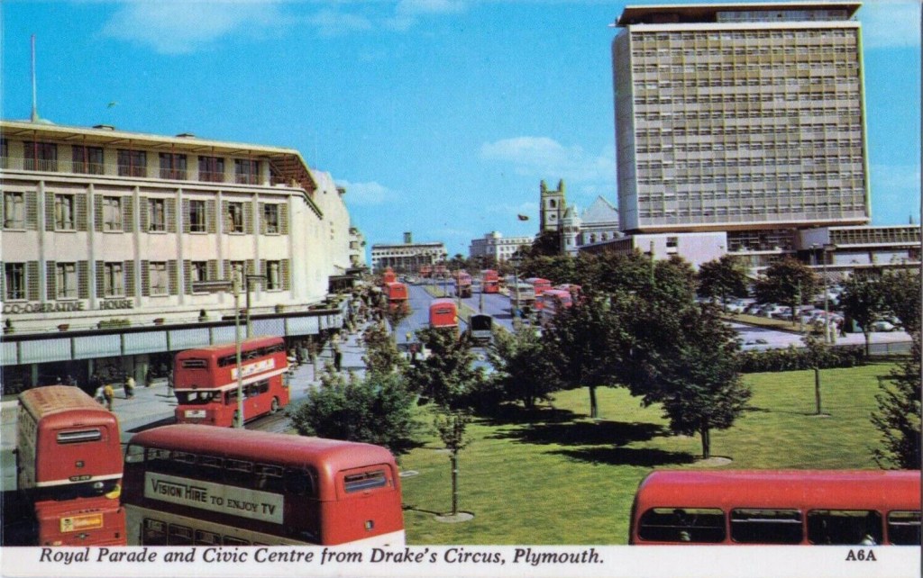
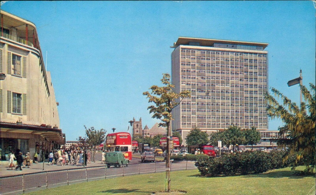
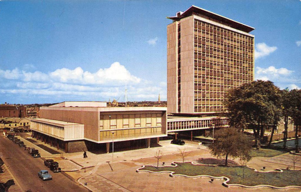
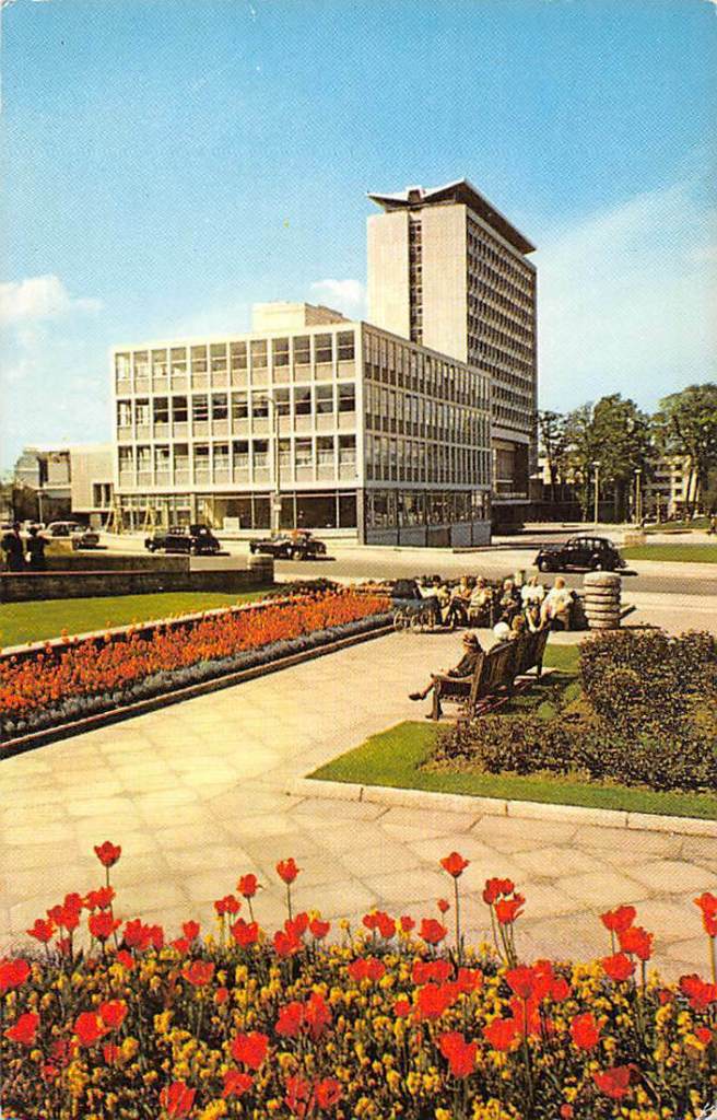
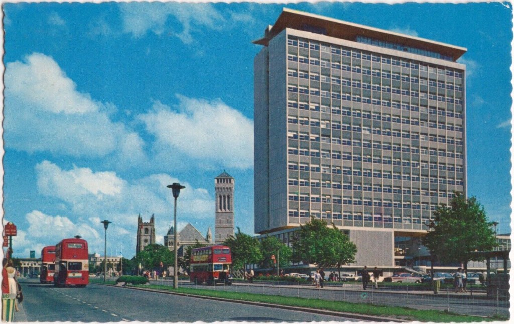
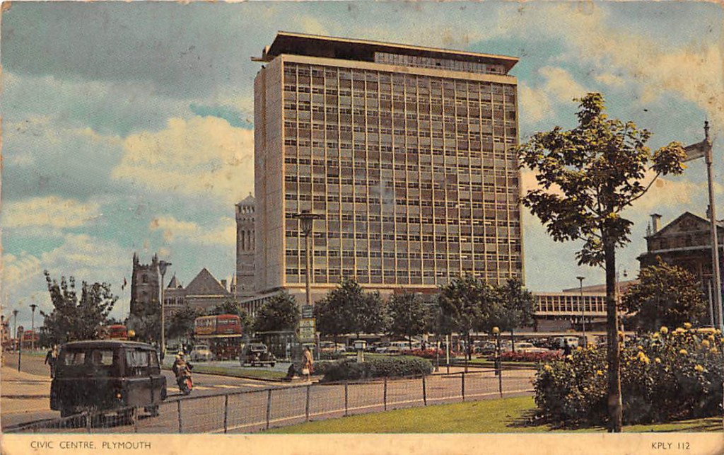
Council House former Civic Centre – Armada Way Plymouth PL1 2AA
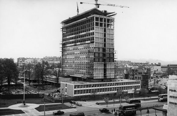
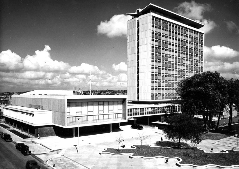
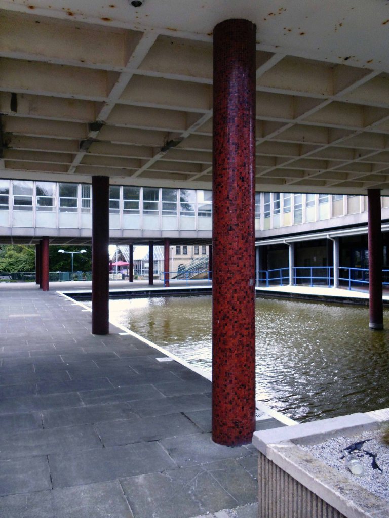
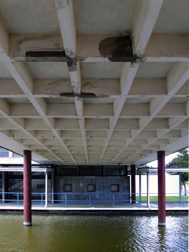
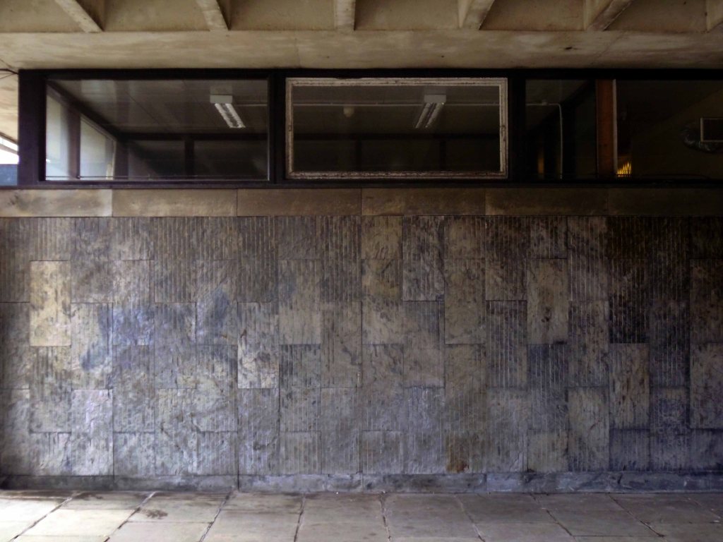
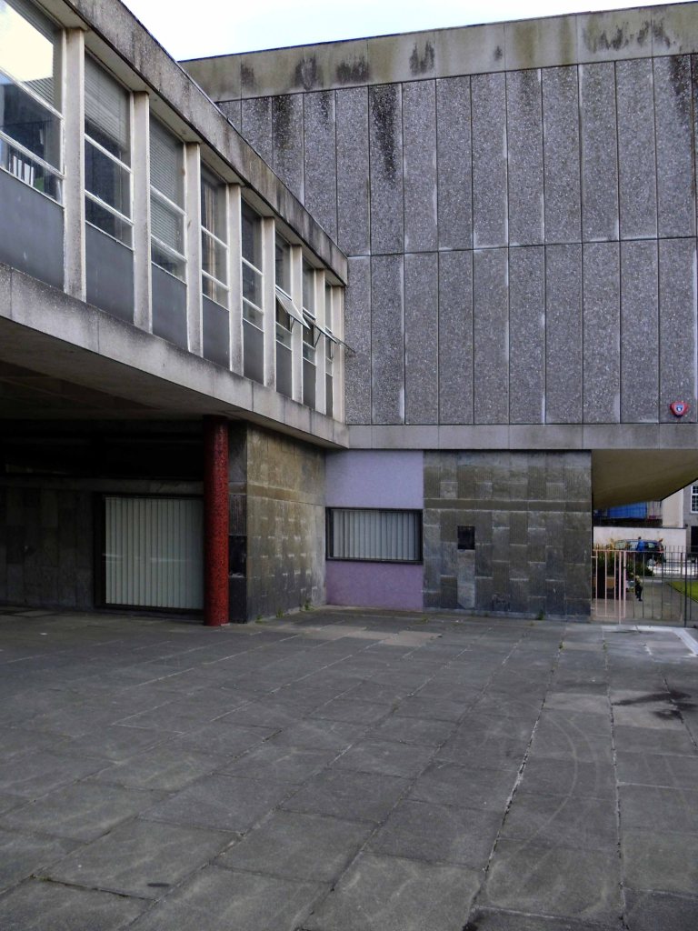
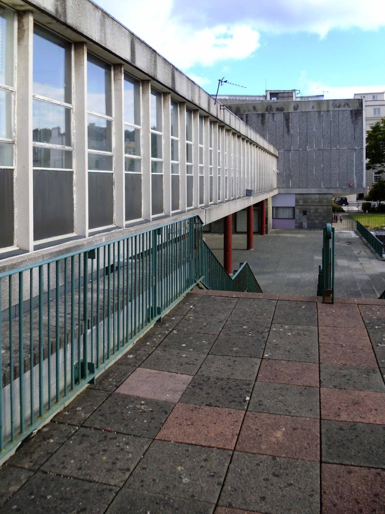
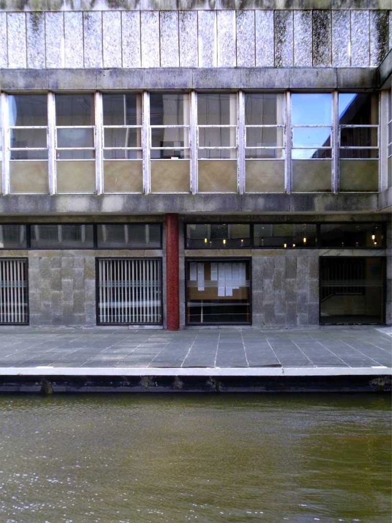
Former Civic Centre 1958-62 by Jellicoe, Ballantyne and Coleridge with city architect HJW Stirling. In-situ concrete structure with pre-cast aggregate panels. It comprises a fourteen storey slab block on a raised raft foundation which straddles a two storey block to the north and a bridge link to the two storey Council House to the south. The bridge link is elevated on pilotis to create an open courtyard with a reflecting pond, part of the designed landscape of the civic square.
I rode into town on my bicycle en route from Weston super Mare to Hastings one sunny afternoon in 2015. The pictures I took that day were largely left untouched, until today. I was prompted by an online postcard search to finally put them to some good use.
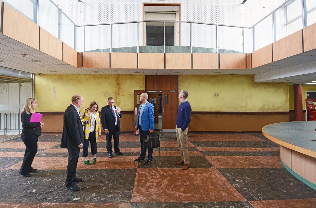
On the day of my visit the building was well and truly closed, and its future uncertain.
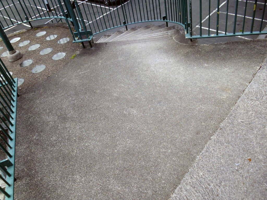
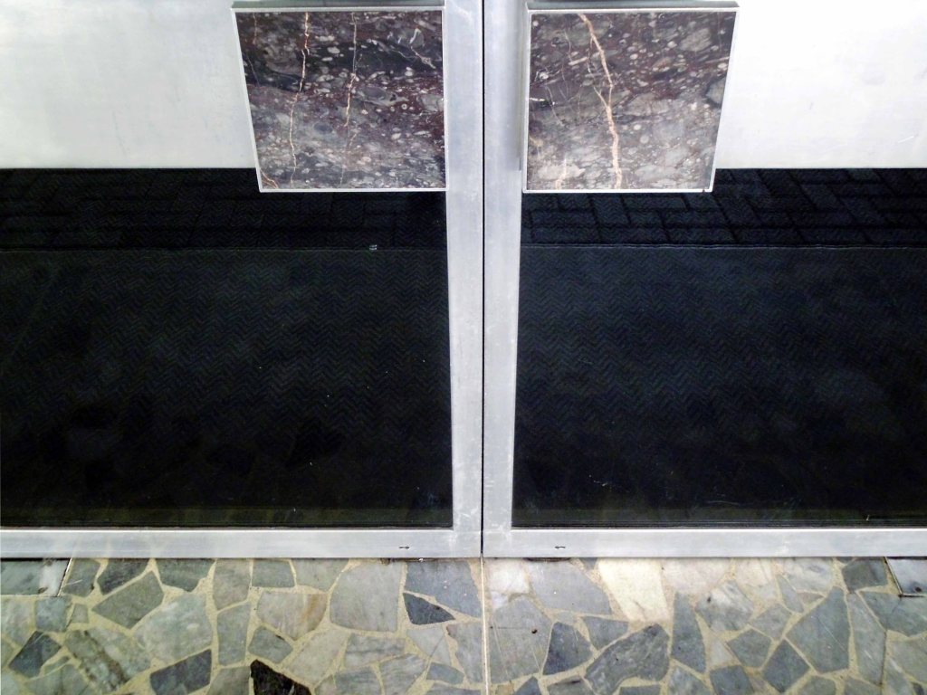
I took my time and explored the site, here is what I saw:
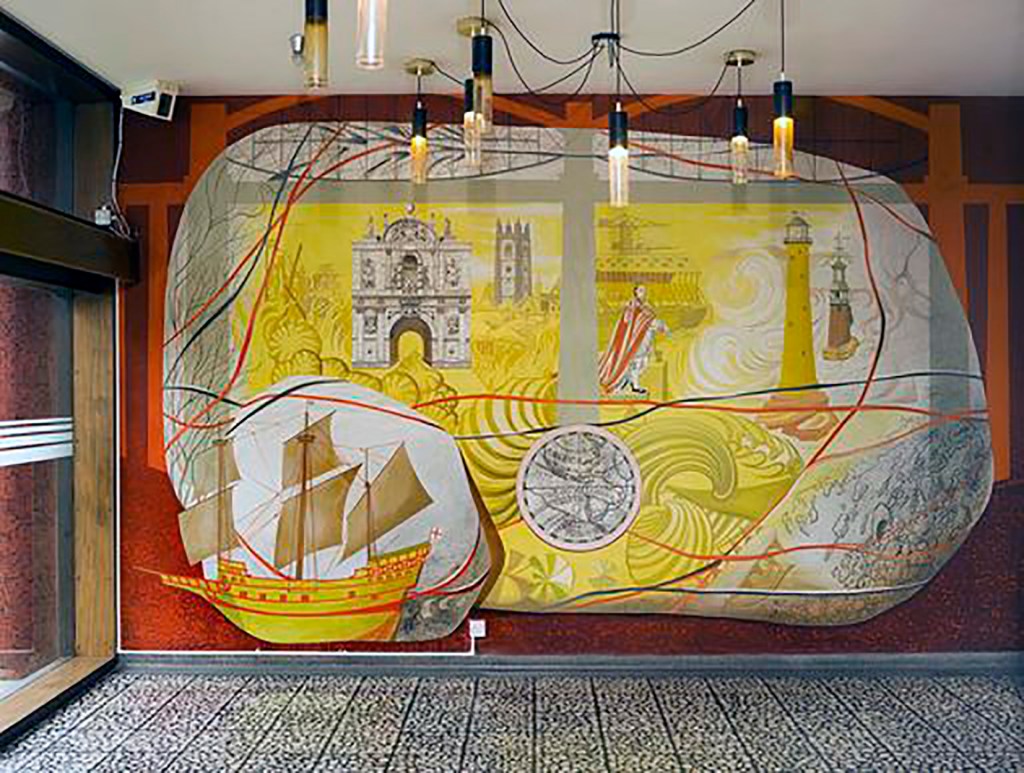
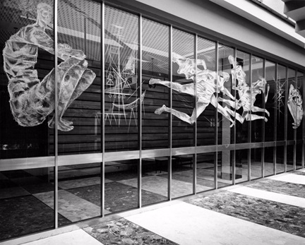
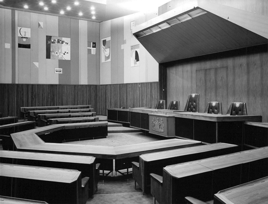
I subsequently found archival image of the interior – including examples of applied decorative arts.
Post War Buildings, Elain Harwood.
Plymouth Civic Centre, Royal Parade, Plymouth, Devon.
Interior, members entrance hall, detail of mural by Mary Adshead with light fittings by Chelsea glassware.
The building has suffered of late, from poor maintenance and general neglect.
Love it or hate it, it’s one of Plymouth’s most iconic post-war buildings – and it towers over the city centre. But the Civic Centre has been empty since 2015, with sad images revealing parts of the outside literally crumbling.
Today is the day Plymouth will finally discover what developer Urban Splash plans to do with the landmark 14-storey tower block it bought for £1.
Urban Splash are in the house – plans are to go ahead.
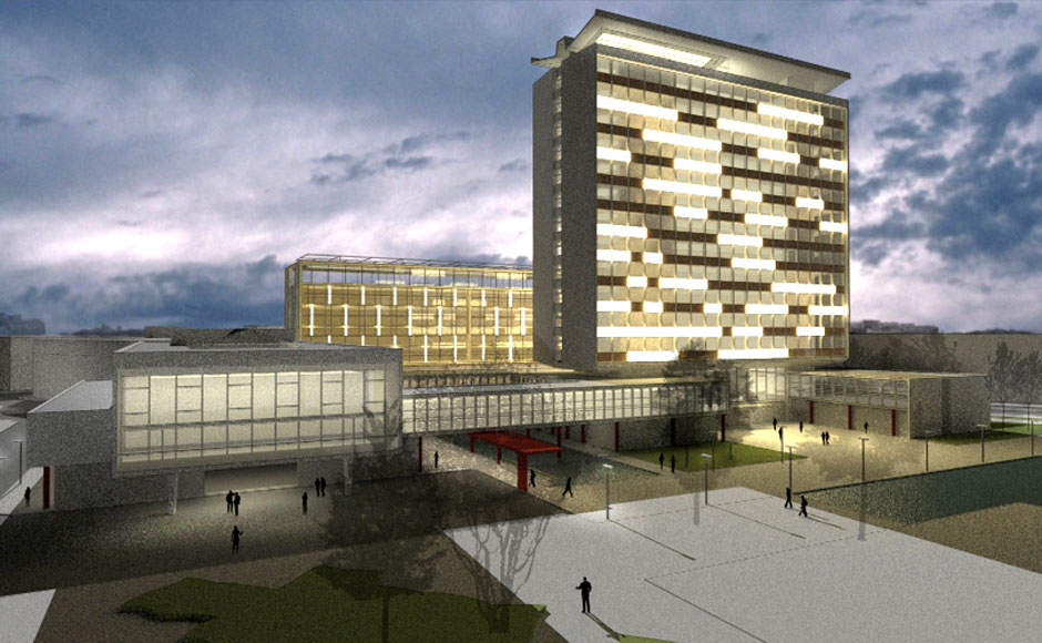
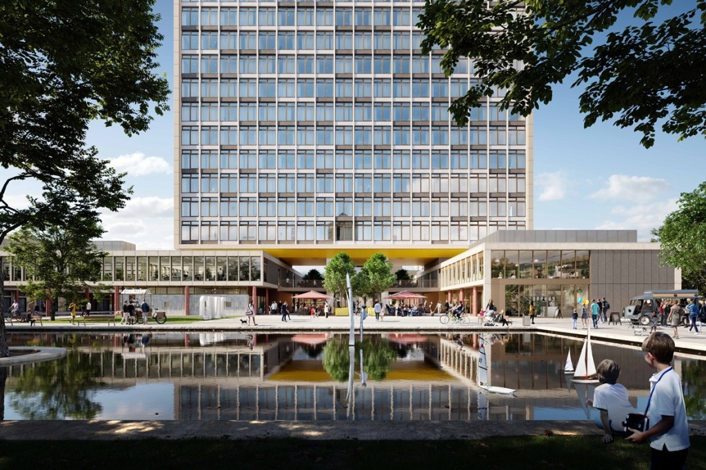
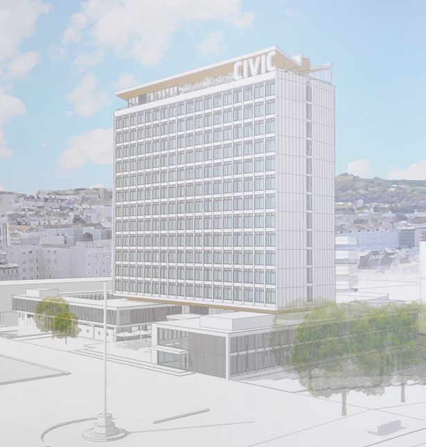
The proposal, by Gillespie Yunnie Architects, will see the 14-storey former council headquarters converted into 144 one and two-bedroom flats with the ground floors of the lower blocks providing about 4,600m² of office, retail and leisure space.
Unanimously approved last week, the scheme will open up the ground floor, making it ‘an active public space filled with outside seating for cafés, bars and restaurants’ and reuse the existing landscaped pools, while creating new pedestrian connections through the scheme from the Theatre Royal and Civic Square.
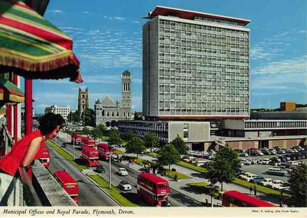
I’m more than partial to a picture postcard – I have penchant for the picaresque.
And in these troubled times there’s no safer way to travel.
I have some previous experience, exploring the precincts of our fair land – here and there.
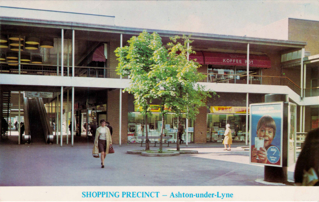
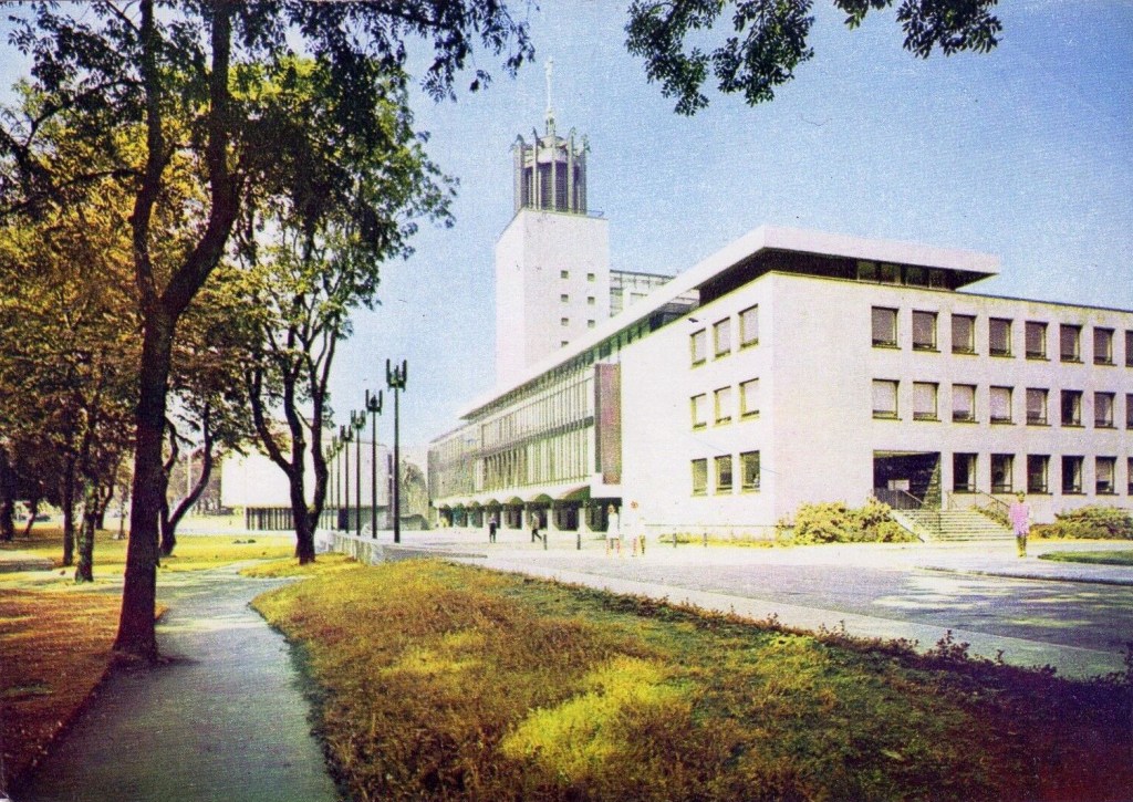
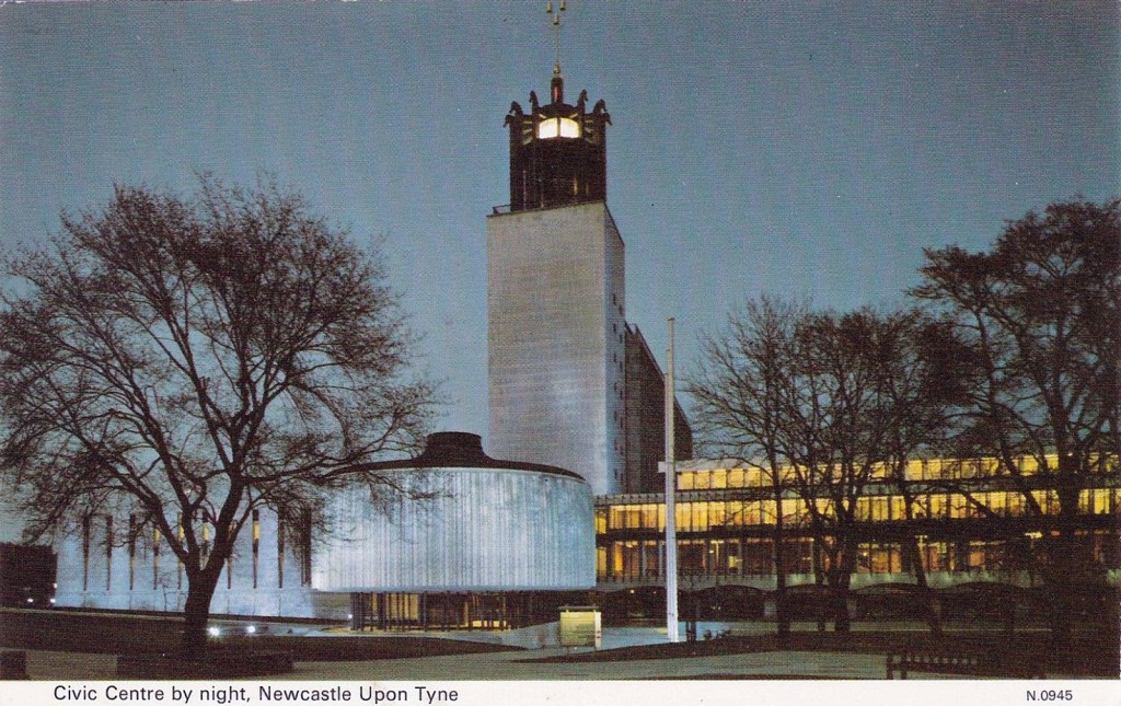
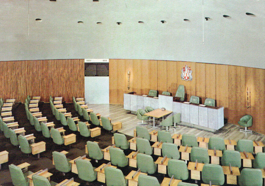
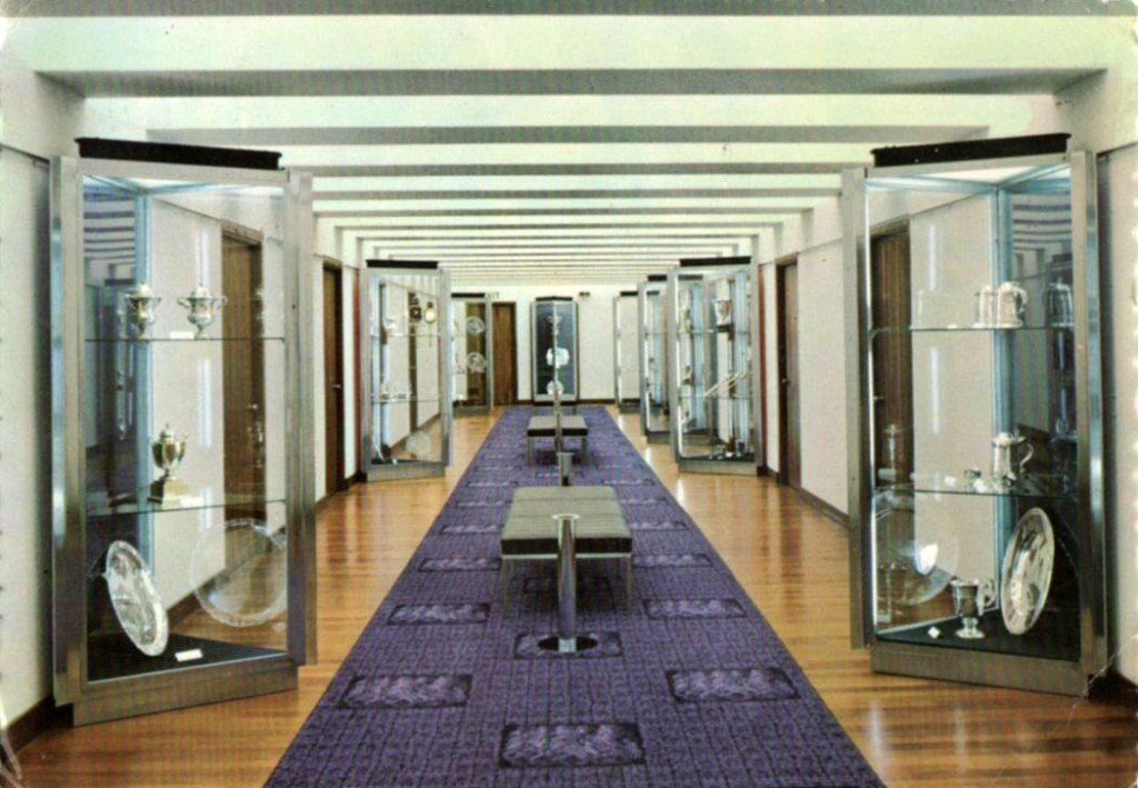
Prompted by a post from Natalie Bradbury – I became intrigued by Newcastle Civic Centre cards, I have visited the site, but in this instance, we are taken there thus:
The scheme also proposes a mix of uses for the ground and first floors including shops, offices, cafes and restaurants, bars, hot food takeaway, art gallery, gym, creche and day nursery.
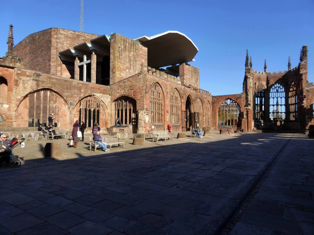
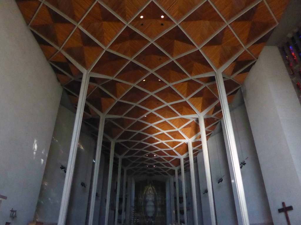
On the night of 14 November 1940, the city of Coventry was devastated by bombs dropped by the Luftwaffe. The Cathedral burned with the city, having been hit by several incendiary devices.
The decision to rebuild the cathedral was taken the morning after its destruction. Rebuilding would not be an act of defiance, but rather a sign of faith, trust and hope for the future of the world. It was the vision of the Provost at the time, Richard Howard, which led the people of Coventry away from feelings of bitterness and hatred. This has led to the cathedral’s Ministry of Peace and Reconciliation, which has provided spiritual and practical support, in areas of conflict throughout the world.
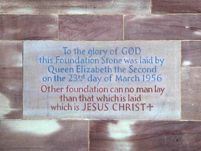
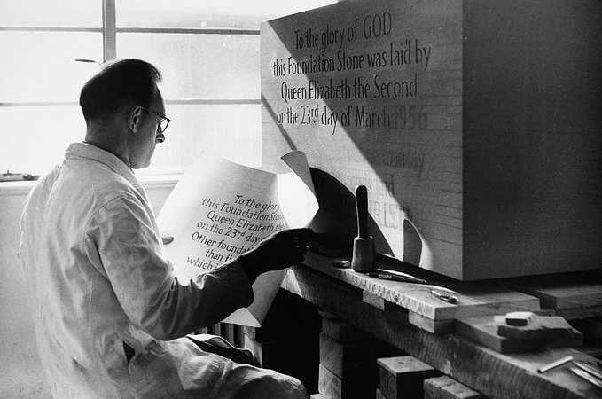
Her Majesty the Queen laid the foundation stone on 23 March 1956 and the building was consecrated on 25 May 1962, in her presence. The ruins remain hallowed ground and together the two create one living Cathedral.
Ralph Beyer carving the foundation stone for Coventry Cathedral.
The new Cathedral was itself an inspiration to many fine artists of the post-war era. The architect, Sir Basil Spence, commissioned work from Graham Sutherland, John Piper, Ralph Beyer, John Hutton, Jacob Epstein, Elisabeth Frink and others – most still to reach the peak of their artistic careers.
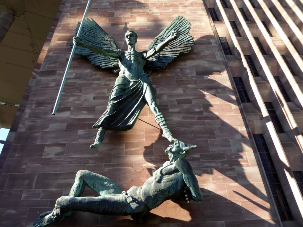
St. Michael and the Devil on the southern end of the east wall. It was sculpted by Sir Jacob Epstein, who, sadly, died in 1959, and therefore didn’t live to see his masterpiece mounted on the cathedral wall a year later.
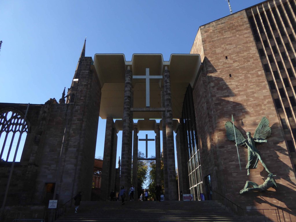
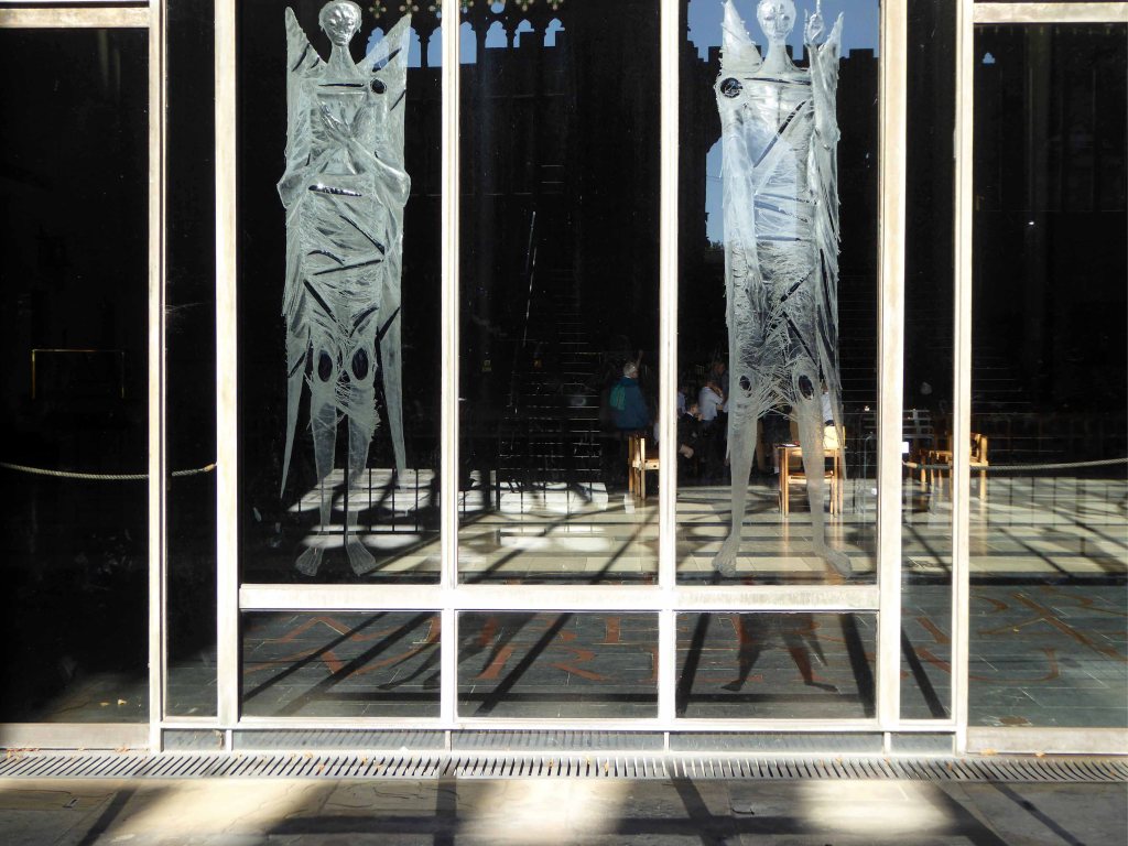
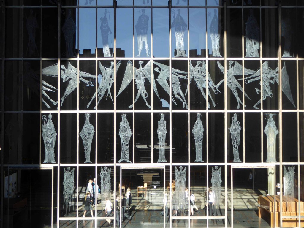
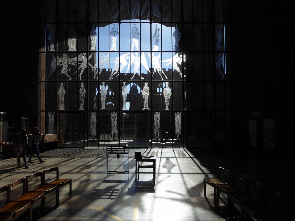
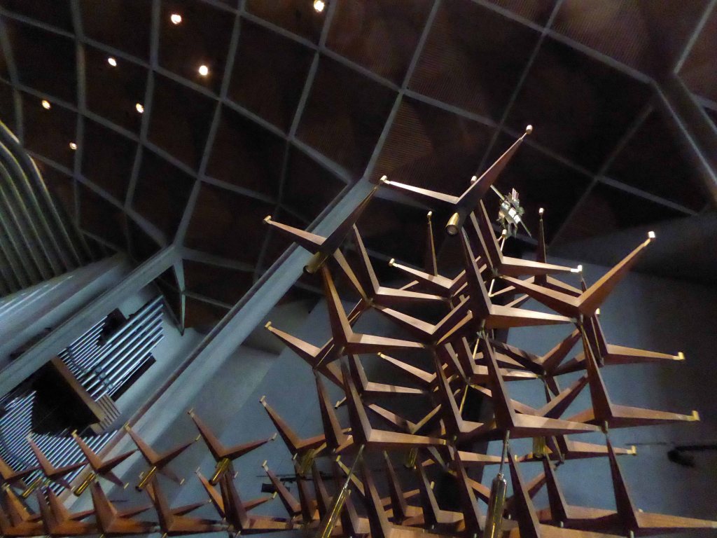
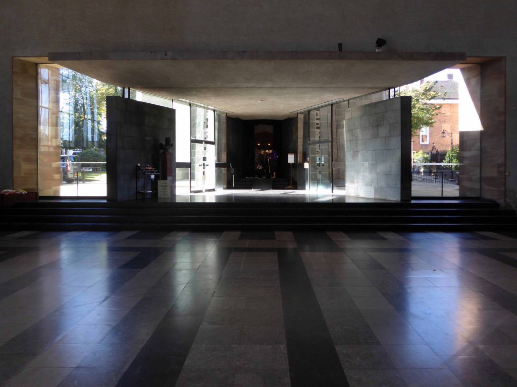
Entrance to the cathedral is through the Screen of Saints and Angels – it is seventy feet high and forty five feet wide and is supported by a bronze framework hung by wires from the roof for added strength.
This unique screen formed part of Sir Basil Spence’s first vision for the new cathedral. As he stared out from the ruins of the bombed cathedral, he saw the shape for the new church through a screen of saints. This transparent wall would link the old and new – making each mutually visible from within each other. Provost Howard set out to draw up a scheme consisting of all the saints who were responsible for the bringing of Christianity to Britain. As John Hutton began to make initial designs, he soon realised that row upon row of saints would need to be broken up in some way, and suggested that angels be inserted between the saints.
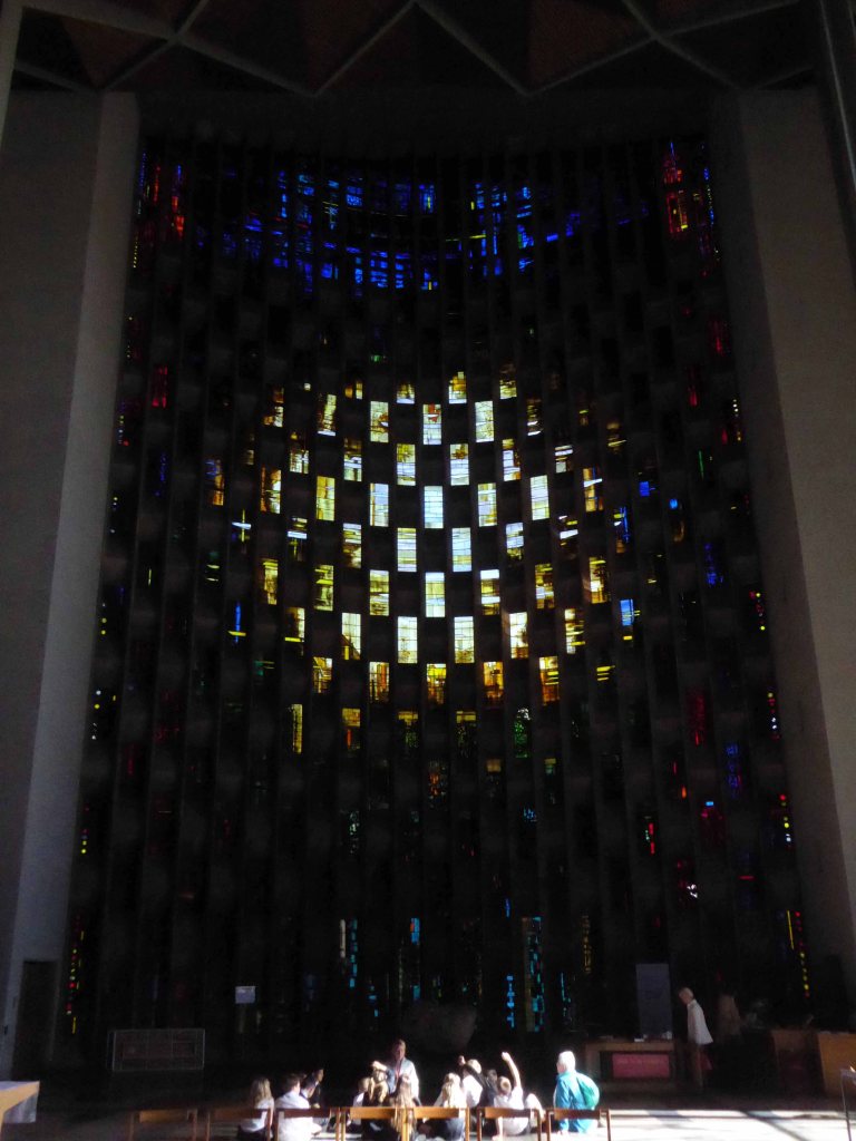
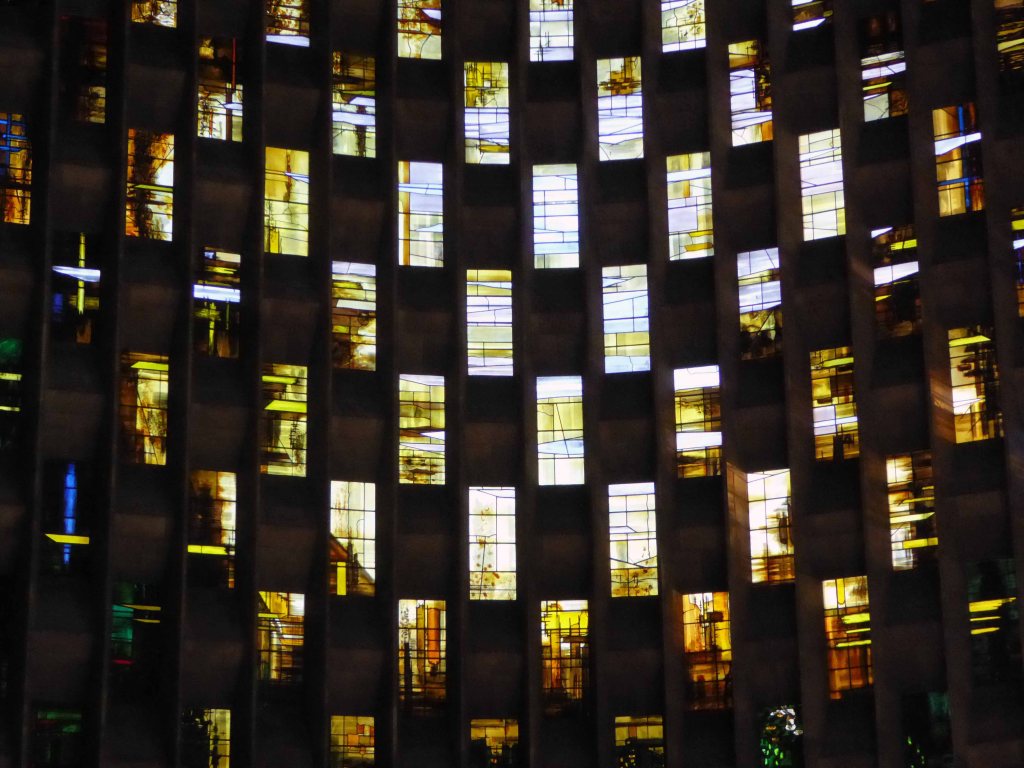
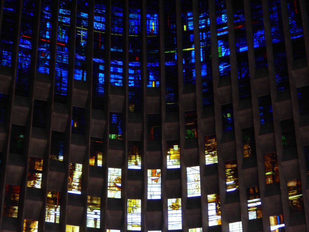
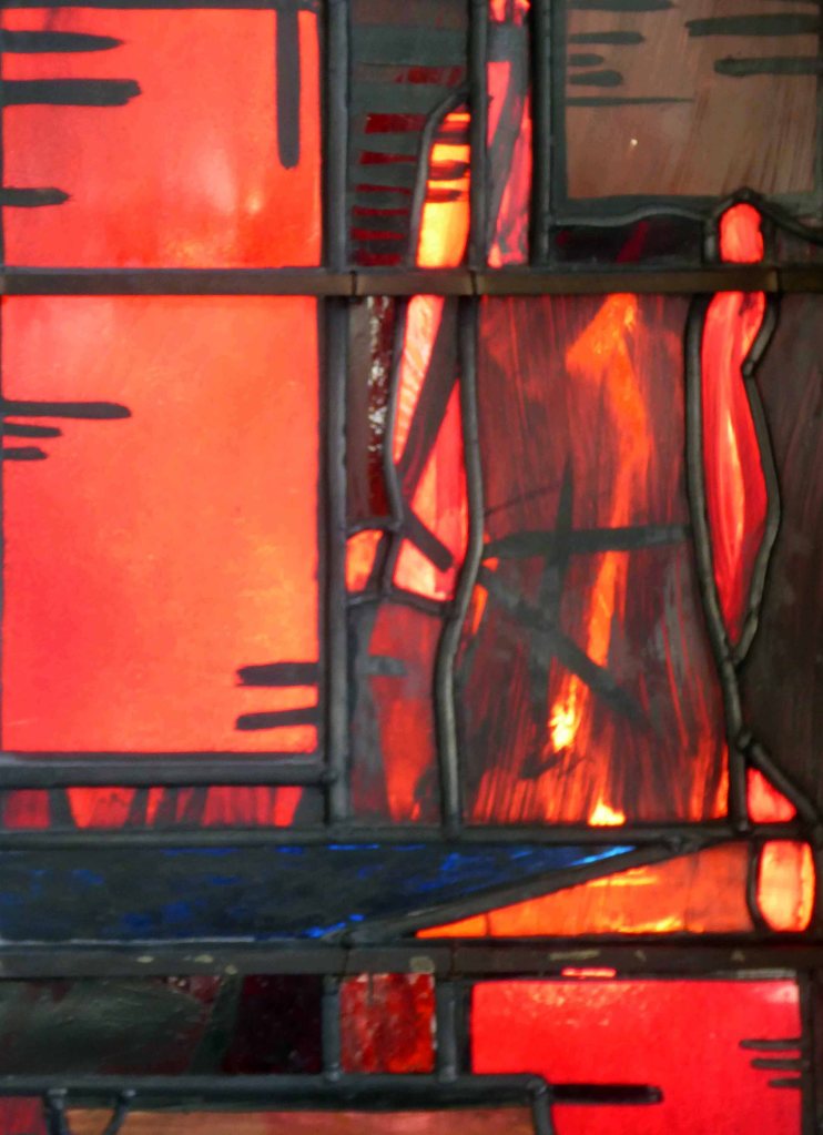
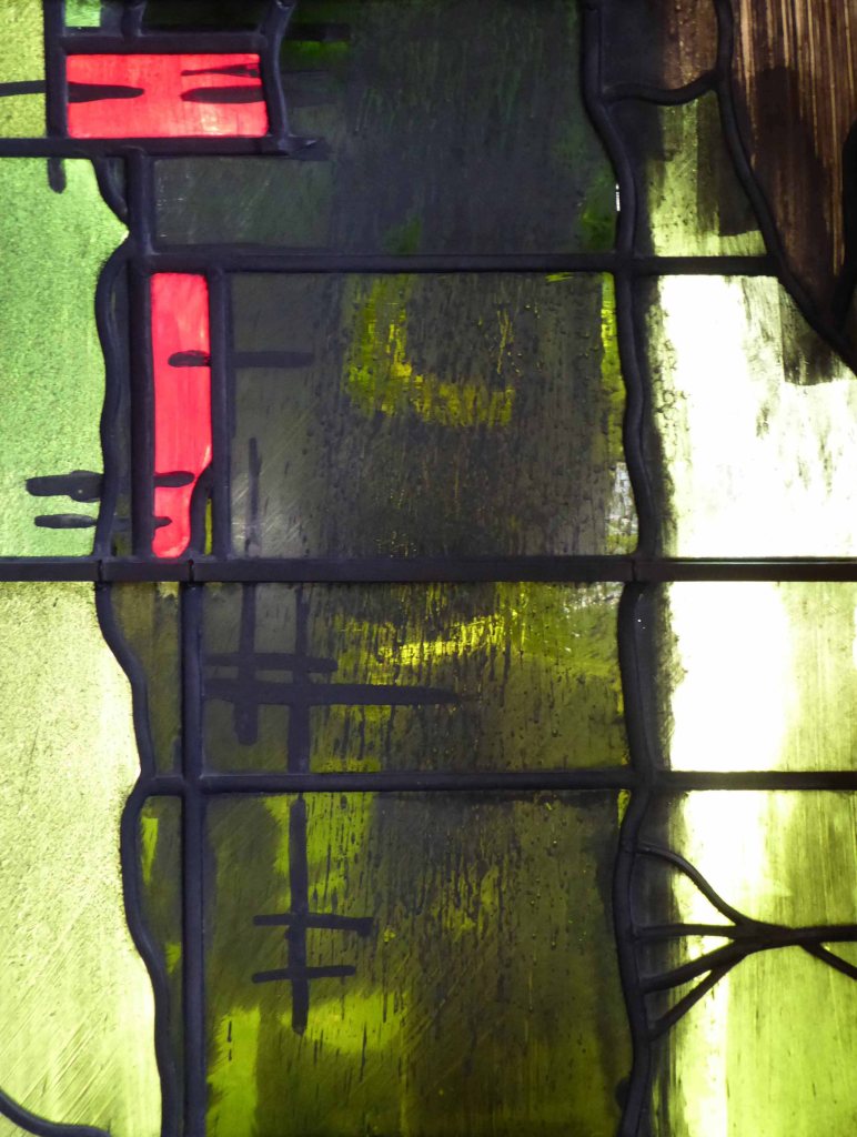
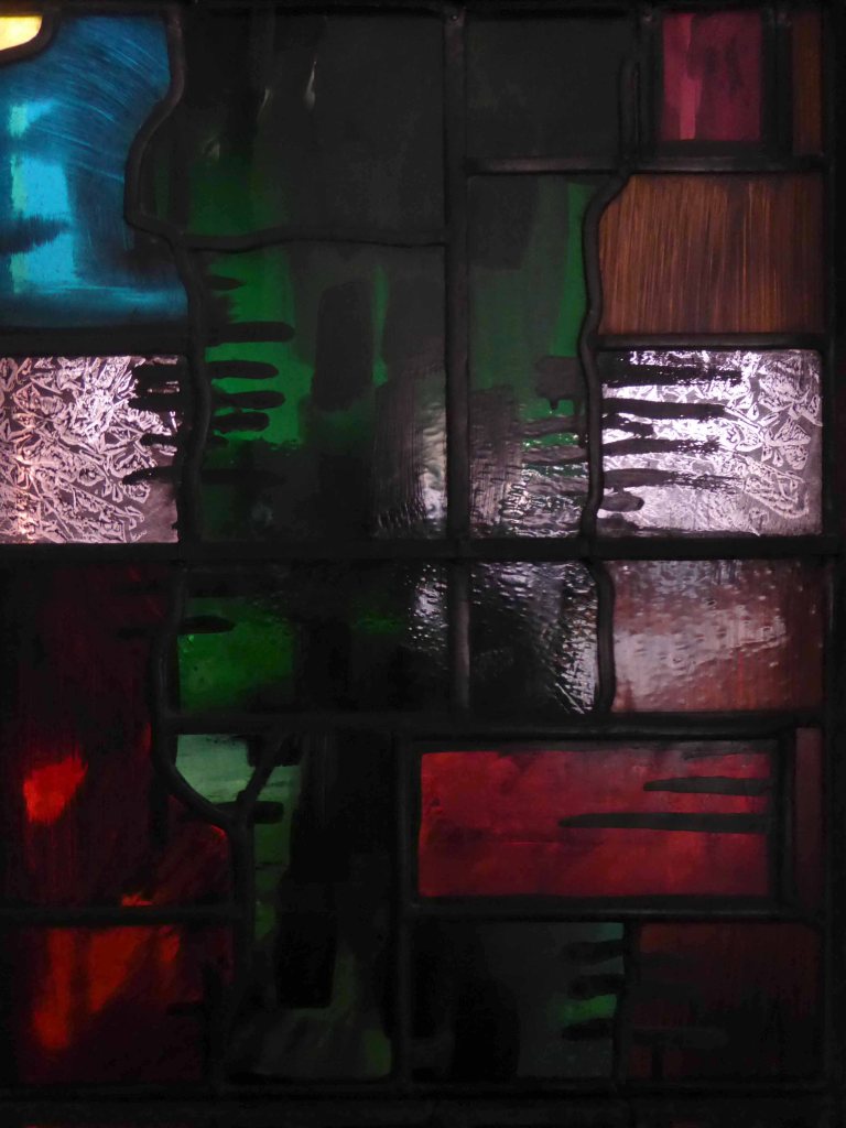
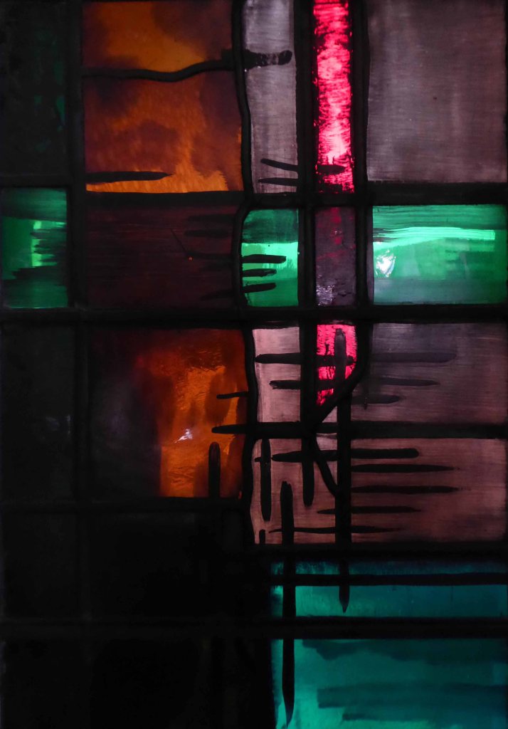
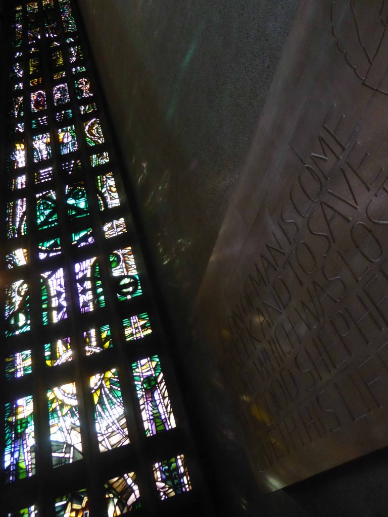
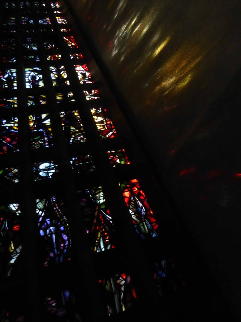
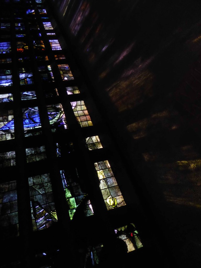
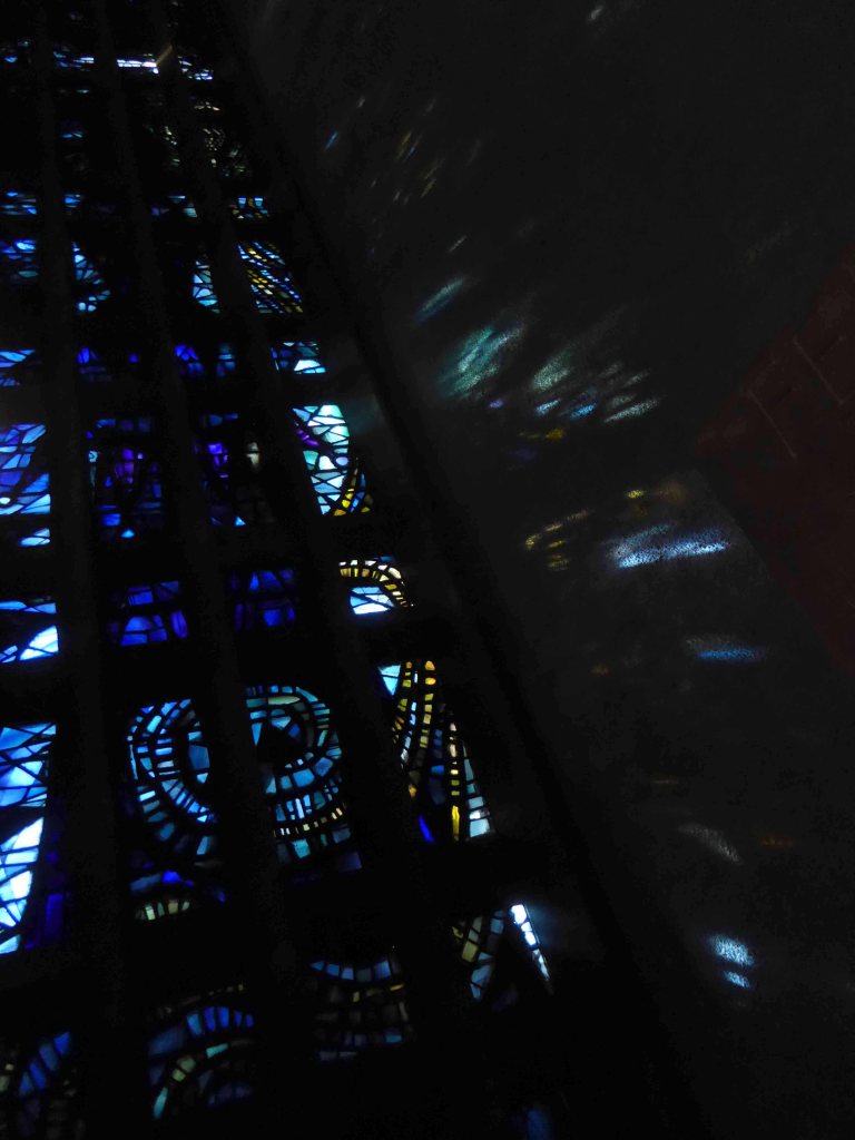
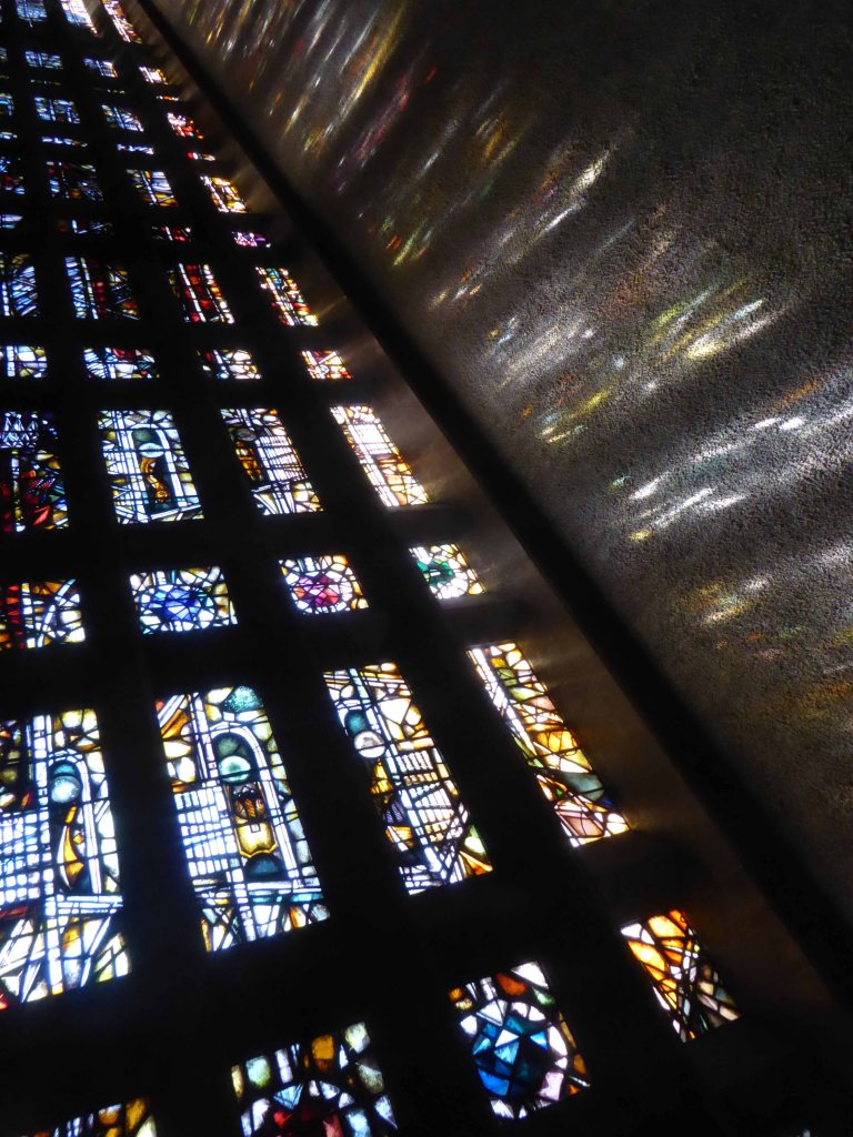
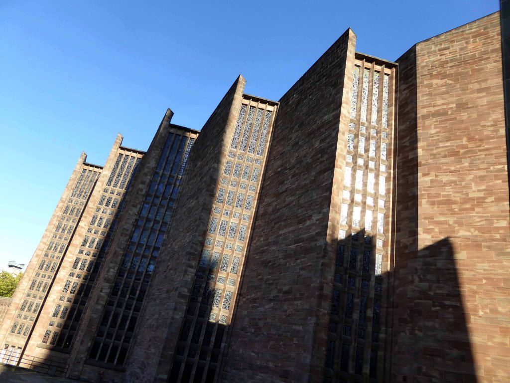
The eighty one foot high Baptistery Window containing a total of one hundred and ninety five lights of stained glass in bright primary colours designed by John Piper and Patrick Reyntiens, with the Stone of Bethlehem for a font just in front. Each individual window contains an abstract design, but the overall effect is breathtaking. Basil Spence himself designed the stone containing the glass.
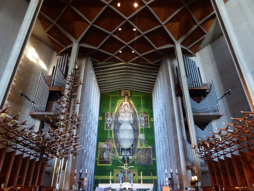
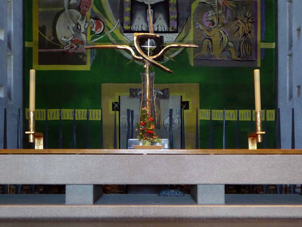
The great tapestry was another example of a re-think in design. Basil Spence’s original intention was to depict the Crucifixion but Provost Howard suggested that the subject be Christ in Majesty and from there on, this idea prevailed
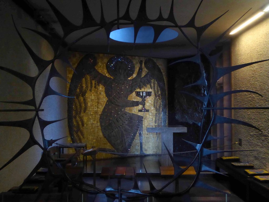
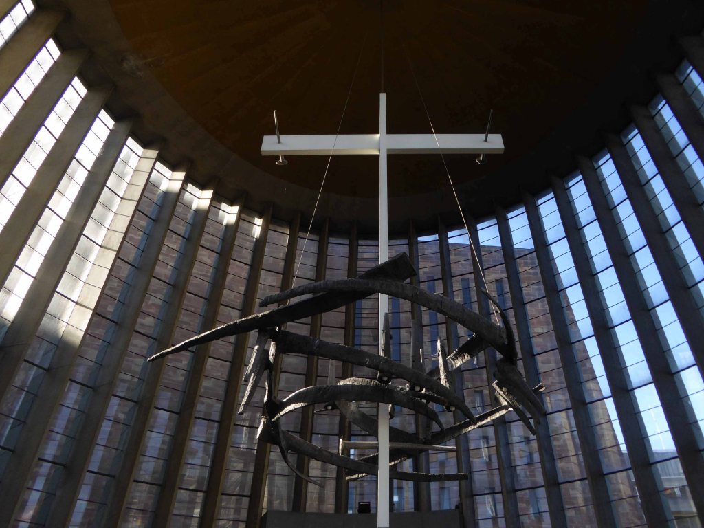
The Chapel of Christ in Gethsemane is approached by following the aisle from the Baptistery window towards the altar which is at the north end. The mosaic depicts the Angel of Agony by Steven Sykes and becomes more impressive when seen from a distance through the wrought iron crown of thorns designed by Basil Spence.
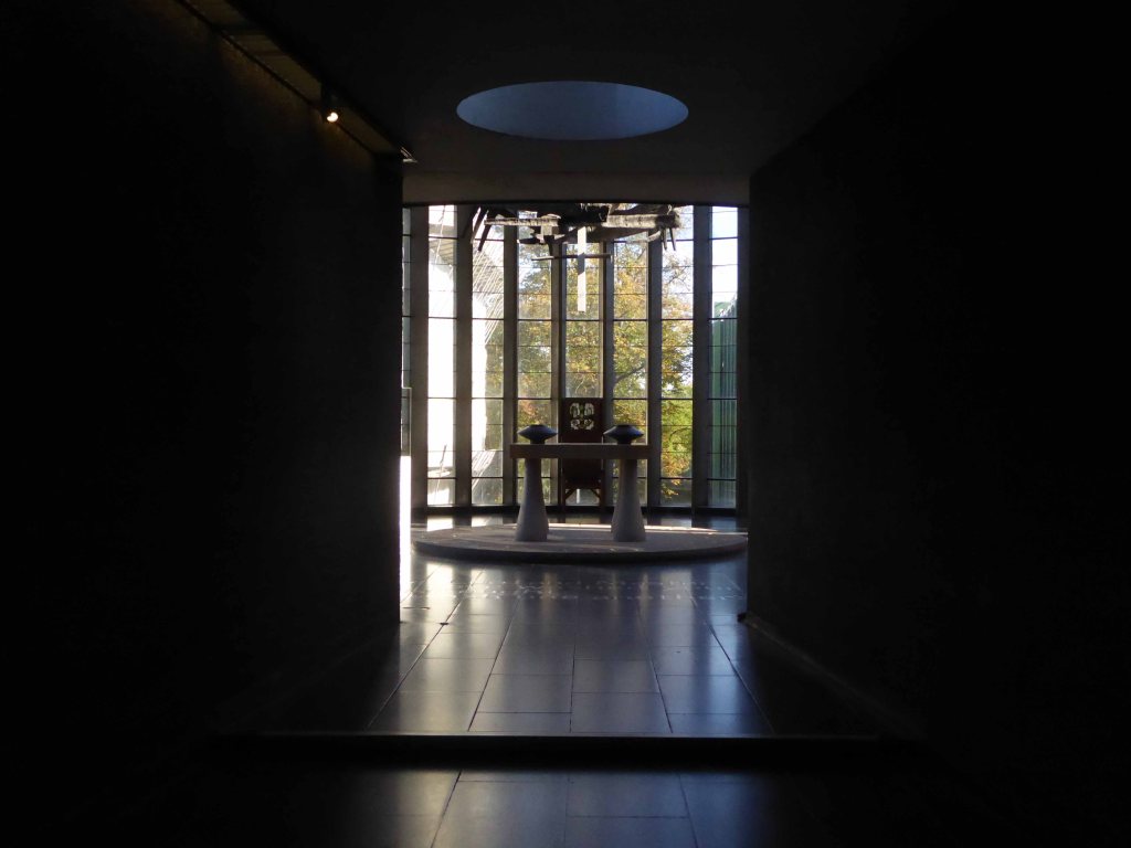
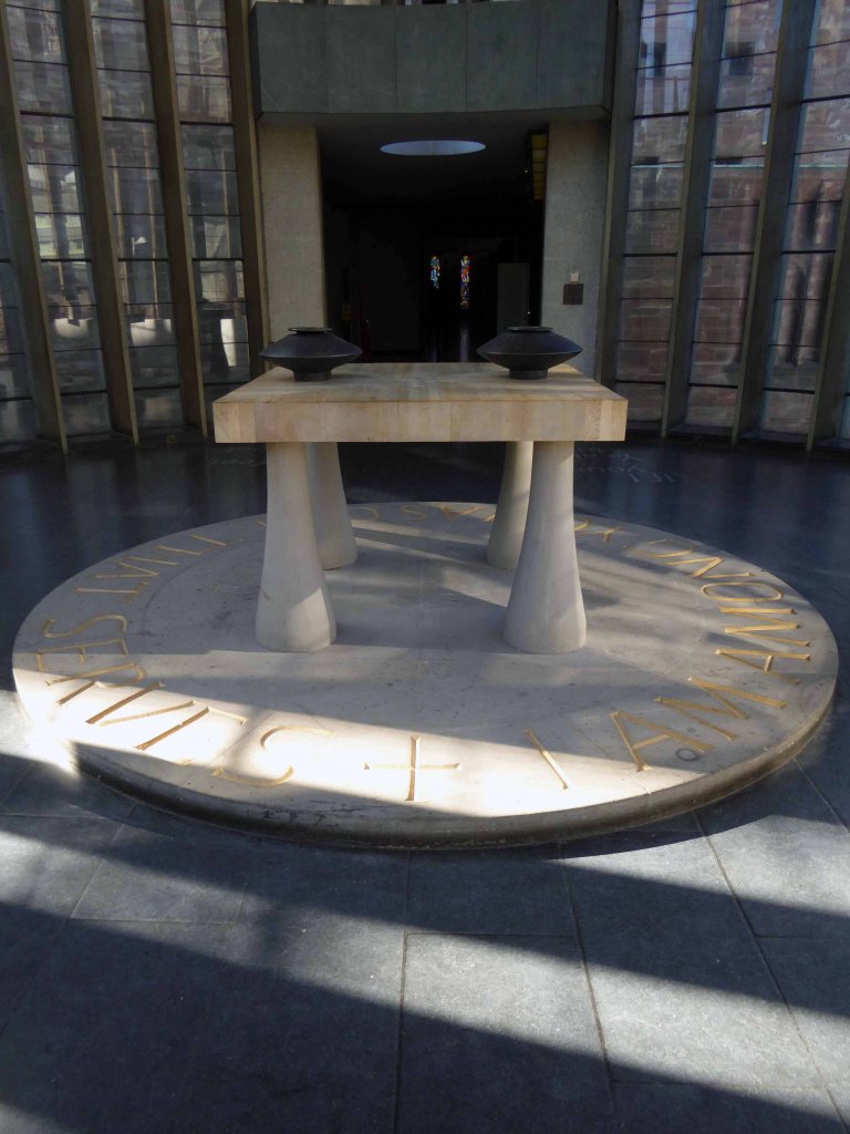
A short passageway takes you through to the Chapel of Christ the Servant – also known as the Chapel of Industry due to the view of Coventry workplaces from its narrow windows.
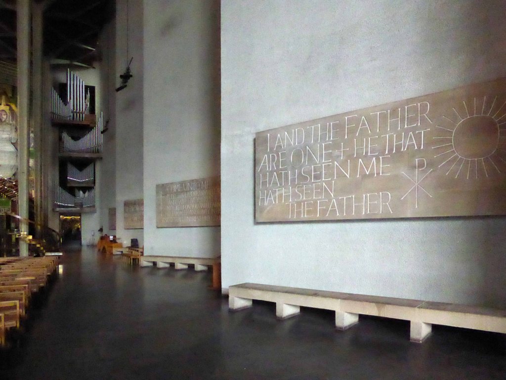
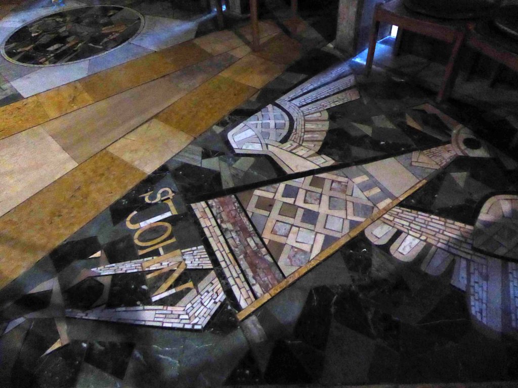
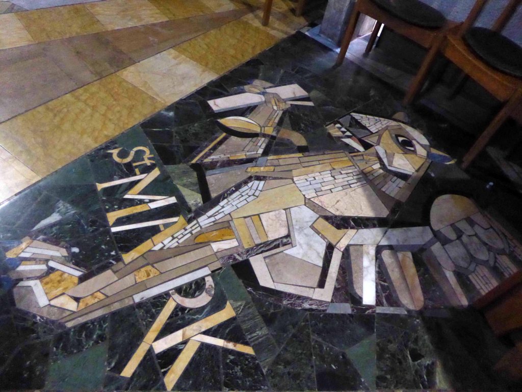
Monumental inscriptions to walls and floor by Ralph Beyer
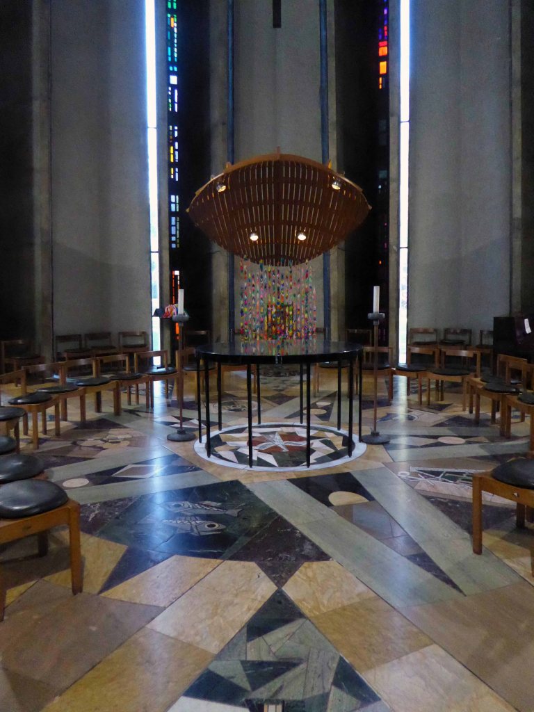
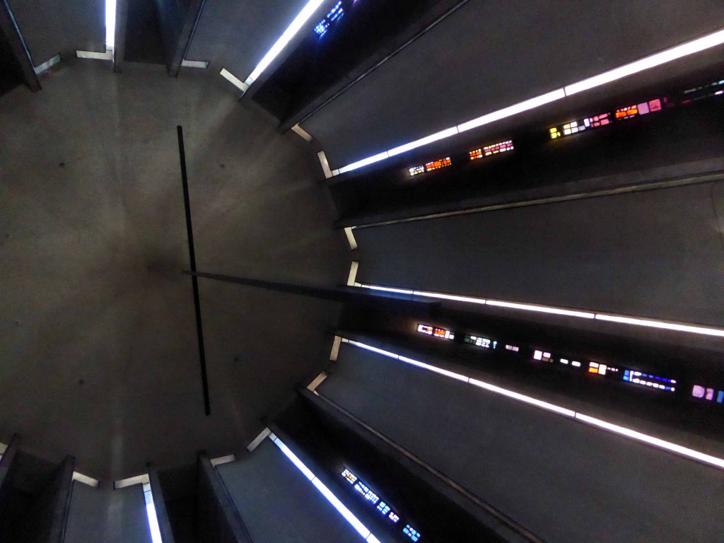
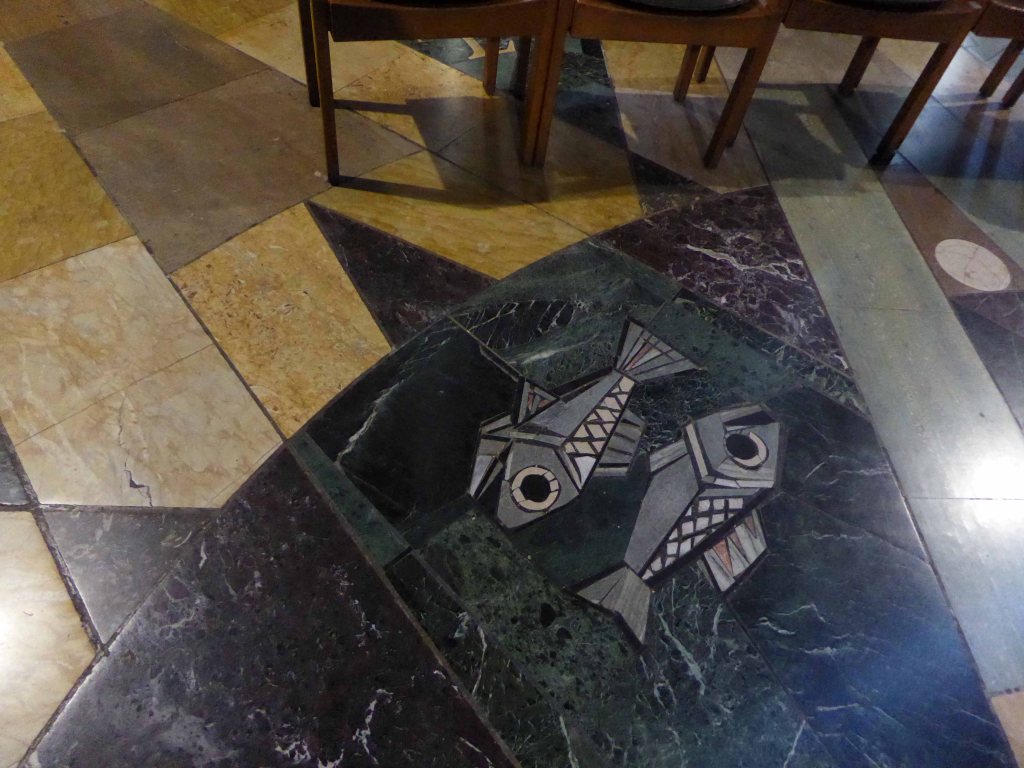
At the far end of the aisle, opposite the Baptistery Window is the Chapel of Unity, with its detailed mosaic floor, donated by the people of Sweden, representing the nations of the world and lit by shafts of light from the narrow stained glass windows around the circumference of the star shaped chapel.
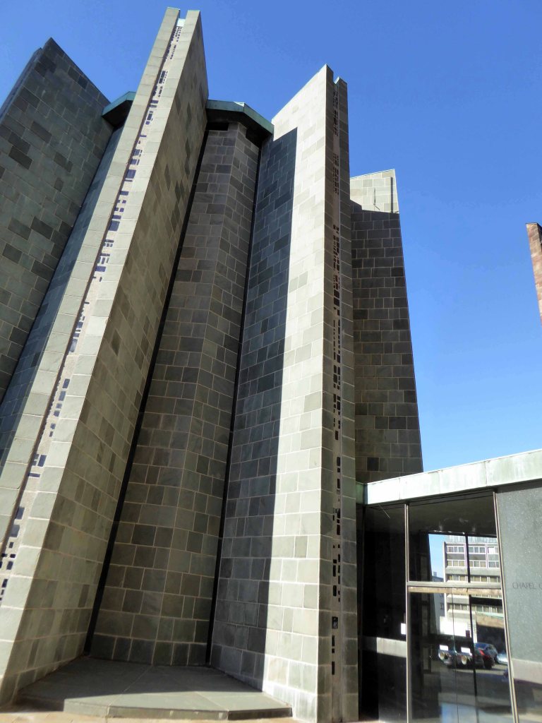
This design was Basil Spence’s vision of a chapel representing the star which began the story of Christ – from the outside it appears shaped similarly to a Crusader’s tent.
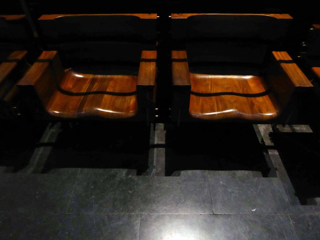
The chapel is intended for prayer by all denominations, not just Anglican, and for this reason was purposely built with no view of the great altar.
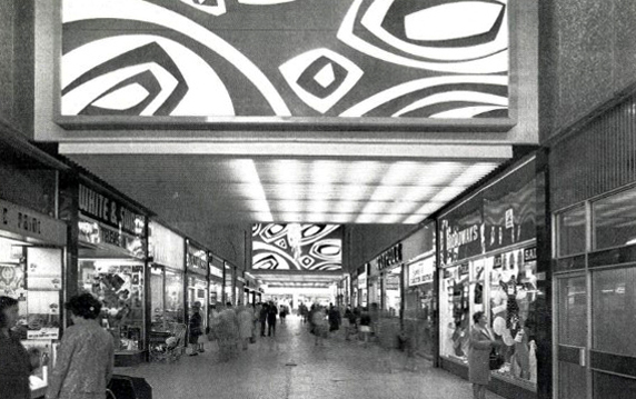
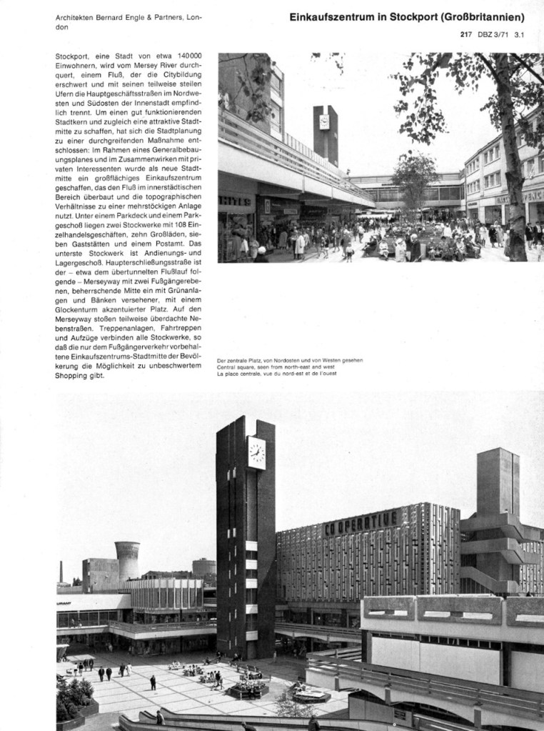
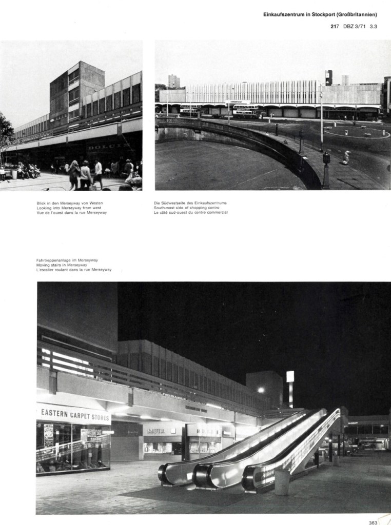
Once widely admired, Ian Nairn esteemed architectural writer, thought it an exemplary exposition of modern integrated shopping and parking, sitting perfectly in its particular topography – way back in 1972.
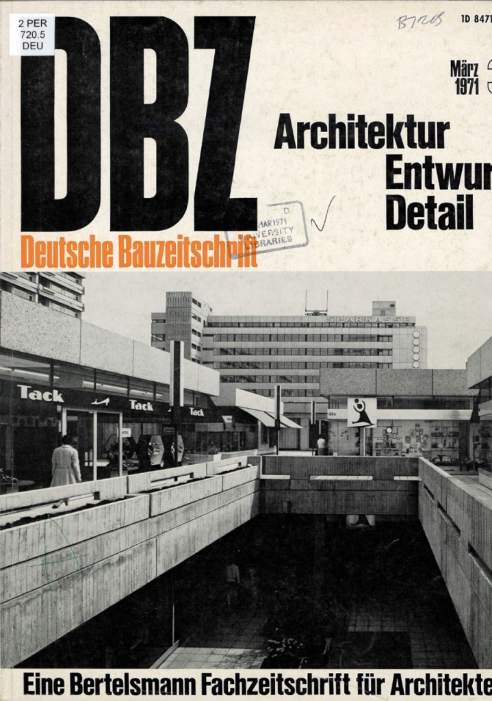
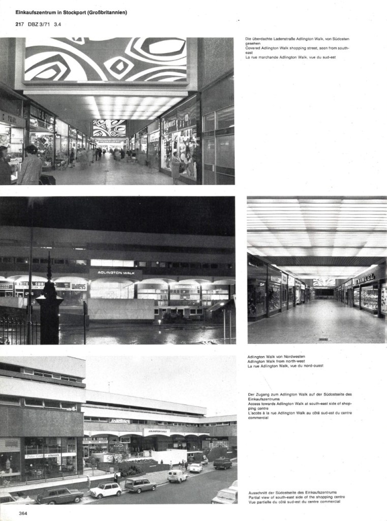
This German magazine dedicated several pages to coverage of Merseyway back in 1971.
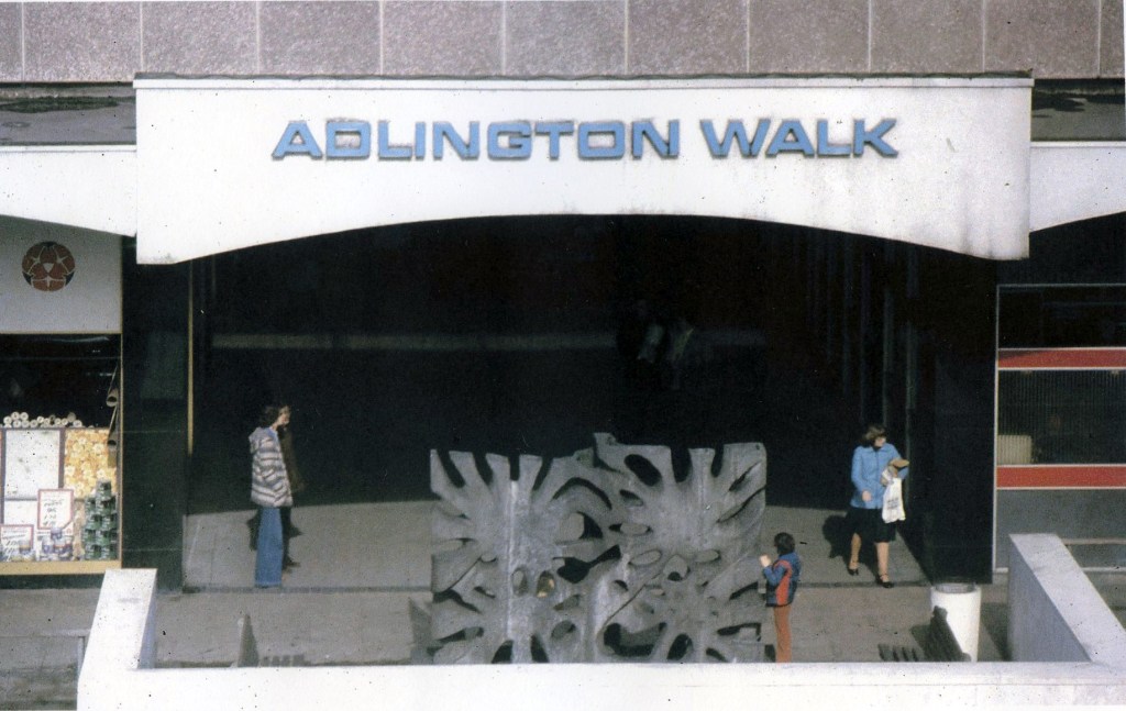
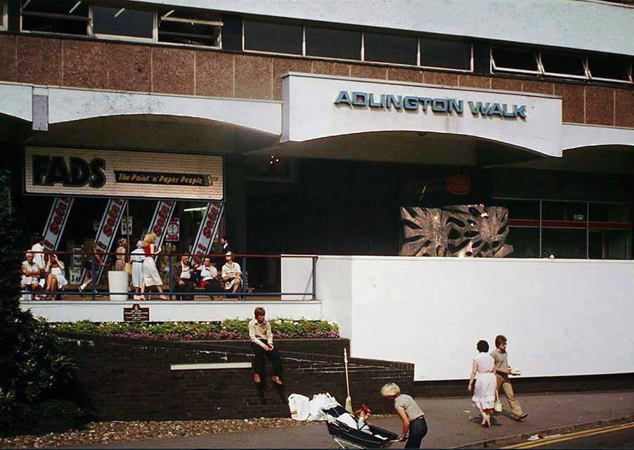
Note the long lost decorative panels of Adlington Walk.
Many thanks to Sean Madner for these archive images.
Mainstream Modern has recorded its conception and inception, as part of a wider appreciation of Greater Manchester’s architecture.
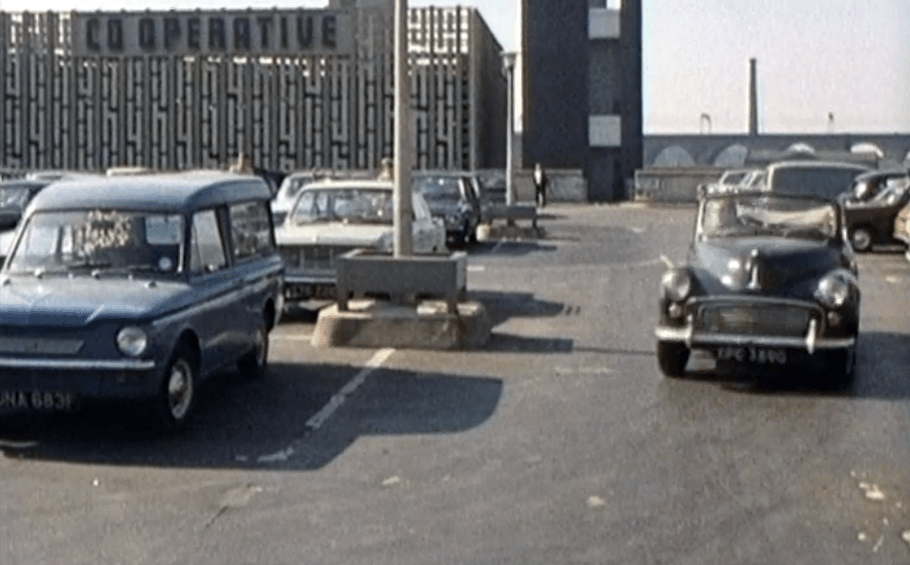
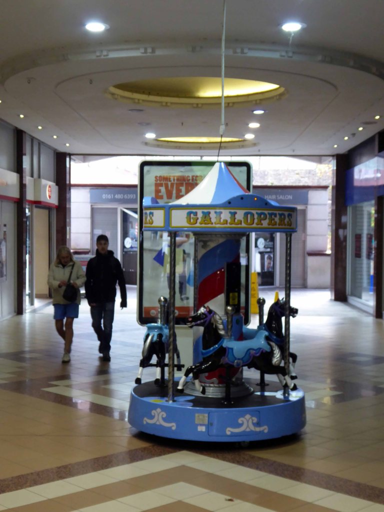
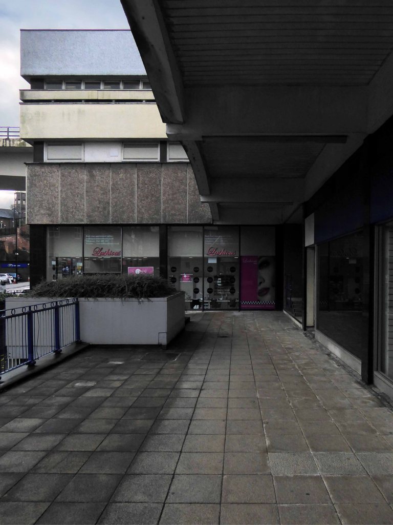
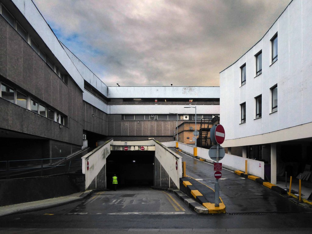
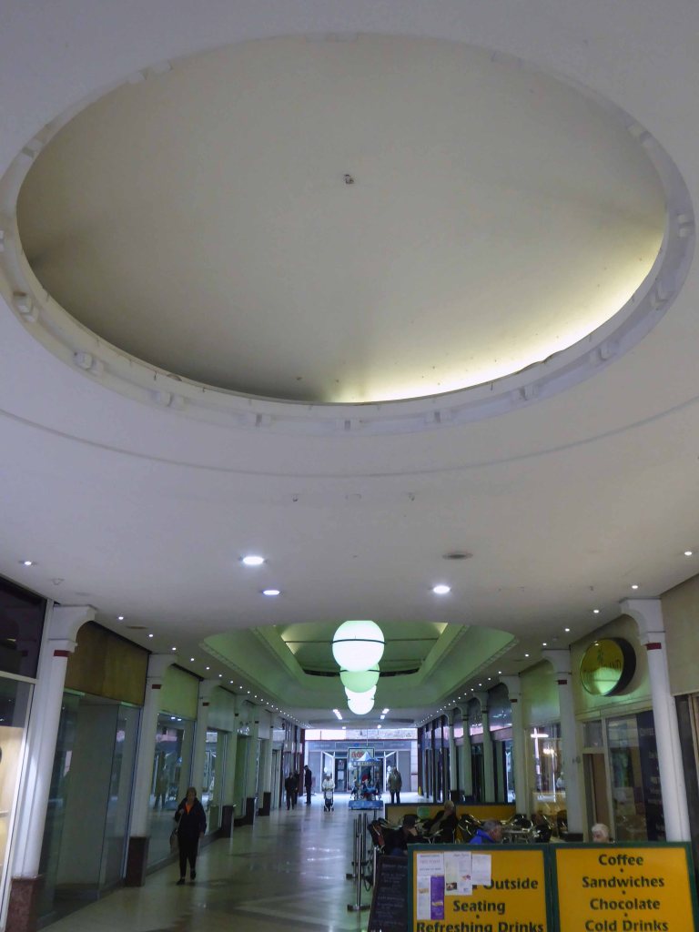
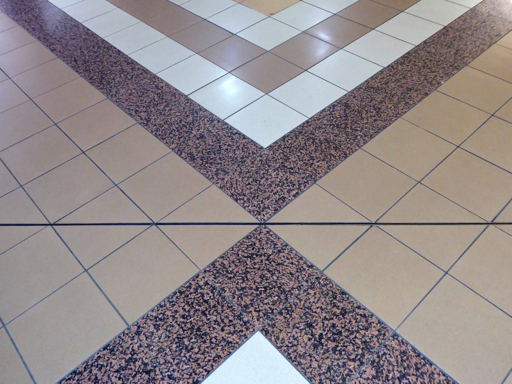
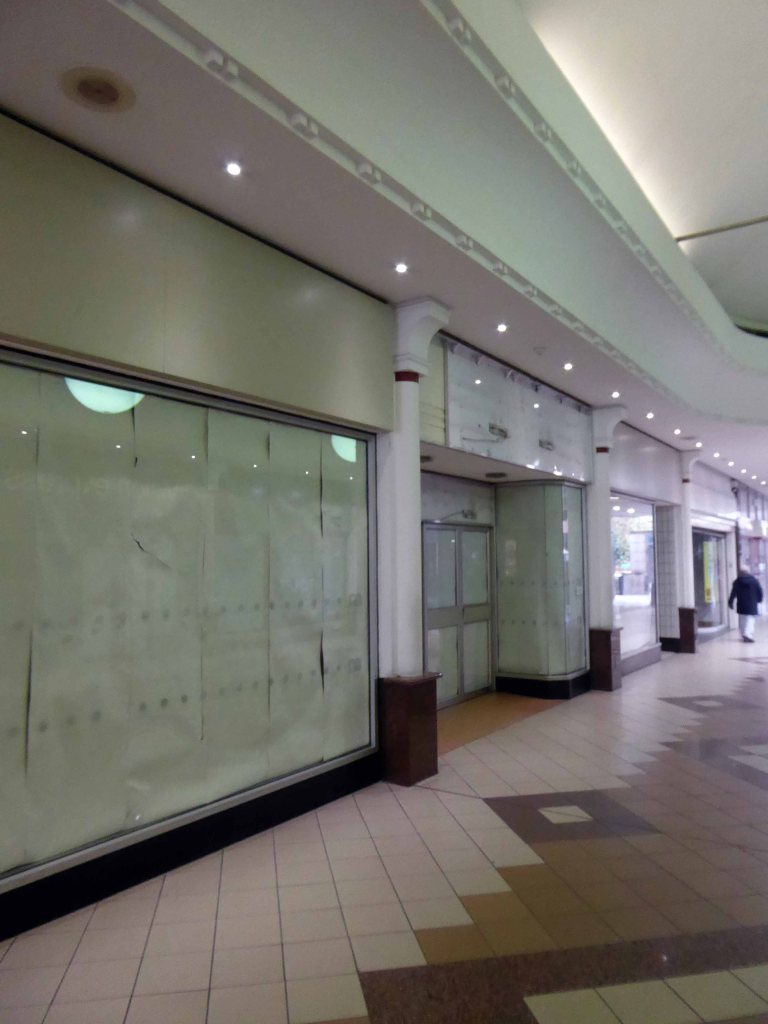
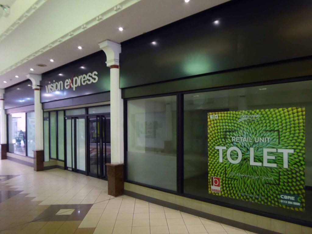
The architects were Bernard Engle and Partners in conjunction with officers of Stockport Corporation and the centre opened in 1965. The separation of pedestrians and cars, the service areas, the multi level street, the city block that negotiates difficult topography to its advantage, are all planning moves that are of the new, ordered and systemised, second wave modernism in the UK. The aggregate of the highways engineering, the urban planning and the shifting demands of retailers frequently arrived at a form and order such as this. In this way Merseyway is unremarkable, it’s like many other centres in many other towns – consider the rooftop landscape of Blackburn. It is, however, typical and has been typically added to and adjusted during its life and presents perhaps the face of the last retail metamorphosis before the out-of-town really made the grade.
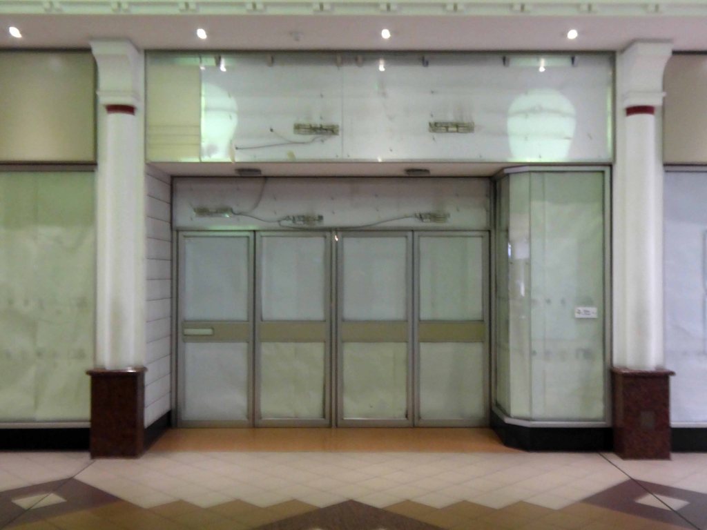
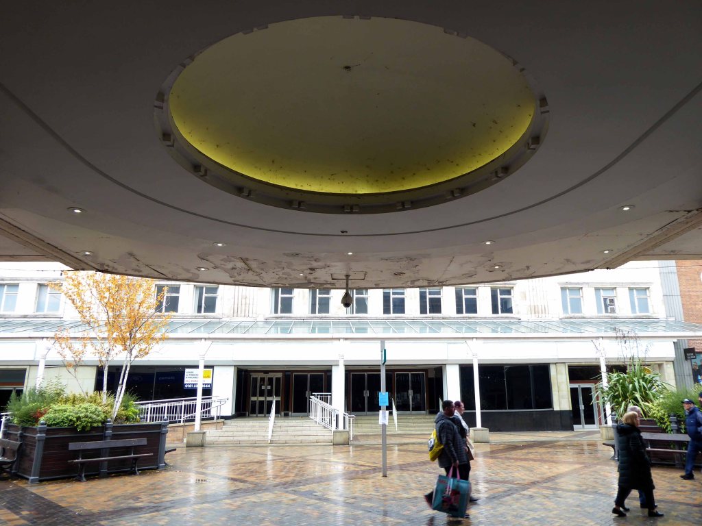
Each successive remaking and remodelling has seriously compromised the integrity of the development. We are left with dog’s dinner of poorly realised Post Modern and Hi-Tech additions, along with a failure to maintain the best of the original scheme.
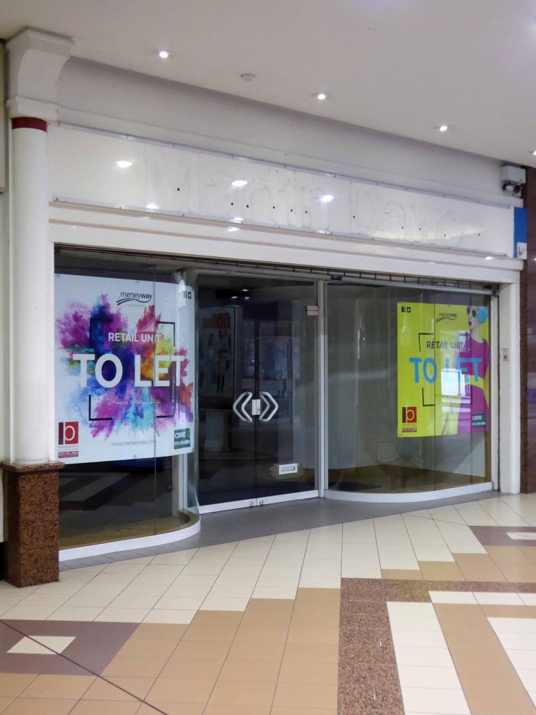
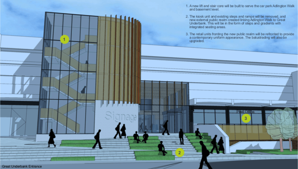
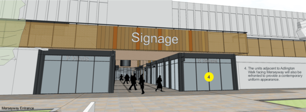
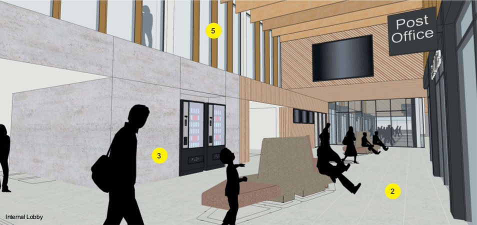
Plans are now afoot to revamp the precinct – starting with Adlington Walk.
Proposed facilities include a soft play space, new seating, buggy stores, high grade toilets, parent and child facilities and a multi faith prayer room.
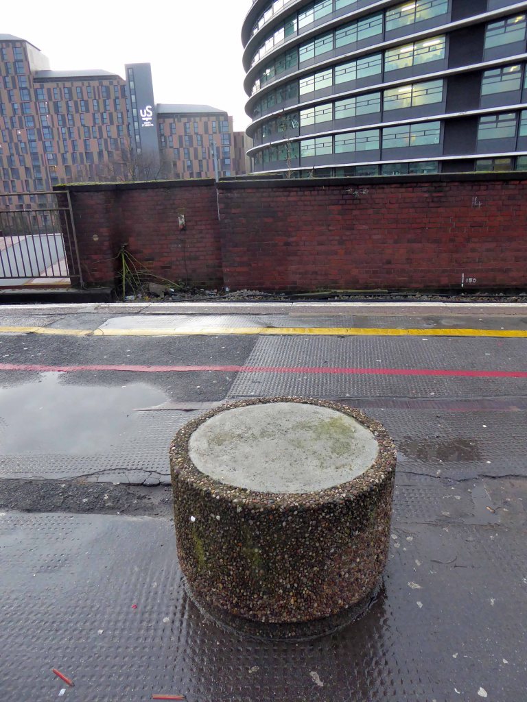
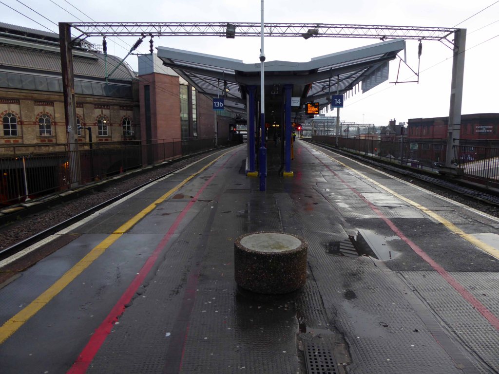
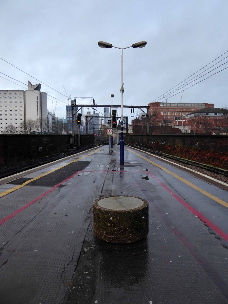
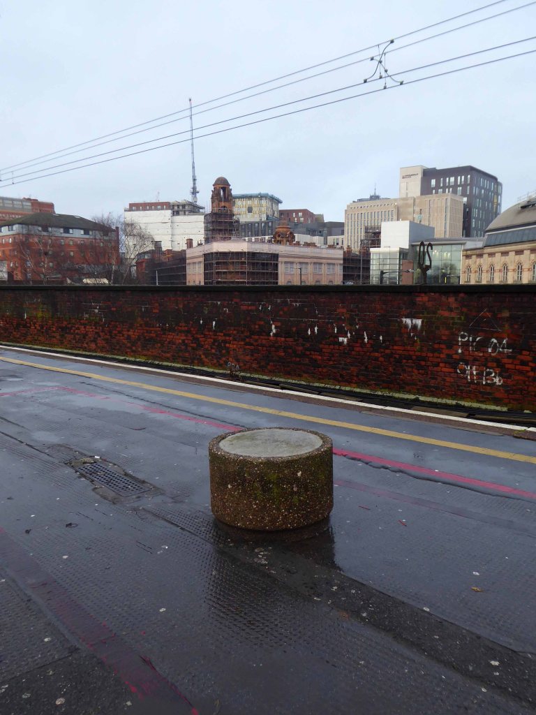
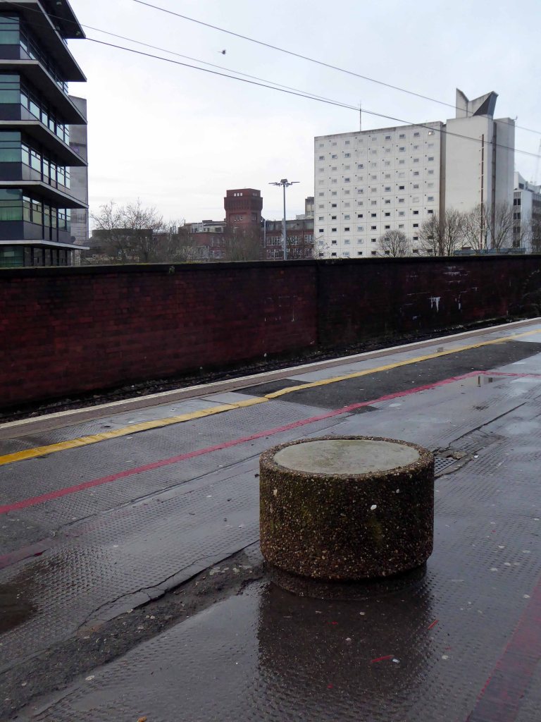
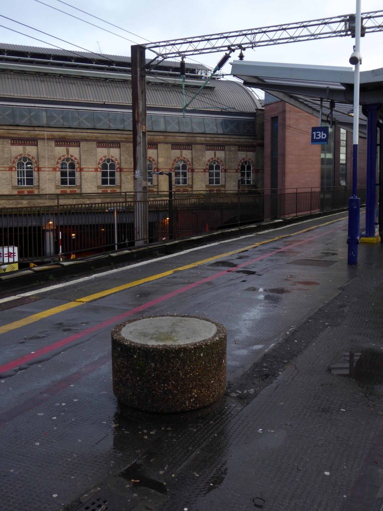
So here we are again at Piccadilly Station – stood standing at the western end of Platforms 13 and 14, waiting on a Southport train.
Time to spare and spend a few more magic moments with an old and trusted friend.
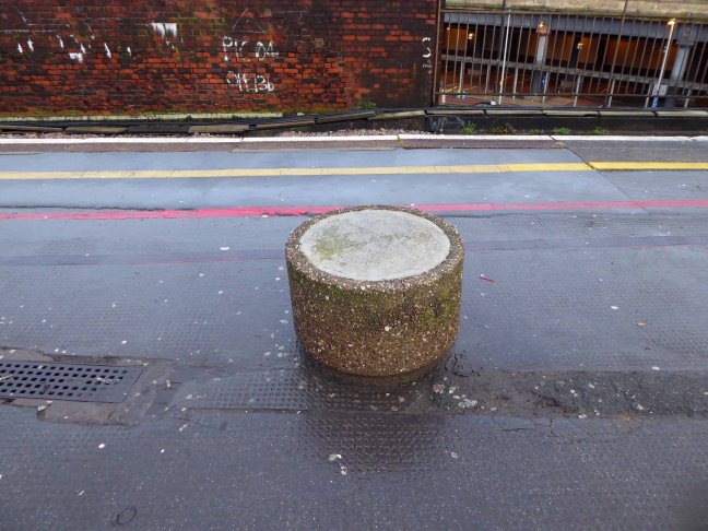
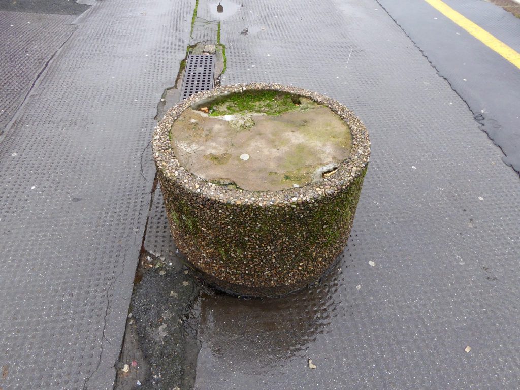
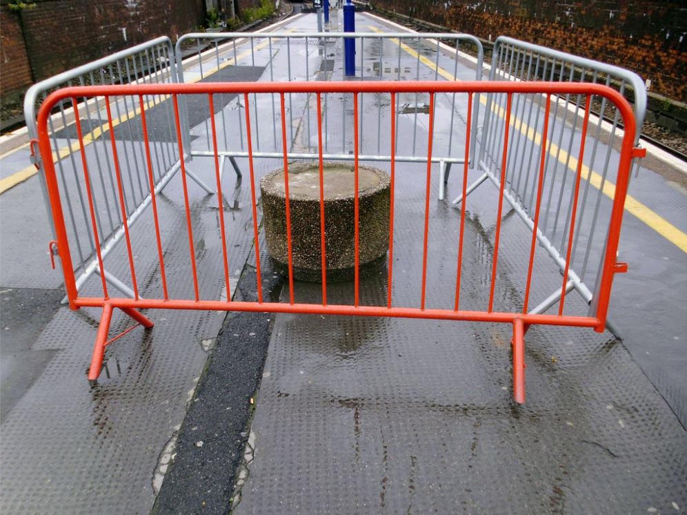
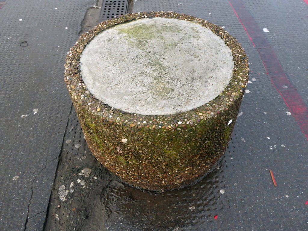
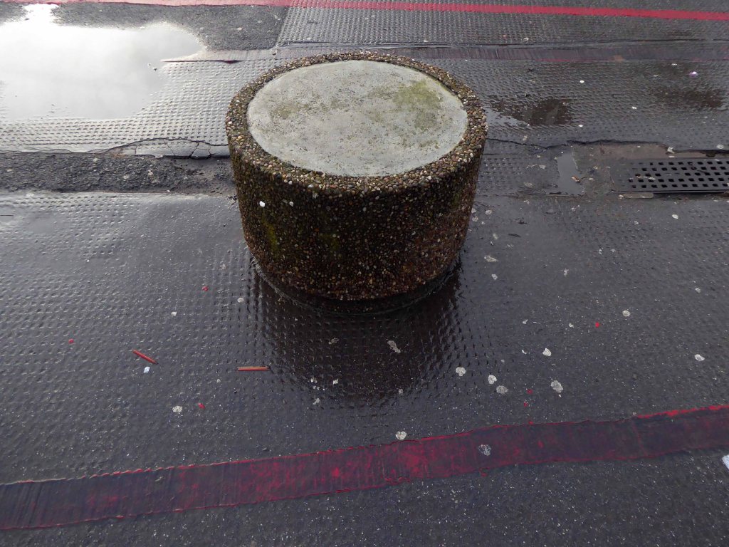
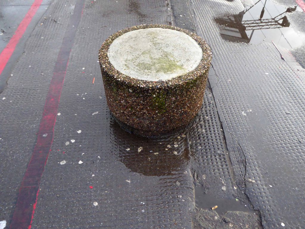
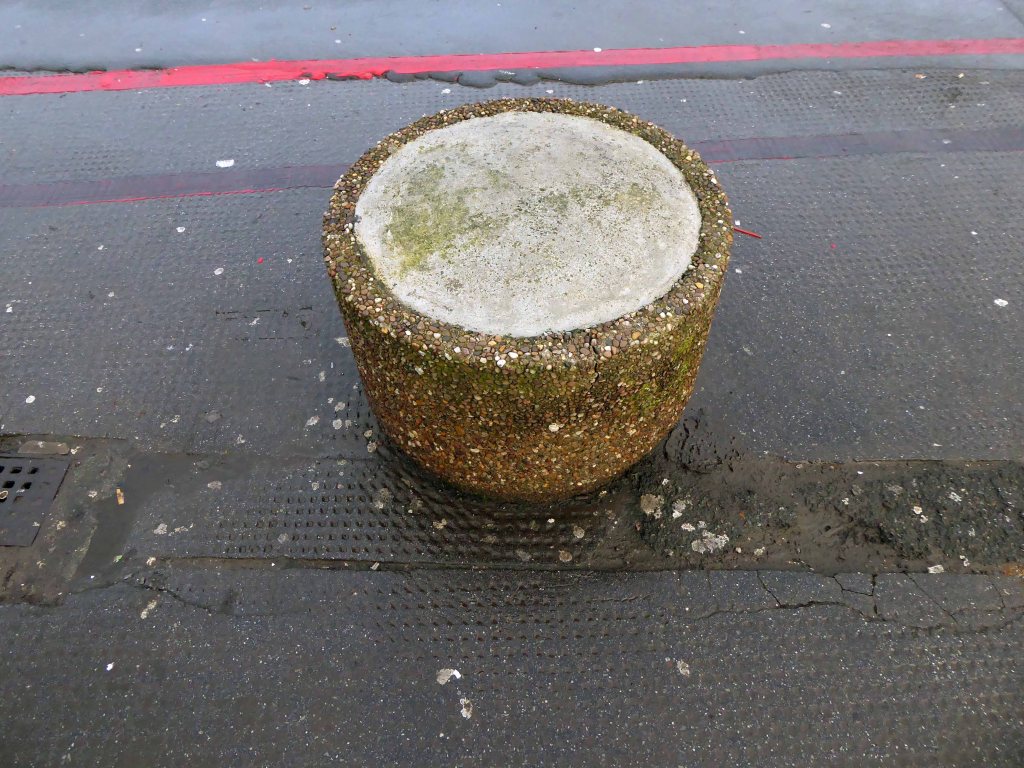
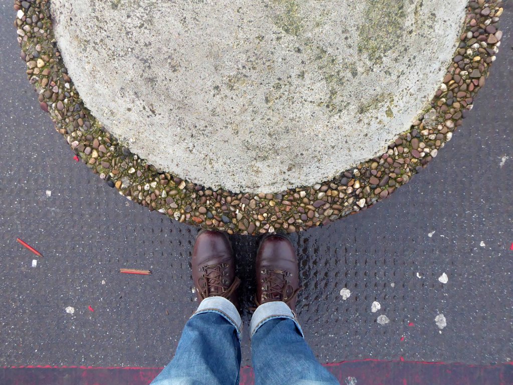
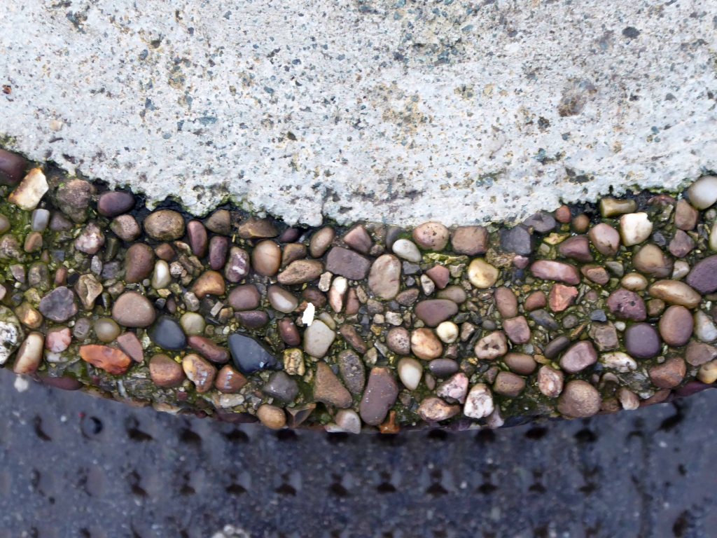
The back-filled concrete planter.
Seen here in a neglected and forlorn state, awaiting minor repairs to its upper sealed surface.
Once incarcerated and seemingly set for demolition, our diminutive concrete pal has lived to fight another day.
Standing alone in all elements, disabused by illicit smokers, grabbing a serruptitious chuff, whilst avoiding the ubiquitous Network Rail CCTV.
Sat upon by the indolent leg weary traveller, having missed yet another cancelled train.
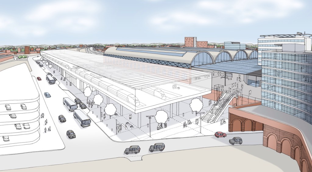
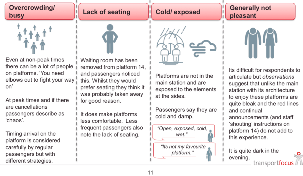
Your days may yet be numbered, as the platforms are part of a Station upgrade – the platforms are not thought to be commodious by the majority of train users.
I for one shall campaign for your preservation and reinstatement – right at the heart of matters.
My personal, totemic modernist work of public art.
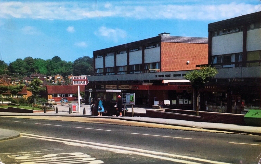
This time of year, with limited light and an inclement climate, it’s far easier to travel by picture postcard. Researching and searching eBay to bring you the finest four colour repro pictures of our retail realm.
We have of course been here before – via a previous post.
It is however important to keep abreast of current coming and goings, developments are ever so often overwritten by further developments.
Precincts my appear and disappear at will – so let’s take a look.