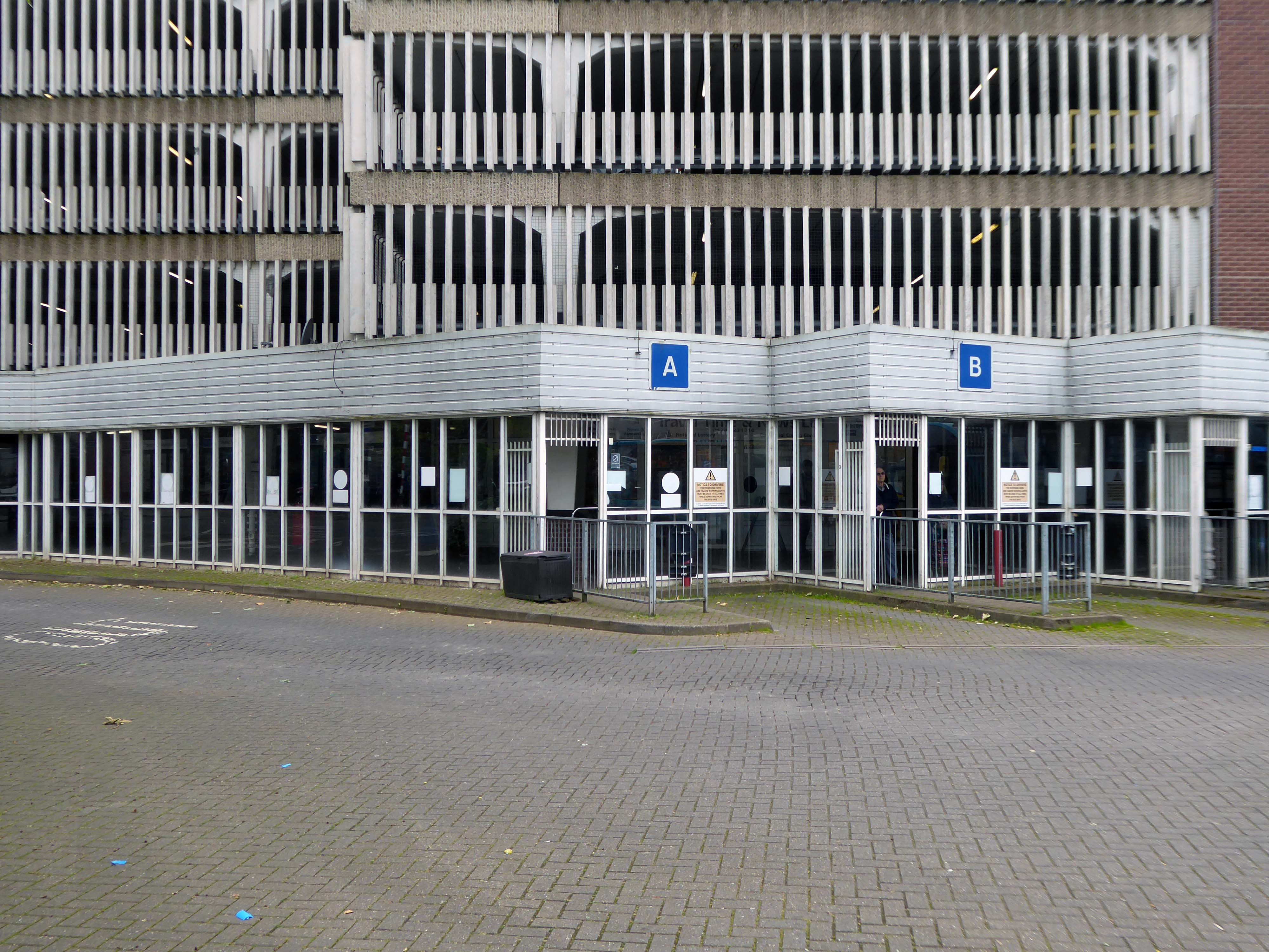
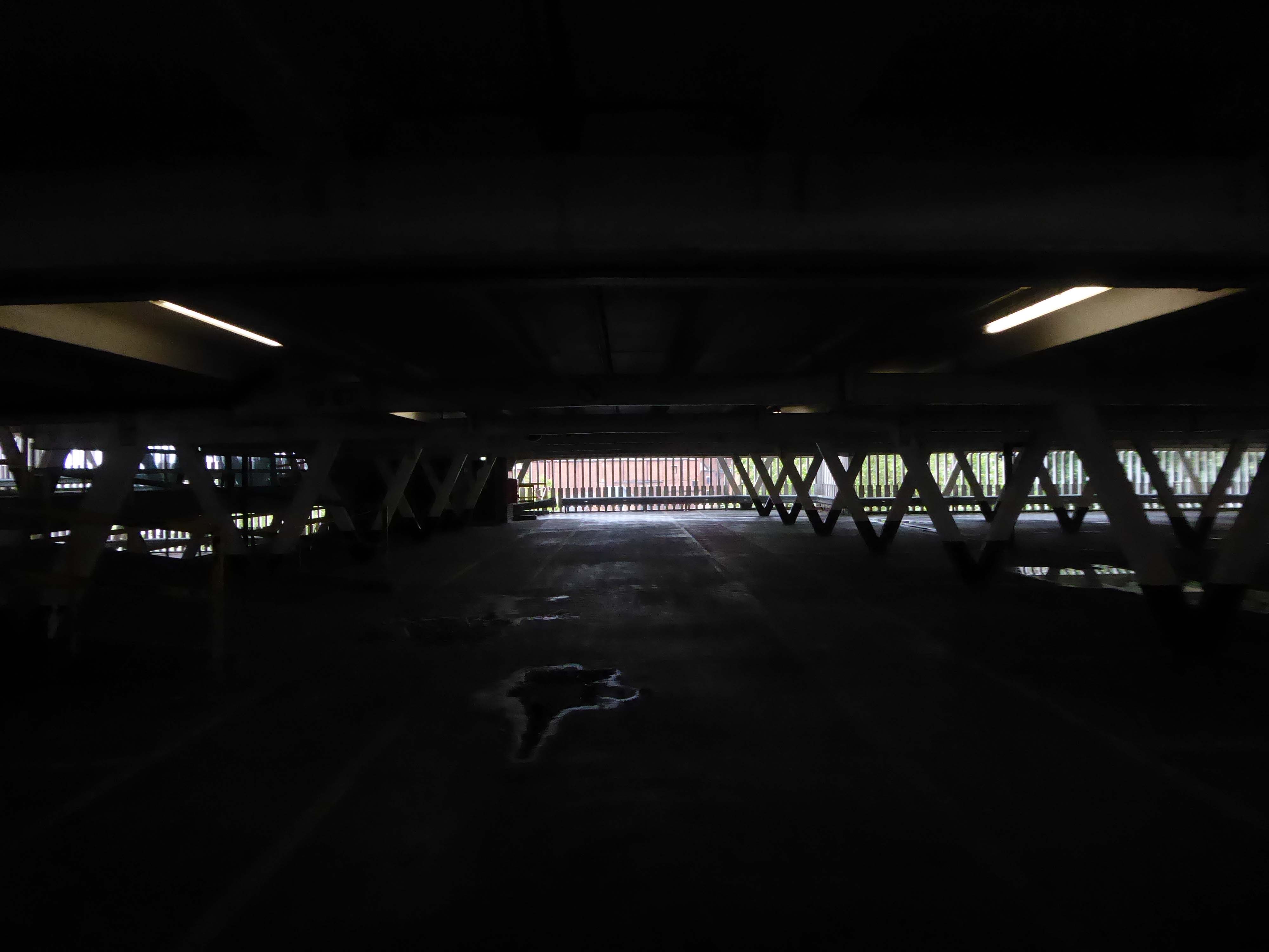
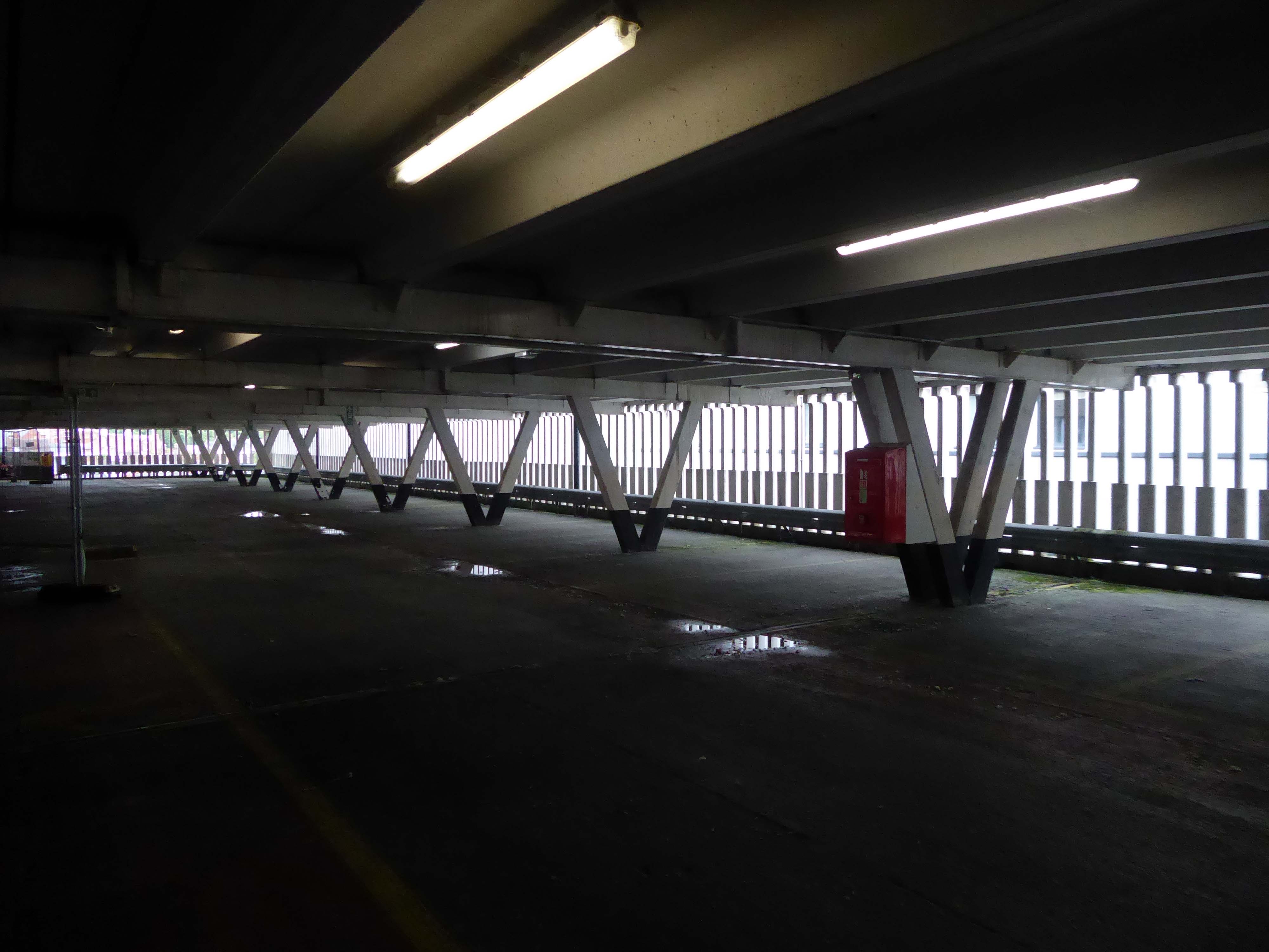
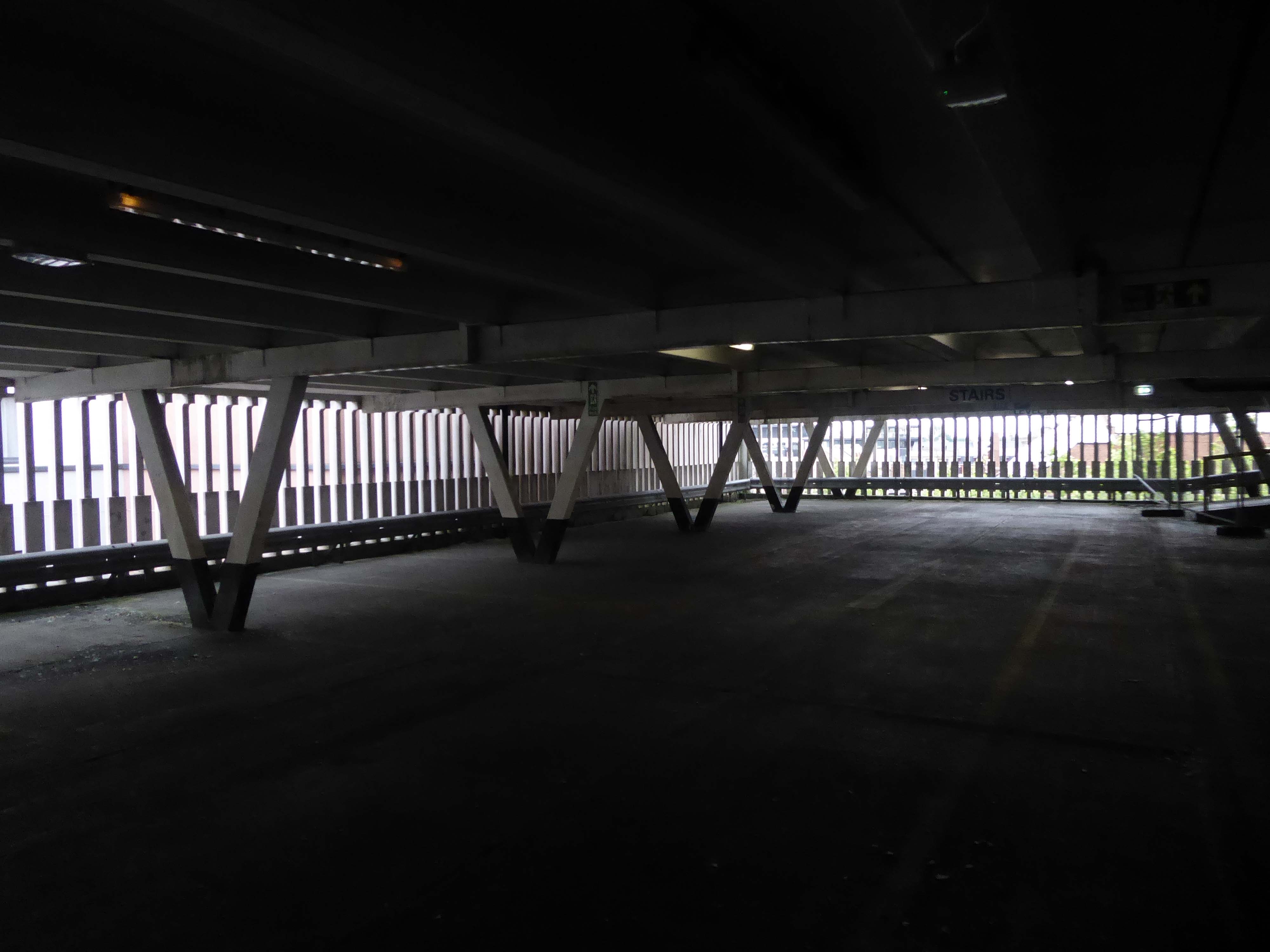
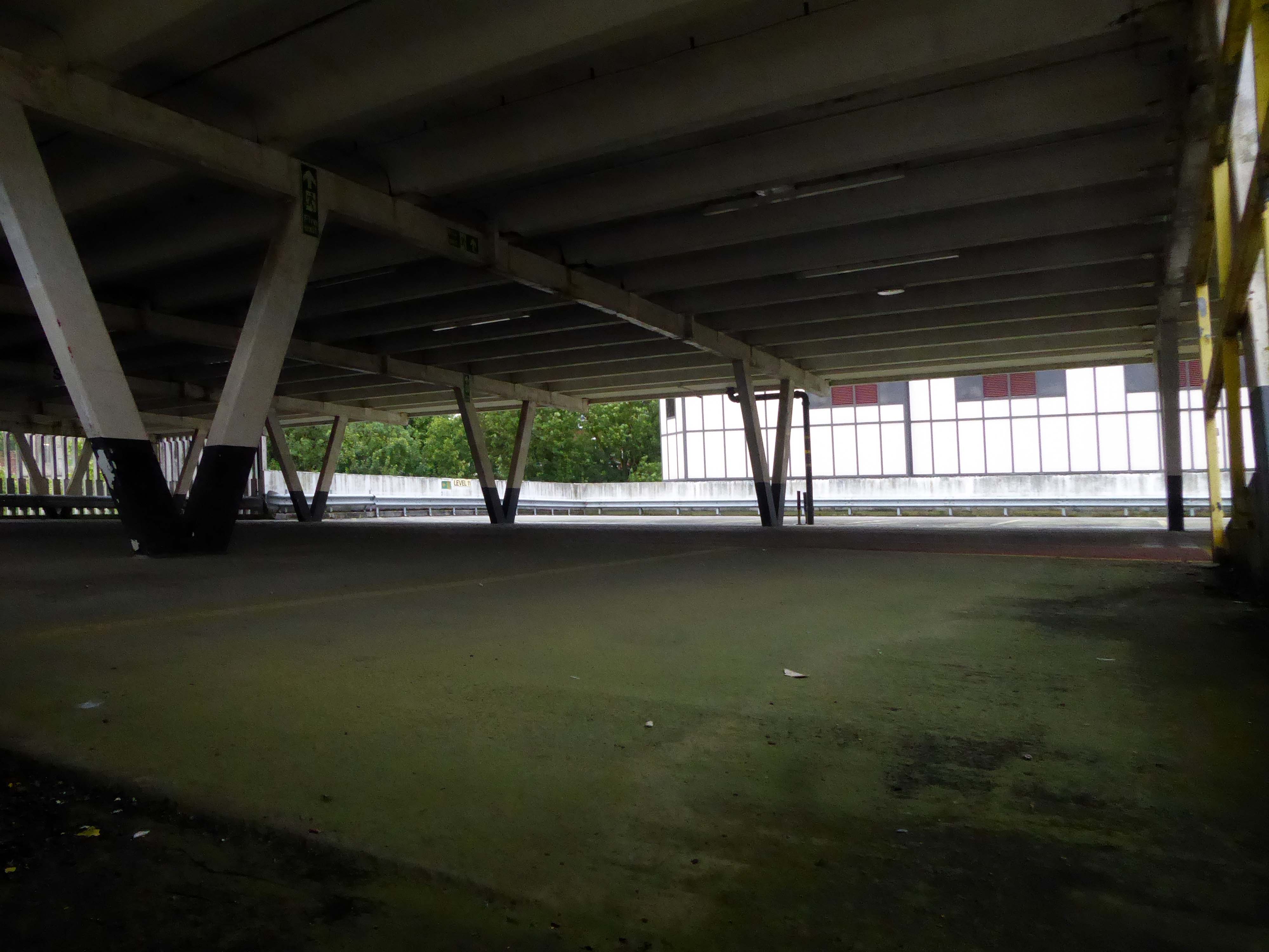
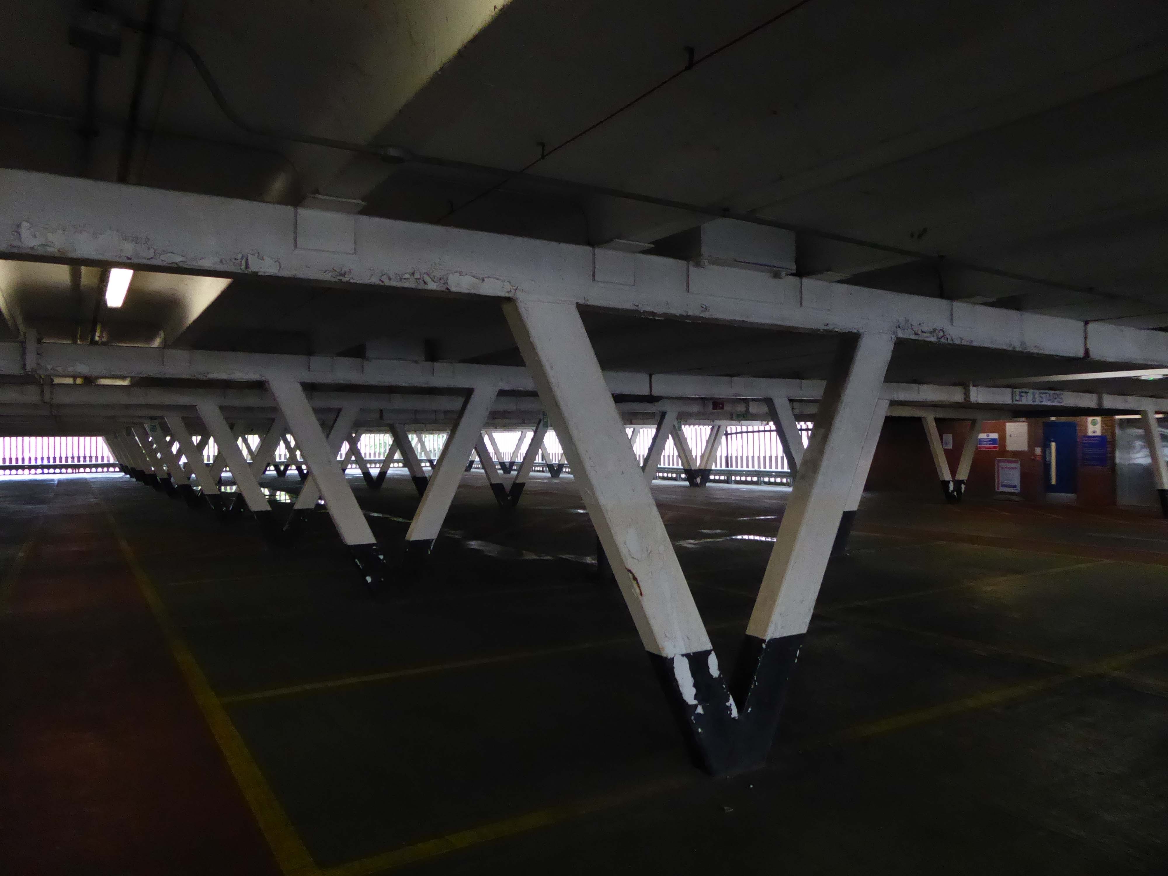
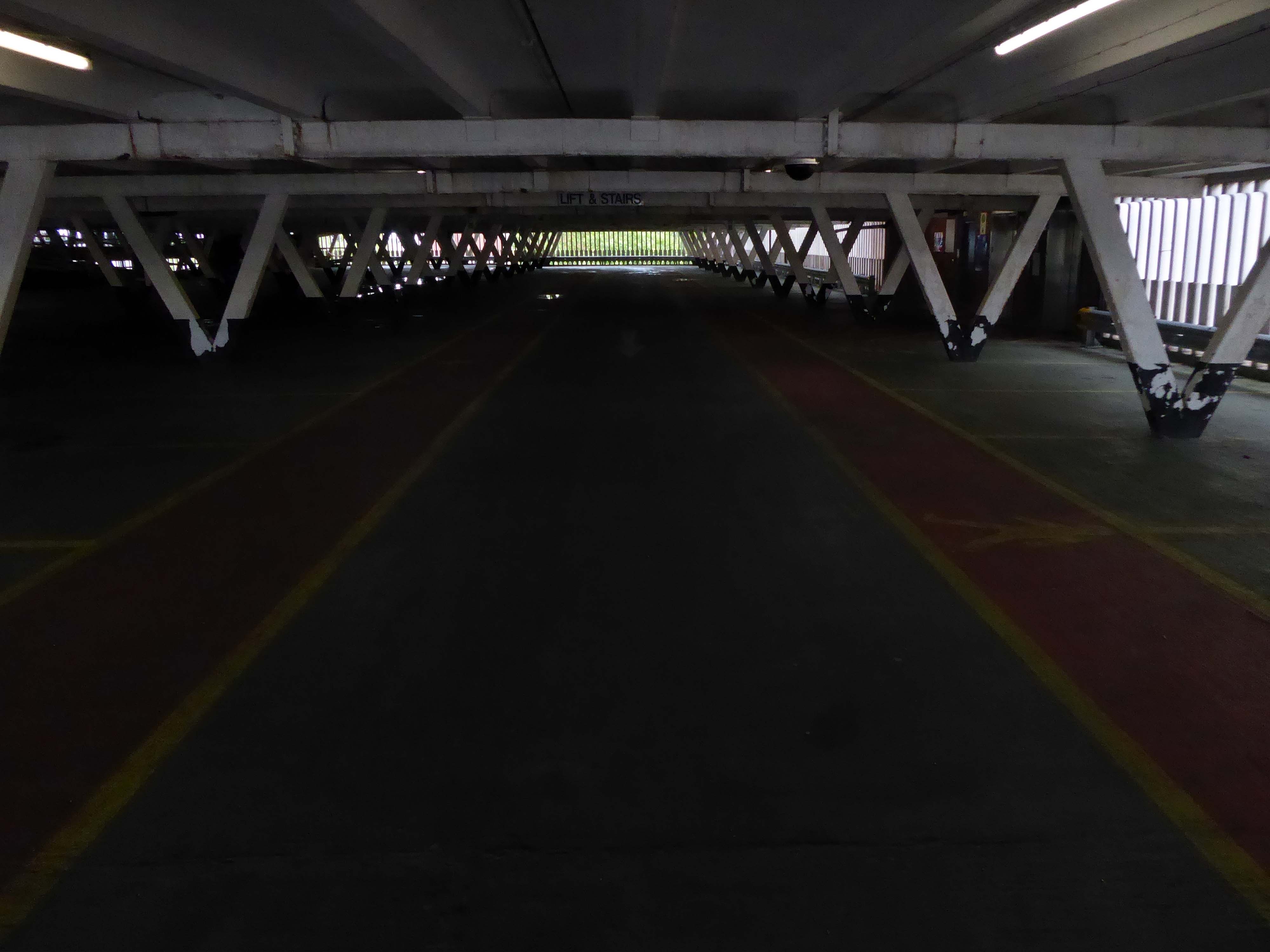
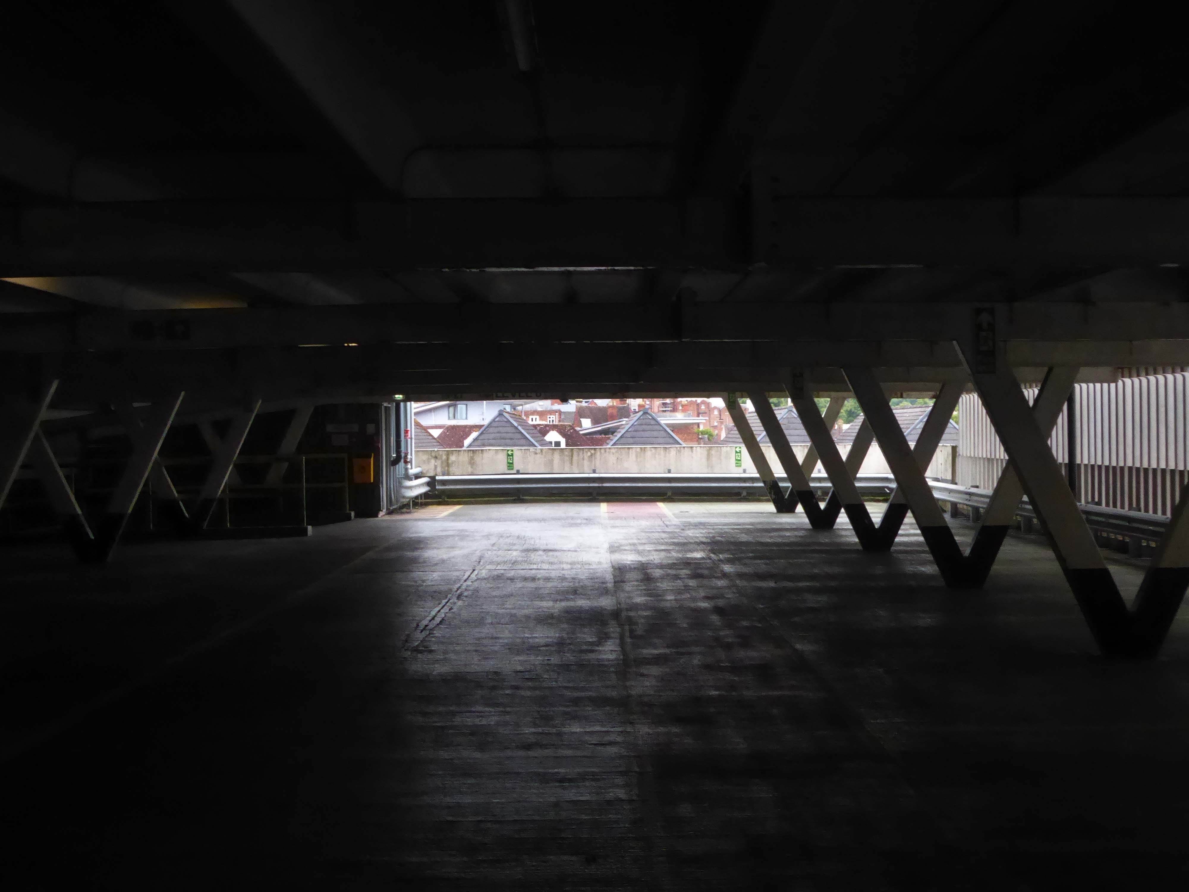
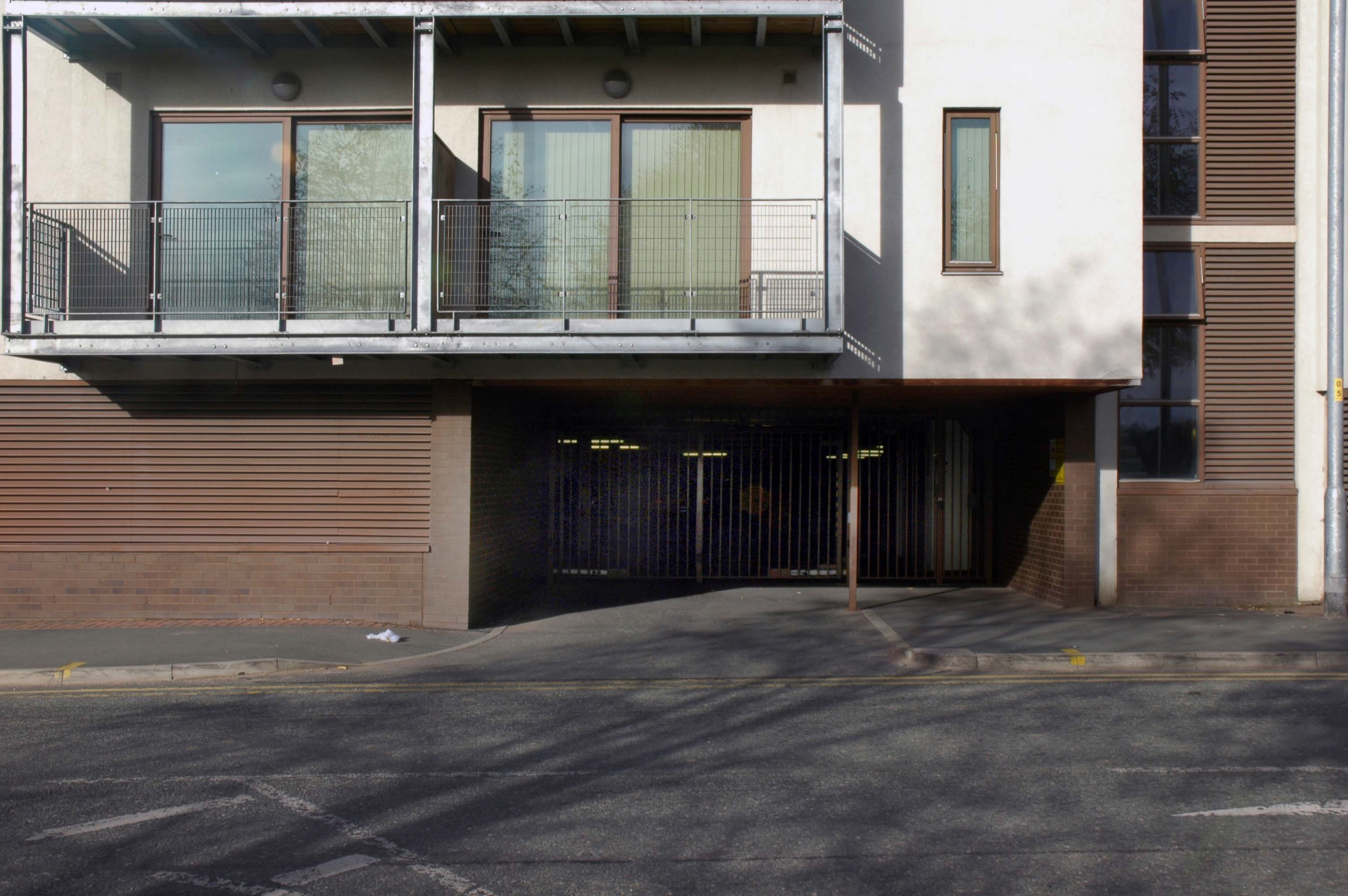
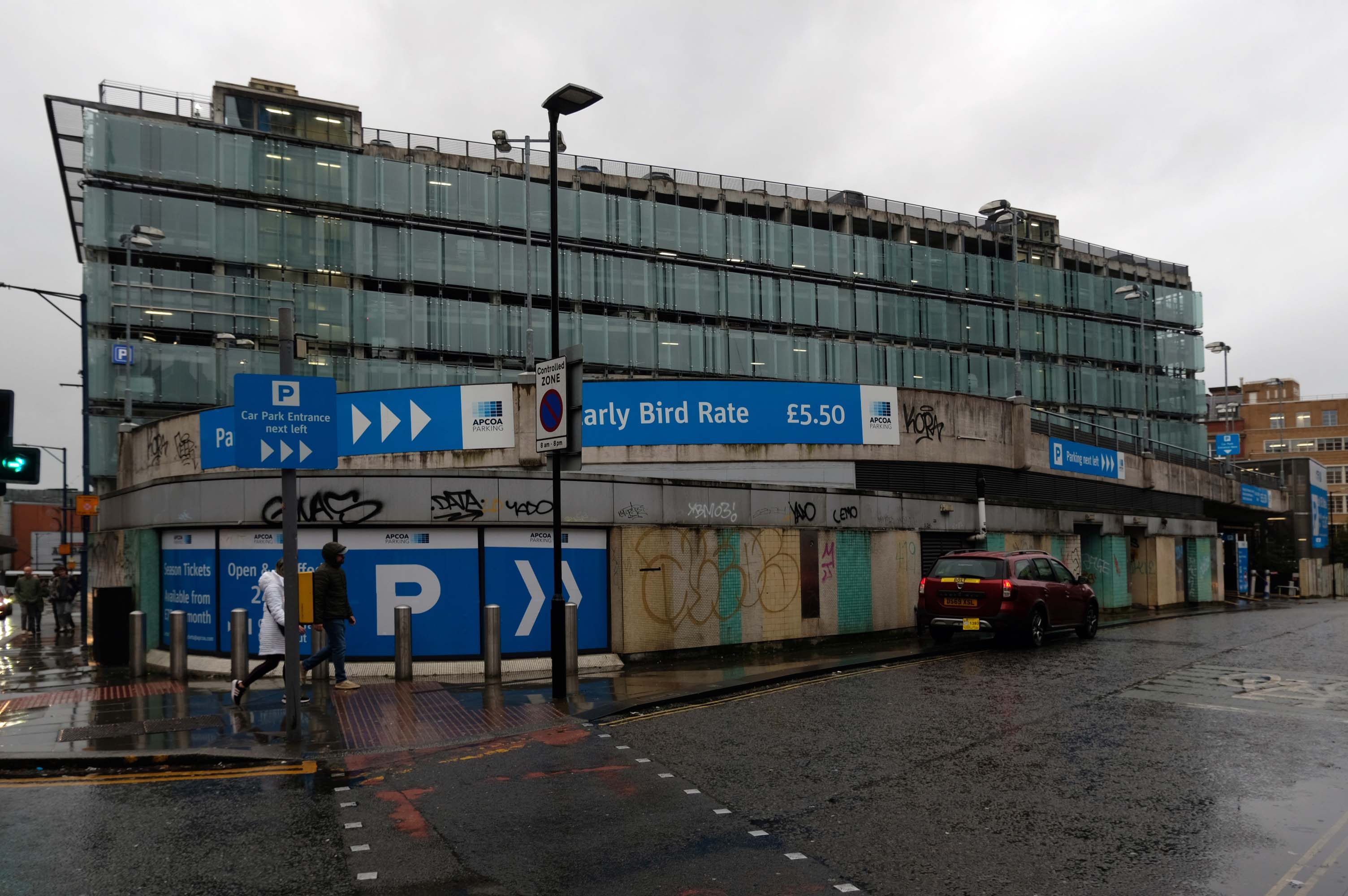
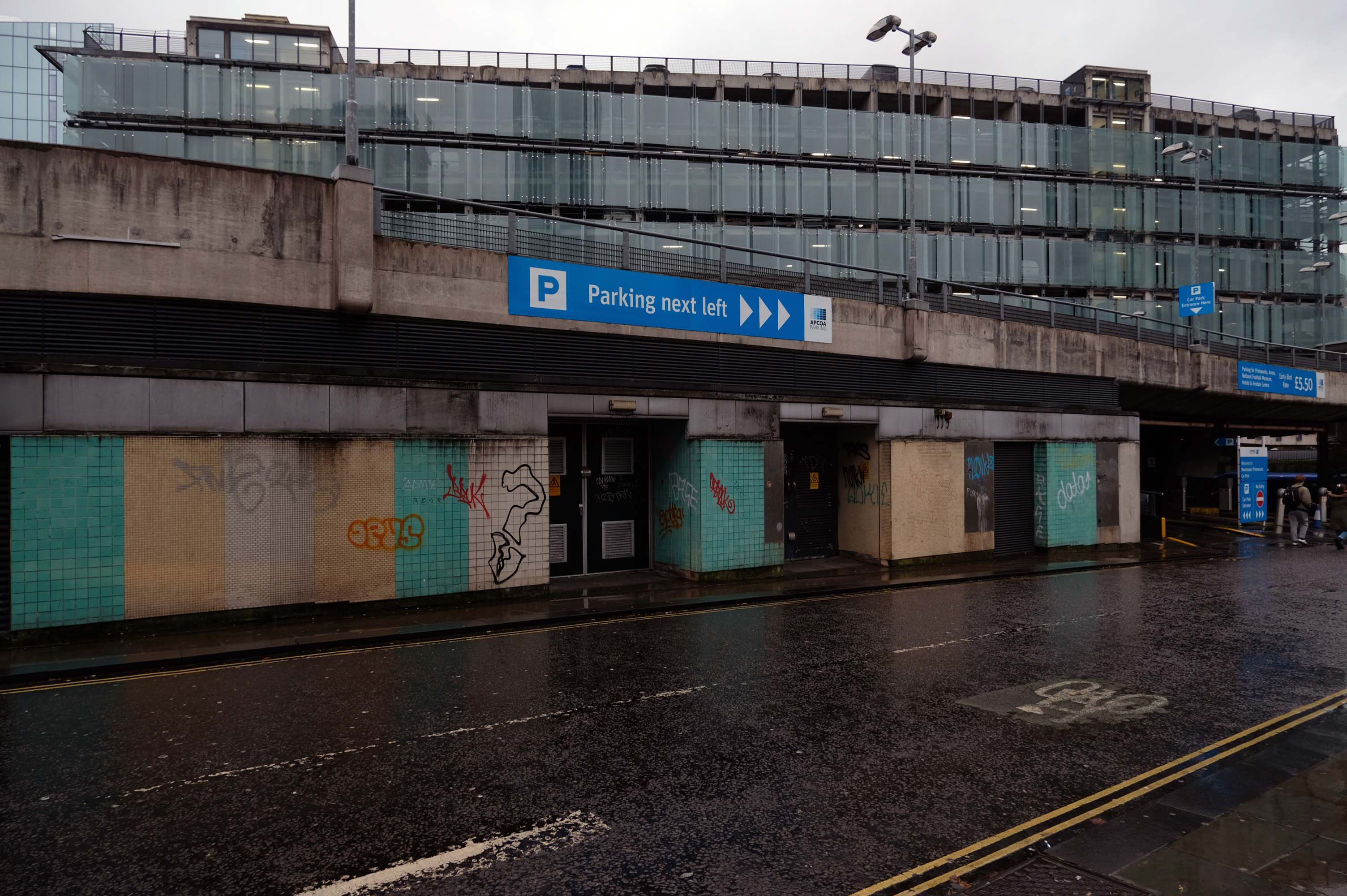
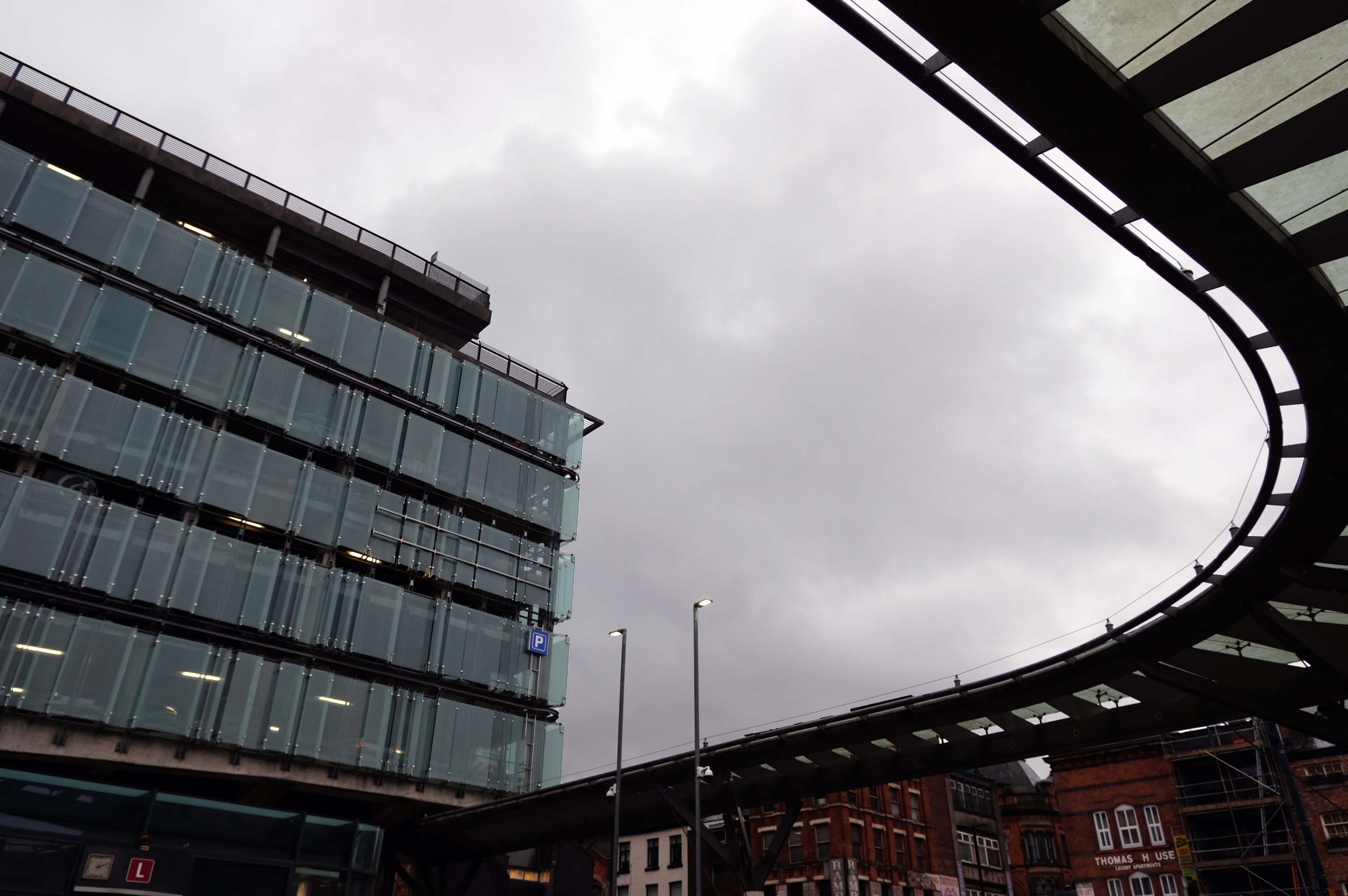
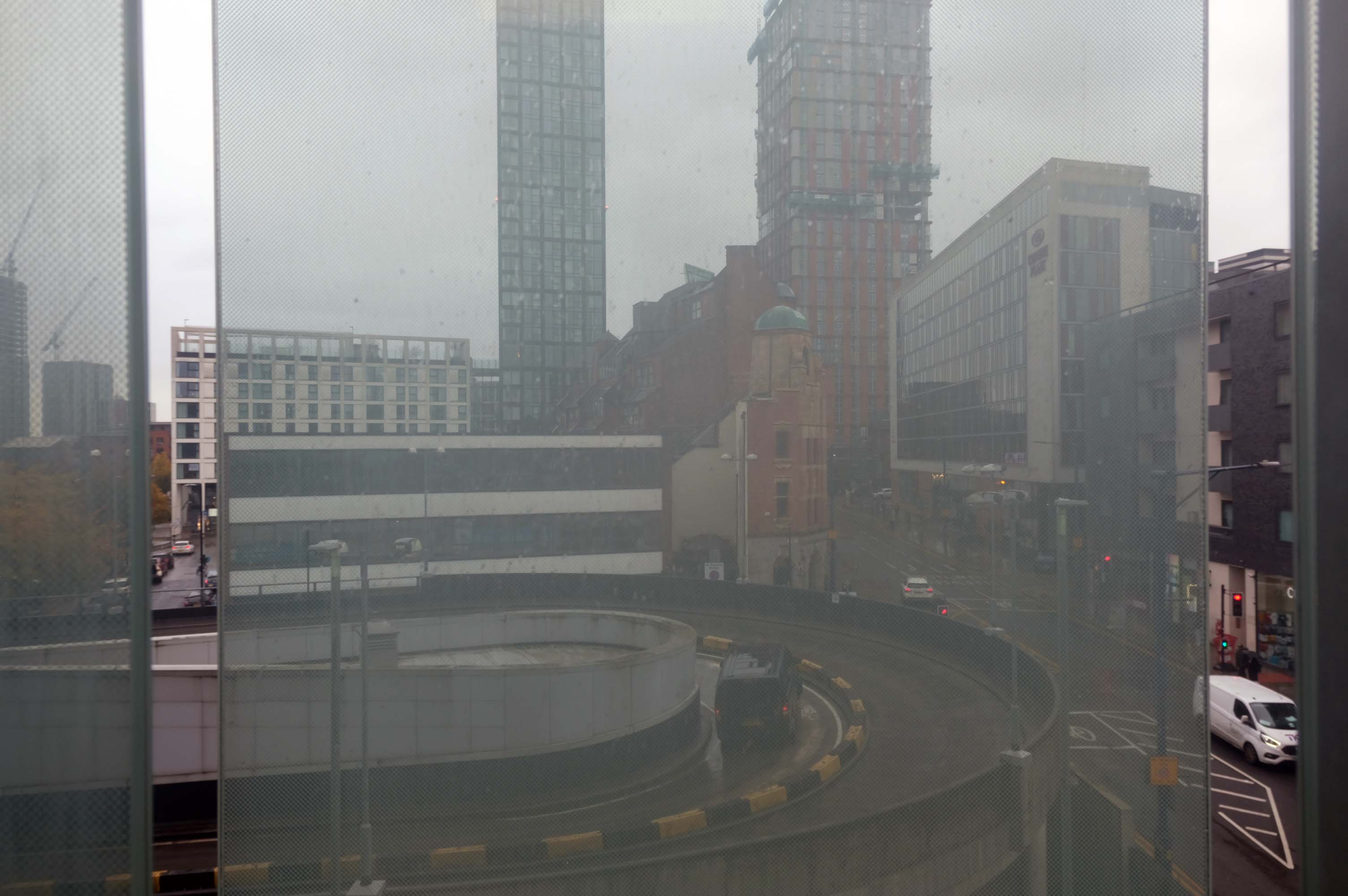
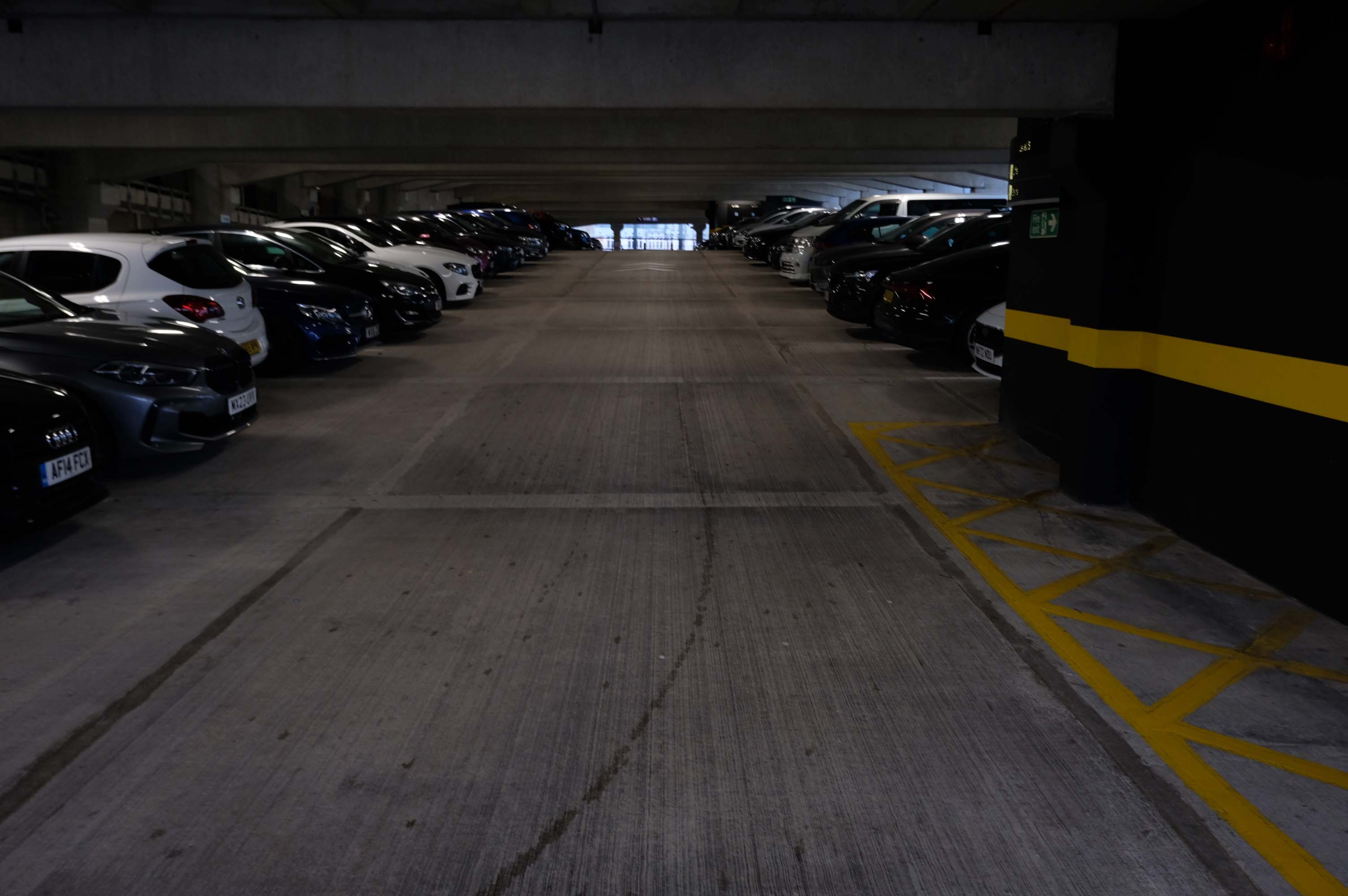
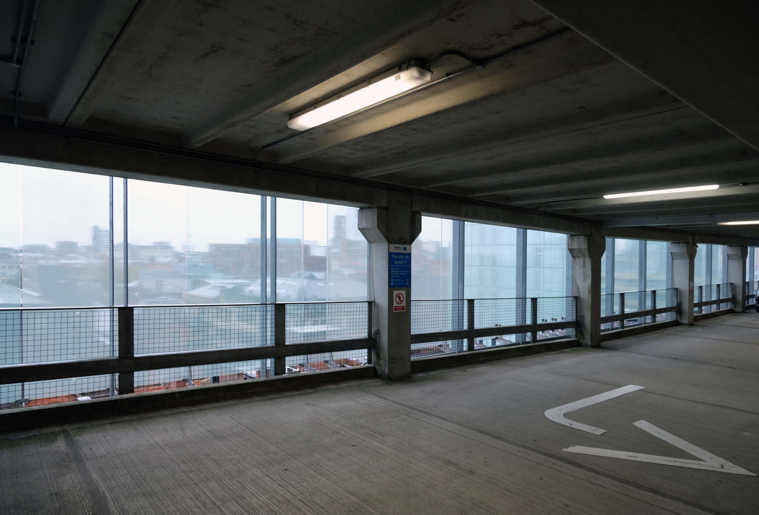
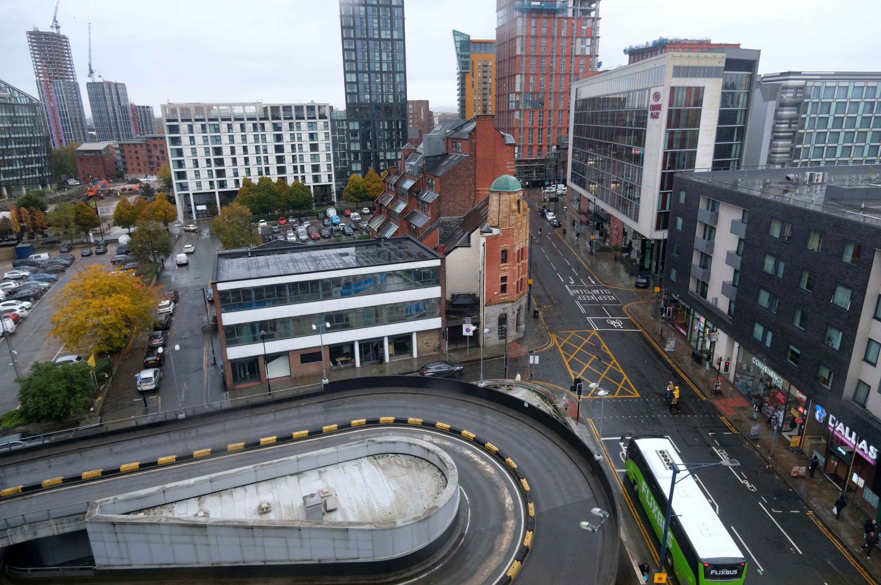
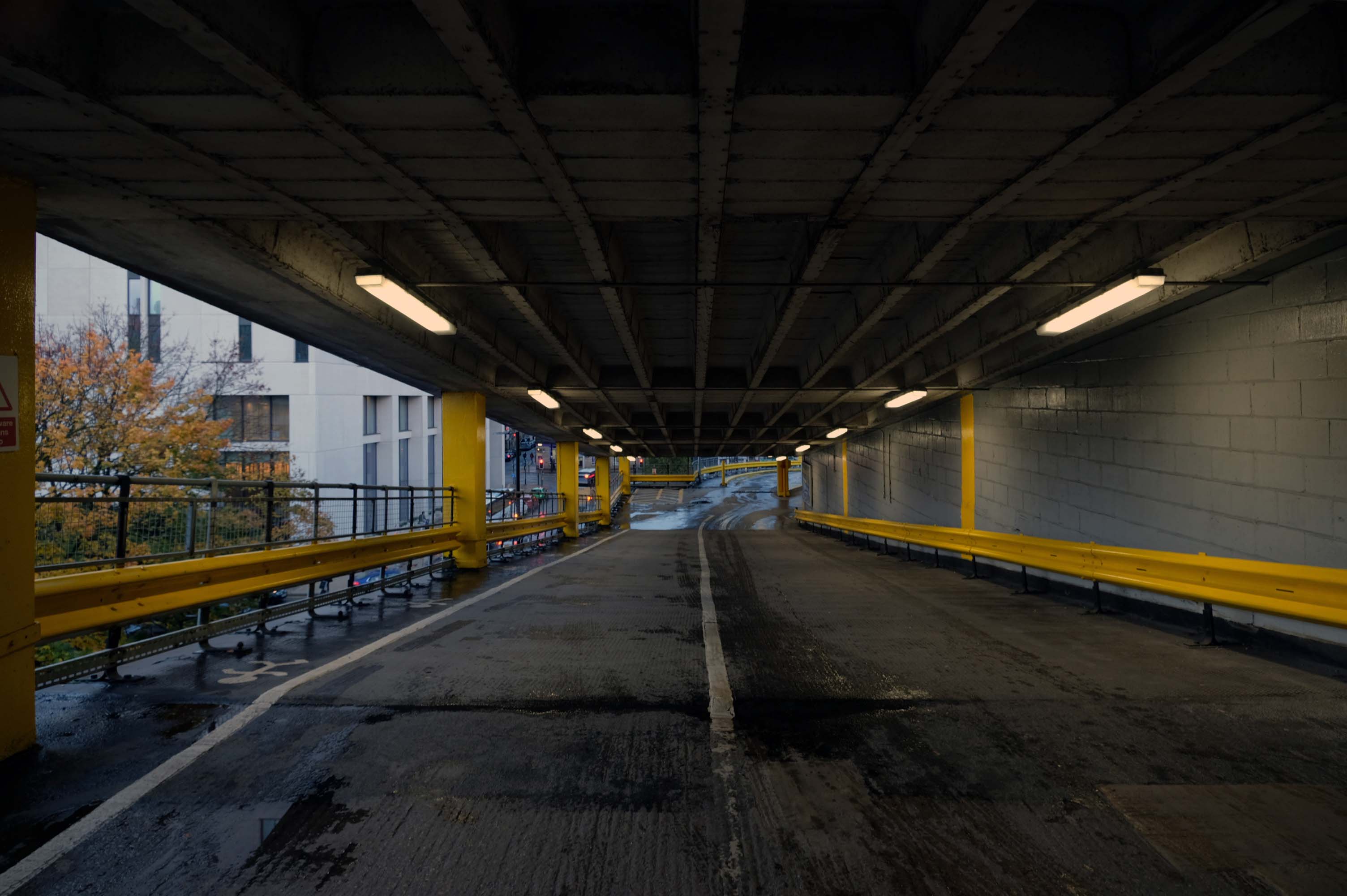
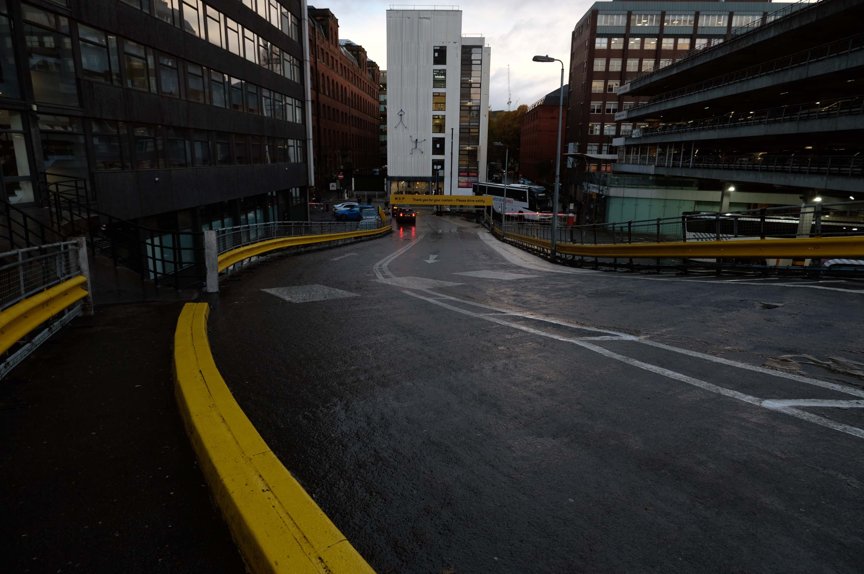
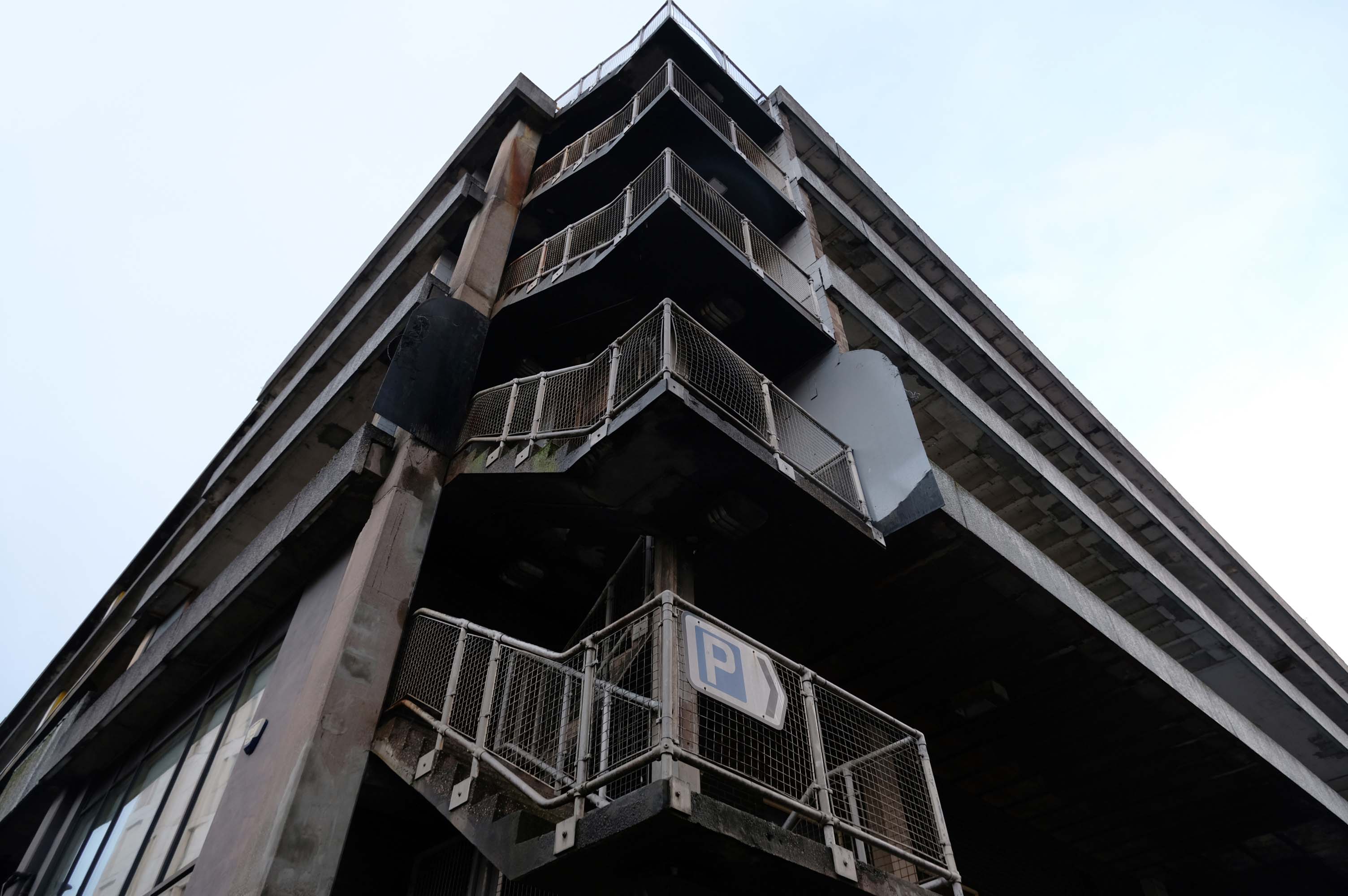
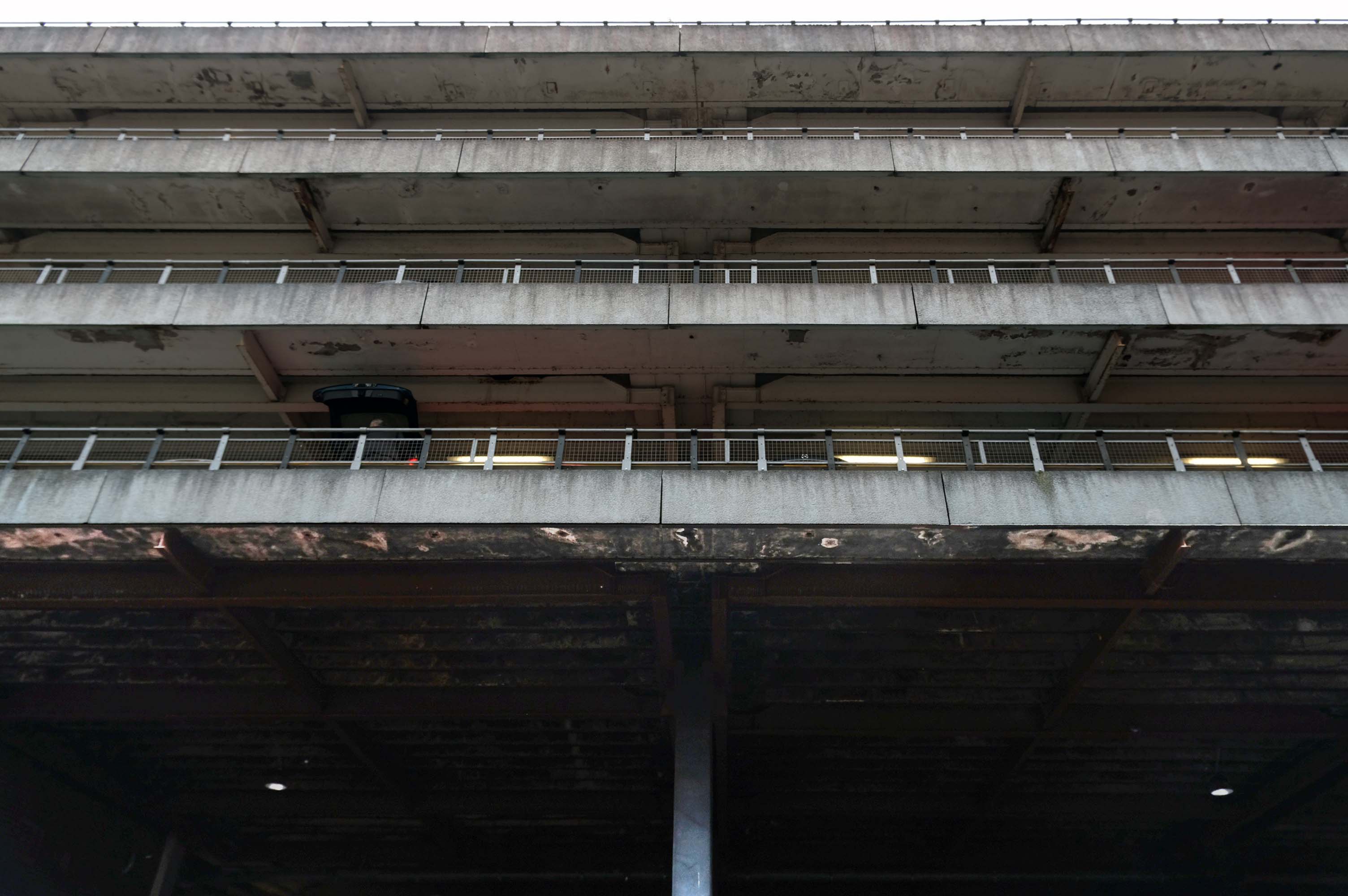
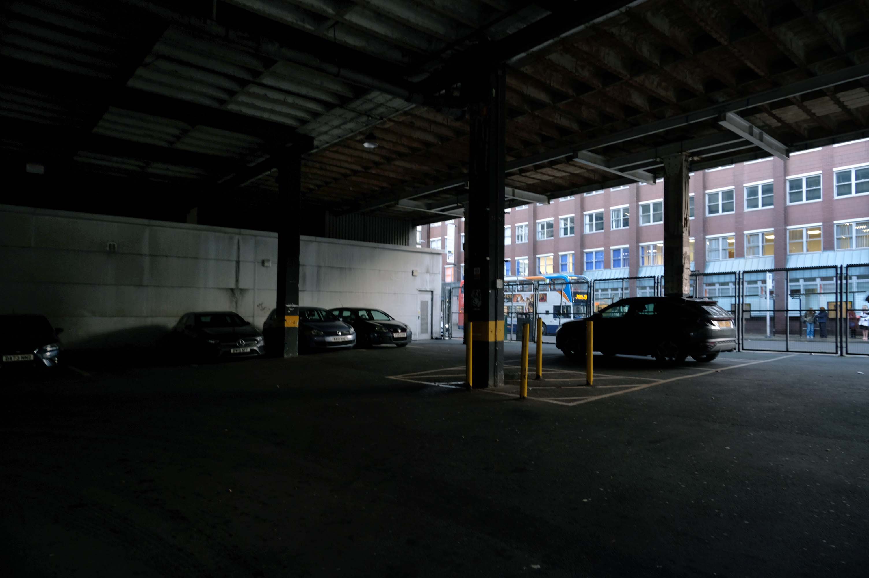
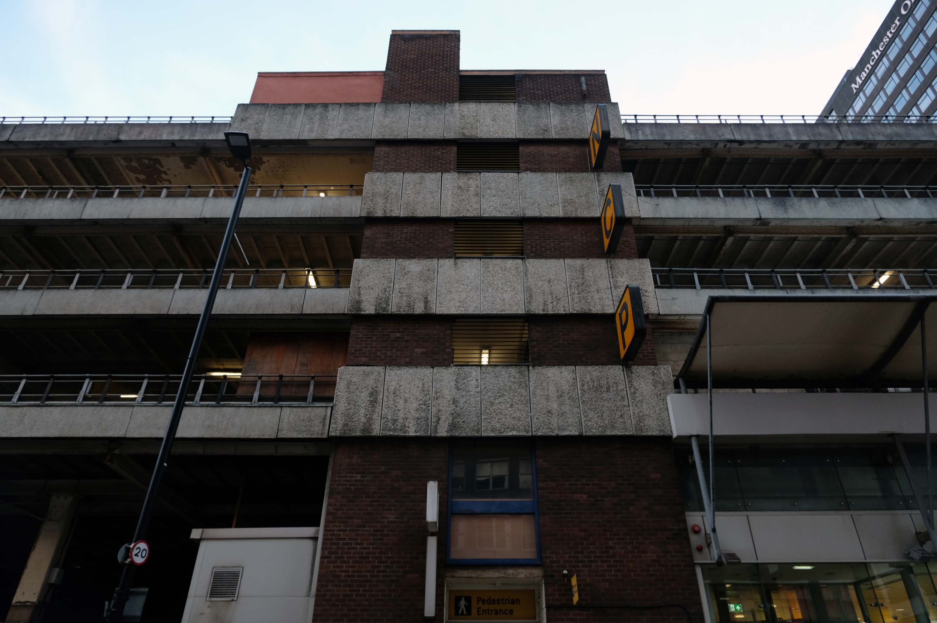
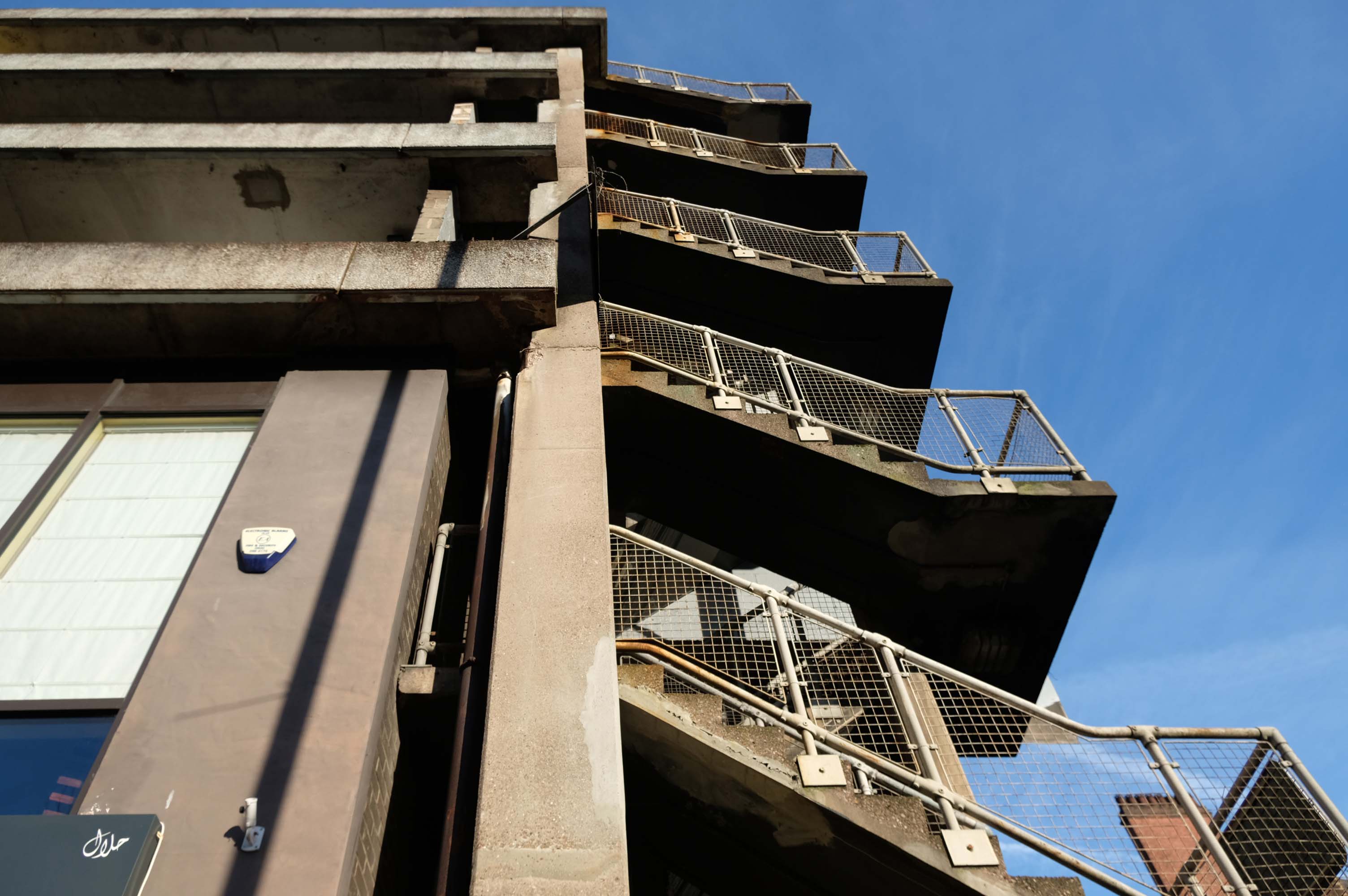
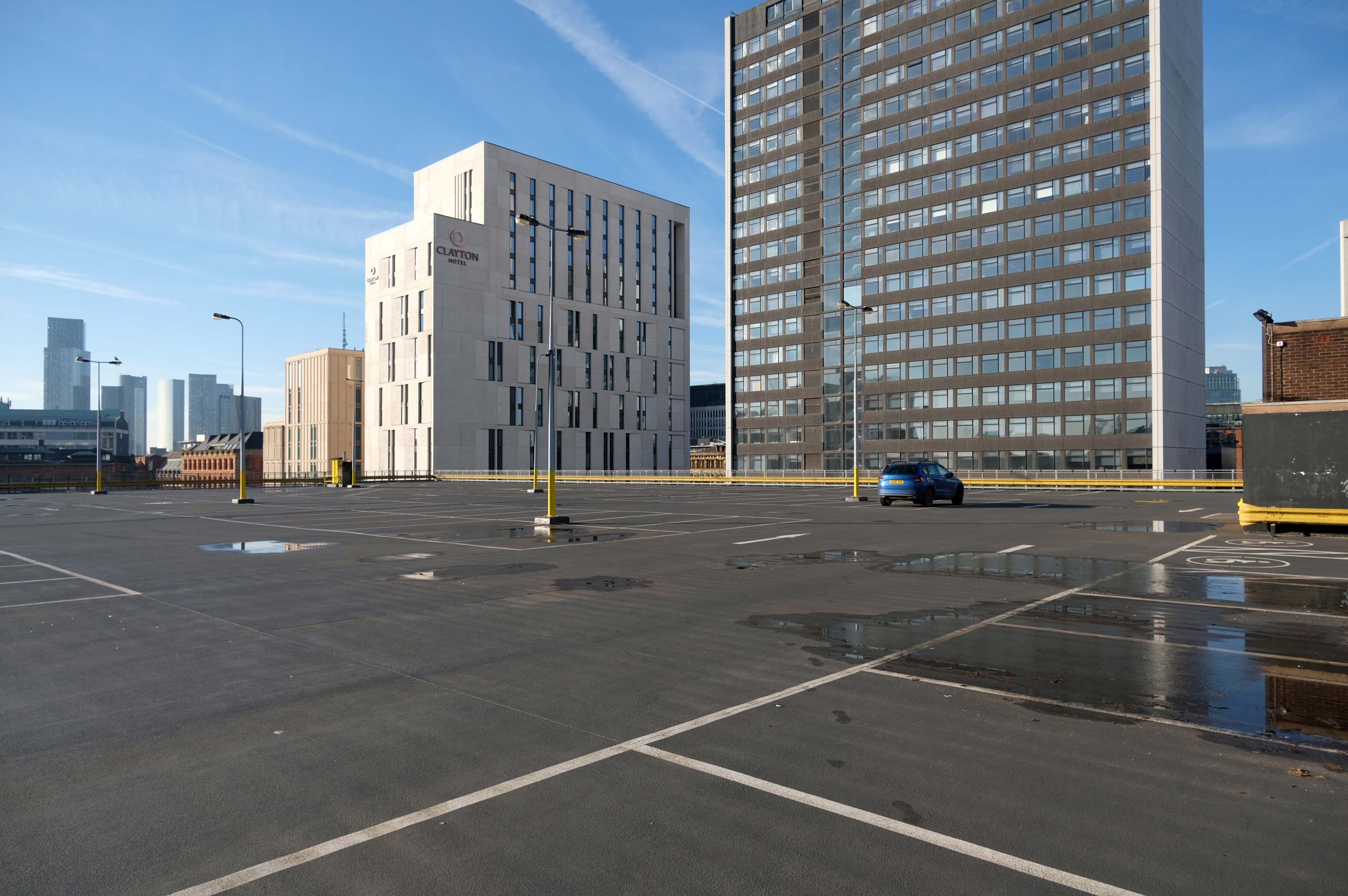
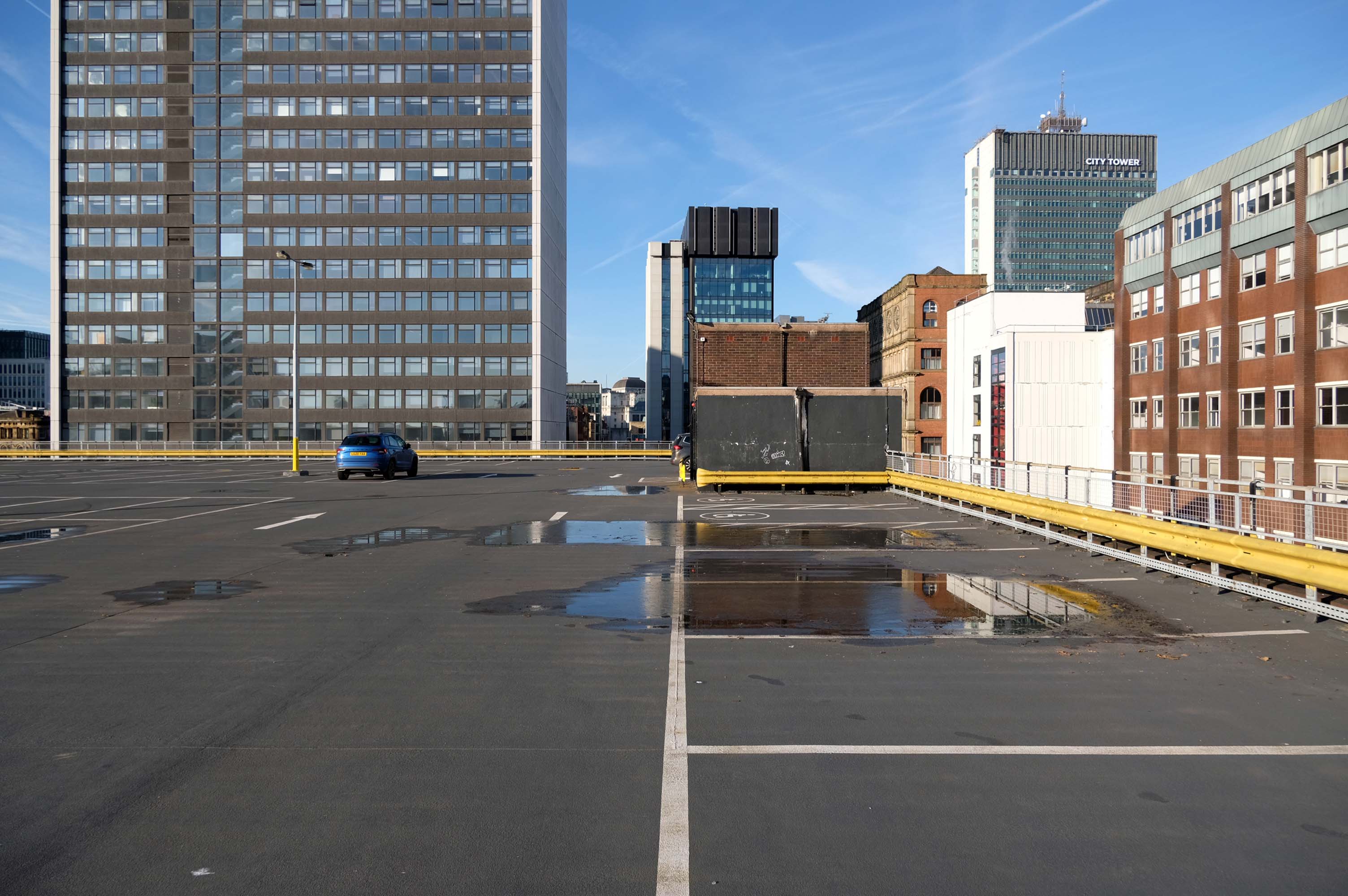
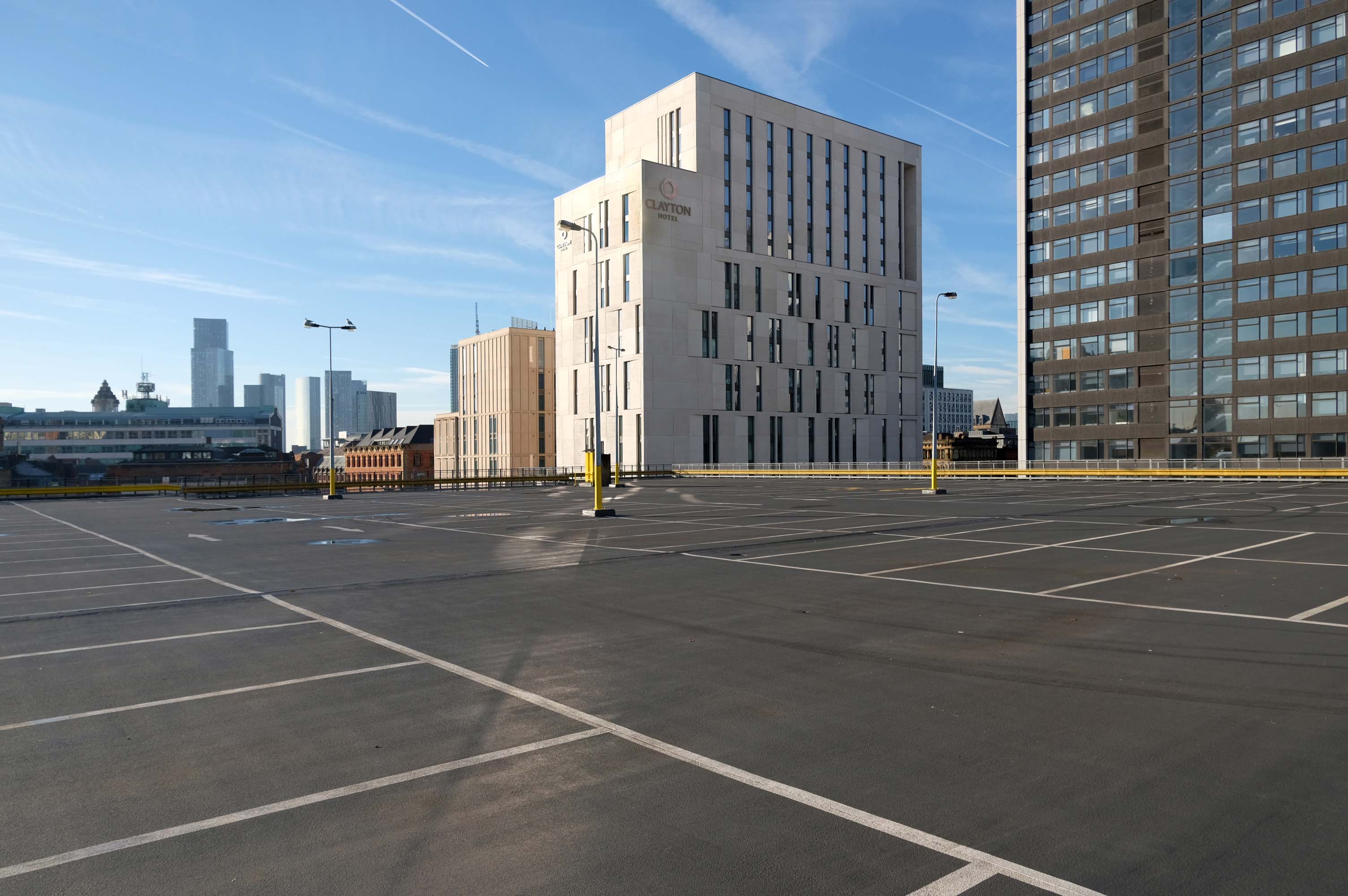
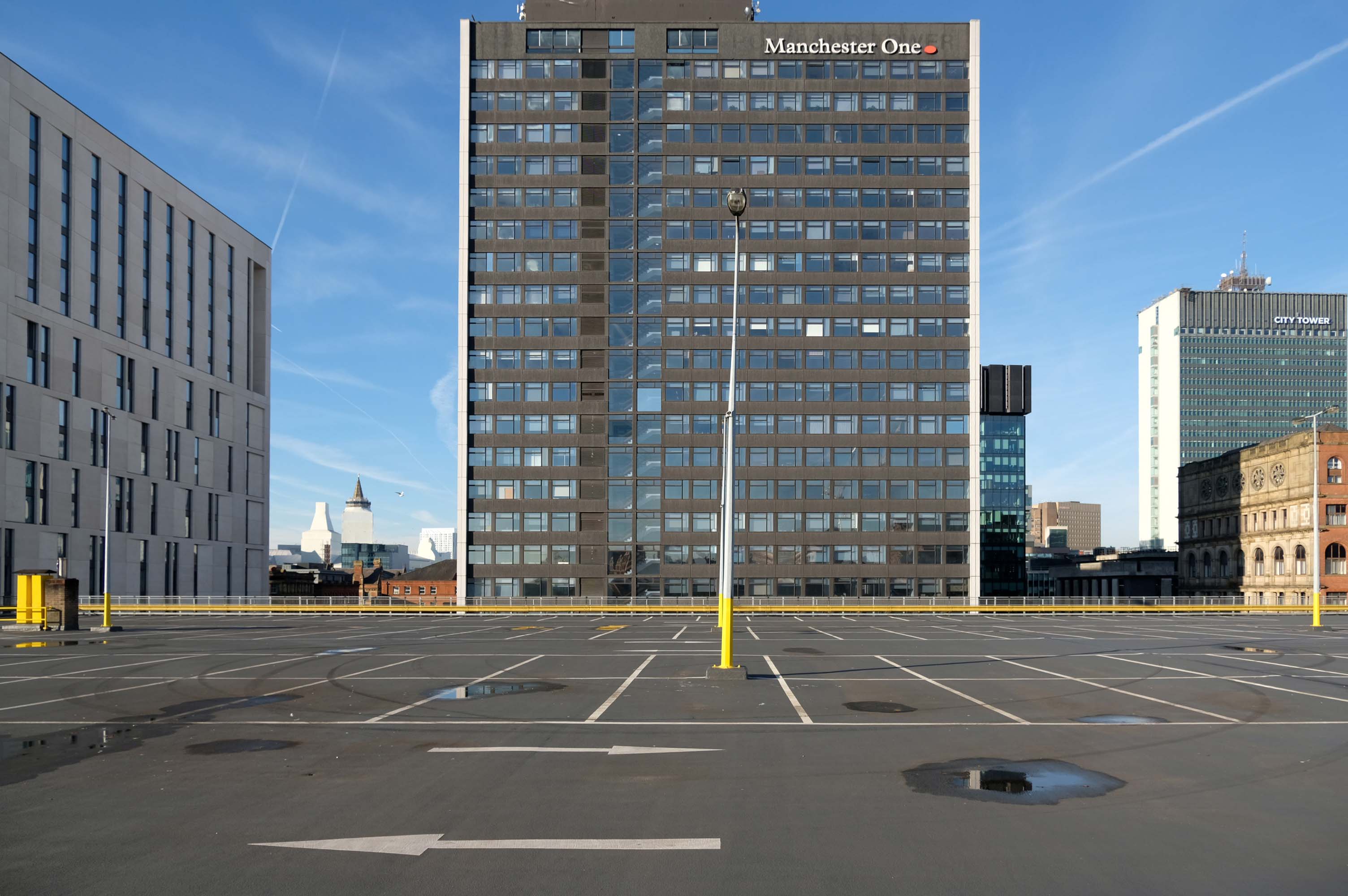
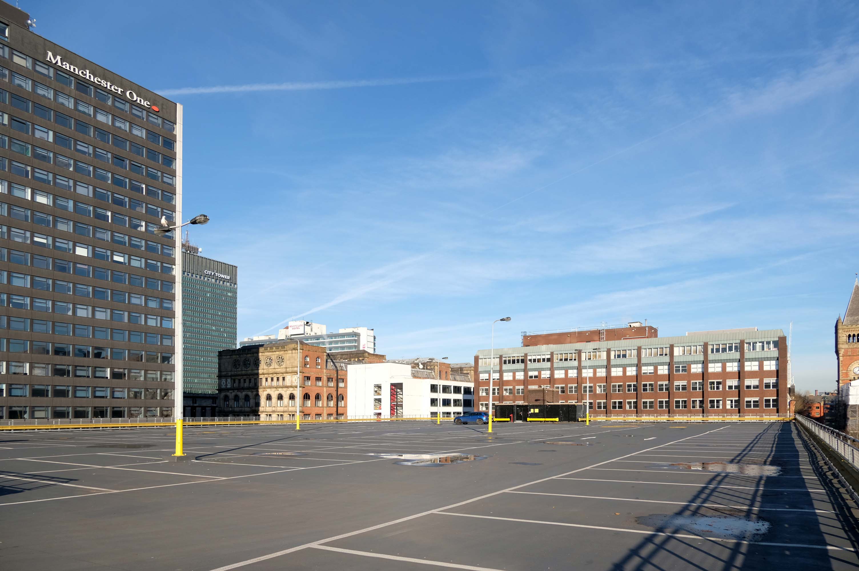
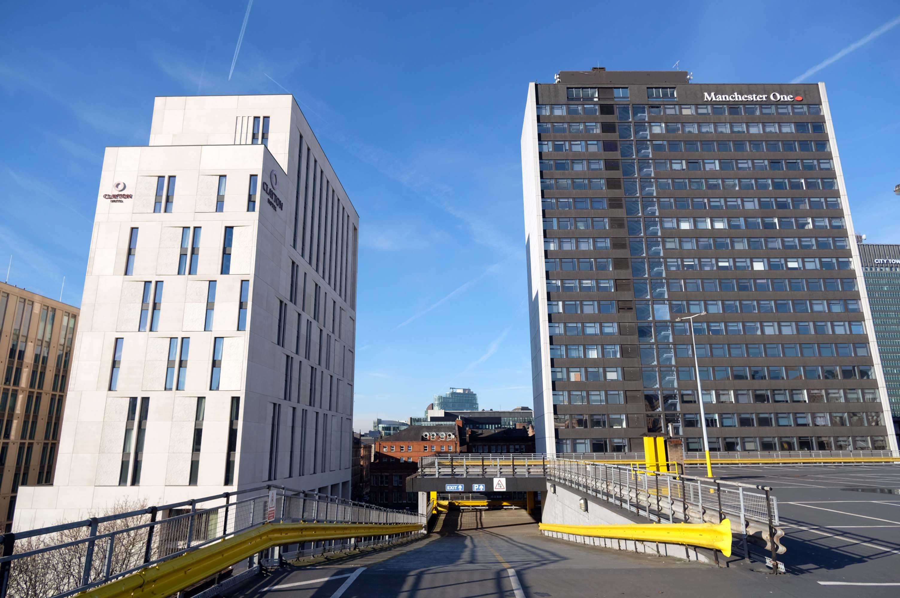
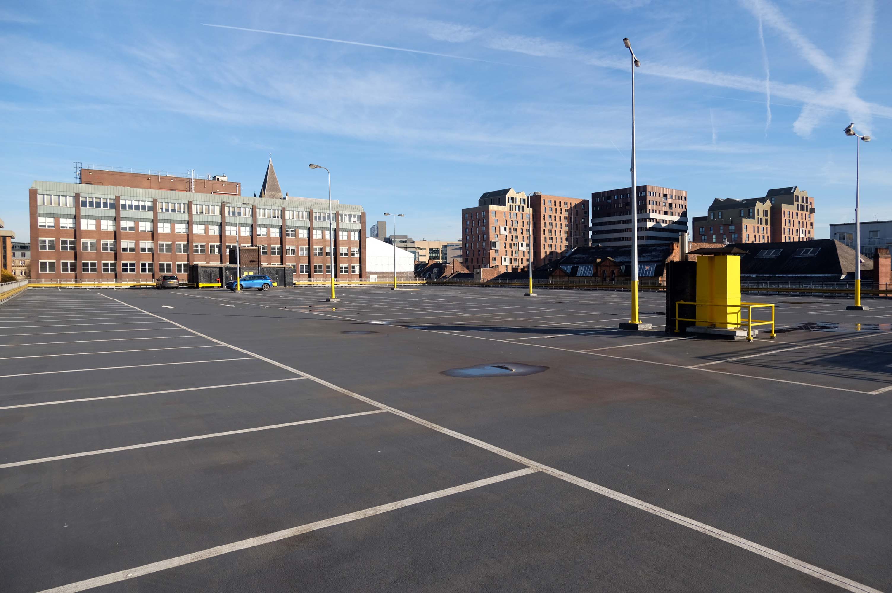
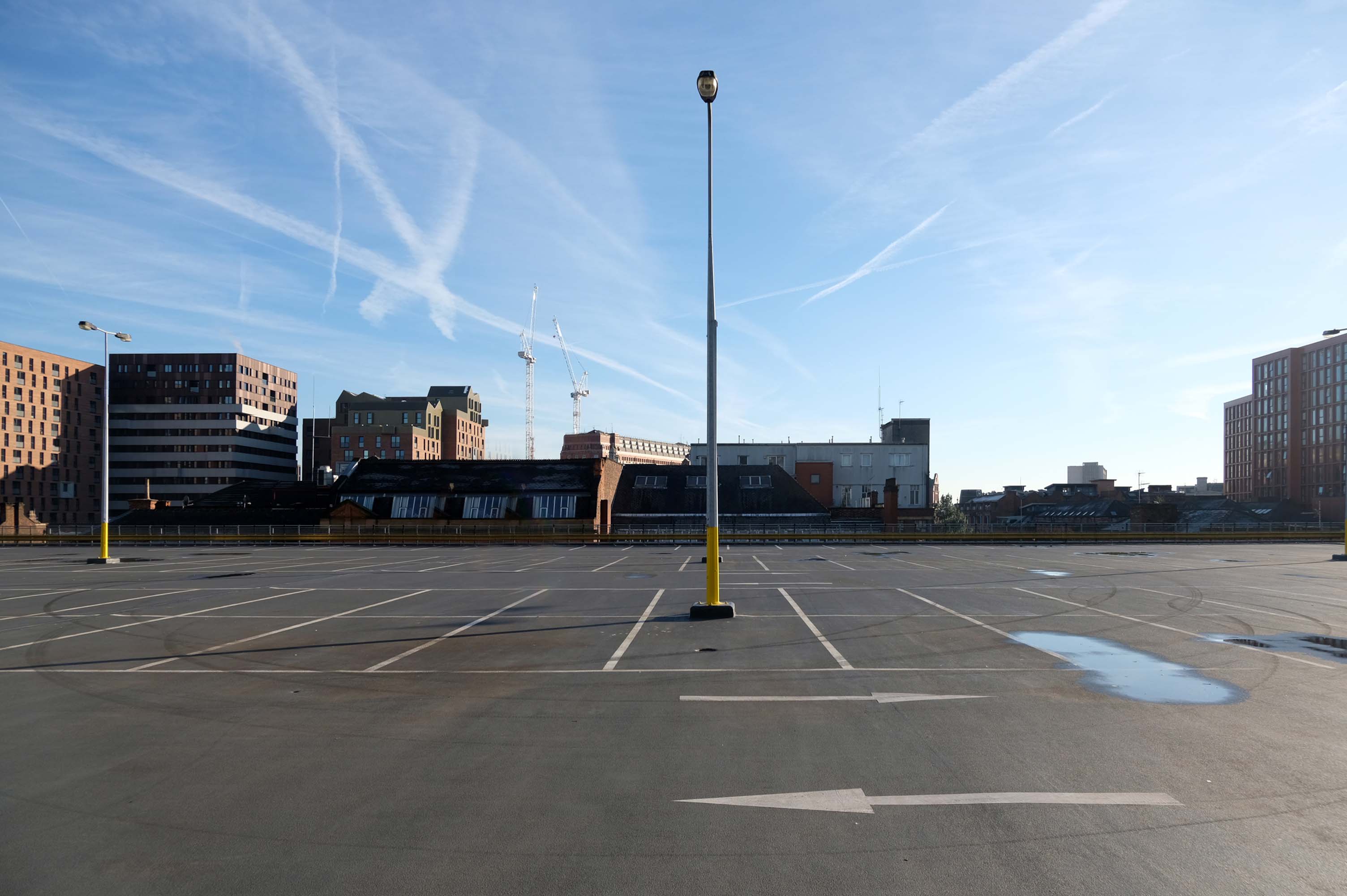
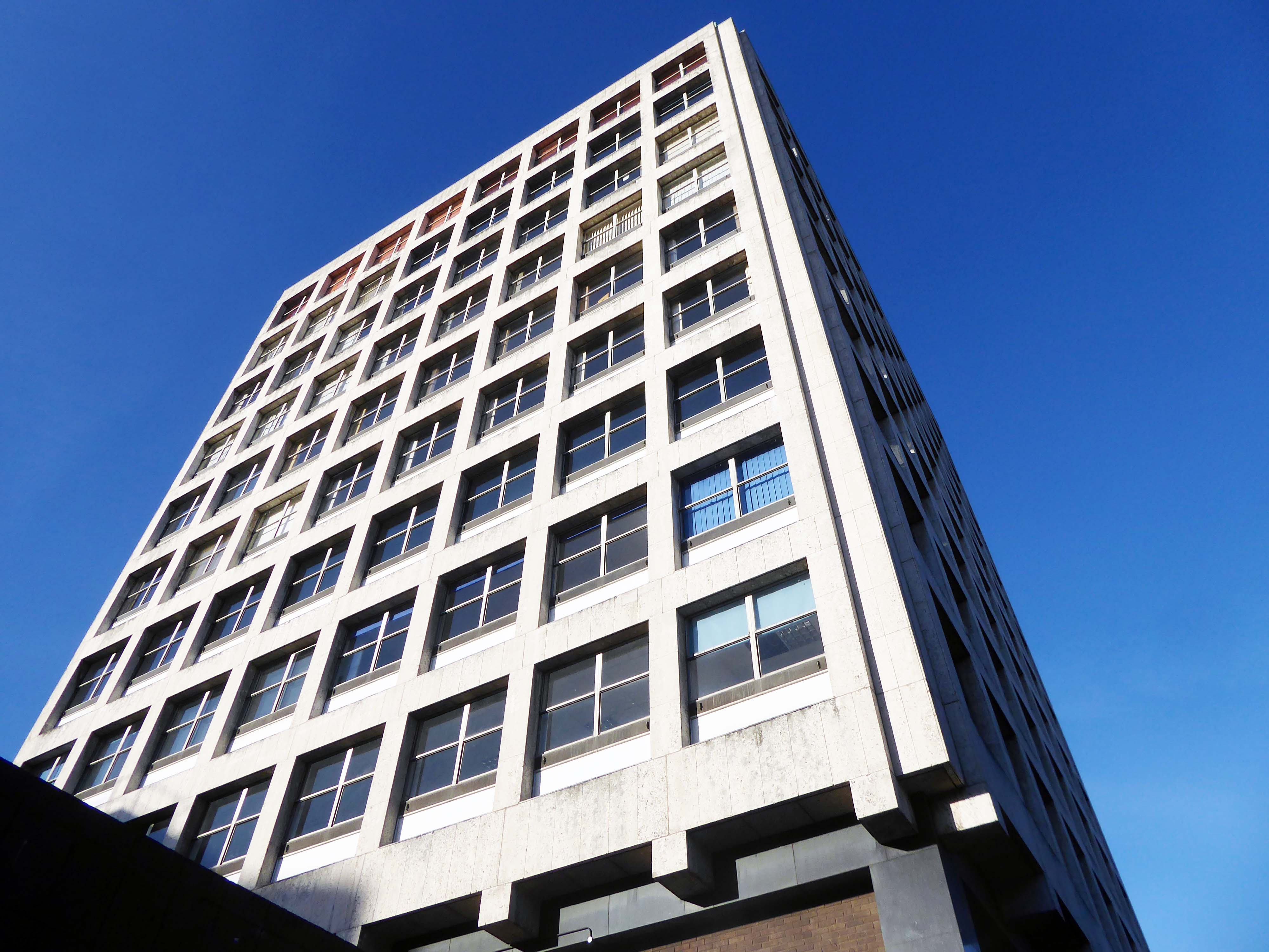
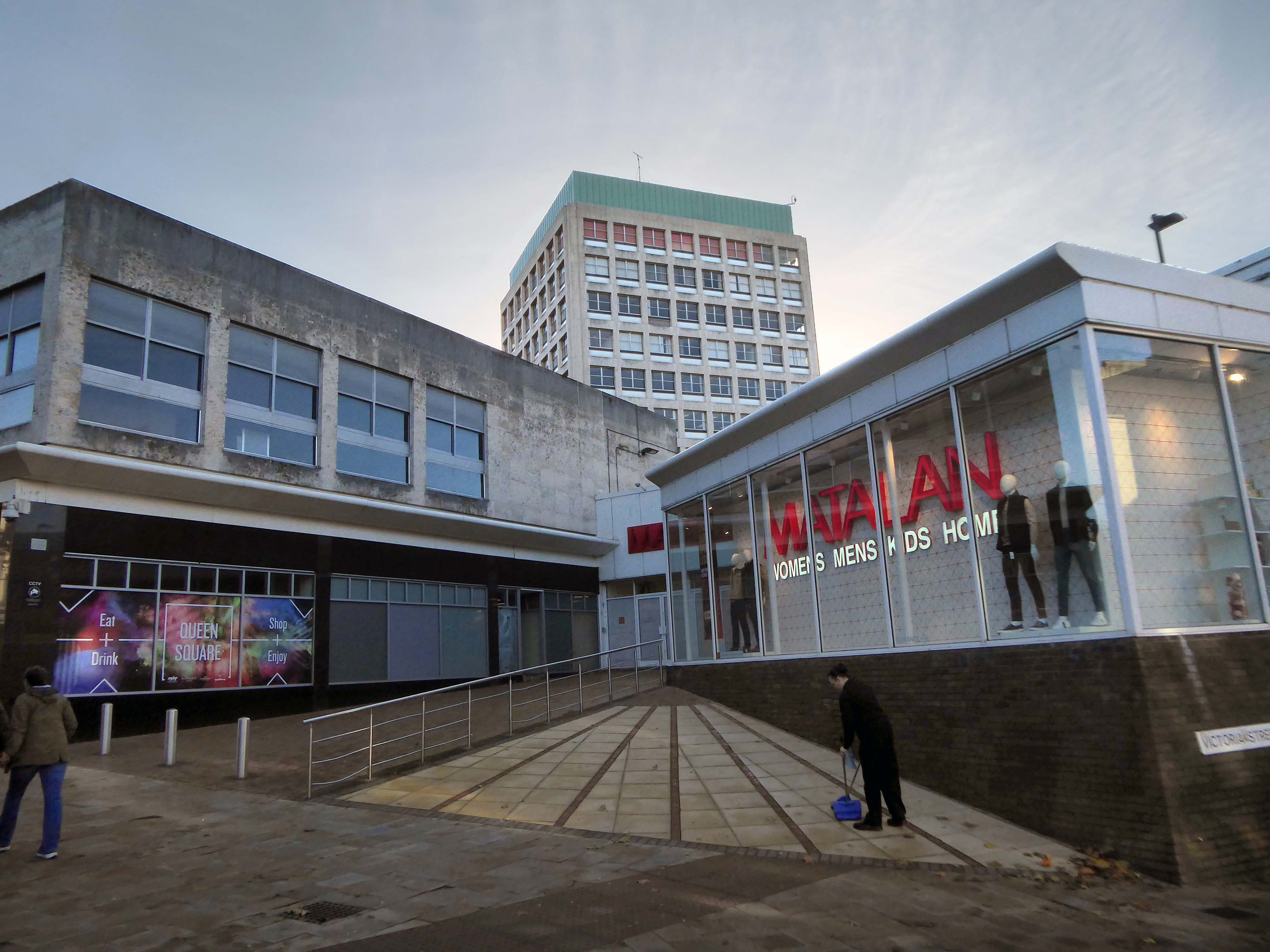
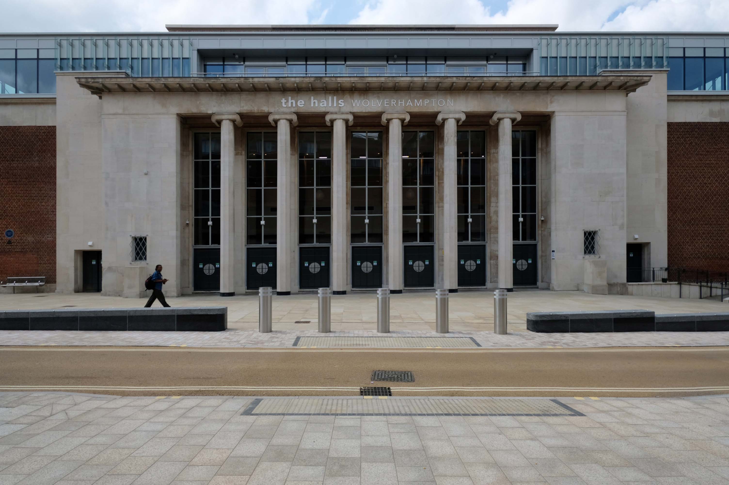
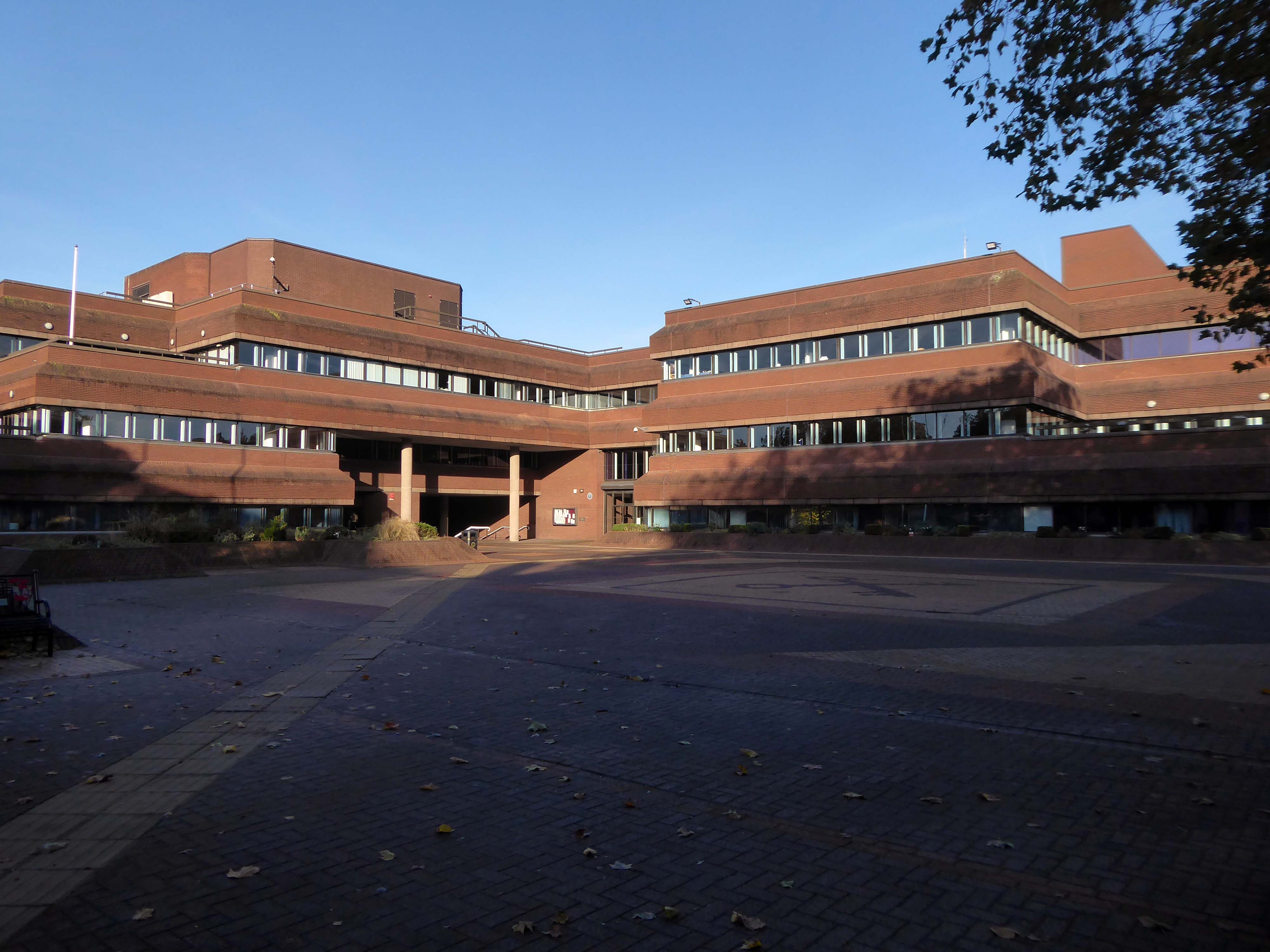
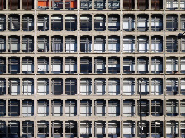
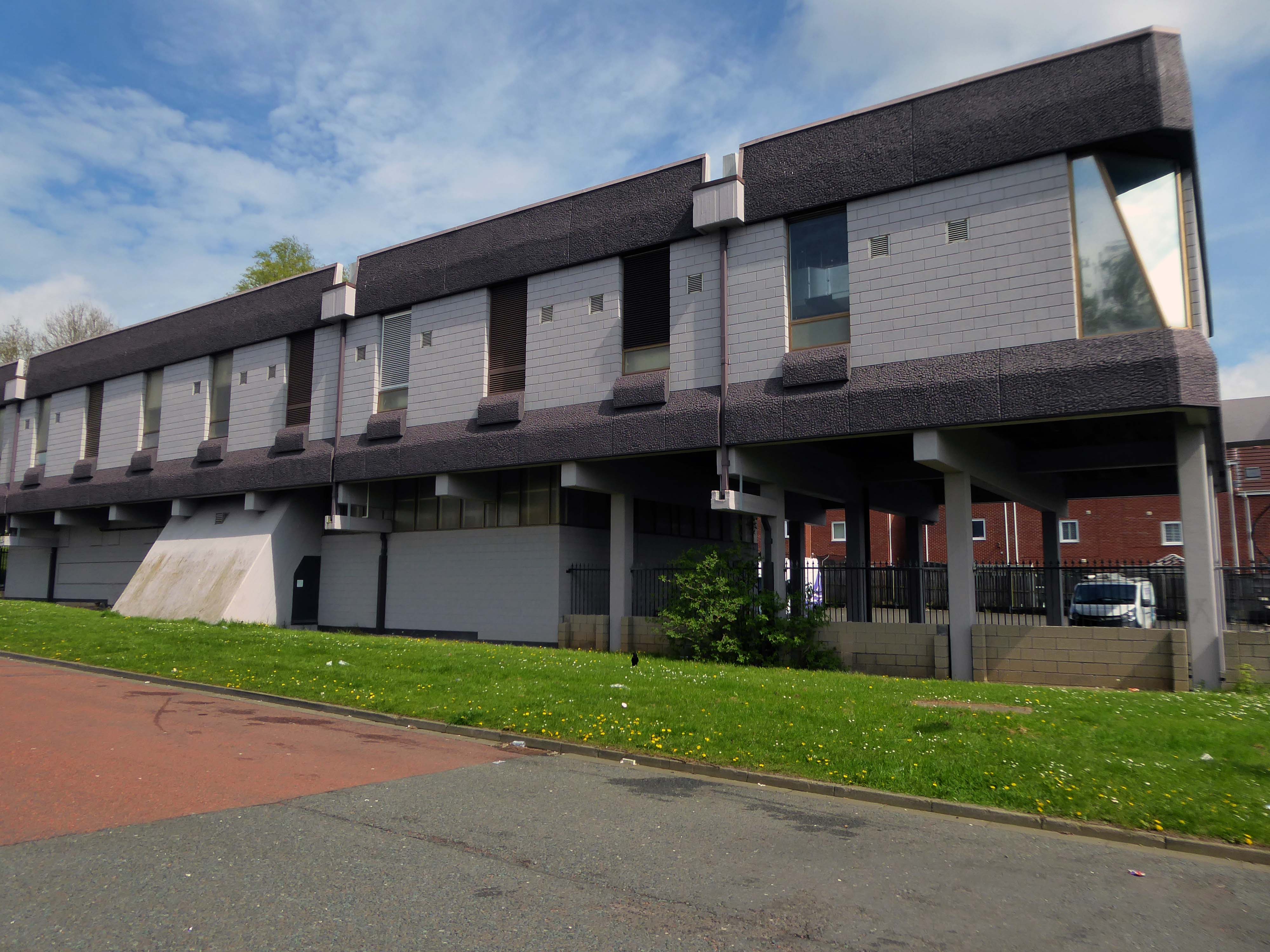
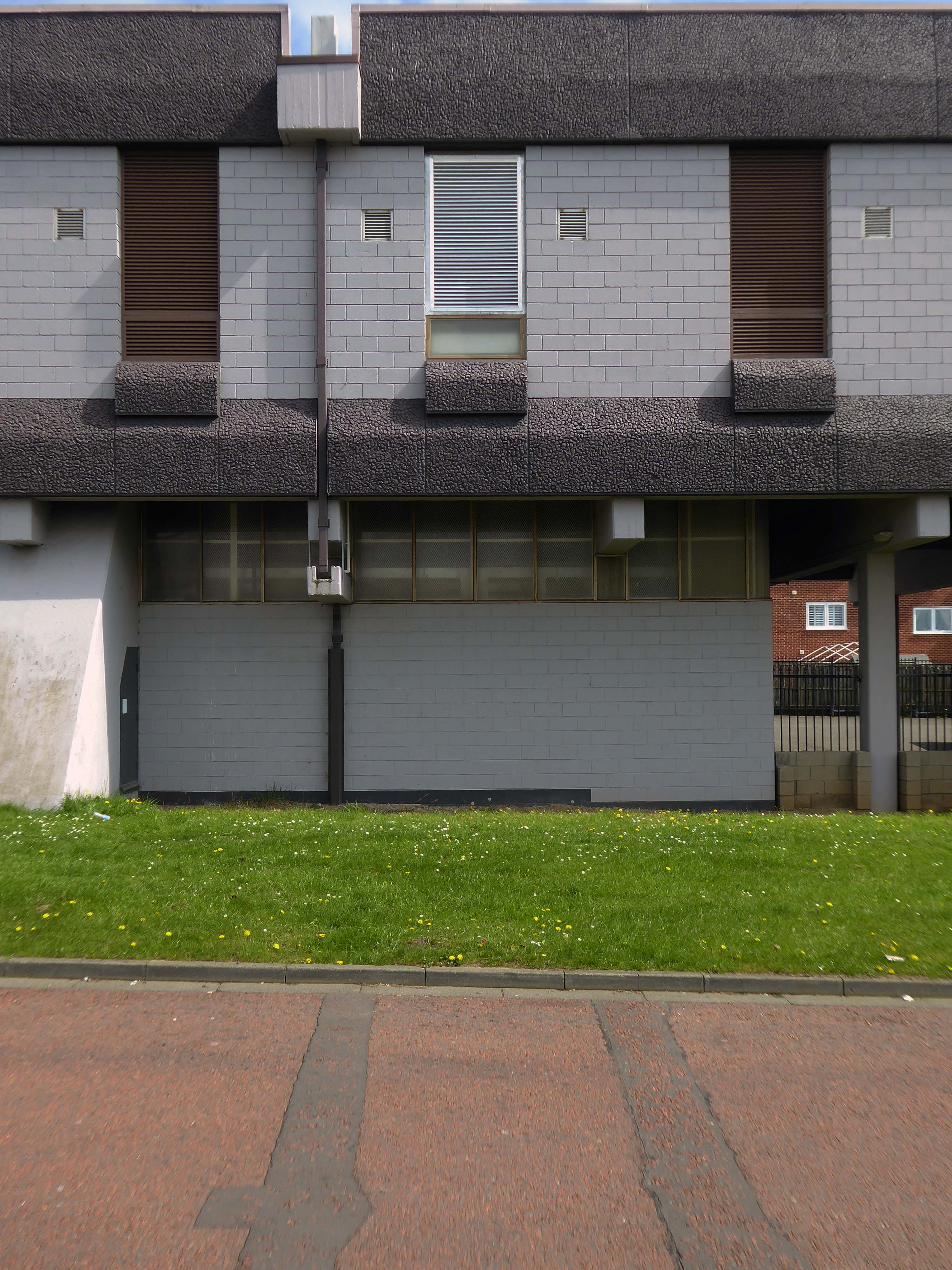
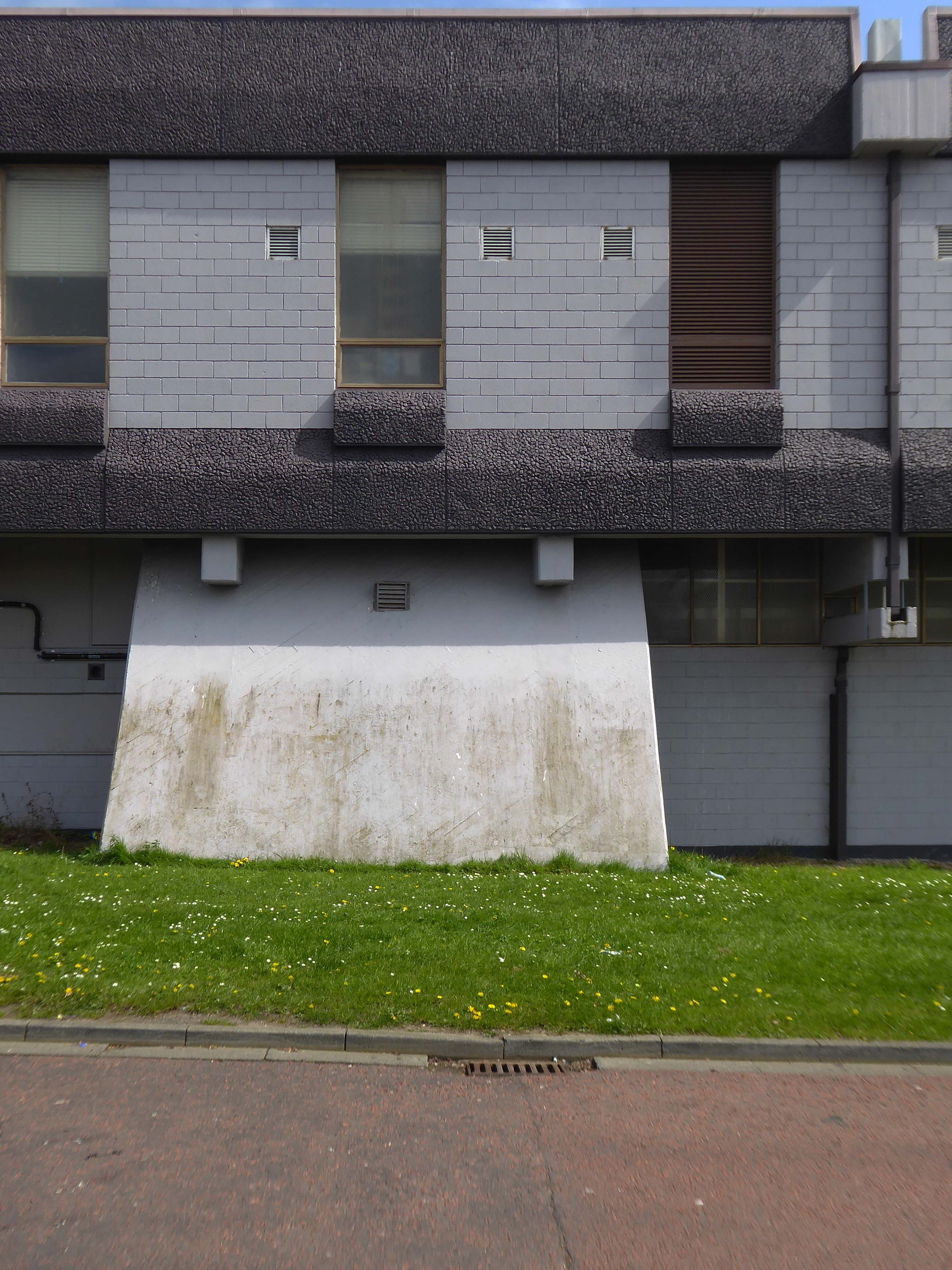
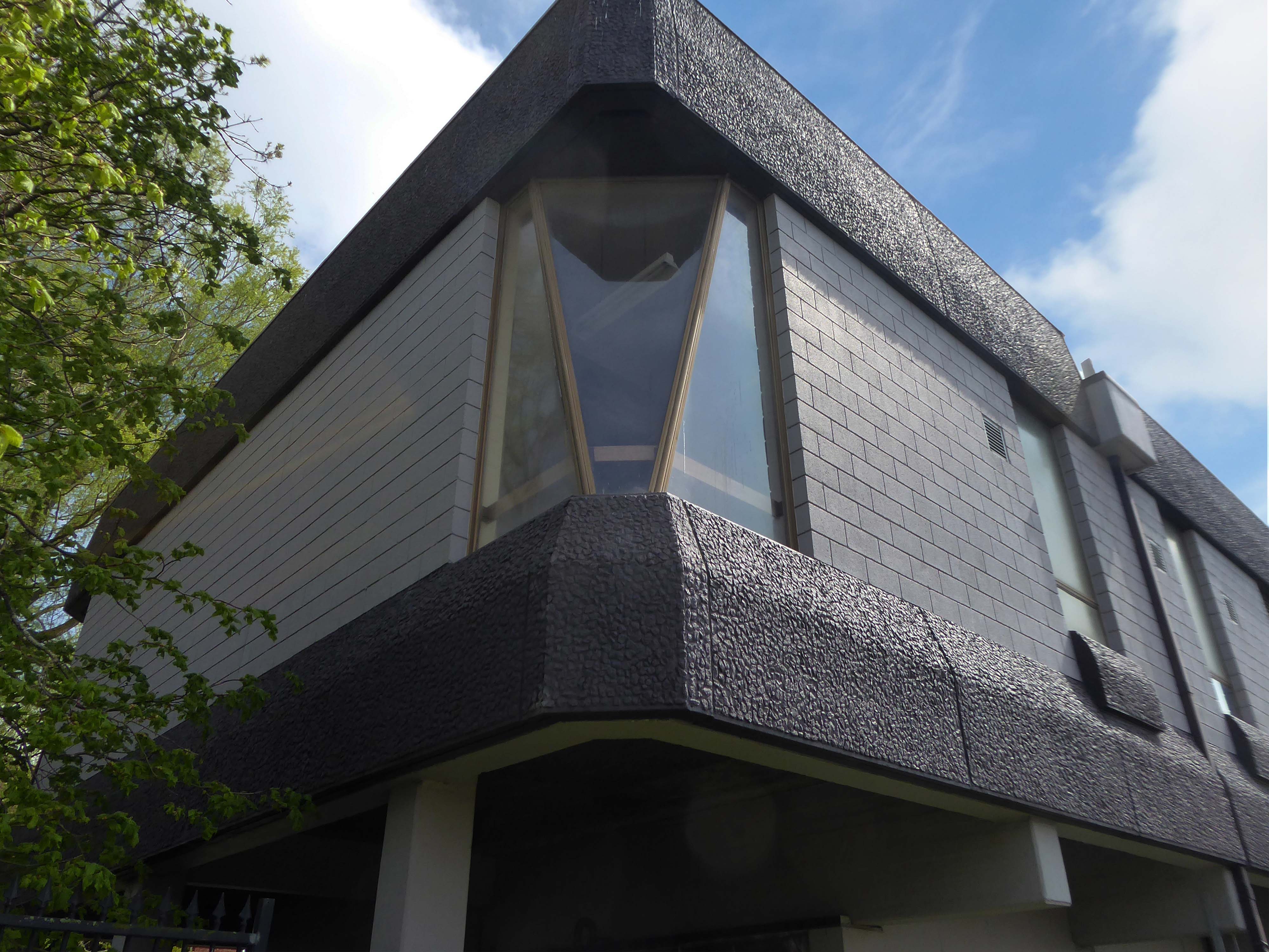
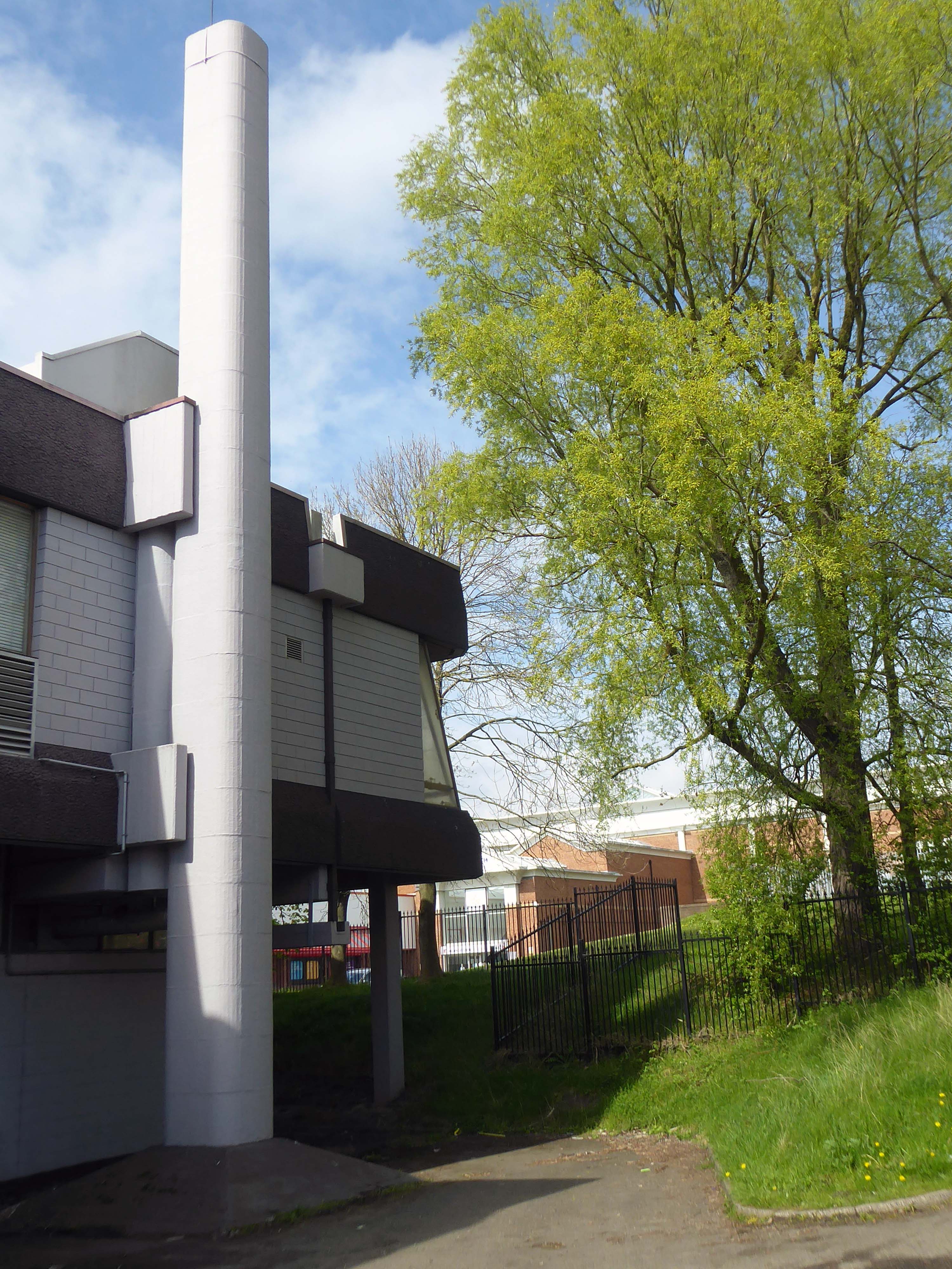
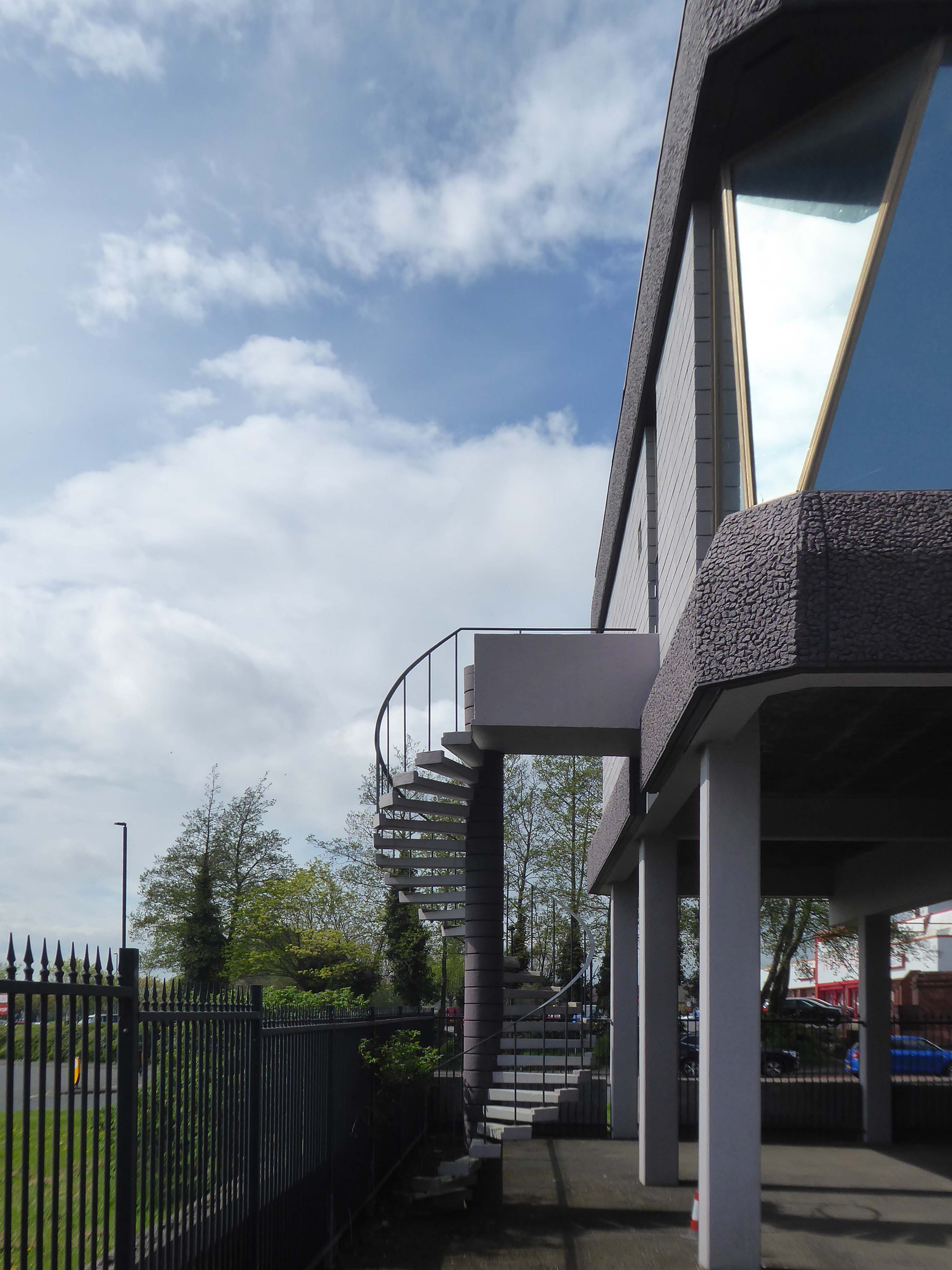
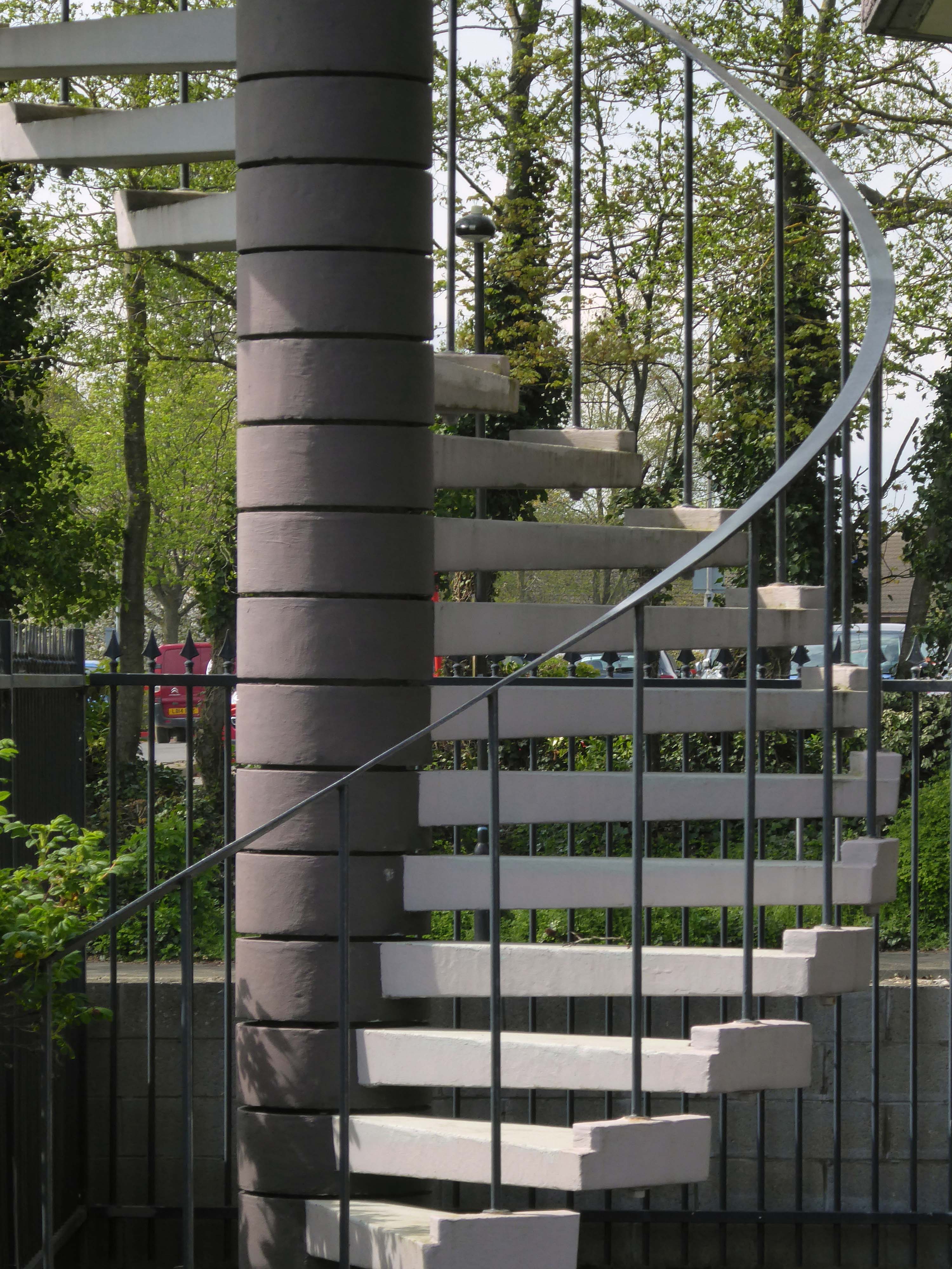
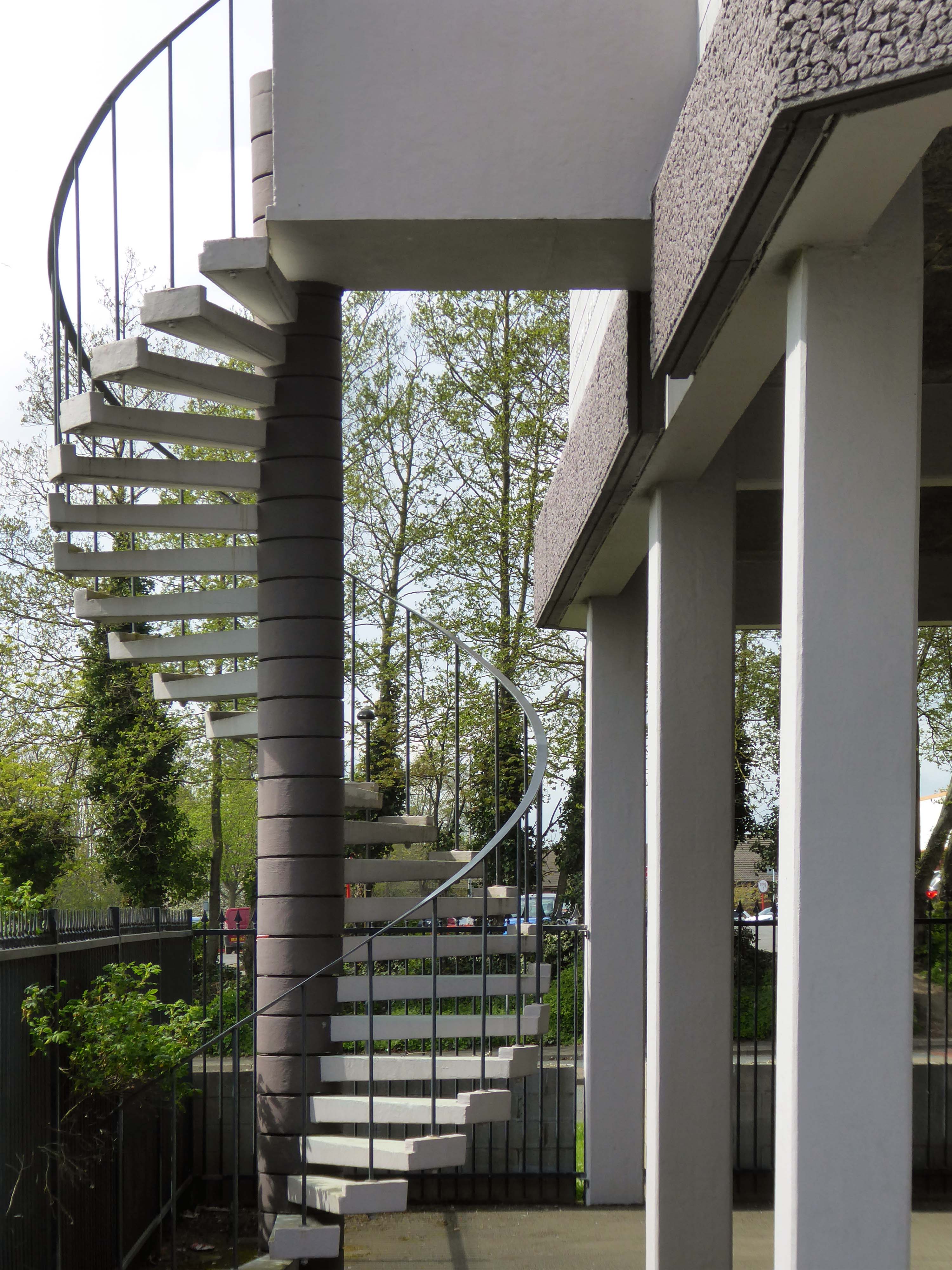
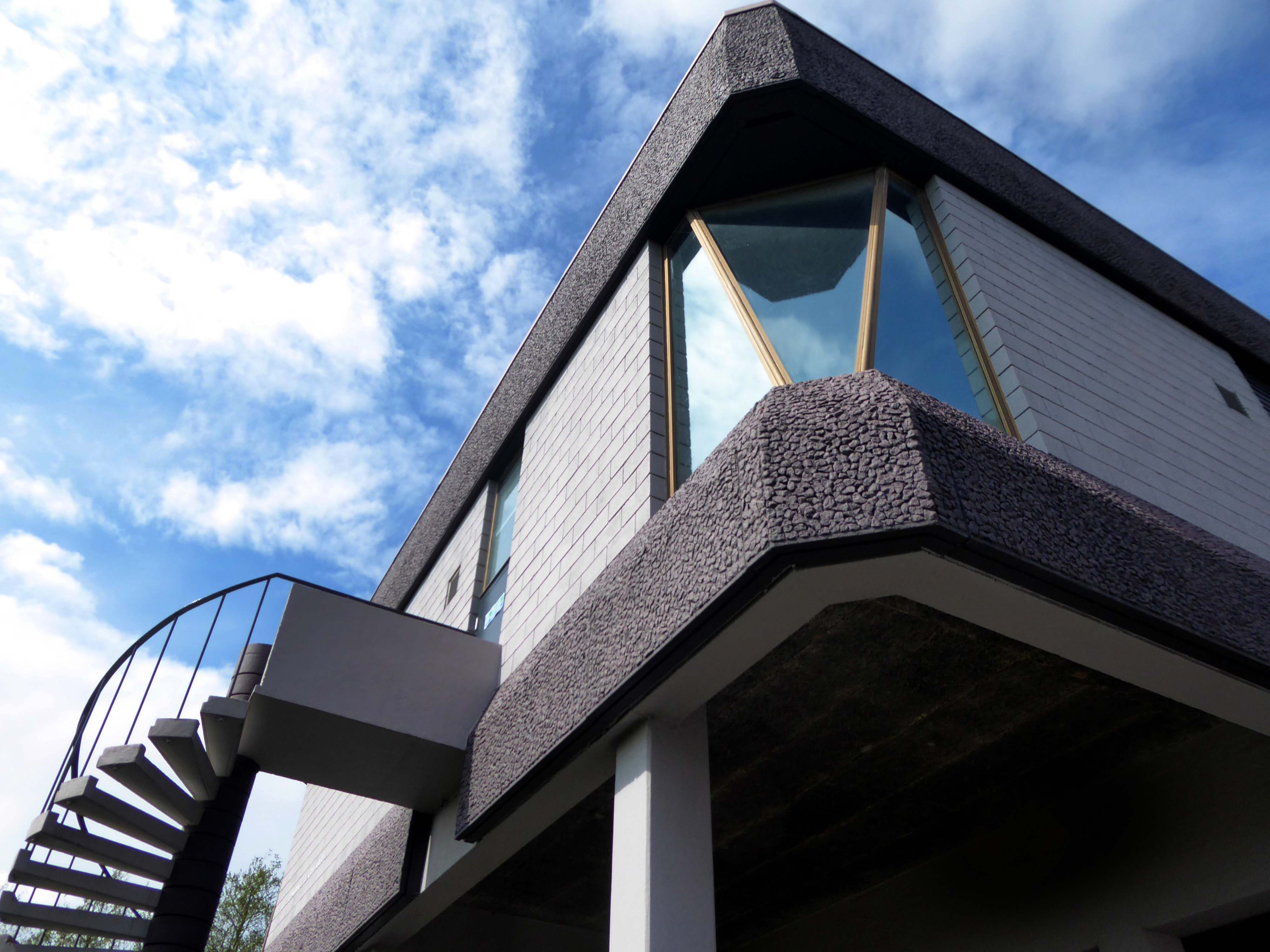
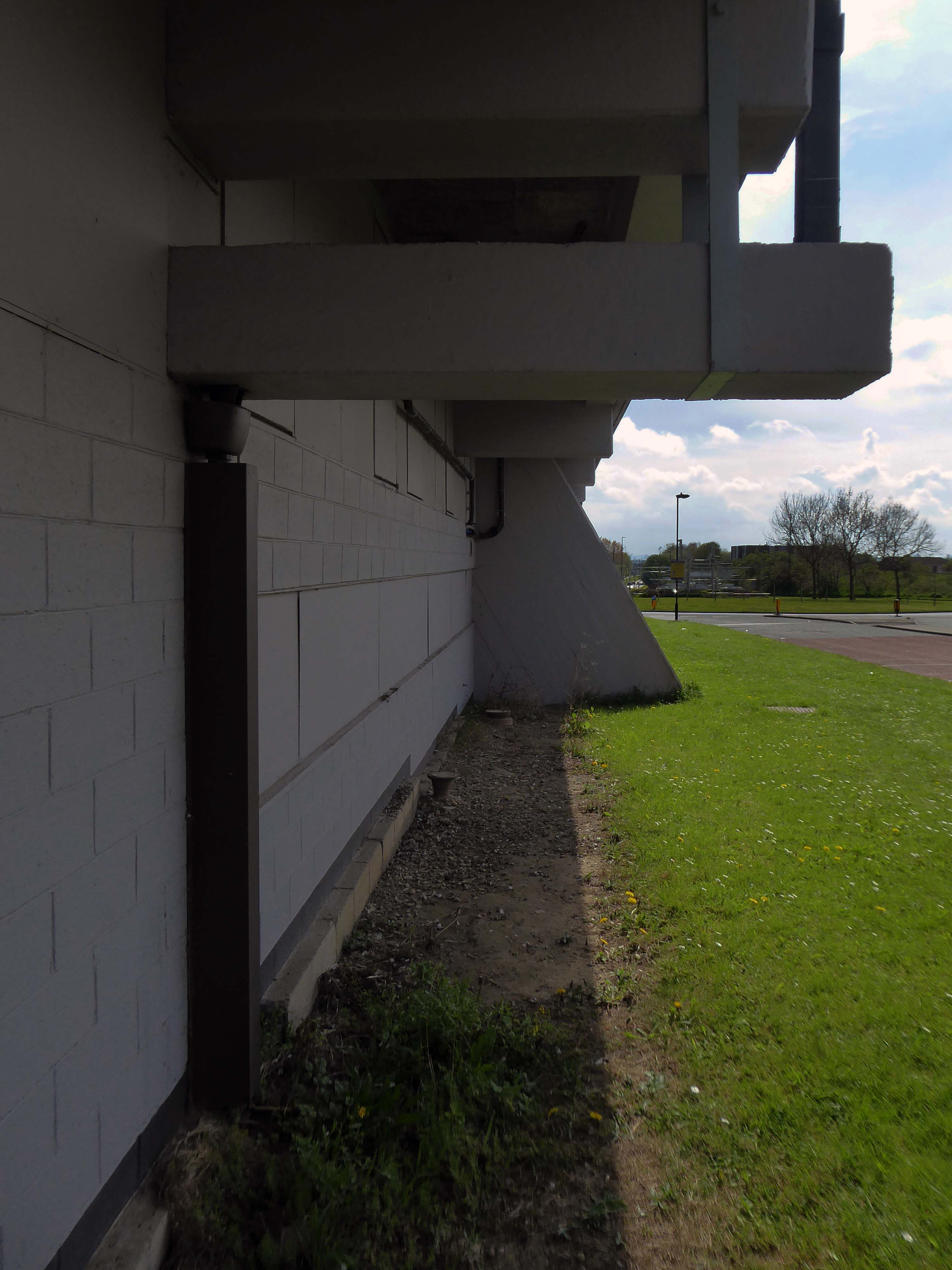
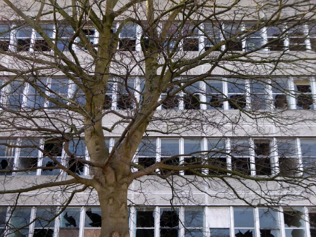
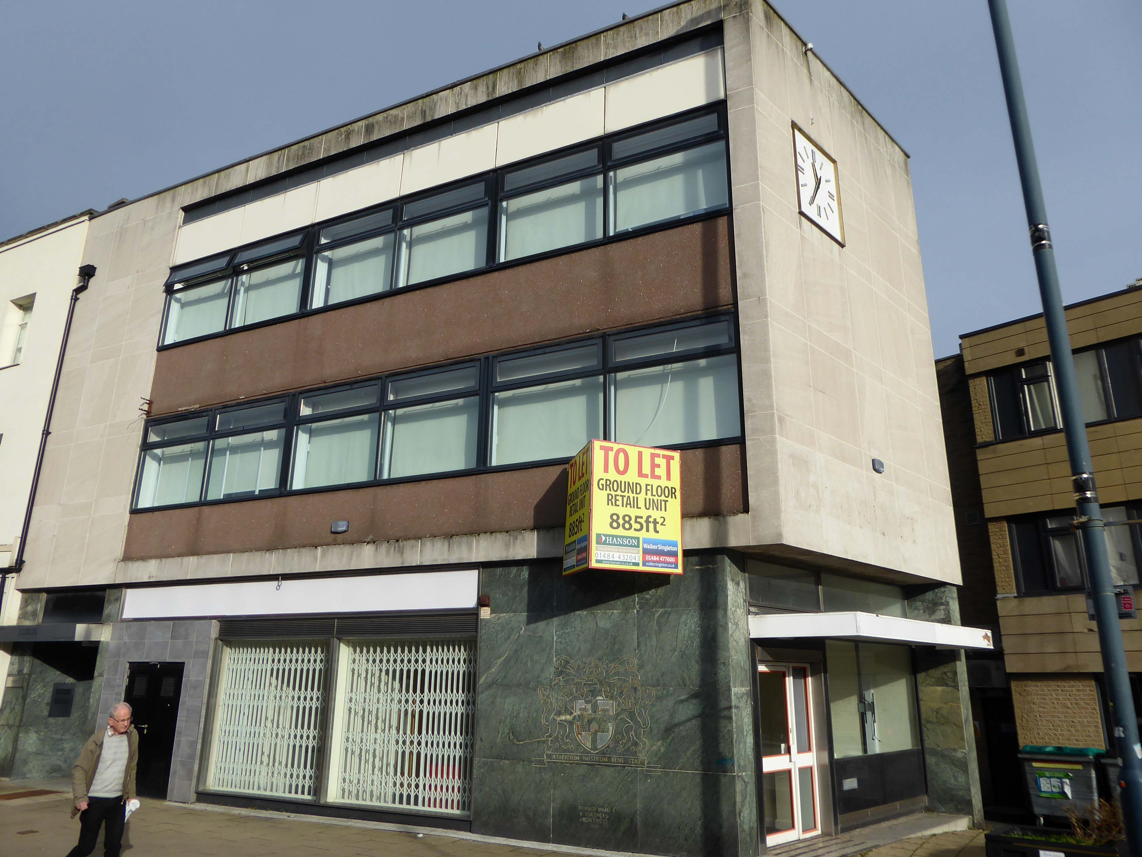
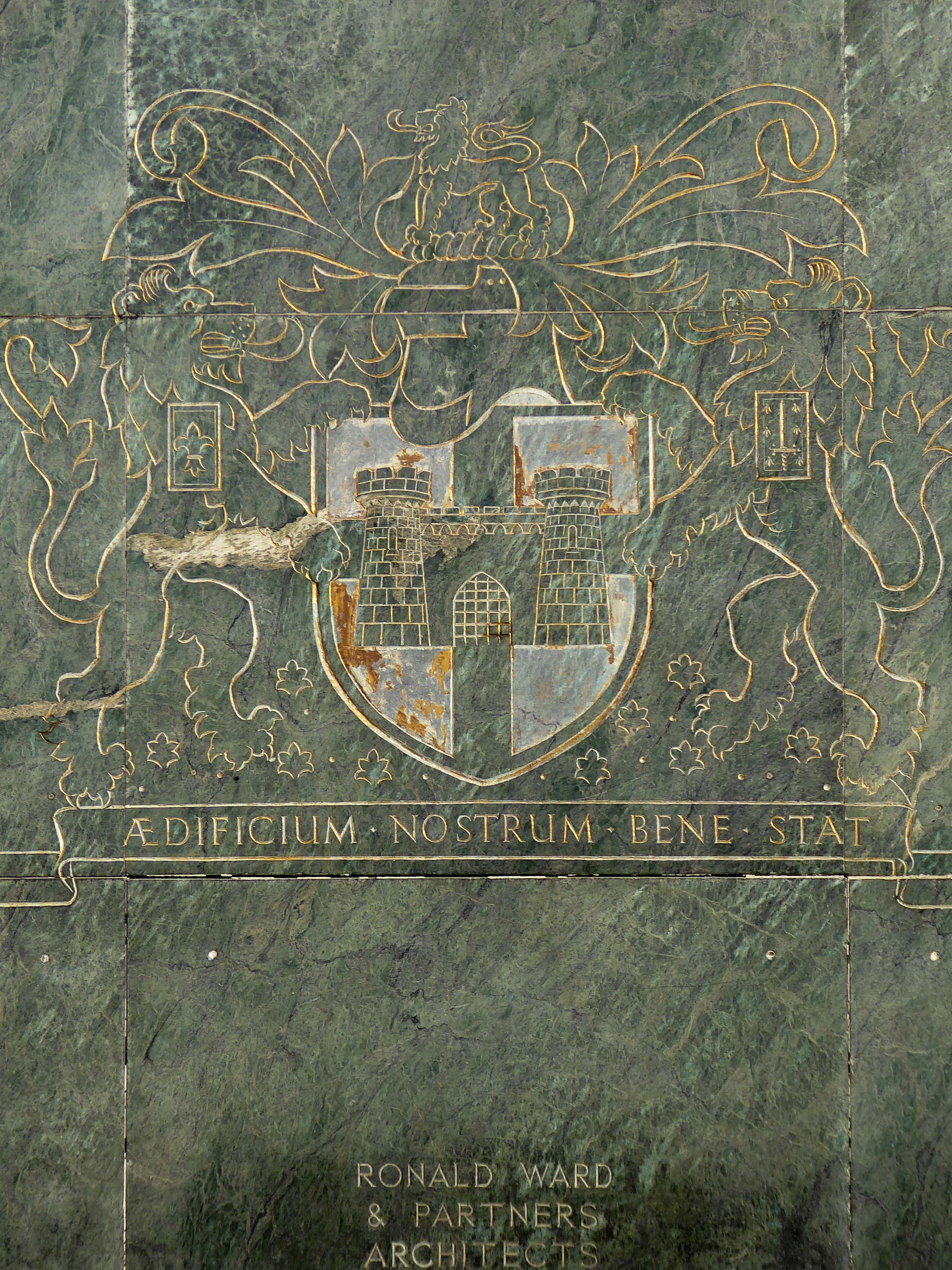
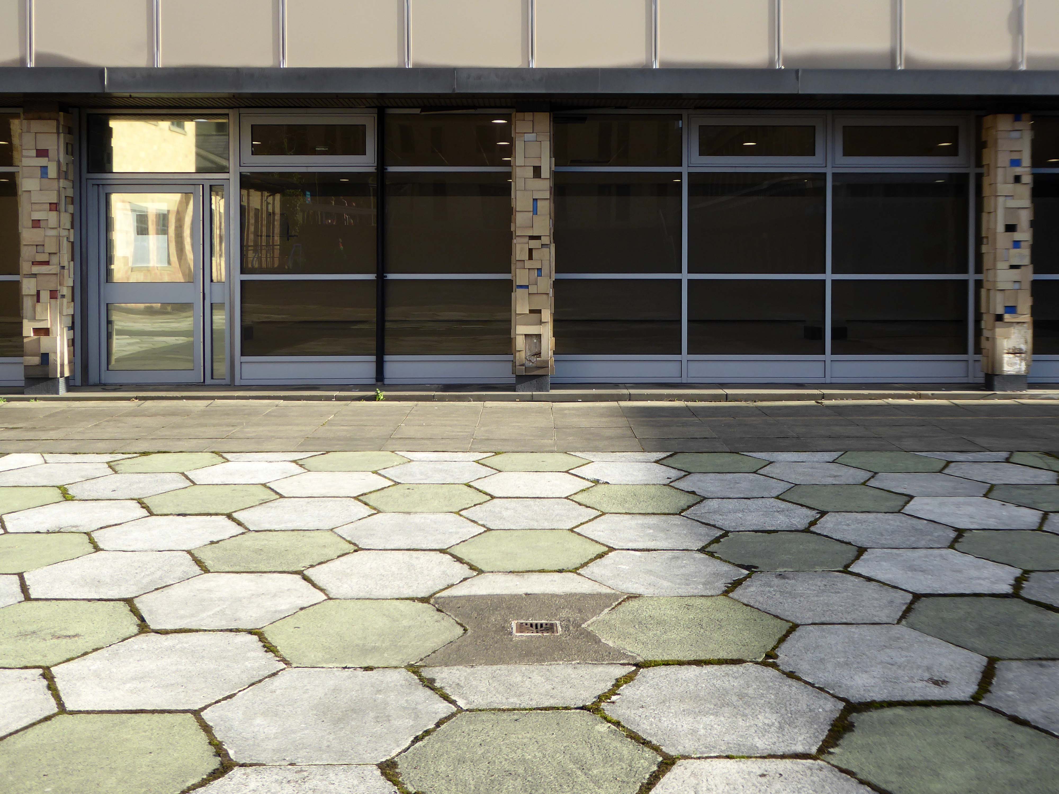
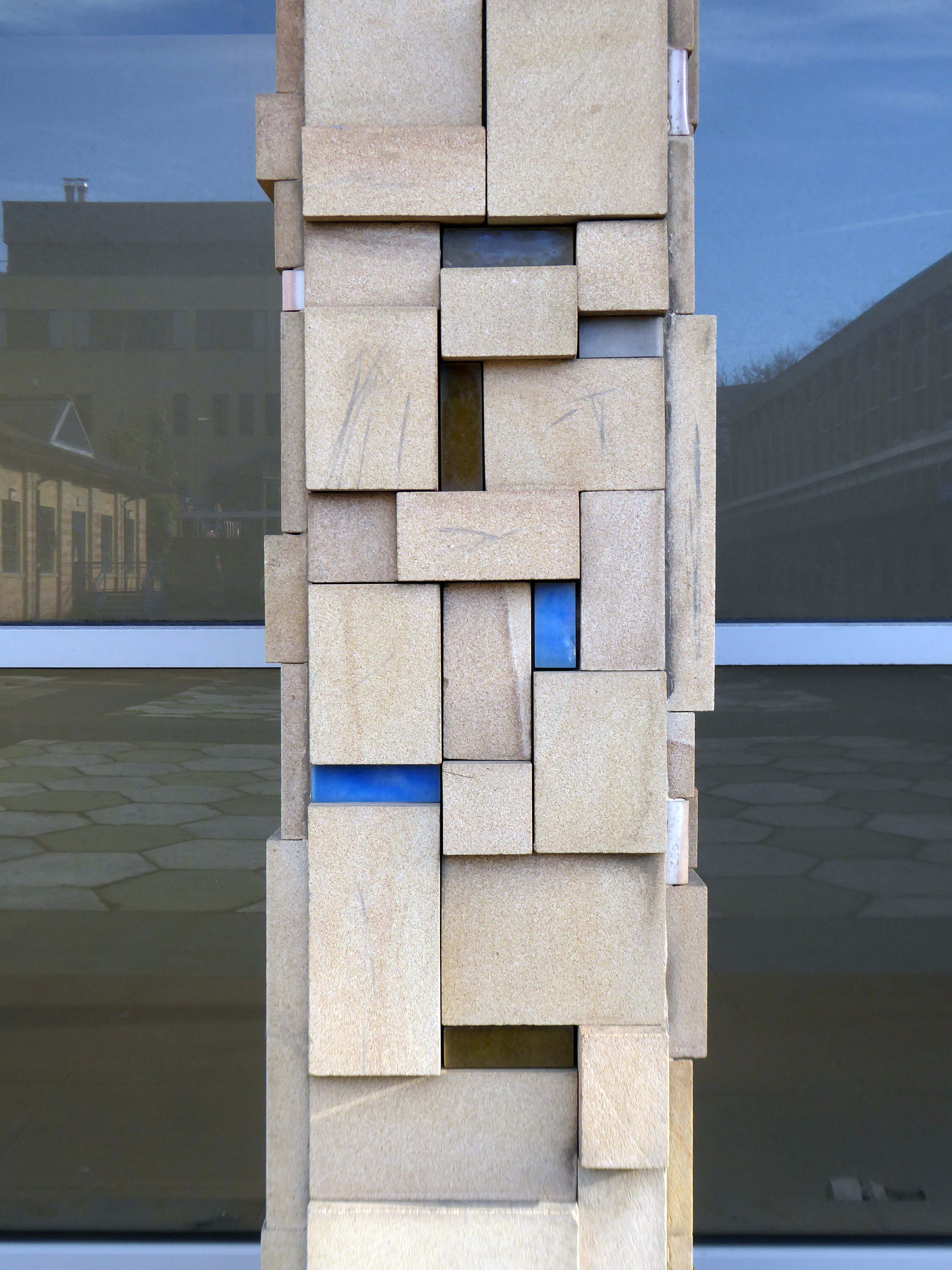
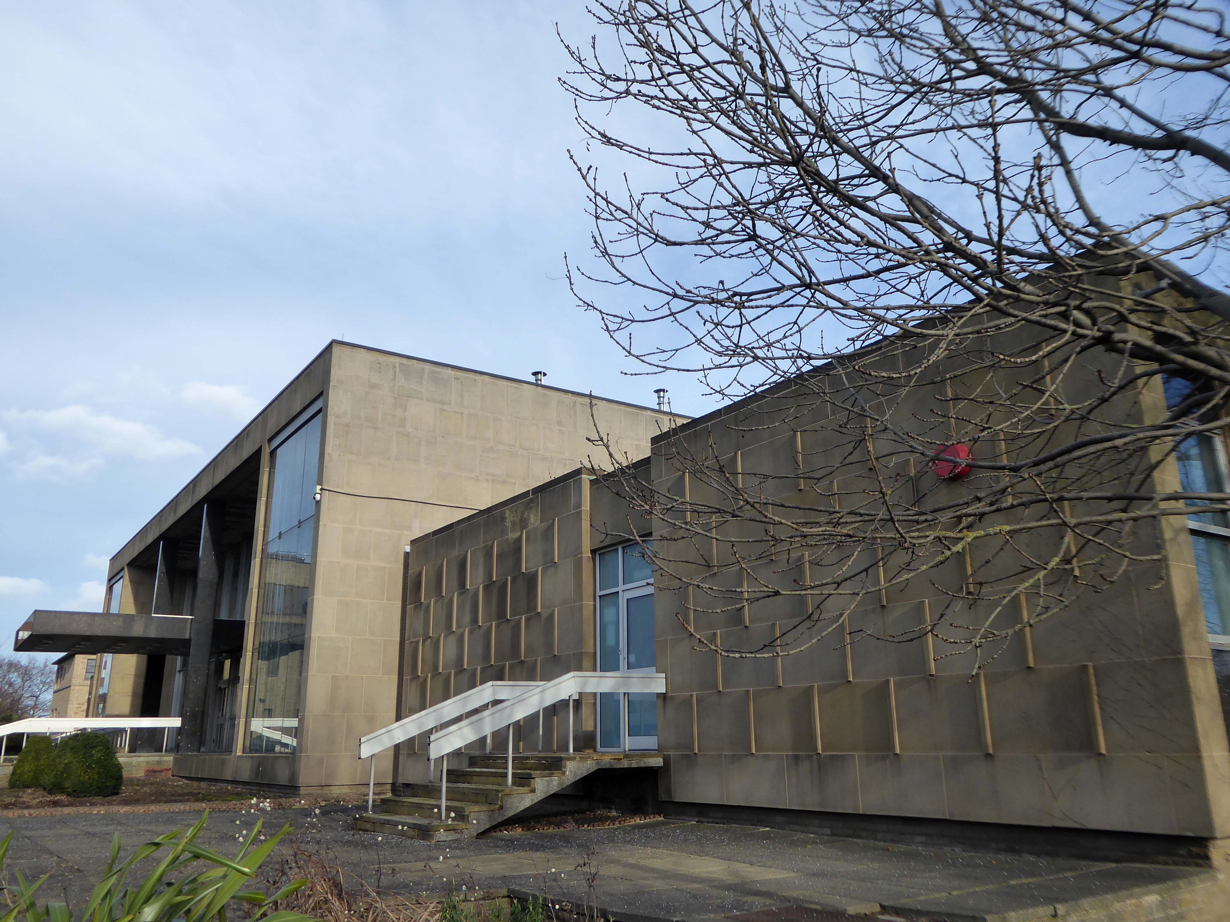
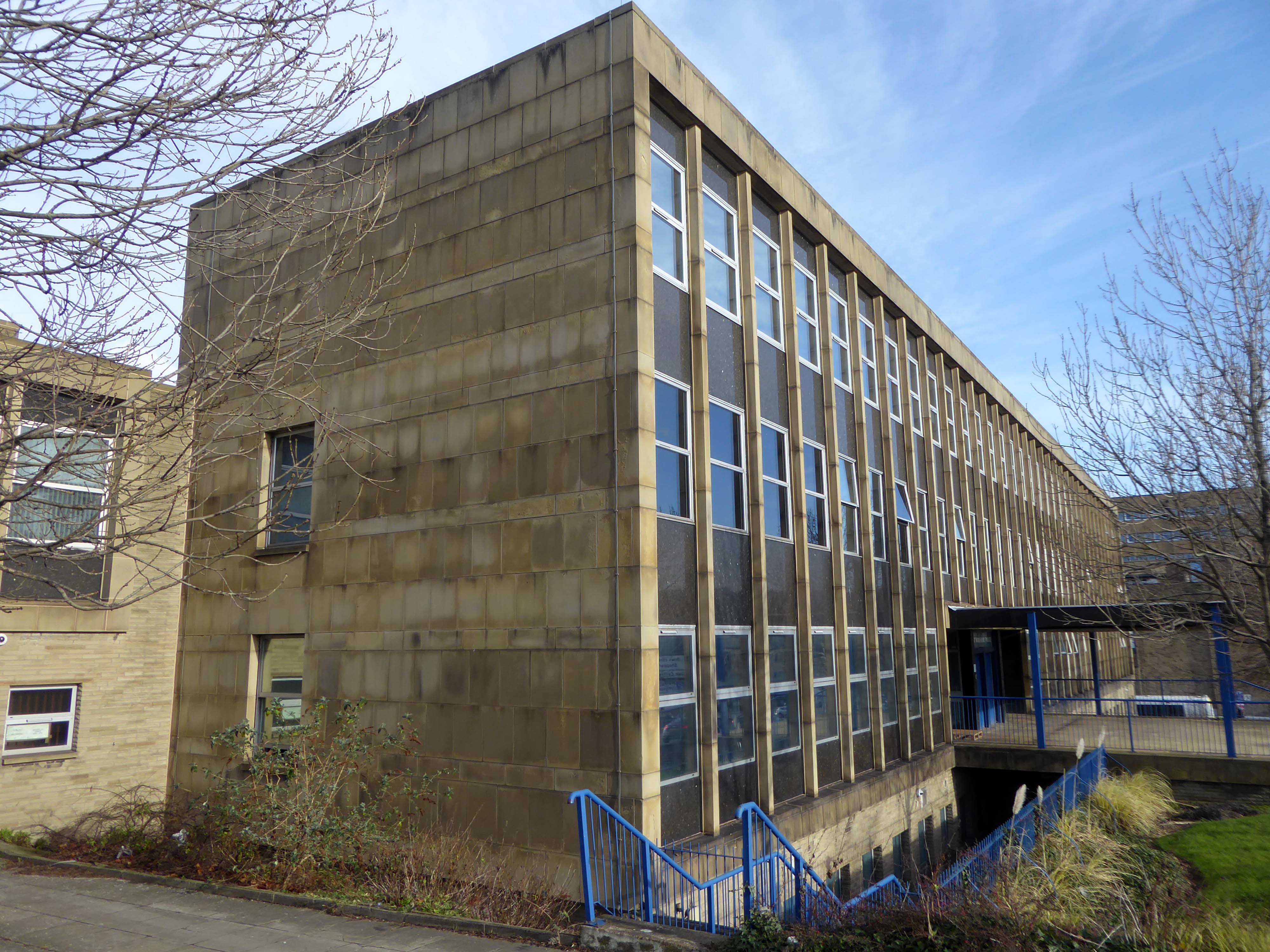
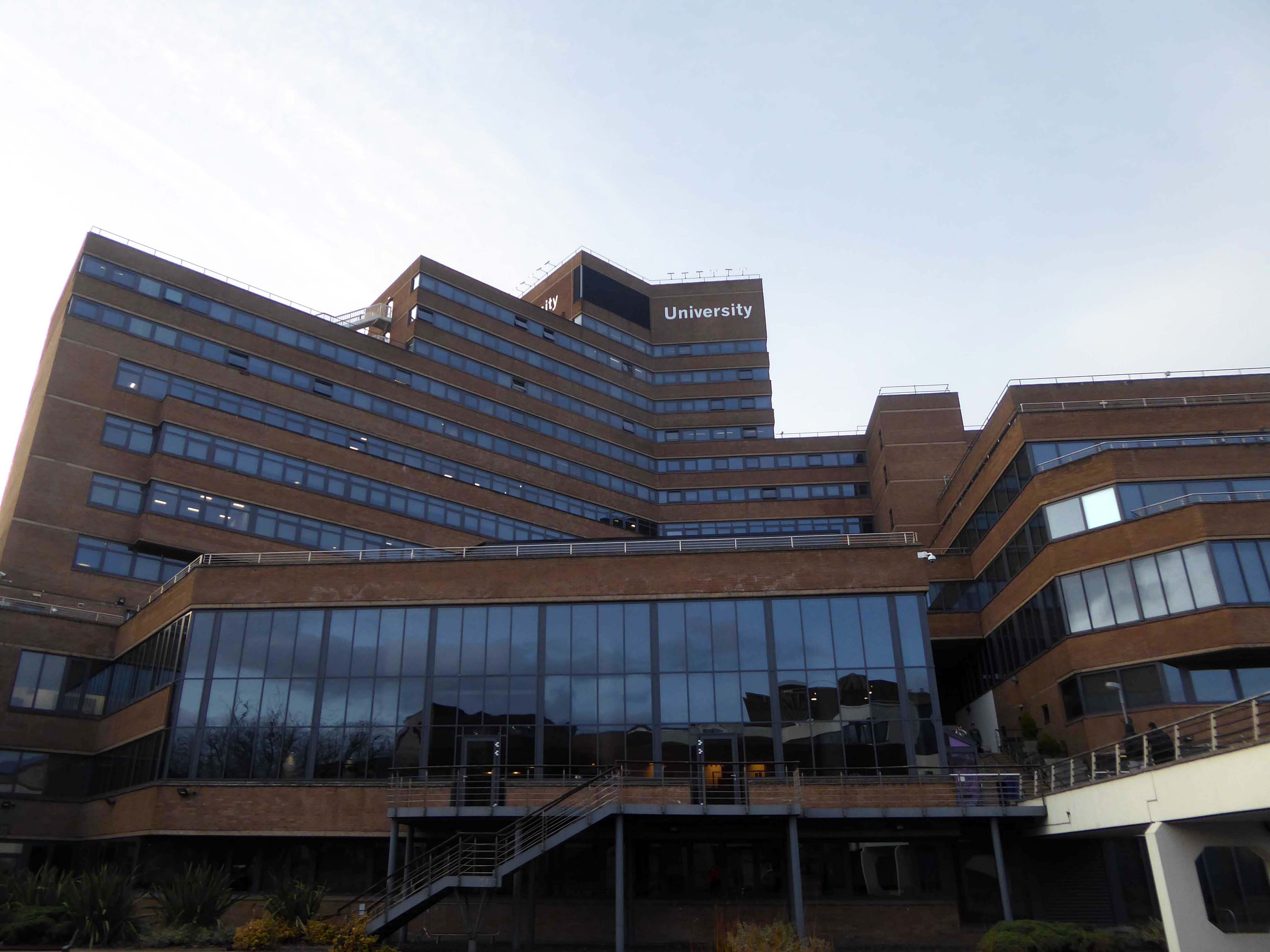
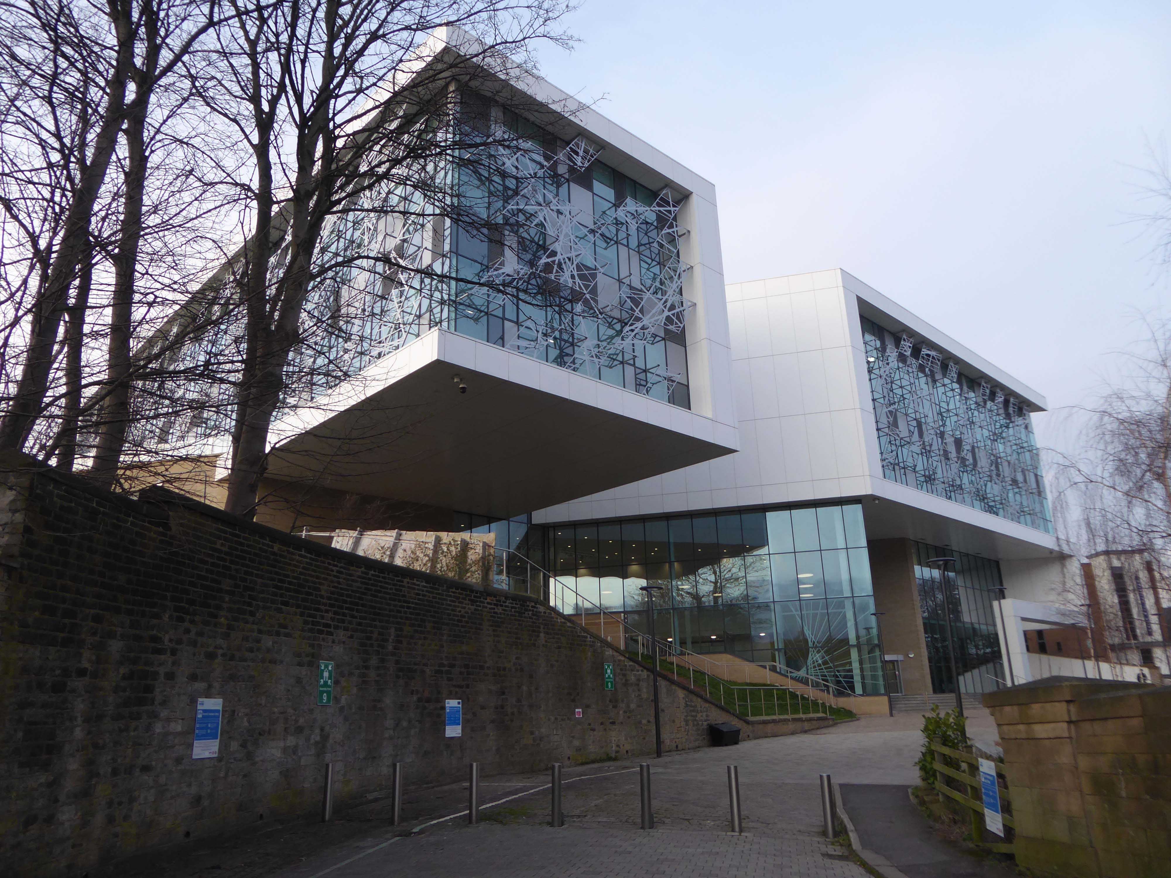
Shropshire Council Raven Meadows Shrewsbury SY1 1PL
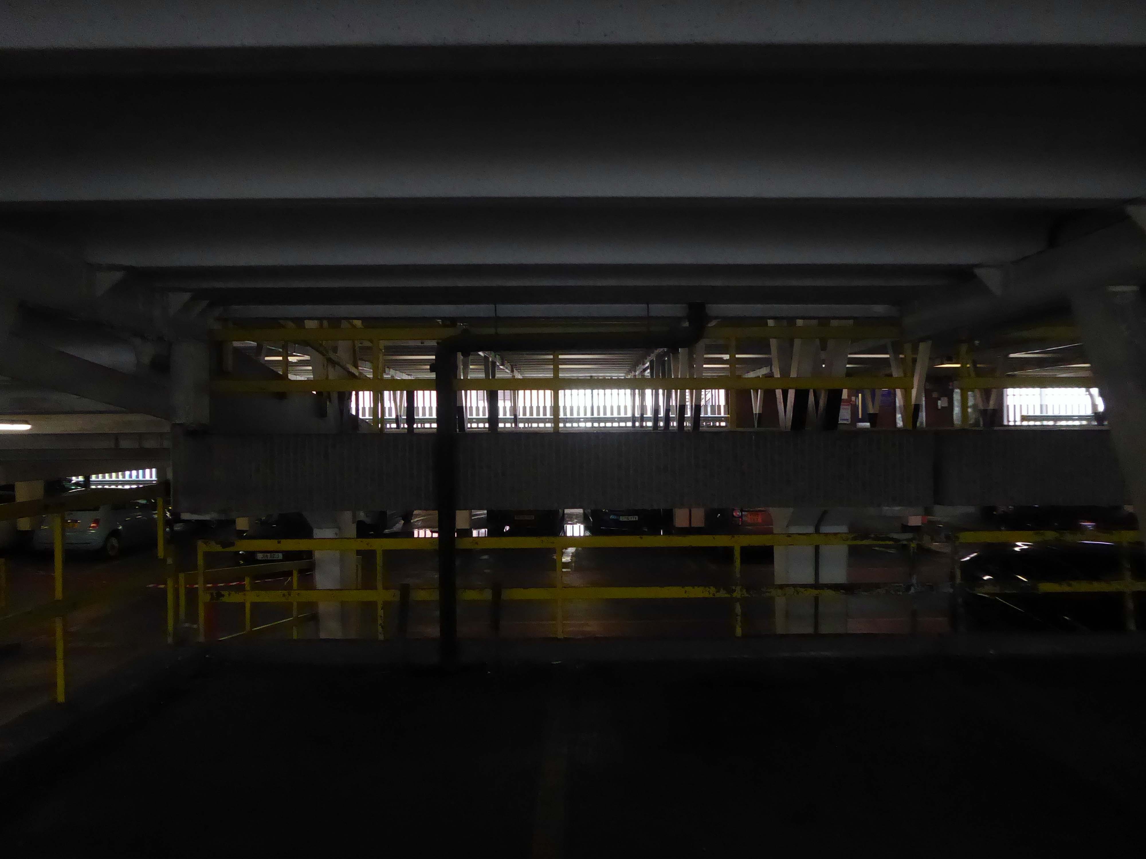
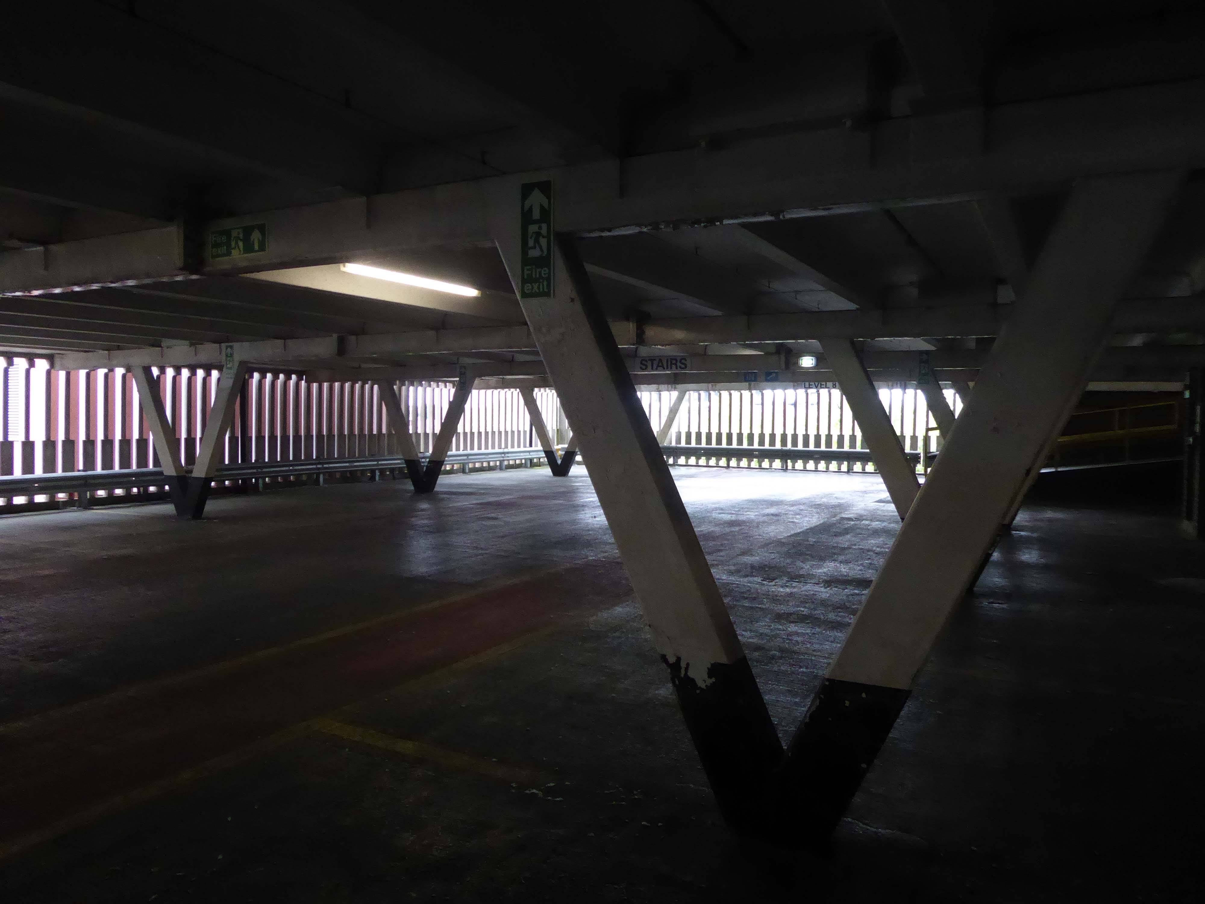
Built by Truscon Ltd. – 1969
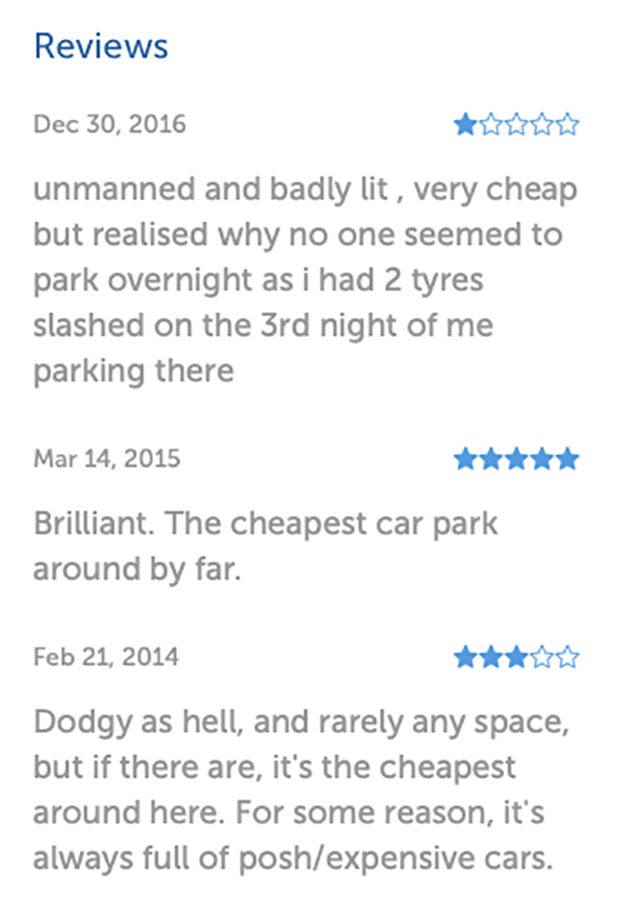
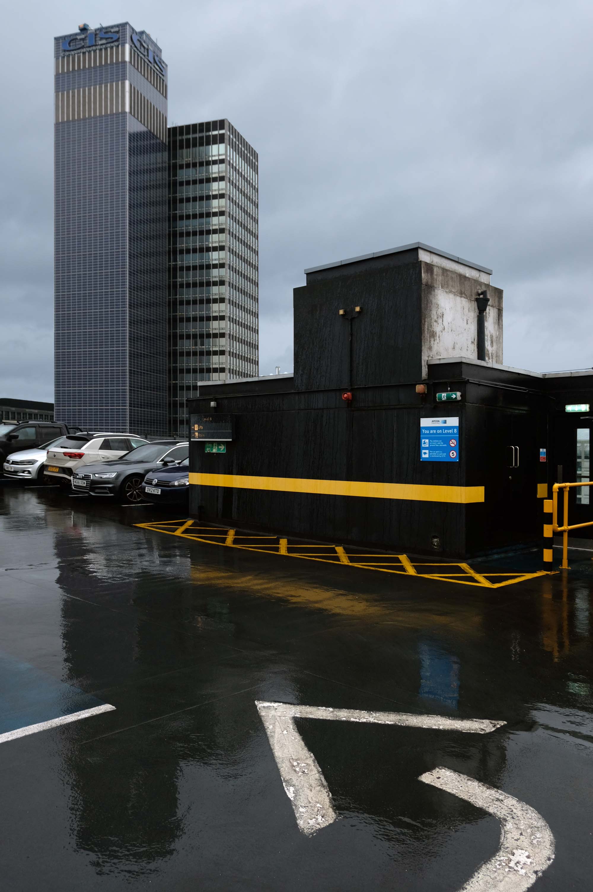
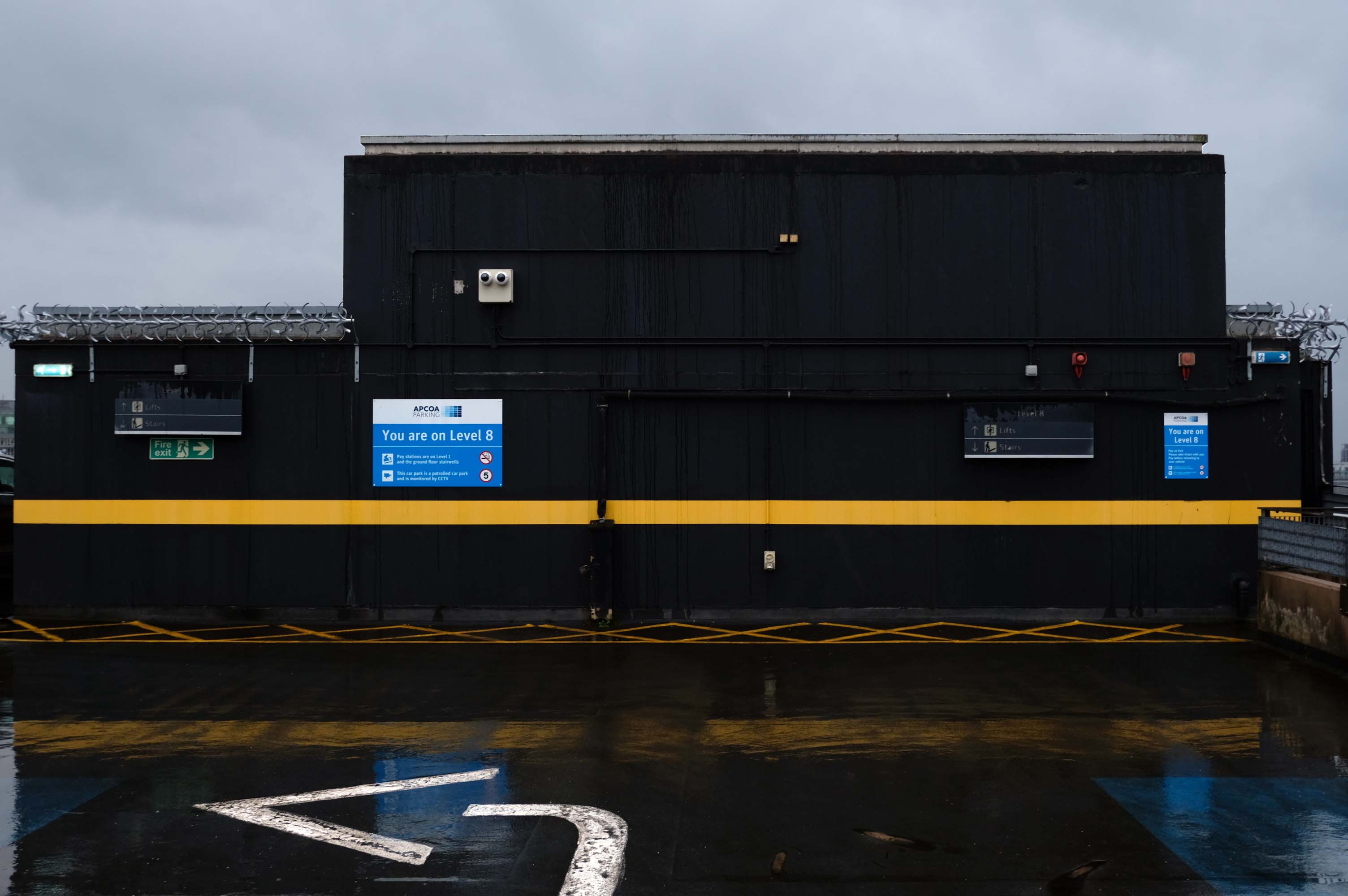
I am a disabled driver and found a lot of the direction signs worn away. When I came to leave I wanted to use the machine on the ground floor. This was out of order, as a lot of other people found. The office was empty as the staff were outside smoking. I then had to negotiate stars back to the 7th floor where the next machine was located. There was no sign on the ground floor machine telling it was out of use and where the next machine was located.
If staff want to have a smoke they should at least leave someone in the office.
Most of the parking spaces are very tight and I would not recommend the use of this car park unless you have a small car and a crystal ball to find the disabled parking and the payment meters.
The rudest man at the kiosk, that I have ever had an encounter with, over a ticket that was blurred. He had a go at me for not going to him straight away – I went when I went to leave and it wouldn’t work. He also had a go at me because I pressed the buzzer on the intercom. Very strange unhelpful man. Made an issue for no reason! Awful to deal with I never write reviews, but I hope this gets back to him and with hope he will gain some manners.
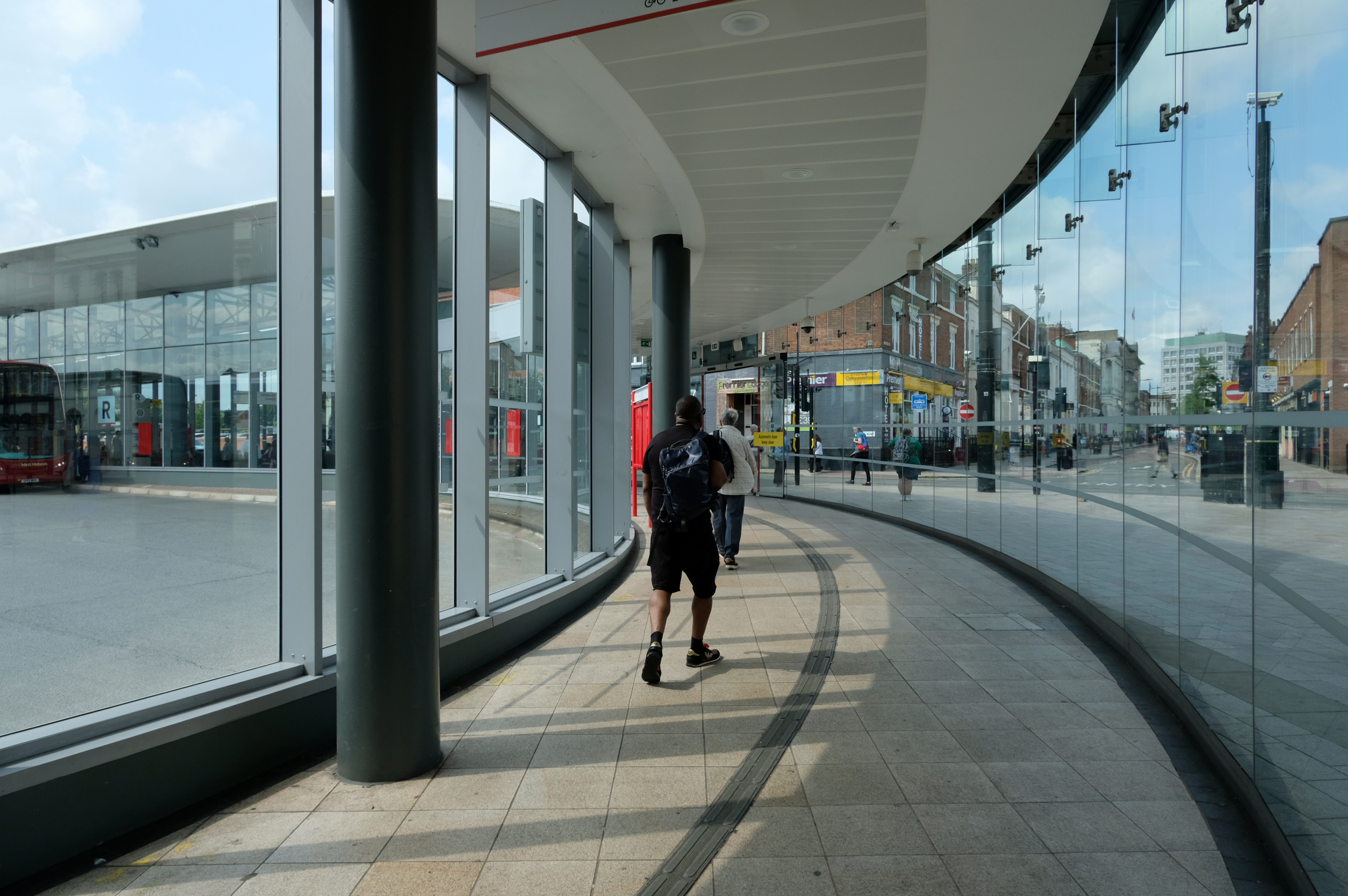
Being a pedestrian, I entered through the bus station on foot.
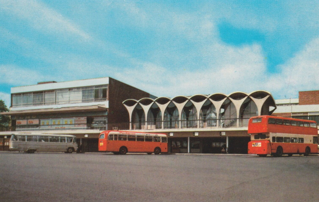
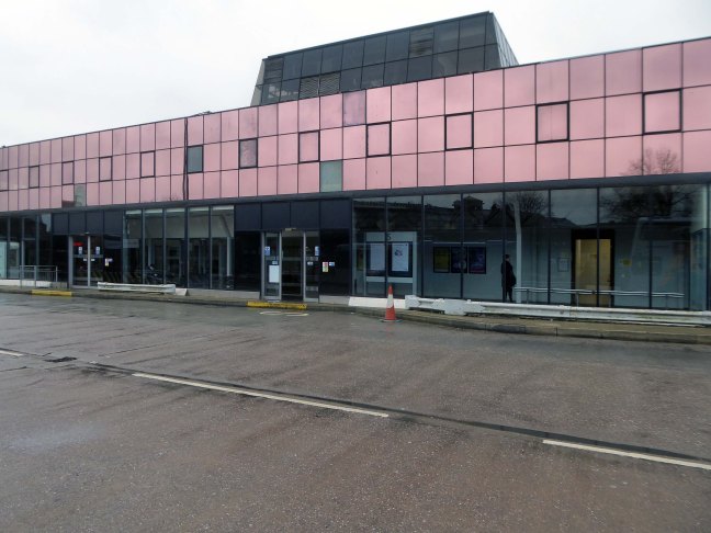
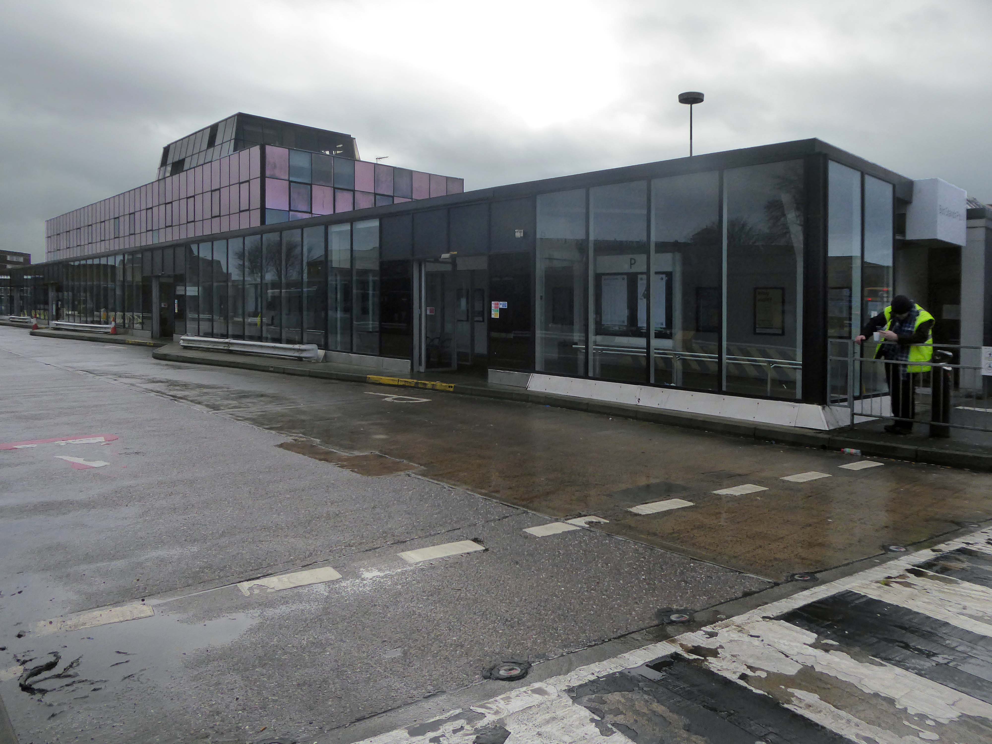
The station is considered to be dated due to its 1980s architecture partially under a 1960s multi-storey car park. There have been plans for the station to be modernised and rebuilt, or even demolished completely, as part of the town’s Big Town Plan. The demolition of the station would mean the town would not have a central bus terminus and would instead use smaller sites on the town’s Park and Ride routes.
Shrewsbury Bus Station is a disgrace. I am embarrassed to use it. I don’t feel comfortable with using it. Yet, it is the bus hub for our county. It is one of the main gateways into Shrewsbury and Shropshire for those travelling by public transport.
New bus hubs and interchanges have been developed around the country. Shropshire Council meanwhile ignores Shrewsbury Bus Station. It promises a new bus interchange, but that is in Phase 4 of its plans to redevelop Shrewsbury town centre between Pride Hill and the riverfront. In the current financial climate and with the council stretched to the limit on existing funding, Phase 4 is probably more than a decade away.
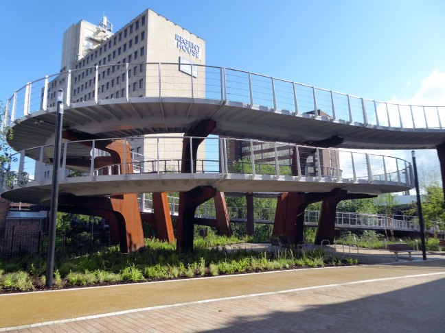
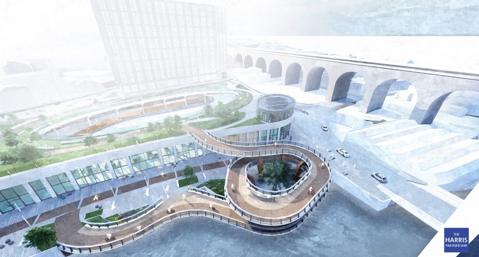
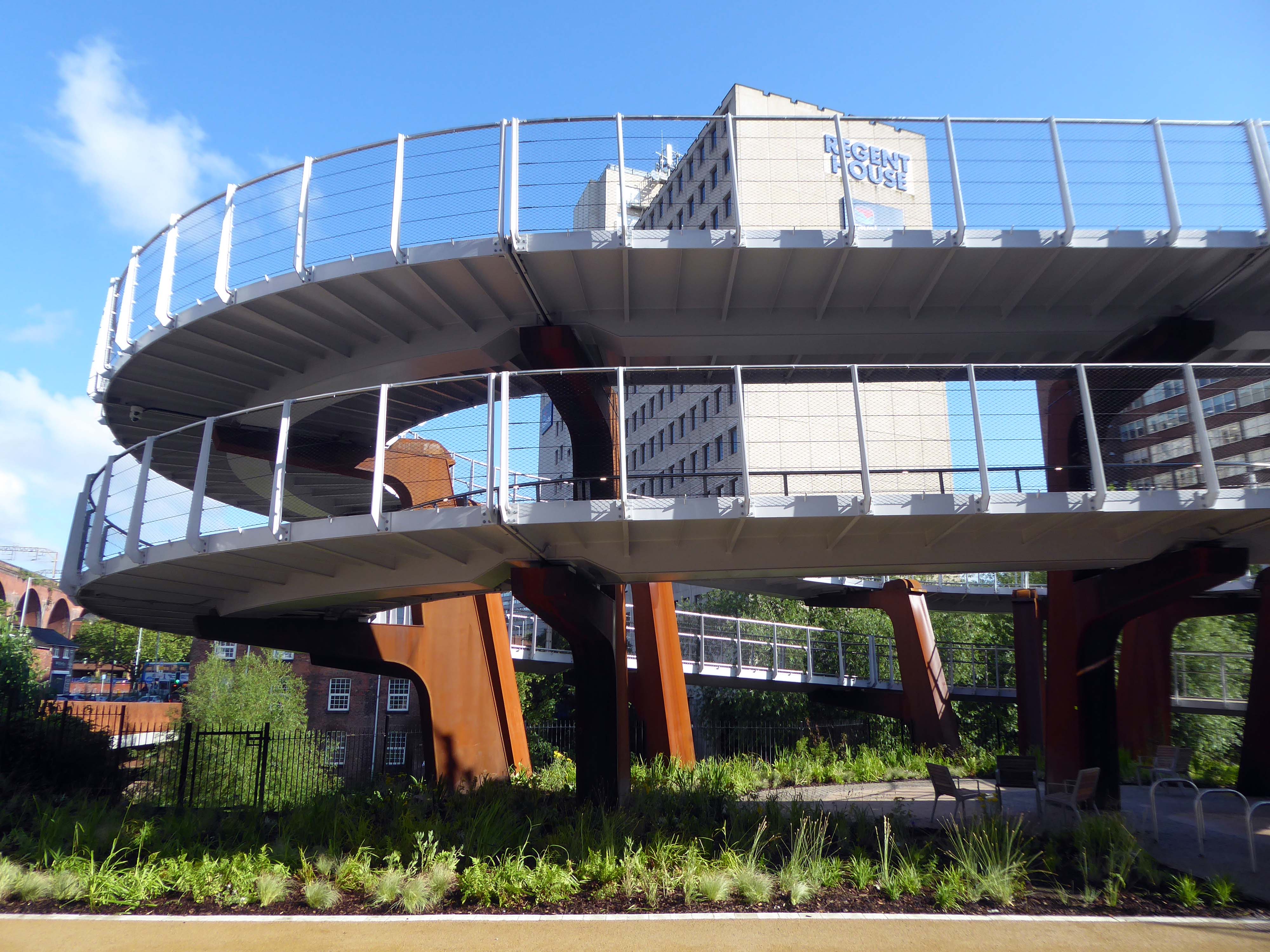
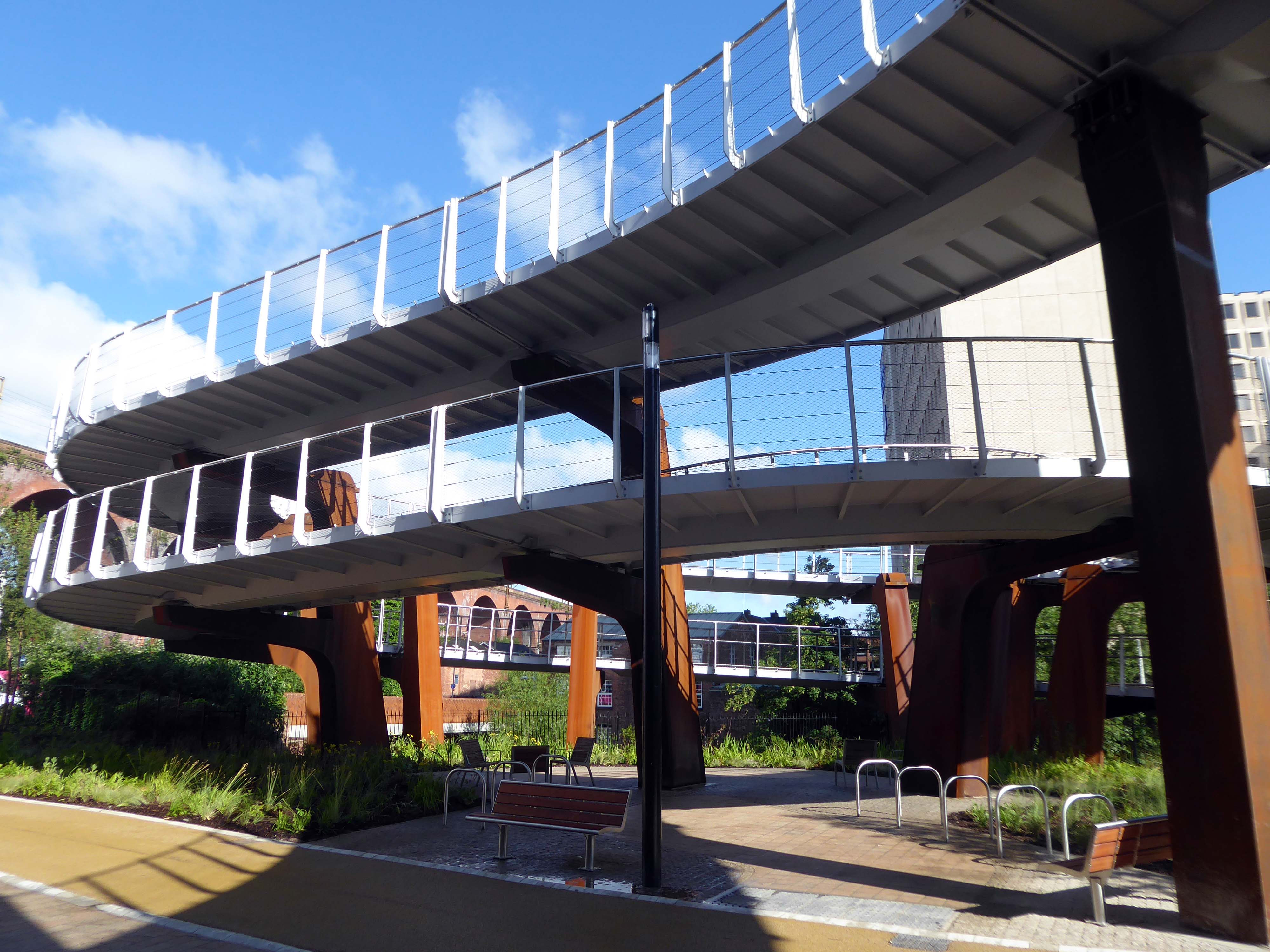
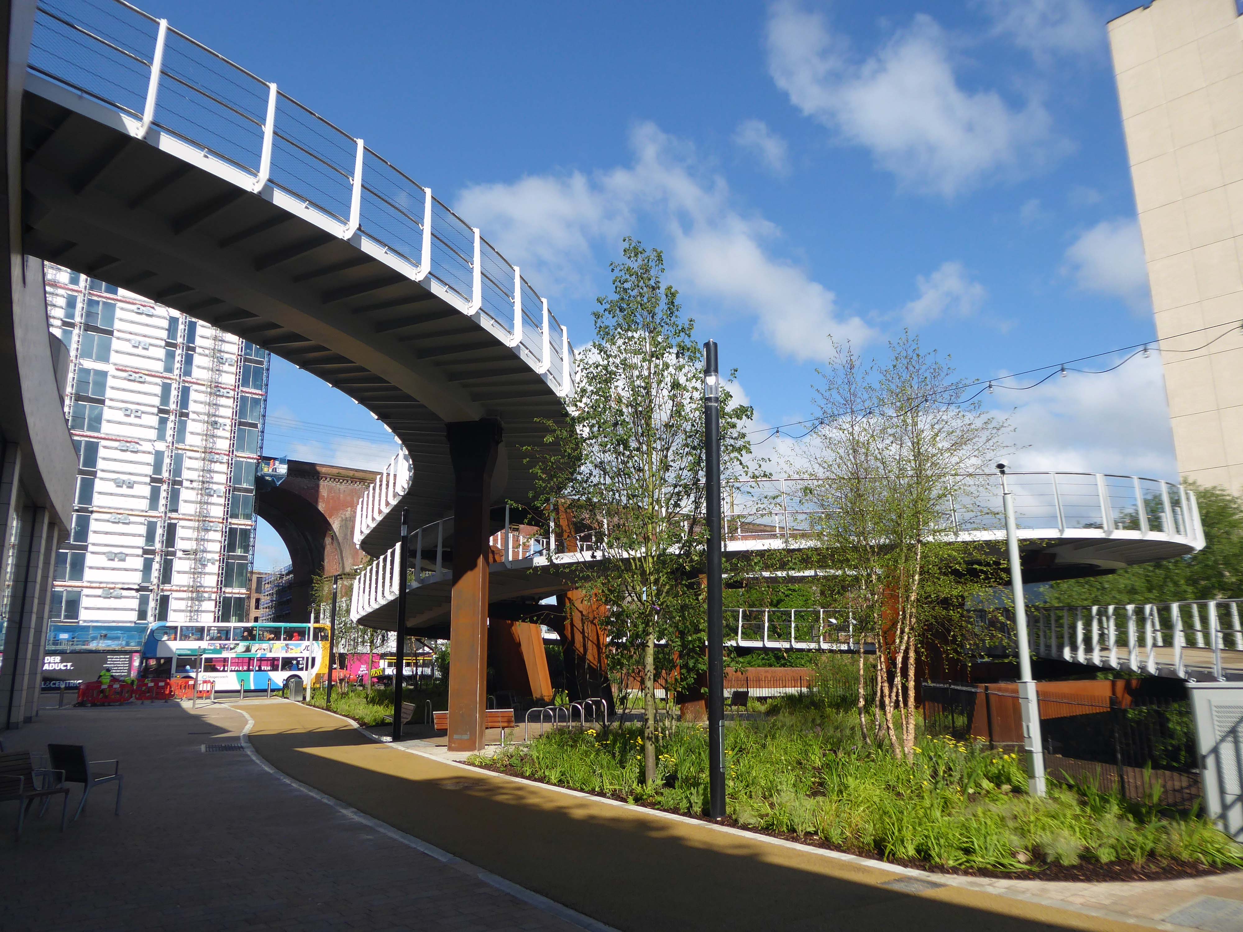
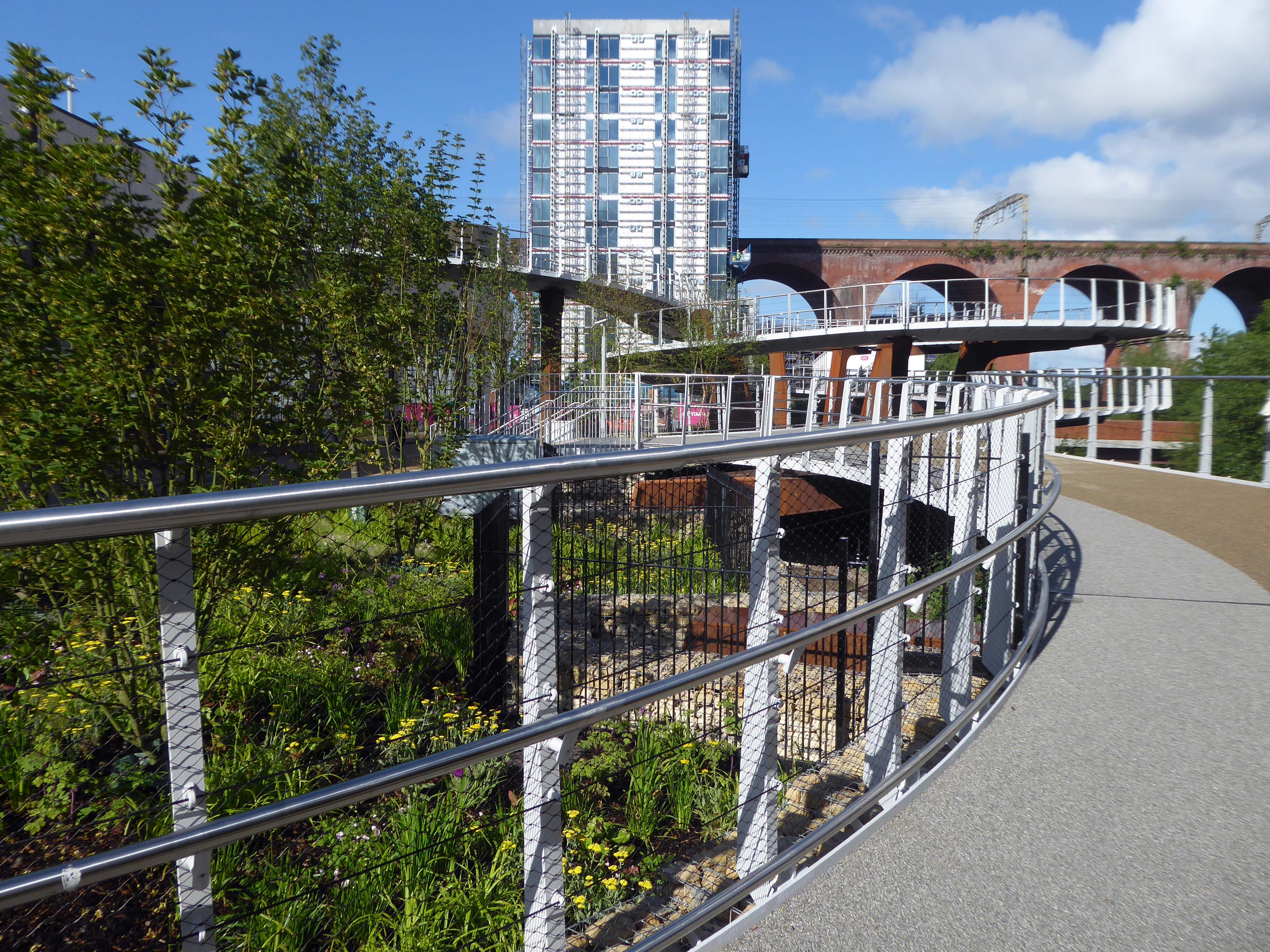
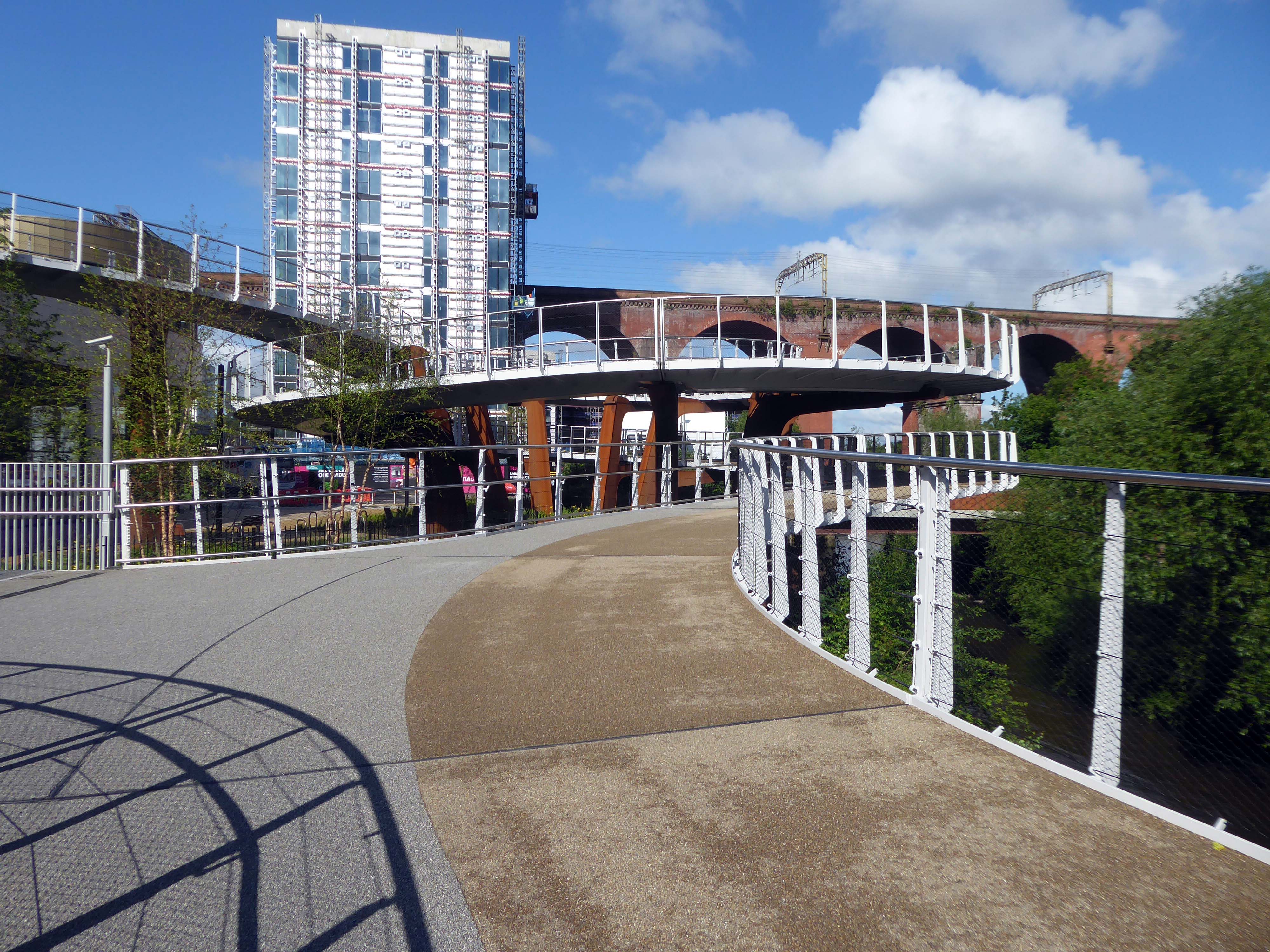
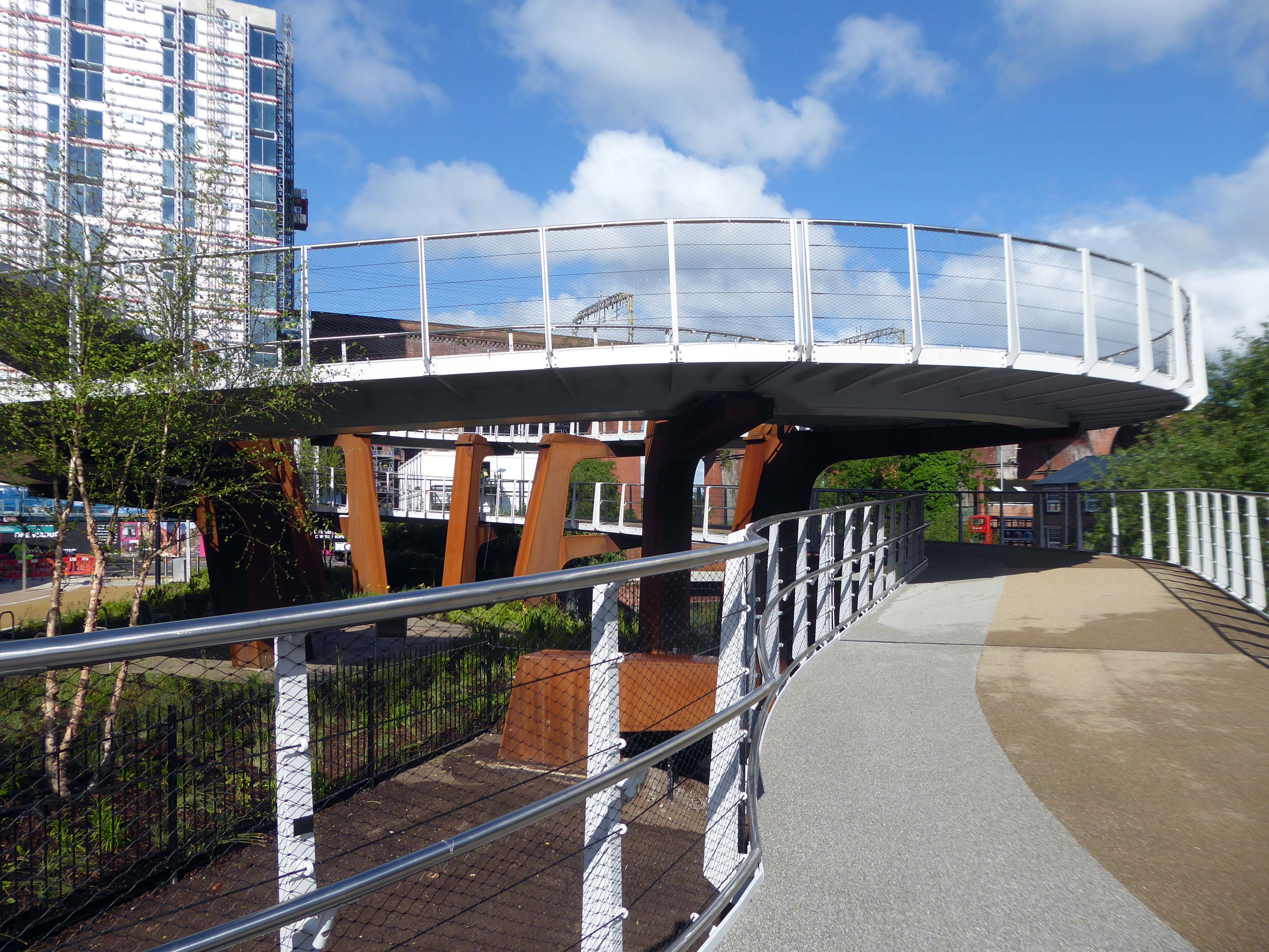
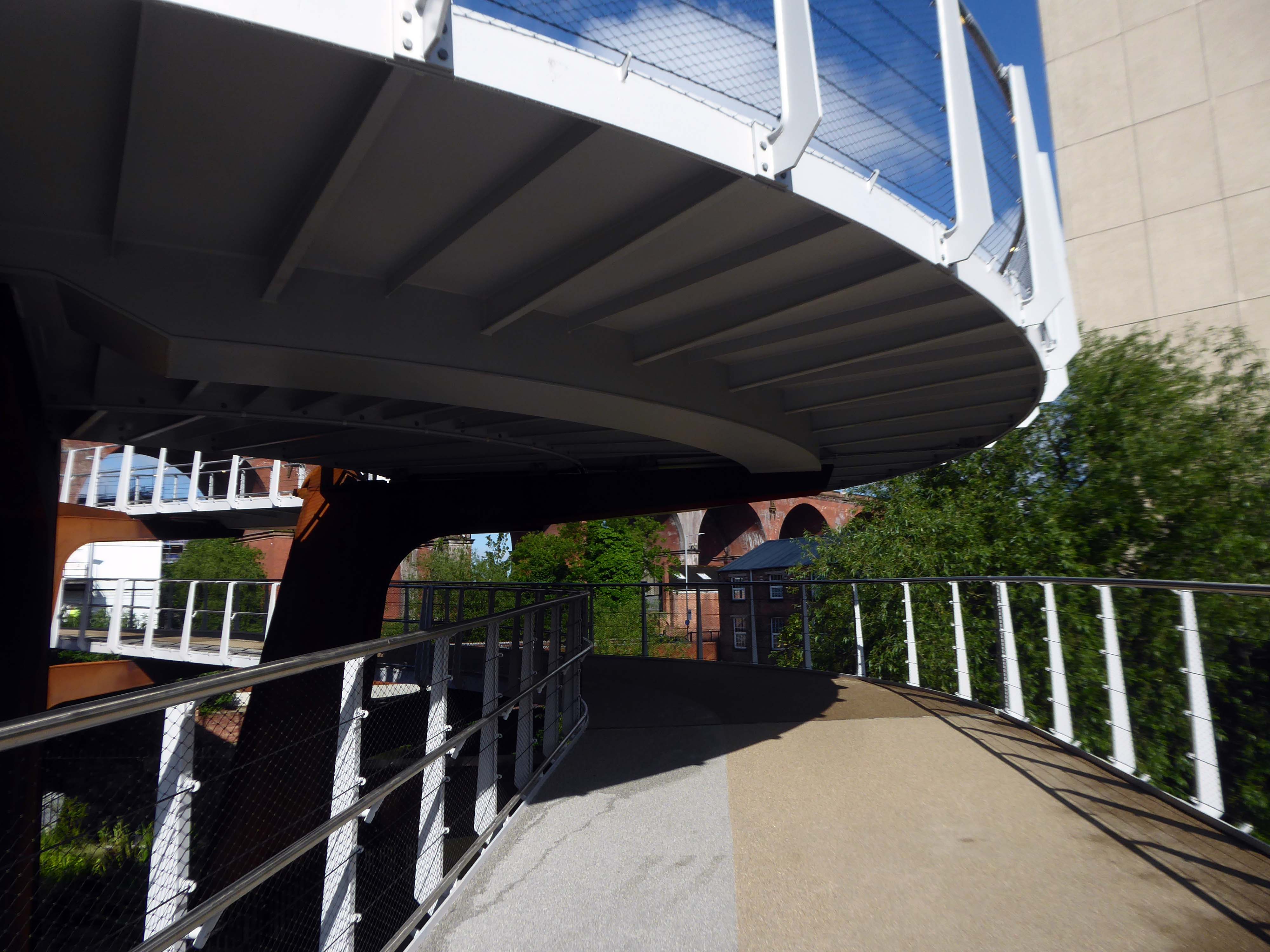
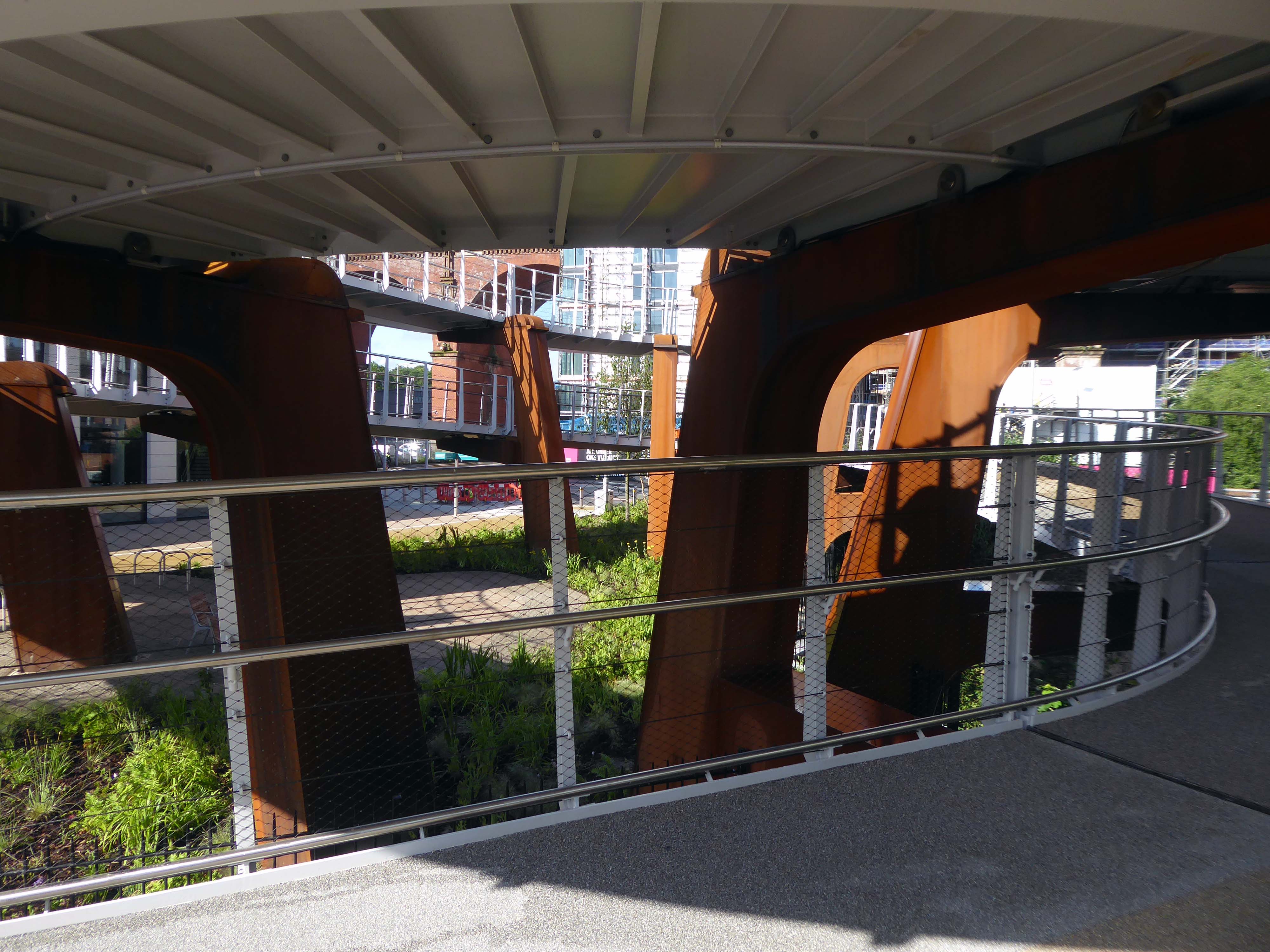
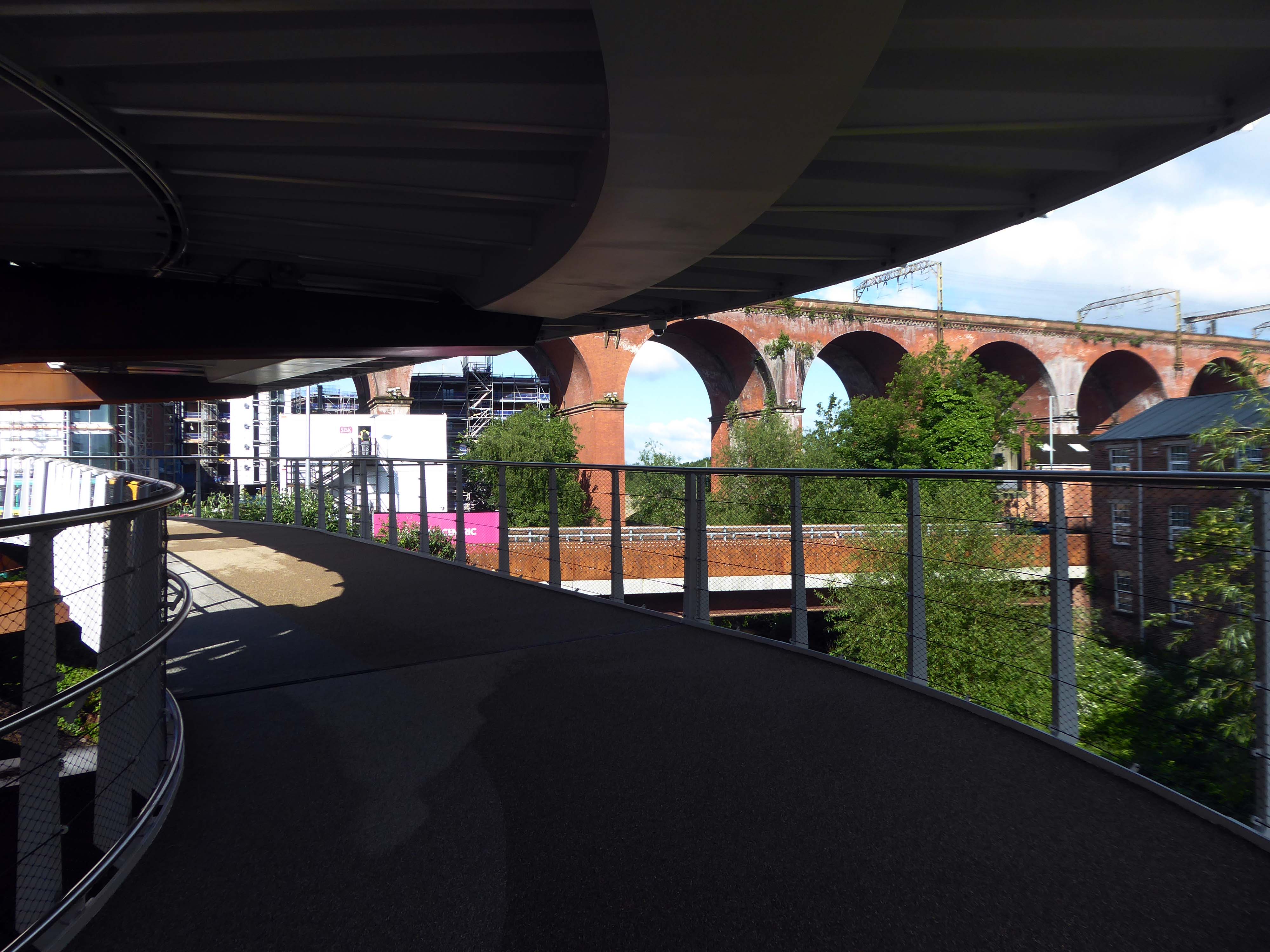
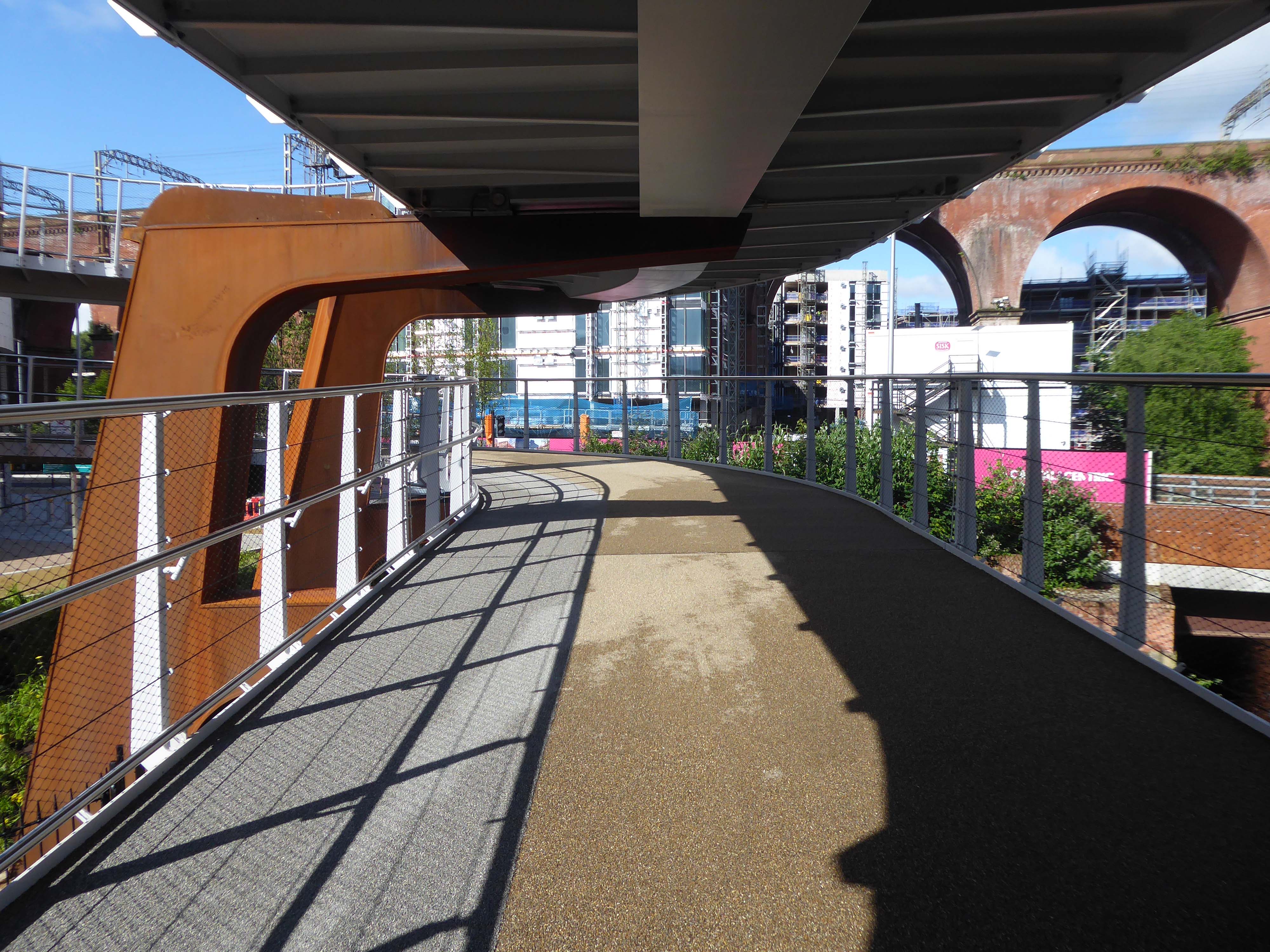
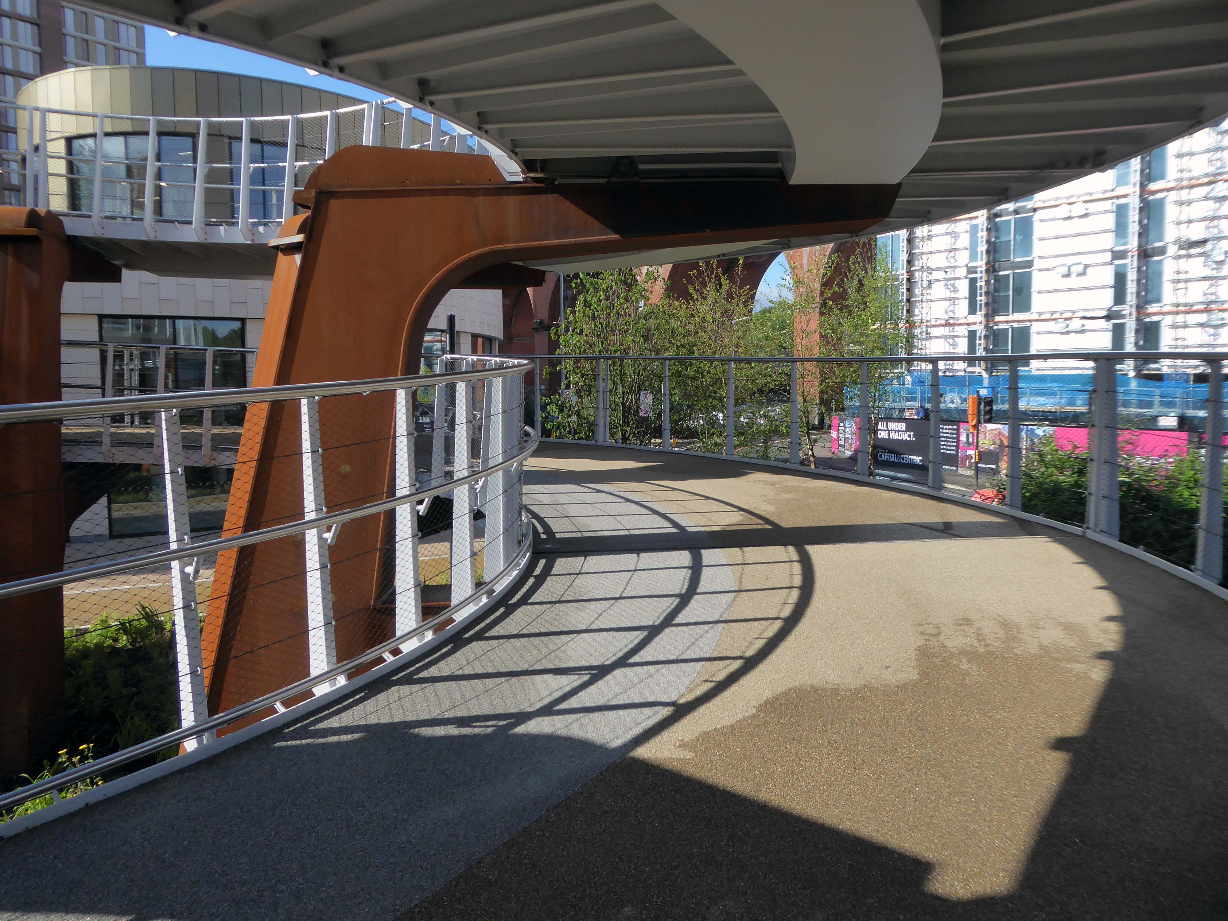
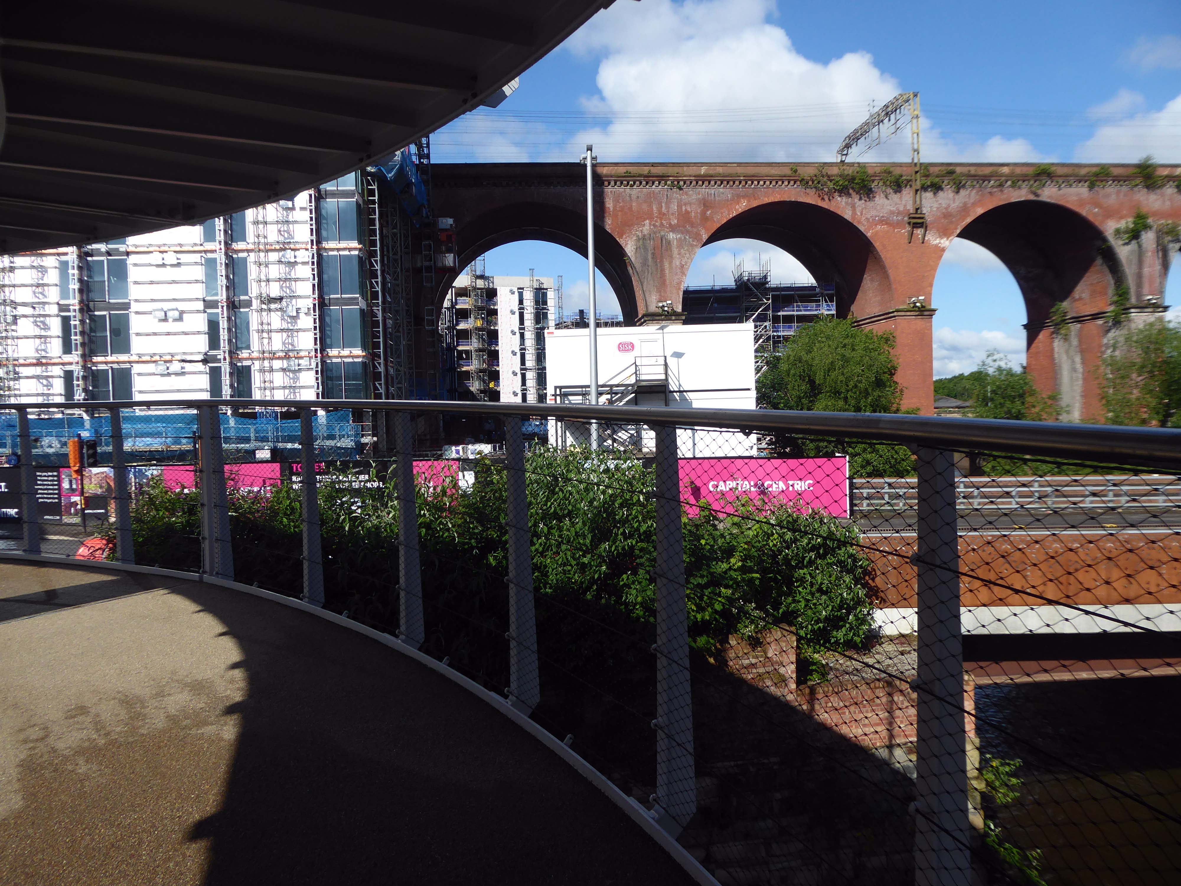
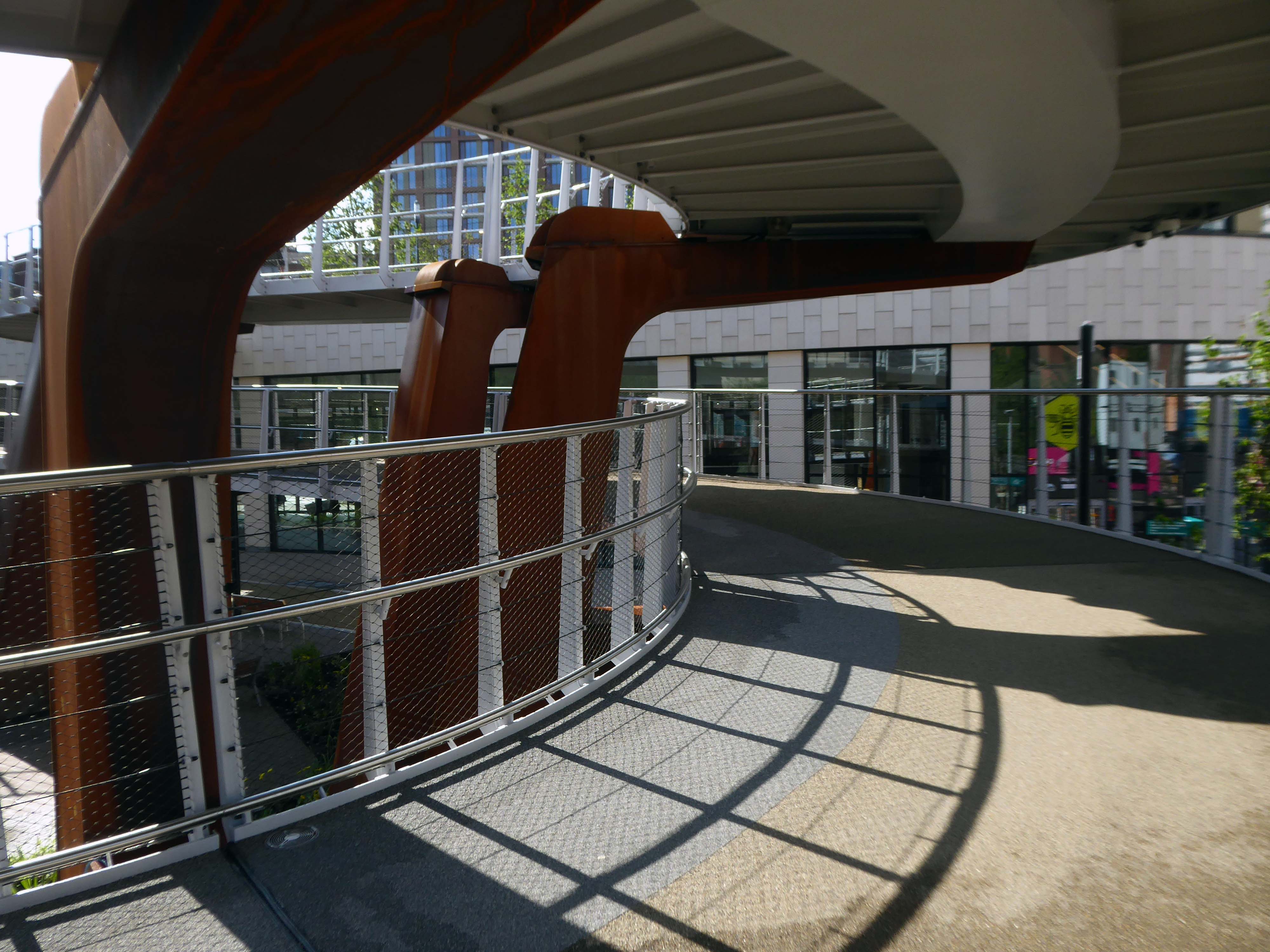
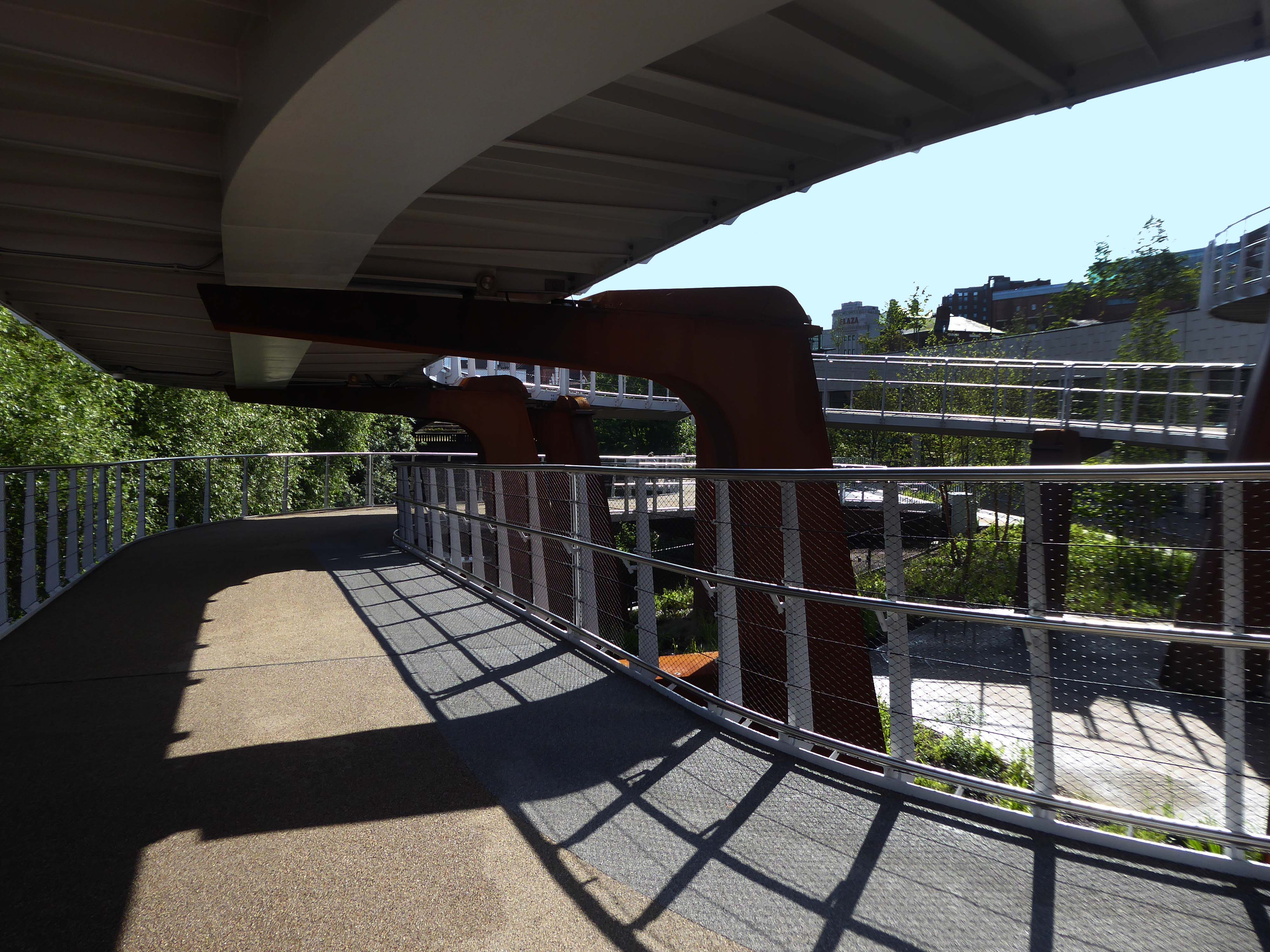
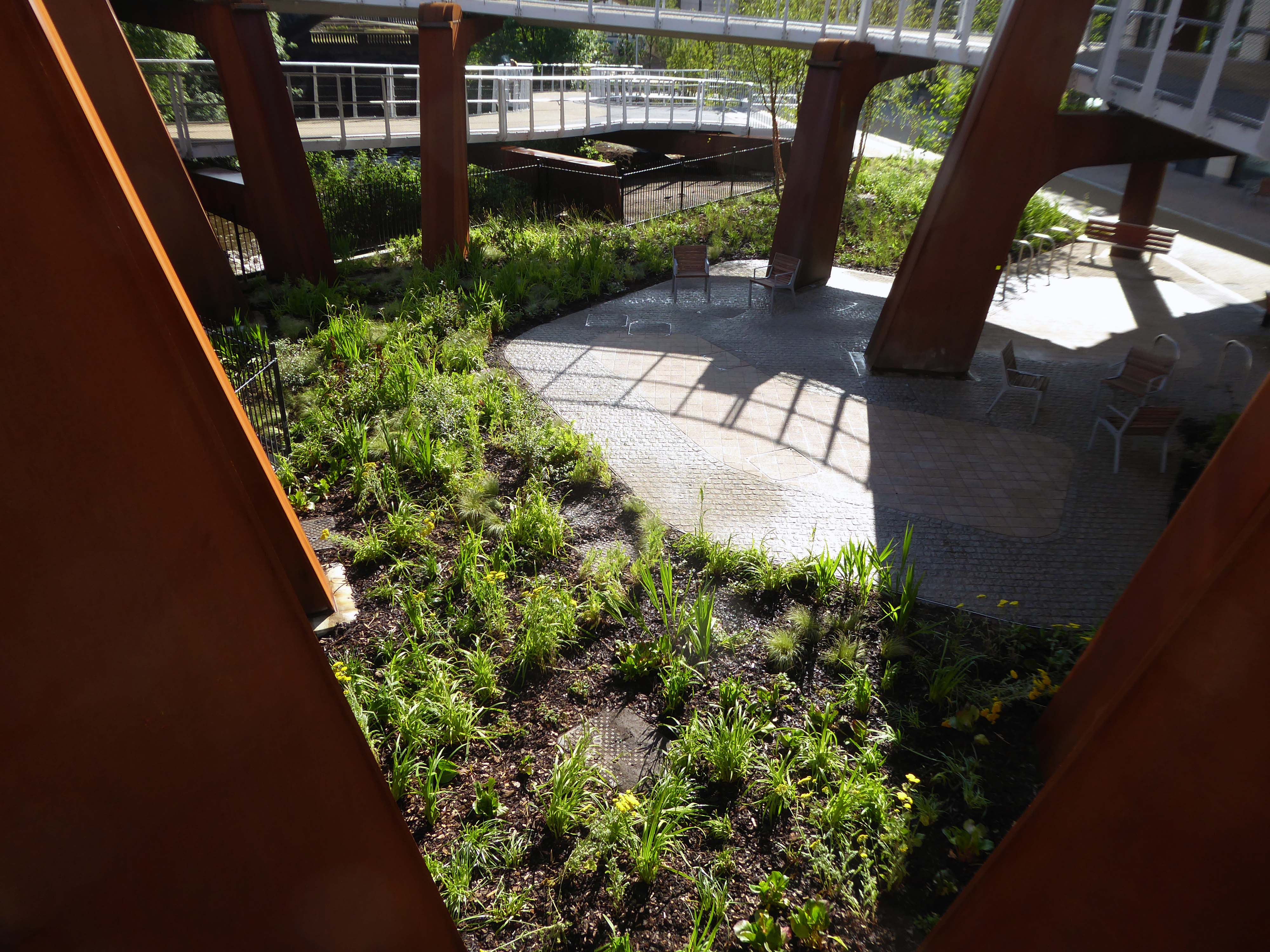
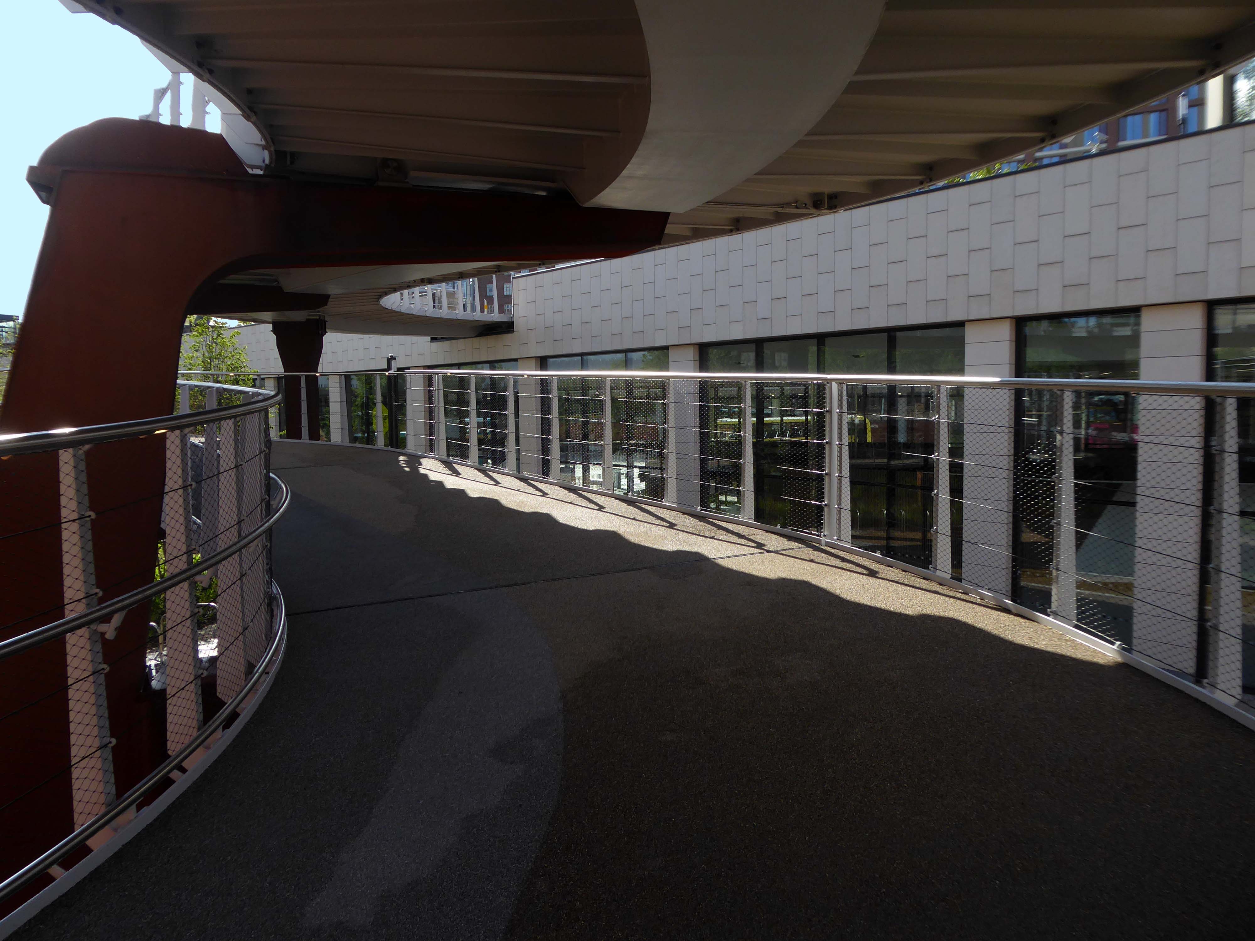
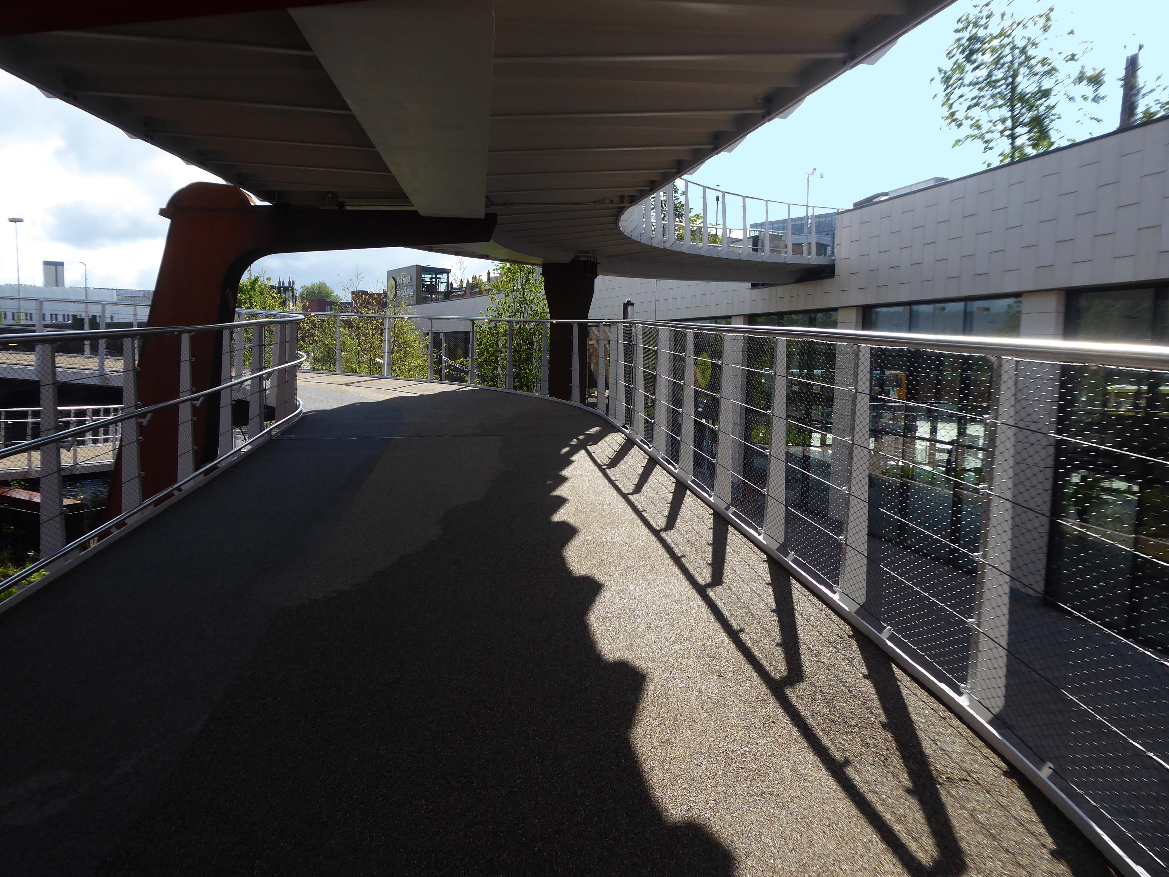
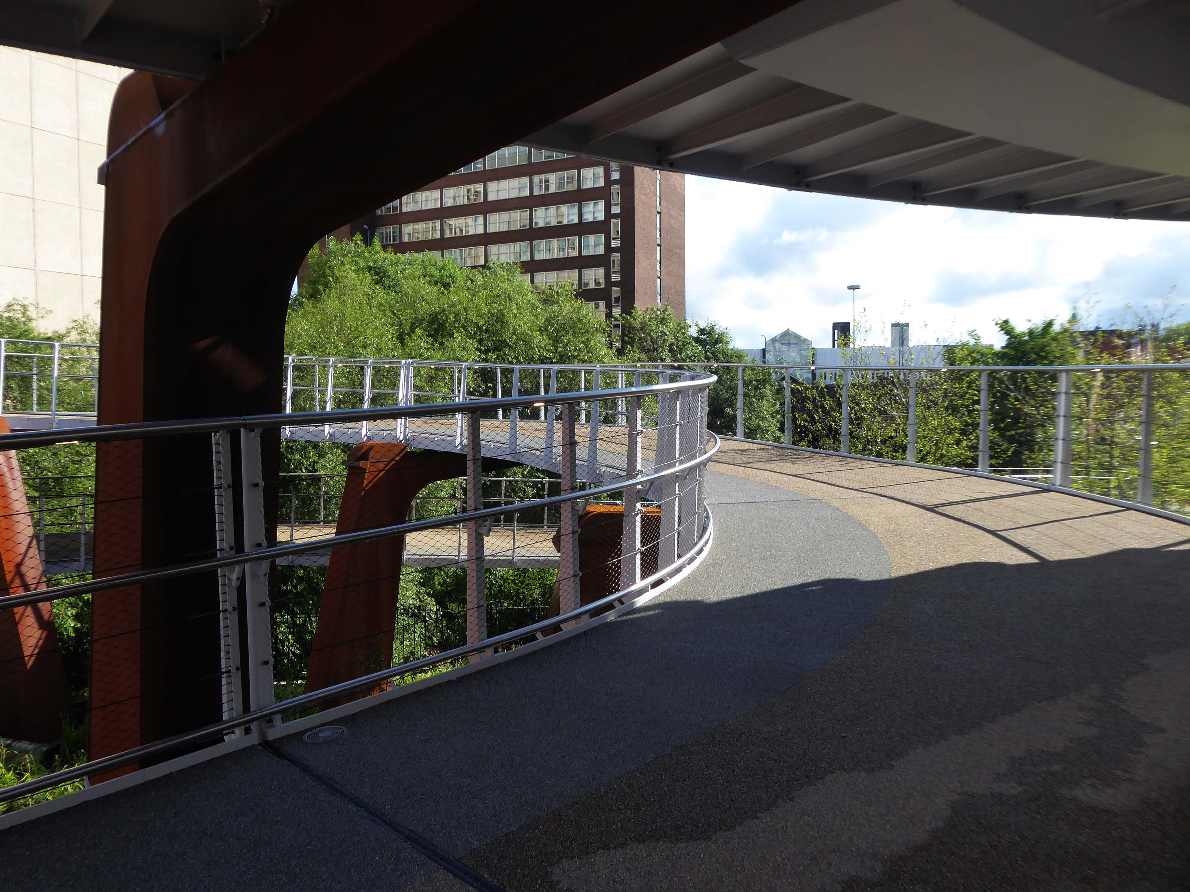
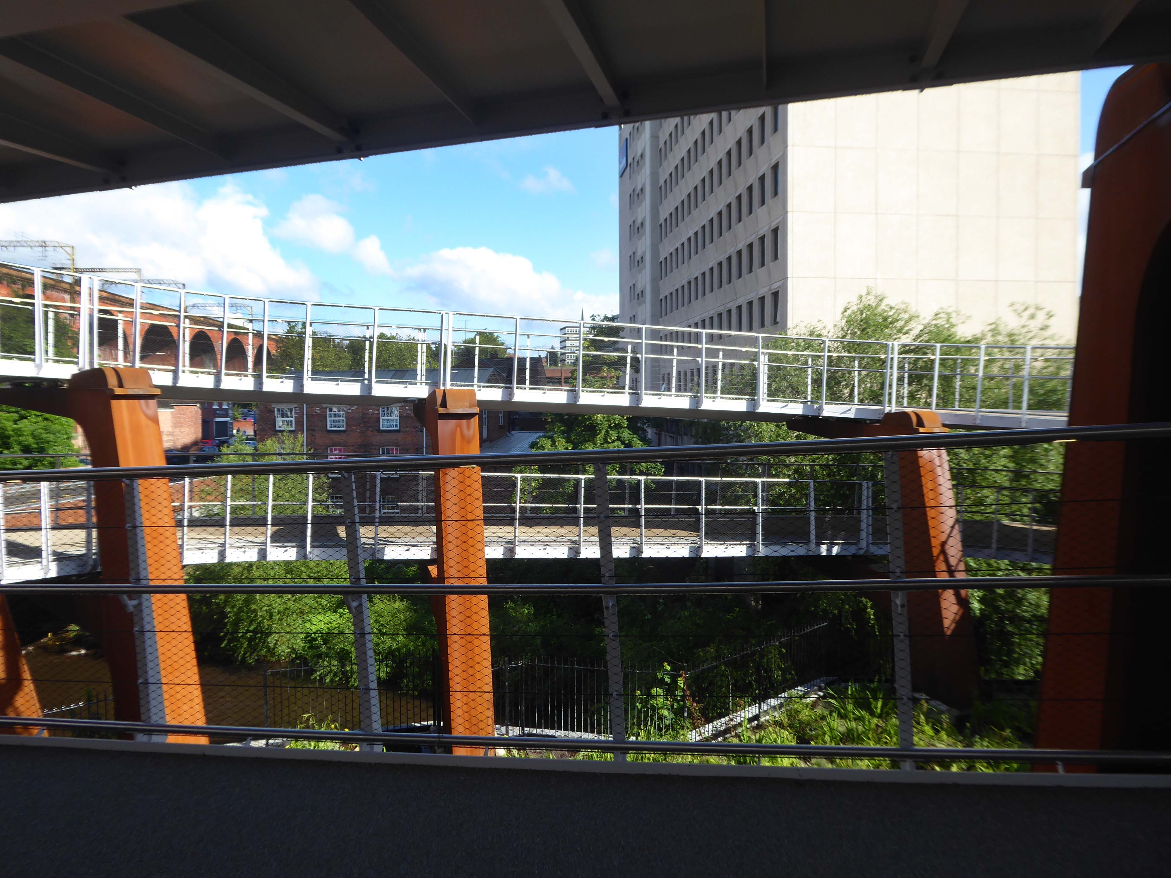
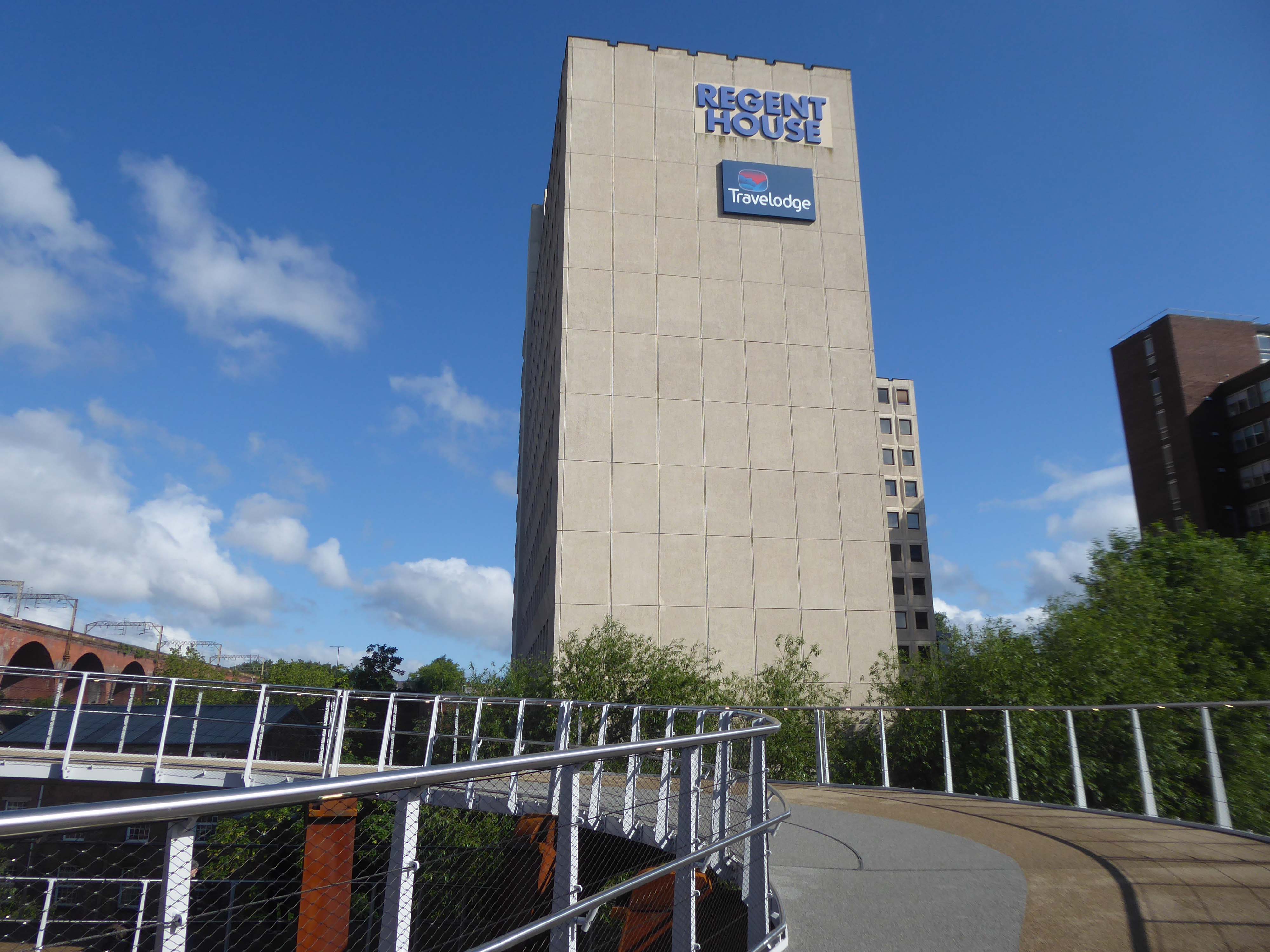
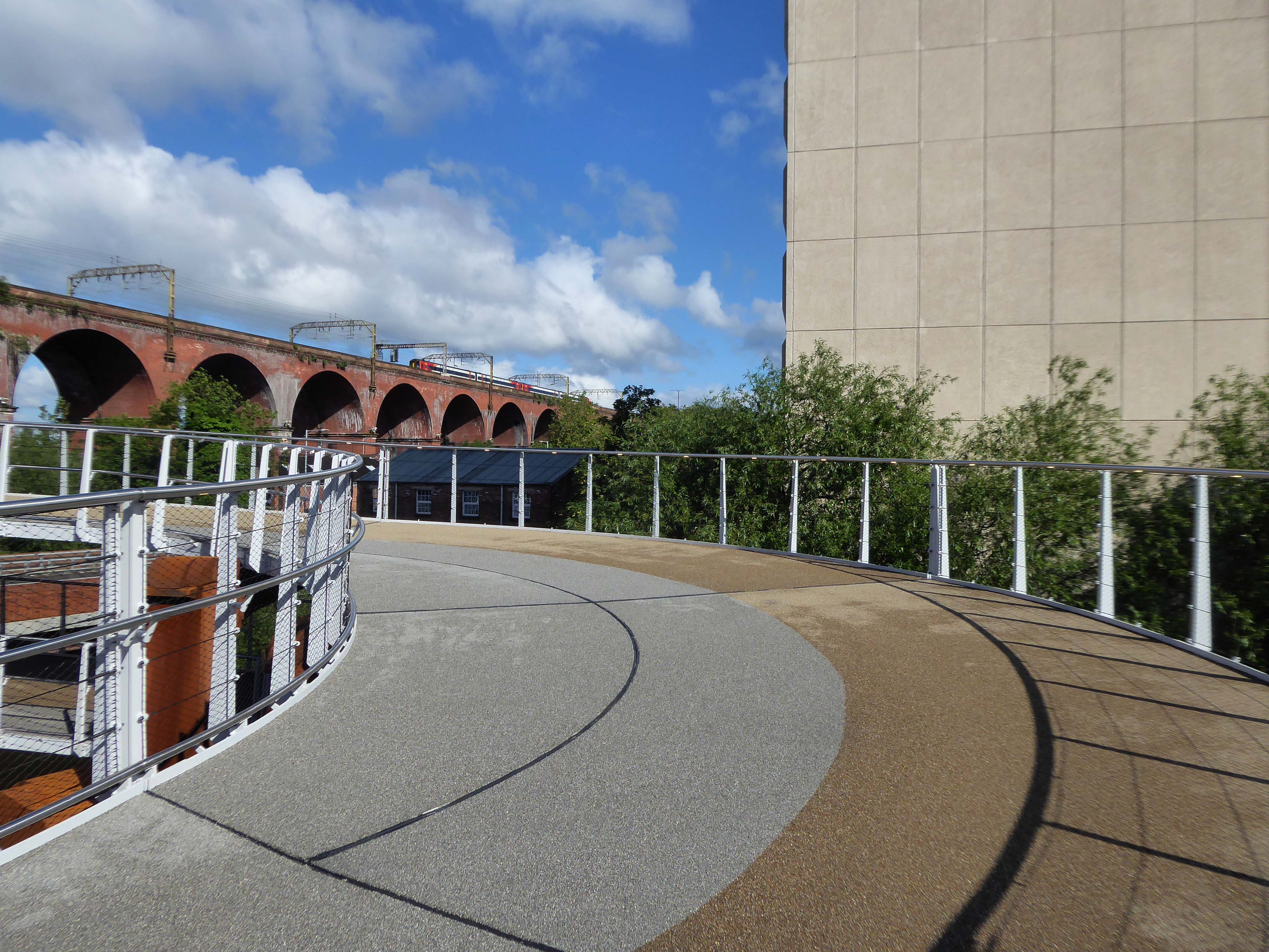
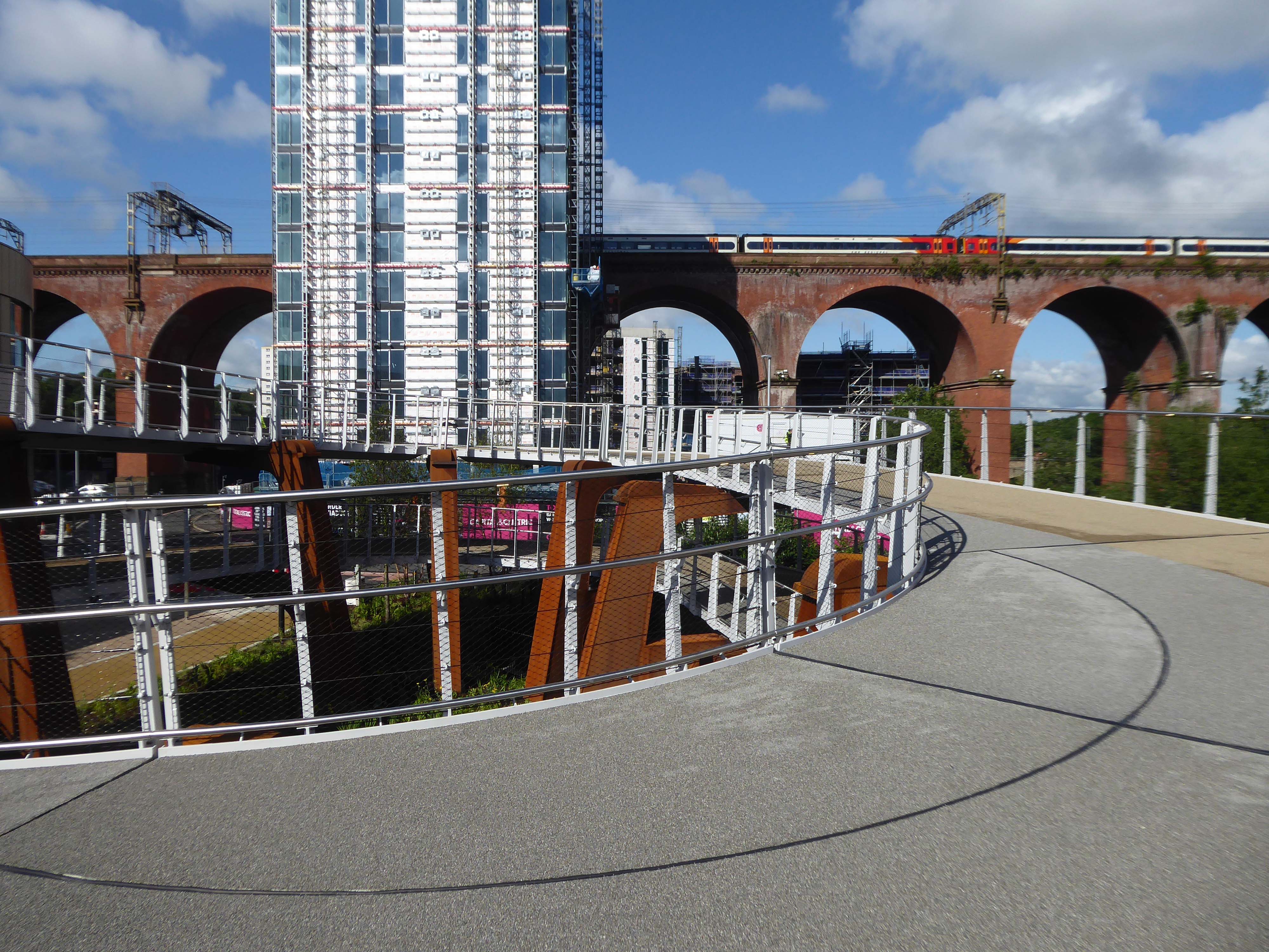
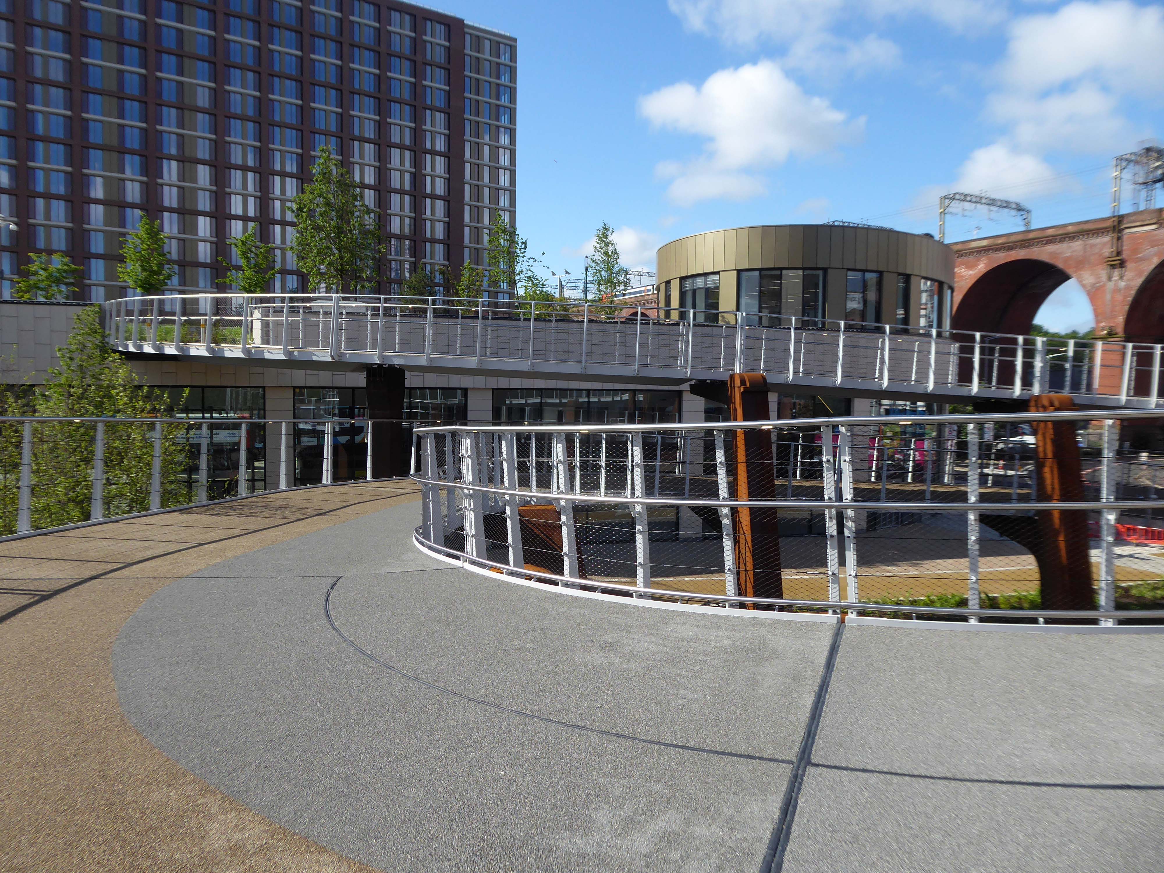
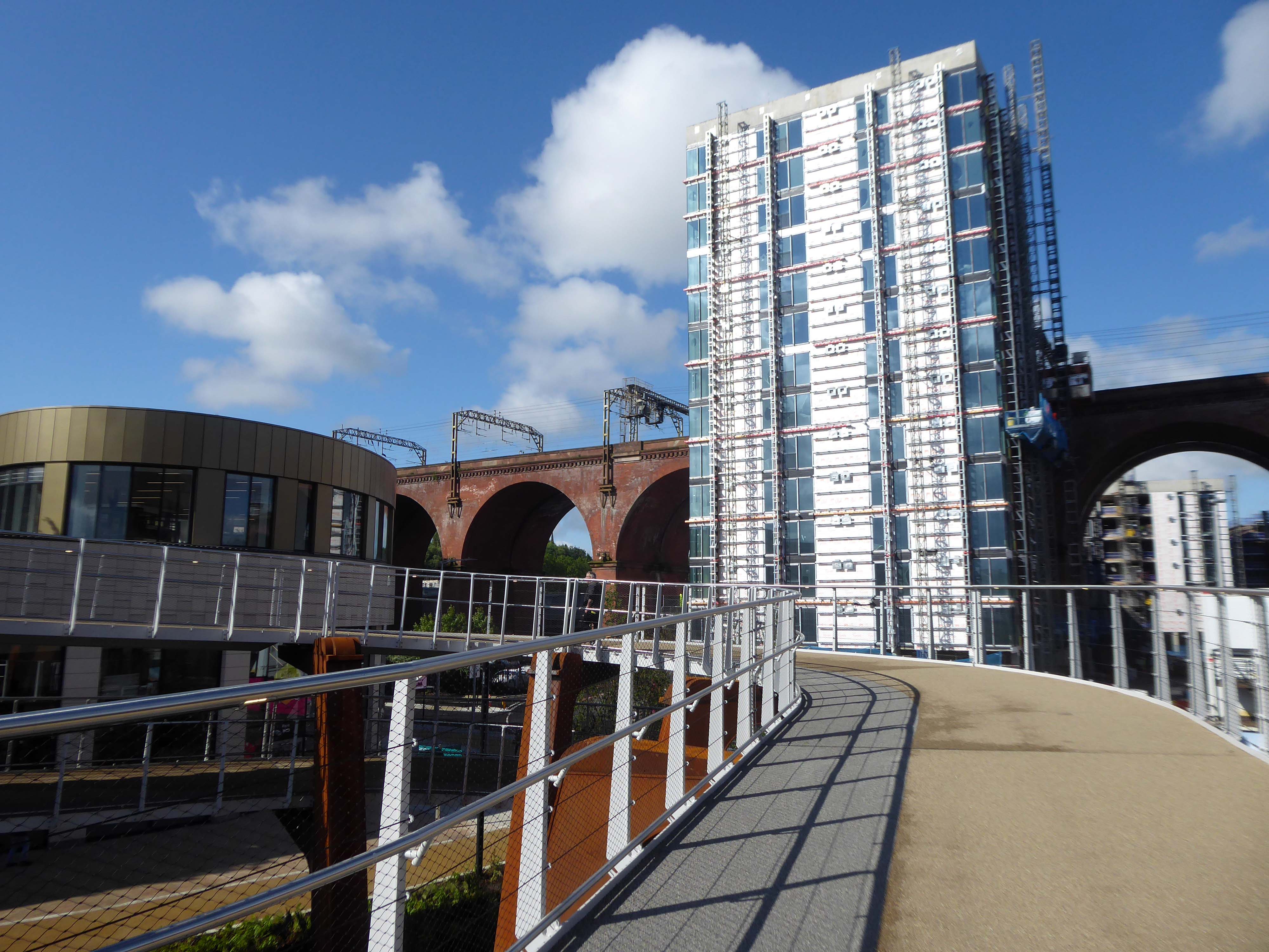
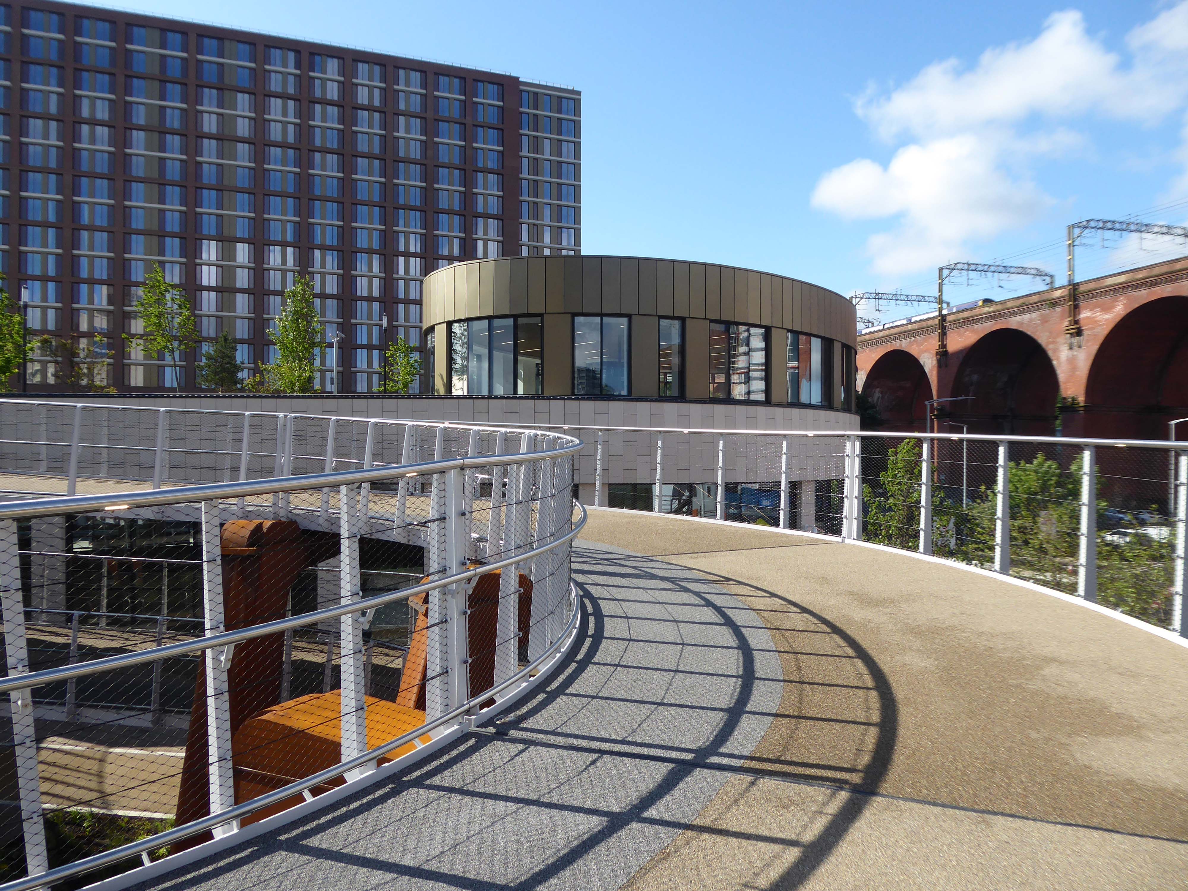
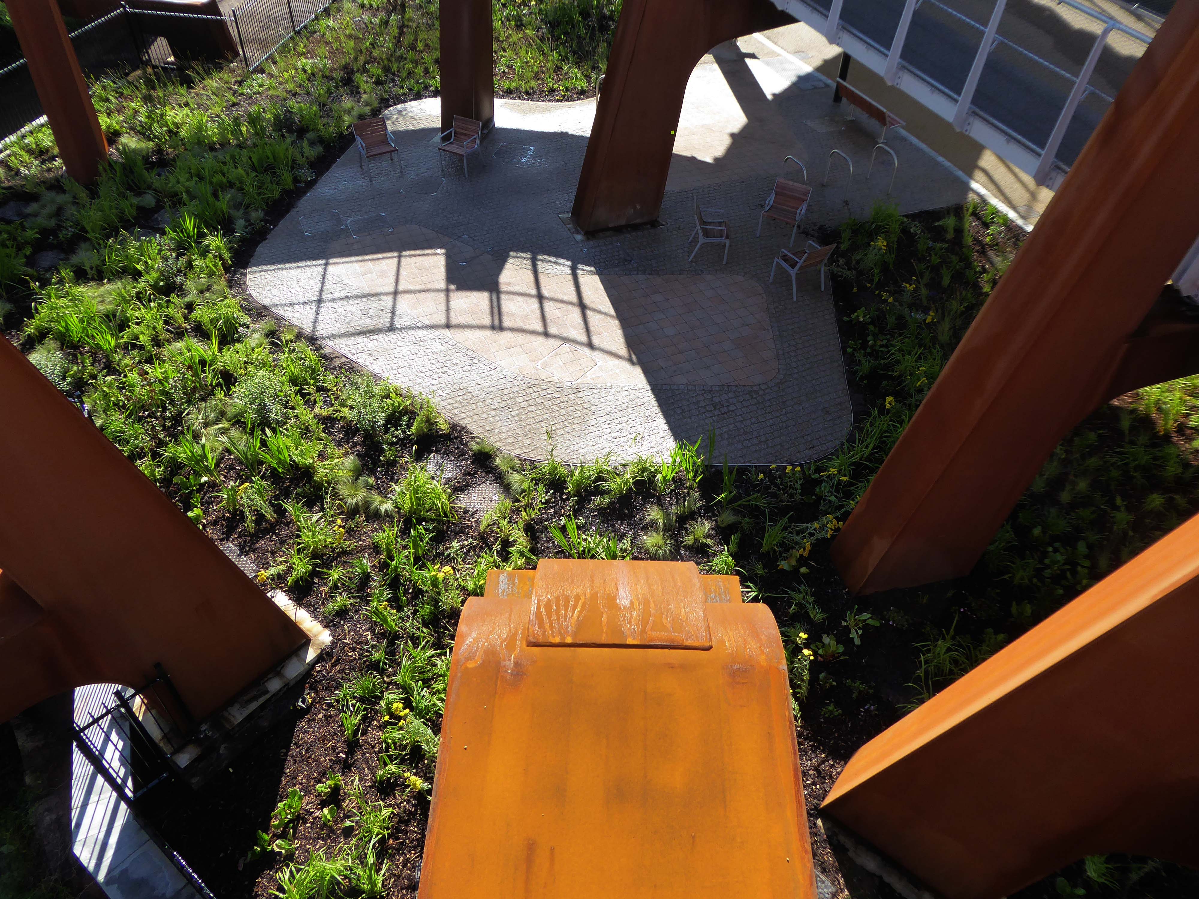
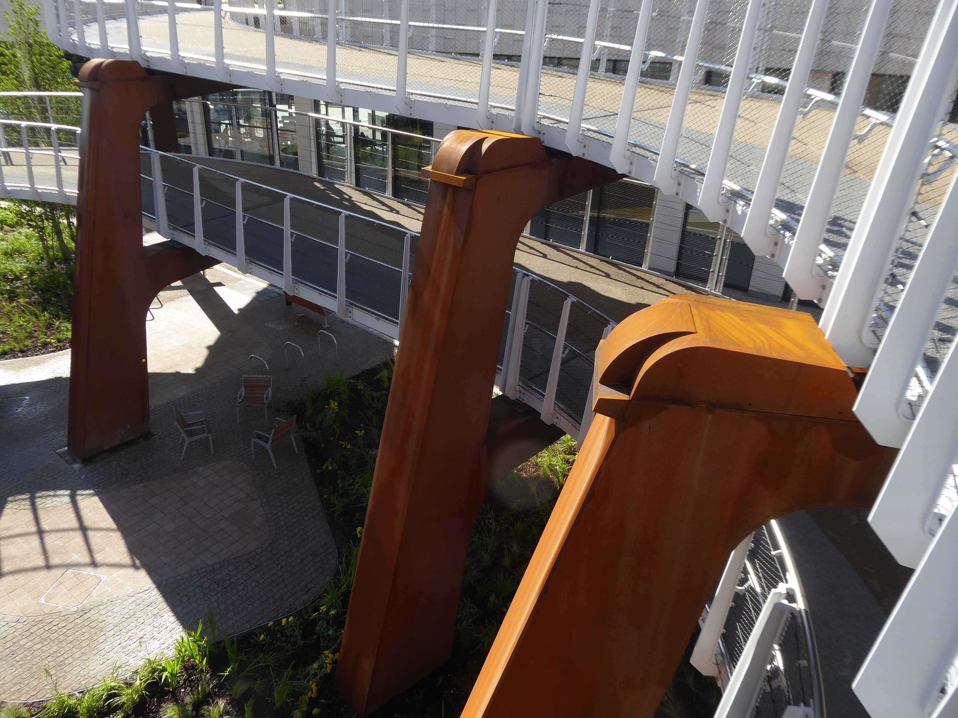
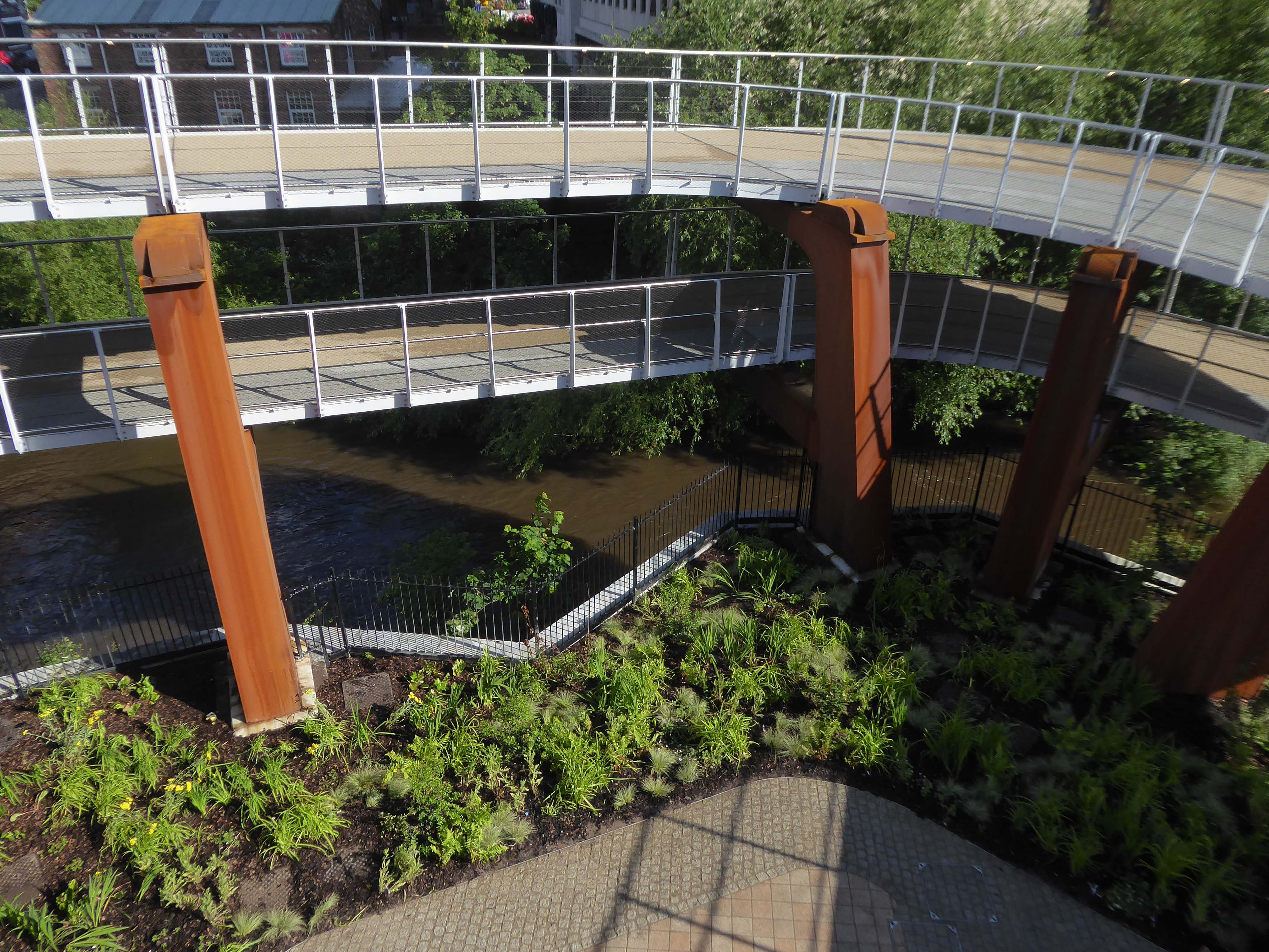
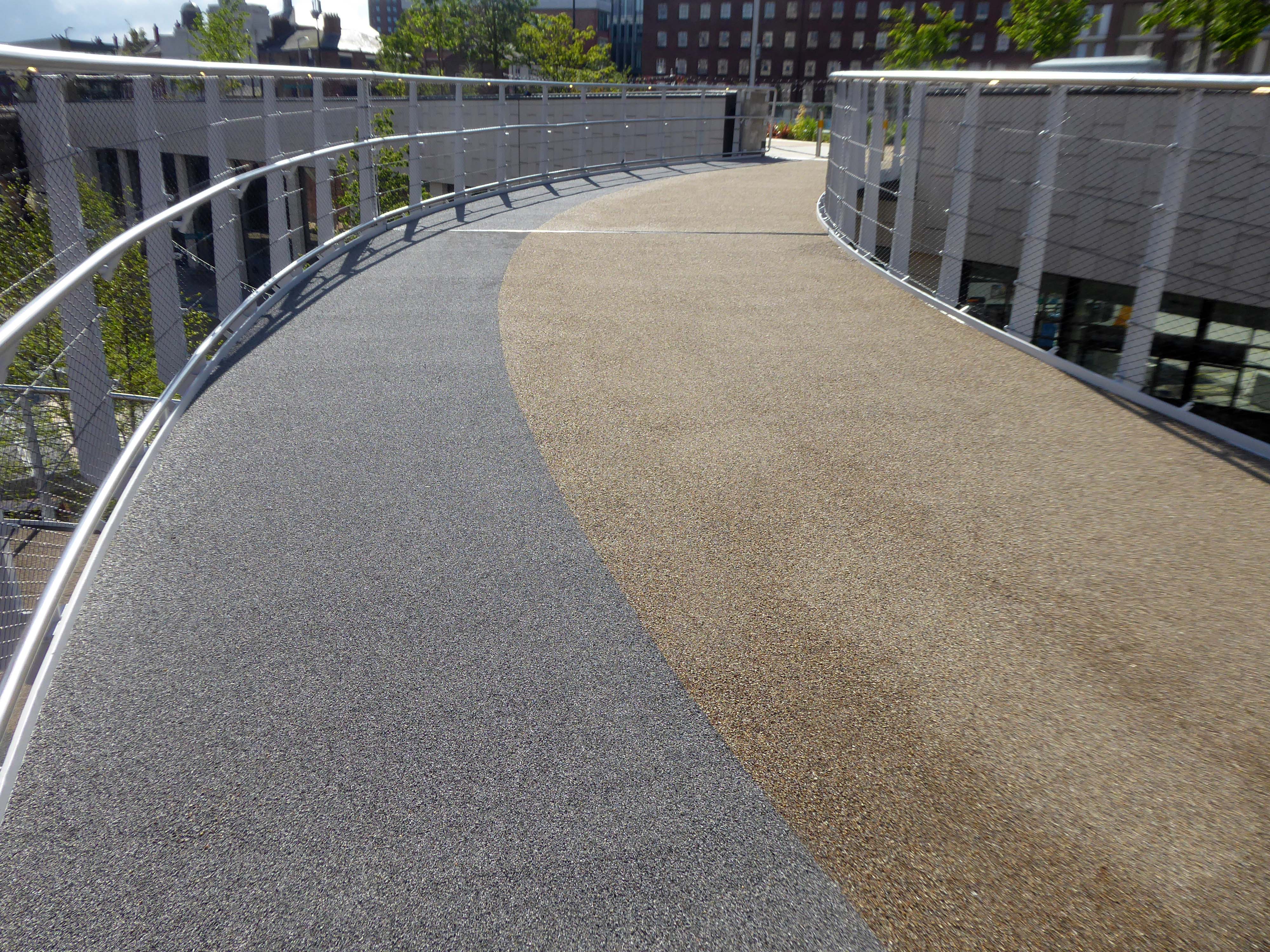
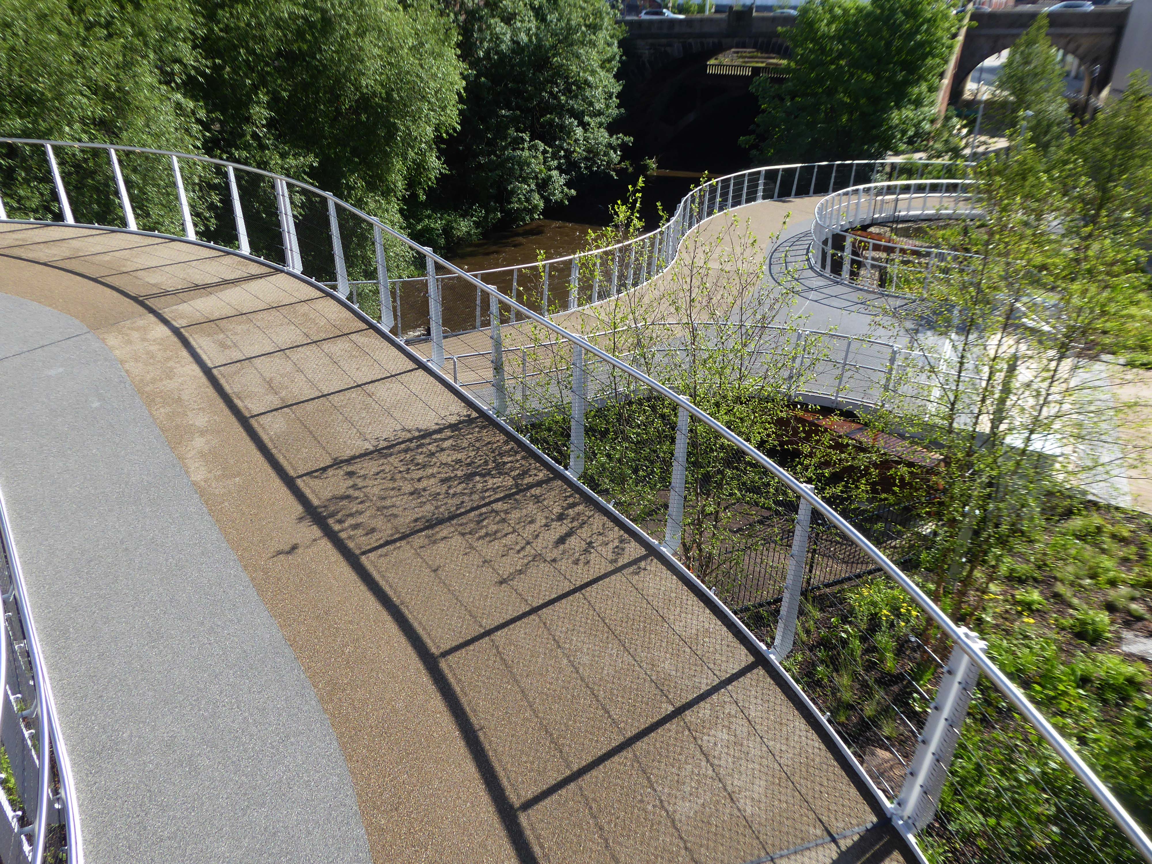
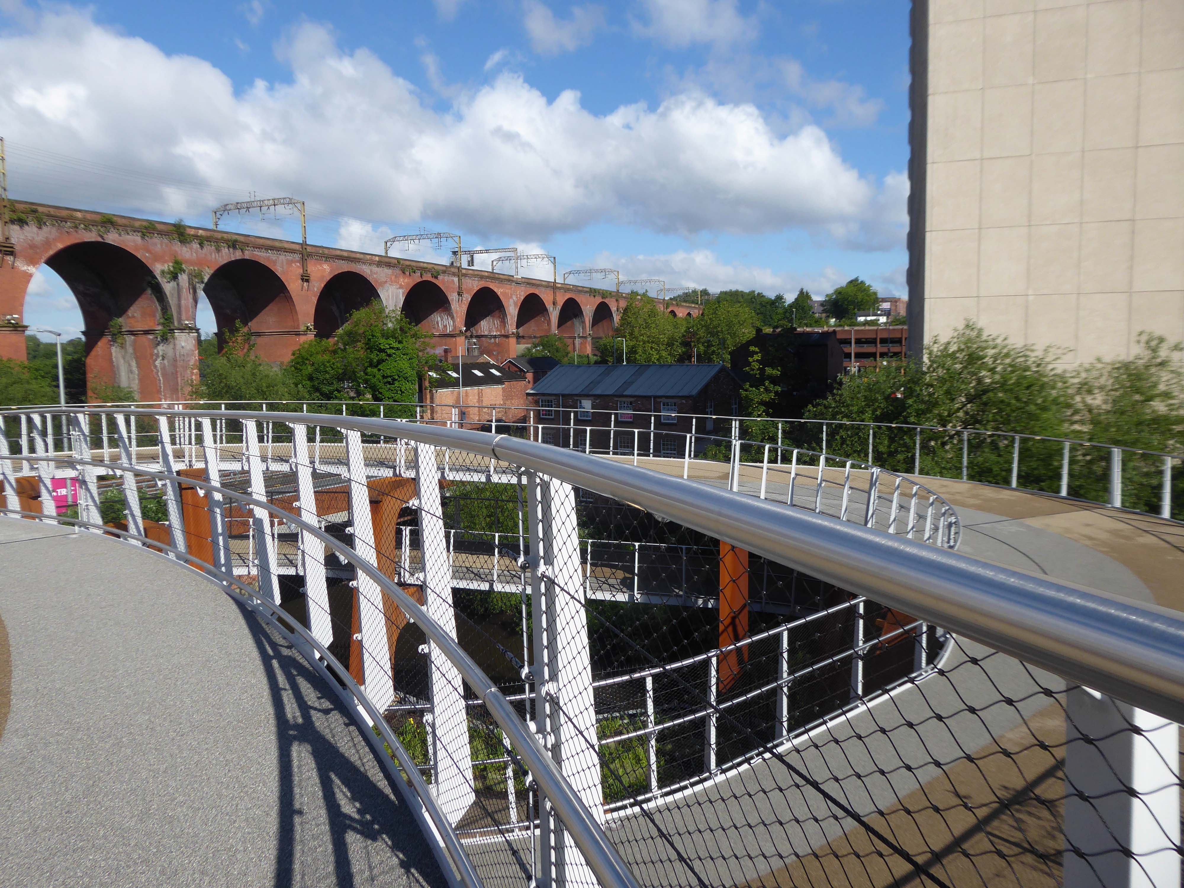
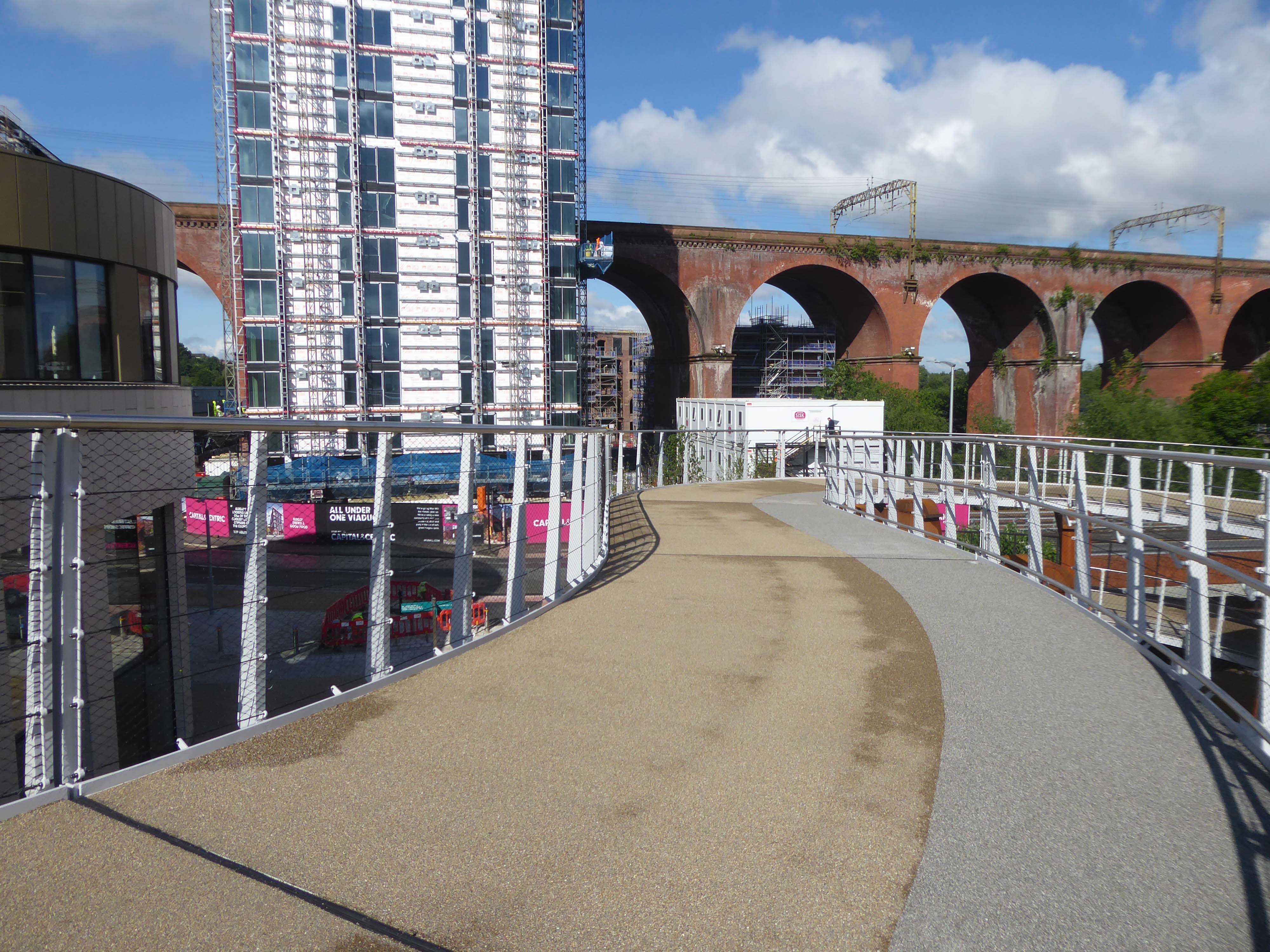
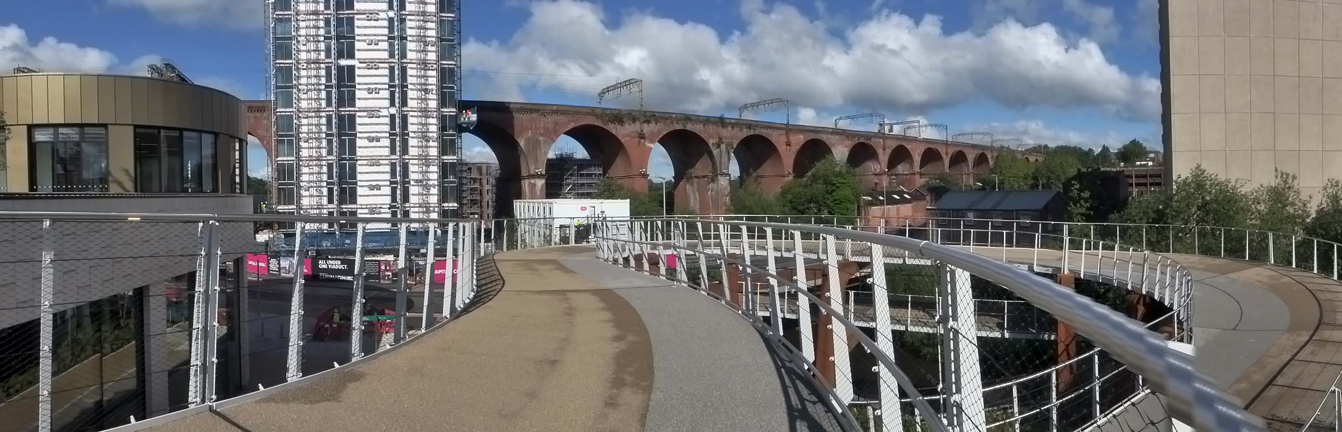
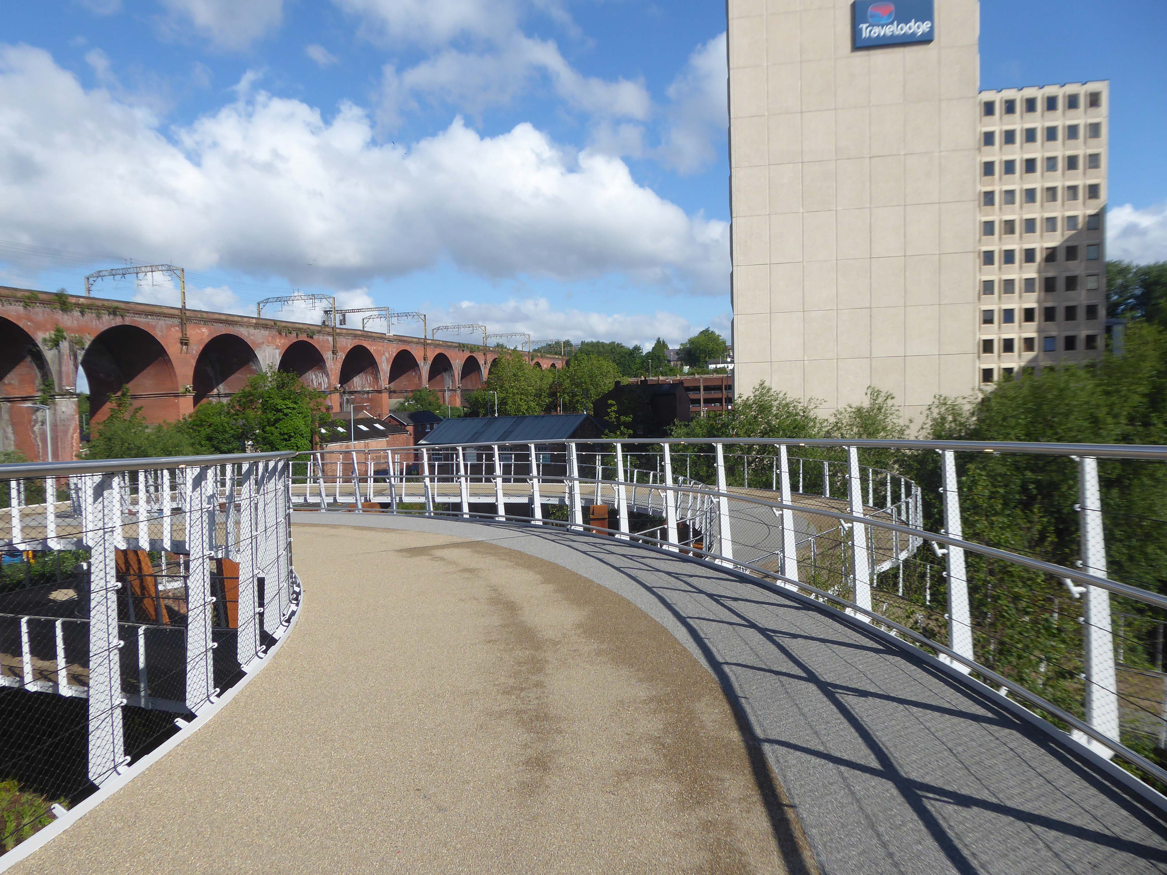
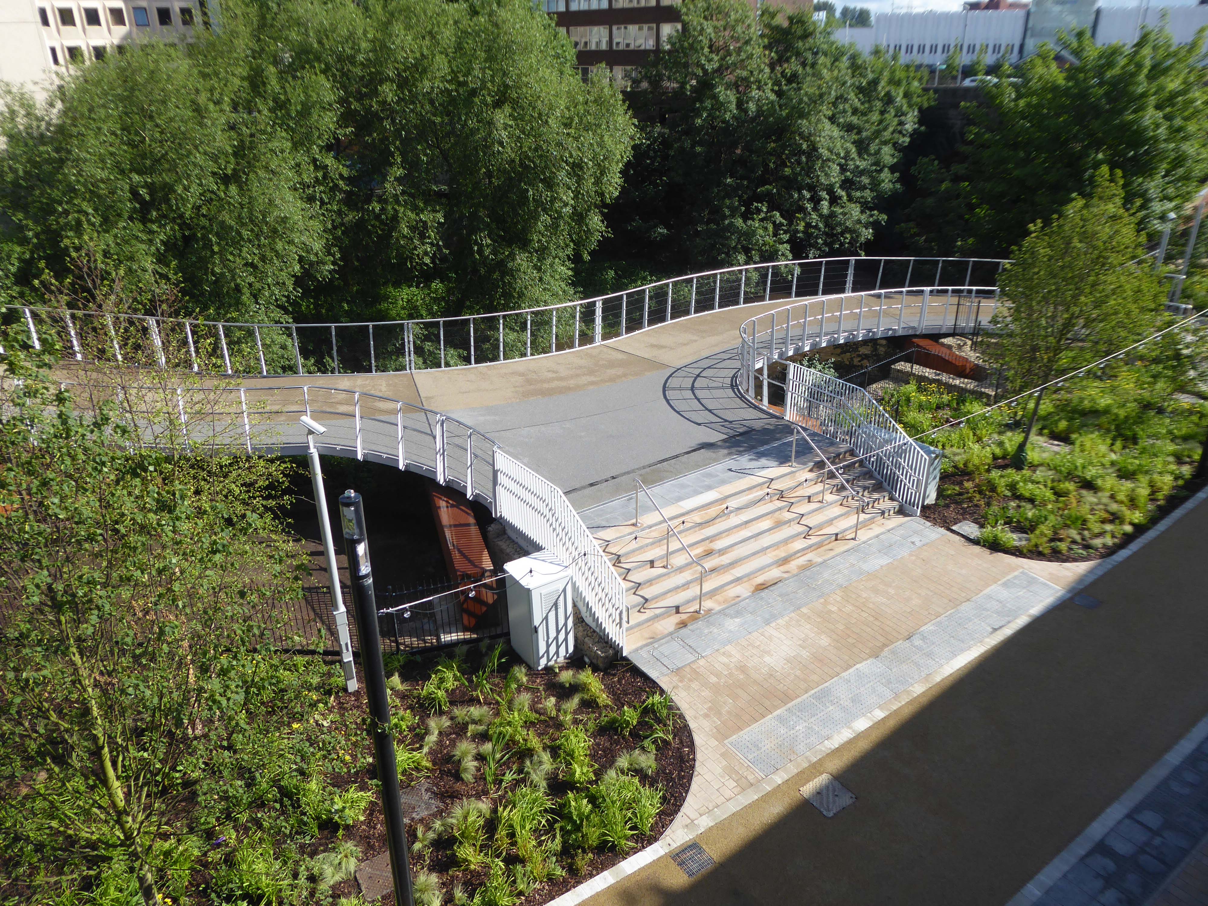
It’s now all grown up into a fully fledged transport interchange – with its very own pedestrian and cycling ramp.
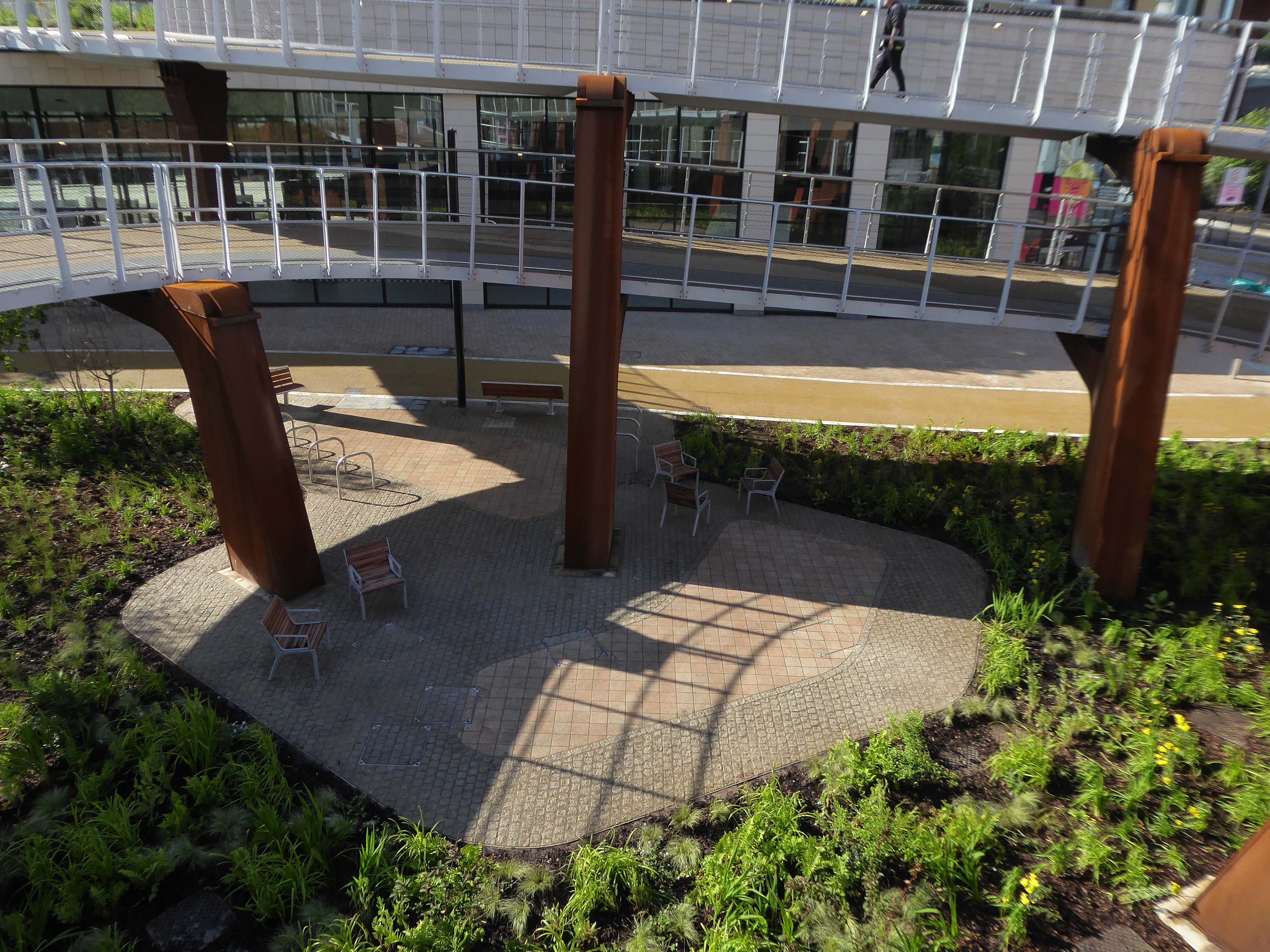
The 189-metre ramp provides a seamless and accessible route to navigate the level change from the rooftop park to the river Mersey frontage, leading to the Trans Pennine Trail route.
Forming part of the Stockport Interchange Mixed Use development scheme, and which also includes a new cycle and pedestrian link from Stockport rail station to the new park, as well as connecting the new facility to the wider Bee Network cycling and walking infrastructure, which is designed to encourage more people to make journeys on foot or by bike.
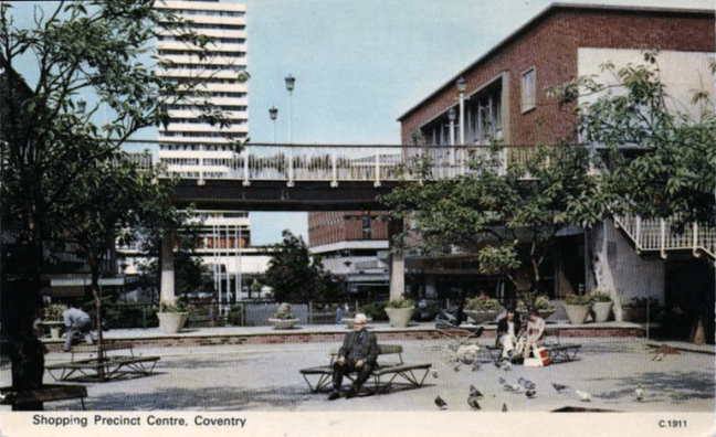
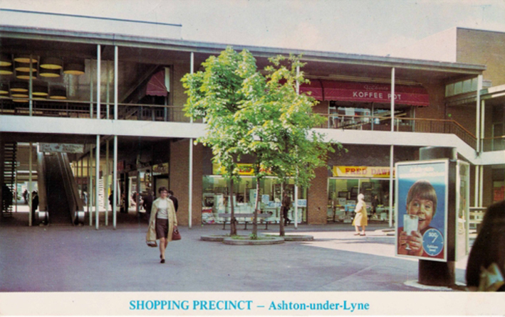
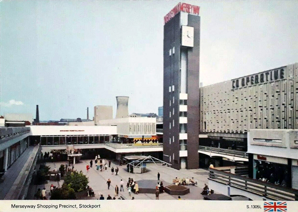
It all began way back when I was a raw youth living in Ashton under Lyne – the precinct was our playground, cycling and running, often against the grain, up and down the travelator.
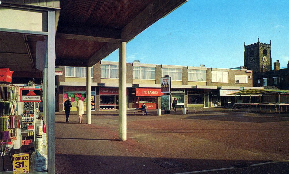
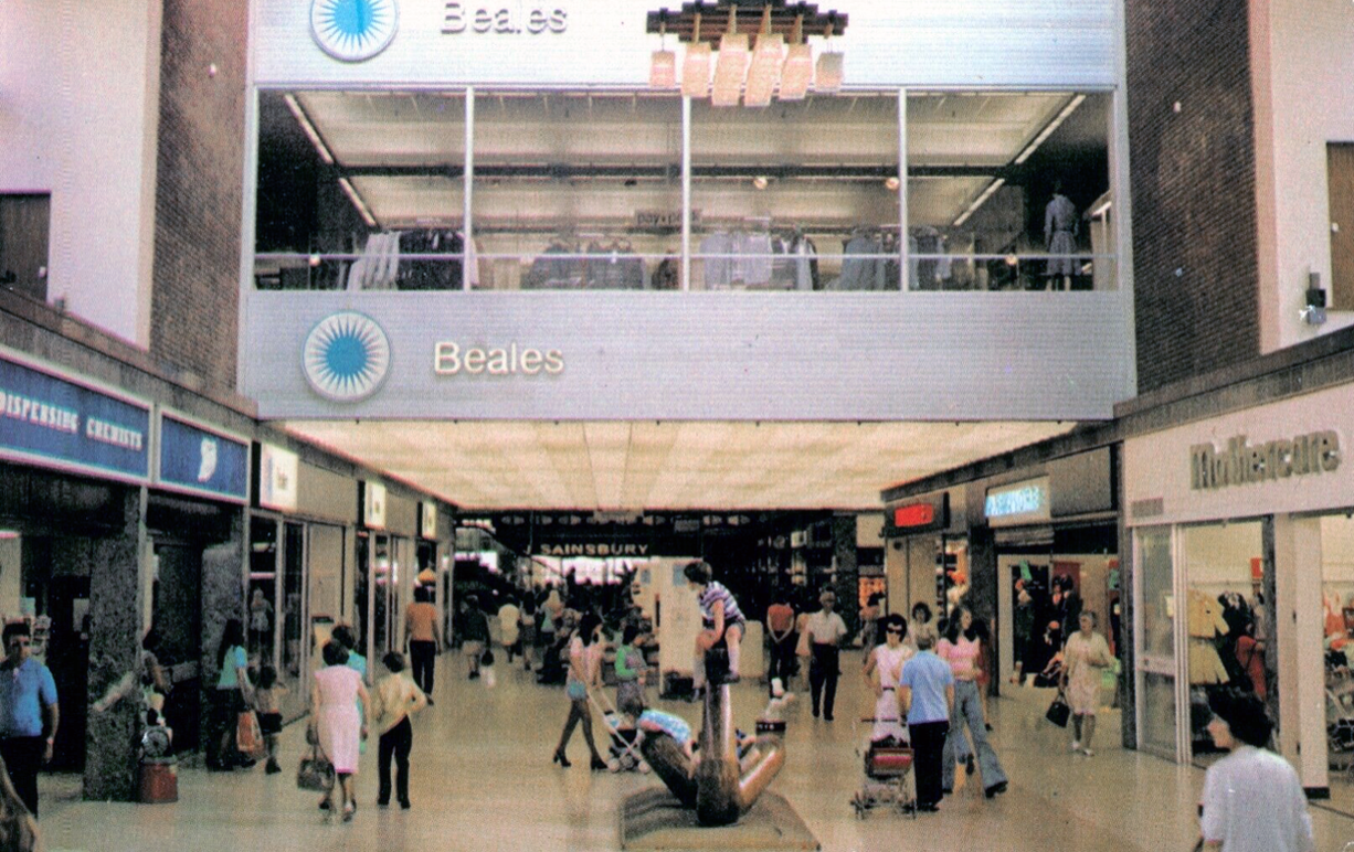
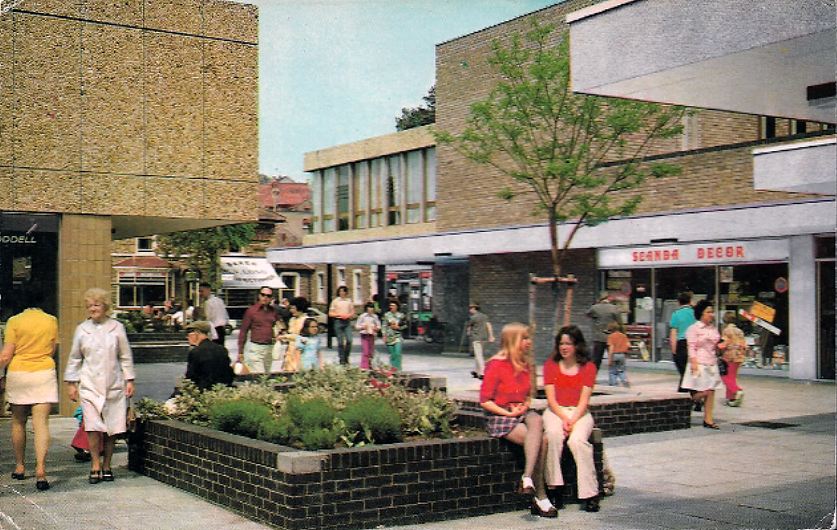
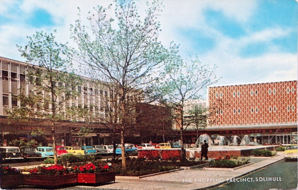
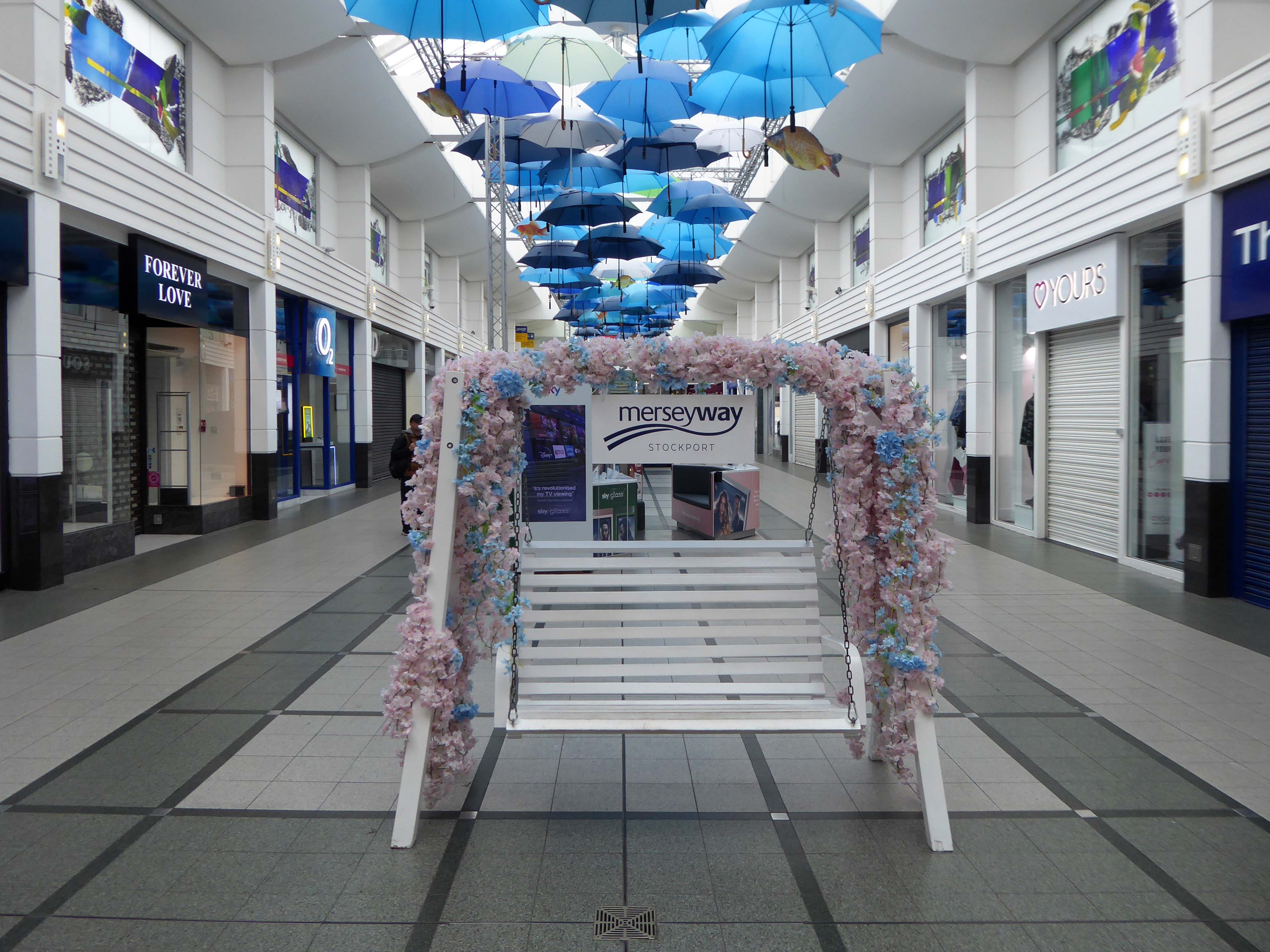
Some sixty years later I am still enthralled by the nation’s shopping precincts – including the very local Merseyway.
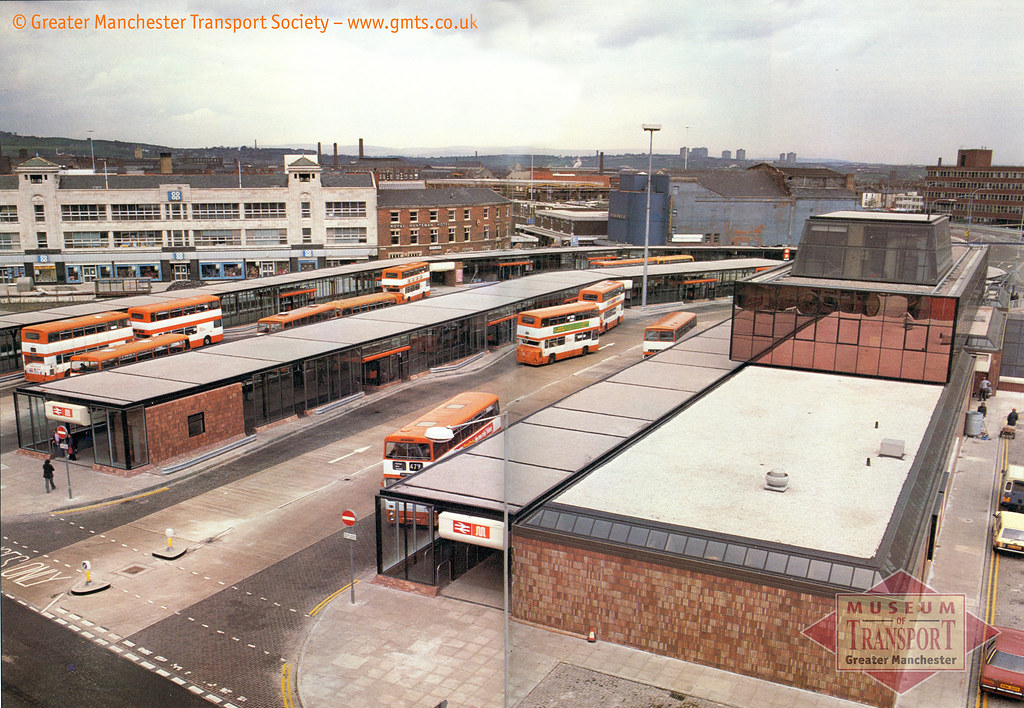
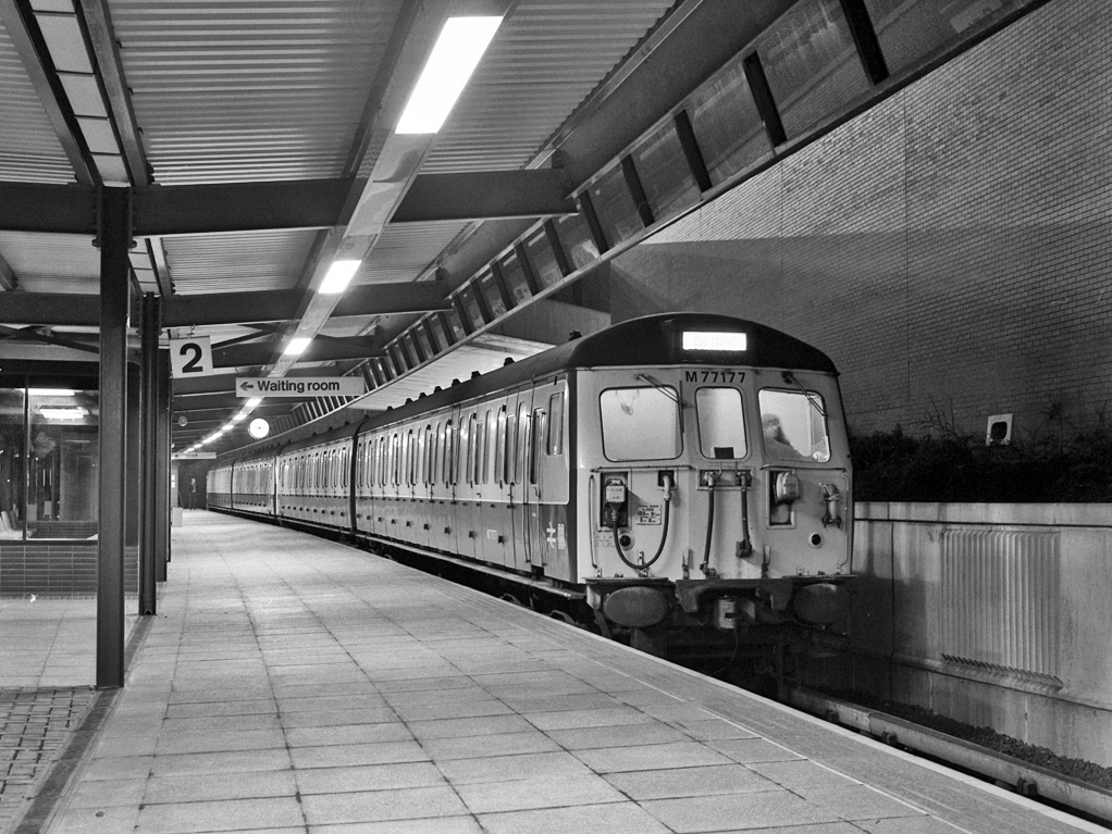
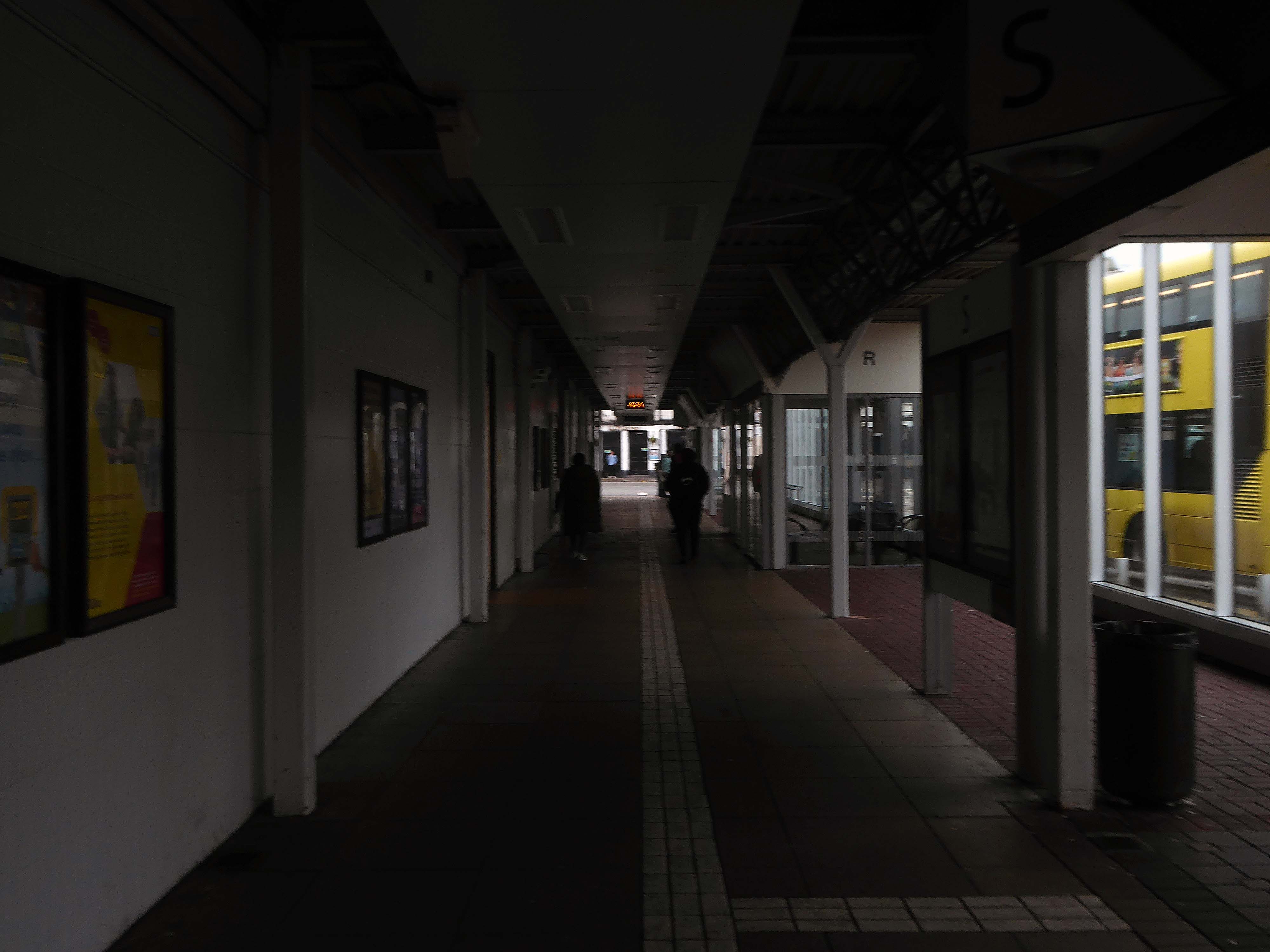
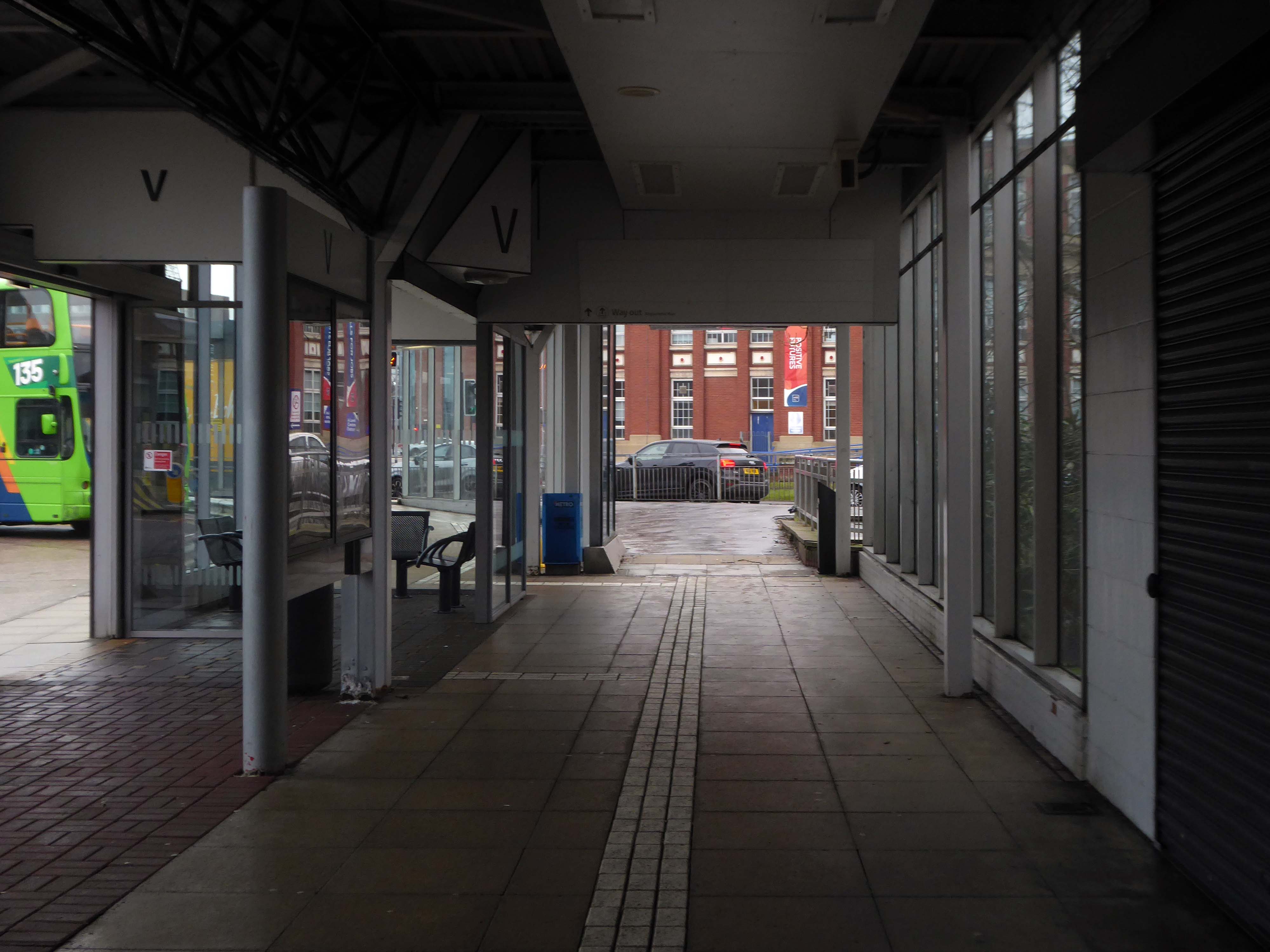
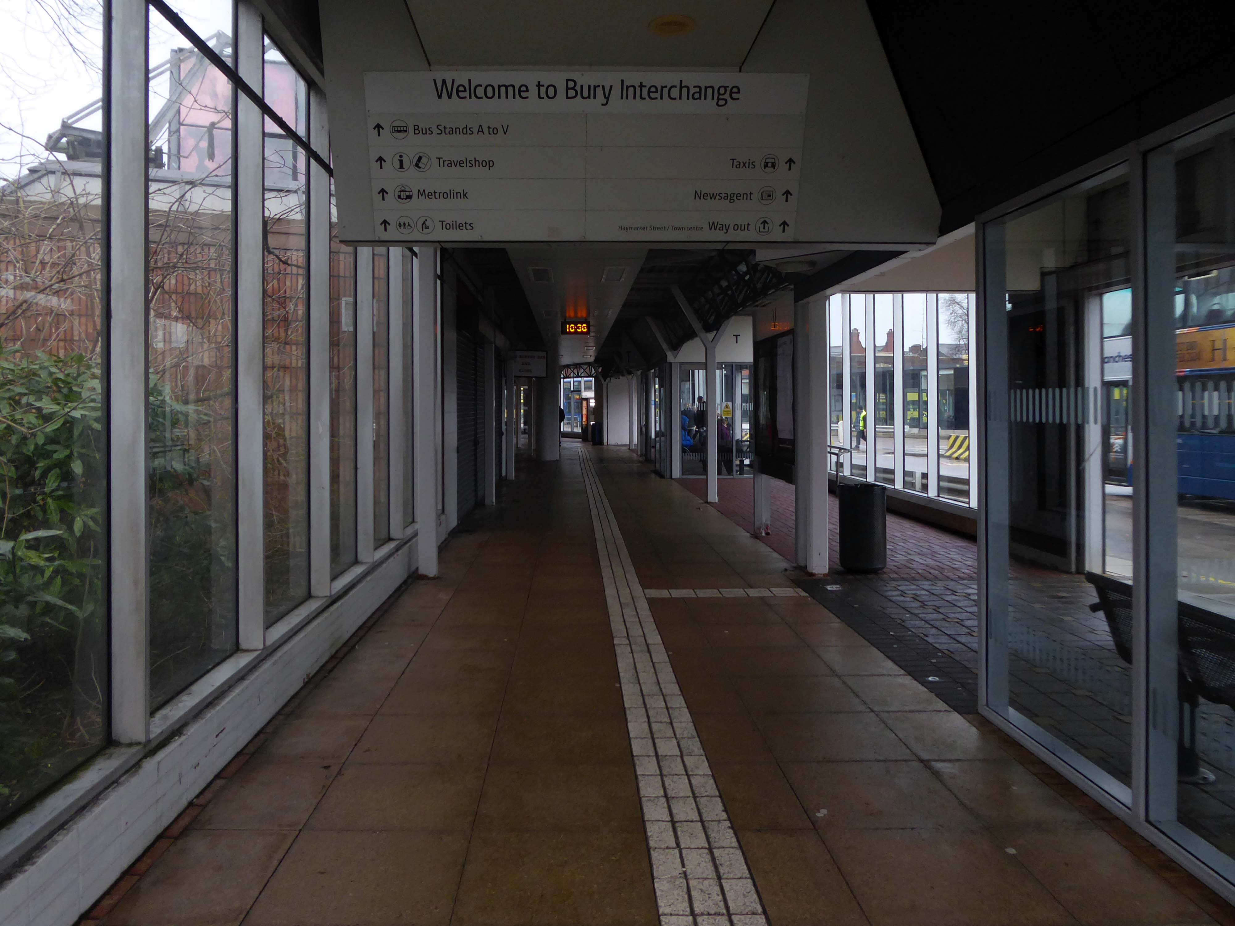
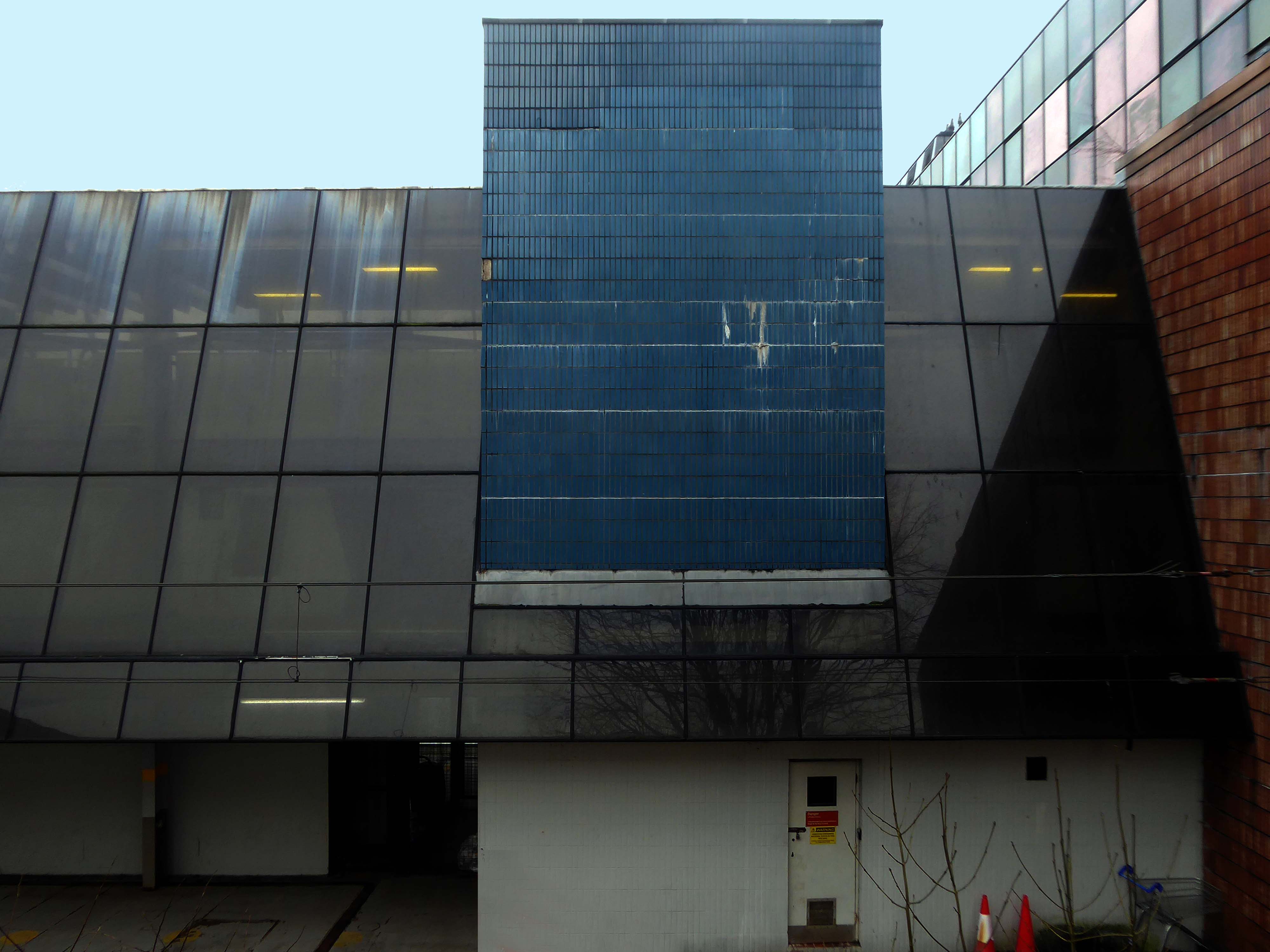
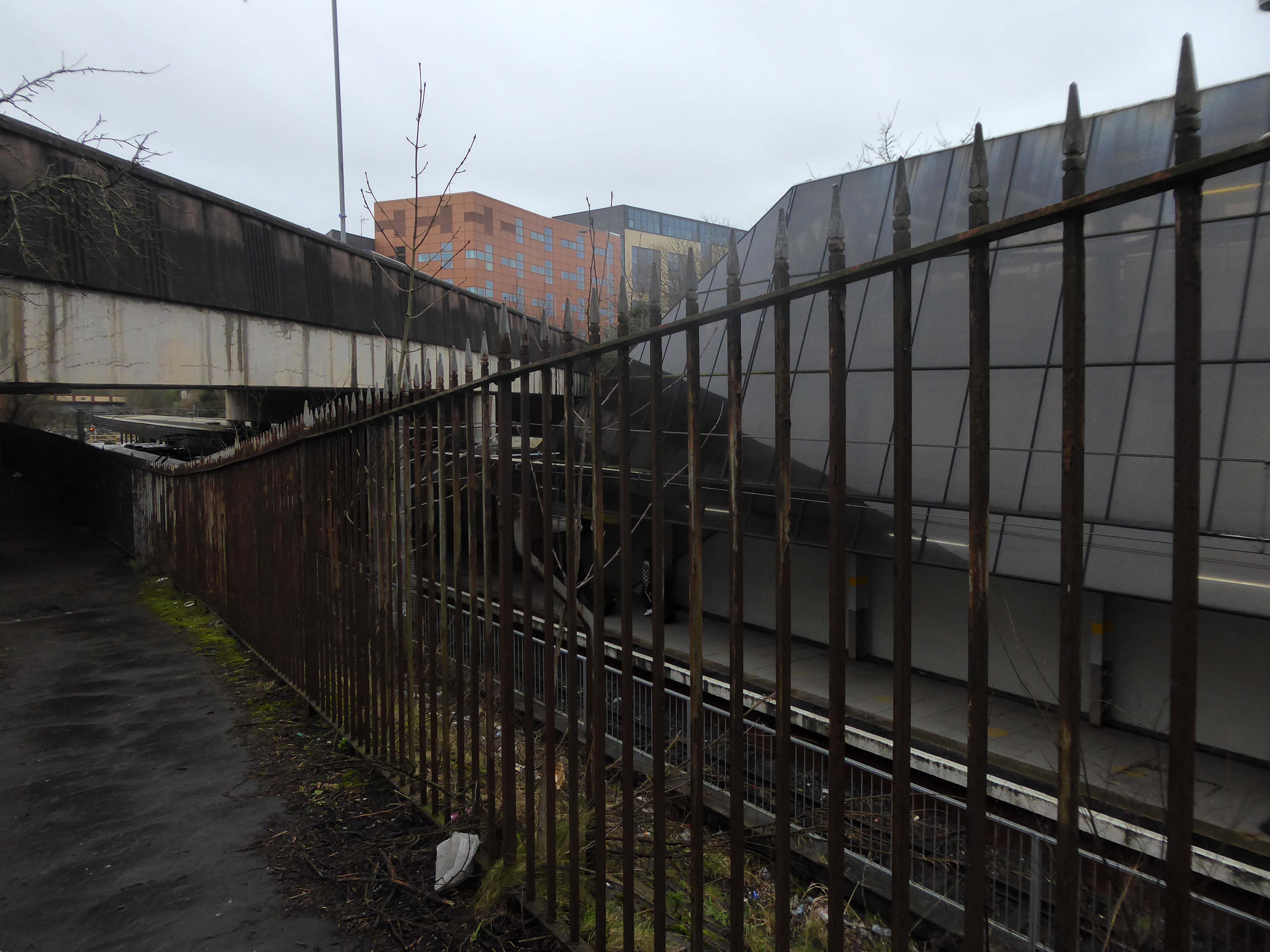
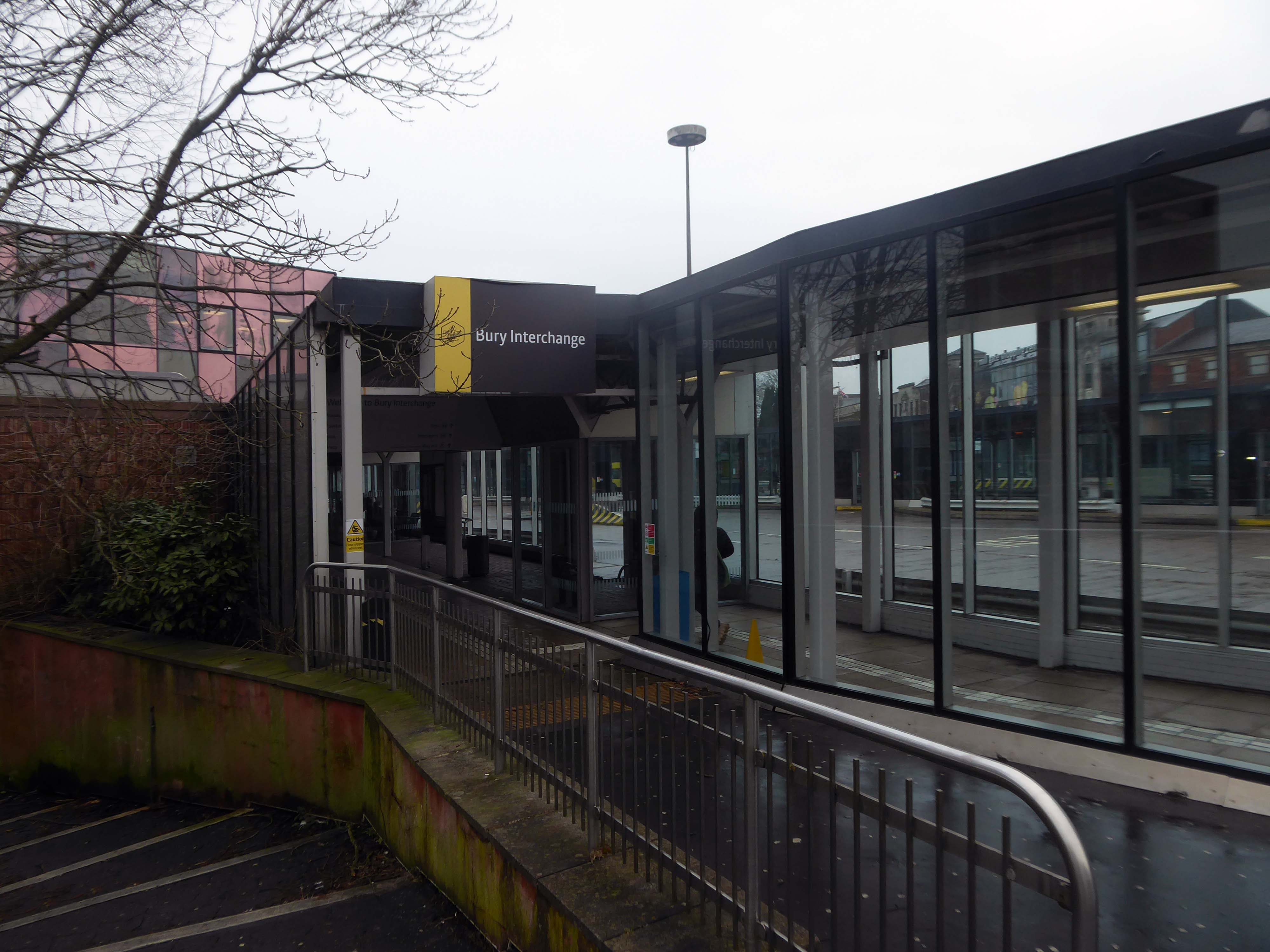
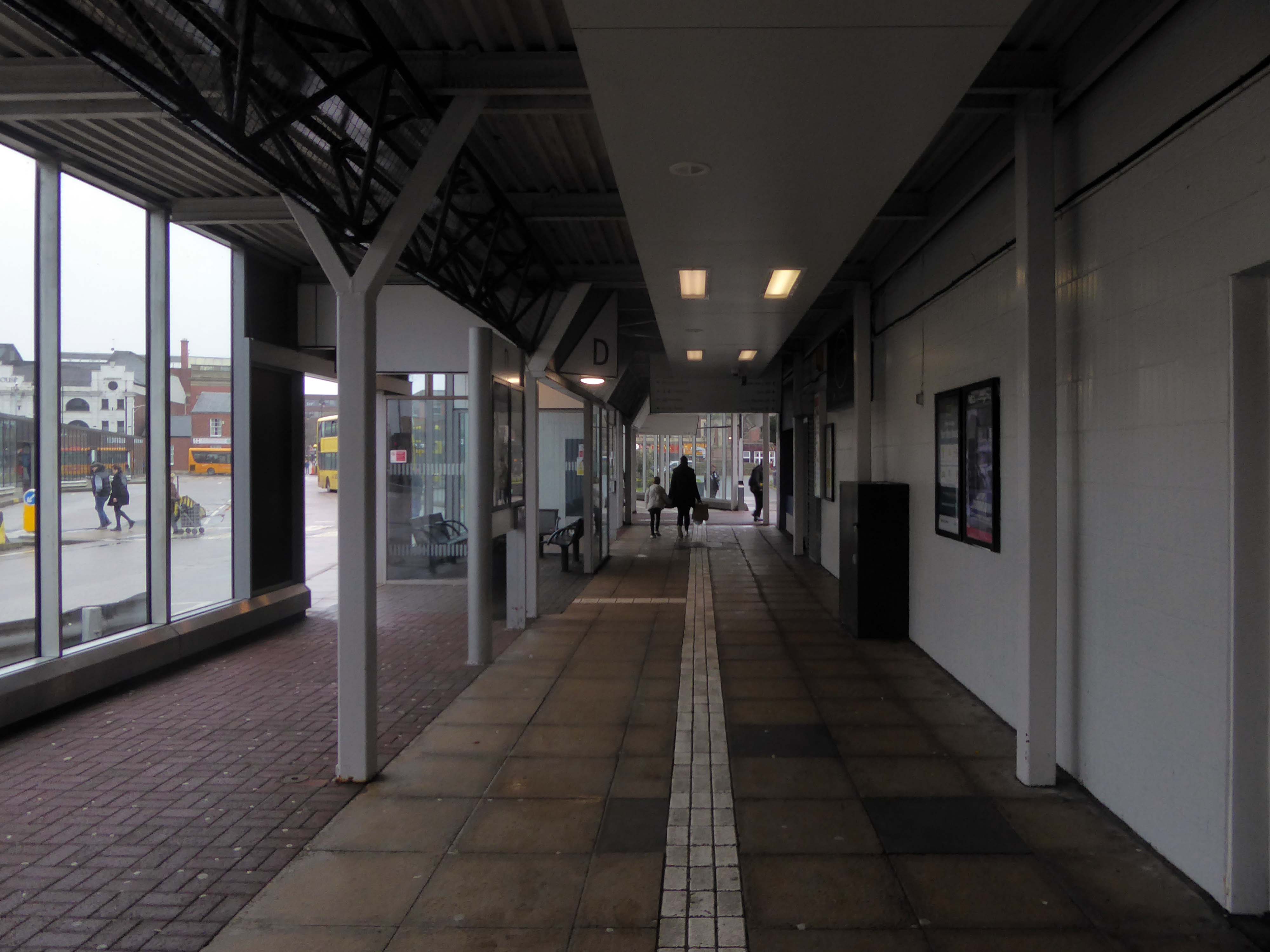
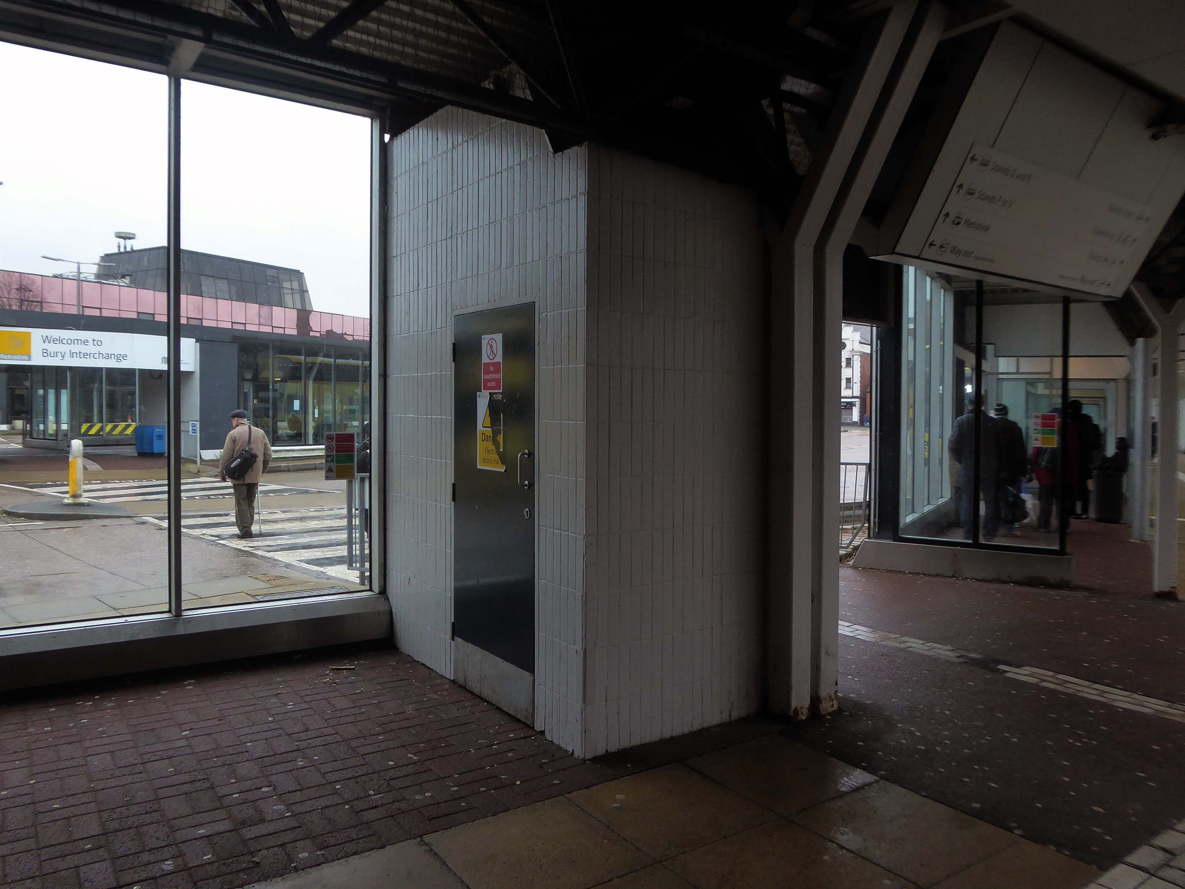
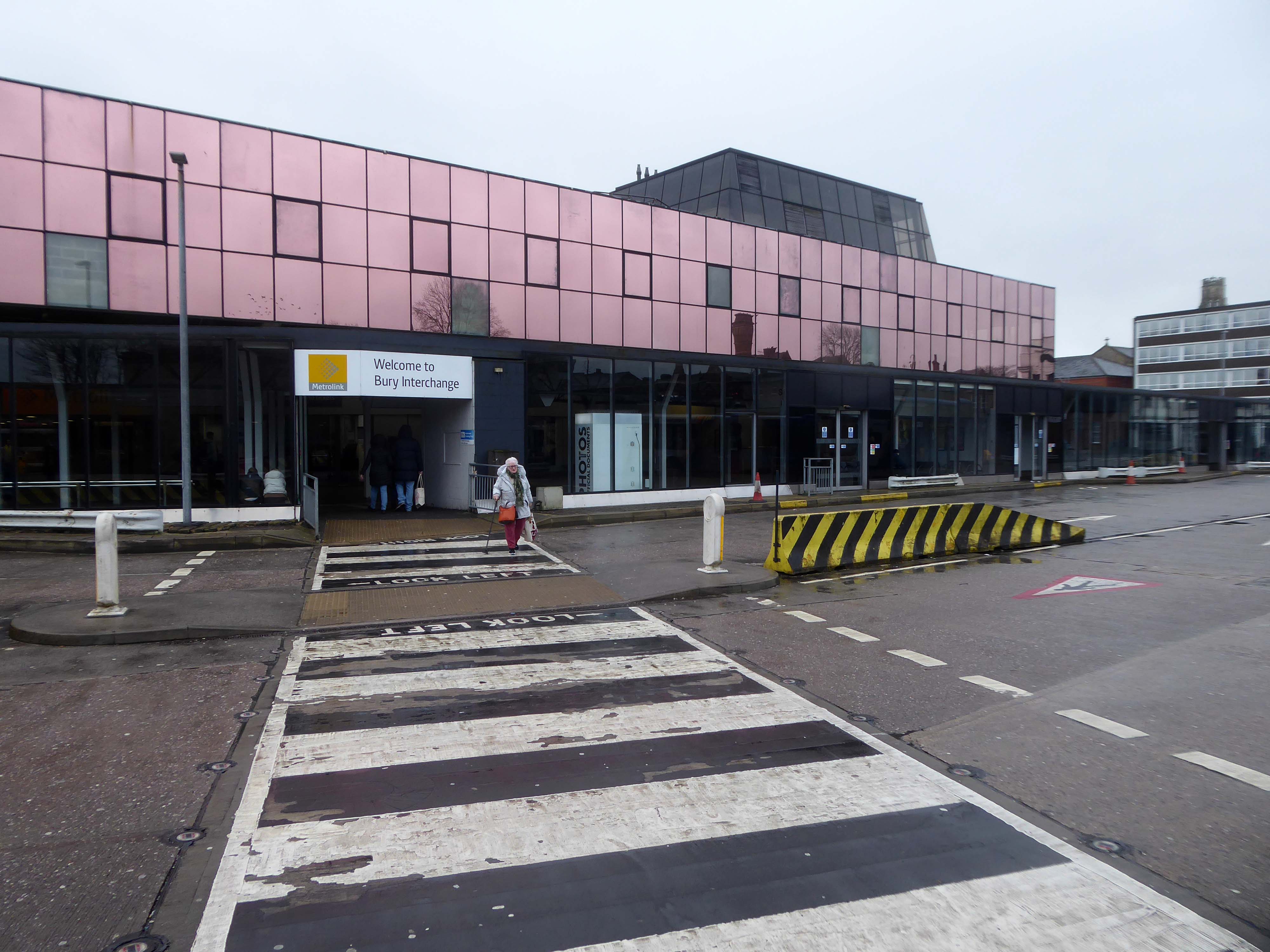
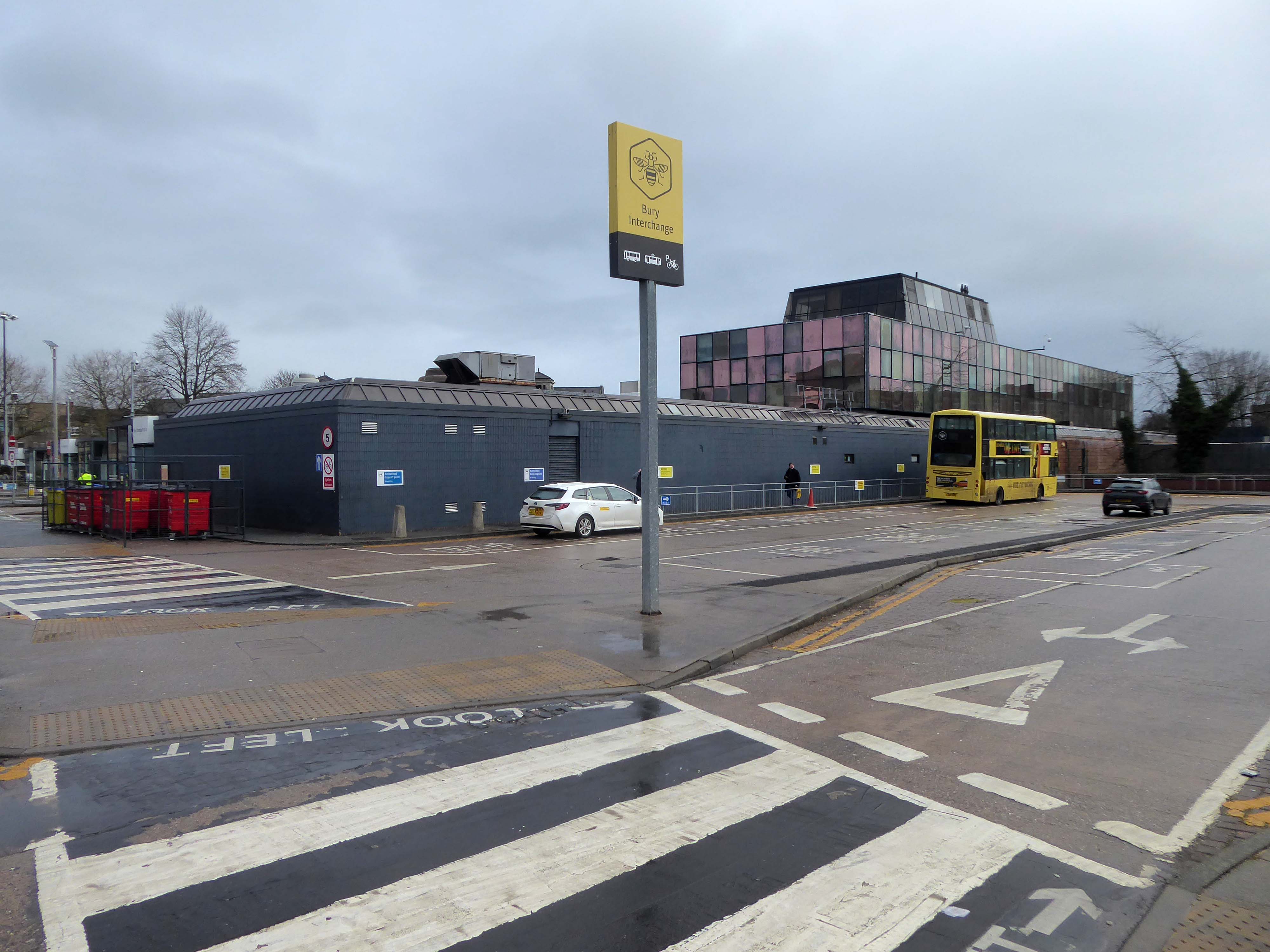
Bury Interchange is a transport hub opened in 1980, it is the northern terminus of the Manchester Metrolink’s Bury Line, which prior to 1992 was a heavy-rail line.
It also incorporates a bus station.
Bury Interchange replaced the bus termini scattered around Bury town centre, notably around Kay Gardens.
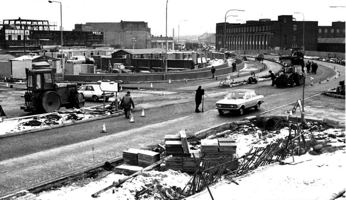
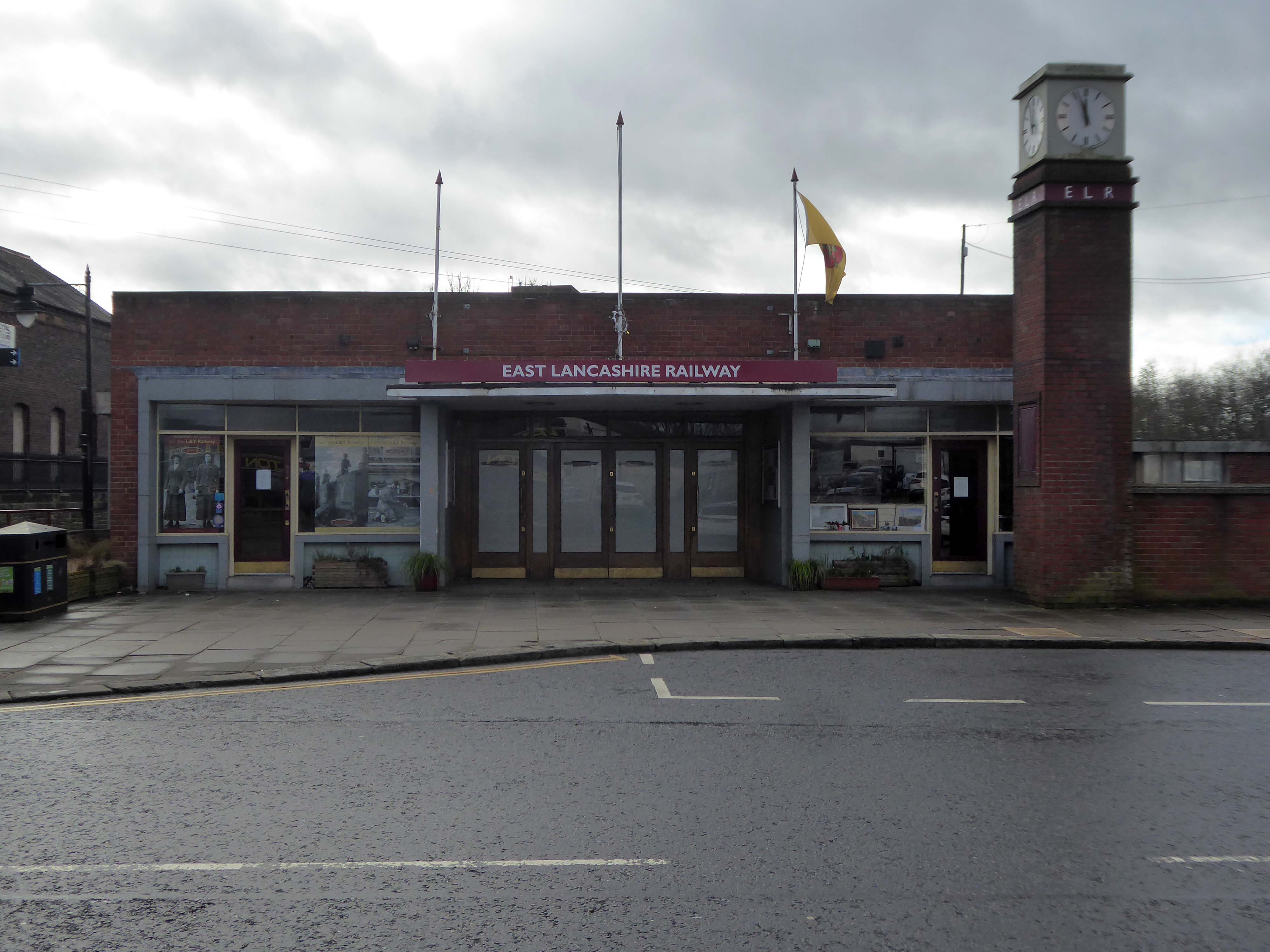
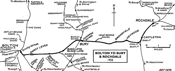
Bury Interchange was opened by British Rail in March 1980, integrating a new bus station with the northern terminus of the Bury-to-Manchester heavy railway line, a new short spur line was constructed to connect the new station.
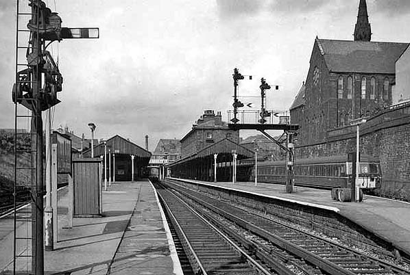
The railway had originally run into Bury Bolton Street which was further away from the town centre, and was closed by British Rail on the same day that Bury Interchange opened.
An £80m transformation is coming to the Bury Interchange, which will see step-free access at the Metrolink, a “vertical circulation core” to better connect the Metrolink with the bus facility, and an integrated travel hub with spaces for cycle storage.
The work is much-needed, explained Transport for Greater Manchester’s Alan Lowe, he said that the interchange was built in the 1980s and very much is of its time.
It’s not what we need for our customers need.
The new Bury Interchange project is expected to complete at the end of the decade.
The line and station were closed on 5 October 1970 as part of continuing cutbacks in British Rail services and the line west to Bolton subsequently dismantled.
The A5103 is a major thoroughfare running south from Piccadilly Gardens in Manchester city centre to the M56 in Northenden. The road is two-lane dual carriageway with a few grade-separated junctions. It is used by many as a link to the airport and to the motorway network south.
The road starts at Piccadilly Gardens where it meets the A6. It heads along Portland Street – at one time it ran along the parallel Mosley Street, past fast-food outlets and off-licences and then meets the A34 Oxford Street. It multiplexes with that road north for 200 yards into St Peter’s Square and then turns left into Lower Mosley Street, initially alongside the tramlines and then past the former Manchester Central station, now a conference centre with the same name. The road becomes Albion Street and goes over the Bridgewater Canal and under the railway line east of Deansgate station. The road then meets the A57(M) Mancunian Way at a roundabout interchange. This is where most of the traffic joins and leaves.
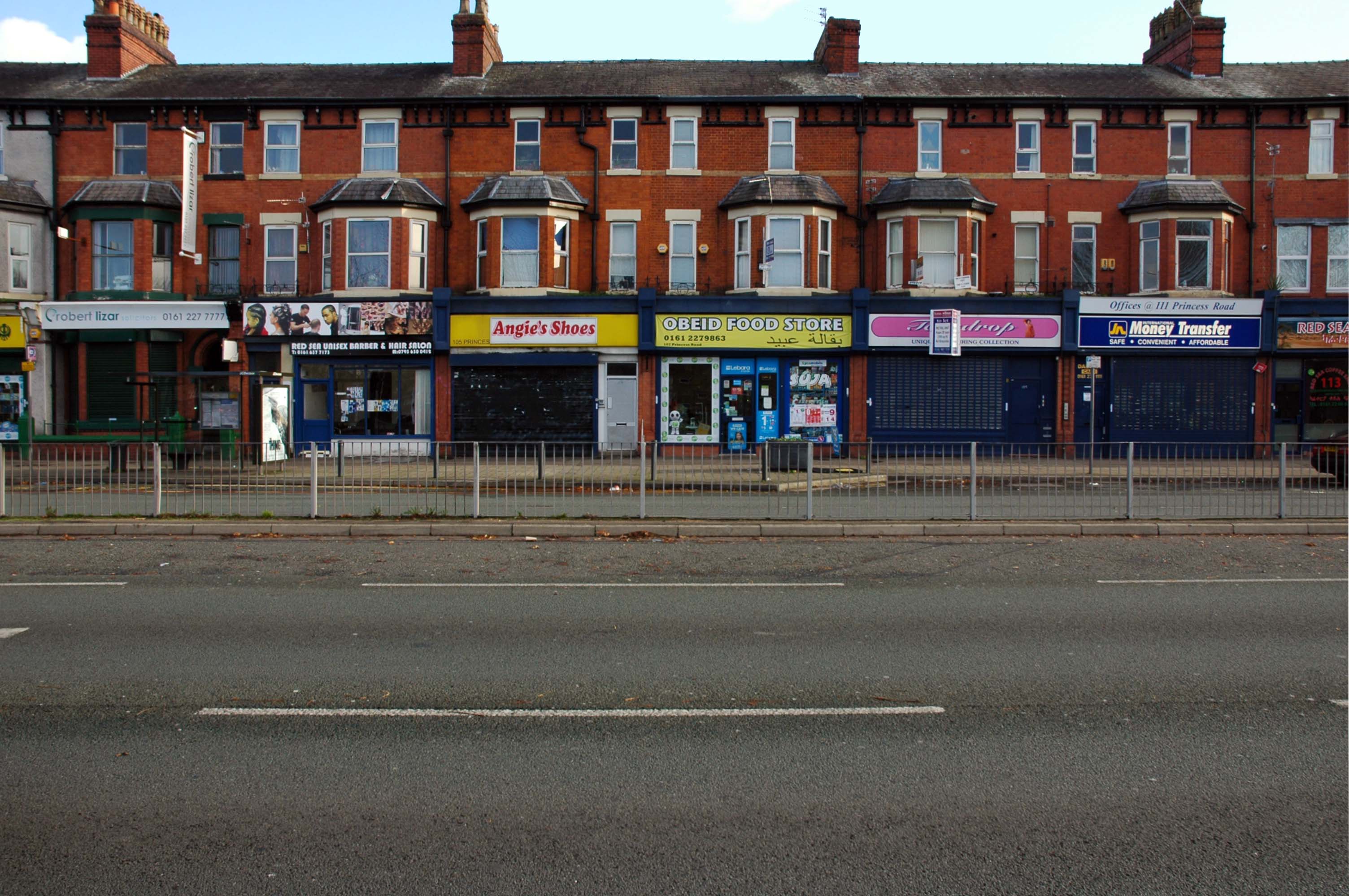
The road is now 2×2 dual carriageway with the name Princess Road. It passes under the Hulme Arch, a grade-separated junction with the A5067, with an unusually large central reservation. This is presumably because of the proposed plans from the 1960s of a motorway. However, after passing under the junction, there are innumerate sets of traffic lights, with the B5219, the A6010 and the A5145, as well as many other unsigned roads. There are also many speed cameras set at 30 mph.
The road picks up pace as we exit the sprawl of South Manchester and the road becomes Princess Parkway, with a 50 mph speed limit. We cross the River Mersey and almost immediately hit the M60 at J5.
Except for the Manchester City Centre section – which was numbered A5068, this road did not exist on classification in 1922. Princess Road was built in 1932 to serve the new southwestern suburbs; initially it ran between the B5219 and A560 and was numbered B5290, with the road later extended north into the A5068 on the southern edge of the city centre and renumbered A5103.
The northern extension through Hulme initially followed previously existing roads, so followed a zigzag route. As part of the road’s upgrade and the reconstruction of Hulme in the 1970s the road was straightened and the original route can no longer be seen. The A5068 was severed around this time with the construction of the A57(M) and the A5103 took on its city-centre section, taking it to the A6.
The A34 is a major route from the ports on the South Coast of England to the Midlands and the North West, with the standard varying from rural dual carriageway sections in the south to urban single carriageway in the north, and everything else in between.
Slade Lane junction, Rushford Park to Parr’s Wood, East Didsbury – to connect to Manchester Road to Cheadle. It continued on to Laneside Road as a residential road. Opened on 11 April 1923 by Mary Cundiff, Lady Mayoress, and Margaret Turnbull, daughter of Alderman Turnbull, Chairman of Manchester Town Planning Committee. Width was 100 feet and it was designed for tram tracks in the central reservation. The dual road carriageways were 20 feet wide. Manchester’s tram system was closed in 1949. The carriageways were widened and central reservation grassed over. Originally opened as A5079.
Laneside Road, East Didsbury to Schools Hill/ Wilmslow Road junction, Cheadle. Opened on 12 October 1959. The official opening was on 15 October 1959. Planning for the bypass had been halted by the war. In December 1949 Manchester Corporation stated that it was not a priority since the Corporation was only responsible for the 200 yards to the proposed bridge over the River Mersey and Cheshire County Council had not asked for a joint approach to Ministry of Transport to build it. Work was finally authorised in January 1957 and started in the June. Width was 90 feet with dual 24 foot carriageways. Expected cost was £600,000 to £700,000.
The A57 was nearly a coast to coast route. It passes through three major city centres (Liverpool, Manchester, and Sheffield – with elevated sections in each) and several smaller ones, multiplexes with the A6 and the A1, follows the banks of two canals and negotiates the remotest part of the Peak District. In one city it part of it is a tram route, whilst in another its former route is also a tram route. After all these adventures, it sadly gives up just 40 miles short of the east coast, Lincoln apparently proving too big an obstacle.
The A57 crosses the River Irwell at Regent Bridge before entering its moment of motorway glory as the A57(M) Mancunian Way skirting the south of Manchester’s city centre on an elevated section and crossing the A56 and A34. This includes a half-completed exit that goes the wrong way up Brook Street – a one way street. The original A57 ran further north through the city centre along Liverpool Road (now the A6143) and Whitworth Street – B6469 as far as the A6 London Road which marked the start of a multiplex.
At the end of Mancunian Way, we reach a TOTSO, straight on being the short unsigned A635(M) and thence the A635 – for Saddleworth Moor, Barnsley and Doncaster whilst the A57 turns south, briefly multiplexing with the A6, and then branching off along Hyde Road. This section of road was extensively cleared for the westward extension for the M67, and consequently has seen a lot of redevelopment.
The road now begins slightly further south than it used to. Instead of starting on Fairfield Street in Manchester city centre, it begins immediately as the Mancunian Way ends, which at this point is the unsigned A635(M). The motorway flows directly into our route. There’s a TOTSO right at a set of lights, and we pick up the old alignment, which now starts as the B6469.
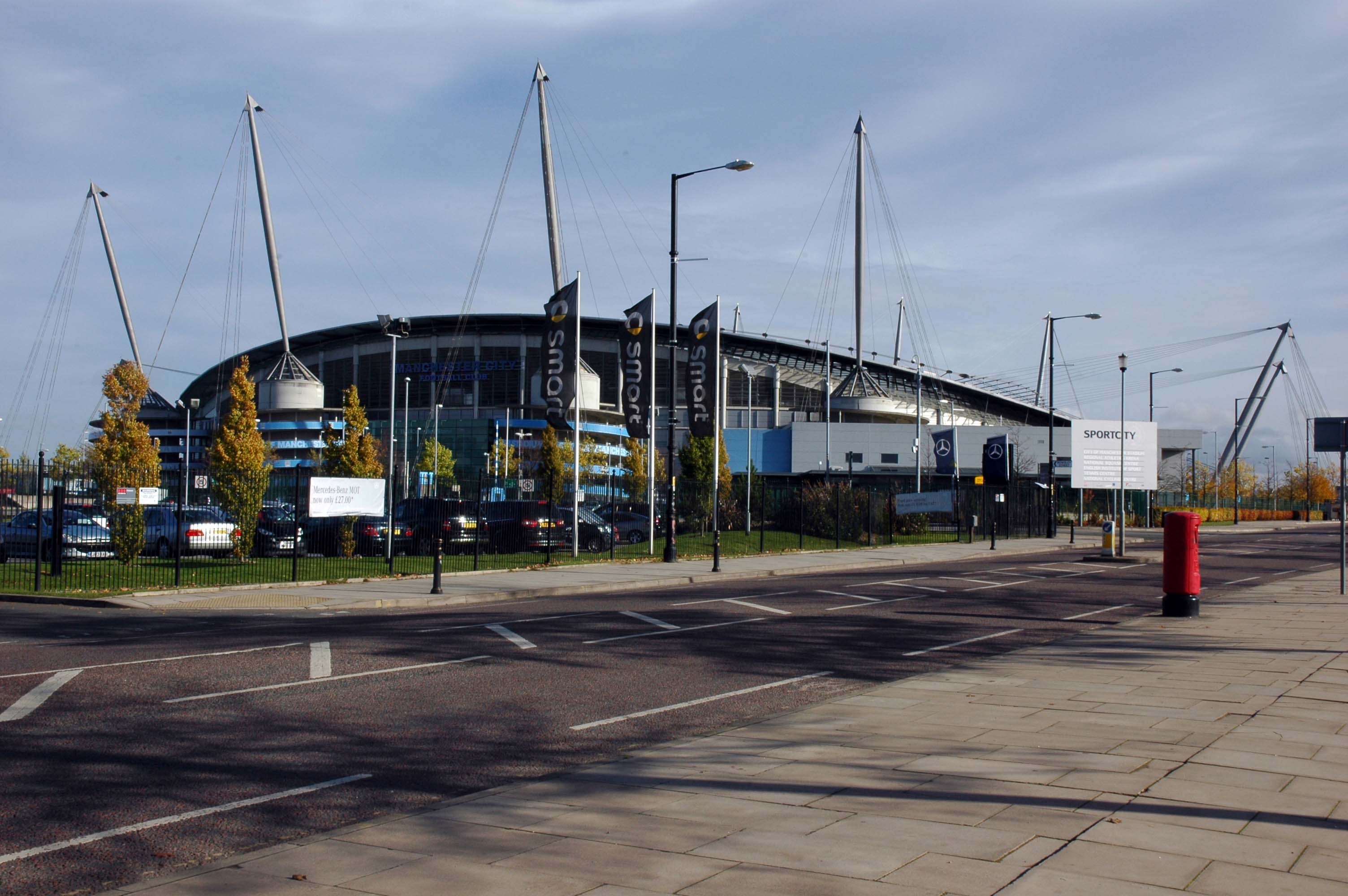
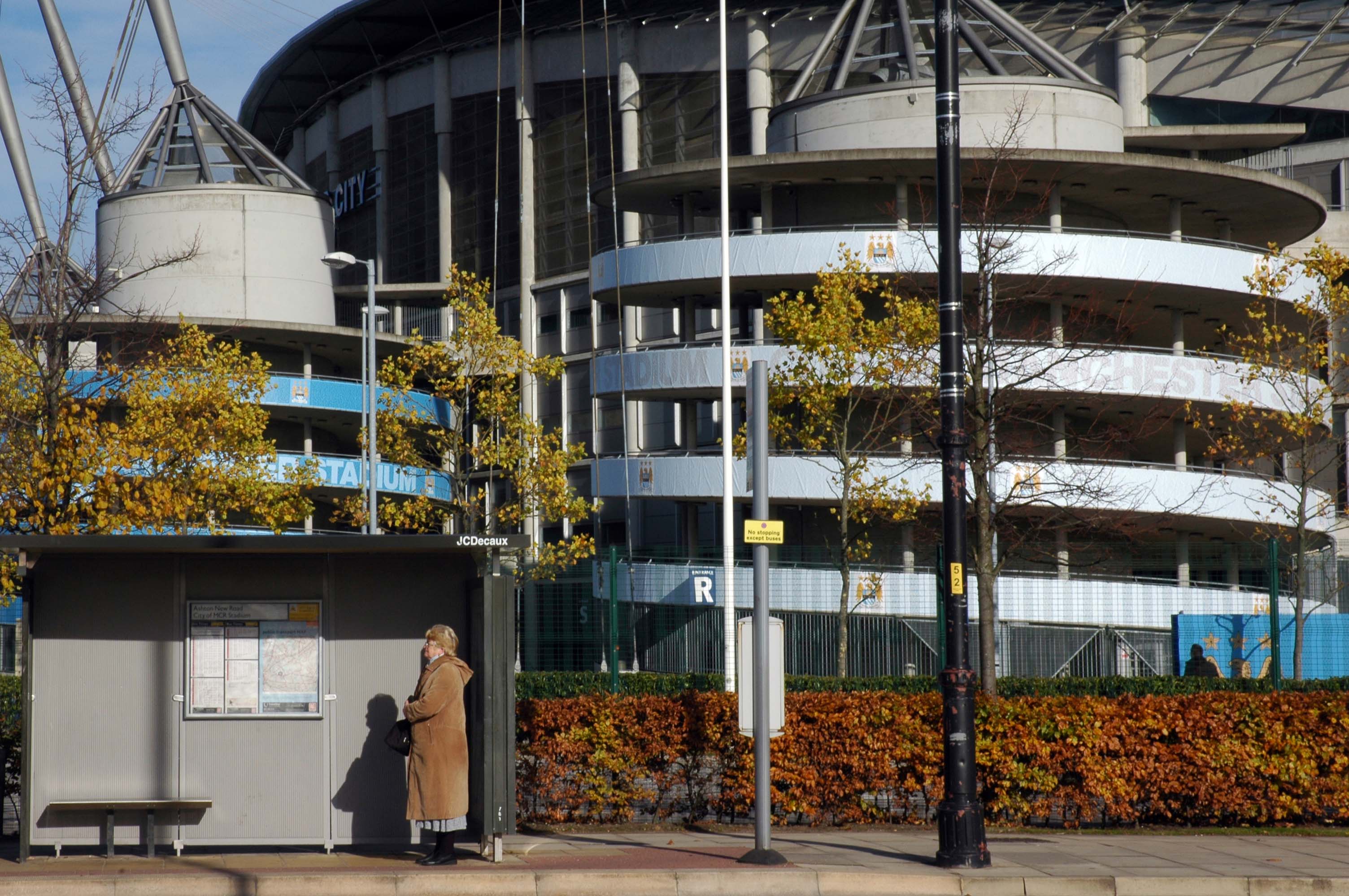
We can see the new City of Manchester Stadium on the left, site of the 2002 Commonwealth Games and now home to Manchester City FC. The road switches between S2 and S4 as it passes through the rather run-down urban areas of Ardwick and Gorton. A short one-way system at a triangular-shaped junction with the A662 leads onto a wider stretch as we near the M60 junction. This area is set to see significant industrial growth, with whole swathes of land either side of the now D3 road cleared and ready for development.
Starting at traffic lights on the A665 the road heads northeastwards, initially with the Metrolink on the left and a factory building on the right. The road then bears right at traffic lights marking the first section of on-street running for the trams, which lasts until just before a bridge over the River Medlock, after which the road passes to the south of the Sportcity complex whilst the tram line runs through the middle.
The A6010 is crossed at traffic lights, after which we see the tram lines on the left once more. We go over the Ashton Canal, then the tram lines at grade before bearing to the right to pass Clayton Park before another section of on-street running for the Metrolink begins, which continues for some distance. Just after crossing the Manchester city limit there is a set of traffic lights, after which the road becomes D2 for a short distance to allow a tram stop – Edge Lane, to be located in the central reservation. The tram leaves the road to the right for the next stop – Cemetery Road, and the stop in Droylsden town centre is once again in the central reservation. In all three cases the street running recommences after the stop.
The A62, which runs from Manchester to Leeds, via Oldham and Huddersfield, was once the main route across the Pennines, connecting the largest city in Lancashire with Yorkshire’s largest city. However with the completion of the M62 towards Leeds in the early 1970s it lost much of its importance and traffic to the motorway, which runs a few miles to the north. These days, the A62 serves as a busy primary route between Manchester and Oldham, an extremely very quiet route over the Pennines, and then a fairly busy local road linking Huddersfield with Leeds.
Most maps show that the A62 starts its journey in the middle of Manchester by leaving the A6 Piccadilly and running along Lever Street – the original route was the parallel Oldham Street. However, owing to a bus gate Lever Street is not generally accessible from Piccadilly. We head out easterly on a busy street – non–primary, until we meet the Ring Road where we pick up primary status that we retain until Oldham. We turn left at this point and then immediately right to start the A62 proper.
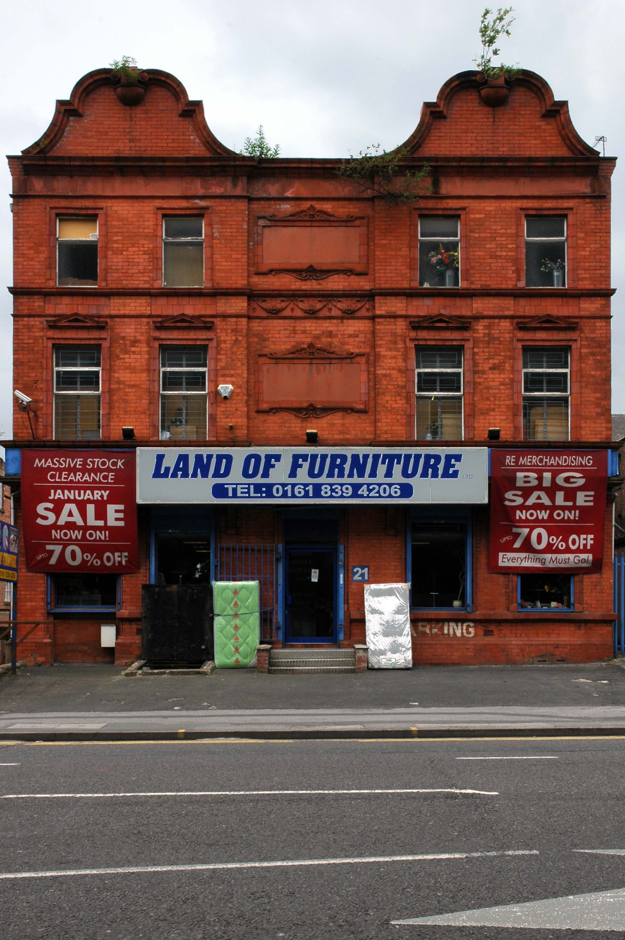
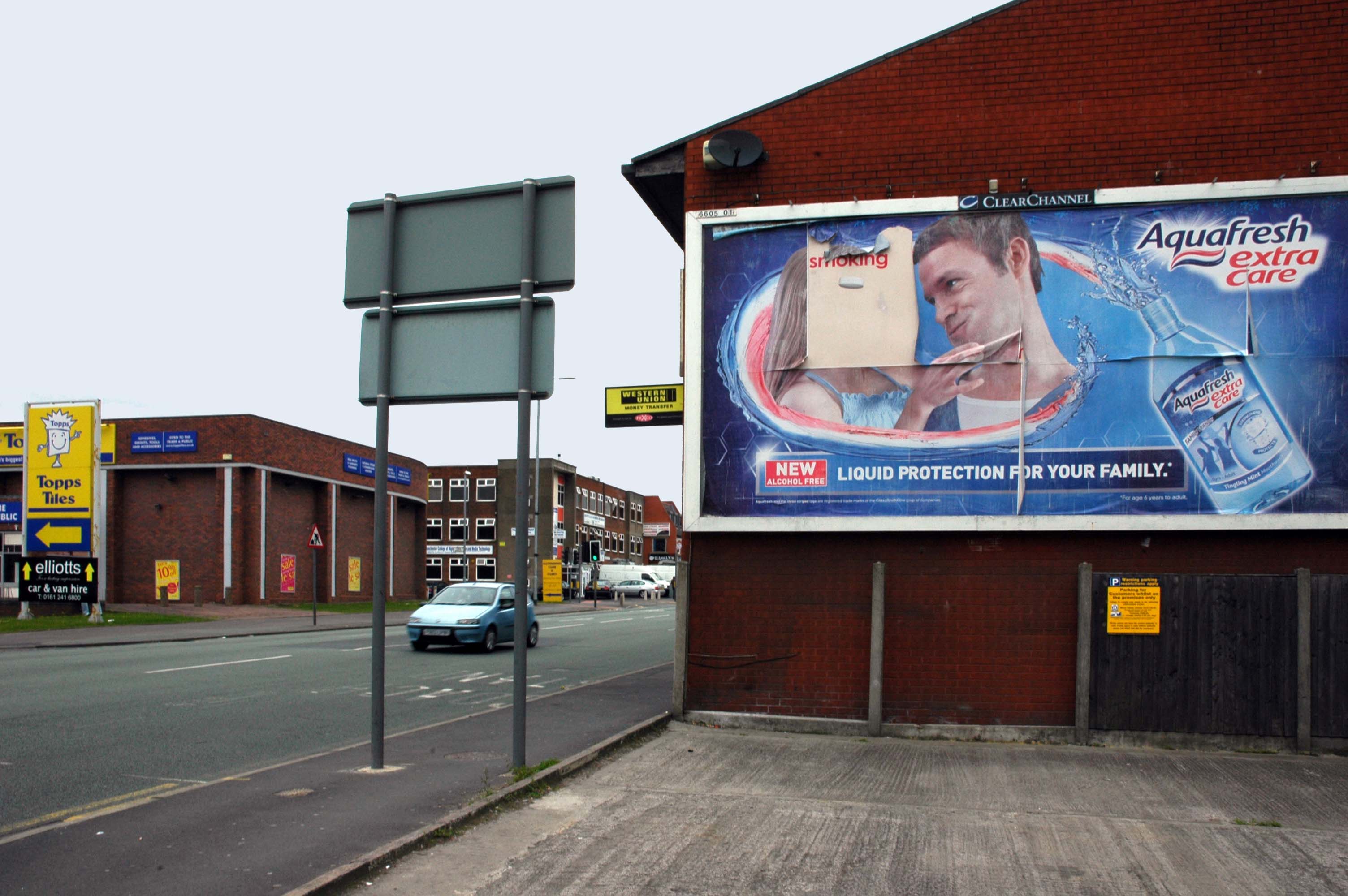
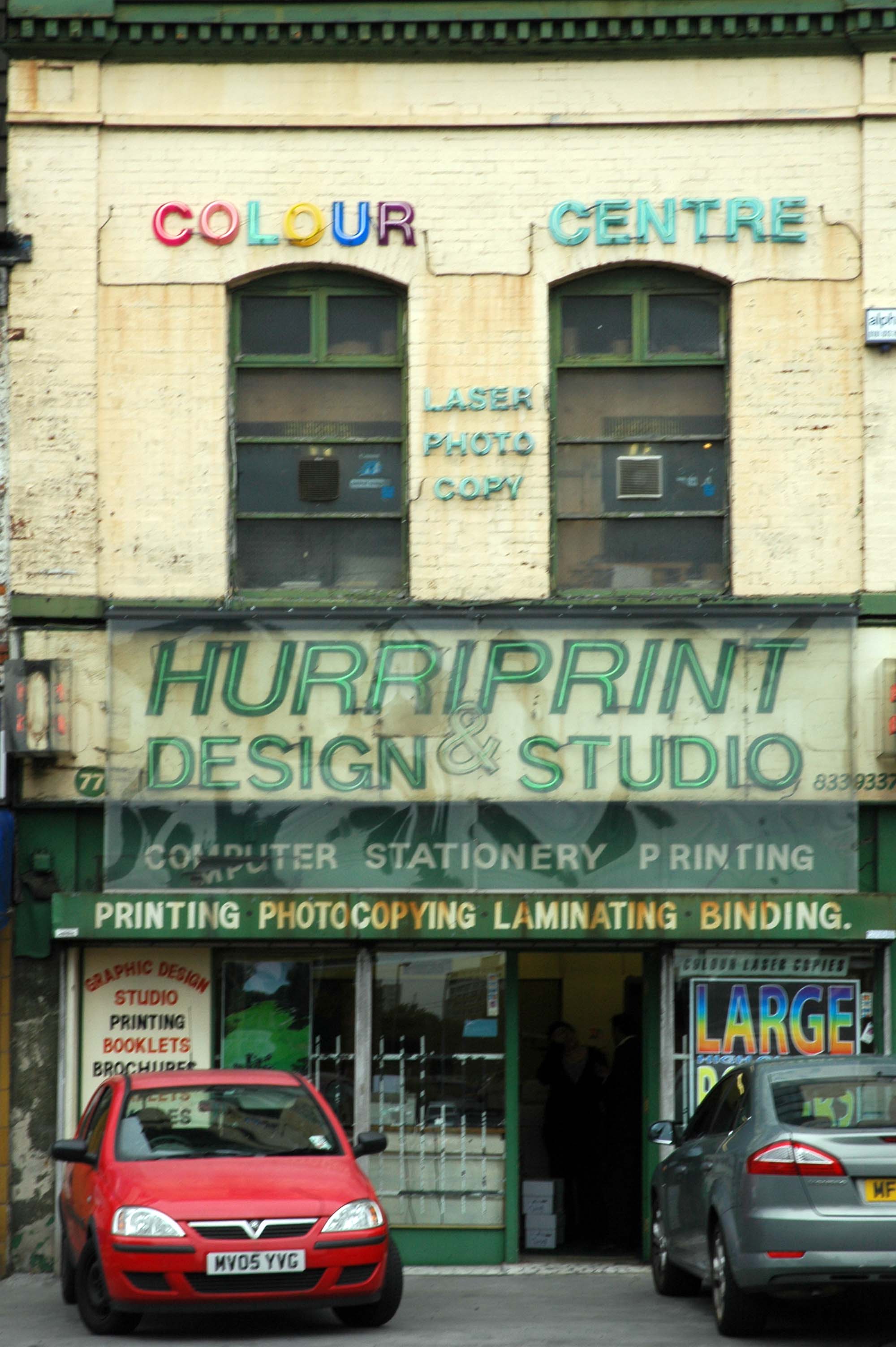
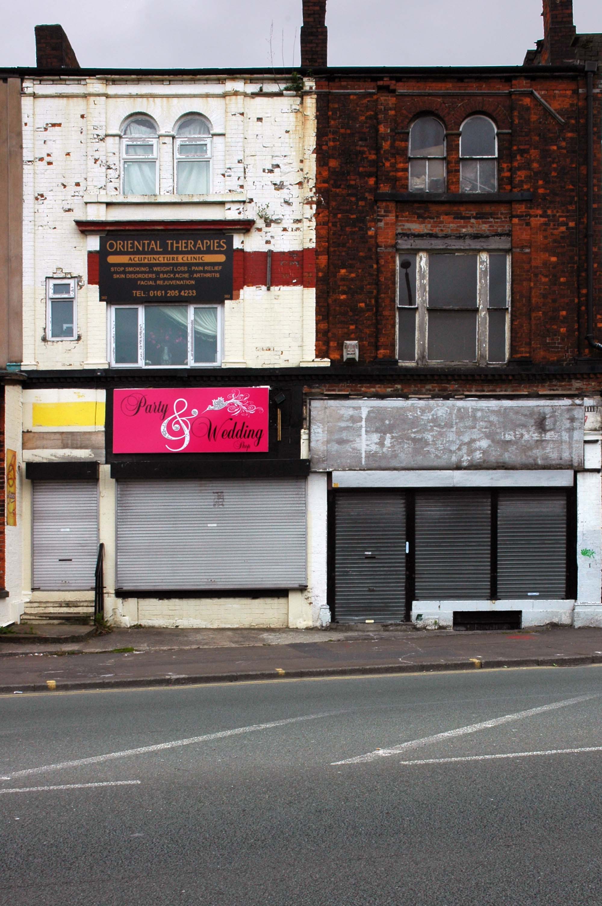
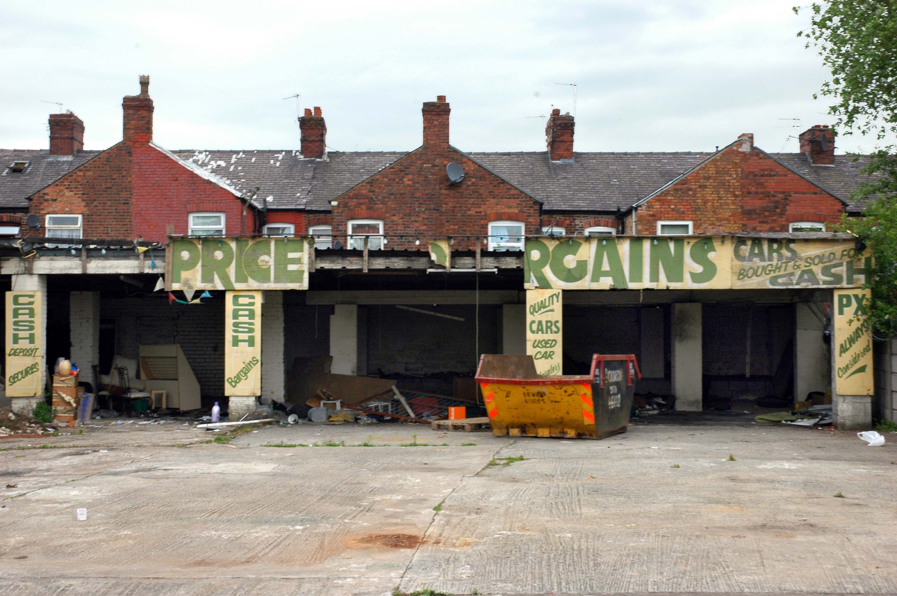
In 2014, having taken early retirement from teaching photography, I embarked on a series of walks along the arterial roads of Manchester.
This whole undertaking was prompted in part by Charlie Meecham’s 1980’s Oldham Road project.
The work questions whether a sense of local identity can be maintained in an area of constant redevelopment and community displacement.
This area was first developed in the 19th century for cotton manufacture, coal extraction and later electrical and heavy engineering. The road was lined with shops and there was a vibrant community.
When I first started working on the project, most of the early industry had ceased operating and the mills were either abandoned or being dismantled. However, some had been refurbished either for new industrial use or later, made into apartments. Some run down areas were cleared making way for new housing. Clearance also provided opportunity to build new schools, trading estates and create green space. Most of the older community centres such as theatres and cinemas along the road were also abandoned and later cleared.
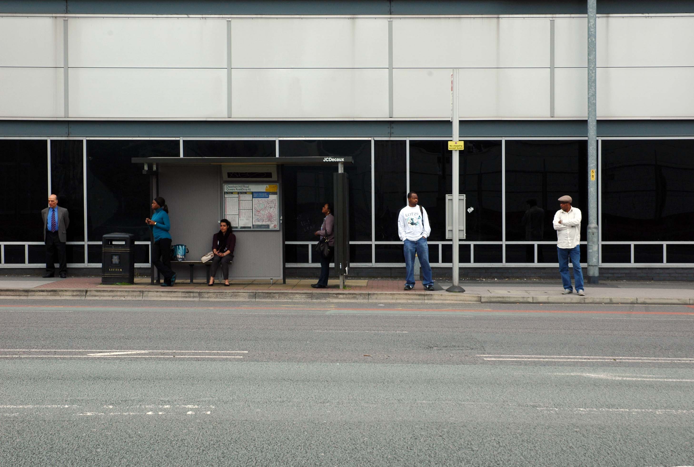
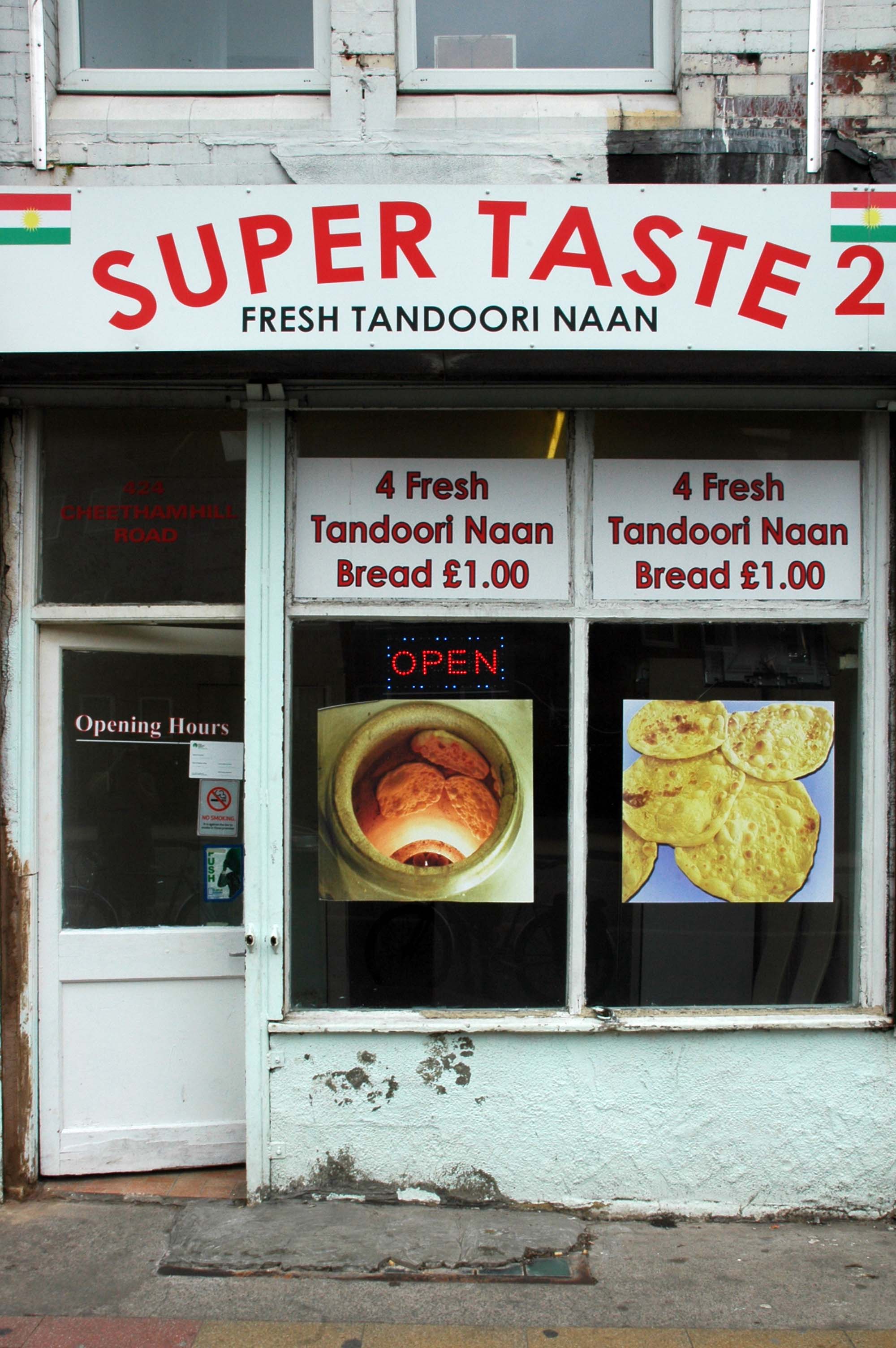
Cheetham Hill Road is part of the designated A665. Cheetham Hill Road starts at the junction of the A6042 Corporation Street and the A665 Miller Street. It crosses the culverted River Irk to the east of Victoria Station. At its junction with New Bridge Street, it turns north-northeast and is straight for 1 km, to the A6010 Queen’s Road . This stretch was called York Street until about 1900. Cheetham Hill Road leads from here to the community of Cheetham Hill, where at Bourget Street and Crescent Road – formerly Sandy Lane, Cheetham Hill Road becomes Bury Old Road.
First crossing the M60 Manchester Outer Ring Road at Junction 7 into Stretford.
The A56 takes the name of Chester Road and continues north-eastwards through Stretford and Hulme into Manchester city centre, where it takes on the name Deansgate, one of Manchester’s main shopping streets and thoroughfares. At the end of Deansgate, the A56 takes on the name of Victoria Street as it passes Manchester Victoria railway station. Since 2012, most of Victoria Street has been pedestrianised with planters, but the road markings still remain underneath.
Itreplaced the former Cannon Street bus station, under the Manchester Arndale; since the redevelopment of Manchester city centre, the latter has disappeared along with Cannon Street itself.
The project realises a strategy for integrating city centre circulation comprising an interchange for public and private transportation. It unifies stands for buses, a tram stop and multi-level parking for cars, to provide a convenient, attractive and safe public concourse. The high-quality contemporary design establishes a new positive identity for a transport interchange that complements the heritage values of the Shudehill conservation area.
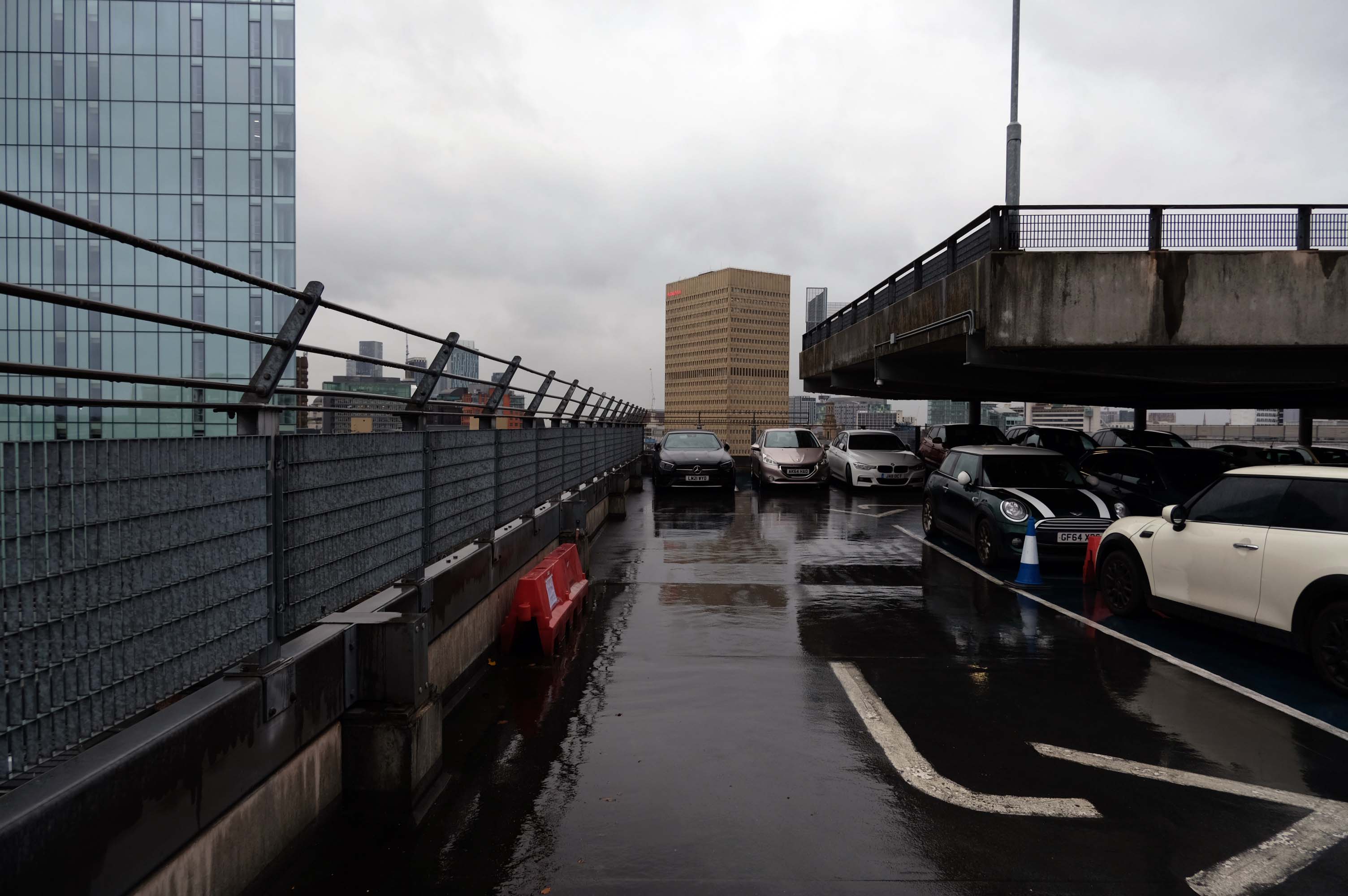
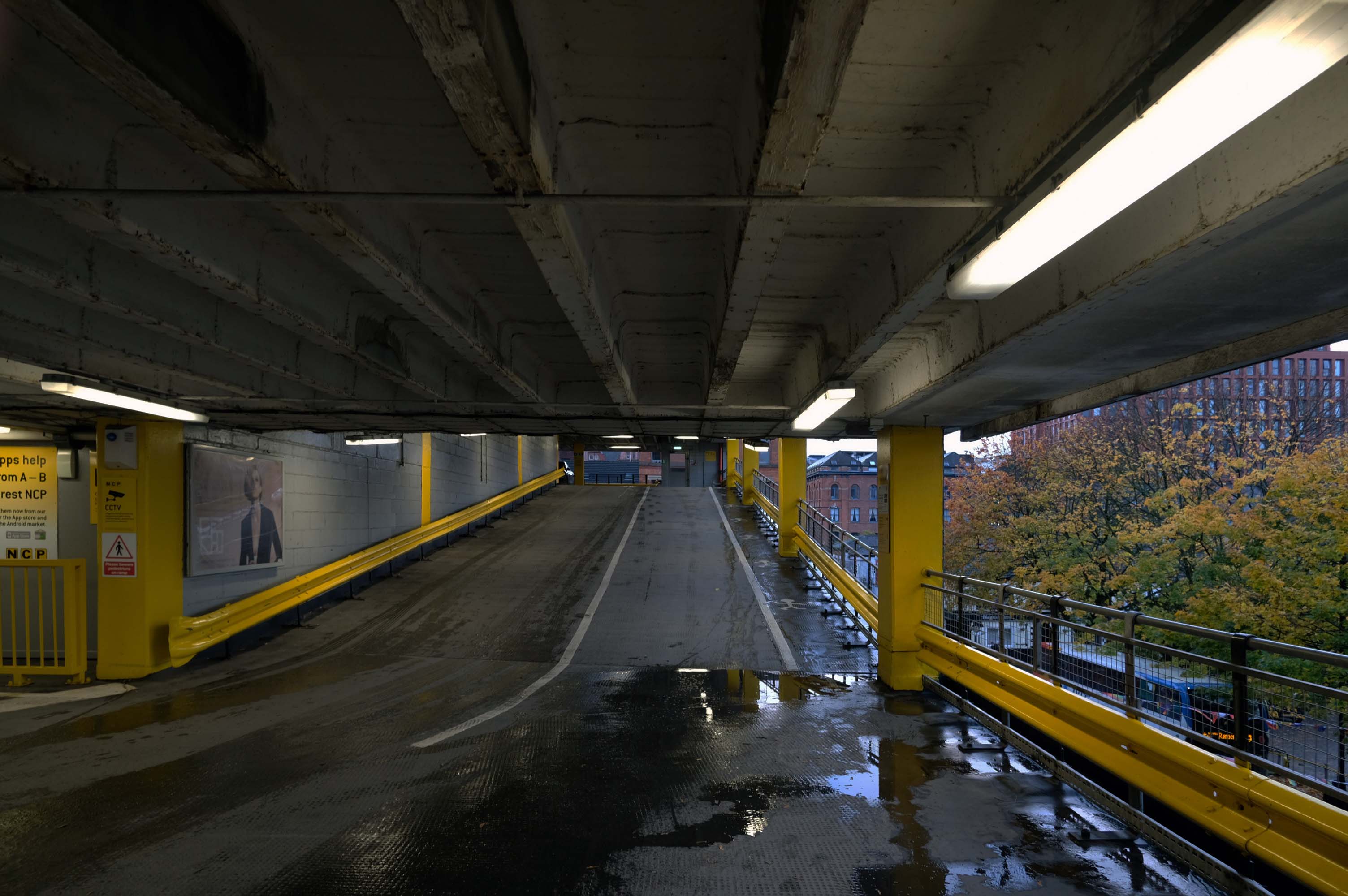
The pedestrian in a car park found it to be accessible and vaguely commodious – affording fine views across the city.
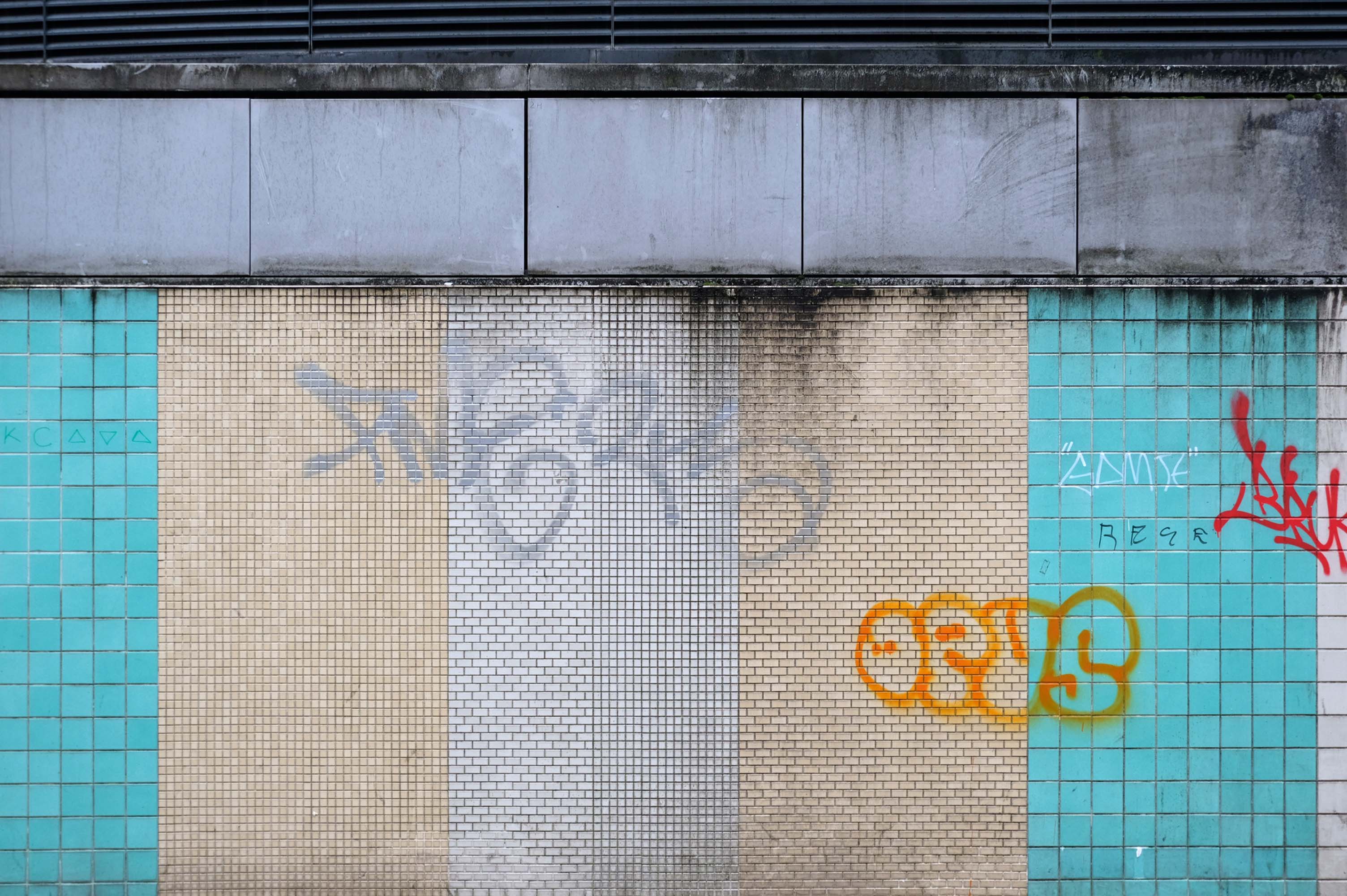
Sadly the decorative mosaic is woefully neglected, careworn and forlorn.
Secure and easy to find while driving, struggled to get back in through side door, had to walk up the ramp.
Expensive.
Stairwell stinks like piss and I’ve seen homeless people sitting in there, doesn’t feel safe.
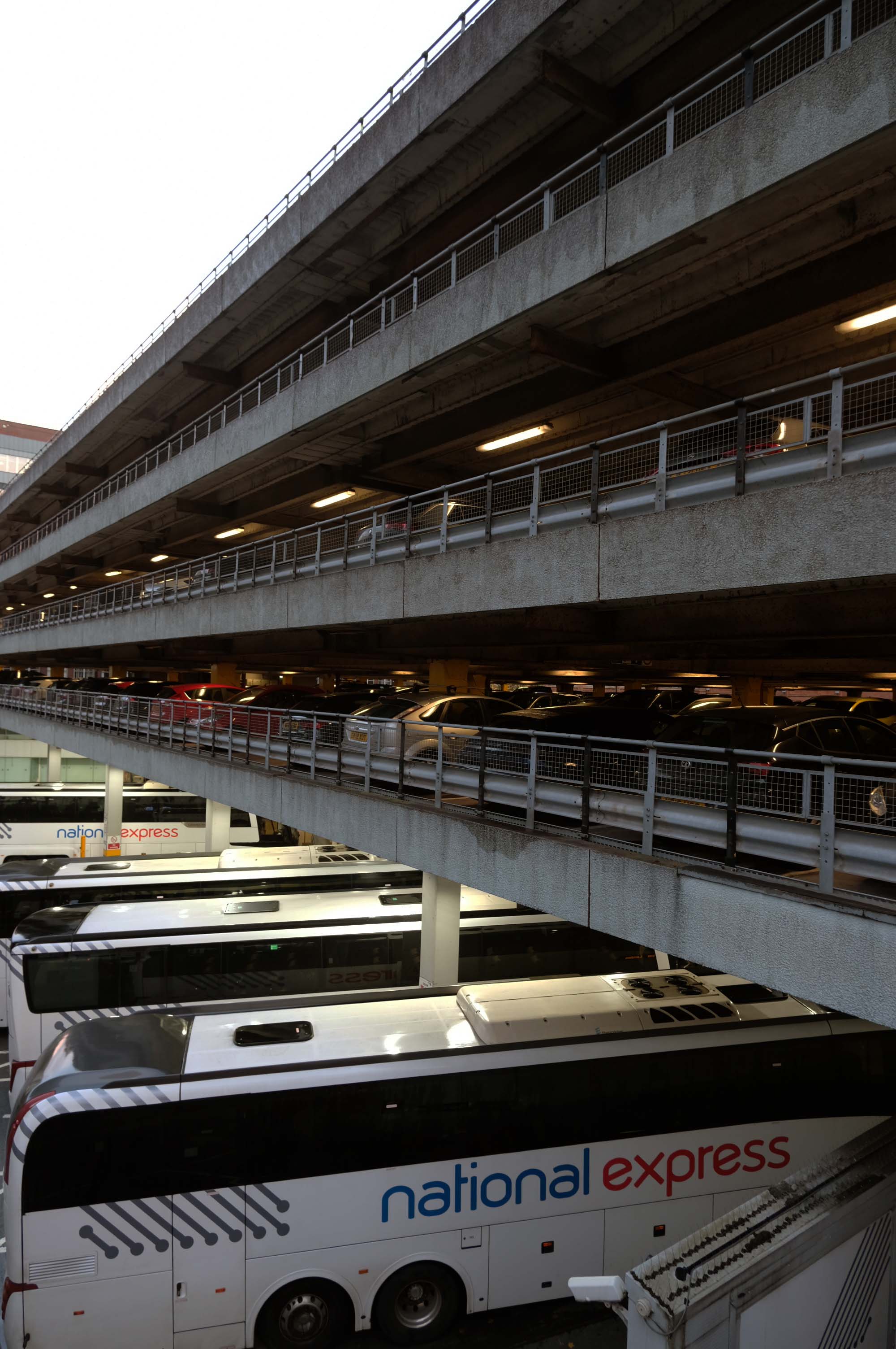
Great car park, security is great, right in the city centre, above the bus station that goes Scotland to Cornwall, Wales to Norwich and many more, Manchester city centre literally, with Piccadilly Gardens, around the corner.
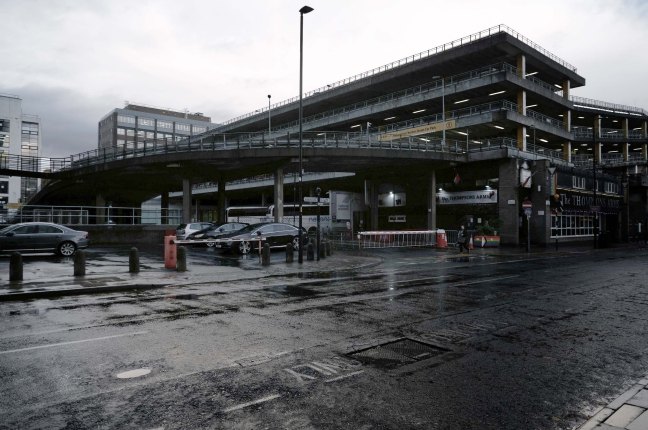
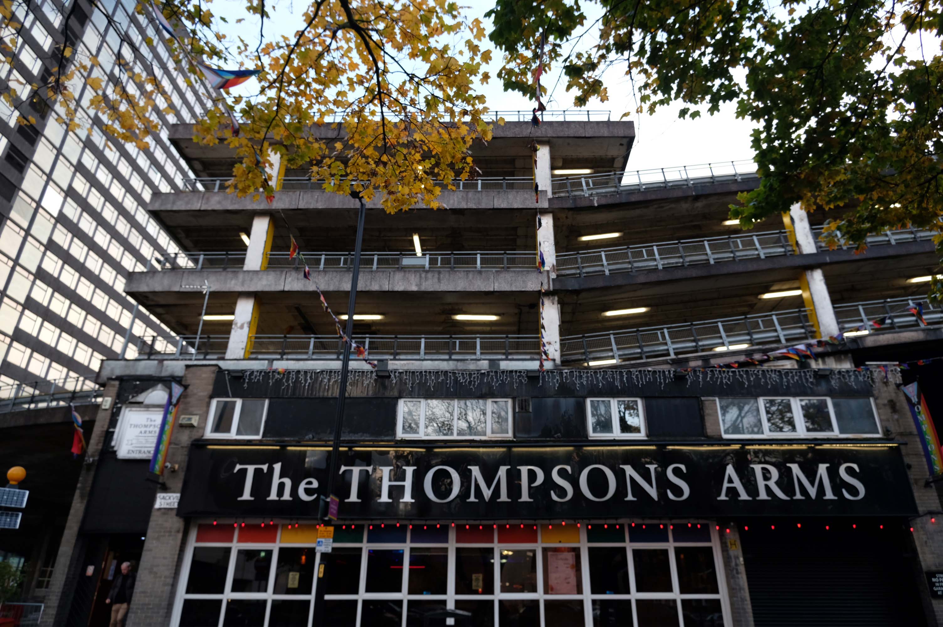
We have been snapping here afore in the guise of Mr Estate Pubs – checking out the Thompsons Arms.
For this is a car park with coach station and boozer attached.
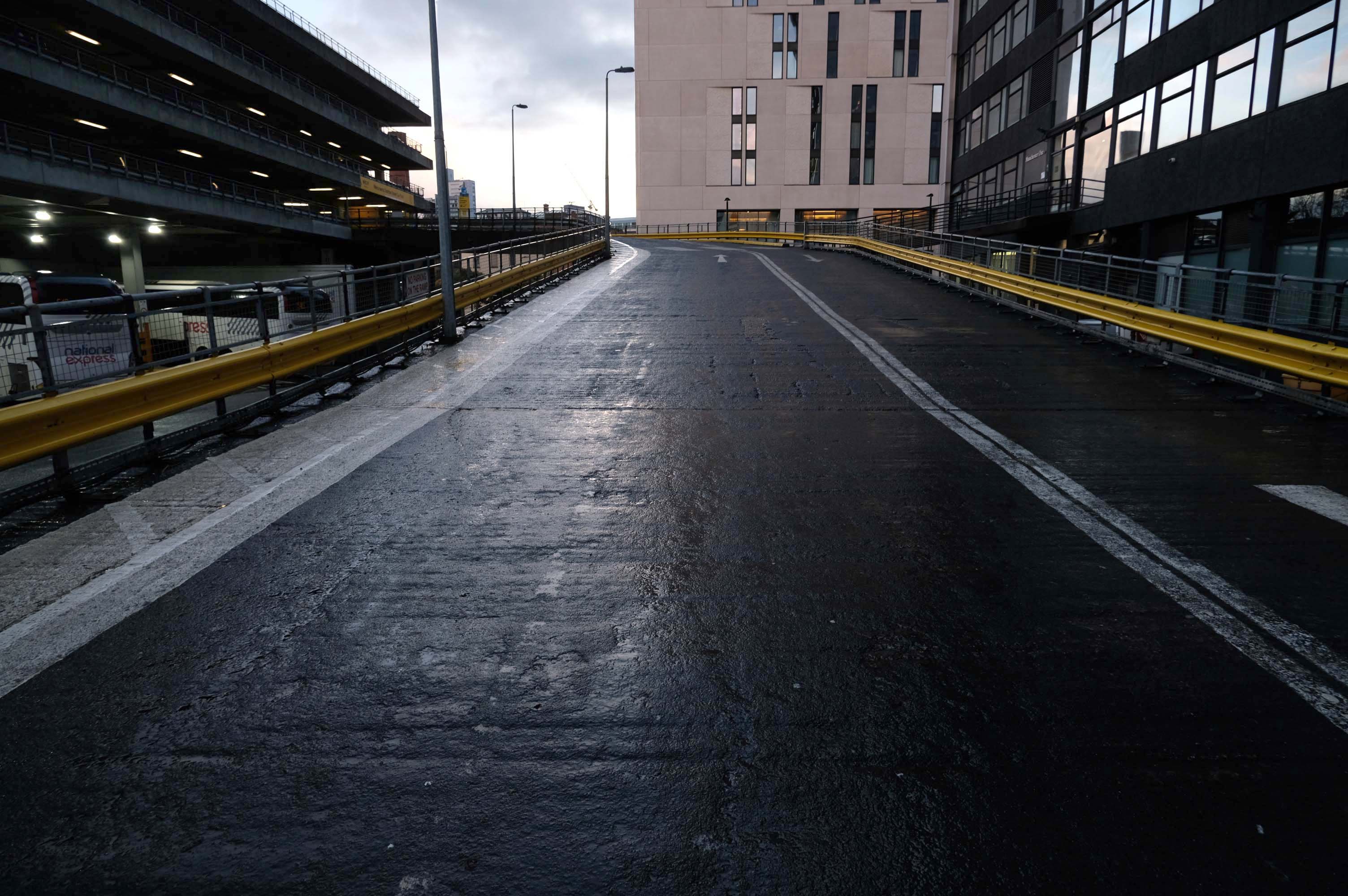
The pedestrian in a car park approaches cautiously – along the ramp.
Retreating the better to circumnavigate the site.
I was quickly losing light – so I called it a day.
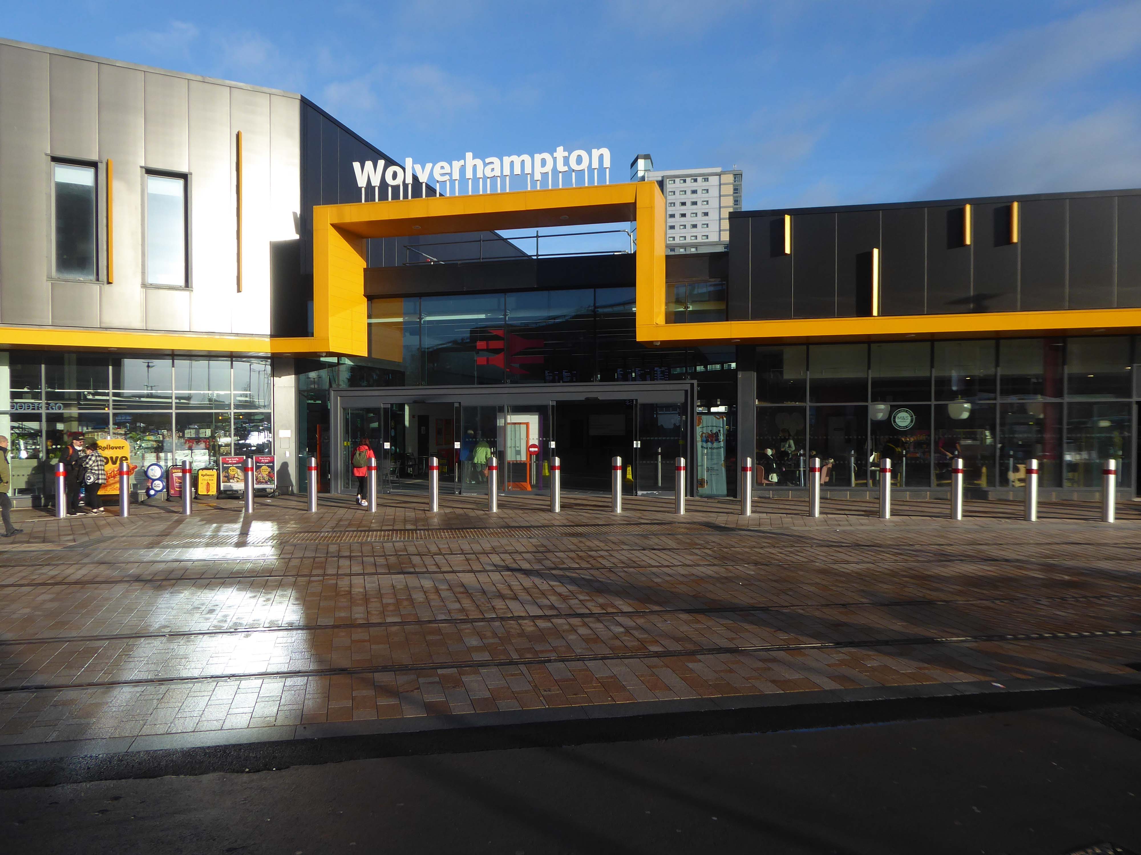
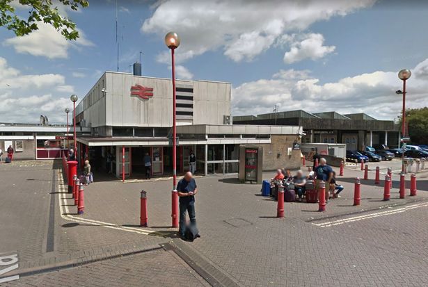
We begin at the Railway Station – recently refurbished, overwriting its 60s iteration – completely rebuilt by the architect Ray Moorcroft as part of the modernisation programme which saw the West Coast Main Line electrified.
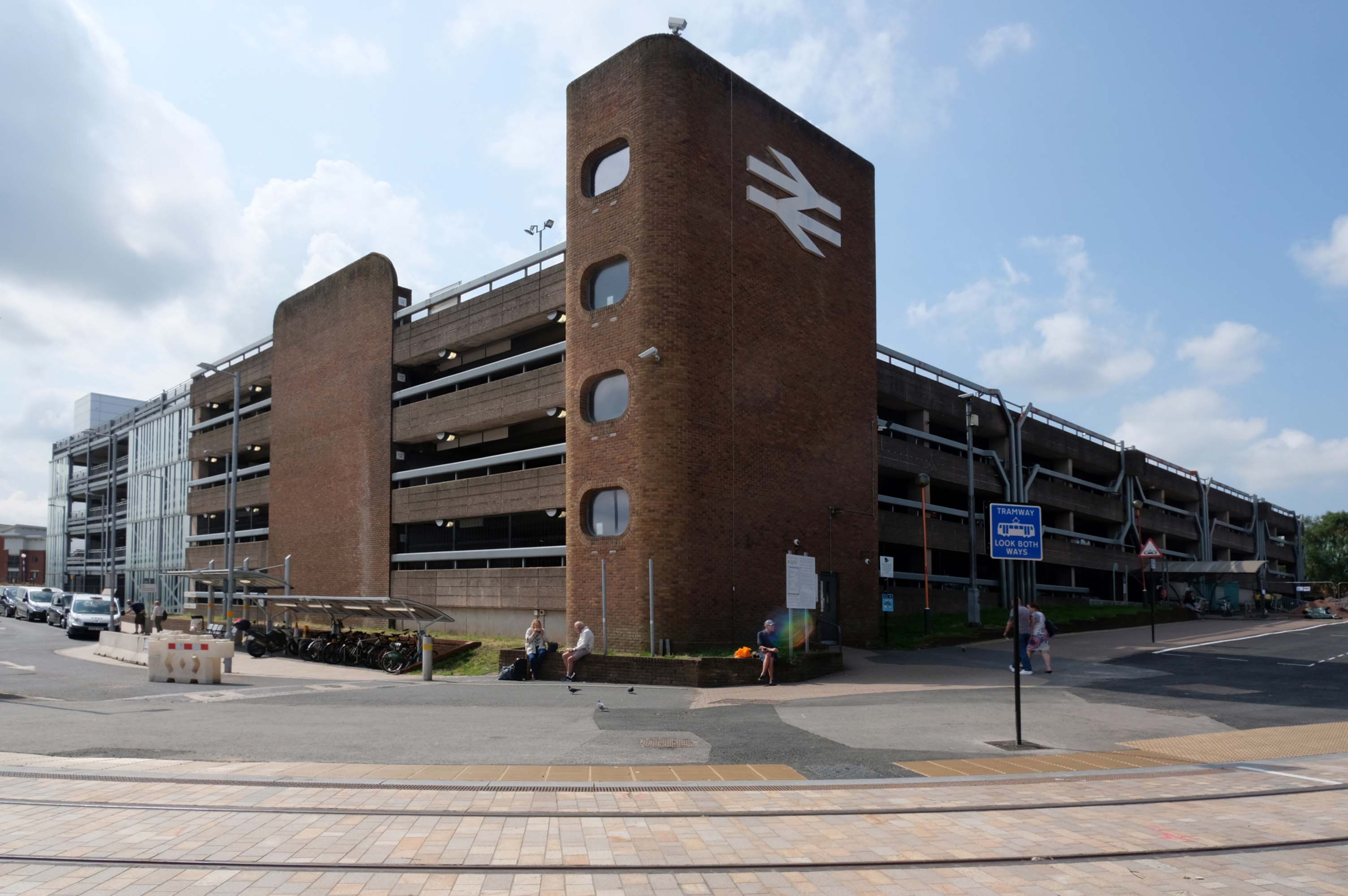
Across the way an enormous brick clad multi-storey car park – skirted by the lines for the tram, which travels to and from Birmingham.
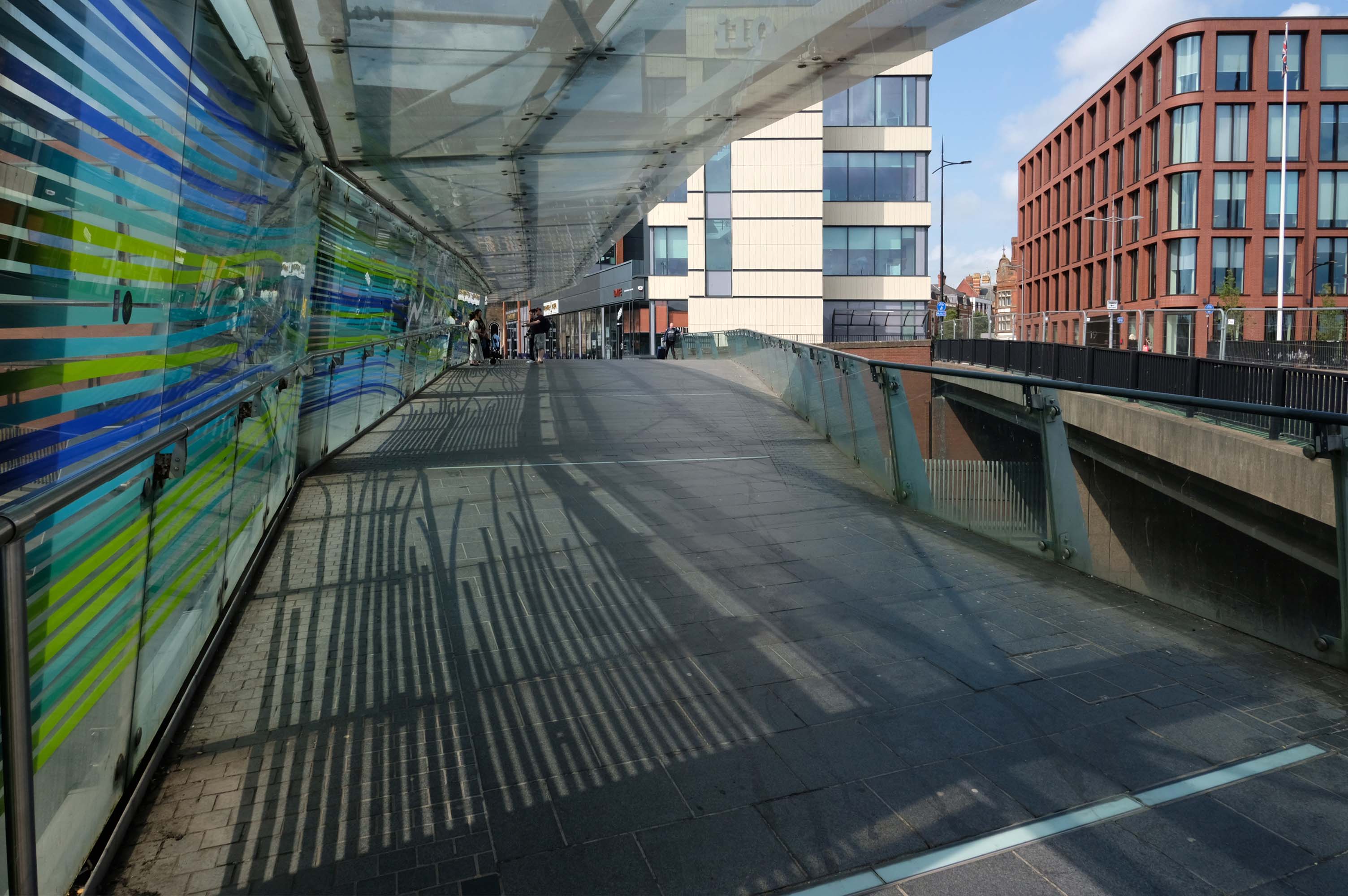
Walk across the brand new pedestrian footbridge over the ring road.
Architectural glass artist Kate Maestri was commissioned to produce the artwork design which features glass with blue and green strips of colour running through it.
Linking the Rail Station with the brand new Bus Station.
The normal practice of the Wolverhampton Bus Service is to have dirty, smelly buses, that are cramped and extremely hot in the summer and freezing cold in winter. They offer no announcements apologizing for delays they know about and don’t appear to care how long passengers wait with no idea of how or when they’ll be getting a bus.
The best thing you can do is learn to drive as quickly as possible and get your own vehicle or car pool.
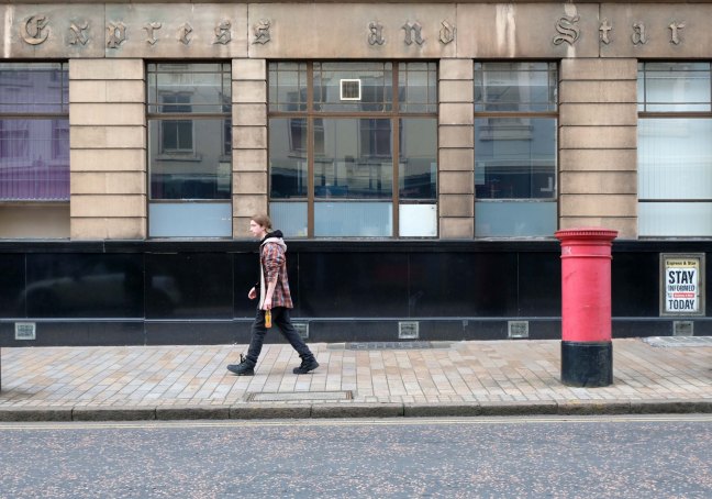
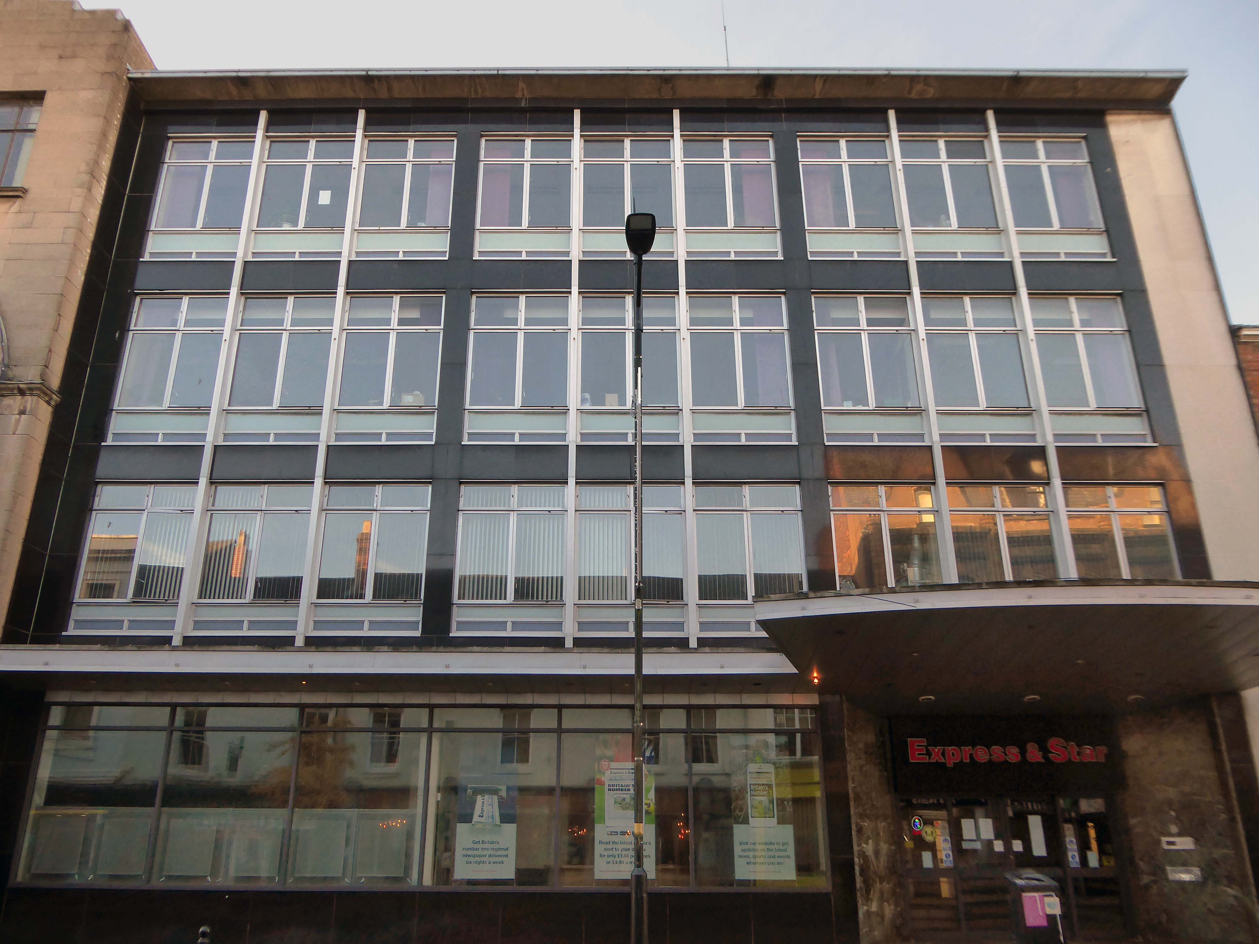
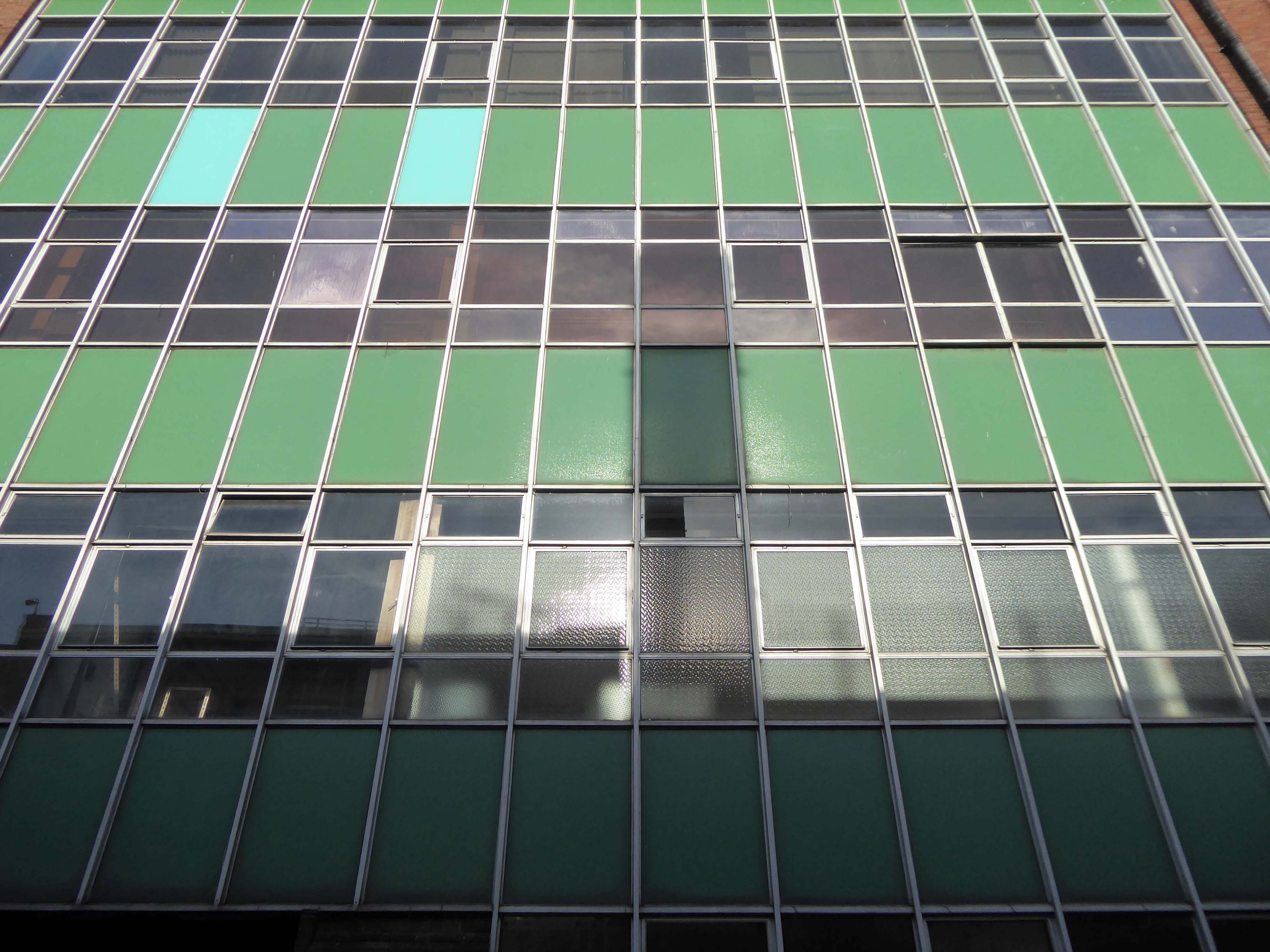
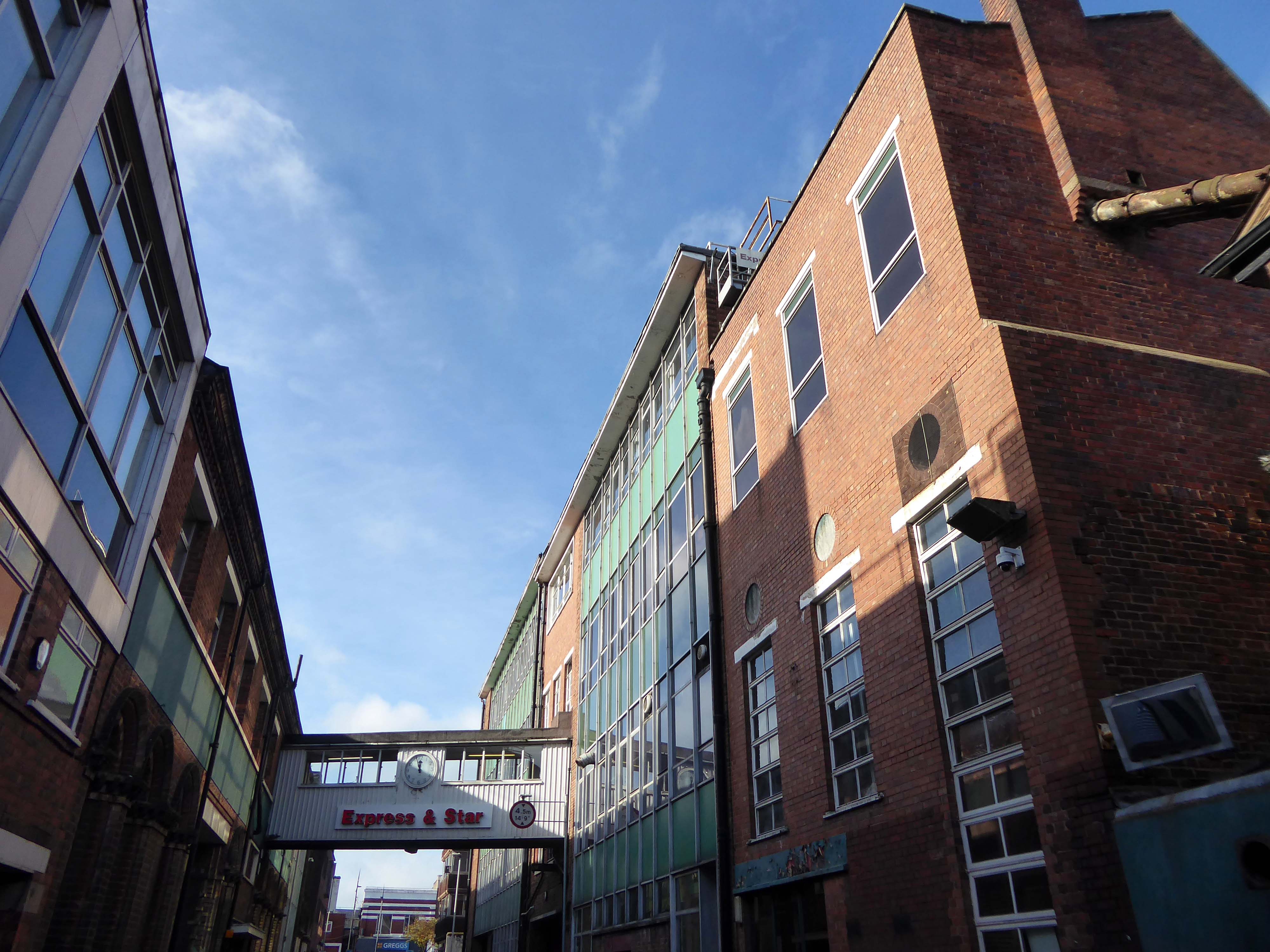
Midland News Association managing director Matt Ross confirmed the company is now looking at the building’s future.
For a number of years we have been exploring opportunities surrounding our historic Express & Star offices in the heart of Wolverhampton.
After removing the printing presses from the site and restructuring our departments we now have significant spare capacity available and so are looking at the various options available to us, be that redeveloping the current site or exiting the building altogether.
Extension is by architects: H Marcus Brown & Lewis 1965
With further work at the rear.
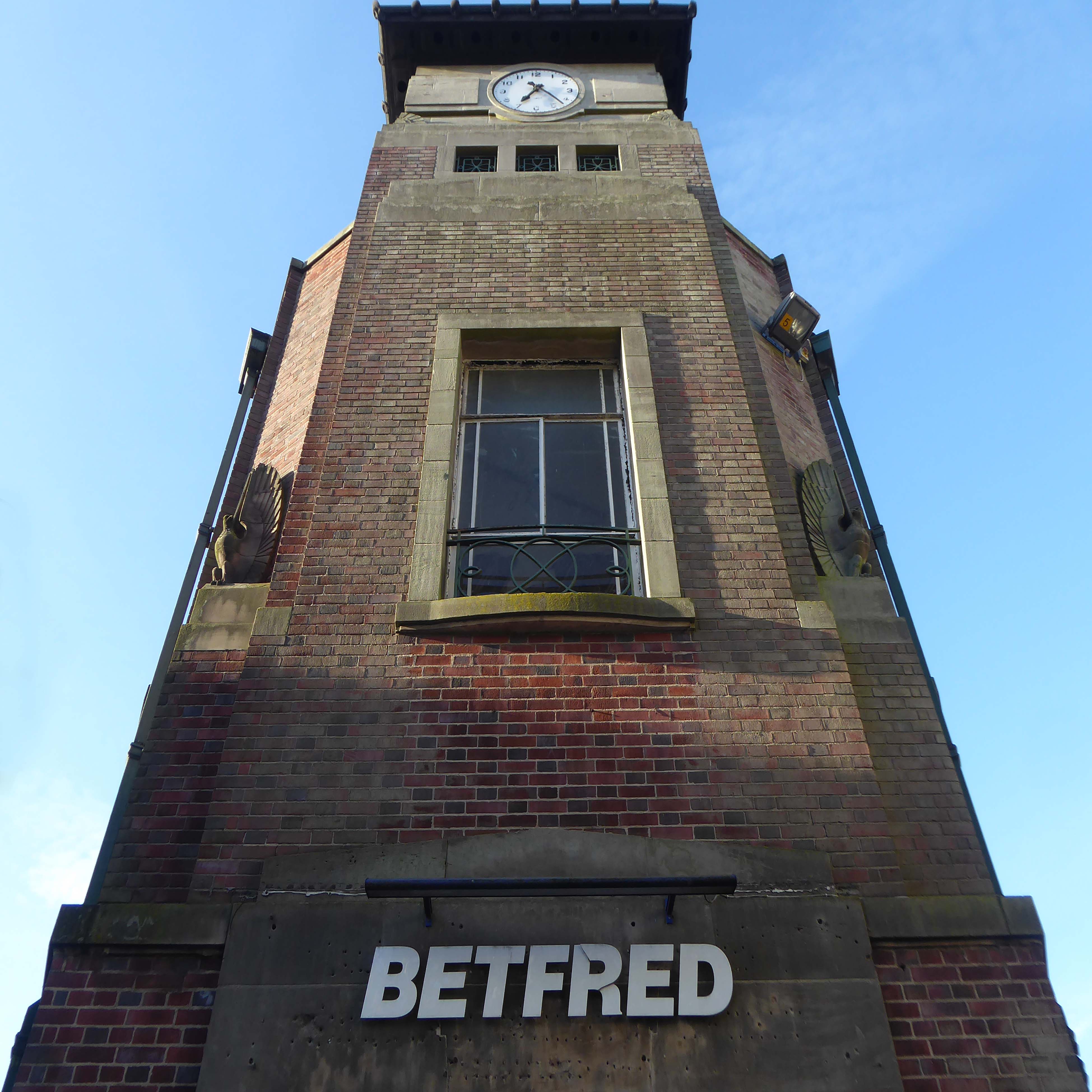
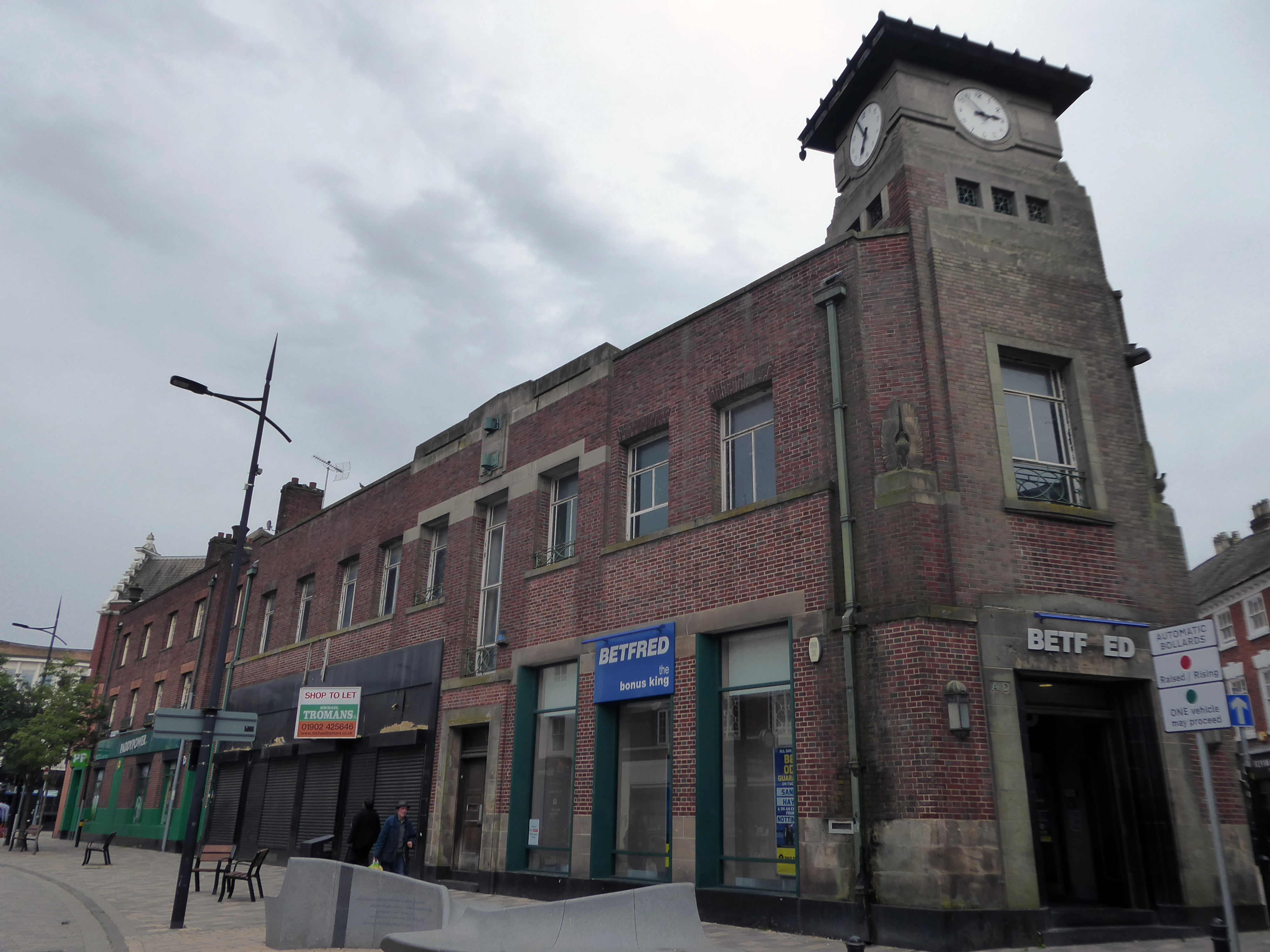
Along Princess Street this corner group, with an impressive clock tower – originally HQ for the South Staffordshire Building Society
Architects: George A Boswell of Glasgow 1932.
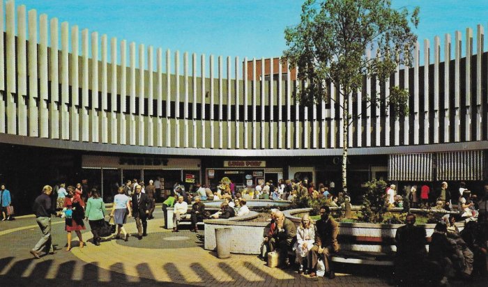
On to the Mander Centre – opened on 6th March 1968, refurbished 1987, 2003 and 2016-17.
The Mander Shopping Centre in the heart Wolverhampton is your one-stop shopping destination for all things fashion, home, beauty, food and technology.
Architects: James A Roberts principal architect Stanley Sellers.
Developed by Manders Holdings Plc, the paint, inks and property conglomerate, between 1968 and 1974. The site occupies four and a half acres comprising the old Georgian works and offices of the Mander family firm, founded in 1773, as well as the site of the former Queens Arcade.
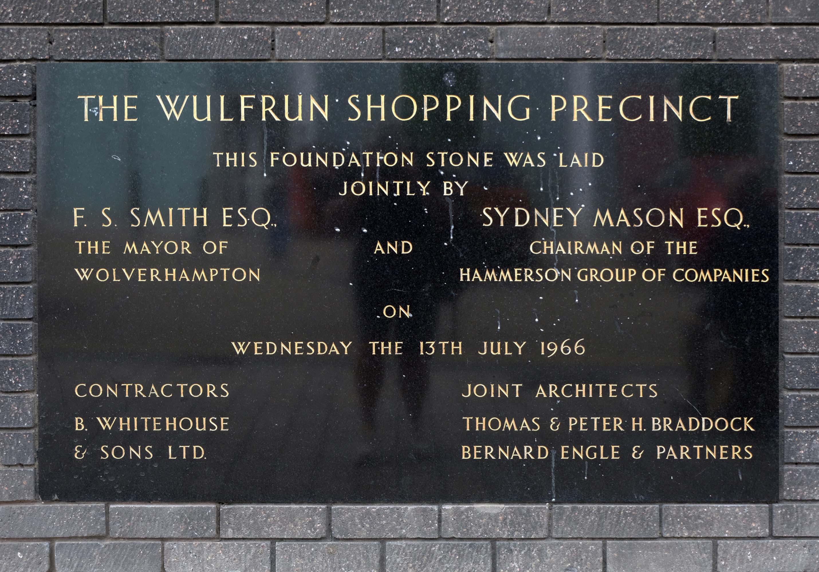
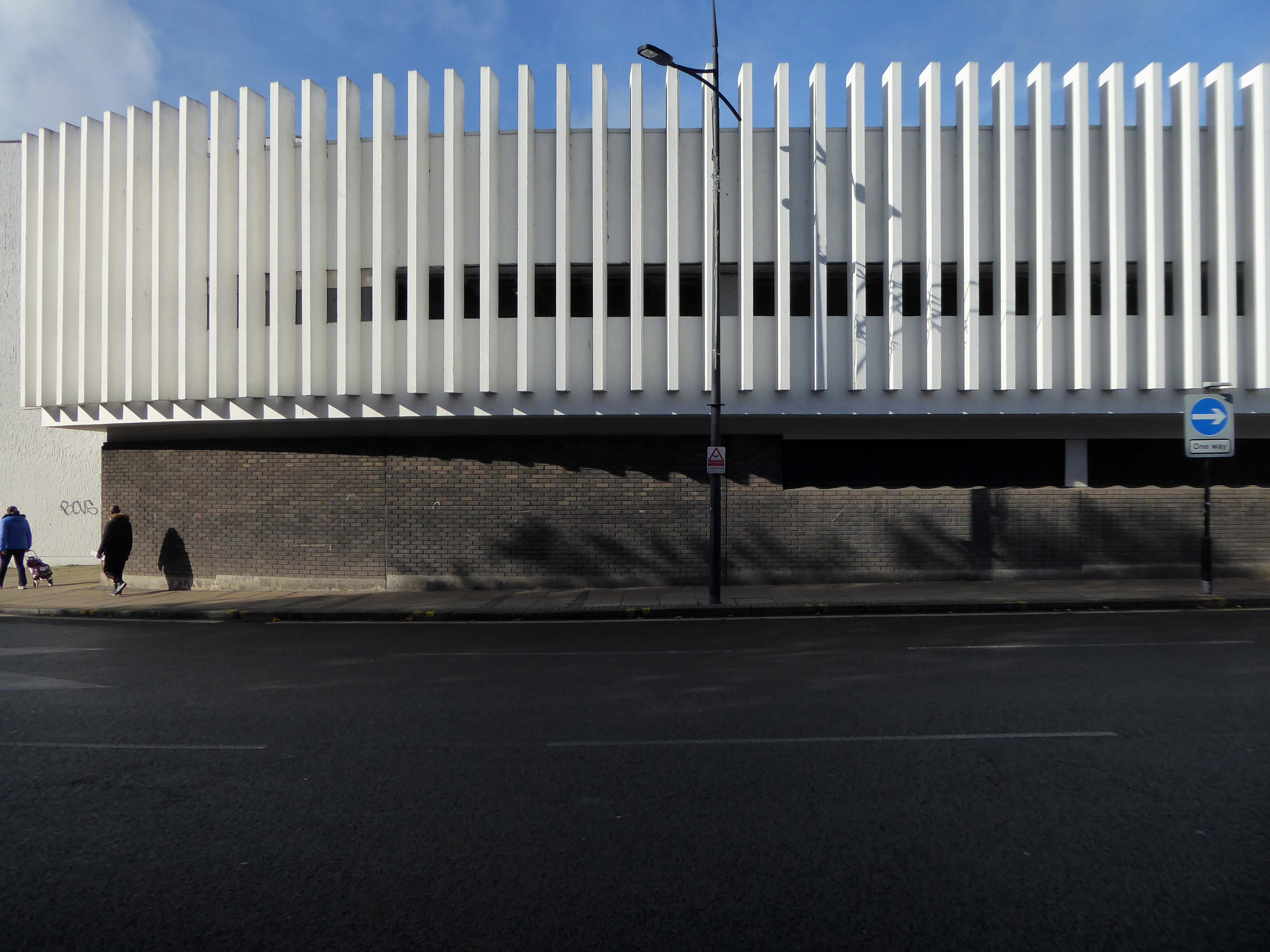
Architects: T & PH Braddock and also Bernard Engle & Partners.
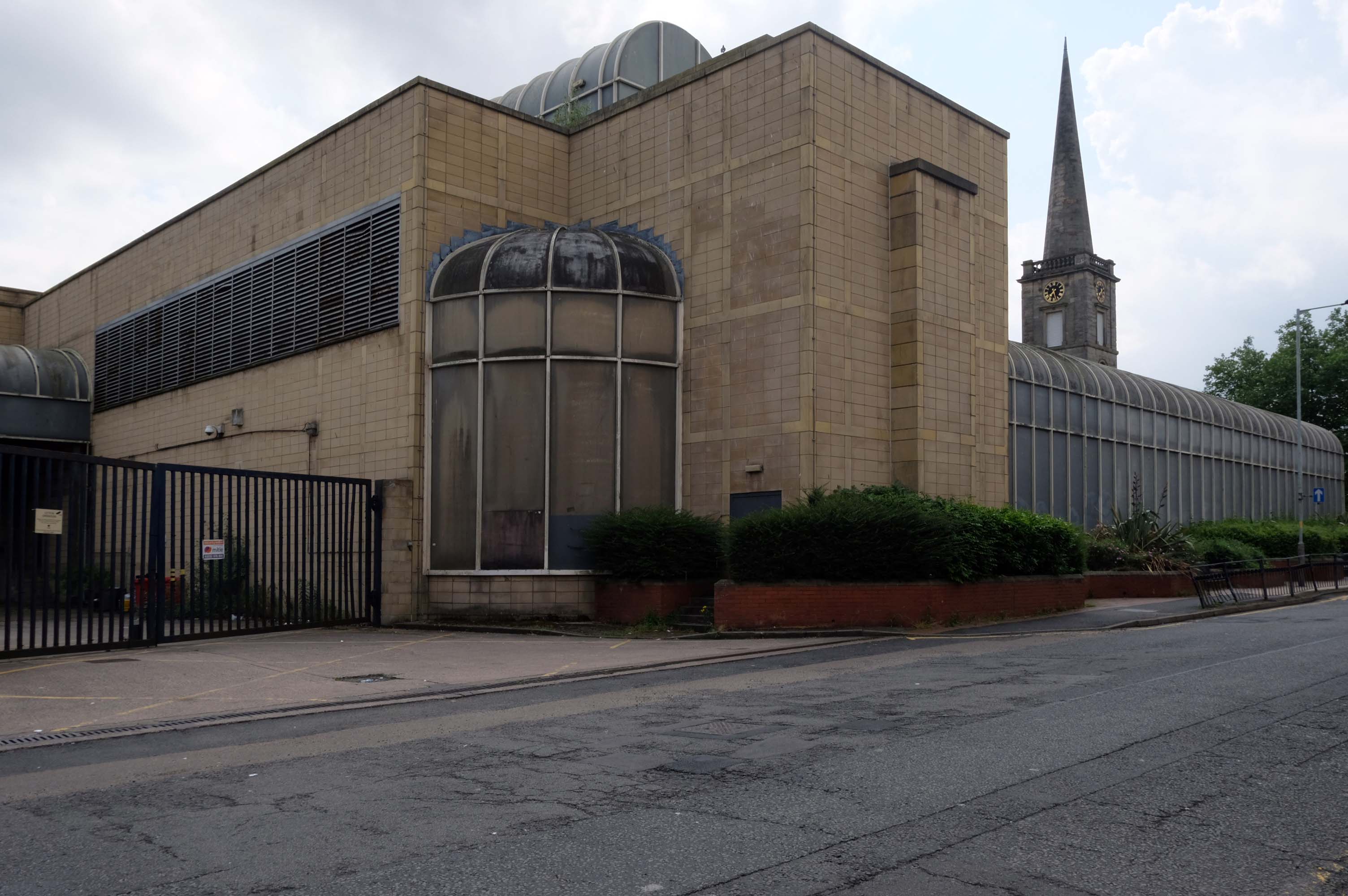
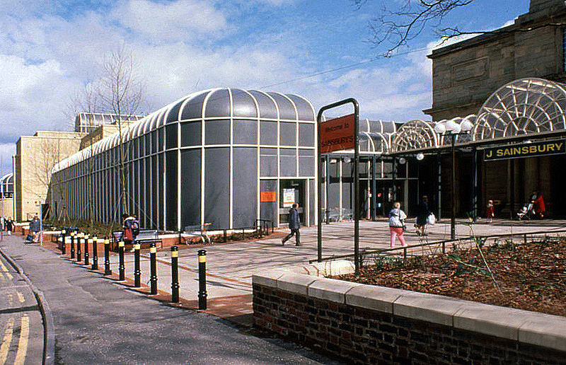
Along St Georges Parade, an abandoned Sainsbury’s church combo – store designed by J Sainsbury’s Architects Department opened 1988.
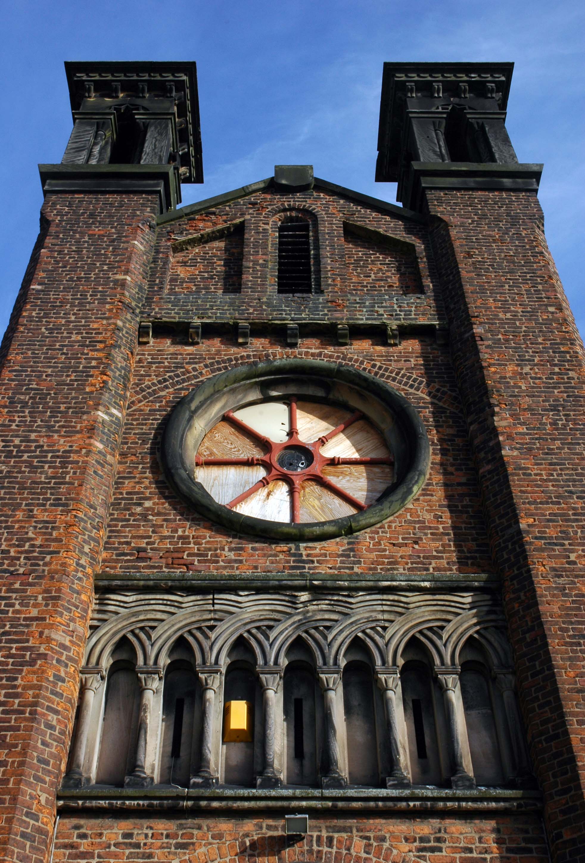
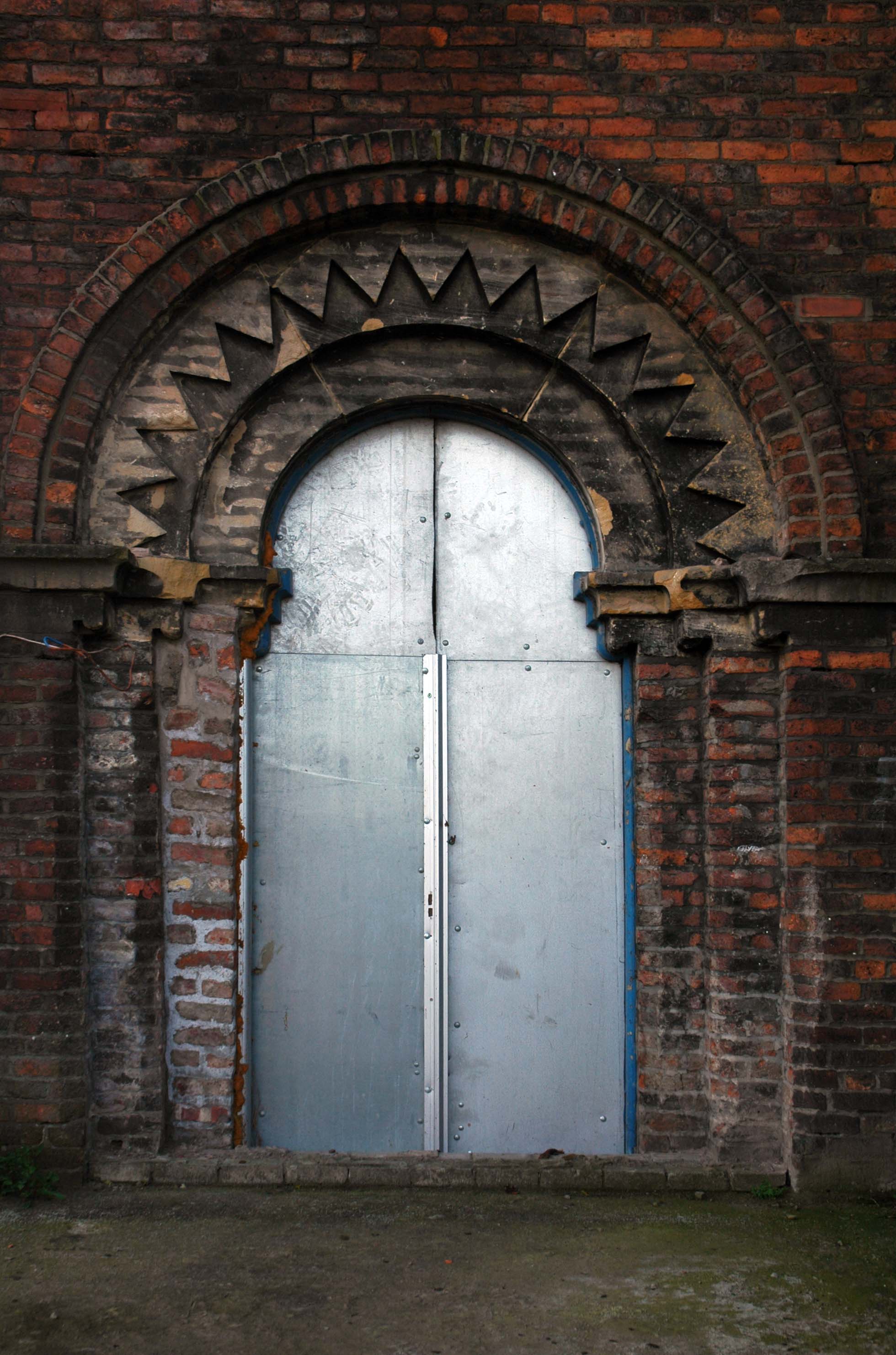
The church was built between 1828 and 1830 – architect: James Morgan, at a cost of £10,268. It was consecrated on Thursday 2 September 1830 by the Bishop of Lichfield, it was made redundant in 1978.
The site is currently under lease to Sainsbury’s for a further three years and will come forward on a phased basis subject to their lease concluding. The council is in active dialogue with prospective development partners on the redevelopment of this site and in wider consultation with Homes England.
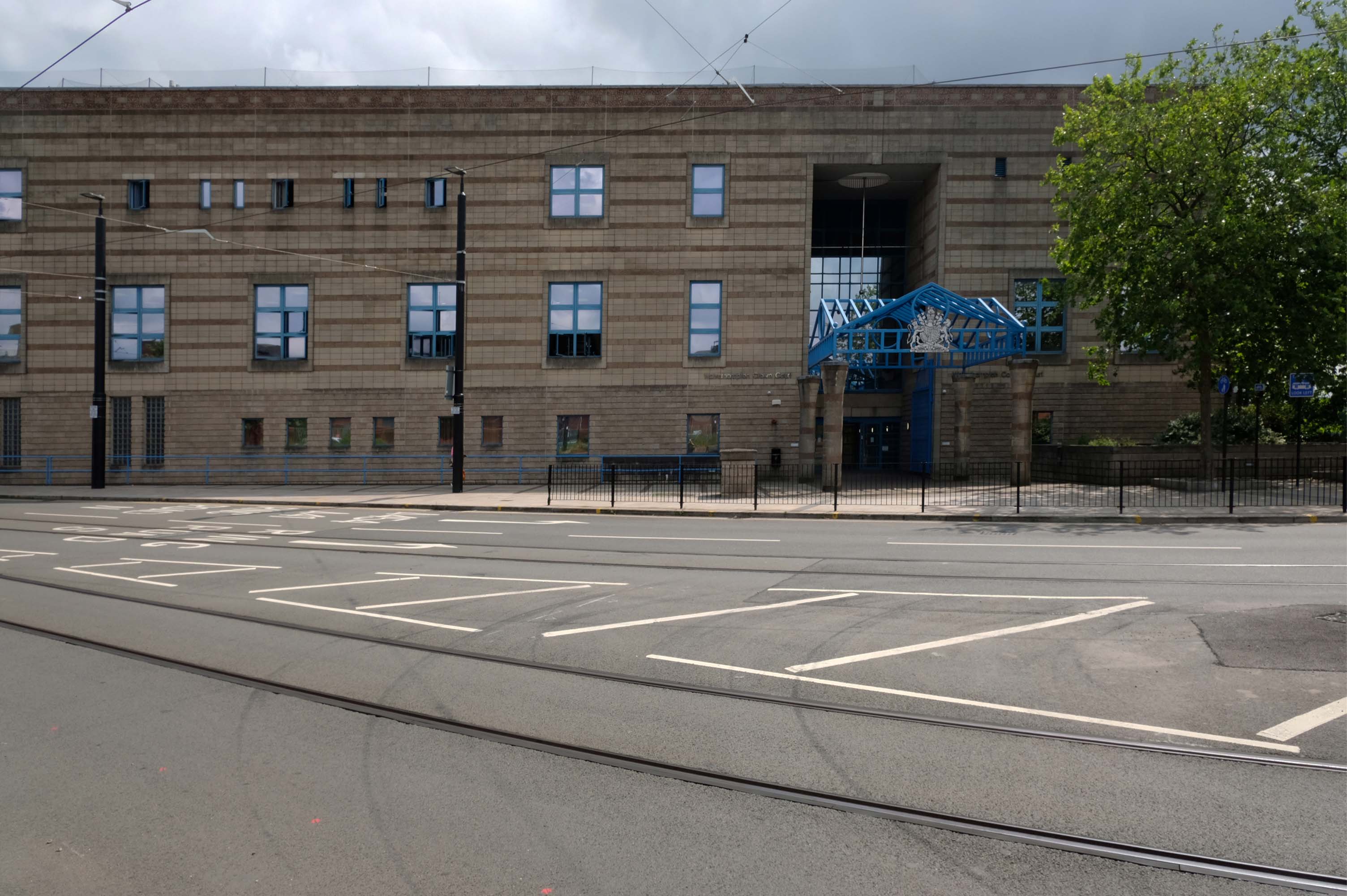
Notable cases included trial and conviction of four members of The Stone Roses, in October 1990, for criminal damage to the offices of their former record company.
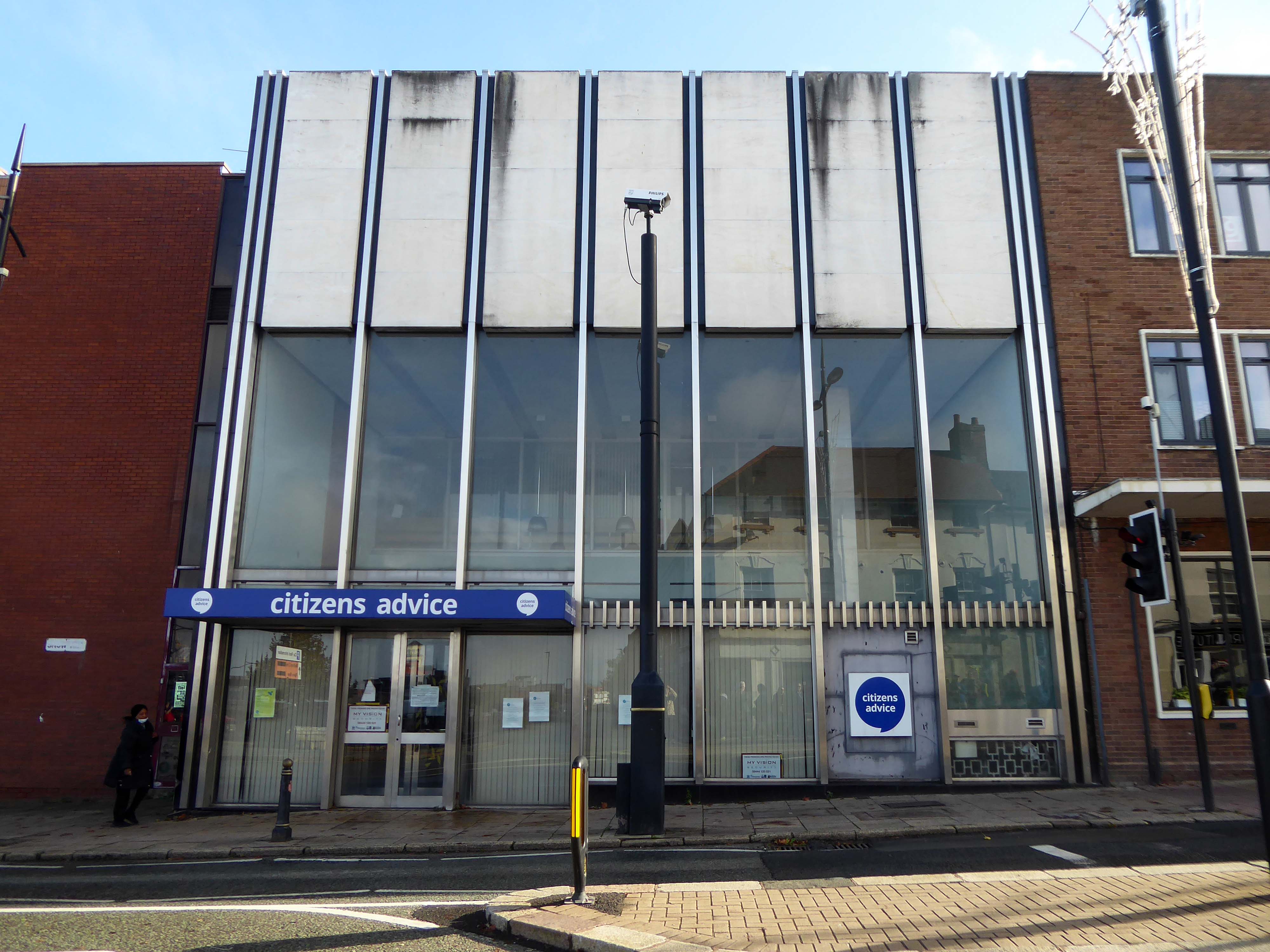
Thence up Snow Hill to the former Citizens Advice former Barclays Bank currently empty.
Architects: John HD Madin & Partners 1969
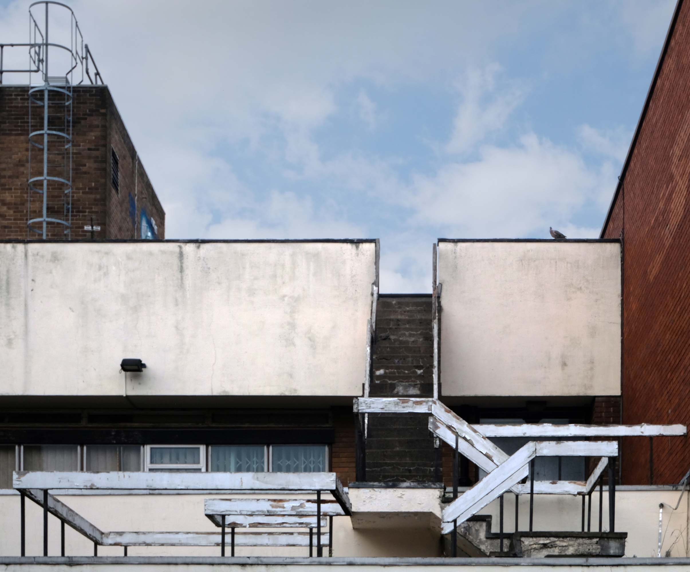
Take time to have a look around the back.
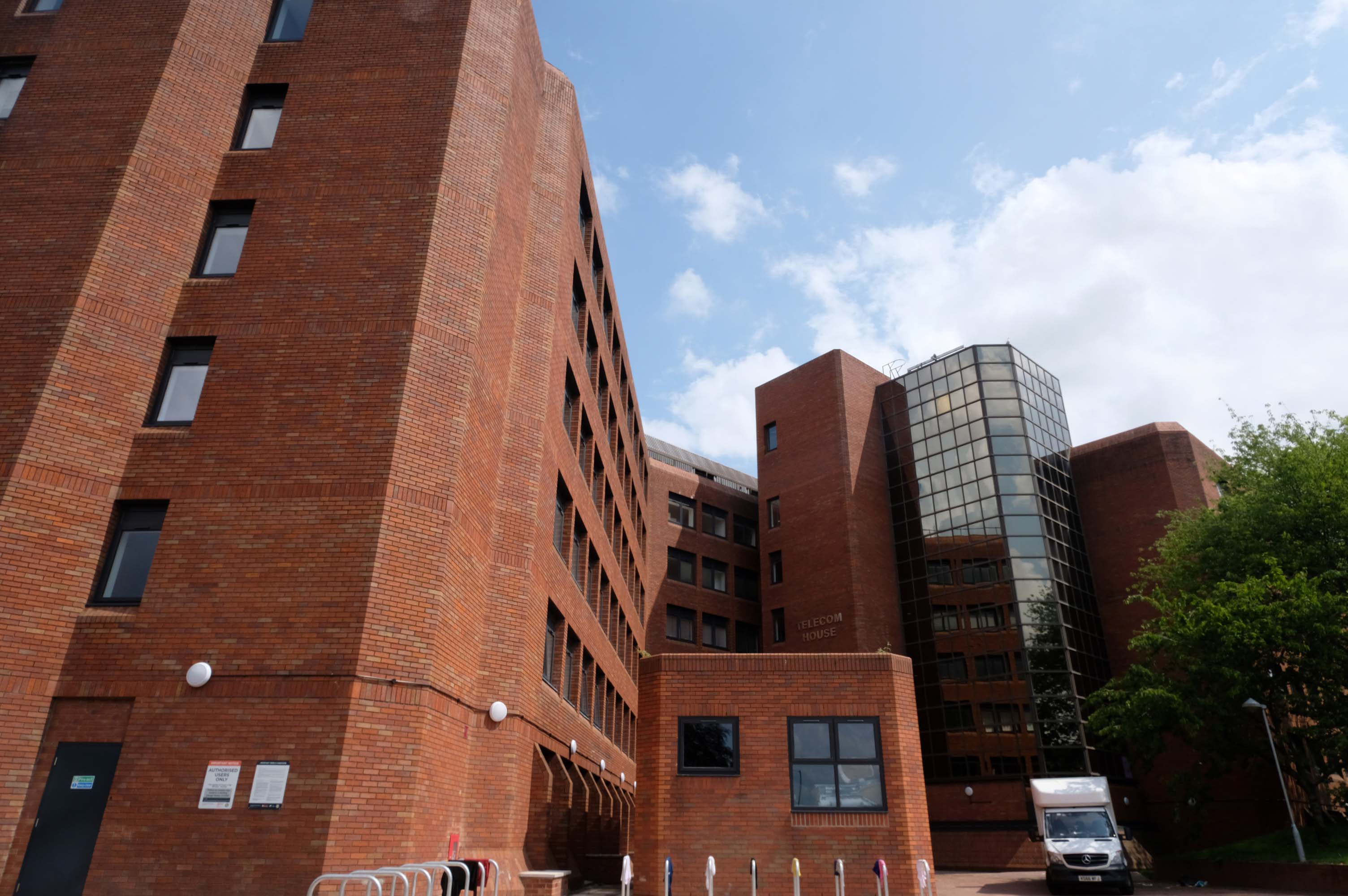
Off to Church Street and Telecom House
Sold for £4.25 million to Empire Property in 2022.
It had previously been sold for more than £3m in July 2018, also for use for apartments, to Inspired Asset Management which later went into receivership.
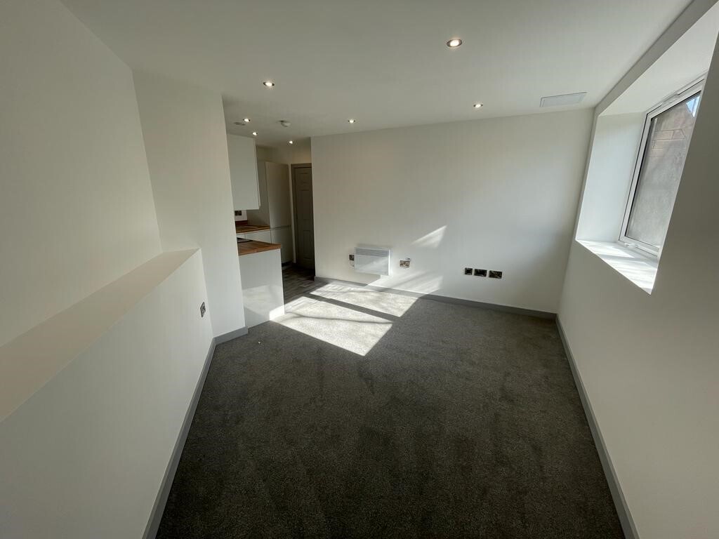
Located on a popular apartment block on Church street in the Wolverhampton centre, this 1 bedroom property has been newly renovated throughout and compromises an entrance hallway, open plan lounge/kitchen with in built appliances, shower room and double bedroom.
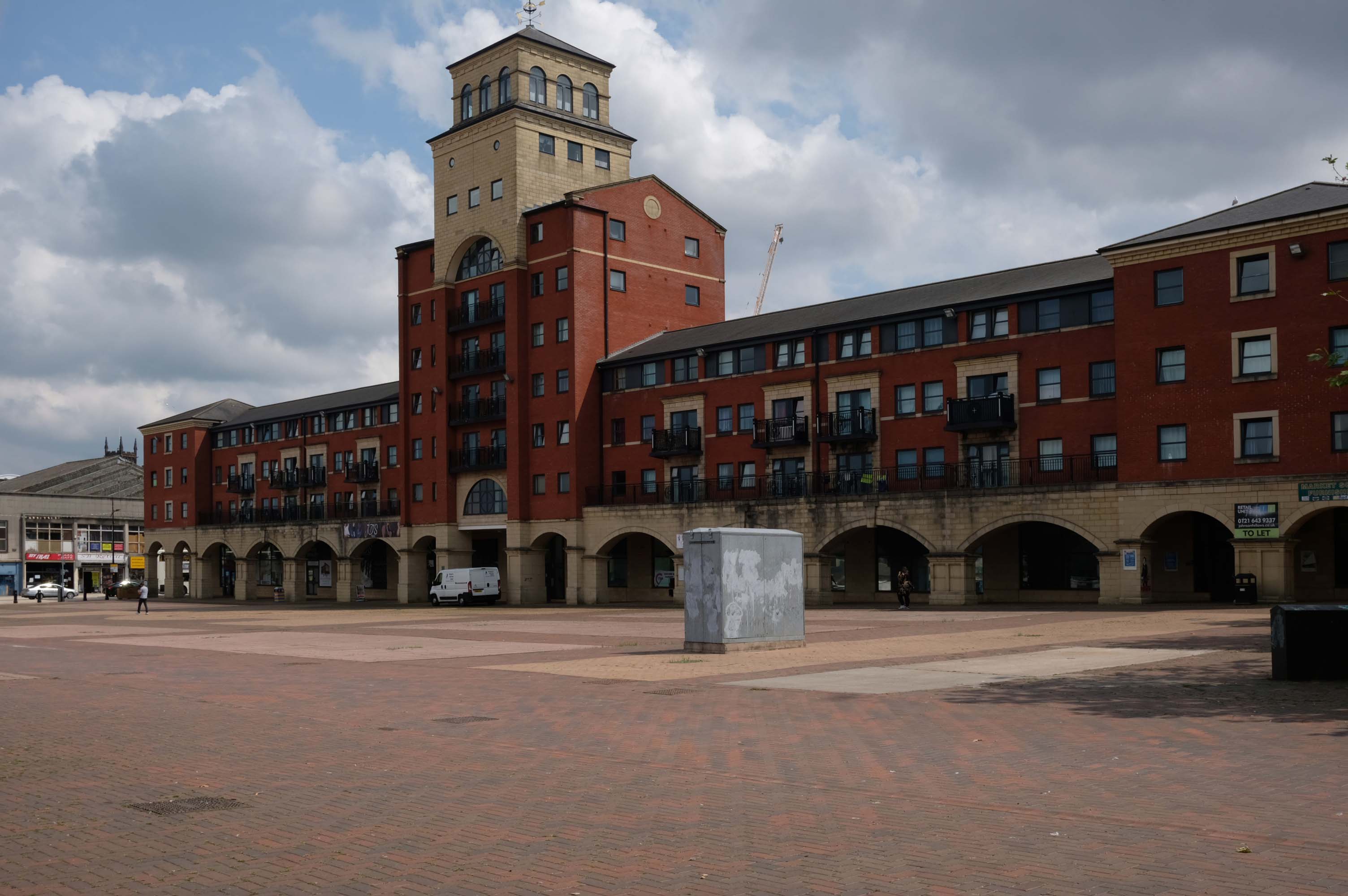
Next to this modern piazza New Market Square – Architects: Nicol Thomas from a concept by head of planning Costas Georghiou.
Formed from the former Market Square, a mix of flats and shops opened in 2004, in an Italianate version of the modish school of streaky bacon.
In 2021 the Coca-Cola Christmas Truck visit to the Midlands was cancelled.
It was meant to arrive at Market Square in Wolverhampton at 11am today but failed to show up.
One fan had waited since 7am this morning to see the Coca-Cola truck.
While schoolchildren were left gutted when the truck didn’t turn up – and one boy had been so excited his mother said he had been talking about the red truck all morning.
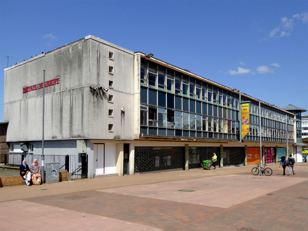
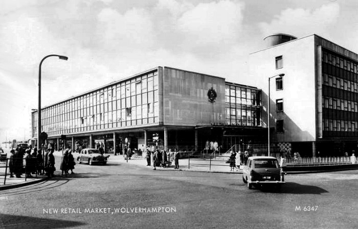
Retail Market – Late 1950s market hall and offices above.
Architects: Borough Surveyor.
Excellent example of the Festival of Britain style of architecture, won Civic Trust Award 1960.
Locally Listed March 2000.
demolished January 2017.
Photo: Roger Kidd
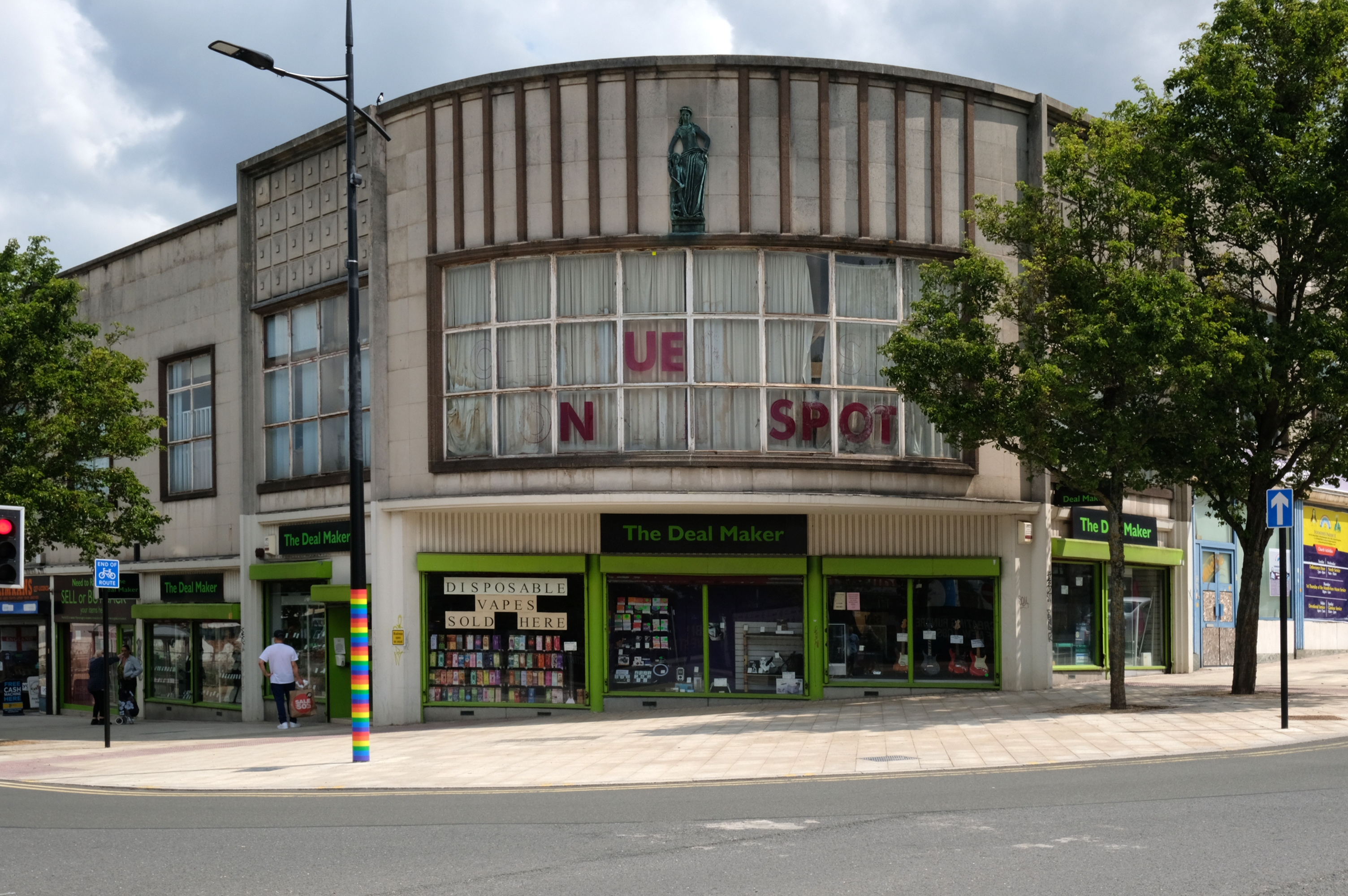
This development that wraps itself around Salop, Skinner and School Streets appears to be of a similar period to the Retail Market – and sports a Lady Wulfrun in relief.
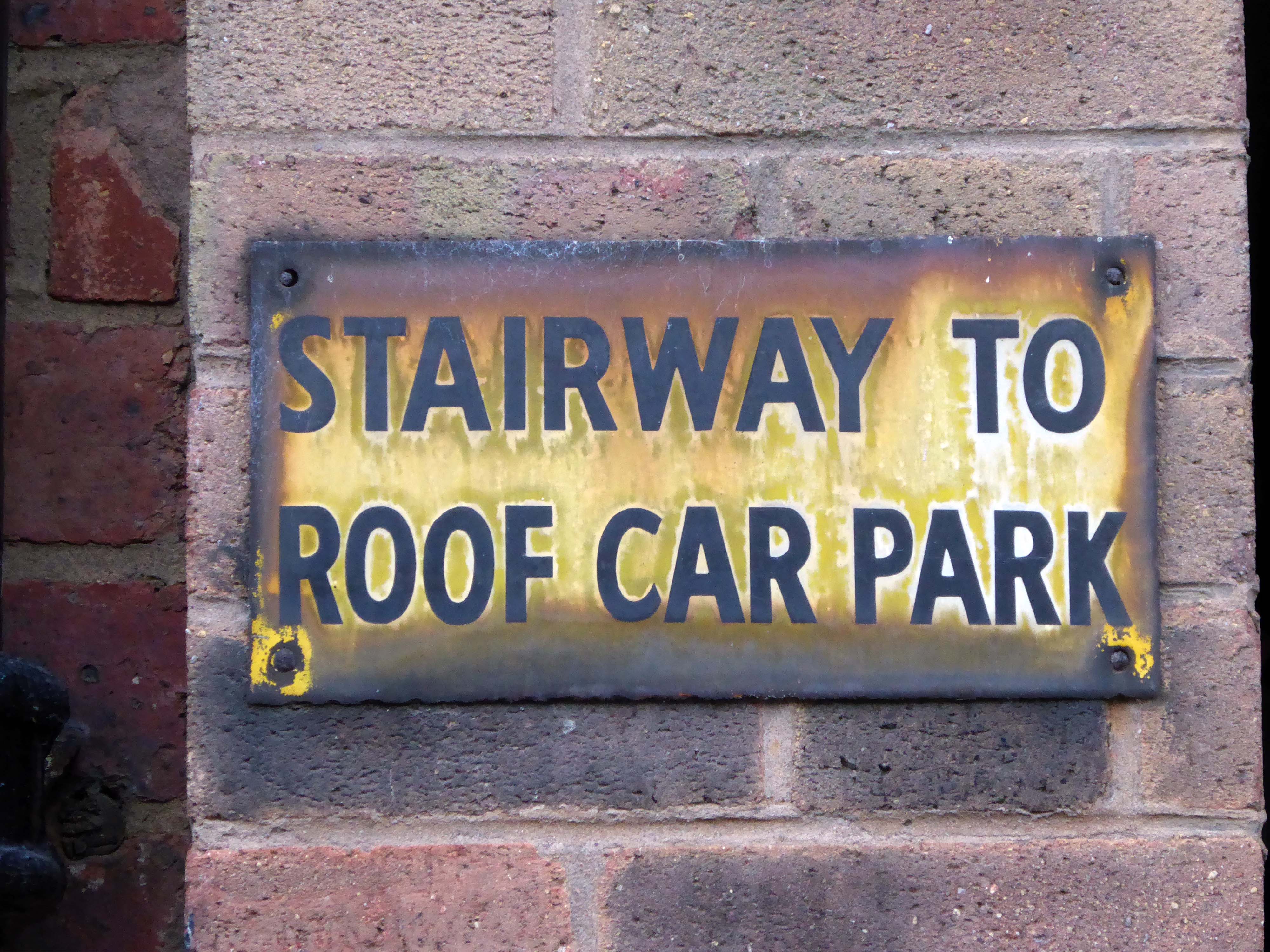
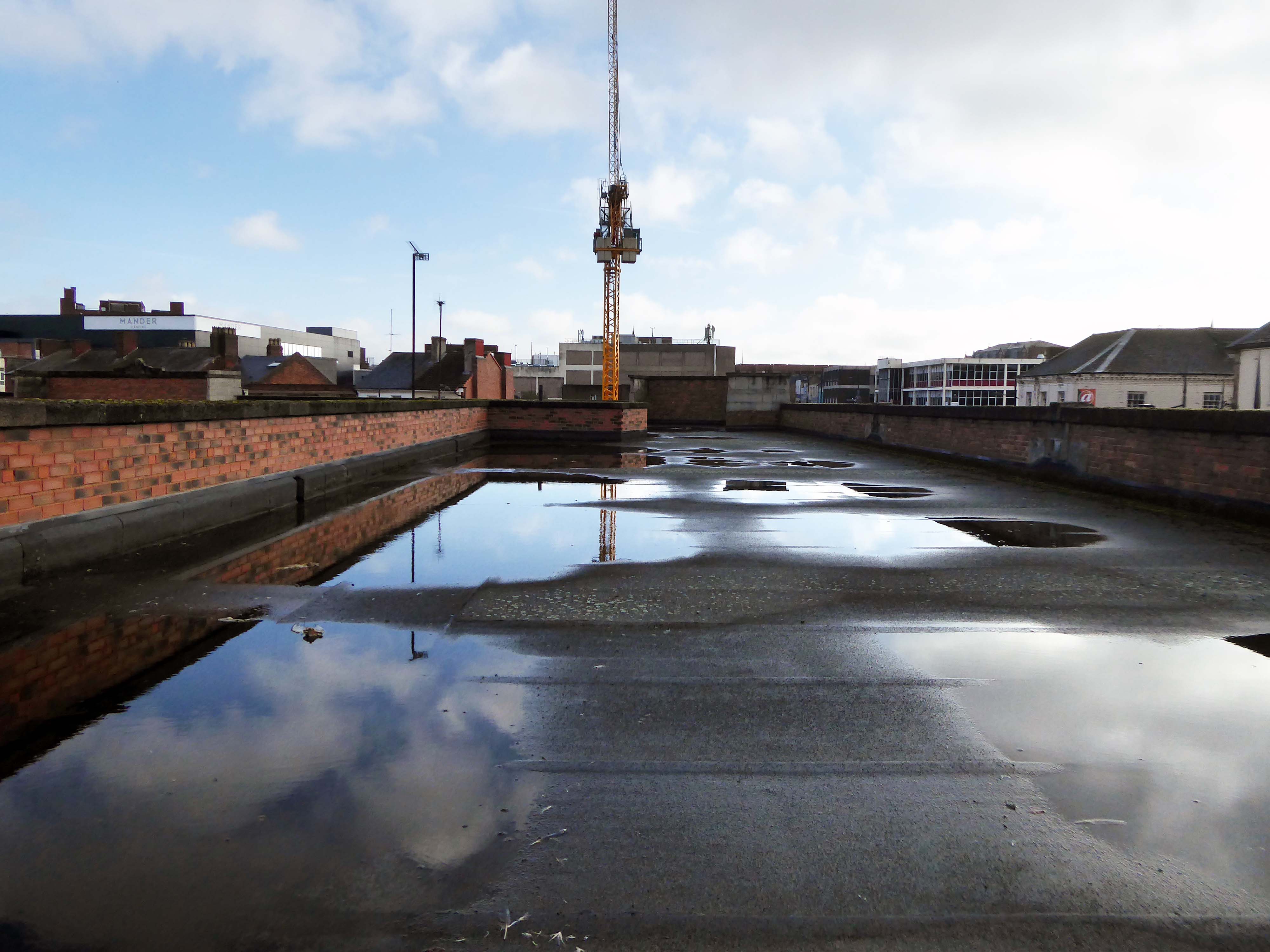
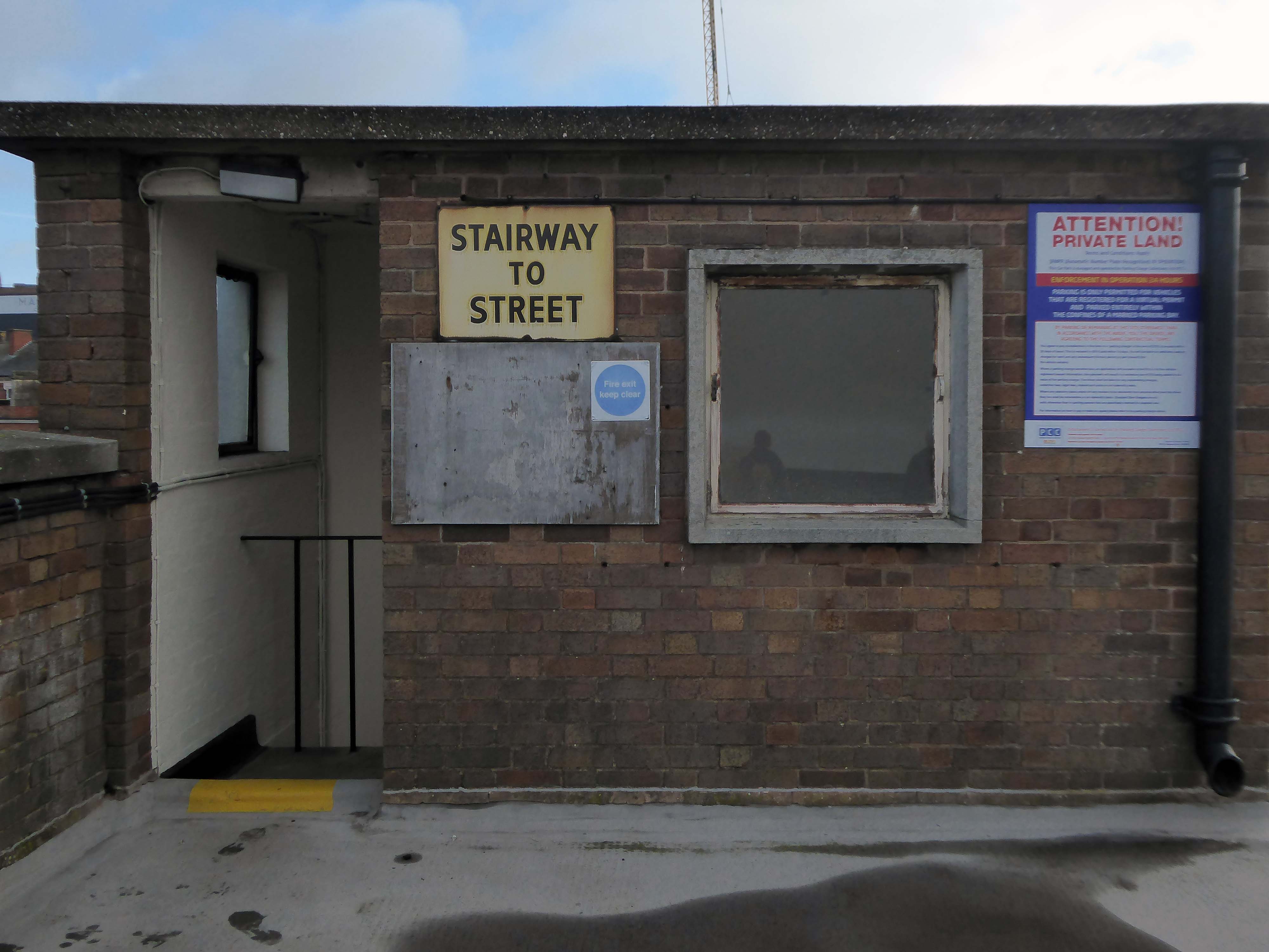
There is access to its roof top car park.
And also an exit back to street level.
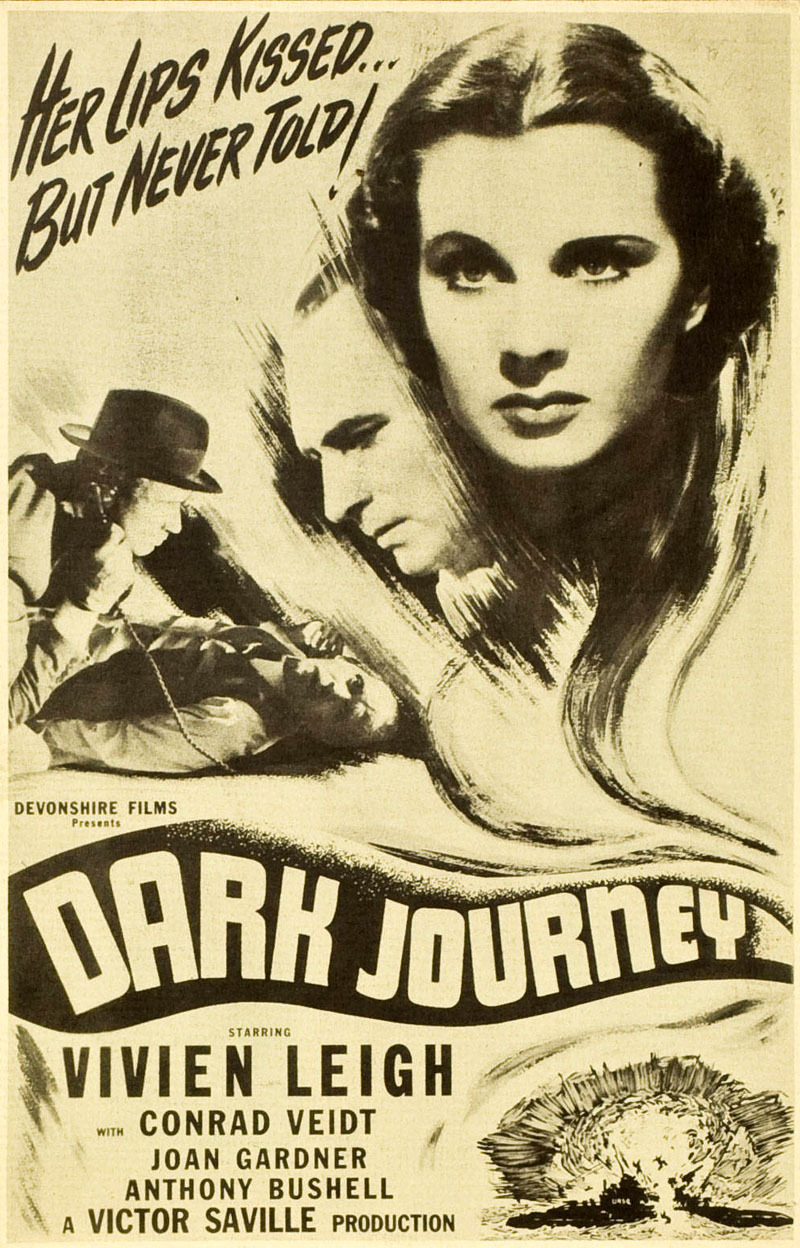
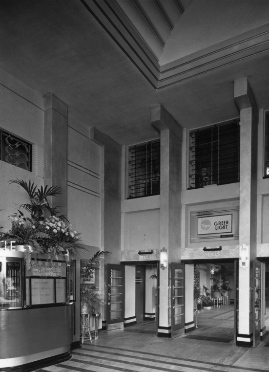
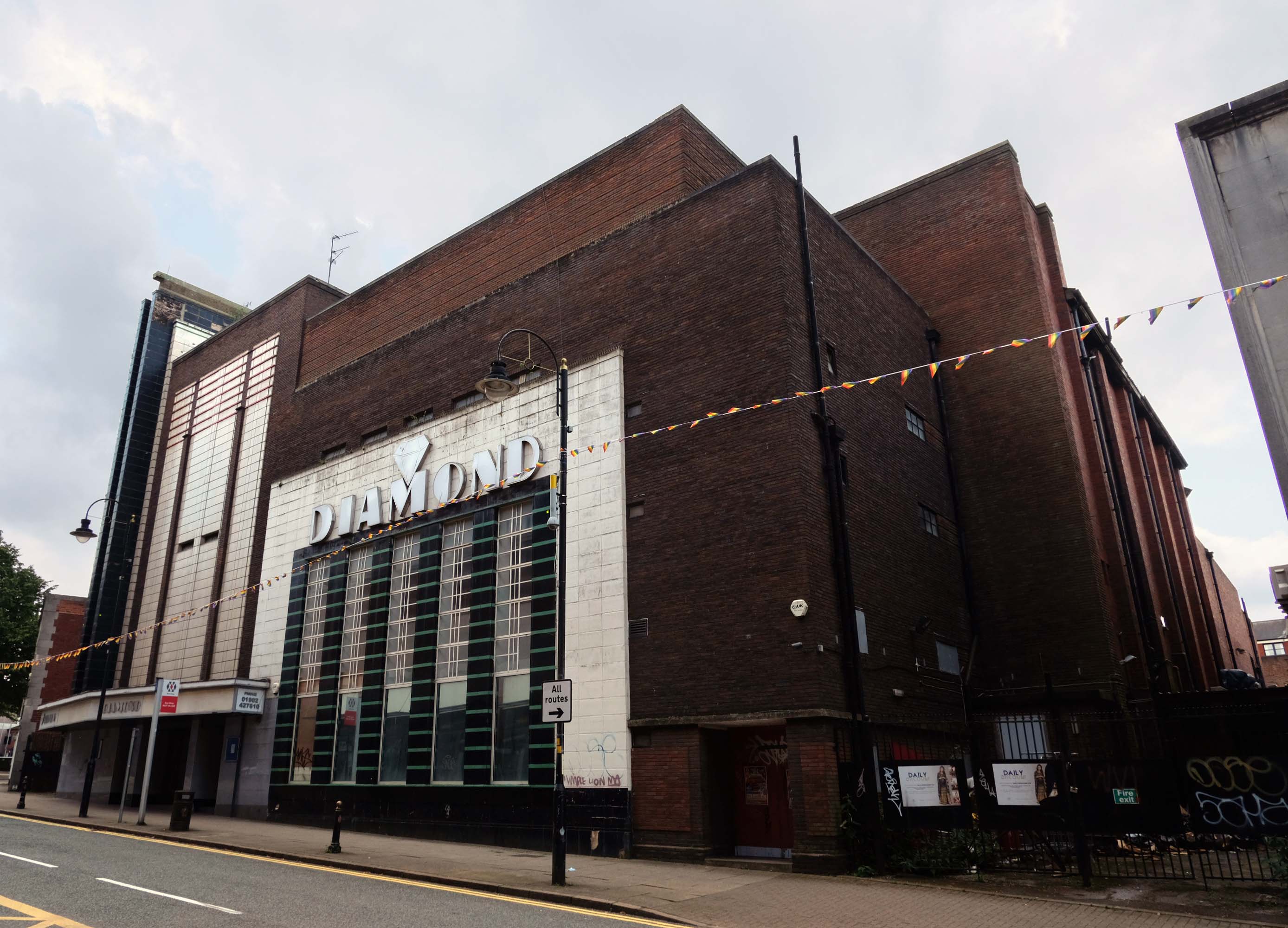
Where we find at street level the former Odeon Cinema, opened on 11th September 1937 with Conrad Veidt in Dark Journey.
In October 2000, the former Odeon was designated a Grade II Listed building by English Heritage.
RIBA pix
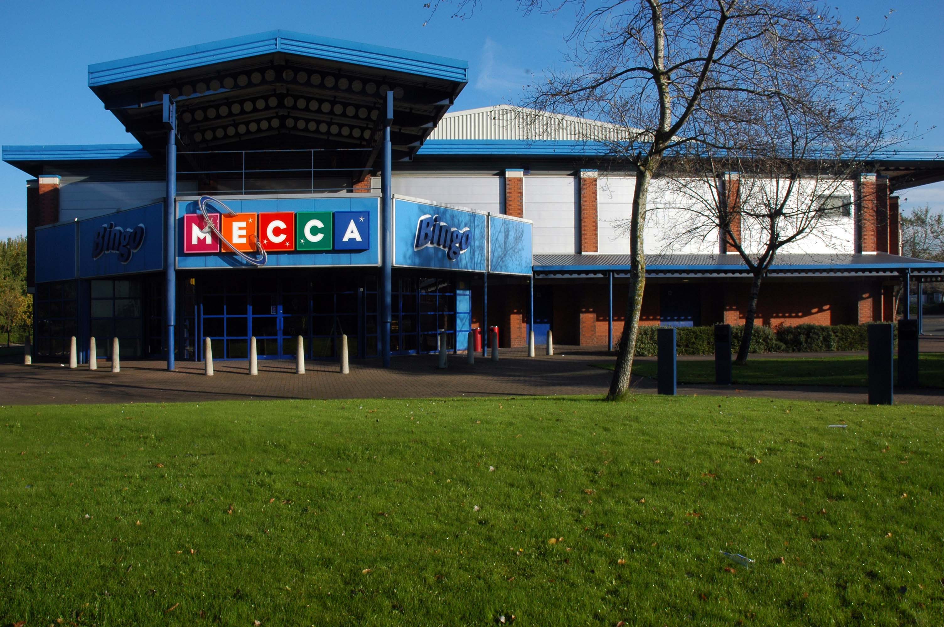
In recent years it was a Mecca Bingo Club, but this was closed in March 2007 In October 2009, it had been refurbished and re-opened as the Diamond Banqueting Suite. In April 2021 police raided the vacant building to discover an illegal cannabis farm operating in the building.
Four men were arrested.
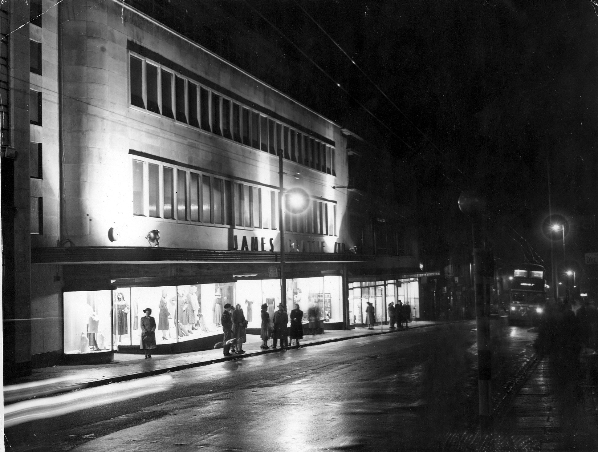
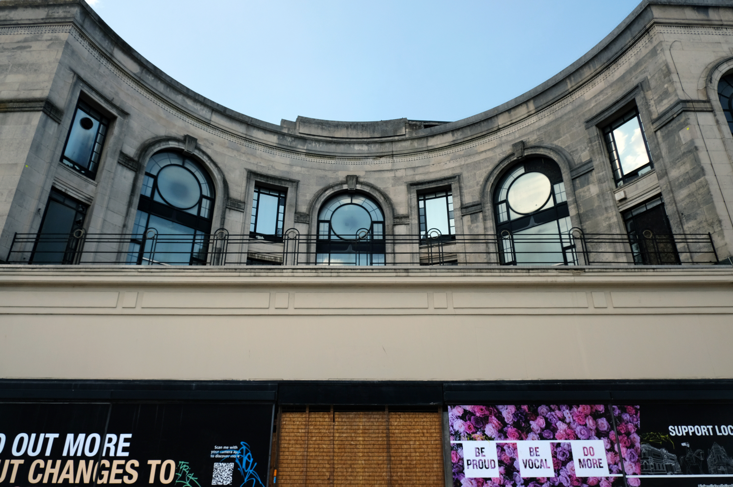
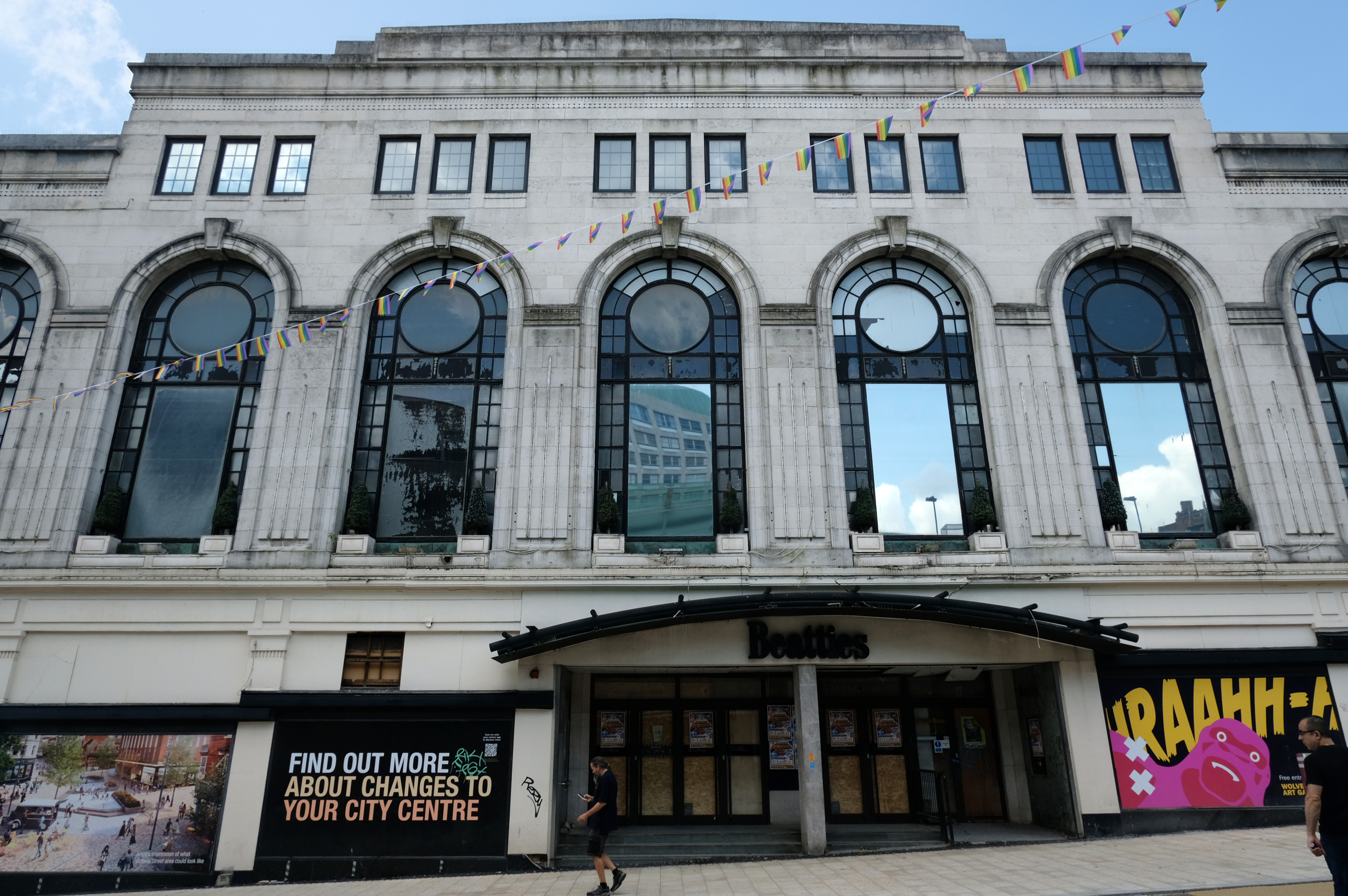
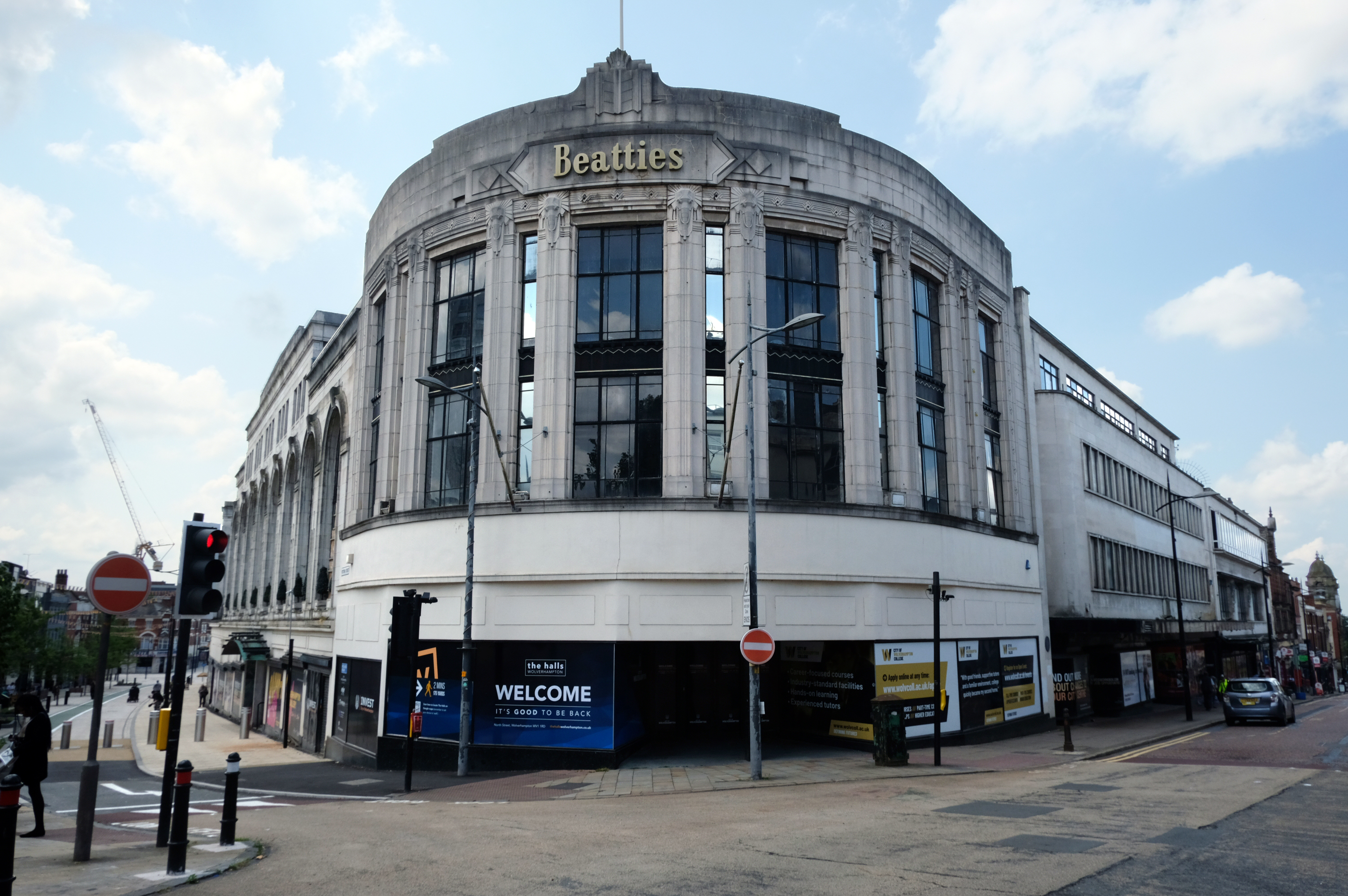
Let’s take a turn around the corner to Victoria Street where we find the complex of Beatties Buildings.
Architects: Lavender, Twentyman and Percy 1920’s – 30’s
The C20 Beatties store is a multi-period site developed first in the 1920s-30s. A Burton’s men’s clothes shop was built on a curved corner site at Victoria St/Darlington St and Beatties themselves replaced their existing Victoria St store in the 1930s with a building by local architects Lavender, Twentyman and Percy. Beatties later acquired and incorporated the Burton’s shop into their store. These two buildings form the locally listed building to which were added a mid-C20 extension along Darlington St and a late-C20 development to the rear at Skinner St.
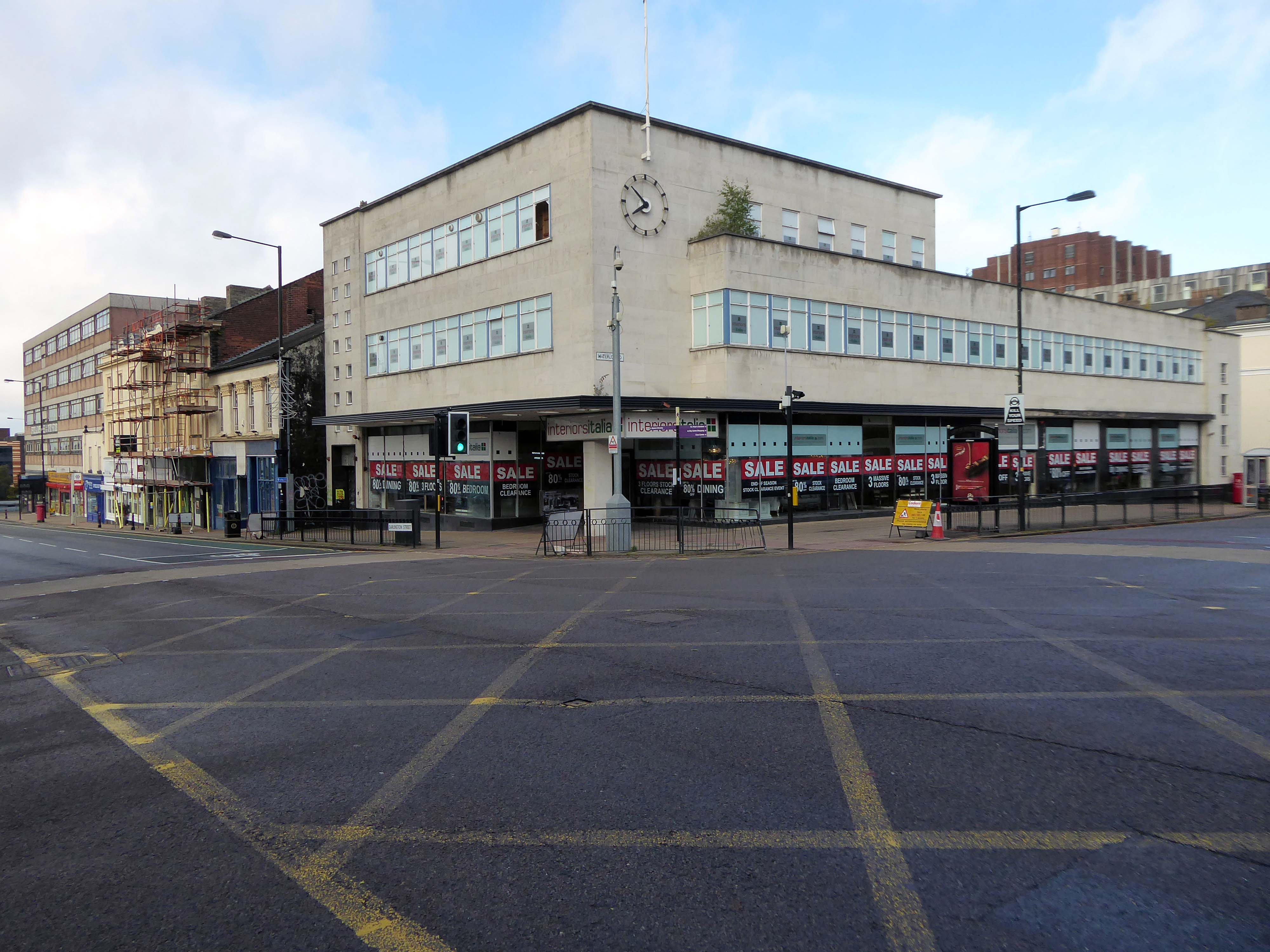
An imperious Portland stone clad mixed us block on Waterloo Road, with a delightful clock.
Formerly the Gas Showrooms then SunAlliance & LondonInsurance offices – aka Clock Chambers
The showroom in Darlington Street was also the centre of a radio network that controlled a fleet of service vans. This enabled customers to receive service within minutes of making a telephone call. Demonstrations of cookery, washing and refrigeration were given by the Gas Board’s Home Service Advisers and a number of the company’s engineers, who specialised in designing gas equipment for industrial processes operated an advisory service for manufacturers.
Architects: Richard Twentyman 1939.
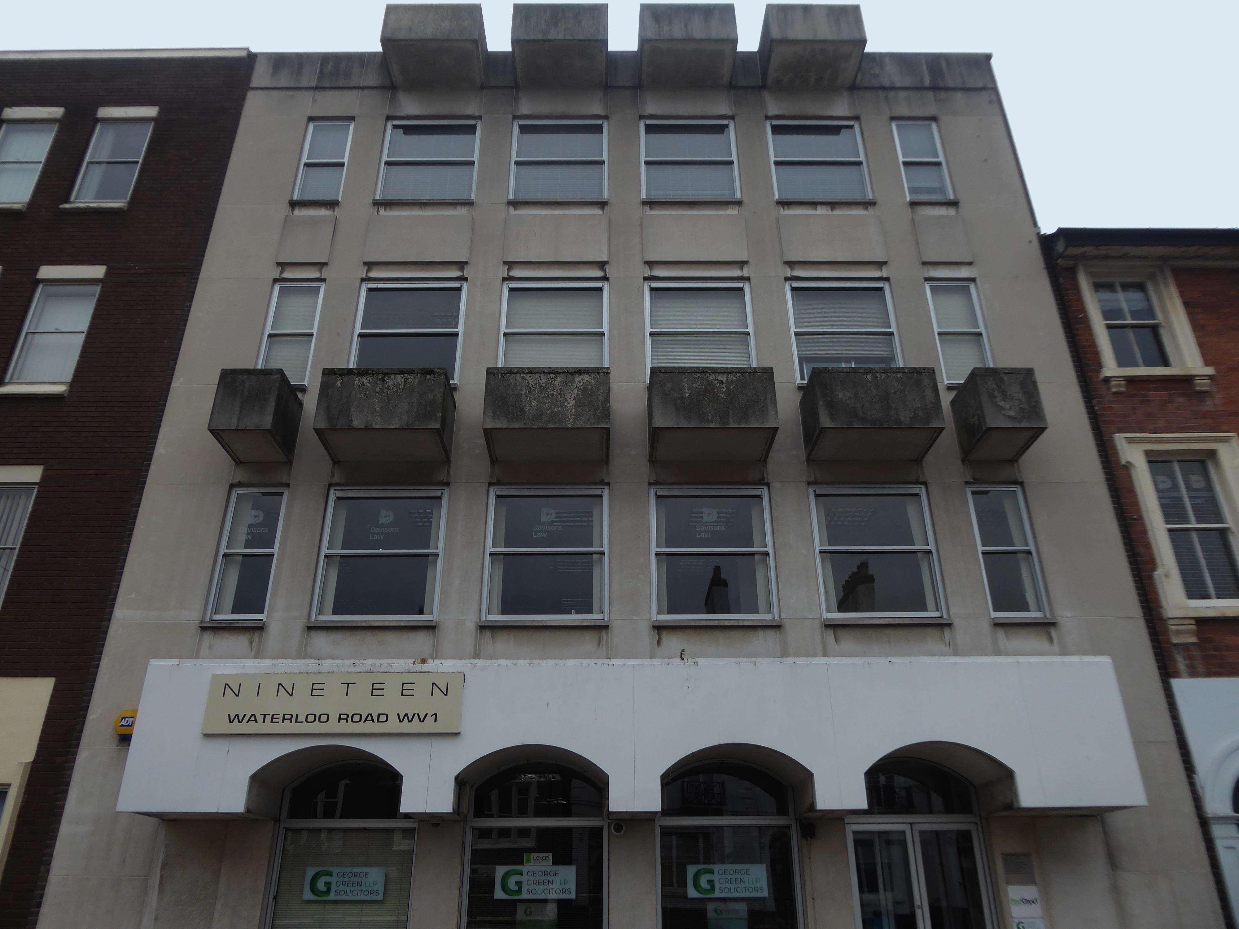
Nineteen Waterloo Road latterly First City House formerly home to Eagle Star Insurance 1970
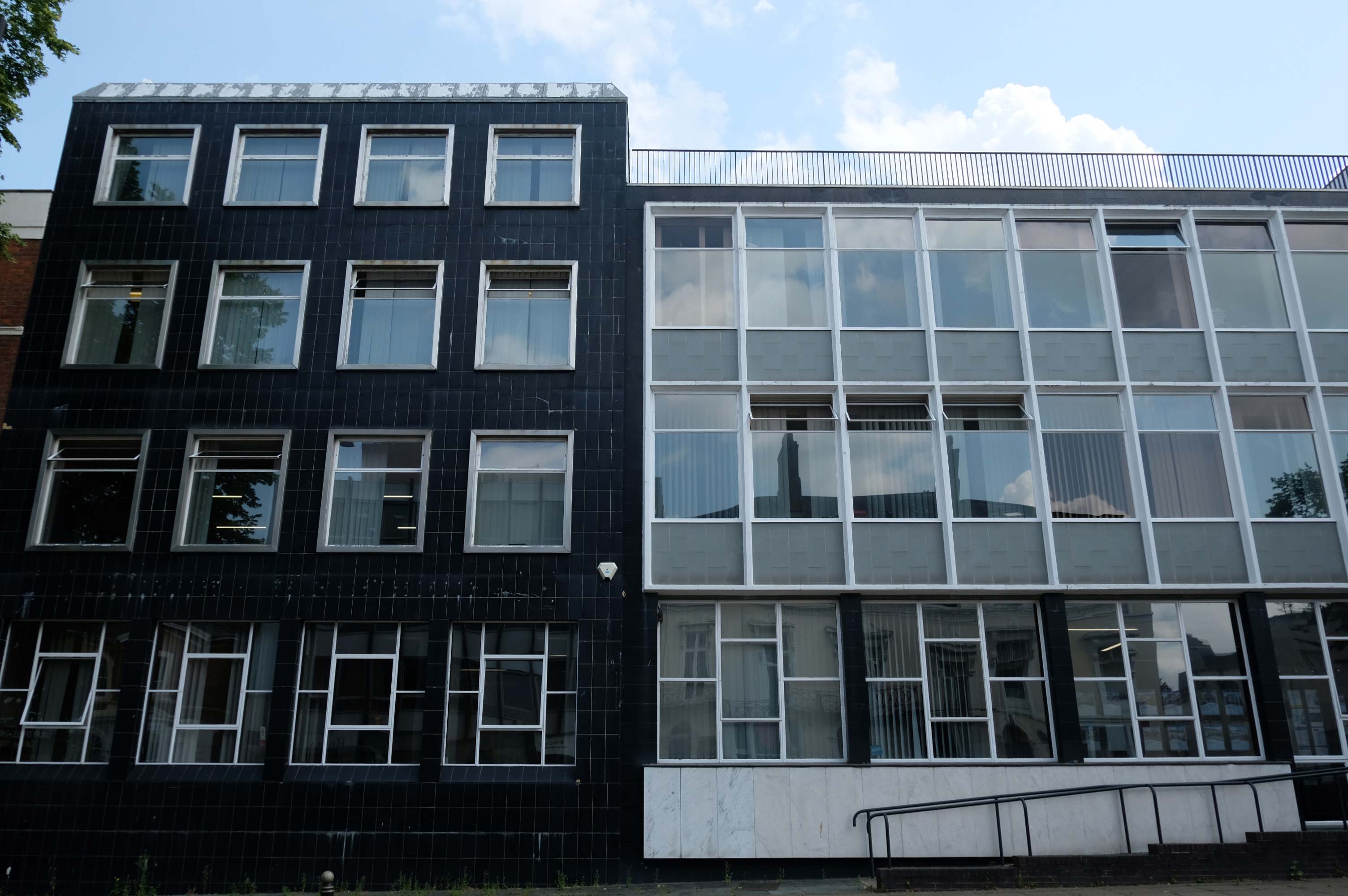
8-10 Waterloo Road architects: Richard Twentyman 1959 extended 1966.
I caught the 51 Bus from the Bus Exchange – and the ever so helpful fellow passengers put me off at the right stop.
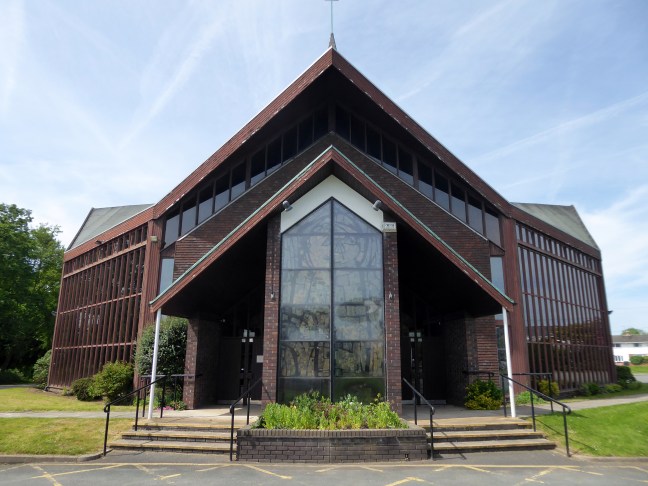
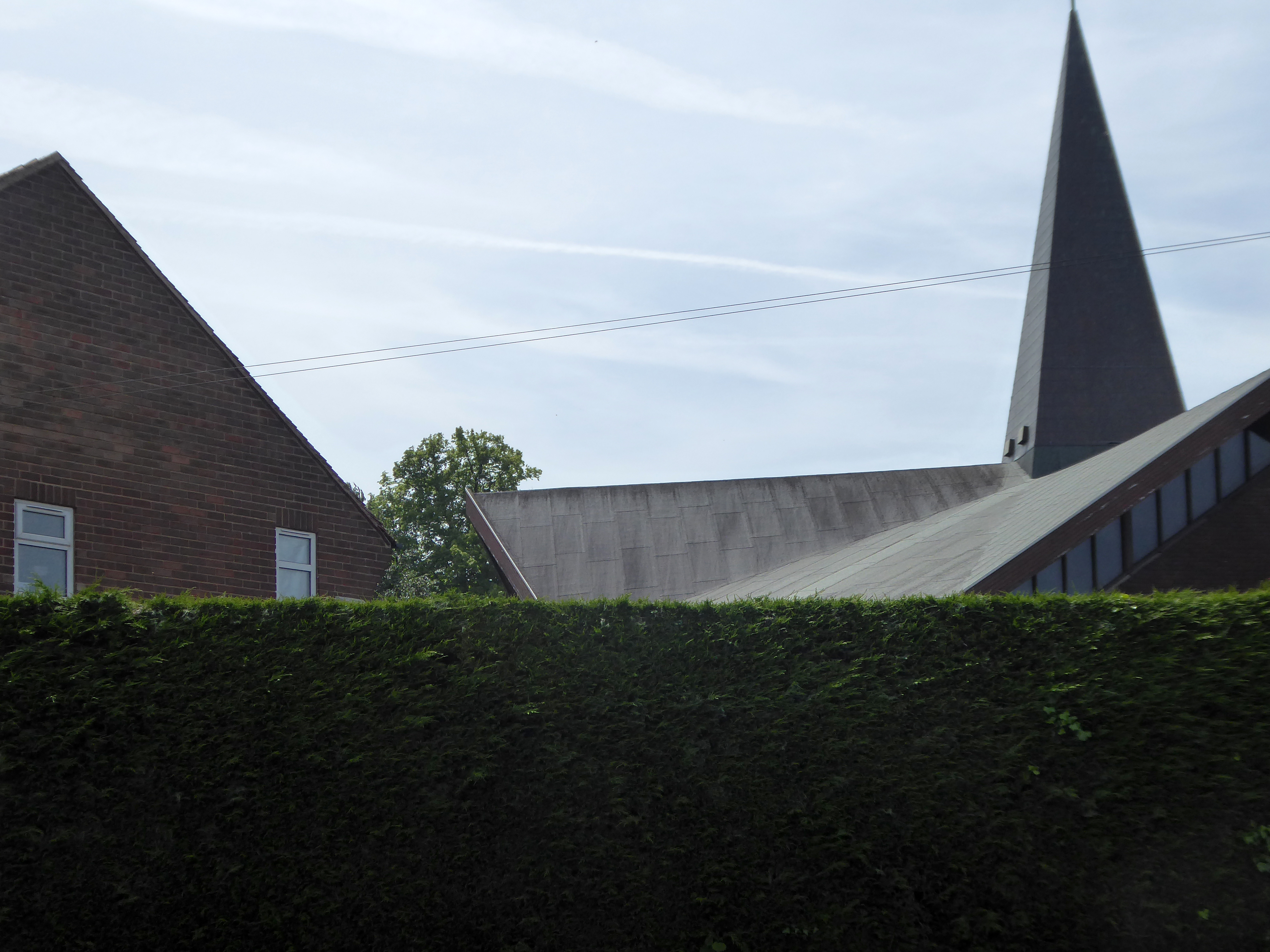
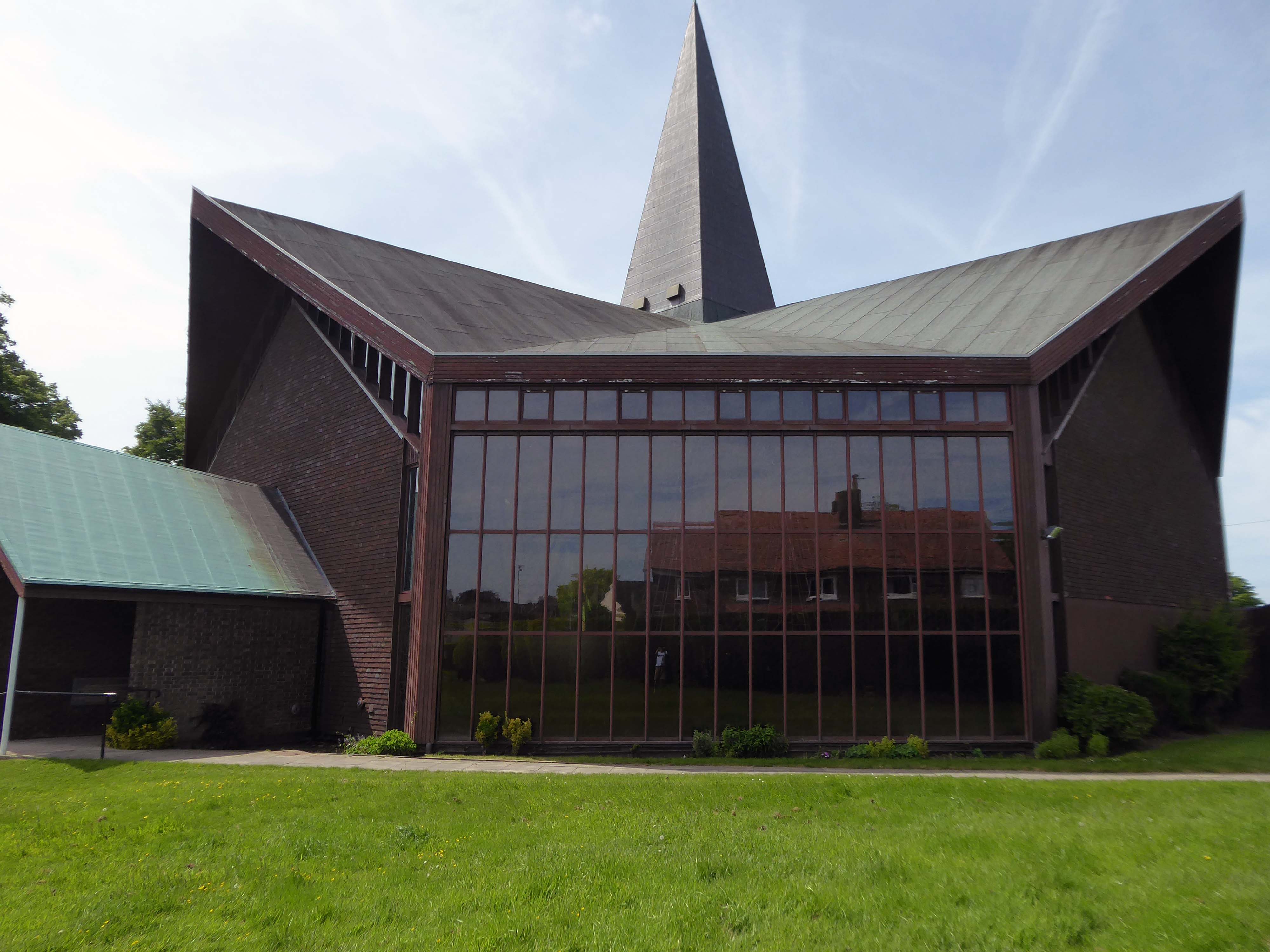
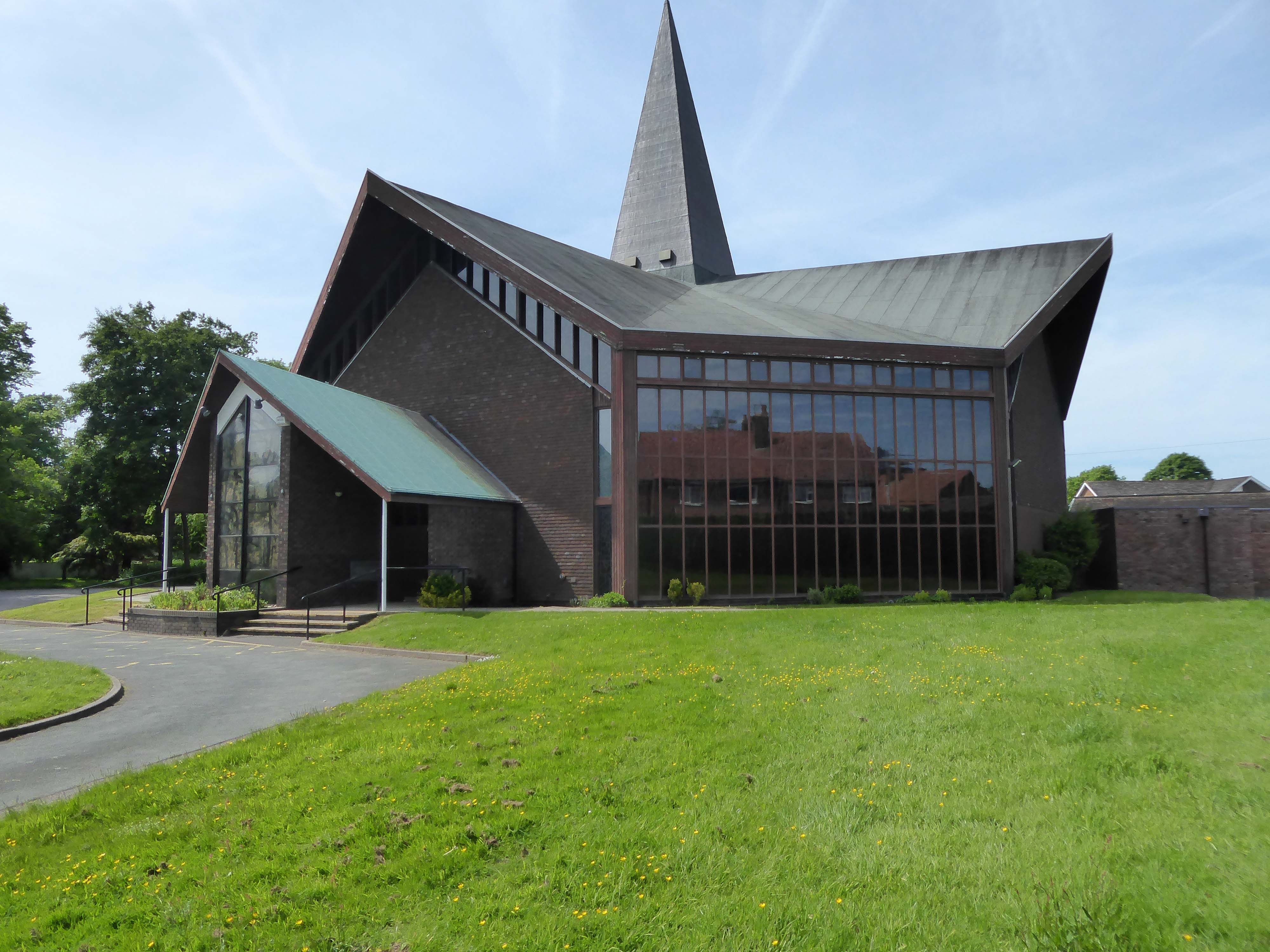
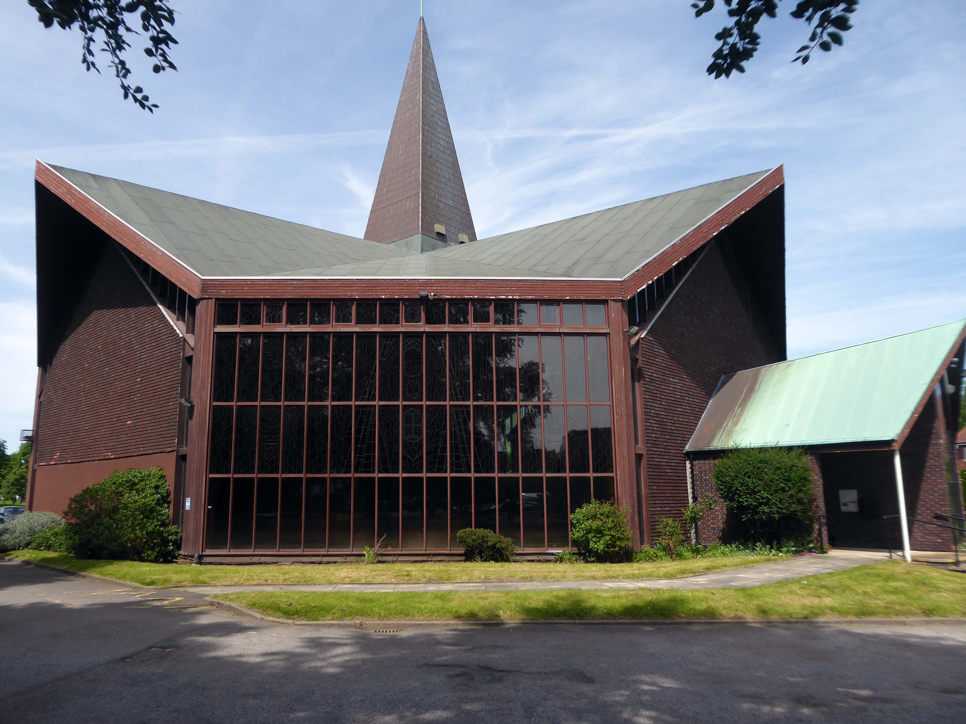
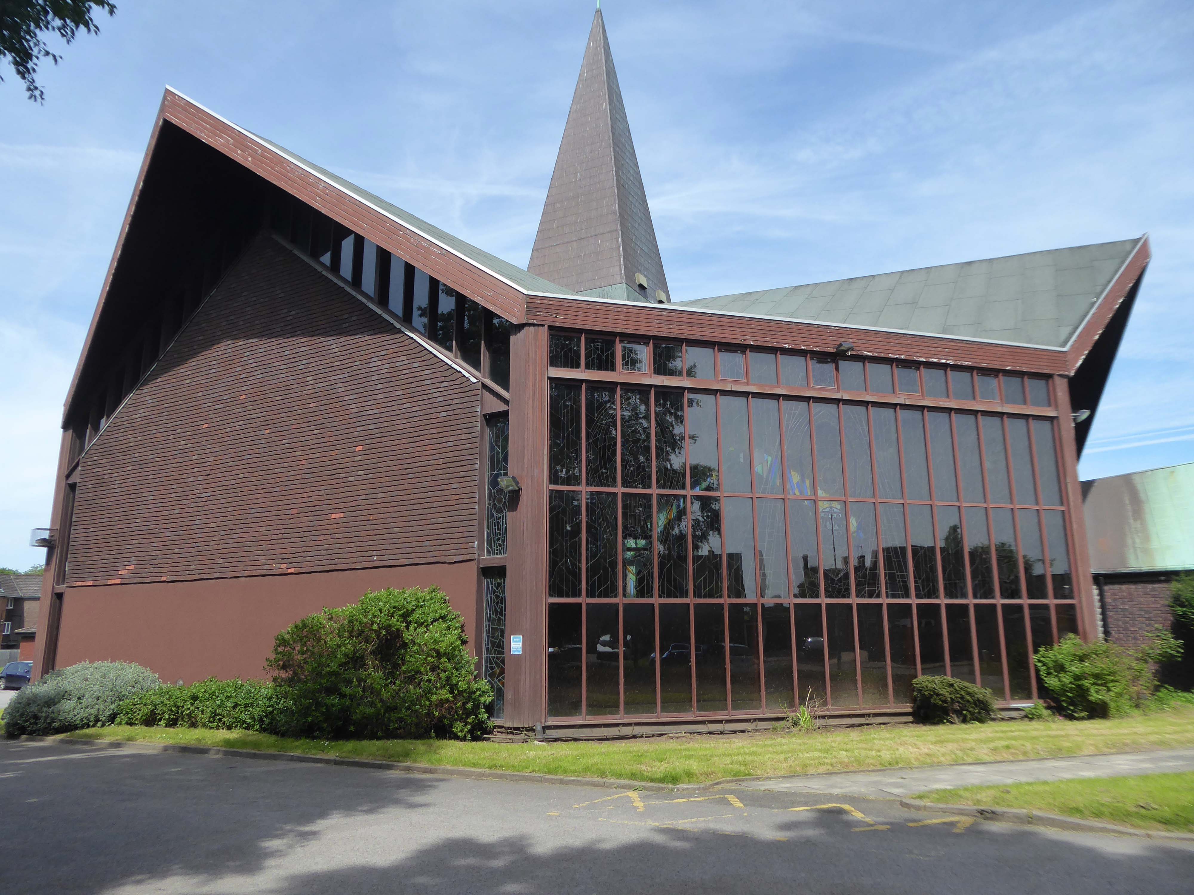
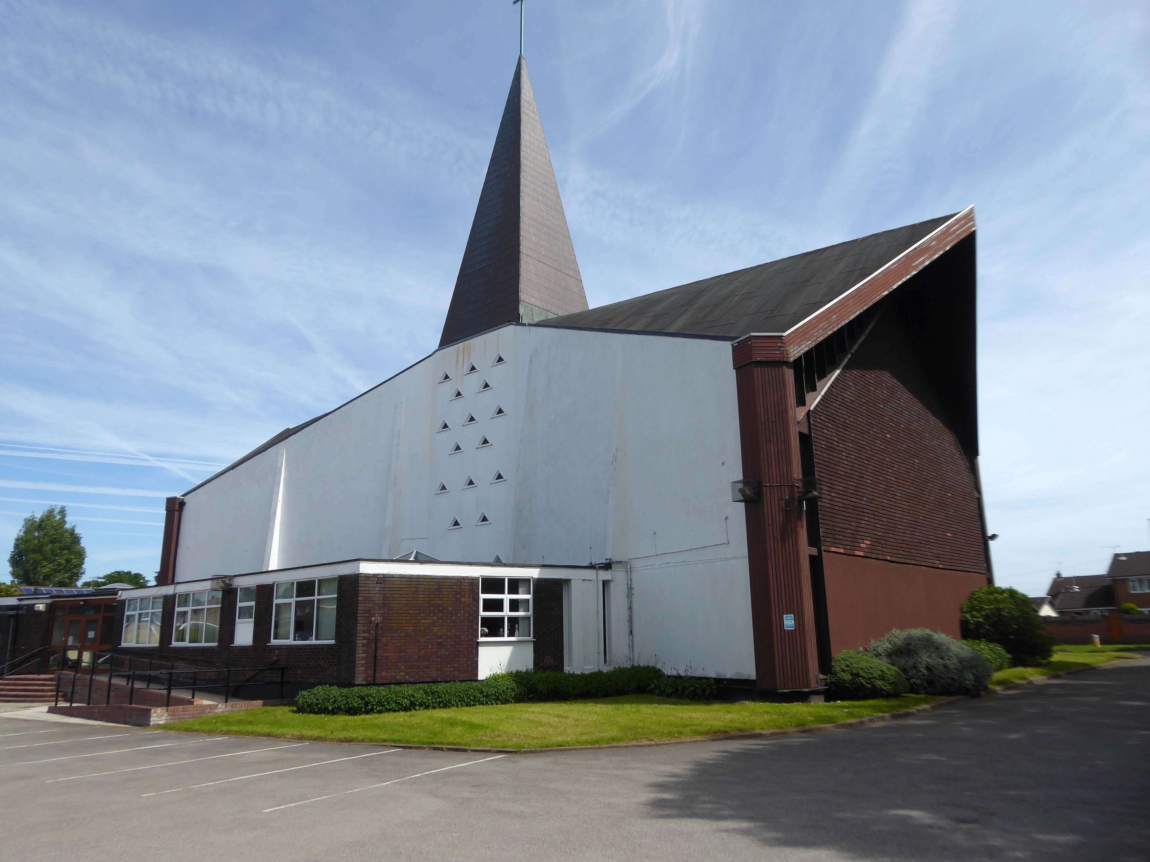
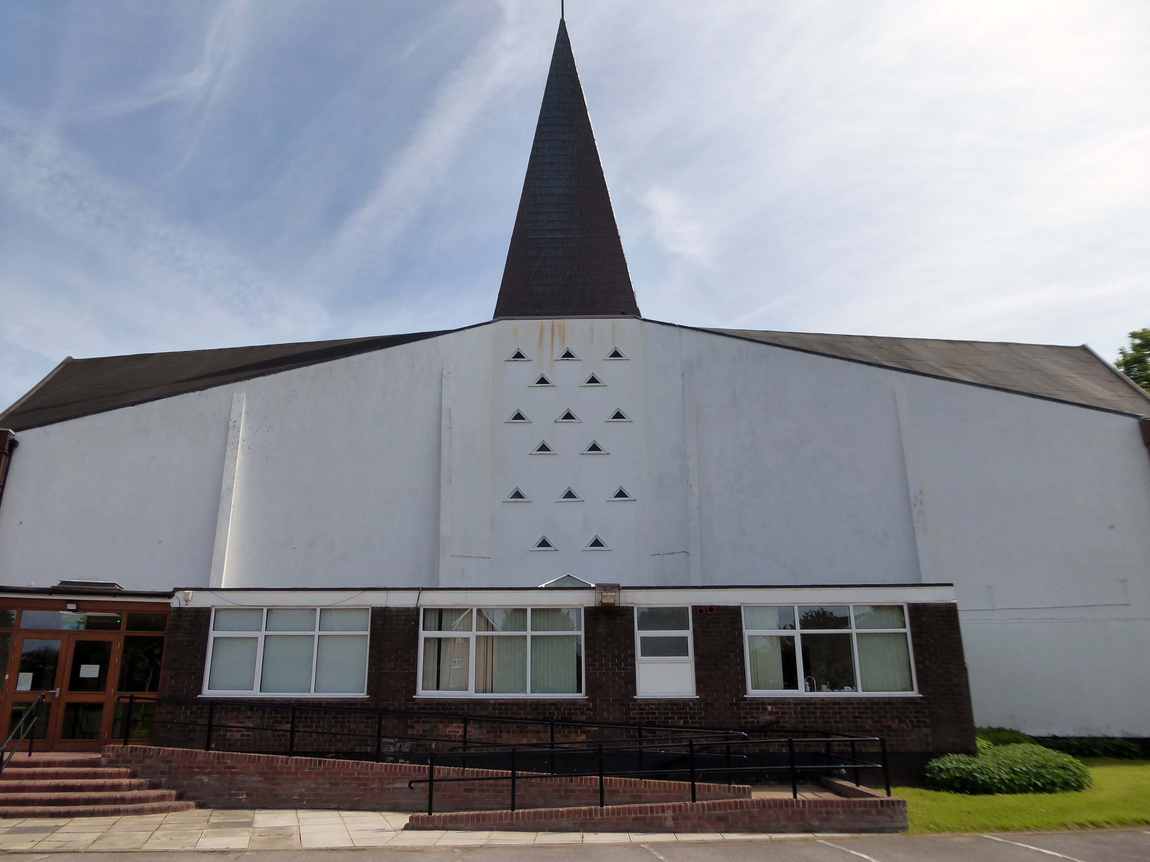
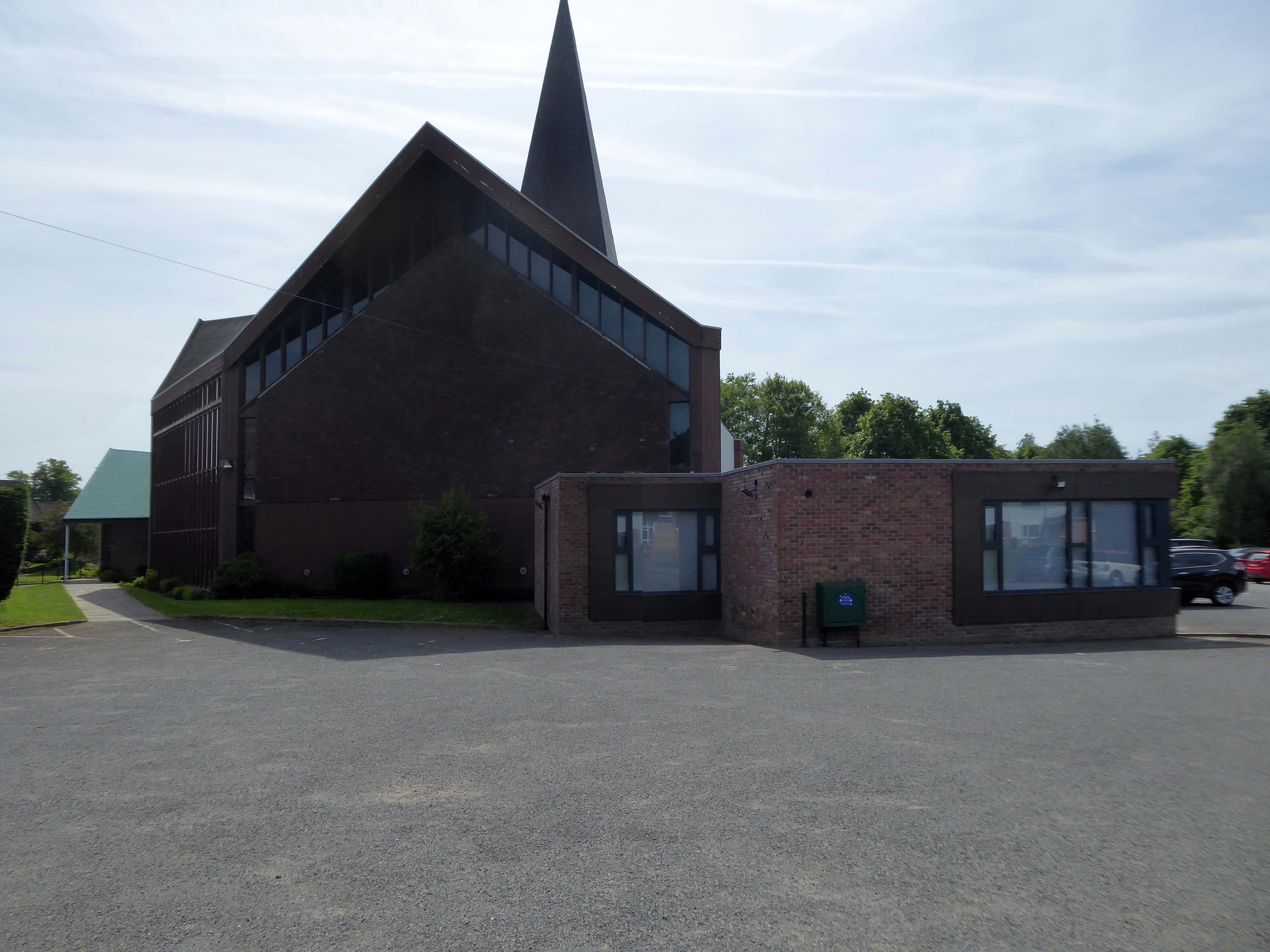
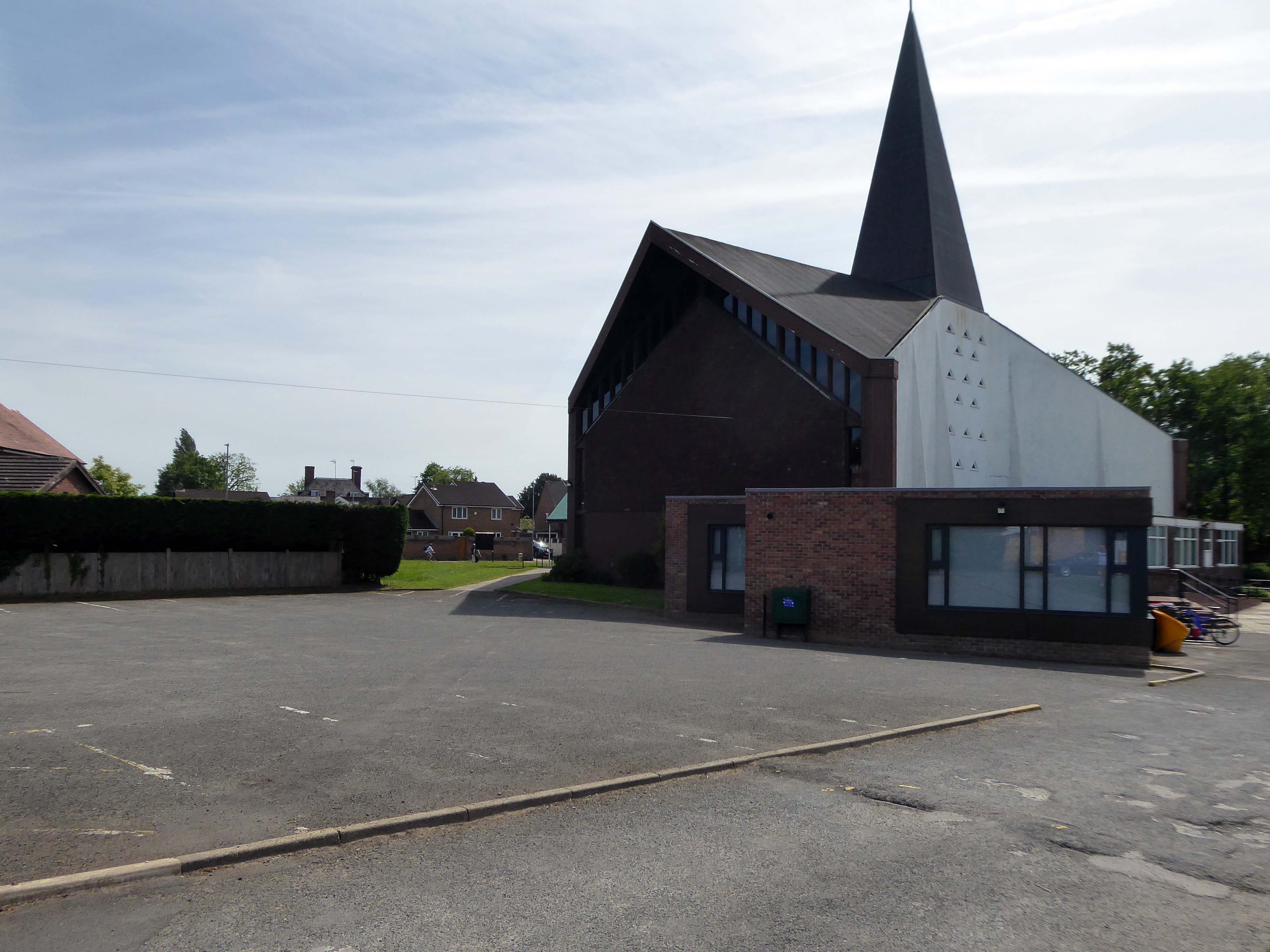
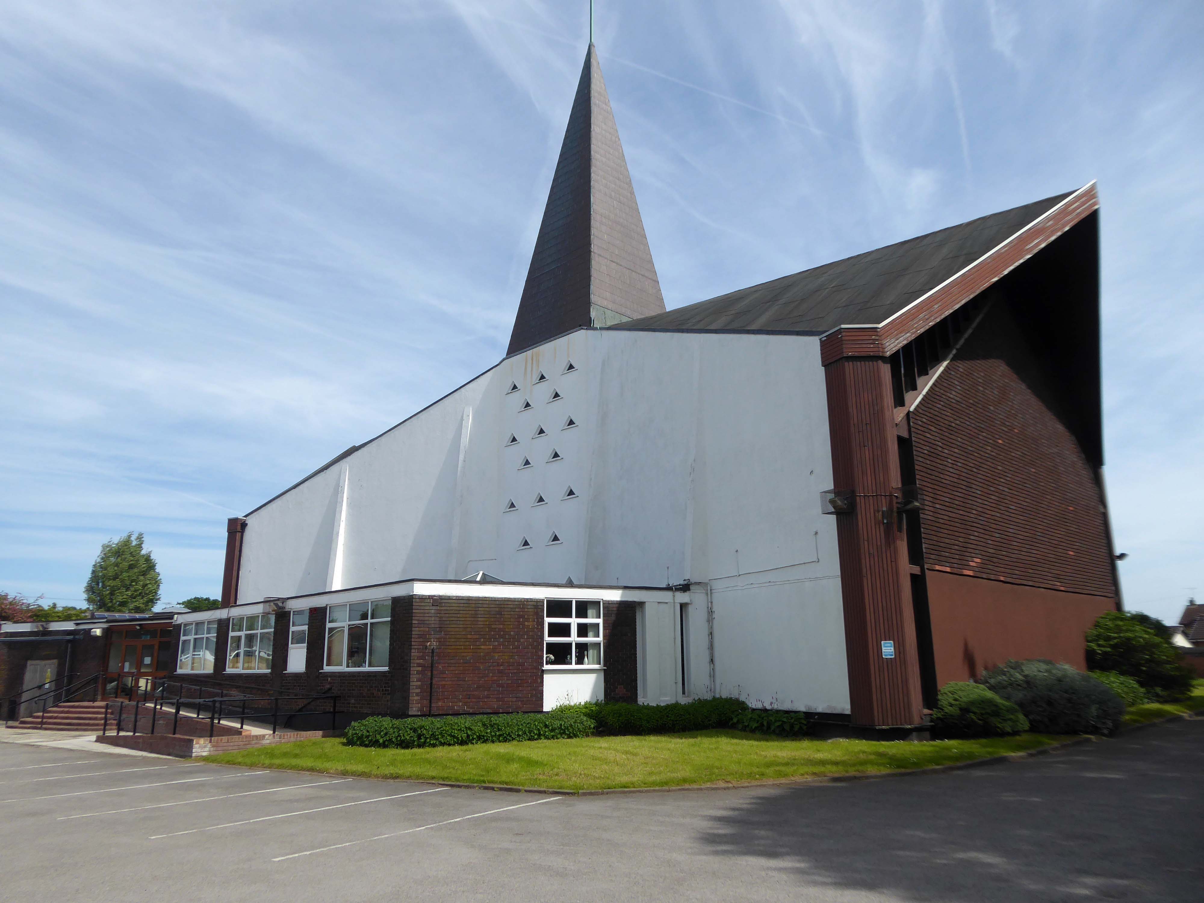
The church is set back from the road and sands in substantial grounds – visible through the surrounding houses.
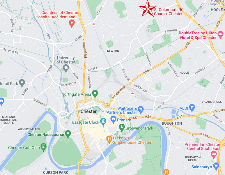
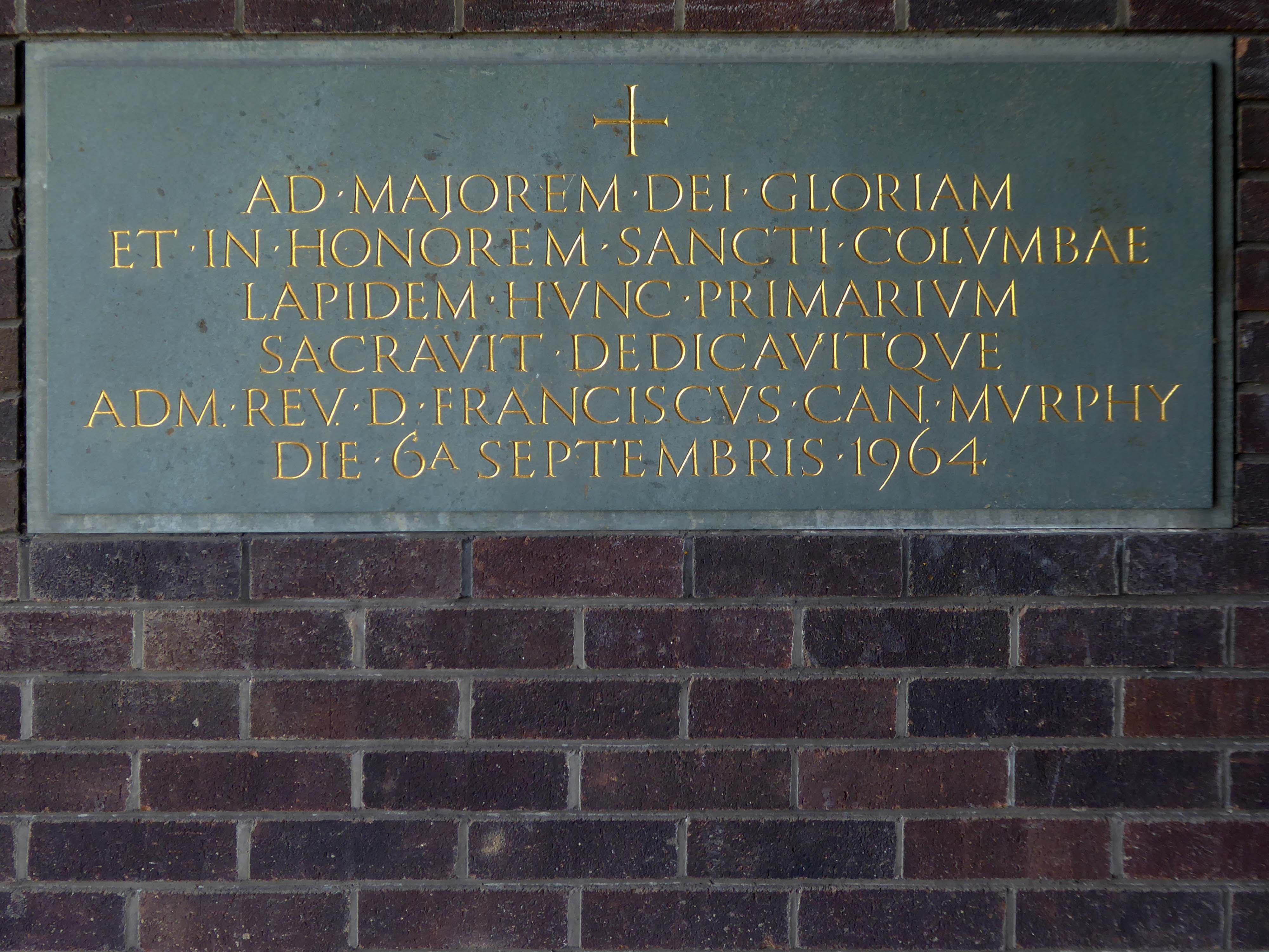
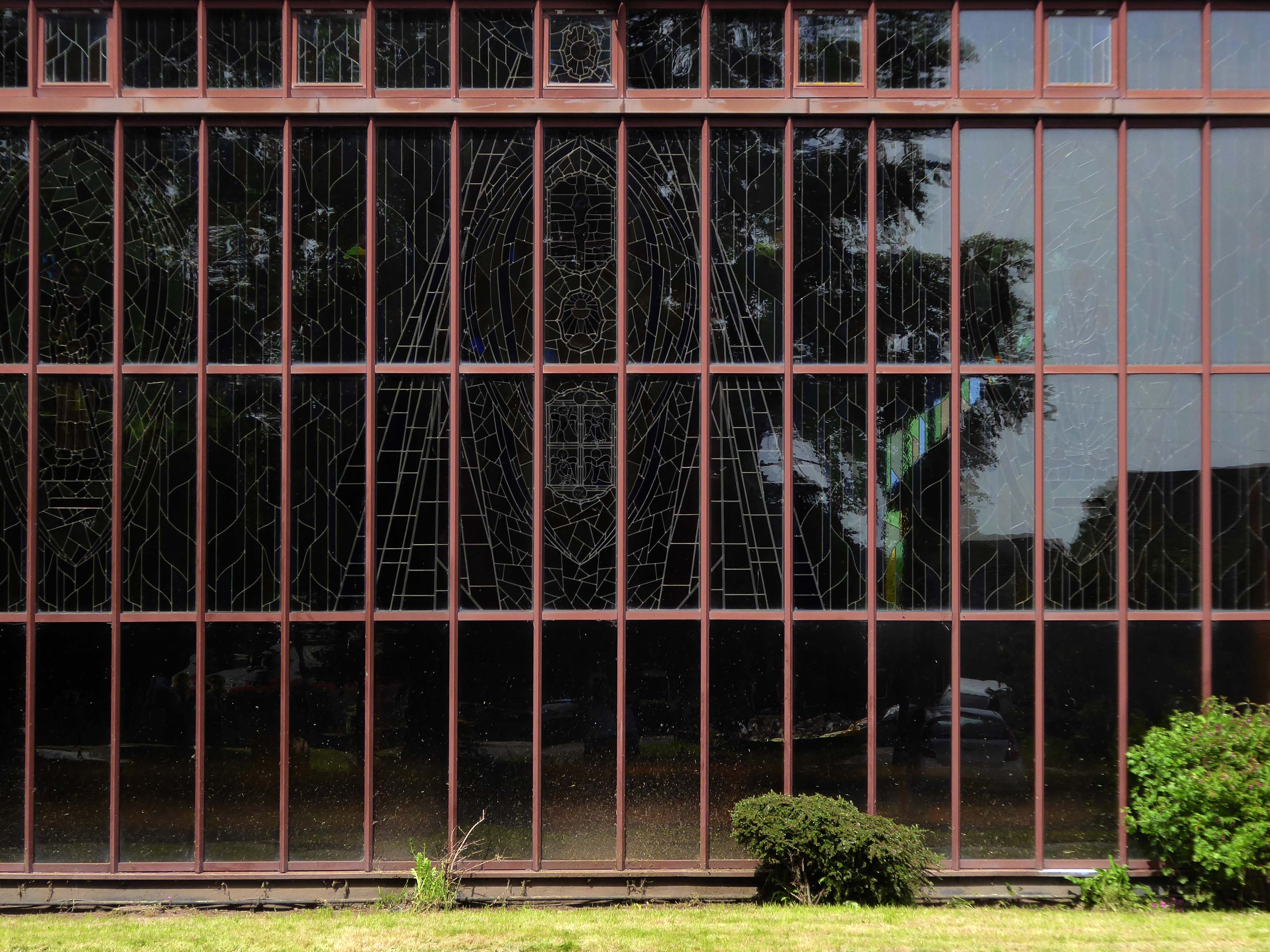
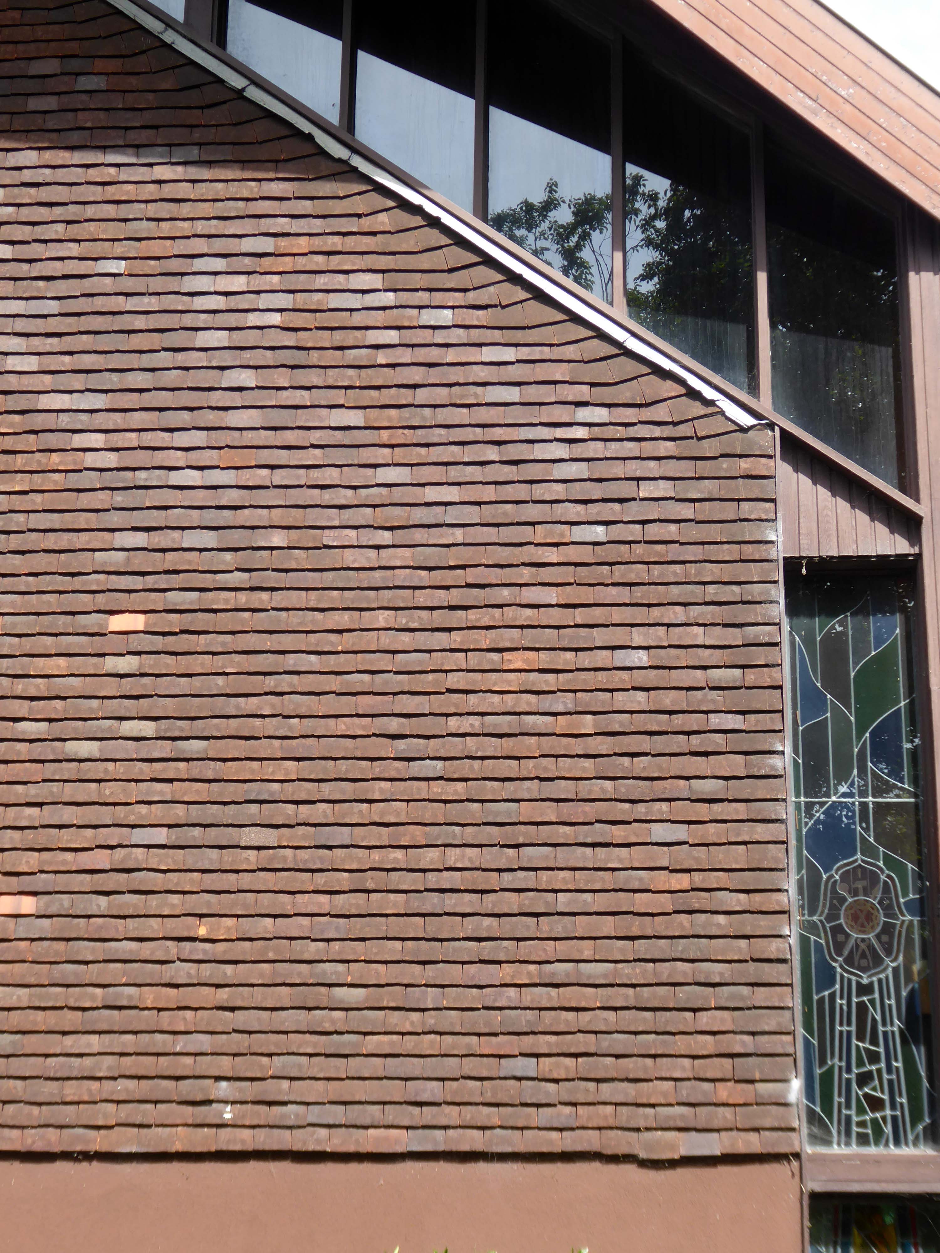
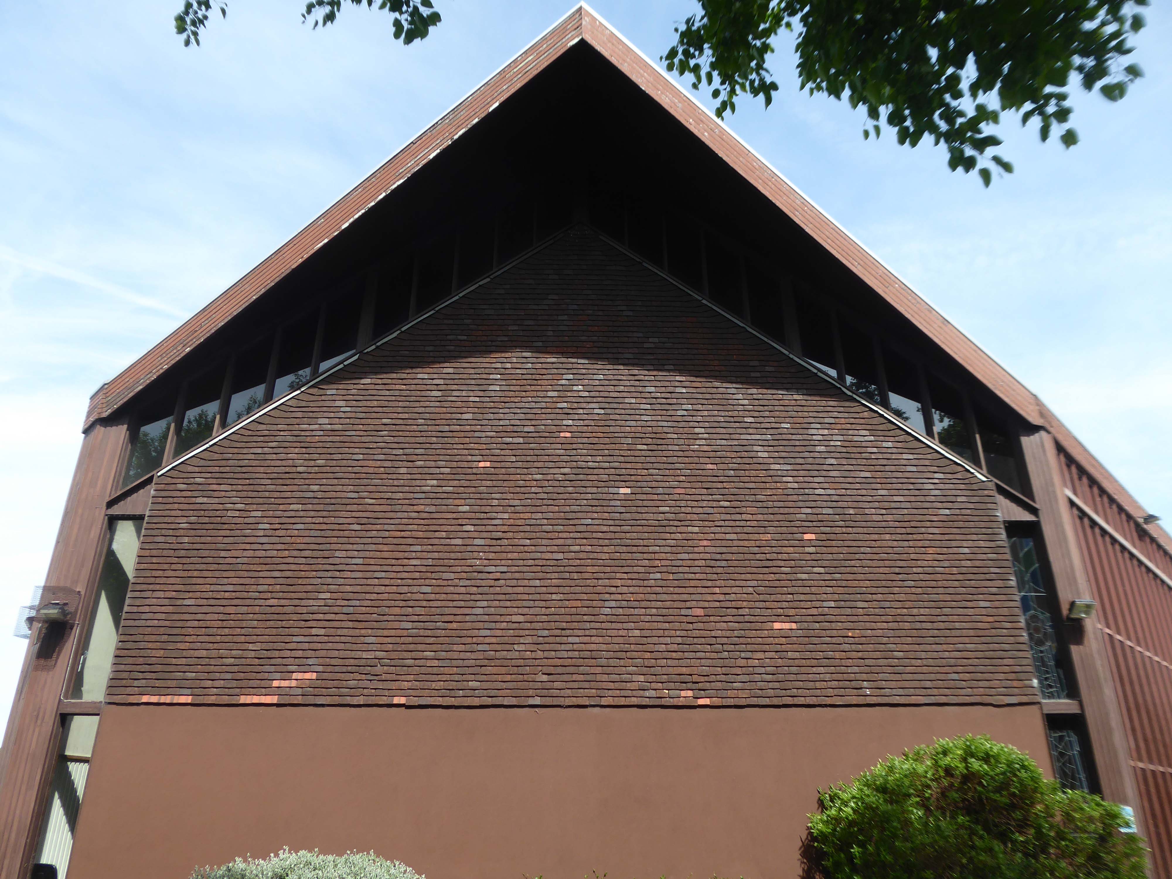
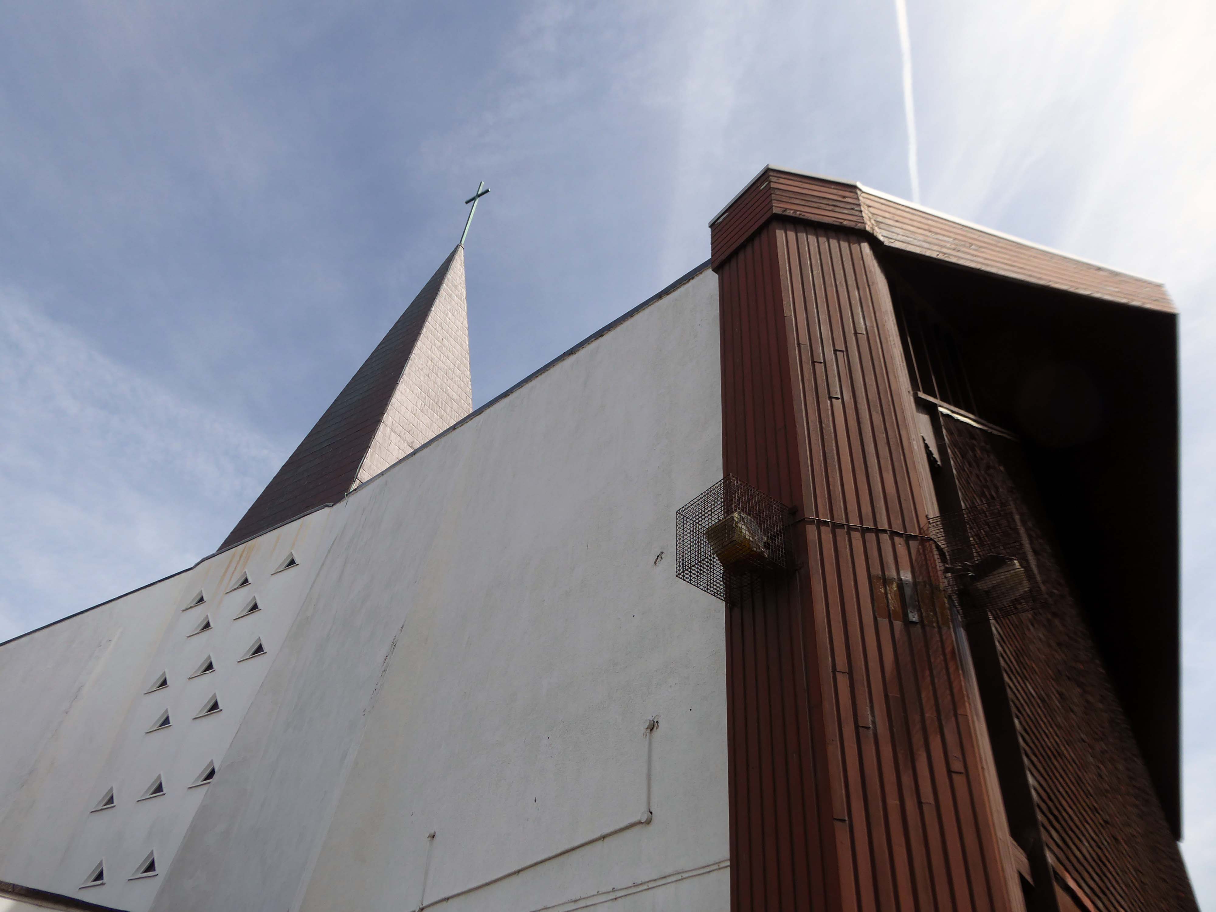
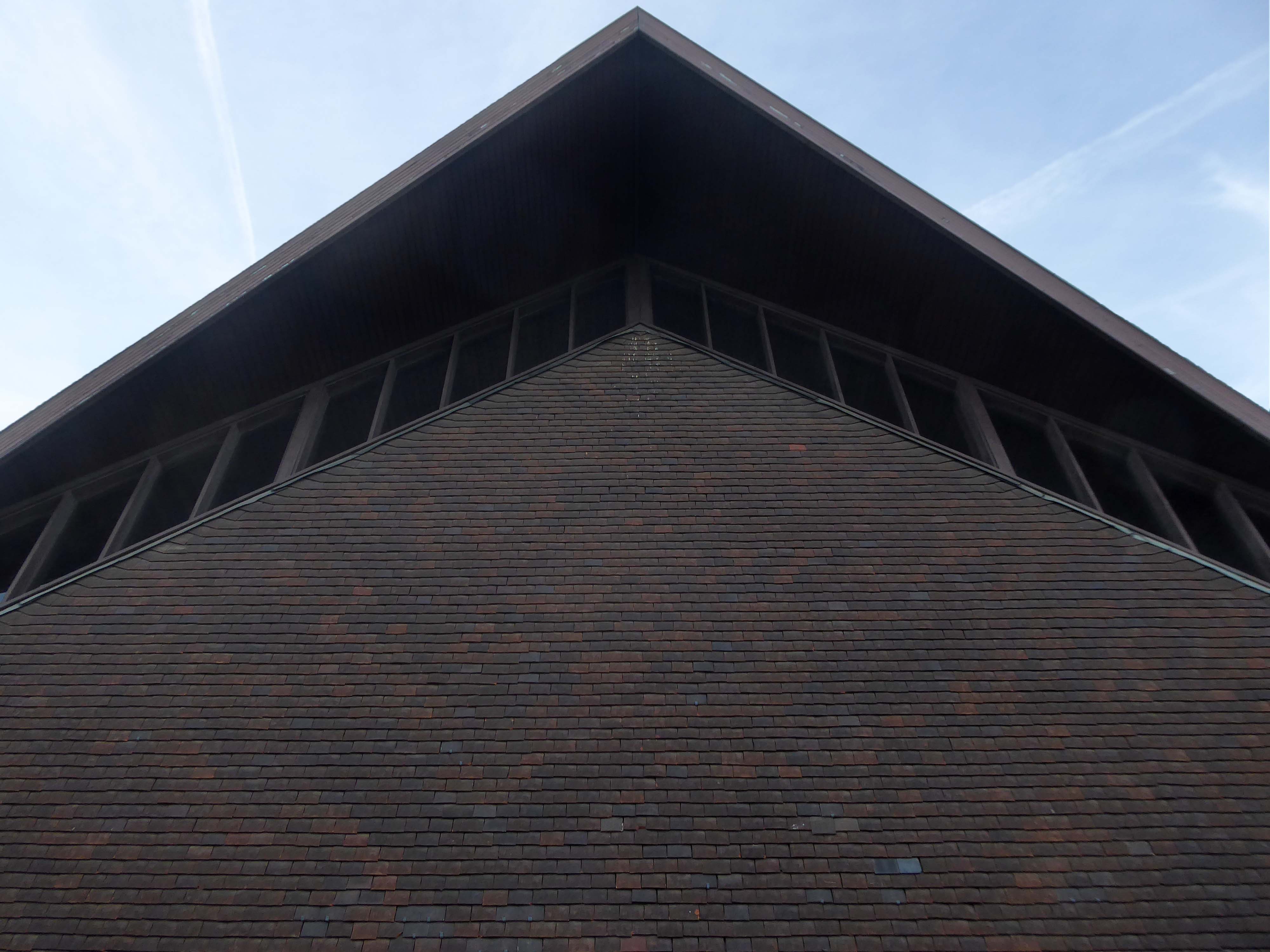
A large site at the corner of Plas Newton Lane and Newhall Road was acquired, and a new church designed by the architects LAG Prichard, Son & Partners. The design embodied the ideals of Vatican II, with no seating more than fifty feet from the altar. It was designed for 675 people. The foundation stone was laid in September 1964 by Canon Murphy, and the 115 ft spire lowered into position in December 1964. The first Mass was on 19 December 1965, and the church was officially opened in 1966 by Bishop Grasar. St Columba was the third new Catholic church to be built in Chester after the Second World War.
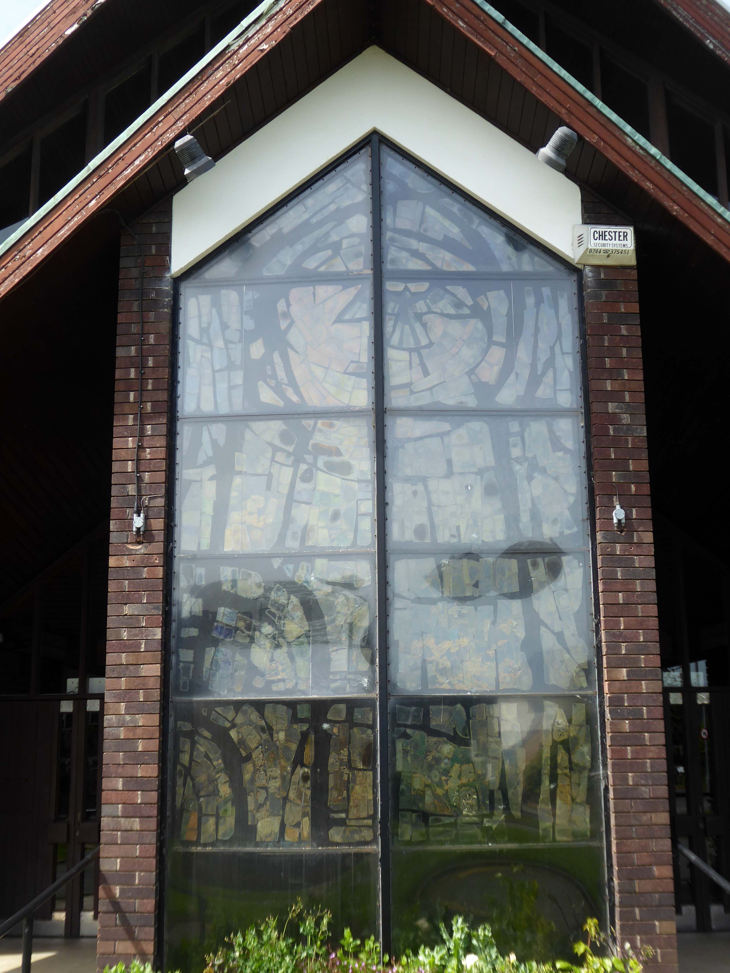
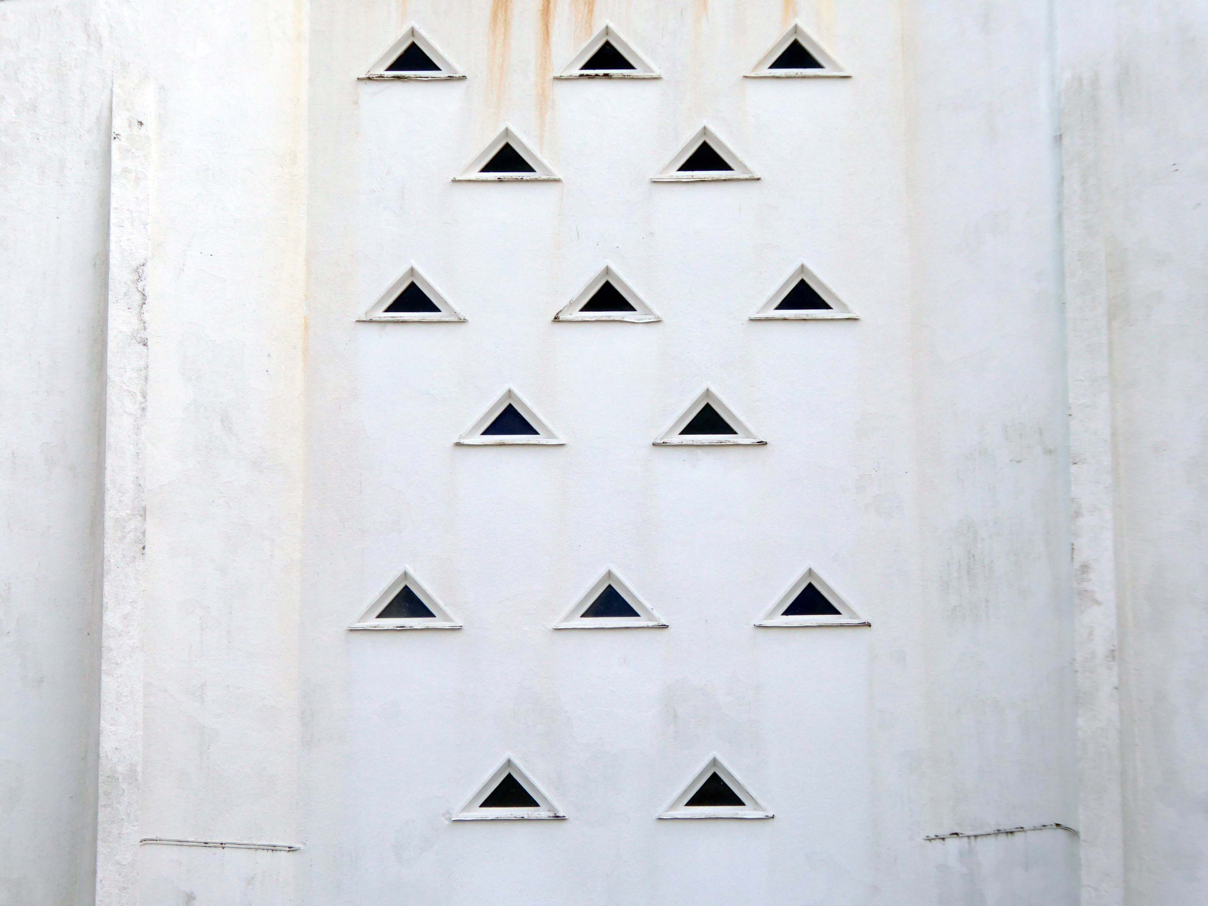
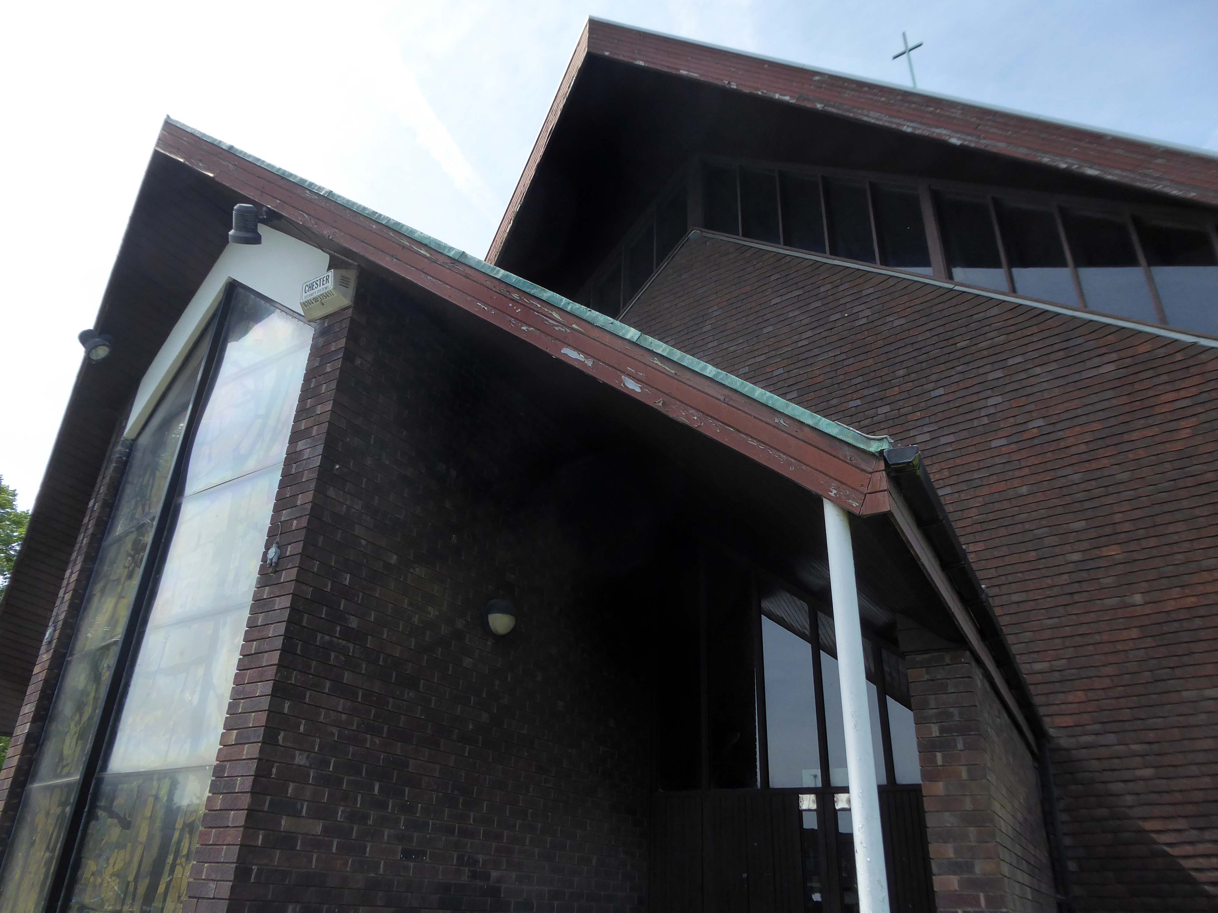
The only glazing to survive from the original church scheme is small triangles of glazing on the sanctuary elevation and the dalle de verre-style baptistery window by Hans Unger & E Schulze.
Unger & Schulze ran a prominent mosaic and glass studio in London from 1960-74, and provided a large mosaic for another LAG Prichard church in 1965, St Jude’s in Worsley Mesnes– Wigan.
The coloured glazing depicting St Columba, Christ and the apostles was added in 1986.
In 1987 the demolition of this three-tier housing estate of the township was undertaken by the Architects’ Department of the Metropolitan Borough of North Tyneside.
Photo: Philip Wolmuth
Once the wrecking ball arrives new town can begin to look like any old town.
Following Euan Lynn’s suggestion – I went to take a look around.
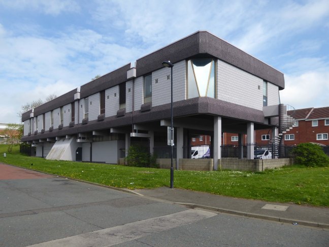
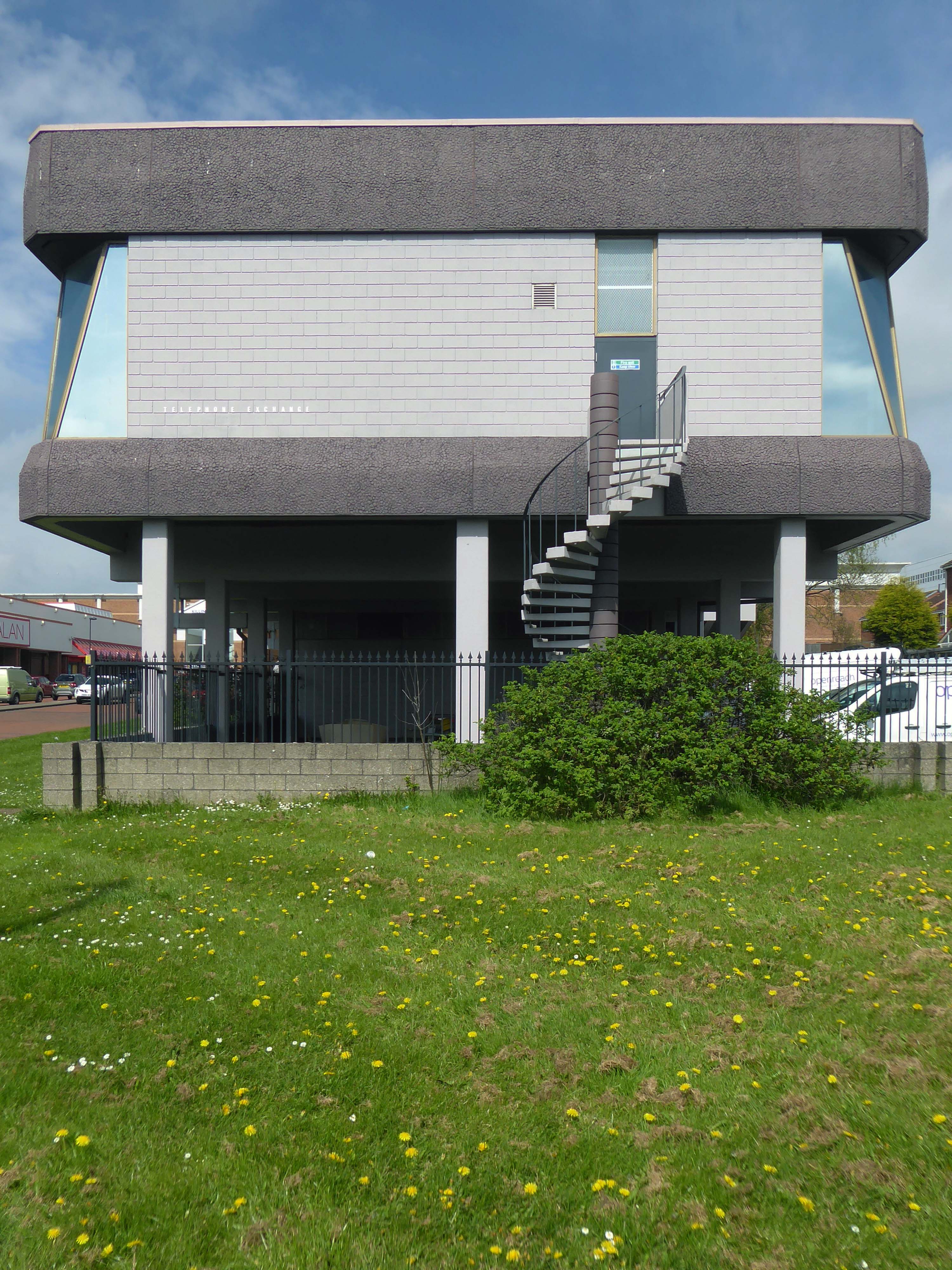
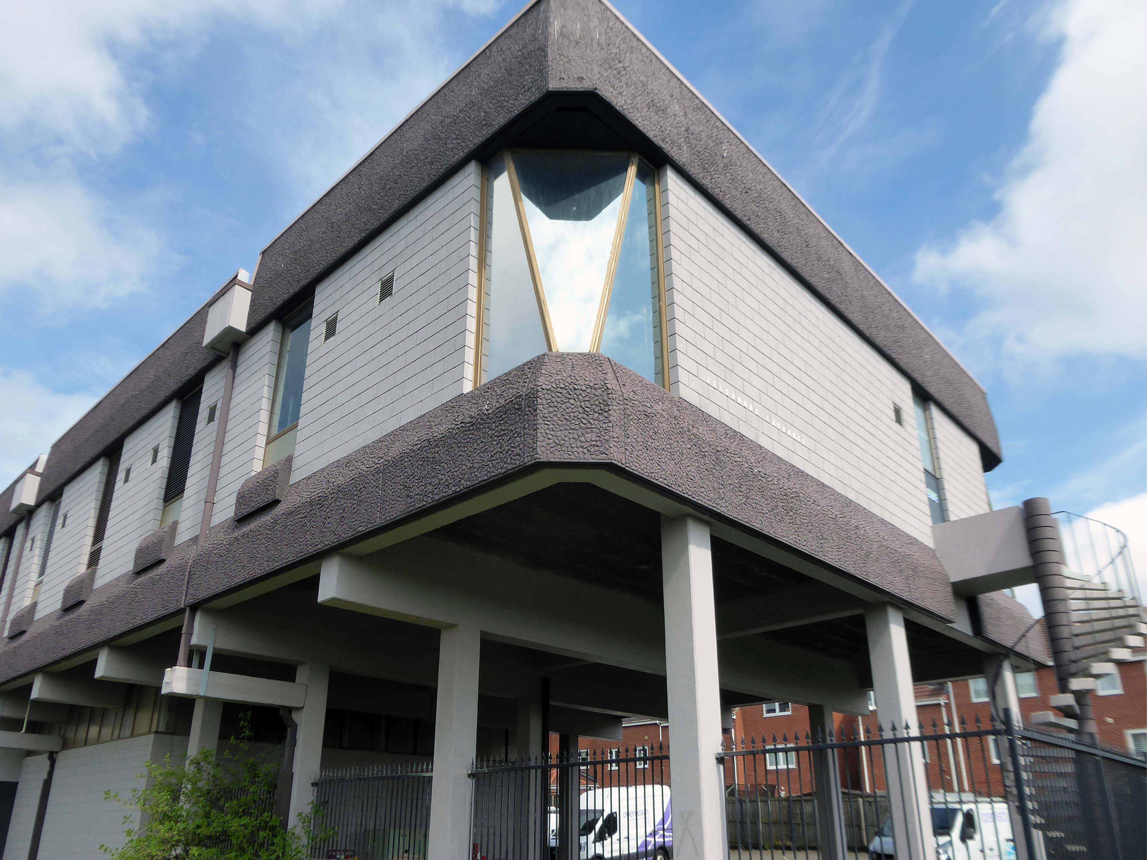
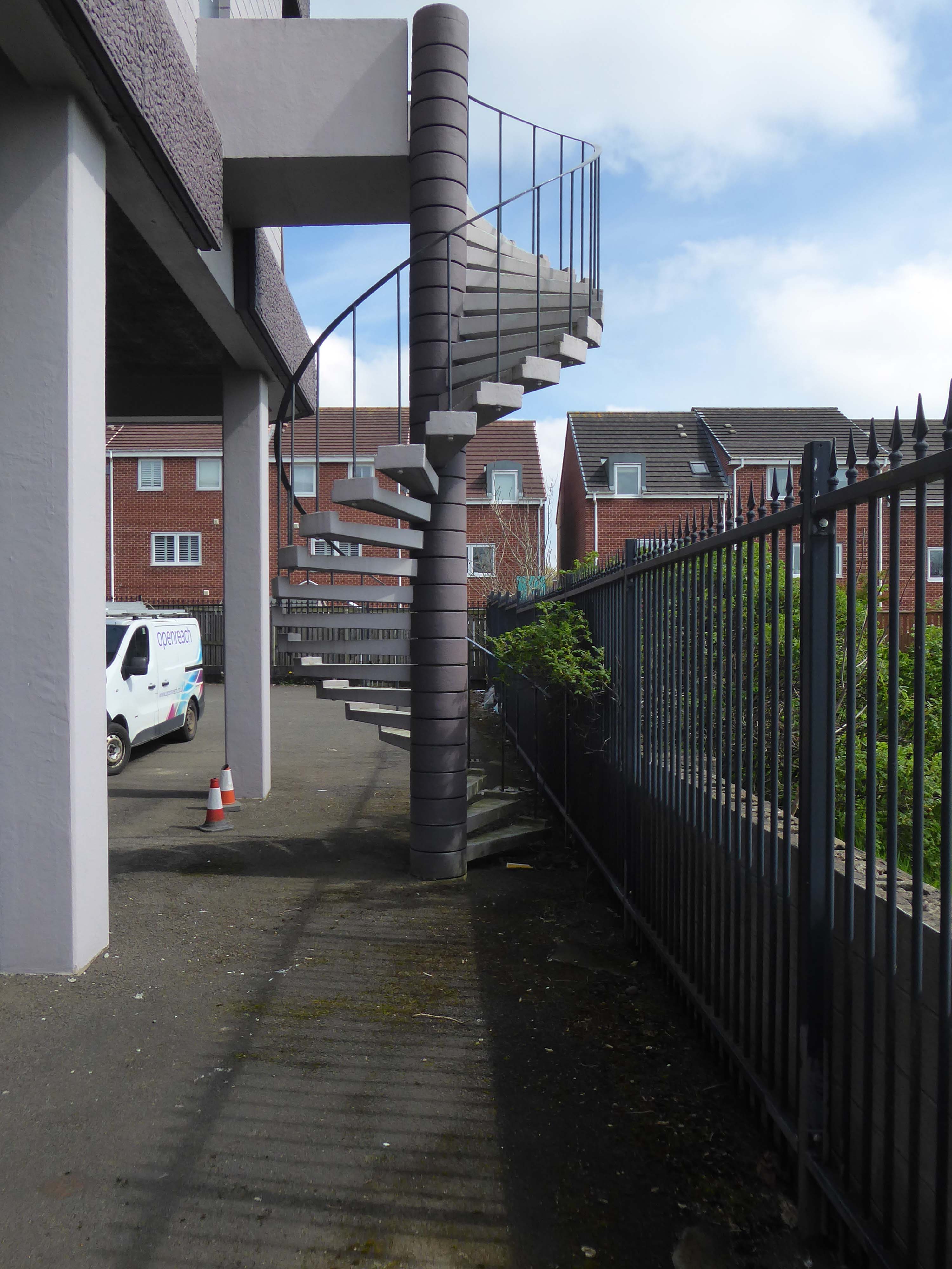
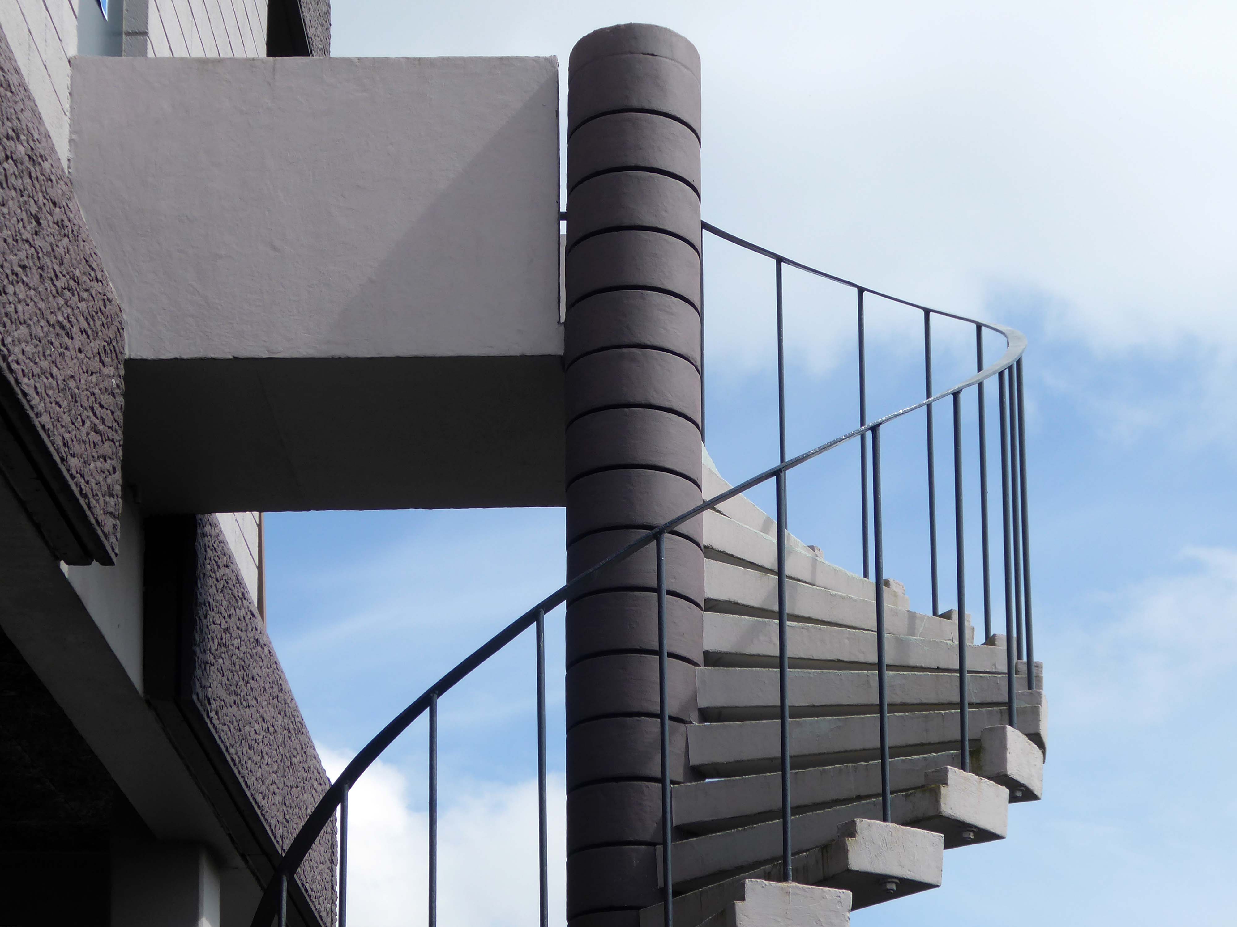
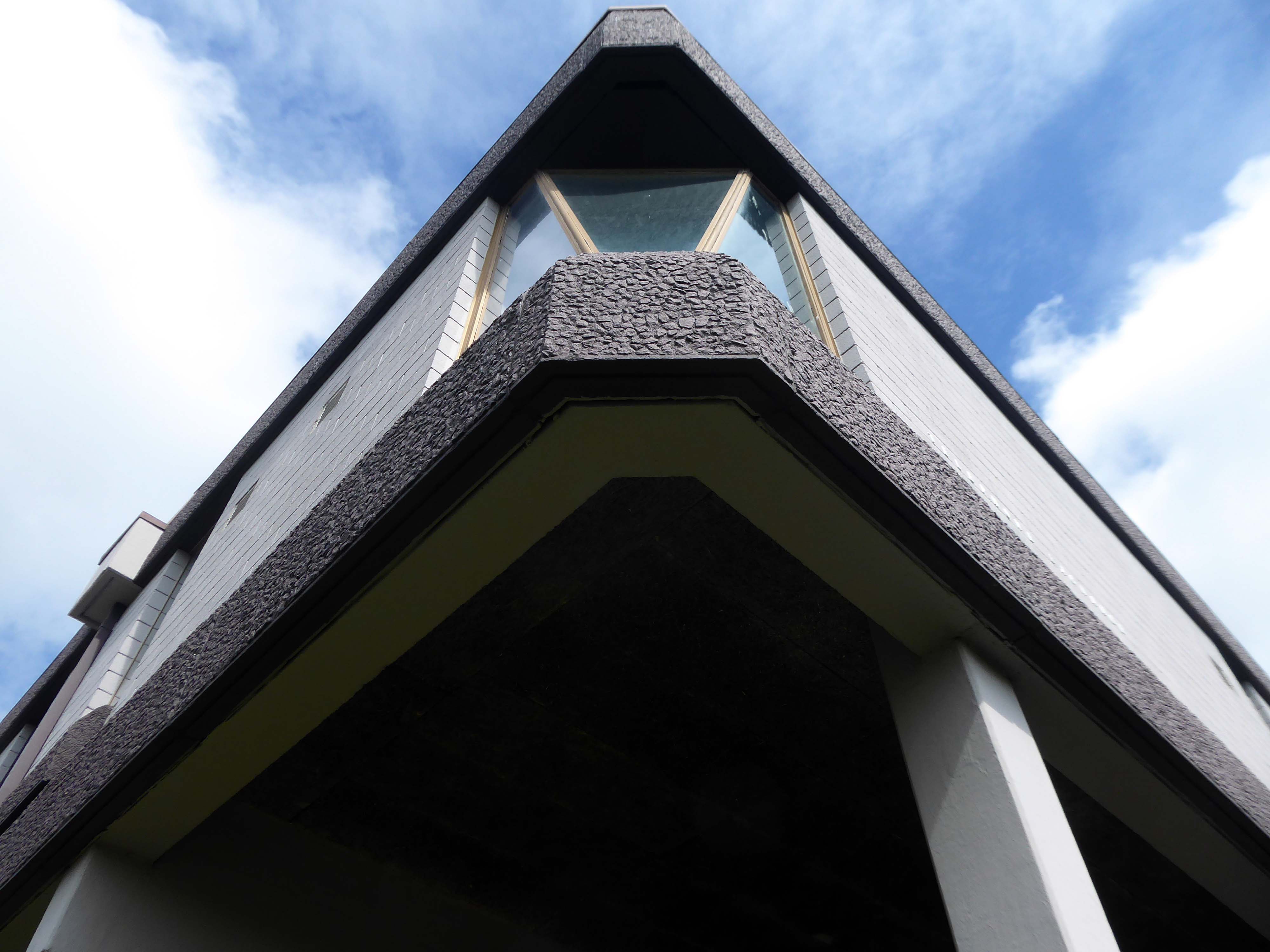
From the window of the 52 bus, I saw an enchanting Telephone Exchange.
More than once, though that’s no reason not to do so again – so I did.
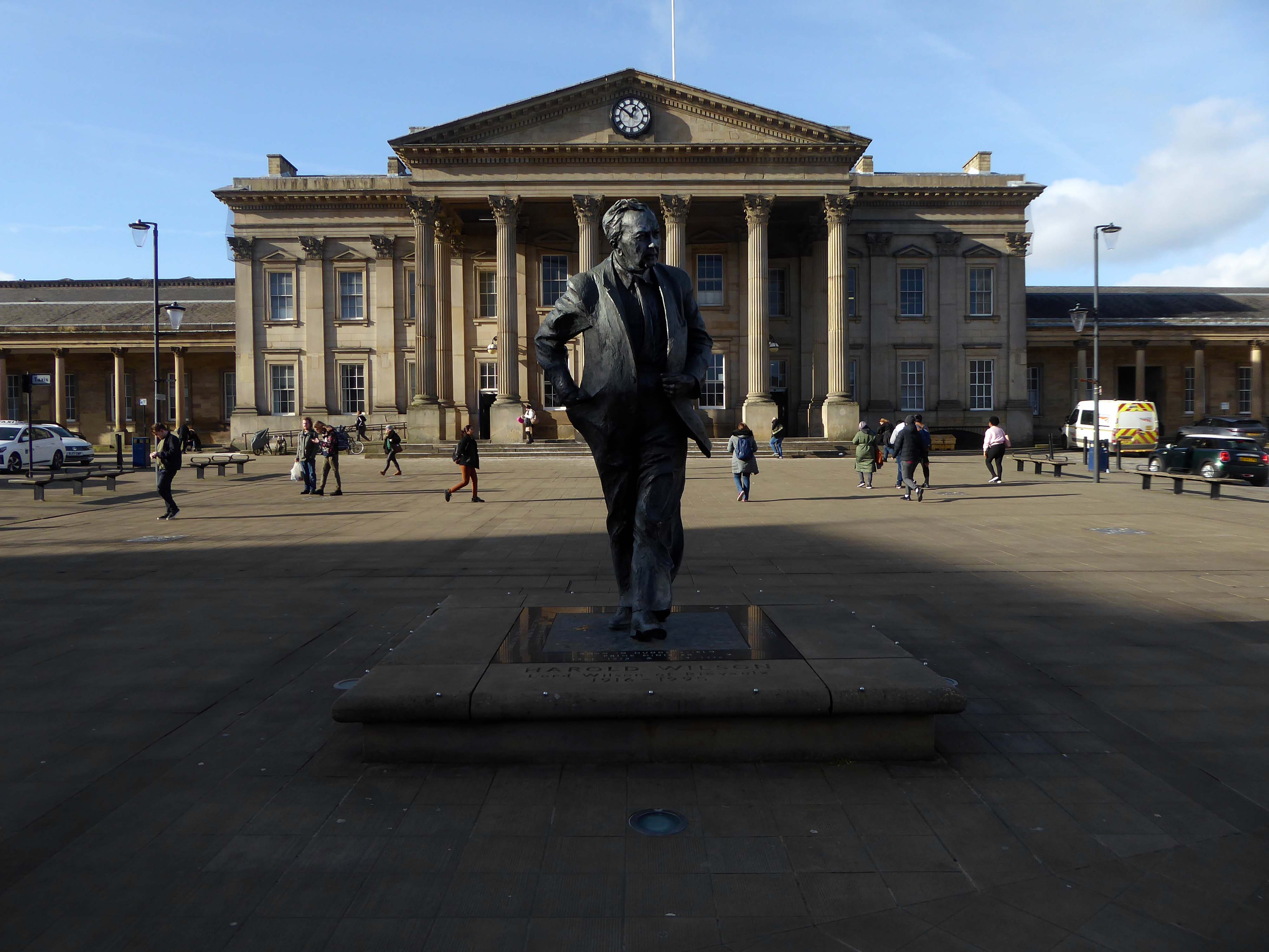
Saying hello to Harold.
Harold saying hello to us:
Nostalgia won’t pay the bills; the world doesn’t owe us a living; and we must harness the scientific revolution to win in the years to come. This scientific revolution is making it physically possible, for the first time in human history, to conquer poverty and disease, to move towards universal literacy, and to achieve for the whole people better living standards than those enjoyed by tiny privileged classes in previous epochs.
He warned change would have to reach every corner of the country; The Britain that is going to be formed in the white heat of this revolution will be no place for the restrictive practices or for outdated methods on either side of industry.
Standing sentinel over one of Nikolaus Pevsner and John Betjeman’s favourite railway station front elevations.
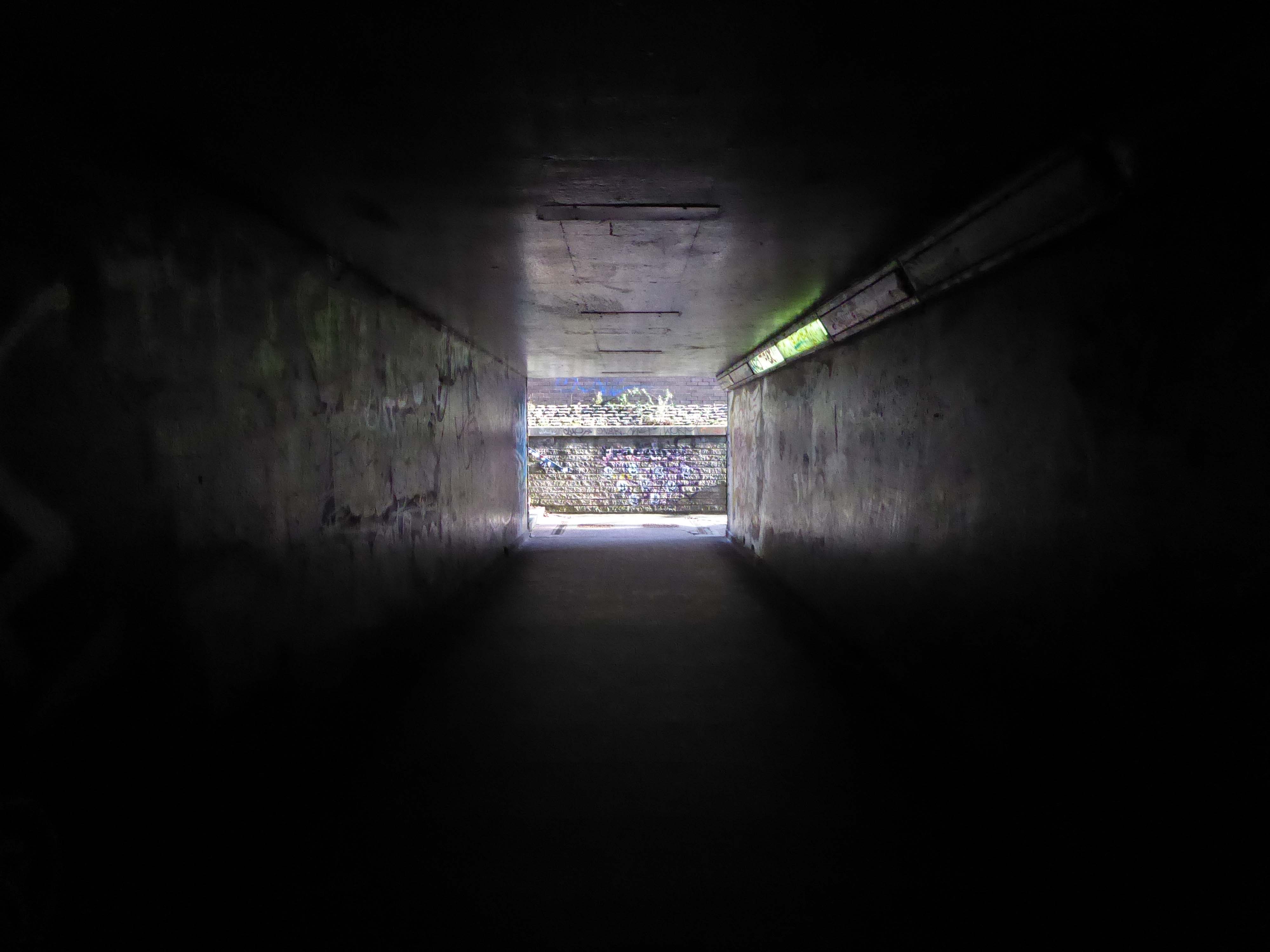
Through a passage darkly.
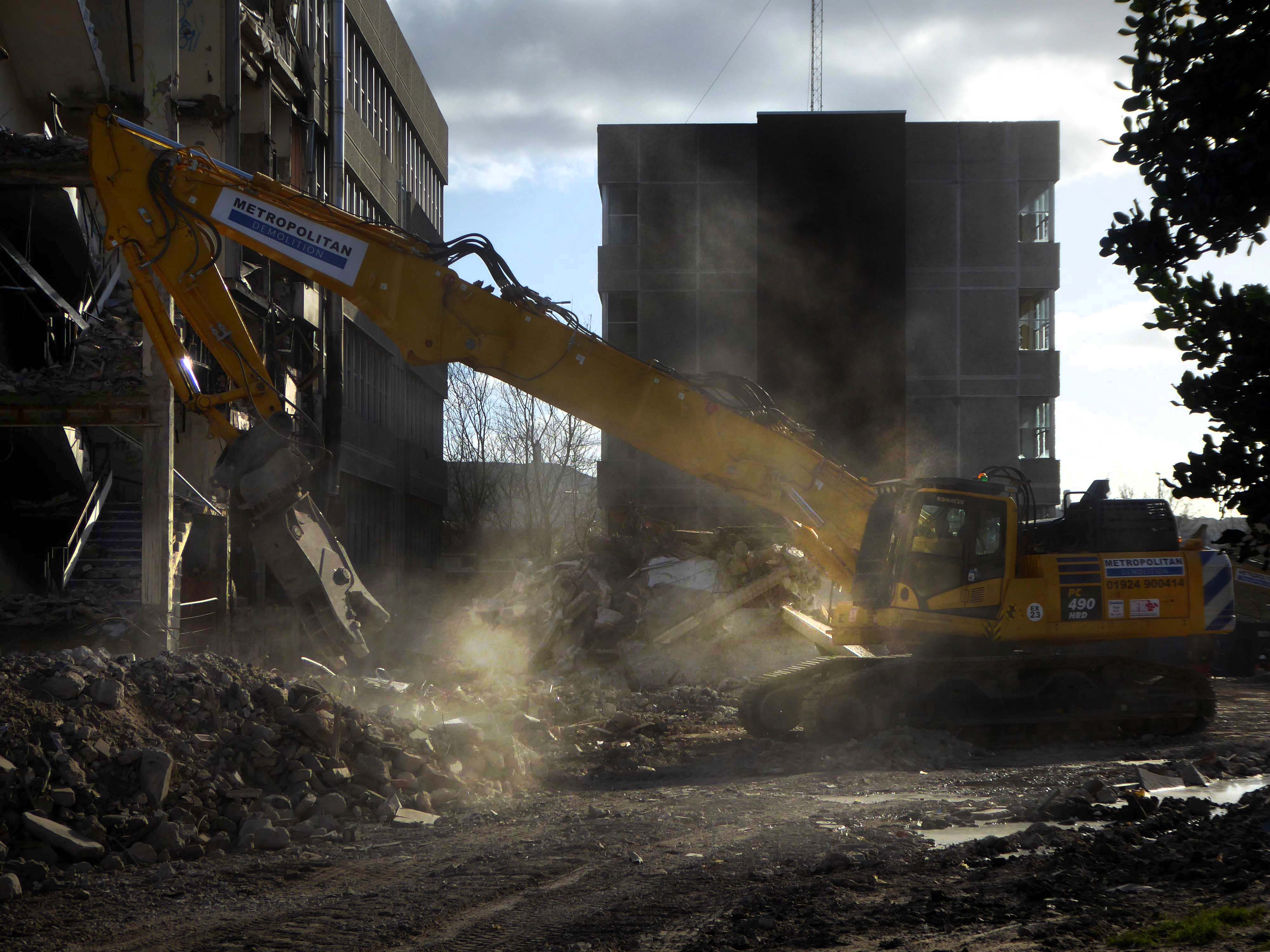
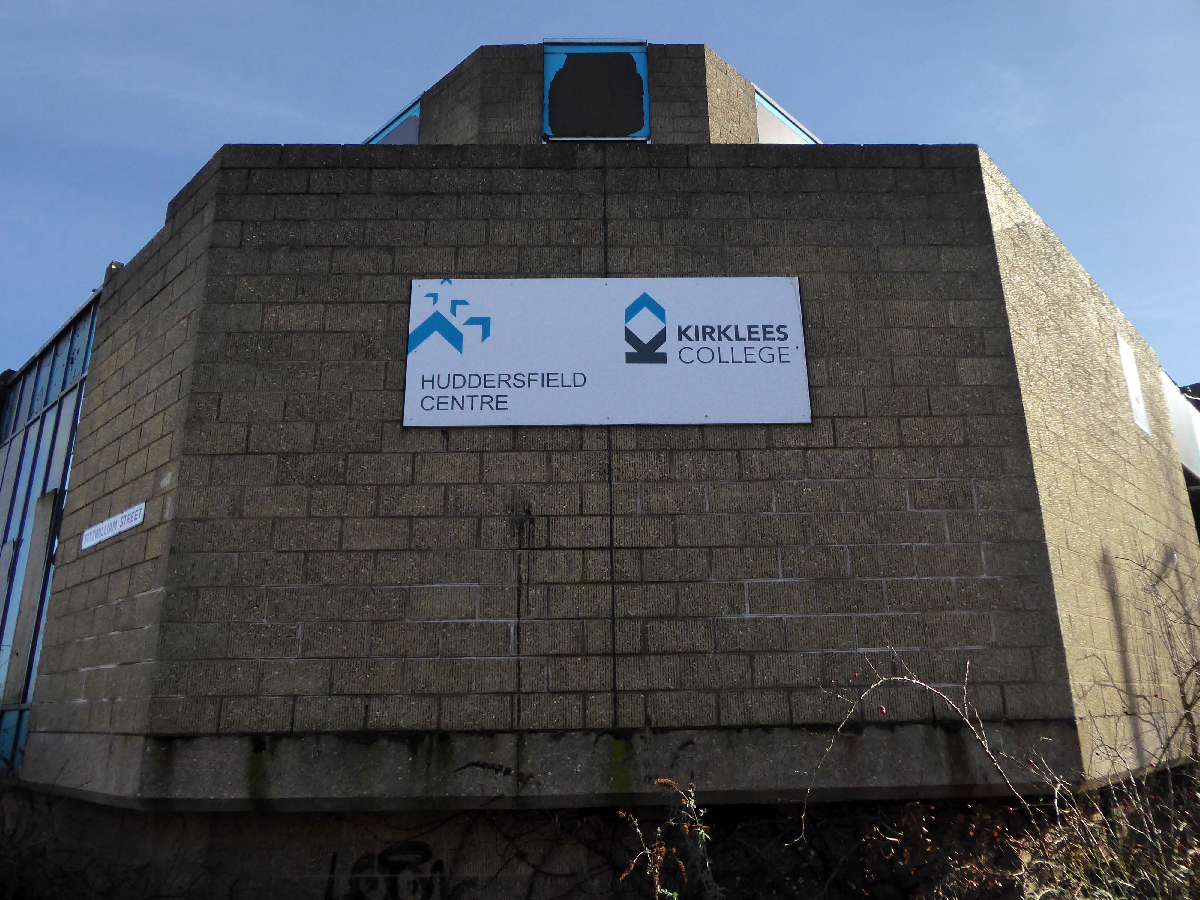
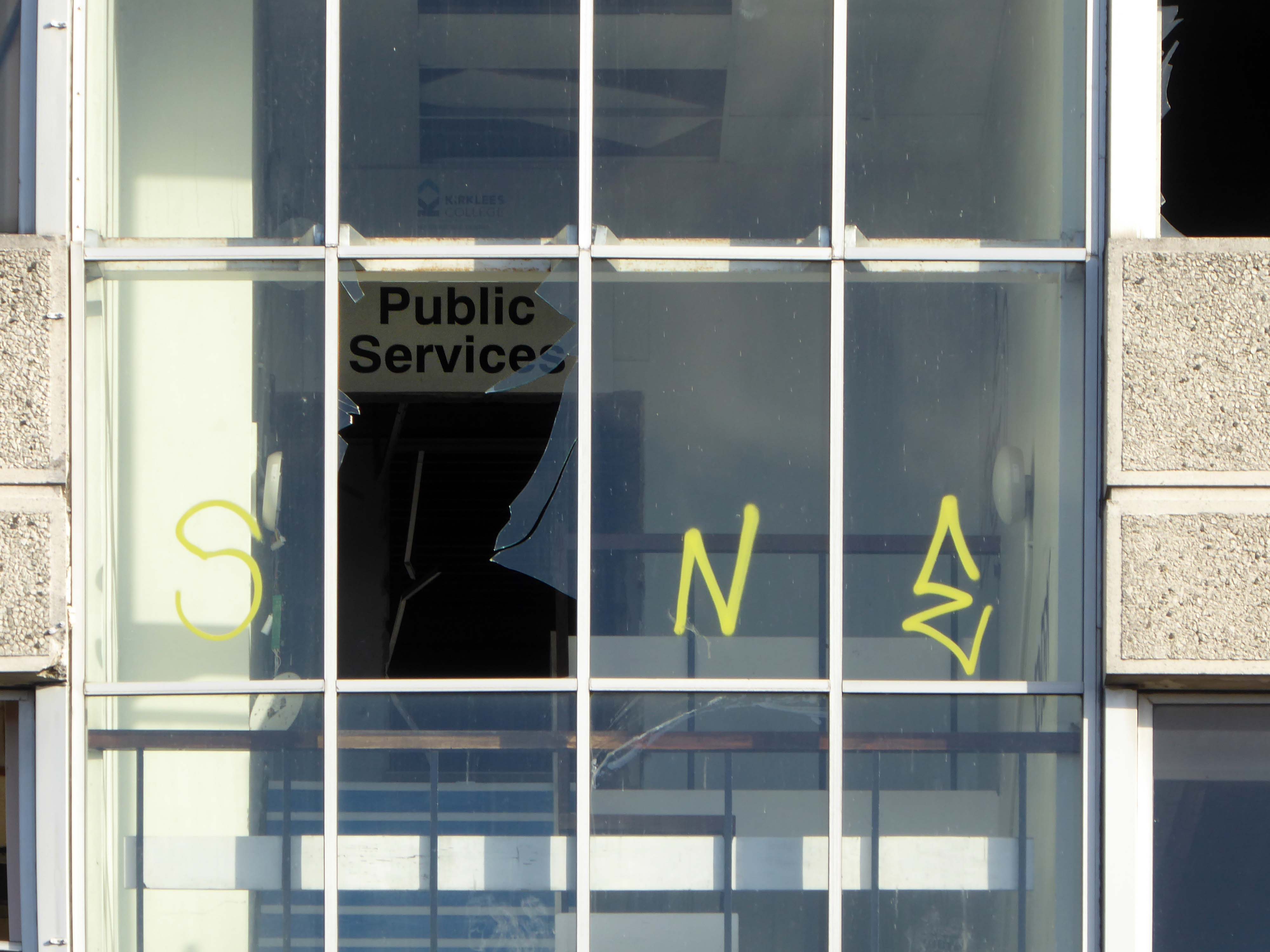
Emerging into the light of day and the demolition of the Kirklees College 1969-72 by Borough Architect Charles Edmund Aspinall.
My thanks to the Metropolitan team who invited me in beyond the barriers.
We provide safe and efficient demolition services across a broad range of projects, from the small domestic dwelling to large scale industrial units – we offer the complete solution. With excellent communication and impeccable health and safety standards, we can project manage the decommissioning a structure on time and on budget.
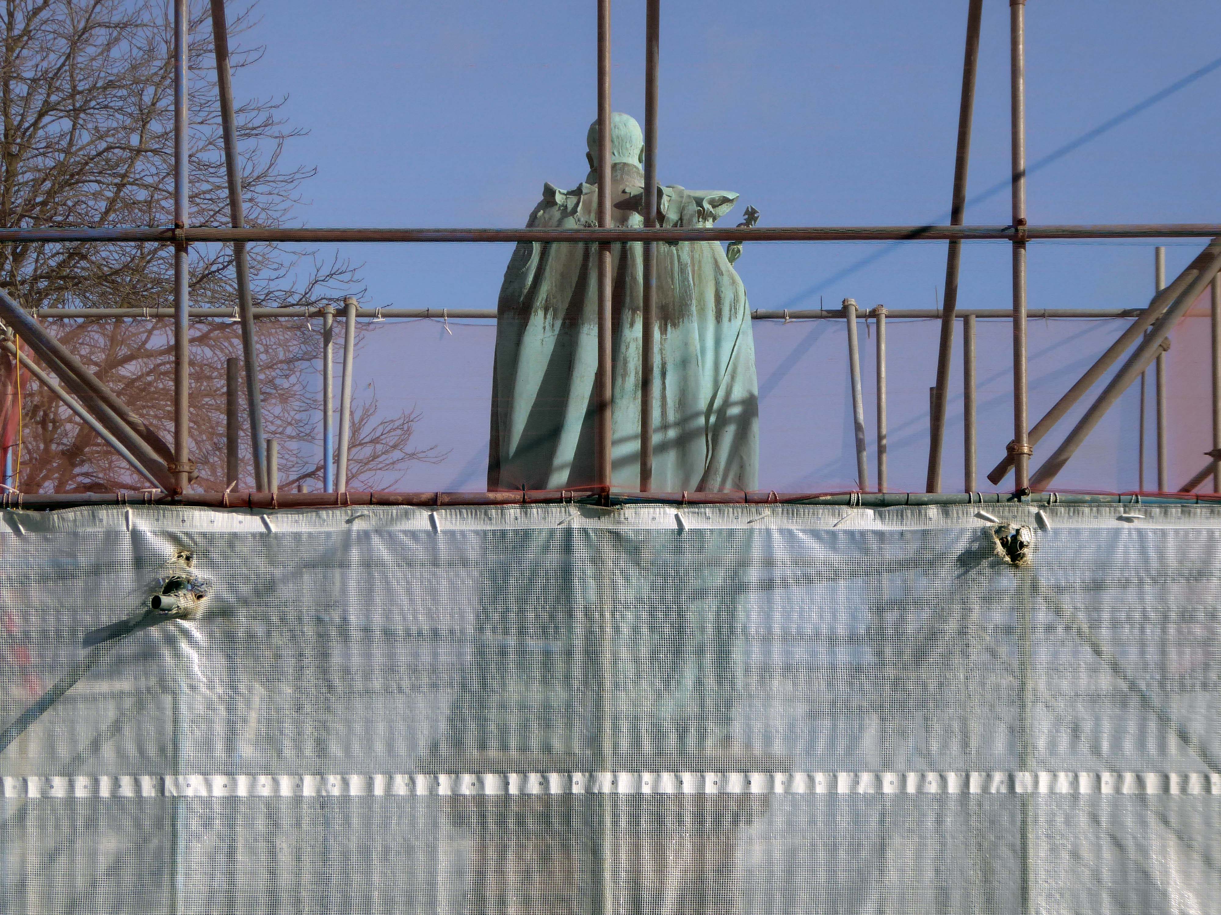
Edward VII is under wraps.
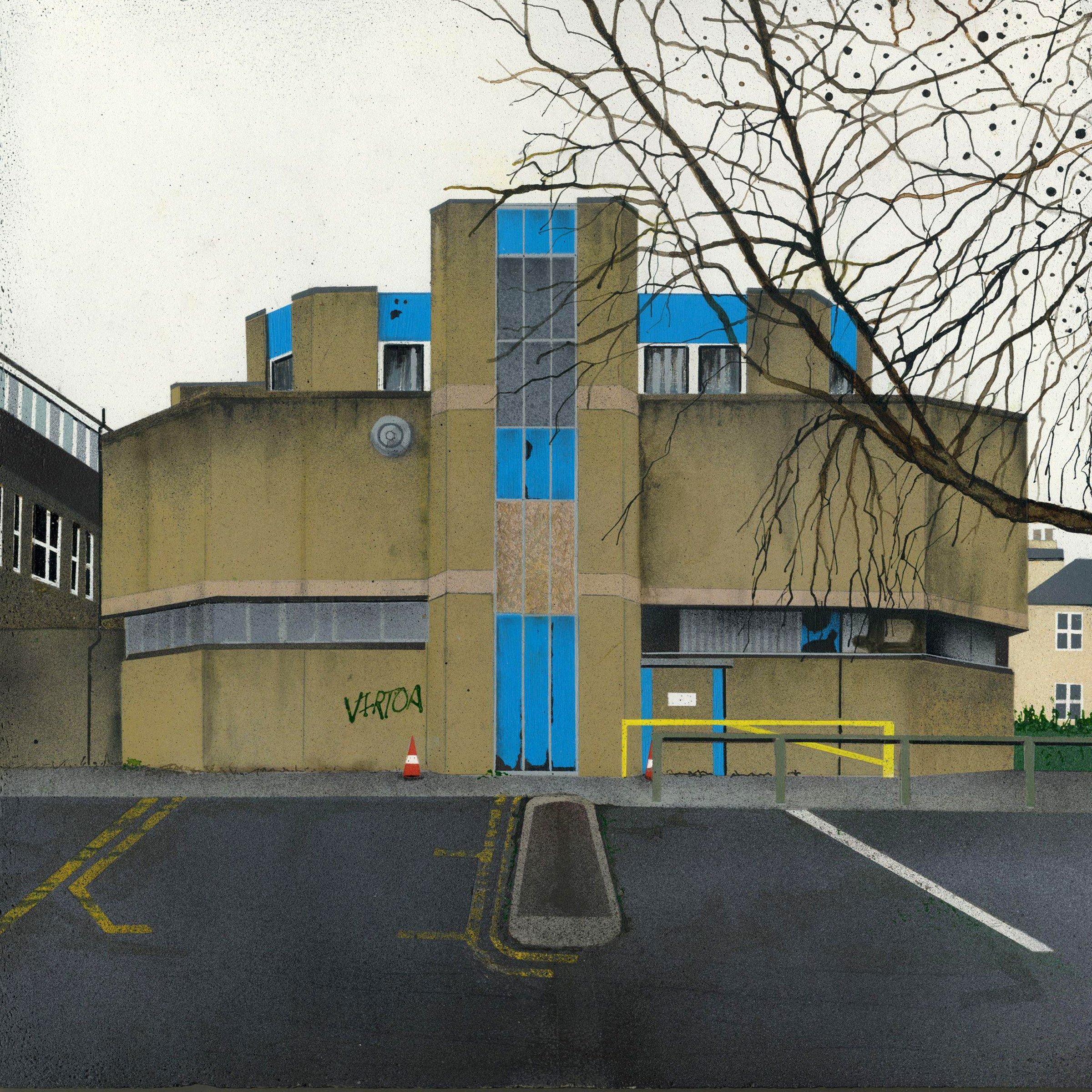
Everything else is up for smash and grab – including the later concrete block immortalised by Mandy Payne.
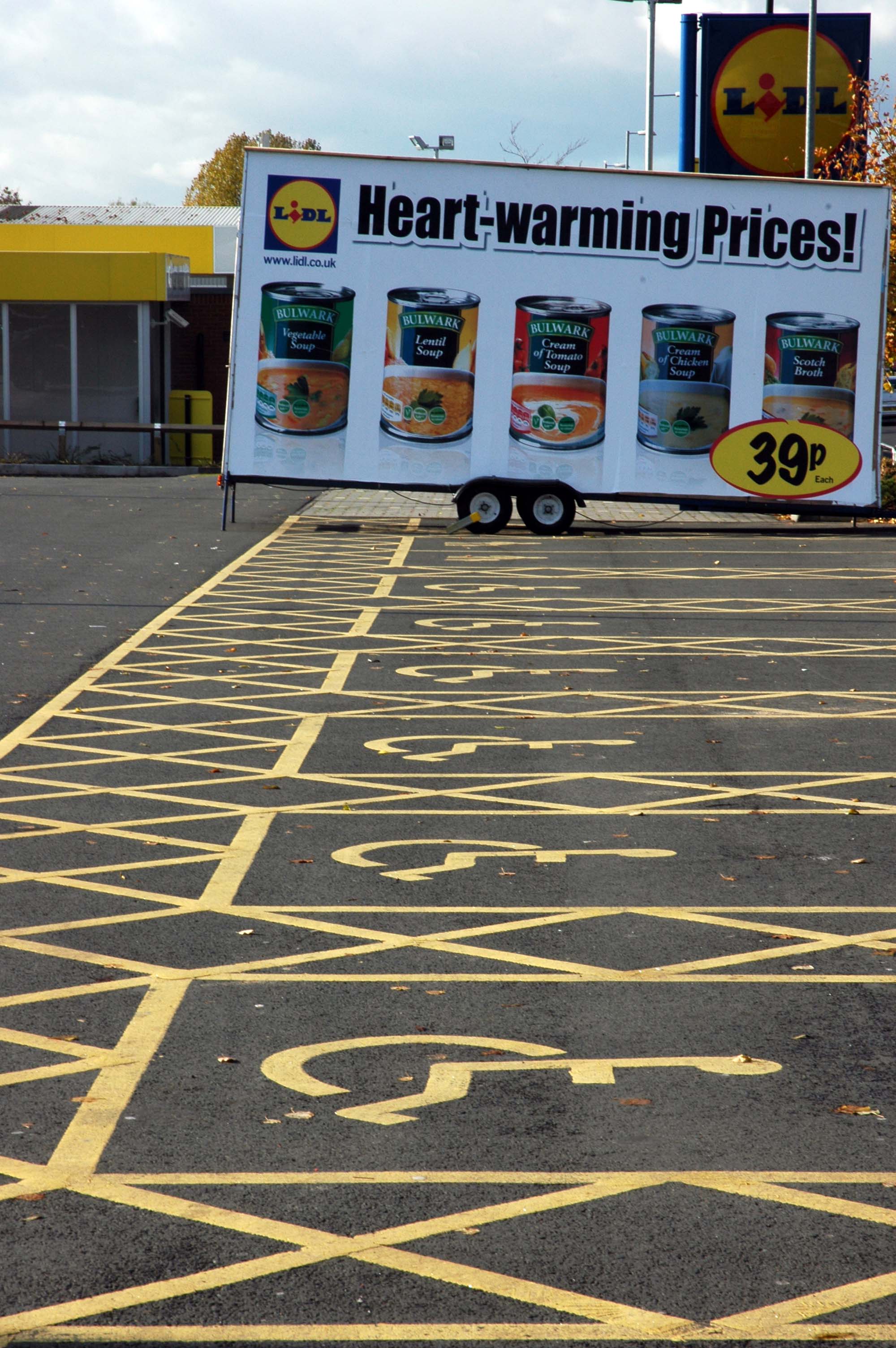
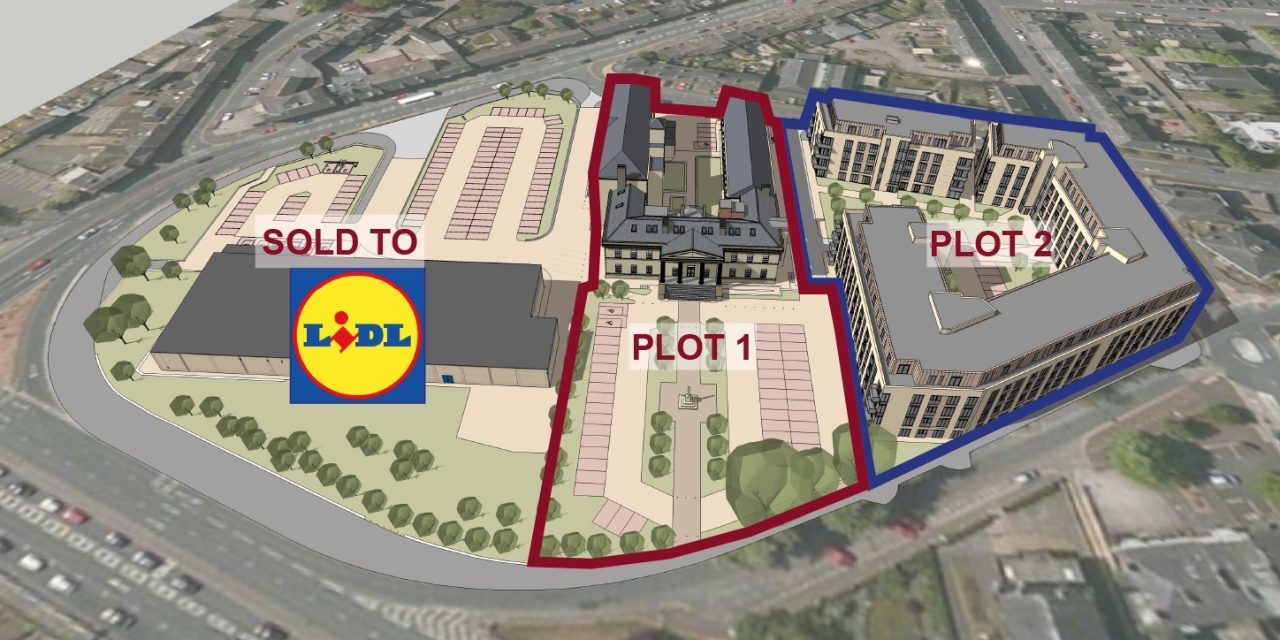
LIDL is coming – and some homes
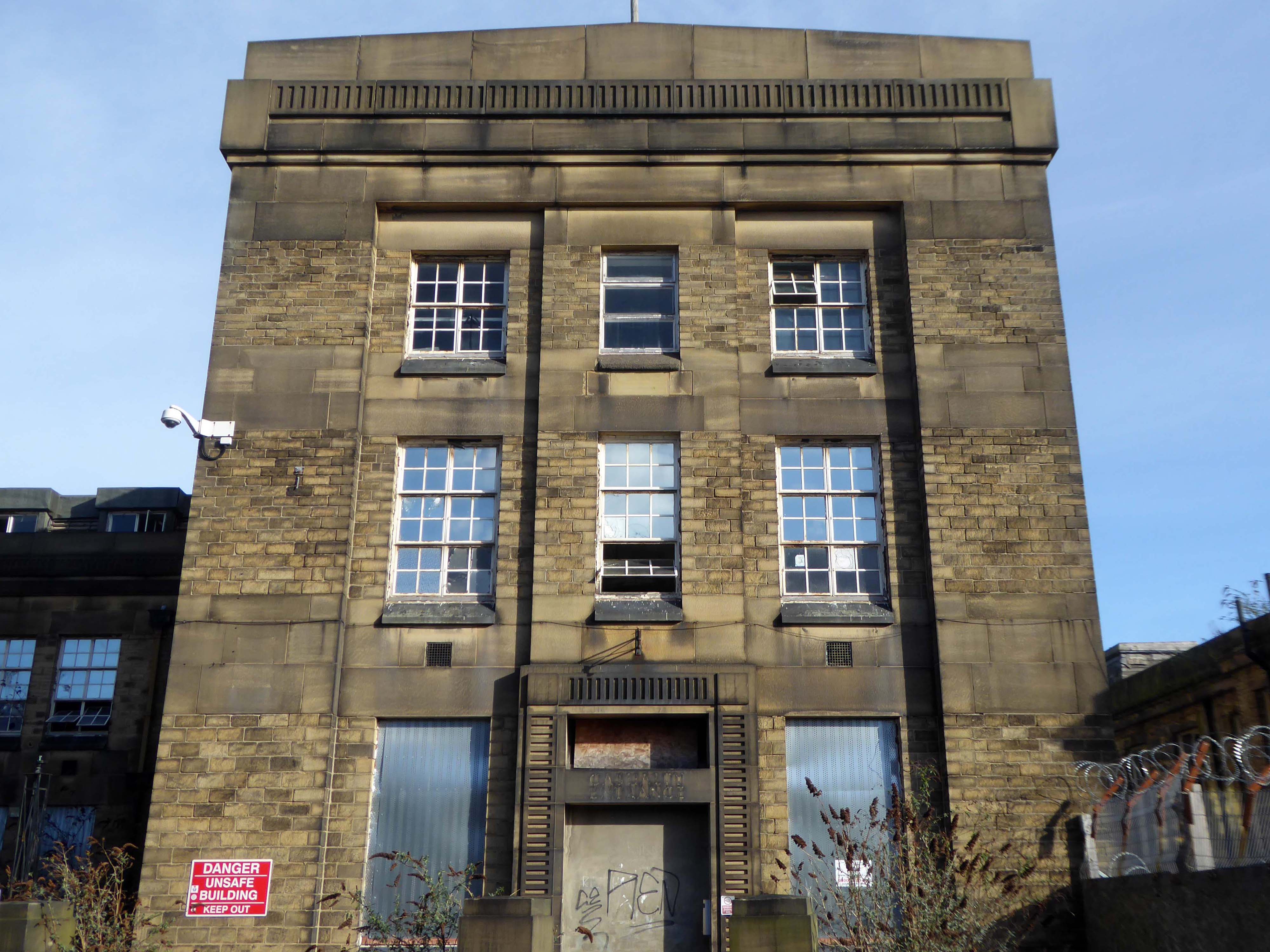
The final details have now been signed off by the council and work on the six-acre site – which includes the Grade II-listed original Huddersfield Royal Infirmary – can now begin.
The vandal-hit and fire-damaged late 1960s and early 1970s college buildings are to be demolished and Lidl will build a new supermarket with a 127-space car park. The store will eventually replace the store on Castlegate.
The former hospital will be retained and the site will see 229 apartments and an office complex. The apartments are expected to be for older or retired people.
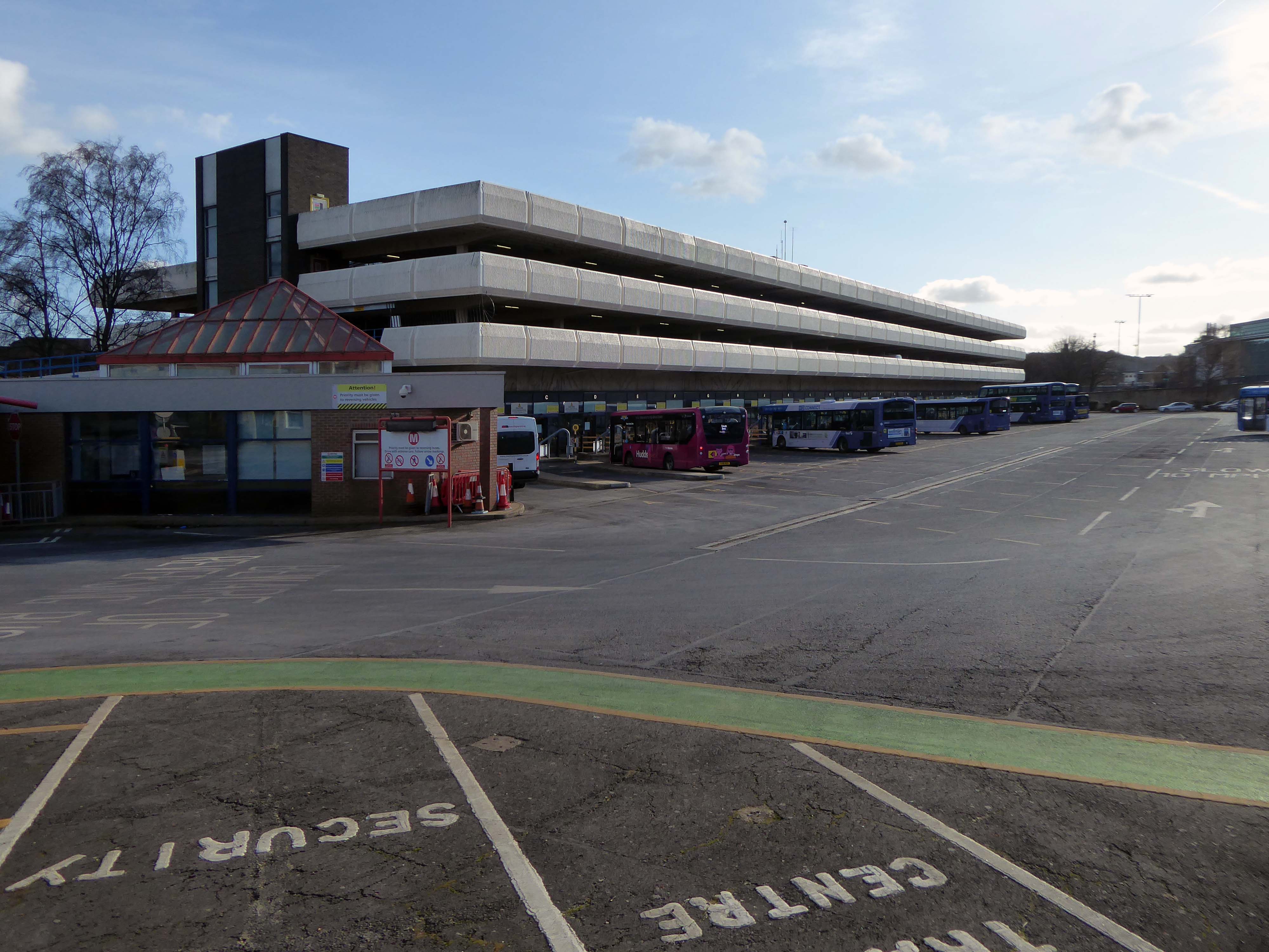
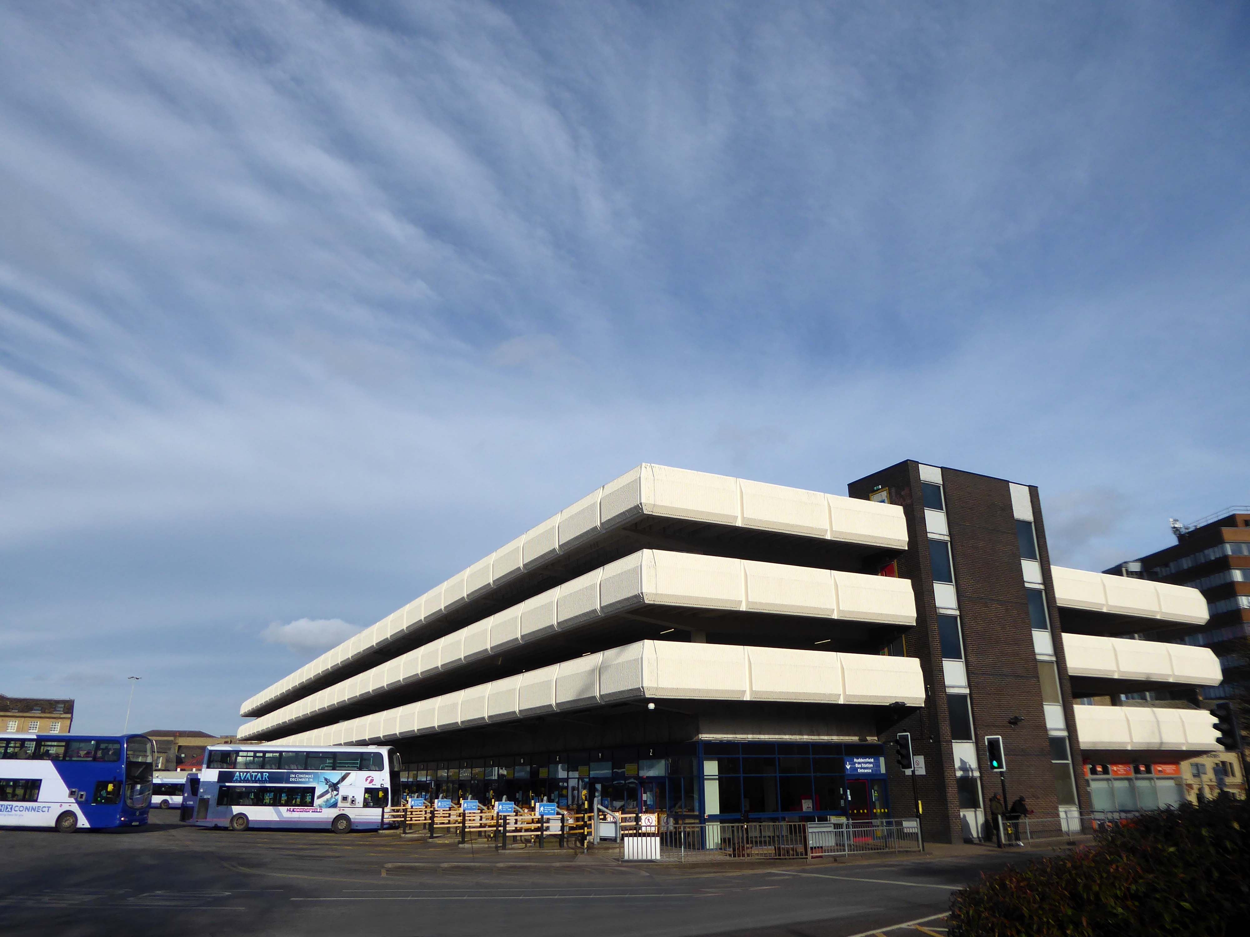
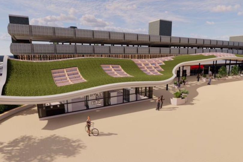
Huddersfield’s £20M game-changing bus station is set to be completed by the end of 2025 with a living grass roof, sixty bike cycle hub, upgraded shops and new facilities
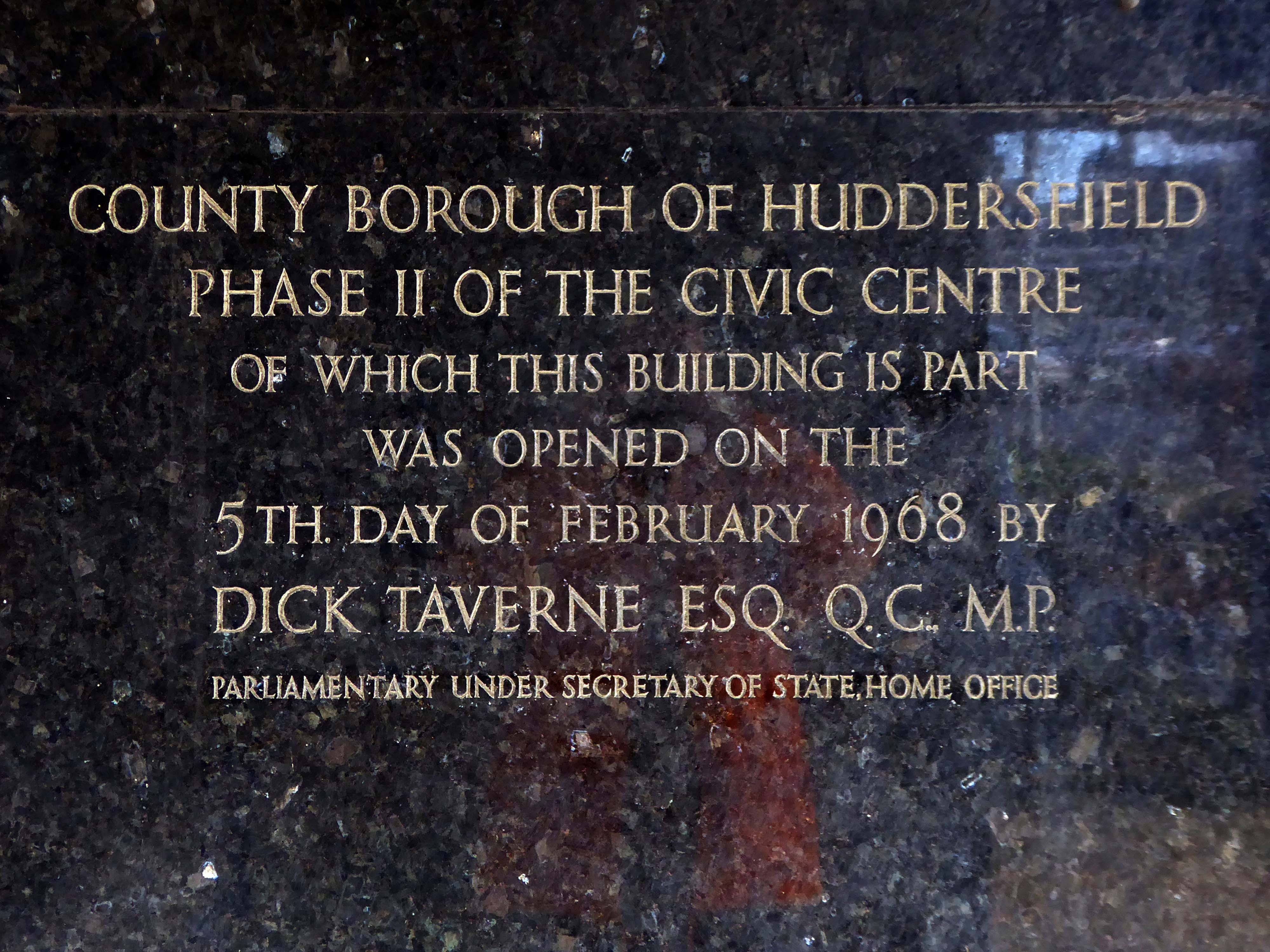
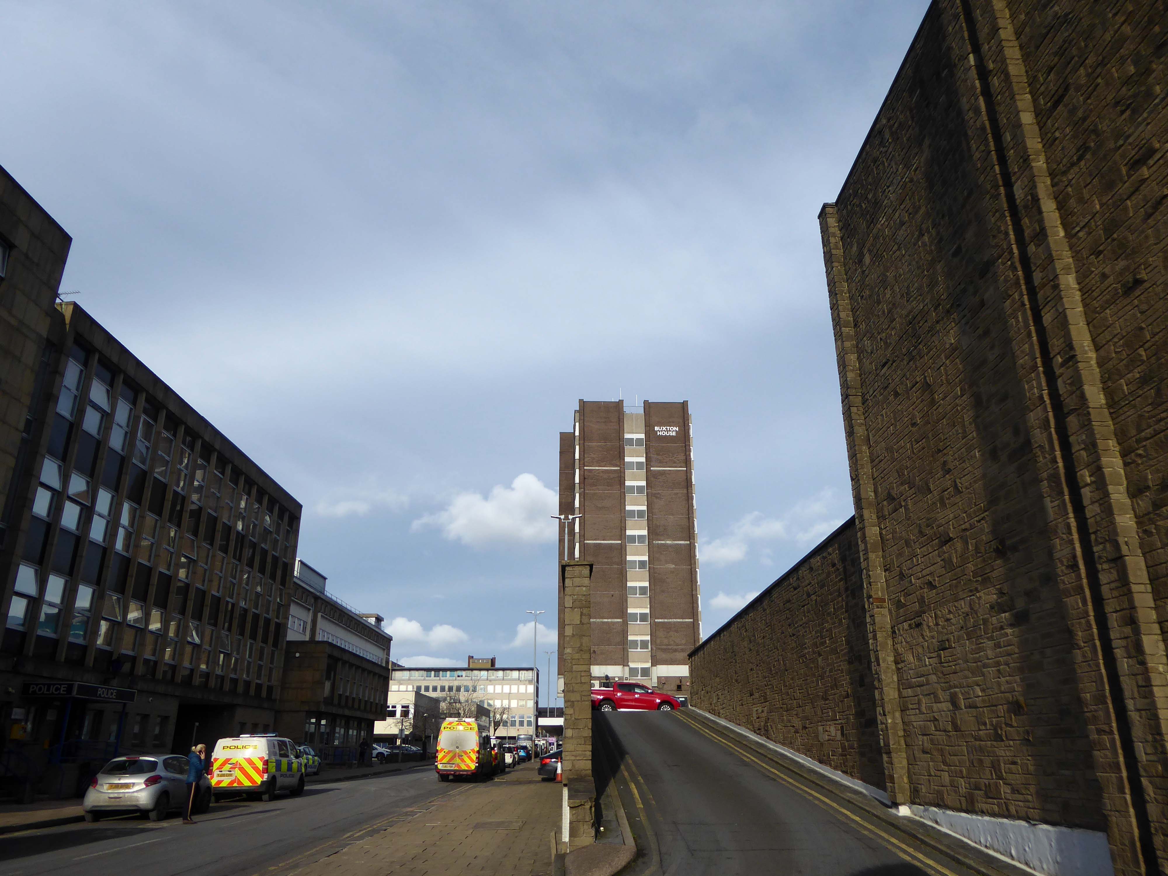
Crossing the road to the Civic Centre and the perennially empty piazza which along with the Magistrates Courts and Police Station was the work of the Borough Architects team – led by Charles Edmund Aspinall.
Walking excitedly toward the Exsilite panels set in the stone faced columns – a brand name for a synthetic, moulded, artificial marble.
Magistrates Courts
Police Station
Dick Taverne served under Harold Wilson’s premiership in the 1960s, he served as a Home Office Minister from 1966 to 1968, Minister of State at the Treasury from 1968 to 1969 and then as Financial Secretary to the Treasury from 1969 to 1970.
In 1970, he helped to launch the Institute for Fiscal Studies, now an influential independent think tank and was the first Director, later chairman.
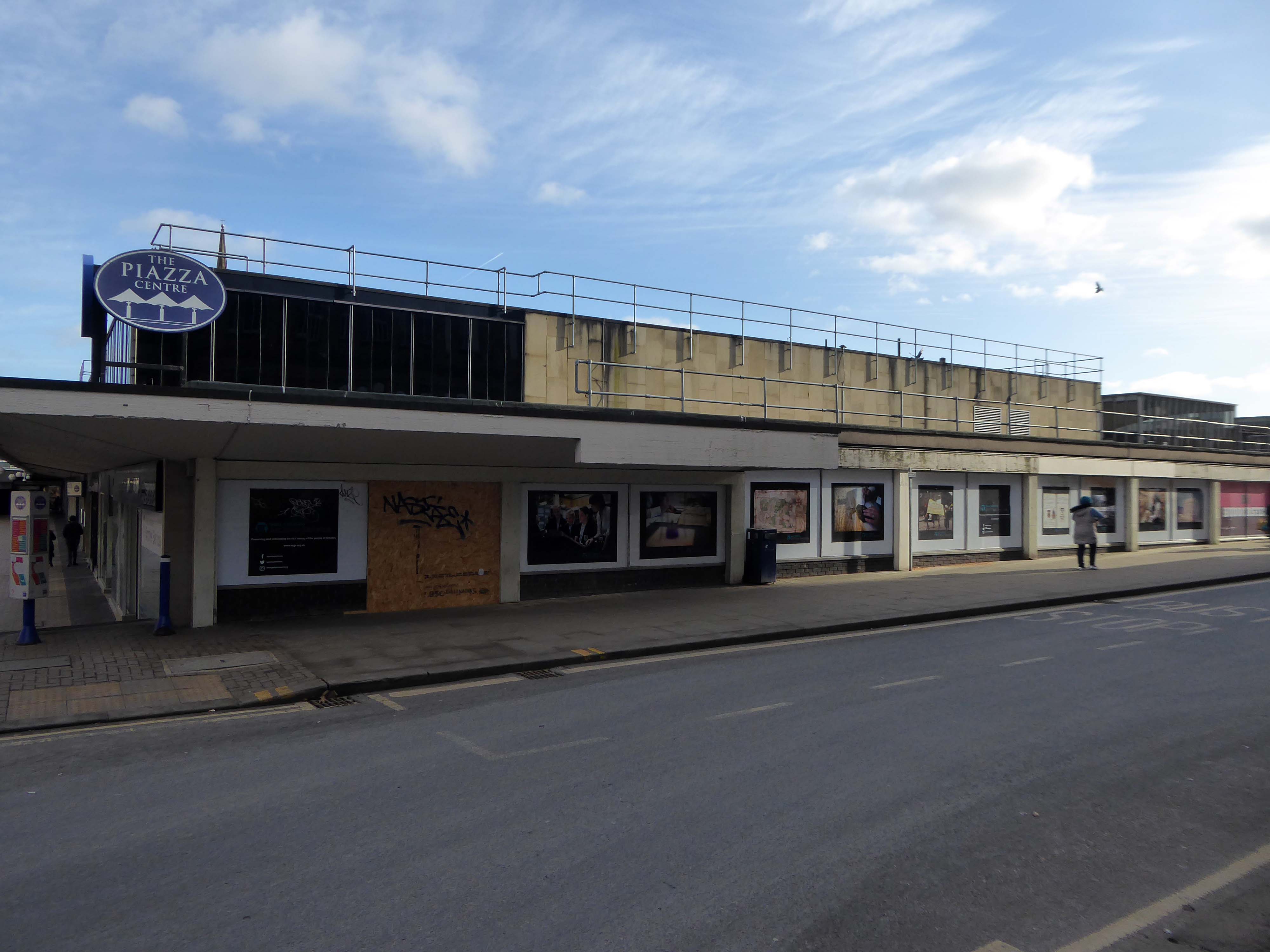
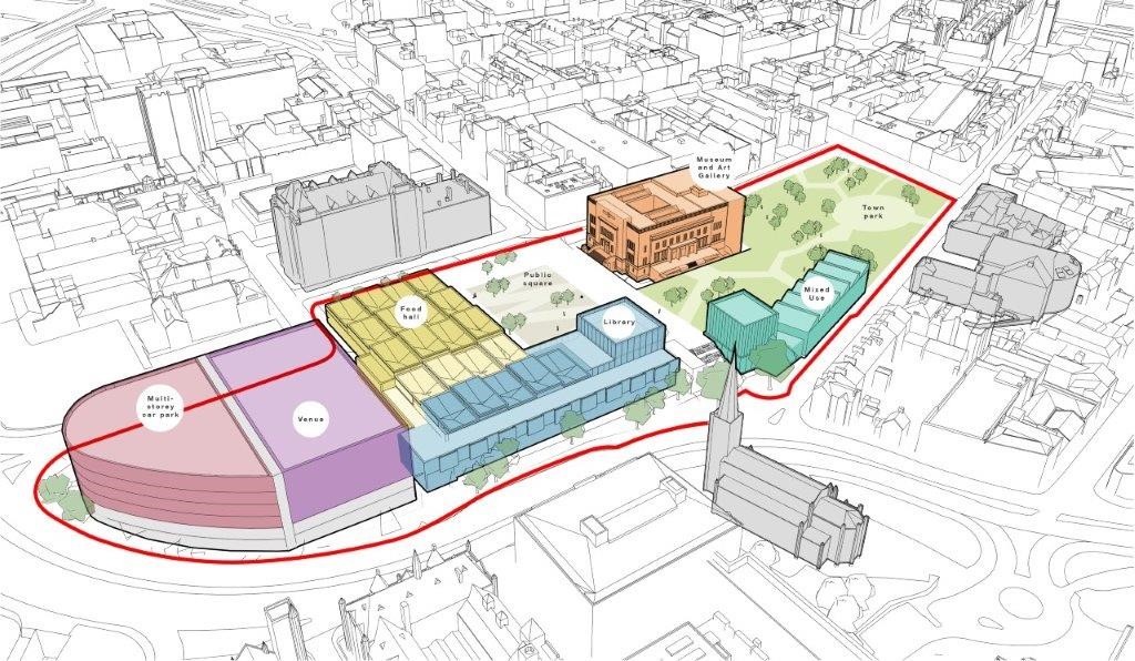
The vision is to create an inclusive space where families, residents and visitors can enjoy a vibrant mix of music, arts, food and more in one central area, overlooking a stunning new urban park.
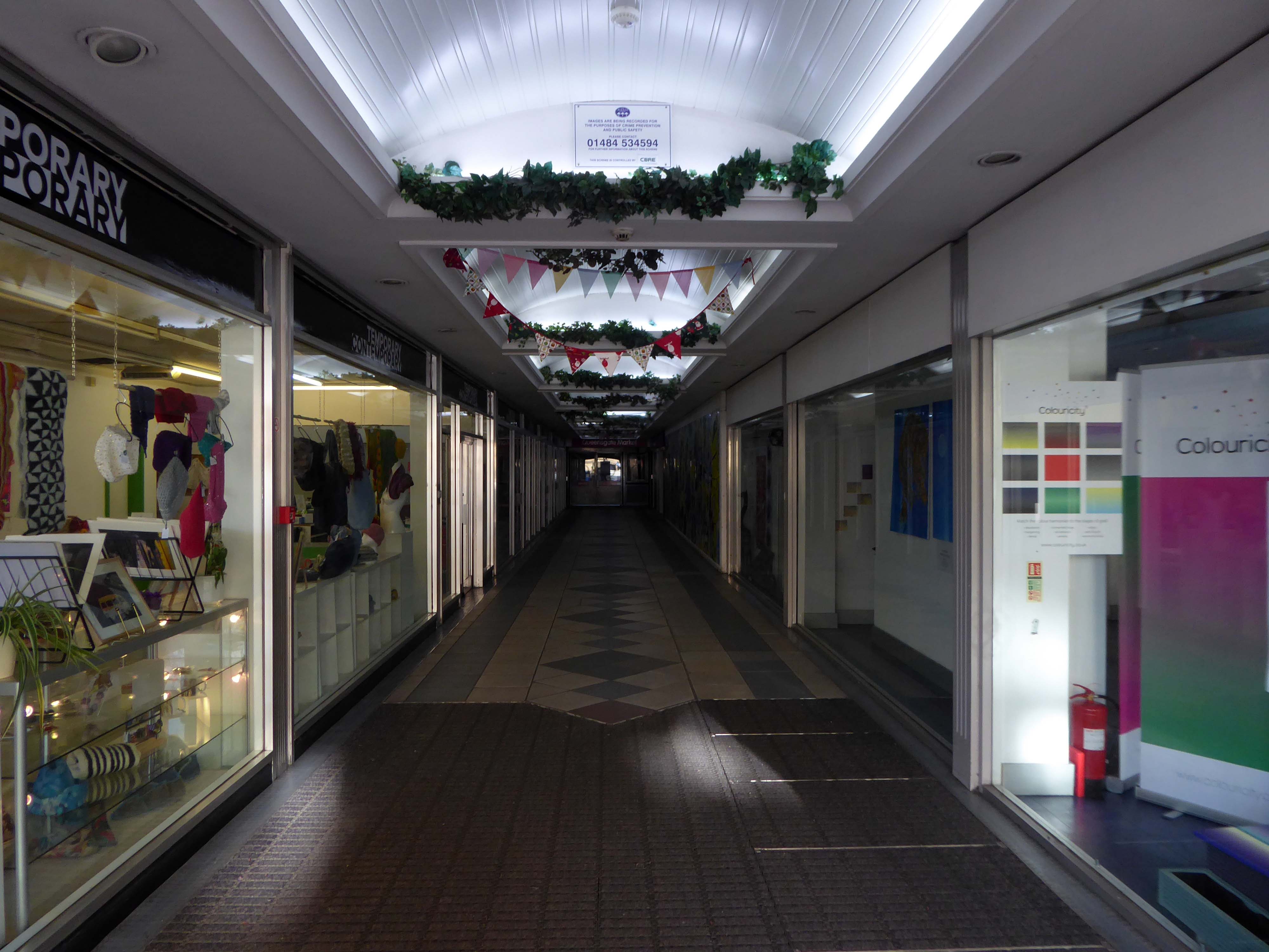
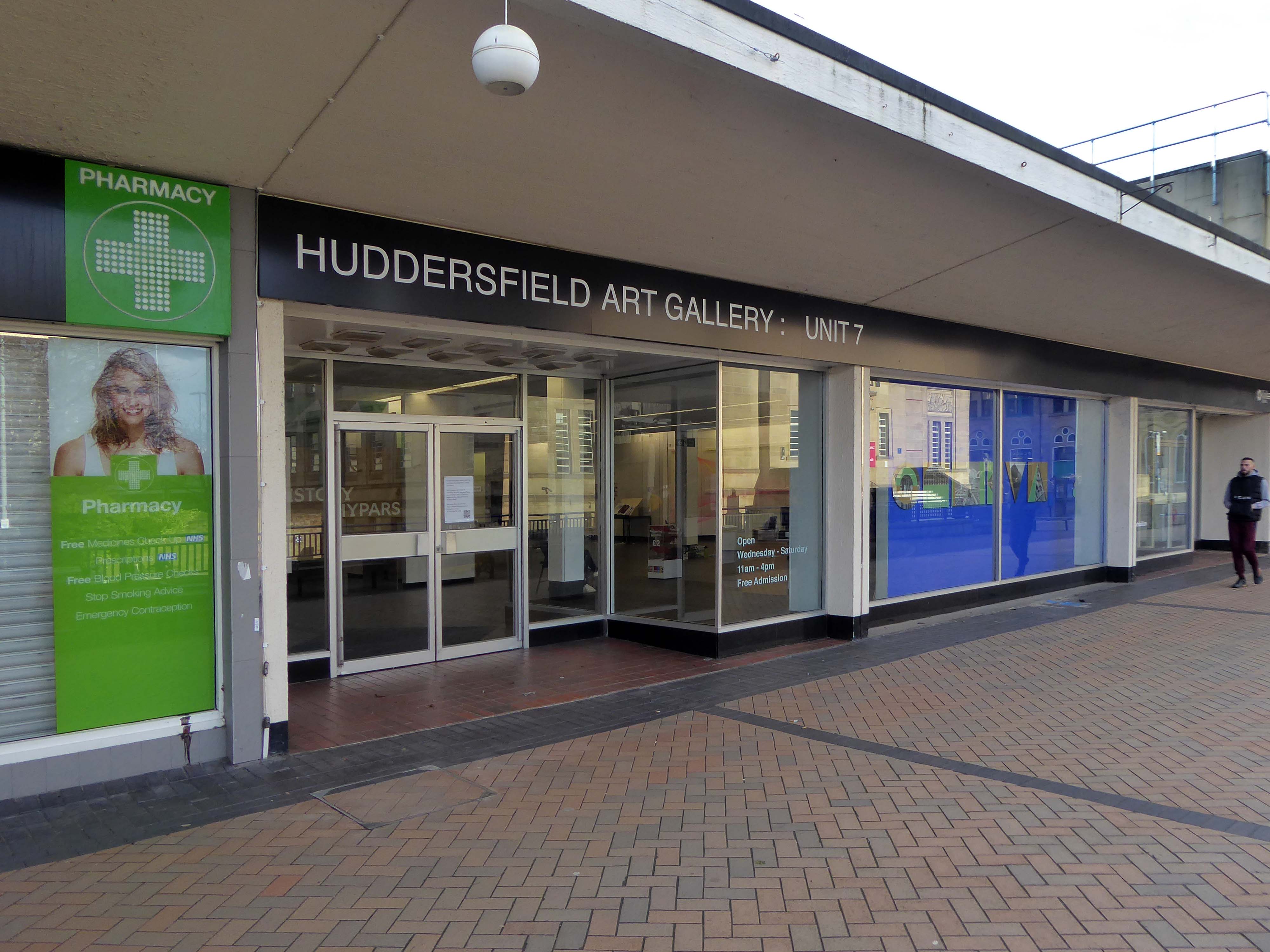
The council plans to demolish the Piazza Centre and create a new events/live music venue, a food hall, a museum and art gallery, a new library and a new multi-storey car park, all centred around a new Town Park.
Named after one of the Twentieth Century’s finest artists, the space nurtures a new and inspired generation of designers. Through visual and physical connection, the environment encourages students to work together, stimulating communication and ingenuity, the ingredients of successful collaboration.
Take that to the bank/s
Keep savin’, keep buildin’ That interest for our love Take that to the bank Keep savin’, keep buildin’ That interest for our love Take that to the bank
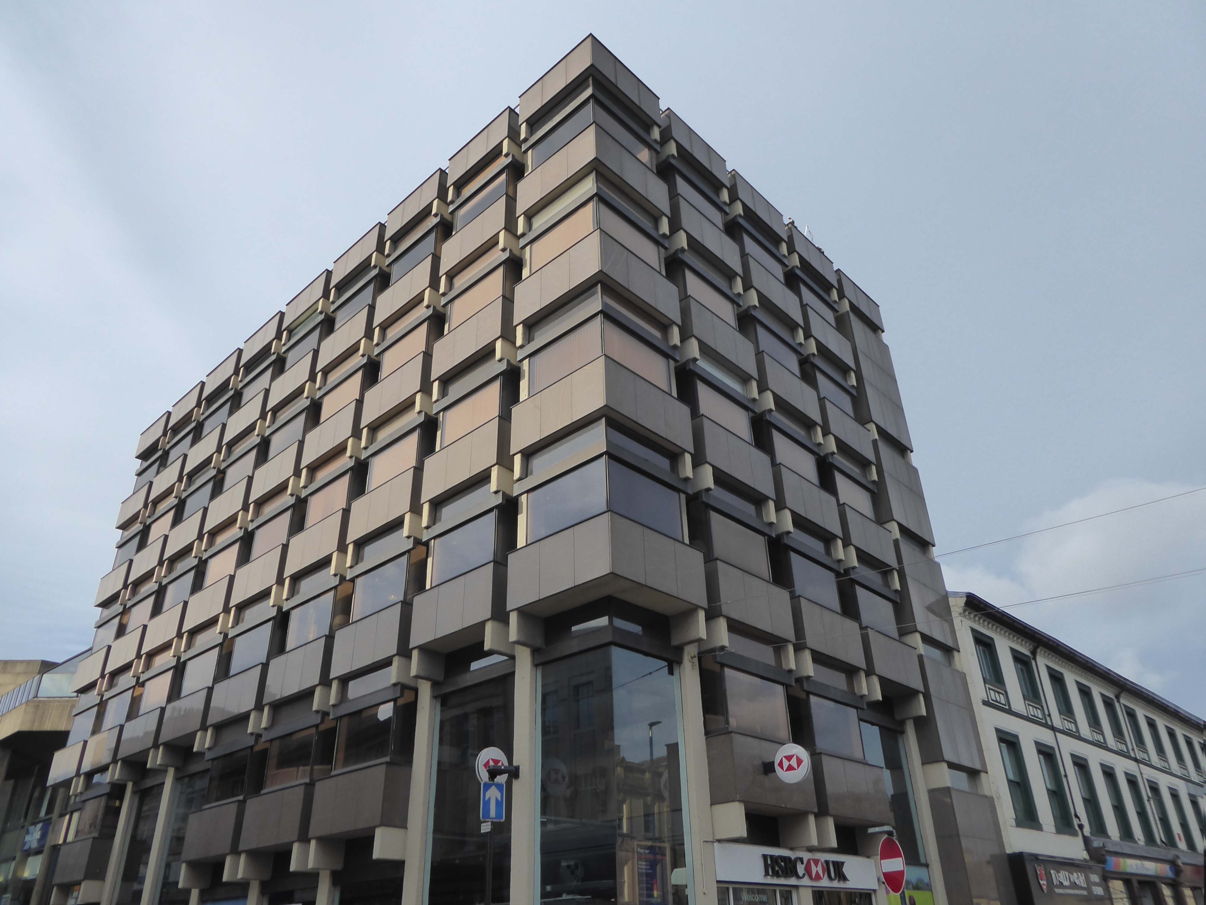
HSBC was designed by Peter Womersley, who also designed the thoroughly modern private house, Farnley Hey, near Castle Hill, which won the RIBA Bronze Medal in 1958.
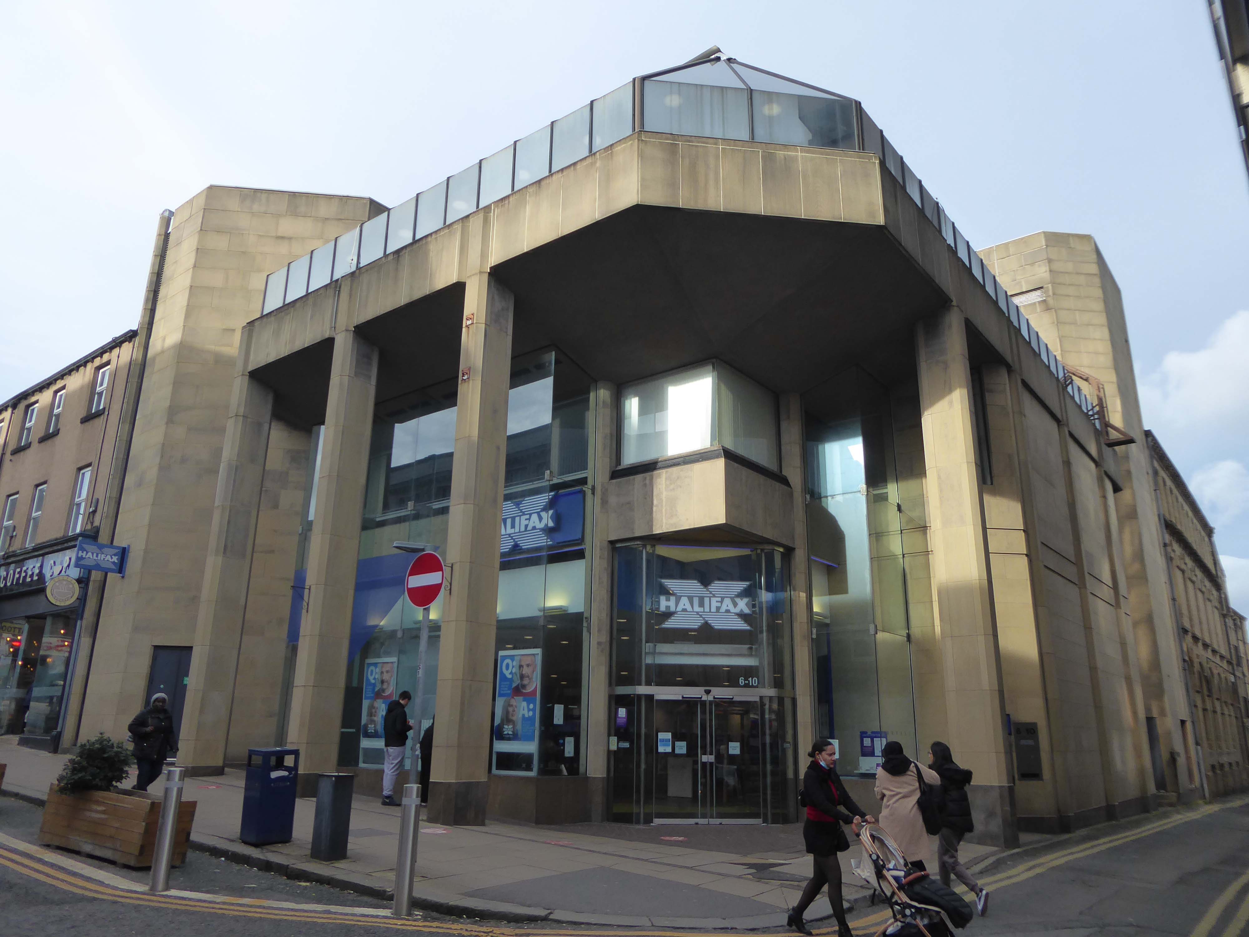
Halifax Building Society
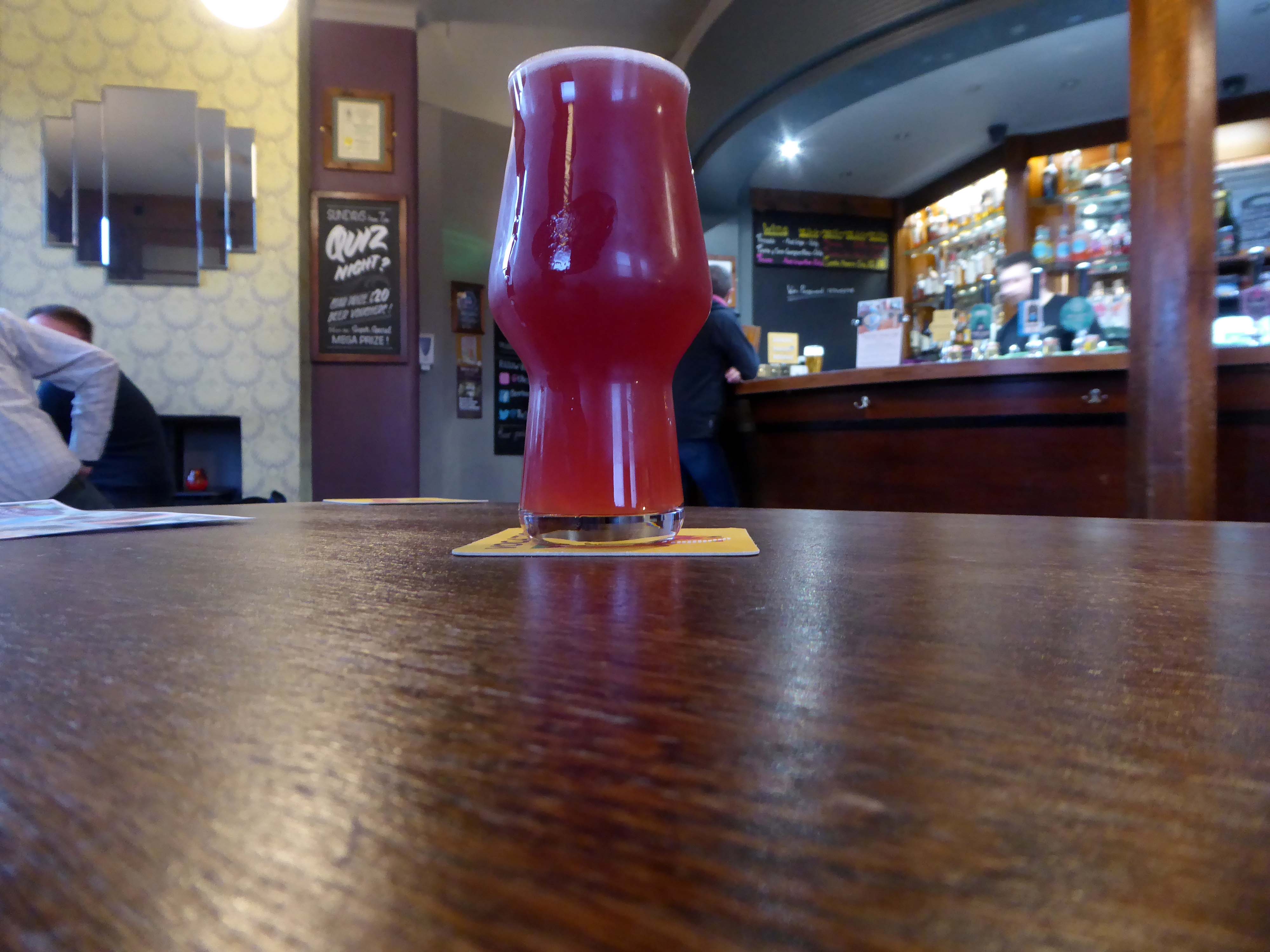
Having walked around town for more hours than enough I sought respite in The Sportsman and a glass of Squawk multi-berry fruited sour
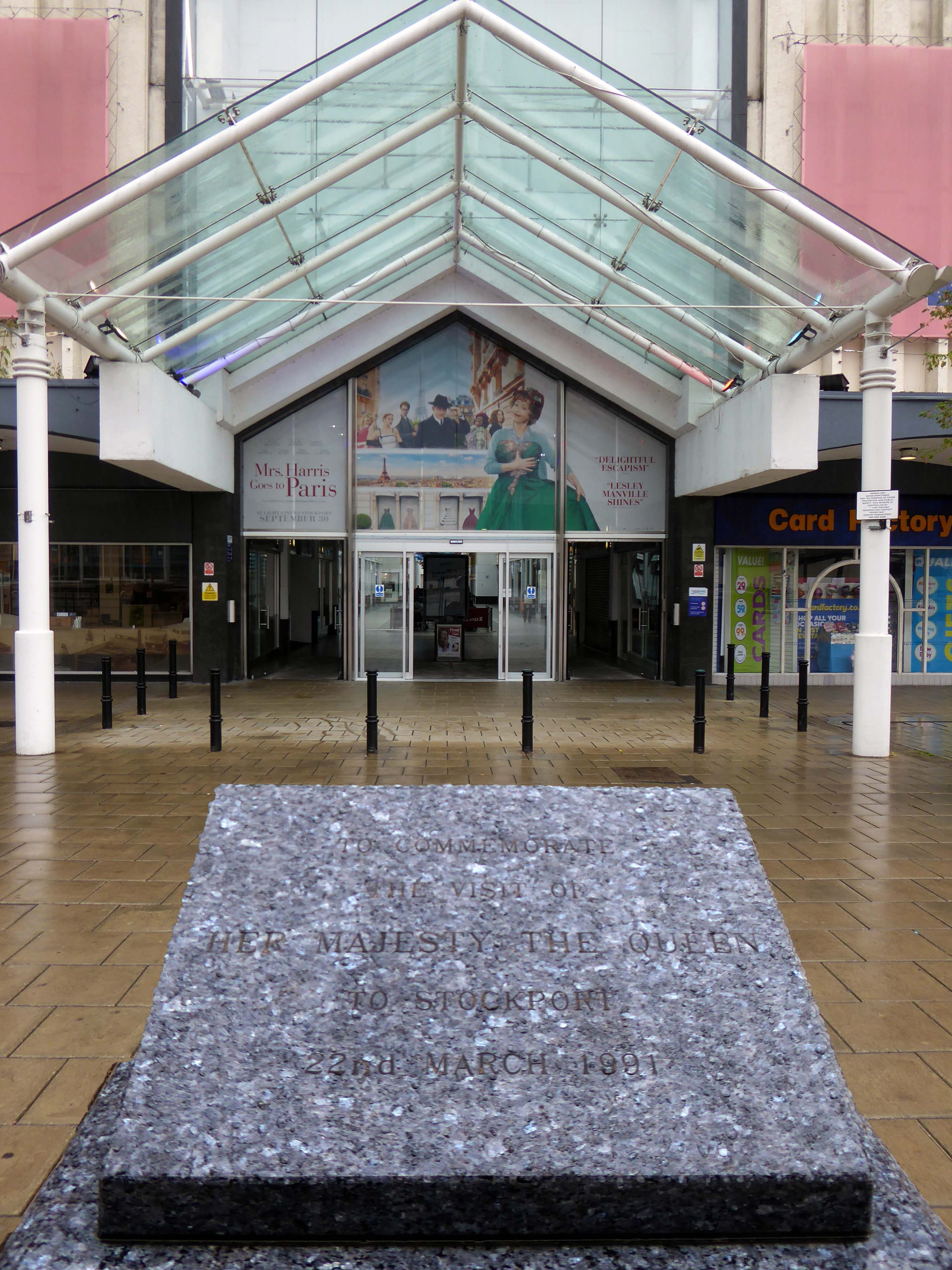
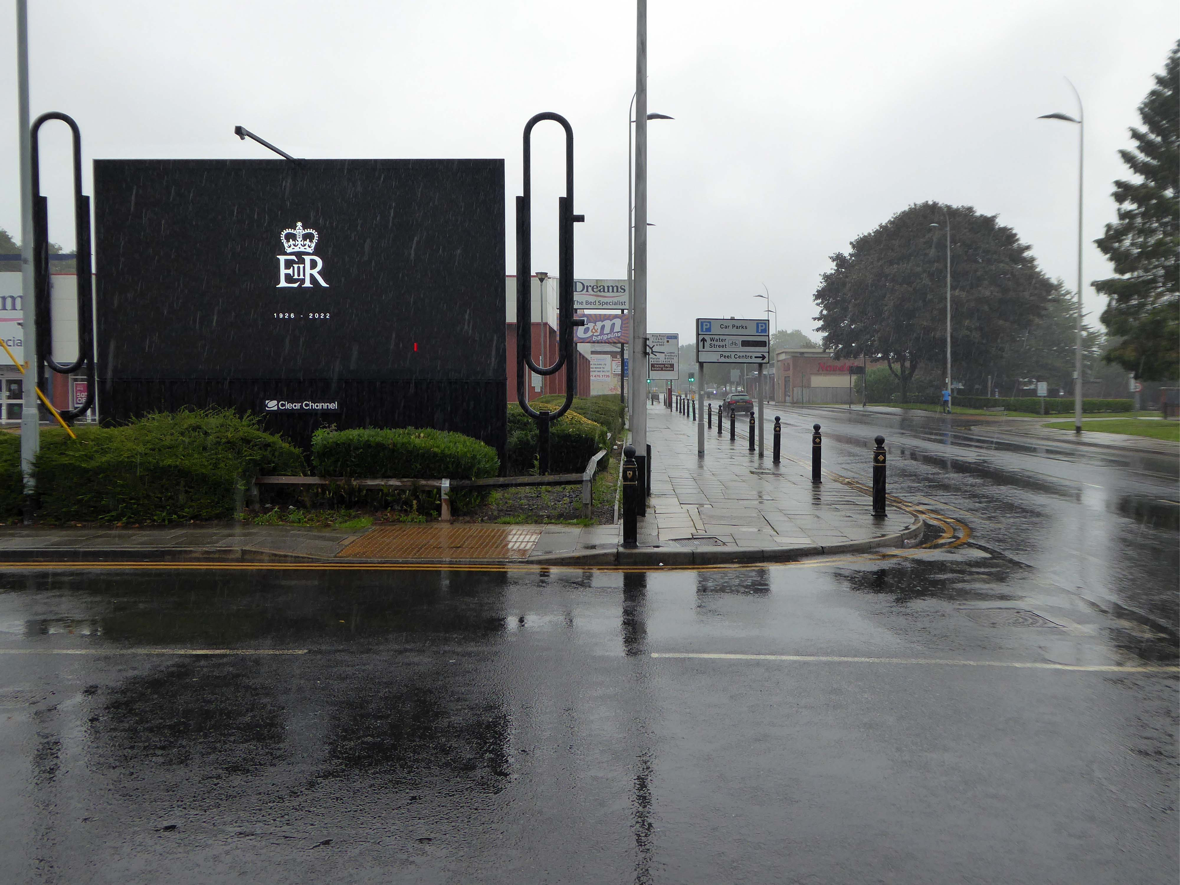
On the day of HM Queen Elizabeth II’s Diamond Jubilee, I cycled around Ashton under Lyne in search of landmarks of her sixty year reign.
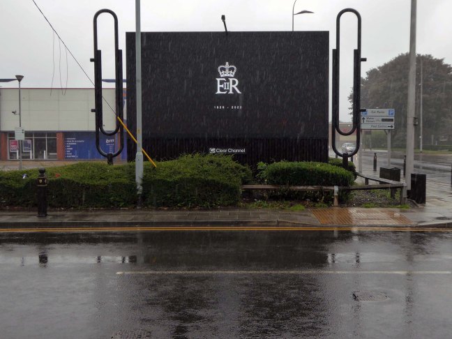
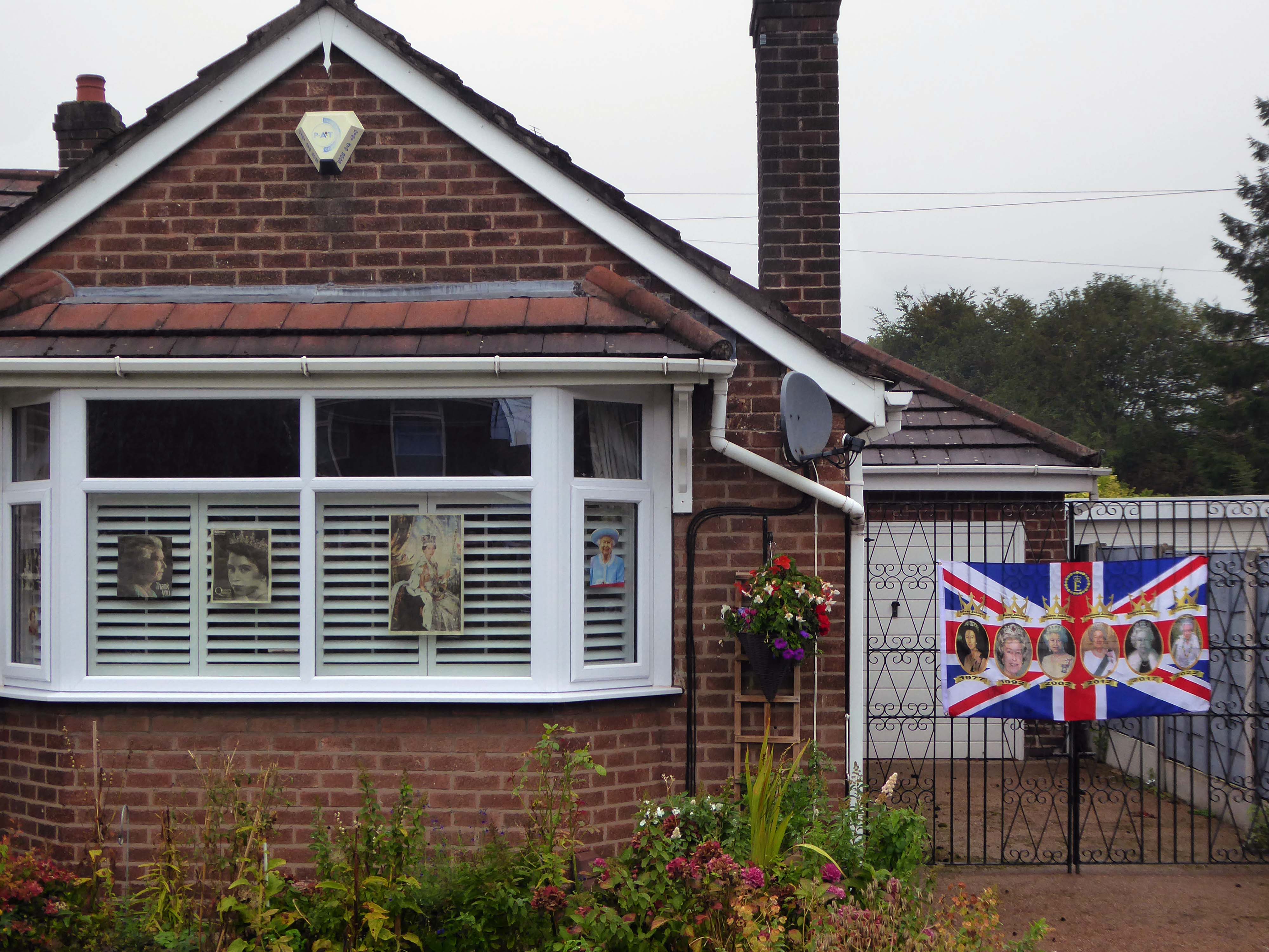
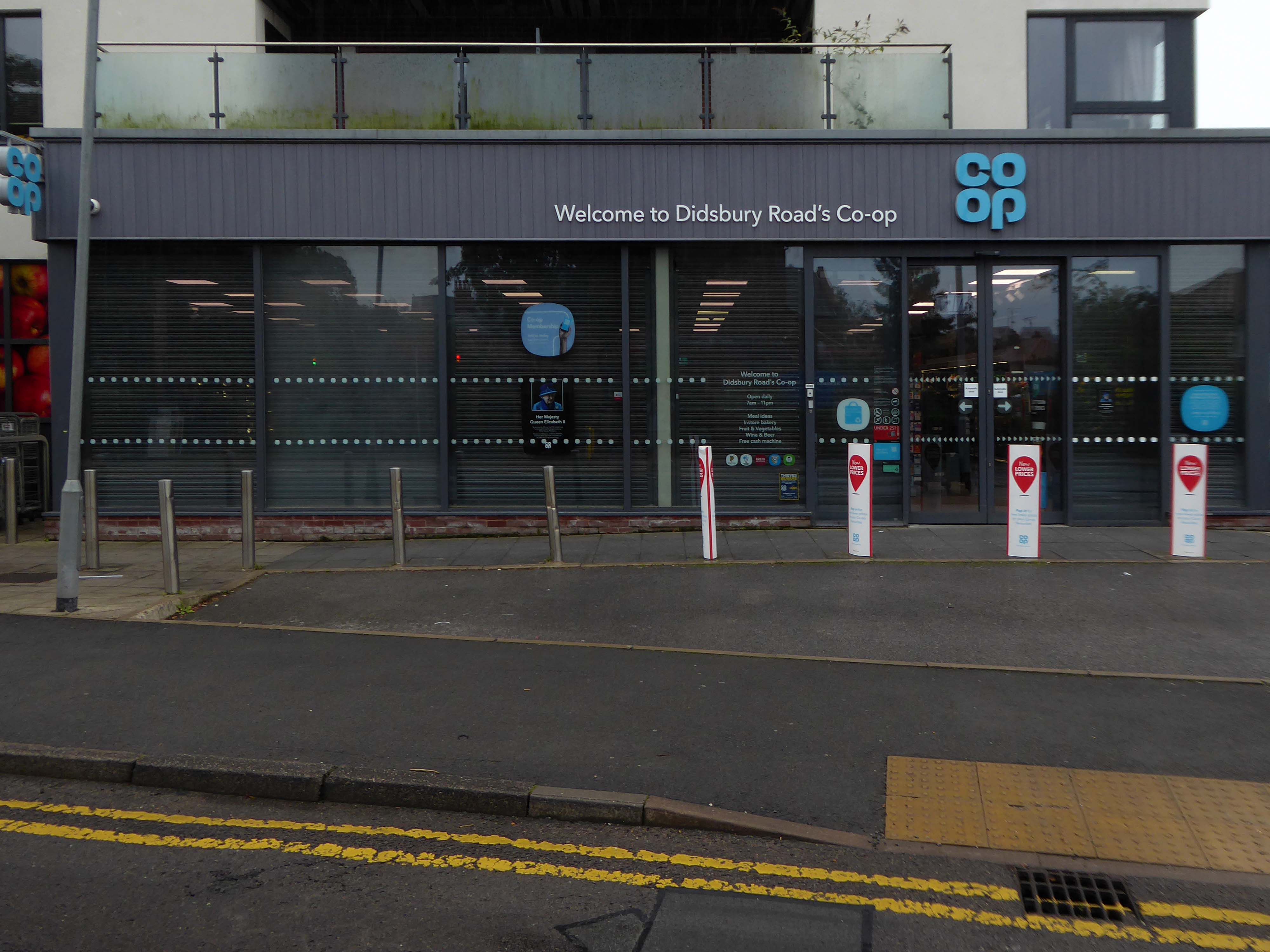
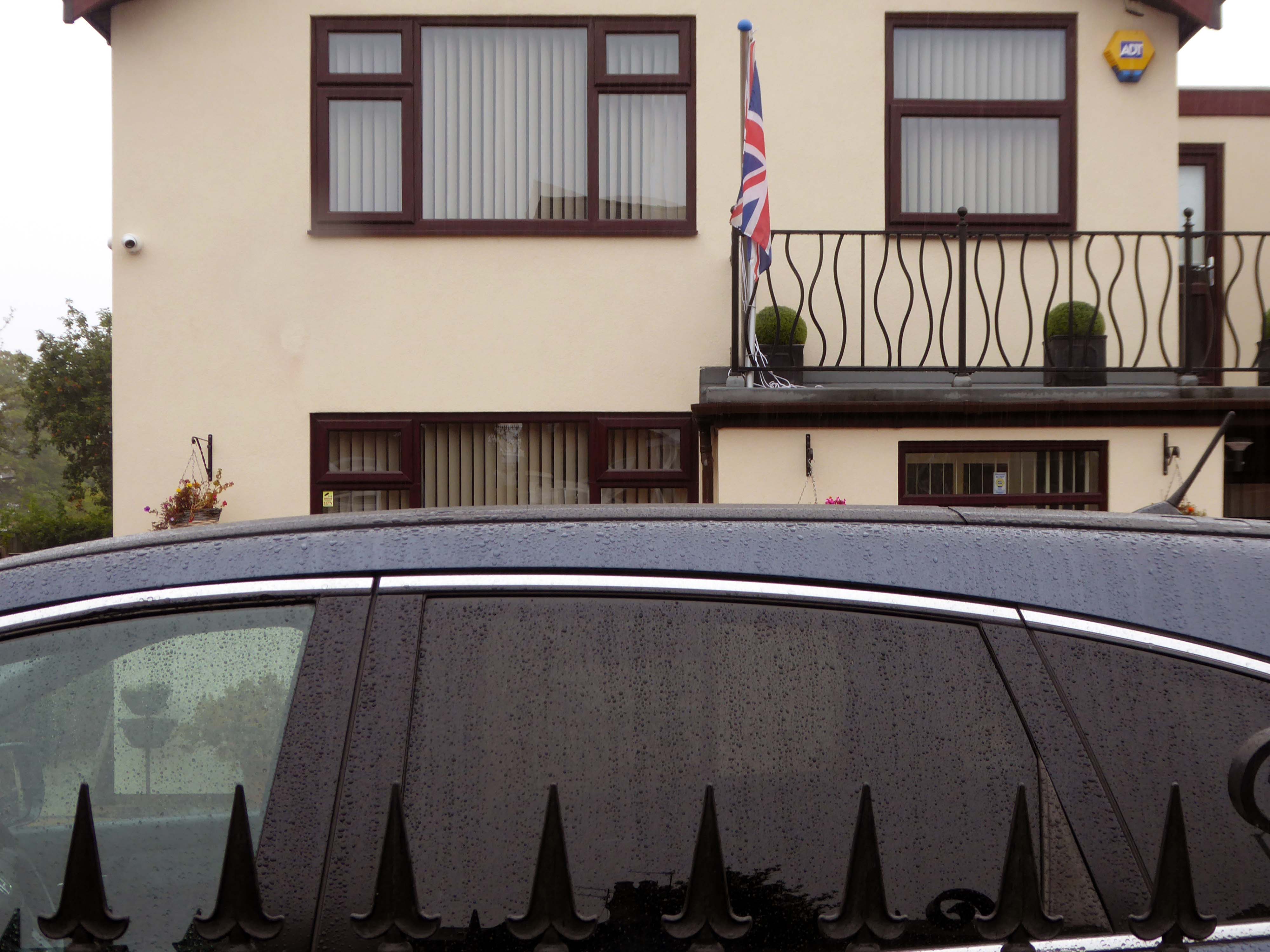
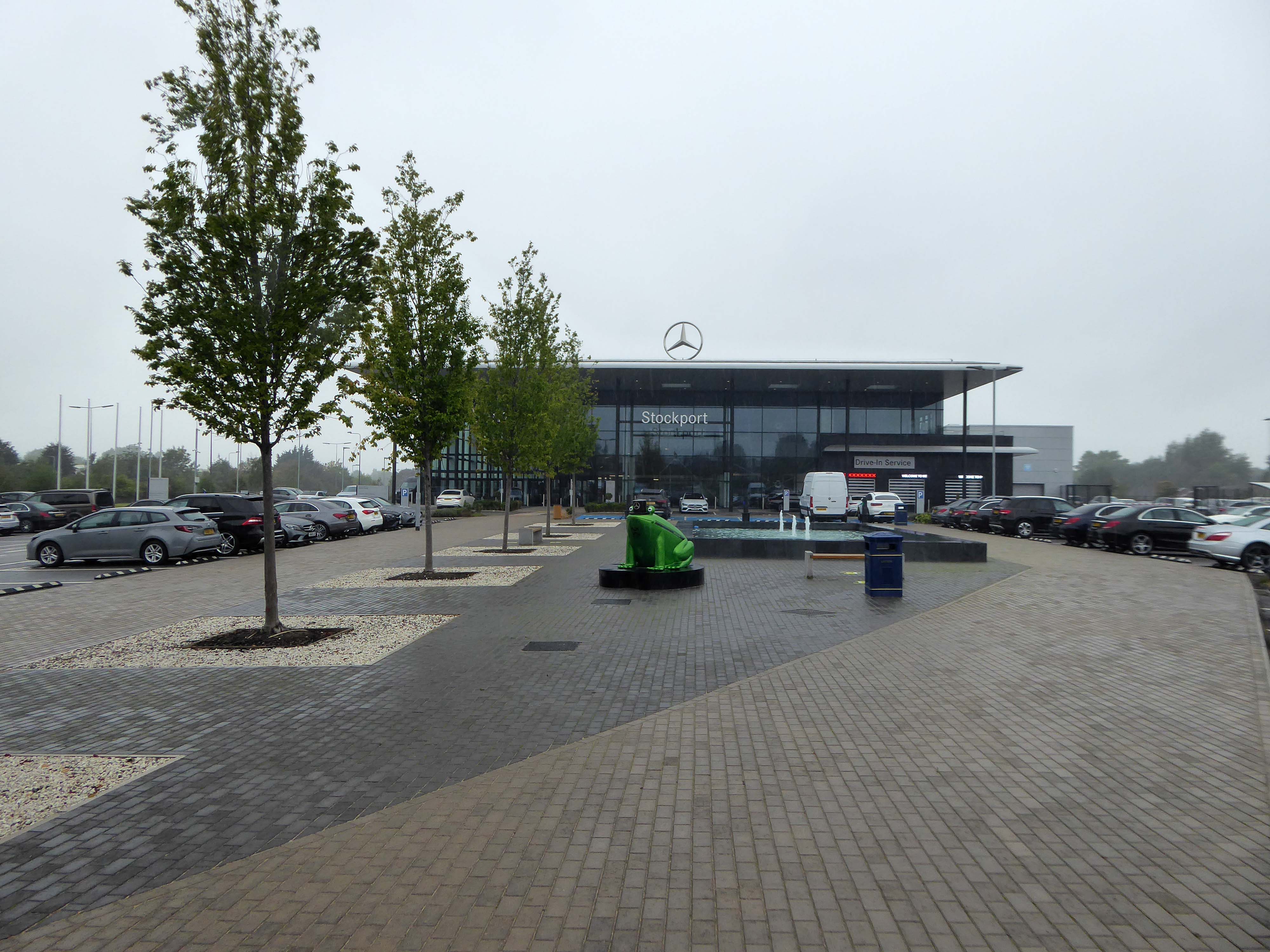
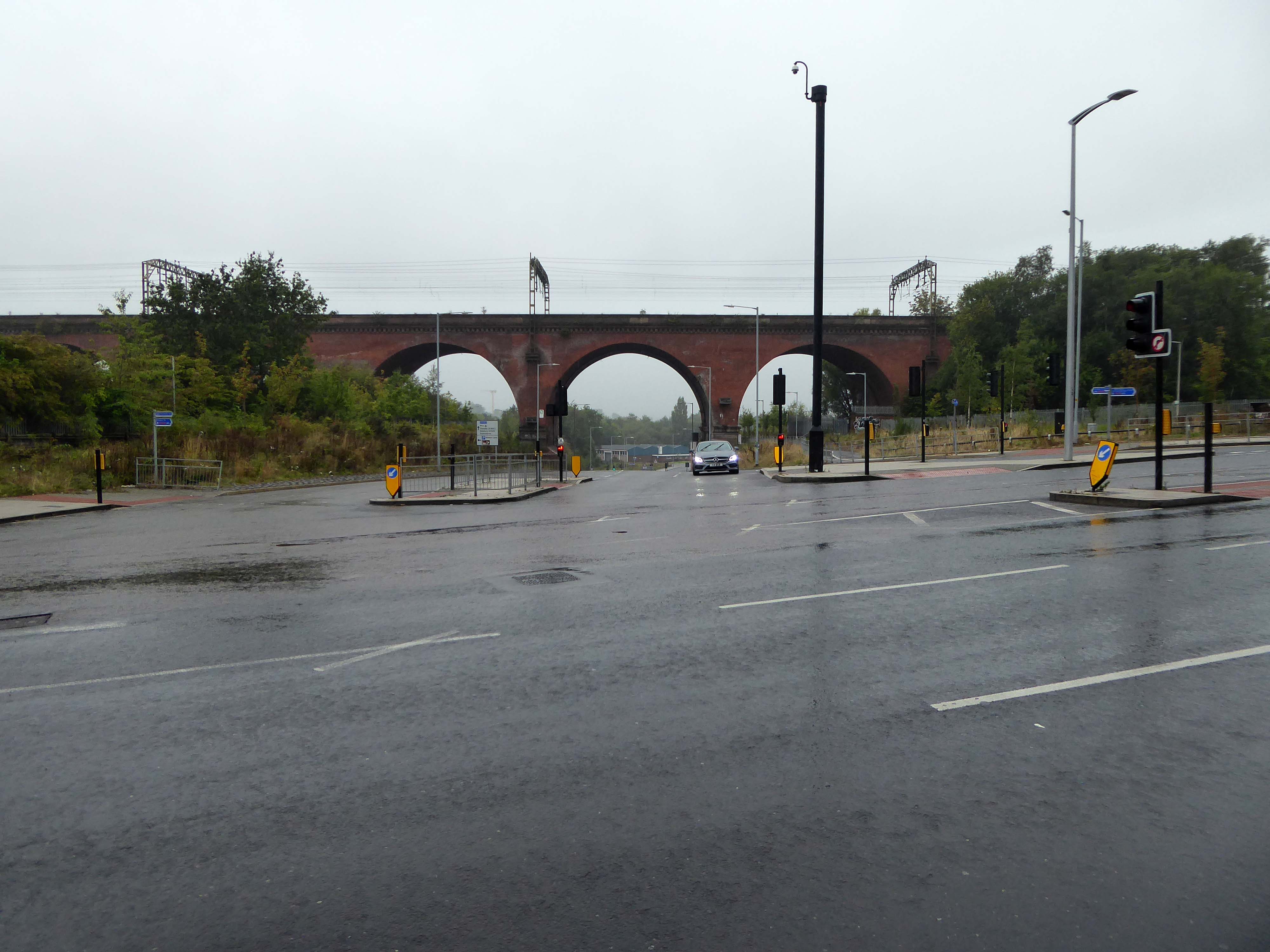
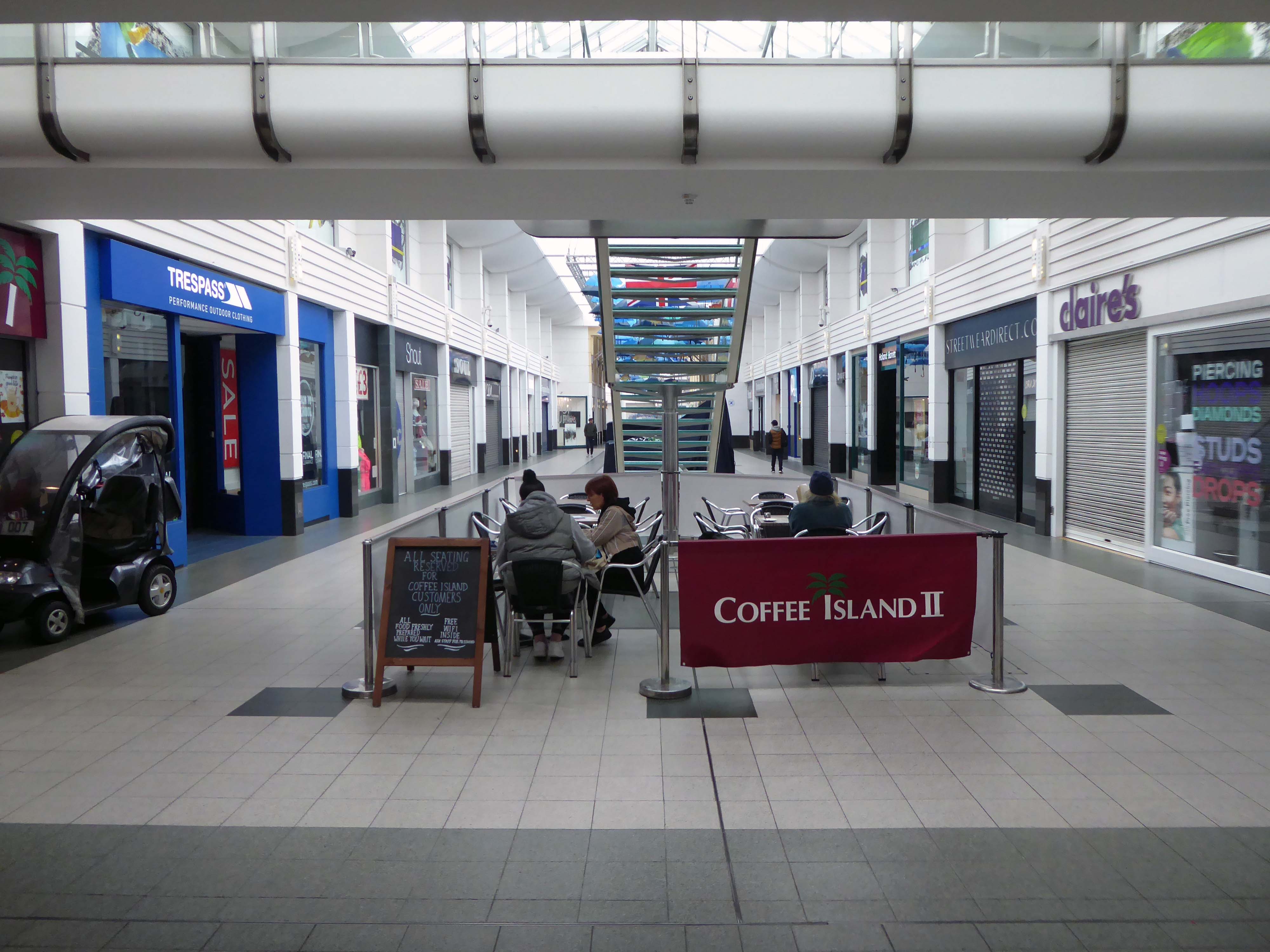
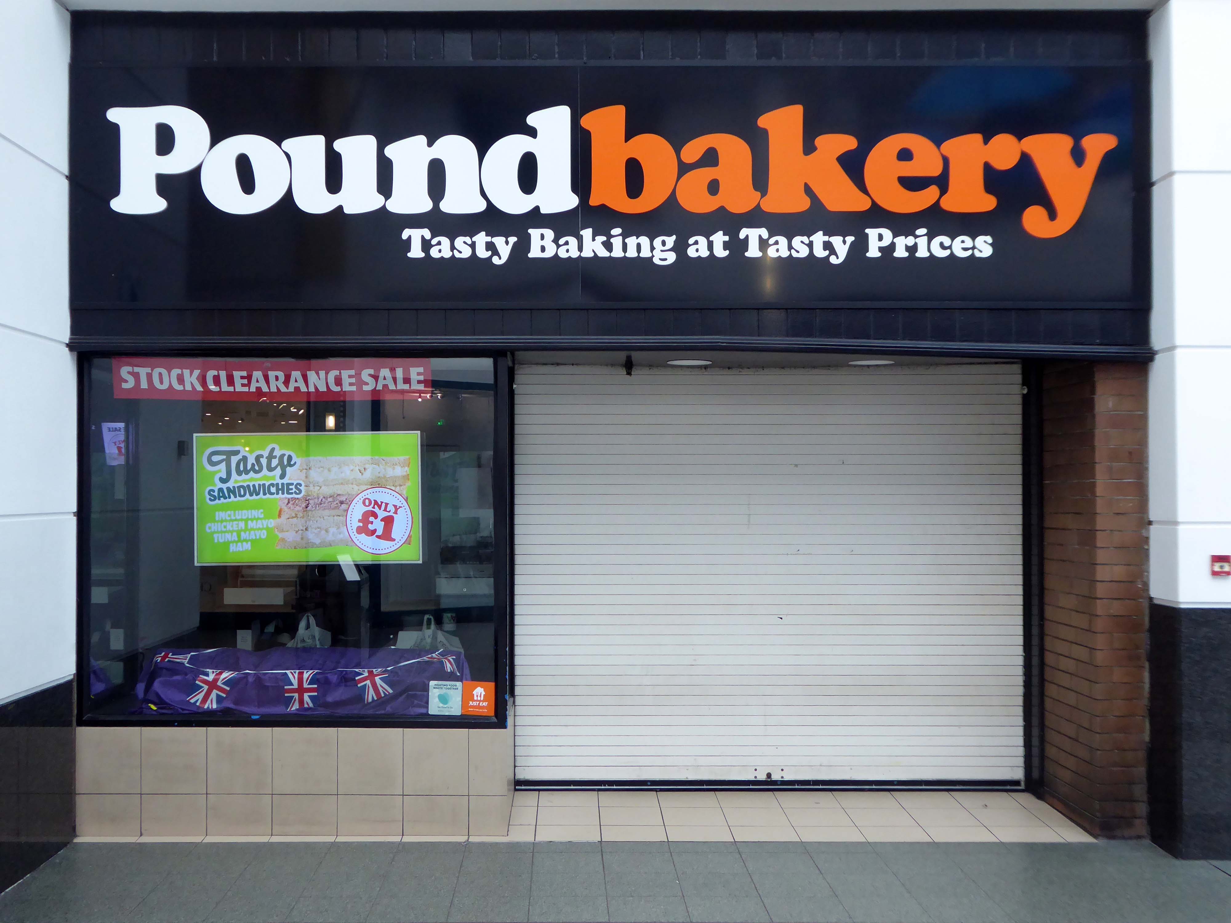
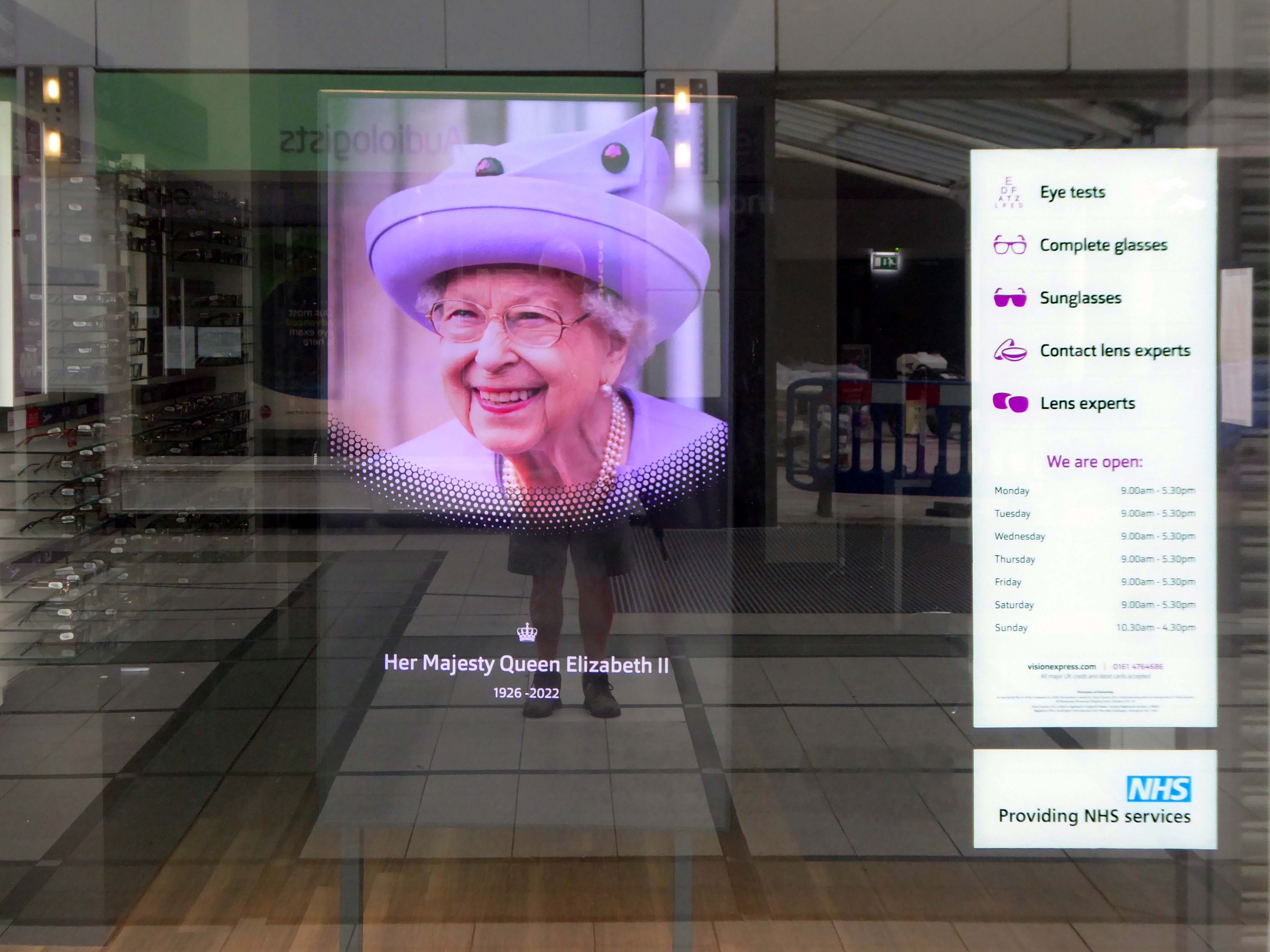
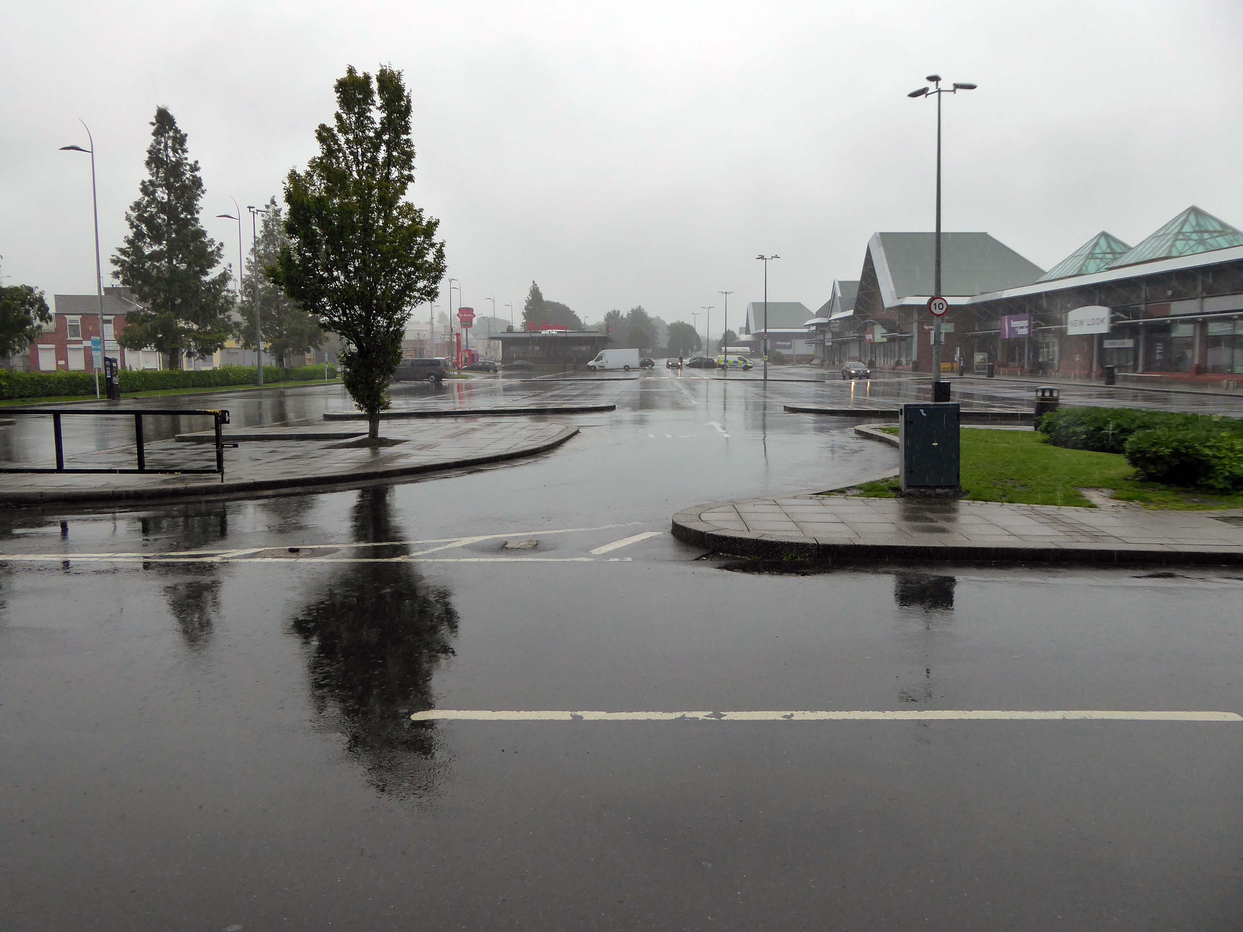
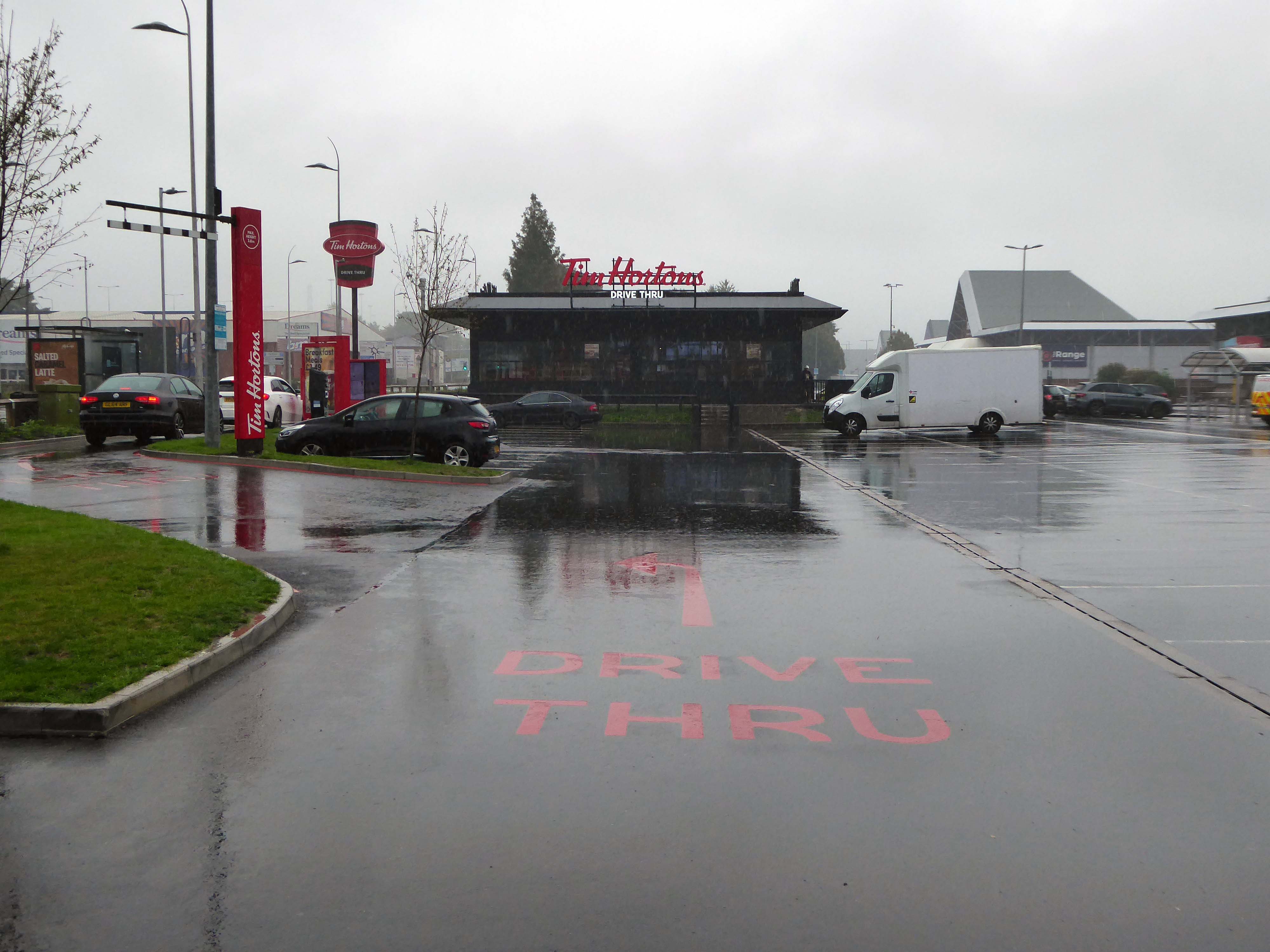
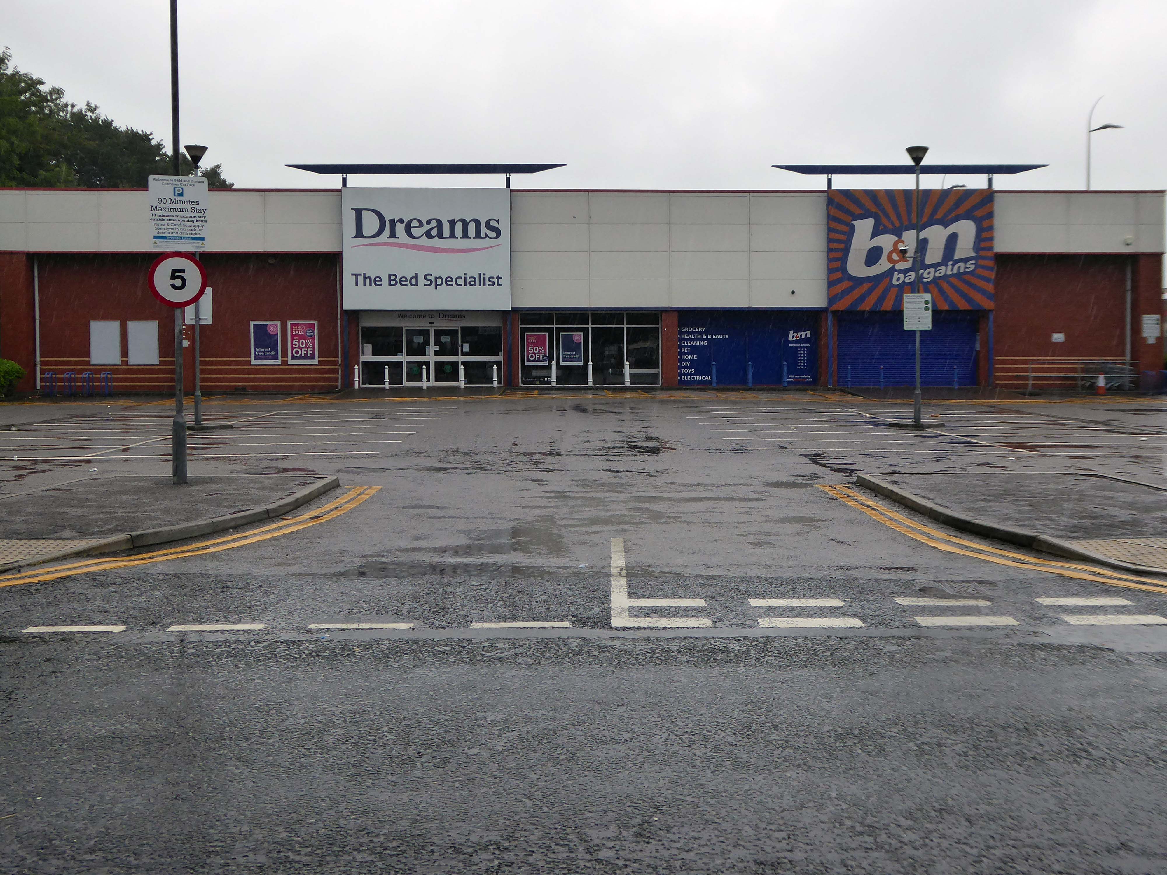
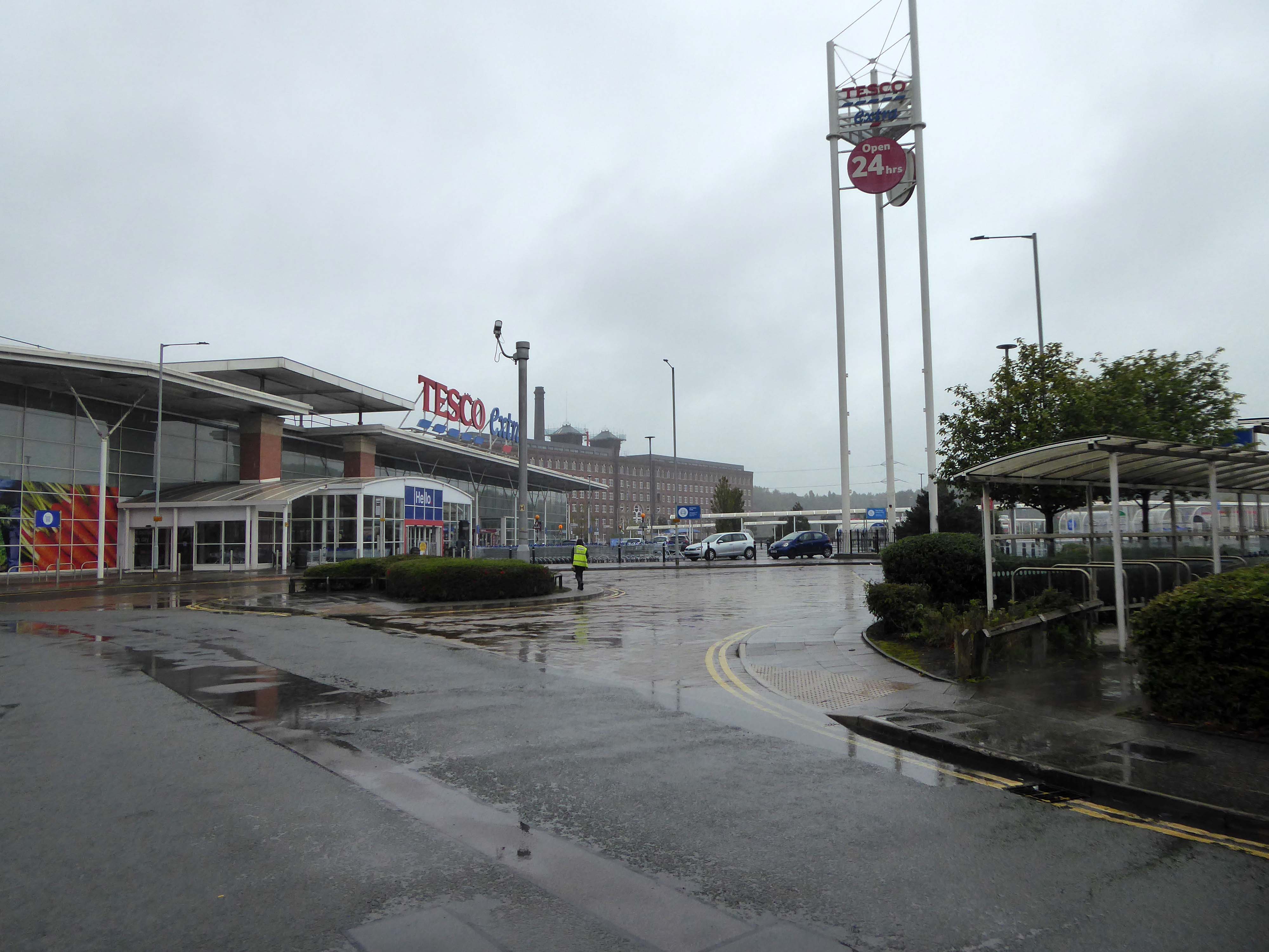
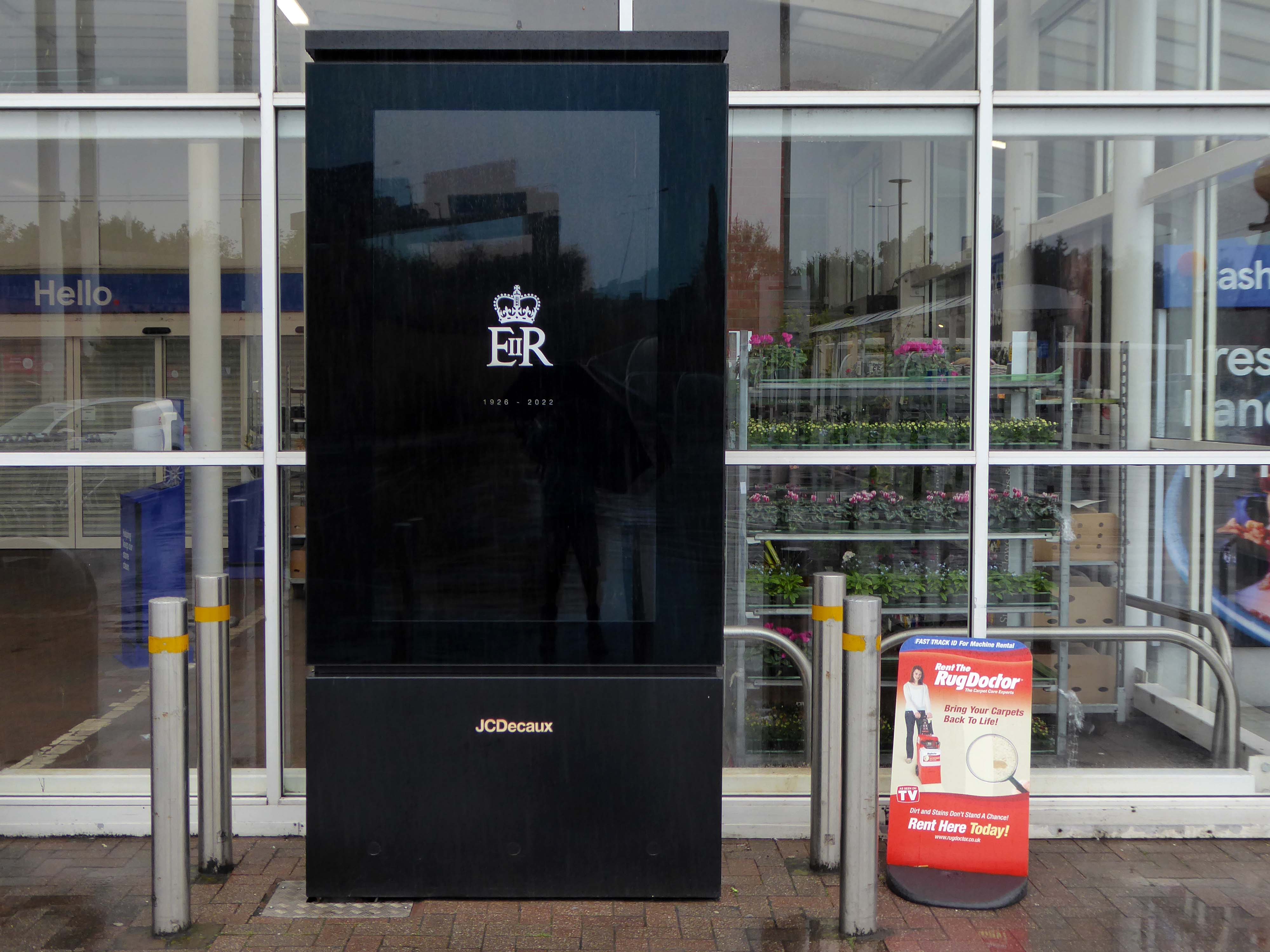
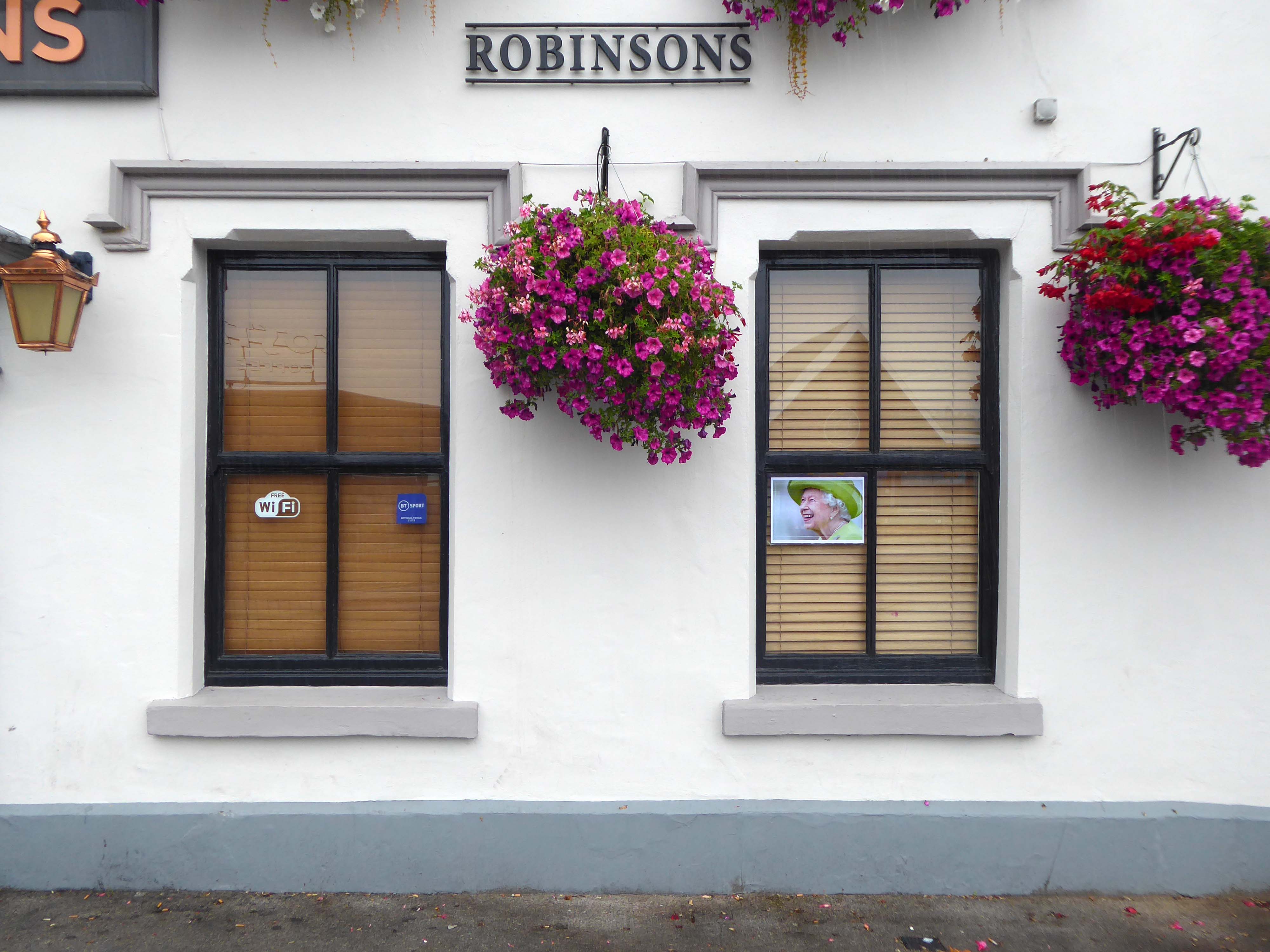
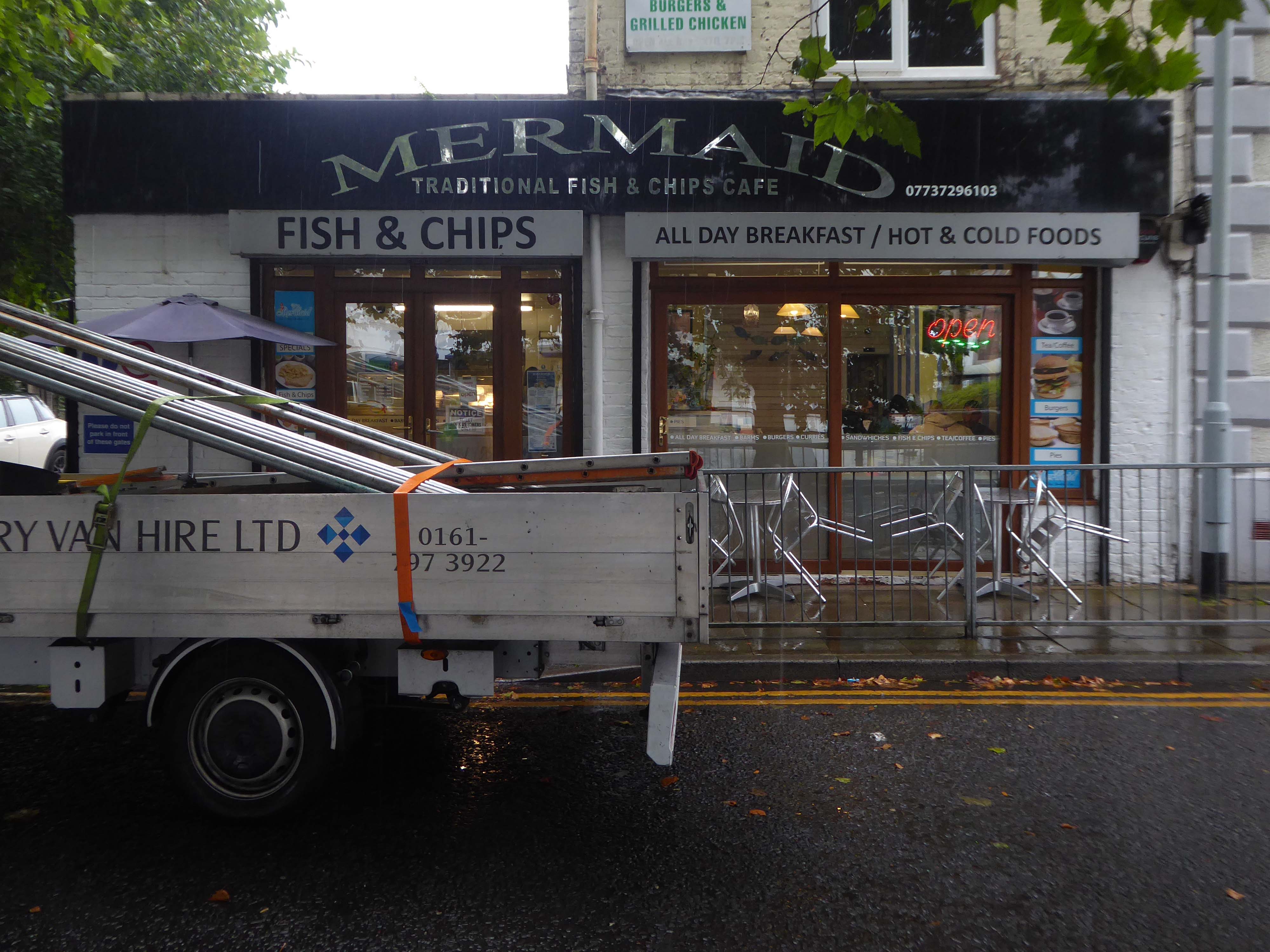
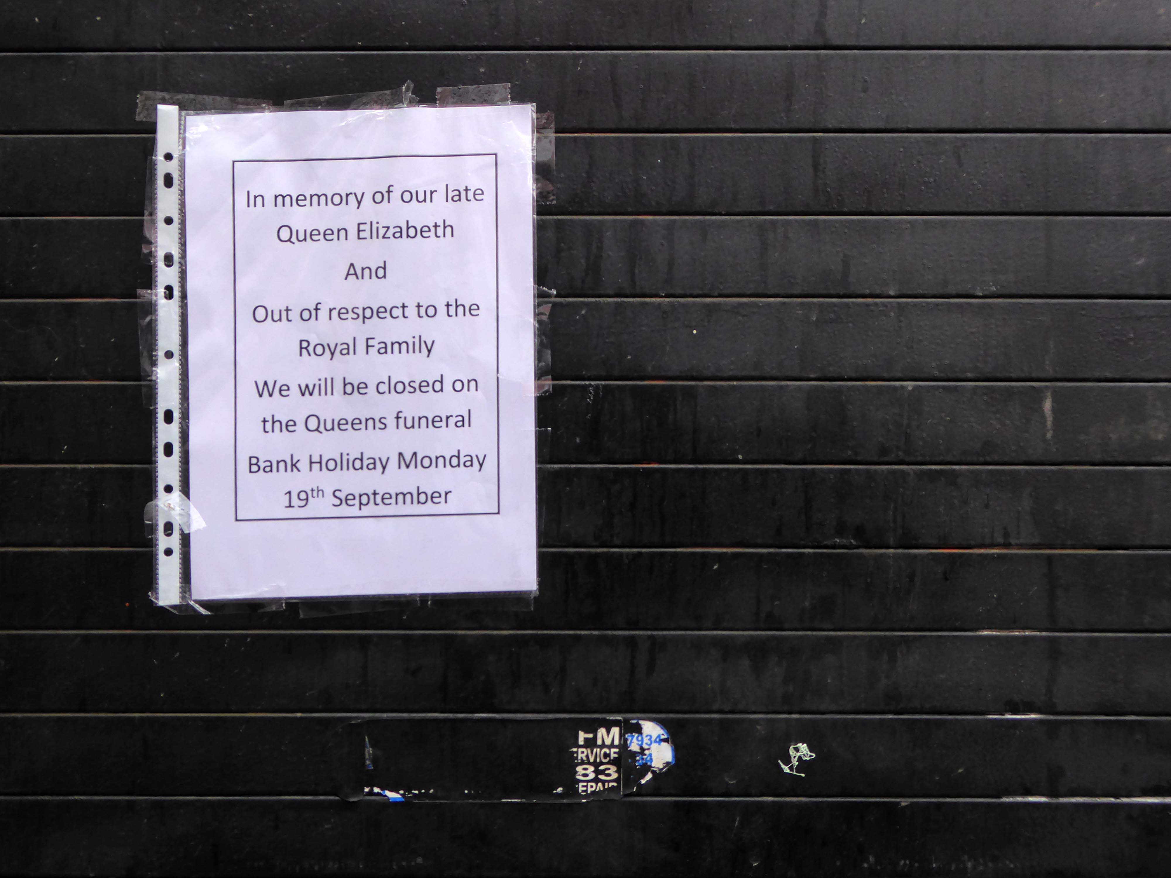
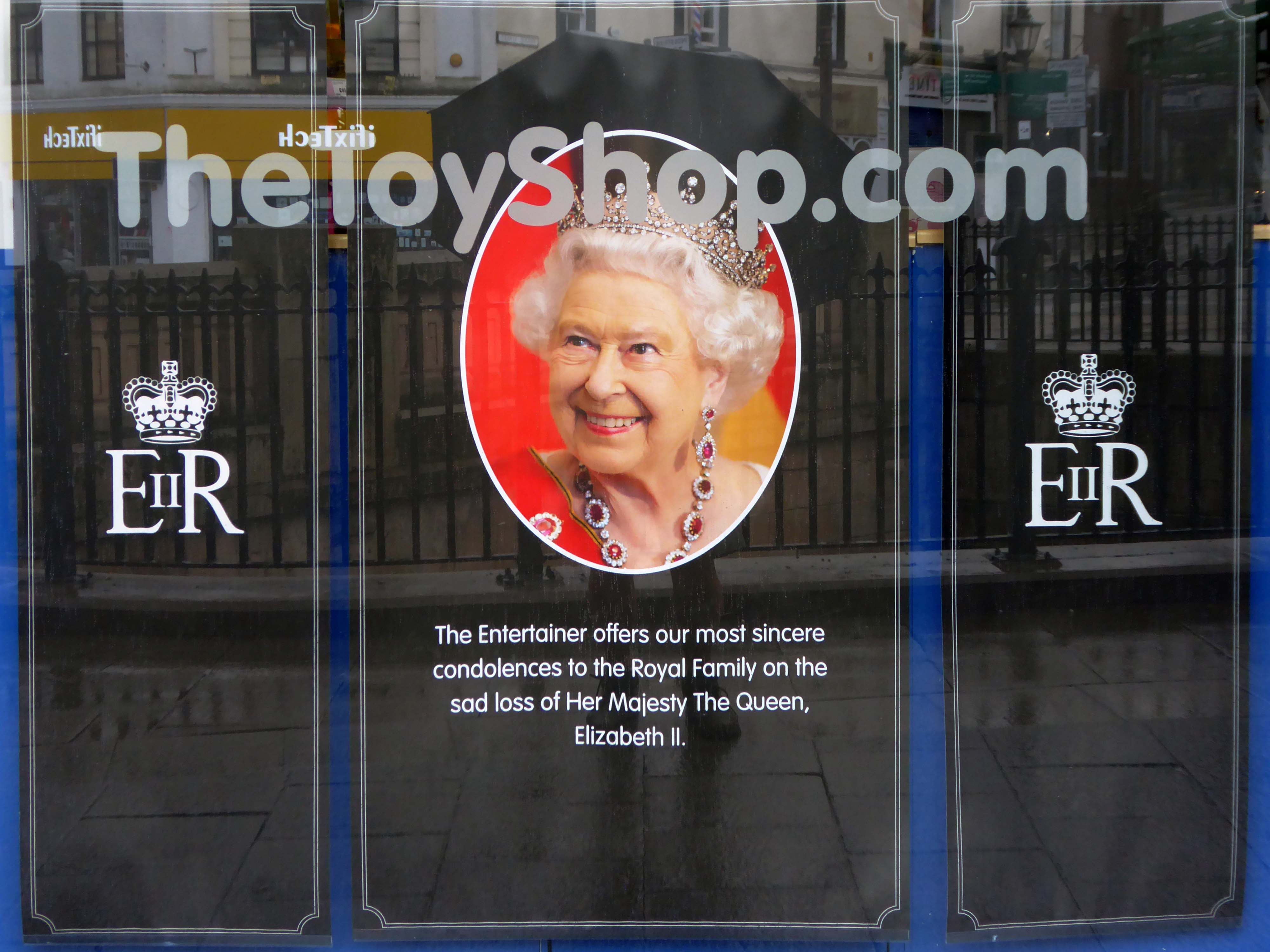
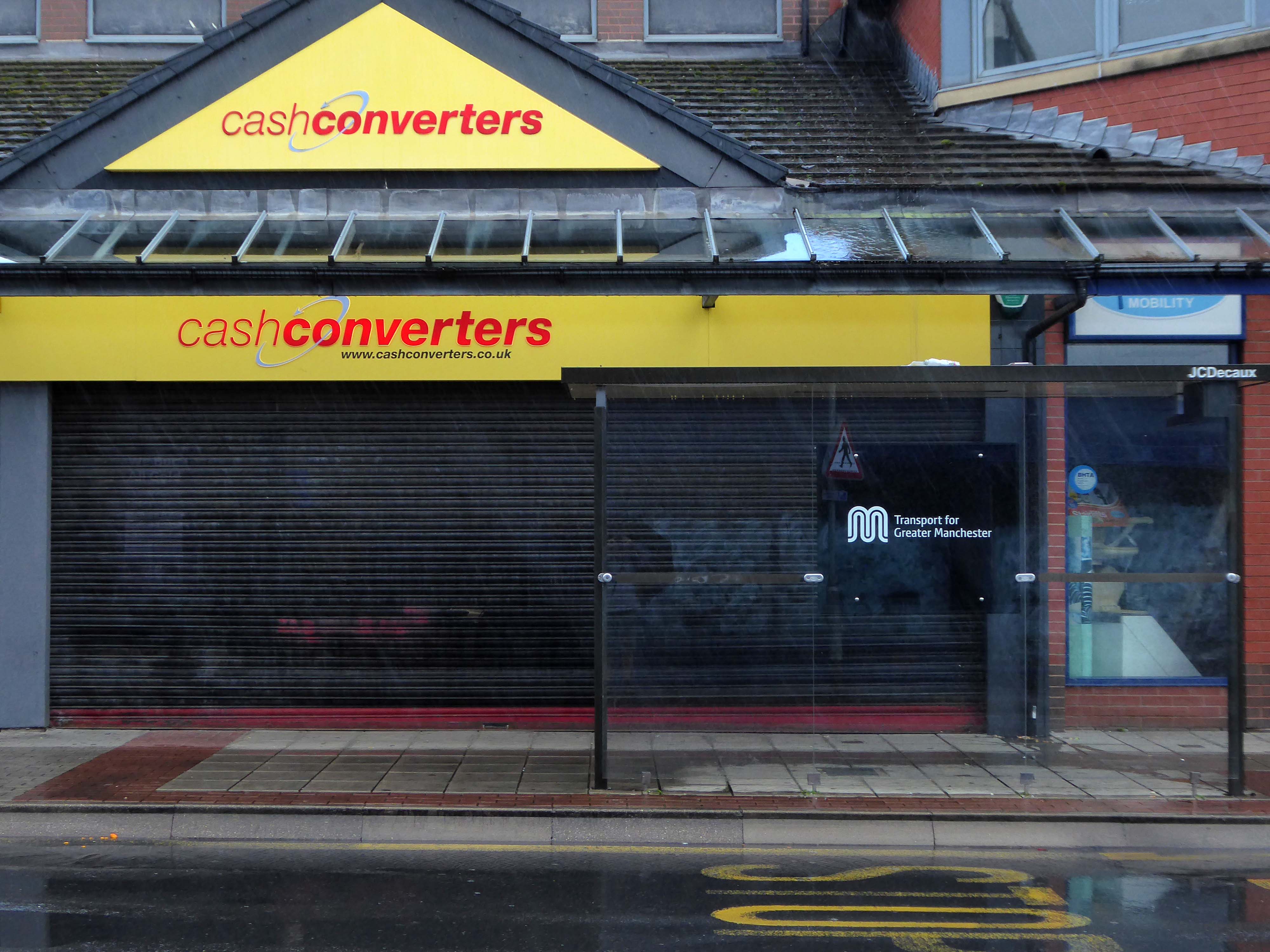
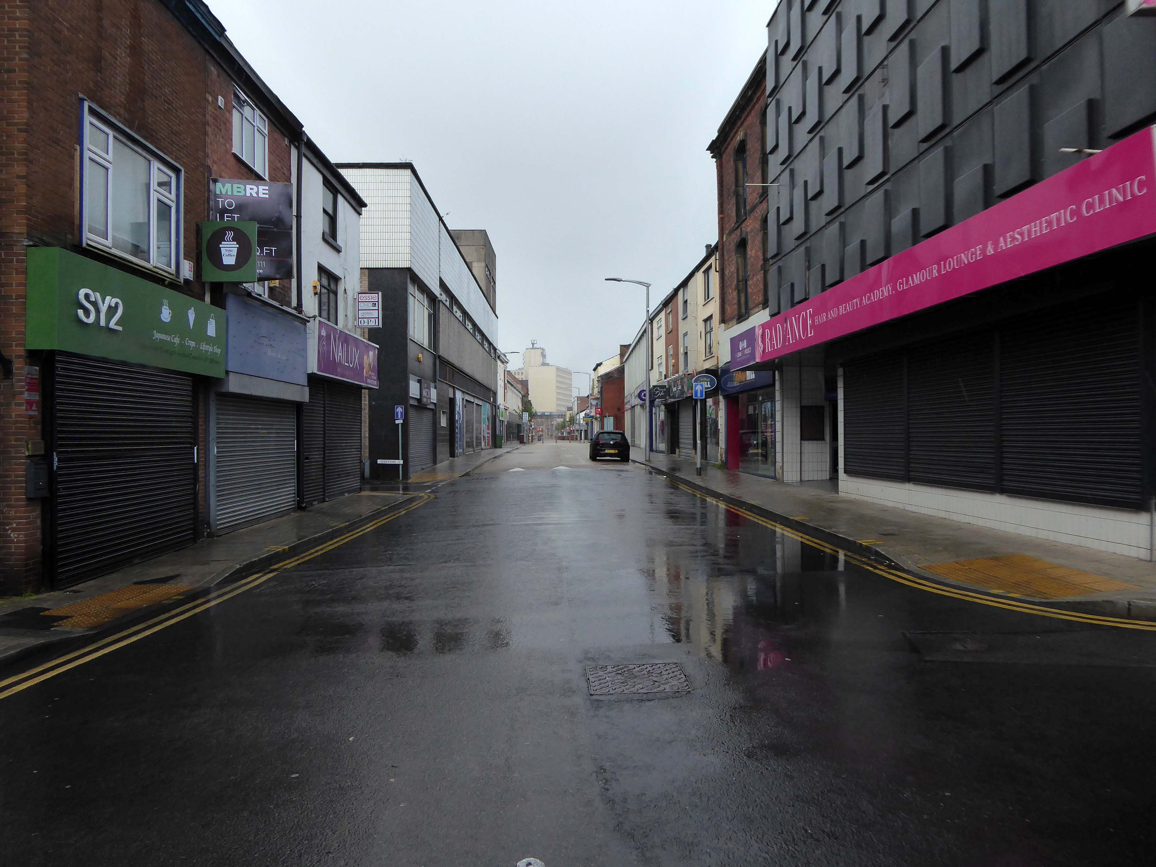
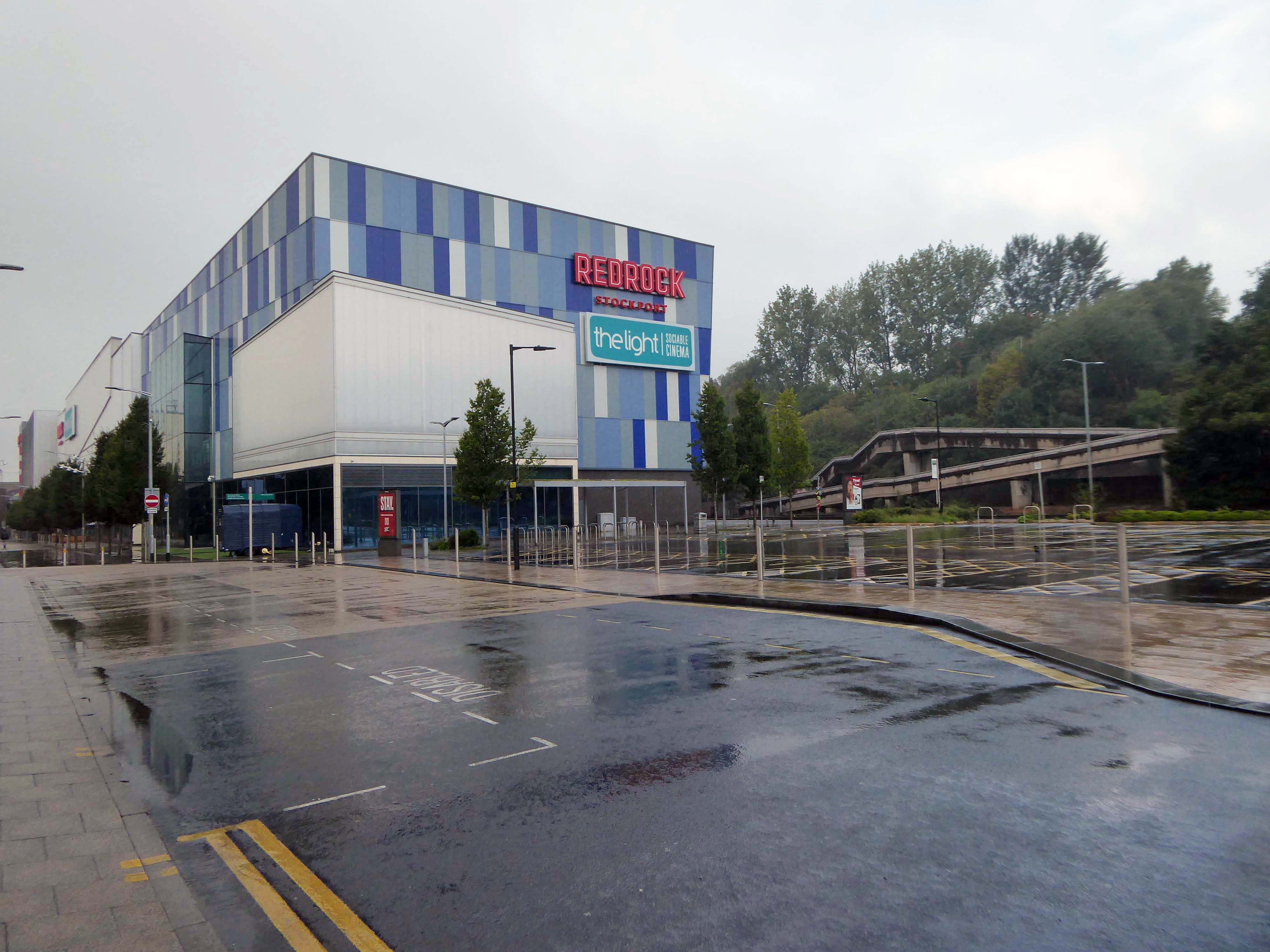
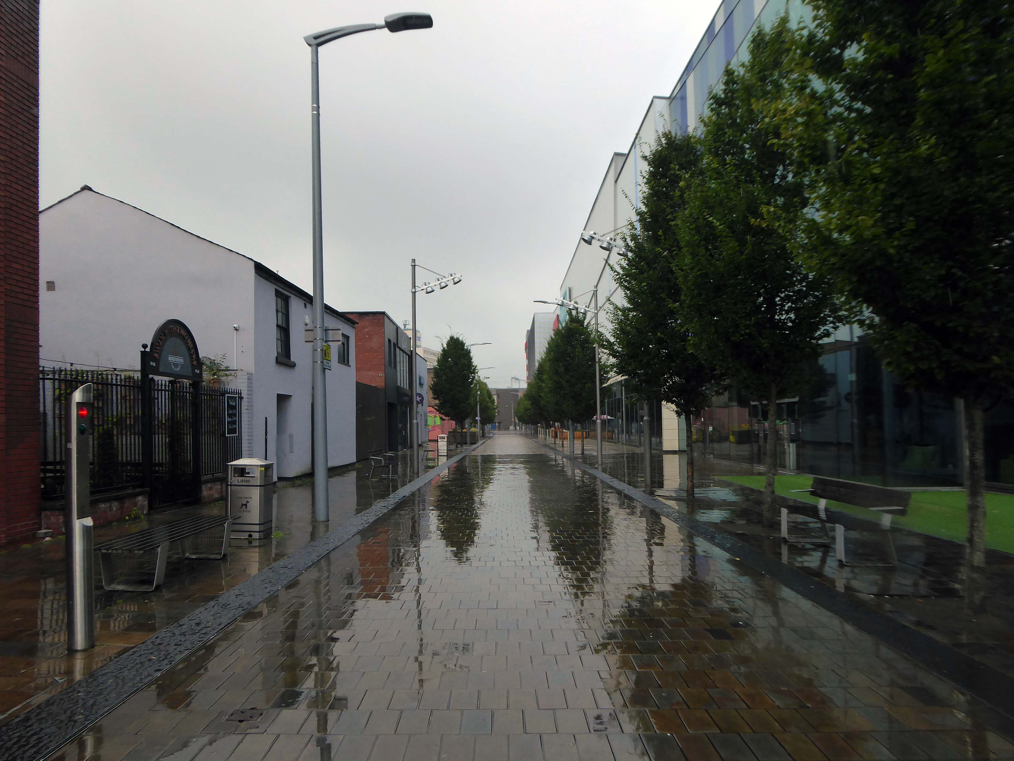
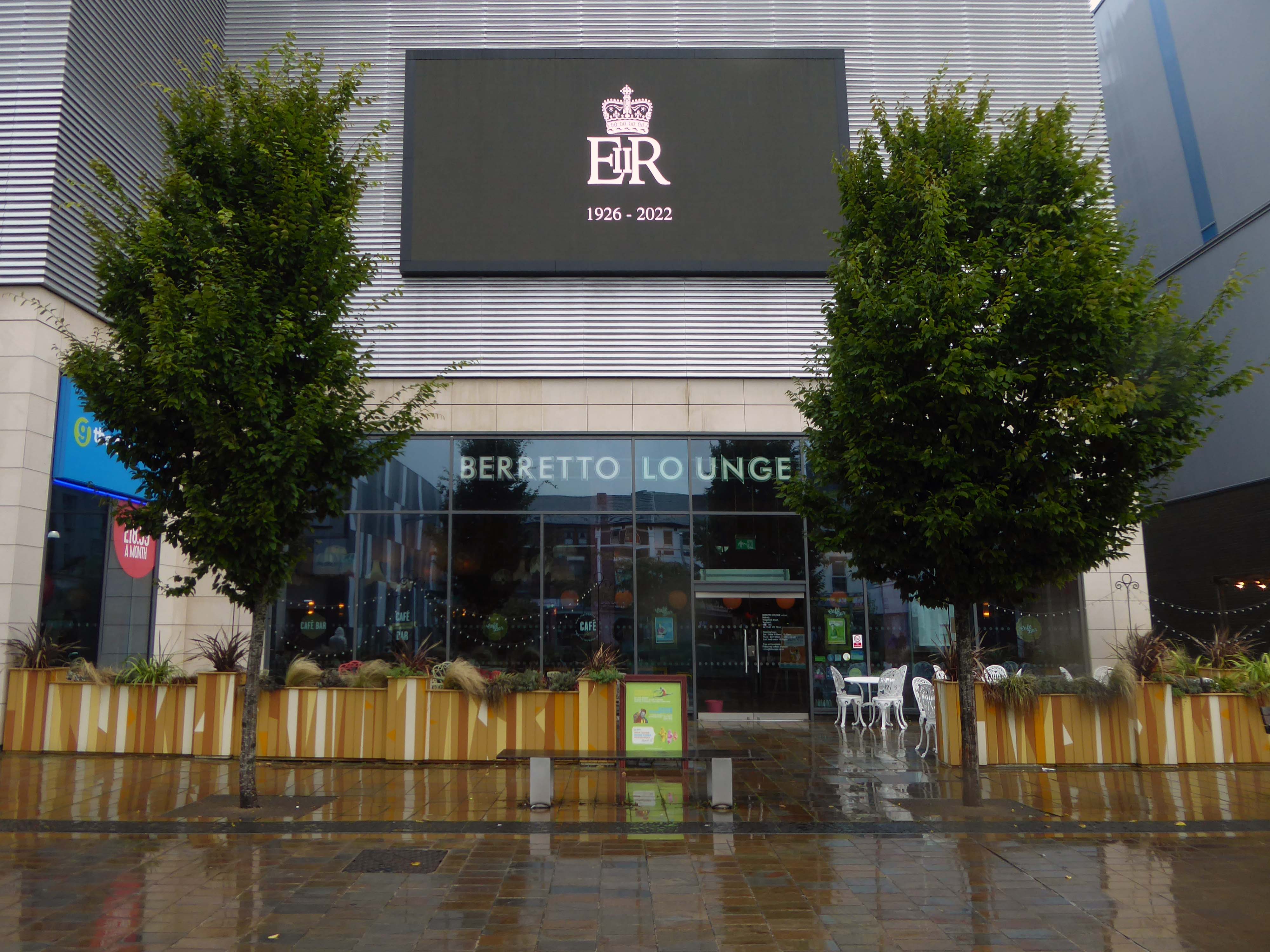
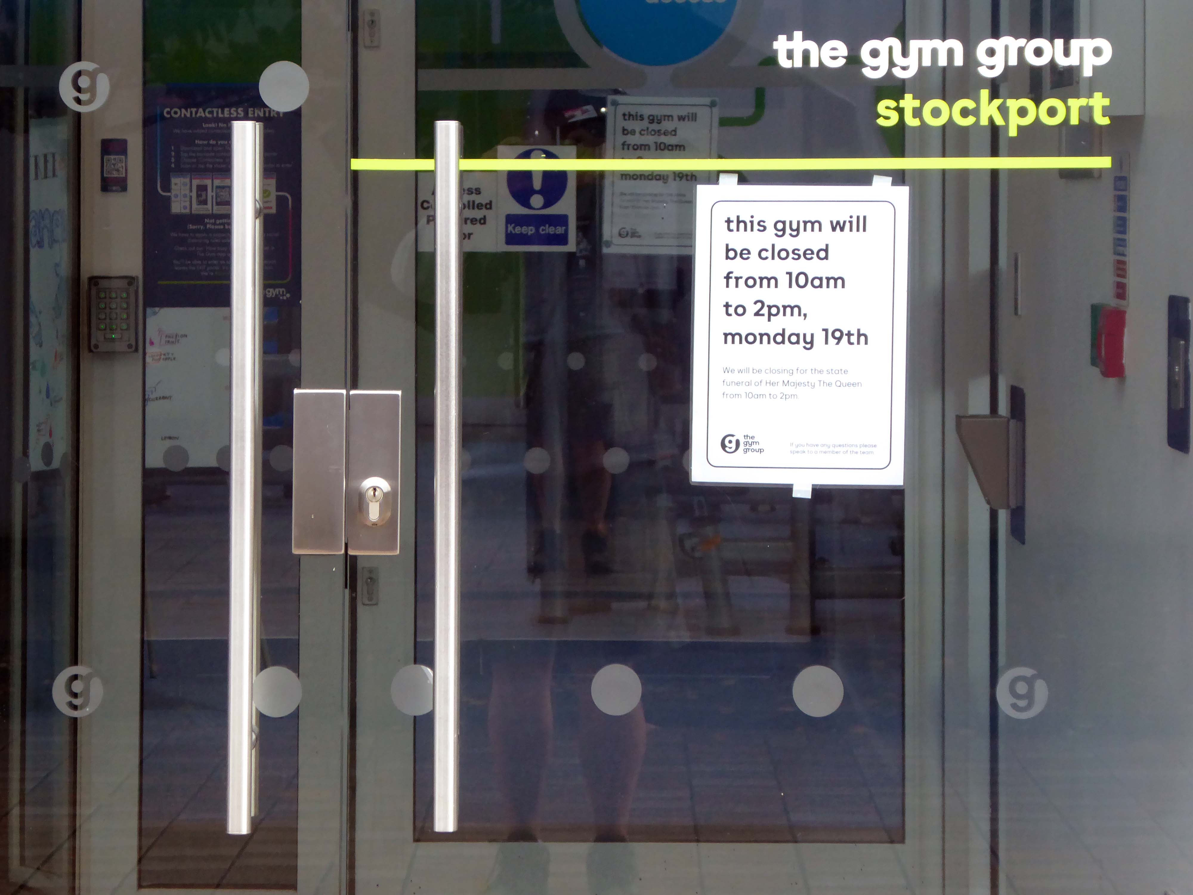
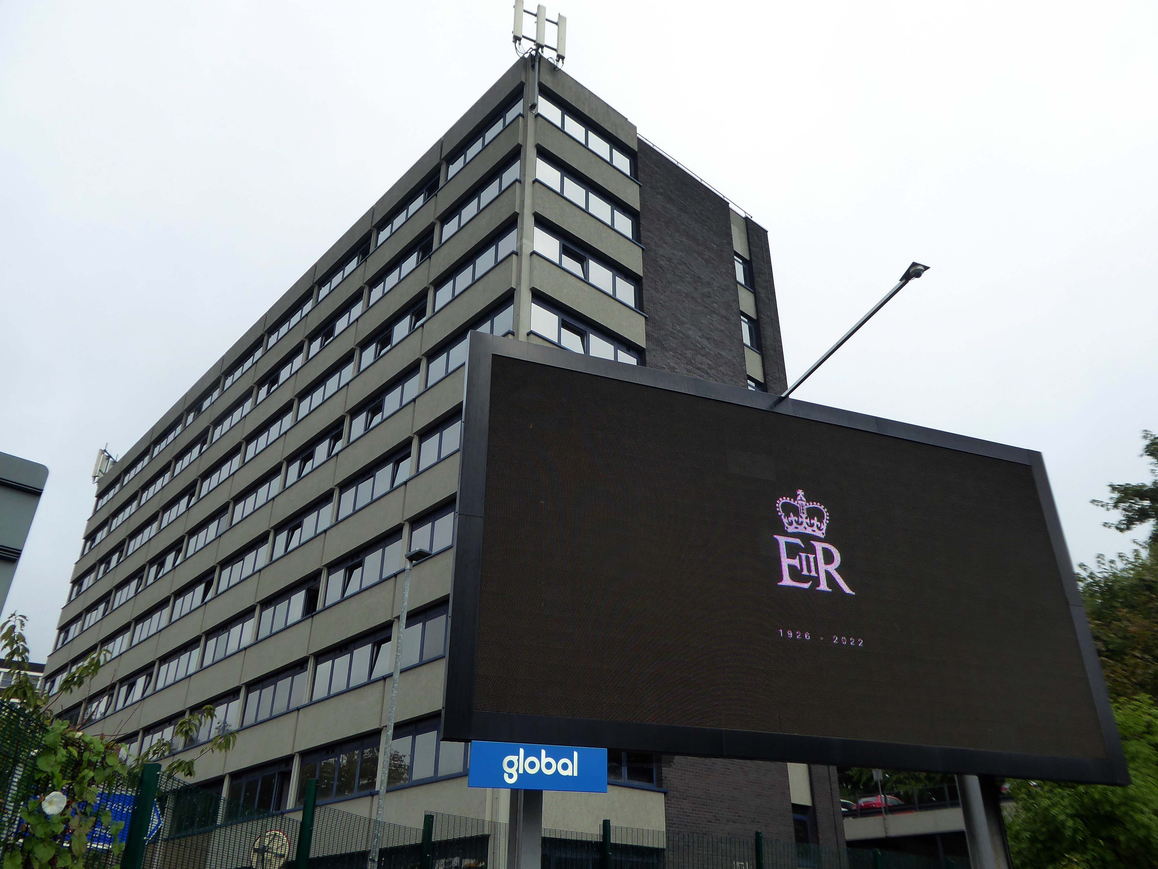
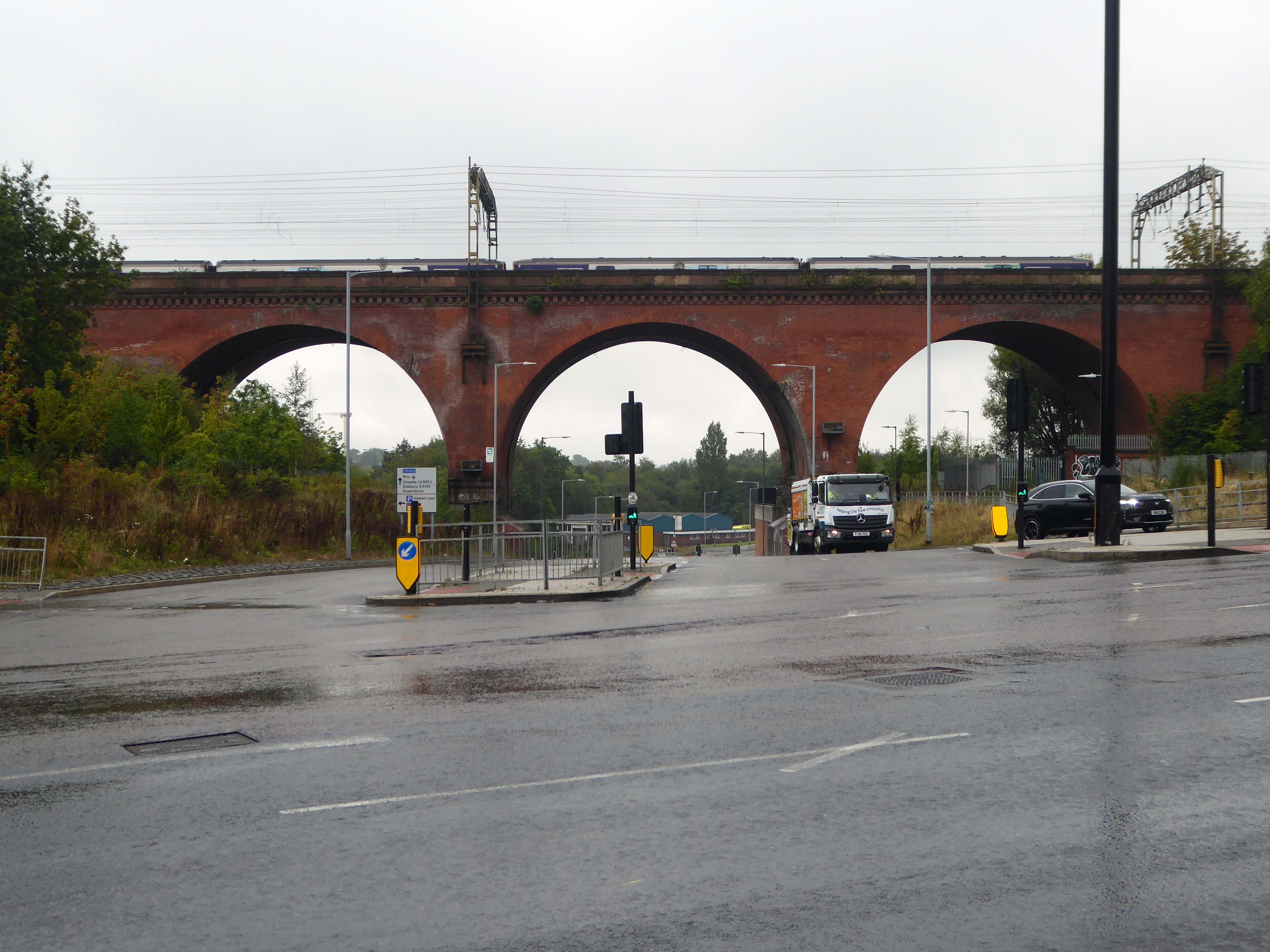
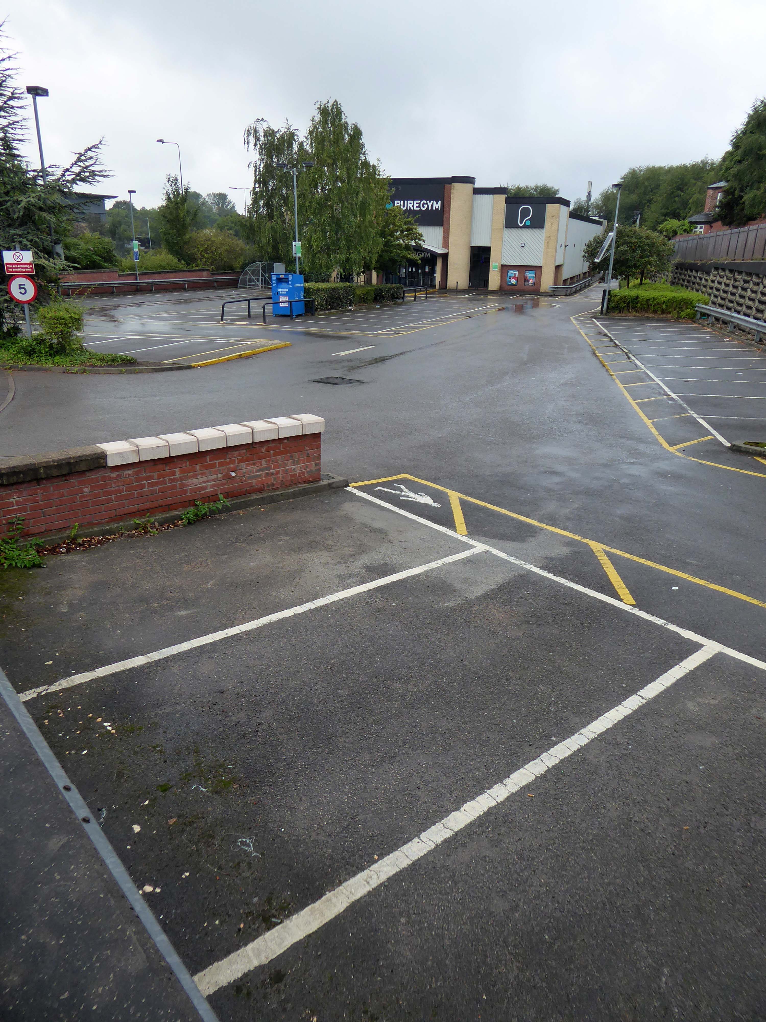
Today, on the day of her funeral, I set out for a walk around Stockport, to record a town largely closed for business. Overcast but far from downcast, I defied the almost persistent fine rain and these are the pictures that I took.
Many of the subjects are products of her time on the throne.
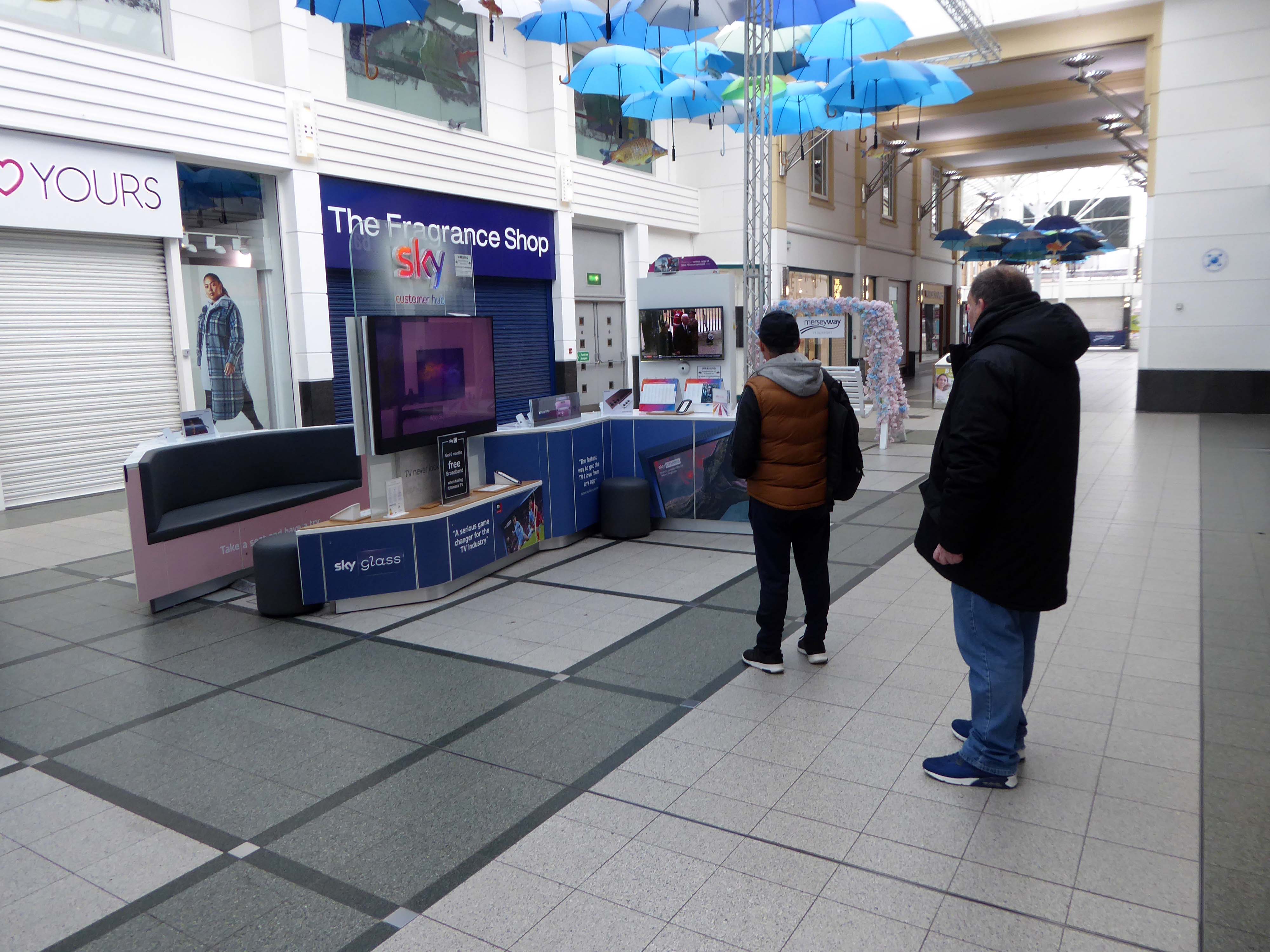
The traffic was much lighter, there were few pedestrians, a couple of cafés were open and two men watched the funeral service on the Sky TV stand in the precinct.