


I began walking when quite young, then like Felix, I kept on walking, walking still.

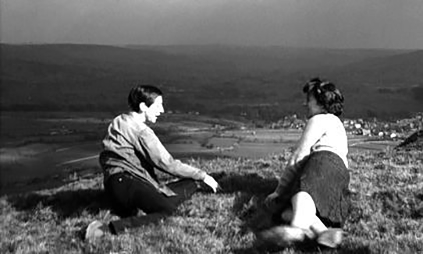
The photograph was taking during the Whit Walks in 1958 – aged three, I was engaged in religious pilgrimage, as we know there are many reasons for walking, this is but one.
I was fortunate to grow up at a time when youngsters were permitted to roam freely, less traffic, less anxiety, gave me access to a wider axis of exploration.
The photograph would have been taken I assume, by my mam, on the Brownie 127. When aged nine I wandered alone through the local woods and exposed twelve frames of 44mm 127 film, the prints are long gone, yet I remember each of the photographs and locations clearly.

I went to school, then I didn’t, then I went to Art School, eventually becoming a teenage Constructivist, tutored by Jeffrey Steele, a leading light in the British Systems movement.
The rigidity of the grid, symmetry and orthogonal framing have stayed with me.

Then I went to work for a very long time indeed, then all of a sudden I didn’t. Taking early retirement aged 59 some ten years ago, subsequently taking to the roads, streets and hills of Britain in search of nothing in particular.
In recent years there has been a rapid development in the culture of walking, theories, films, guides, songs and literature. I am fully cognisant of such, yet believe at heart that walking can be free of such baggage, we can stride unhindered, atavistic and carefree/less.
Walk tall, walk straight and look the world right in the eye.

Getting lost is about the unfamiliar appearing.

In my own small way, I have become part of that baggage, having been asked to lead a walk around Stockport by the the modernist neé Manchester Modernist Society.

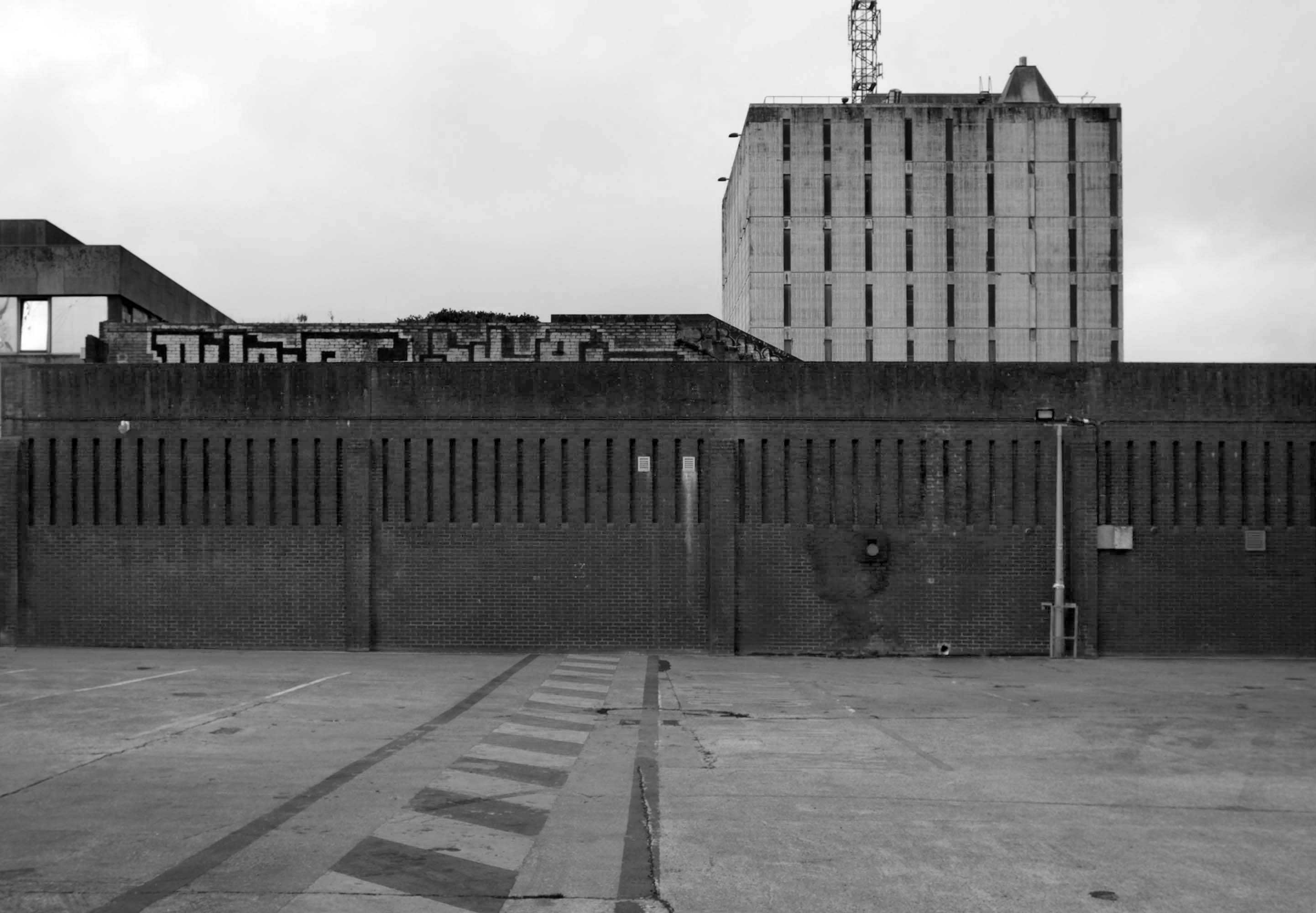
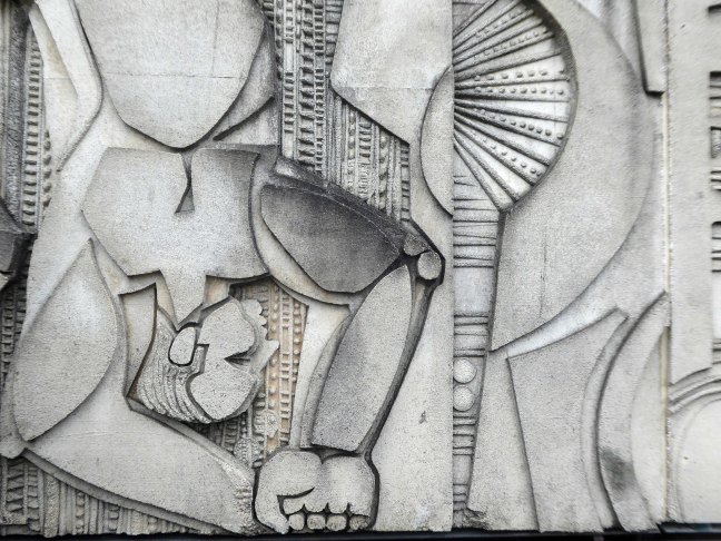
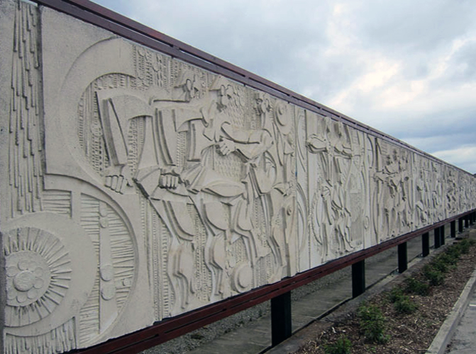
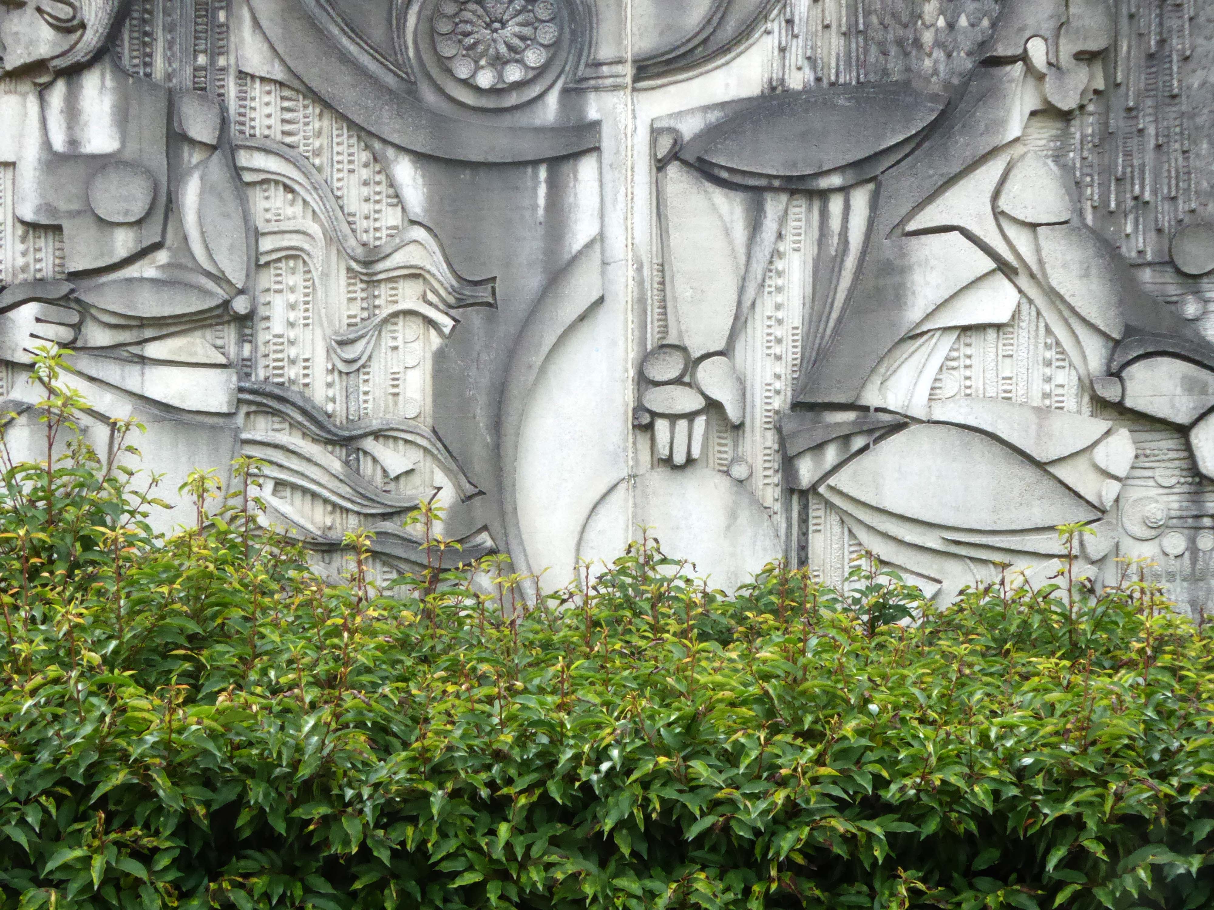
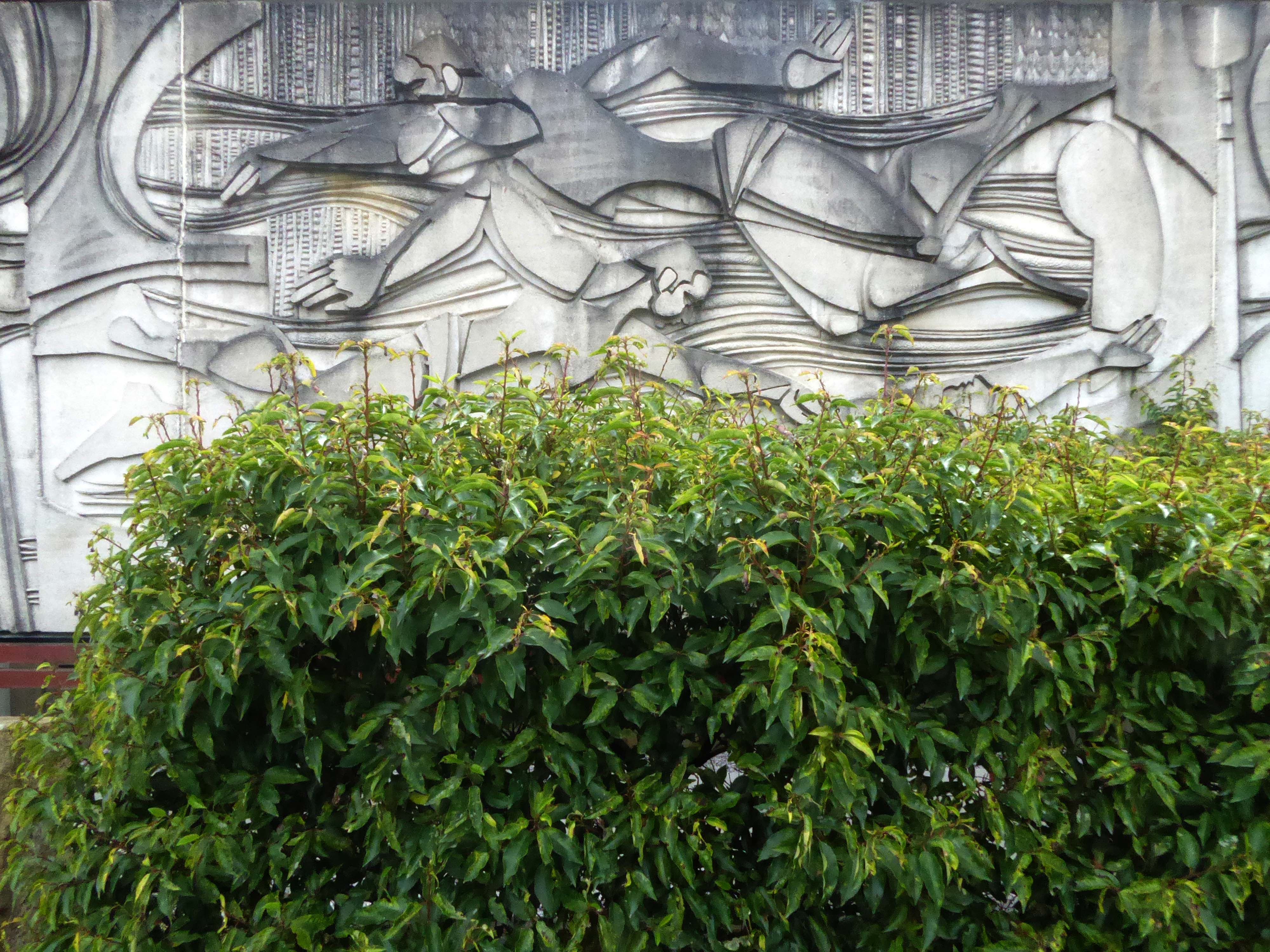
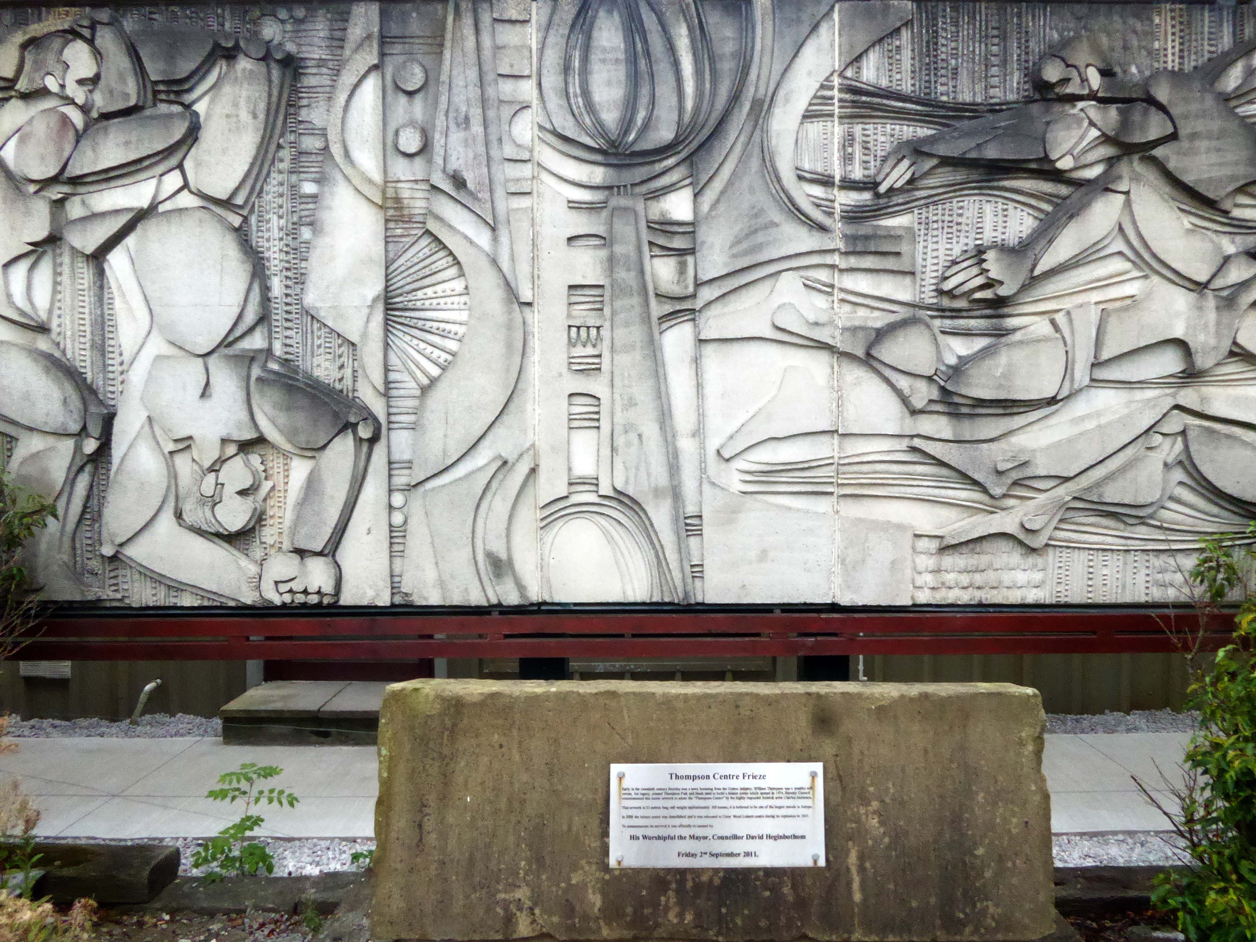
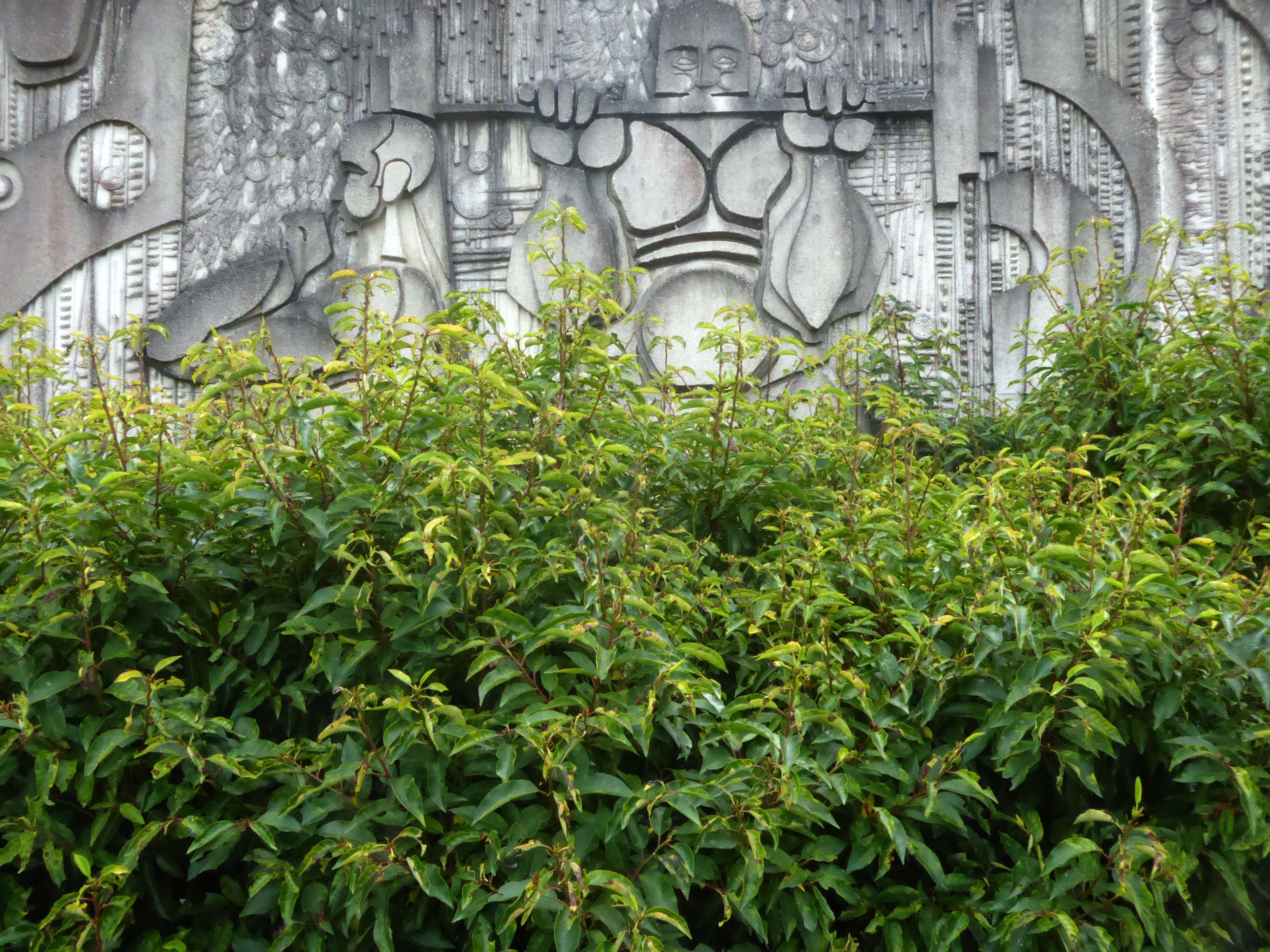
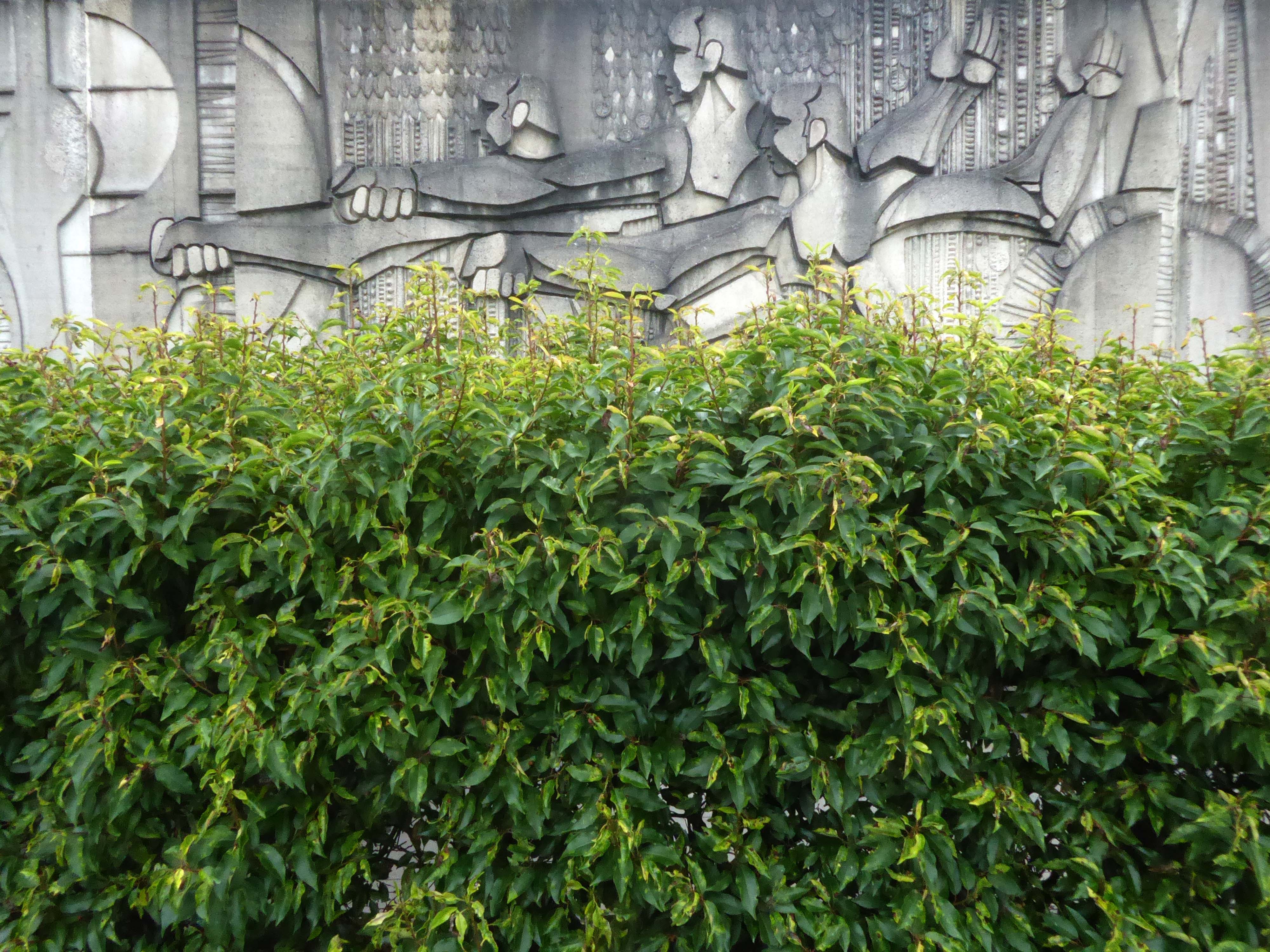
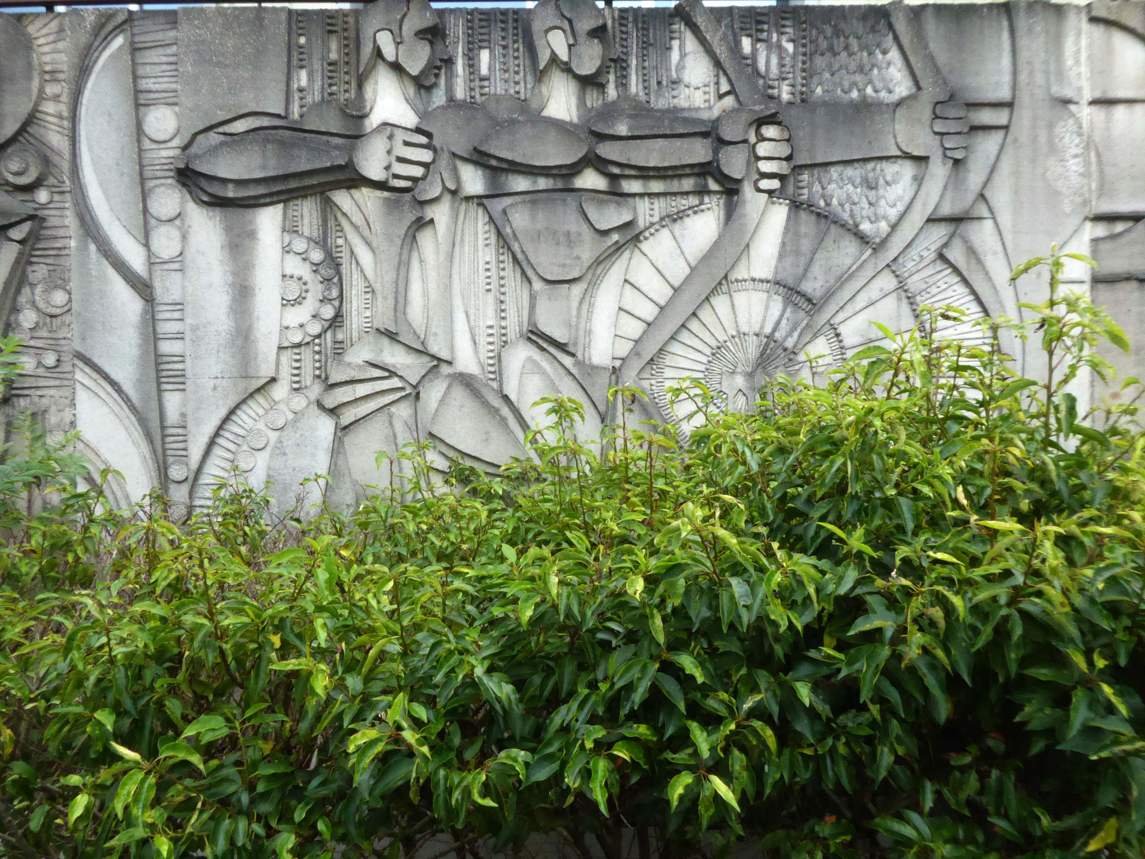
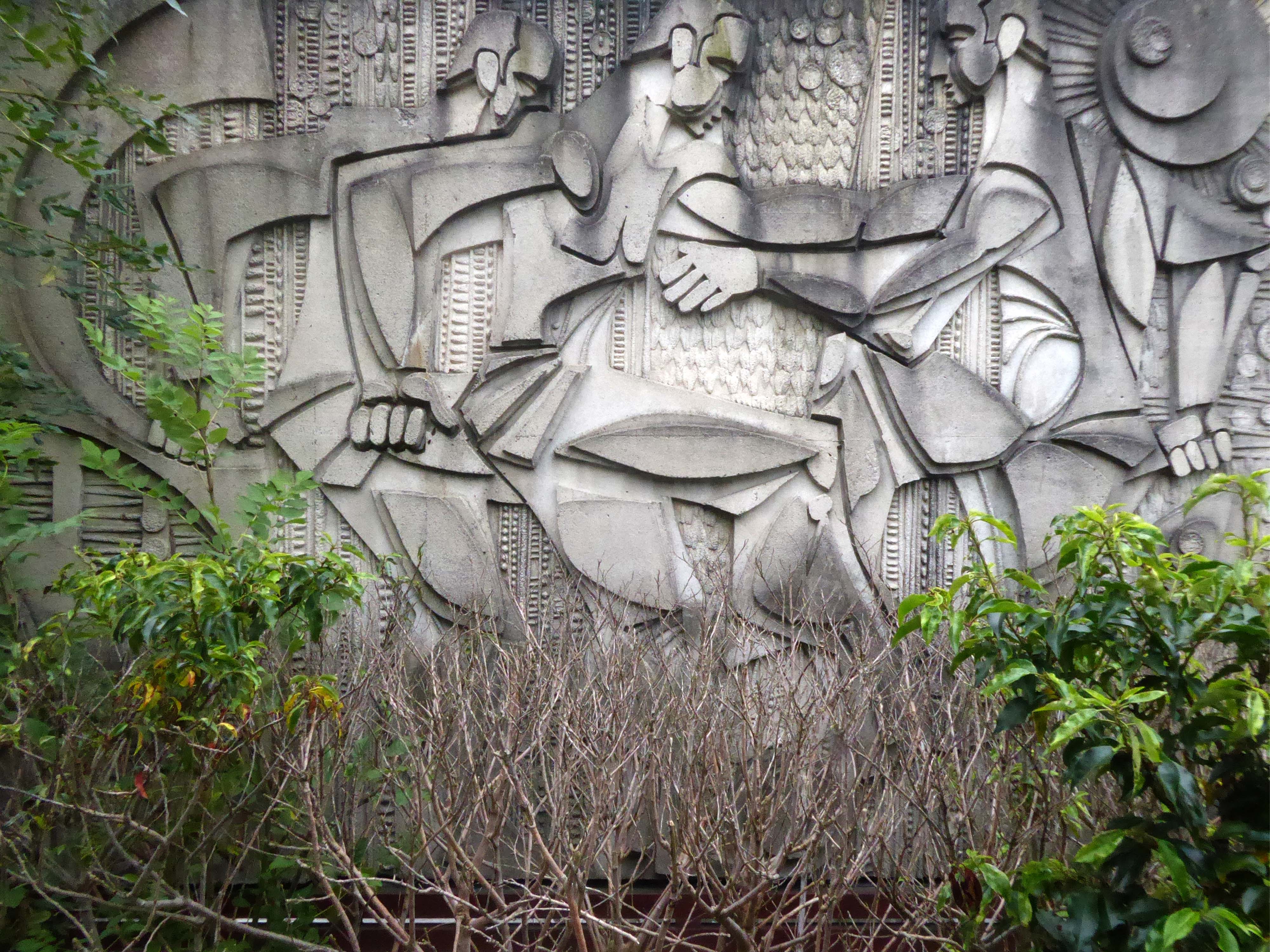
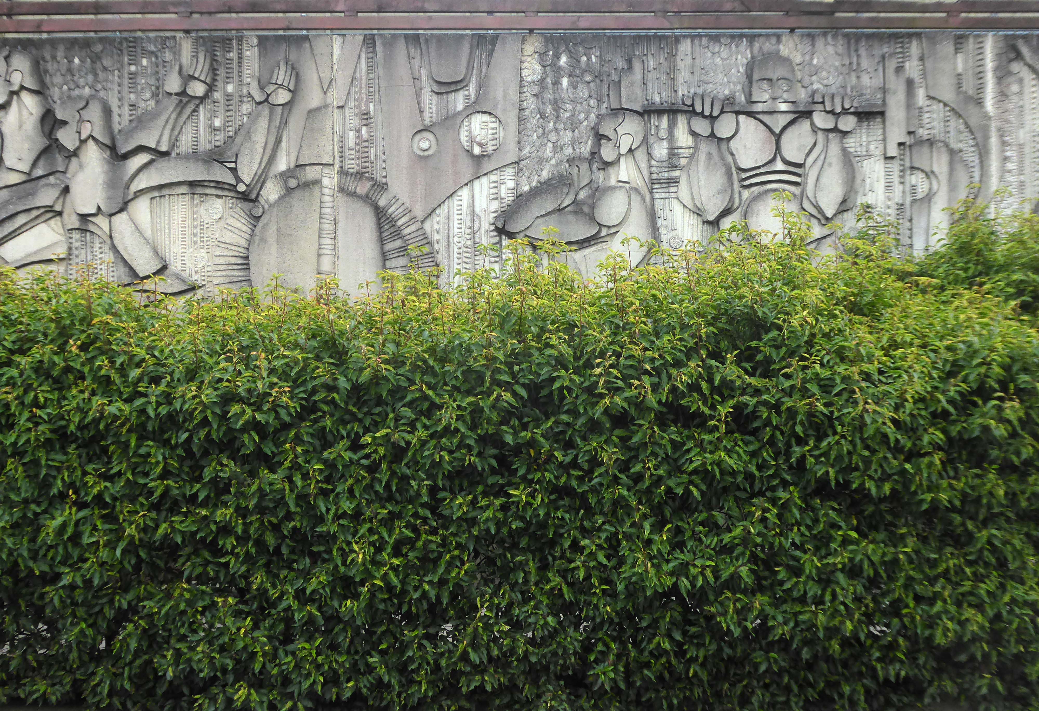
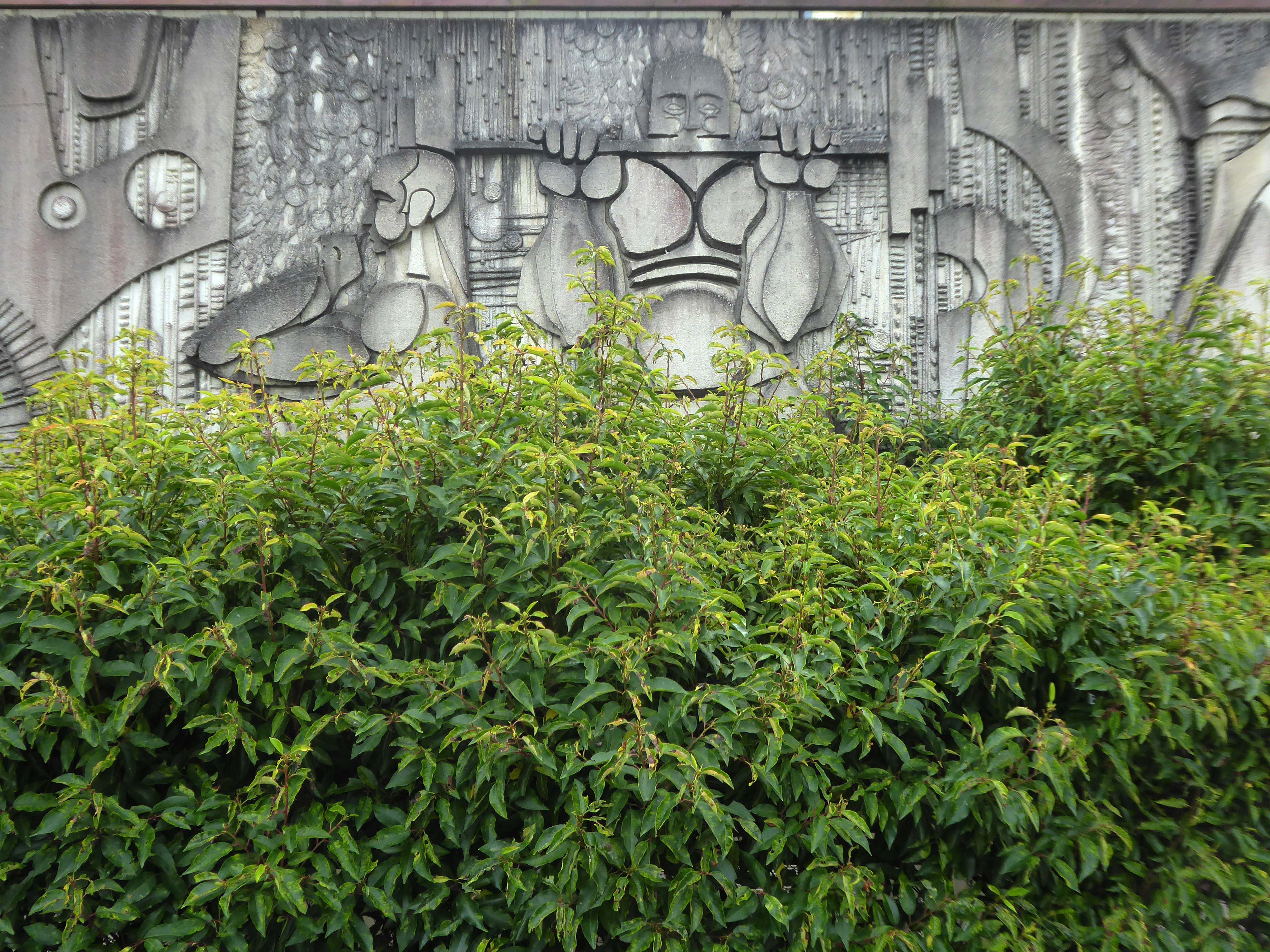
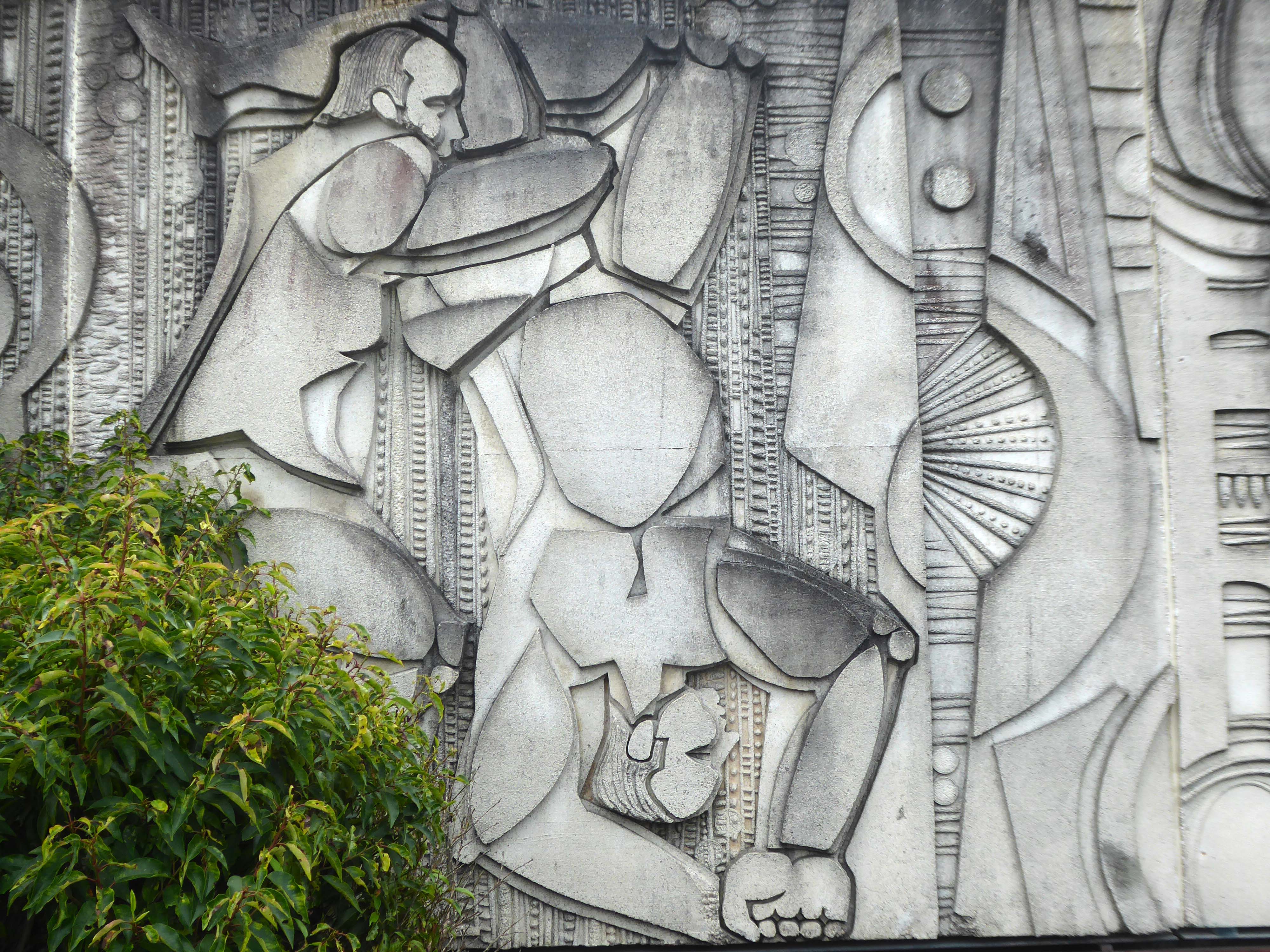
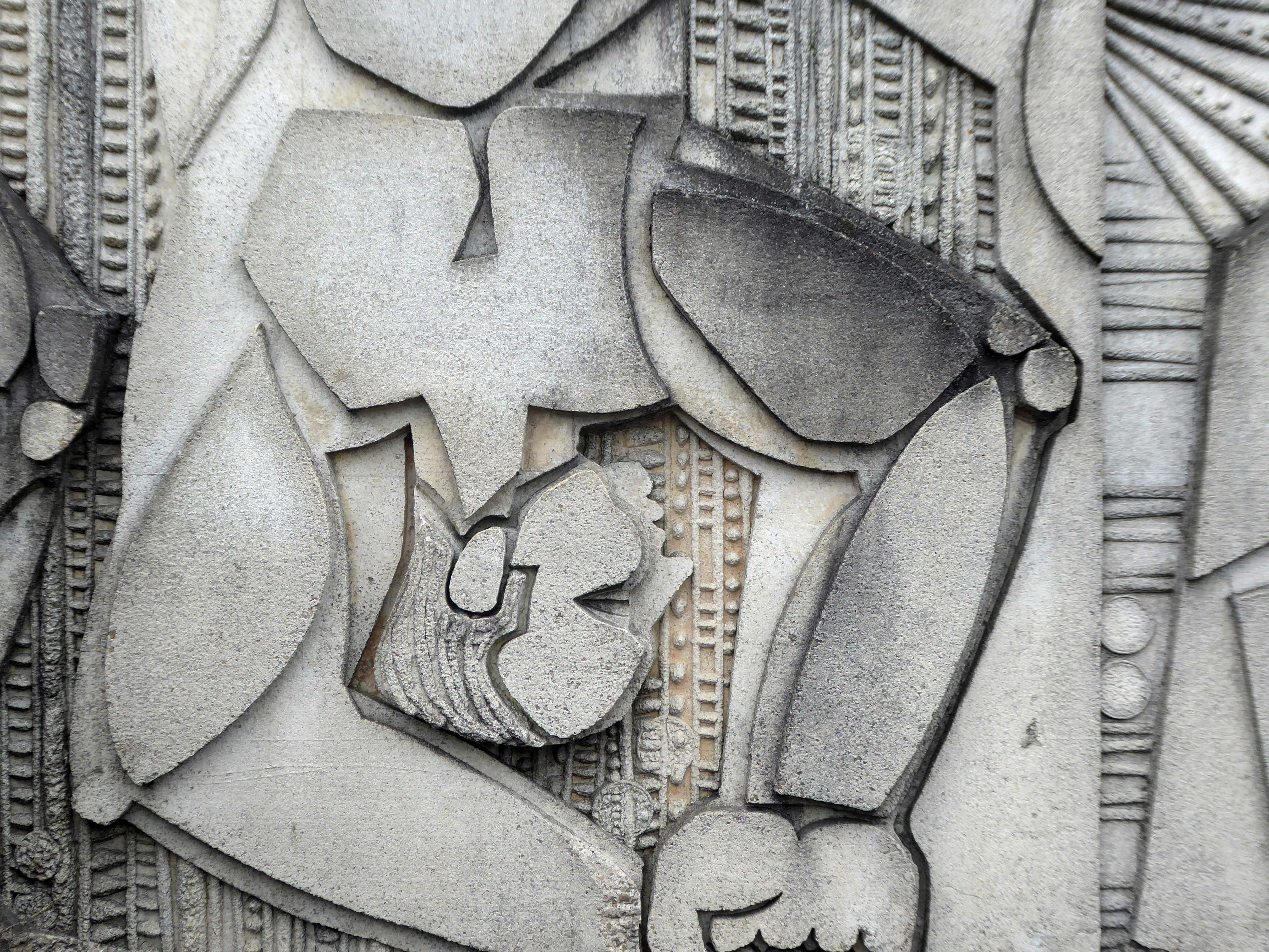
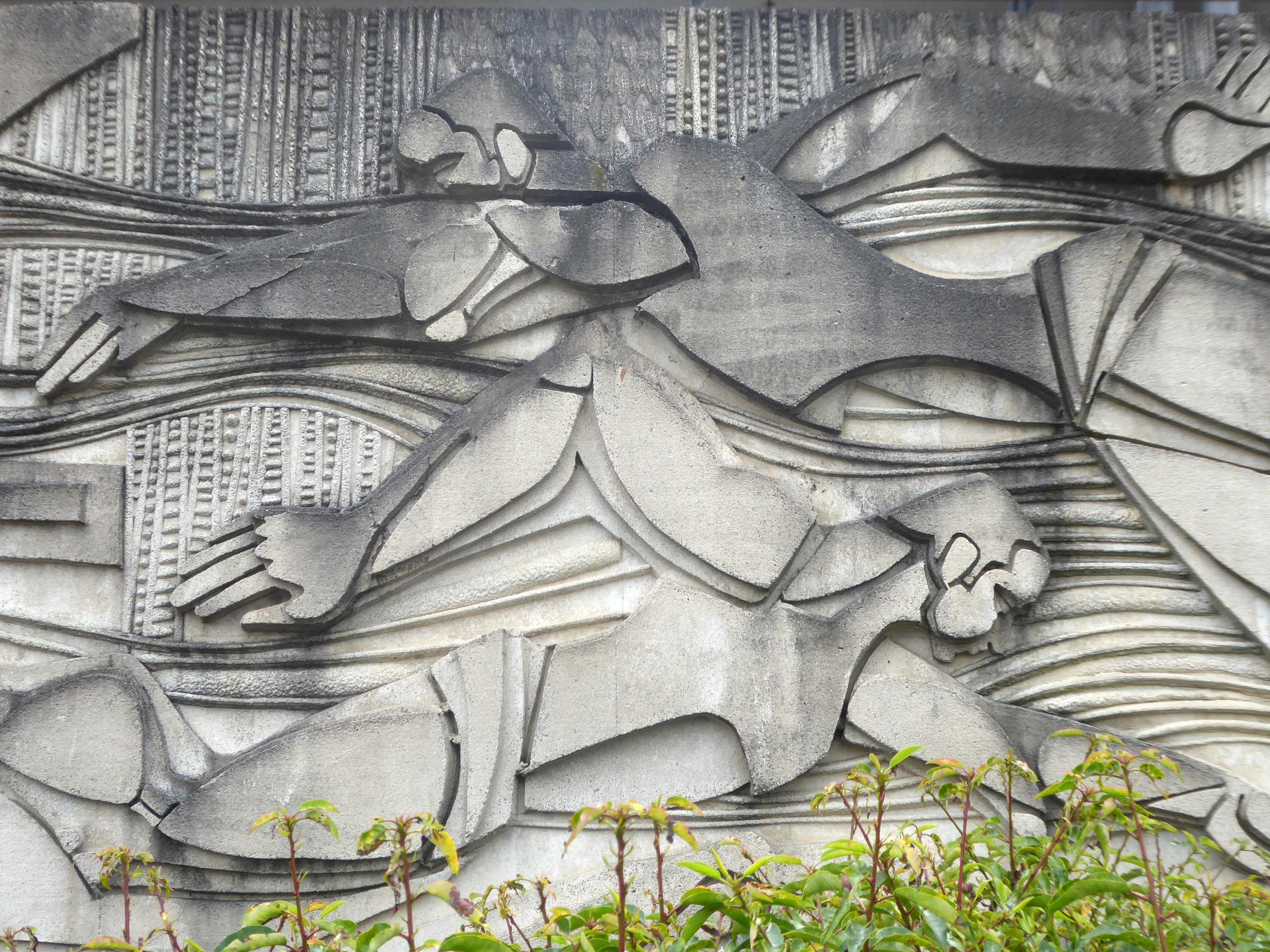
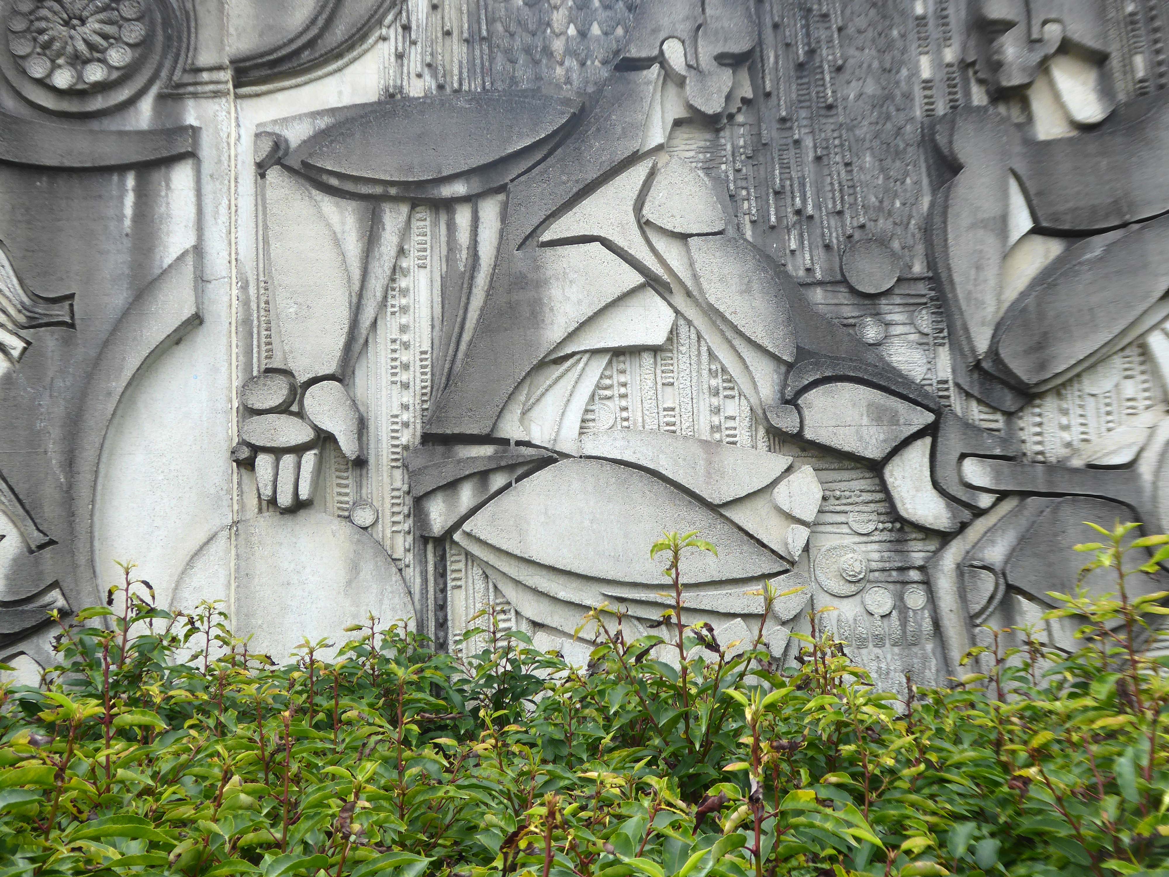
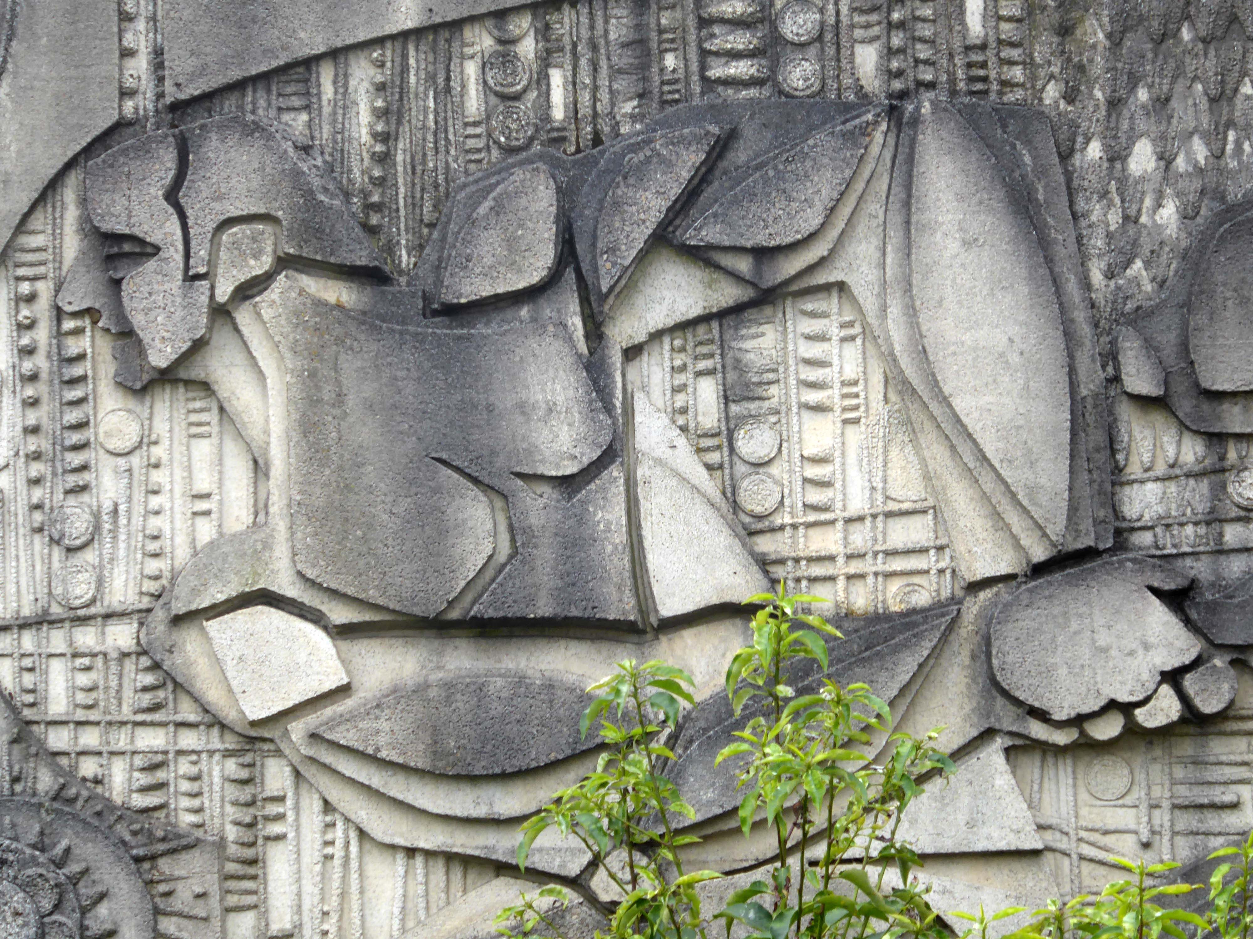
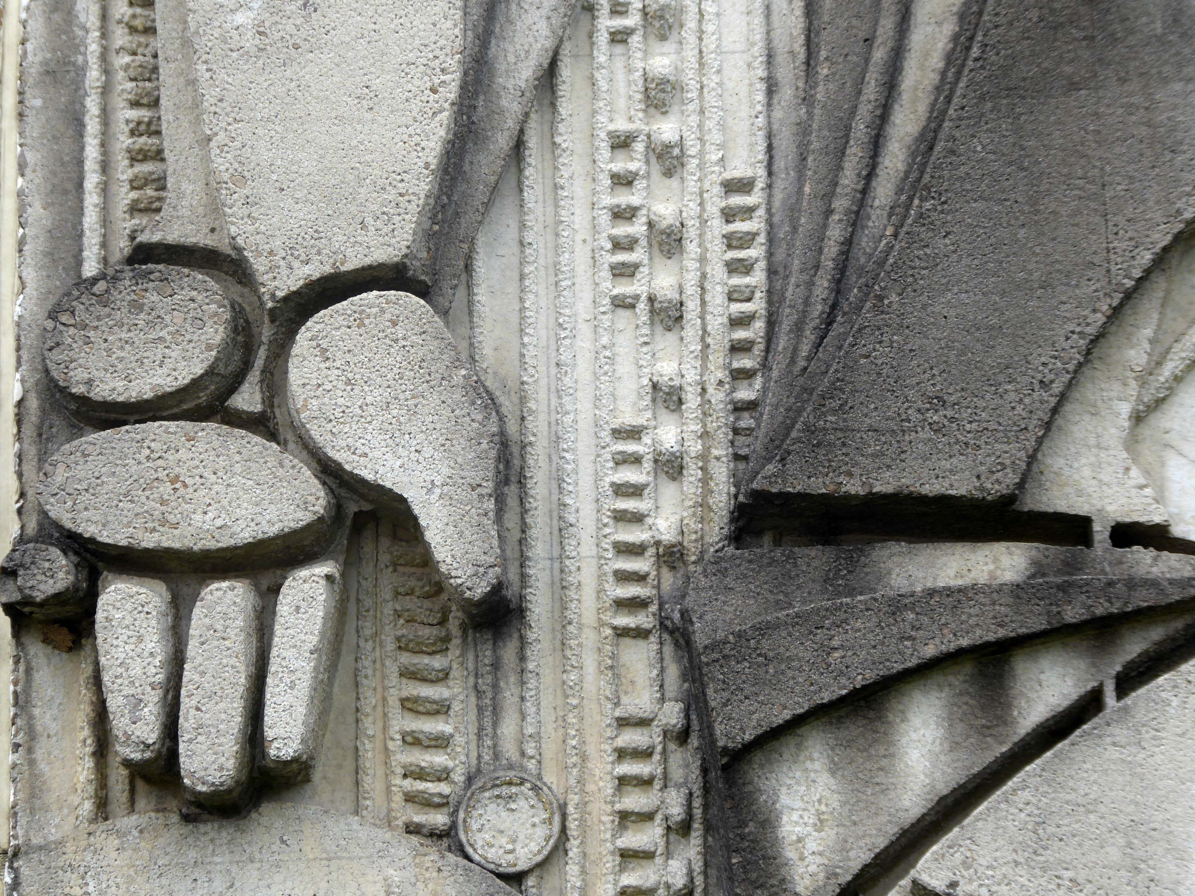
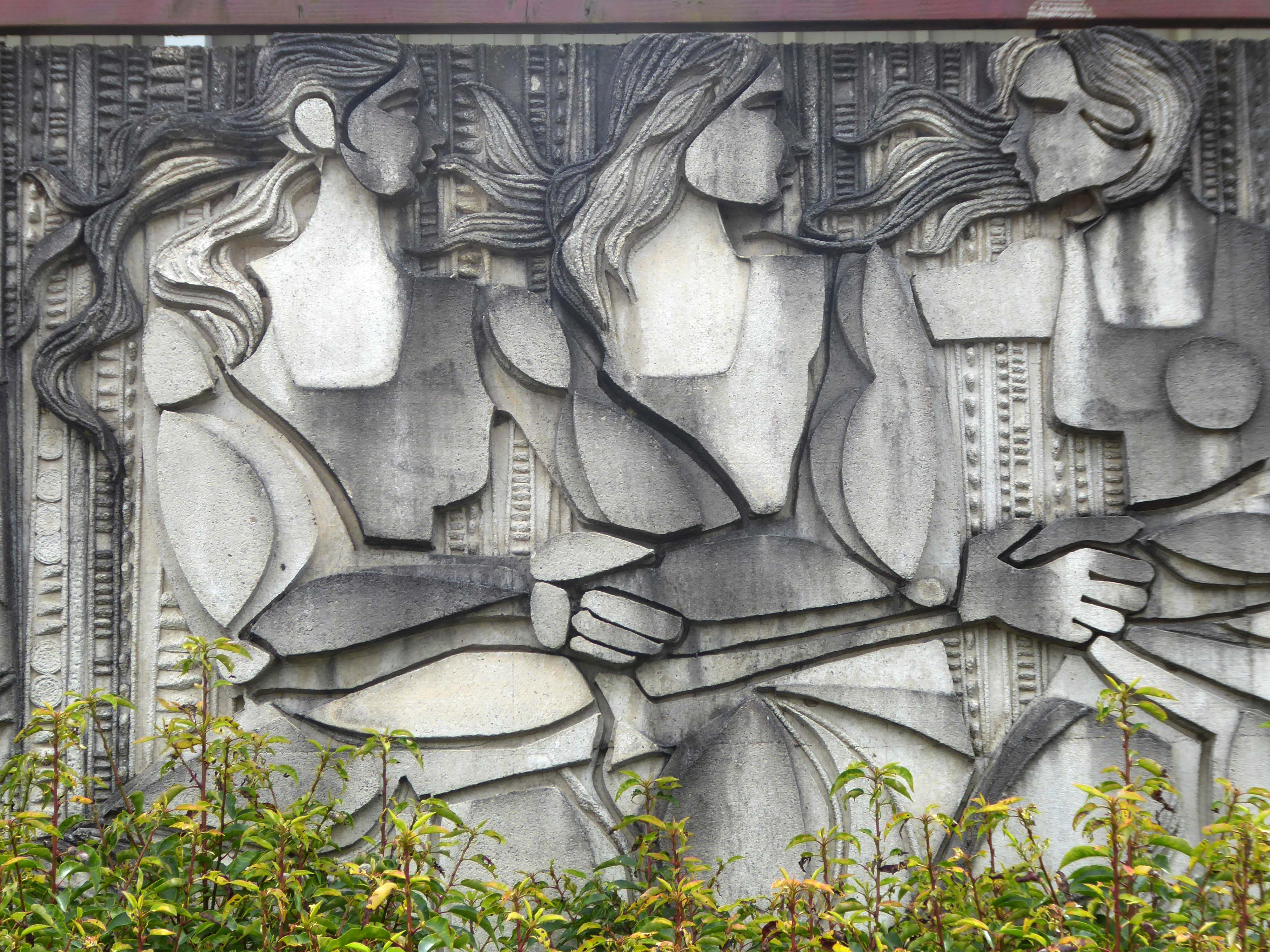
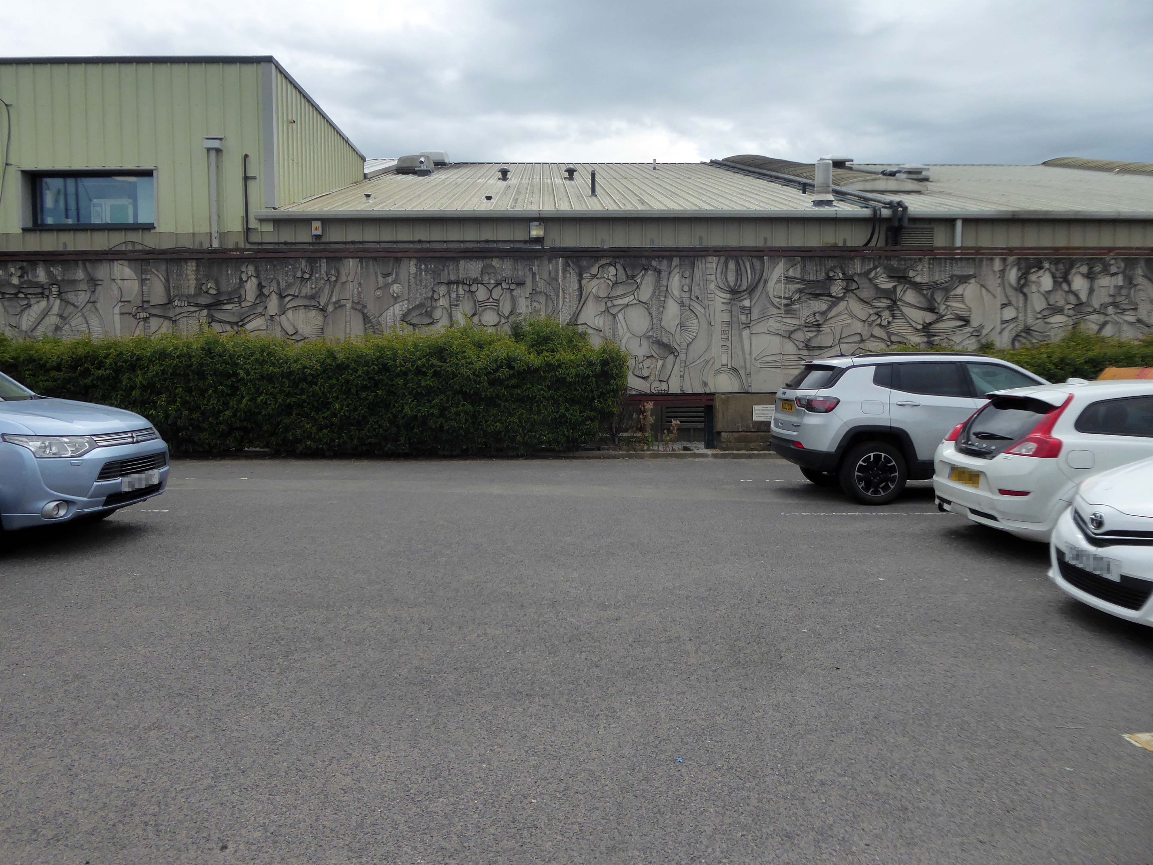
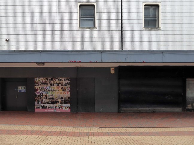
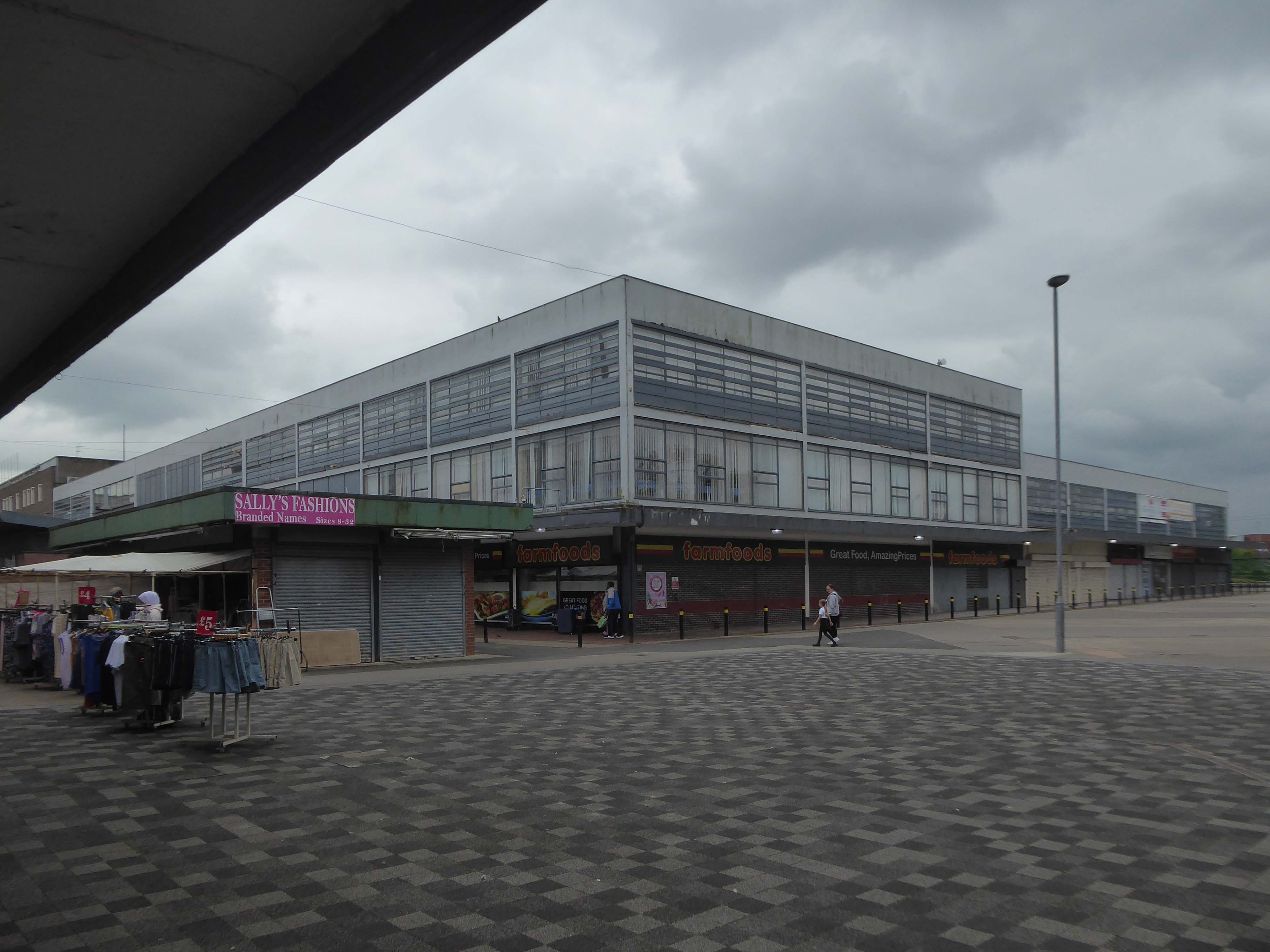
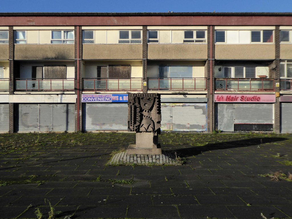
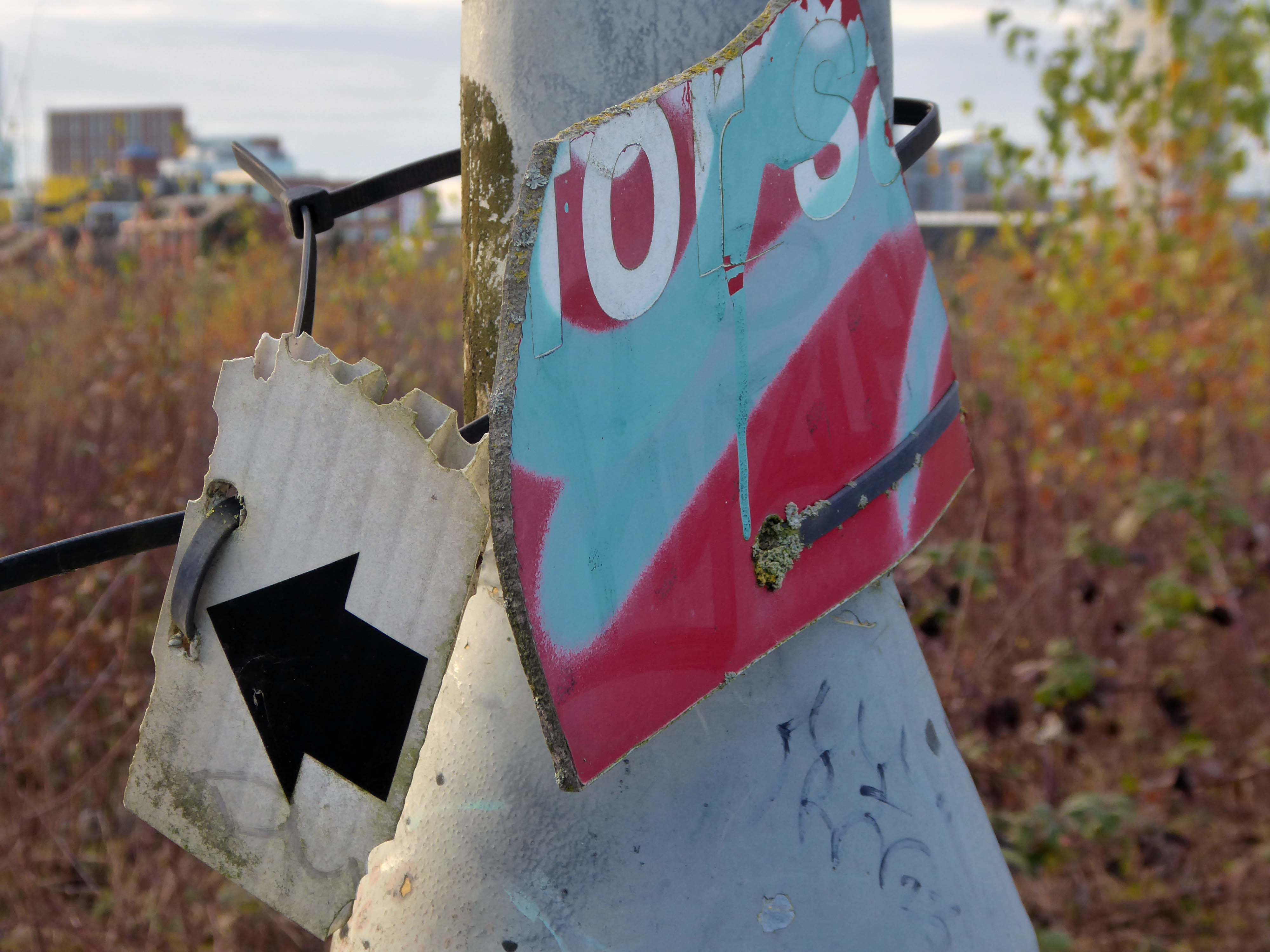
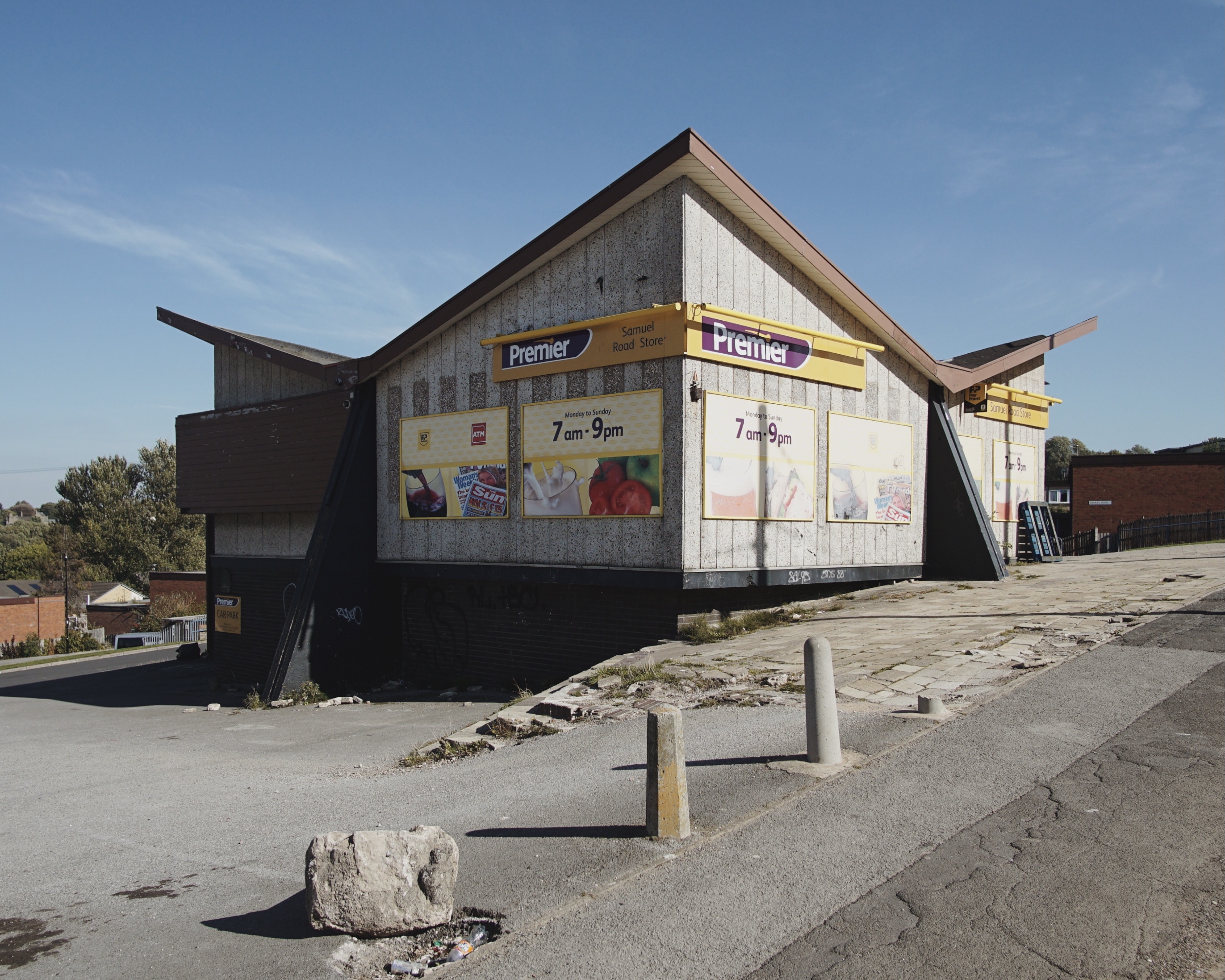
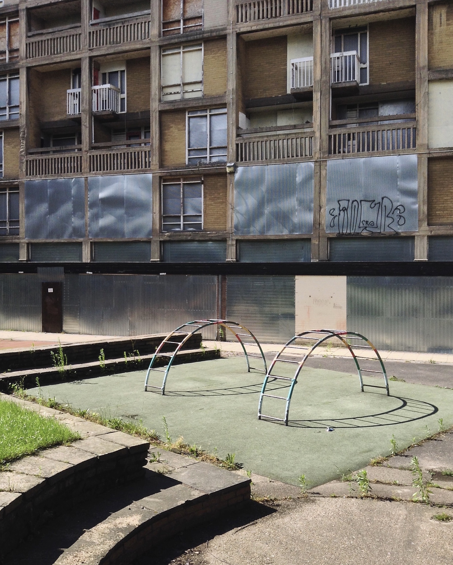
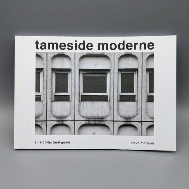
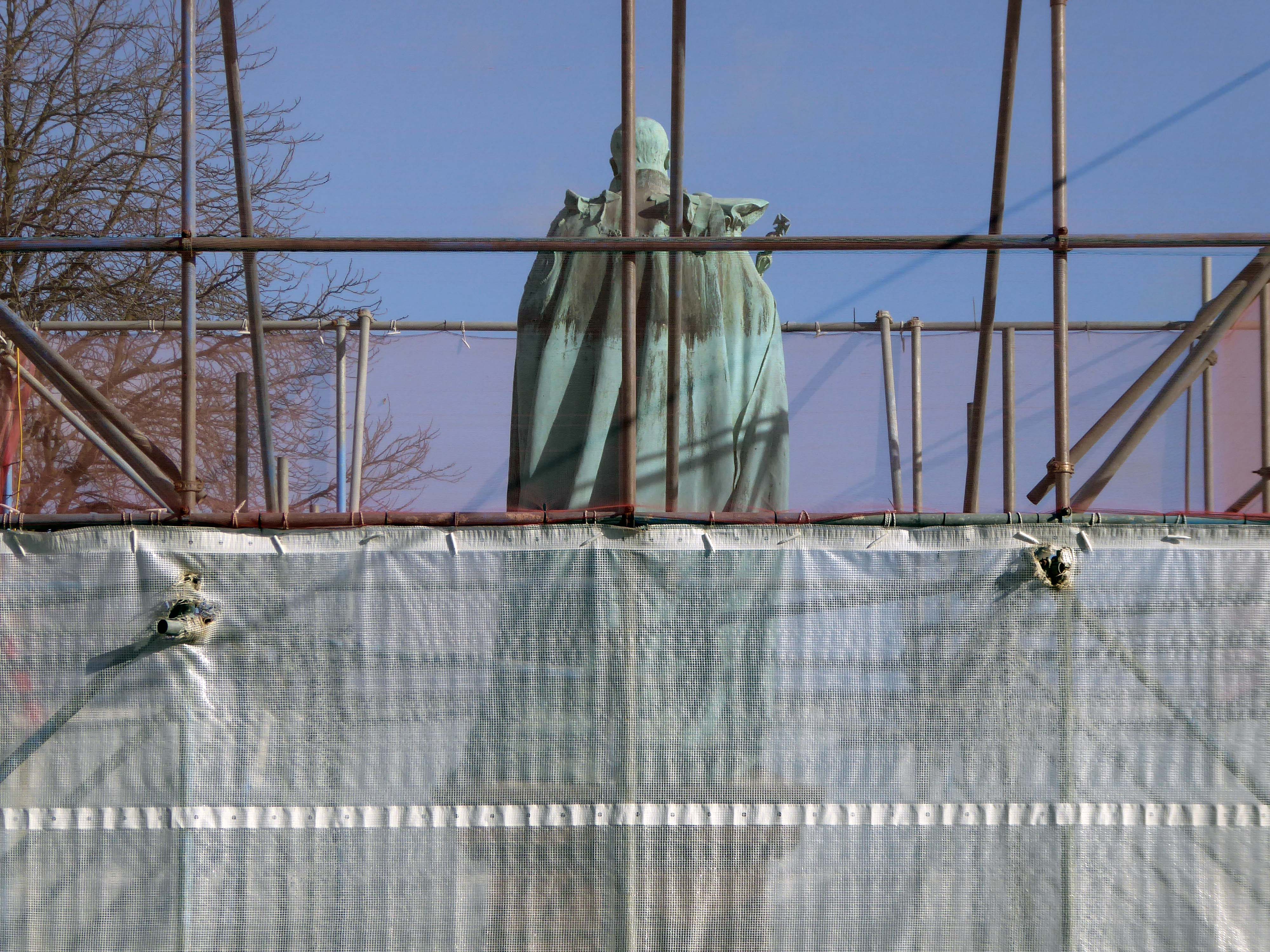
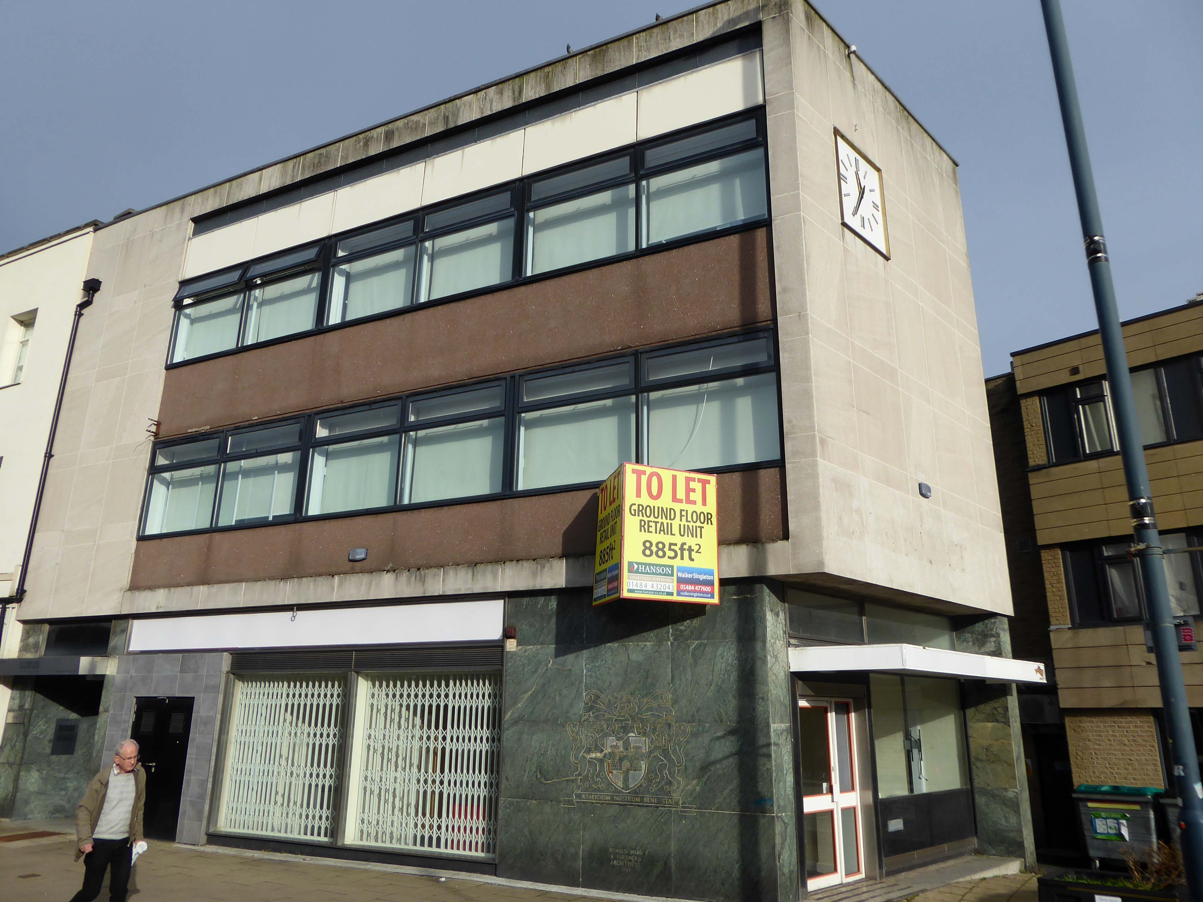
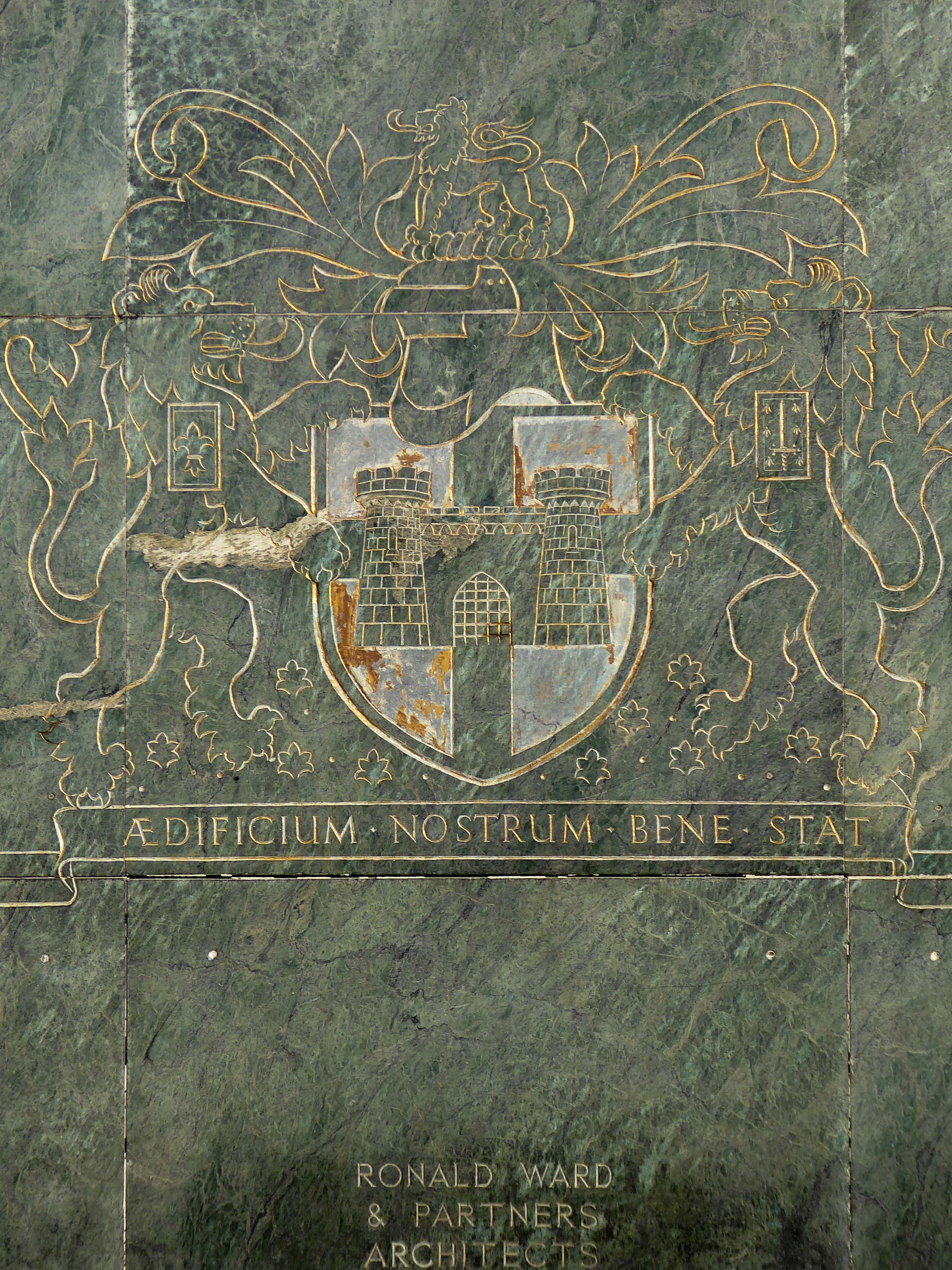
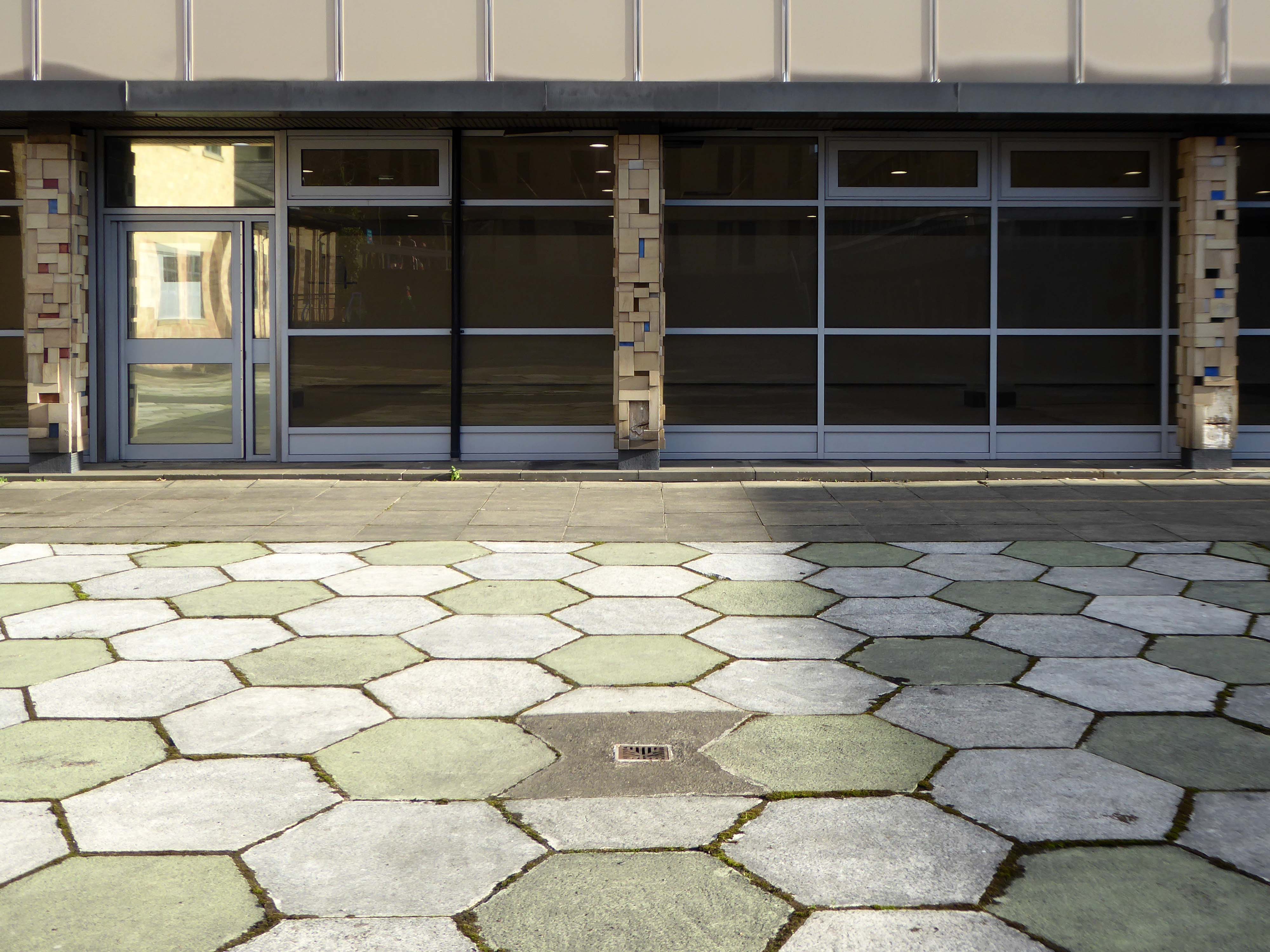
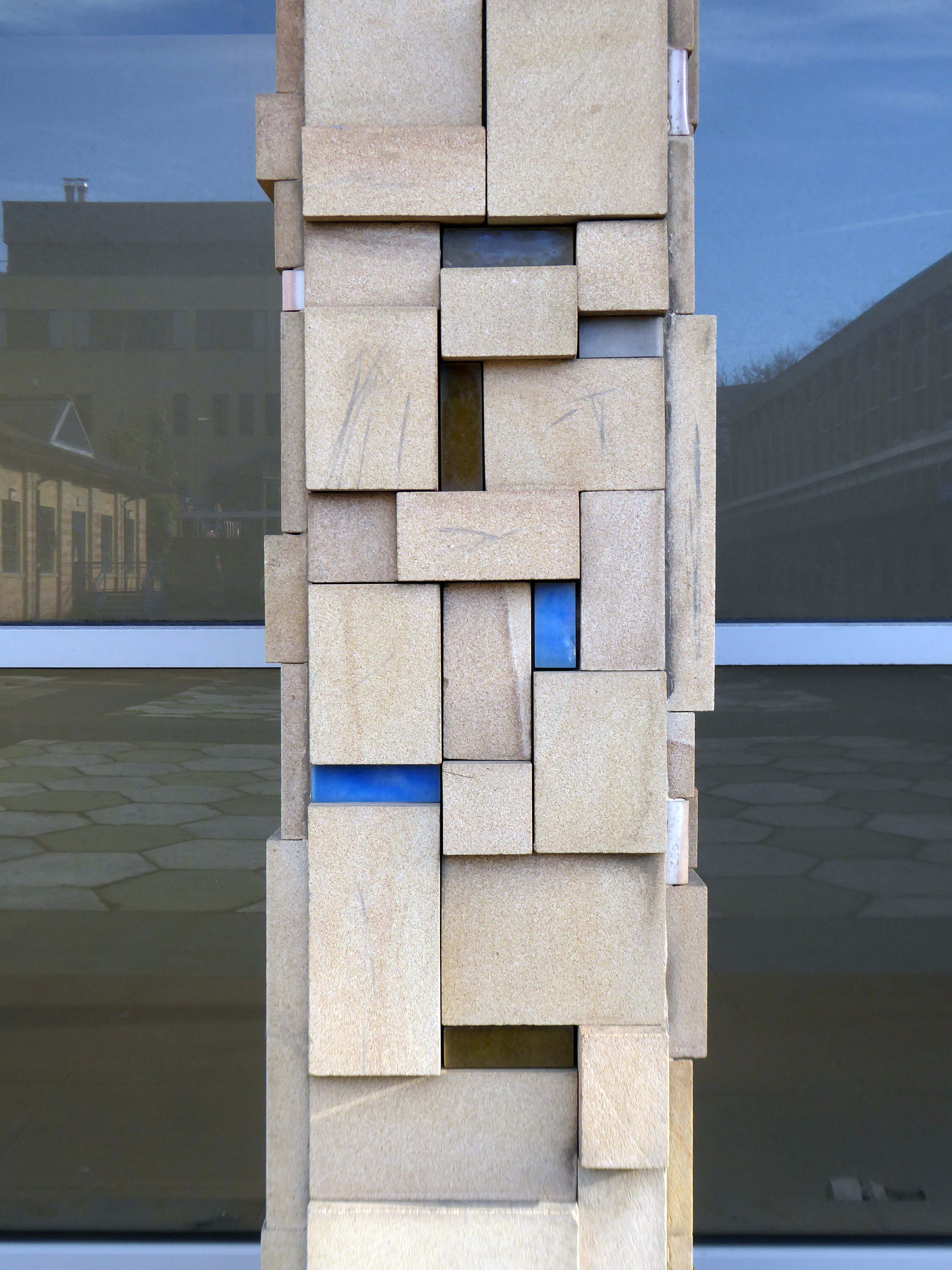
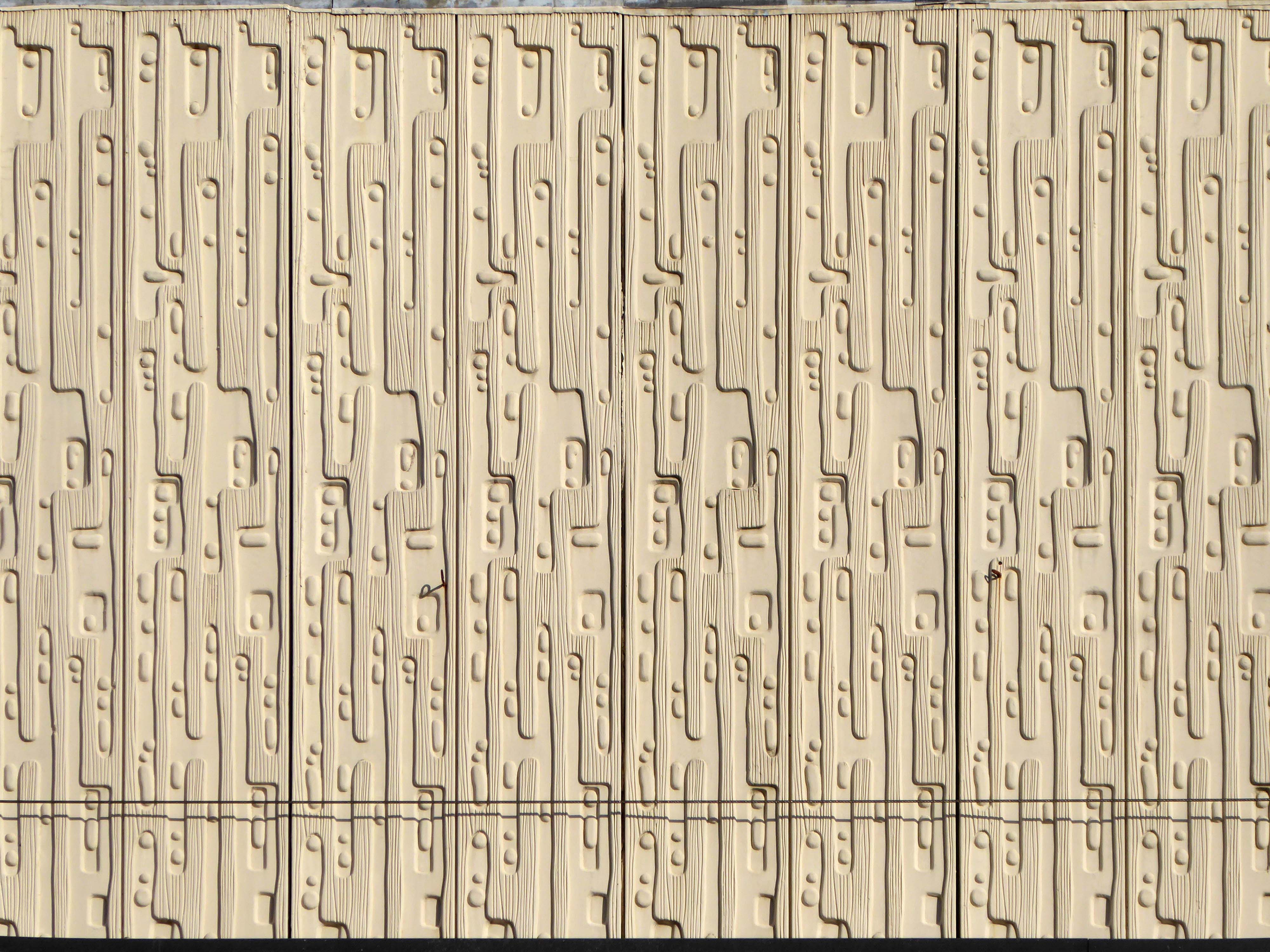
The photograph depicts Alan Boyson’s concrete screen wall, attached to the former Cooperative super store designed by Philip Andrew. The two worked to gather on the Hull Cooperative store, which is adorned by Alan’s huge Three Ships mosaic.
Philip was a childhood friend of Alan Boyson and it was Alan’s father, manager of the Marple Co-operative Society, that recommended Philip for an apprenticeship job in 1951 to the chief architect at the CWS in Manchester HQ.
In preparation for the tour, I visited the town’s Local Heritage Library and read extensively from serendipitous charity shop finds.
The two hour route was designed around an economy of distance and elevation, allowing time for others to take in, what may be for them unfamiliar surroundings. A group of around twenty or so folk became sociable and engaged, with a suitably concise and apposite contribution from myself. There are those who busied themselves taking snaps along the way, chatting amiably or simply gazing in amazement.


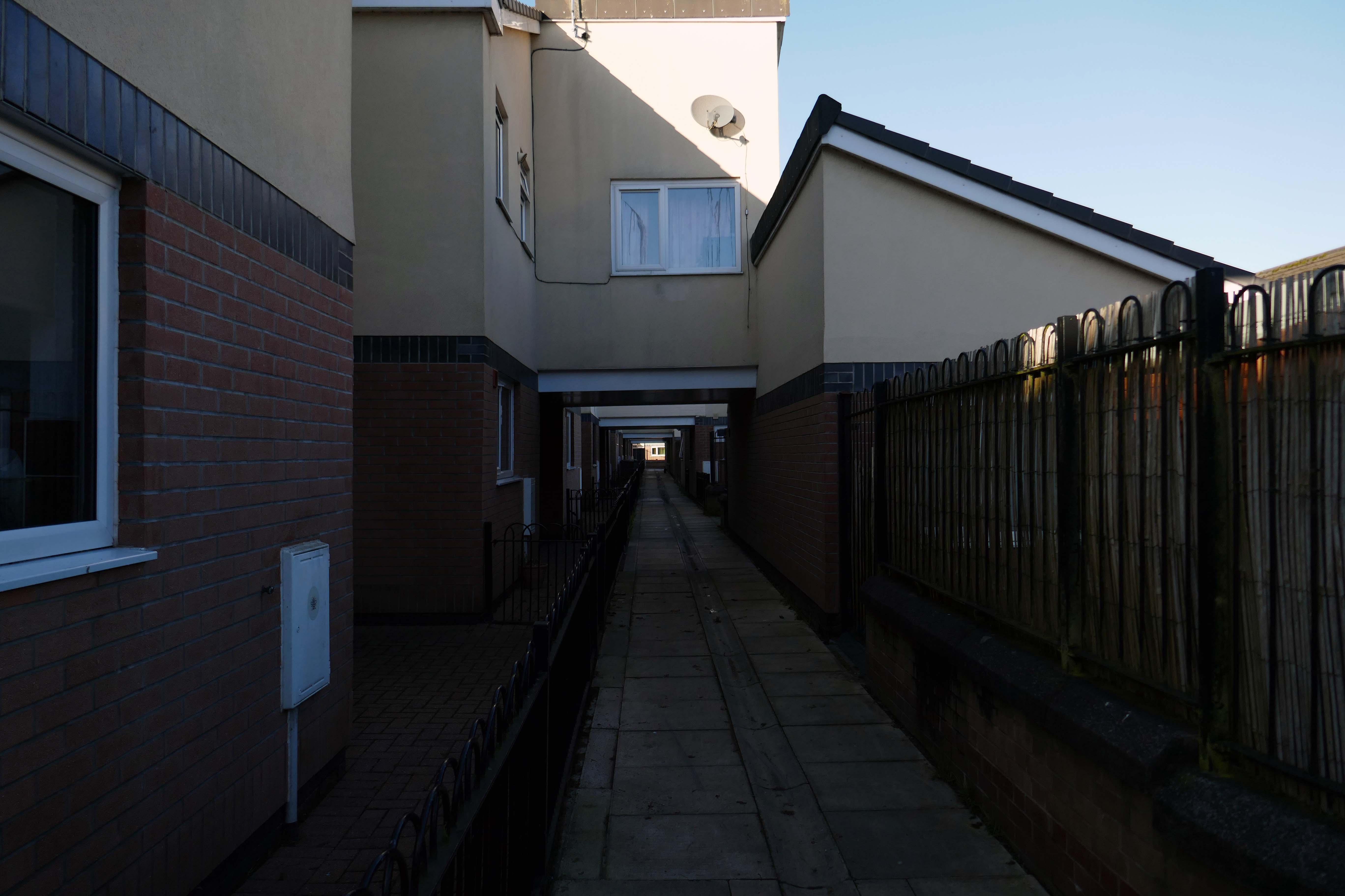
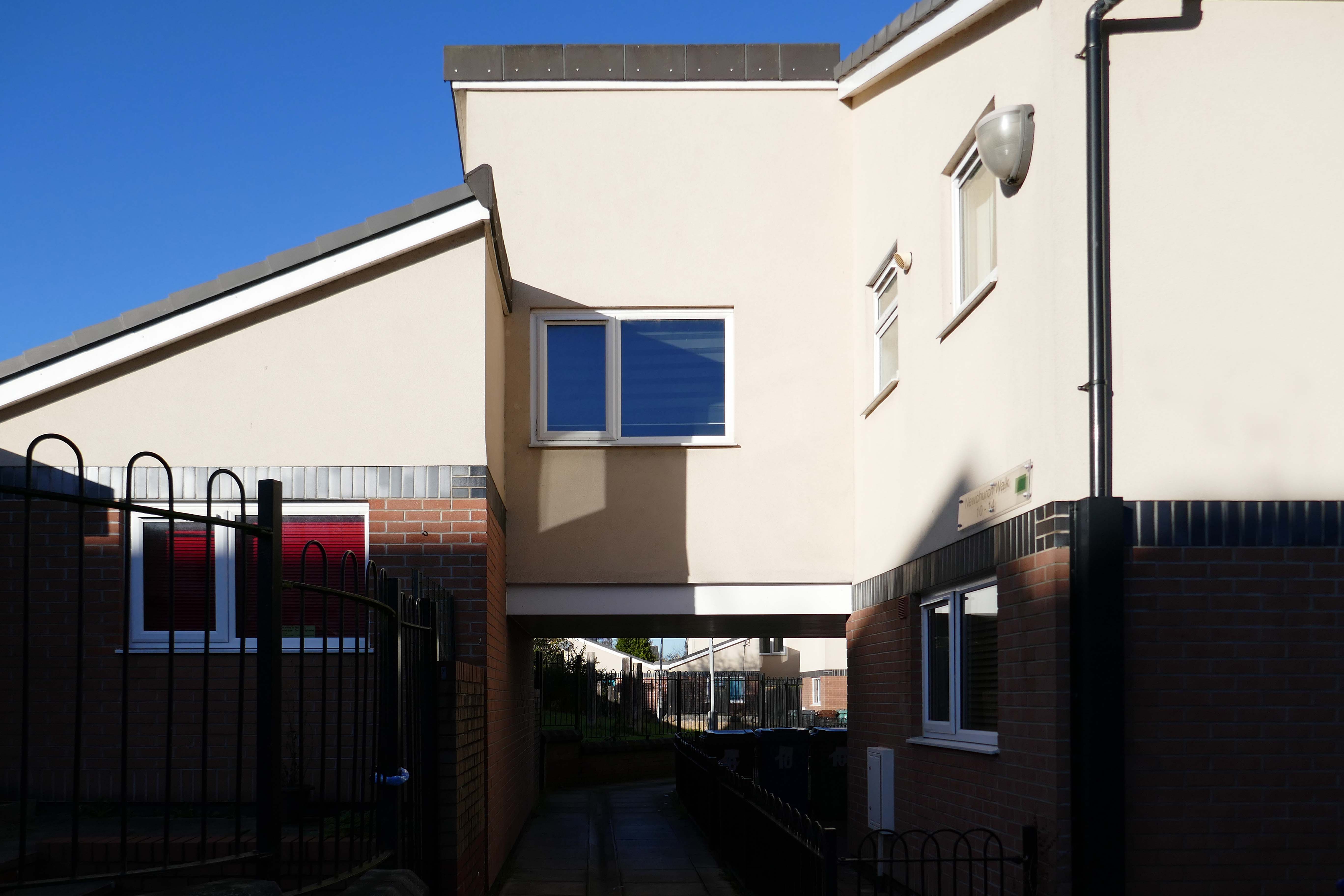
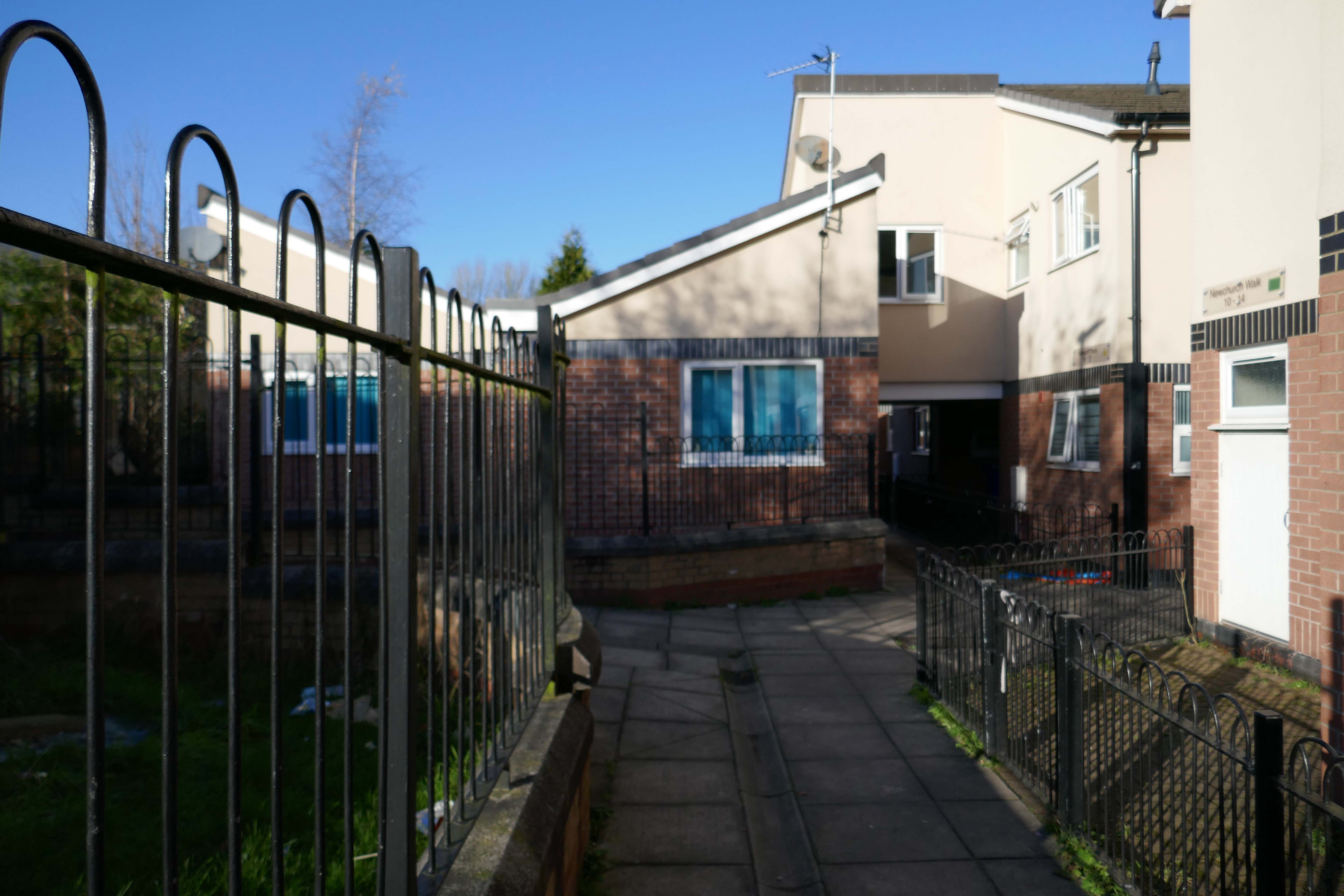
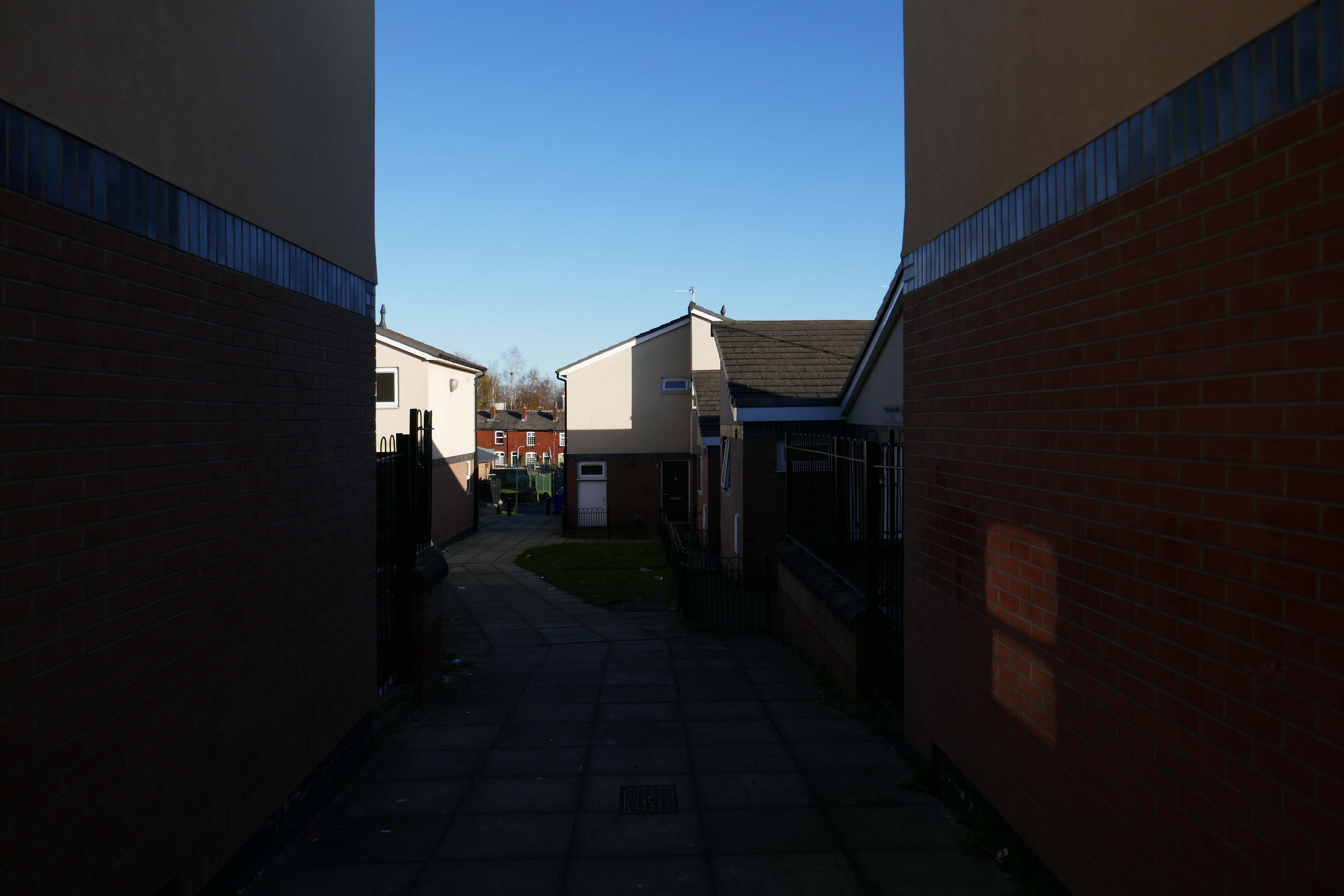
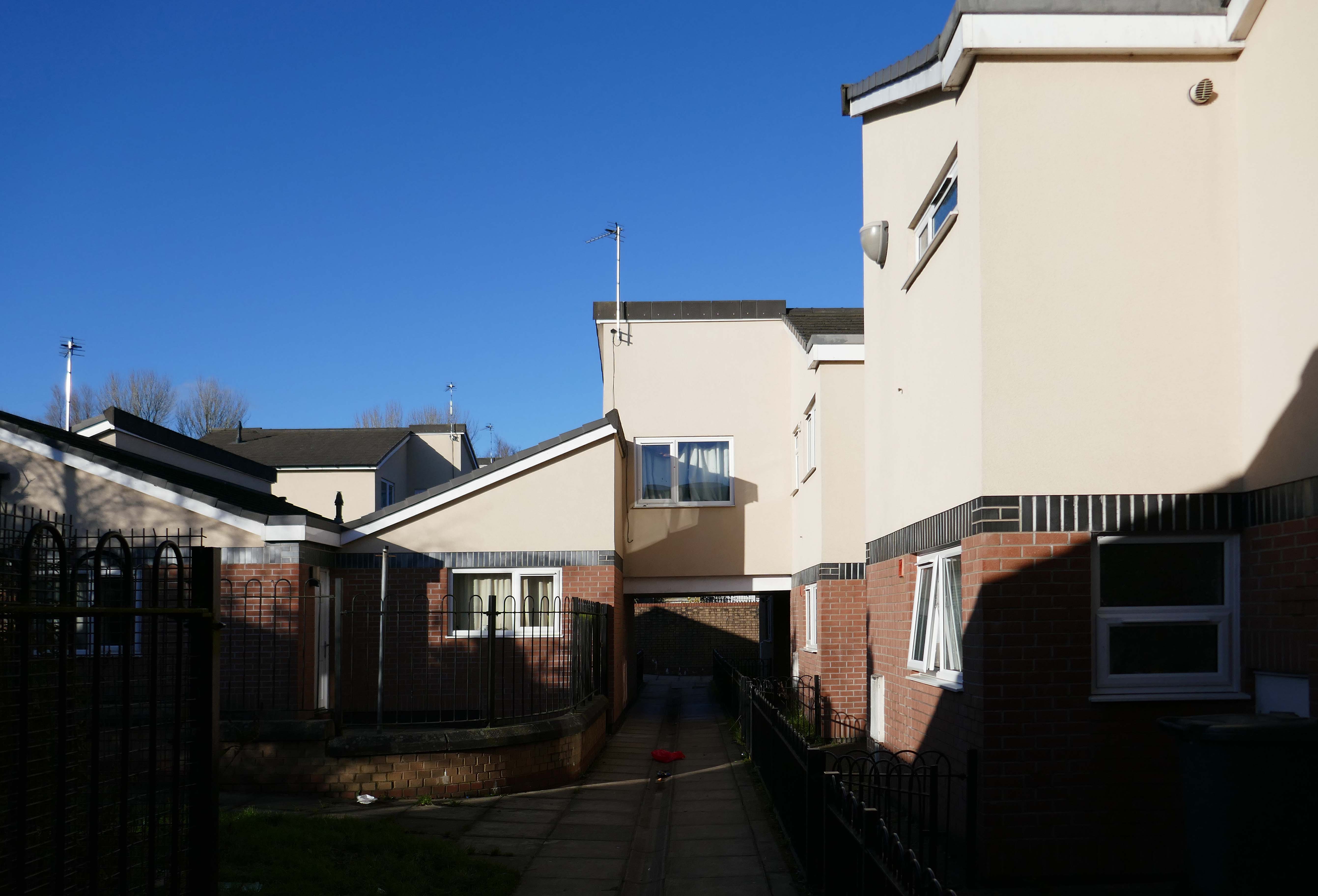
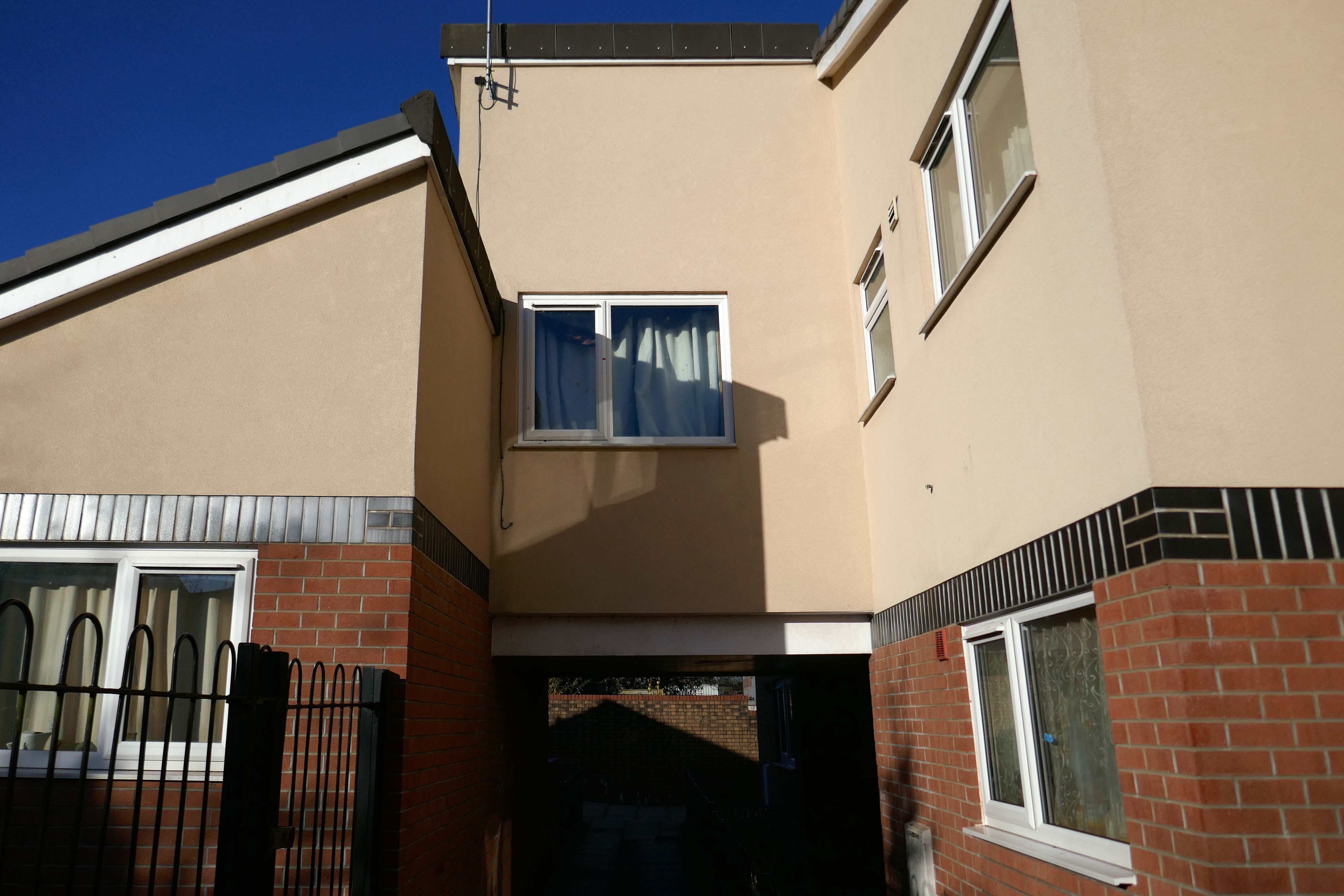
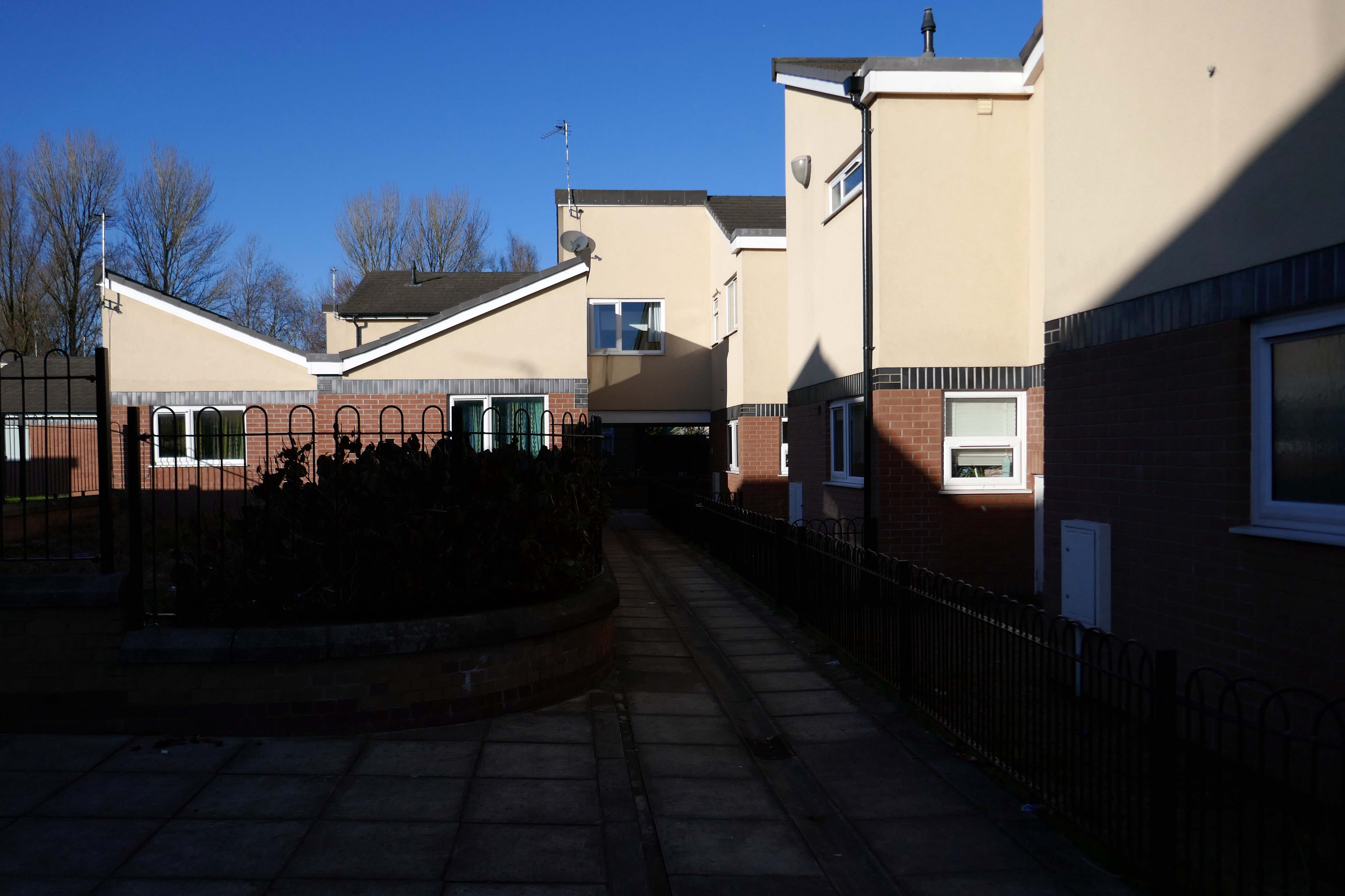
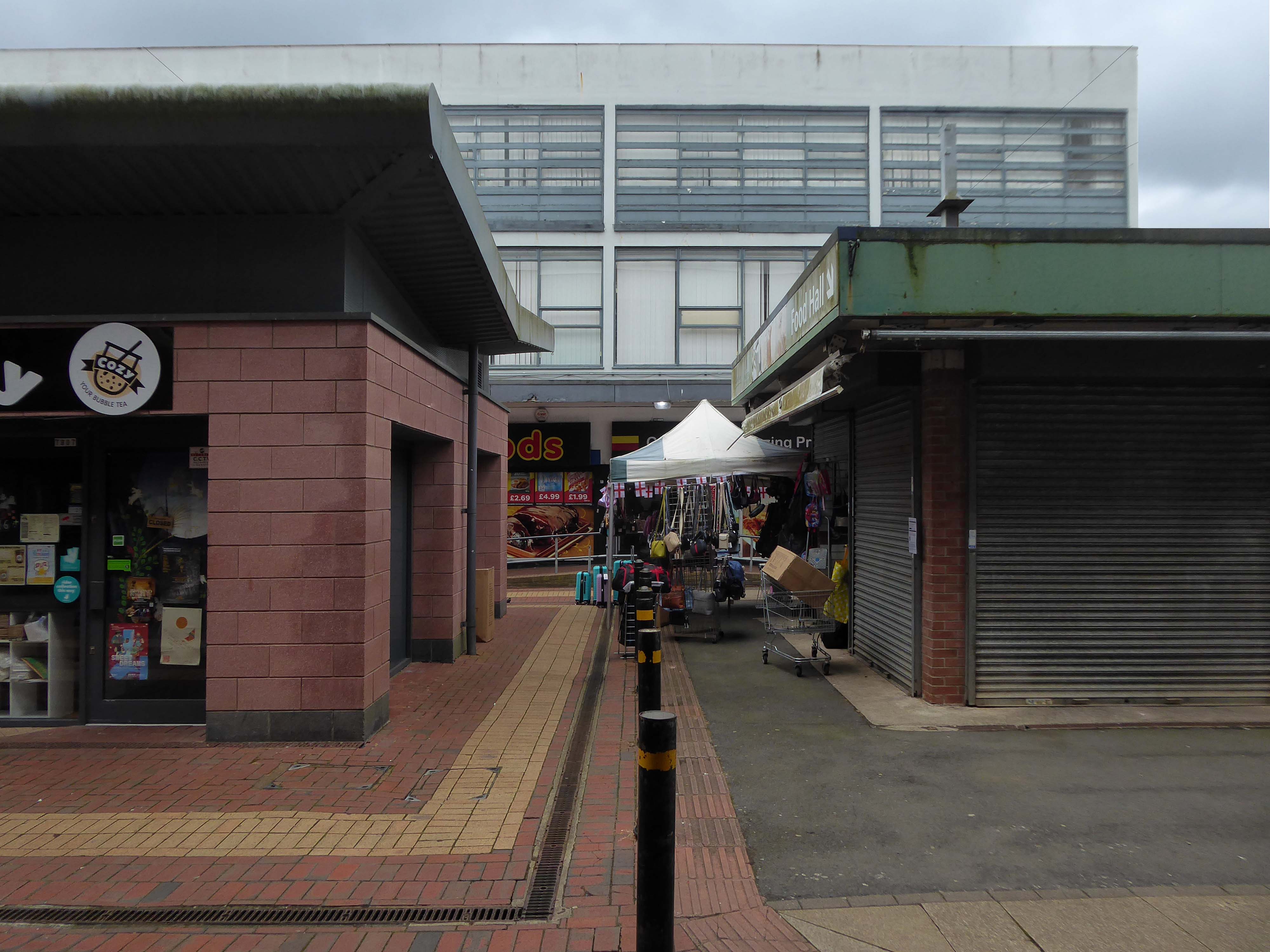
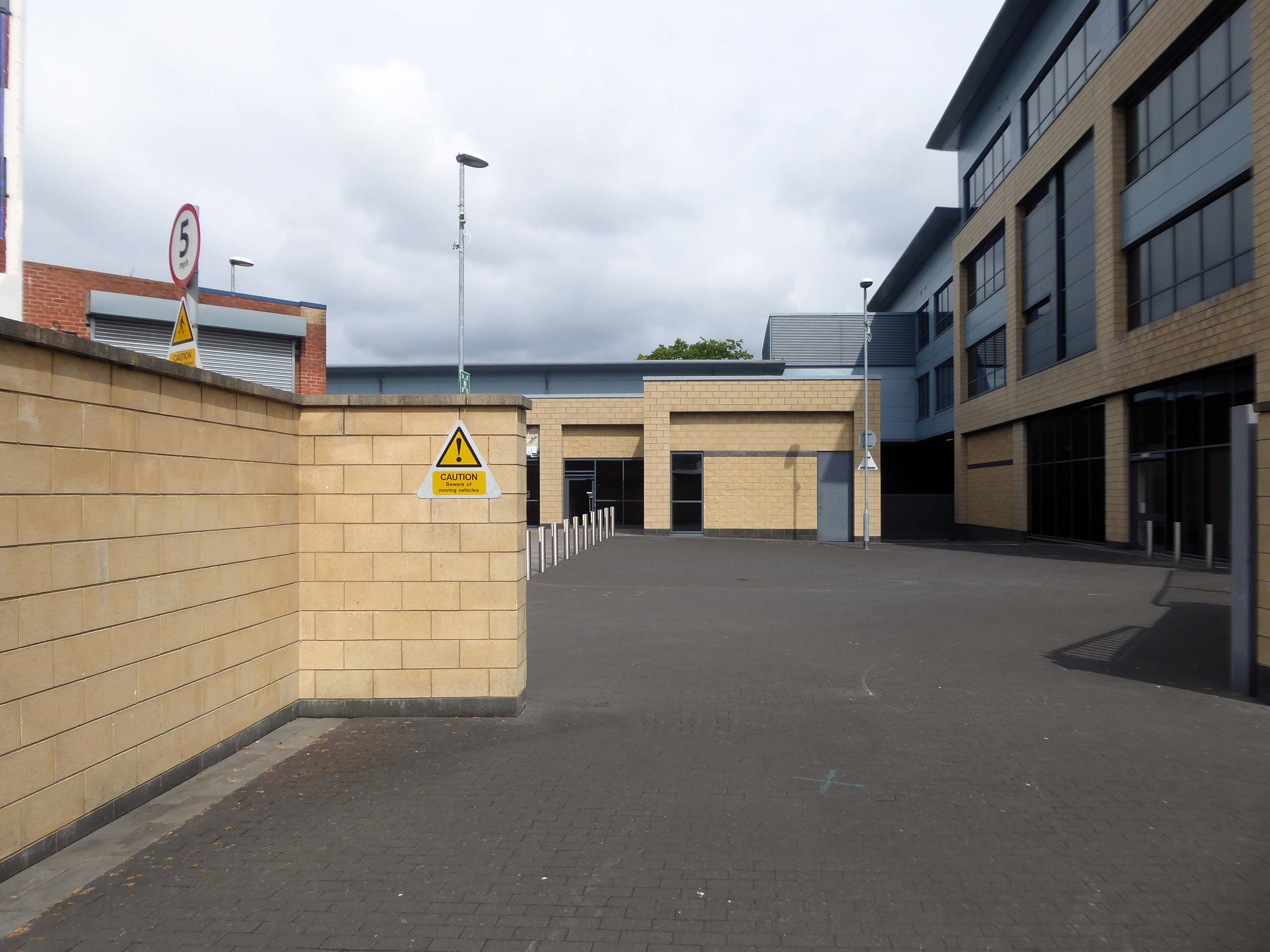
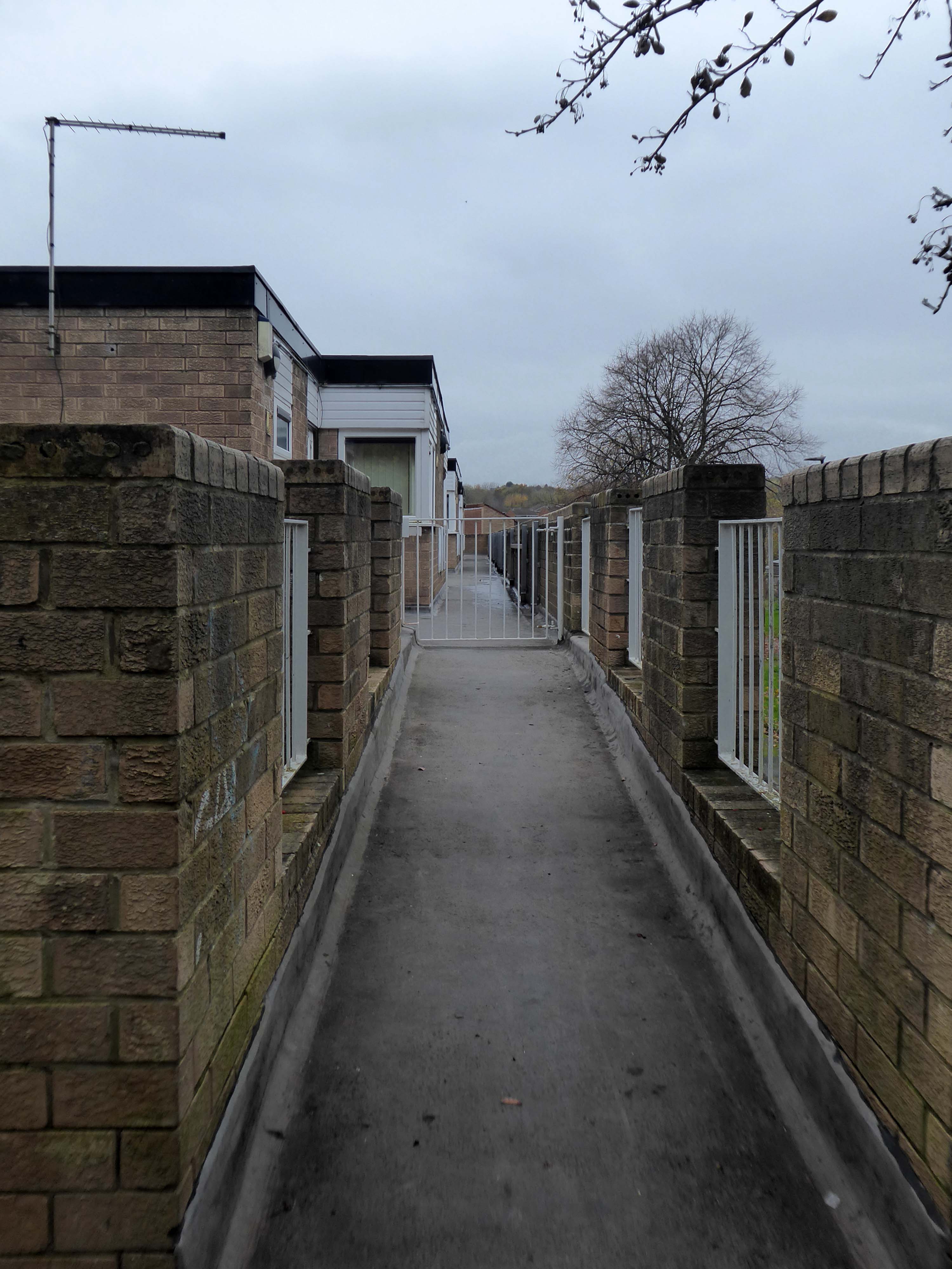
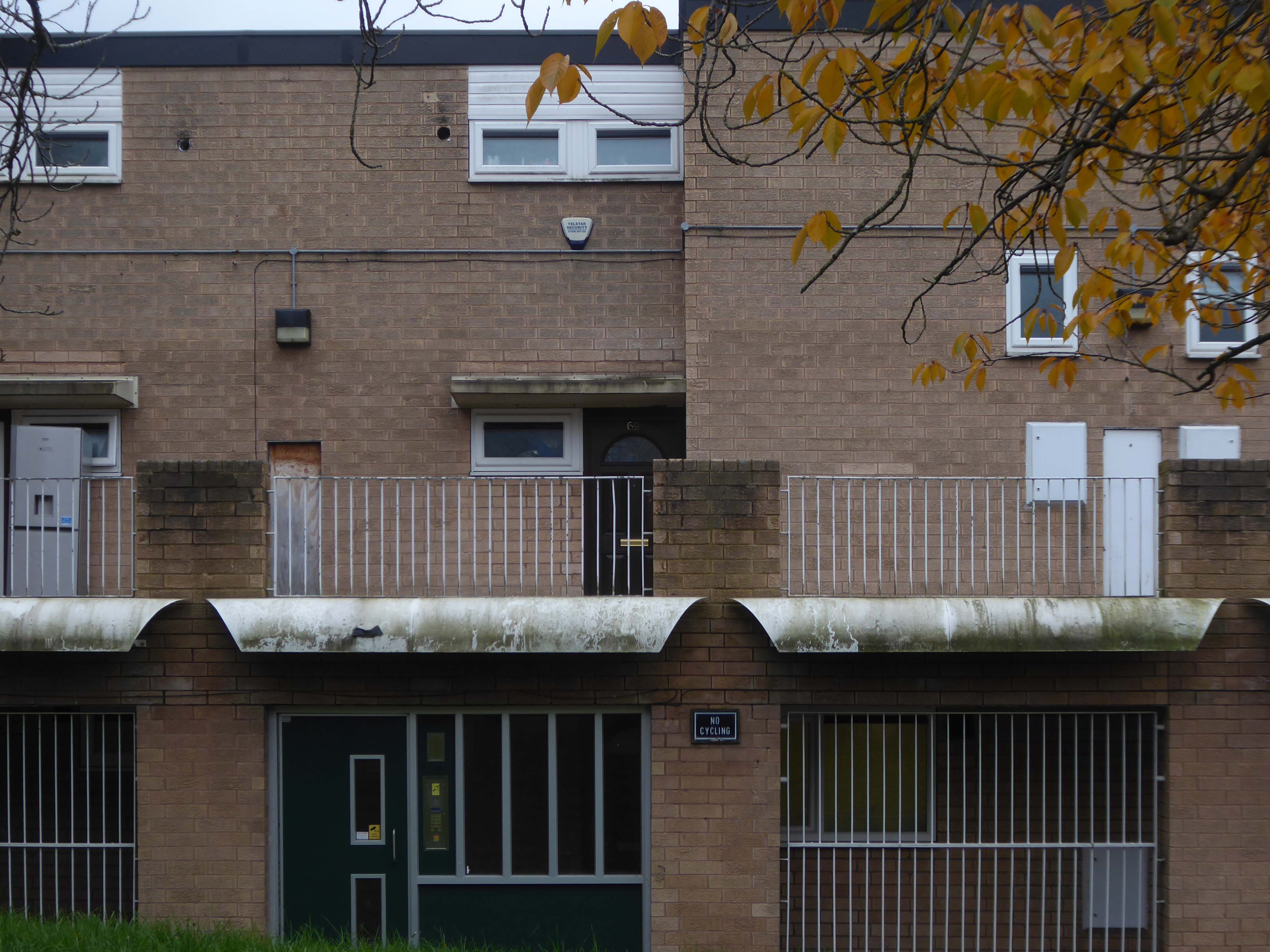
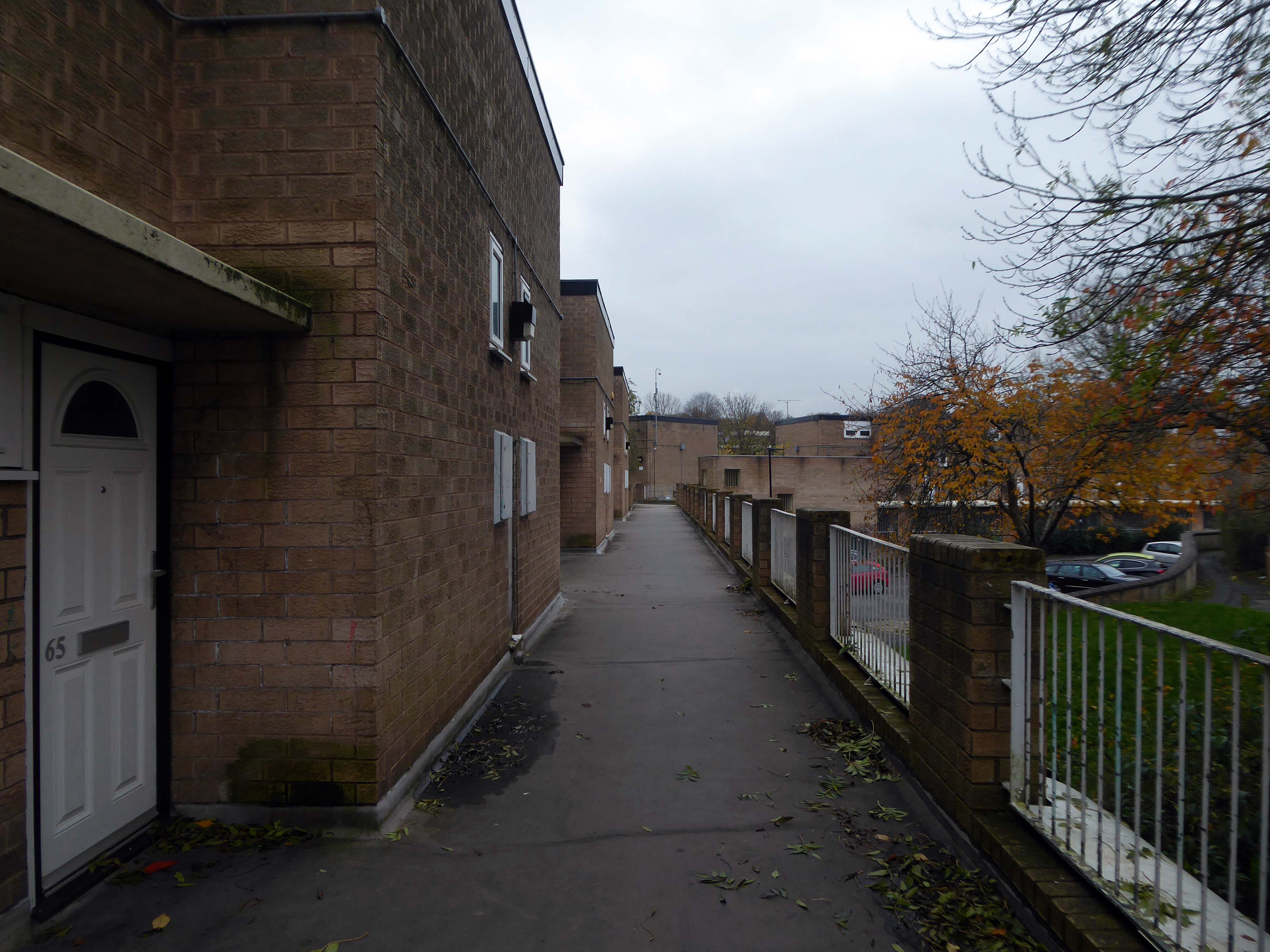
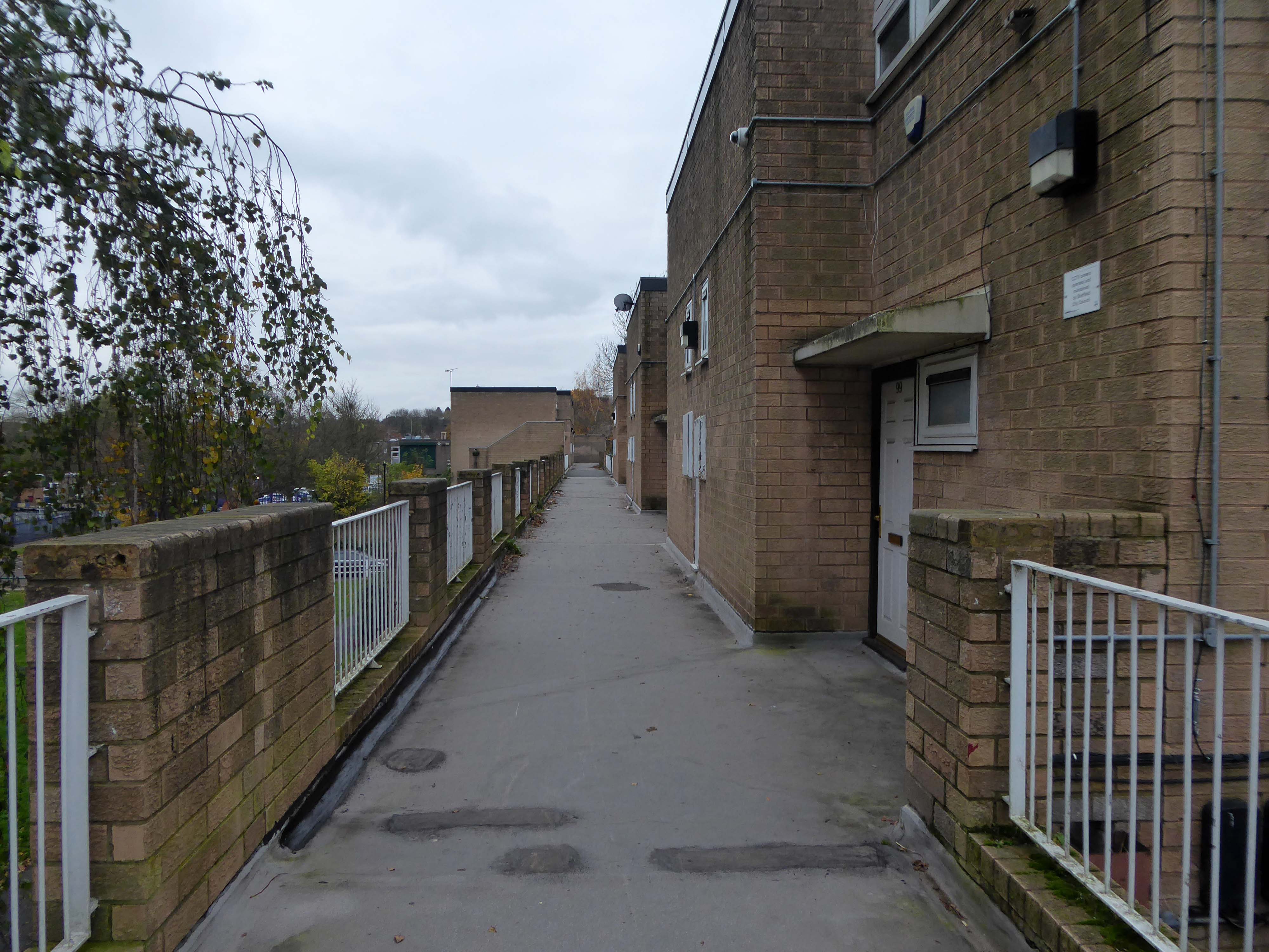
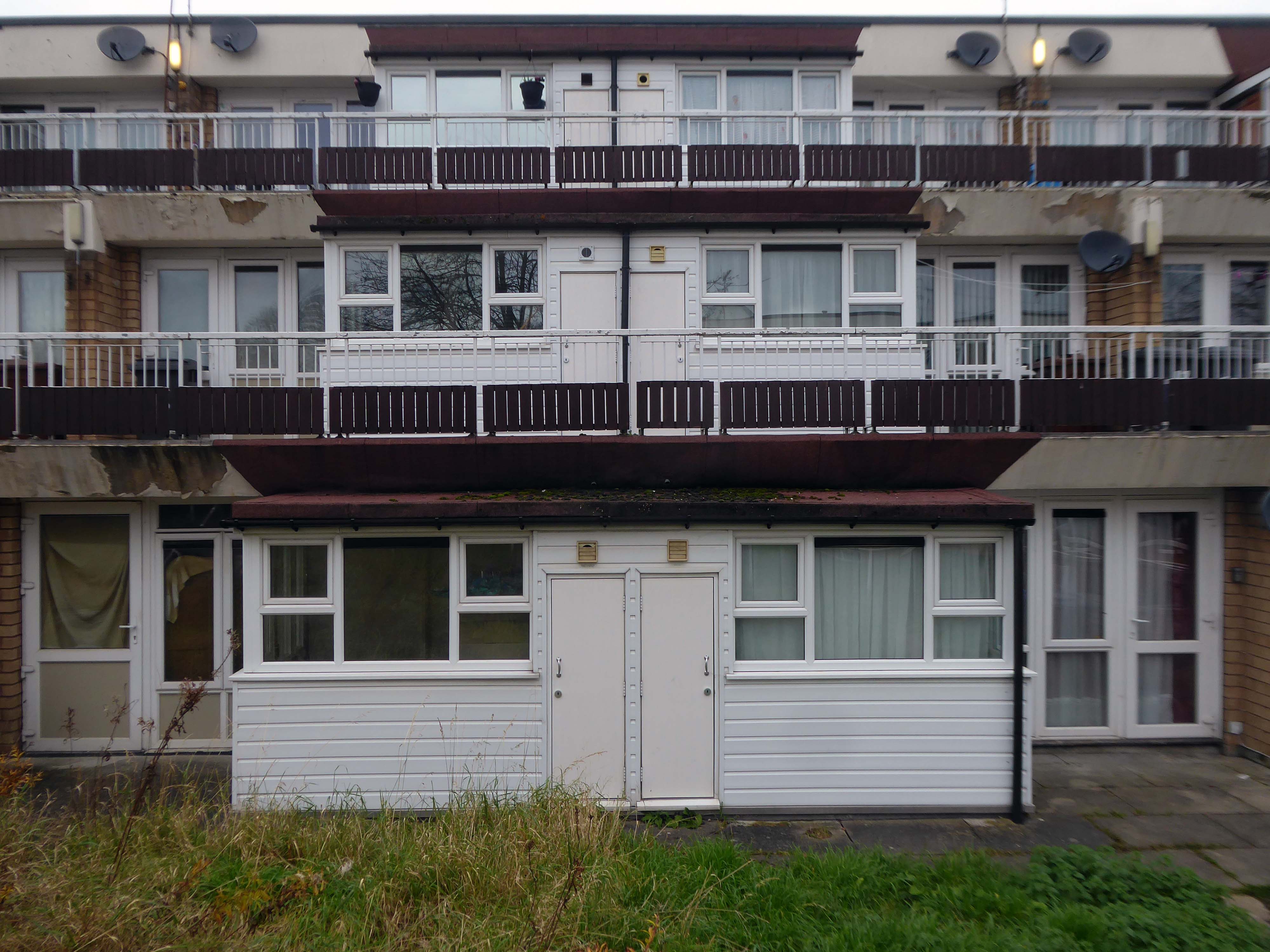
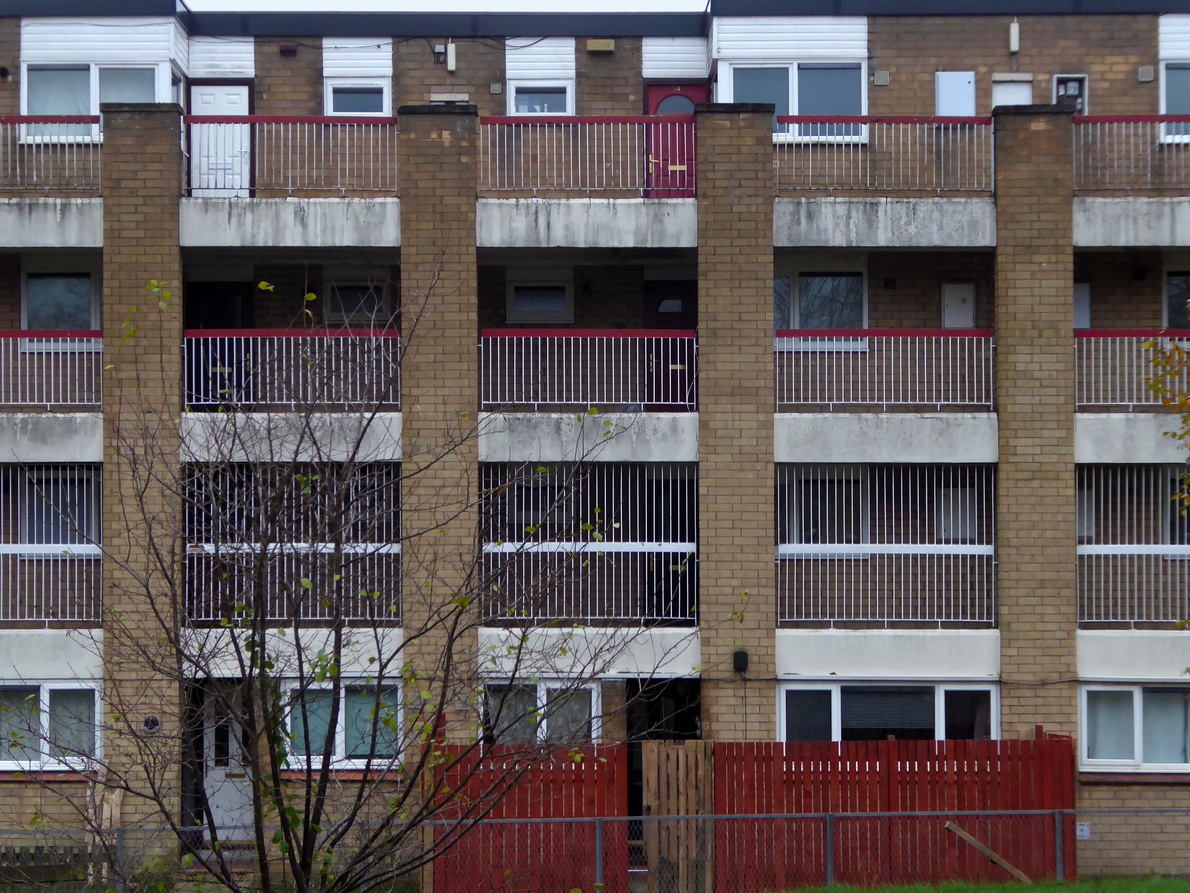
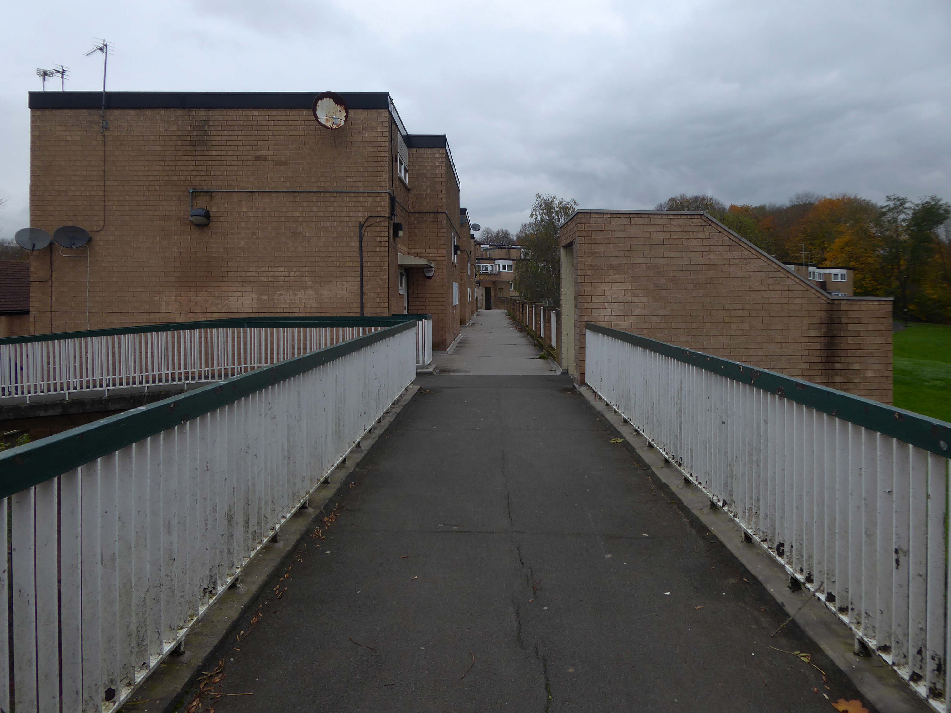
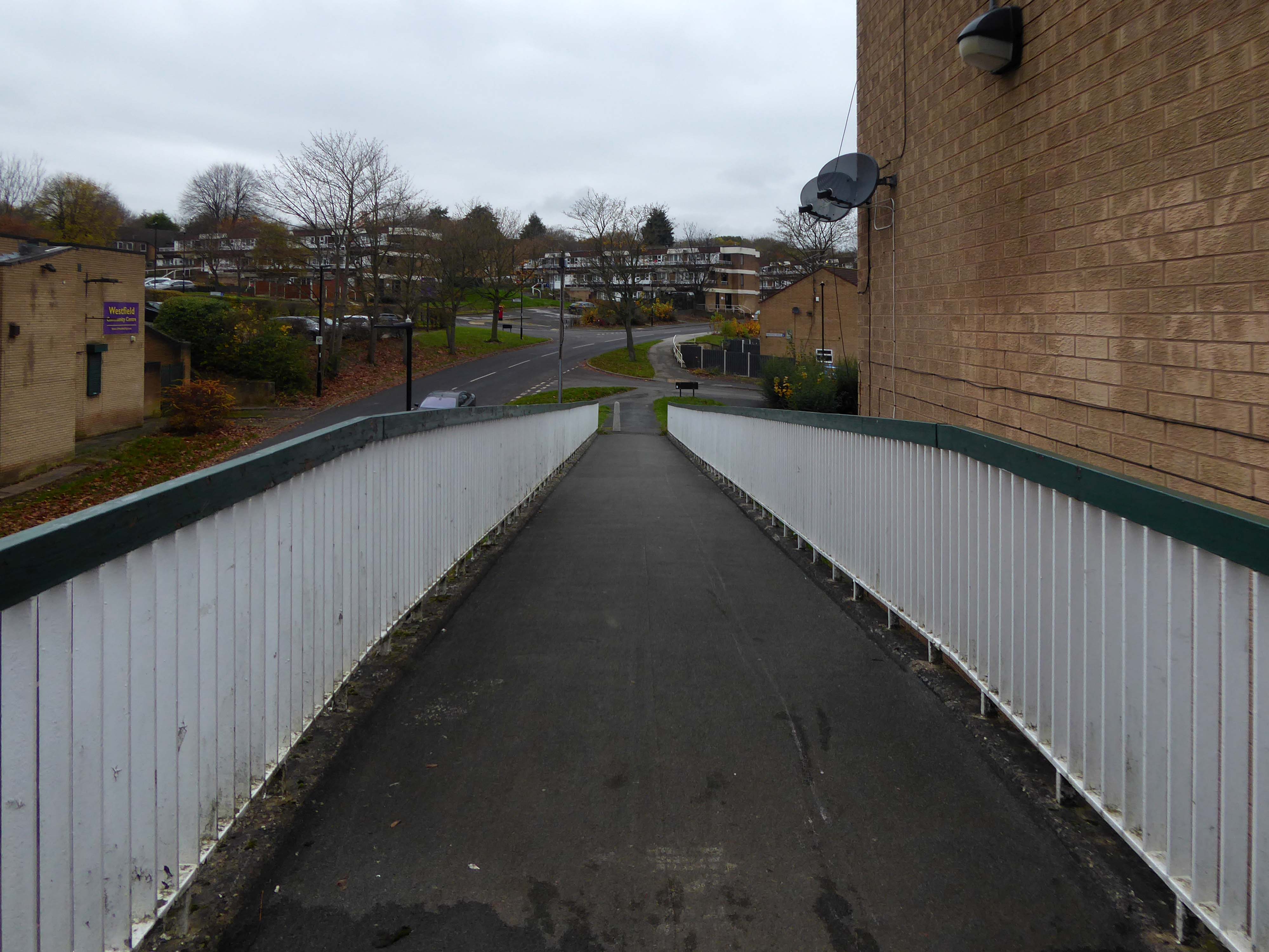
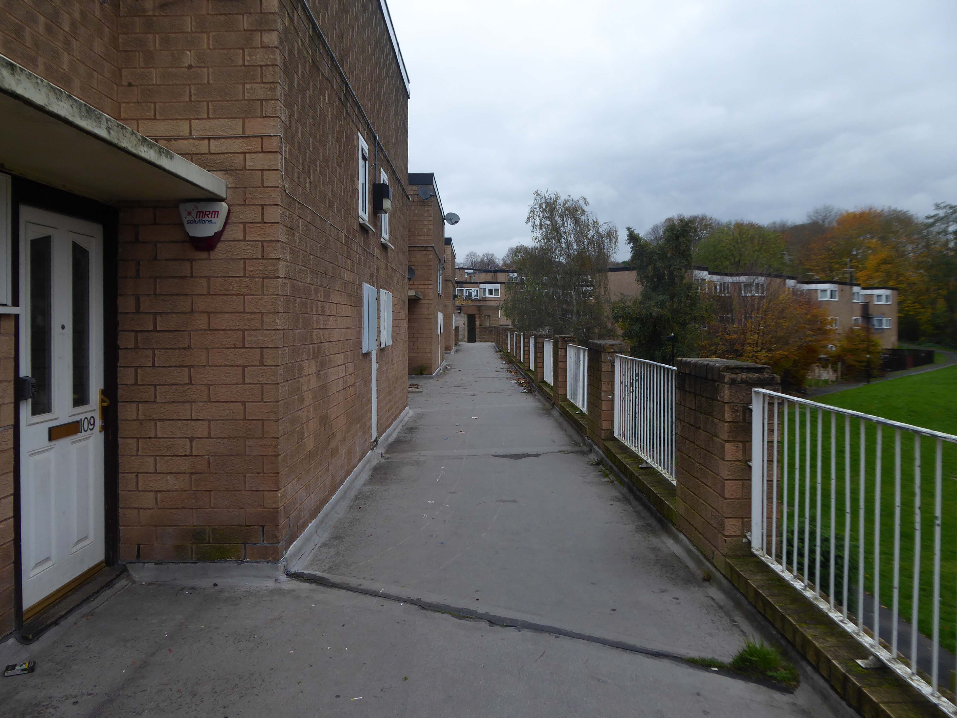
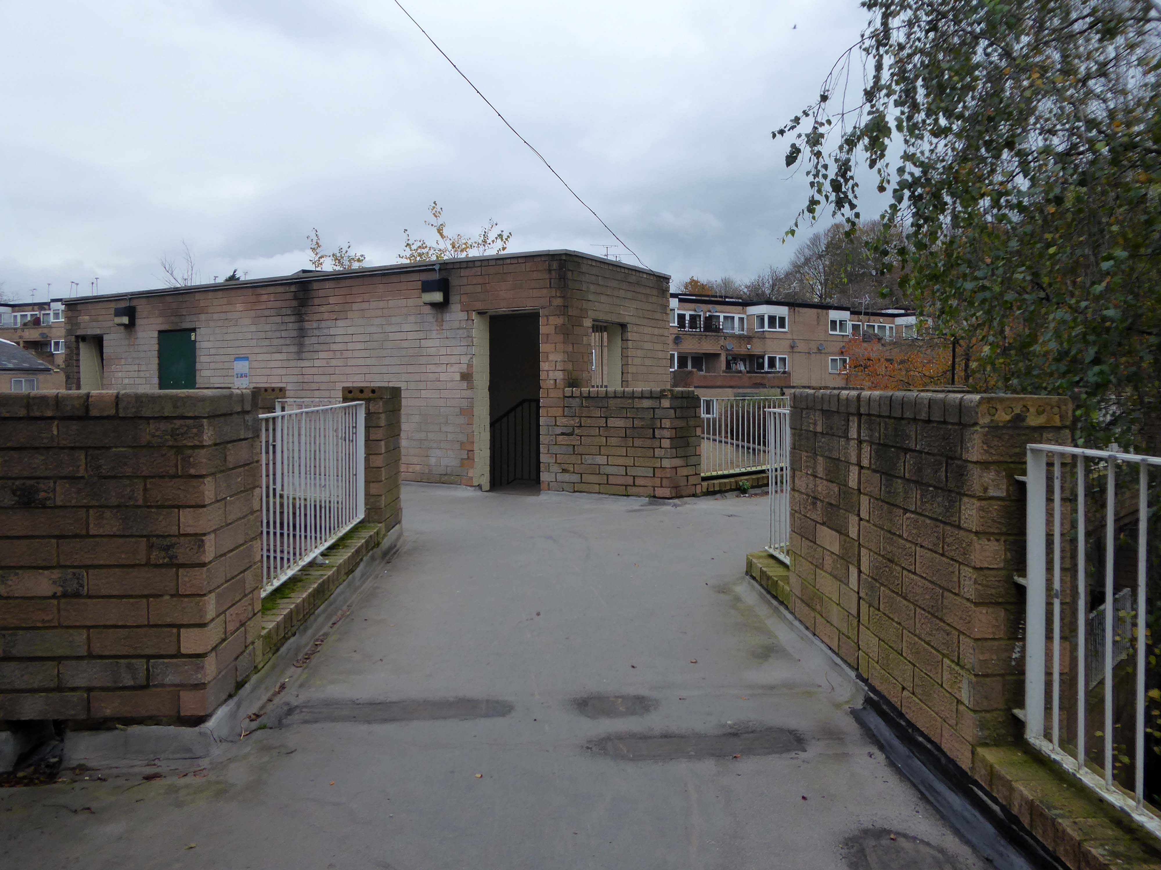
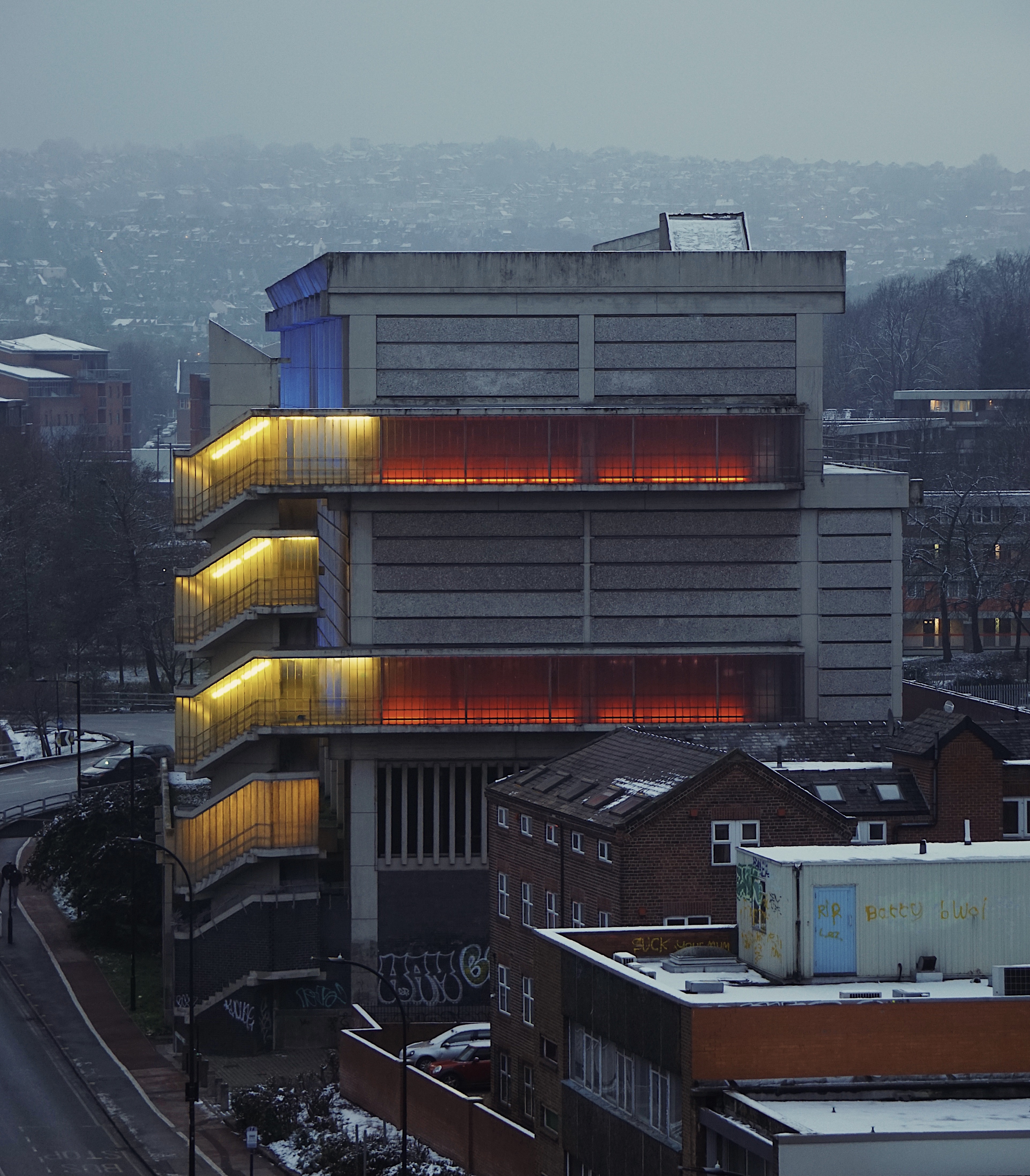
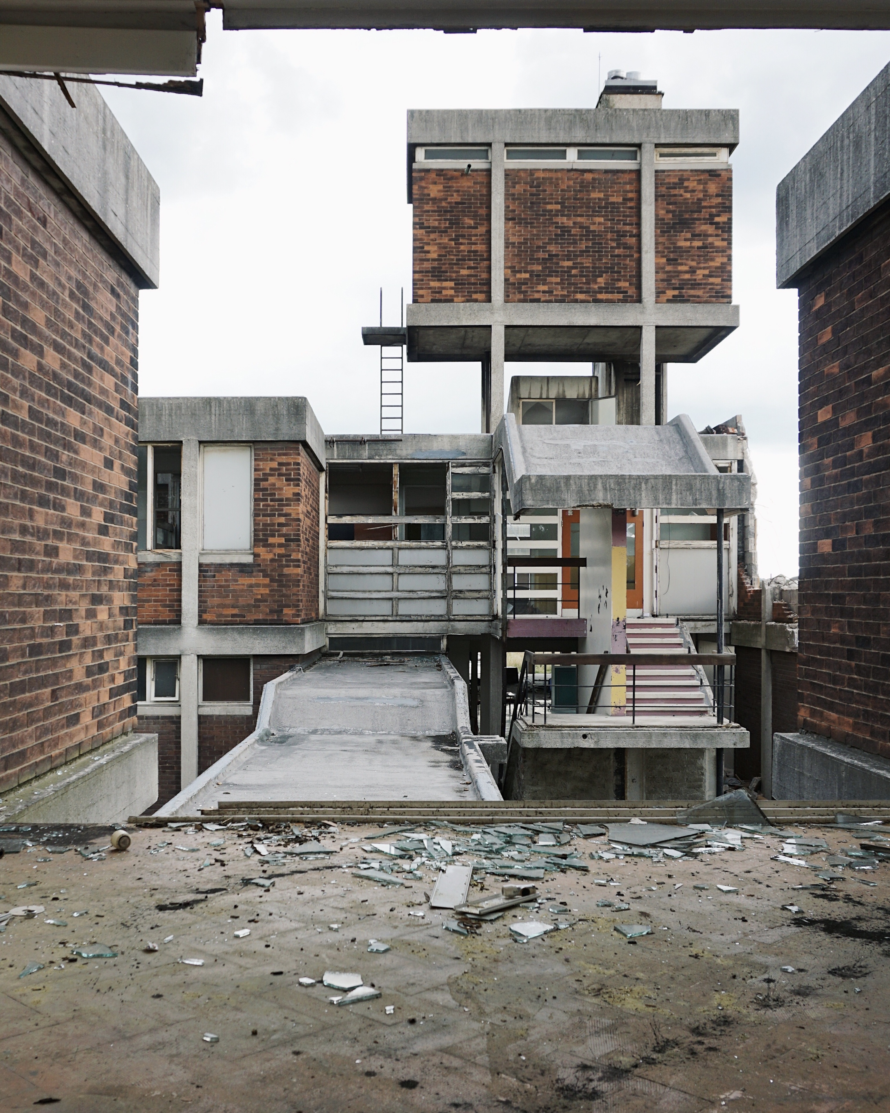
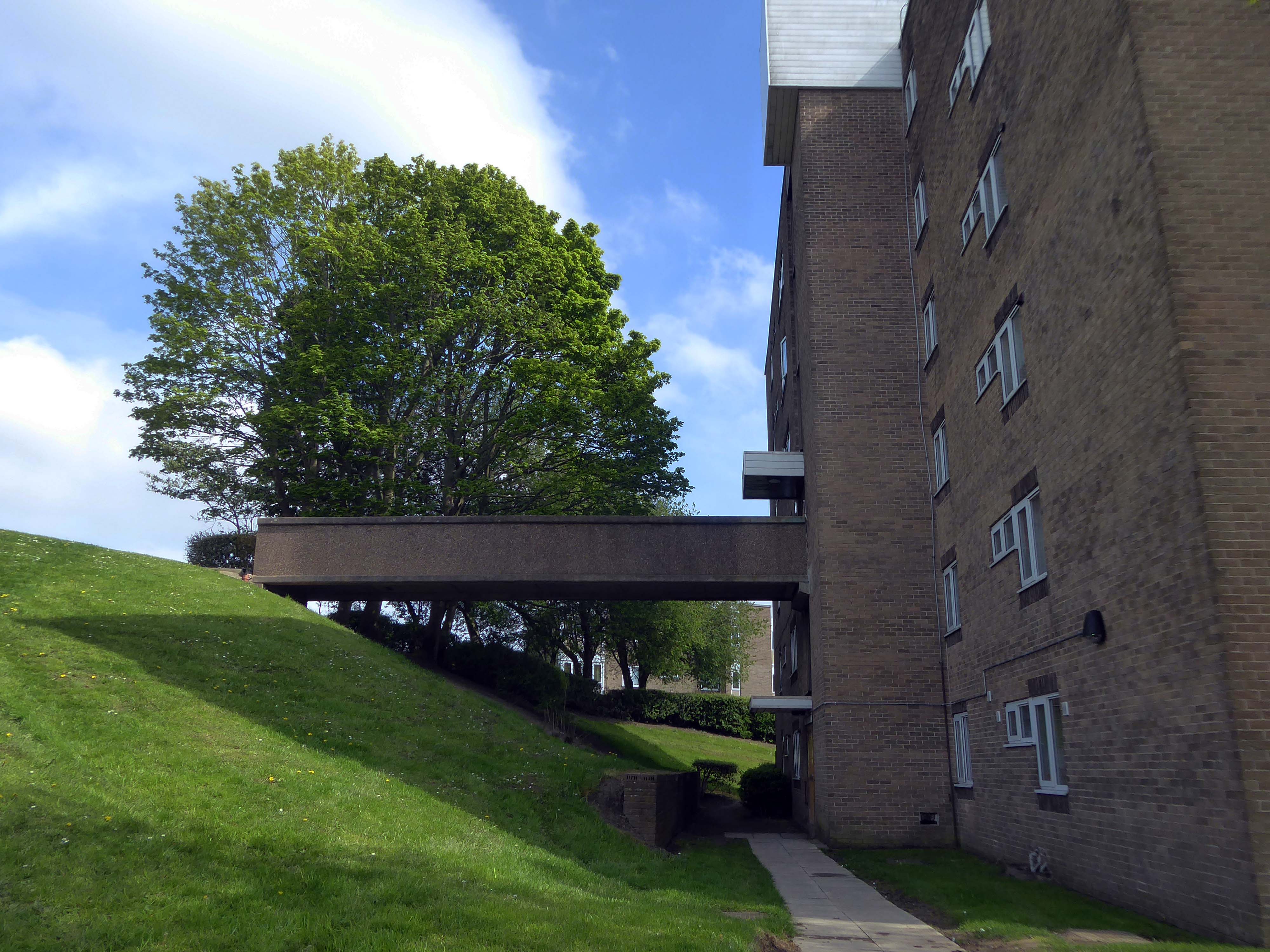
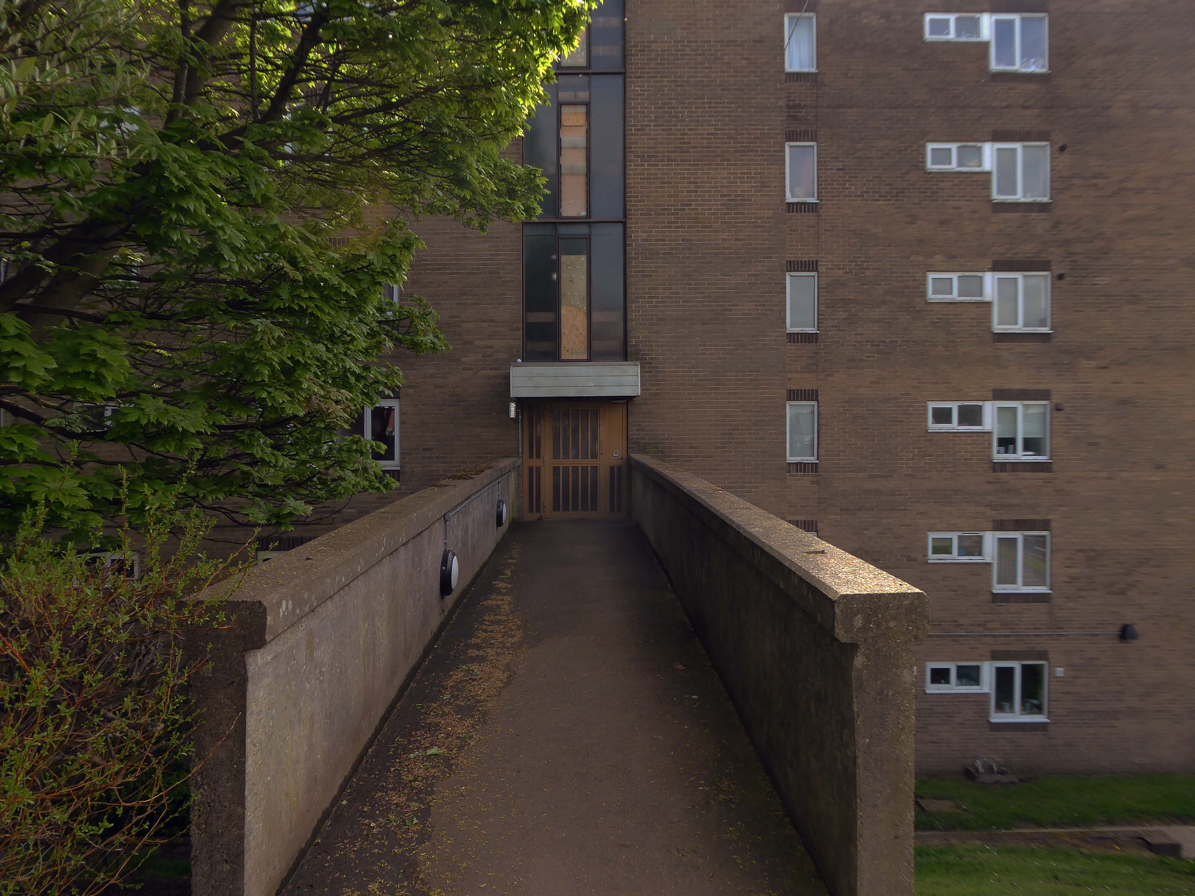
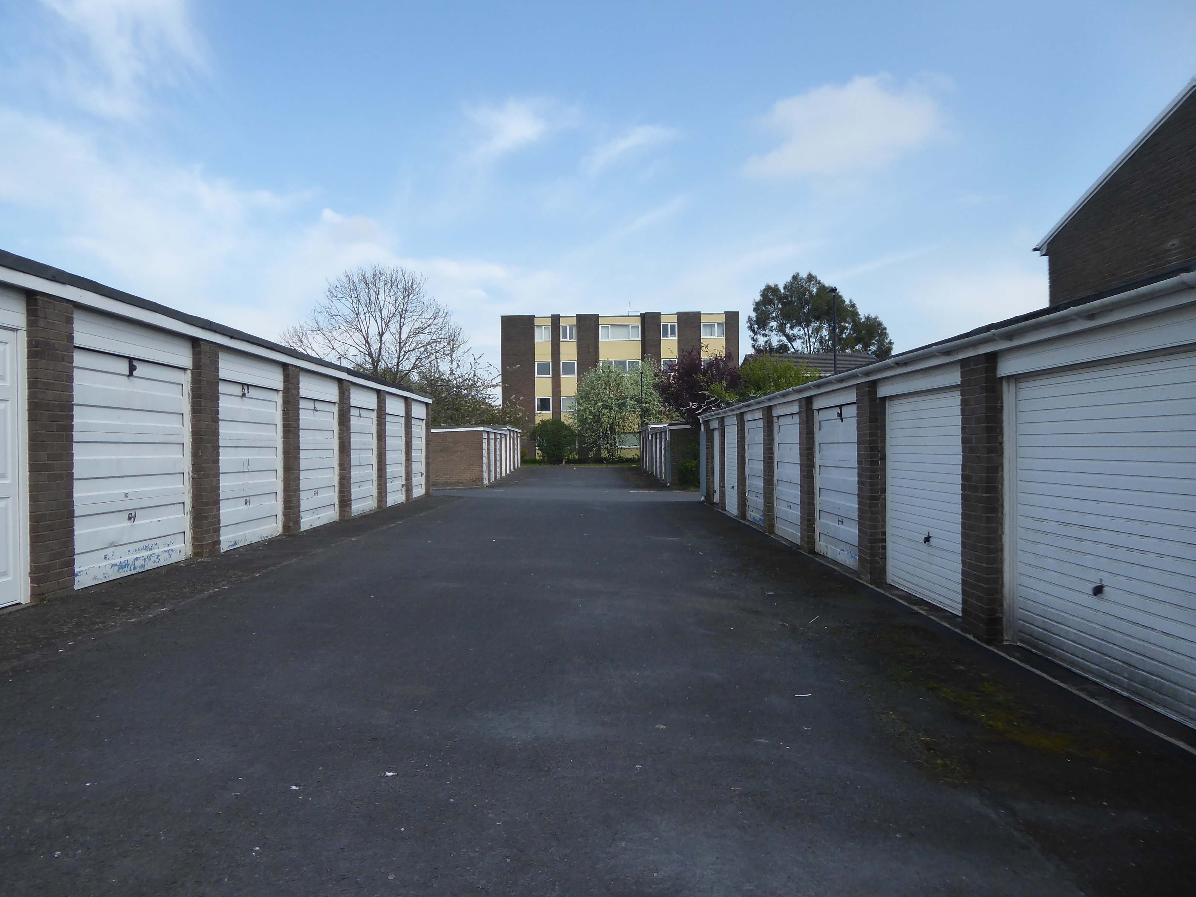
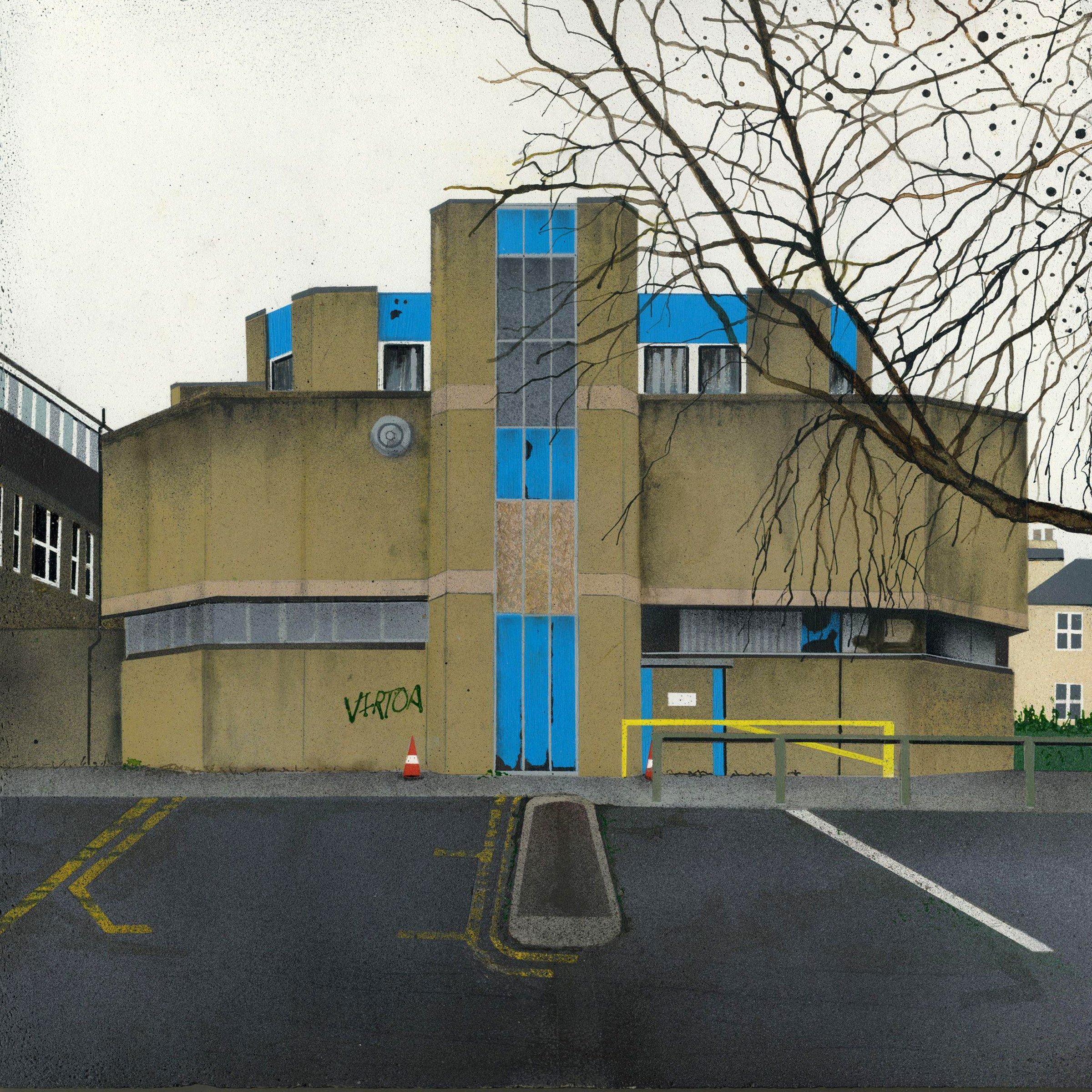
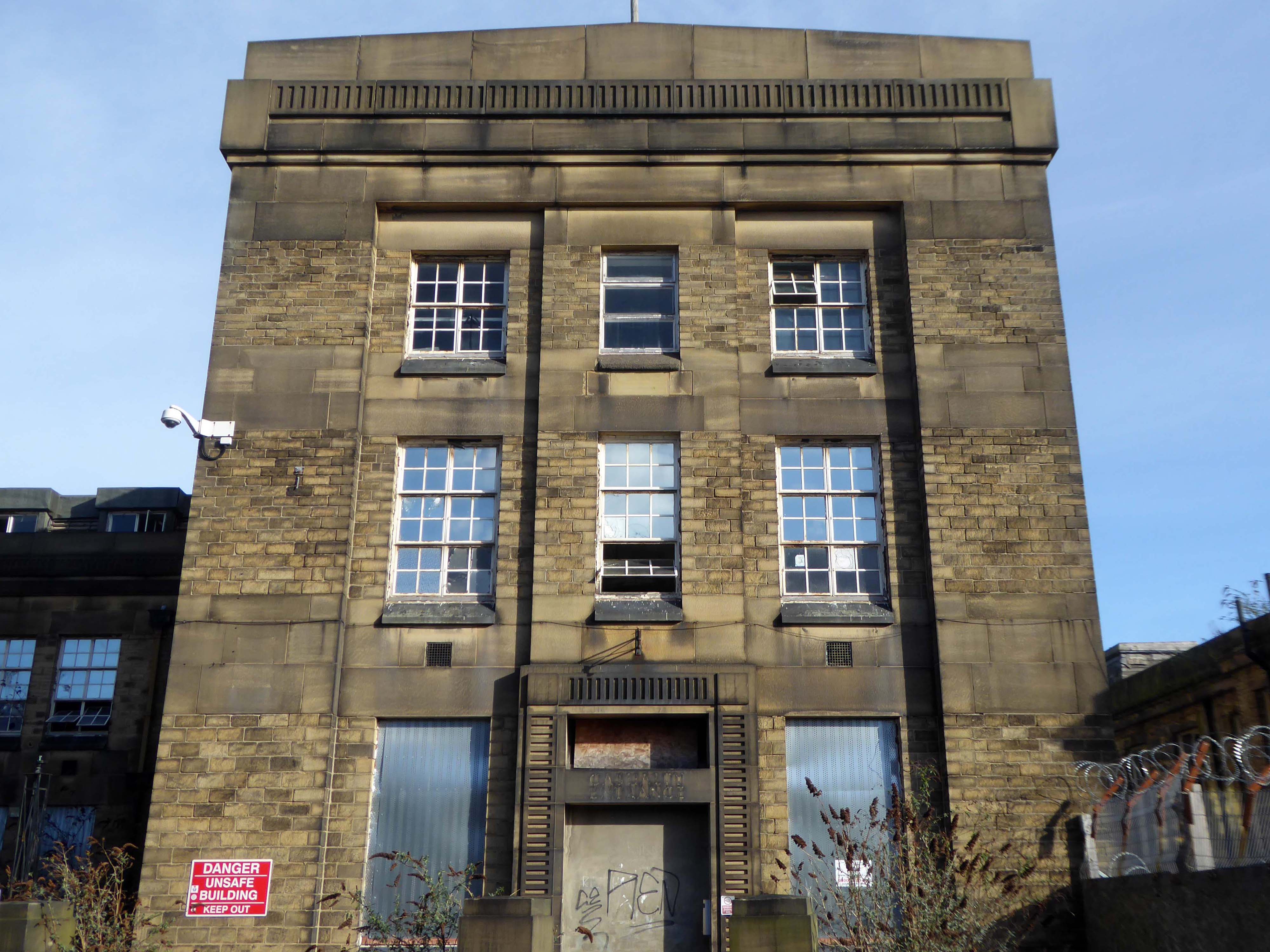
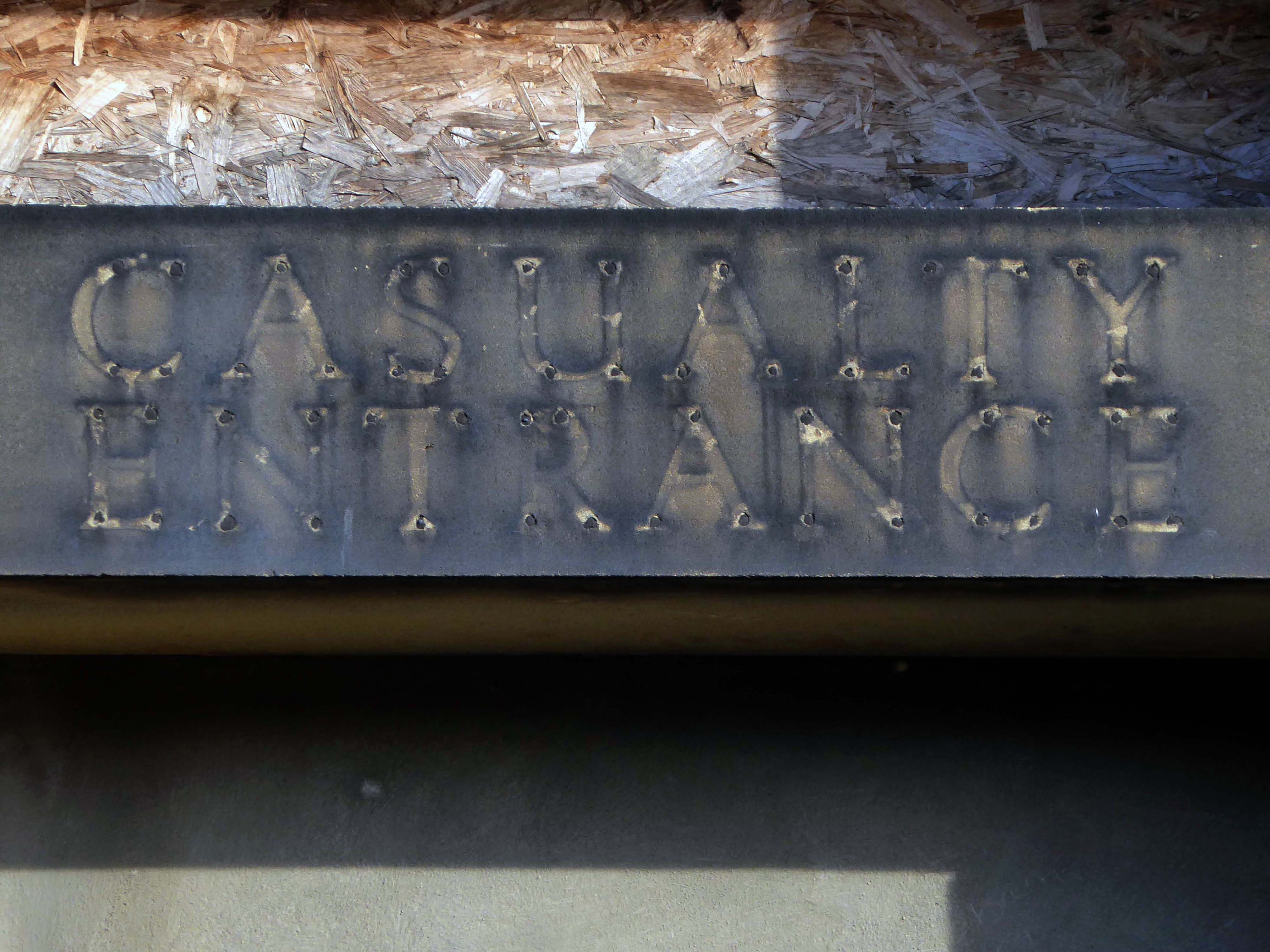
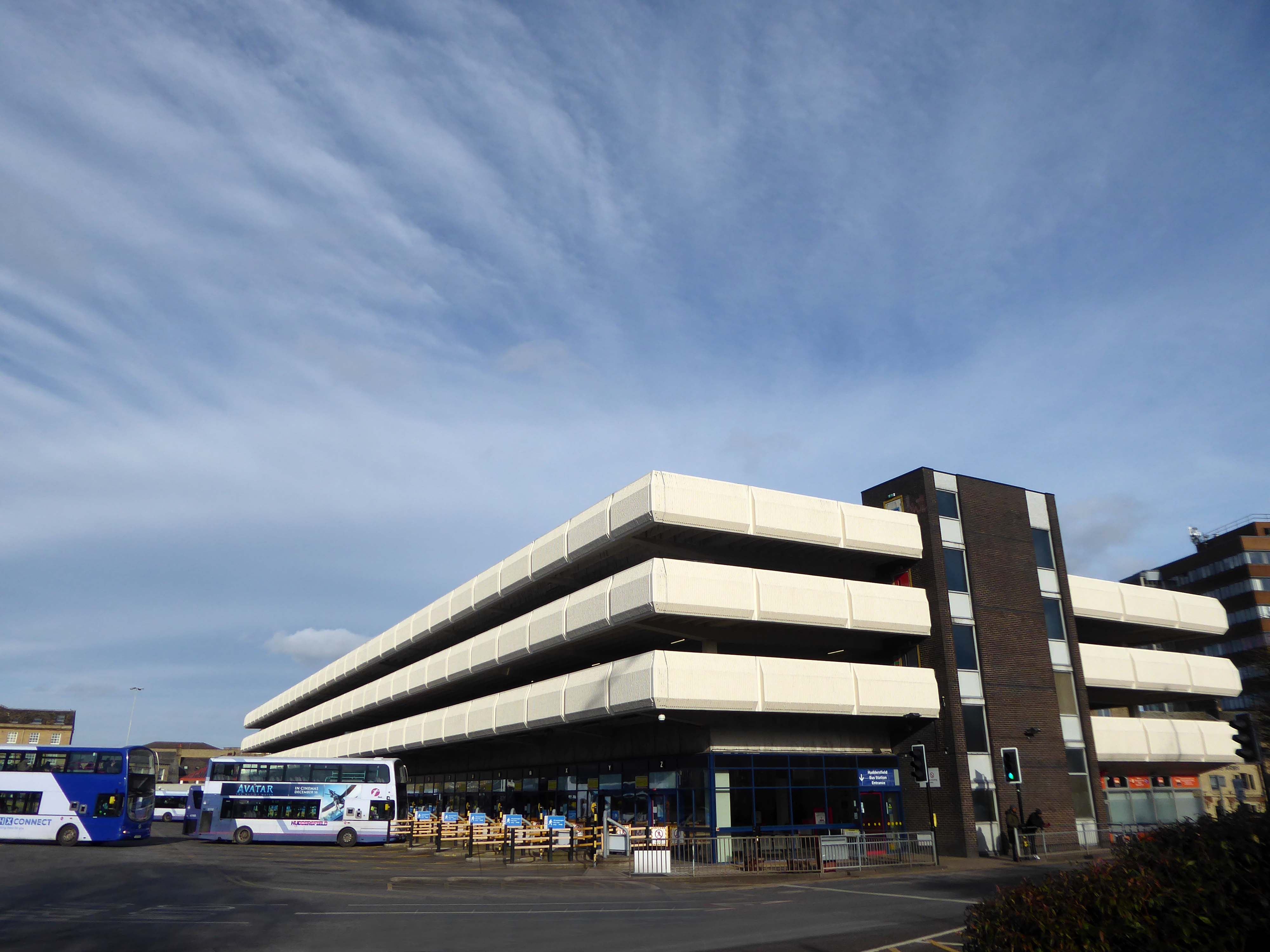
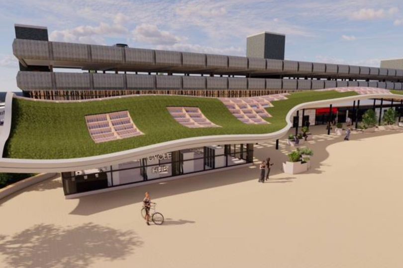
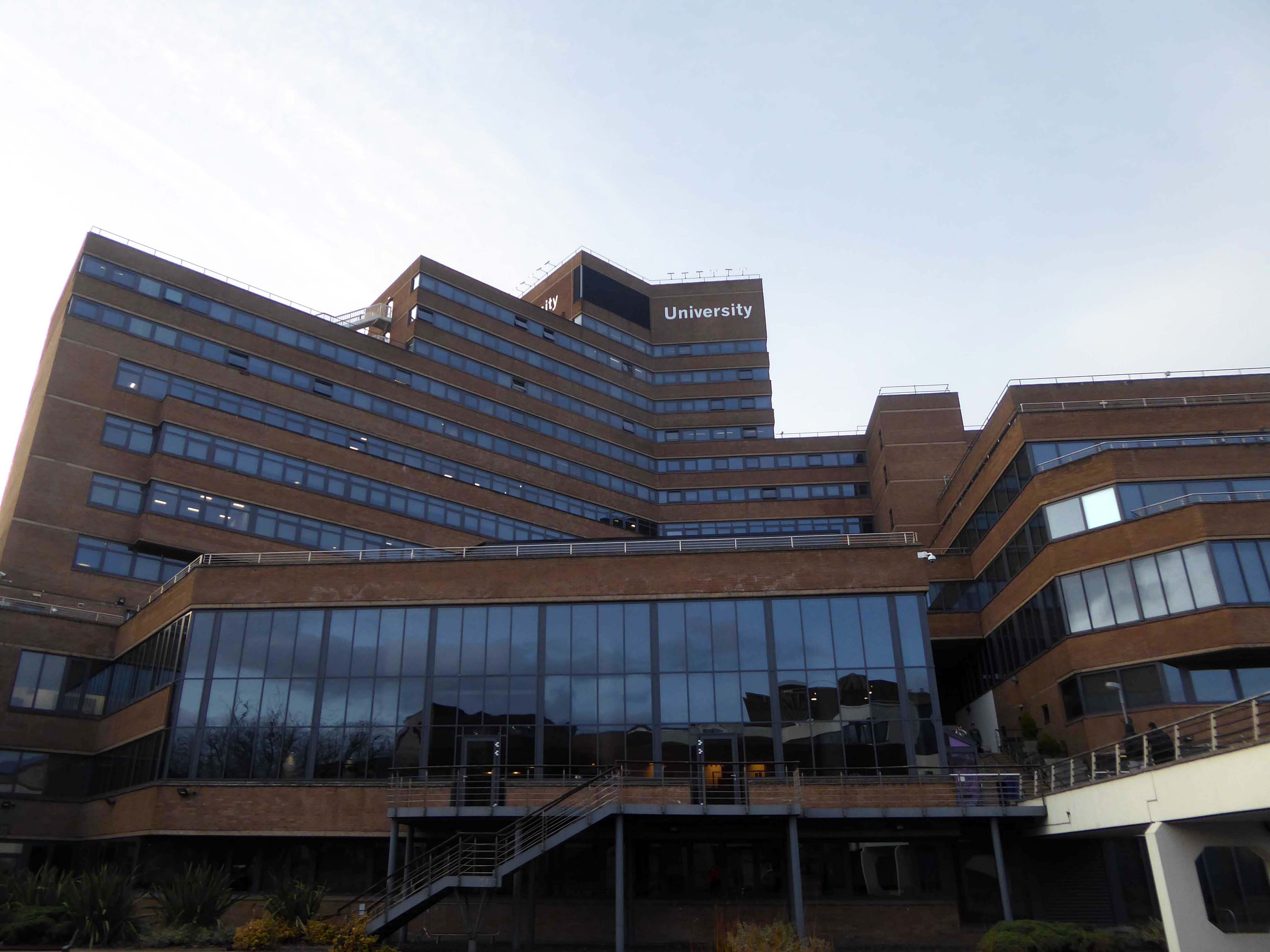
The service building above the former Debenham’s store.

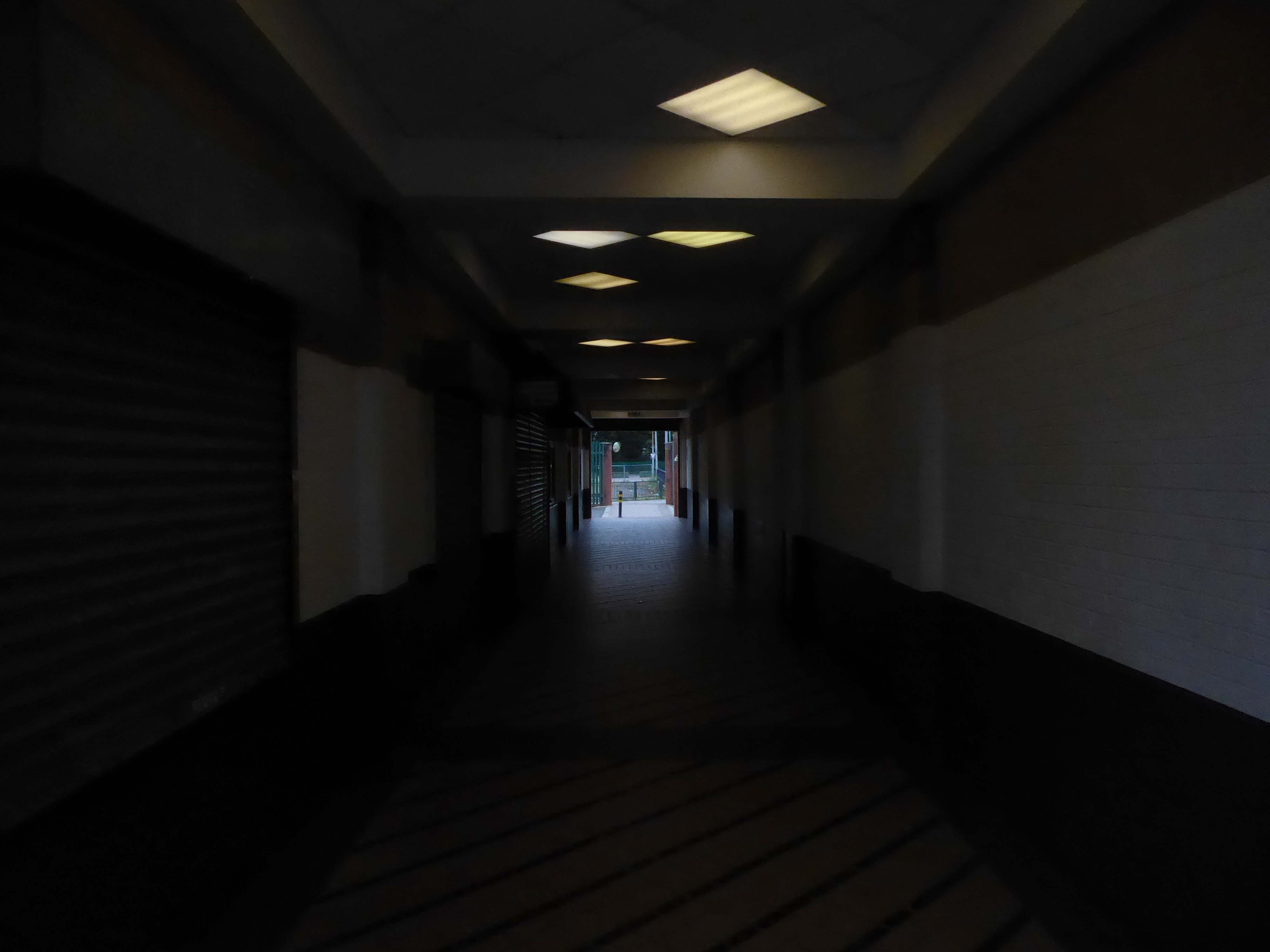
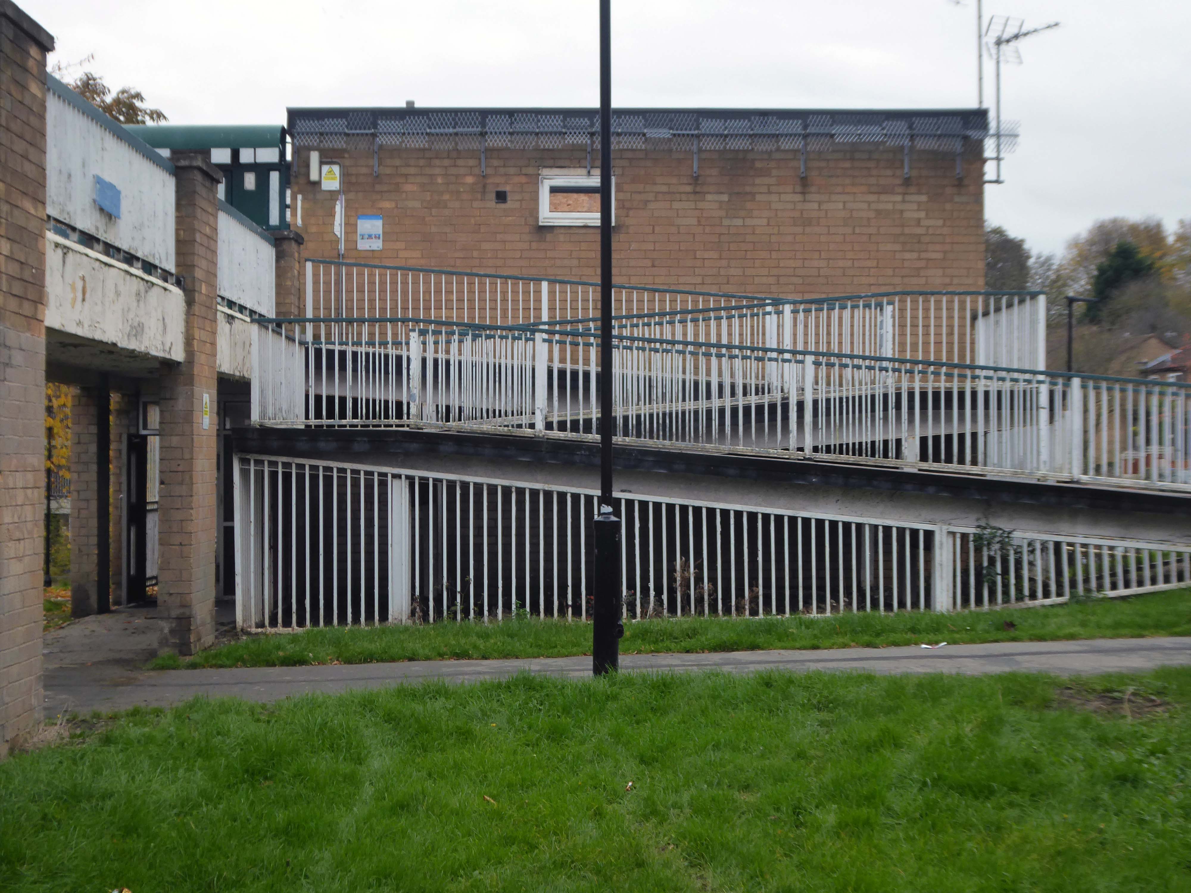
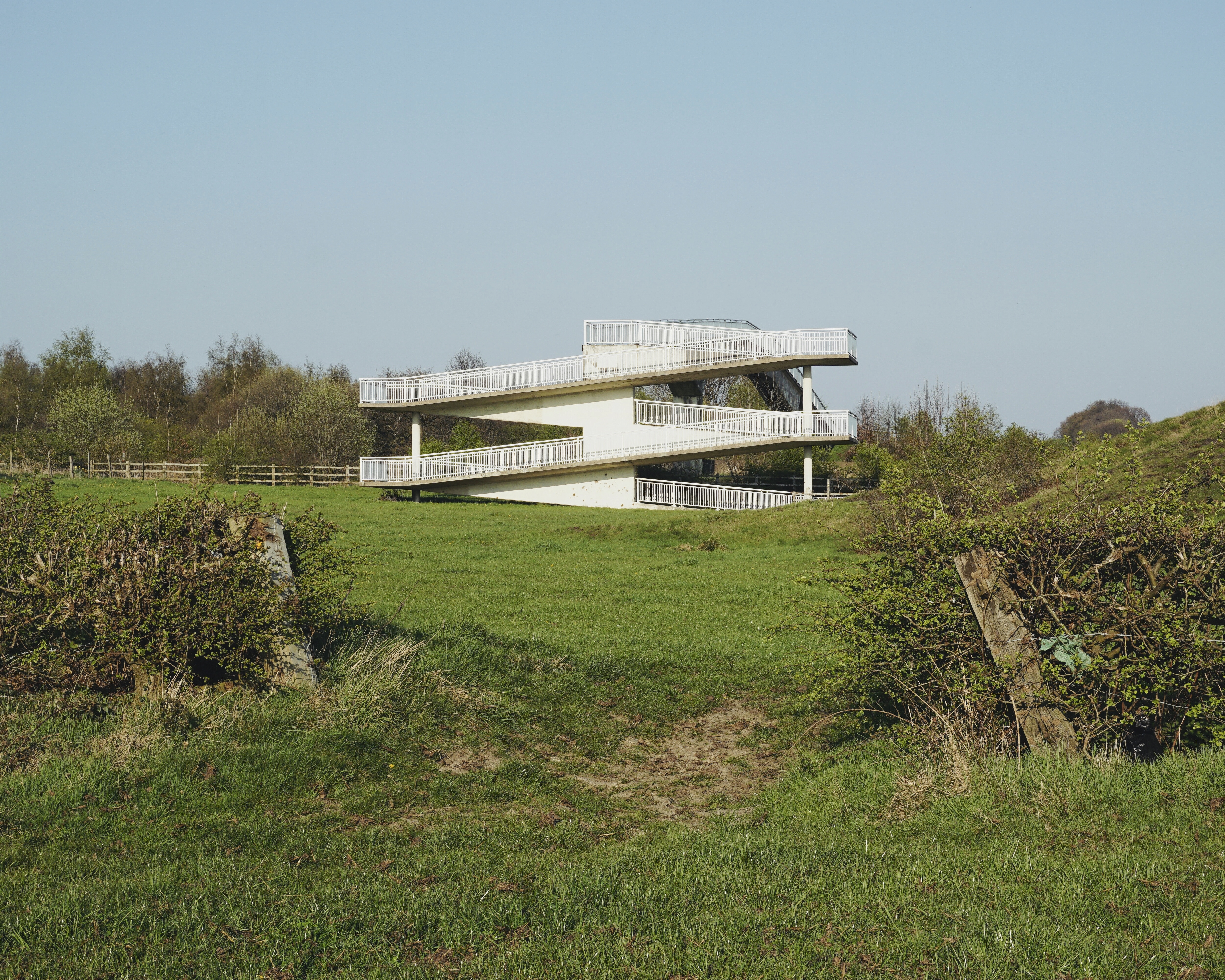
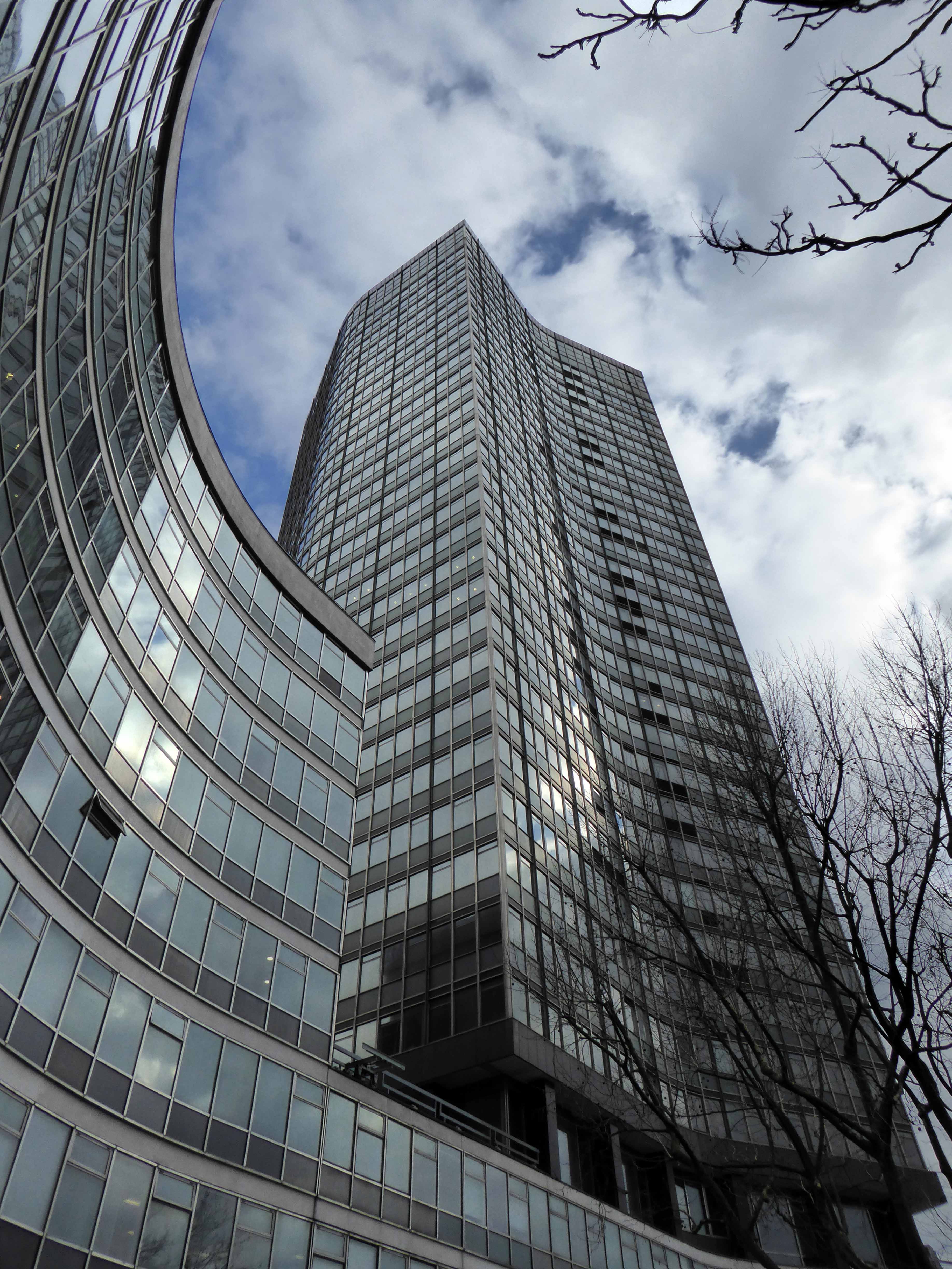
Beneath the spiral ramp which leads to the Red Rock car park.
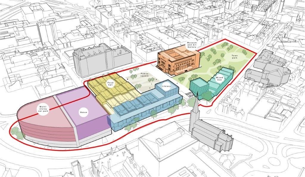
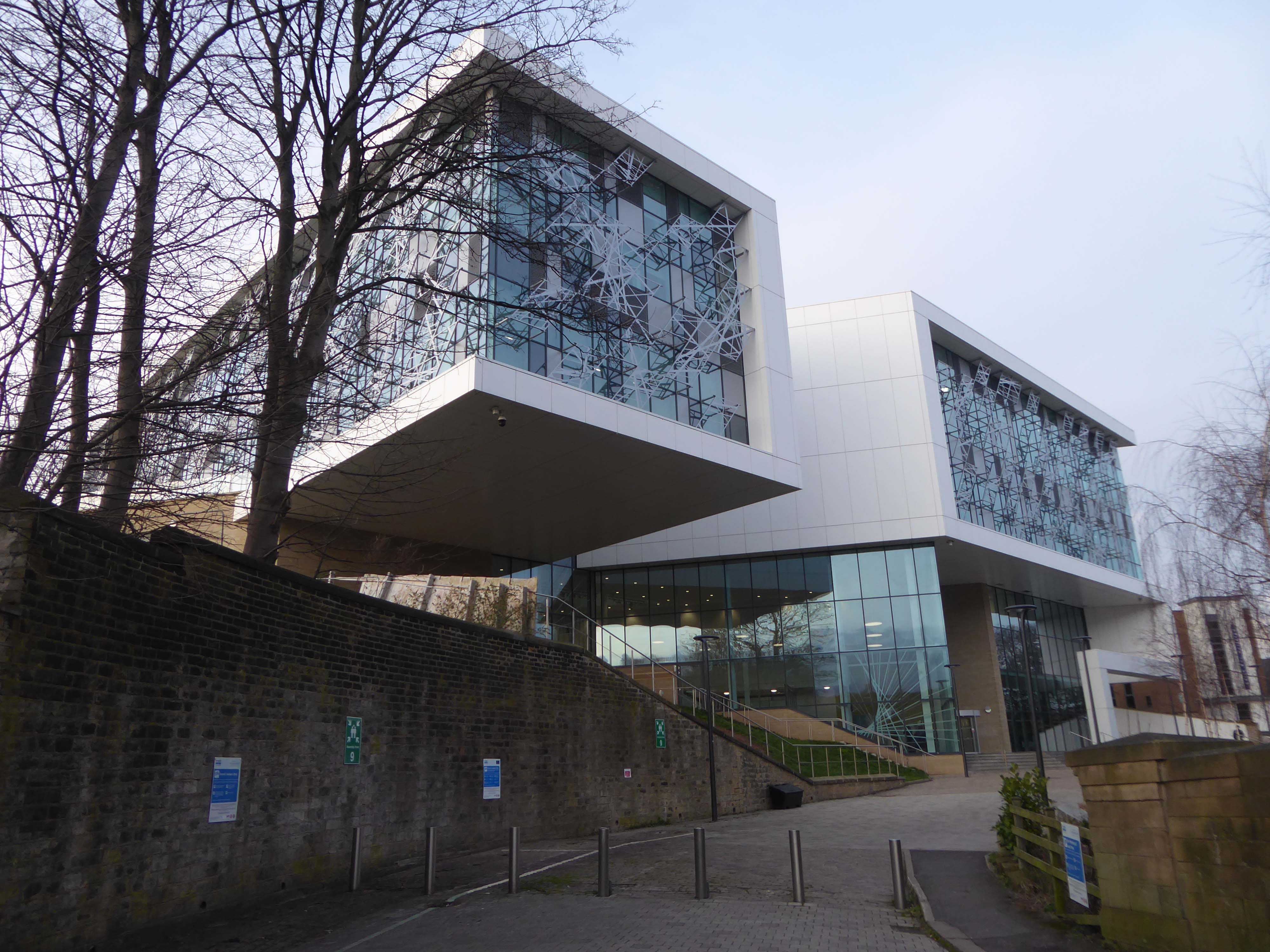
The architects for the scheme were BDP – the building was not well received as it was awarded the Carbuncle of the Year 2018.

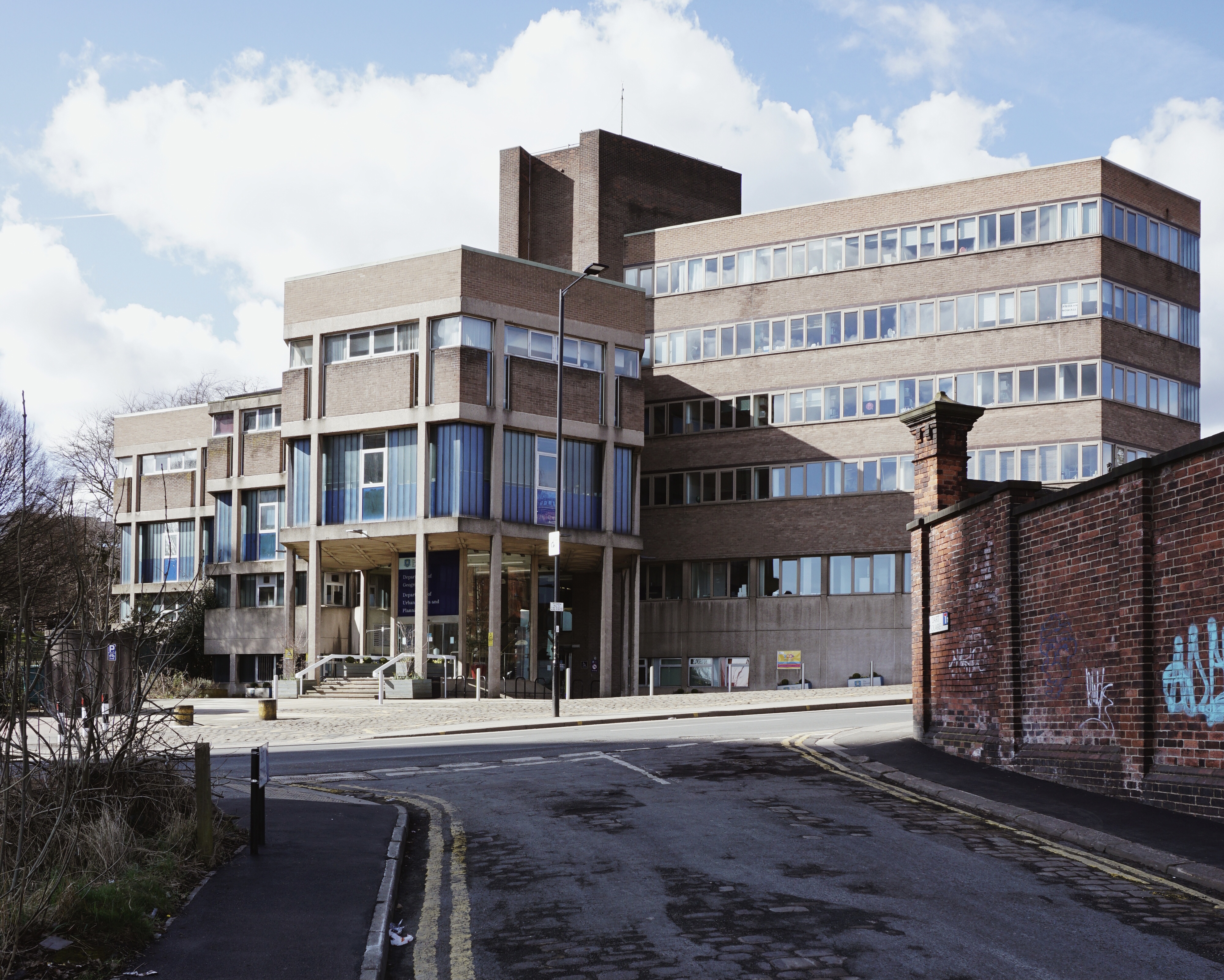
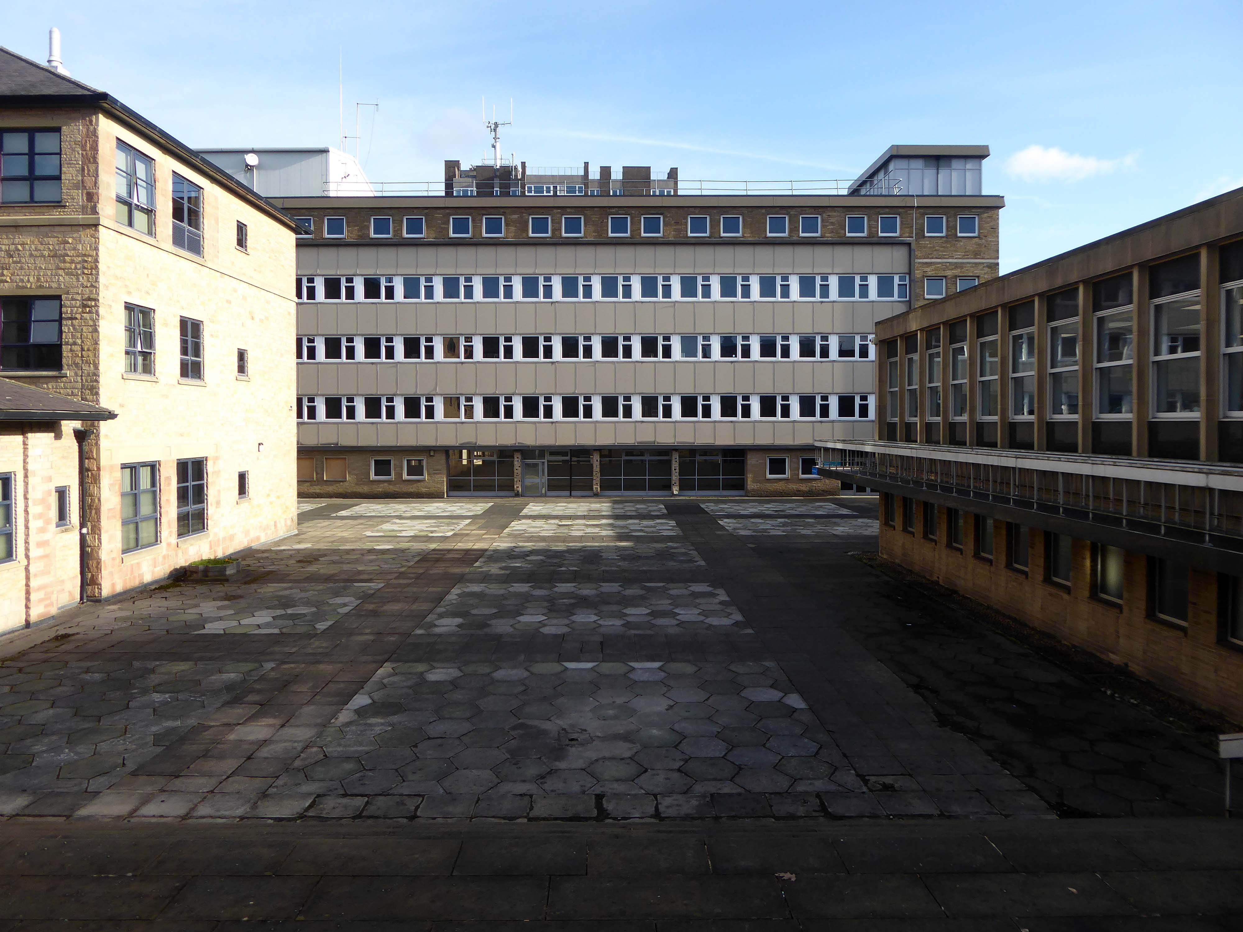
Stockport’s Town Hall extension Stopford House.
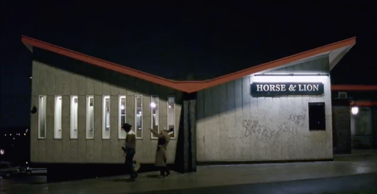
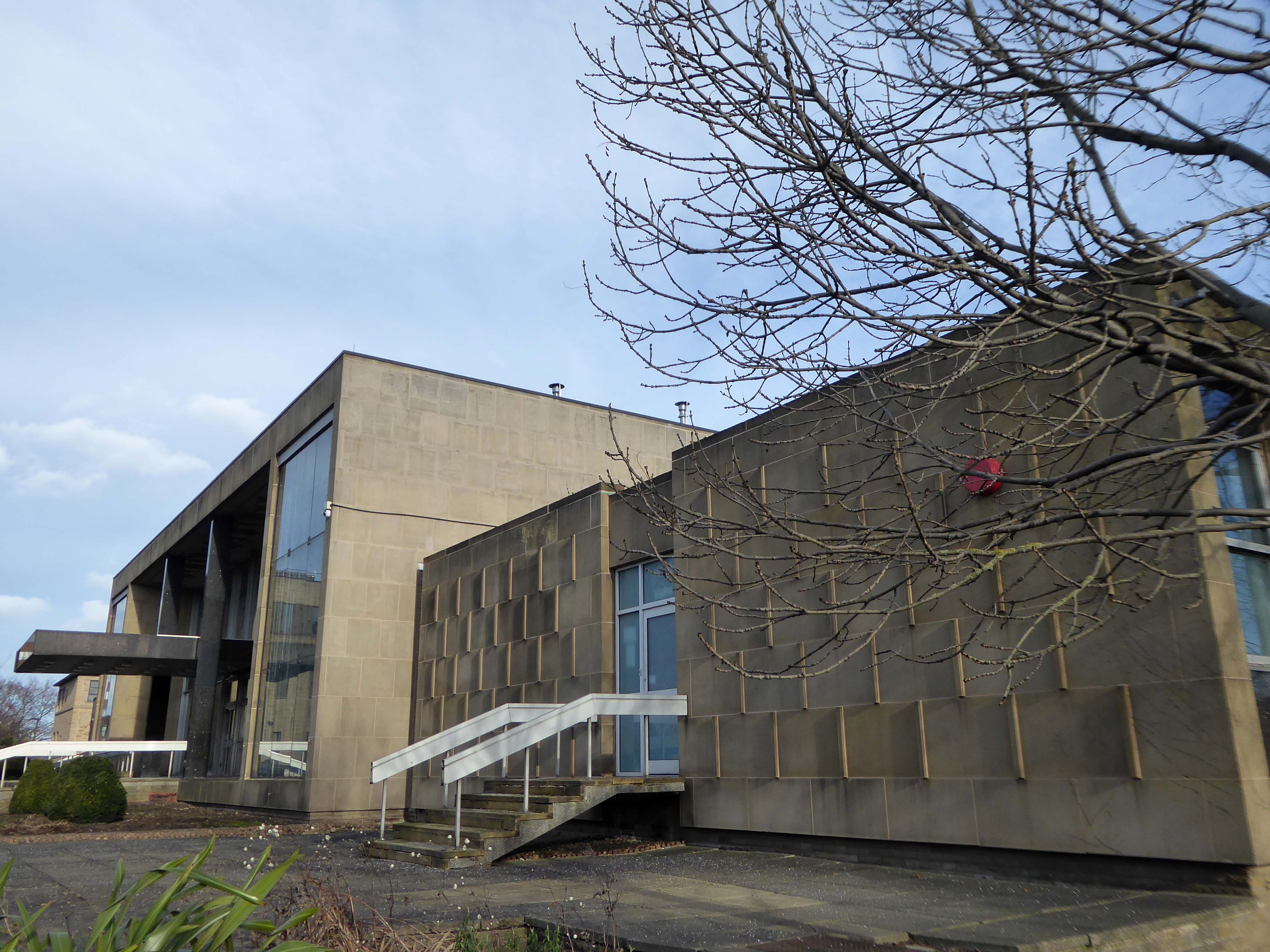
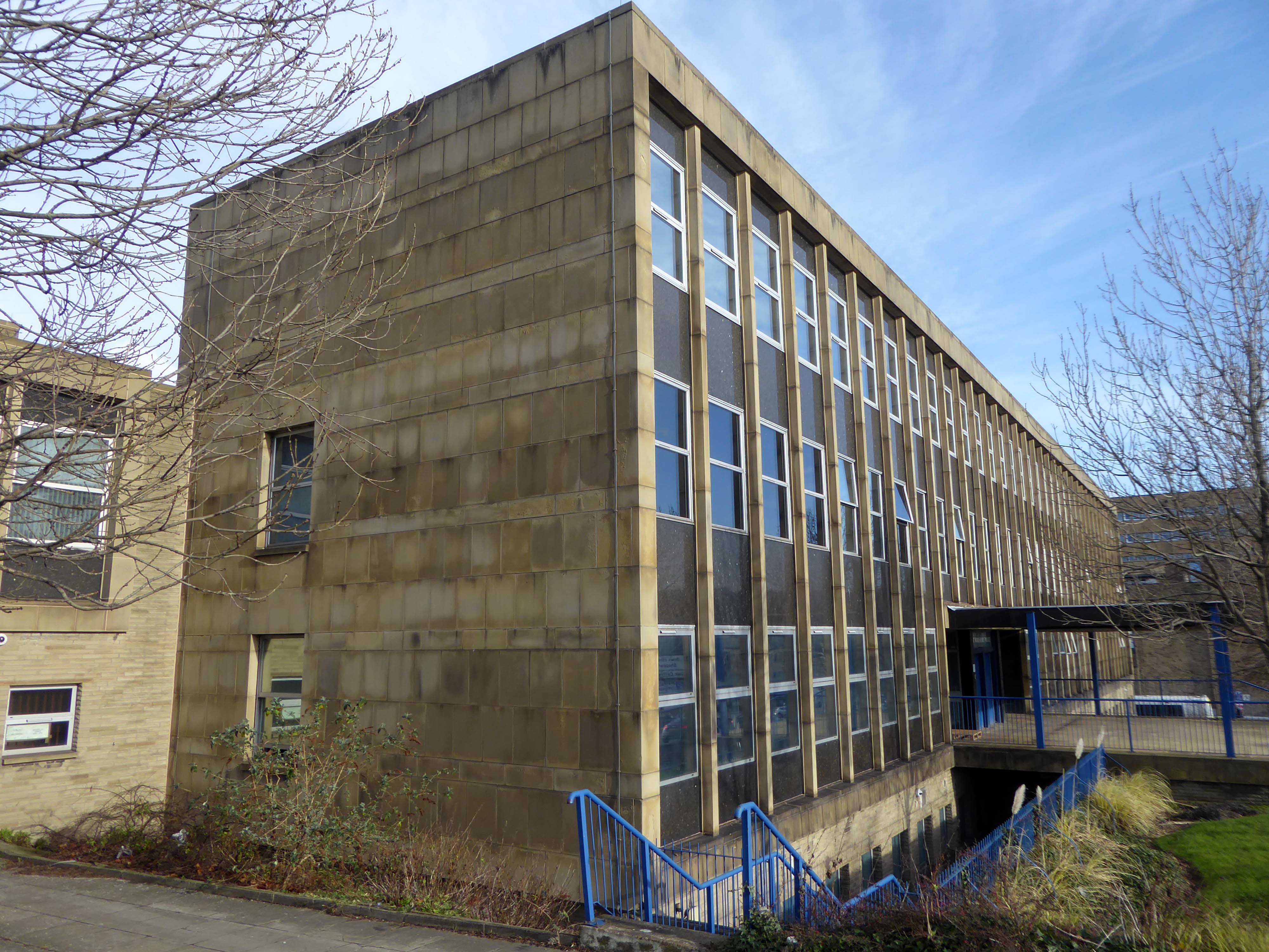
Famed as an imaginary TV police station, this civic building is a civic building I simply can’t resist. I return on a regular basis to wander and snap. This is an open public space that seems little loved and has few visitors.

From then onwards I have been taking folks on Modernist Mooches on a regular basis, two or so a month, during the less inclement times of year.
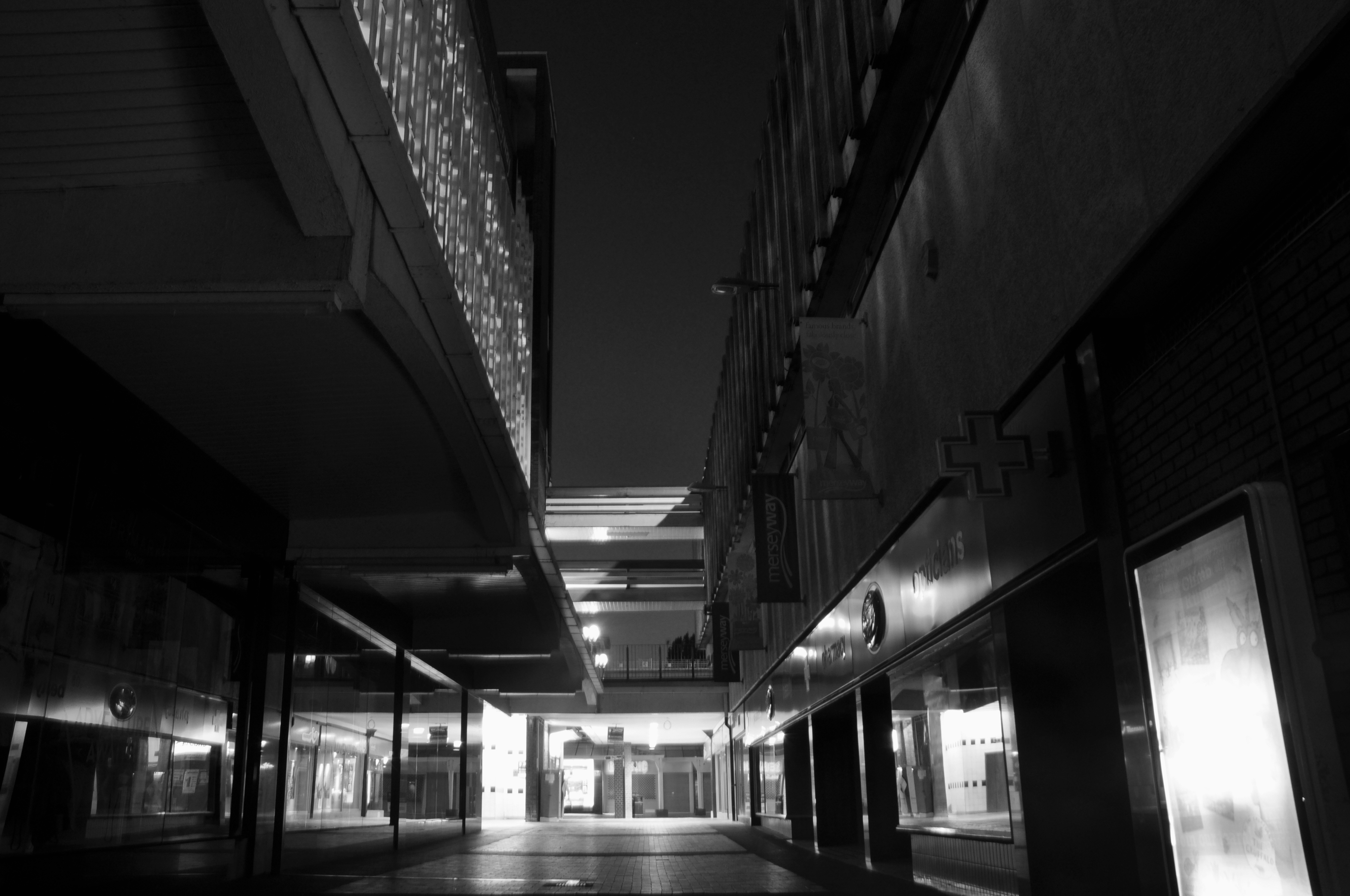
At about the same time I was asked to exhibit my photographs in Stockport, I chose to mooch about at night. Walking around an almost deserted town, avoiding the glare of streetlights, there is a mild frisson to be about when nobody else is about. The air feels different, exposures are longer, the almost waking world feels arrested, by the low available light.
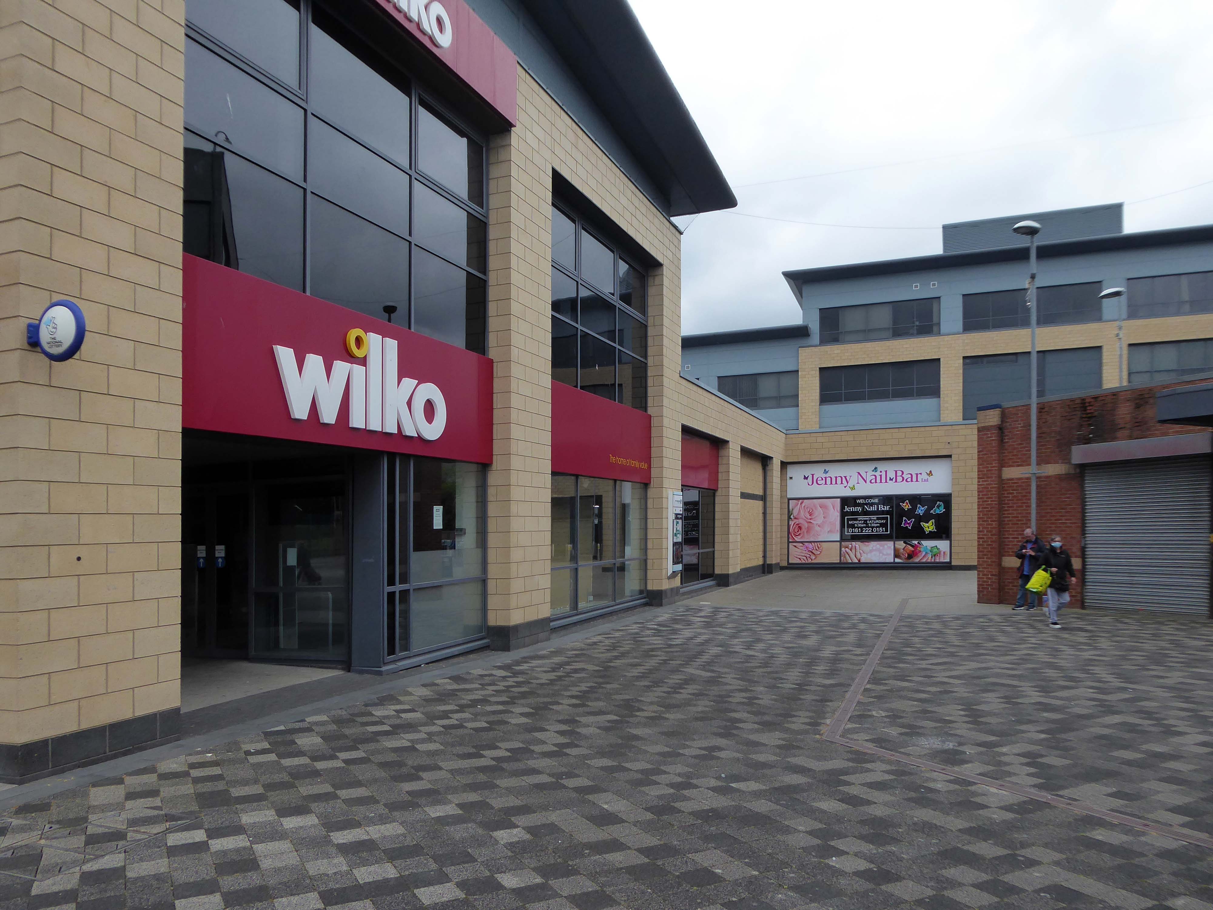
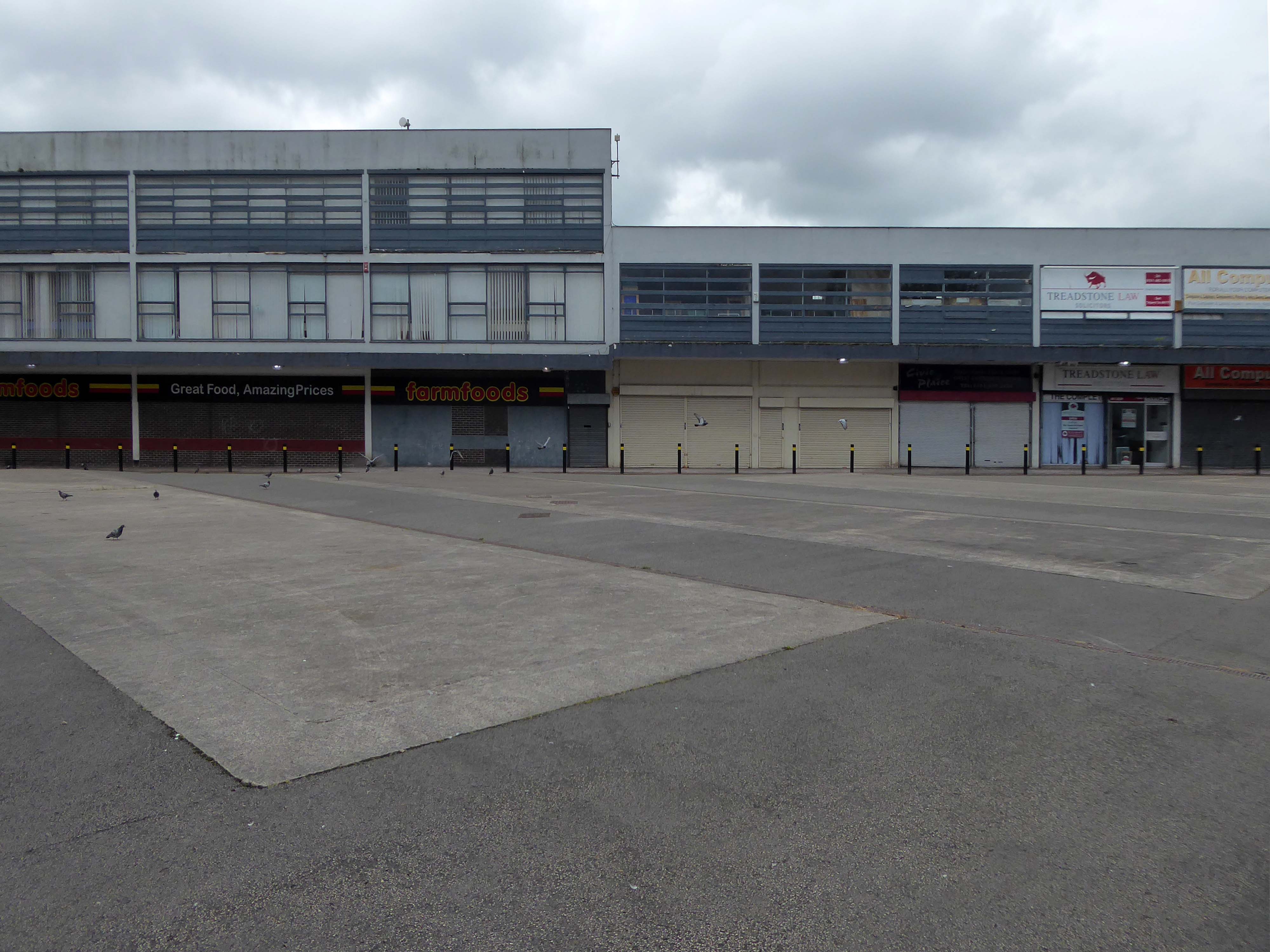
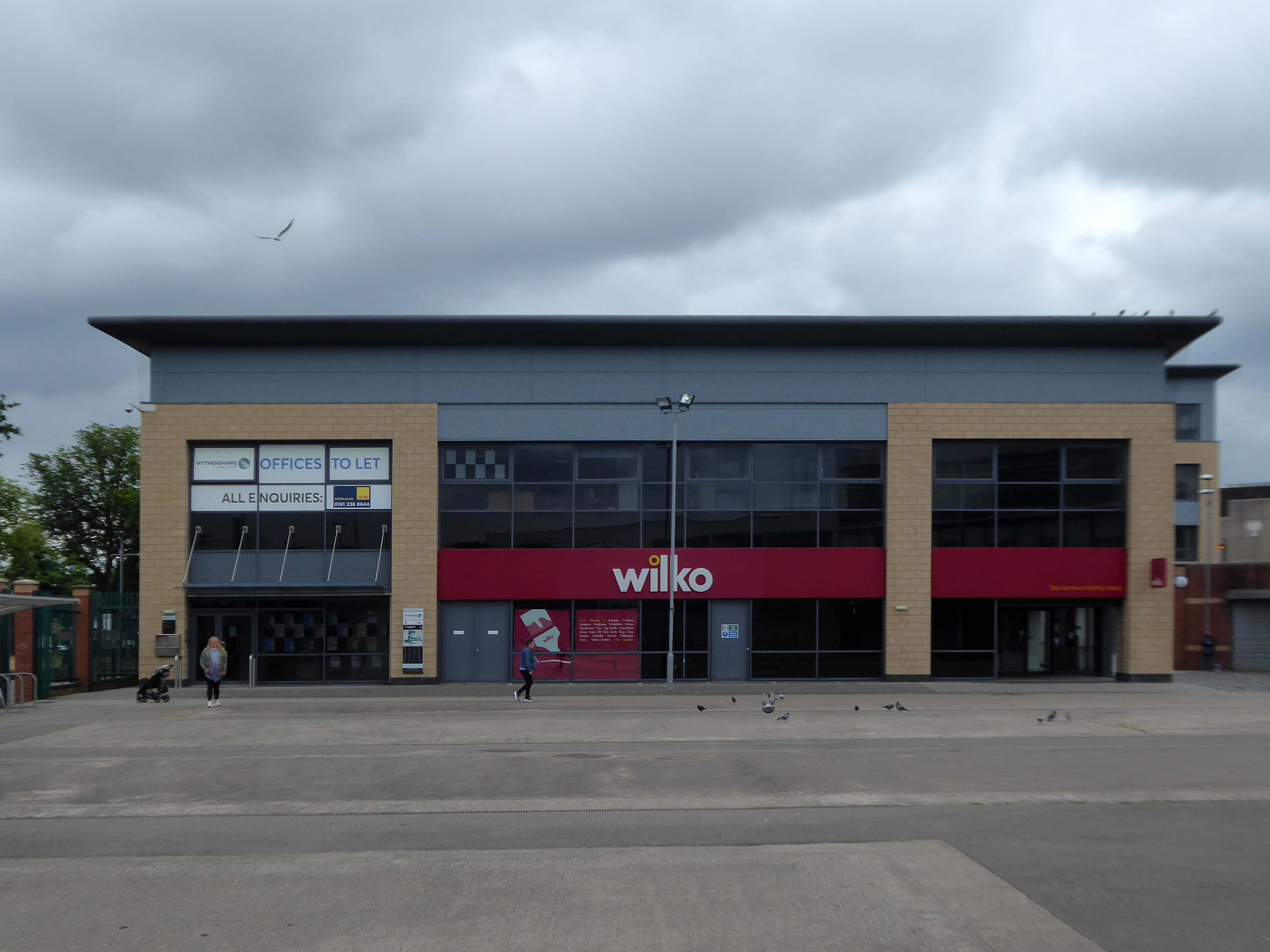
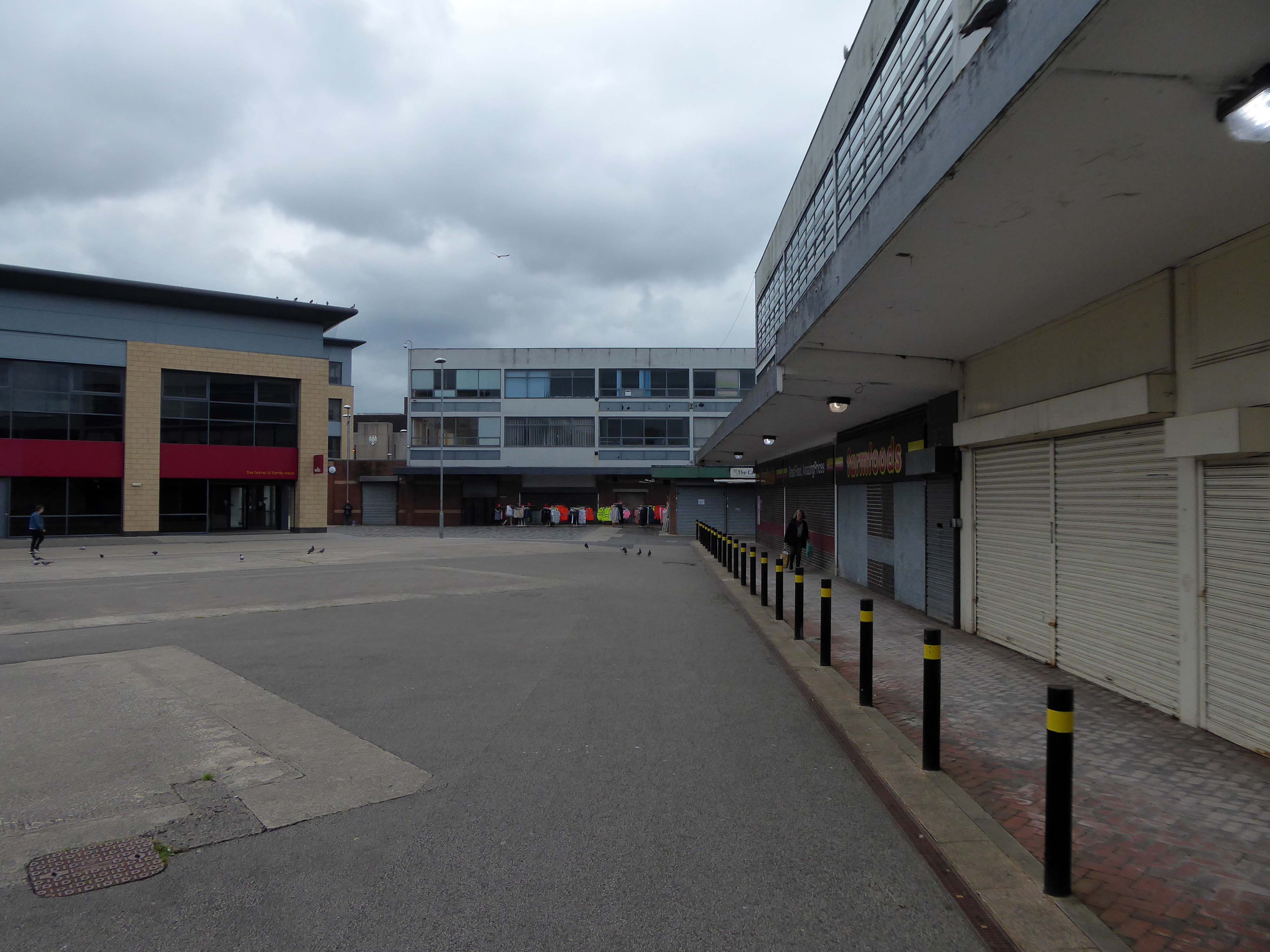
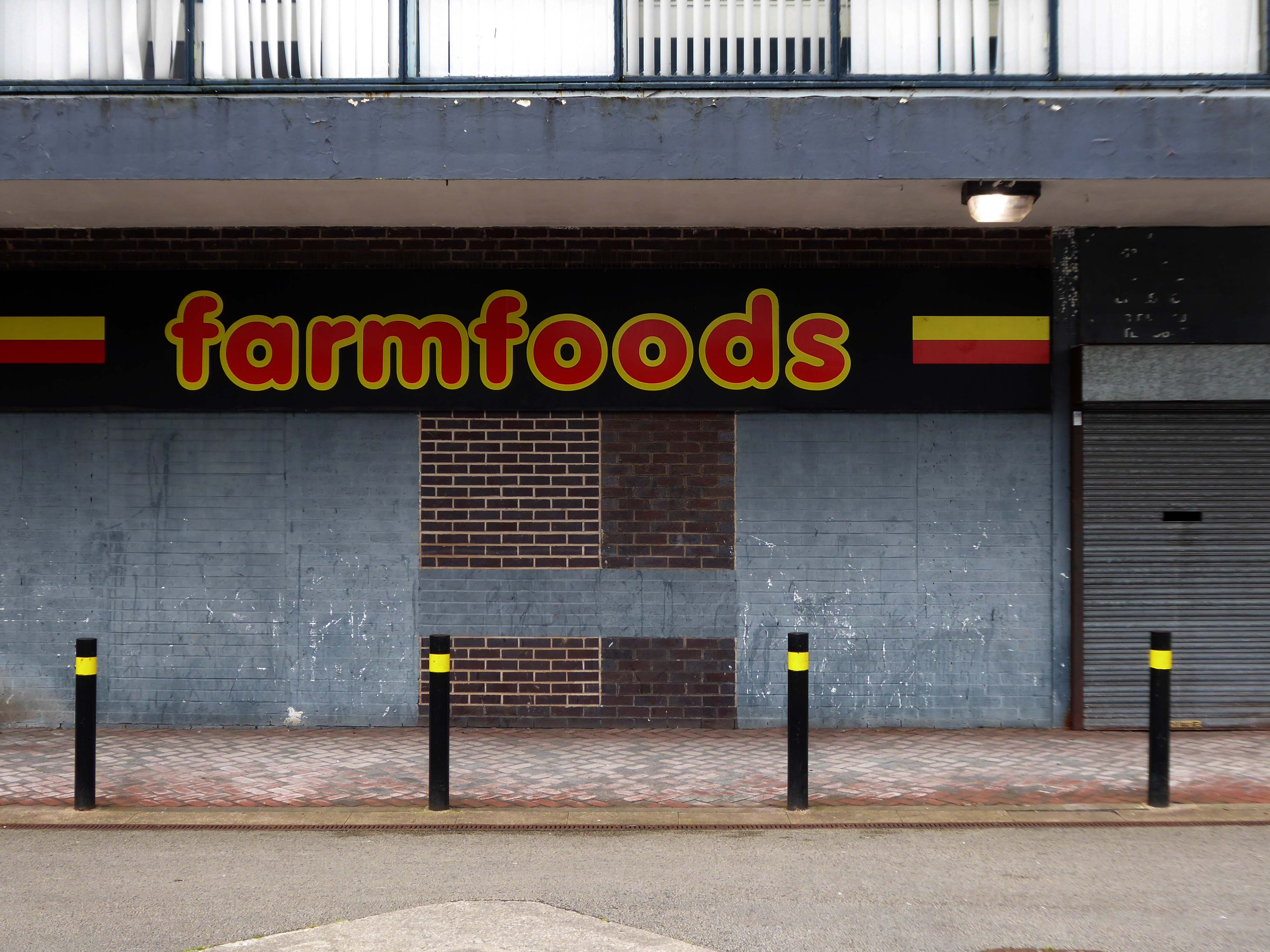
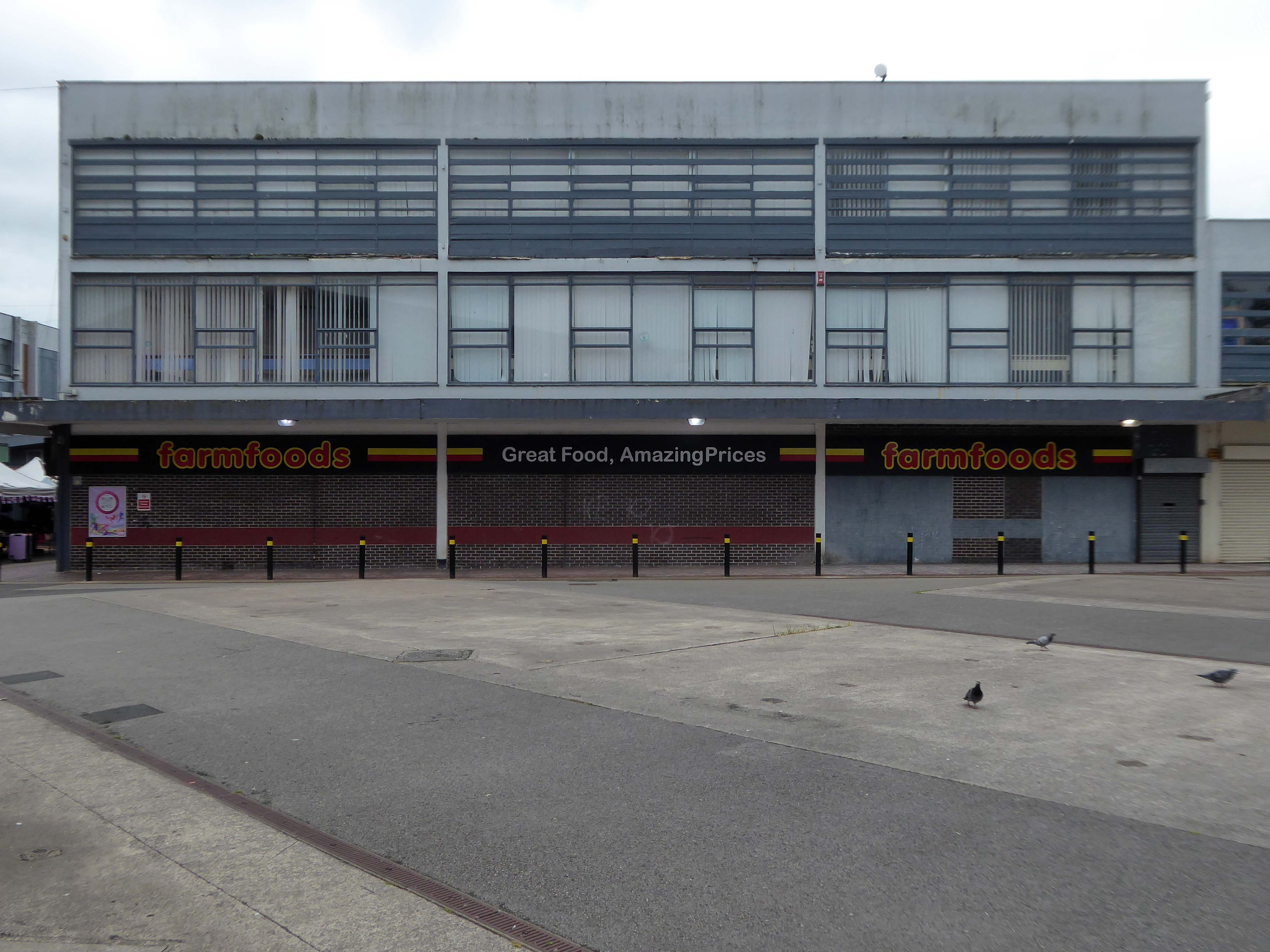
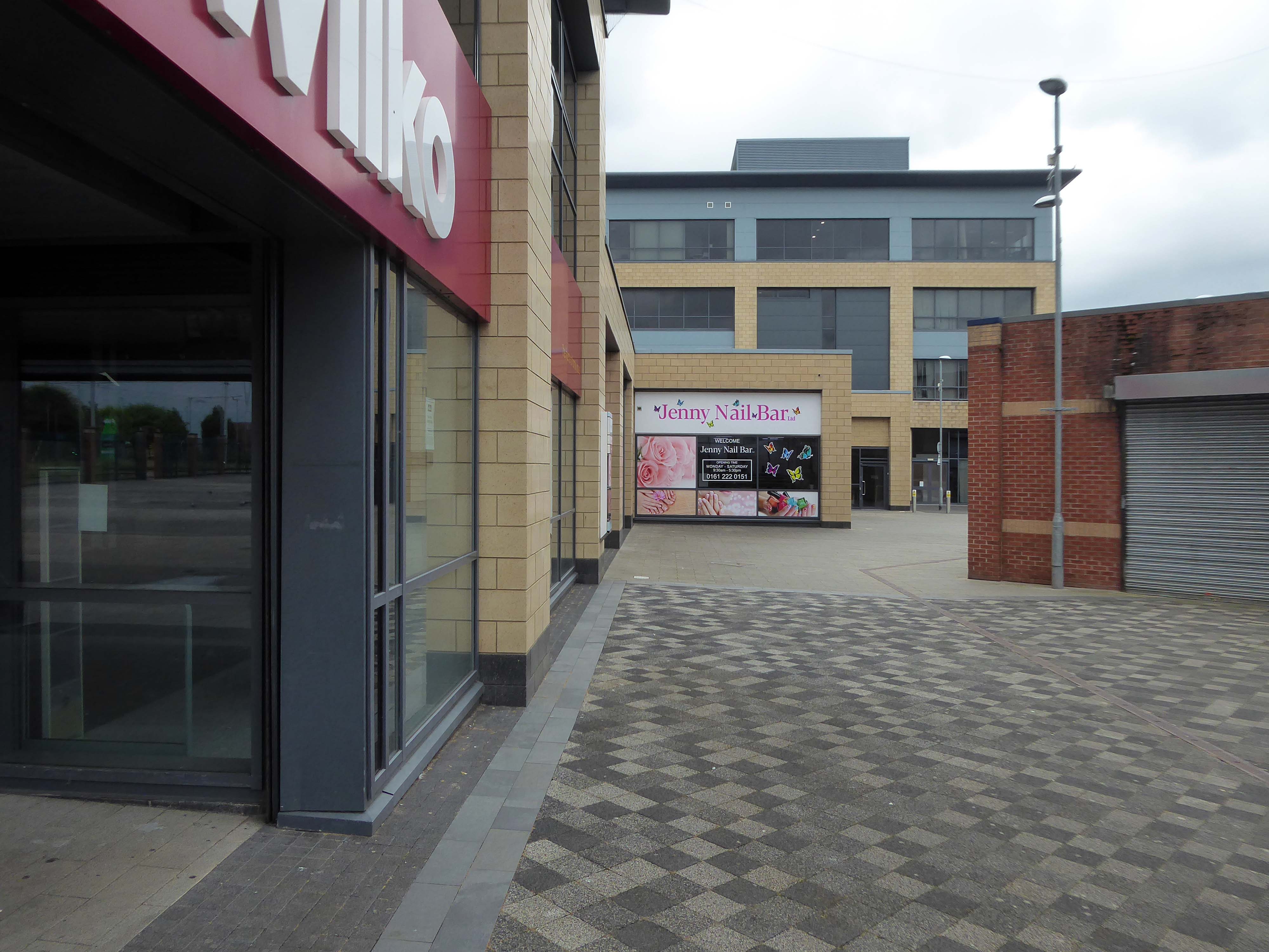
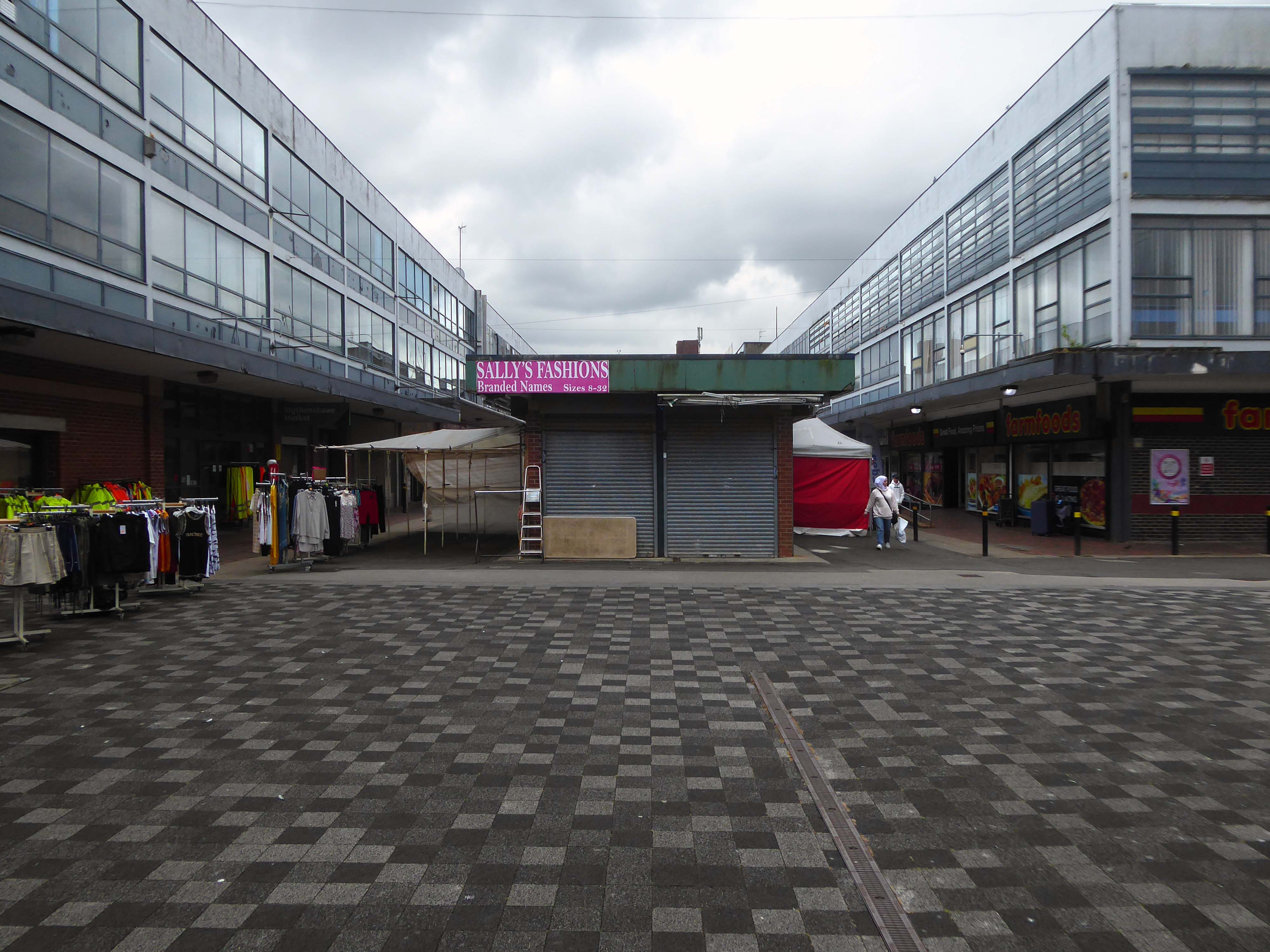
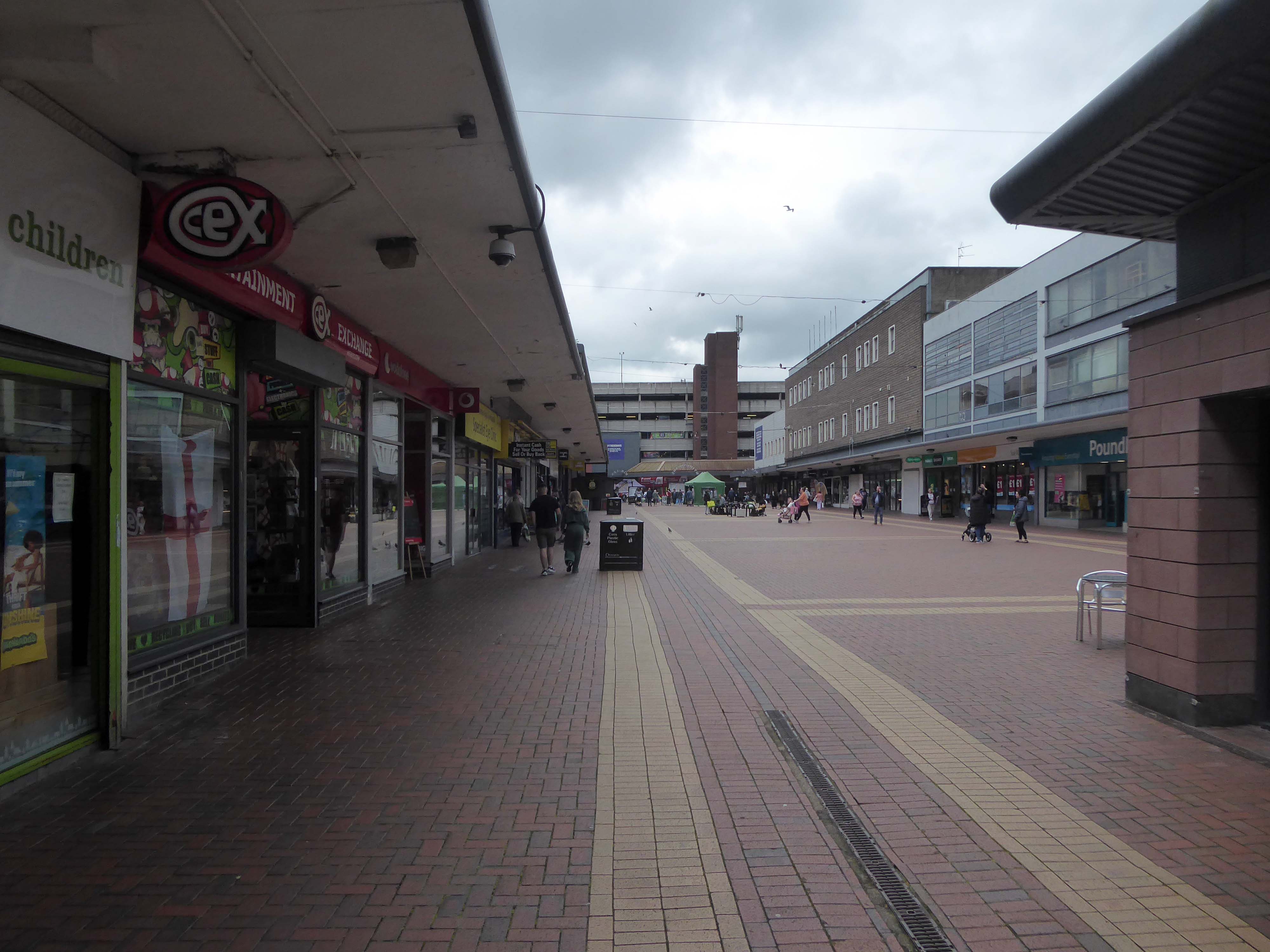
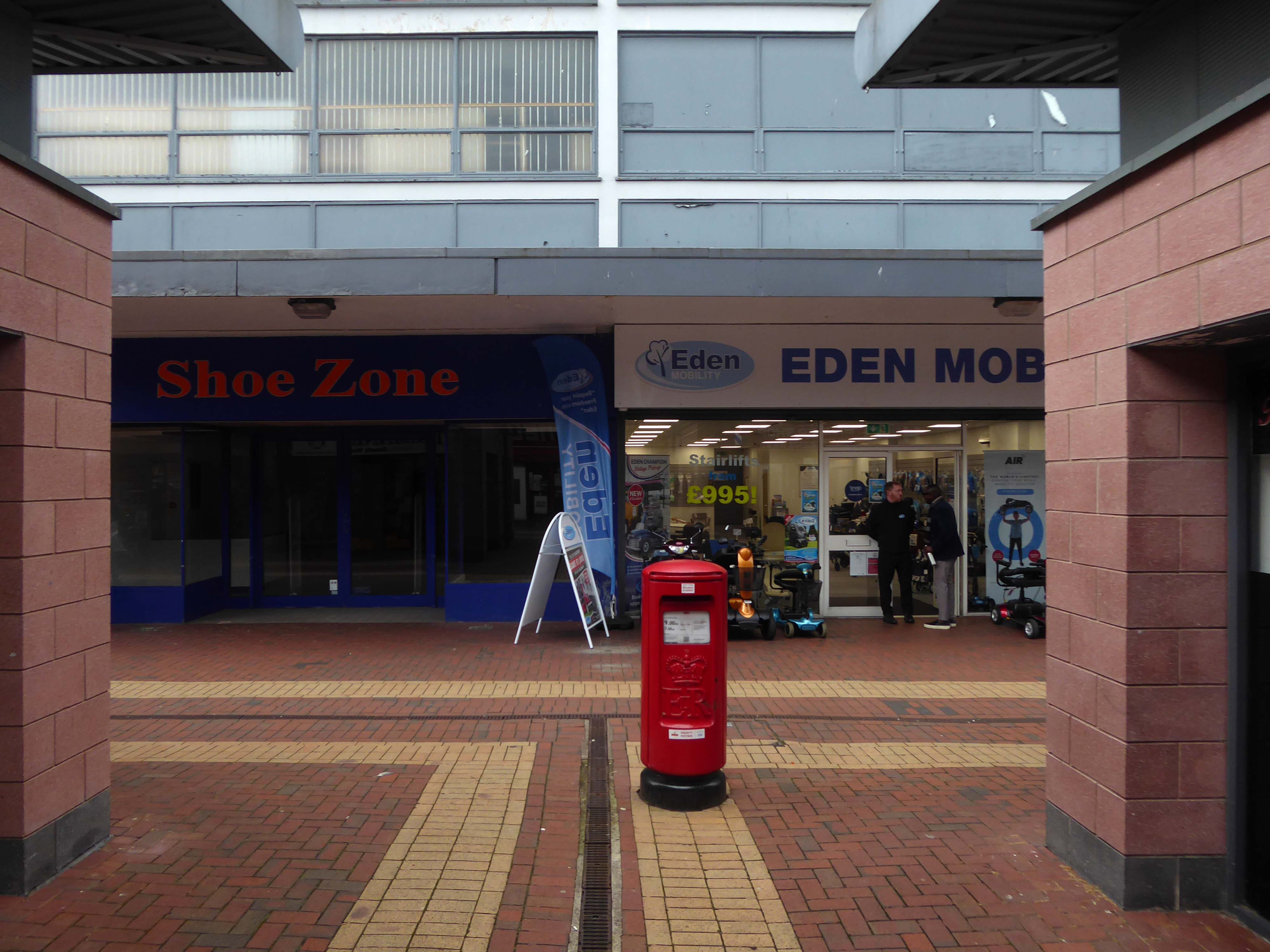
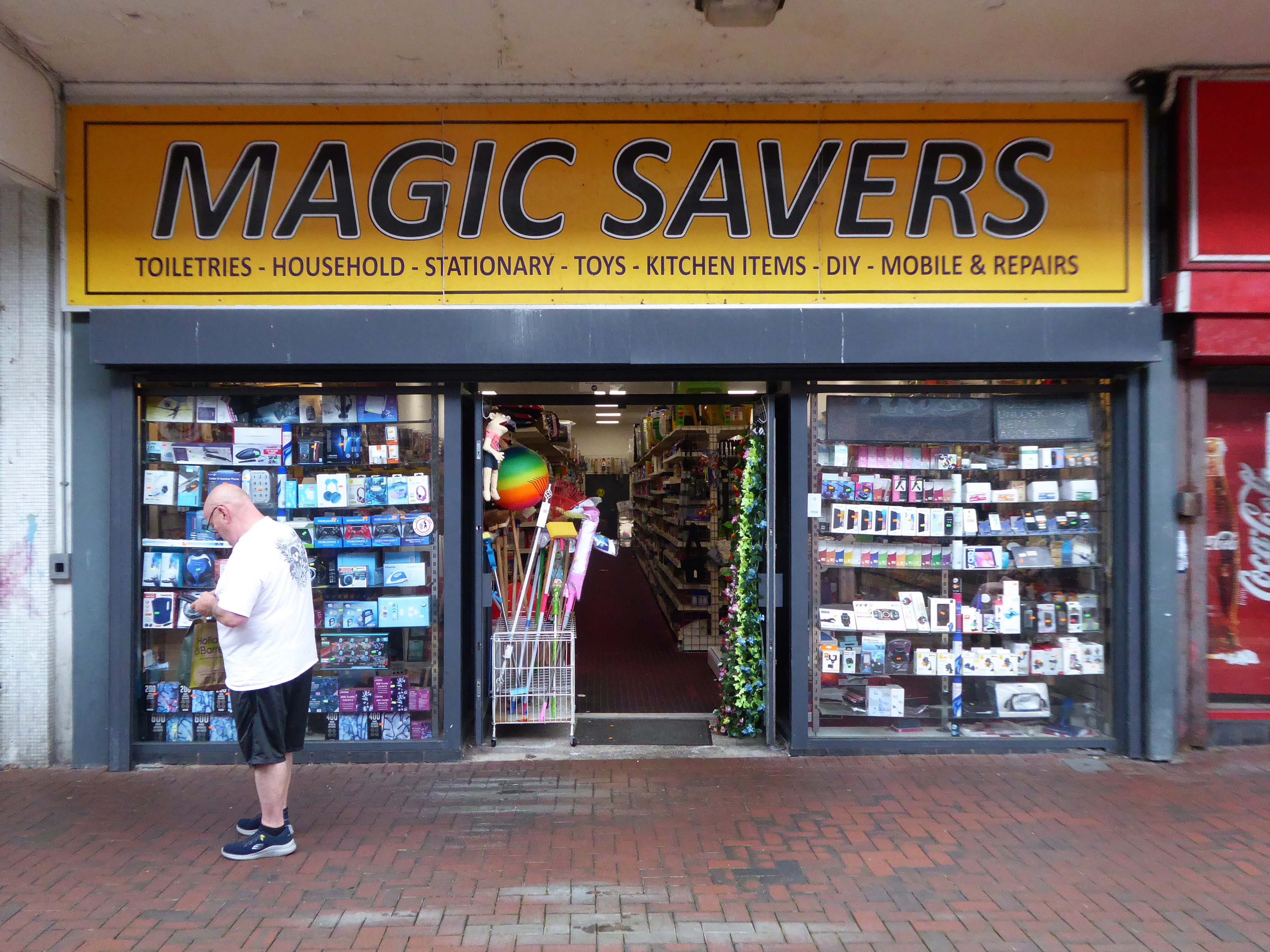
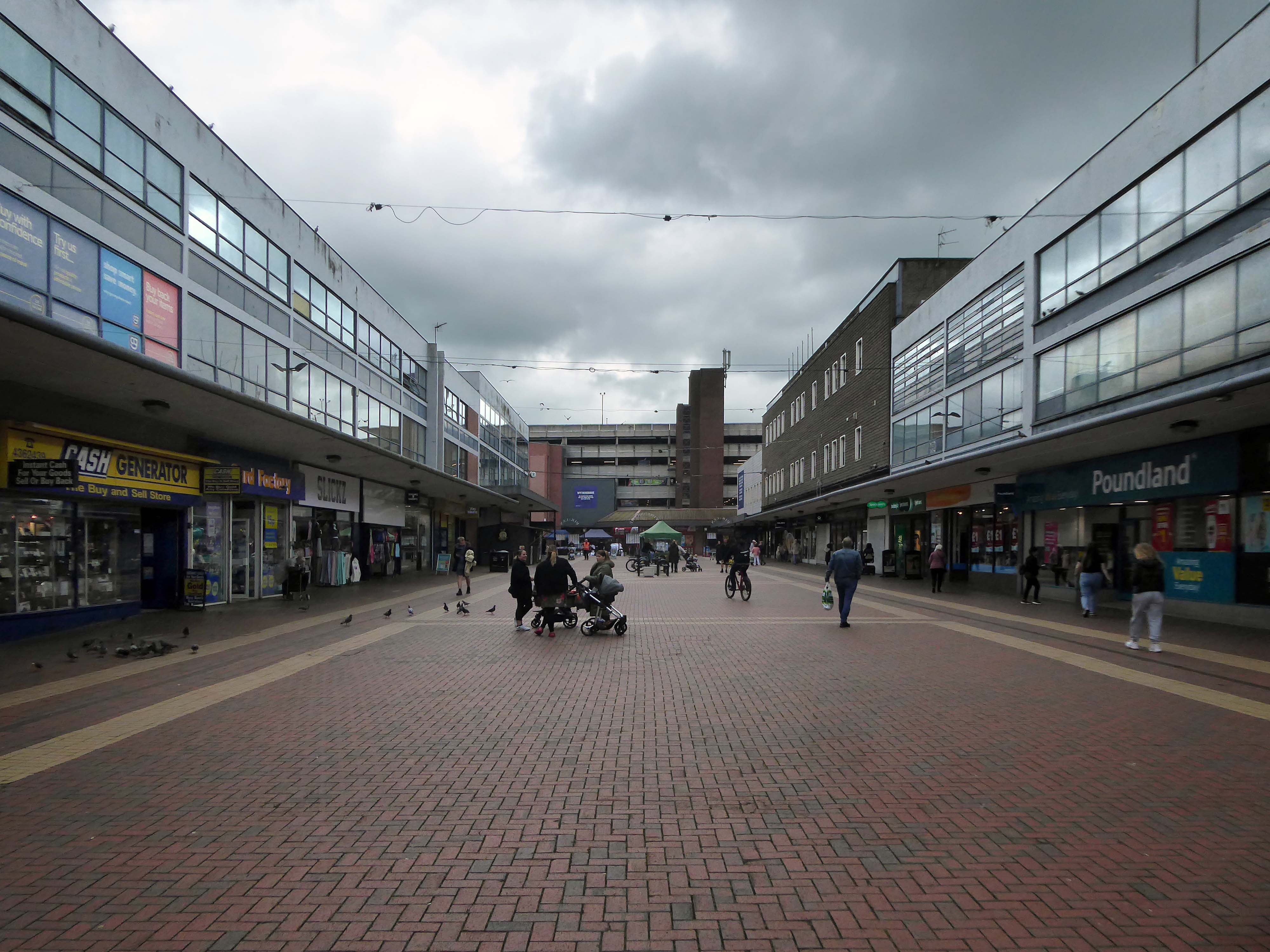
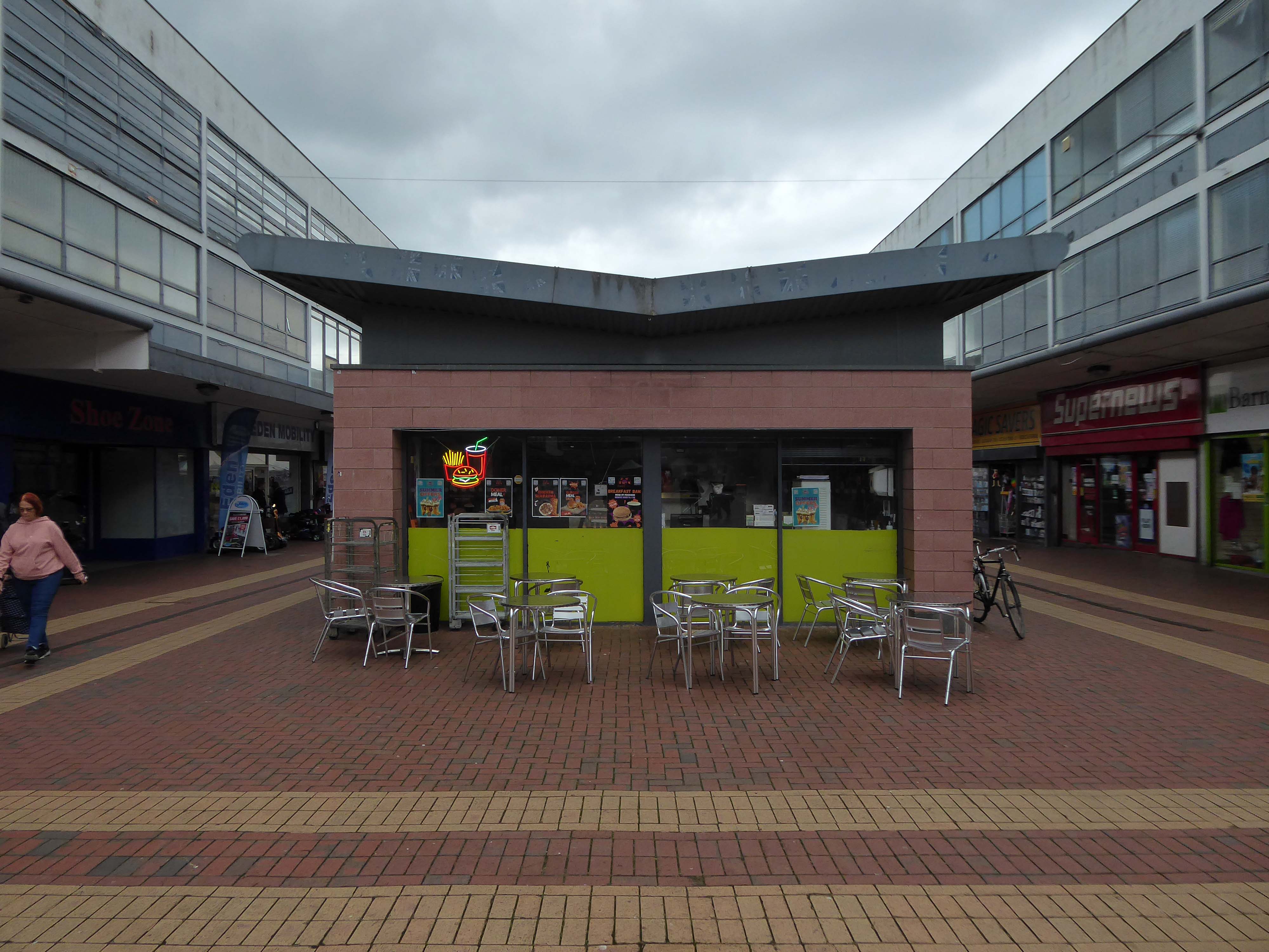
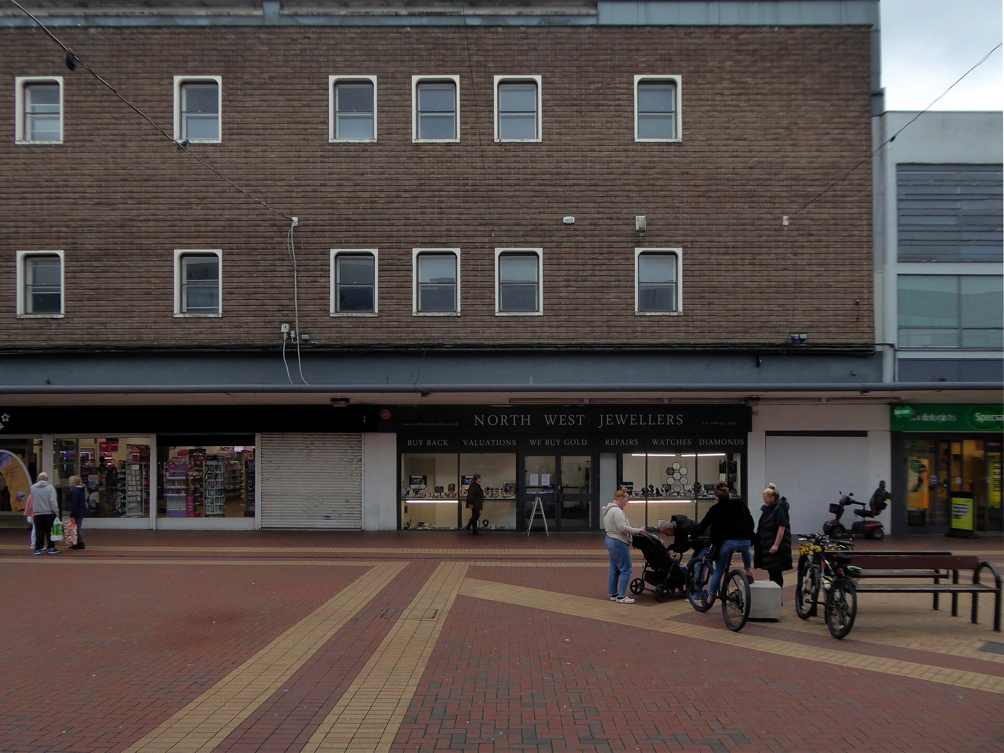
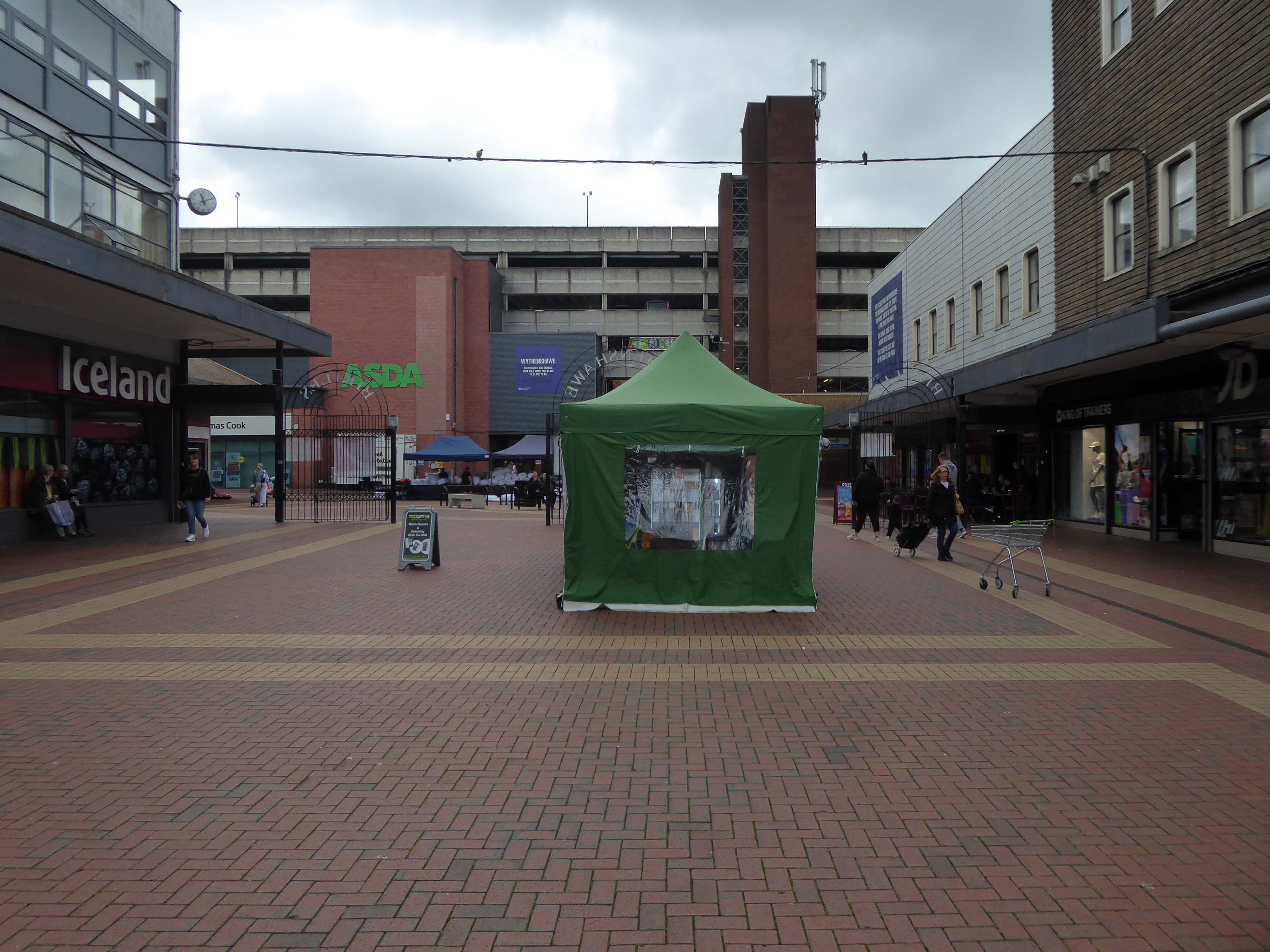
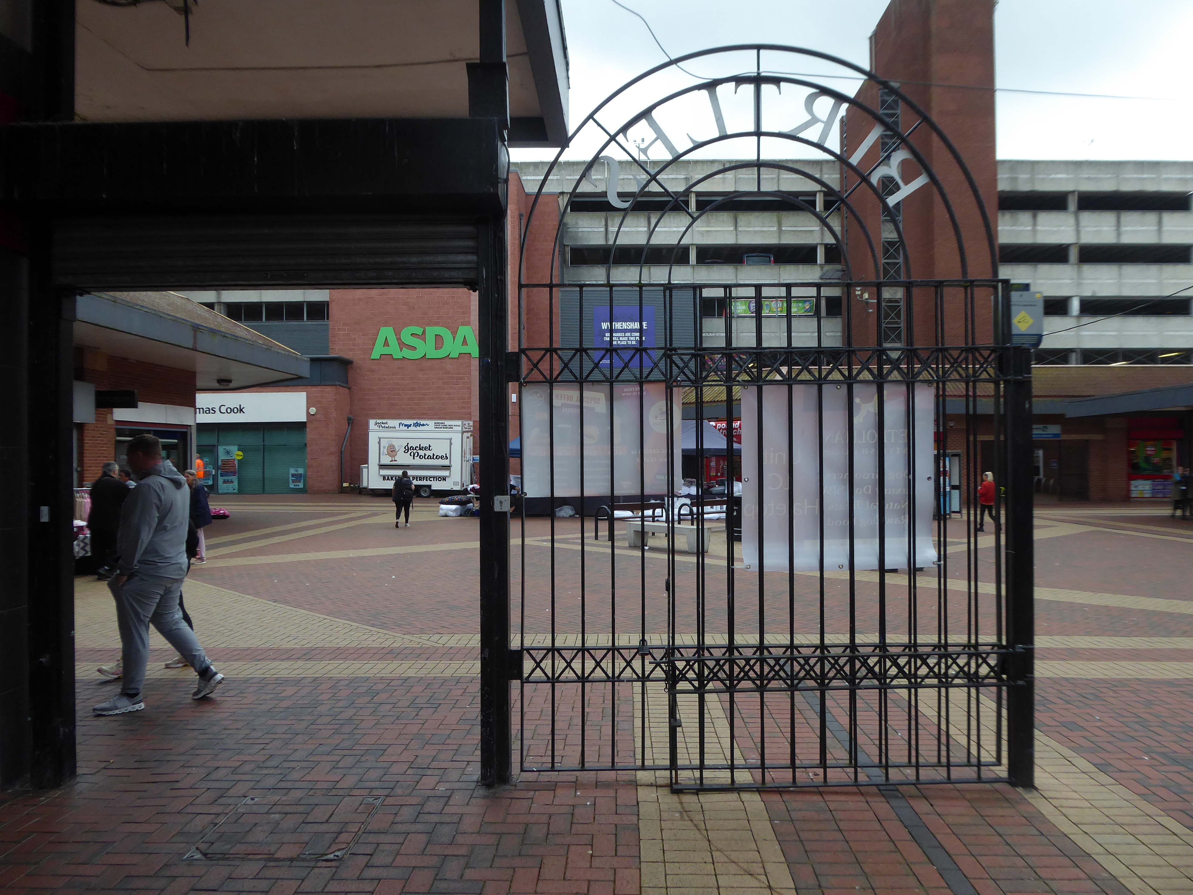
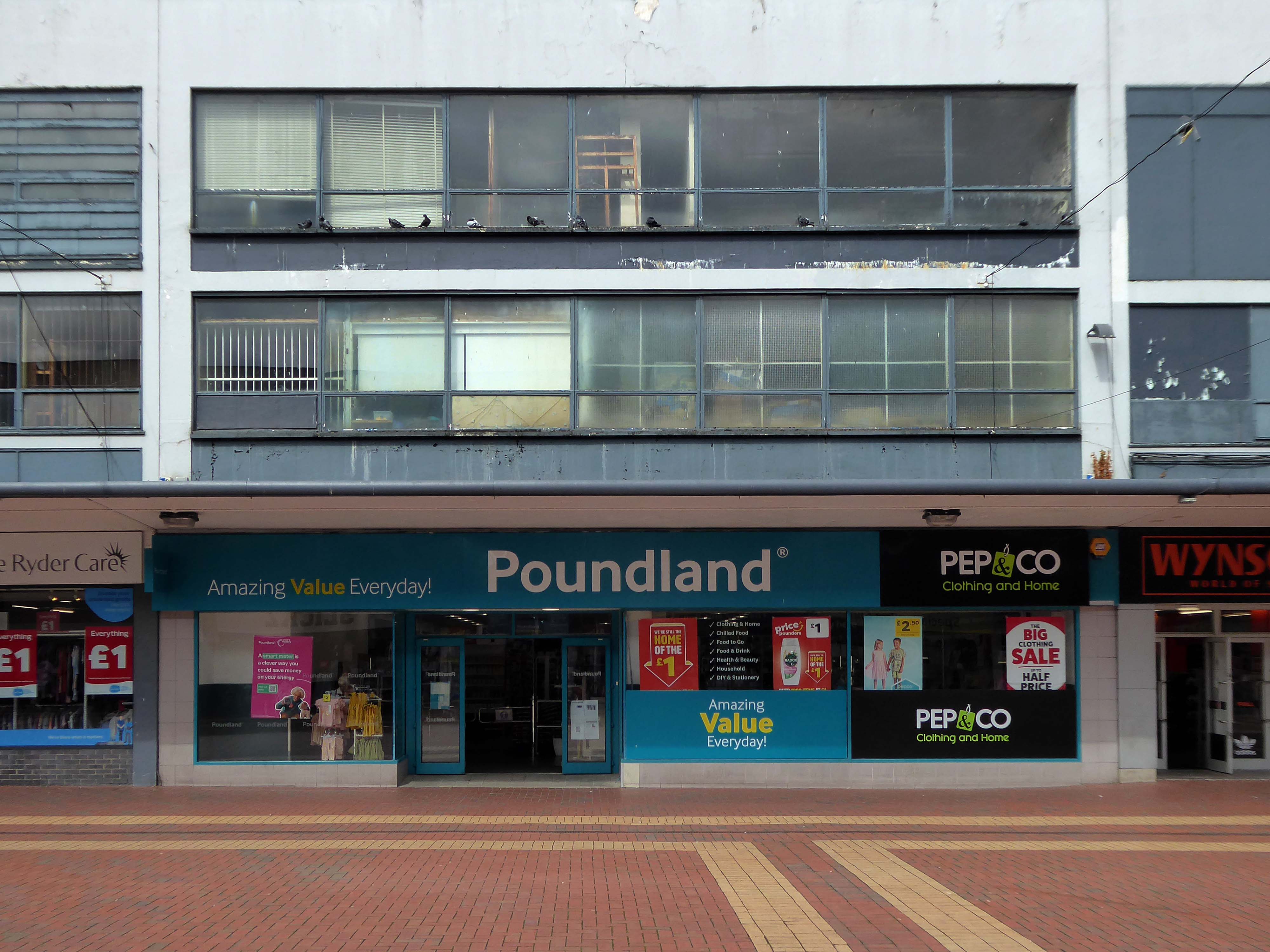
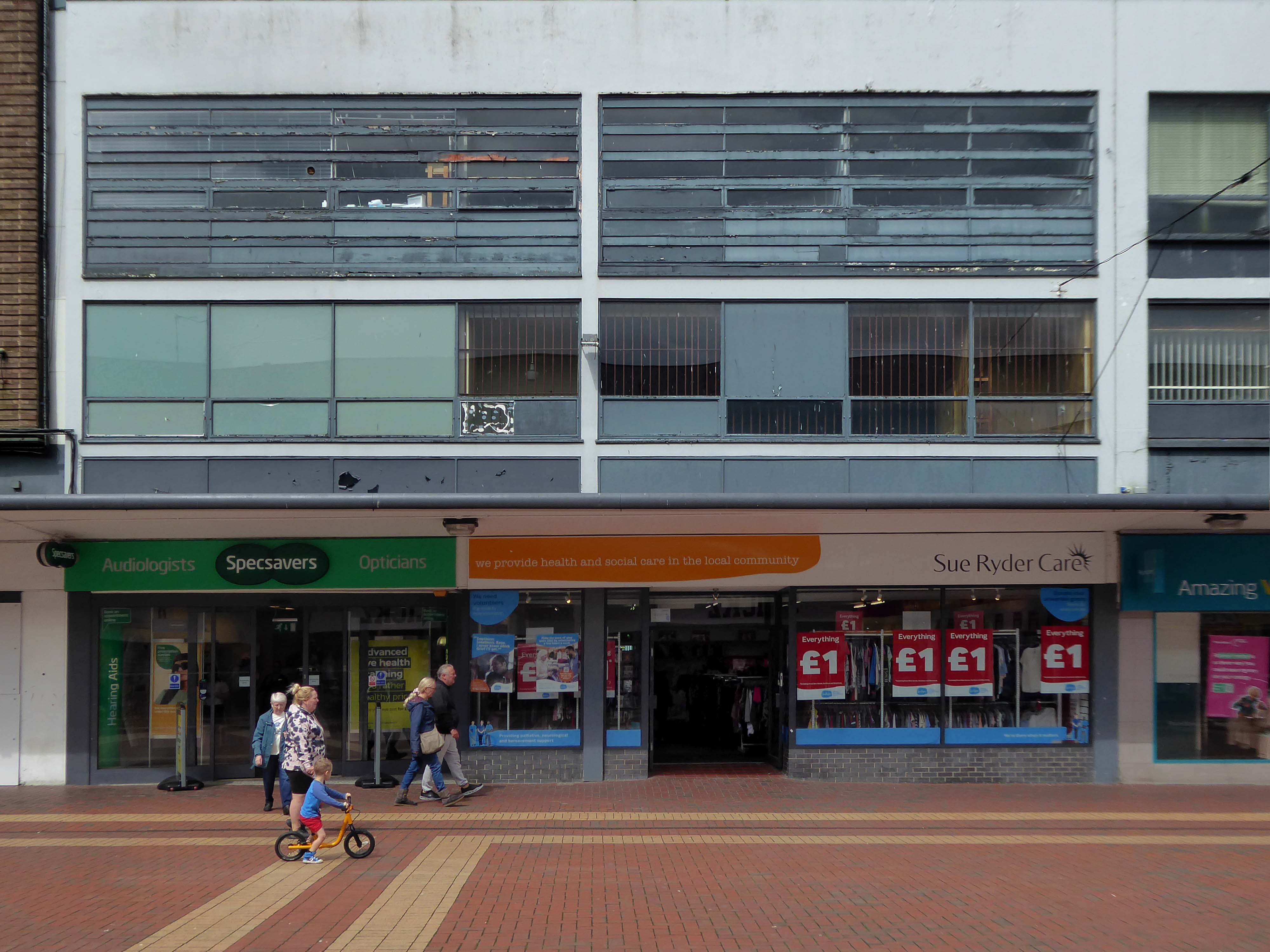
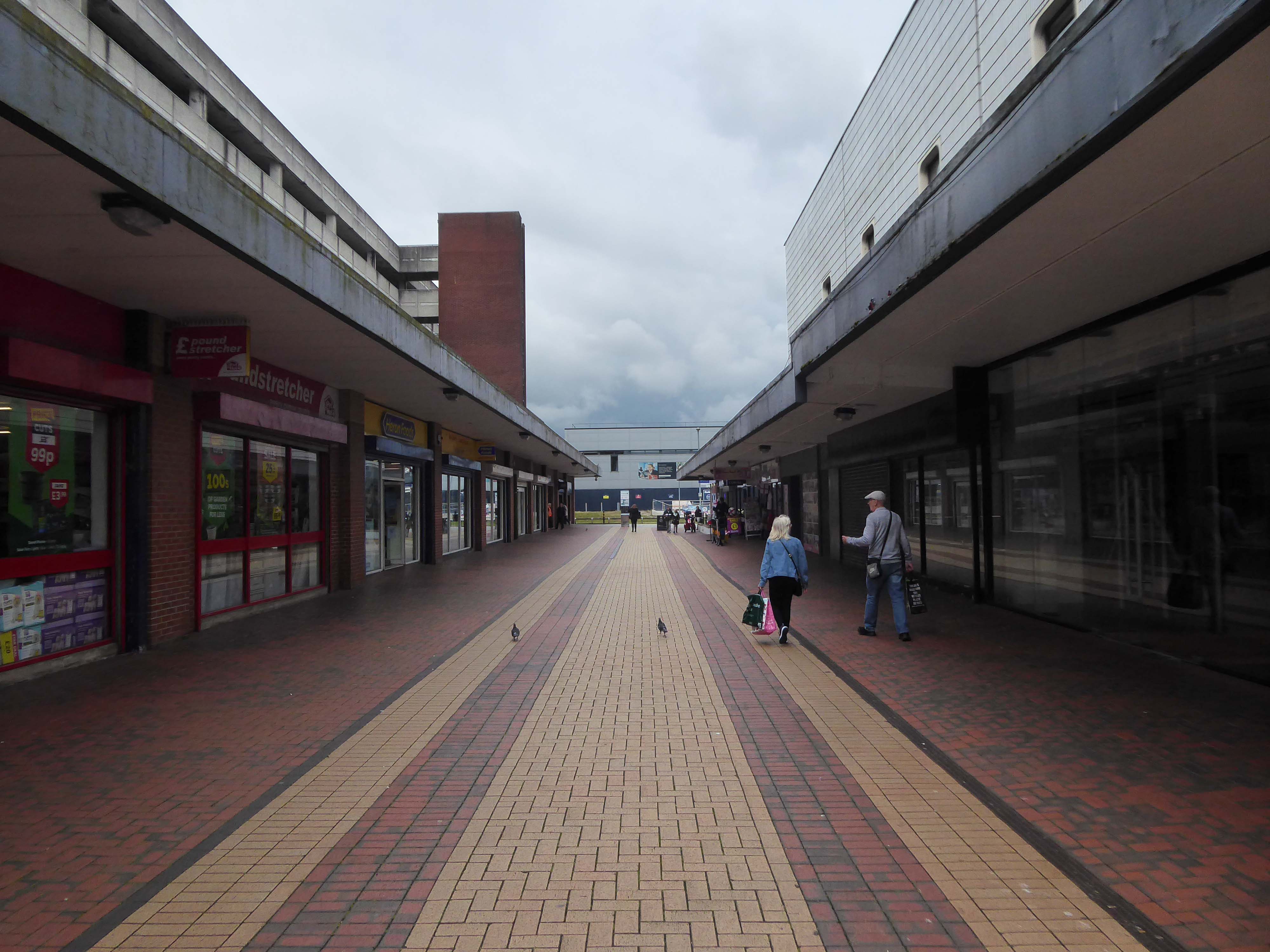
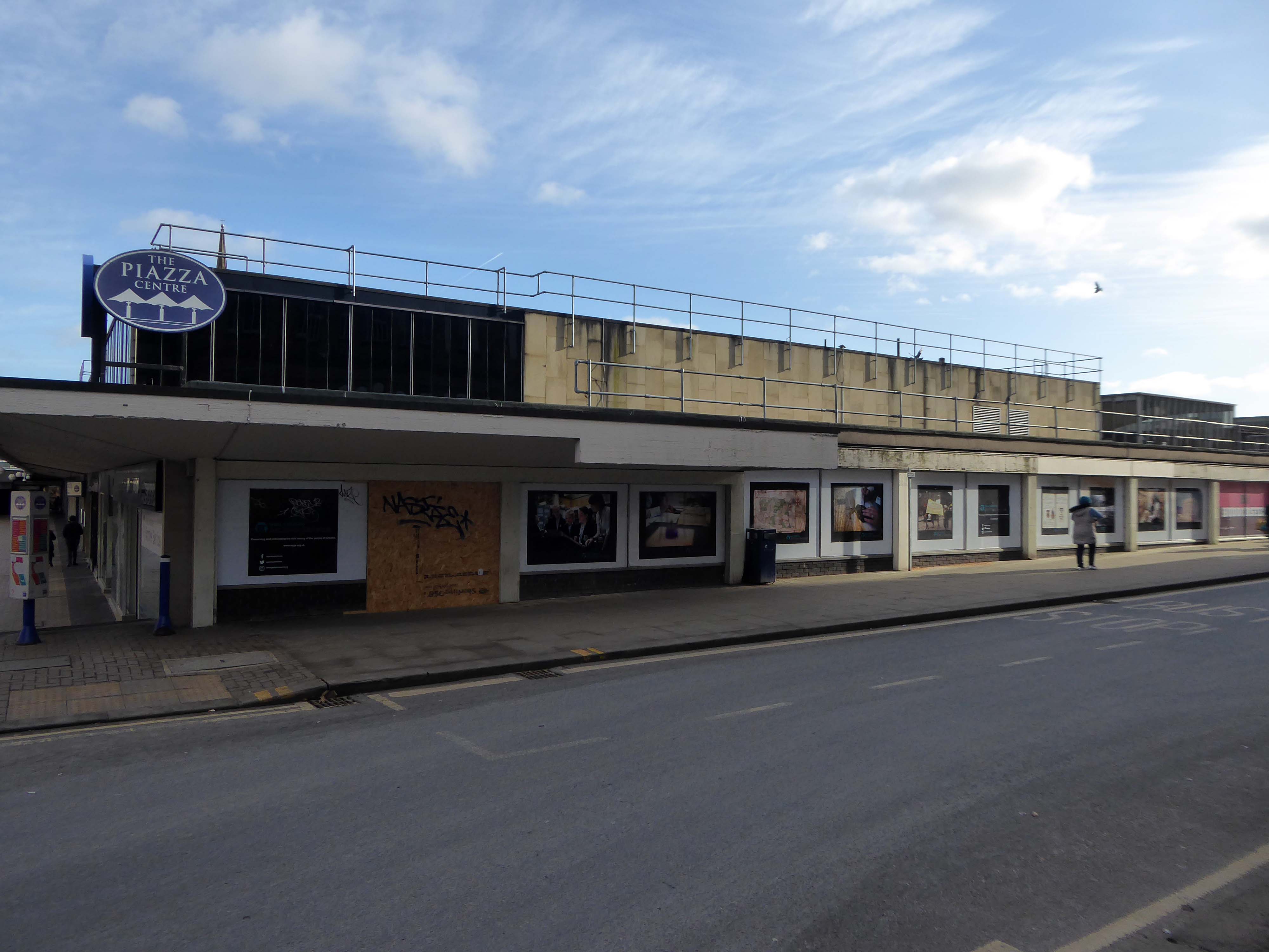
Merseyway Shopping Centre designed by Bernard Engle and Partners, opened in 1965.
My local shopping centre and as such part of my weekly walking and shopping life.
NCP Car Park located on Stockport Station approach.

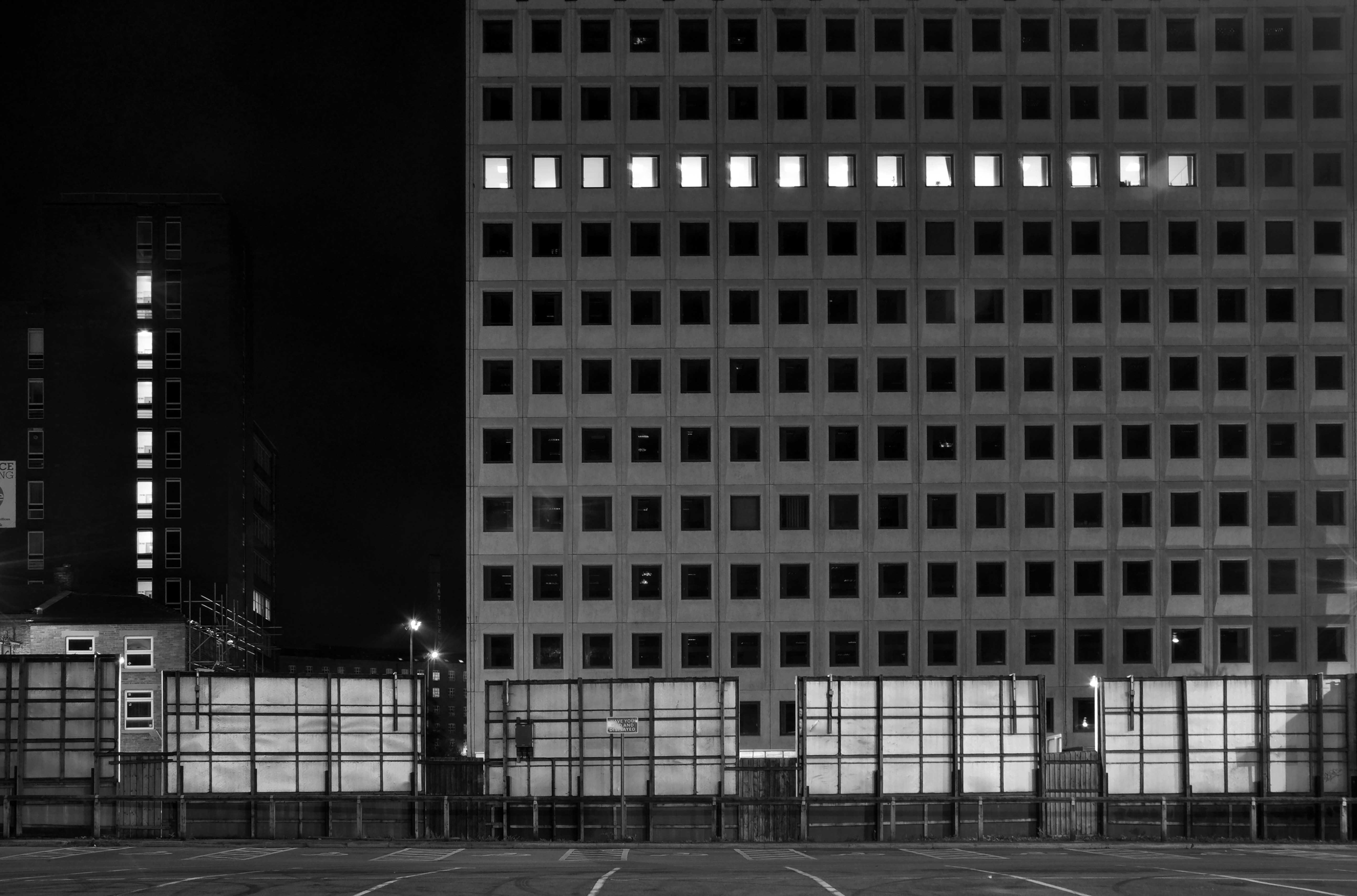
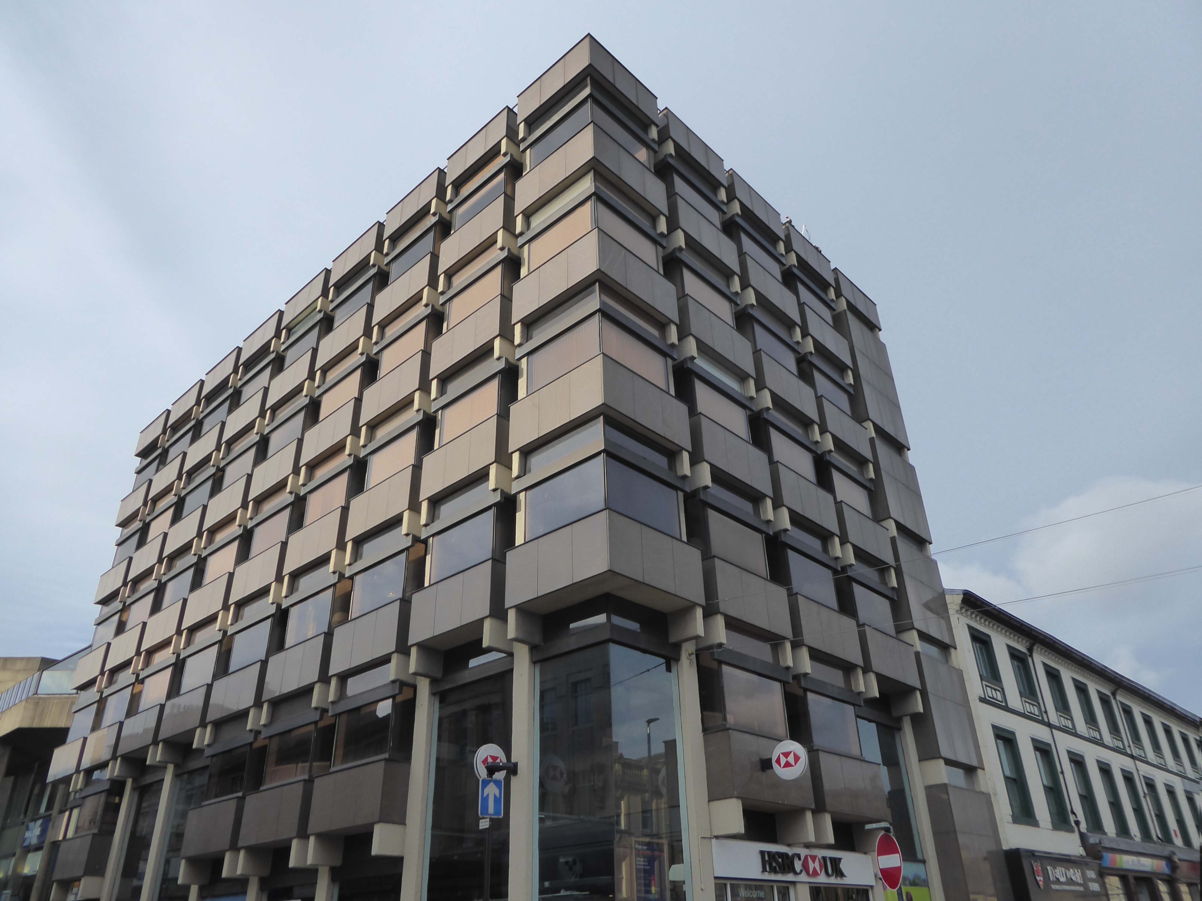
Regent House
Asda superstore

I found a copy of Charlie Meecham’s book Oldham Road in a charity shop.


Inspiring me in 2014, to walk in mostly straight lines, though often as not zig zagging along the main arterial roads of Manchester.
Taking pictures on Sunday mornings, in order to avoid traffic, mildly amused to be ignoring the primary function of the routes.

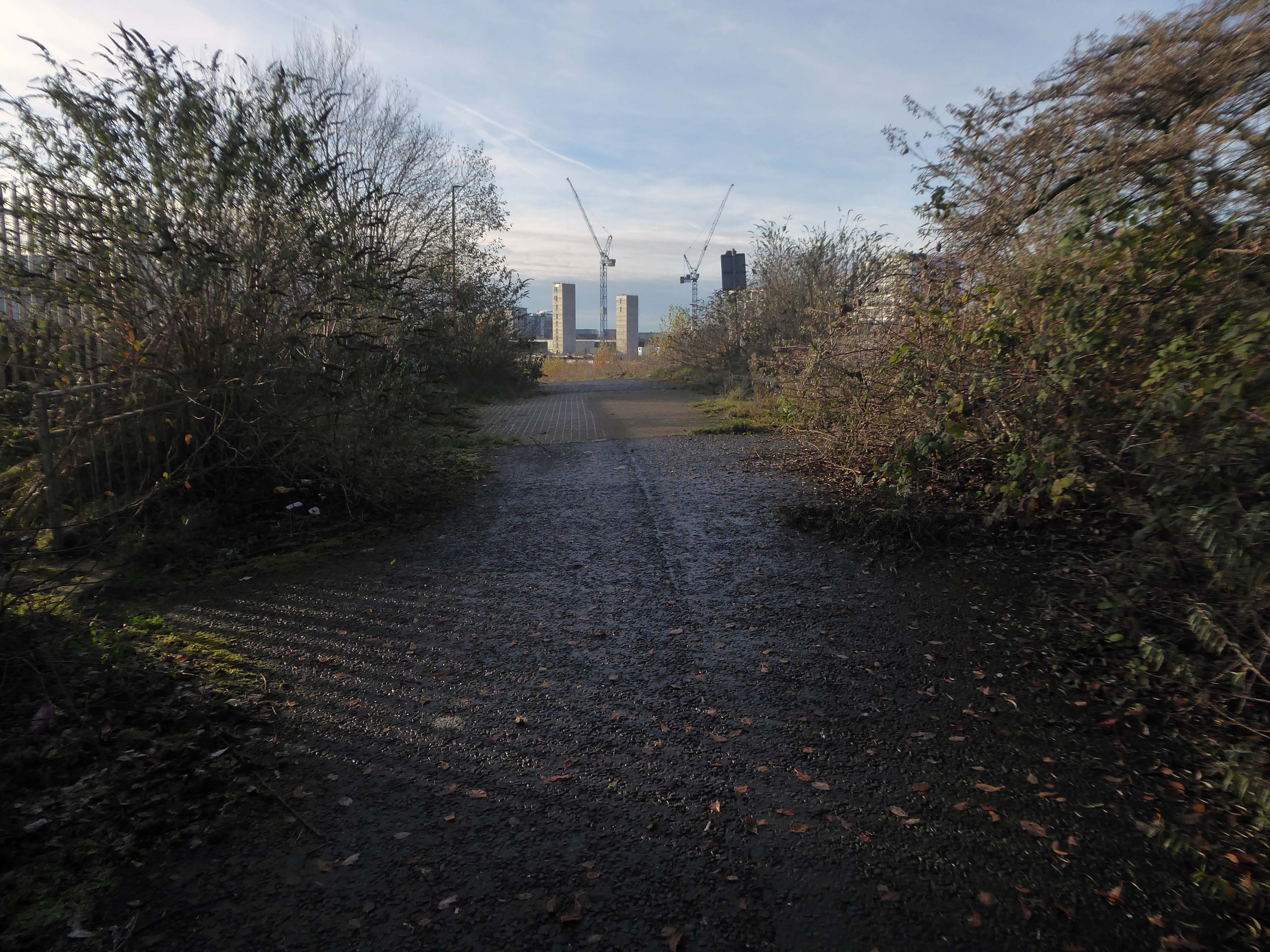
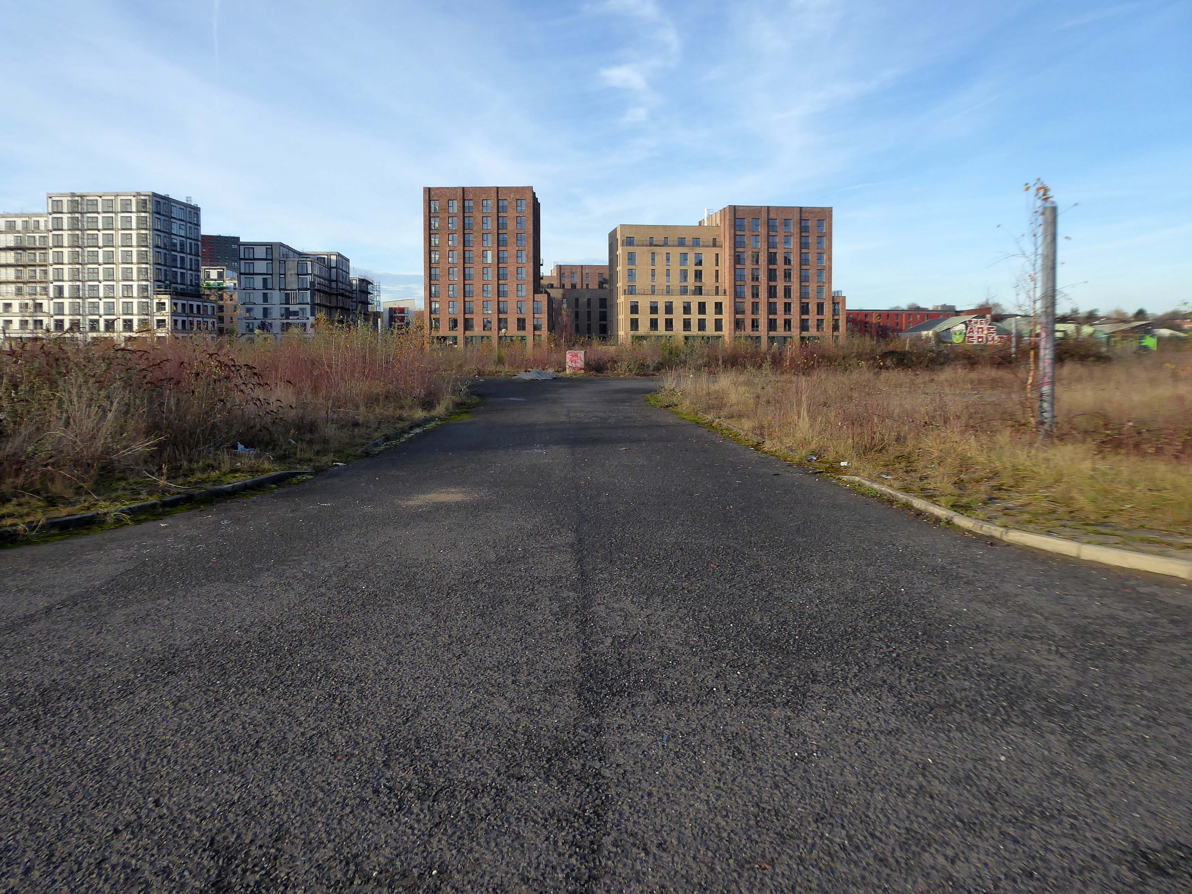
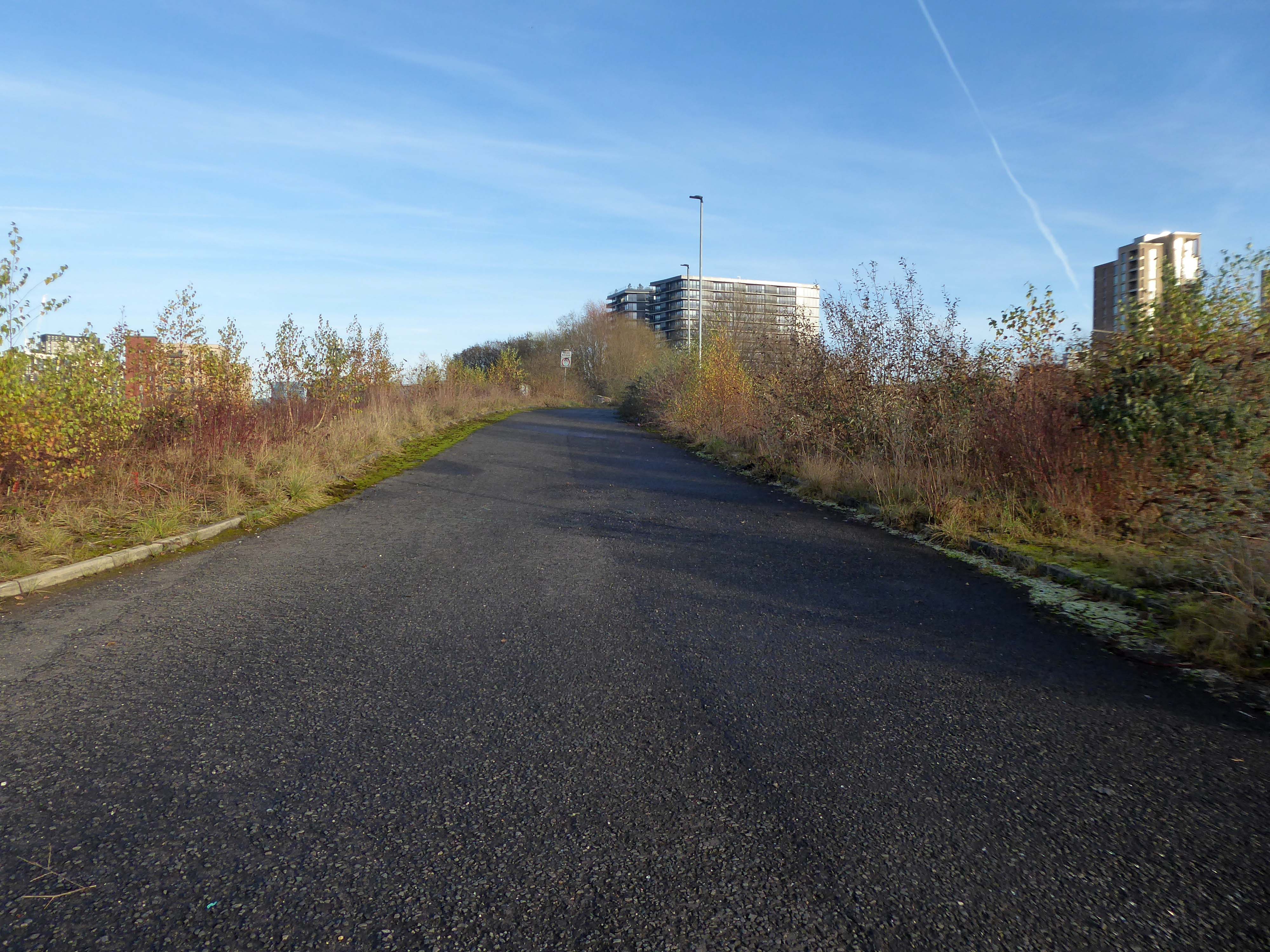
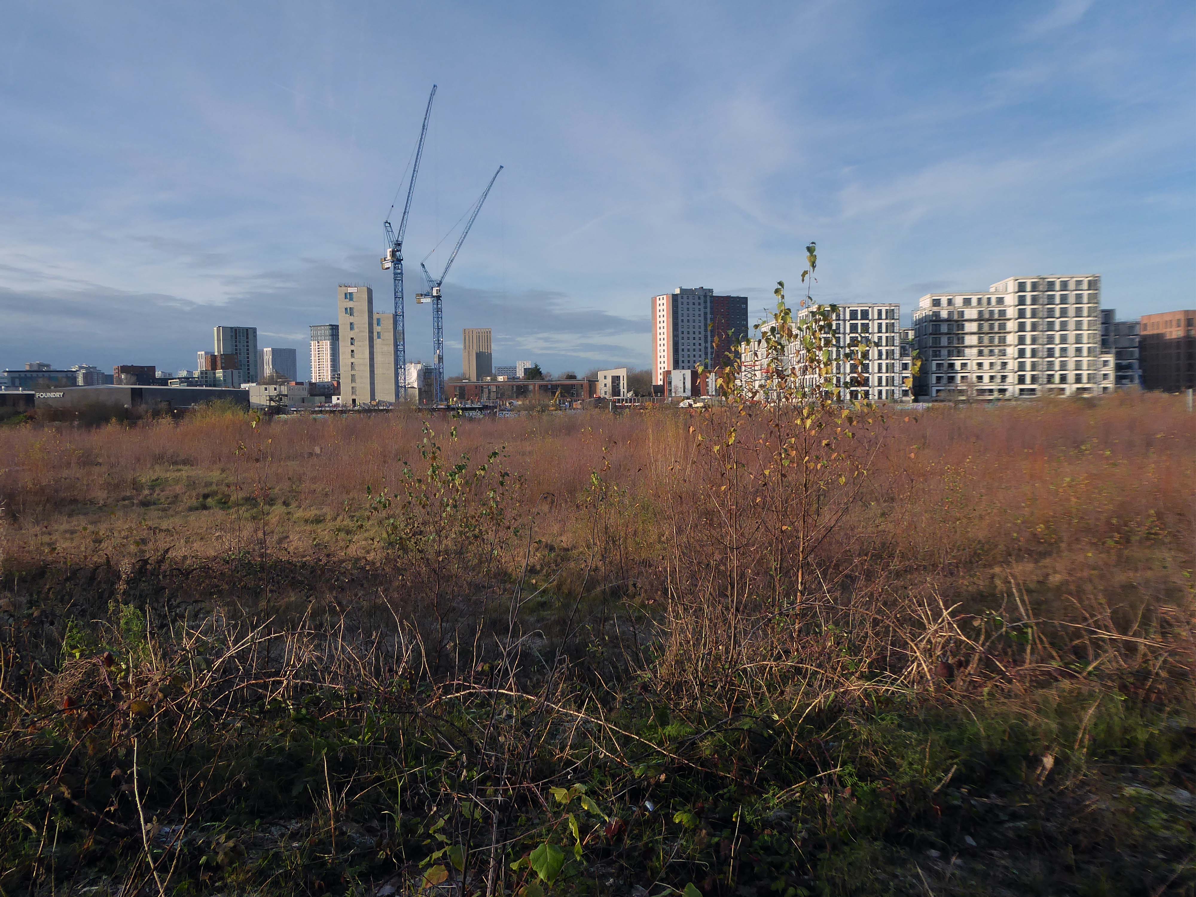
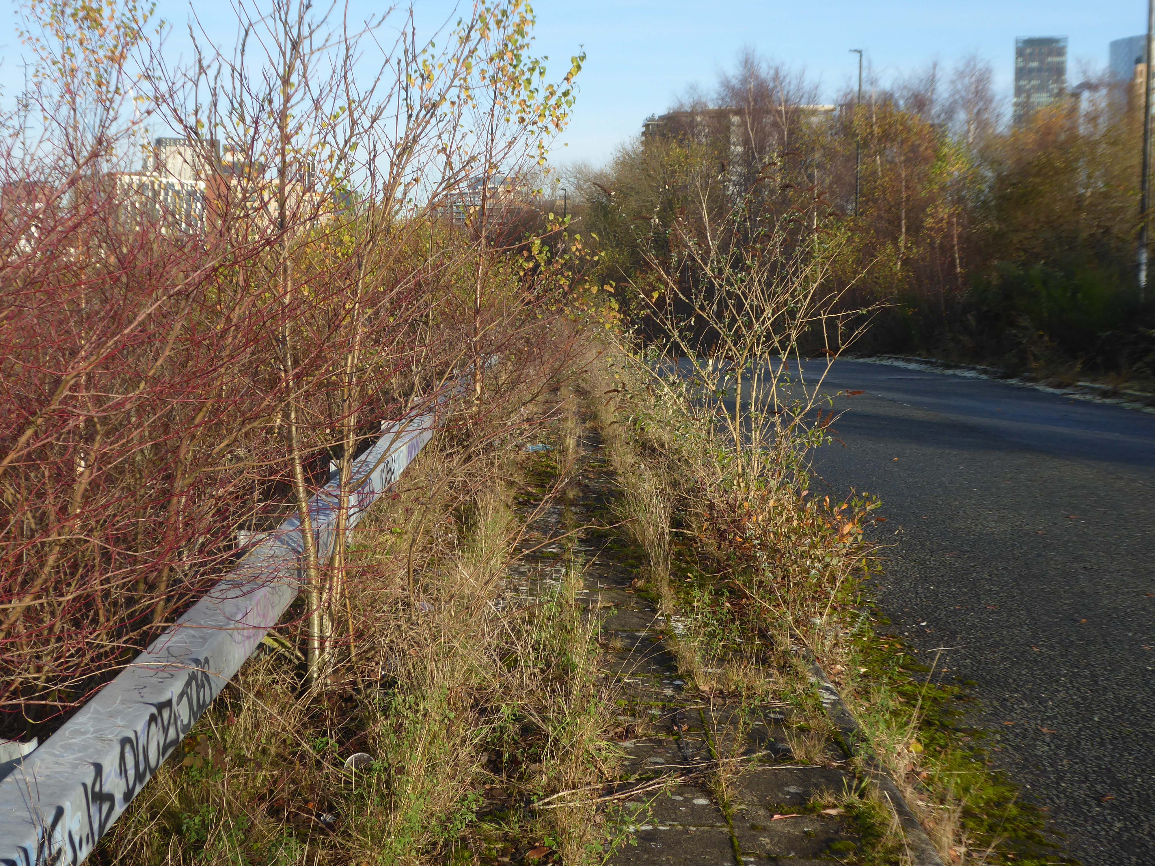
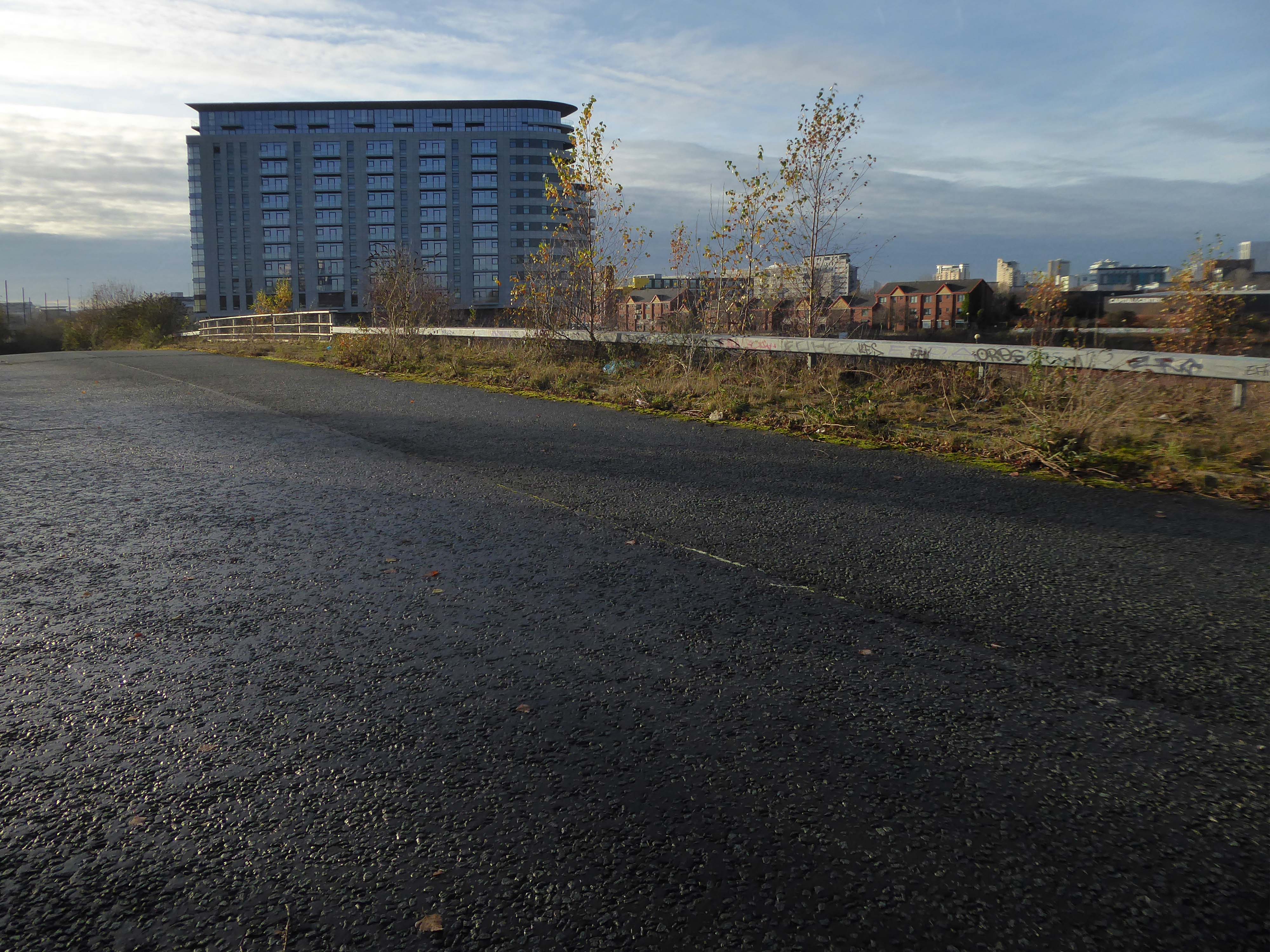
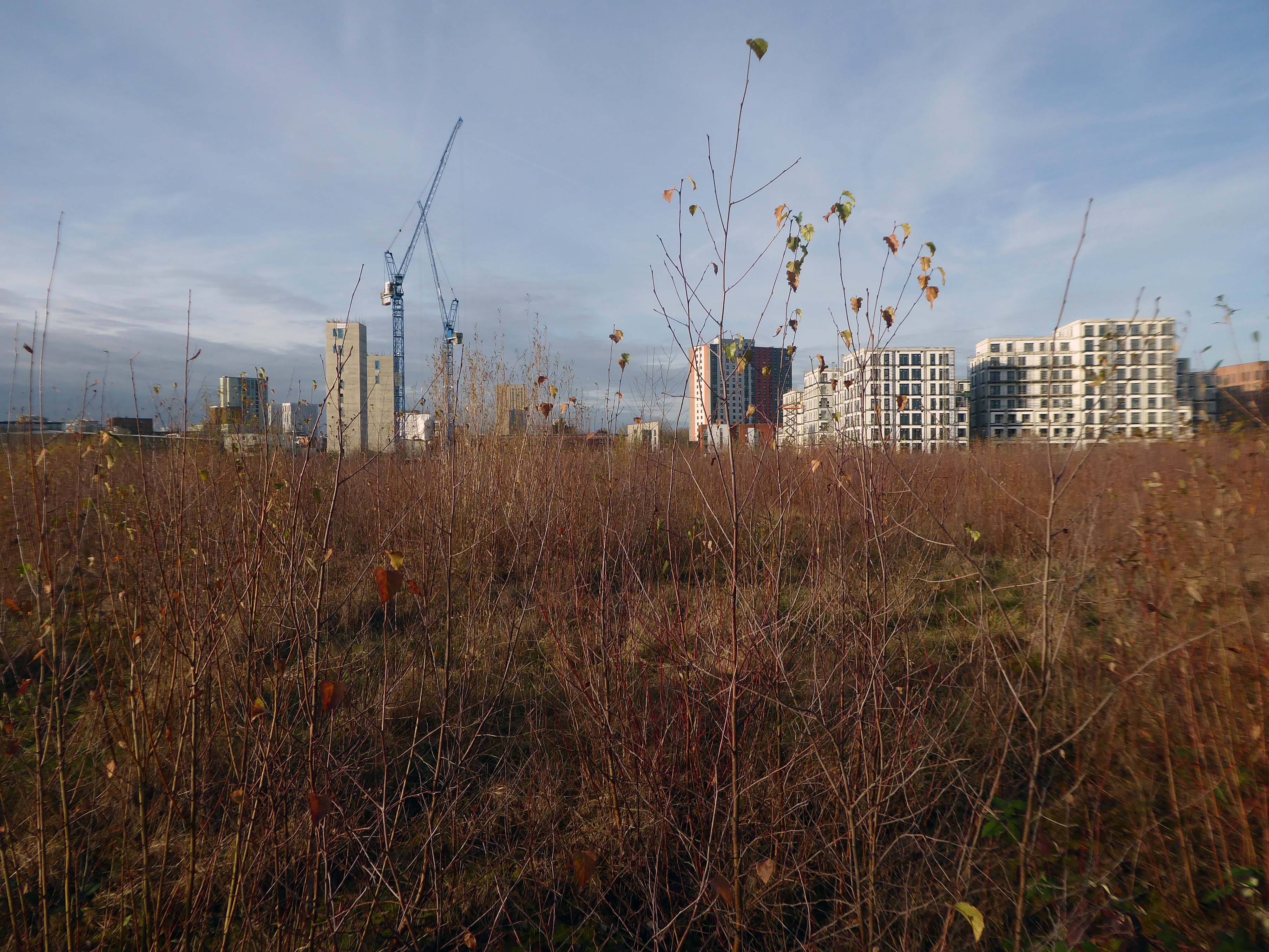
This is one of the more familiar roads, having walked up and down several times over several years. It was to have been an extension of the Mancunian Way, forming a trans-pennine motorway. Much of the property lining the route was cleared in preparation, it was never built, and for years a strange semi-deserted ambience hung over the A57.


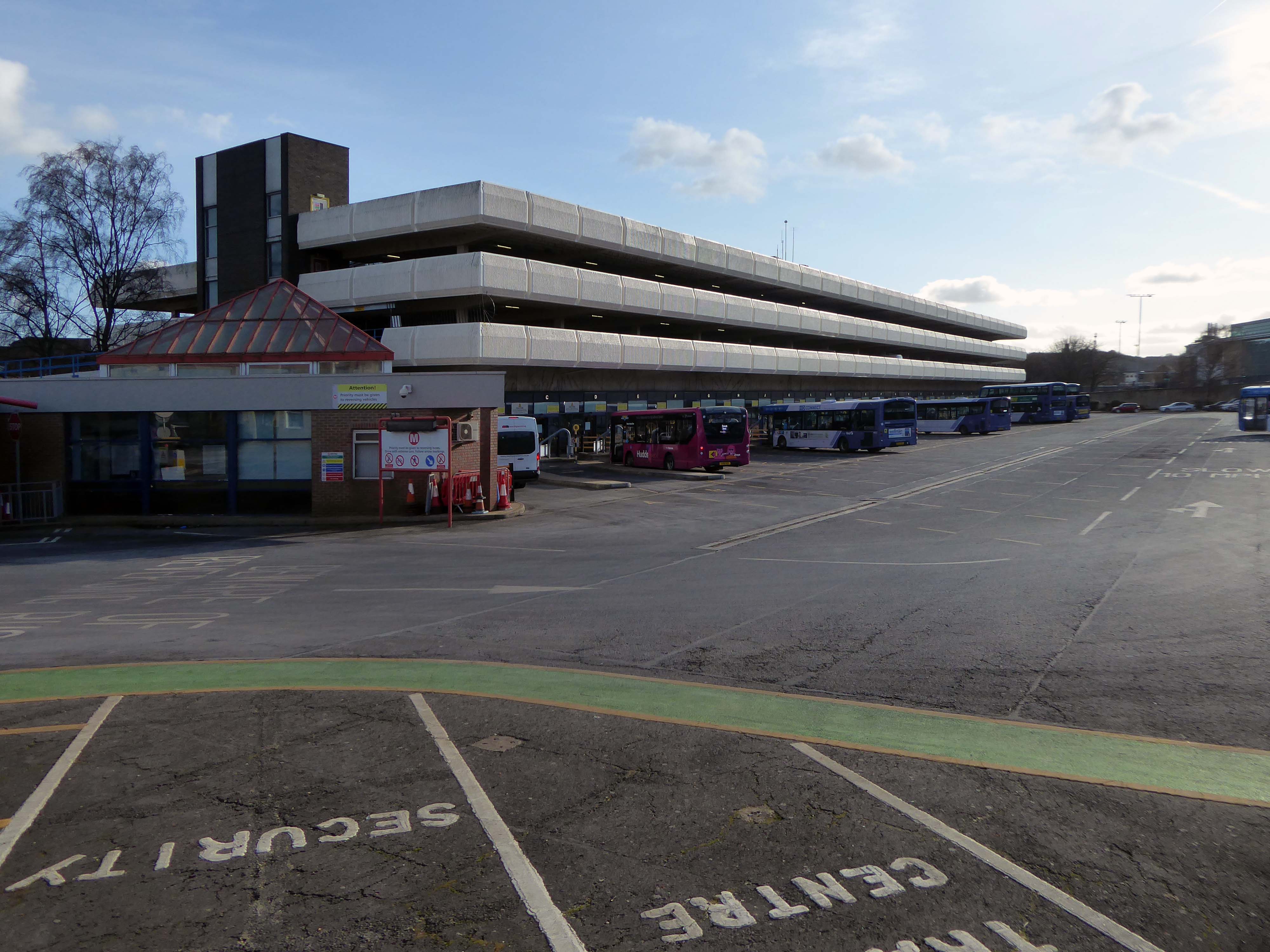
Bus Depot

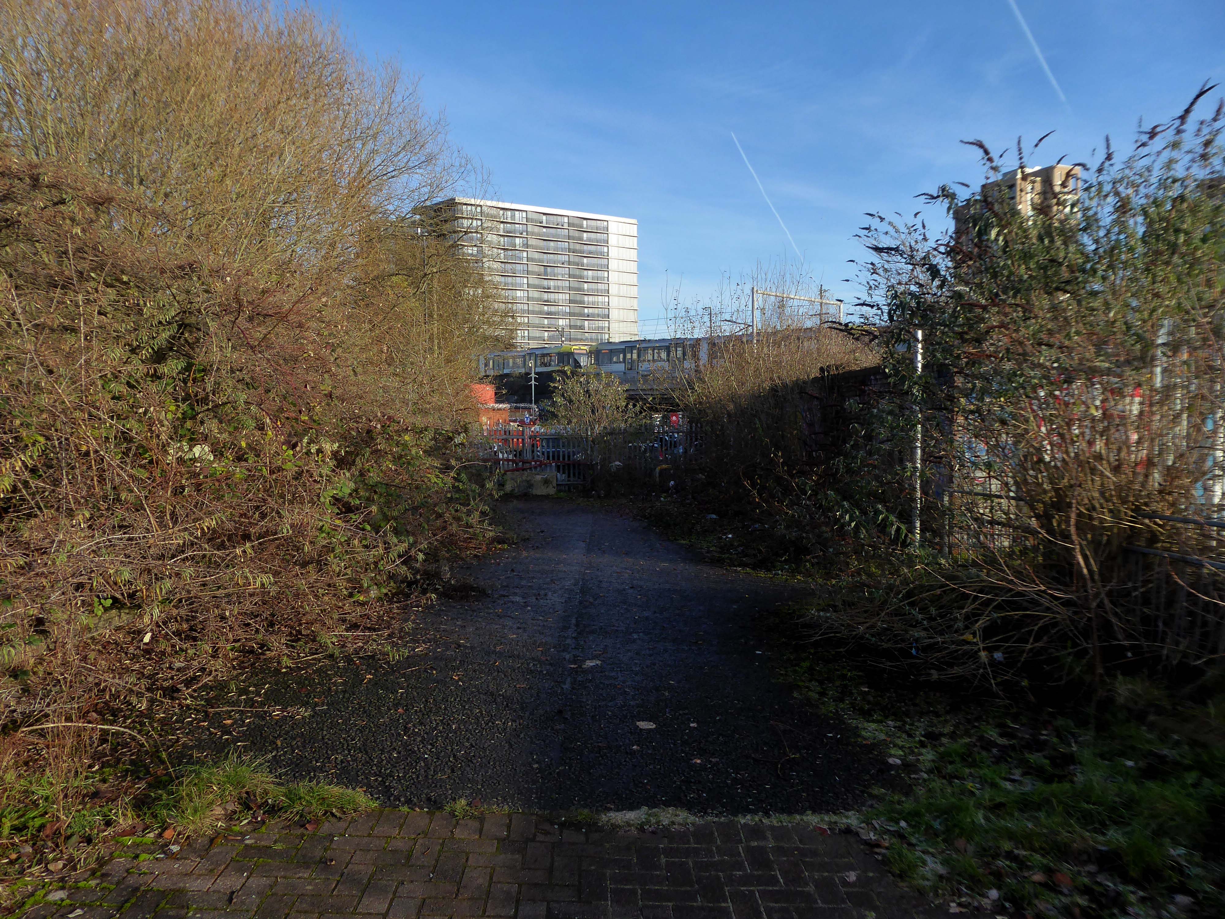
Railway Bridge

The car showrooms which later became an African Evangalist church.


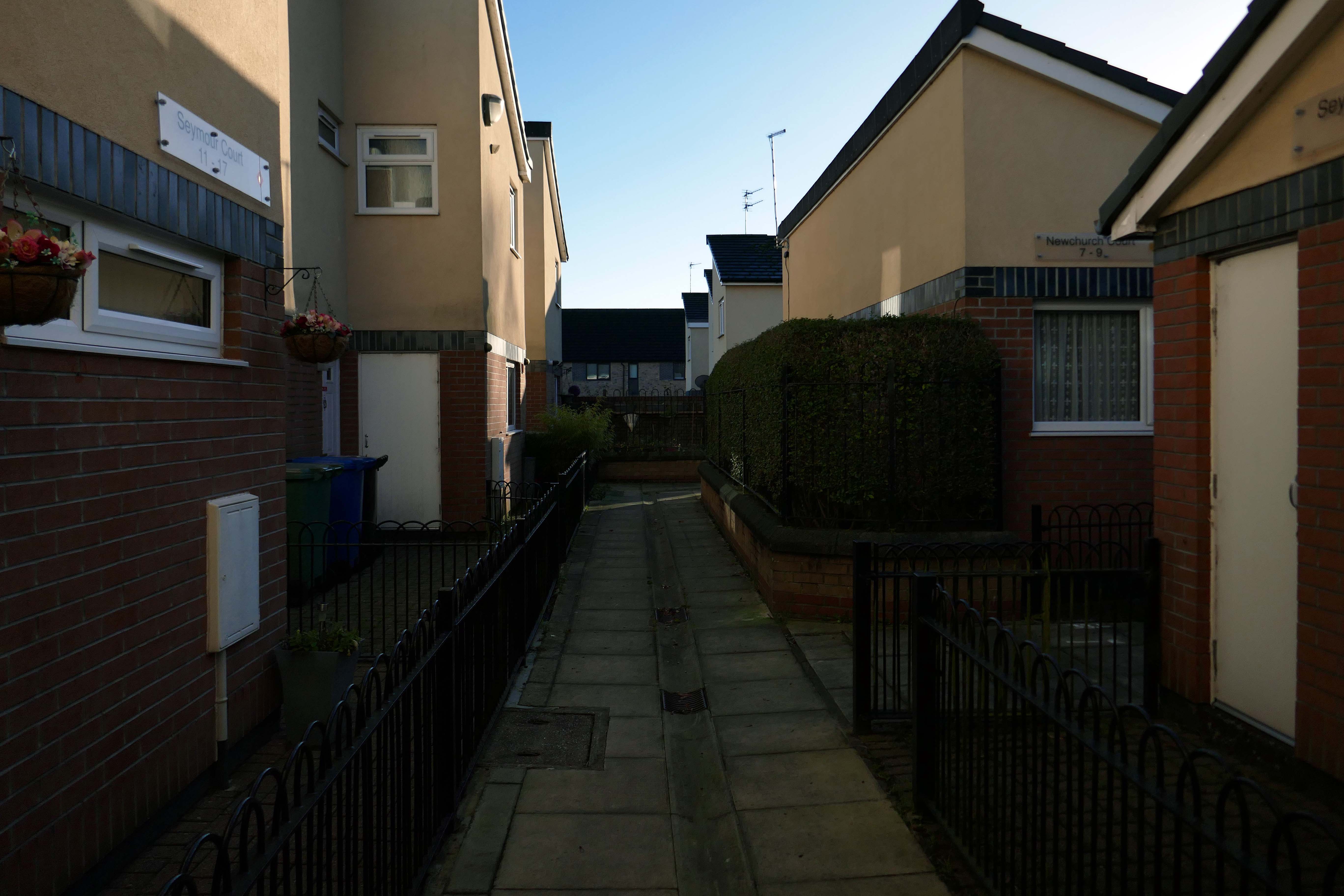
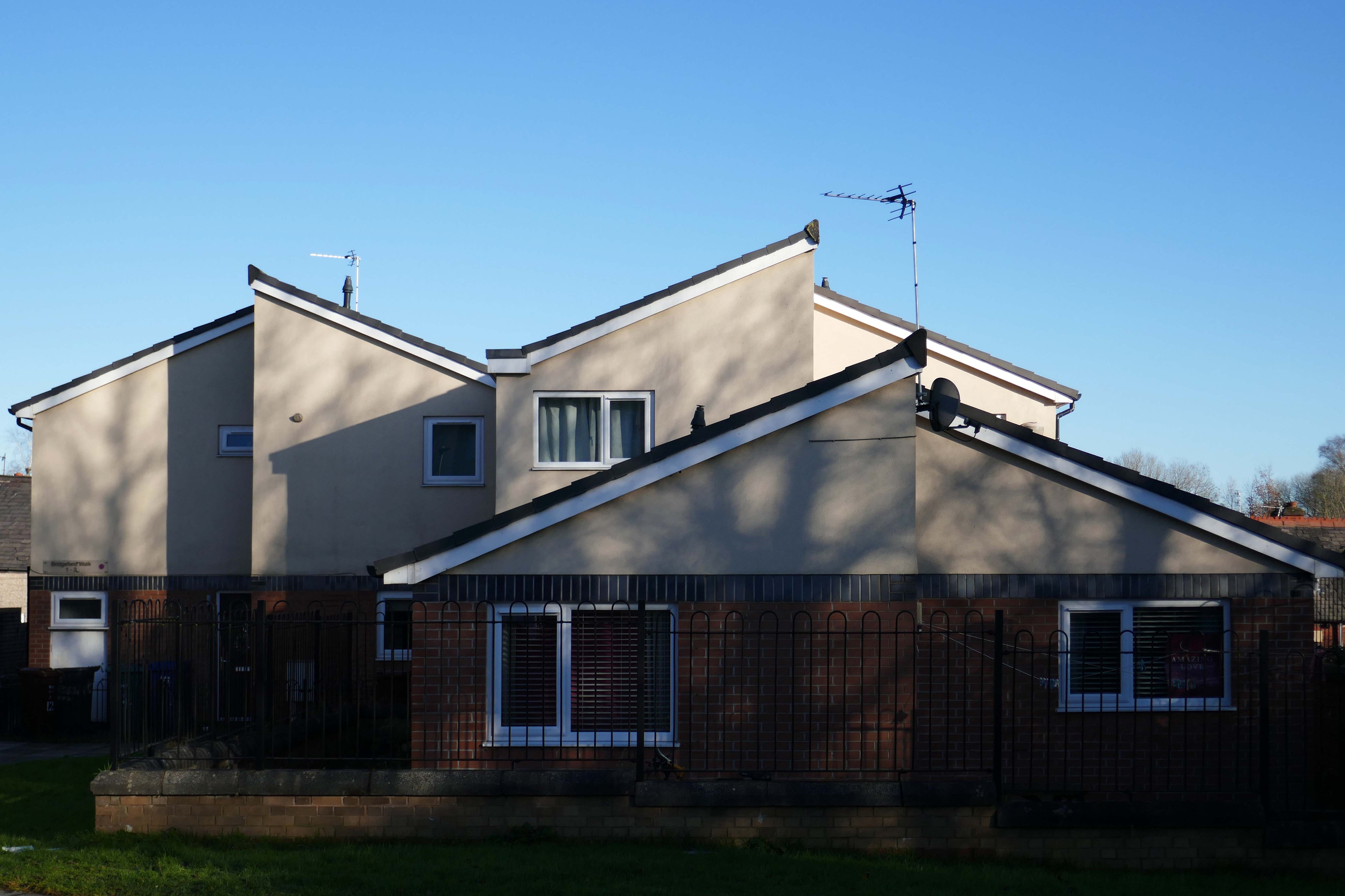
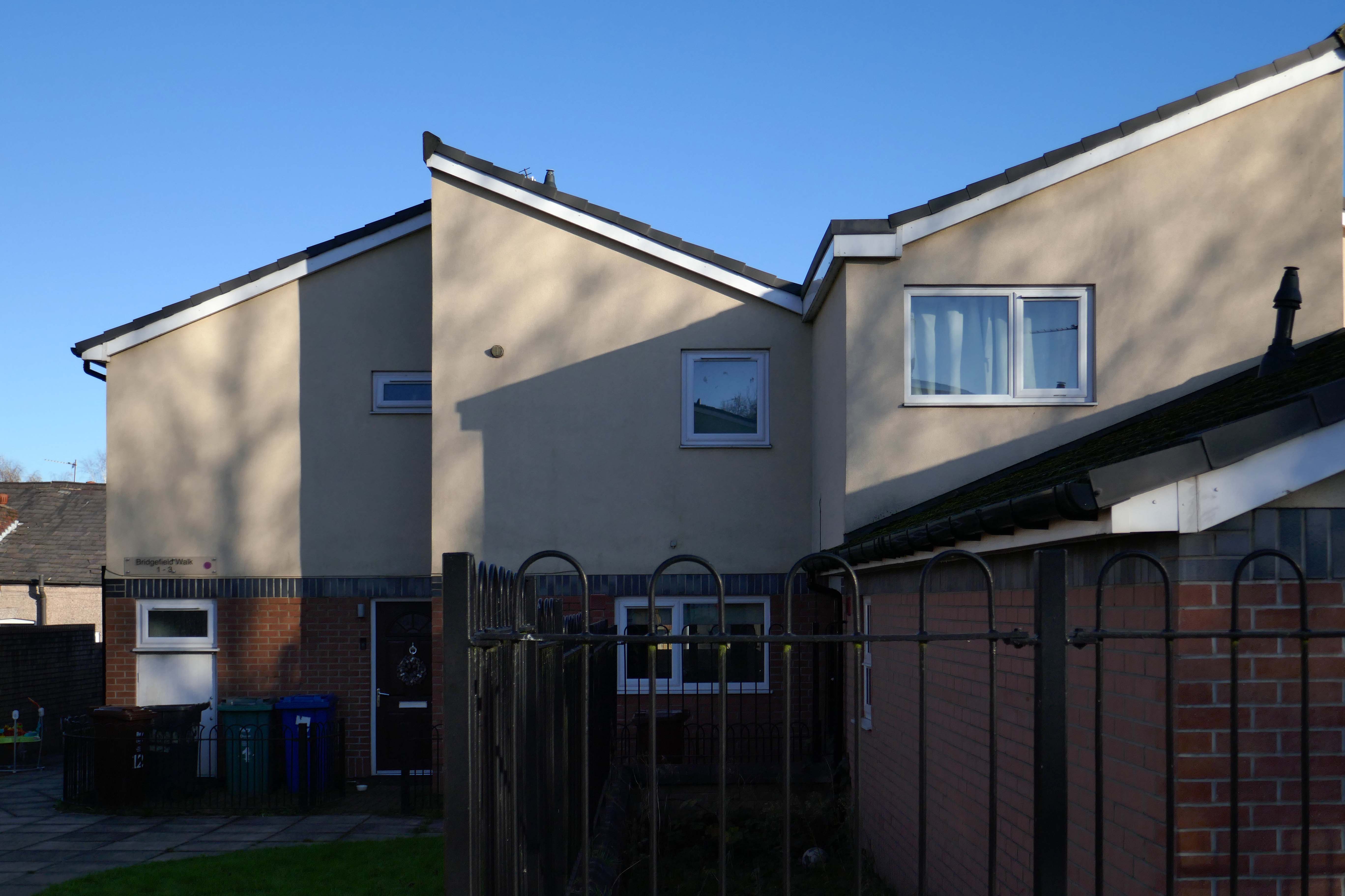
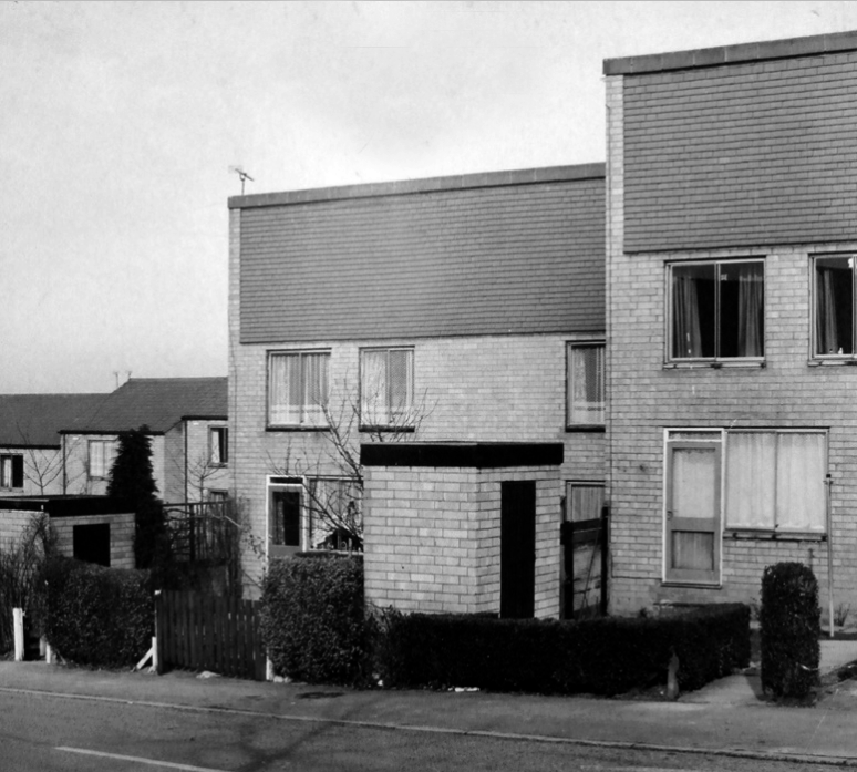
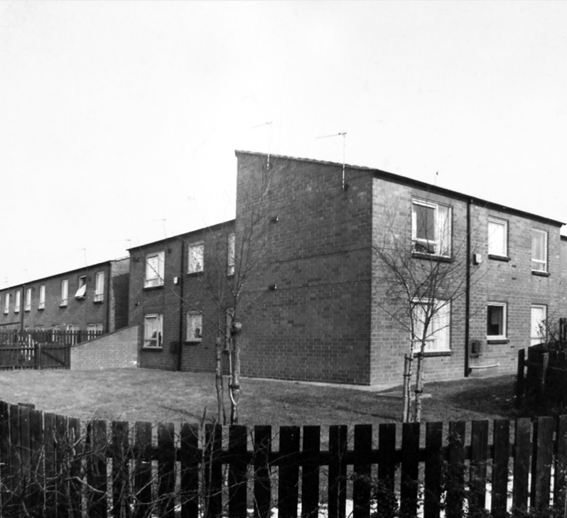
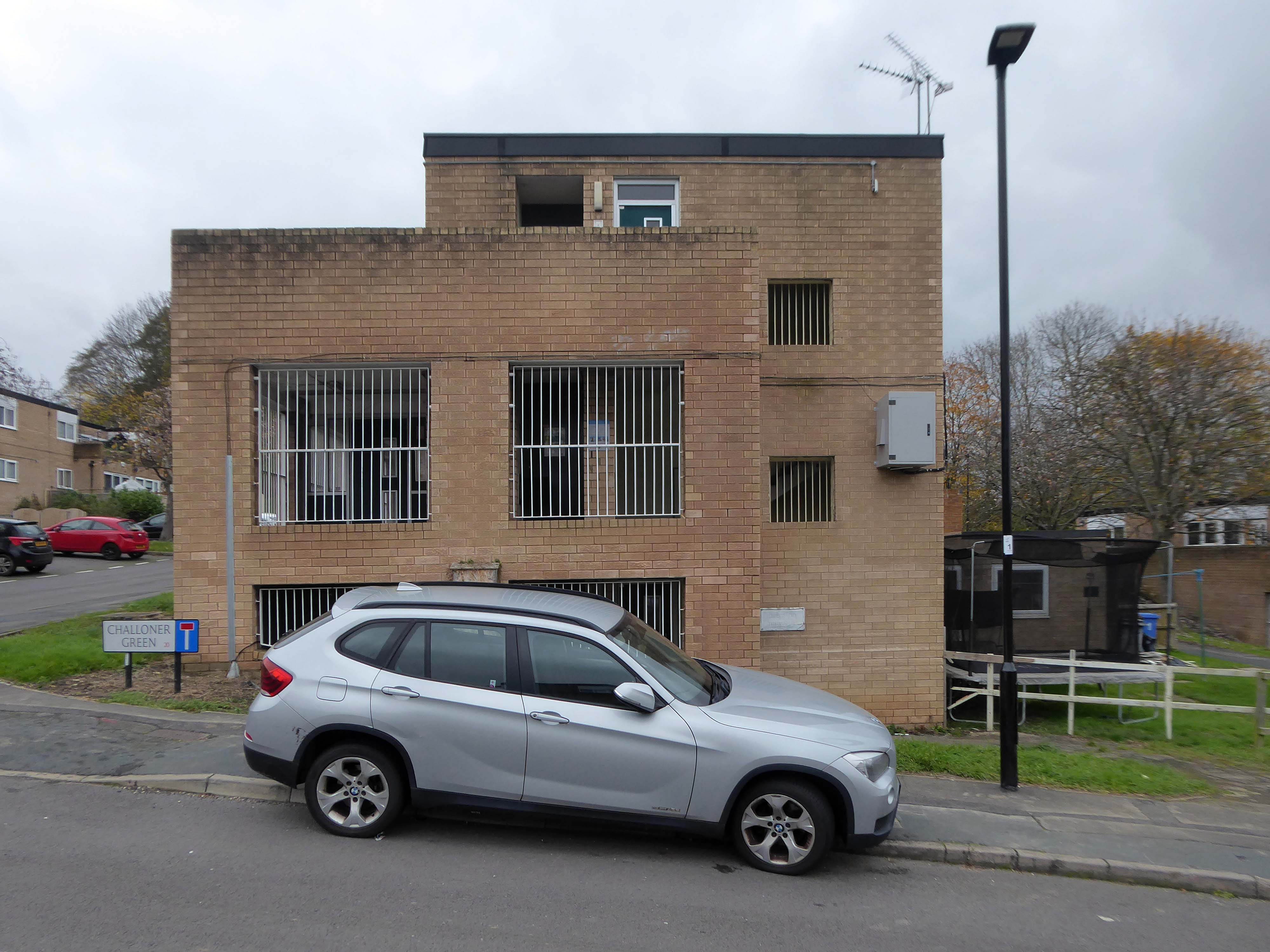
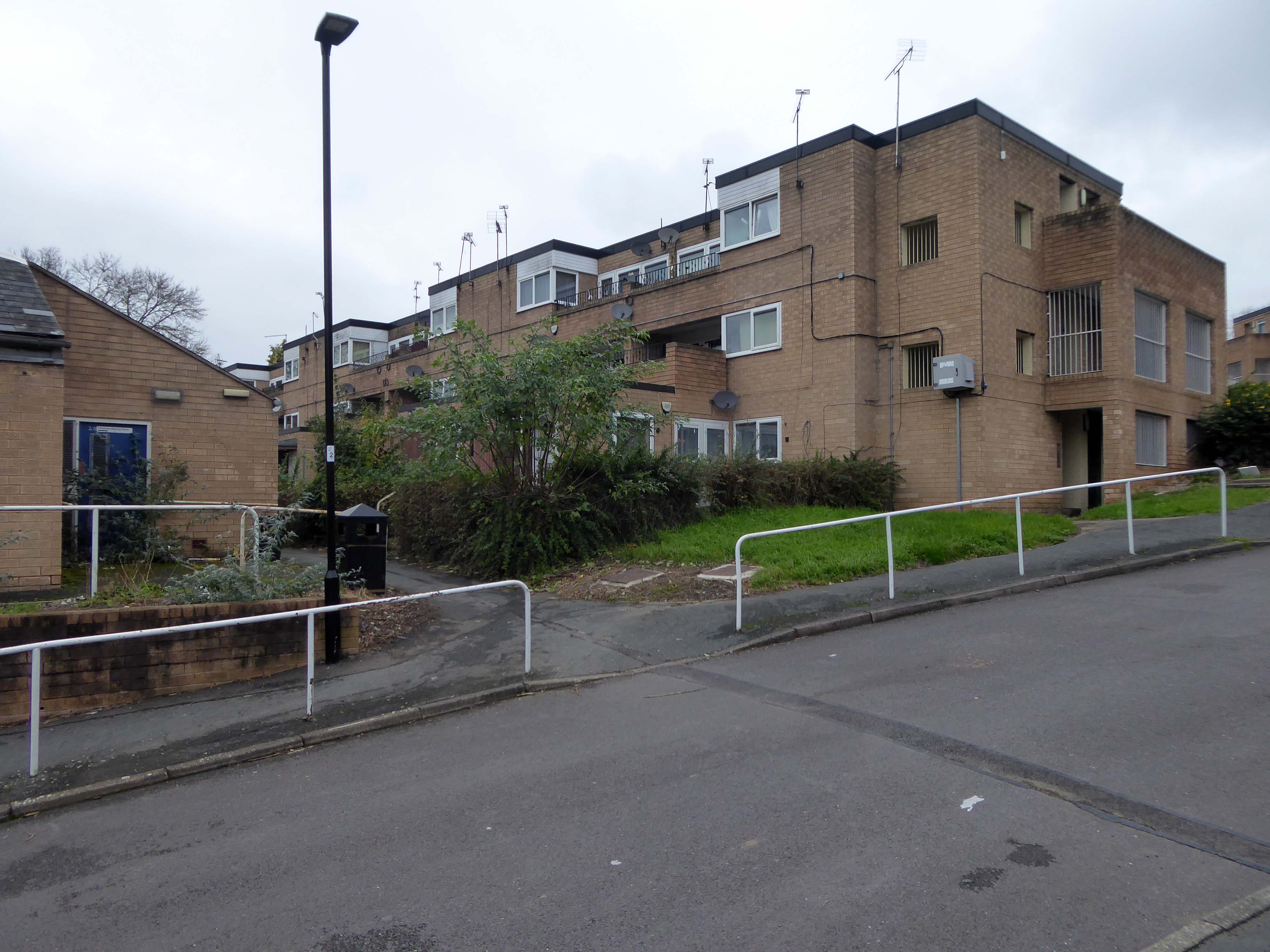
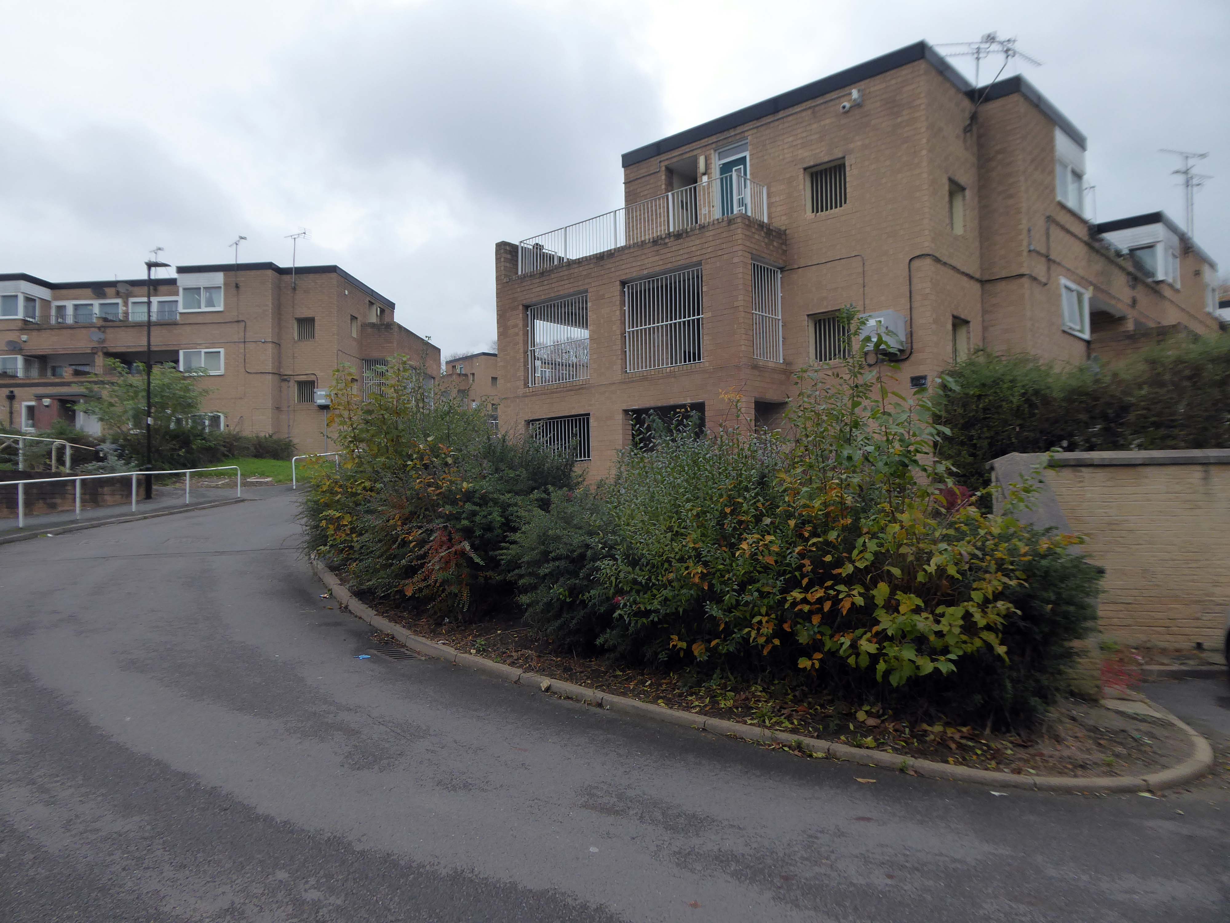
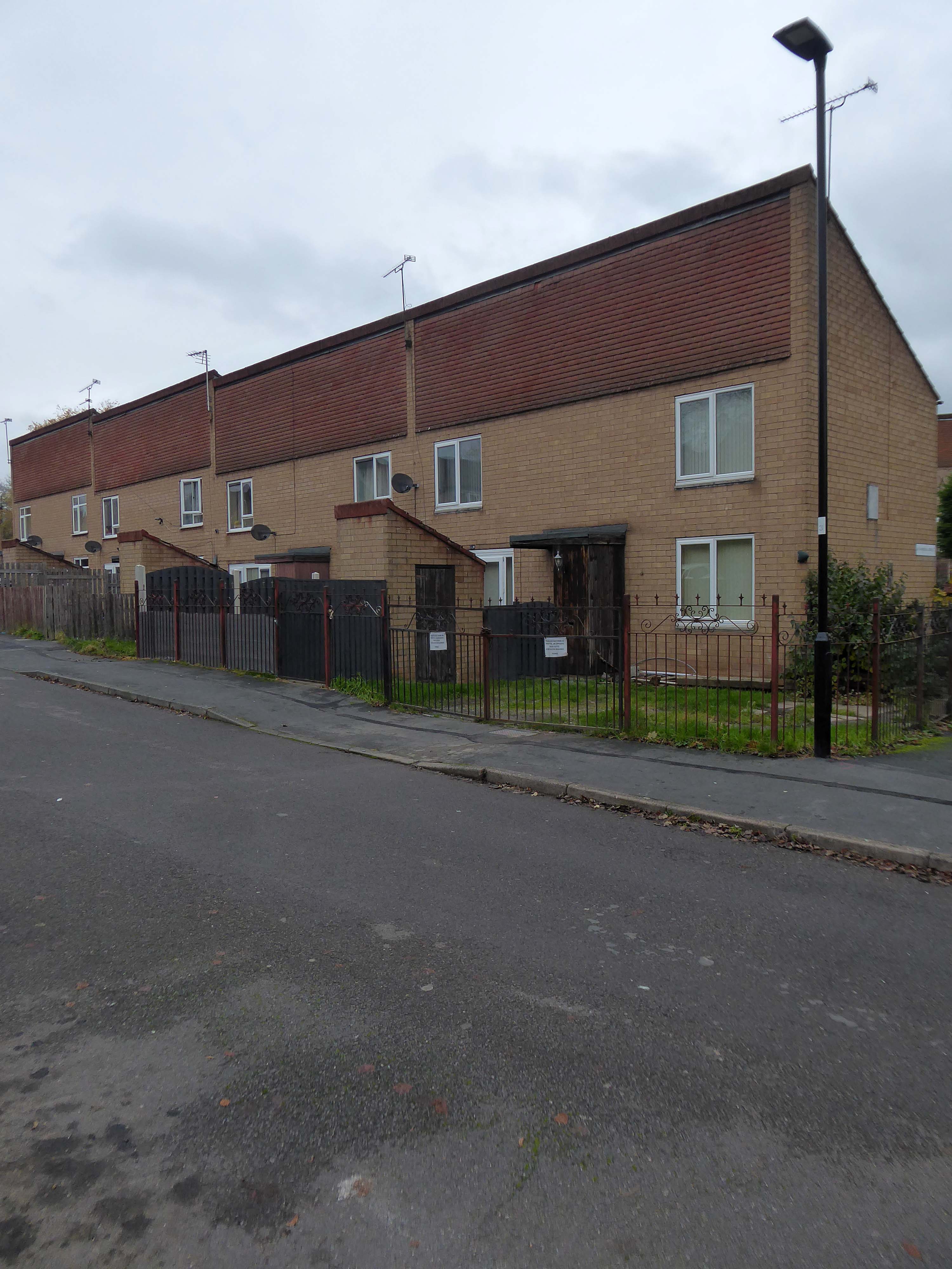
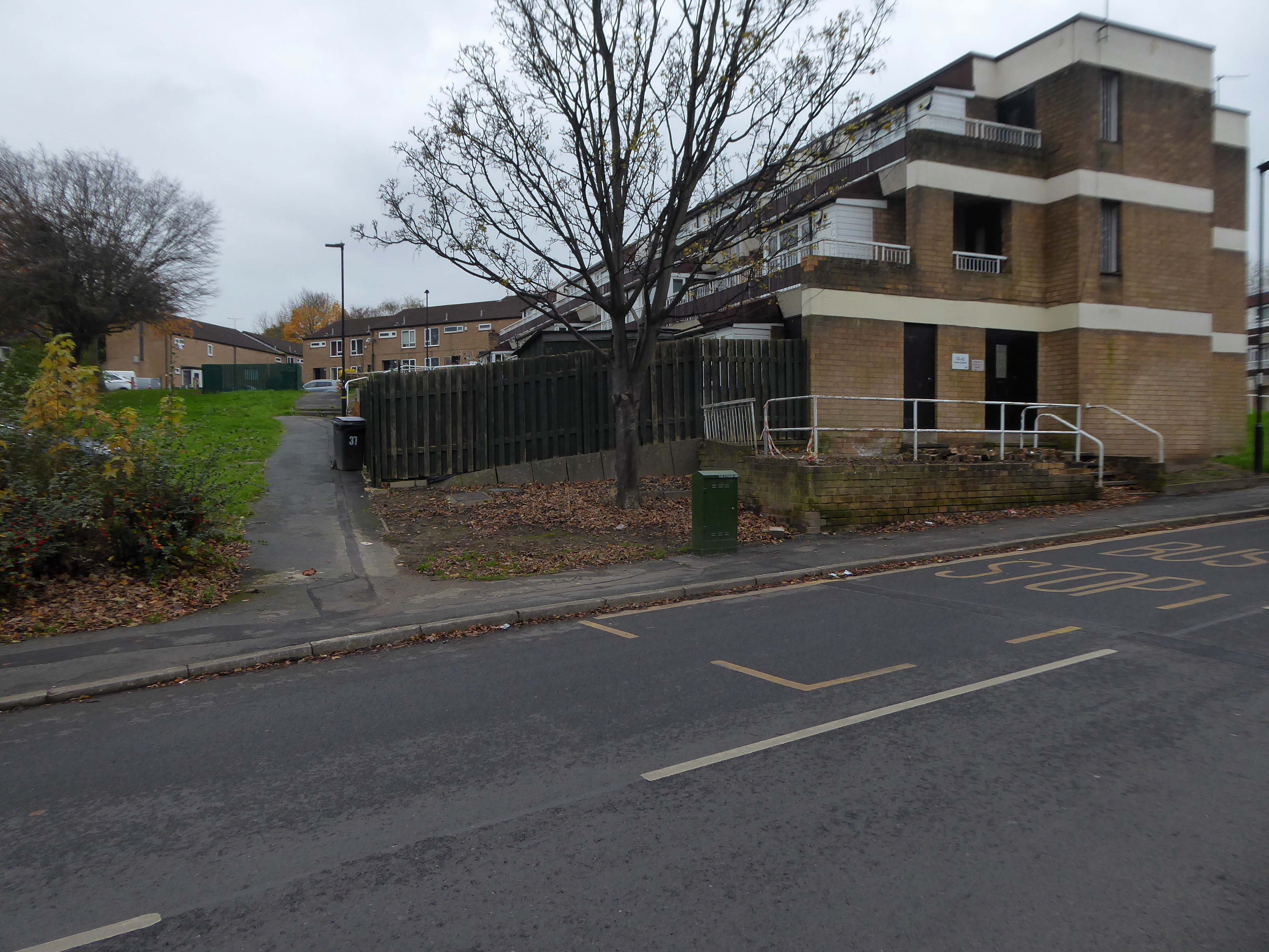
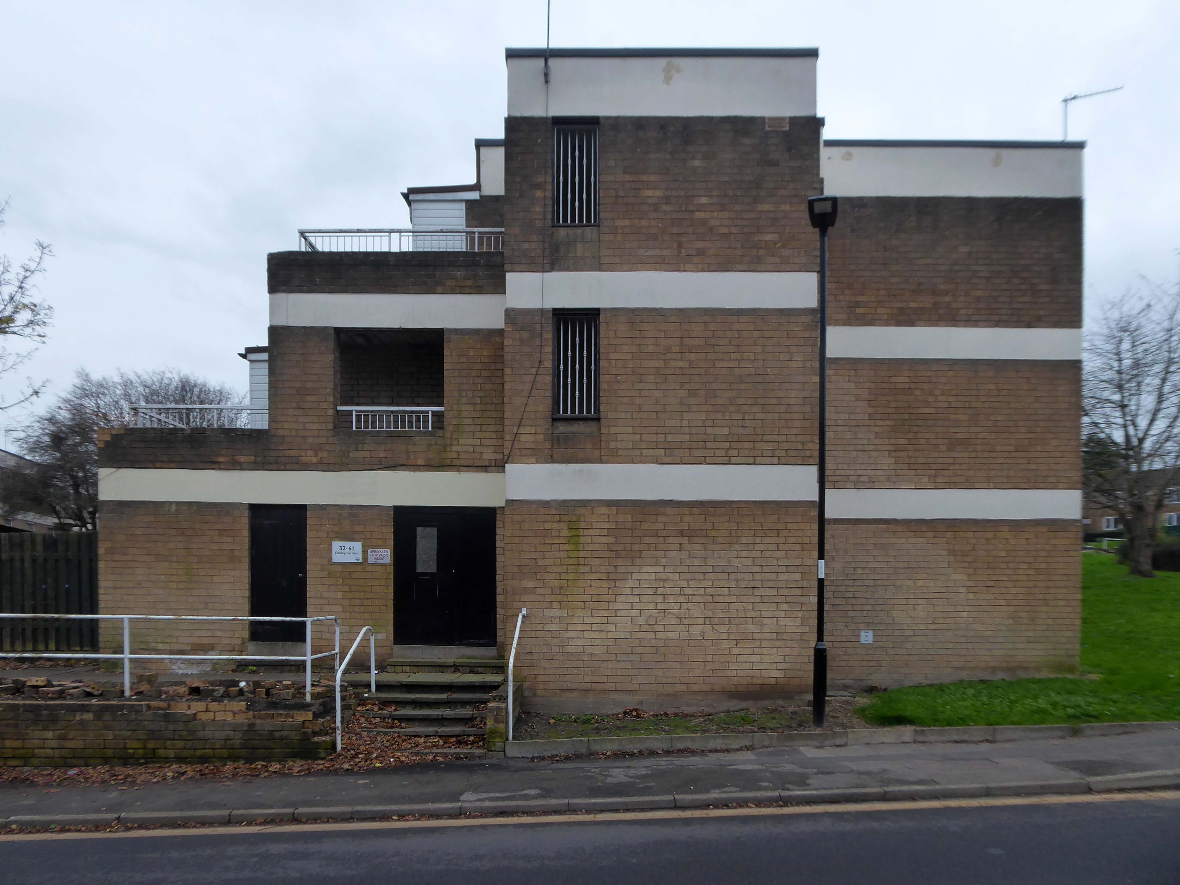
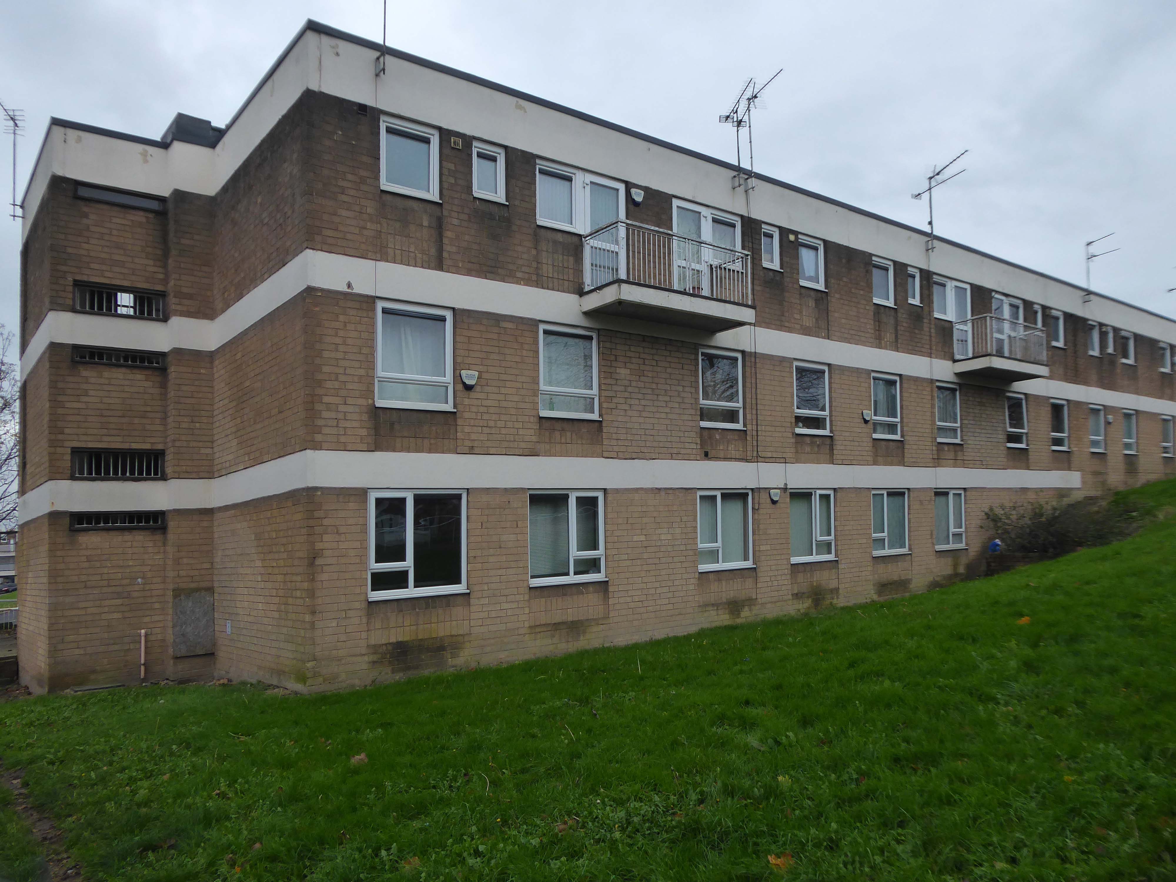
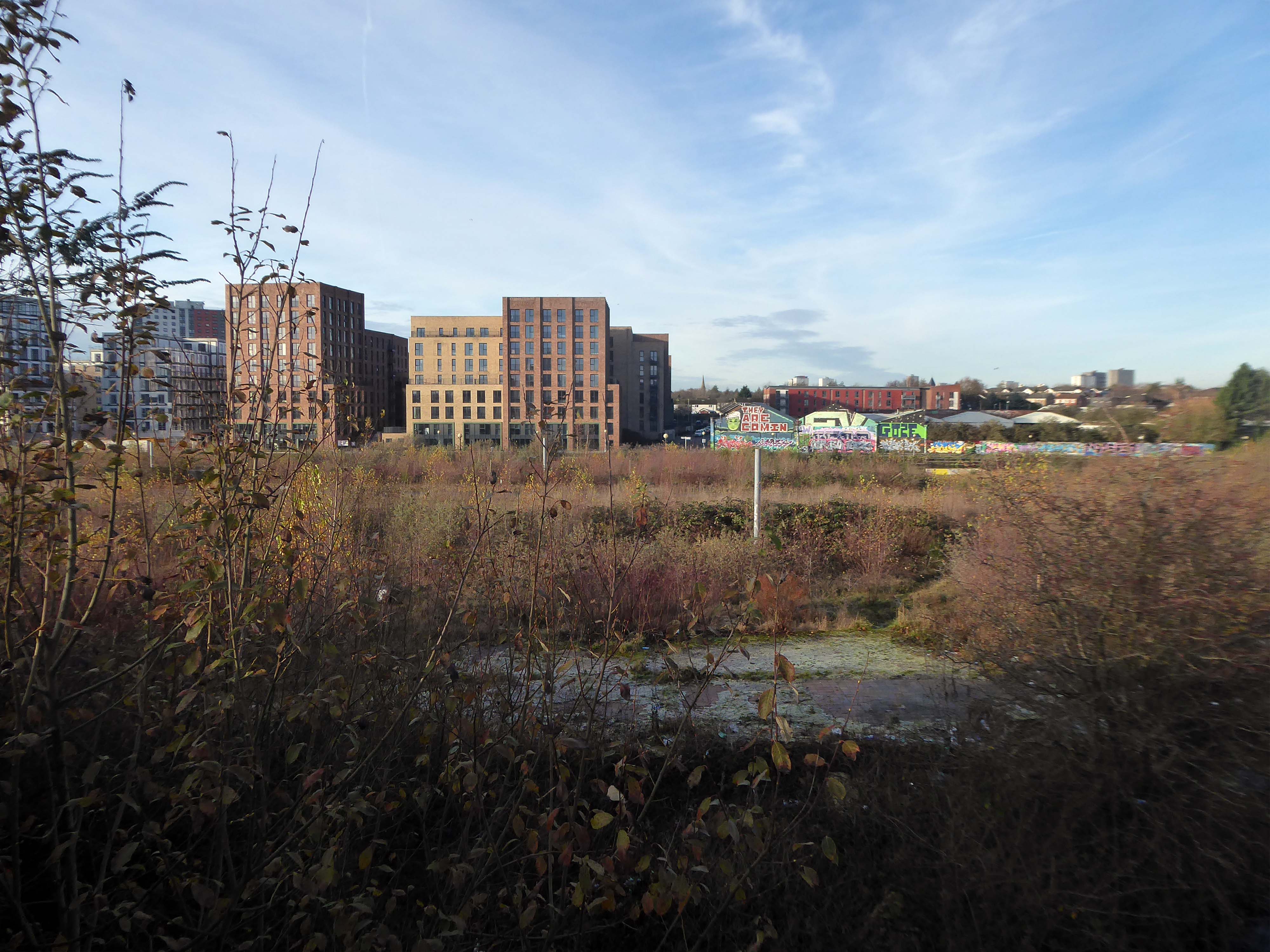
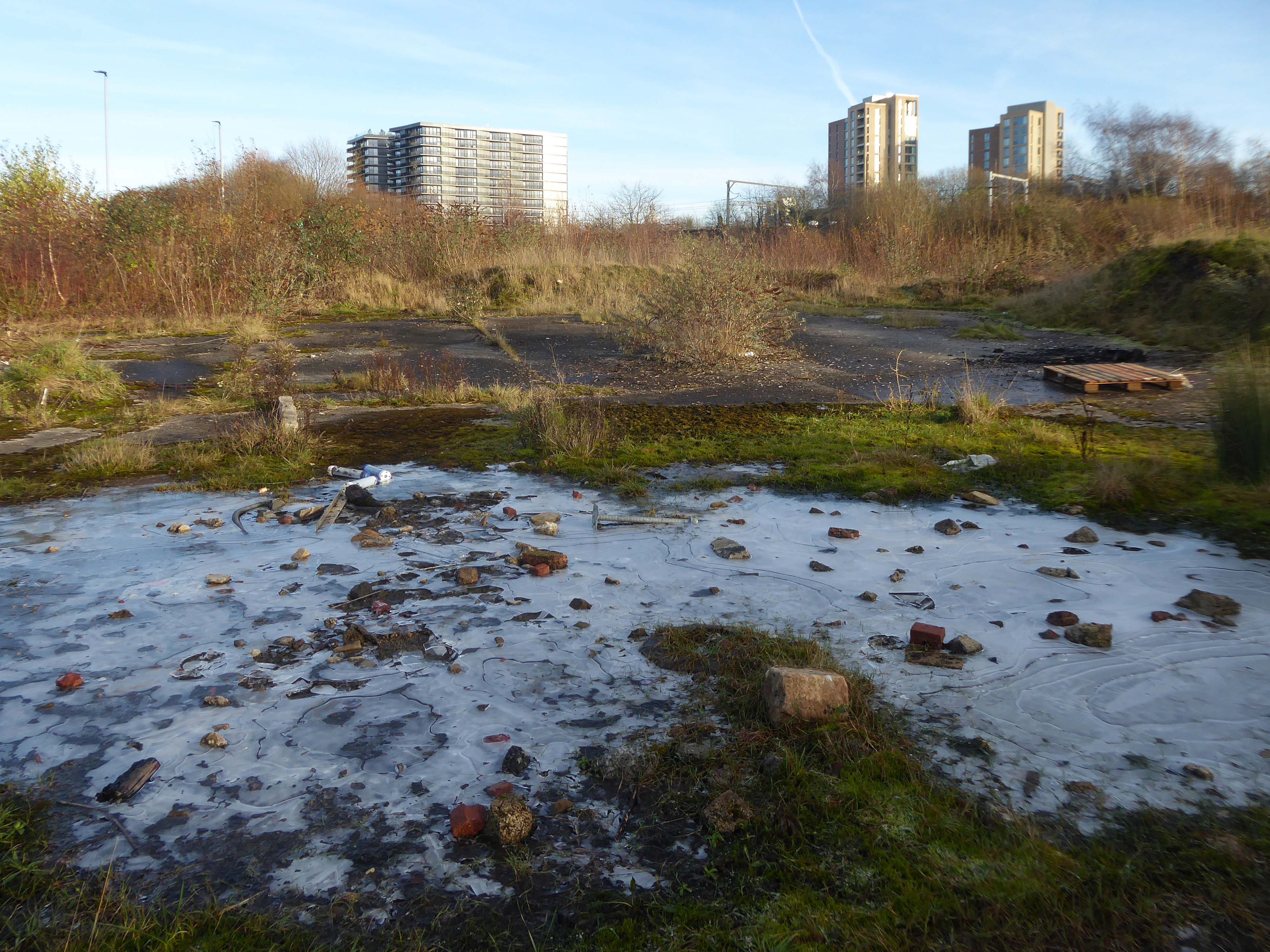
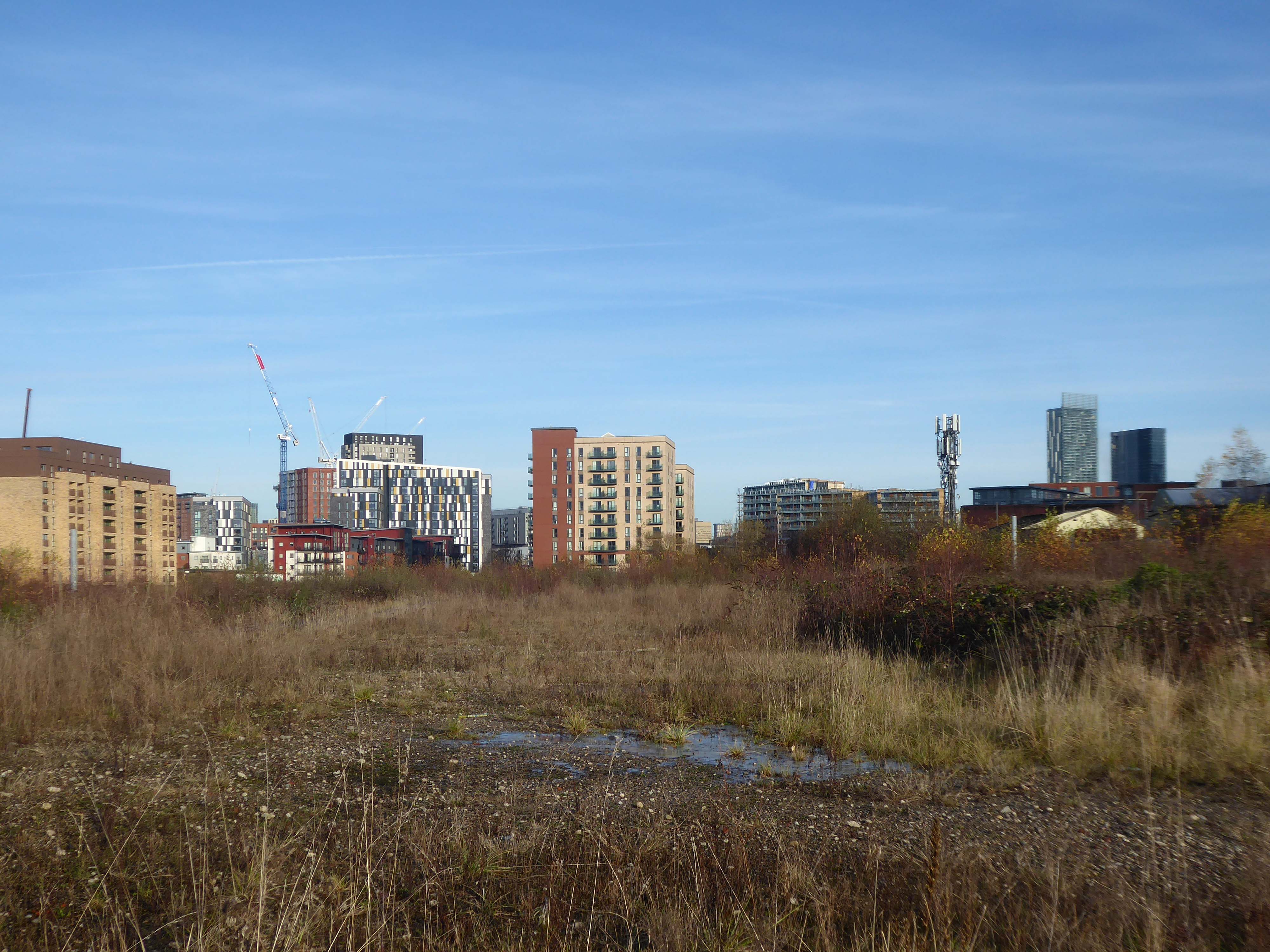
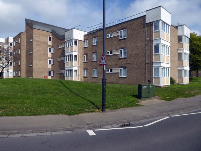
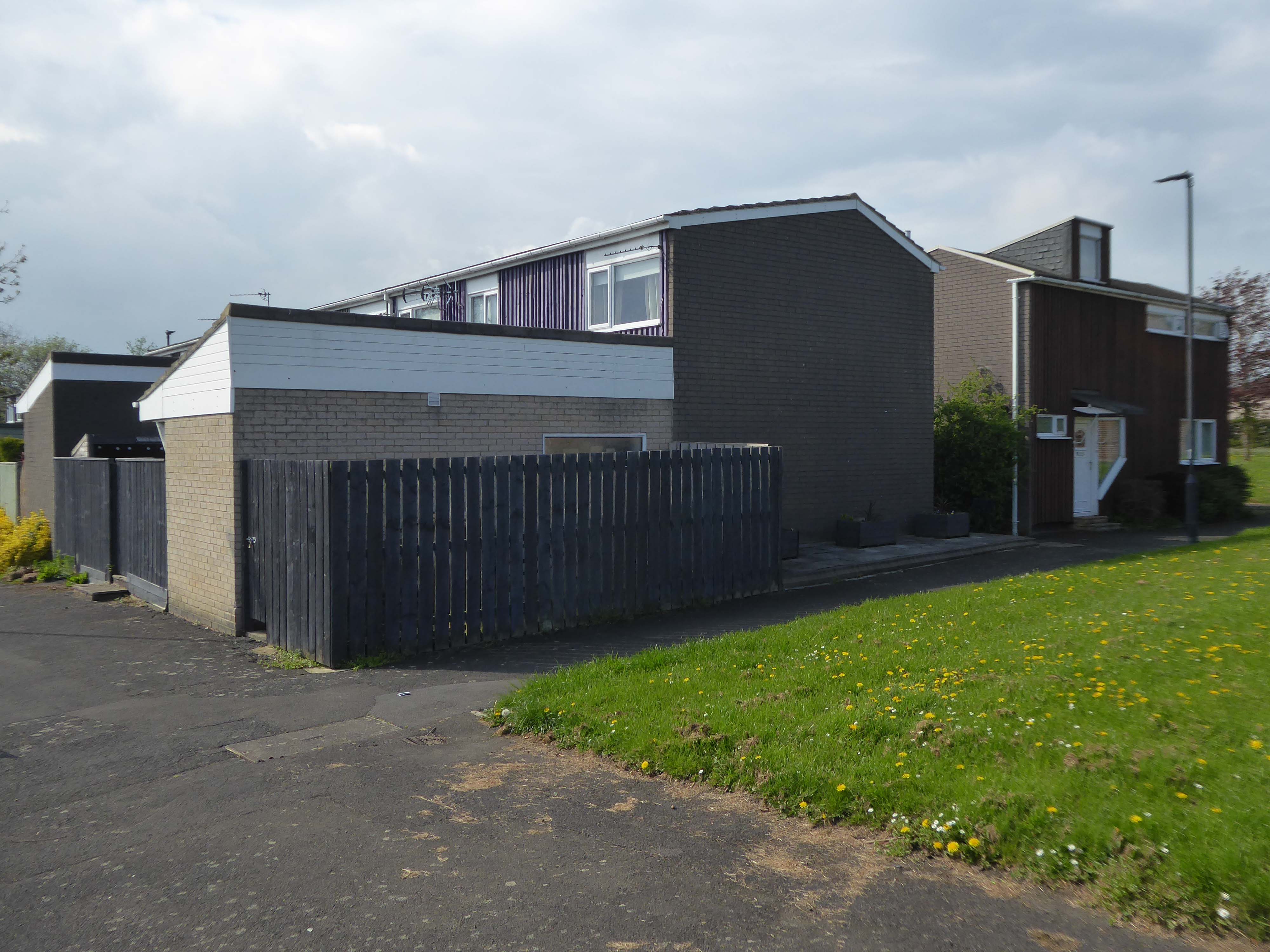
Having cleared away both Victorian and Sixties housing, new architectural forms arose in West Gorton.


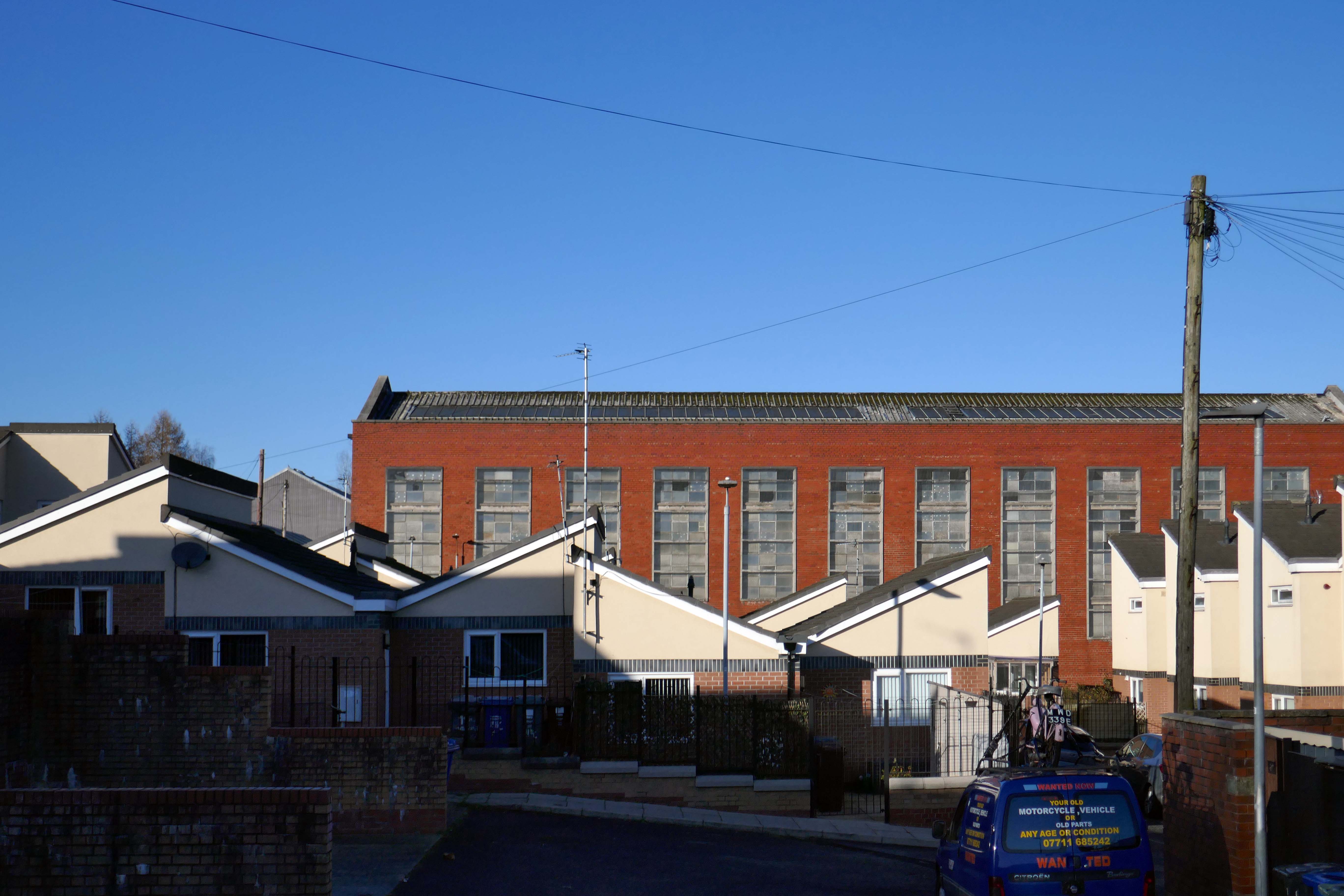
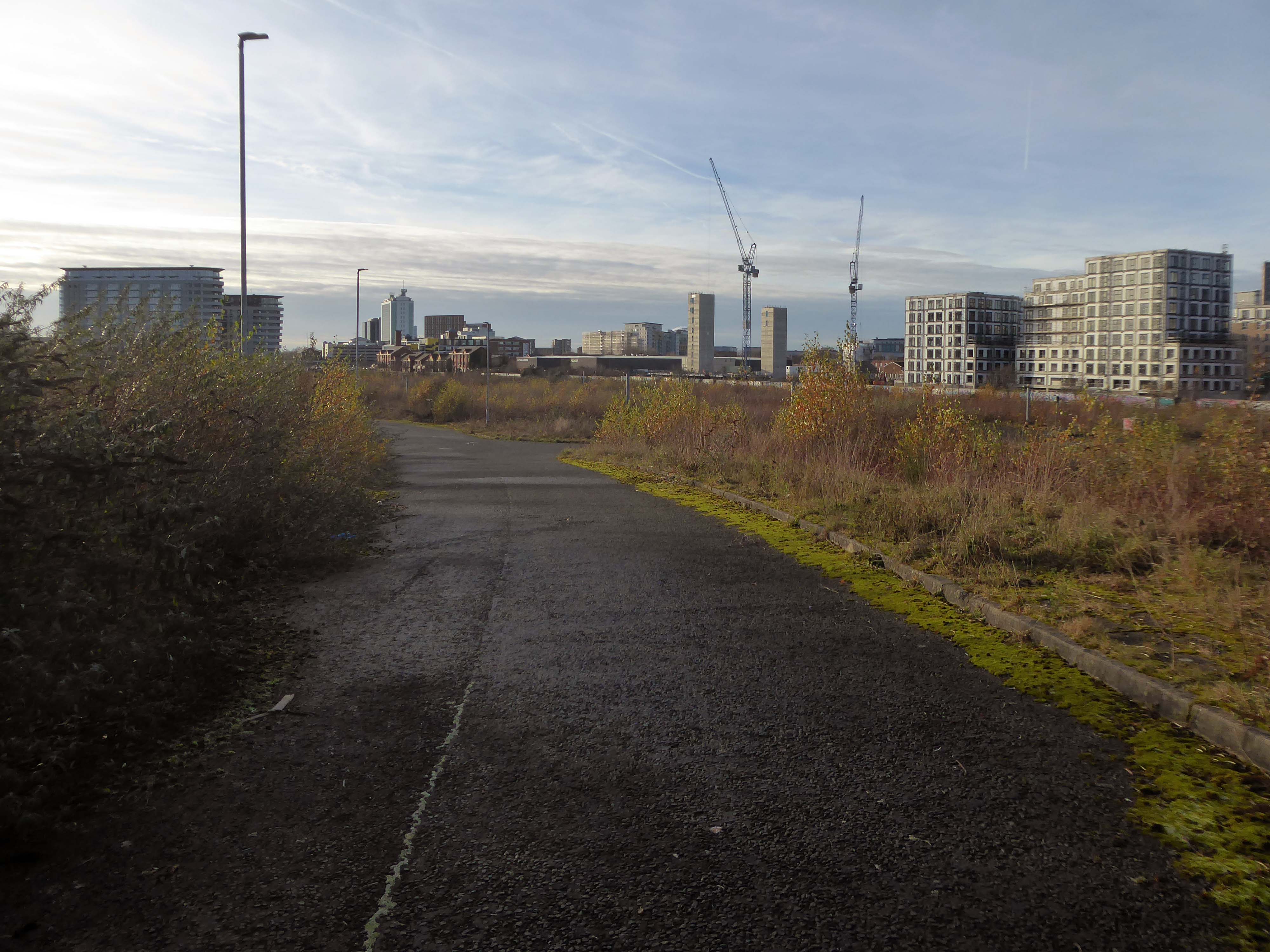
Where there were once dozens of pubs, often there are now none.


The Belle Vue Granada Bowl became a Bingo Hall then became nothing.


The 192 bus runs between Manchester Piccadilly and hazel Grove, I often ride between Stockport and town, and back.
I decided to walk the route, photographing each of the ninety eight bus stops along the way.

Piccadilly Station


Ardwick Post Office

Levenshulme

A book published by the modernist – literally eight launderettes.
Which became the first modernist calendar.


Now, everywhere I go, I see launderettes – so arriving in Hanley with time on my hands, wandering around I found this exemplary example.


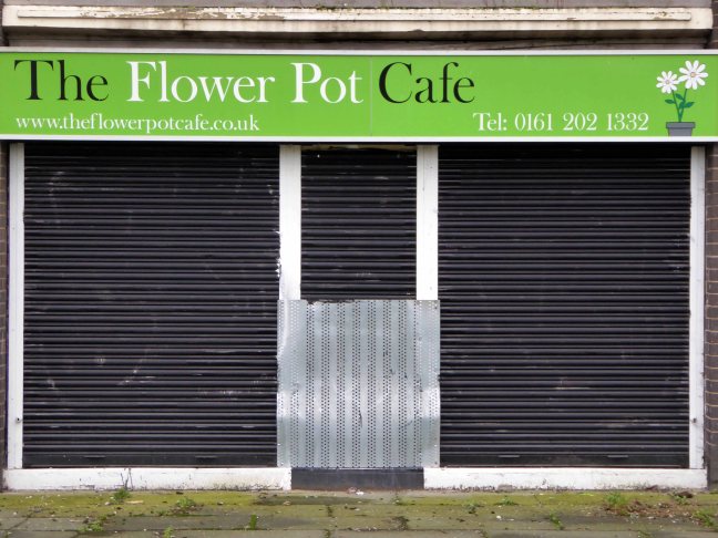
Having a blog entitled Manchester Estate Pubs, the national media became interested in my photographs. I had spent quite some time, wandering around in search of this endangered architectural typology.

This was Billy Greens in Collyhurst, named for a local boxer, now demolished.

Which in turn became the second modernist calendar.

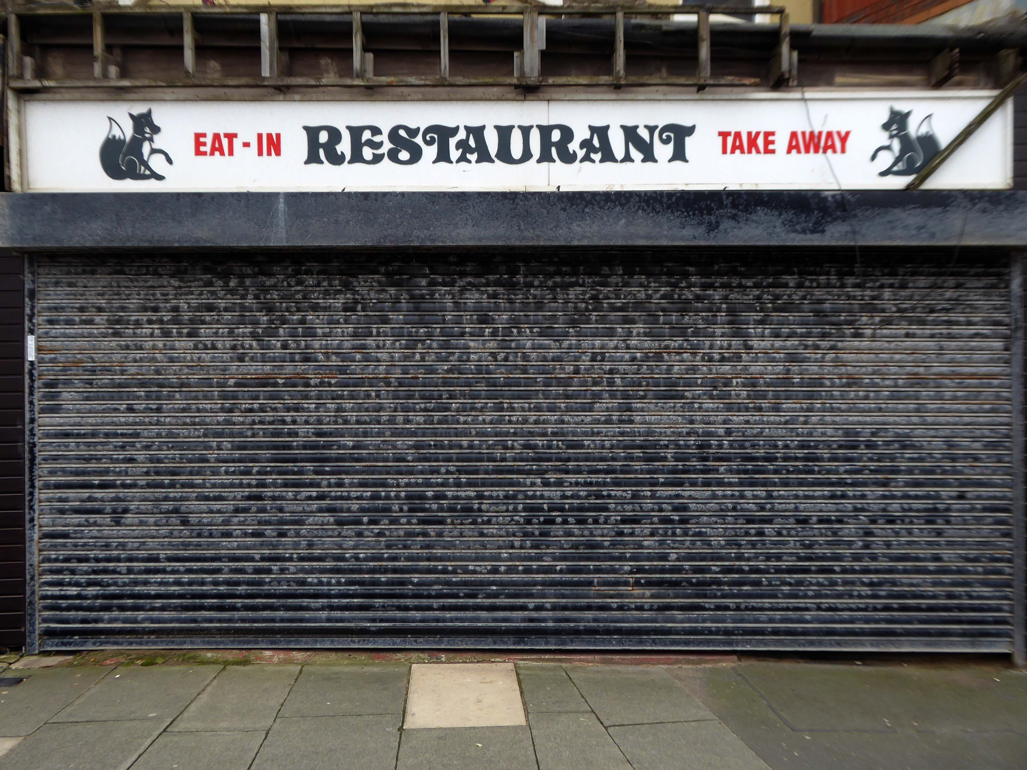
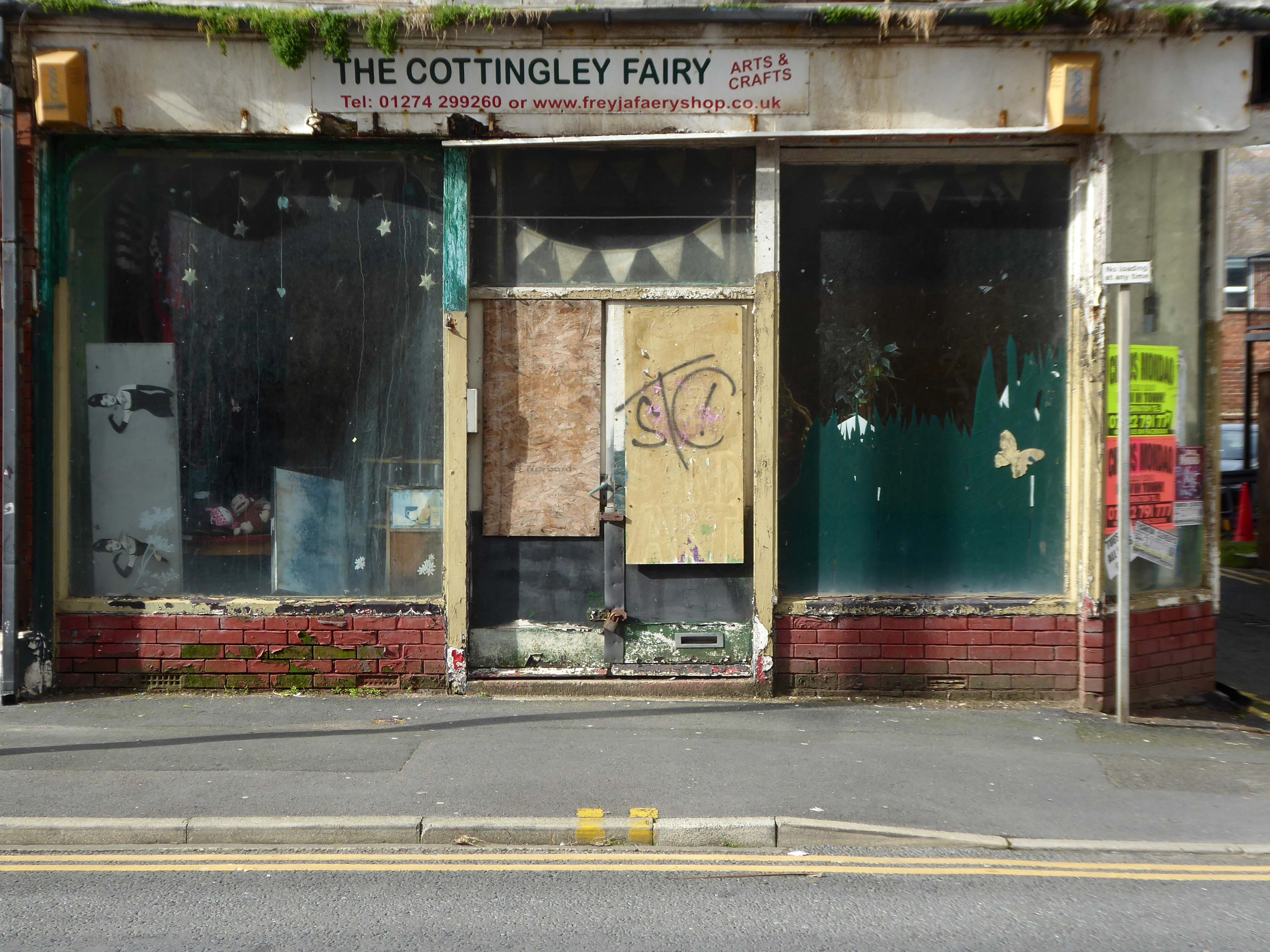
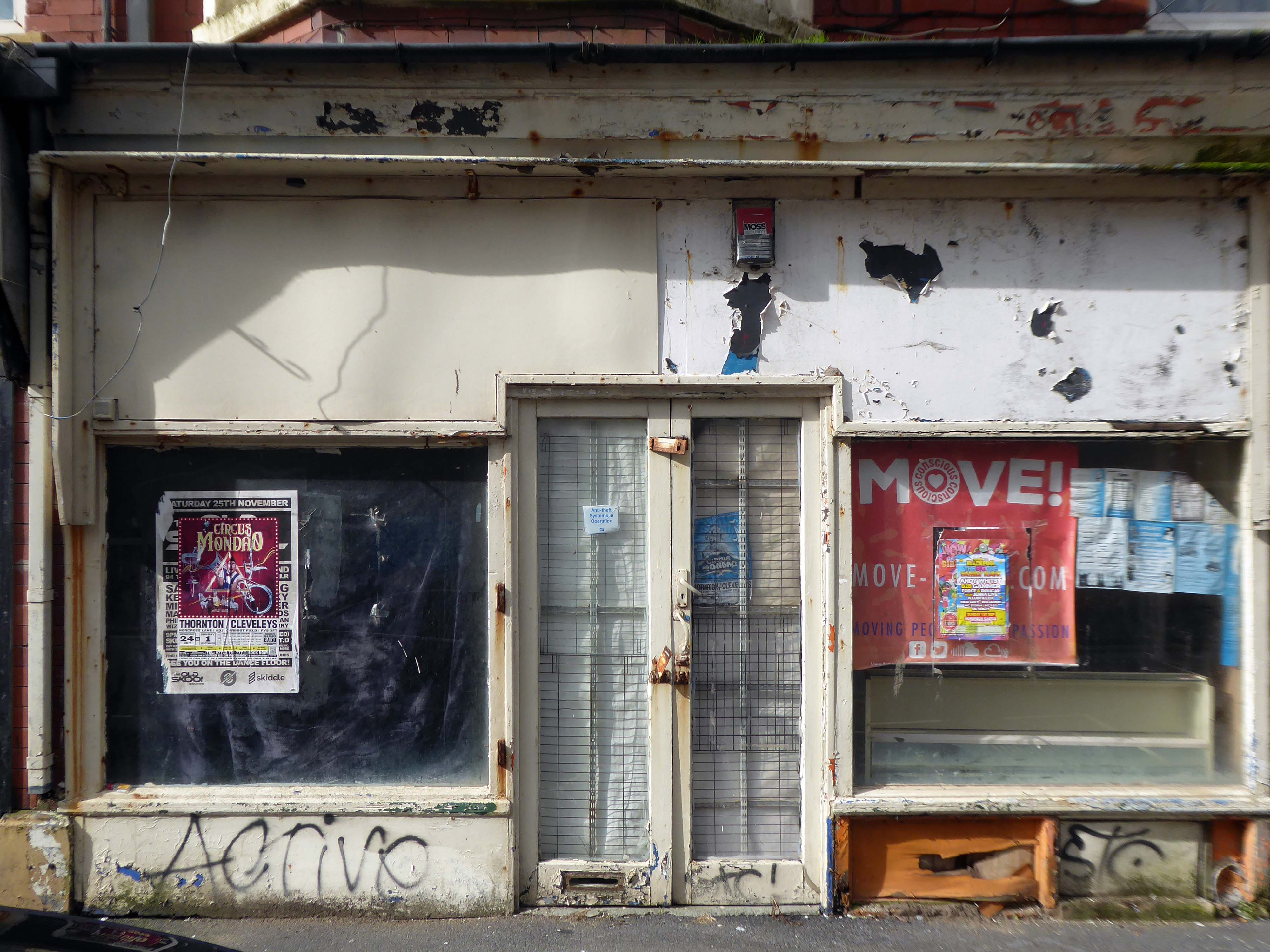
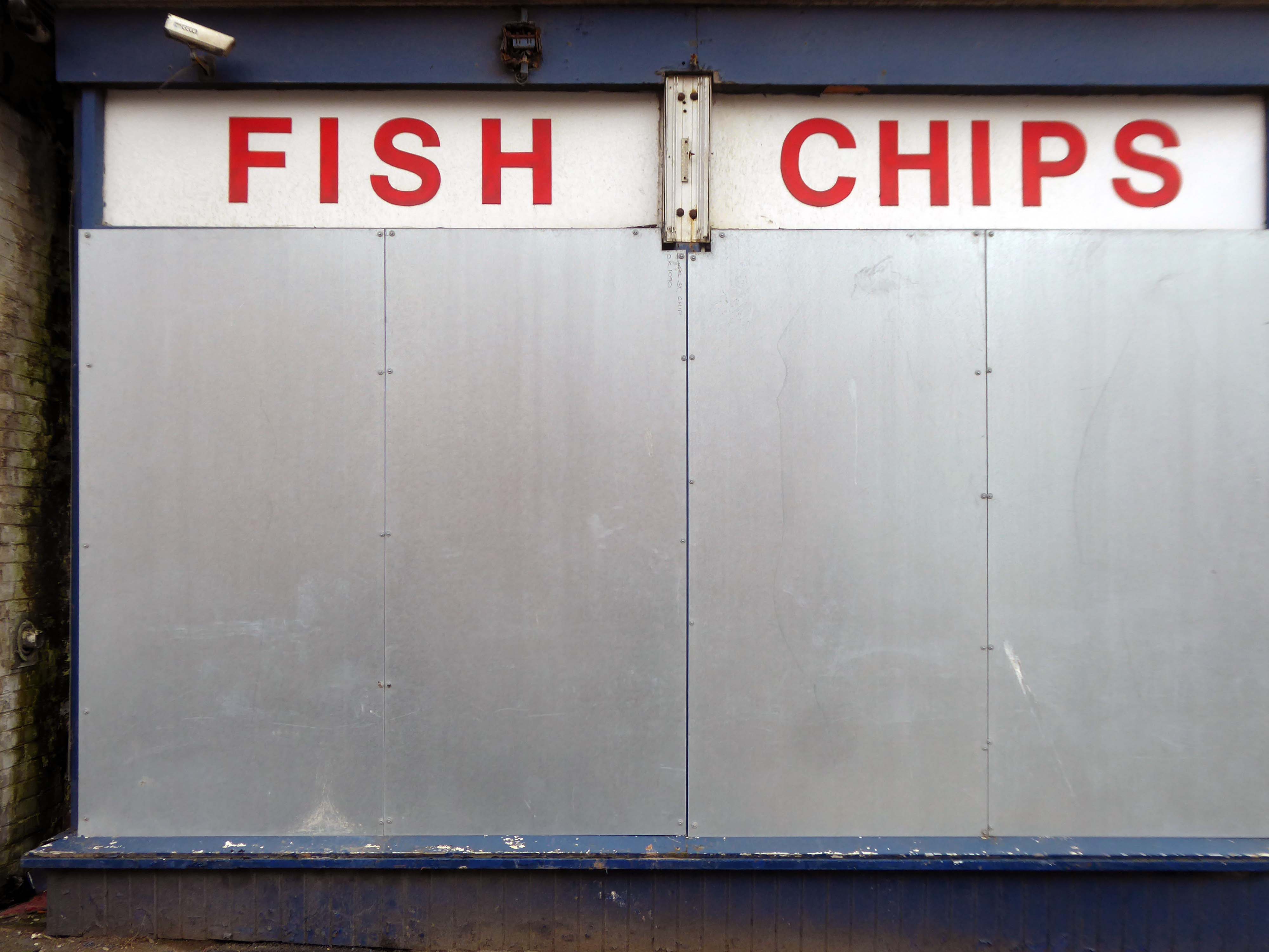
Followed the following year by fish and chip shops.
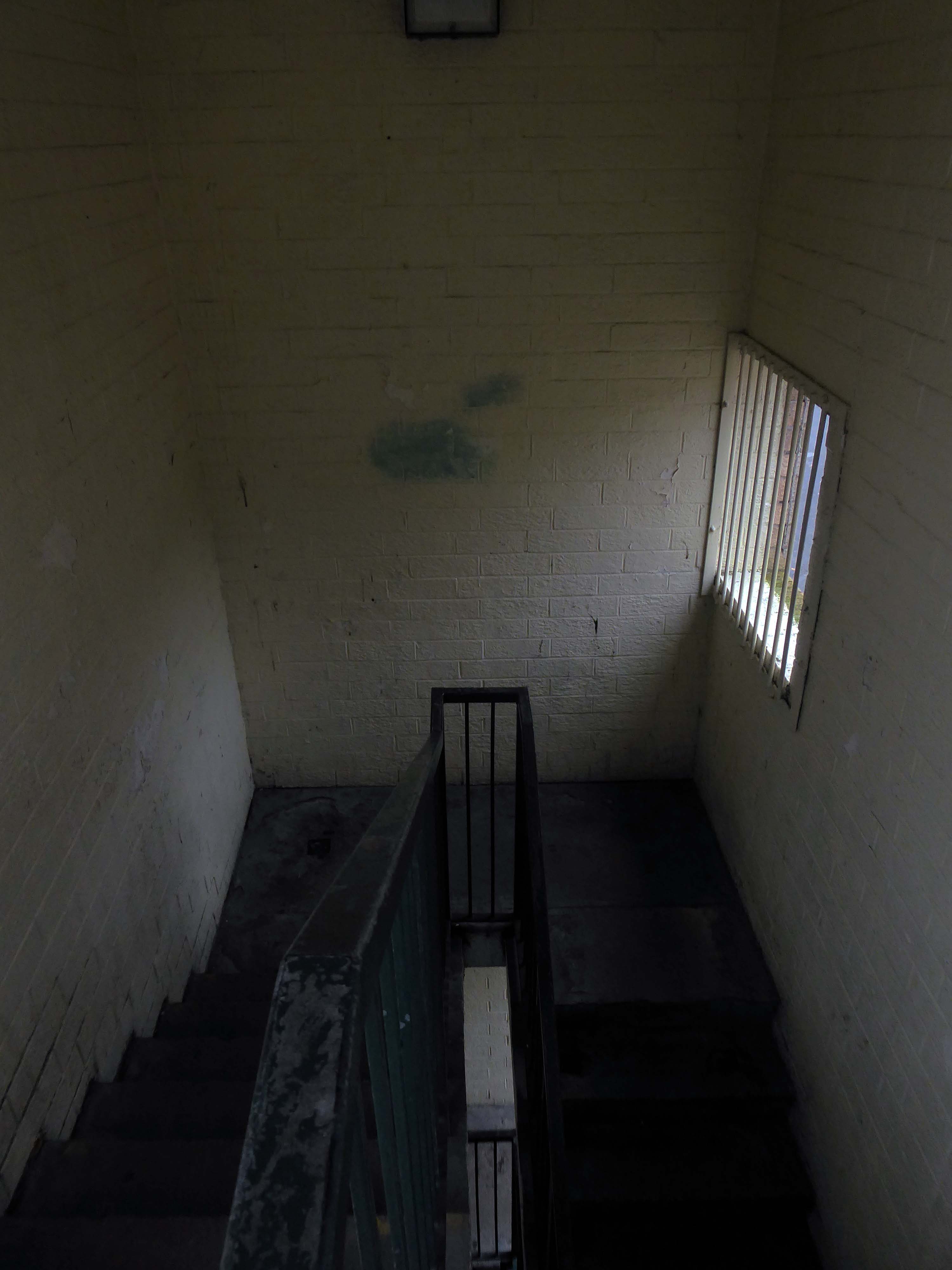
So building a vocabulary for my mooching, discovering yet another chippy, laundry, pub, Burton’s, telephone exchange, glazed stairway or underpass.
These things find you, yearning for some small amount of attention and affection.

The Trawl – my favourite peg board menu, my favourite Bridlington chippy.

We are now coming to the end of the car park year – seen here on the wall of my command centre.

The calendar was an adjunct to a walk – Twelve Car Parks.
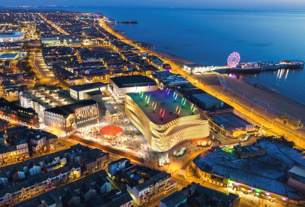
Here we all are at Circle Square – Fielden Clegg Bradley were concept architects while Leach Rhodes Walker were delivery architects.

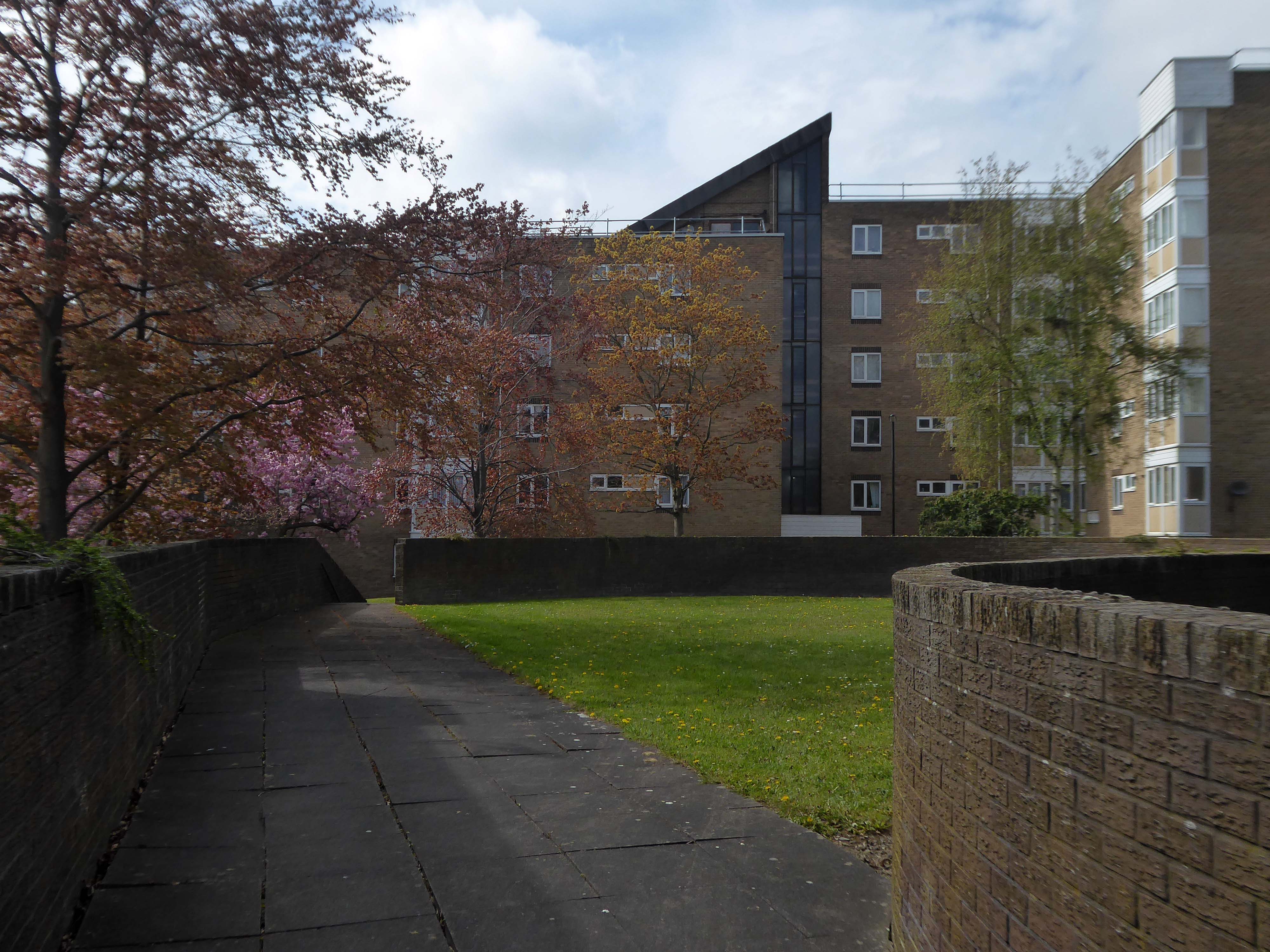
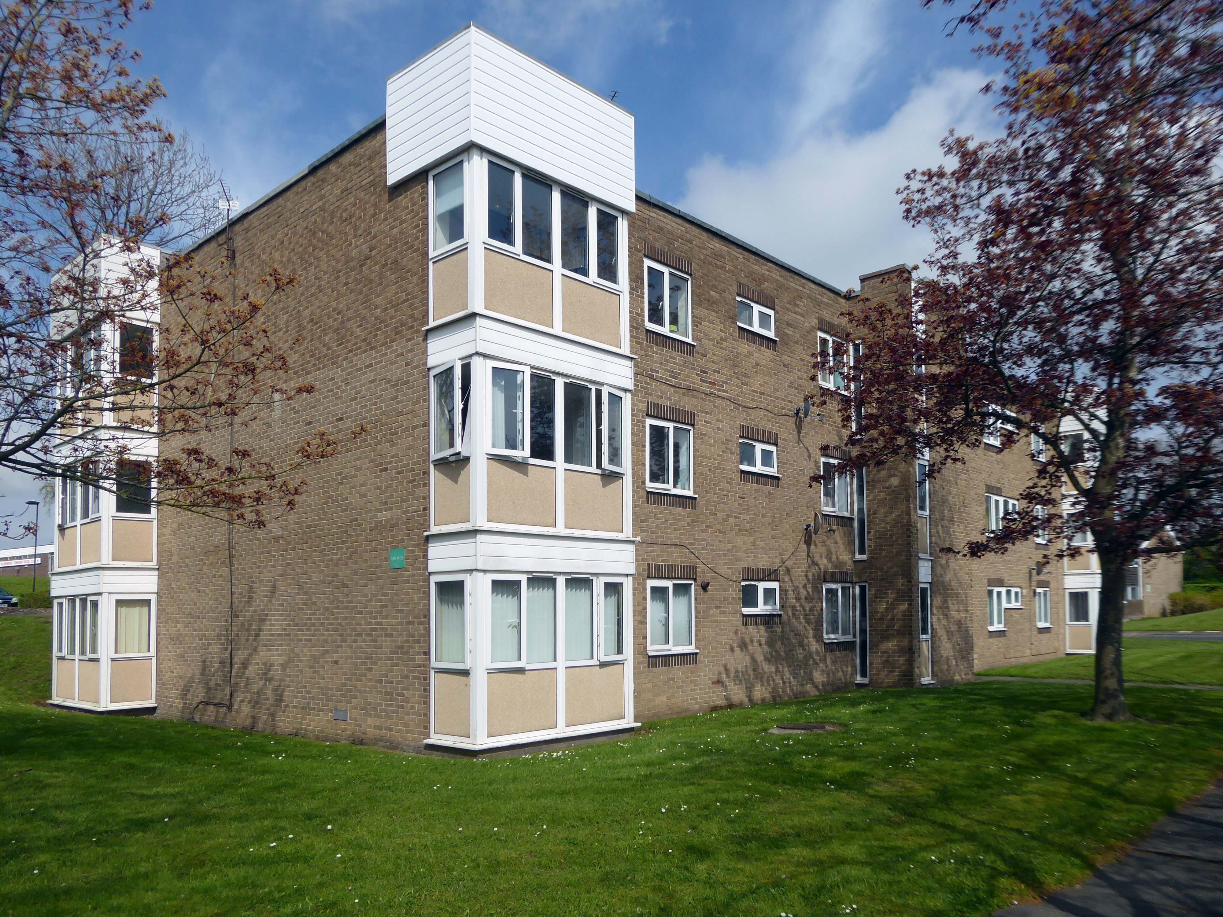
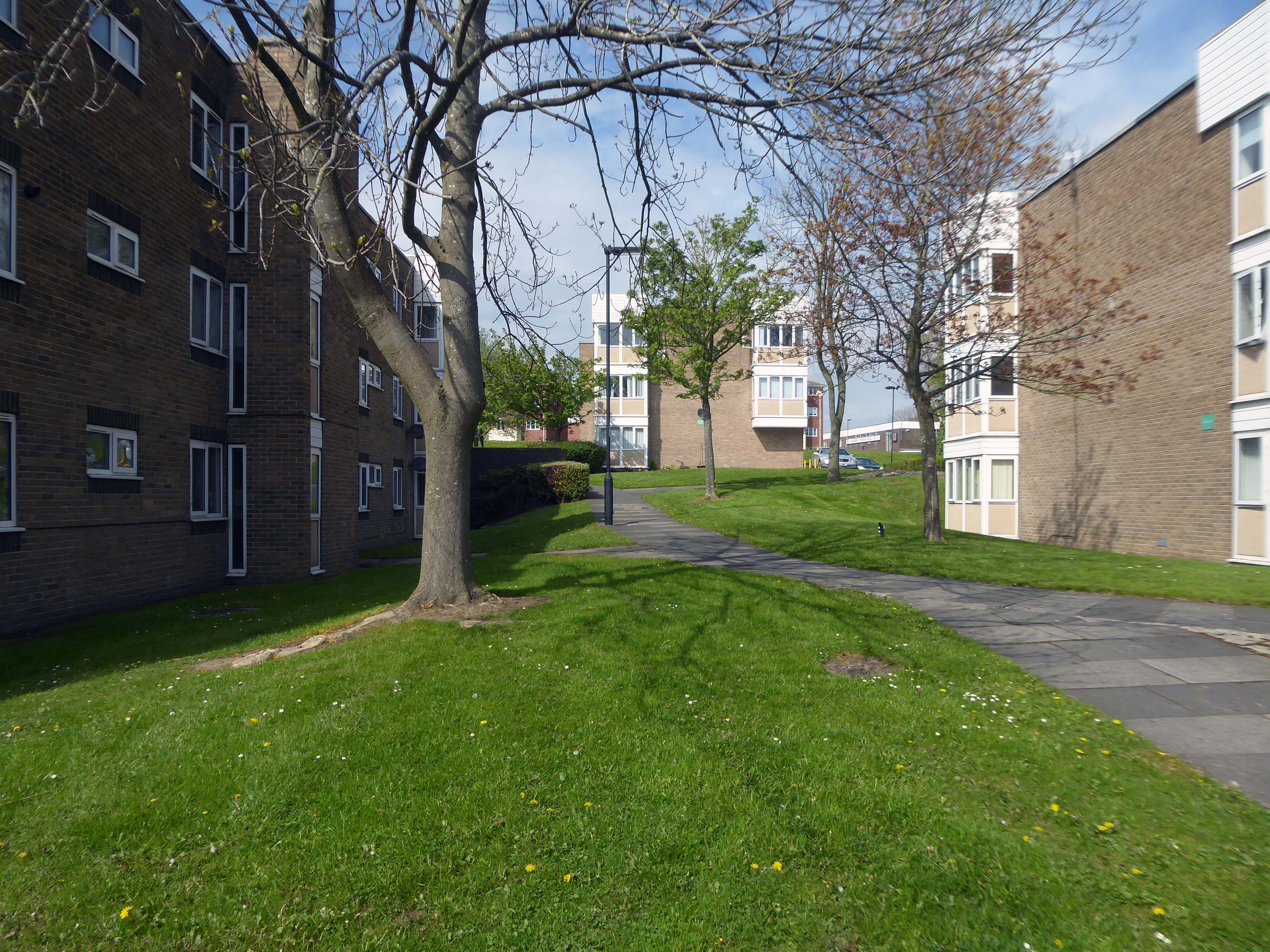
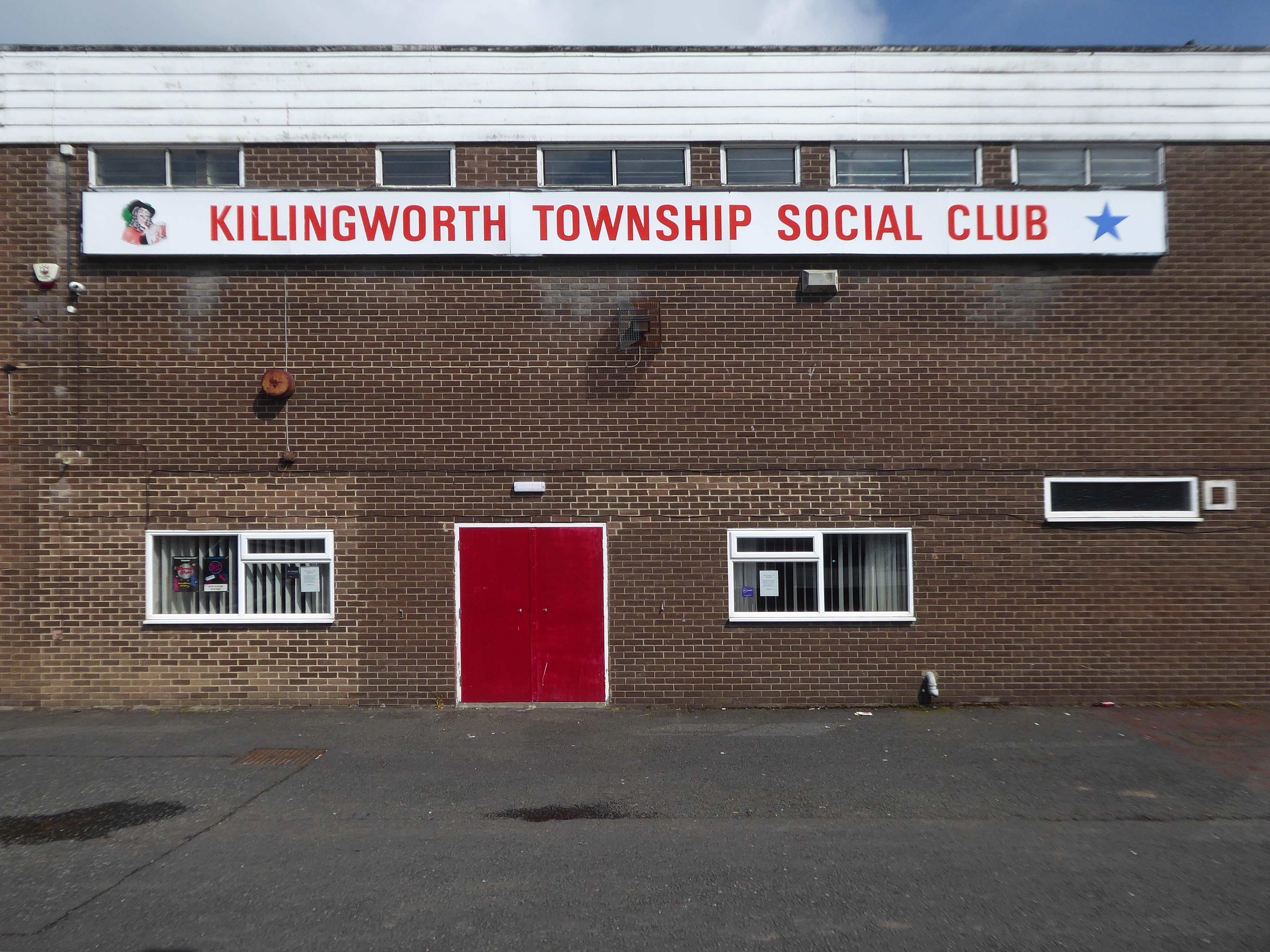
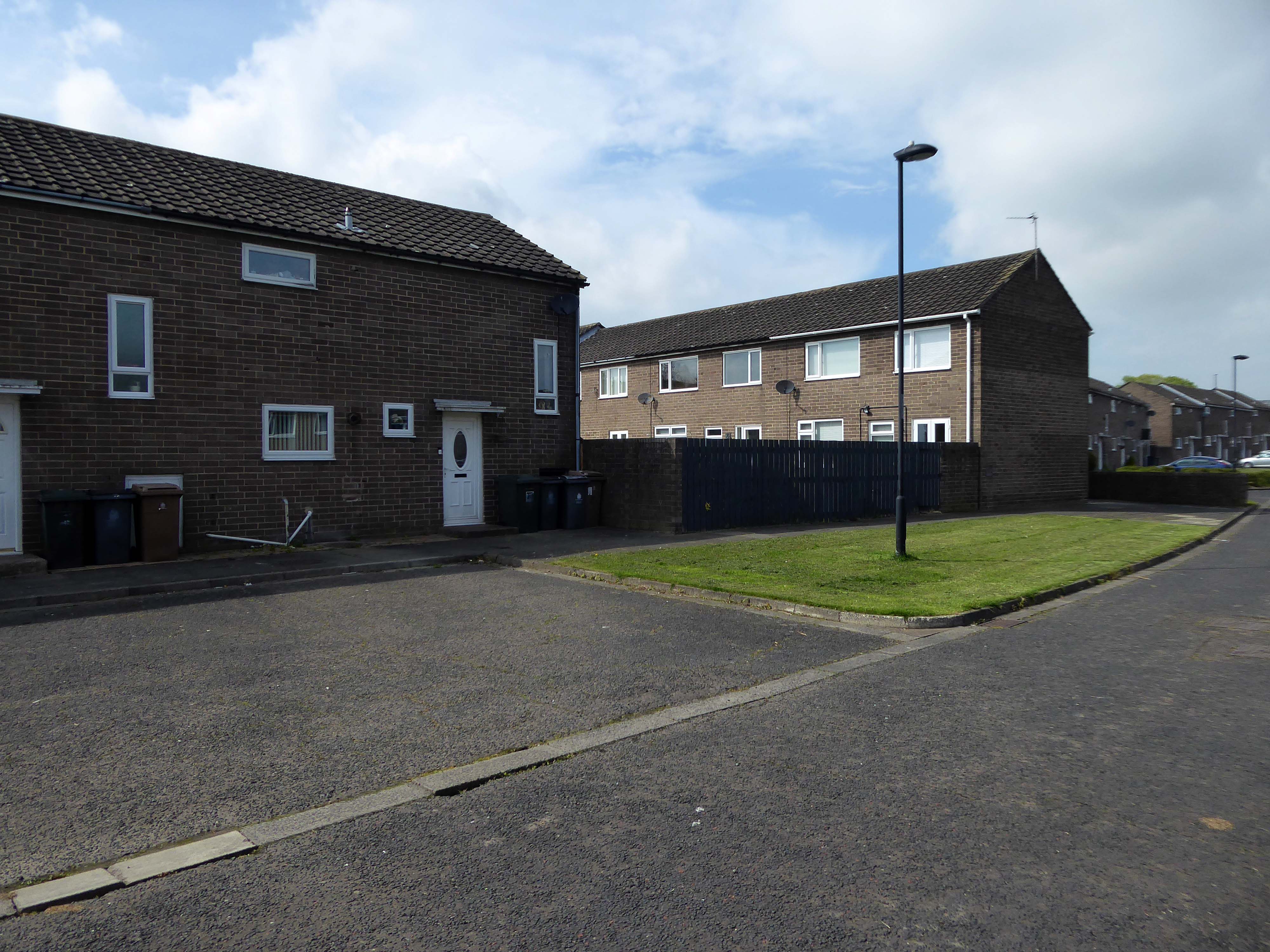
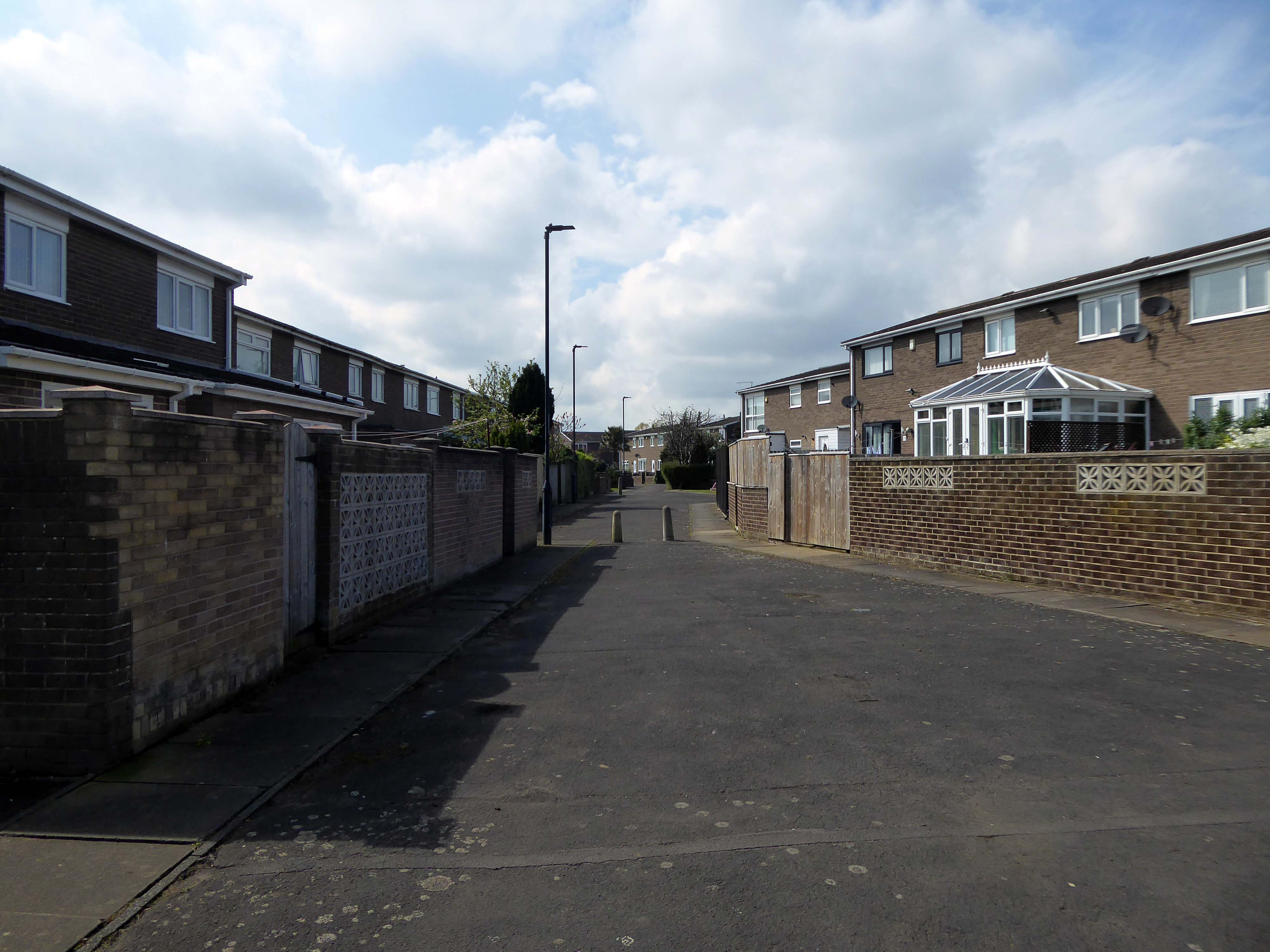
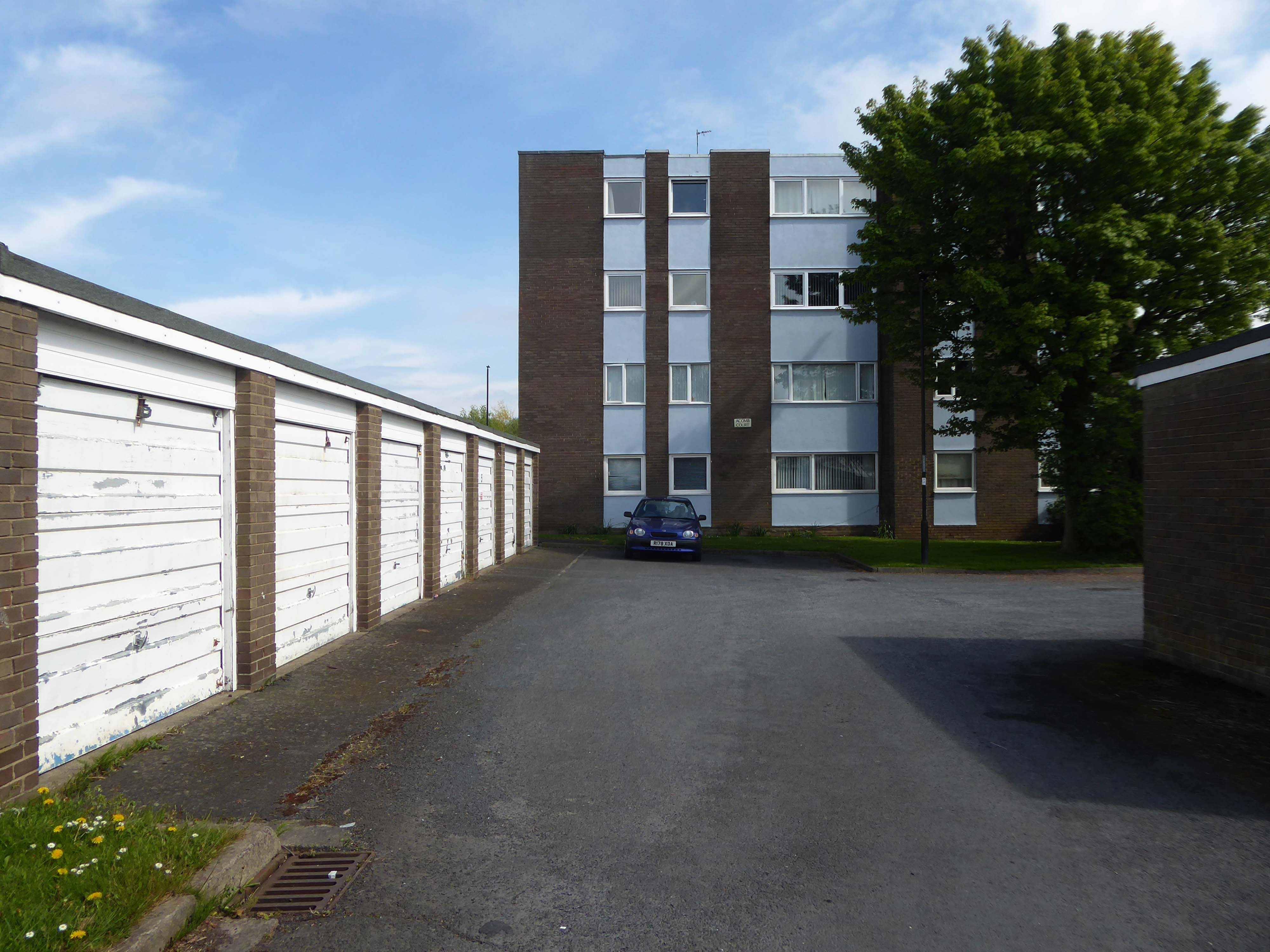
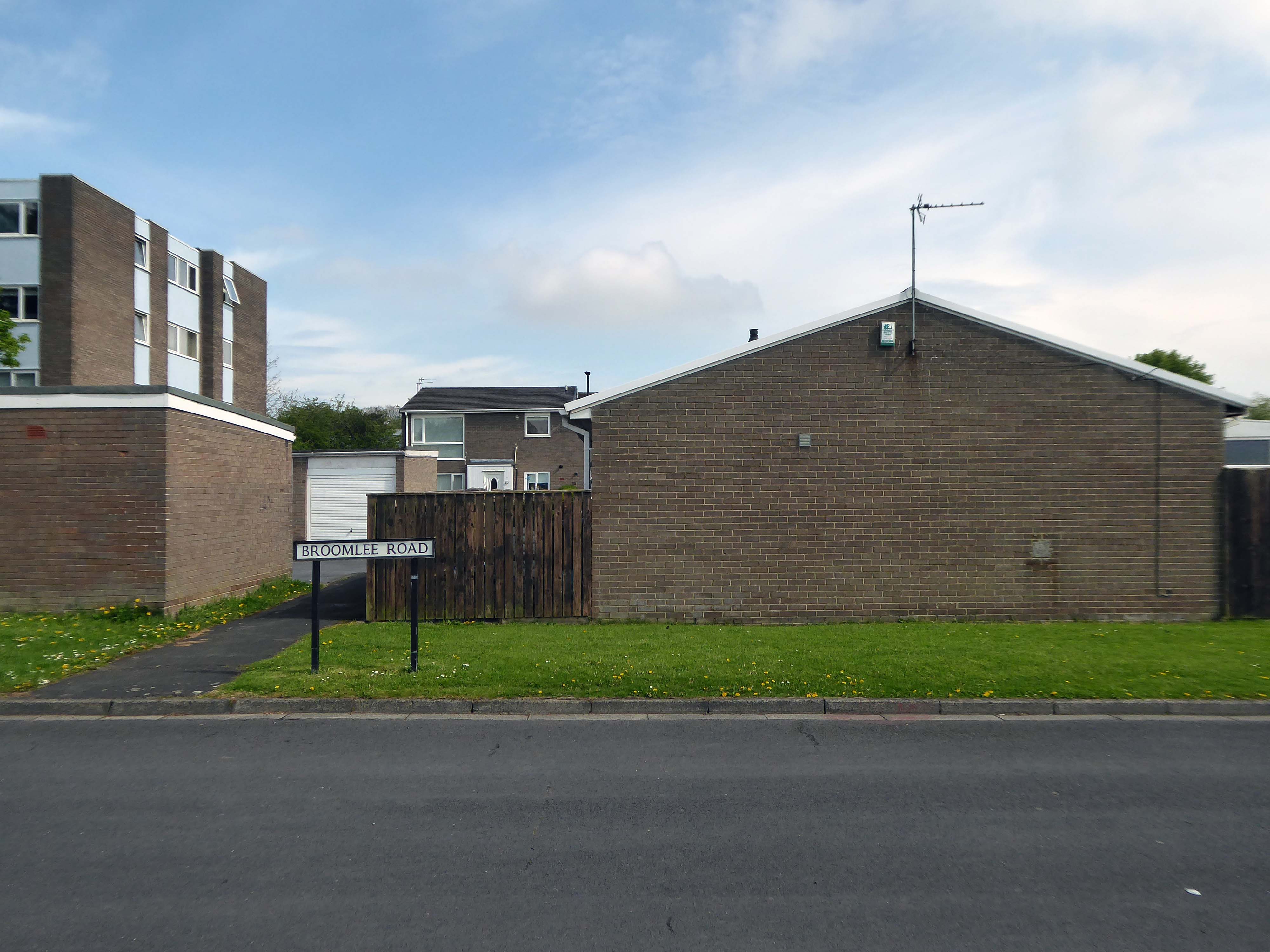
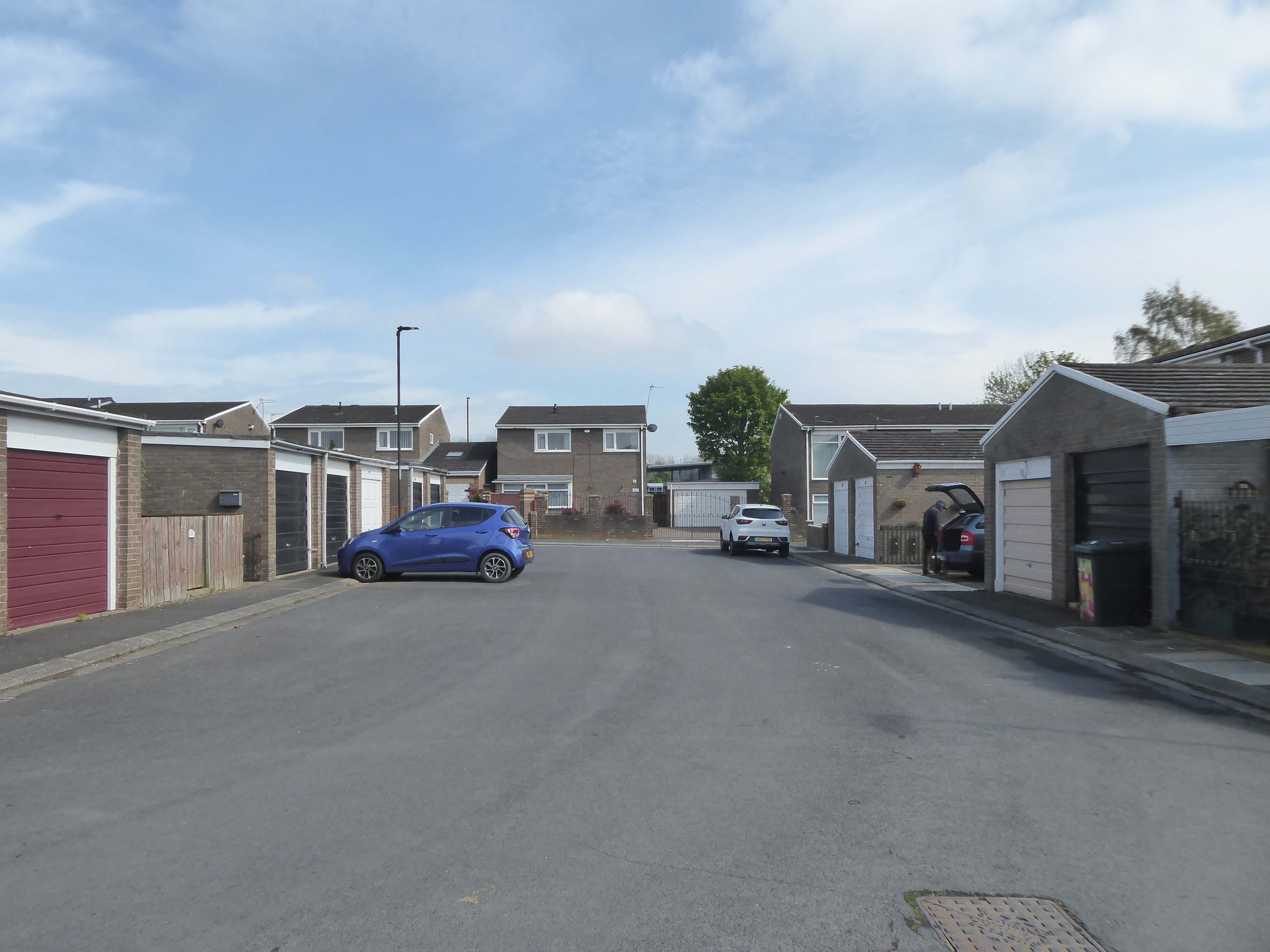
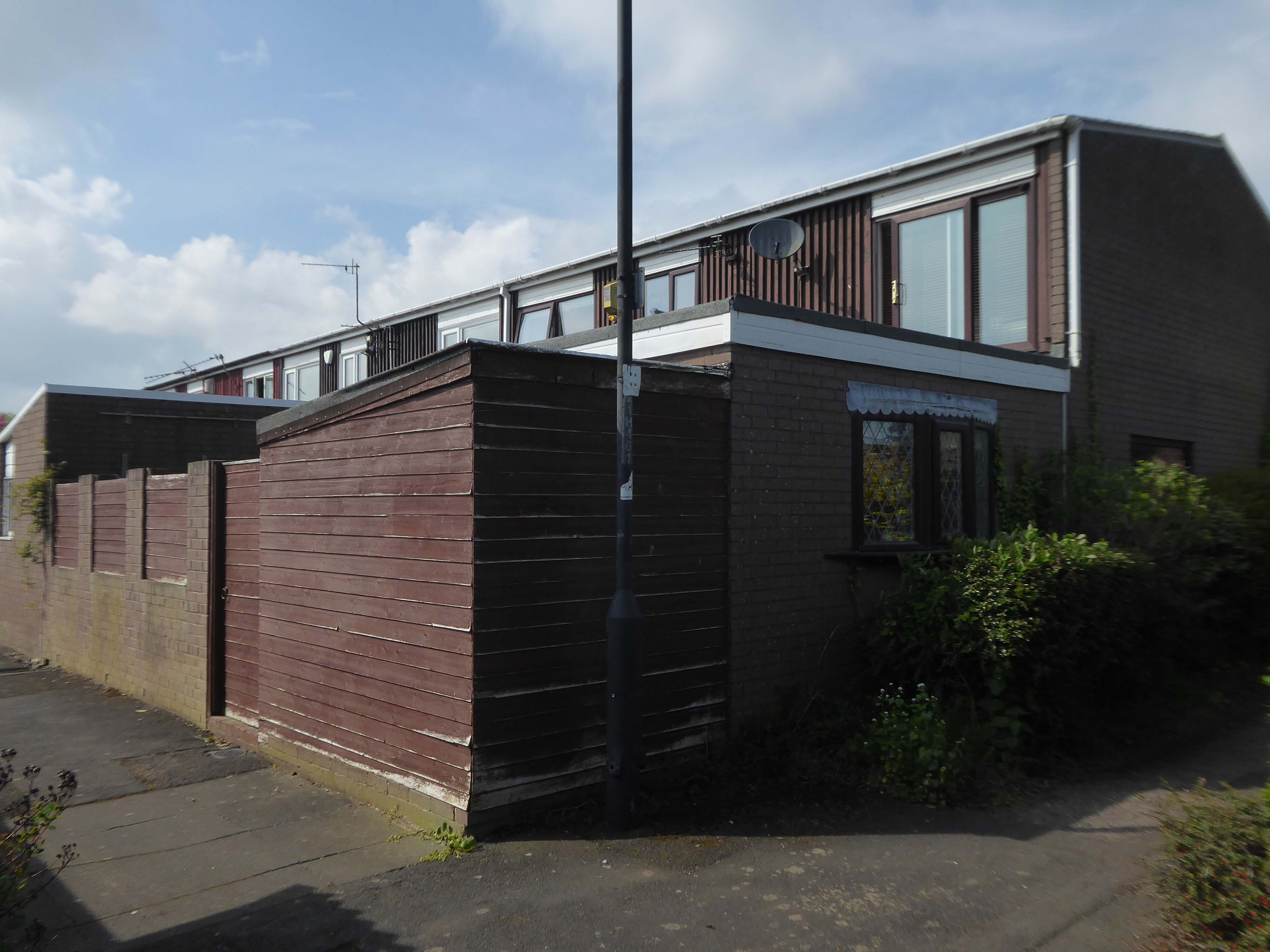
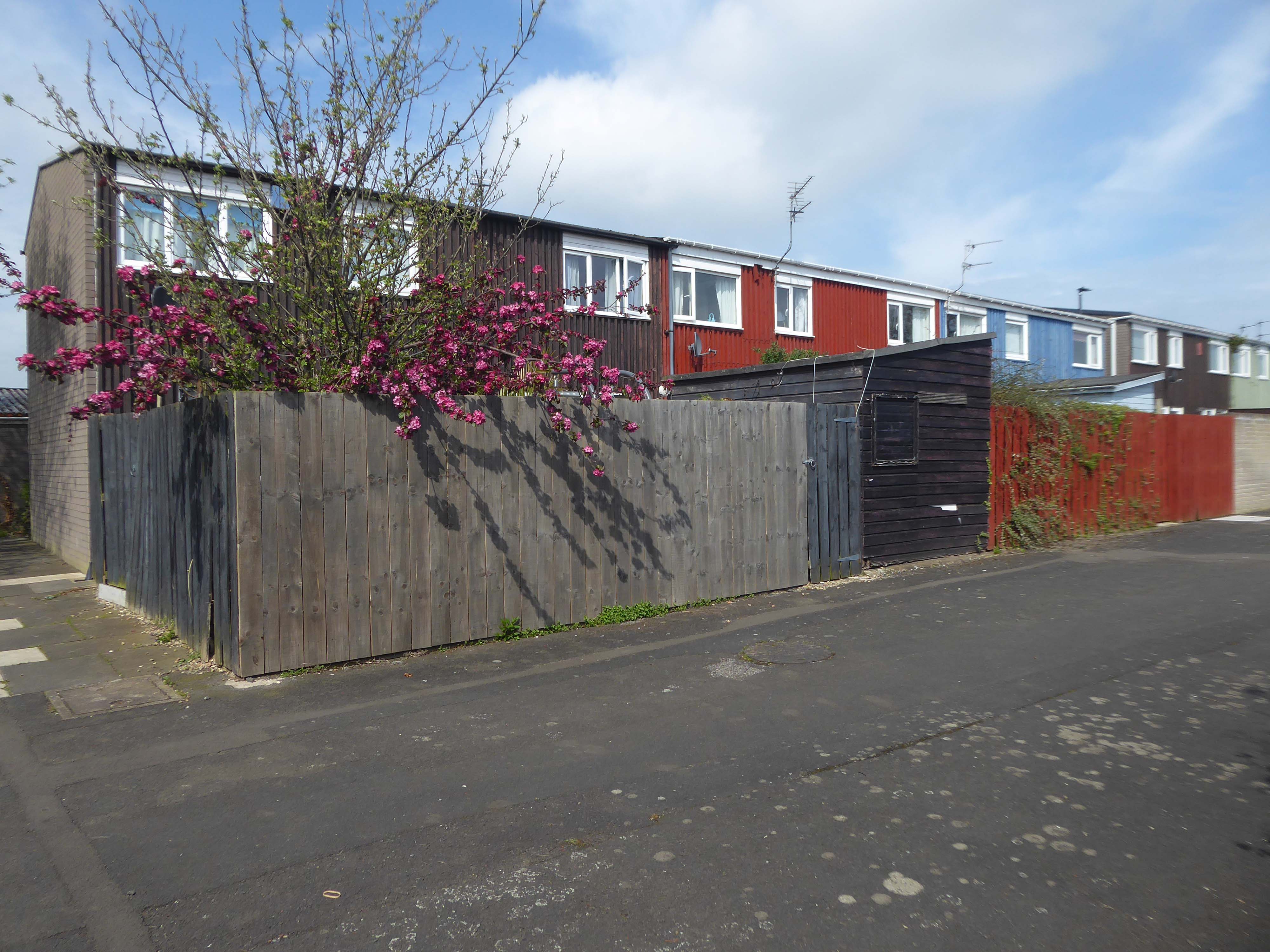
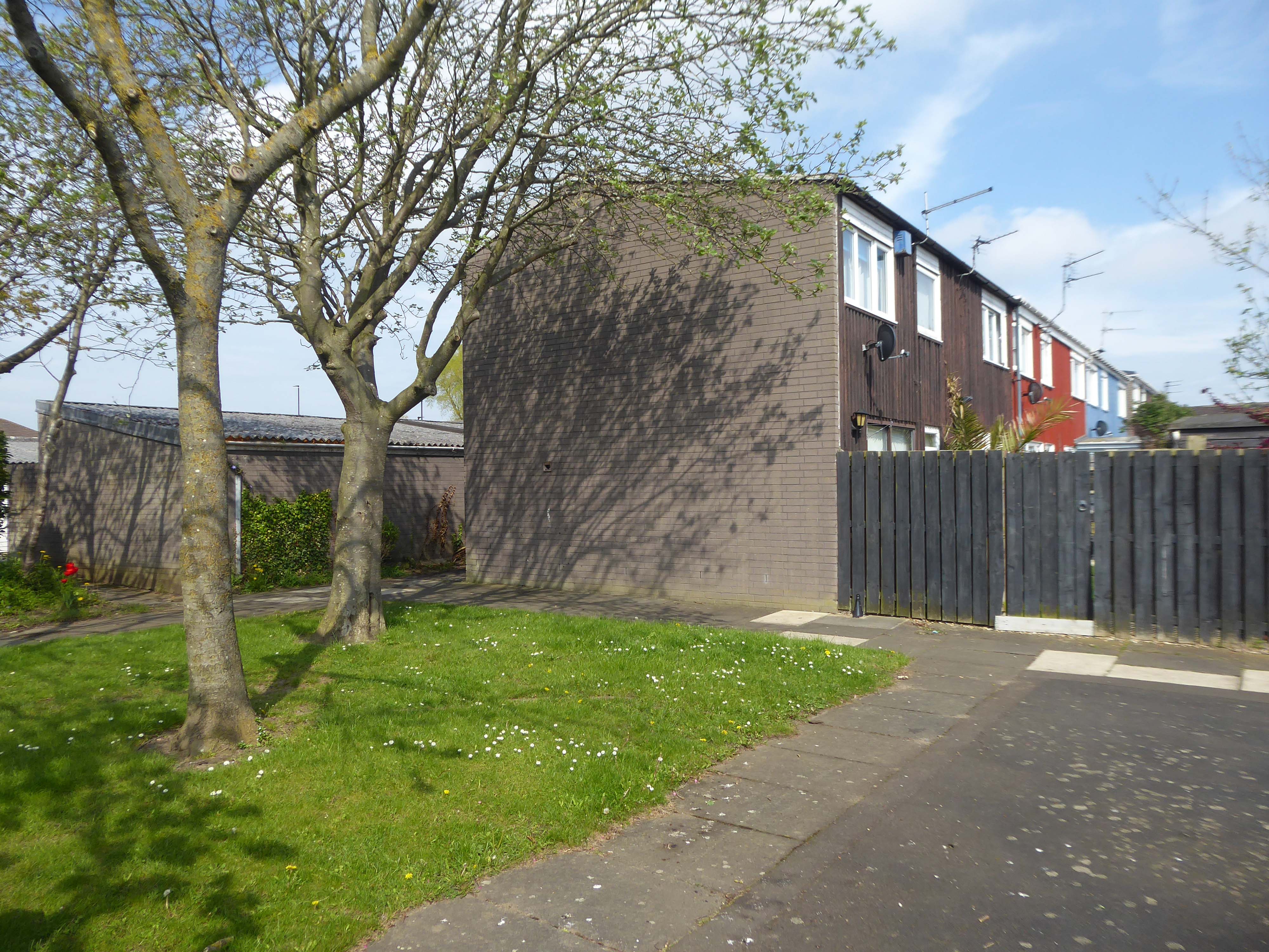
In September we walked around Newcastle for a weekend away – taking in Eldon Square, ably guided by local modernist Euan Lynn.

Ending our tour at Manors Car Park.

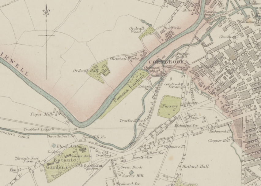
Following an urban river – the River Irk, an excellent way to devise a linear walk.
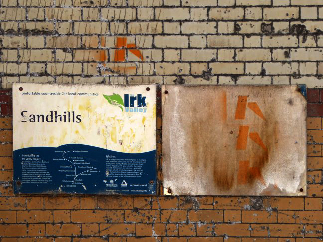
The river enclosed in blue engineers brick as it passes under the railway.

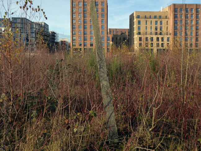
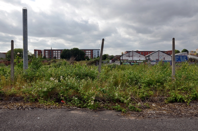
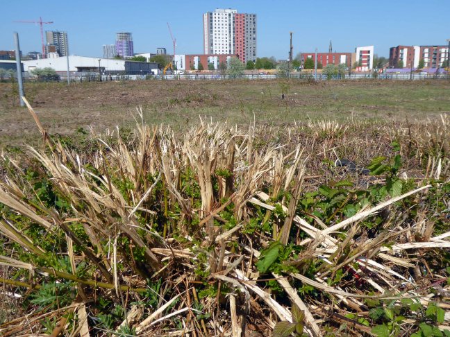
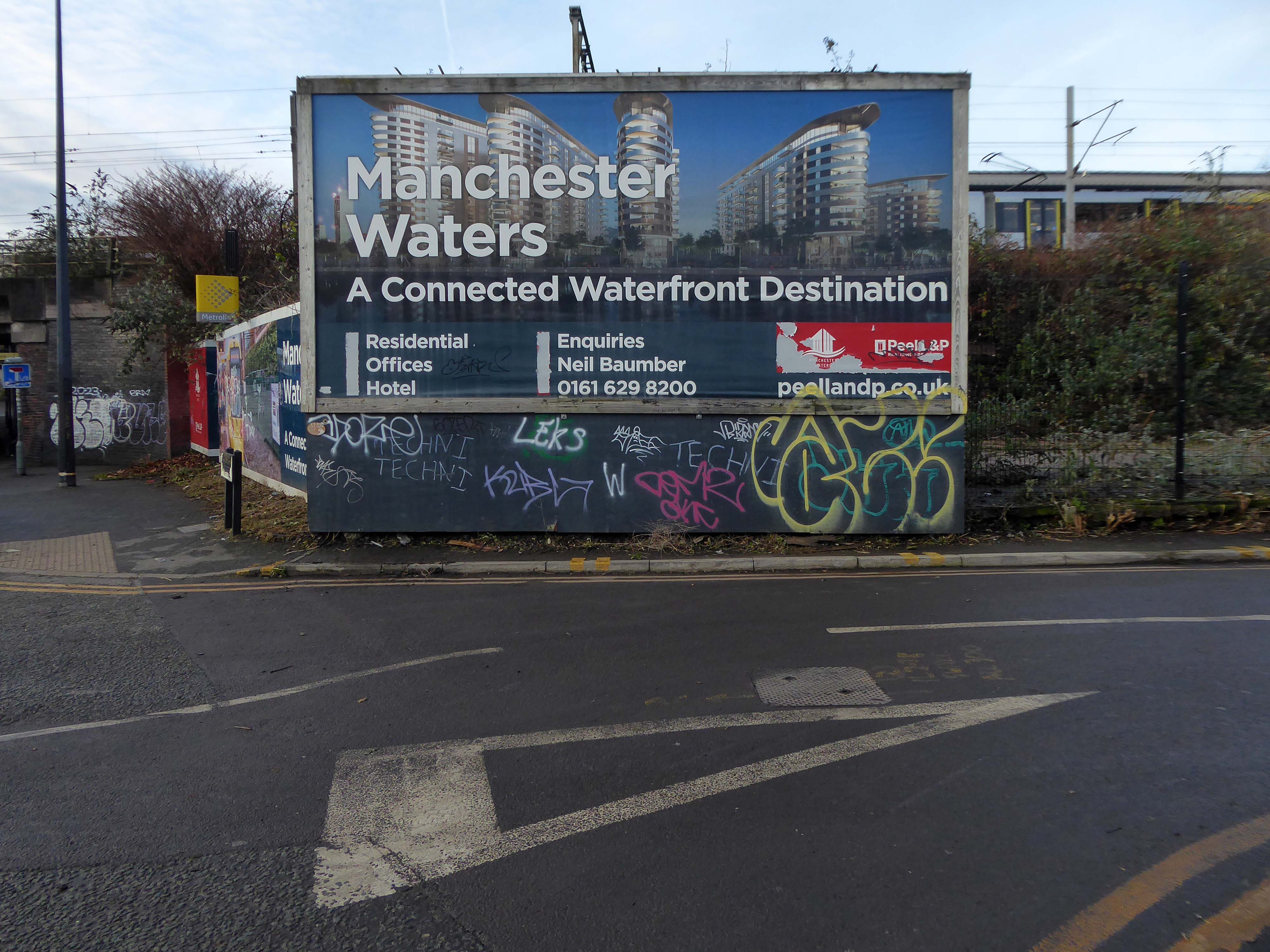
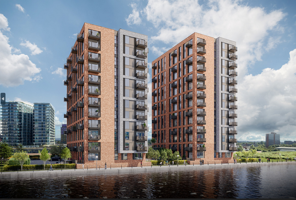
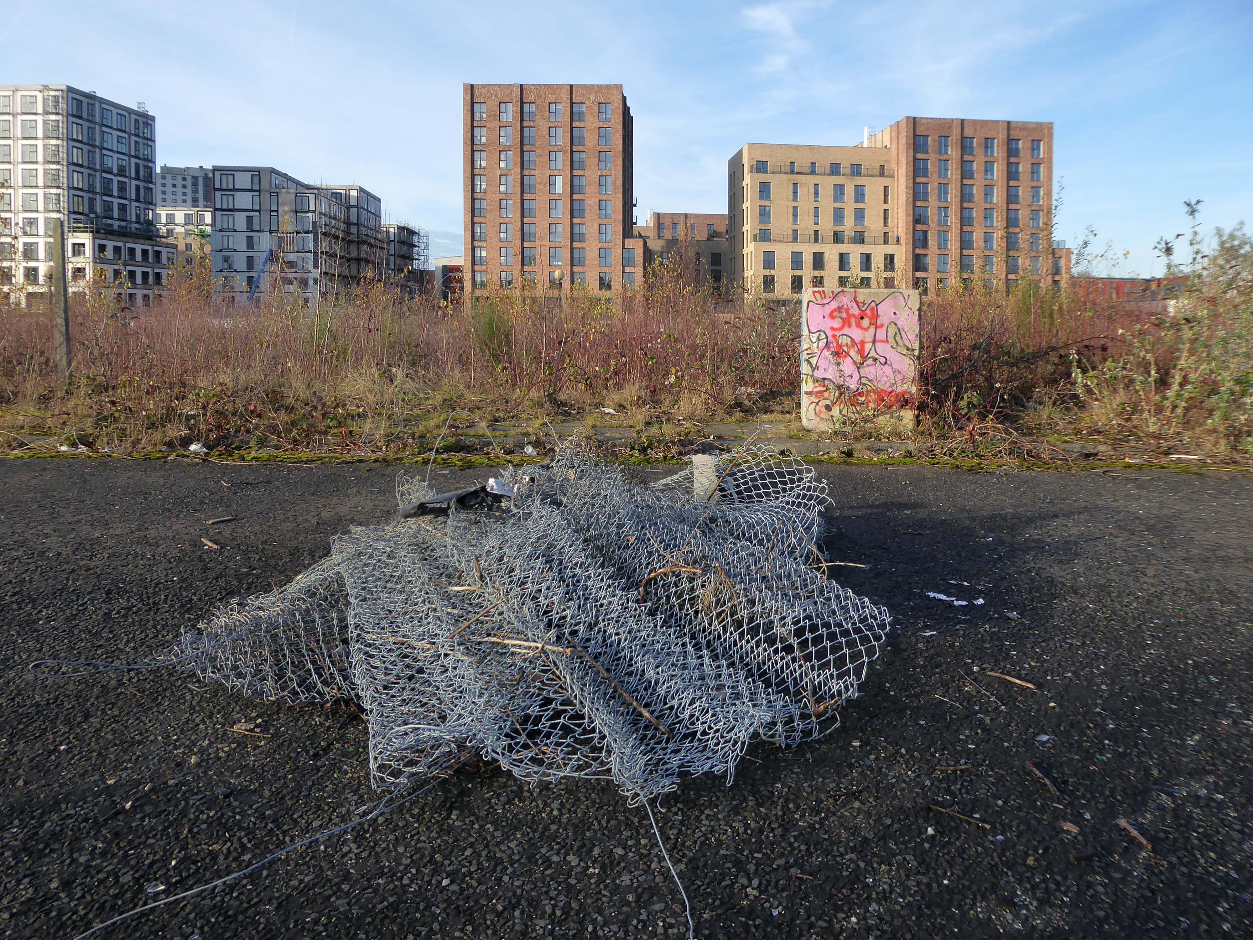
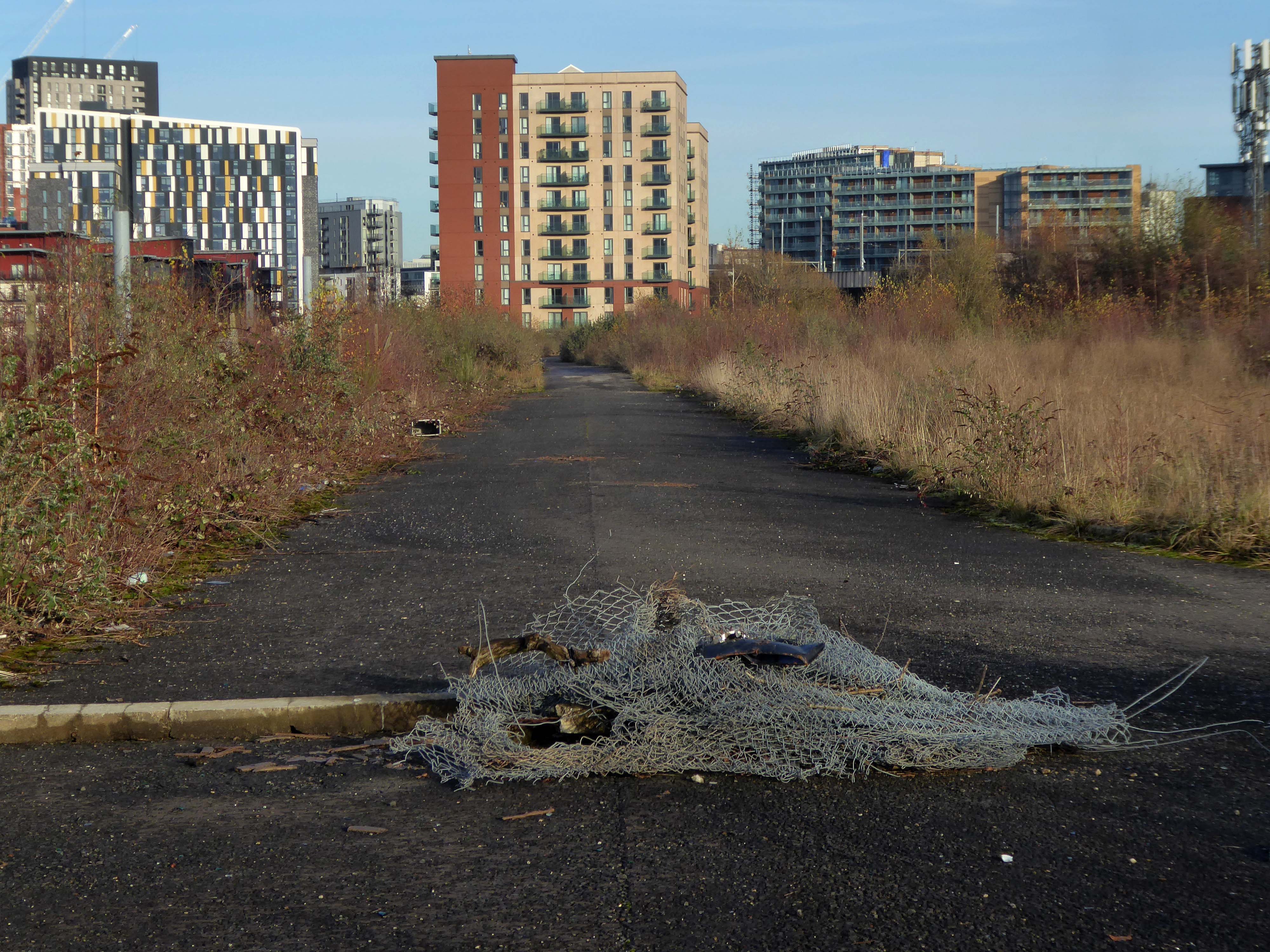
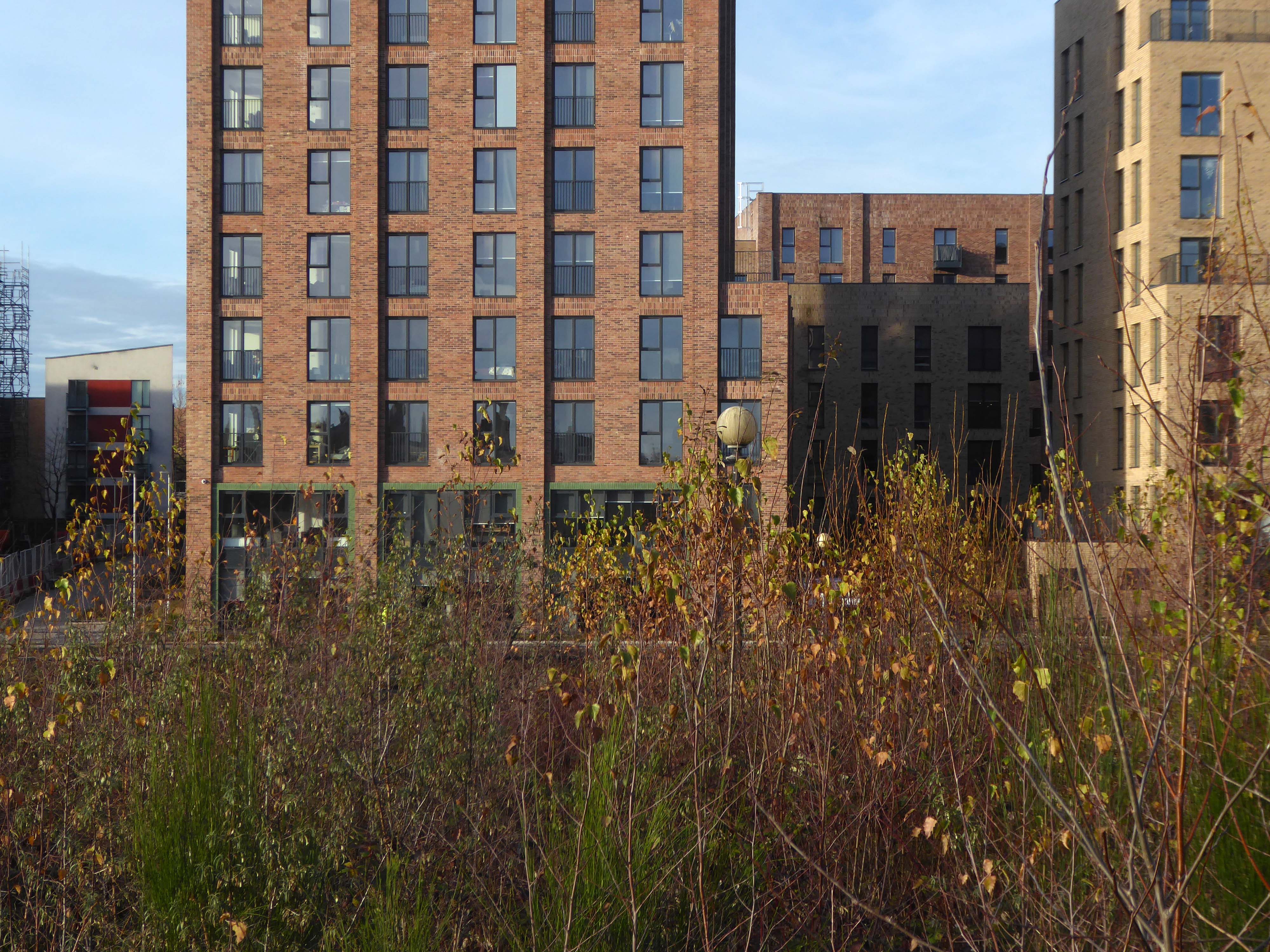
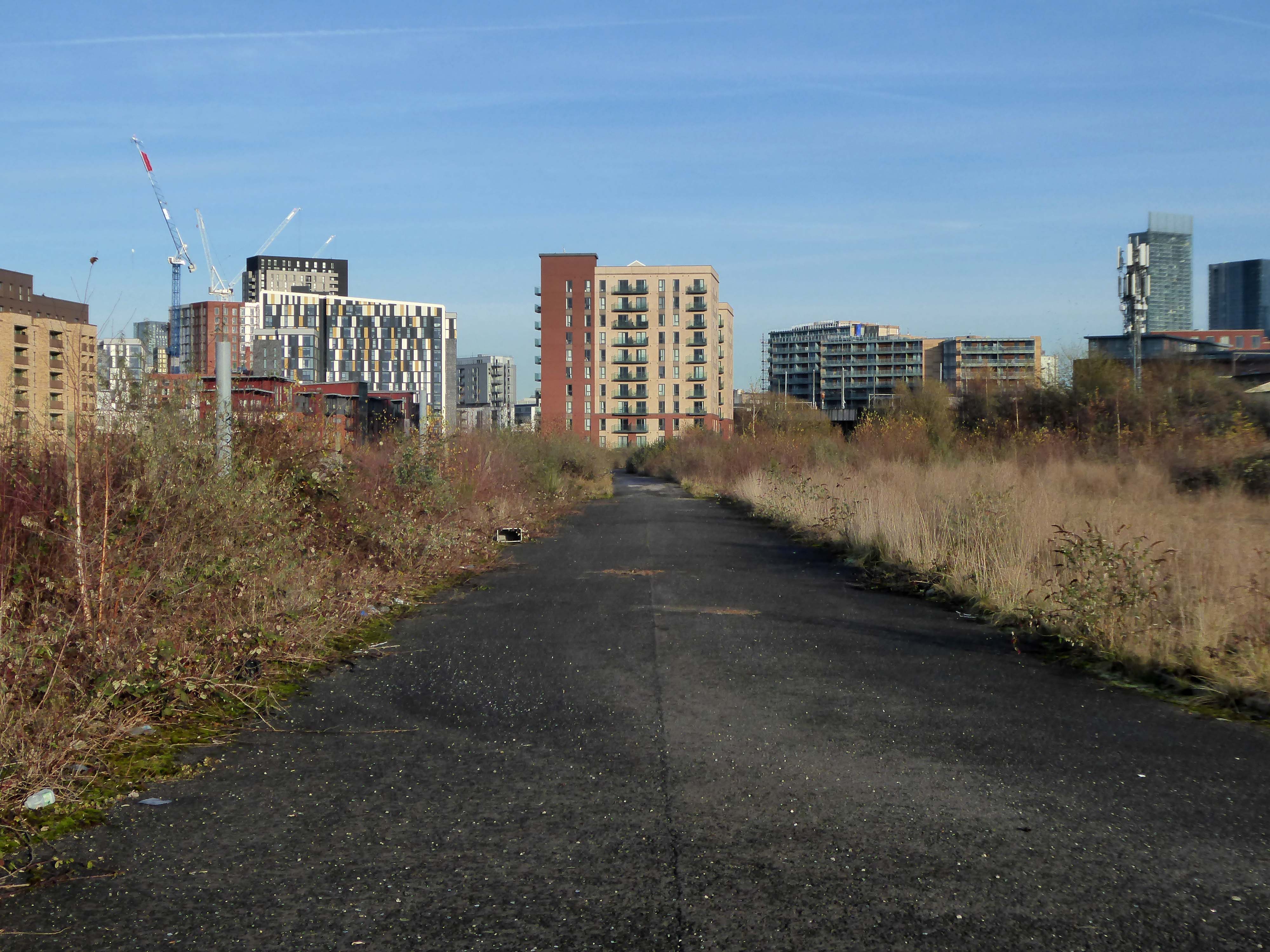
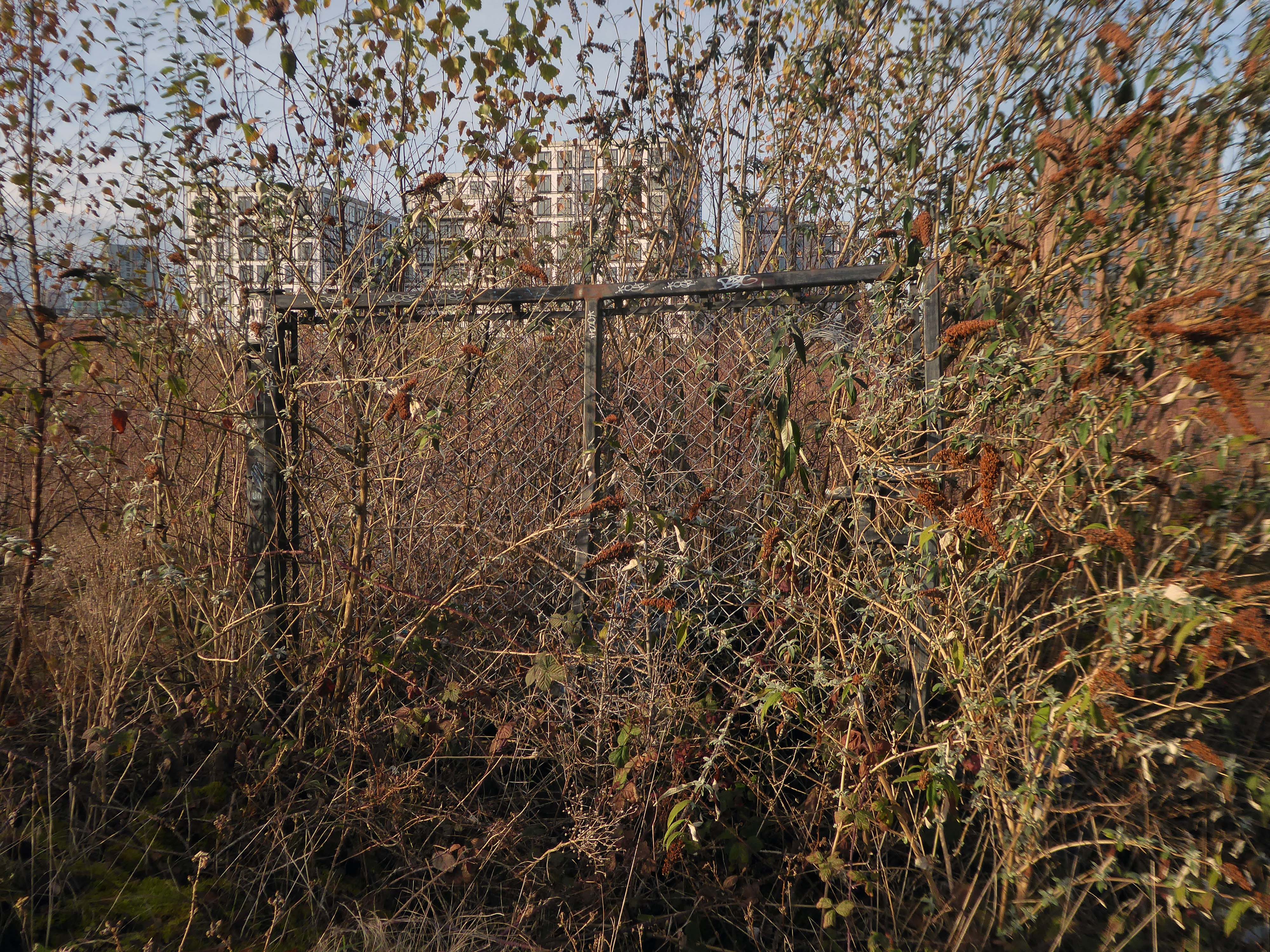
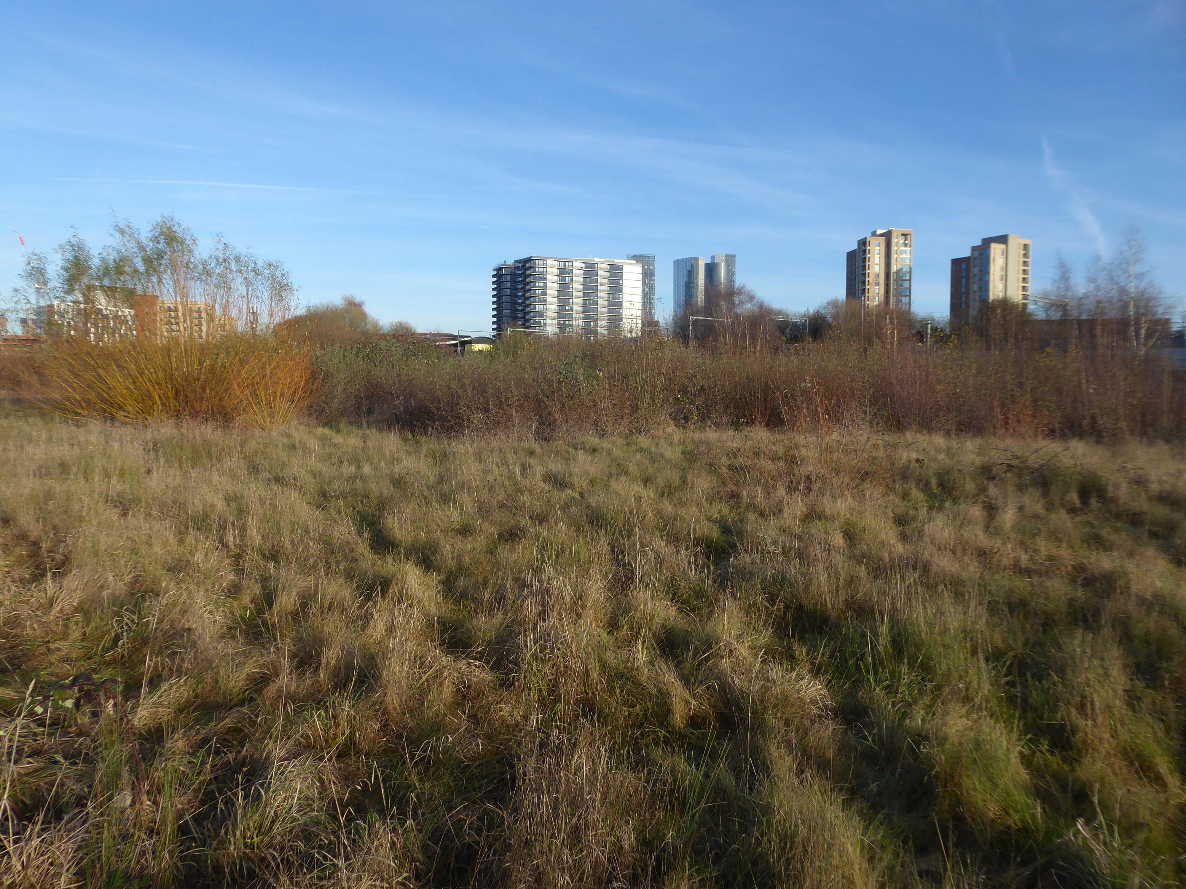
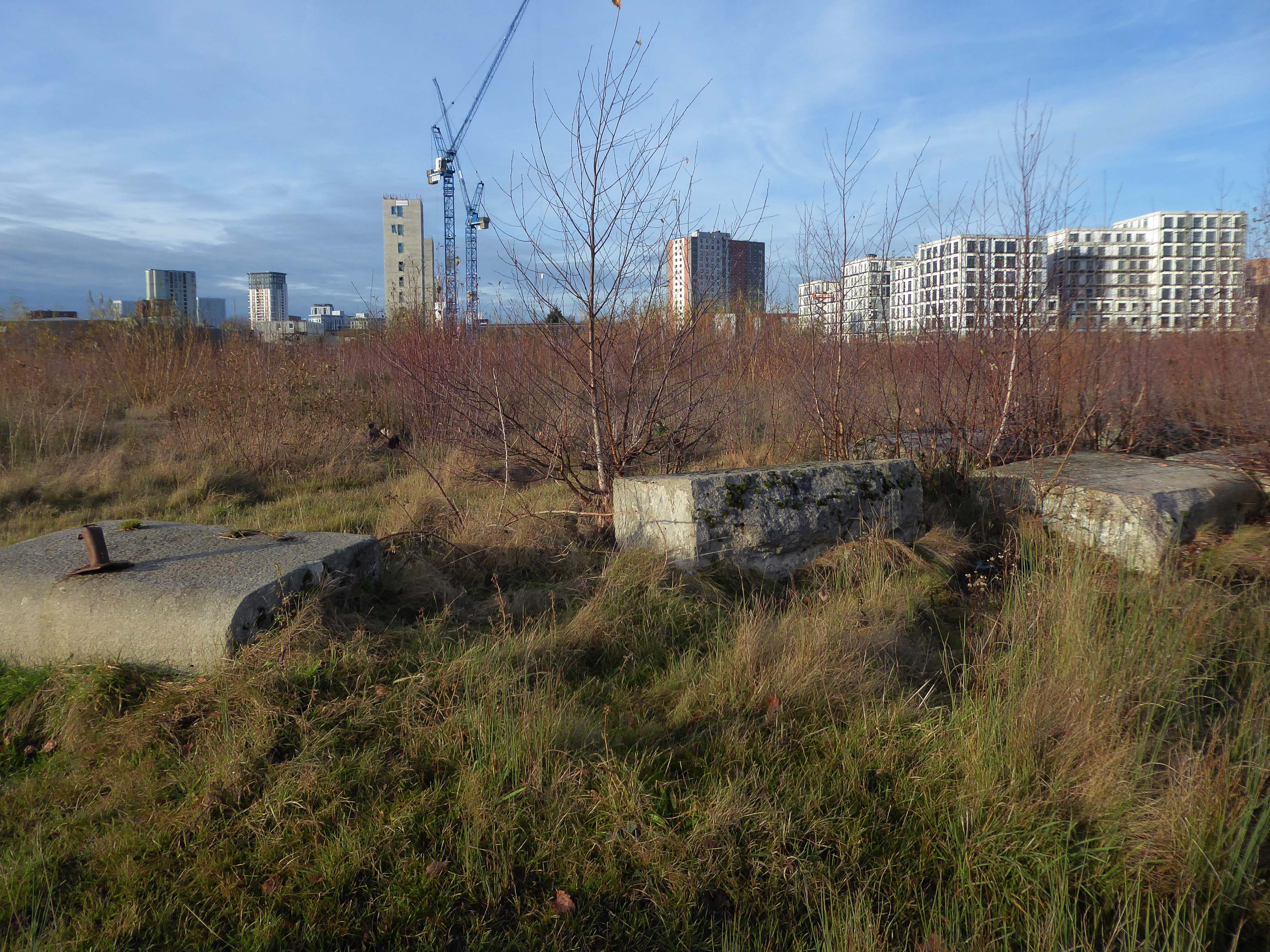
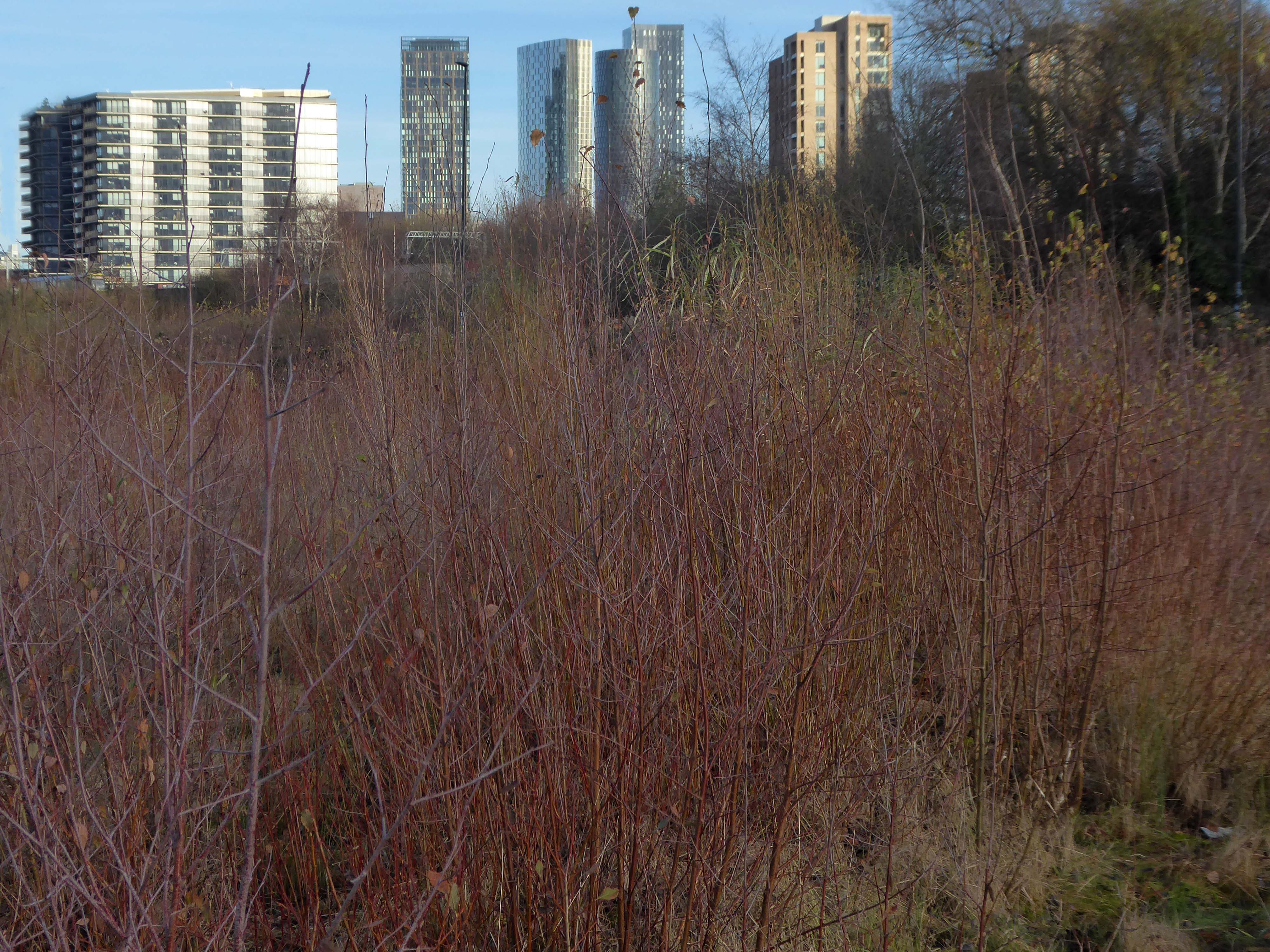
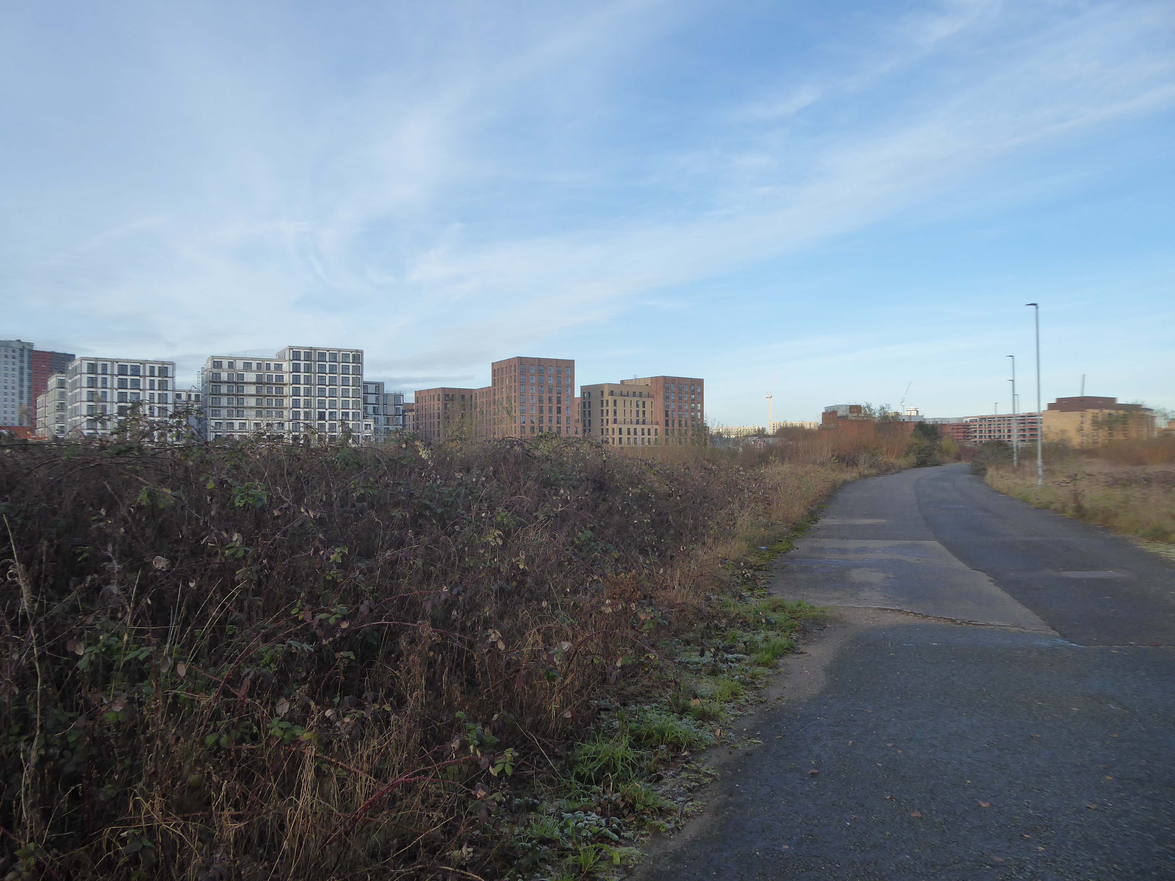
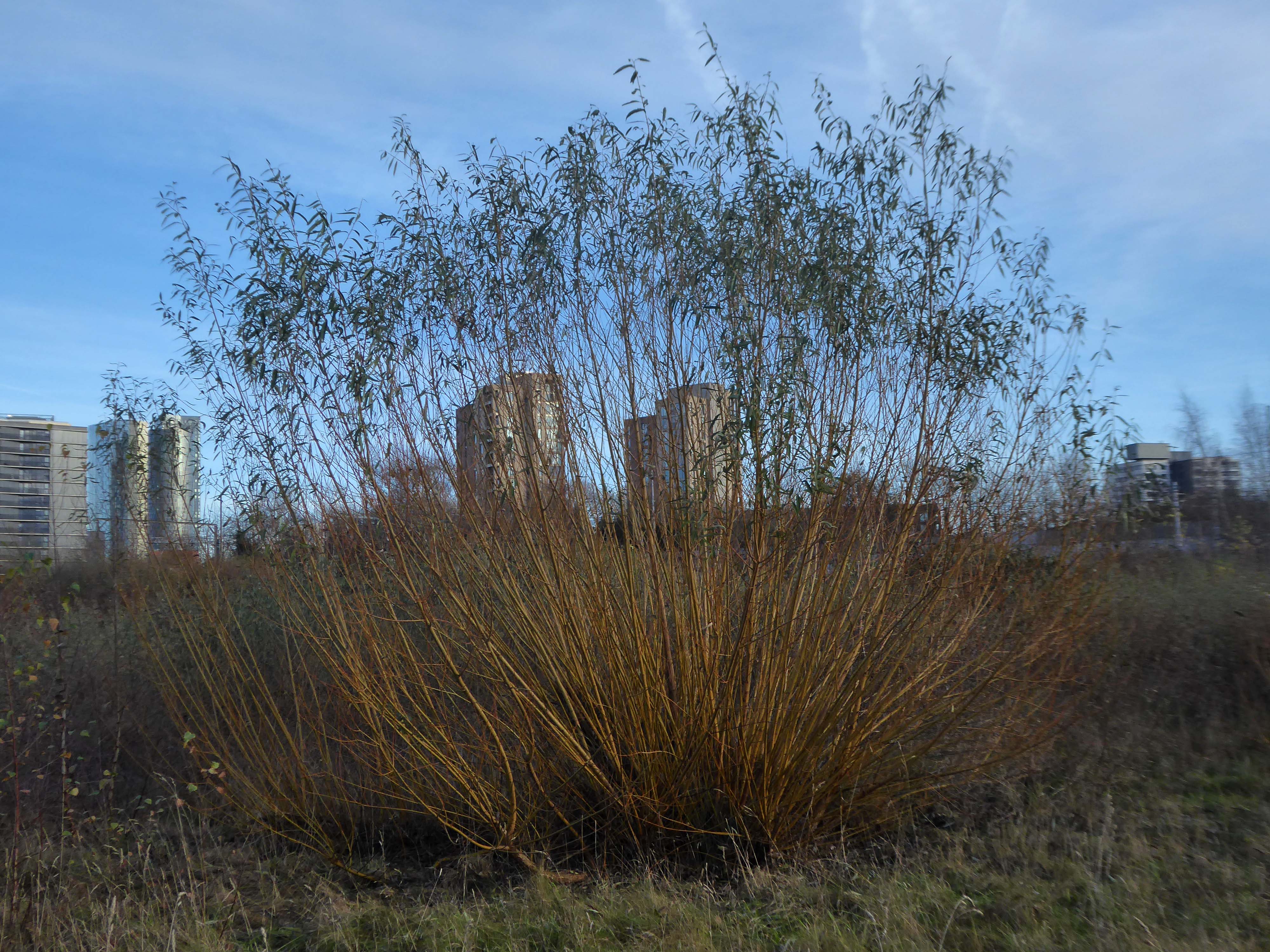
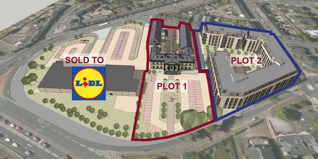
A long neglected are is now the scene of mass regeneration – rebranded Victoria North.

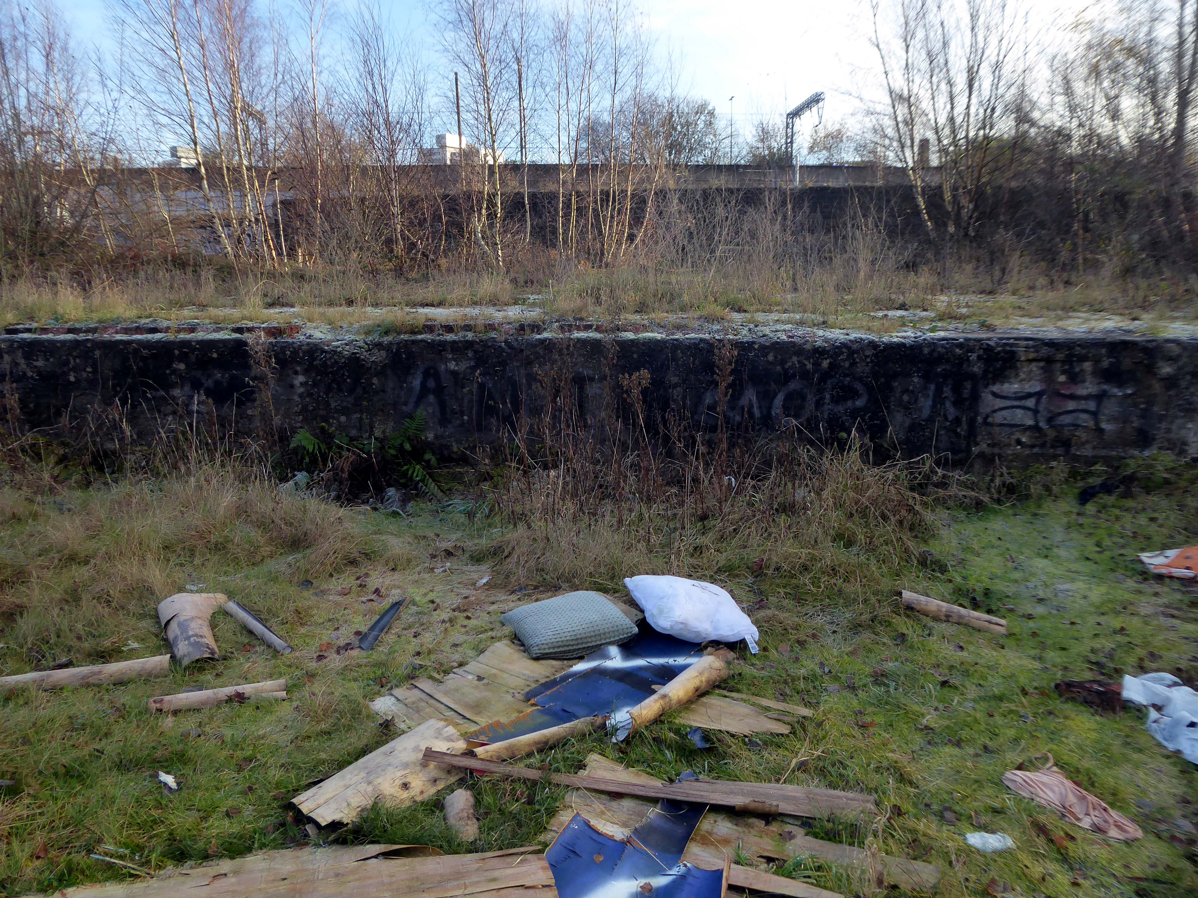
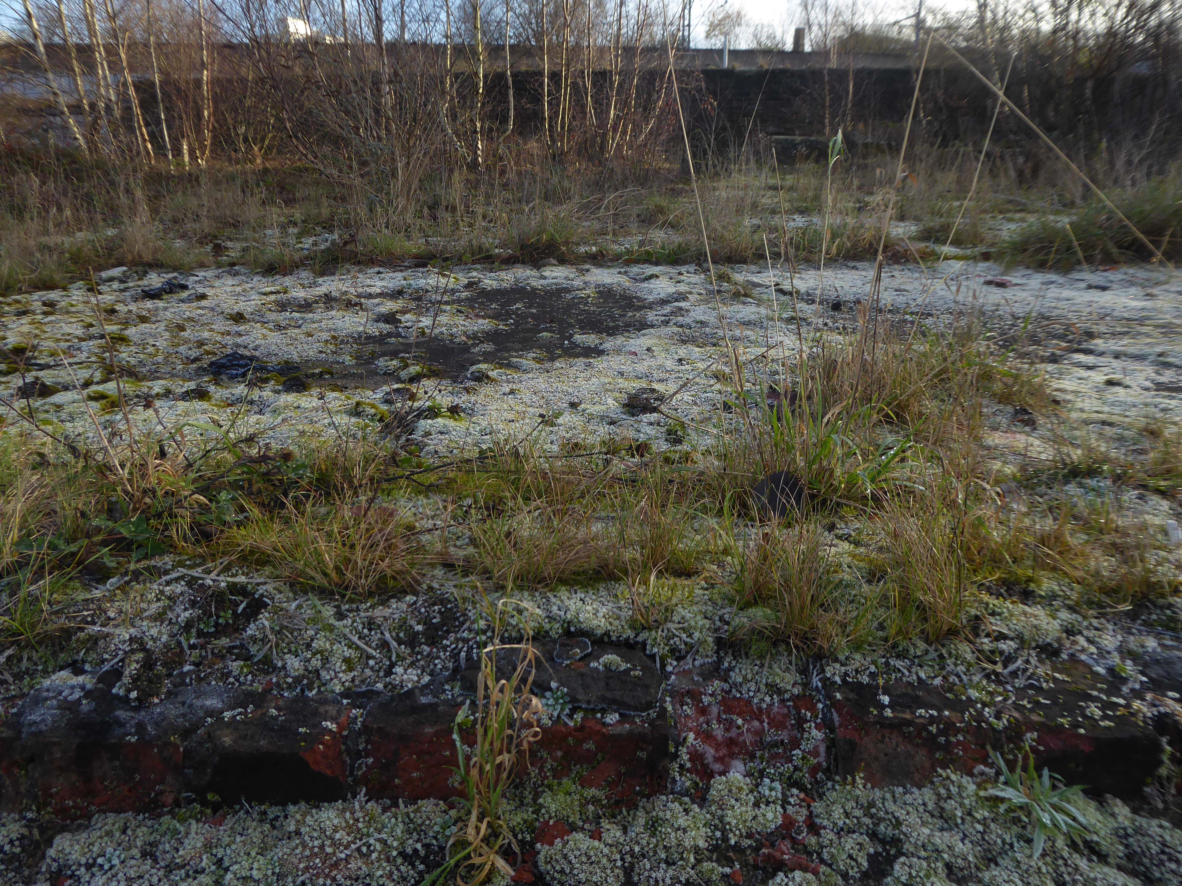
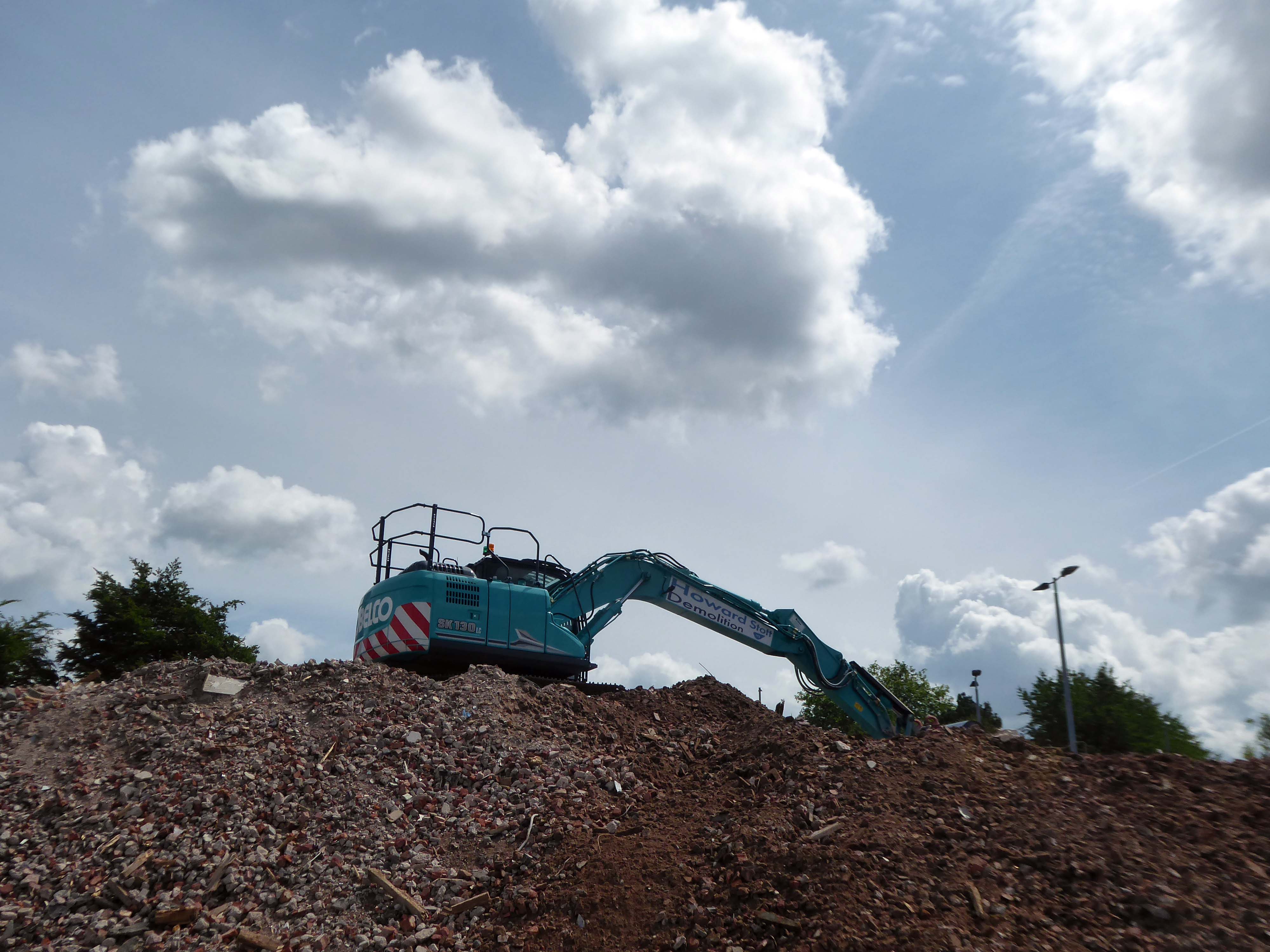
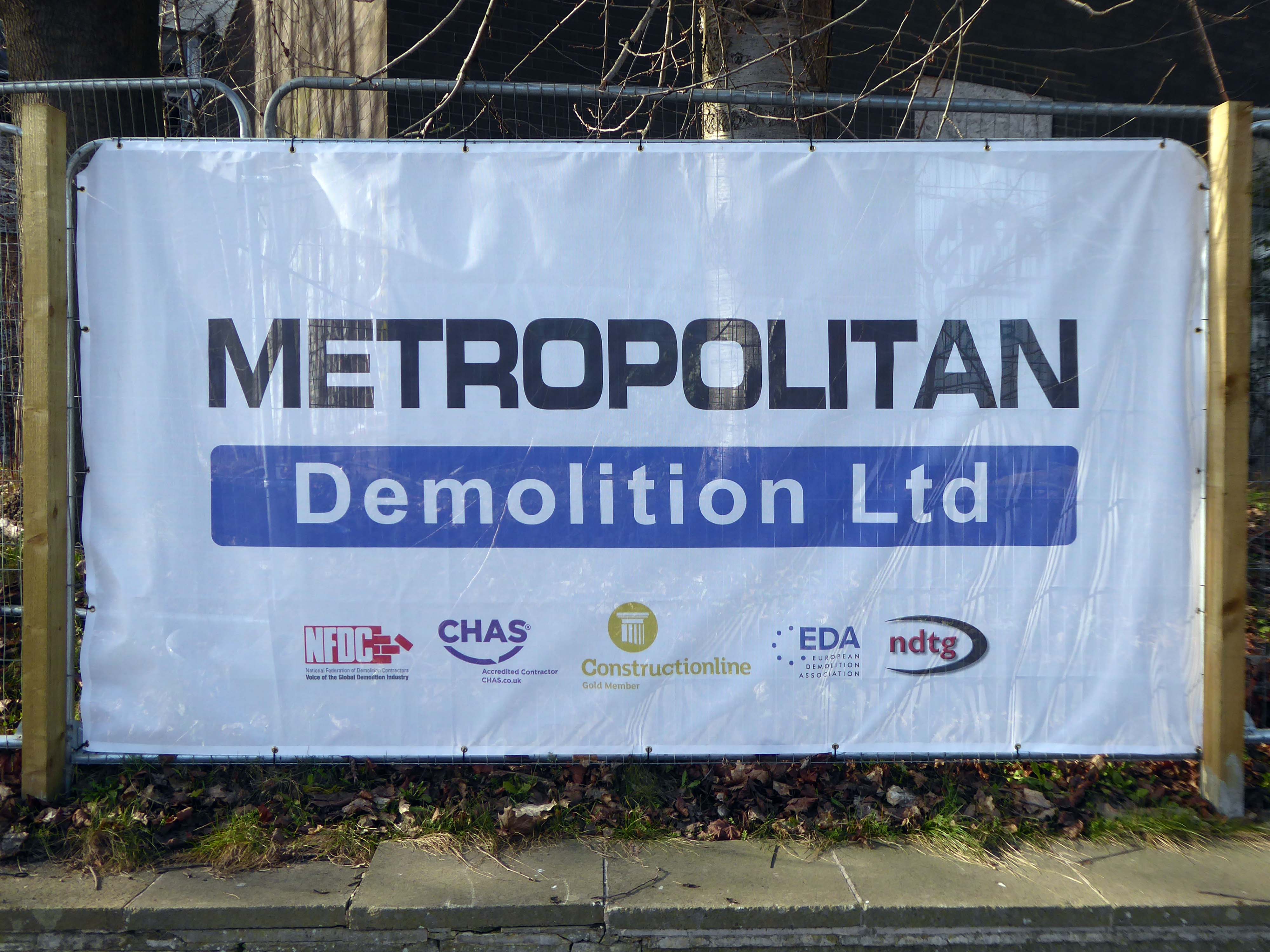
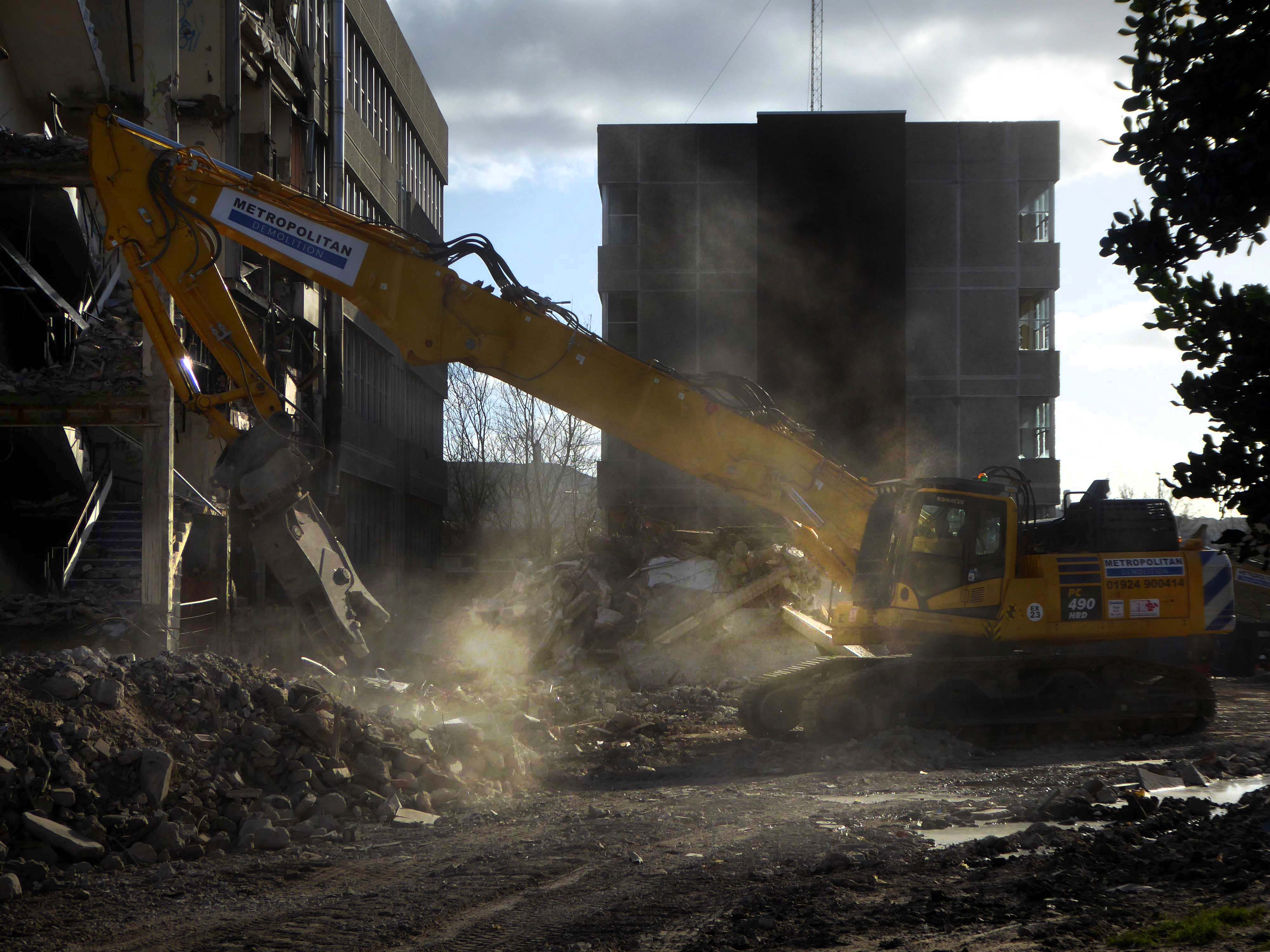
The former Traveller’s homes are now rubble.

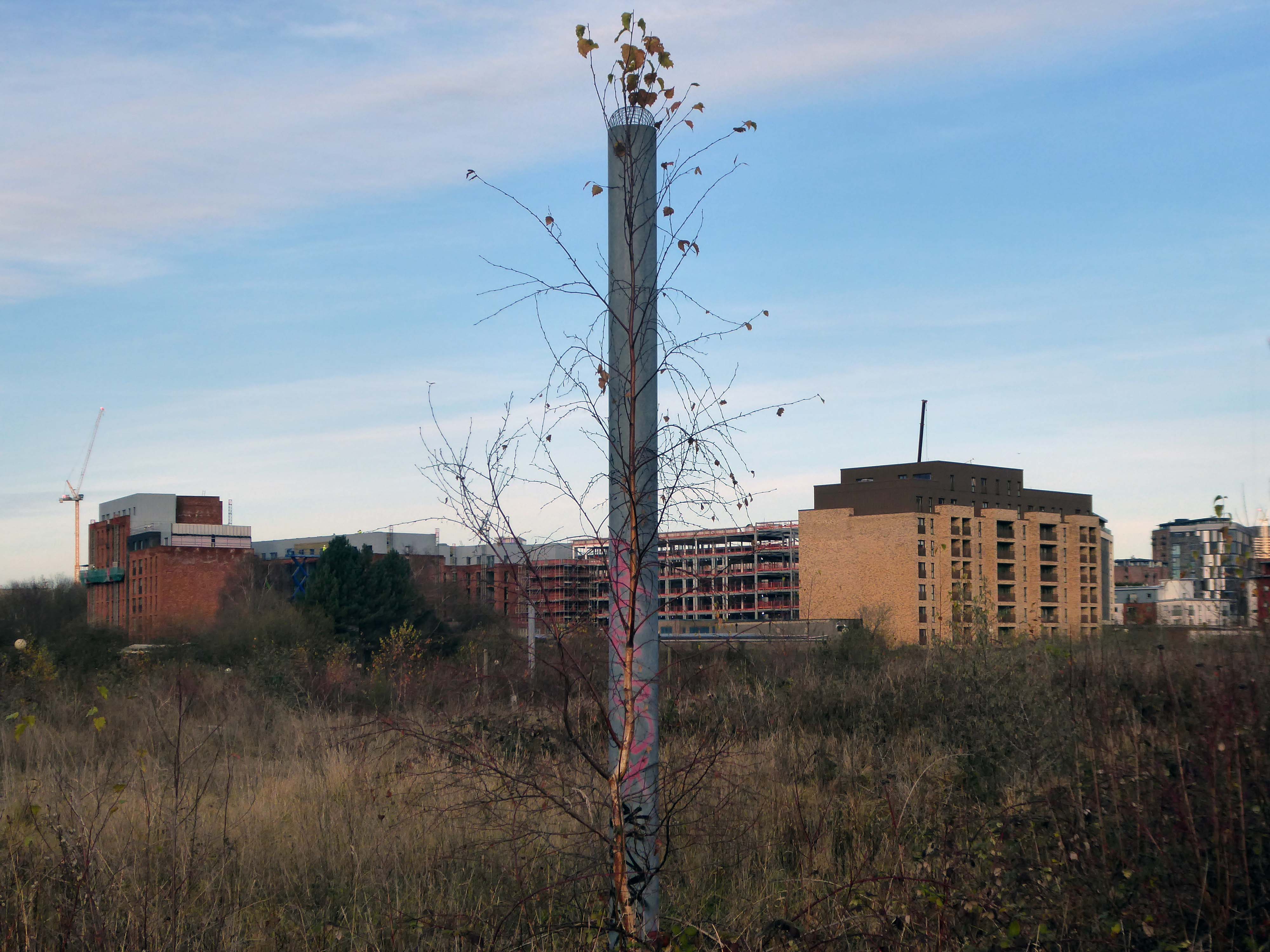
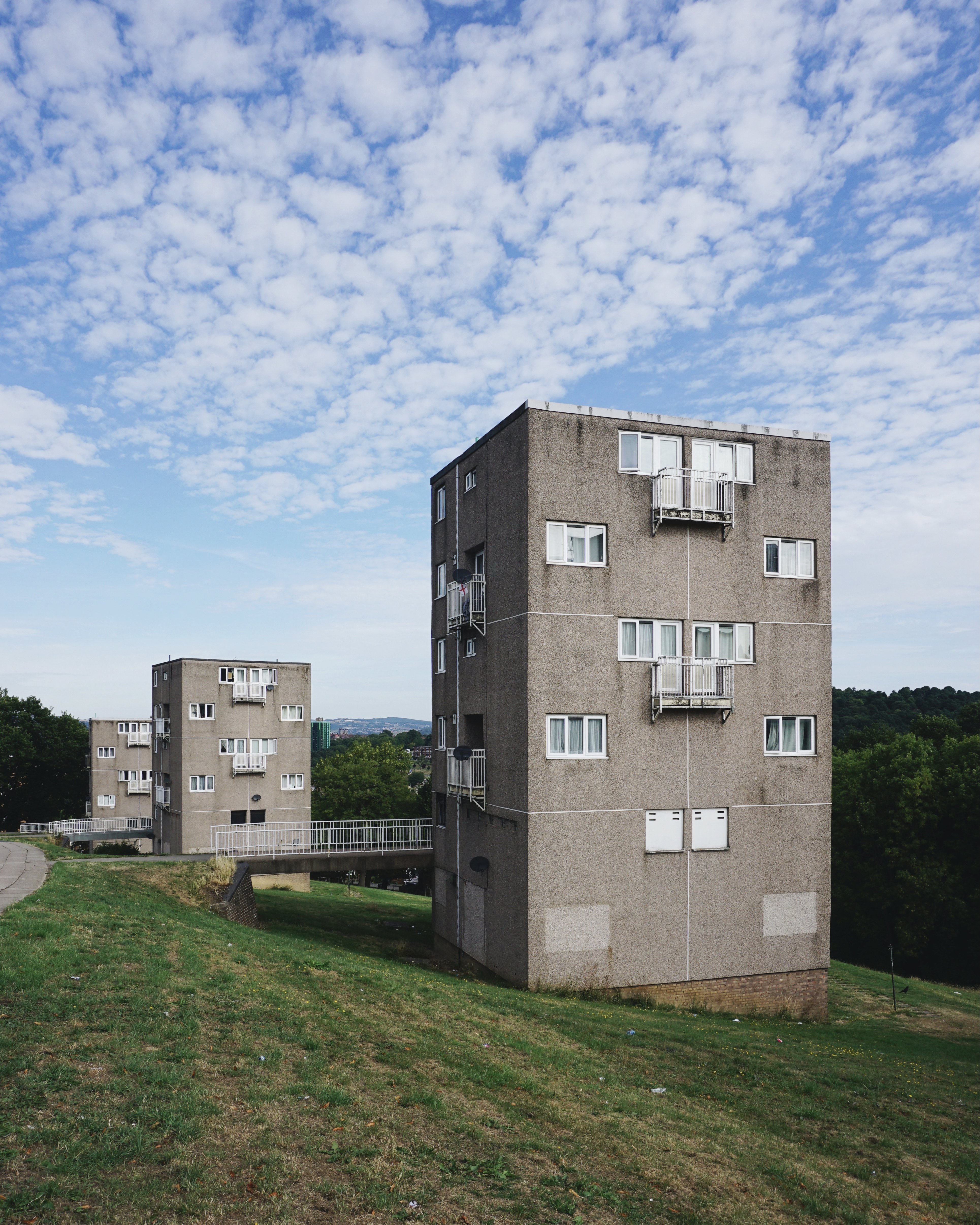
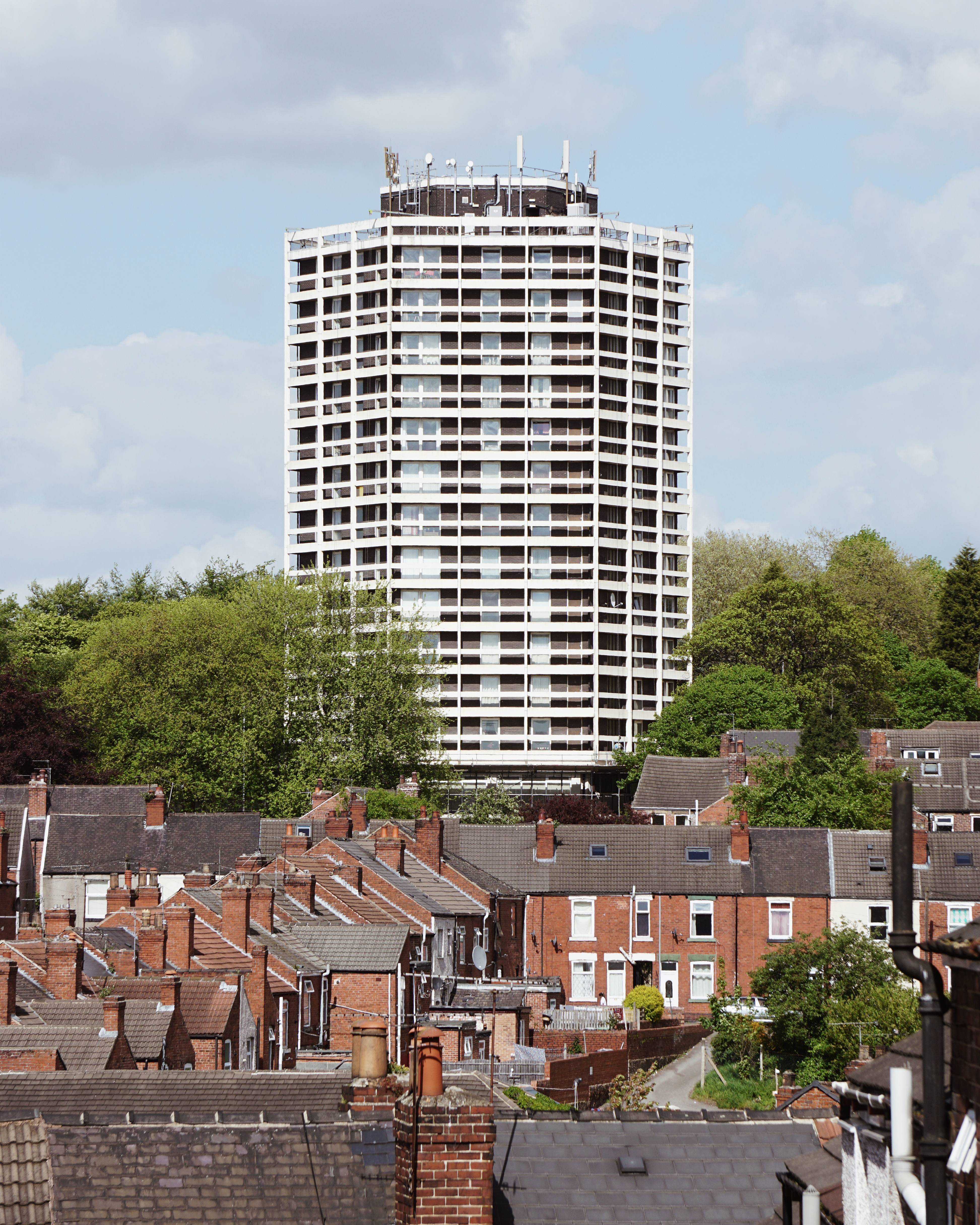
Rushing miles ahead to Blackley the home of Richard Siefert’s ICI Tower.


And around the corner, these delightful reliefs attached to the Tower Blocks.


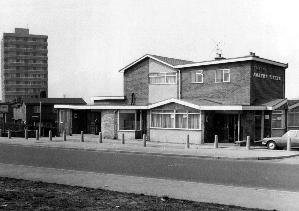
I was asked to assist in putting together an exhibition for Collyhurst Voices – walking through the memories of a community under threat.

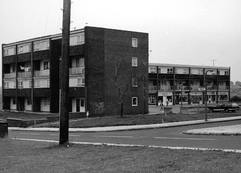
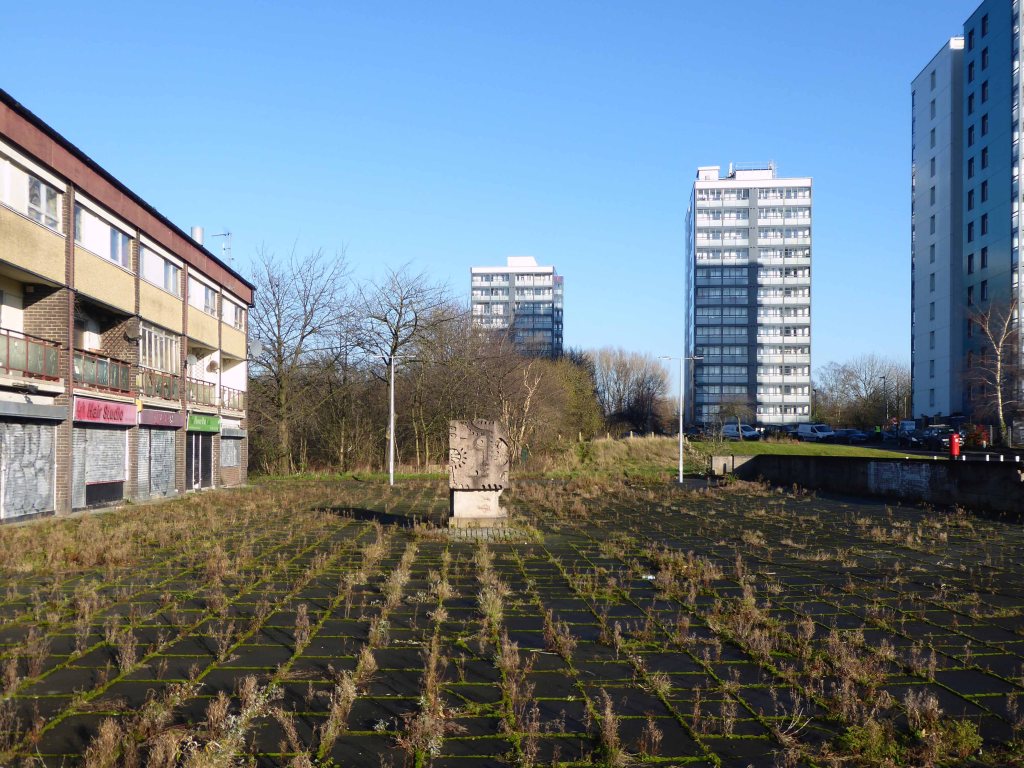
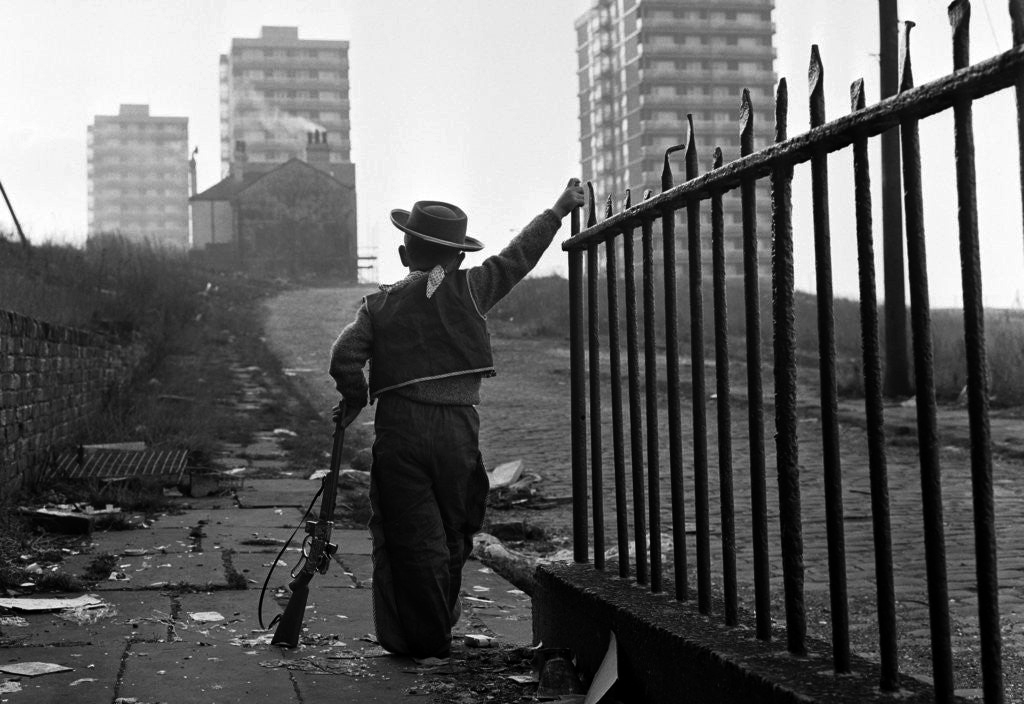
Walking in the footsteps of Dennis Hussey’s Collyhurst Cowboy – looking toward Dalton Street

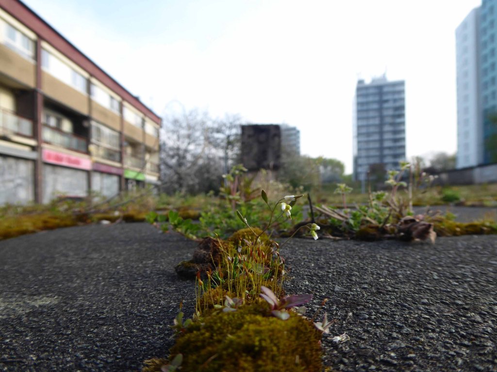
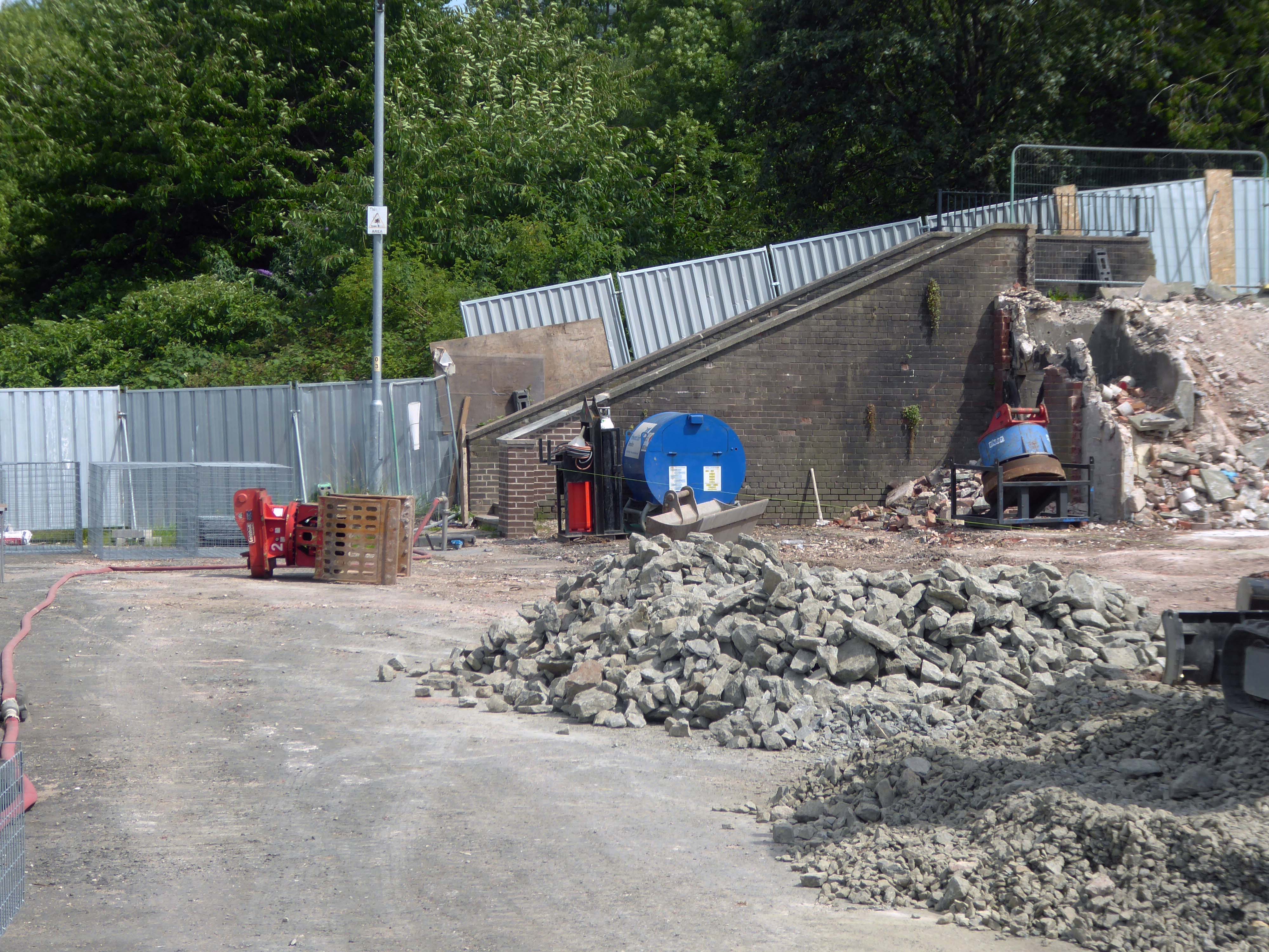
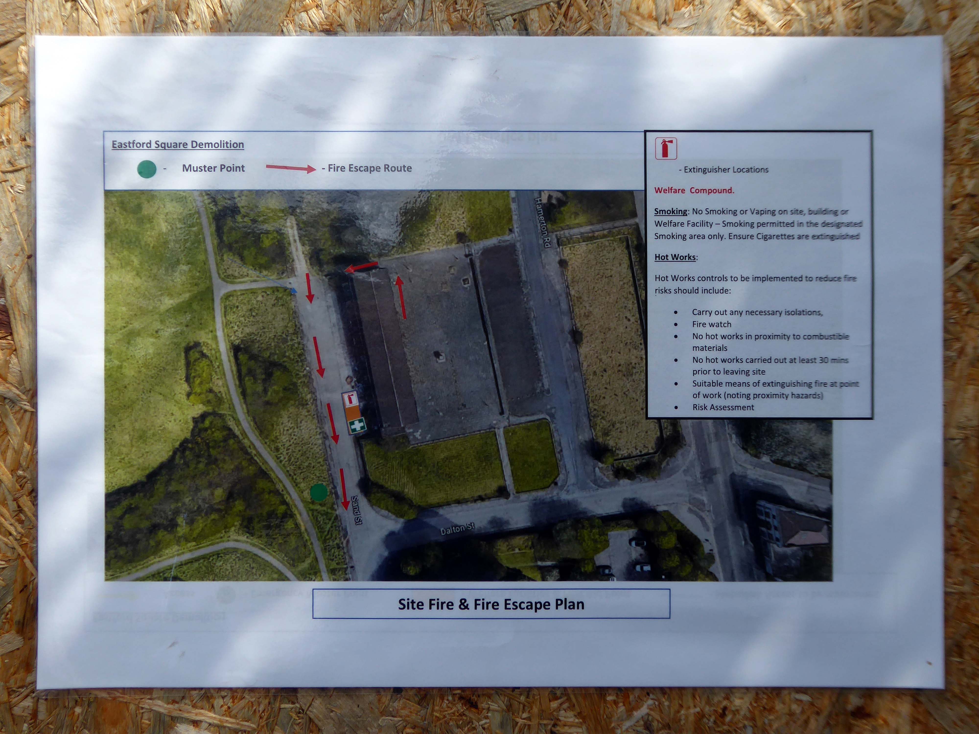
Then uphill to Eastford Square and the long lost homes.


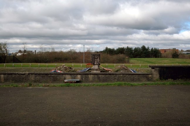
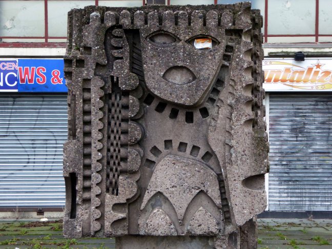
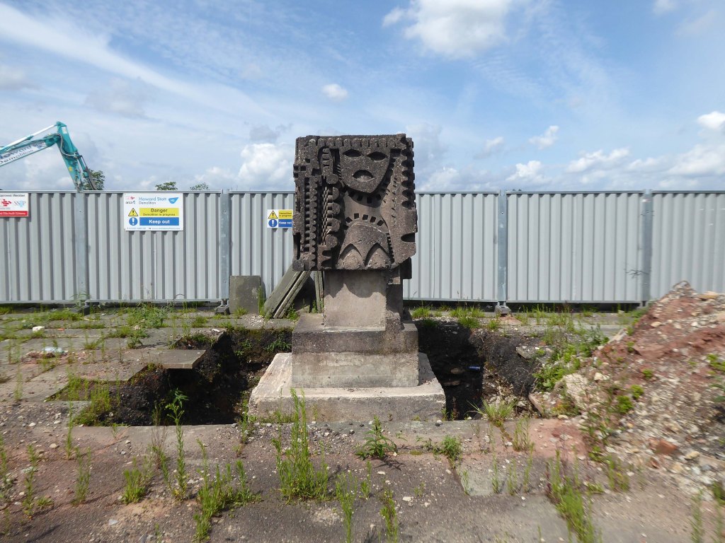
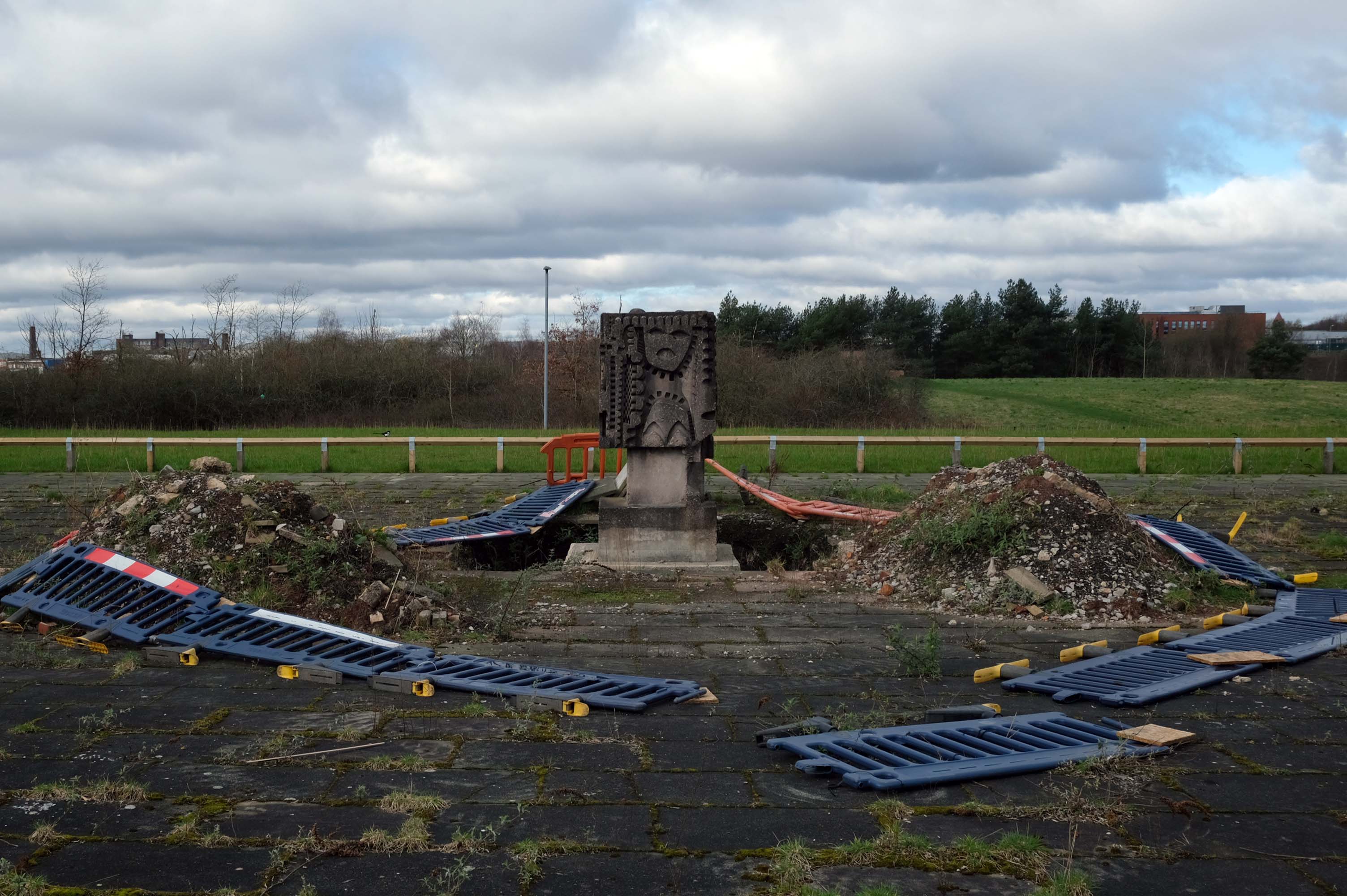
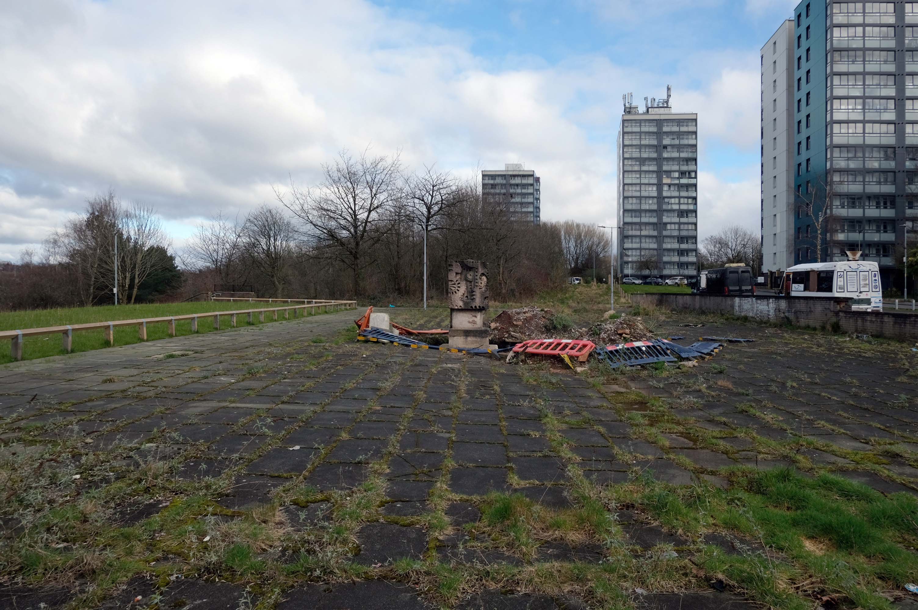
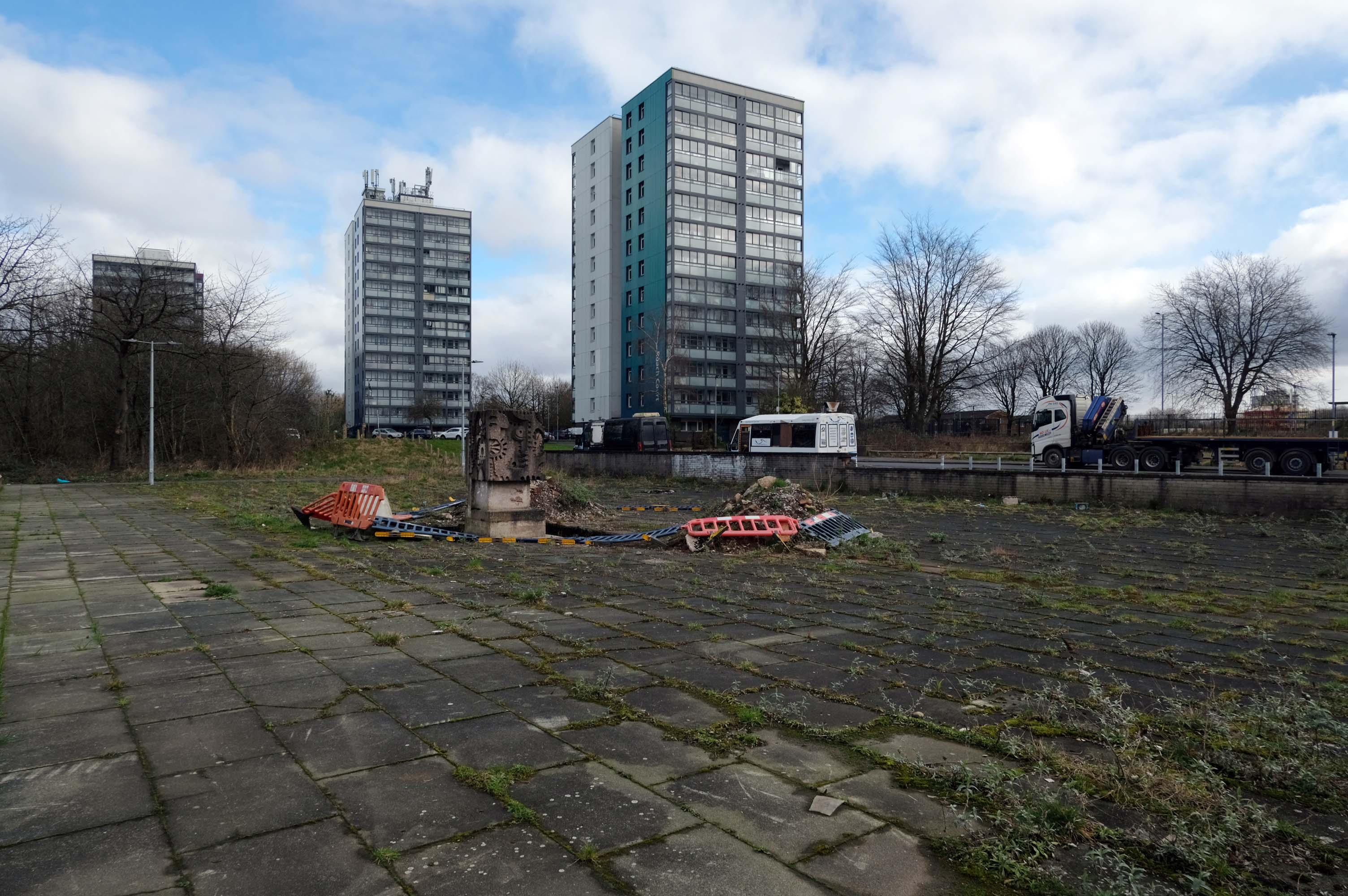
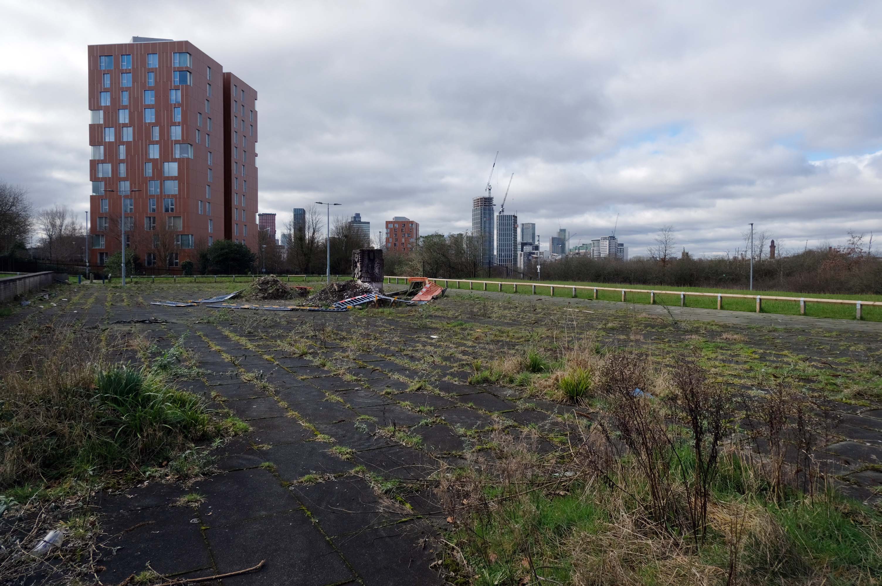
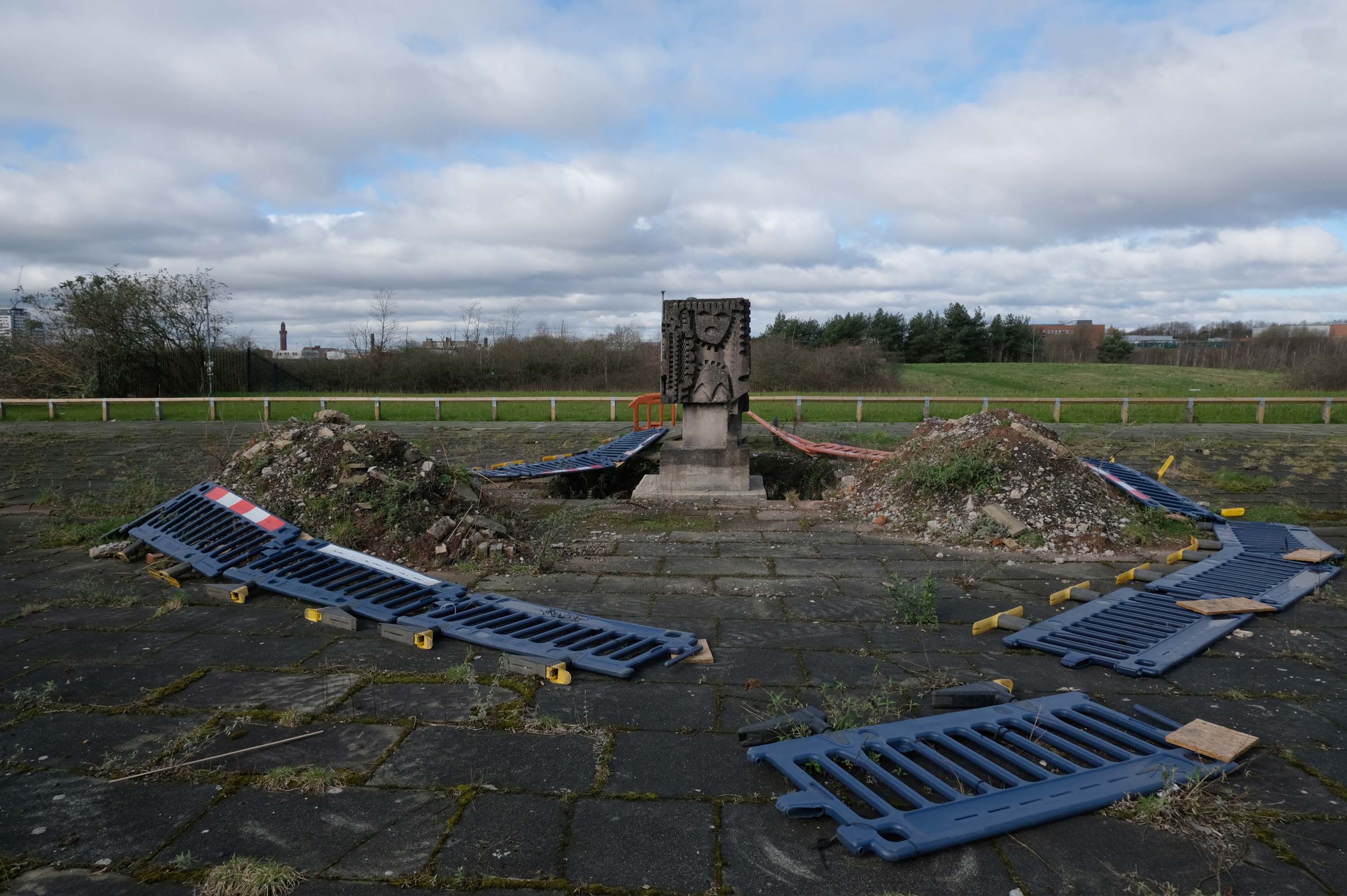
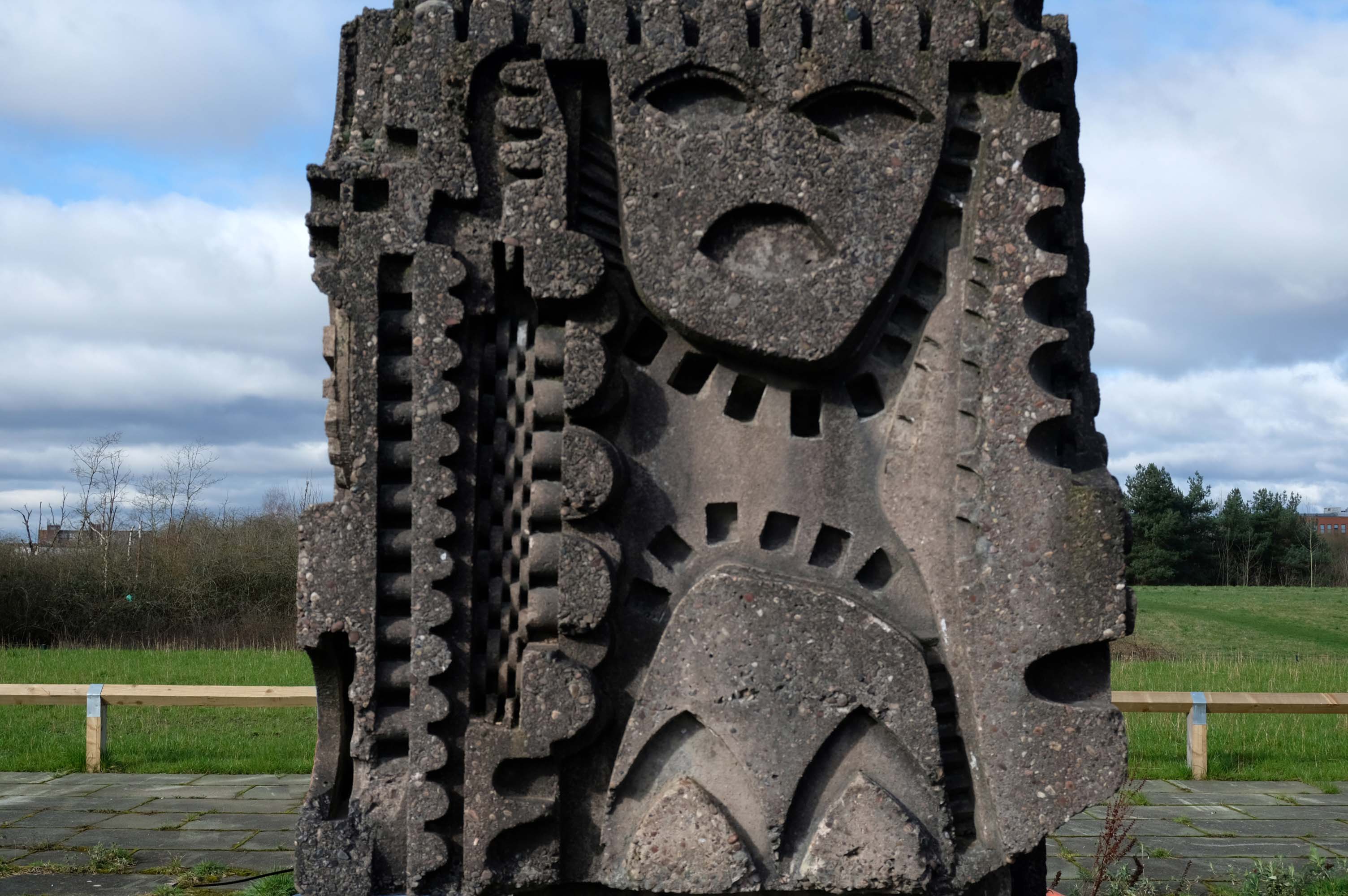
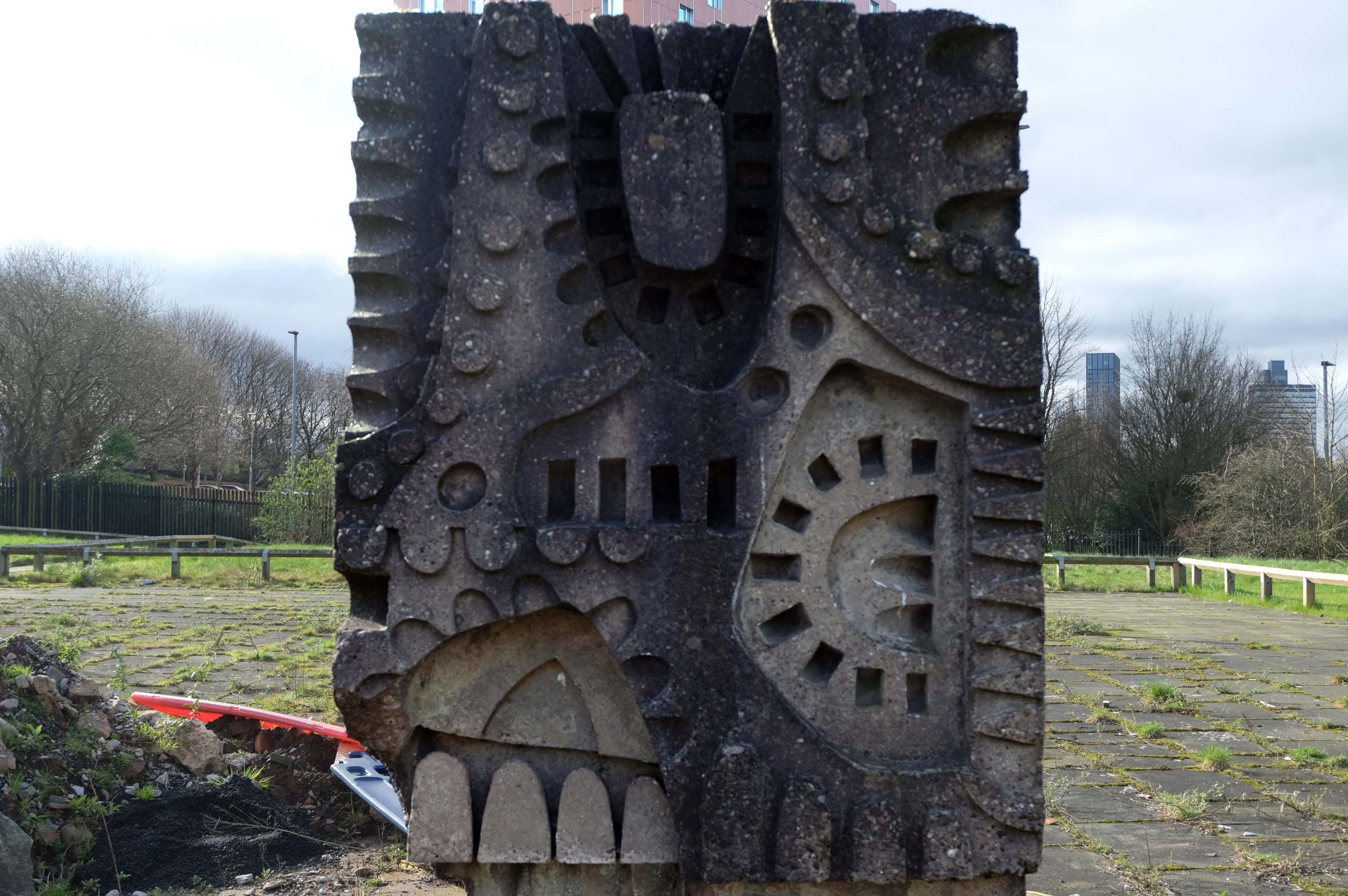
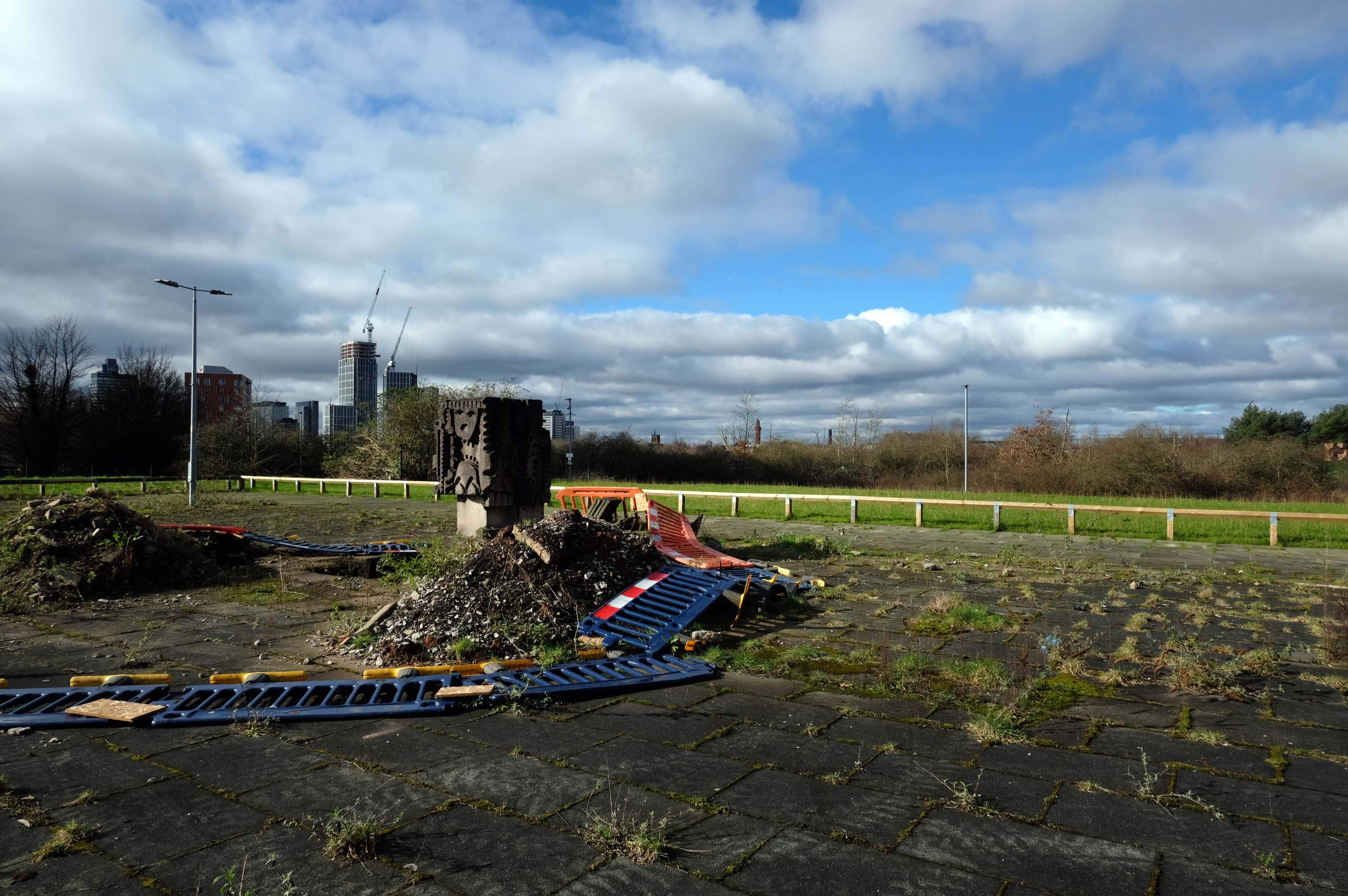
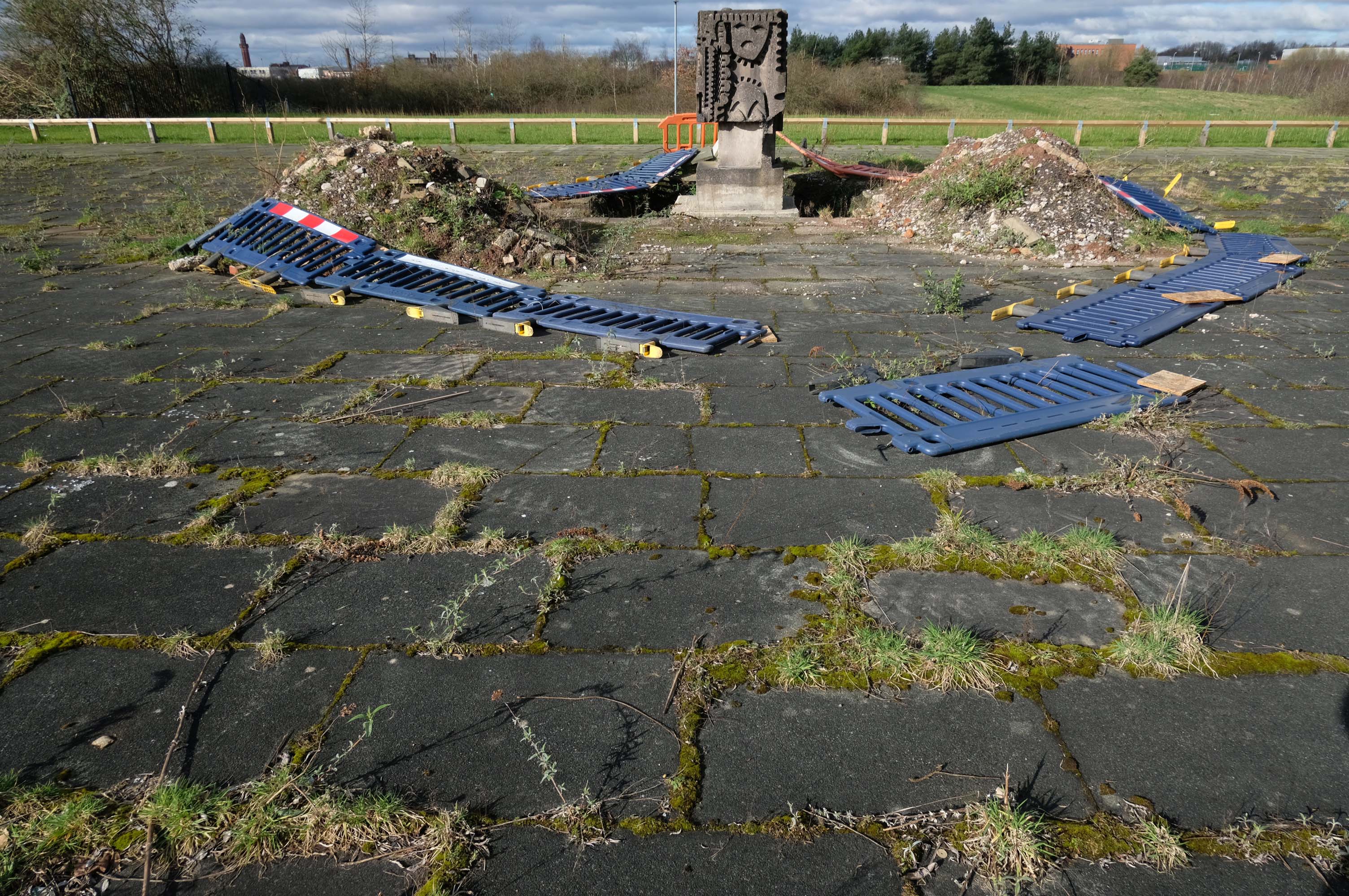
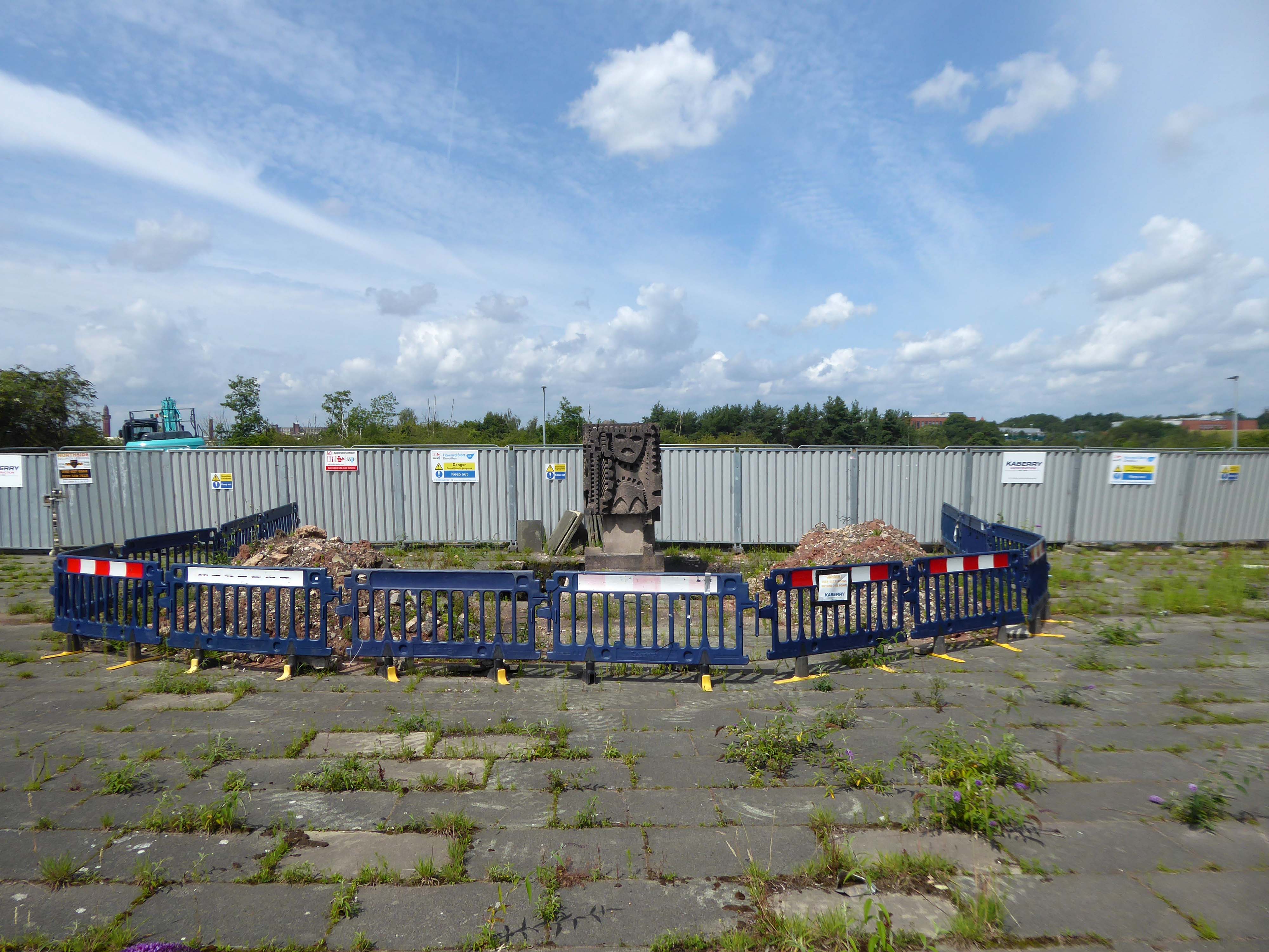
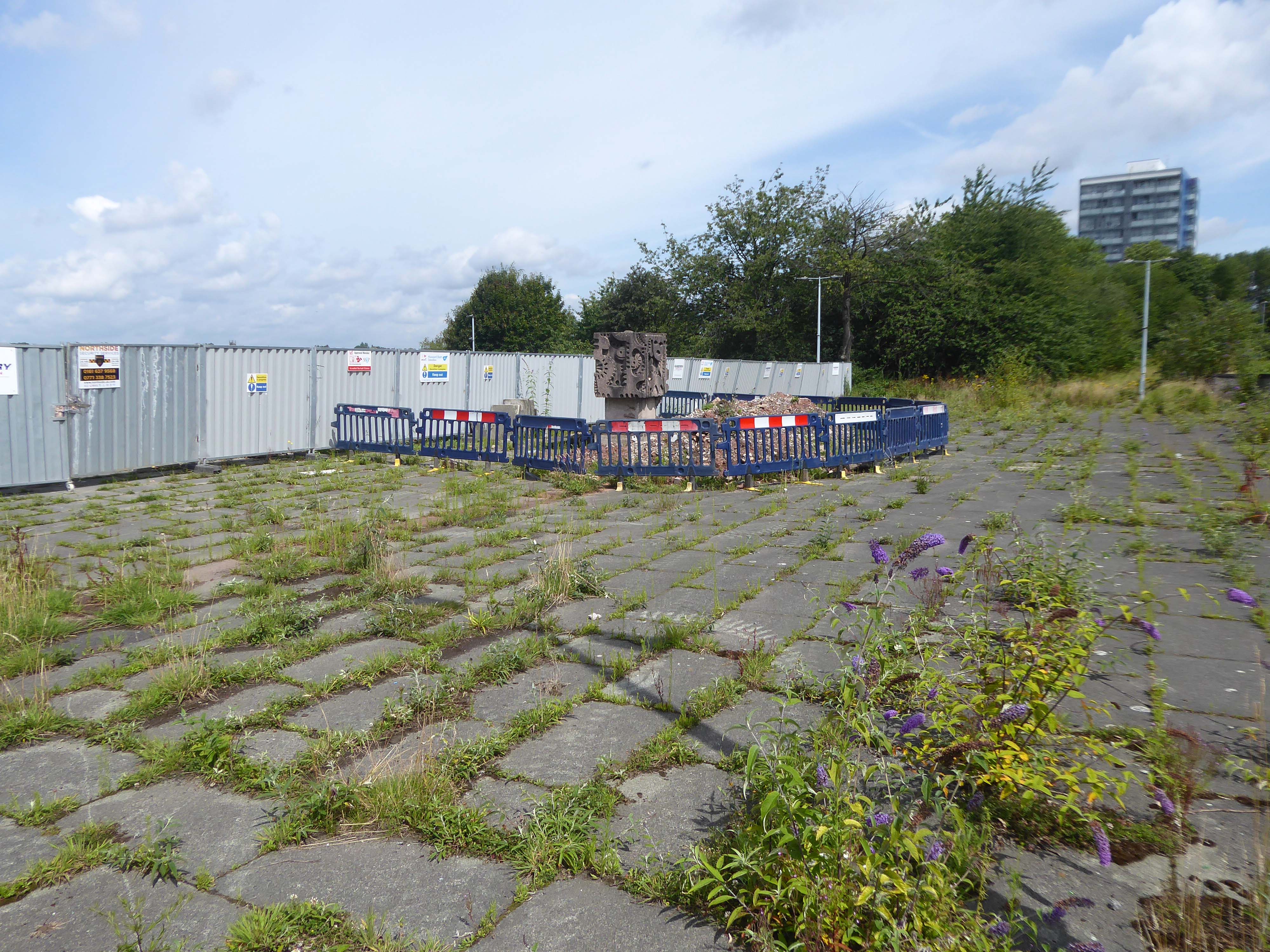
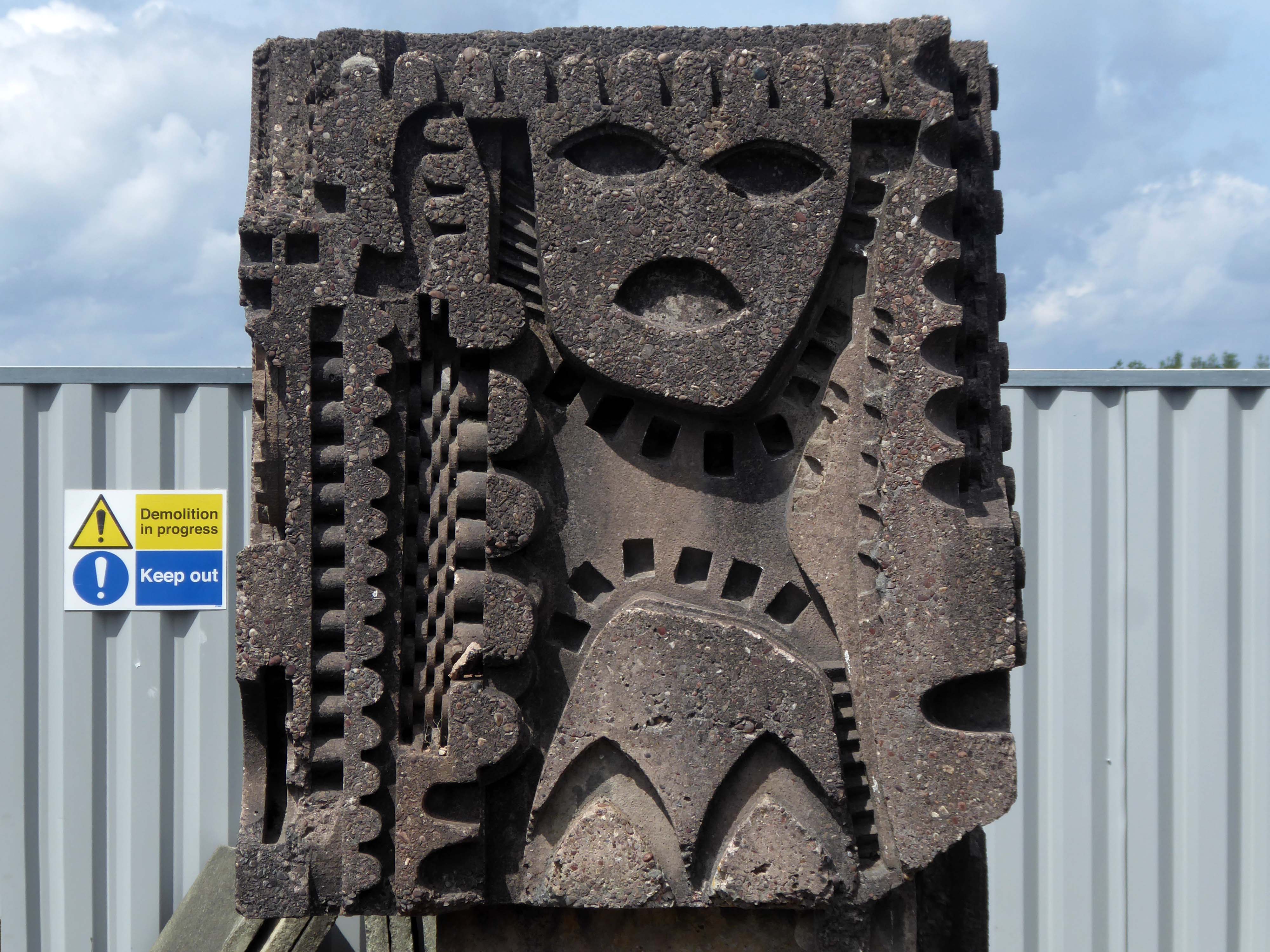
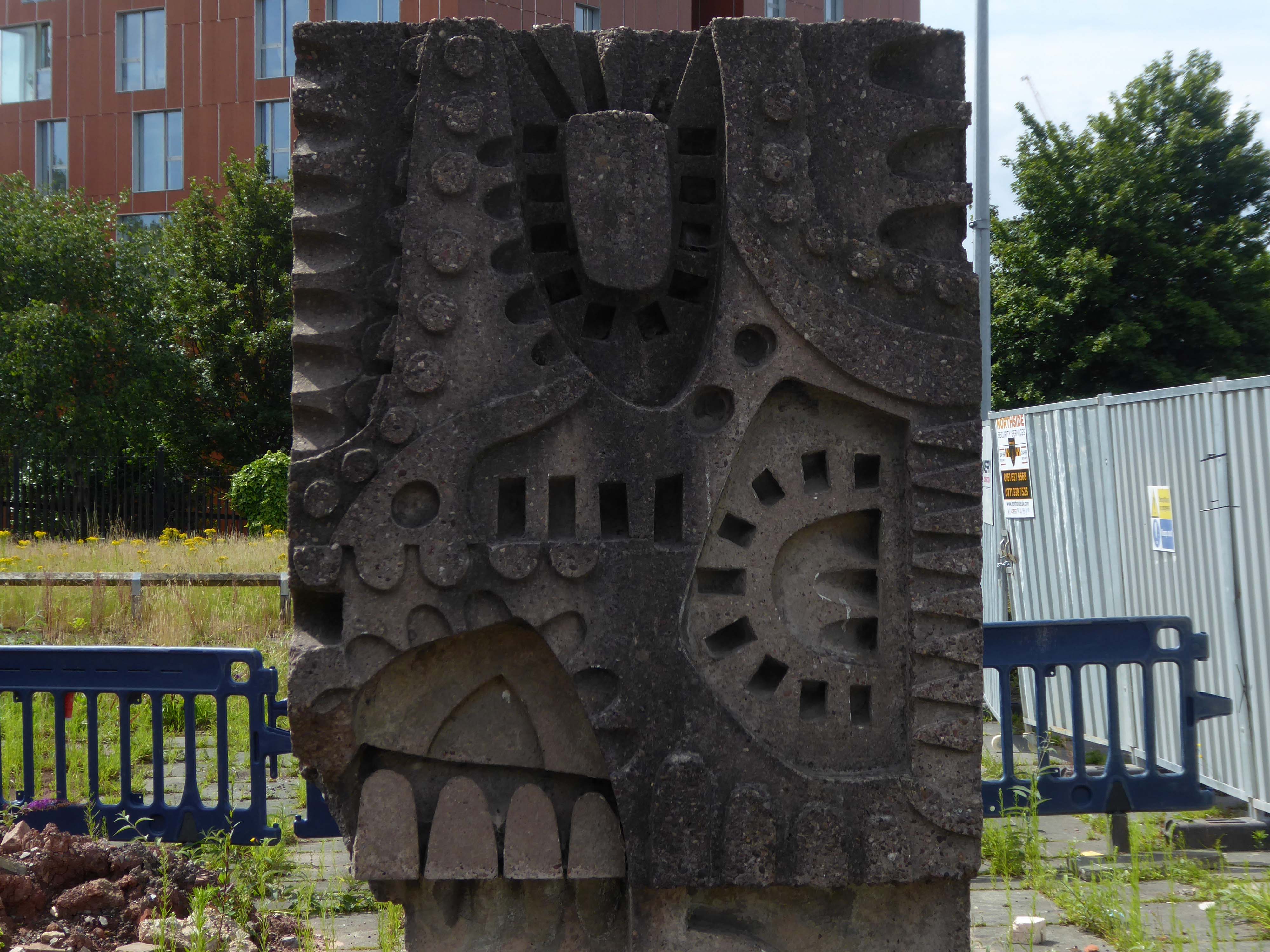
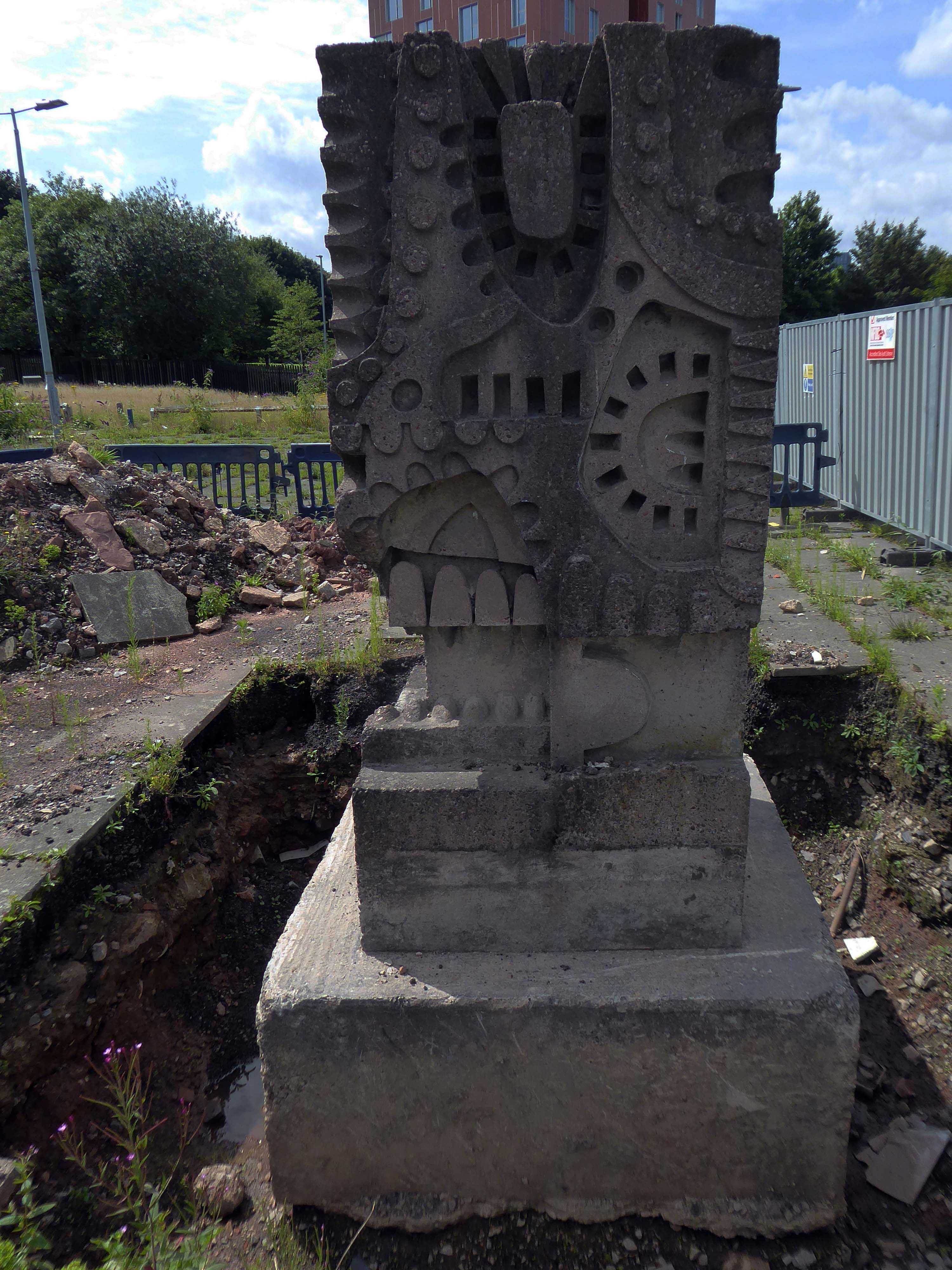
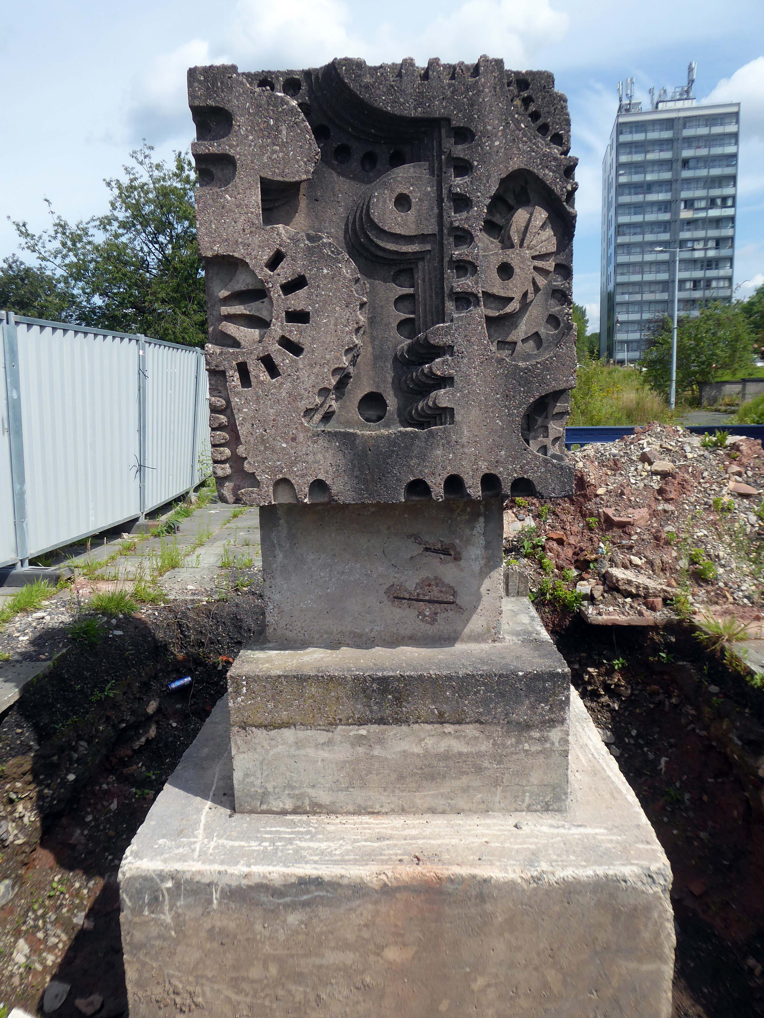
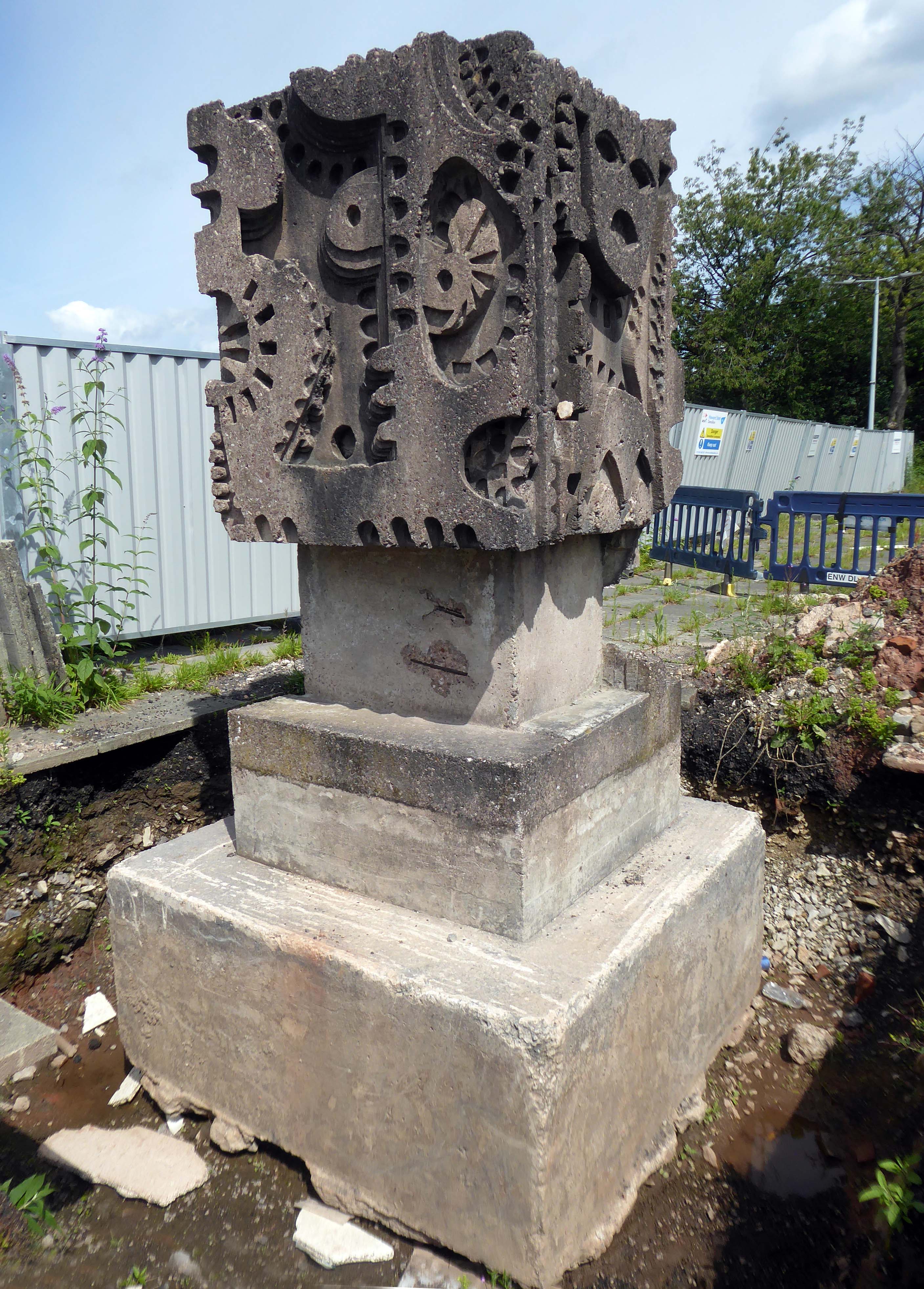
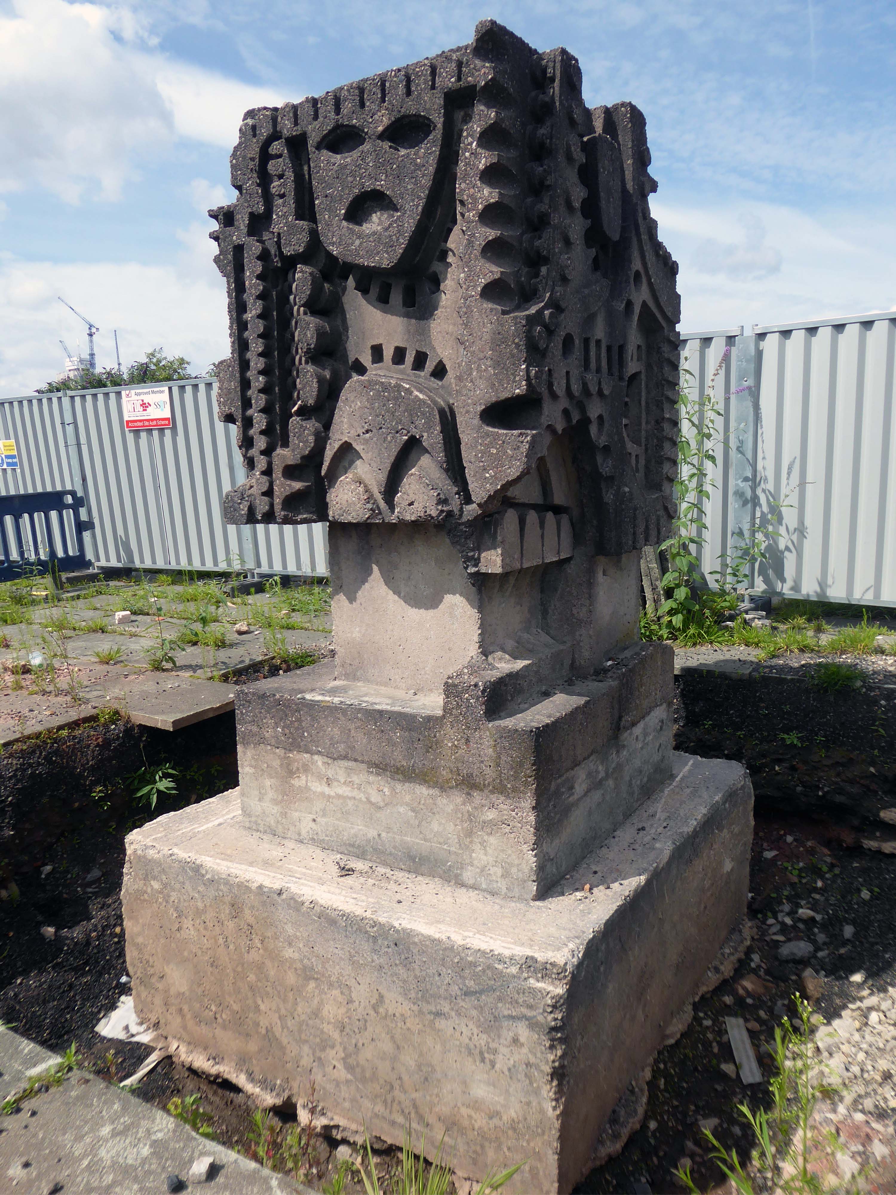
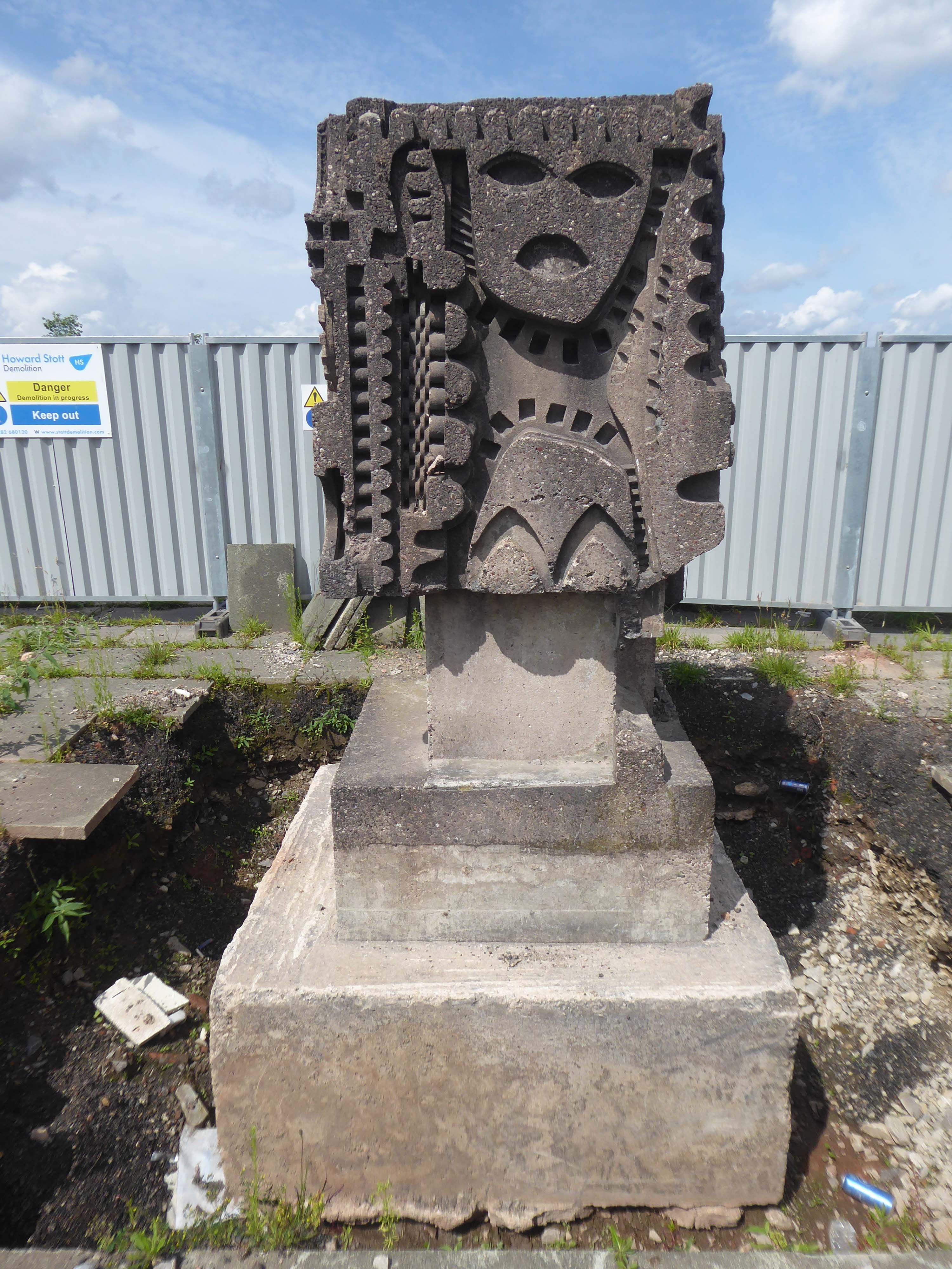
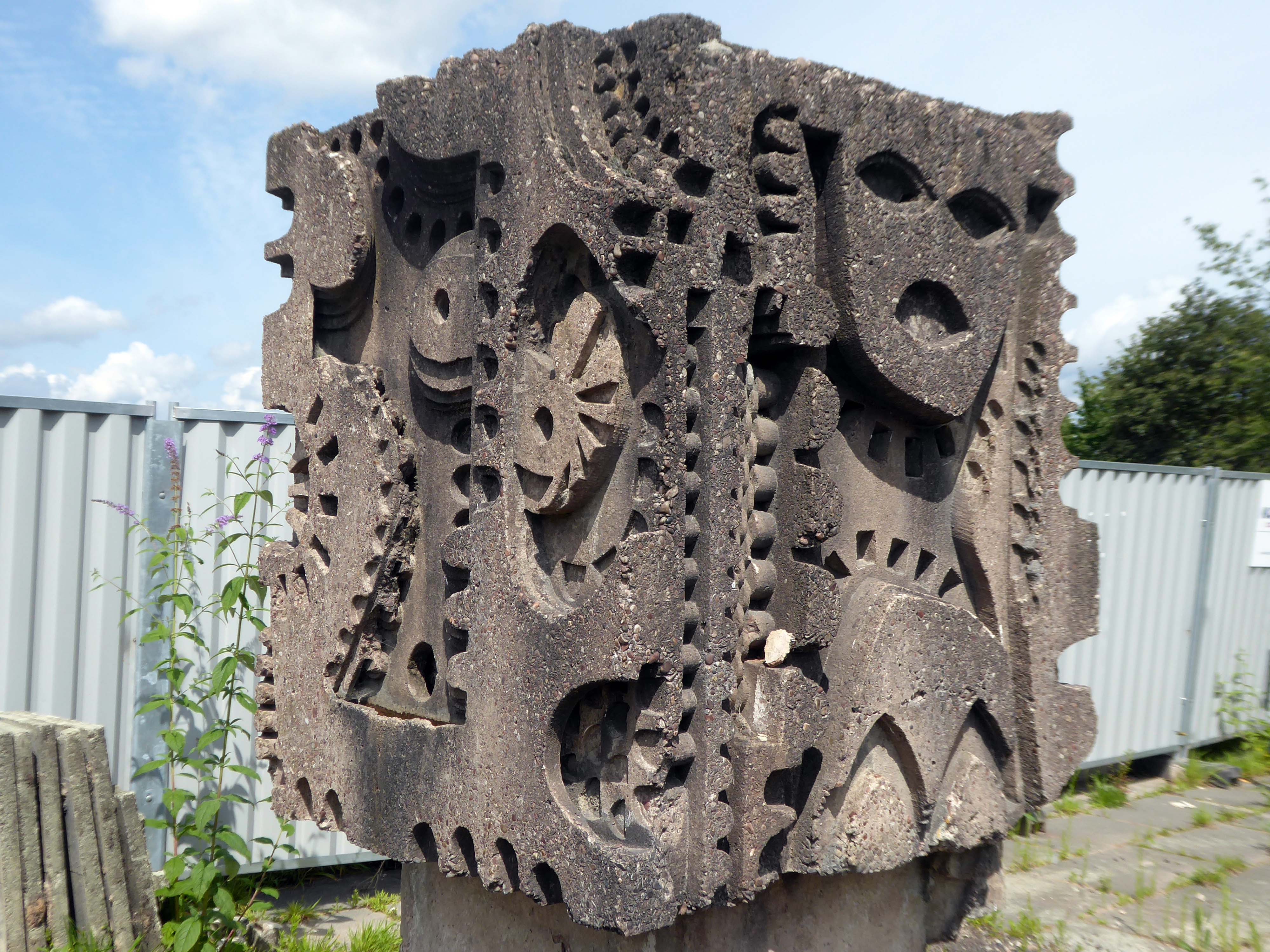
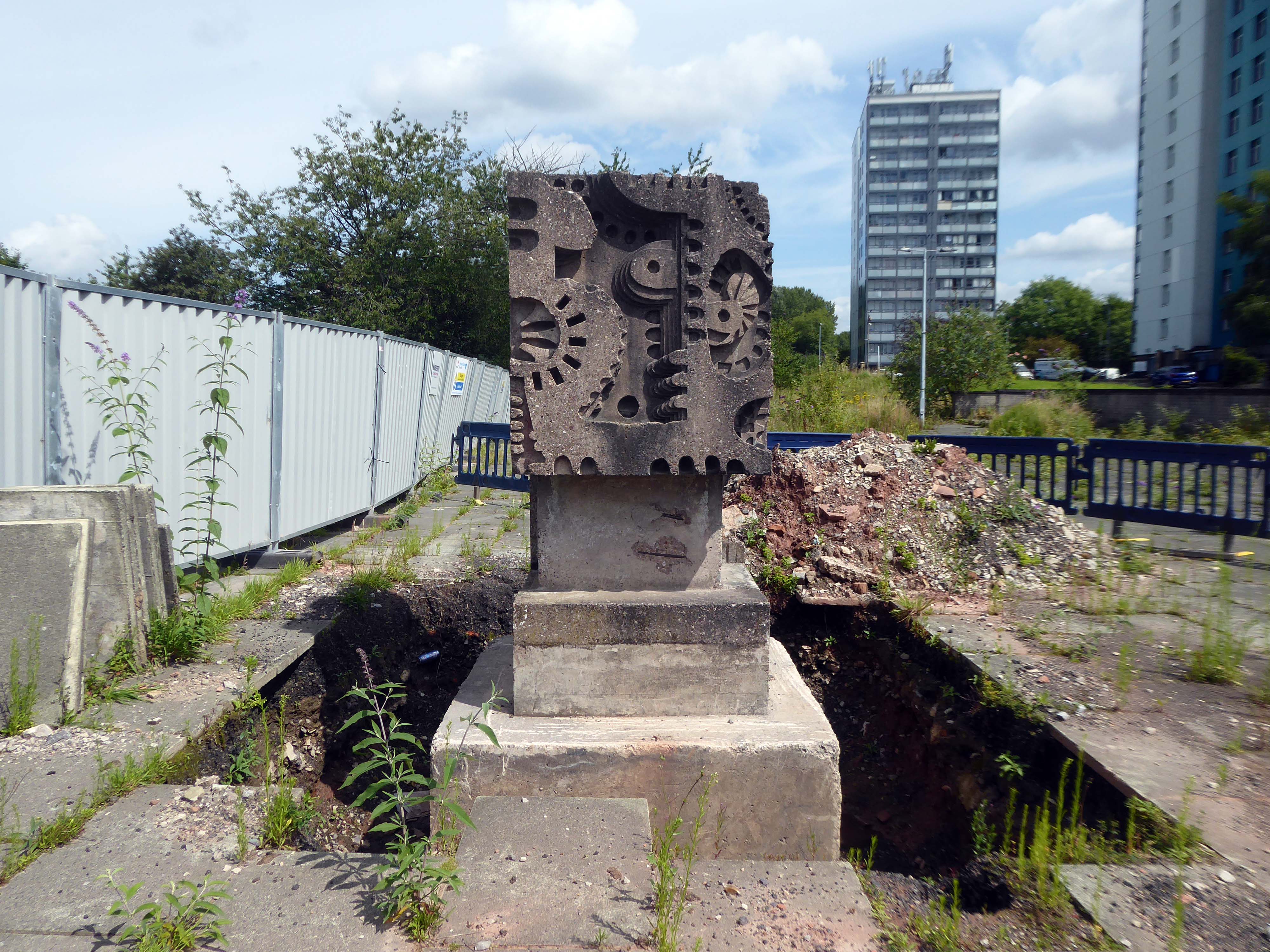
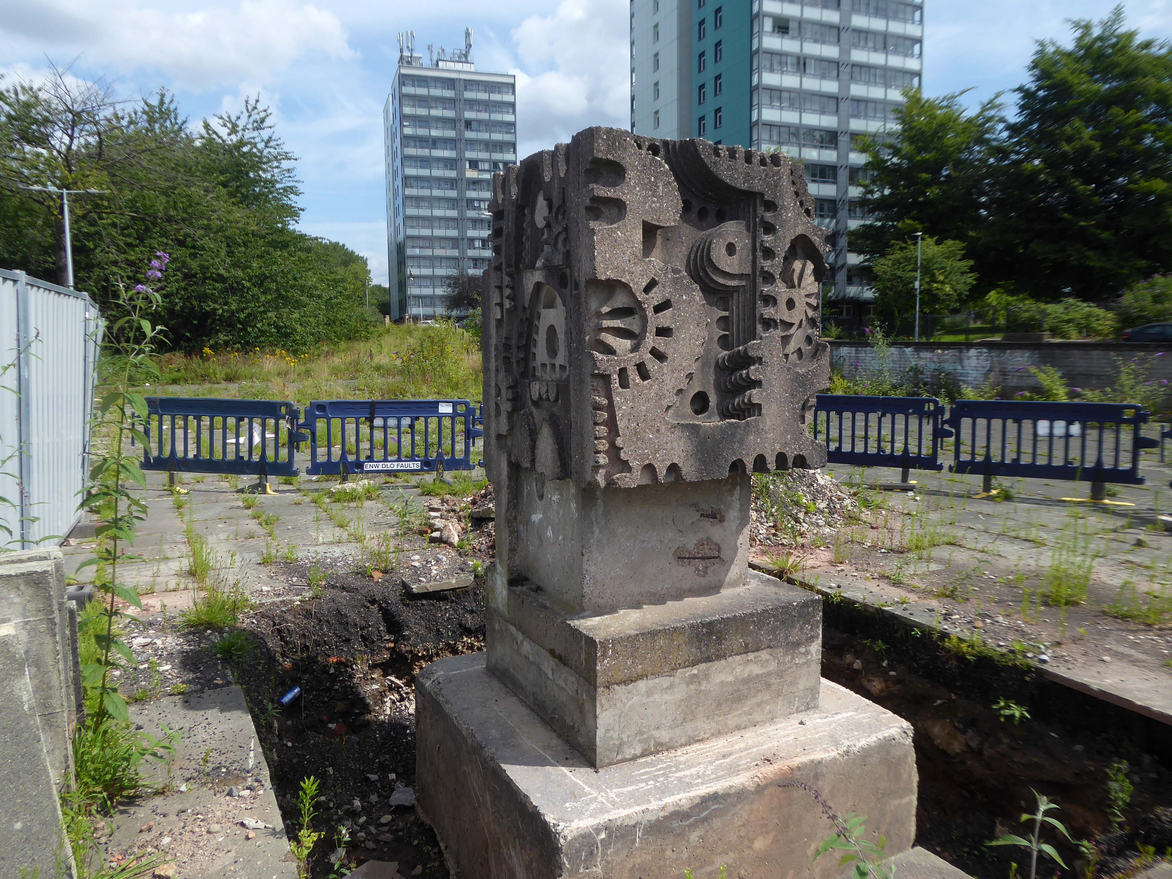
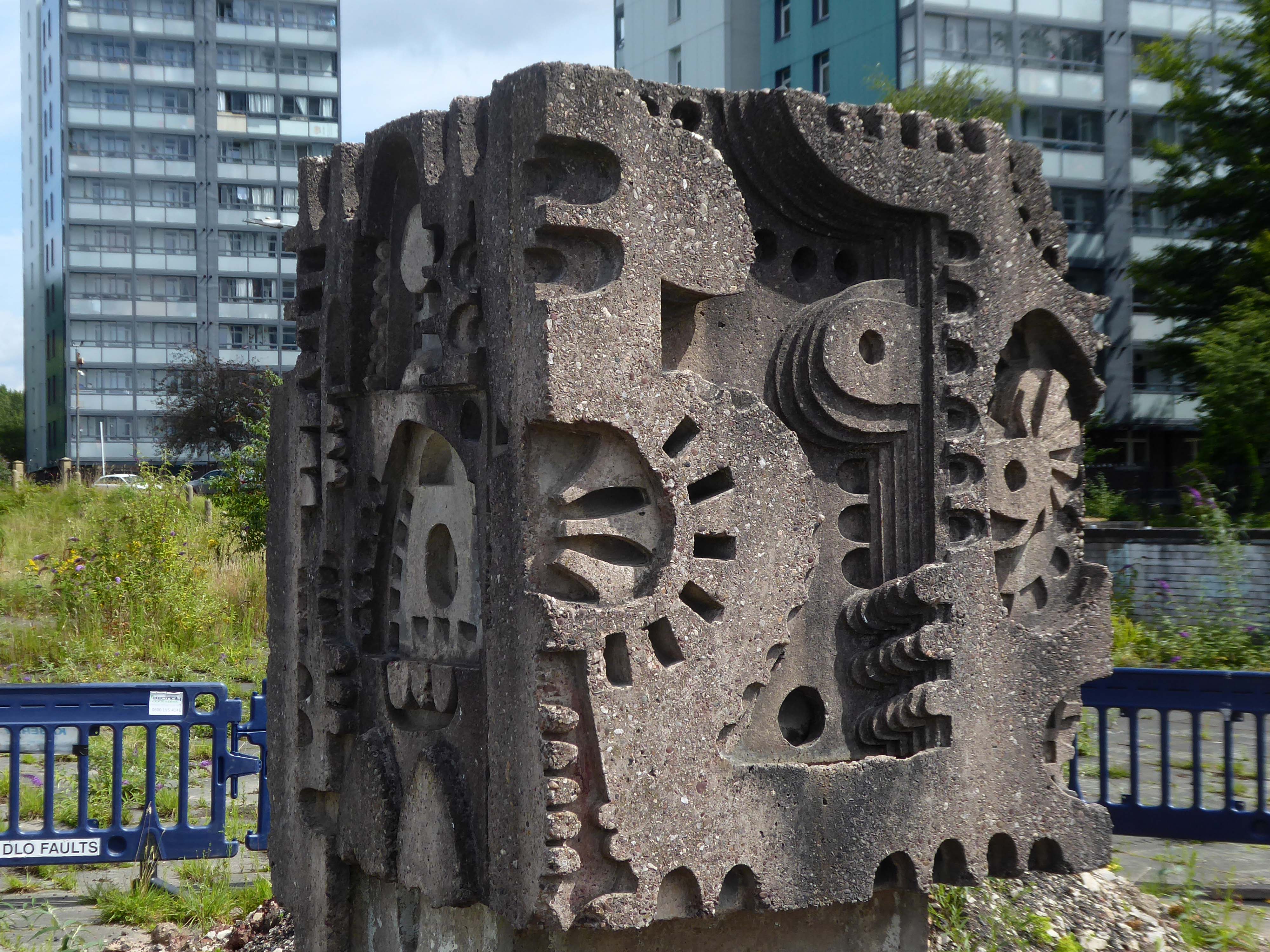
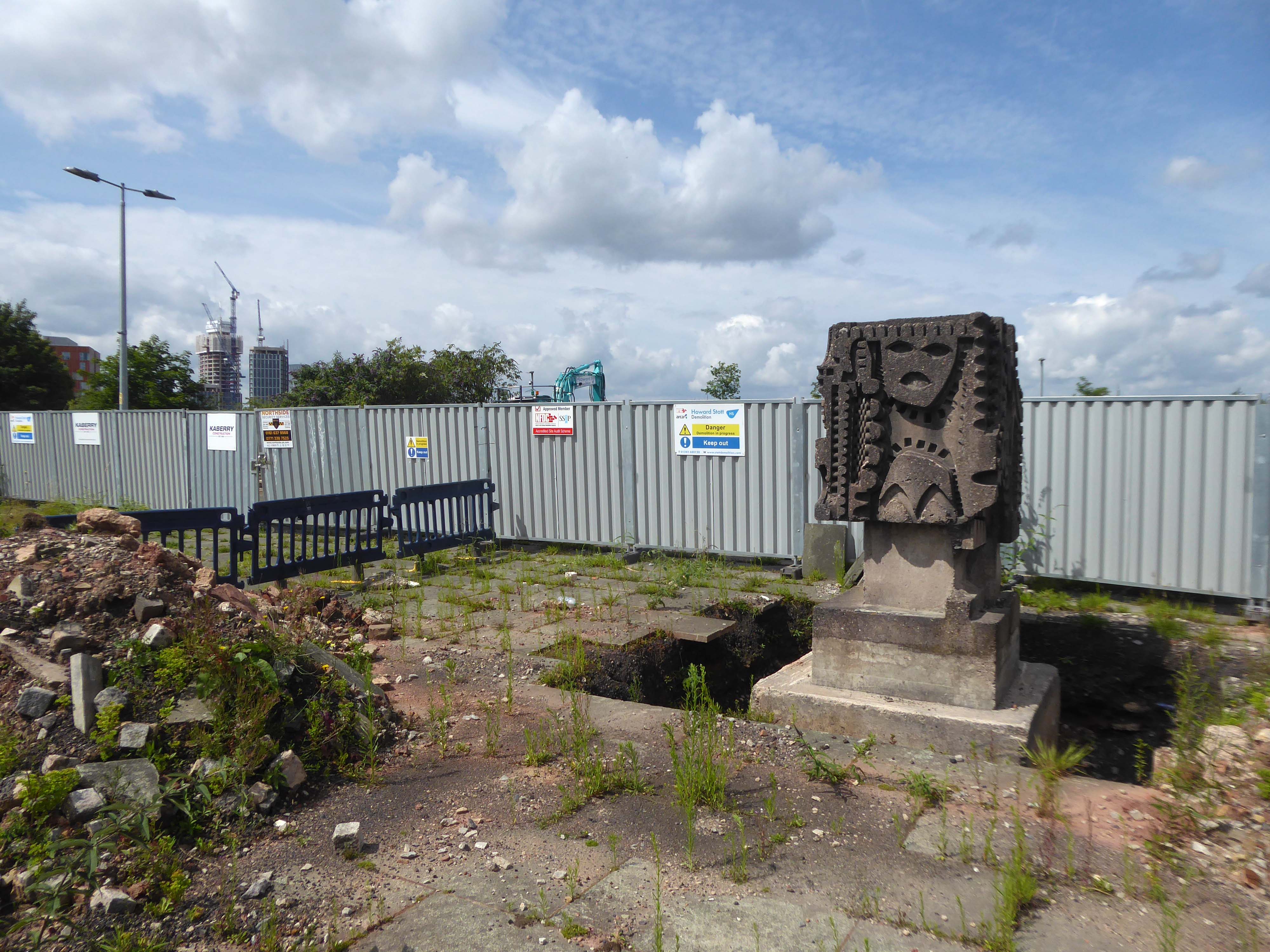
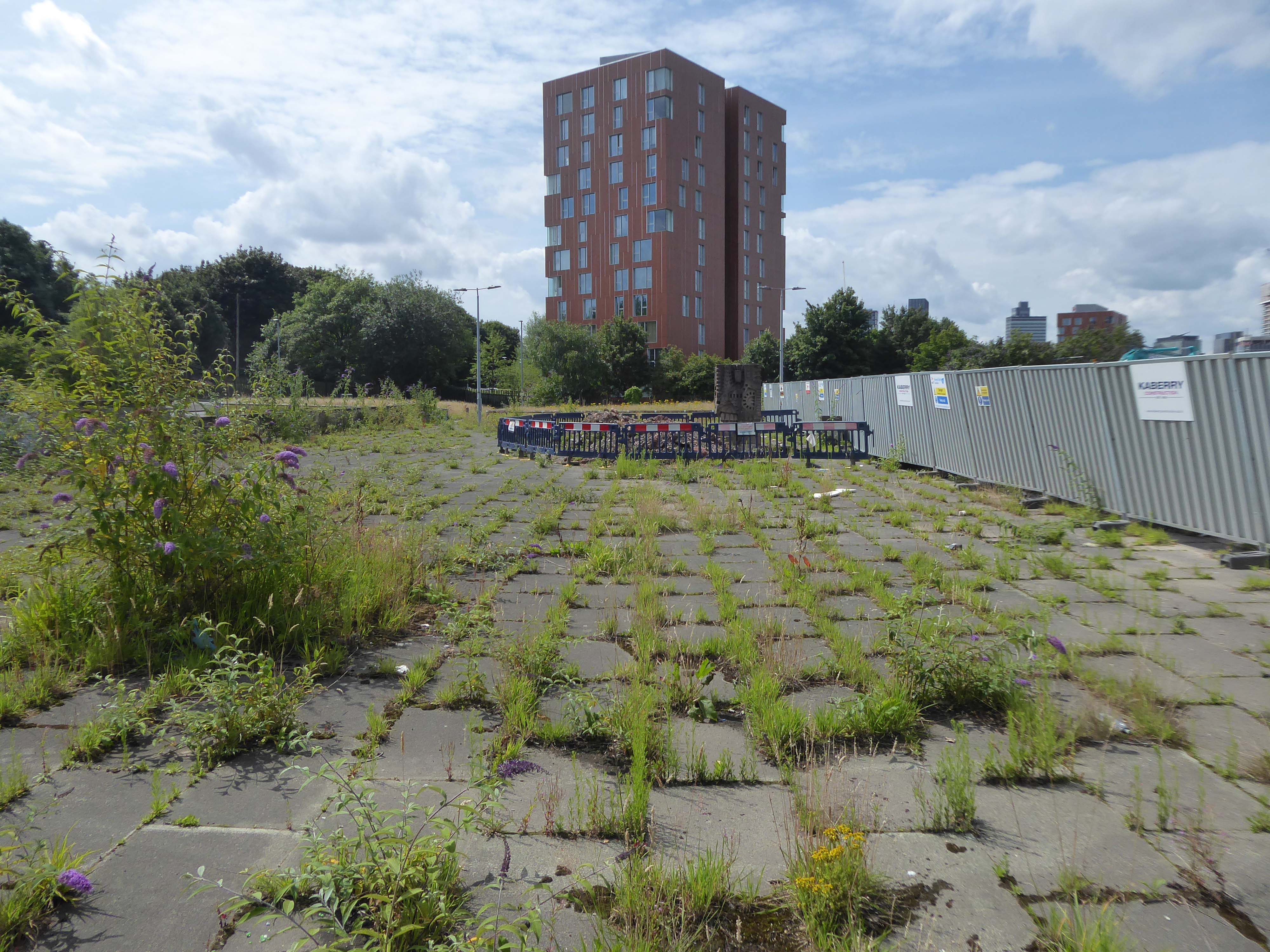
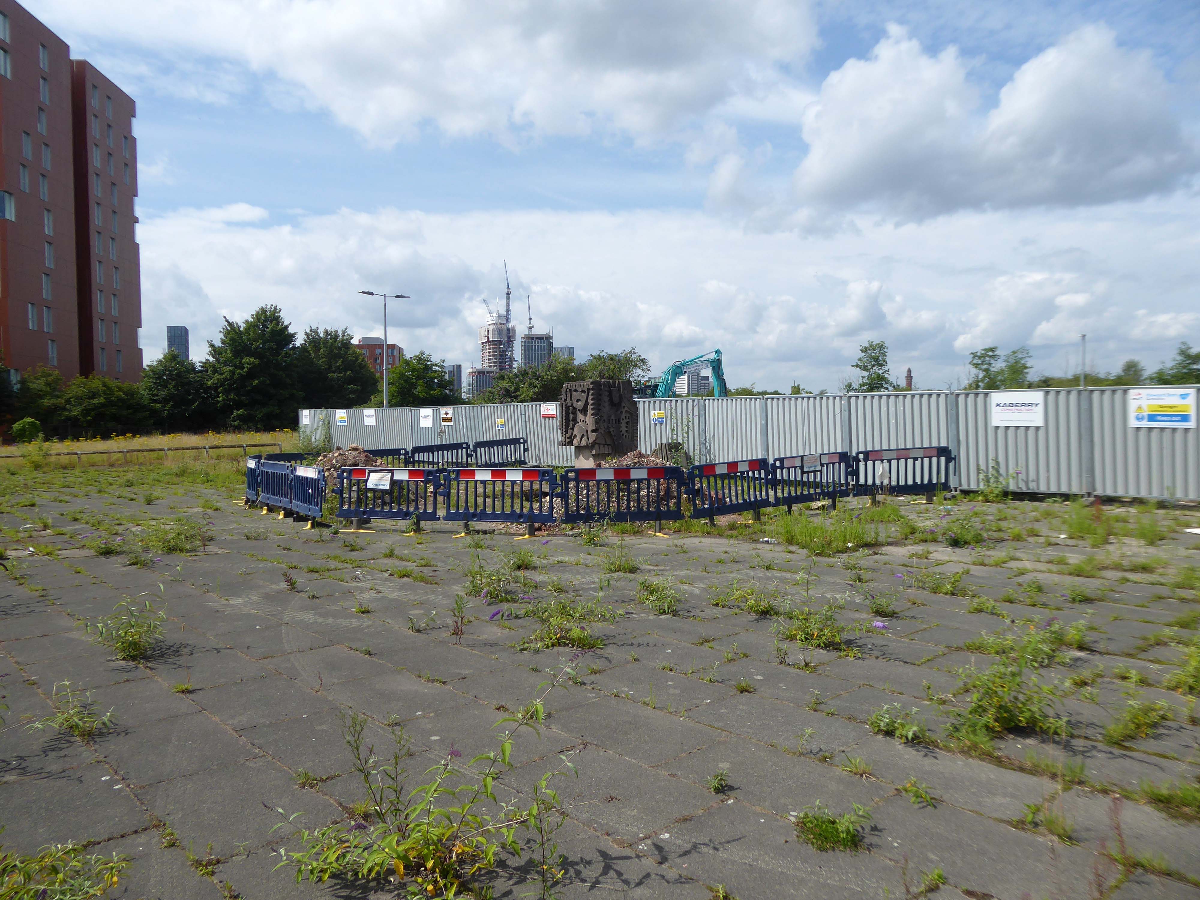
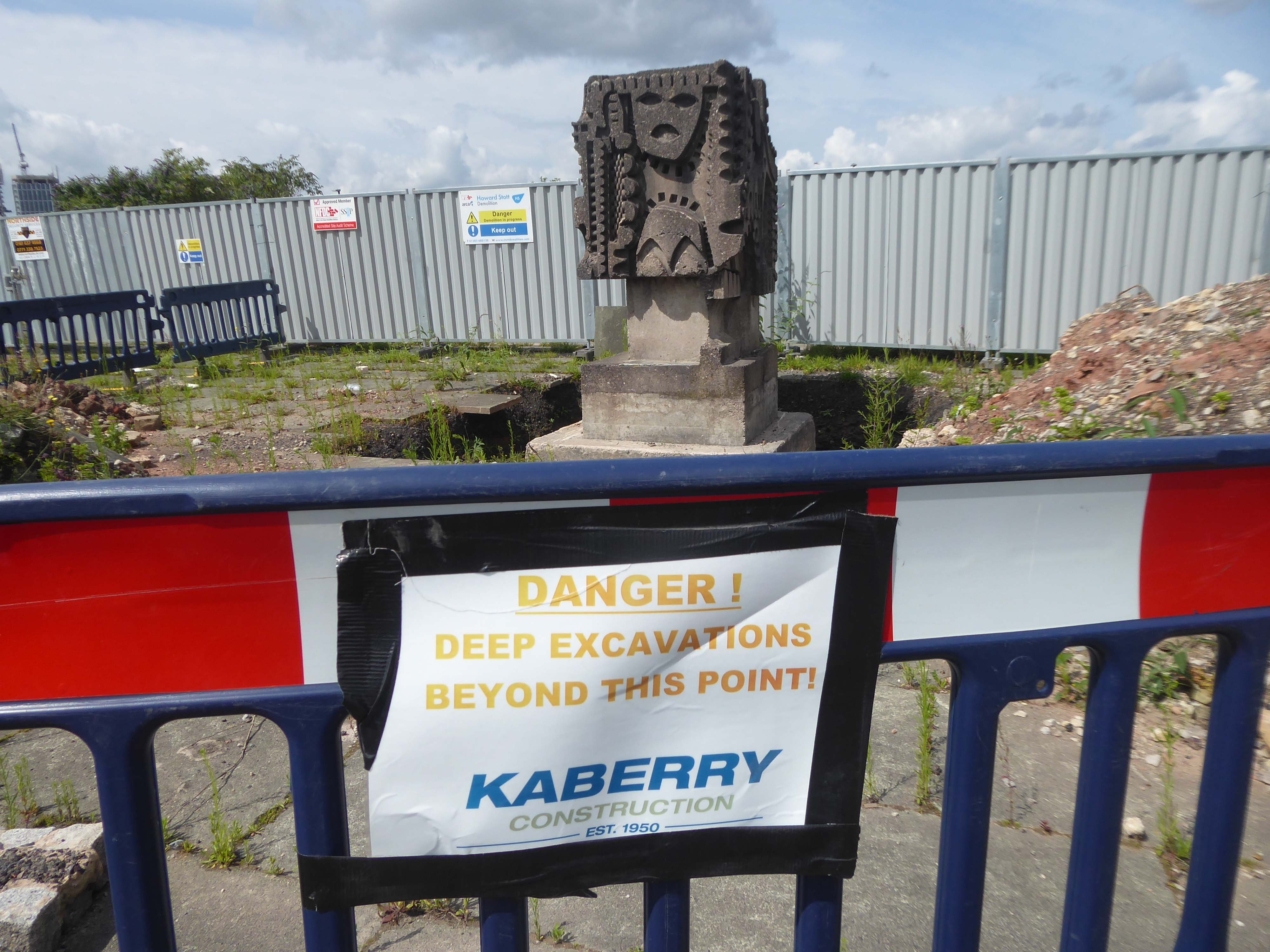
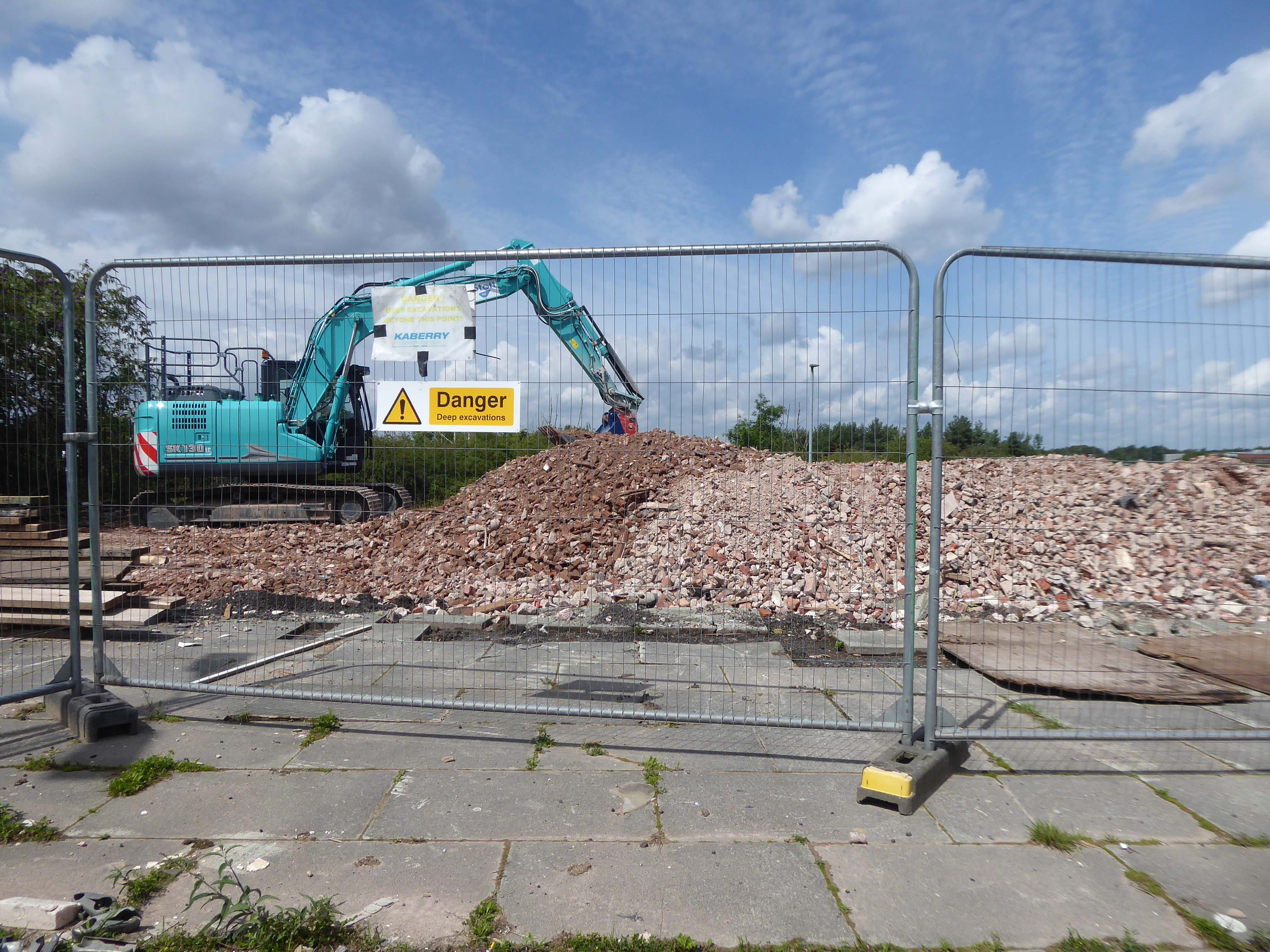
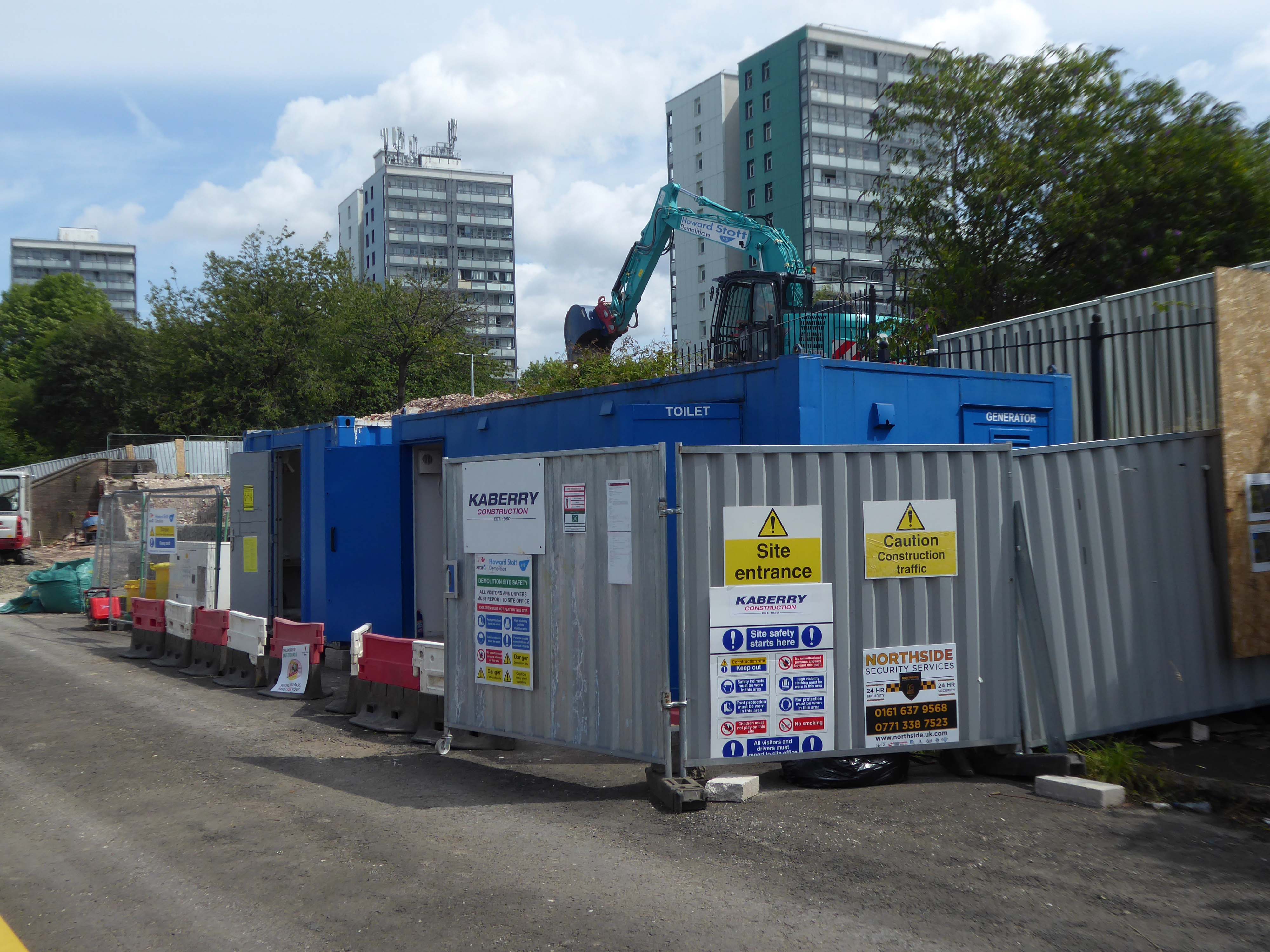
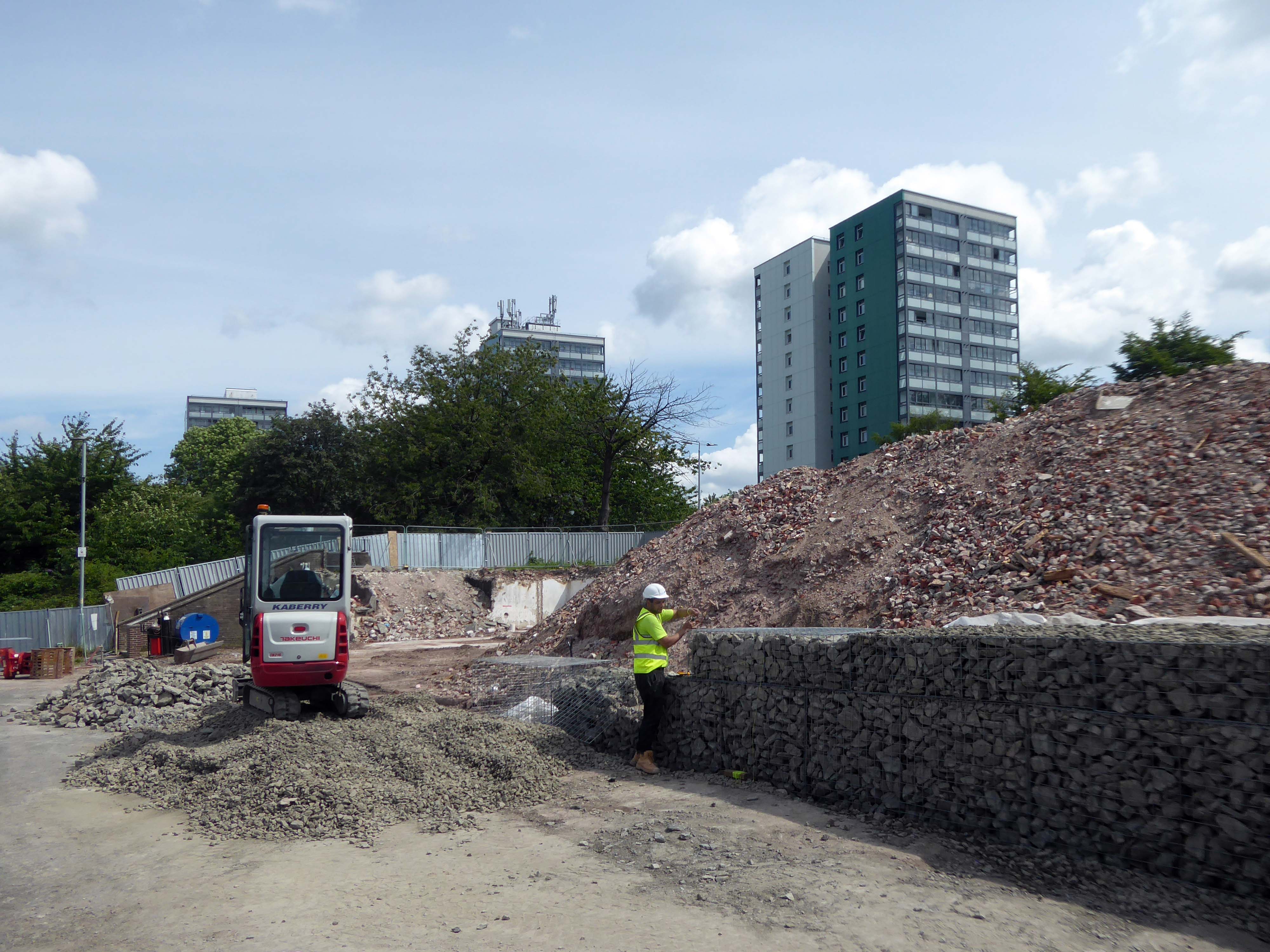
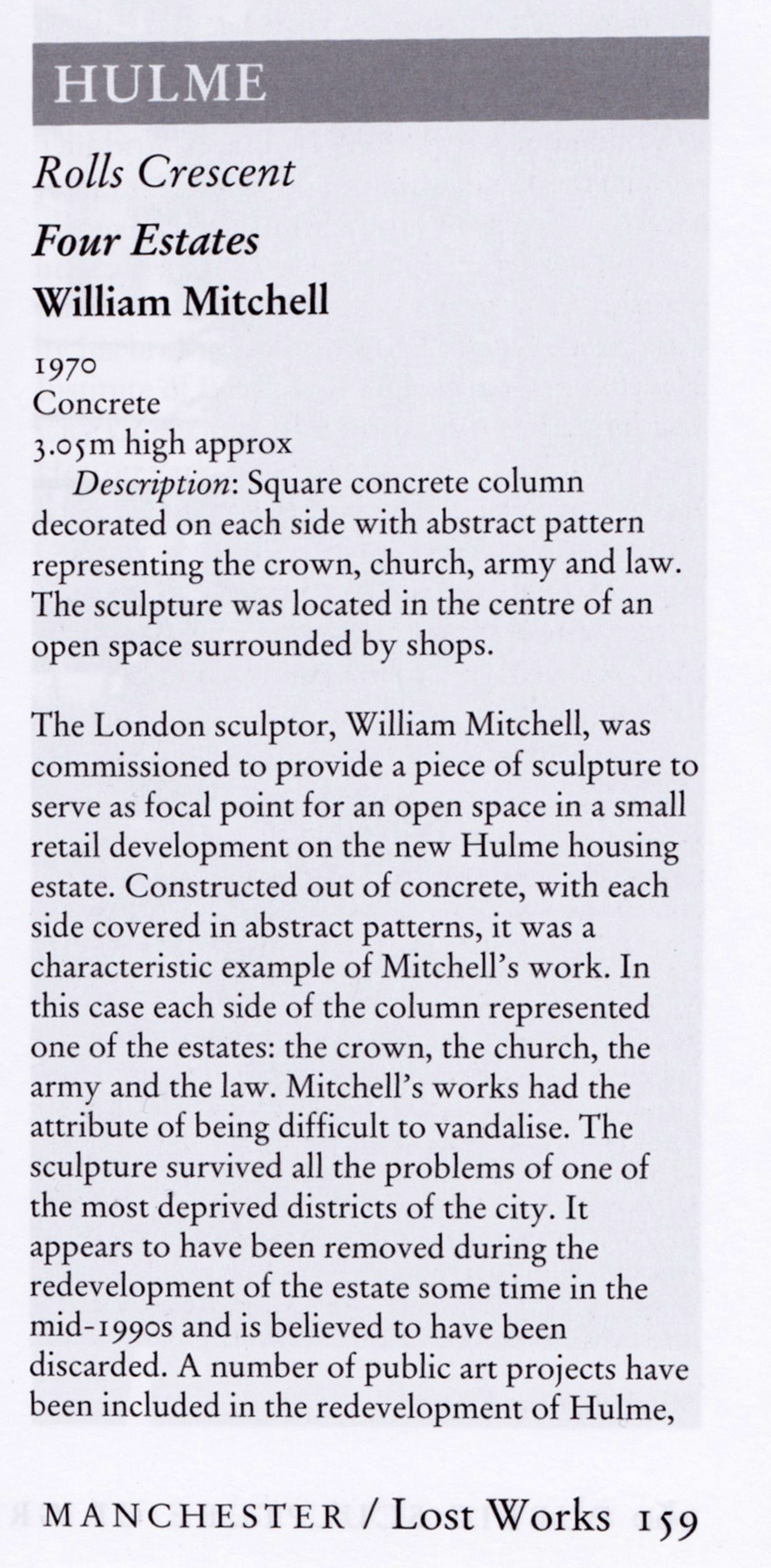
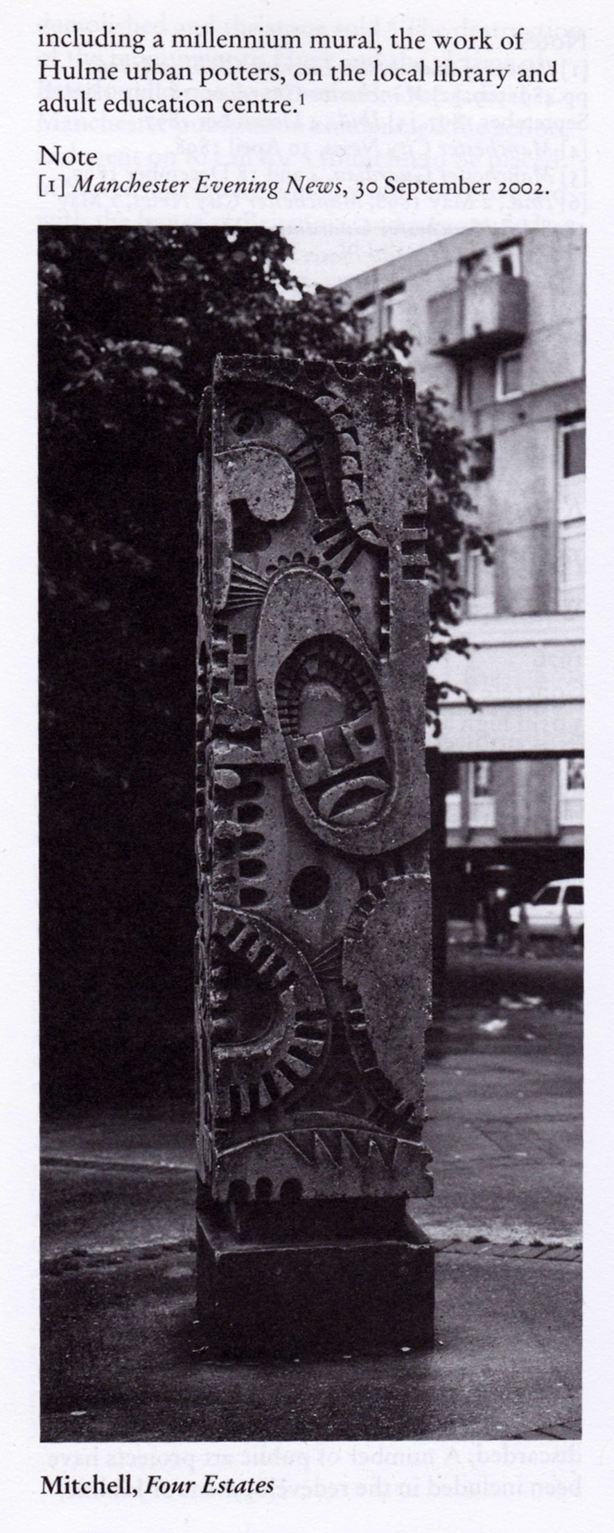
Home to William Mitchell’s Totem, the homes long gone and the Council pledged to move the totem too.

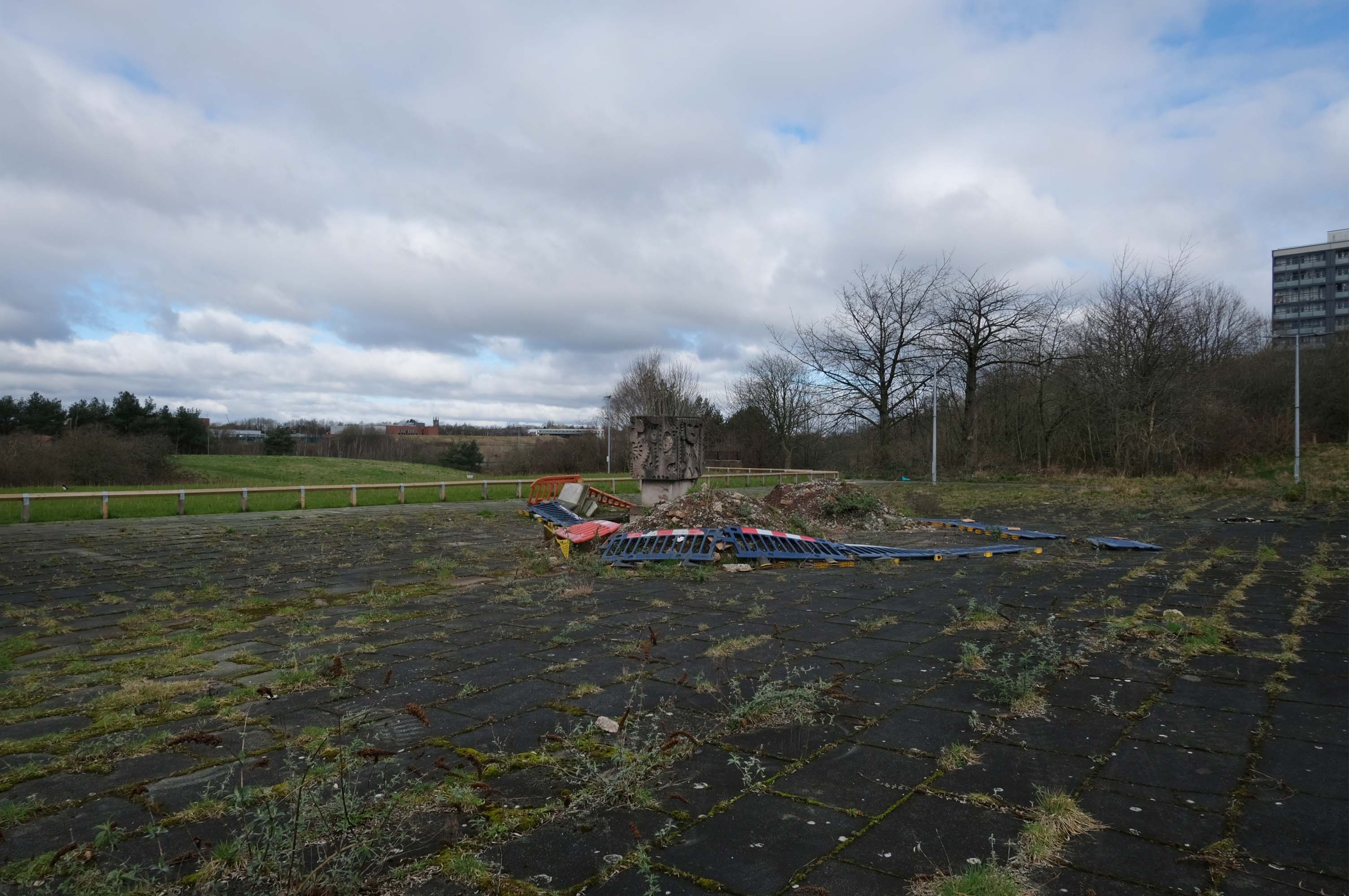
The state of play this week, the detritus removed and the base filled in, repaved and safe for a while.

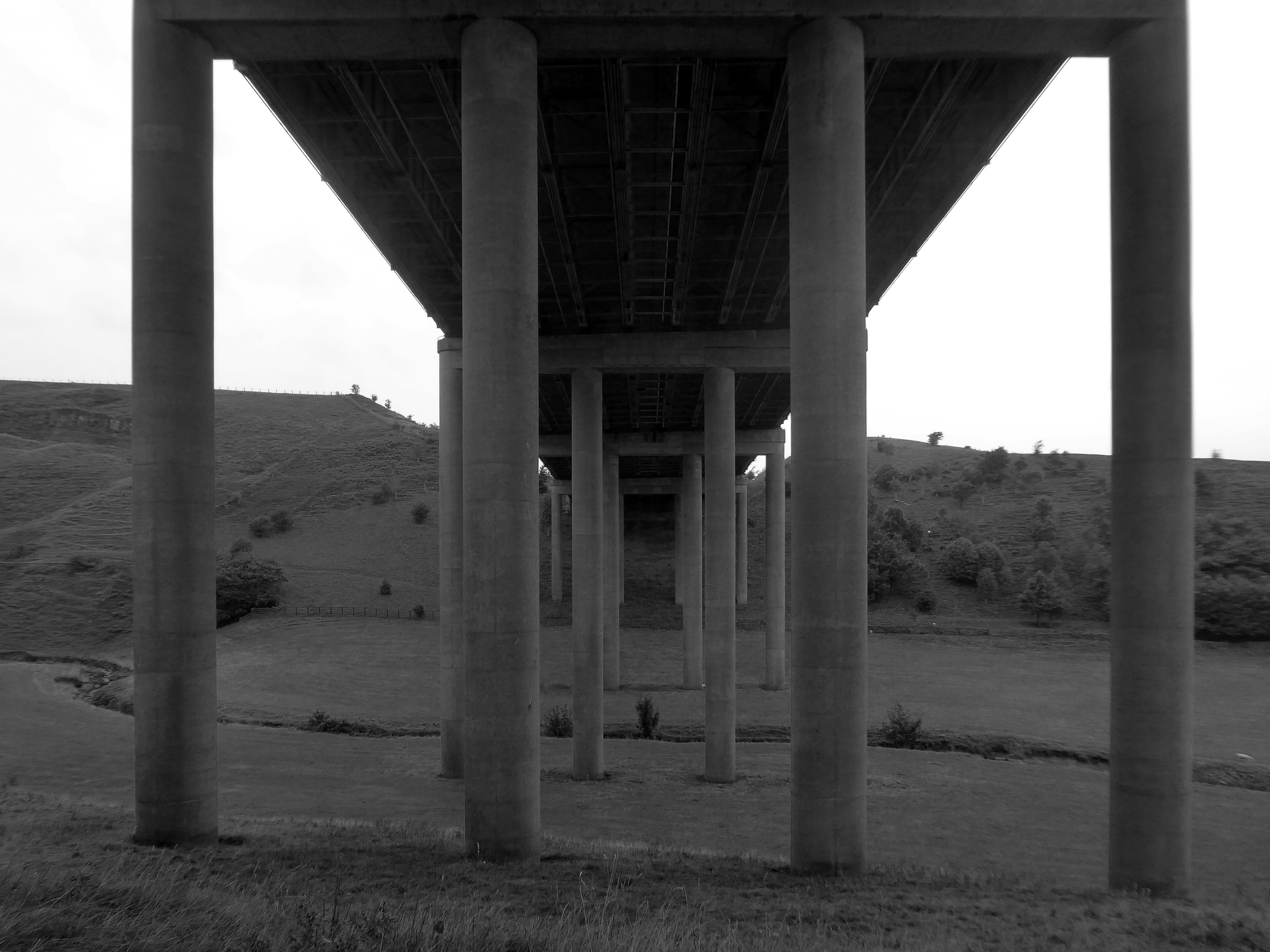
Off now to the Weaver Valley another day another river, passing under Weaver Viaduct

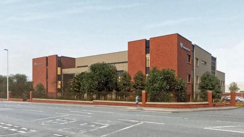
The looking toward Koura Global – leader in the development, manufacture, and supply of fluoro products and technologies, opened a new HFA 152a production facility at their Runcorn site in the UK.

Further rural Modernism as we pass under and traverse the M62, whilst walking around the Piethorn Valley

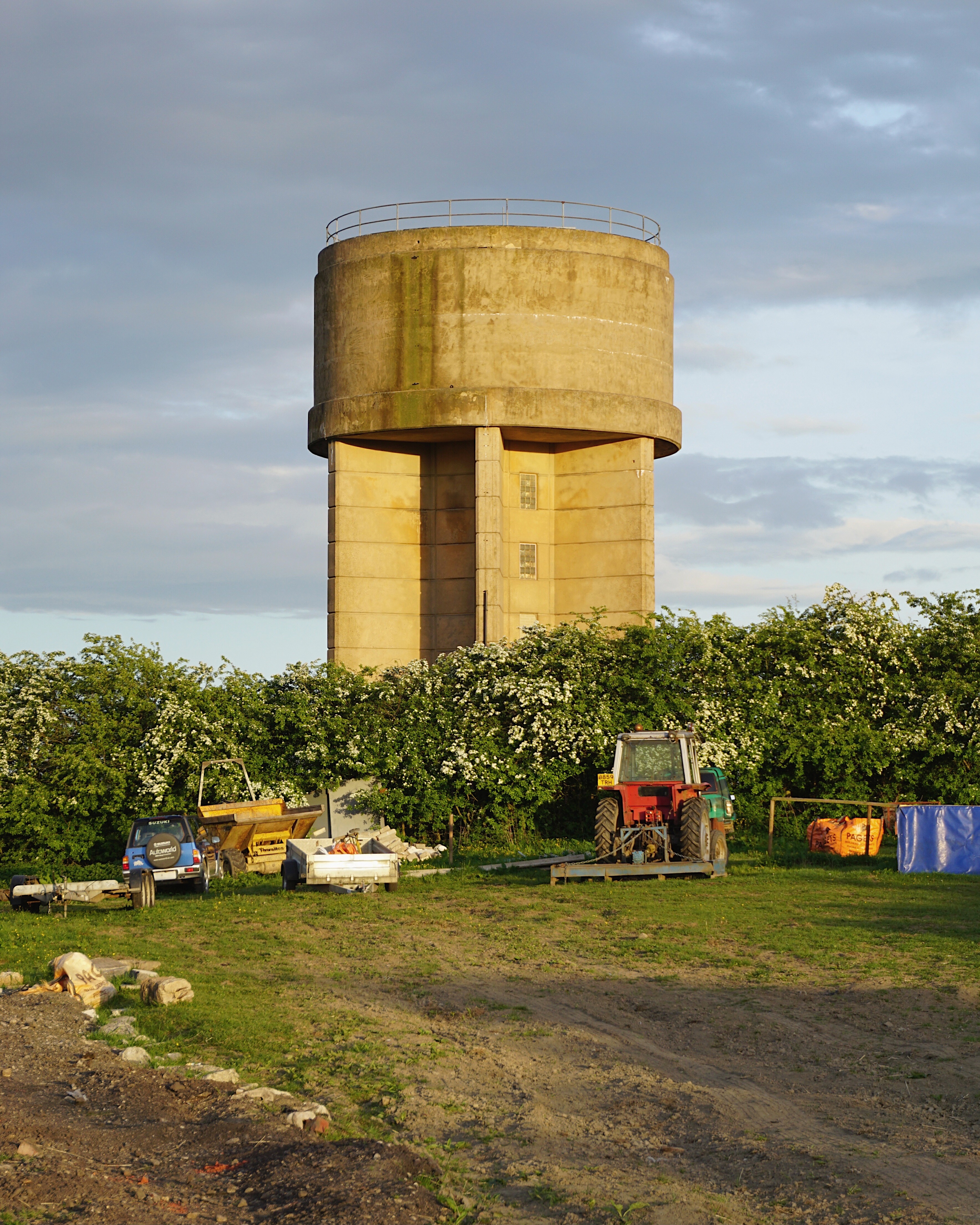
Then recently visiting several Yorkshire Reservoirs – here we are at Scammonden.

The newest of the Modernist Mooches was to Burnley where we visited the Keirby Hotel.

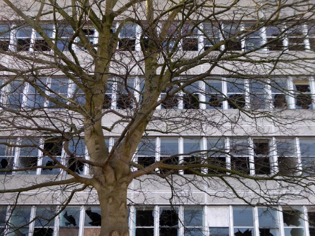
The former GUS Offices with a mural by Diane and William Morris.

Plus the Charles Anderson concrete relief at the Crow Wood Hotel.

Finally a little light relief – a visit to the Boots factory in Nottingham.
Having innocently board a bus outside the station with a Boots head code , I alighted within the factory gates. Then innocently walking around taking snaps, unheeded until the men in the van stopped me in my tracks.
Who are you, what are you doing?
I am the Modern Moocher going about my business – well it turns out this was not permitted and I was red carded by the earnest security guards and asked to leave forthwith. Suitably rebuked, I politely bade them farewell and headed for the gates.


