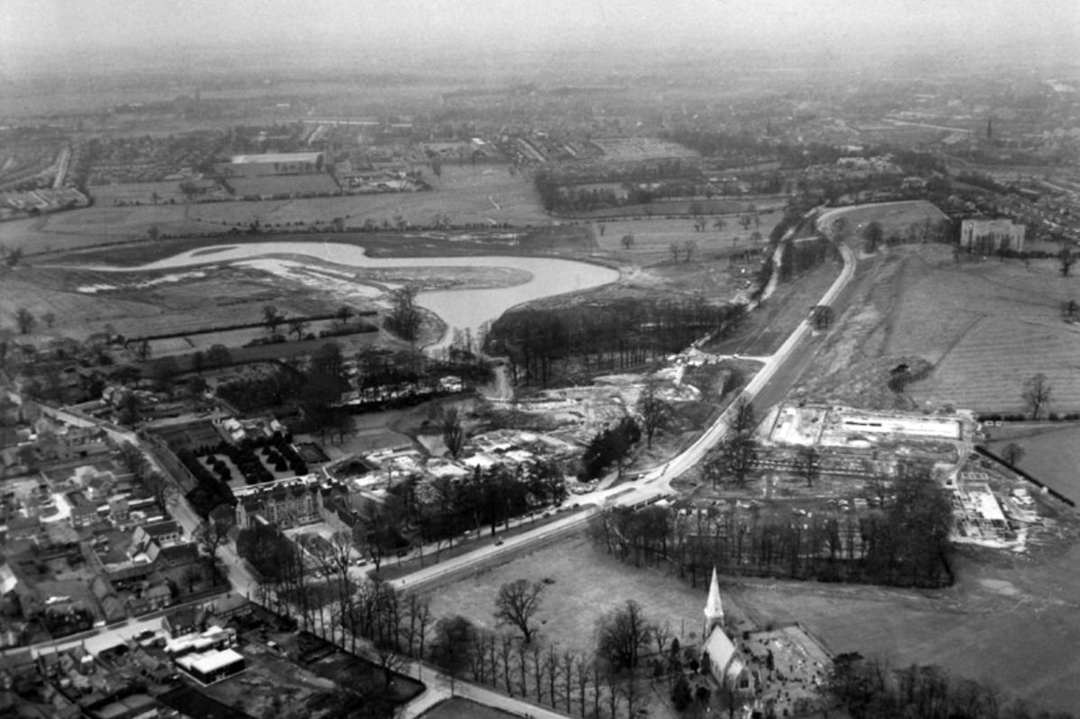
Though plans for a university in York first appeared as early as 1617, it would be over three centuries before they came to fruition. In 1960, permission was finally granted for the University of York to be built, marking the beginning of our journey.
Before the Second World War, Heslington was a quiet rural retreat with a local aristocracy, and a working agricultural village.
Fresh, young, forward-looking and enthusiastic, the University of York was known for its friendly atmosphere before it even opened its doors.
Planning and building the University happened with astonishing speed. In April 1960 the Government approved the establishment and less than three years, on 9 October 1963, the first students walked through the gates of Heslington Hall.
In the 1970s, college social life began to blossom.
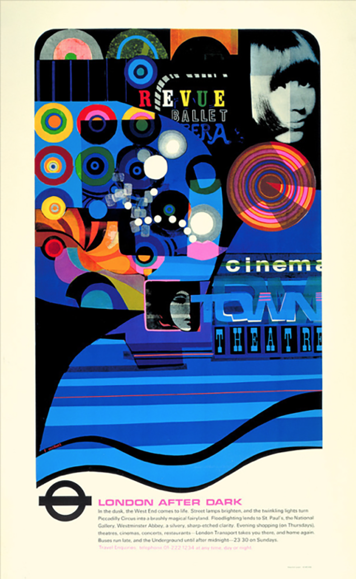
Central Hall was the venue for The Who, The Kinks, Fairport Convention, John Martyn, Ian Dury and the Blockheads, Hot Chocolate, Humphrey Littleton, Acker Bilk, Paul Tortelier, Julian Bream, John Williams and others.
Paul and Linda McCartney appeared one day out of the blue with their new band Wings and performed a concert in Goodricke College Dining Room.
The beginning of the 1980s came with significant challenges for the University.
The decade saw the start of cuts across higher education. Staff were exhorted to make economies including turning down their thermostats, recycling, and making telephone calls as short as possible. There was also a fire in the Department of Chemistry.
In 1990, the Vice-Chancellor, Berrick Saul, recounted to court that York had been described by a senior member of the Universities Funding Council as “a well-run university with a relatively low profile.”
What a difference a decade makes.
By the end of the 1990s, York was dominating national league tables for research and teaching and was receiving international press coverage for achievement across the disciplines.
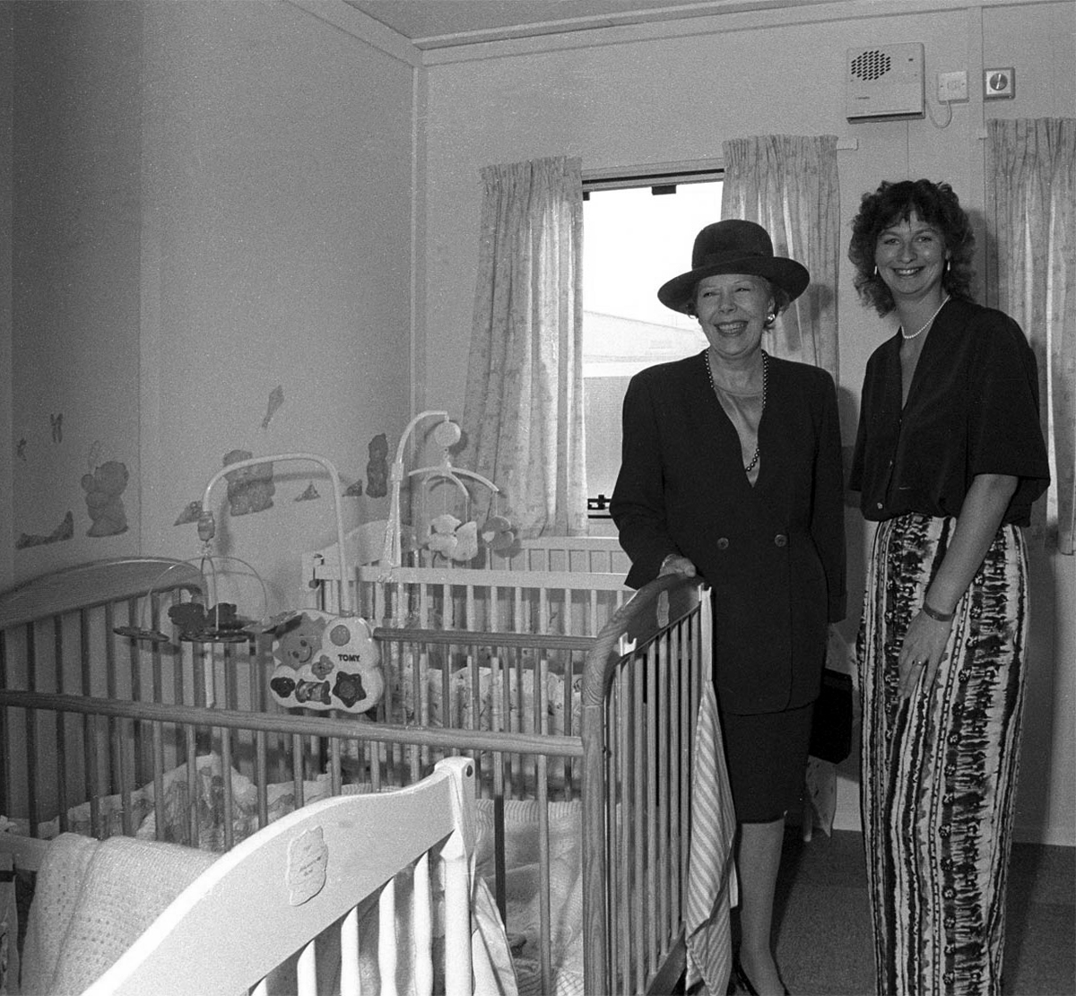
University Chancellor Dame Janet Baker at the opening of the University’s Baby Unit, October 1994 – York Digital Library
The 90s was characterised by advancement and recognition. York remained a popular choice among prospective students growing from 4,300 to 8,500 students without compromising its high entry standards. As the Sunday Times pointed out, “elitism does not appear to be the price of excellence at York”. York was one of only very few universities whose entry from state schools and colleges (around 80 per cent) was the same as the proportion of A-level students in the state system.
The introduction of official quality assessments and the proliferation of newspaper league tables saw the University’s stock rocket. After years of academic advancement, York began to get the recognition it deserved. National recognition attracted additional funding and investment. Research grants rose to over £20m per annum, and the University enjoyed one of the highest incomes per researcher in the higher education sector.
The Sir Jack Lyons Music Research Centre is opened by Roger Wright, controller of BBC Radio 3, 2004
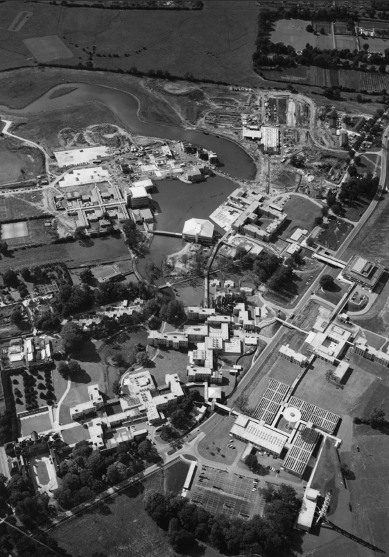
The planning for Heslington East began in earnest in 2002 with the arrival of Brian Cantor as Vice-Chancellor. It took years of master-planning, liaison with interest groups, negotiations with land-owners and local communities, an 8-hour city planning meeting and a Public Inquiry to achieve the purchase of land and complex planning permissions for a site equal to the size of the original Heslington West campus. In 2009, the new Goodricke College opened as the first building on Heslington East.
At the time of the 40th anniversary in 2003, we wrote about Heslington East:
It will be everything that the designers of the original campus hoped for – integrated, landscaped and traffic-free, with a large expanse of water, and a very eager populace.
On 25th November 2010, we were named “University of the Year” at the Times Higher Education Awards, achieving praise from the judges for our “success in combining academic excellence with social inclusion, as well as its record in scientific discovery”.
The development of Campus East continued throughout the decade, with four new sites to accommodate academic departments and a variety of support and social buildings, including the Ron Cooke Hub and York Sports Village.
Campus West also saw much expansion and redevelopment during the 2010s, with the opening of the £13.8m Spring Lane Learning and Teaching Building and £16m Biology teaching and laboratory facility in 2016.
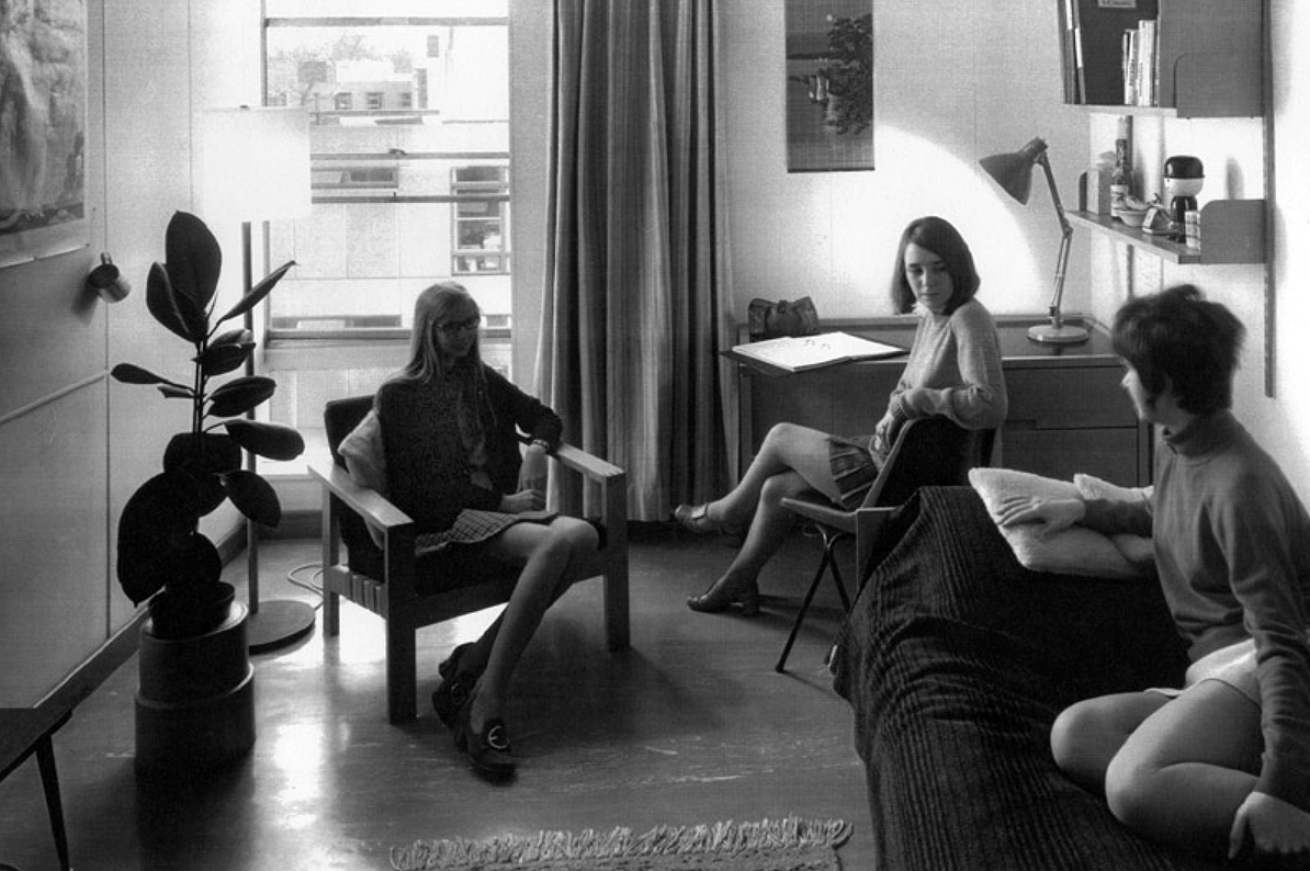
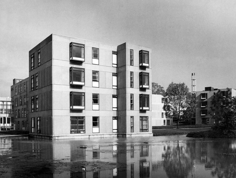
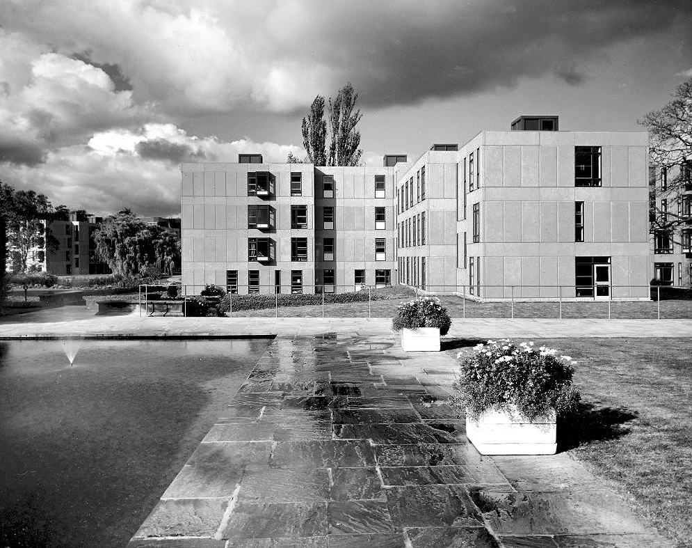
The University of York was founded in 1963 and work on its campus facilities in the grounds of Heslington Hall was begun in 1964. The first two colleges, Langwith and Derwent, accepted residential students for the autumn term of 1965. The original buildings were designed by Sir Andrew Derbyshire of Robert Matthew Johnson-Marshall & Partners, and assembled using the CLASP system of prefabricated construction.
RIBA
Founded in 1956 by architects Robert Matthew and Stirrat Johnson-Marshall, RMJM’s first offices were based in London and Edinburgh.
RMJM is now one of the largest architecture and design networks in the world. Services include architecture, development management, engineering, interior design, landscape design, lead consultancy, master planning, product design, specialist advisory services, and urban design
Langwith College 1965 – photo Reginald Hugo de Burgh Galwey
Constructed using the Consortium of Local Authorities Special Programme – CLASP system, formed in 1957 by Local Authorities in England to develop a shared prefabricated system for the construction of school buildings. The resulting CLASP building system was initially developed by Charles Herbert Aslin, the county architect for Hertfordshire.
CLASP’s popularity in coal mining areas was in part because the system permitted fairly straightforward replacement of subsidence-damaged sections of building, and the lightness of the structures. The system was also later used for the construction of railway stations, offices, university buildings, and churches until the late 1970s.
Today, 3000 examples are still in use.
Photo – Keith Gibson 1965
The system utilised prefabricated light gauge steel frames which could be built economically up to a maximum of four storeys. The frames were finished in a variety of claddings and their modular nature could be employed to produce architecturally satisfying buildings. Initially developed solely for schools, the system was also used to provide offices and housing.
The cynics’ definition of the CLASP acronym, circulating in the 1970s, was:
collection of loosely assembled steel parts.
CLASP buildings fell out of favour in the late 1970s. Budgetary advances and changing architectural tastes made the scheme obsolete.
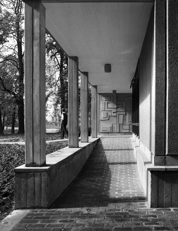
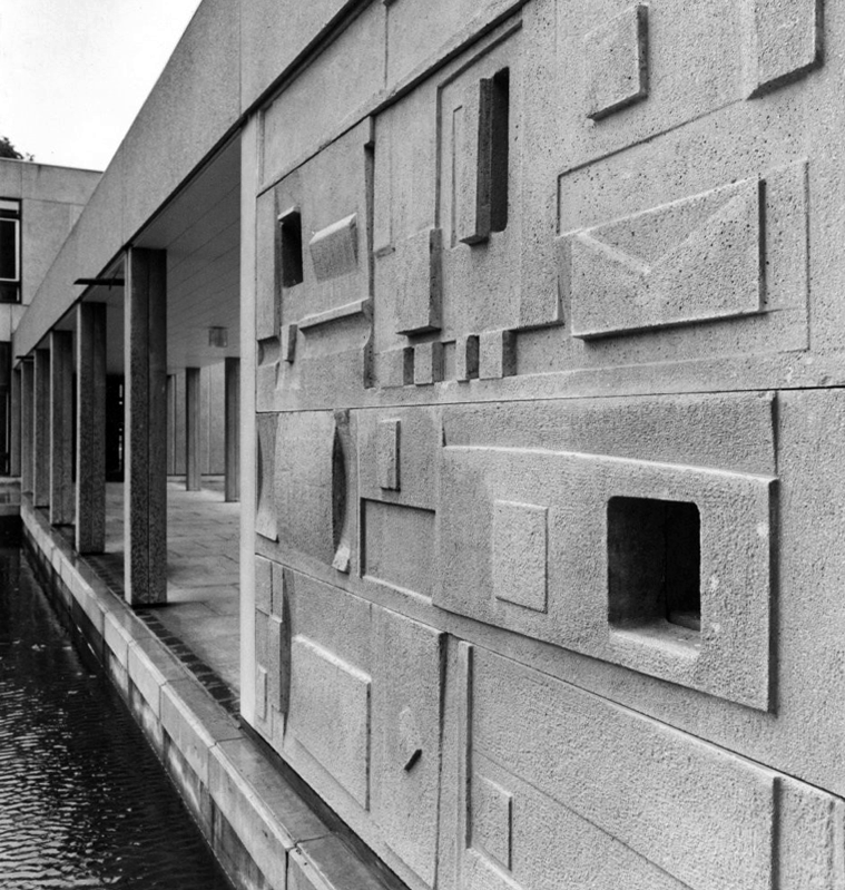
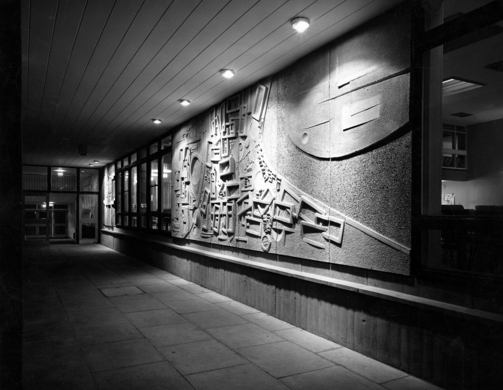
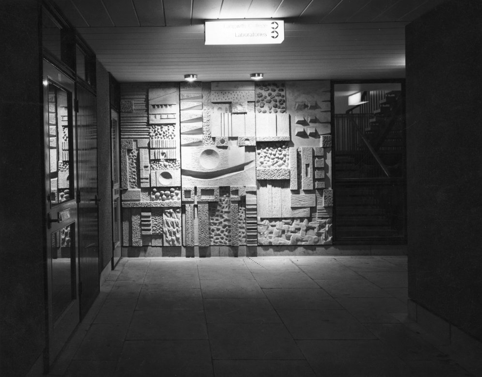
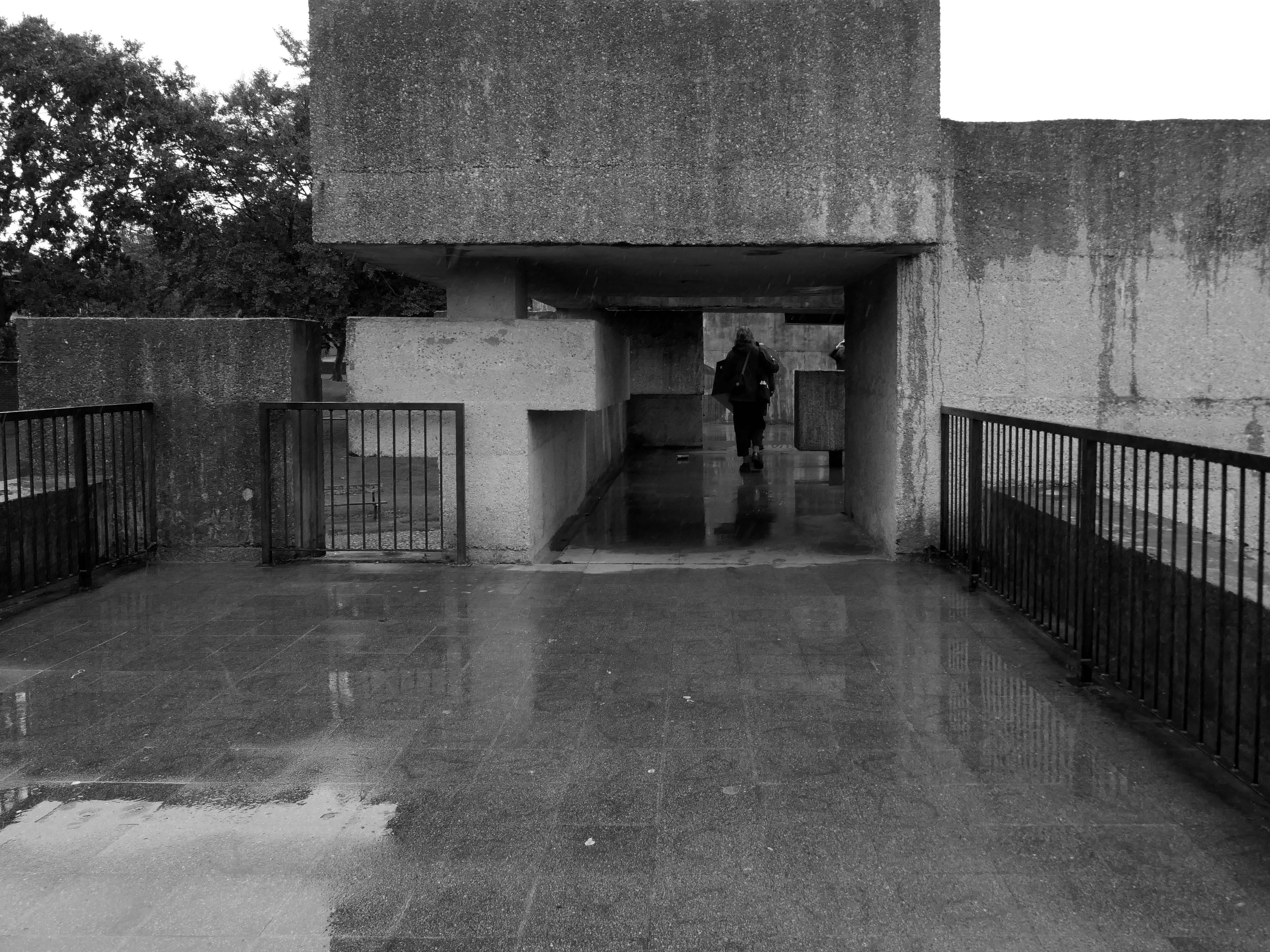
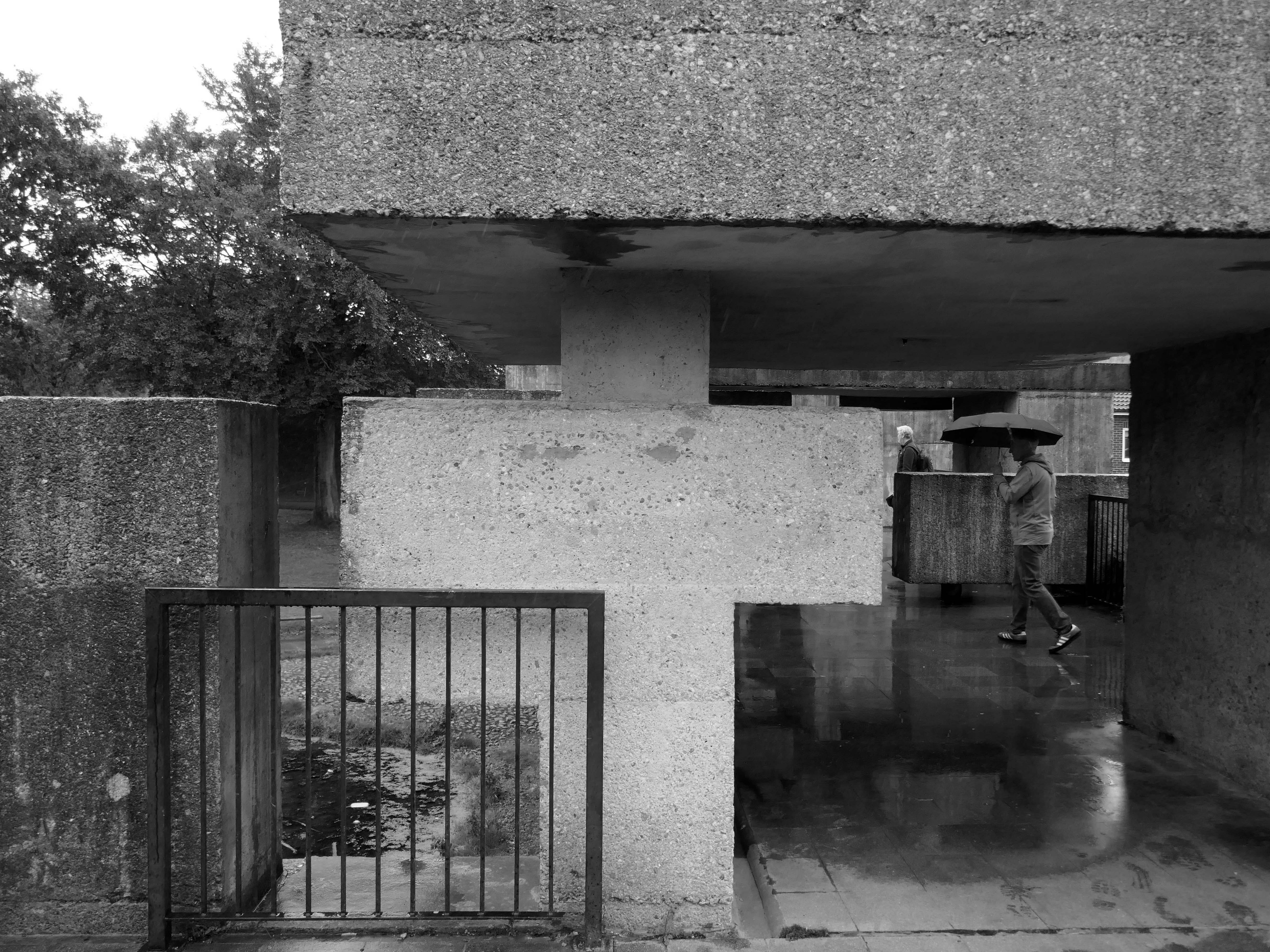
Walkway Derwent College with concrete relief by Fred Millett 1965
Photos 1965 Bill Toomey
Fred Millett 1920–1980 was a muralist and poster artist who exhibited at the Festival of Britain and was commissioned by London Transport, National Westminster Bank, University of York and the General Post Office. He also taught Perception and Communication at the Polytechnic of Central London.
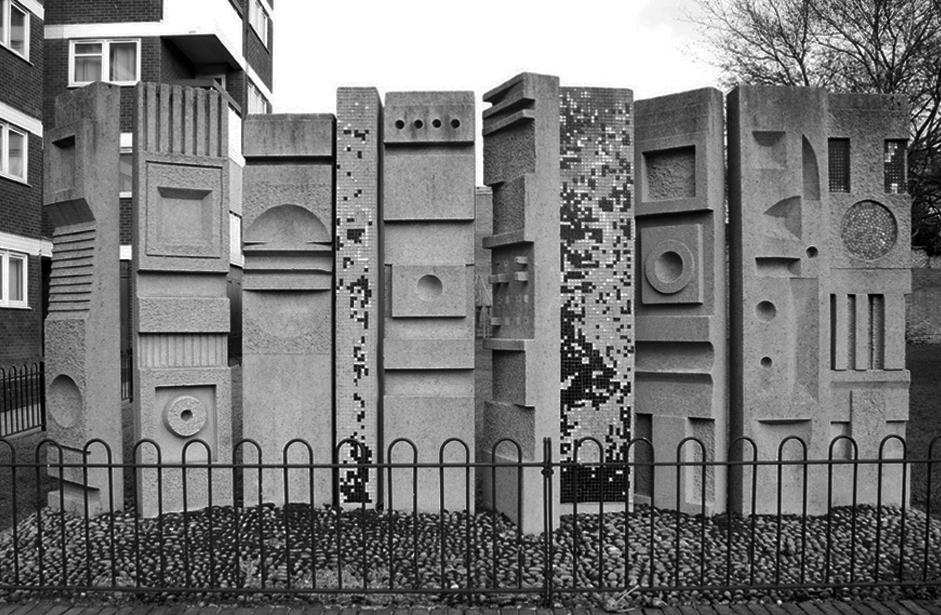
Fred Millett – Sculpted Wall Raglan Estate Camden 1965
Originally part of the children’s playground, the work is a feature of a post war estate designed by Frank Scarlett in Kentish Town
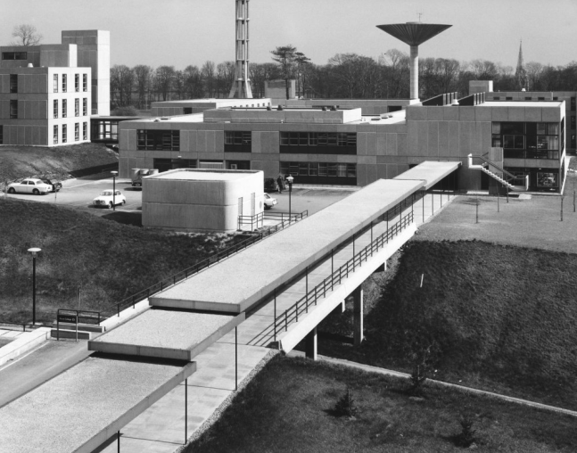
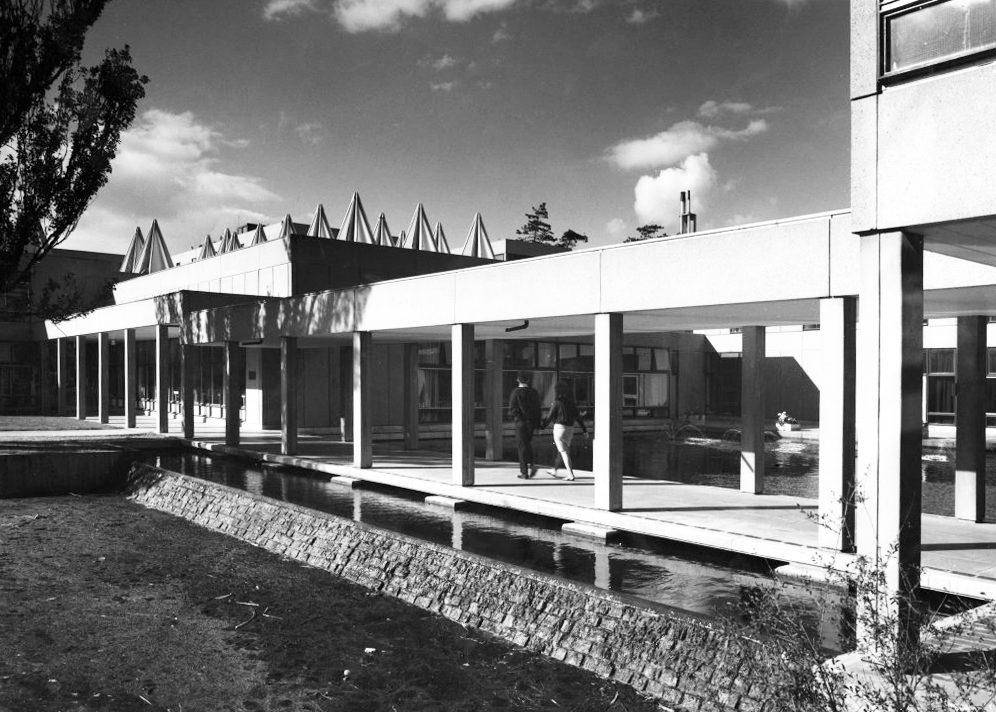
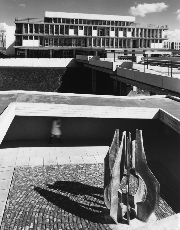
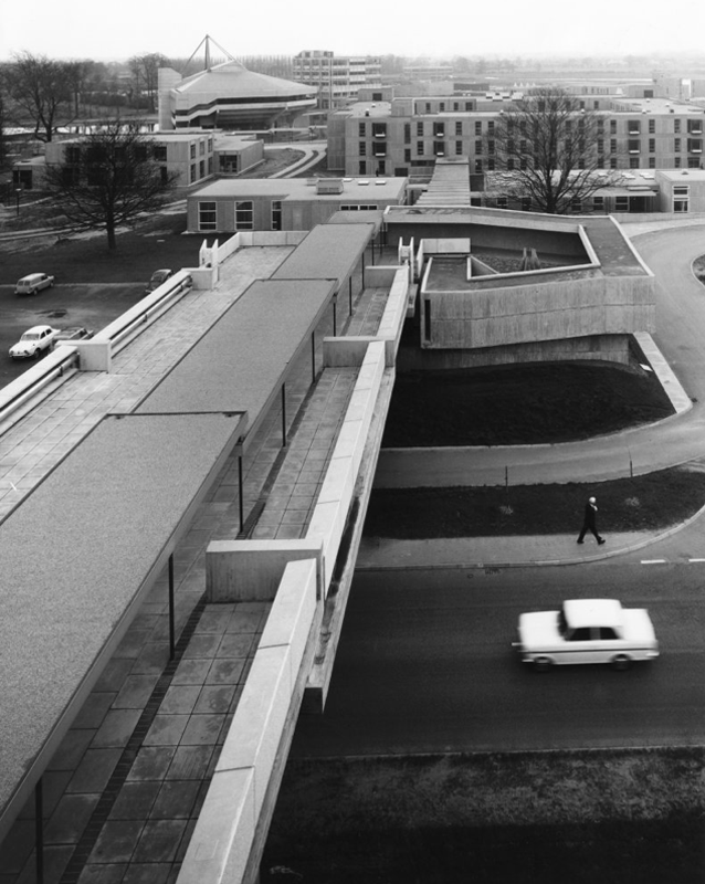
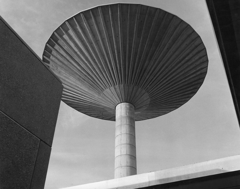
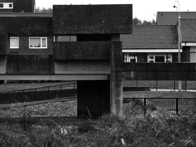
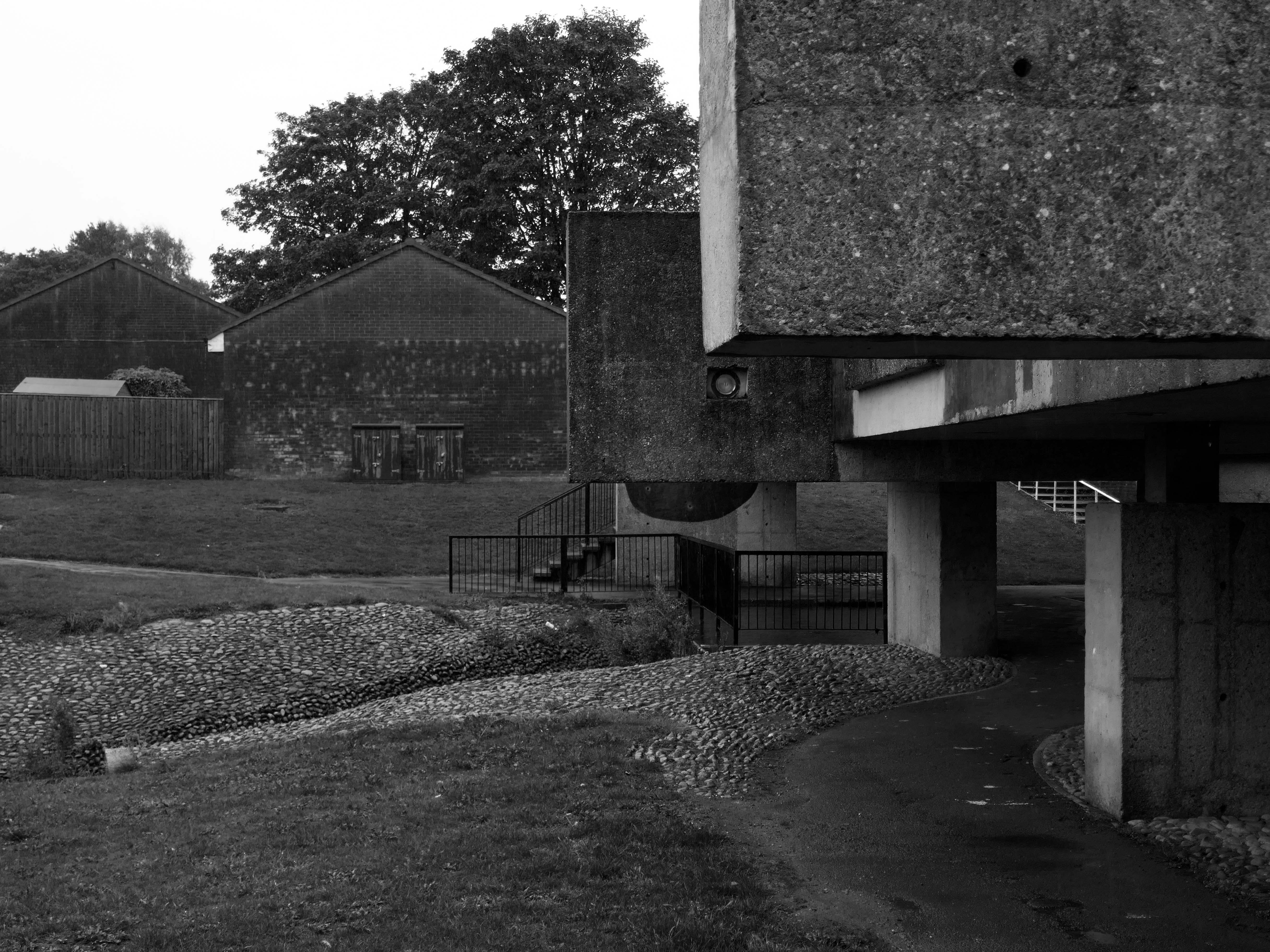
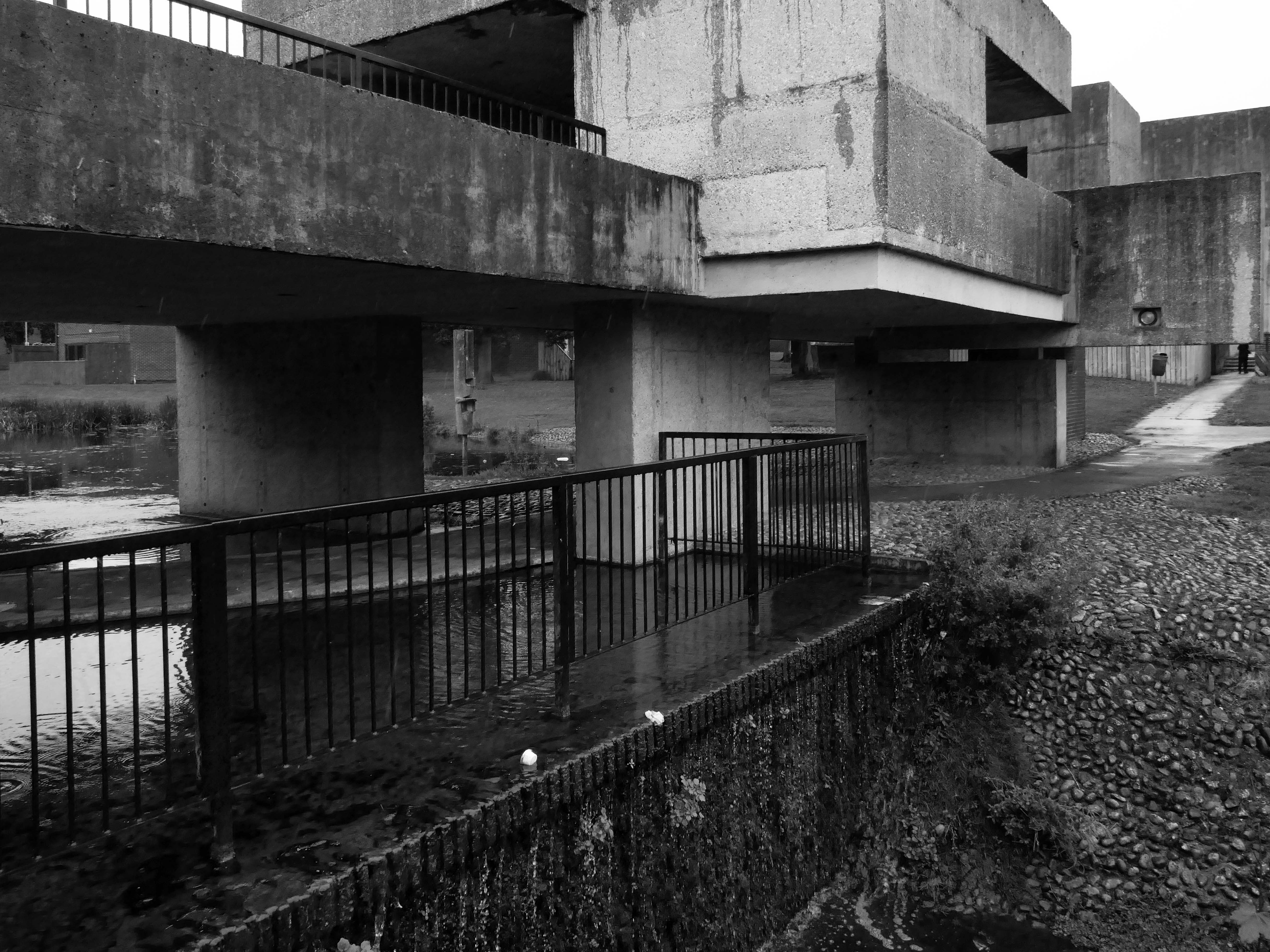
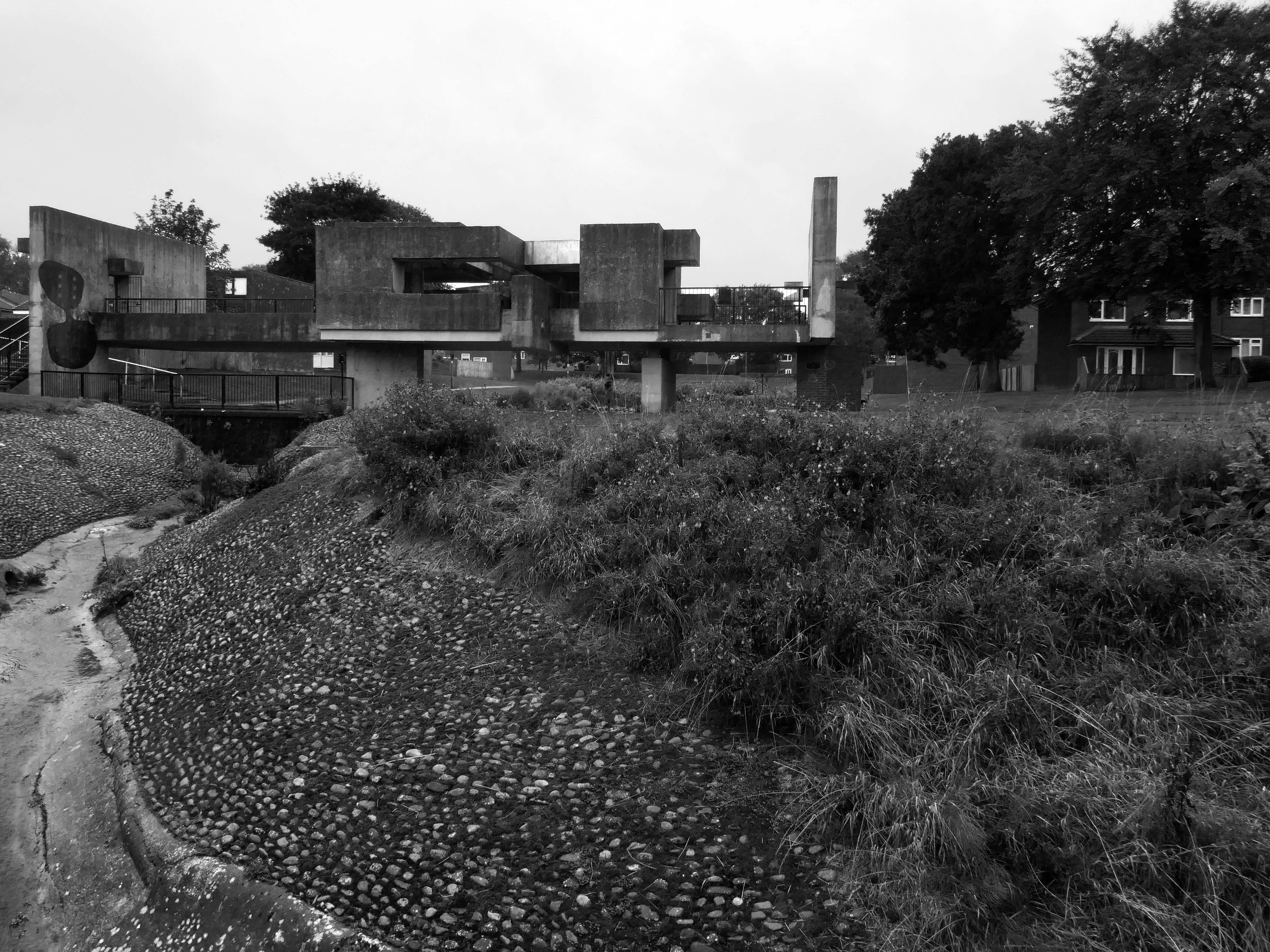
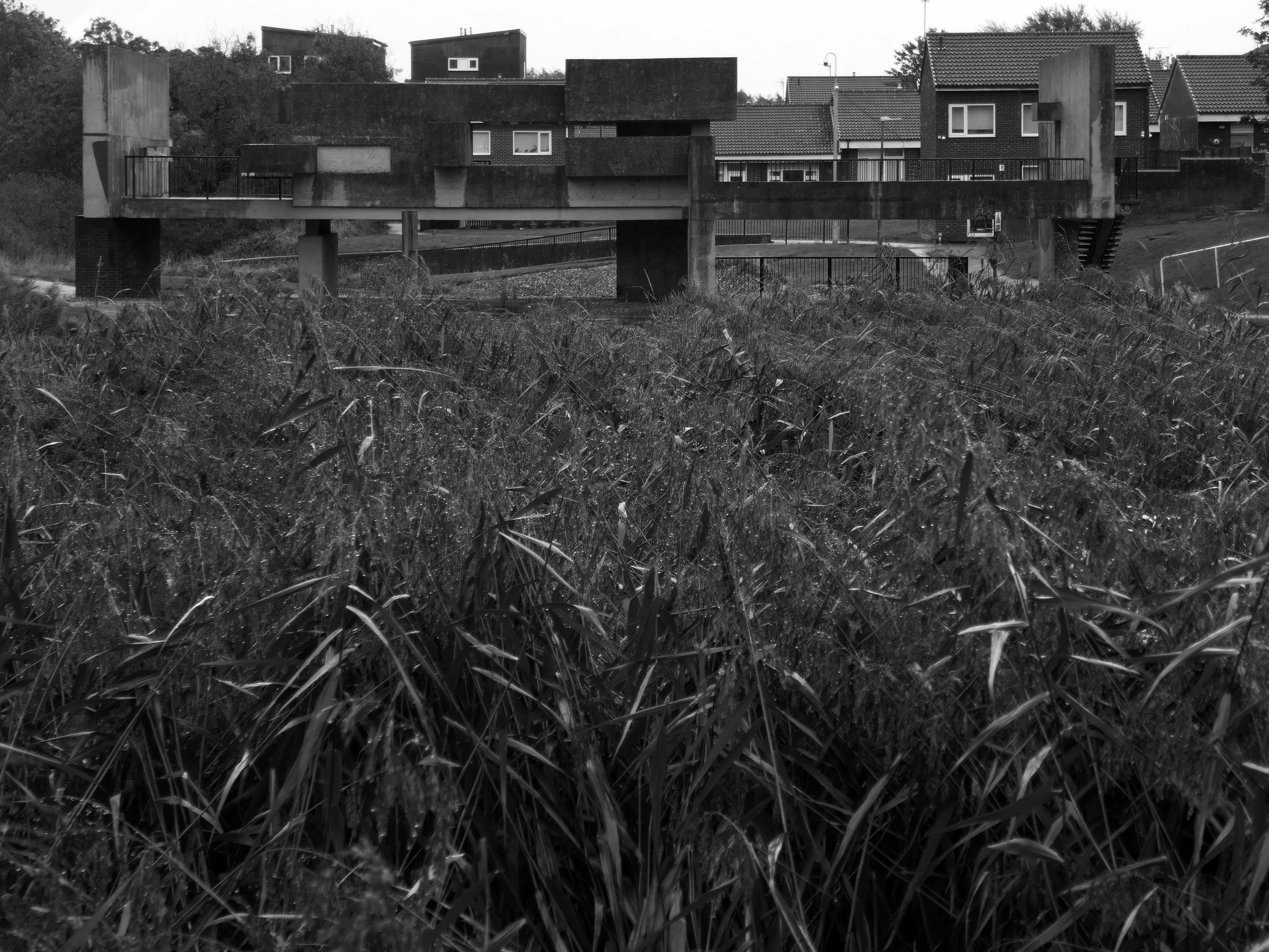
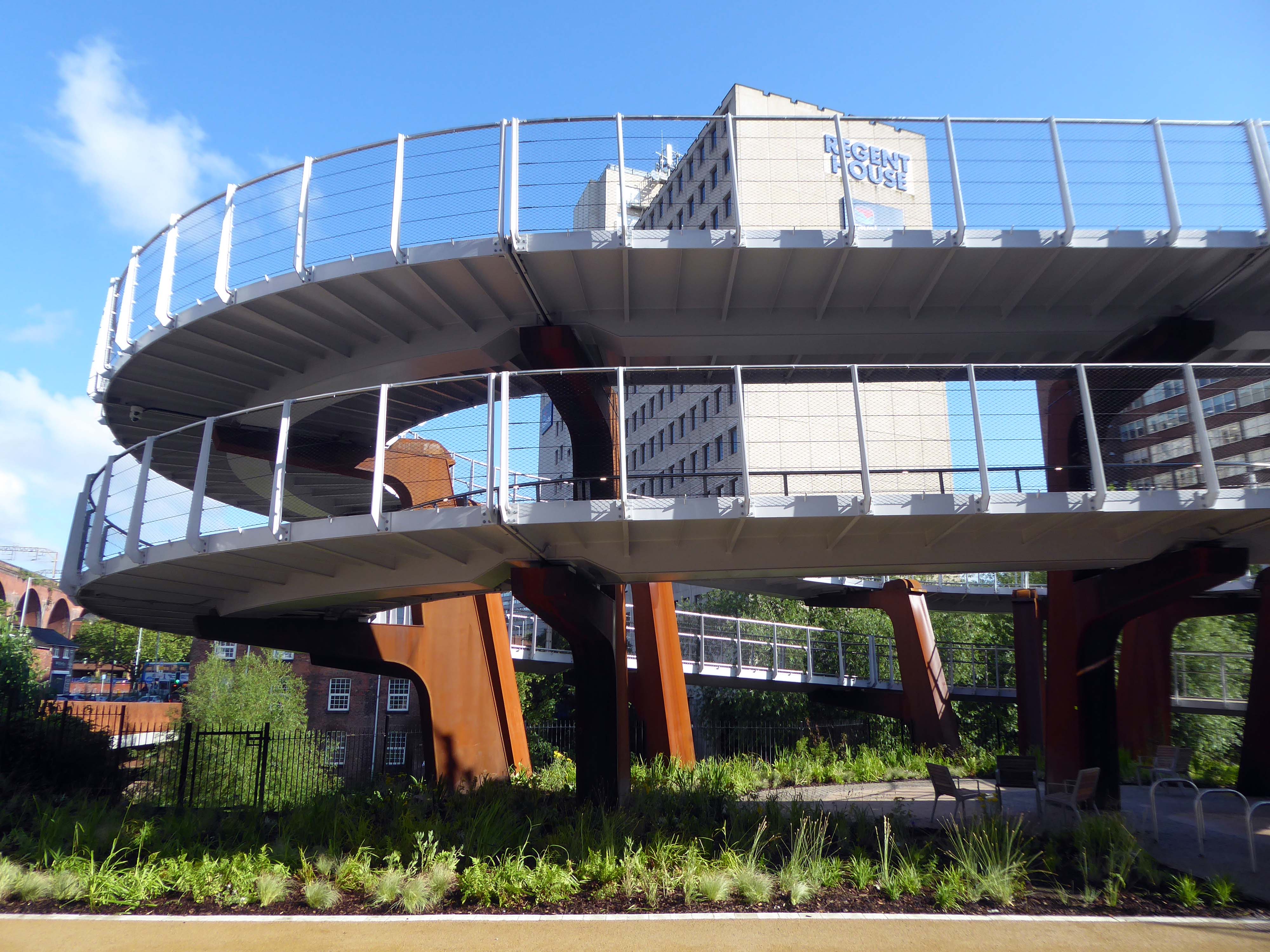
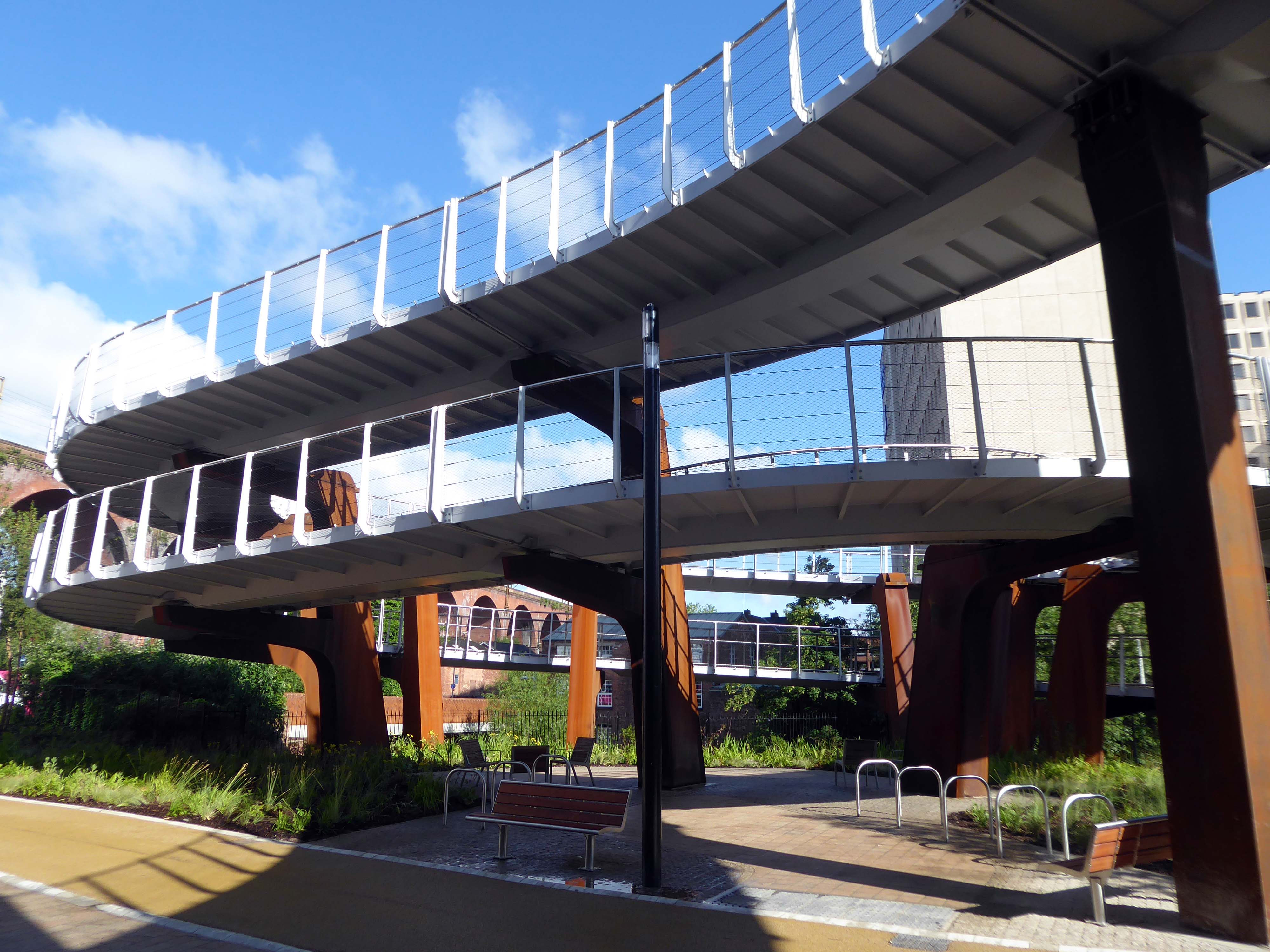
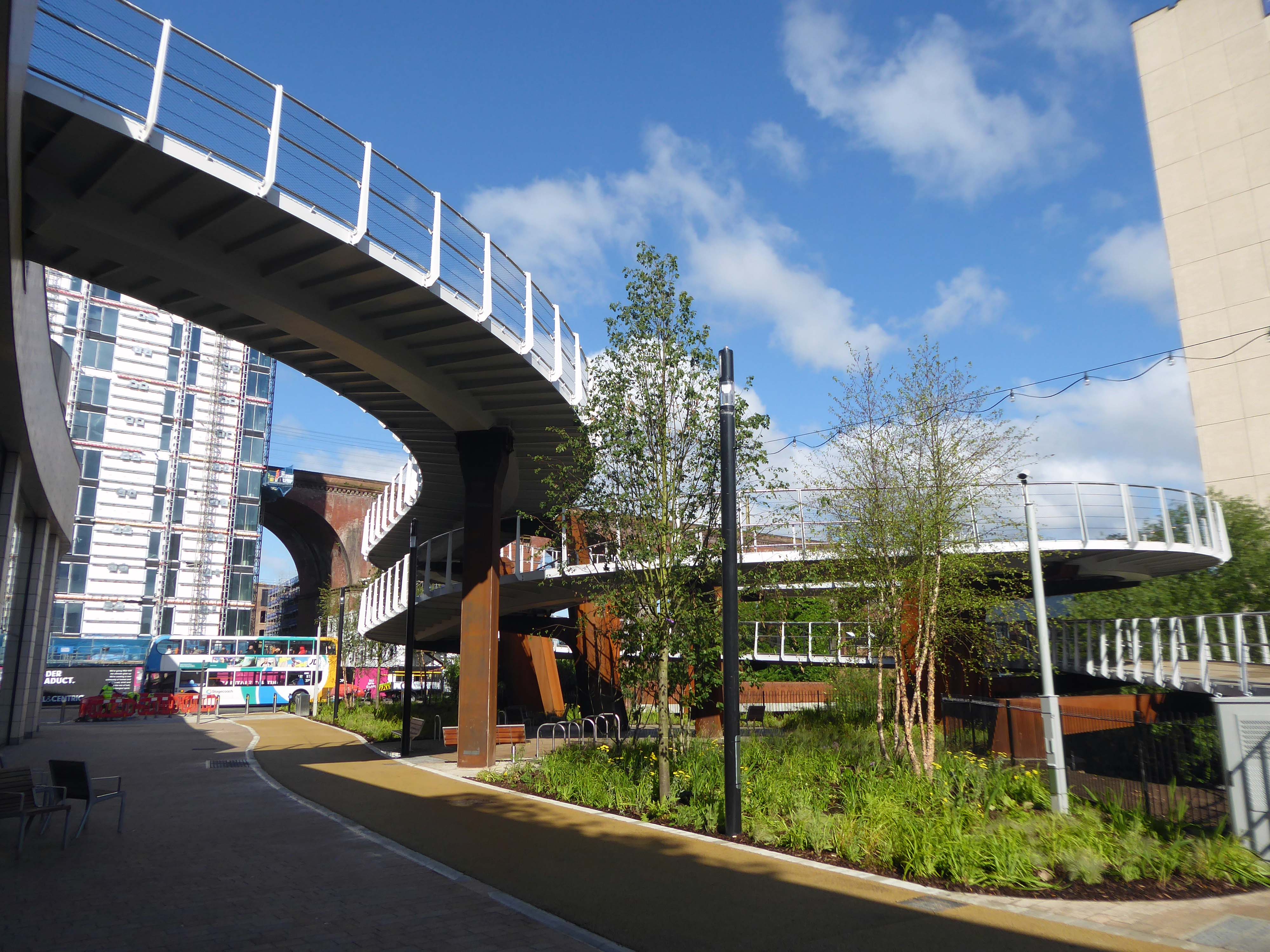
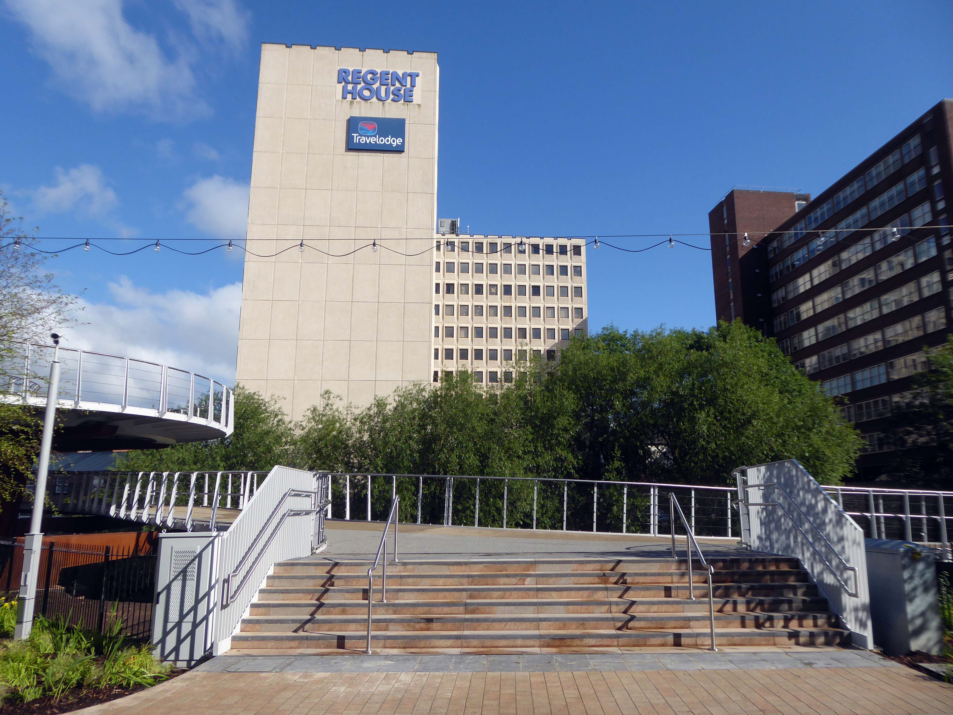
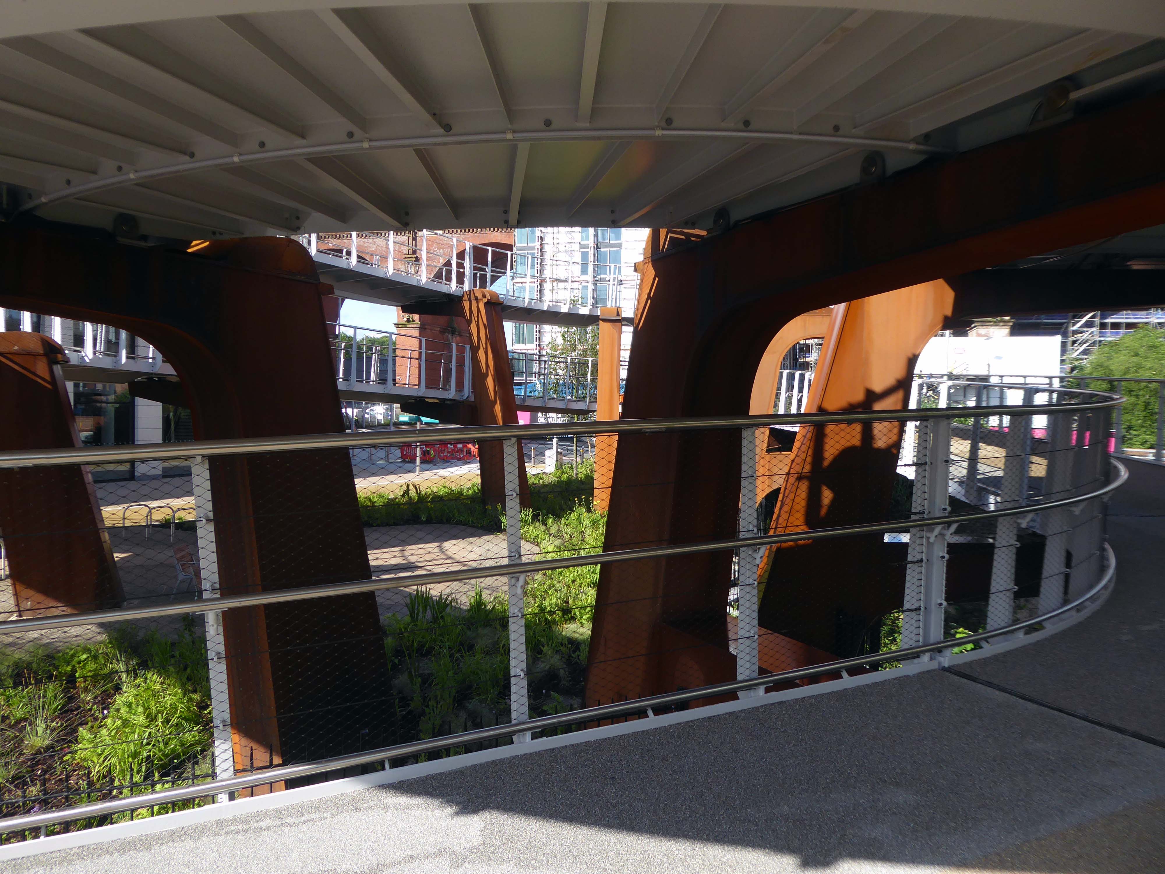
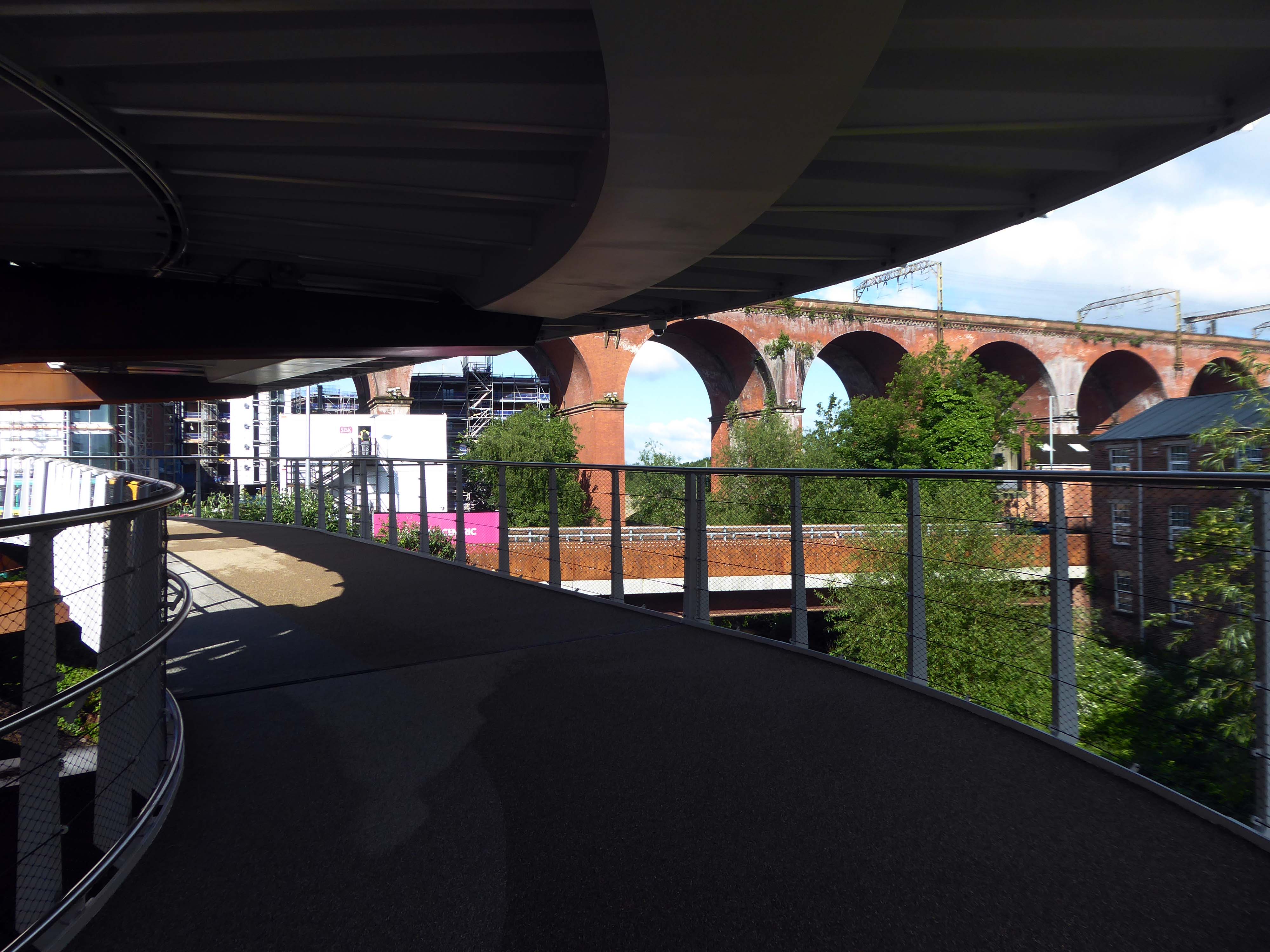
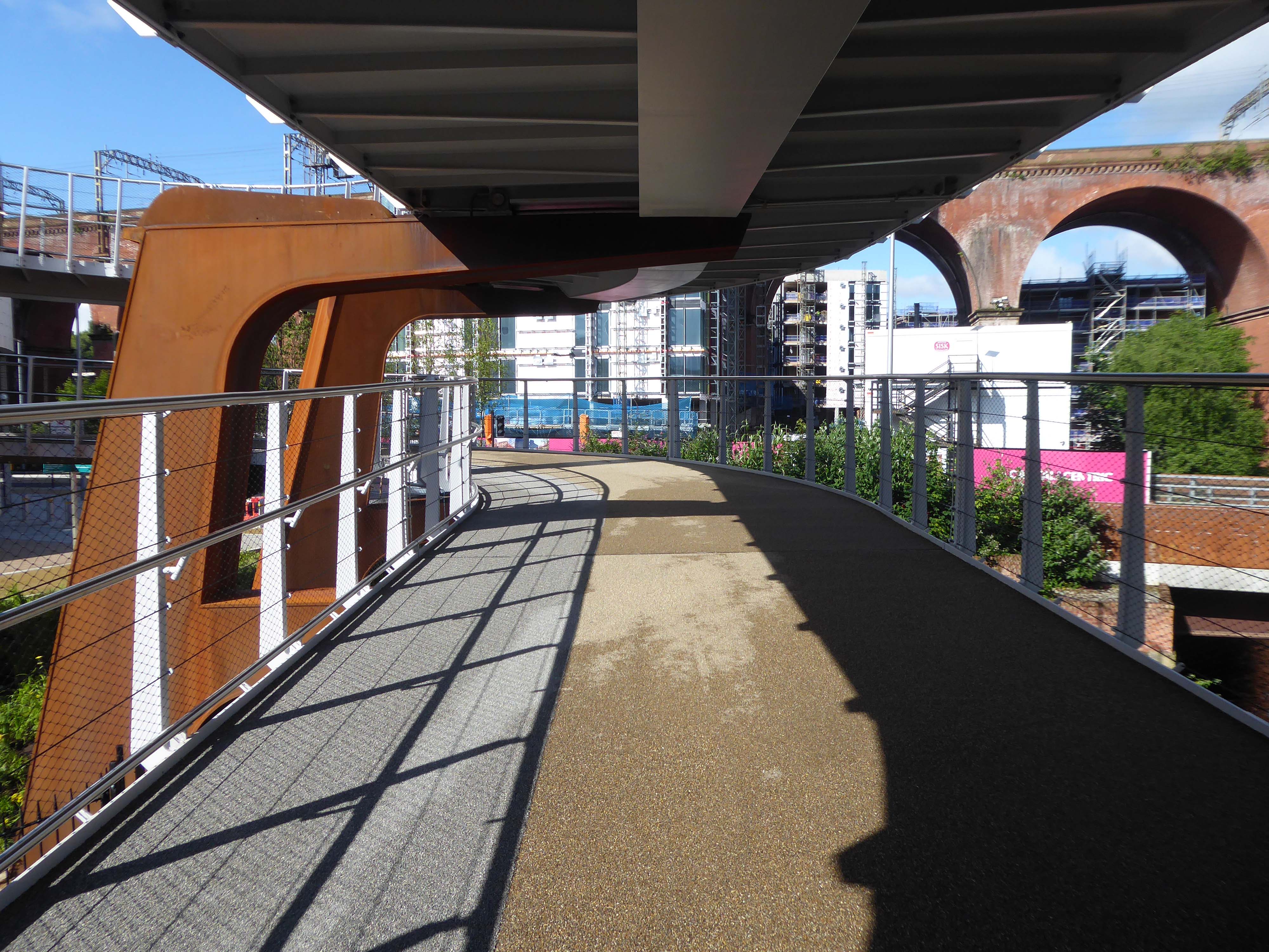
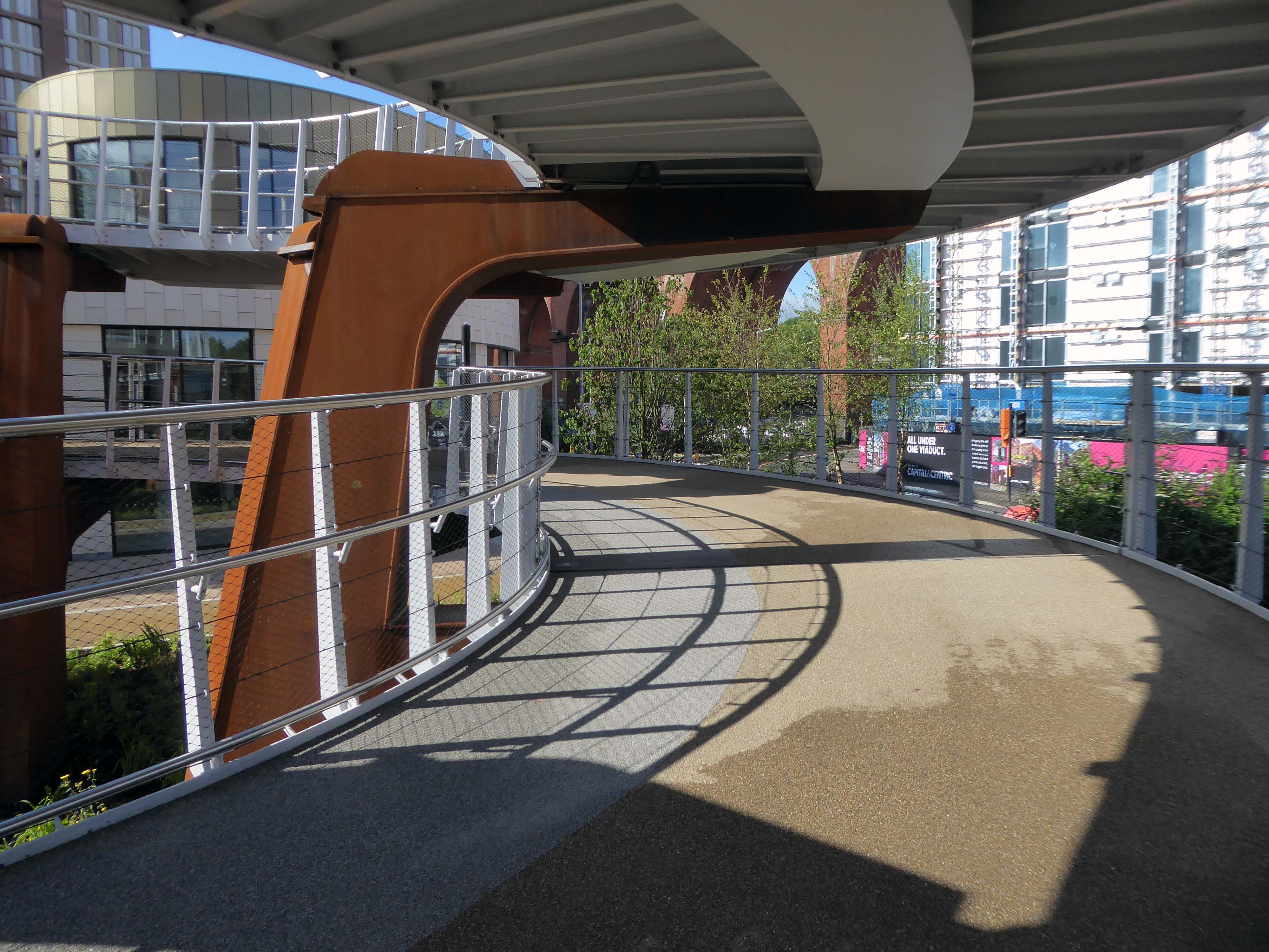
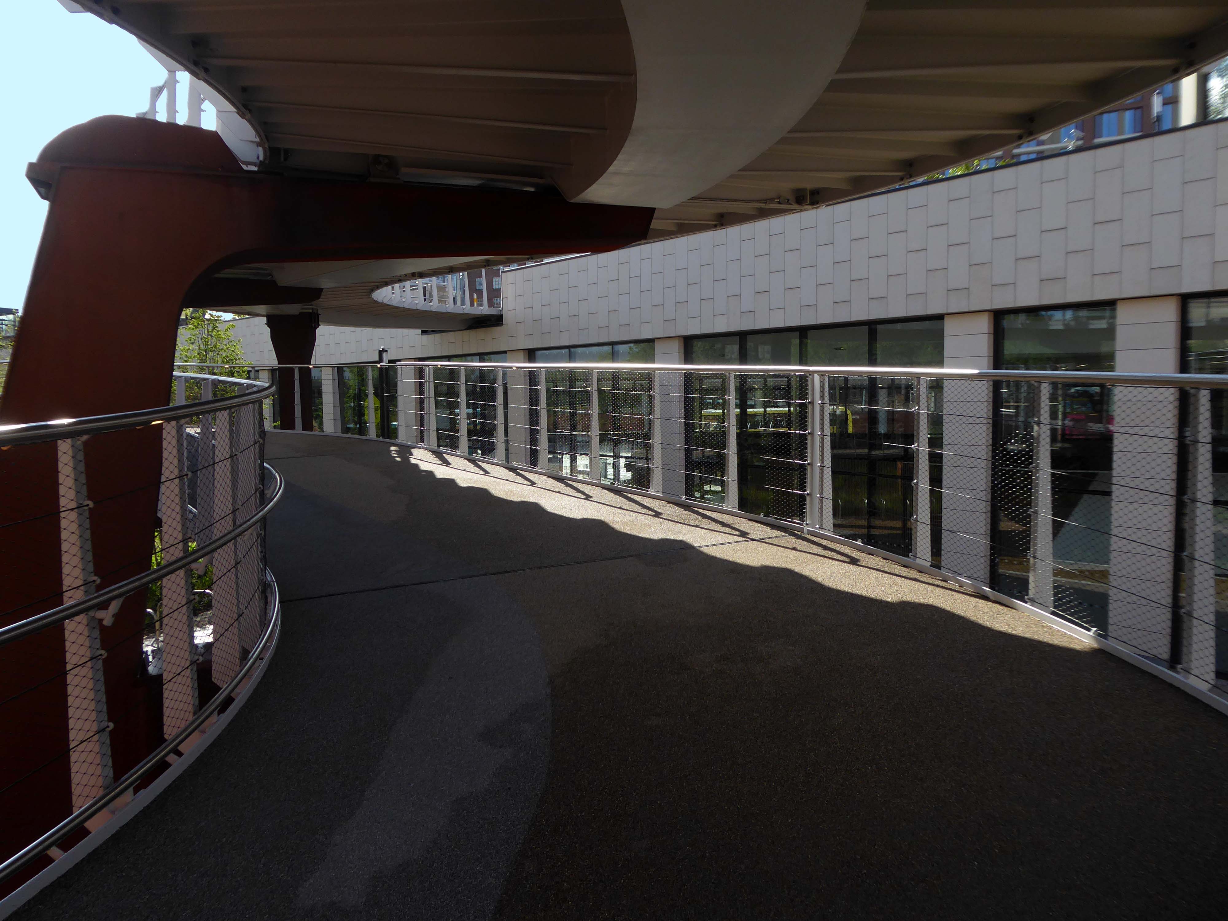
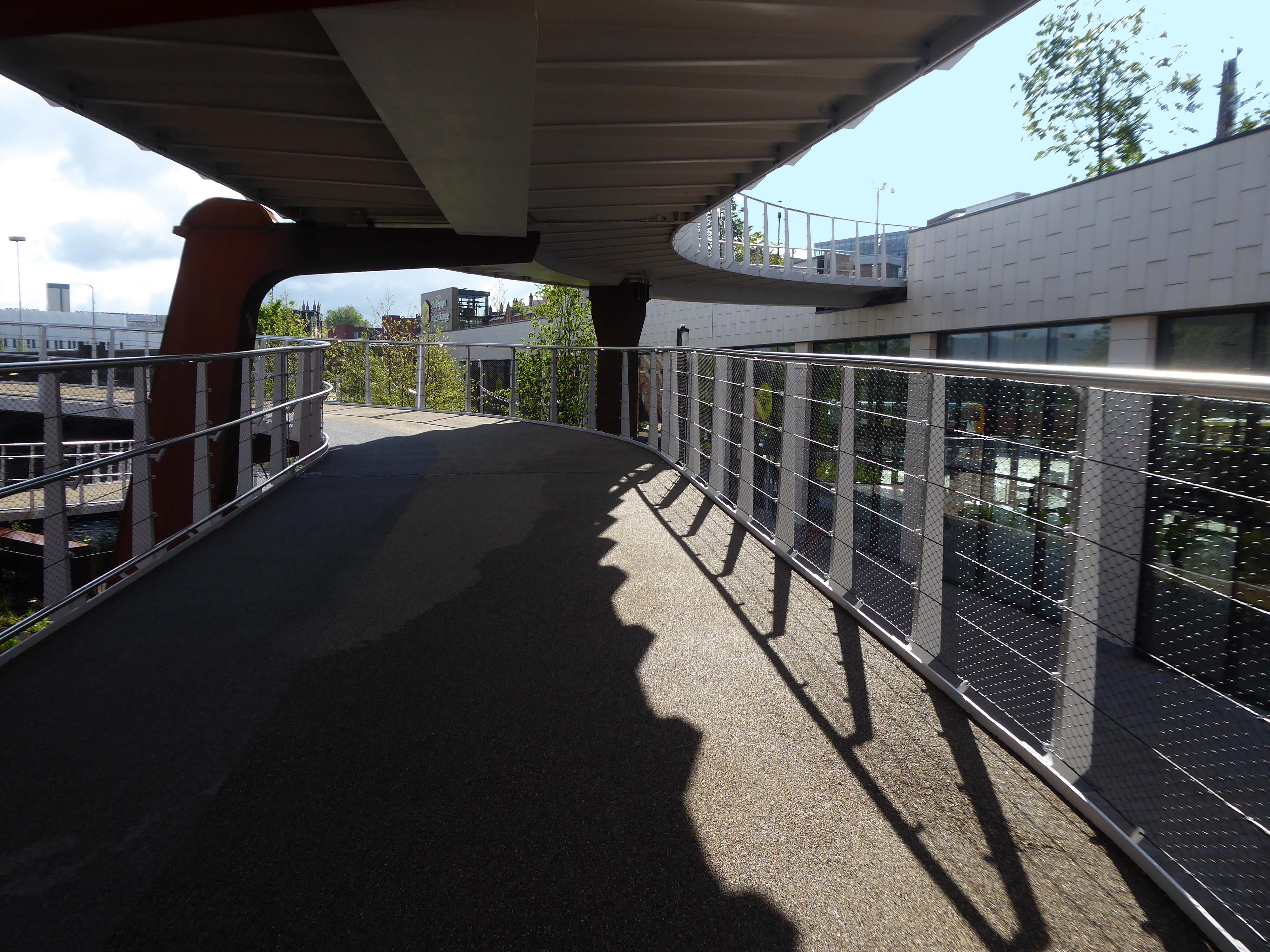
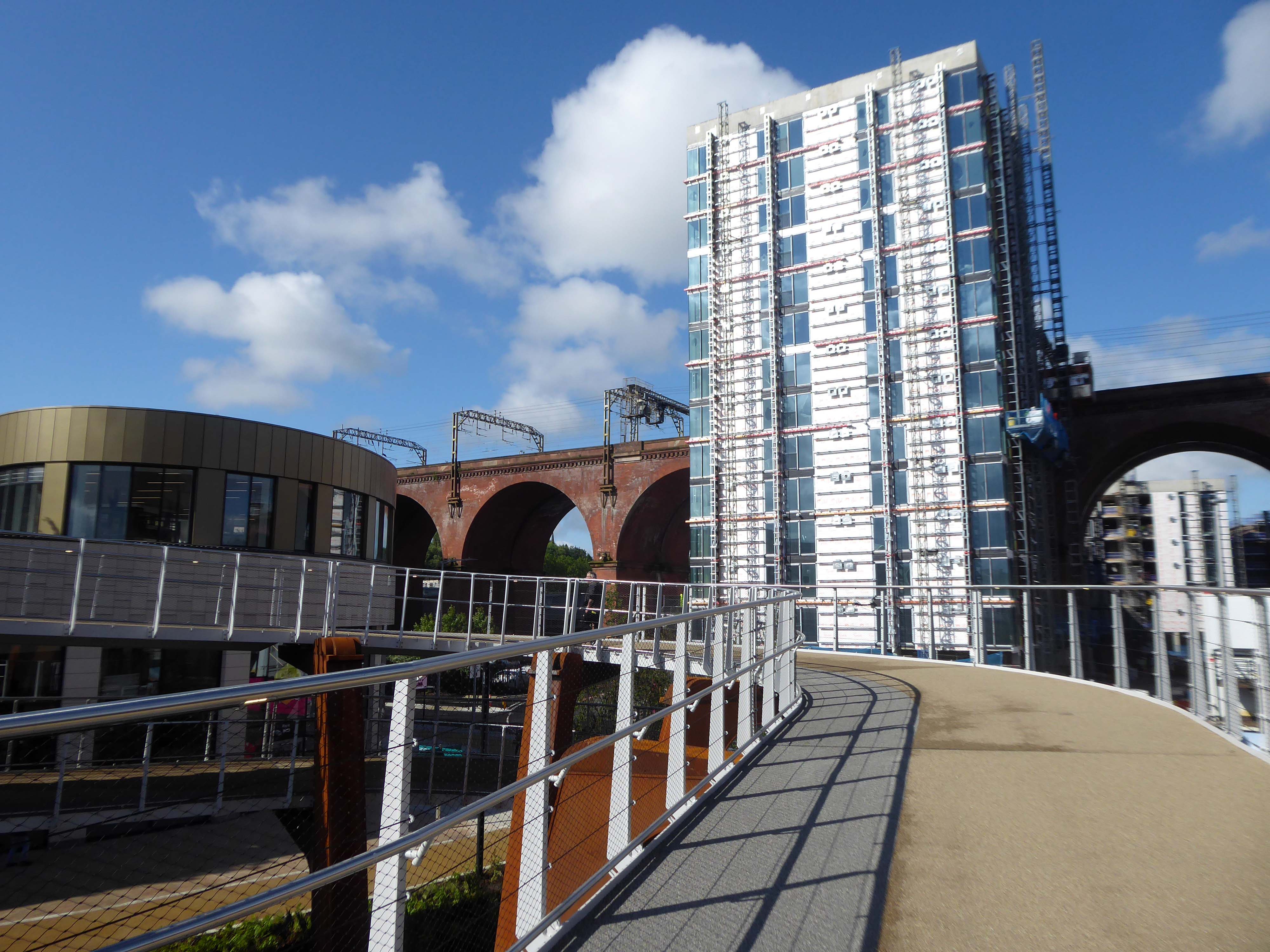
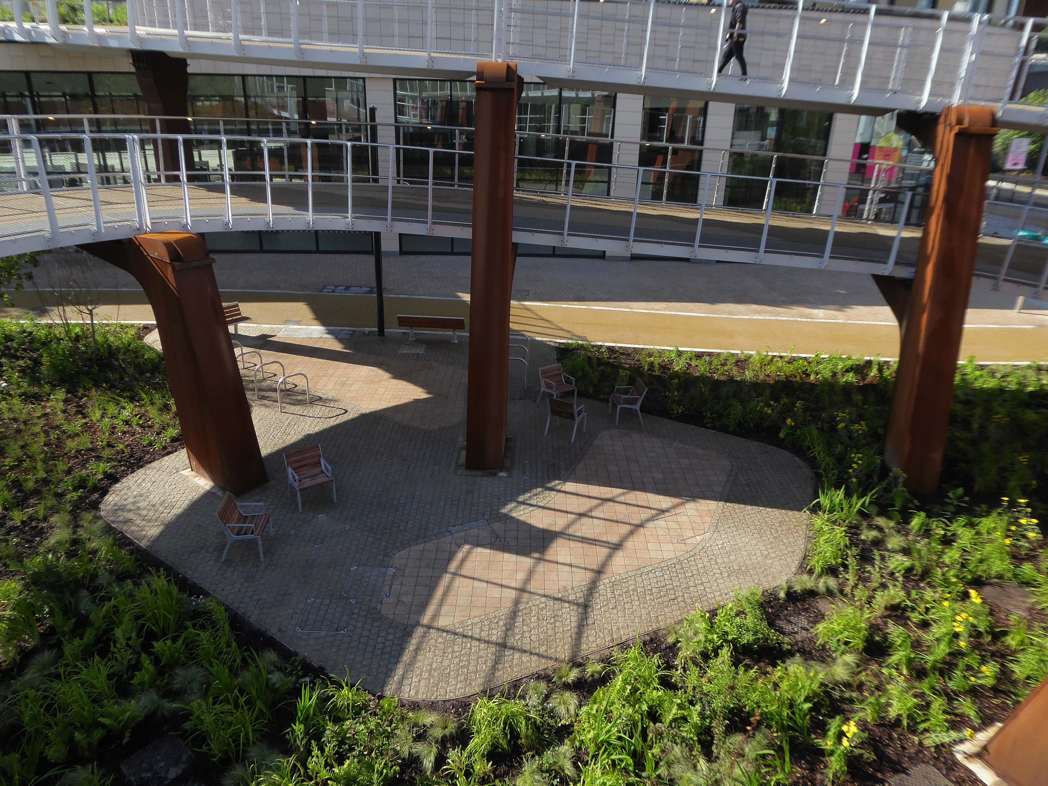
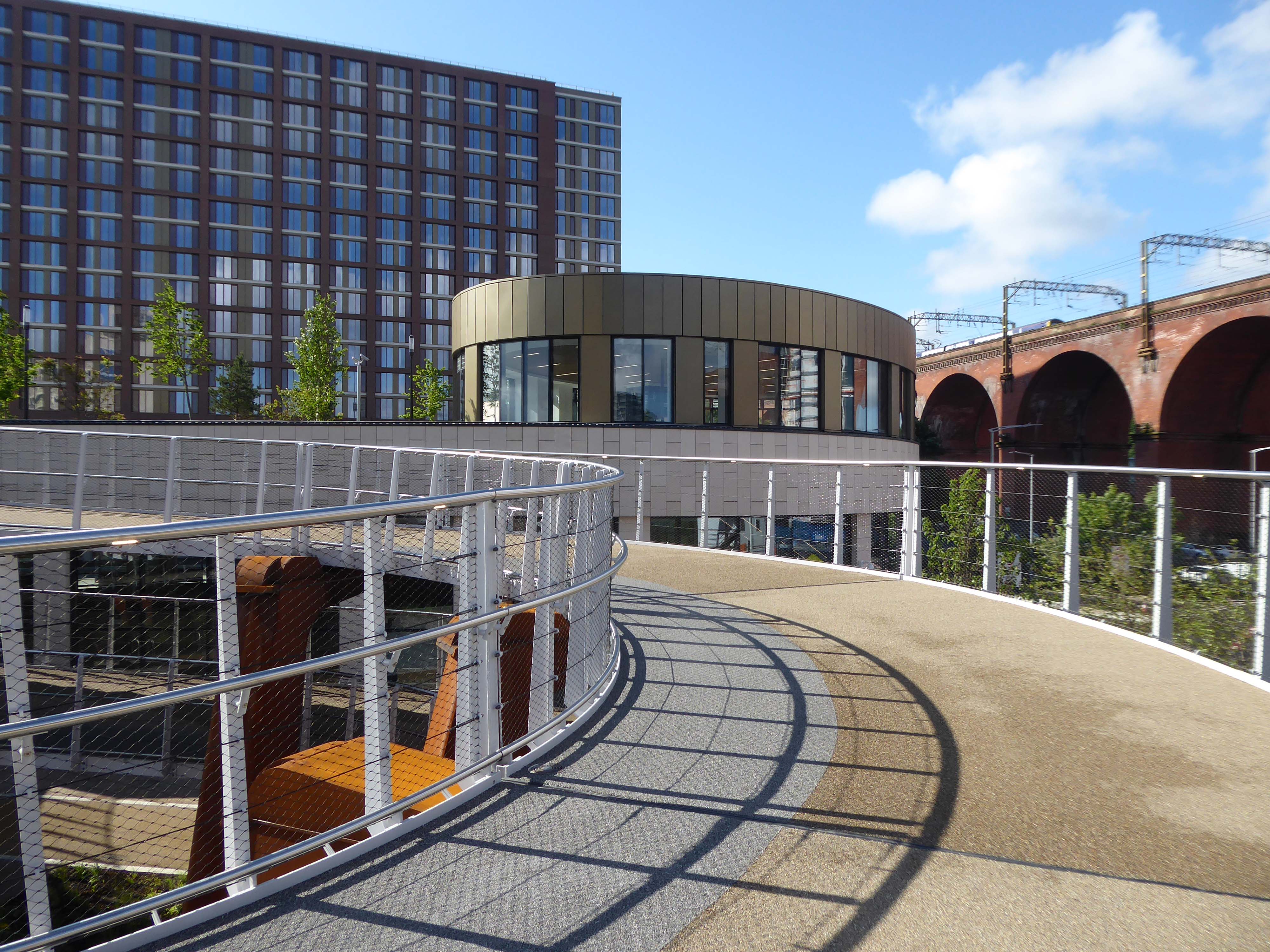
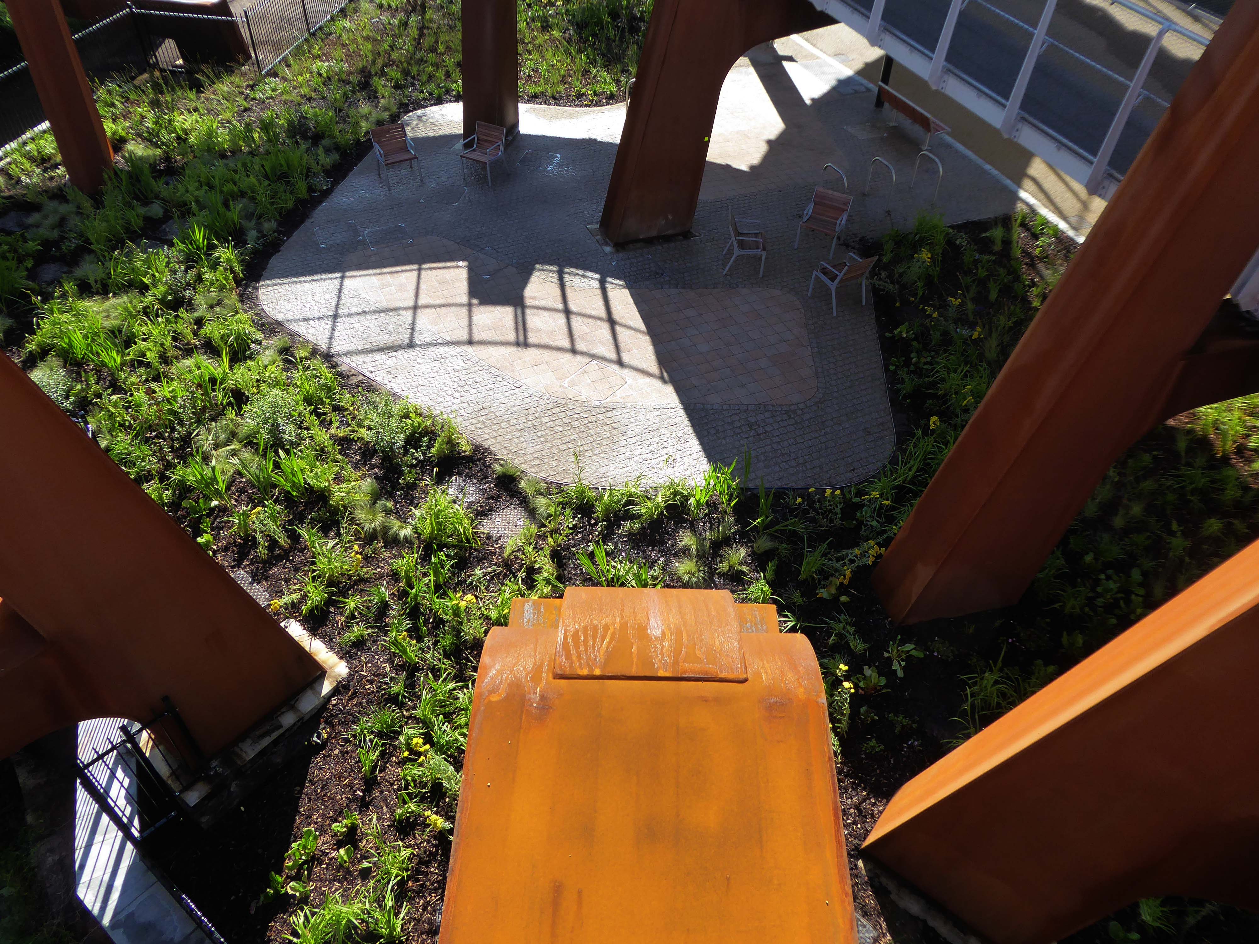
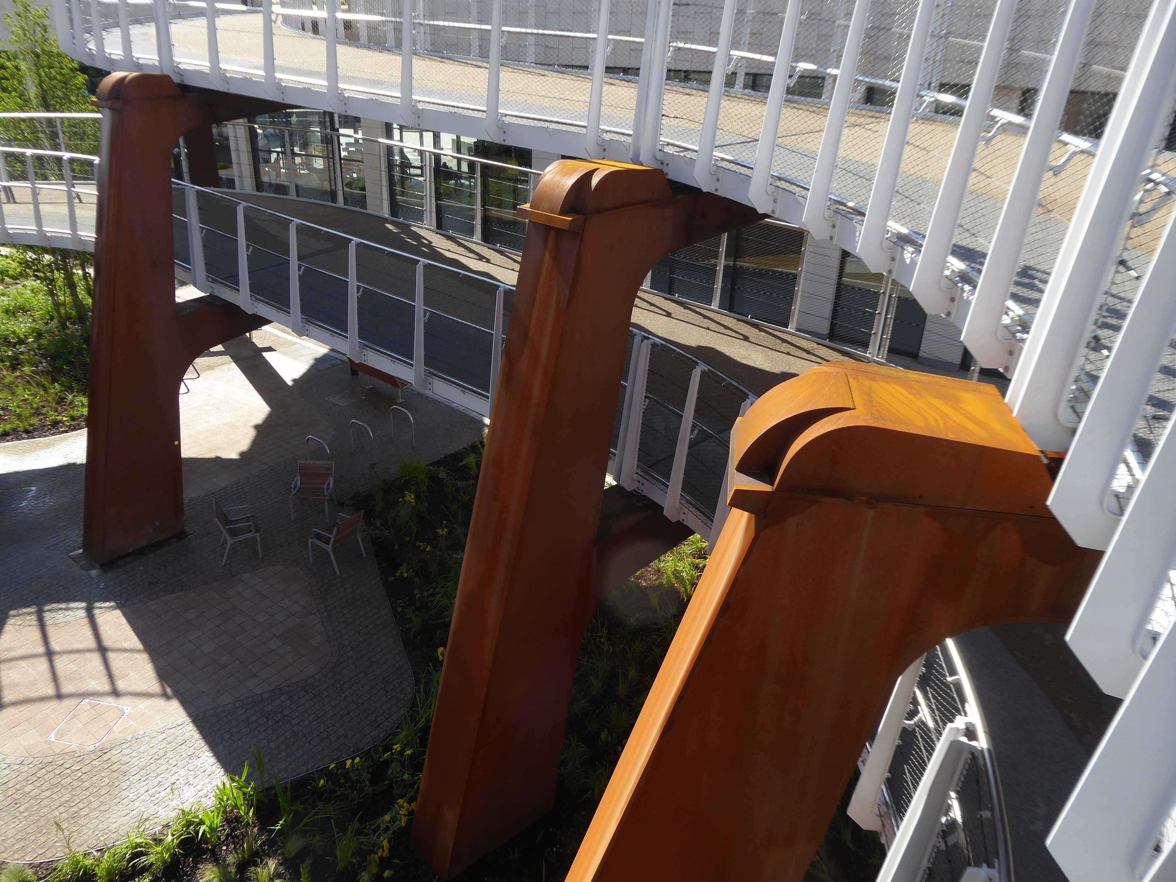
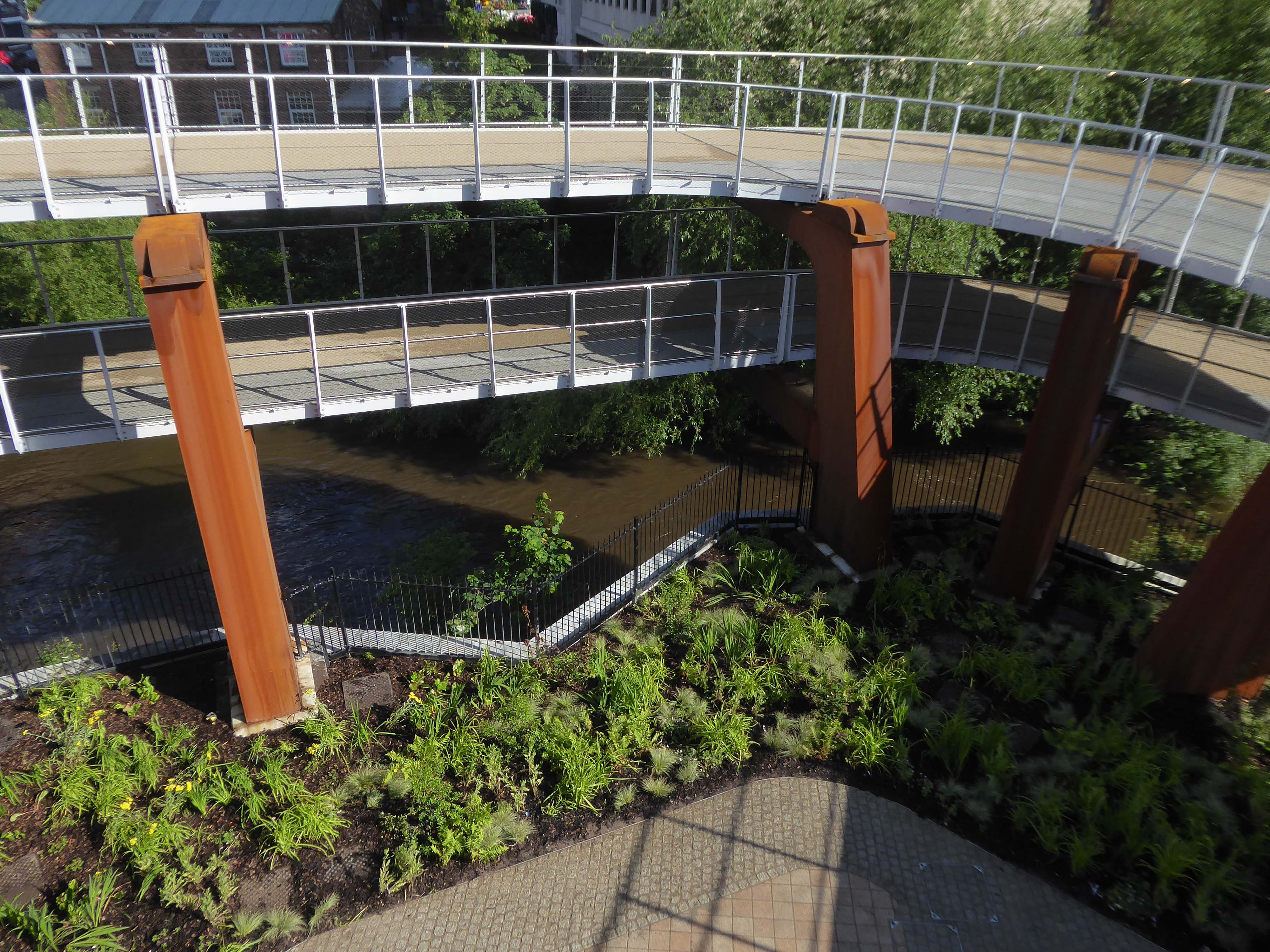
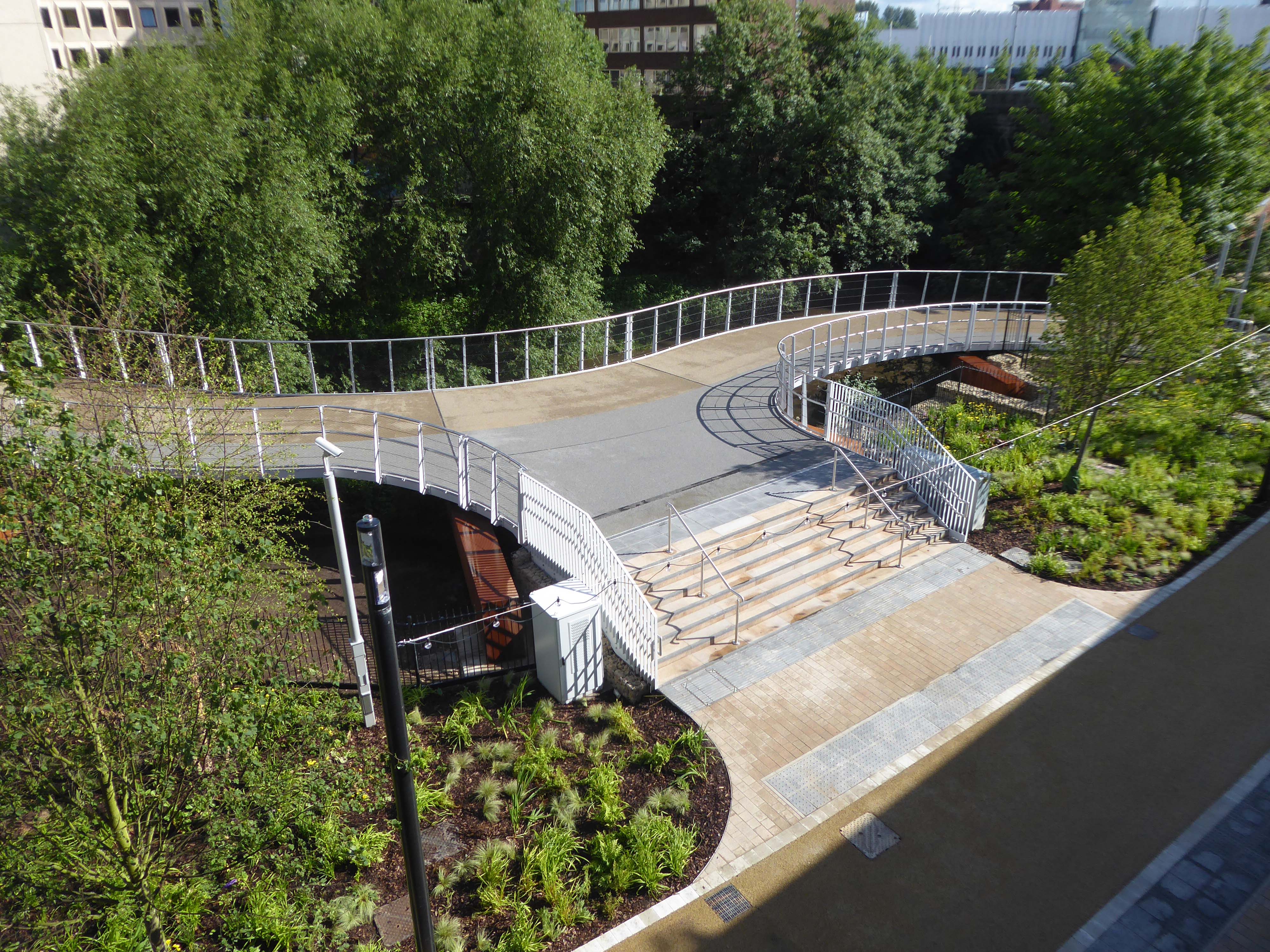
JB Morrell Library seen from the south side of Heslington Road with linking pedestrian bridge and ramp in foreground and cast aluminium sculpture by Austin Wright.
Austin Wright 1911-1997 is a significant post-war sculptor whose personal and professional lives were deeply intertwined with the city of York.
He was born on 4th June 1911 in Chester but spent his childhood in Cardiff. Though a largely self-taught artist, Austin took evening classes at Cardiff Art School. Austin attended New College, University of Oxford for his degree in Modern Languages before he started his teacher training. His first job as a teacher started in 1934 at The Downs, Malvern in Worcestershire. The school attracted artistic people. W.H. Auden taught English for example, and the art master organised a Dada exhibition one year. Here, Austin taught painting and sculpture as well as French and German.
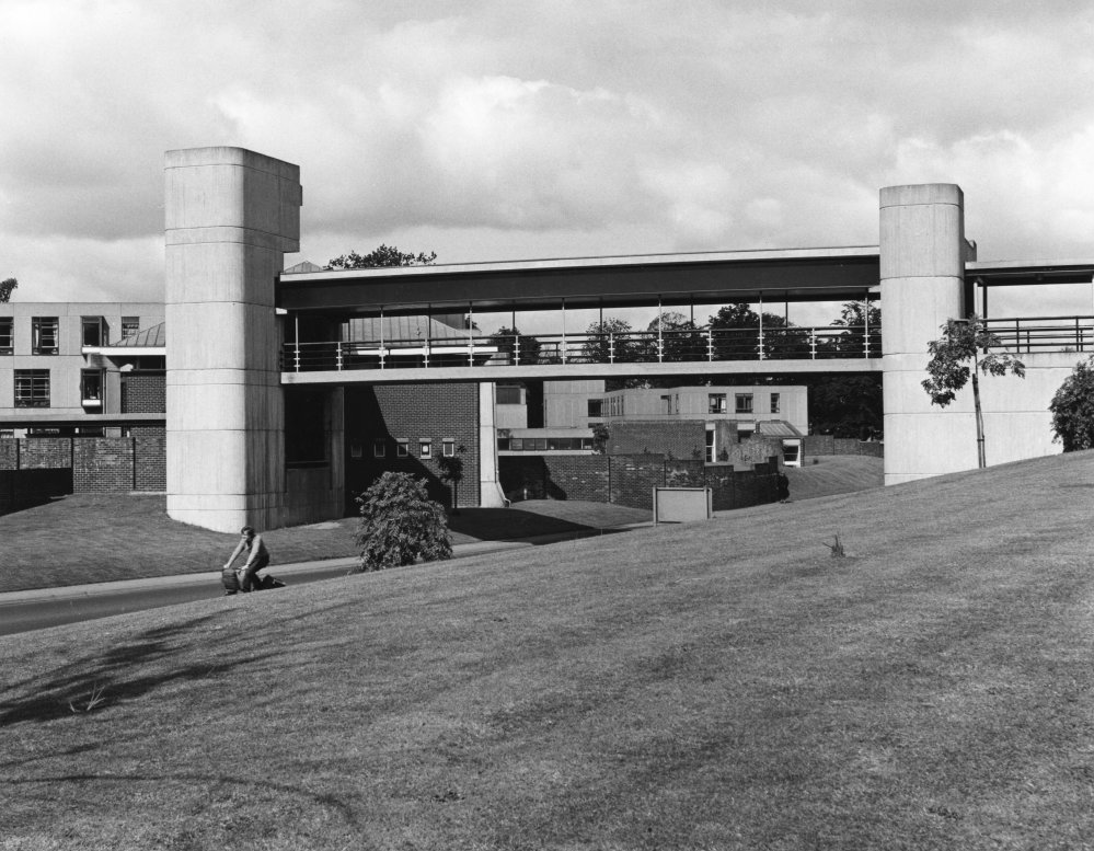
Covered pedestrian bridge linking the southern side of the campus to the JB Morrell Library on the north side.
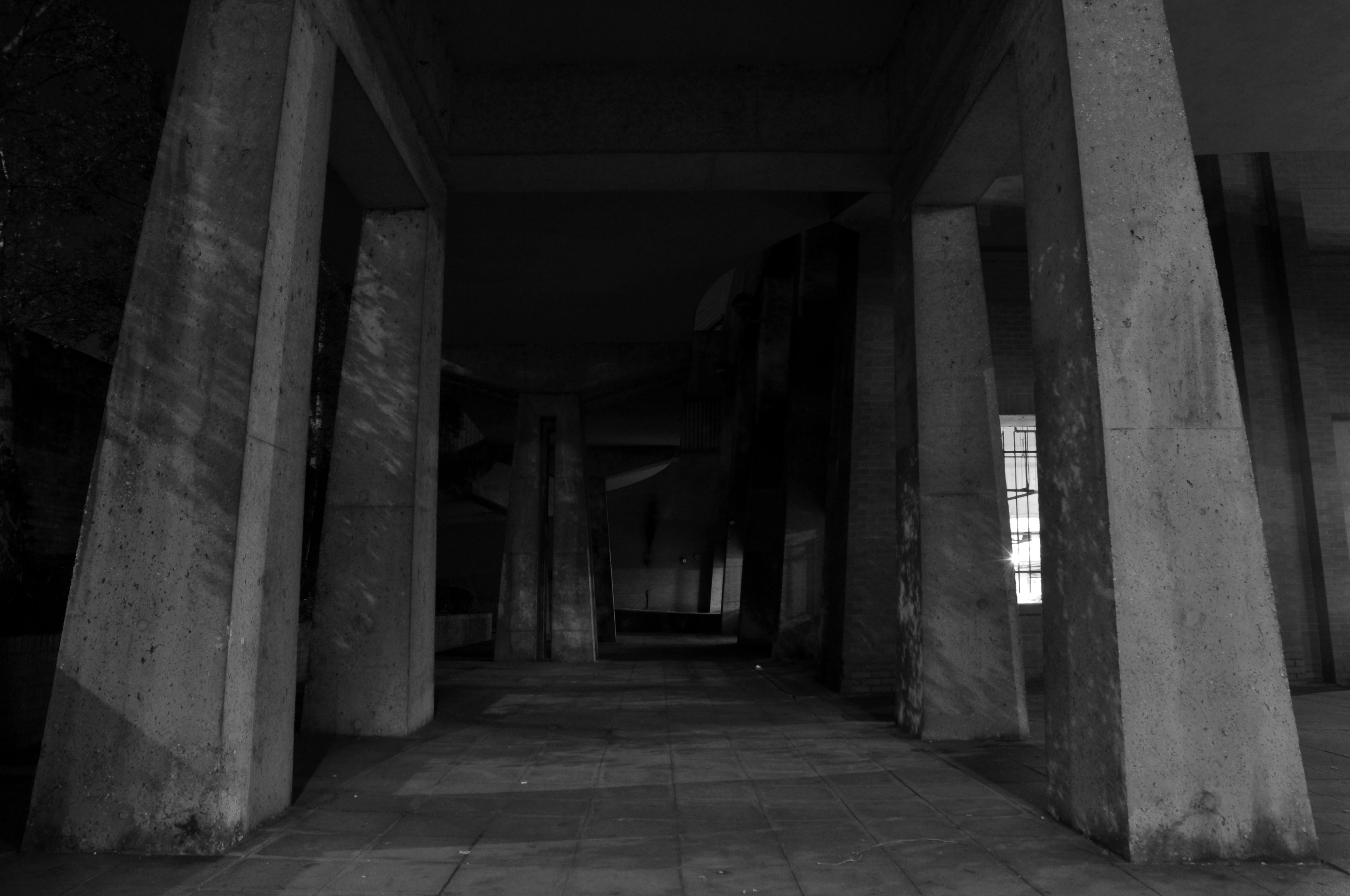
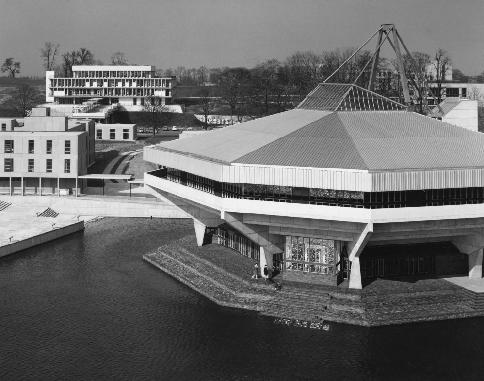
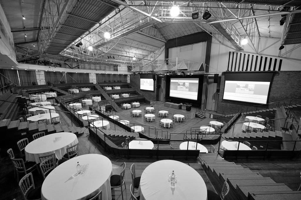
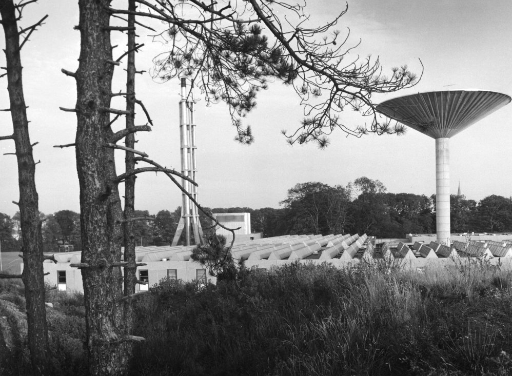
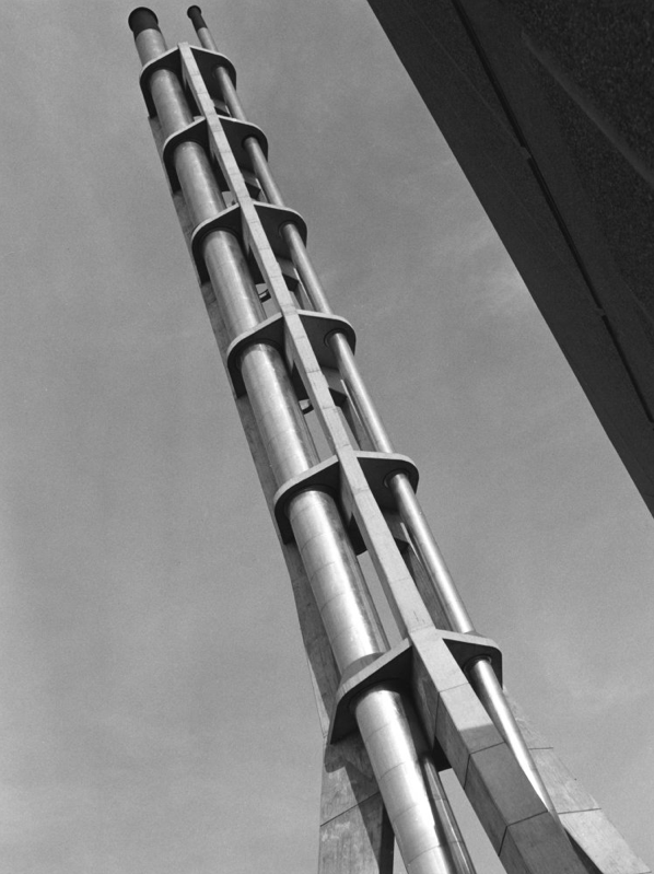
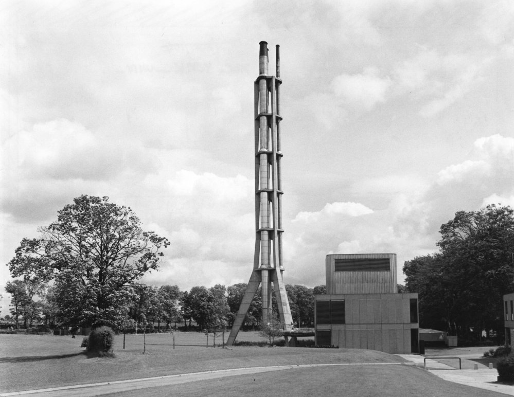
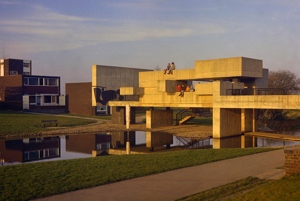
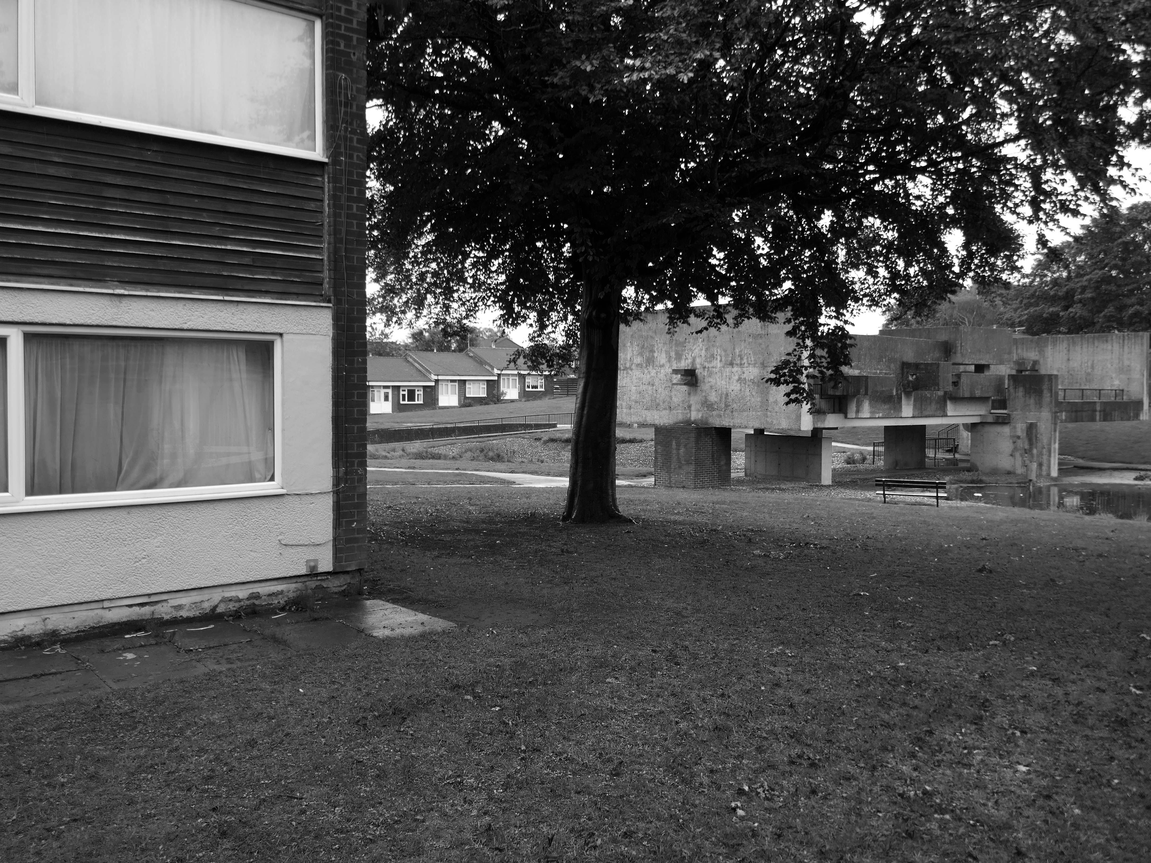
Central Hall
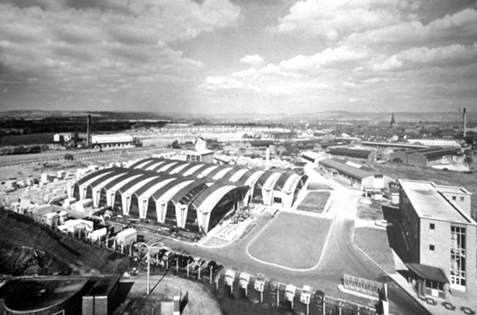
Colloquially known as The Spaceship designed by John Speight, constructed in 1966–1968. The hall is seen as a tour de force of the university, appearing on merchandise and often used as a background for university publicity.
Central lecture and recreation hall to the University of York, 1966-1968 by Robert Matthew, Johnson-Marshall & Partners with Stirrat Johnson-Marshall and Andrew Derbyshire as partners in charge, and John Speight as job architect.
* it forms part of a wave of seven new universities that improved access to higher education and marked the high point of publicly-funded architecture in post-war Britain;
* it is a physical manifestation of the University of York Development Plan, which was heralded as the beginning of contemporary university planning in Britain;
* it continues a historic tradition established by late-C19/early-C20 ‘red brick’ universities of featuring a great hall for special events.
* it has an imaginative and bold design with a striking architectural form and massing that is the focus of the most dramatic views across the campus lake;
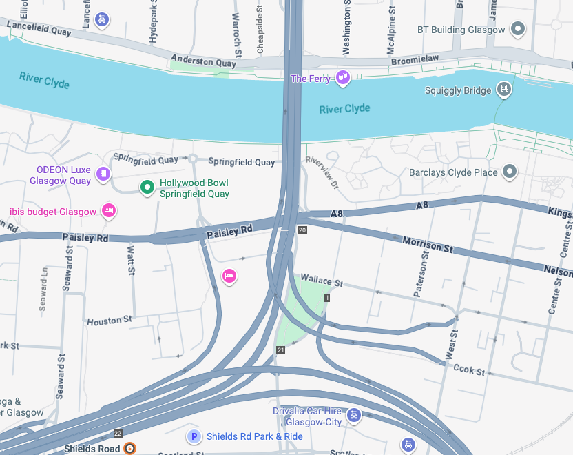
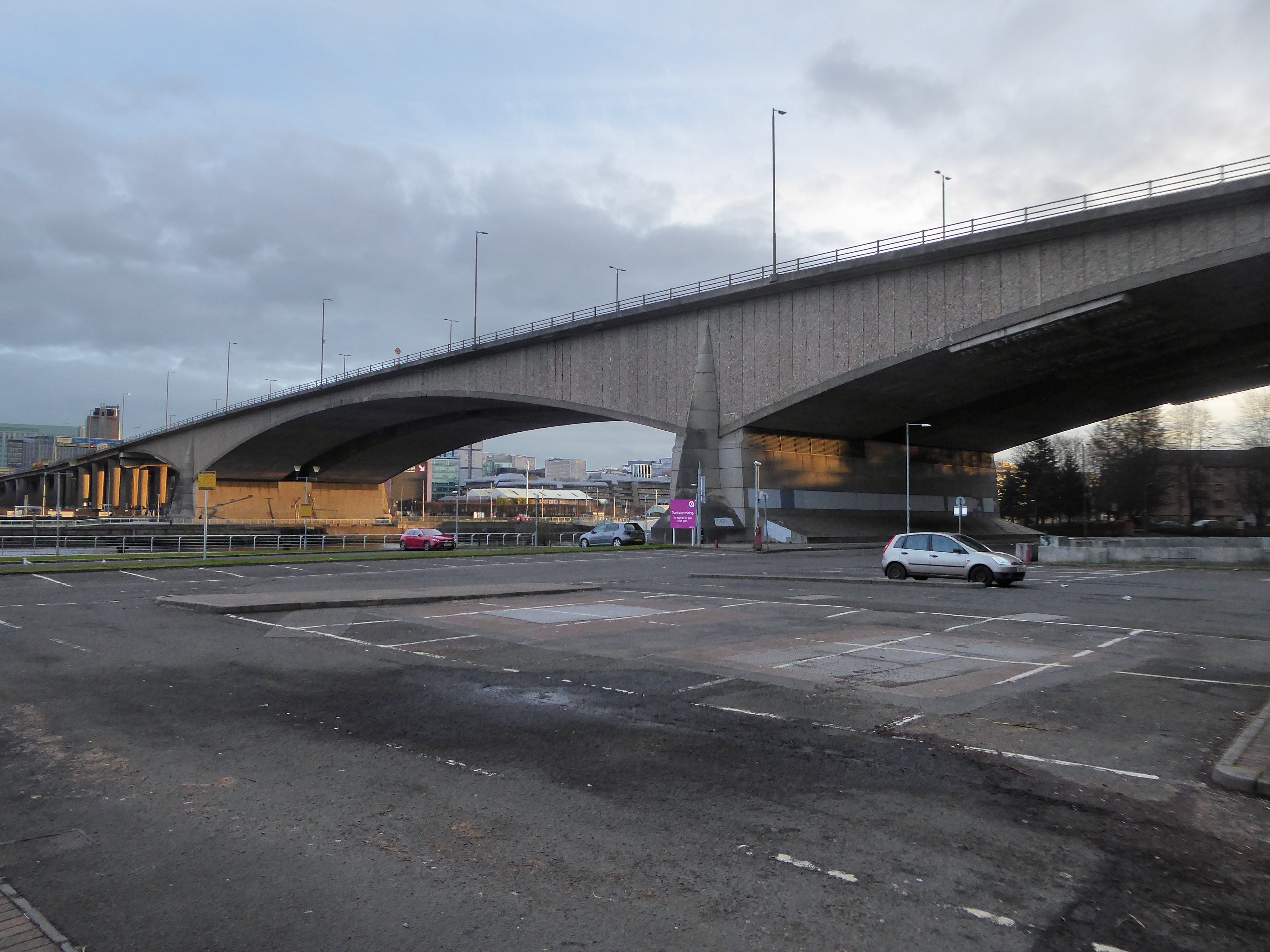
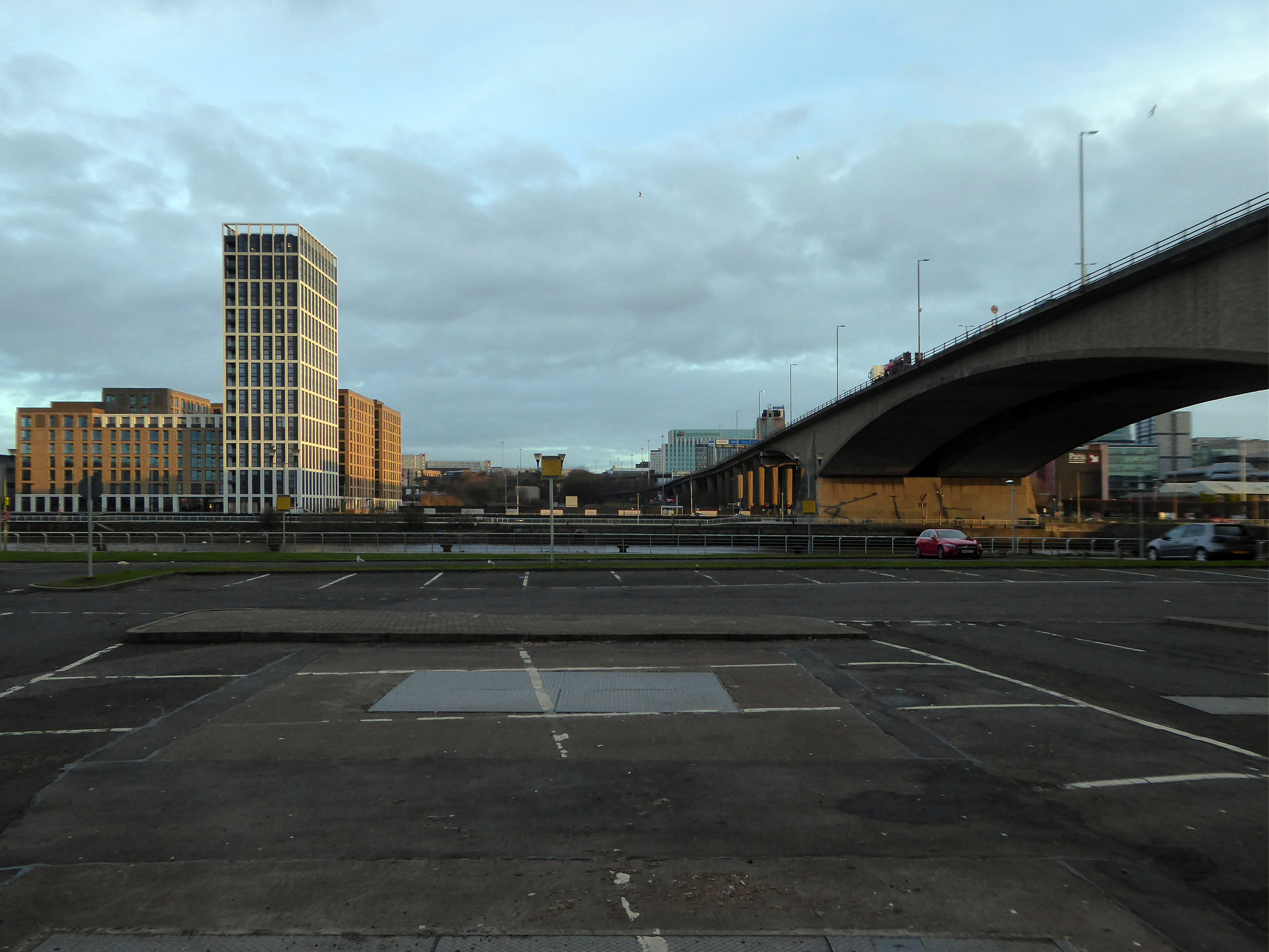
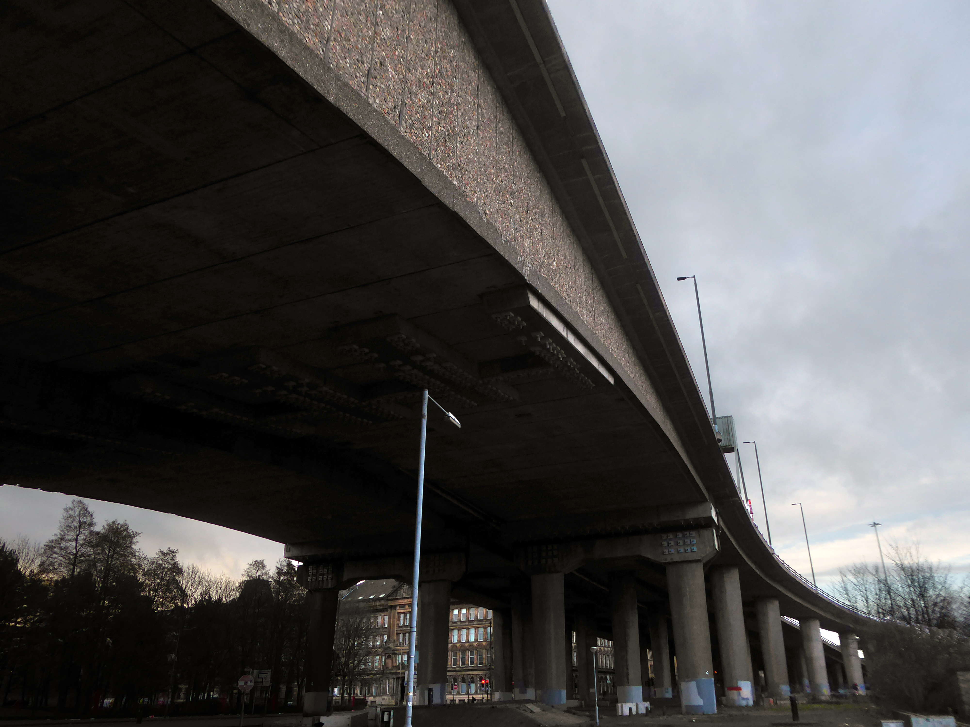
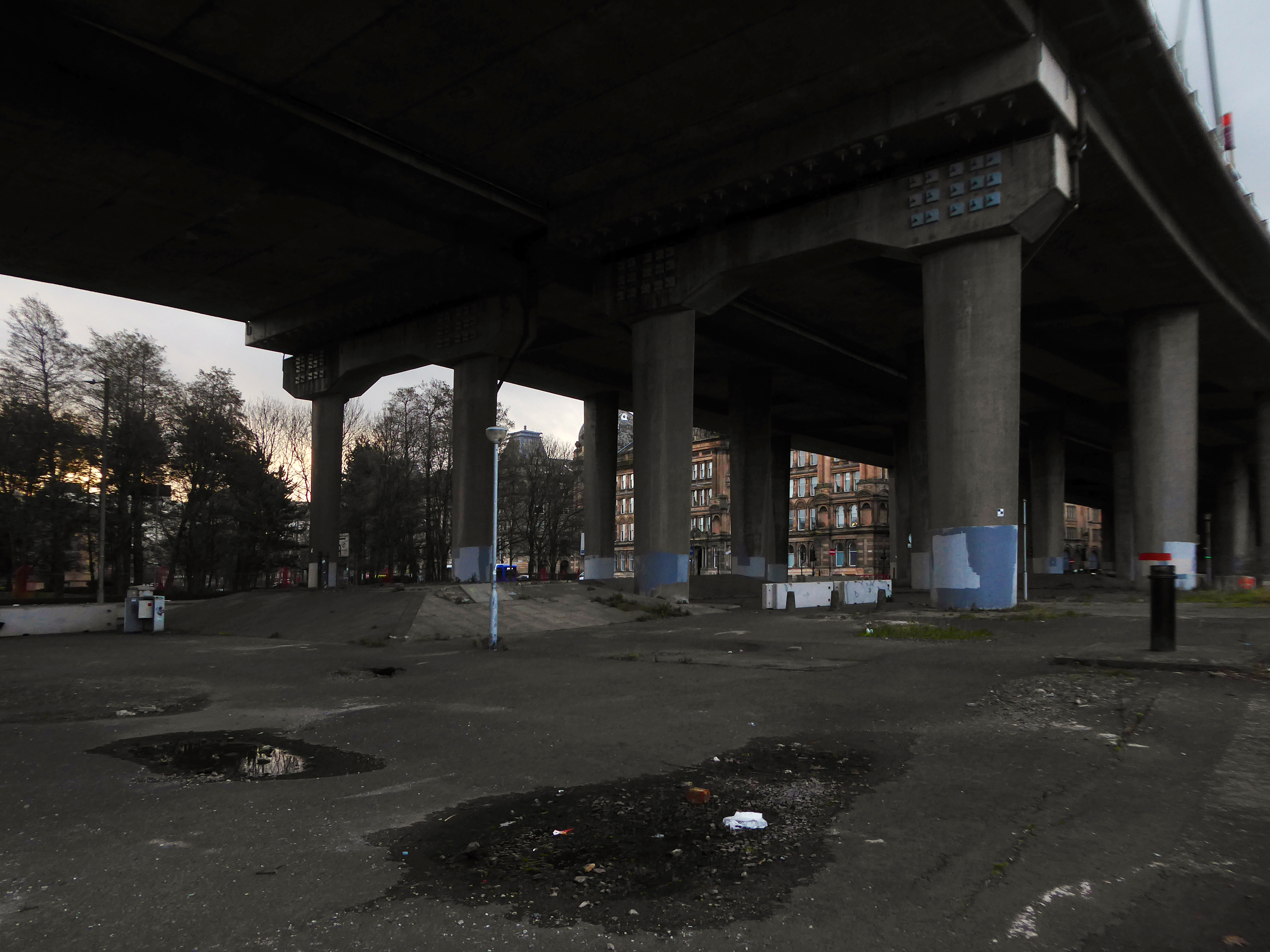
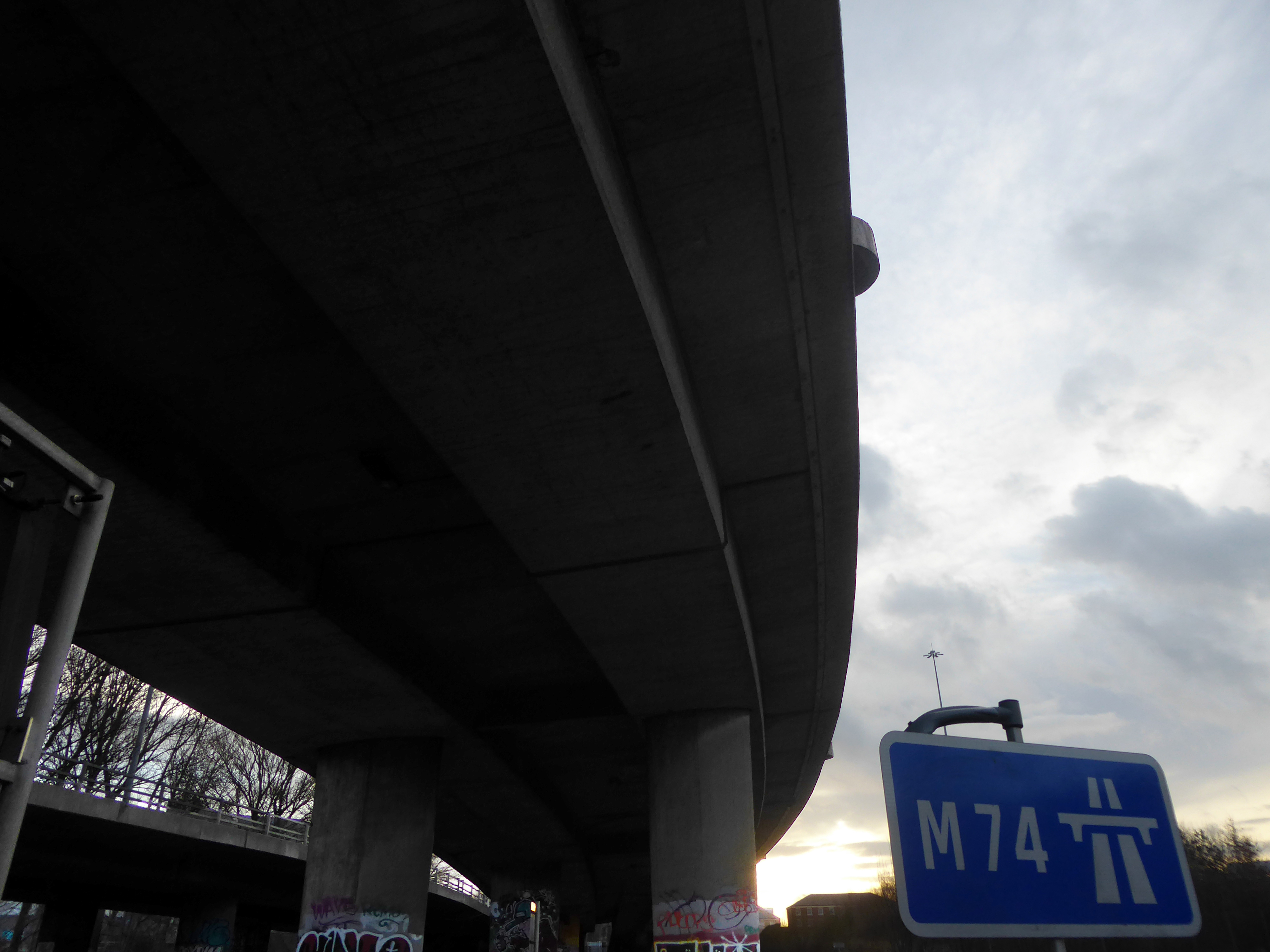
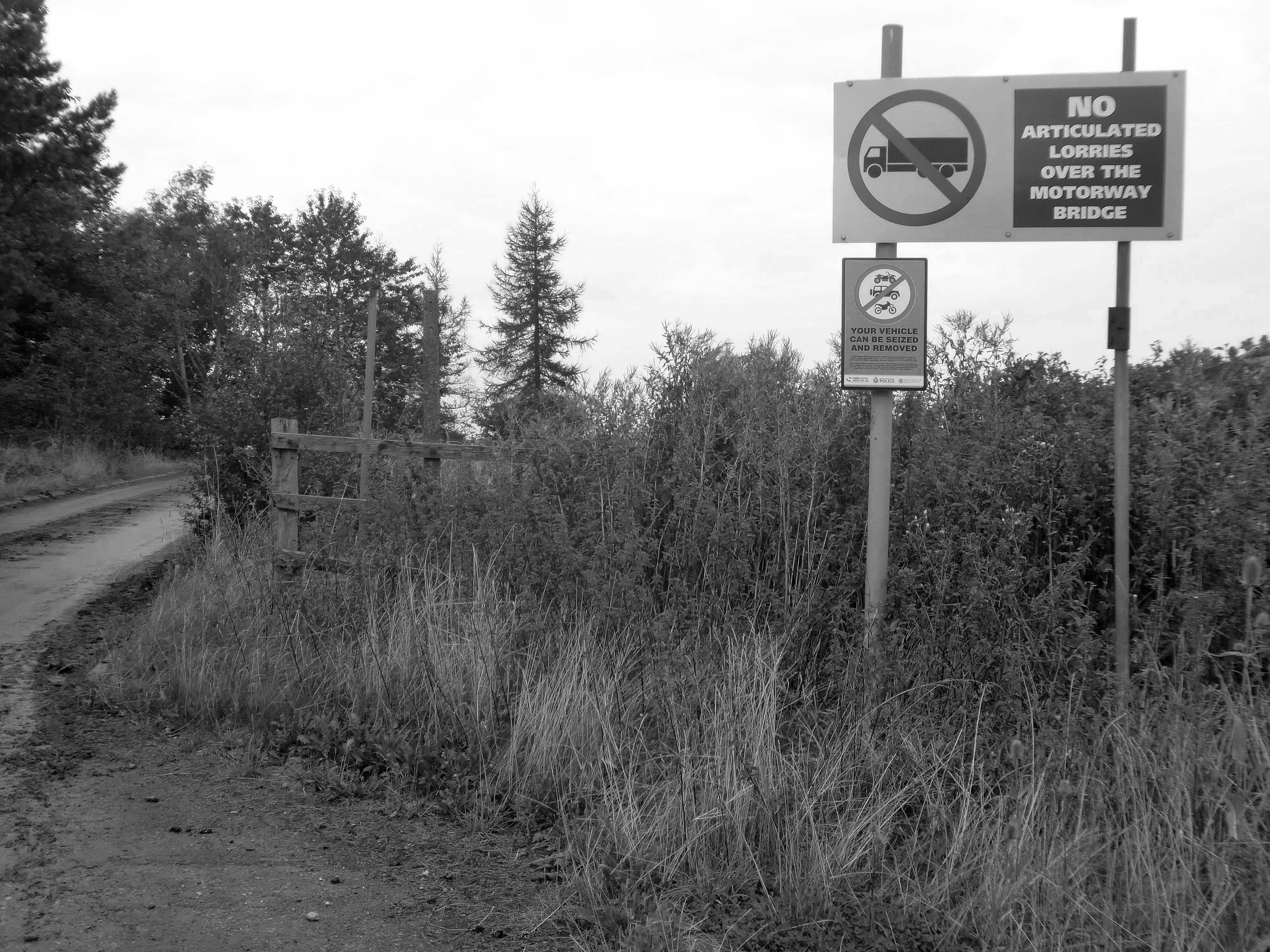
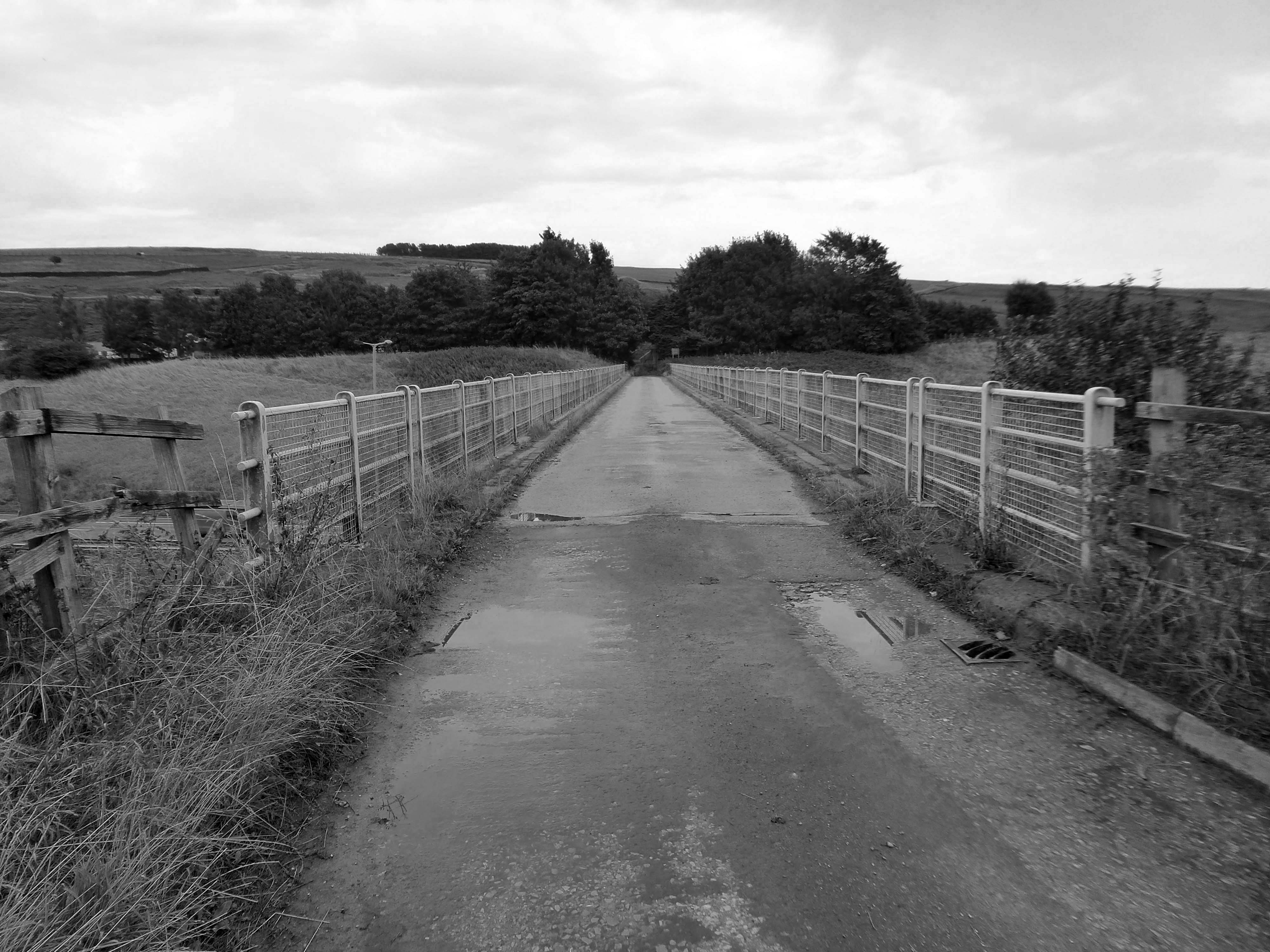
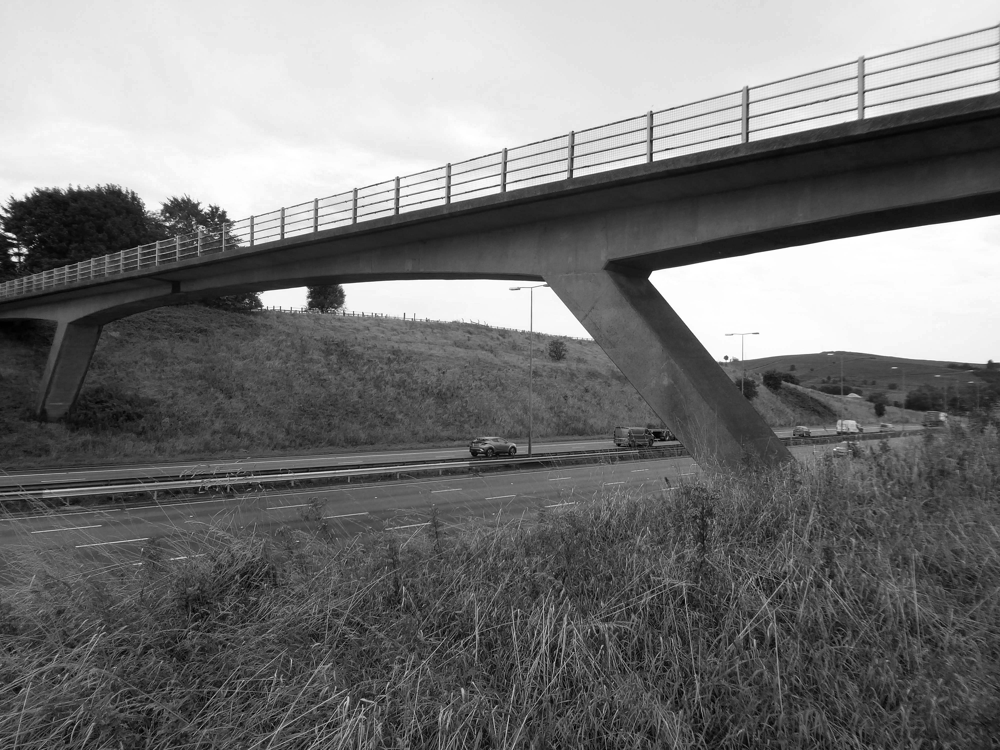
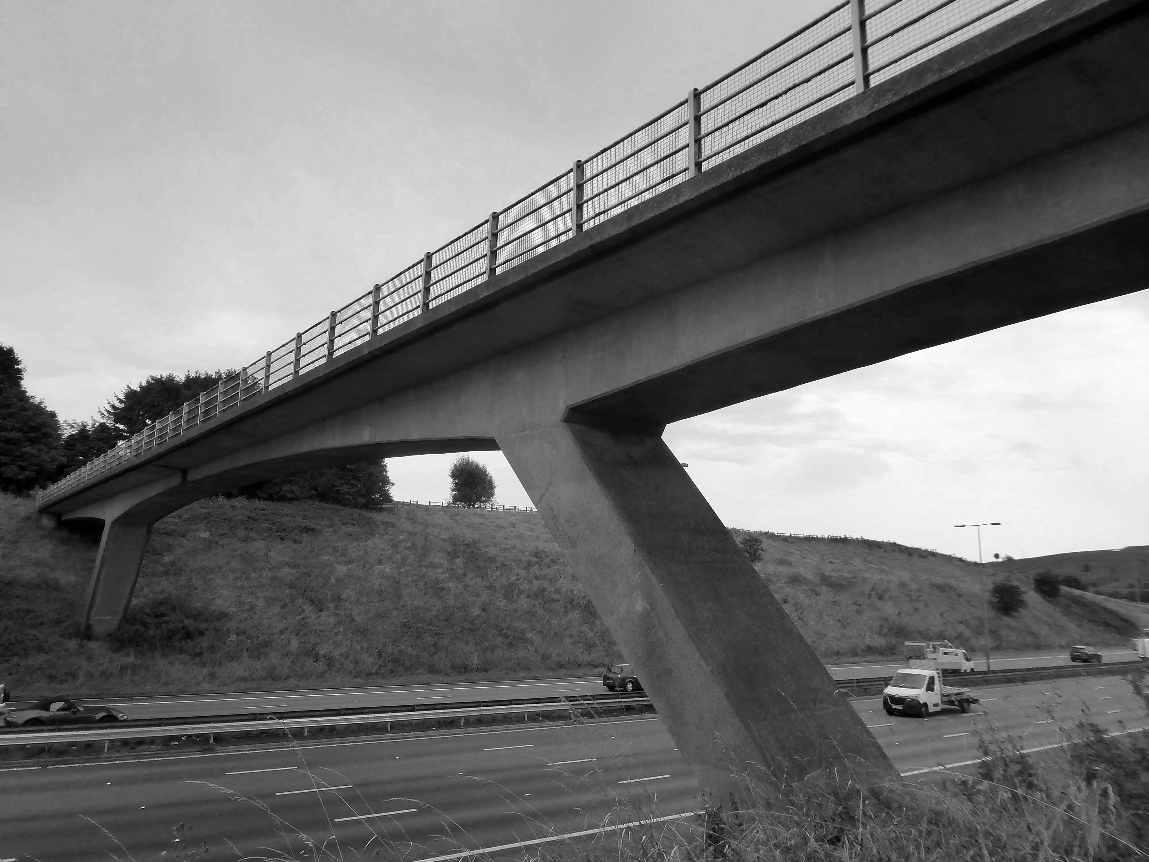
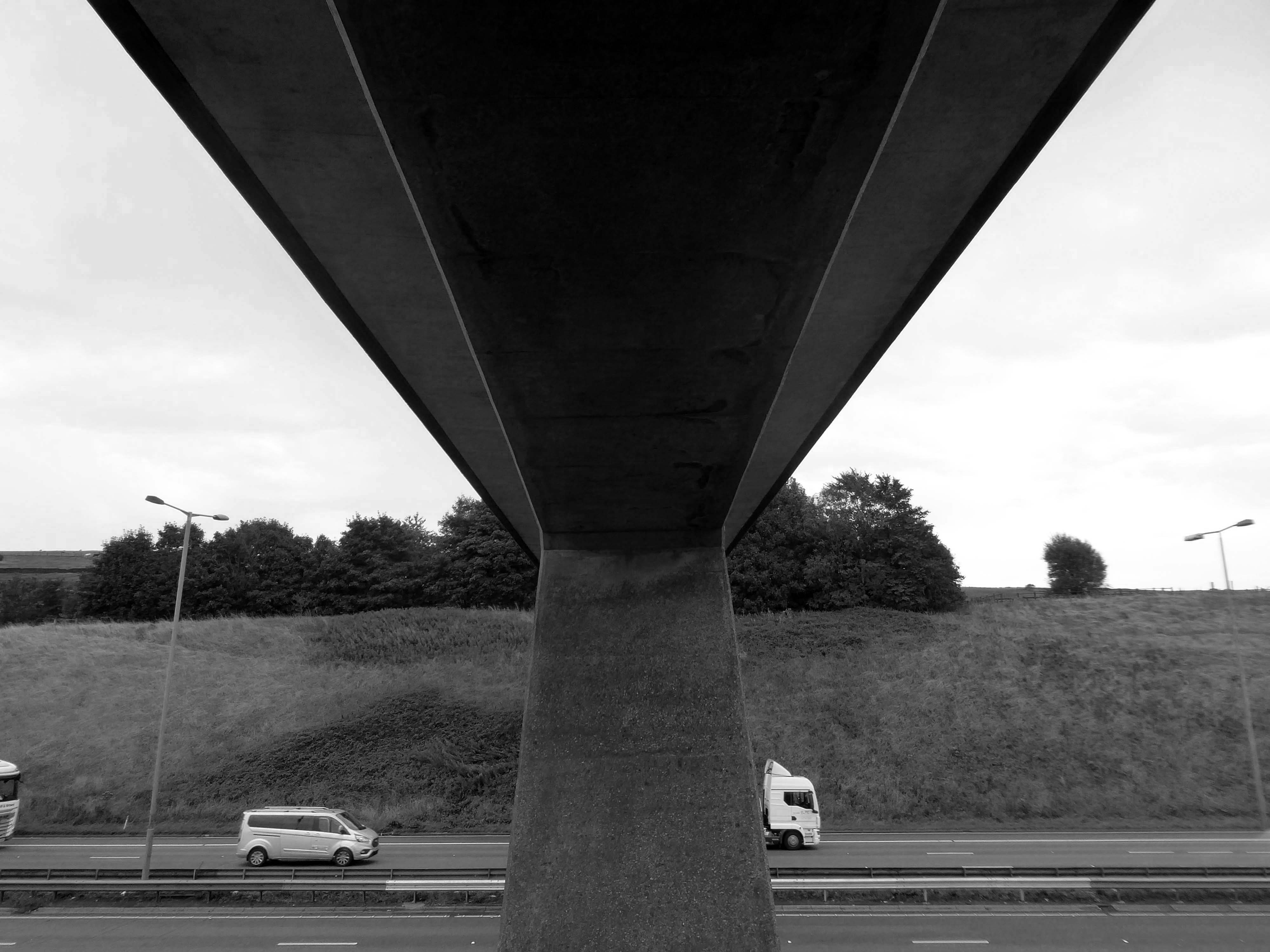
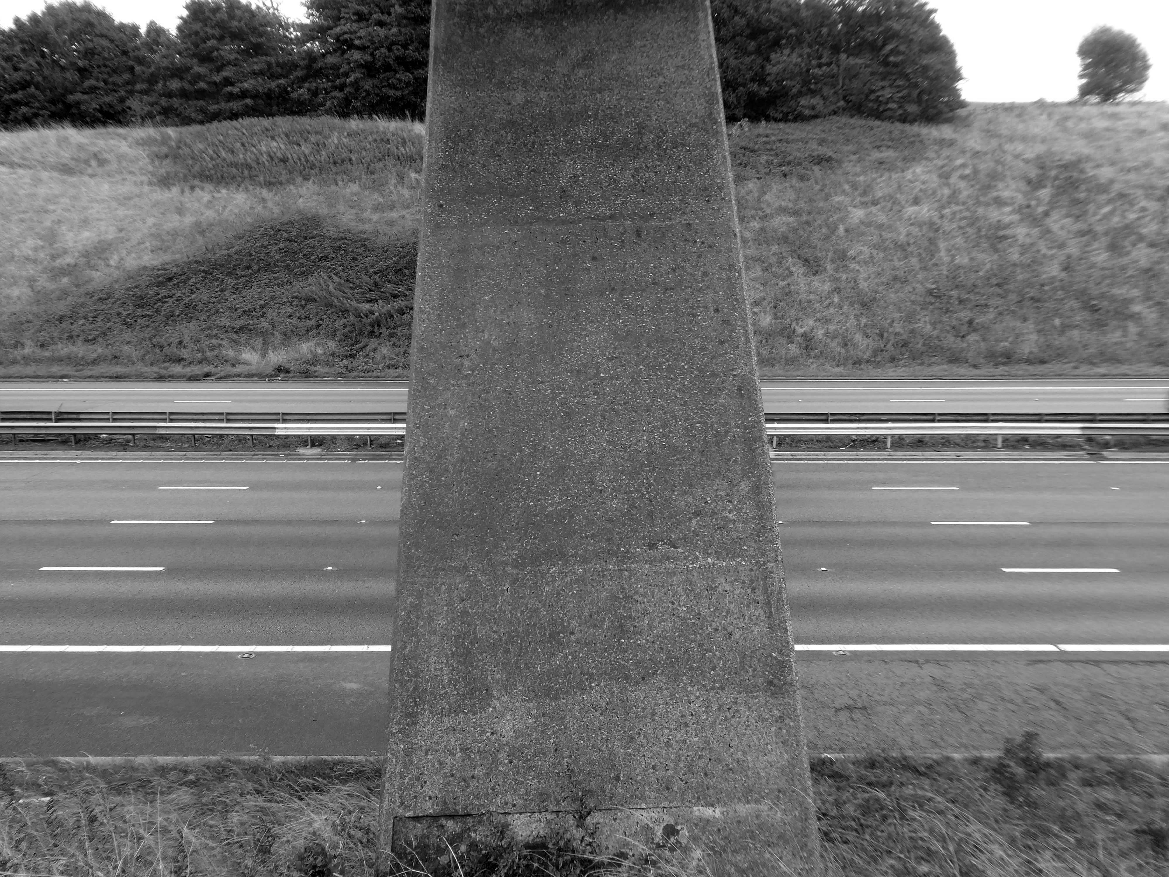
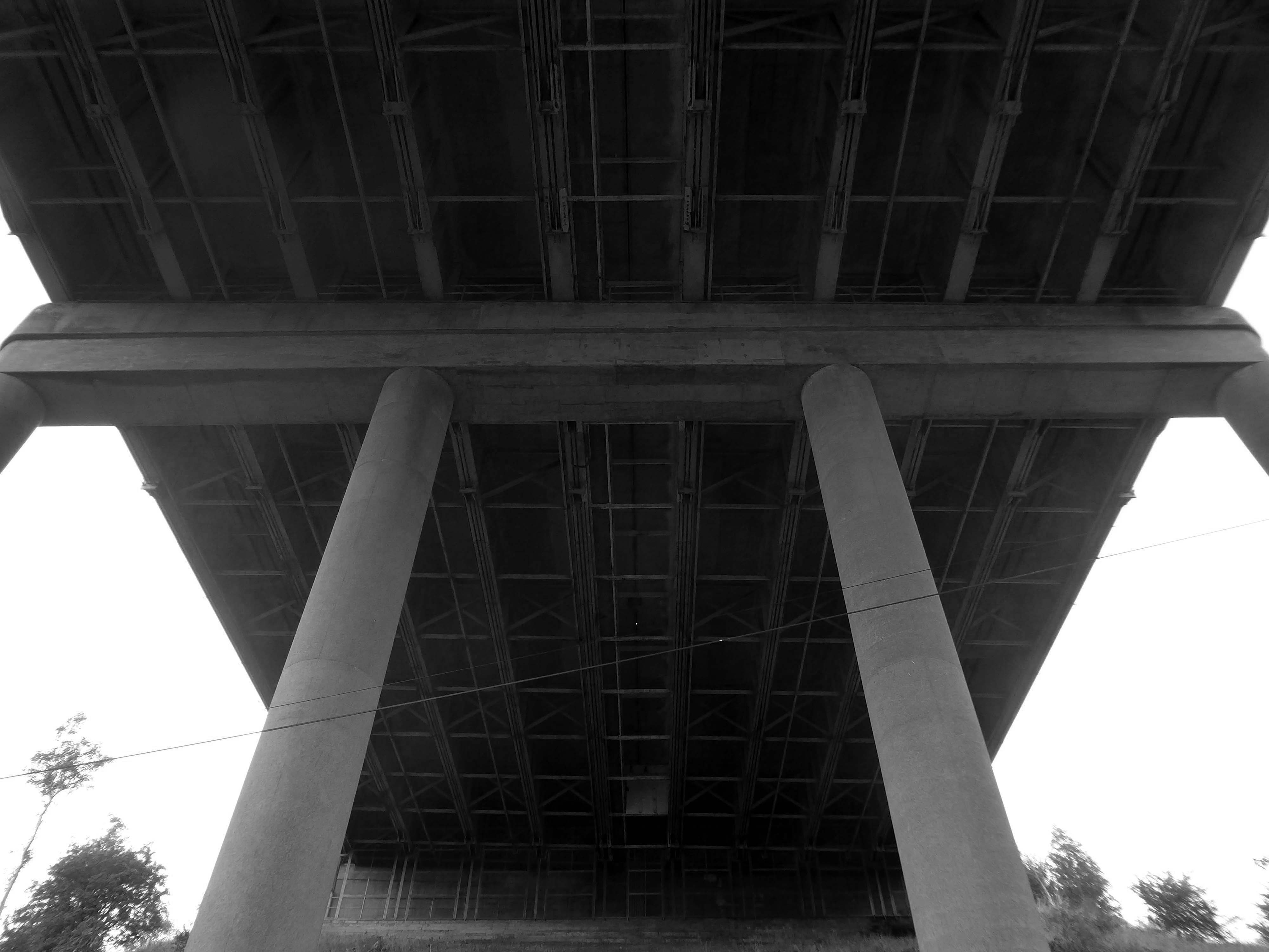
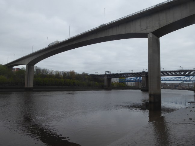
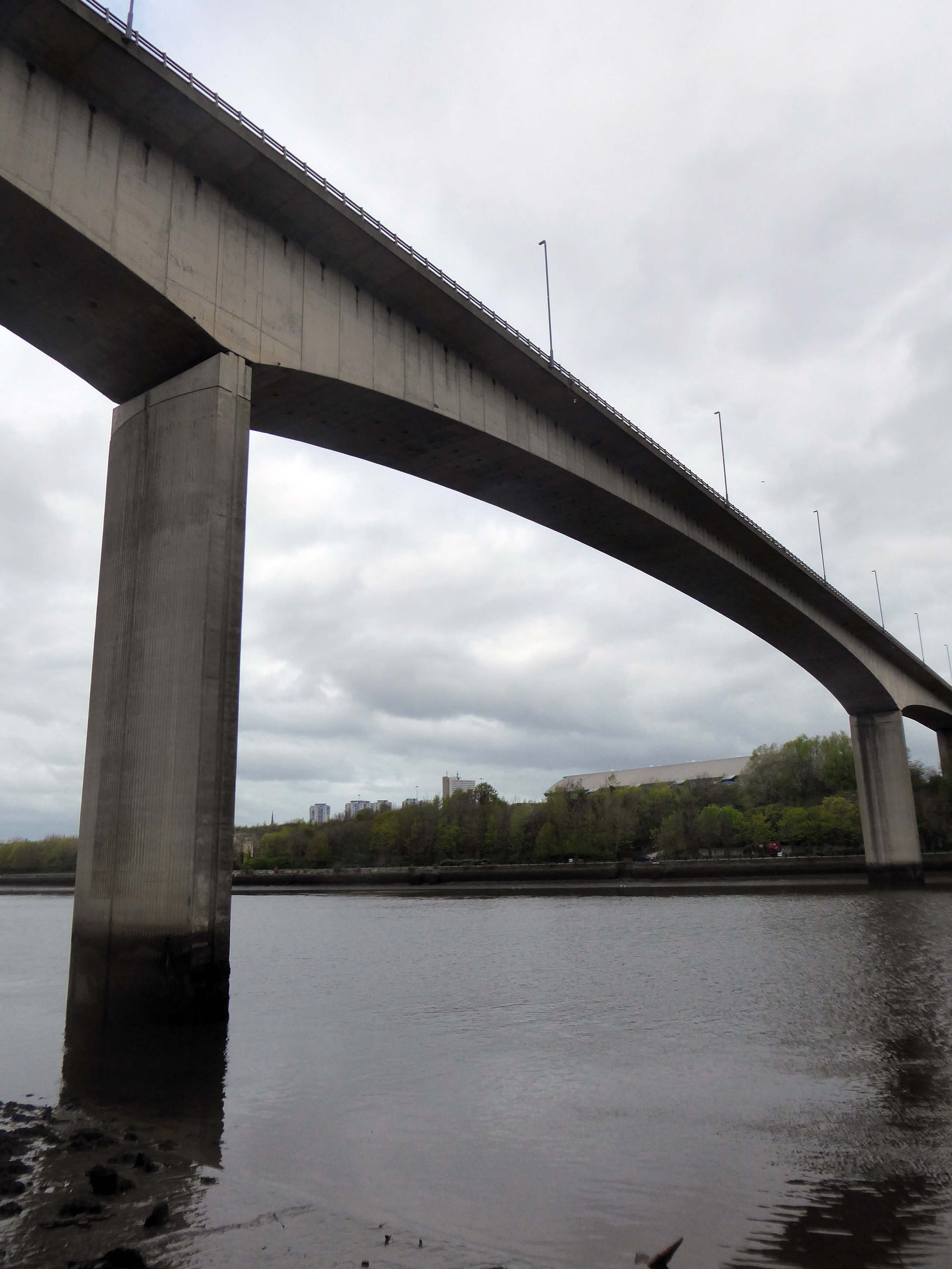
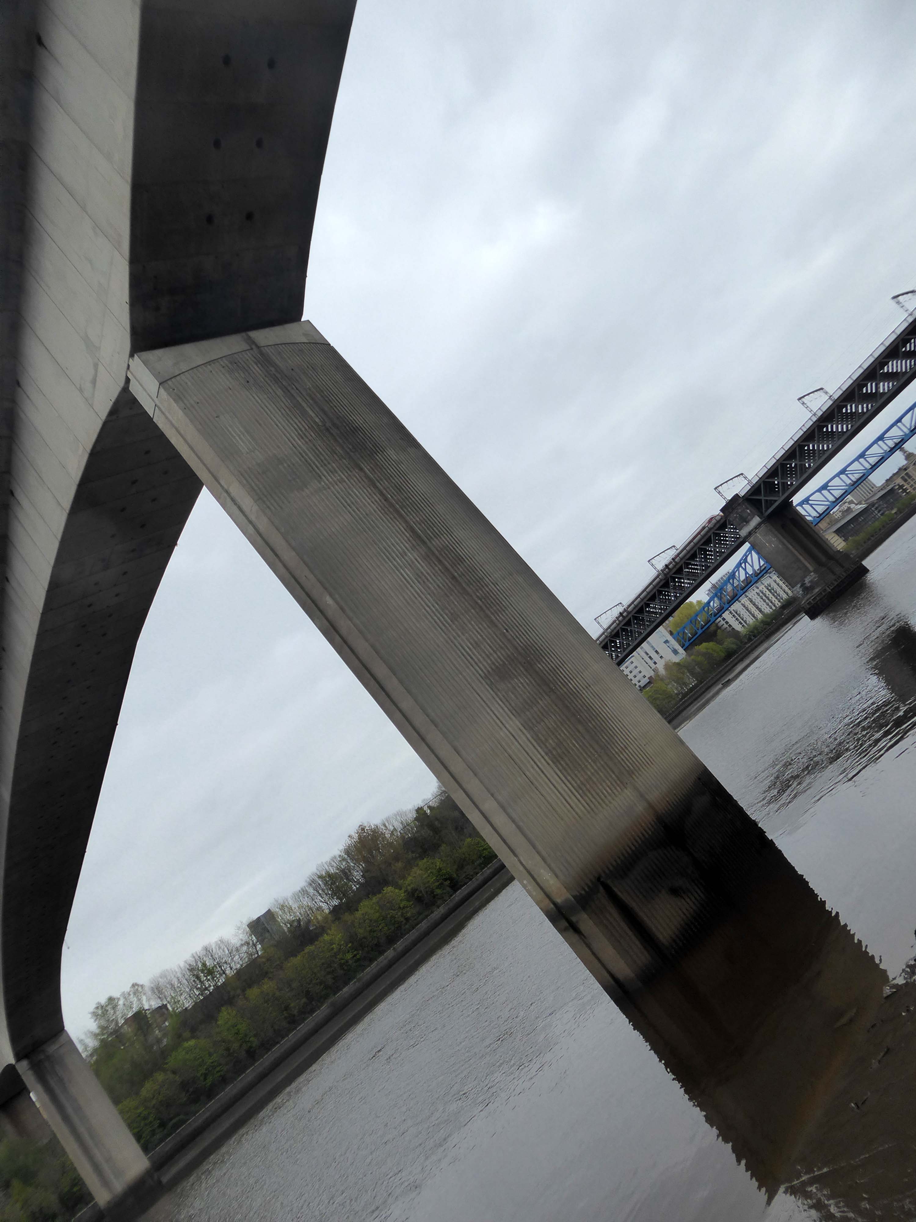
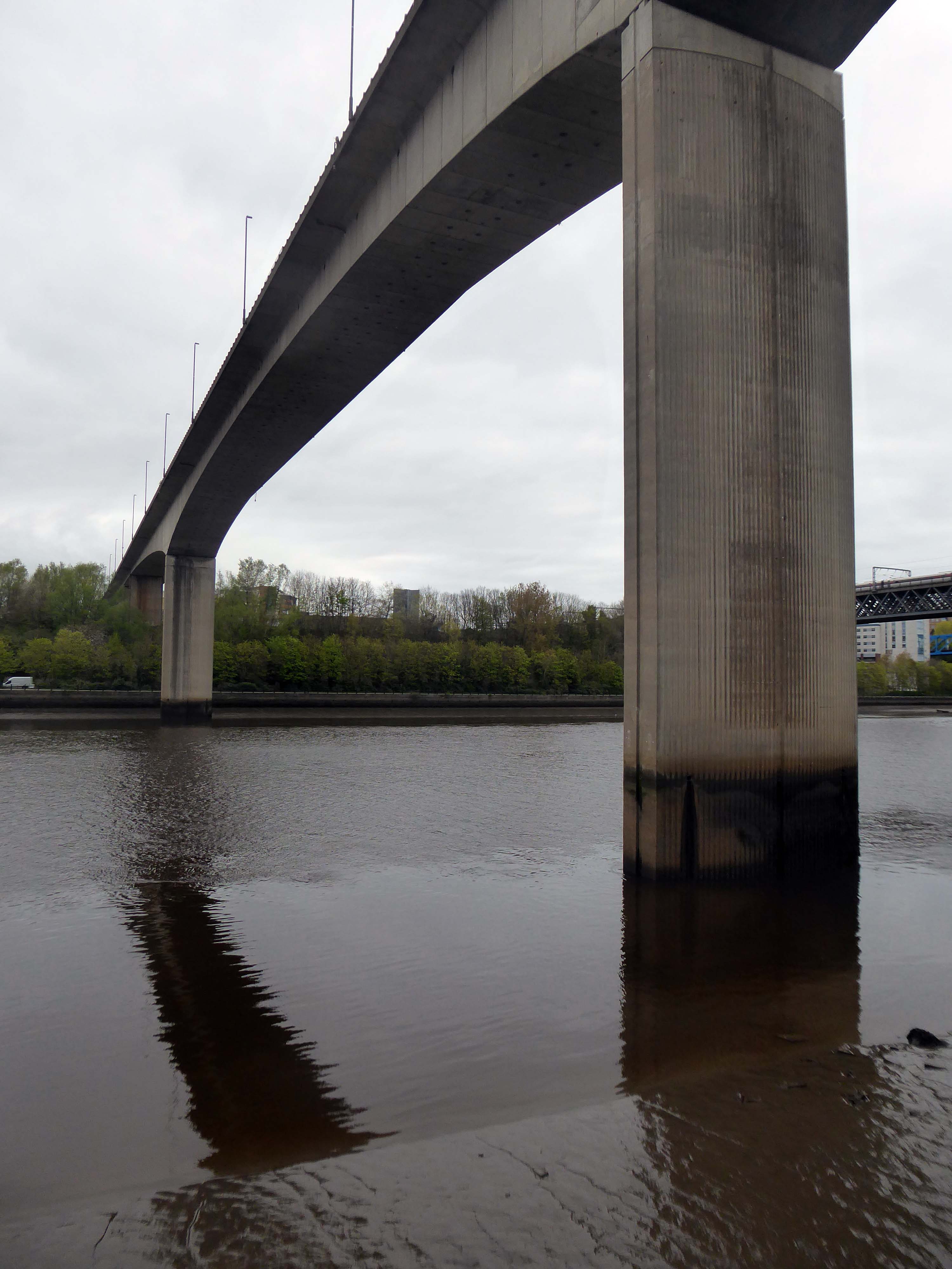
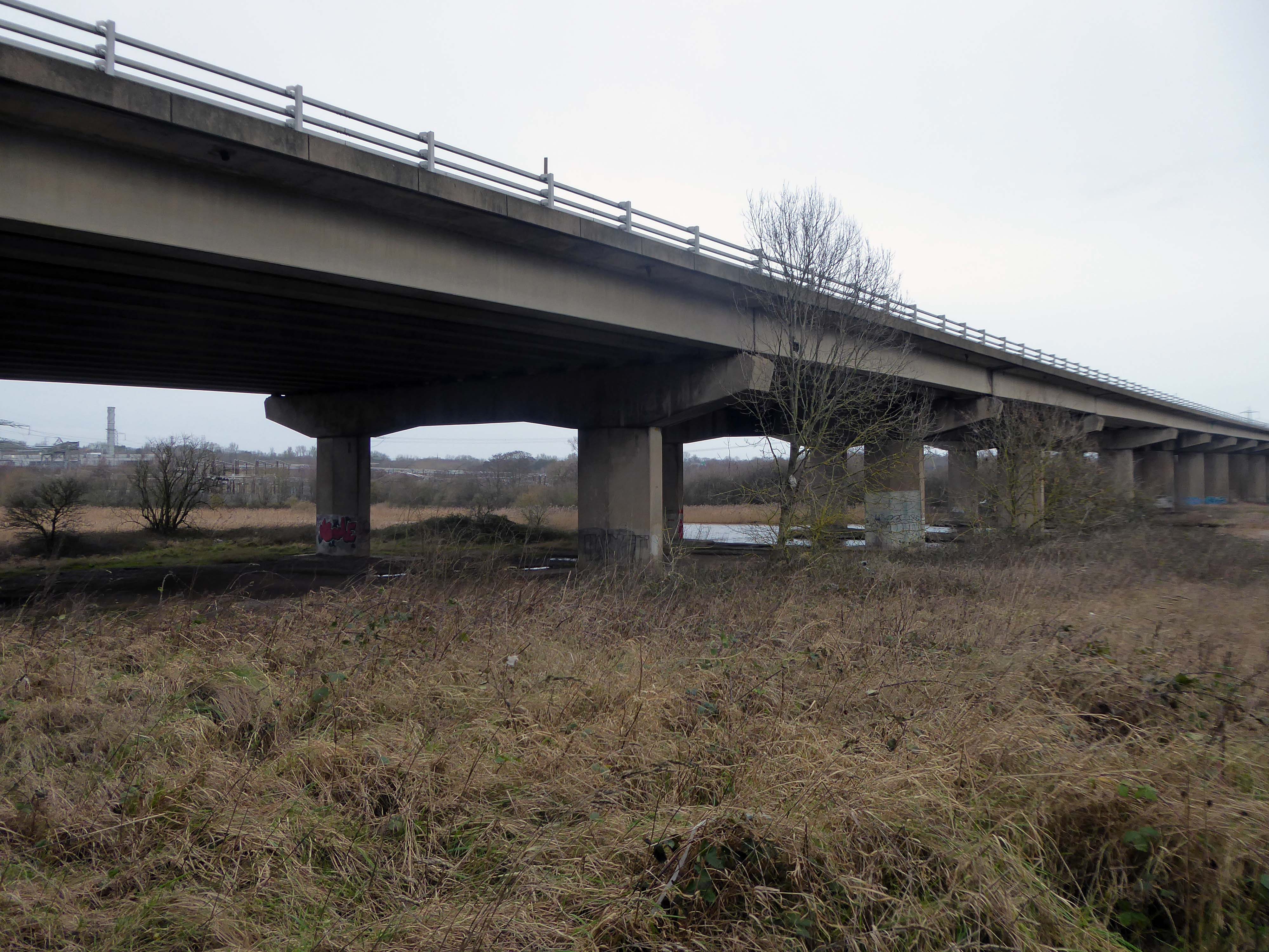
The bridge on the River Clyde – and access to the city’s motorway system.
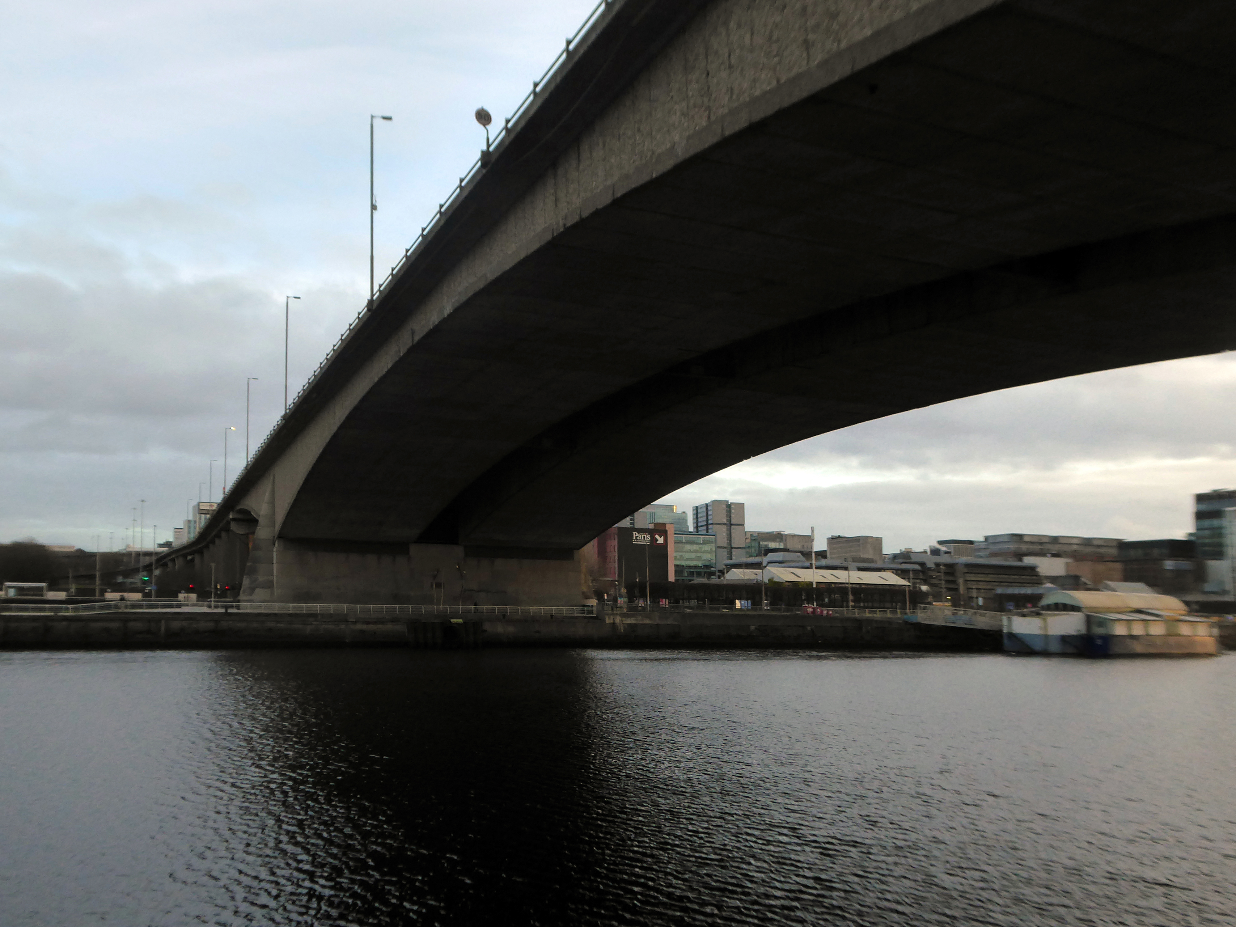
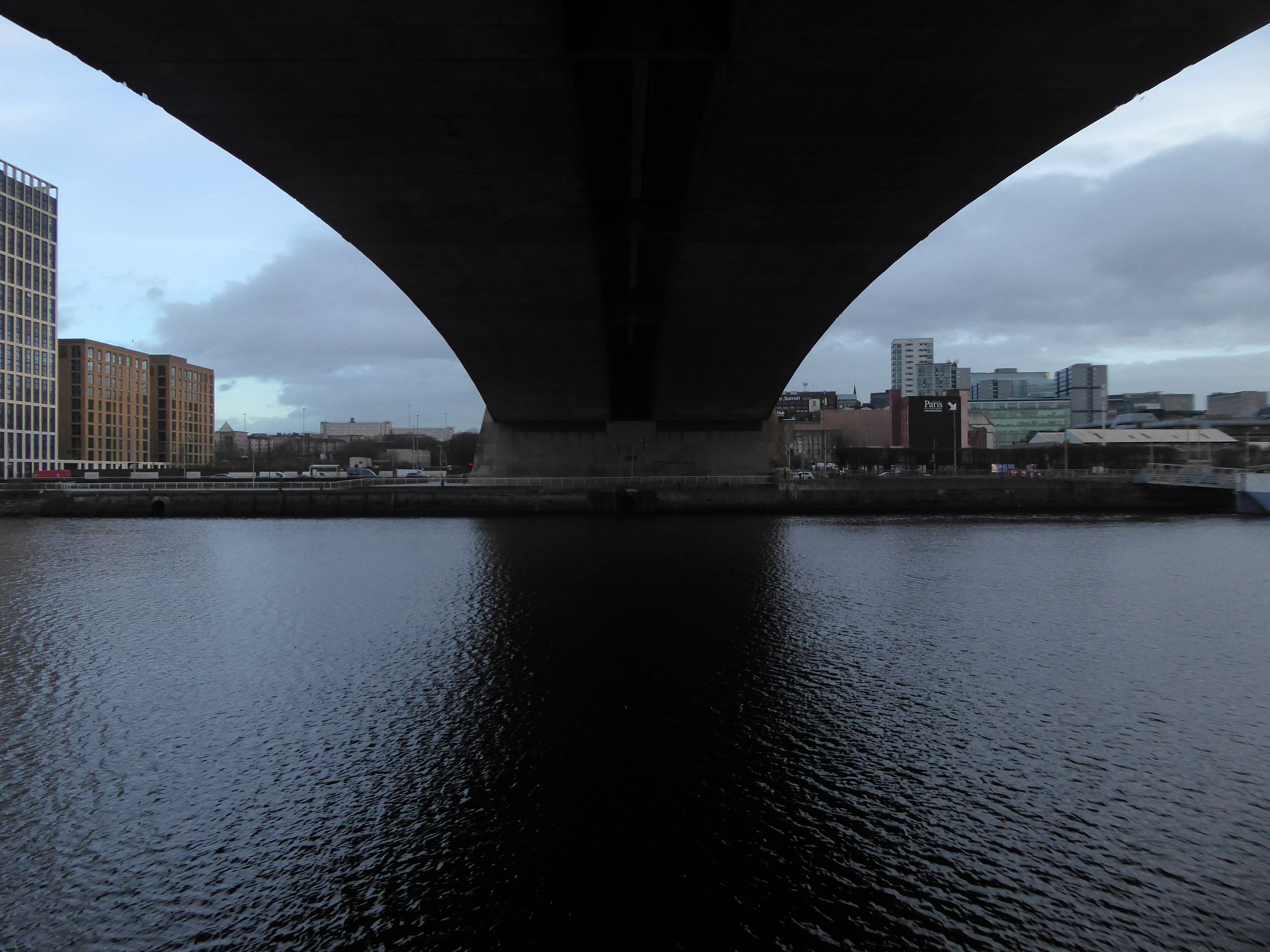
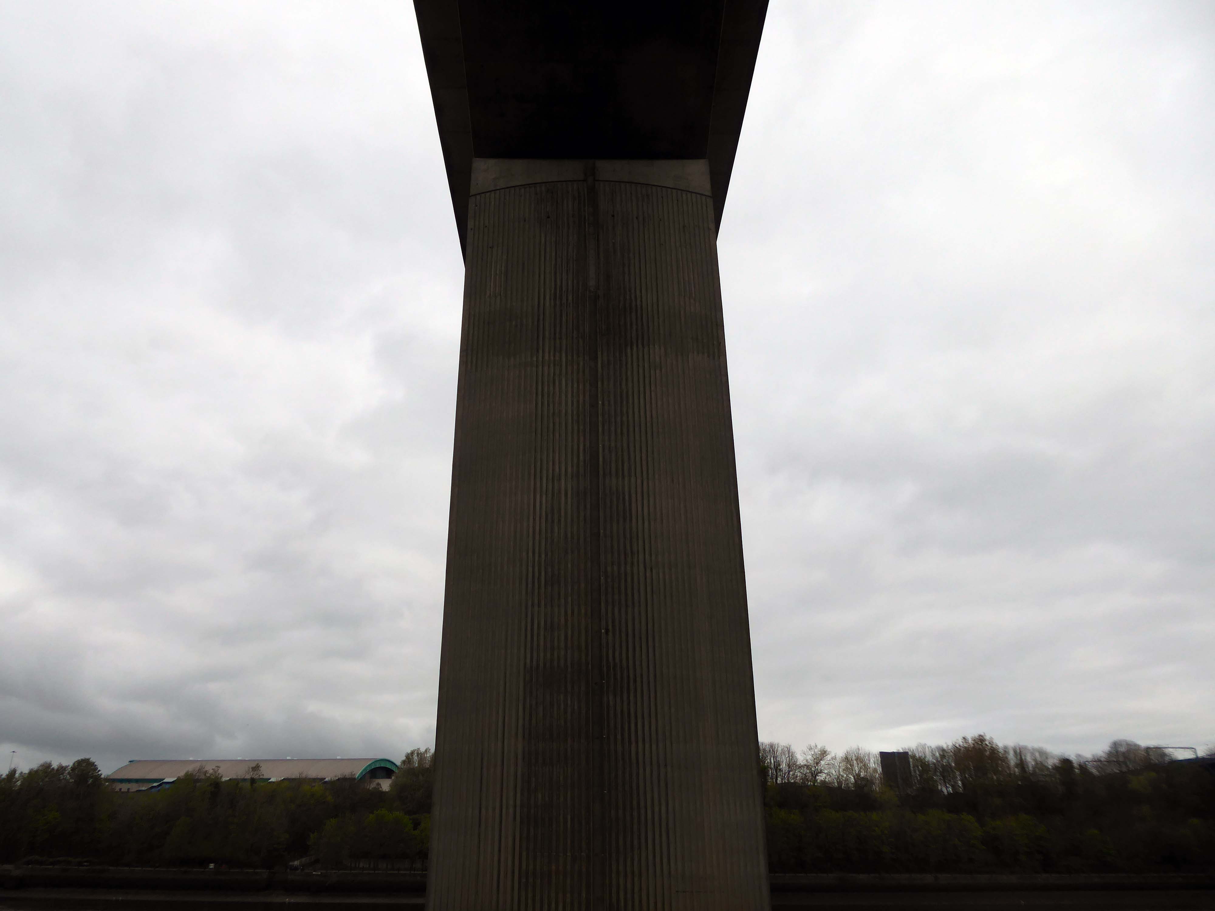
The Kingston Bridge is a balanced cantilever dual-span ten lane road bridge made of triple-cell segmented prestressed concrete box girders crossing the River Clyde.
Carrying the M8 motorway through the city centre, the Kingston Bridge is one of the busiest bridges in Europe, carrying around 150,000 vehicles every day.
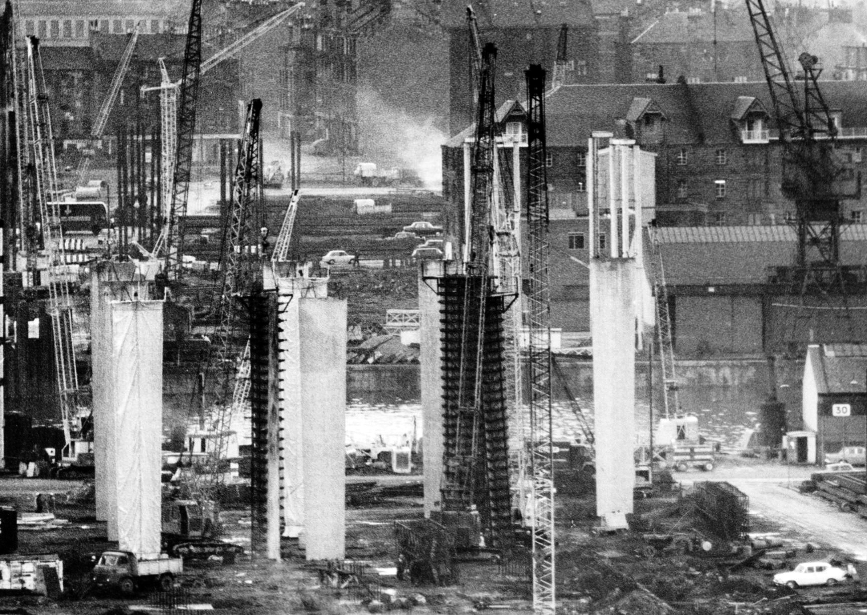
The bridge was first proposed in 1945 as part of the Glasgow Inner Ring Road scheme. After feasibility studies were carried out, William Fairhurst was appointed consulting engineer for the design of the bridge and its approaches and on 15 May 1967 construction began; this was a joint venture between Duncan Logan Construction Ltd and Marples Ridgway.
The eventual cost was £2.4m excluding the approach viaducts or around £11m in total.
On 26 June 1970 Kingston Bridge was opened by Queen Elizabeth the Queen Mother.
Co-operative House was the former headquarters of the Scottish Co-operative Wholesale Society and today is a mixed residential and commercial development.
There is a dubious urban myth that the fourth man in the Williamwood bank robbery, Archie McGeachy, is buried in the pillars of the bridge.
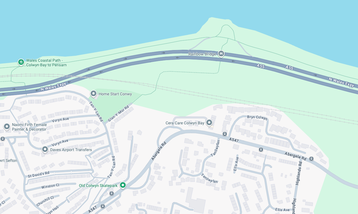
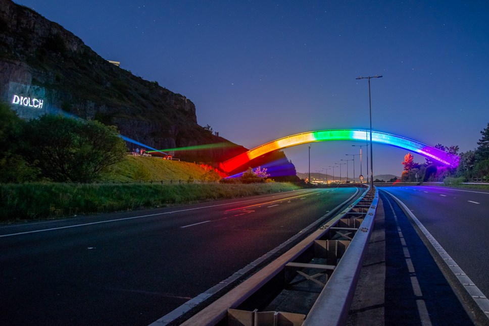
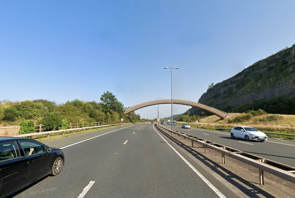
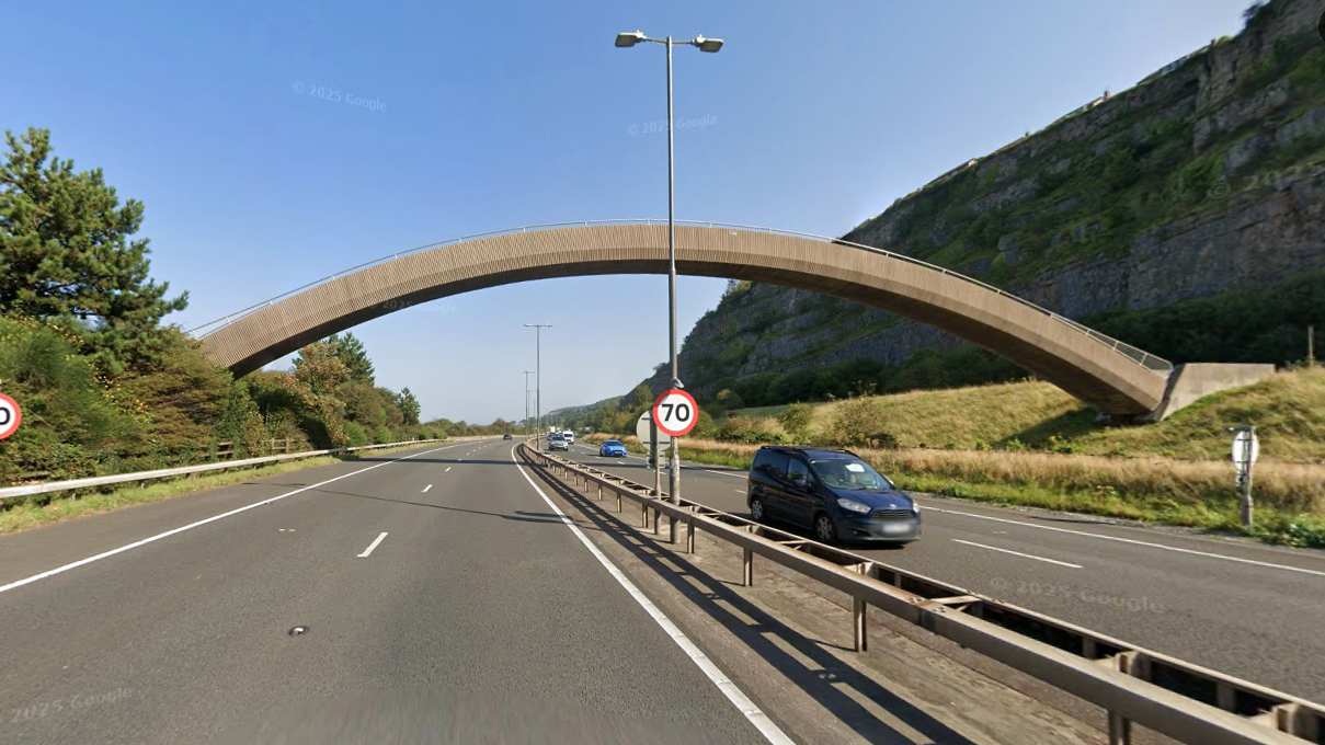
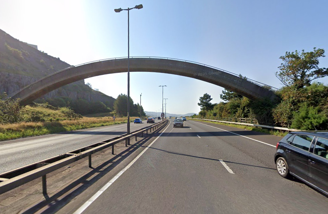
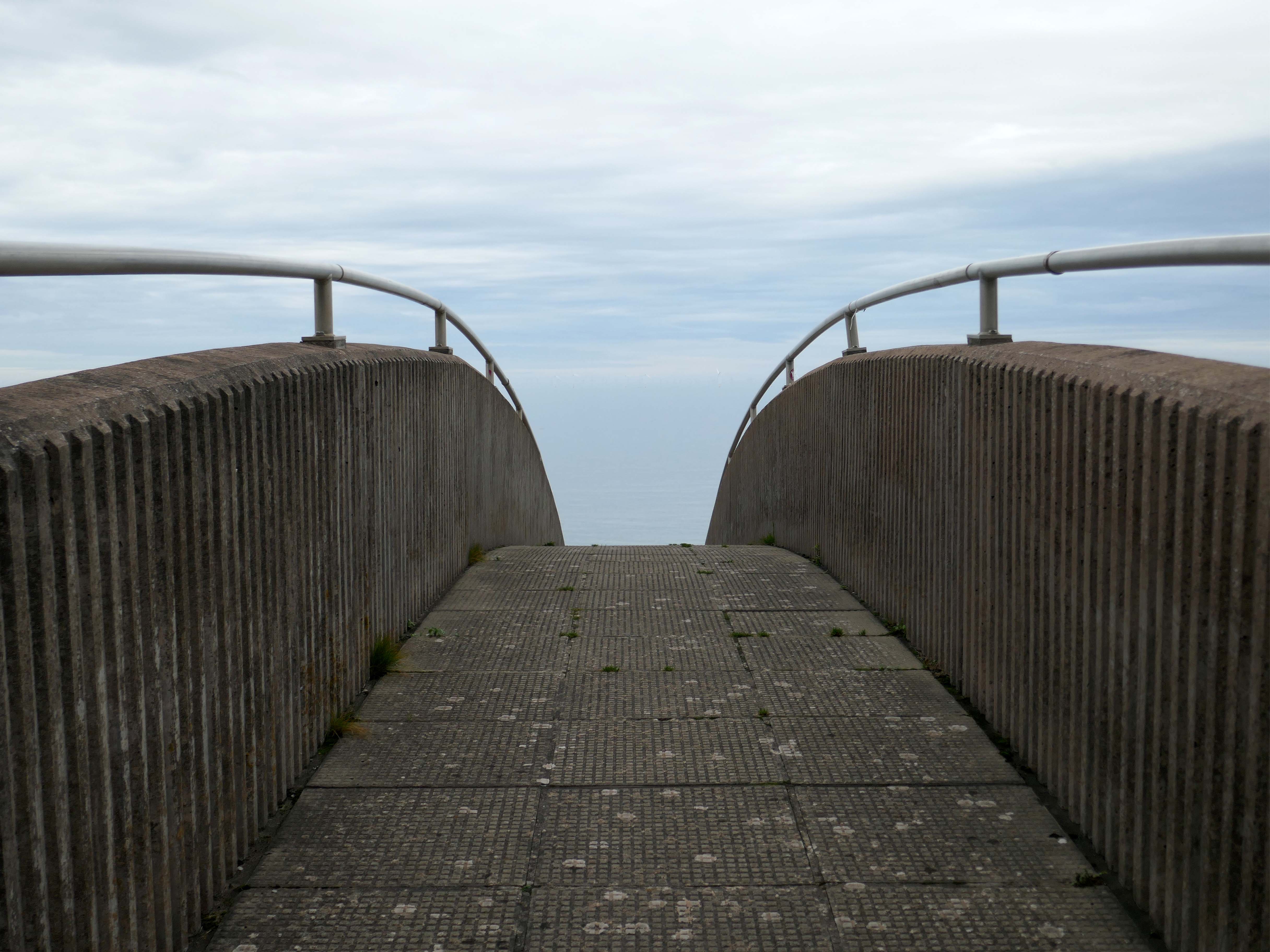
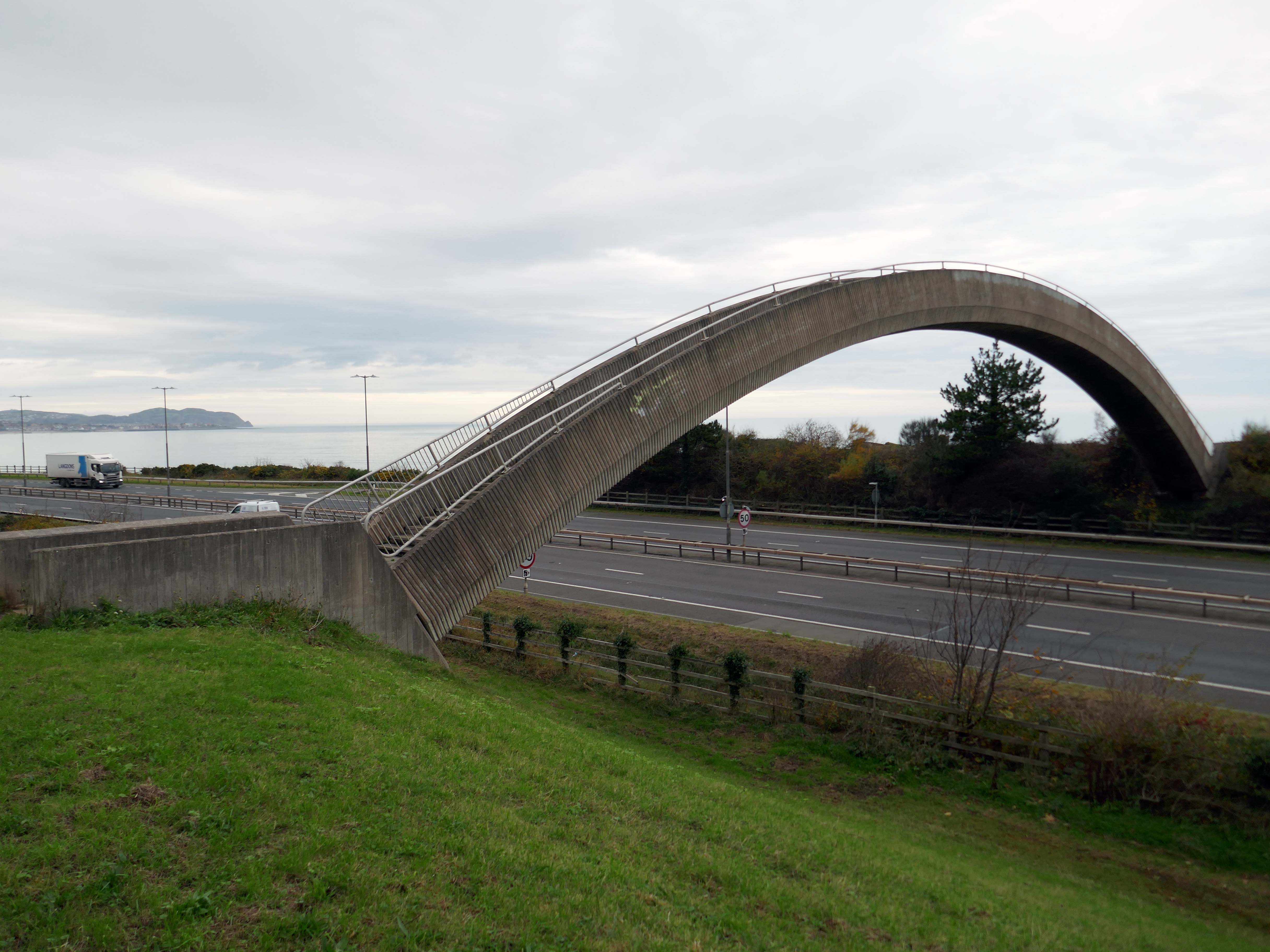
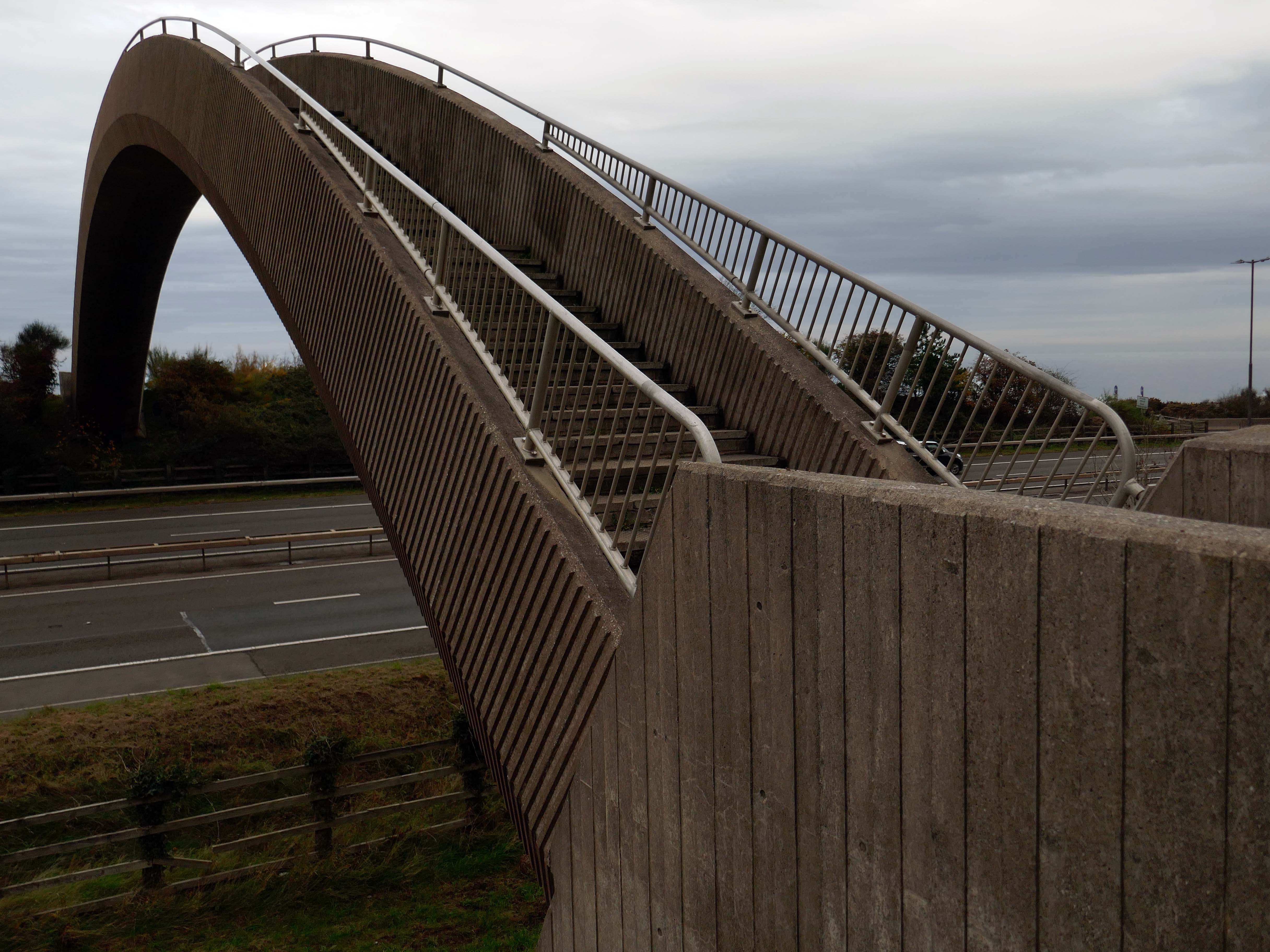
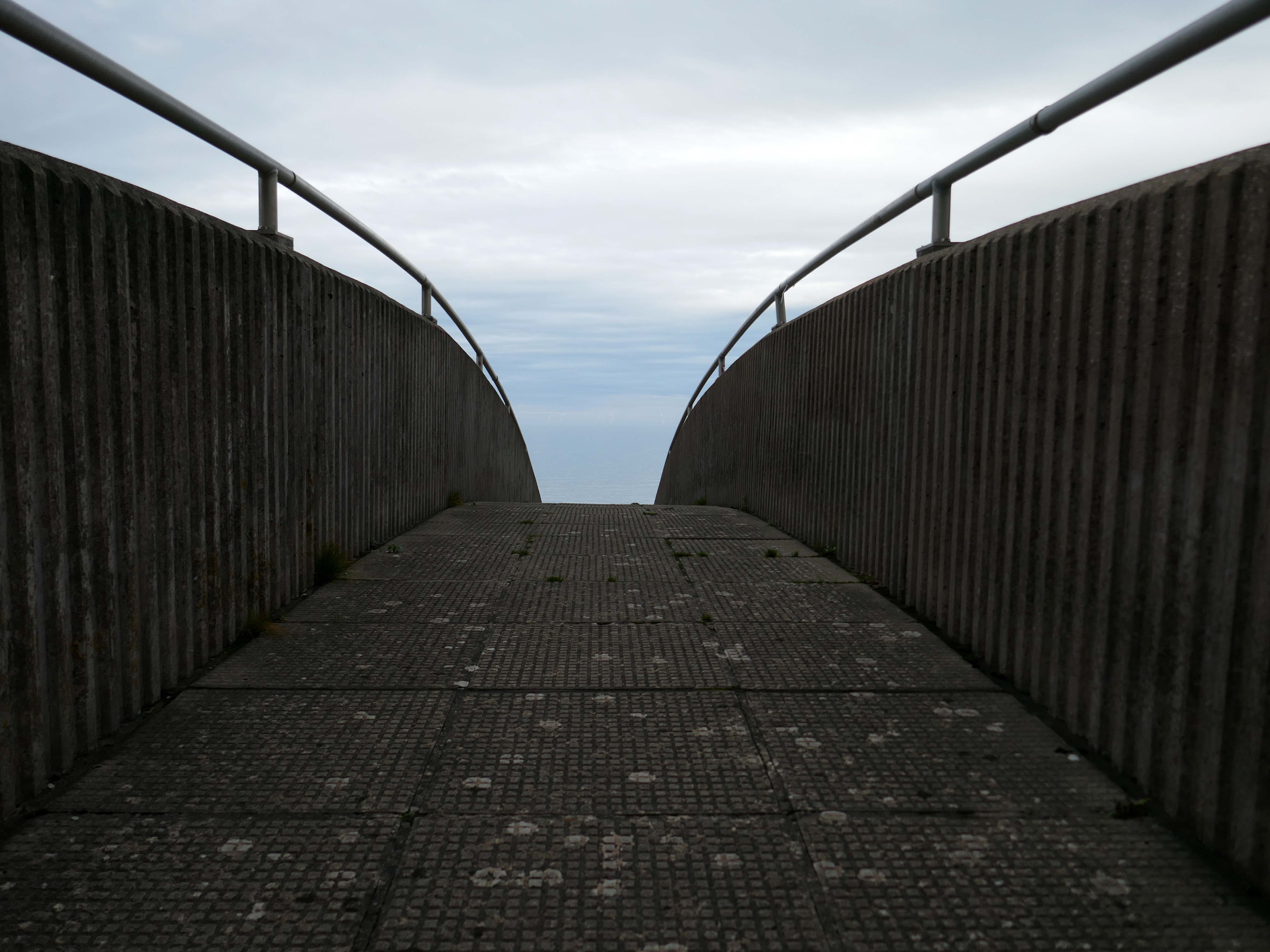
The iconic Rainbow Bridge on the A55 has been lit up to say thank you to NHS, social care staff and other key workers.
This well-known landmark lived up to its name on Tuesday night when it was bathed in rainbow colours alongside a thank you message projected onto the nearby cliffside.
This one-off tribute to staff from the health and care sectors and other key workers who are working tirelessly during the Covid-19 pandemic, was arranged by the North and Mid Wales Trunk Road Agent.
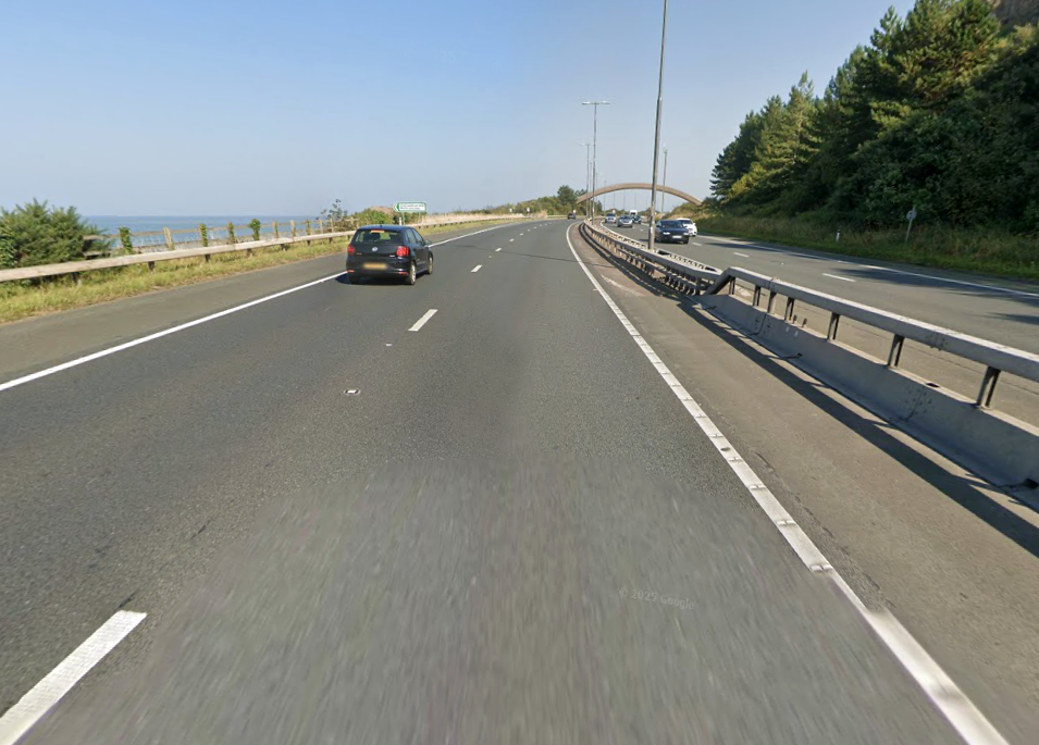
The walkway over the A55, colloquially known as Rainbow Bridge, is situated on the strategic road network which NMWTRA is responsible for maintaining and managing on behalf of the Welsh Government.
The A55 partly follows the alignment of the Roman road from Chester to Caernarfon, particularly from Junction 31 to 30 and Junction 13 to 12. Between Chester and Holywell the alignment of this road is uncertain and between St. Asaph and Abergwyngregyn, the Roman road followed an inland route, via Canovium Roman Fort at Caerhun, avoiding the difficulties of the crossing of the Conwy estuary and the cliffs at Penmaenbach and Pen-y-Clip.
On 1 April 1937, the route, as it was then, was classed to form the Chester–Bangor trunk road. By 2015, the Welsh Governmentwas also classifying part of the road as part of the London–Holyhead trunk road.
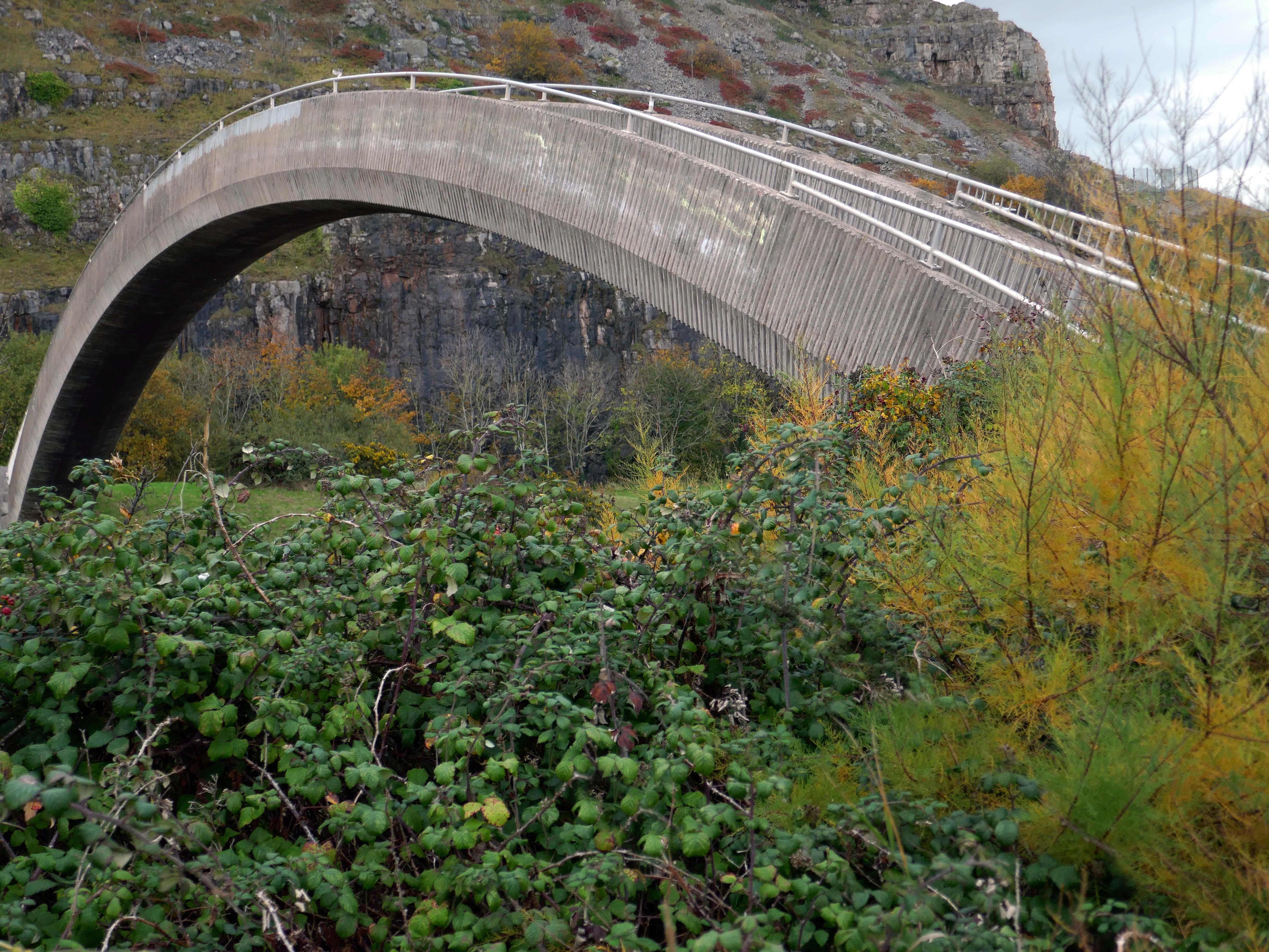
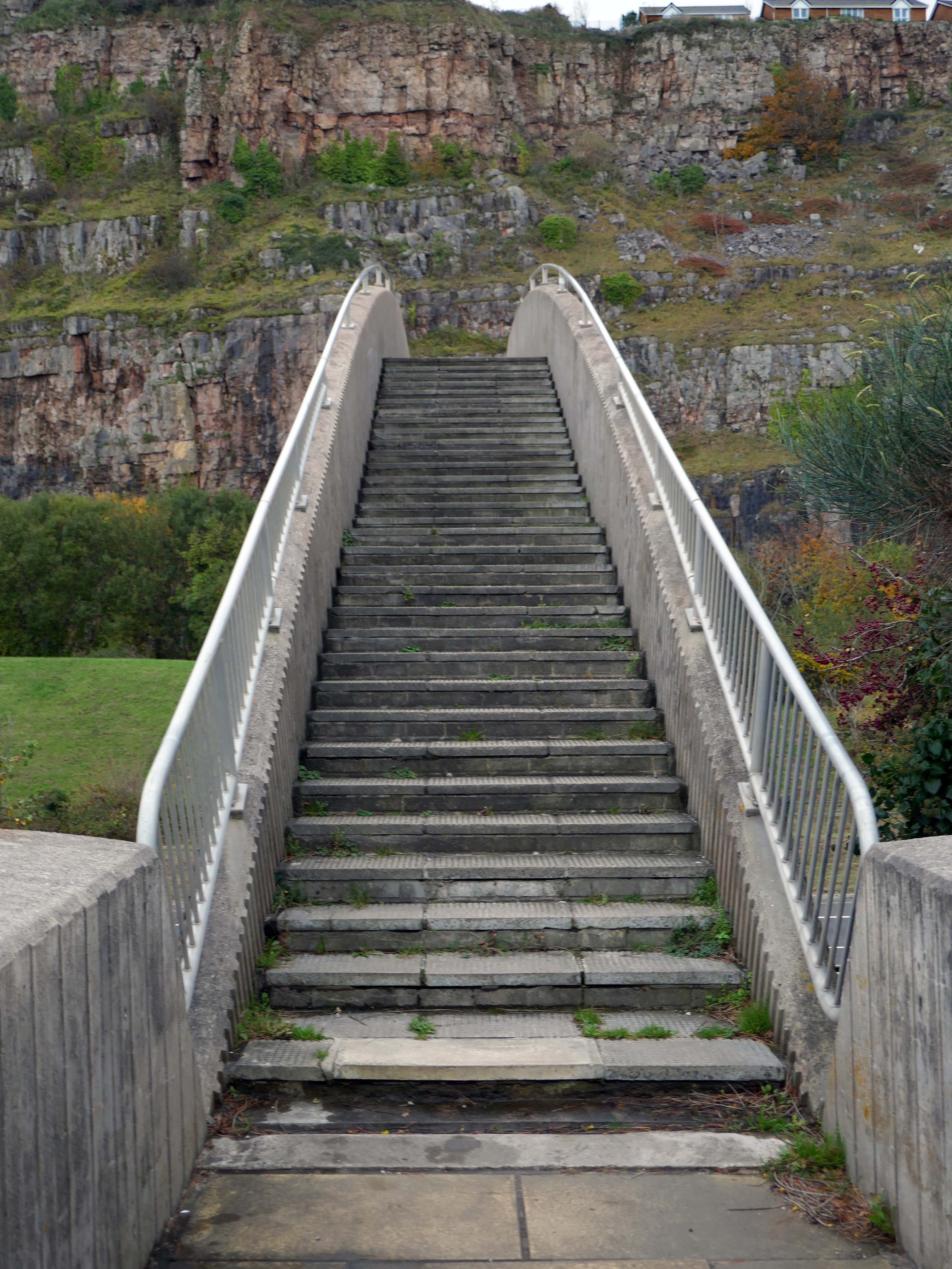
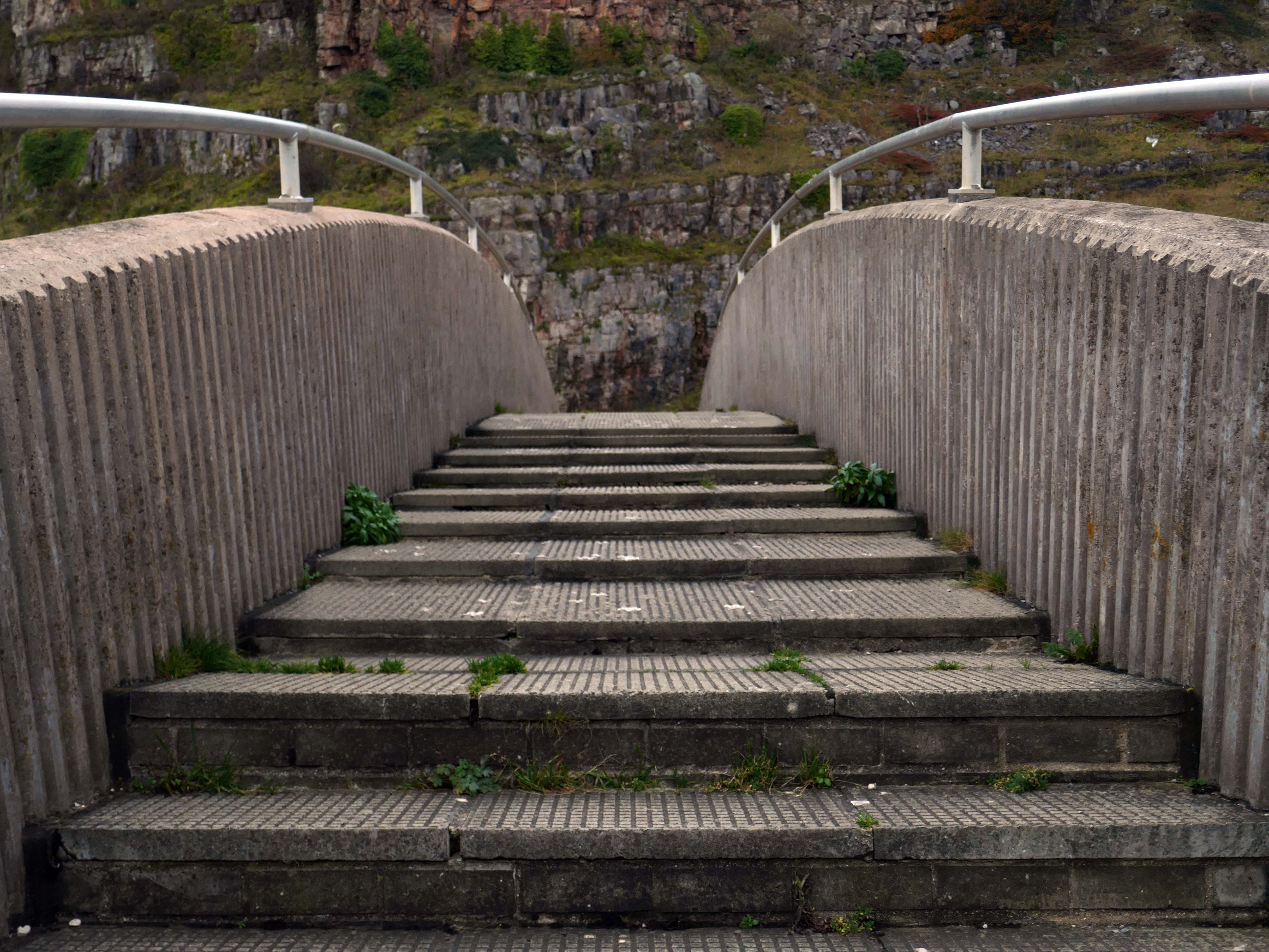
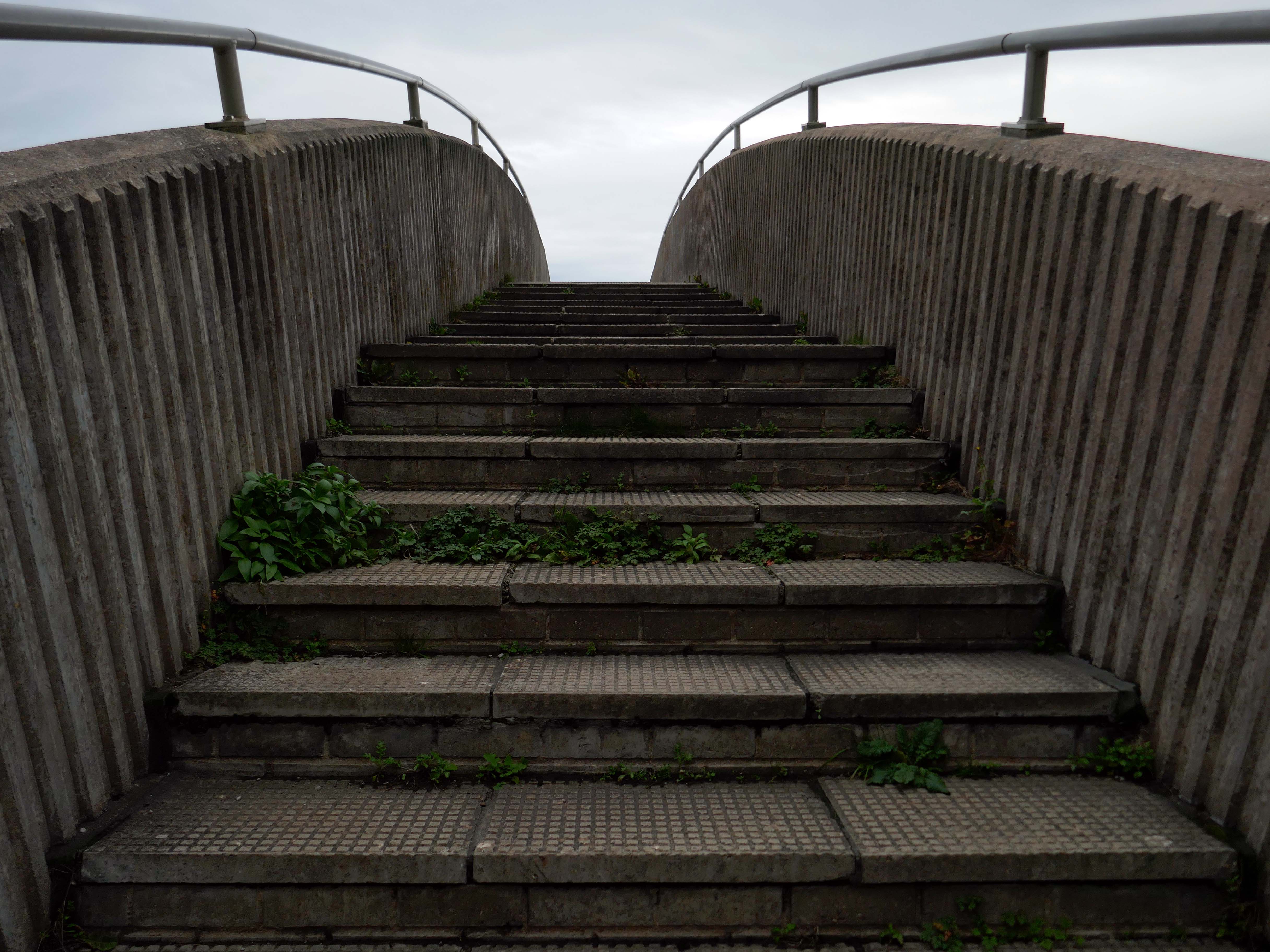
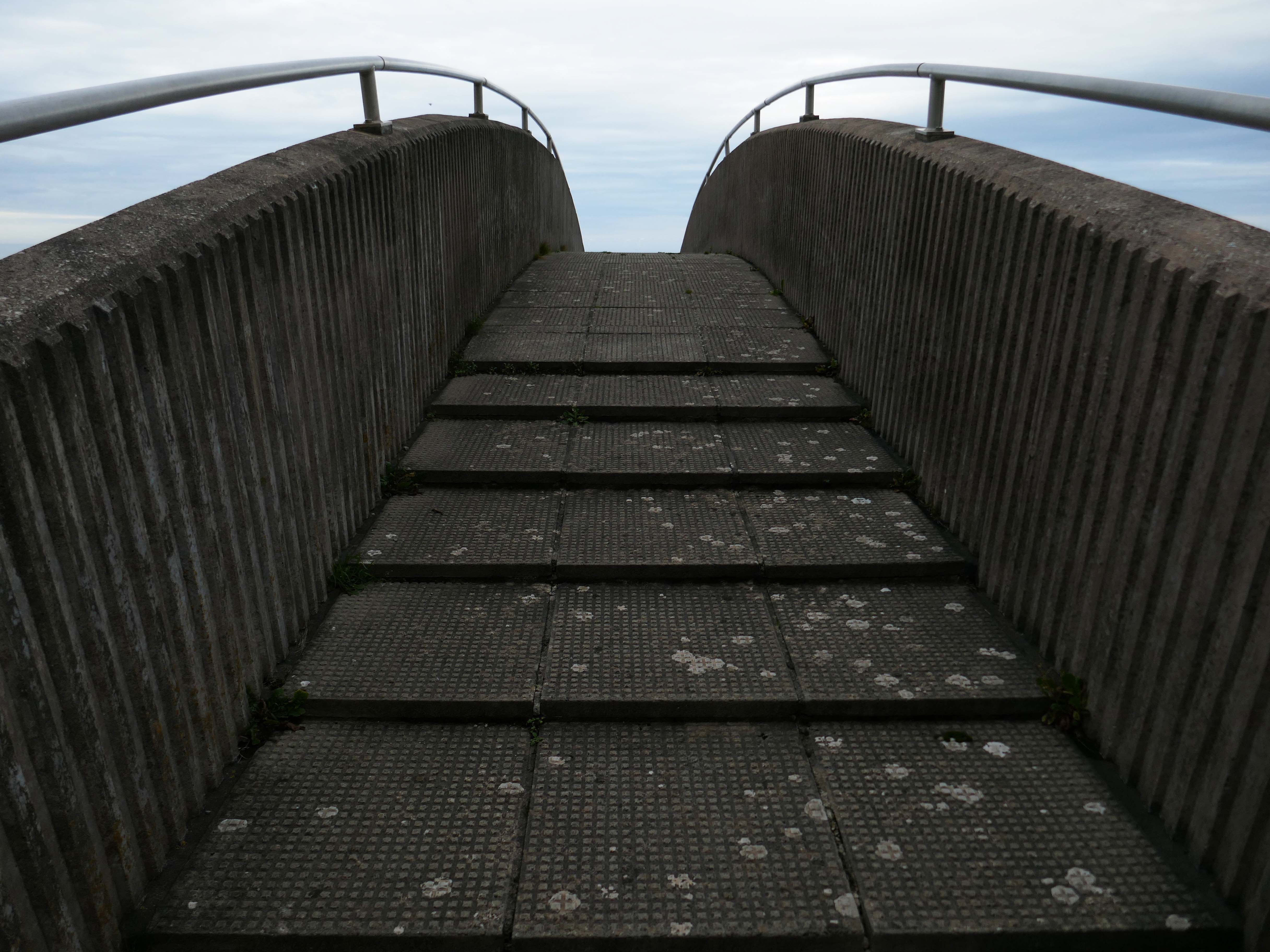
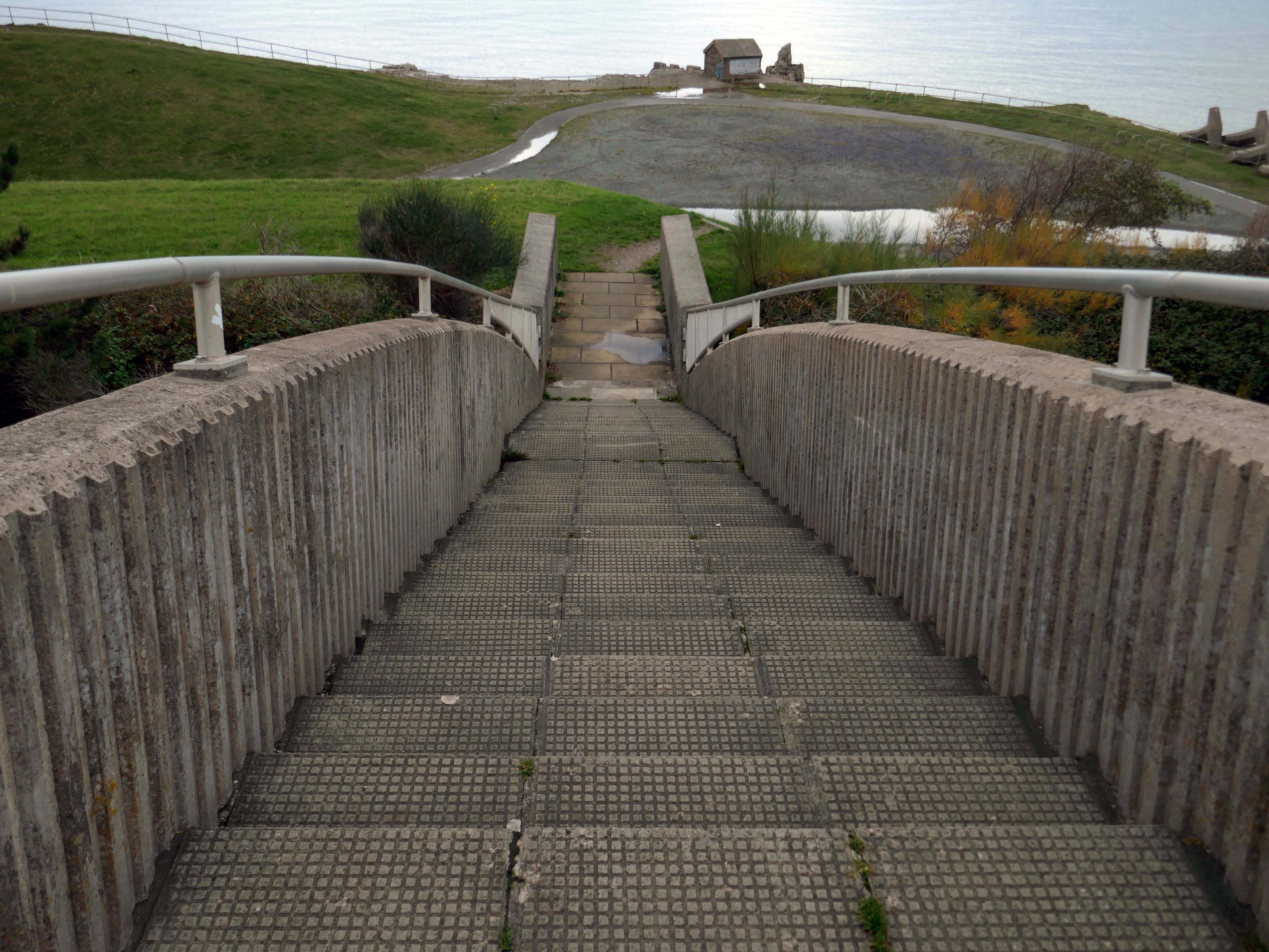
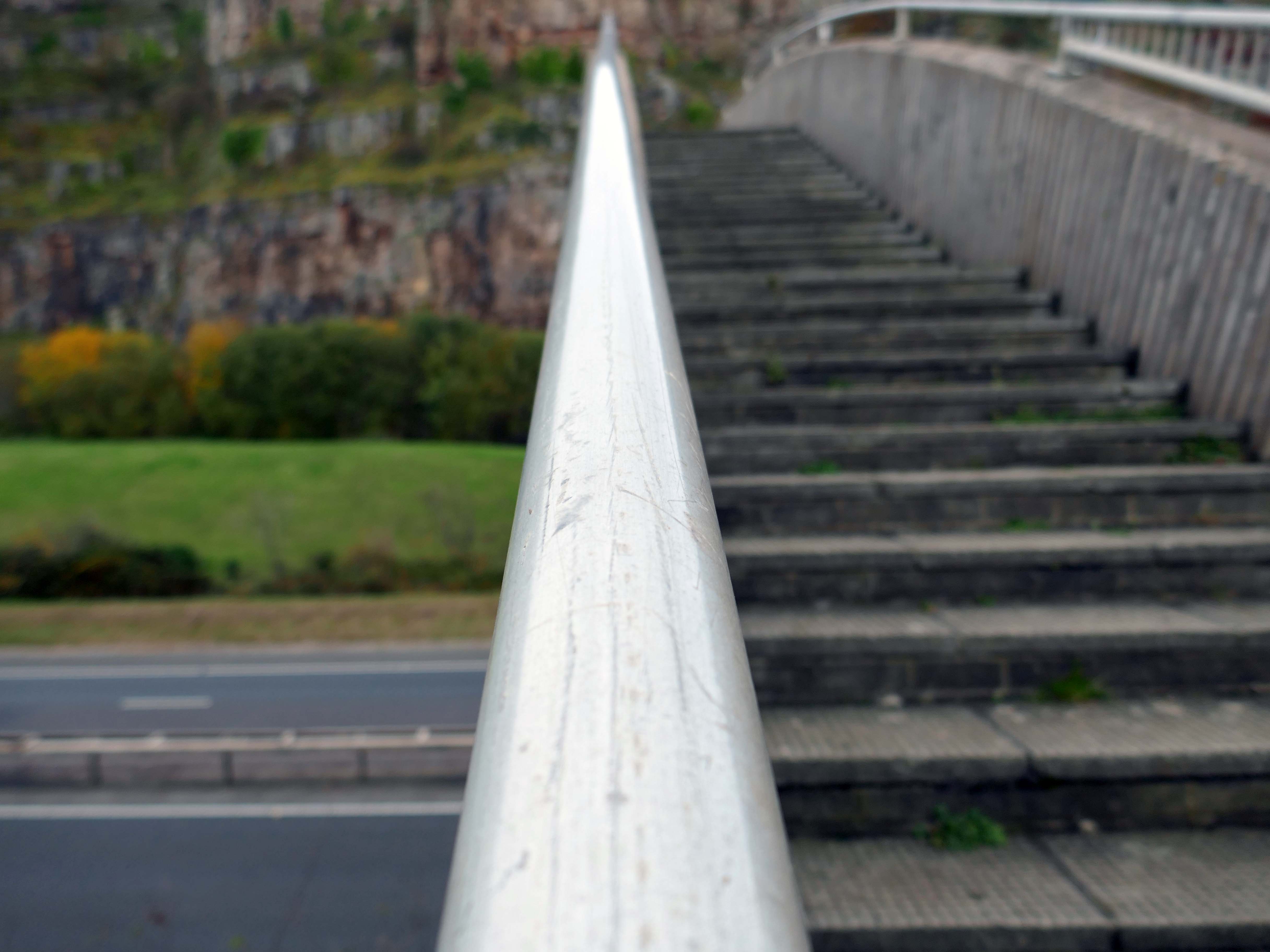
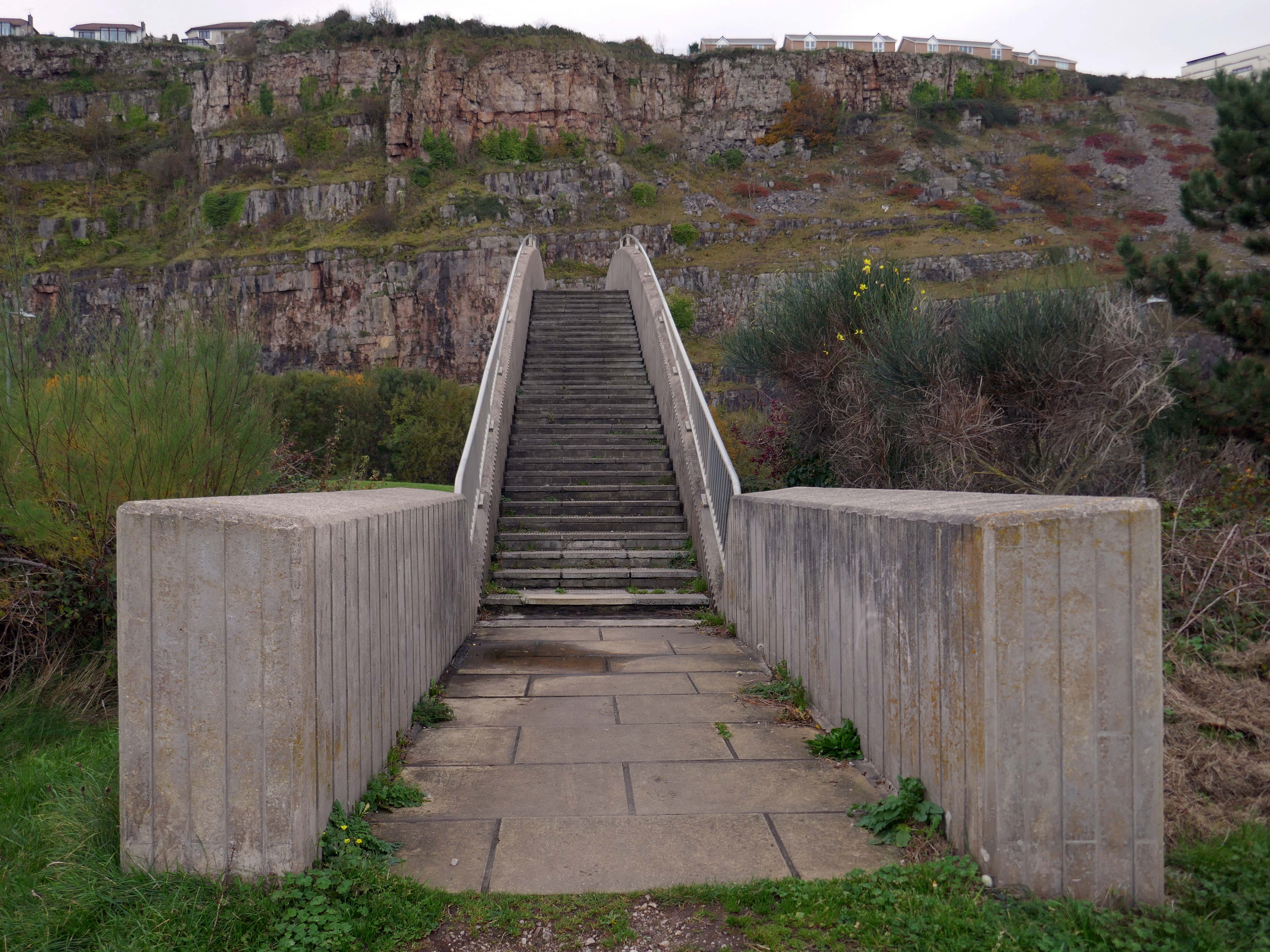
So much for modern motoring – I was walking from Rhyl to Colwyn Bay, so decided to walk back and forth across the bridge, before going along my merry way.
Steep and stepped, it certainly would not be described as accessible.
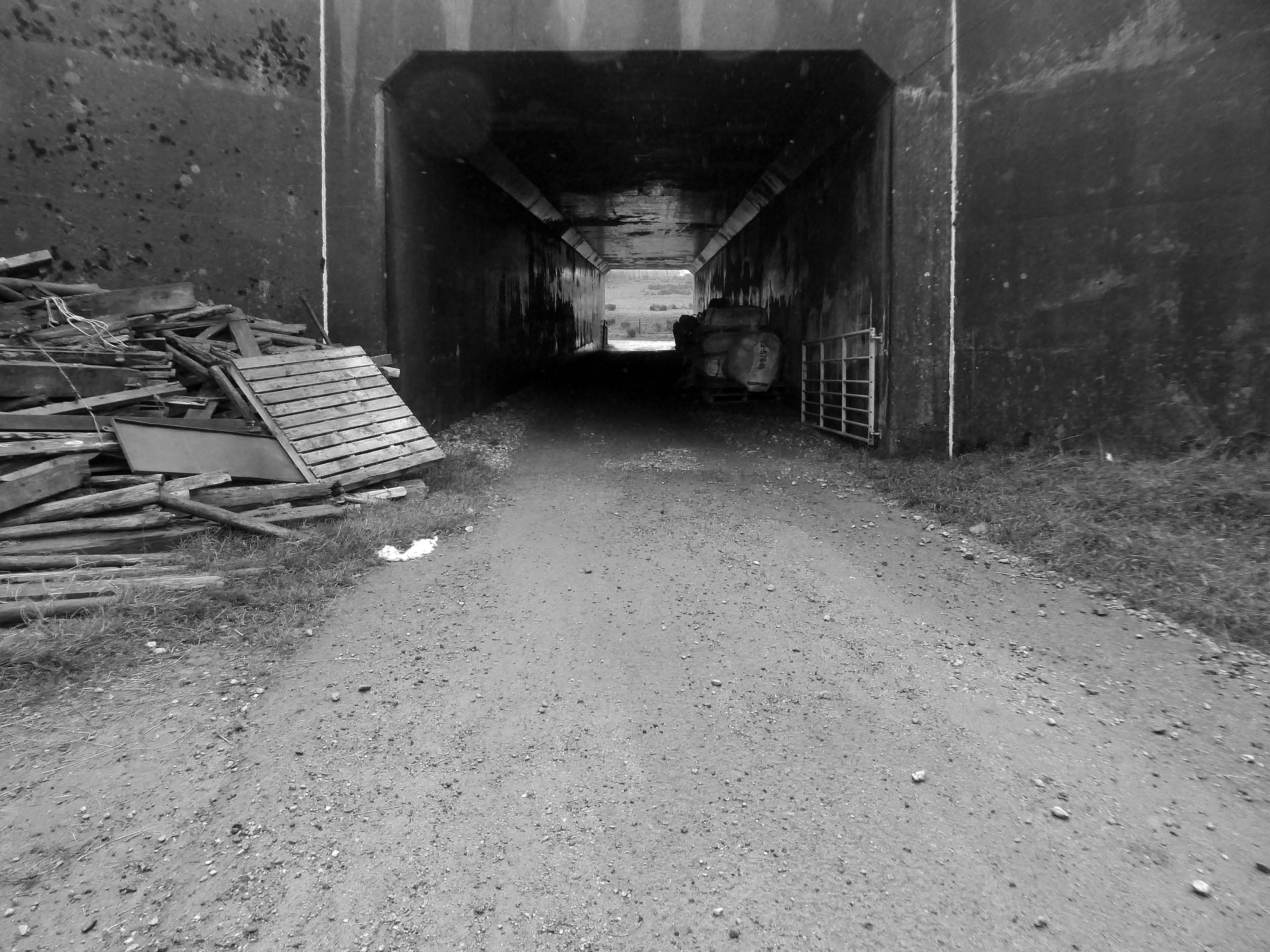
Other Concrete Footbridges are available – here in Durham and closer to home in Stockport.
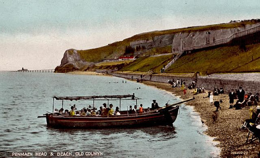
Old Colwyn just short of the original Colwyn Bay station. In 1929 a pleasure boat is about to depart. Penmaen Head is still in one piece with its quarry jetty. The path can be seen leading directly from the beach to the platform and to the underpass which is still in use today.
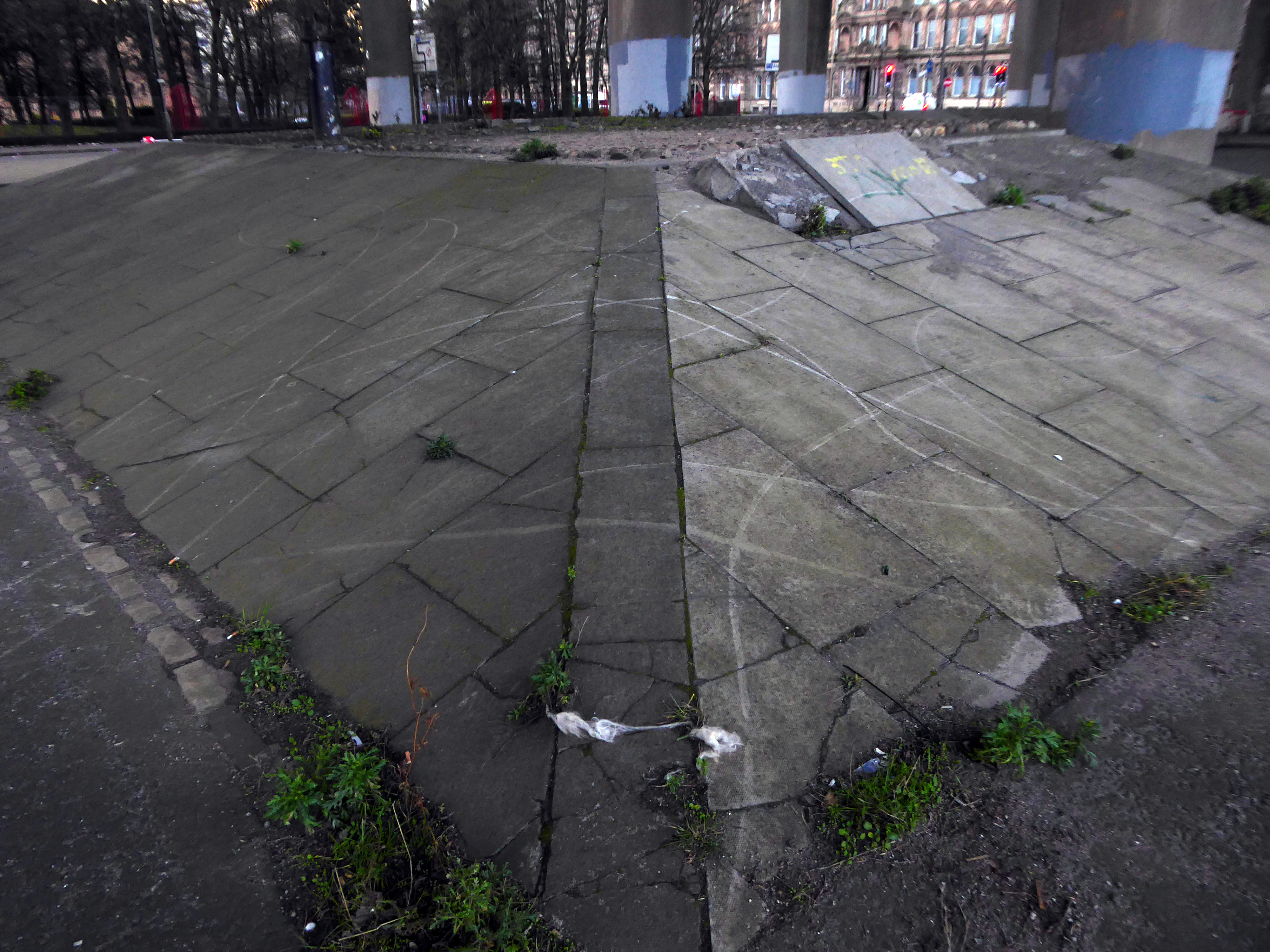
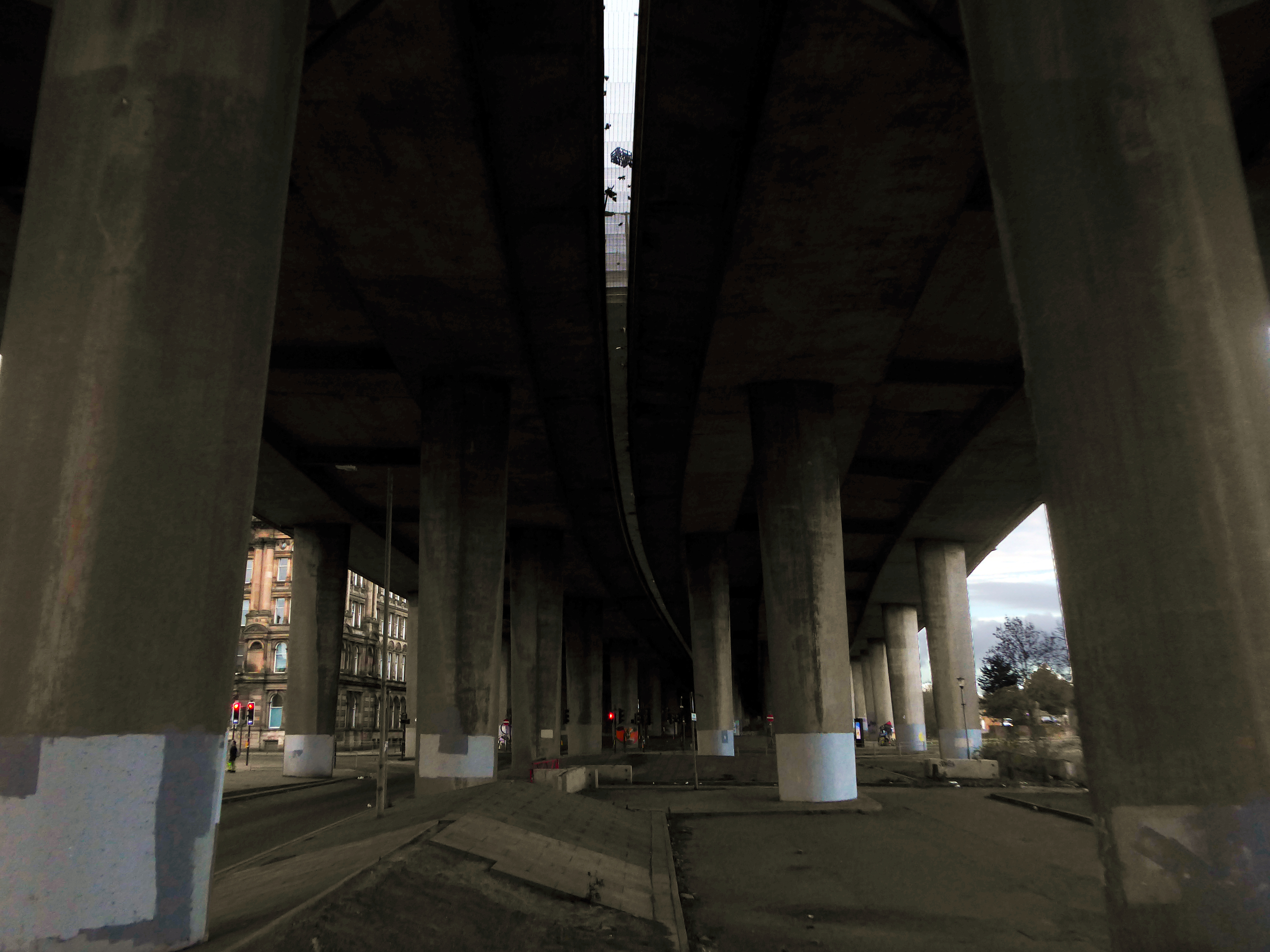
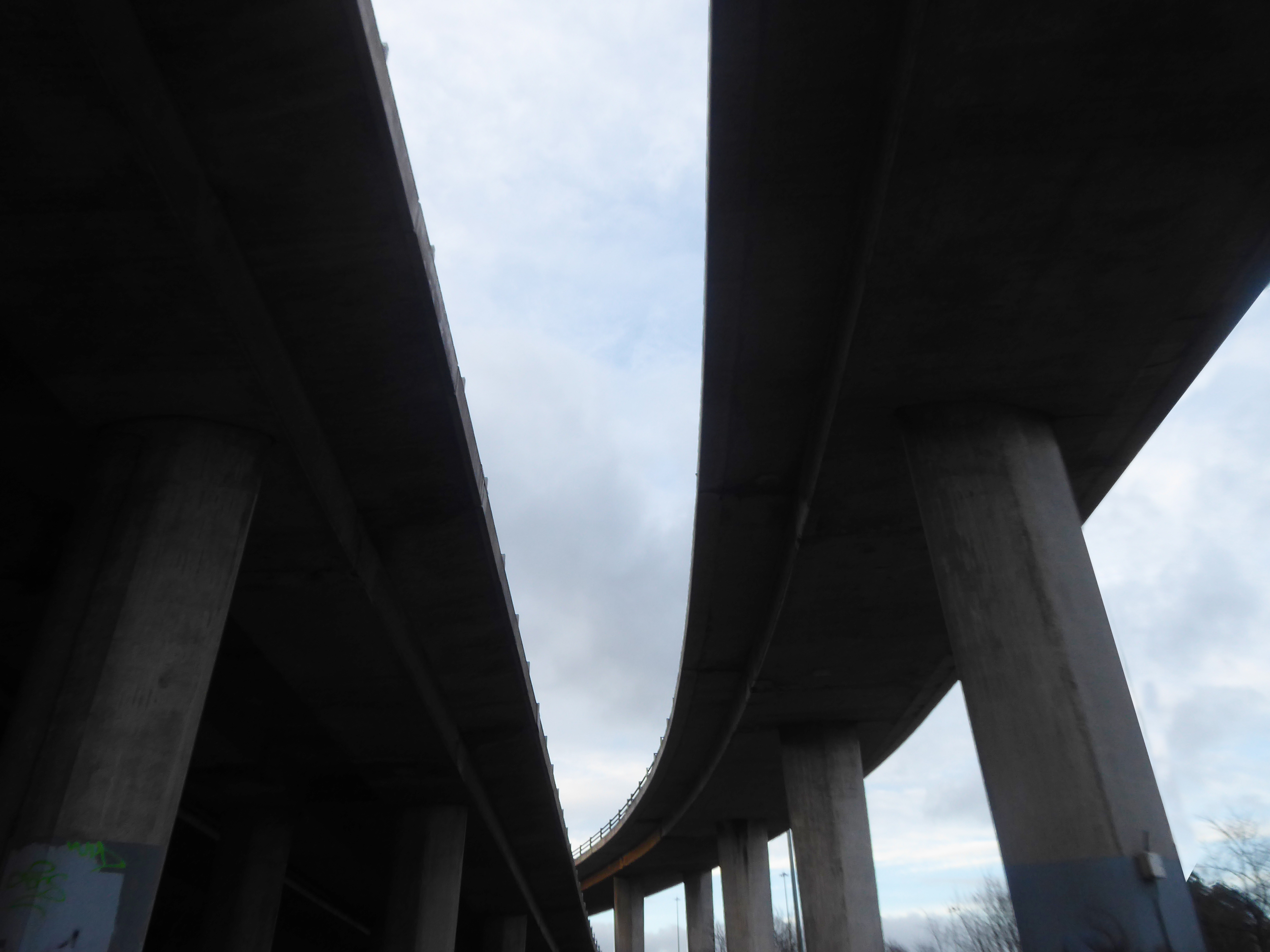
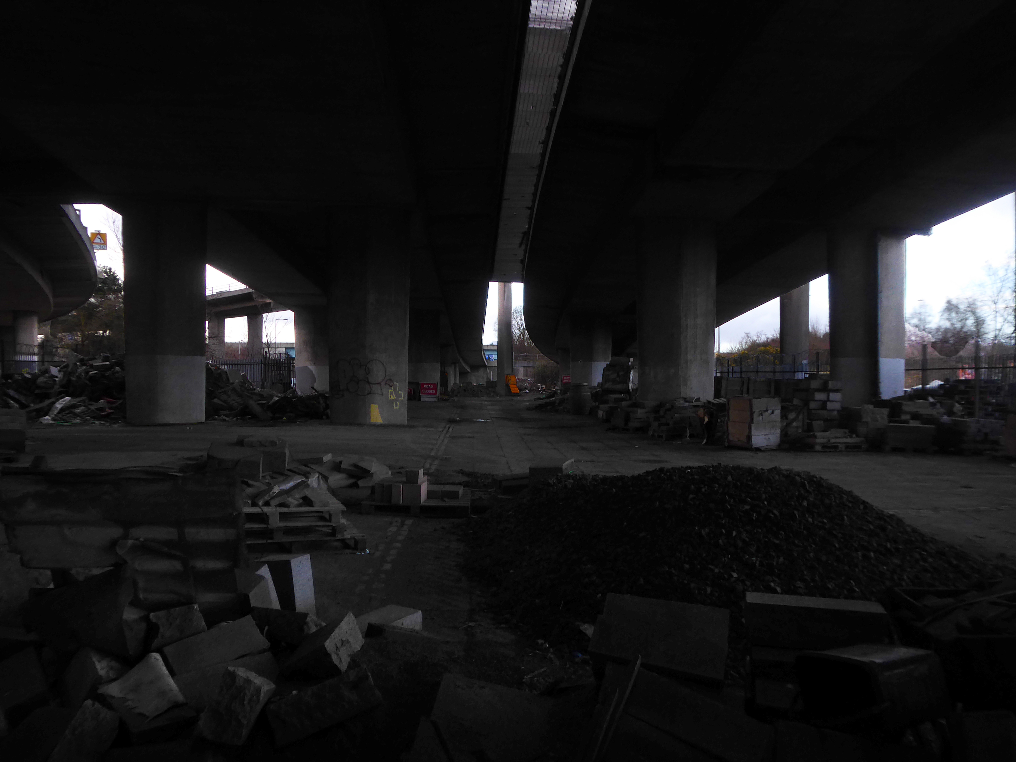
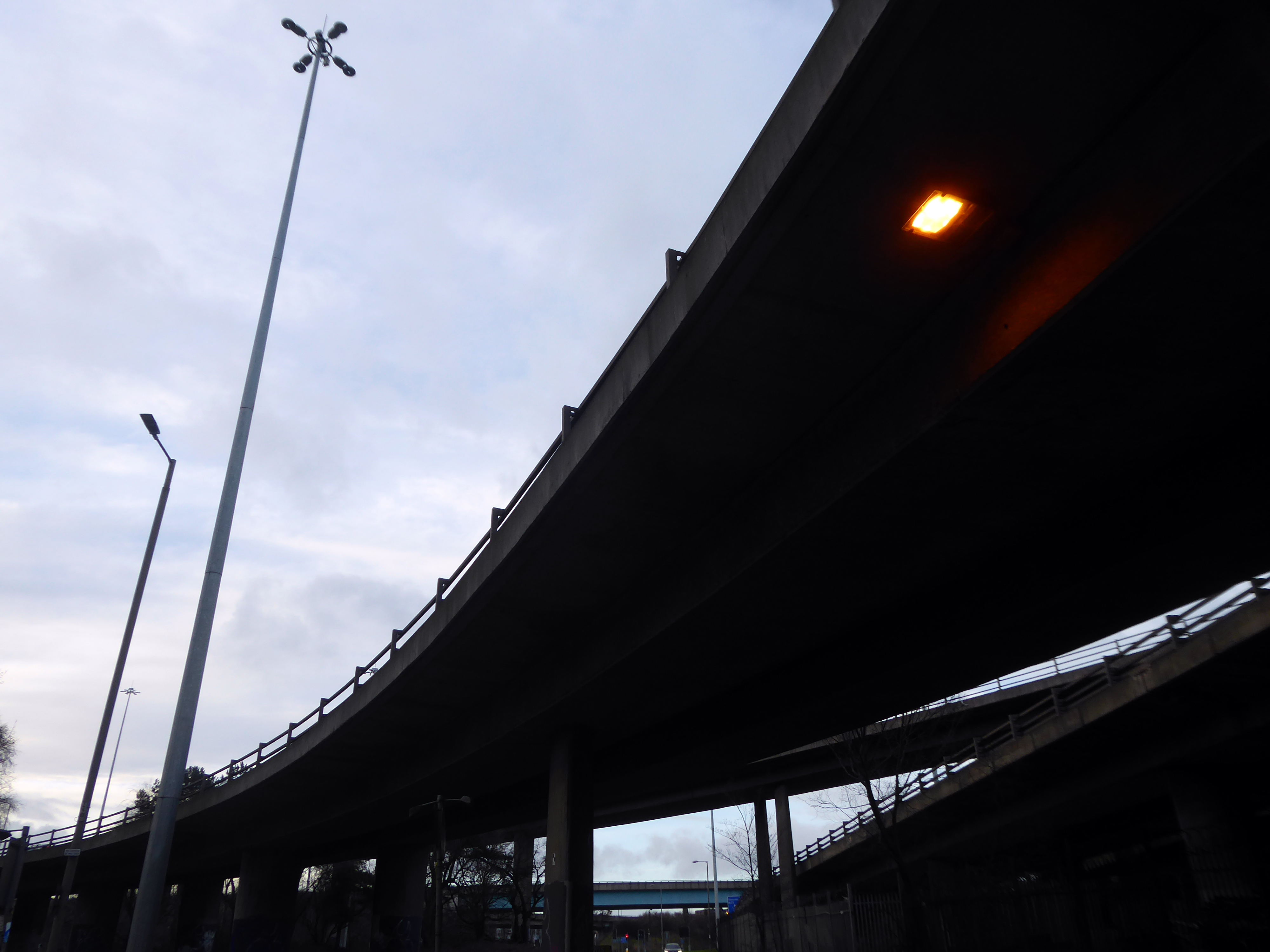
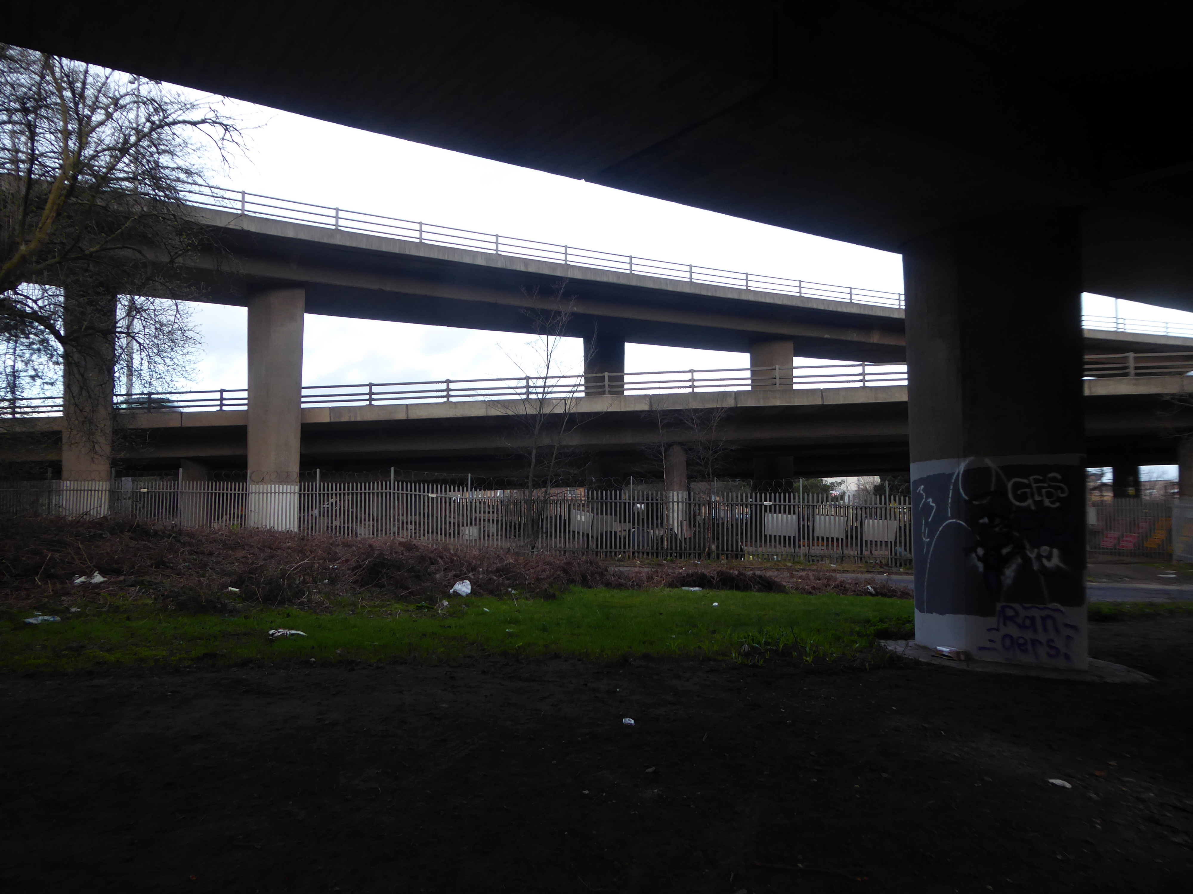
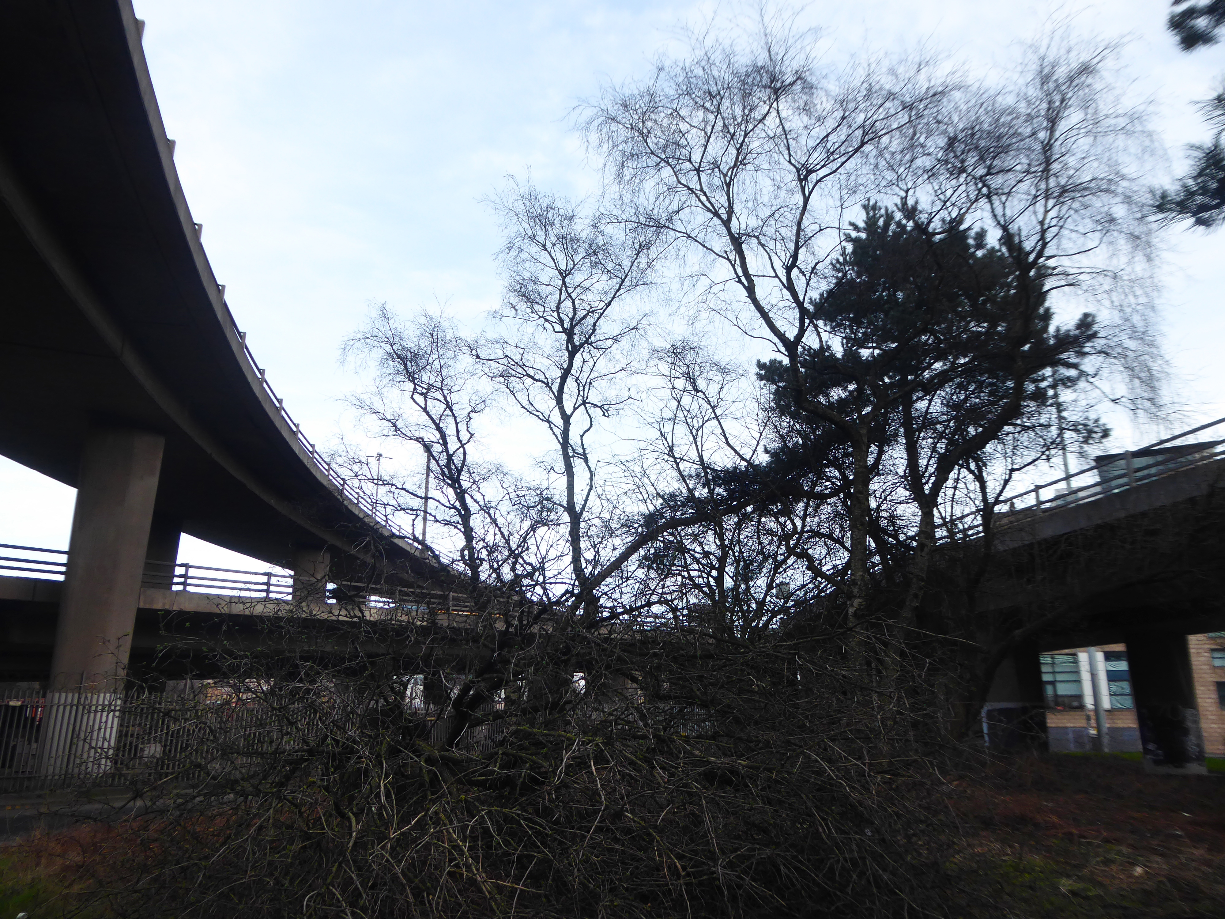
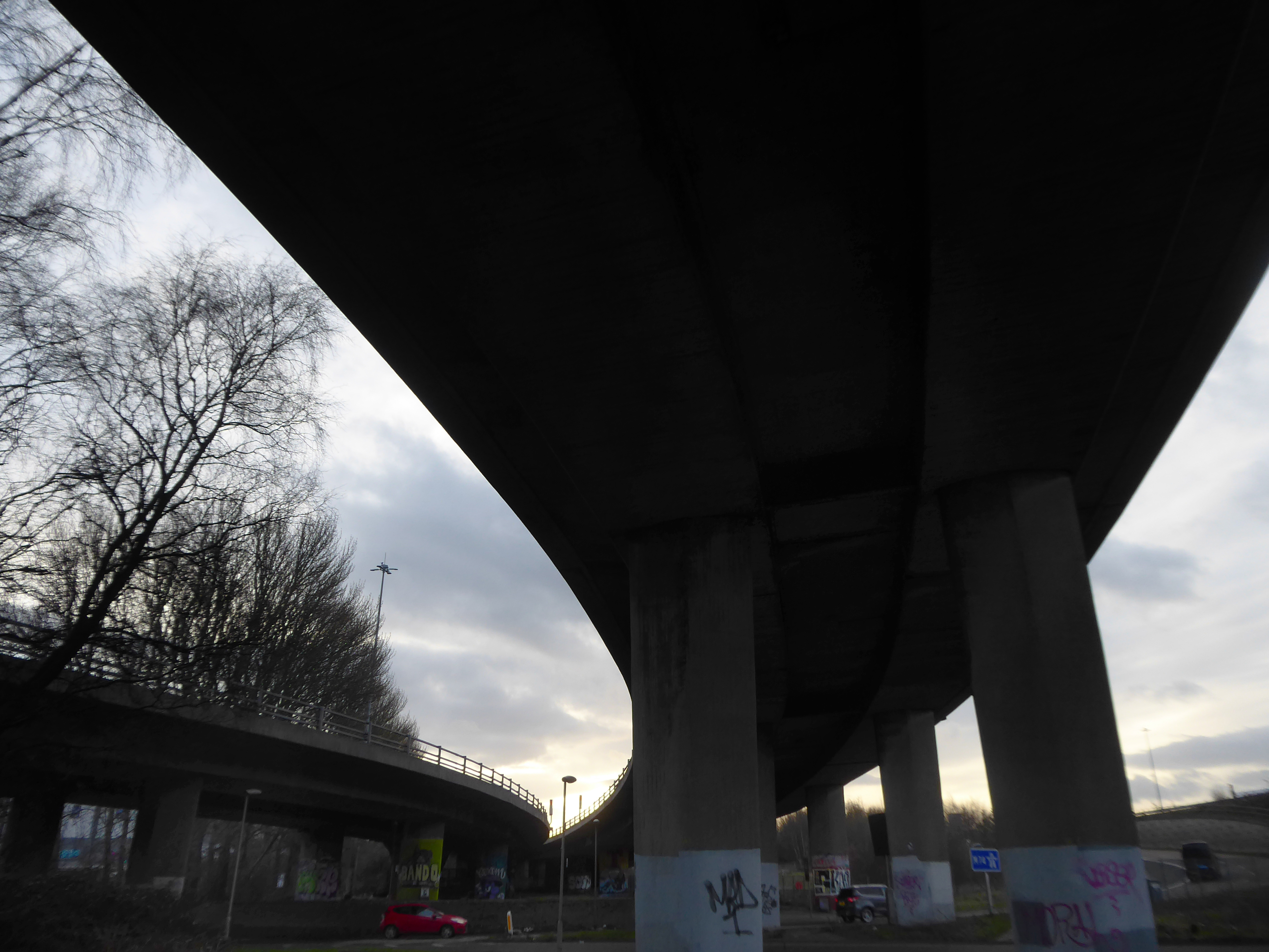
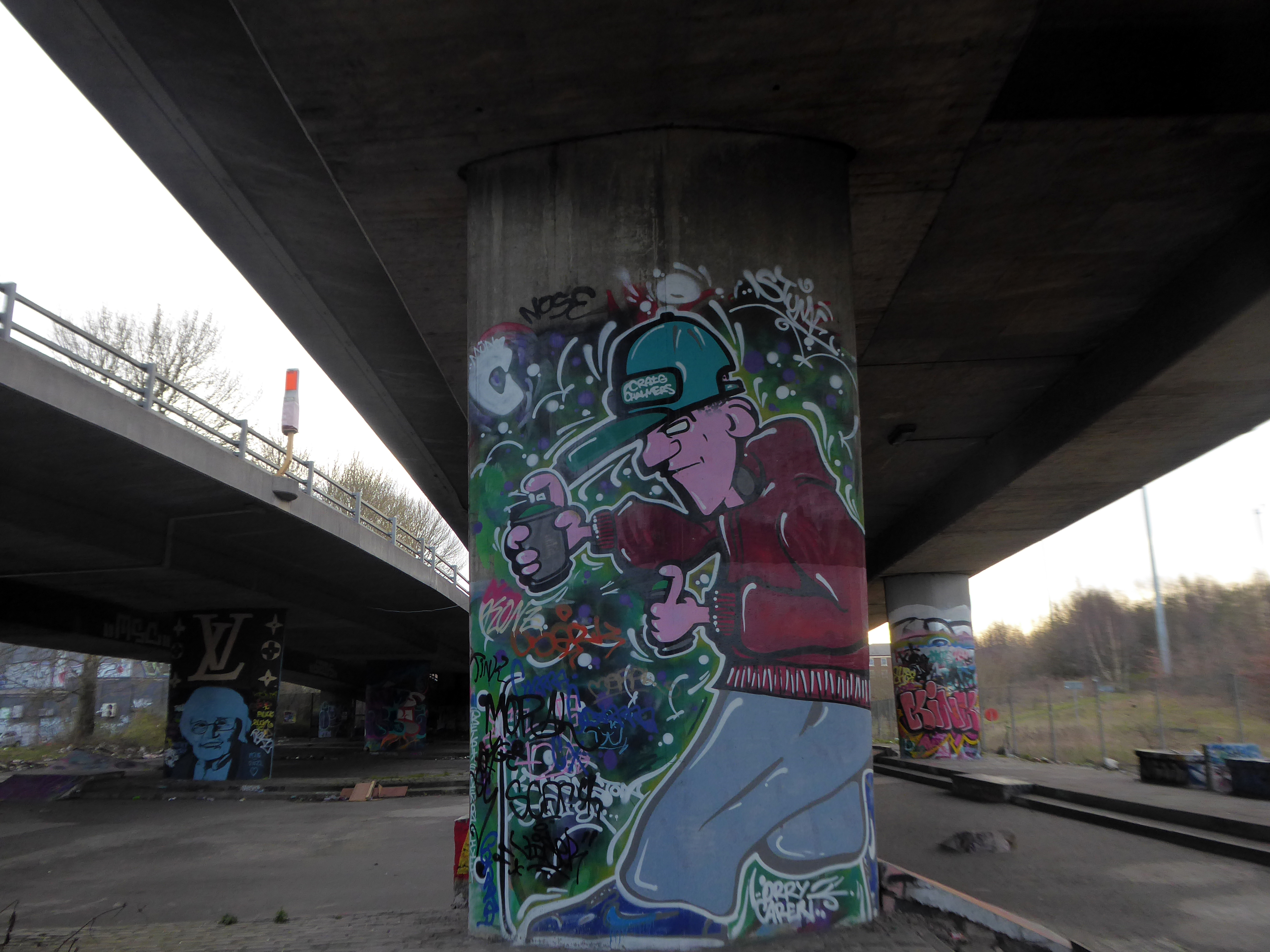
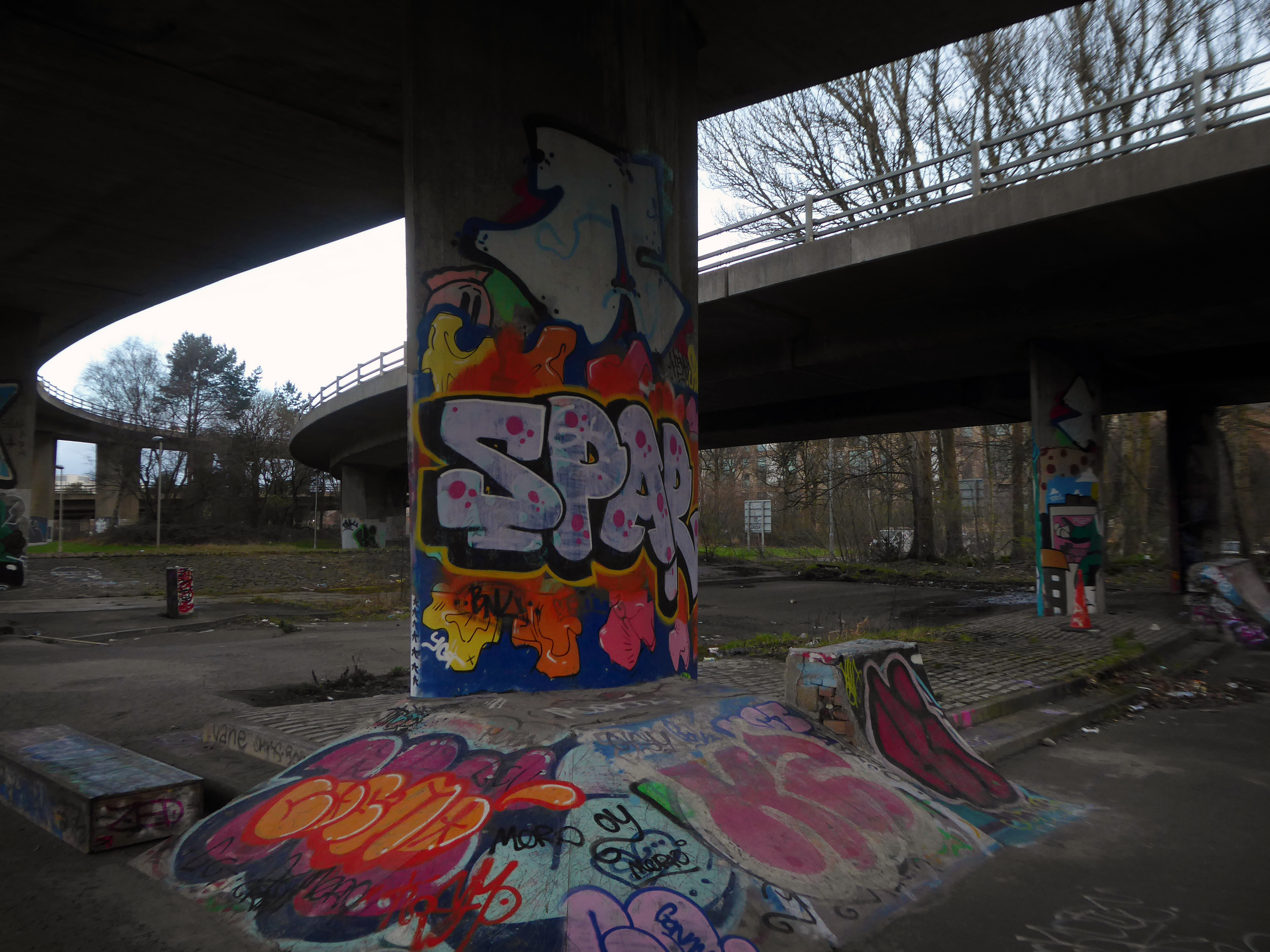
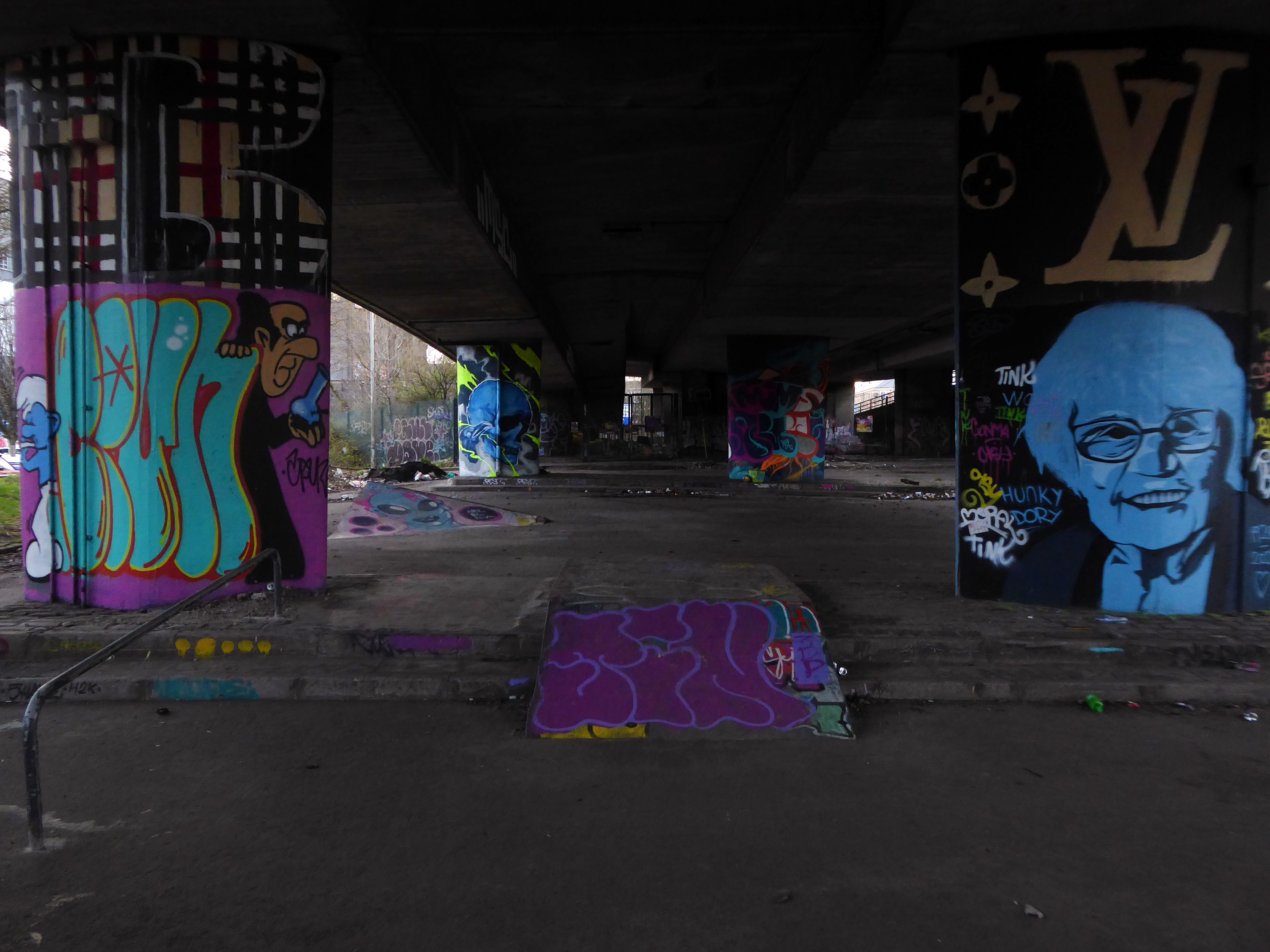
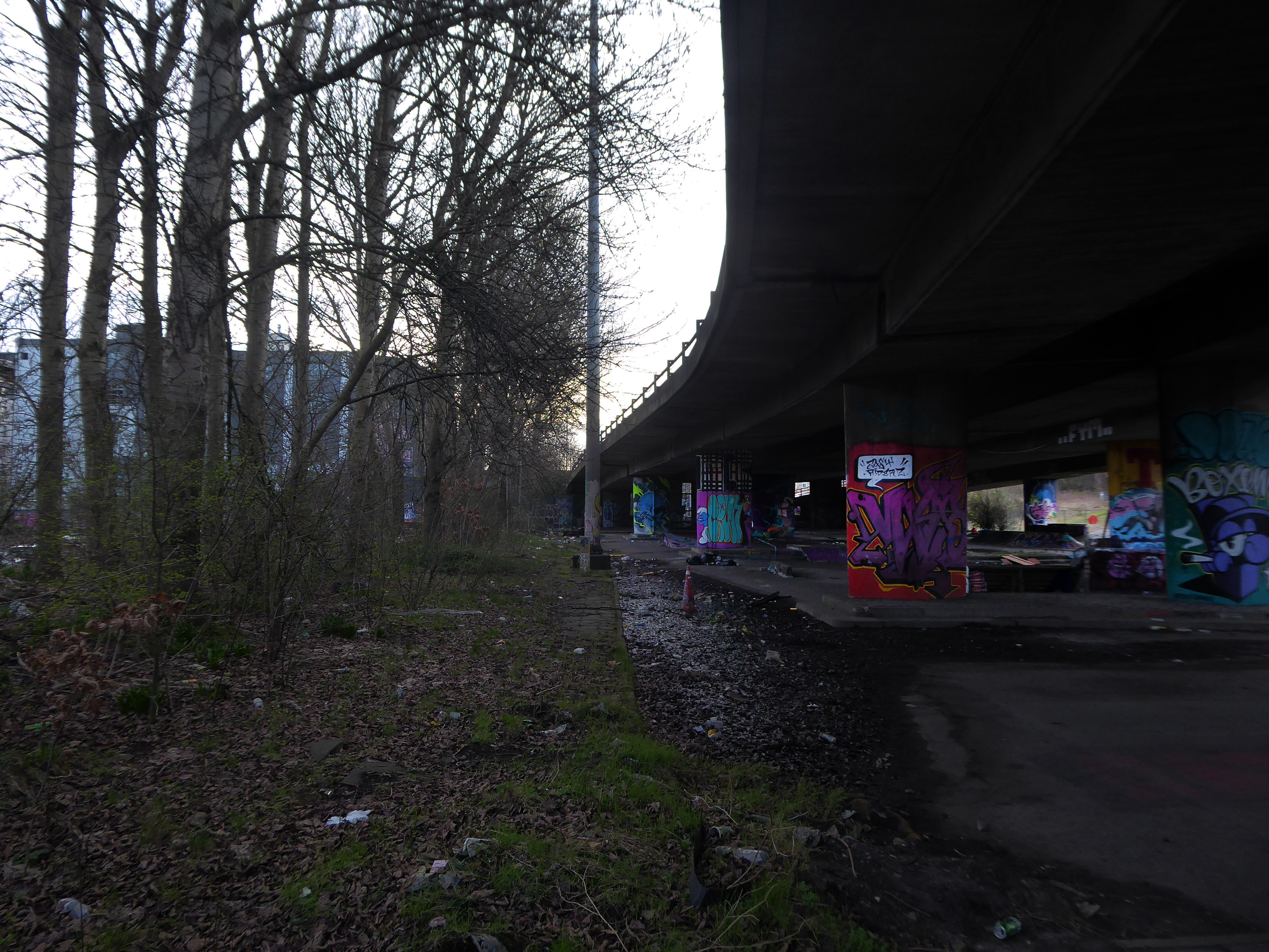
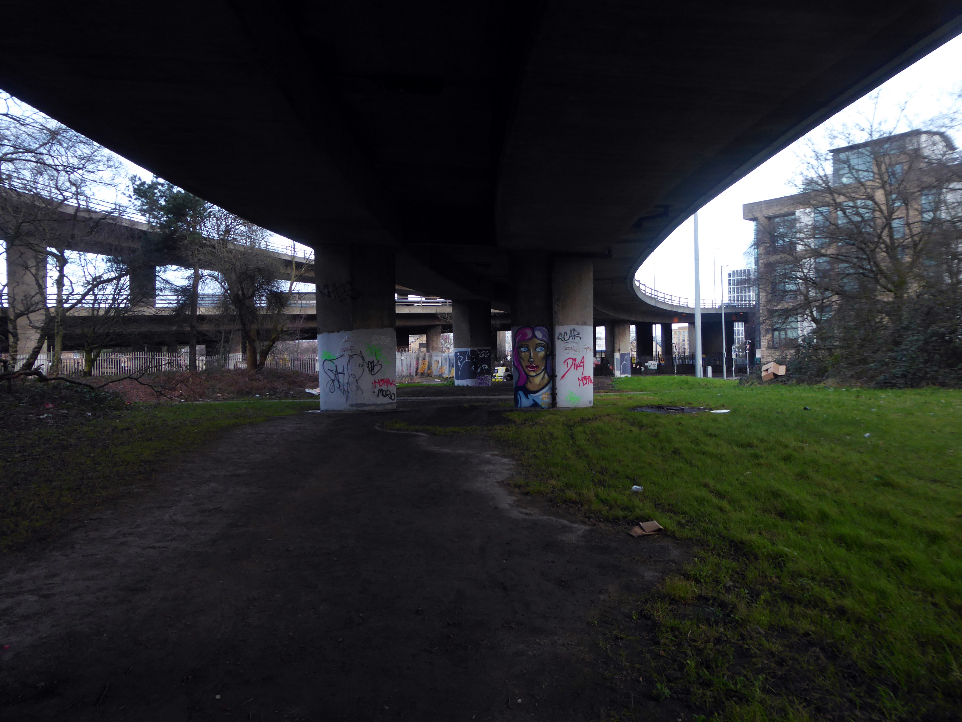
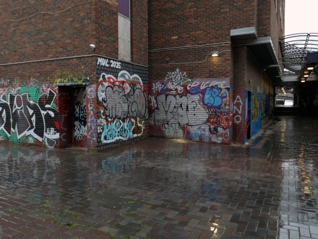
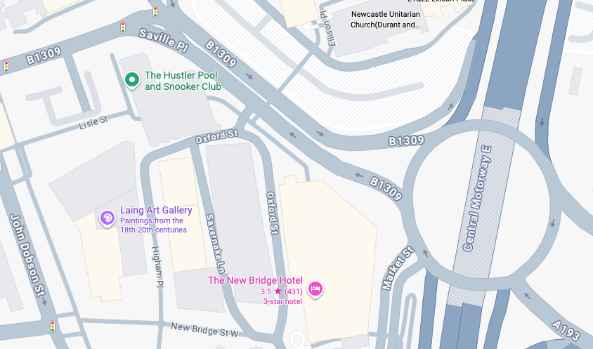
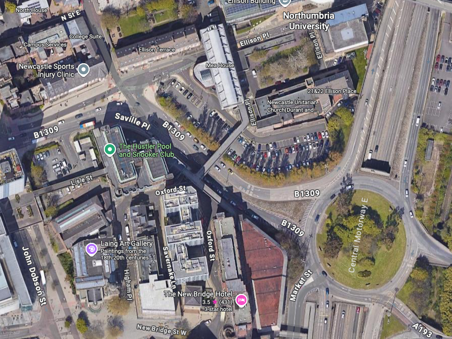
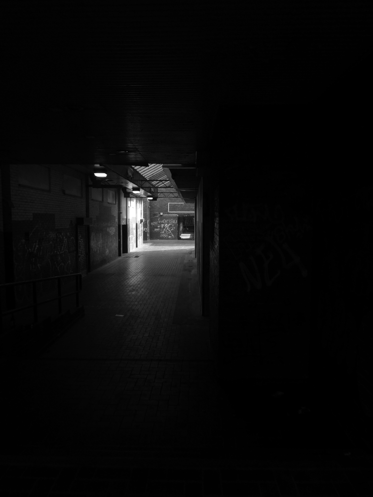
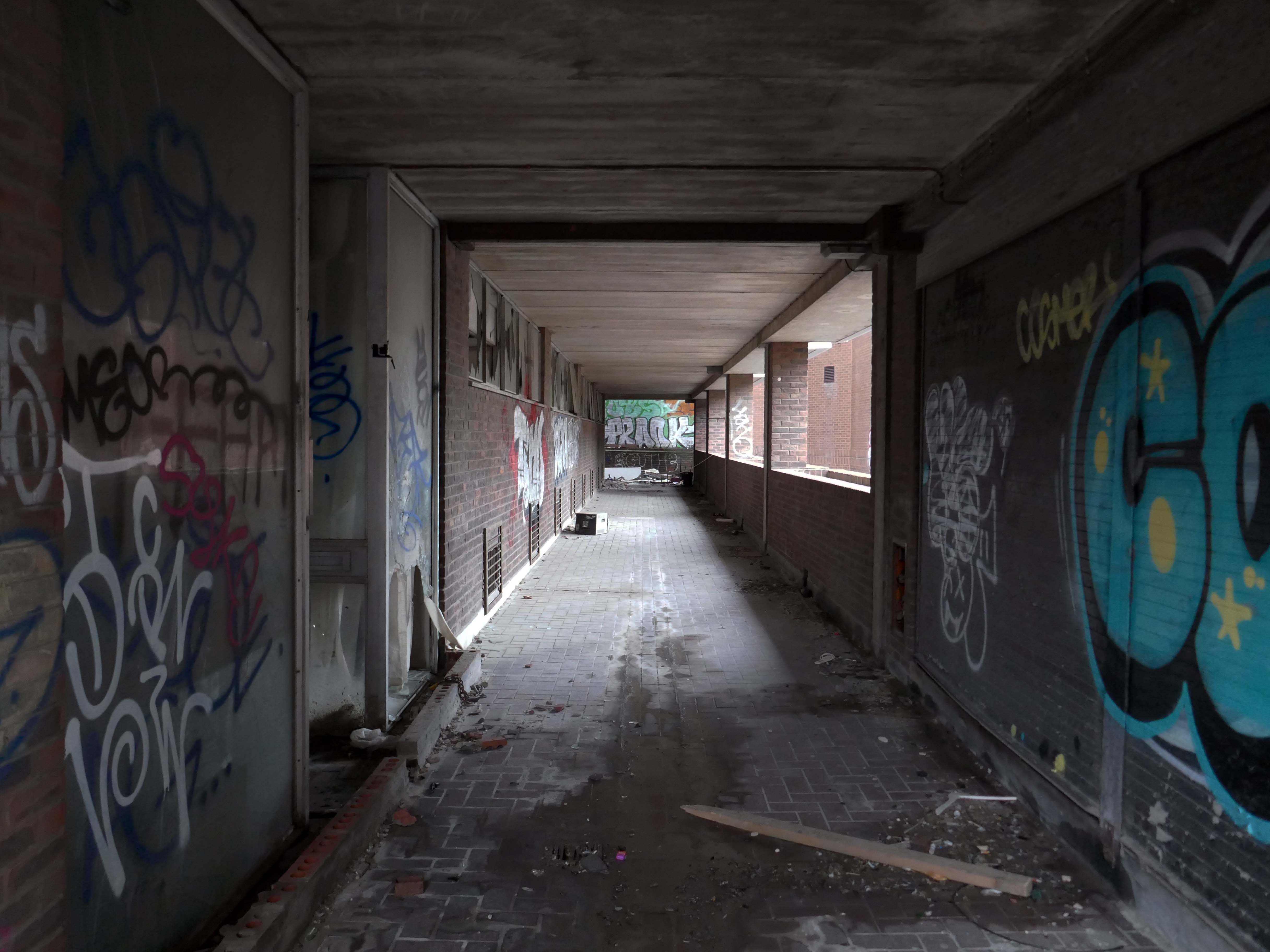
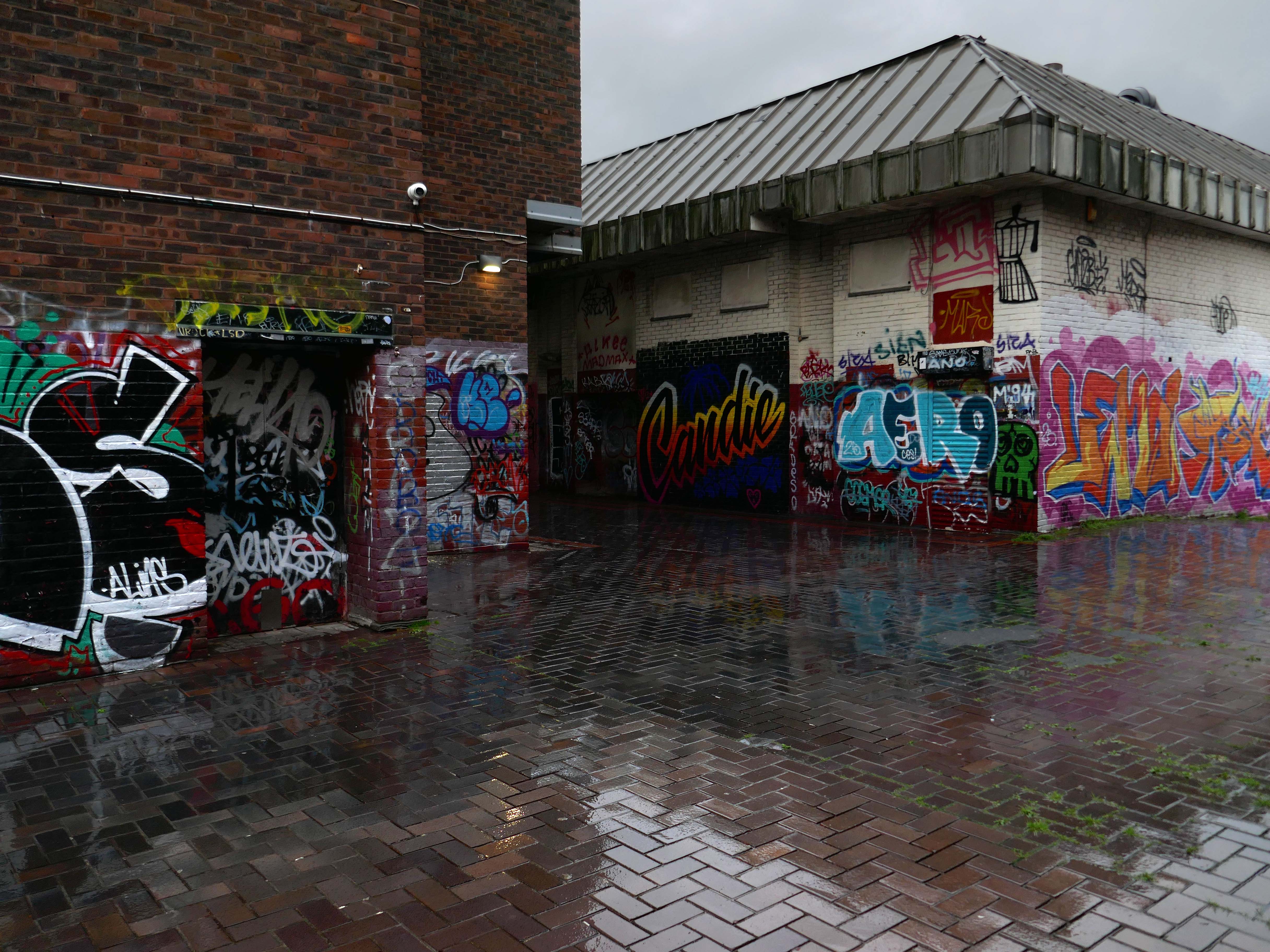
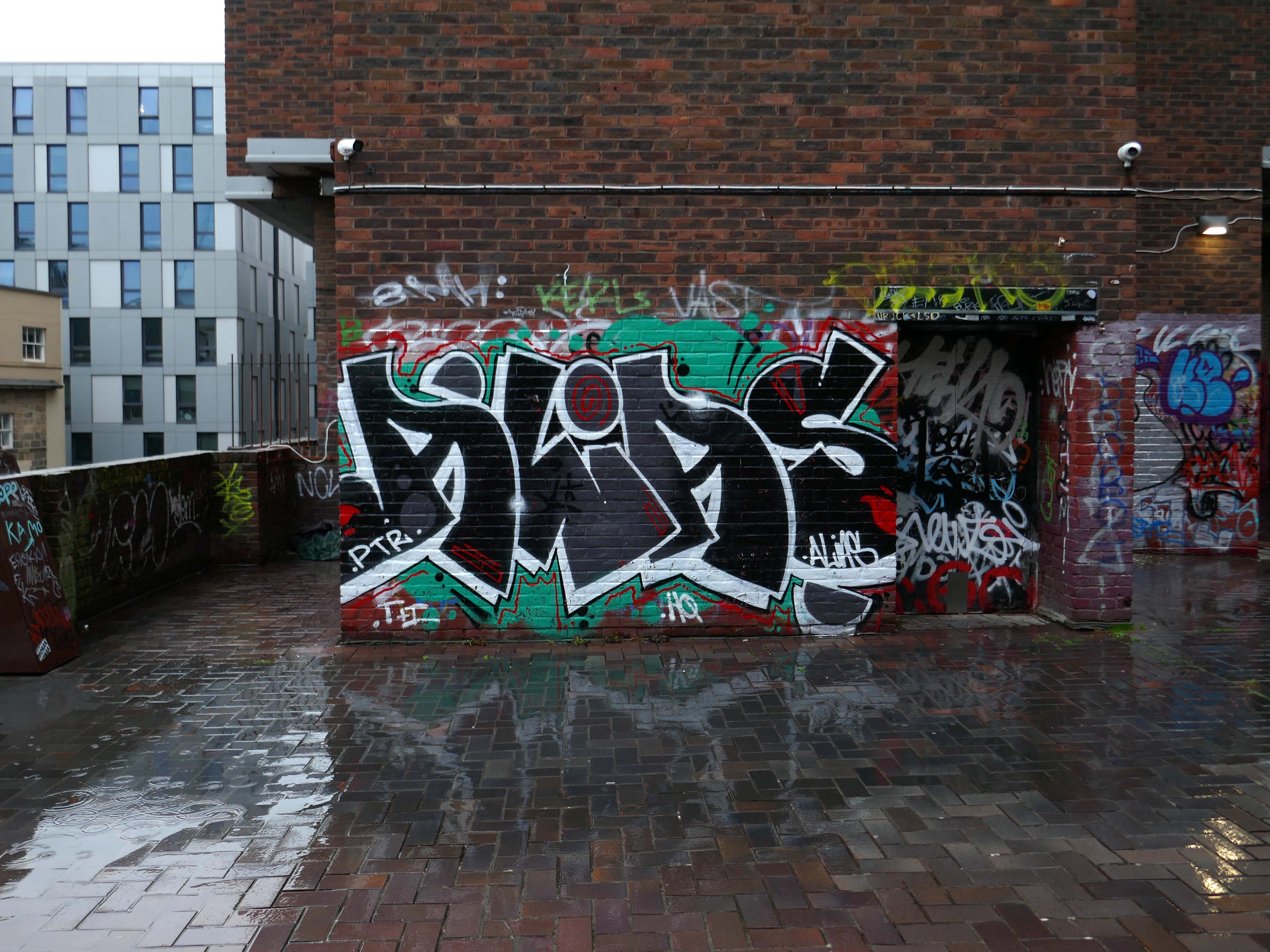
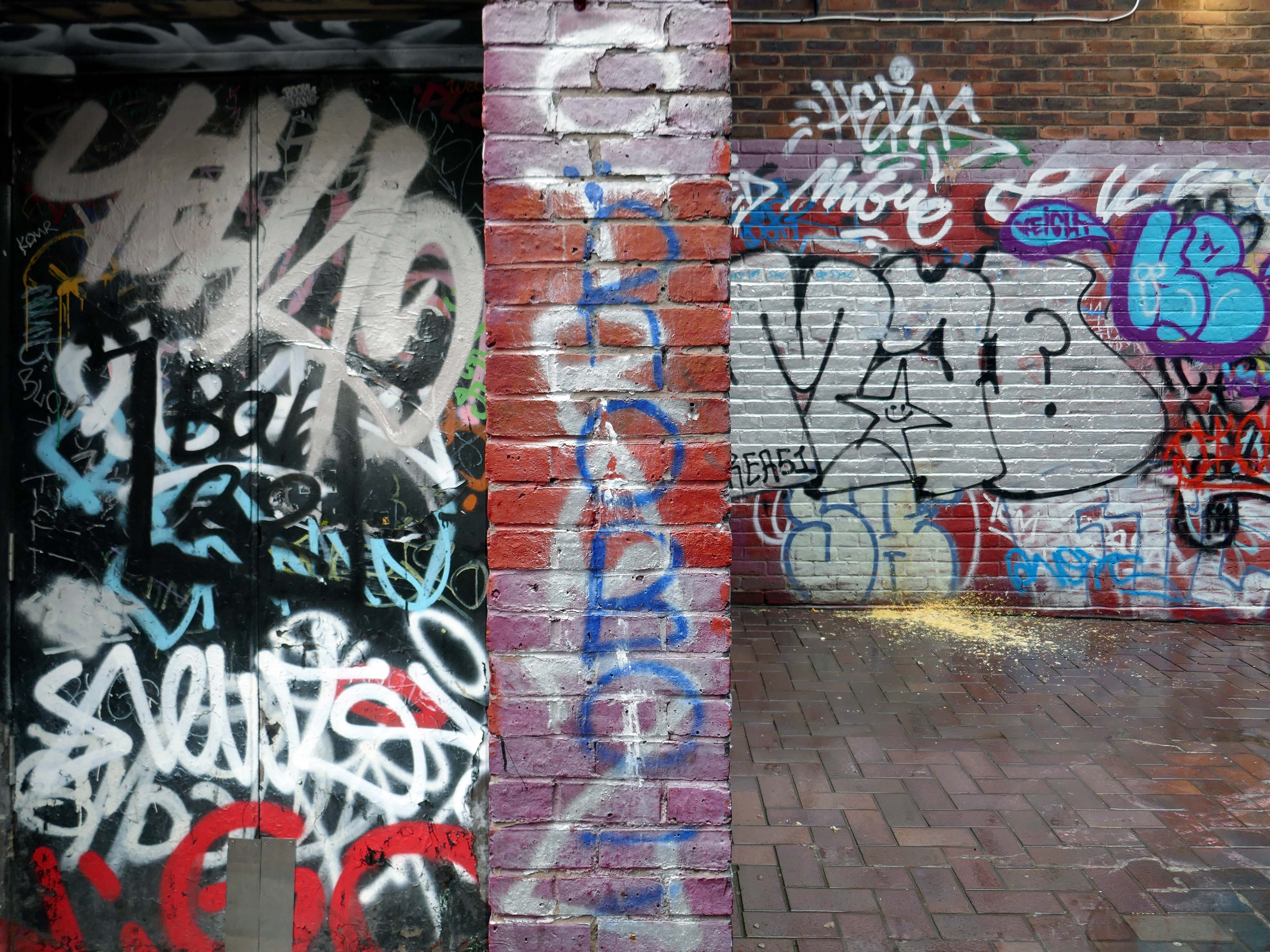
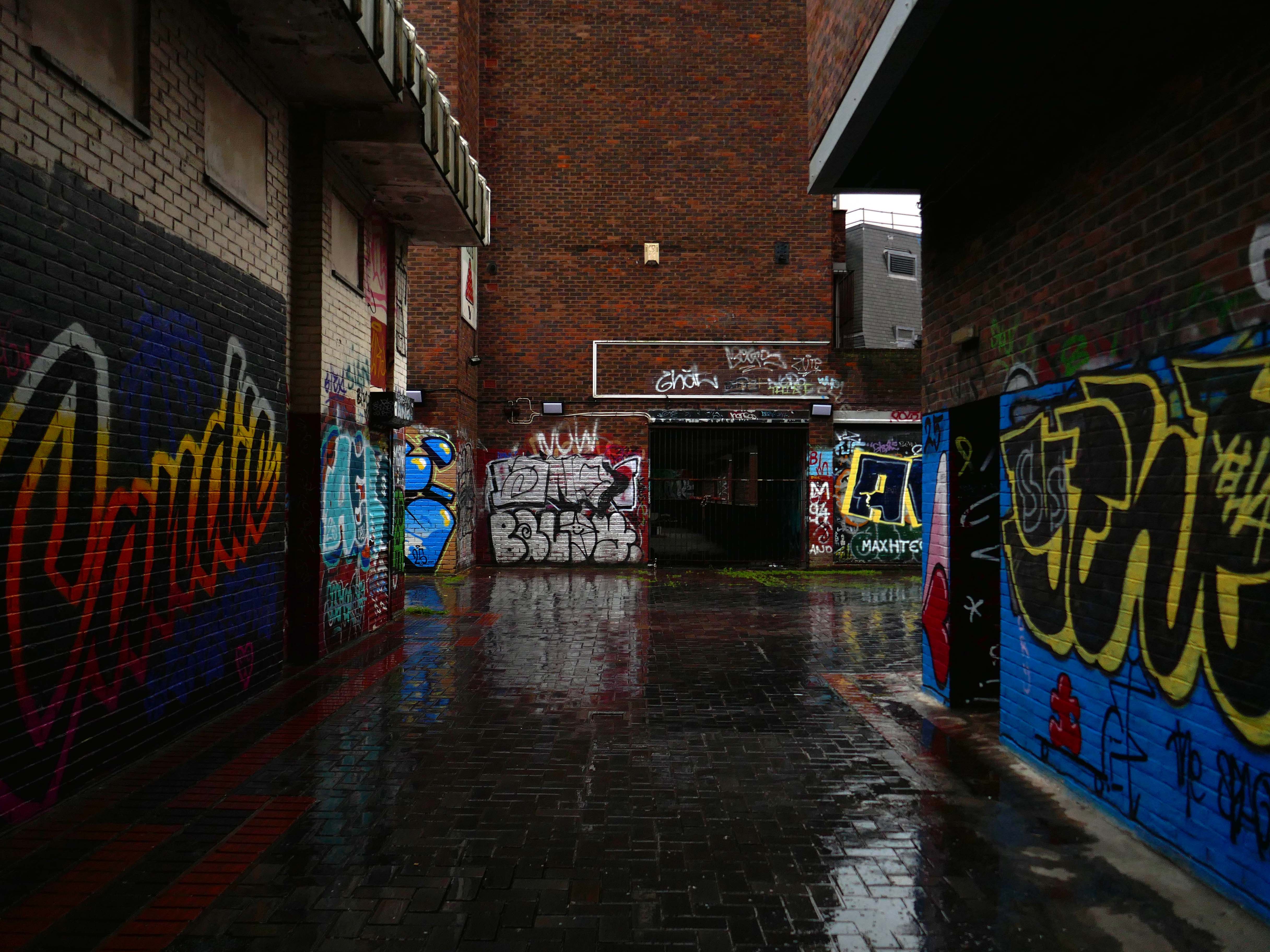
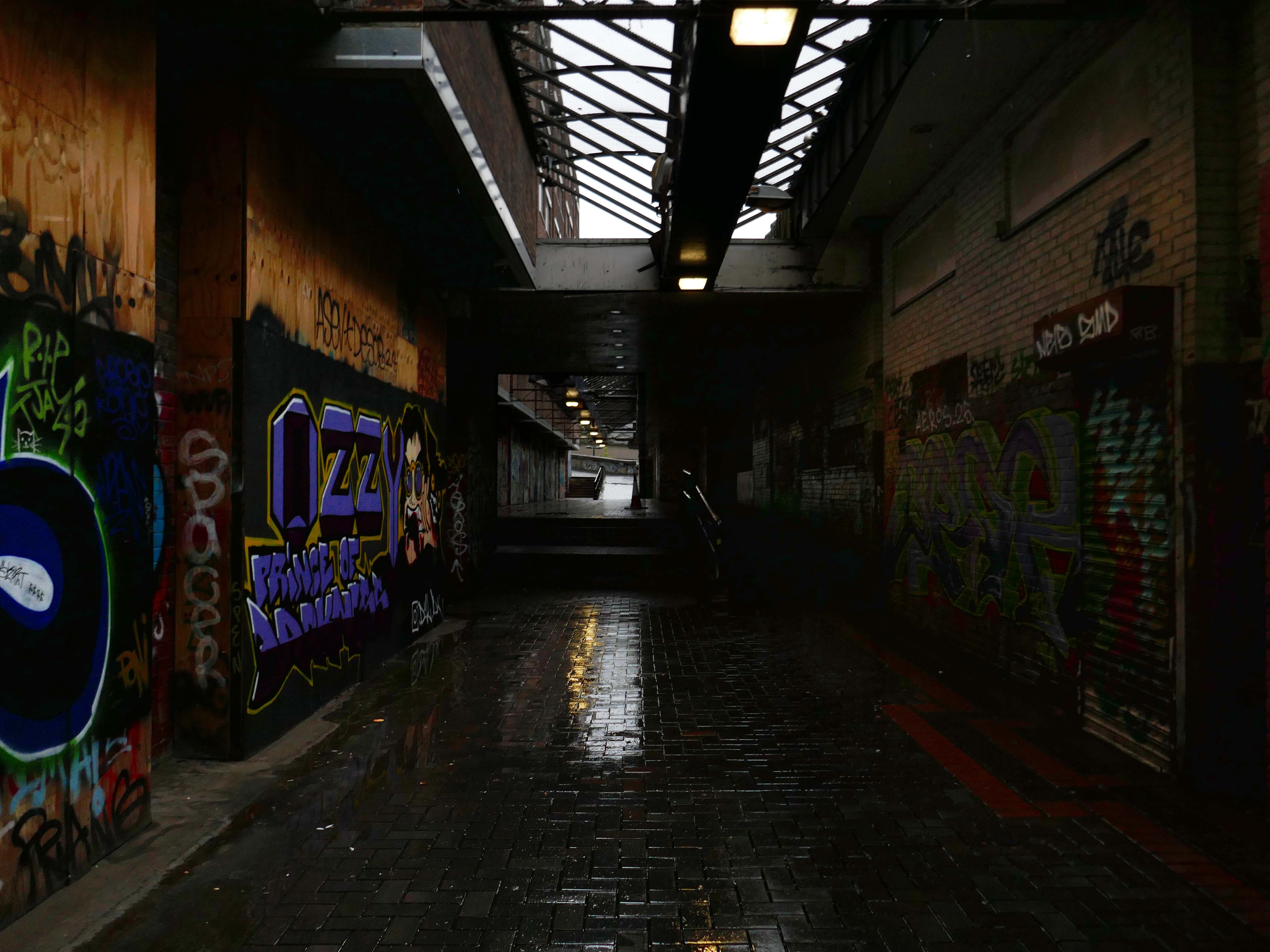
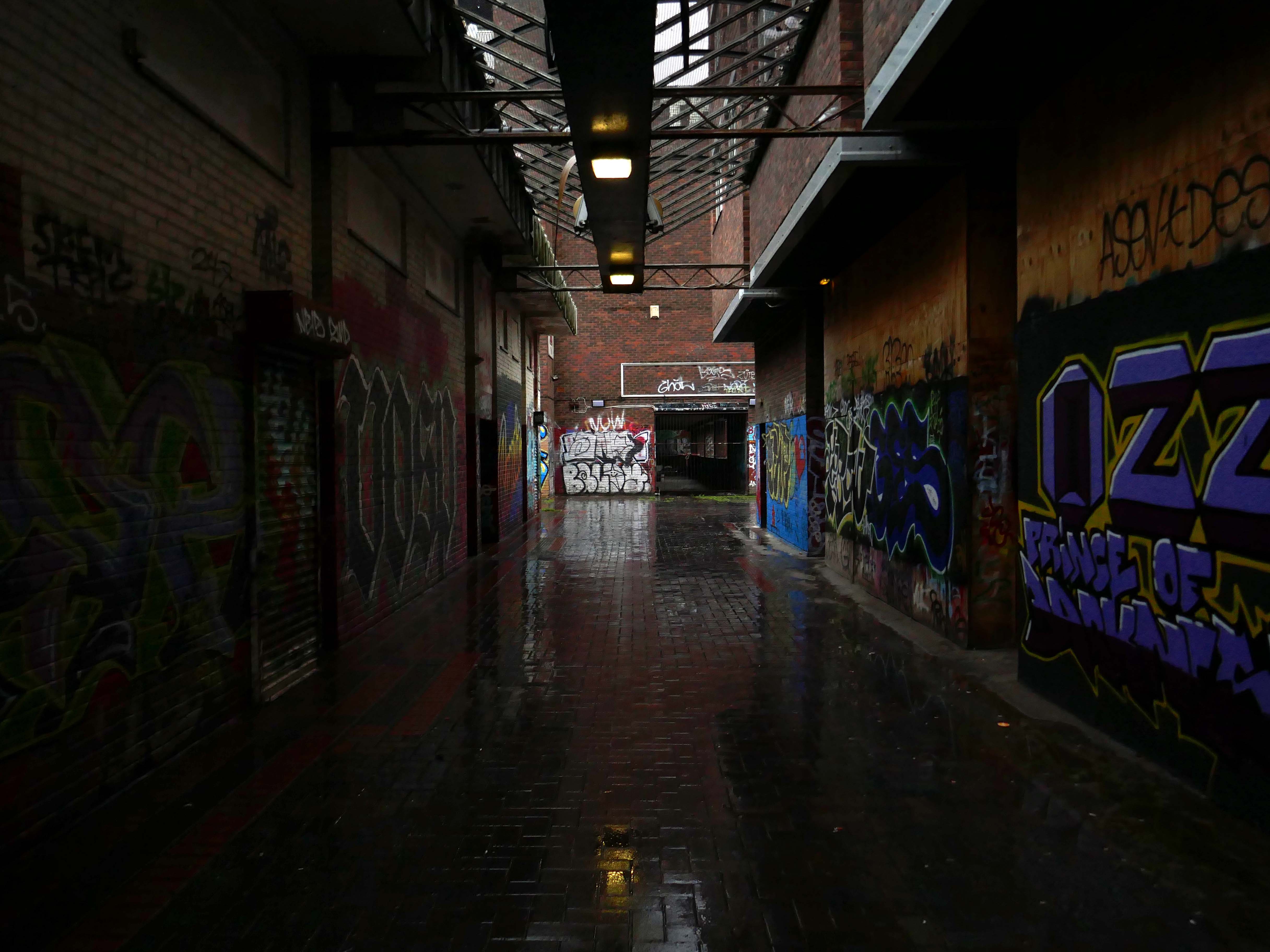
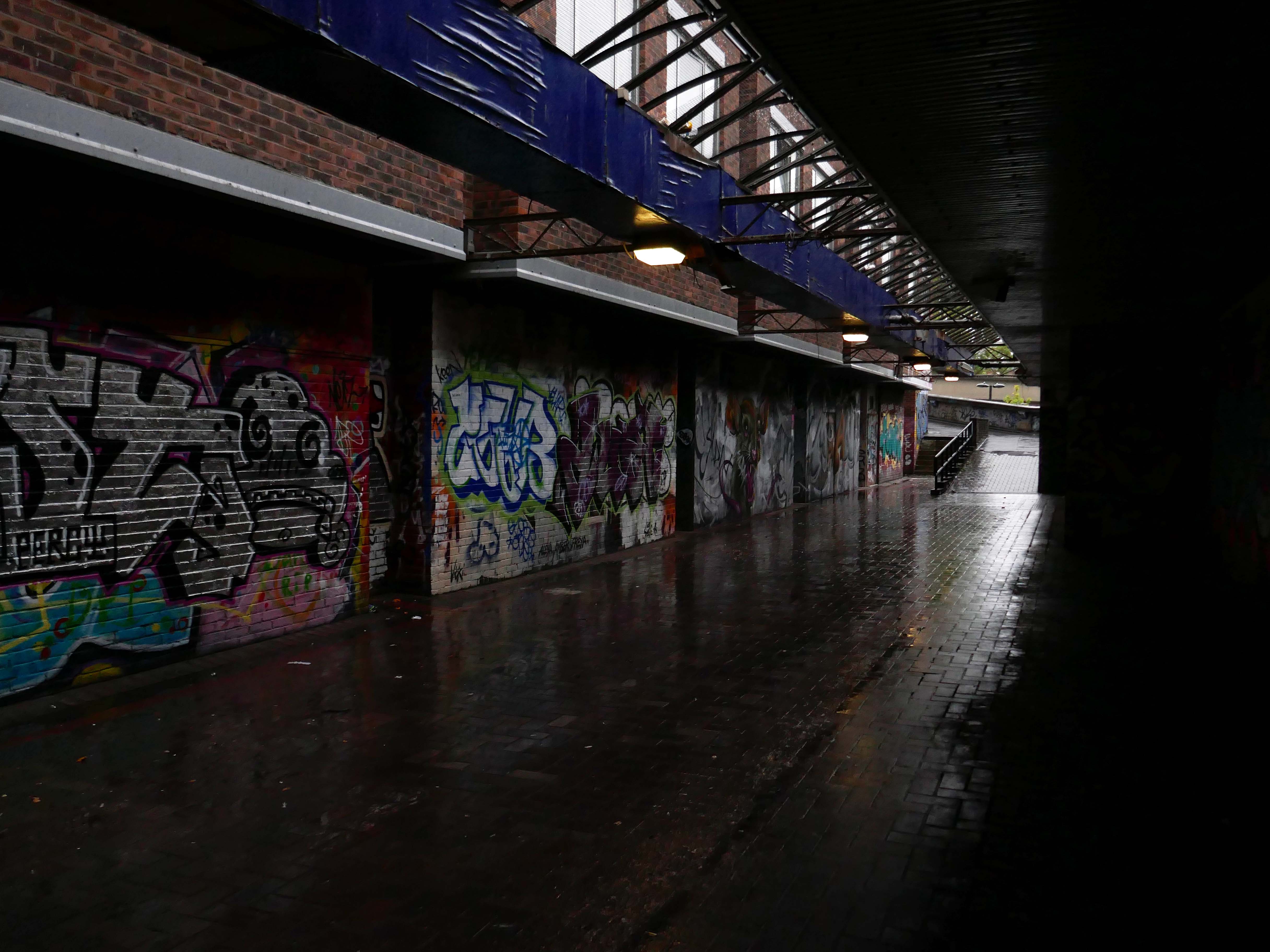
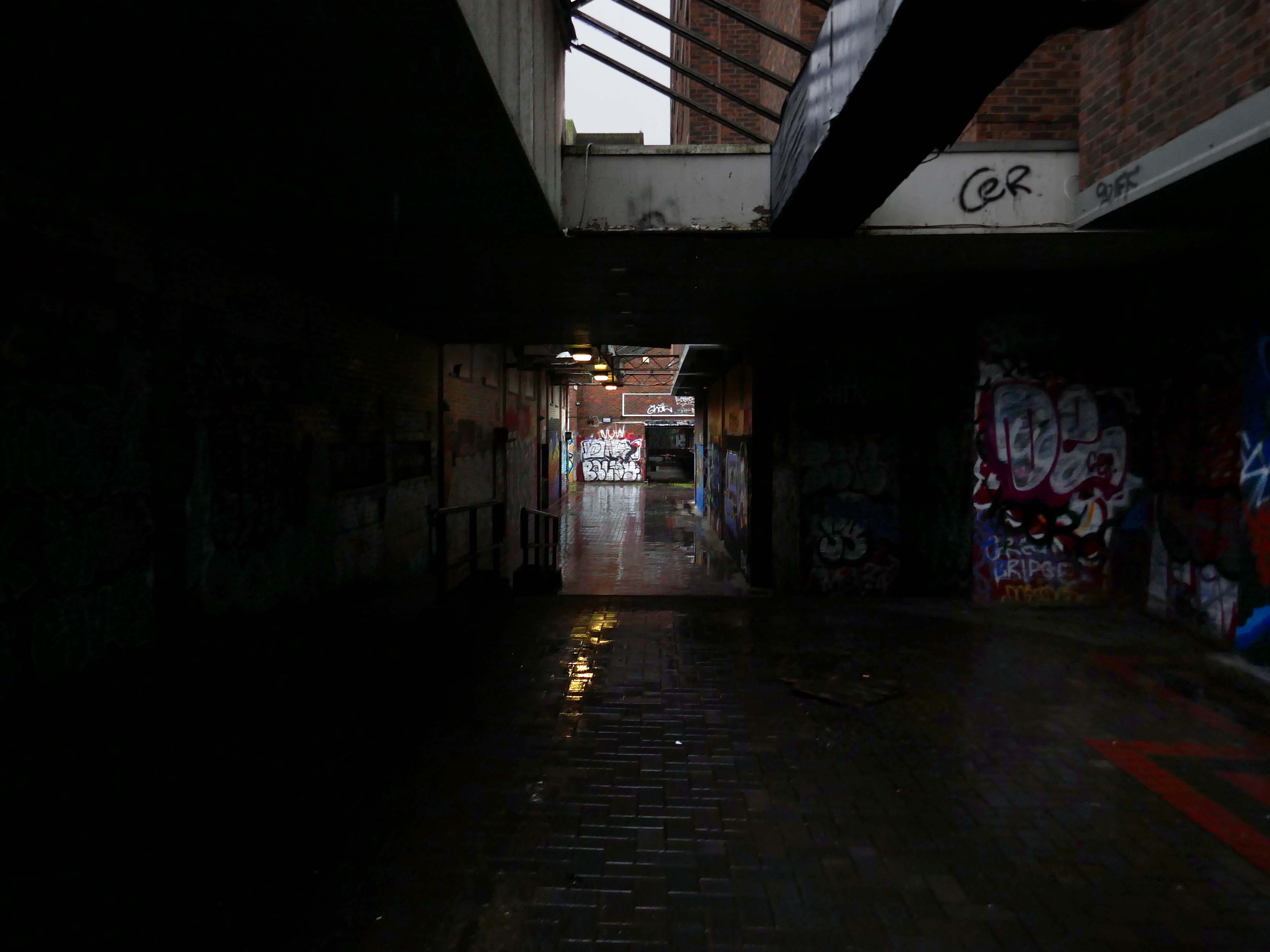
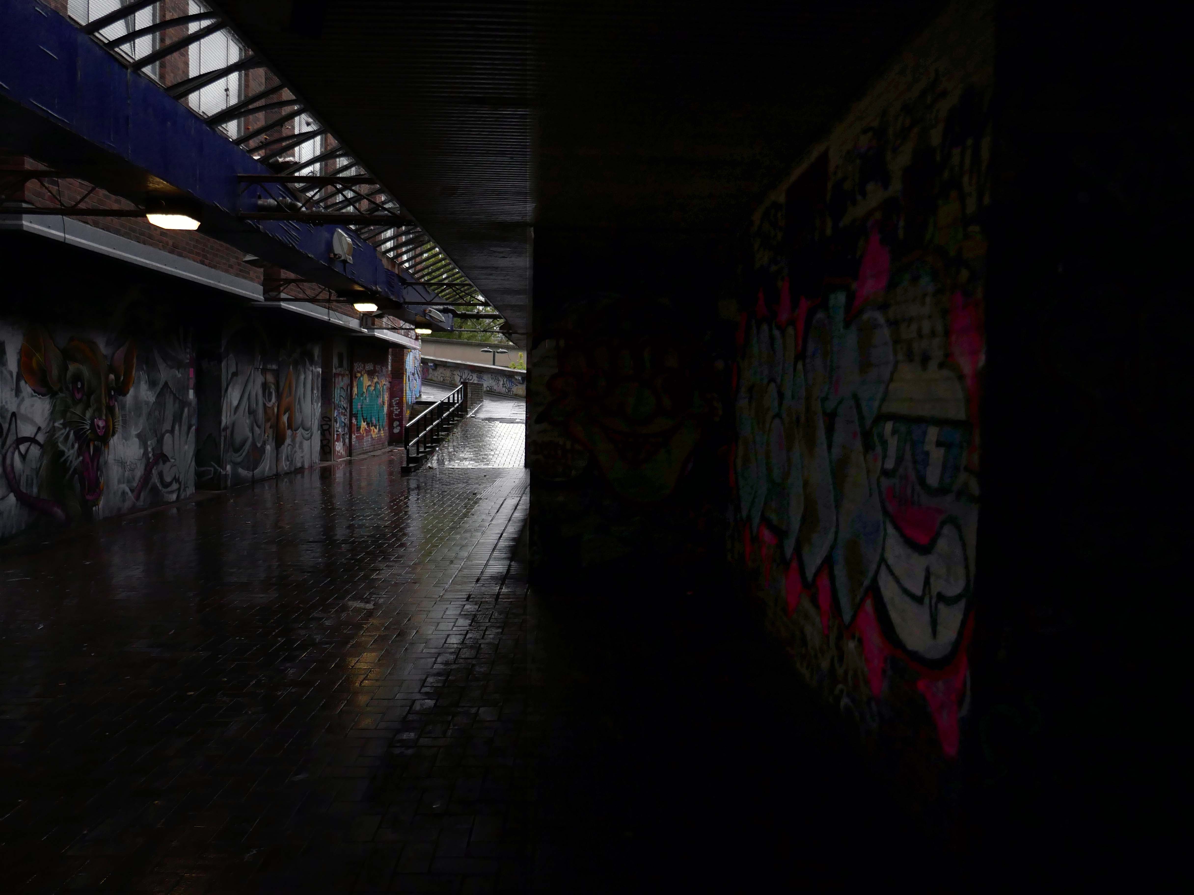
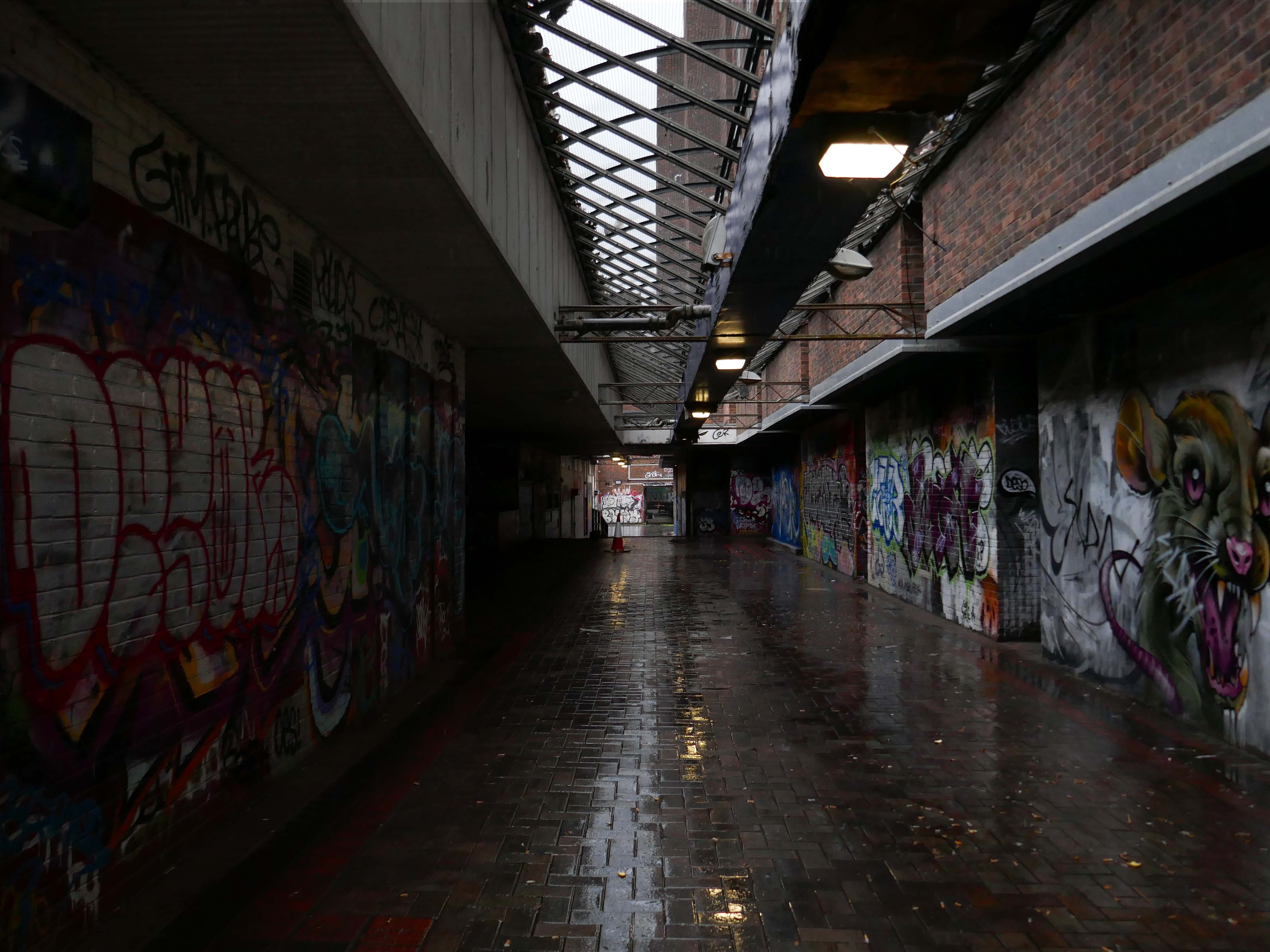
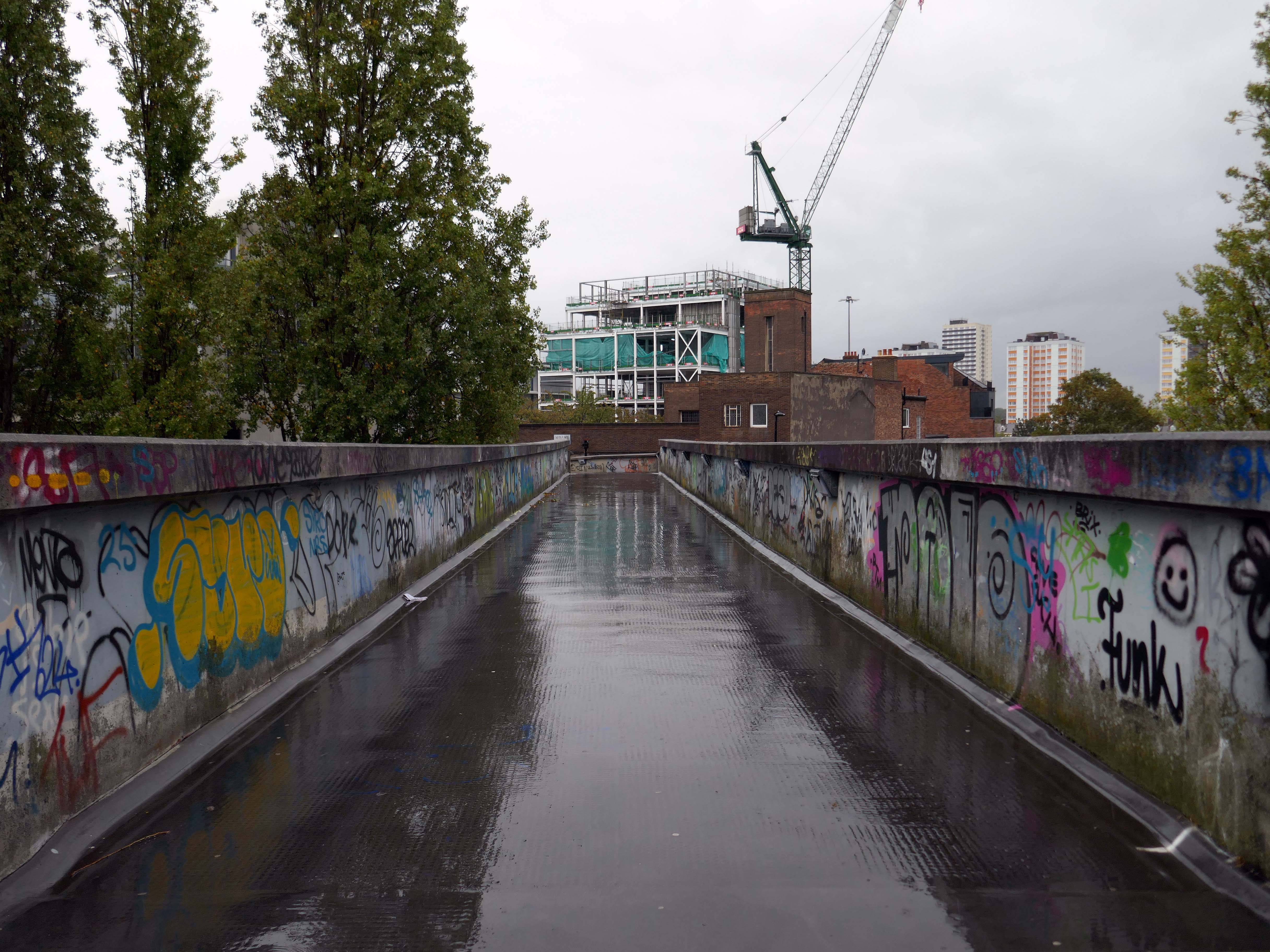
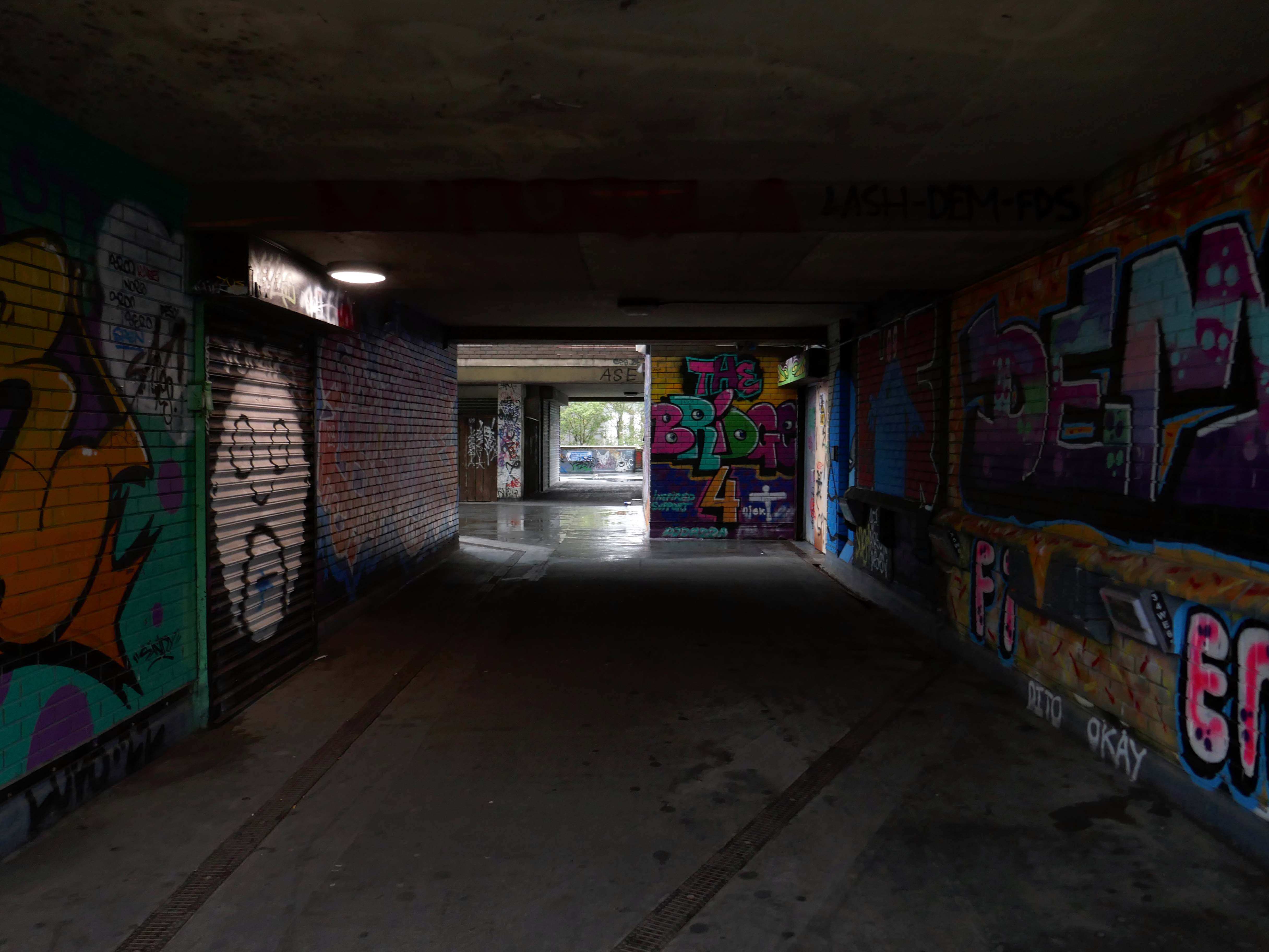
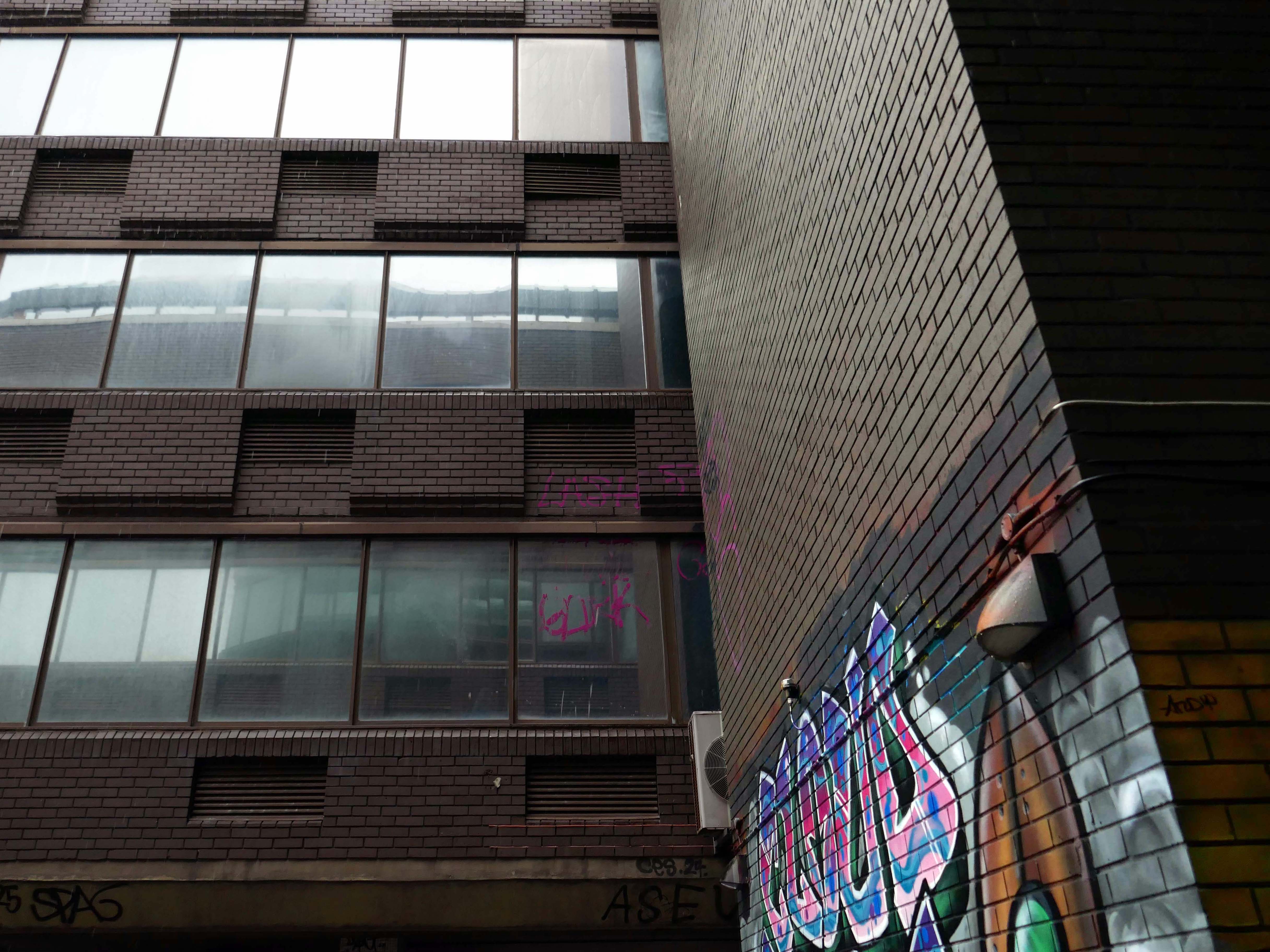
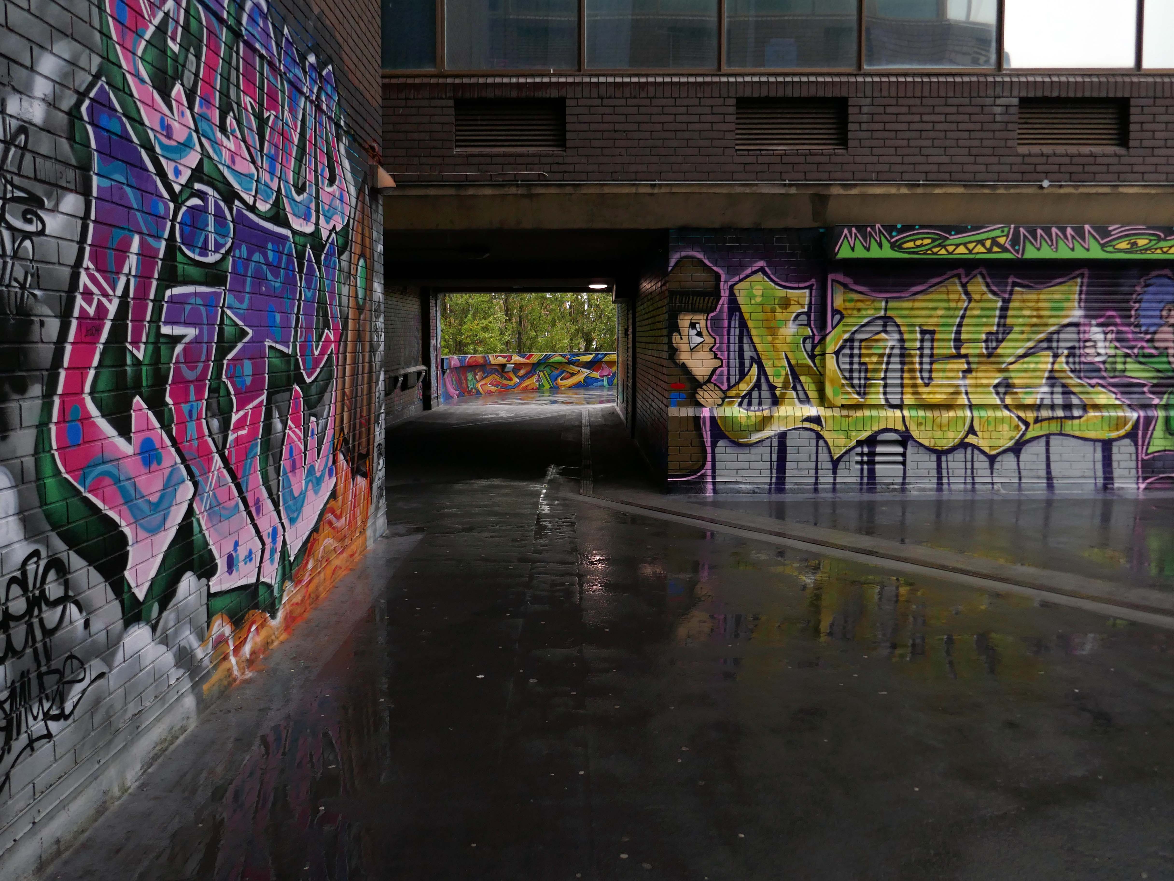
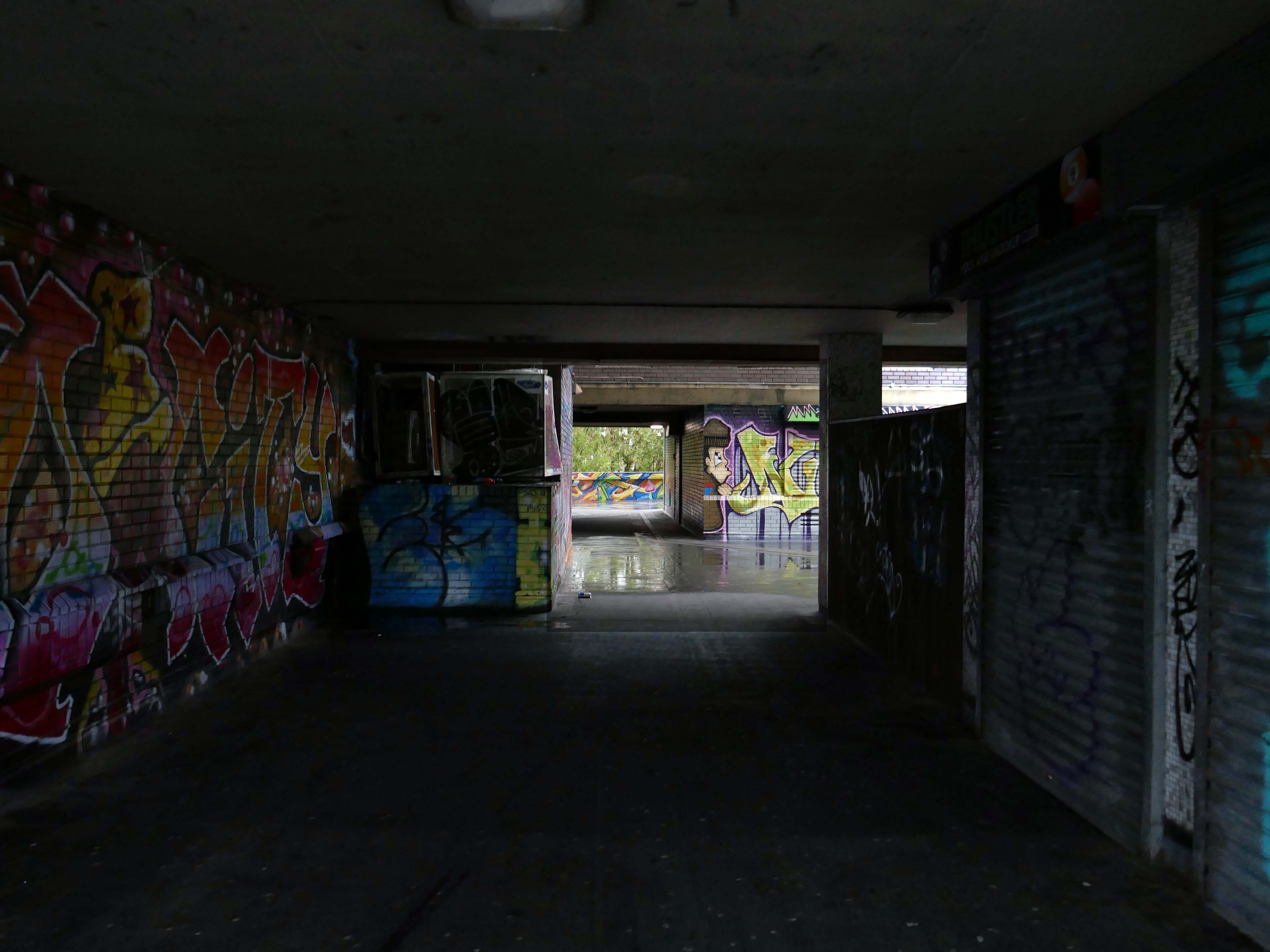
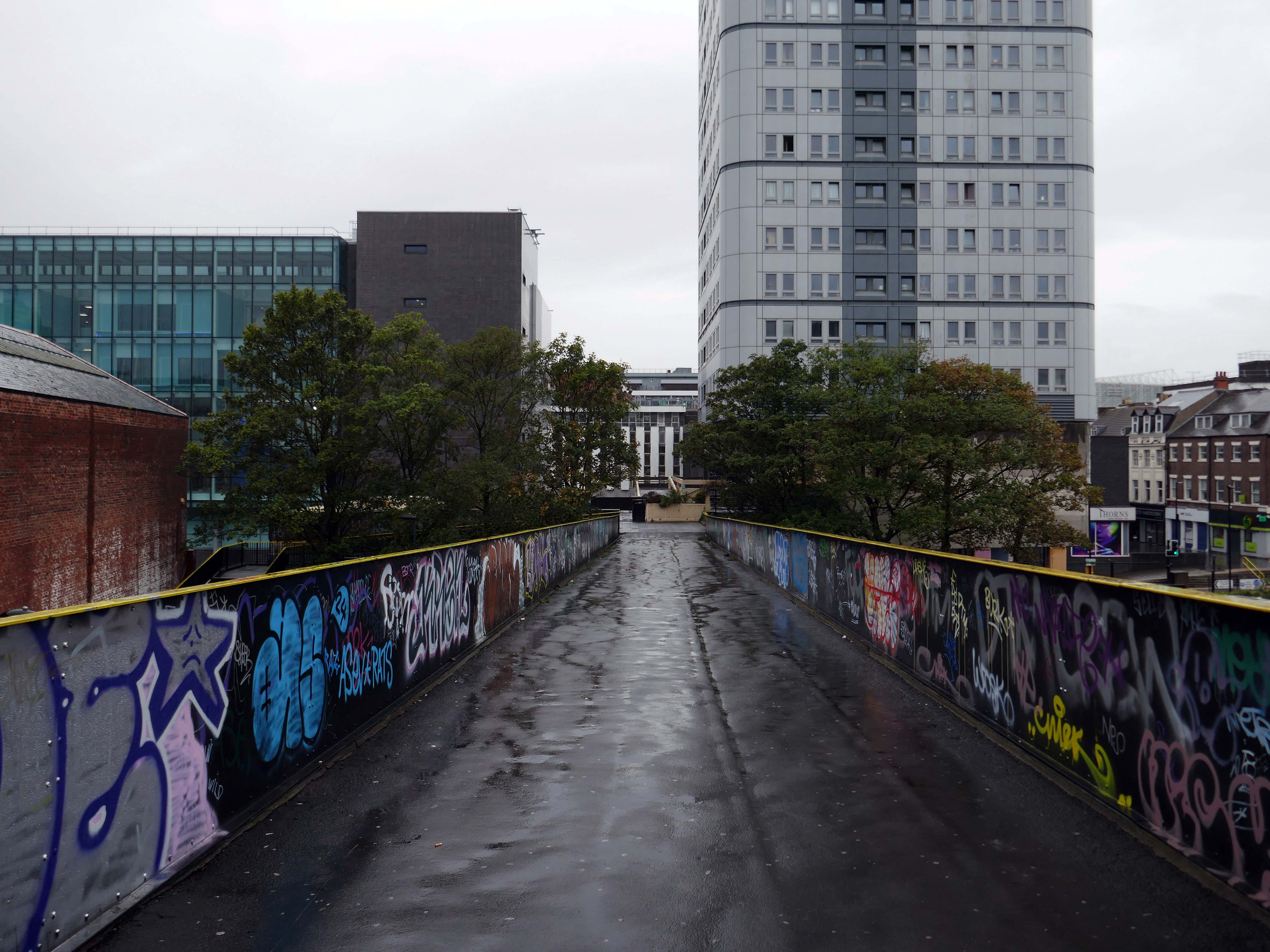
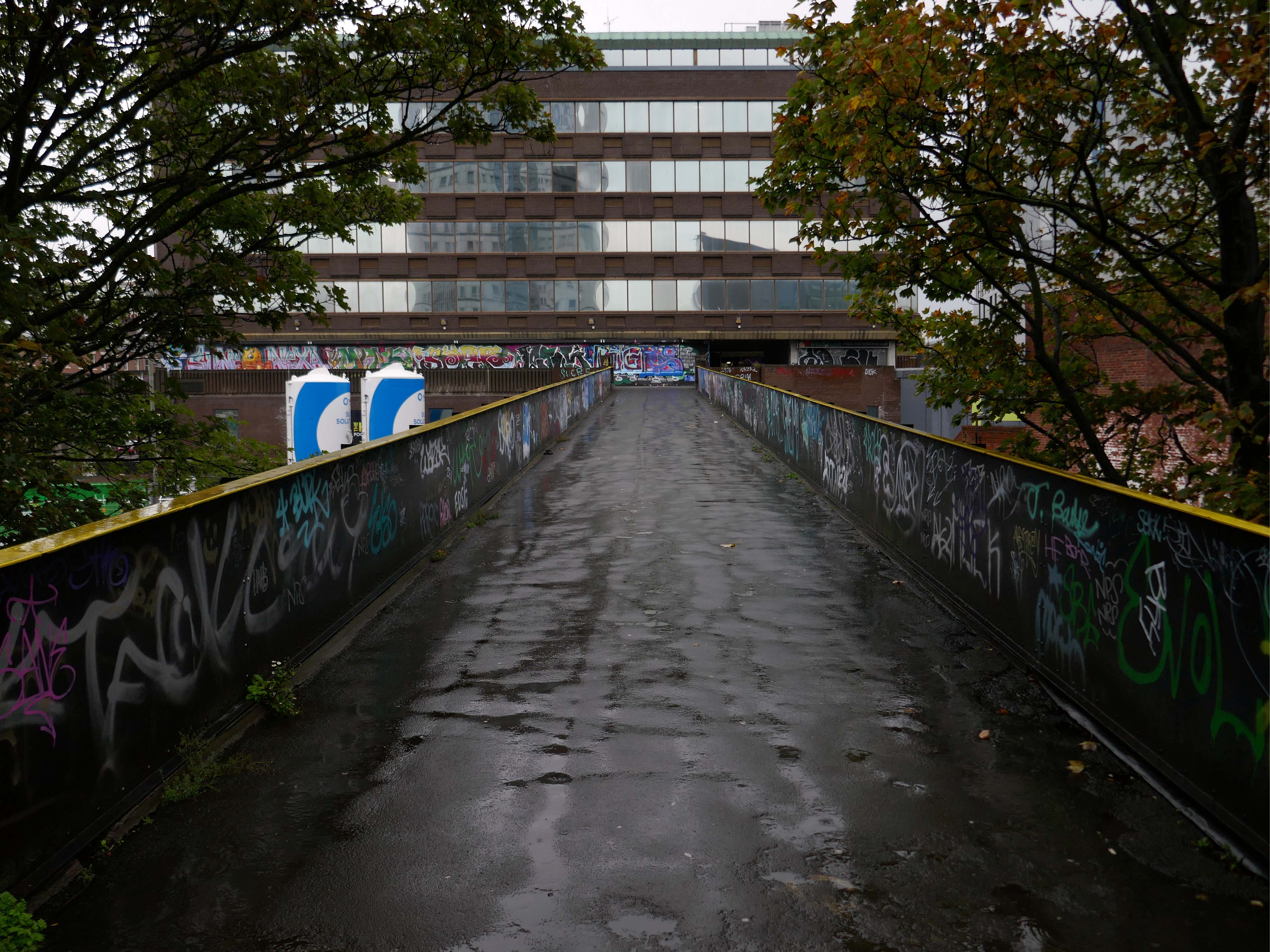
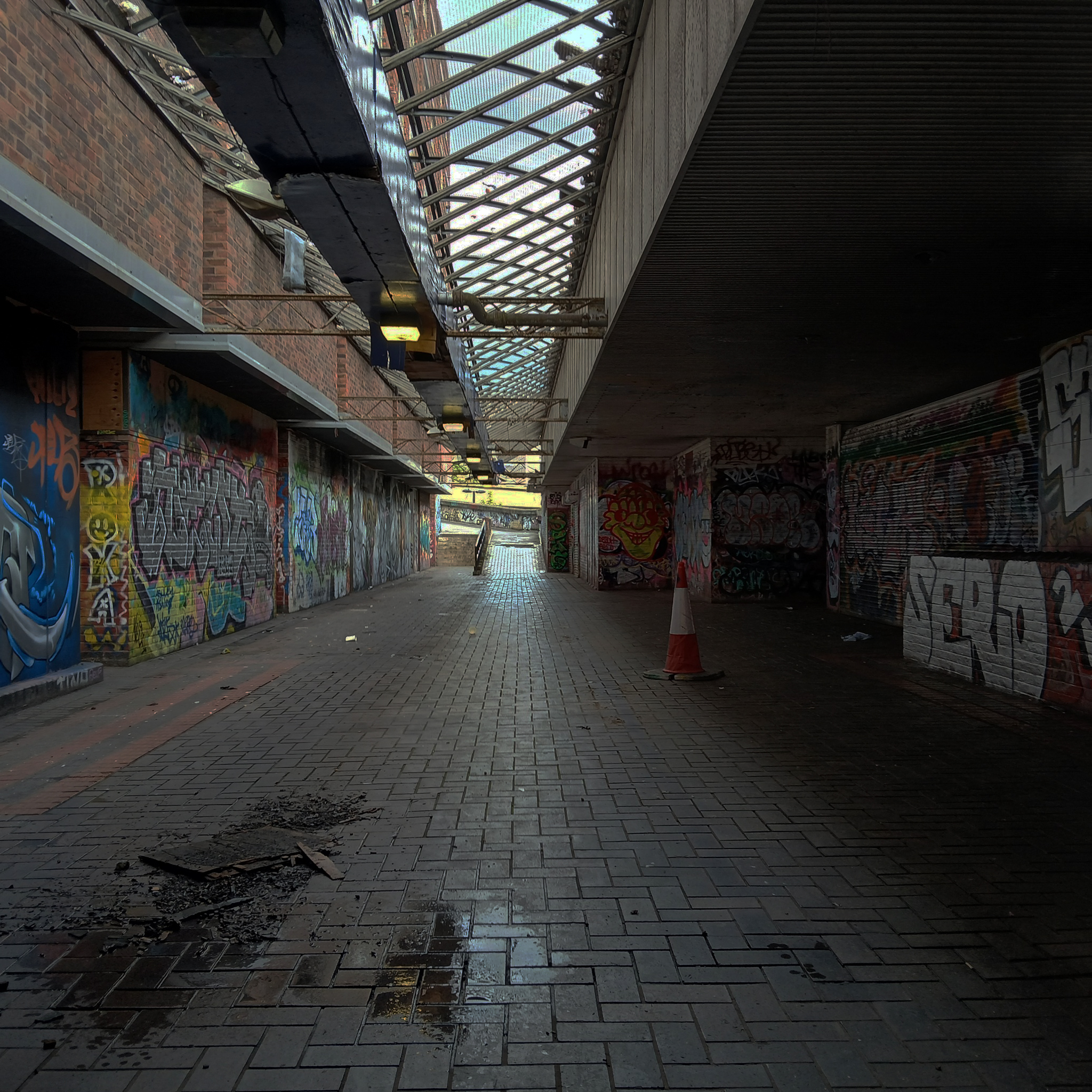
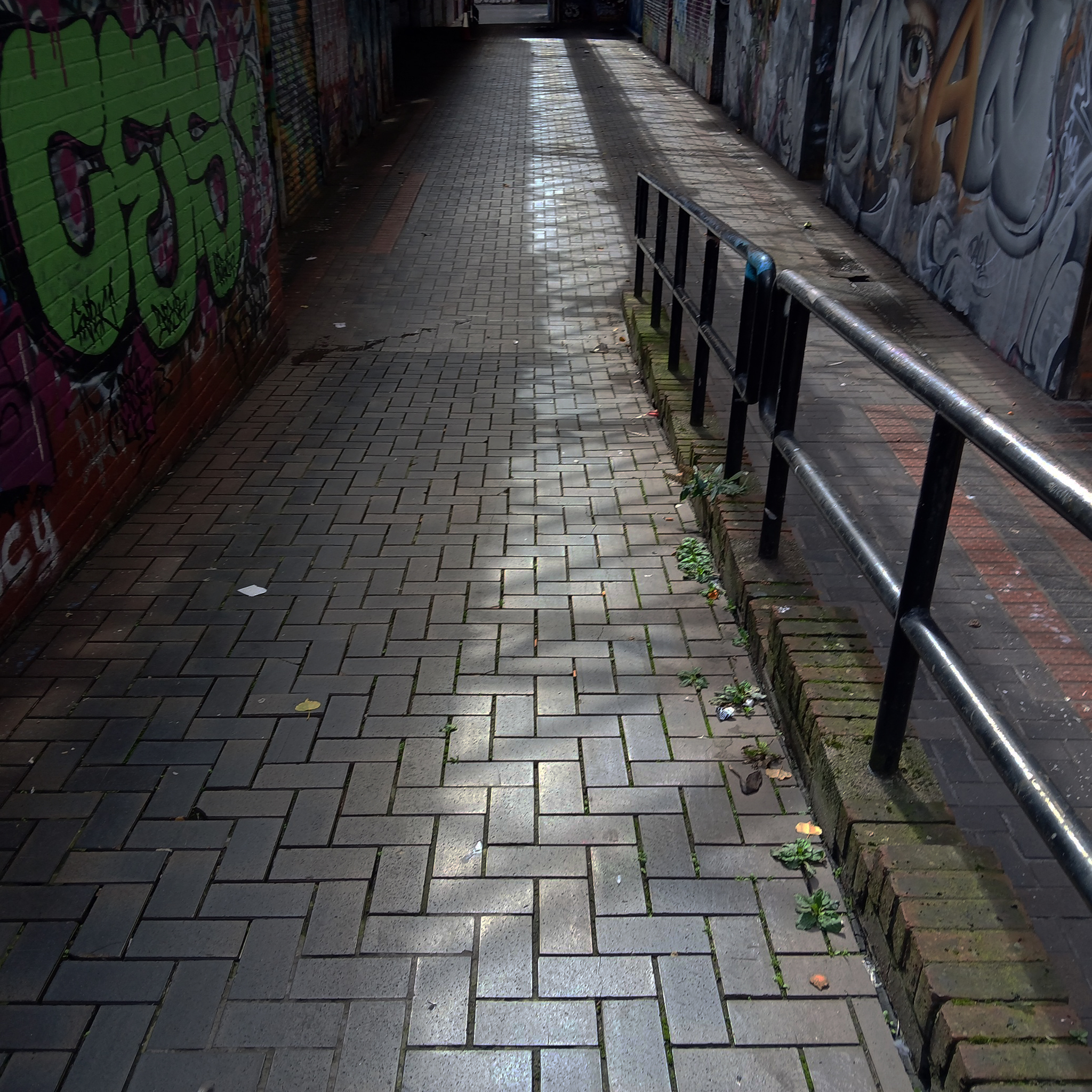
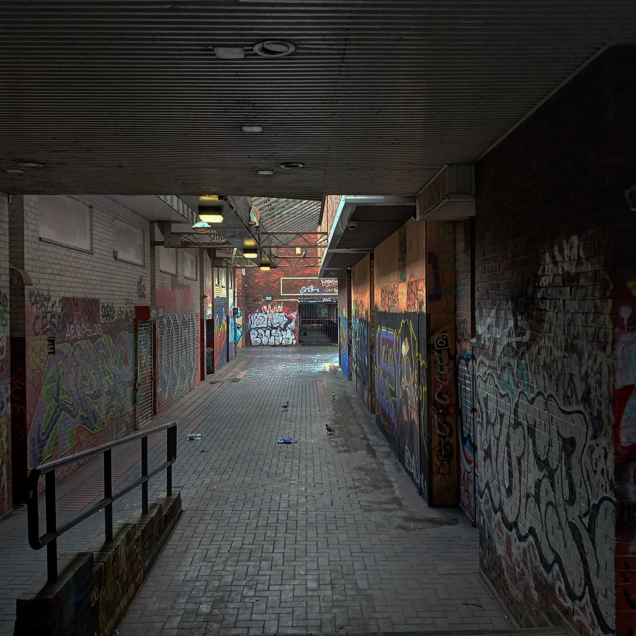
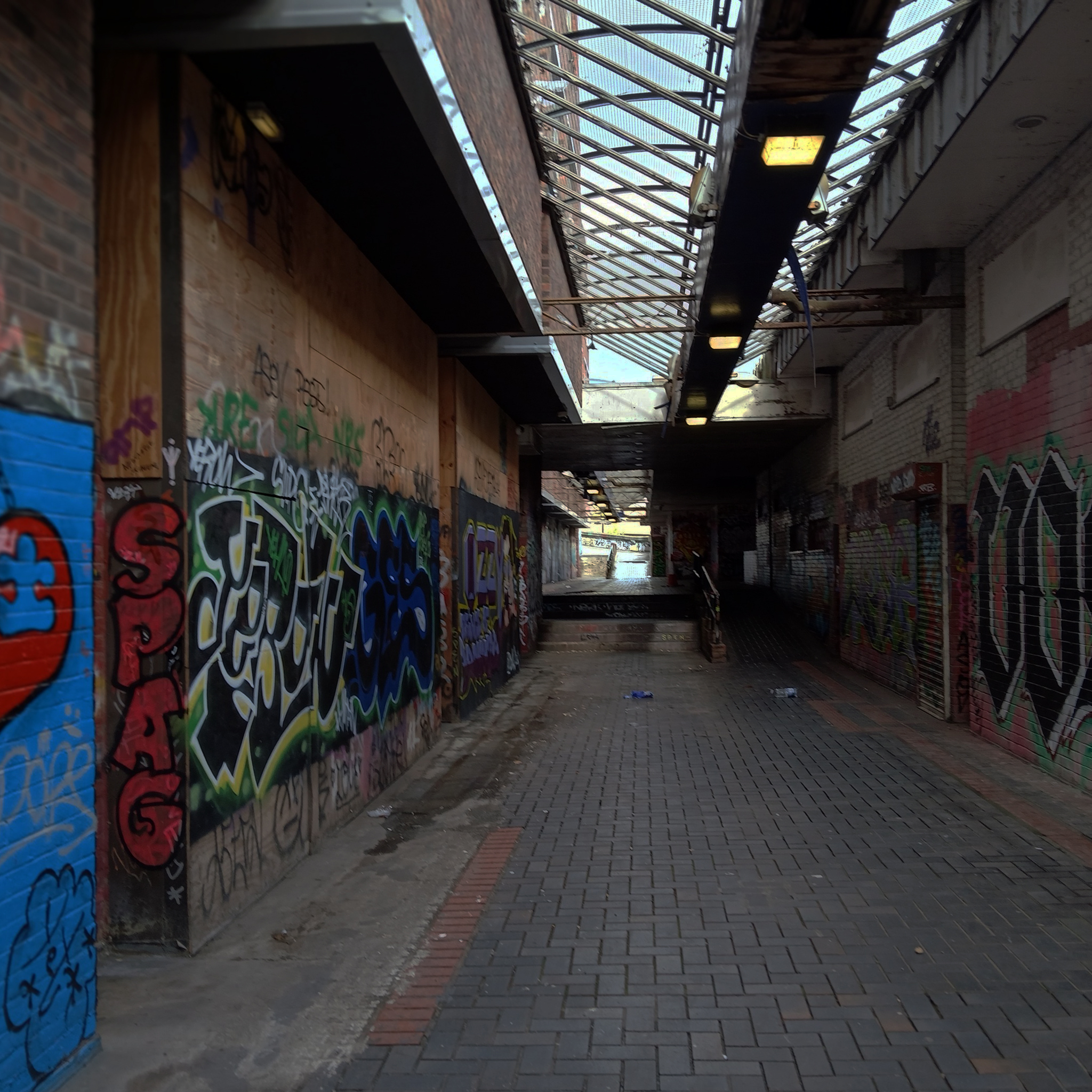
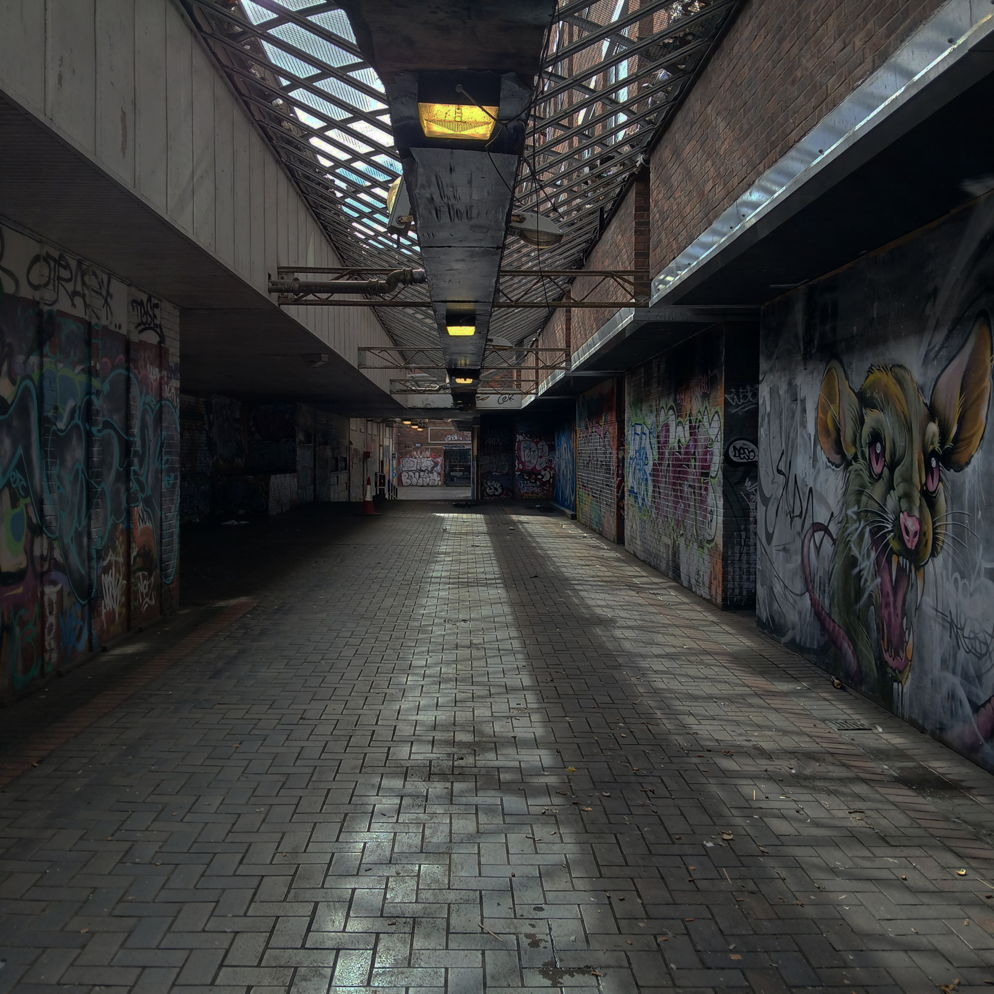
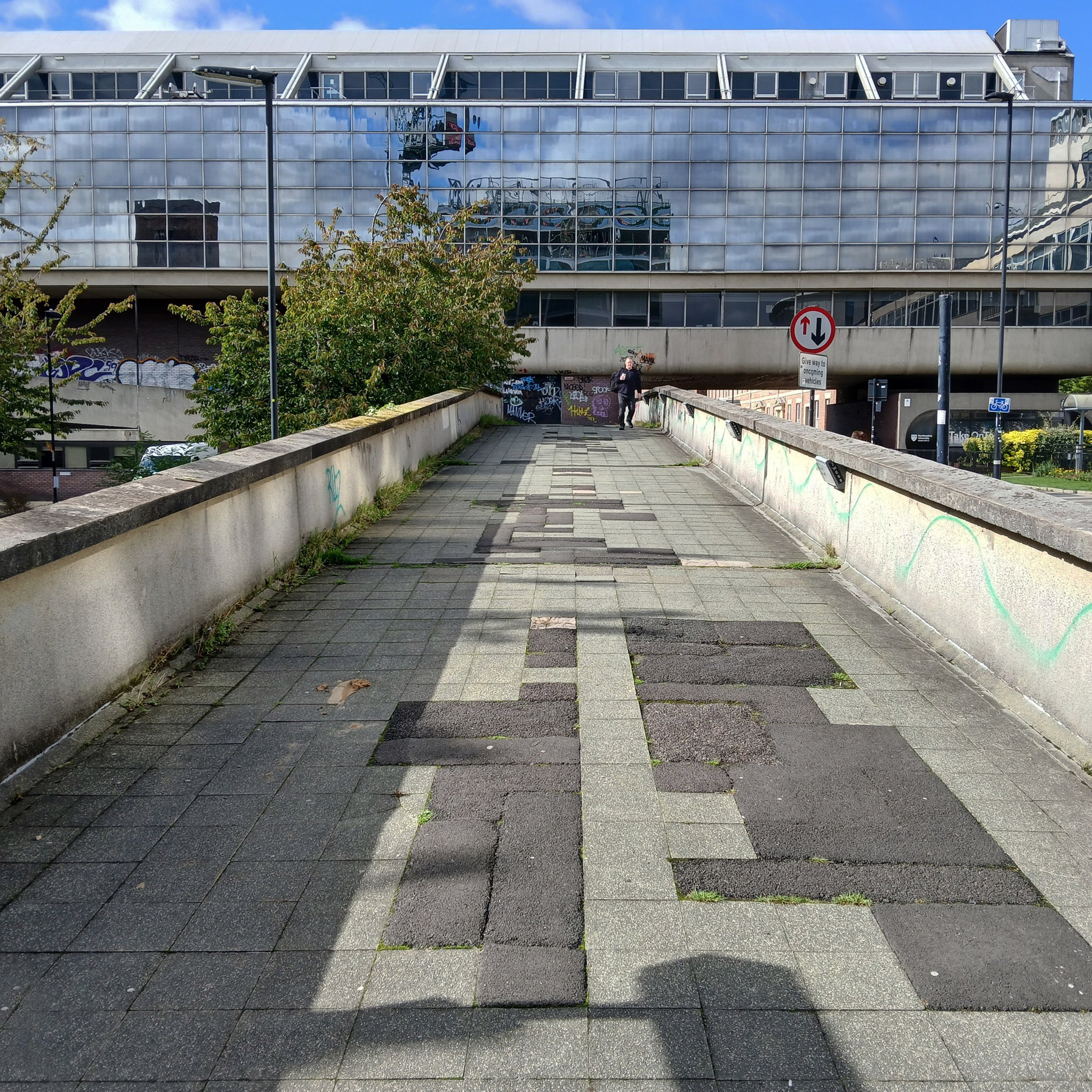
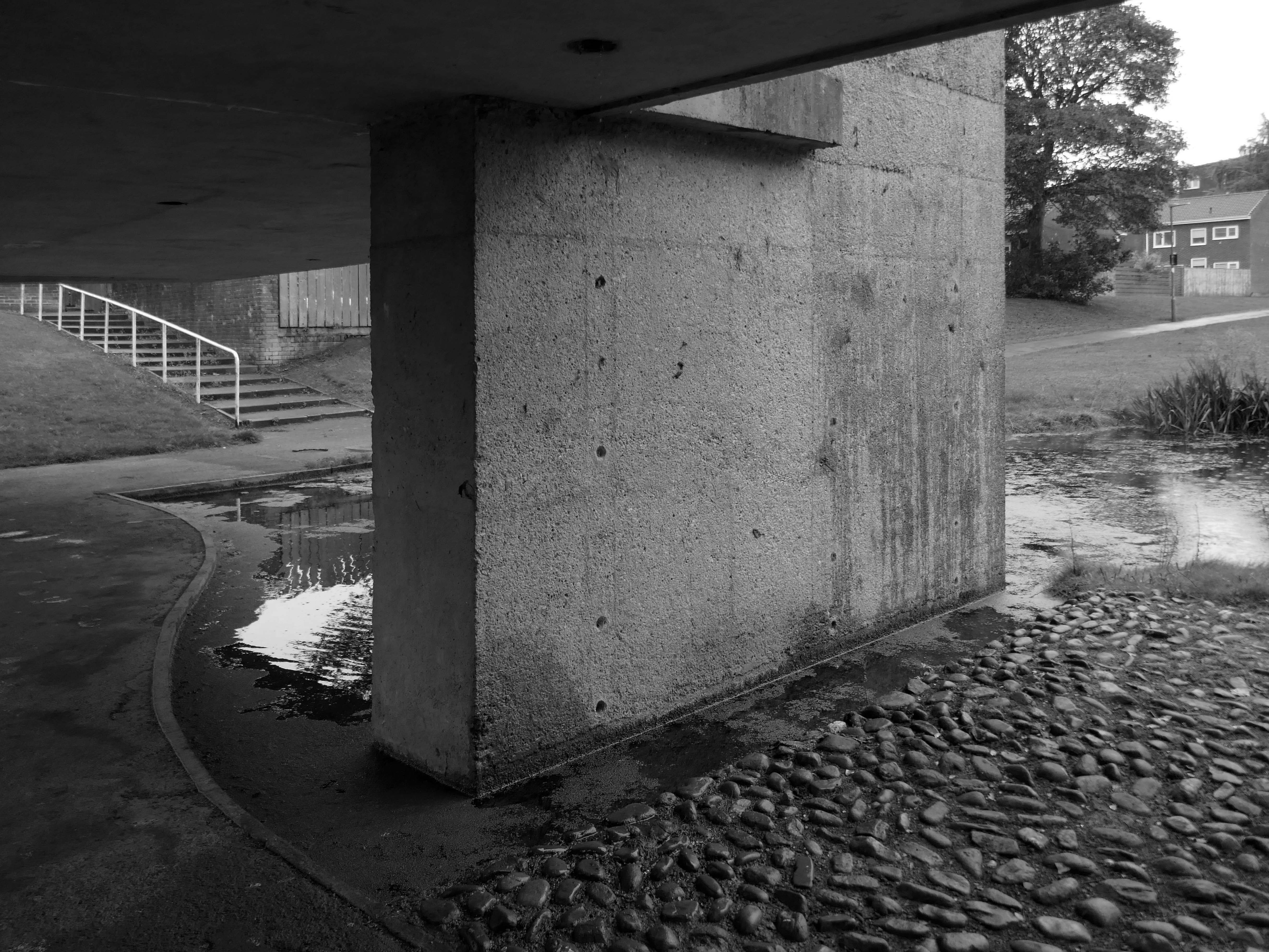
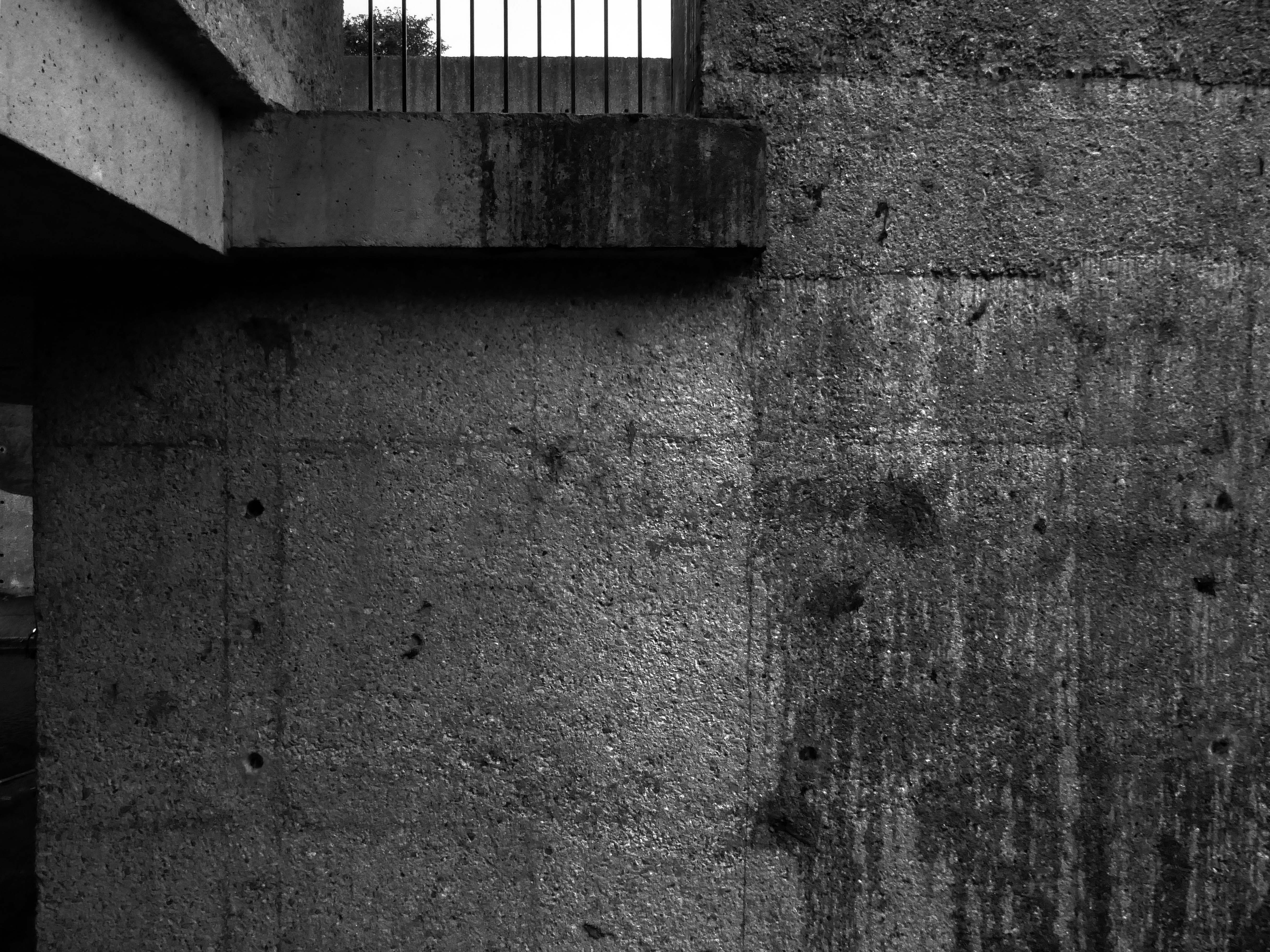
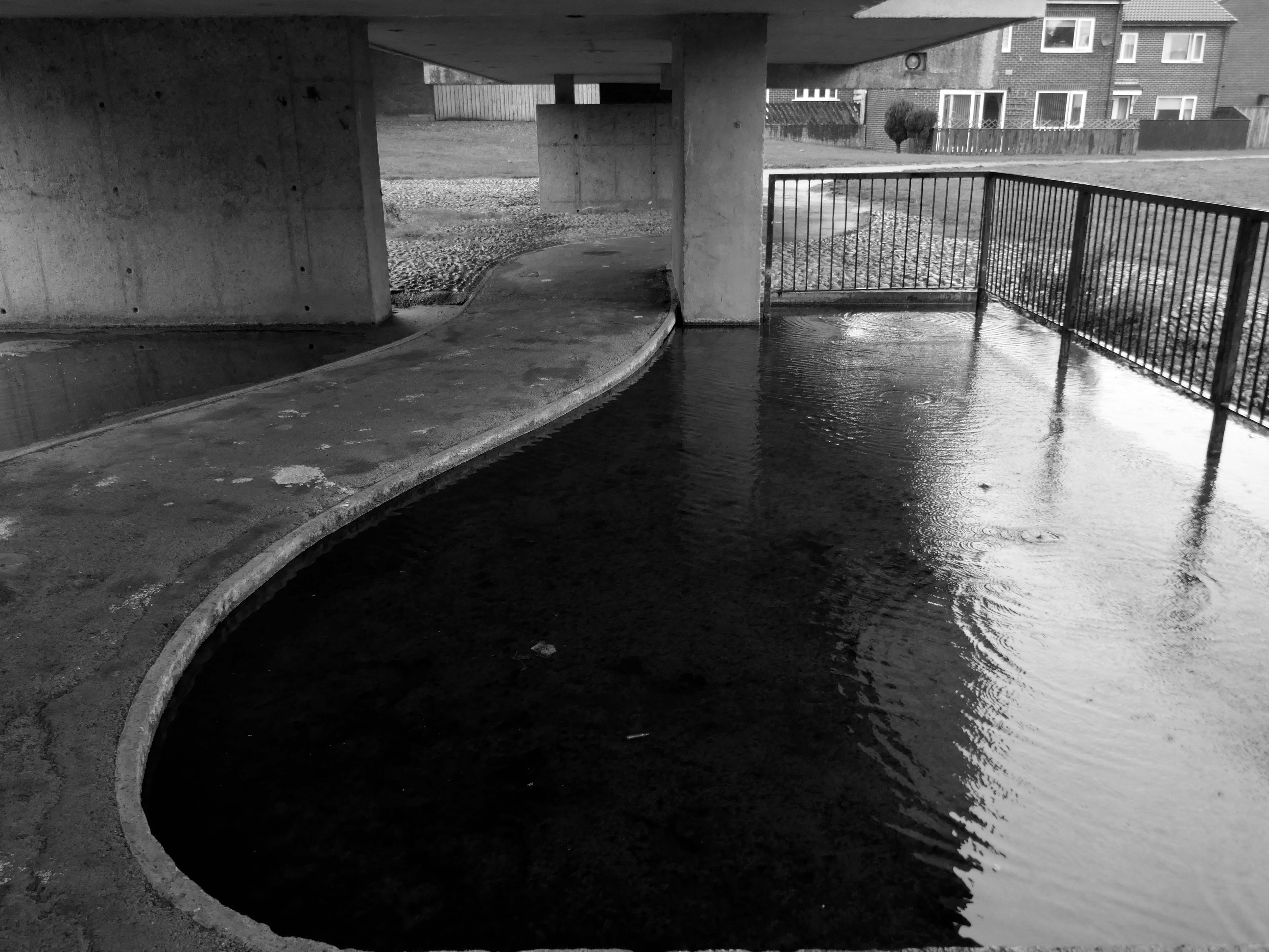
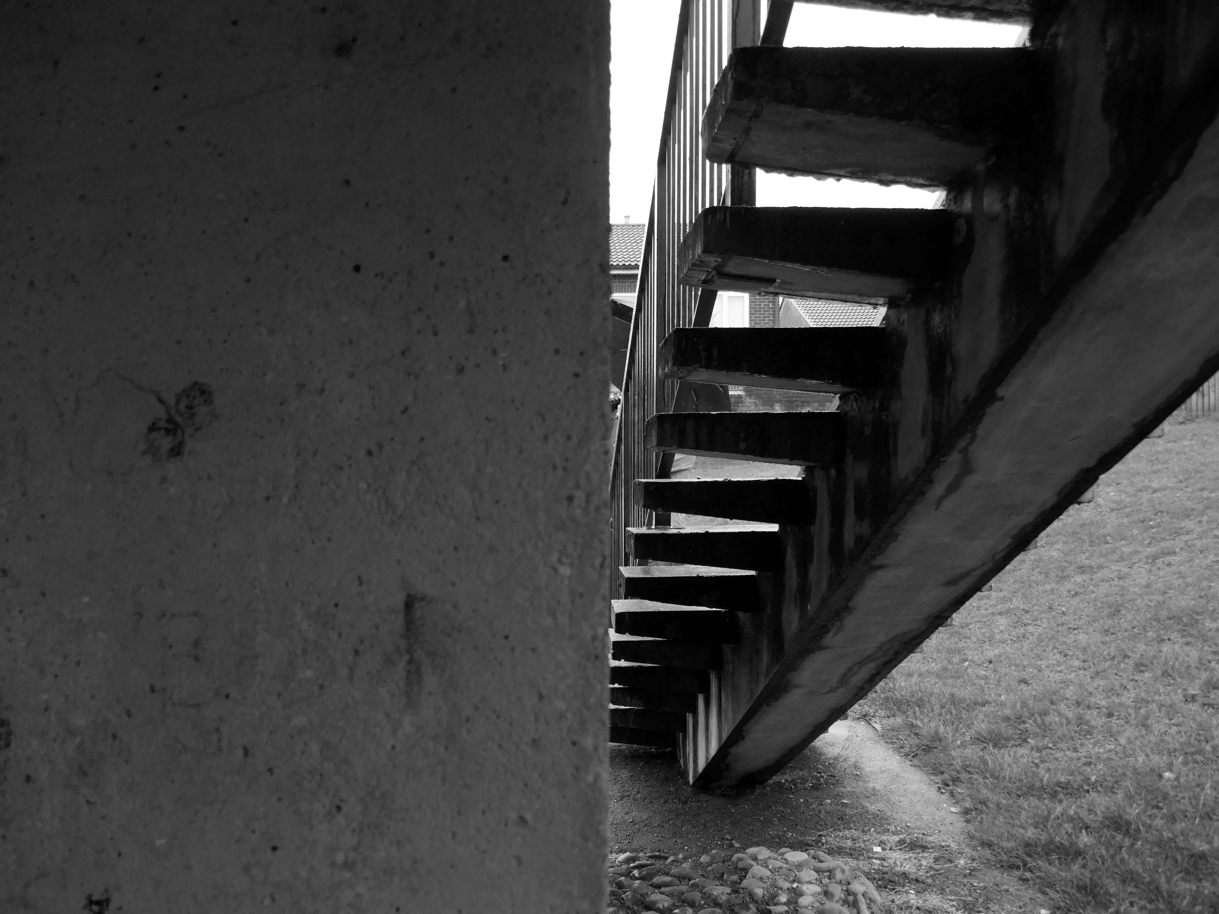
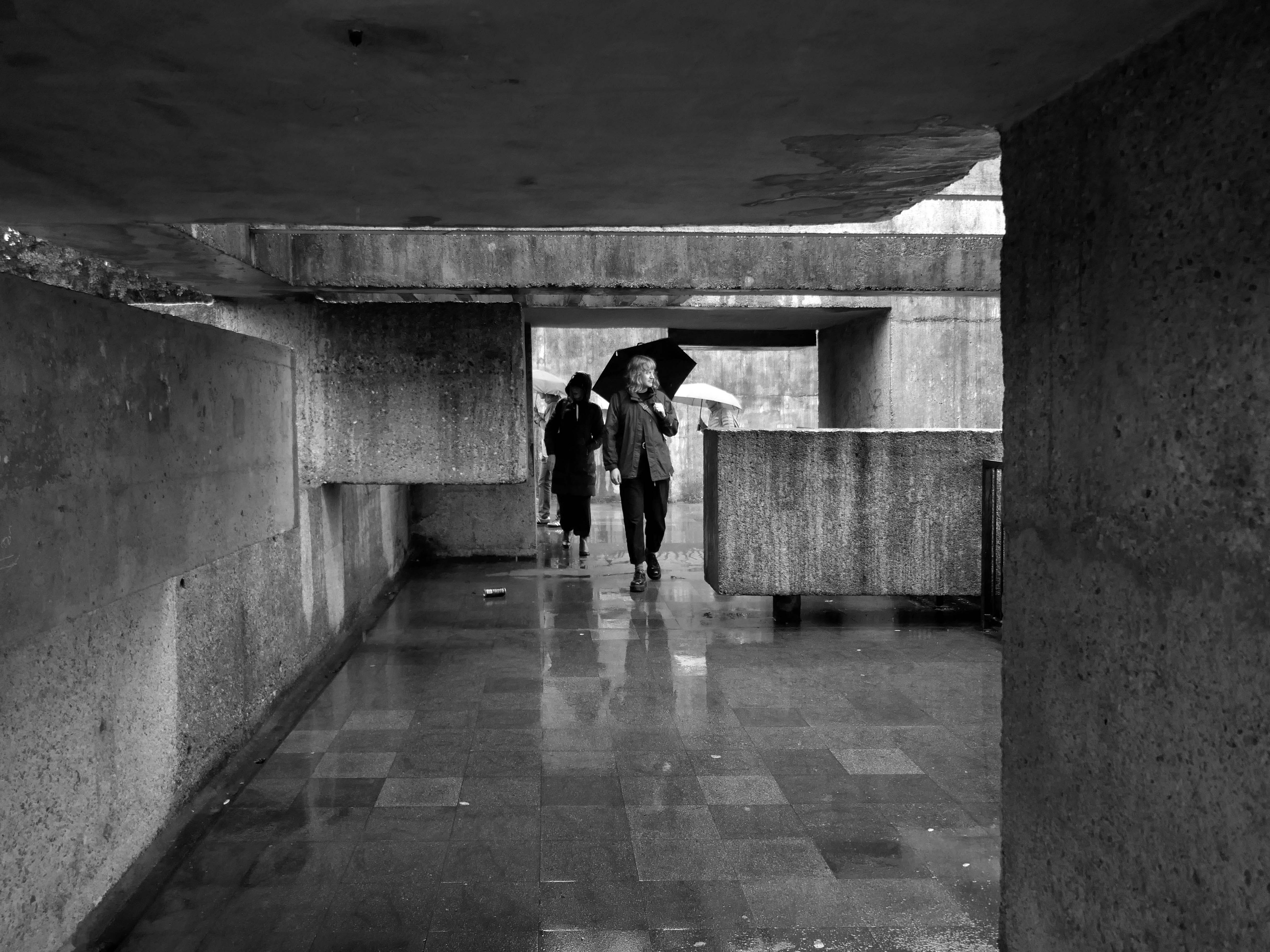
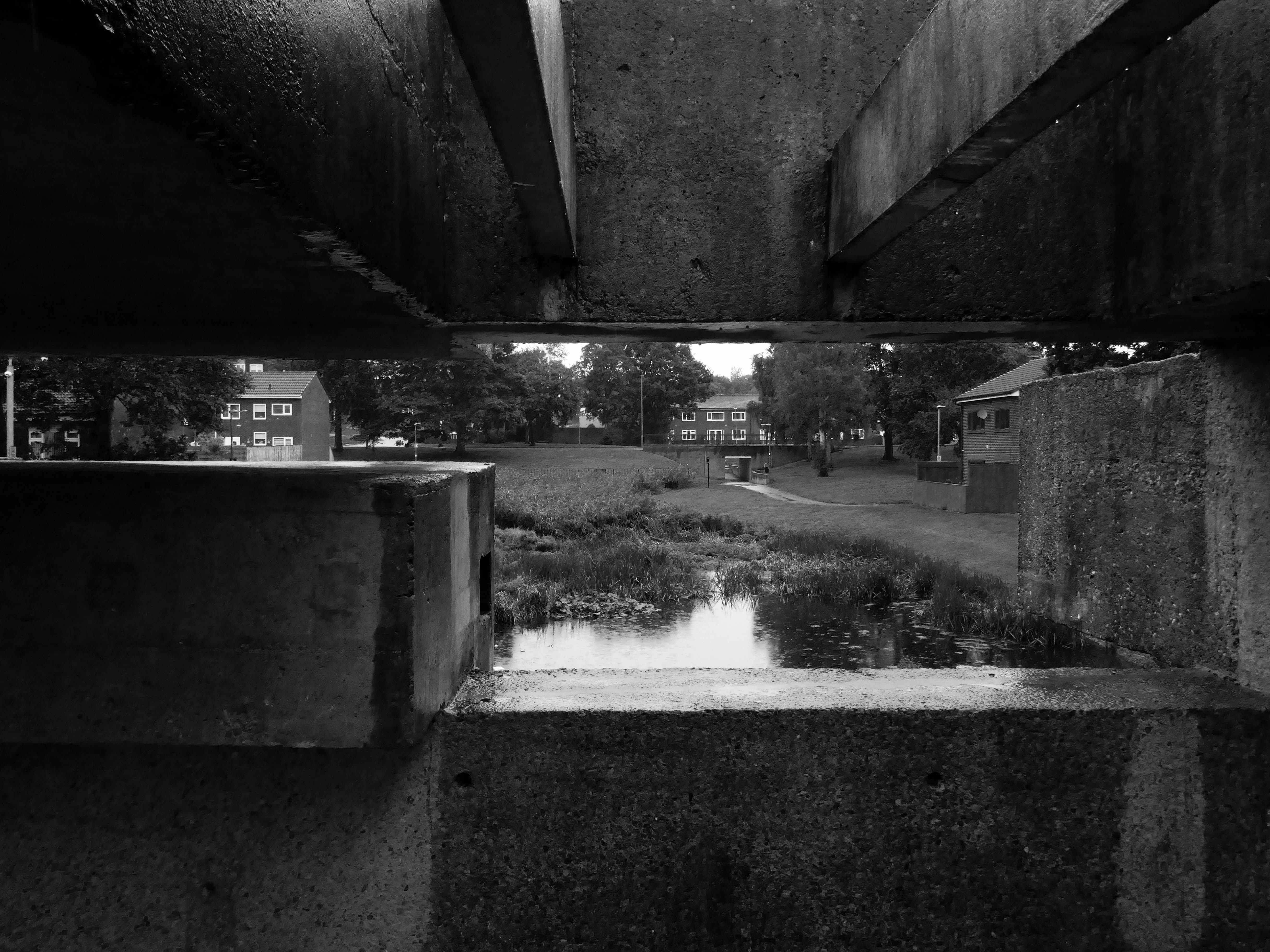
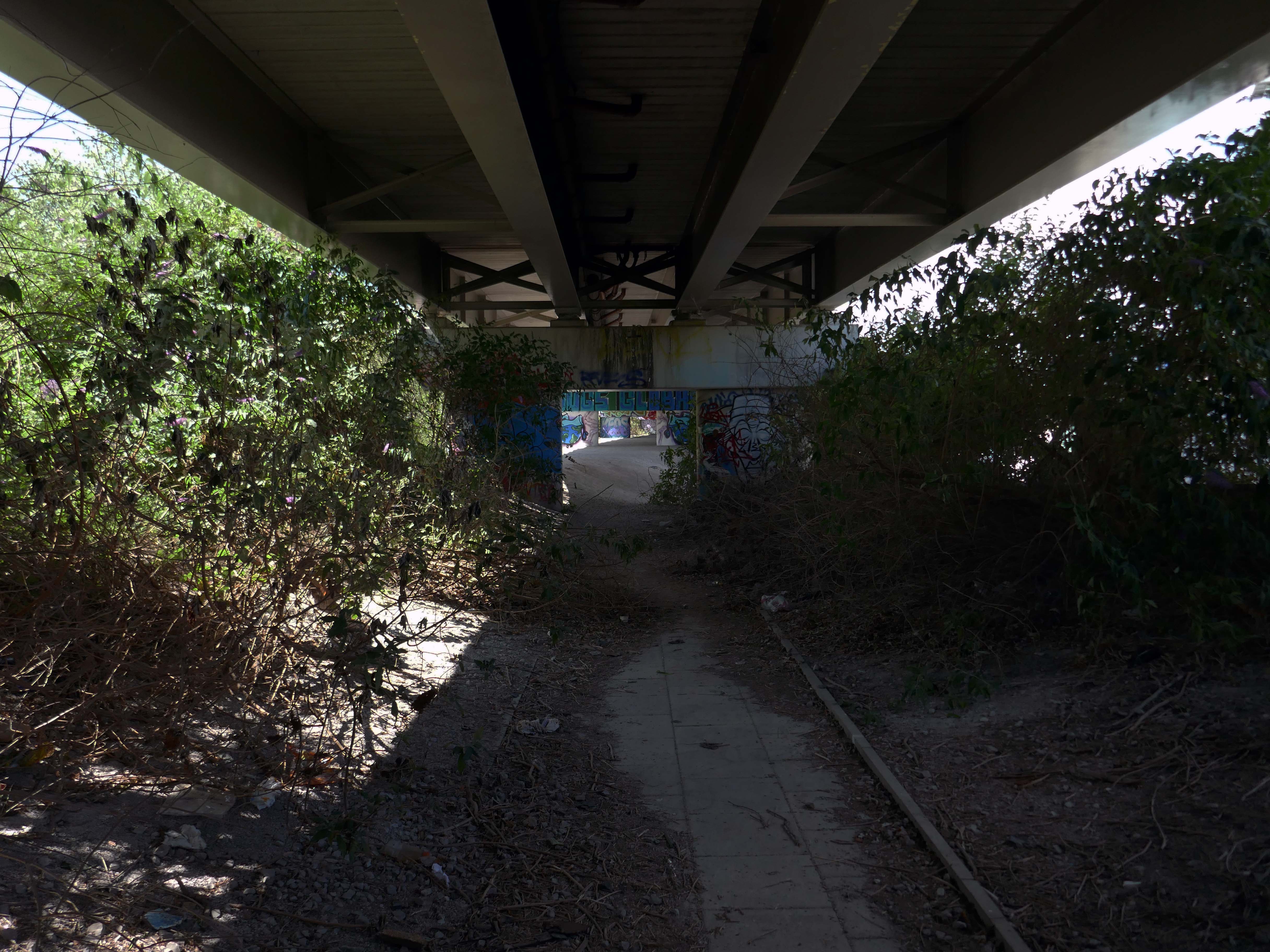
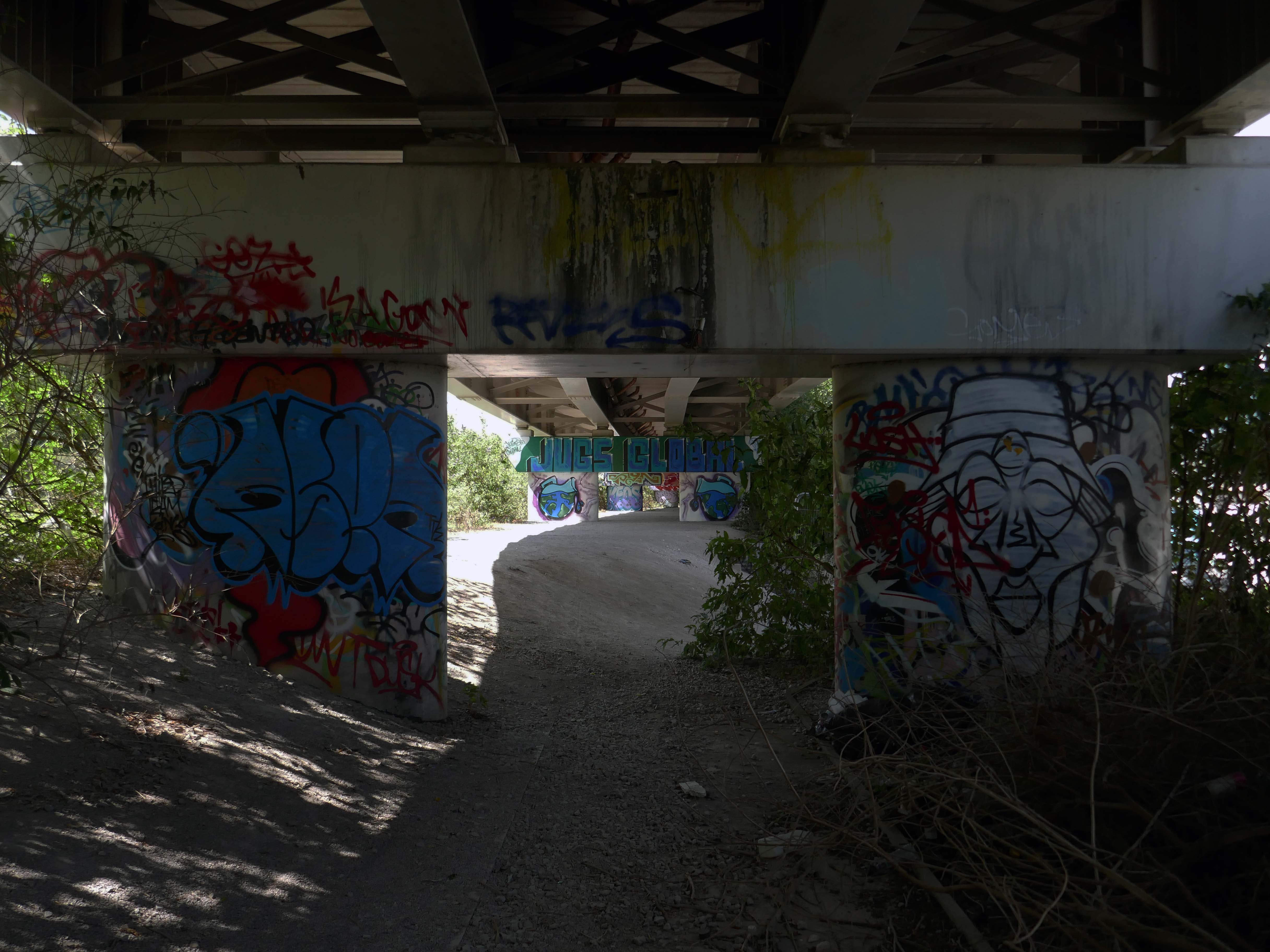
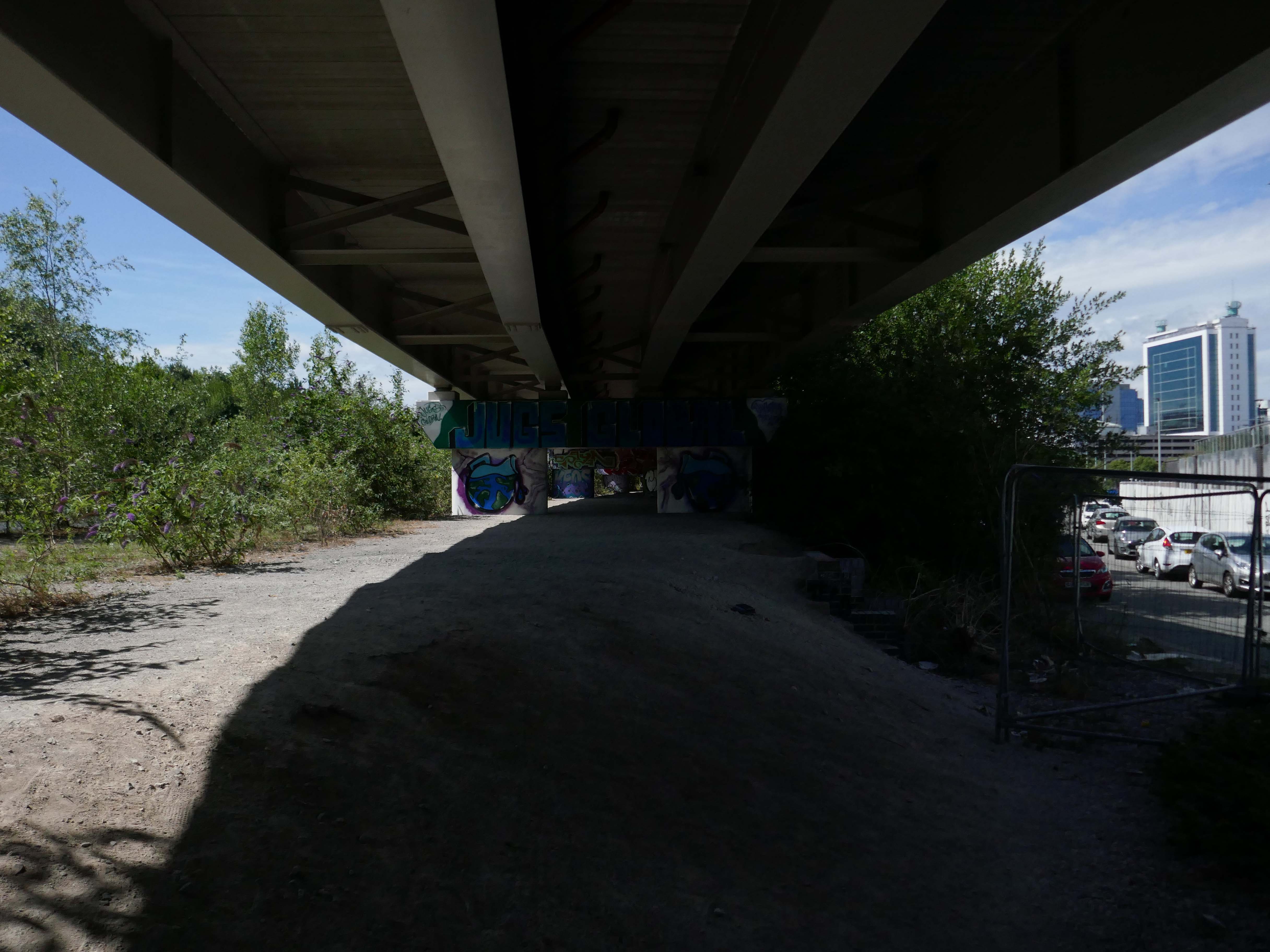
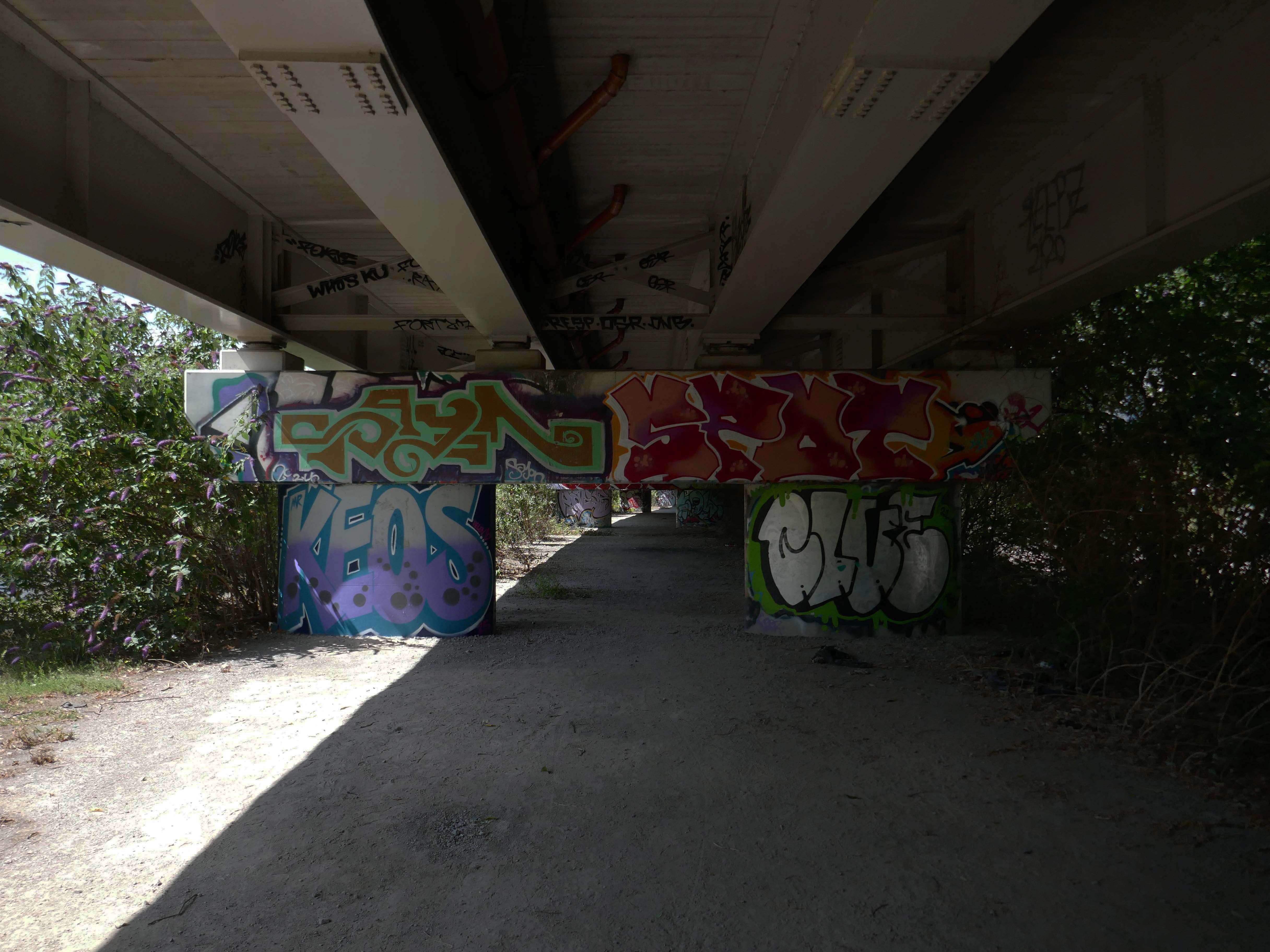
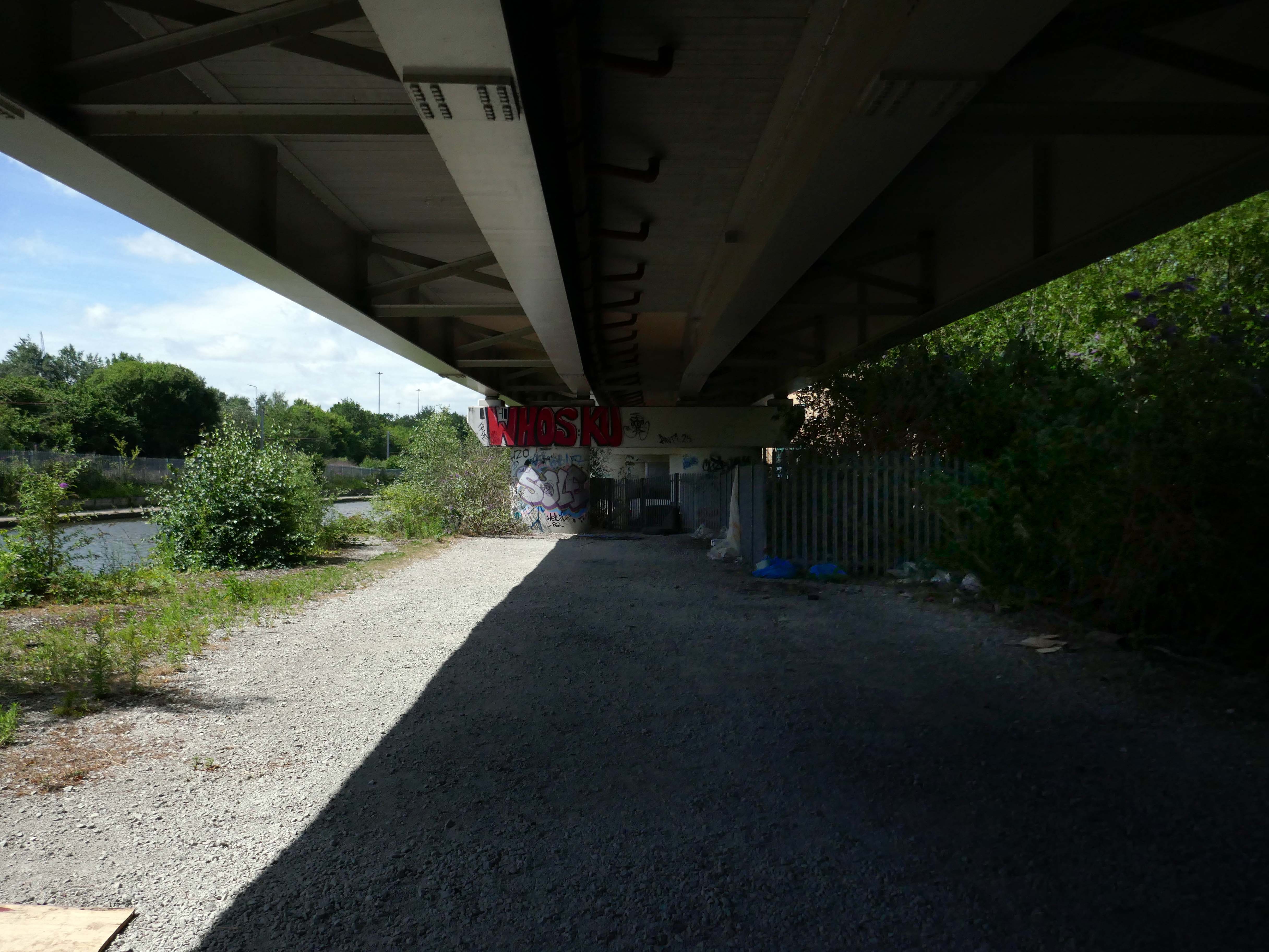
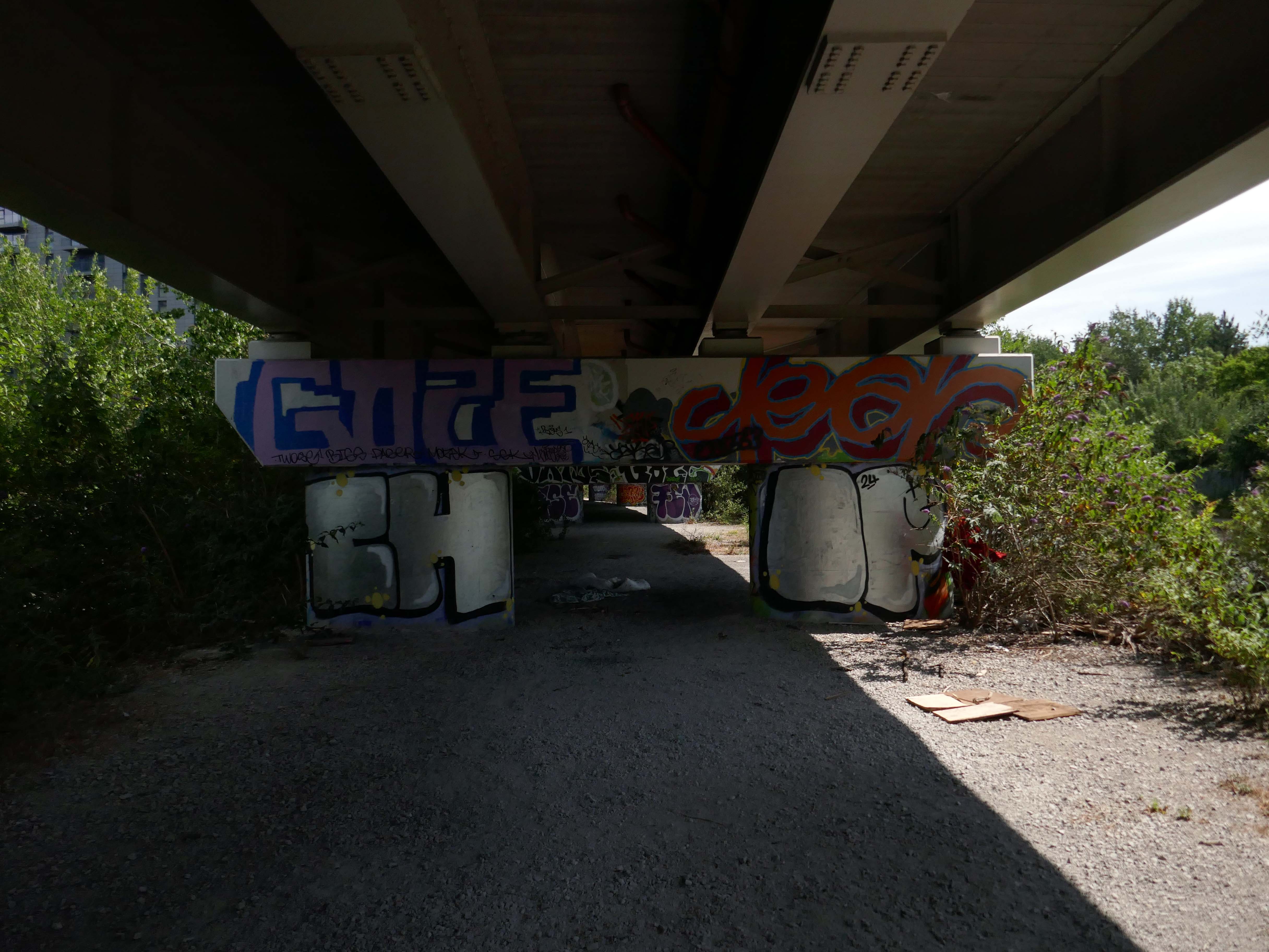
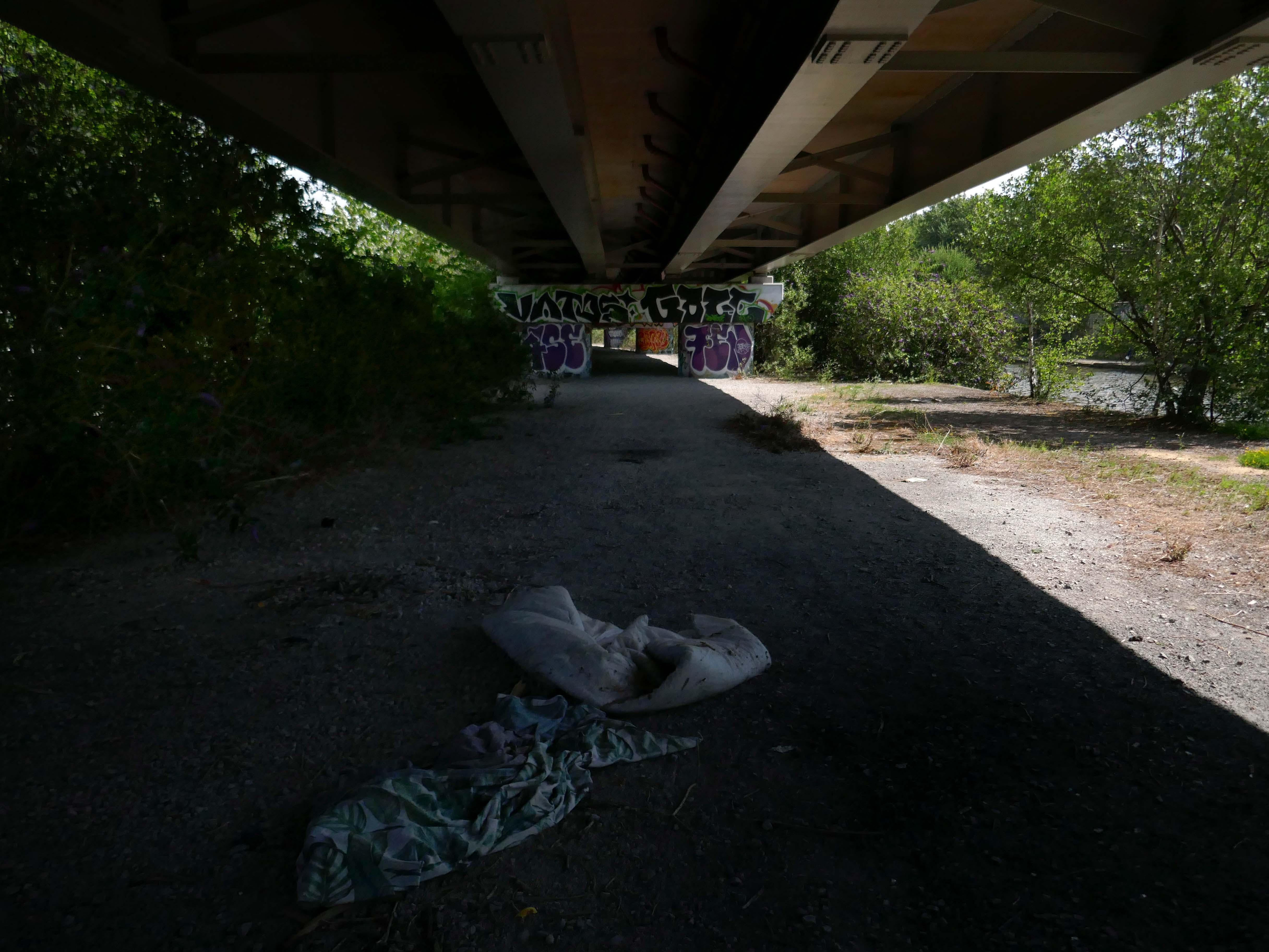
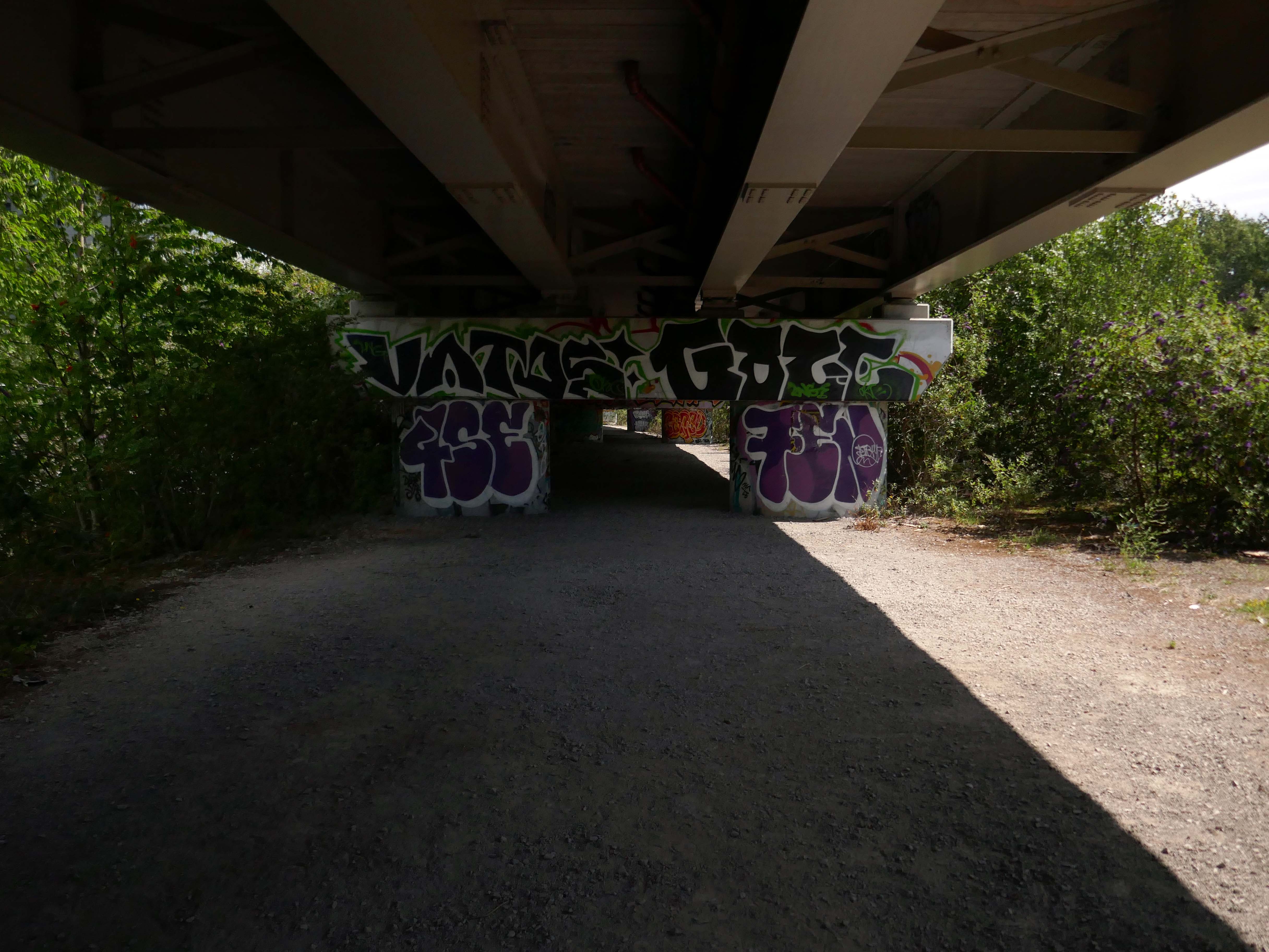
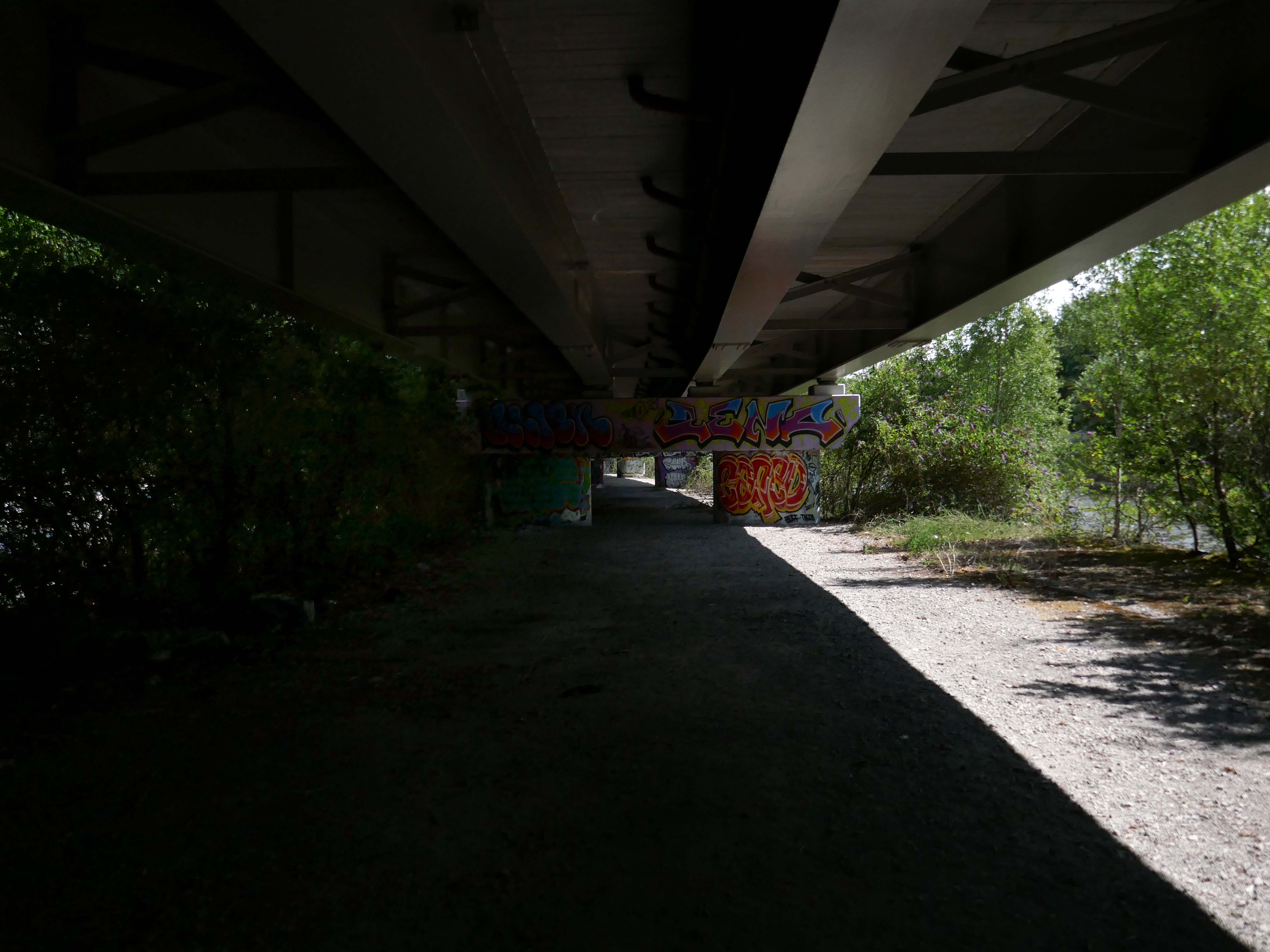
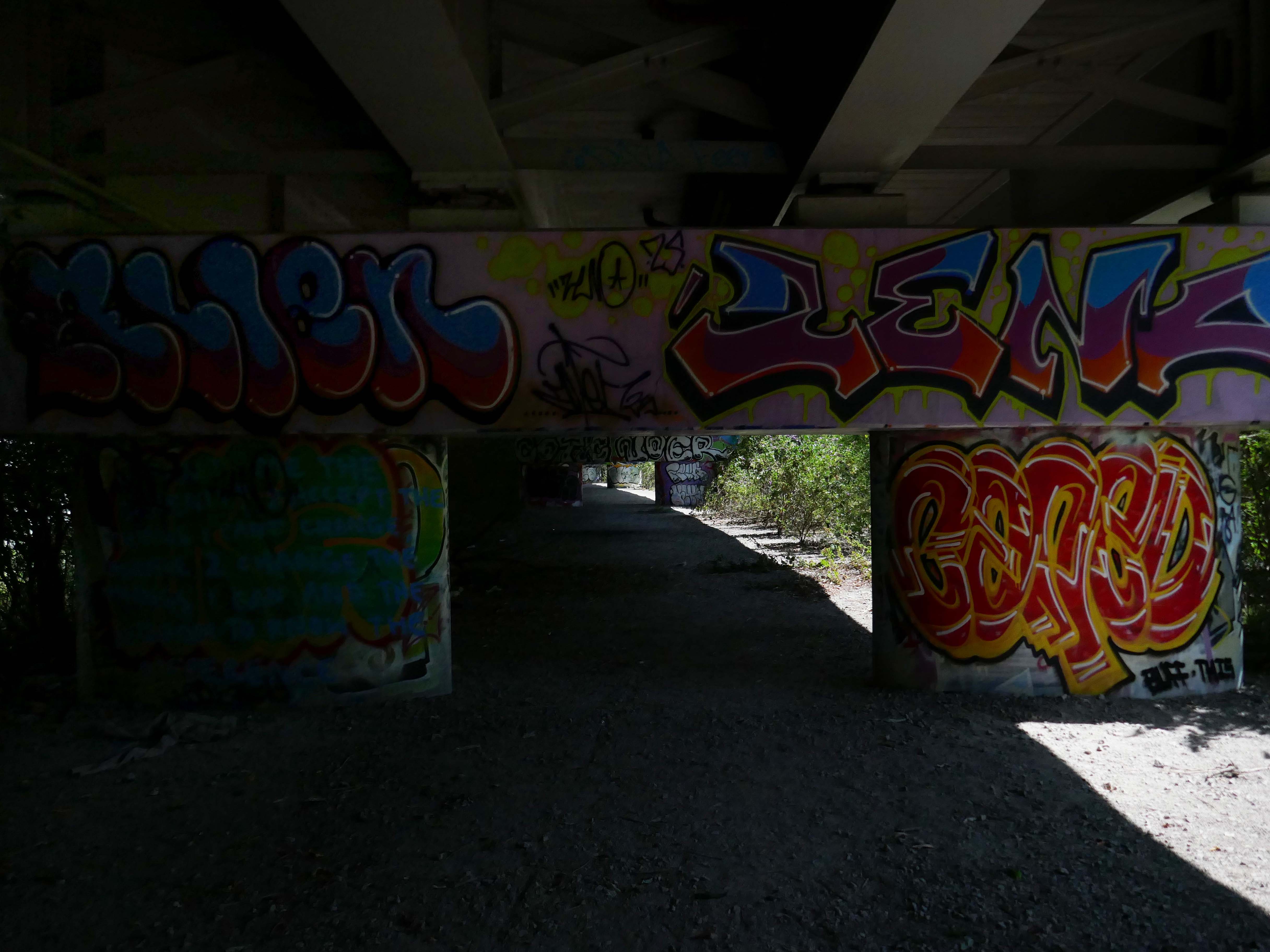
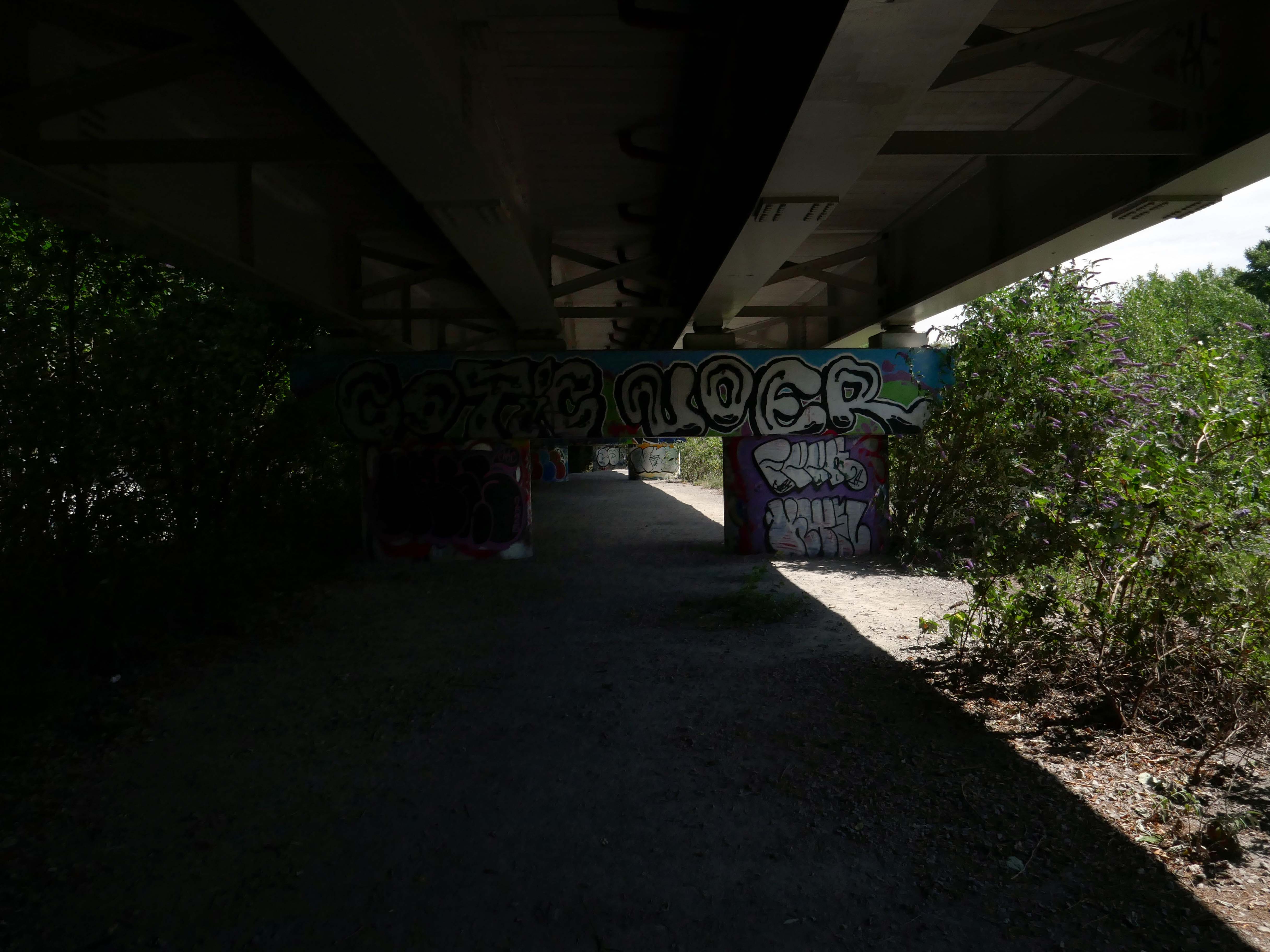
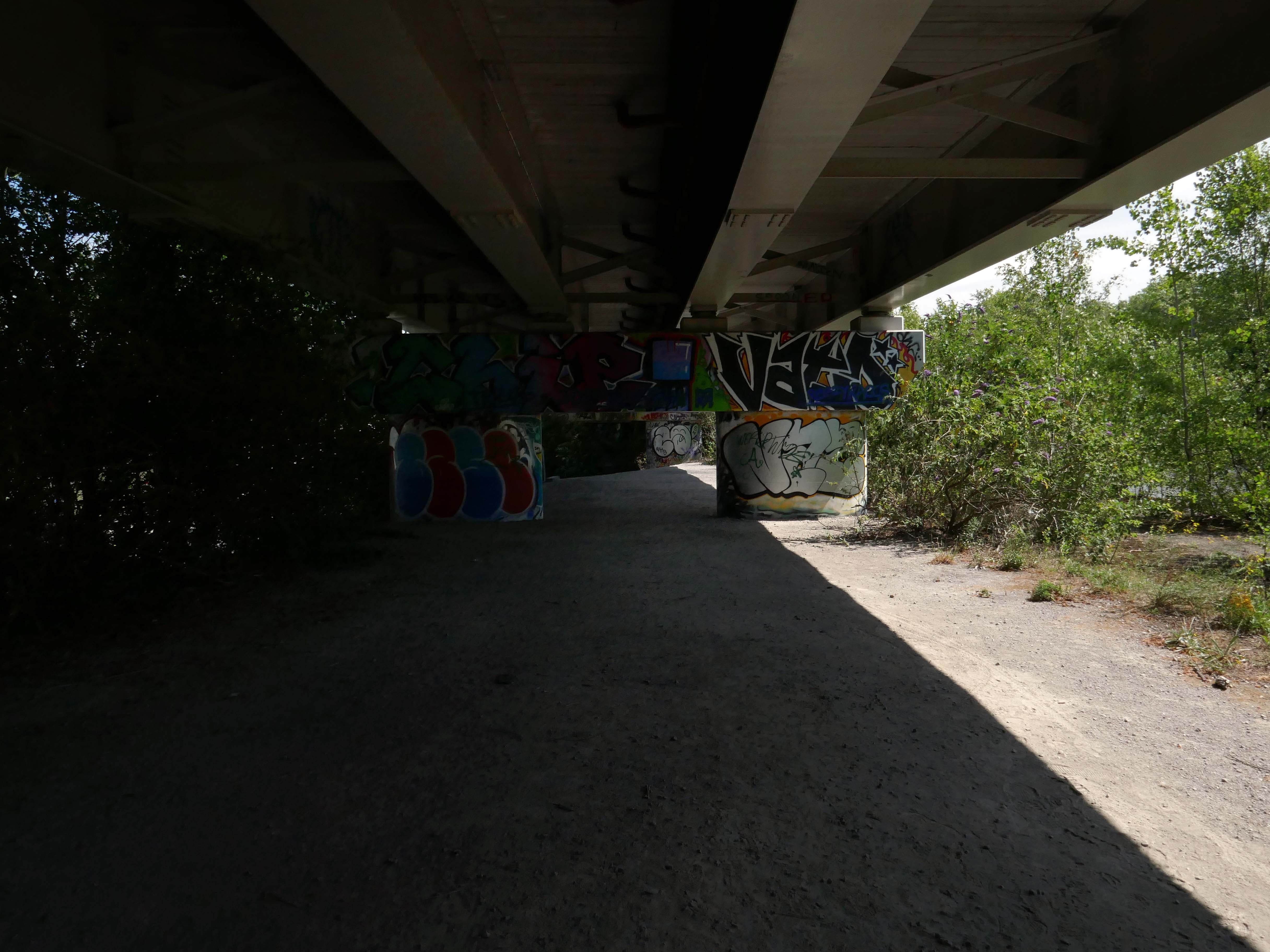
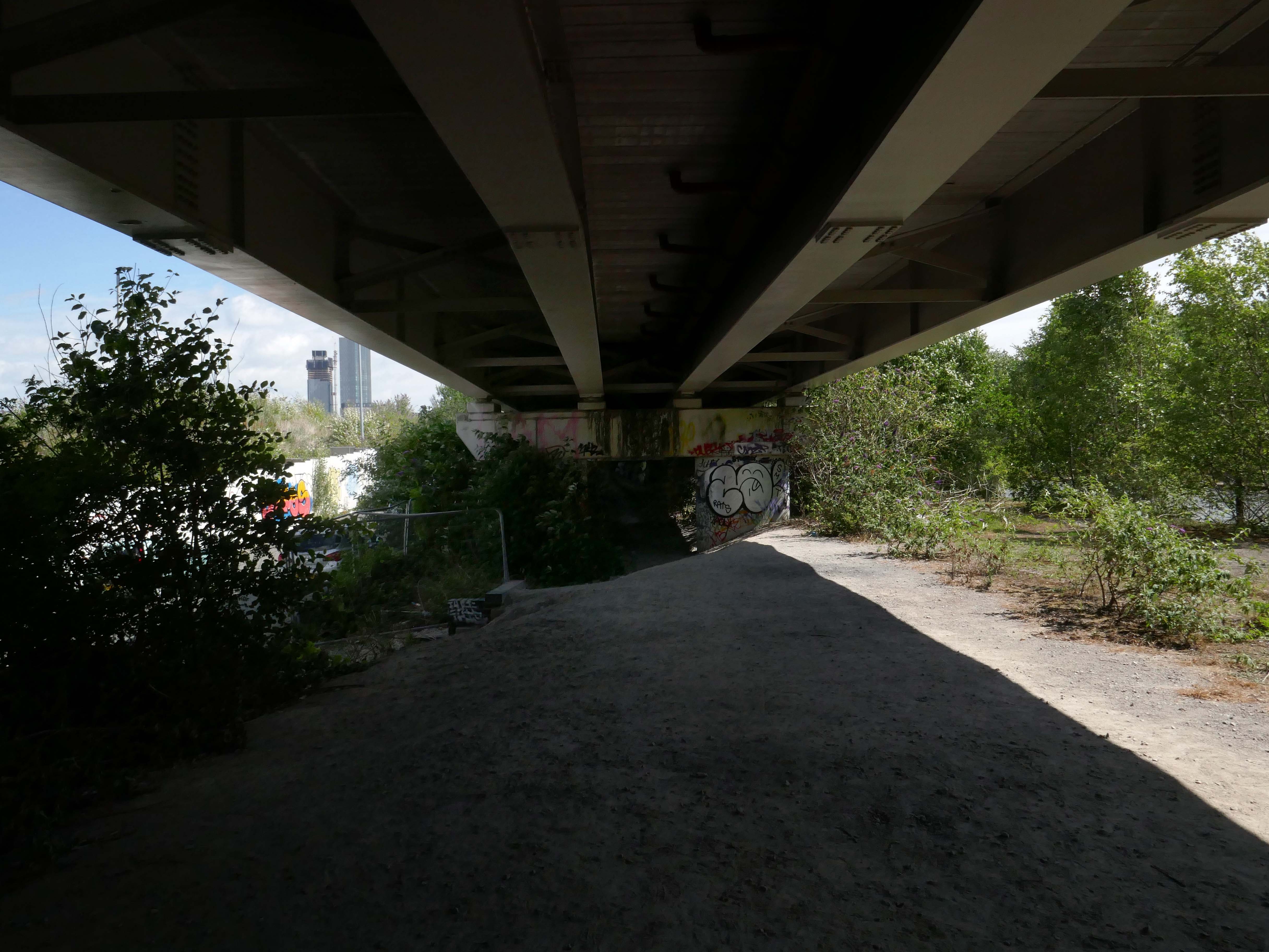
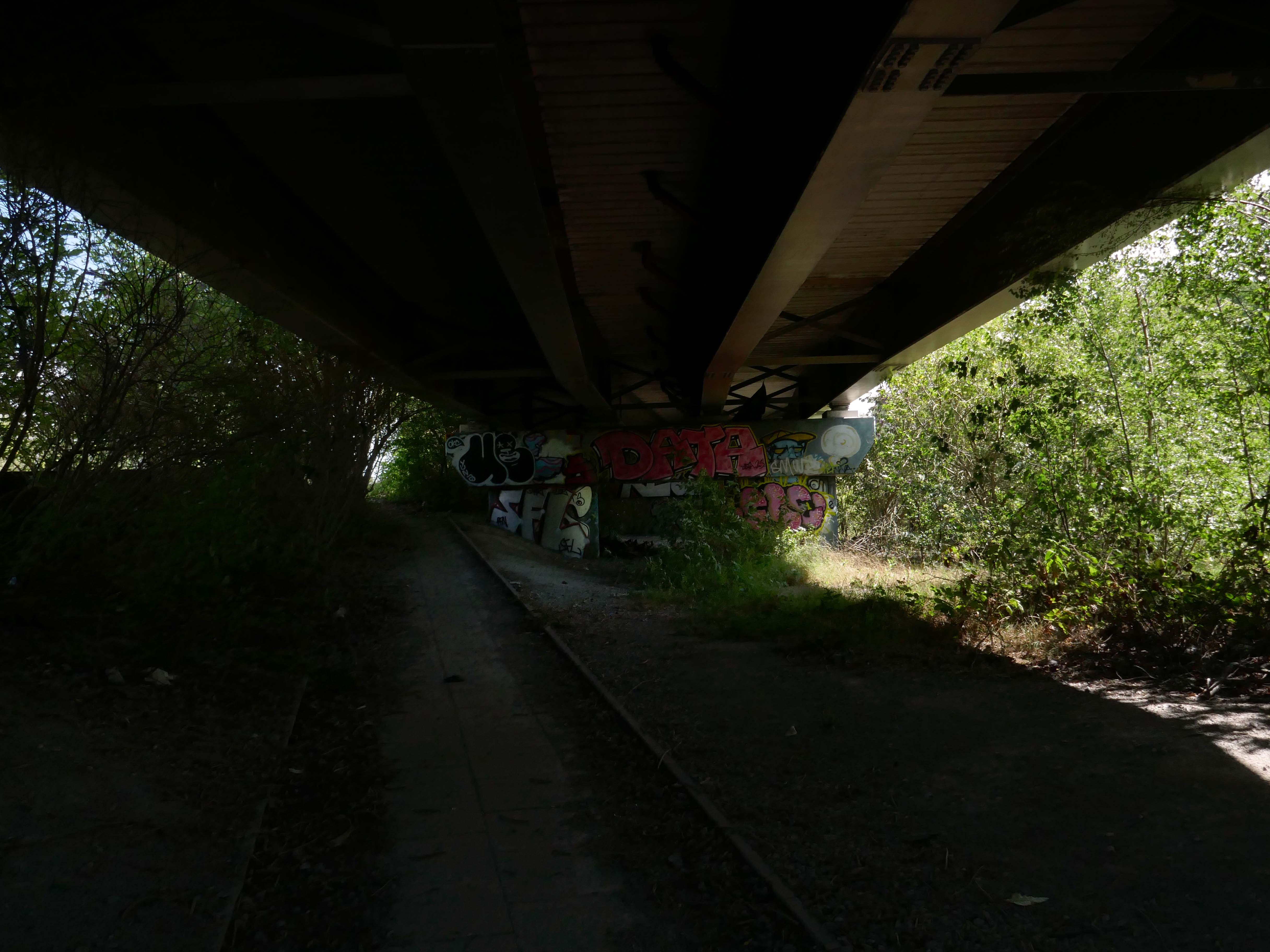
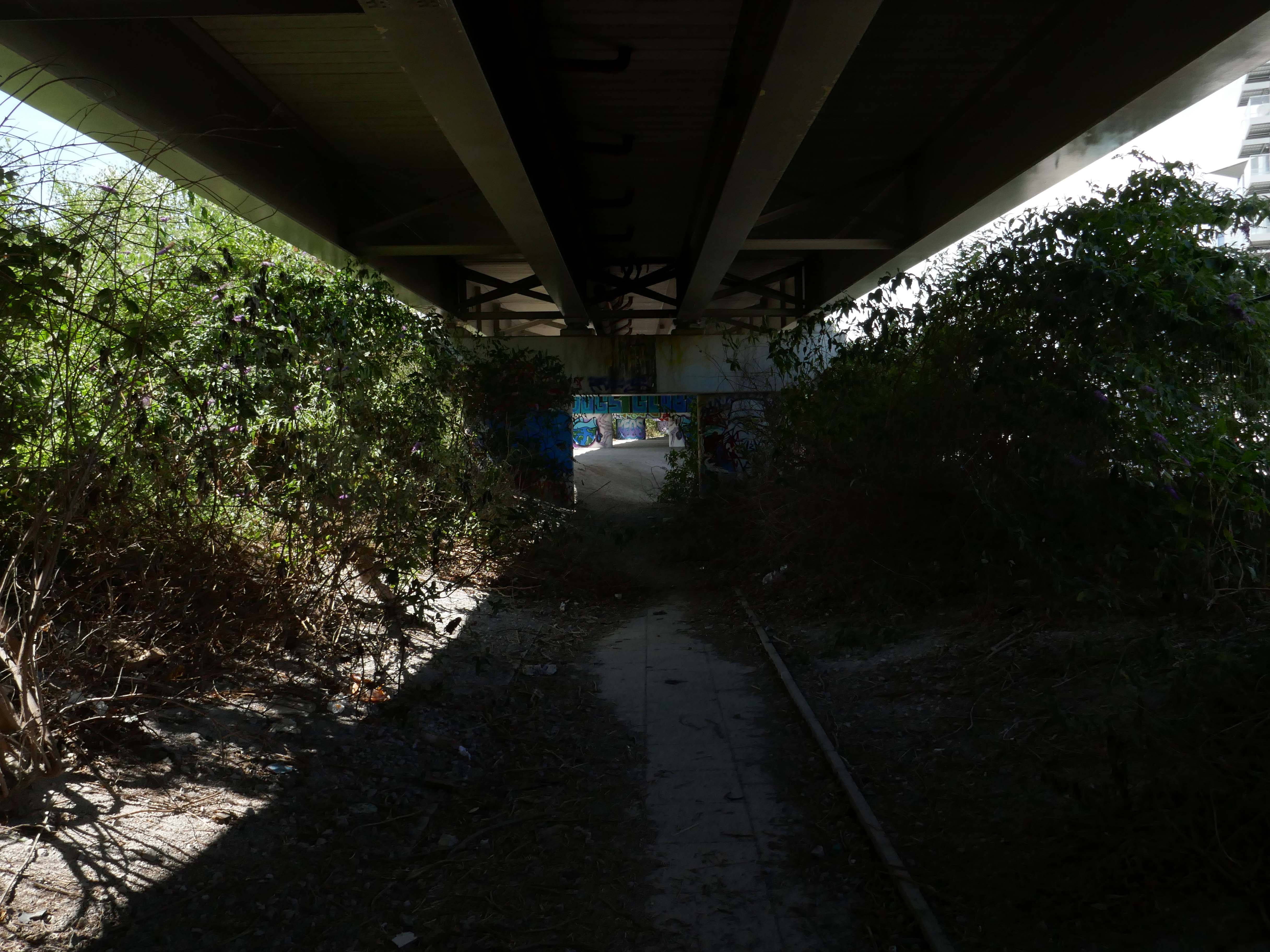
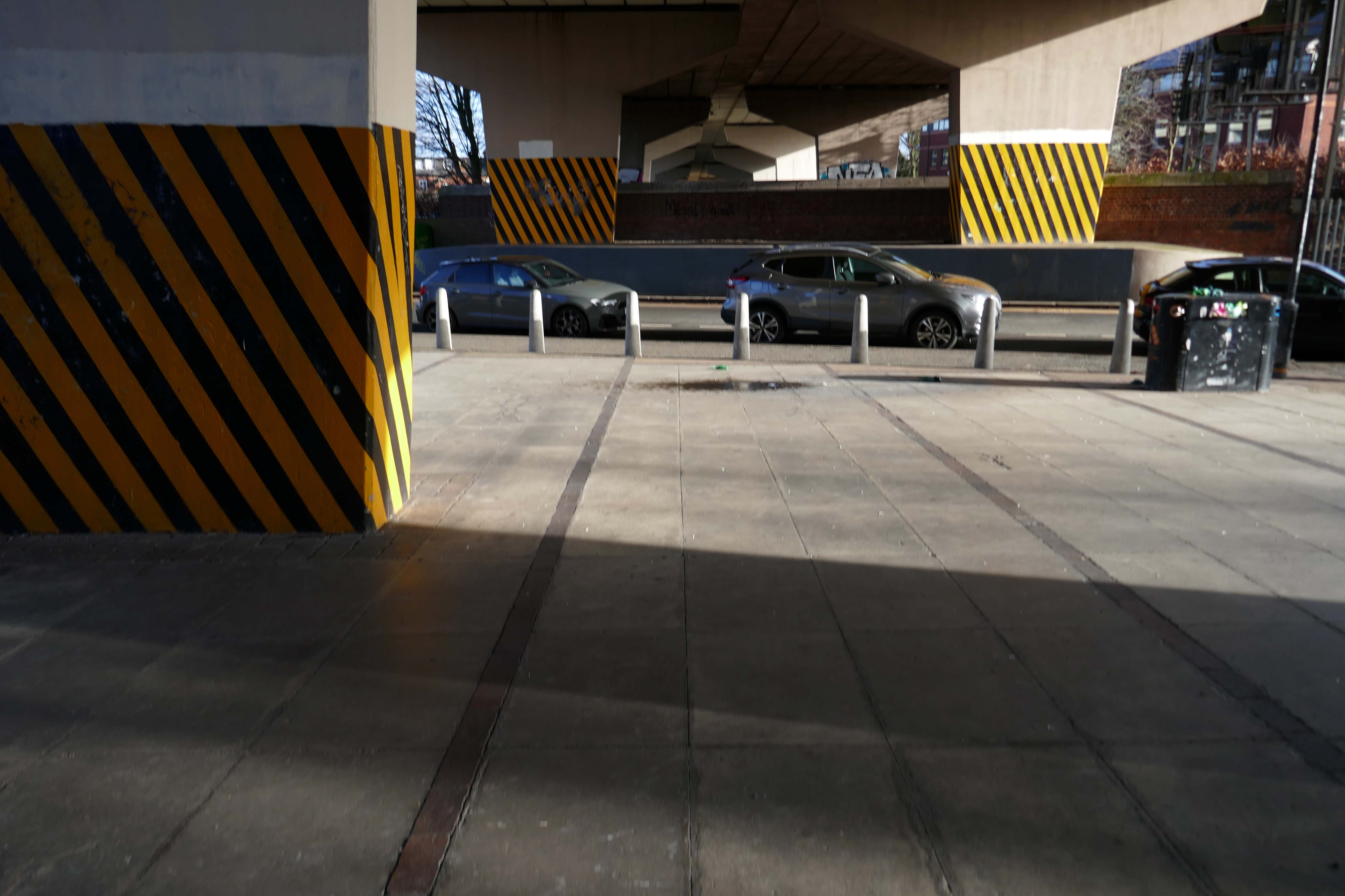
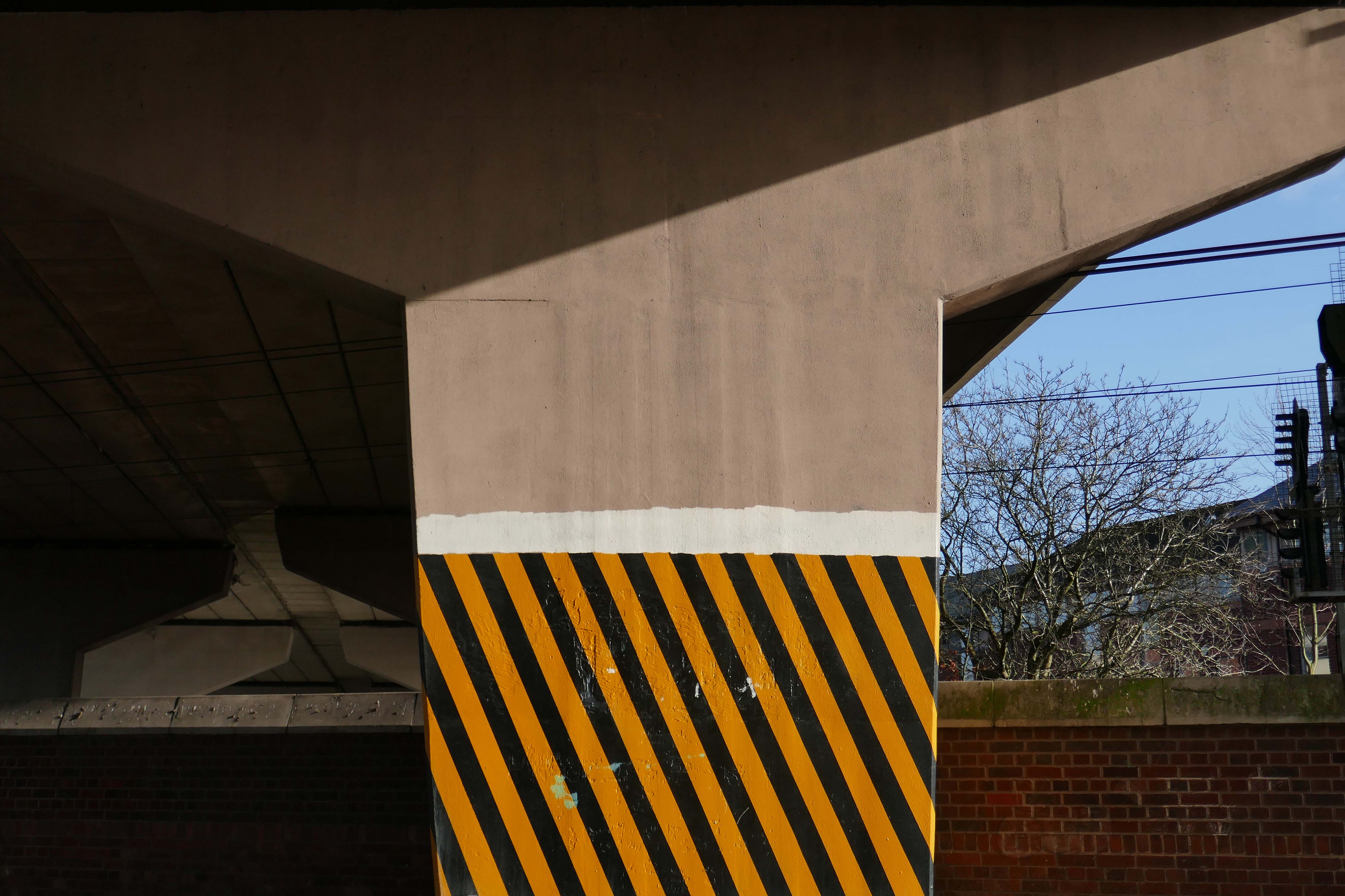
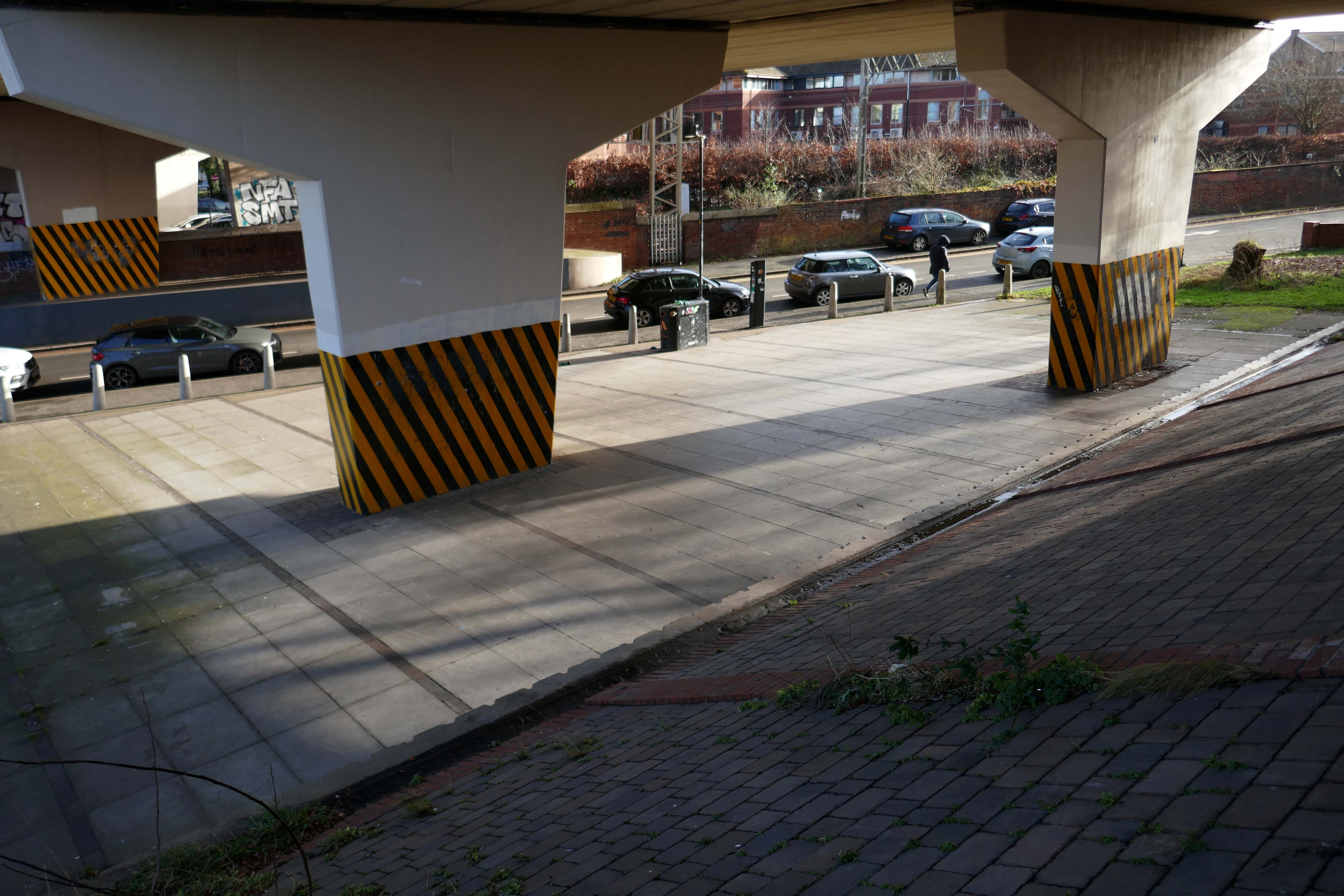
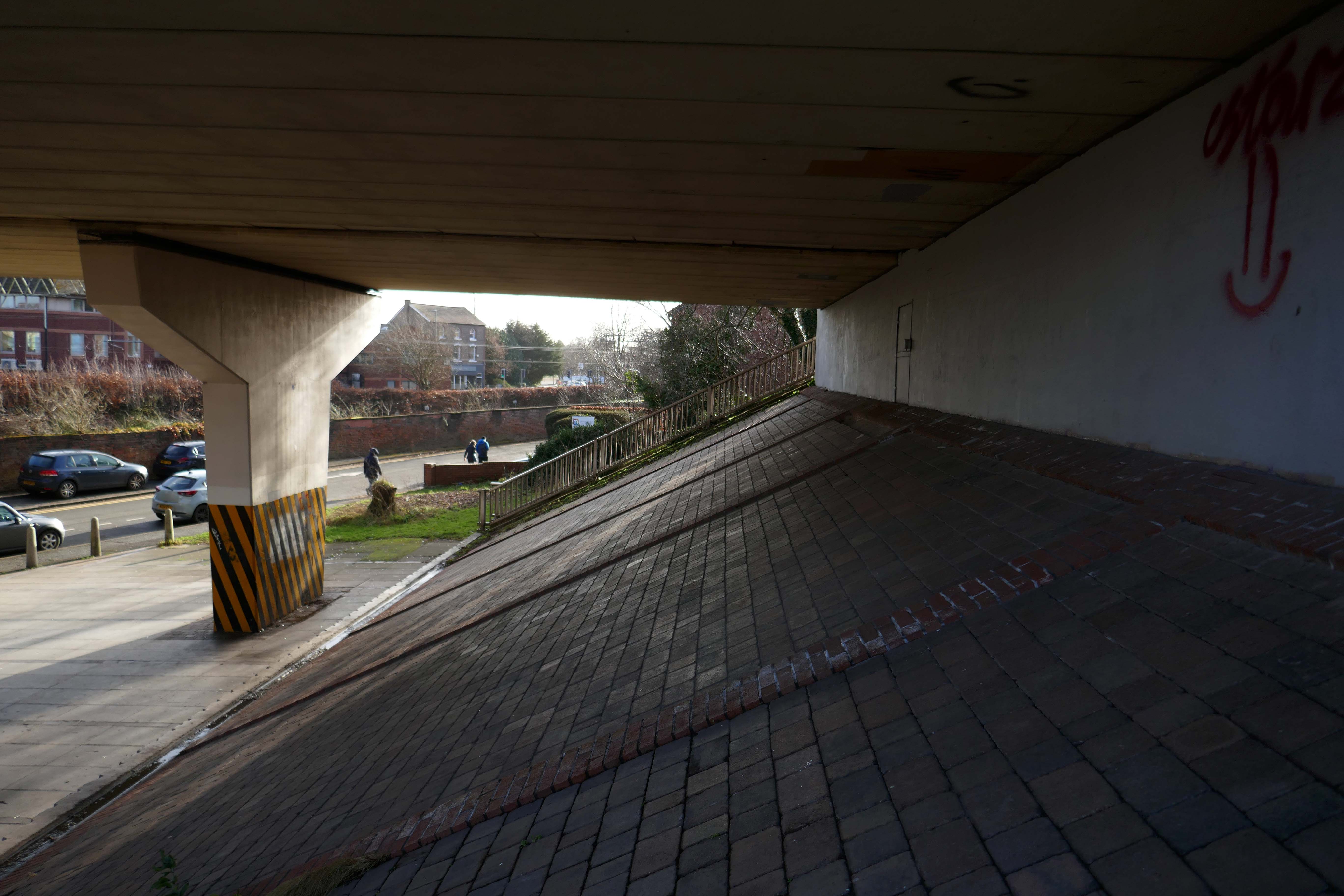
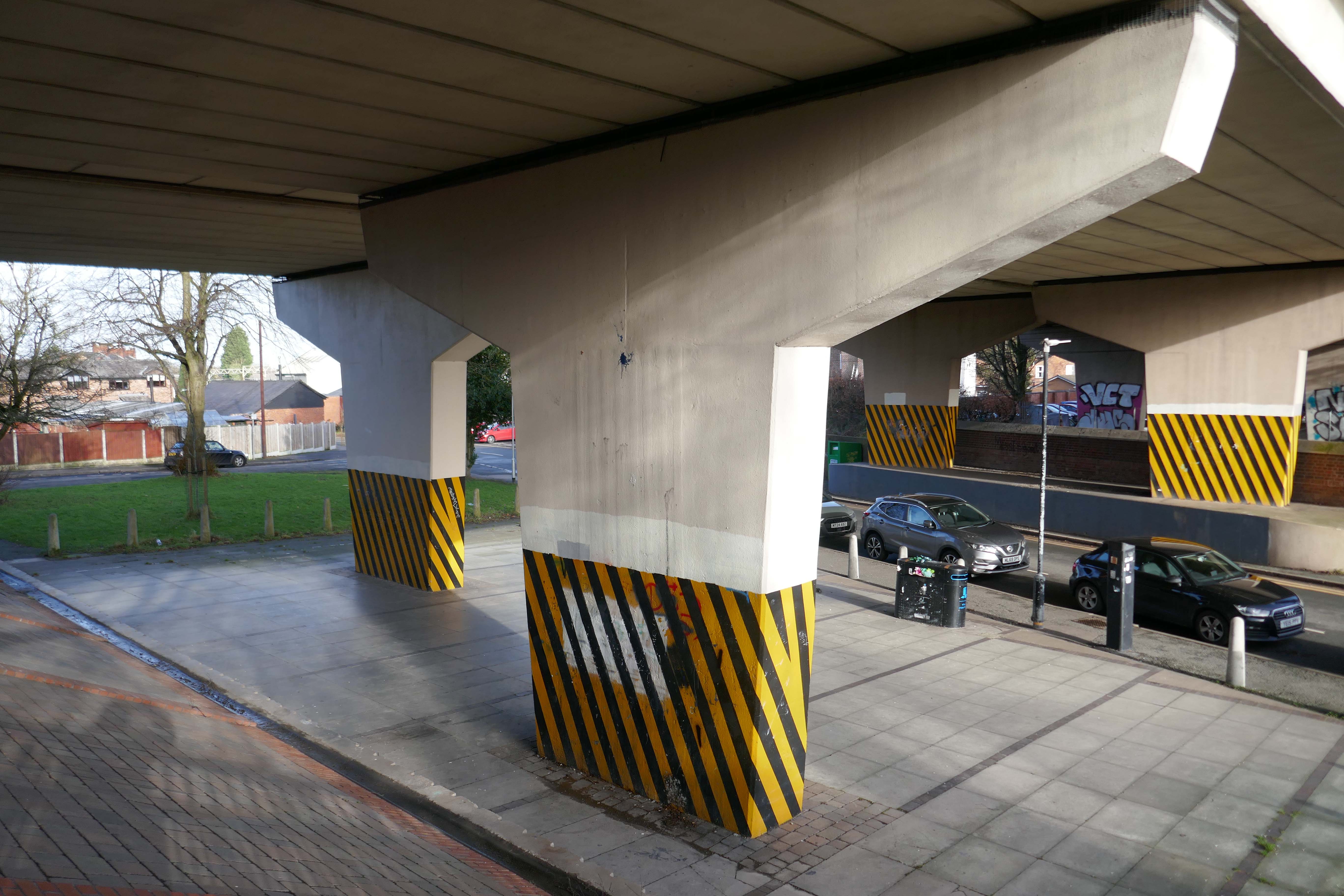
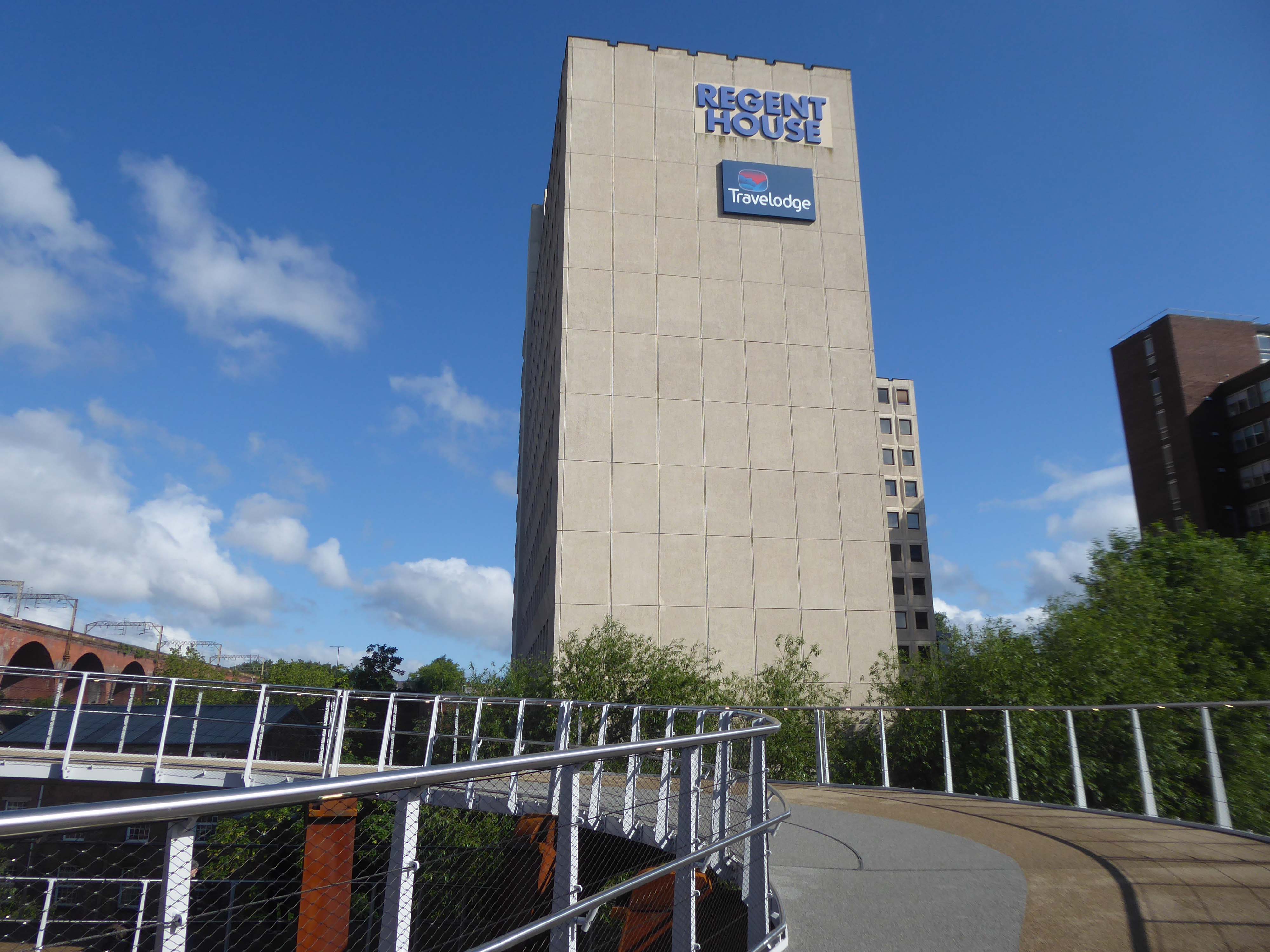
These are the streets in the sky passing between the Central Motorway, Saville Place and Oxford Street.
Streets constrained by infrastructure, a University and doomed leisure provision.
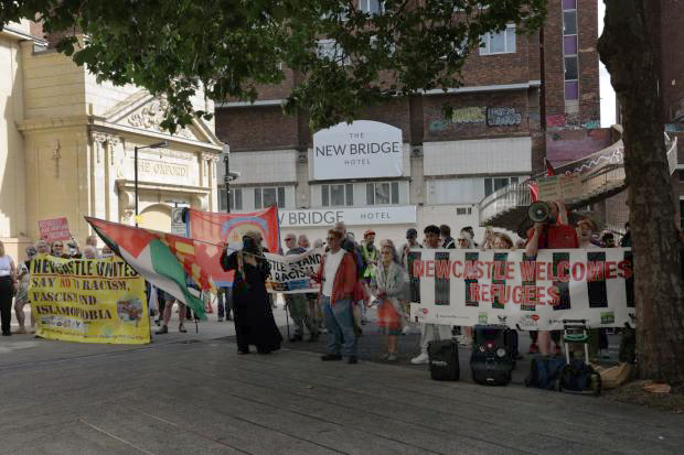
Welcome to Newbridge Hotel Newcastle upon Tyne – a charming oasis located in the heart of the vibrant city, just a short stroll from the renowned Theatre Royal and beautiful St James’ Park. Whether you’re visiting for business or leisure, the location ensures that you have easy access to the best of Newcastle, including fantastic shopping at Eldon Square and local attractions like the Metro Radio Arena.
Discover the essence of Newcastle from Newbridge Hotel, where every stay becomes a unique experience tailored to your needs.
Two sets of protestors gathered outside the New Bridge Hotel in Newcastle, as “Newcastle Welcomes Refugees” stood up to “Send Them Back” protesters who want an end to migrants being housed in the hotel.
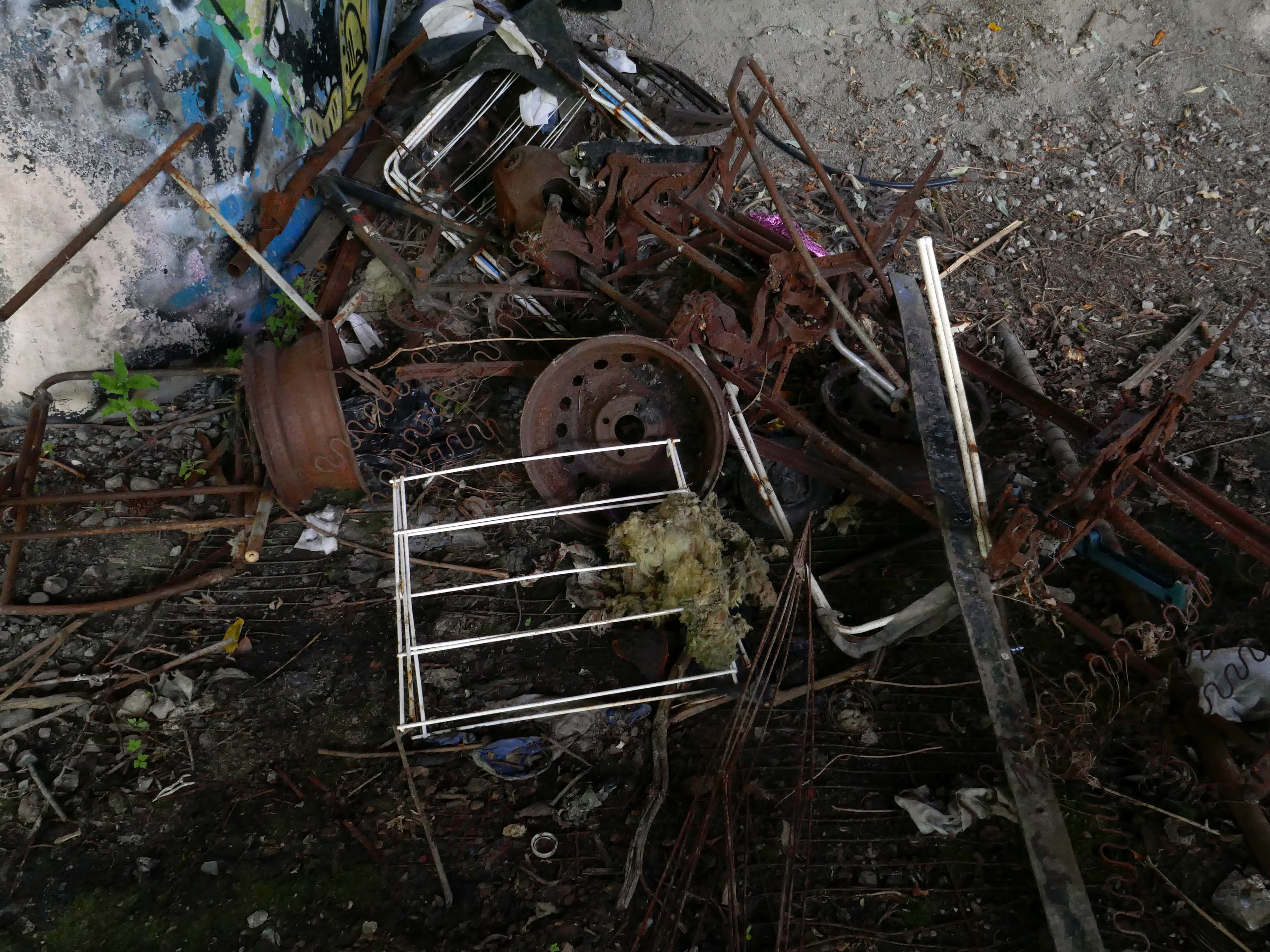
This is an inland island of anonymity, home to pigeons, shake can shakers and the terminally curious.
It always rains on Saturdays.
Happily, the sun always shines on Sunday.
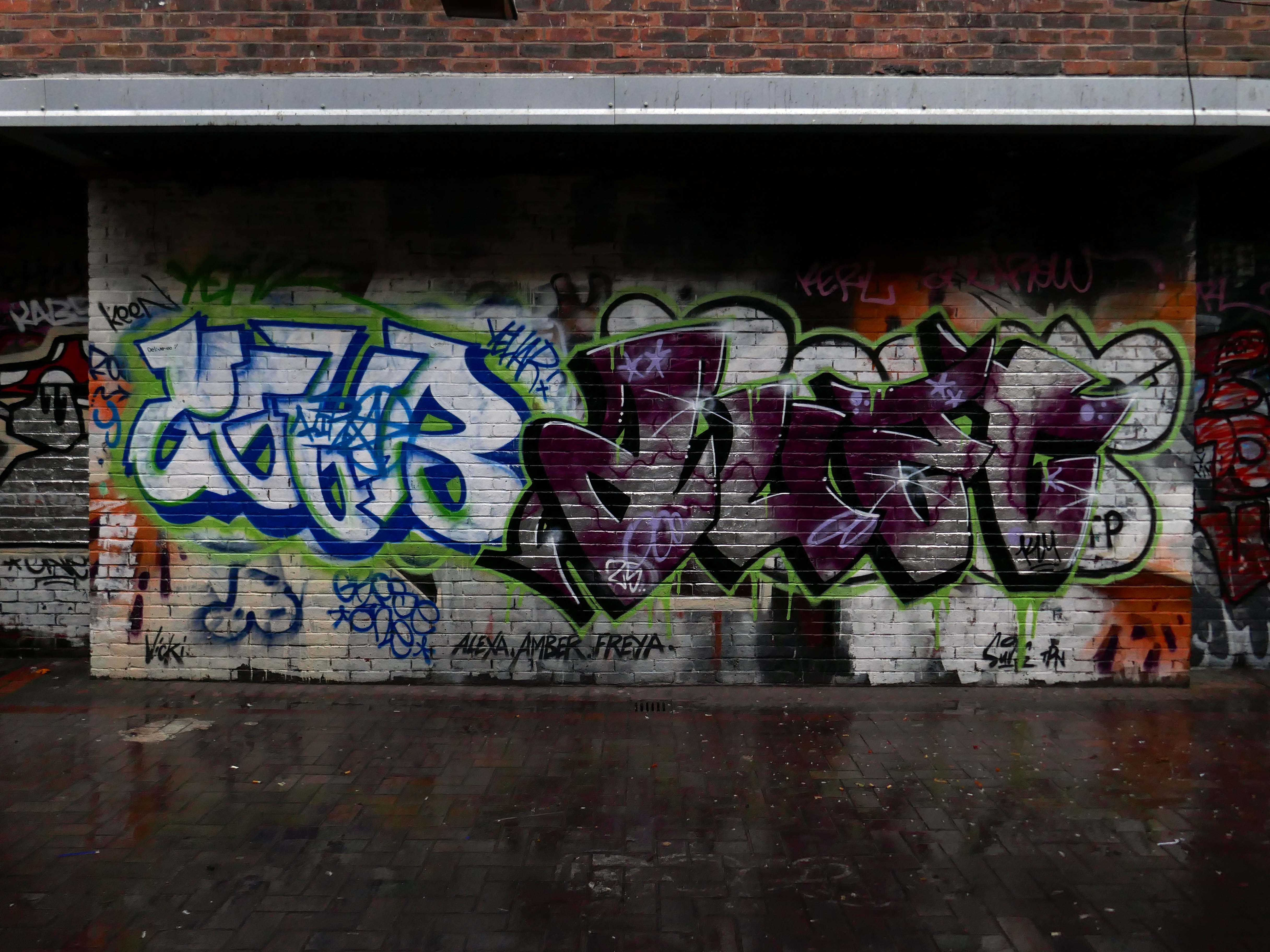
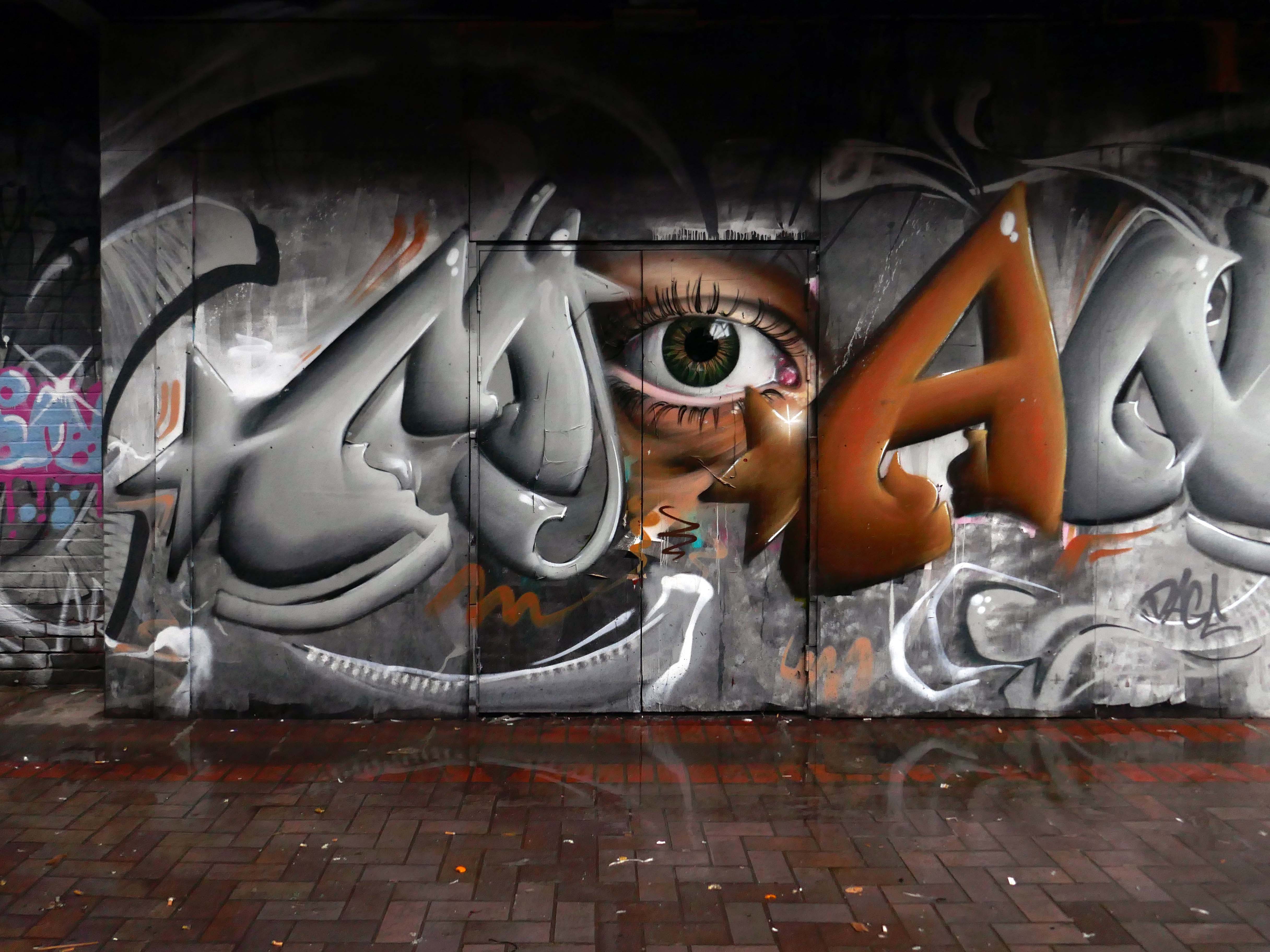
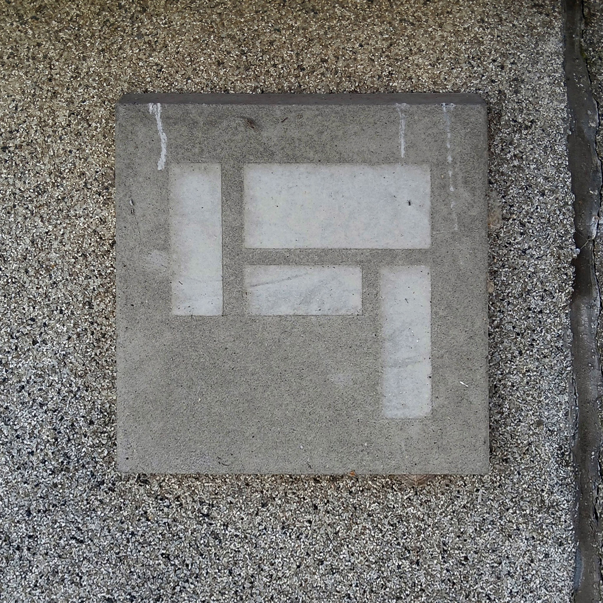
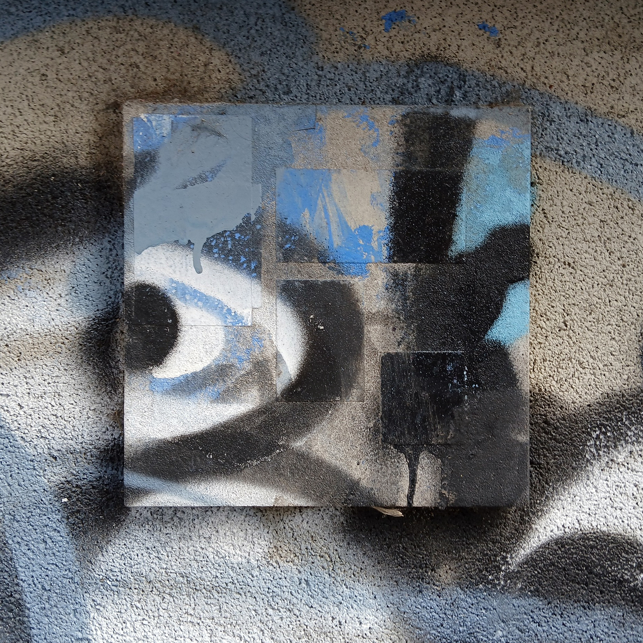
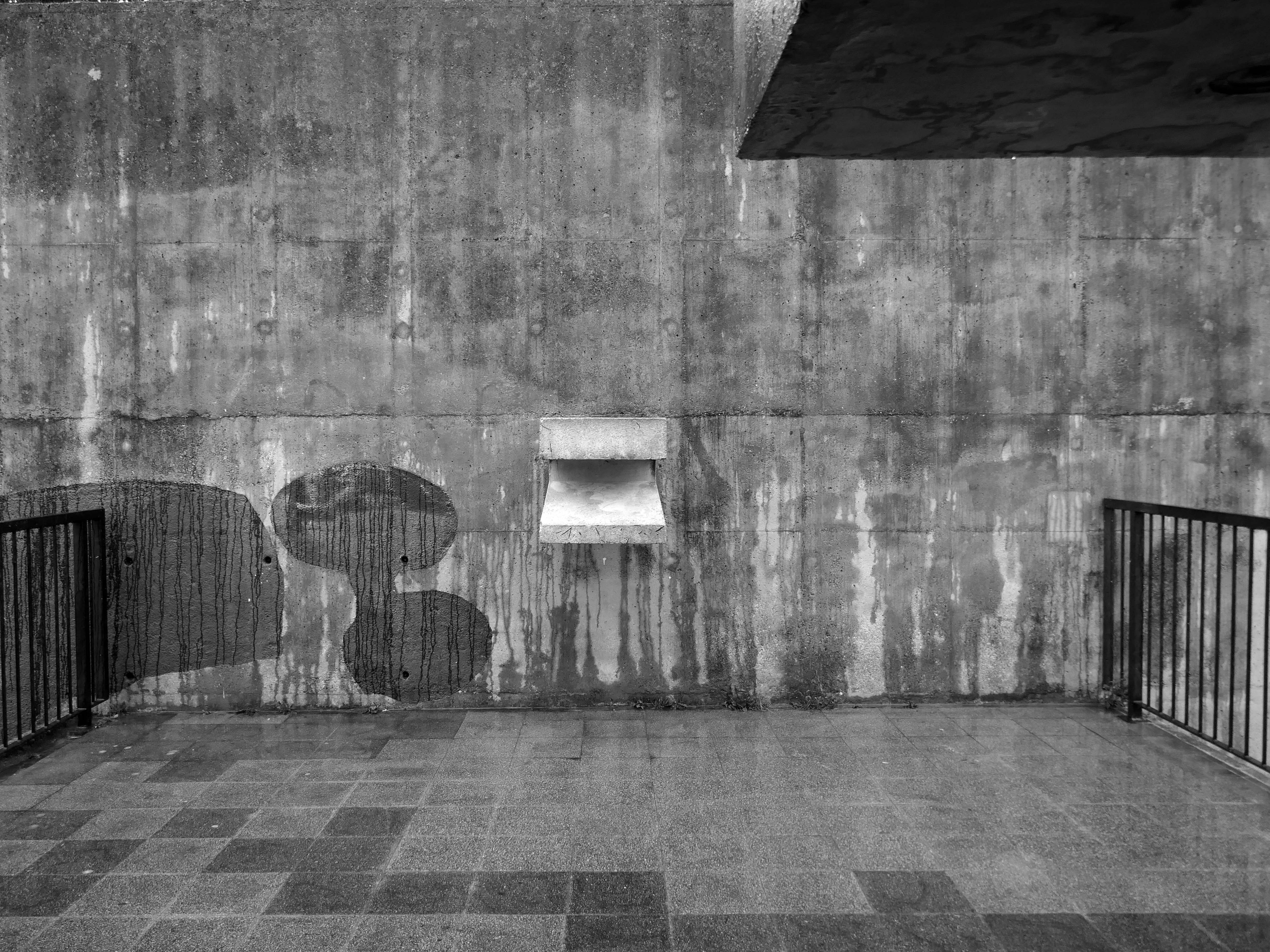
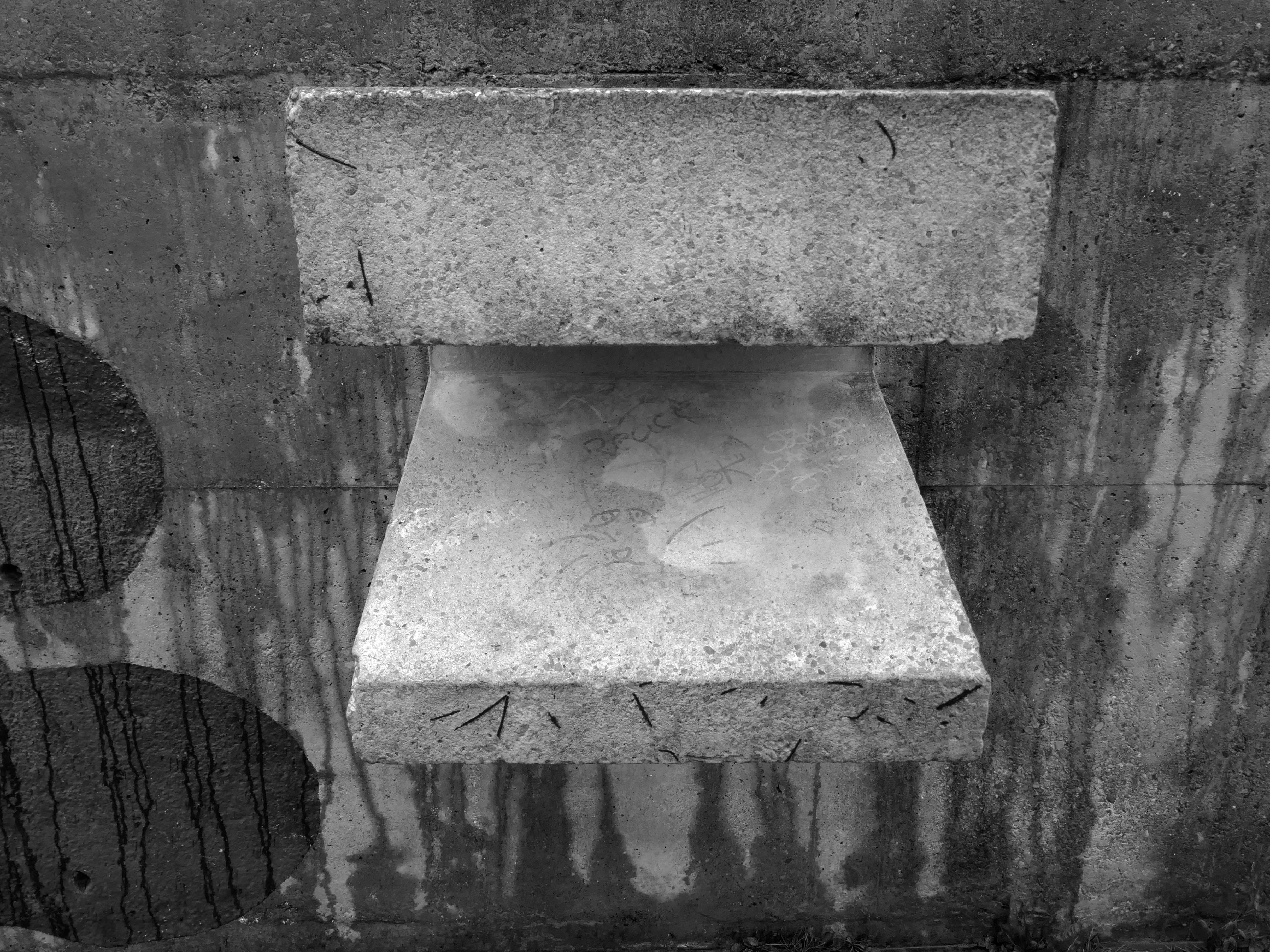
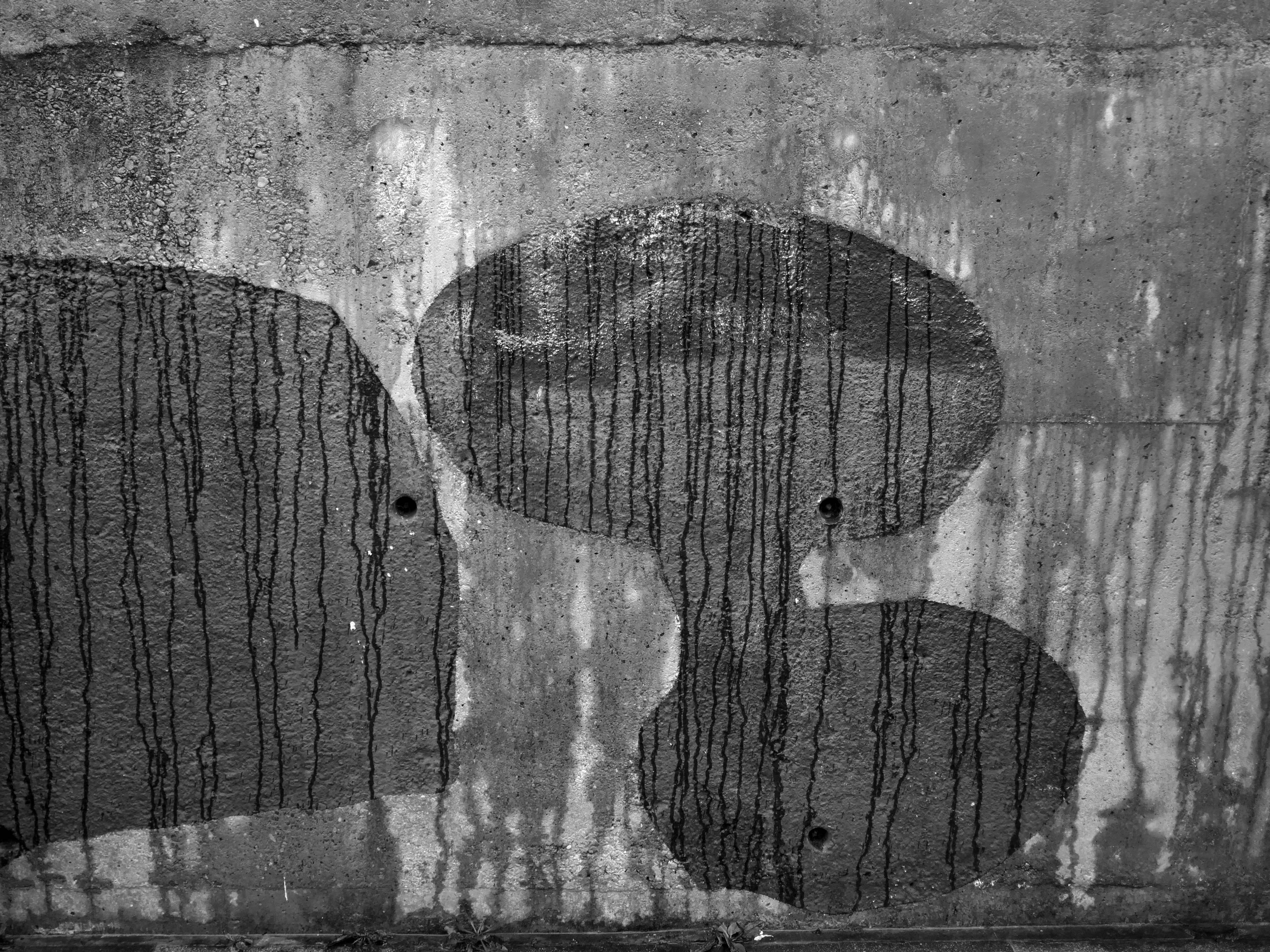
Hidden within and upon the walls of the walkways are these two cast concrete panels – the work of guerrilla artist Euan Lynn.
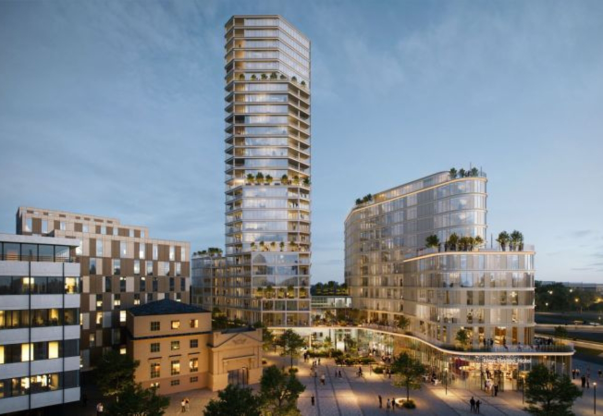
North east property group Gainford has unveiled its revised plan for a £170m residential and hotel project to transform Newcastle’s skyline.
It plans to redevelop a former Premier Inn site on New Bridge Street, with a 29-storey tower of 185 flats, alongside a separate 150-bedroom hotel, and bars, restaurants, and leisure space.
The idea for the Apollo Pavilion was the culmination of Victor Pasmore’s involvement with the planning and design of the new town of Peterlee in County Durham which began in 1954 with his appointment by AV Williams, the General Manager, as a consultant architectural designer to the Corporation. The brief was to inject a new initiative into the new town’s design, which had been limited by practical and financial constraints. The early departure of Berthold Lubetkin from the original design team, and the limitations imposed by building on land subject to underground mining, had led to a deterioration in the quality of the architecture being produced at Peterlee.
The Apollo Pavilion, created by Victor Pasmore in 1969, is designated at Grade II* for the following principal reasons: Architectural interest: the structure is of very high architectural quality, forming the centrepiece of a registered landscape Artistic quality: the only truly three-dimensional work by the internationally known artist Victor Pasmore, the Pavilion is an abstract work of art, a demonstration of Constructivist ideas on a large scale and an expression of brutalist architecture Setting: the setting of the structure is the centrepiece of the registered Pavilion Landscape and as such survives intact.
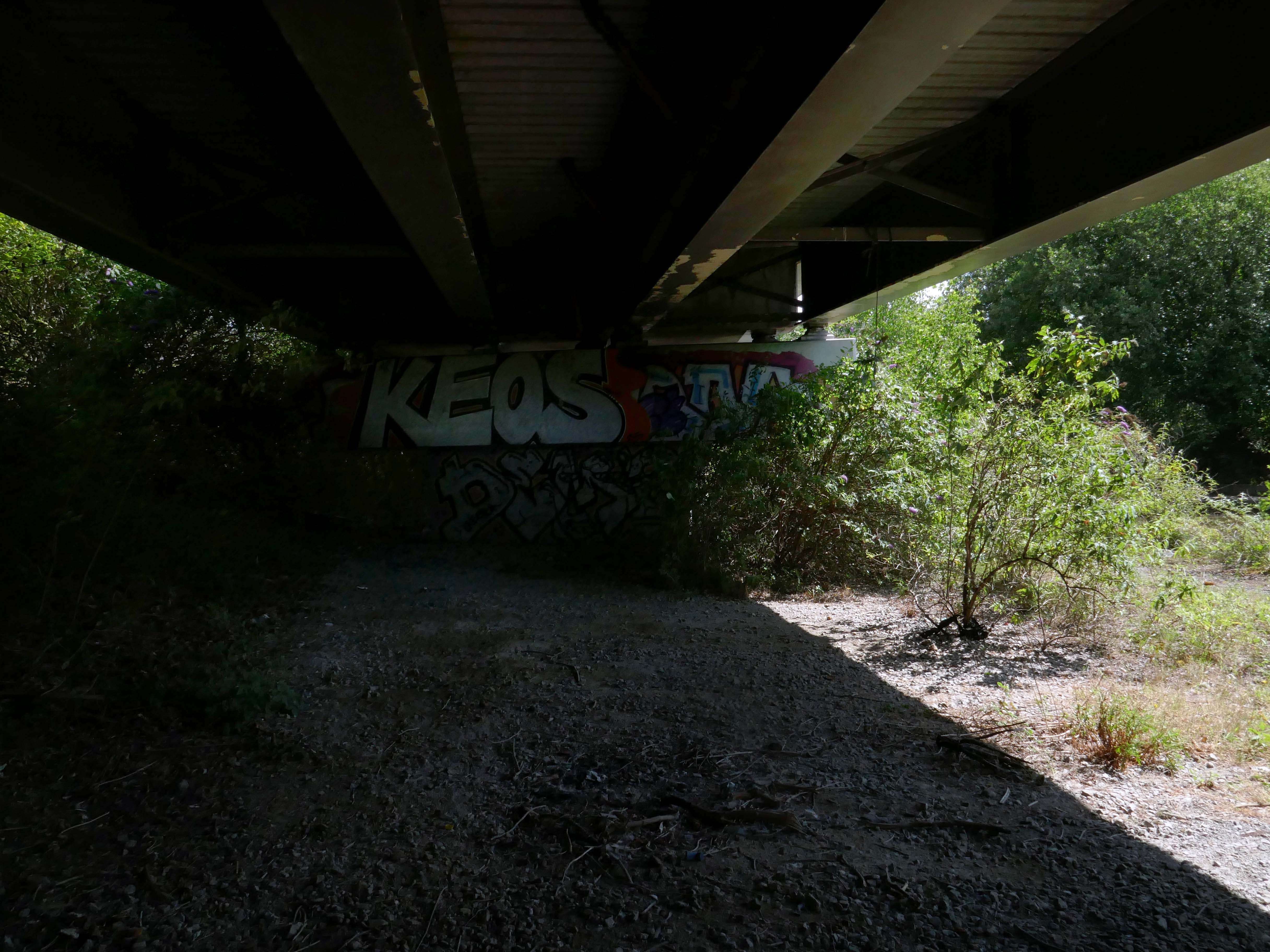
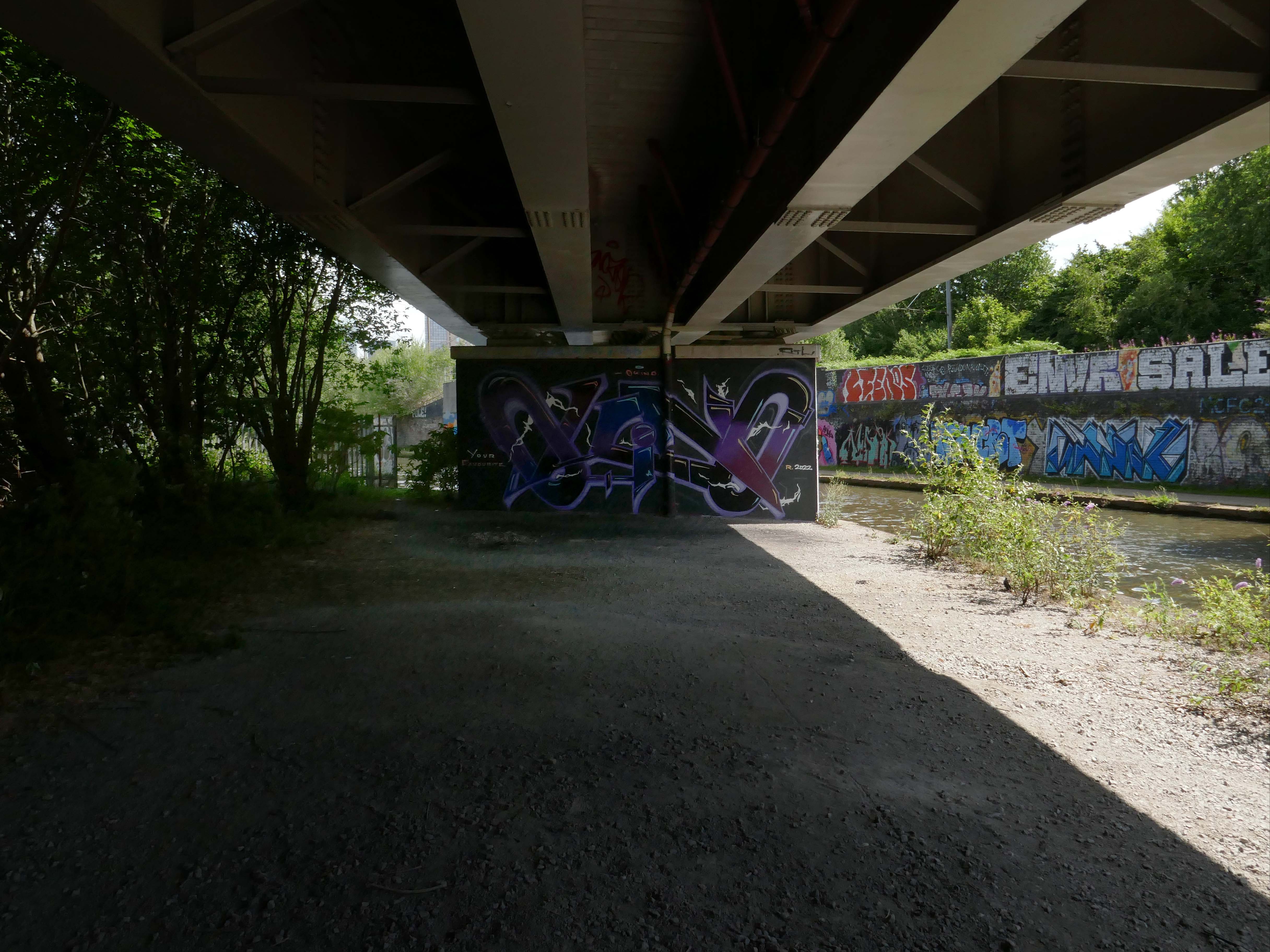
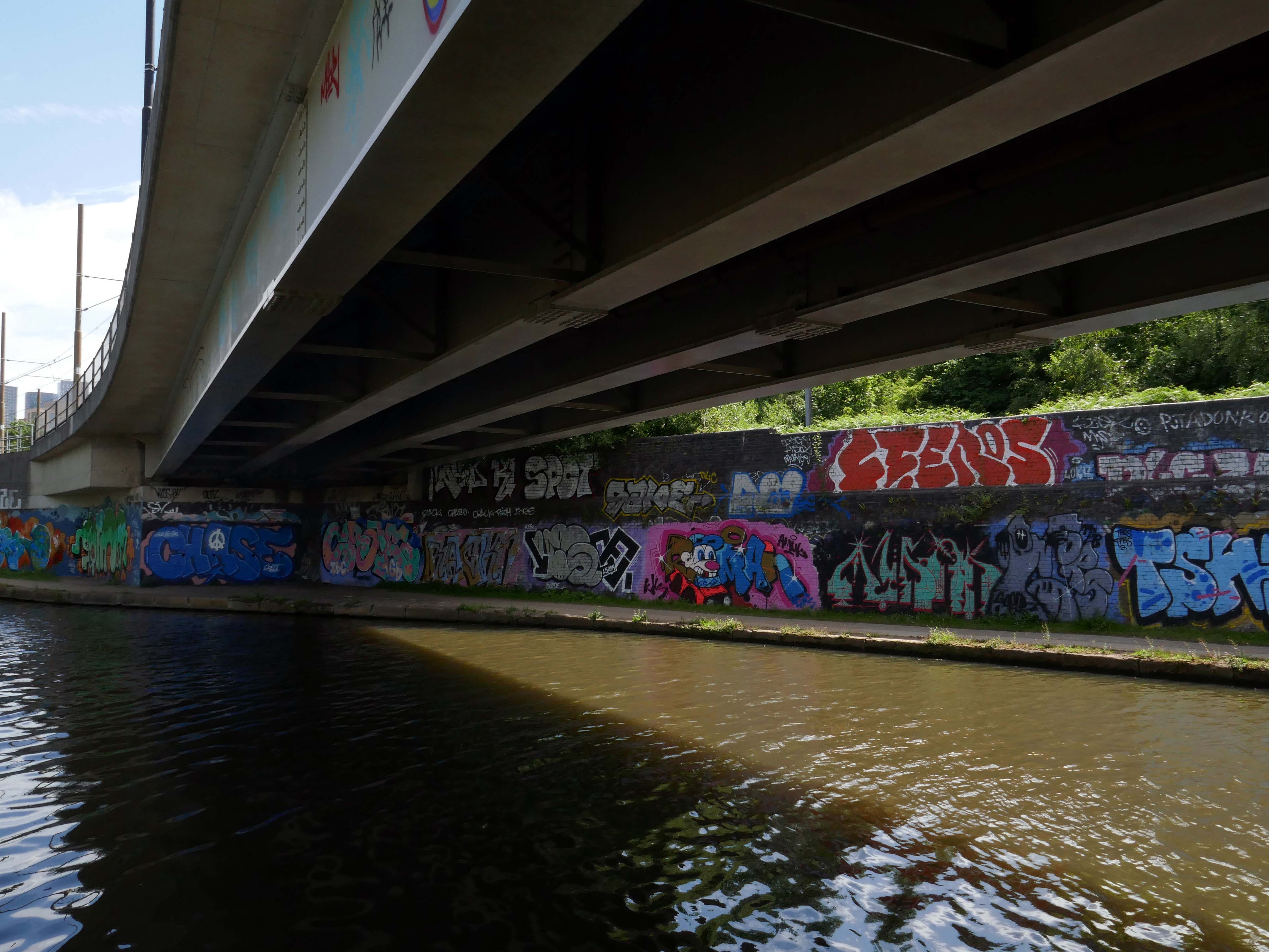
A bit of stream-of-consciousness slapstick, wall-to-wall with visual gags, editing tricks, and effects.
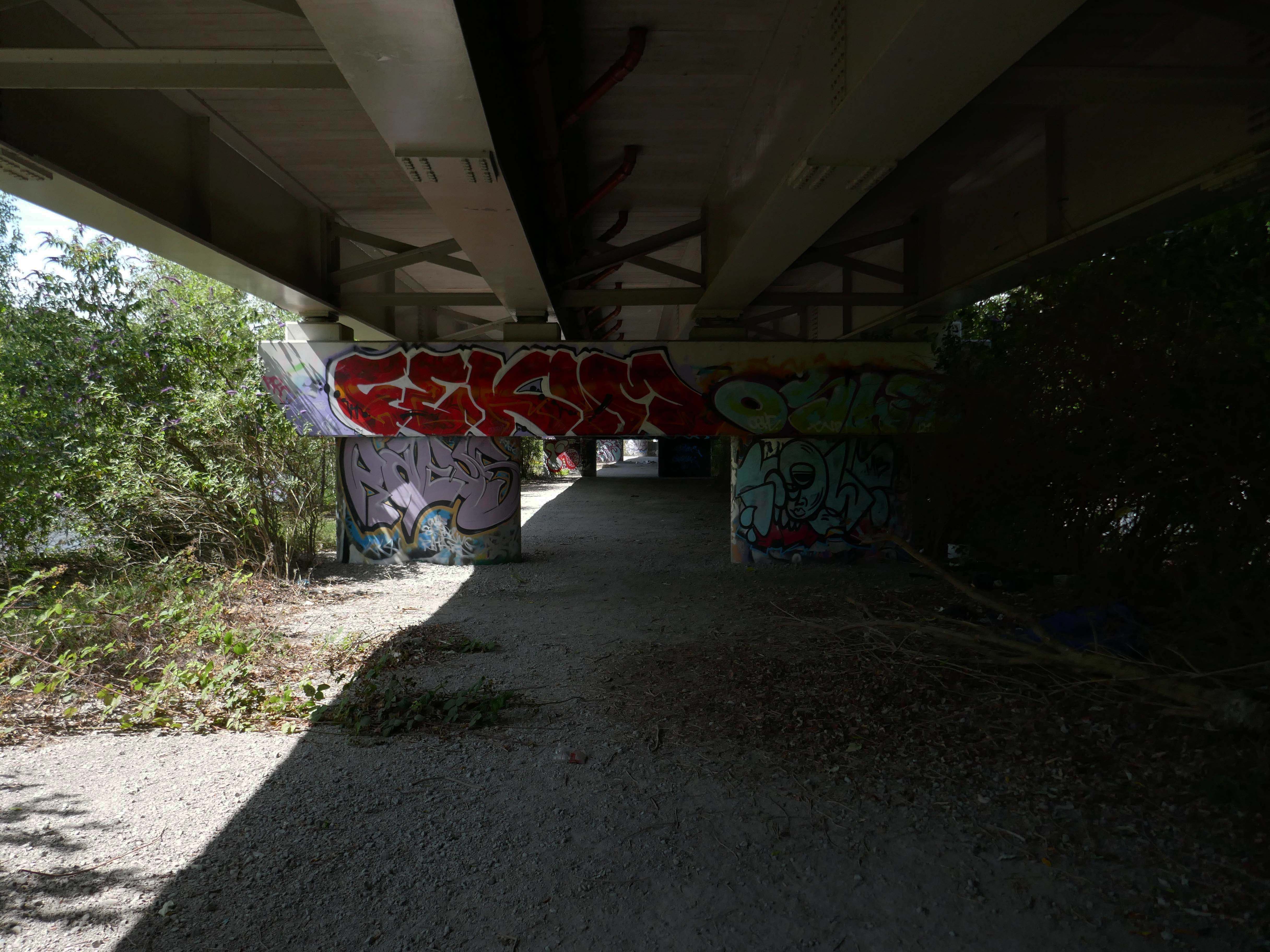
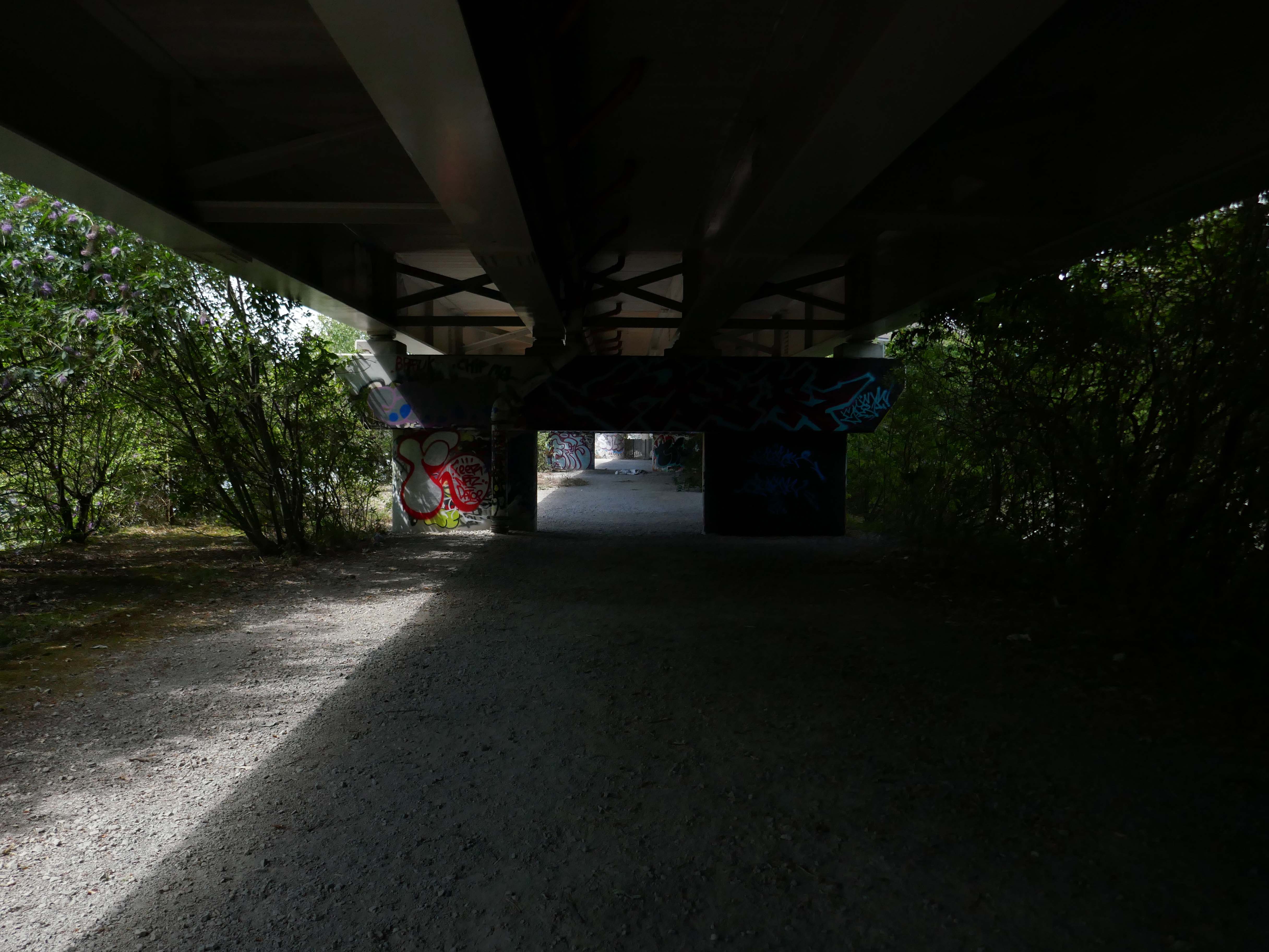
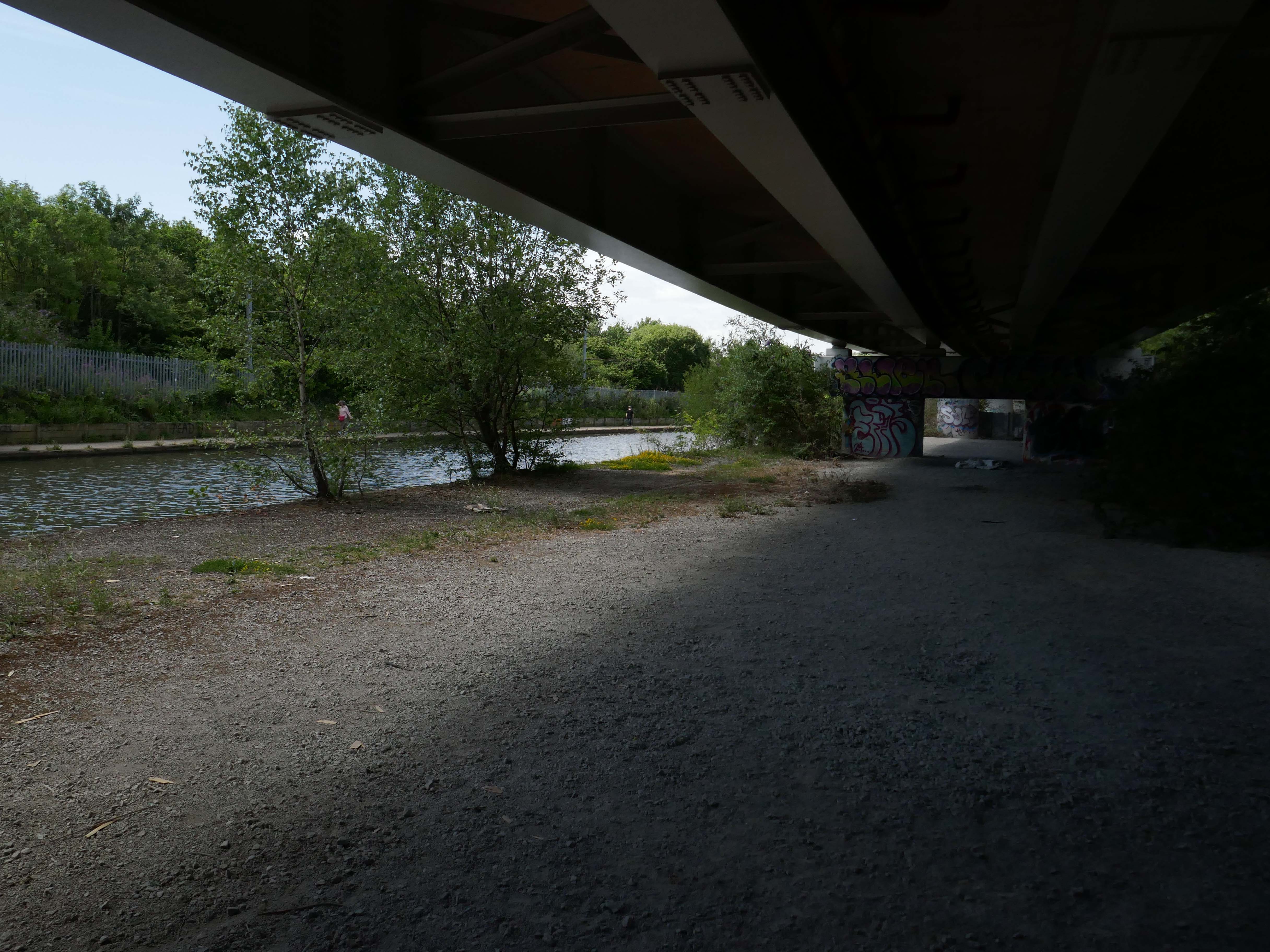
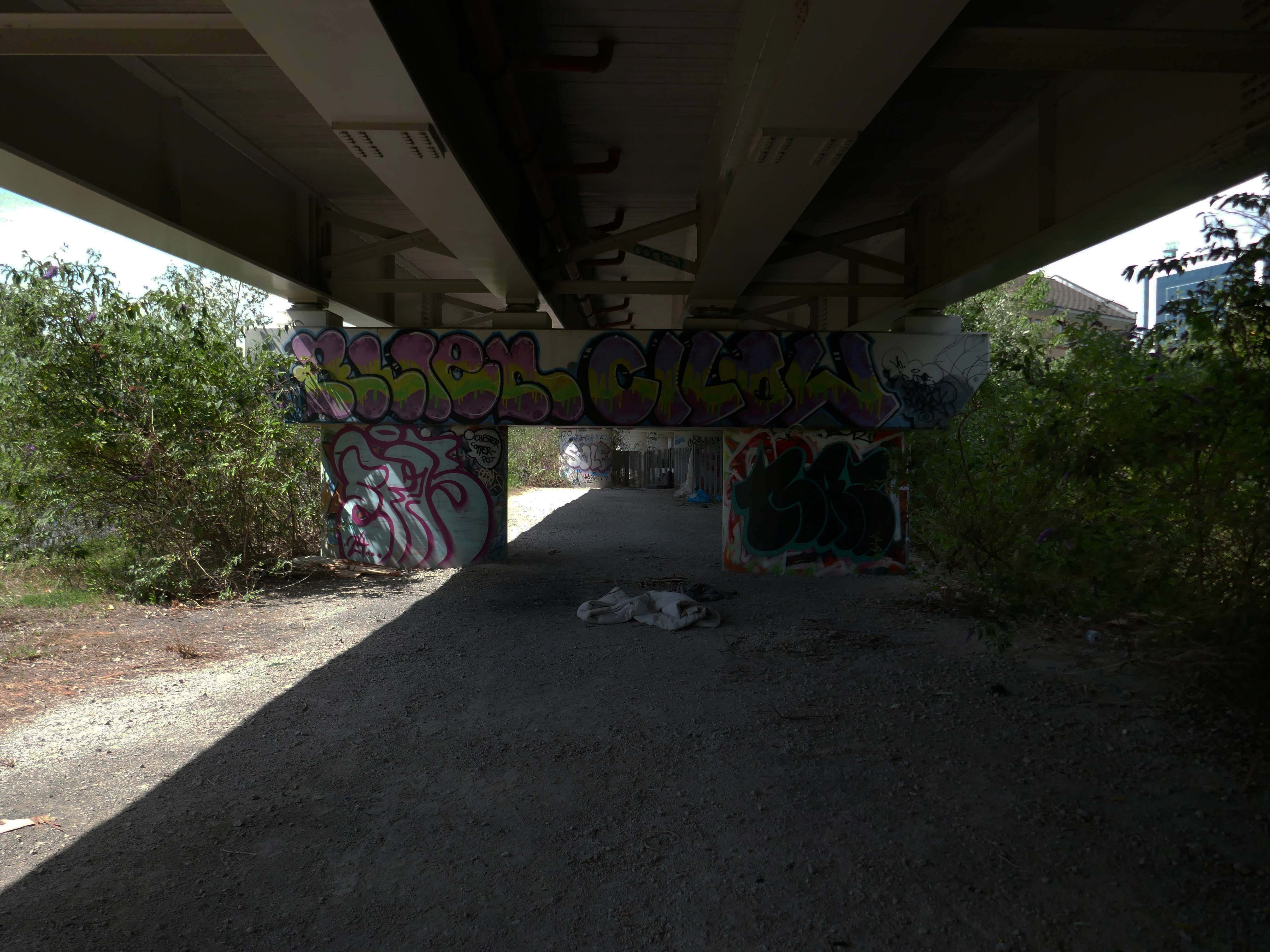
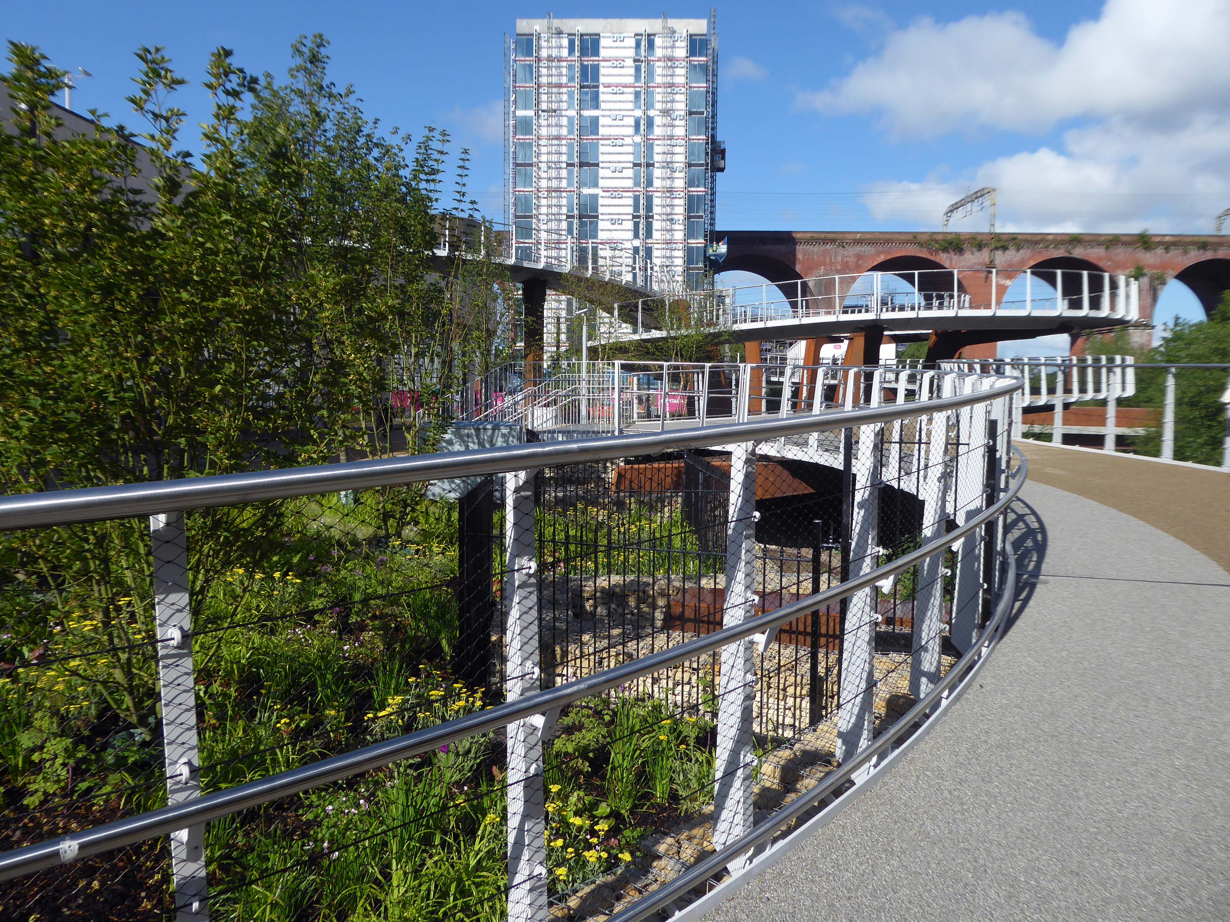
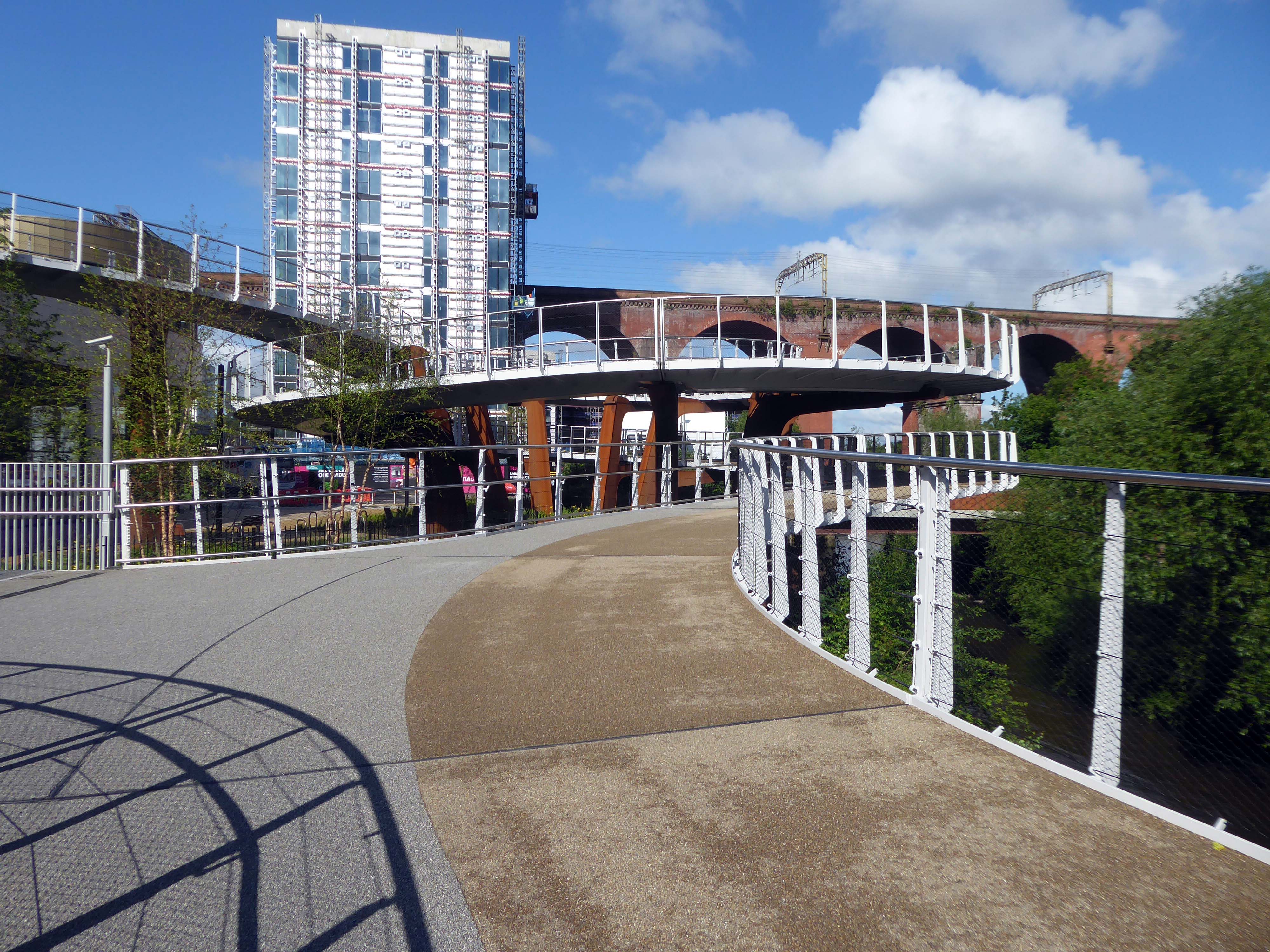
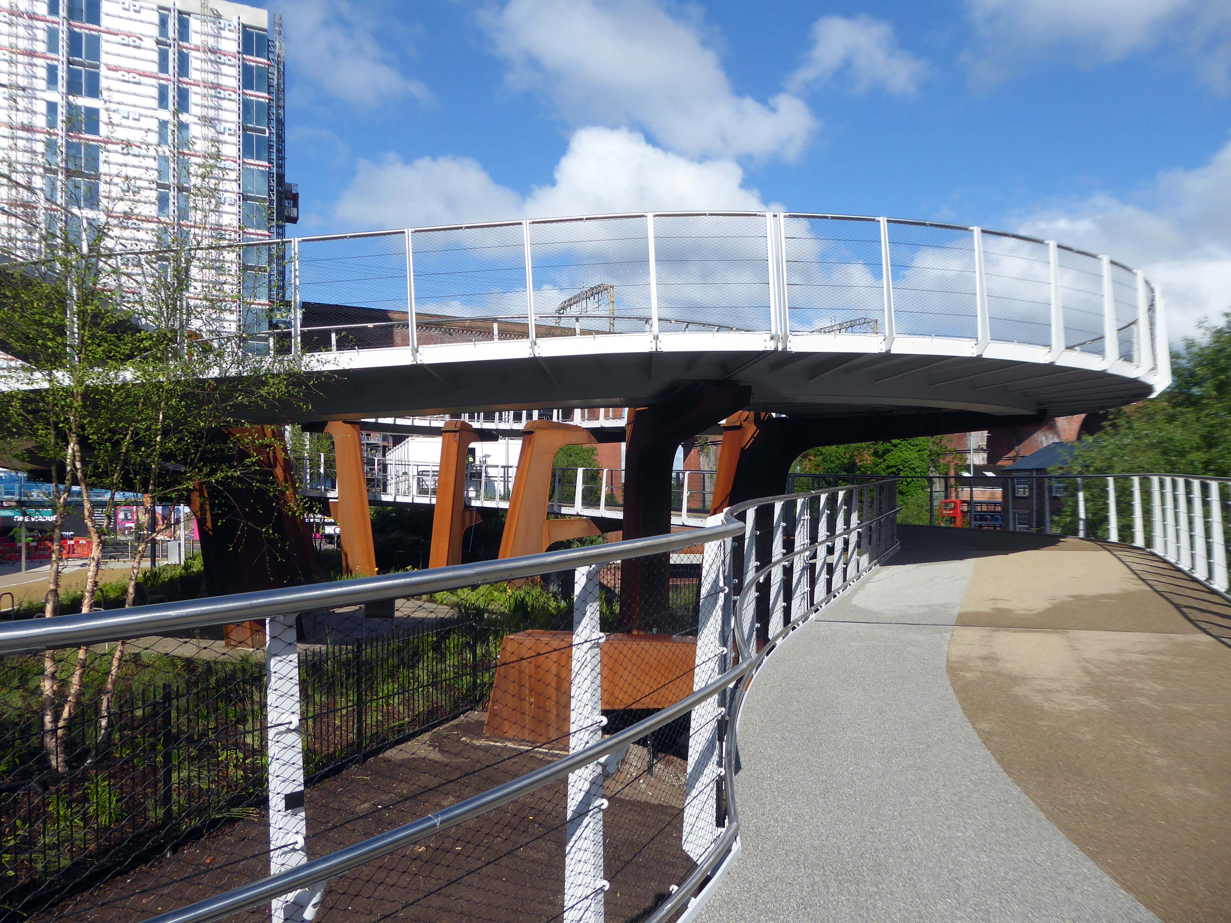
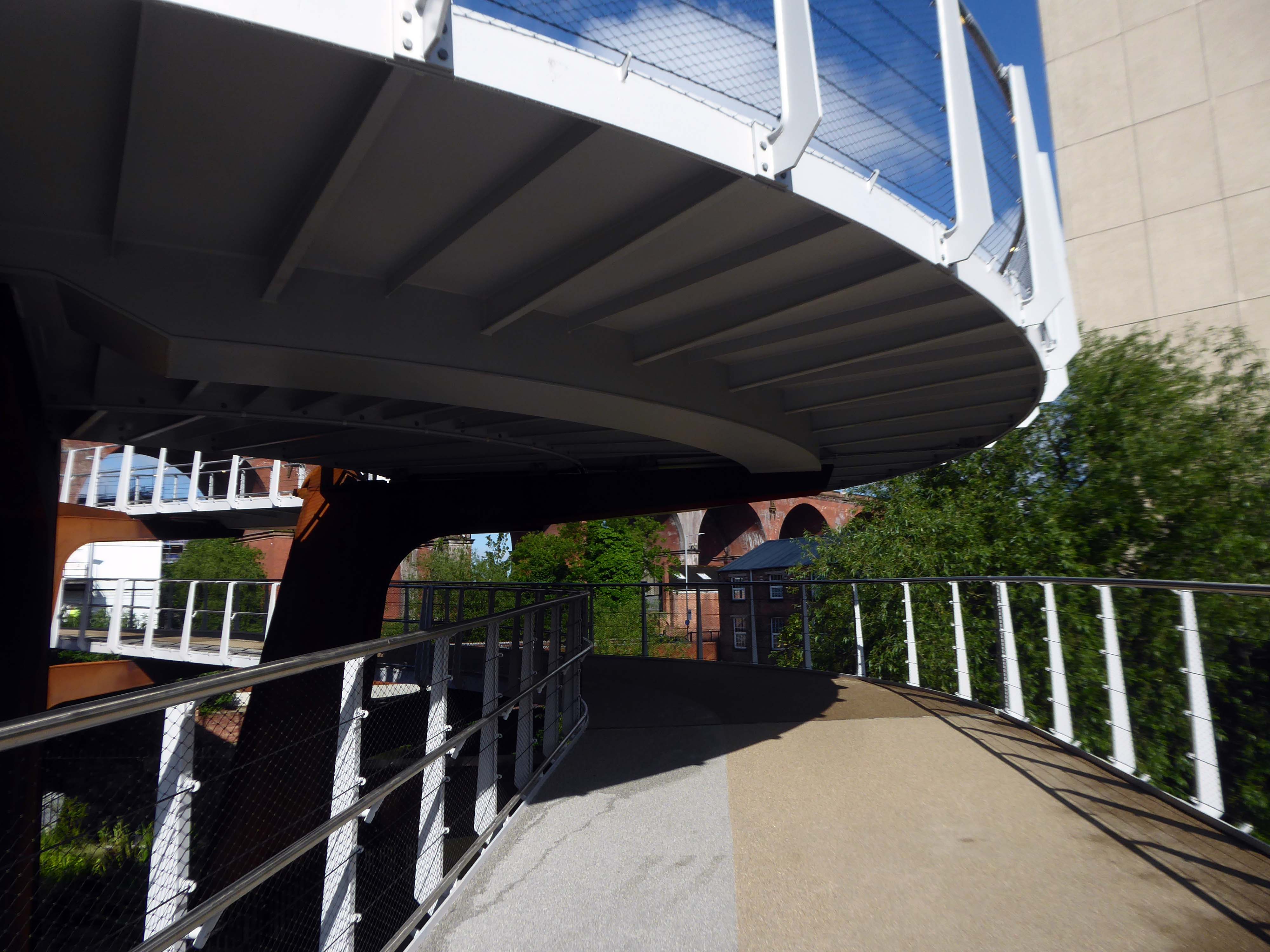
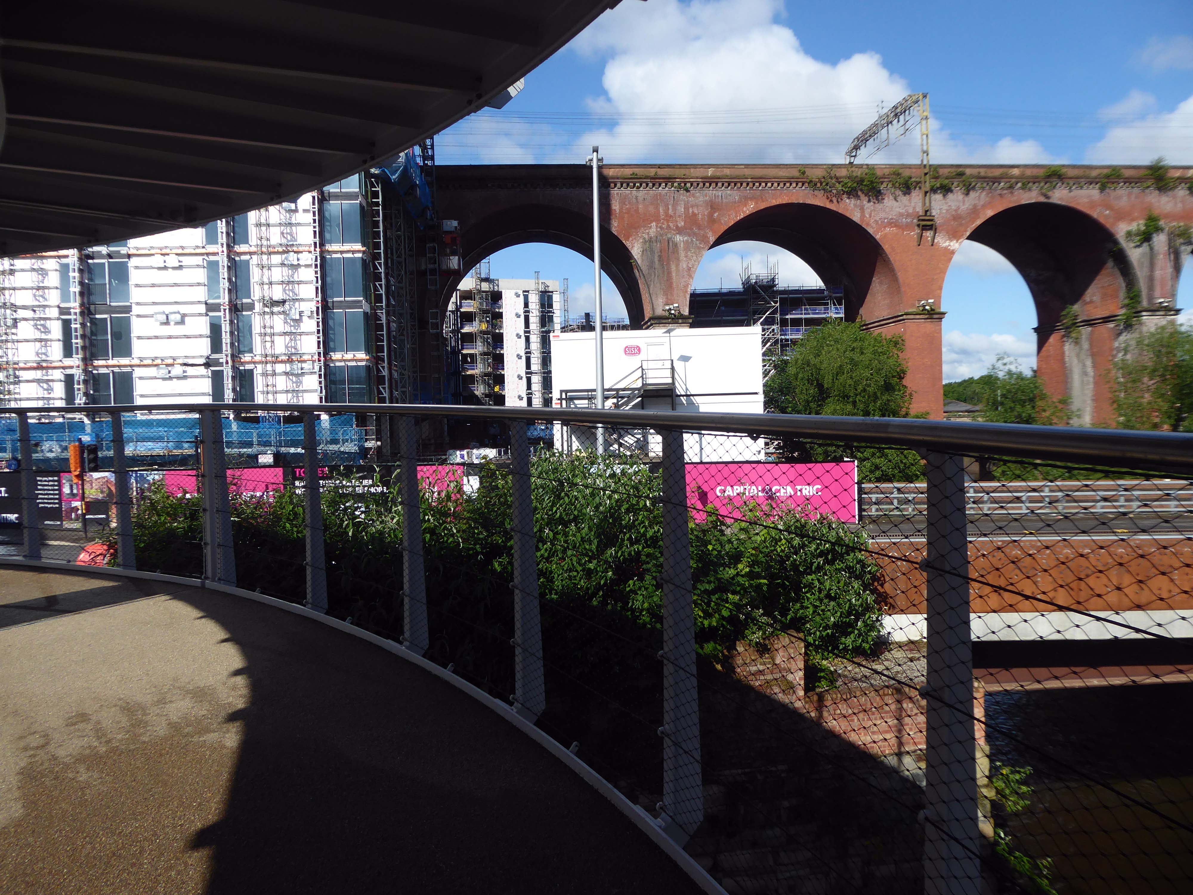
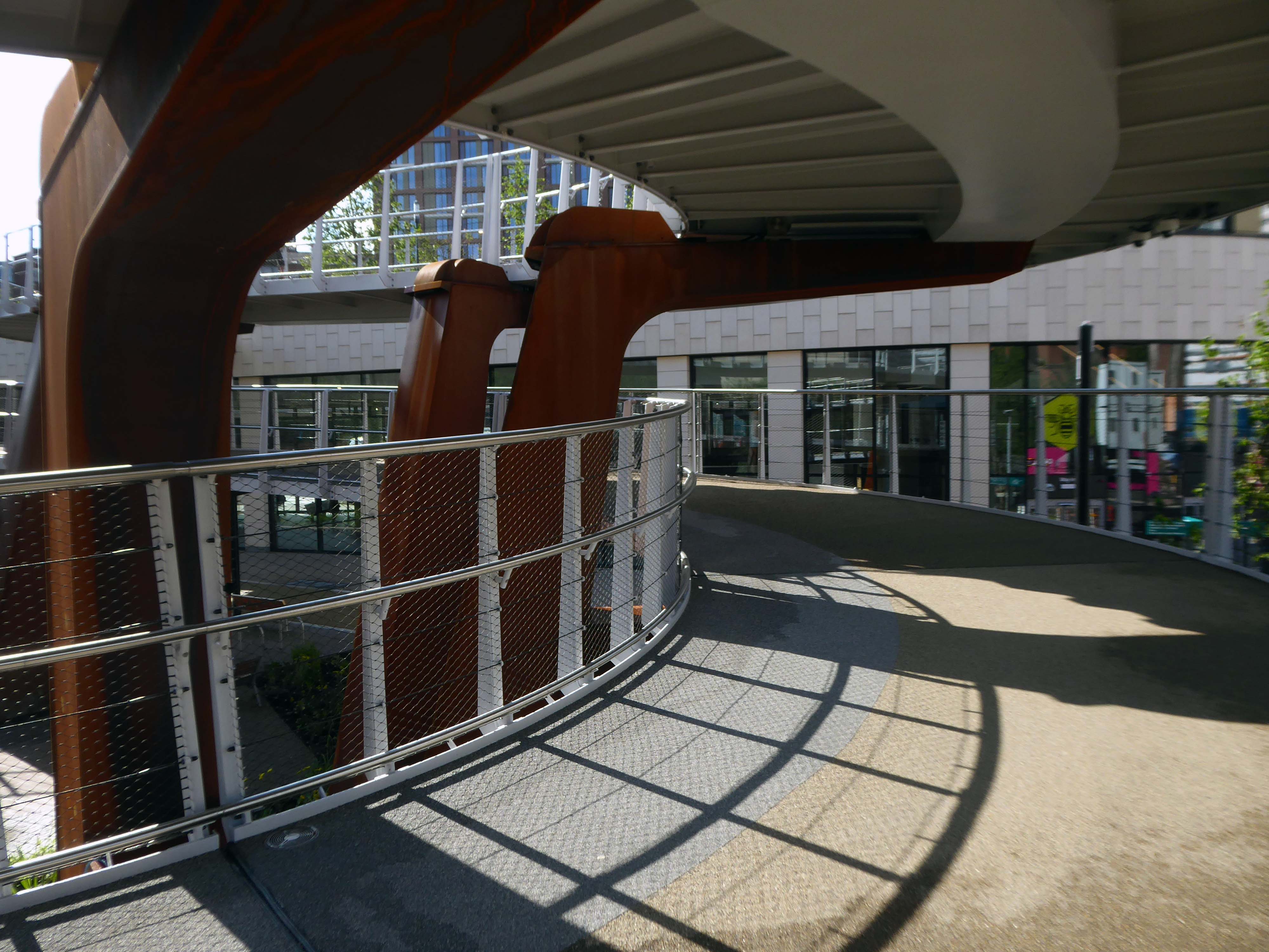
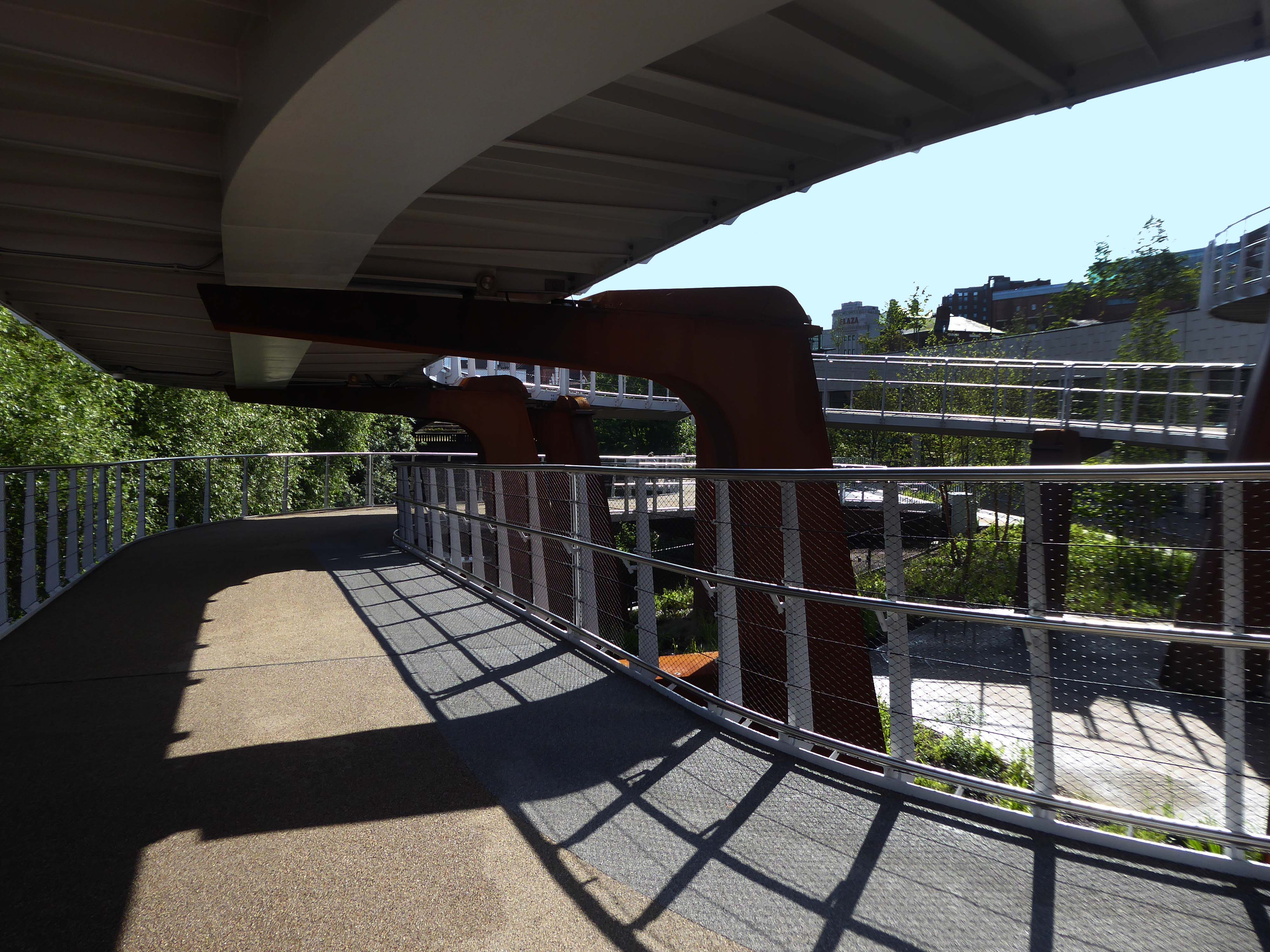
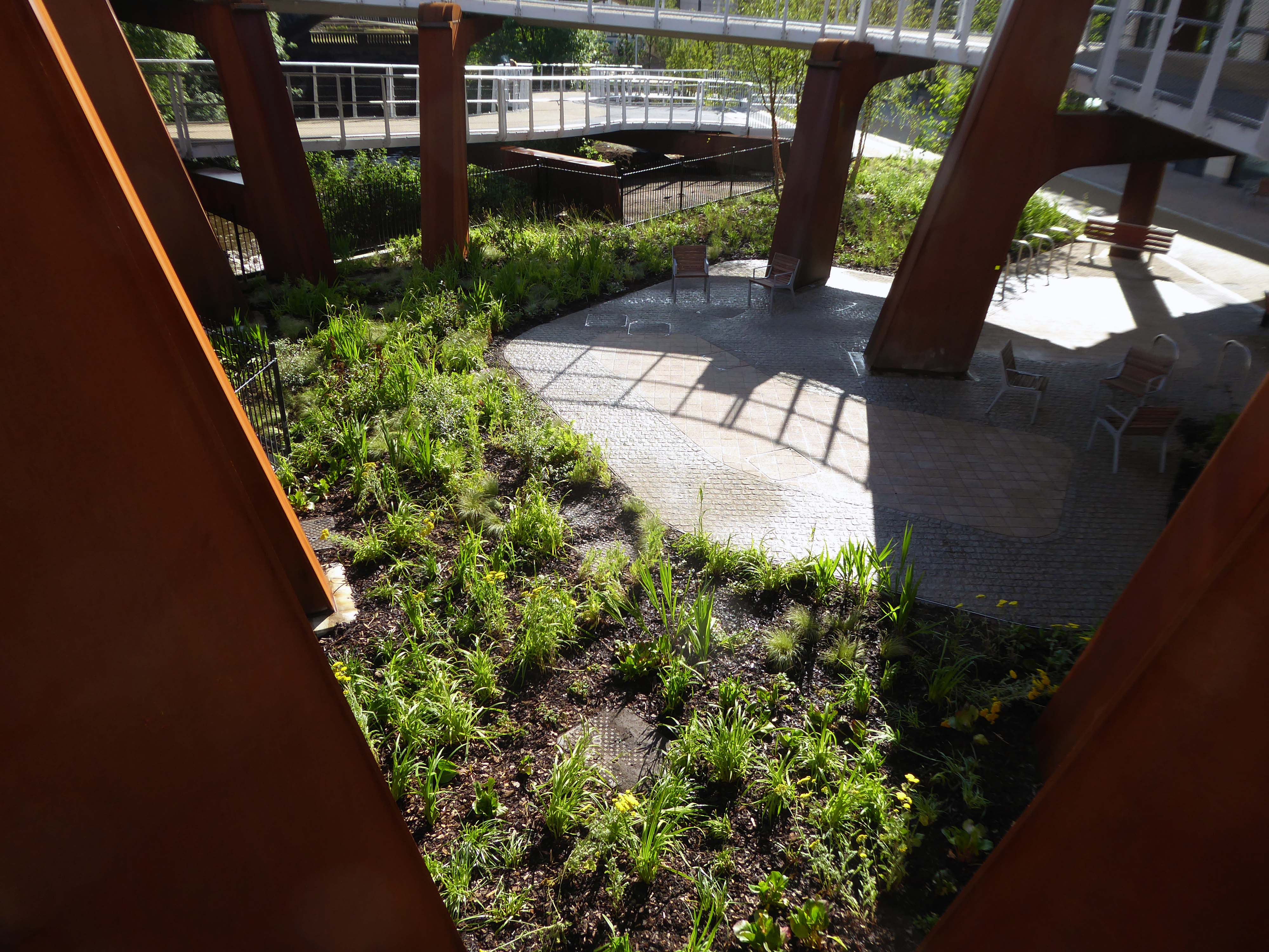
I was out and about exploring Pomona Island when I chanced upon the path which led to the ramp that carries the Metro from Trafford Bar and Pomona to Cornbrook.
It proved to be what is currently known as an immersive experience, not unlike a Gong Bath.
Firstly, some participants become so relaxed that they fall asleep, and the body uses this time to re-balance, restore and nurture itself. Most people however, flit in and out of consciousness and notice their physical, mental, emotional, and spiritual responses during the Gong Bath. This opens the possibility of becoming aware of the ‘chattering mind’, your mood or emotional state, visual experiences, physical sensations, intuitive insights, inner wisdom, or spiritual encounters. By keeping your eyes closed and not falling asleep, people can often have a far richer experience.
Except in this instance, one is surrounded by the tumultuous roar of tram upon concrete and steel, with the extra added bonus of pungent canal and associated detritus aromas.
By keeping your eyes open and not falling asleep, people will have a far richer experience.
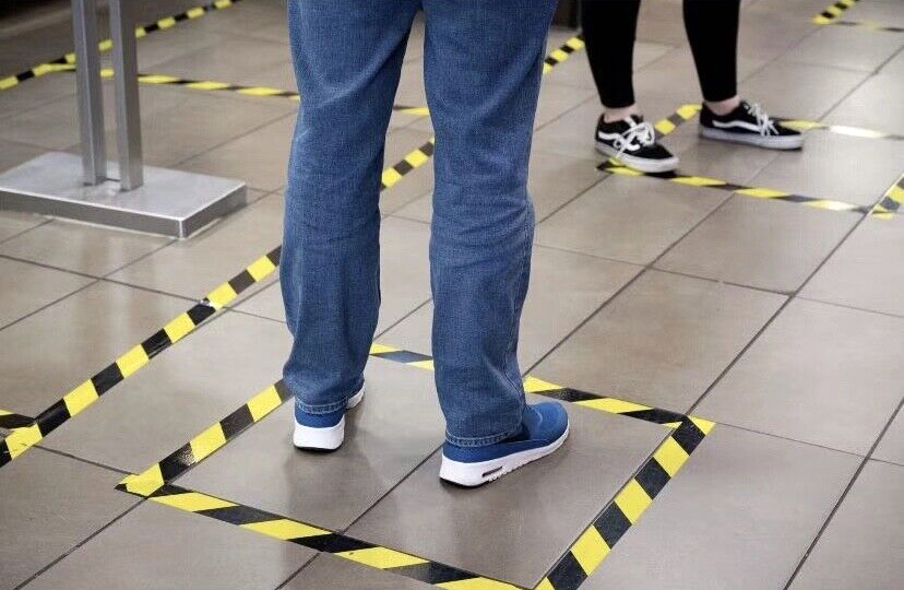
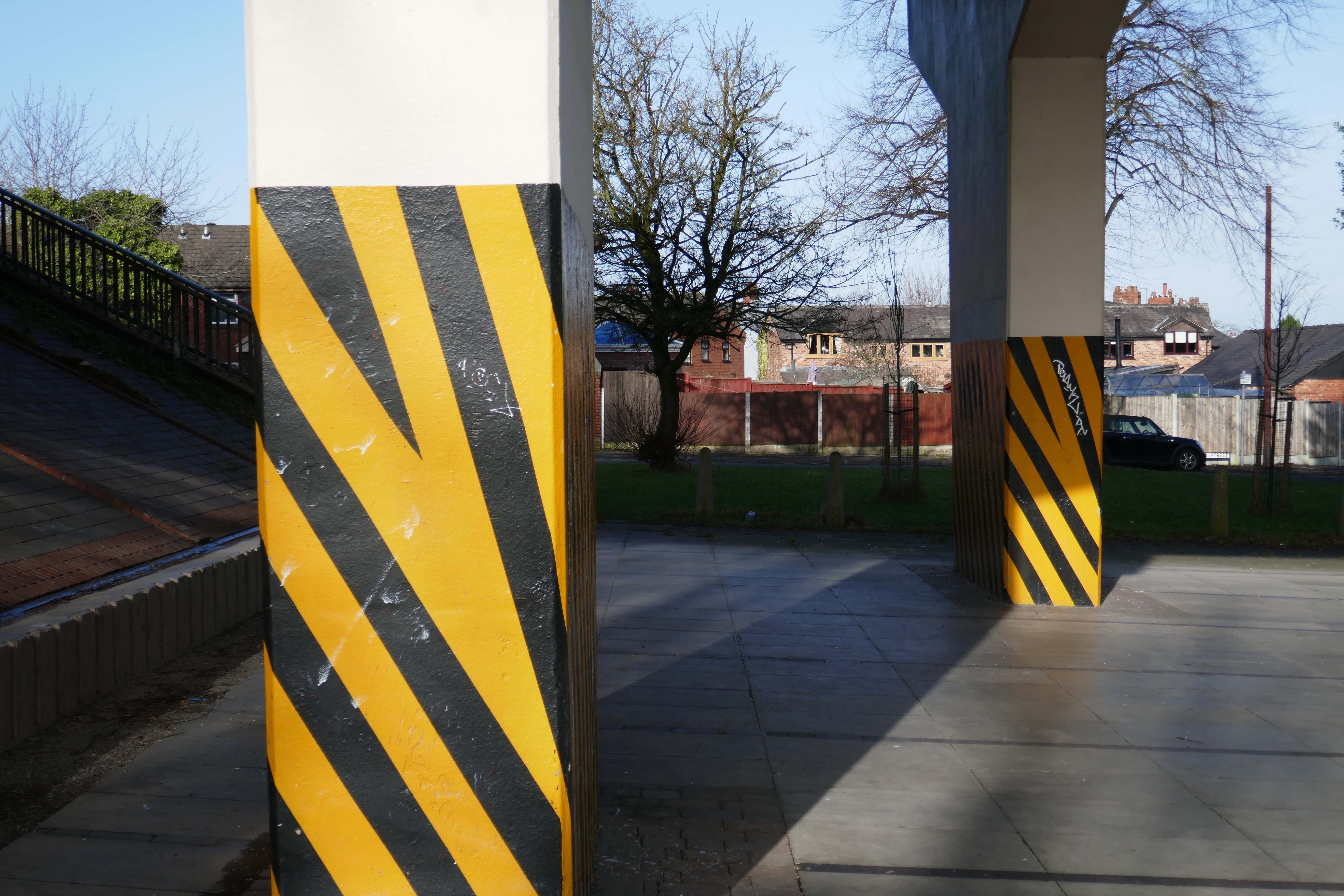
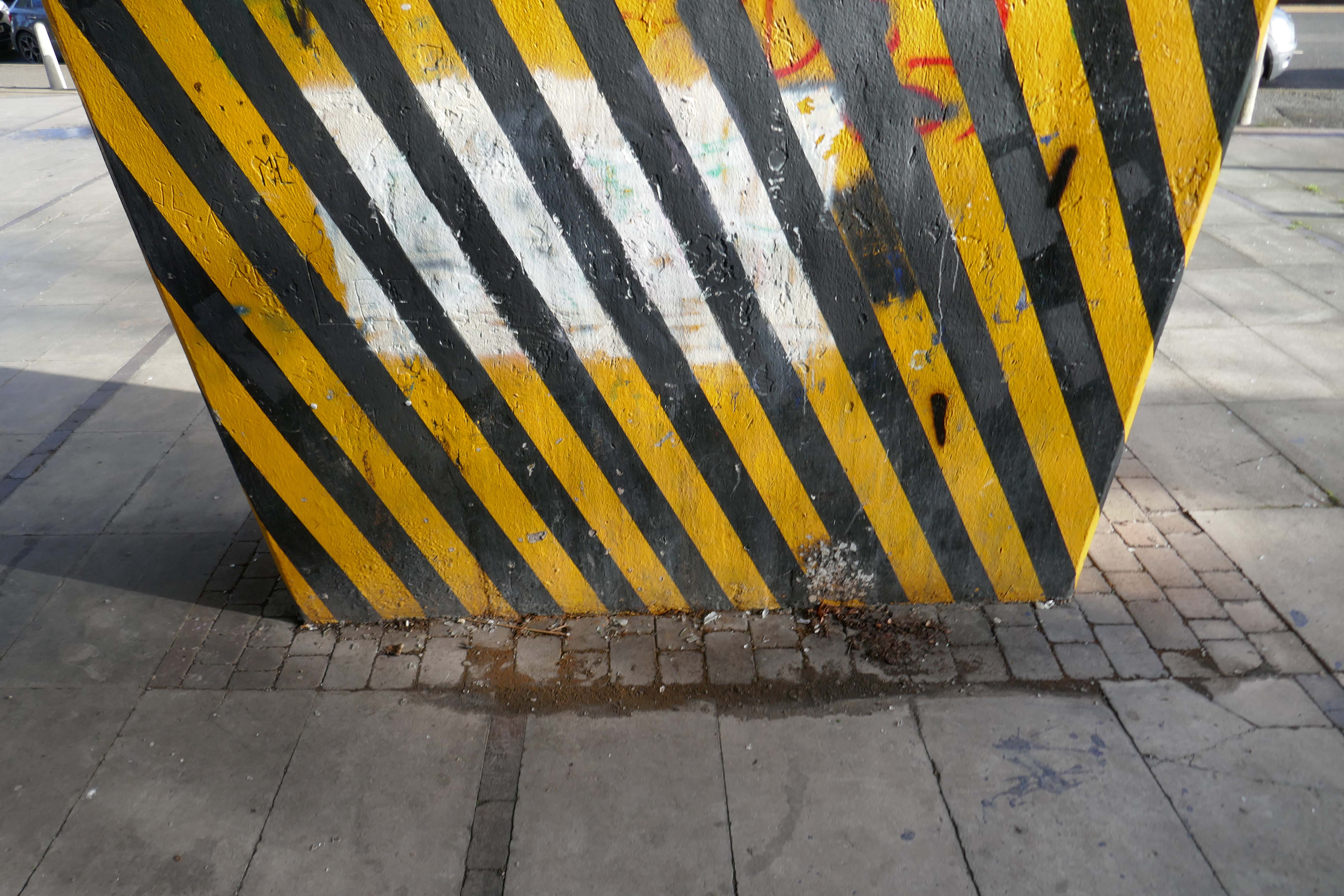
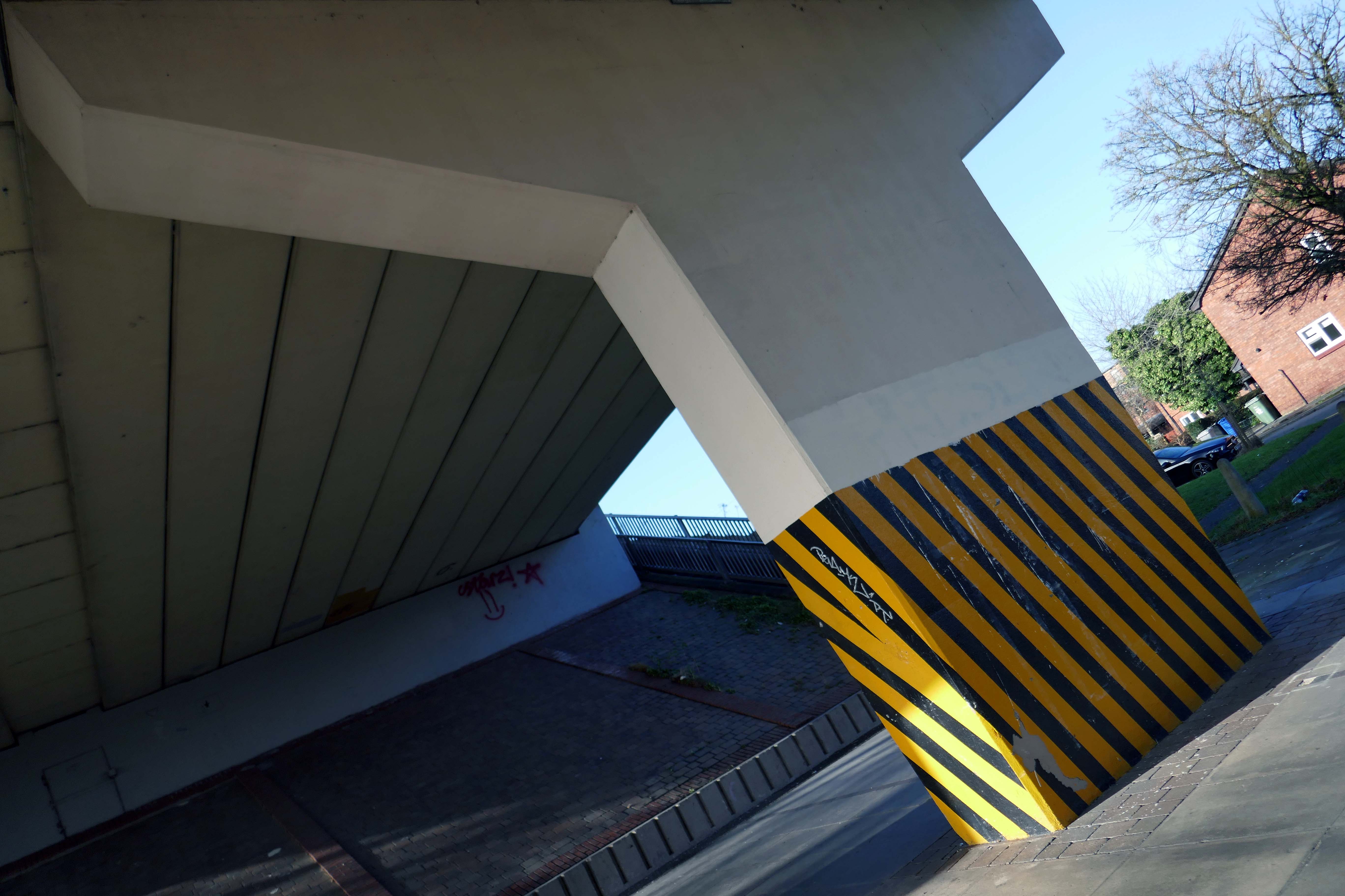
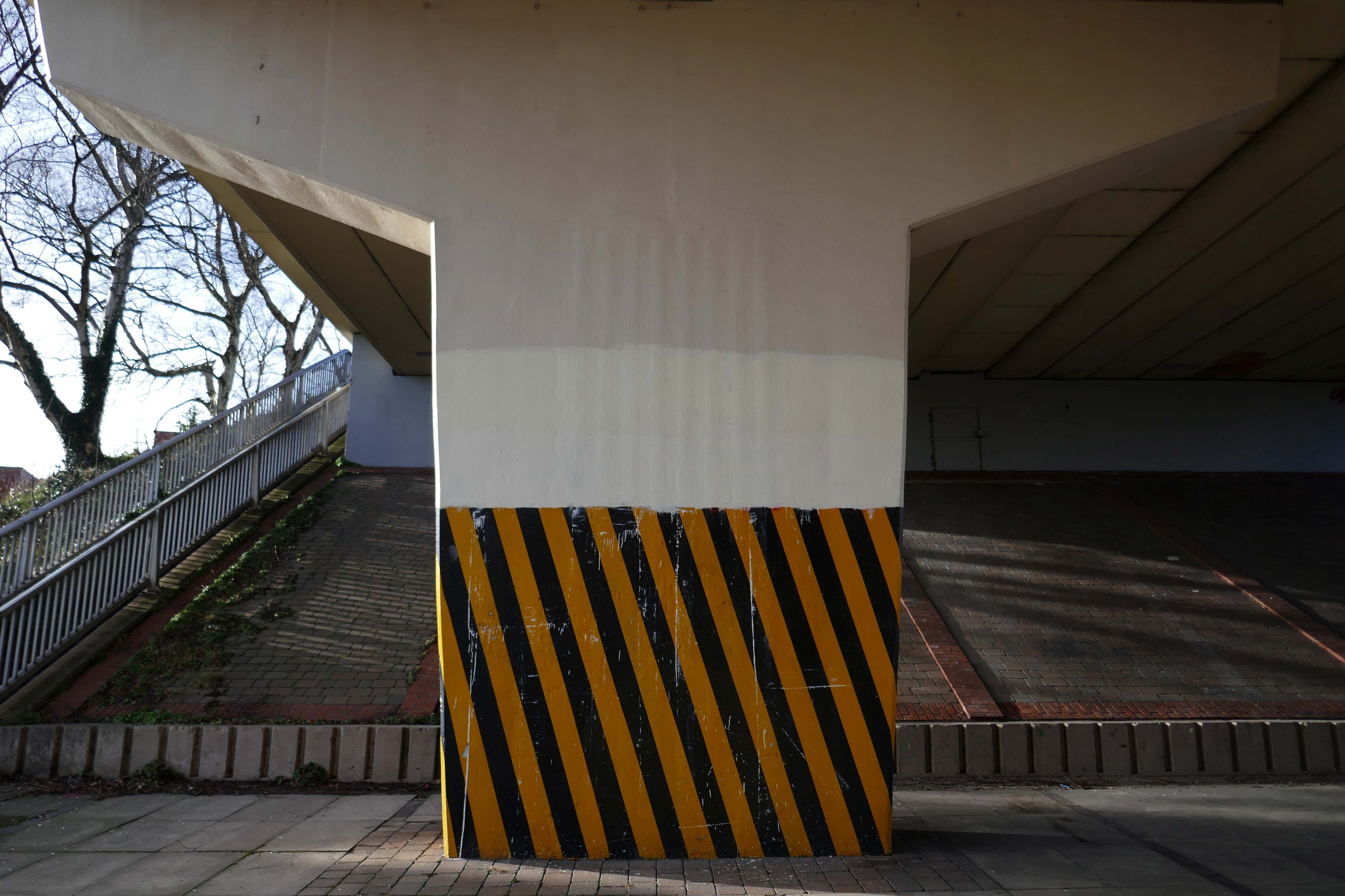
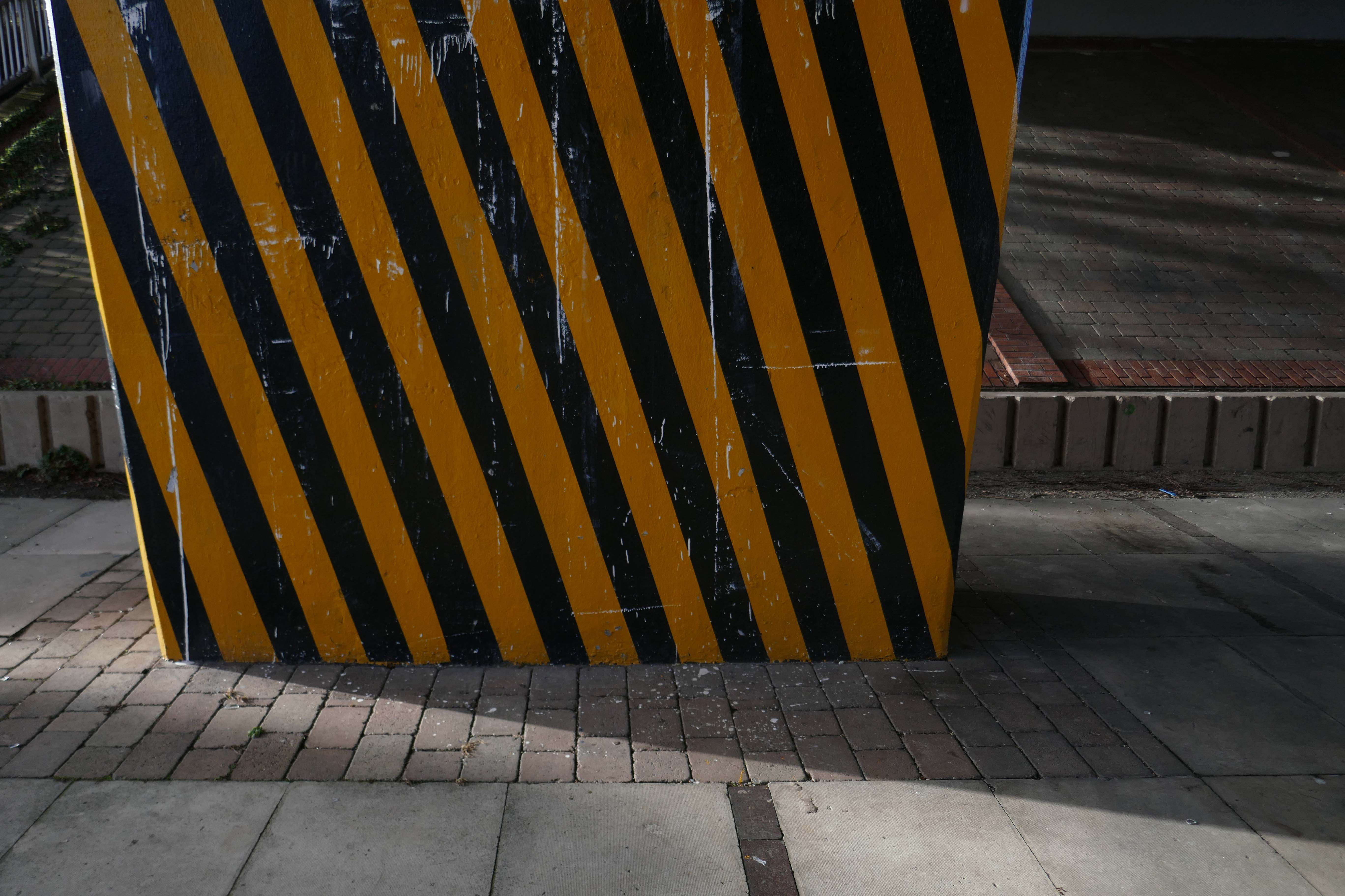
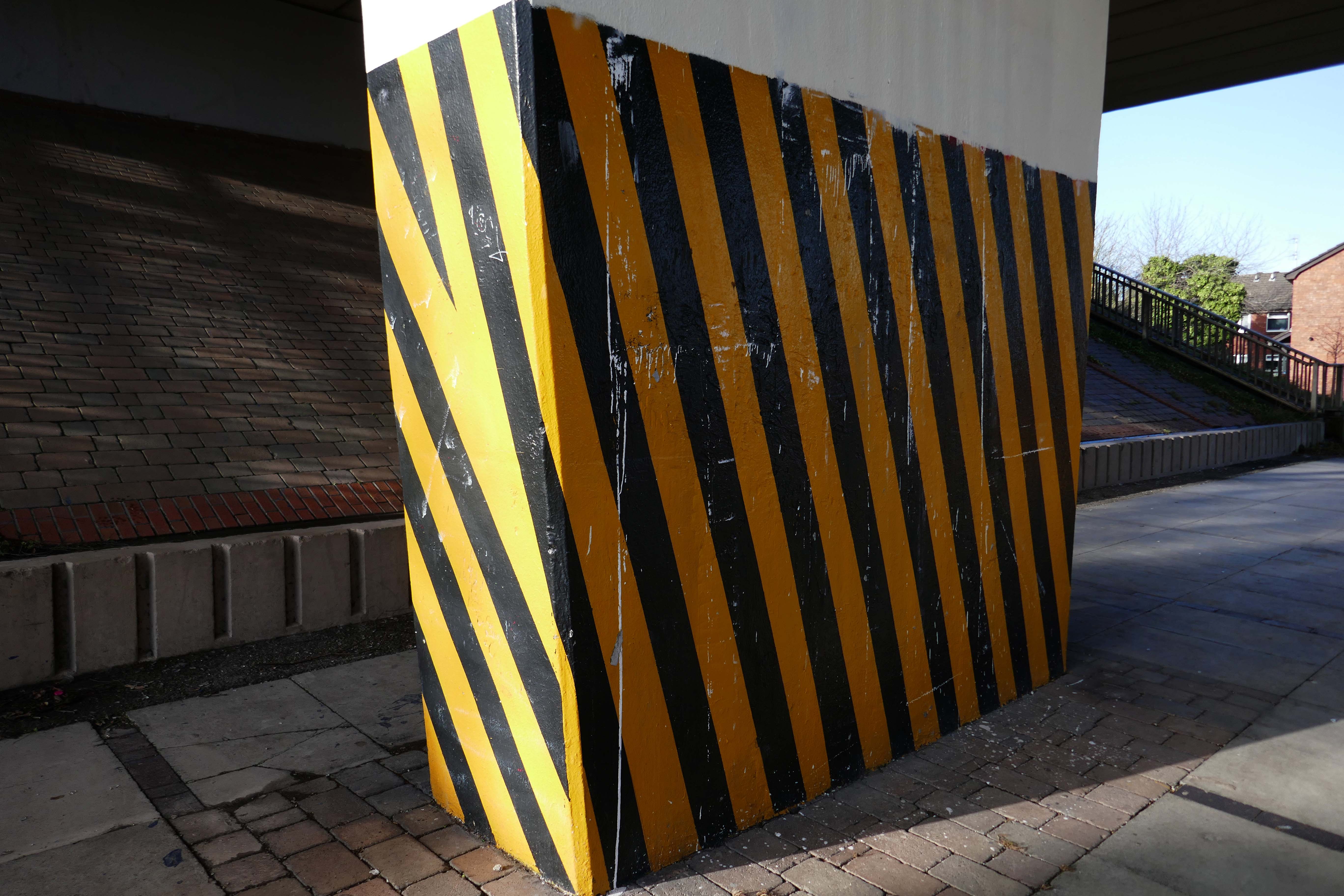
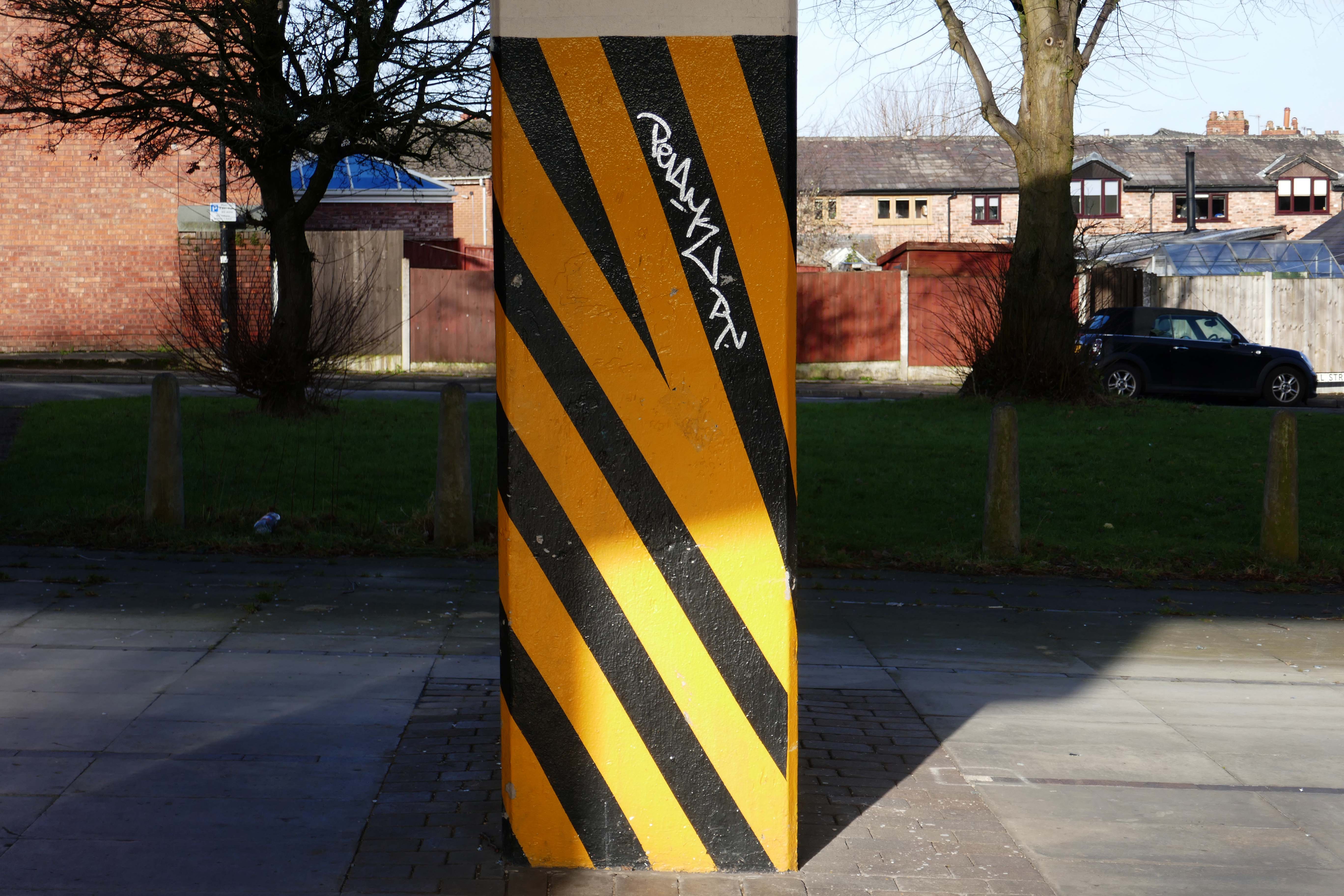
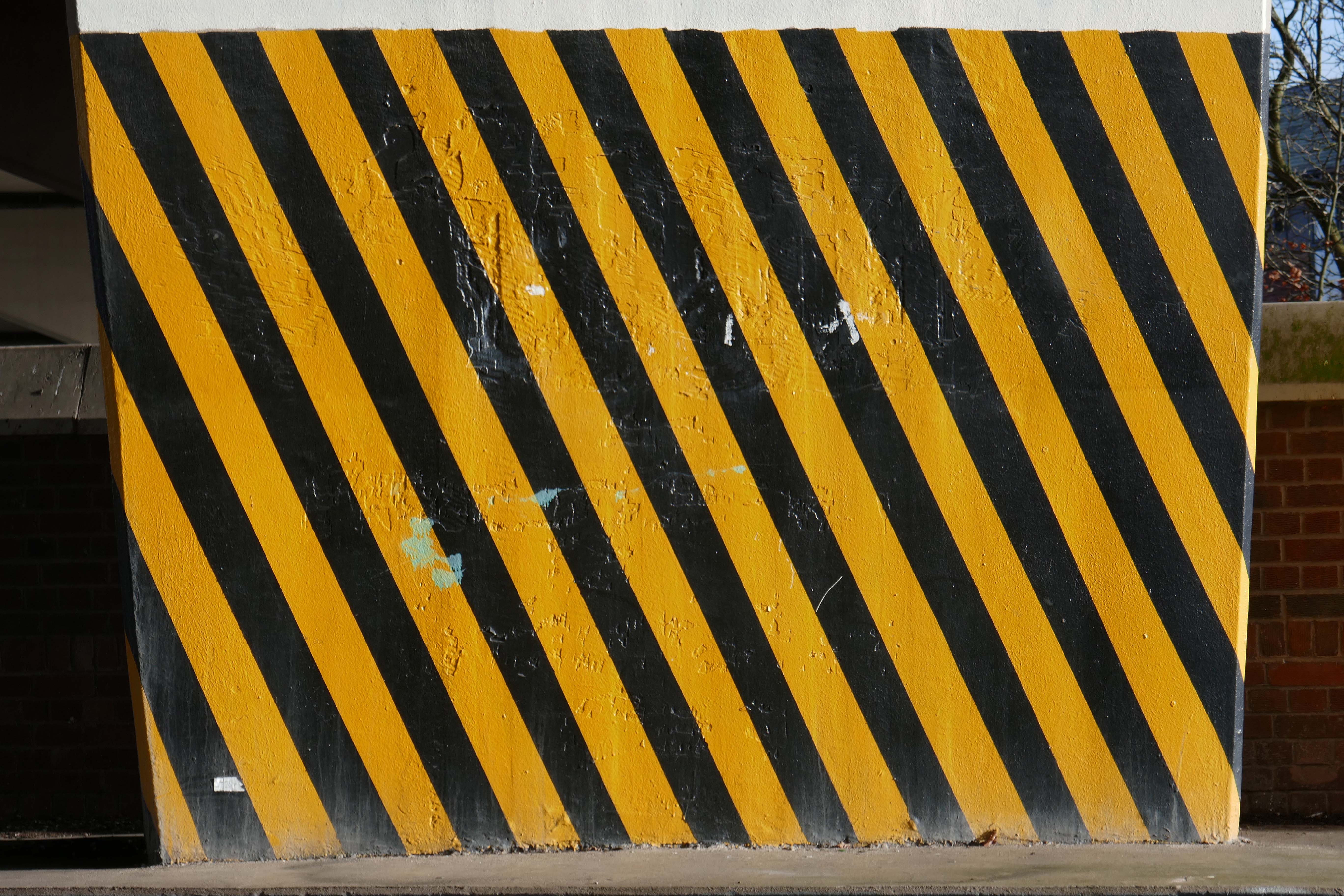
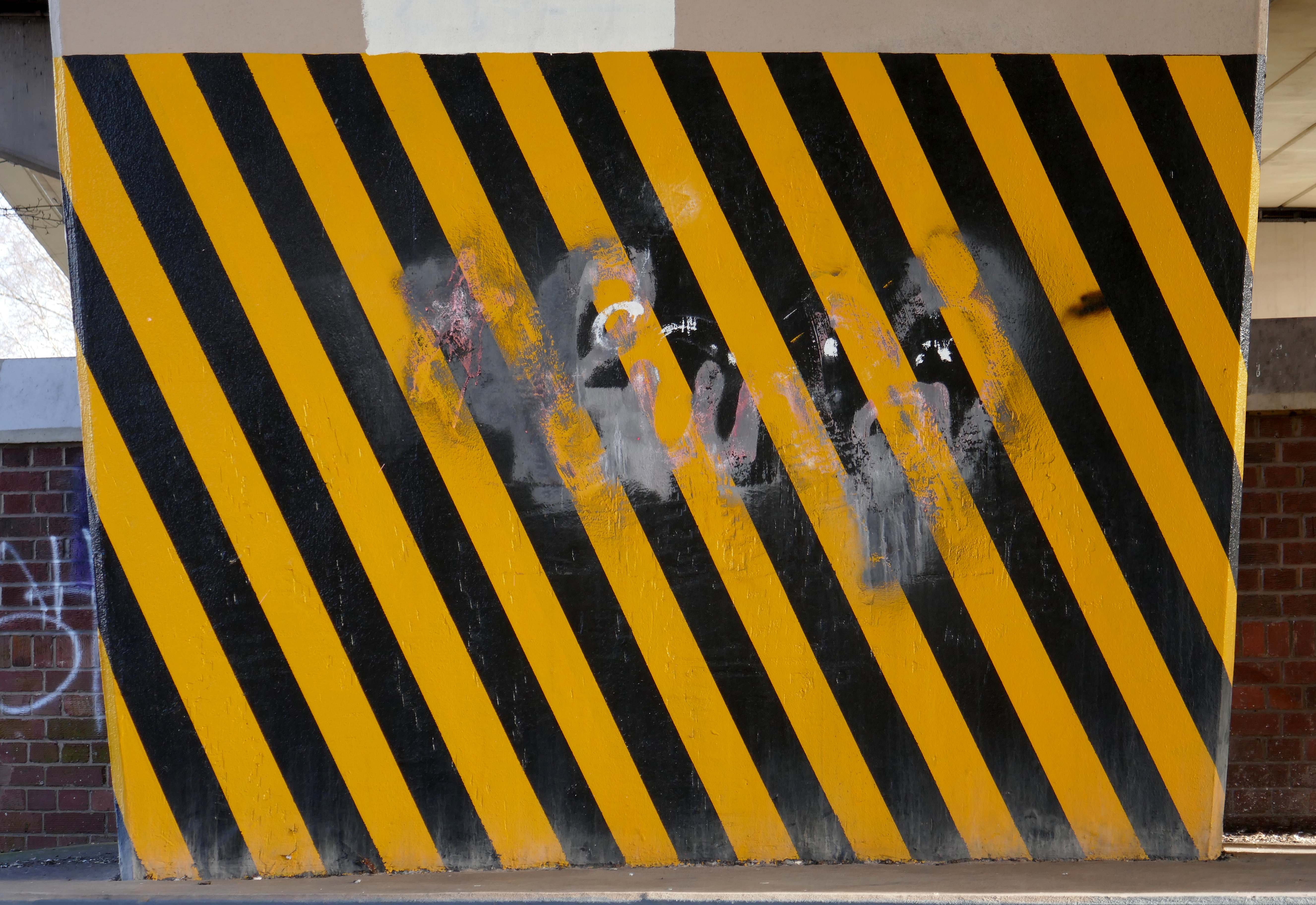
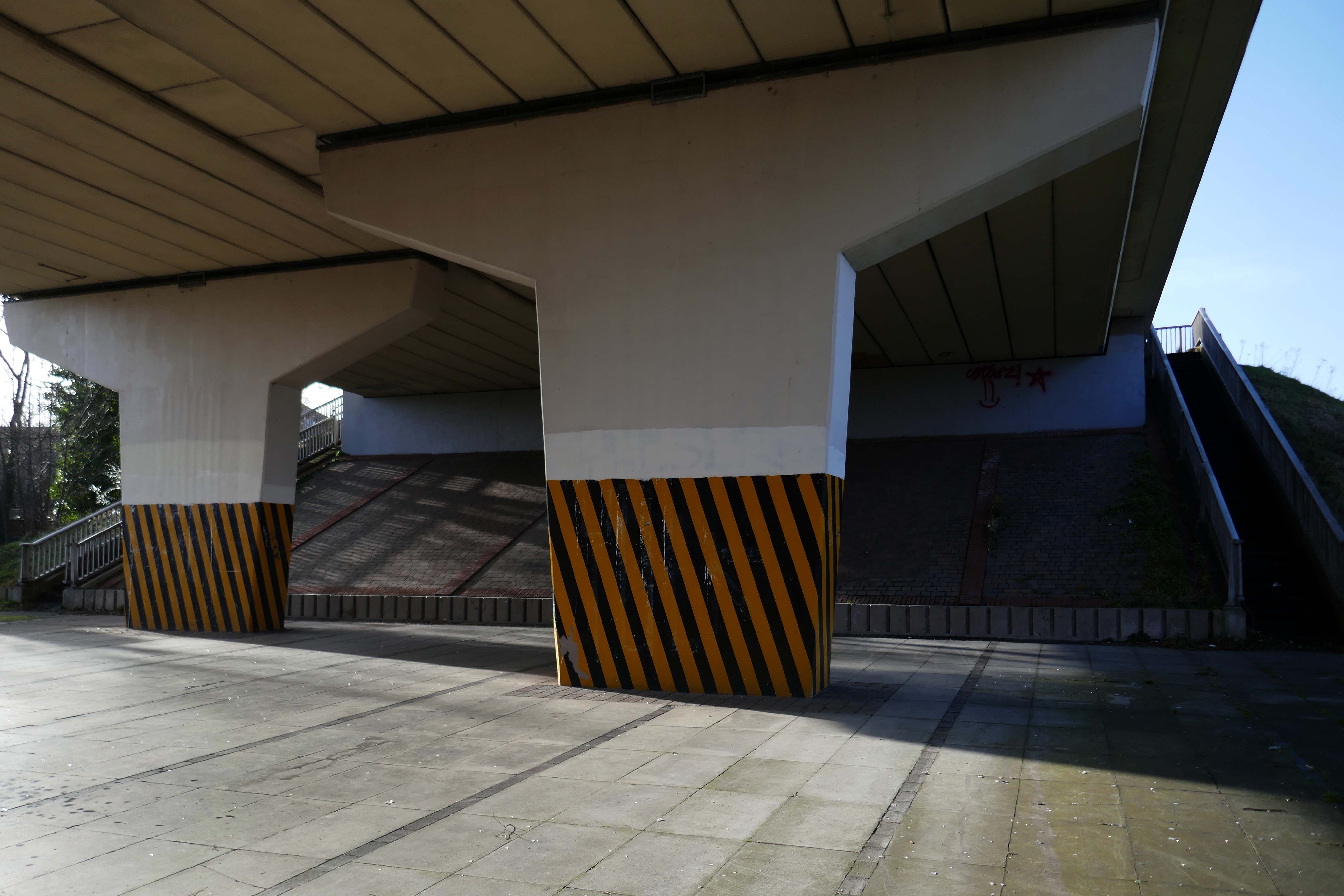
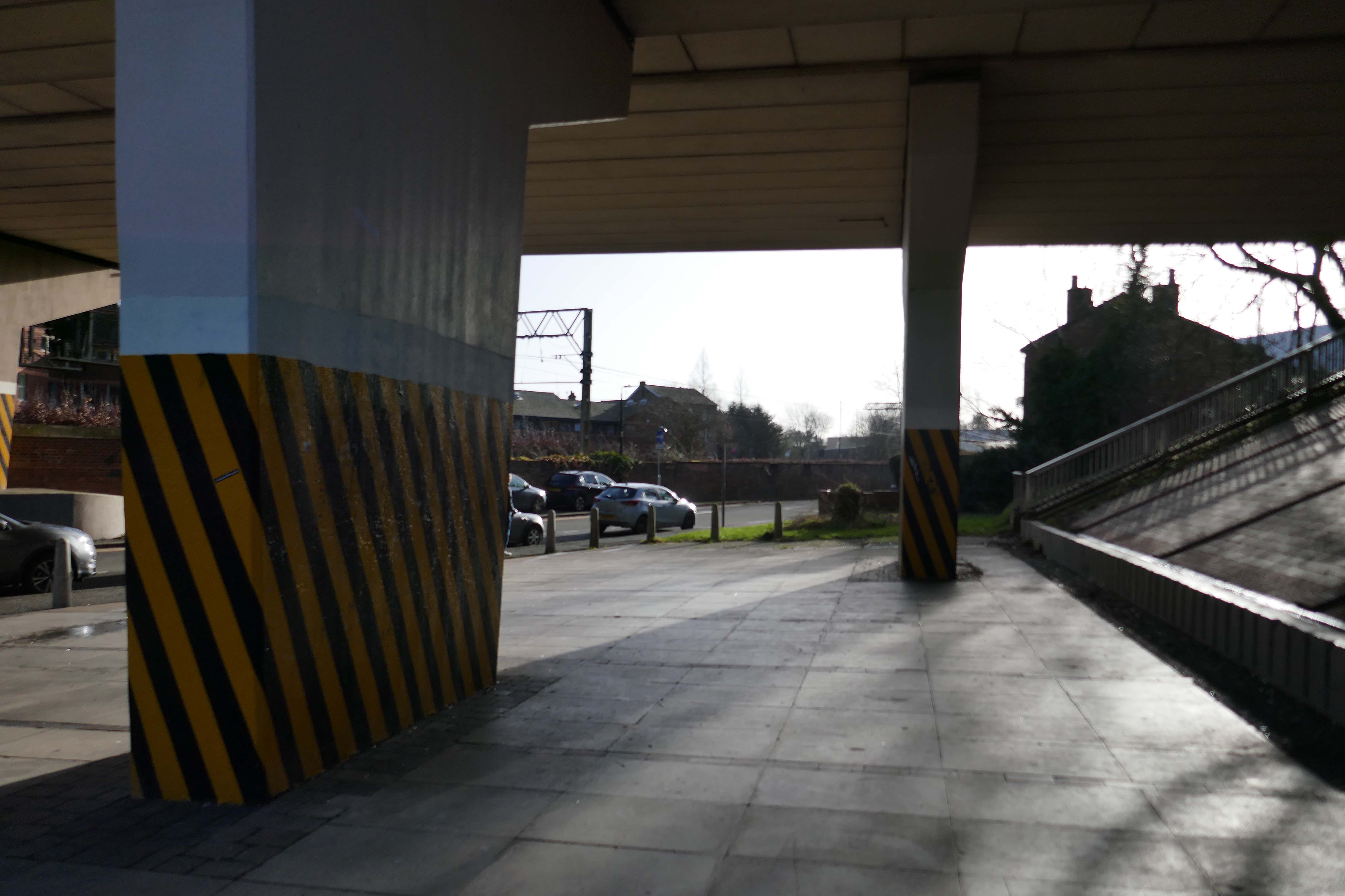
Health and safety regulations state that markings should be placed around obstacles or dangerous locations. This includes where any of the following present a risk:
people tripping or falling
objects falling
people or vehicles colliding with objects
These markings should be made up of alternating red and white or yellow and black stripes of equal size at a 45 degree angle. Barricade tape can be used to satisfy this requirement as long as the tape is “commensurate with the scale of the obstacle or dangerous location in question”
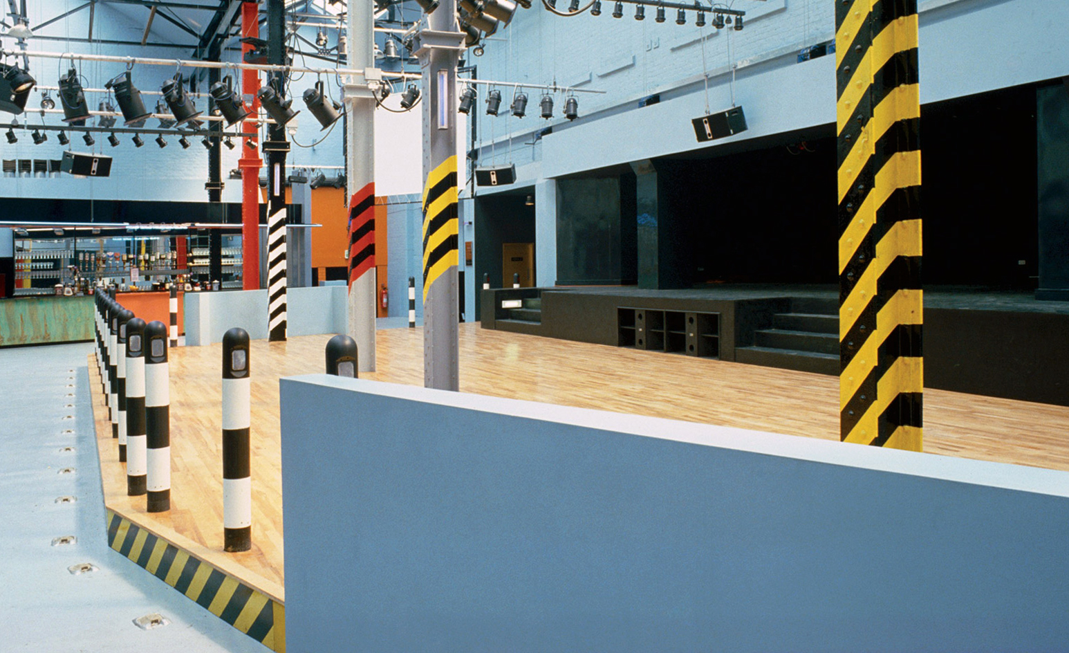
I hereby lay claim to this symbol, sign, icon, the combination of black and yellow, wherever it may appear, in this or any other world, in whatever shape, form, pattern or composition, be it civil or military. I hereby claim to be its originator and owner.
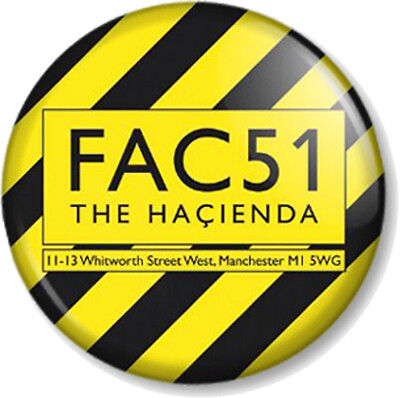
Designed by Ben Kelly, upon recommendation by Factory graphic designer Peter Saville, upstairs consisted of a stage, dance area, bar, cloakroom, cafeteria area and balcony with a DJ booth.
The Haçienda was opened on 21 May 1982, when the comedian Bernard Manning remarked to the audience:
I’ve played some shit-holes during my time, but this is really something.
His jokes did not go down well with the crowd and he returned his fee.
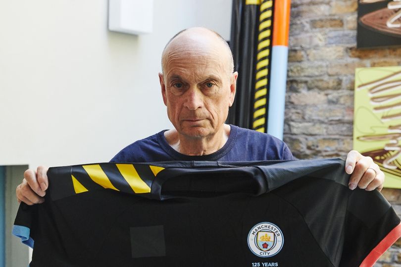
The black and yellow stripes on Manchester City’s away shirts were meant to be an uplifting homage to Manchester’s cultural heritage, but the choice of design now risks becoming a chip on the team’s shoulders.
The team’s jersey is embroiled in a controversy after Ben Kelly, the man who originally designed the stripes for famed Manchester nightclub the Haçienda, complained in a recent interview to Gaffer magazine that he was not credited or consulted by the creators of the football apparel.
When Manchester City and Puma launched the team’s 2019/20 kit last July, they said in a press release that the uniform paid tribute to the “Madchester” years of the late 1980s and early 1990s, when the city in north-west England became a hub of alternative music and dance culture.
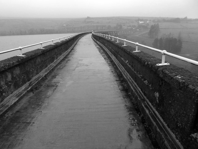
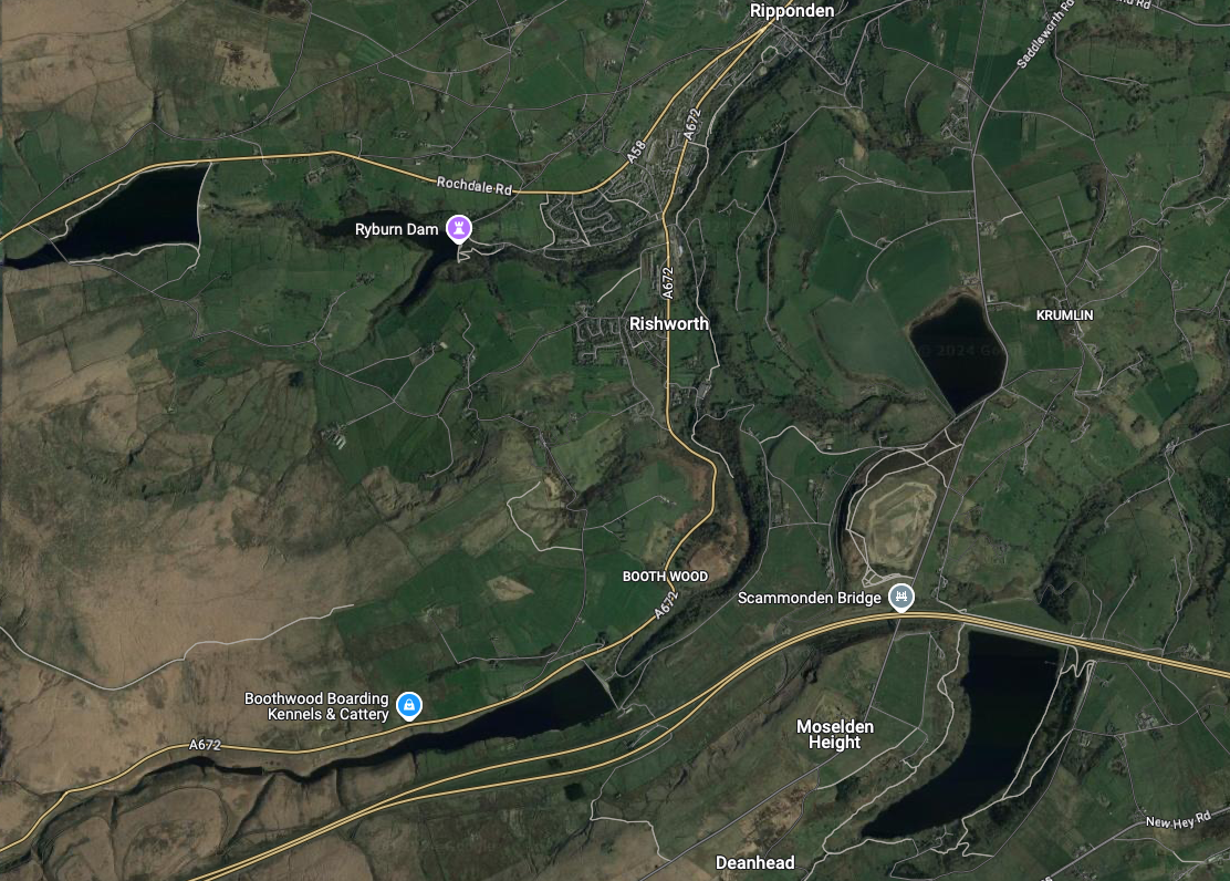
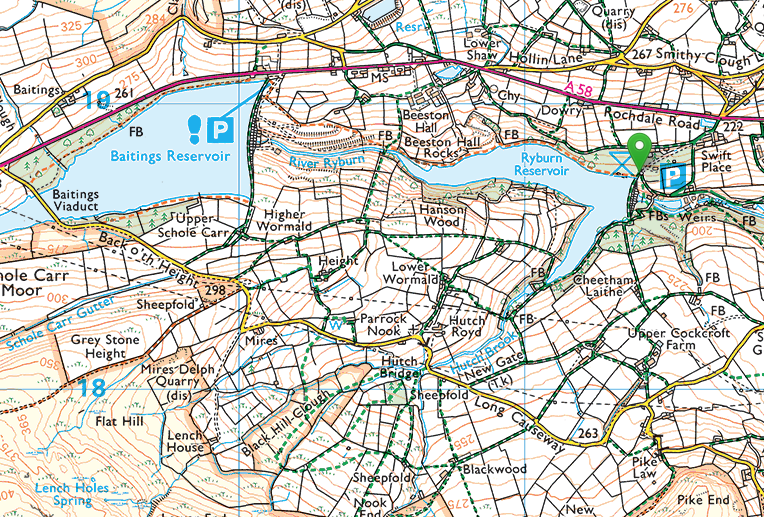
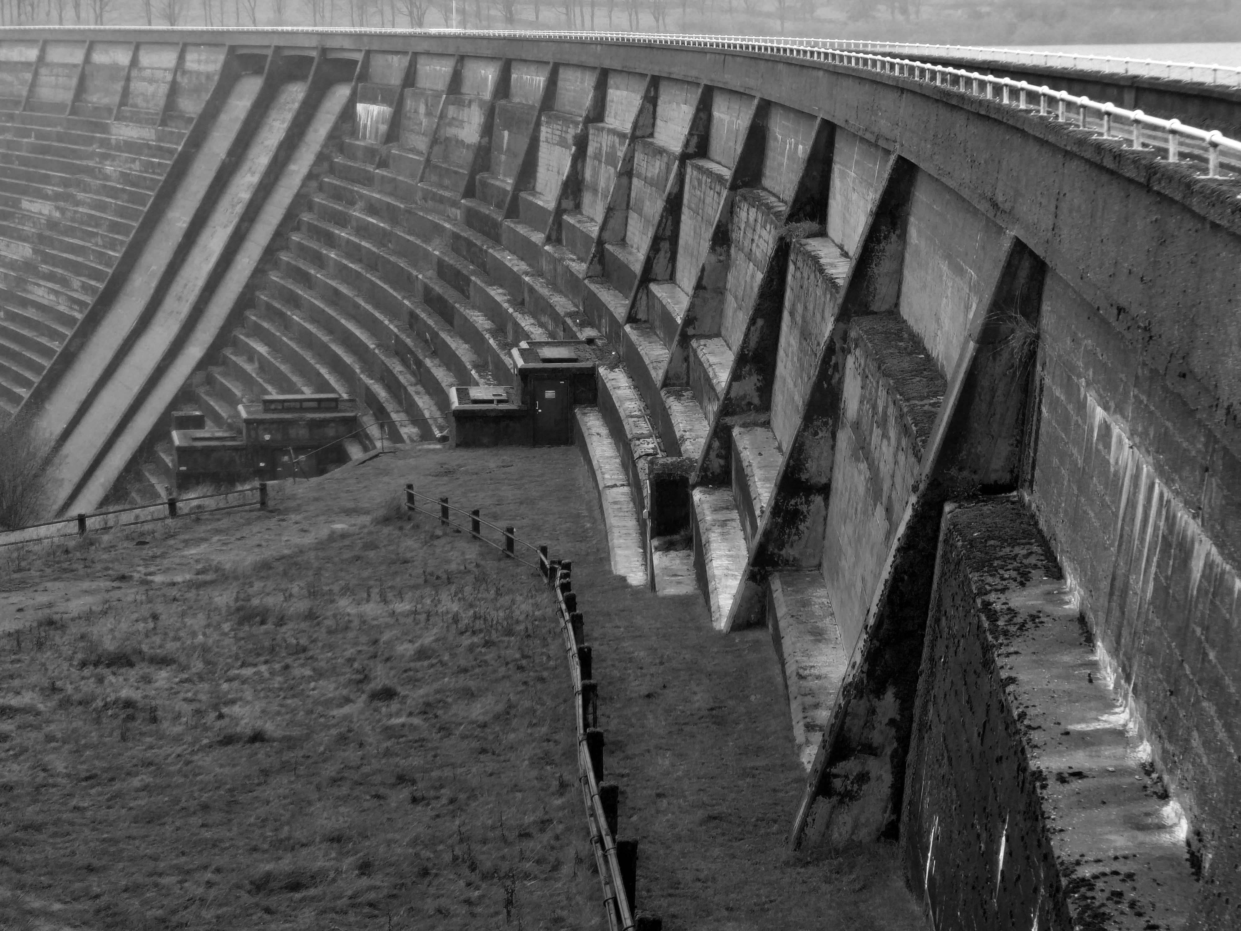
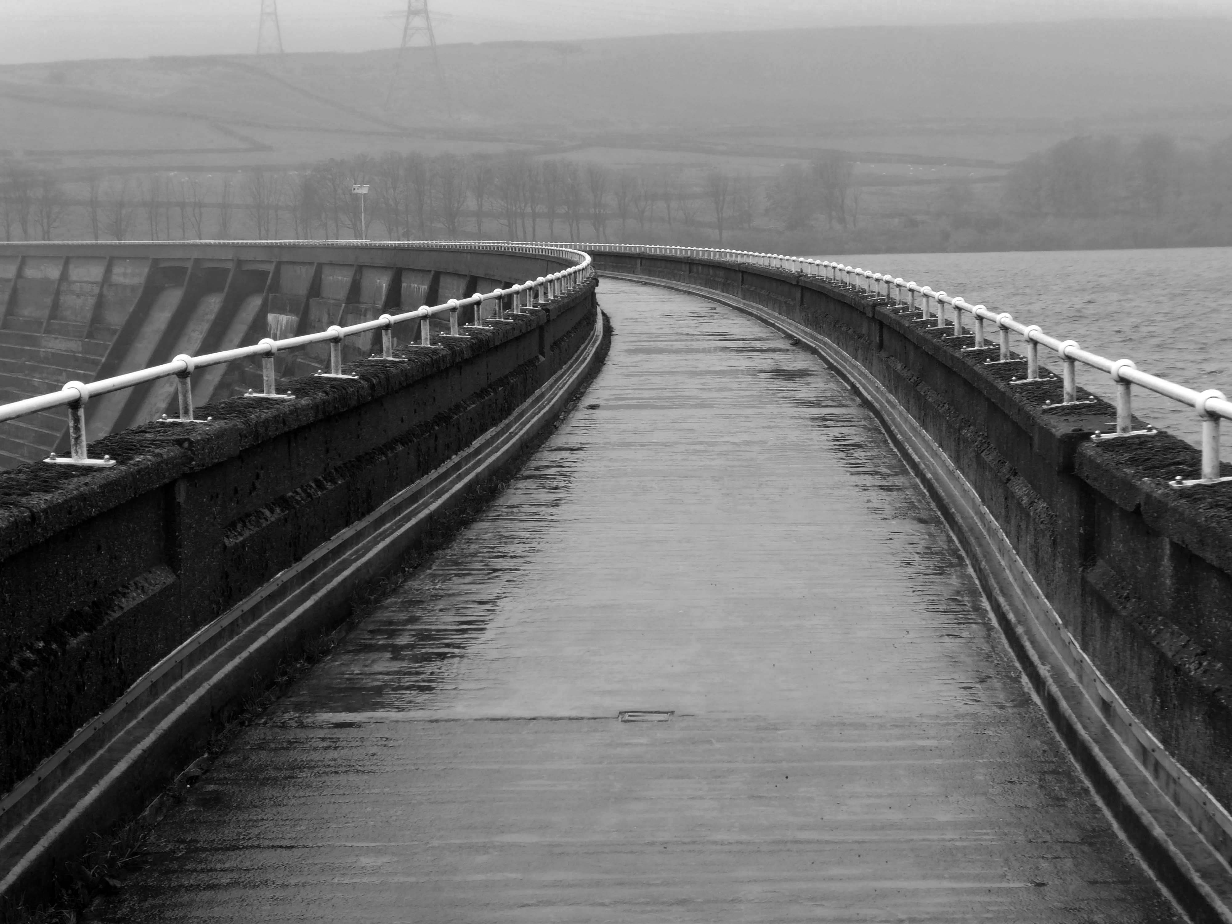
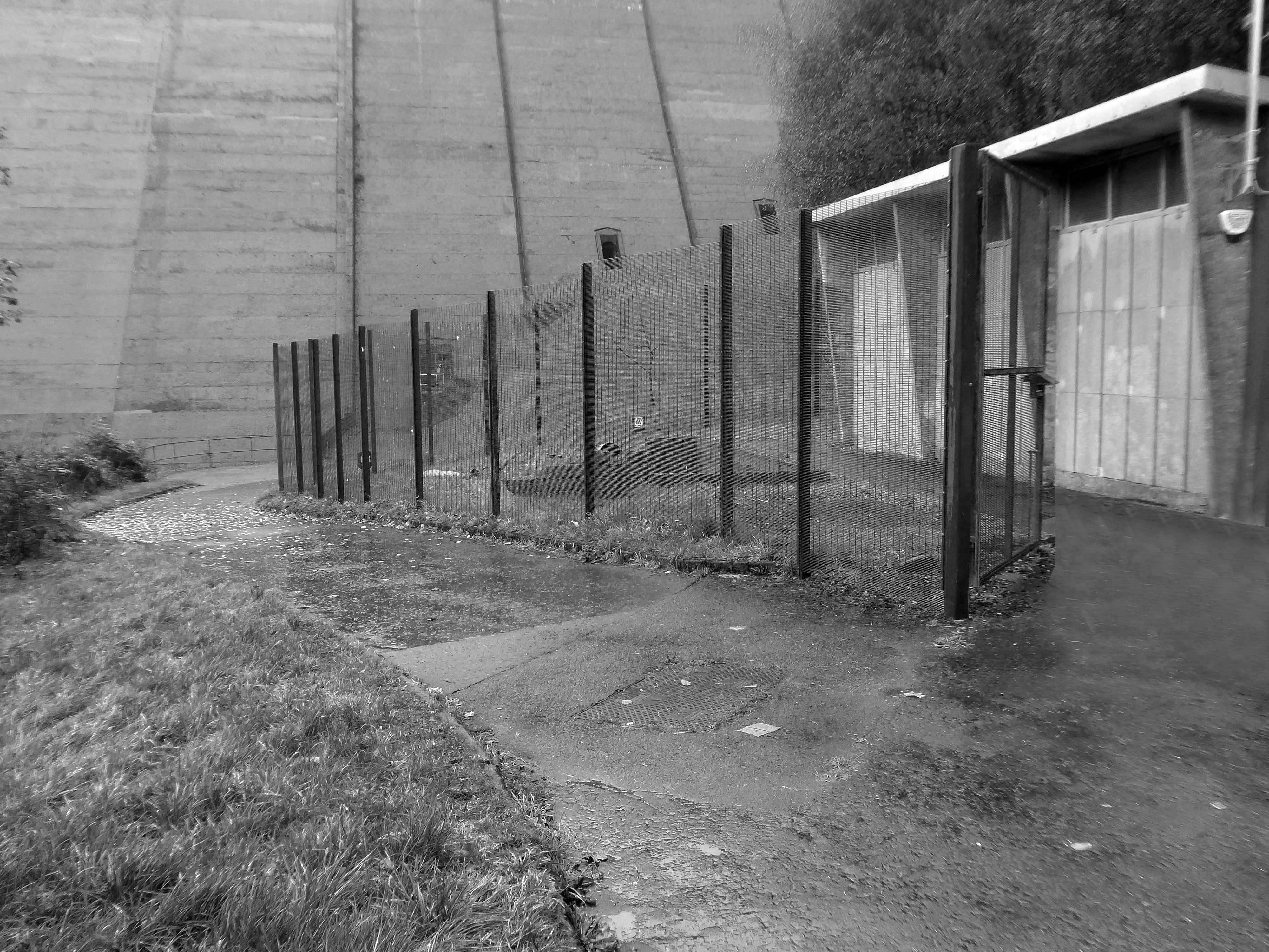
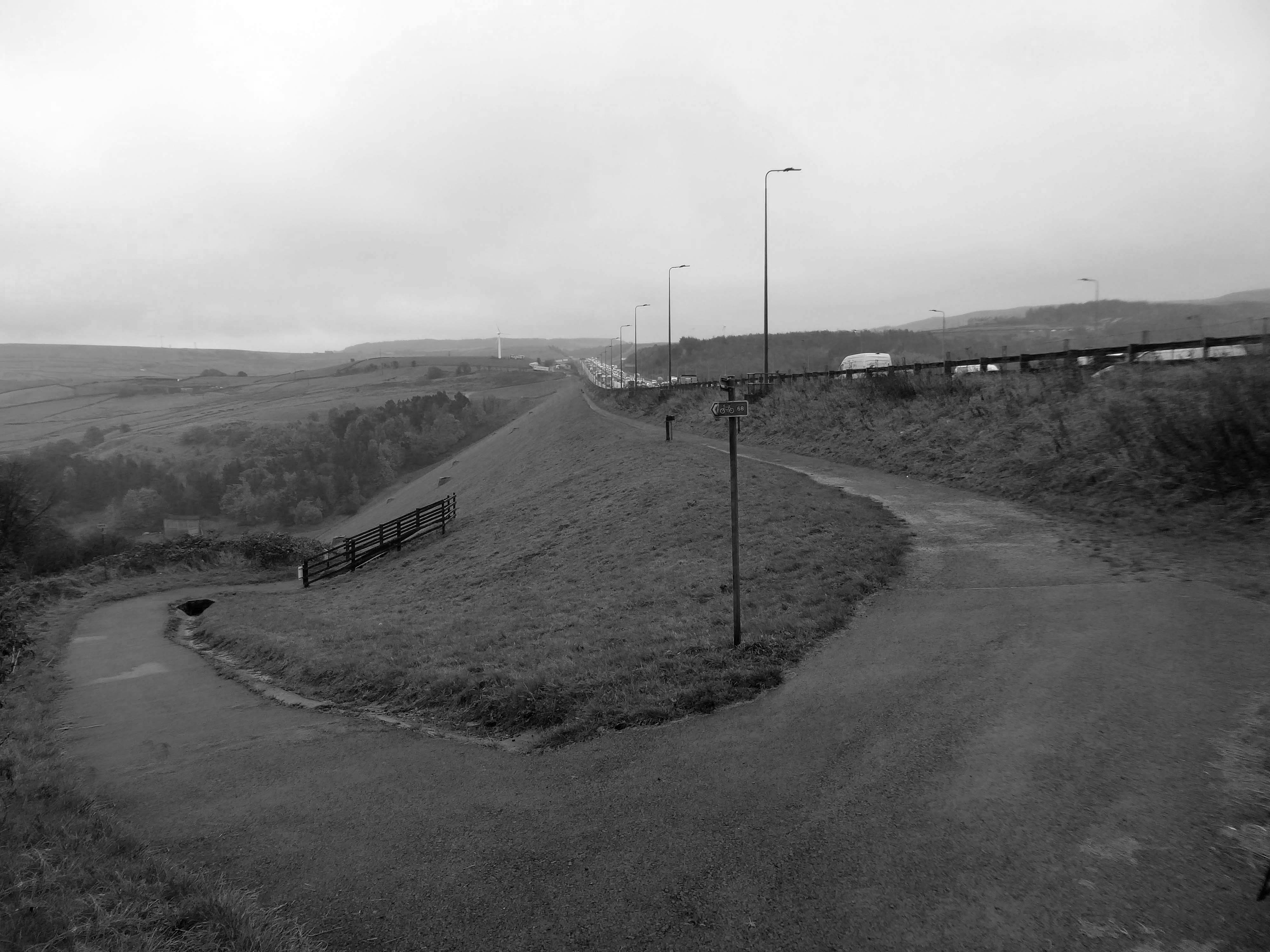
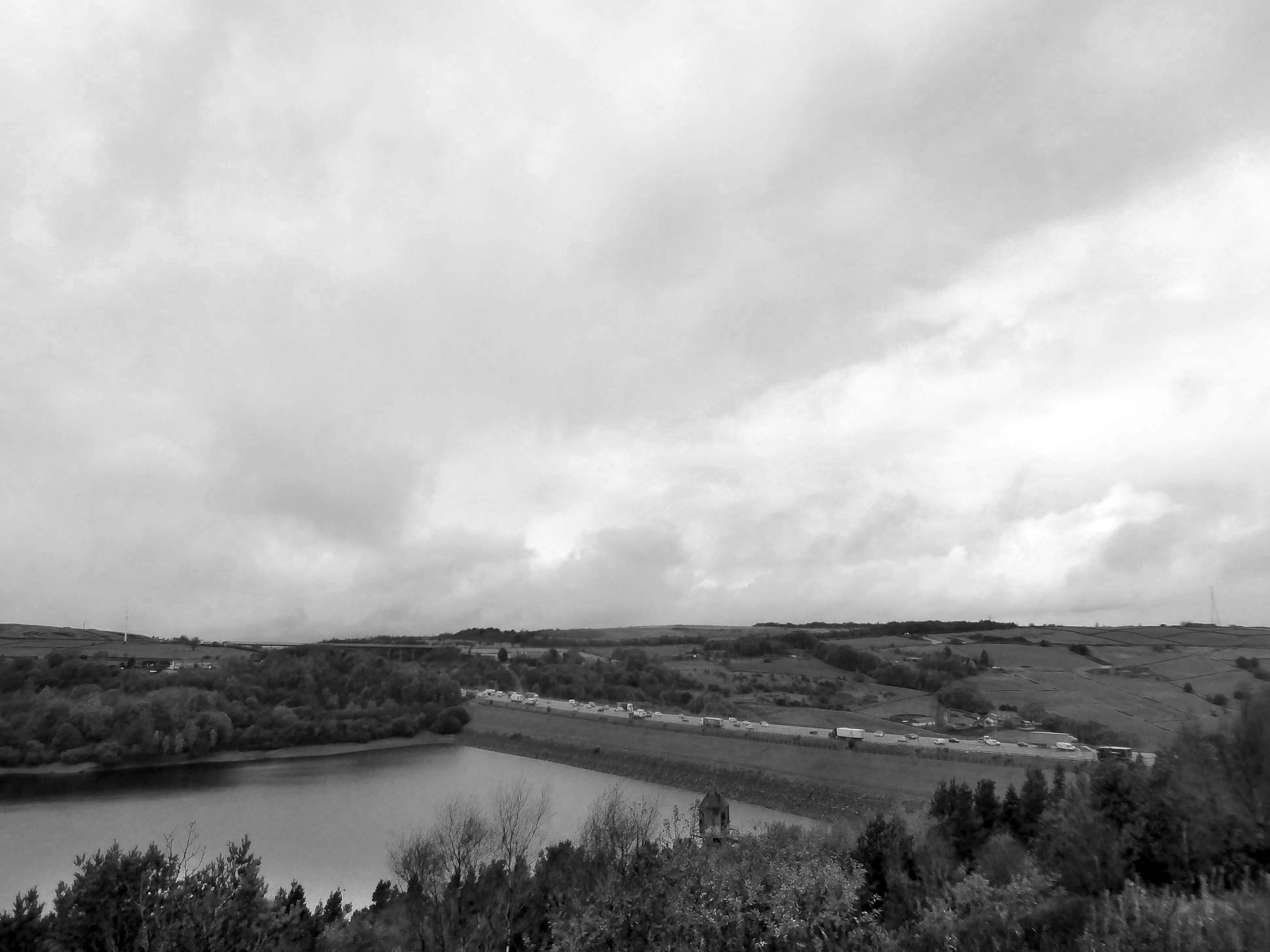
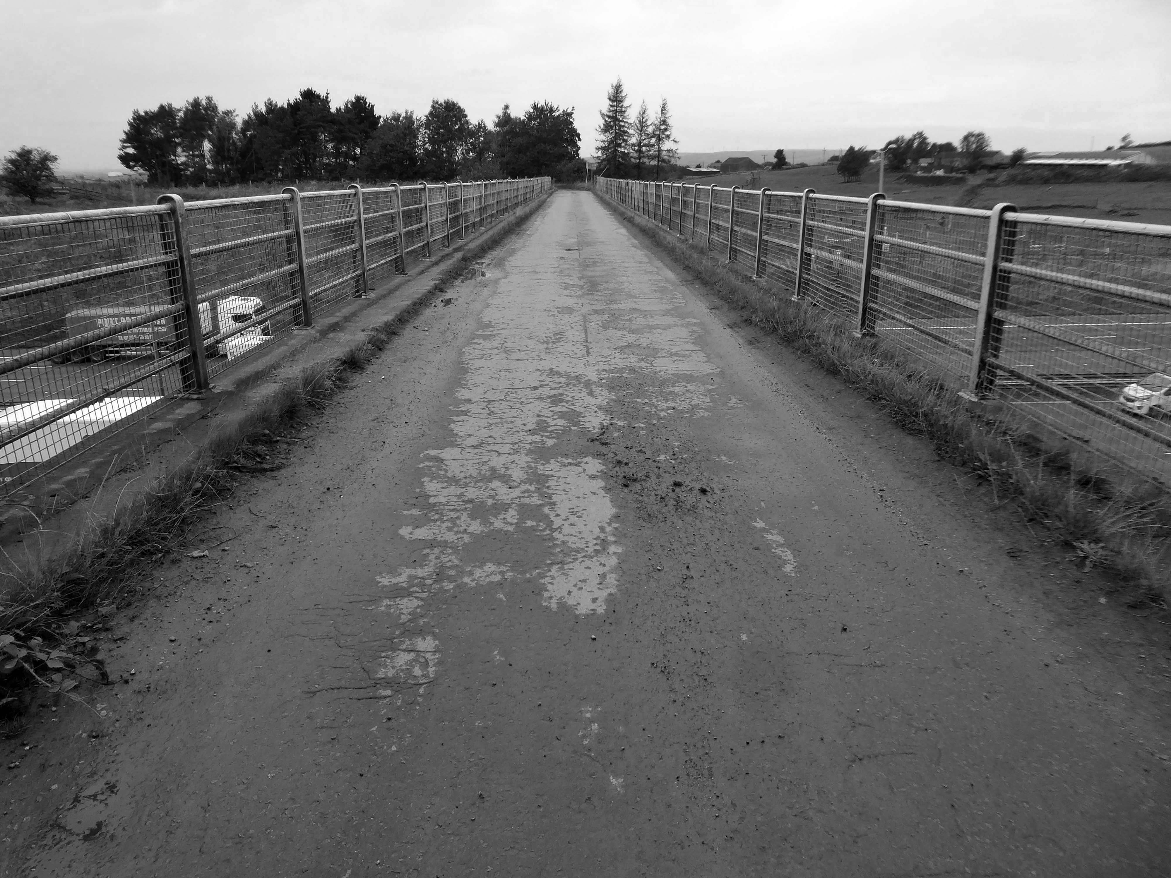
To begin at the beginning, to begin at Baitings Reservoir.
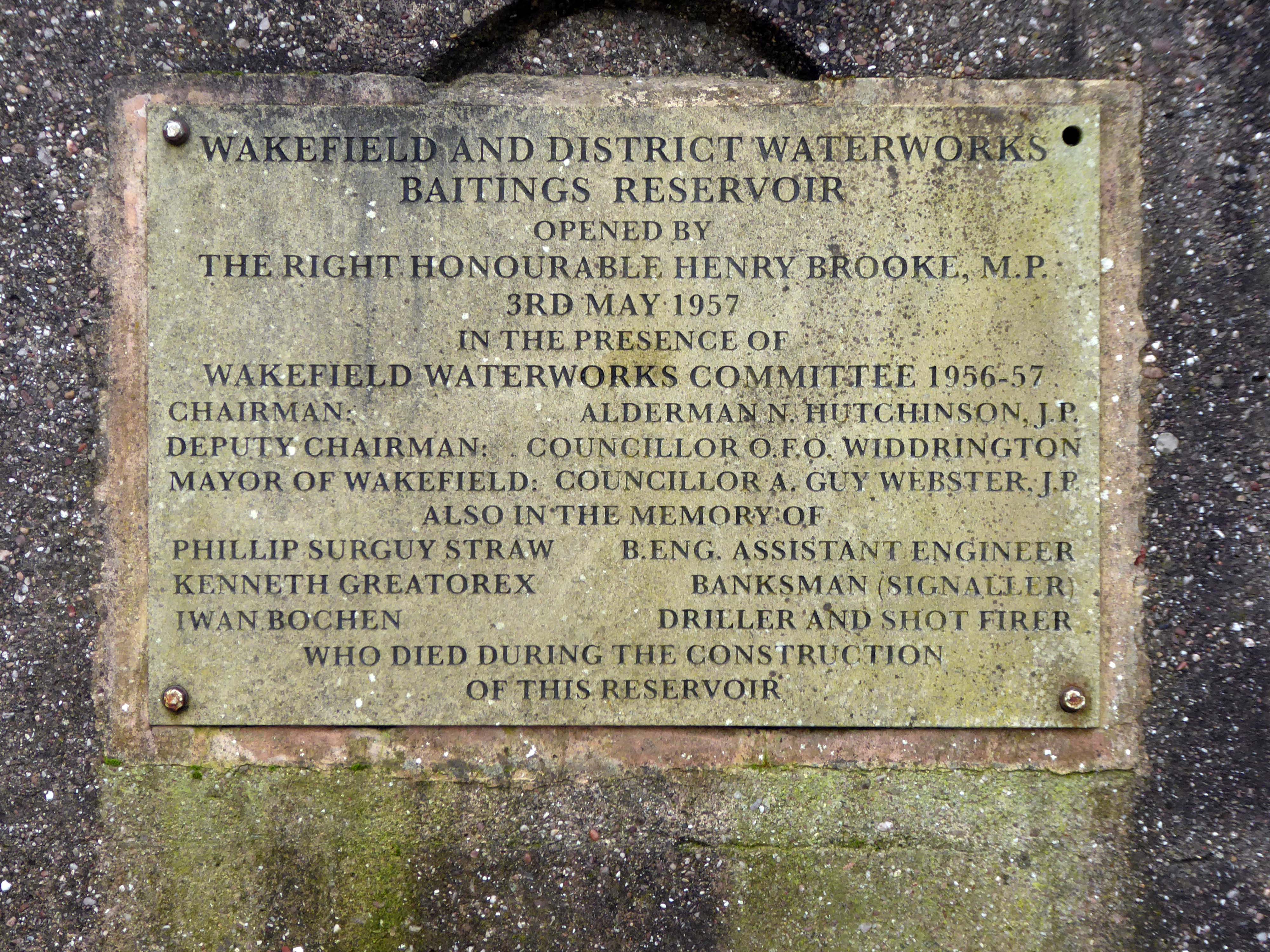
Wakefield Corporation Waterworks started impounding the valley of the River Ryburn in the 1930s, with Ryburn Reservoir being completed in 1933. Construction on Baitings took place 20 years later with completion in 1956. Baitings Bridge, on an old road linking Yorkshire and Lancashire, was to be flooded under the reservoir so a concrete viaduct was built. During spells of very hot weather and drought conditions, the old packhorse bridge is revealed.
Wakefield Express: 31st August 1955
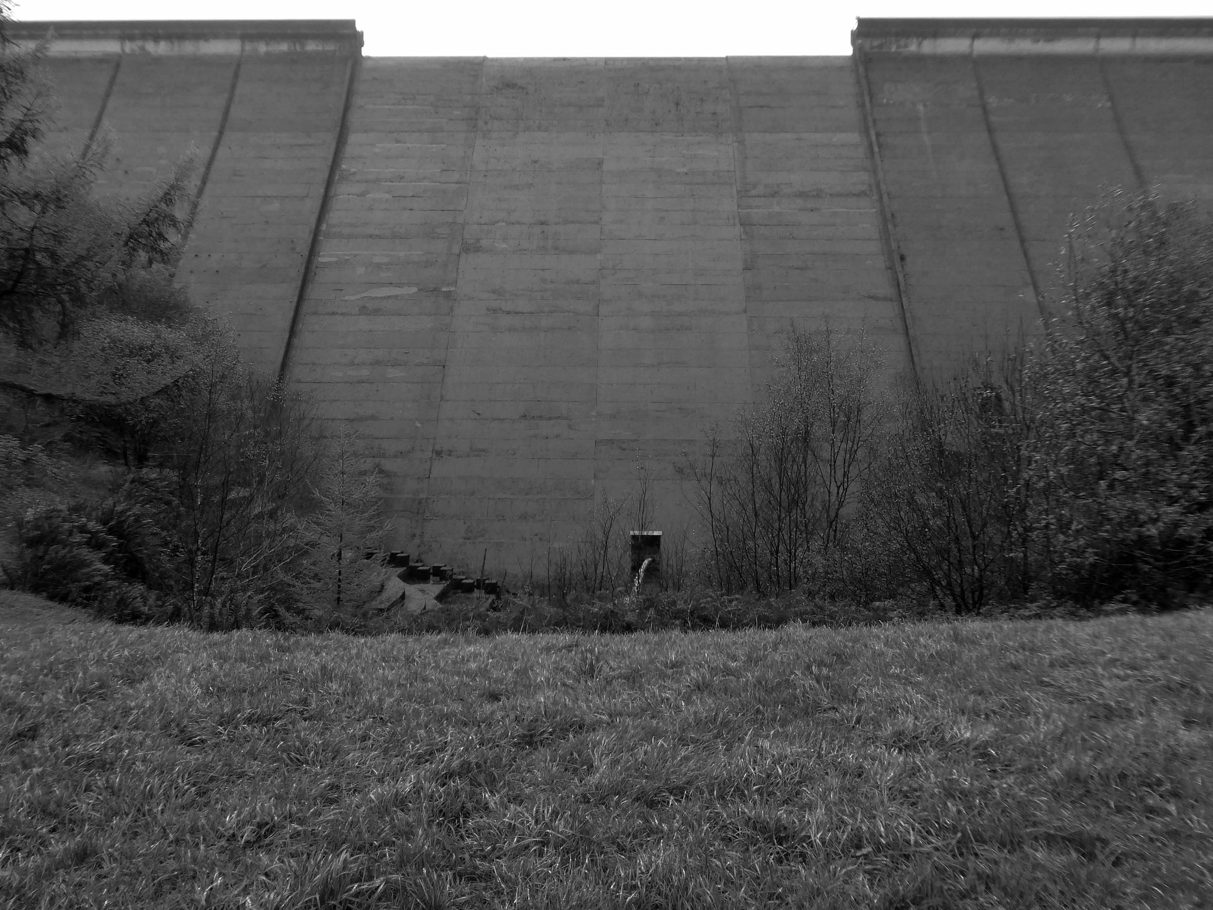
The dam head is a curved structure that is 1,540 feet long and over 160 feet high. The reservoir covers 59 acres and has a catchment of 1,830 acres , and when it is full, it holds over 113,000,000 cubic feet of water. The dam took eight years to complete at a cost of £1.4 million, and is located at 840 feet above sea level. A tunnel connects reservoirs in valleys to the north with Baitings to allow for the transfer of water. Manshead Tunnel is 8,000 feet long and was opened in 1962.
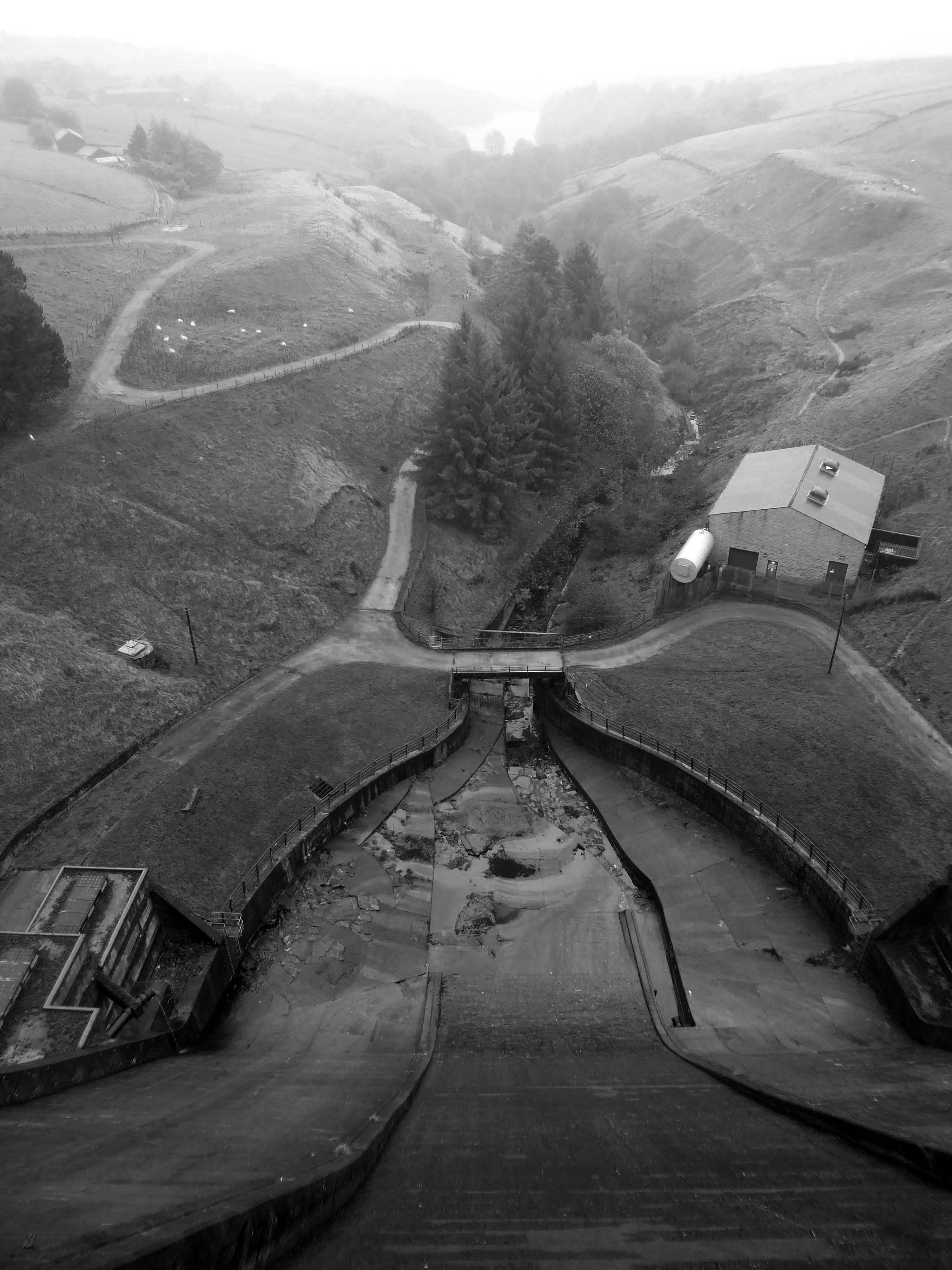
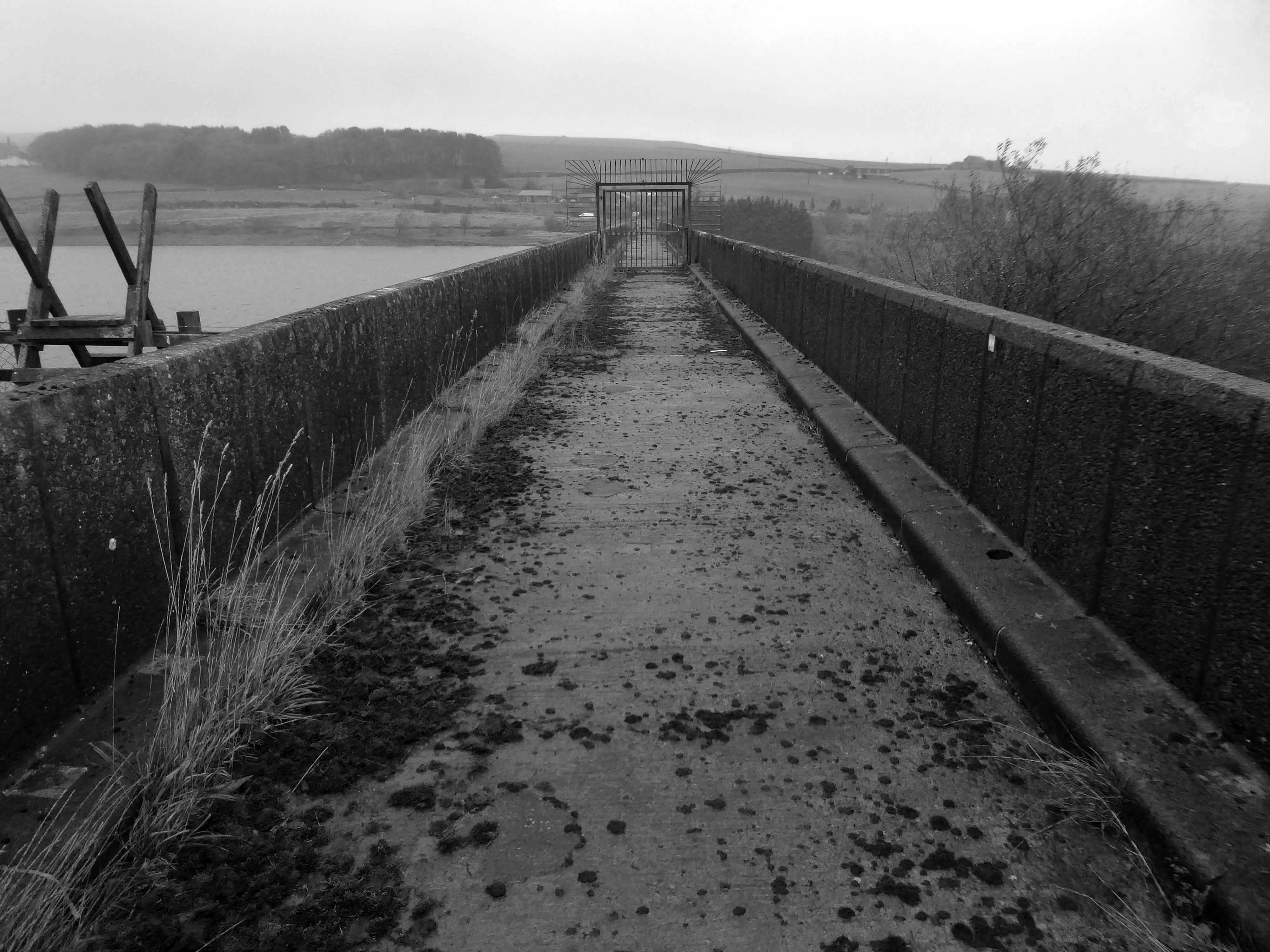
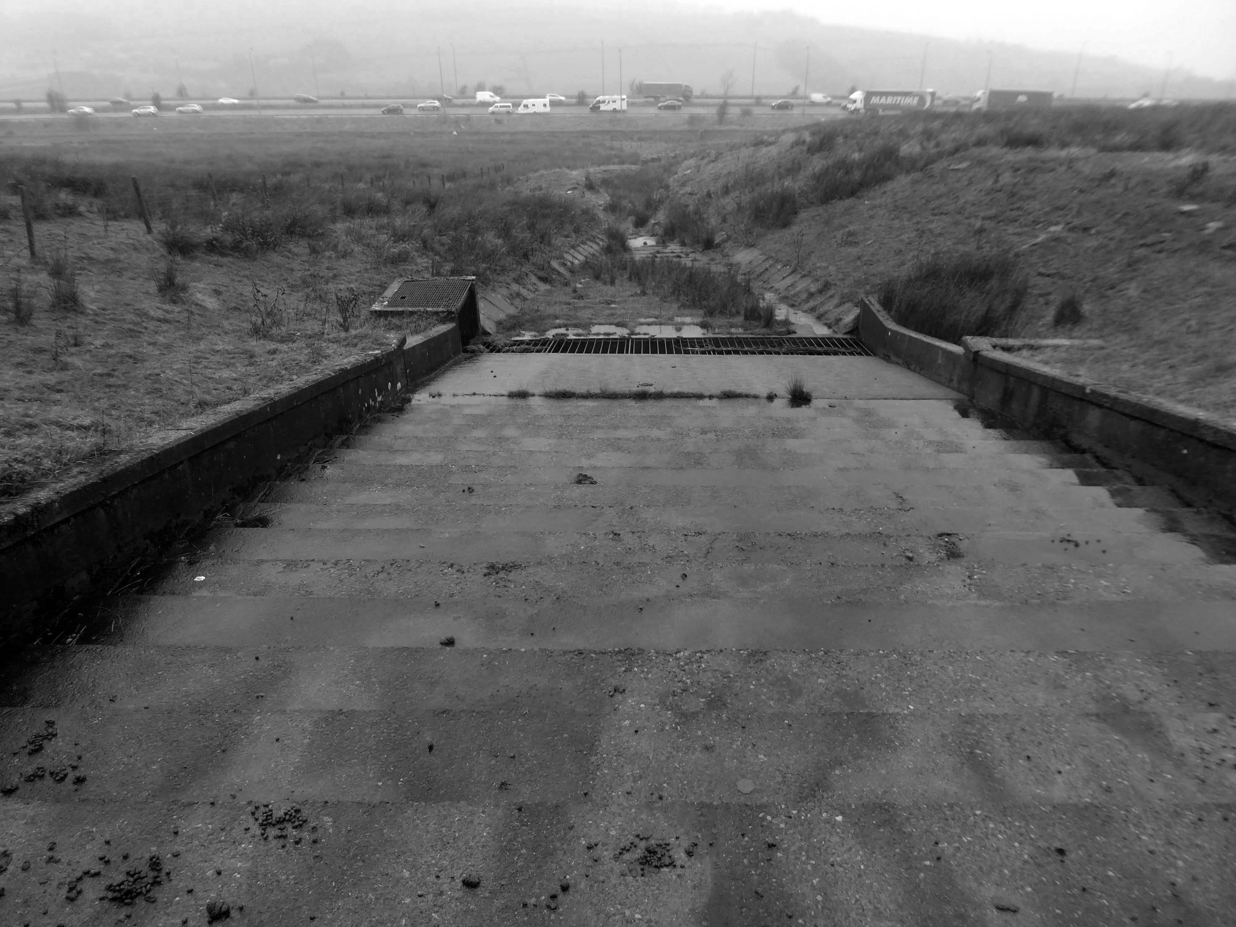
Inconveniently, the footpath to the lower Ryburn Reservoir was closed – we were diverted over the dam.
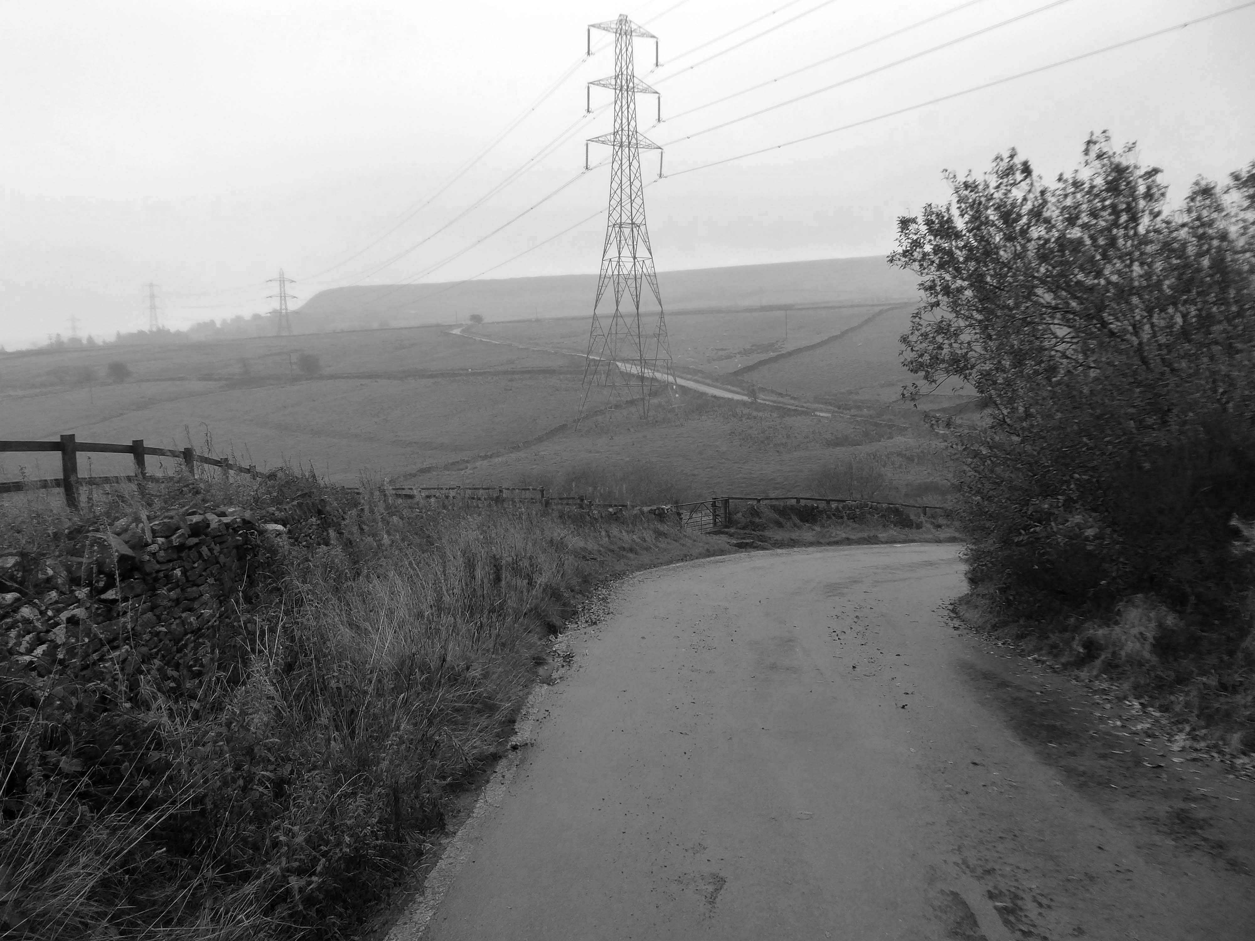
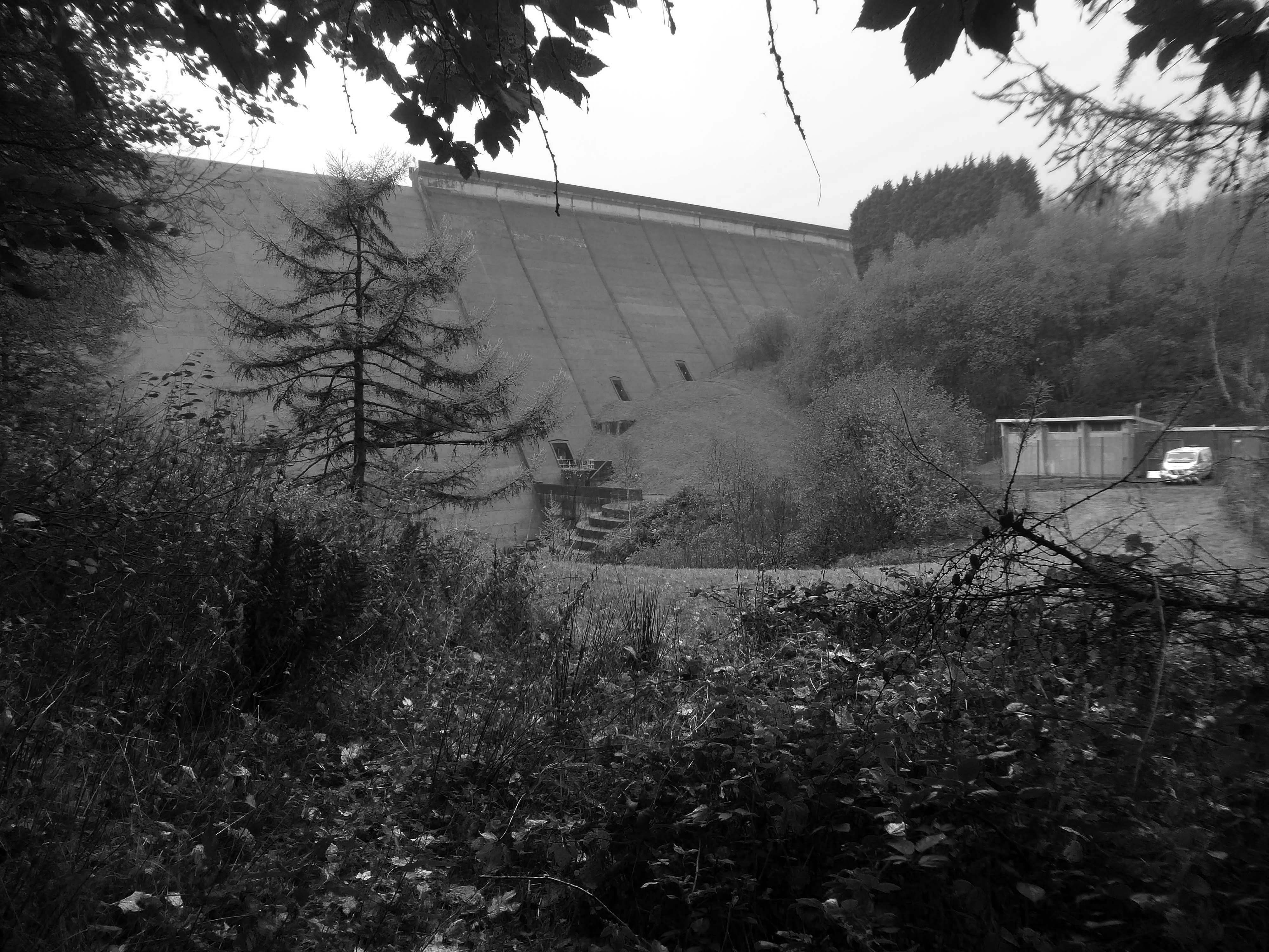
We took the pathway to Booth Wood Reservoir – over Pike End and beyond.
We dropped down beneath the Booth WoodDam.
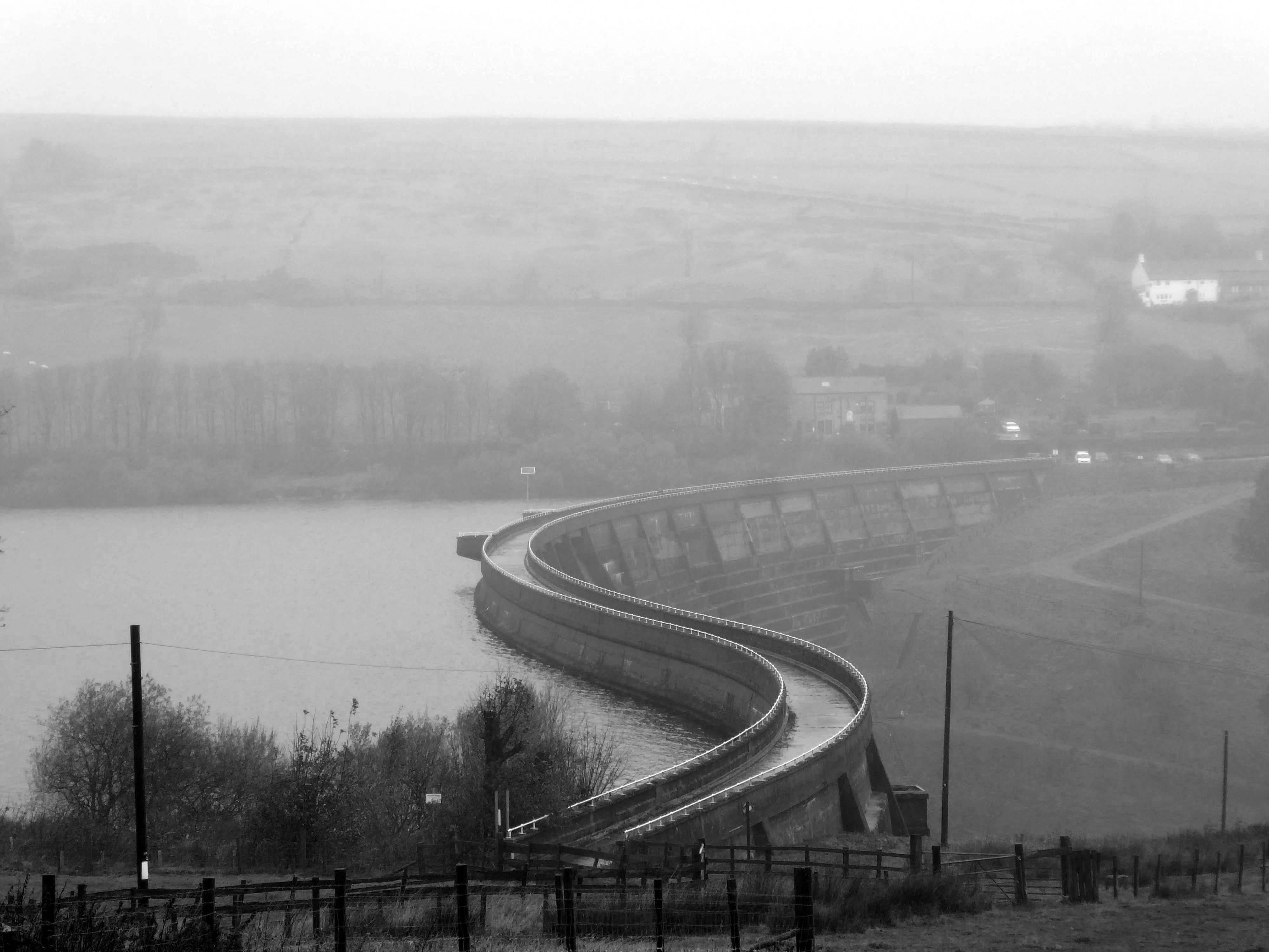
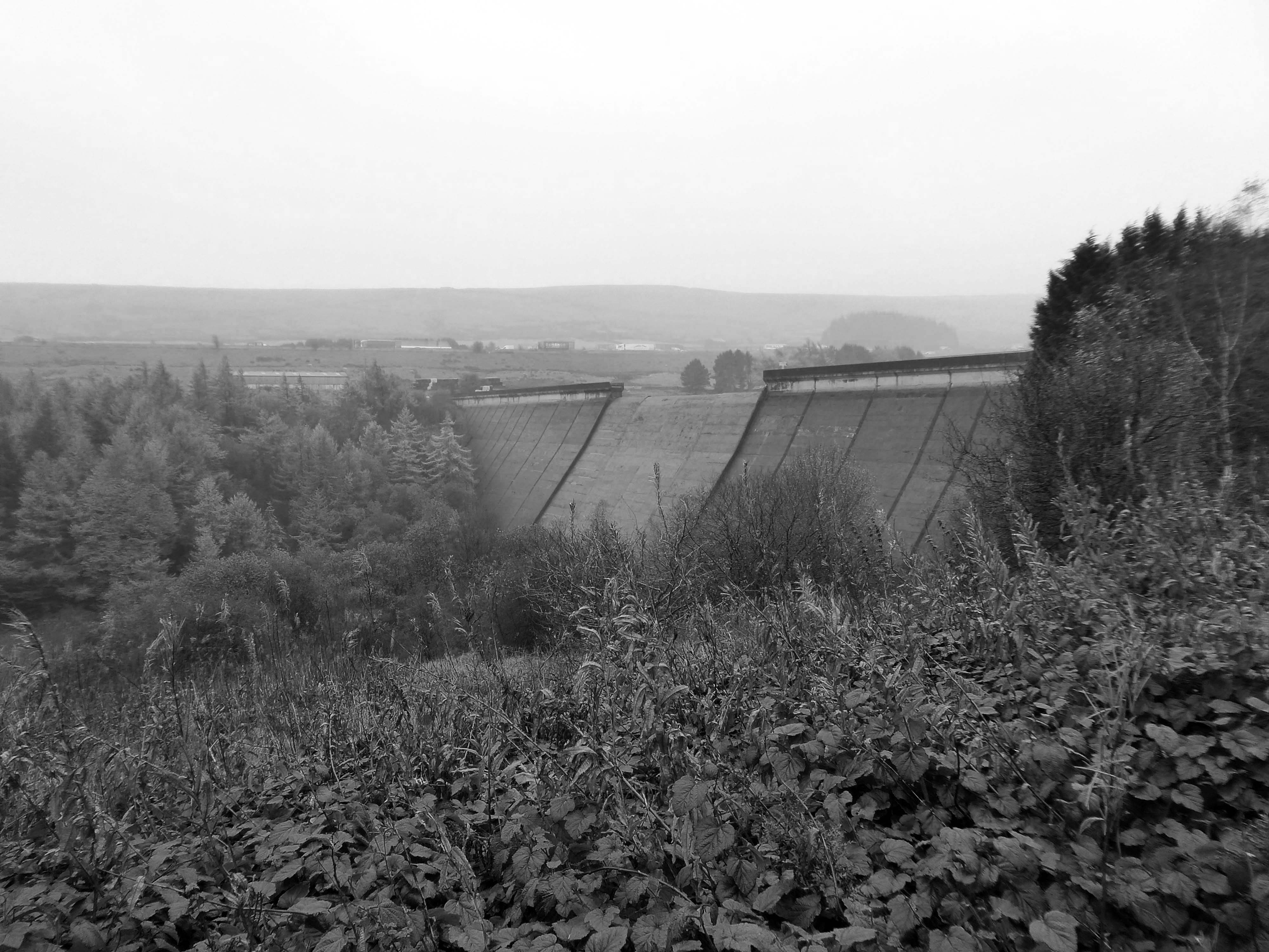
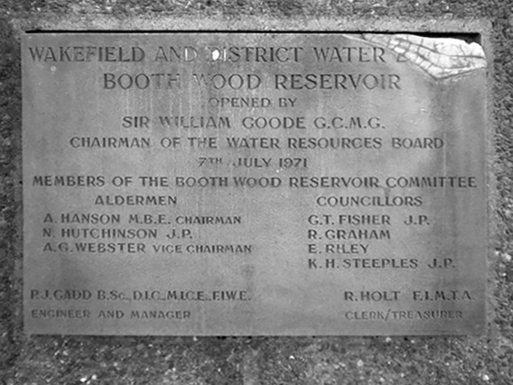
Booth Wood Reservoir is a man-made upland reservoir that lies north of the M62 motorway and south of the A672 road near to Rishworth and Ripponden in Calderdale, West Yorkshire. The reservoir was approved for construction in 1966 and completed in 1971.
It supplies water to Wakefield.
The reservoir dams the Booth Dean Clough watercourse and takes water directly from the surrounding moorland. It has a plain concrete crest on the dam head which is straight and extends to a length of 1,150 feet and a height of 157 feet.
Below is a dinky pumping station, tucked beneath the dam.
We took a precipitous path through the wood – up to the level of the reservoir.
Under the the M62 and past the infamous Stott Hall Farm.
Stott Hall Farm is a farm located between the eastbound and westbound carriageways of the M62 motorway in Calderdale. It is the only farm in the UK situated in the middle of a motorway and was built in the 18th century on Moss Moor. It lies south of Booth Wood Reservoir where the carriageways are separated between junctions 22 and 23. The road divides for much of its length between the Windy Hill and Deanhead cuttings because of the surrounding geography; but a myth persists that it was split because Ken and Beth Wild refused to sell. However, the farm was actually owned by Yorkshire Water at the time the M62 was built.
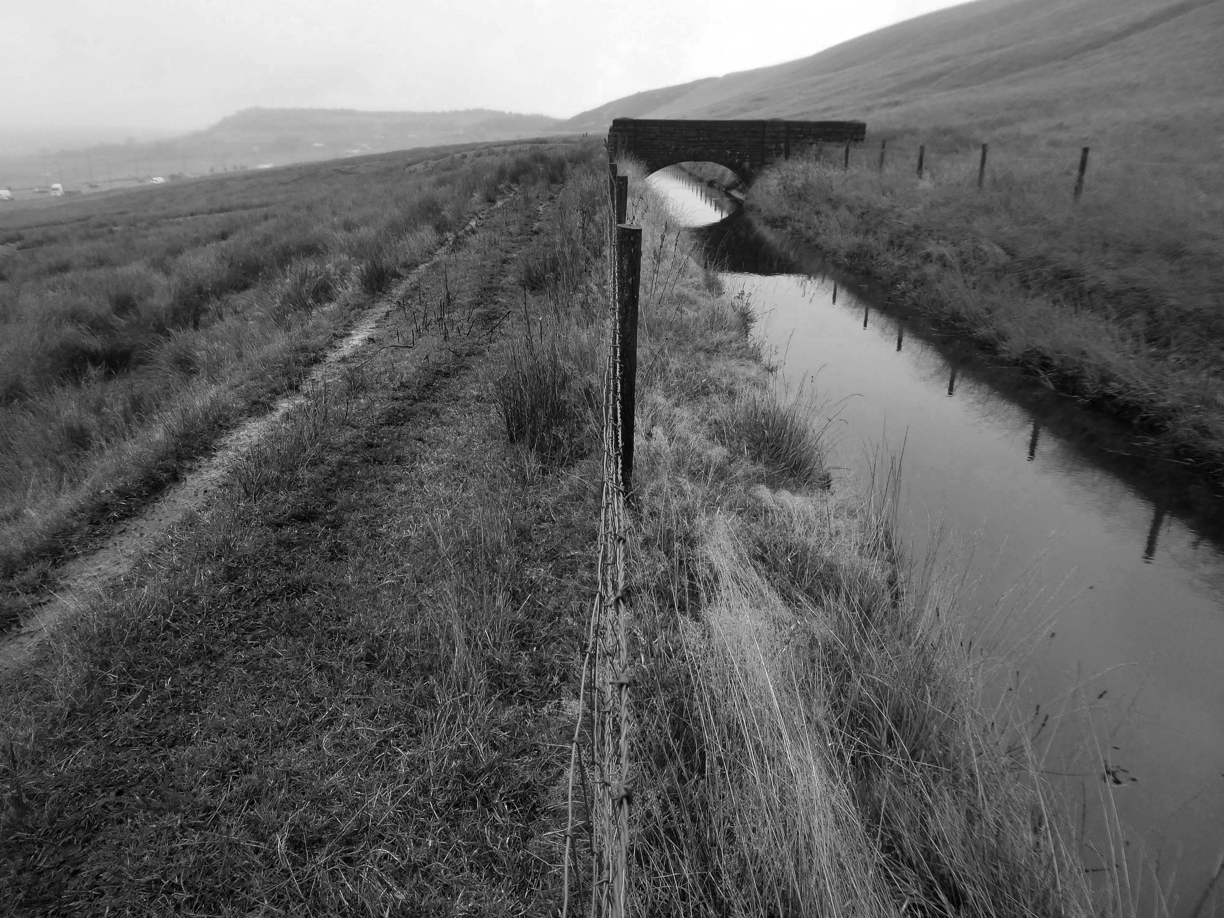
We walked over the upland moors to meet with the Catchwater, which formerly fed the Ringstone Edge Reservoir, prior to the construction of the motorway cutting.
Climbing again over Cow Gate Hill to meet the Saddleworth Road.
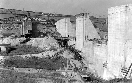
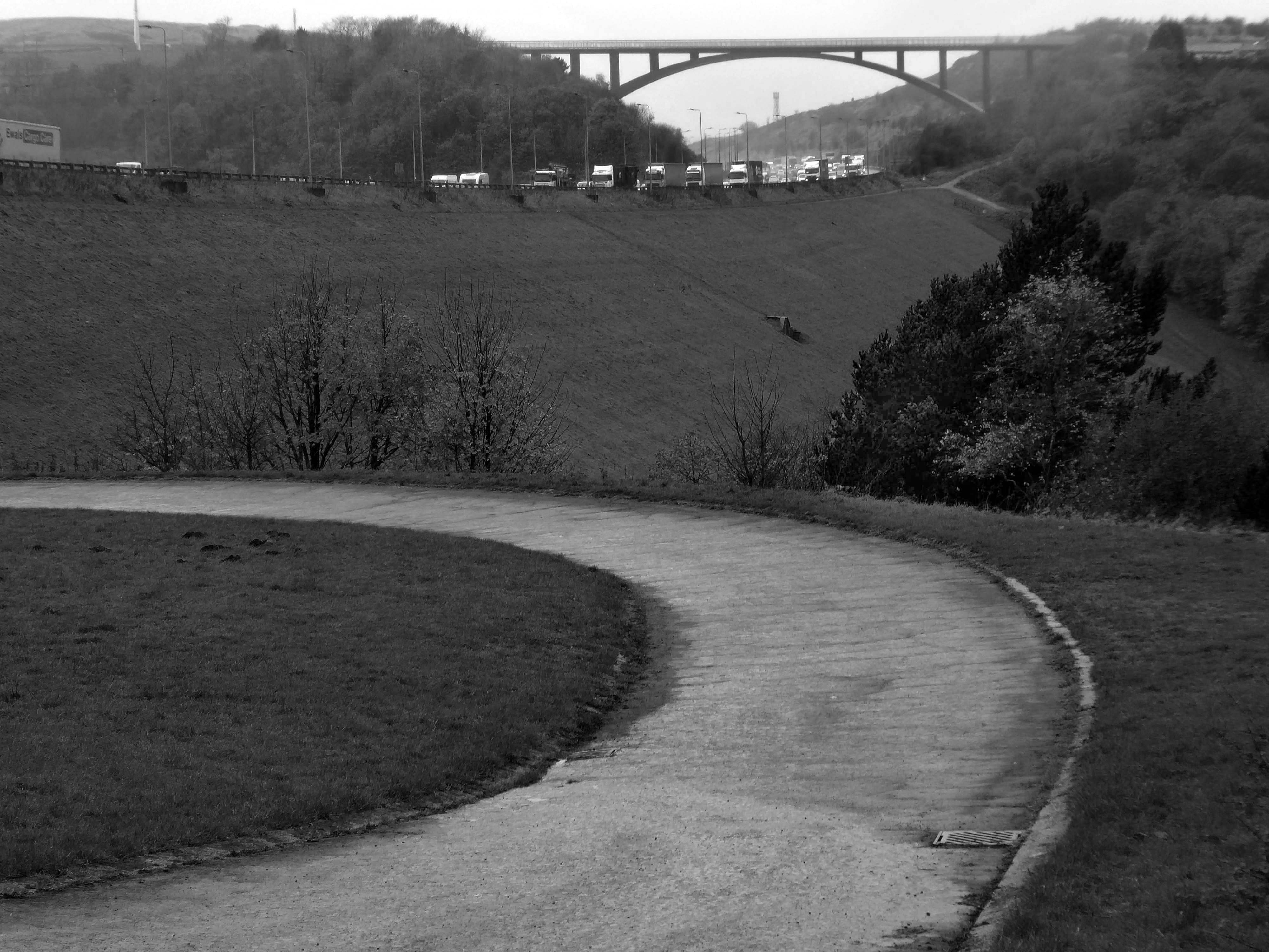
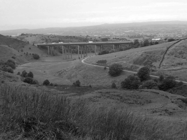
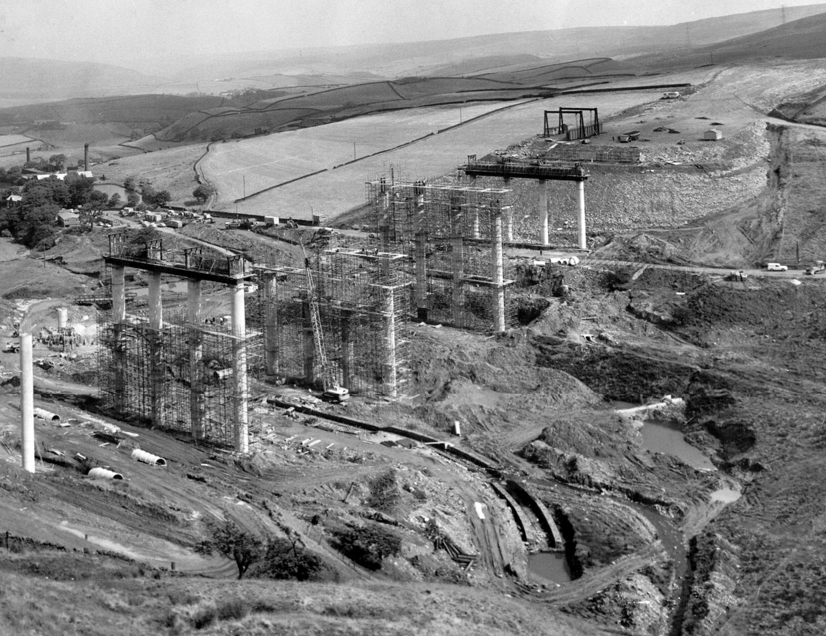
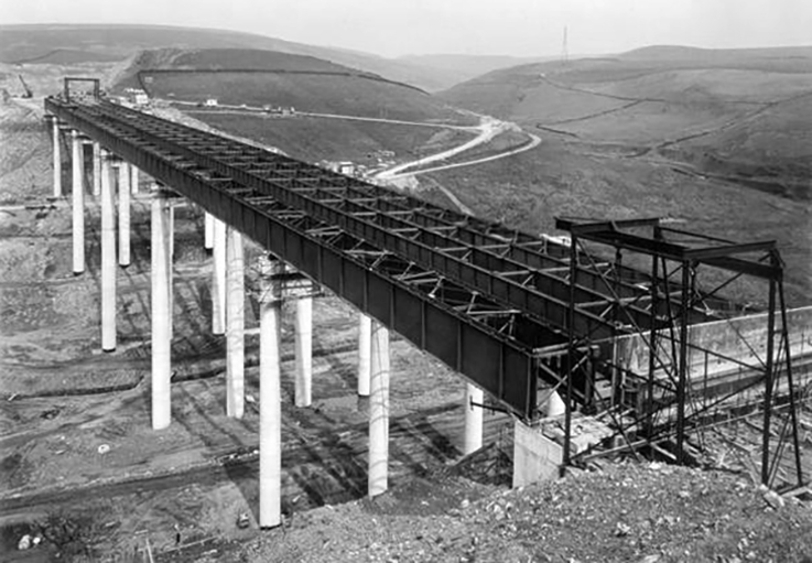
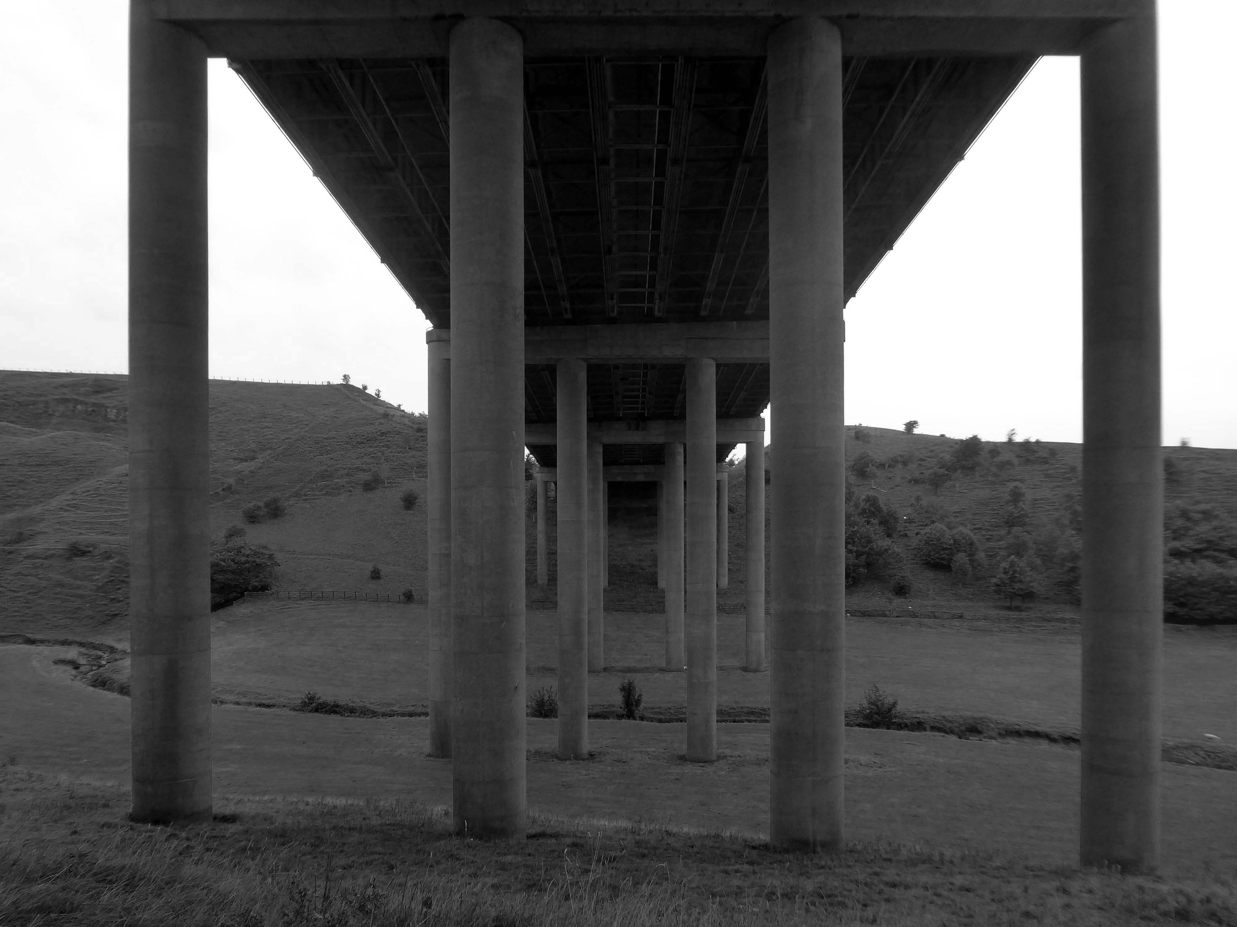
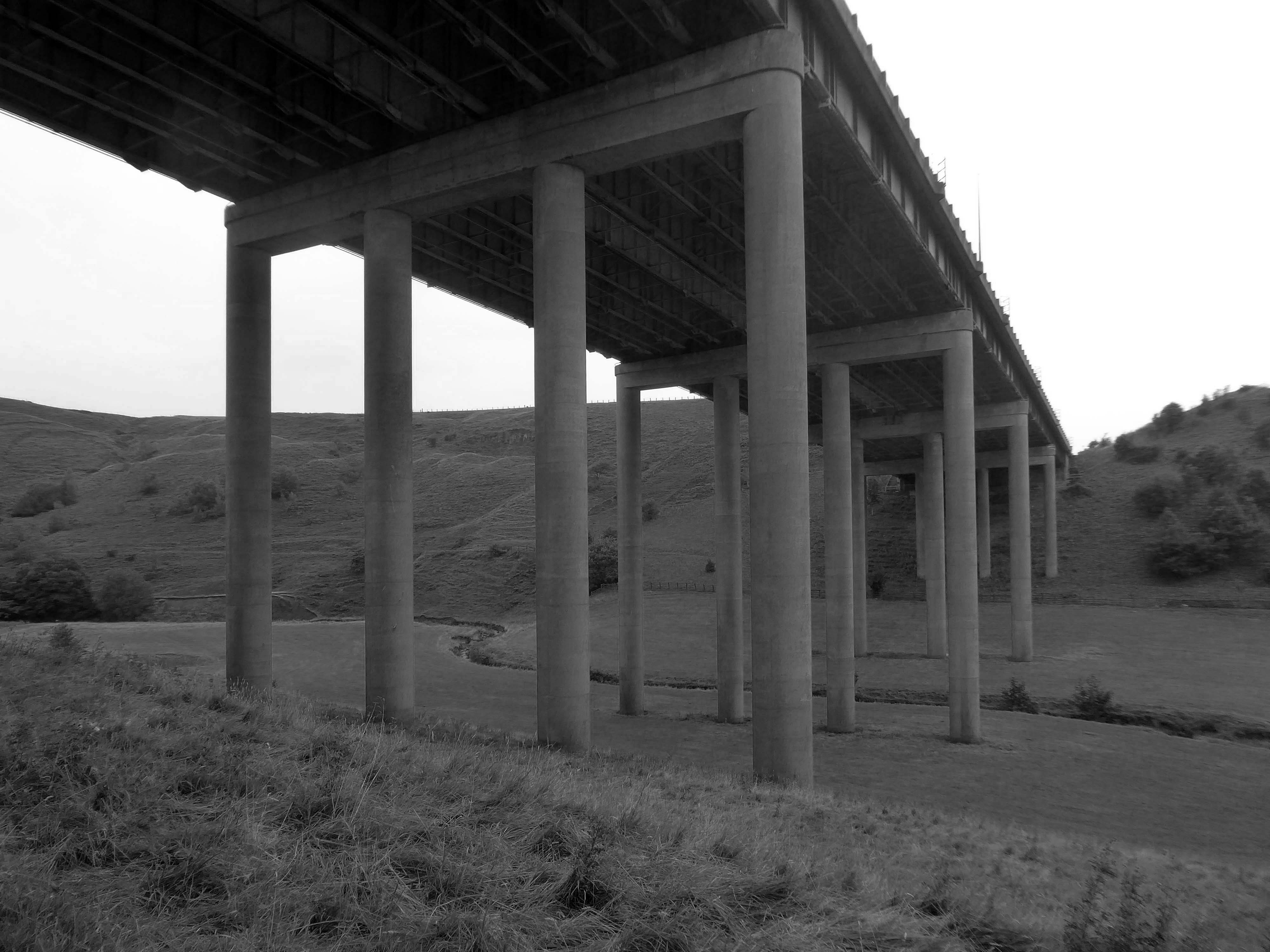
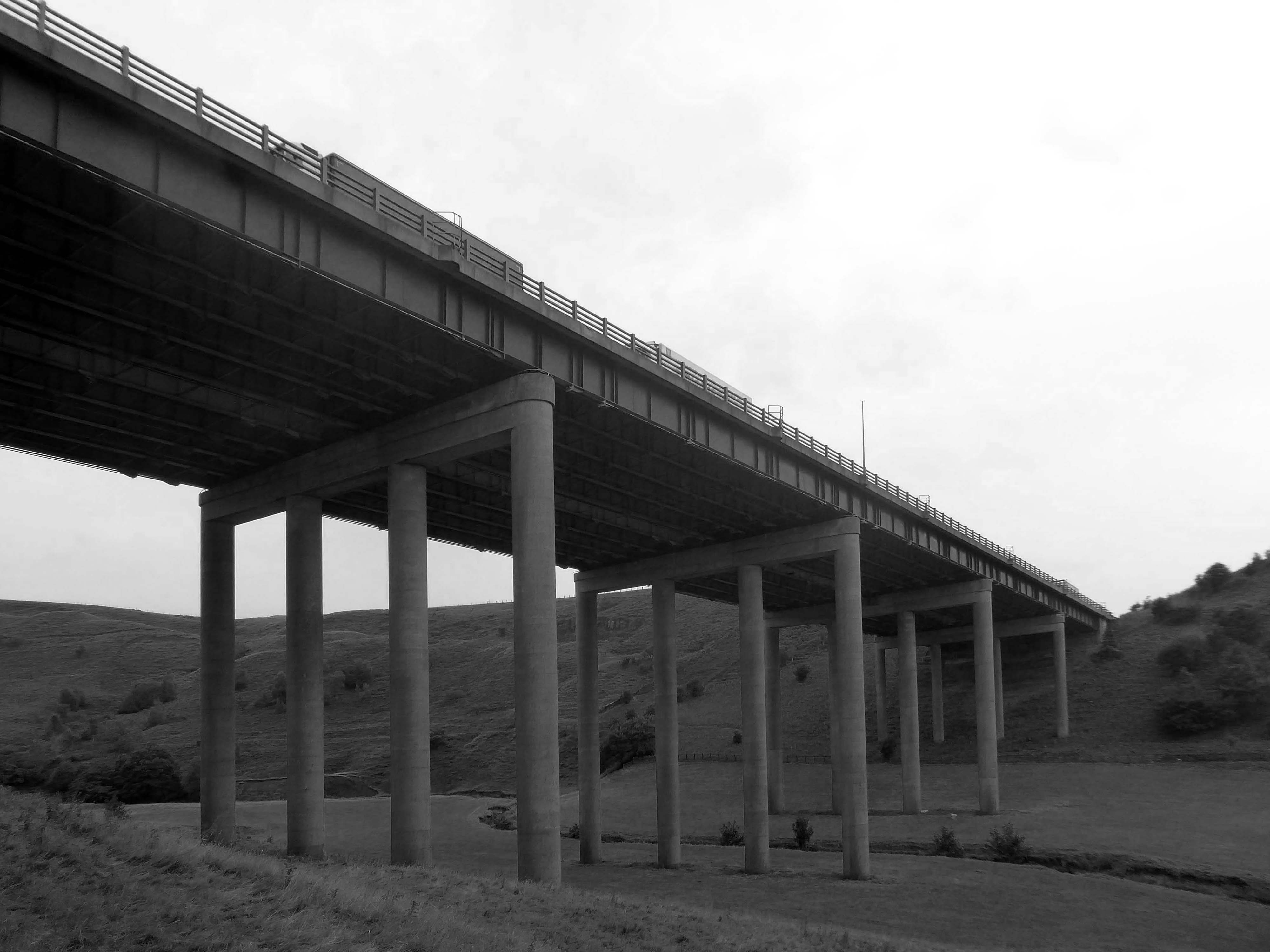
Crossing the motorway and dropping down to meet the Scammonden Dam.
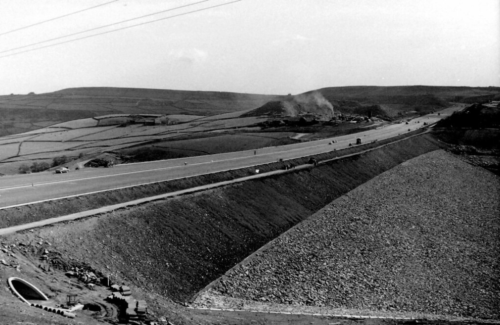
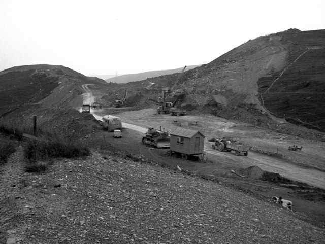
Scammonden Dam is part of the M62 motorway between junctions 22 and 23, the only such structure in Britain. Its construction by the Ministry of Transport and Huddersfield Corporation Waterworks required the passing of the Huddersfield Corporation Act 1965. The motorway dam spans the Deanhead Valley in the Pennines between Huddersfield and Rochdale and the main contractor for the project was Sir Alfred McAlpine & Sons.
It was designed by Rofe, Kennard and Lapworth
Surveying began in November 1961 and the route of the carriageway was determined in mid 1963. Excavation in the Deanhead Valley commenced the following year and for the dam in 1966. This required the removal of 25,200,000 cu ft of peat bog to reach the solid rock base nearly 43 ft below ground level. Material excavated elsewhere on the line of the motorway, clay from cuttings between Lofthouse and Gildersome, and 3.4 million cubic metres from the Deanhead excavations was used to build the dam’s embankment which is 2,051 ft in length and 207 ft above the original valley floor. The embankment is 1,427 ft wide at its base and 180 ft at road level.
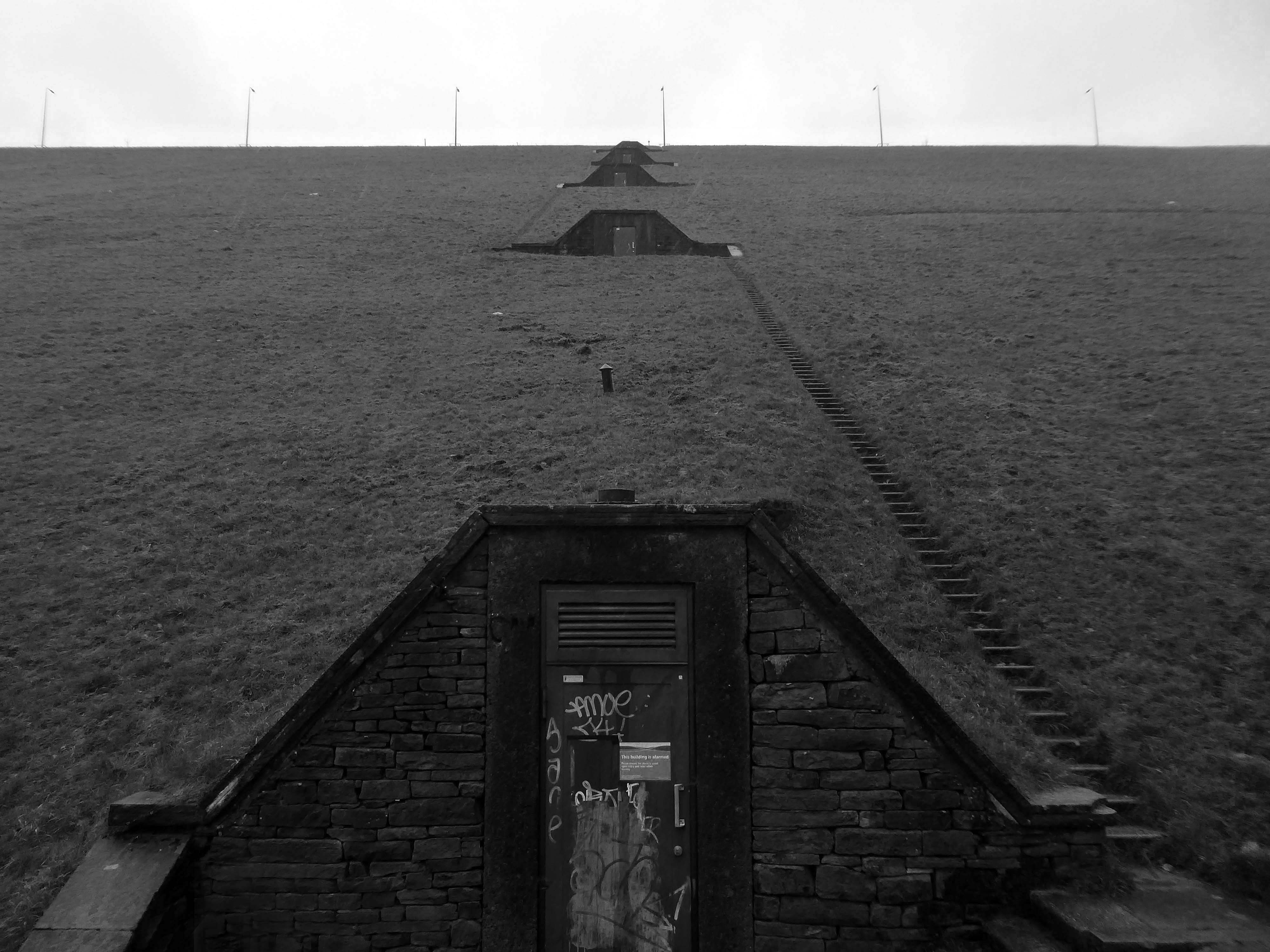
Scammonden steps comprises five flights of steps up the hillside from the valley below. Totaling 458 steps, the cumulative step count when ascending each of the five flights is 95, 200, 287, 363 then 458.
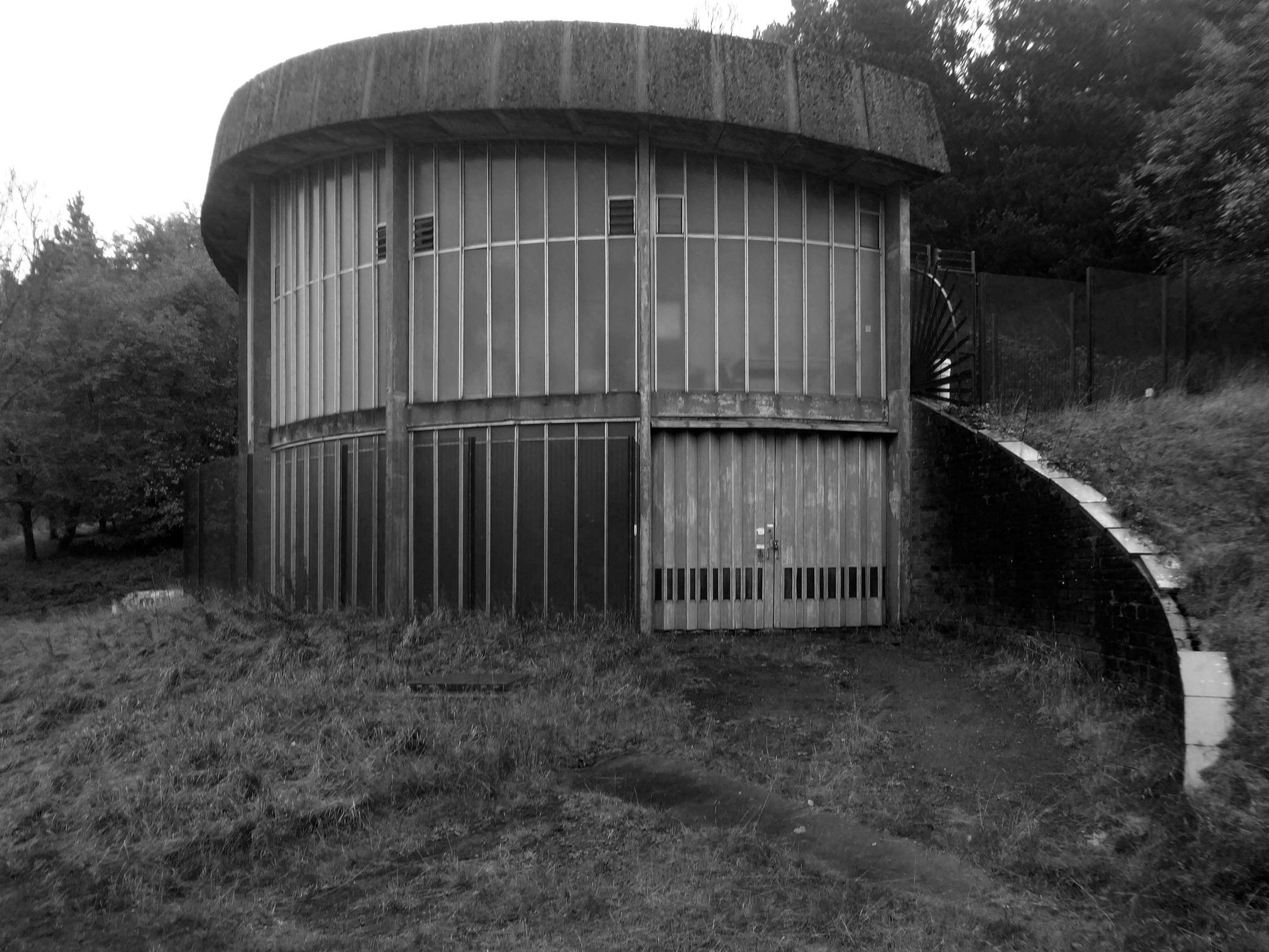
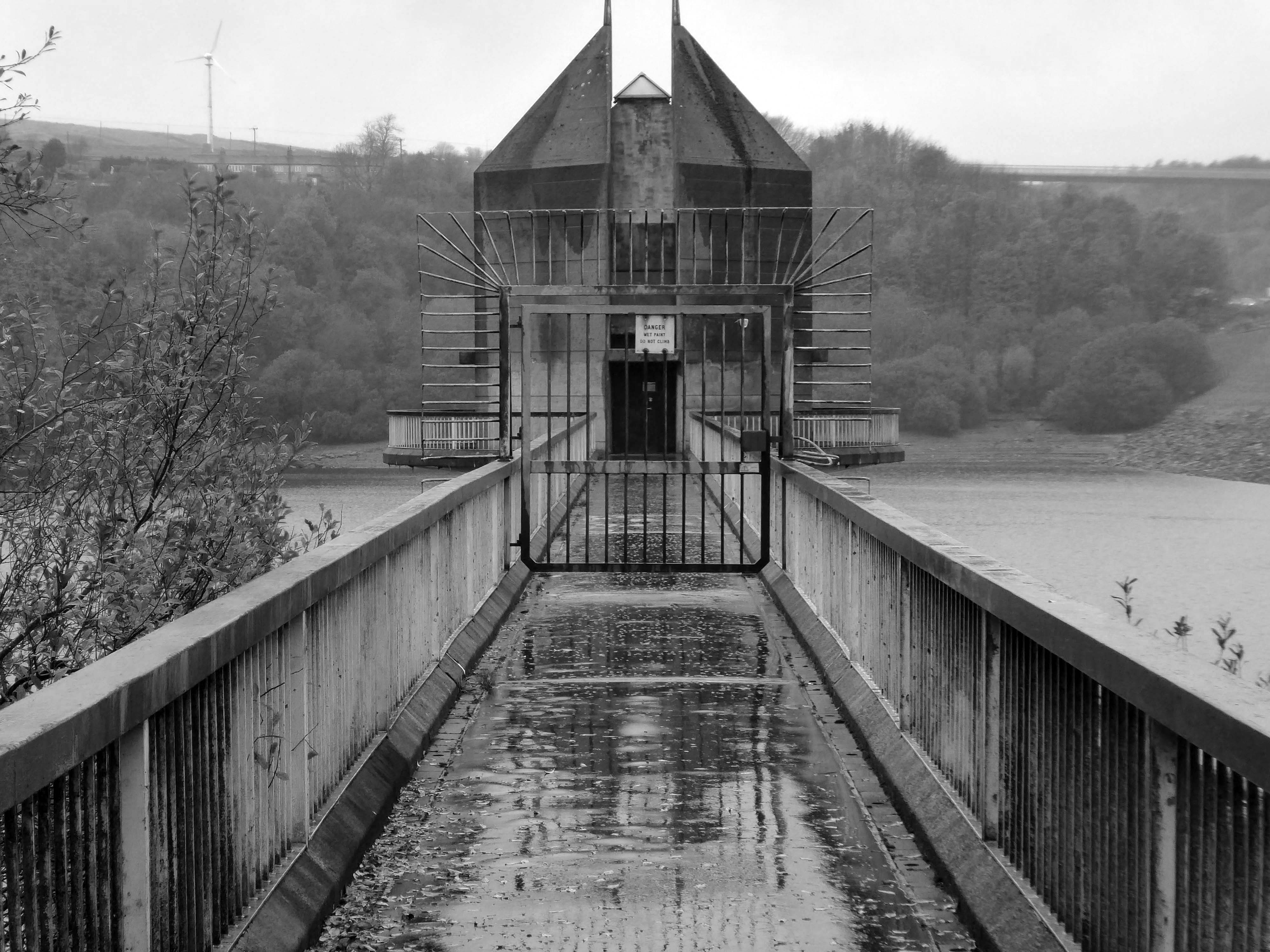
At the base of the dam is this delightful Pumping House.
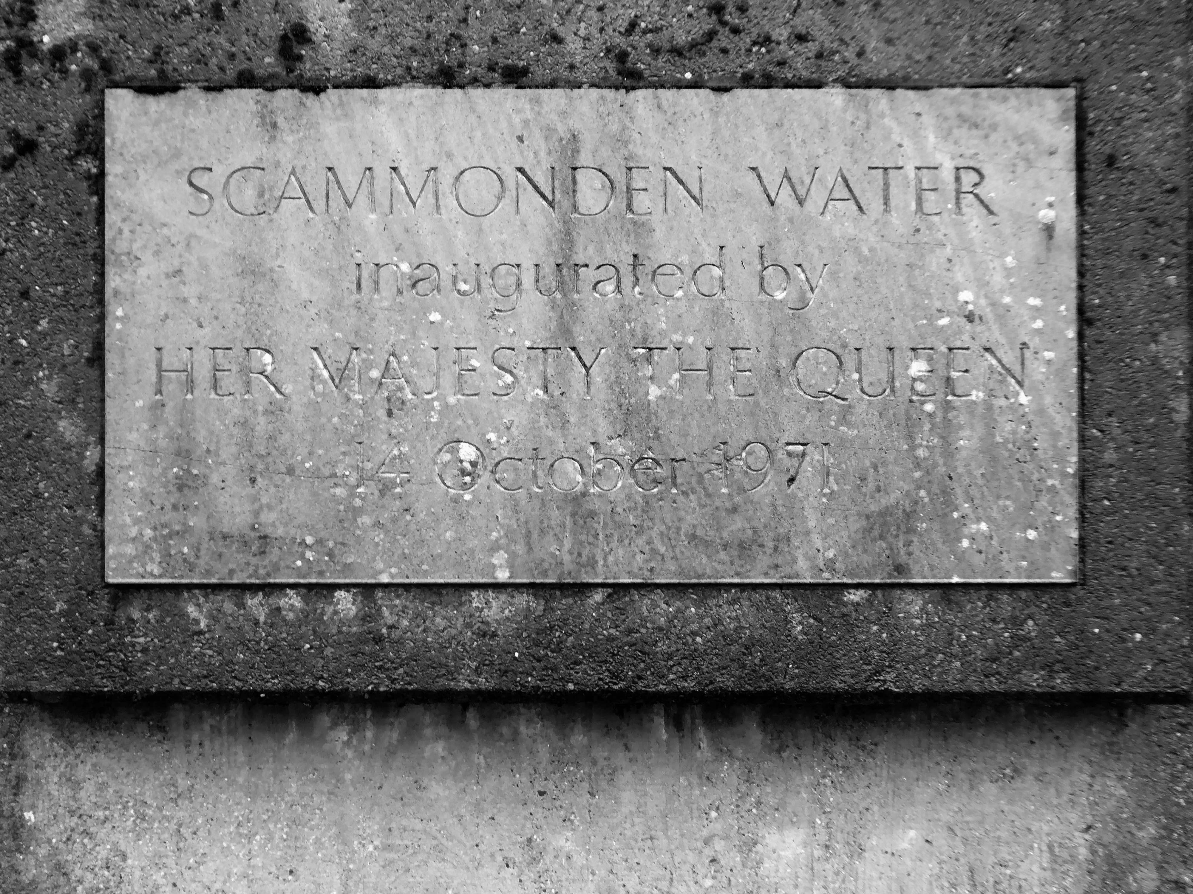
The motorway, which was dependent on the completion of the dam, was opened to traffic on 20th December 1970 and officially opened by Queen Elizabeth II who unveiled a plaque near the valve tower of Scammonden Water on 14 October 1971.
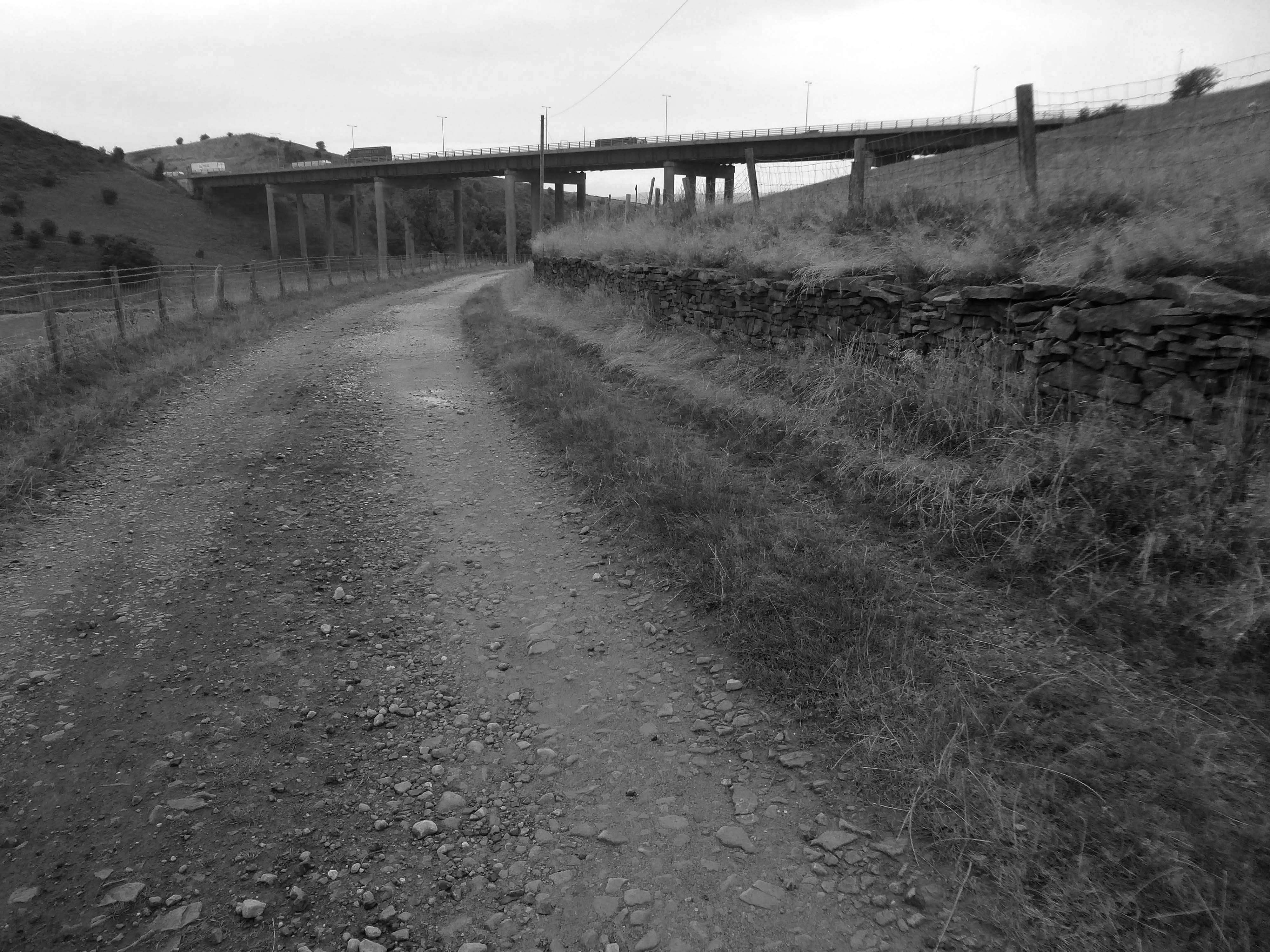
Ascending and looking back toward Scammonden Bridge also known locally as the Brown Cow Bridge – after the nearby Brown Cow Inn, now closed, spans the Deanhead cutting carrying the B6114.
The bridge was built for the West Riding County Council to the designs of the county surveyor, Colonel S Maynard Lovell.
It opened to traffic on Monday 18 May 1970 by Major Bruce Eccles – Huddersfield Transport ran buses to see the bridge.
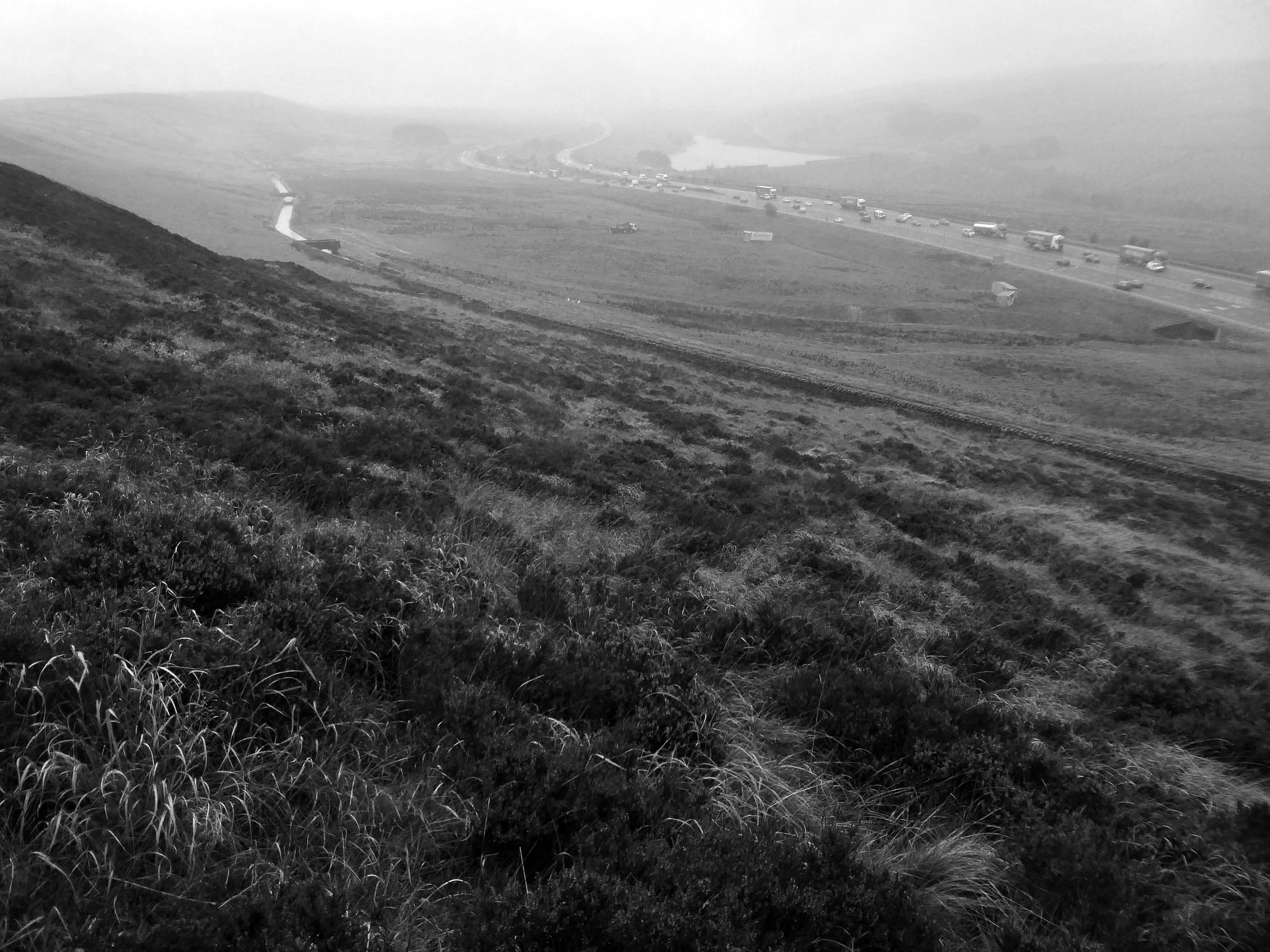
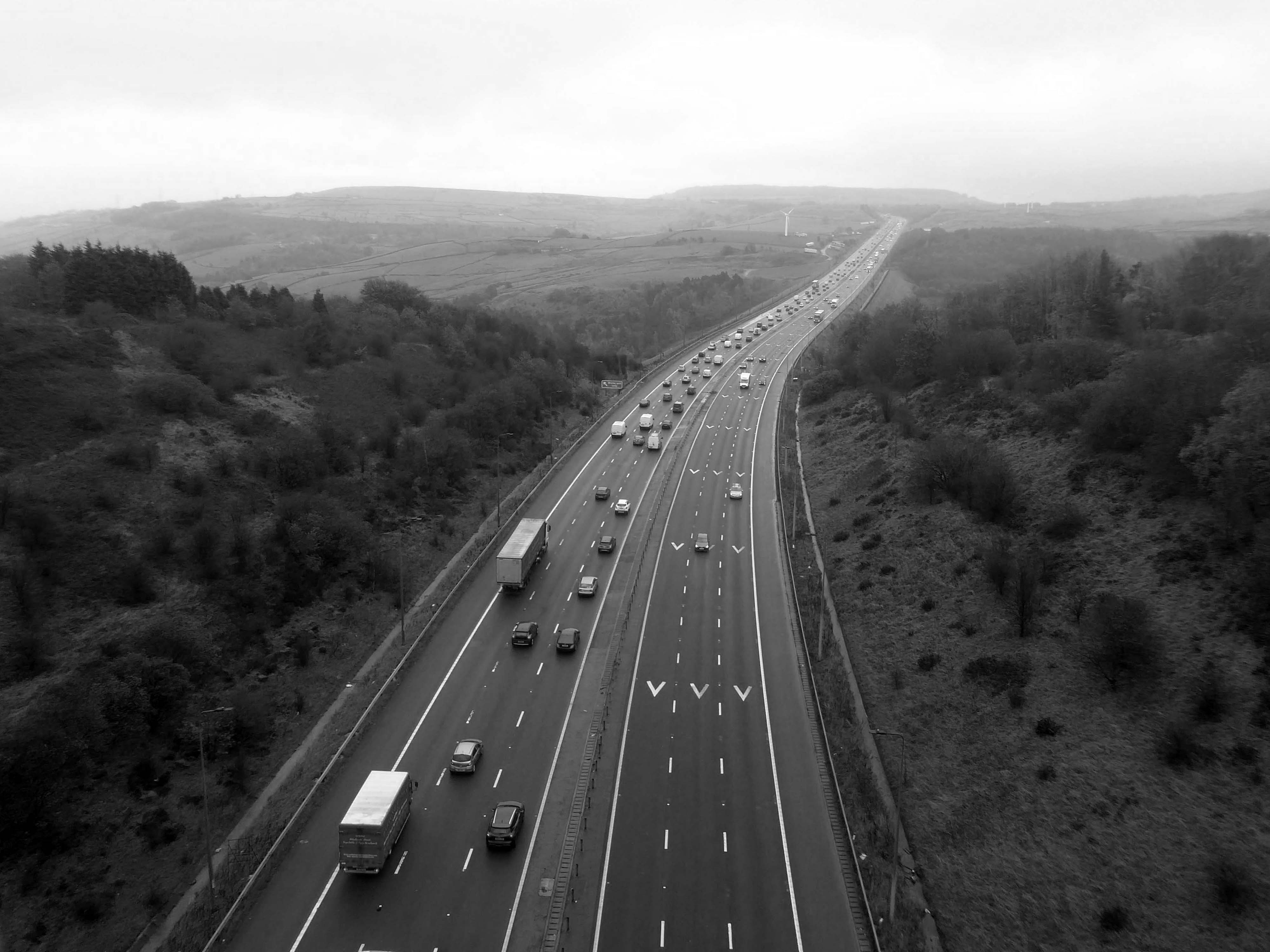
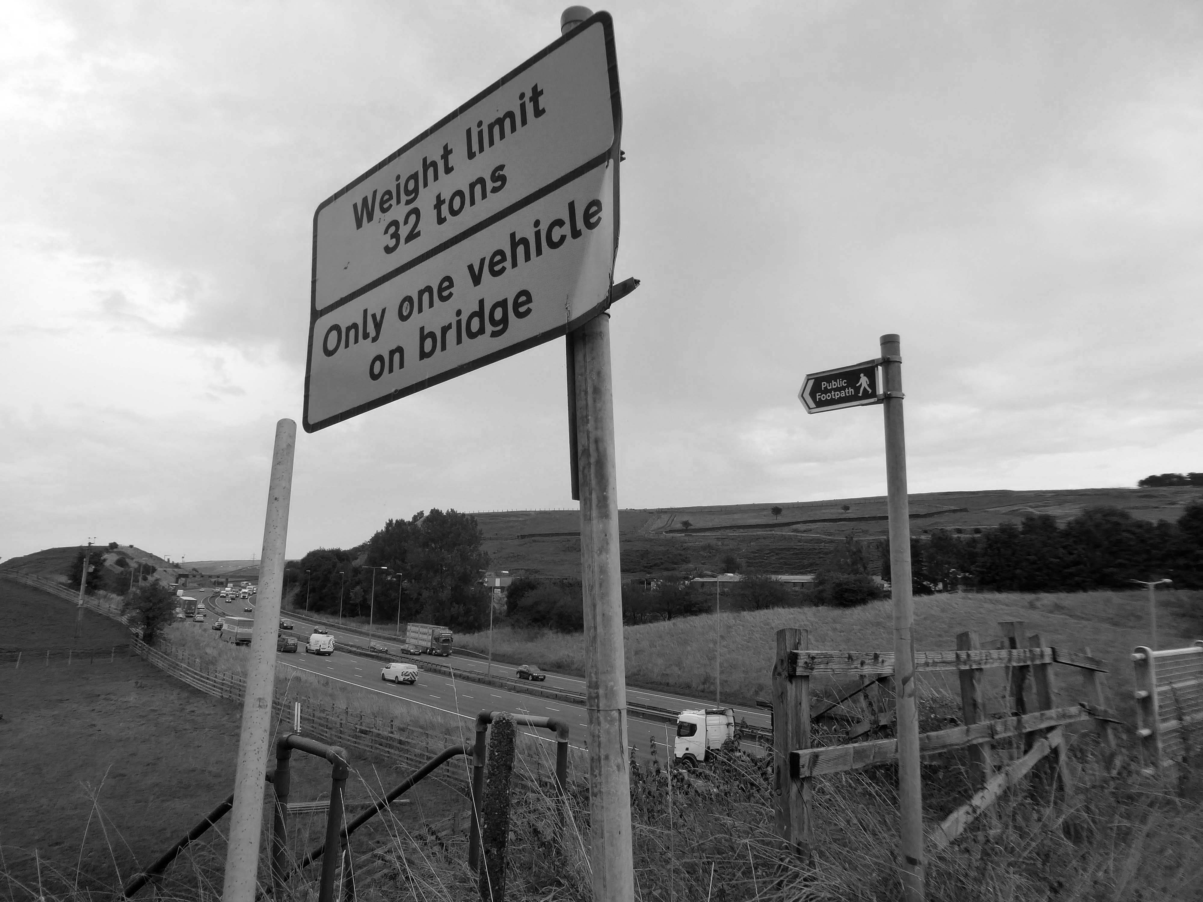
The M62 is a 107-mile-long west–east trans-Pennine motorway, connecting Liverpool and Hull via Manchester, Bradford, Leeds and Wakefield; 7 miles of the route is shared with the M60 orbital motorway around Manchester.
The motorway, which was first proposed in the 1930s, and conceived as two separate routes, was opened in stages between 1971 and 1976, with construction beginning at Pole Moor near Huddersfield and finishing at that time in Tarbock on the outskirts of Liverpool. The motorway absorbed the northern end of the Stretford-Eccles bypass, which was built between 1957 and 1960. Adjusted for inflation to 2007, its construction cost approximately £765 million. The motorway has an average daily traffic flow of 144,000 vehicles in West Yorkshire, and has several sections prone to gridlock, in particular, between Leeds and Huddersfield and the M60 section around Eccles.
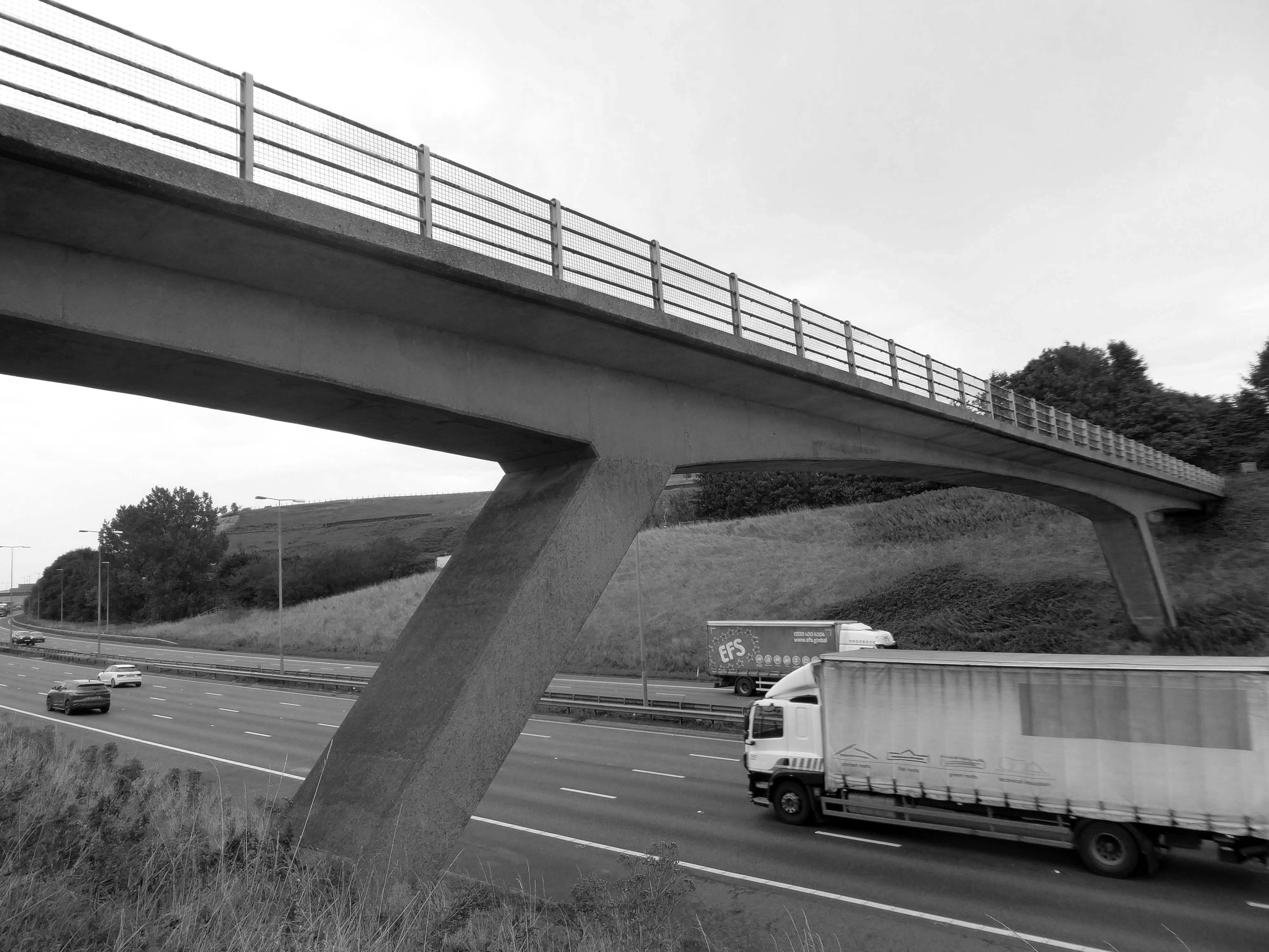
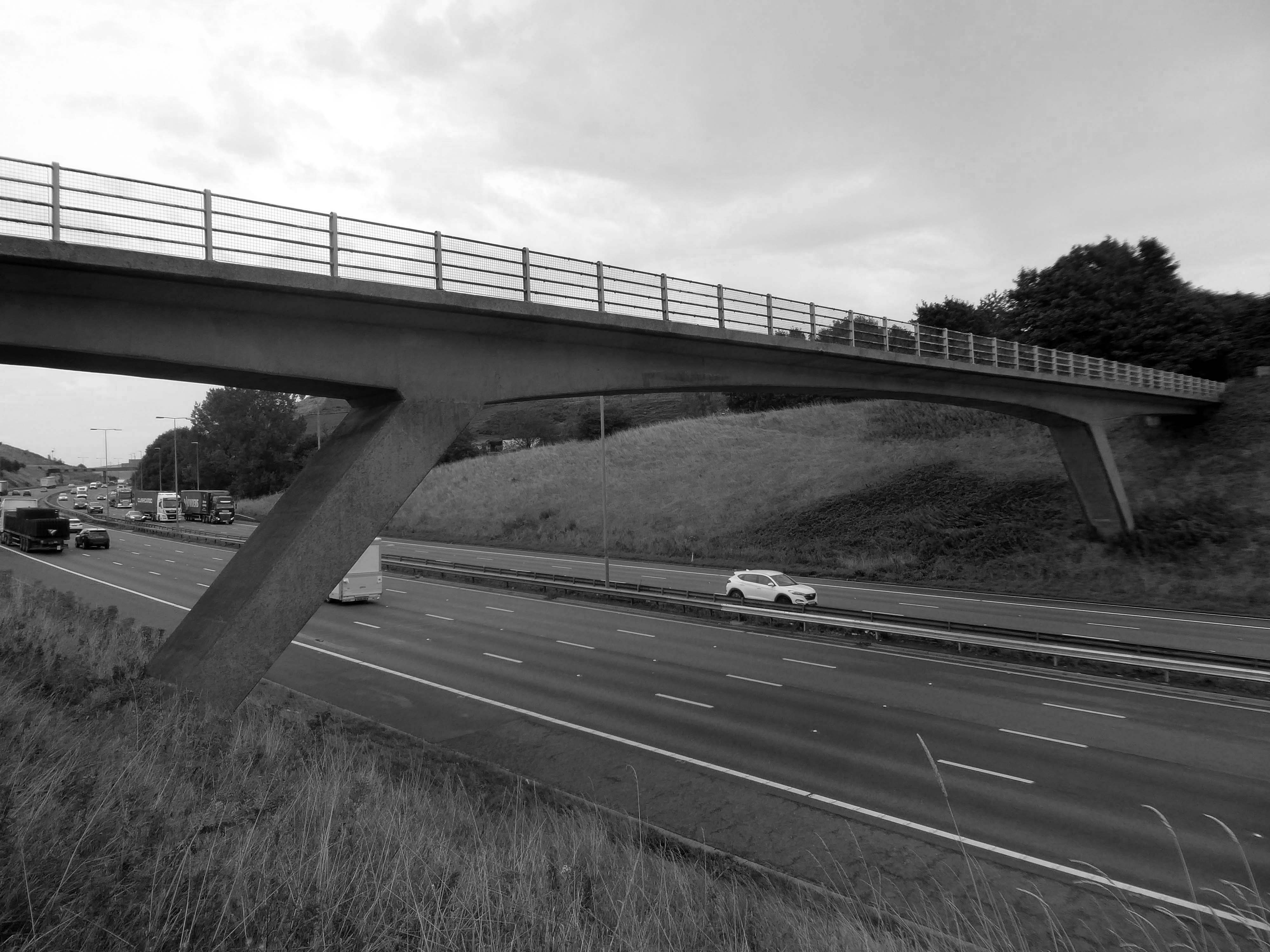
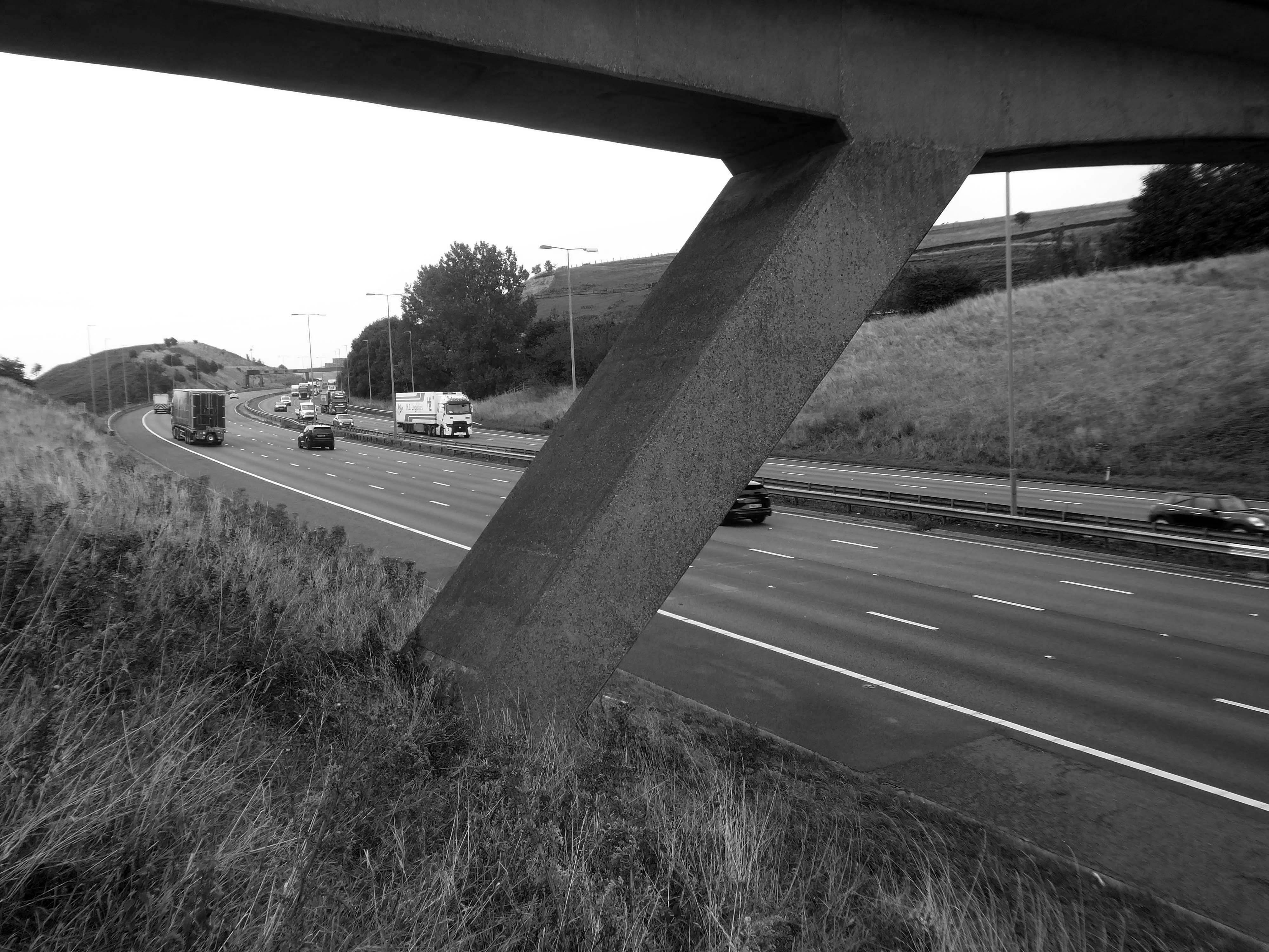
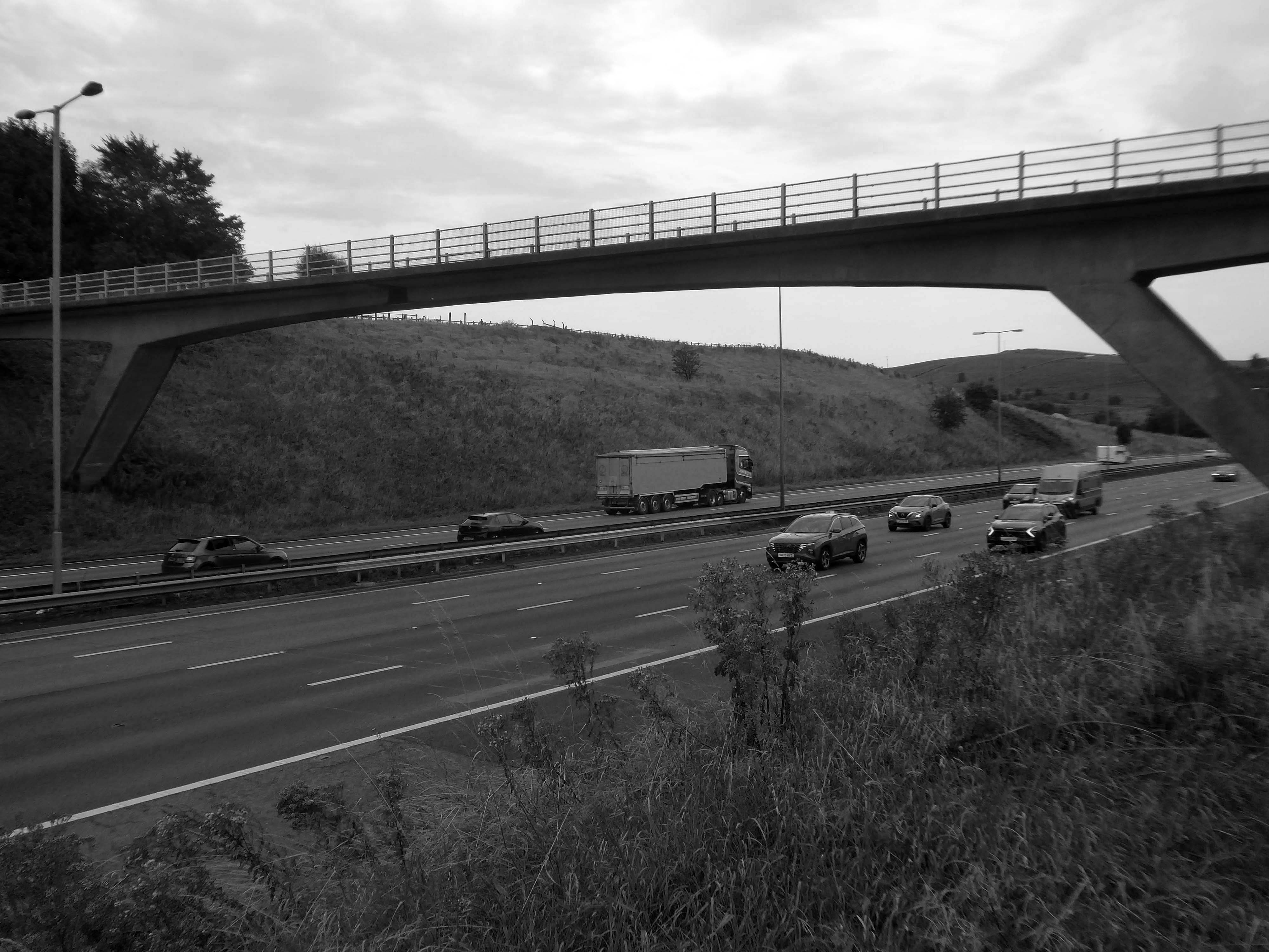
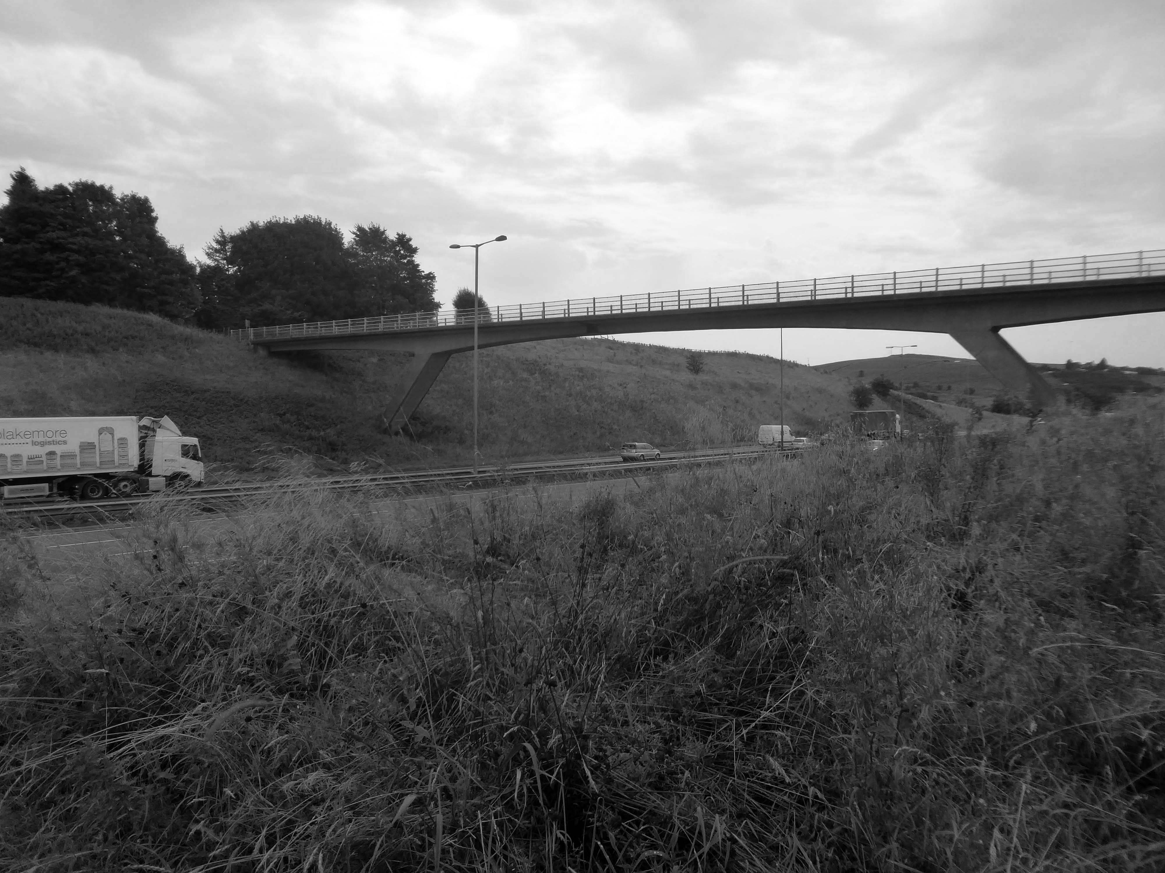
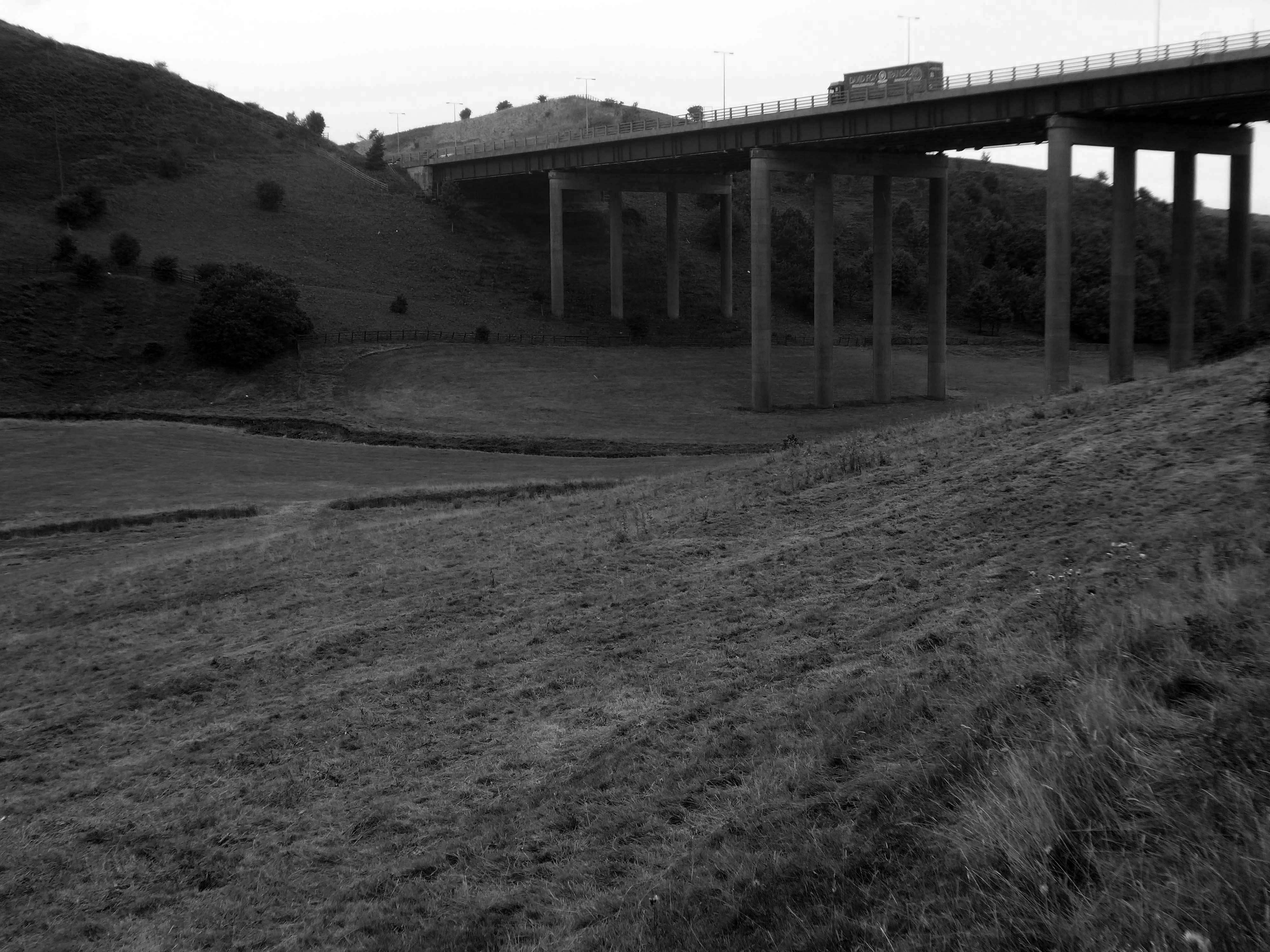
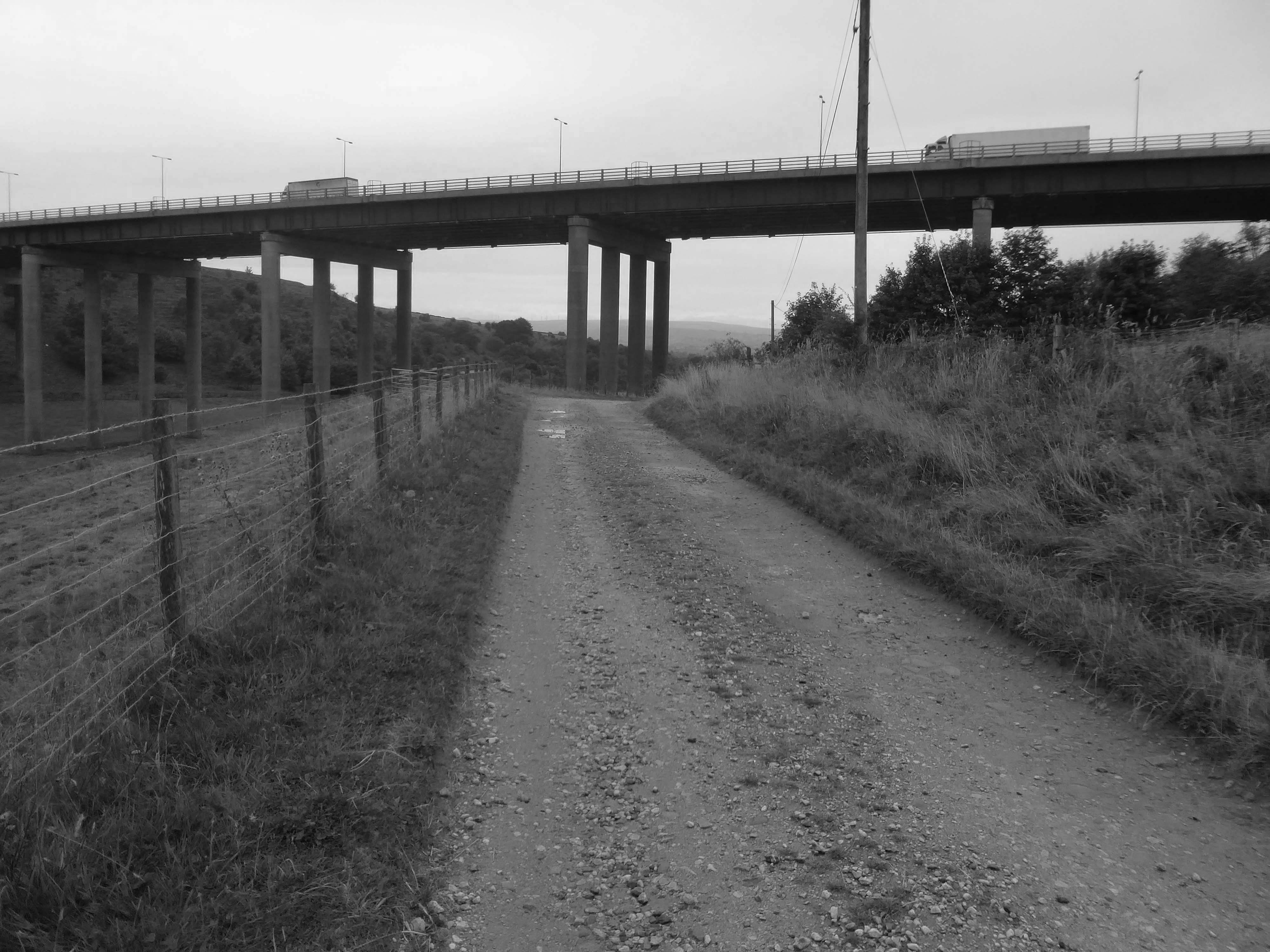
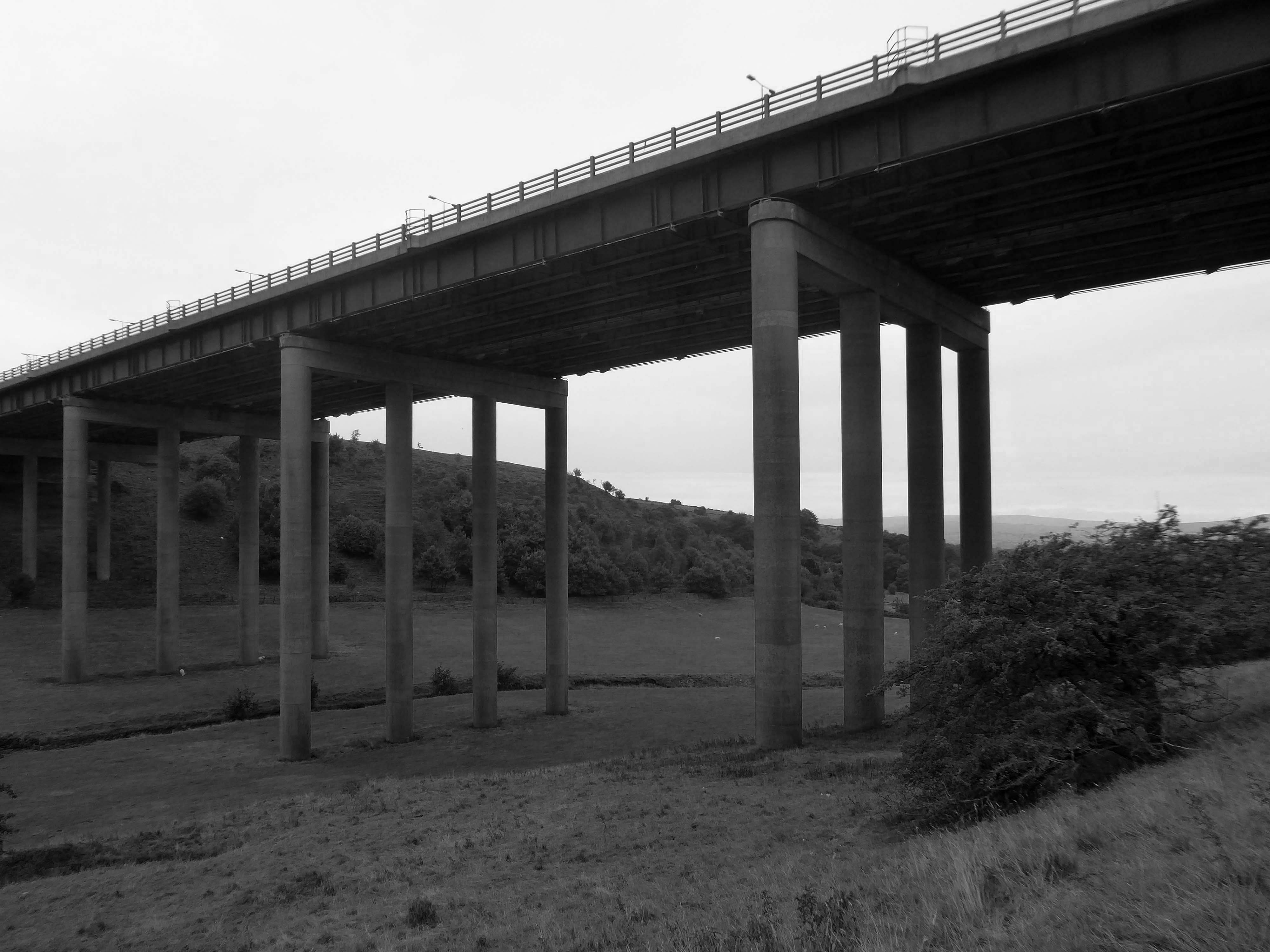
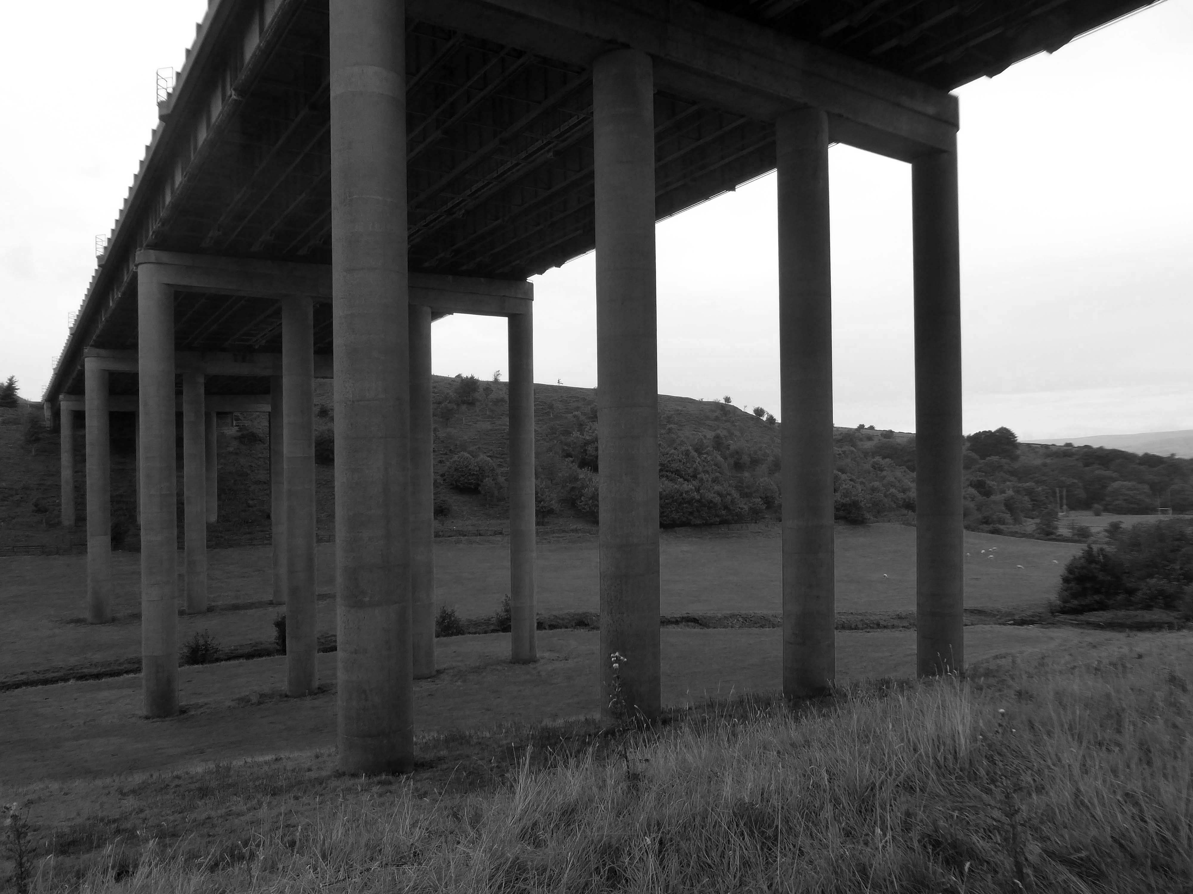
We were walking along Tunshill Lane on our way to the Piethorn Valley, our crossing of the M62 facilitated by this elegant road bridge.
A notable structure between junctions 21 and 22 on the uphill section towards Windy Hill is the Rakewood Viaduct which carries the road over the Longden End Brook.
The viaduct is 280 yards long and 140 ft above the valley floor. It was built in 1966 by Reed & Mallik and opened to motorway traffic in October 1971. It has a sister bridge, the Gathurst Viaduct in Wigan, which carries the M6 motorway over the Leeds & Liverpool Canal, the Manchester-Southport line and the River Douglas and was constructed before the Rakewood Viaduct.
The steelwork deck was subcontracted to Robert Watson Steelwork of Bolton.
The Ferodo Factory was founded in Caernarfon in 1962, and officially opened by Princess Margaret.
However, the Ferodo Factory faced a significant setback in April 2001, when a lengthy industrial strike by the Transport and General Workers Union members began.
The strike lasted for an astonishing two and a half years.
Following the strike, the Ferodo Factory underwent a change in ownership. Bluefield Caernarfon Ltd acquired the site in 2007/08, with plans for redevelopment and revitalization. However, these plans did not come to fruition, and the factory’s buildings gradually fell into disrepair.
The site was identified as a potential location for a multi-million pound North Wales prison. This development would have created numerous job opportunities and breathed new life into the area.
Plans for this proposed redevelopment where rejected.
An appeal was launched in 2023 to find ex-strikers, in order to invite them to the premiere of a documentary to mark the 20th anniversary of one of Britain’s longest industrial disputes.
The hard-hitting film, Y Lein: Streic Friction Dynamics – The Line: Friction Dynamics Strike, has been made by Dïon Wyn, the grandson of one of the strikers, Raymond Roberts, who was determined the historic injustice should never be forgotten.
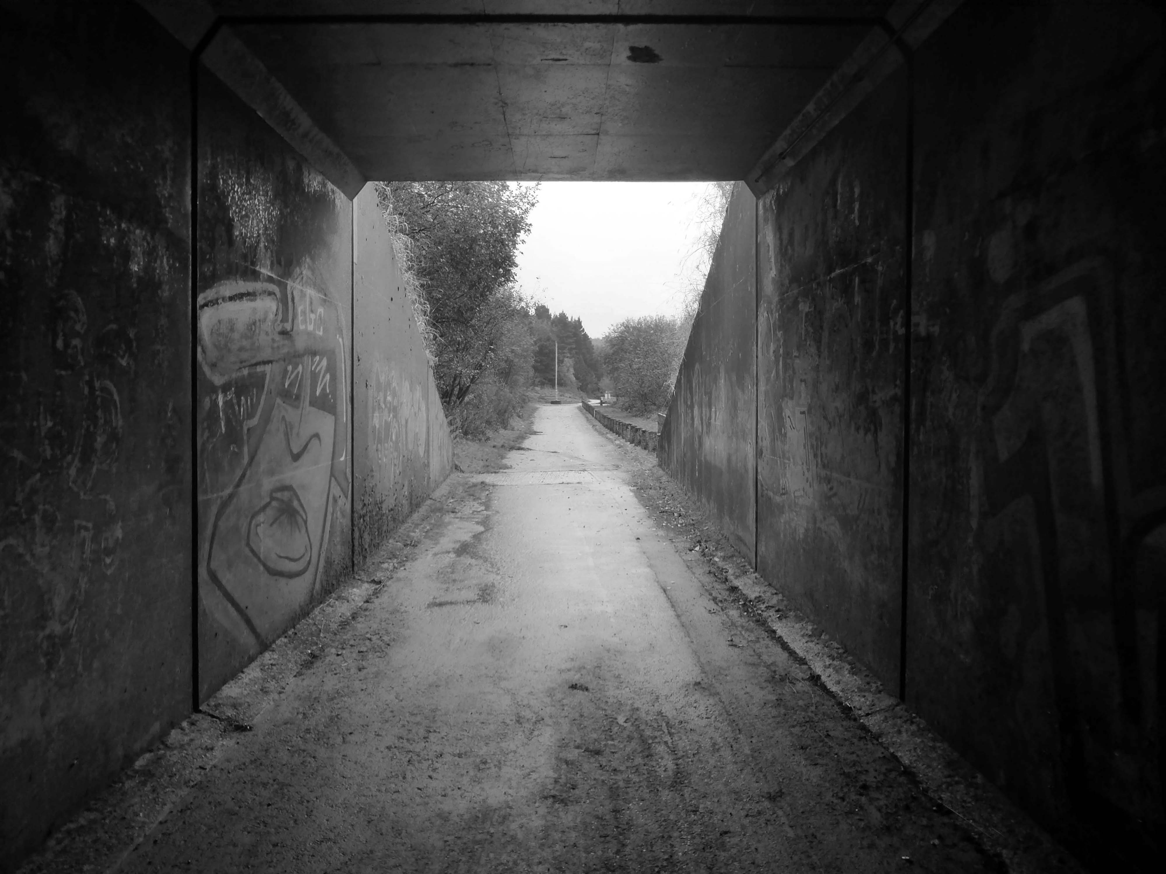
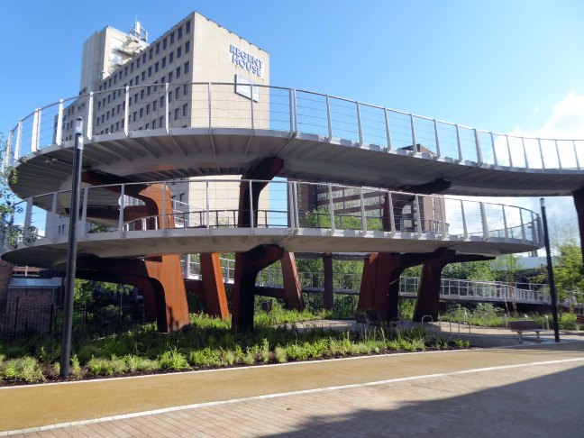
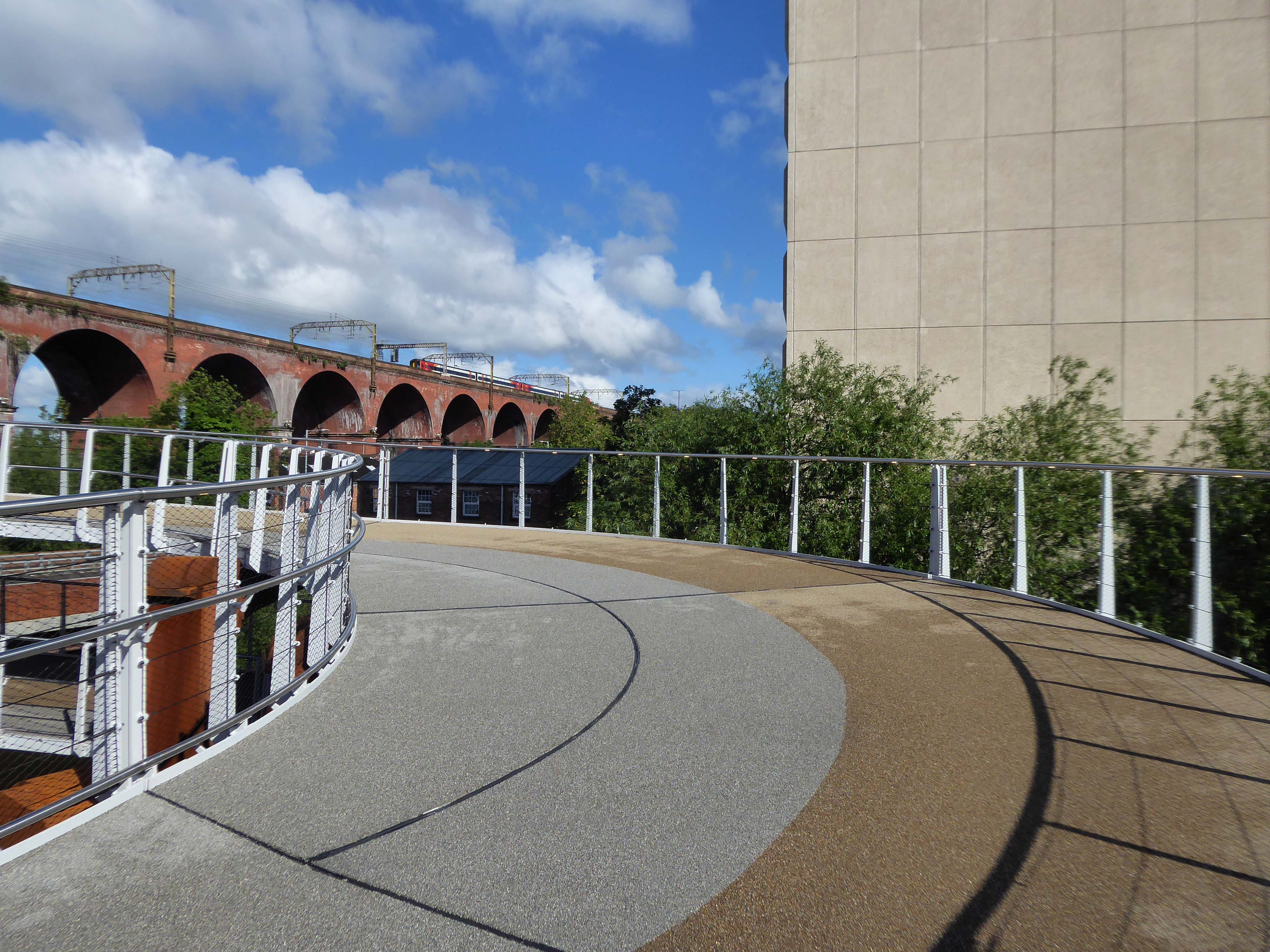
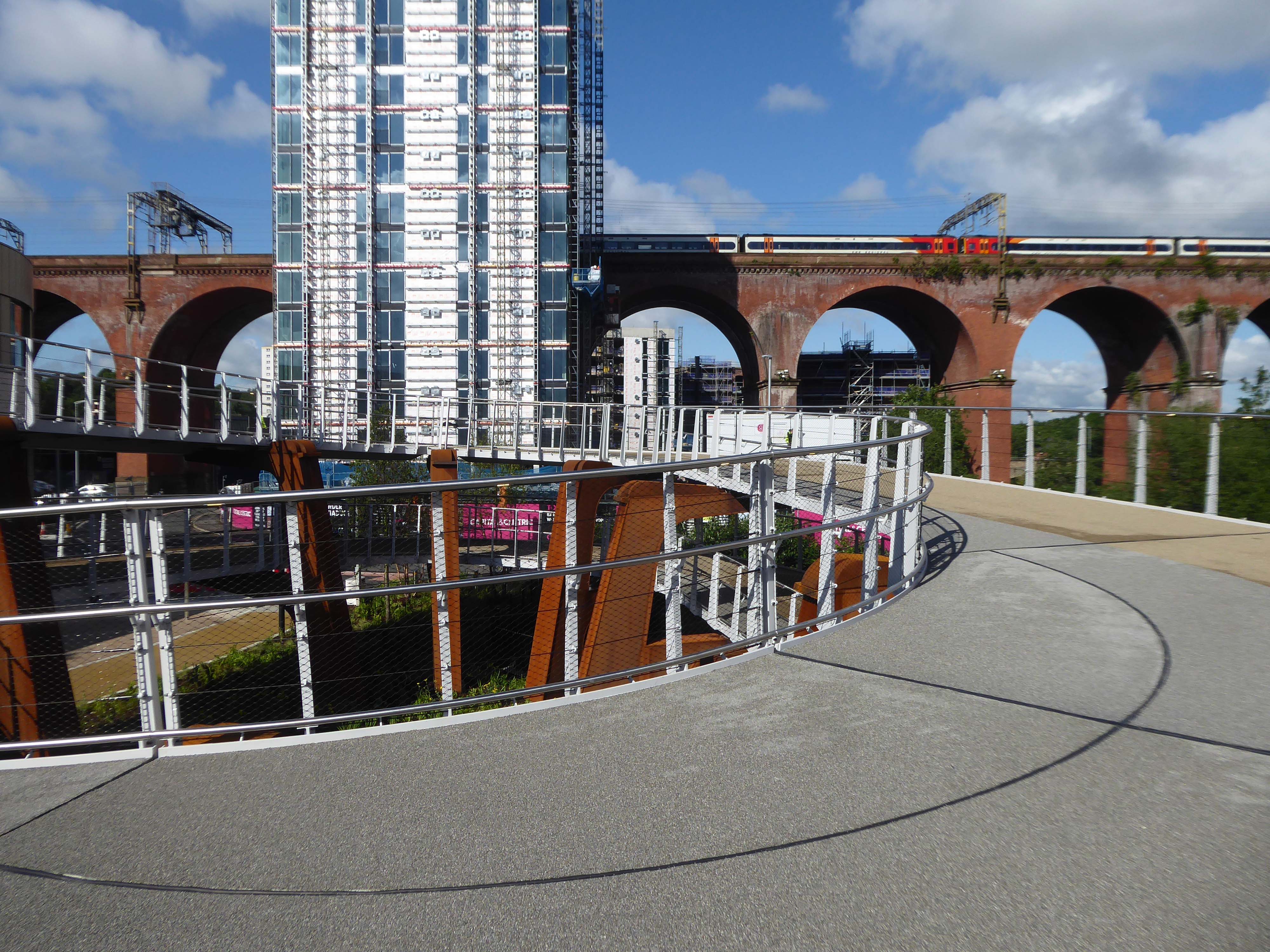
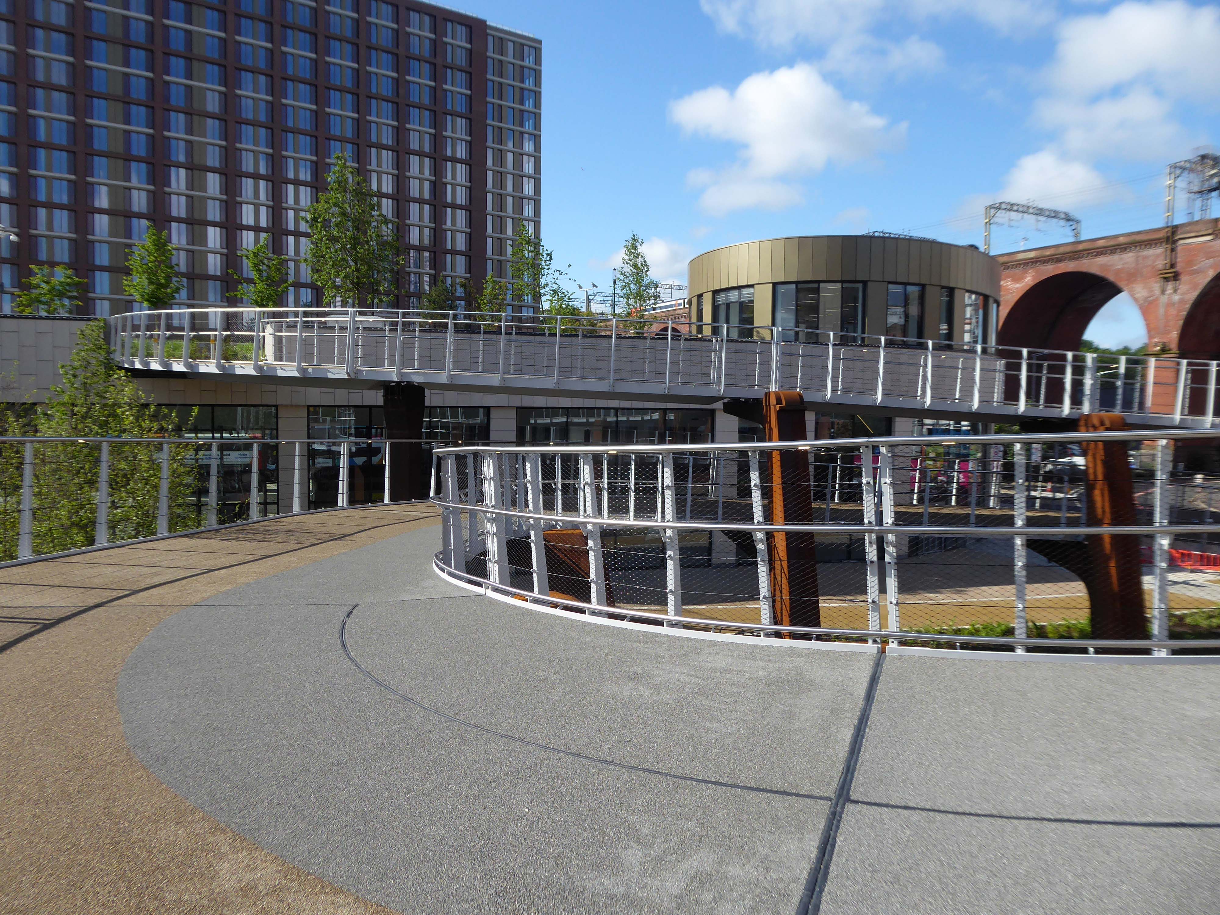
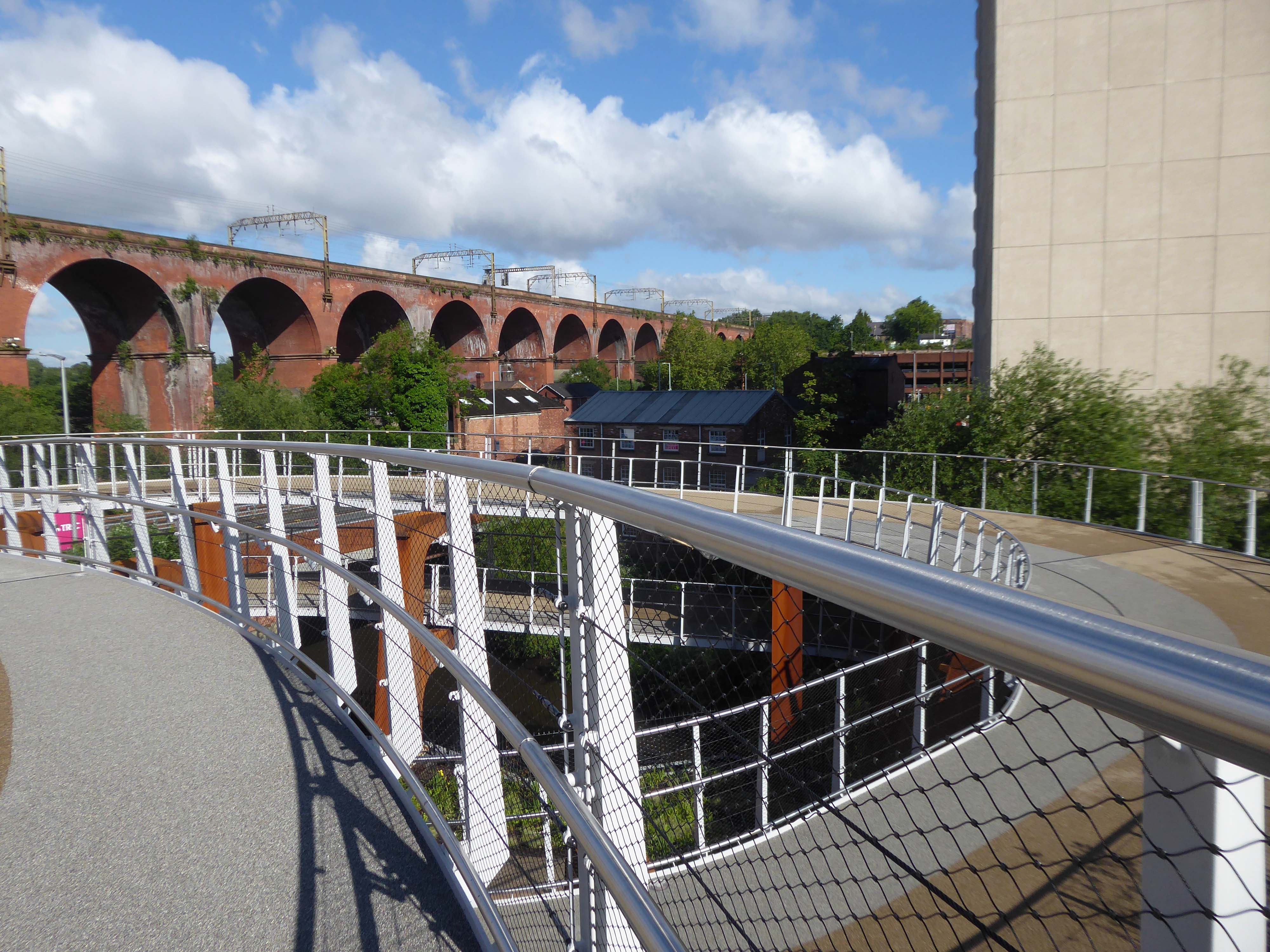
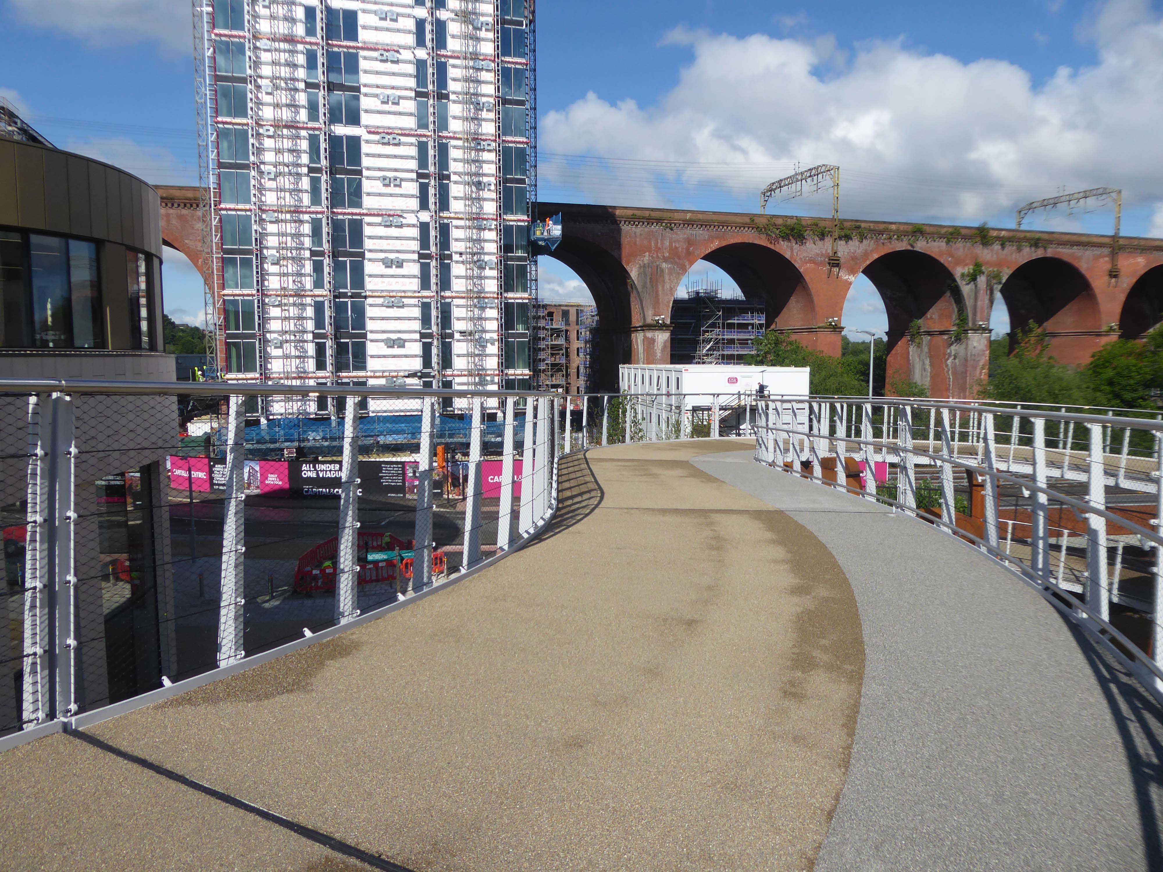
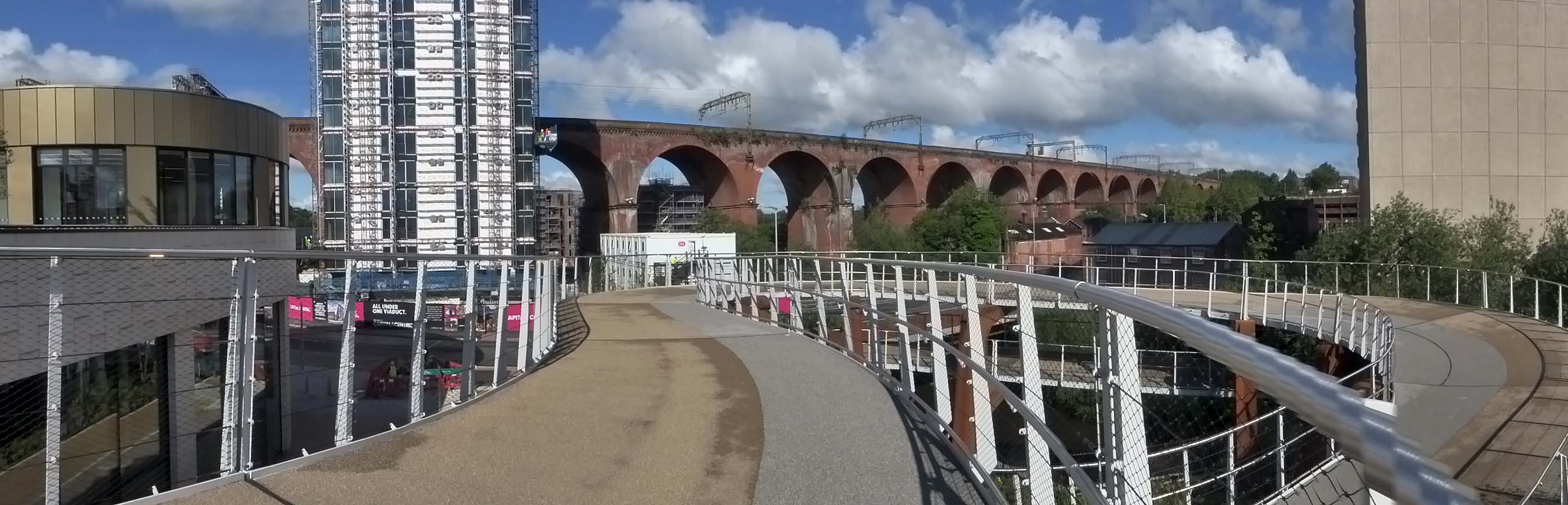
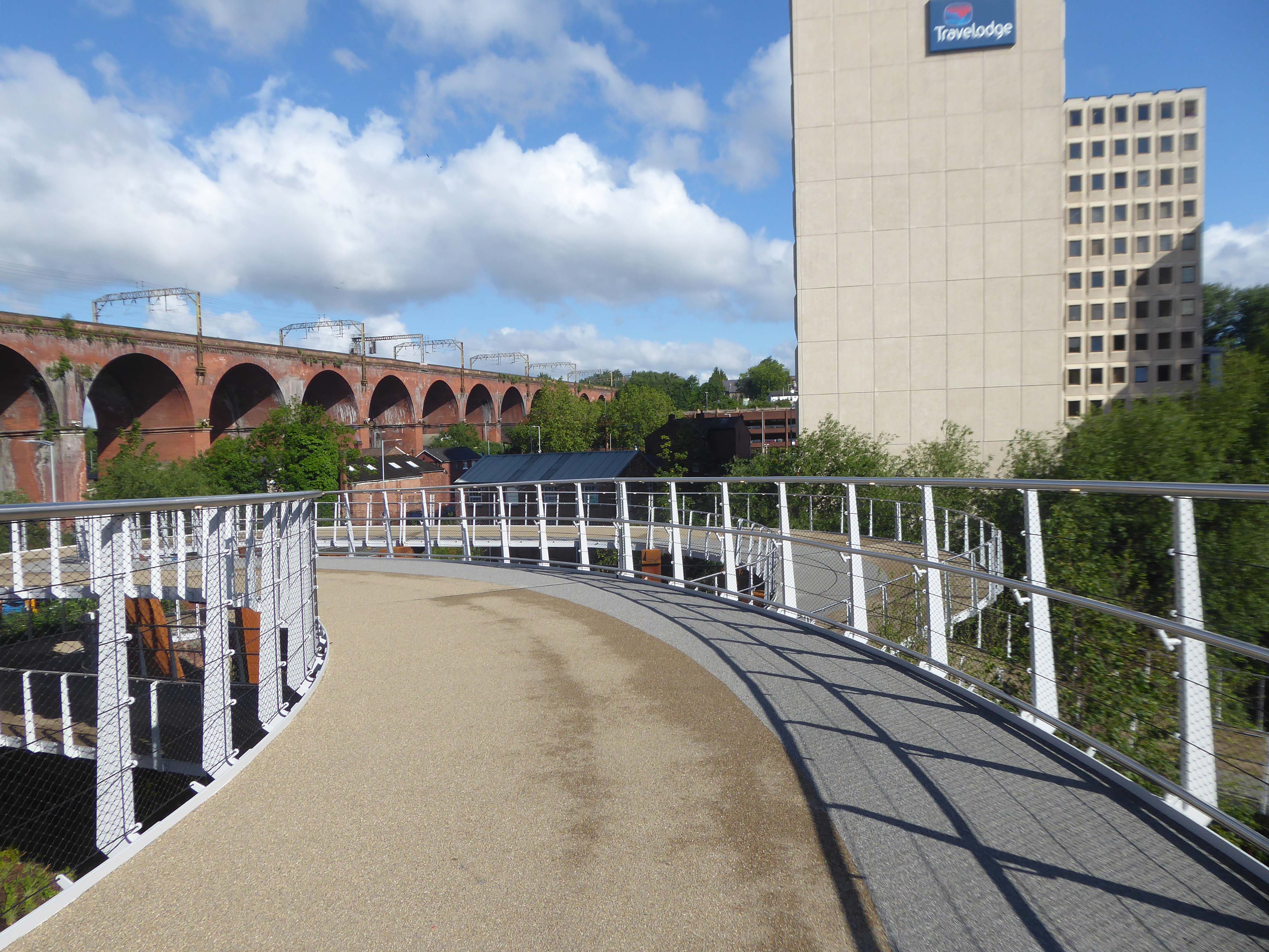
It’s now all grown up into a fully fledged transport interchange – with its very own pedestrian and cycling ramp.
The 189-metre ramp provides a seamless and accessible route to navigate the level change from the rooftop park to the river Mersey frontage, leading to the Trans Pennine Trail route.
Forming part of the Stockport Interchange Mixed Use development scheme, and which also includes a new cycle and pedestrian link from Stockport rail station to the new park, as well as connecting the new facility to the wider Bee Network cycling and walking infrastructure, which is designed to encourage more people to make journeys on foot or by bike.
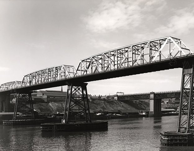
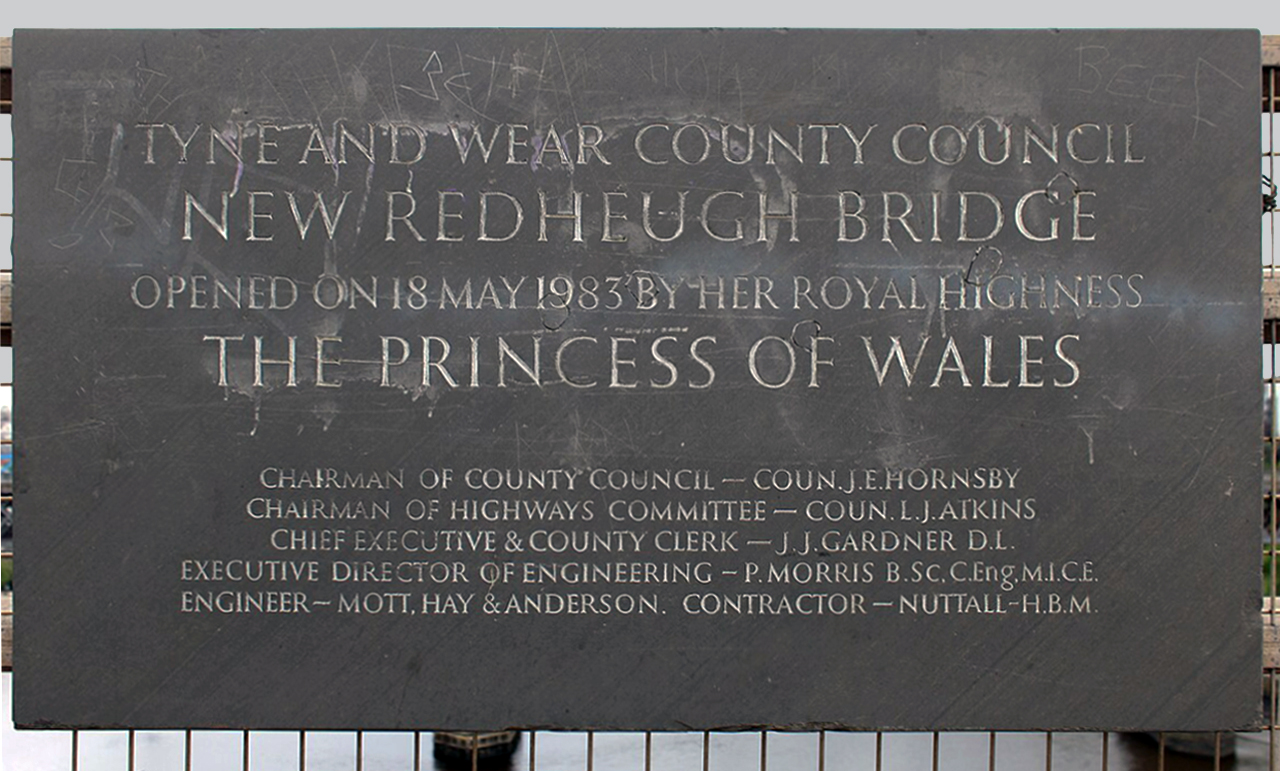
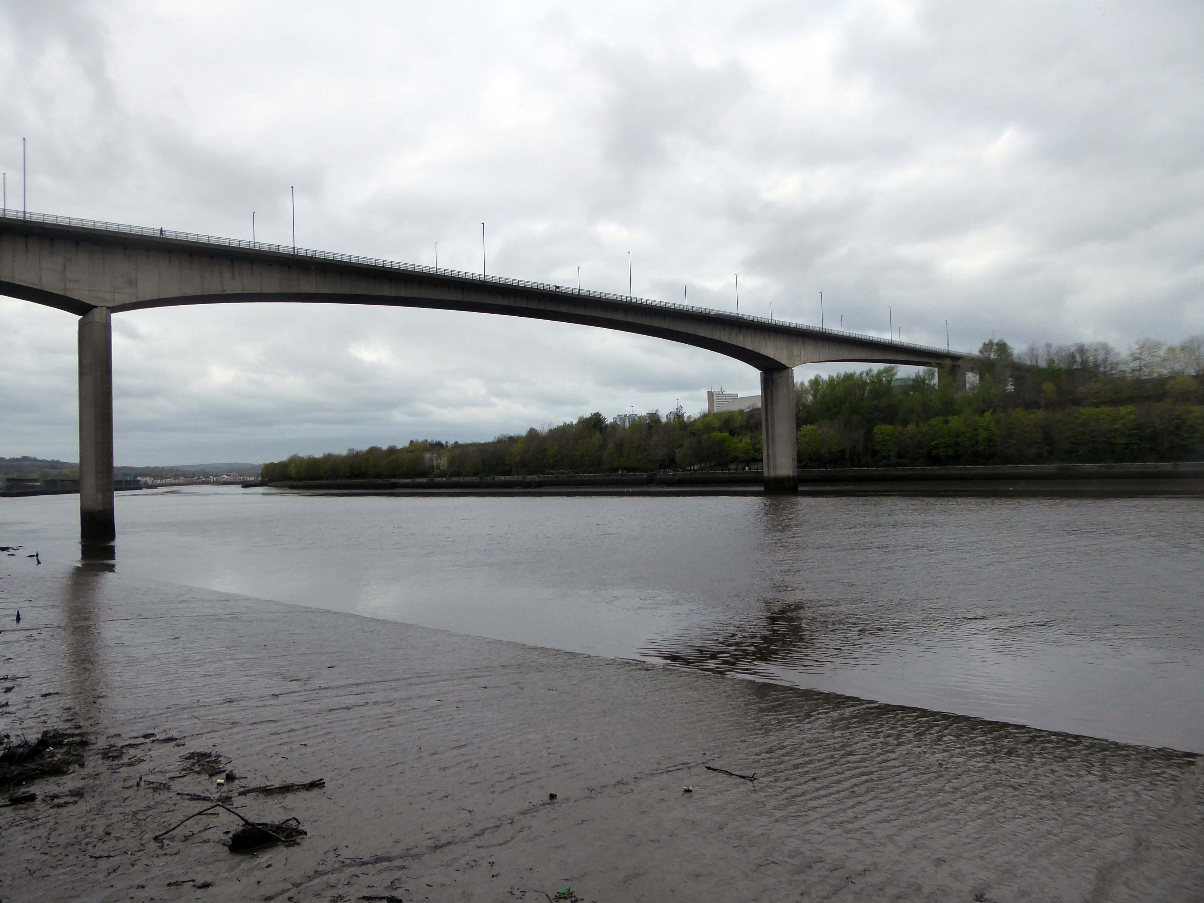
Work to replace the second crossing began in 1980.[The third bridge is very different from its two predecessors. It is a pre-stressed concrete structure with a central span of 160 m, 26 m above the river, and two side spans of 100 m each – including the approaches, it is a total of 897 m long and 15.8 m wide. It can carry abnormal loads of up to 400 tonnes, and has a life expectancy of 120 years.
It was constructed by Edmund Nuttall Ltd to a design by Mott, Hay and Anderson’s young engineer, Alan Yiu Lun Wan.
The two supporting concrete piers were fluted to create an impression of lightness and were designed to withstand the impact from a vessel of ten thousand tonnes travelling at a speed of five knots, although this is highly unlikely as large ships rarely come this far up the Tyne and the shipping lane has now effectively been blocked by the Gateshead Millennium Bridge. Due to the exposed location, strong winds can cause problems for high-sided vehicles. Early in the bridge’s life, a double-decker bus was nearly blown over the side.
The total cost of construction amounted to £15,350,000.
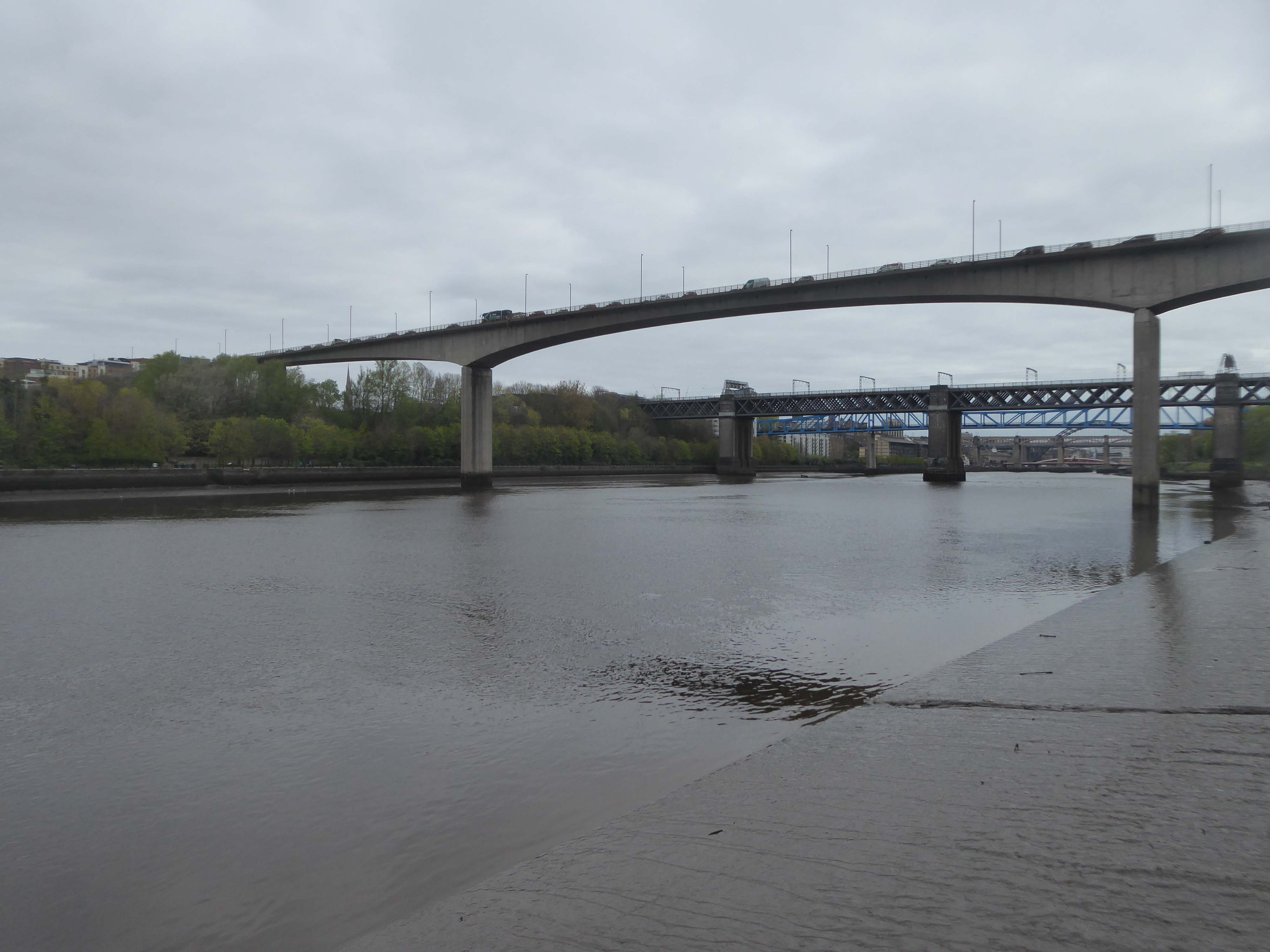
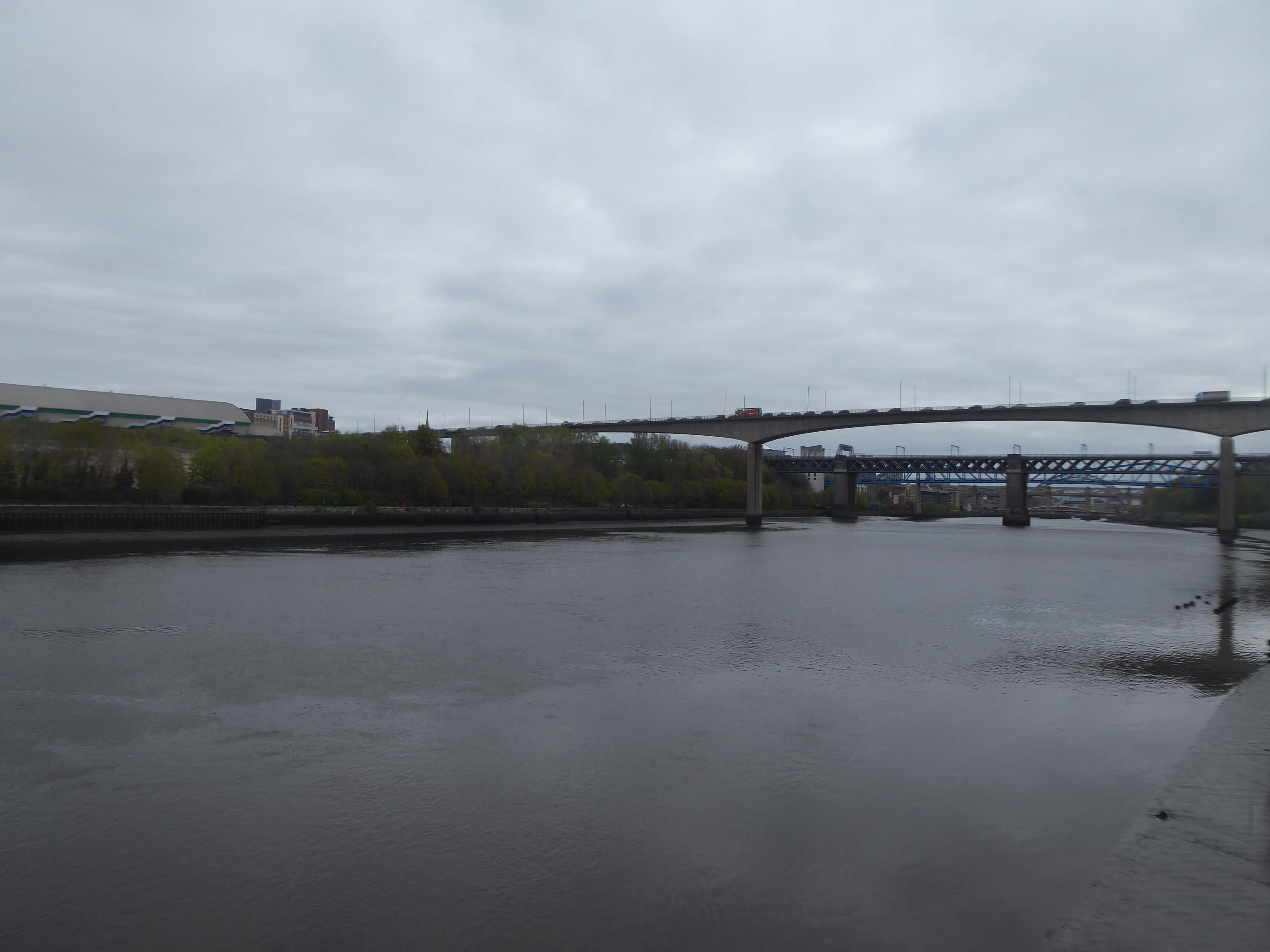
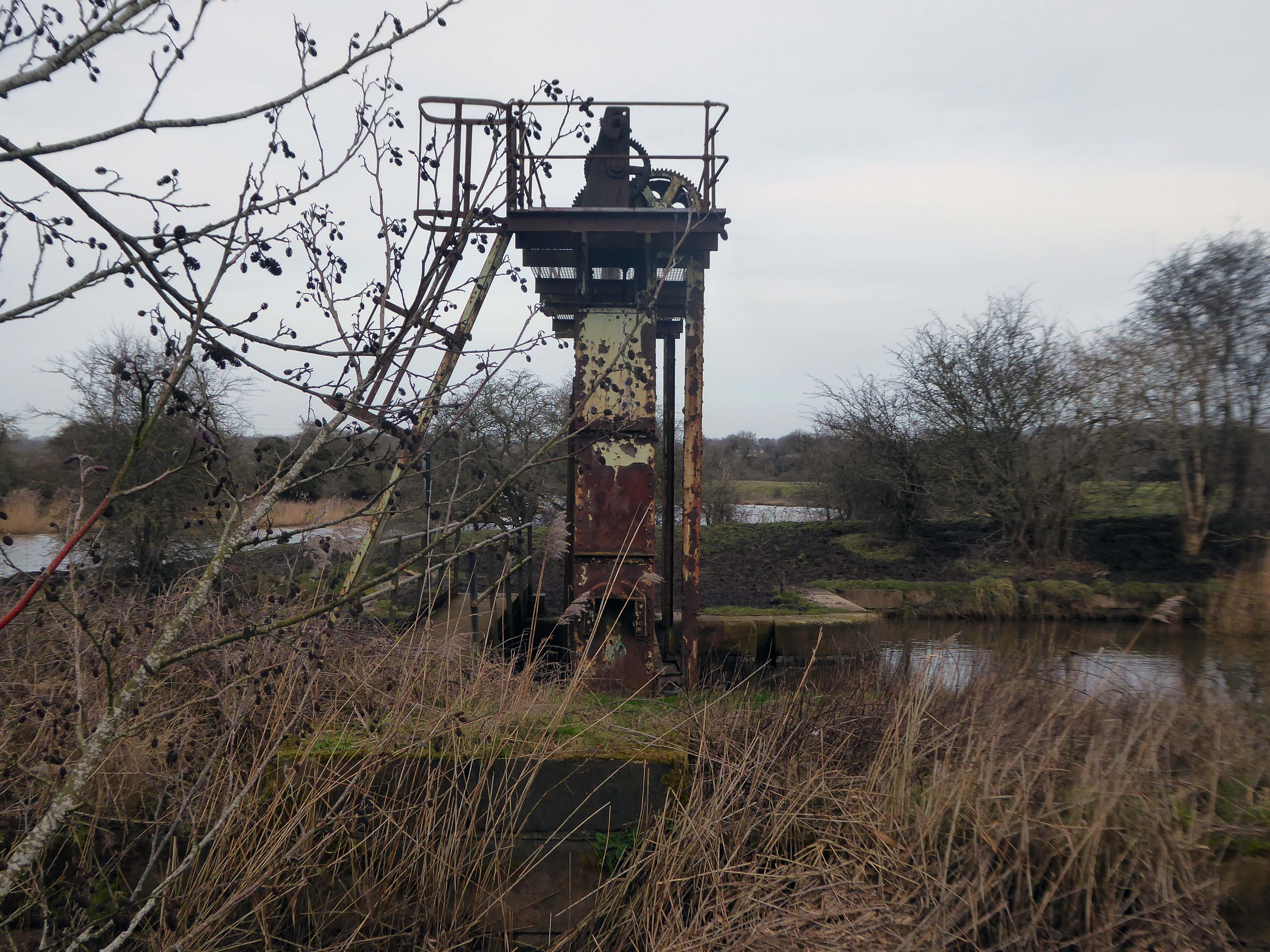
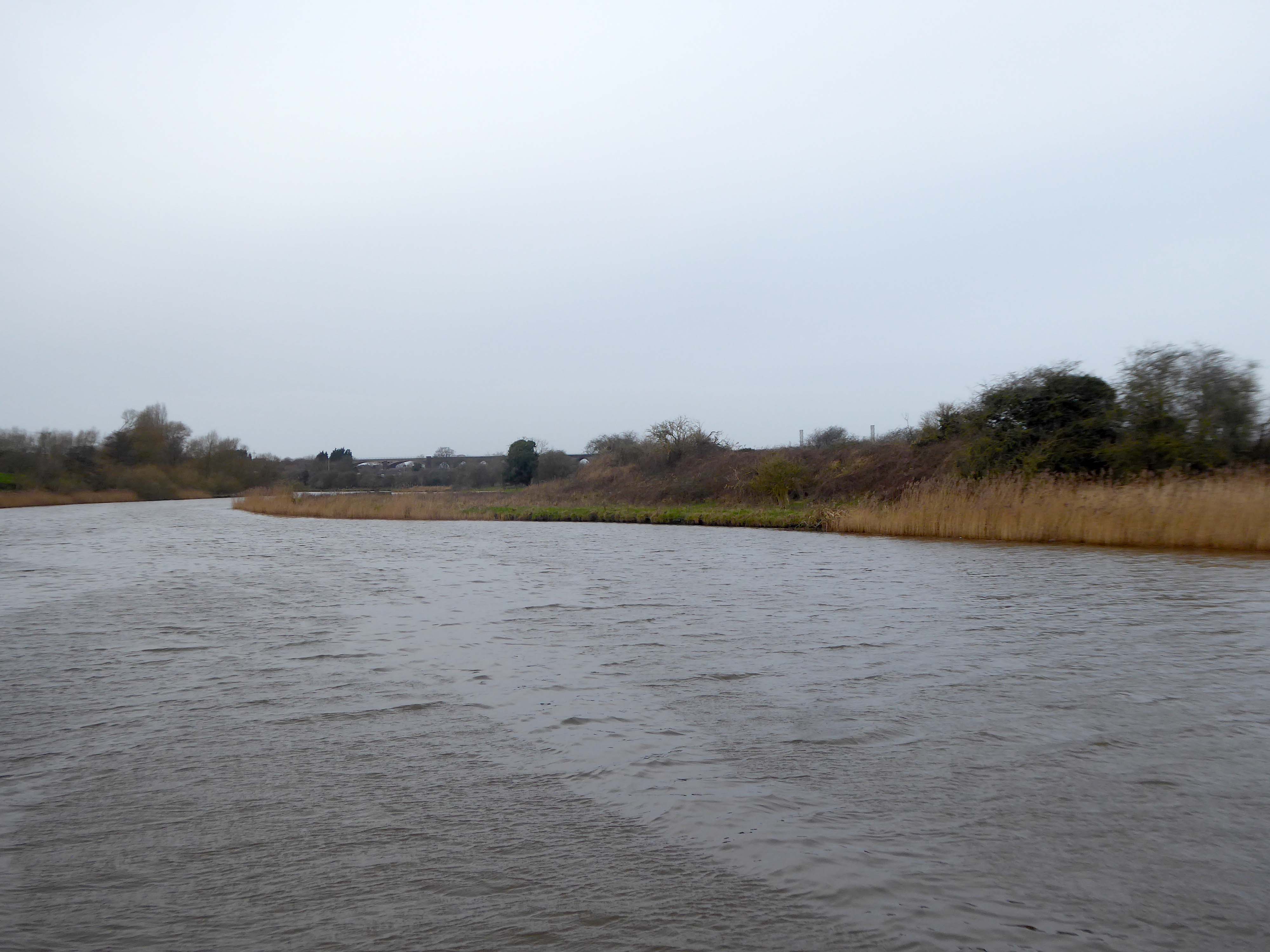
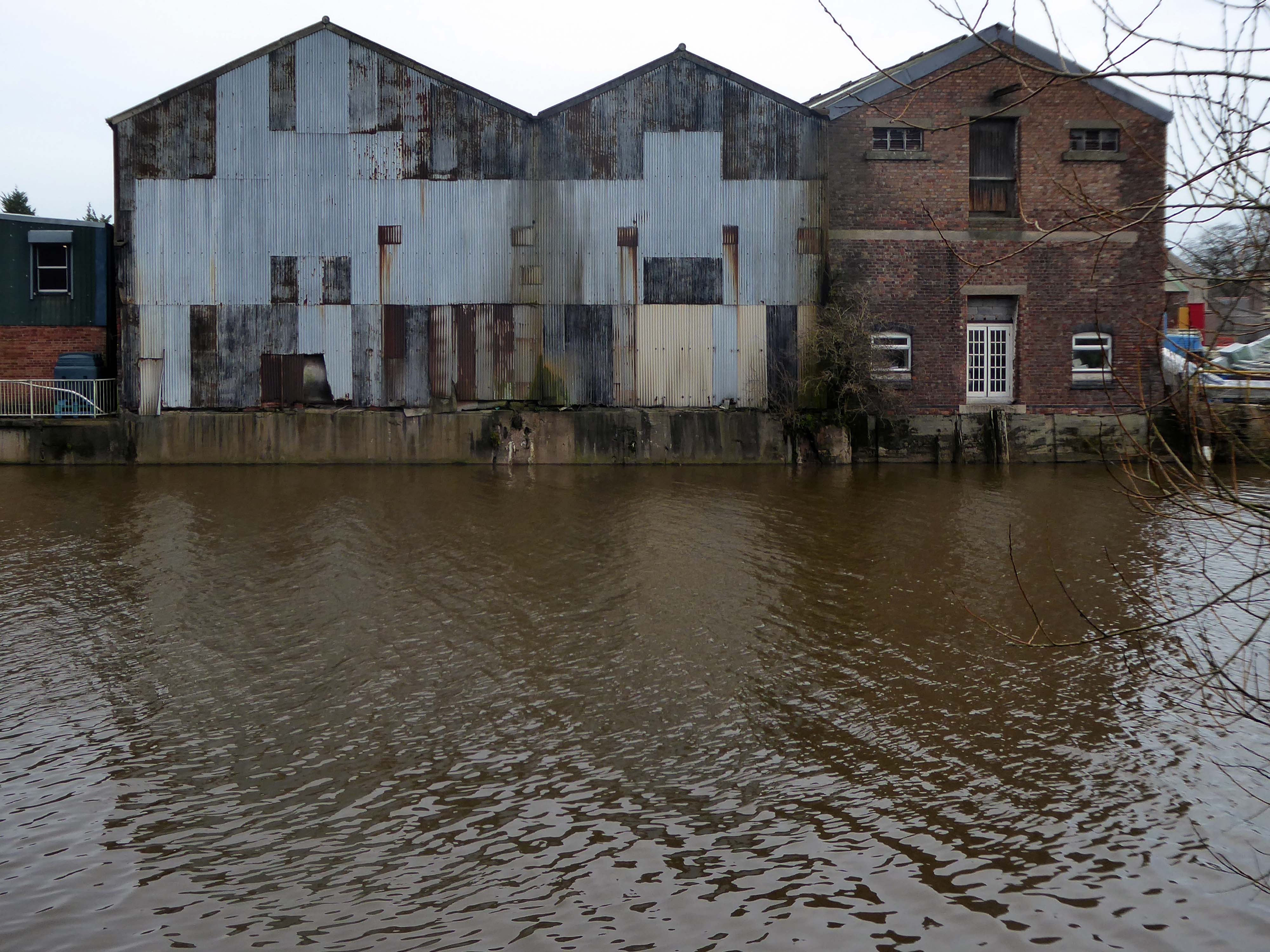
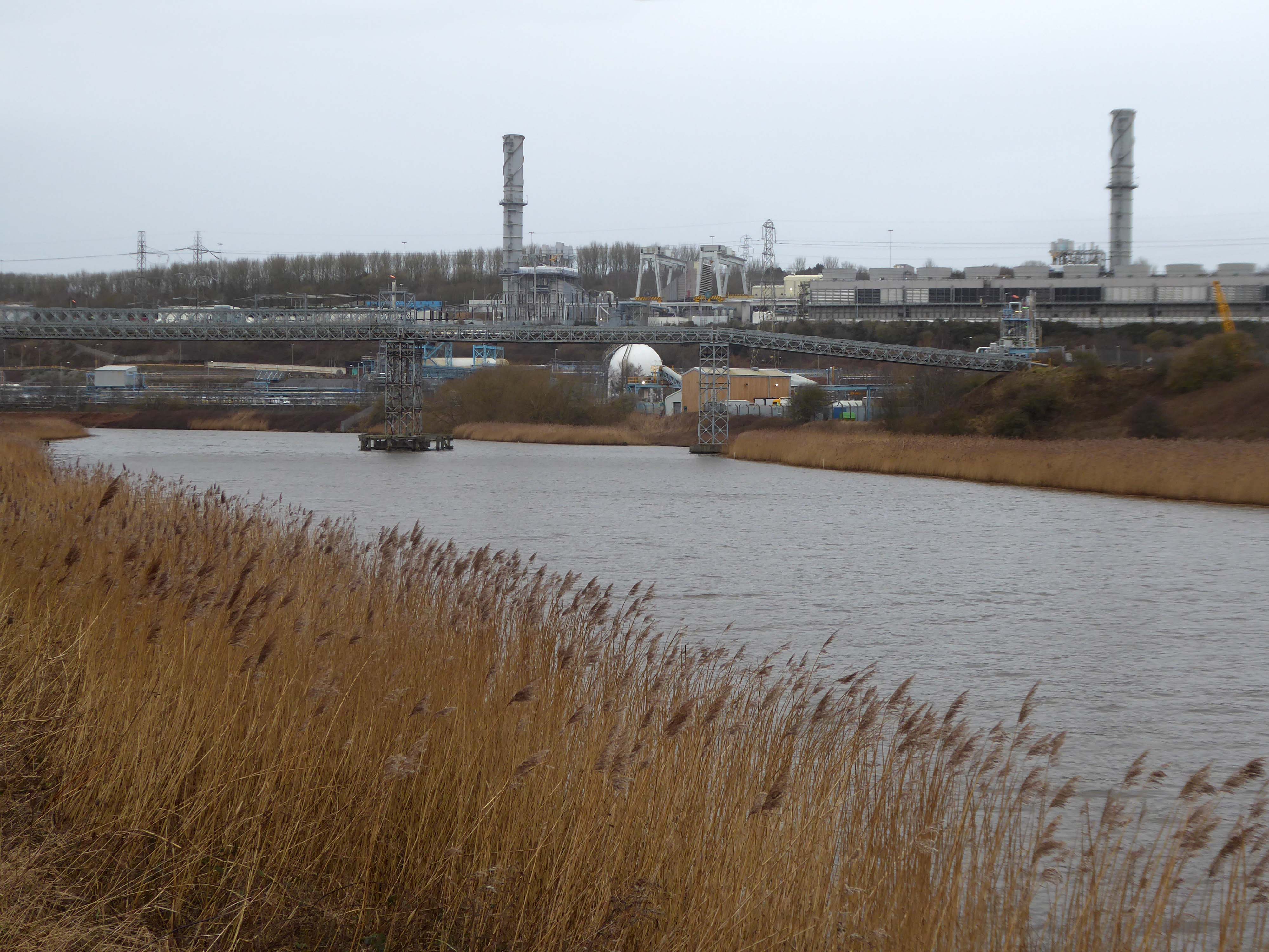
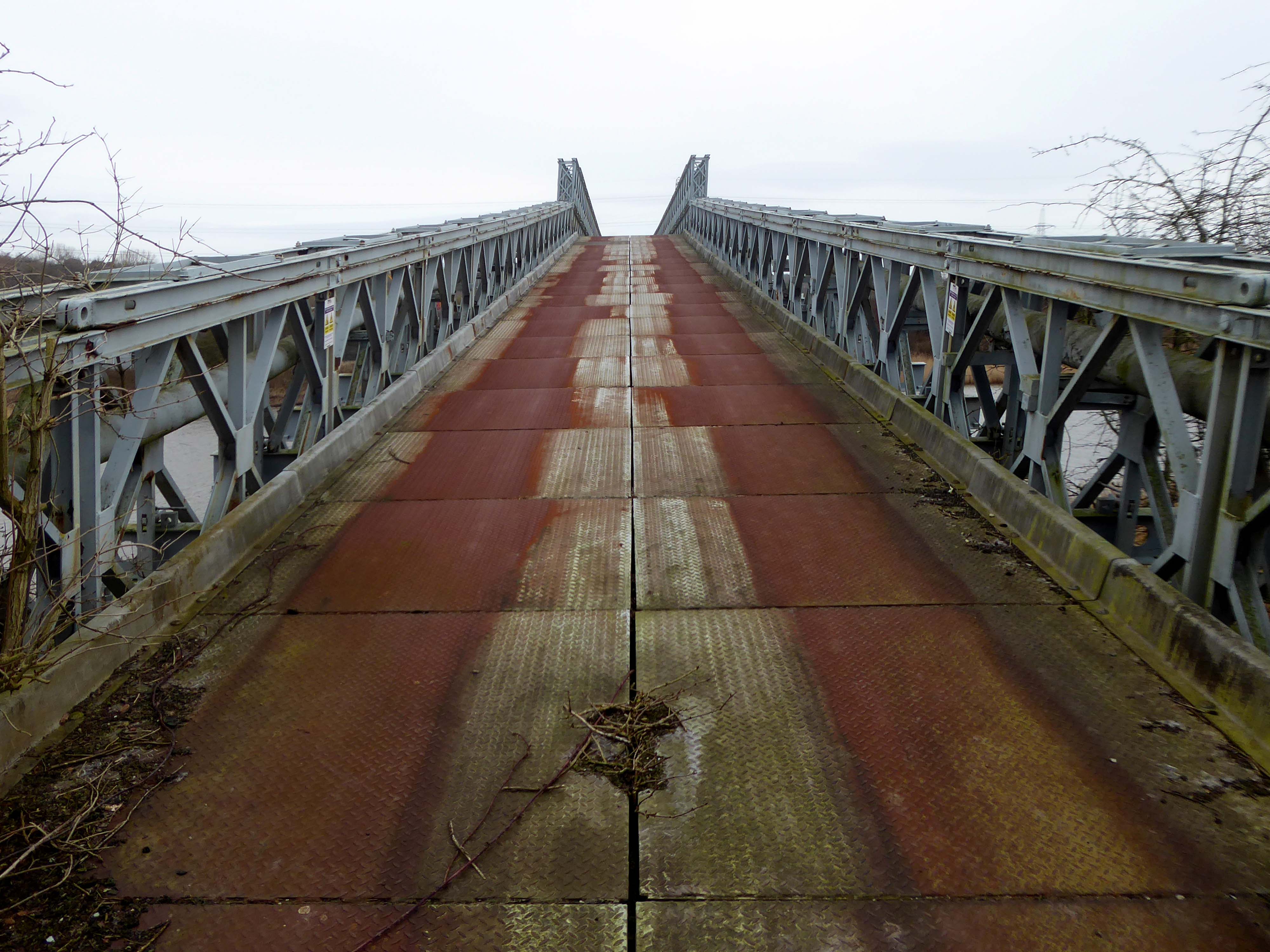
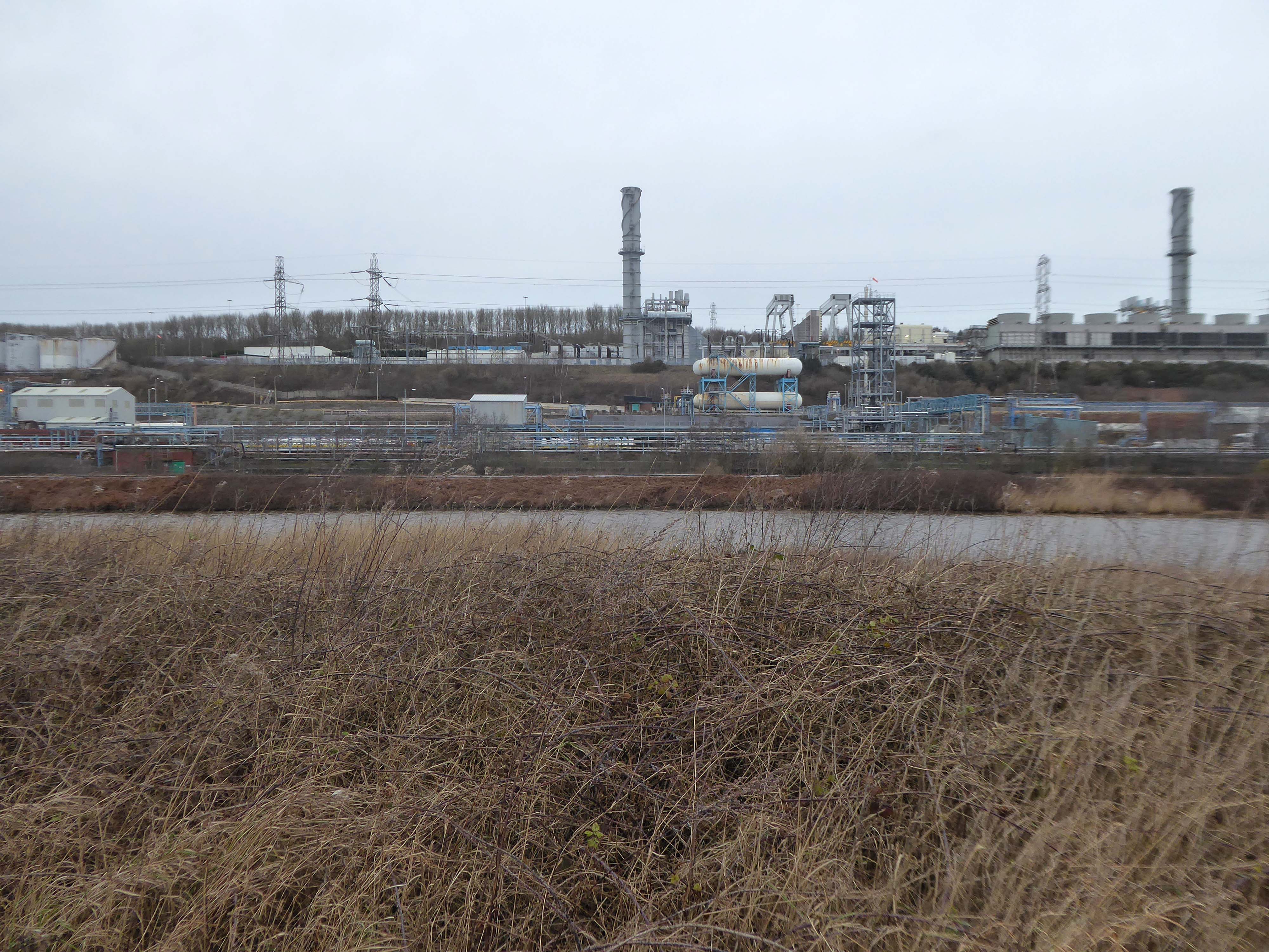
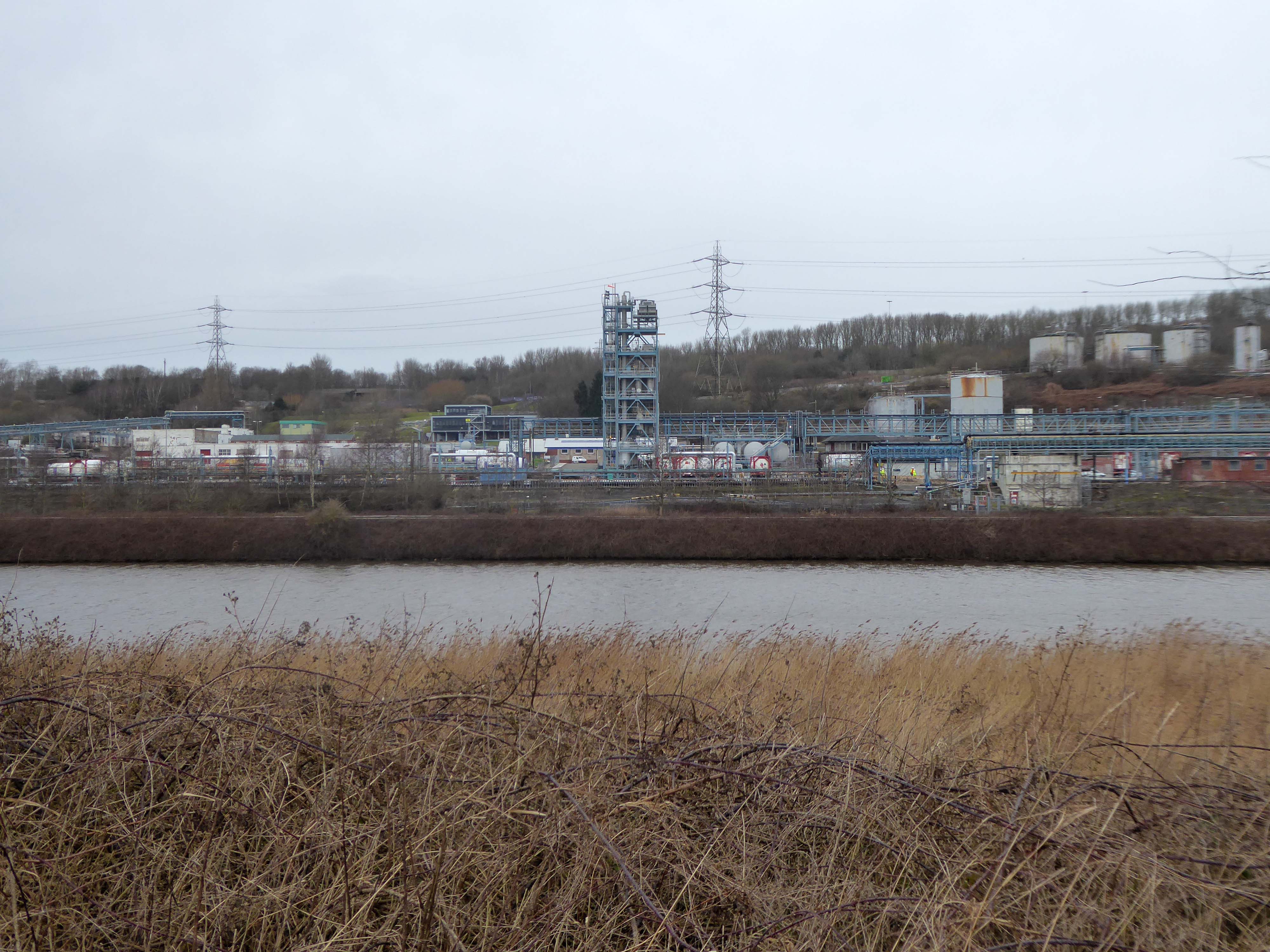
Along with my almost lifelong friend Mr Tim Rushton – I took a trip along a short stretch of the River Weaver, walking from east to west.
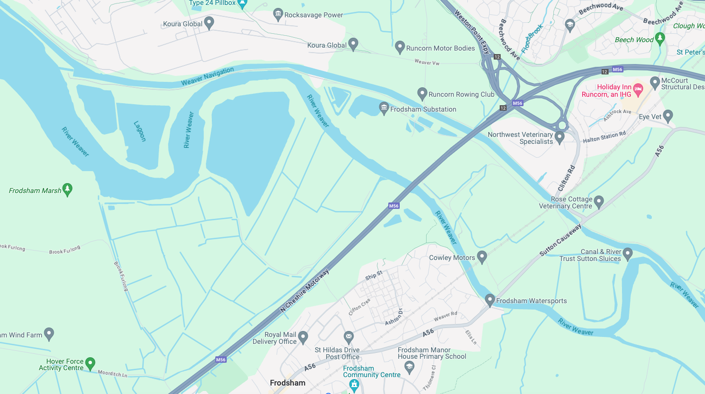
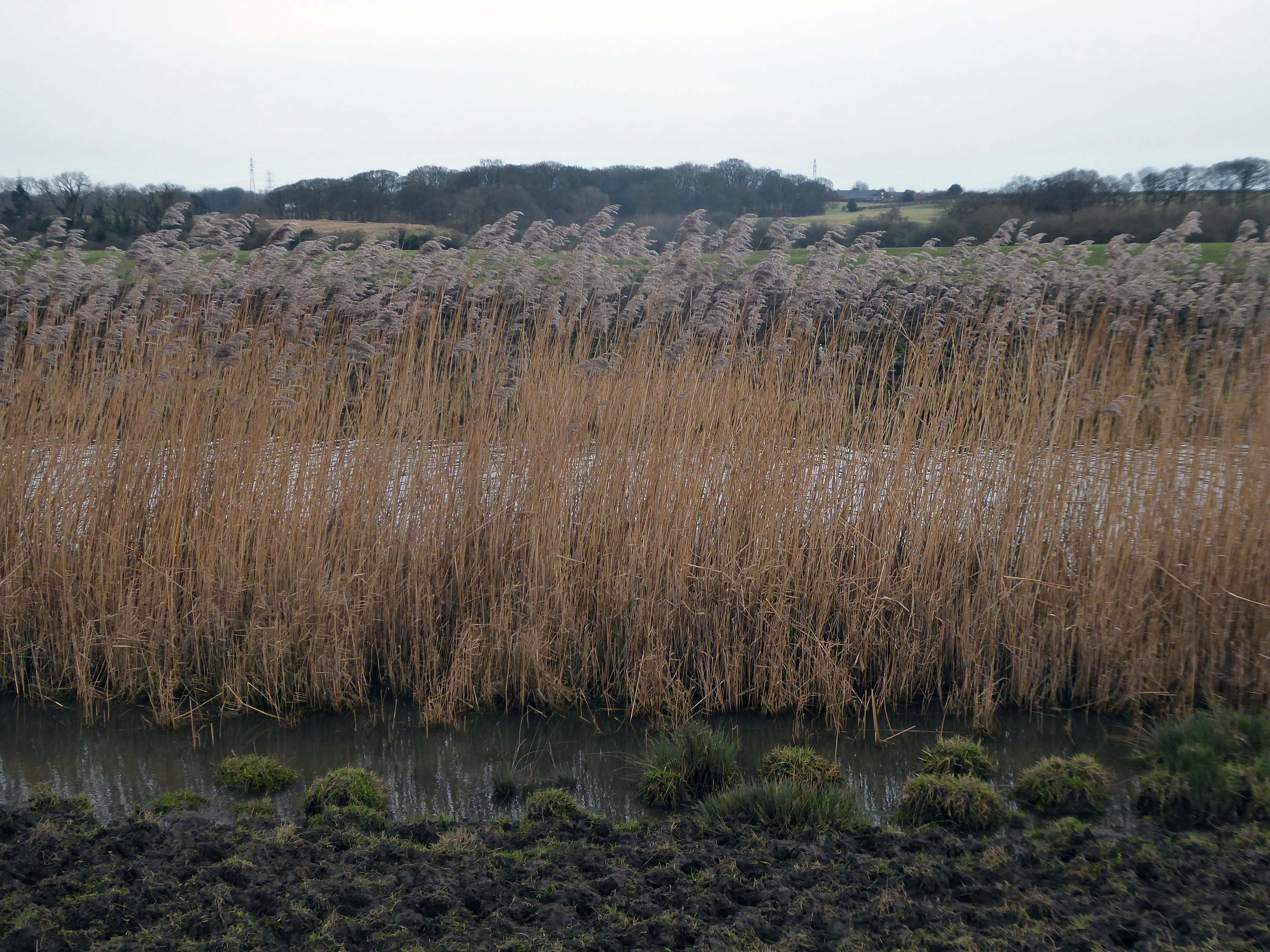
River Weaver – rising on the boundary between the counties of Shropshire and Cheshire and then flowing 45 miles north to reach the Irish Sea estuary of the River Mersey to the west of Runcorn.
Below Winsford, the course of the river has been altered several times, by the construction of cuts and locks, to enable small ships to trade on it. The river formerly joined the River Mersey at Weston Marsh, but since the construction of the Manchester Ship Canal, begun in 1887, it has flowed into the canal, from where surplus water enters the Mersey by the Weaver sluices, just upstream of the junction. The tidal river section below Frodsham has been bypassed by the Weston Canal since 1810 and is no longer navigable, as Frodsham Lock is derelict.
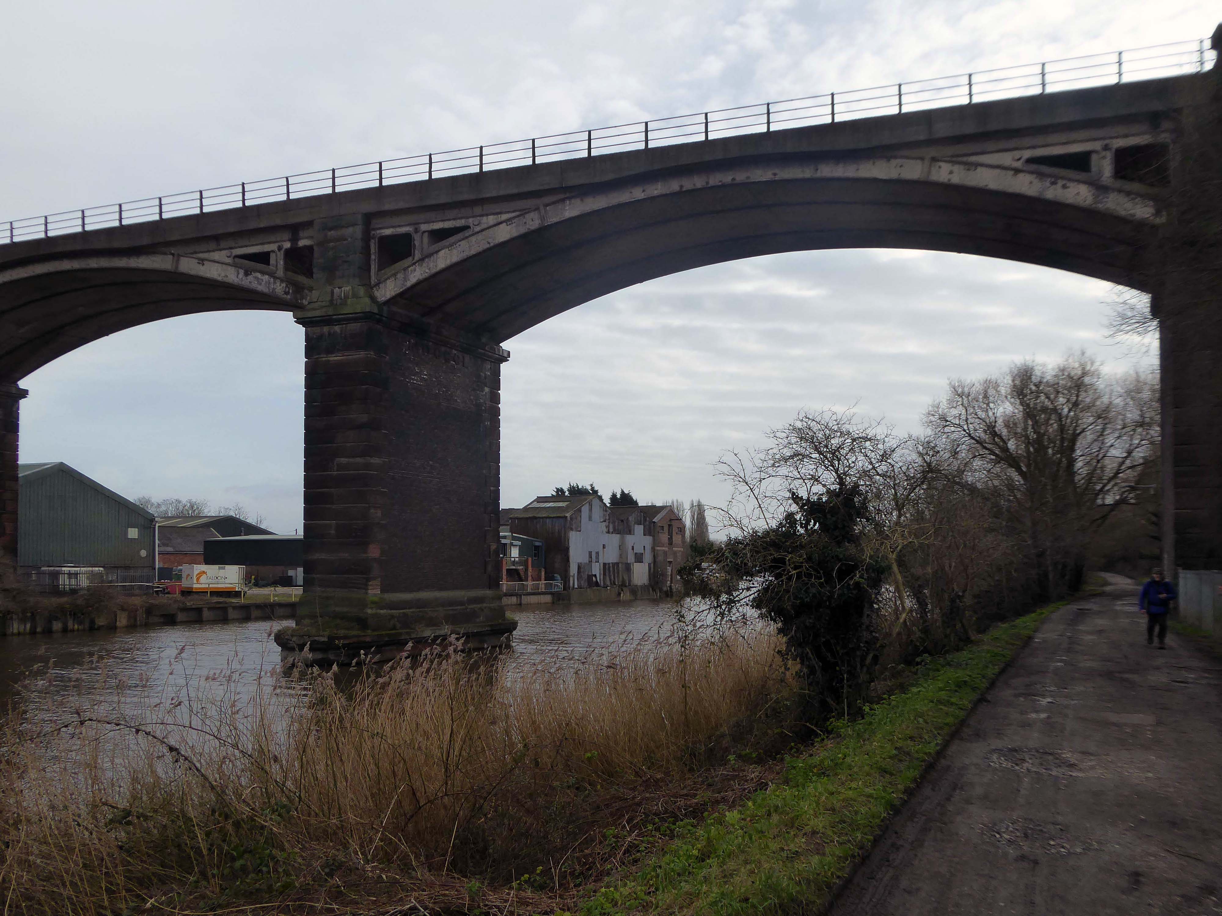
Railway viaduct over River Weaver and adjoining land by A Rendel Engineer and Thomas Brassey, contractor 1848-1850 – for Birkenhead Lancs & Cheshire Junction Railway Co.
Red sandstone, brown brick and cast iron, two segmental-arched iron spans of circa thirty metres over river; two round arches on west bank and twenty one on east bank. Piers to iron spans are rusticated tooled ashlar; the other spans have rusticated voussoirs, pier faces and quoins and rock-faced spandrels with brick reveals, cornice to iron-span piers, plainer imposts to others.
Top of central pier to river modified to take mid C20 concrete track bed.
Weaver Viaduct is one of the outstanding features of M56 and its design was approved by the Royal Fine Arts Commission. The three-quarter mile of elevated motorway and approach embankments over the River Weaver and Weaver Navigation Canal opened on 21 February 1971.
Design was by Husband and Co of Sheffield – acting for Department of Environment, who also supervised the project.The contractor was Christiani Shand with a tender price of £3,146,387 in March 1968.
Work began in April 1968 – the eventual cost was put at £3.5 million.
Thirty two 125-foot concrete 100-tonne beams were put into place in July 1970; the concrete beams were made by Matthews & Mumby of Windmill Lane Denton.
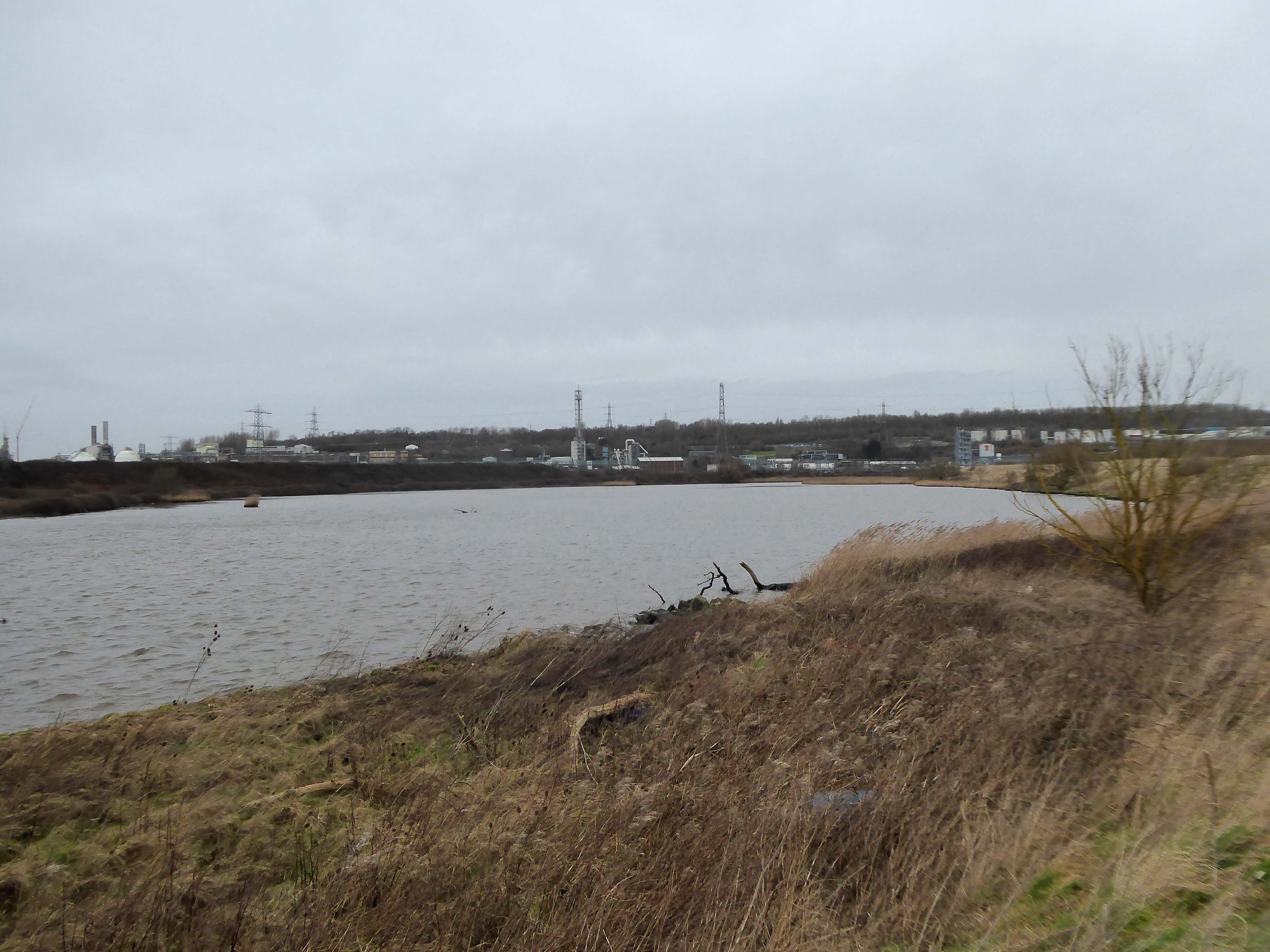
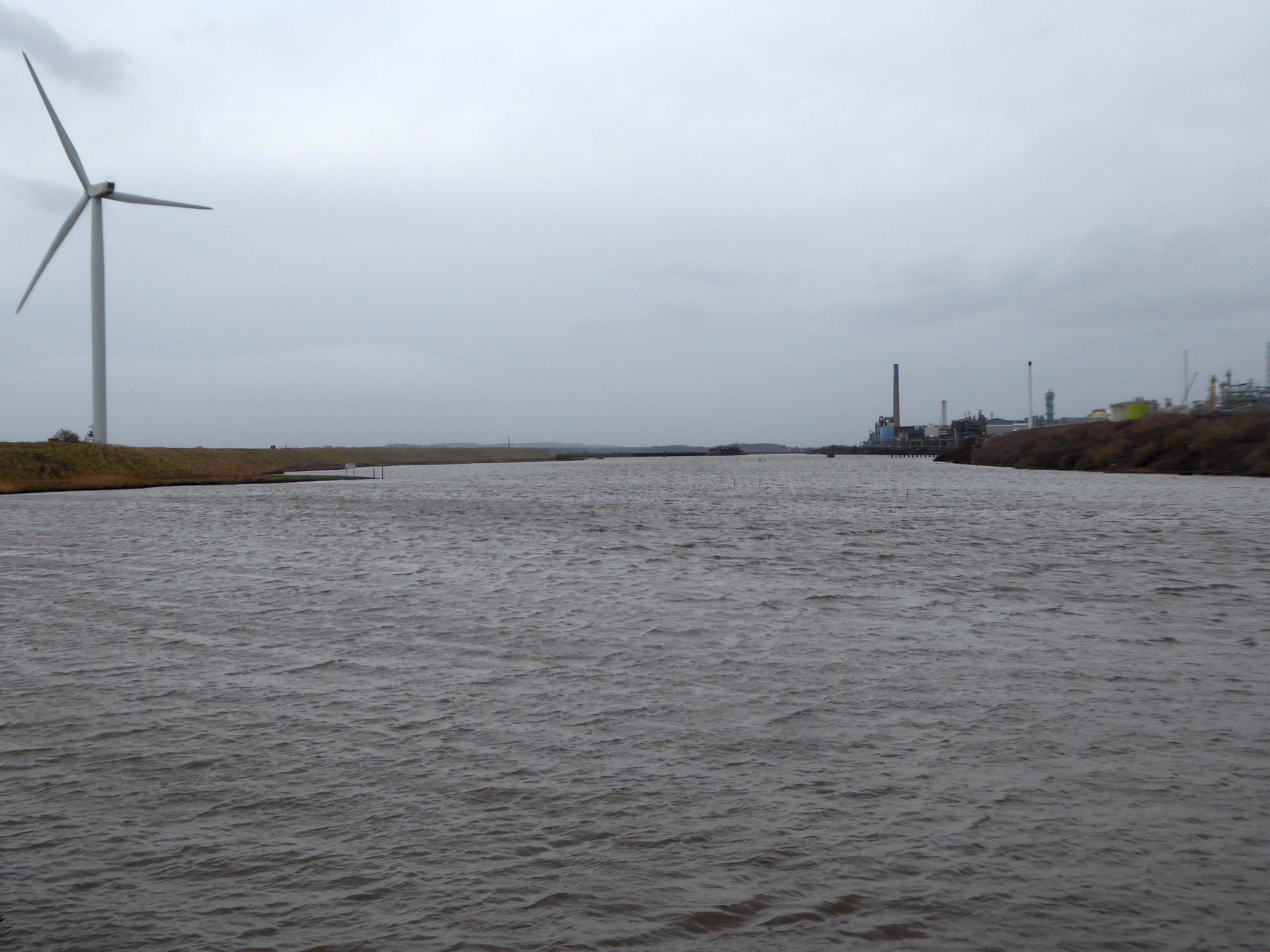
High-VoltageFrodsham Substation – Rock Savagepower station
Rock Savage Power Station is an 800 MWe gas-fired power station.
It was opened by Queen Elizabeth II on 31 July 1998, and owned by InterGen, a company that is now jointly owned by Ontario Teachers’ Pension Plan and China Huaneng Group, it cost £375m.
It sponsors the Runcorn Jets baseball club, the Highfield Male Voice Choir and the Weston Angling Club.
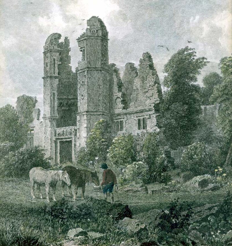
The name comes from the nearby ruined Elizabethan mansion – Rocksavage.
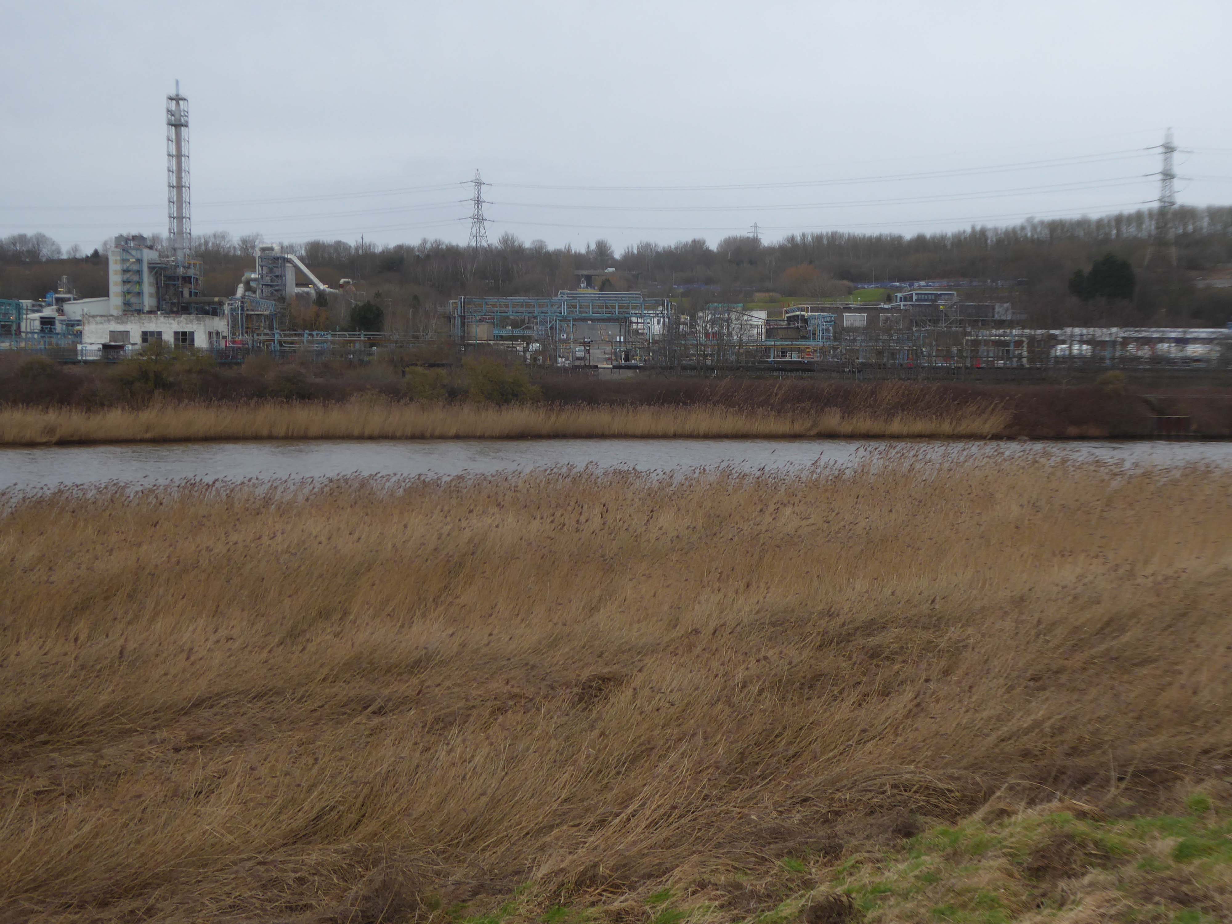
KouraGlobal – leader in the development, manufacture, and supply of fluoro products and technologies, opened a new HFA 152a production facility at their Runcorn site in the UK.
Chiesi, the international research-focused pharmaceuticals and healthcare group, signed a commercial agreement to use the new low carbon footprint medical propellant for inhalation product development and clinical trials in 2019.
Britain from Above 1948
Ineos Chemical Complex formerly ICI Rocksavage Works on the banks of the River Mersey River Weaver and Manchester Ship Canal in Runcorn formerly ICI works of Rocksavage and Castner Kelner Works which produced fluorcarbons such as aerosol propellants dry cleaning solvents and chlorine UK January 2007
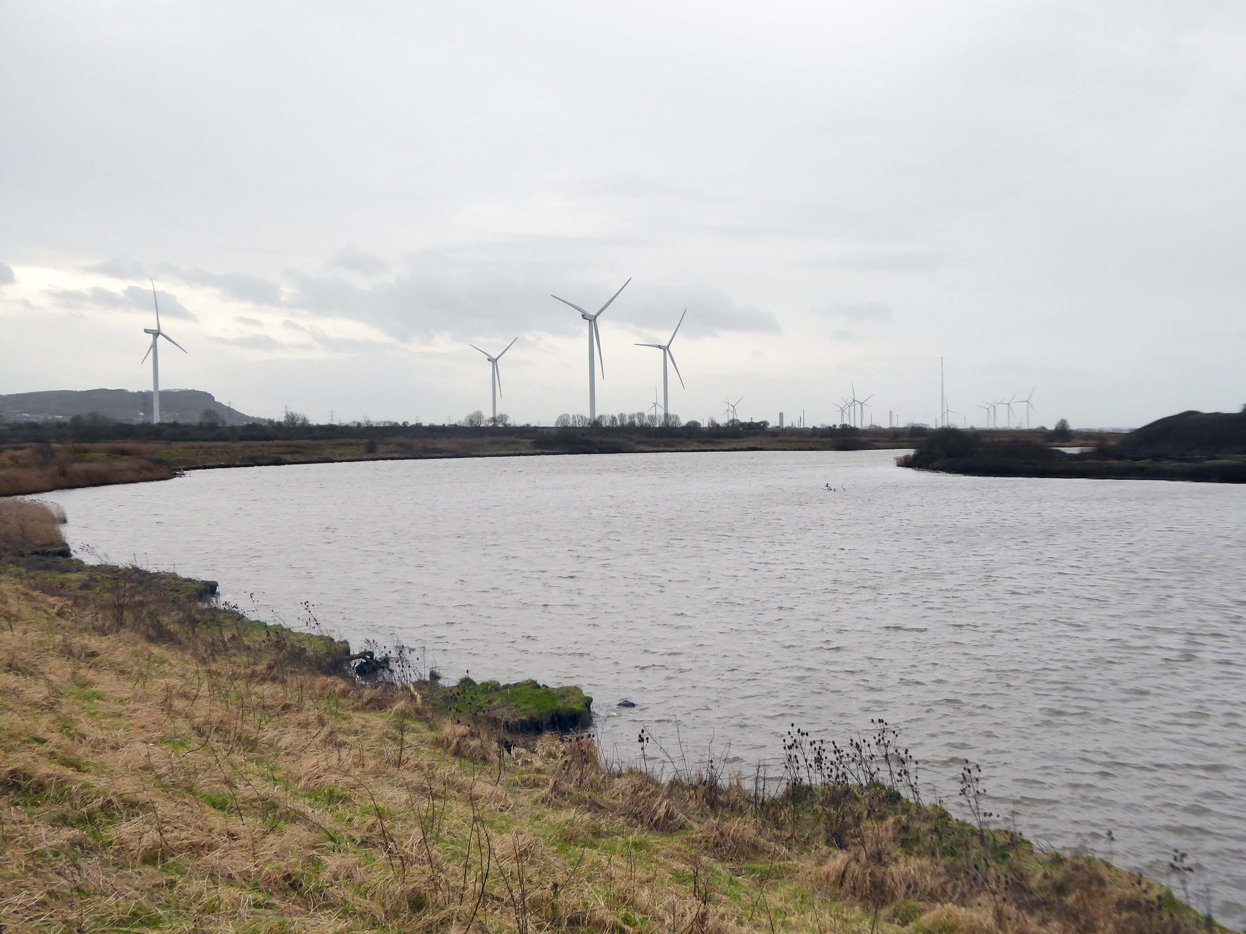
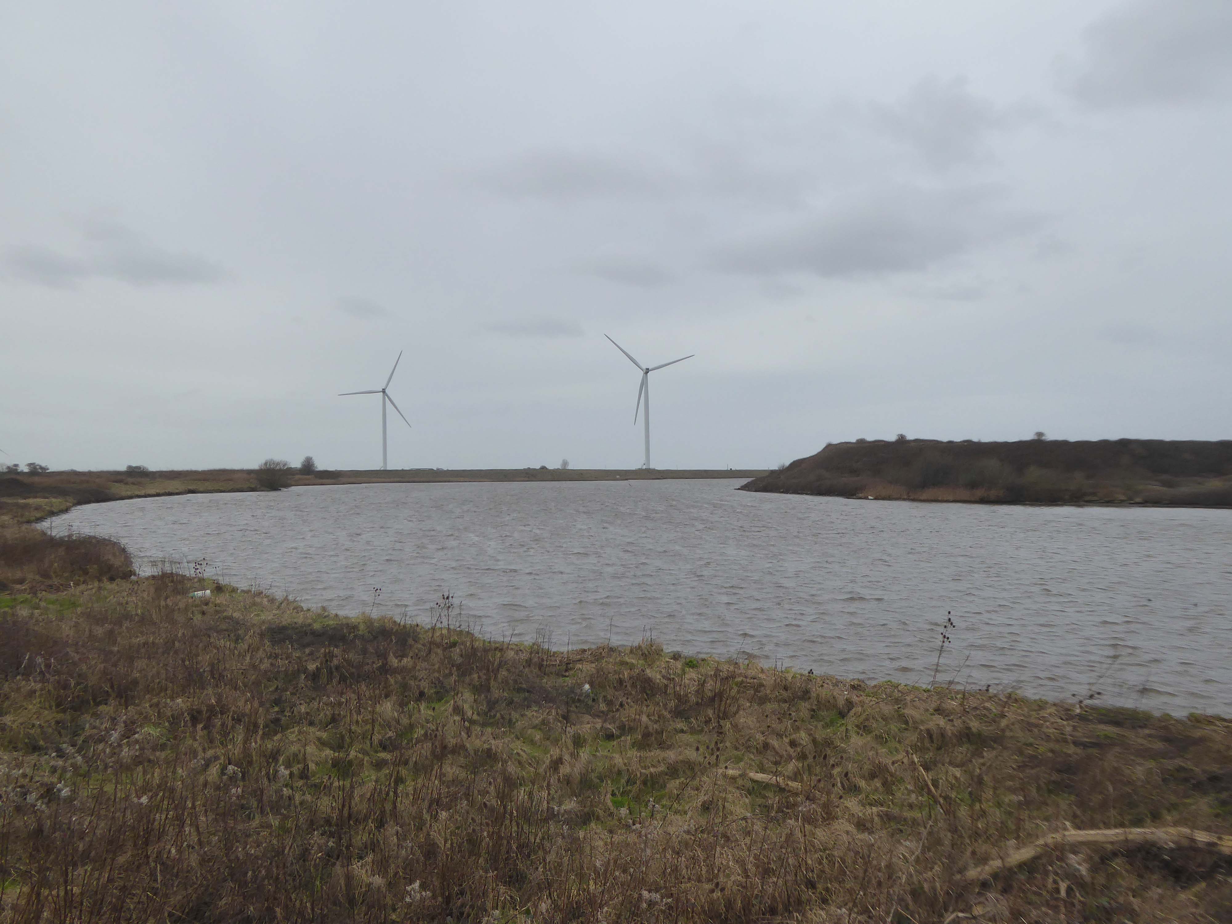
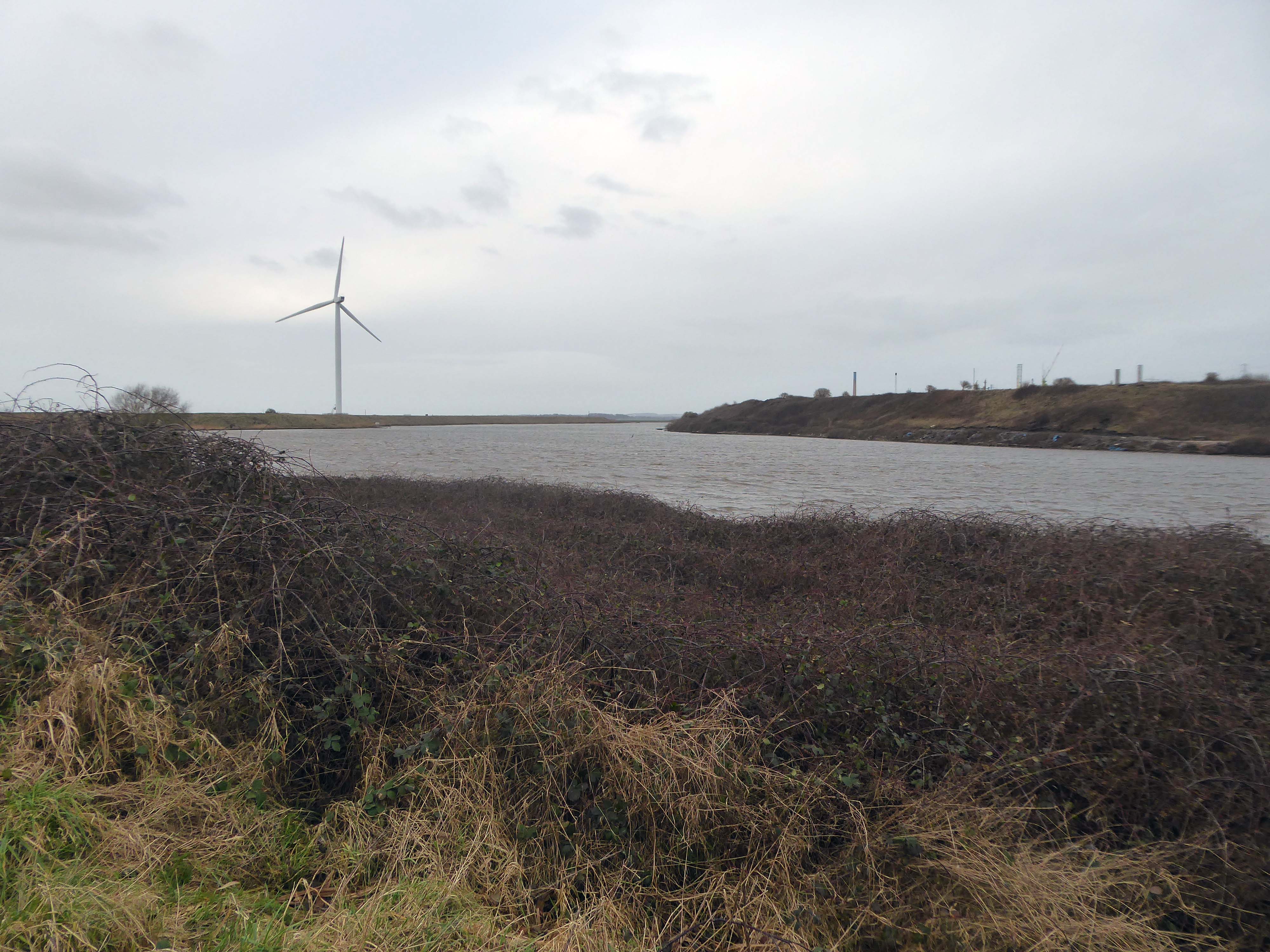
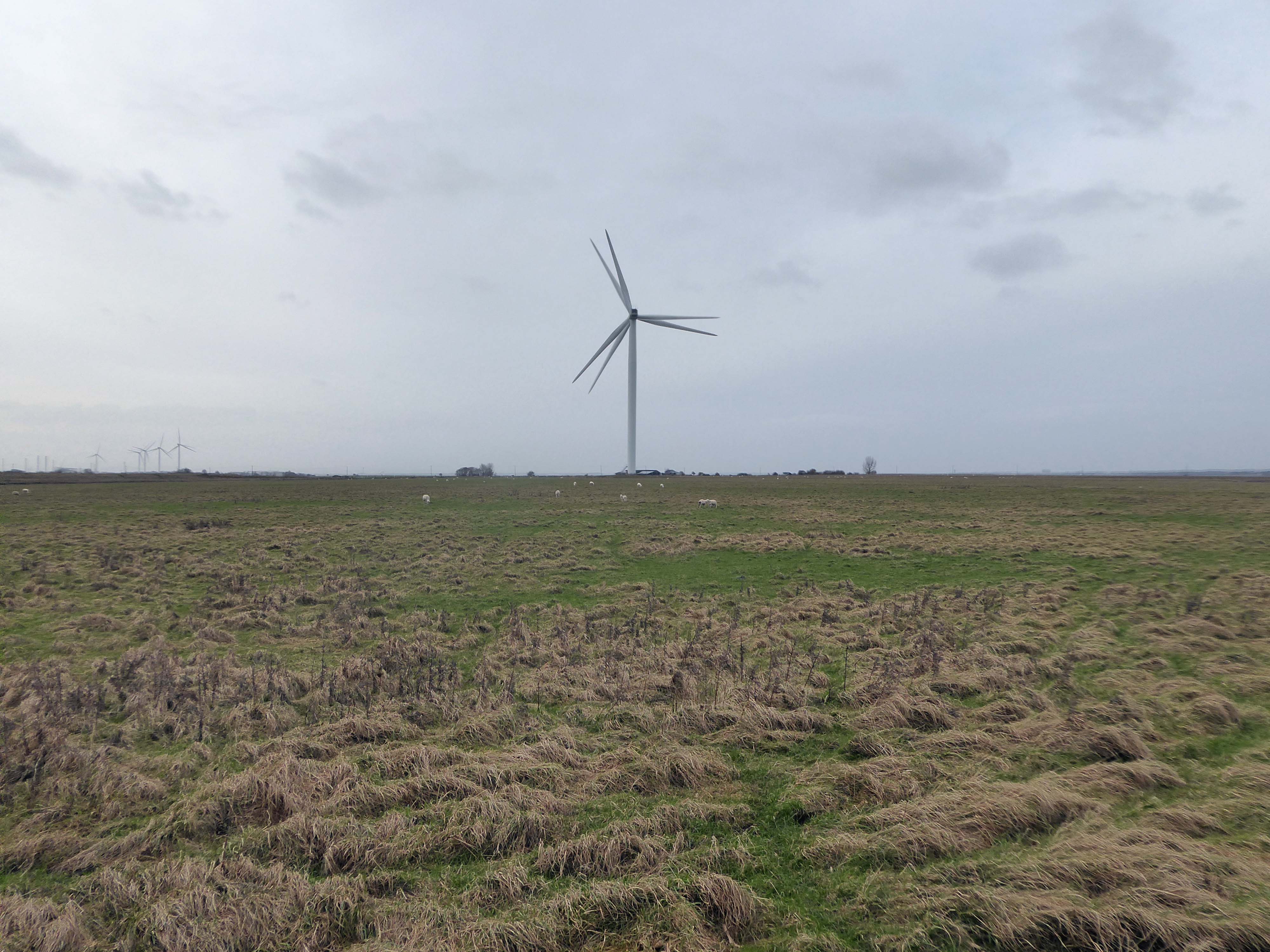
Frodsham Wind Farm is one of England’s largest onshore generating stations, and the largest in the Cheshire region, with an installed capacity of more than 50 MW. Construction of the wind farm began in March 2015 and became fully operational in February 2017.
The A5103 is a major thoroughfare running south from Piccadilly Gardens in Manchester city centre to the M56 in Northenden. The road is two-lane dual carriageway with a few grade-separated junctions. It is used by many as a link to the airport and to the motorway network south.
The road starts at Piccadilly Gardens where it meets the A6. It heads along Portland Street – at one time it ran along the parallel Mosley Street, past fast-food outlets and off-licences and then meets the A34 Oxford Street. It multiplexes with that road north for 200 yards into St Peter’s Square and then turns left into Lower Mosley Street, initially alongside the tramlines and then past the former Manchester Central station, now a conference centre with the same name. The road becomes Albion Street and goes over the Bridgewater Canal and under the railway line east of Deansgate station. The road then meets the A57(M) Mancunian Way at a roundabout interchange. This is where most of the traffic joins and leaves.
The road is now 2×2 dual carriageway with the name Princess Road. It passes under the Hulme Arch, a grade-separated junction with the A5067, with an unusually large central reservation. This is presumably because of the proposed plans from the 1960s of a motorway. However, after passing under the junction, there are innumerate sets of traffic lights, with the B5219, the A6010 and the A5145, as well as many other unsigned roads. There are also many speed cameras set at 30 mph.
The road picks up pace as we exit the sprawl of South Manchester and the road becomes Princess Parkway, with a 50 mph speed limit. We cross the River Mersey and almost immediately hit the M60 at J5.
Except for the Manchester City Centre section – which was numbered A5068, this road did not exist on classification in 1922. Princess Road was built in 1932 to serve the new southwestern suburbs; initially it ran between the B5219 and A560 and was numbered B5290, with the road later extended north into the A5068 on the southern edge of the city centre and renumbered A5103.
The northern extension through Hulme initially followed previously existing roads, so followed a zigzag route. As part of the road’s upgrade and the reconstruction of Hulme in the 1970s the road was straightened and the original route can no longer be seen. The A5068 was severed around this time with the construction of the A57(M) and the A5103 took on its city-centre section, taking it to the A6.
The A6 is Britain’s fourth longest road. Its route varies greatly from the lower lands of the South East, though the Peak District, right though the heart of Manchester city centre, then onwards towards Preston. It then goes though the historic city of Lancaster before skirting the Eastern fringe of the Lake District before ending in Carlisle, bang on the start of the A7.
North from Stockport towards Manchester, the A6 was a wide, four lane road, but still 30 mph, which usually flowed pretty well. According to Mudge, it looks like it has now been massacred by bus lanes and red paint. Shame. We meet the A57 from the east, just south of the city centre, and multiplex until we reach Mancunian Way, the A57 heading off as a short urban motorway, the A6 heading into the city centre via London Road/Piccadily, where it loses its number and vanishes. It would have gone straight down Piccadily/Market Street to meet Deansgate, and then across the River Irwell into Salford, and up Chapel Street, where the number reappears. Market Street has been pedestrianised for years, so the A6 has long ceased to be a through route.
The A57 was nearly a coast to coast route. It passes through three major city centres (Liverpool, Manchester, and Sheffield – with elevated sections in each) and several smaller ones, multiplexes with the A6 and the A1, follows the banks of two canals and negotiates the remotest part of the Peak District. In one city it part of it is a tram route, whilst in another its former route is also a tram route. After all these adventures, it sadly gives up just 40 miles short of the east coast, Lincoln apparently proving too big an obstacle.
The A57 crosses the River Irwell at Regent Bridge before entering its moment of motorway glory as the A57(M) Mancunian Way skirting the south of Manchester’s city centre on an elevated section and crossing the A56 and A34. This includes a half-completed exit that goes the wrong way up Brook Street – a one way street. The original A57 ran further north through the city centre along Liverpool Road (now the A6143) and Whitworth Street – B6469 as far as the A6 London Road which marked the start of a multiplex.
At the end of Mancunian Way, we reach a TOTSO, straight on being the short unsigned A635(M) and thence the A635 – for Saddleworth Moor, Barnsley and Doncaster whilst the A57 turns south, briefly multiplexing with the A6, and then branching off along Hyde Road. This section of road was extensively cleared for the westward extension for the M67, and consequently has seen a lot of redevelopment.