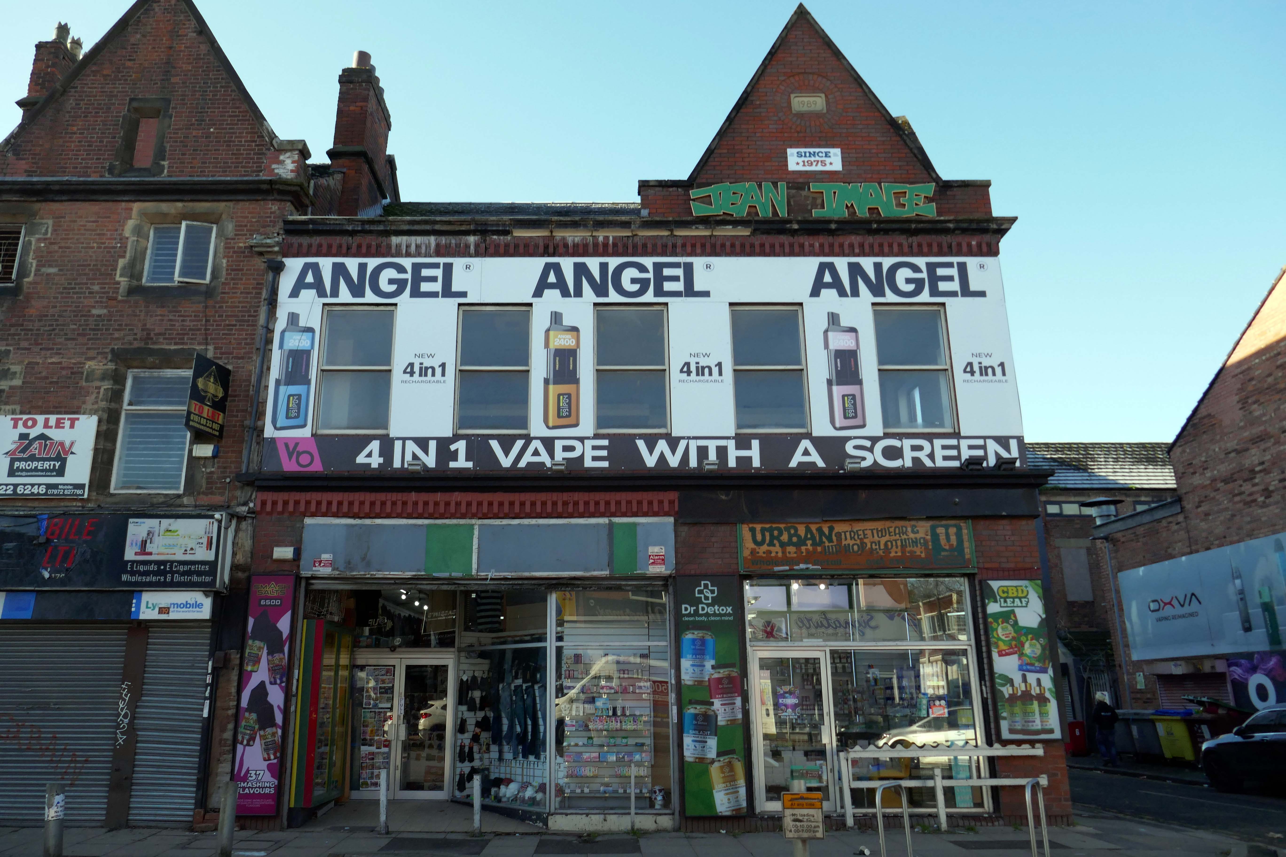
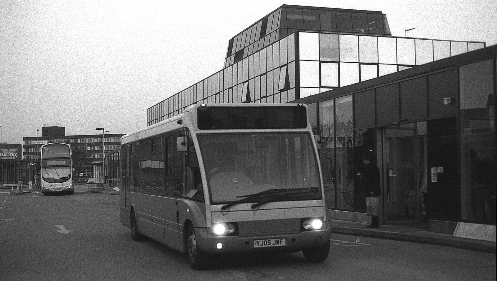
On Wednesday 21st January, I boarded the 9.33 for Blackpool from Platform 14 Manchester Piccadilly station.
10.35 the train terminated at Preston – thus far and no further.
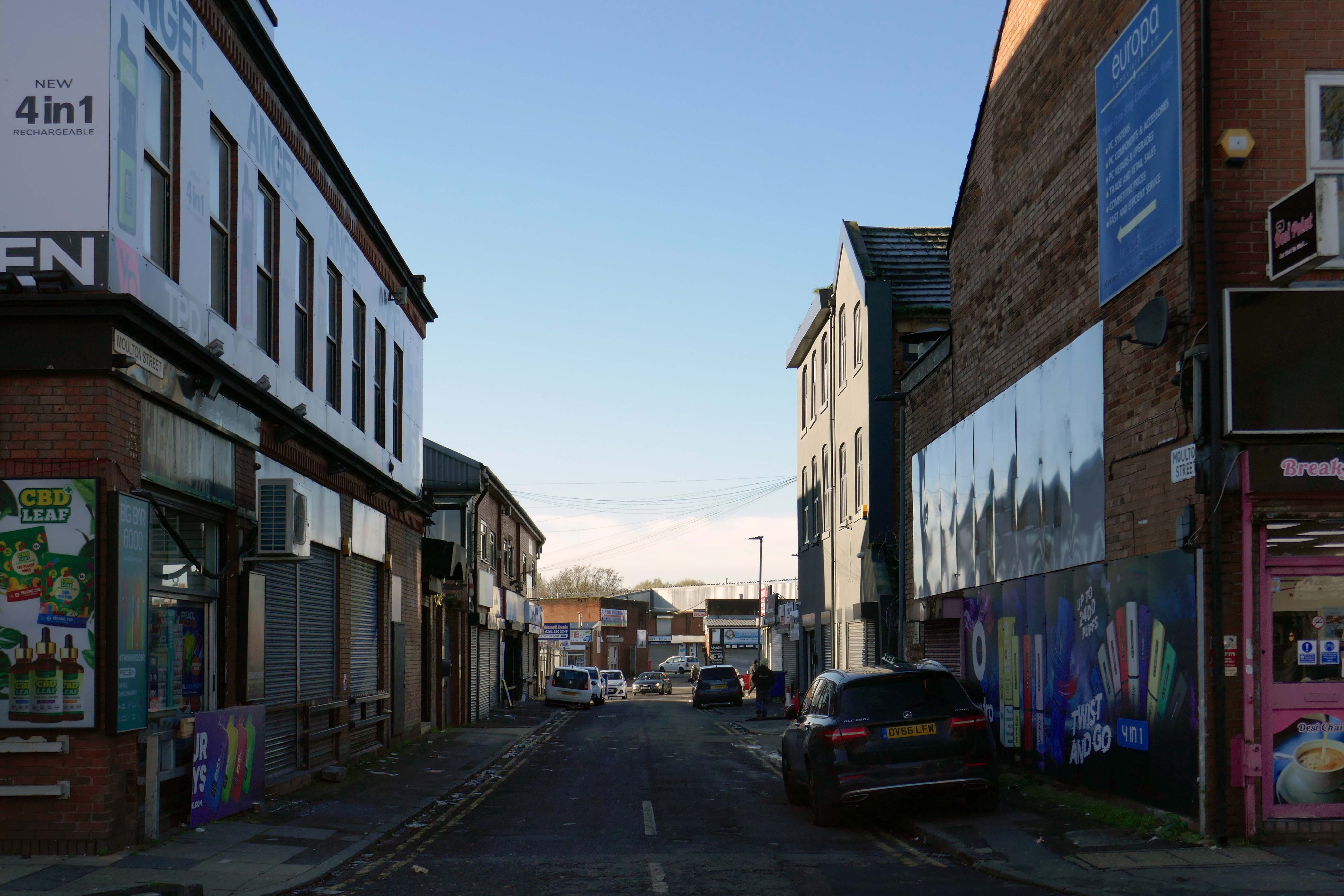
Thinking on my feet, I legged it rapido to Preston Bus Station and just about caught the 68 bus to Blackpool.
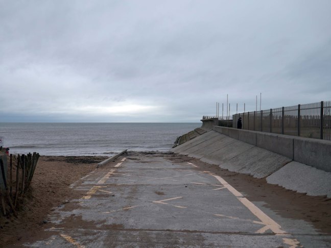
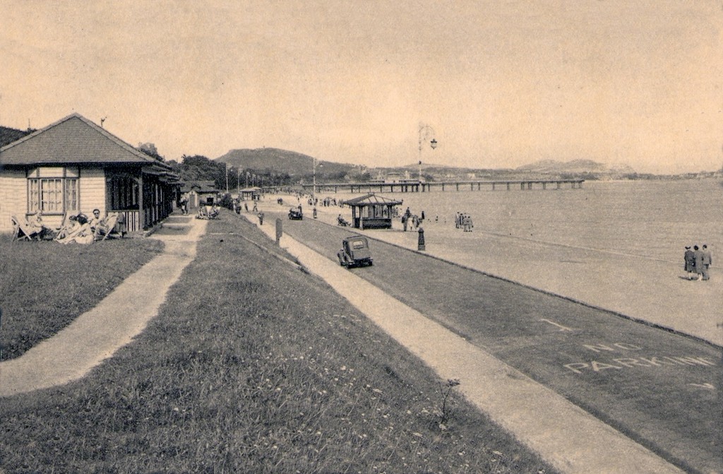
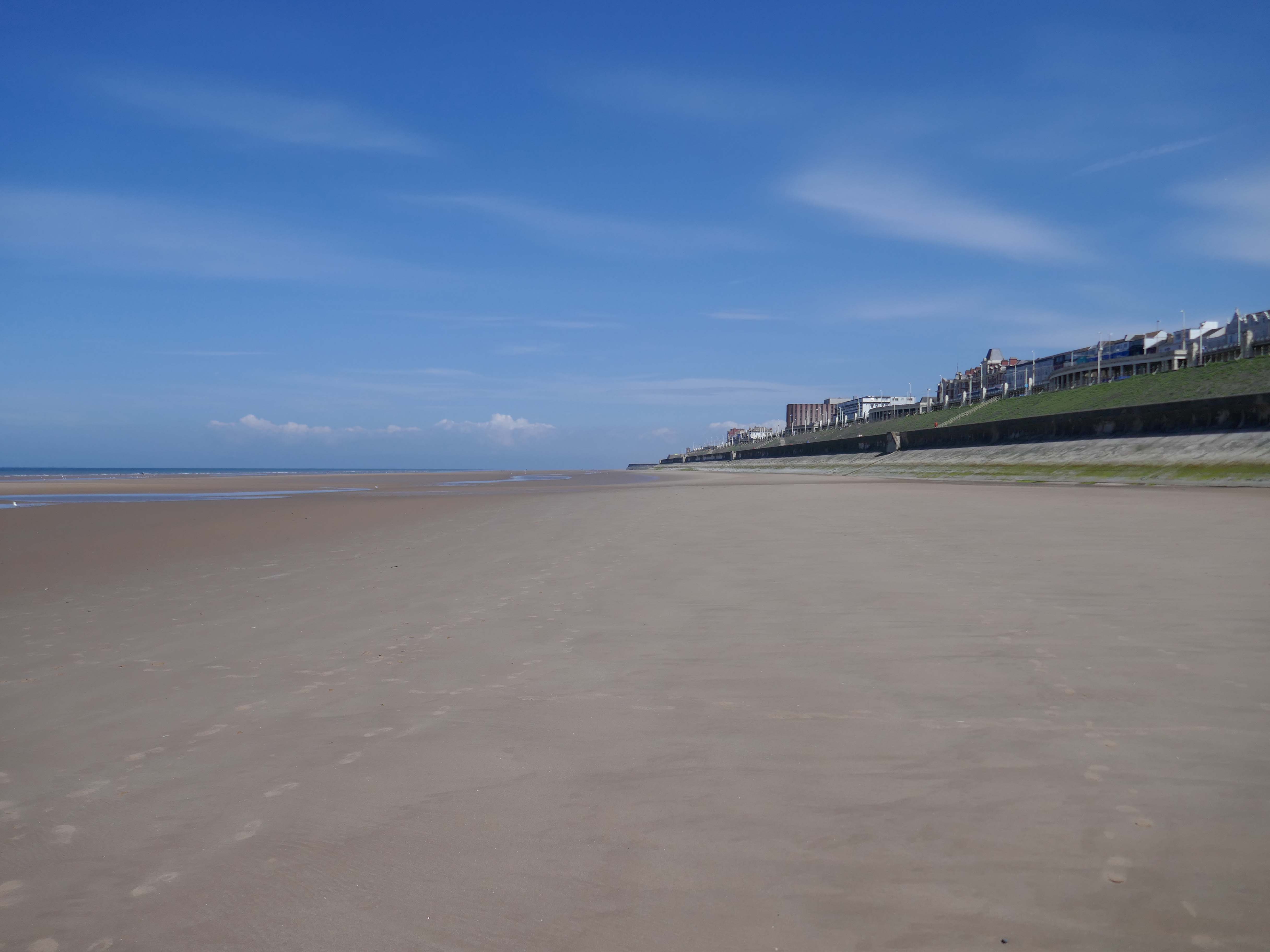
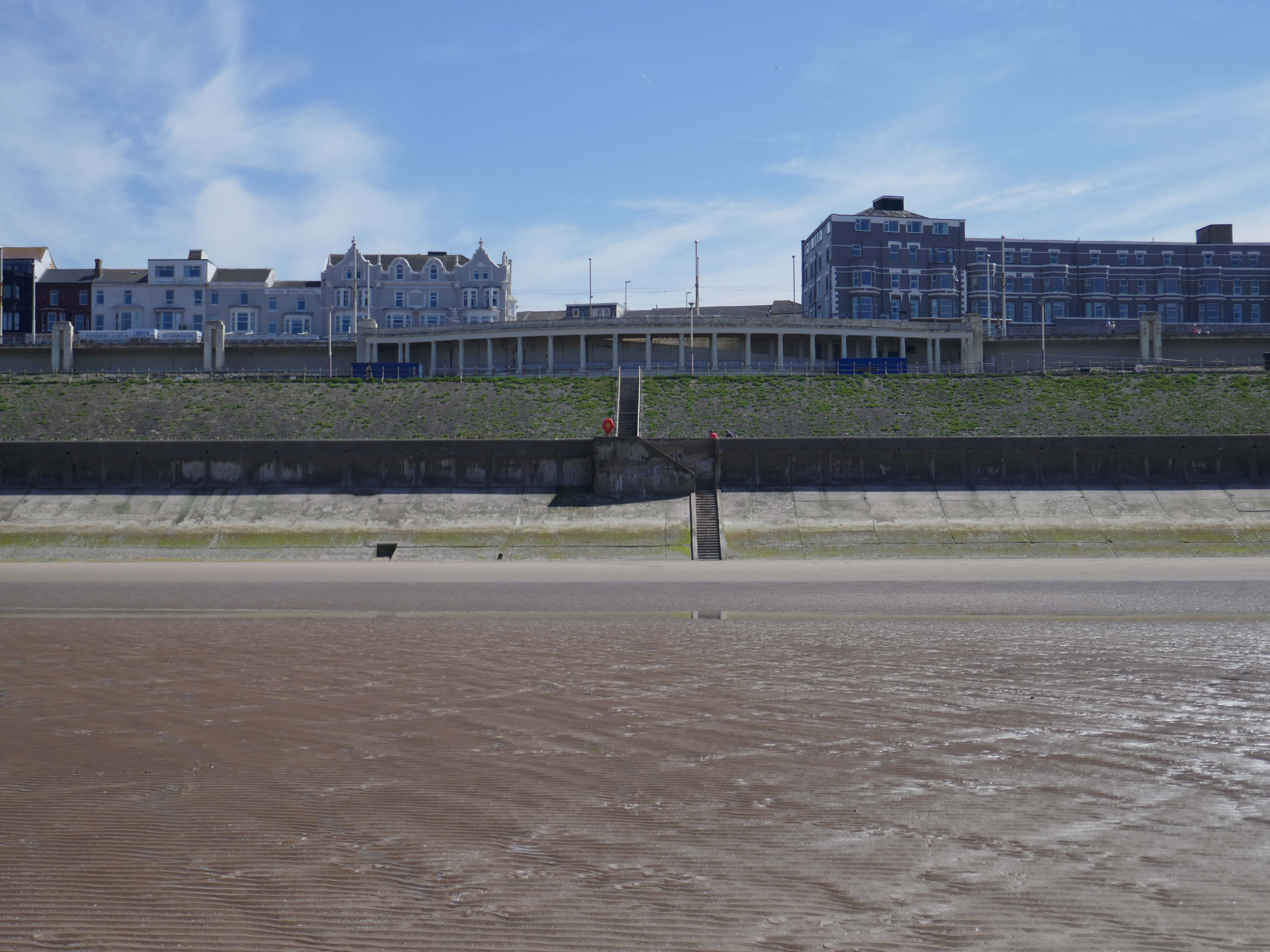
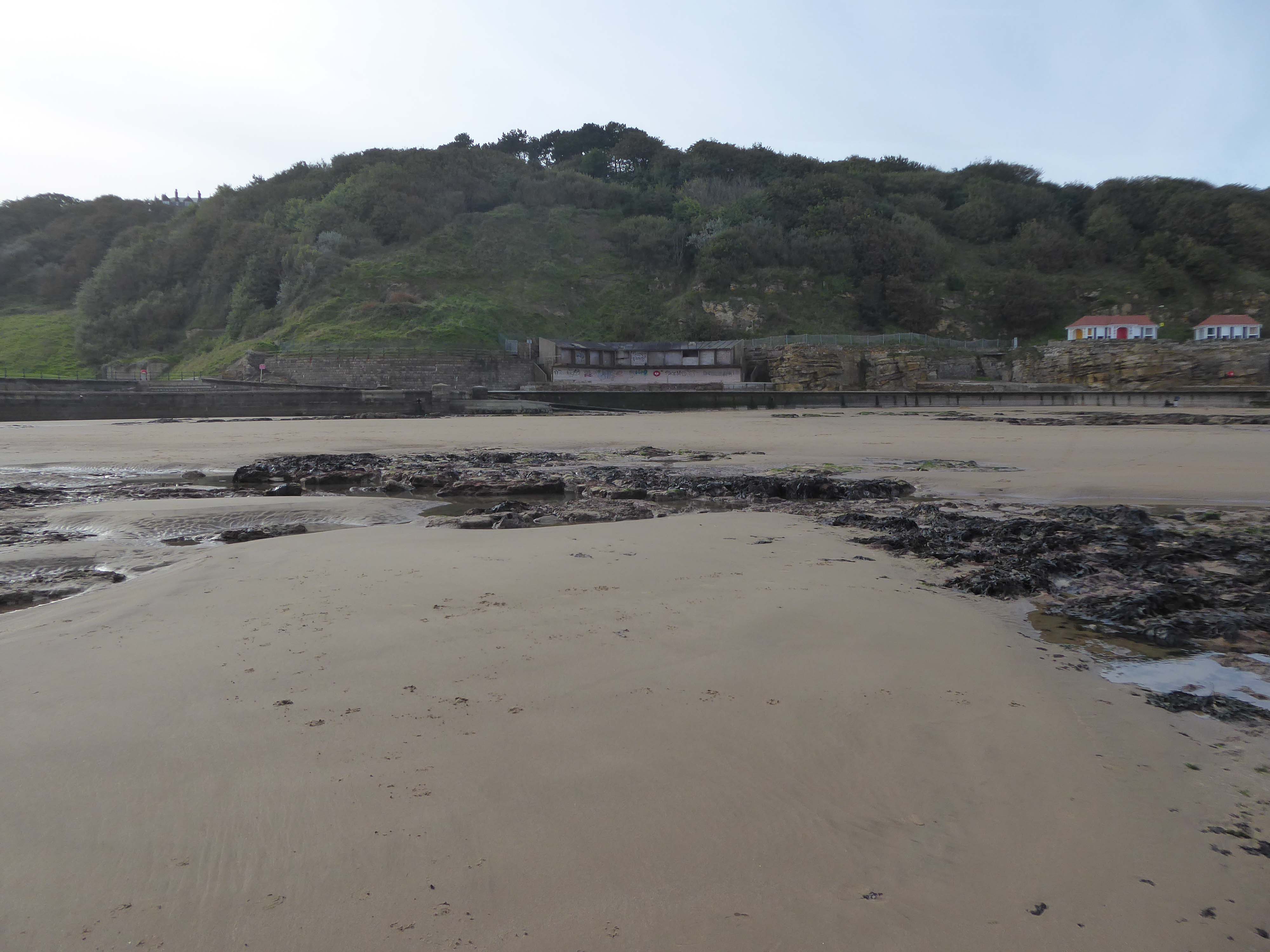
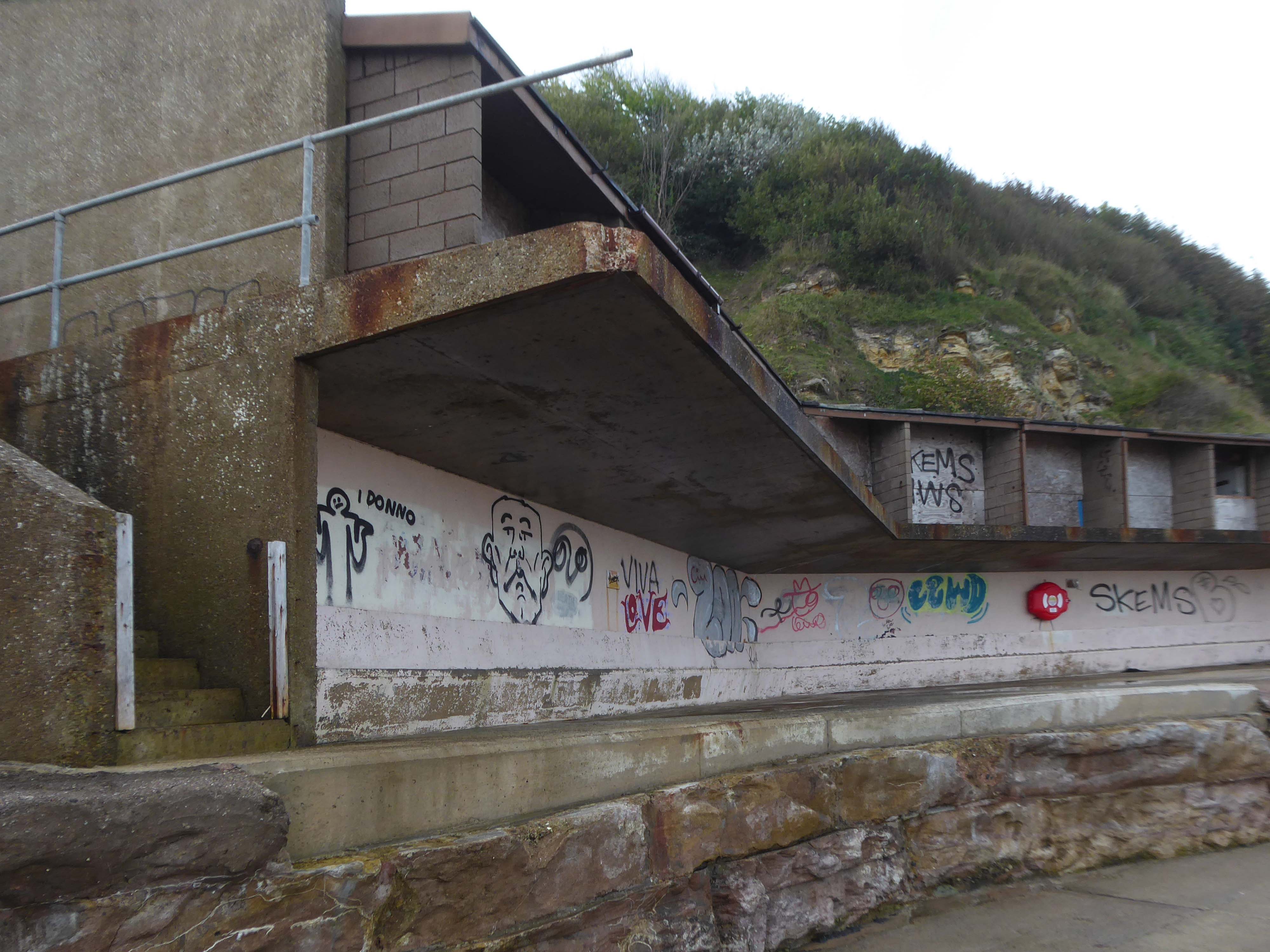
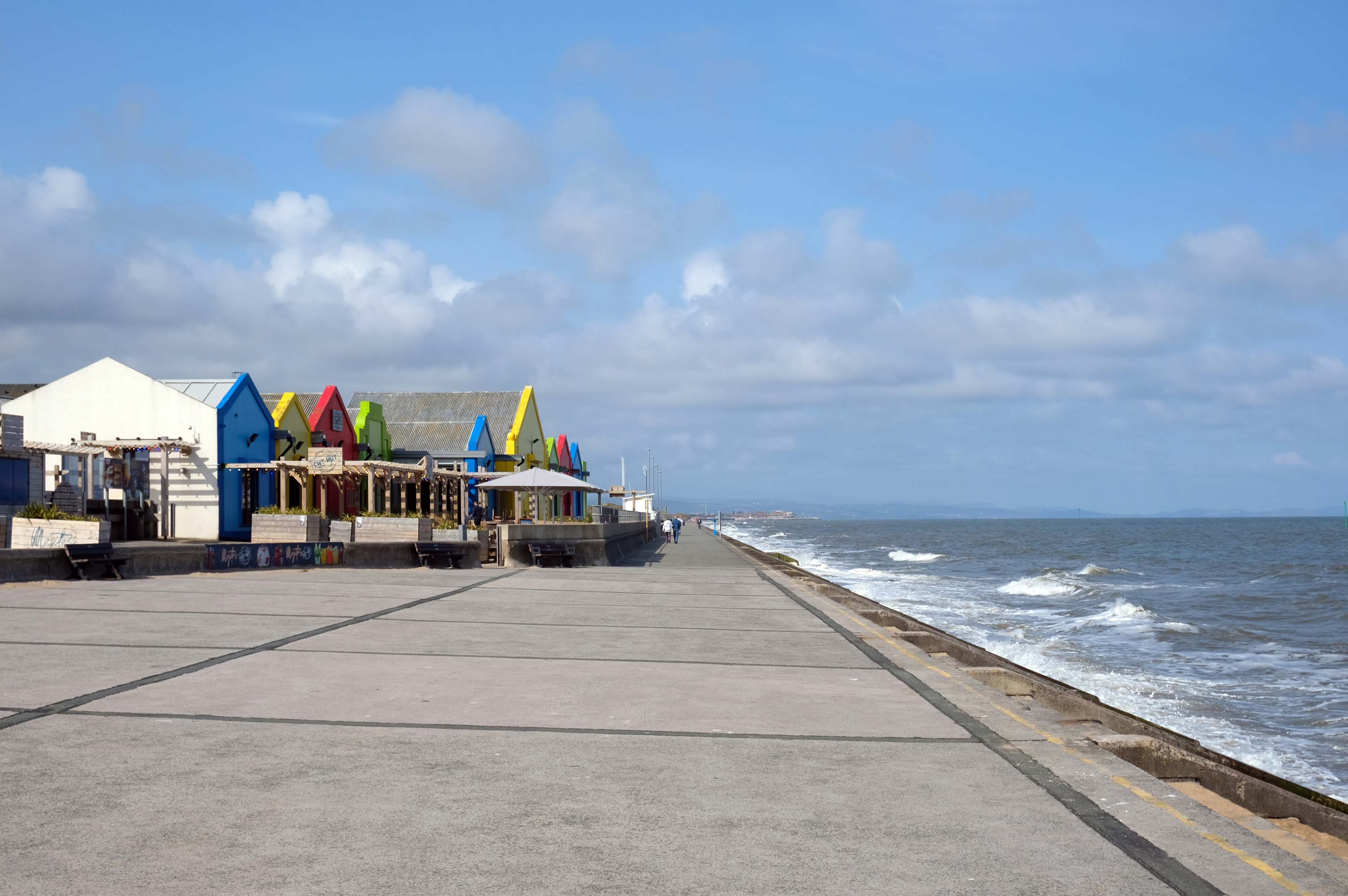
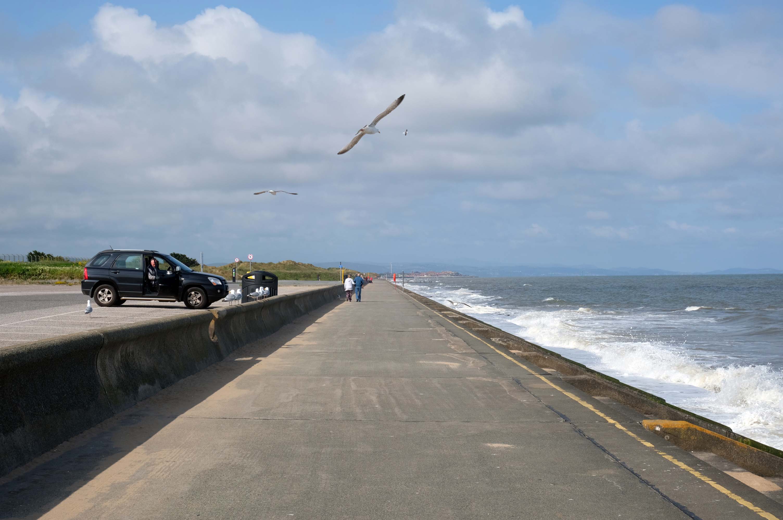
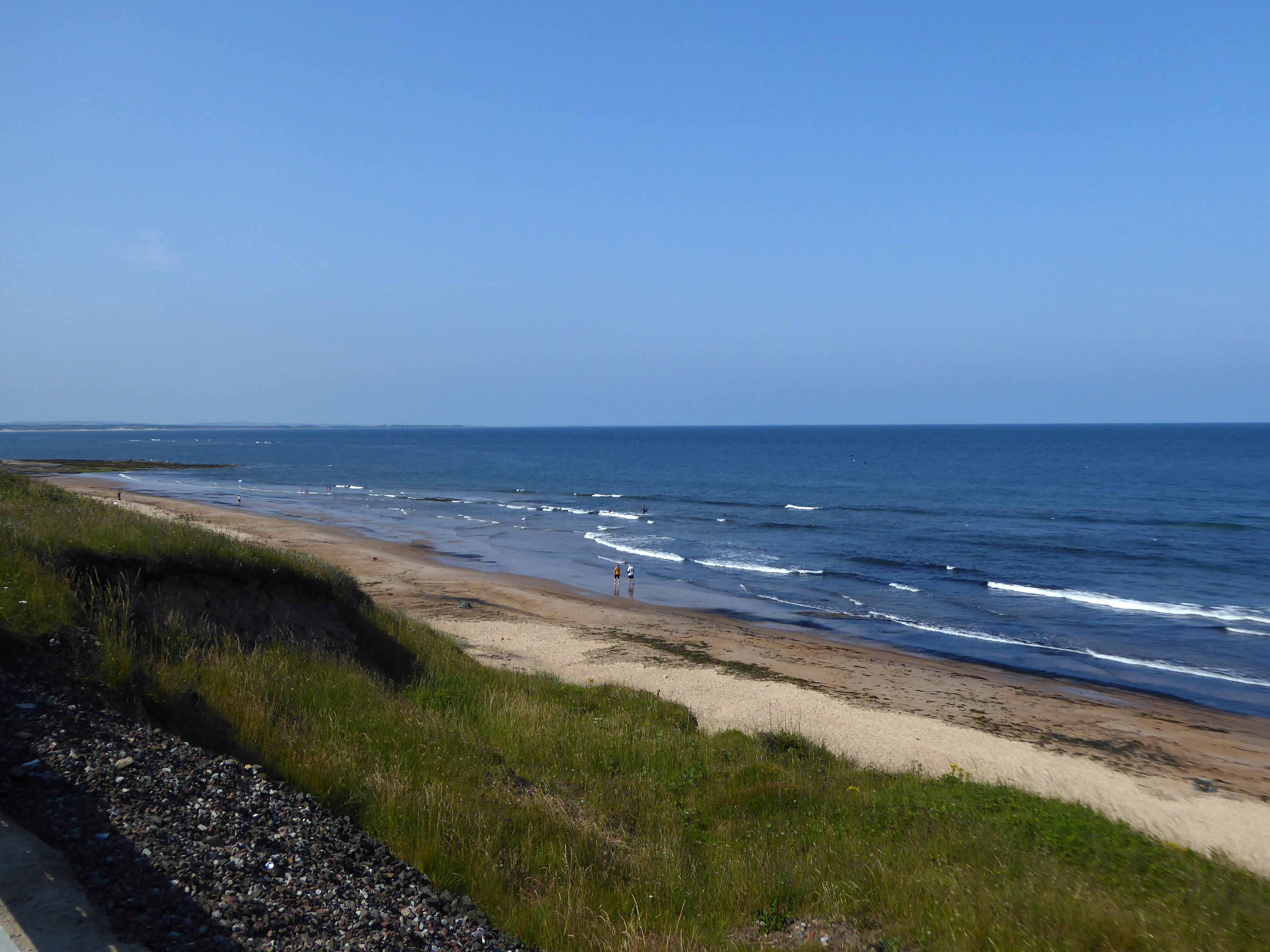
Already an hour or two behind time I elected to alight at Squires Gate, and take a walk along the South Promenade toward the town centre.
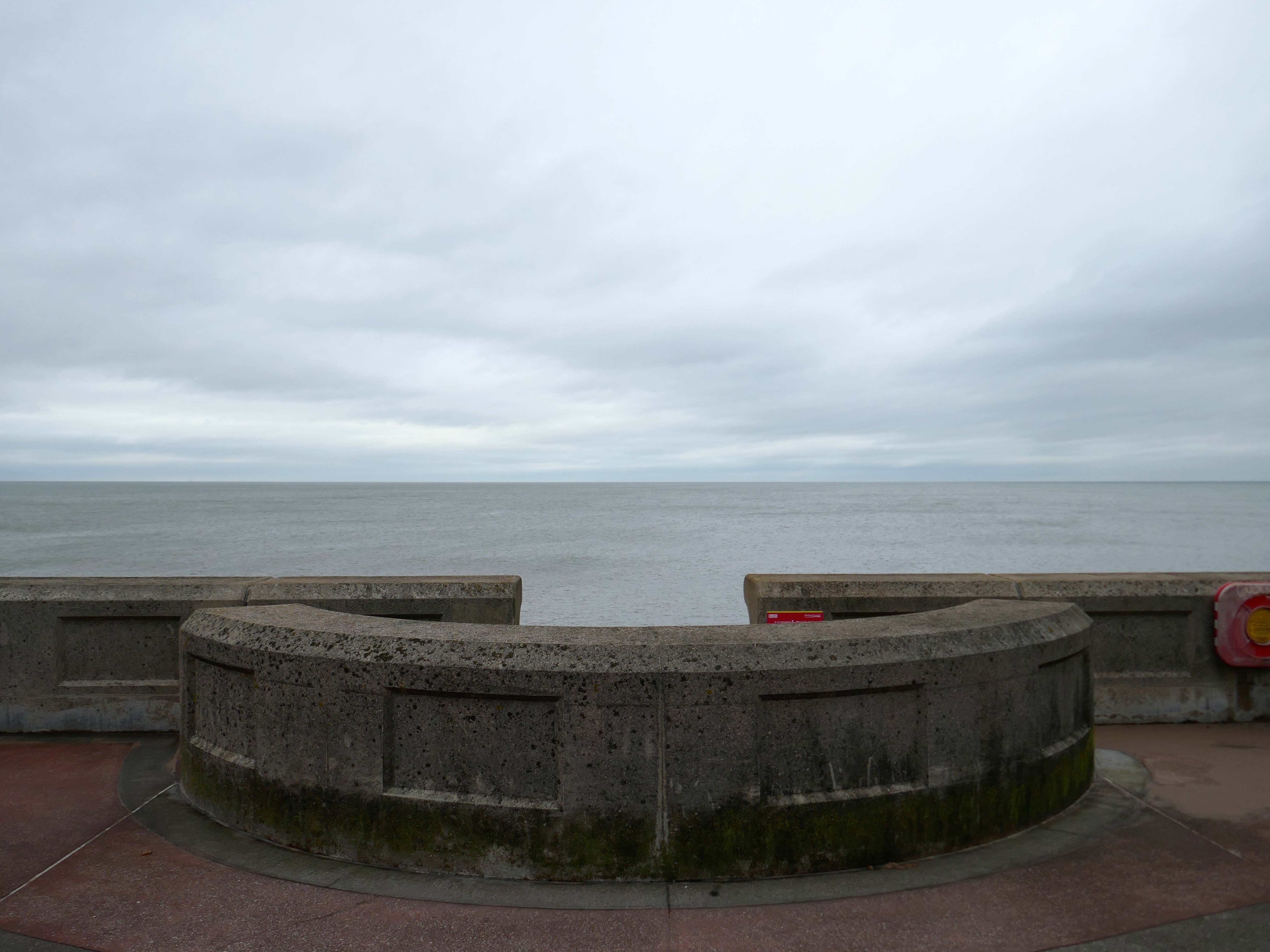
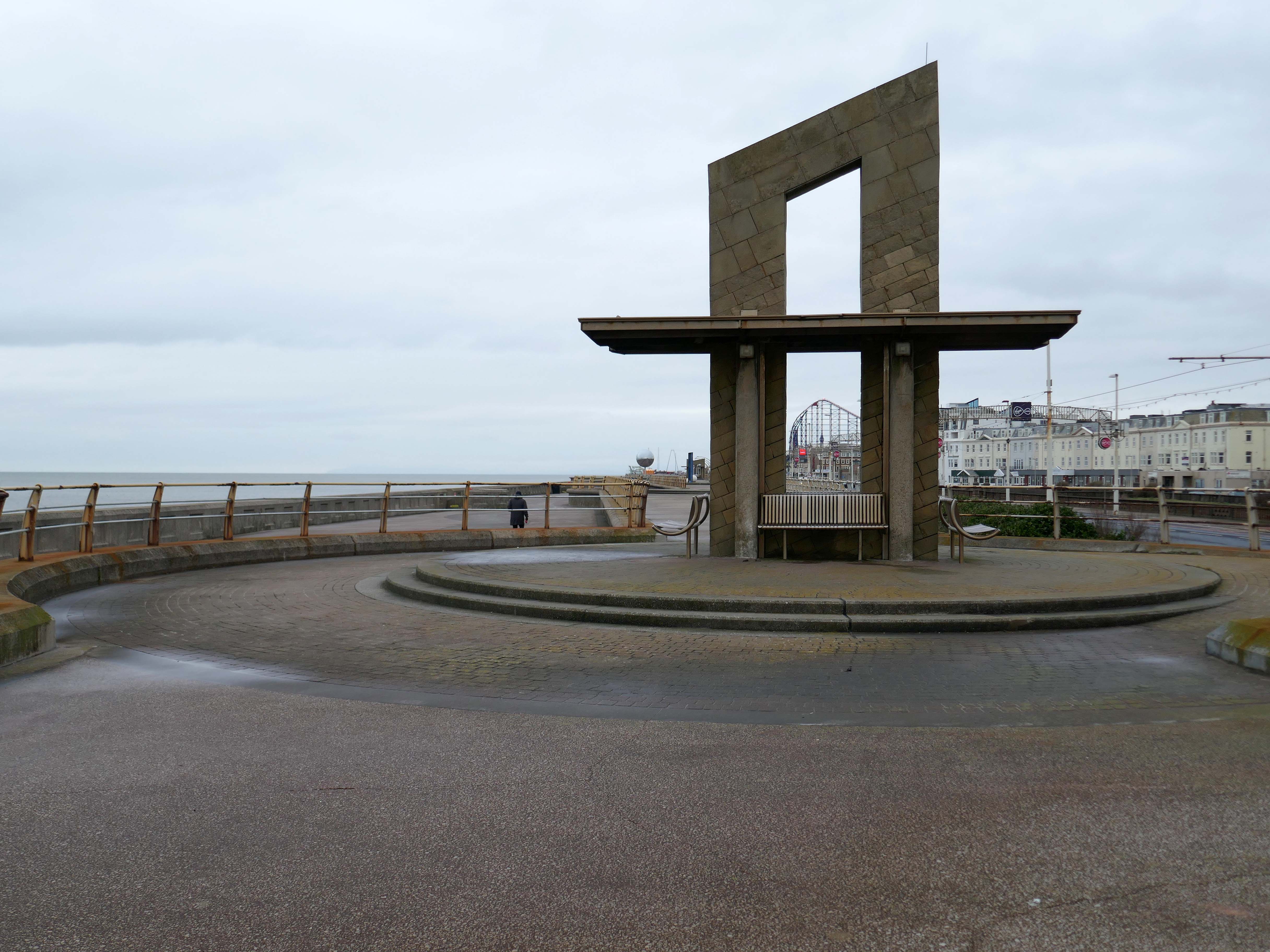
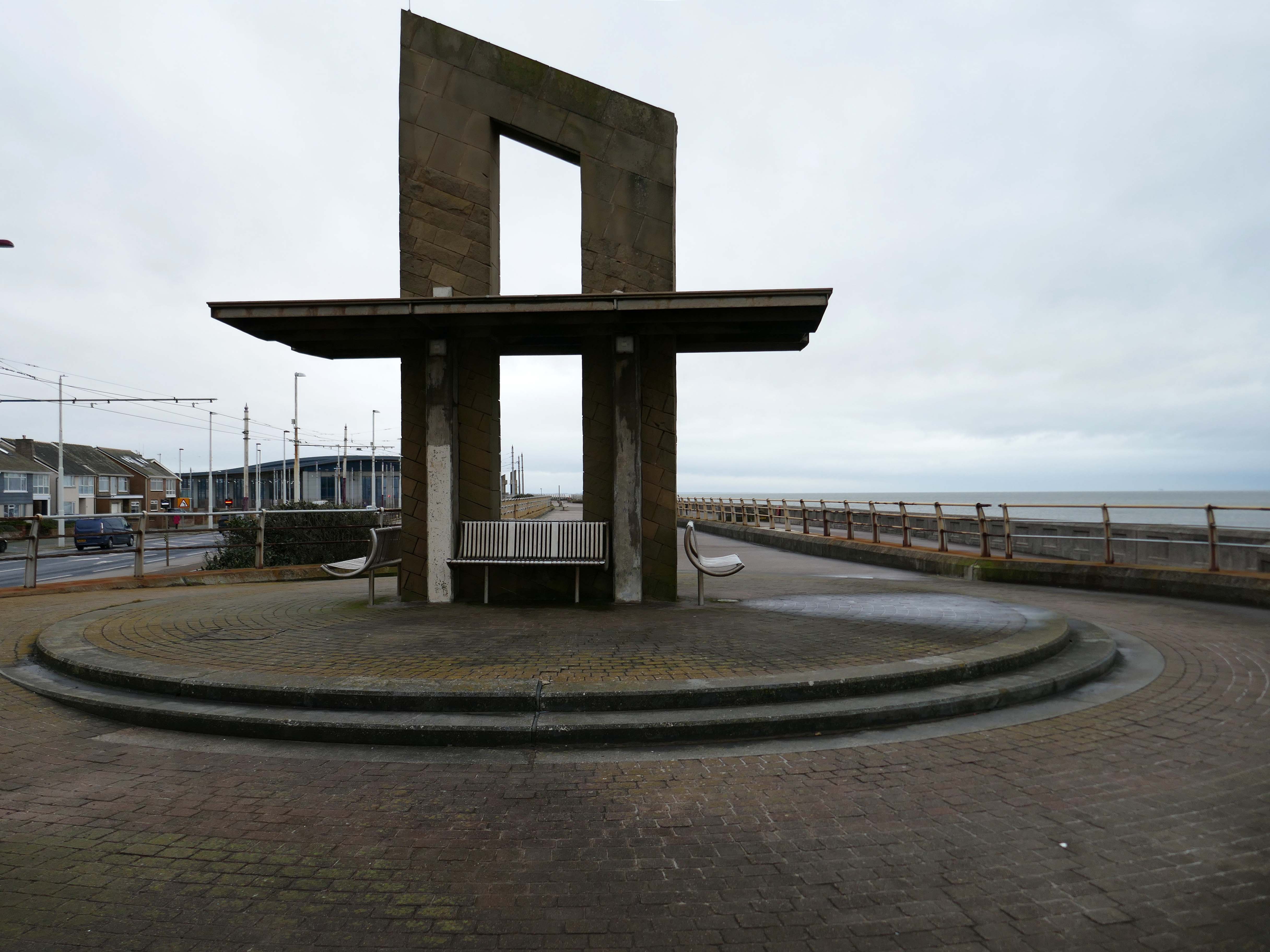
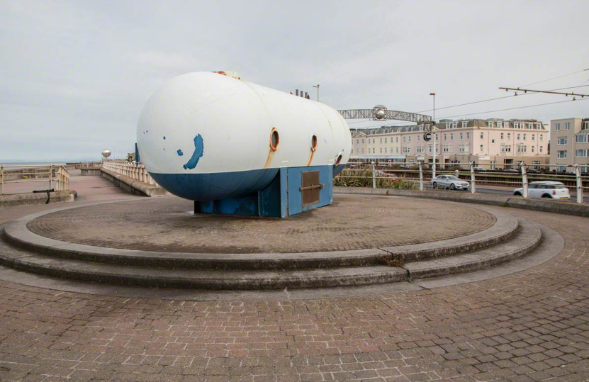
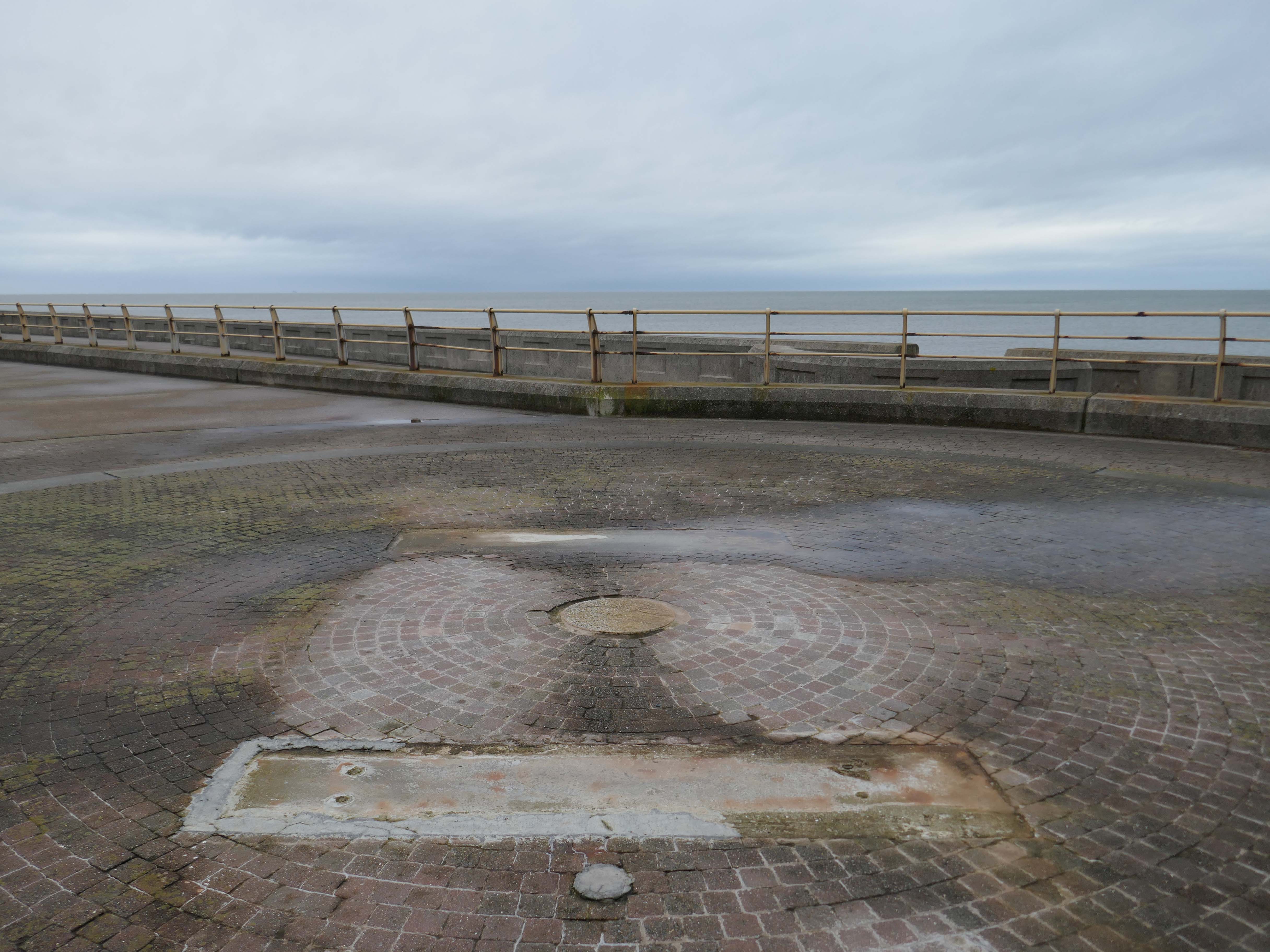
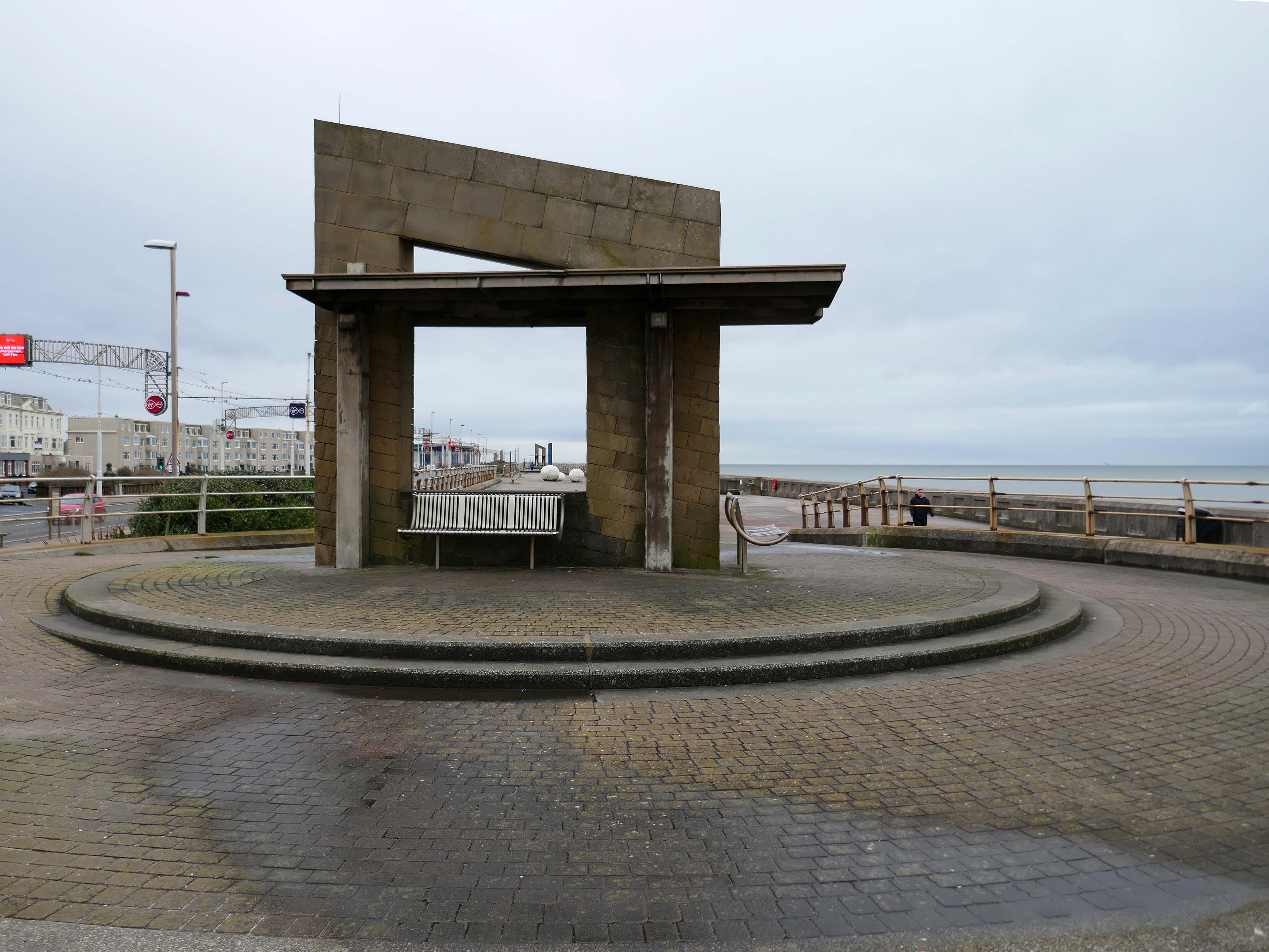
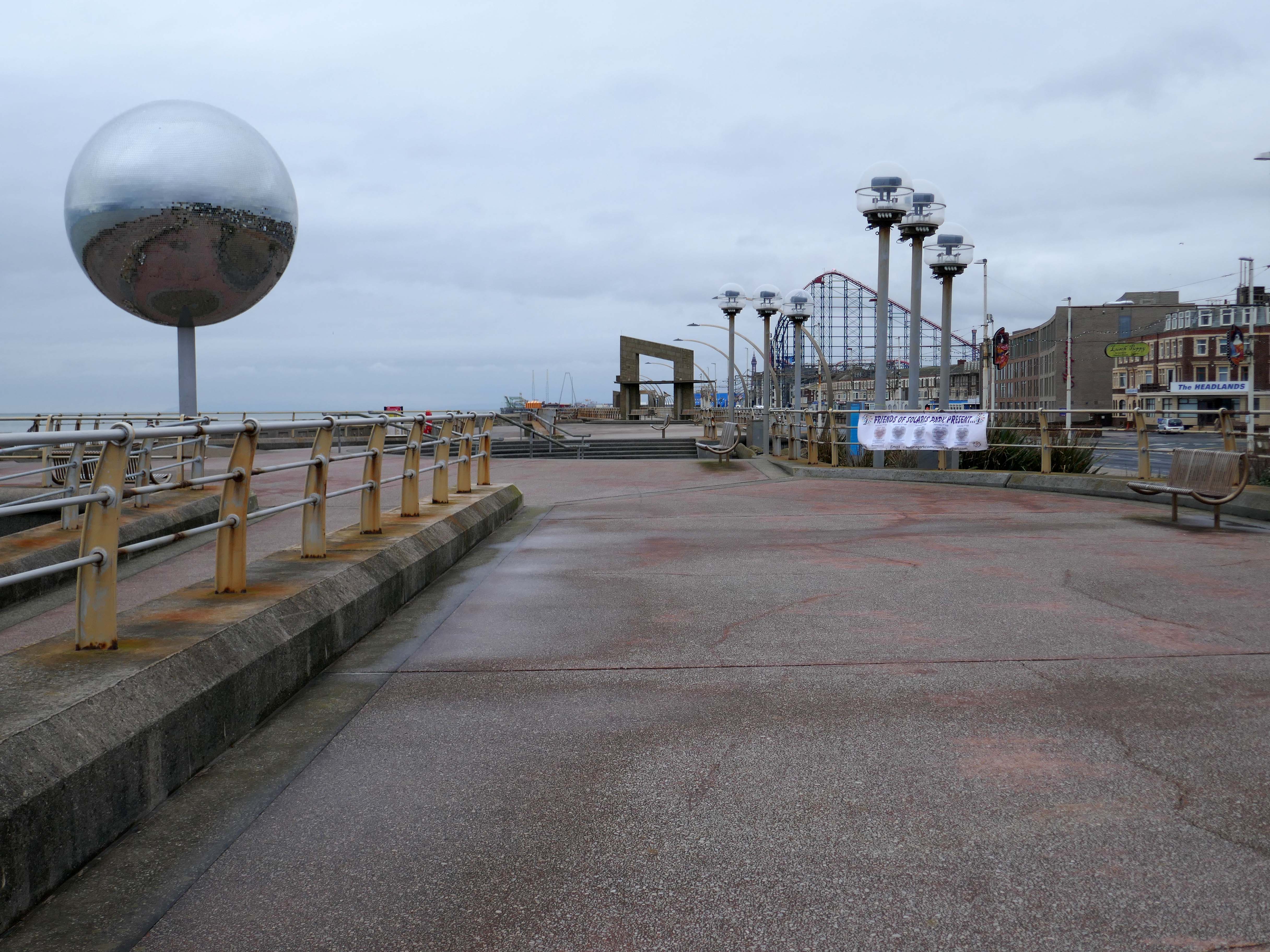
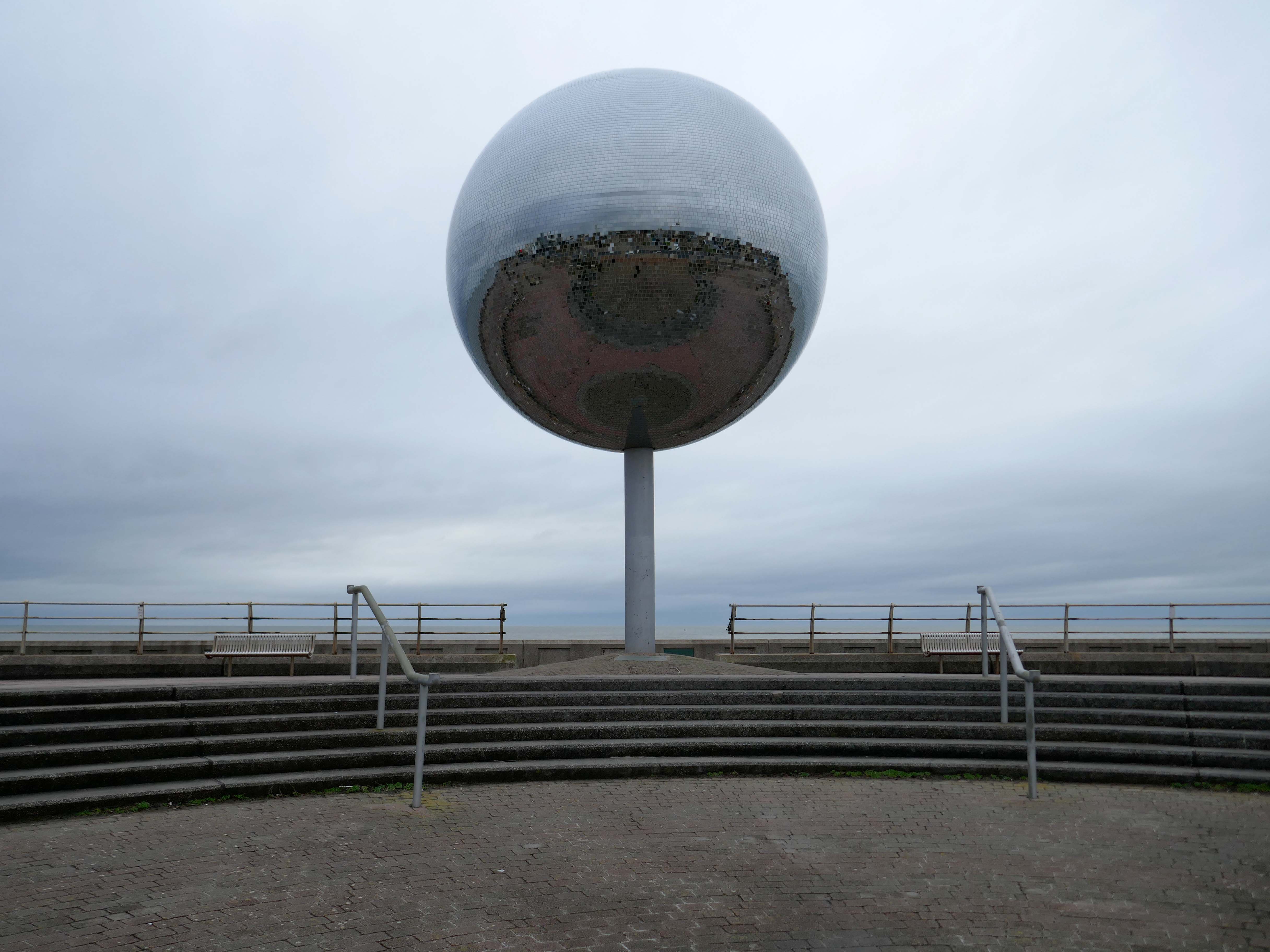
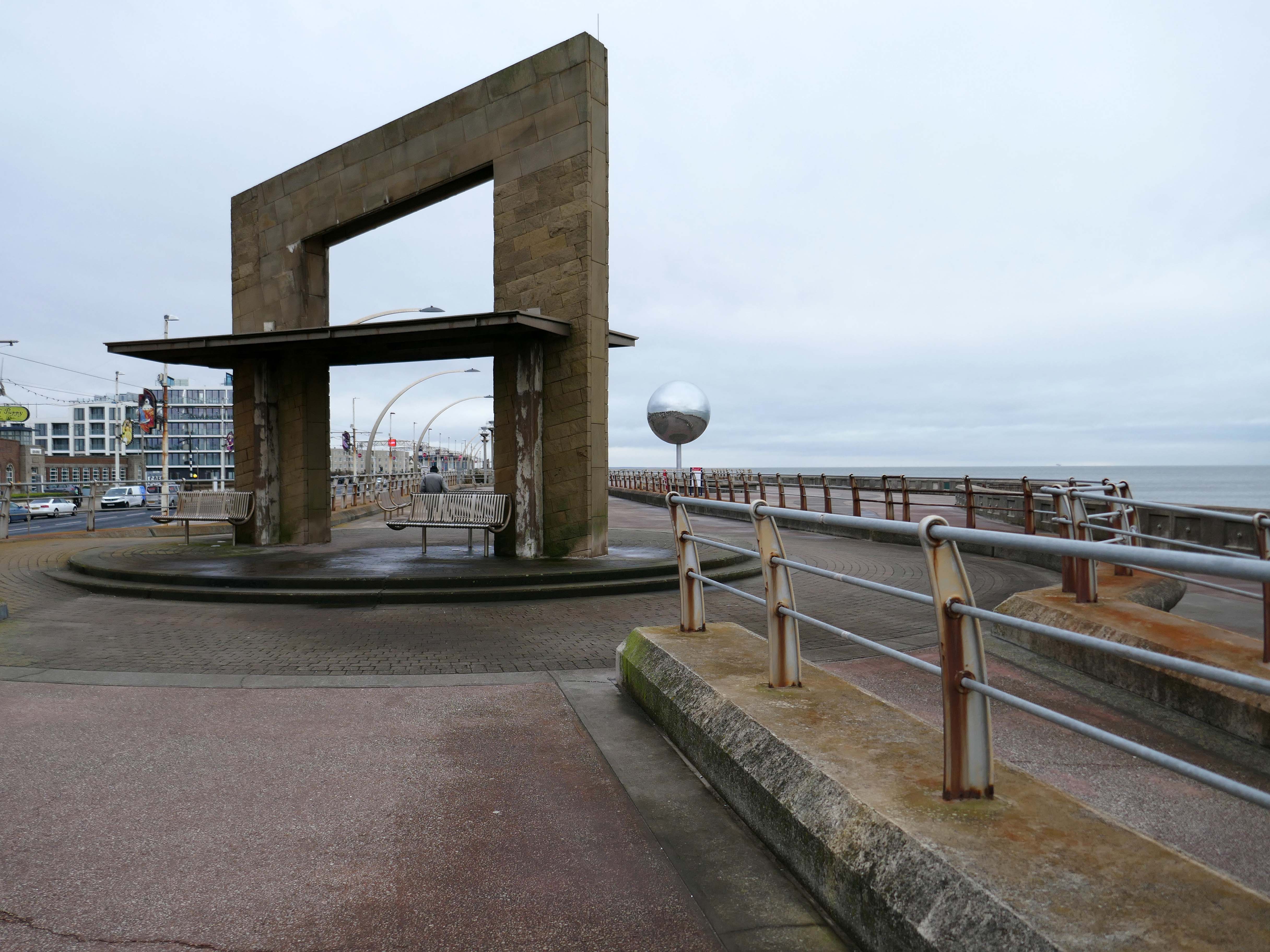
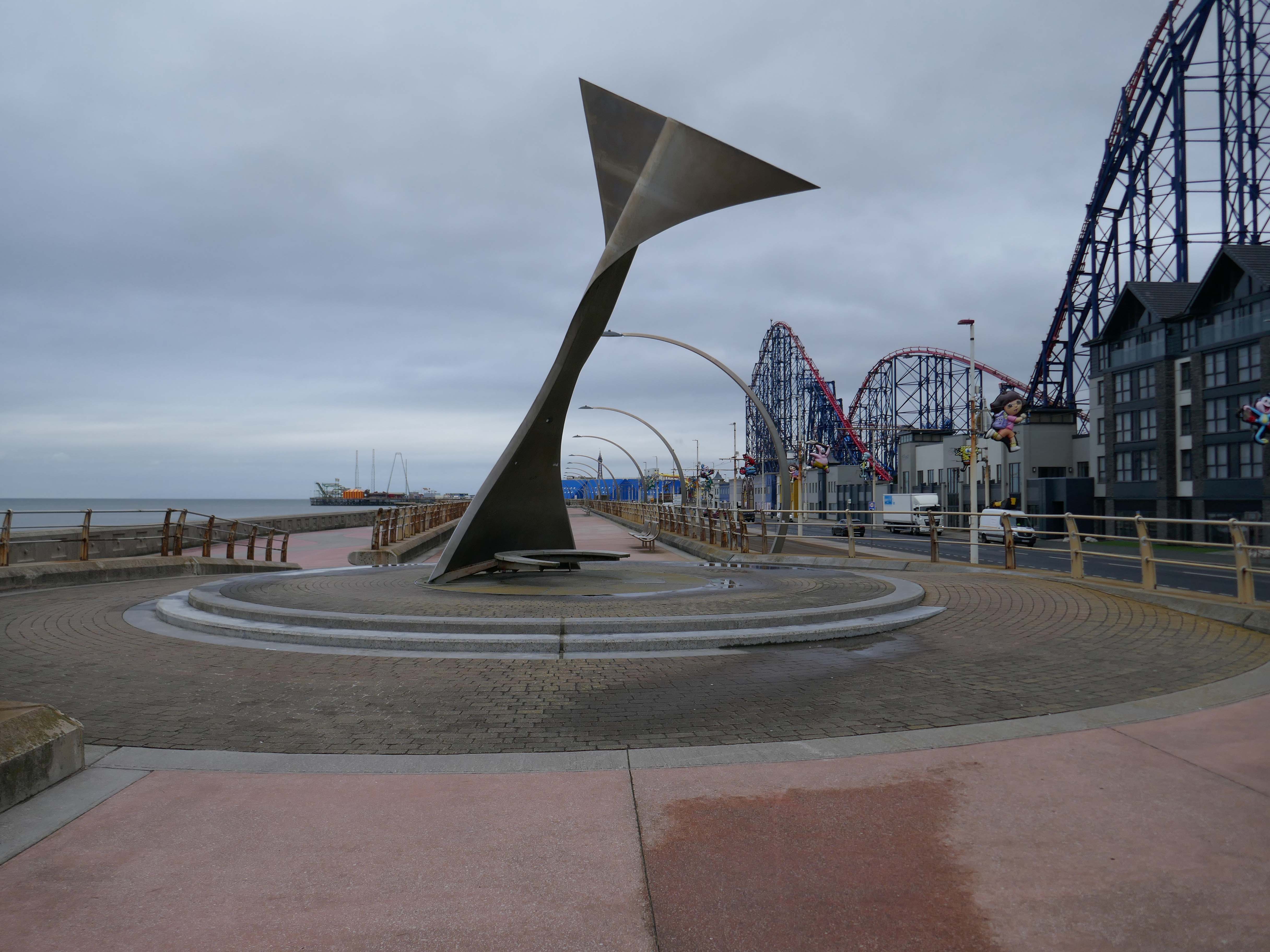
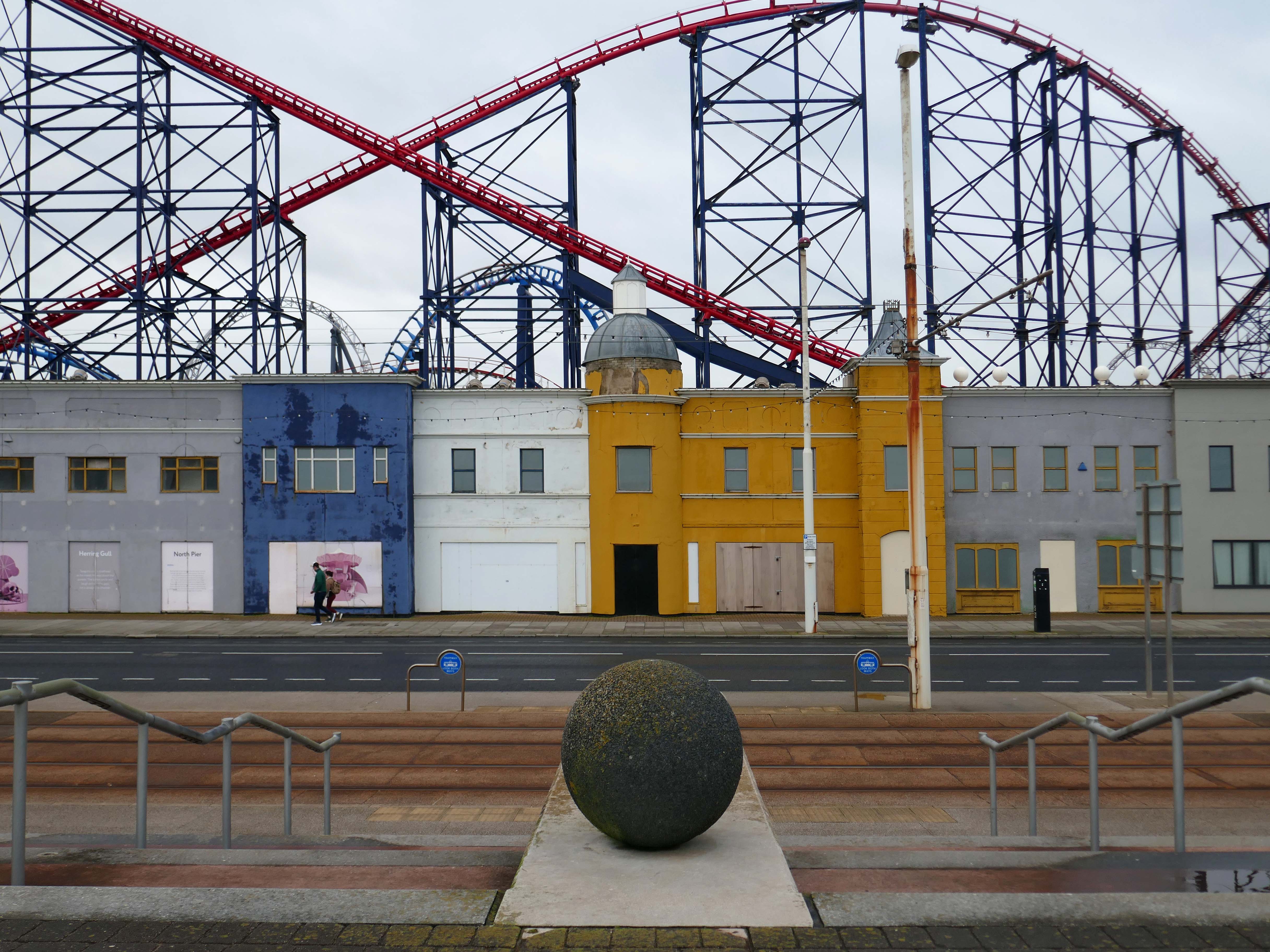
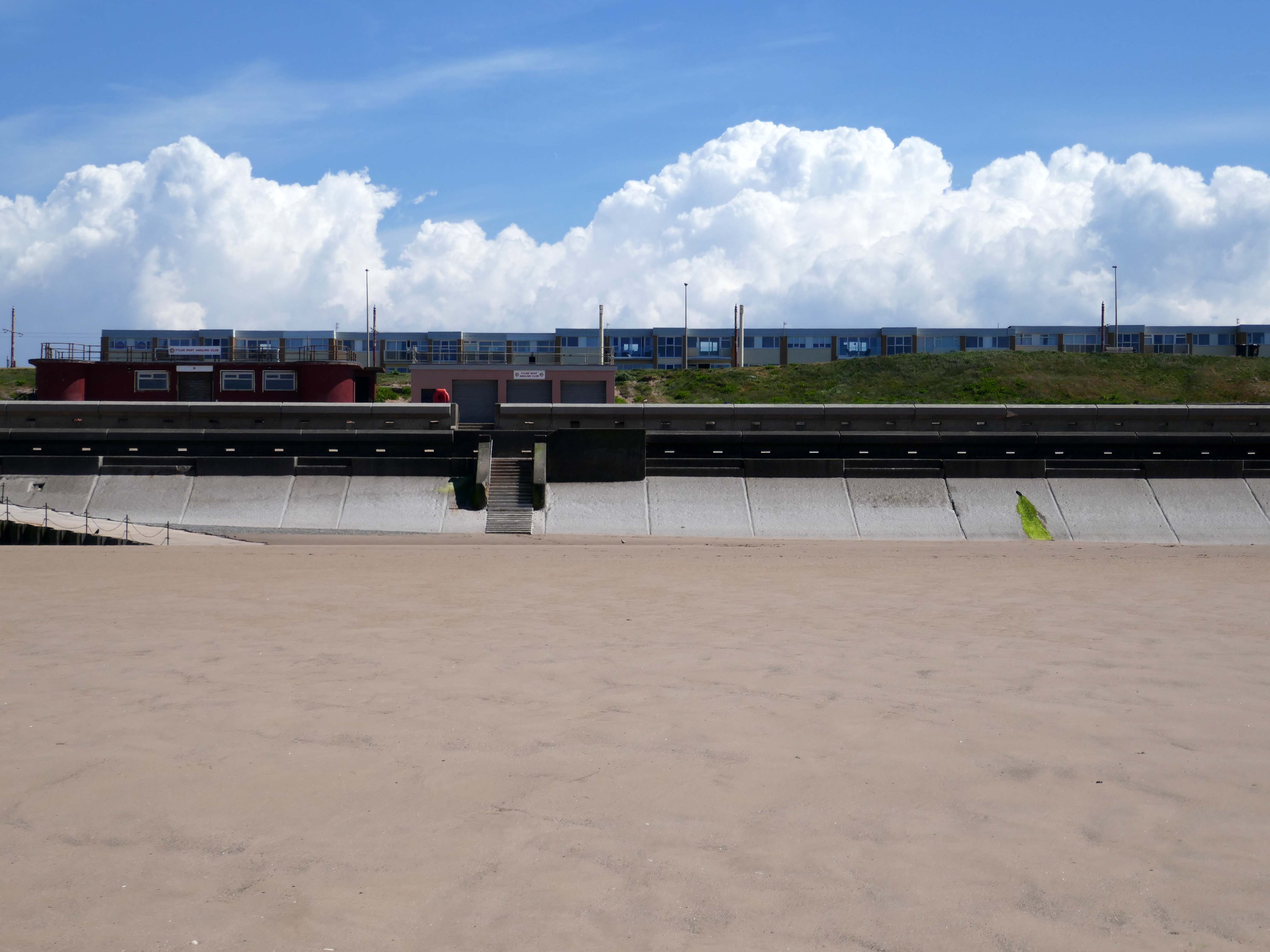
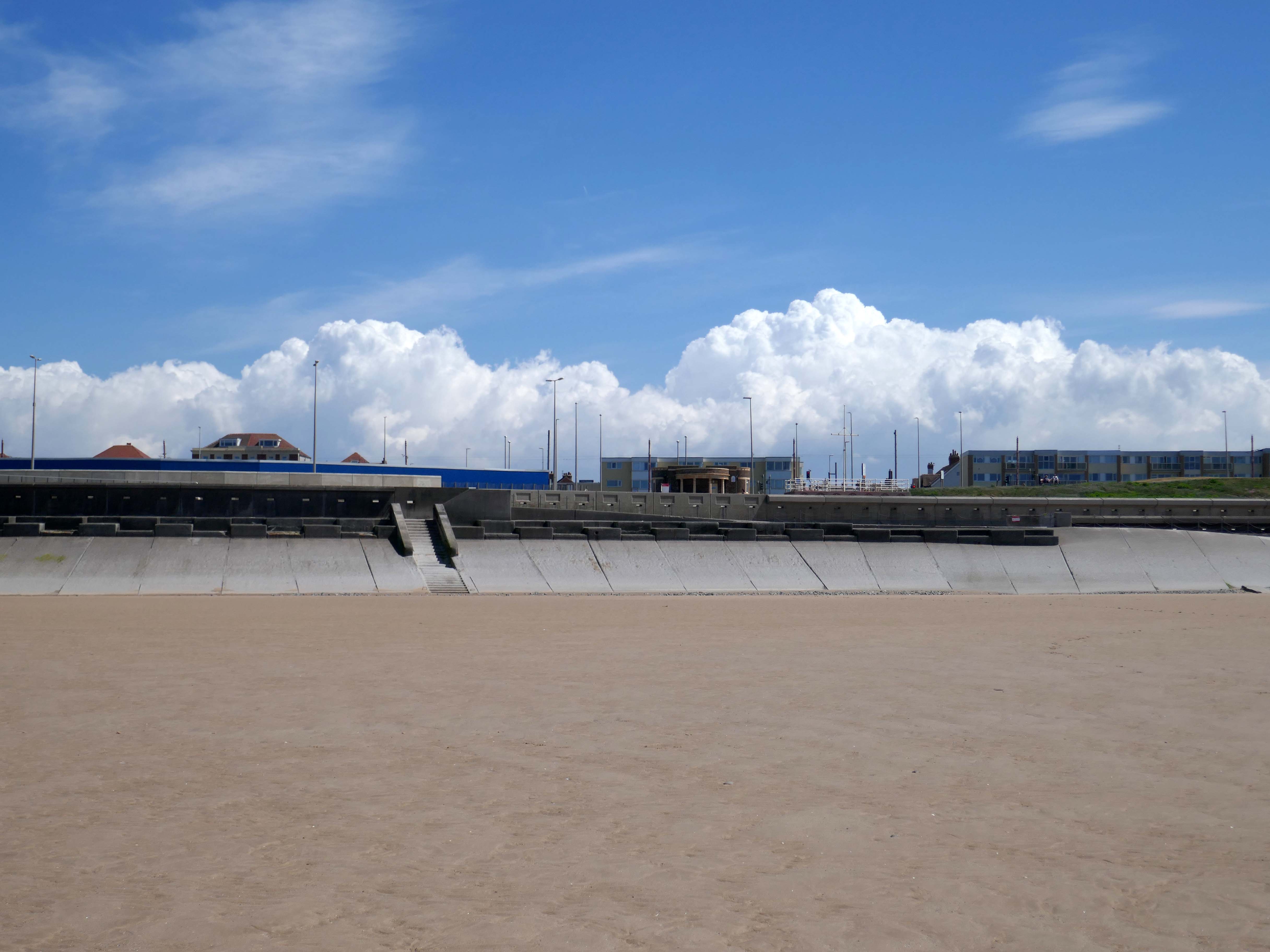
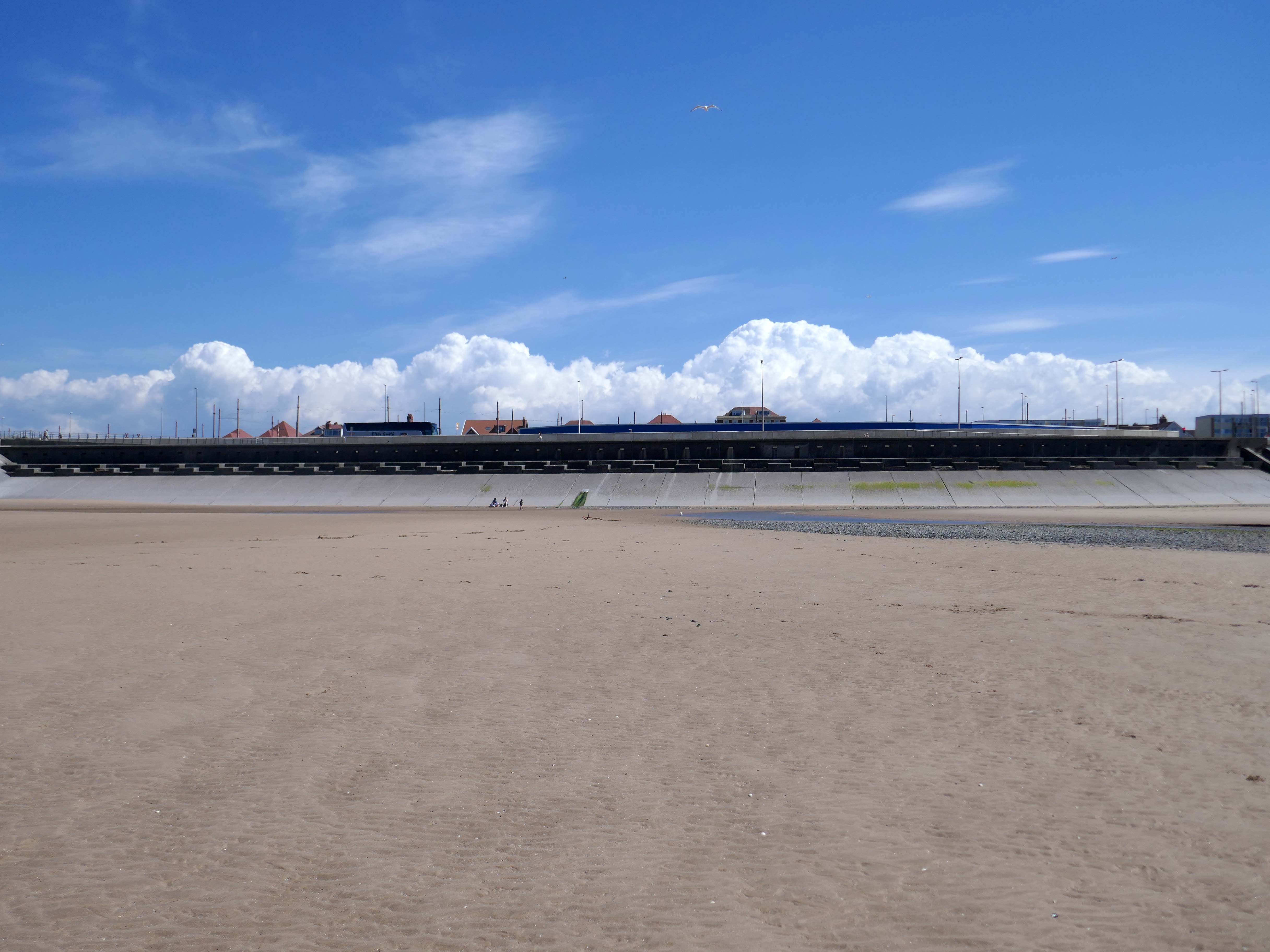
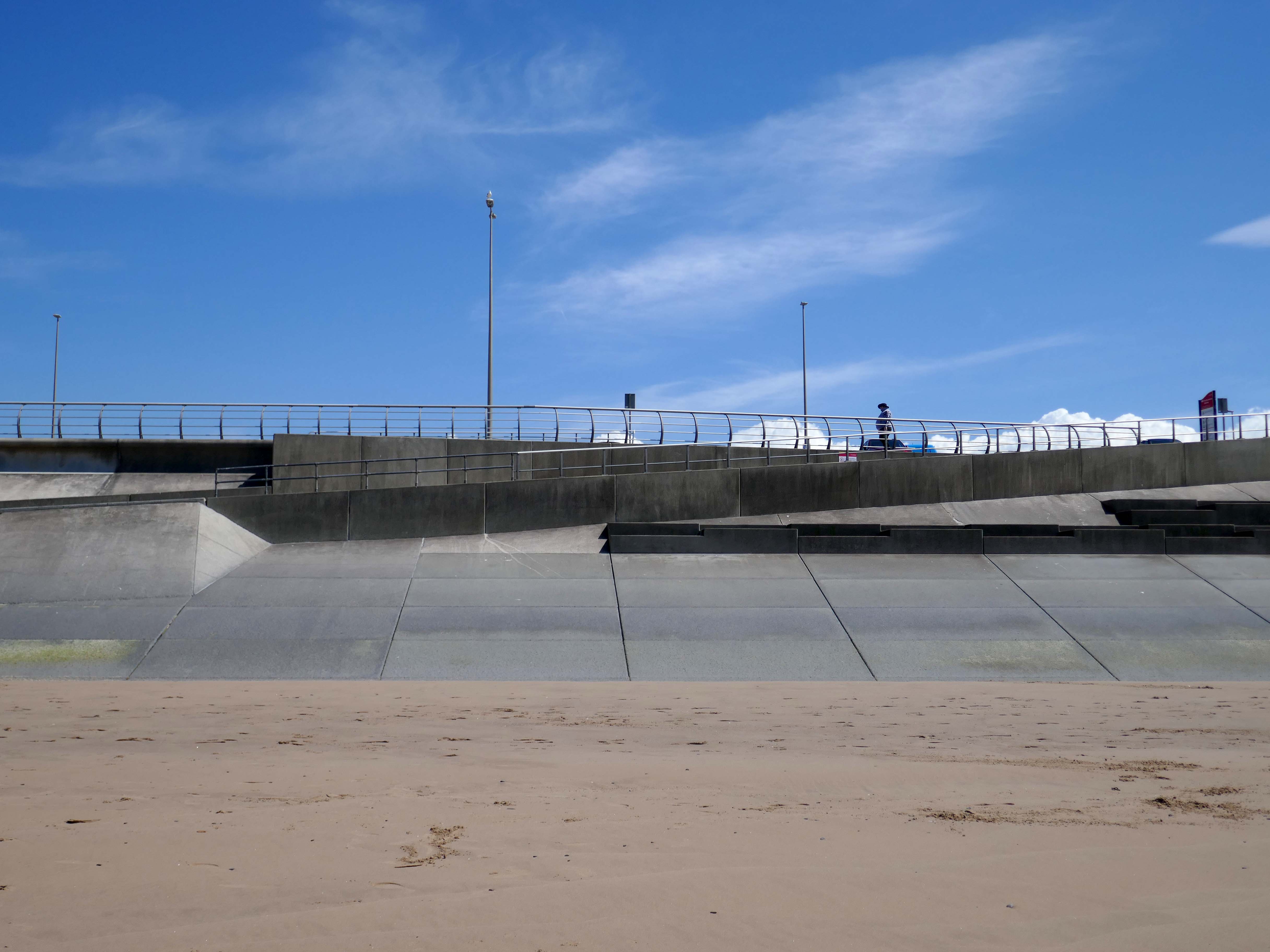
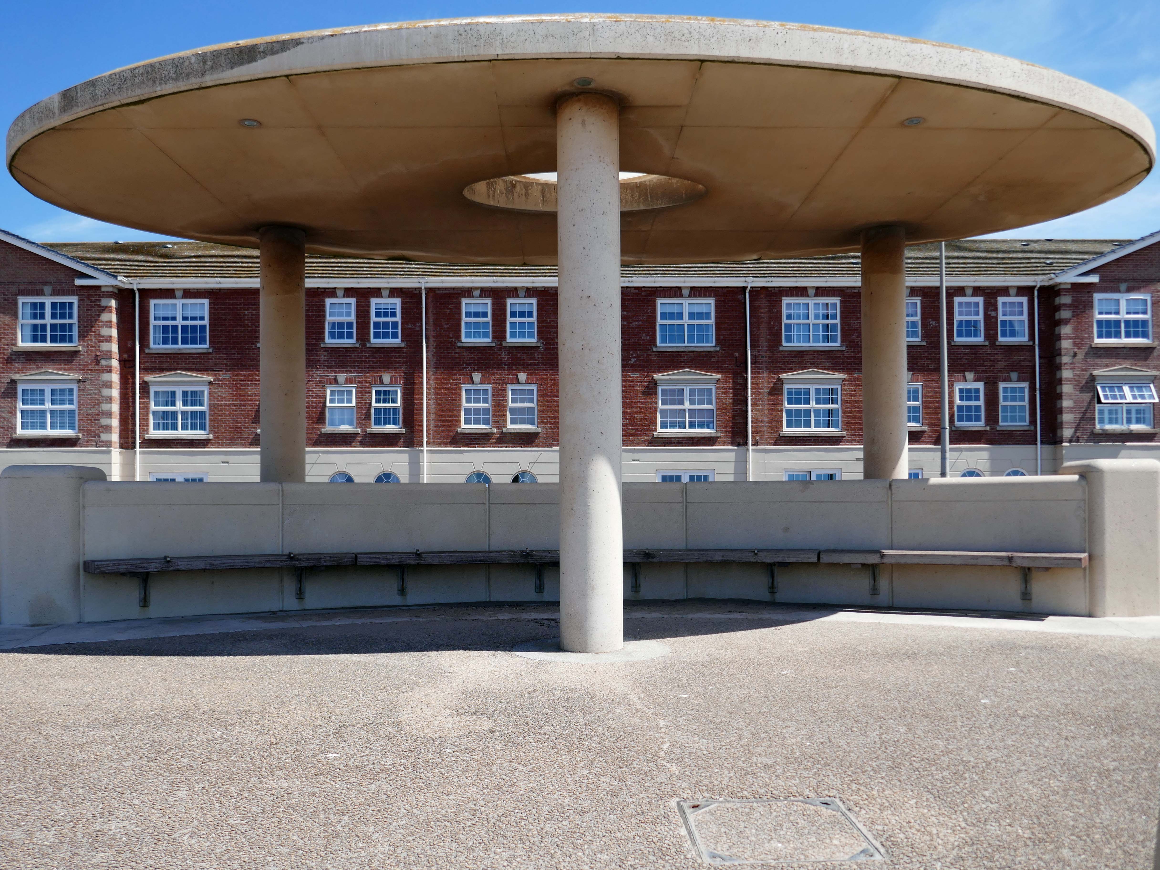
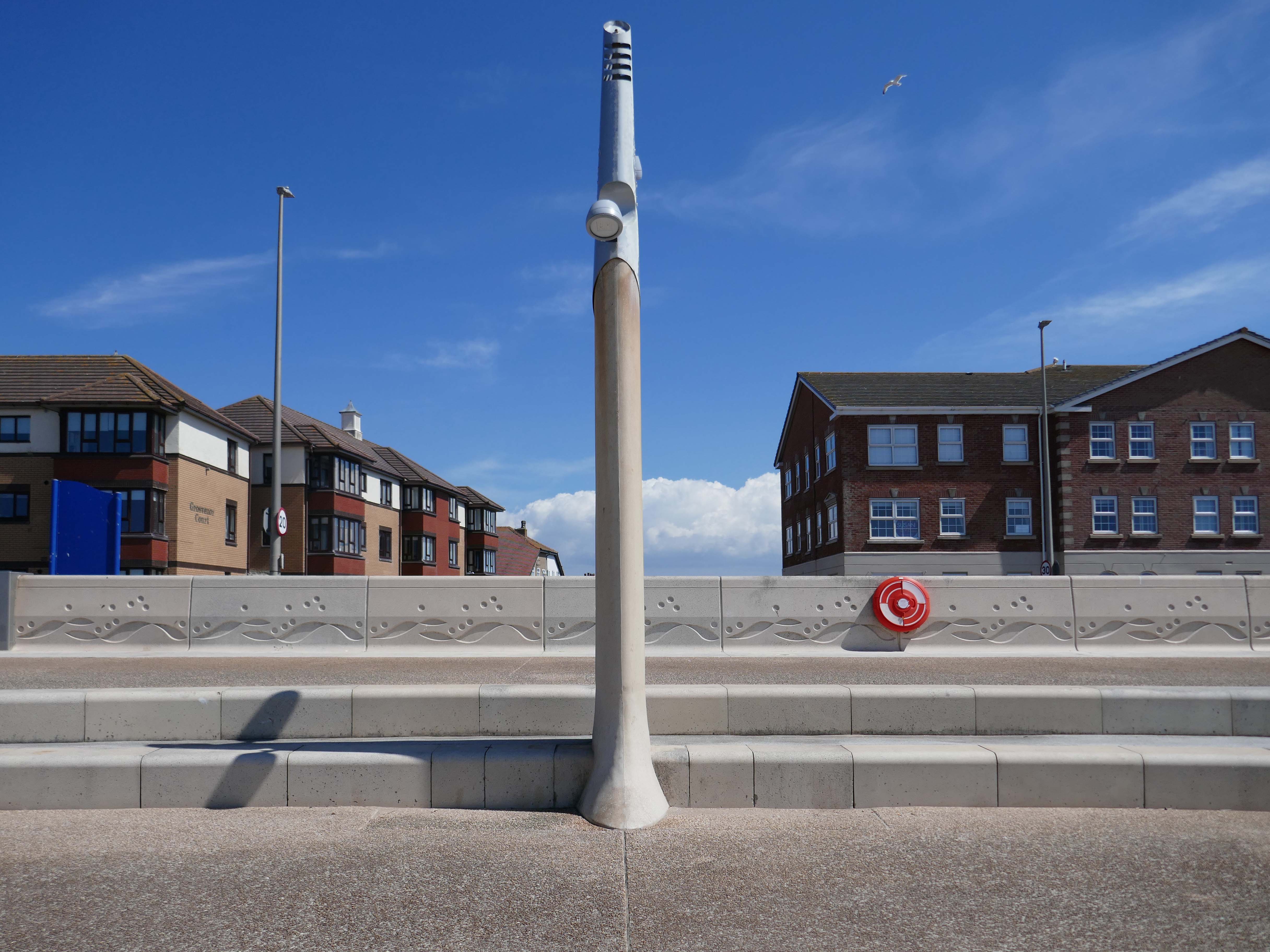
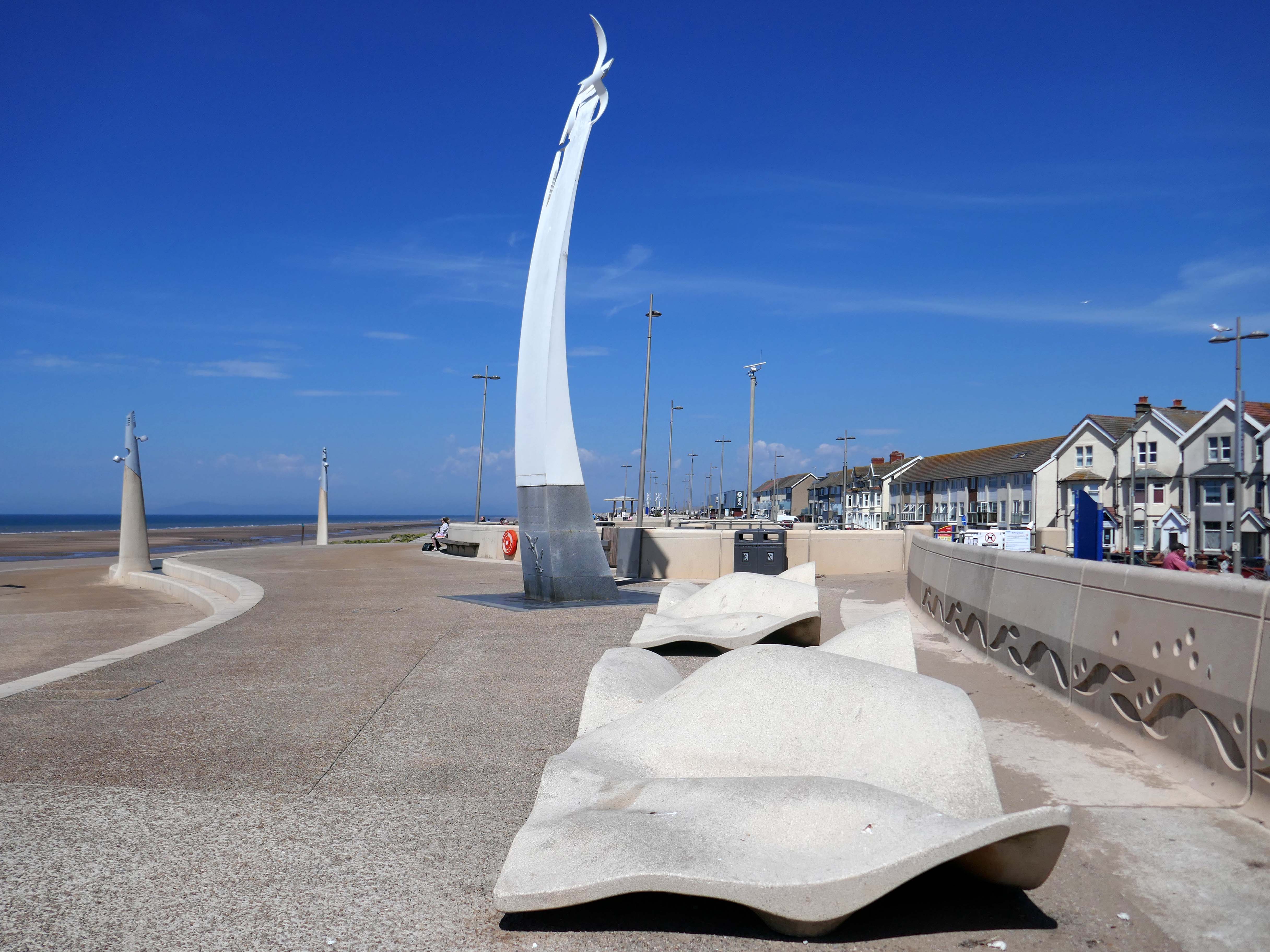
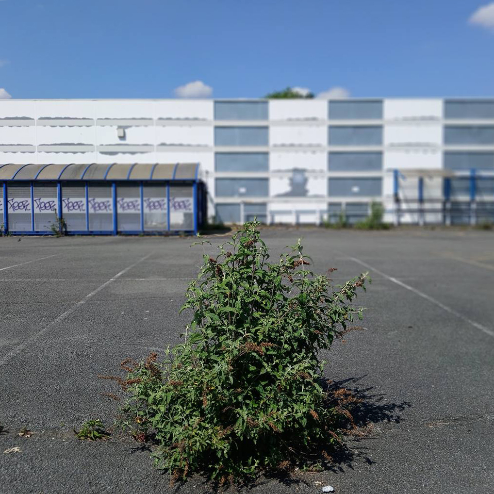
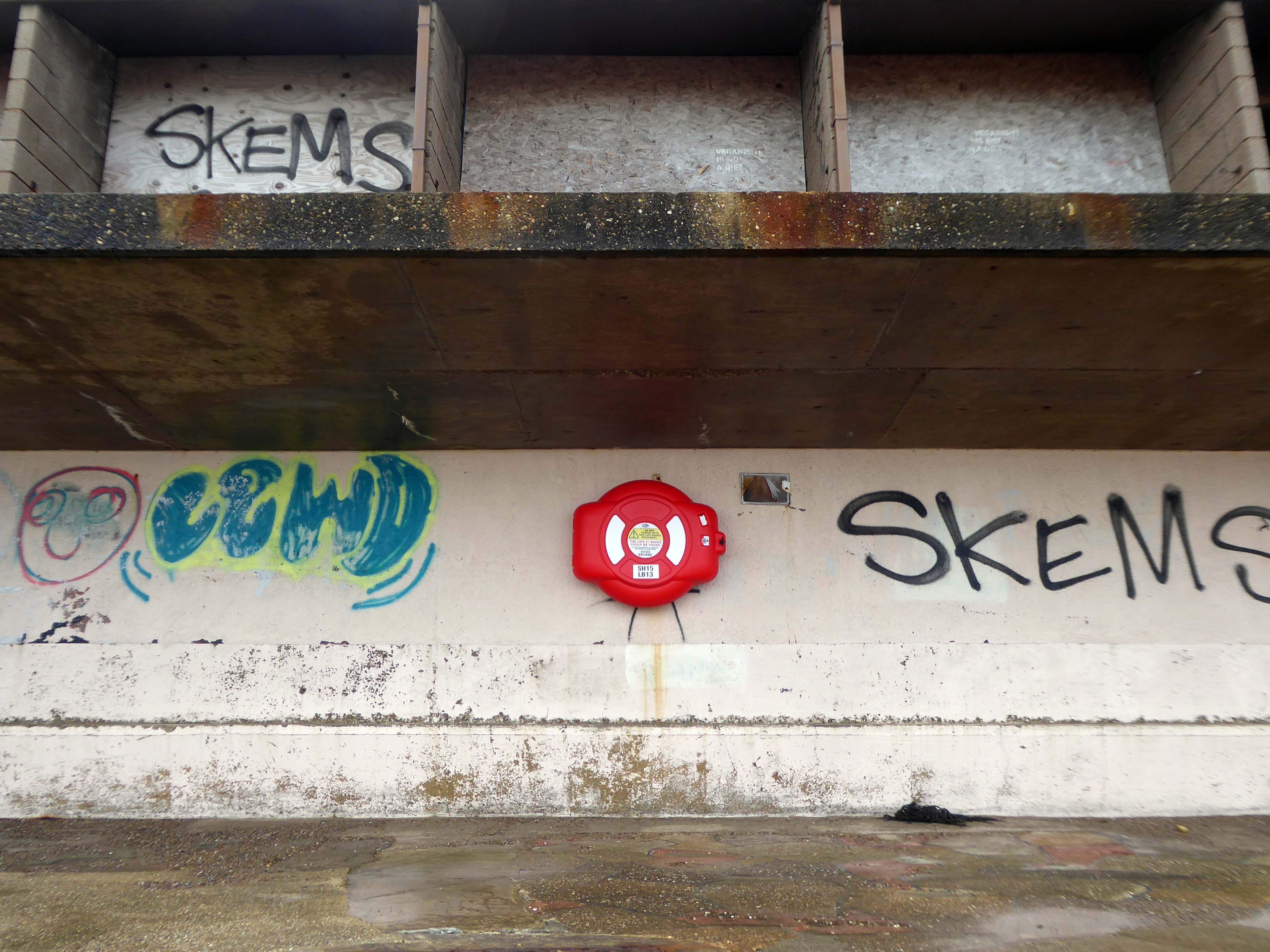
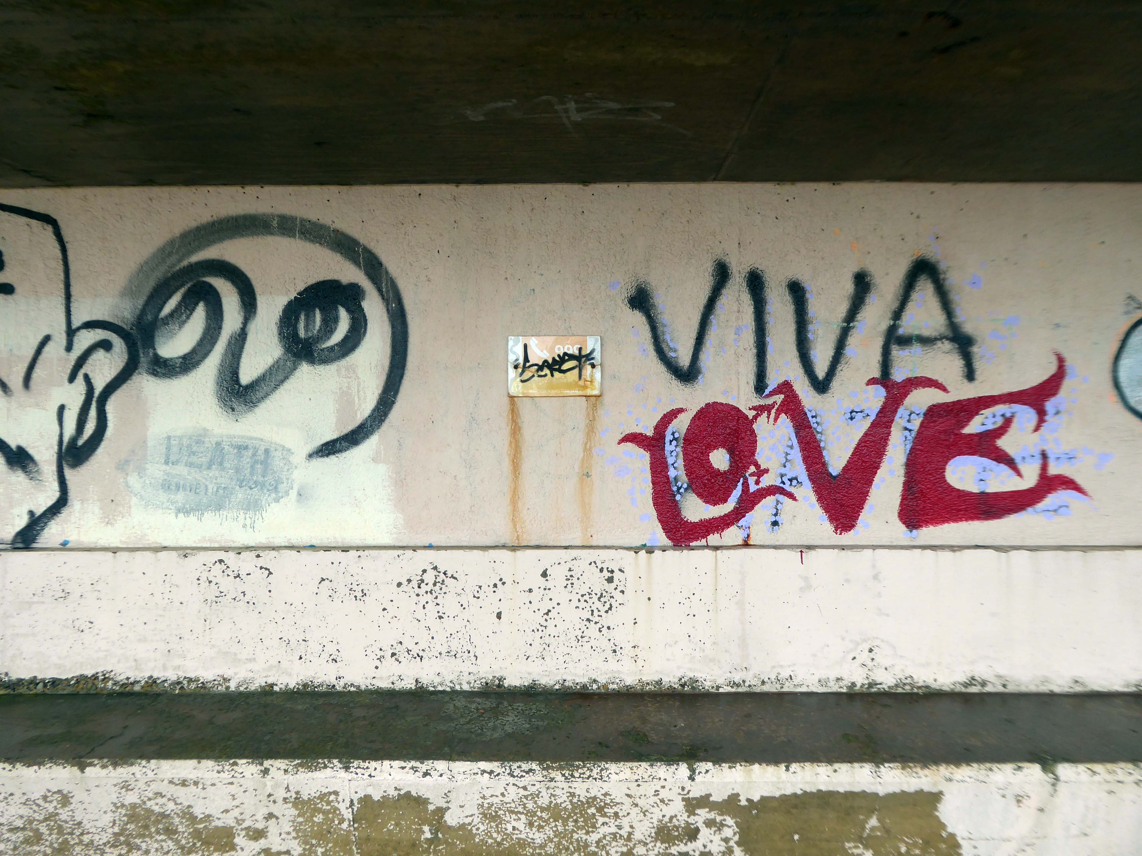
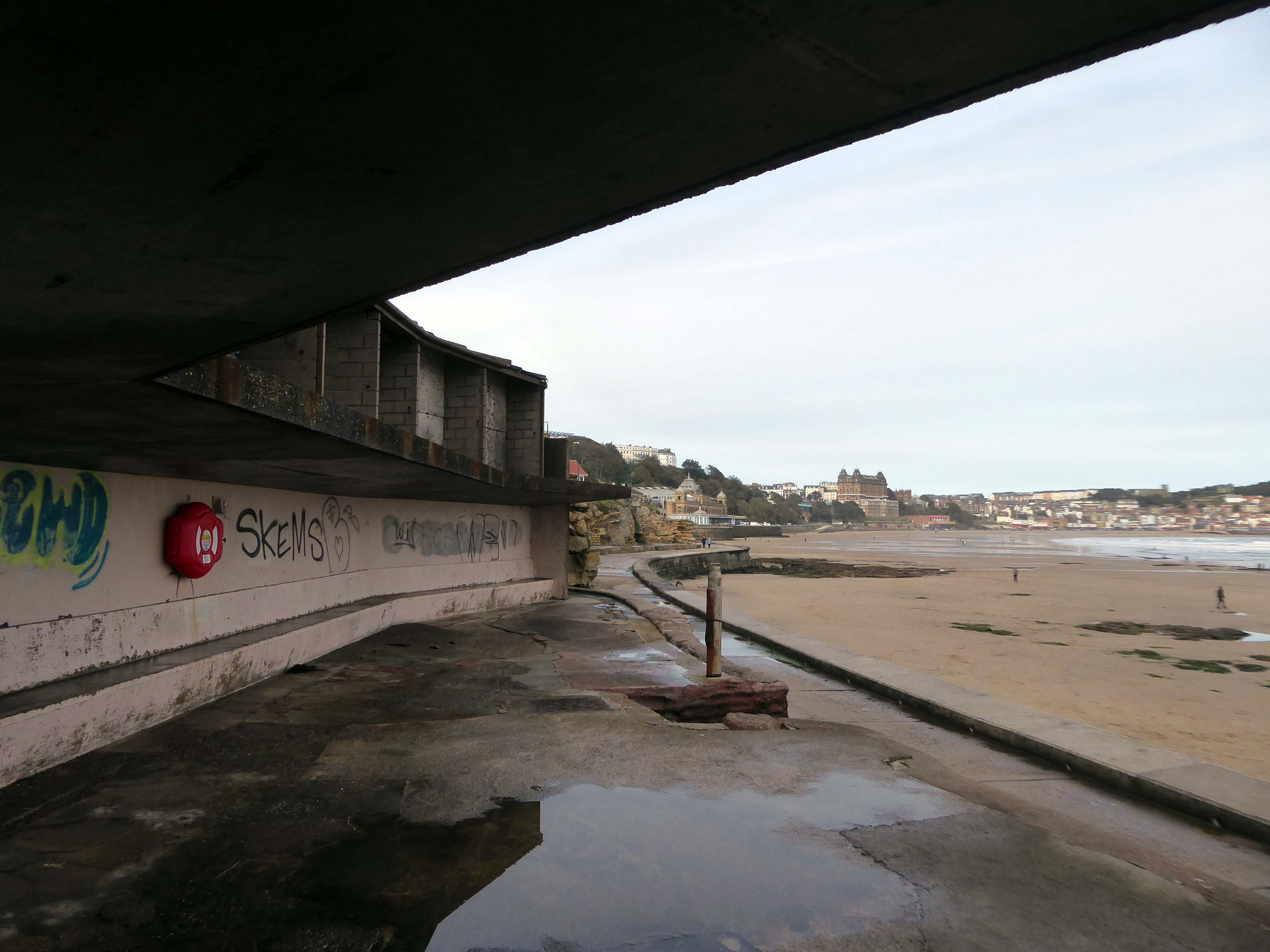
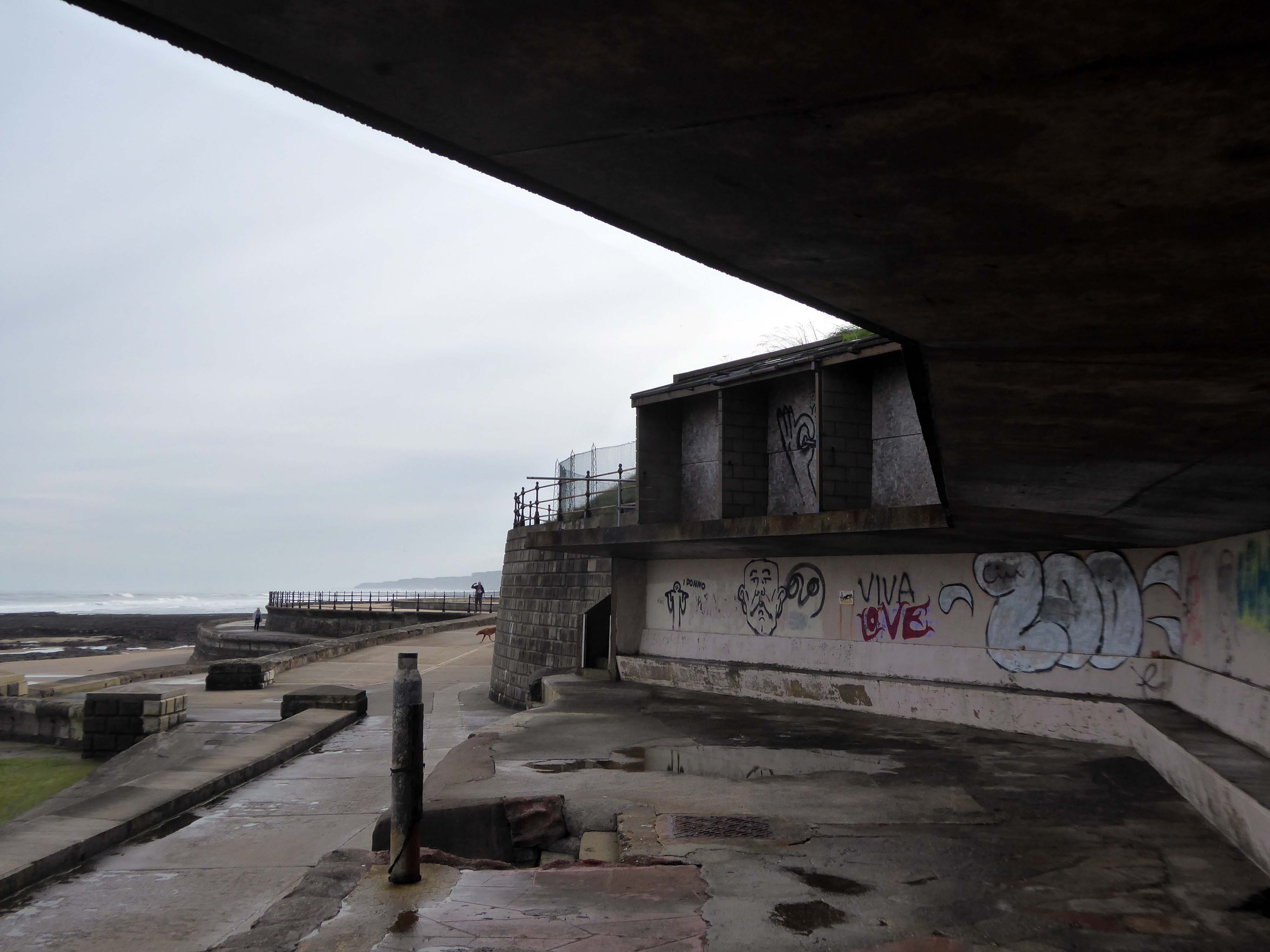
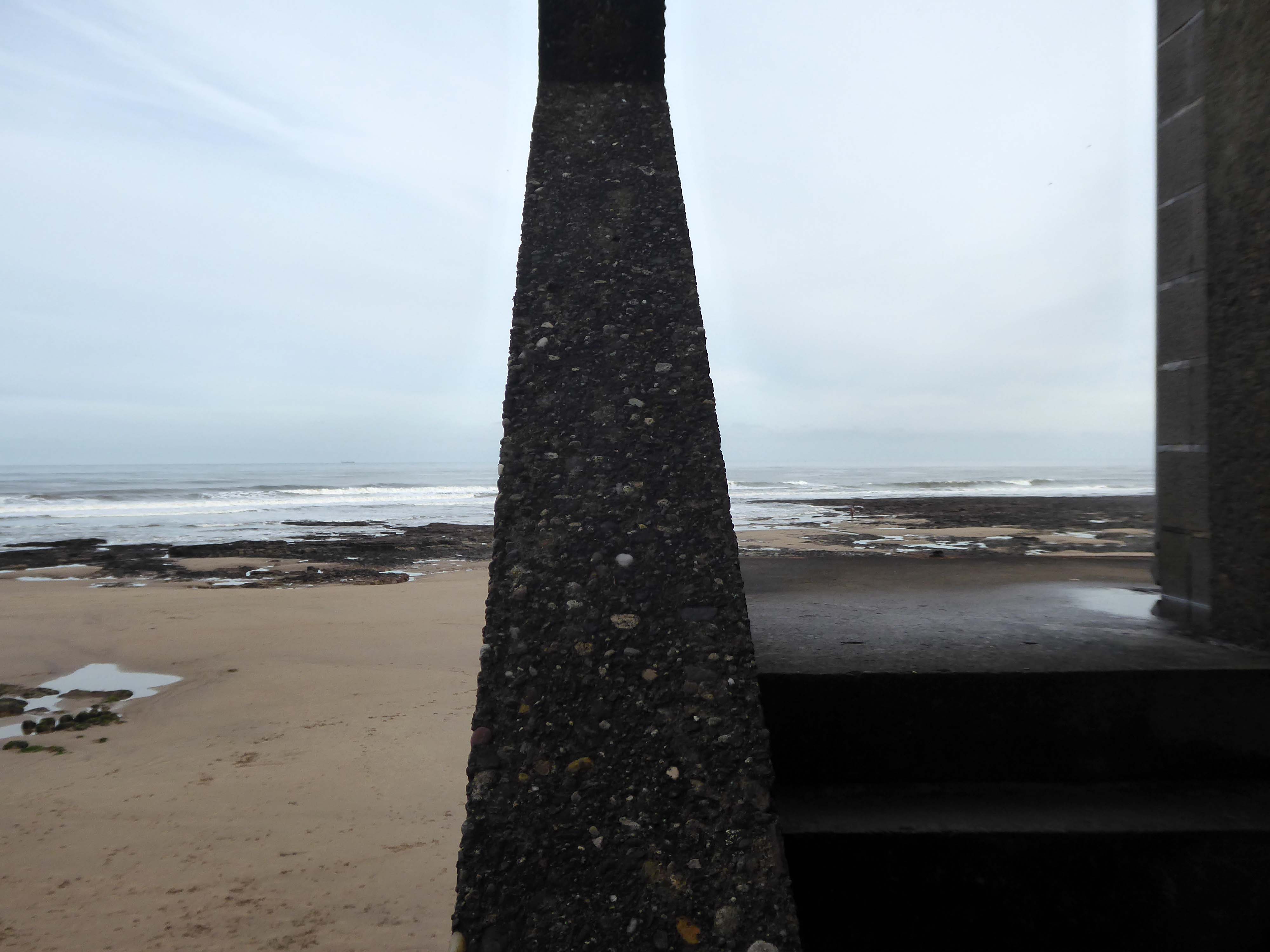
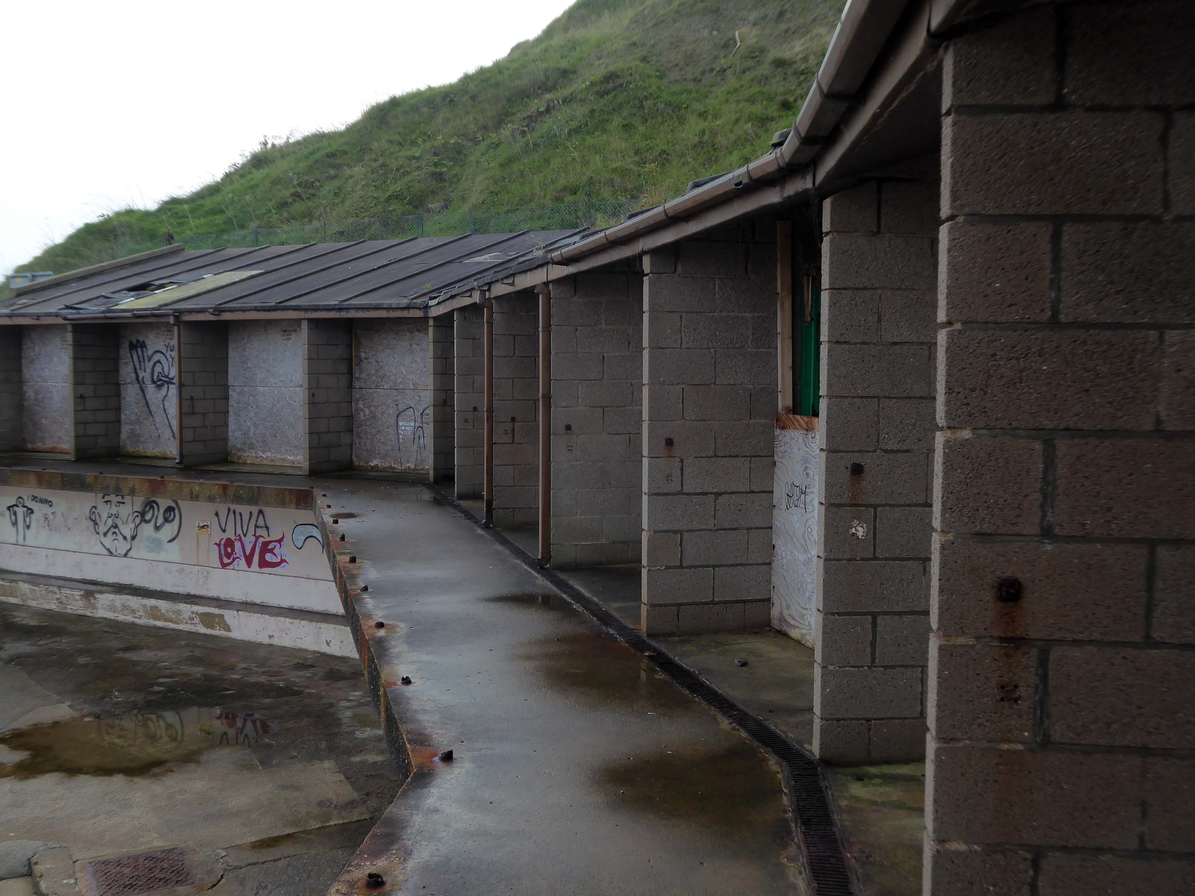
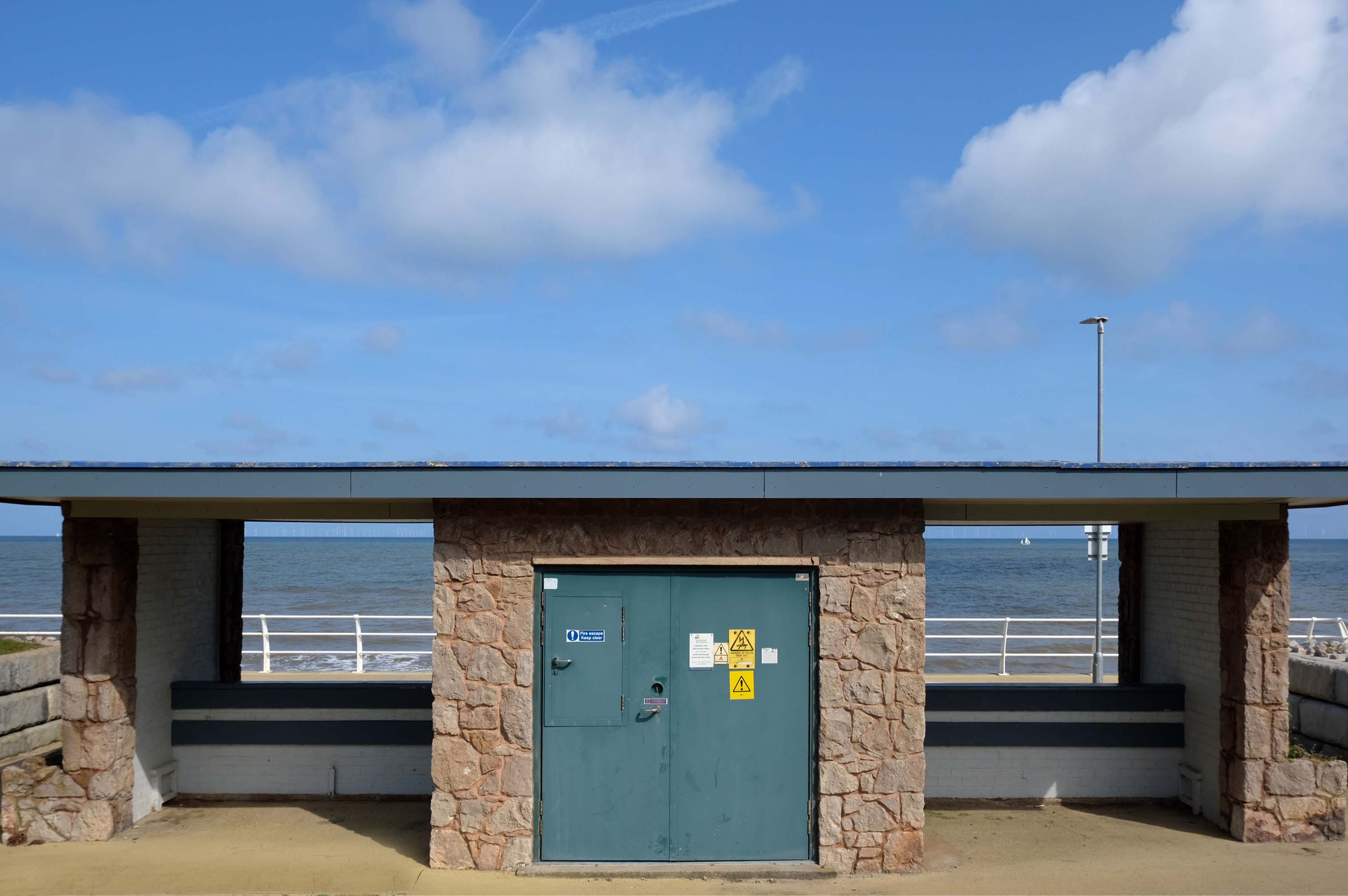
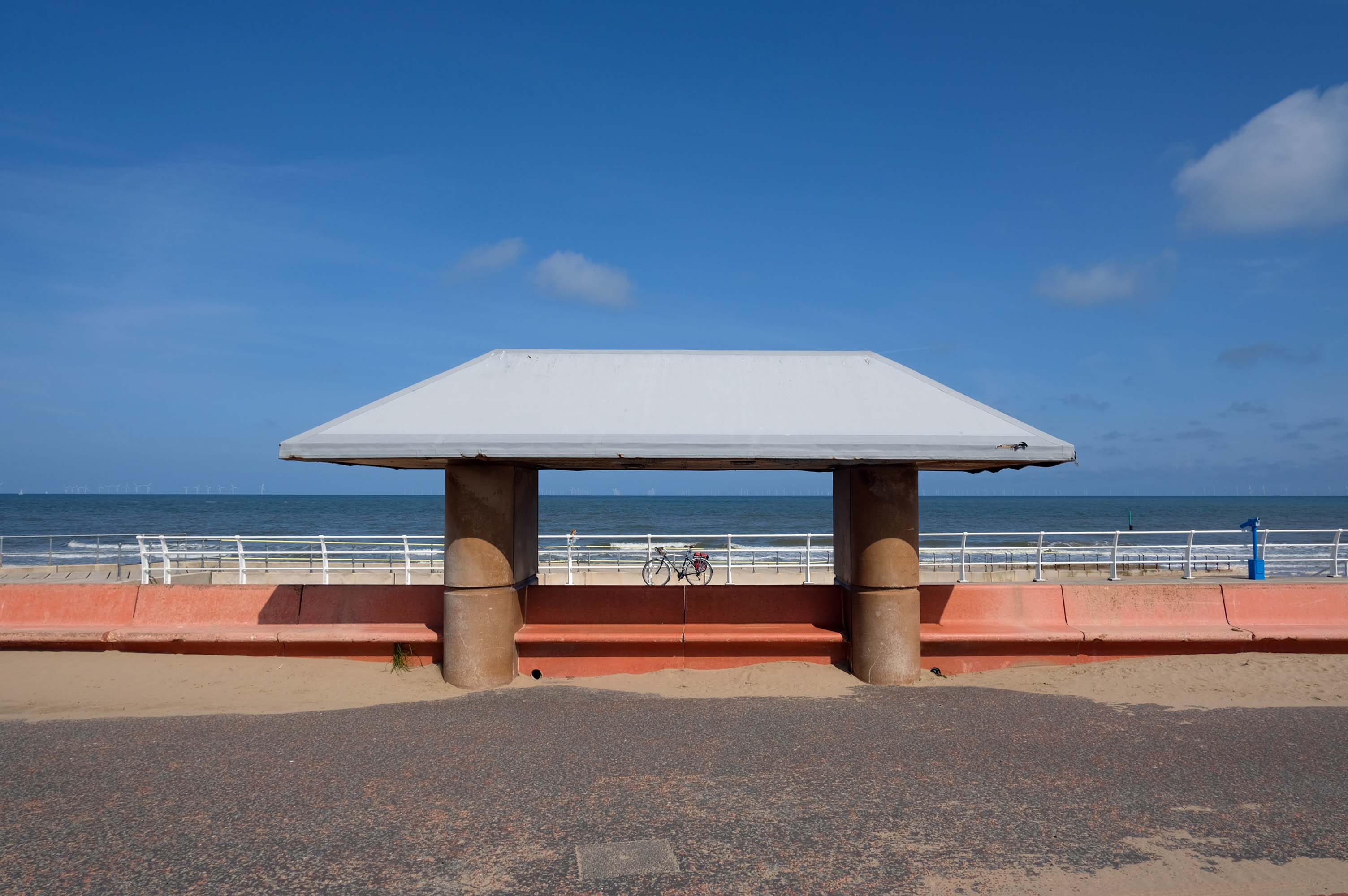
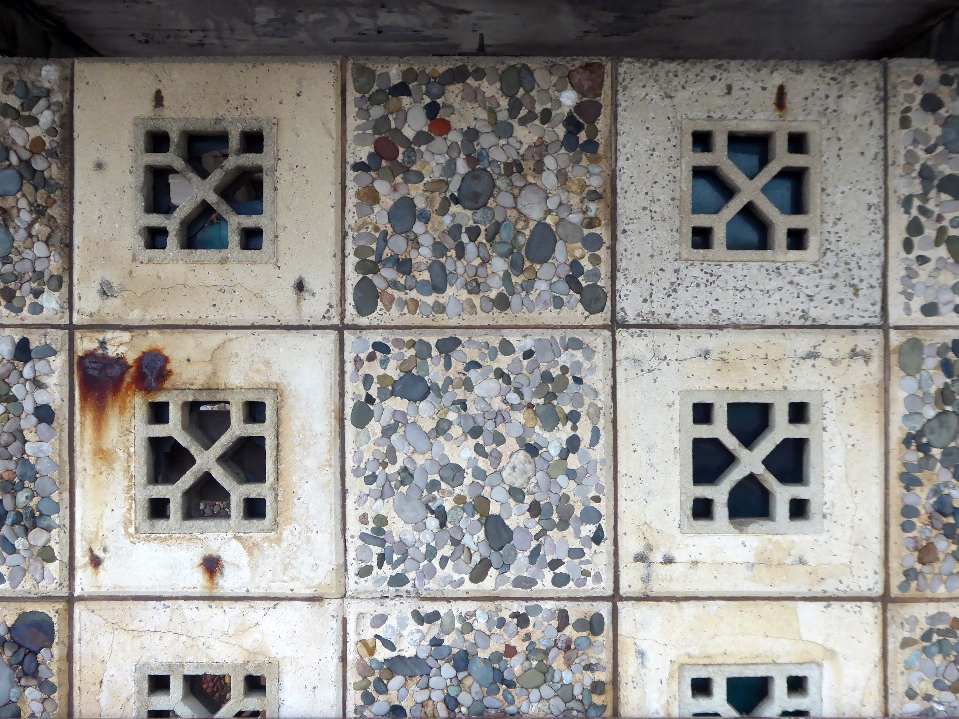
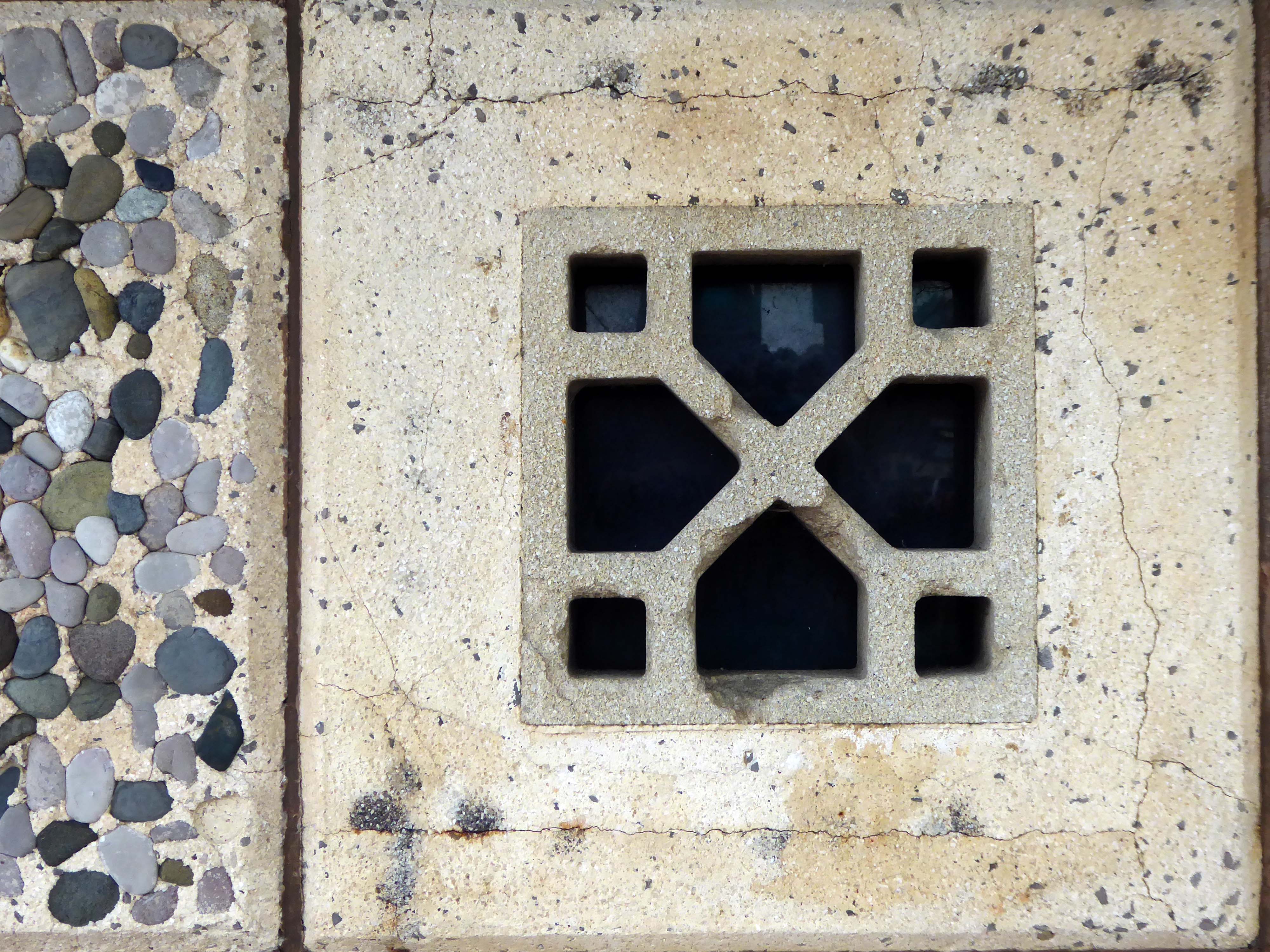
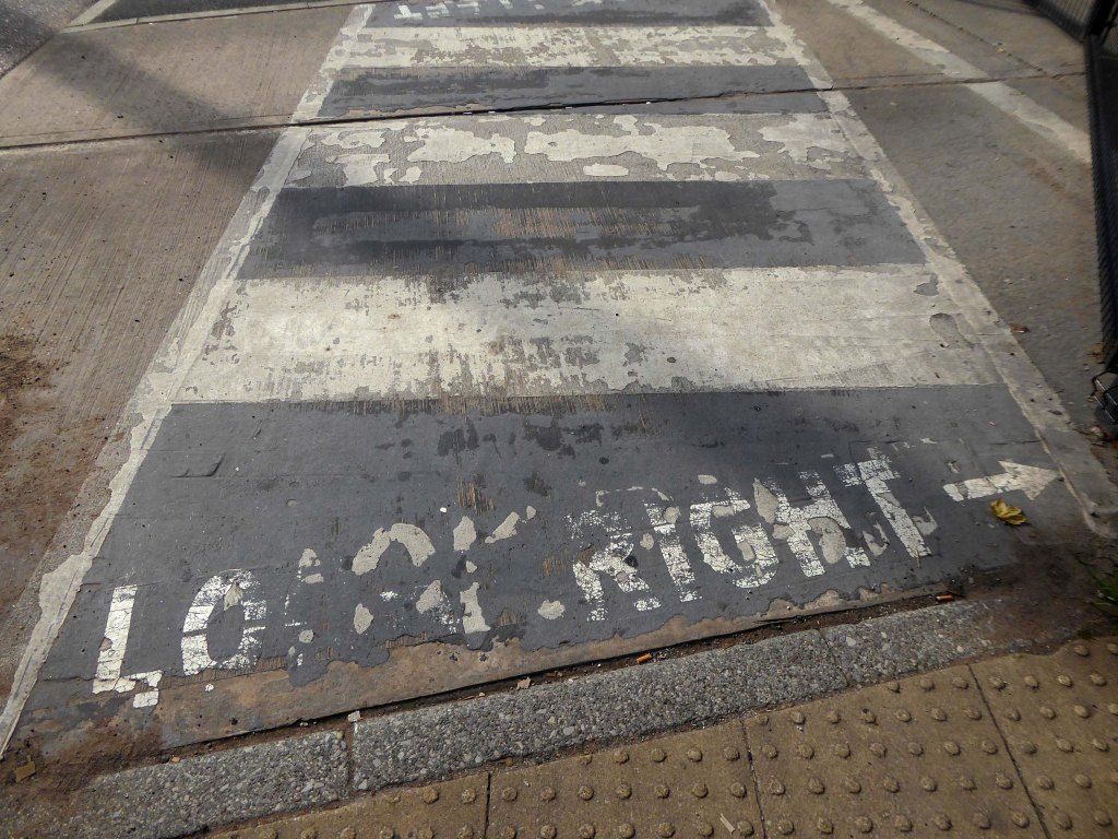
The promenade is home to a plethora of public art works and sculptural shelters.
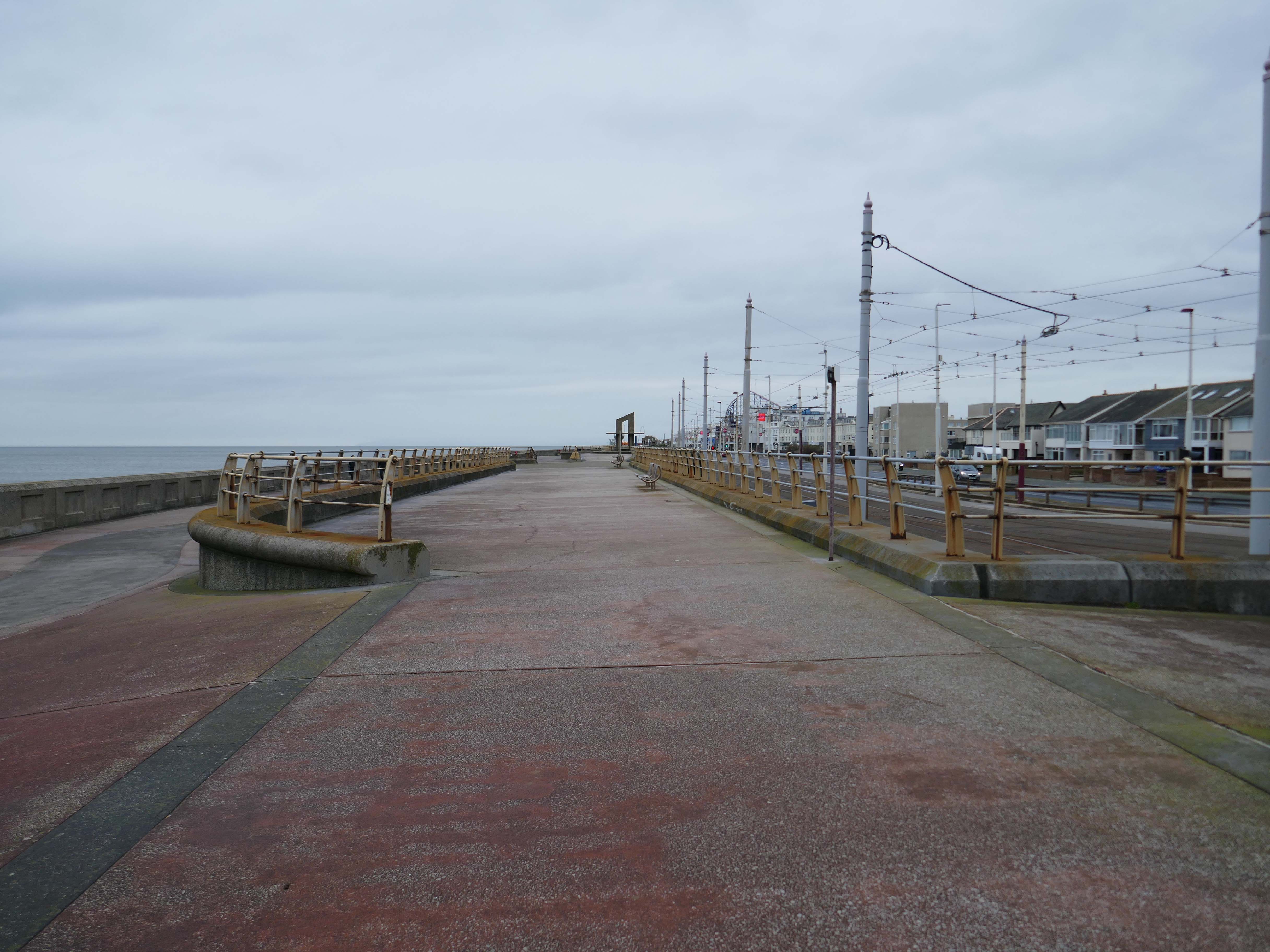
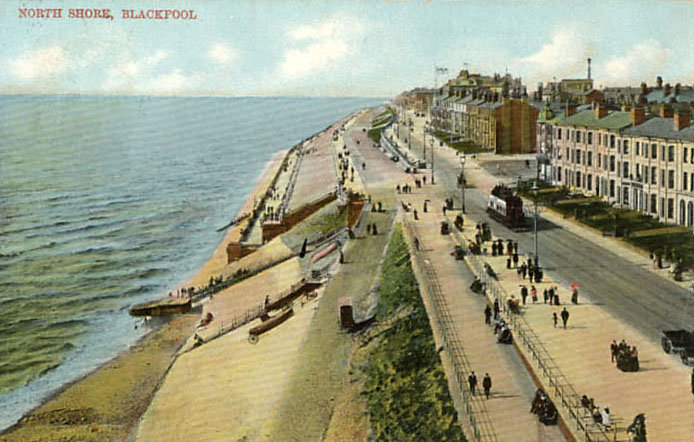
The Great Promenade Show originated from the major redevelopment undertaken by the then Department for Environment, Food and Rural Affairs to replace and strengthen the 2km long South Promenade’s seawall flood defences. This £20 million project entailed removing the existing Victorian promenade and replacing it with a new well-designed concrete promenade on two levels. The upper level was to incorporate ’roundels’ every hundred metres, on which it was intended to site specially designed features, including wind shelters and visual displays possibly representative of the history of Blackpool. A Millennium Lottery bid was made by the Council to this end, though a commitment to start building had to be made before the outcome of the bid was known. The bid was unsuccessful, but the sites for visual features along the new promenade remained, as did the Council’s commitment to occupying them. At this point, responsibility for managing the project shifted from the Council’s Technical Services Department to its Education, Leisure and Cultural Services Division.
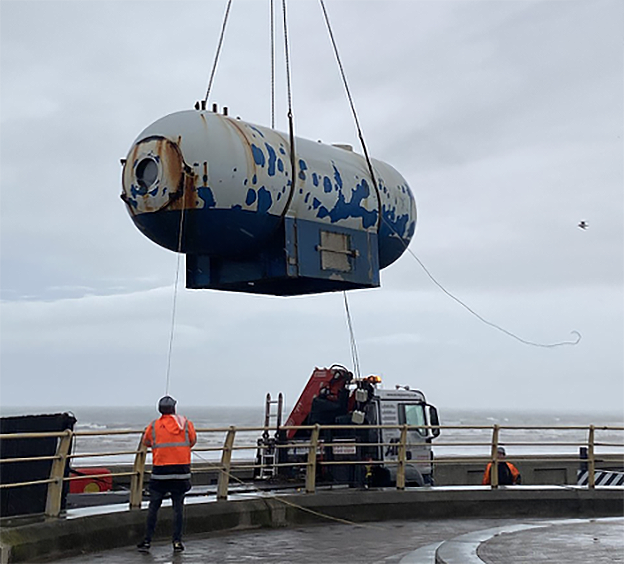
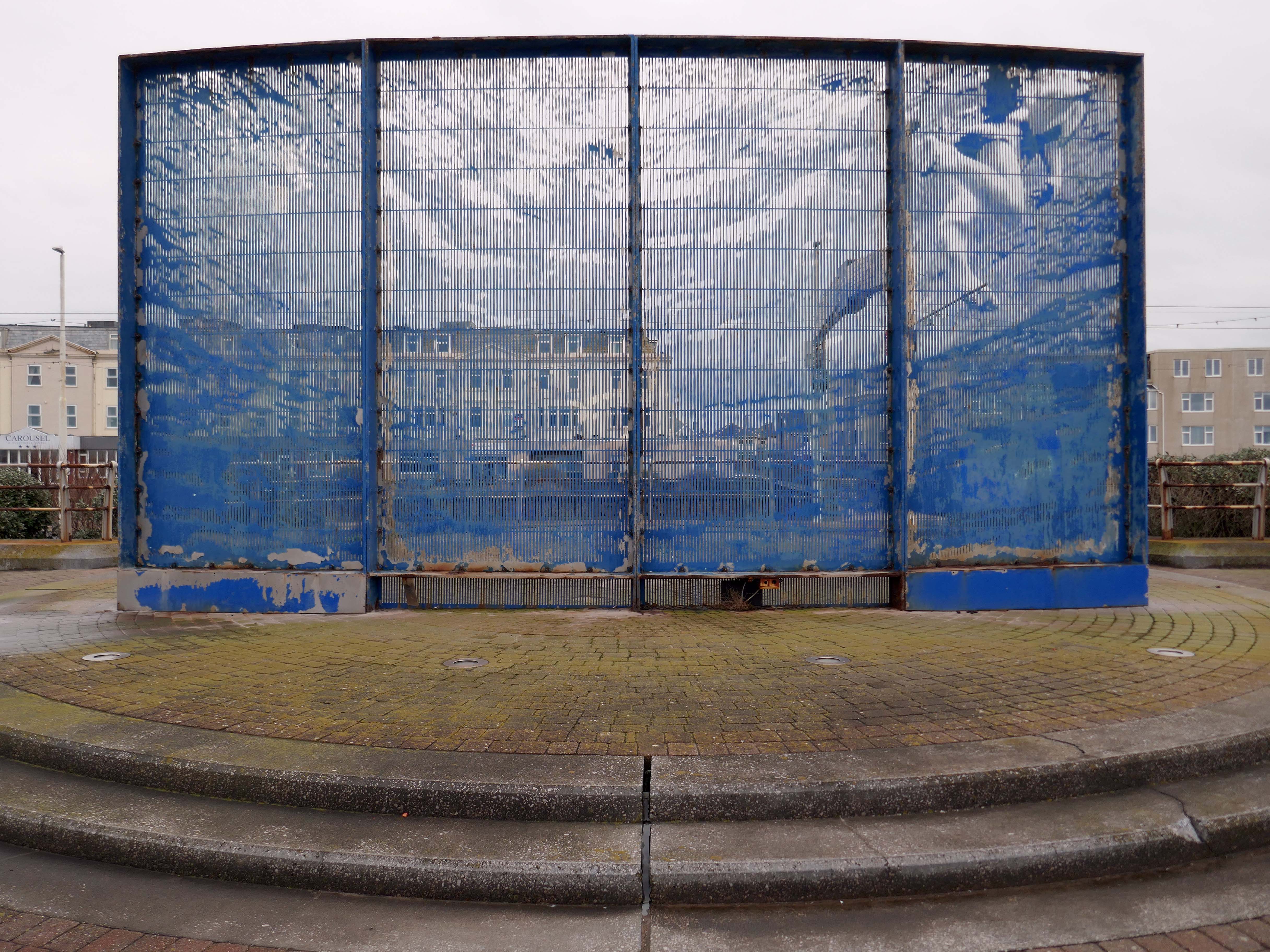
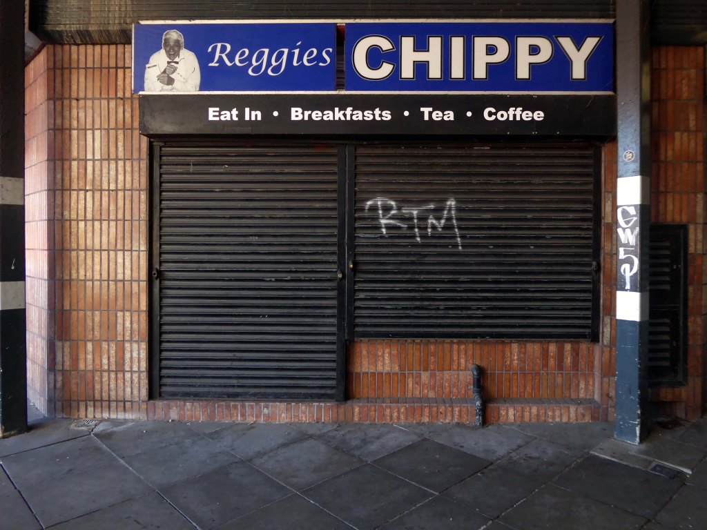
Like a sinister exhibit in one of Blackpool ‘s Victorian freak shows, the skeleton of a killer whale made from pulsating dark blue neon can be viewed through portholes within a metal tank like a decompression chamber.
The work was subsequently removed.
The structure has been on display for the public to enjoy for over 15 years and was deemed unsightly due to corrosion, which is why the decision was taken to remove it. PTSG Building Access Specialists Ltd planned the decommissioning and contract crane lift from start to completion.
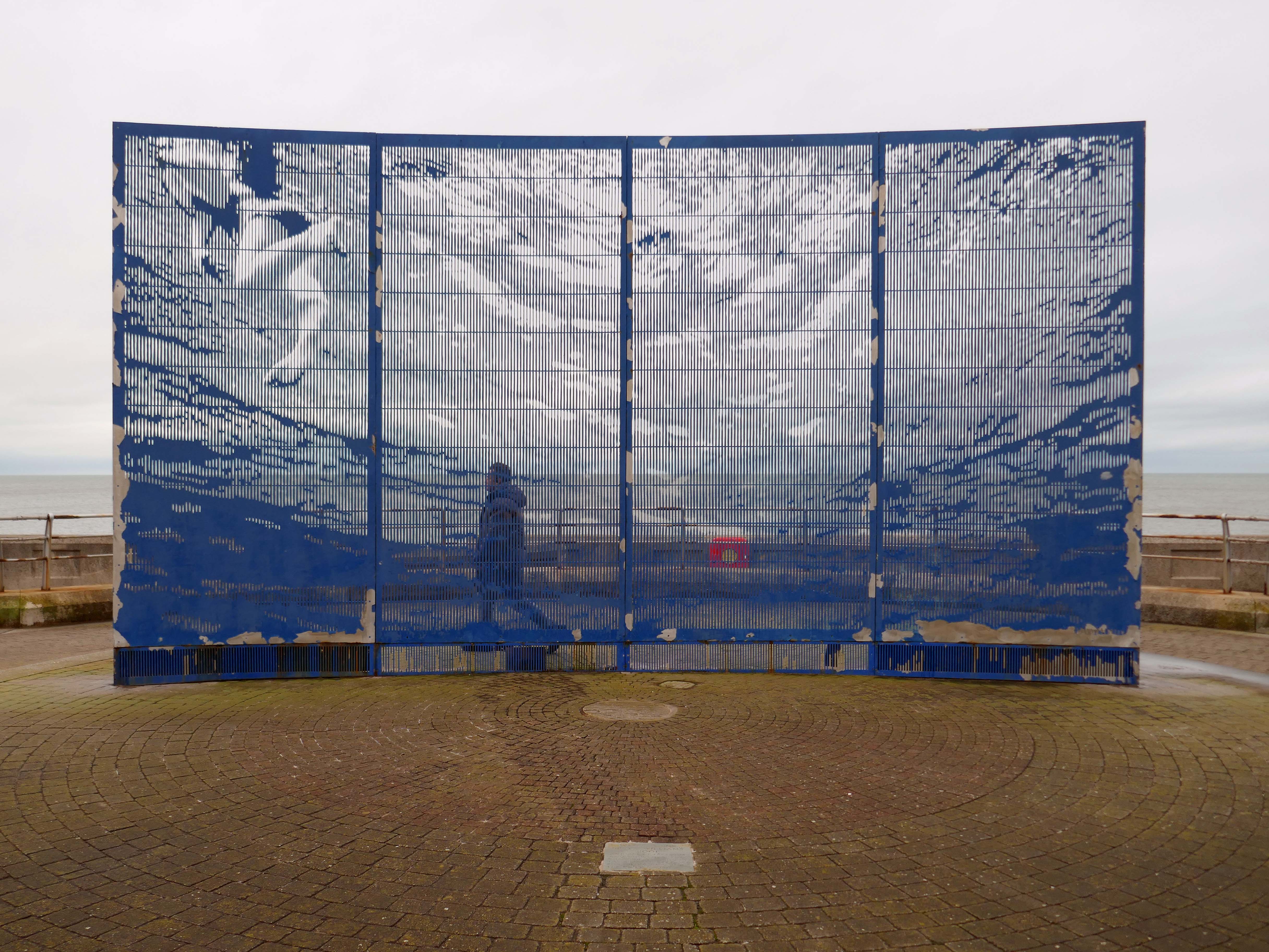
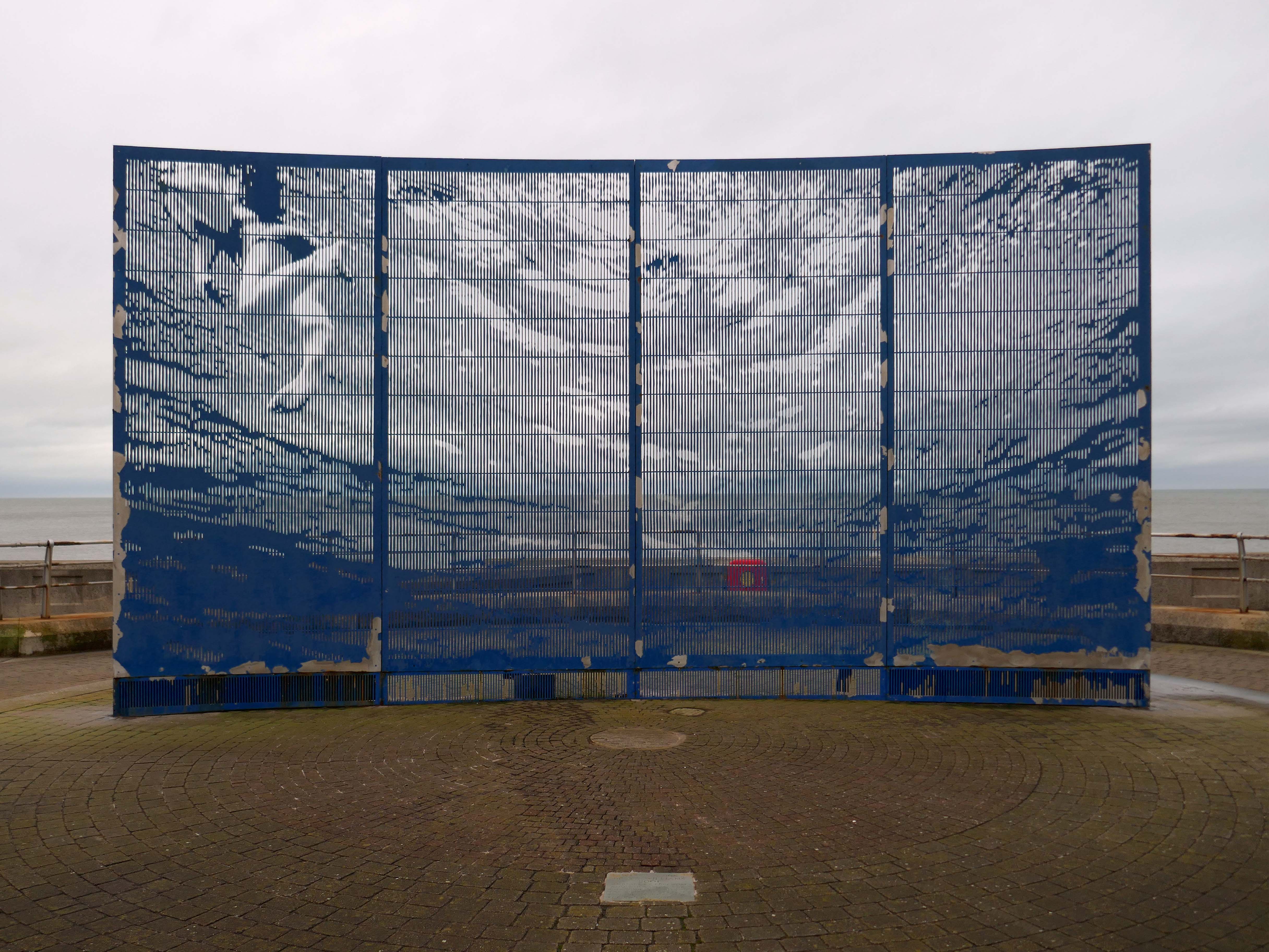
Designed to be viewed in motion from the adjacent tram track and road, the photographic image of a swimming child laser cut into an 8m long curved stainless steel screen gradually resolves and disappears again as the viewer moves past.
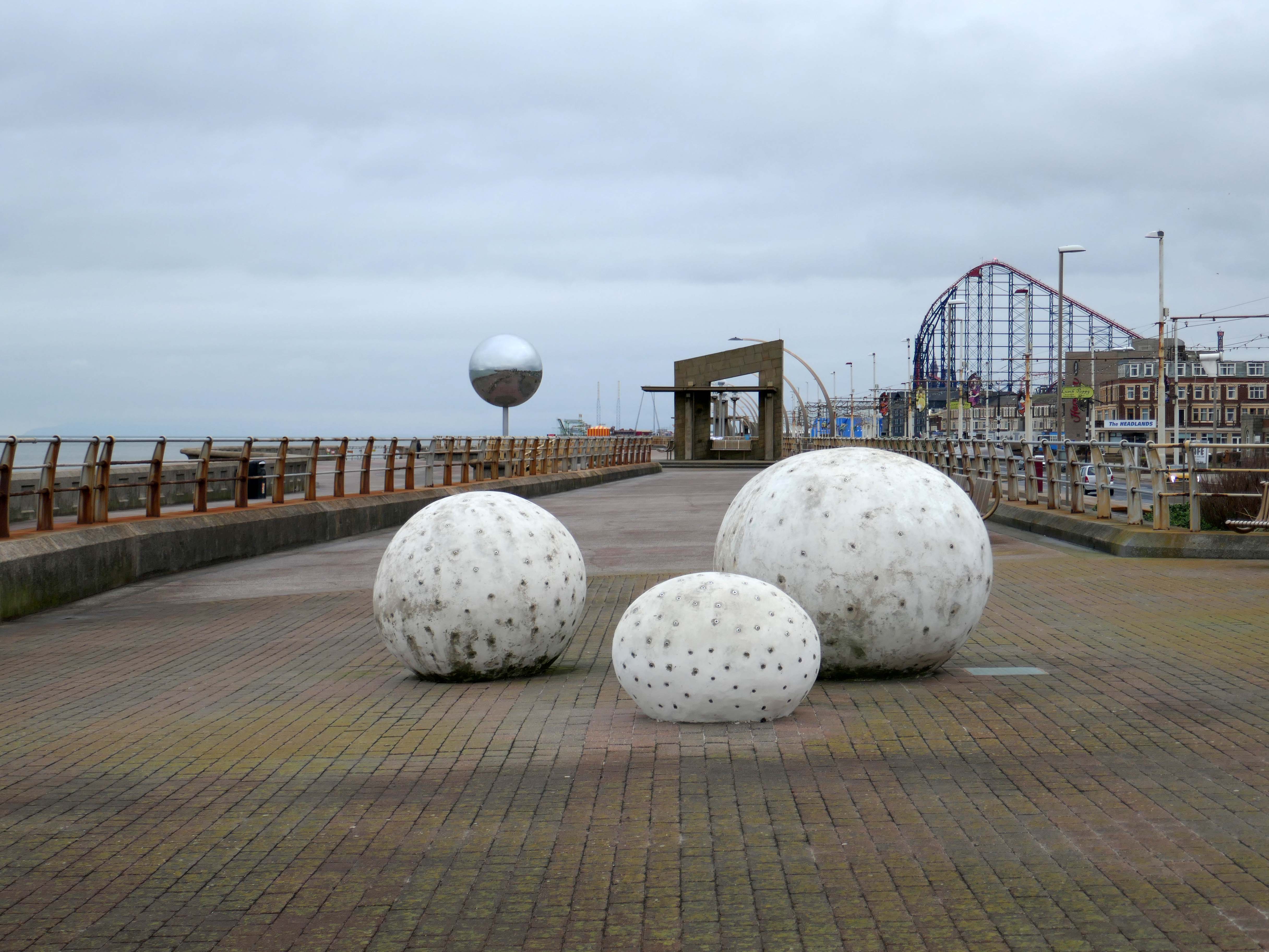
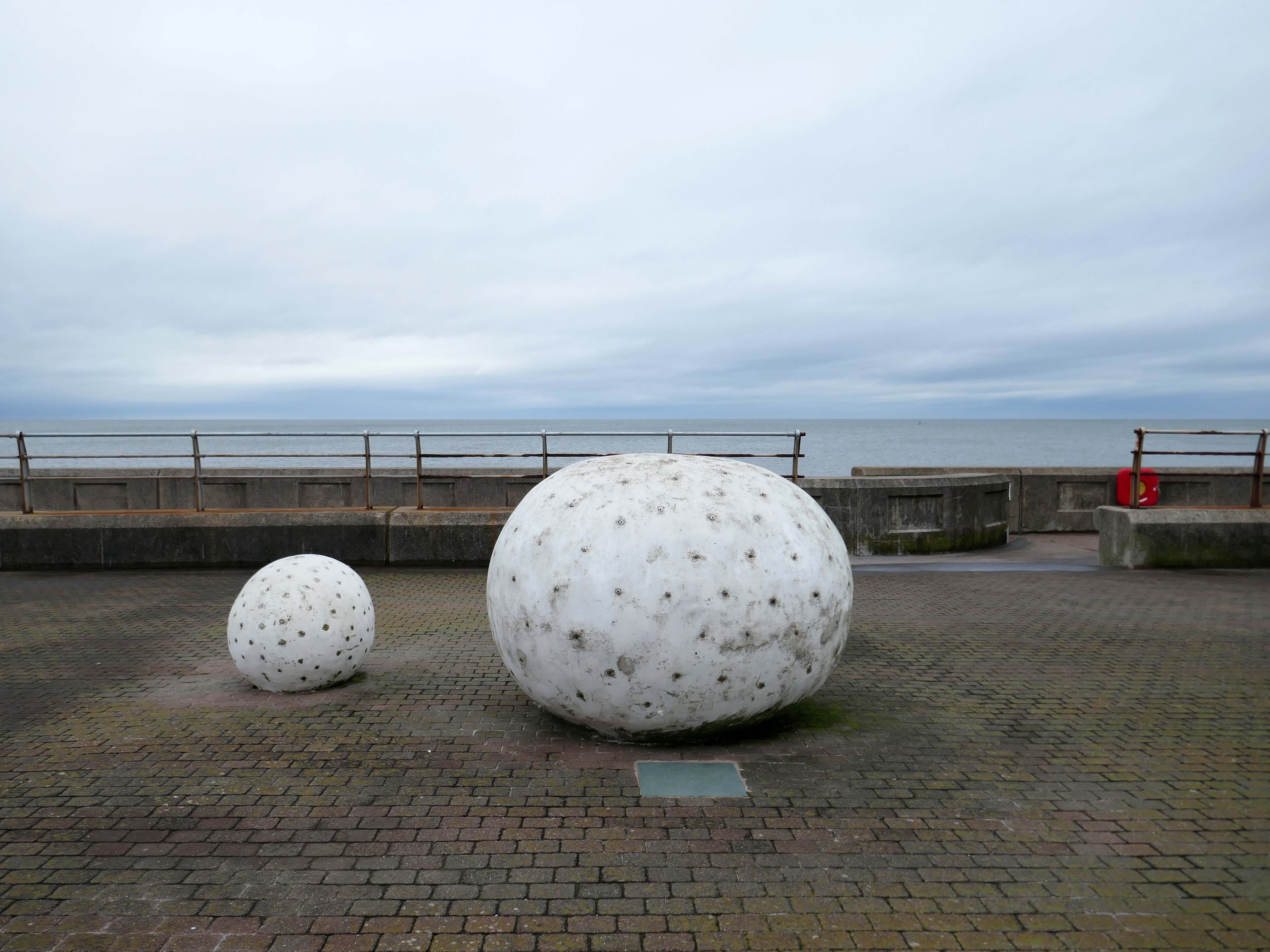
Glam Rocks by Peter Freeman
Inspired by Las Vegas and the Blackpool Illuminations, three large pebble-like modelled shapes glitter after dark, as hundreds of fibre optic light points on their surface slowly change colour and sparkle.
They Shoot Horses, Don’t They? by Michael Trainor and The Art Department
Blackpool is known as the “ballroom capital of Britain”. This rotating ball 6m in diameter, covered in almost 47,000 mirrors, has been claimed as the world’s largest mirror ball, and is named after the 1969 film about a depression era ballroom marathon in the USA.
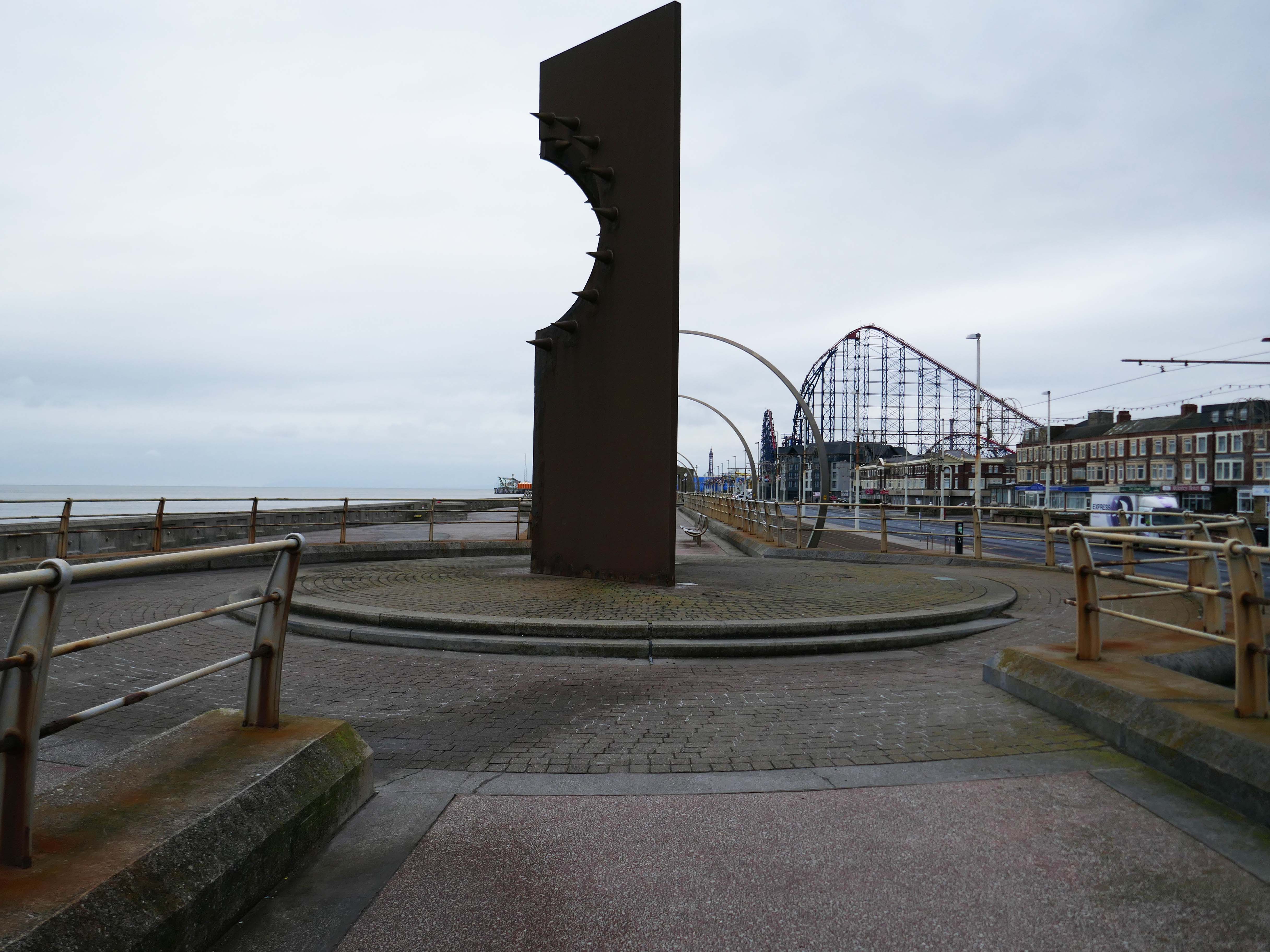
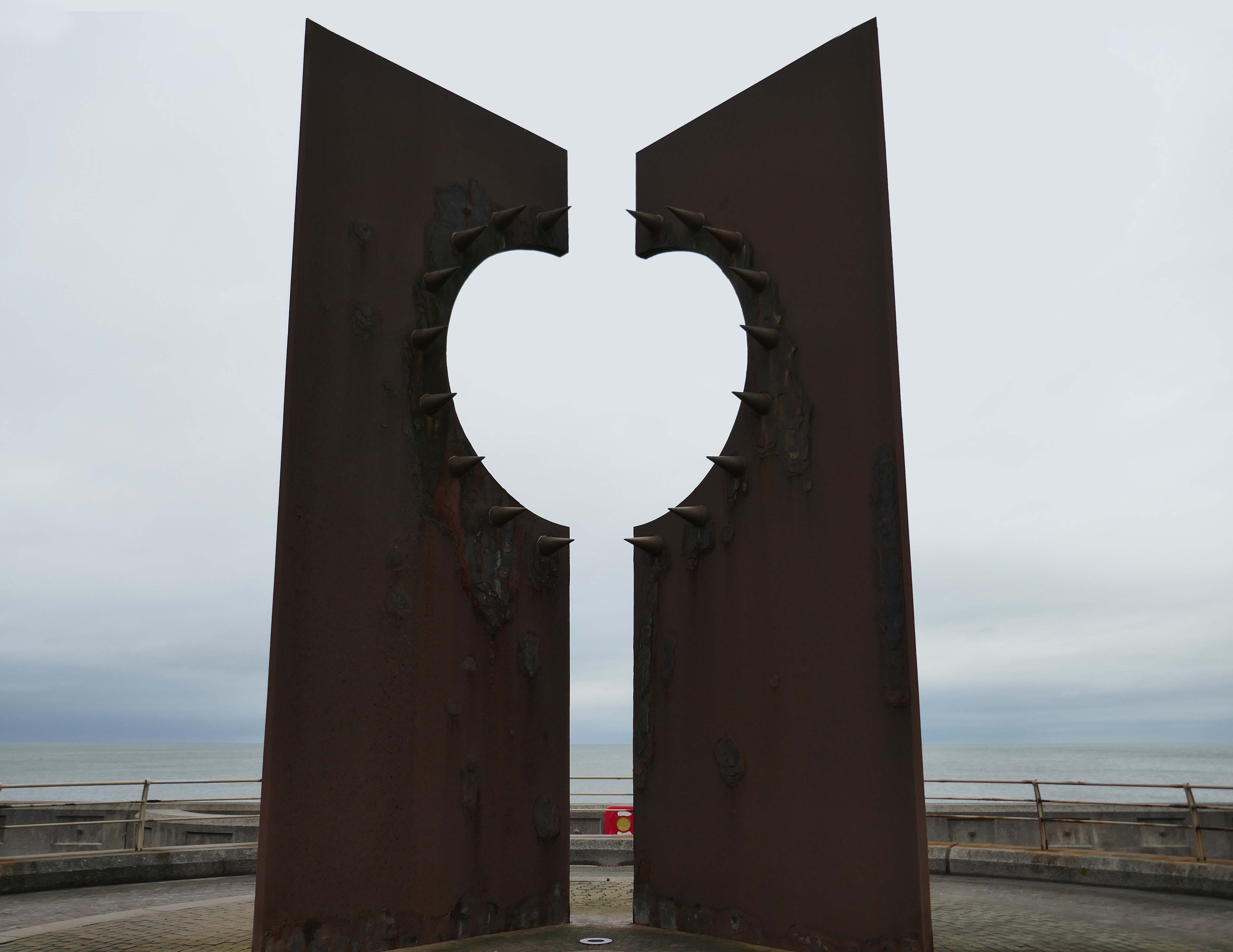
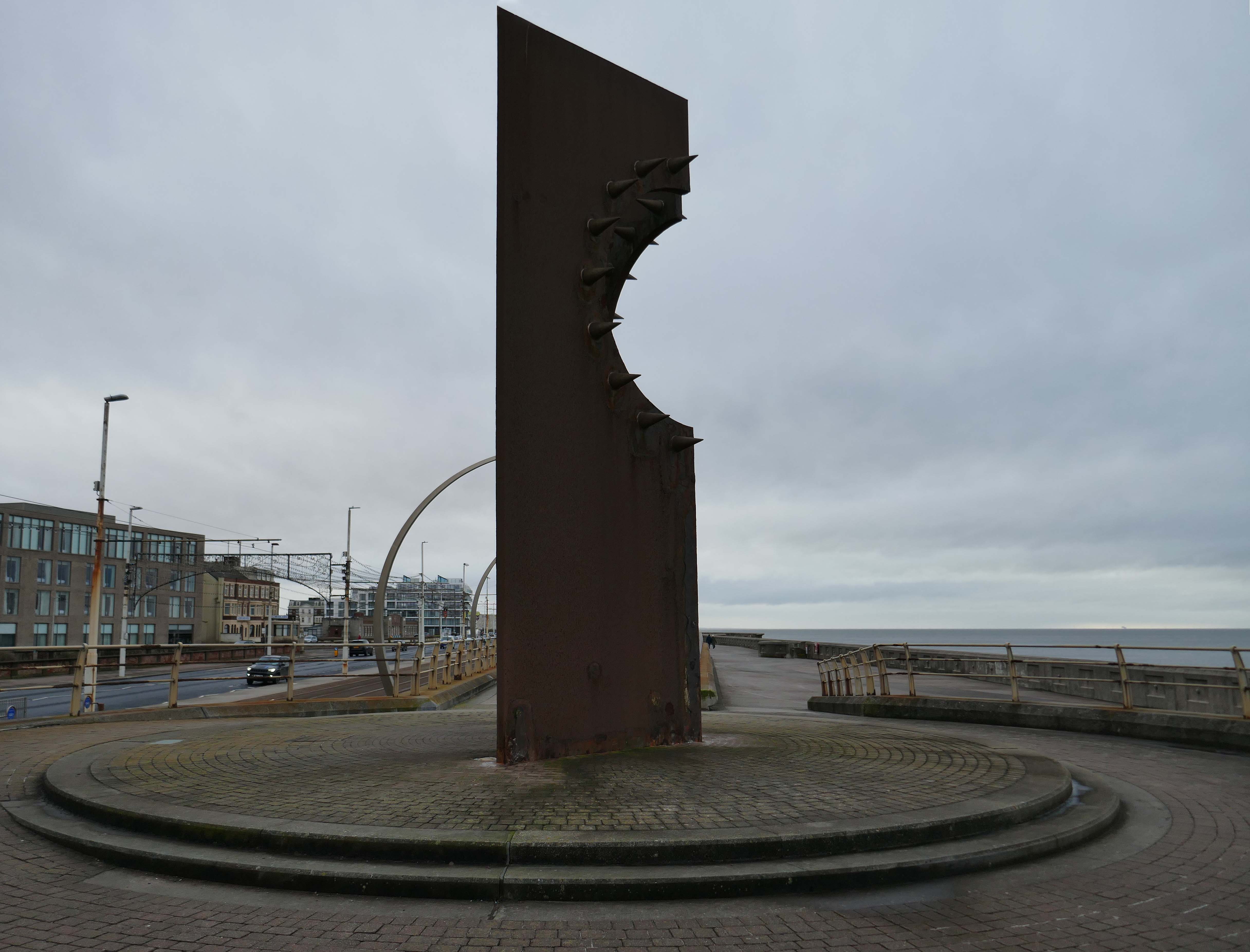
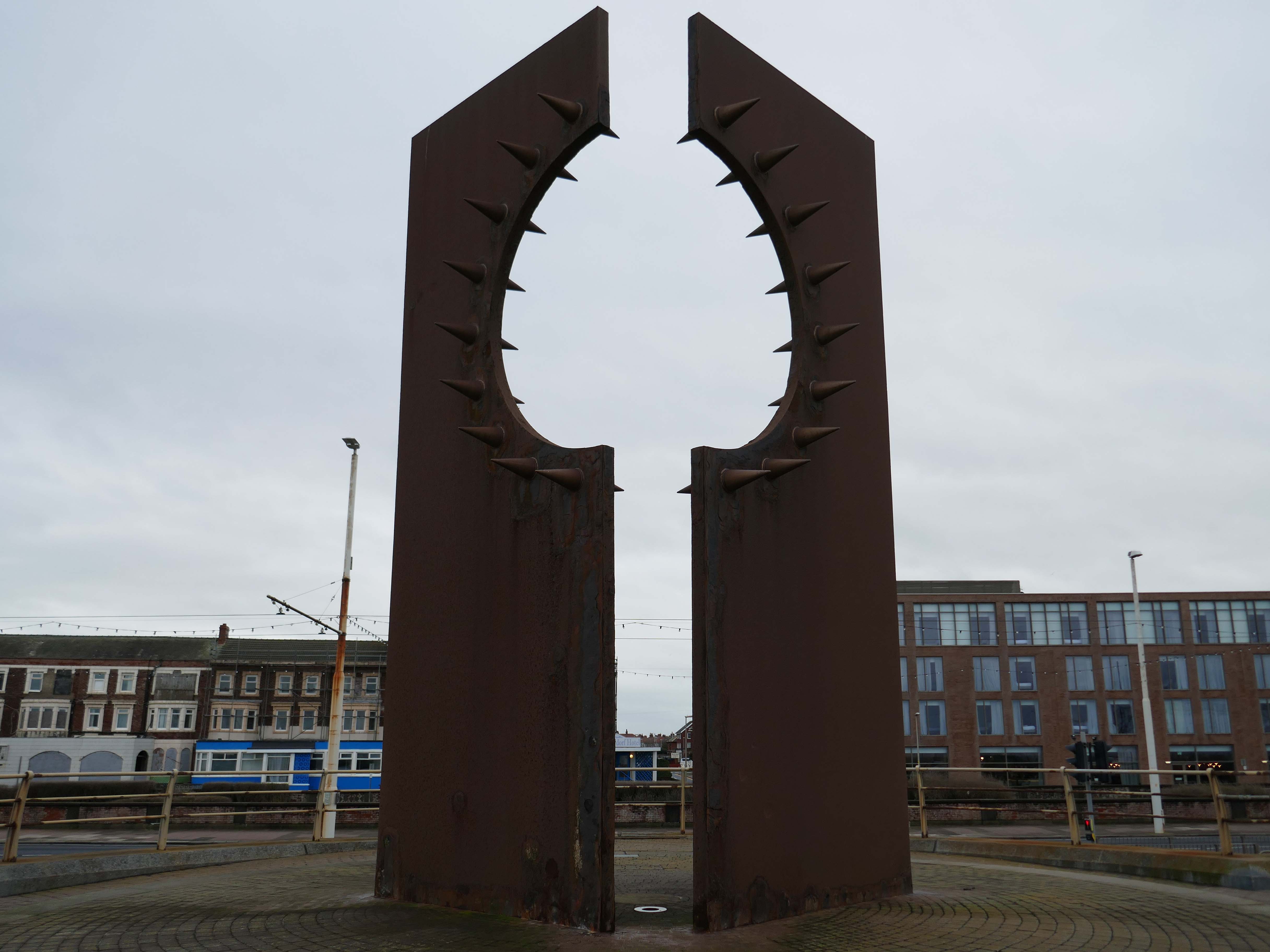
Desire by Chris Knight
An abstract sculpture 8m high, contrasting rusty corten steel with shiny stainless steel spikes, inspired by the town’s reputation as a destination for ‘dirty weekends’, and its hidden ‘fetish scene’. It casts the shadow of a spiky heart on the promenade.
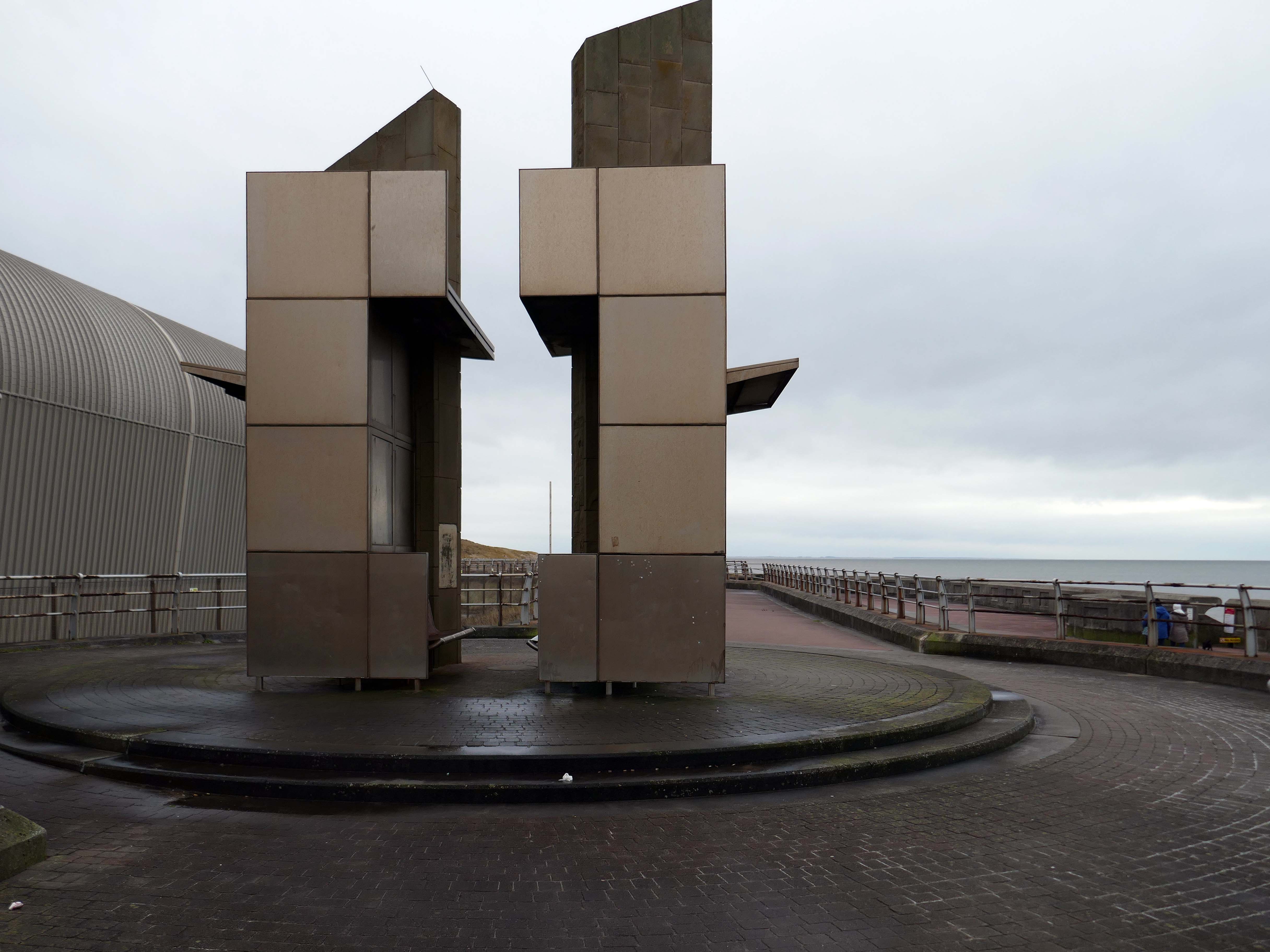
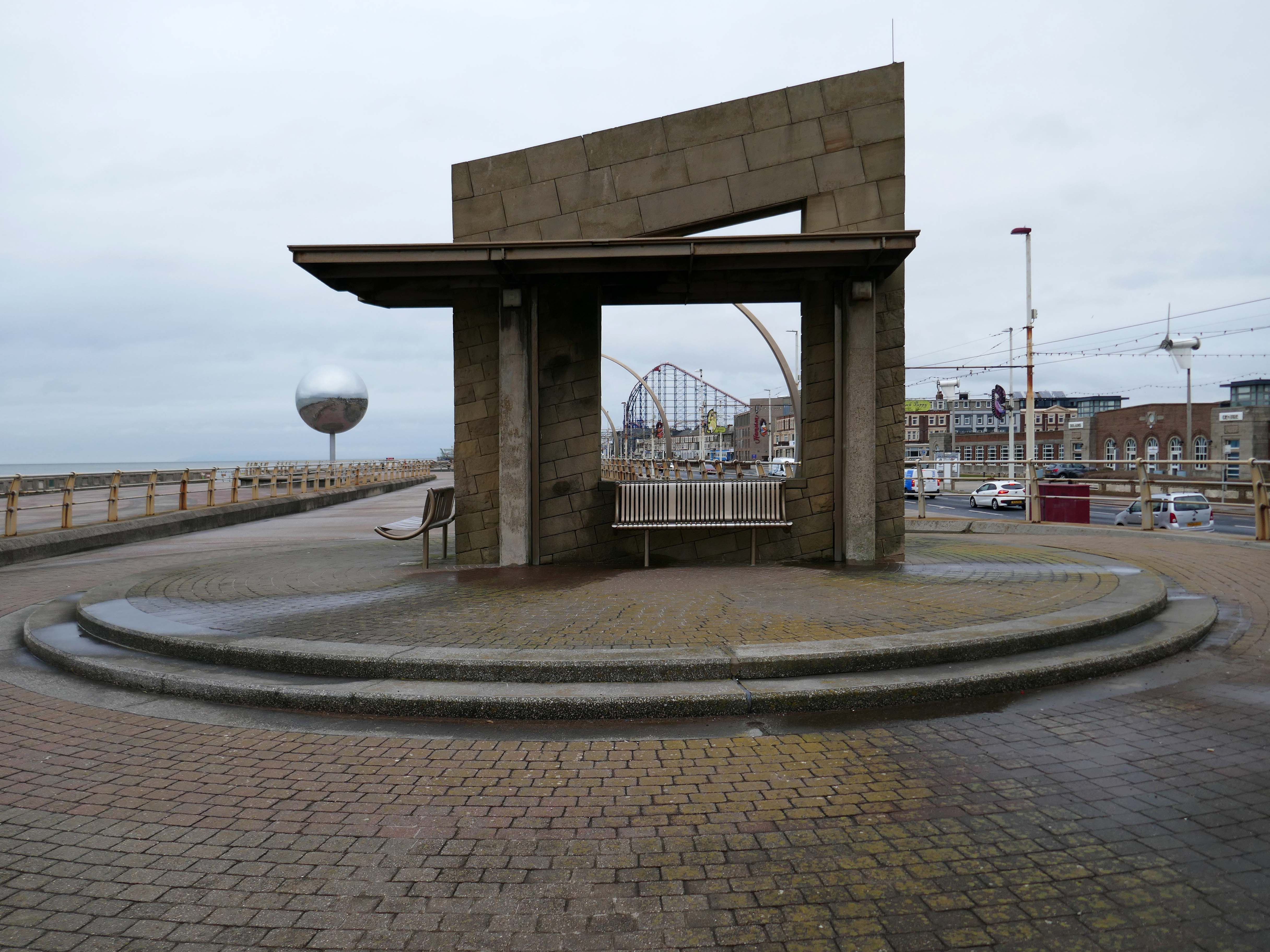
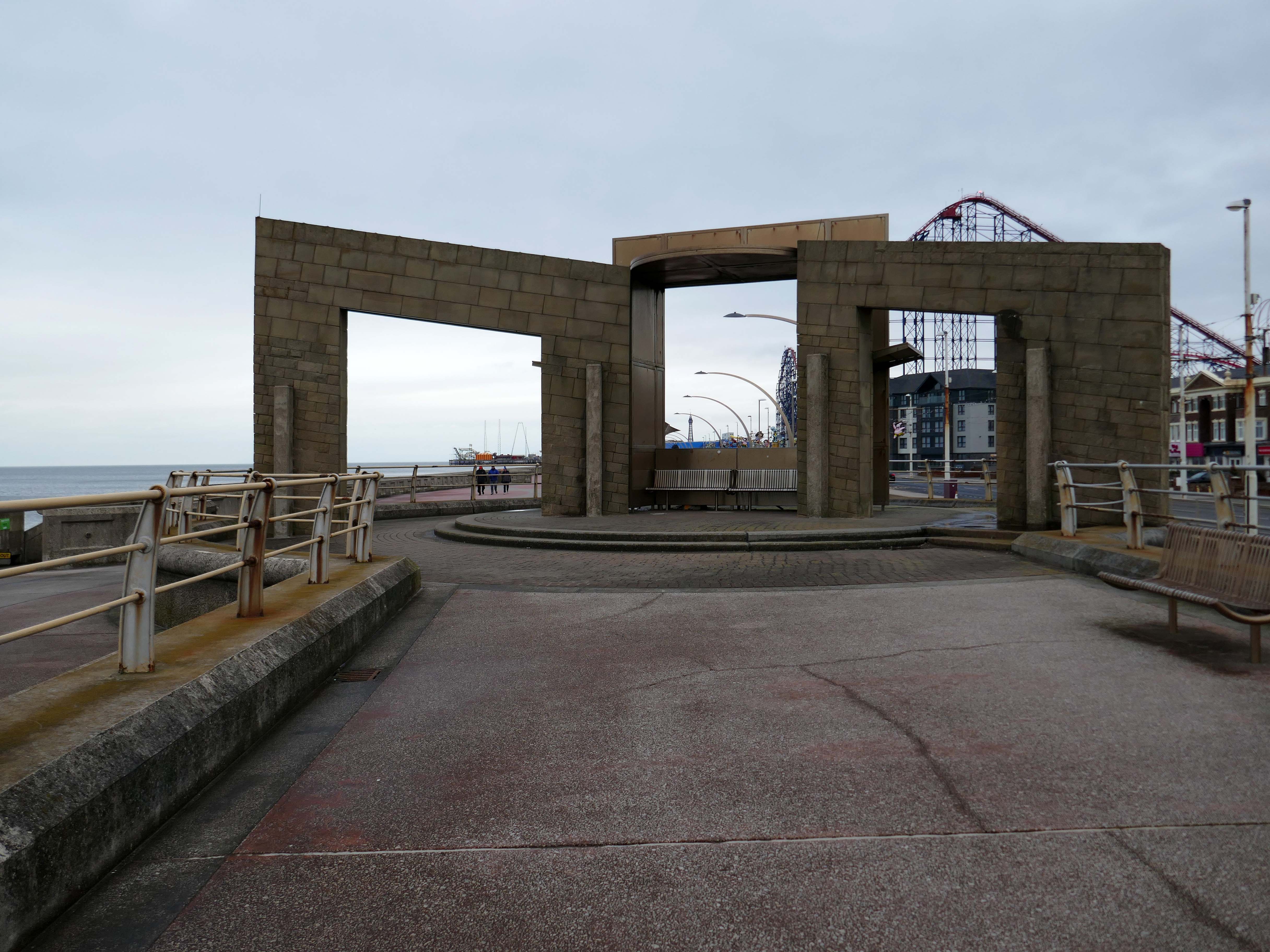
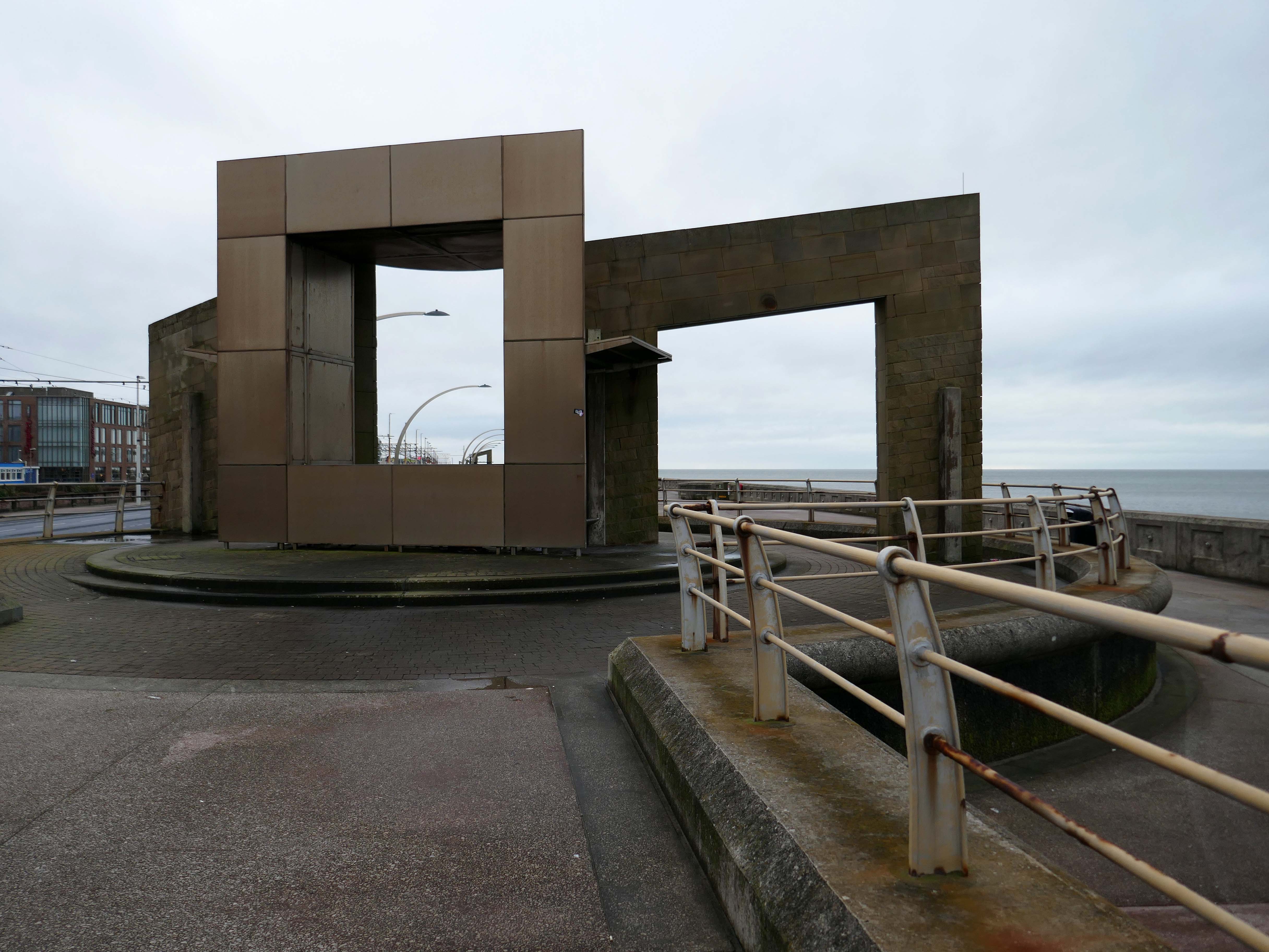
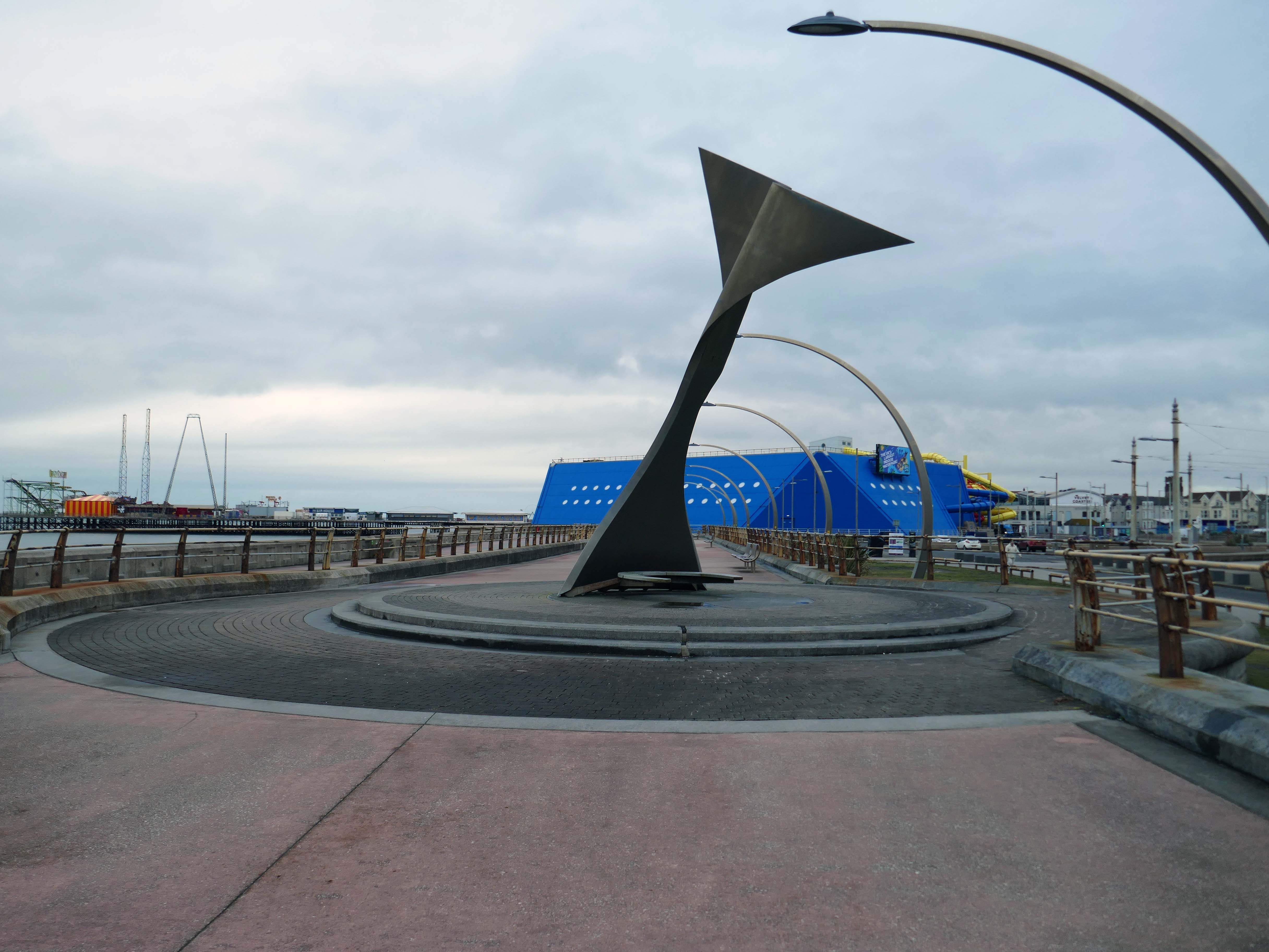
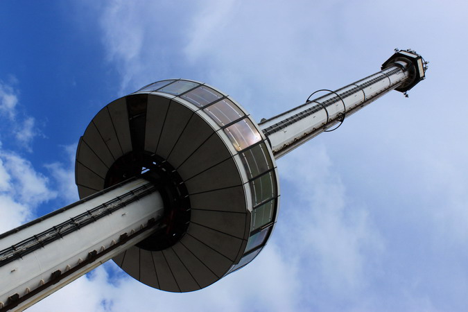
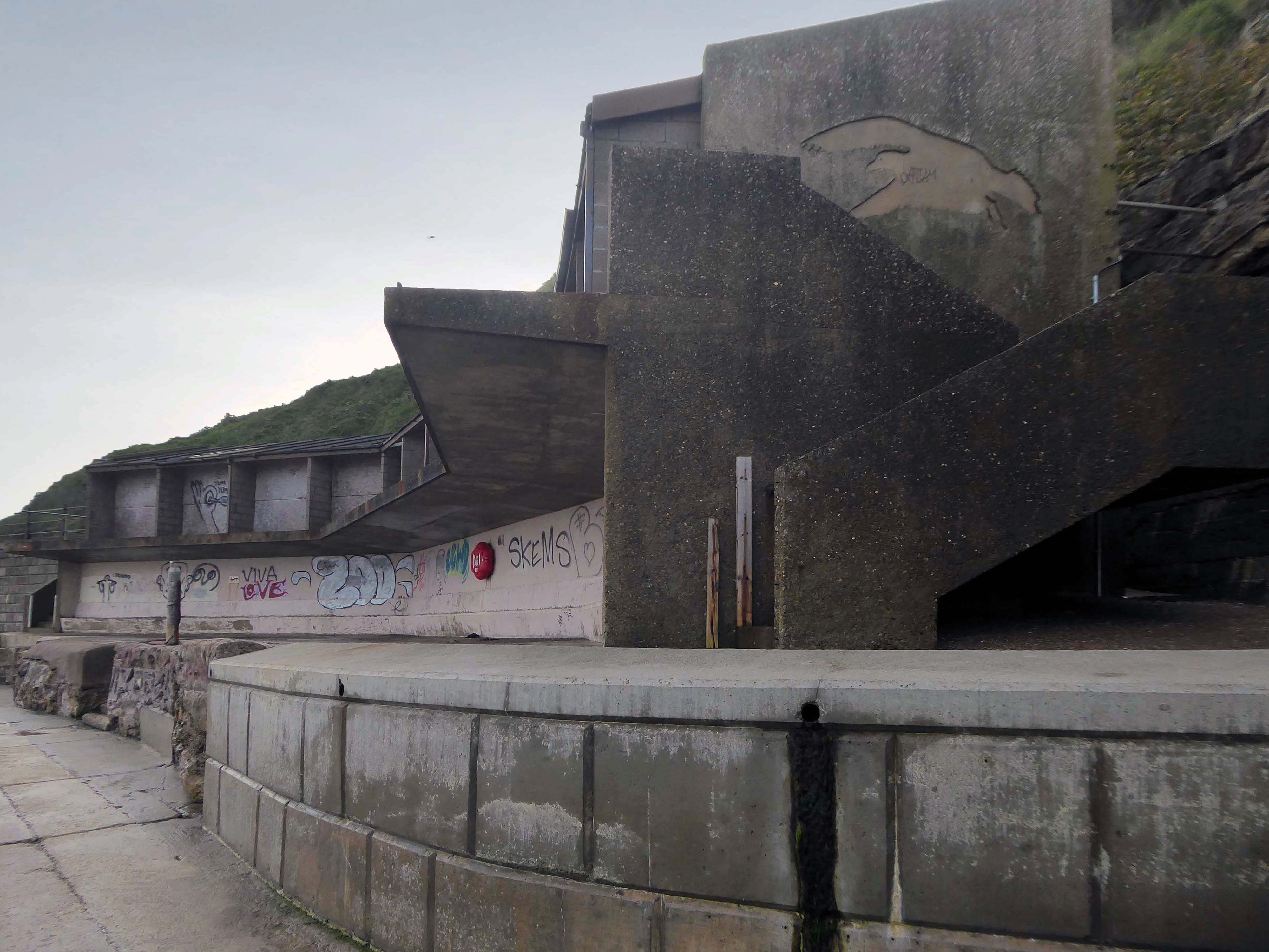
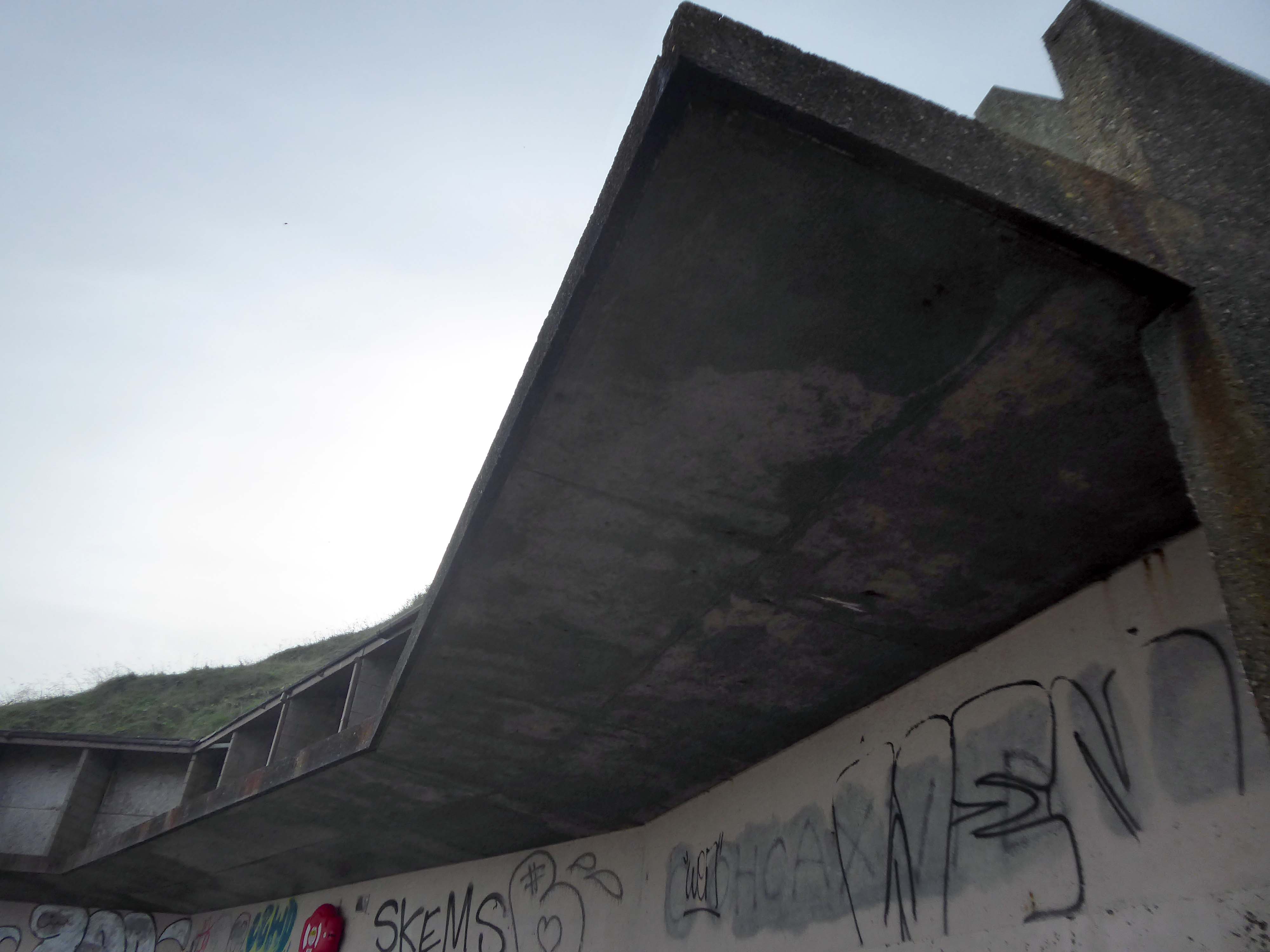
Swivelling Wind Shelters by Ian McChesney with Atelier One
Three 8m high, stainless steel shelters turn like weather vanes, keeping their occupants away from the prevailing wind. Designed by architect Ian McChesney, in collaboration with engineers Atelier One, the graceful sculptural form of the shelters, shaped like whales’ flukes, is structured like an aircraft wing, vibrating in strong gusts of wind.
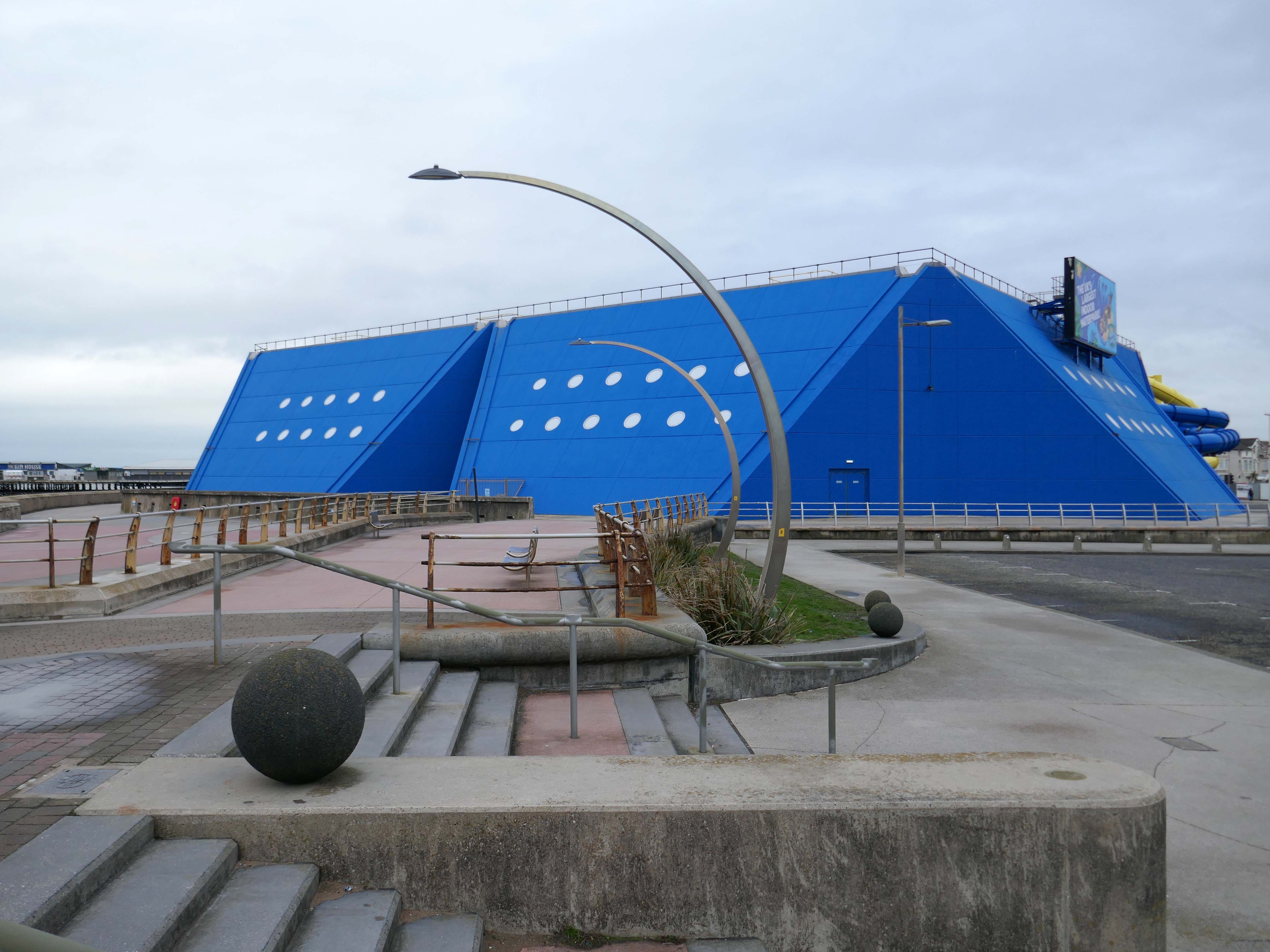
Sandcastle the UK’s largest indoor water park.
Sandcastle opened on 26 June 1986 on the site of the former South Shore Open Air Baths as a joint public/private partnership. Operation of the facility was taken back into Blackpool Council ownership in 2003. A significant investment in new attractions costing £5.5M was also agreed, which was delivered in two phases, with the second opening in 2006 on time and on budget.
In 2012, Sandcastle opened two new Aztec-themed slides, one with a chamber called ‘Aztec Falls’, and a toboggan-like slide called ‘Montazooma’.
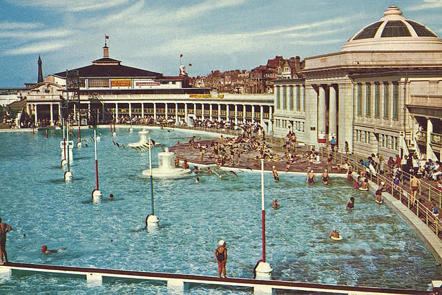
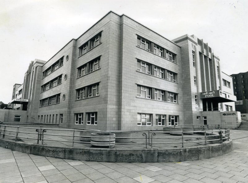
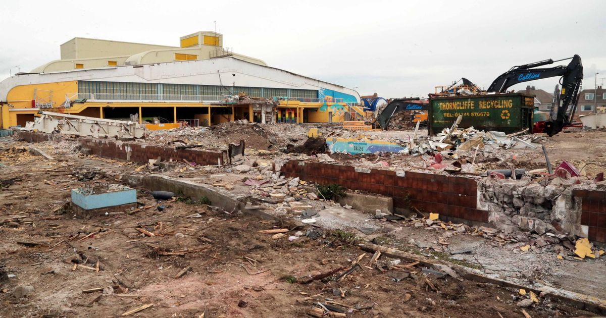
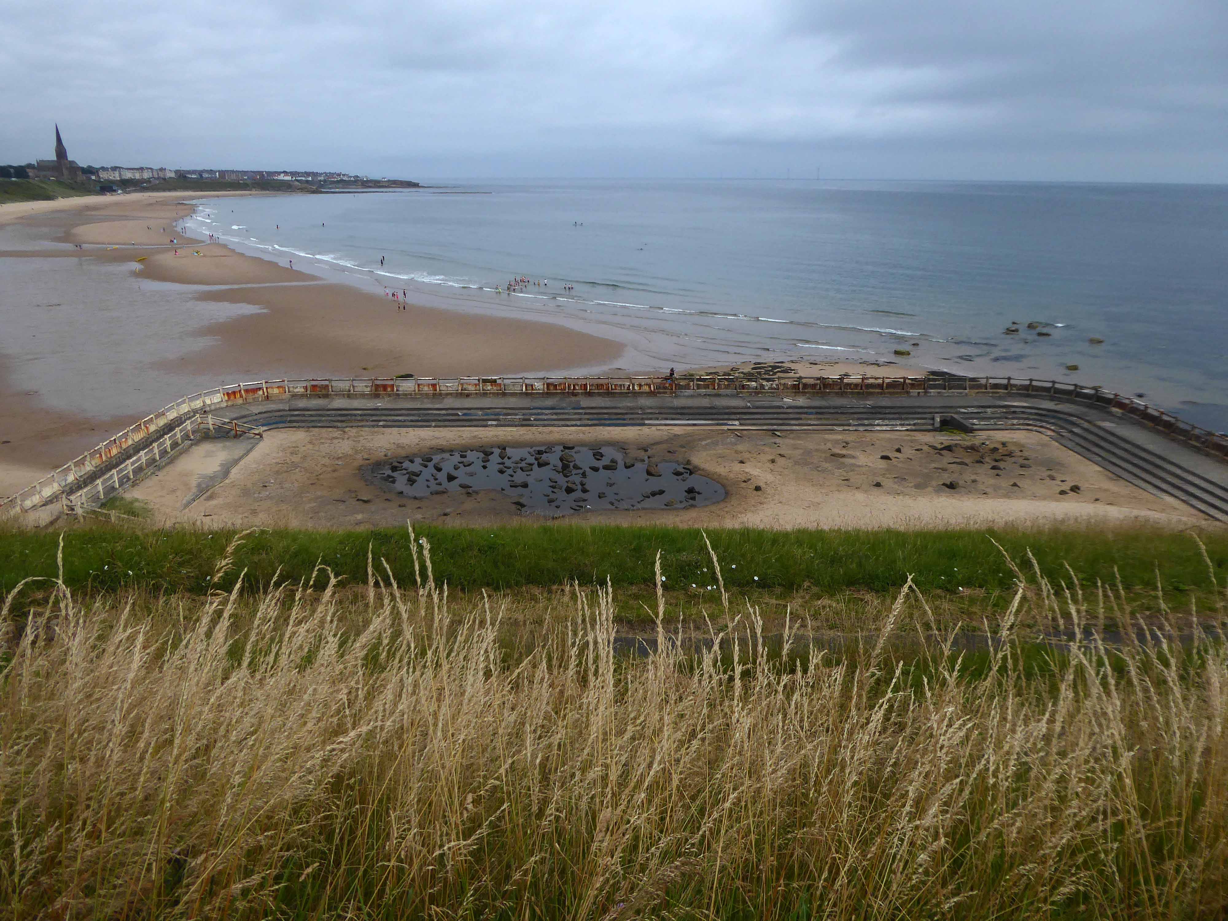
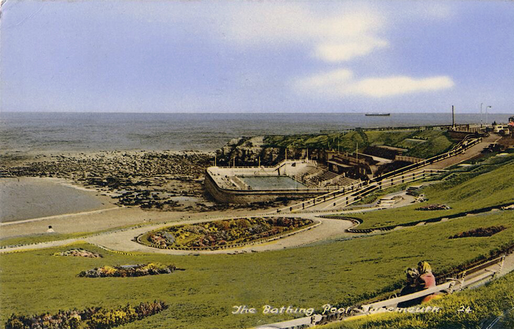
Situated adjacent to the South Pier at Blackpool was the open- air swimming bath. Elliptical in form, it was designed in the renaissance style of architecture, with white ivory terracotta, known as ‘Marmola’. It was said to be the largest and finest of its kind in the world and similar in design to the colosseum of ancient Rome.
Built at a cost of around £70,000, Designed by JC Robinson – Borough Architect, it was officially opened on the 9th June 1923, the same day as the first Blackpool Carnival, by the Mayor of Blackpool, Councillor Henry Brooks. The opening ceremony was followed by a short swimming exhibition in which Blackpool swimmer Lucy Morton took part. The following year Lucy was to win a gold medal in the 1924 Paris Olympics.
Sadly in 1983, following years of neglect and falling attendances, the bath was demolished.
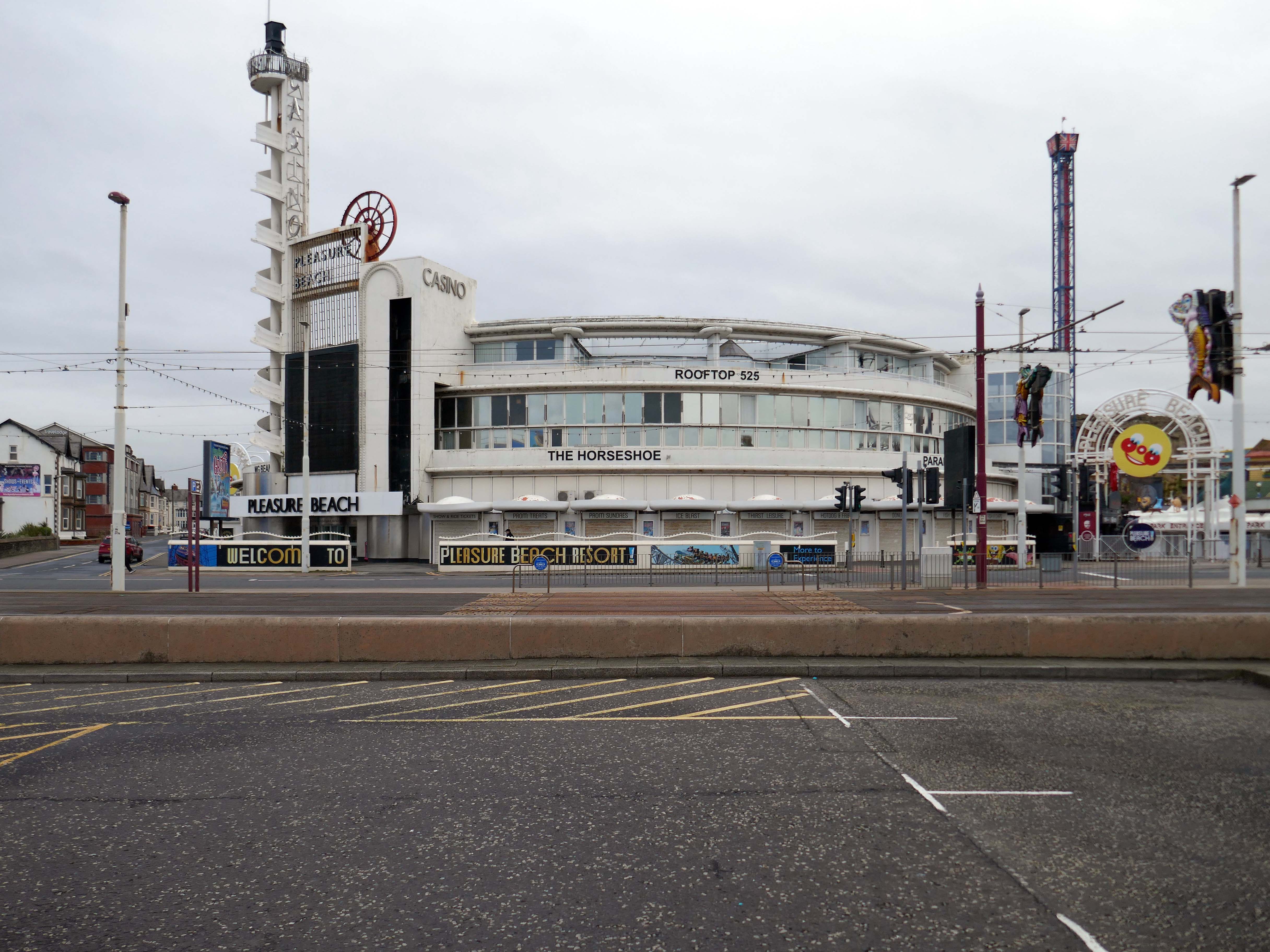
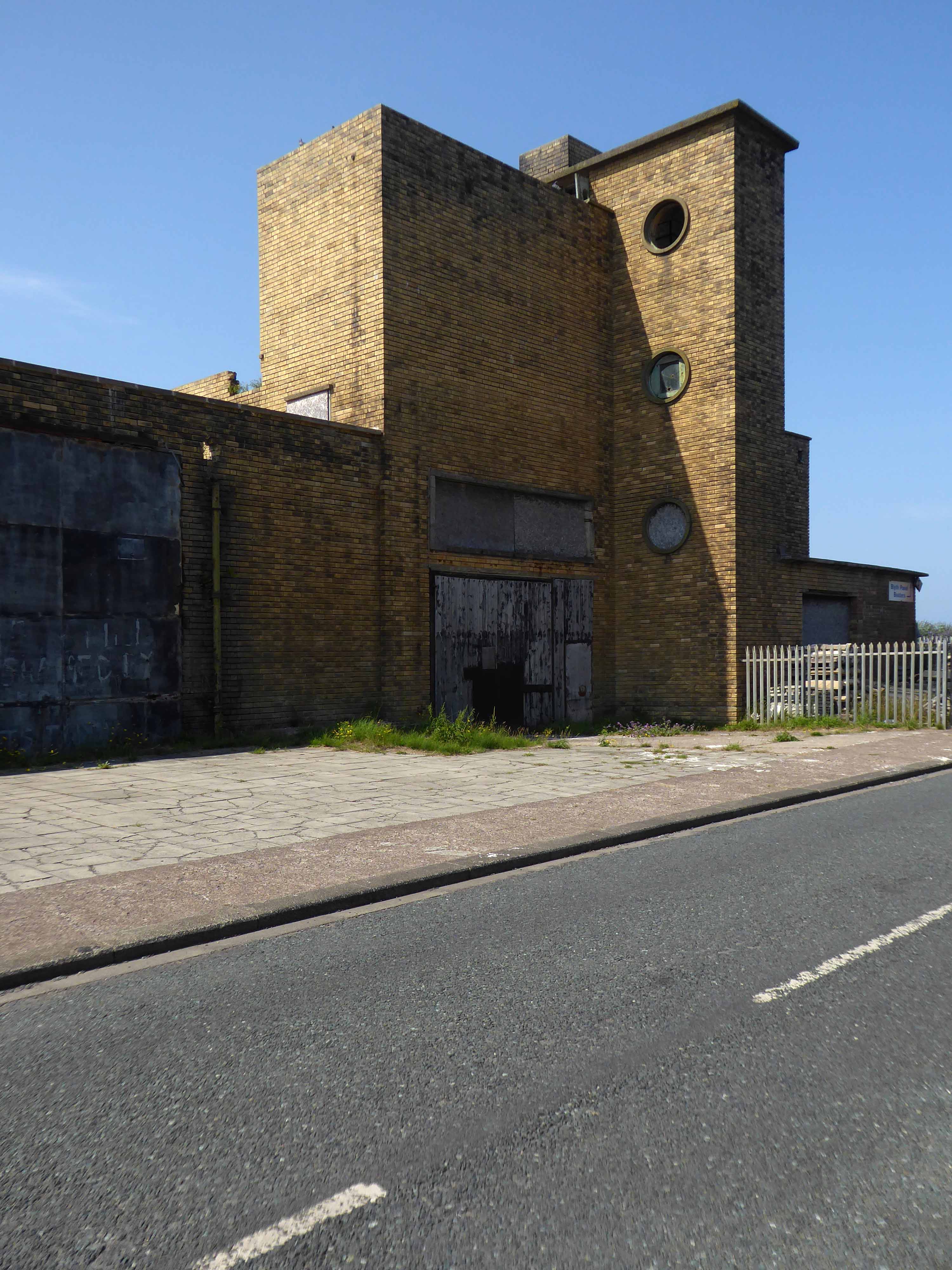
Built to the designs of Joseph Emberton for Leonard Thompson; restored and altered 1972 and 1977-9 by Keith Ingham. Reinforced concrete in the International Modern style. Circular plan, the circle broken by three principal projections marking the main entrance and foyer, the main exit and the main public stairs. The key to the plan were the central kitchens on the ground and first floors, serving (on the former) a number of restaurants and (on the latter) a banqueting room. Kitchens now on first floor only. The result is a sequence of intriguingly curved rooms; originally there was no public access to this inner core area or directly across the building, but this has now been provided. The basement contained stores, a billiard room and sports facilities, now in mixed use. Between ground and first floor is a mezzanine office range, with private flat over. Top floor built as roof garden, provided with a glazed curtain wall in c.1940 by Emberton and largely infilled as an extra floor in 1972.
Time for the train home to Stockport – but you can bet I’ll be back.
And true to my word I have been back, several times – on this occasion alone and on foot.
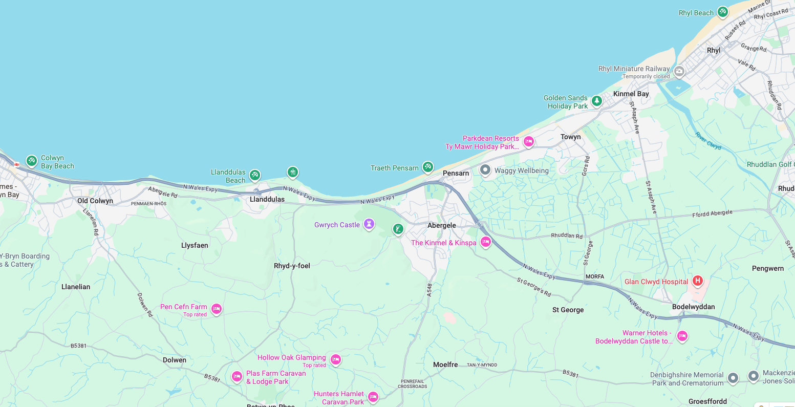
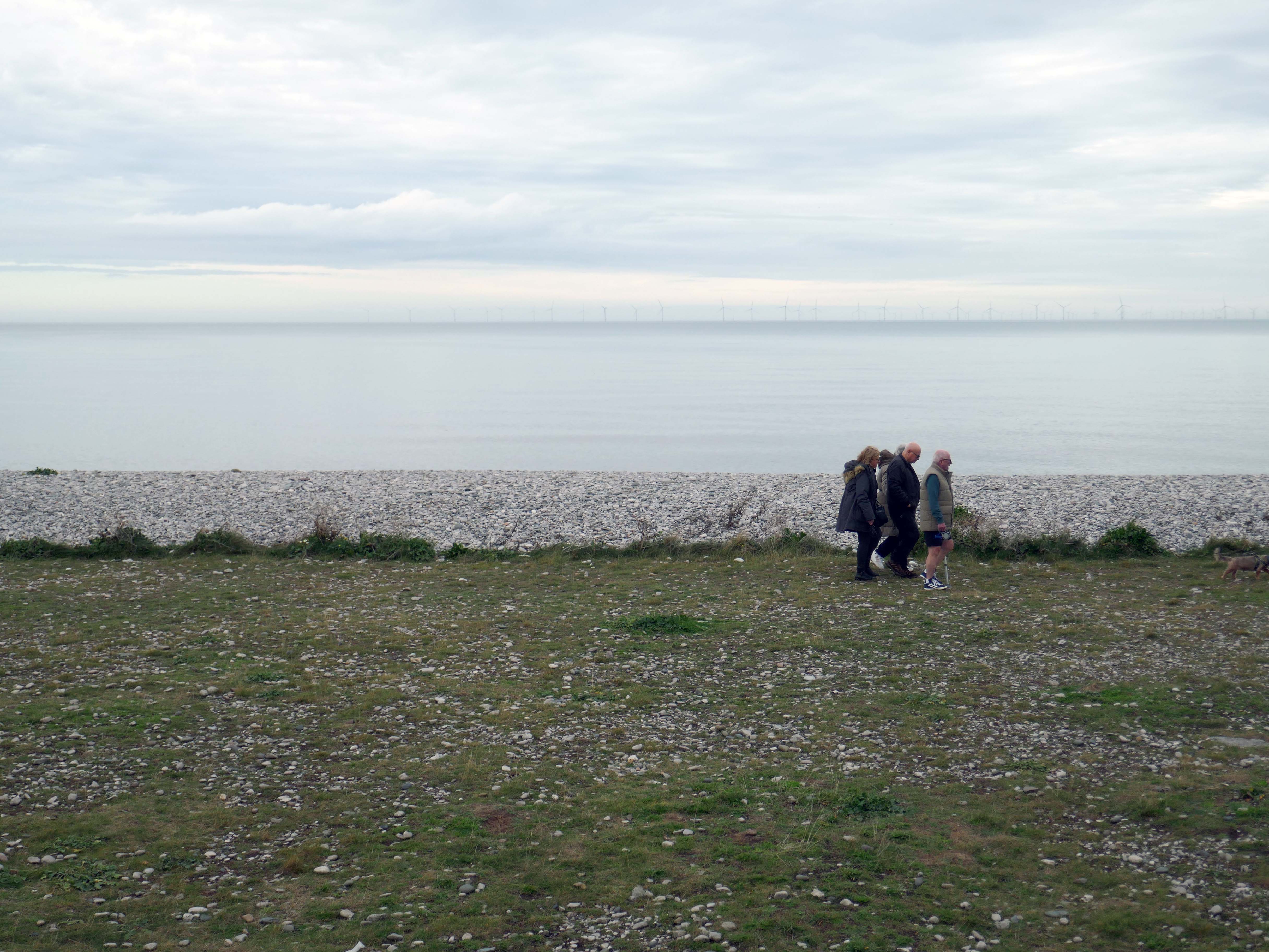
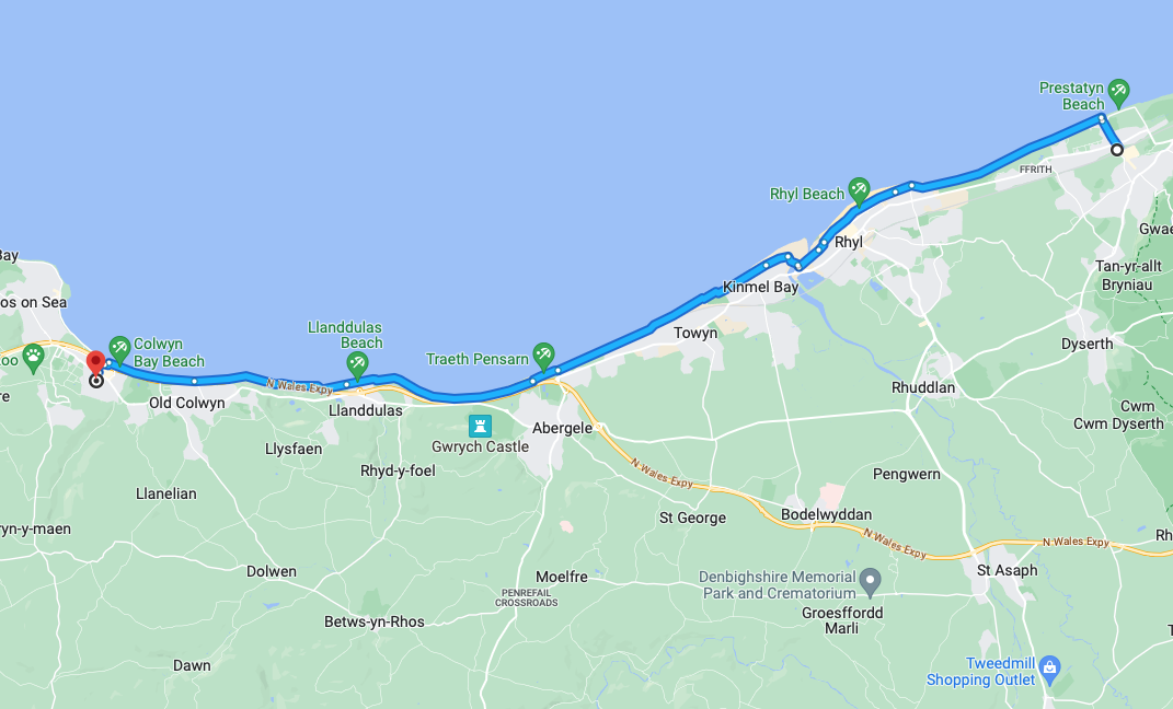
An almost overcast mid-grey day in November, alighting at Rhyl Station and loafing along to Colwyn Bay – this what I done seen.
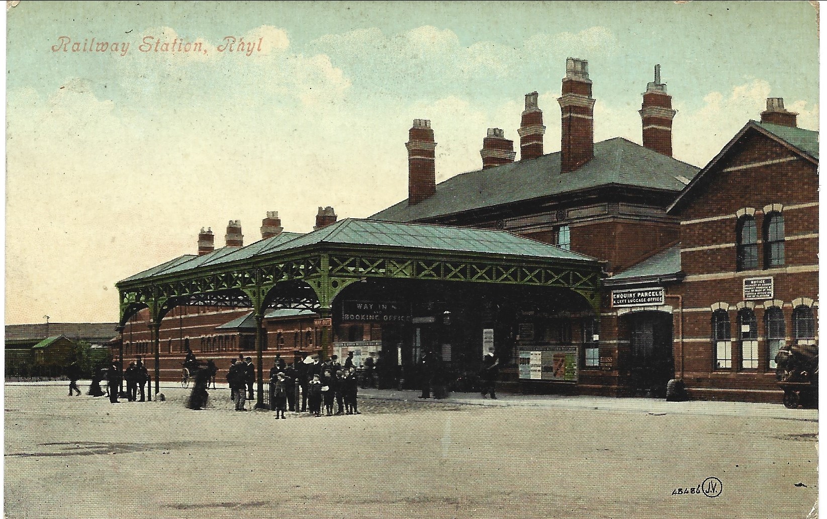
1907
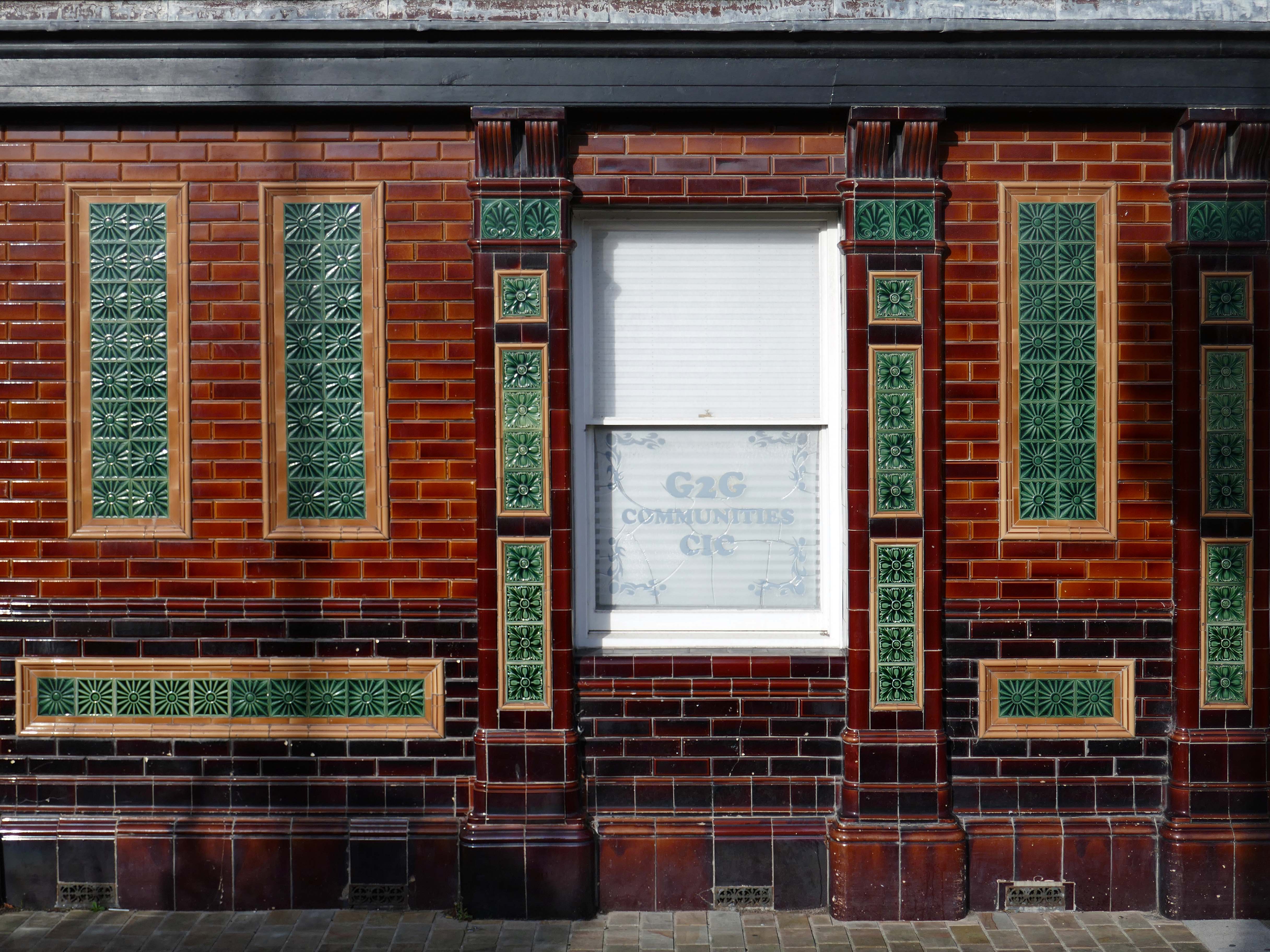
Former Bee and Station Hotel immediately opposite the Station.
The Bee and Station Hotel was built in the 1860s. The decorative tile work of the exterior was probably added during remodelling c.1890. Inside, the lobby is also richly decorated with brightly coloured tiling. The building was listed in 1991 as an excellent example of pub of the late 19th century with a complete tiled frontage and a rare surviving internal layout throughout.
The pub closed in 2005. The building reopened in 2013 after being refurbished and given a modern extension by Denbighshire County Council, under the Townscape Heritage Initiative, to provide new offices for small businesses
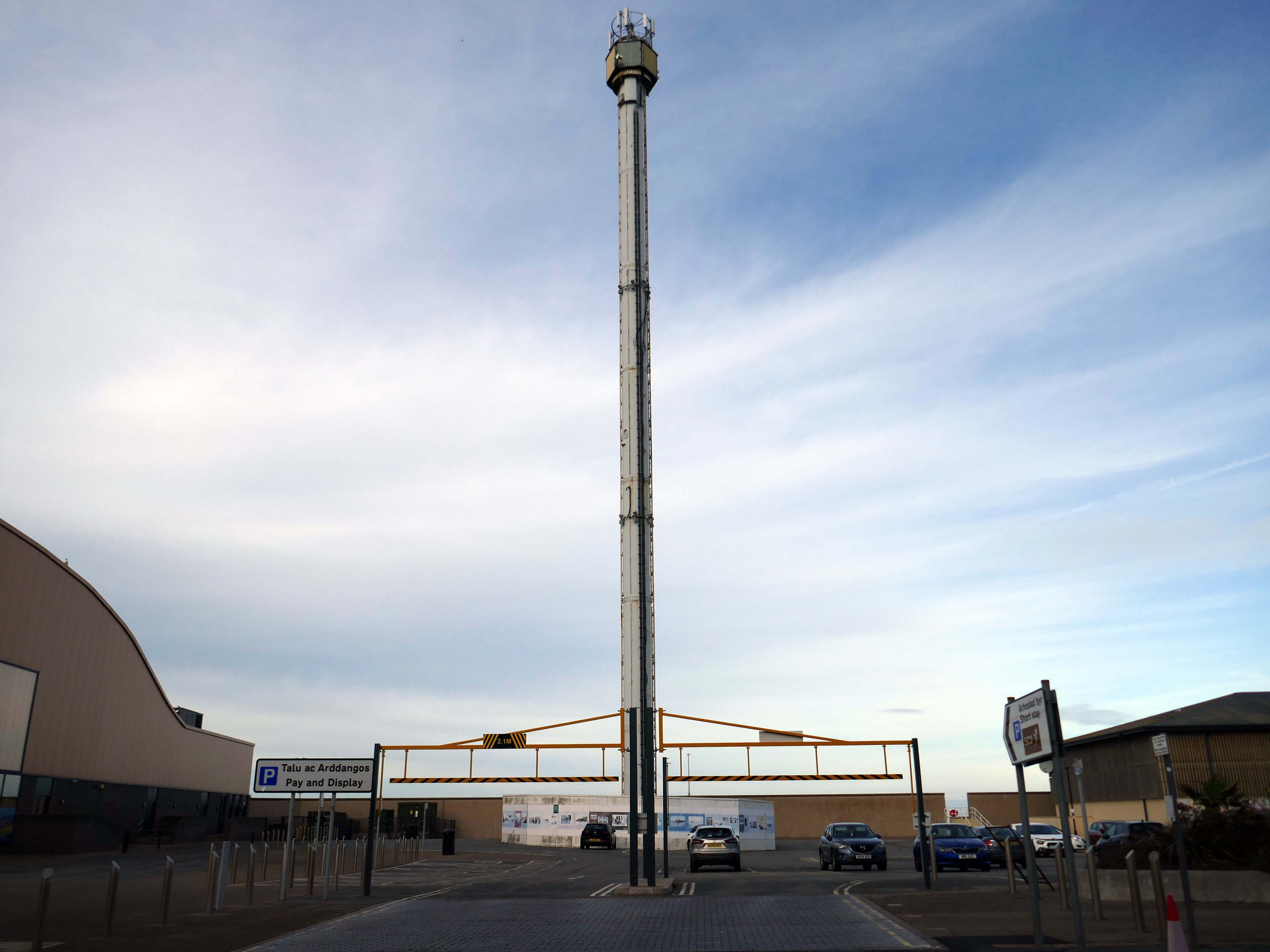
Onward to the seafront, home to the defunct Skytower.
The tower first operated at the 1988 Glasgow Garden Festival, where it was known as the Clydesdale Bank Tower and was opened by Prince Charles and Princess Diana. Following the festival, it was dismantled and reassembled on the Rhyl seafront.
The tower last operated in 2010. The following year, a safety report found that £400,000 worth of repairs were required to keep the ride operational. After standing but not operating for seven years, in 2017 work was carried out to turn the tower into a beacon.
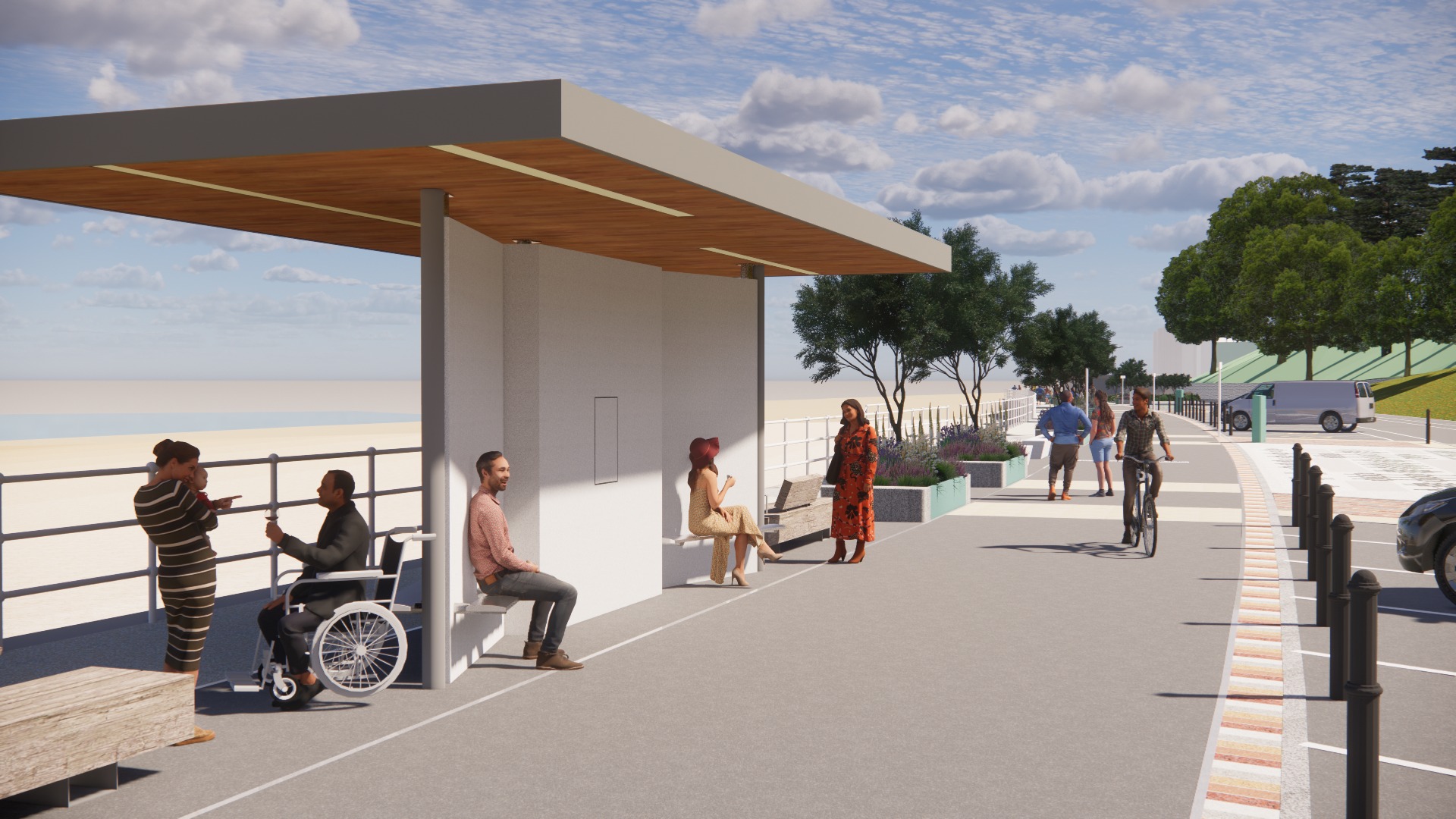
Much has been done to improve the promenade, with sumptuous hard landscaping, coastal defences and seafront shelters.
The £66m Central Rhyl Coastal Defences Scheme will protect almost 600 properties in Rhyl from flooding and coastal erosion for decades to come.
85% of the construction costs have been funded by the Welsh Government, with the Deputy First Minister labelling the project a ‘significant milestone’ in efforts to protect Welsh communities from the growing threats of climate change. Denbighshire County Council contributed the remaining 15%.
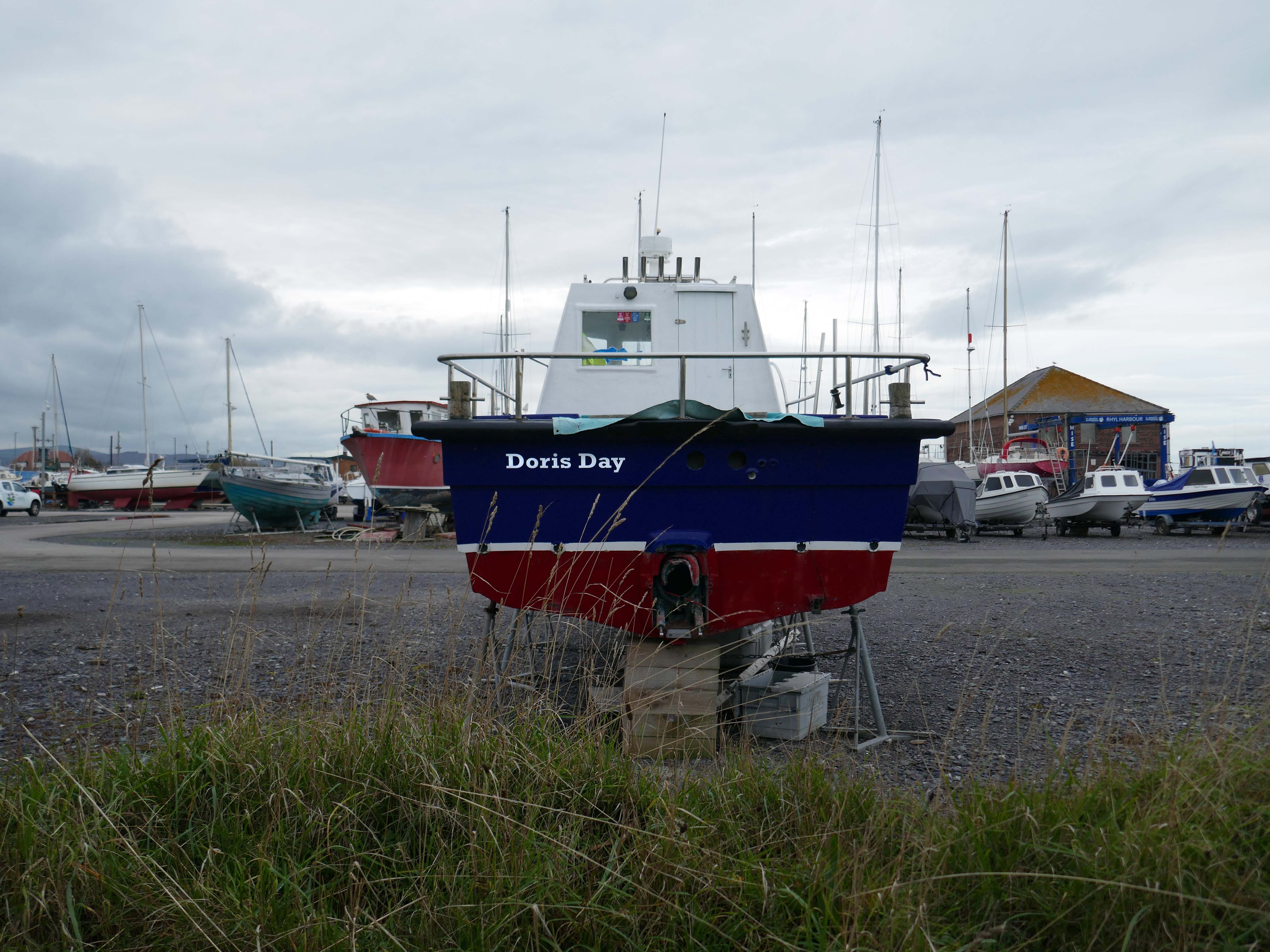
Over the estuary to Rhyl Harbour home to Doris Day.
Rhyl Harbour is located on the spectacular North Wales Coast and has undergone a dramatic refurbishment which has hugely improved the facilities on offer. The original timber yard which was used by sailing ships up until the Second World War, has been redeveloped and now offers storage for over 150 boats.
The foreshore home from home for thousands of caravan dwellers.
Golden Sands Holiday Park Rhyl has over 85 years history of fun filled holidays. Wonderfully located right next to the beach in Kinmel Bay in North Wales, it’s the perfect place for a family seaside holiday. It’s also an excellent base for exploring the beauty of North Wales. The town of Rhyl is closest, though also nearby are Prestatyn, Colwyn Bay and Llandudno – with the Great Orme. Blue Flag beaches offering wonderful seaside holiday traditions along with stunning Snowdonia National Park are within an easy drive.
Fast food is often nutritionally poor and high in calories. Evidence demonstrates that overeating commercial fast food products can negatively impact health in both the short and long term.
However:
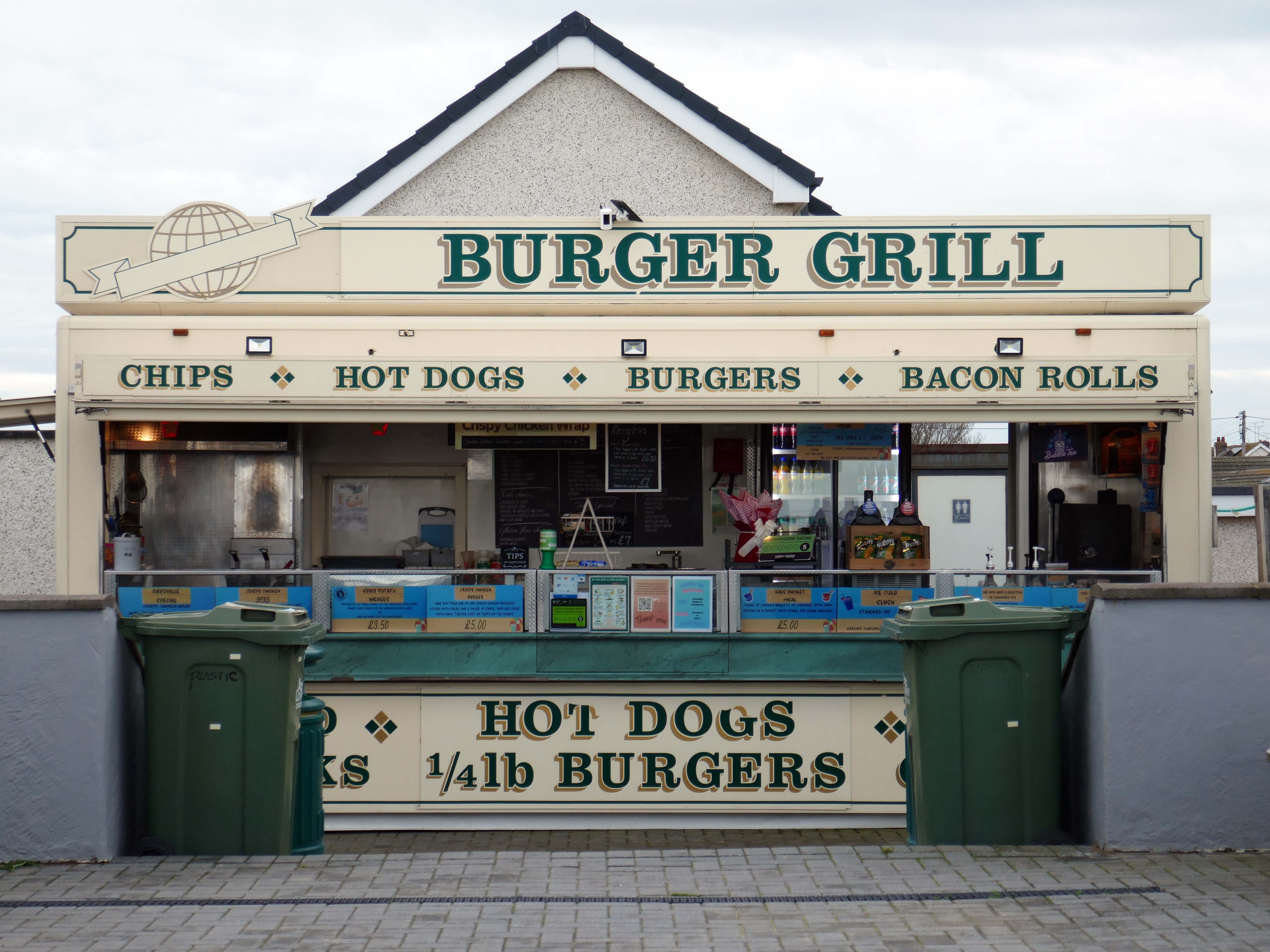
Baysville is lovely and clean, lots of tables and a good choice of foods from ice cream, donuts, burgers, hot and cold drinks and a bar. The staff are pleasant and welcoming.
Researchers have found people who drink up to three cups of coffee a day could have a healthier heart and a lower risk of dying of any cause.
But too much caffeine can produce anxiety, sleeplessness, agitation, palpitations, diarrhoea and restlessness. In individuals with a mental health condition caffeine can worsen psychosis and result in the need for higher amounts of medication.
Possibly wiser to take a leisurely ride on your electric bicycle, followed by an hour or two of beach casting .
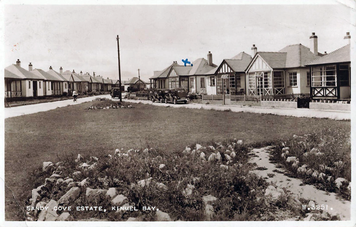
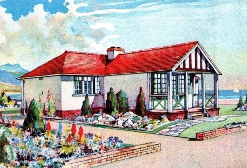
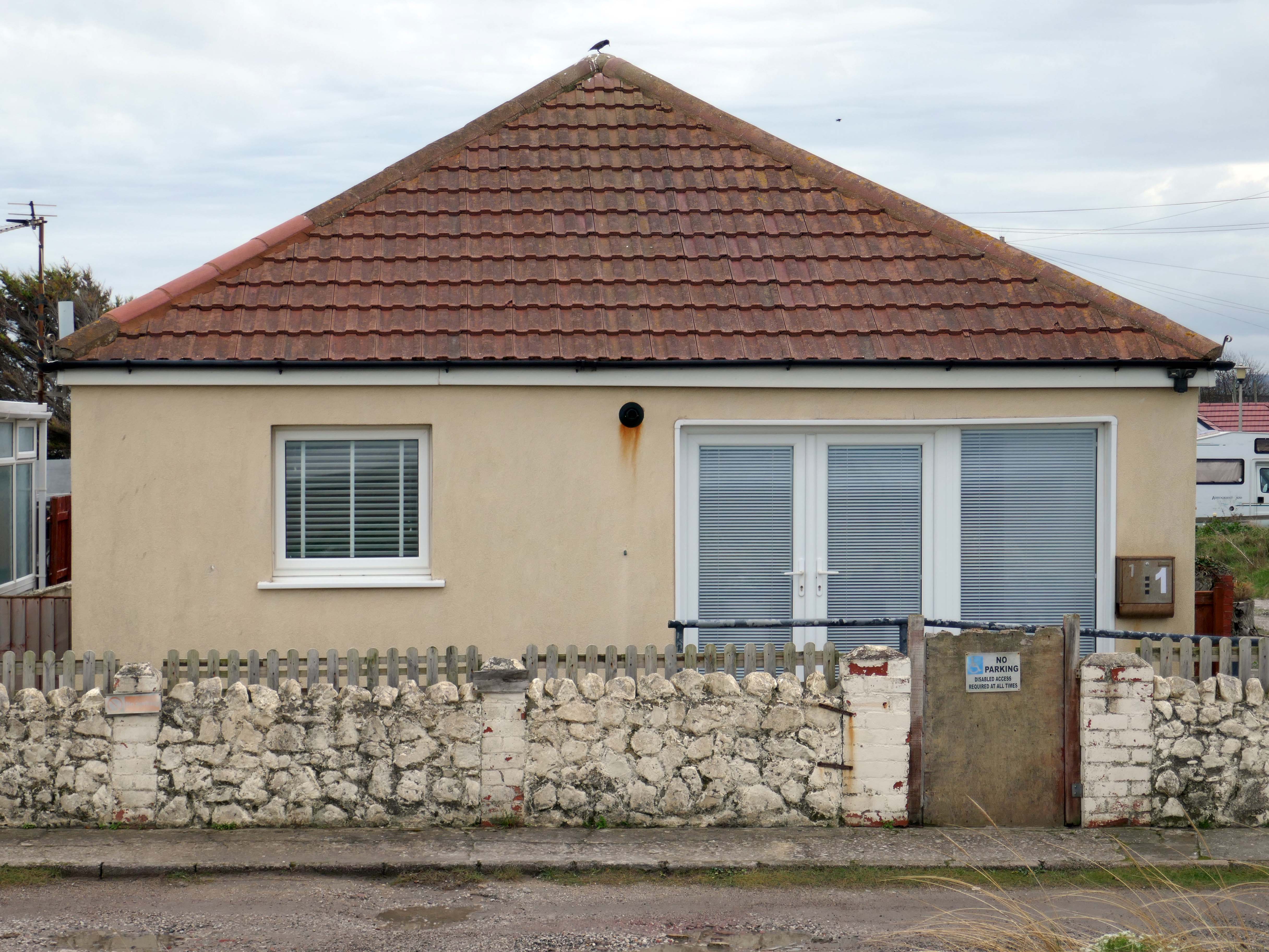
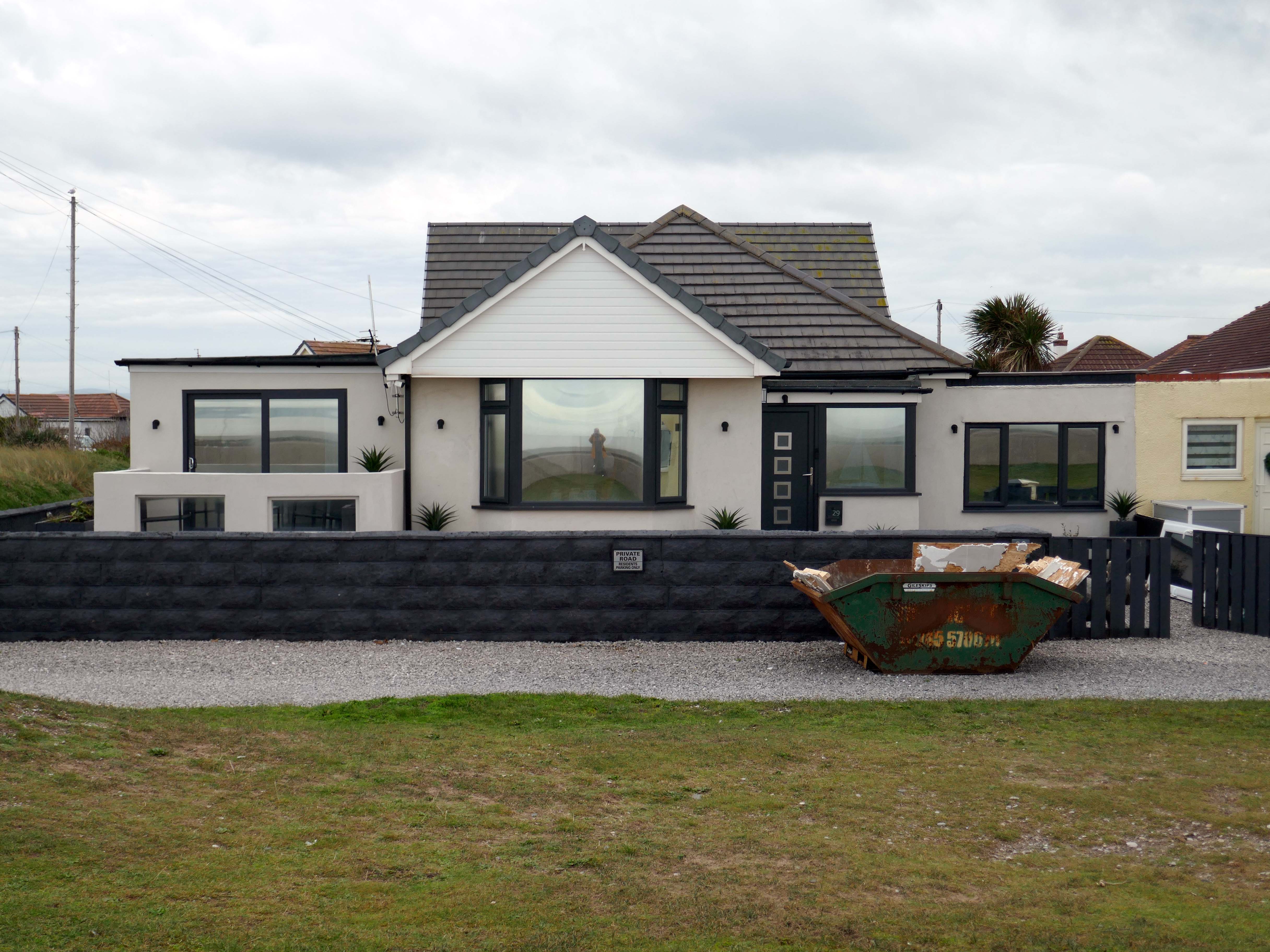
The coastal housing at Kinmel bay is undergoing a cosmetic upheaval, the determinedly down home bungalow swamped by the relentless monotone tide of home improvements.
The Sandy Cove Estate consists of 250 bungalows that were built in the 1930s by the Kinmel Estates Ltd, who sadly went into liquidation around 1947, before the estate was completed. This left the estate with only dirt tracks for roads with no sidewalks or pavements, no drainage for surface water or any adequate street lighting. After the liquidation of the company the roads and communal greens were escheated to the Crown who then offered the land free of charge to successive Councils for the to incorperate into the towns that were developing. This was refused by the Councils.
Fifty or more homes are ready for you to choose from, gardens and tennis courts have been provided for the sole use, in perpetuity of residents.
Onward now to Towyn.
The town made national headlines in 1990 when a combination of gale-force winds, a high tide and rough seas caused Towyn’s flood defences to be breached at about 11.00am on 26 February. 4 square miles of land was flooded, affecting 2,800 properties and causing areas of the resort to be evacuated. Further flooding occurred later the same week, on 1 March, shortly after the site of the disaster was visited by Prince Charles and Princess Diana.
Scientific experts also believe that the silt left behind from the flooding had left the town with a higher concentration of radioactivity, over ten times the governmental safety limits, most likely originating from the nuclear processing plant at Sellafield which had been dispersed into the Irish Sea over many years since its construction. The National Radiological Protection Board stated that there was a “small risk” to the people there, while the Welsh Office claimed there was no danger to the public. The coastal defences have since been reconstructed and significantly enhanced.
The People of the First Nation here at Knightly’s Fun Park are now safe from the threat of flood.
Knightly’s Funfair has a fantastic range of rides for the whole family! Experience high speed thrills and heart pumping excitement! We’ve got rides for the little ones too as well as games and food stalls to keep the whole family entertained all day!
We also welcome dogs, so you don’t have to leave your furry friends behind!
The monotone gentrified home is accompanied by the monotone SUV – the Land Rover Discovery Sport.
The joy of Discovery Sport is in finding that no adventure is out of reach. Offering the ultimate in comfort, while having the toughness to cope with family life.
According to a Europe-wide study, which included the UK, when vehicles are 300kg heavier, the risk of fatal injuries is 30% higher for vulnerable road users.
Pedestrians and cyclists are also 30% more likely to be killed if they’re hit by a car with a bonnet that’s 10cm higher than average.
E25 is Spirulina Extract Phycocyanin, when taken as directed, Spirulina generally doesn’t cause side effects. In some people, it may cause mild side effects, including headaches, diarrhoea, bloating and gas.
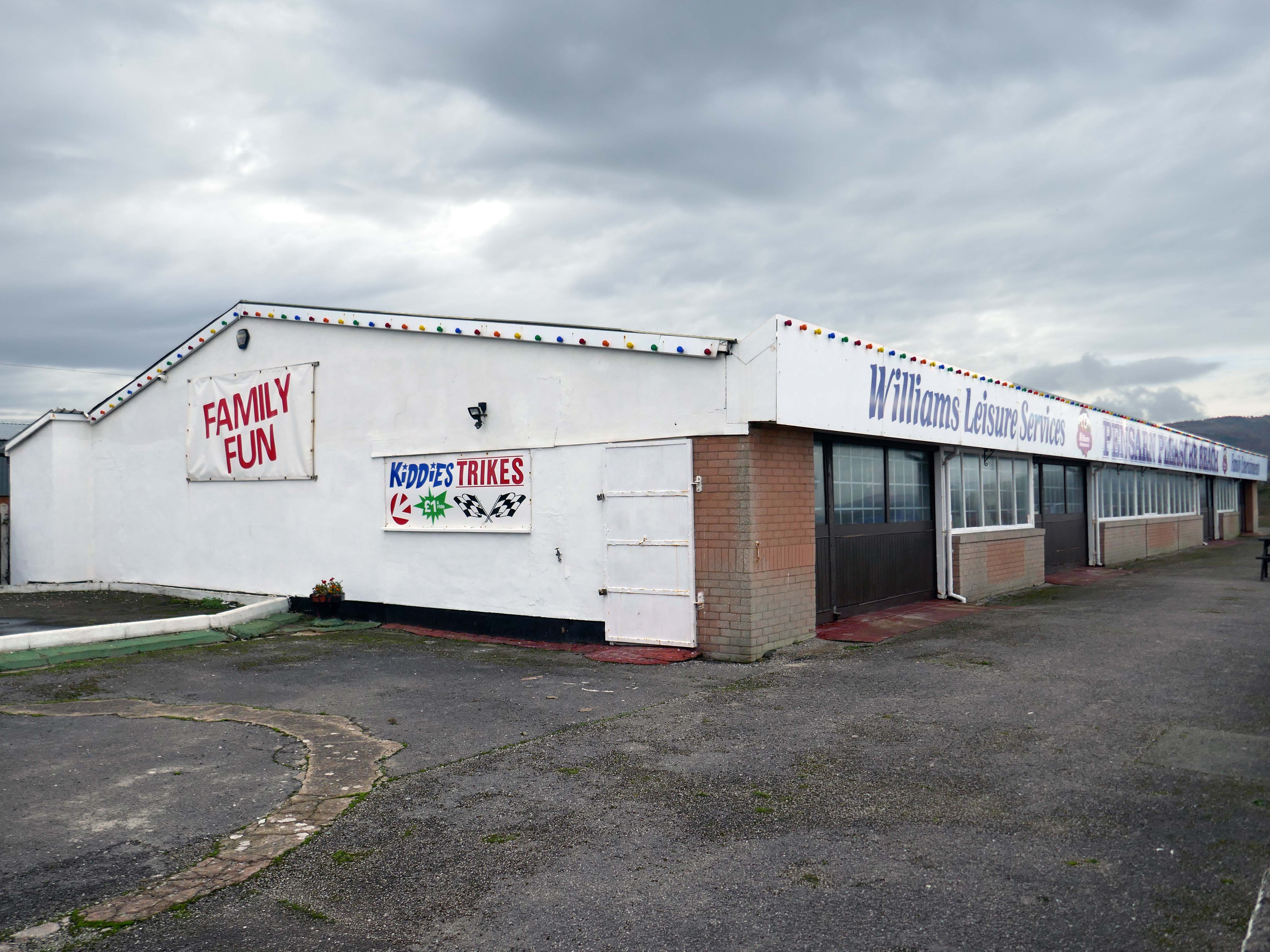
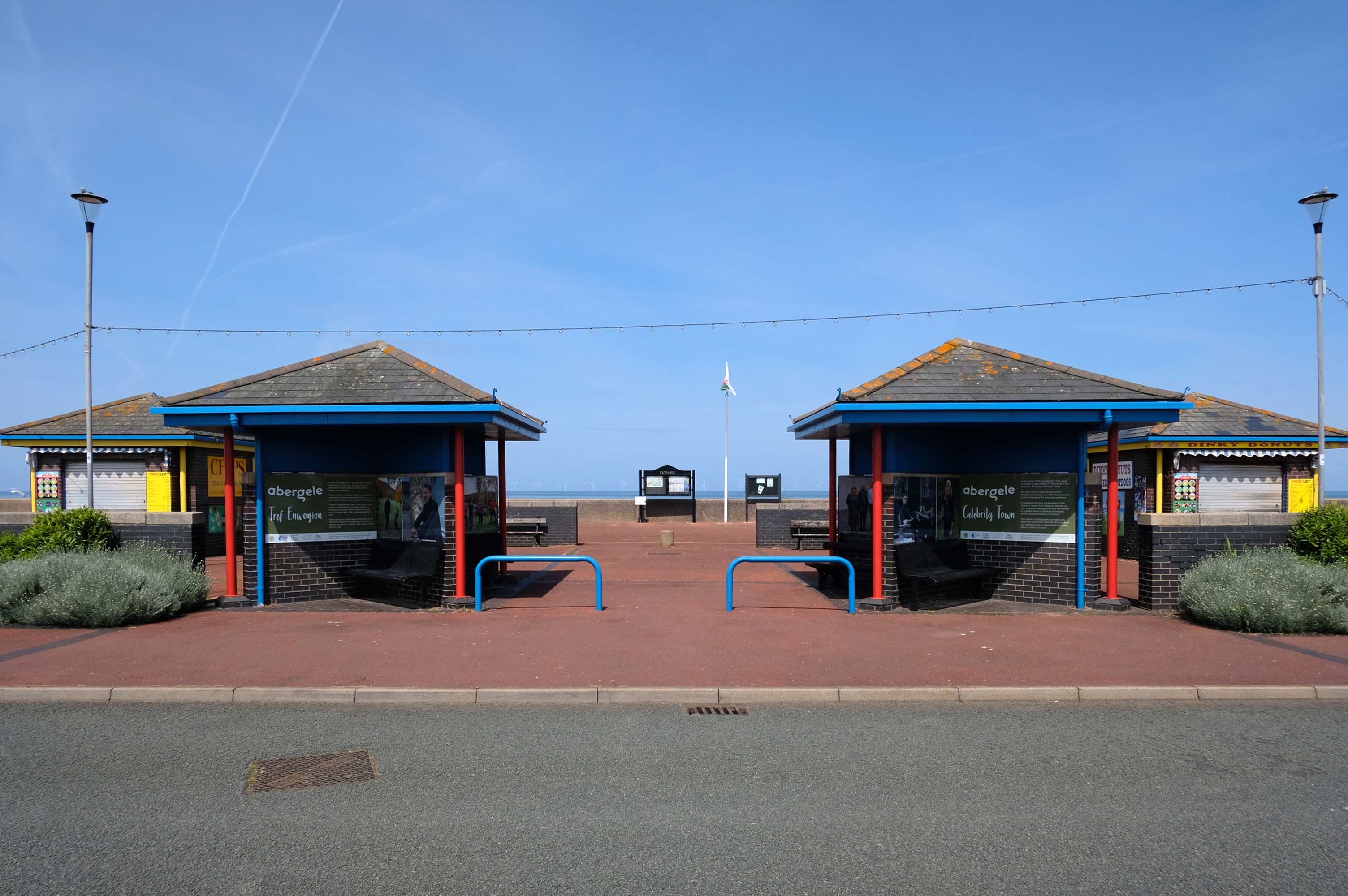
Here we are now at Abergele and Pensarn which have quiet sandy beaches close to historic sites and wooded hills. From here, you can escape the stresses of everyday life. Enjoy sea views, historic places such as Gwrych Castle – home to ITV’s I’m a Celebrity 2020 and 2021 TV series, and a range of things to do providing fun for all the family.
Pensarn Pleasure Beach Amusement Arcade, operated by Laurence Williams Amusements, offers a charming family-friendly experience. Visitors often highlight its nostalgic appeal with fun penny machines and small shops selling drinks and handmade goods.
While many appreciate the charm of the arcade, some mention that certain machines are quite dated and do not work properly, this aspect may affect overall enjoyment for some users.
The reviews indicate a good variety of activities including classic penny slots and local shops offering food and unique handmade items like dog harnesses, catering to diverse interests.
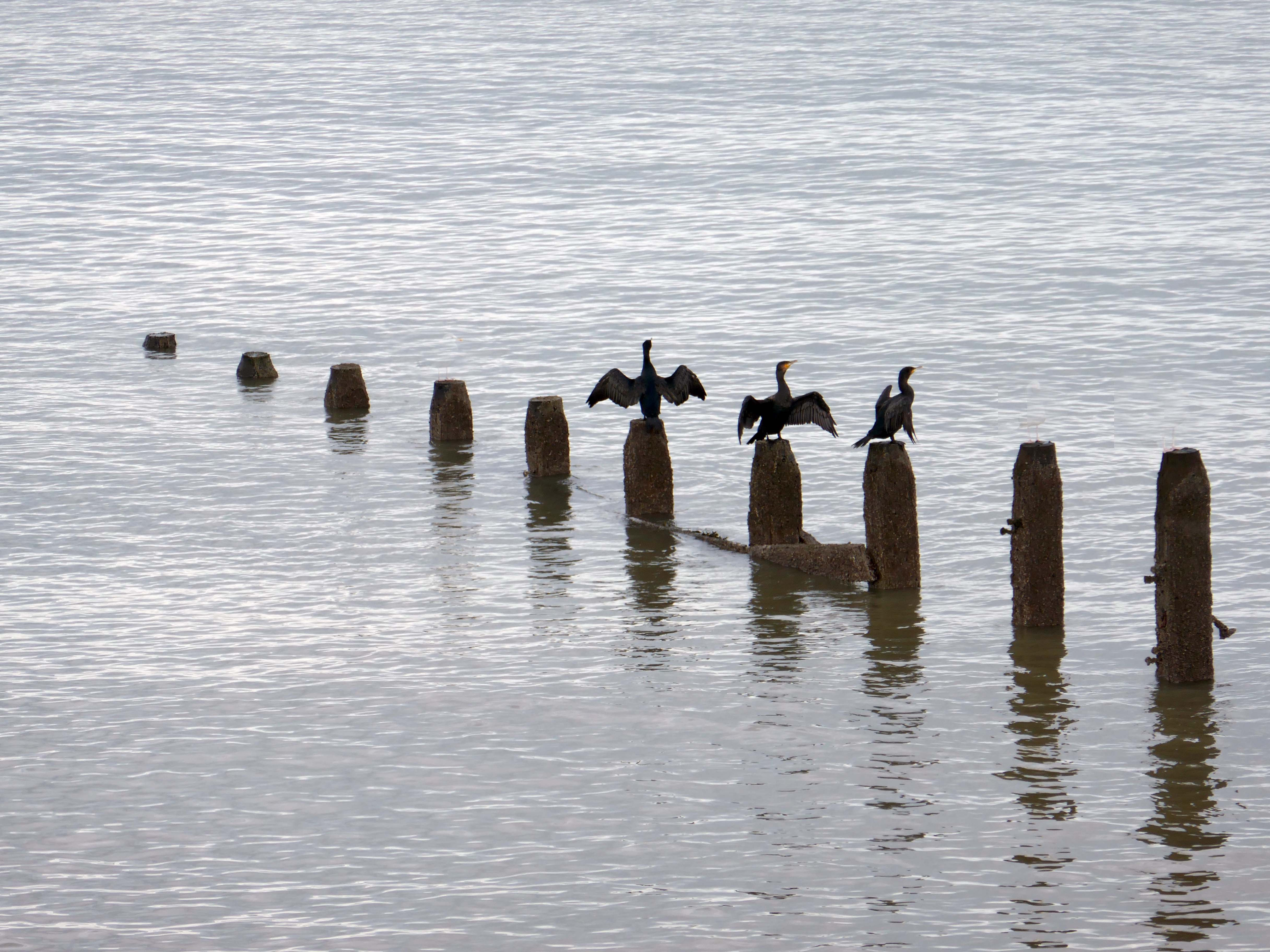
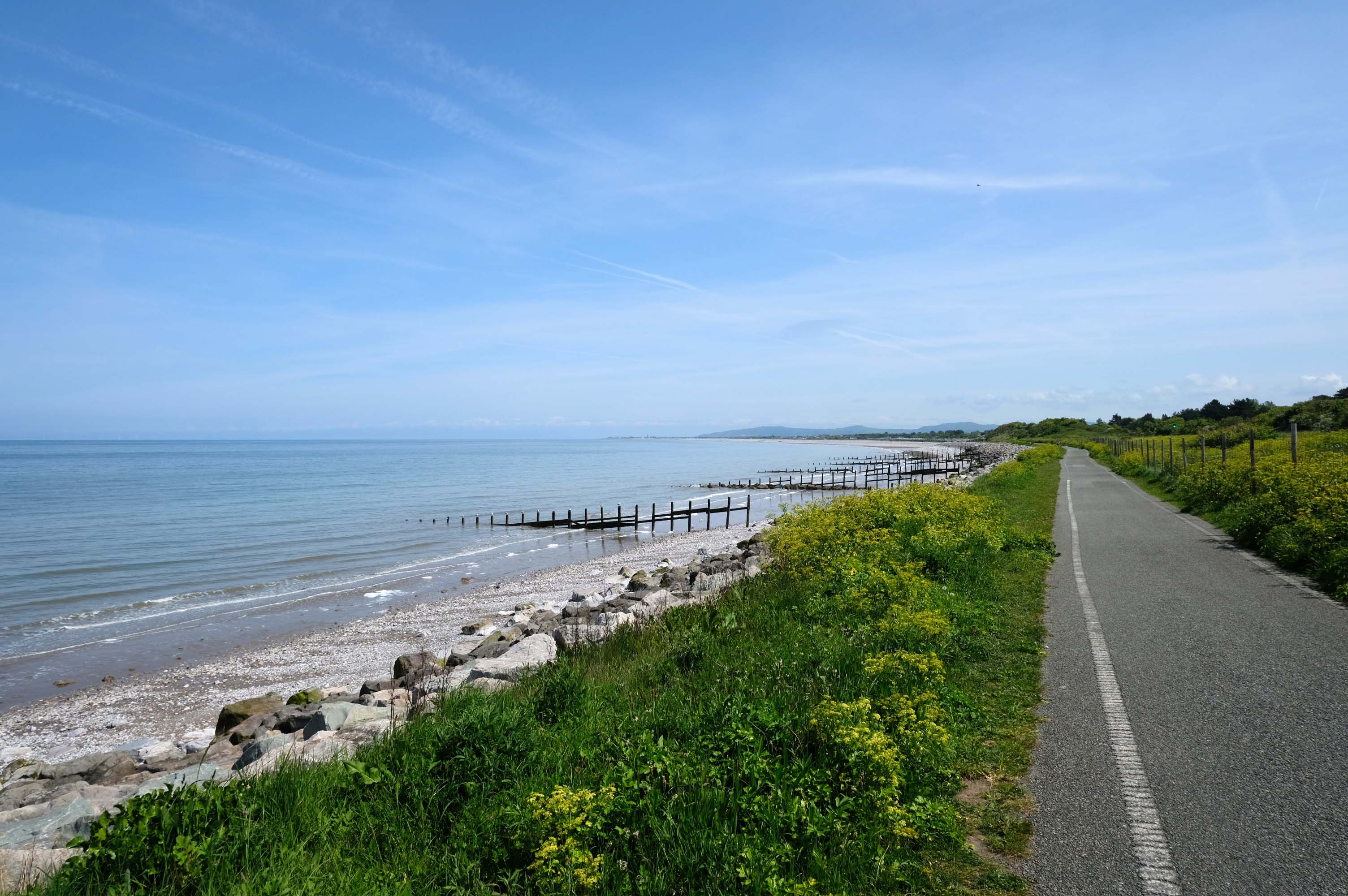
Such a pleasant stretch of coast to stretch your legs along.
Or to stretch your wings for that matter, should you happen to be a cormorant.
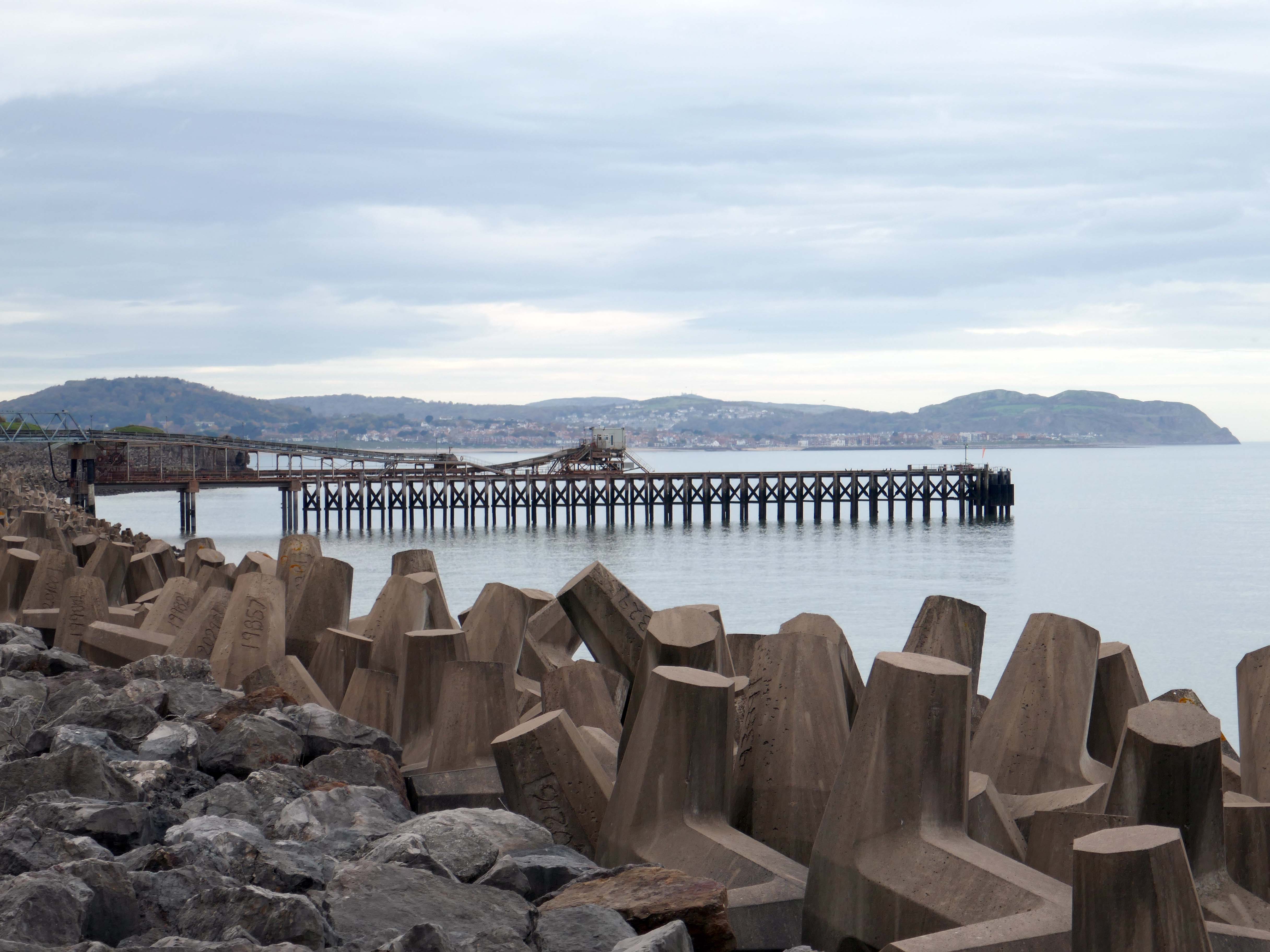
Coastal defences from the giant concrete bobbers and jacks.
A tetrapod is a form of wave-dissipating concrete block used to prevent erosion caused by weather and longshore drift, primarily to enforce coastal structures such as seawalls and breakwaters. Tetrapods are made of concrete, and use a tetrahedral shape to dissipate the force of incoming waves by allowing water to flow around rather than against them, and to reduce displacement by interlocking.
Tetrapods were originally developed in 1950 by Pierre Danel and Paul Anglès d’Auriac of Laboratoire Dauphinois d’Hydraulique in Grenoble,who received a patent for the design. The French invention was named tétrapode, derived from Greek tetra ‘four’ and pode ‘foot’.
Tetrapods were first used at the thermal power station in Roches Noires in Casablanca, to protect the sea water intake.
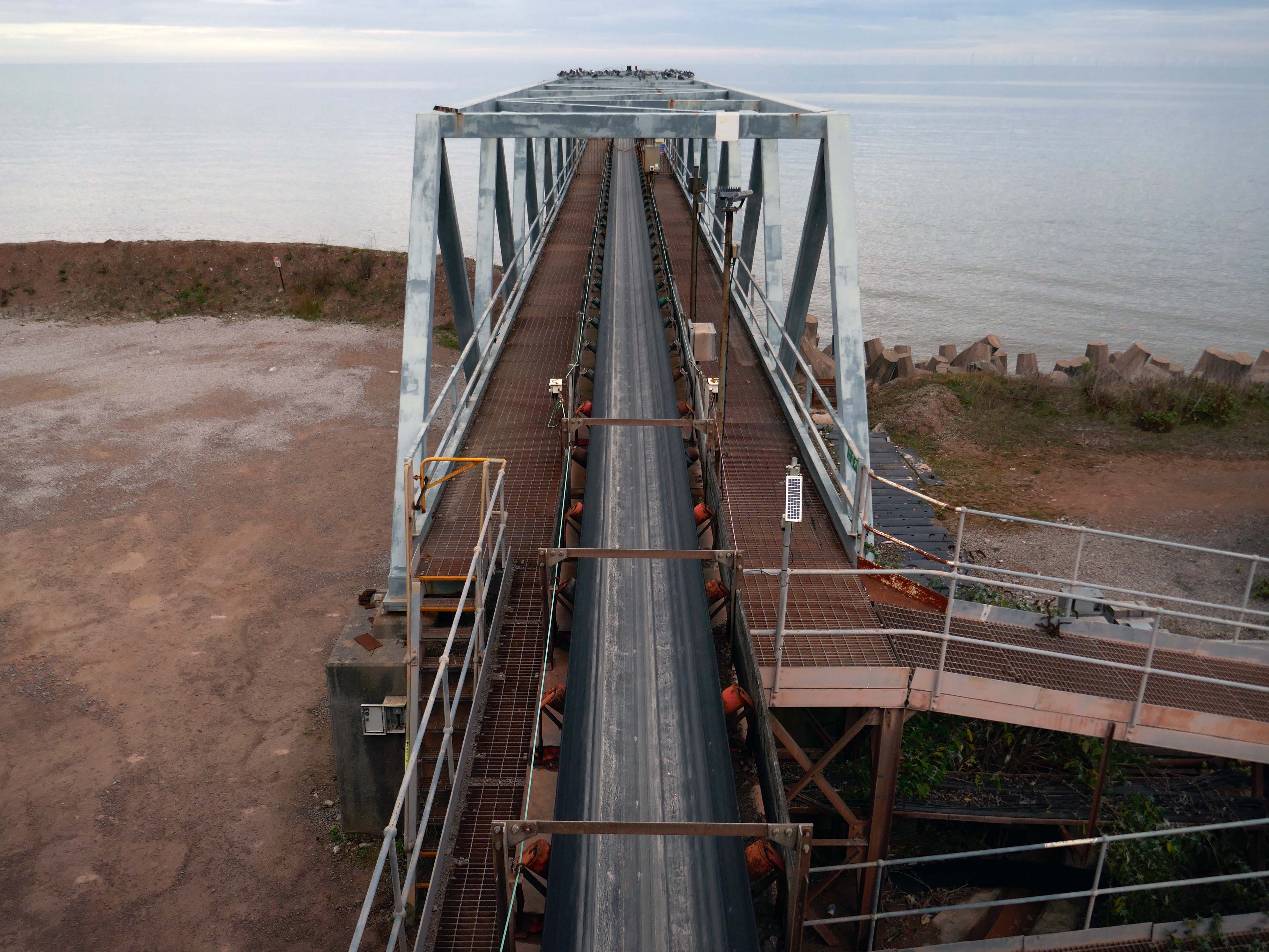
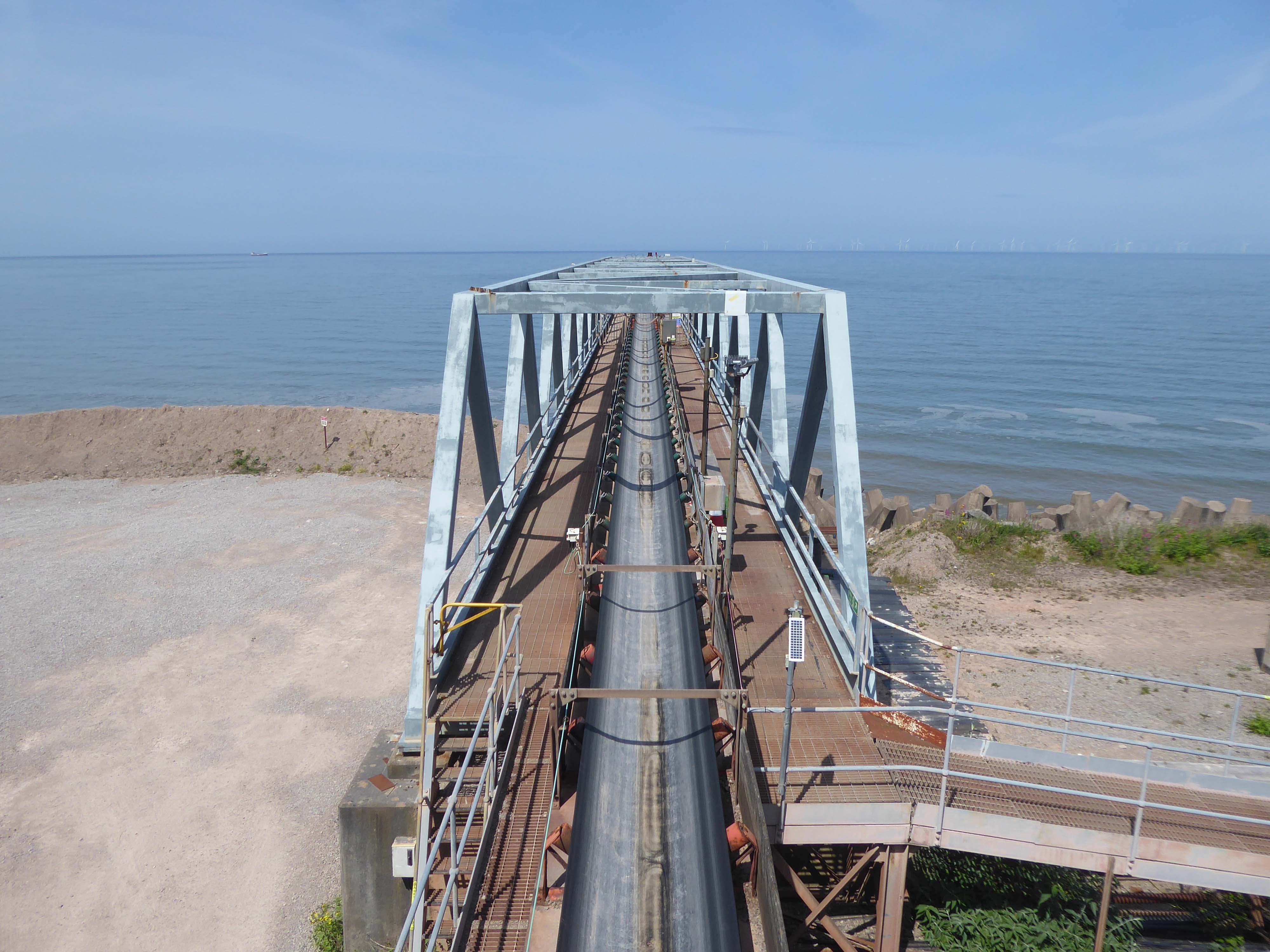
Next we pass Raynes Jetty the quarry conveyor belt – shifting and shipping limestone out to sea.
Limestone from Raynes quarry, to the south, is transported by conveyor belts to the jetty, crossing the A55 Expressway and railway. From the jetty it is loaded into coastal freighters which take it to other parts of the British Isles. Limestone from this quarry is a pure form of the rock, making it ideal for the chemical and cement industries.
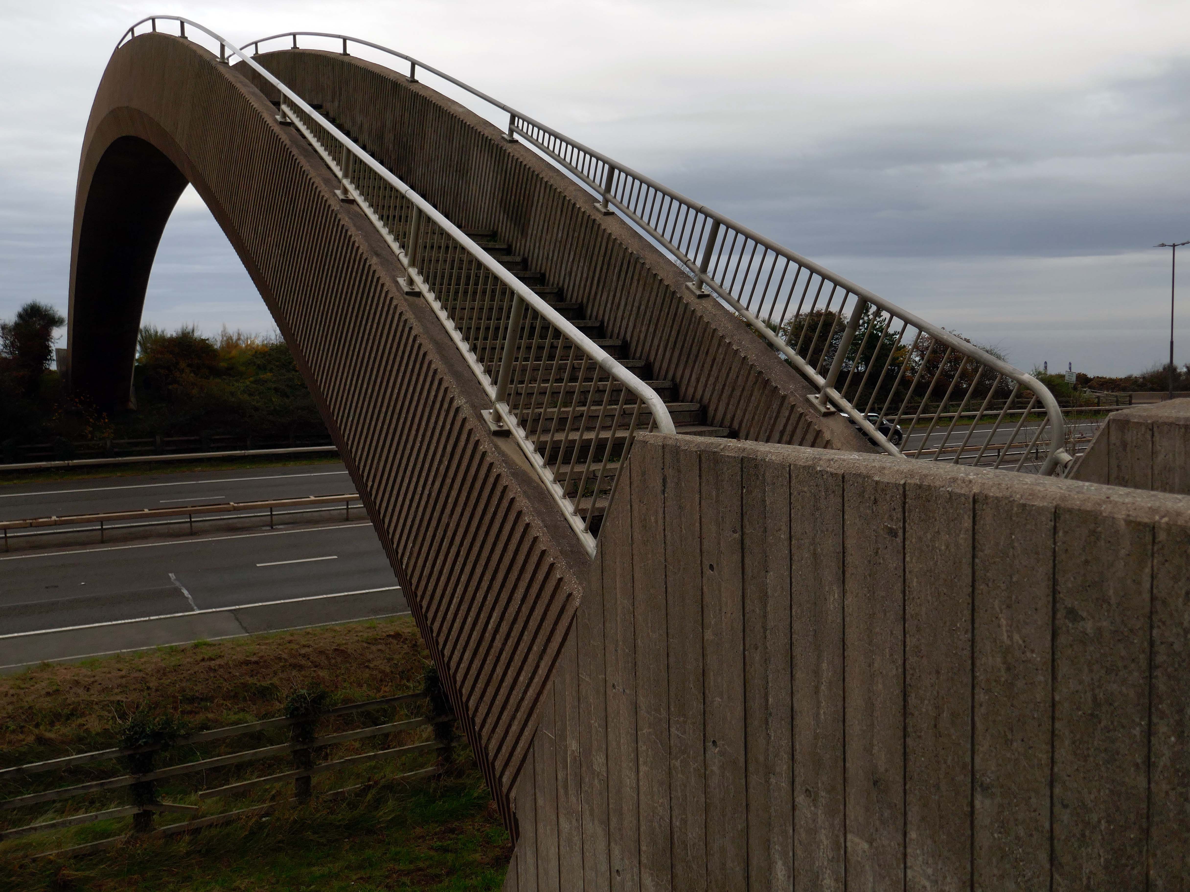
Limestone forming an important constituent part of the nearby concrete Rainbow Bridge – linking Old Colwyn’s pedestrians to the shore.
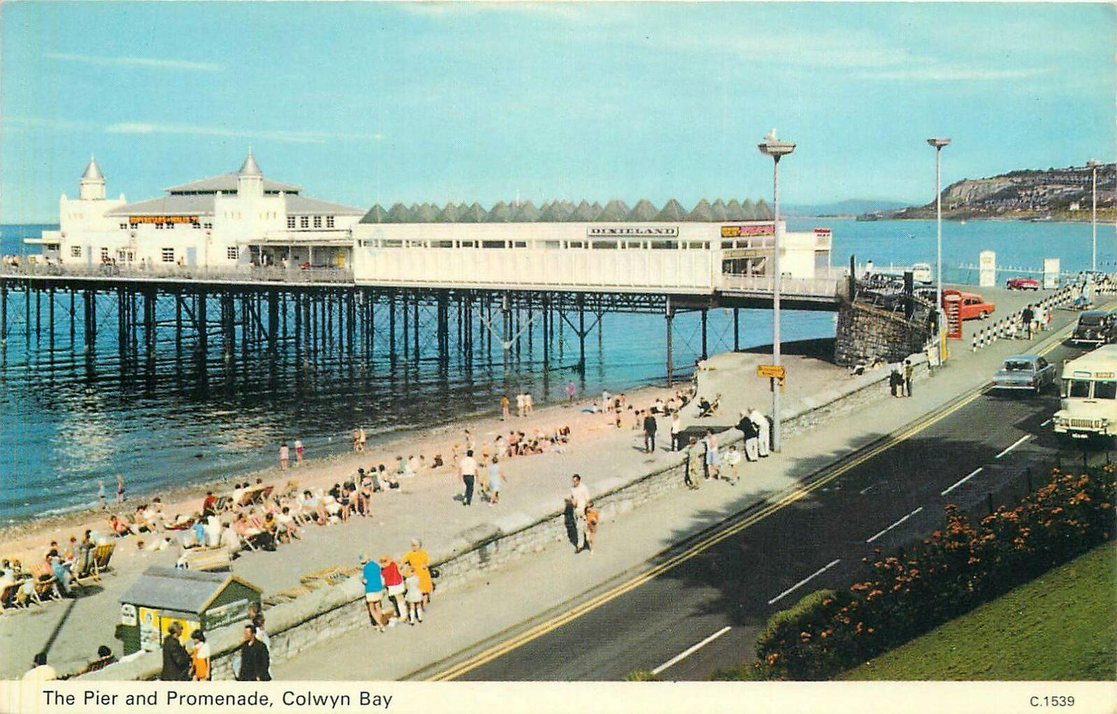
On the site of Colwyn Bay Pier is a seriously truncated pier.
It was conceived in the late 19th century, when Colwyn Bay wanted to catch up with other towns which had piers where steamers deposited and collected passengers. However, it was found that the proposed pier would have to extend almost half a mile to reach the area where the water was deep enough for ships. This was too costly, so the pier was built purely for entertainments. The councillors saved face by saying this would avoid day trippers arriving by steamer and lowering the tone of Colwyn Bay!
The pier was less than 100 metres long when it opened in 1900. The pavilion had a 2,500-seat theatre, shops and a restaurant. The opening performance featured Adelina Patti, one of the world’s most renowned operatic sopranos in her day.
The final pavilion, opened in 1934, incorporated Art Deco features and murals by Eric Ravilious and Mary Adshead.
Both walls of the last remaining Eric Ravilious mural have been successfully removed, and were placed safely in storage. But with CCBC staff set to relocate to new Colwyn Bay offices a more permanent home is needed for the murals.
Many of those features were destroyed or obscured in post-war refurbishments. Entertainers who performed at the pier in this period included comedians Ken Dodd and Morecambe and Wise, and singers Harry Secombe and Elvis Costello.
The new promenade, measuring 2.3 miles long, has been designed to protect the town and its infrastructure from the effects of the sea. The project was split into two phases; the first, to remove what was originally there and to construct the new raised promenade including a road, cycleway and car parking. The second phase was to transform the promenade with further development as well as reinforce the defence structures.
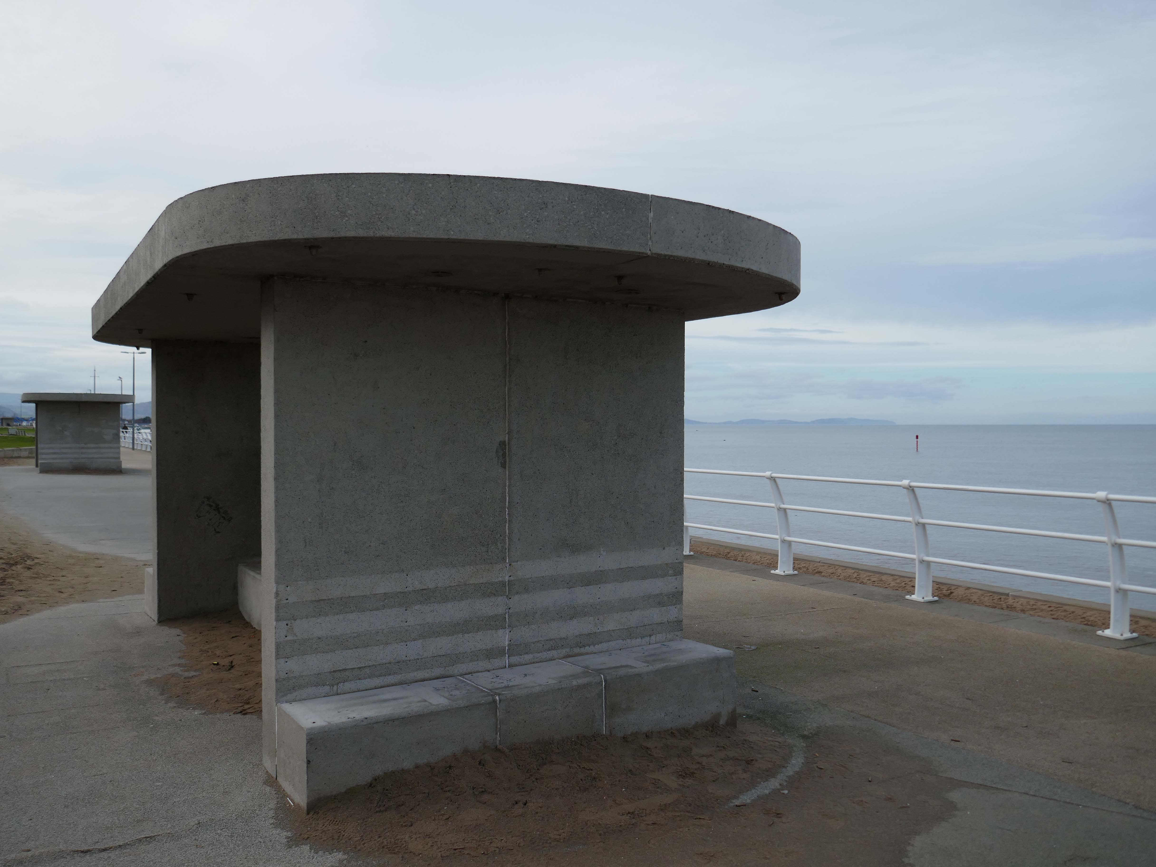
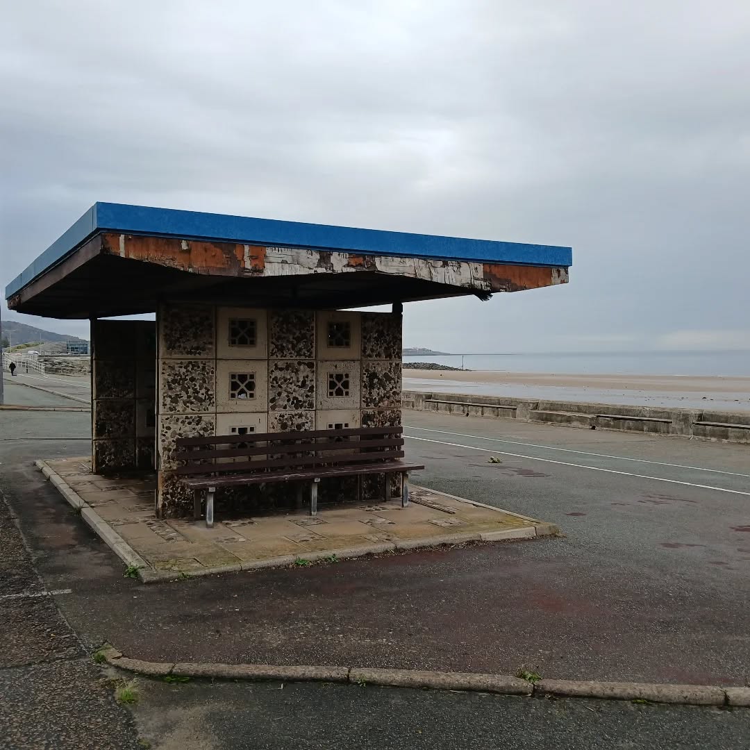
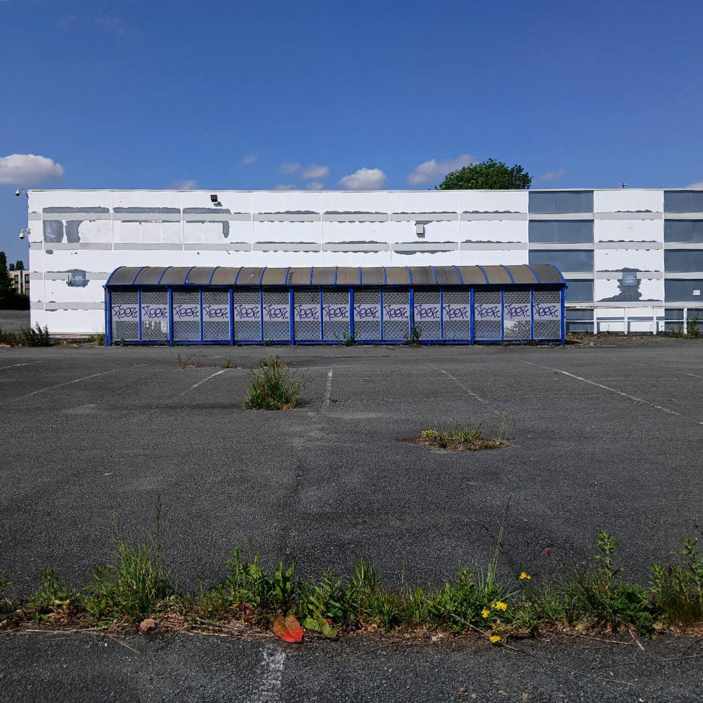
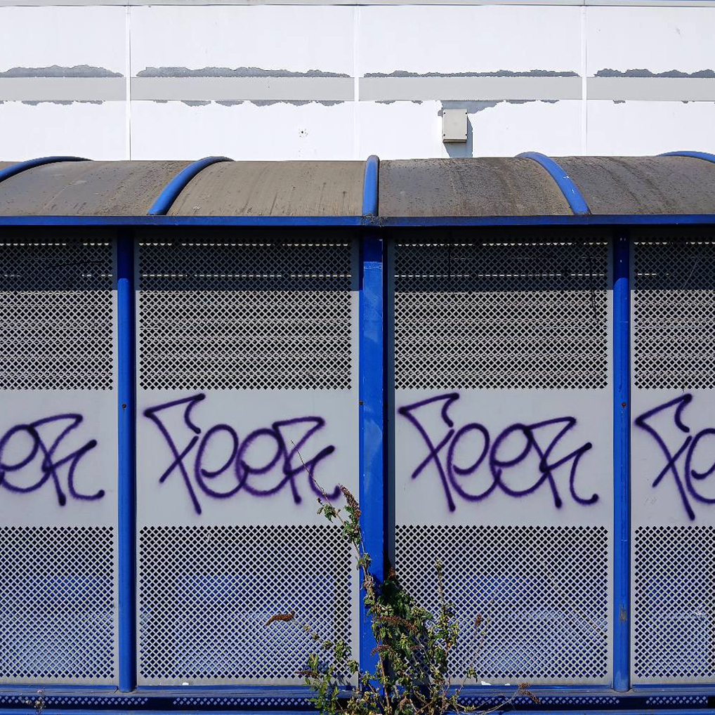
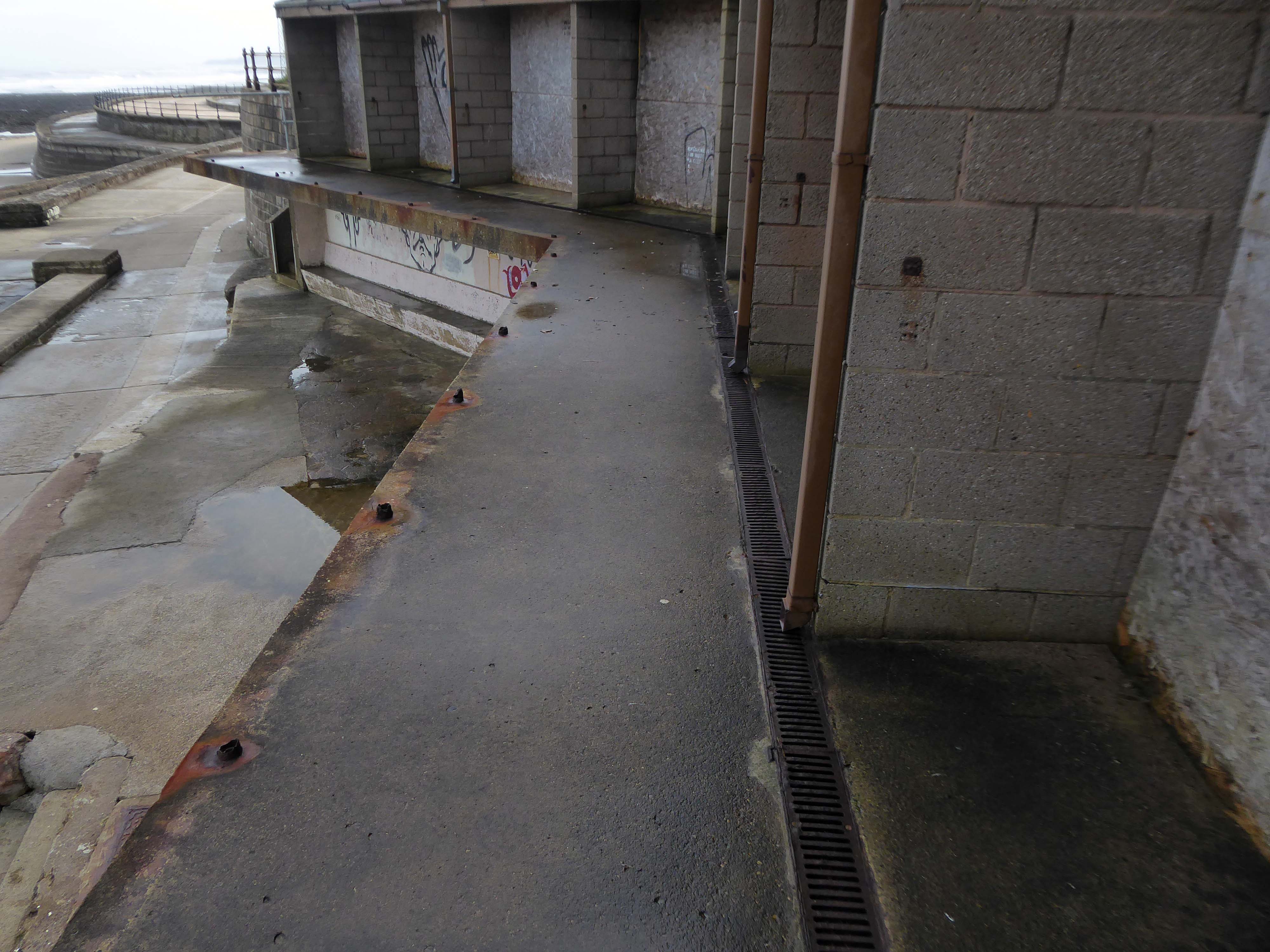
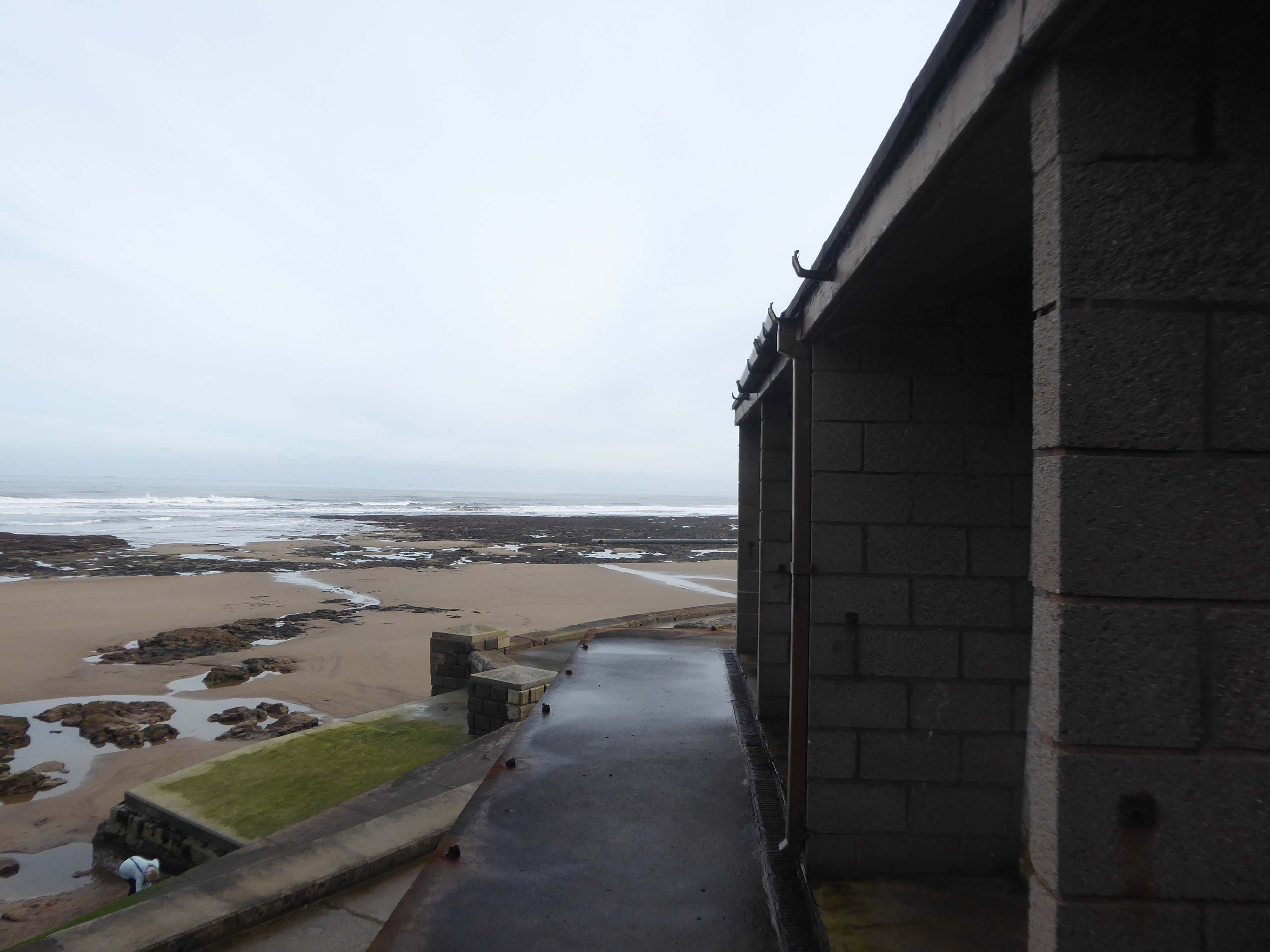
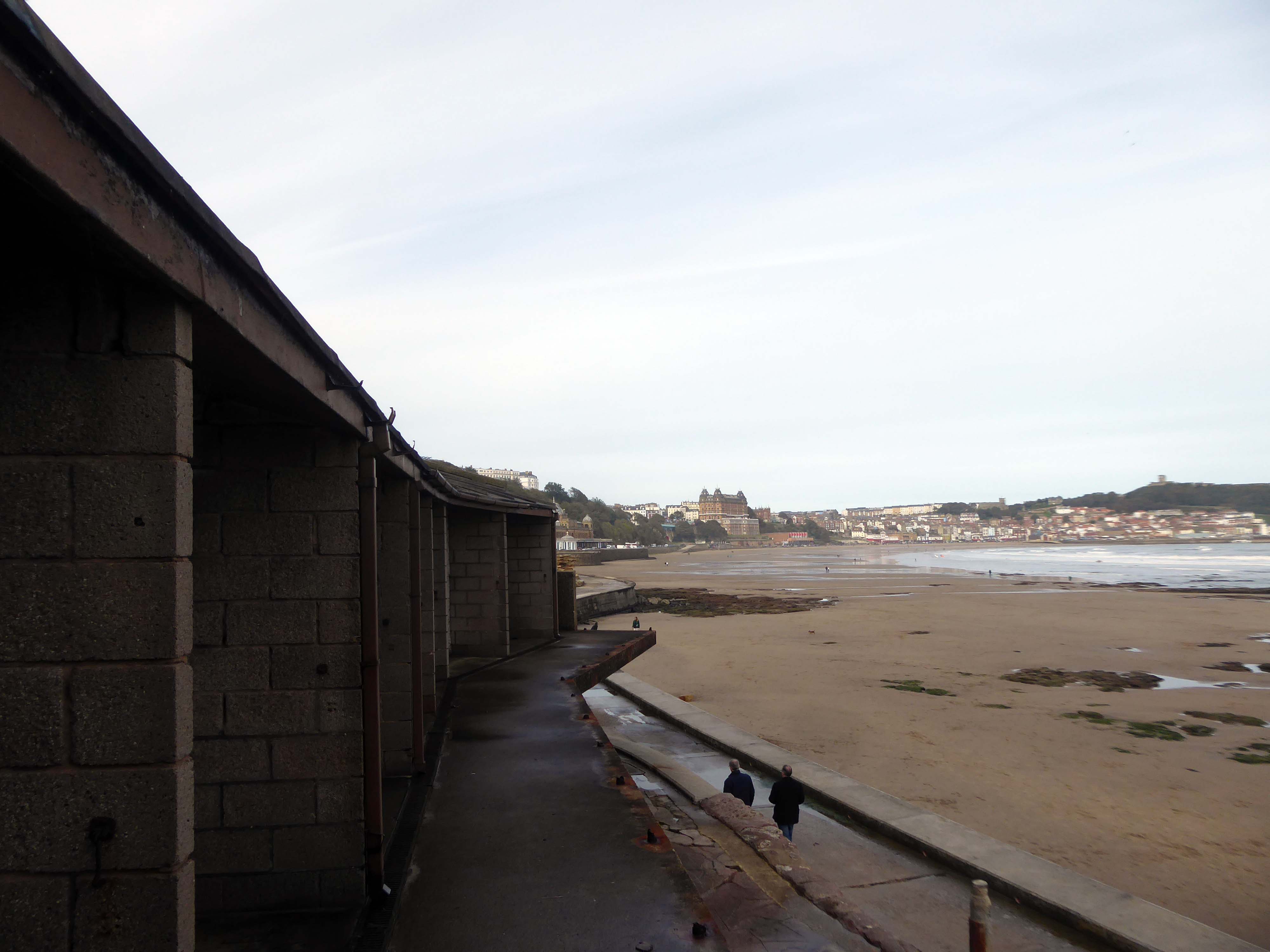
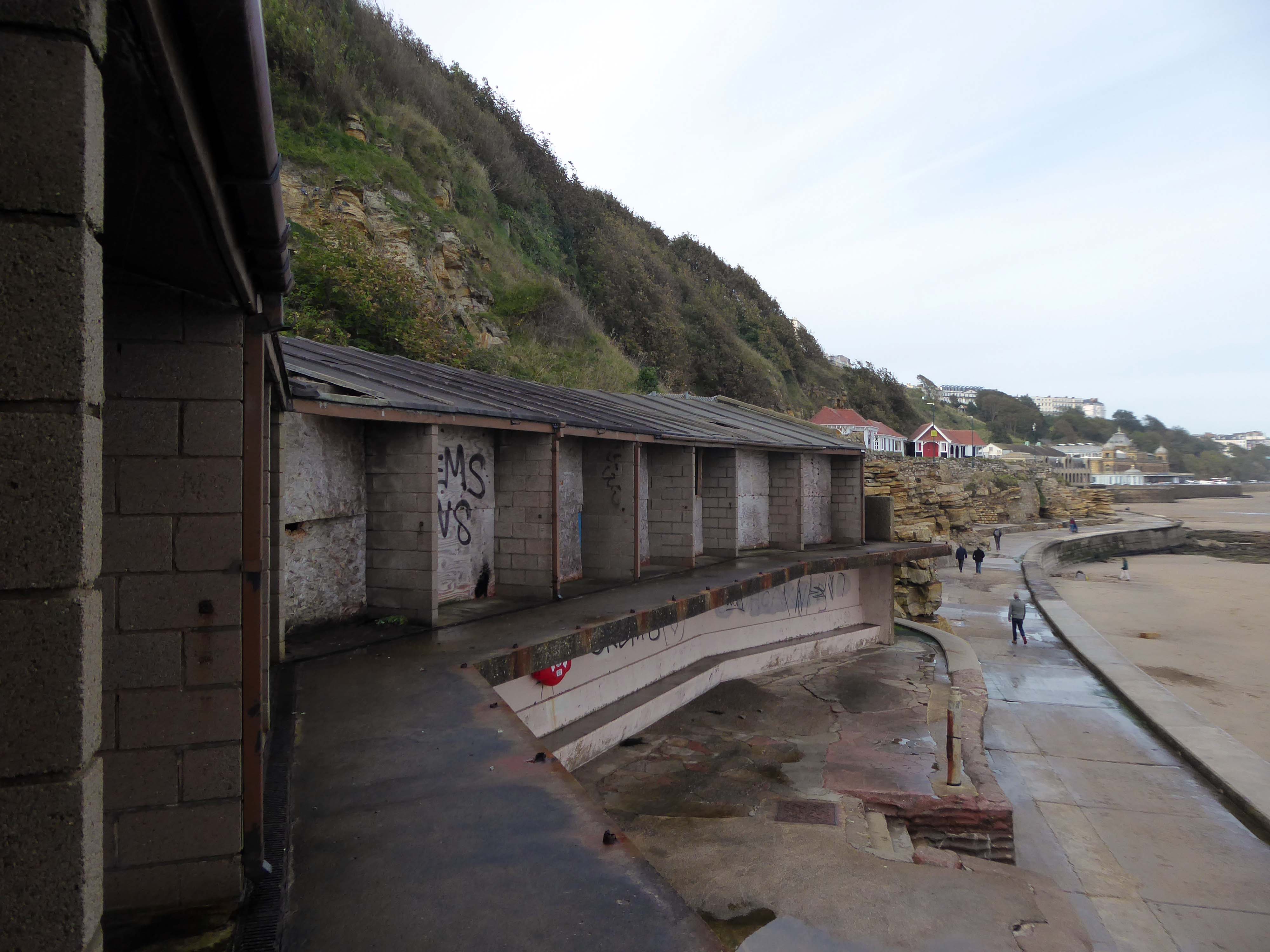
This is the last of the Sixties concrete shelters – which once stretched all the way to Rhos on Sea.
New shelters have appeared
A Conwy County Borough Council spokesperson said:
The shelters include new features such as solar power lighting and are designed to be accessible for wheelchair and mobility scooter users.
The closed design of the old shelters made anti-social behaviour easier and led to their condition deteriorating.
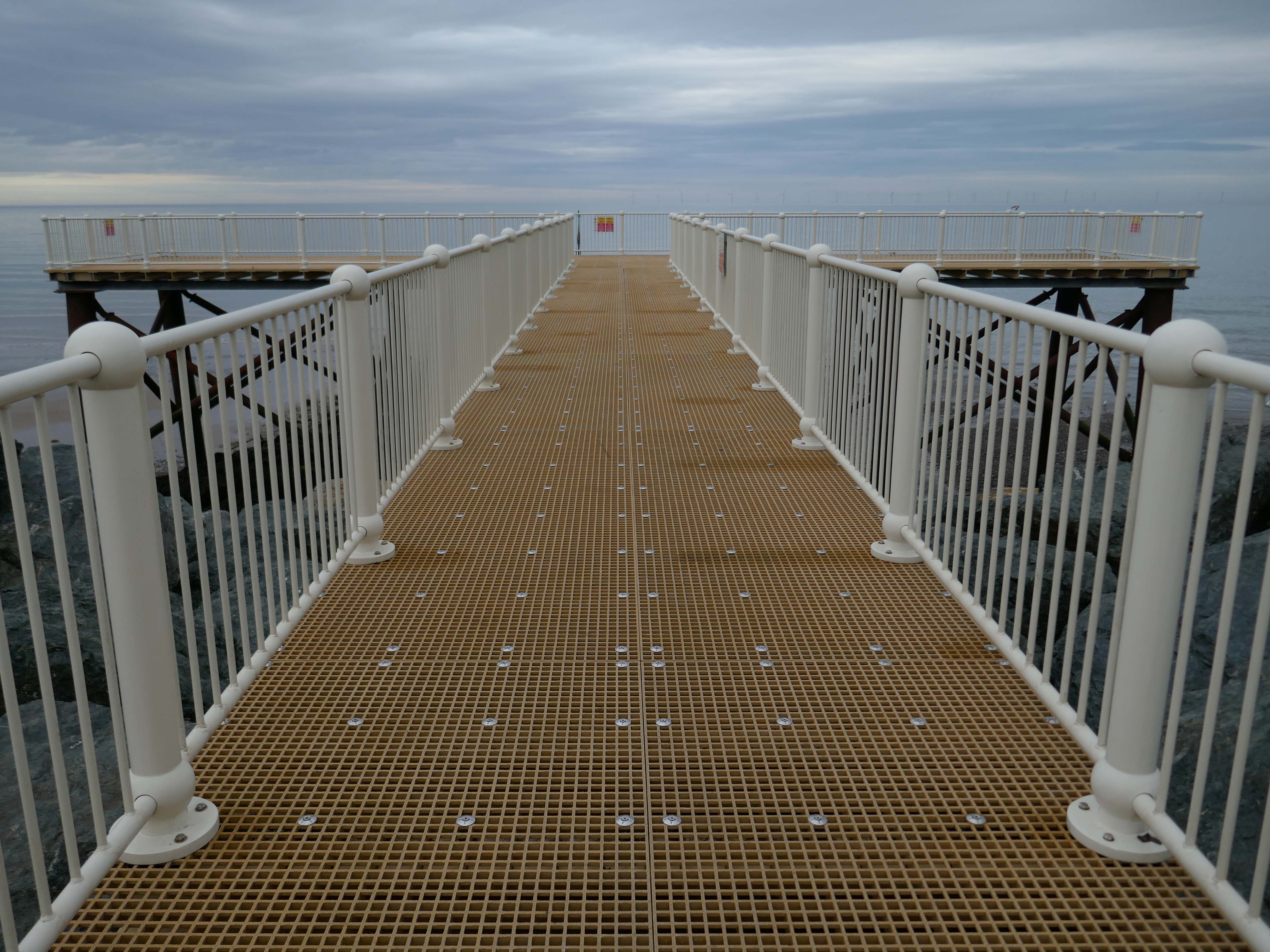
And a new pier has appeared.
Construction on the new Pier at Colwyn Bay commenced in July 2020. Despite being initially slated for completion in the summer, the erection of scaffolding and subsequent work on the 45-meter truncated Colwyn Bay pier were delayed. However, the project timeline was expedited, and the construction was successfully finished in July 2021.
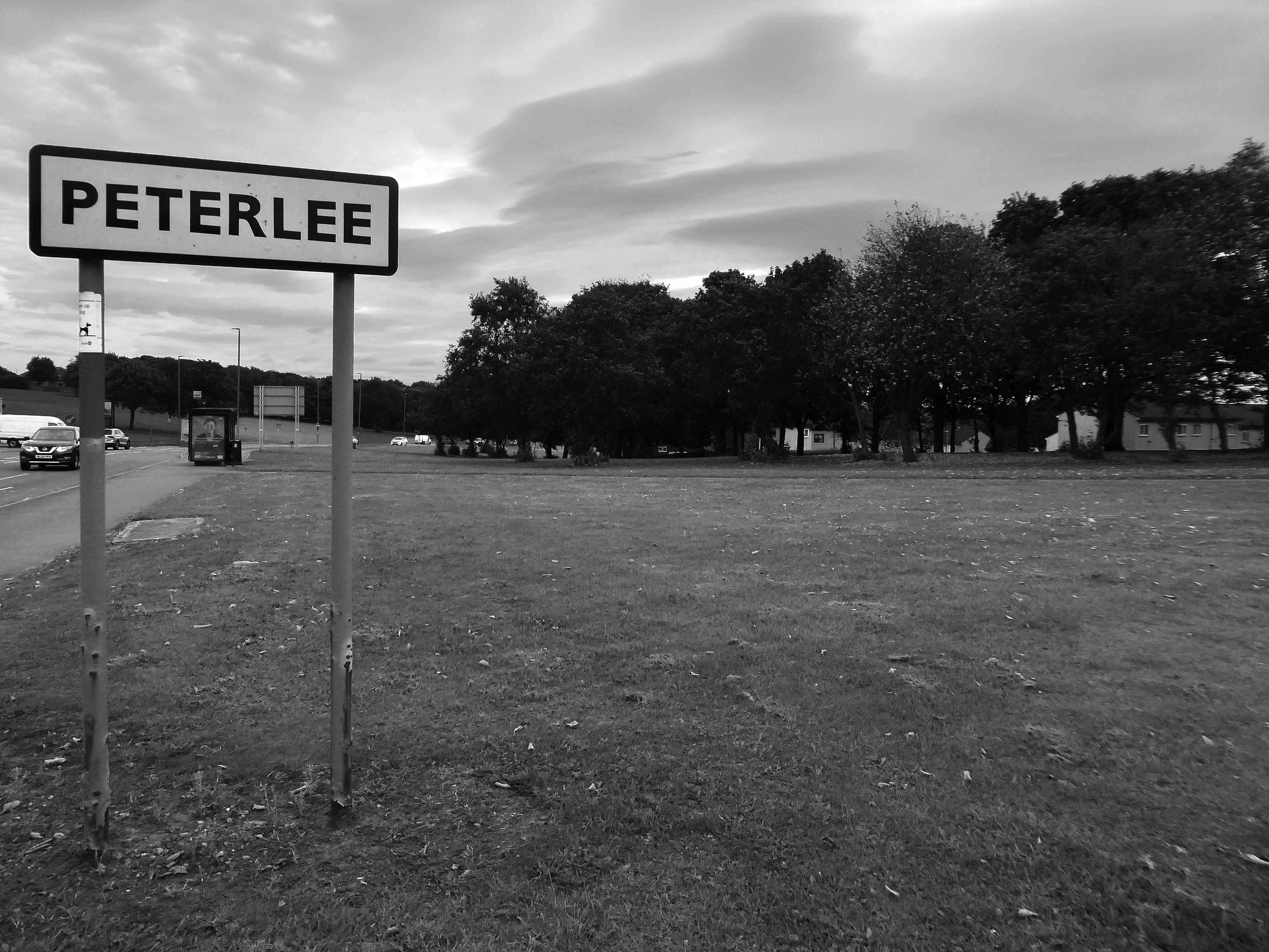
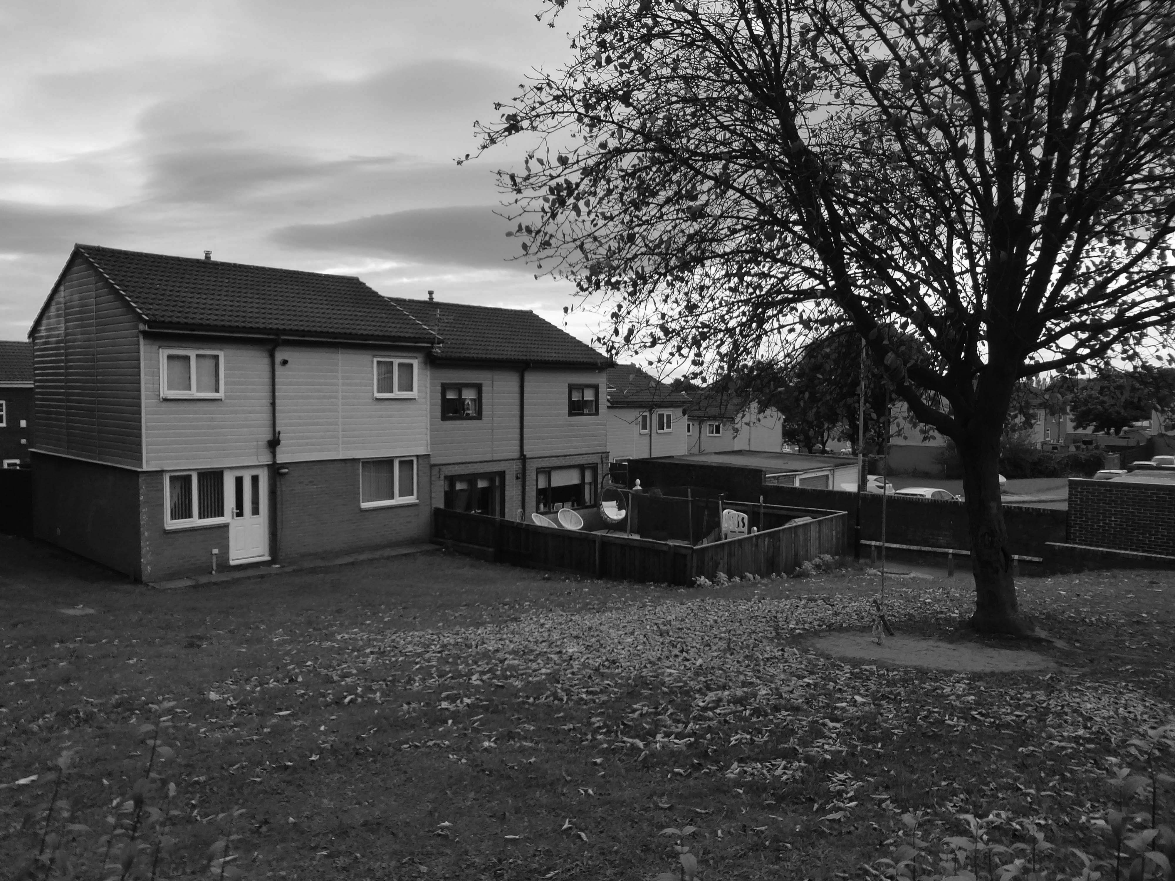
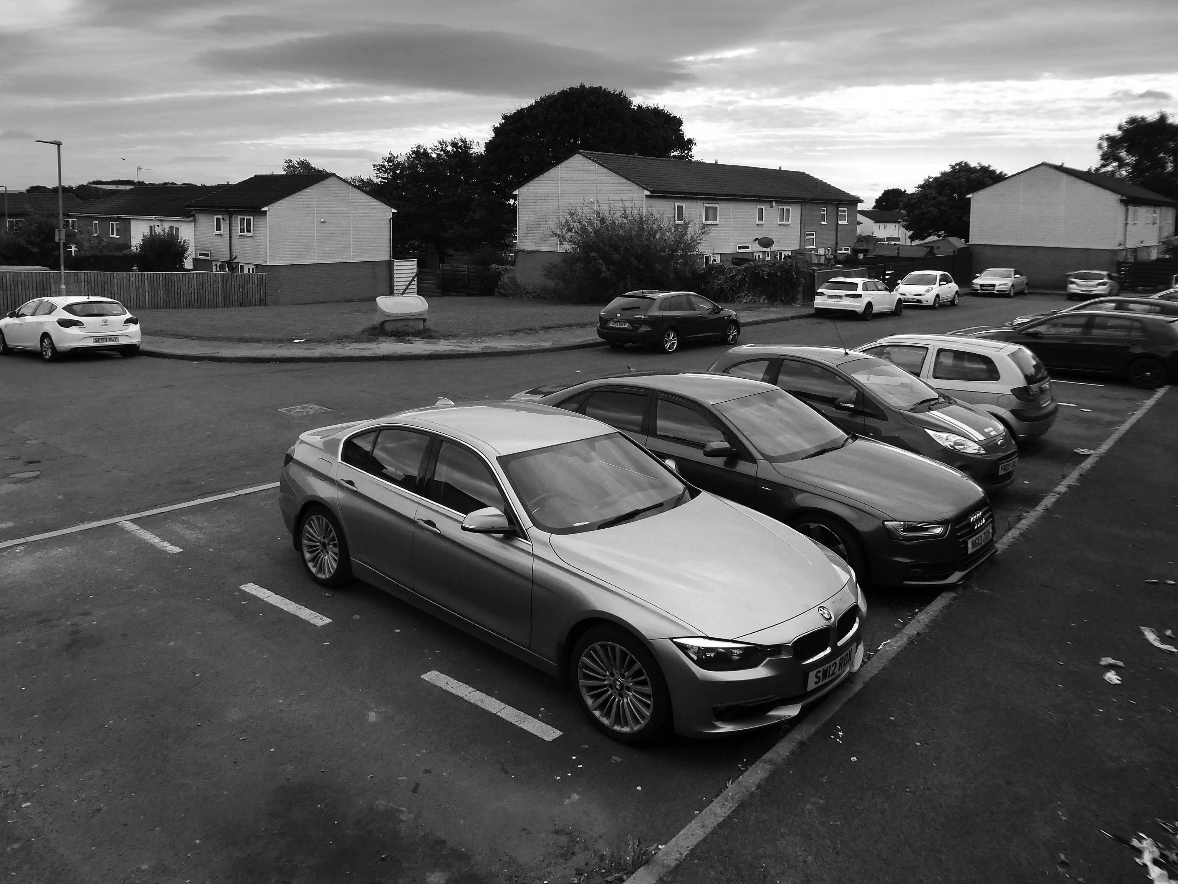
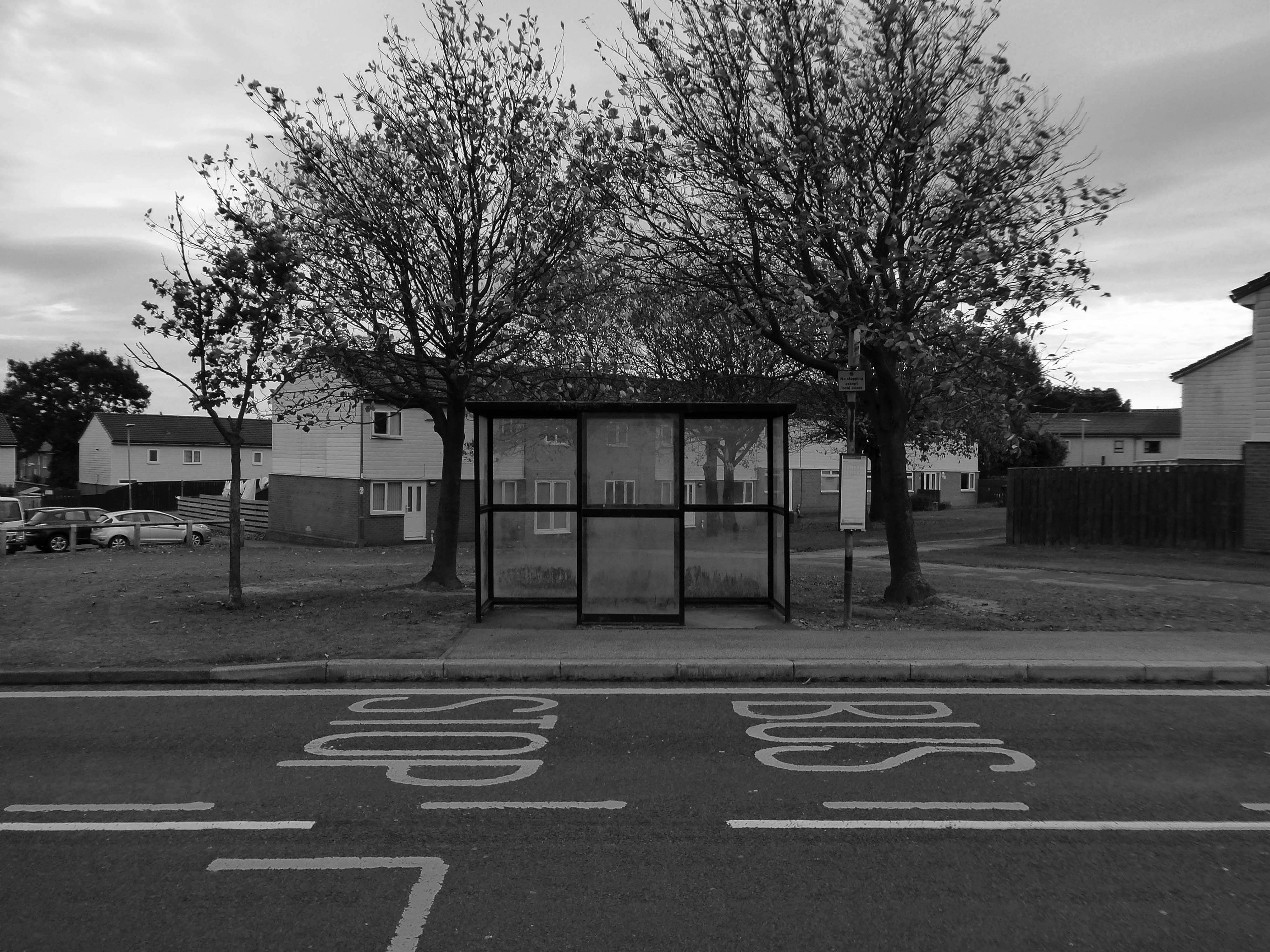
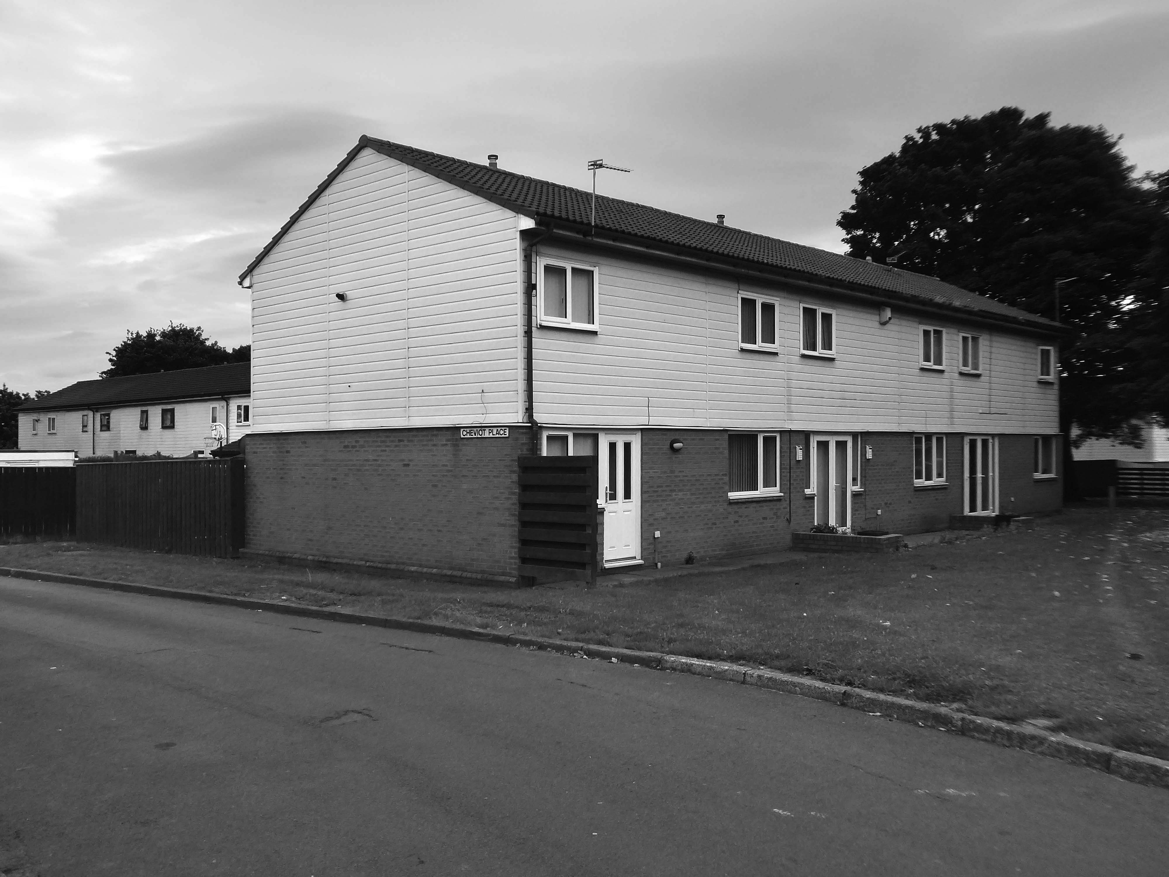
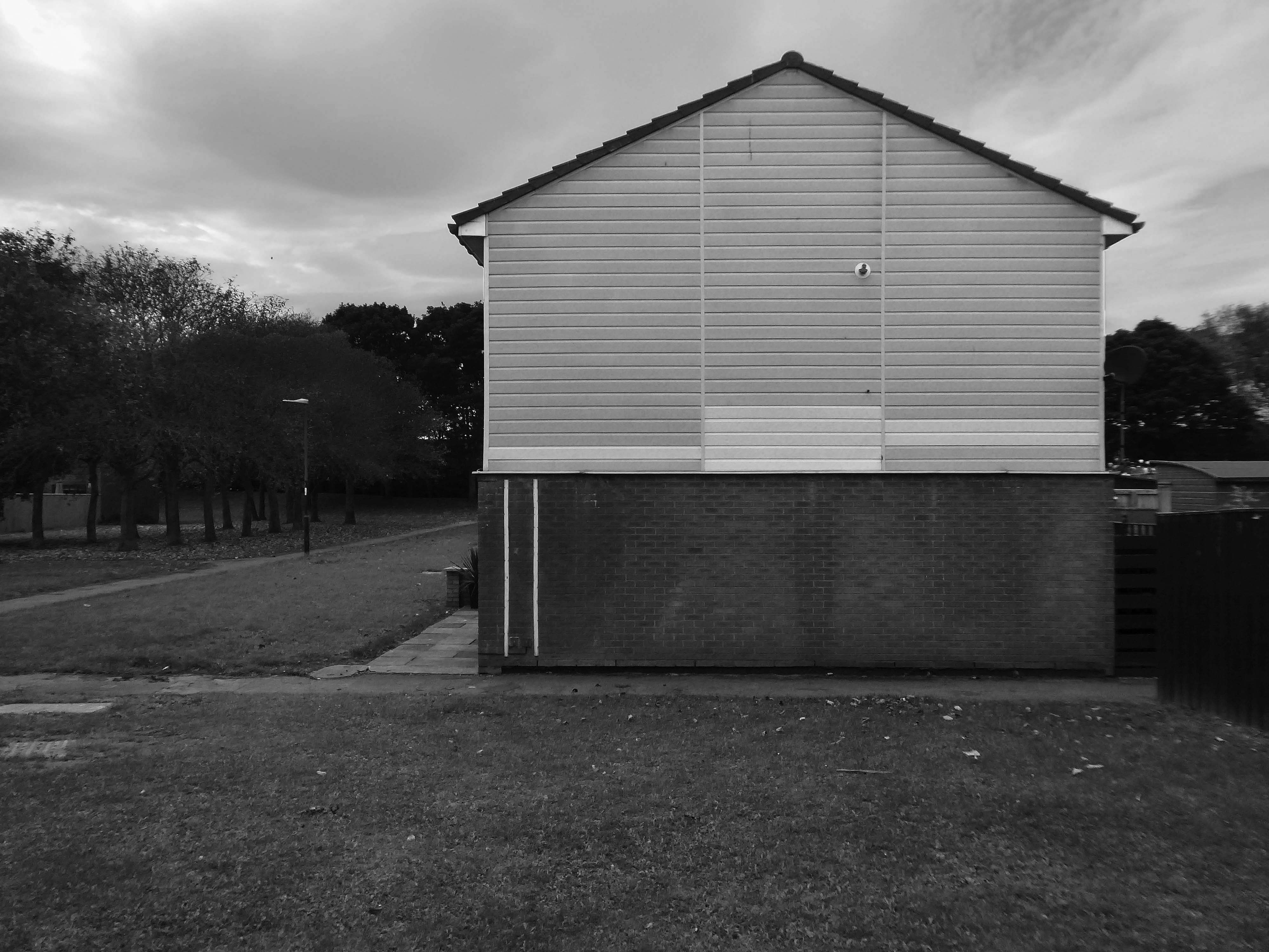
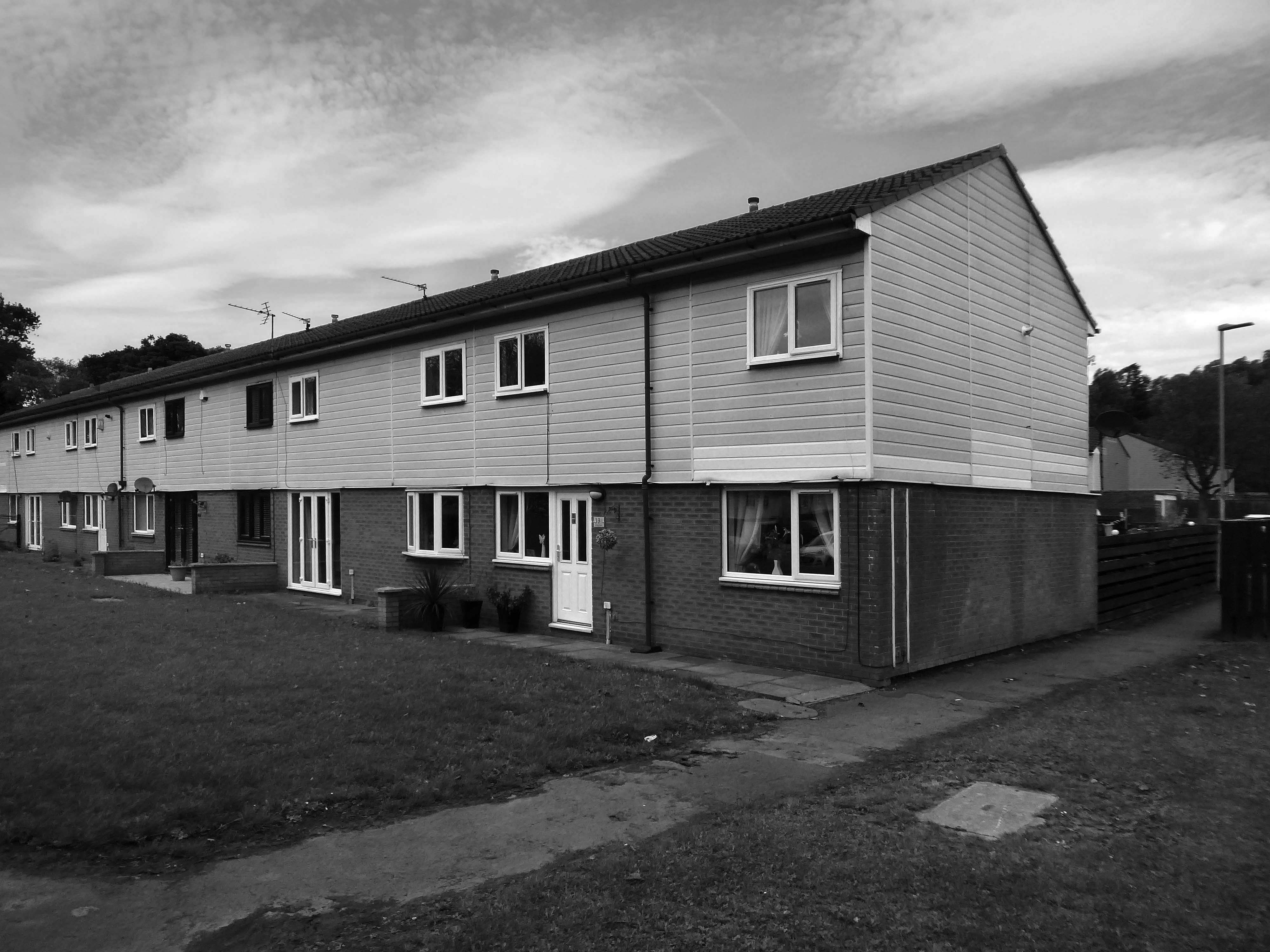
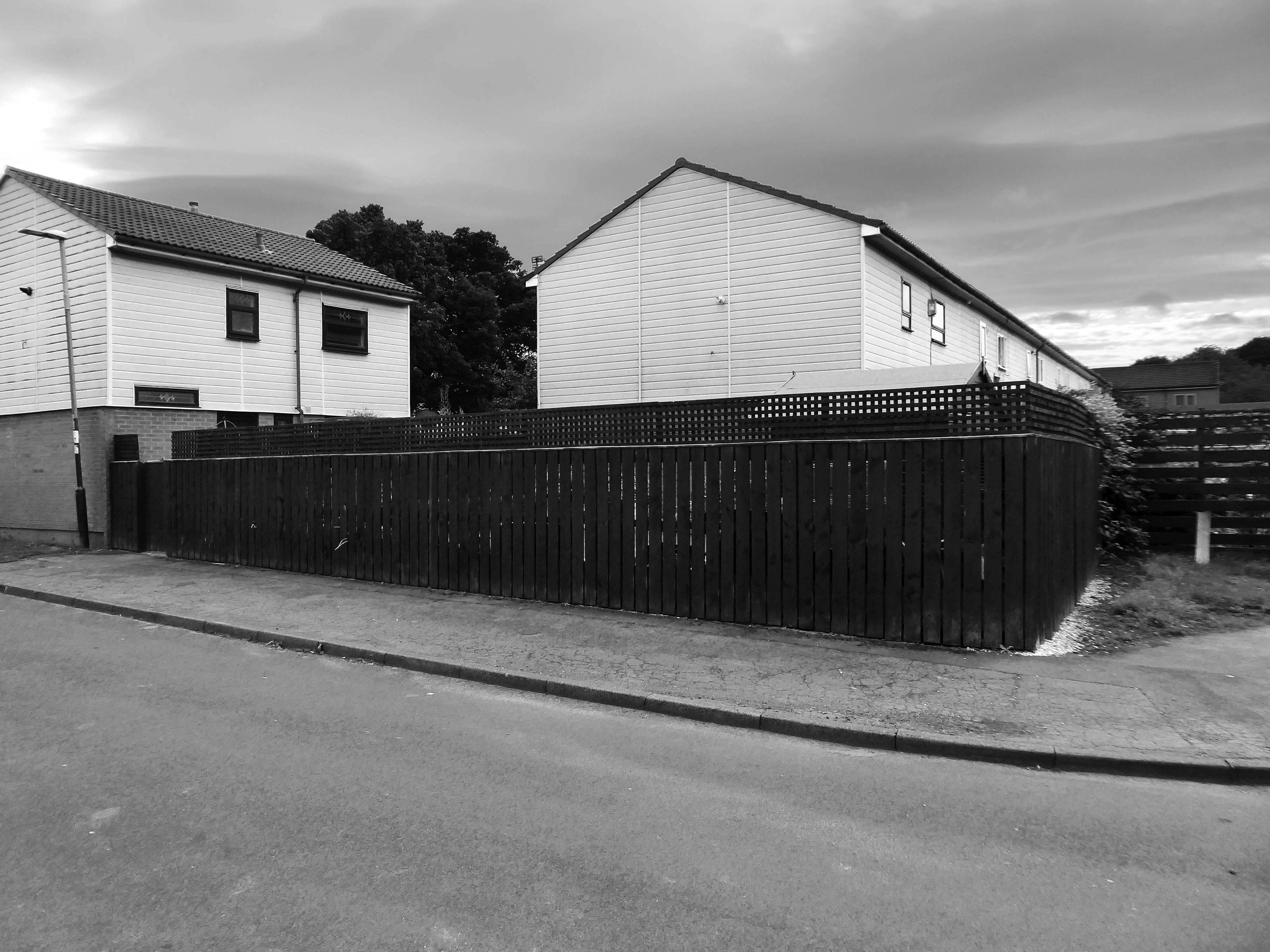
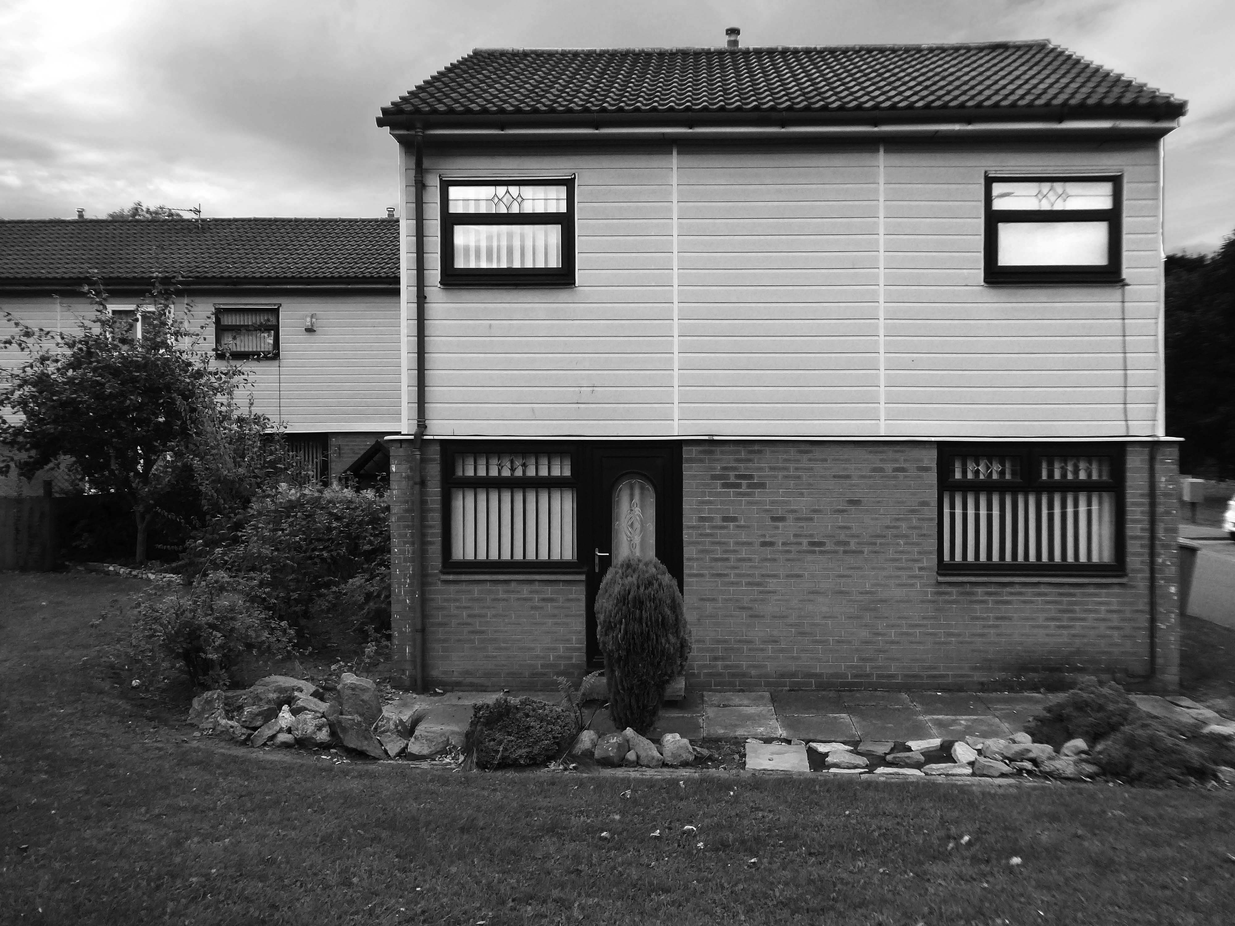
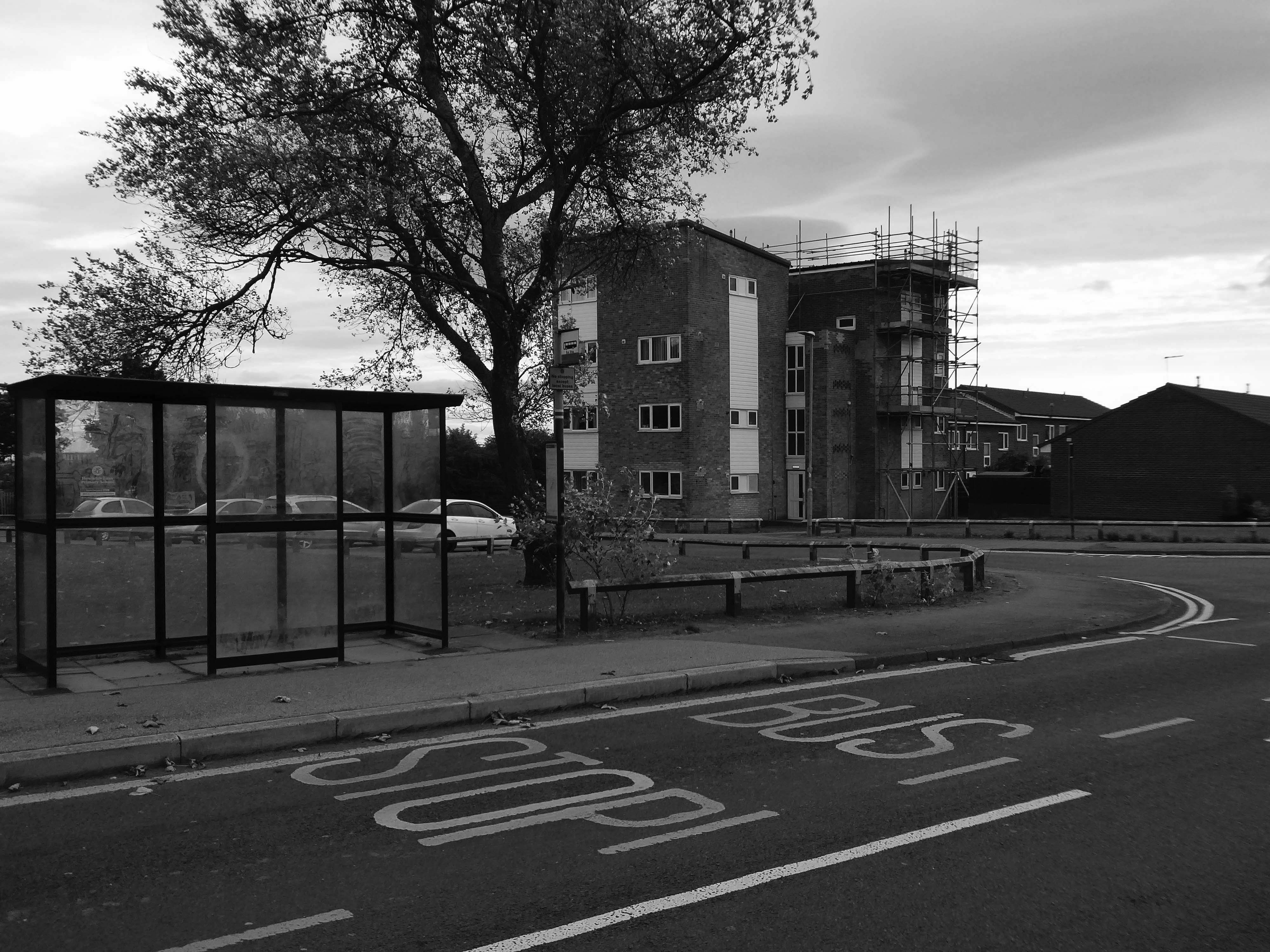
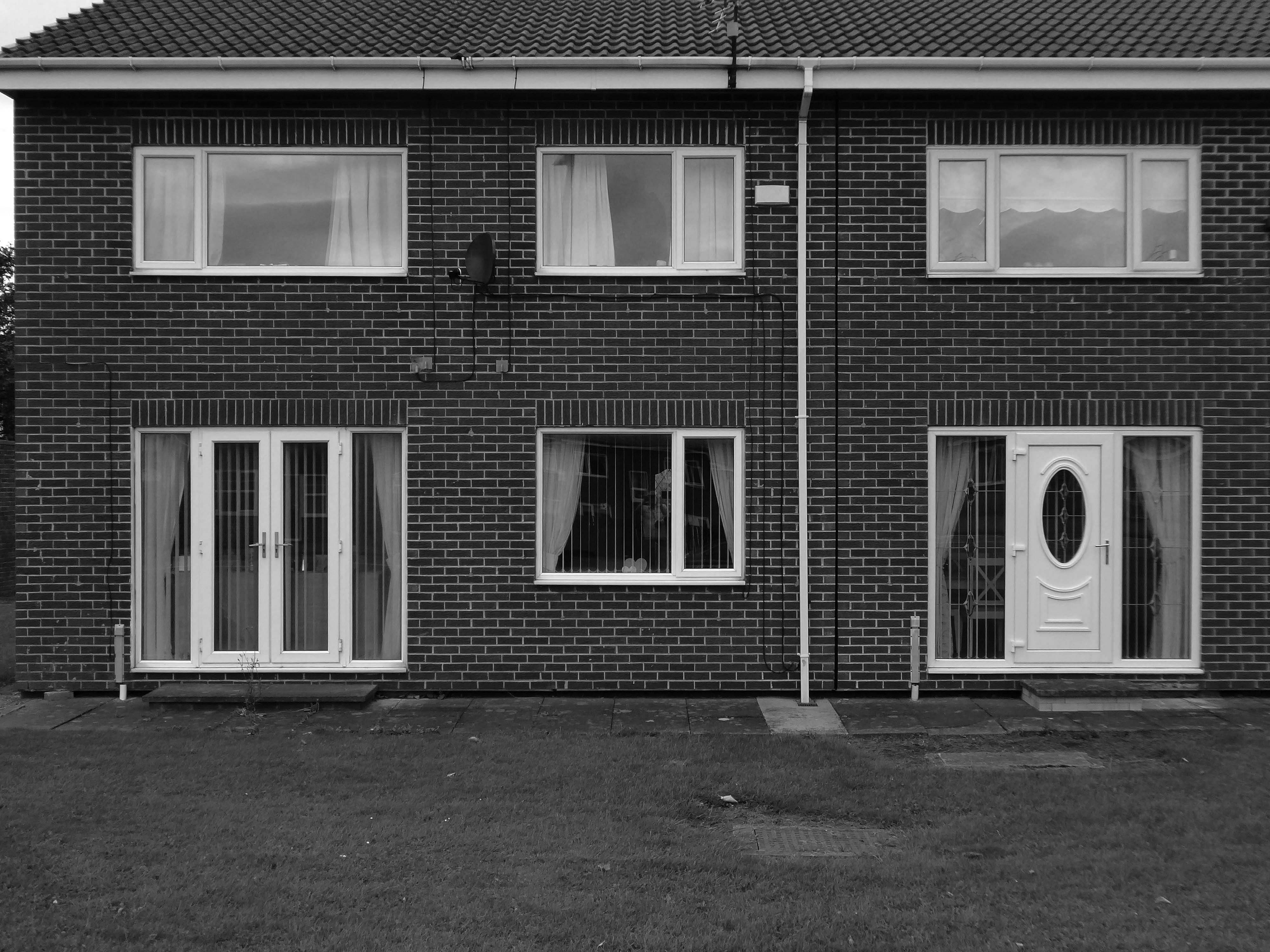
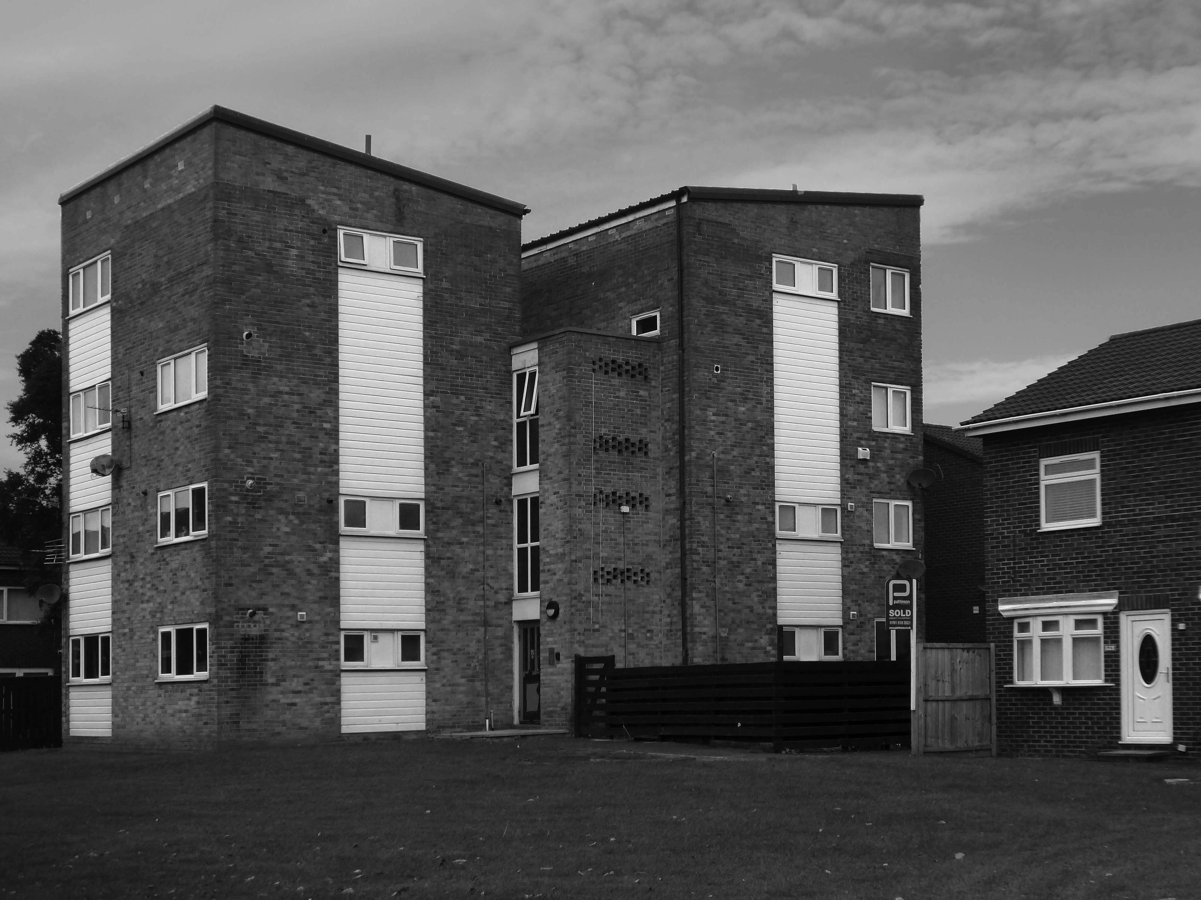
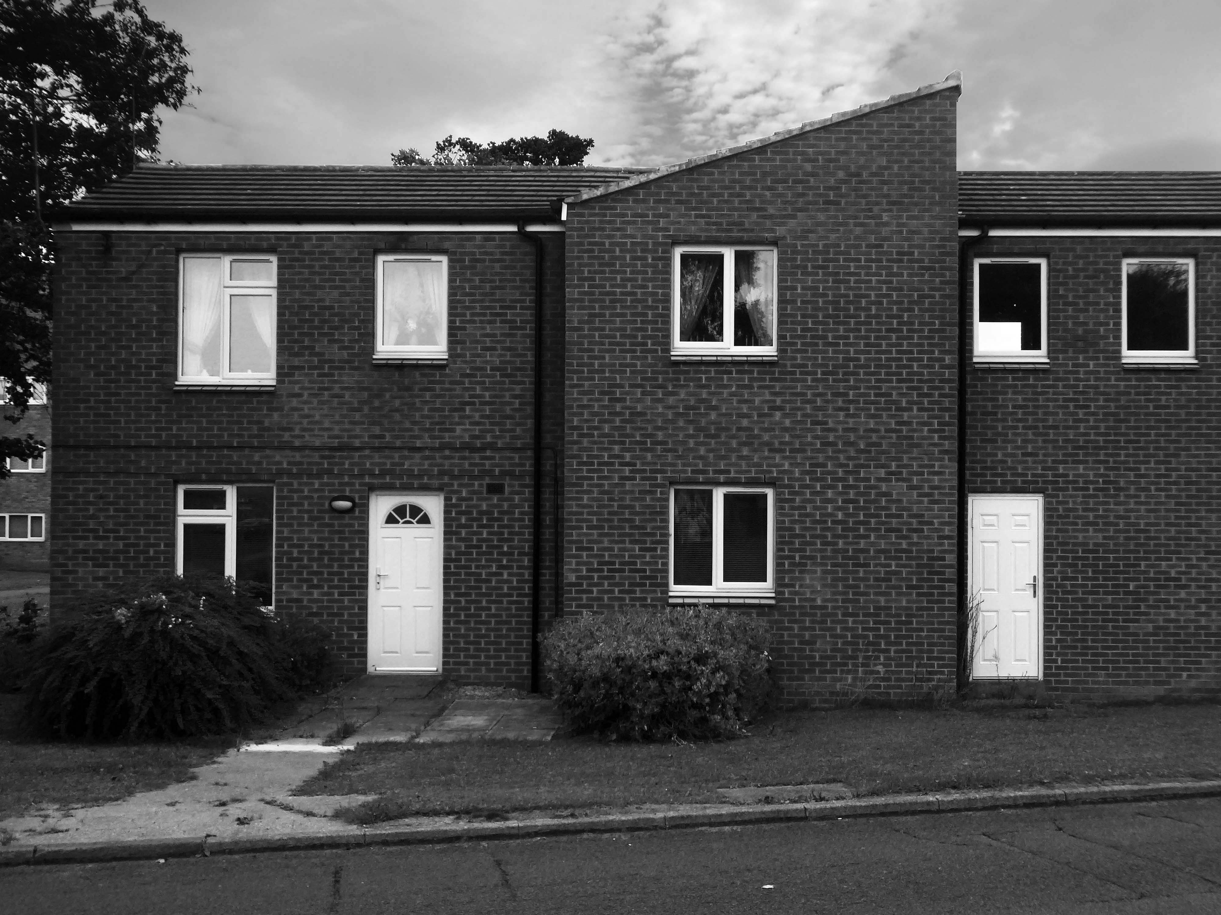
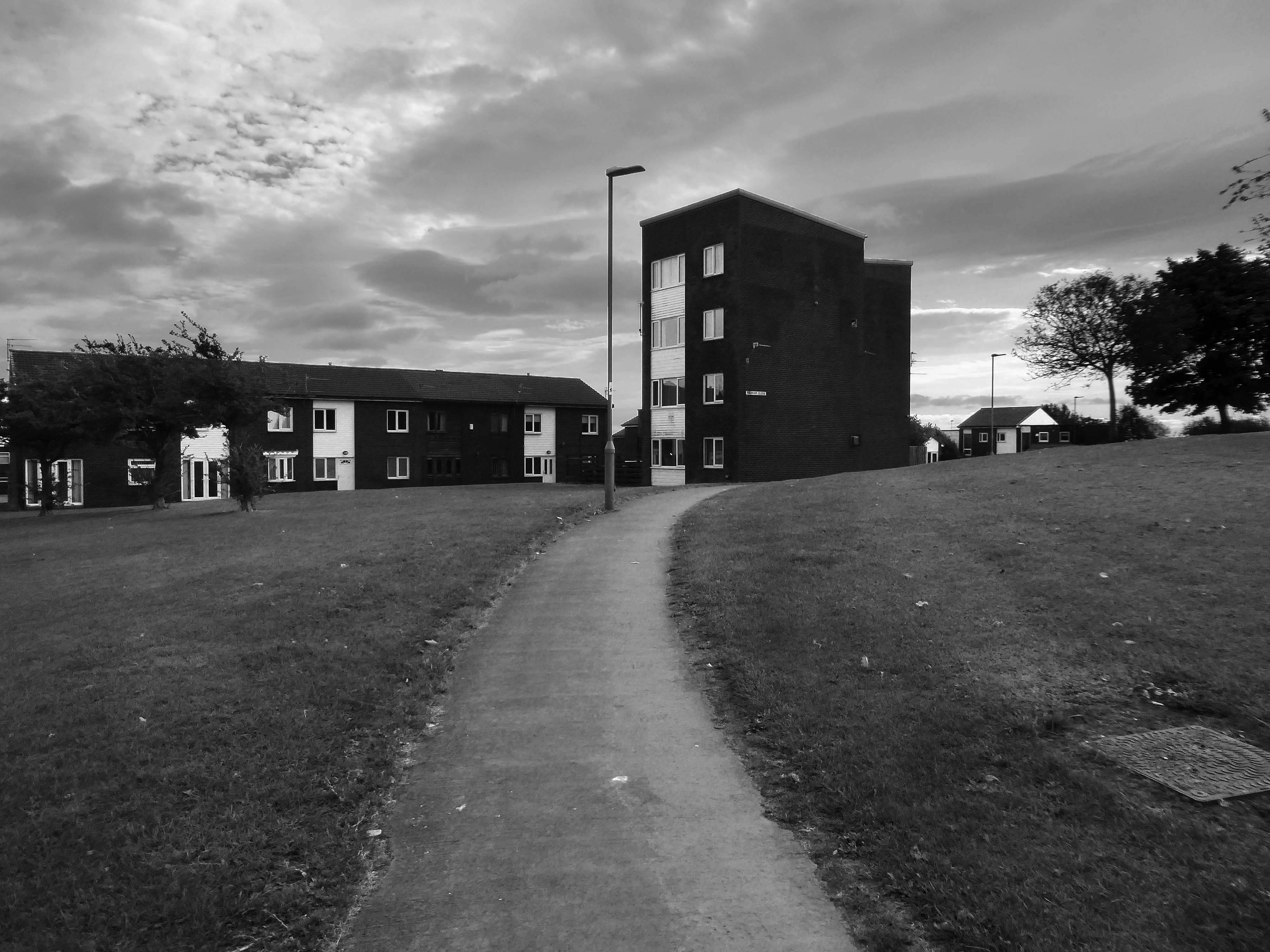
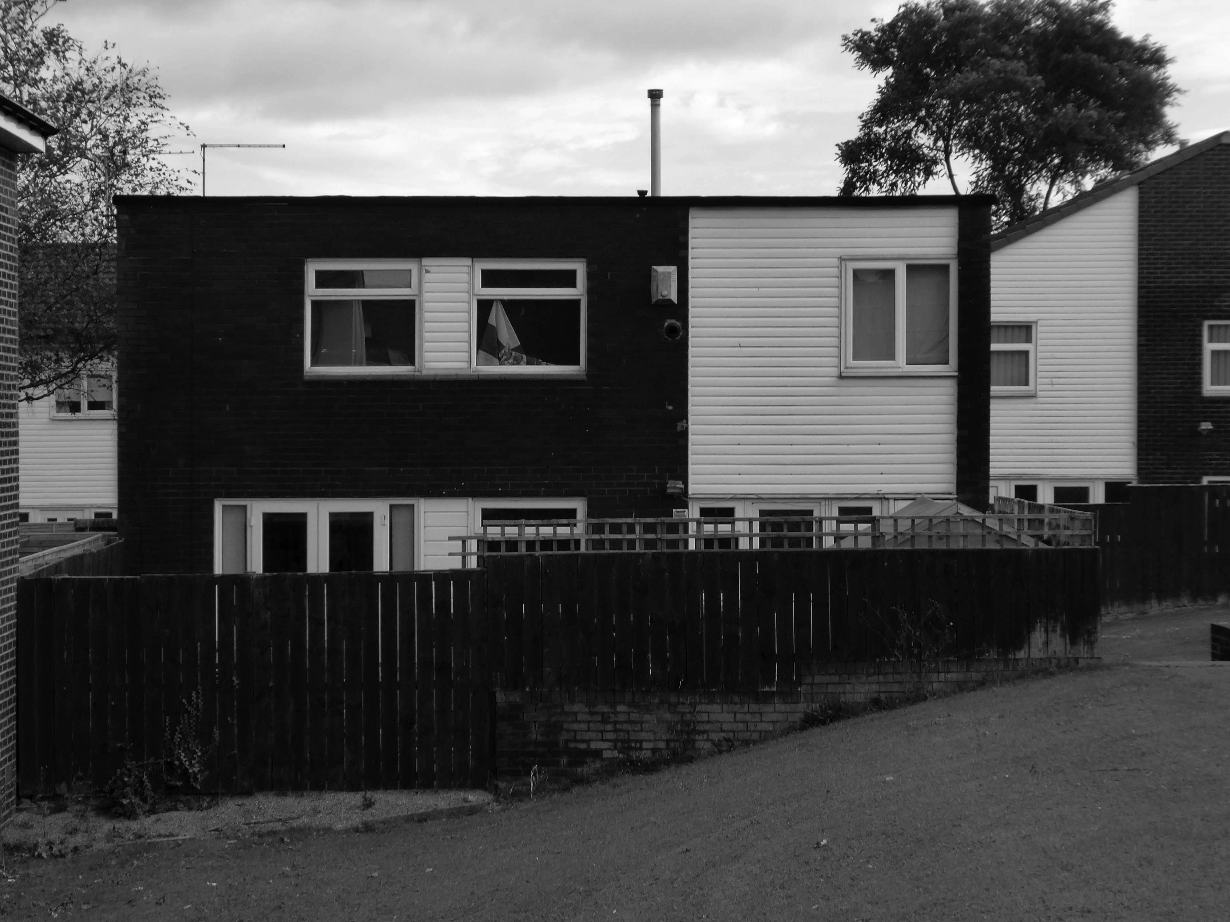
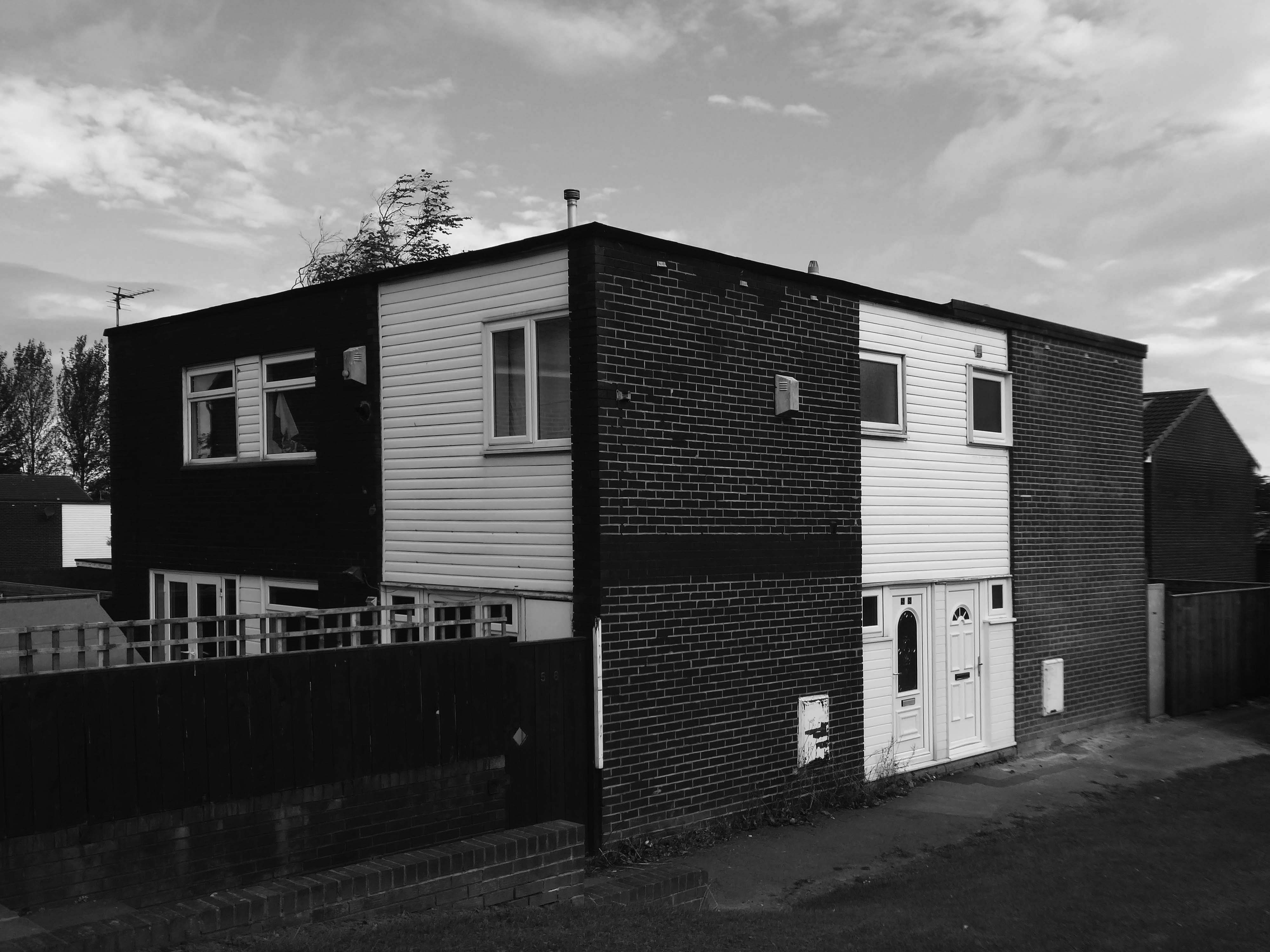
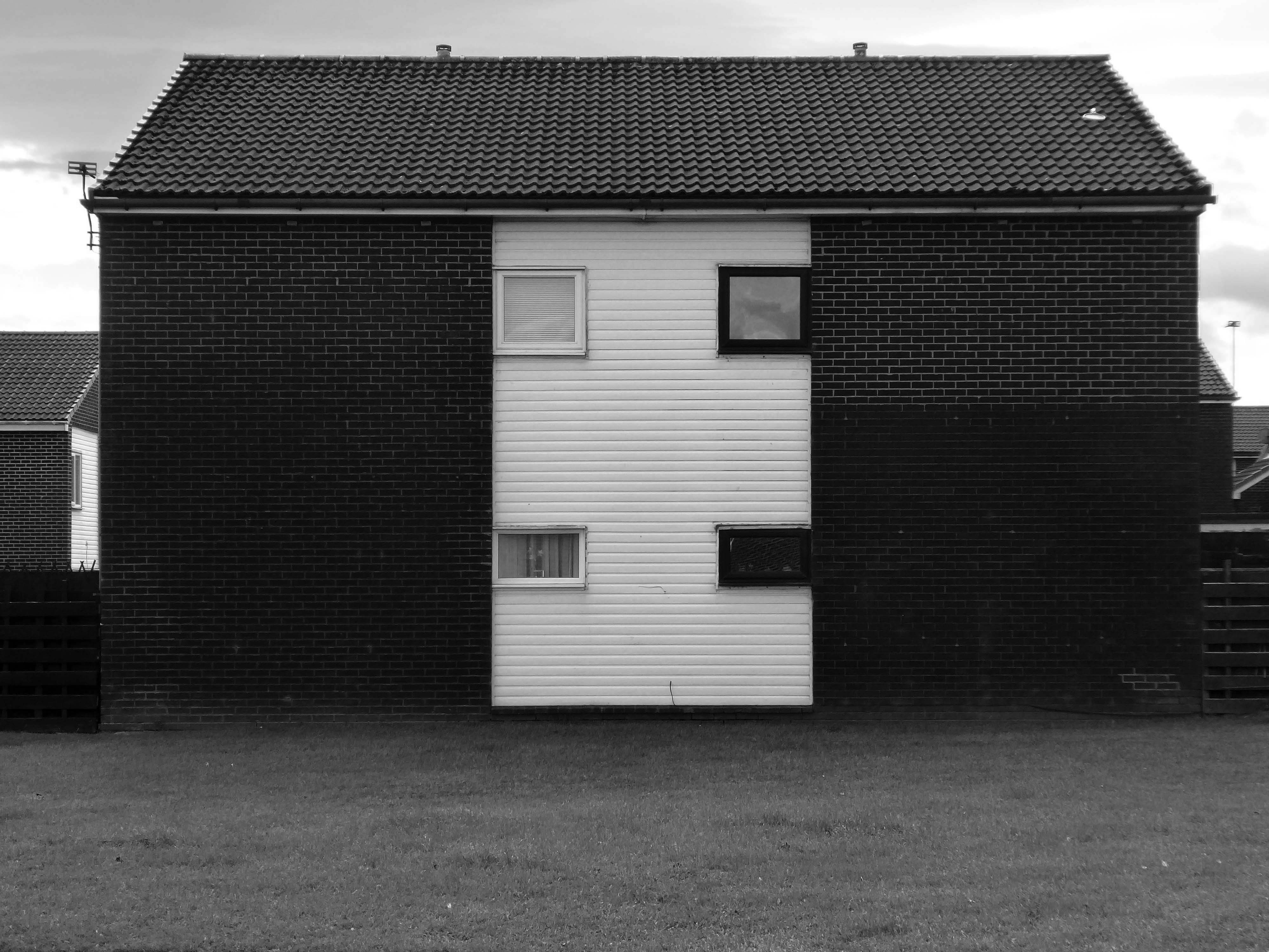
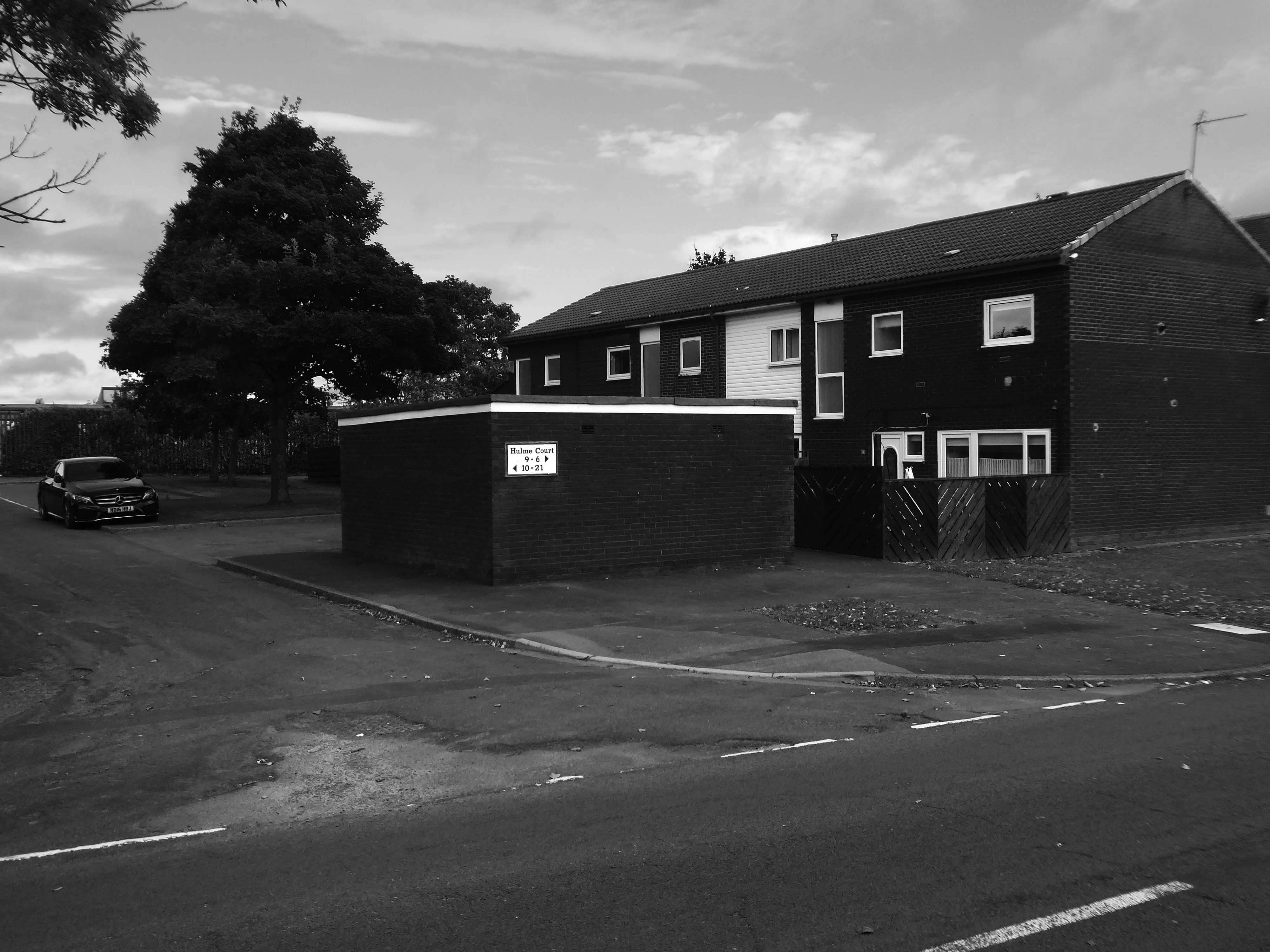
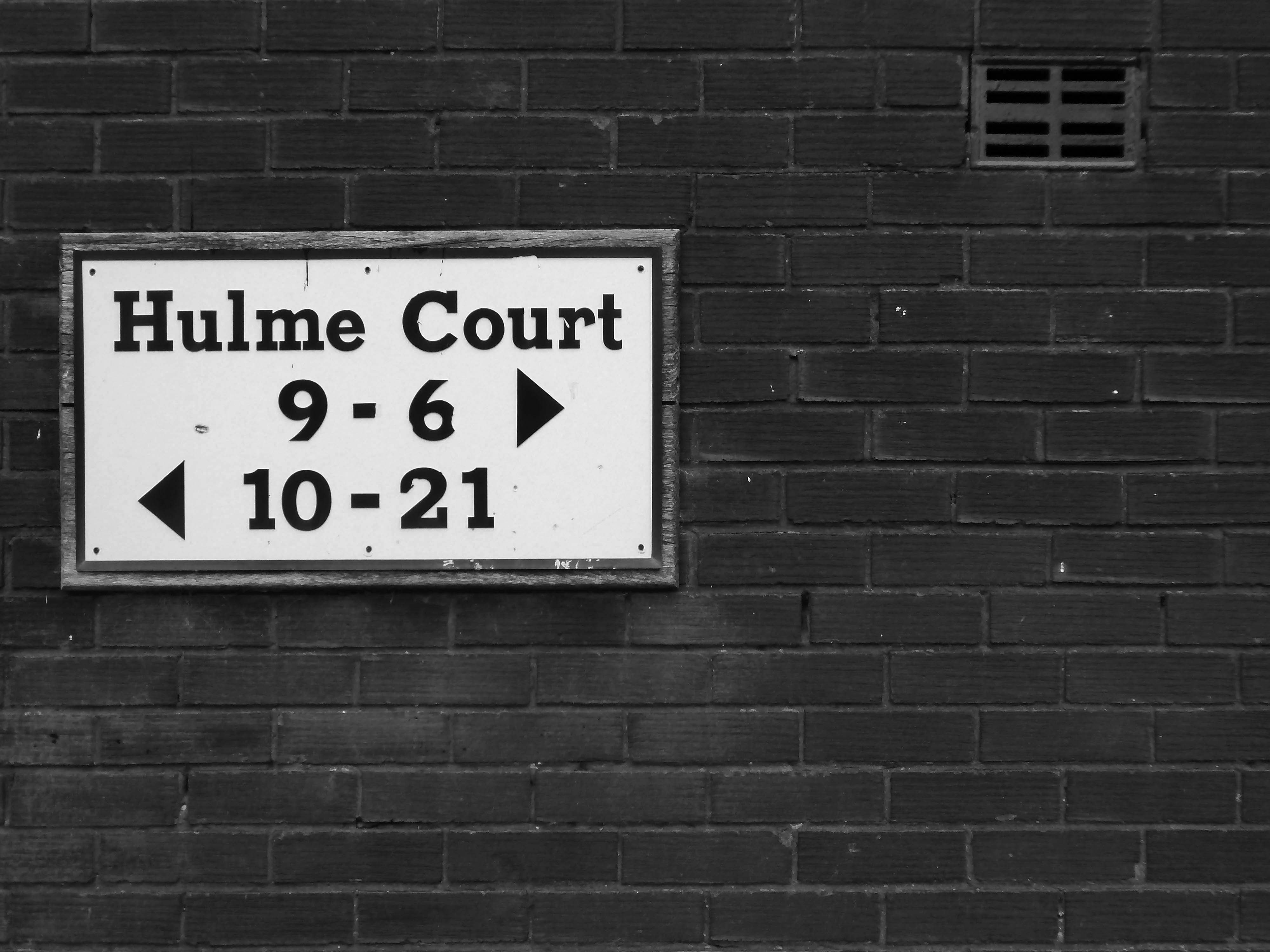
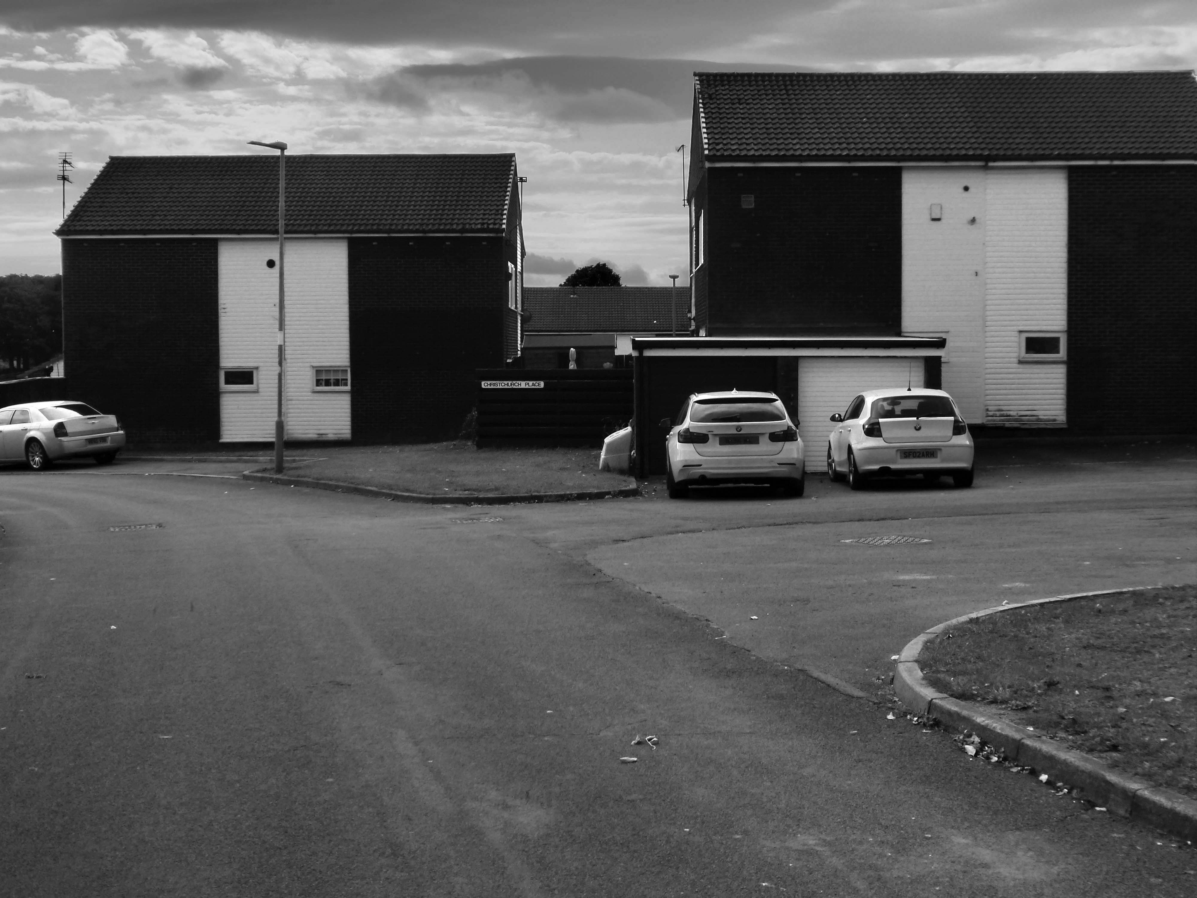
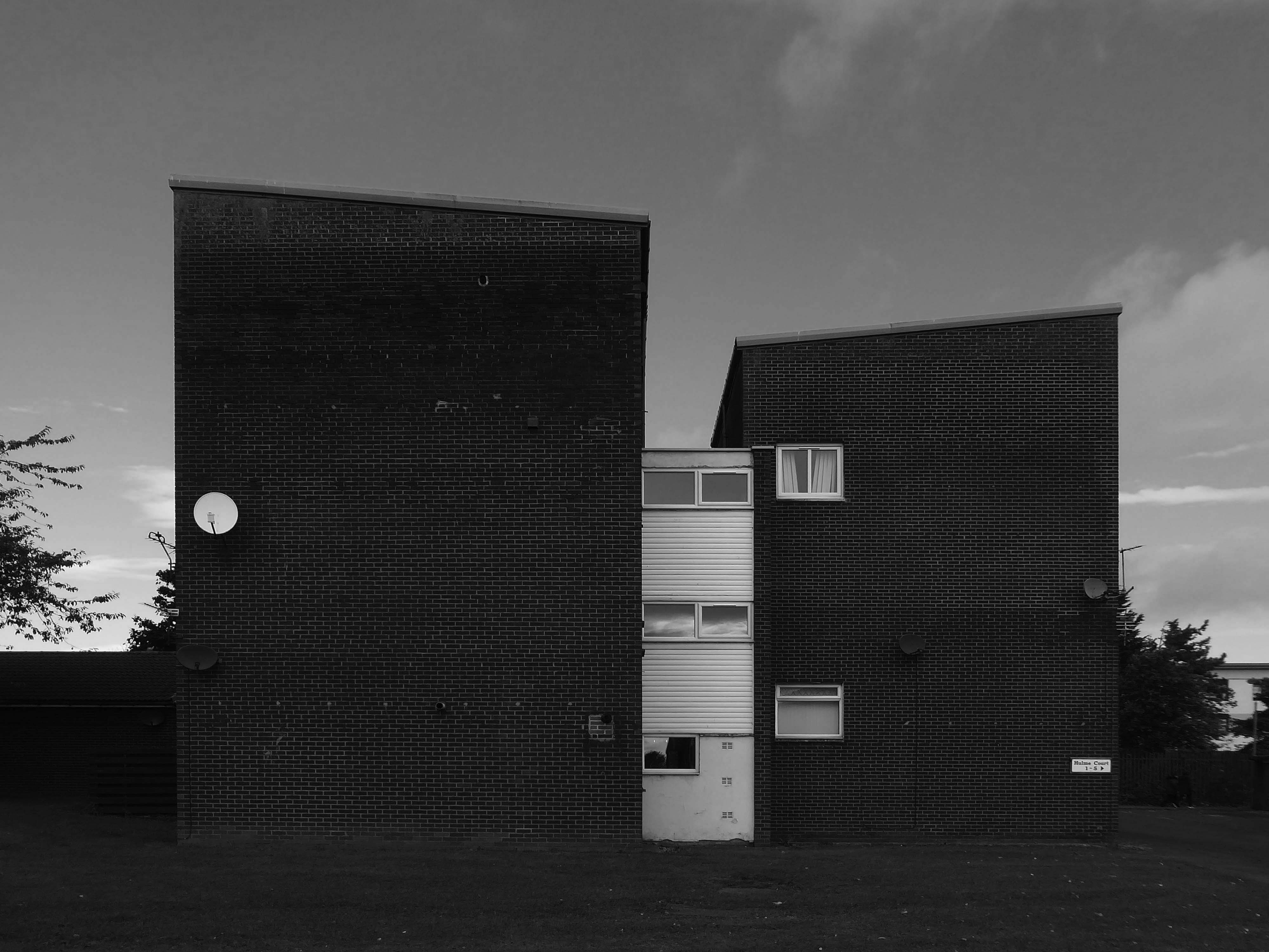
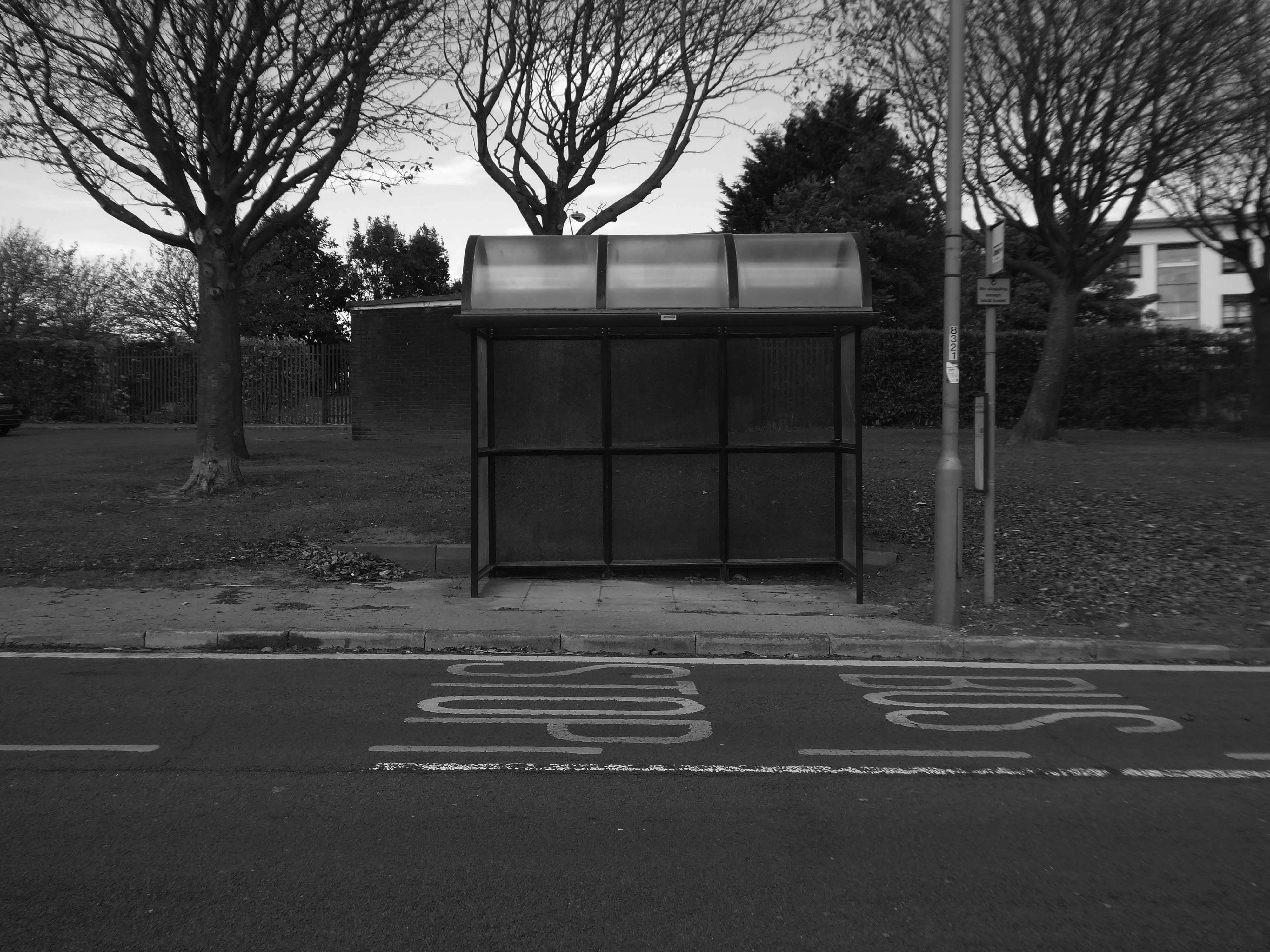
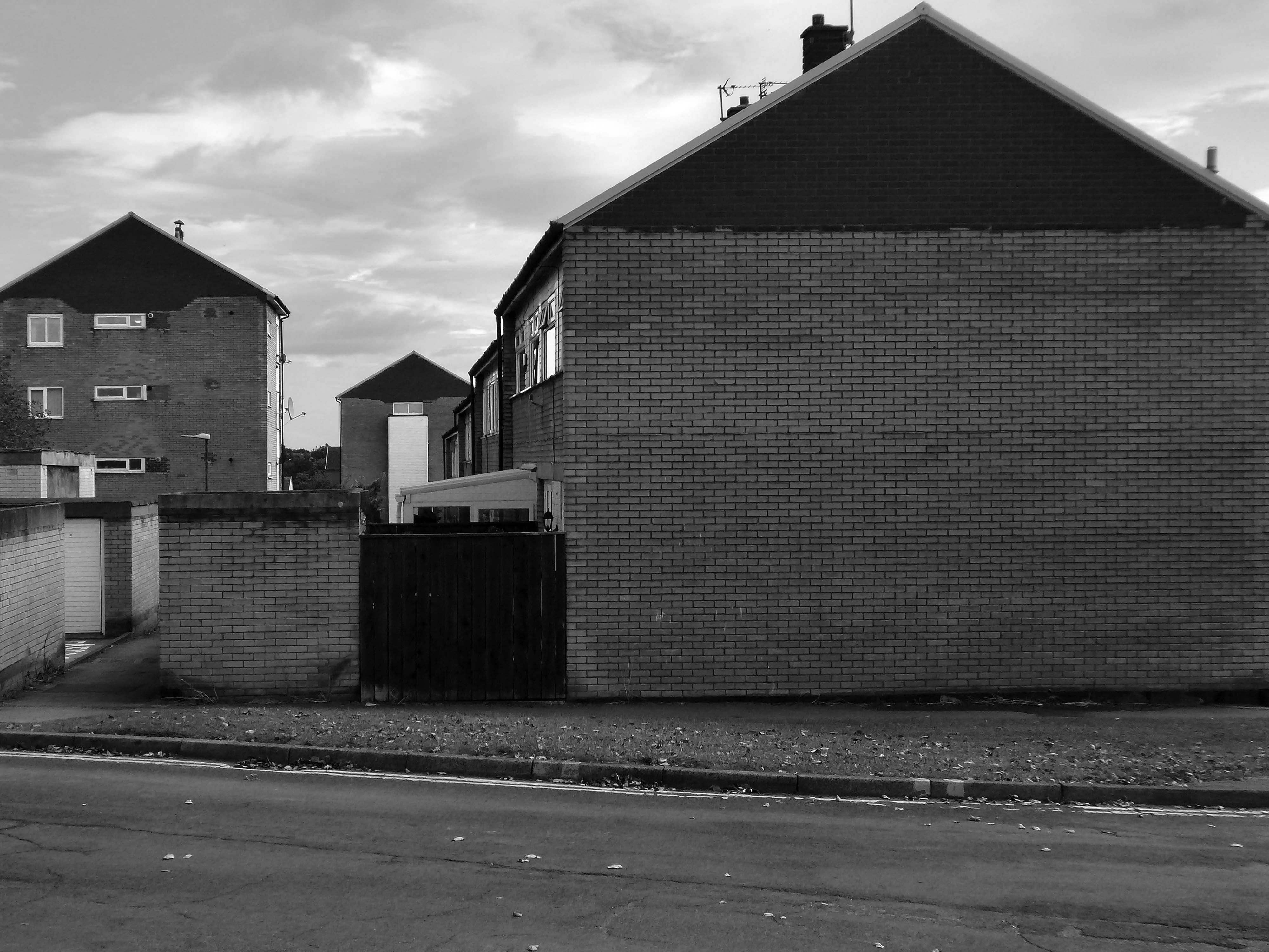
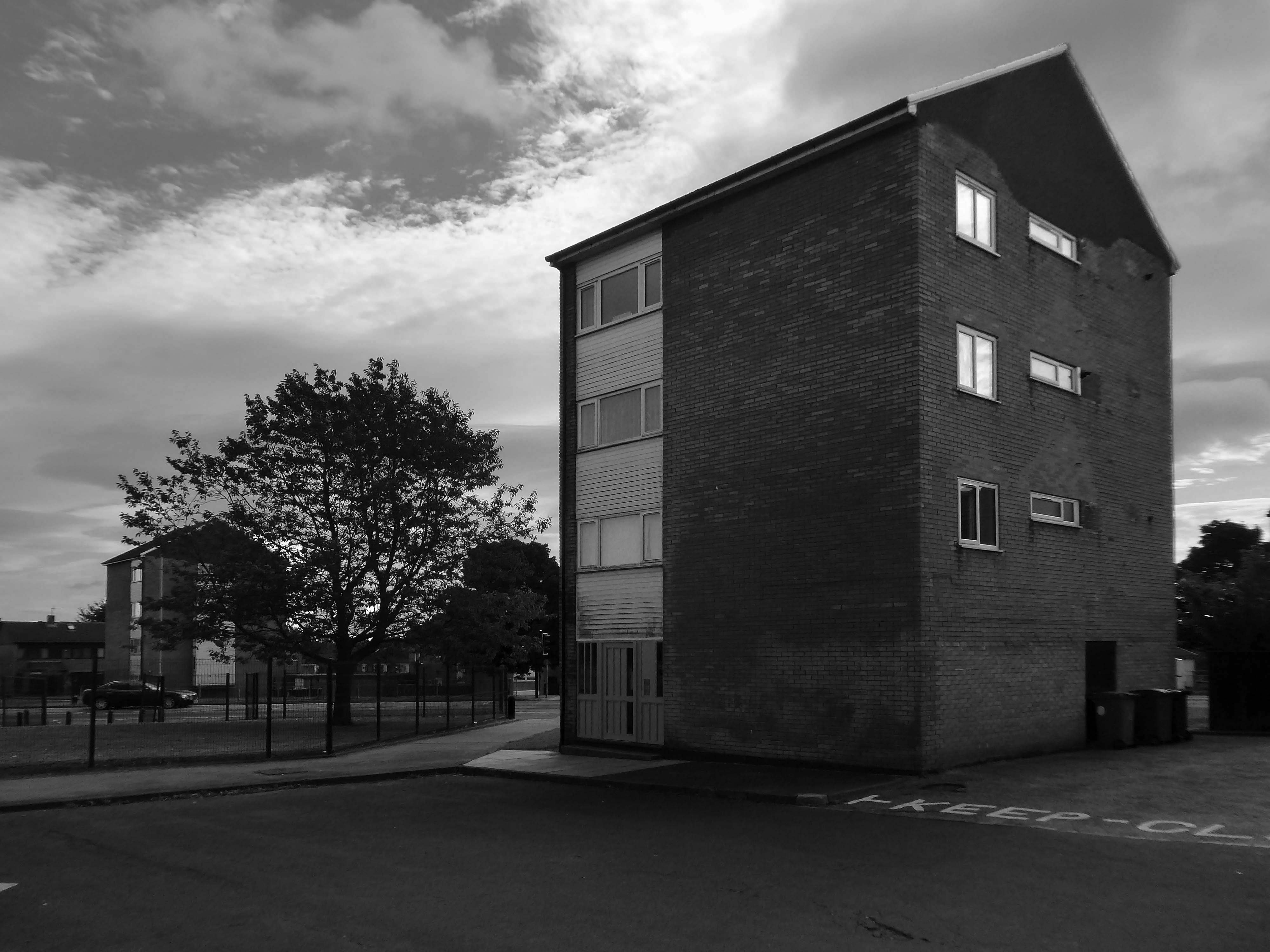
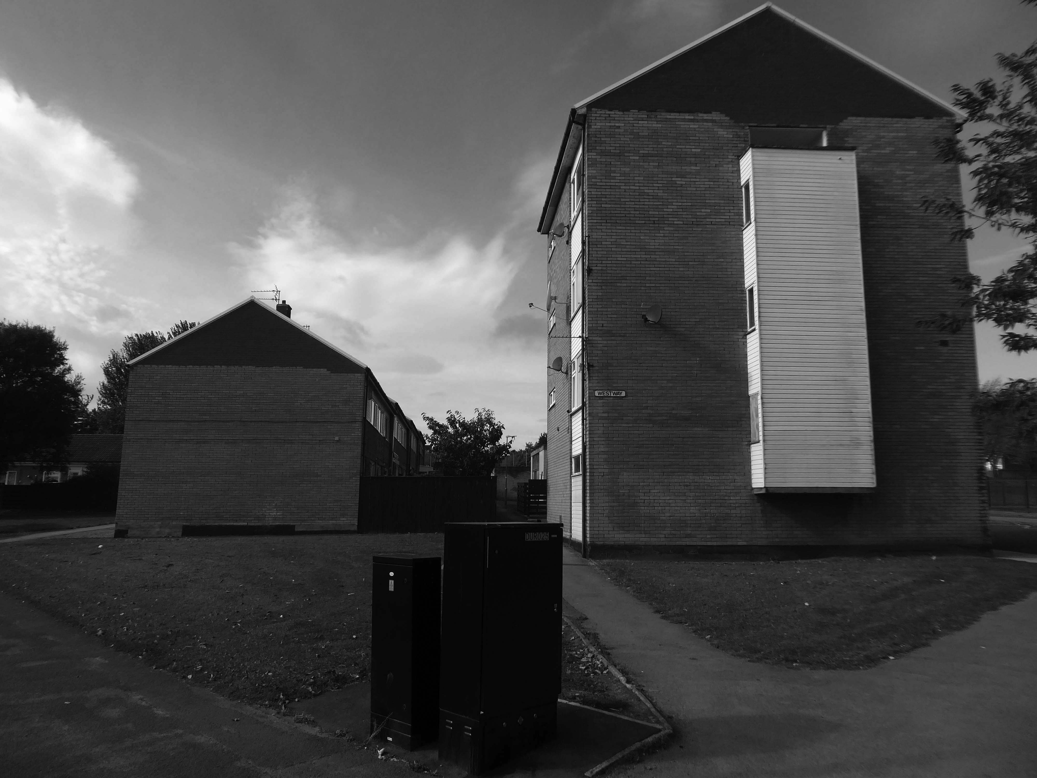
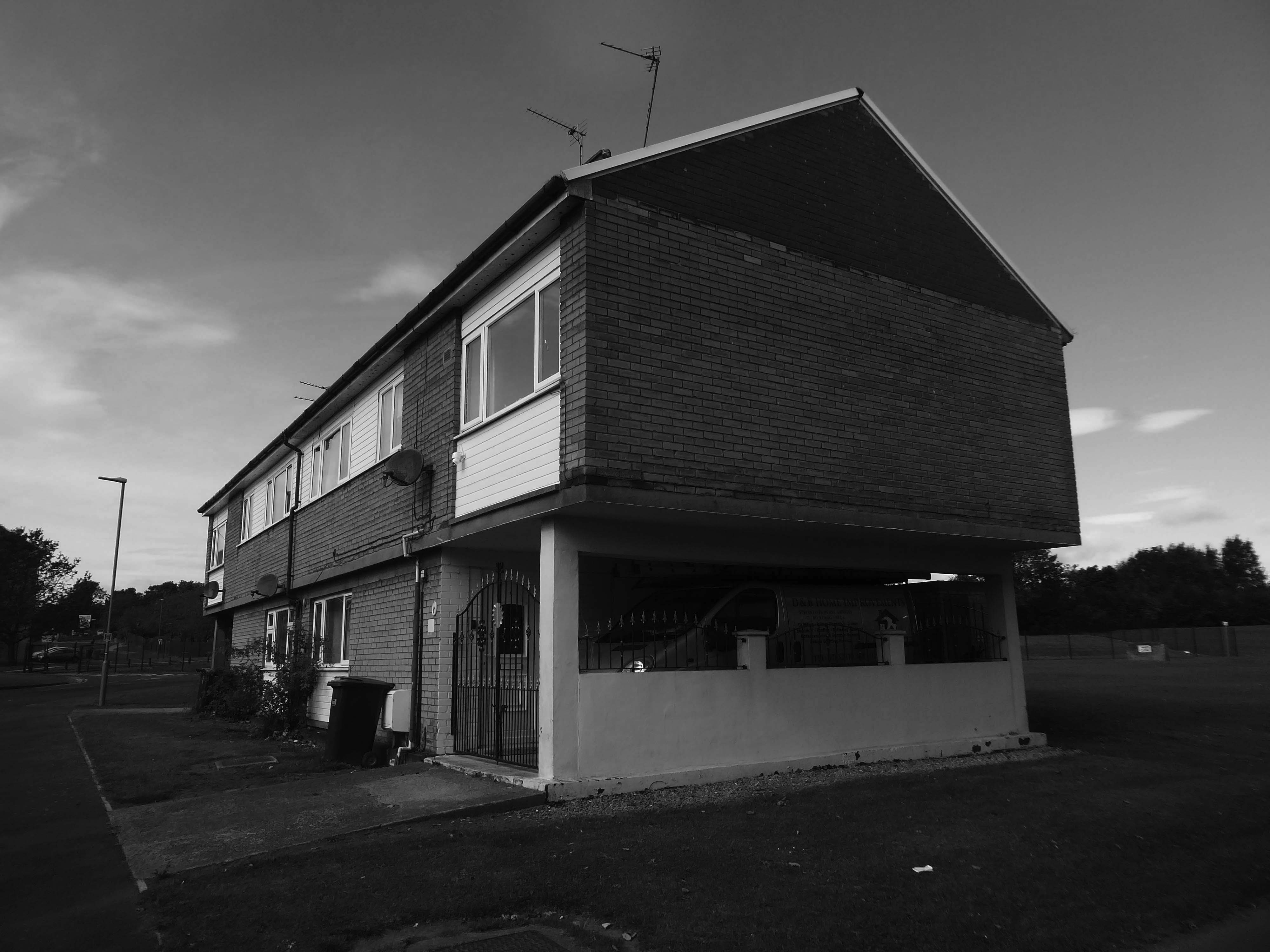
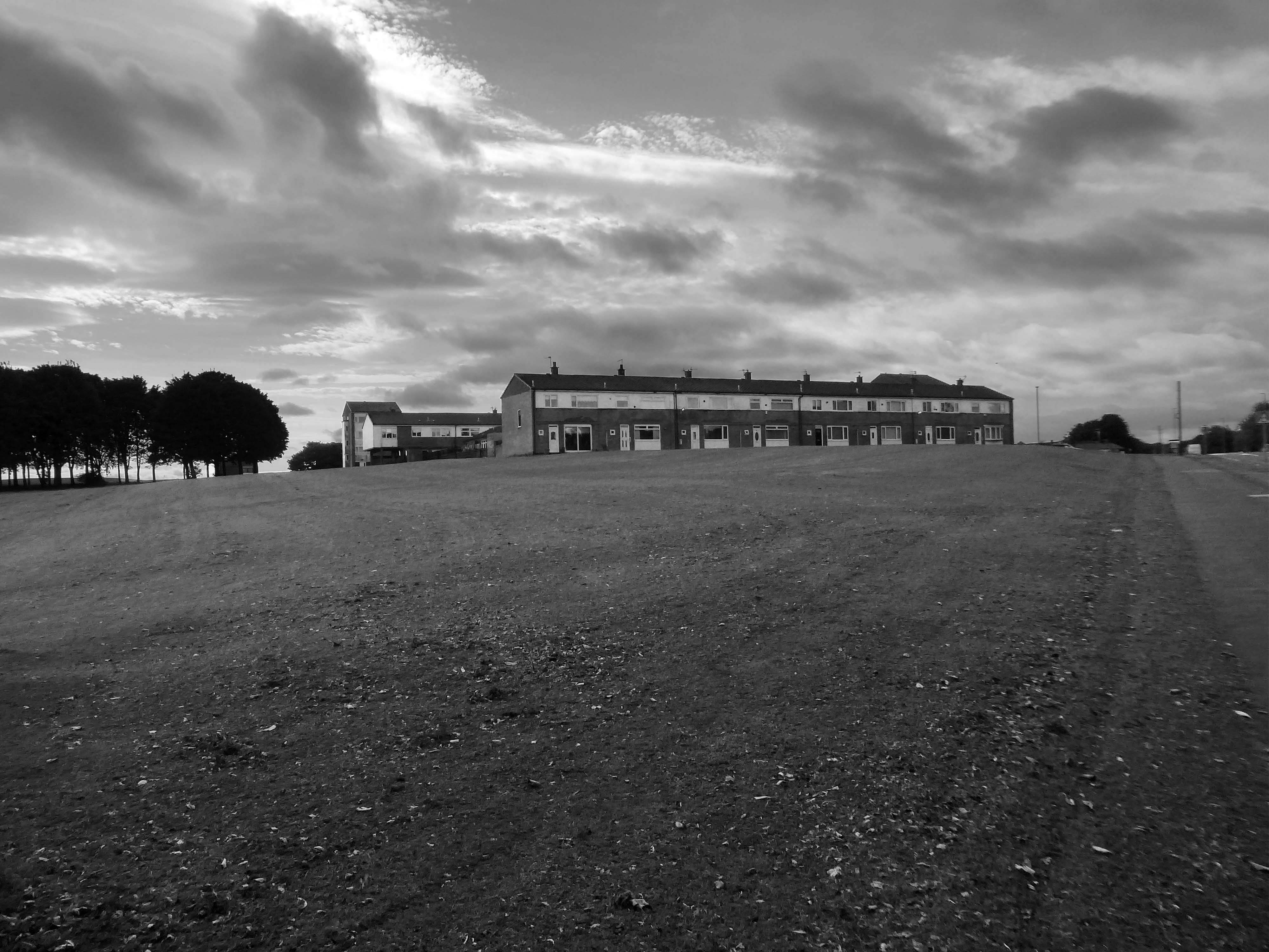
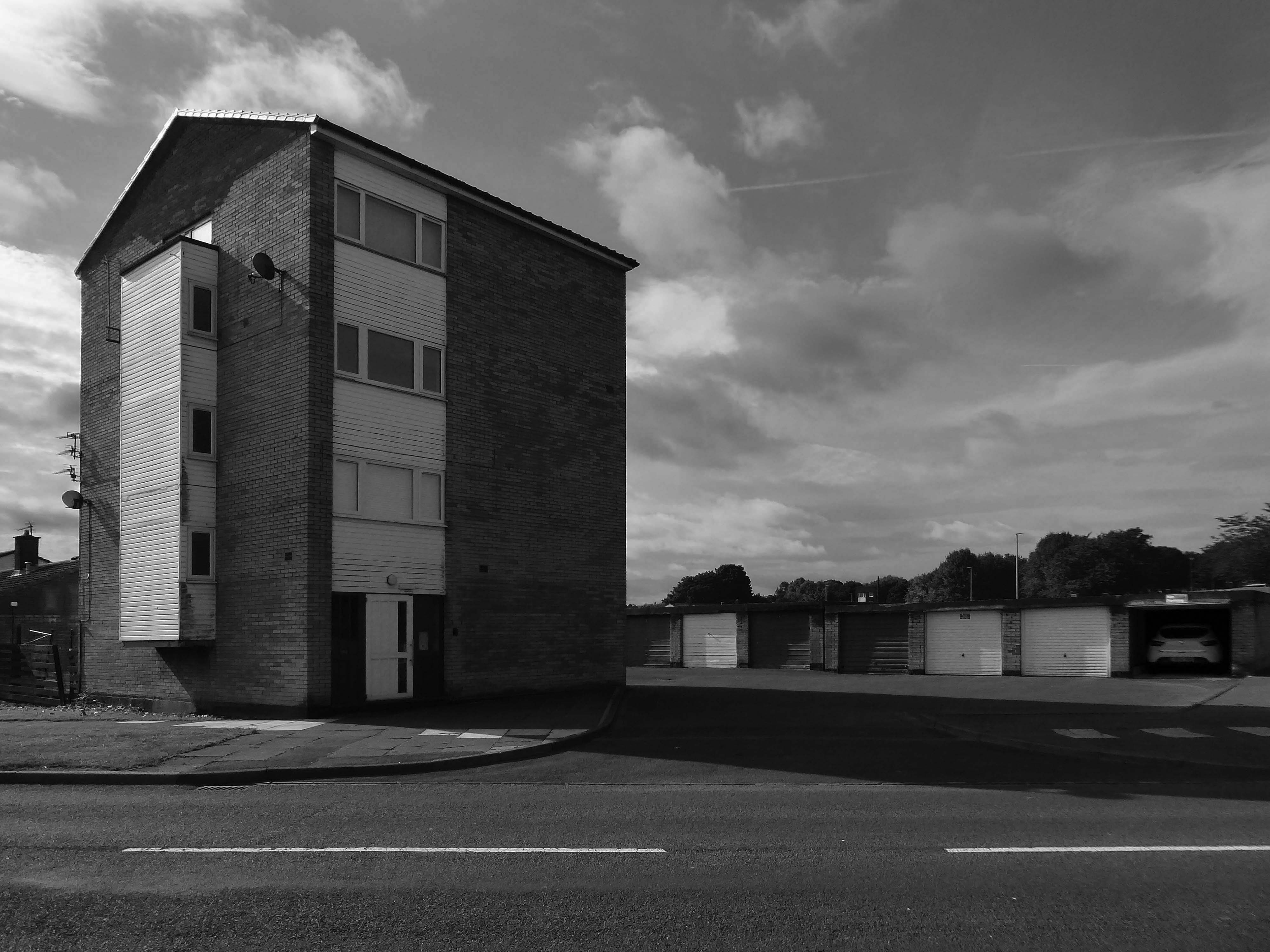
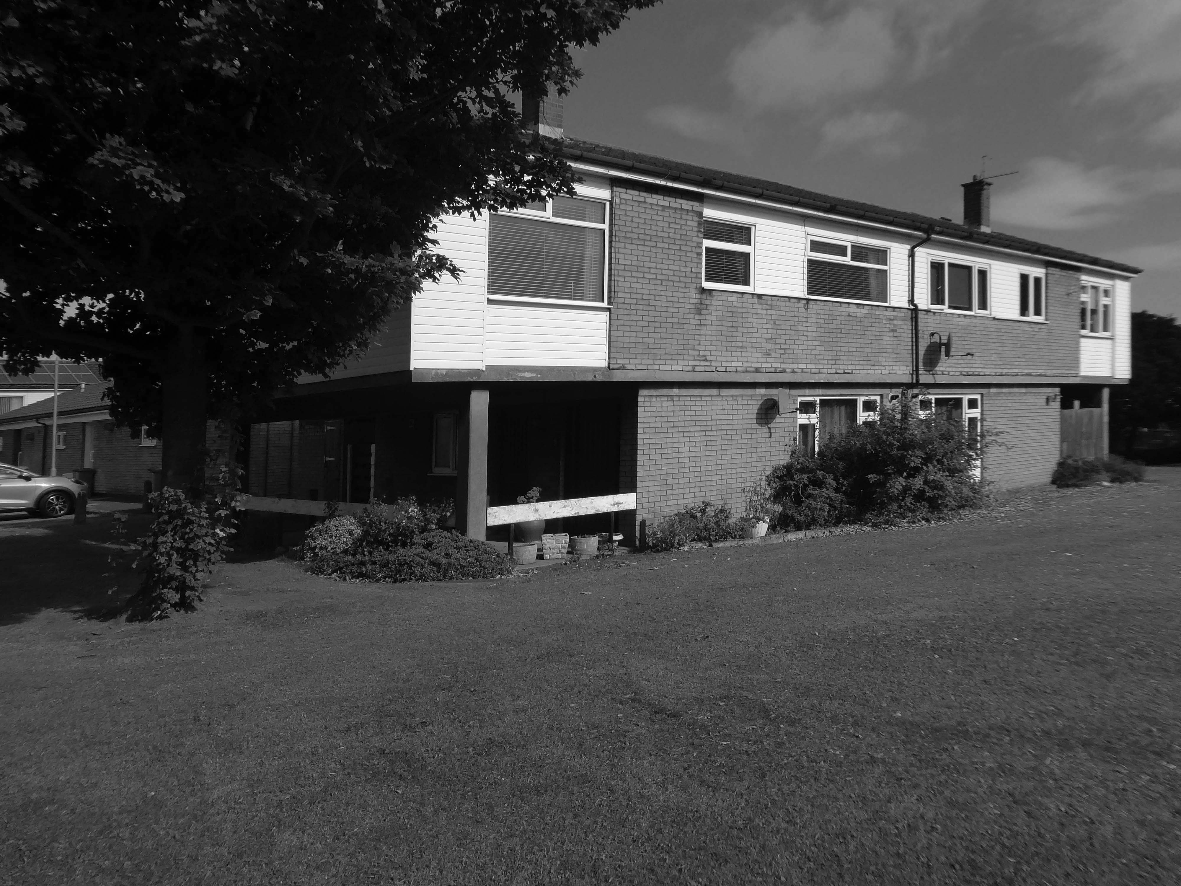
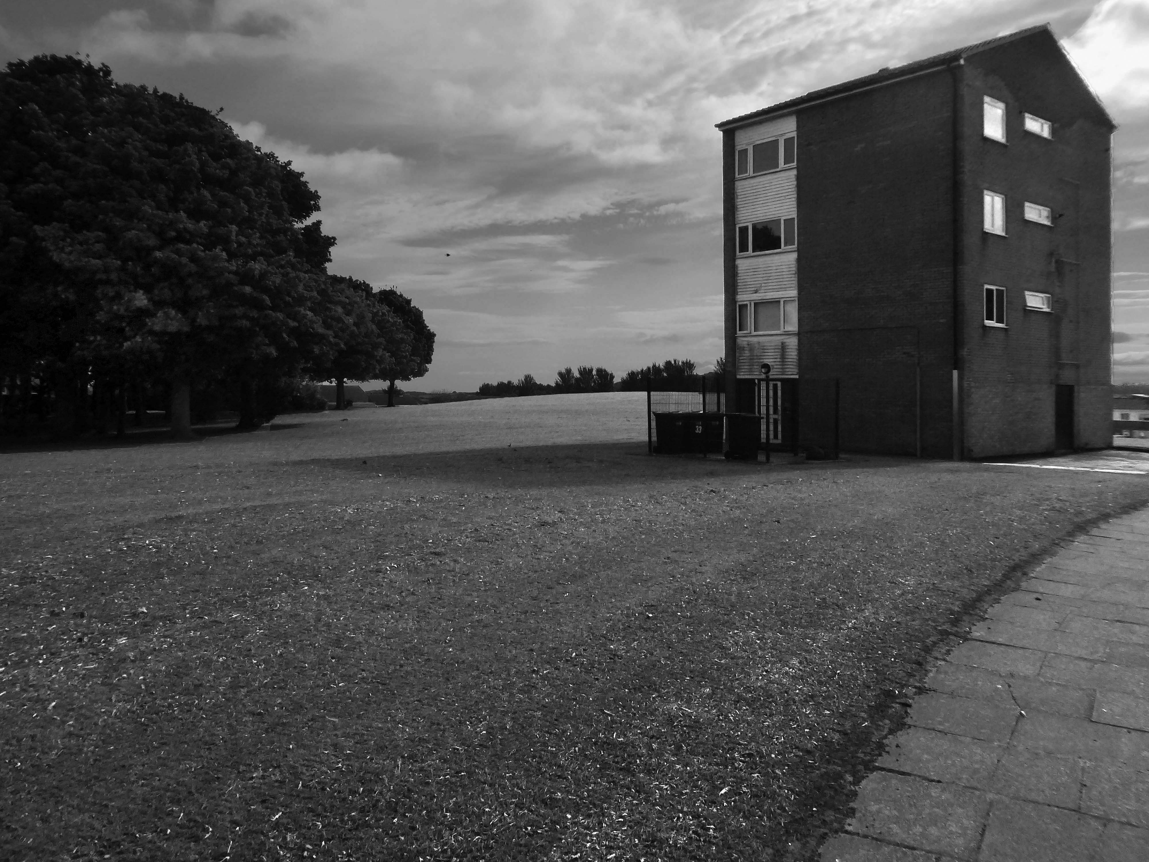
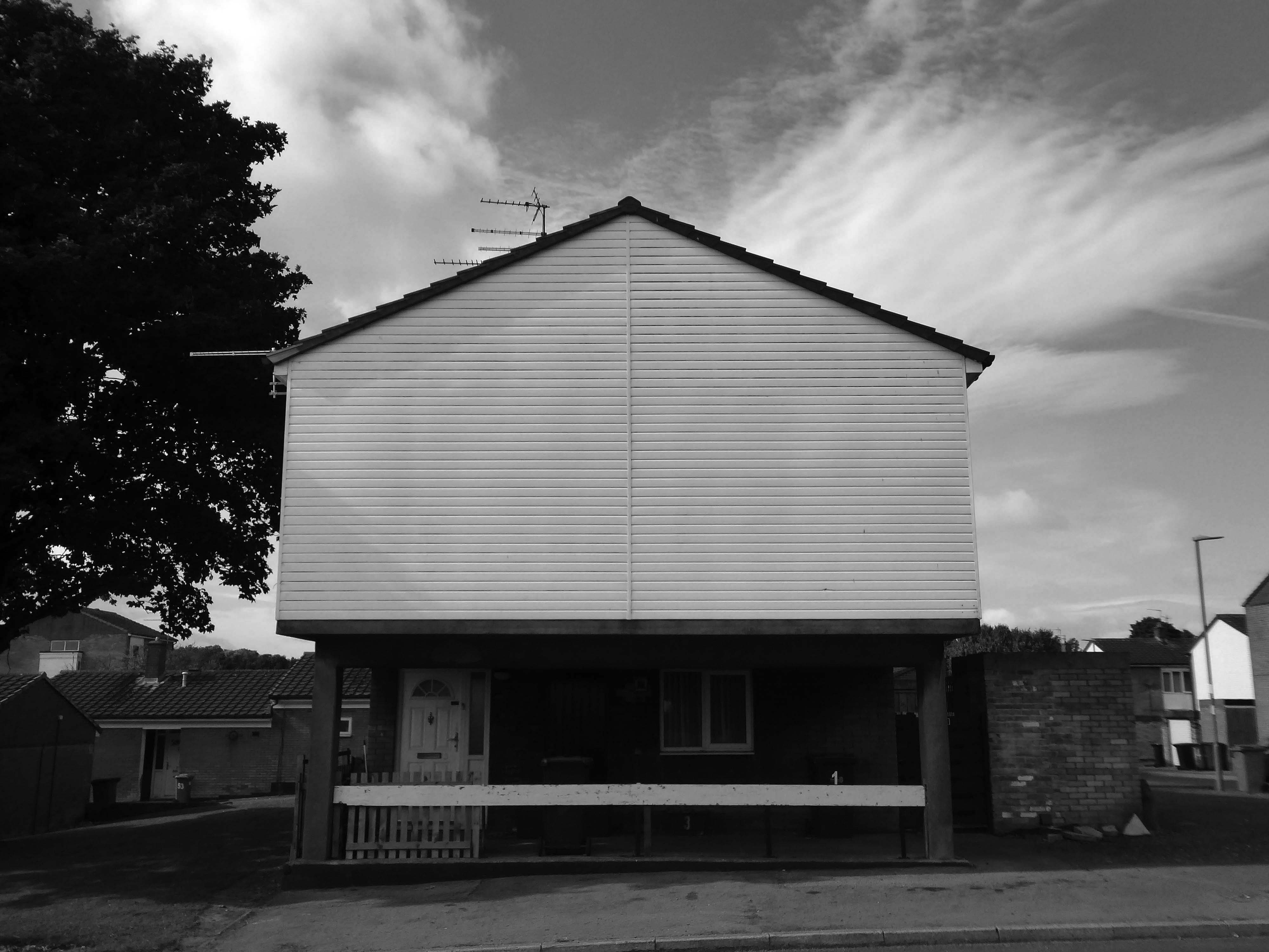
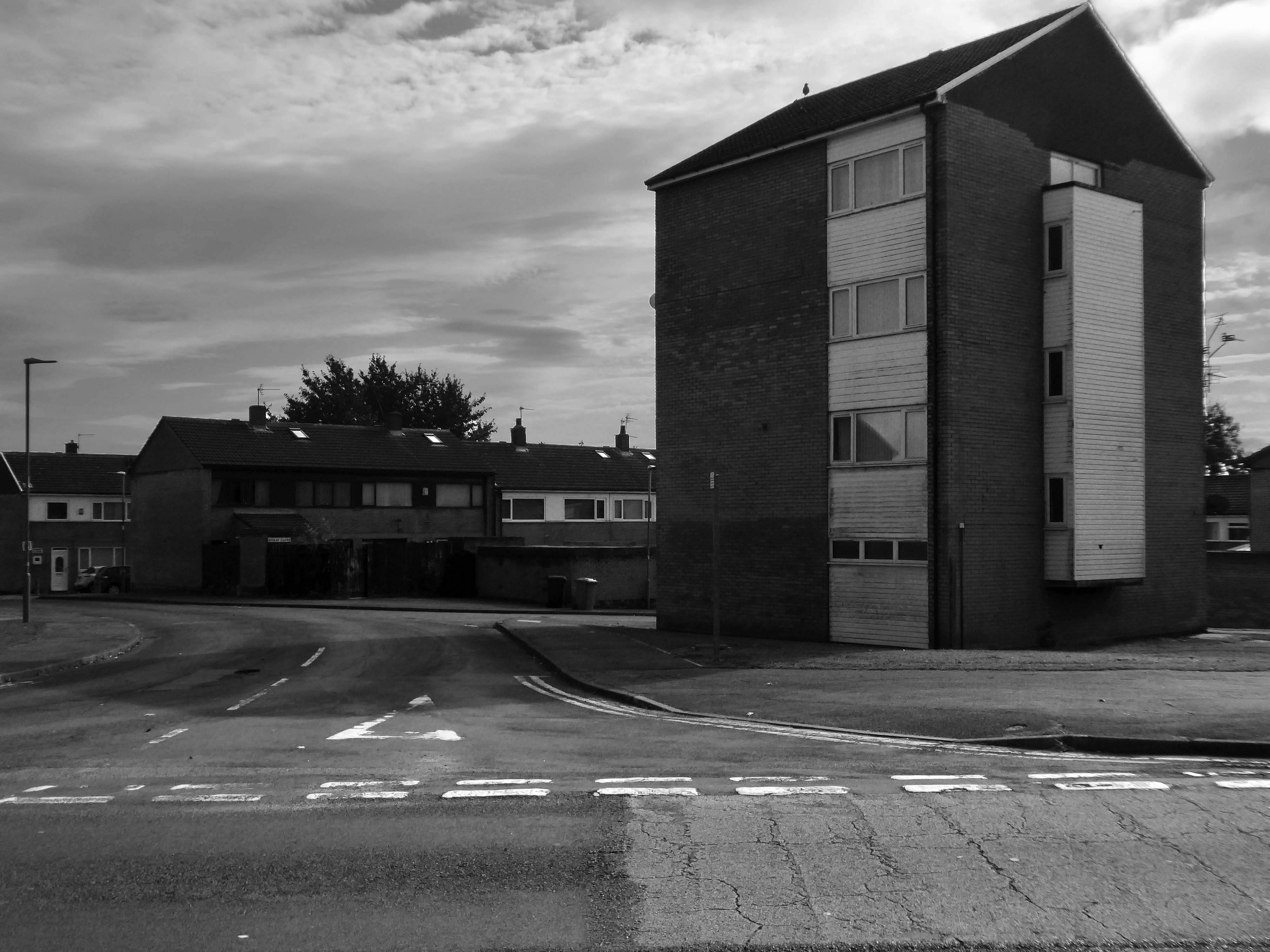
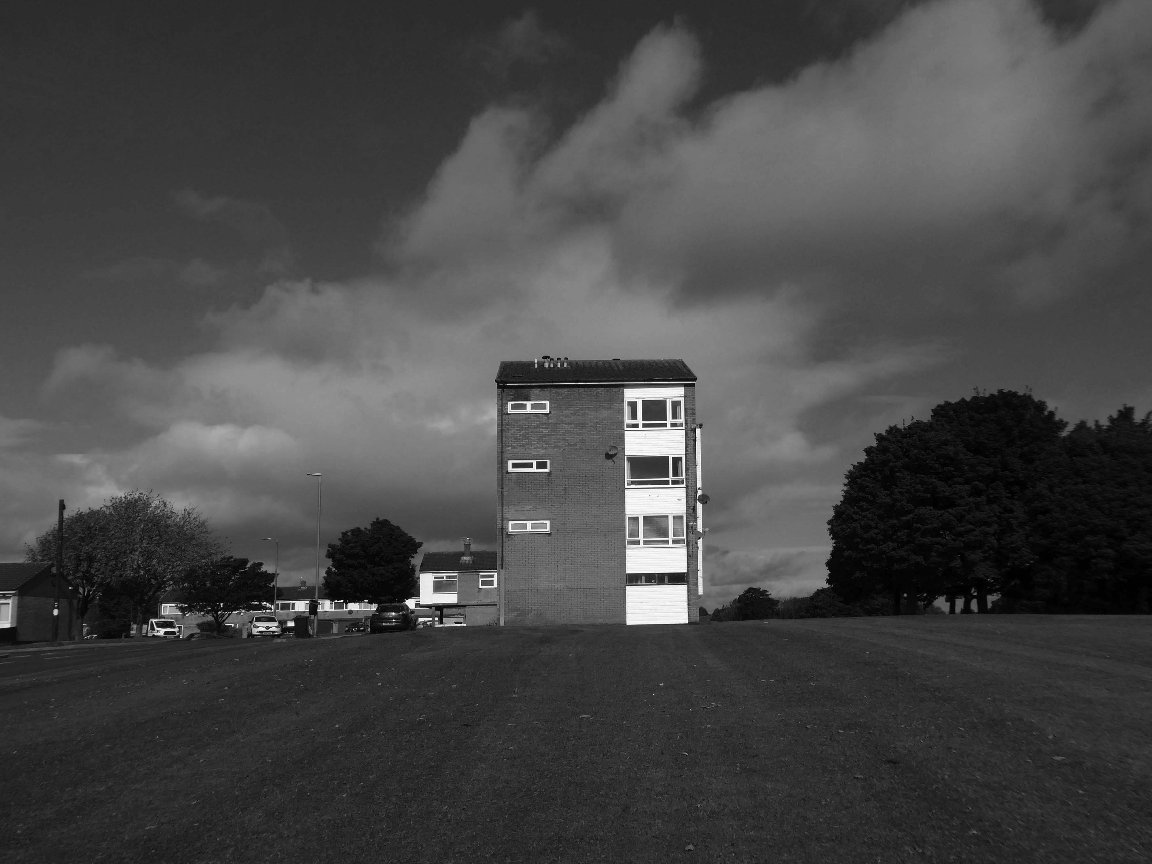
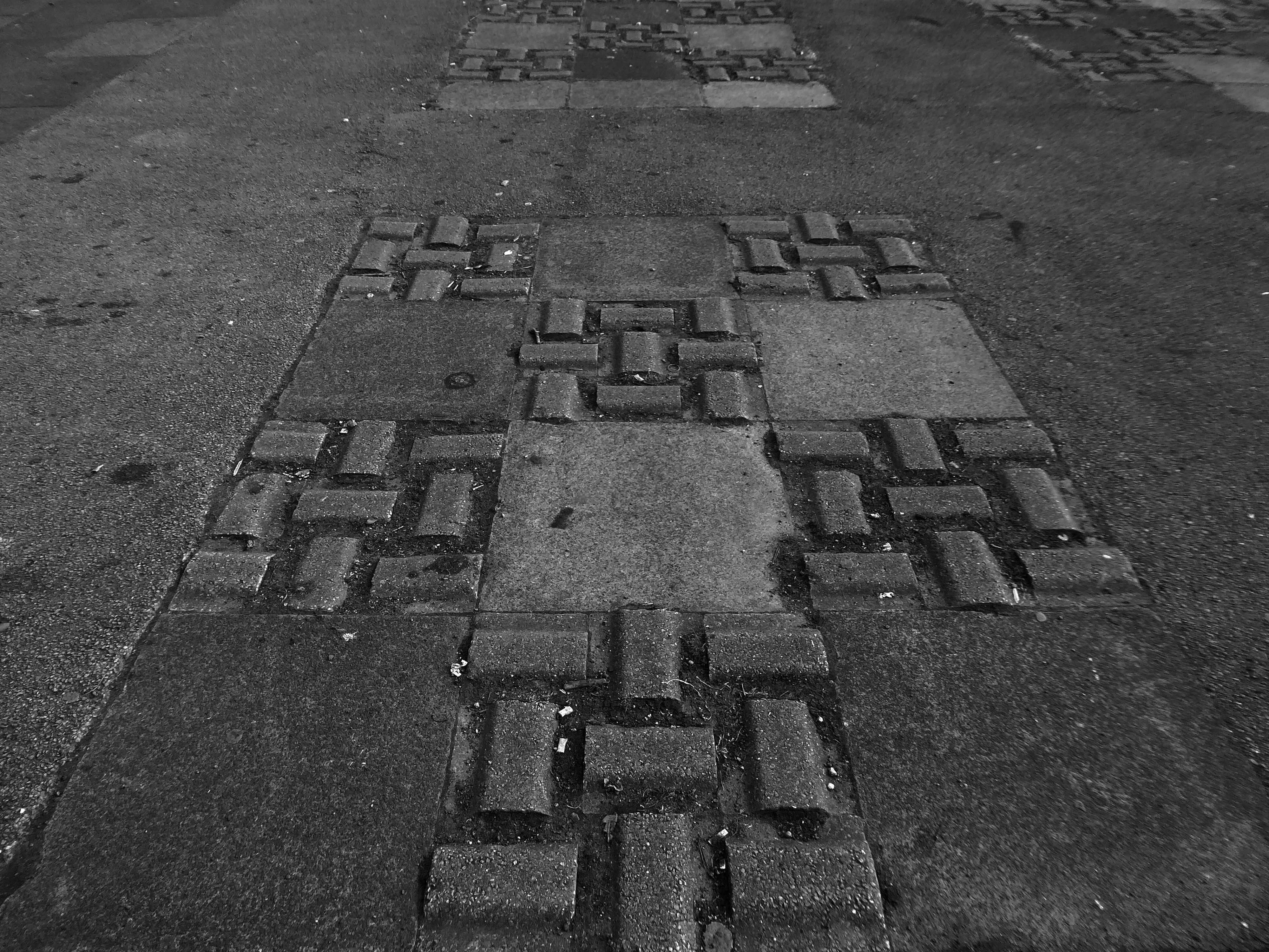
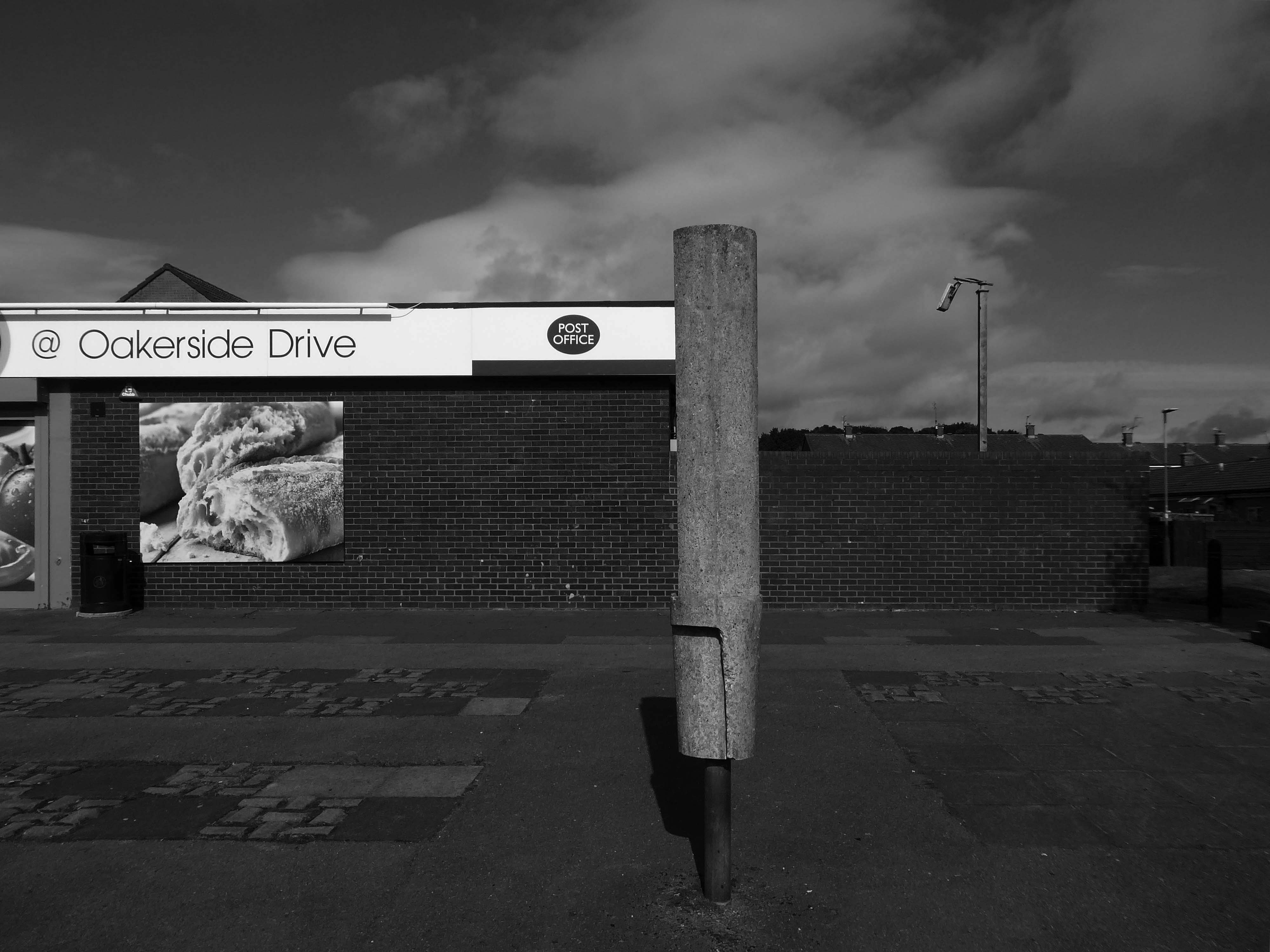
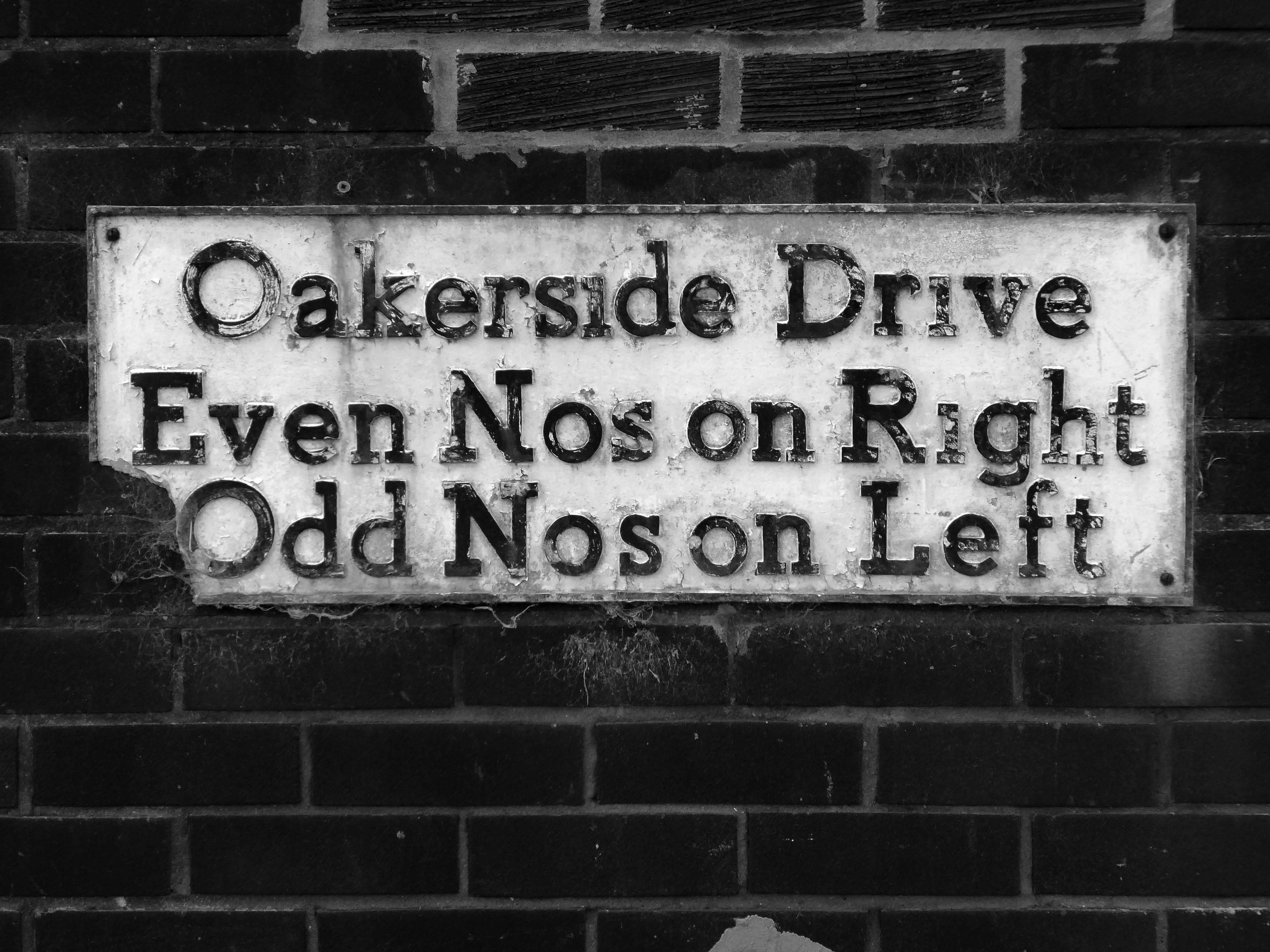
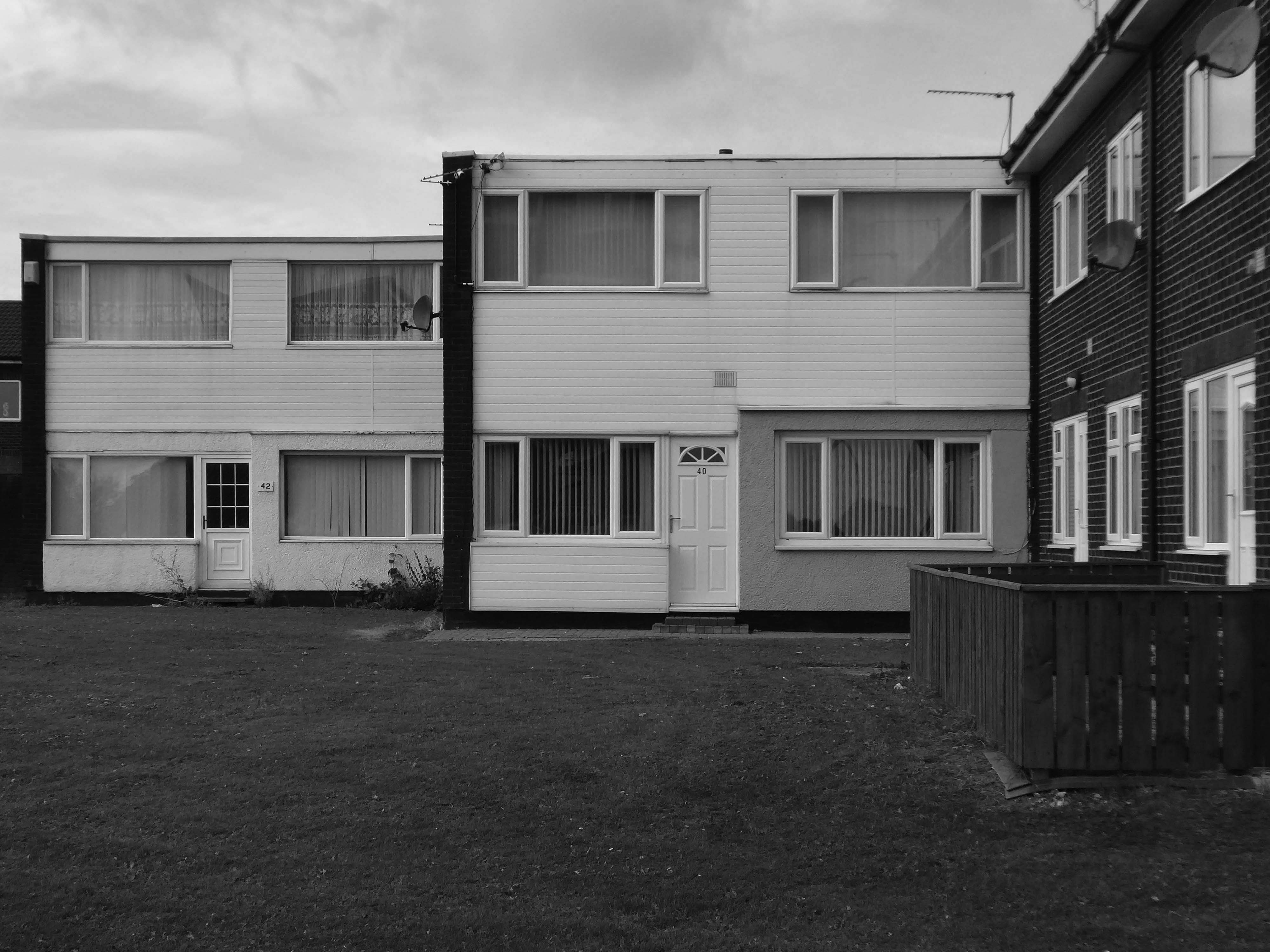
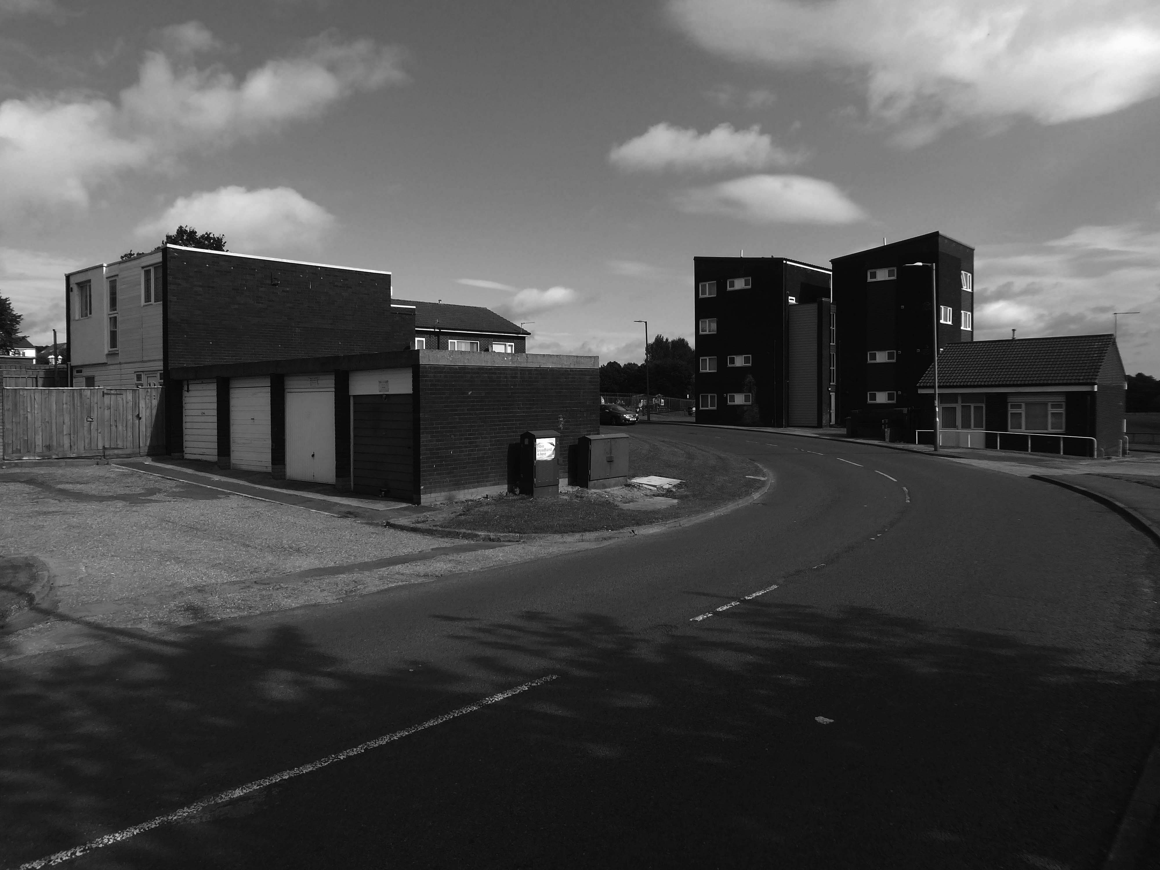
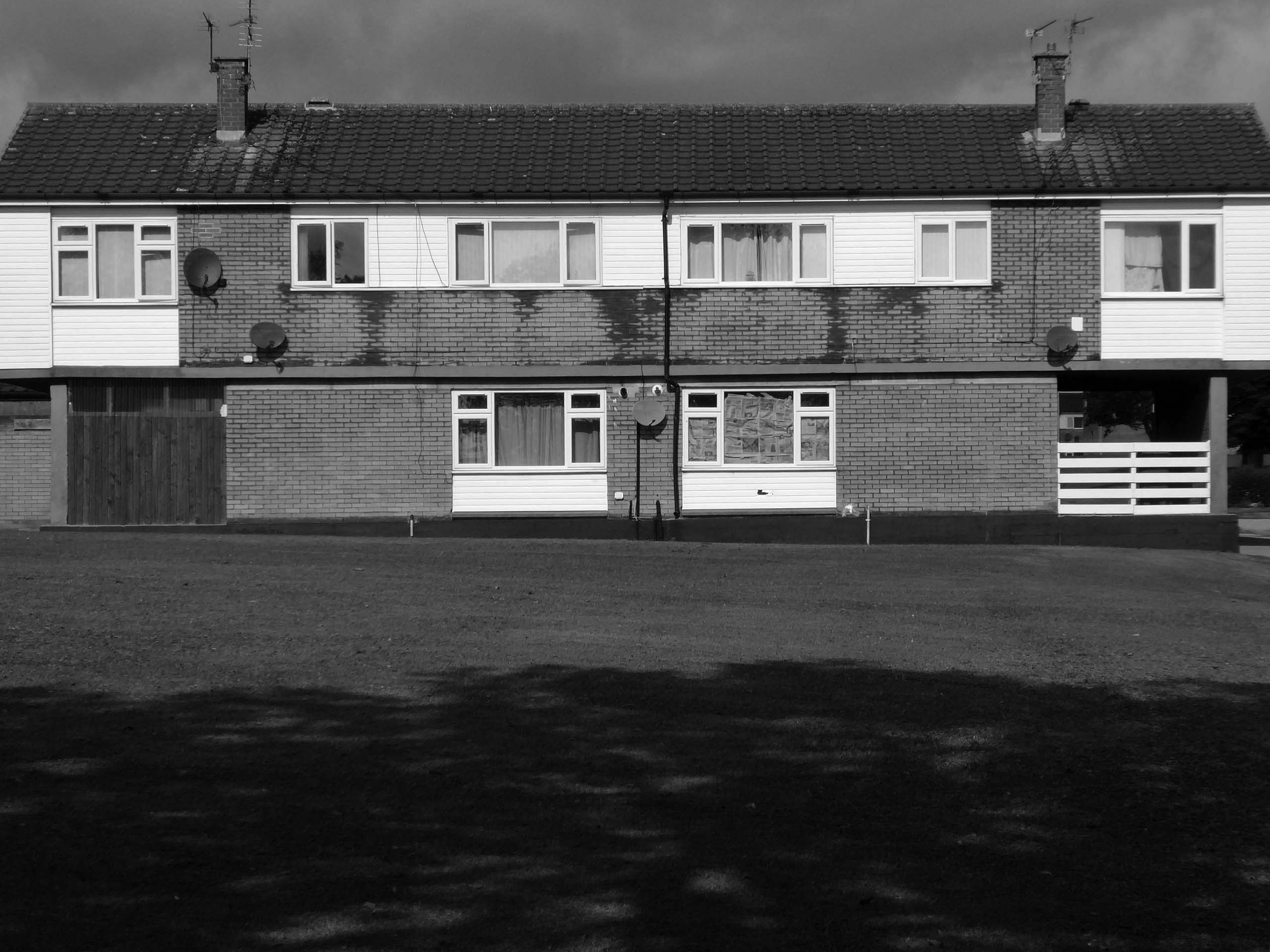
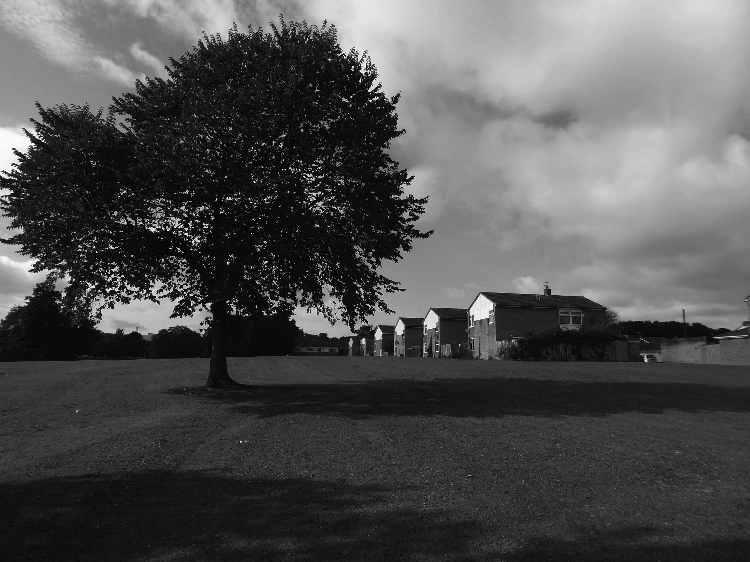
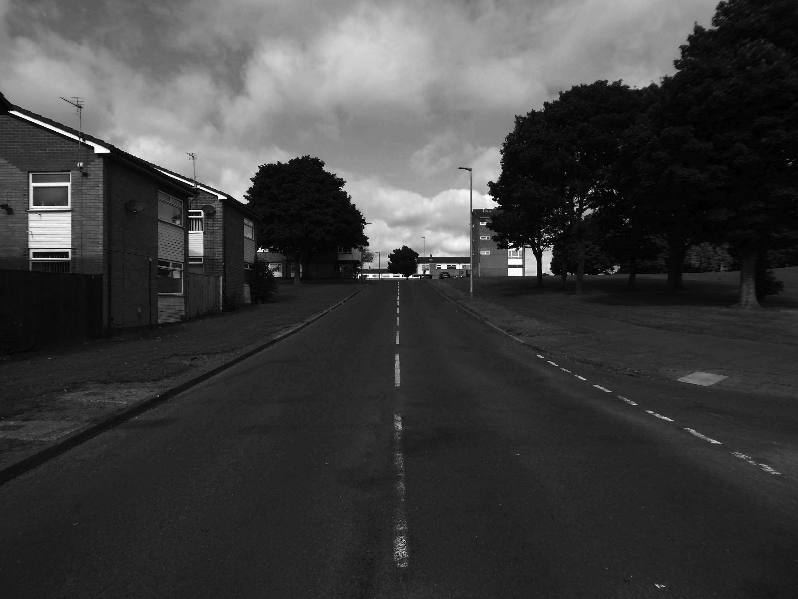
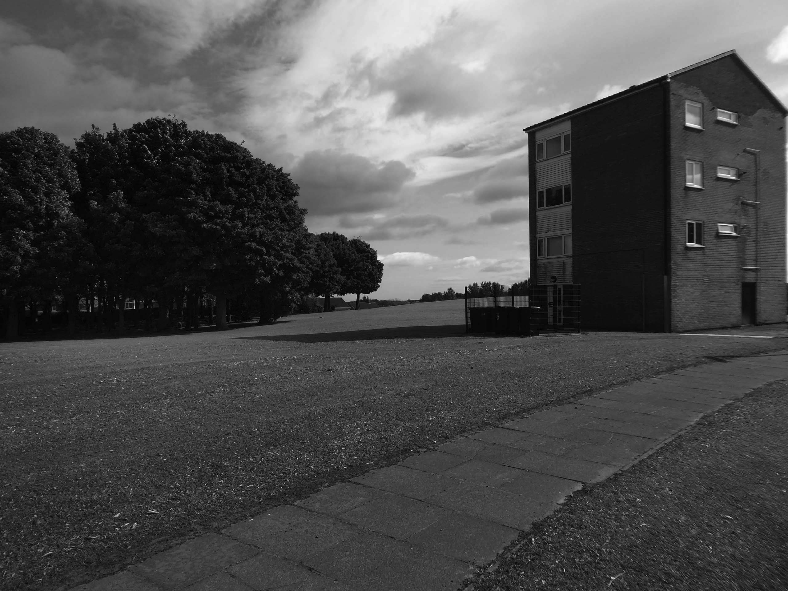
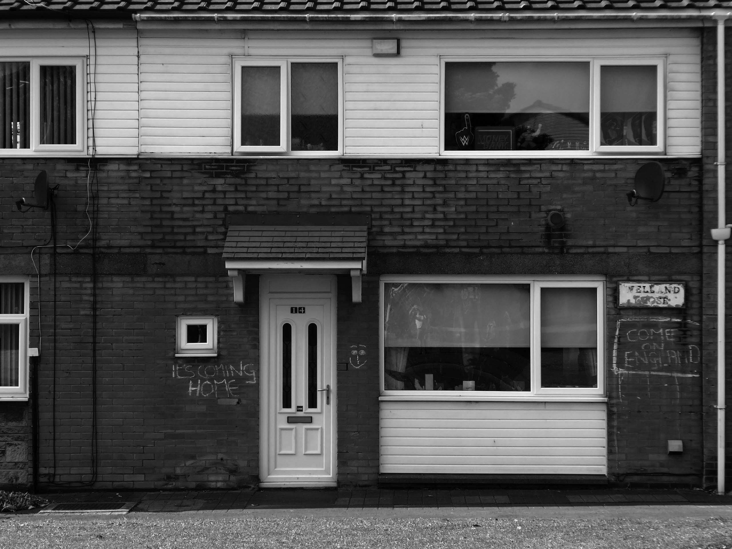
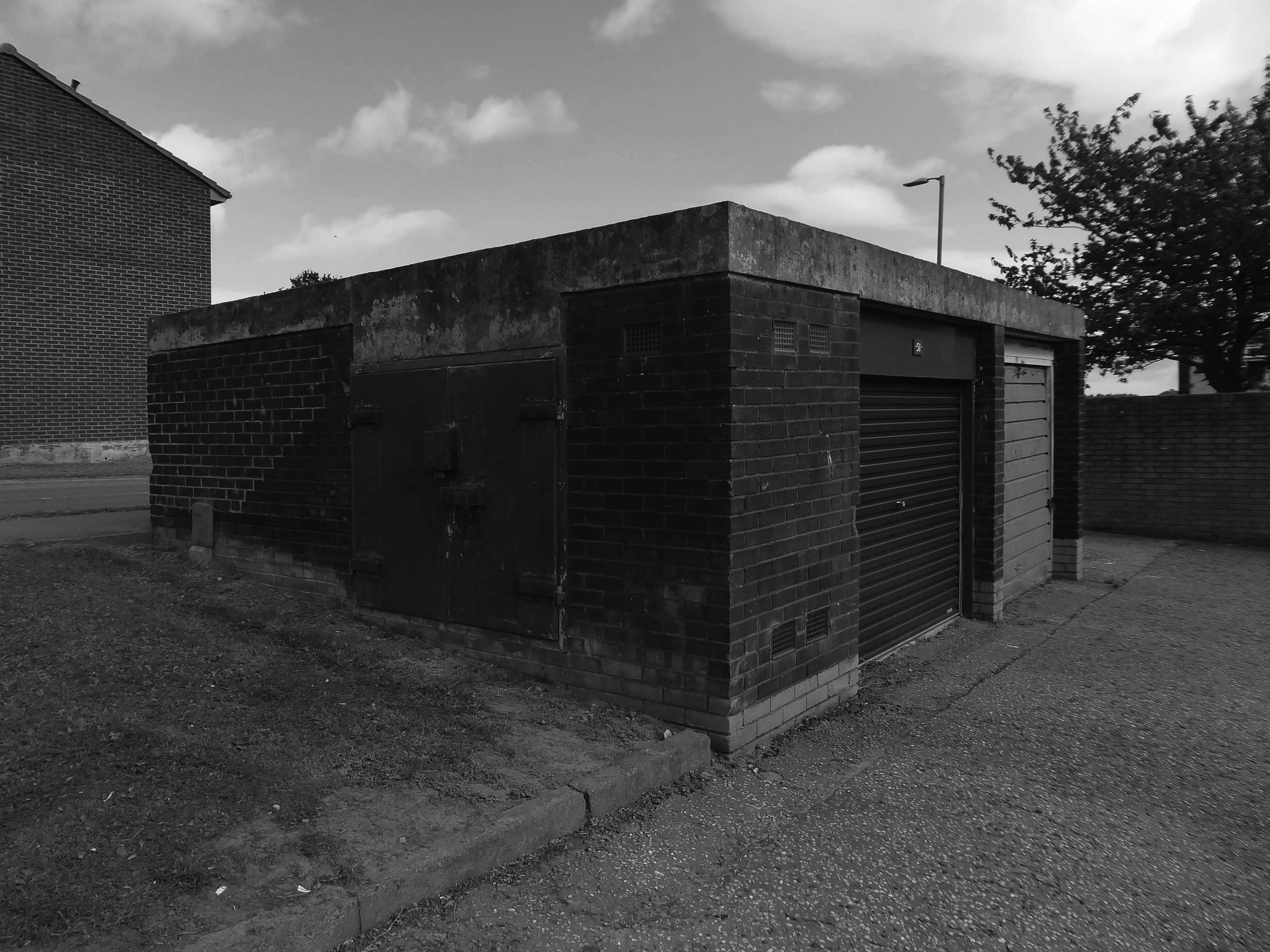
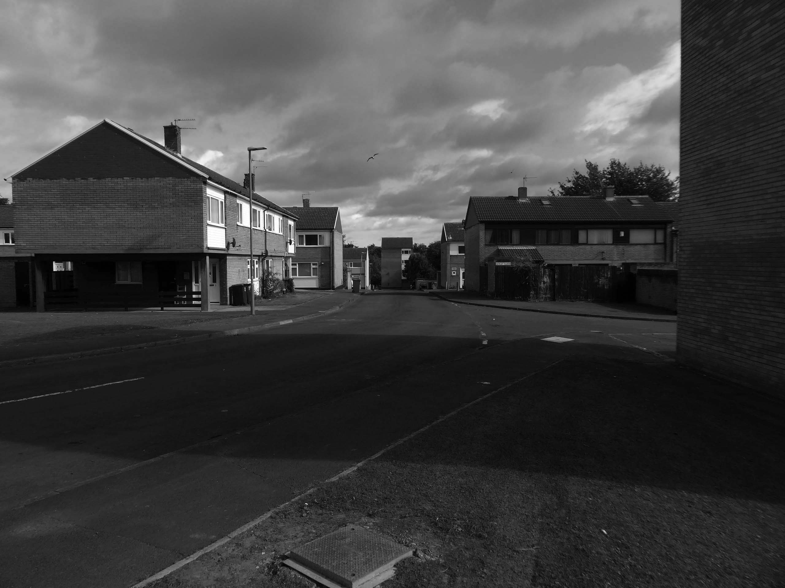
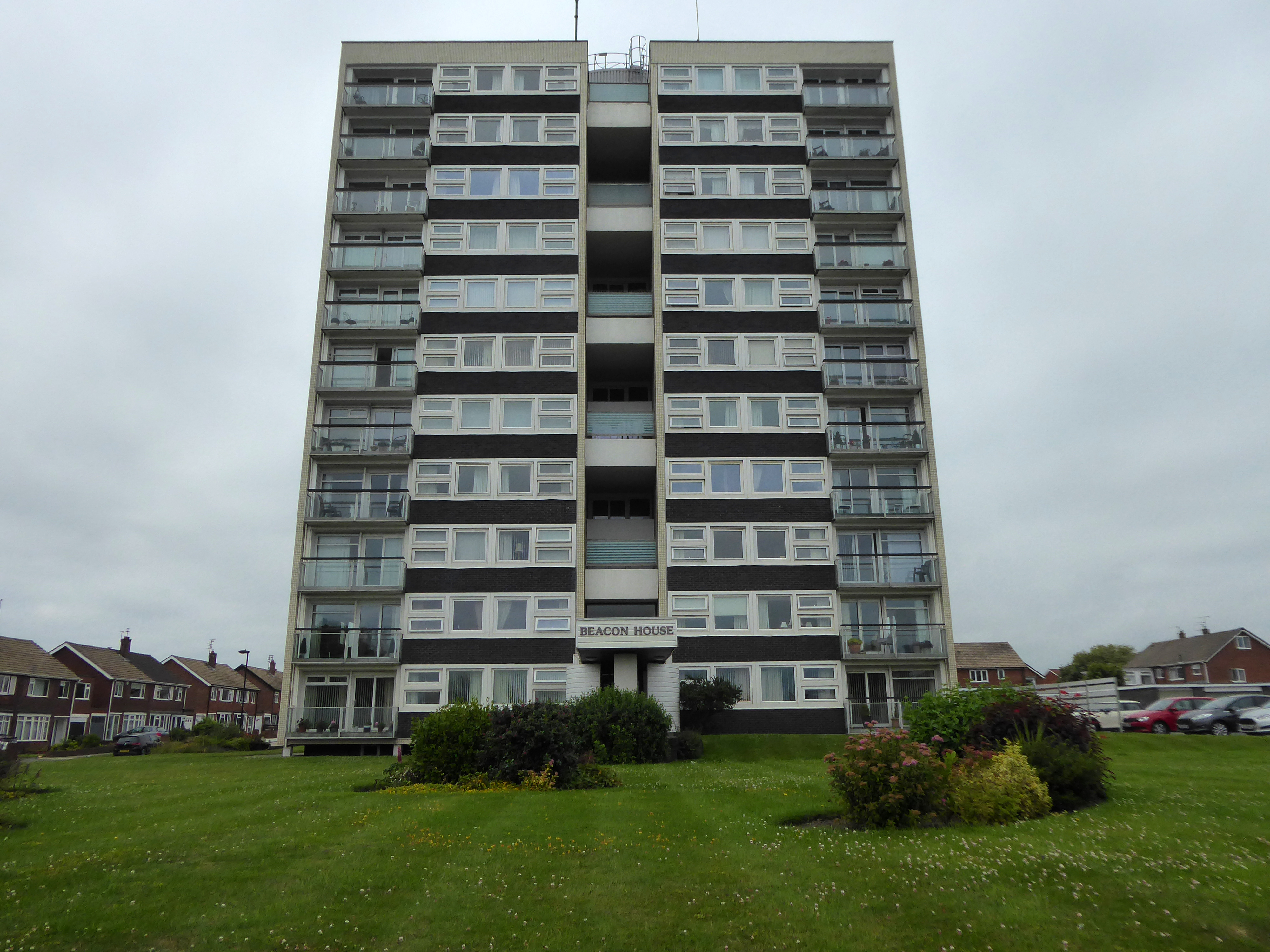
An express bus ride away from Newcastle City Centre – arriving in Peterlee, with a clear intent to wander around and look at housing.
There have been many alterations and amendments made, in the short time since the inception of the Masterplan. Flat roofs have largely been and gone, timber replaced by uPVC, what remains is an interesting array of building types set in an attractive rolling landscape.
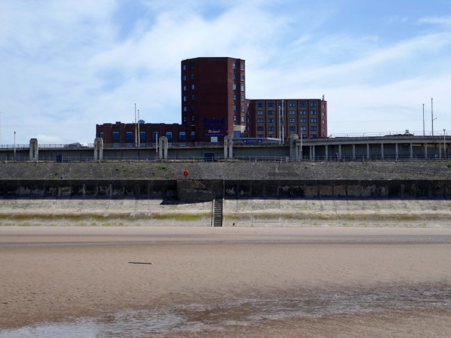
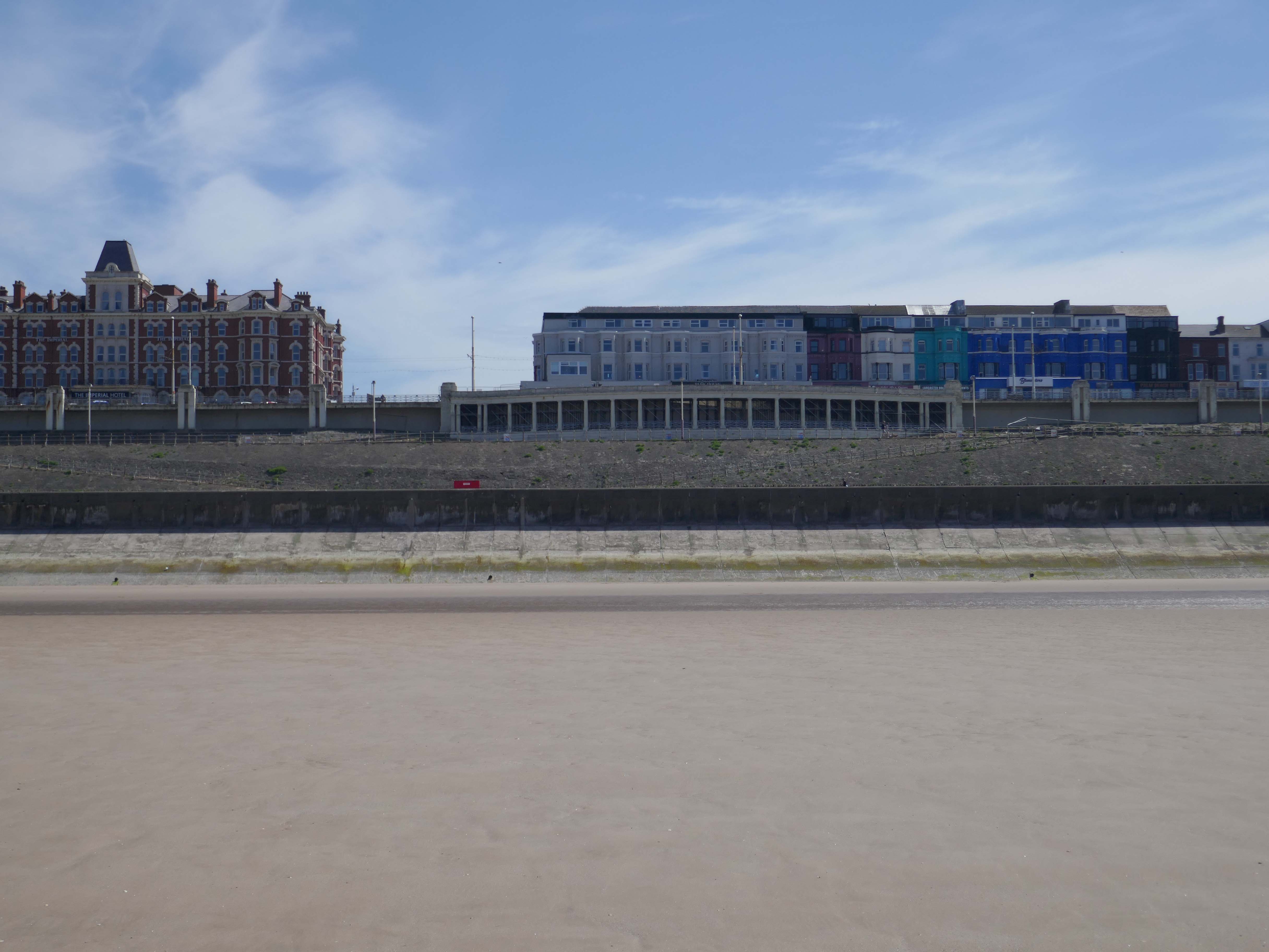
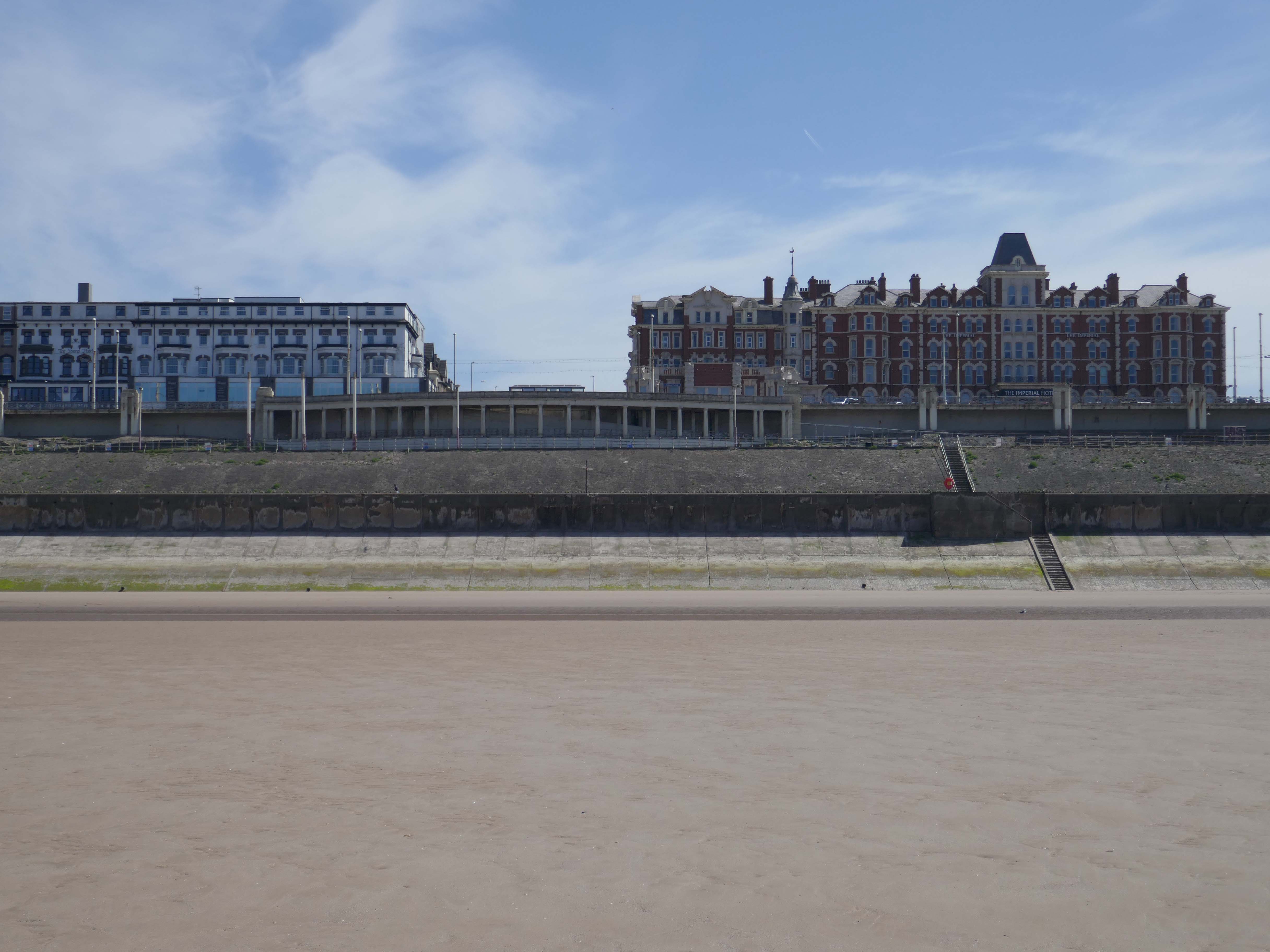
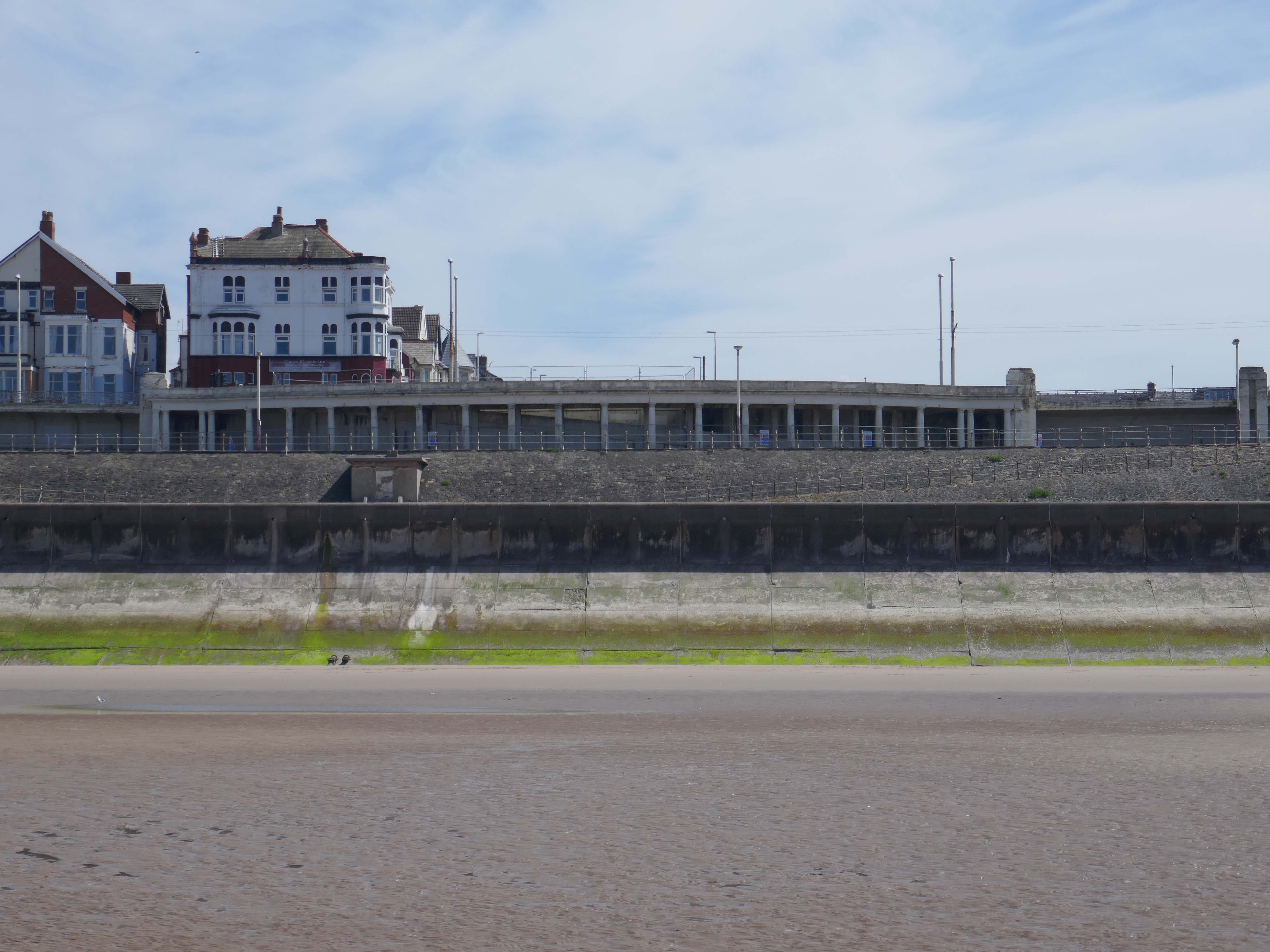
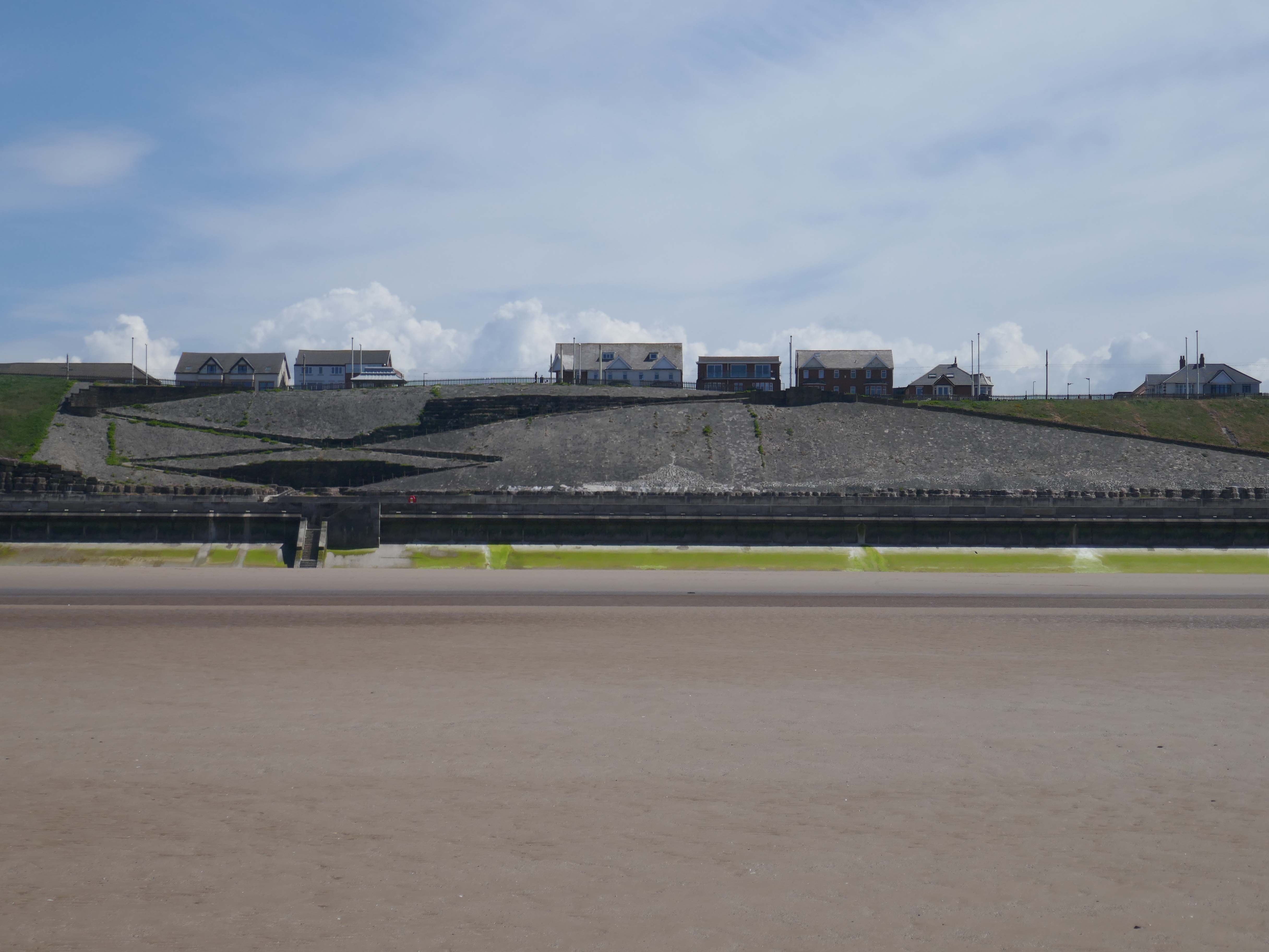
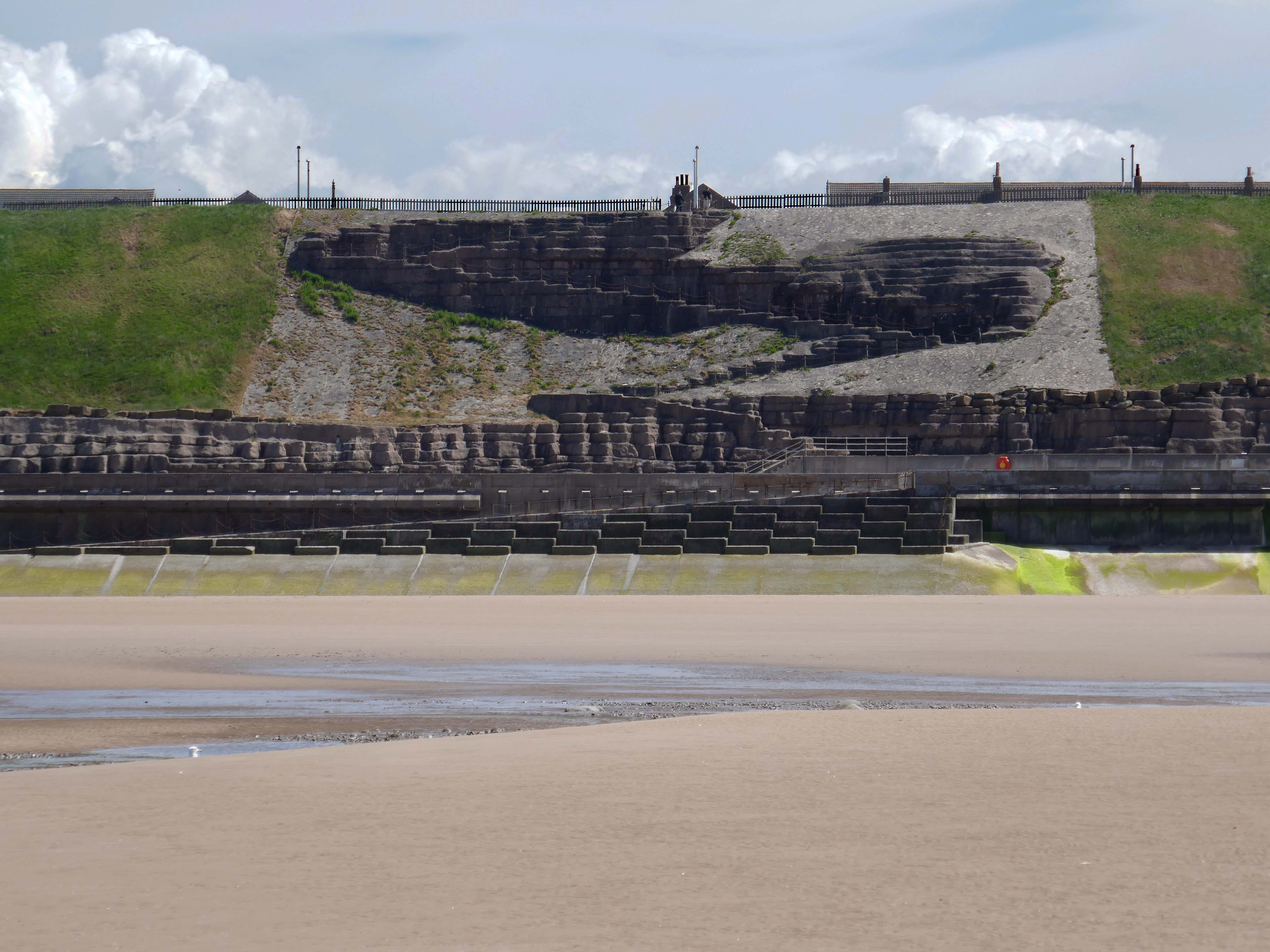
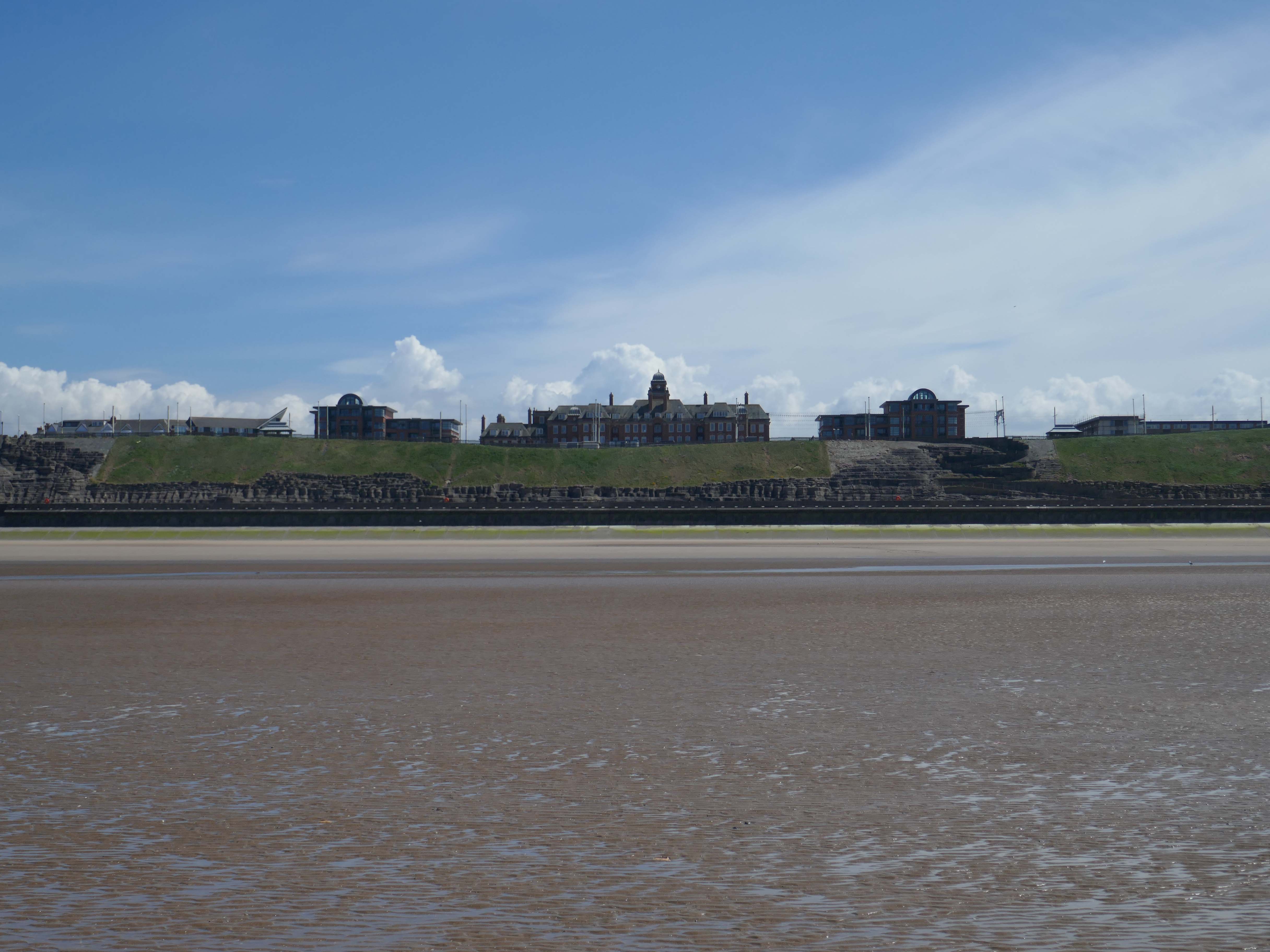
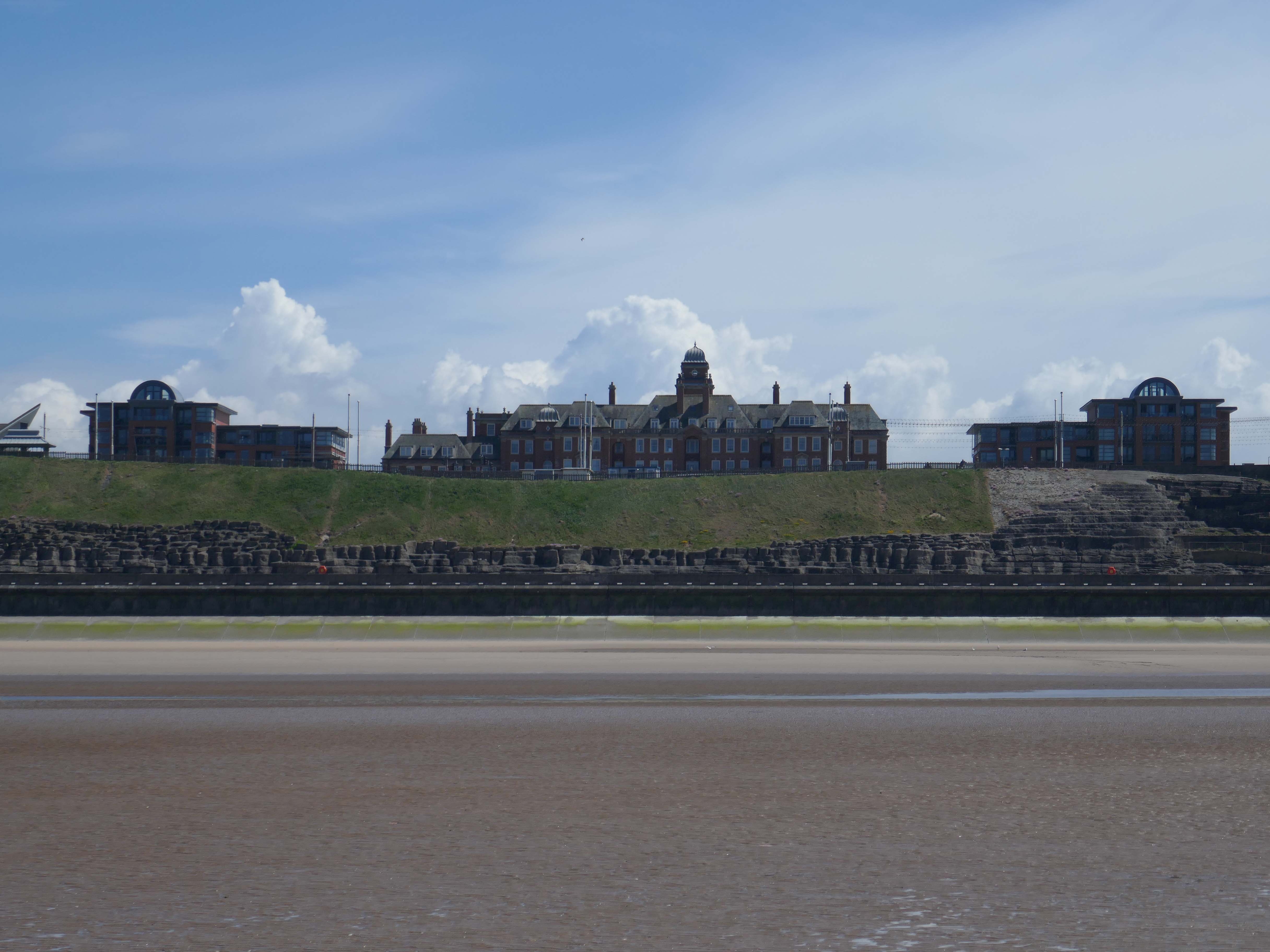
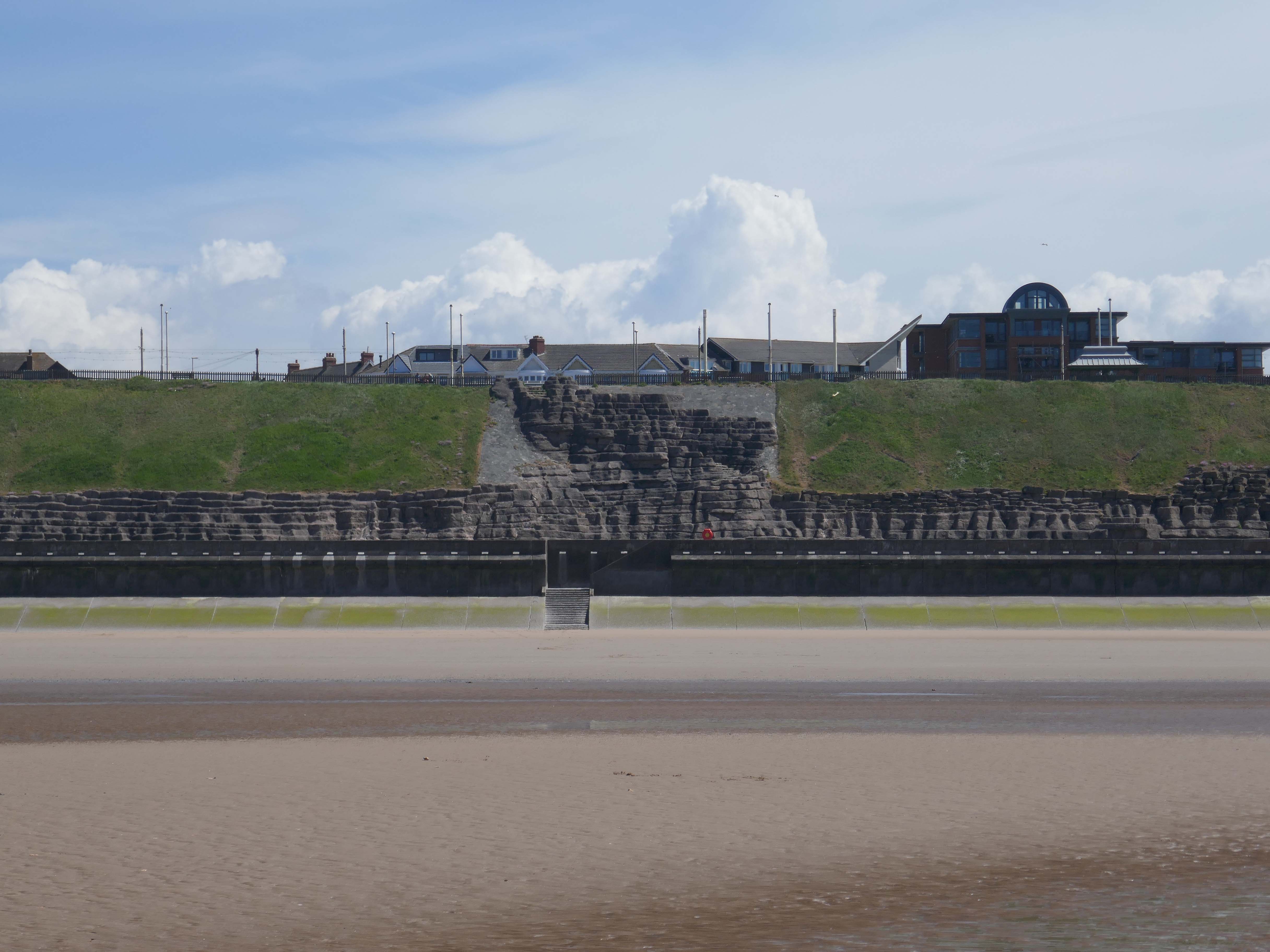
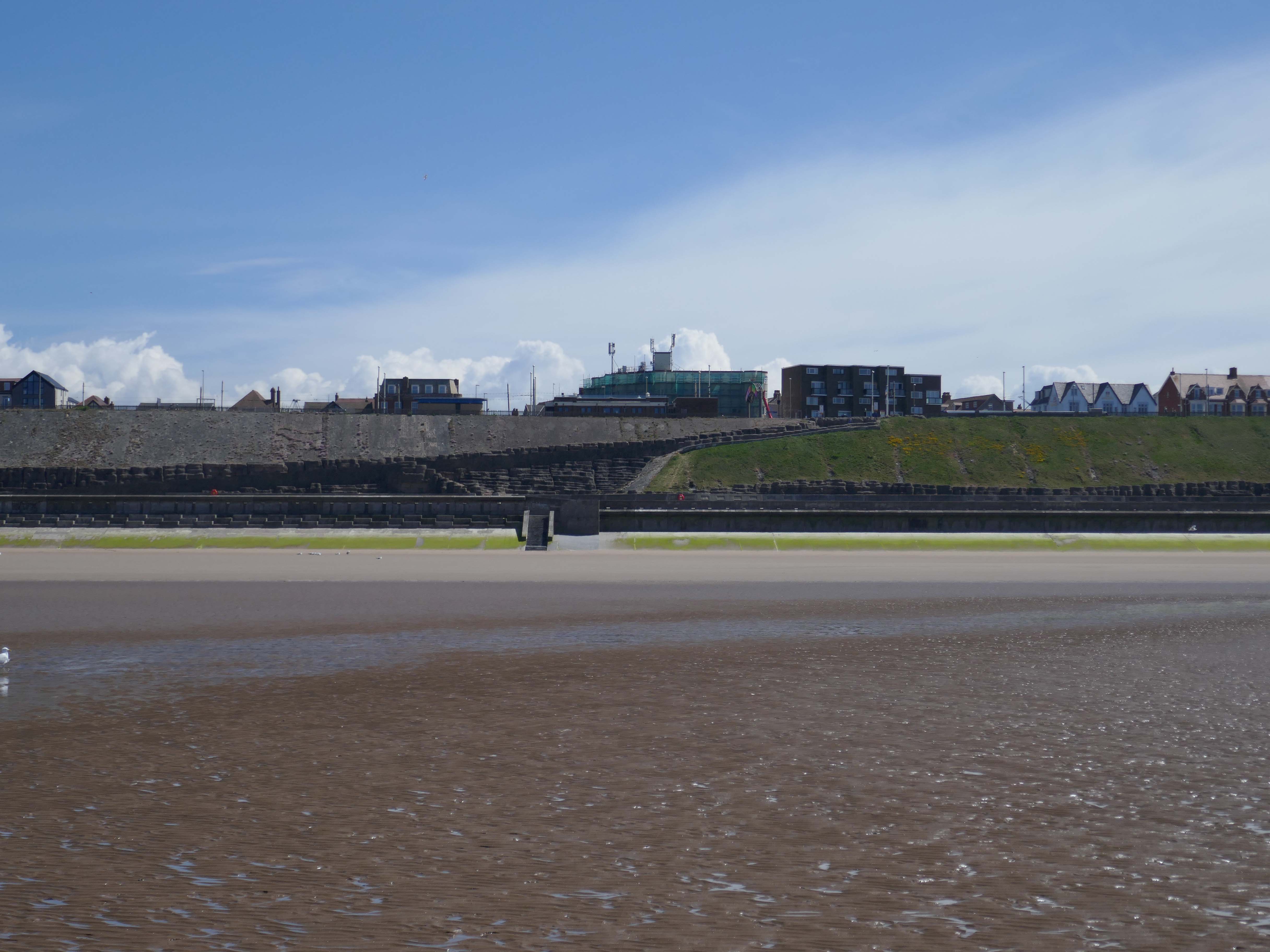
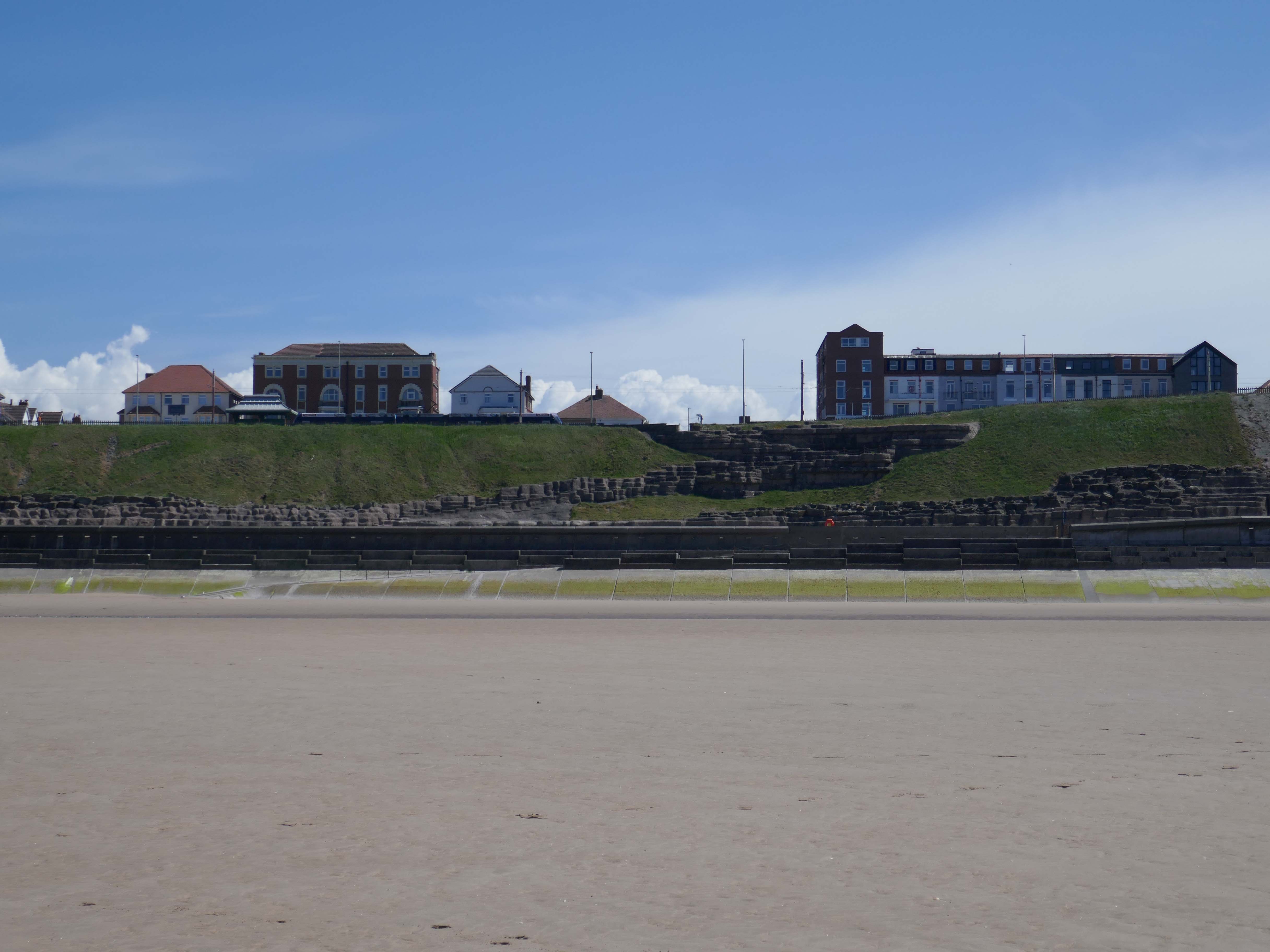
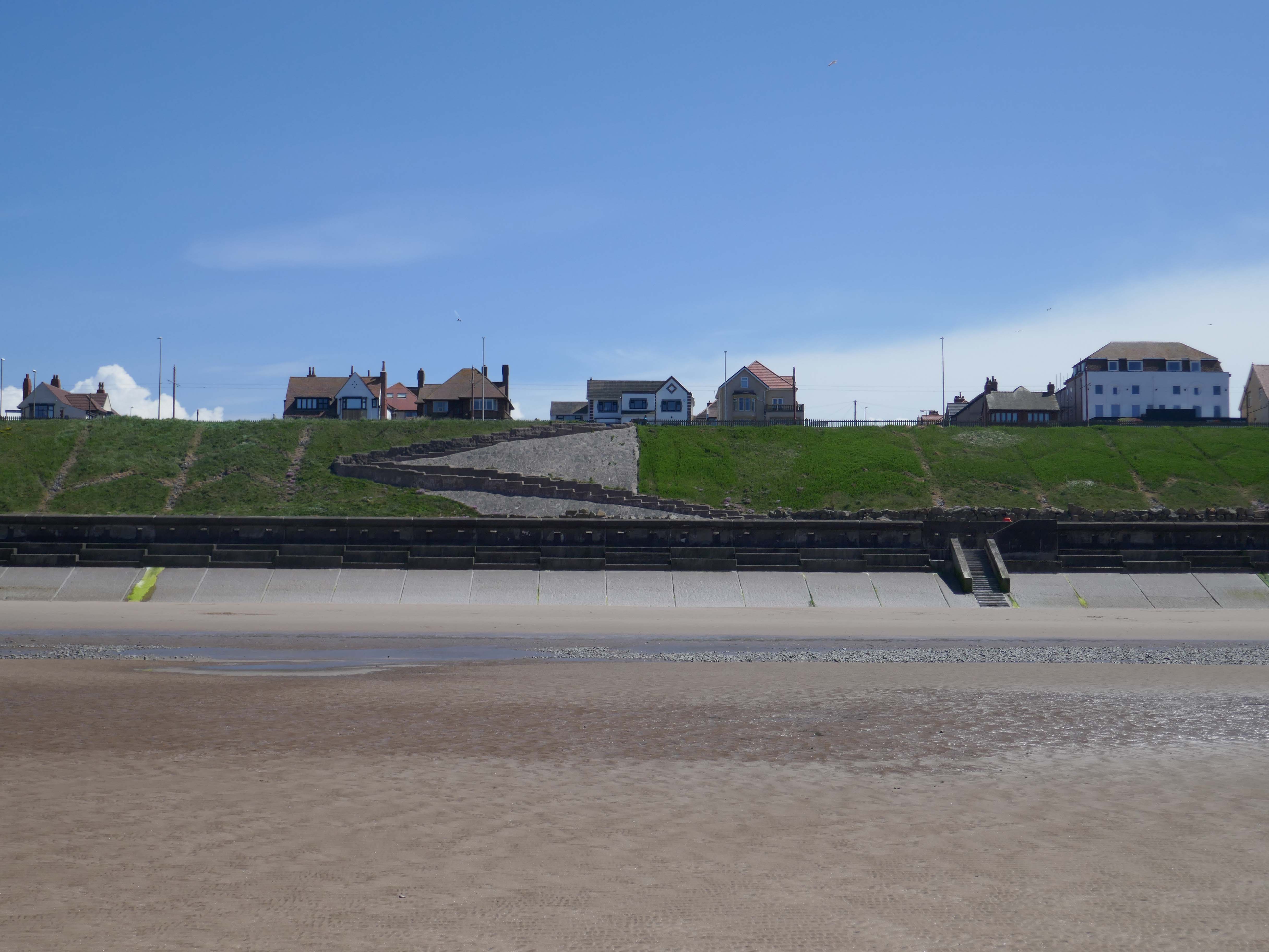
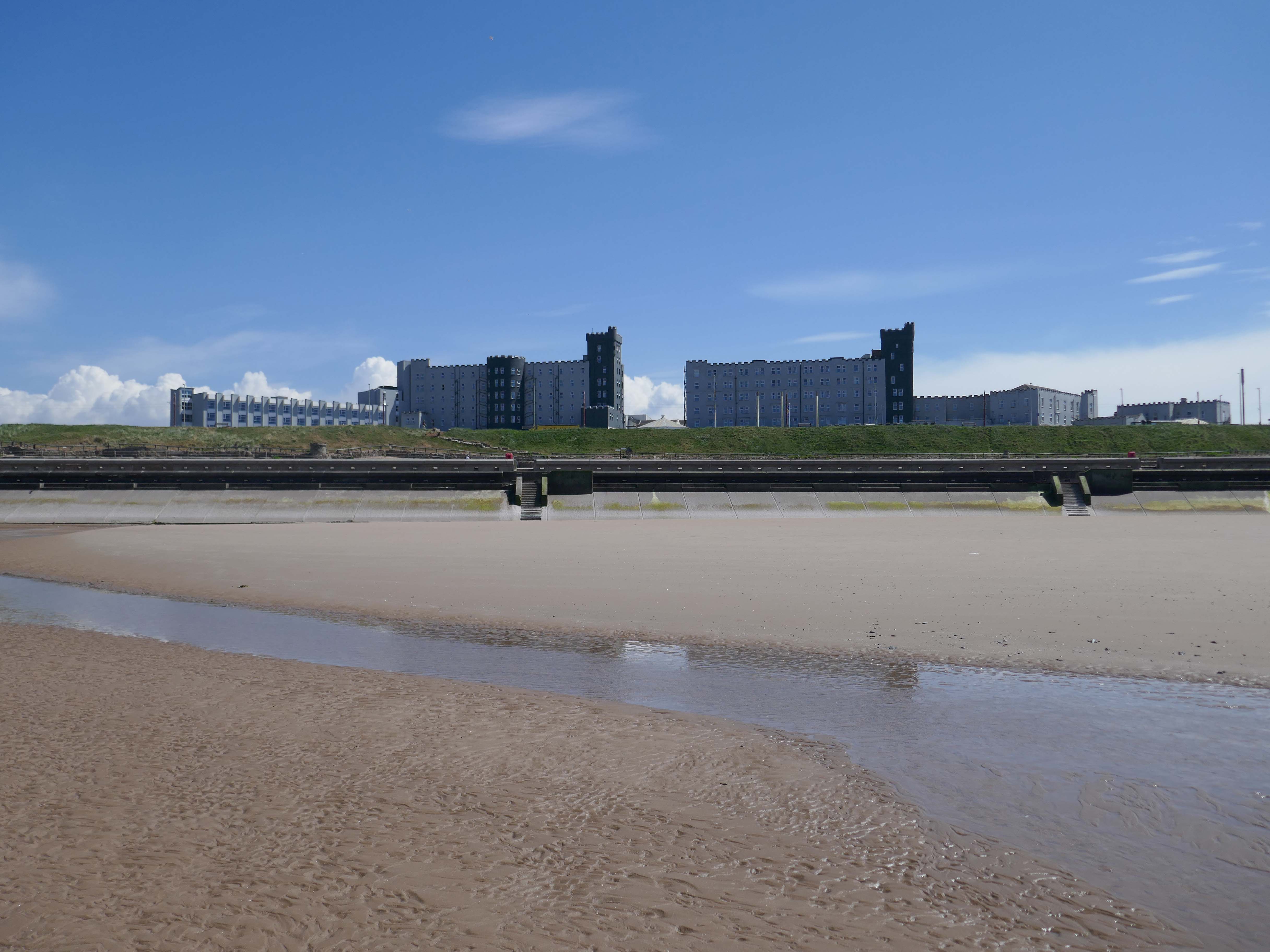
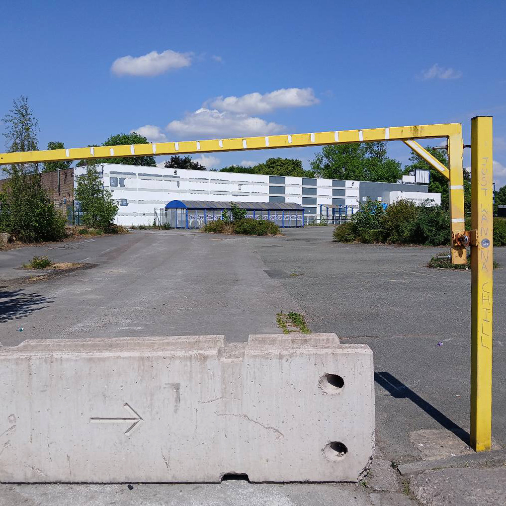
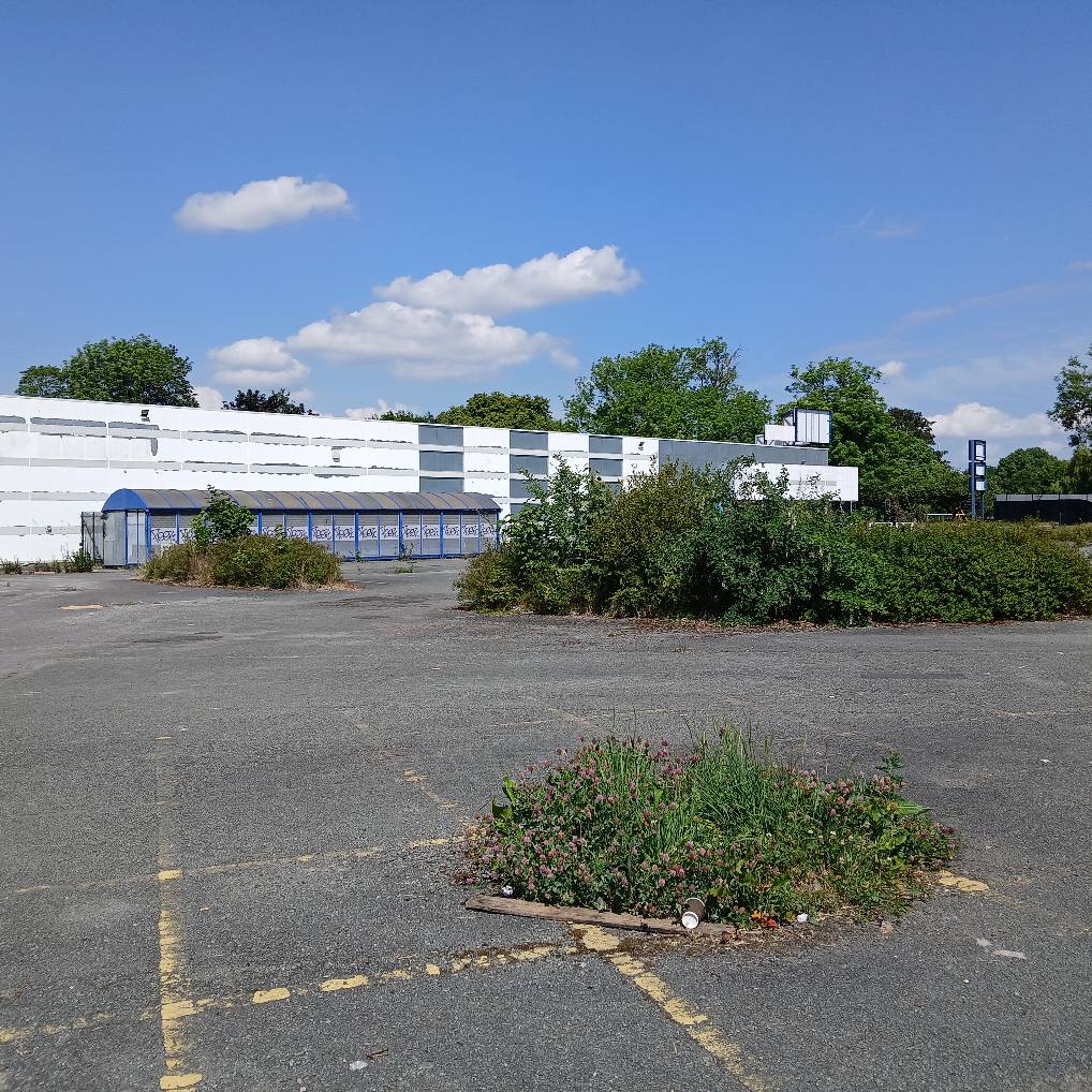
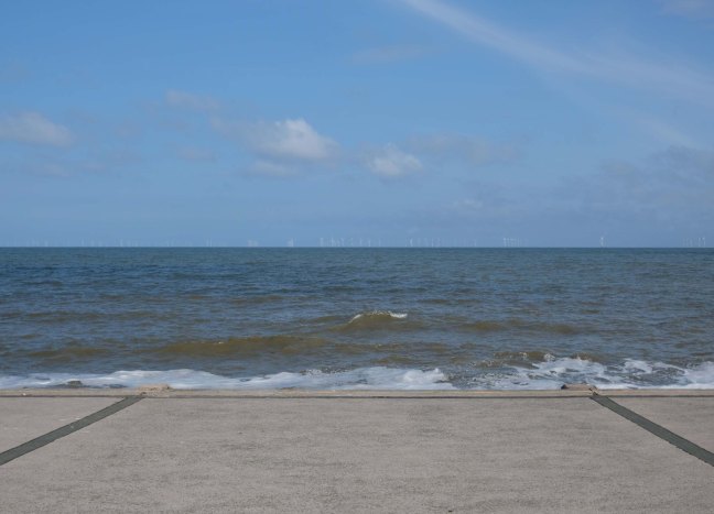
Yesterday, Wednesday 21st May 2025, the sun was shining and the tide was out, I decided to walk along the sands, and look towards the land.
To the right the Imperial Hotel – 1866-7 by Clegg and Knowles of Manchester, wing added 1875 by Mangnall and Littlewood.
The hotel was established in 1867. Charles Dickens stayed at the hotel in 1869. In 1904, the hotel was extended with the addition of a large neo-baroque style dining room. In 1912, Princess Louise, Duchess of Argyll stayed at the hotel.In the mid 20th century, Winston Churchill, Queen Elizabeth The Queen Mother, Princess Margaret, Countess of Snowdon and The Beatles stayed at the hotel. Queen Elizabeth II stayed at the hotel when visiting Blackpool. In 1985, Margaret Thatcher celebrated her 60th birthday in the hotel. In 2002, US President Bill Clinton and Prime Minister Tony Blair stayed at the hotel for the Labour party conference.
Join us at The Imperial Hotel Blackpool for an unforgettable experience where entertainment, family fun, and group leisure come together. Book now and start creating memories that will last a lifetime.
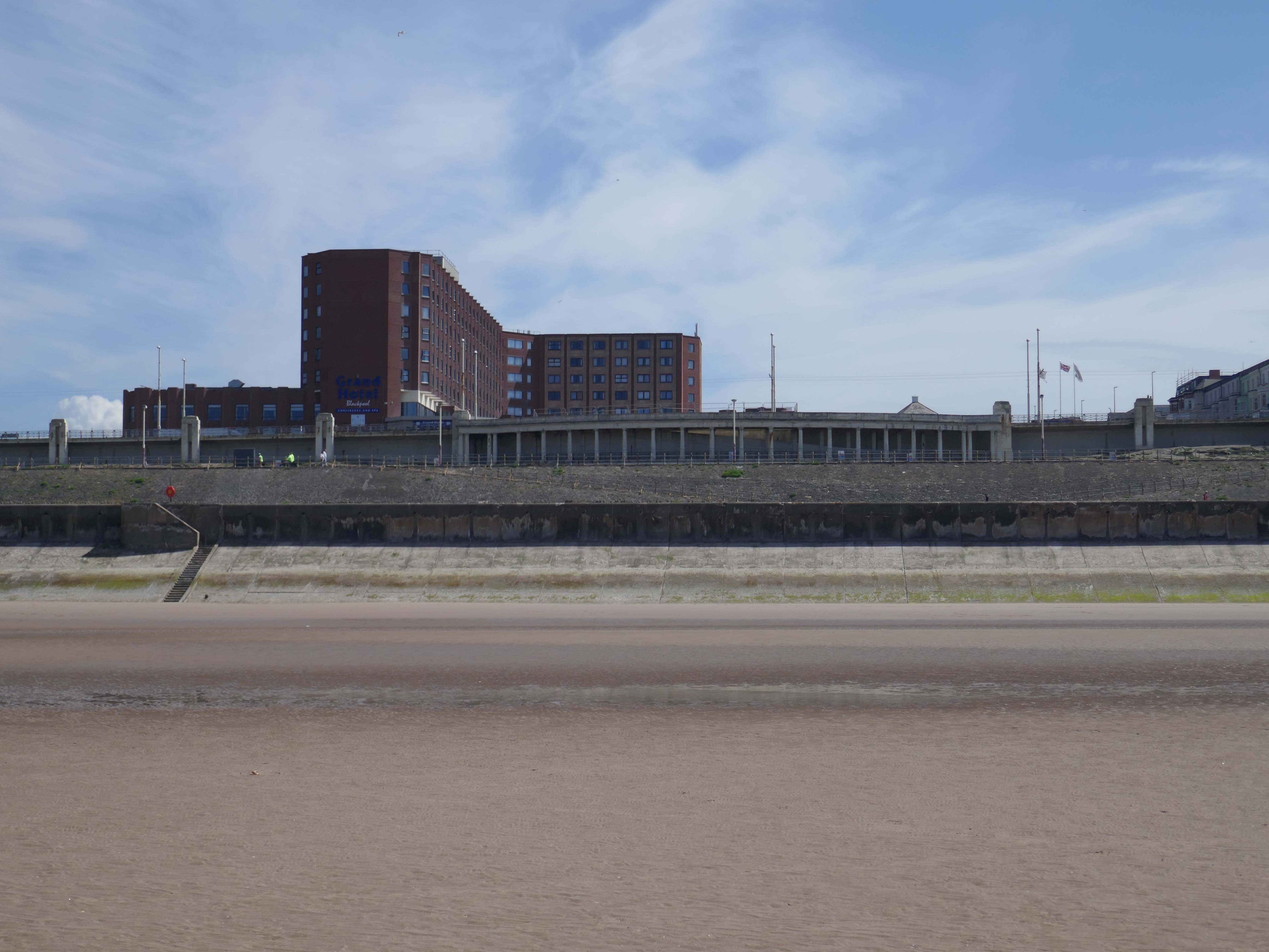
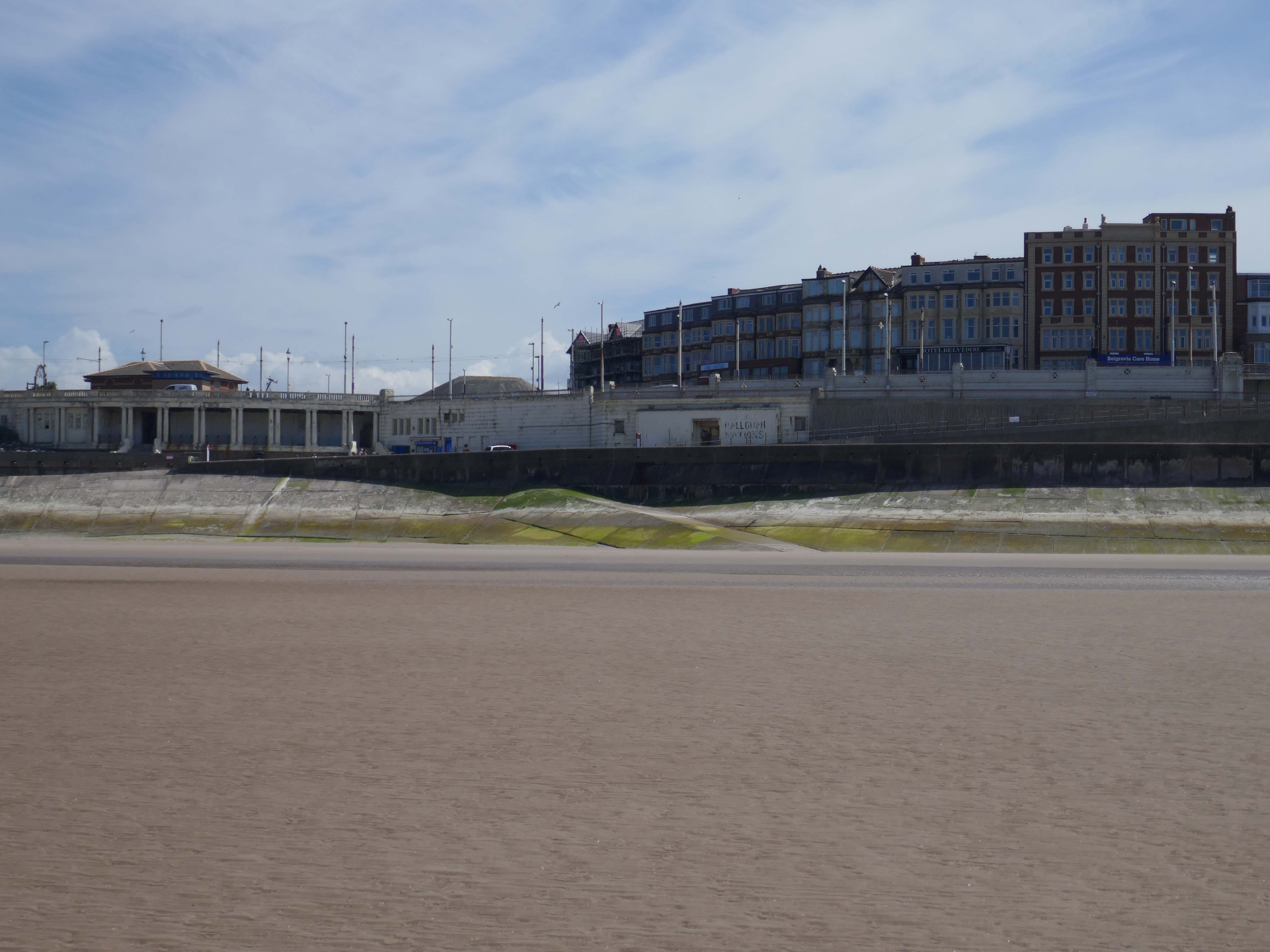
Grand Hotel – the hotel was built as the Pembroke Hotel in 1982, became the Hilton Hotel in 1999 and The Grand Hotel in 2017
The hotel was built next to the site of the Derby Baths 1939 – architect: John Charles Robinson who between 1920-1944 designed many of Blackpool’s landmark civic buildings including libraries, schools, swimming baths, leisure facilities and tourist infrastructure.
The Savoy Hotel, just north of Gynn Square, is one of the series of large red brick and red terracotta hotels built around the turn of the century. The architect was TG Lumb and the hotel opened in 1915; the sun lounge in Hathern’s cream faience was added in 1935 by Lumb and Walton.
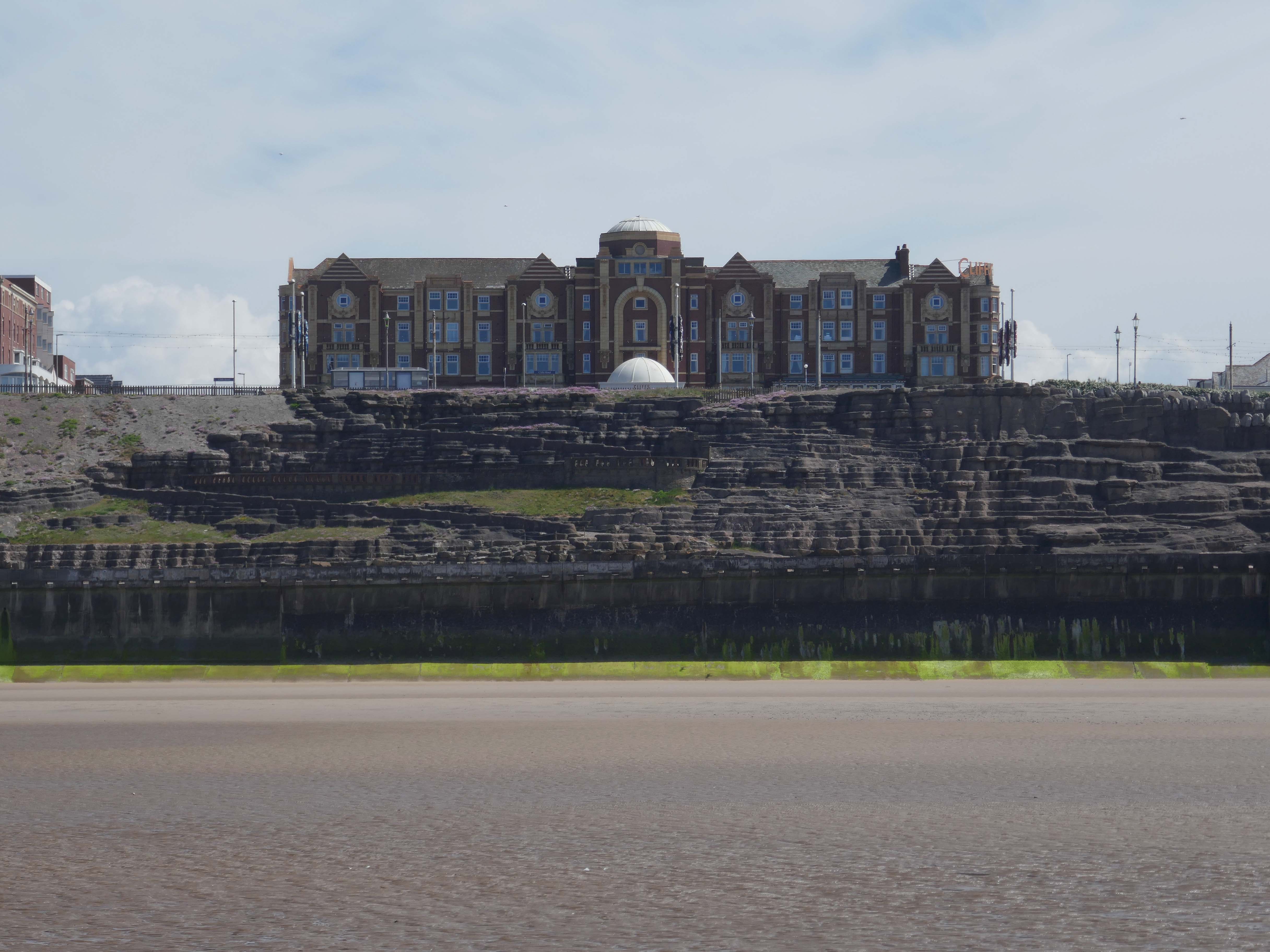
The Cliffs Hotel started in 1921 – architect Halstead Best substantially rebuilt and enlarged the building 1936–37 and added an underground carpark
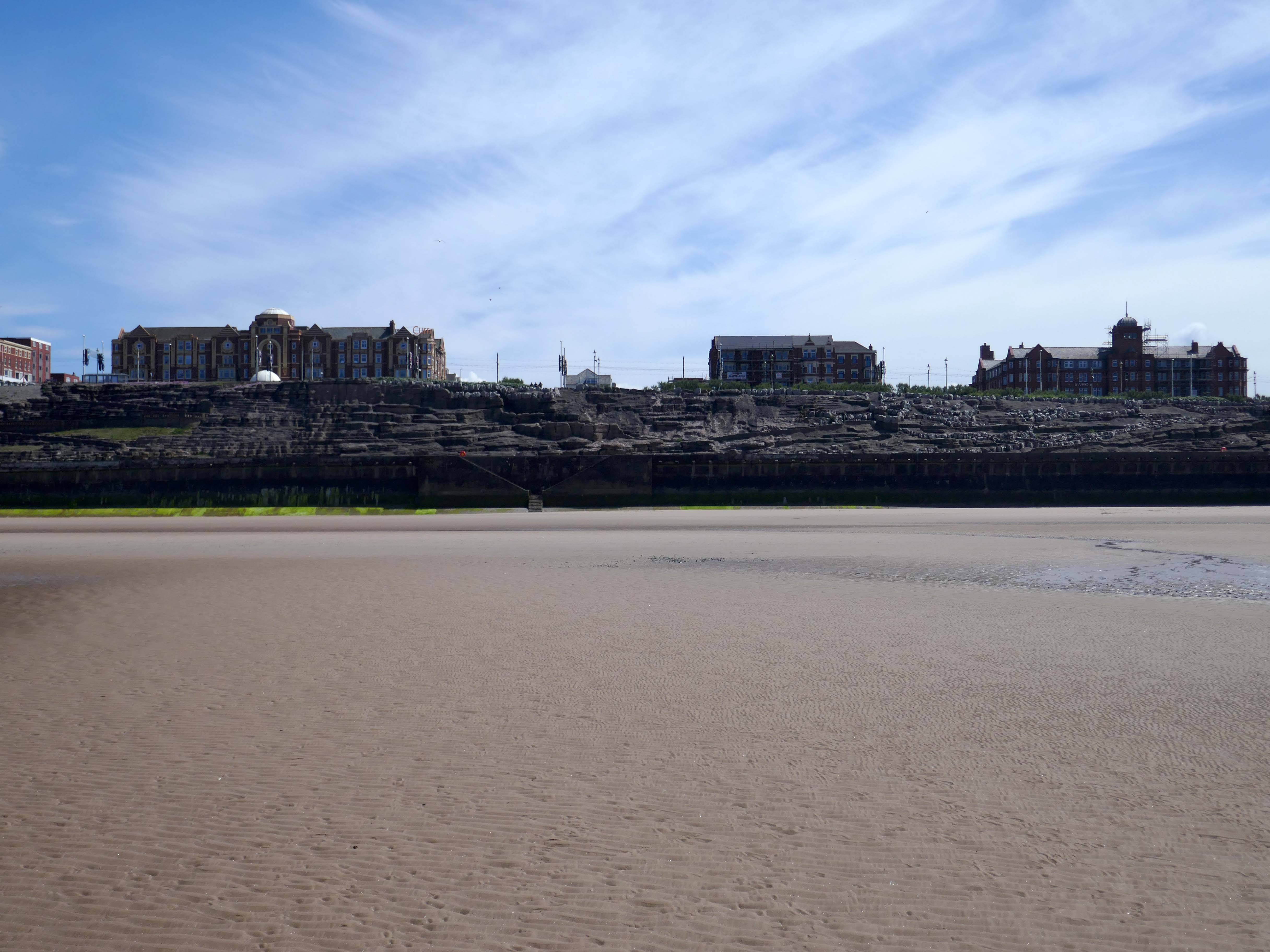
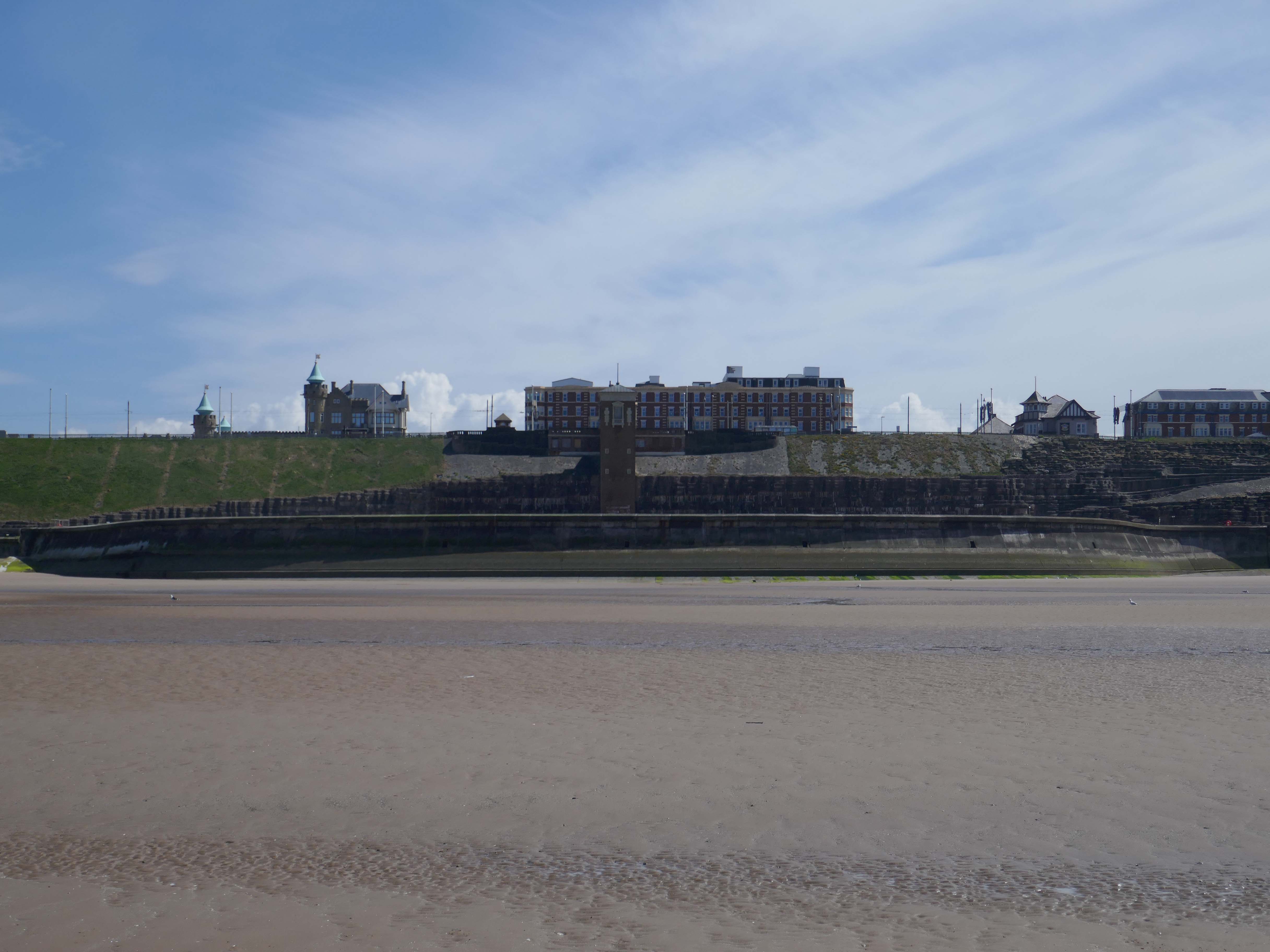
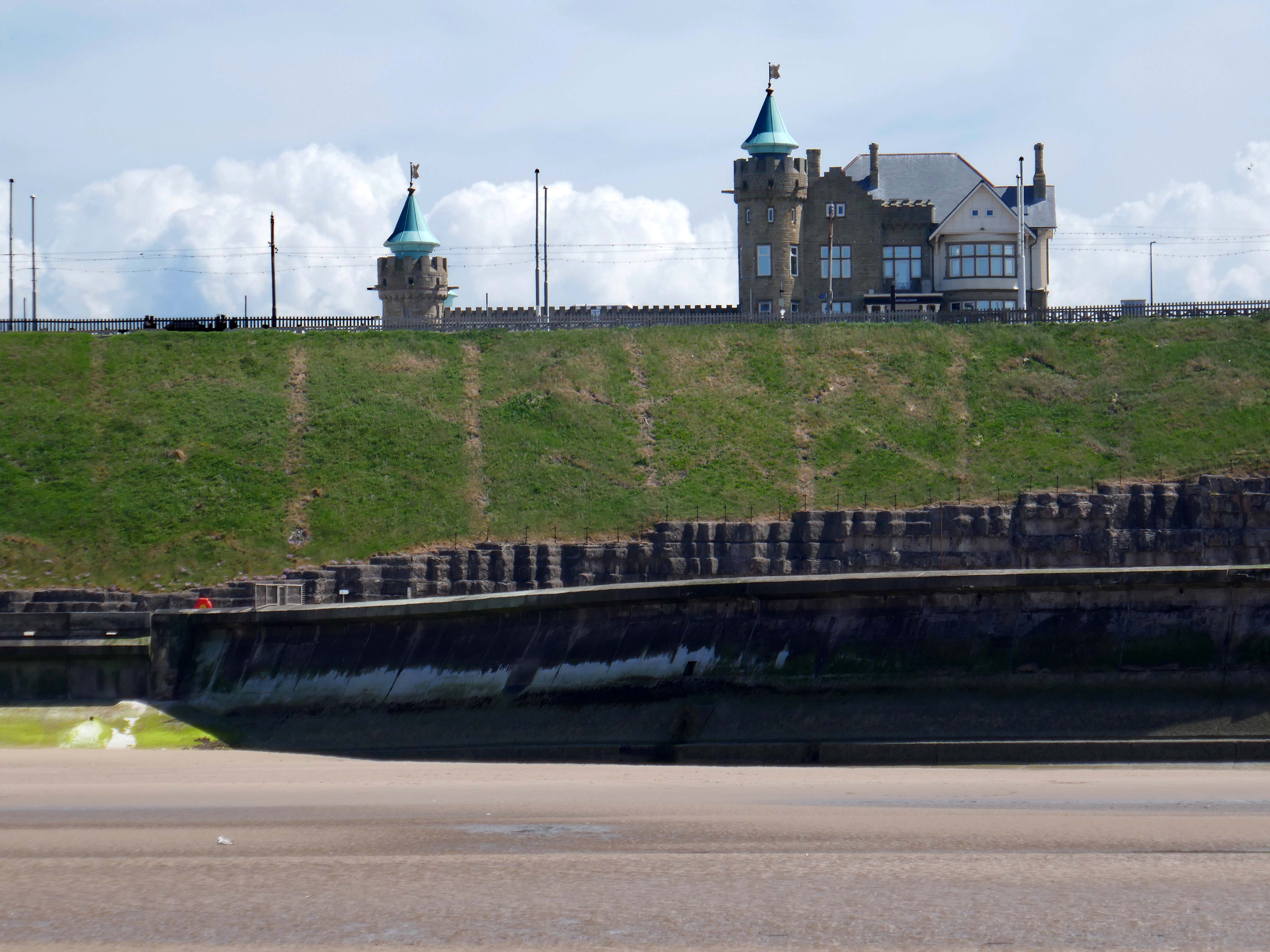
Castle Casino – architect: Arthur Hindle 1906
Arthur Knowles built the Castle at 64 Queens Promenade North Shore for his wife, who unfortunately stayed in France. The couple stayed in the house for a mere nine months during 1929. Apart from housing Belgian refugees during World War 1, it stayed empty until 1935. It then opened briefly as an old people’s home, before being bought by Lawrence Wright – AKA Horatio Nicholls, as his home.
Wright sold it in 1941, and after several years as the home of the Blackpool and Fylde Motor Club, it became the Castle Casino of today in 1965, first owned by wrestler Jack Pye, who moved to Blackpool in 1950. It has had various identities, and was last taken over in 2005, now being known as the Genting Club – part of a national chain of that name.
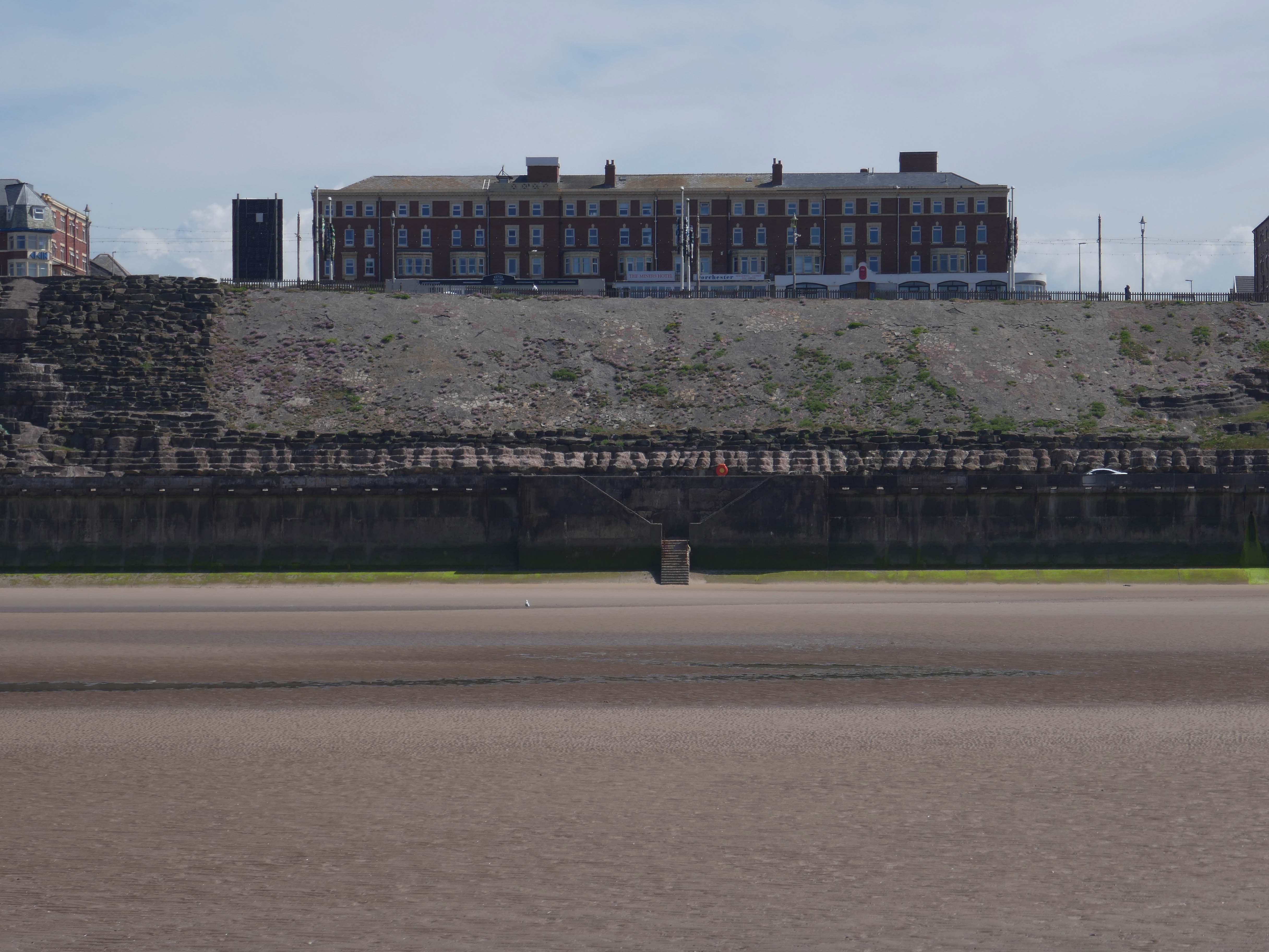
Former Miners Convalescent Home 1925-27 – architects: Bradshaw Gass & Hope, Grade II listed
Converted to apartments in 2005 – trading as Admiral Point.
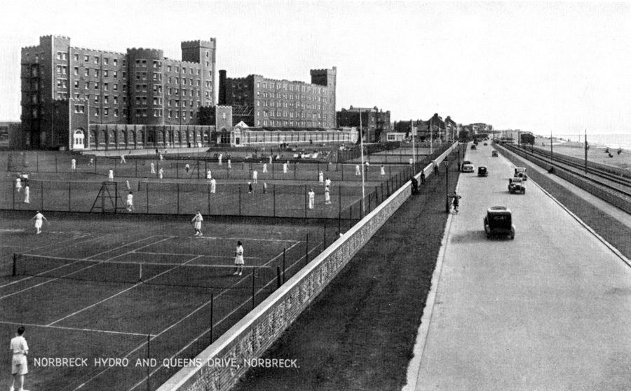
Norbreck Castle Hotel originally built as a large private country house in 1869, it was bought around the end of the 19th century by JH Shorrocks, who used the house to entertain friends and colleagues at lavish weekend parties. The popularity of these parties led to Shorrocks running them on a commercial basis by taking paying guests.
The S Block by architect WH Longworth 1912 – the N Block by Halstead Best 1933-34.
In the 1970’s the Motel wing was added along with, the large Norcalympia exhibition hall, the name was changed from the Norbreck Hydro to Norbreck Castle.
European Regional Development Fund cash of £450,000 was granted towards a regeneration project on Cleveleys Promenade. Wyre Council improved 64,000 sq ft of the promenade to create a more attractive place for visitors to the town. The latest work complements the £20m sea defence installation.
Broadbent Studio worked collaboratively from the outset with Wyre Council, Ferguson & McIlveen and Faber Maunsell in 2008, to create an exciting new promenade and sea defence scheme for the coastline at Cleveleys.
The Sea Swallow is a 10m tall structure that brings to life Wyre’s Mythic Coast storybook ‘The Sea Swallow’. The coated aluminium sculpture, has the feel of ‘a book coming to life’, with the two sea swallows symbolic of the town’s protectors emerging from the page.
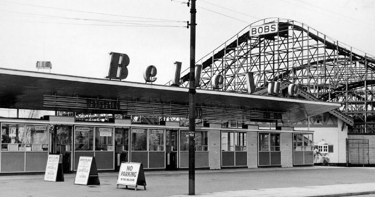
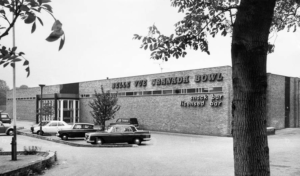
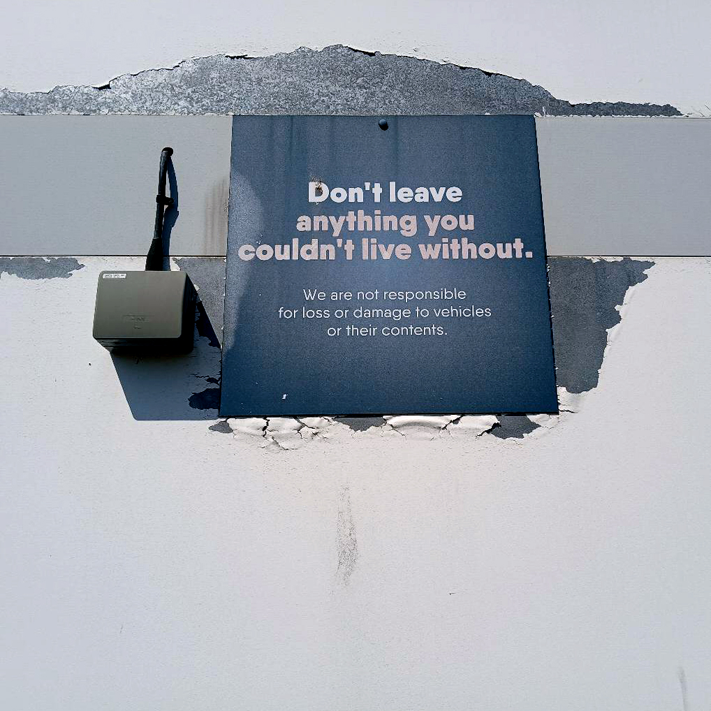
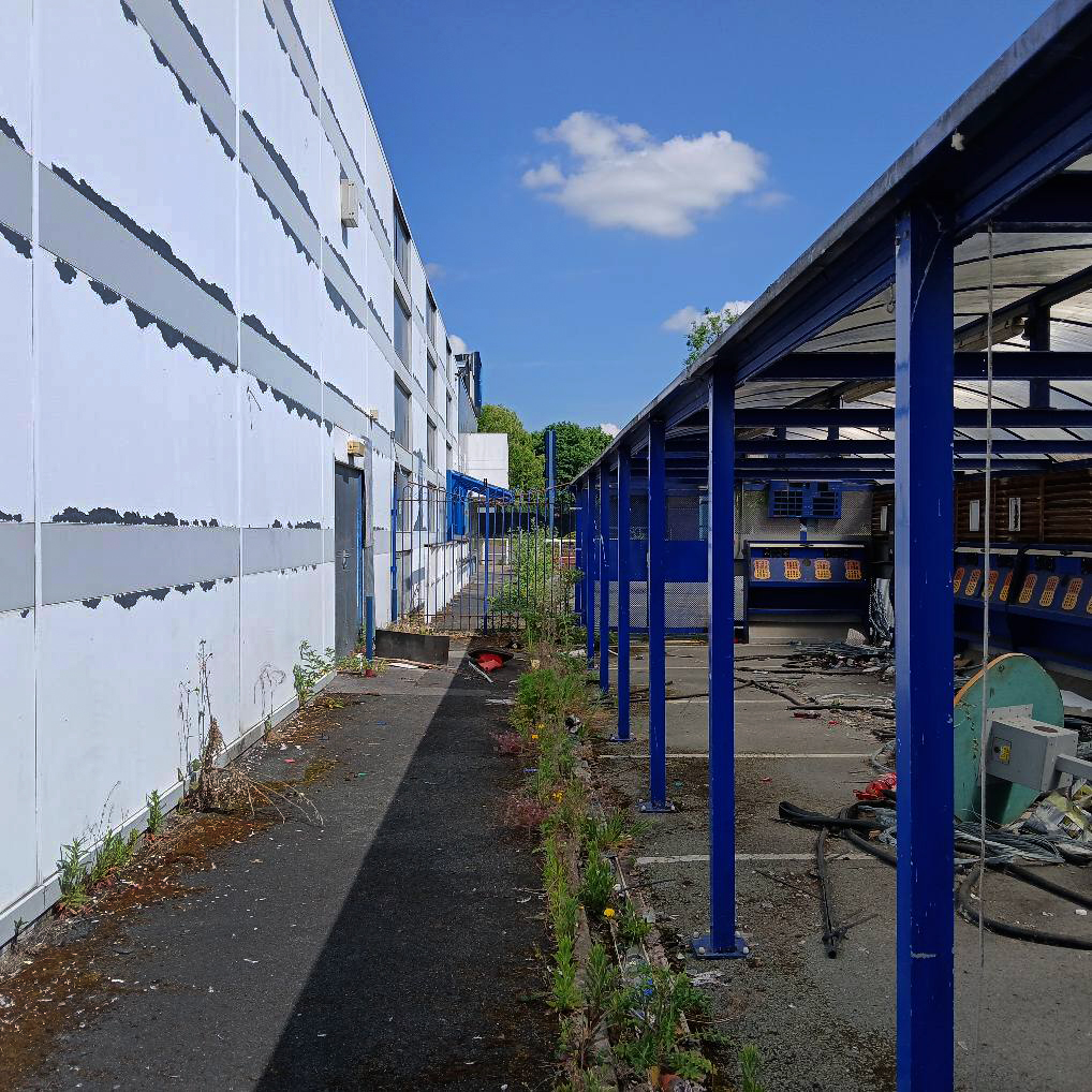
Once upon many times ago we all went to Belle Vue – formed from John Jennison’s Victorian pleasure gardens and zoo, into an inner city funfair and entertainment extravaganza.
I went to the circus, competed in school sports days, watched the wrestling and music, I still go to the speedway – Belle Vue Aces now racing at the nearby National Speedway Stadium.
Then one day it all fell apart.
In 1979 the amusement park was leased to the main concessionaire, Alf Wadbrooke, although by then it was only open at weekends during the summer season. The long-promised restoration of the Scenic Railway had not happened and the Water Chute had closed. In August 1980, Wadbrooke was given notice to close down the park by 26 October 1980 and to have all his equipment removed by February 1981.
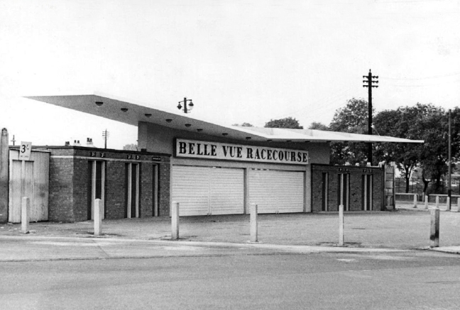
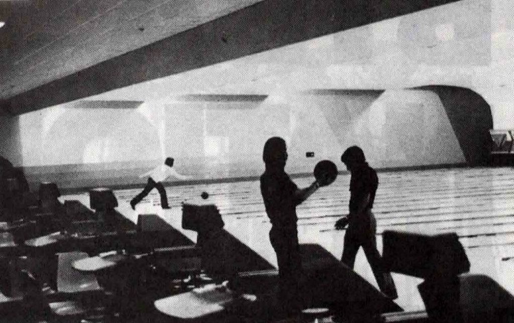
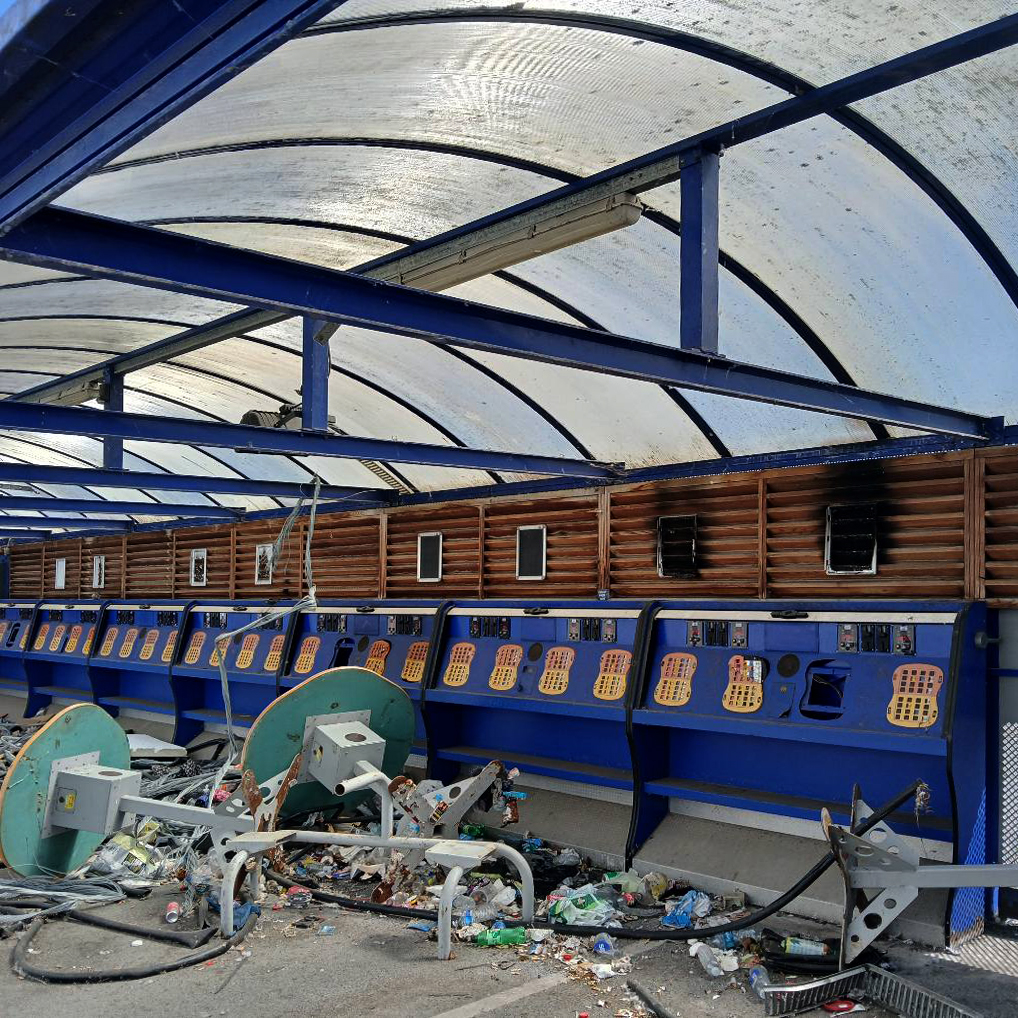
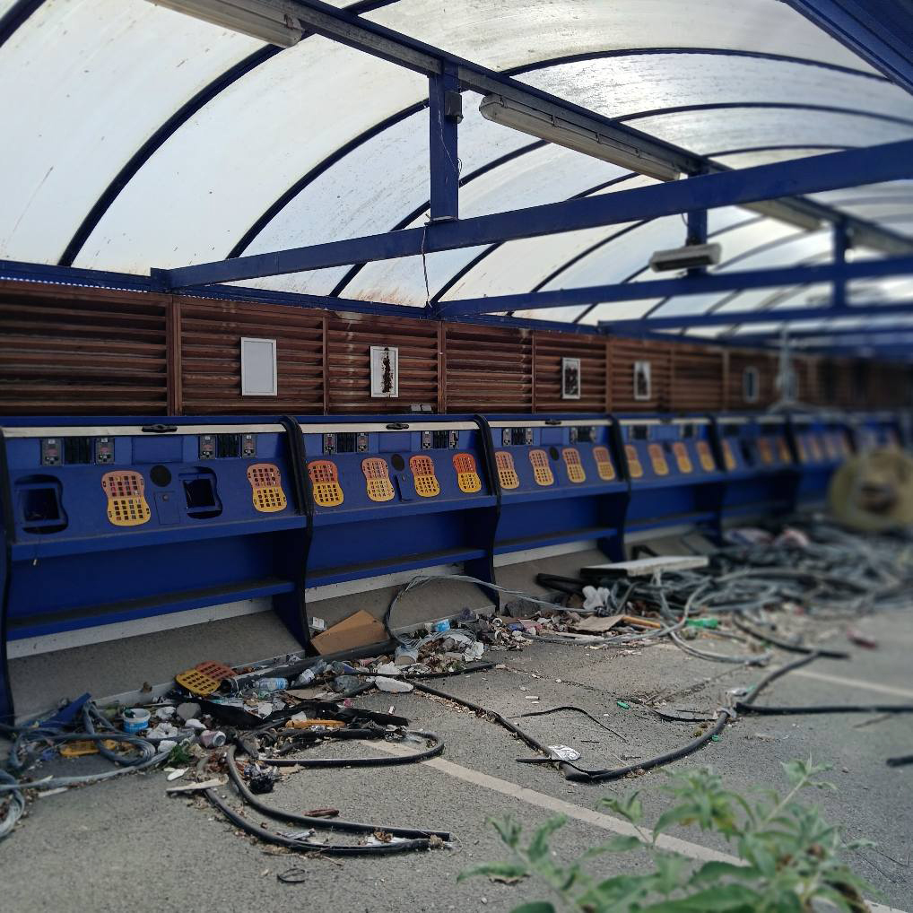
In 1963 the Top Lake, formerly known as the Great Lake, was filled in and a 32-lane ten-pin bowling alley built on its site, just behind the Lake Hotel.
Known as the Belle Vue Granada Bowl, it opened in 1965, advertised as “the north’s leading luxury centre”. In 1983, after the rest of Belle Vue had closed, it was sold to First Leisure Group, and bowling continued for a time.
Wikipedia
The 32-lane Granada Bowl at Belle Vue, Manchester is believed to have been the first centre to be opened by Granada and the centre went on to become one of the most successful in the country.
The centre was equipped with lanes and machines supplied by AMF and the rest of the centre was well appointed with a licensed bar and food operation. The centre was a joint operation between Granada and Belle Vue with two directors from each company on the board of Belle Vue Granada Bowl Limited.
To mark the opening ceremony Lee Kates, with the support of the band of the 8th Battalion of the Manchester Regiment and trumpeters of the Duke of Lancaster’s Own Yeomanry, introduced Granada’s Mr Chapman, who made a short speech and welcomed the guests. The golden ball was handed to guest Pat Phoenix, star of the TV soap Coronation Street, to roll the first ball.
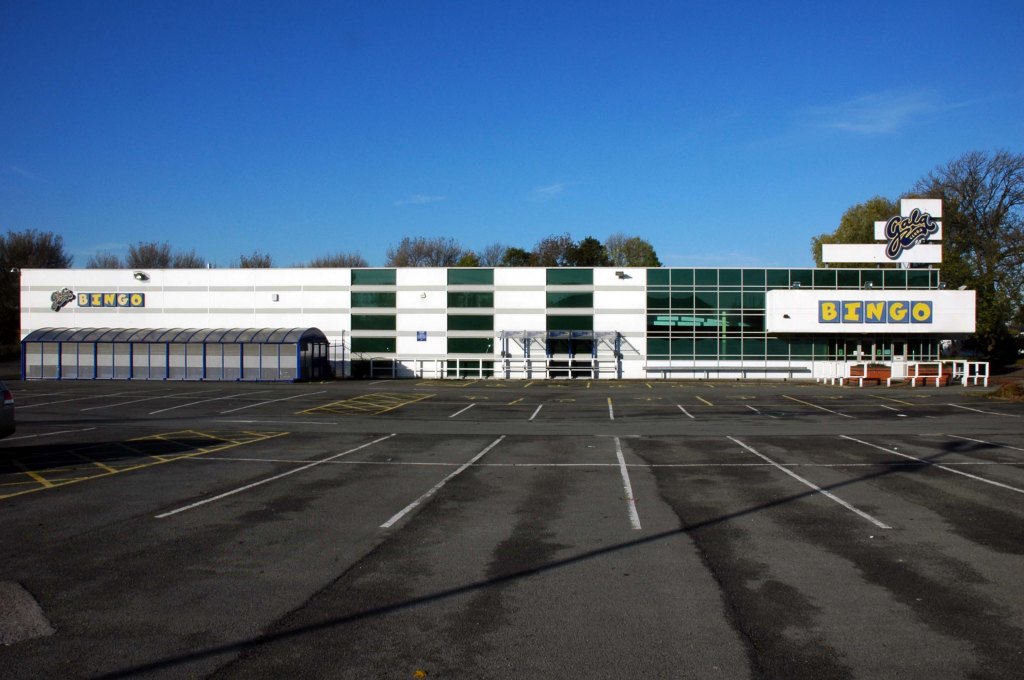
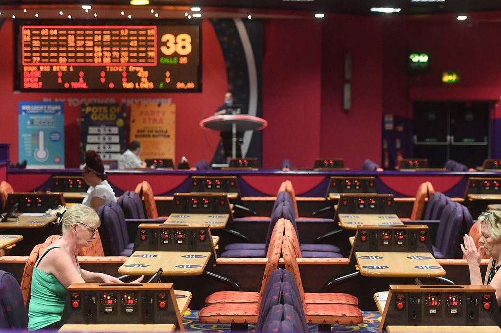
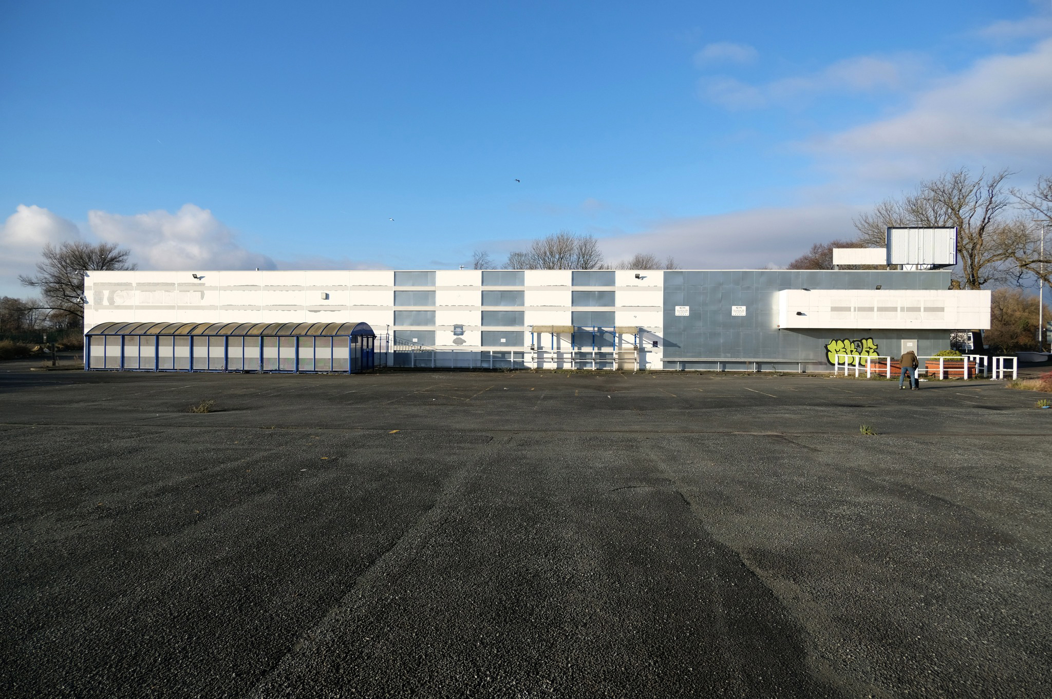
Gala Bingo came and went too.
Buzz Bingo have announced plans to close nine of their 91 clubs across the country.
One of those earmarked for closure is the club at Belle Vue. Bosses are blaming the dwindling number of players following the Covid lockdowns as well as the ‘ongoing and challenging operating environment’ of increased energy bills and other costs.
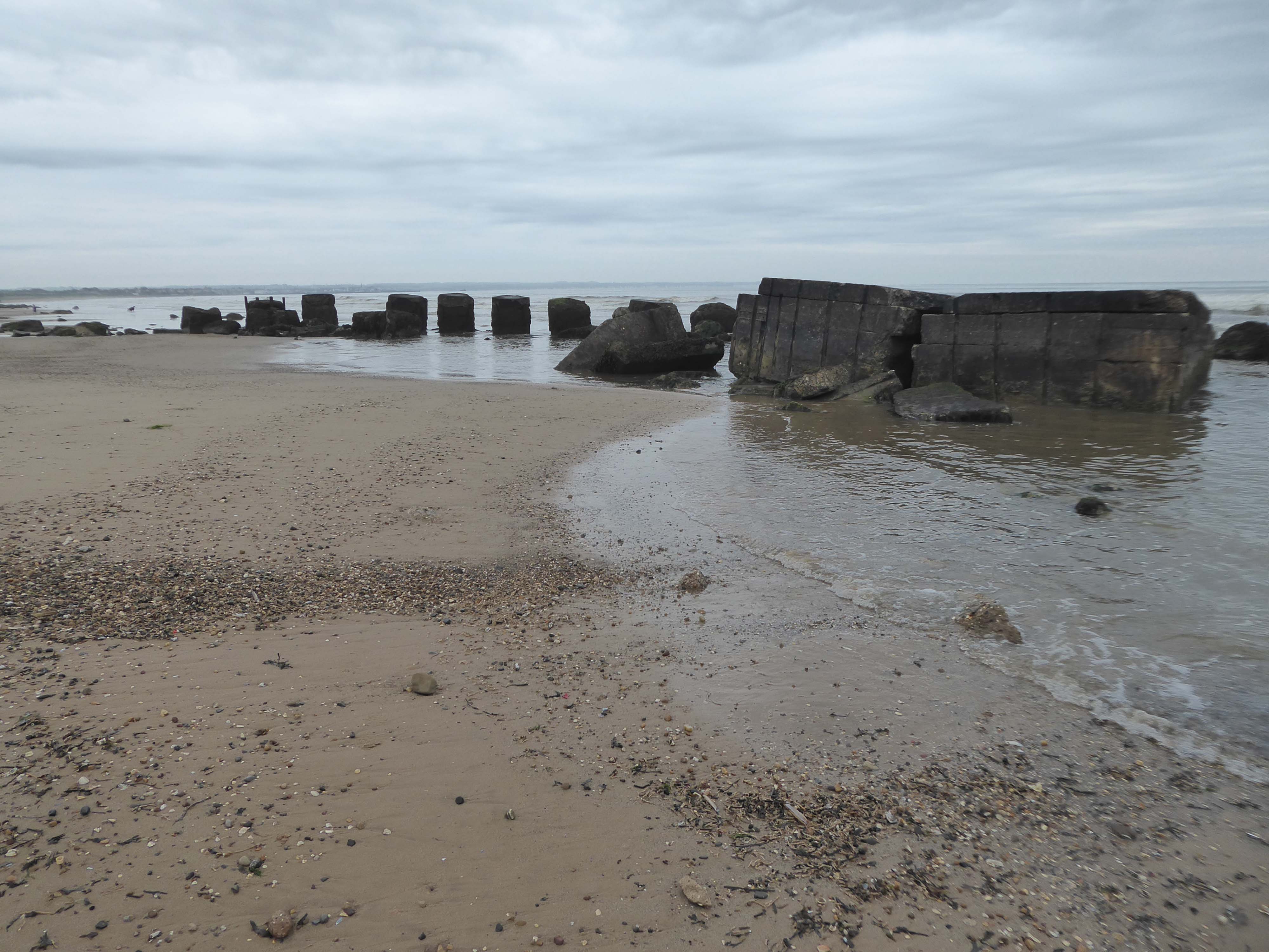
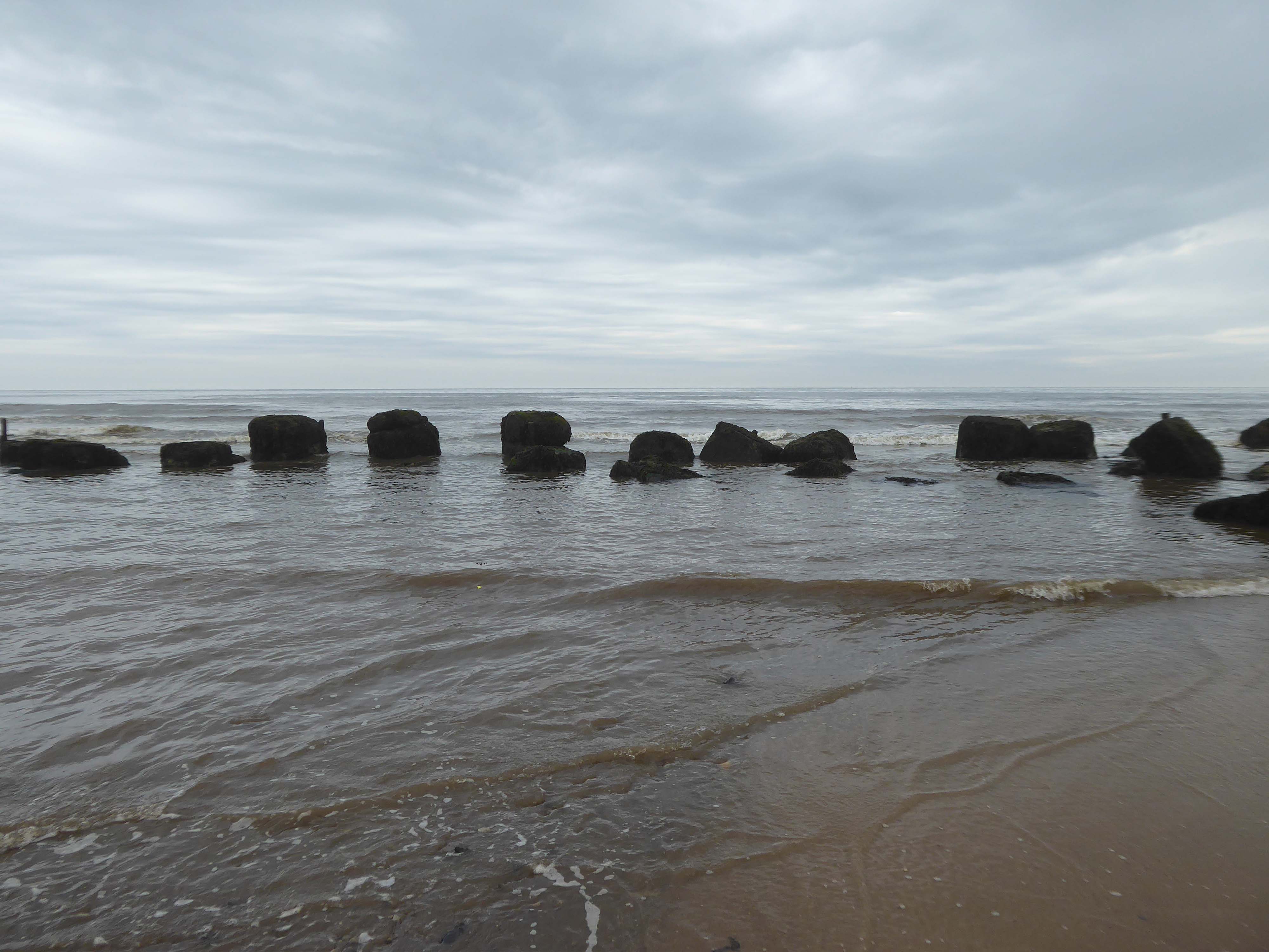
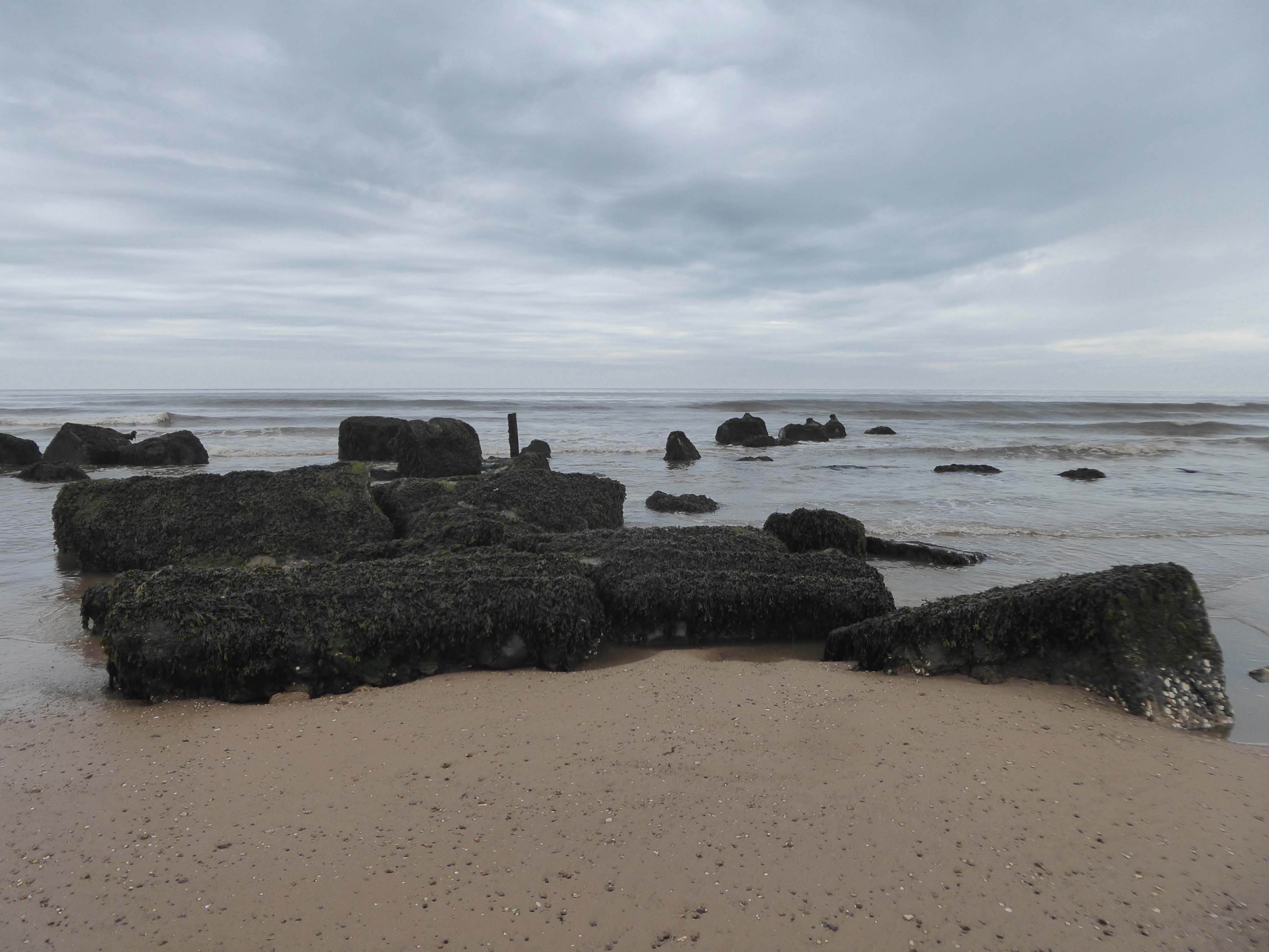
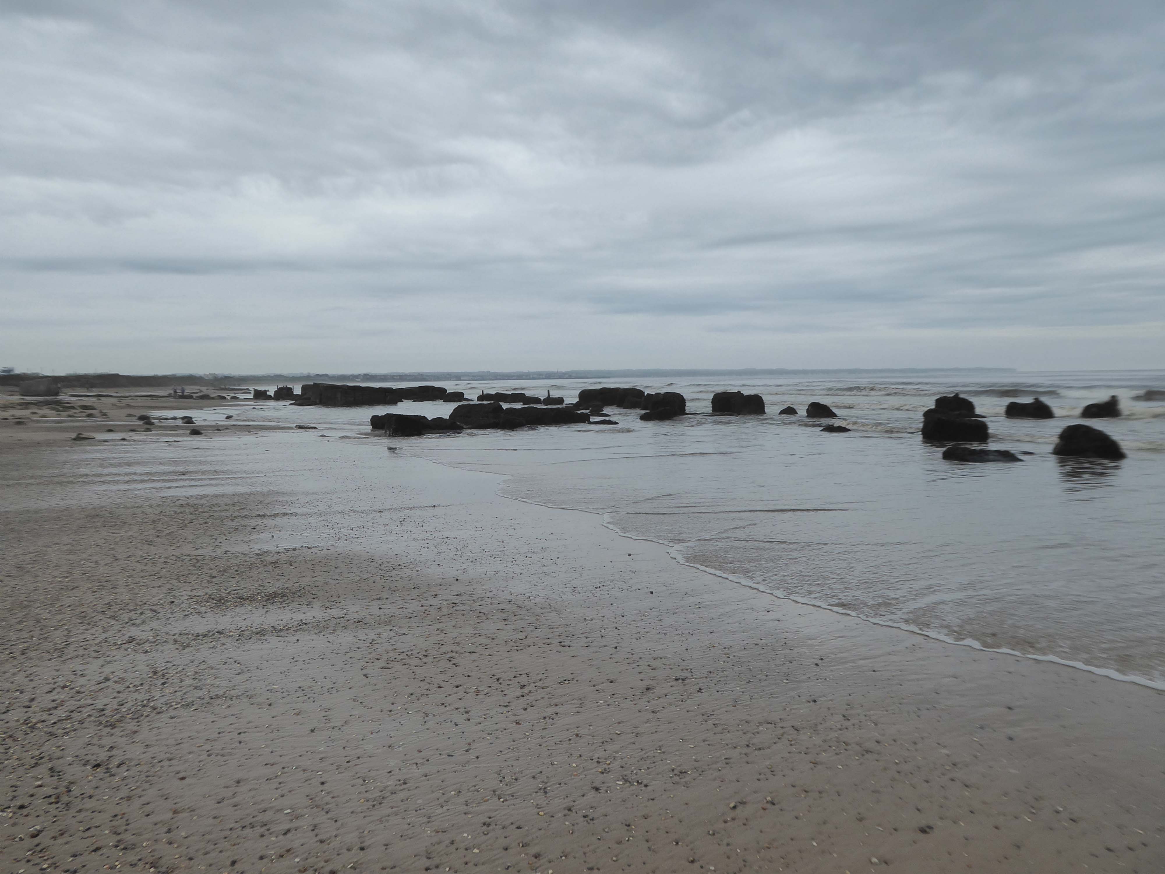
The last post on the concrete coast was from Filey
Now we’re heading south to Bridlington and beyond.
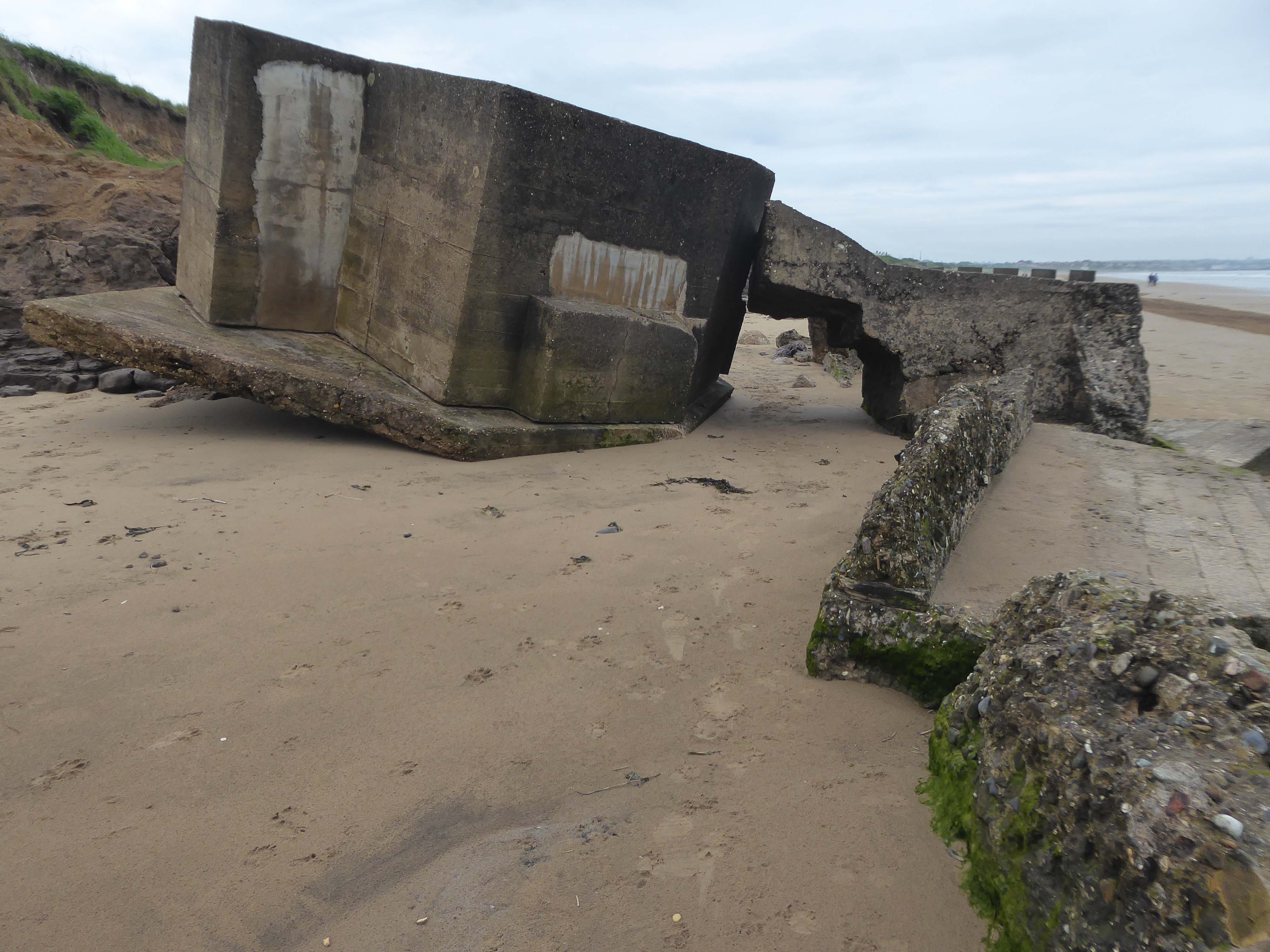
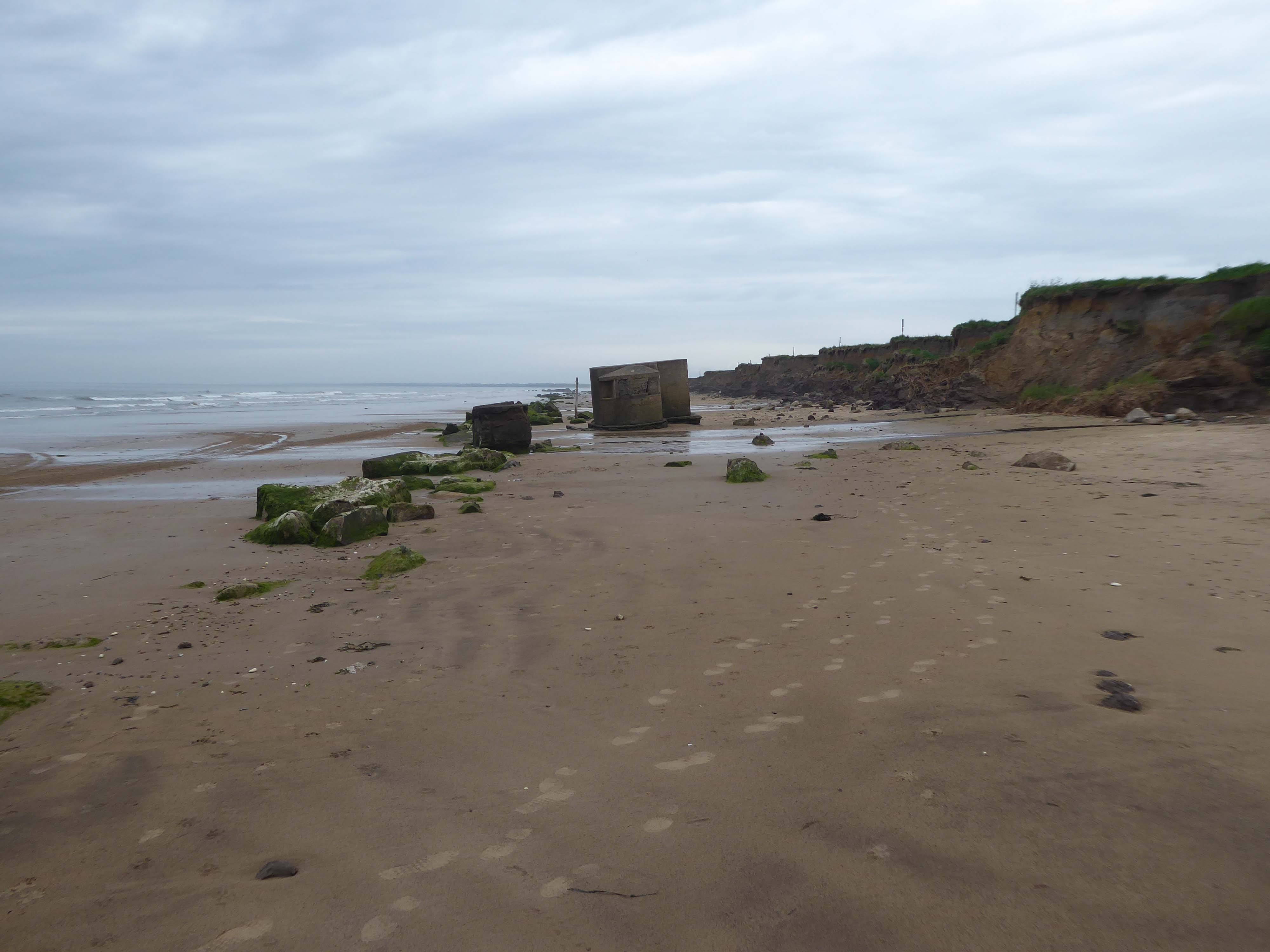
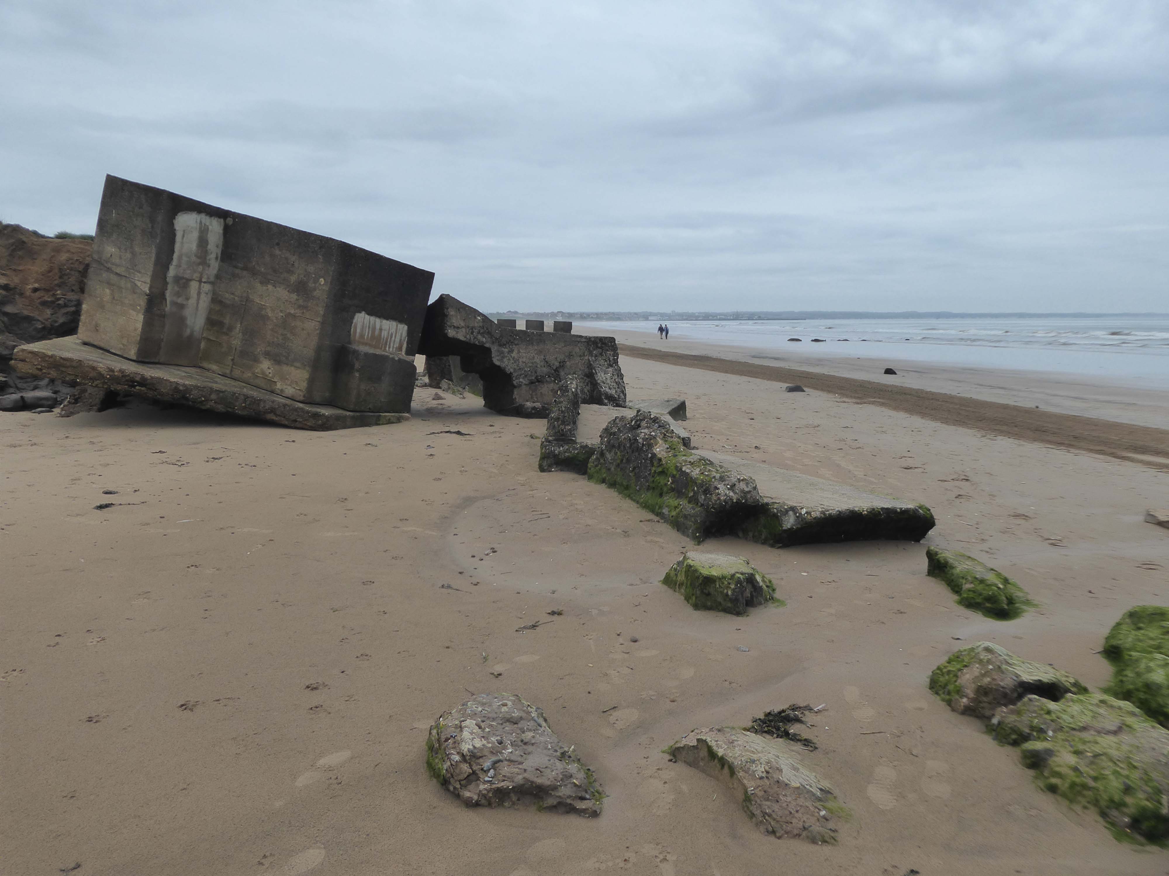
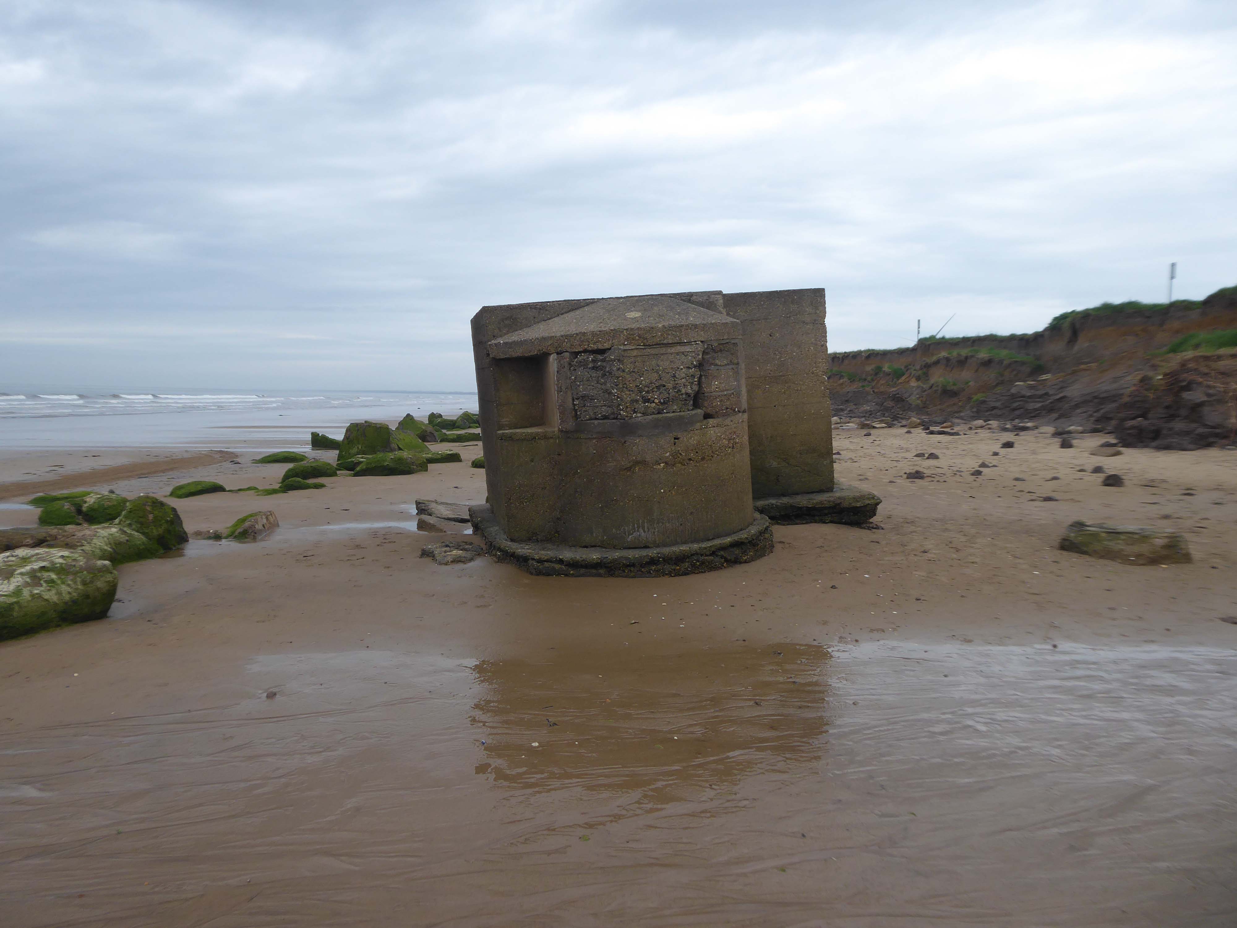
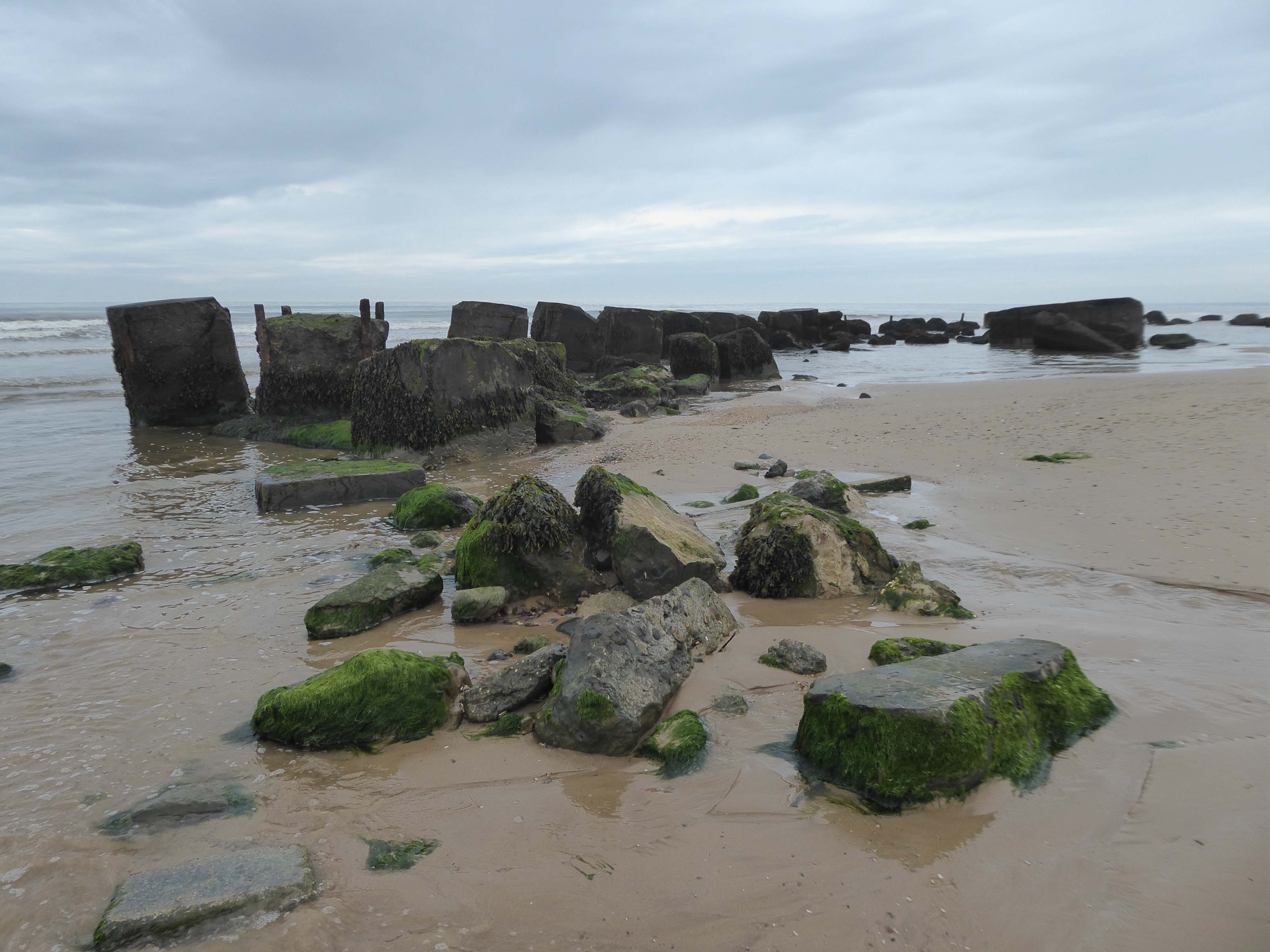
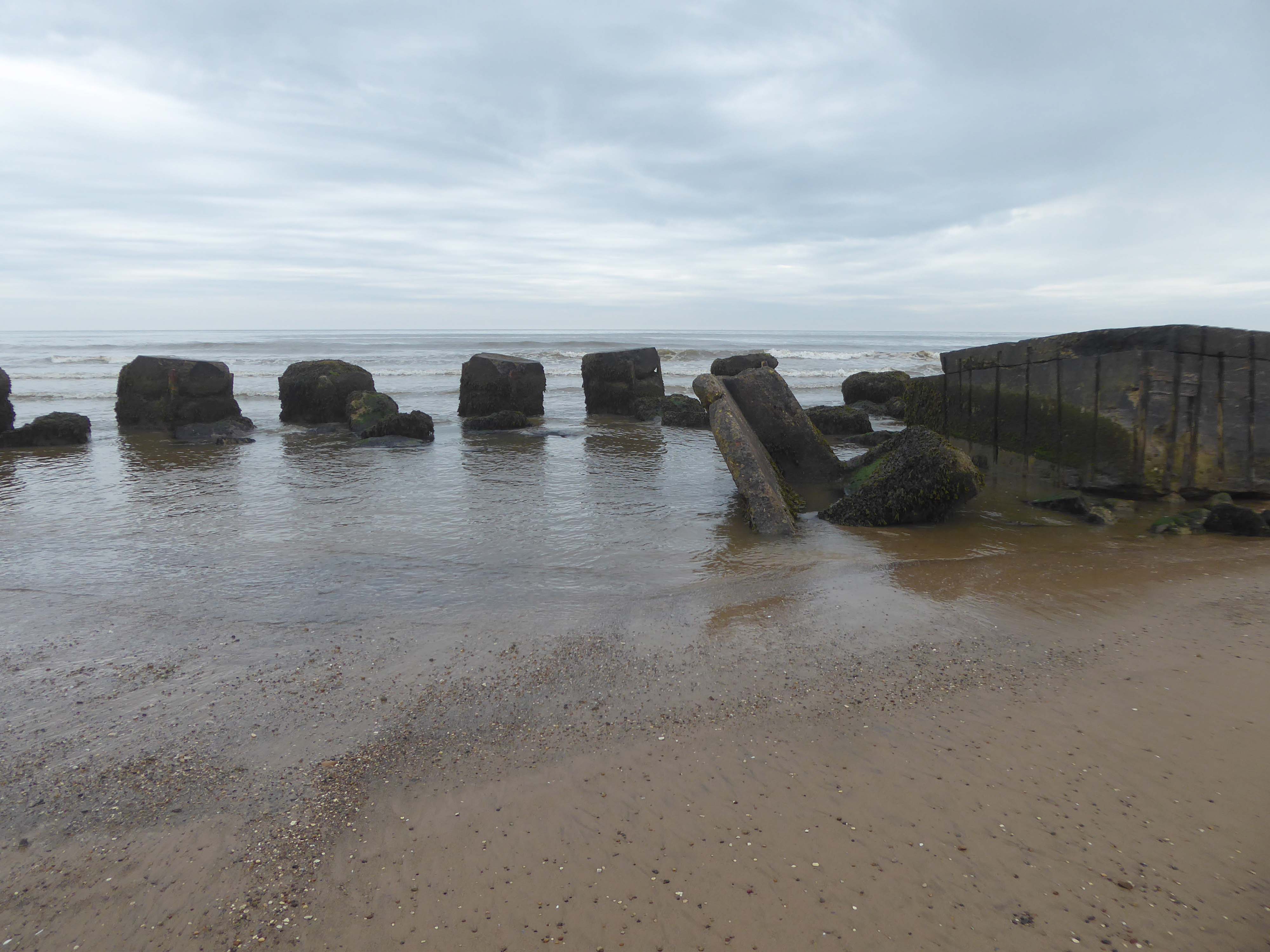
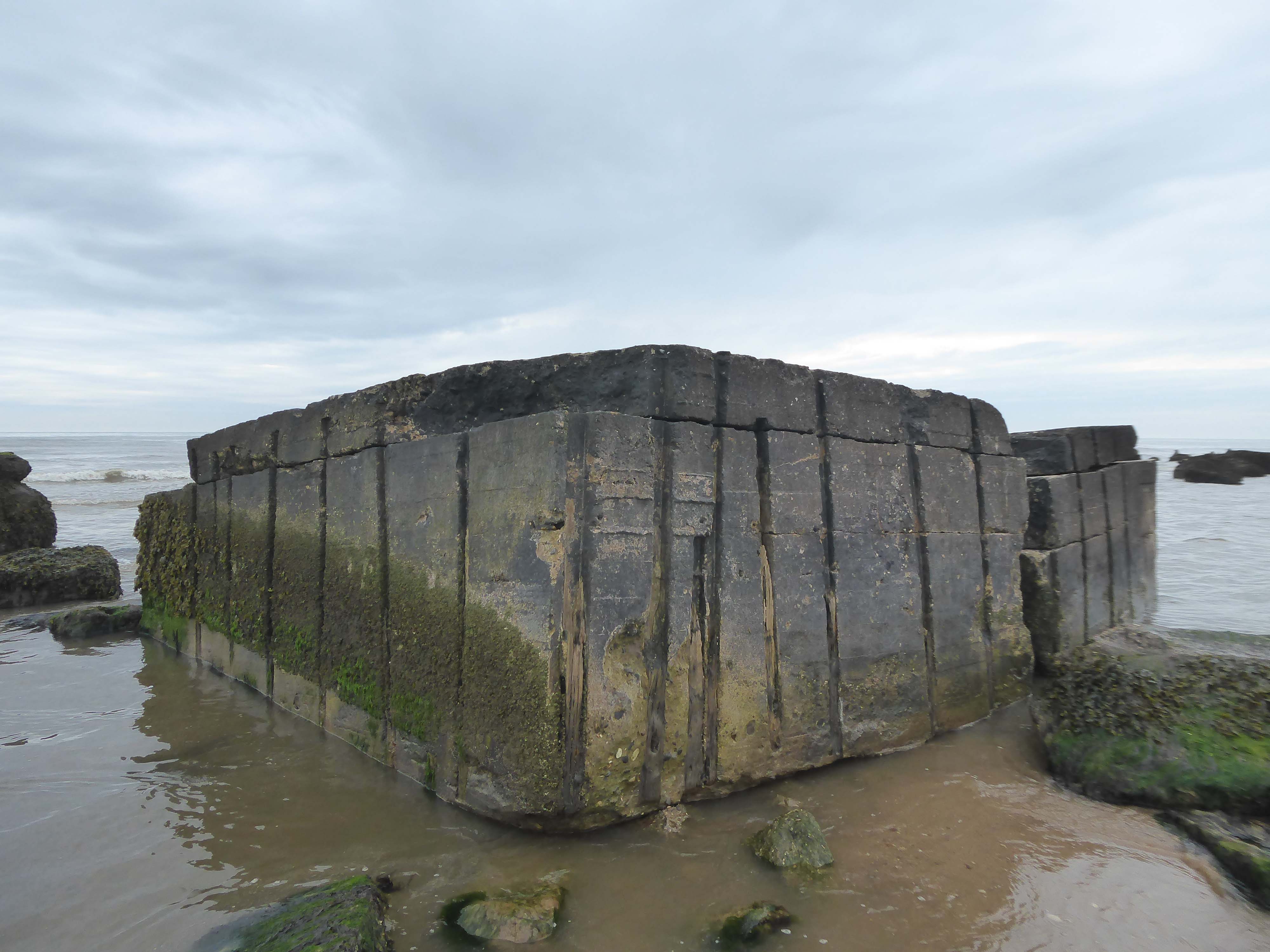
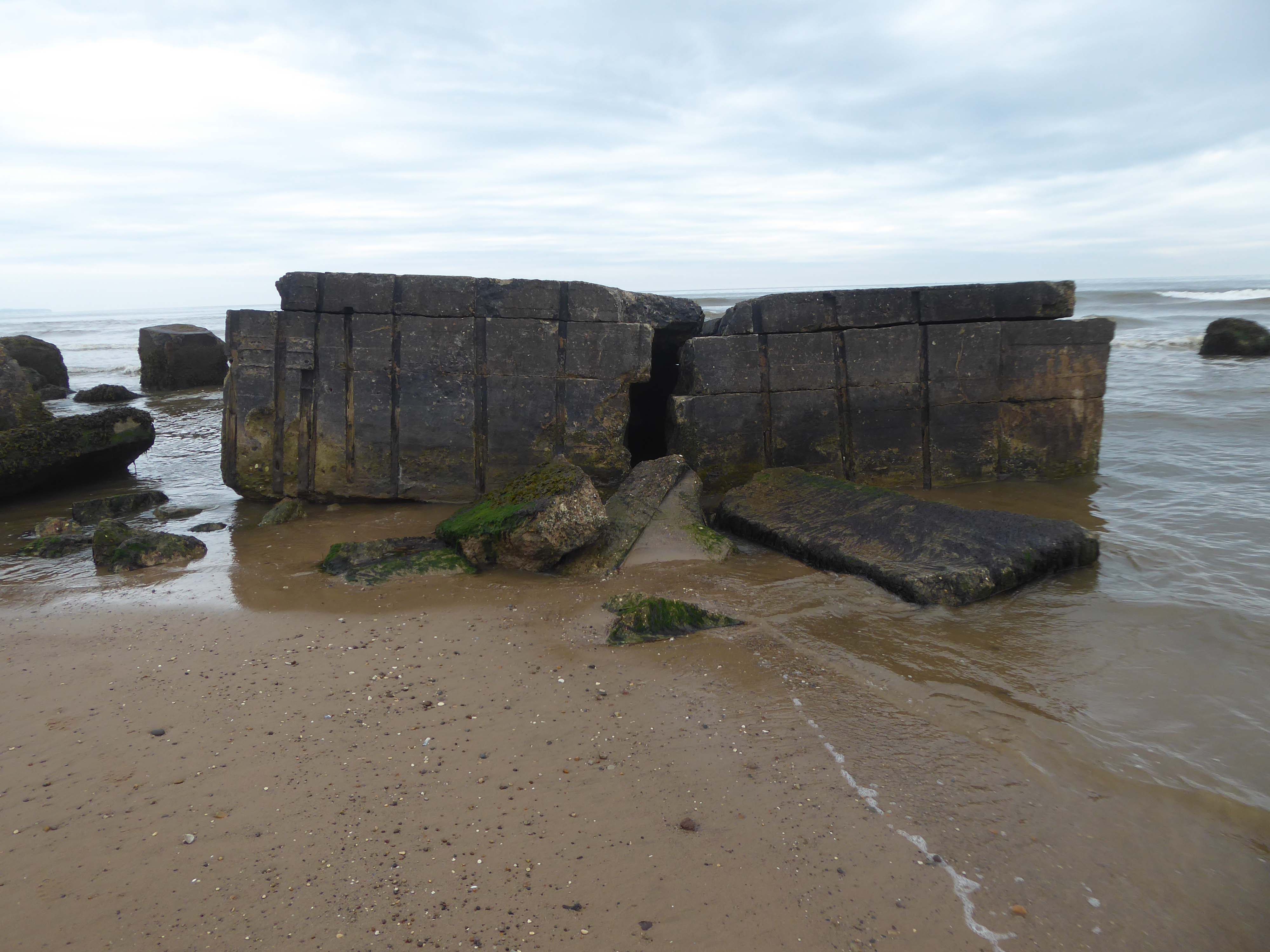
Where we find another dense cluster of sea defences, some but not all extant.
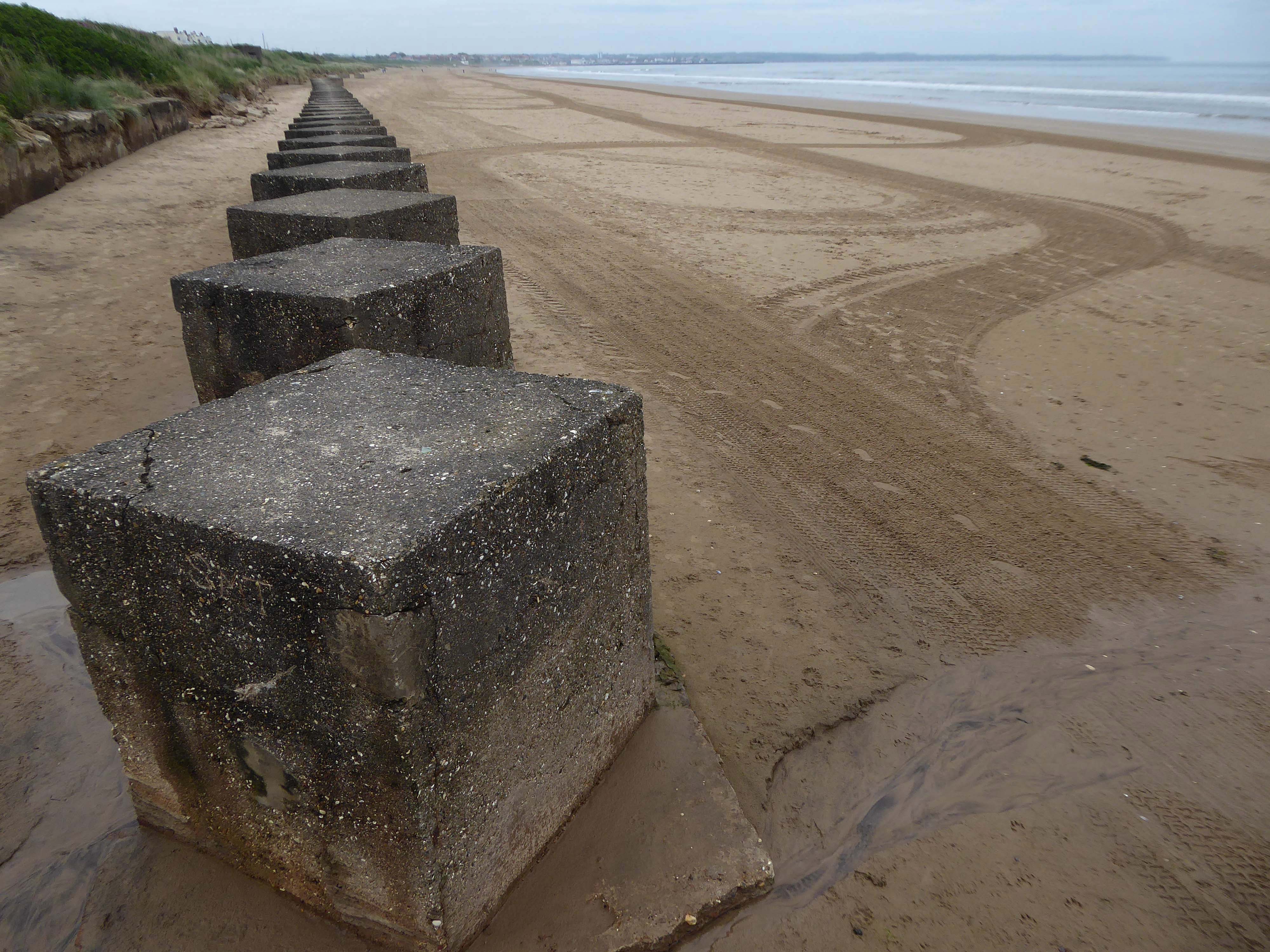
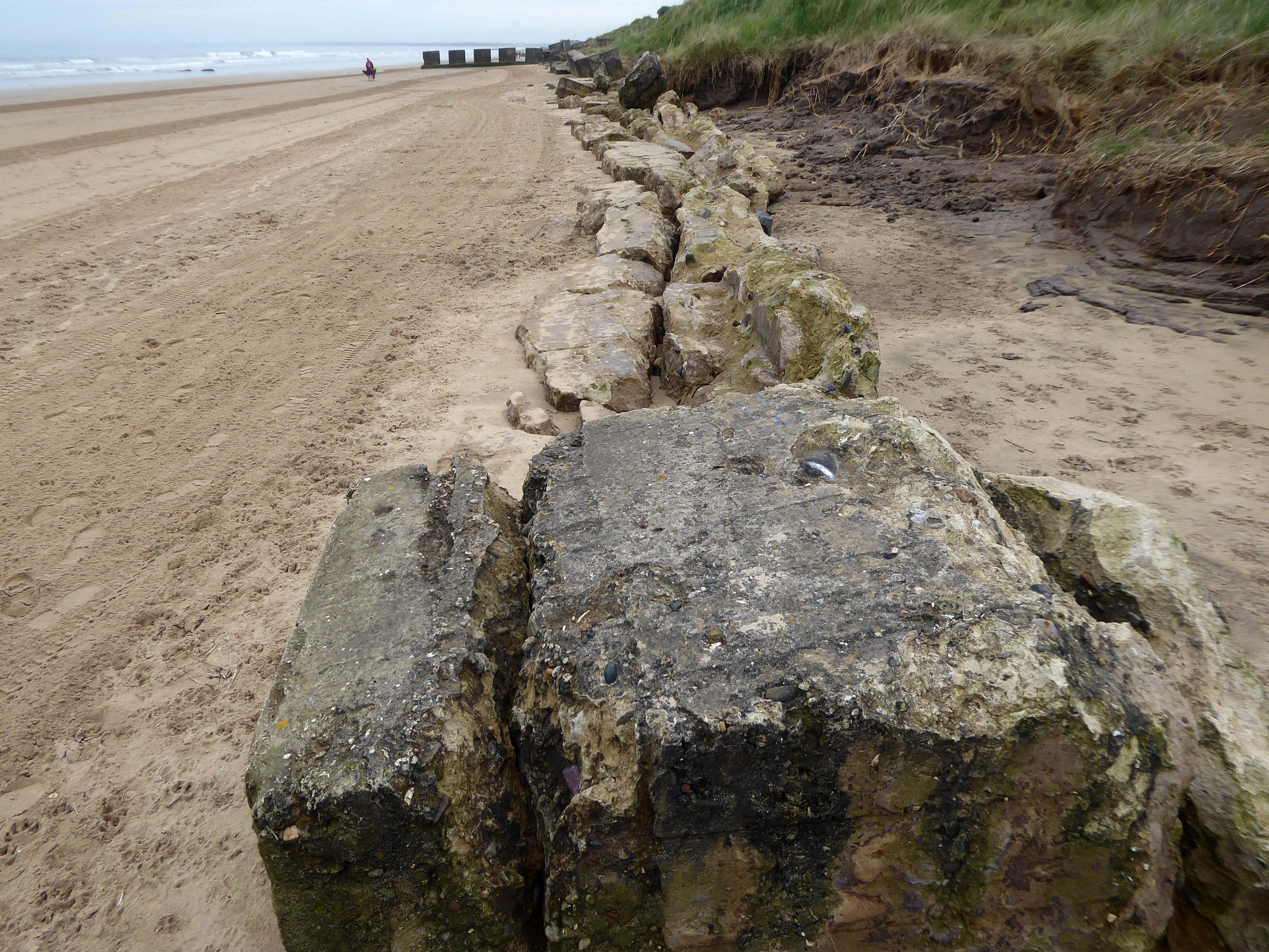
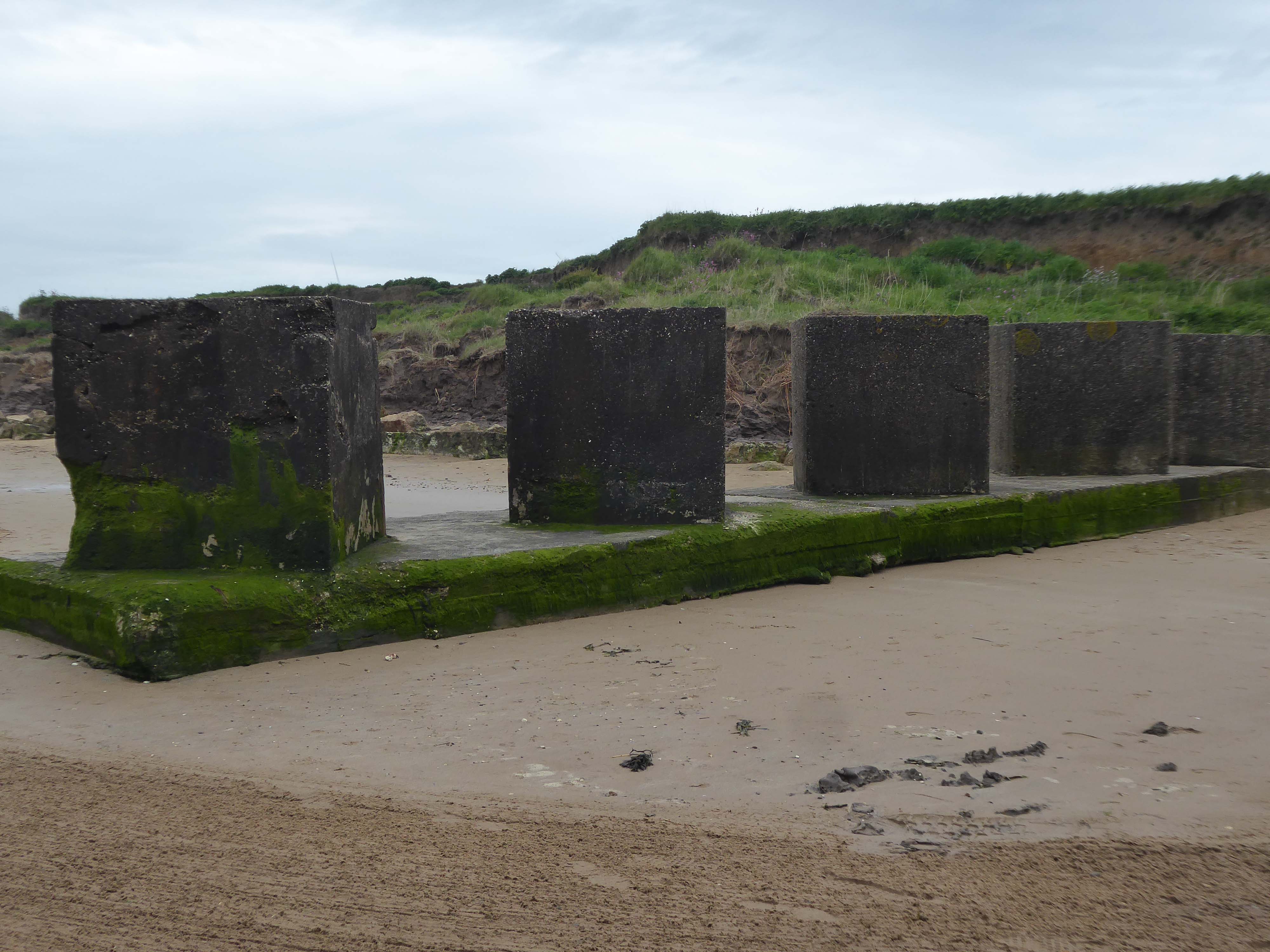
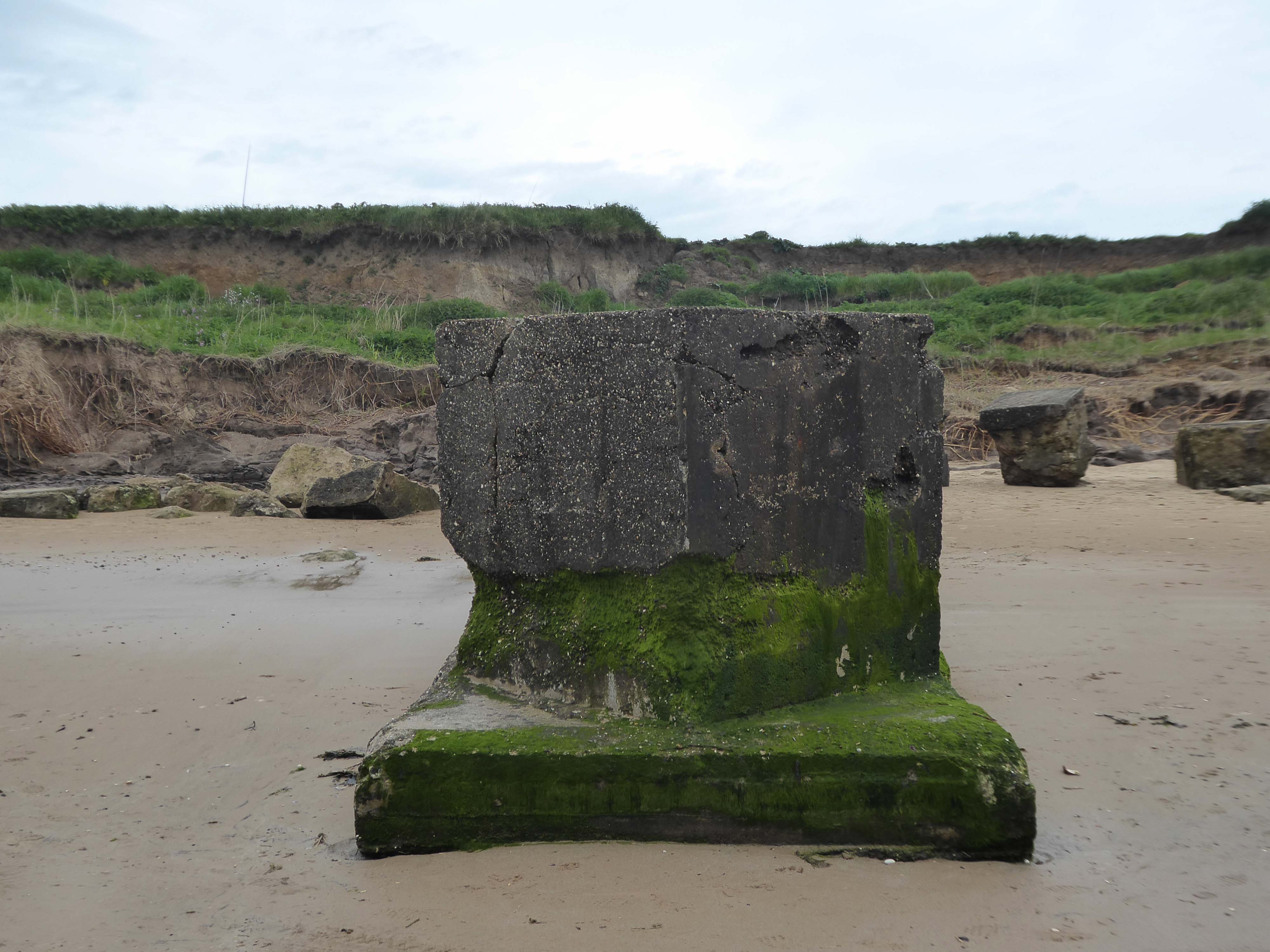
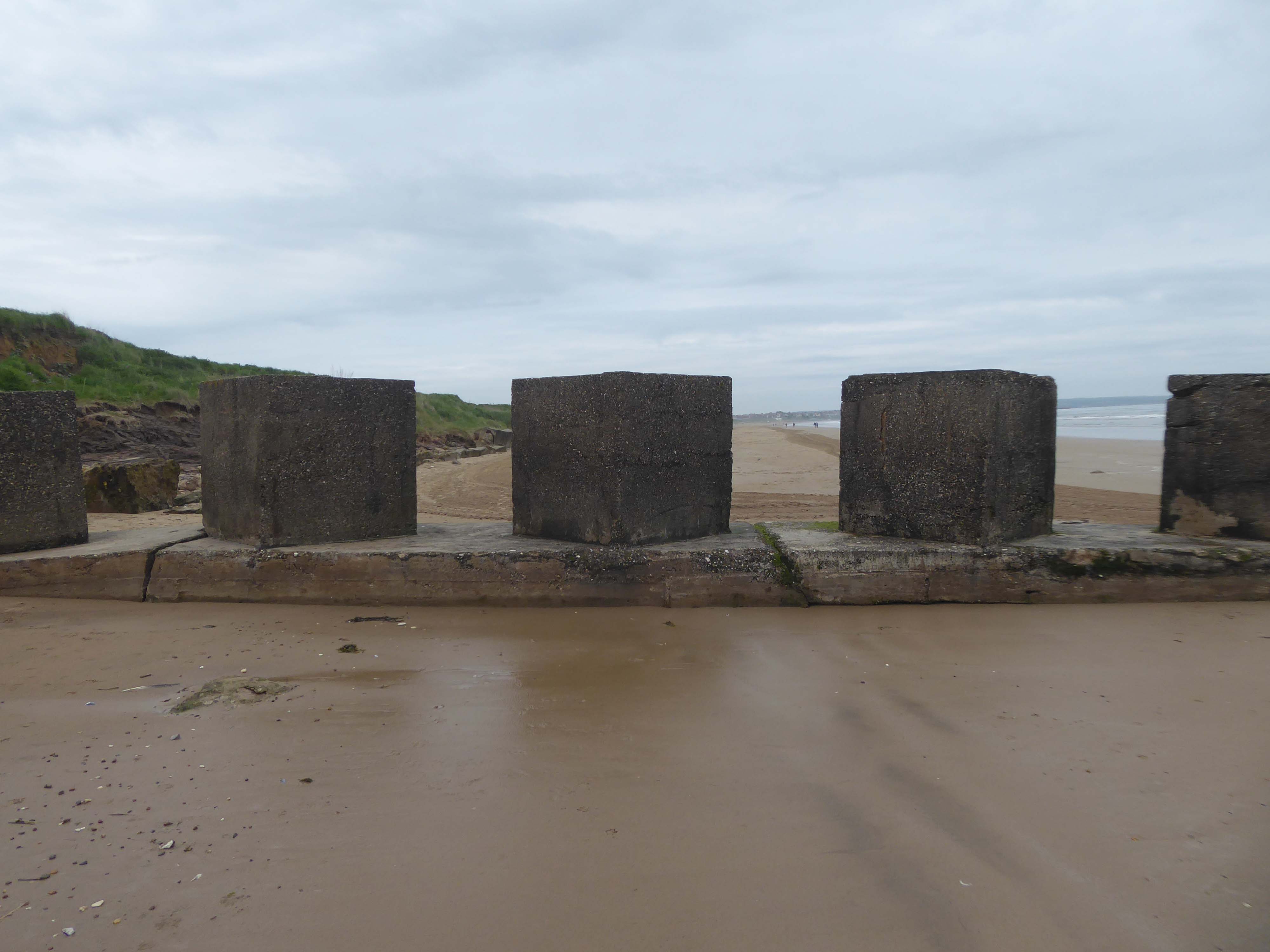
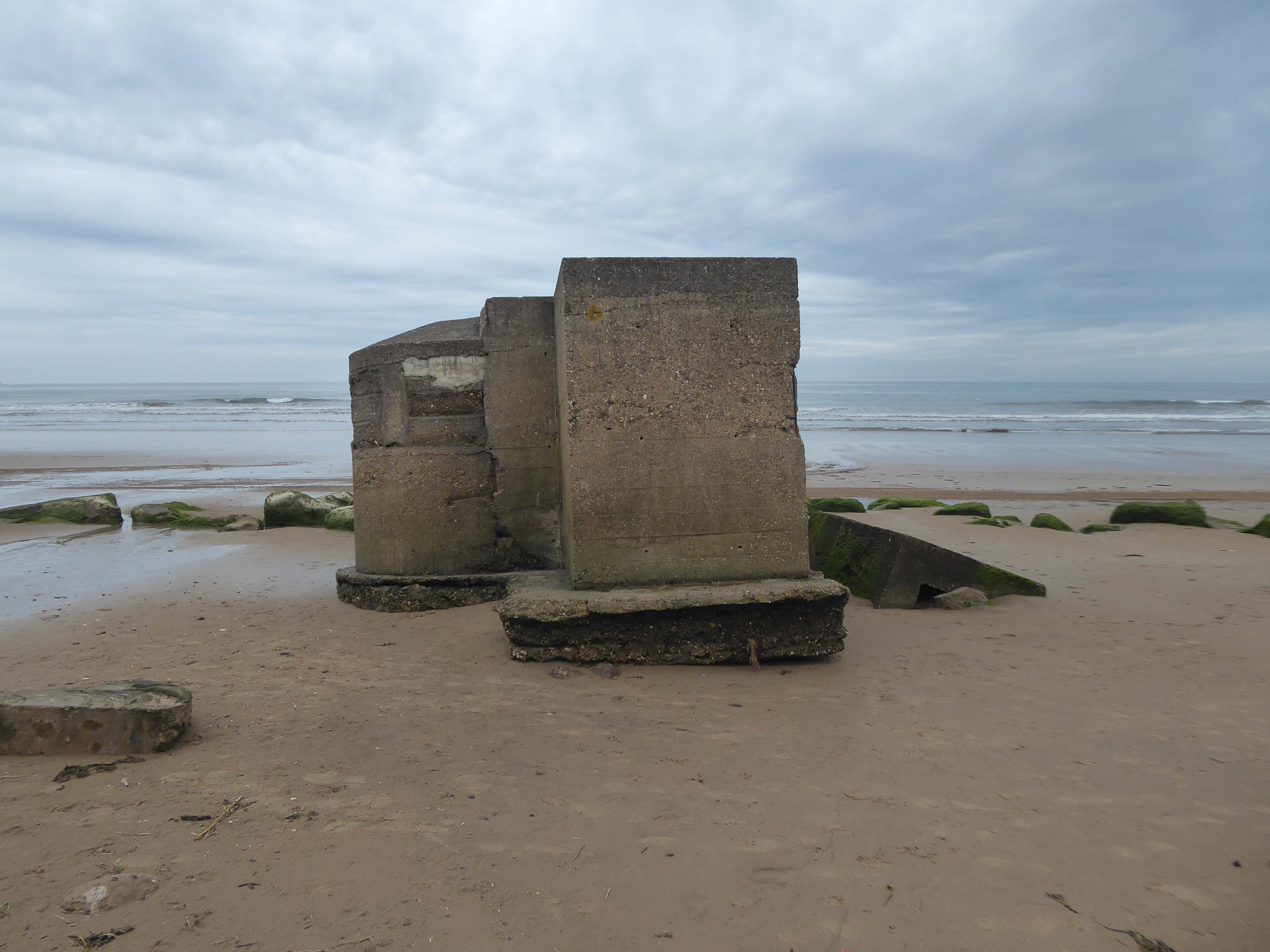
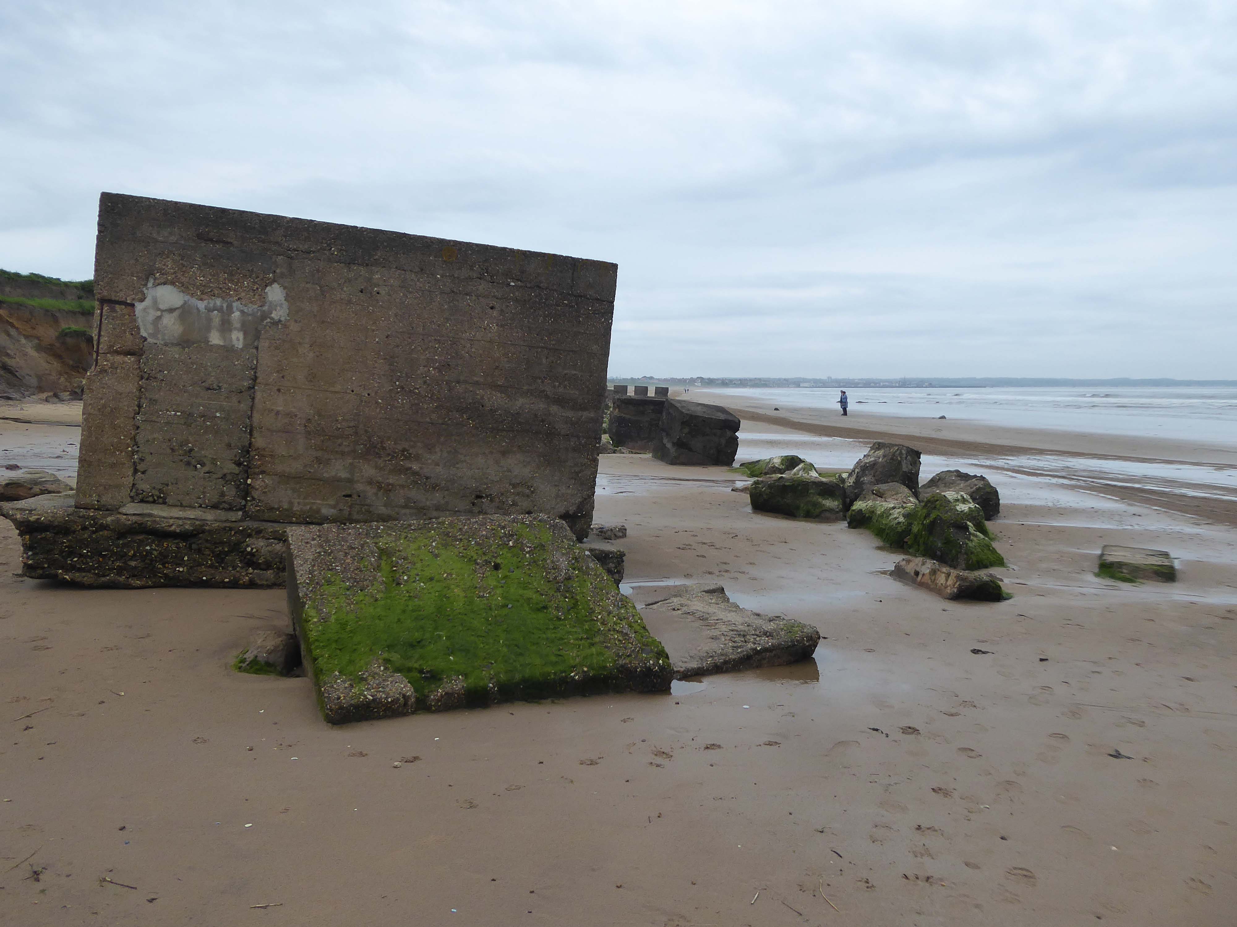
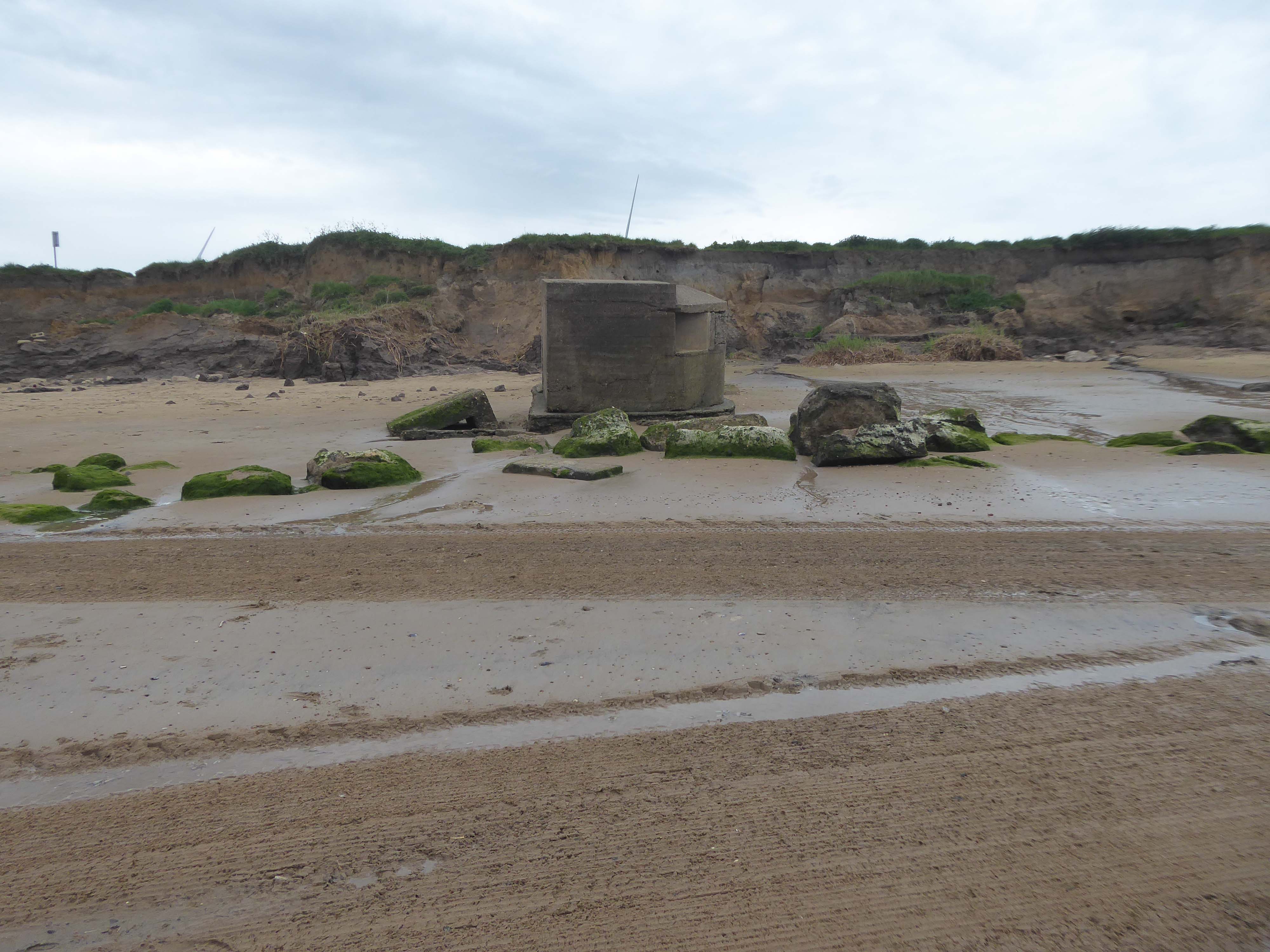
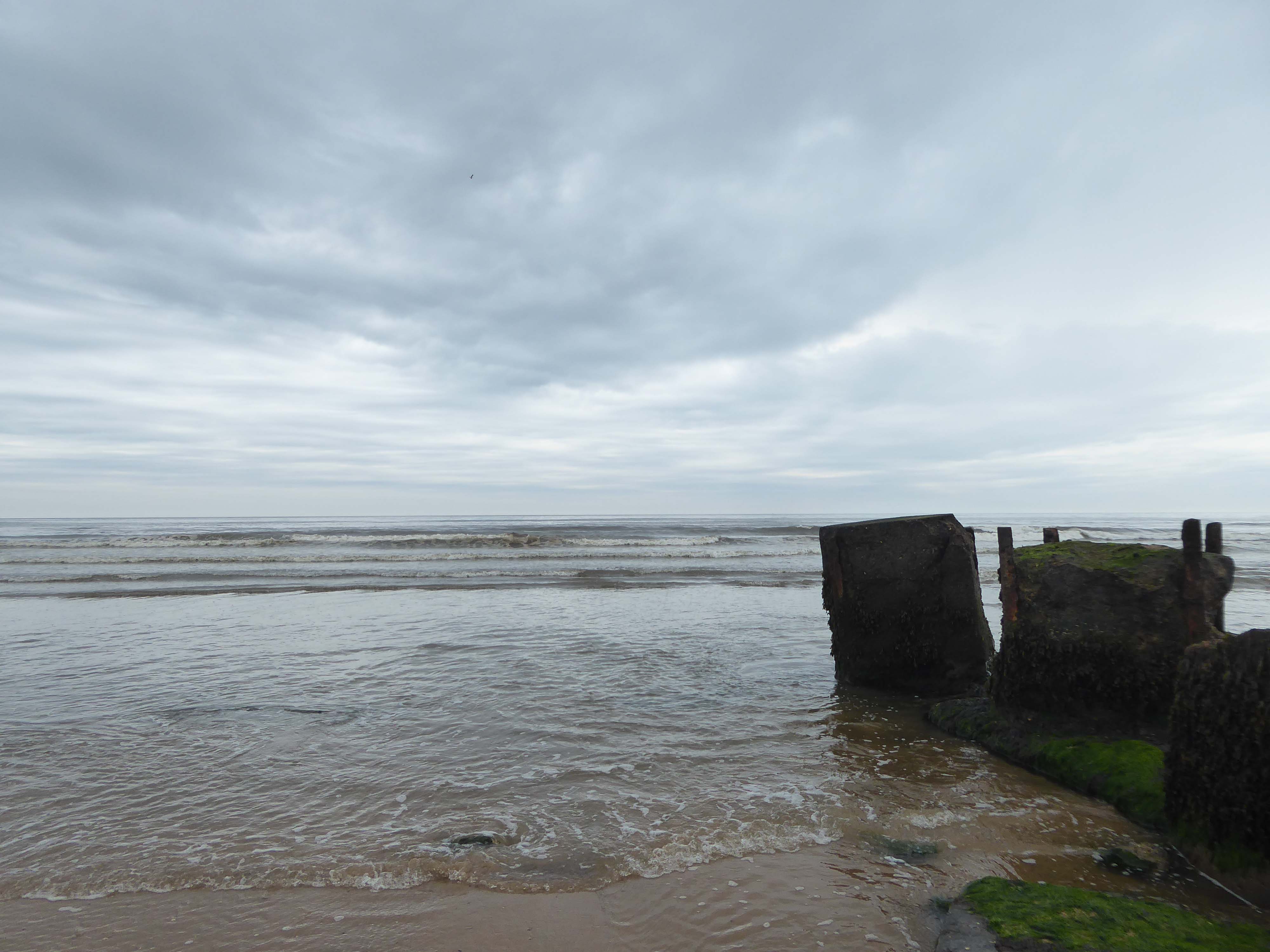
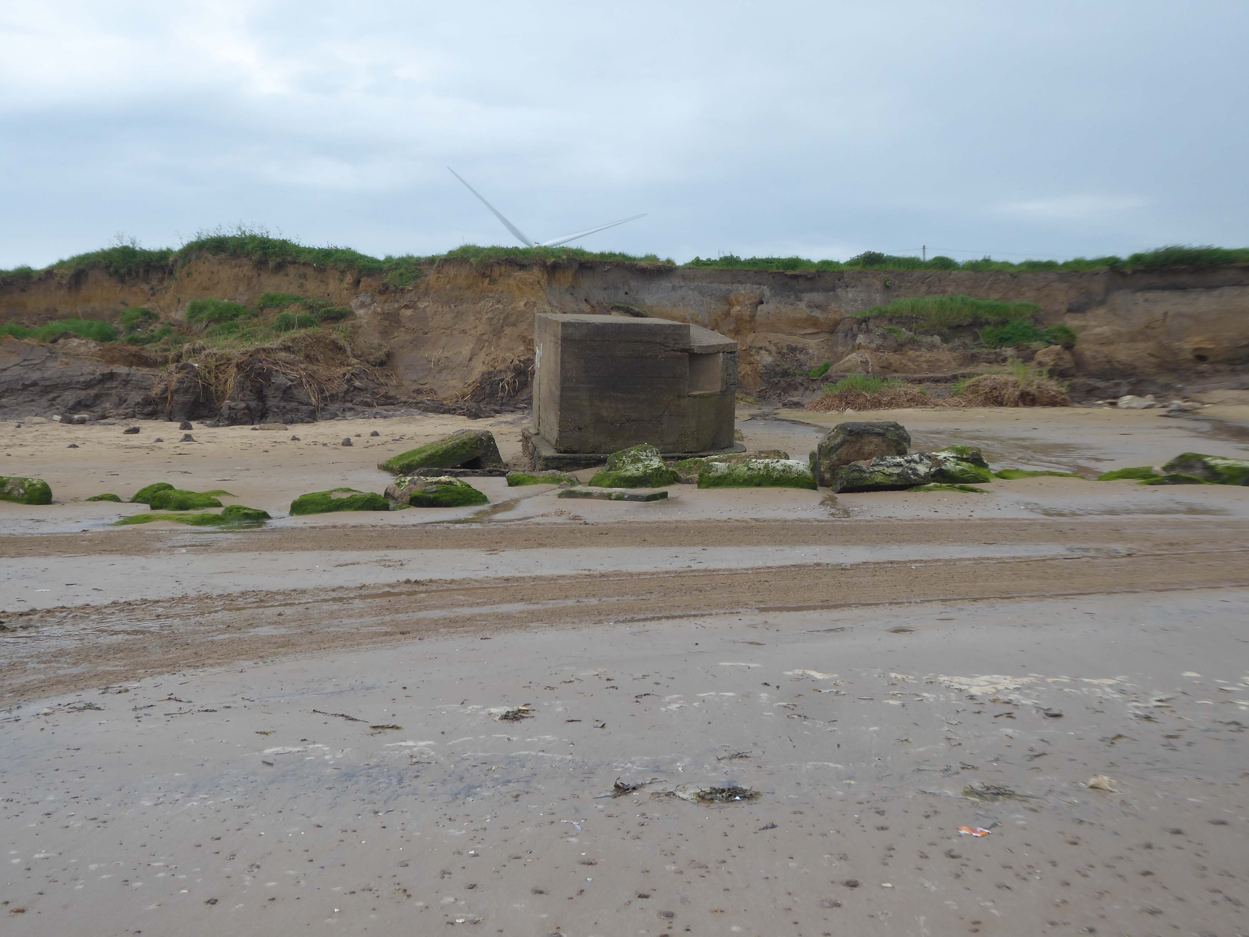
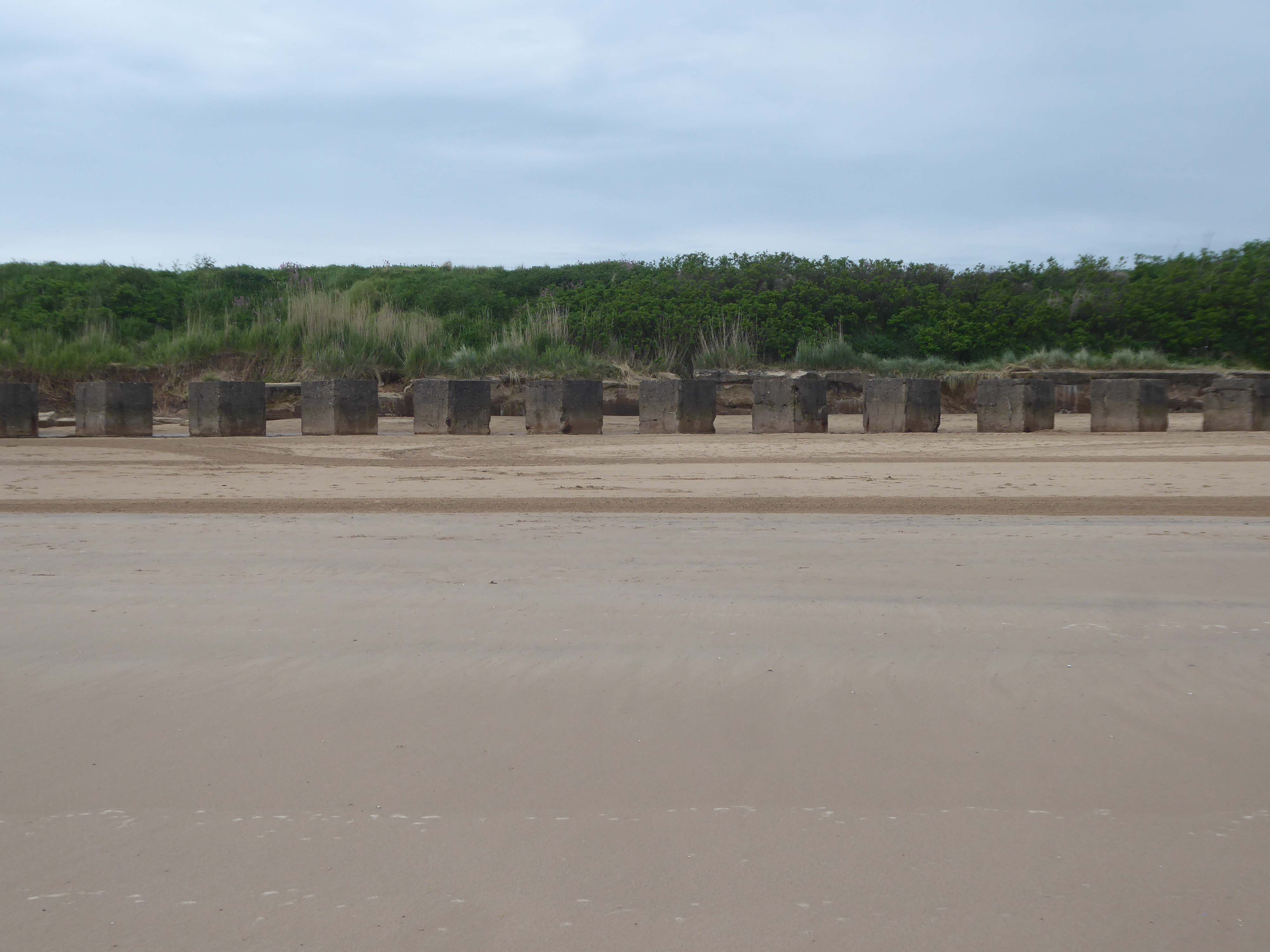
After the south coast, both East Anglia and the Yorkshire Coastline were identified as vulnerable to invasion. Bridlington Bay, was and ideal location for an invasion; flat sandy beaches for amphibious landing crafts, above the foreshore flat landscapes perfect for tanks and gliders to land, an isolated small population with only the residence of Bridlington close by and finally the control of an established port at Bridlington, once it was under German control. According to the Defence of Britain Survey undertaken in the Late 90’s, Northern Command had some of the best defend beaches in the country, this includes Bridlington.
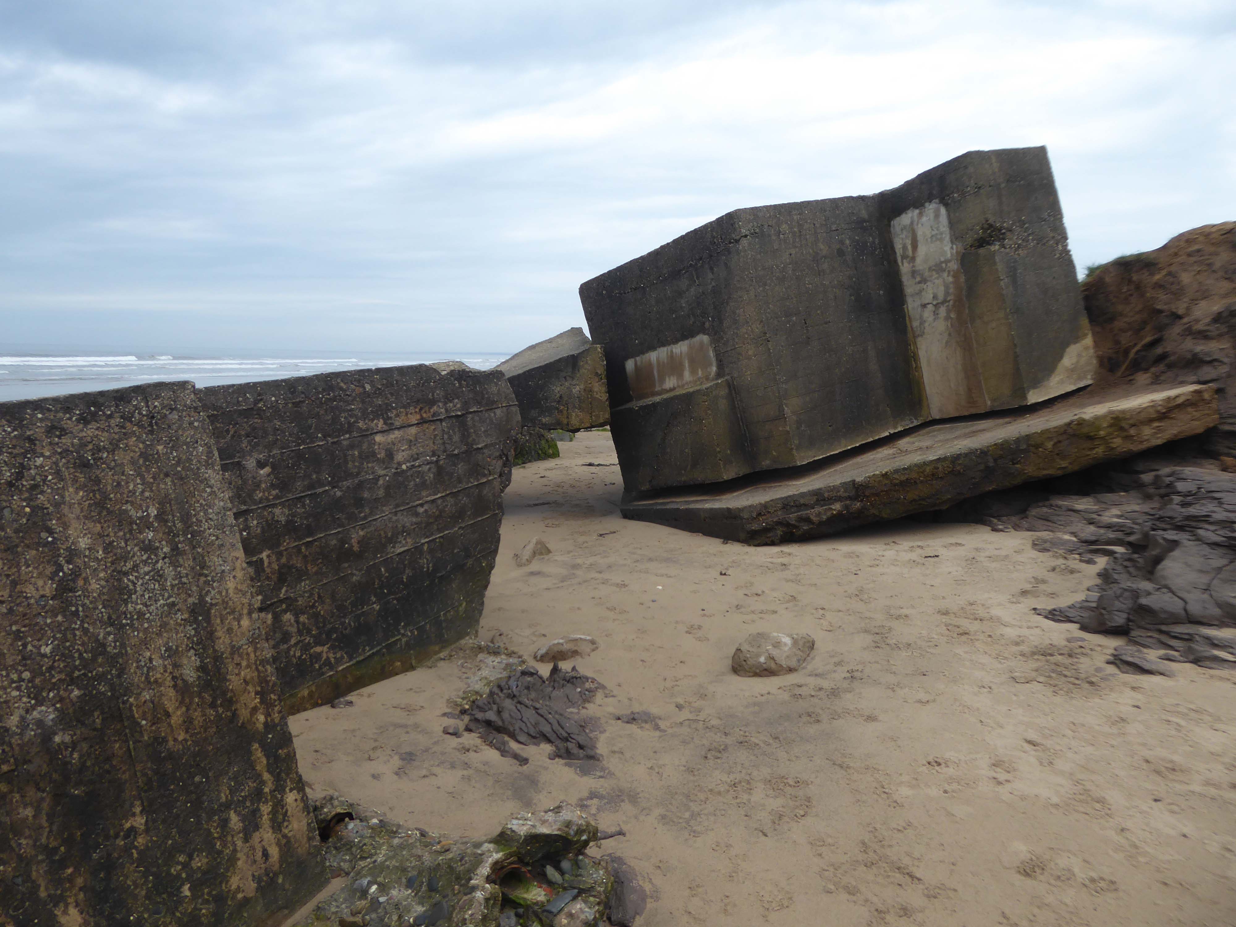
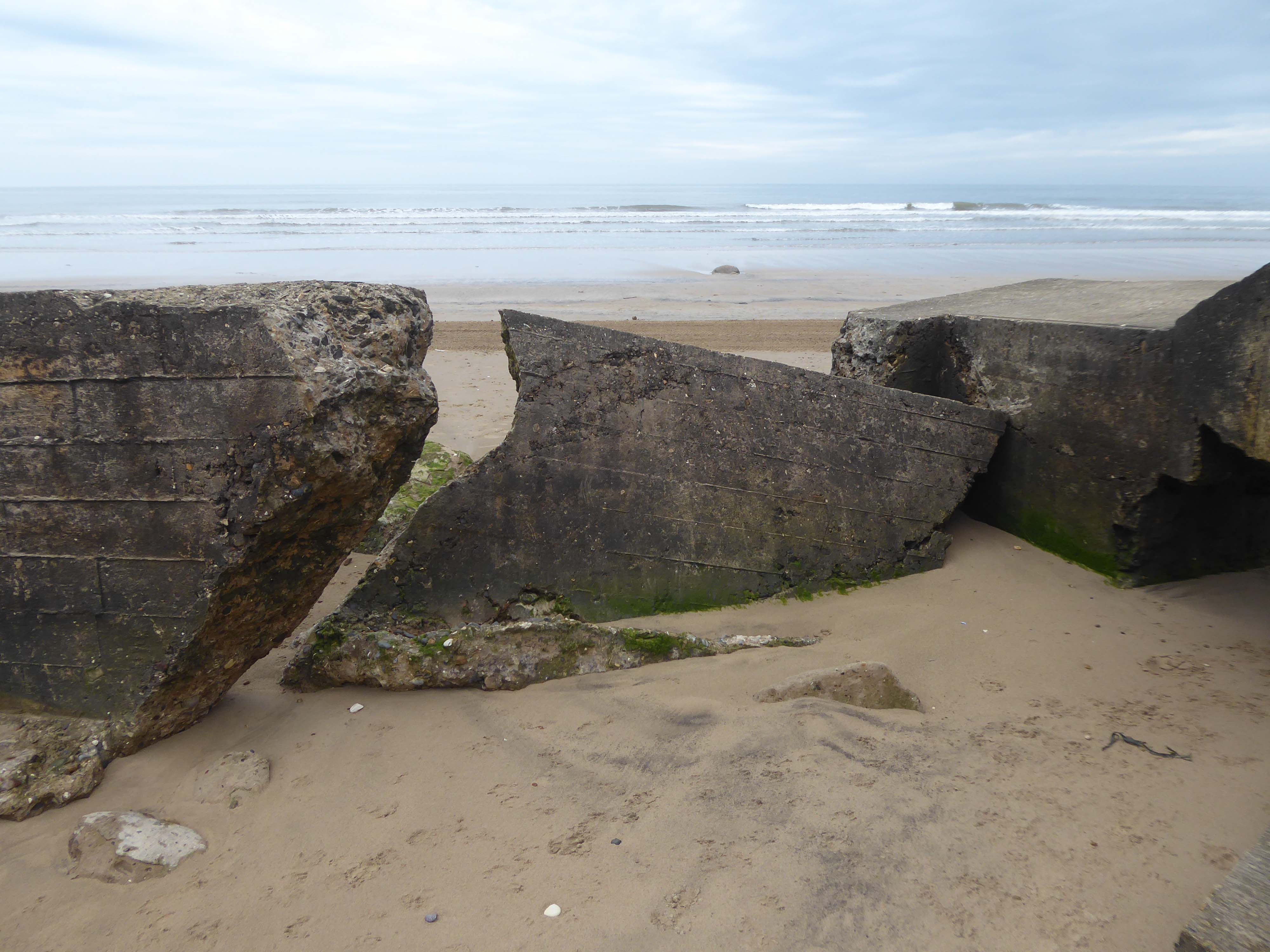
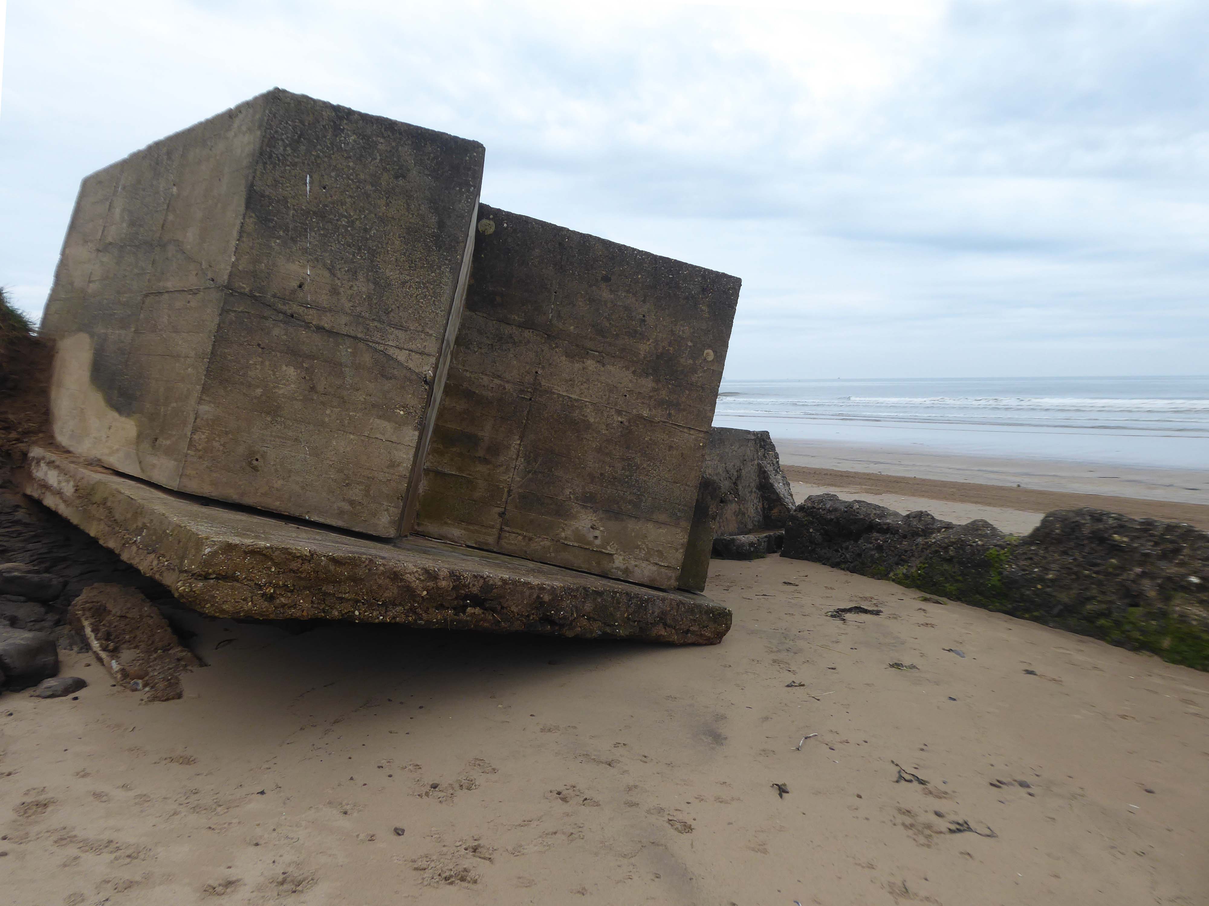
Here there are forces, past and present, at work shaping the landscape and the manmade addenda.
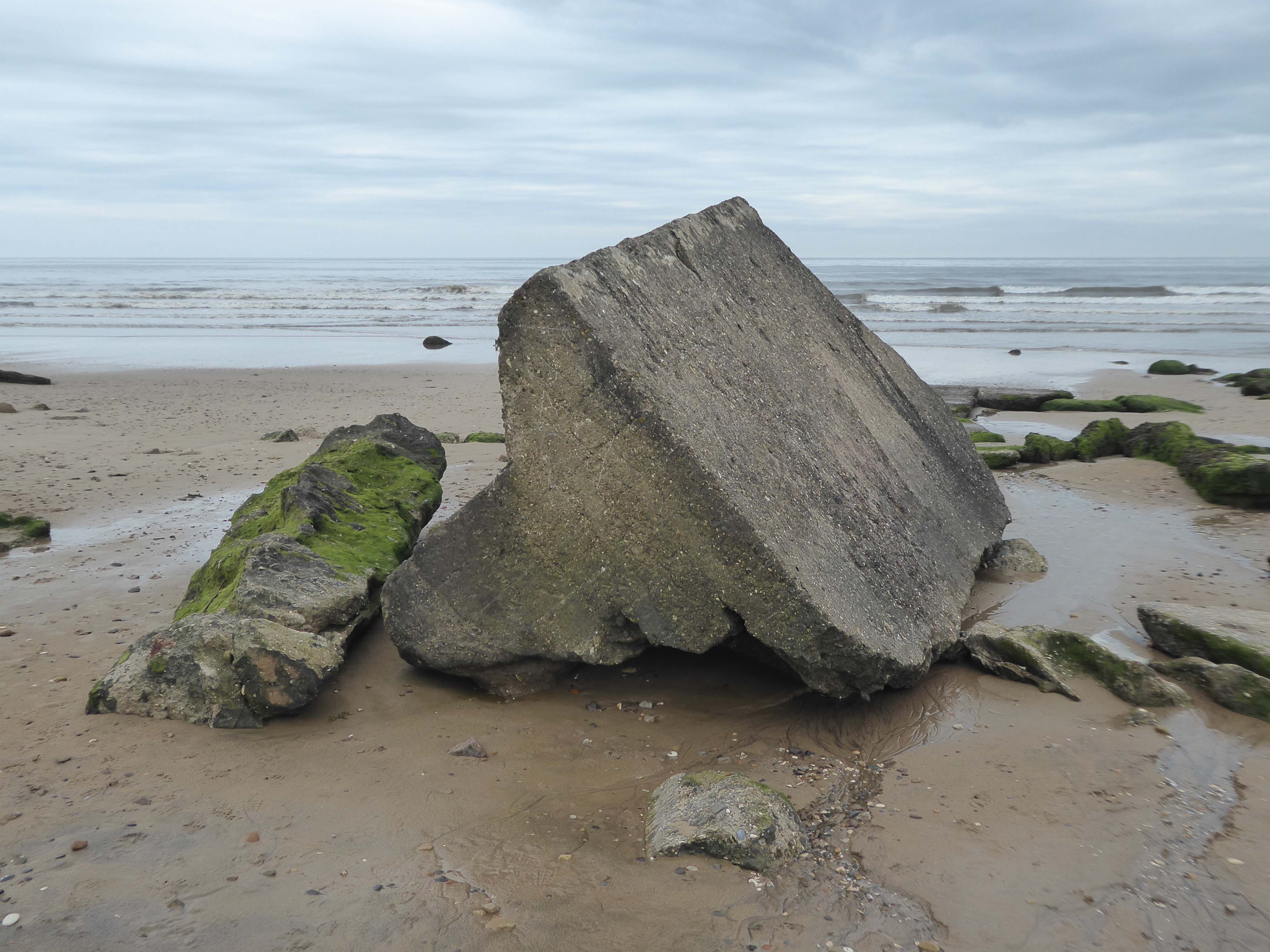
The remorseless waves, wind and rain eroding the coastal clay and contorted concrete.
Anti-tank blocks line the foreshore here; with deep foundation they are meant to be so immovable that tanks cannot go through them and rather have to go over them, exposing the weakly armour undersides of the tanks, which can then be fired at. The anti-tank blocks are arranged in batches of both parallel and perpendicular to the sea, which helps to divide up the beach and channel enemies towards the pillboxes and into fire.
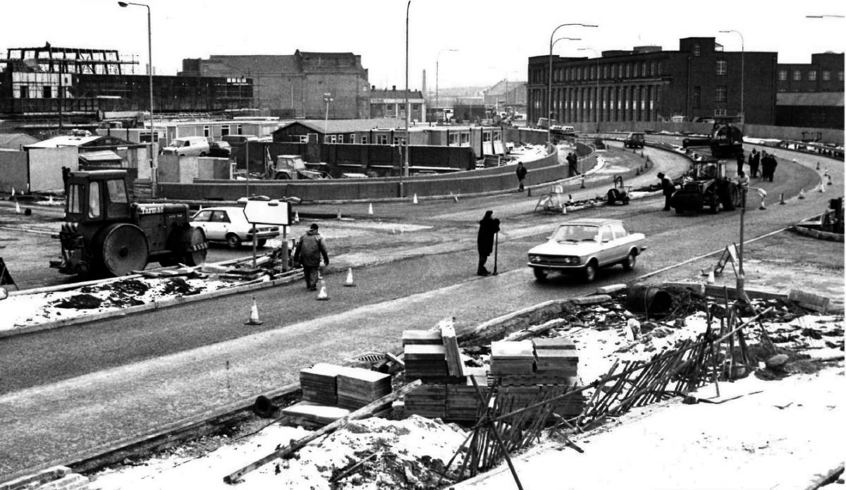
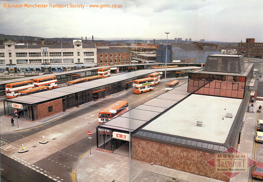
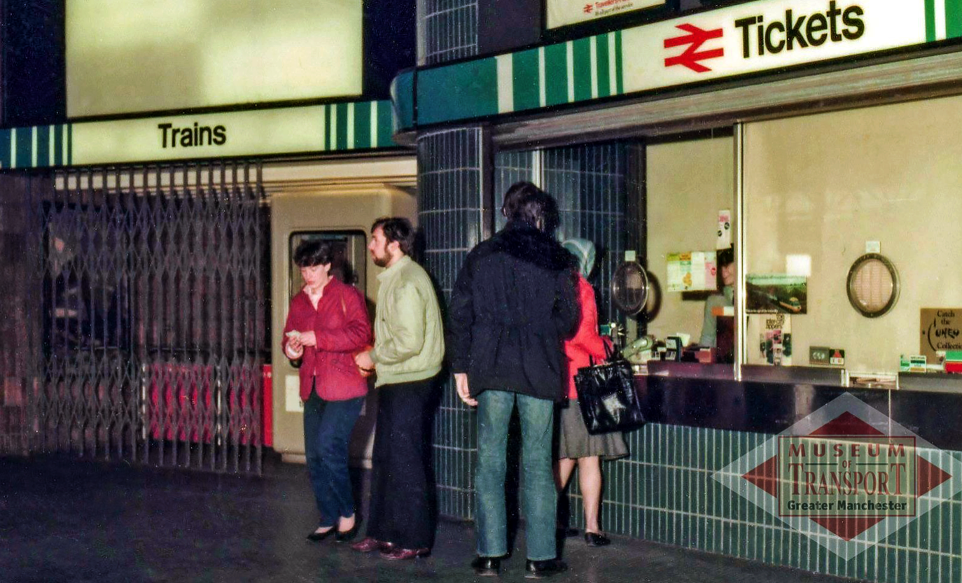
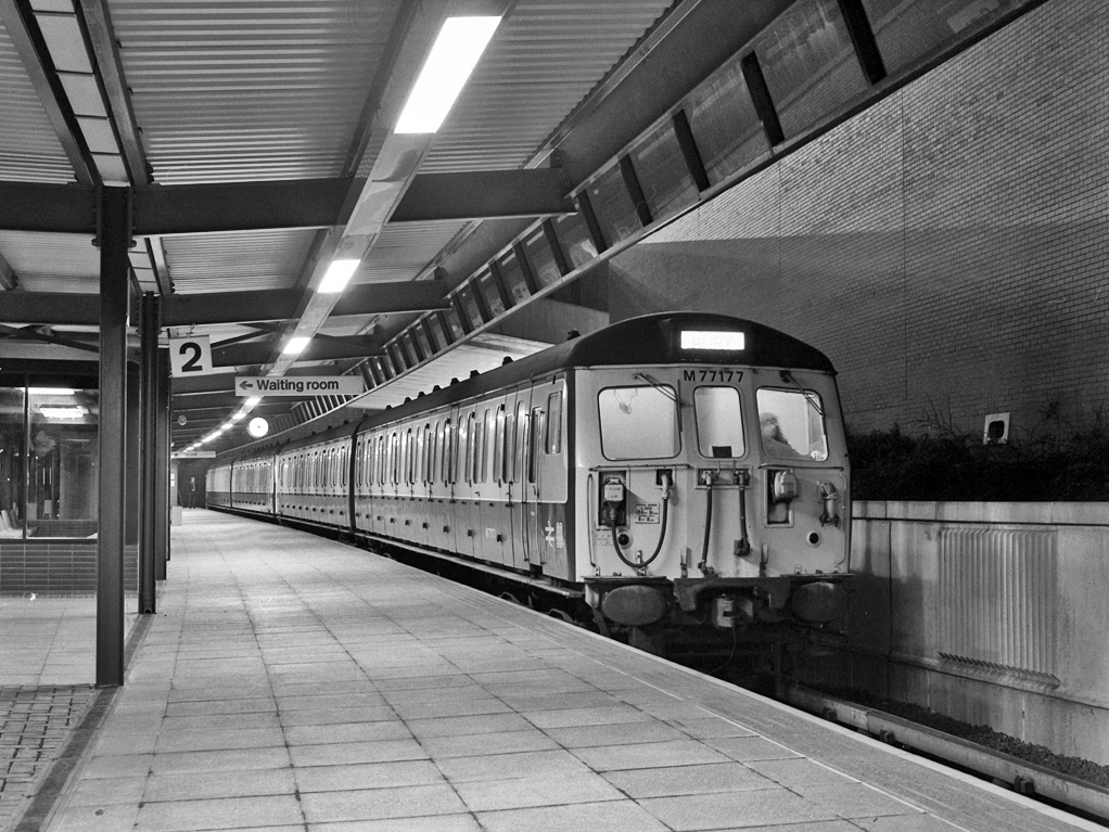
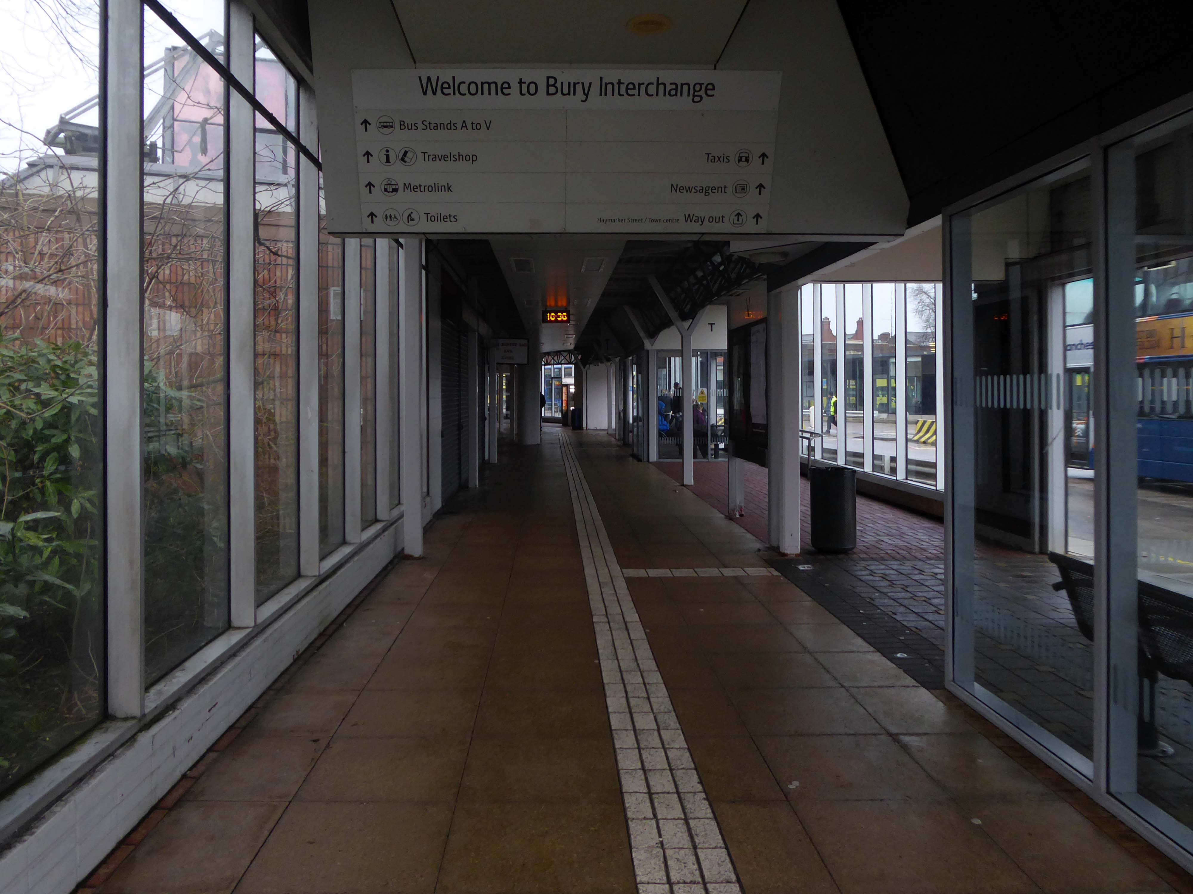
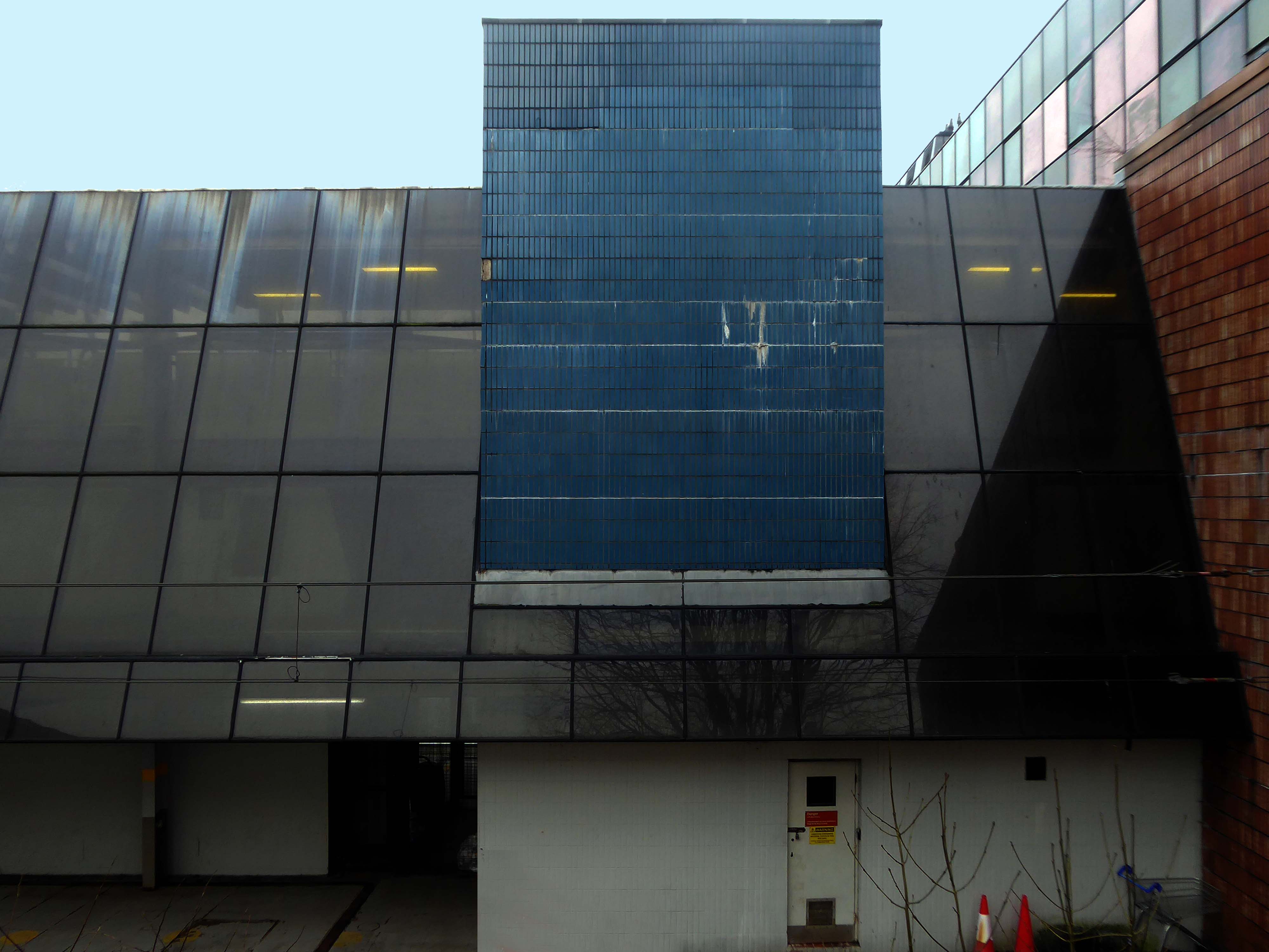
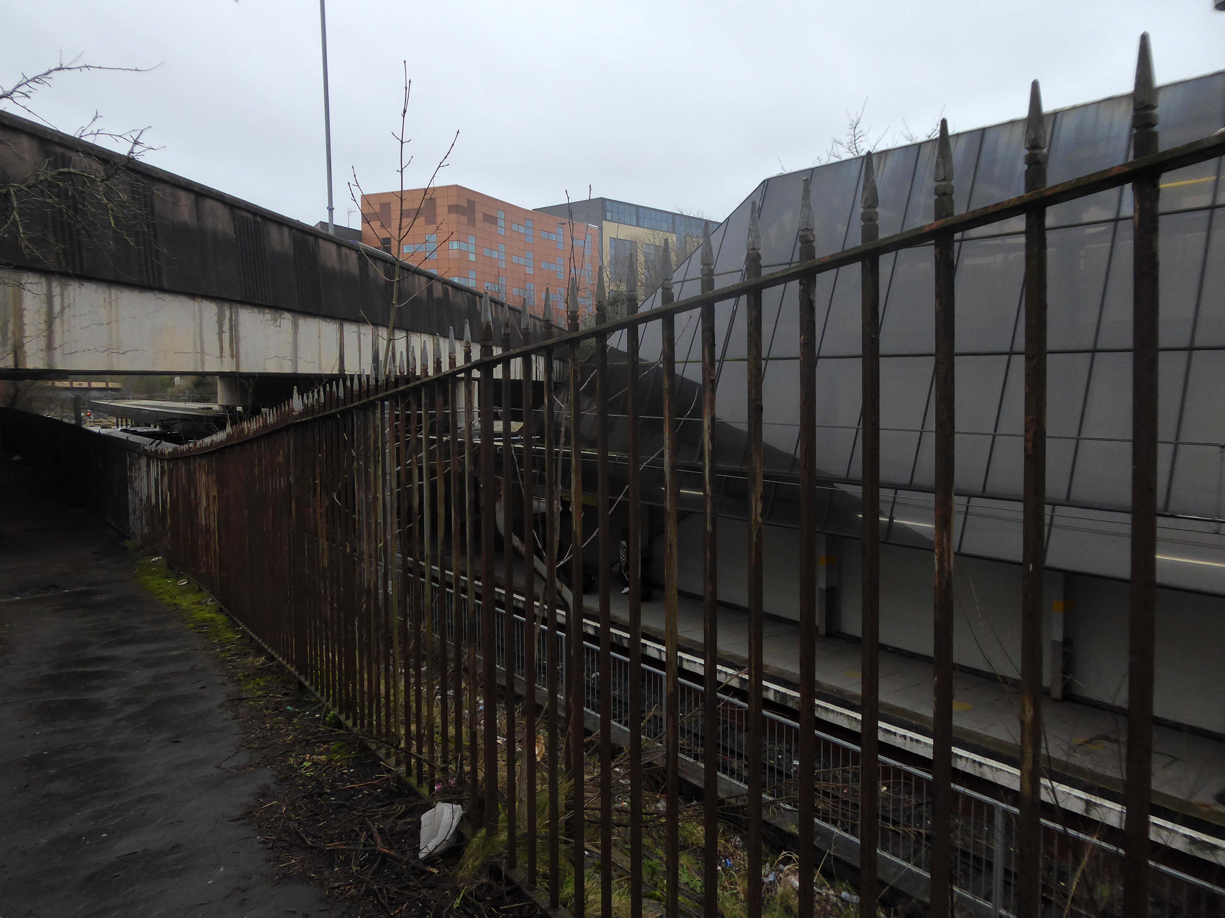
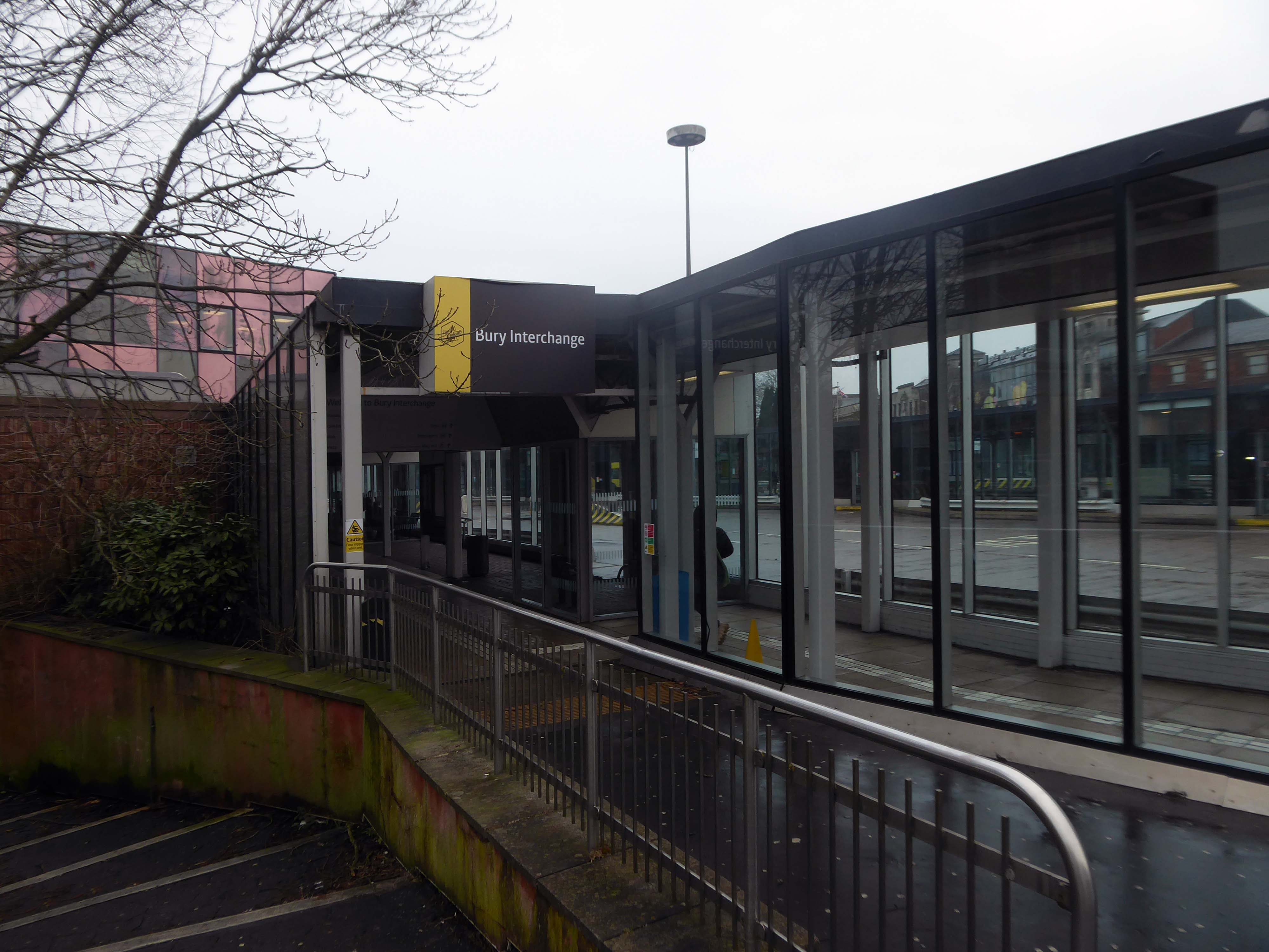
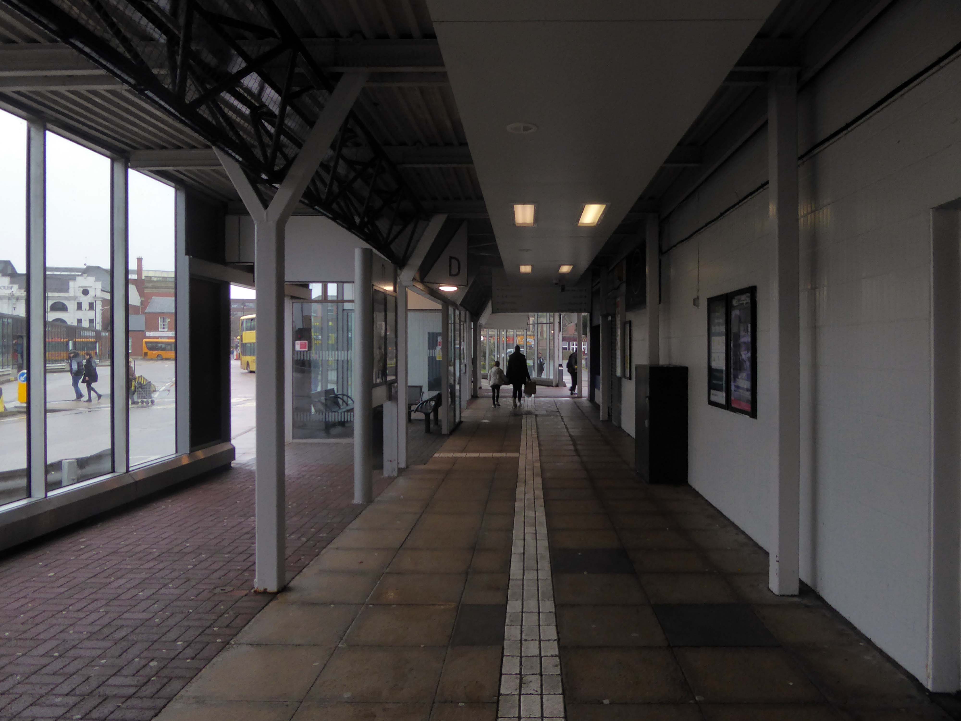
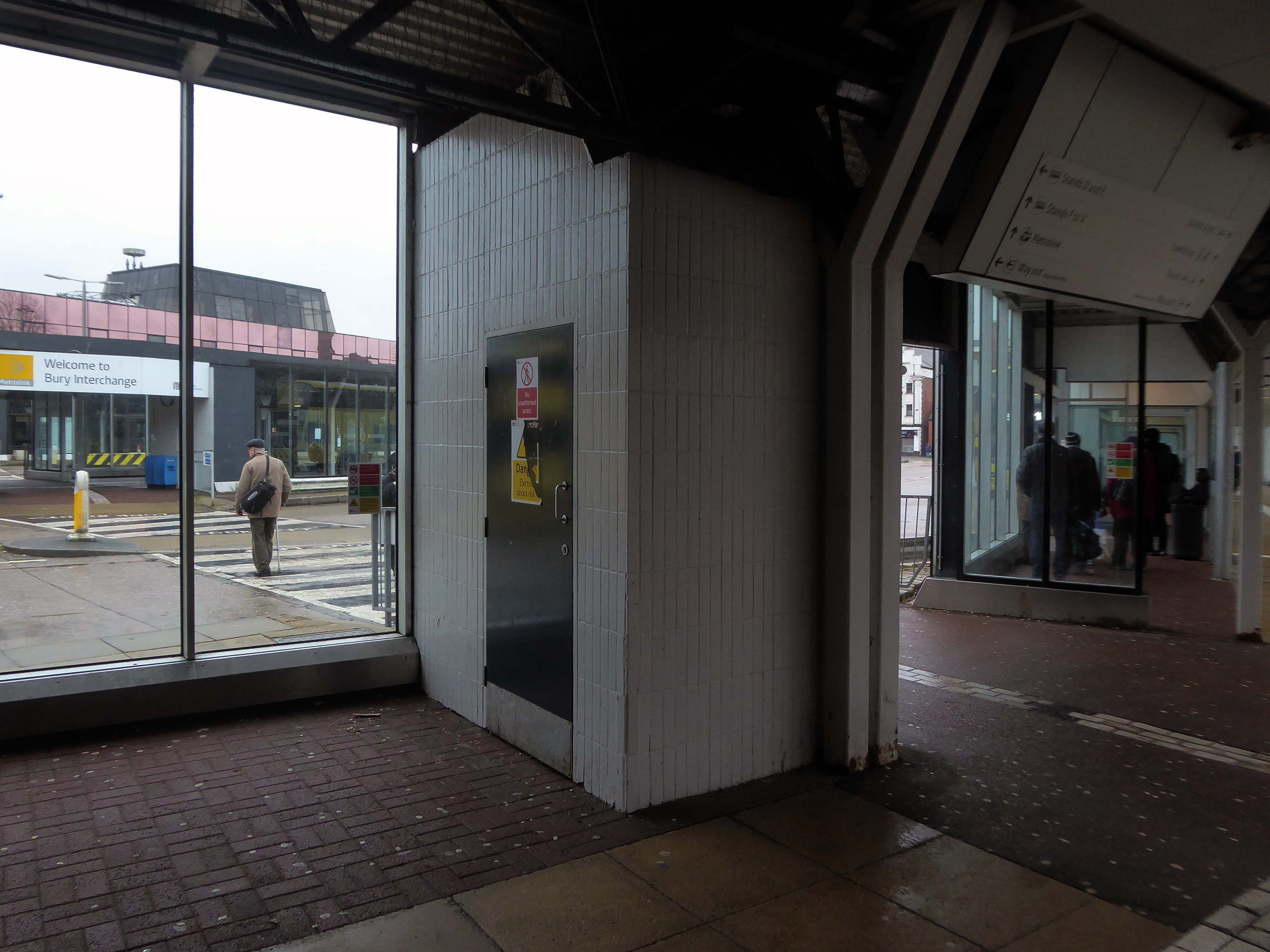
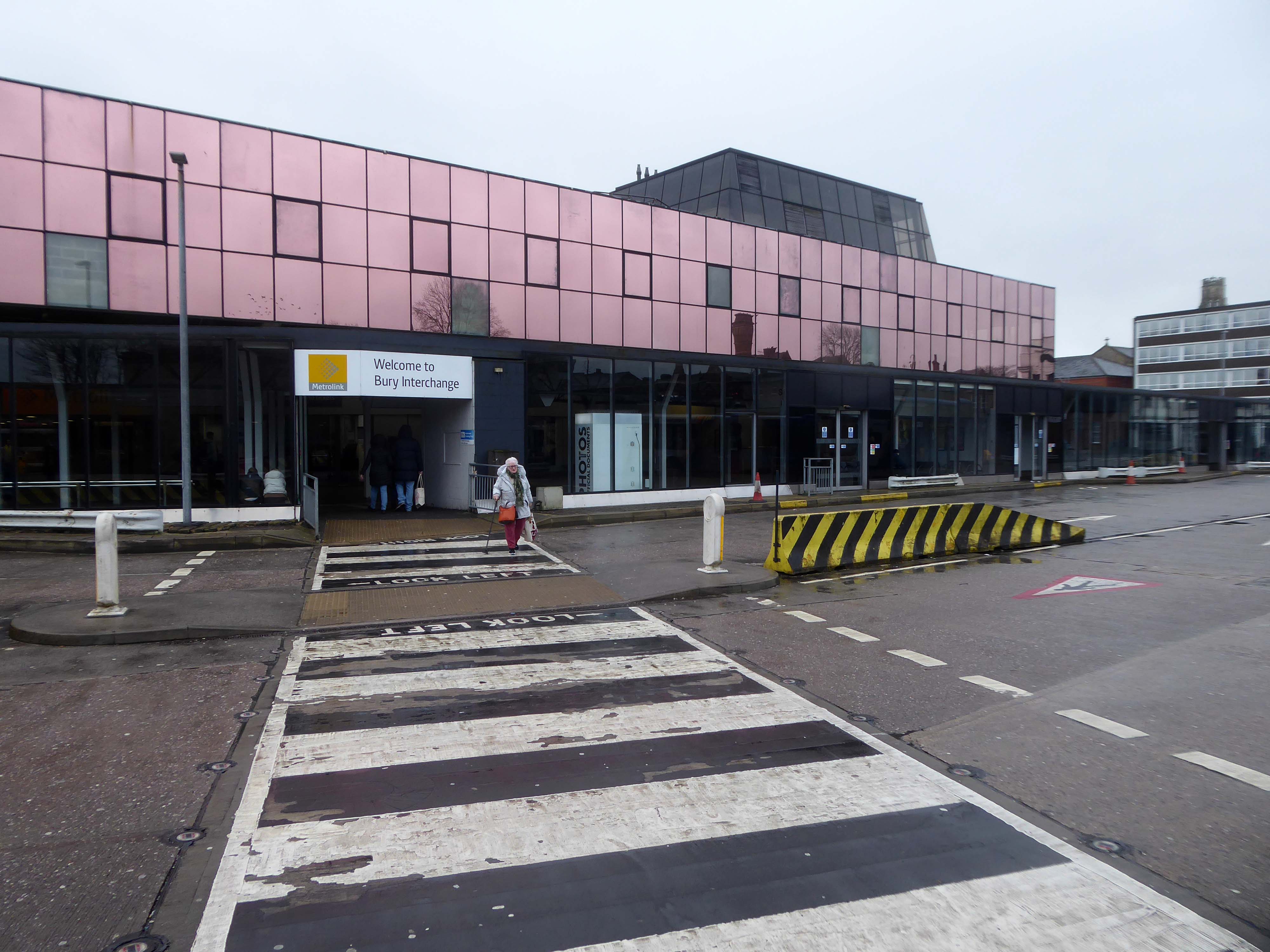
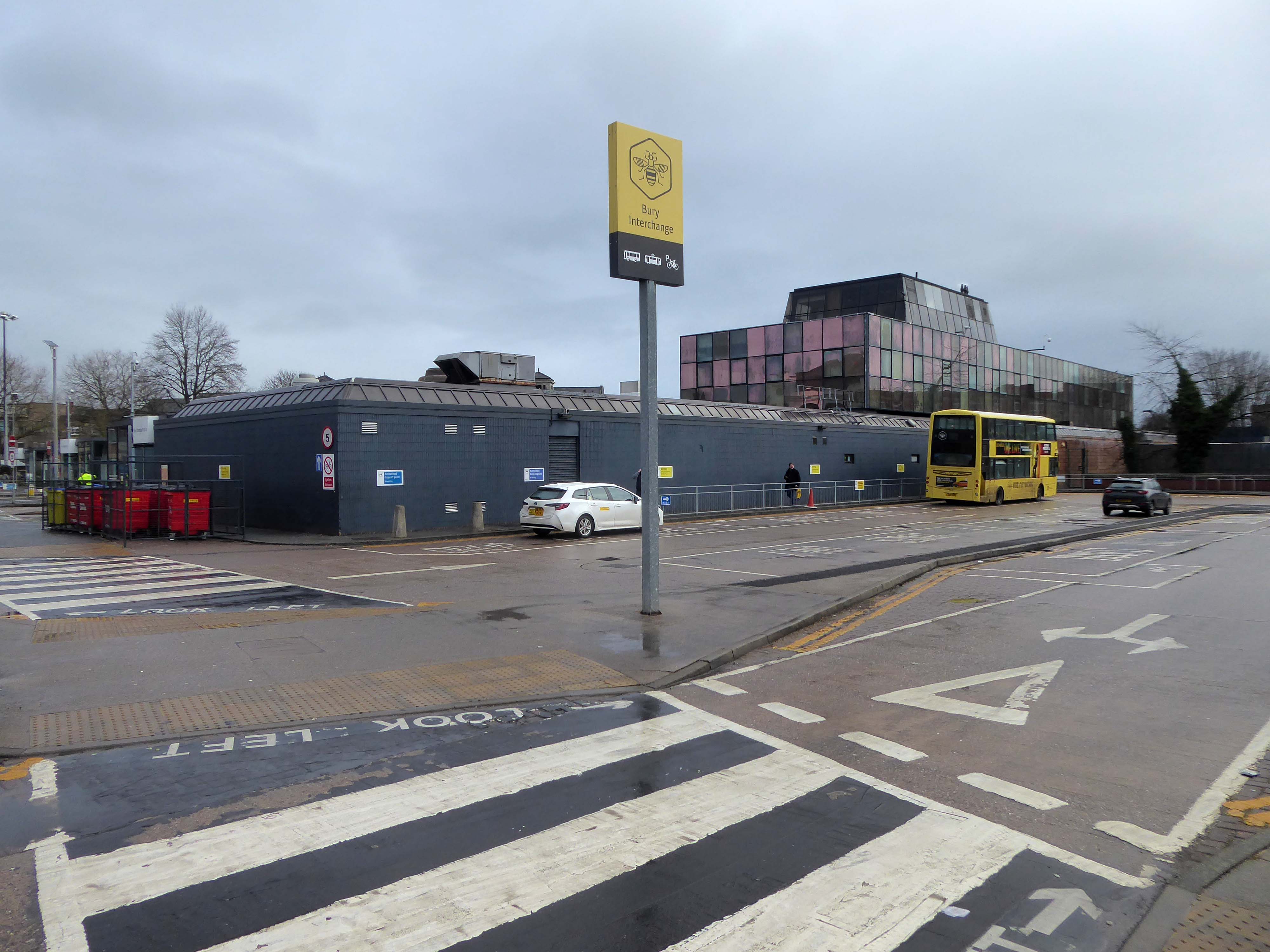
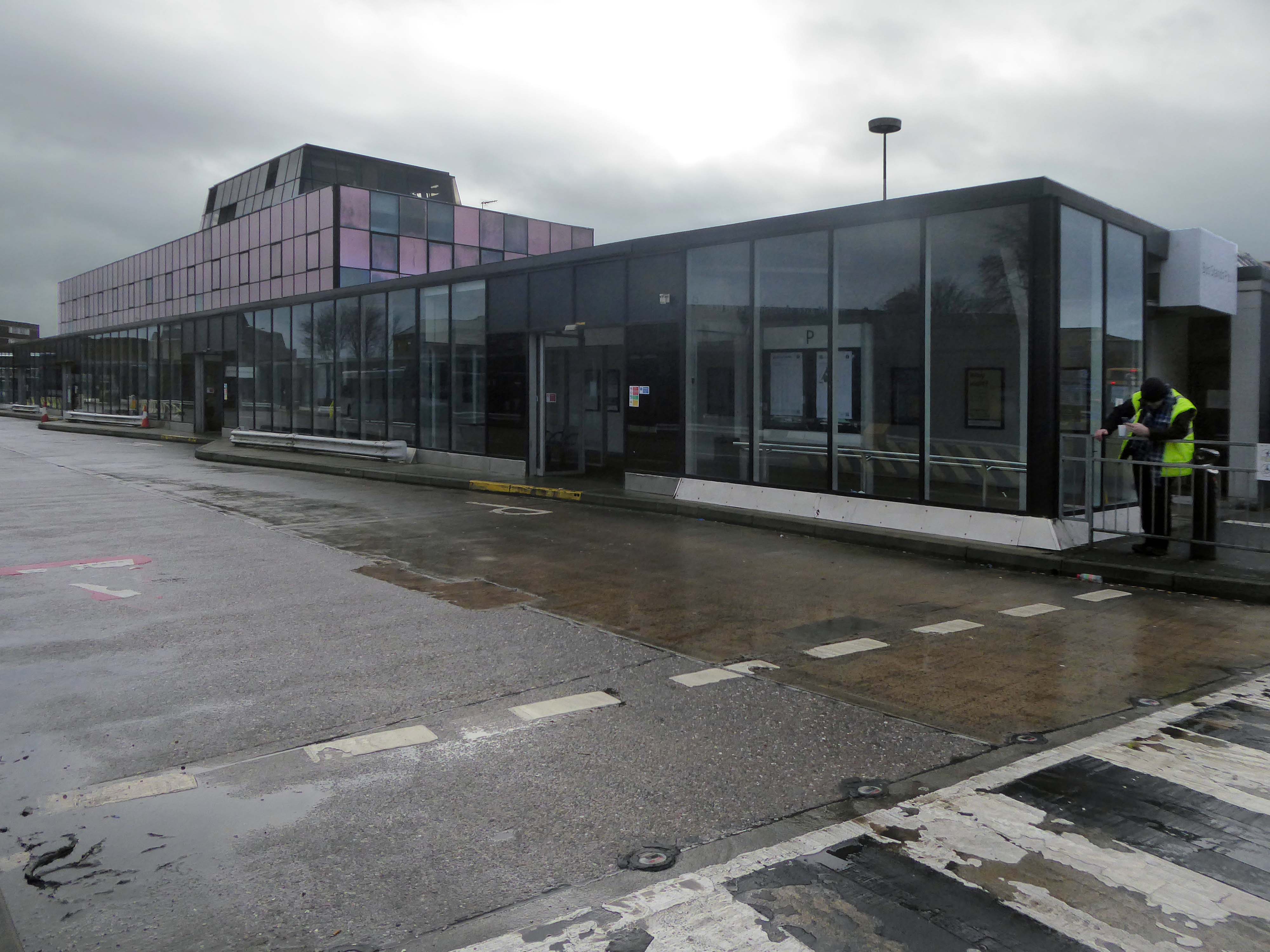
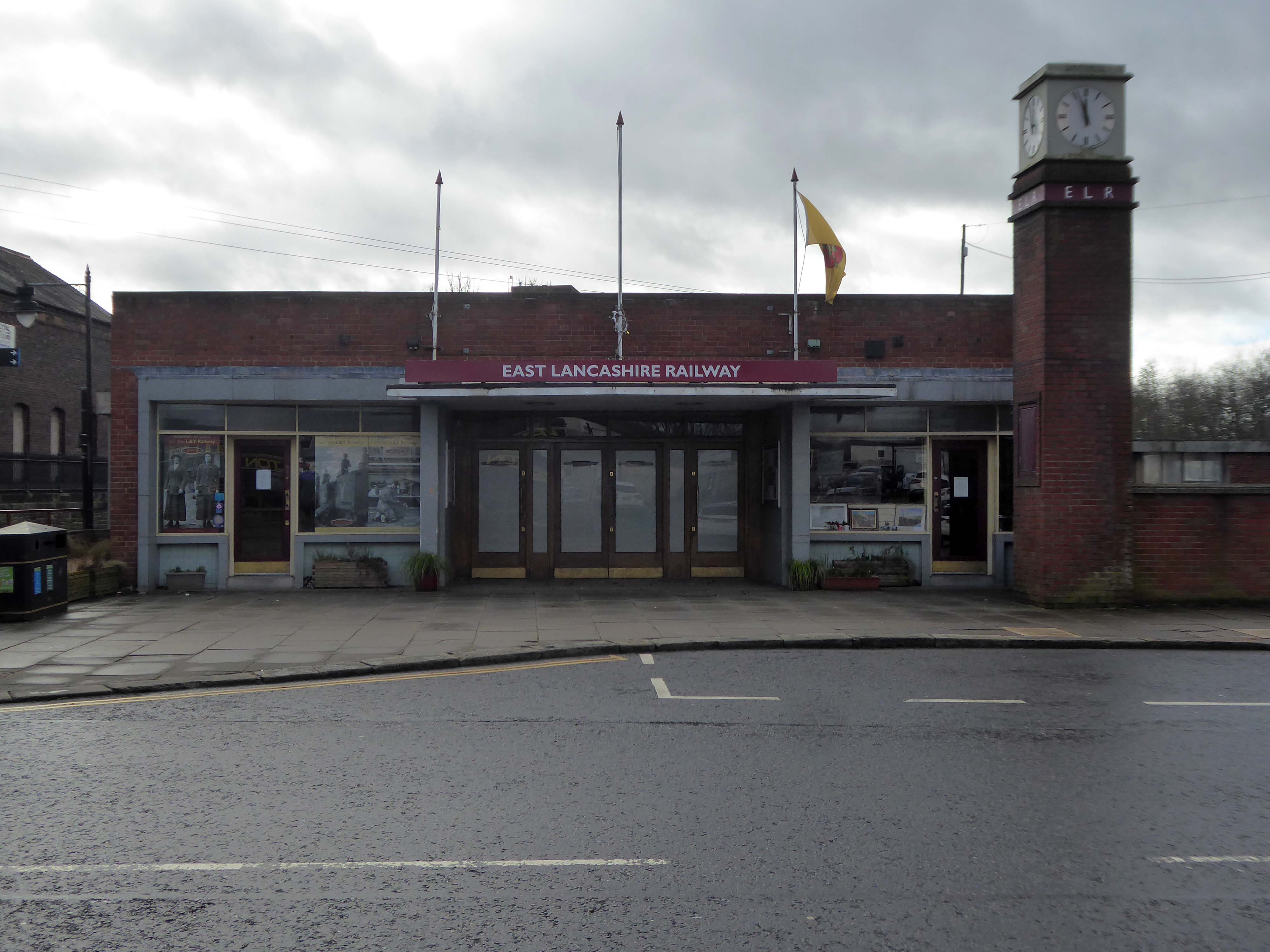
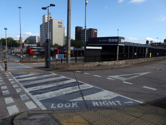
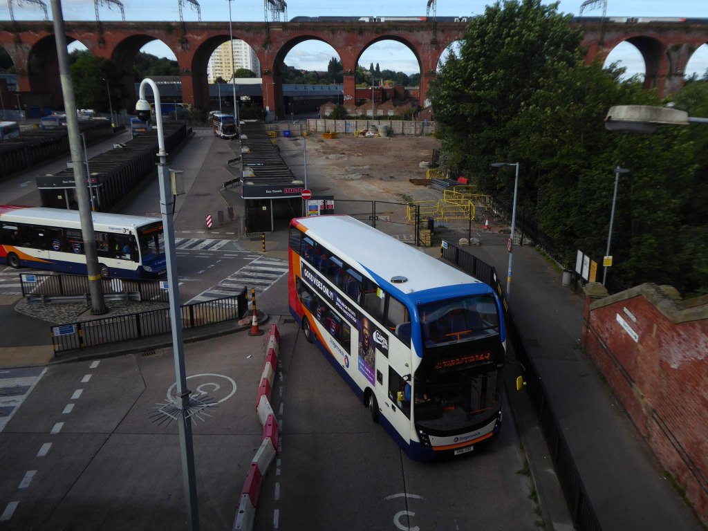
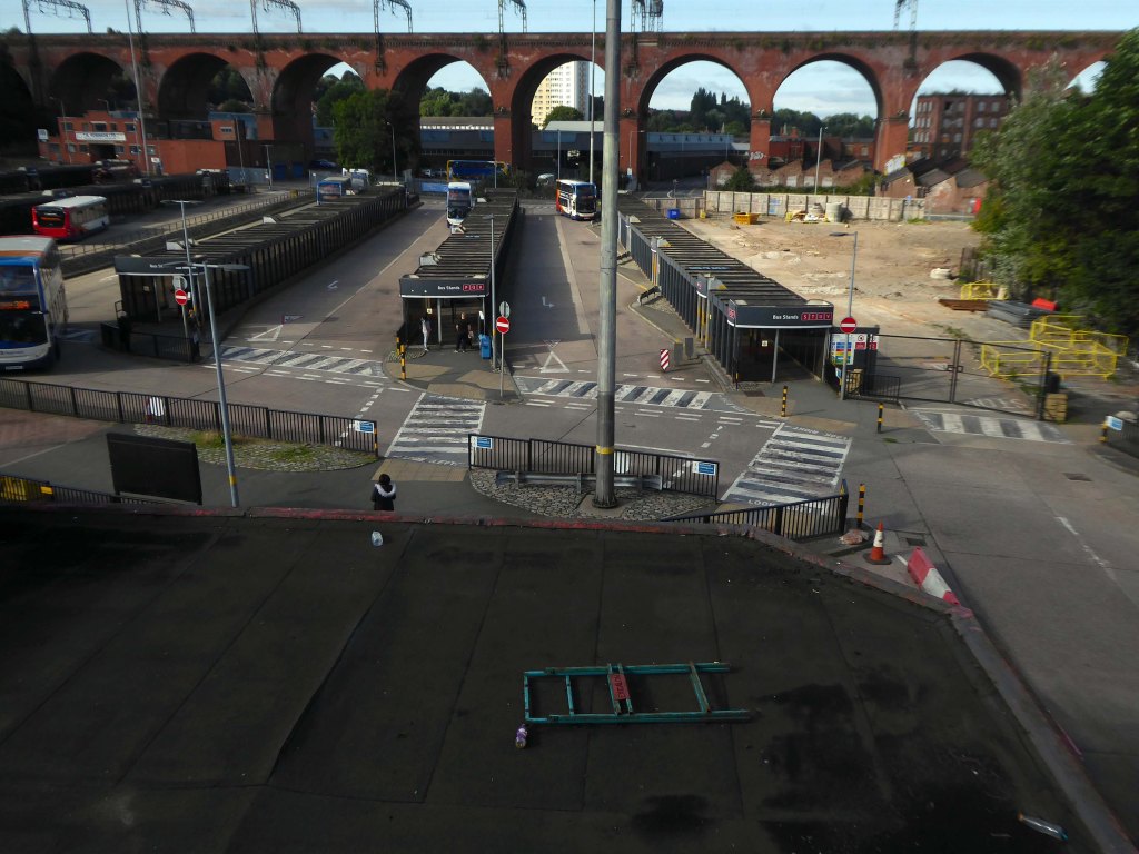
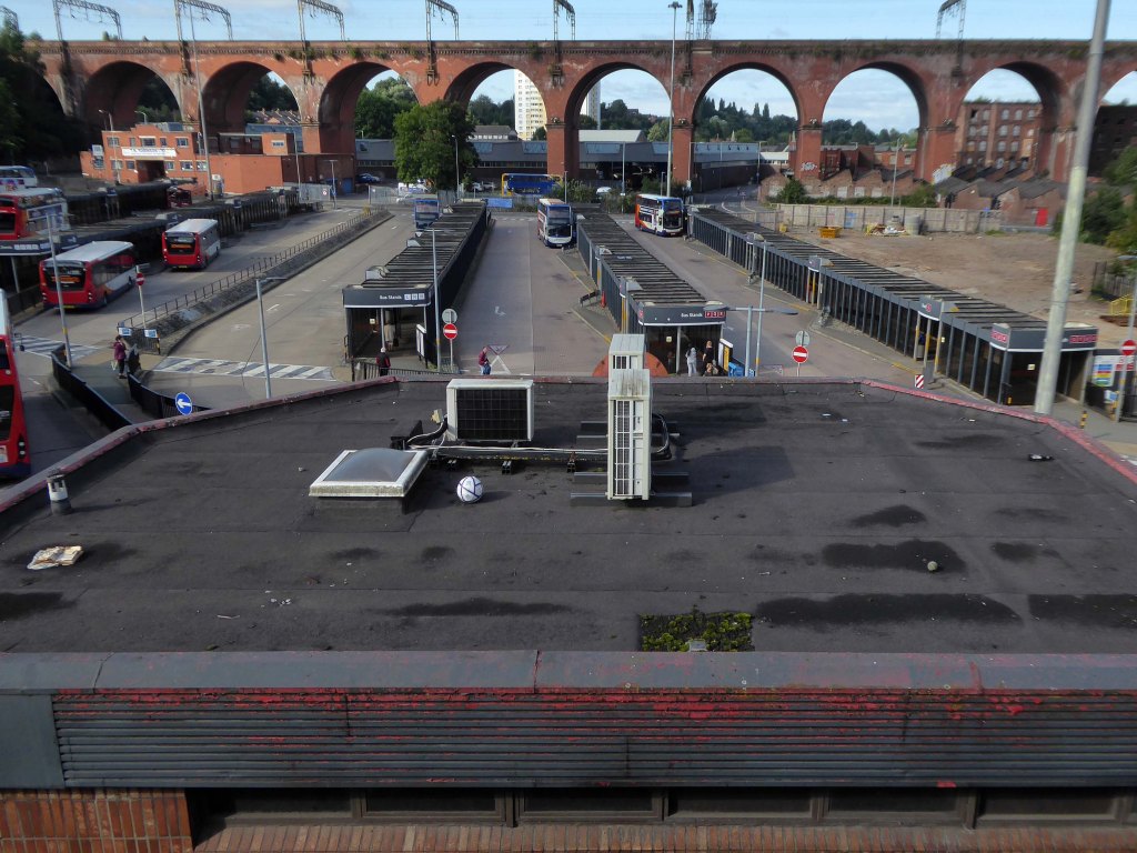
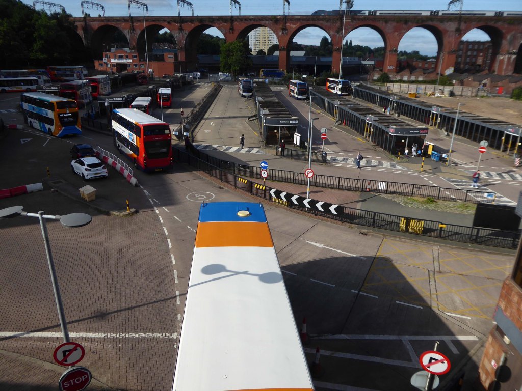
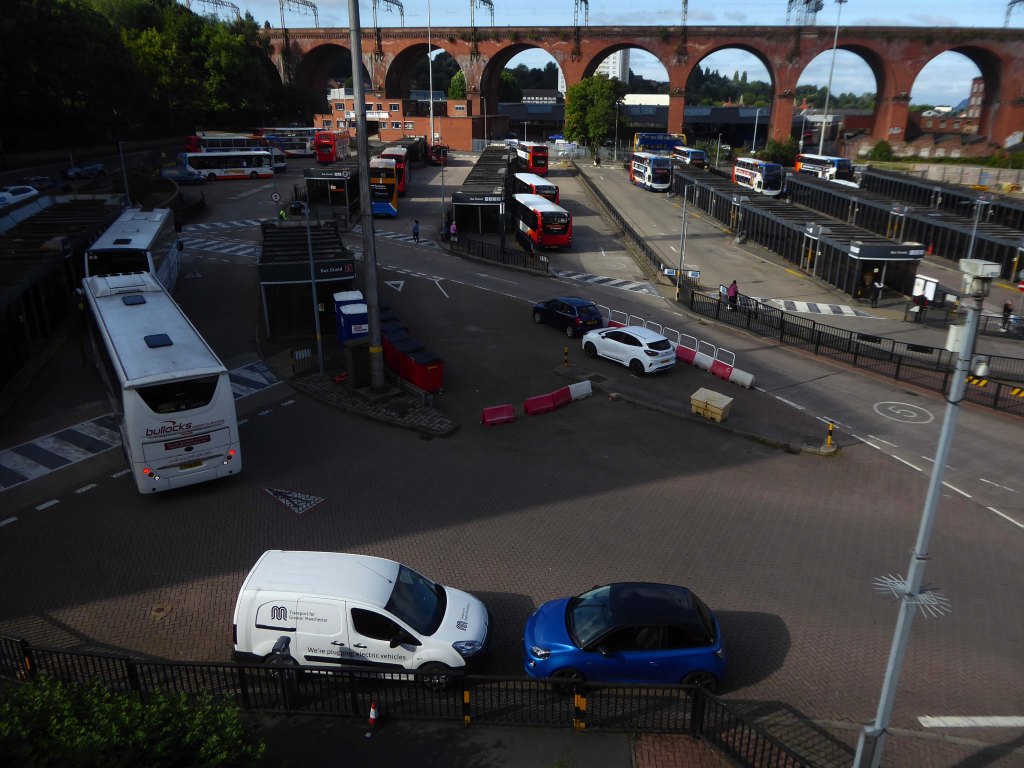
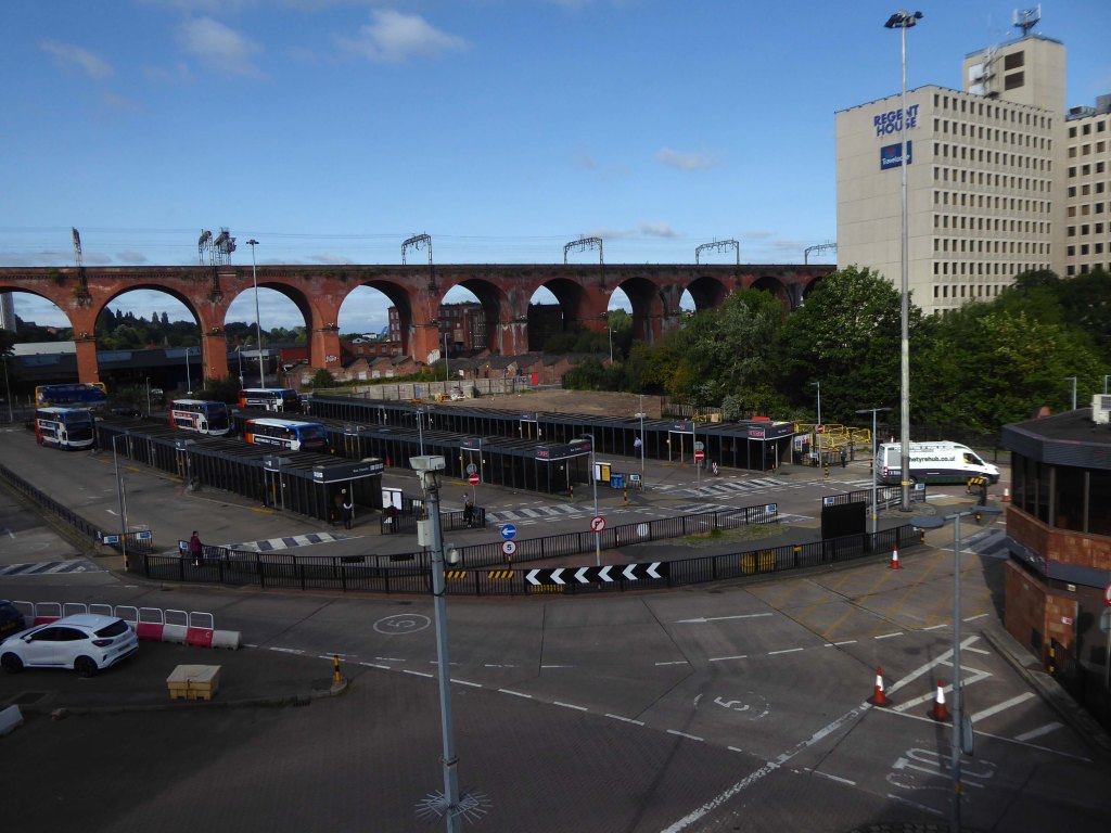
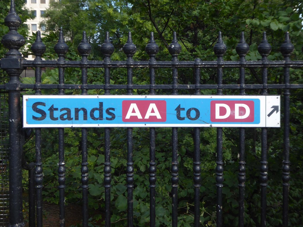
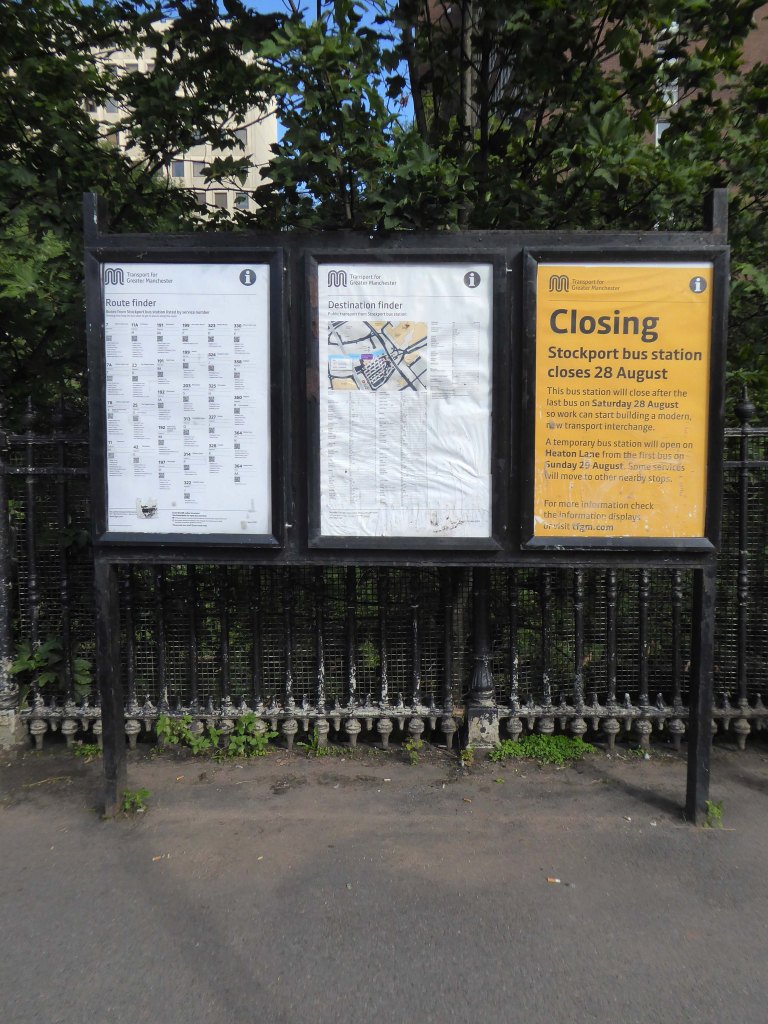
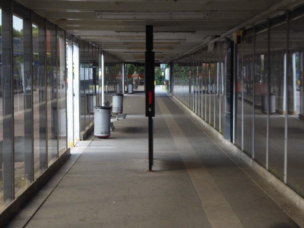
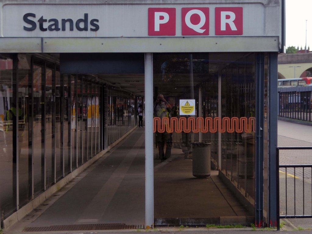
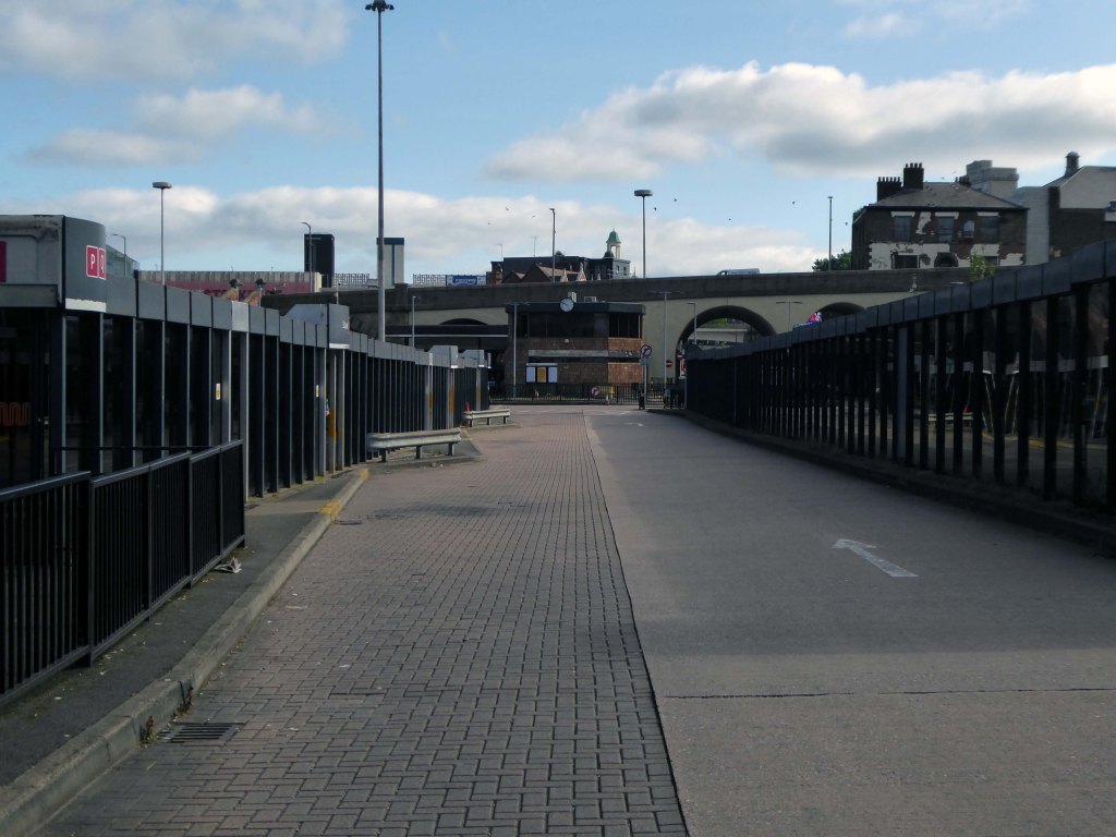
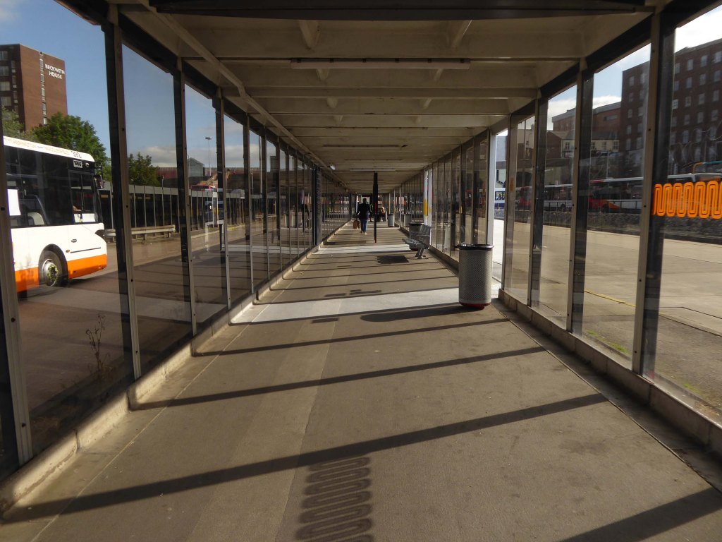
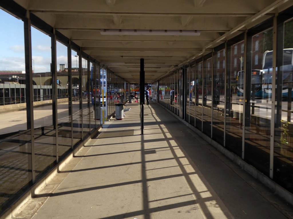
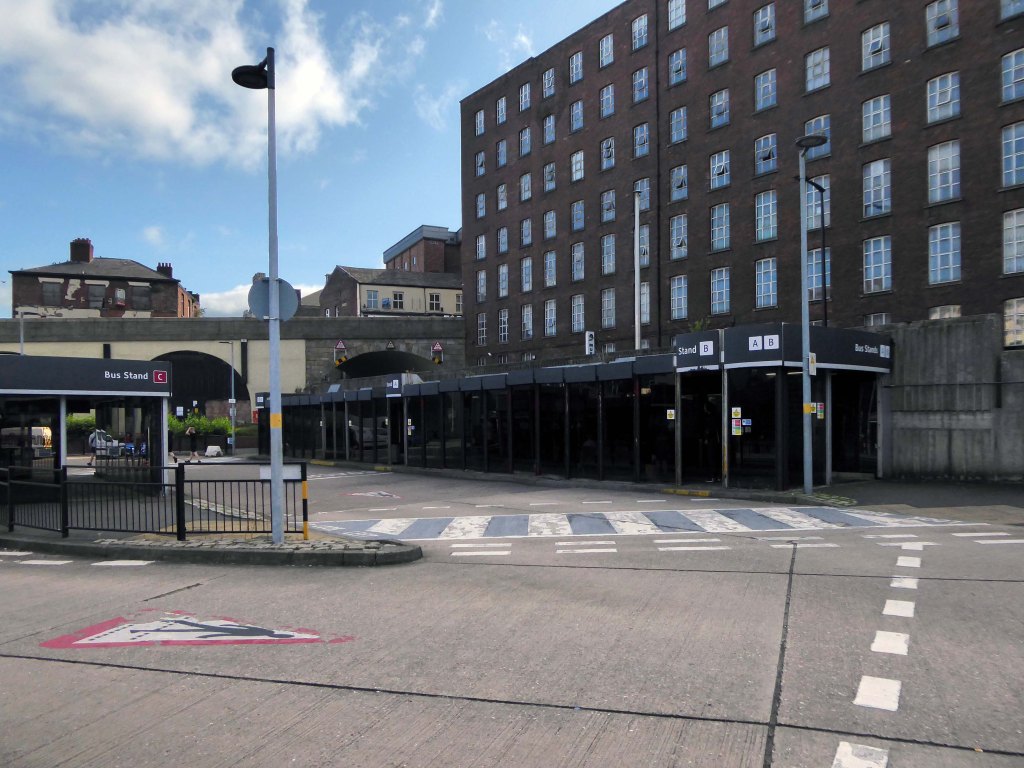
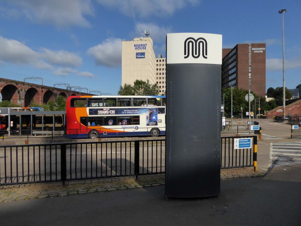
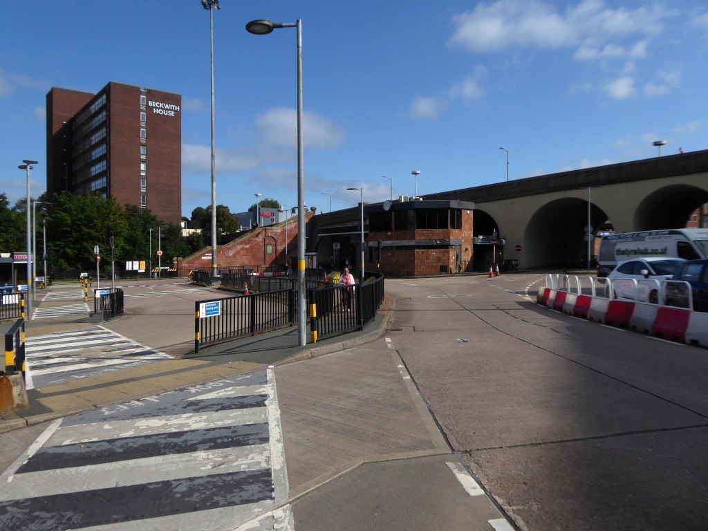
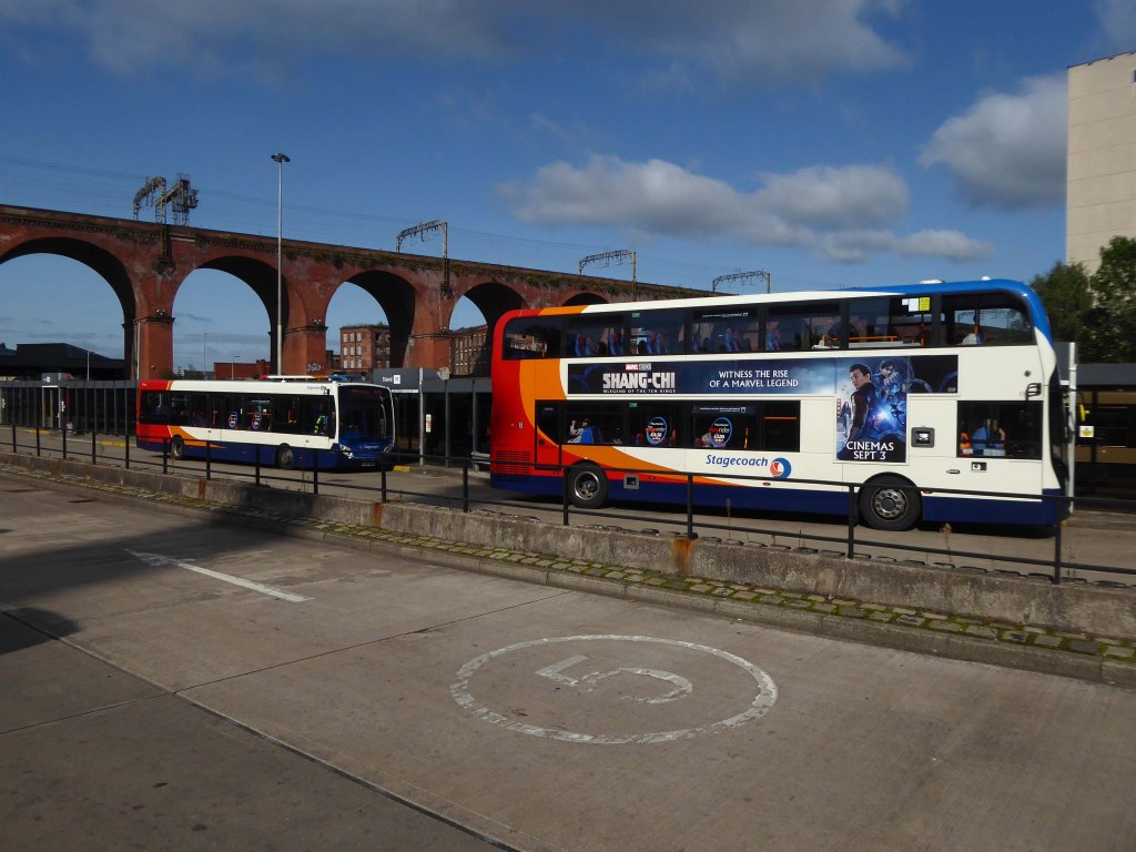
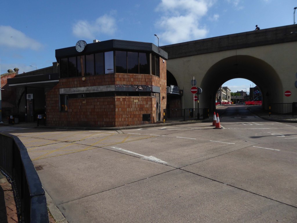
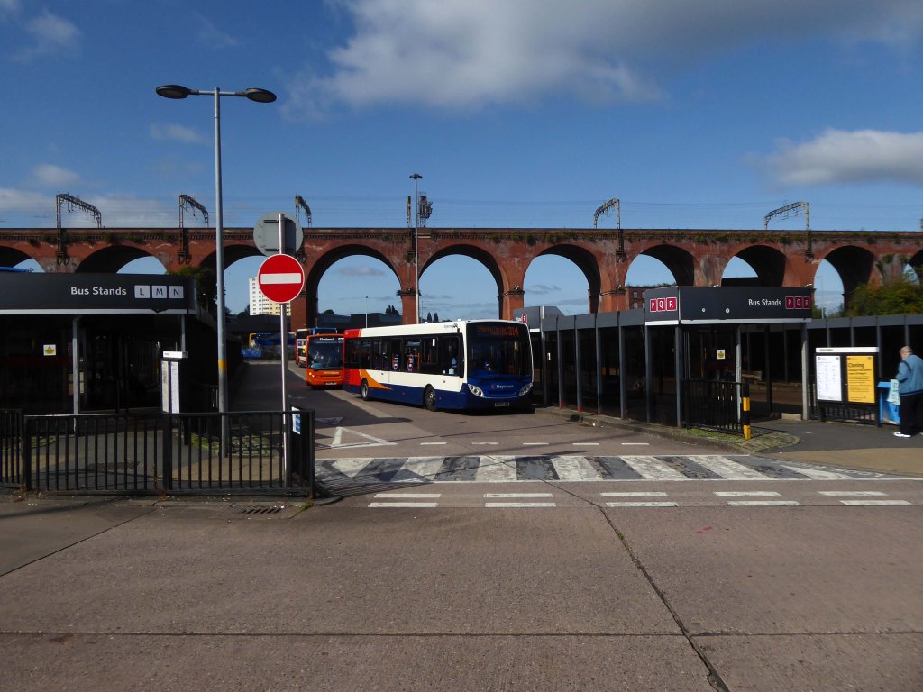
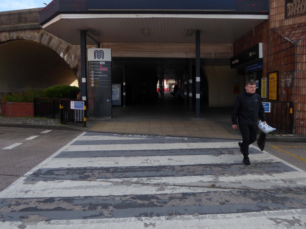
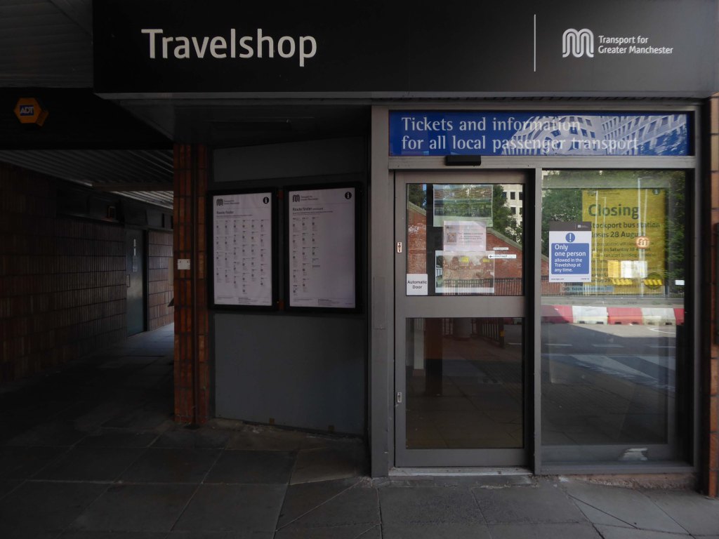
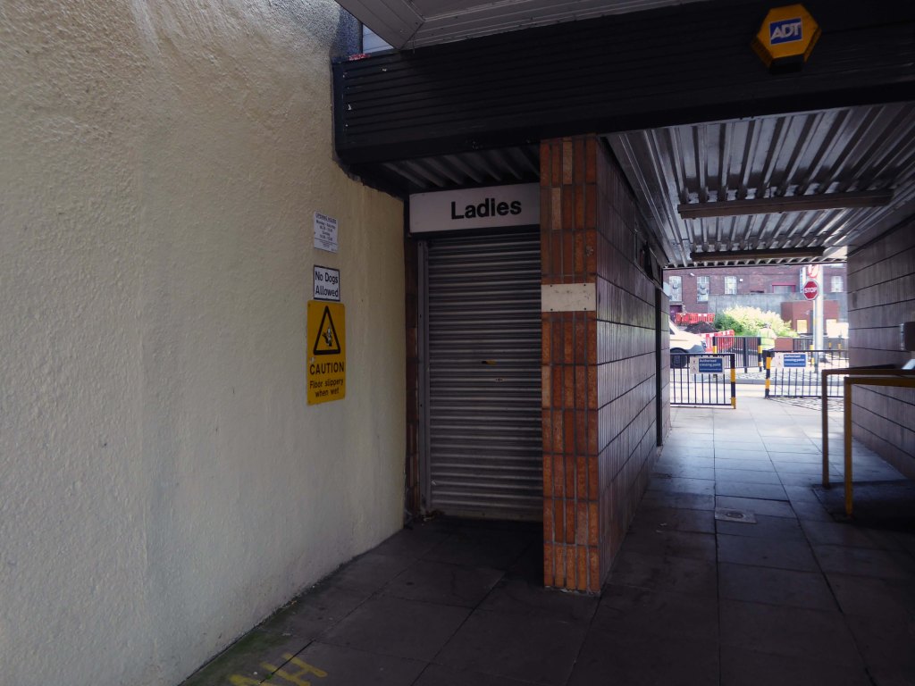
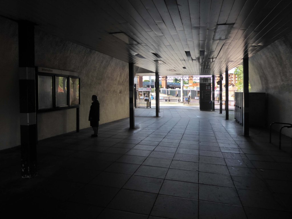
Bury Interchange is a transport hub opened in 1980, it is the northern terminus of the Manchester Metrolink’s Bury Line, which prior to 1992 was a heavy-rail line.
It also incorporates a bus station.
Bury Interchange replaced the bus termini scattered around Bury town centre, notably around Kay Gardens.
Bury Interchange was opened by British Rail in March 1980, integrating a new bus station with the northern terminus of the Bury-to-Manchester heavy railway line, a new short spur line was constructed to connect the new station.
The railway had originally run into Bury Bolton Street which was further away from the town centre, and was closed by British Rail on the same day that Bury Interchange opened.
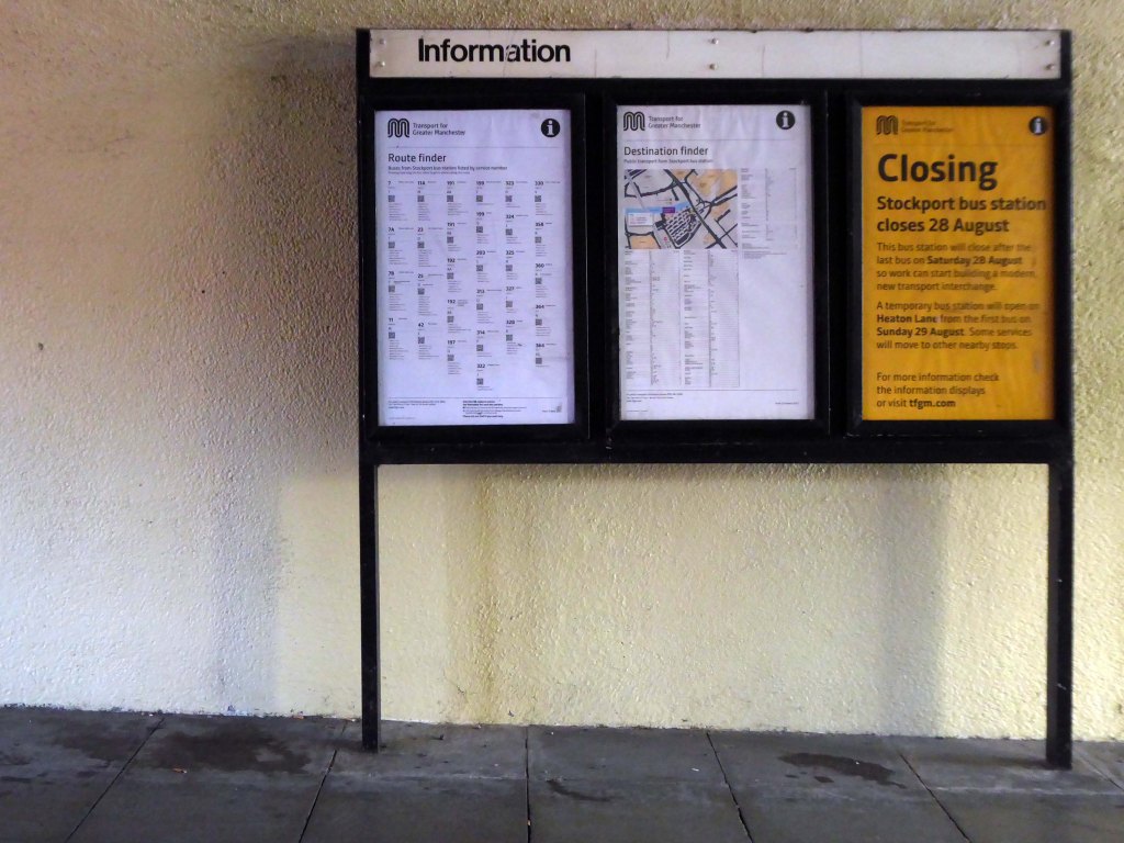
An £80m transformation is coming to the Bury Interchange, which will see step-free access at the Metrolink, a “vertical circulation core” to better connect the Metrolink with the bus facility, and an integrated travel hub with spaces for cycle storage.
The work is much-needed, explained Transport for Greater Manchester’s Alan Lowe, he said that the interchange was built in the 1980s and very much is of its time.
It’s not what we need for our customers need.
The new Bury Interchange project is expected to complete at the end of the decade.
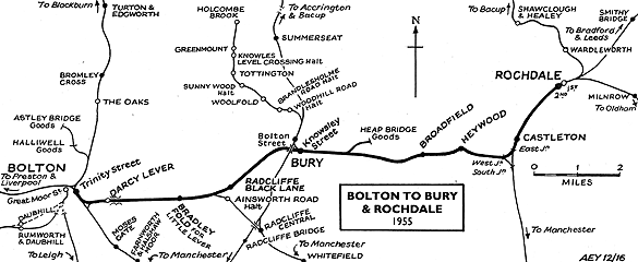
The line and station were closed on 5 October 1970 as part of continuing cutbacks in British Rail services and the line west to Bolton subsequently dismantled.
The A34 is a major route from the ports on the South Coast of England to the Midlands and the North West, with the standard varying from rural dual carriageway sections in the south to urban single carriageway in the north, and everything else in between.
Slade Lane junction, Rushford Park to Parr’s Wood, East Didsbury – to connect to Manchester Road to Cheadle. It continued on to Laneside Road as a residential road. Opened on 11 April 1923 by Mary Cundiff, Lady Mayoress, and Margaret Turnbull, daughter of Alderman Turnbull, Chairman of Manchester Town Planning Committee. Width was 100 feet and it was designed for tram tracks in the central reservation. The dual road carriageways were 20 feet wide. Manchester’s tram system was closed in 1949. The carriageways were widened and central reservation grassed over. Originally opened as A5079.
Laneside Road, East Didsbury to Schools Hill/ Wilmslow Road junction, Cheadle. Opened on 12 October 1959. The official opening was on 15 October 1959. Planning for the bypass had been halted by the war. In December 1949 Manchester Corporation stated that it was not a priority since the Corporation was only responsible for the 200 yards to the proposed bridge over the River Mersey and Cheshire County Council had not asked for a joint approach to Ministry of Transport to build it. Work was finally authorised in January 1957 and started in the June. Width was 90 feet with dual 24 foot carriageways. Expected cost was £600,000 to £700,000.
The A6 is Britain’s fourth longest road. Its route varies greatly from the lower lands of the South East, though the Peak District, right though the heart of Manchester city centre, then onwards towards Preston. It then goes though the historic city of Lancaster before skirting the Eastern fringe of the Lake District before ending in Carlisle, bang on the start of the A7.
North from Stockport towards Manchester, the A6 was a wide, four lane road, but still 30 mph, which usually flowed pretty well. According to Mudge, it looks like it has now been massacred by bus lanes and red paint. Shame. We meet the A57 from the east, just south of the city centre, and multiplex until we reach Mancunian Way, the A57 heading off as a short urban motorway, the A6 heading into the city centre via London Road/Piccadily, where it loses its number and vanishes. It would have gone straight down Piccadily/Market Street to meet Deansgate, and then across the River Irwell into Salford, and up Chapel Street, where the number reappears. Market Street has been pedestrianised for years, so the A6 has long ceased to be a through route.
The A57 was nearly a coast to coast route. It passes through three major city centres (Liverpool, Manchester, and Sheffield – with elevated sections in each) and several smaller ones, multiplexes with the A6 and the A1, follows the banks of two canals and negotiates the remotest part of the Peak District. In one city it part of it is a tram route, whilst in another its former route is also a tram route. After all these adventures, it sadly gives up just 40 miles short of the east coast, Lincoln apparently proving too big an obstacle.
The A57 crosses the River Irwell at Regent Bridge before entering its moment of motorway glory as the A57(M) Mancunian Way skirting the south of Manchester’s city centre on an elevated section and crossing the A56 and A34. This includes a half-completed exit that goes the wrong way up Brook Street – a one way street. The original A57 ran further north through the city centre along Liverpool Road (now the A6143) and Whitworth Street – B6469 as far as the A6 London Road which marked the start of a multiplex.
At the end of Mancunian Way, we reach a TOTSO, straight on being the short unsigned A635(M) and thence the A635 – for Saddleworth Moor, Barnsley and Doncaster whilst the A57 turns south, briefly multiplexing with the A6, and then branching off along Hyde Road. This section of road was extensively cleared for the westward extension for the M67, and consequently has seen a lot of redevelopment.
The road now begins slightly further south than it used to. Instead of starting on Fairfield Street in Manchester city centre, it begins immediately as the Mancunian Way ends, which at this point is the unsigned A635(M). The motorway flows directly into our route. There’s a TOTSO right at a set of lights, and we pick up the old alignment, which now starts as the B6469.
We can see the new City of Manchester Stadium on the left, site of the 2002 Commonwealth Games and now home to Manchester City FC. The road switches between S2 and S4 as it passes through the rather run-down urban areas of Ardwick and Gorton. A short one-way system at a triangular-shaped junction with the A662 leads onto a wider stretch as we near the M60 junction. This area is set to see significant industrial growth, with whole swathes of land either side of the now D3 road cleared and ready for development.
Starting at traffic lights on the A665 the road heads northeastwards, initially with the Metrolink on the left and a factory building on the right. The road then bears right at traffic lights marking the first section of on-street running for the trams, which lasts until just before a bridge over the River Medlock, after which the road passes to the south of the Sportcity complex whilst the tram line runs through the middle.
The A6010 is crossed at traffic lights, after which we see the tram lines on the left once more. We go over the Ashton Canal, then the tram lines at grade before bearing to the right to pass Clayton Park before another section of on-street running for the Metrolink begins, which continues for some distance. Just after crossing the Manchester city limit there is a set of traffic lights, after which the road becomes D2 for a short distance to allow a tram stop – Edge Lane, to be located in the central reservation. The tram leaves the road to the right for the next stop – Cemetery Road, and the stop in Droylsden town centre is once again in the central reservation. In all three cases the street running recommences after the stop.
The A62, which runs from Manchester to Leeds, via Oldham and Huddersfield, was once the main route across the Pennines, connecting the largest city in Lancashire with Yorkshire’s largest city. However with the completion of the M62 towards Leeds in the early 1970s it lost much of its importance and traffic to the motorway, which runs a few miles to the north. These days, the A62 serves as a busy primary route between Manchester and Oldham, an extremely very quiet route over the Pennines, and then a fairly busy local road linking Huddersfield with Leeds.
Most maps show that the A62 starts its journey in the middle of Manchester by leaving the A6 Piccadilly and running along Lever Street – the original route was the parallel Oldham Street. However, owing to a bus gate Lever Street is not generally accessible from Piccadilly. We head out easterly on a busy street – non–primary, until we meet the Ring Road where we pick up primary status that we retain until Oldham. We turn left at this point and then immediately right to start the A62 proper.
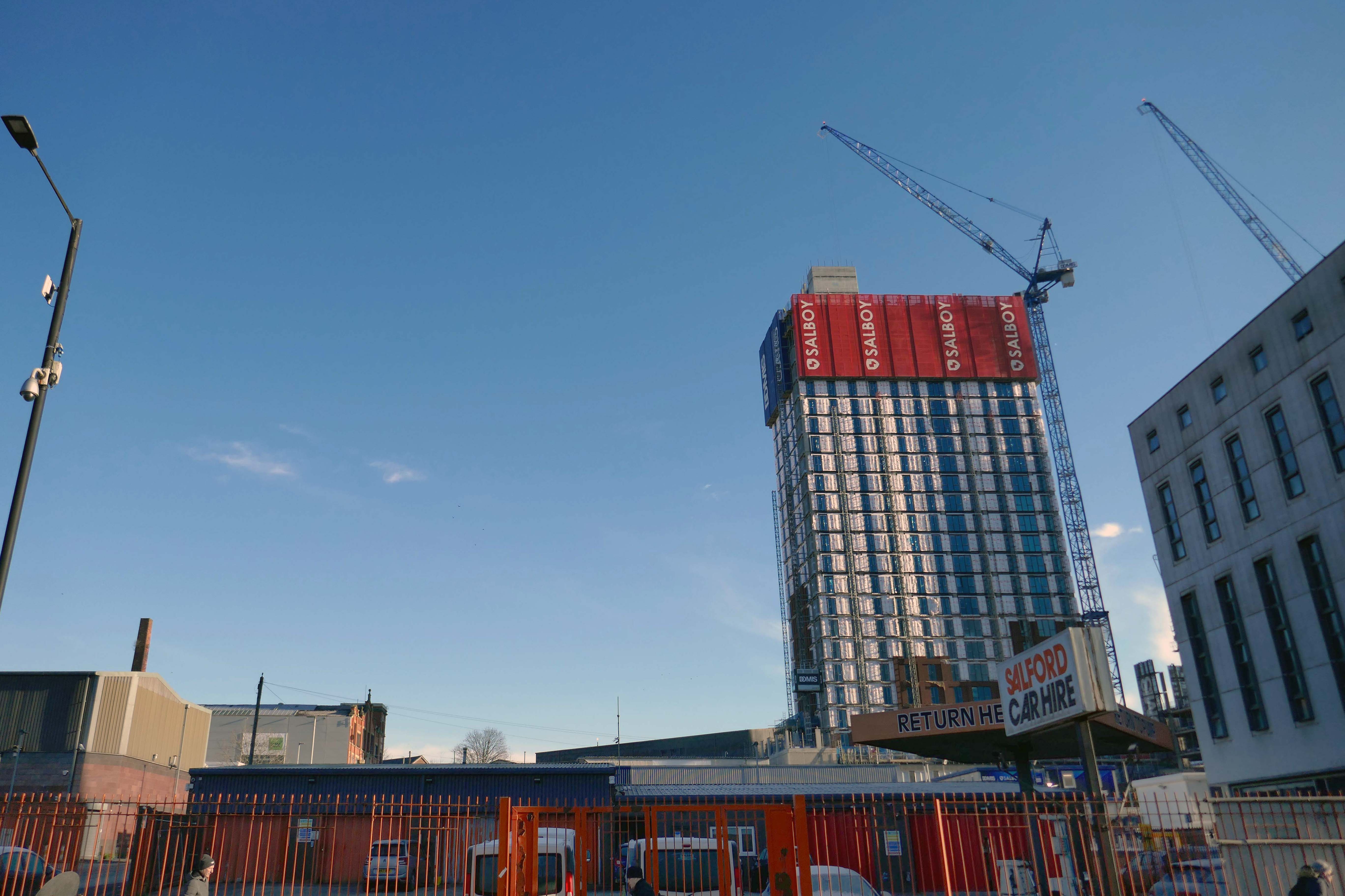
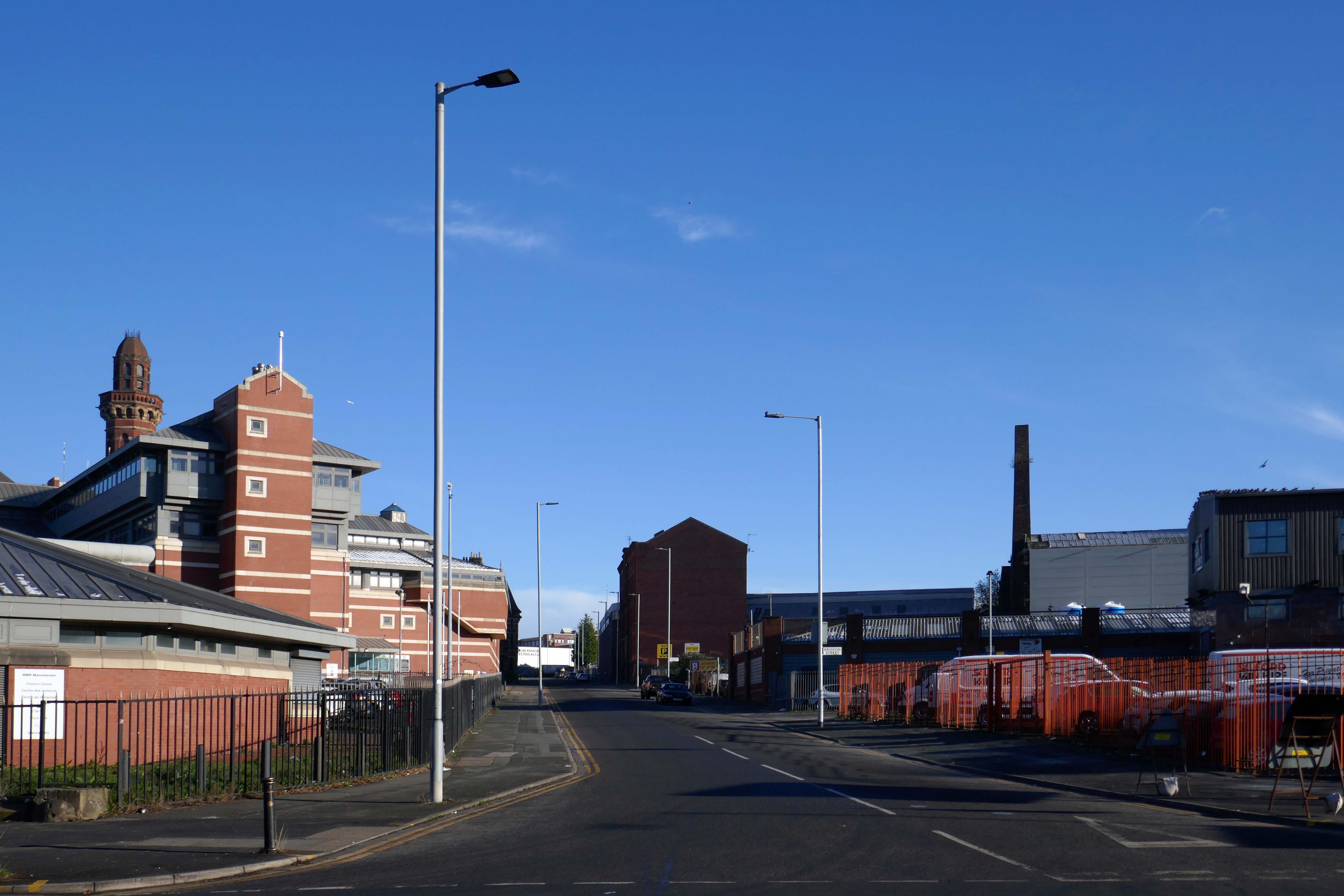
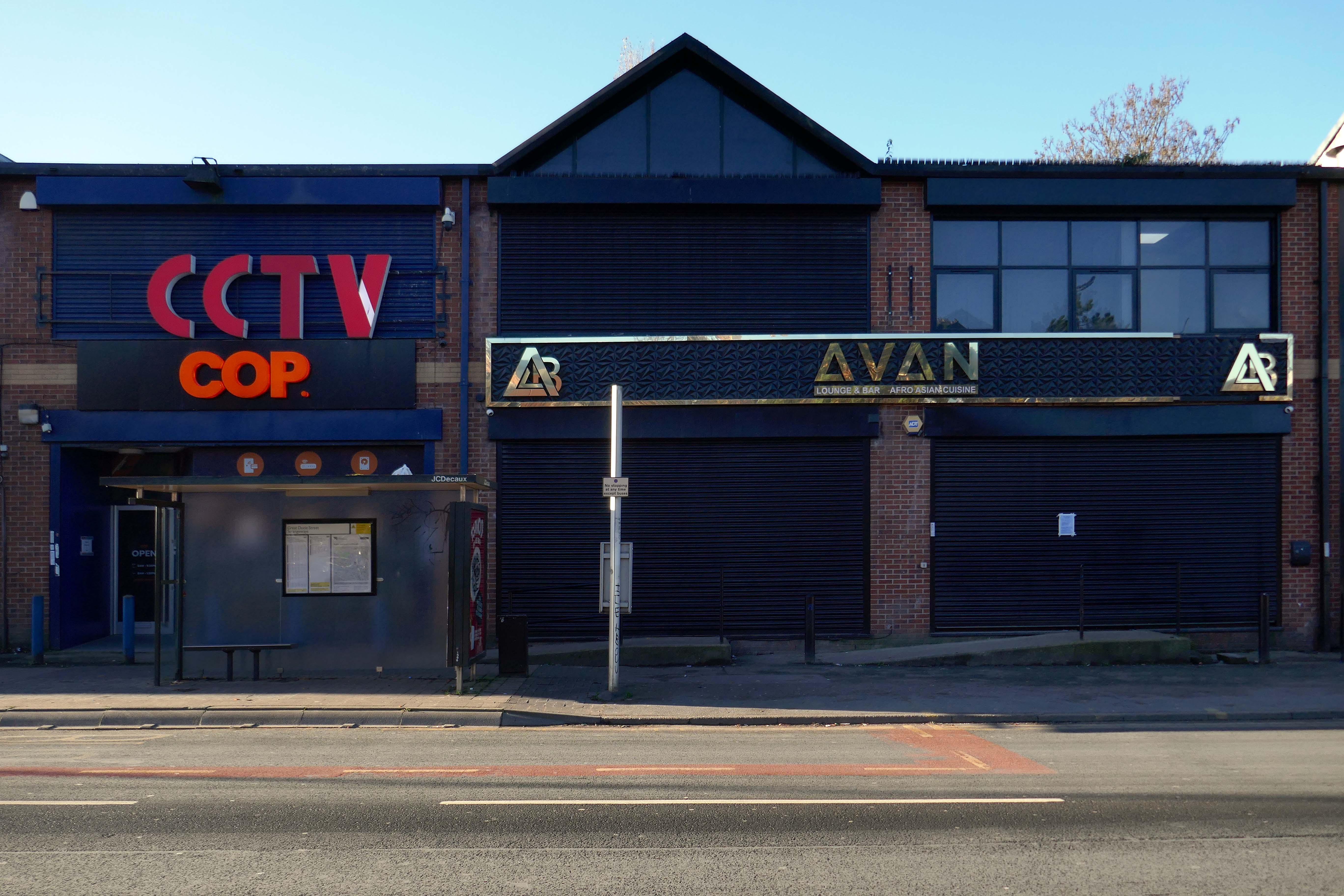
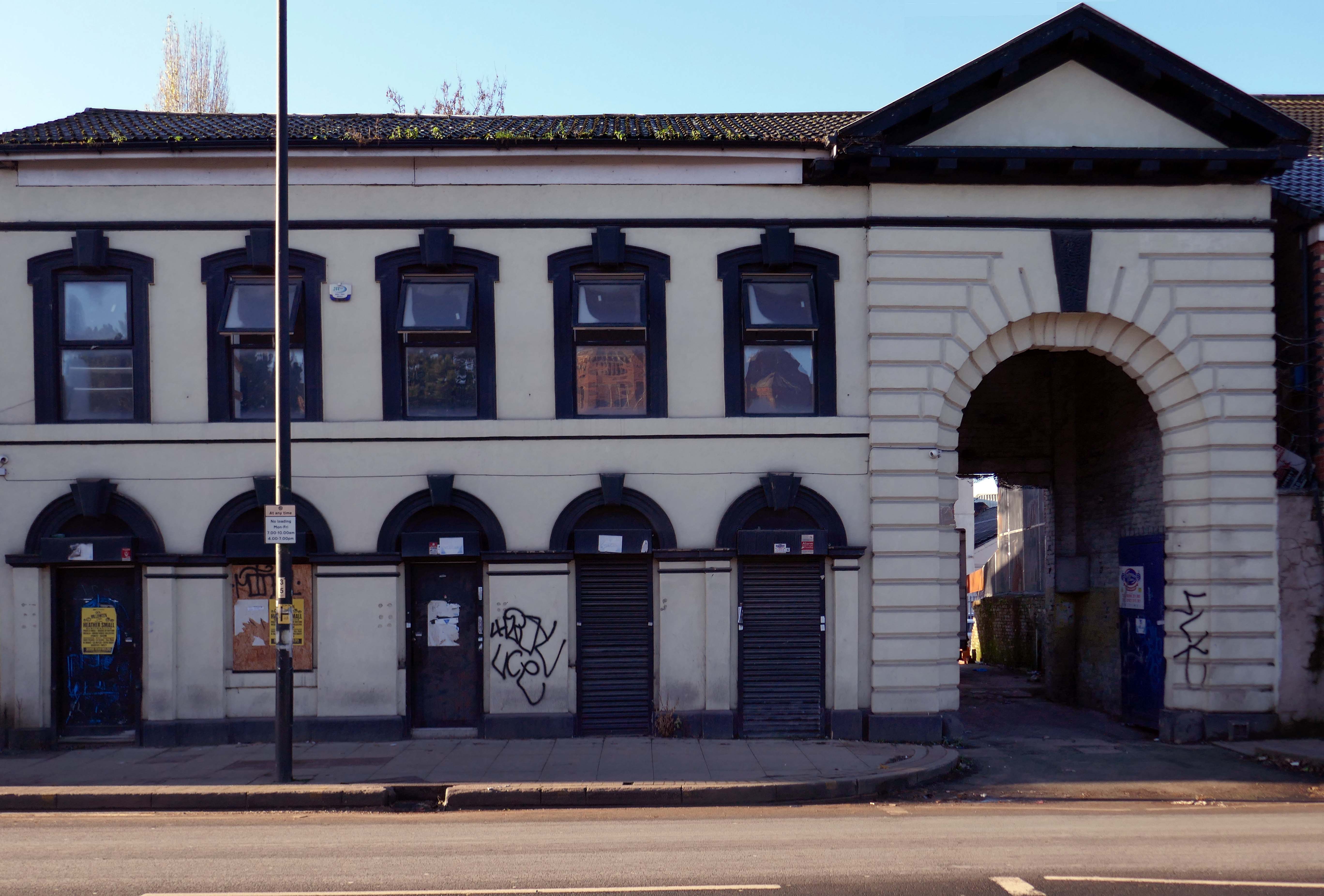
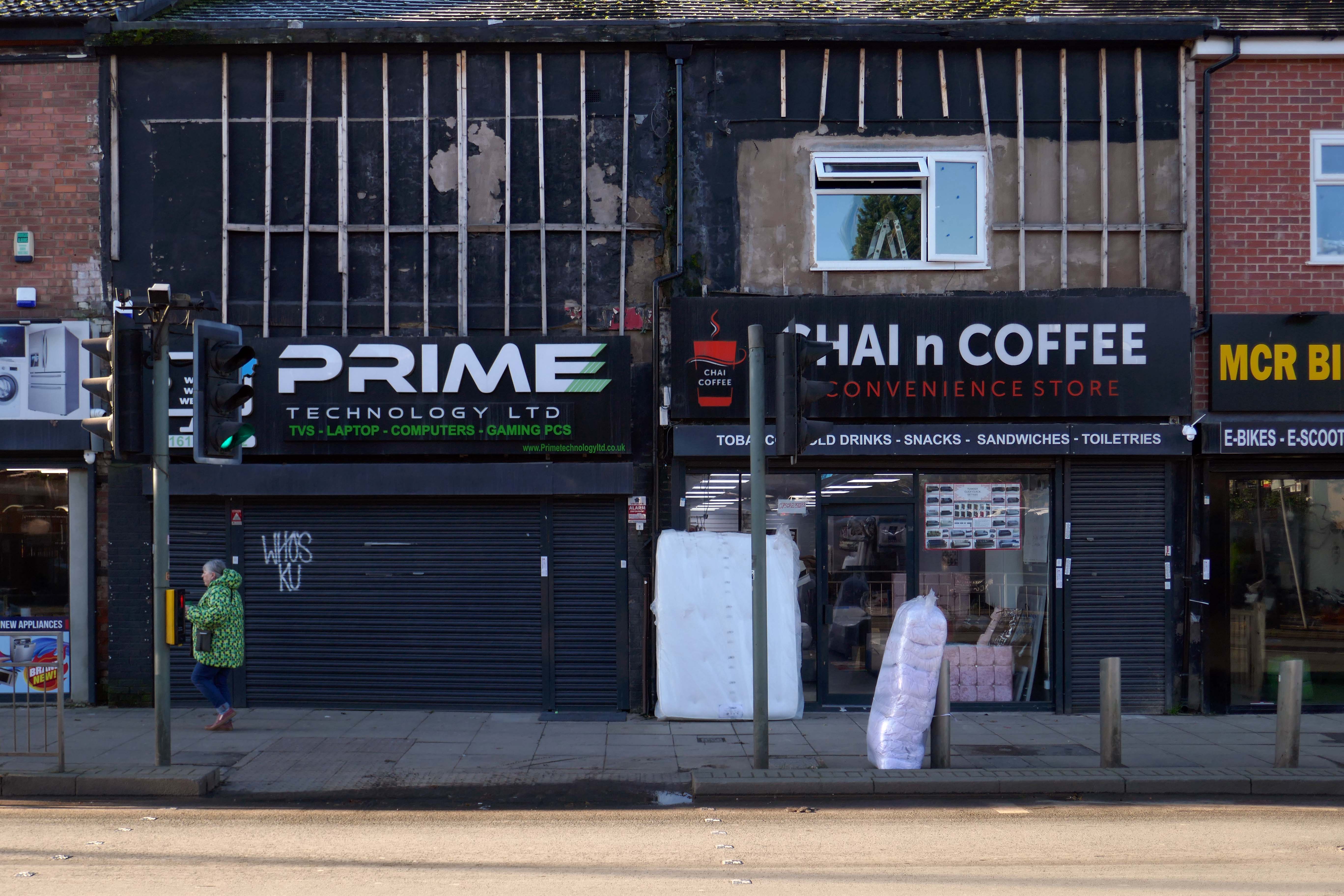
In 2014, having taken early retirement from teaching photography, I embarked on a series of walks along the arterial roads of Manchester.
This whole undertaking was prompted in part by Charlie Meecham’s 1980’s Oldham Road project.
The work questions whether a sense of local identity can be maintained in an area of constant redevelopment and community displacement.
This area was first developed in the 19th century for cotton manufacture, coal extraction and later electrical and heavy engineering. The road was lined with shops and there was a vibrant community.
When I first started working on the project, most of the early industry had ceased operating and the mills were either abandoned or being dismantled. However, some had been refurbished either for new industrial use or later, made into apartments. Some run down areas were cleared making way for new housing. Clearance also provided opportunity to build new schools, trading estates and create green space. Most of the older community centres such as theatres and cinemas along the road were also abandoned and later cleared.
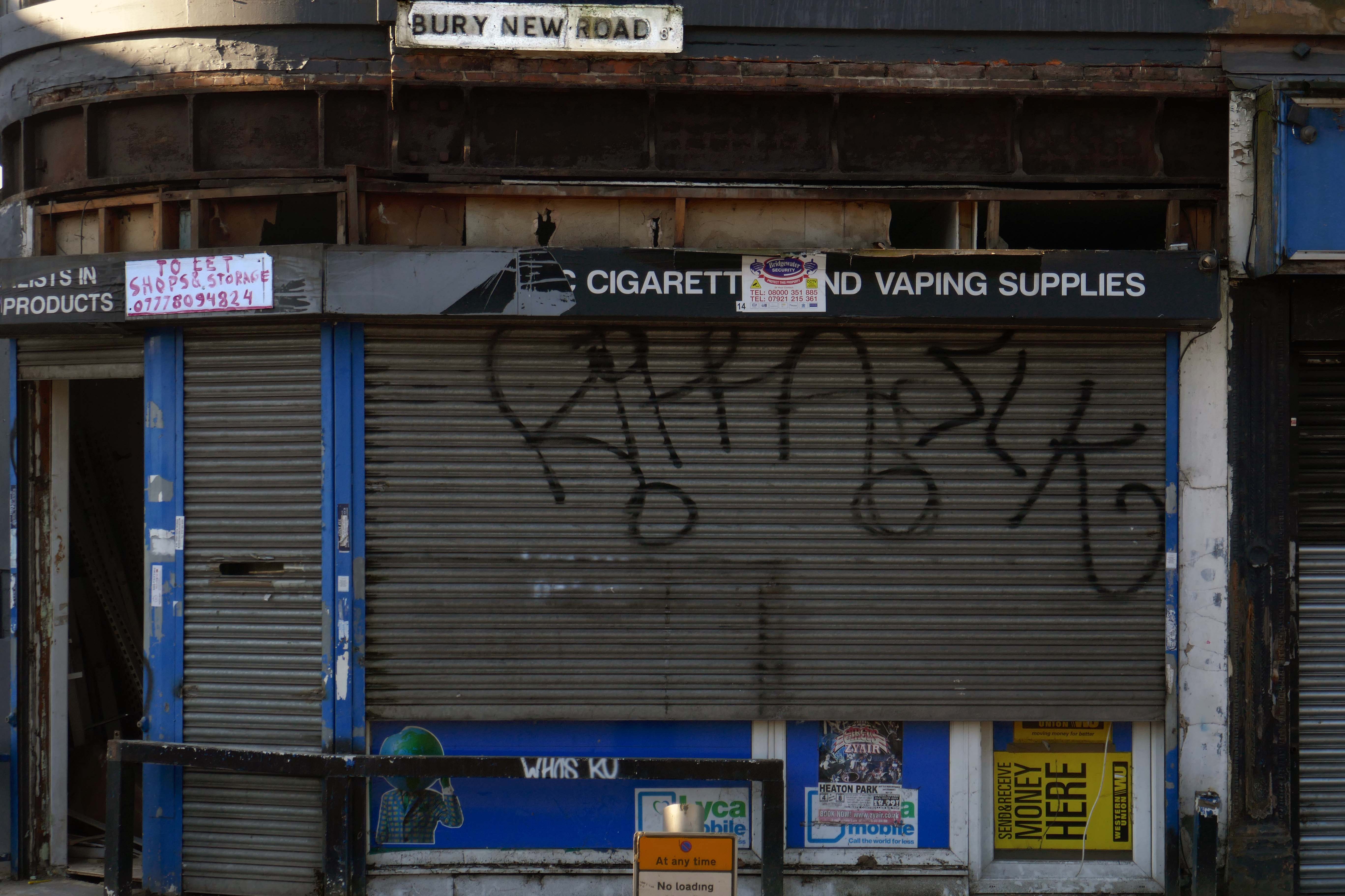
Cheetham Hill Road is part of the designated A665. Cheetham Hill Road starts at the junction of the A6042 Corporation Street and the A665 Miller Street. It crosses the culverted River Irk to the east of Victoria Station. At its junction with New Bridge Street, it turns north-northeast and is straight for 1 km, to the A6010 Queen’s Road . This stretch was called York Street until about 1900. Cheetham Hill Road leads from here to the community of Cheetham Hill, where at Bourget Street and Crescent Road – formerly Sandy Lane, Cheetham Hill Road becomes Bury Old Road.
There is evidence that the current town location has been occupied since prehistoric times. Prehistoric tools found in the caves of Graig Fawr, in the nearby village of Meliden, have revealed the existence of early human habitation in the area.
“Sunny Prestatyn” became famous for its beach, clean seas and promenade entertainers, and visiting for a bathe was considered very healthy by city-dwelling Victorians.
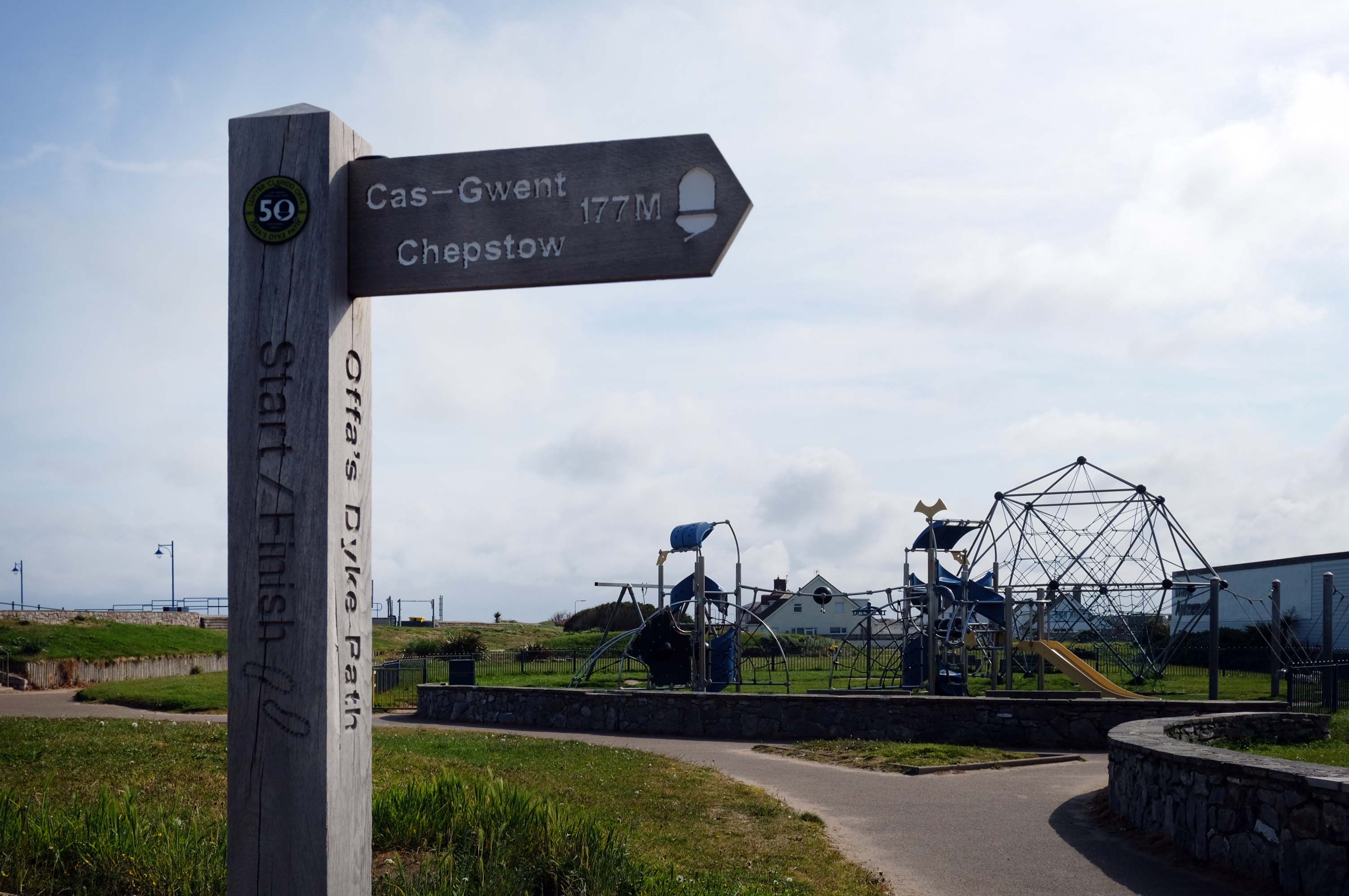
The town is at the northern end of the Offa’s Dyke Path, although not on Offa’s Dyke itself.
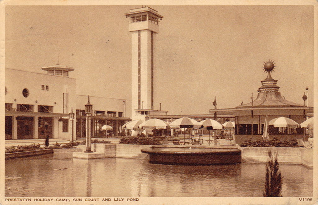
The holiday camp in Prestatyn was built by the London Midland and Scottish Railway Co. in 1939. The main buildings were in classic 1930s style, featuring rounded building ends, steel framed windows and porthole windows. Chalets showed an early form of sectionalised building method.
Requisitioned as a military camp until after the Second World War, it reopened as a holiday camp in the early 1950s. The site was demolished and cleared between February and March 2001.
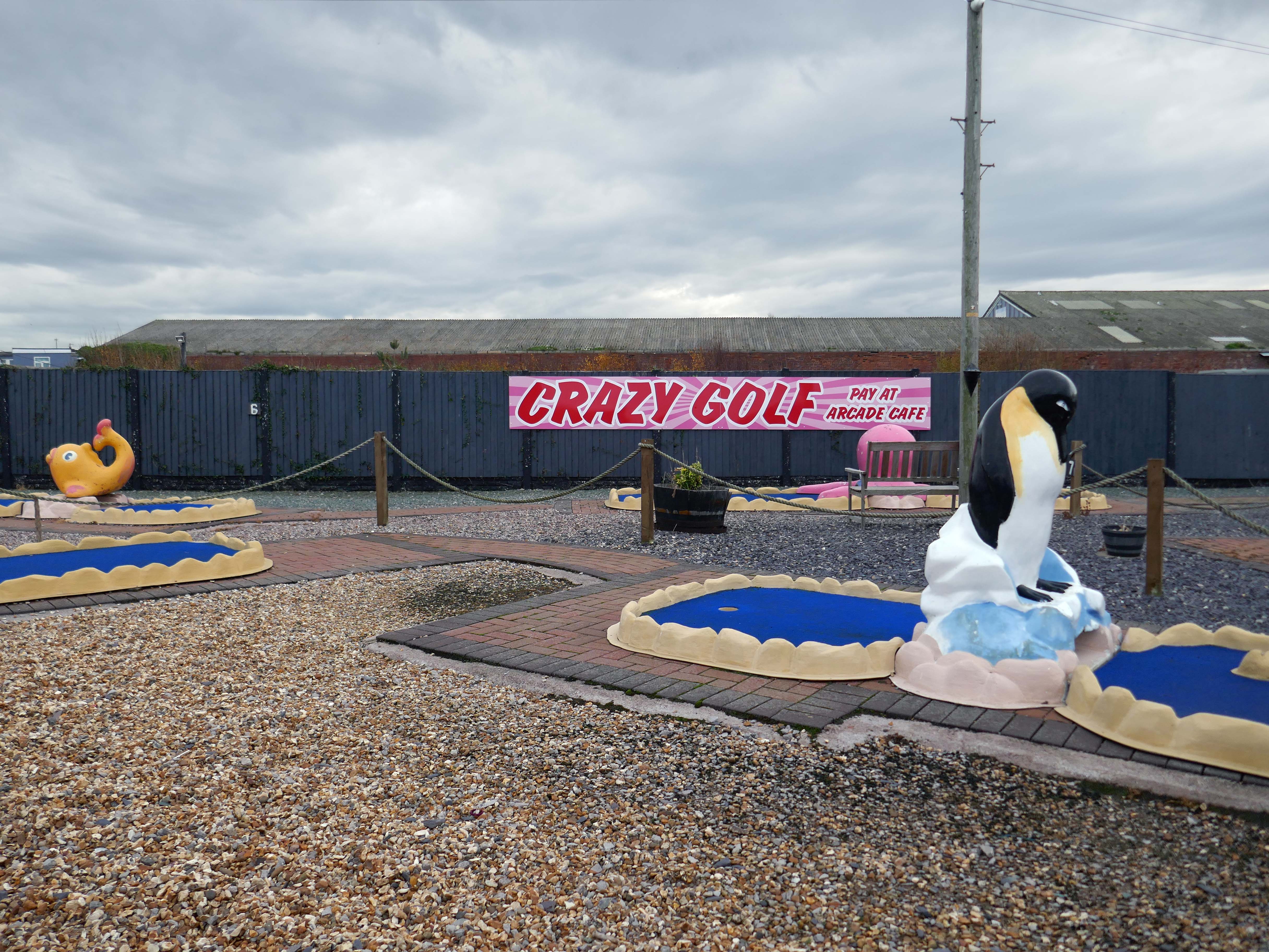
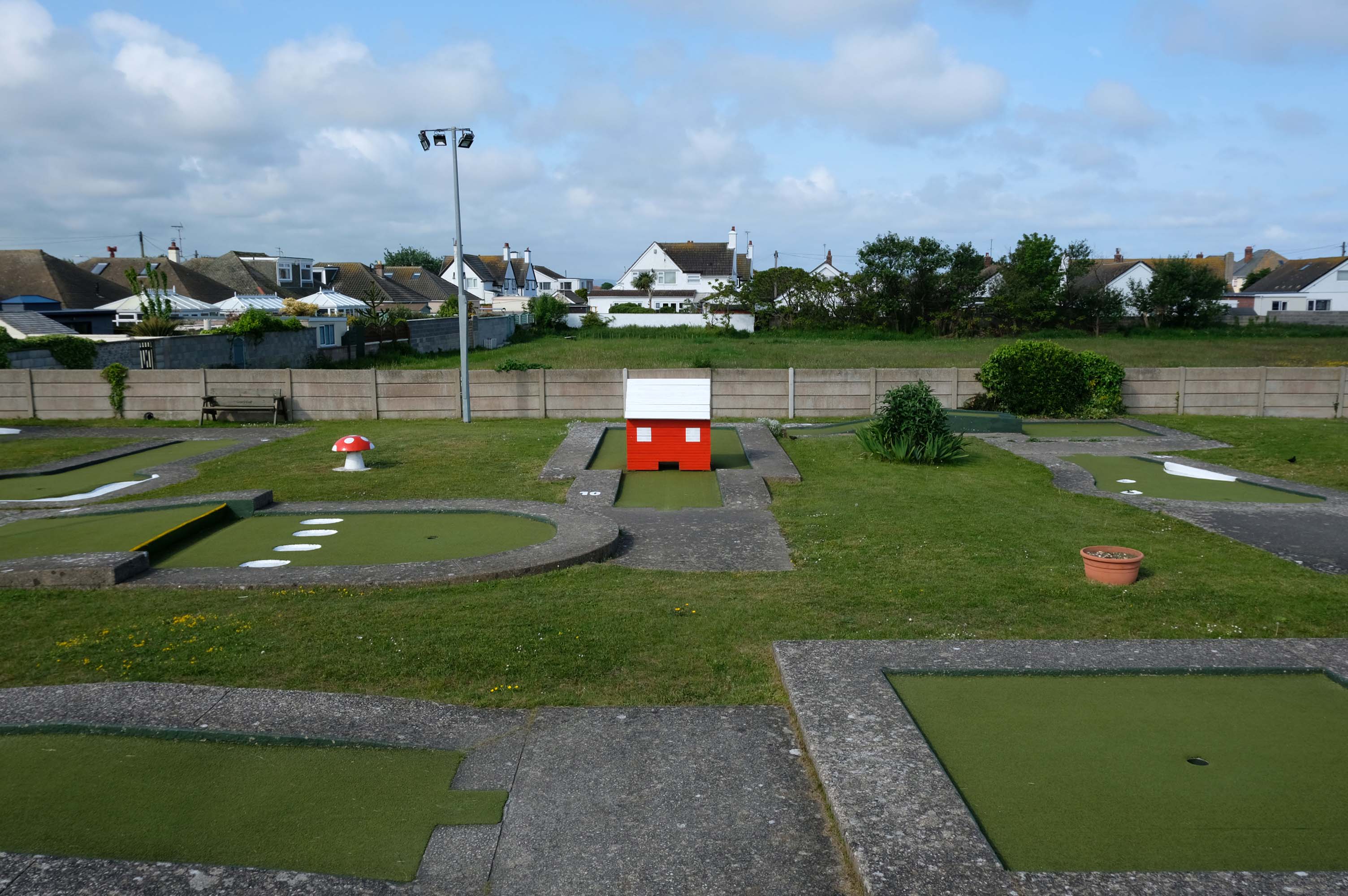
Prestatyn offers the opportunity to engage in an impromptu game of Crazy Golf – though the facility was closed on the morning of my visit.
The crazy golf was fantastic the kids didn’t want to leave plus the lady was so helpful plus the price were very reasonable – would highly recommended.
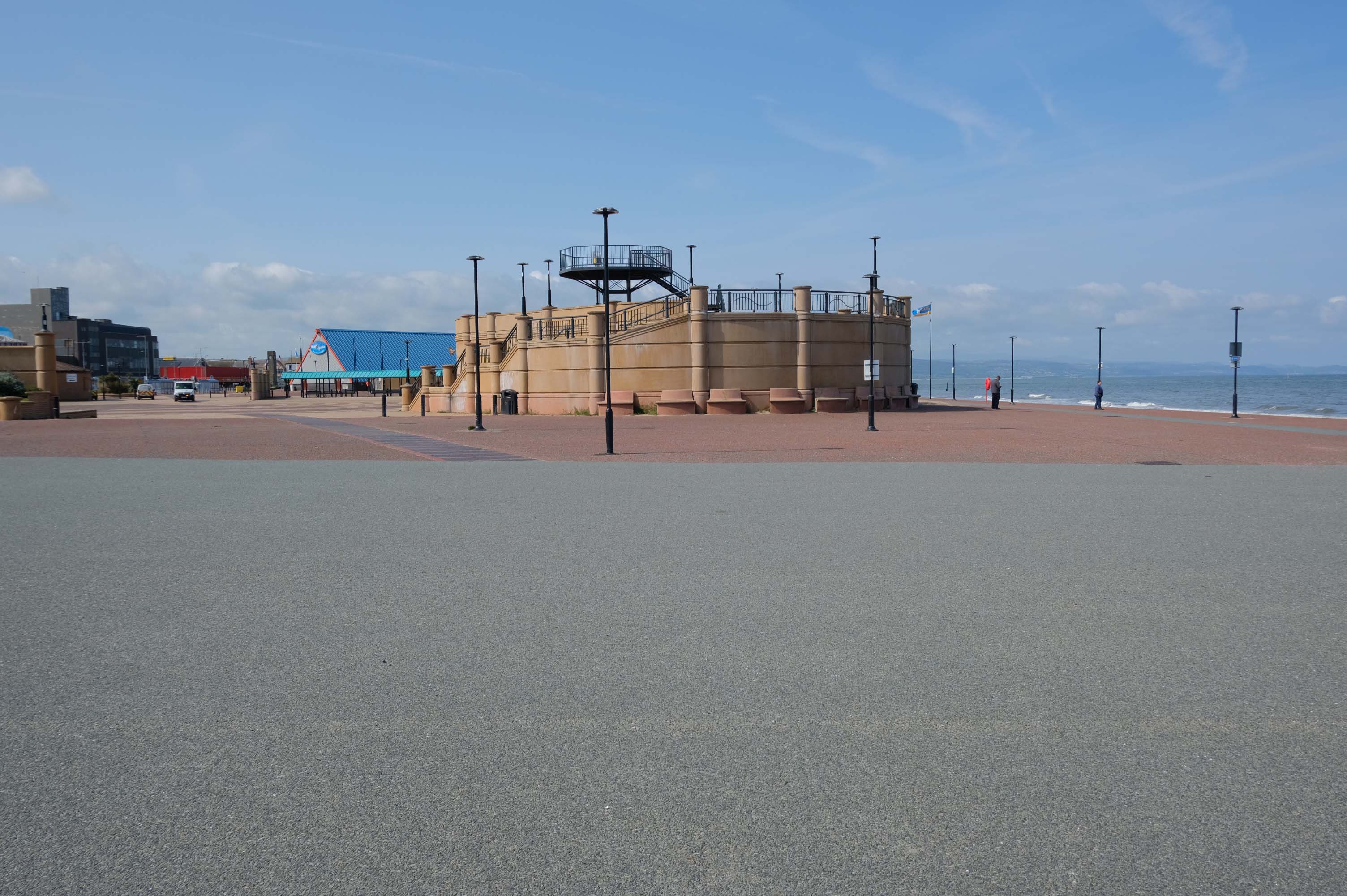
The promenade is dominated by a tight knit group of modern leisure facilities.
An expansive car park fronts directly onto the seafront.
There have been serious reinforcements made to the seawalls – ensuring that the passing cyclist will not be washed away, by the crashing waves of the incoming tide.
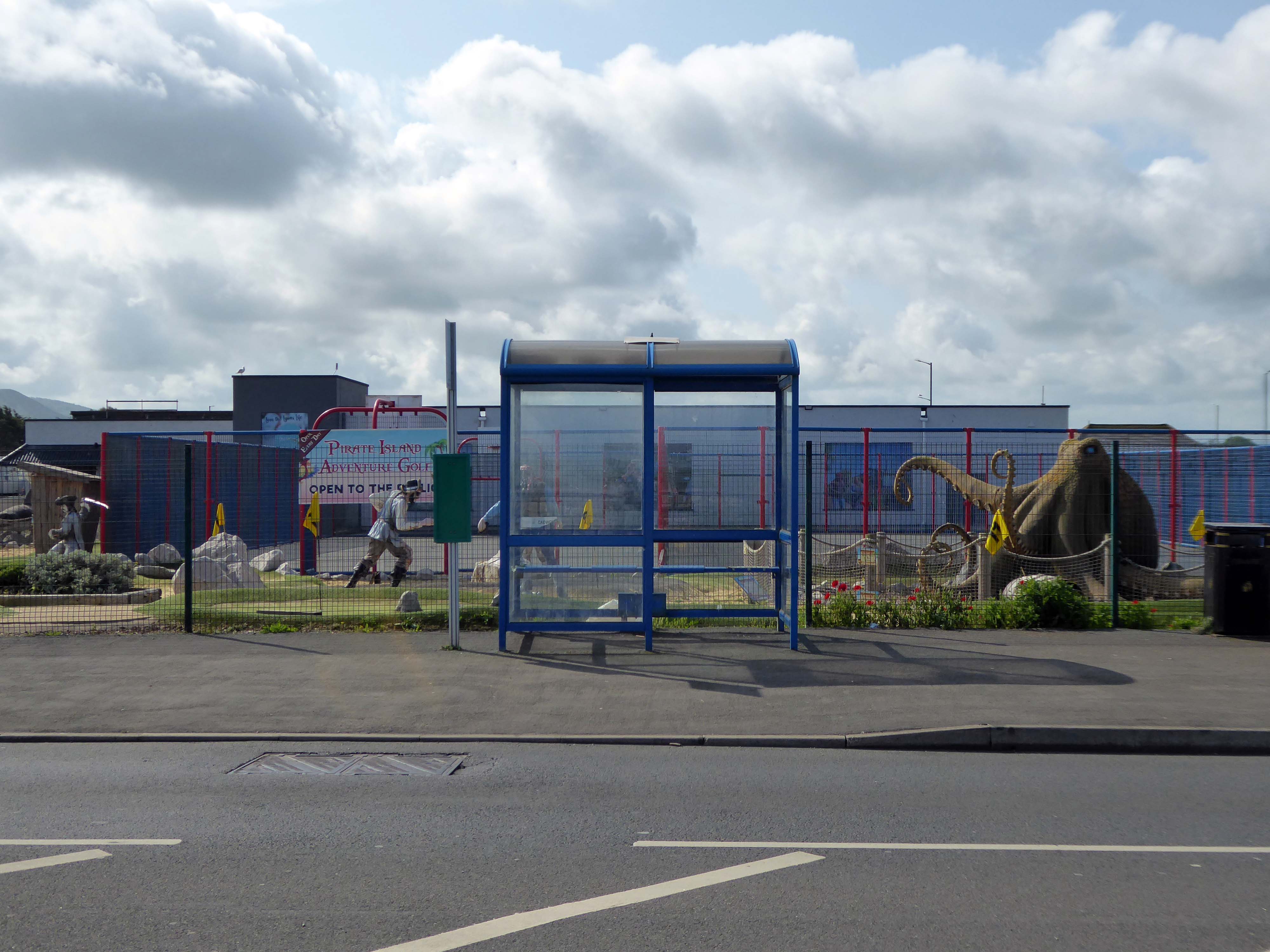
The reinforcement work demands that we temporarily detour onto the Rhyl Coast Road, where we encounter Pirate Island Adventure Golf.
Uncover hidden treasure on the North Welsh Coast at Pirate Island Adventure Golf at Lyons Robin Hood Holiday Park.
Make friends with the great white shark, octopus, and the resident pirates who guard the Island.
This 18-hole course is a fun and crazy challenge for all the family, with stunning views of Rhyl seafront to boot. Plus, it’s located just a stone’s throw away from Sherwoods Sports Bar where refreshments are served.
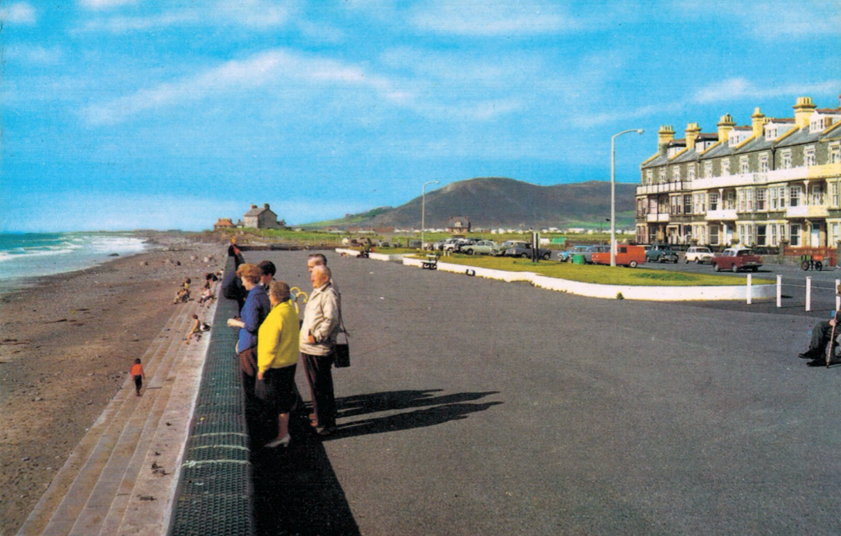
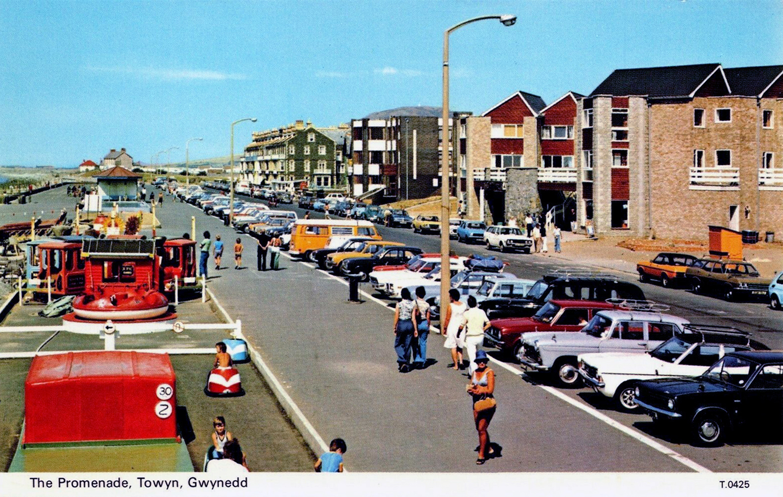
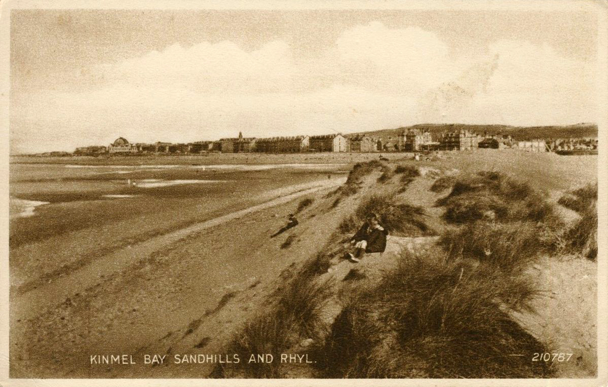
Rhyl
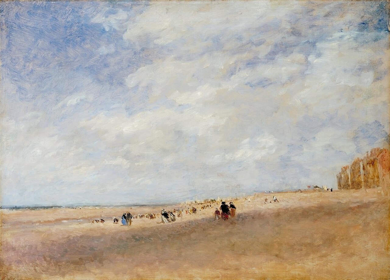
Rhyl Sands: David Cox 1854
The Welsh orthography has proved difficult for English writers to transliterate as Rhyl’s opening voiceless alveolar trill is uncommon in the English language.
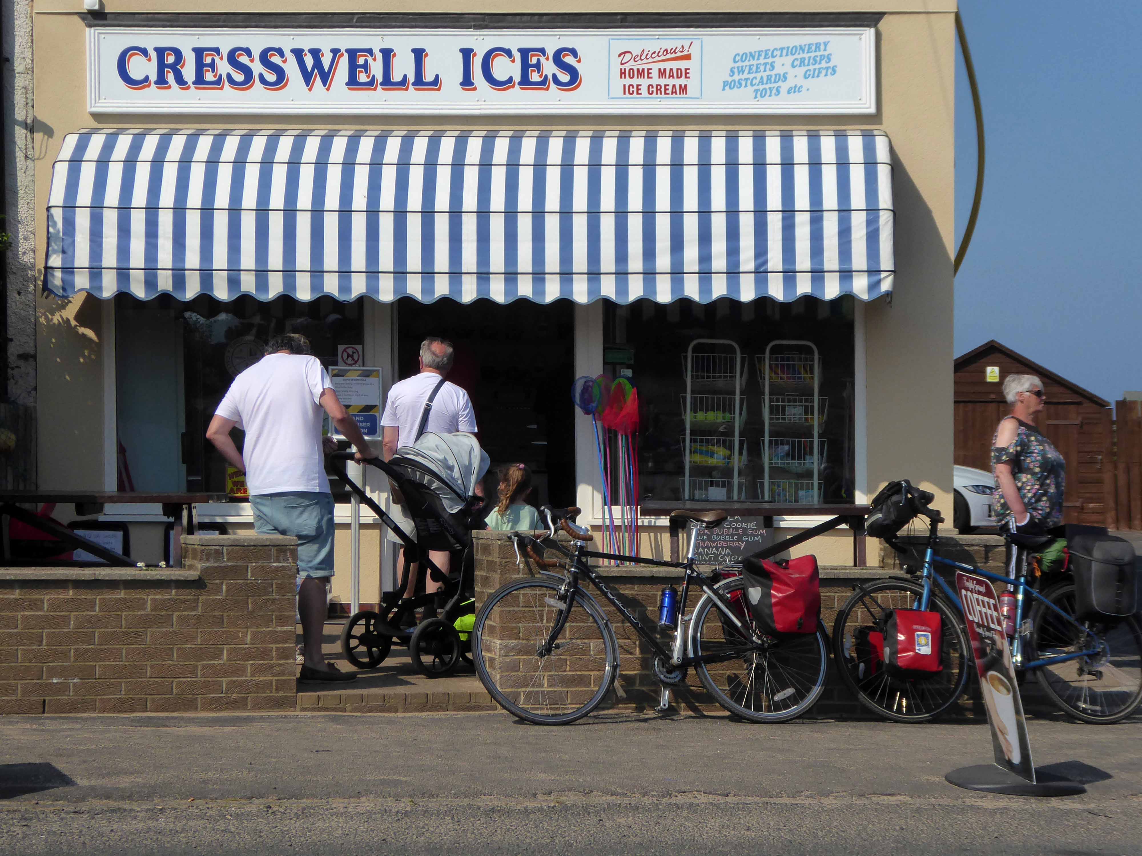
I nipped into town for a tub from Sidoli’s – £1.83 well spent.
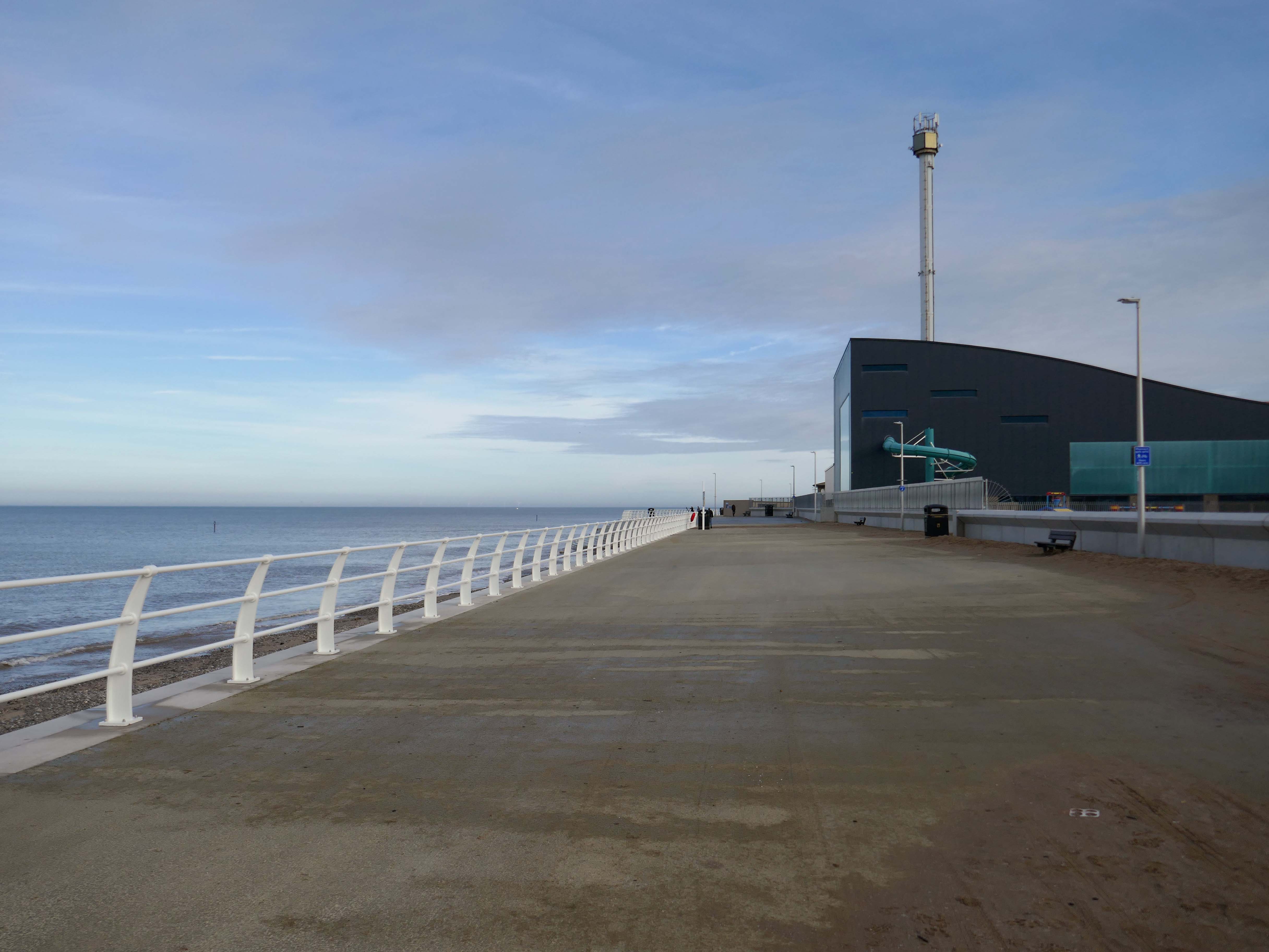
The promenade is home to a series of entertainments including the Rhyl Pavilion Theatre
The theatre, owned and operated by Denbighshire Council, has also been re-clad as part of the project, designed by architects Space & Place.
It forms part of a wider redevelopment of Rhyl’s seafront, which includes the demolition of the Sun Centre and the construction of a £15m water park.
There is a also a becalmed Post Modernist Piazza – named Rhyl Events Arena.
The playful nursery geometry of the SeaQuarium.
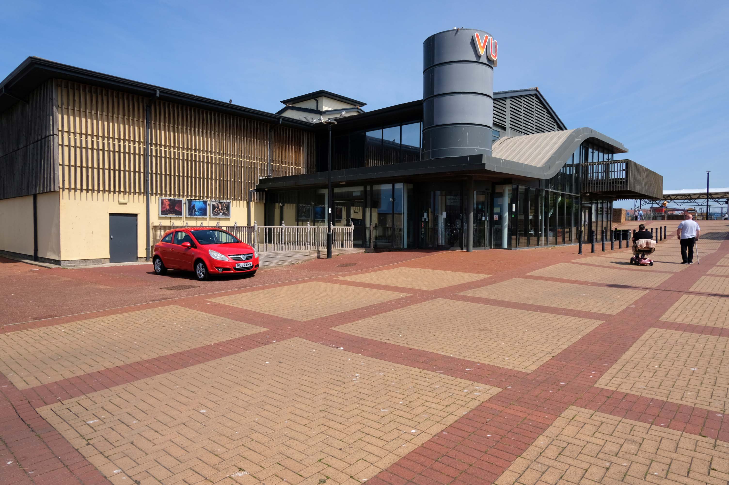
The functionalist Vue Cinema.
Tickets were £5.99 for a standard seat, the staff said not to bother upgrading as the premium seats were rubbish, sound was okay and picture quality was okay.
Food price was expensive so it maybe cheap to get in, but £16.99 for a large popcorn and drink ups the price, would go again if in the area.
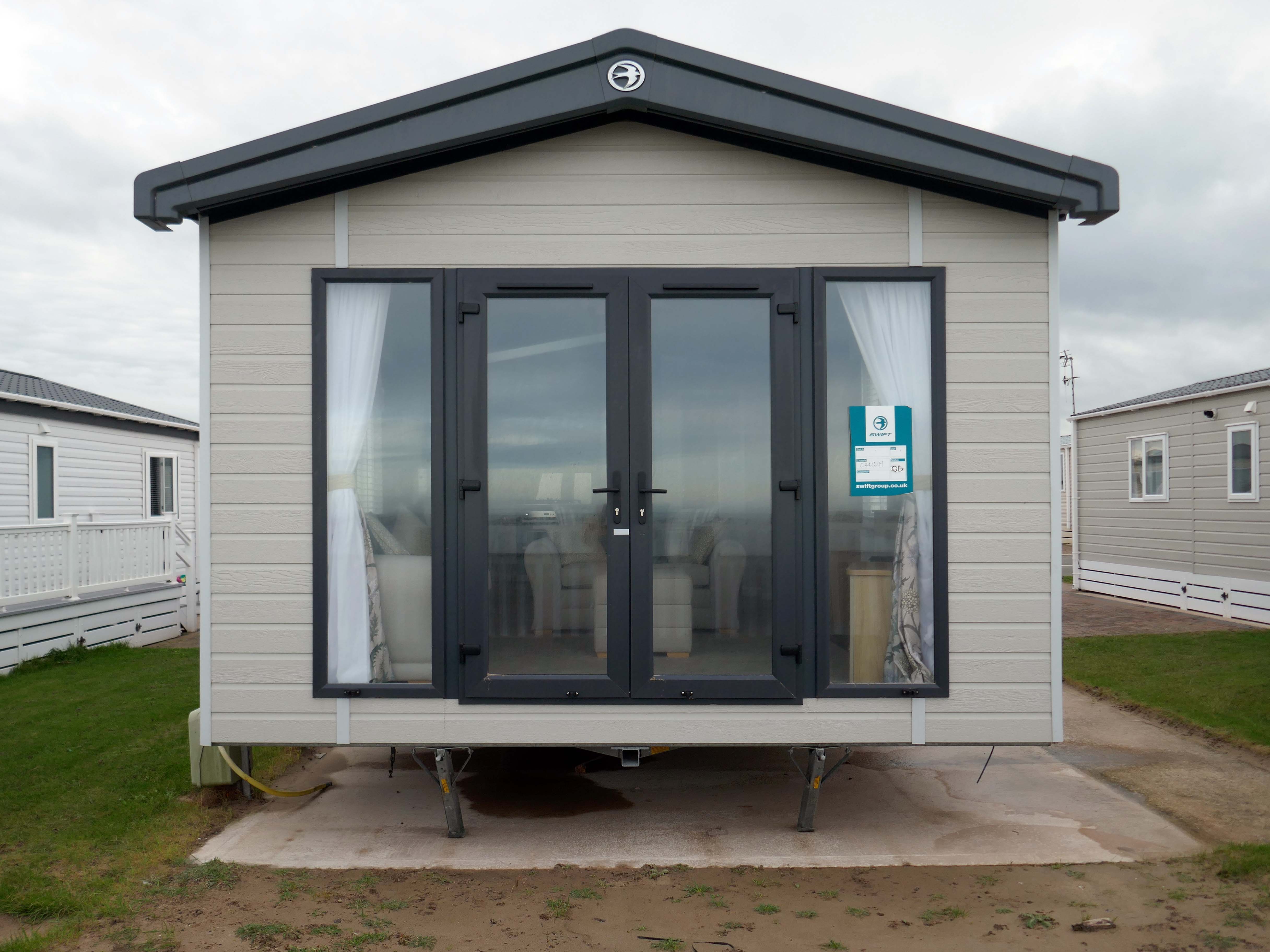
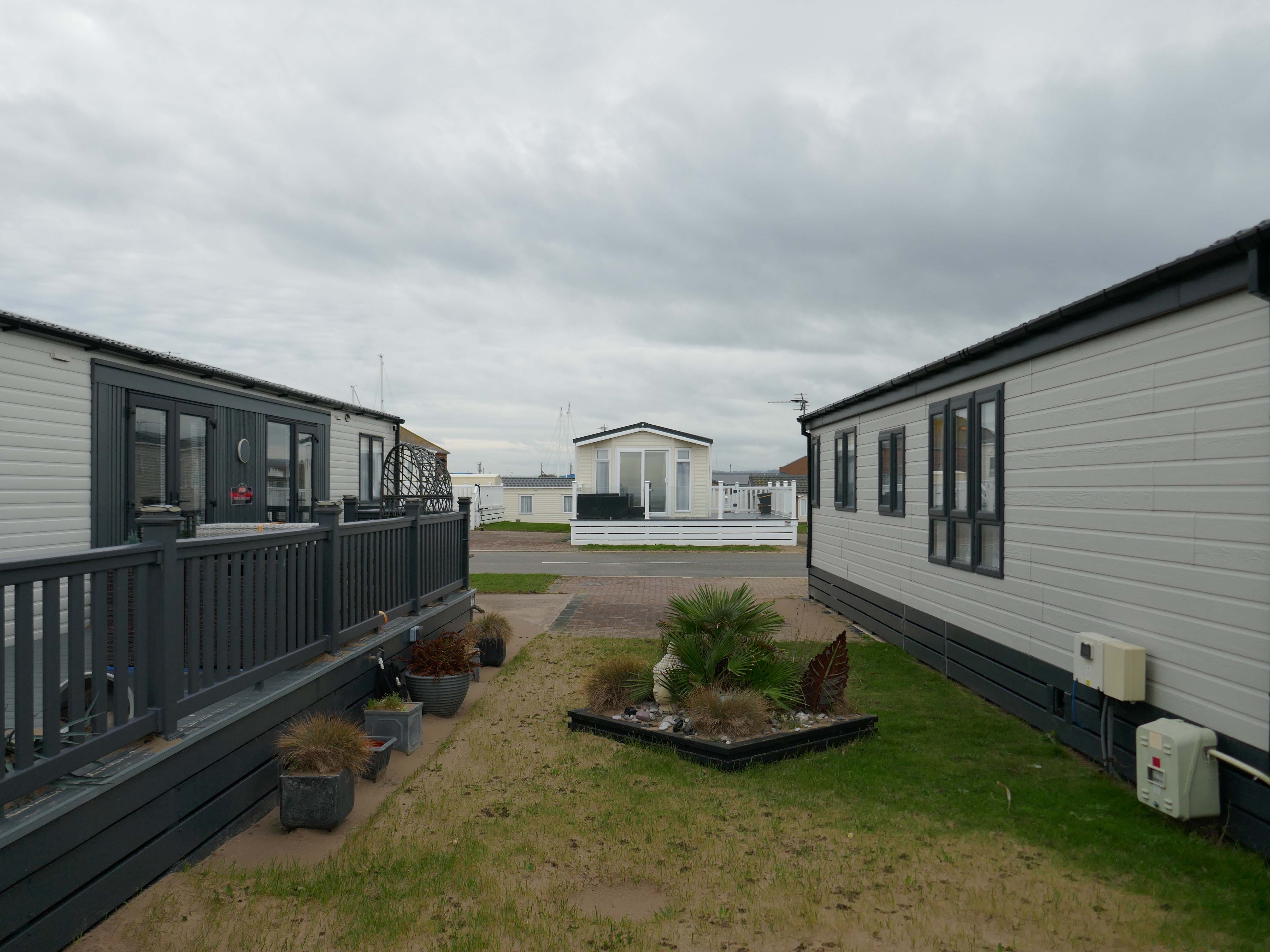
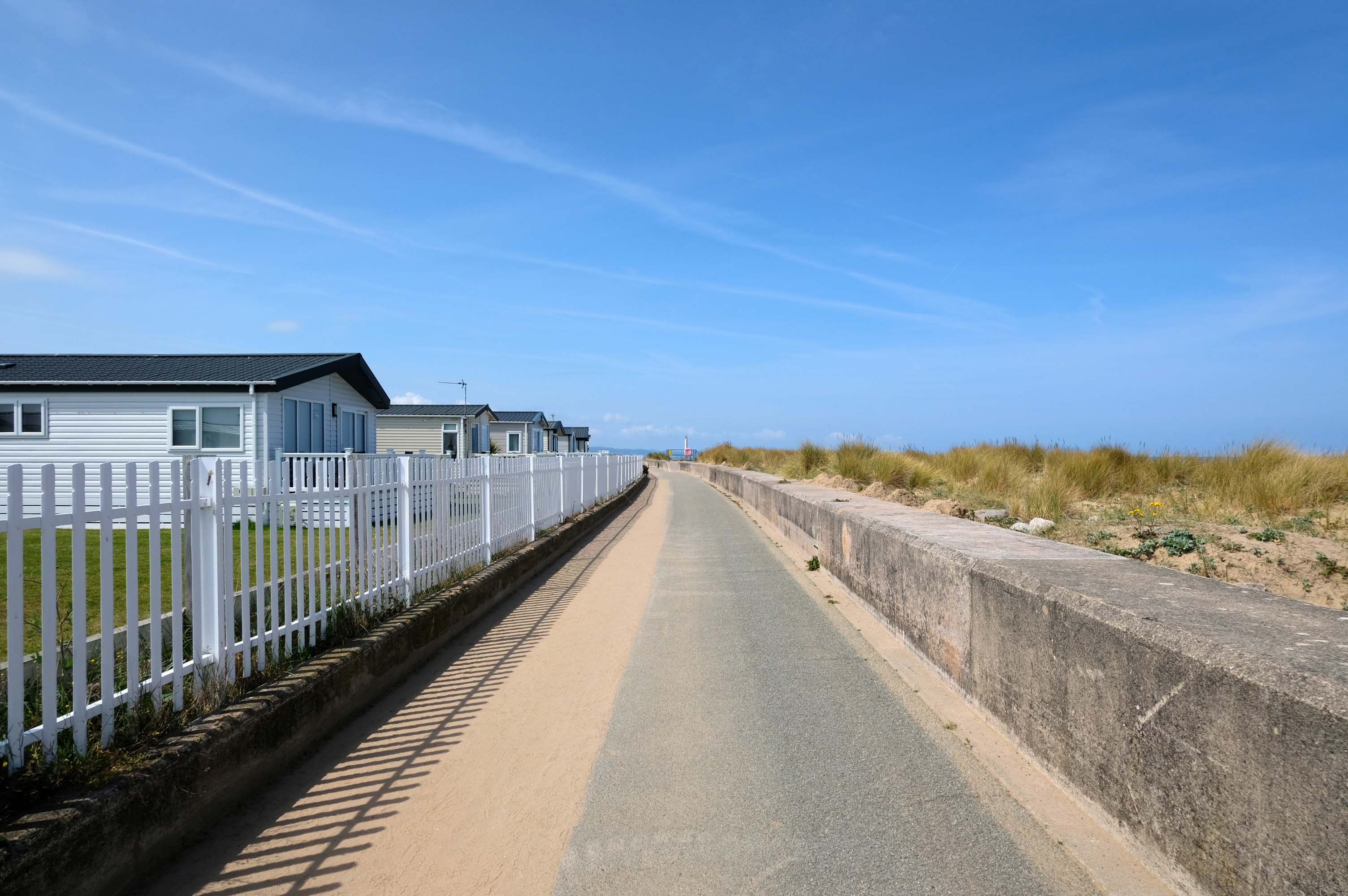
Much of the coast is fringed with chalets and static caravans.
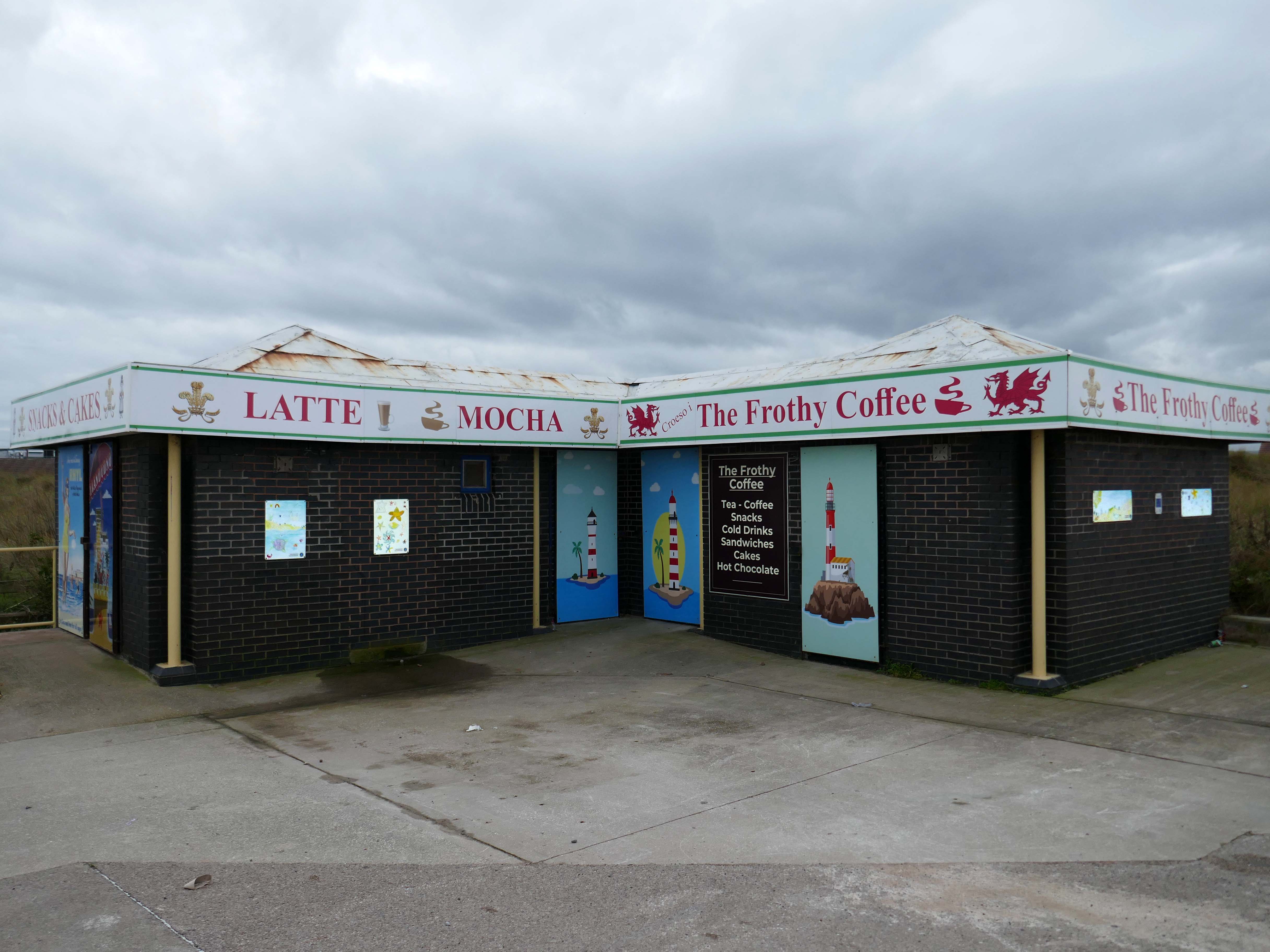
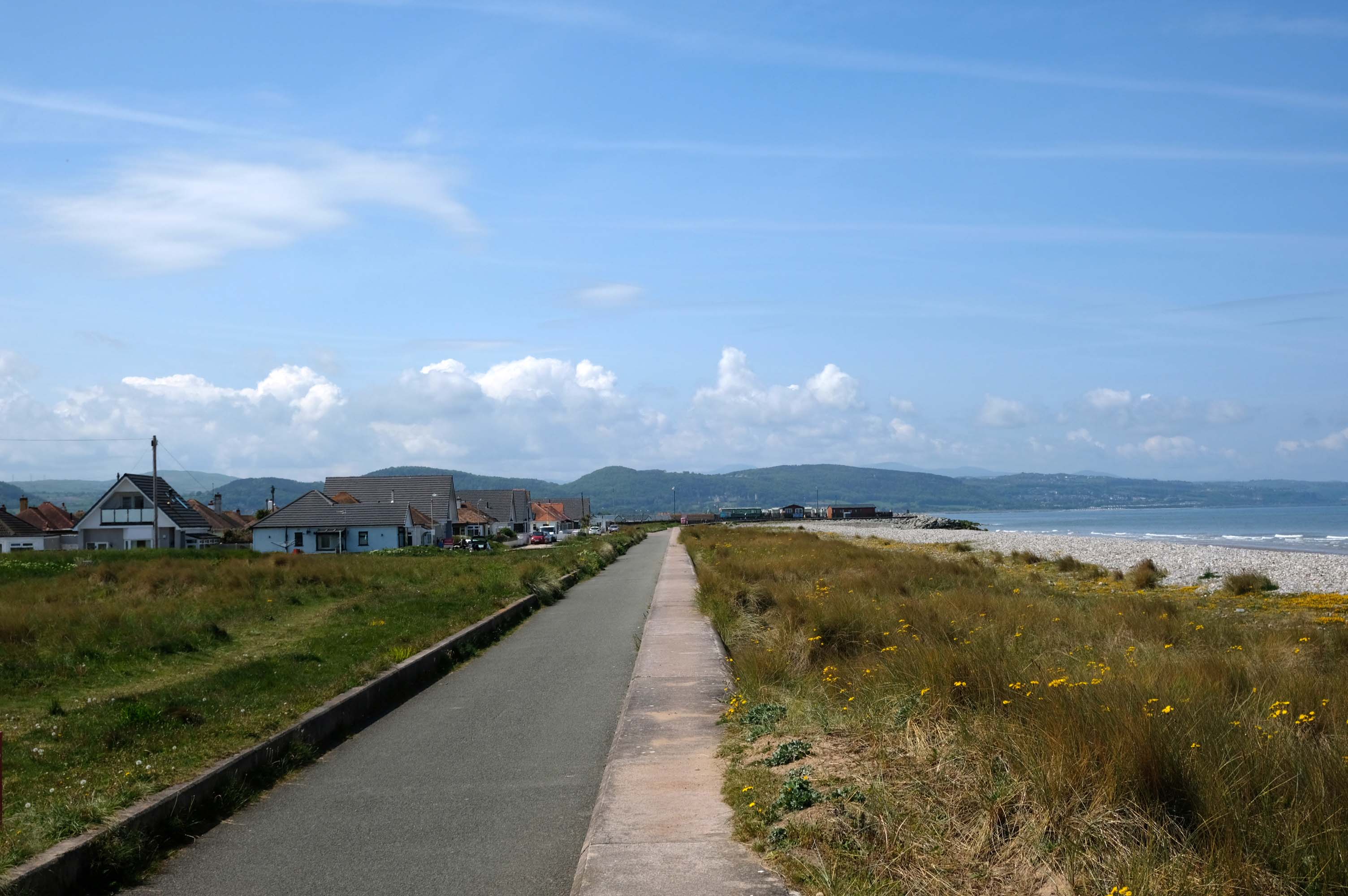
Kinmel Bay
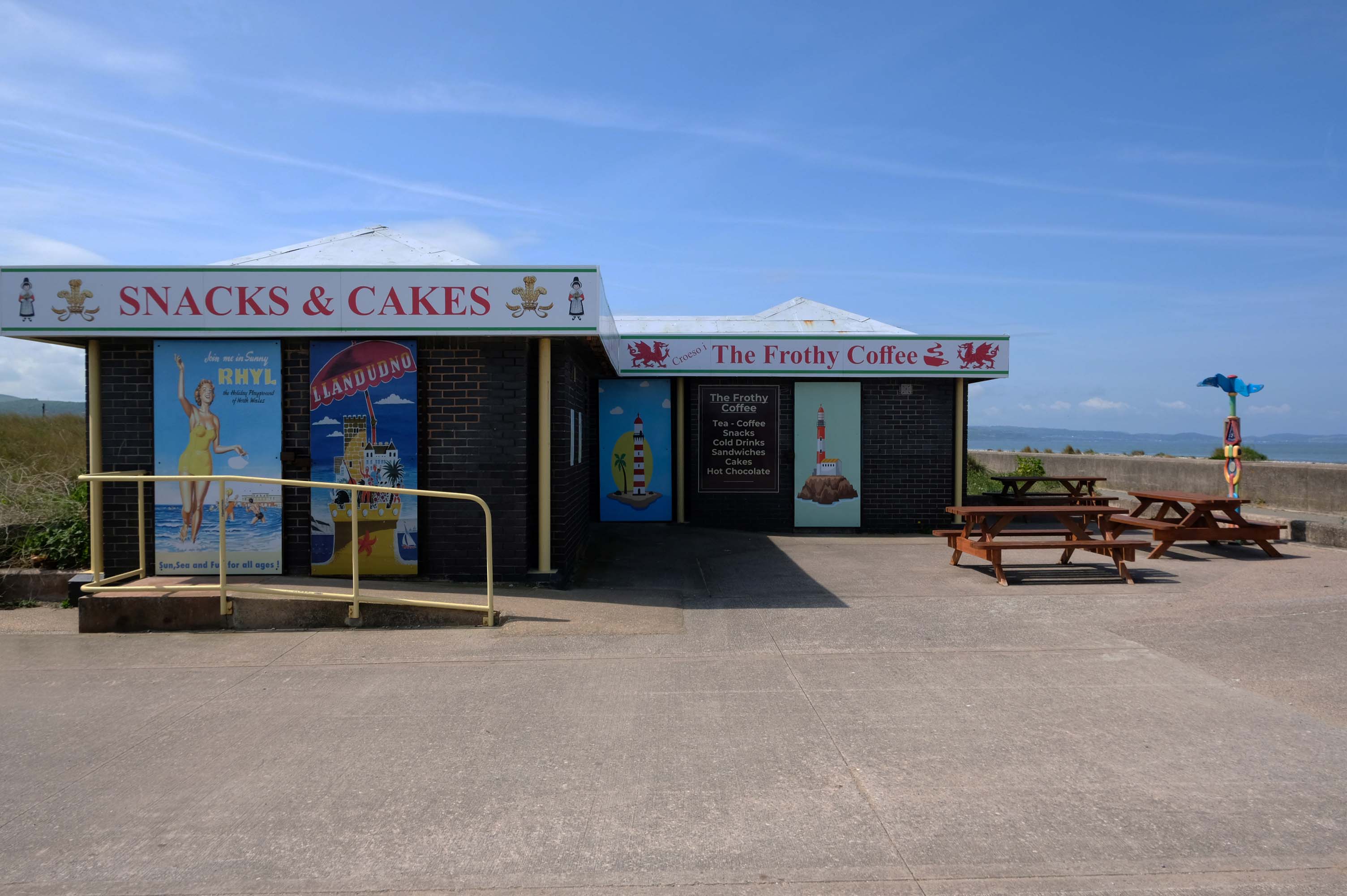
Home to The Frothy Coffee.
There aren’t enough food, service, value or atmosphere ratings for The Frothy Coffee, yet – be one of the first to write a review!
Kinmel Bay beach is popular with tourists and the local population. In addition to various small shops and takeaway outlets, there is also an Asda superstore that opened in 1981, which includes a large petrol filling station.
The concrete shore is softened by grasses and wild flowers – with views of the mountains beyond.
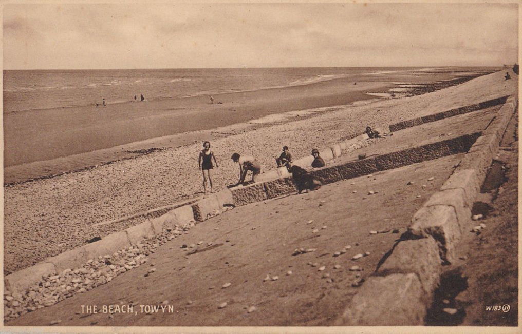
Here we are in Towyn
The town made national headlines in 1990 when a combination of gale-force winds, a high tide and rough seas caused Towyn’s flood defences to be breached at about 11.00am on 26 February. Four square miles of land was flooded, affecting 2,800 properties and causing areas of the resort to be evacuated. Further flooding occurred later the same week, on 1 March, shortly after the site of the disaster was visited by Prince Charles and Princess Diana.
Scientific experts also believe that the silt left behind from the flooding had left the town with a higher concentration of radioactivity, over ten times the governmental safety limits, most likely originating from the nuclear processing plant at Sellafield which had been dispersed into the Irish Sea over many years since its construction.
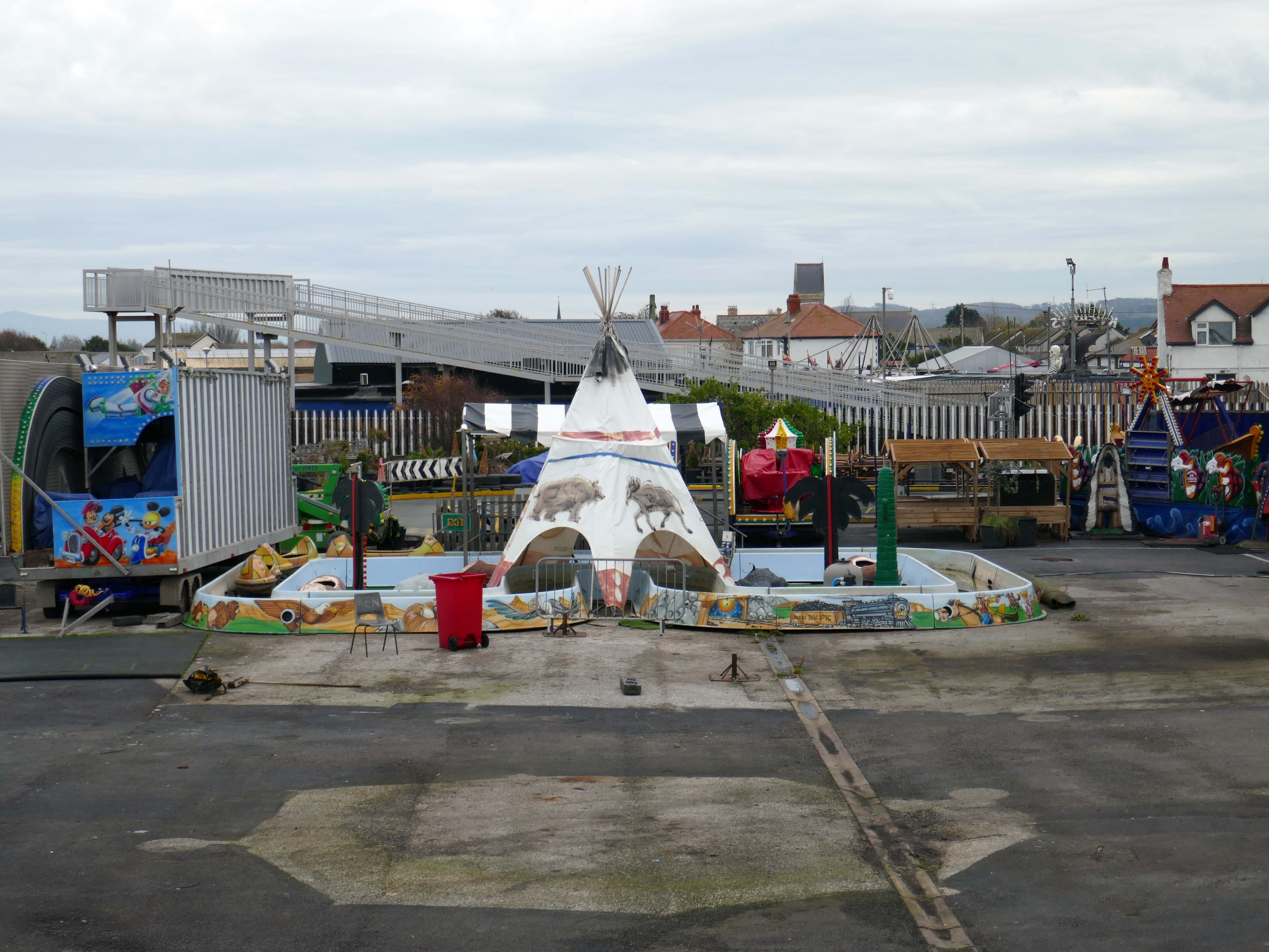
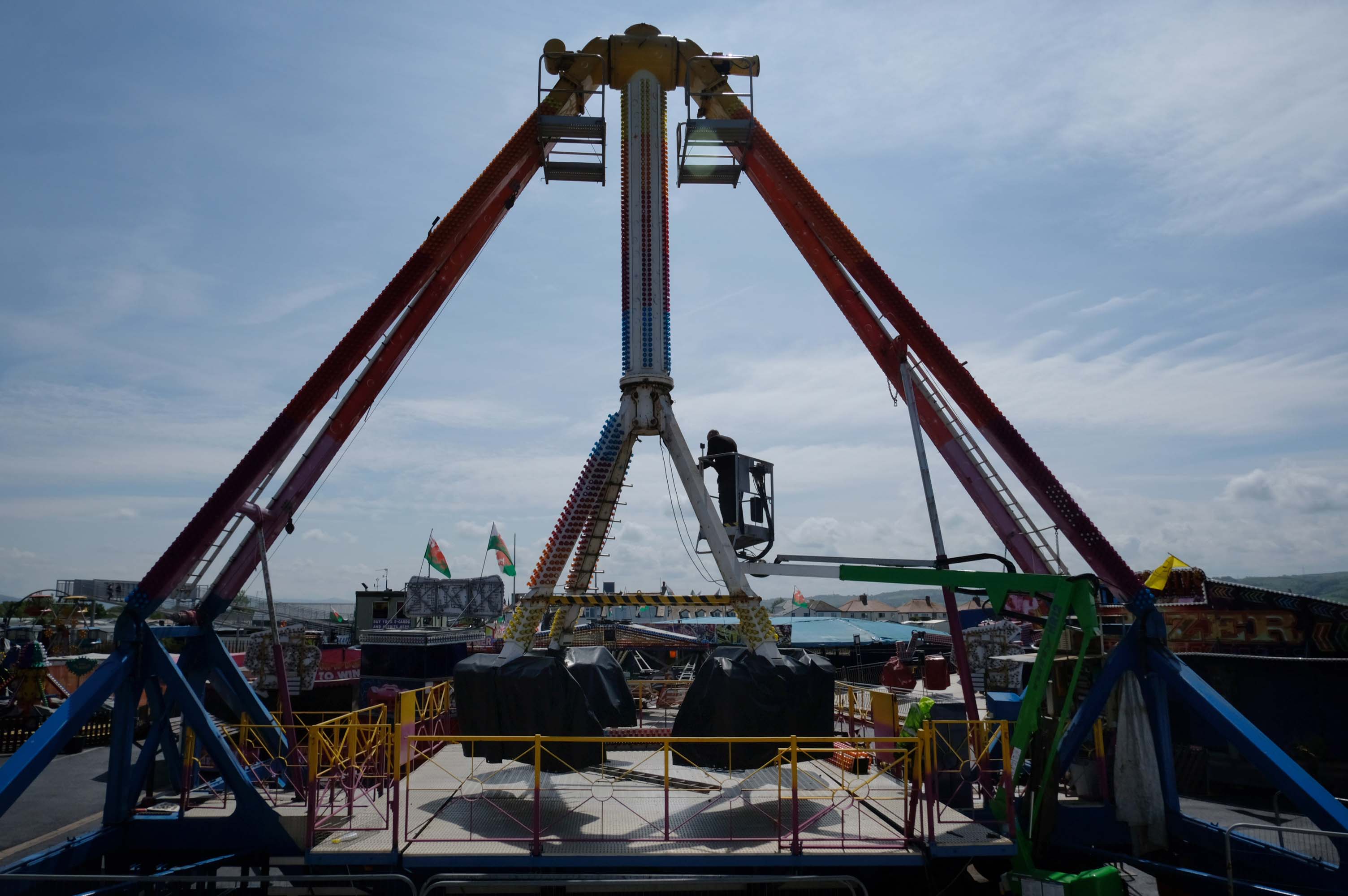
Excitements galore, await at the well maintained funfair.
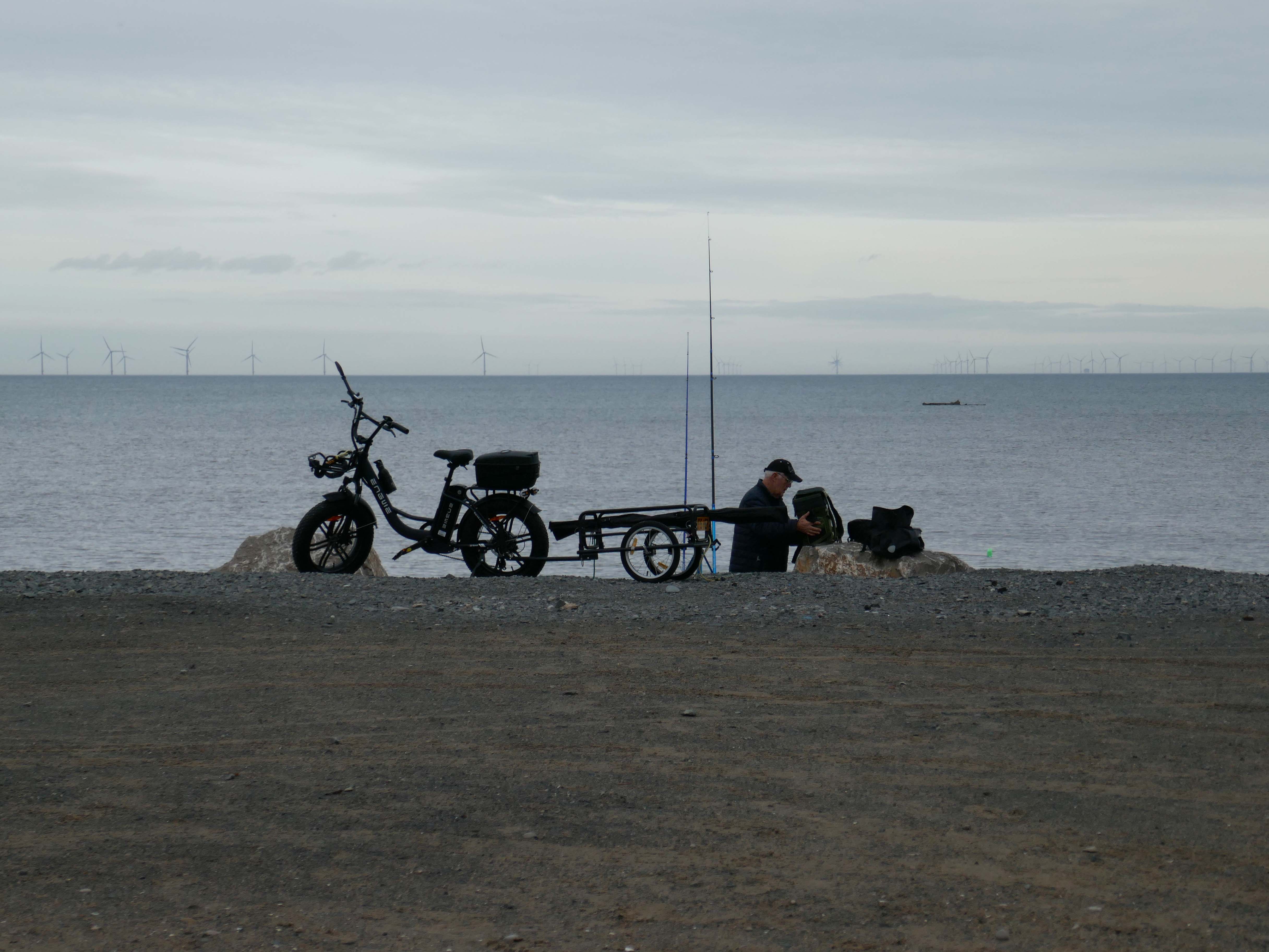
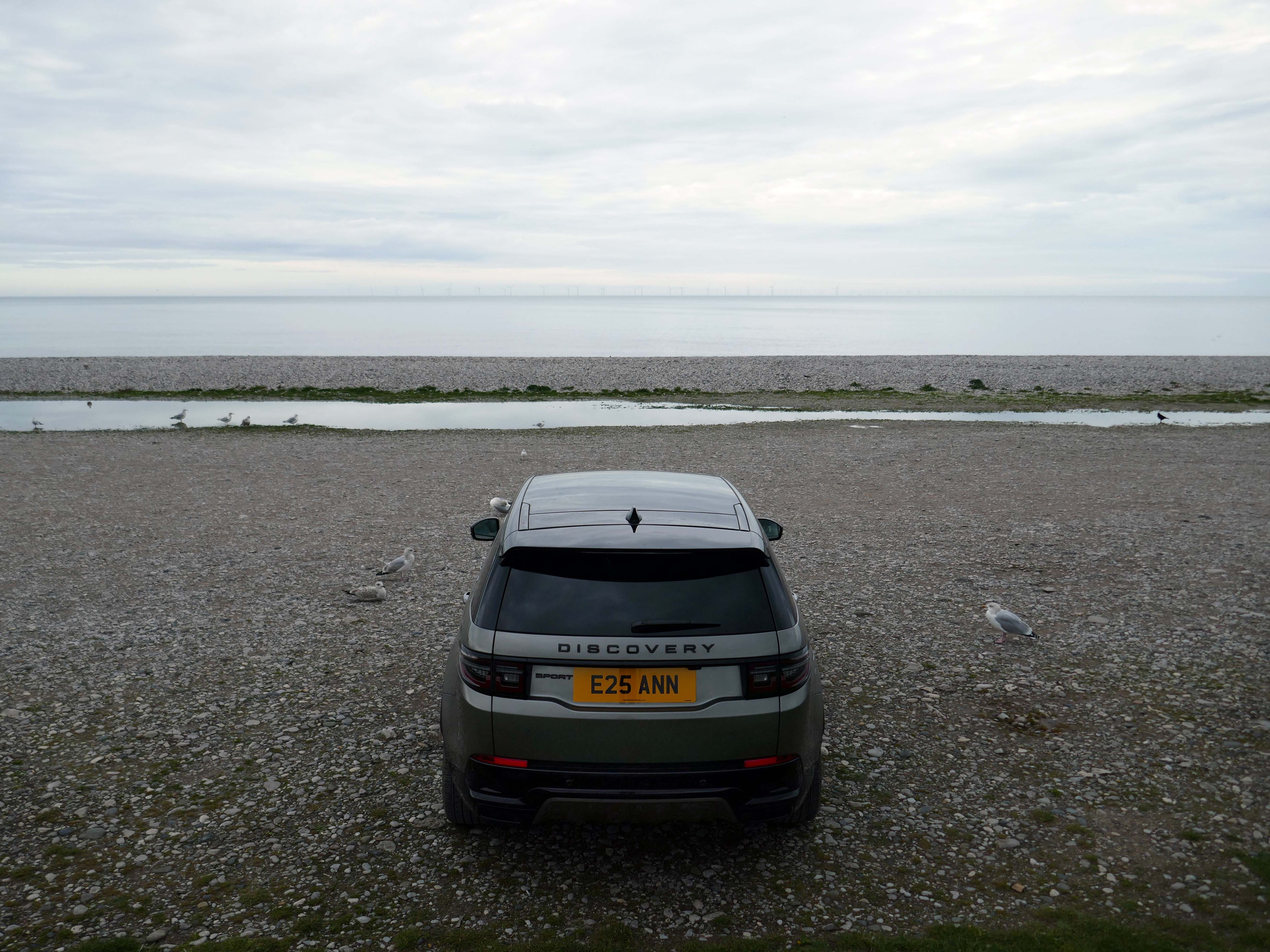
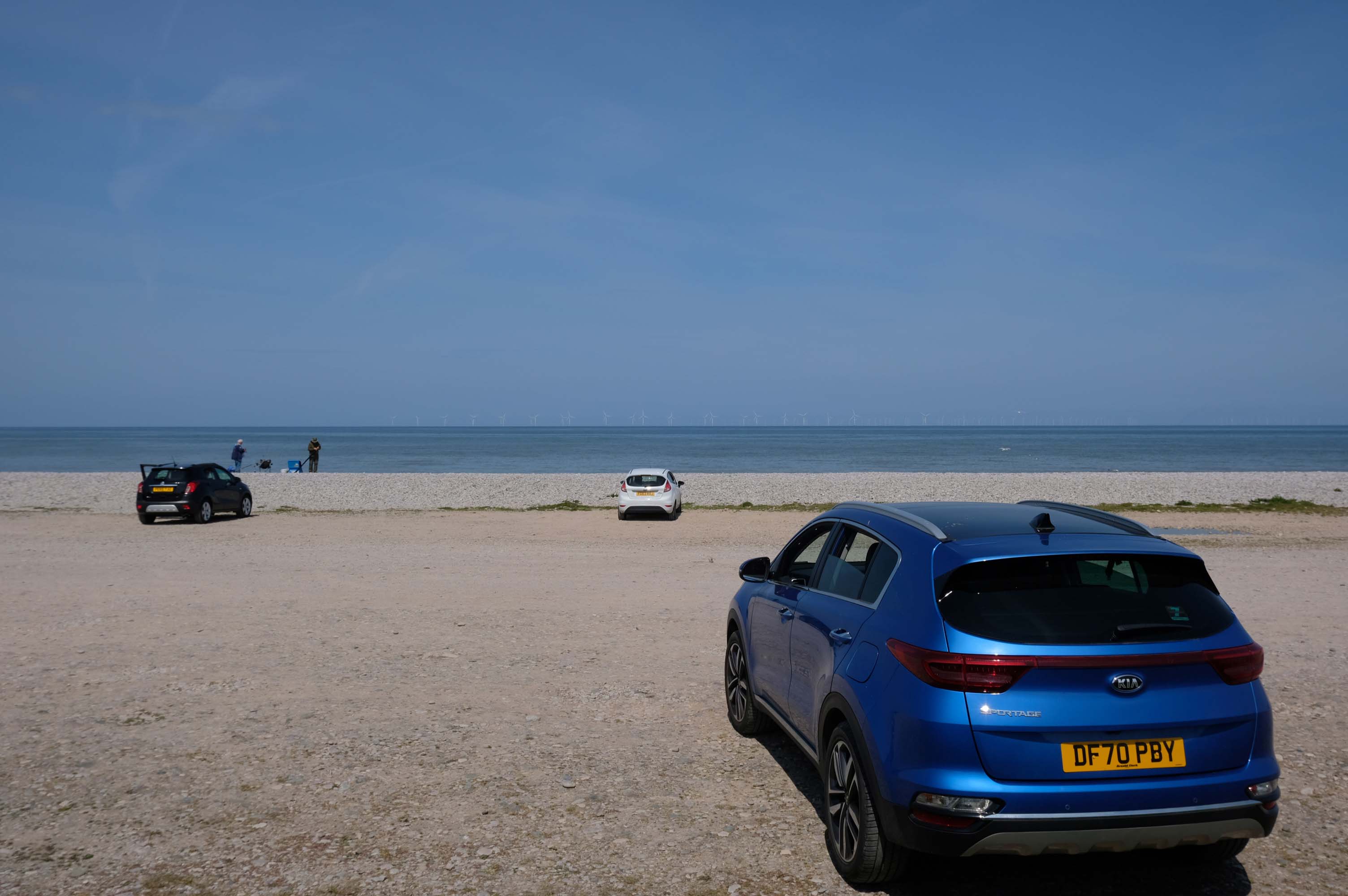
Motor cars to the fore, as the intrepid sea-anglers prepare for a day of sea-angling.
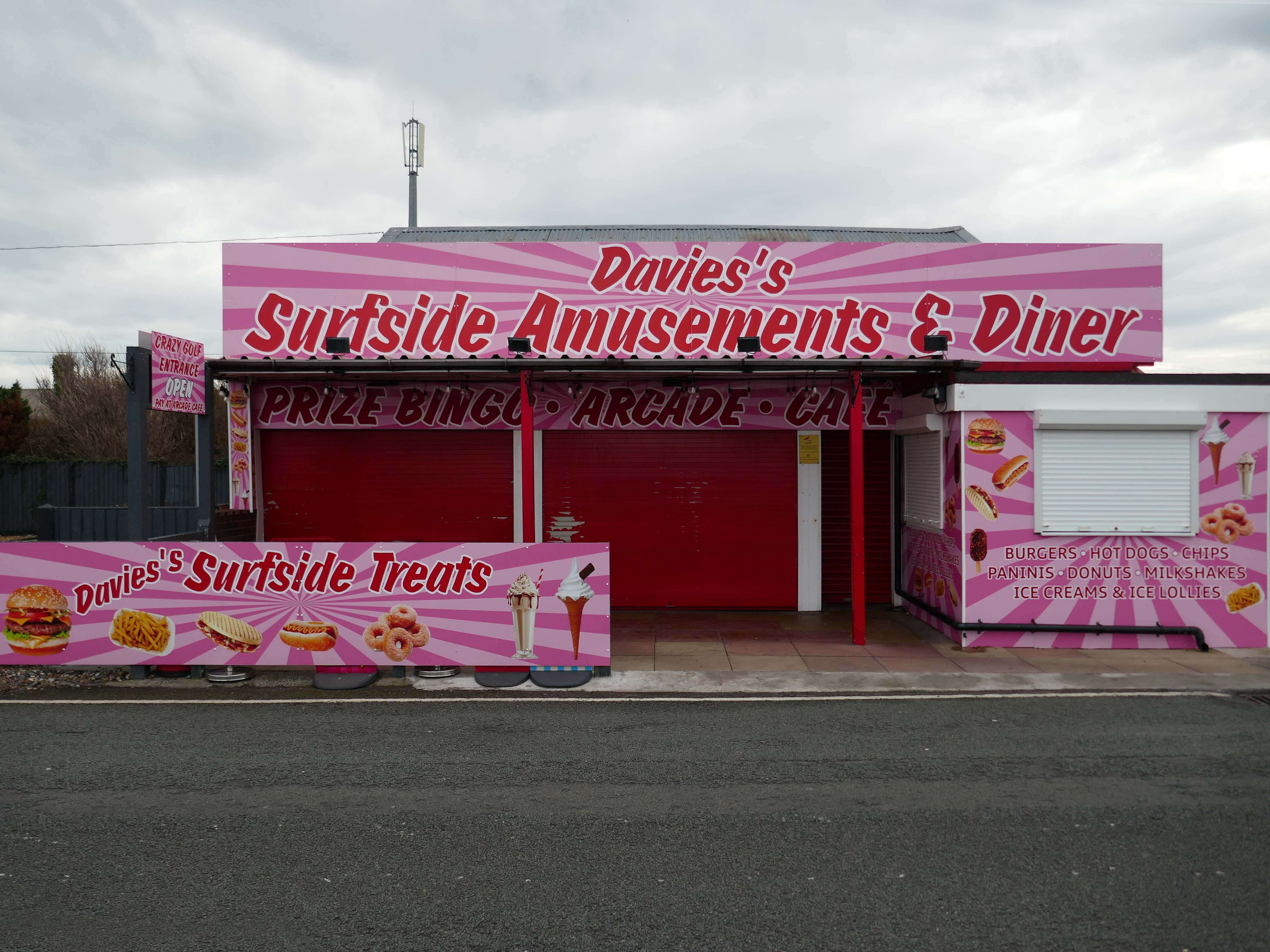
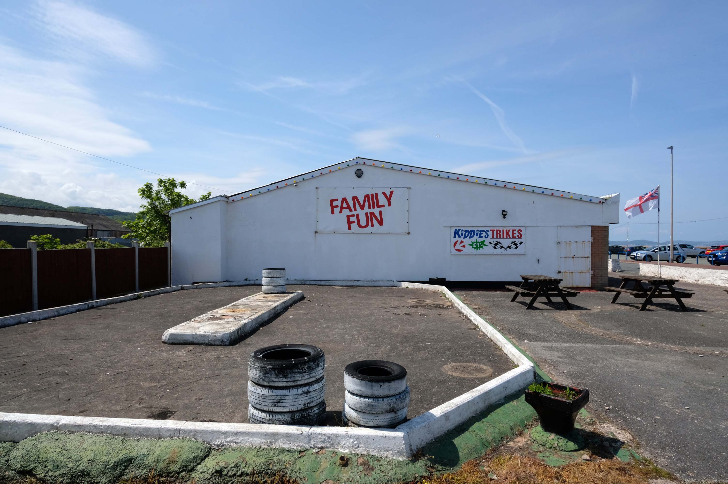
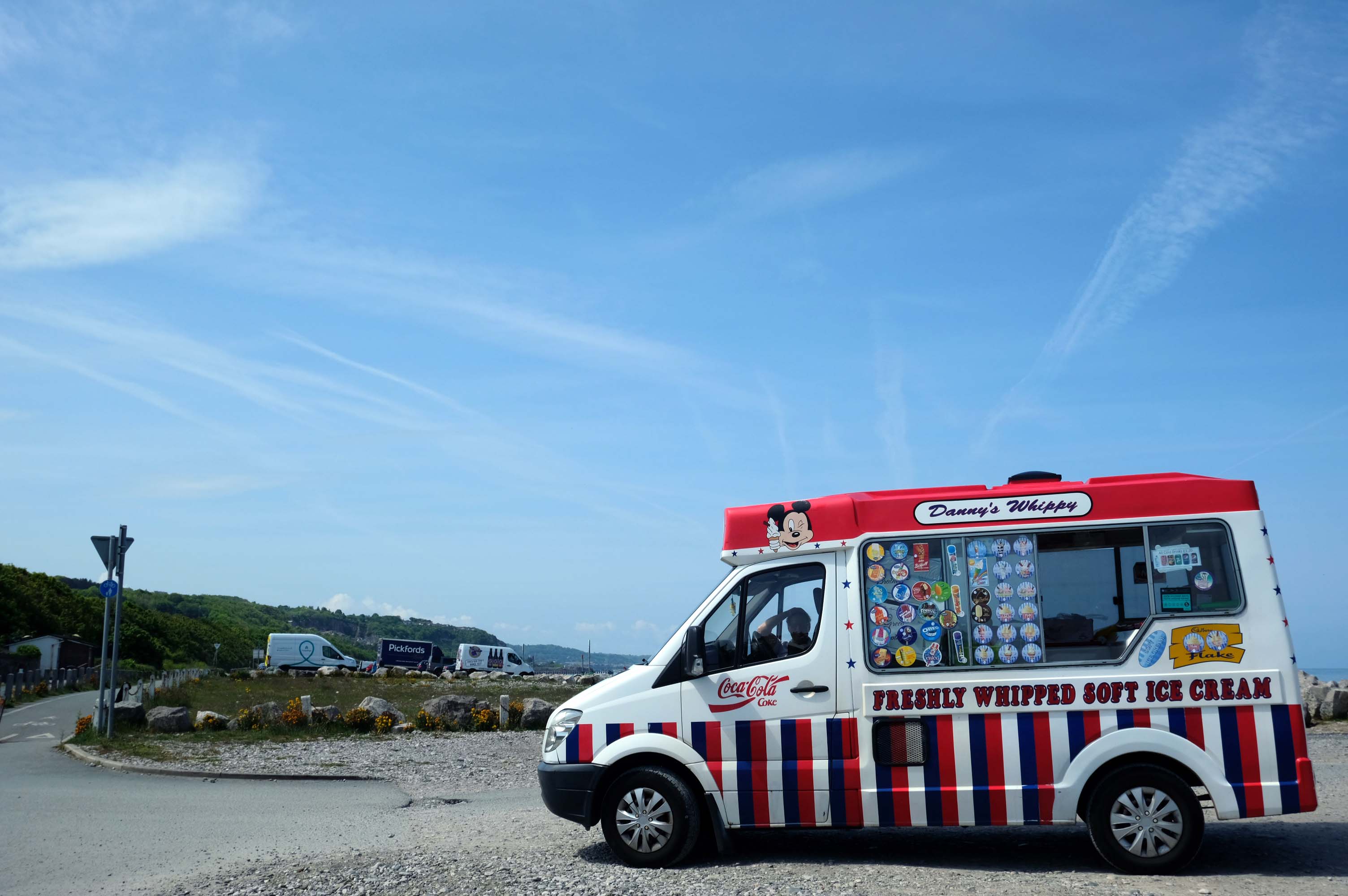
Abergele where Family Fun can be found in the form of Kiddies Karts.
In 2020/21 Abergele hosted the 20th and 21st editions of I’m a Celebrity Get Me Out of Here! at Gwrych Castle, due to the Covid pandemic restrictions in Australia.
I failed to avail myself with a chilly treat courtesy of Danny’s Whippy, having already had my 99 tub, from Sidoli’s in Rhyl.
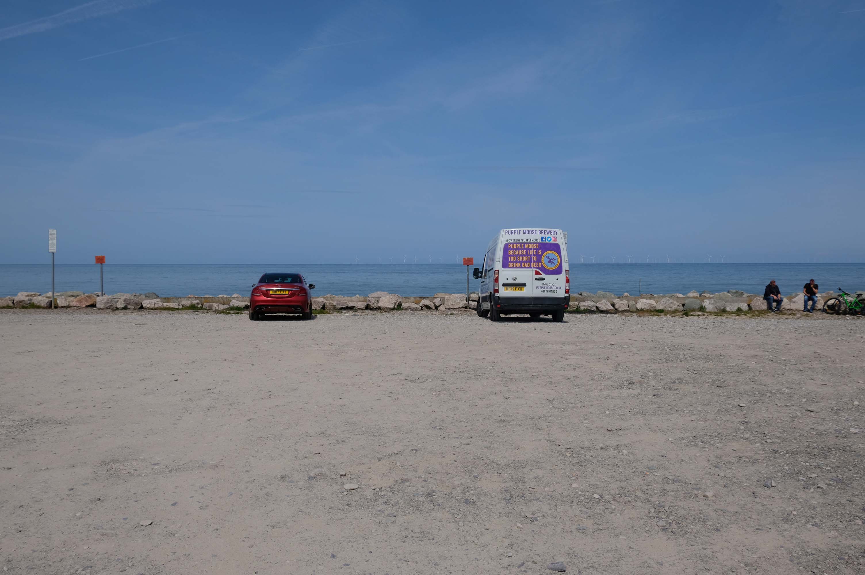
Local brewery Purple Moose’s delivery van driver takes a timely break, whilst fellow cyclists stop for a cig and a chat.
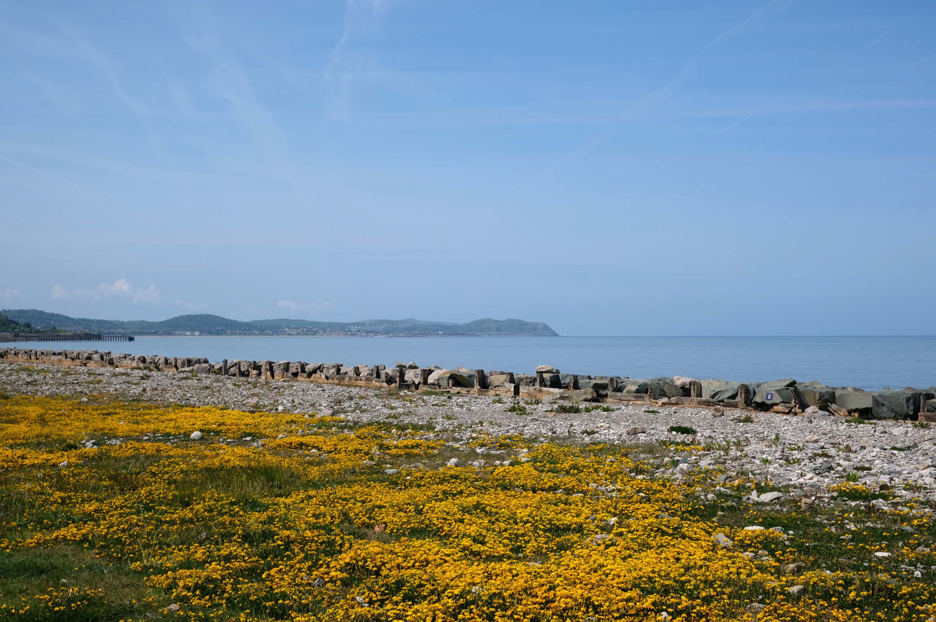
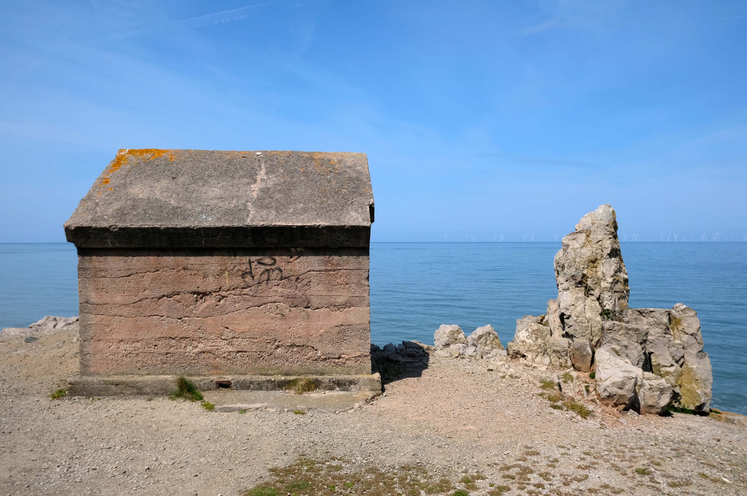
Rugged rocks, sadly lacking ragged rascals, as the Little Orme comes into view.
Cast concrete defences, and Raynes Quarry jetty at Llandulas.
The quarry was originally known as Llysfaen Limeworks, being close to Llysfaen railway station. James Trevelyan Raynes of Rock Ferry, Birkenhead, took over the quarry in the 1870s, adding large new limekilns. Lime from the quarry was shipped to various alkali works. Alkali was used for soap, textiles and many other goods.
Quarrying in this area has also produced porcelain-like limestone for high quality architectural uses. St Margaret’s Church – also known as the Marble Church in Bodelwyddan, was built with limestone from Llanddulas.
In November 2011 one of the freighters, MV Swanland, sank in stormy weather on the Irish Sea after collecting 3,000 tons of stone from Raynes jetty bound for the Isle of Wight.
Two crewmen were rescued but five, all Russian, were lost.
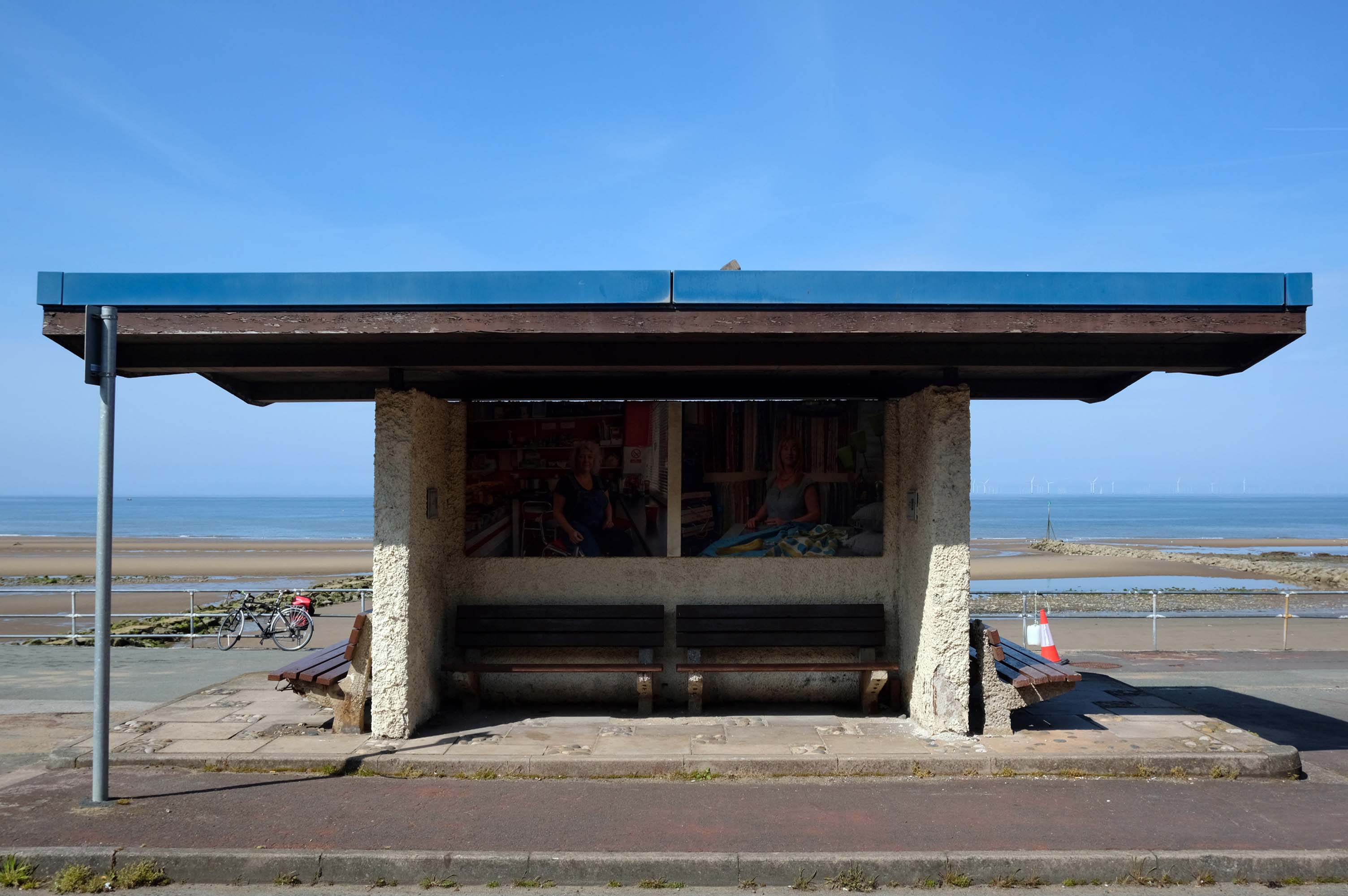
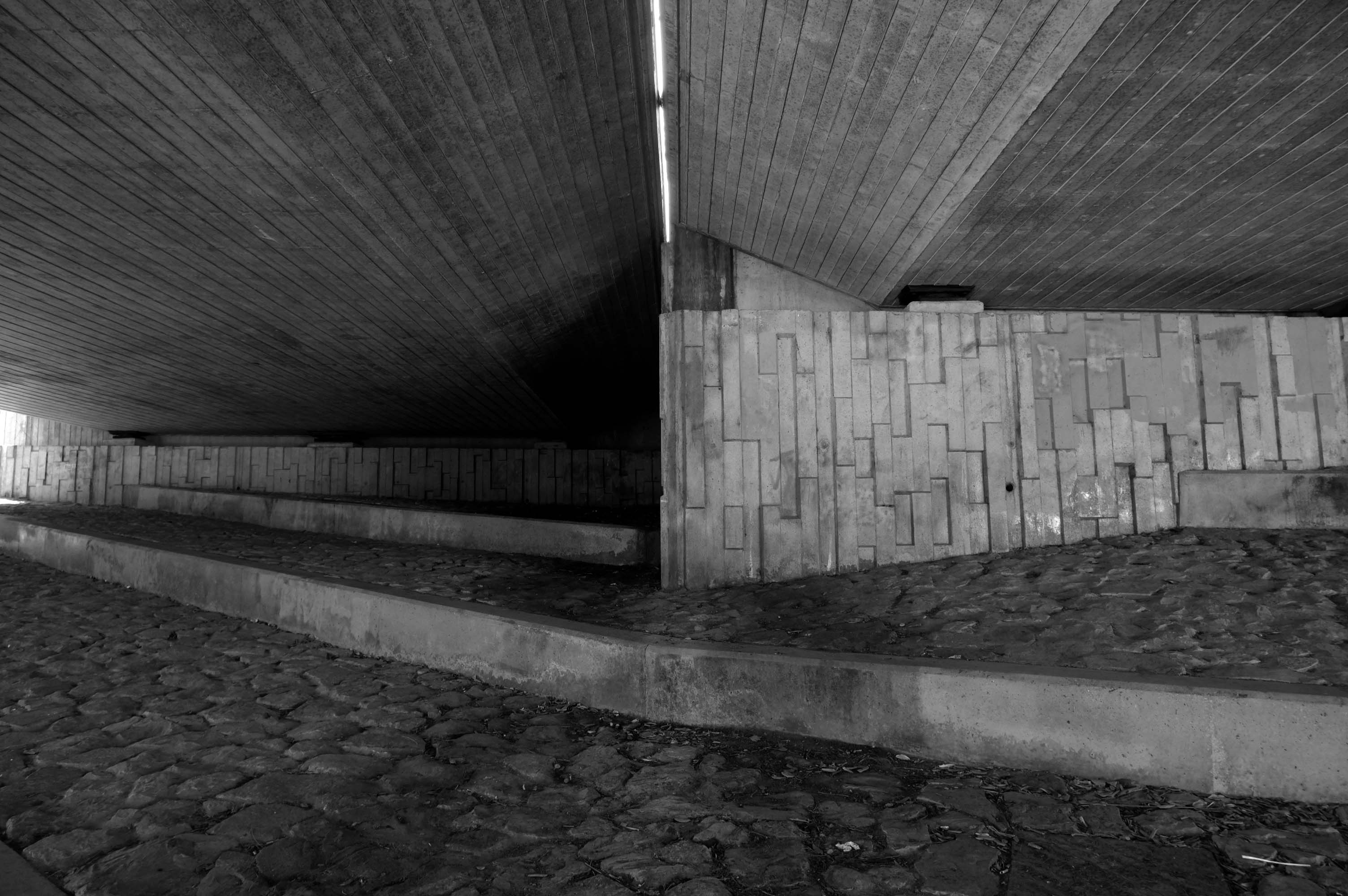
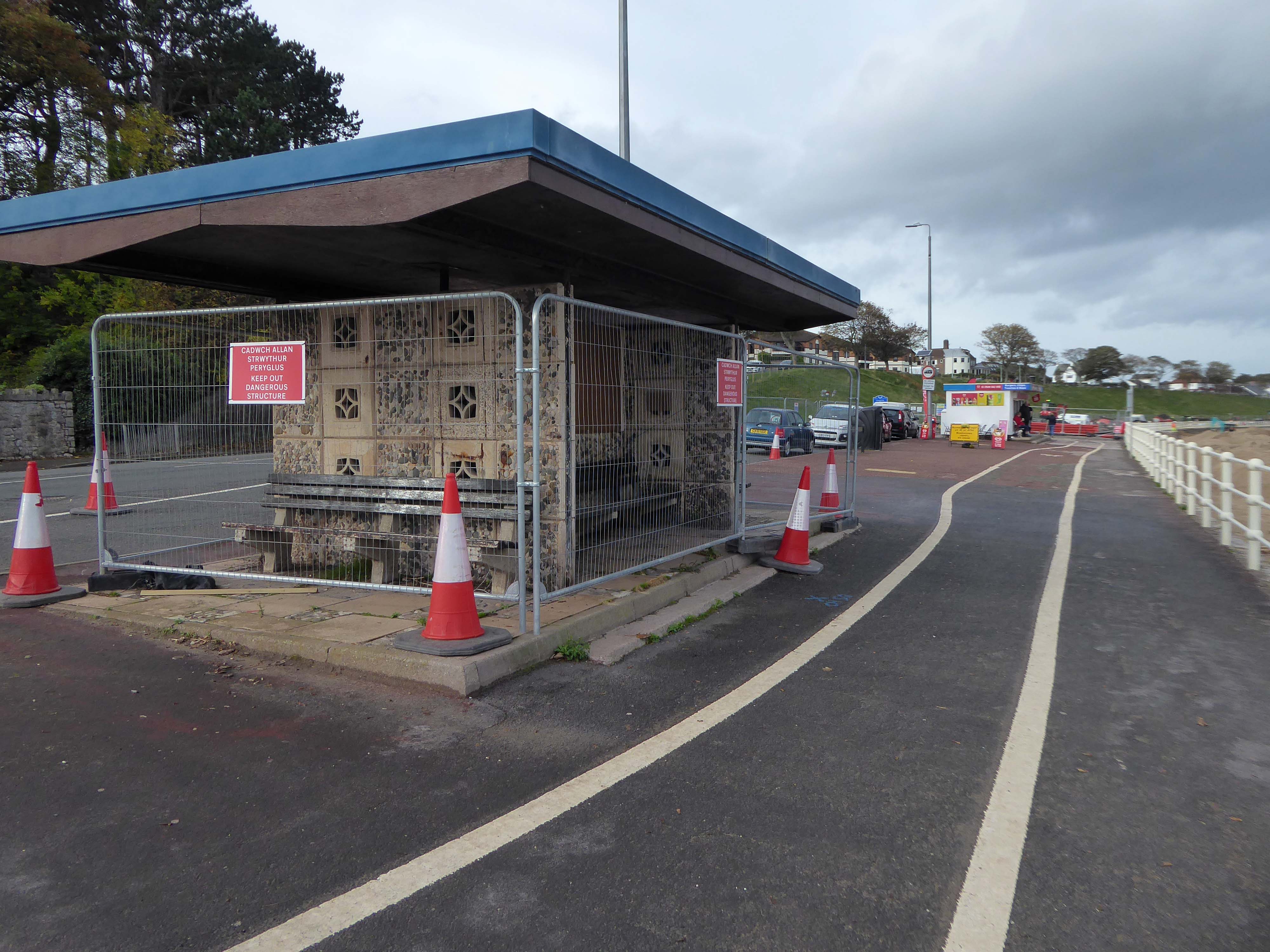
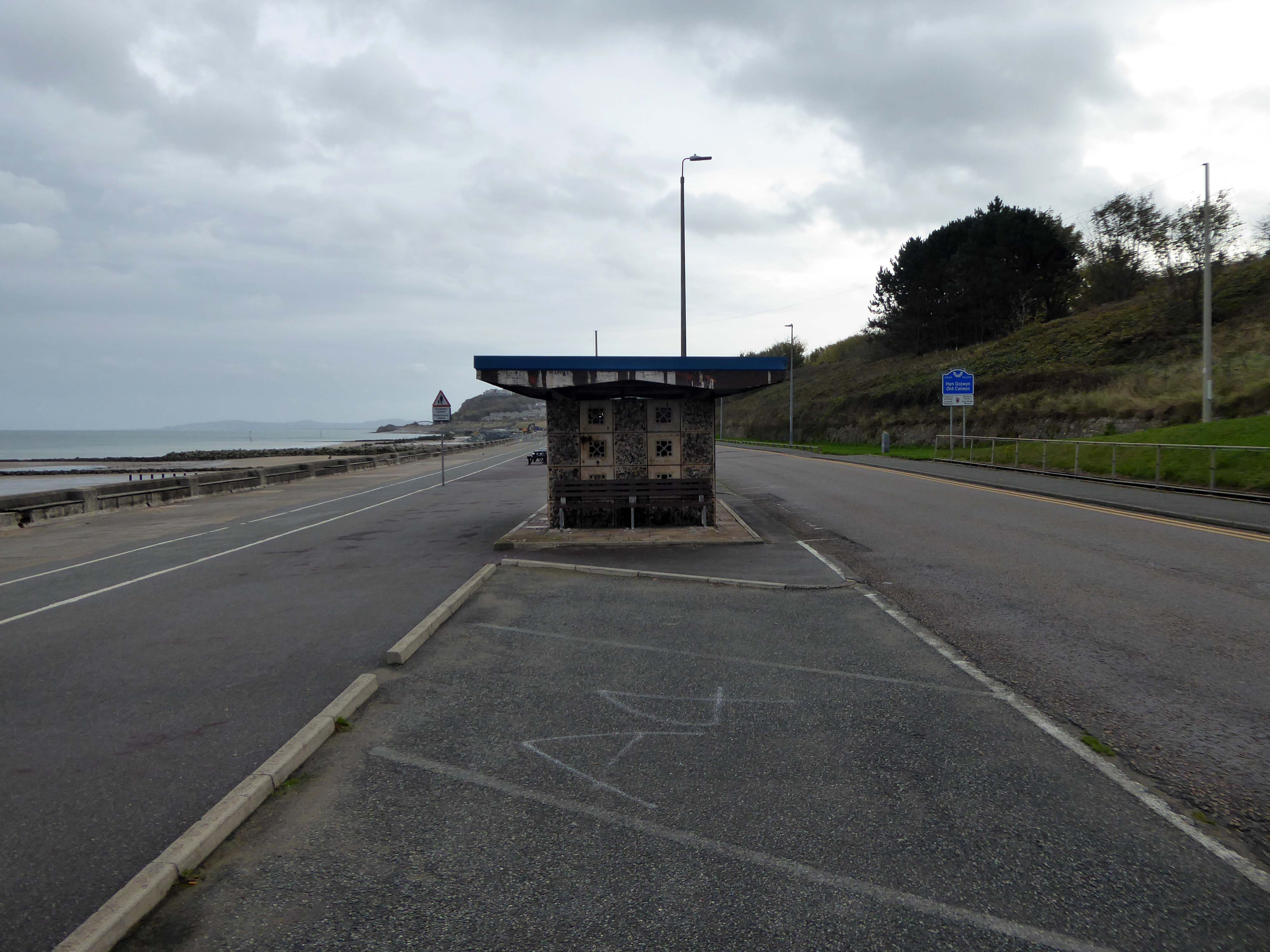
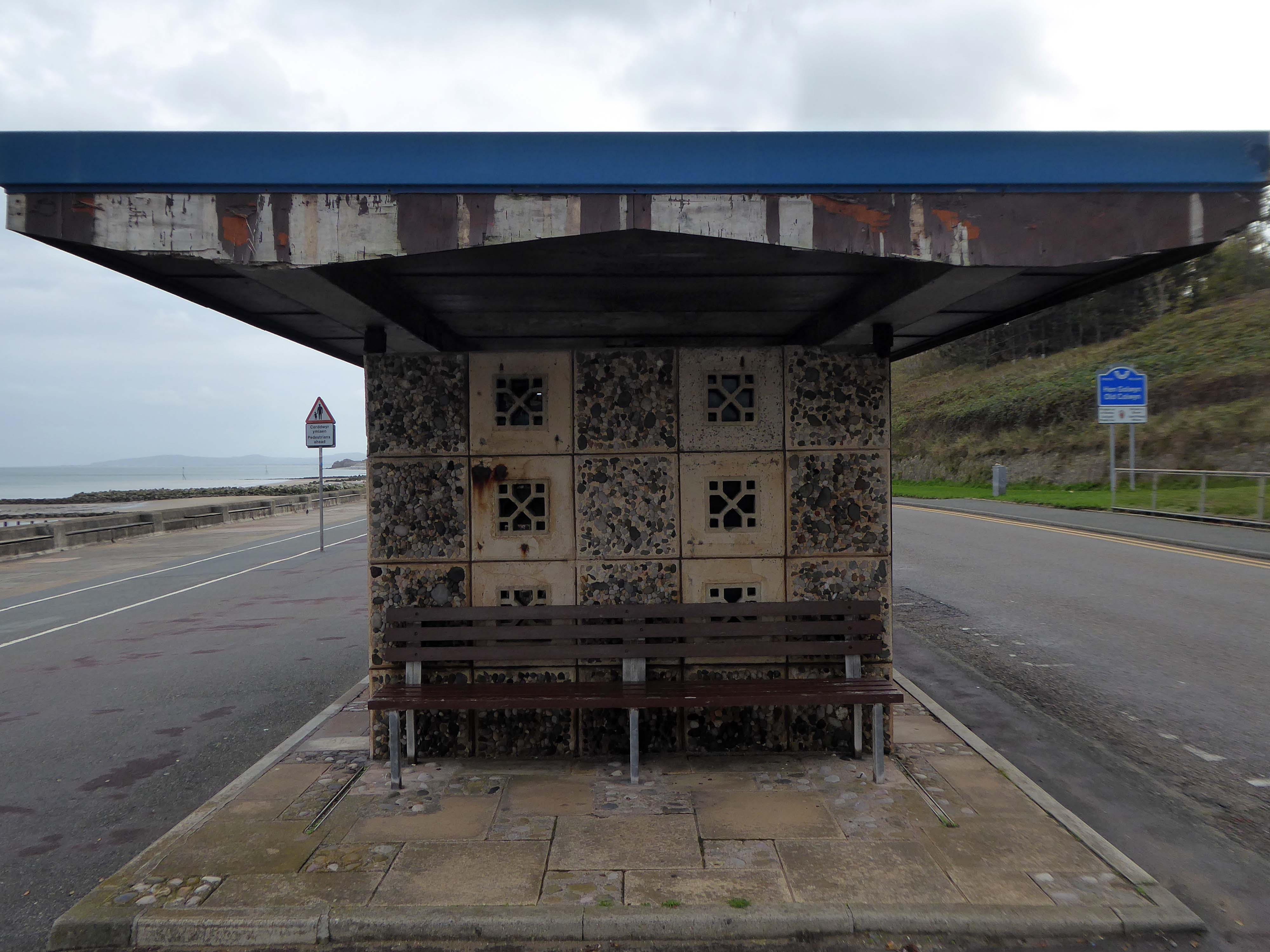
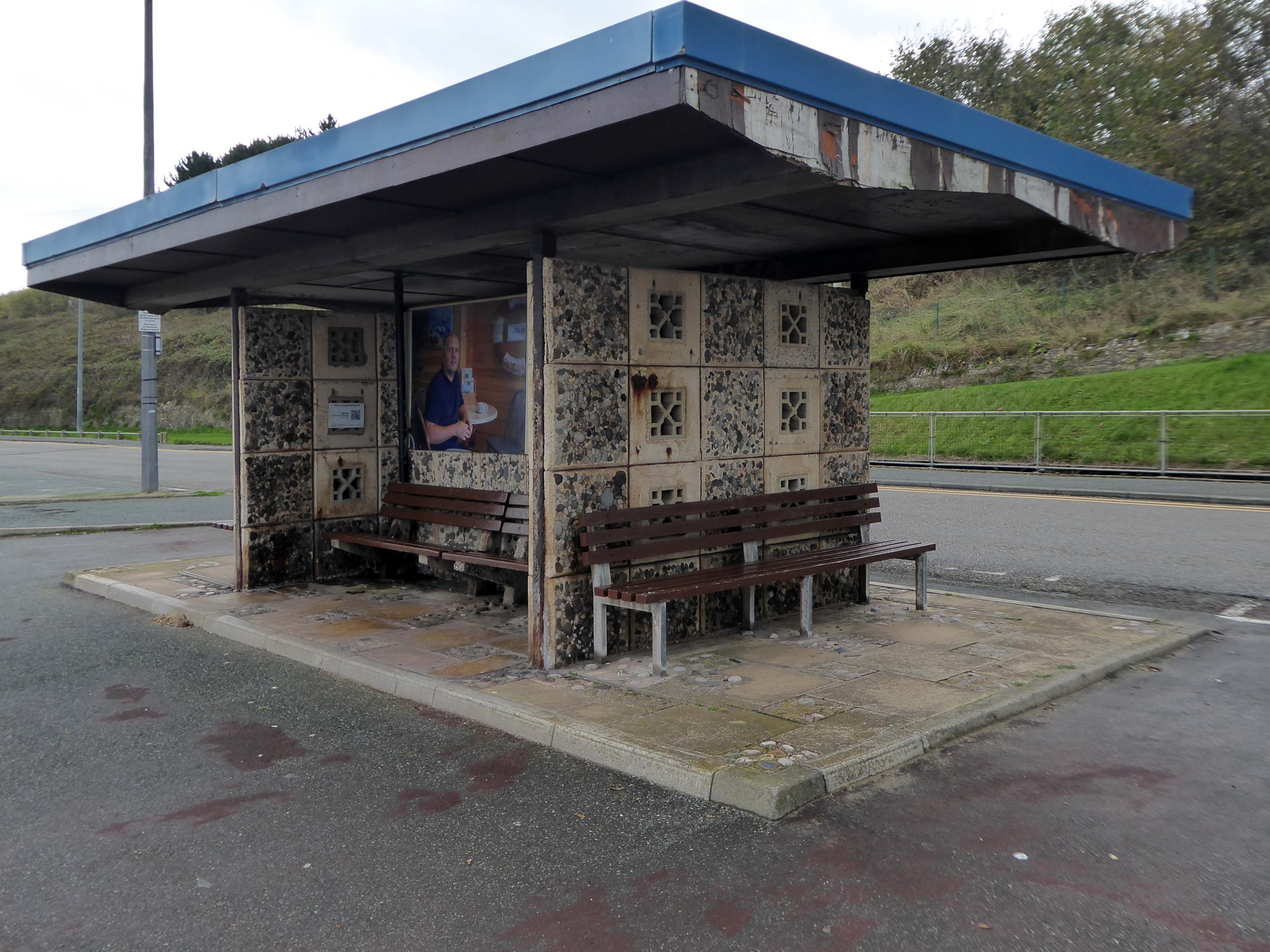
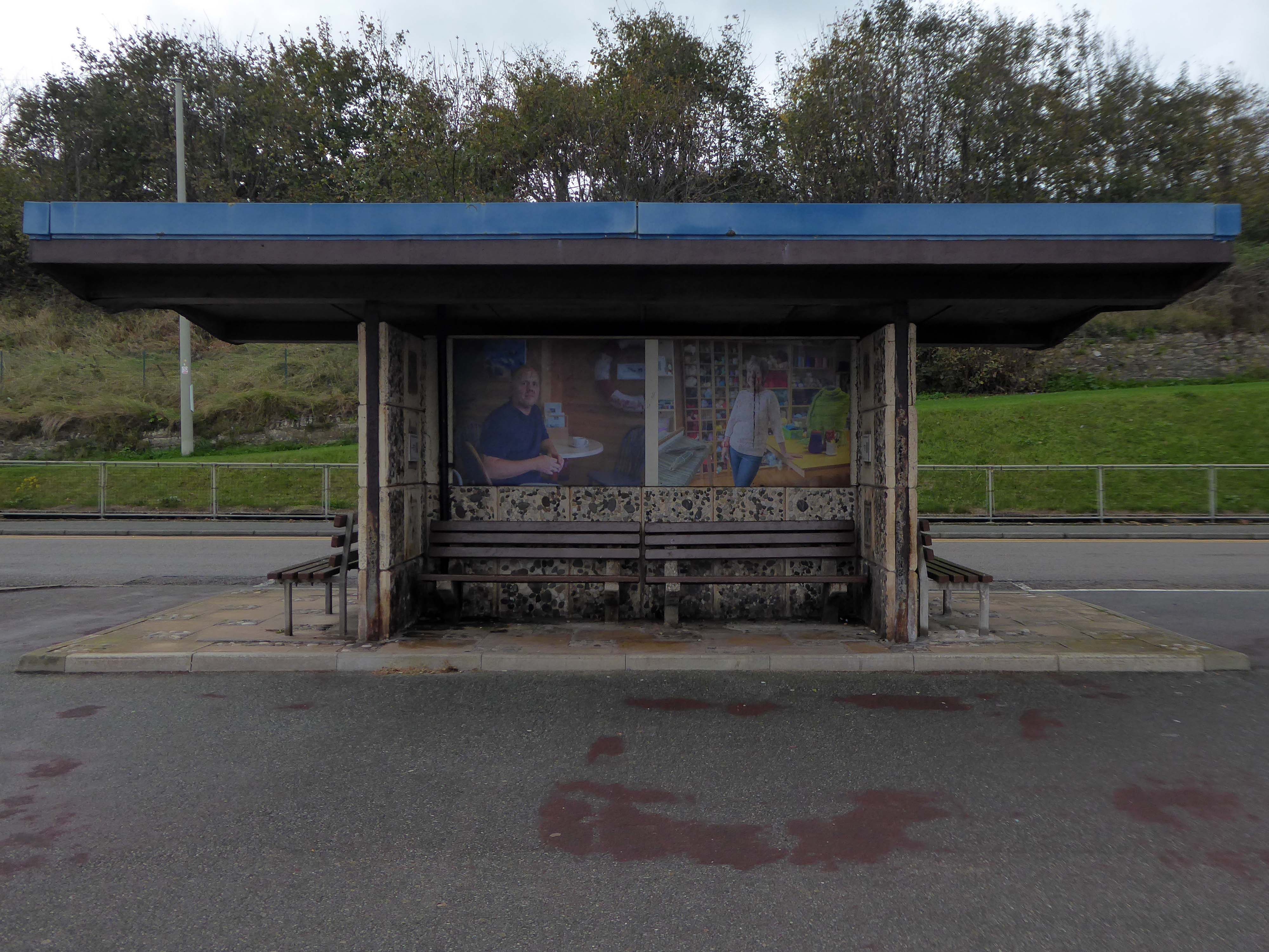
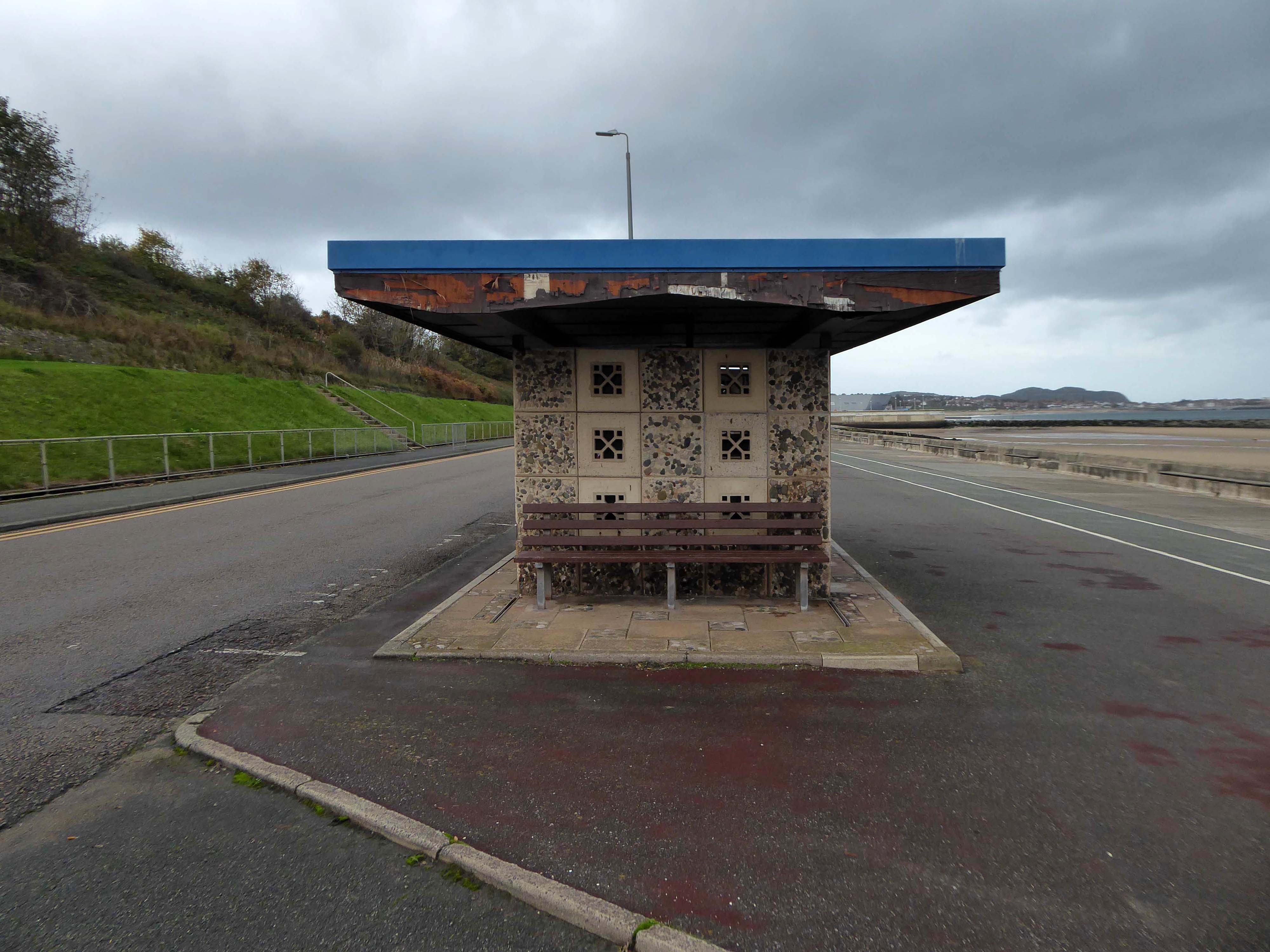
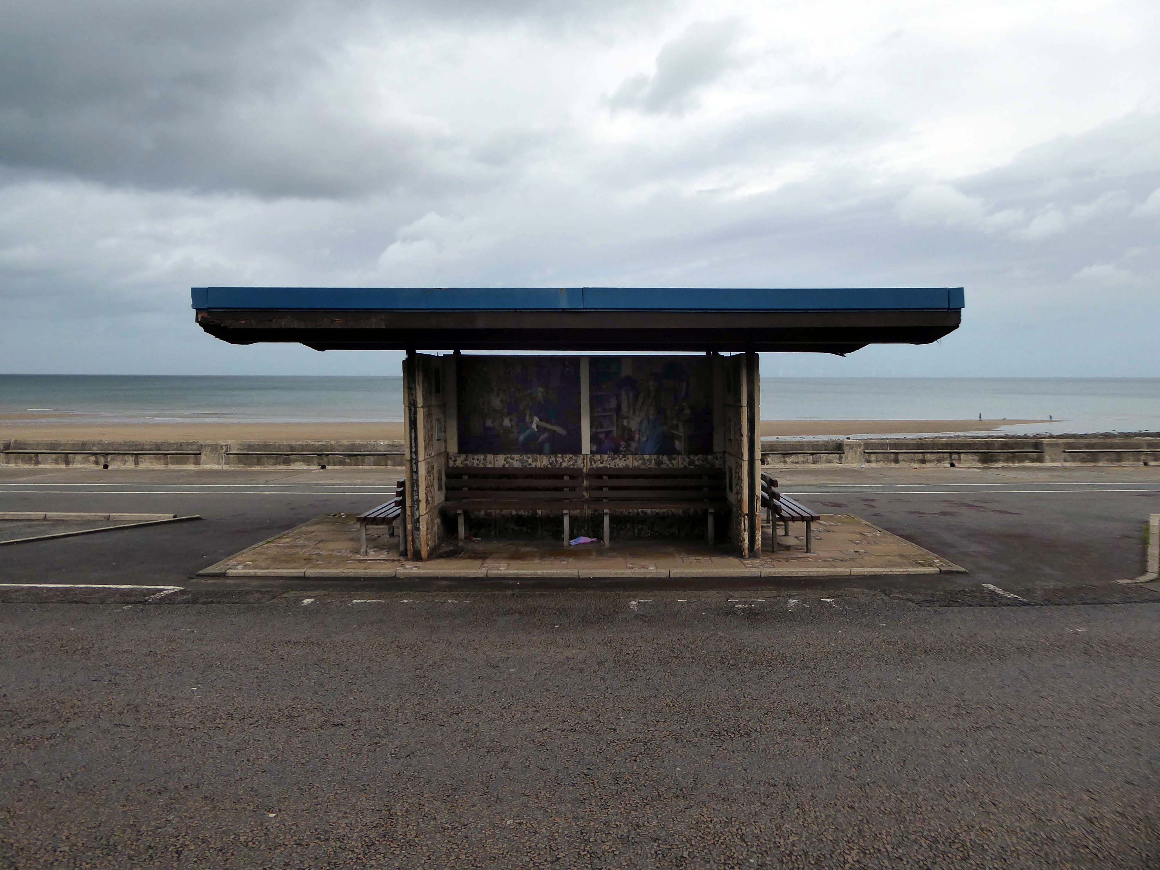
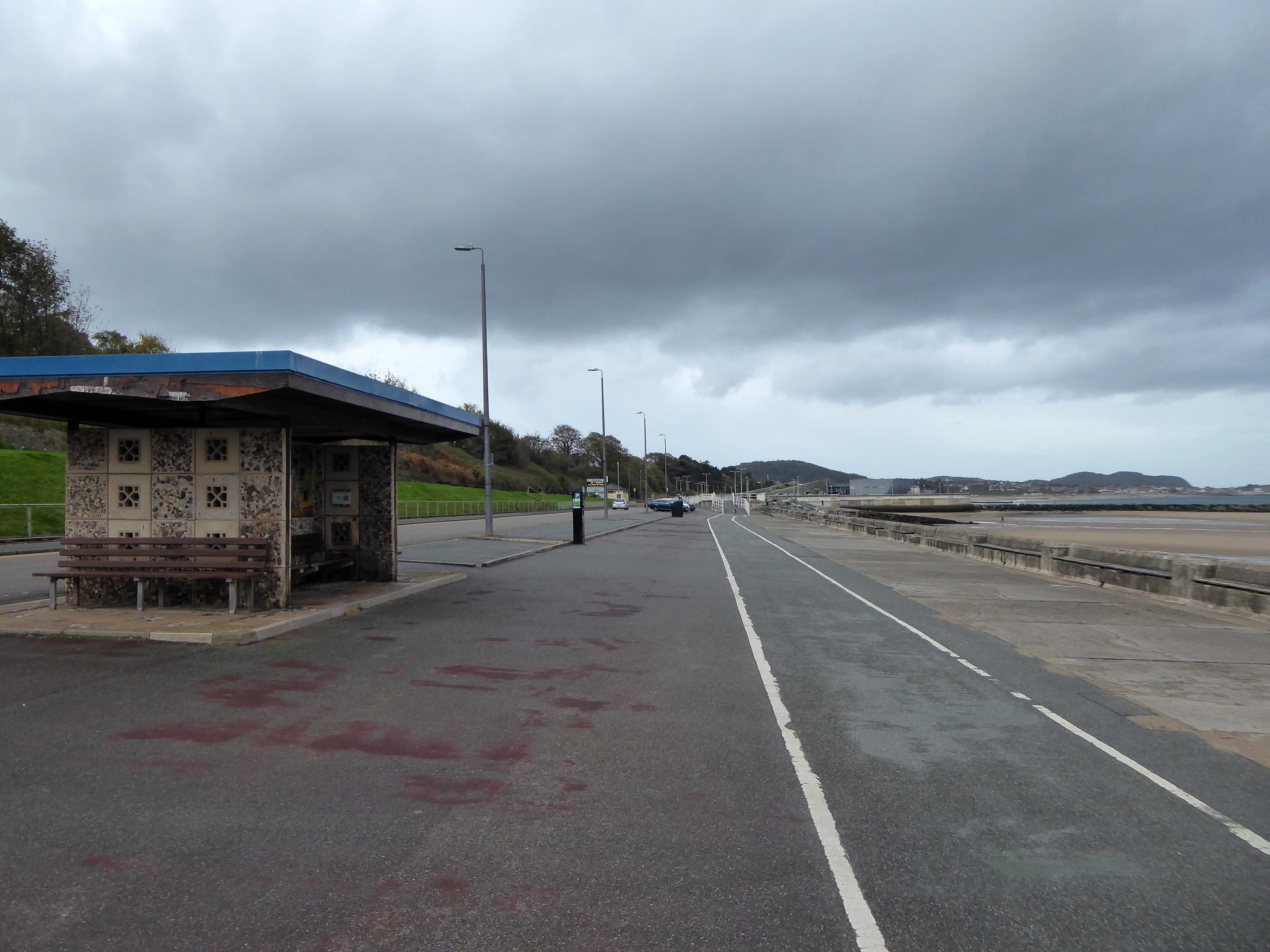
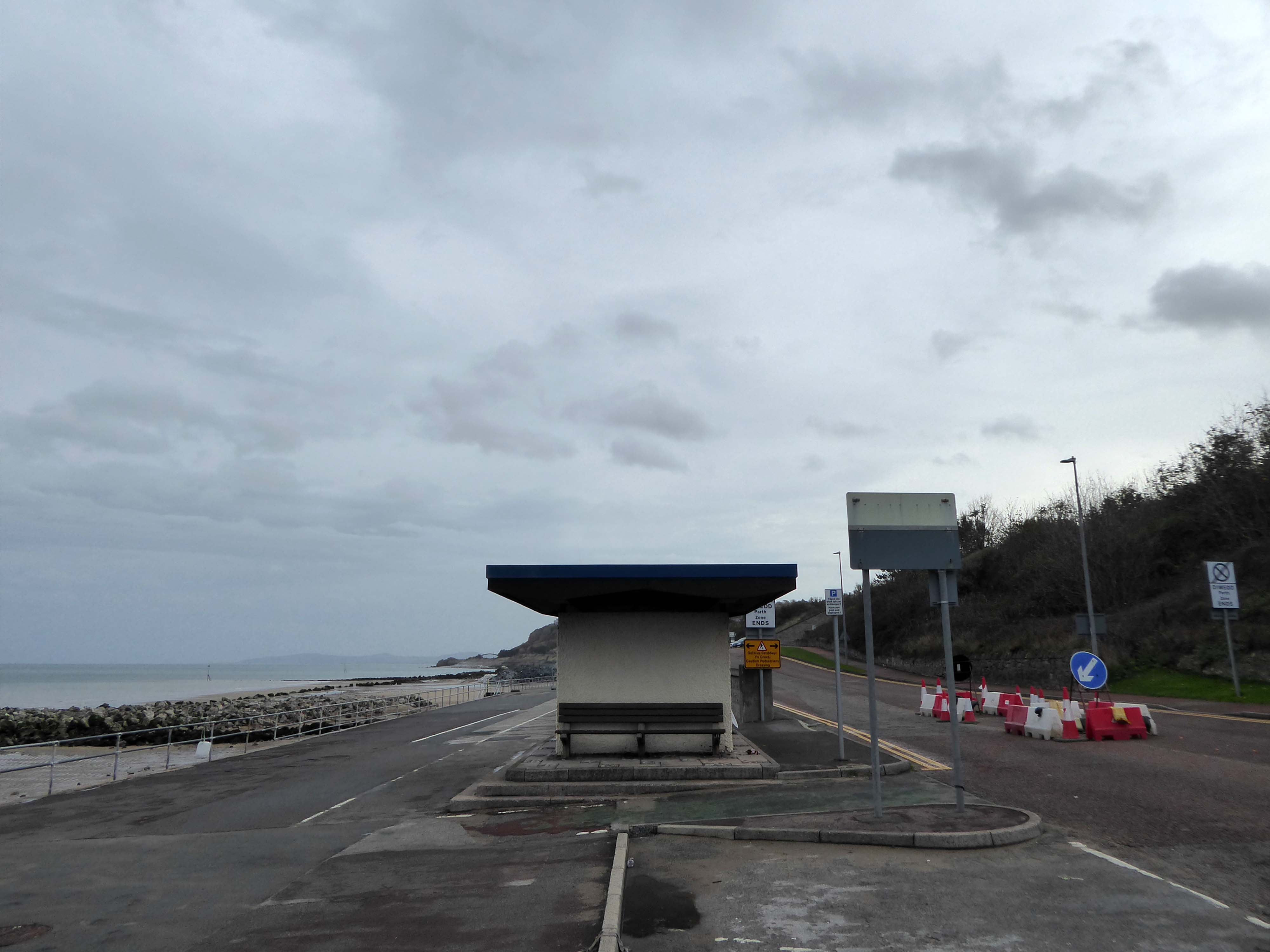
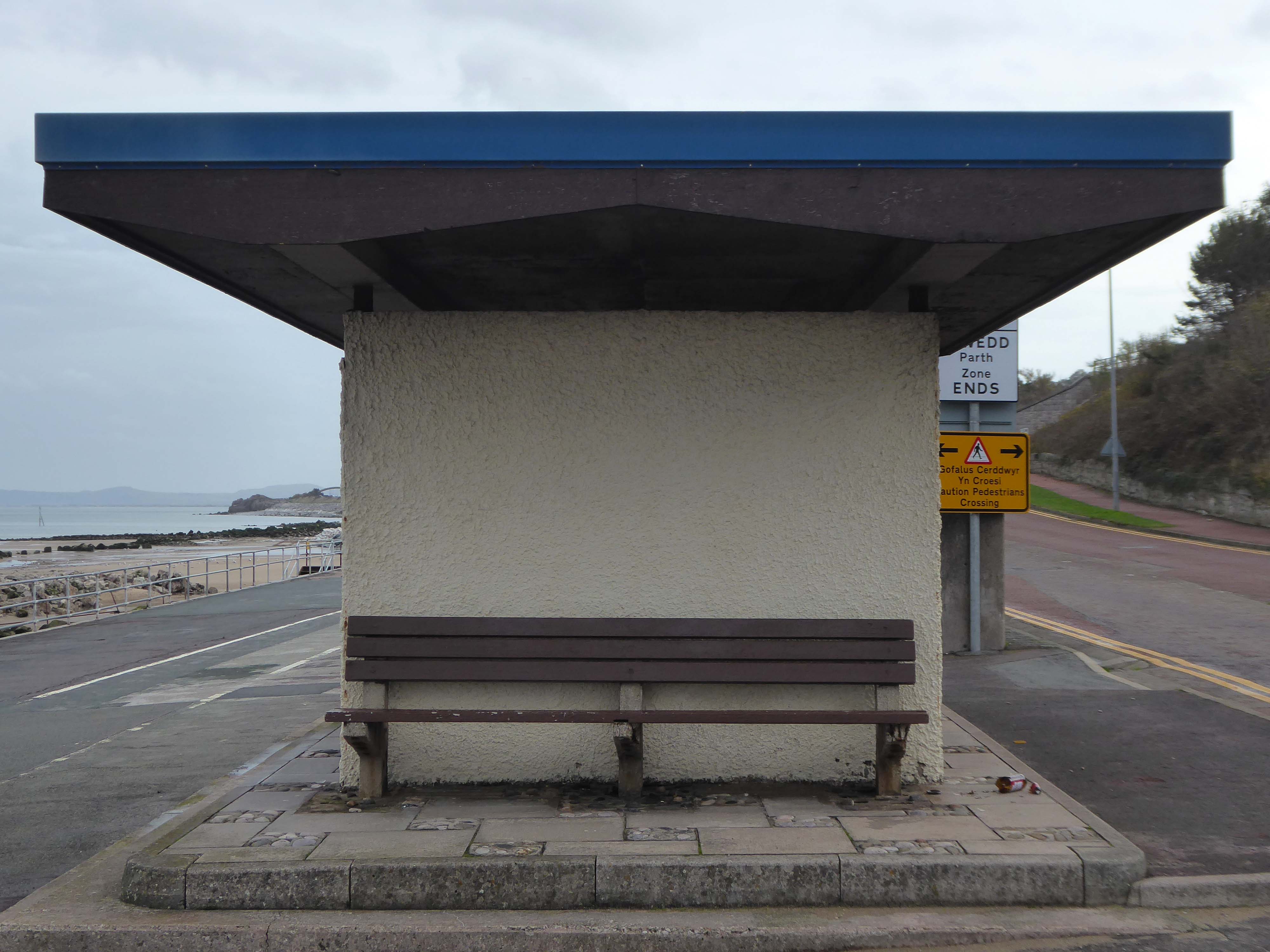
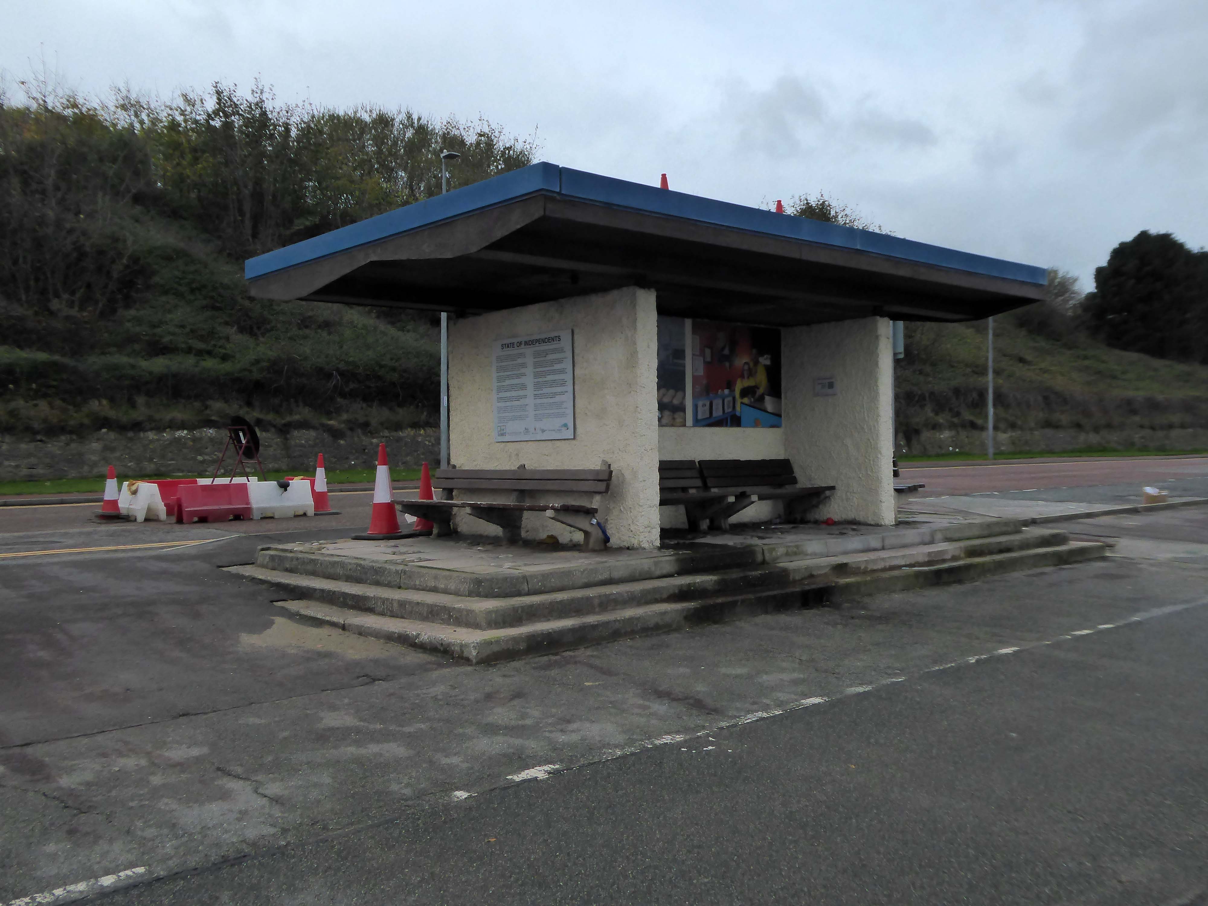
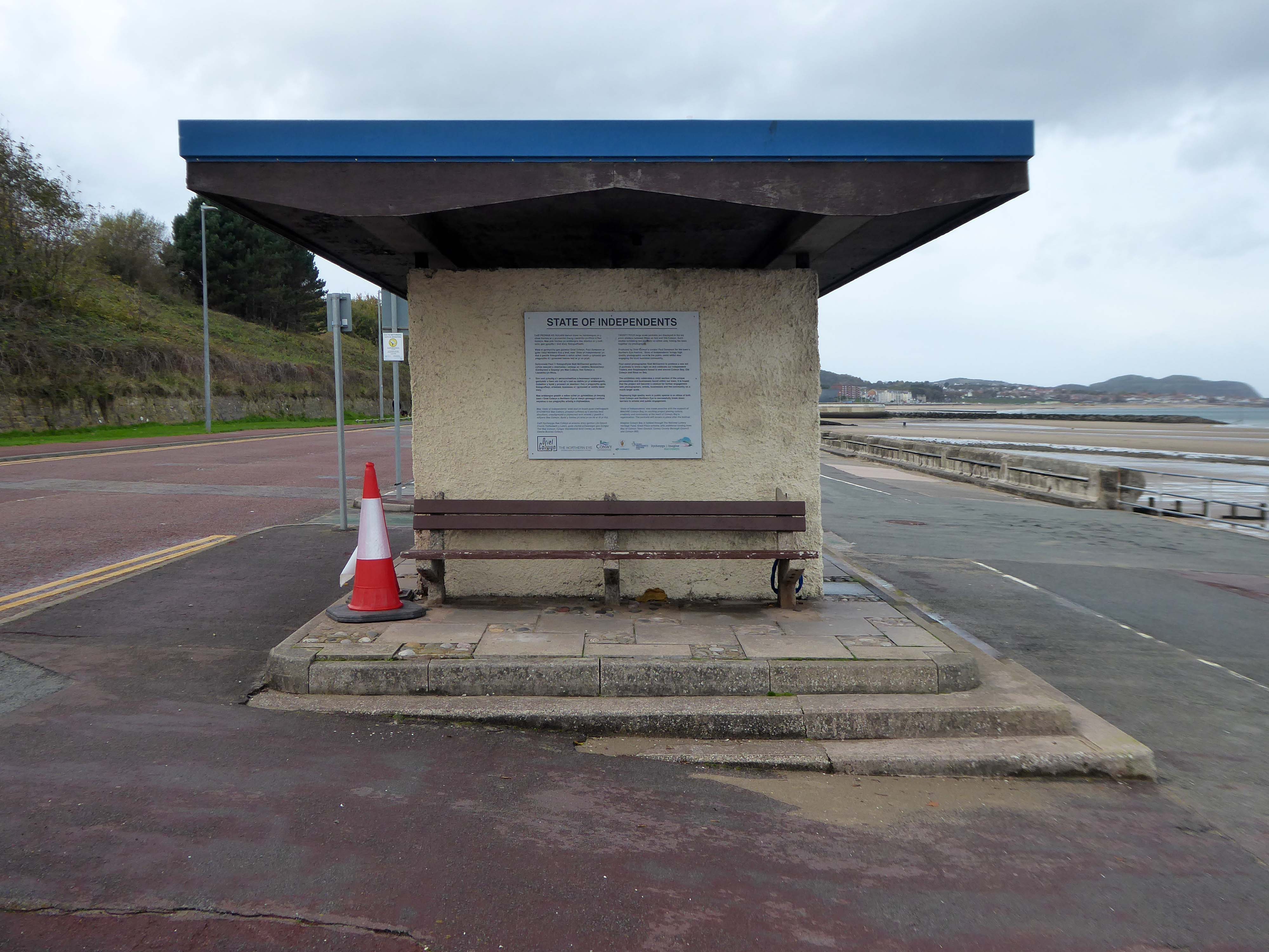
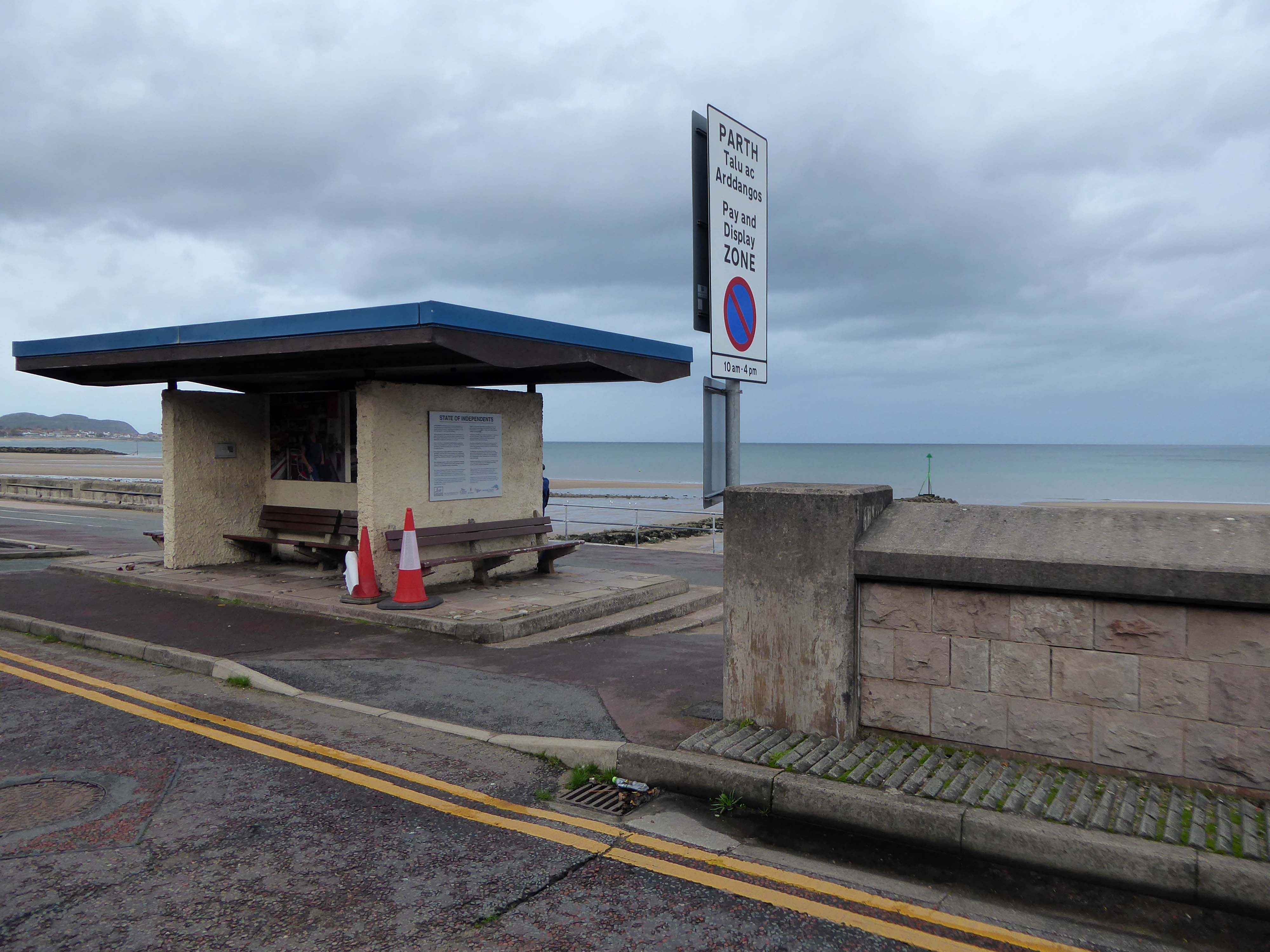
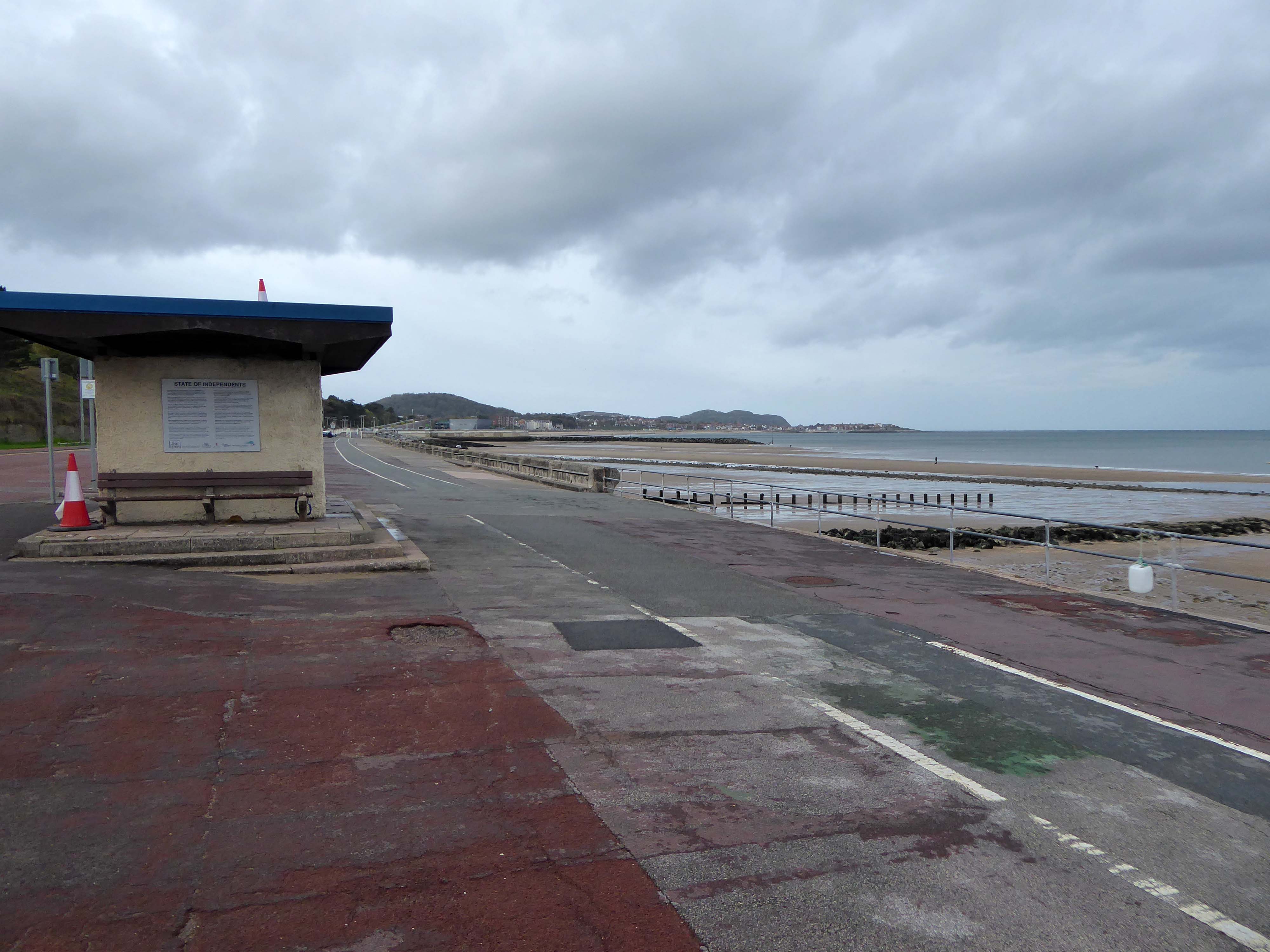
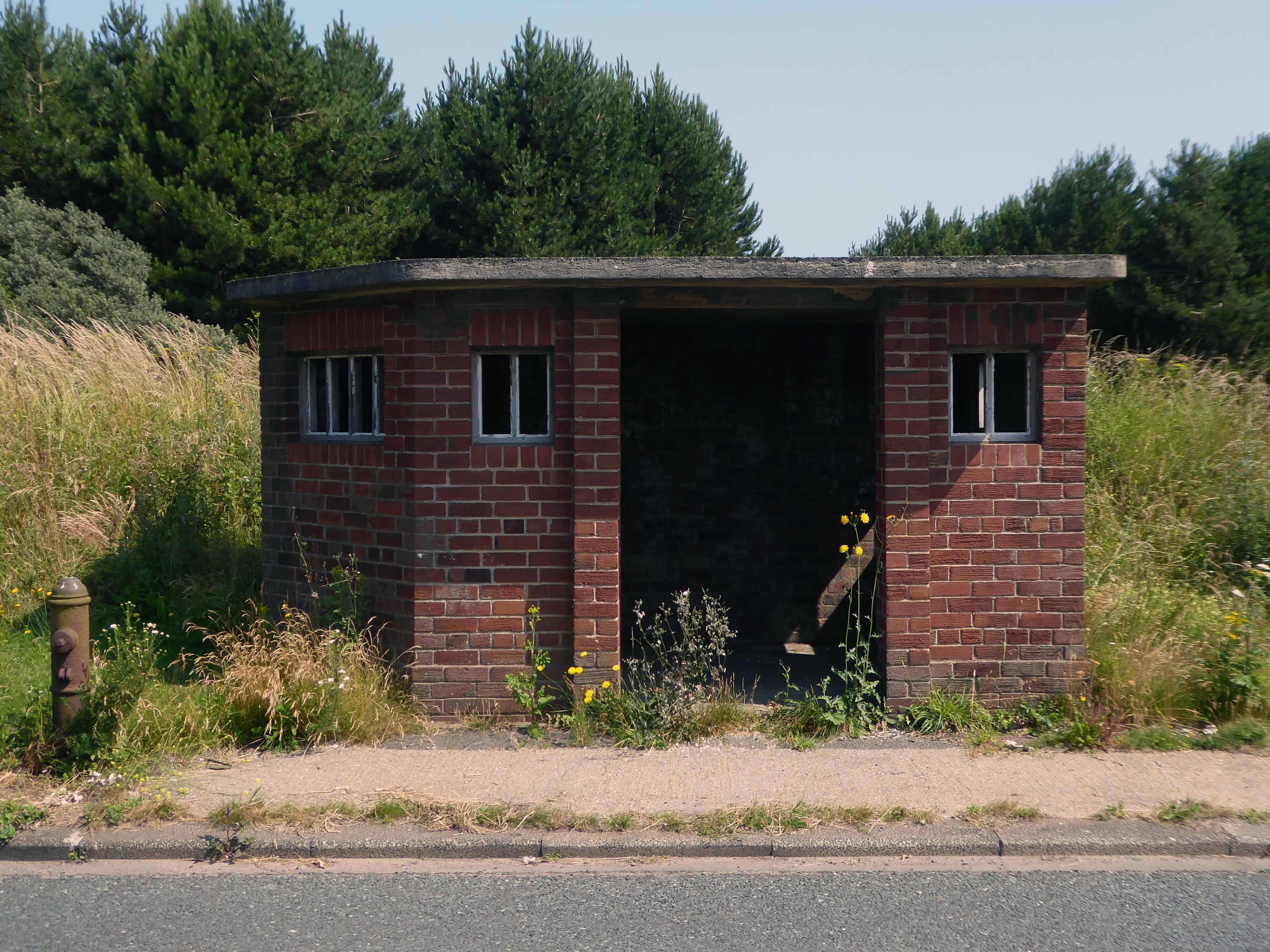
Almost the end of the line here in Old Colwyn – where there are the last of a series of shelters.
Formerly lining the prom all the way to Rhos on Sea
Cutting under the A55 Expressway to Colwyn Bay.
During World War II the Colwyn Bay Hotel, Marine Road – now demolished, was the headquarters of the Ministry of Food. This also housed the Cocoa & Chocolate division and was the communications hub for the ministry, they continued to use the hotel until 1953.
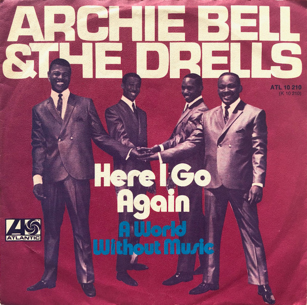
Here I go again – just like Archie Bell minus the Drells.
Here I go again, thinking with my heart
But every time I see ya, I keep running back for more
April and October 2019 walking from Rhos to Colwyn.
Pandemics come and almost go – as do seaside shelters it seems.
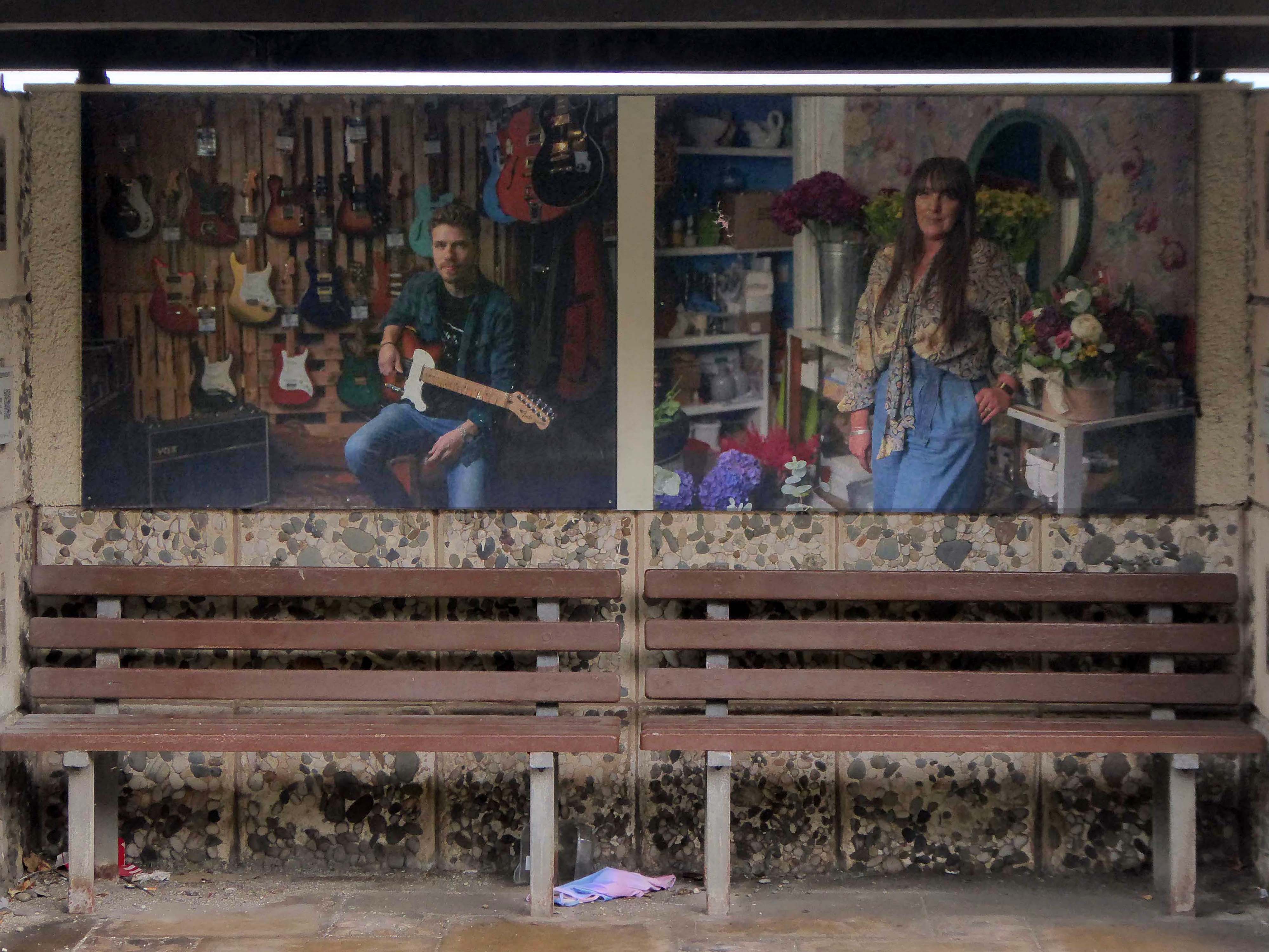
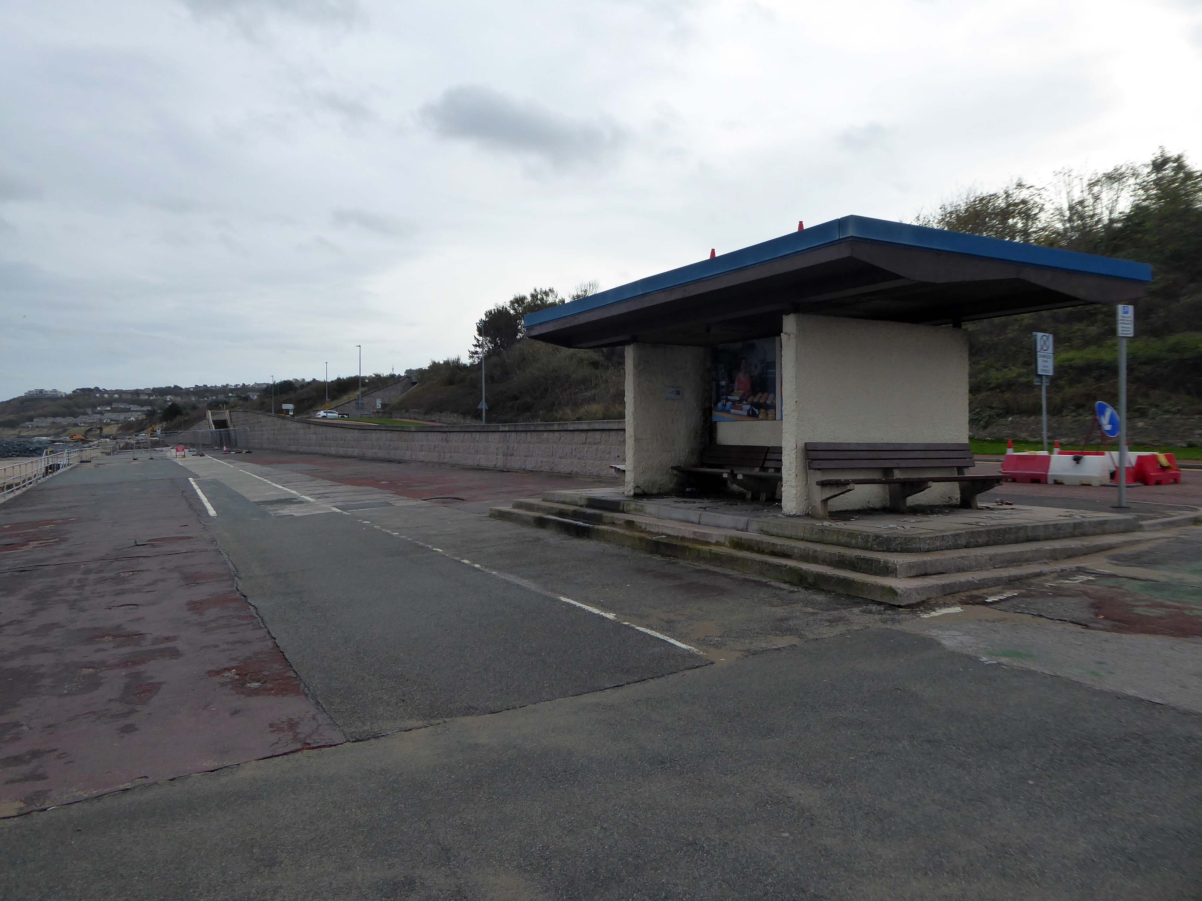
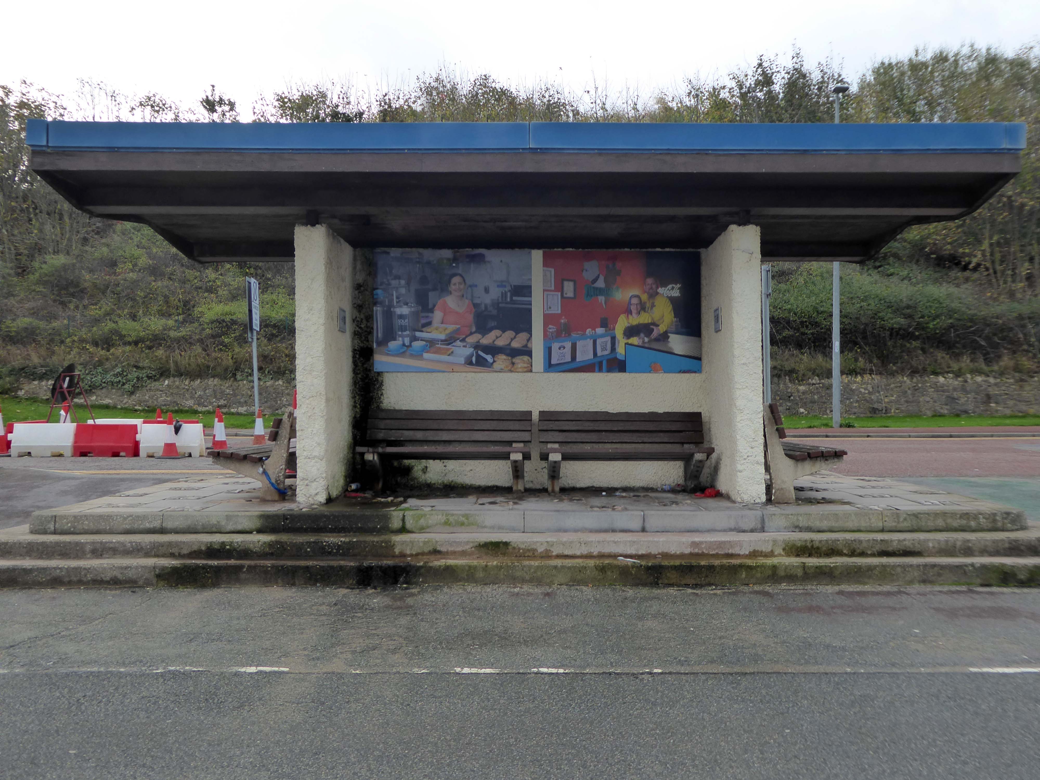
The shelters of 1860 are quite literally a thing of the past.
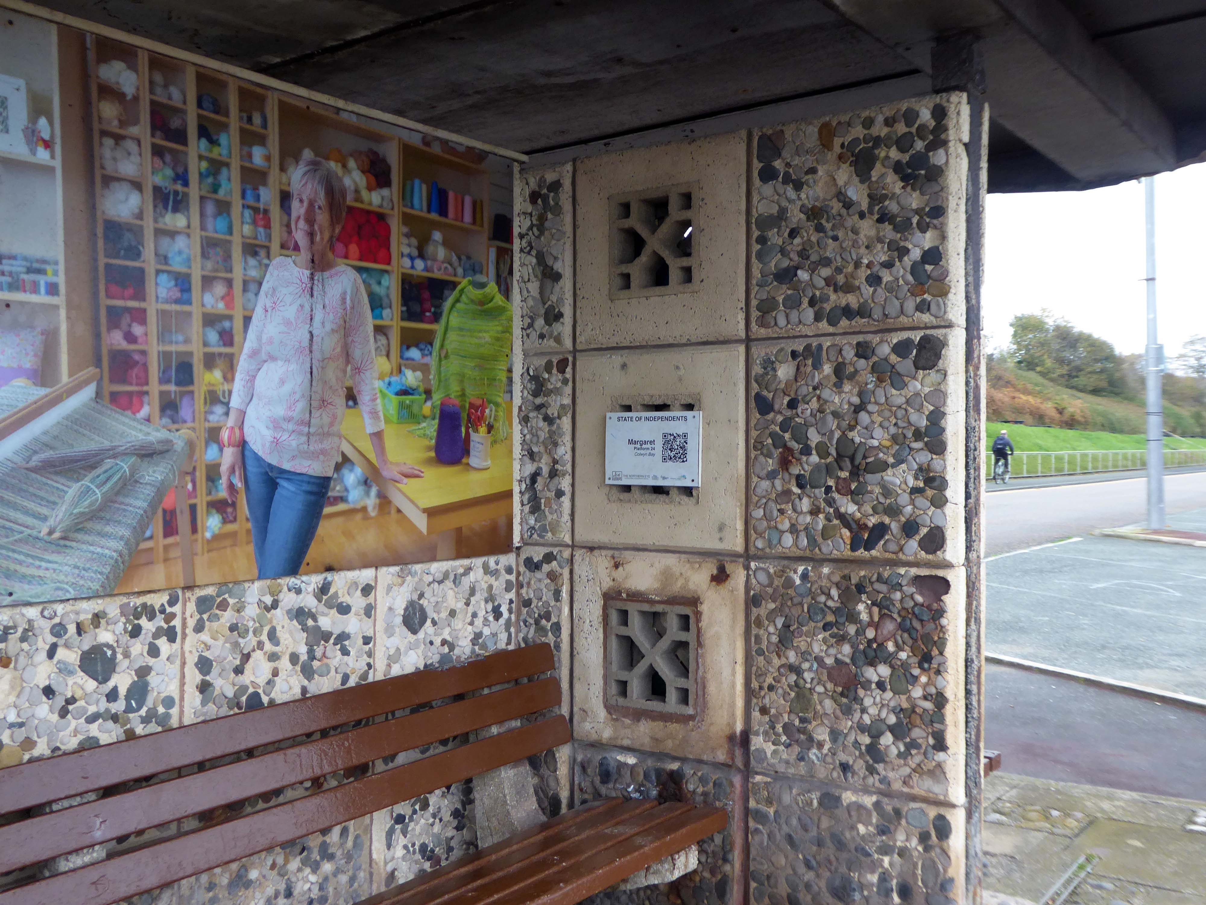
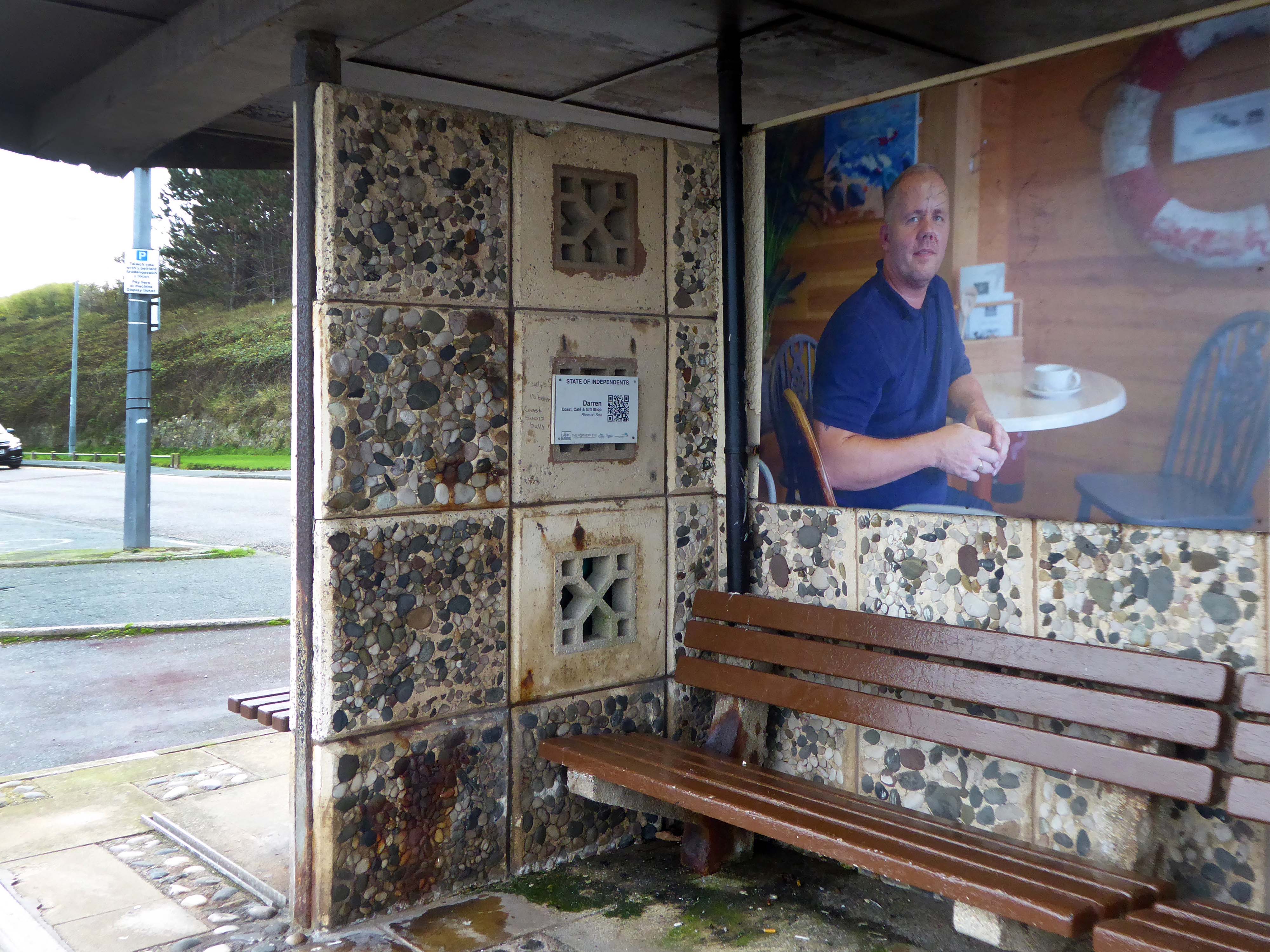
Thye have become host to Niall McDiarmid‘s snaps of local business folk – the project developed when local residents raised concerns about the appearance of the shelters on the promenade.
Cllr Roger Parry said
The shelters are nearing the end of their lifespan and these sections of the prom will be upgraded as part of the waterfront project.
In the meantime, State of Independents will make great use of the shelters; celebrating our hardworking local businesses and hopefully encouraging footfall from the promenade to our high streets.
The last of the Rhos on Sea shelters is a dangerous customer suitably secured.
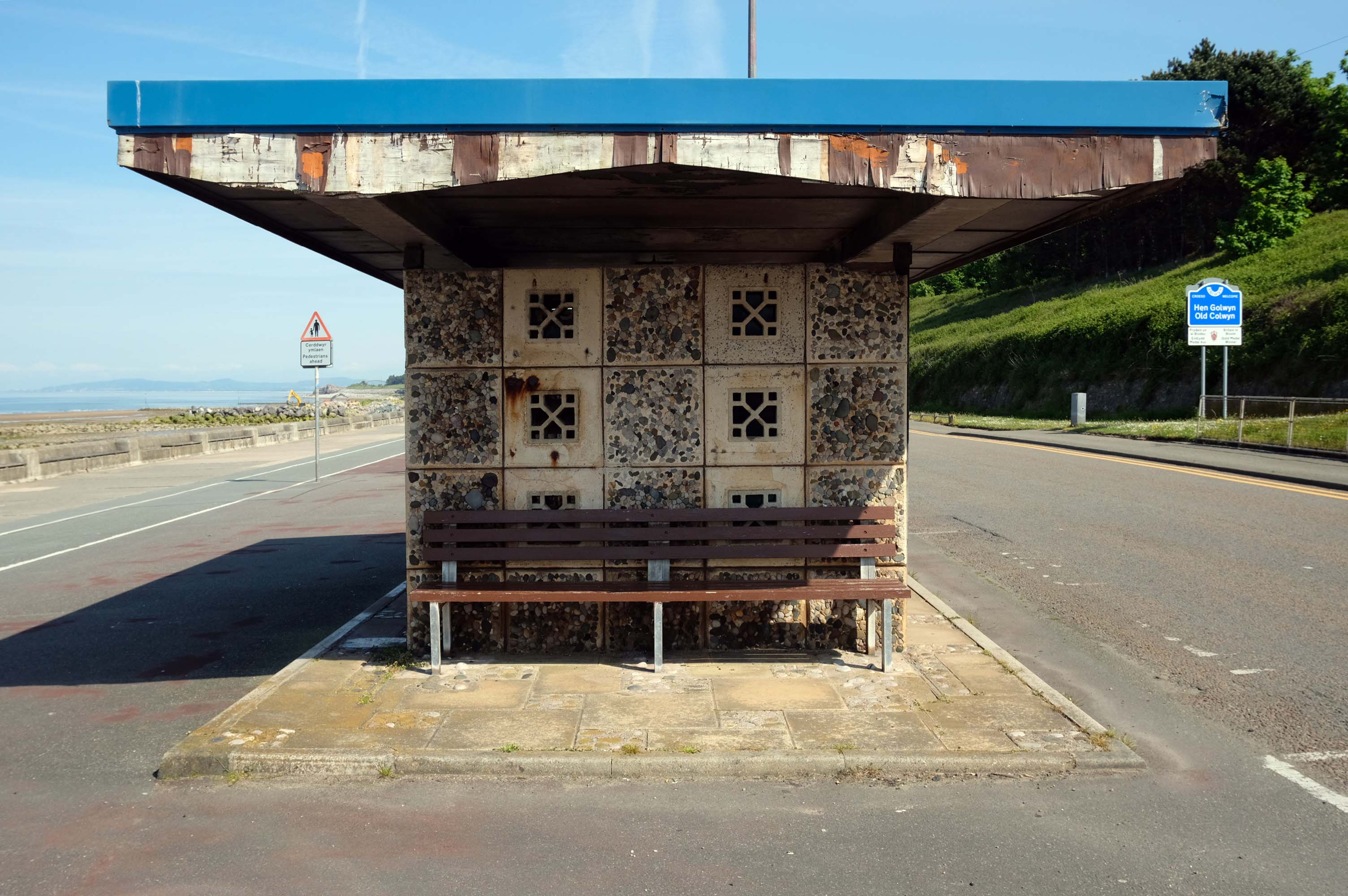
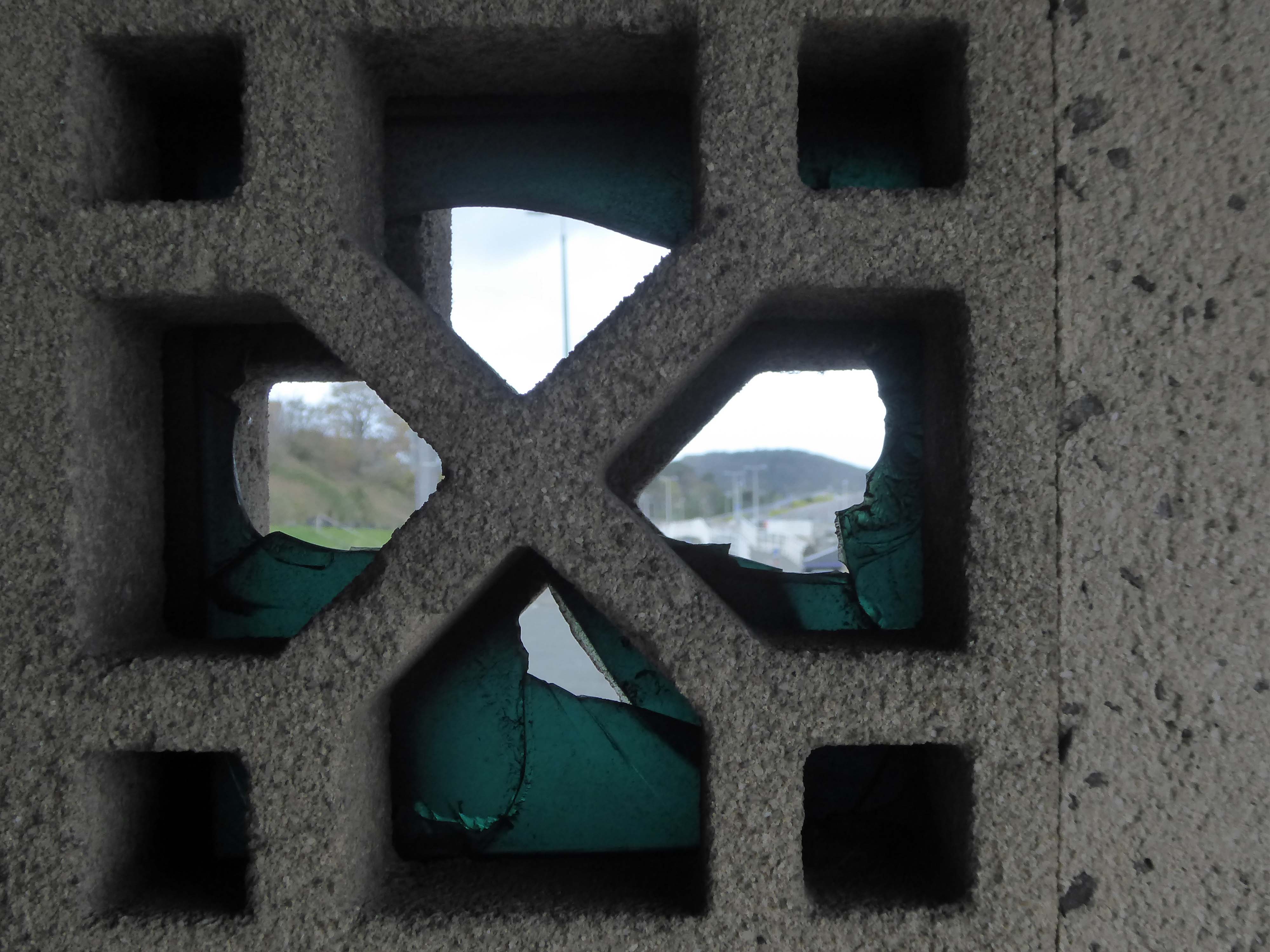
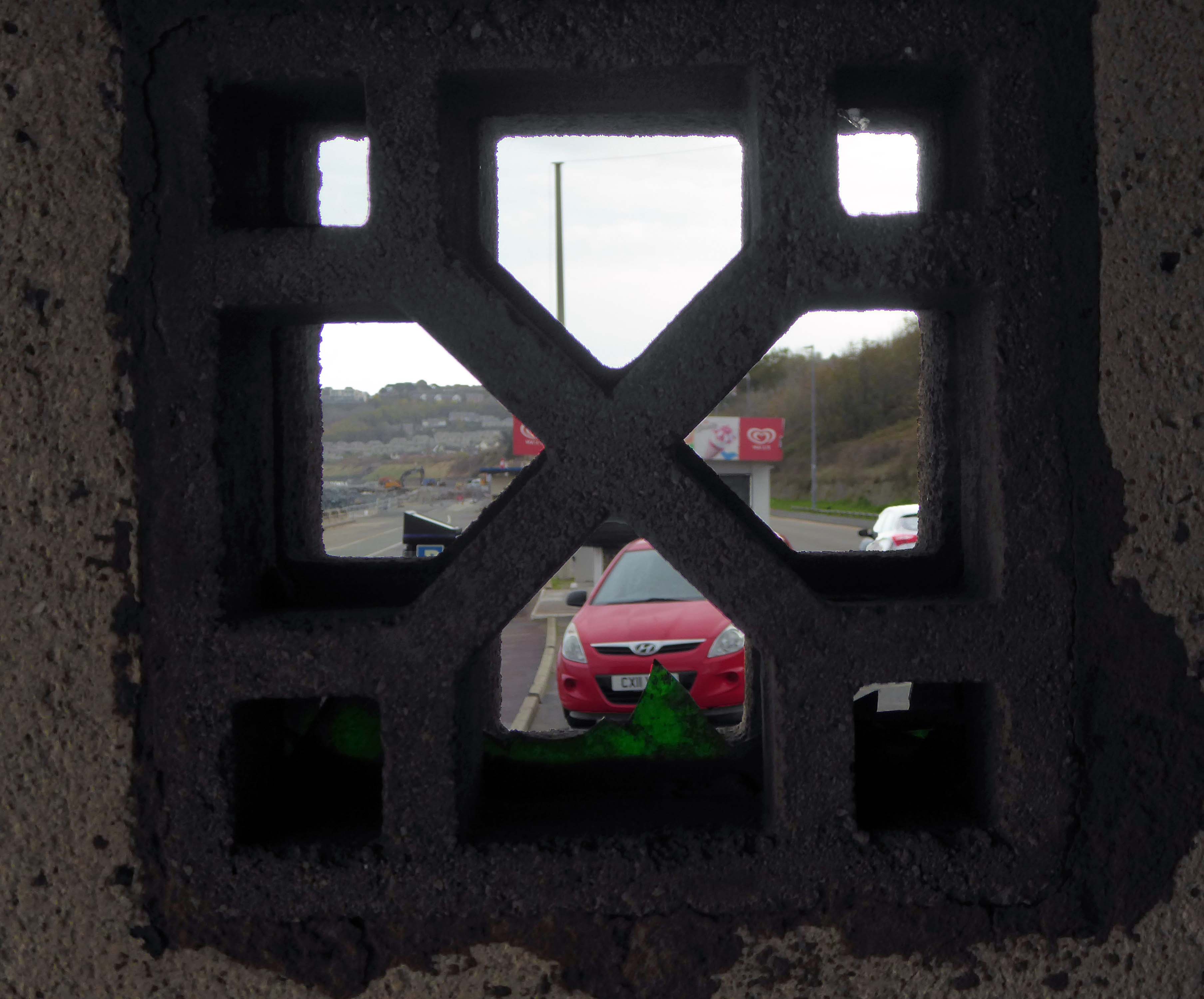
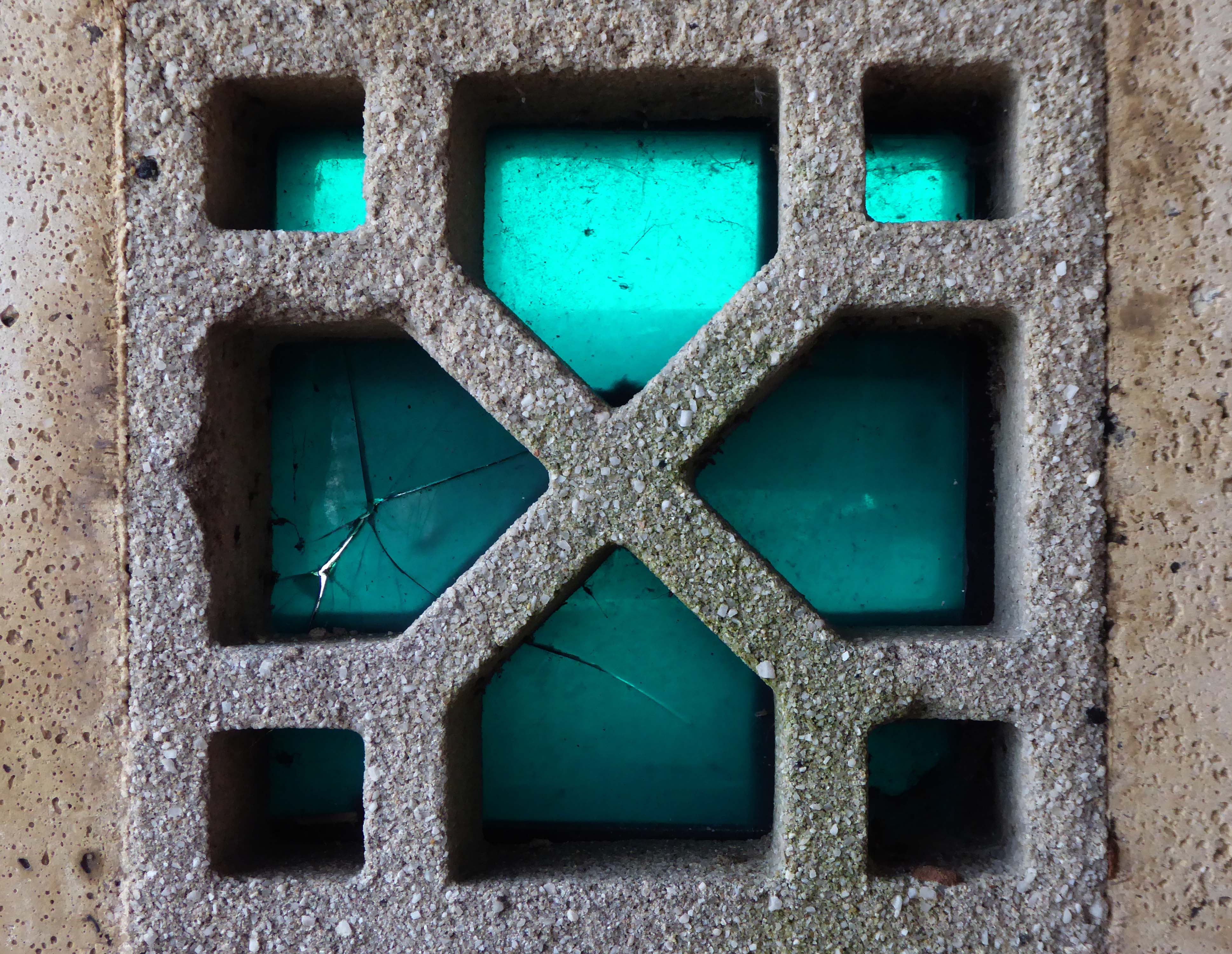
There remains two exemplars of the typology located at the Colwyn end of the bay.
The second shelter lacks the pierced concrete blocks.
So work progresses on the coastal defences, the promenade is refashioned after a fashion in the fashion of the day.
There is no longer a place for these unique exemplars of Municipal Modernism.
Before the work began, the promenade was a tired, uninviting and underused public space. Poorly lit and often host to anti-social behaviour, the uneven surfacing and crumbling shelters were the results of years of patchwork repairs.
The project has transformed the area into a public space which the local community can take pride in and make use of all year round.
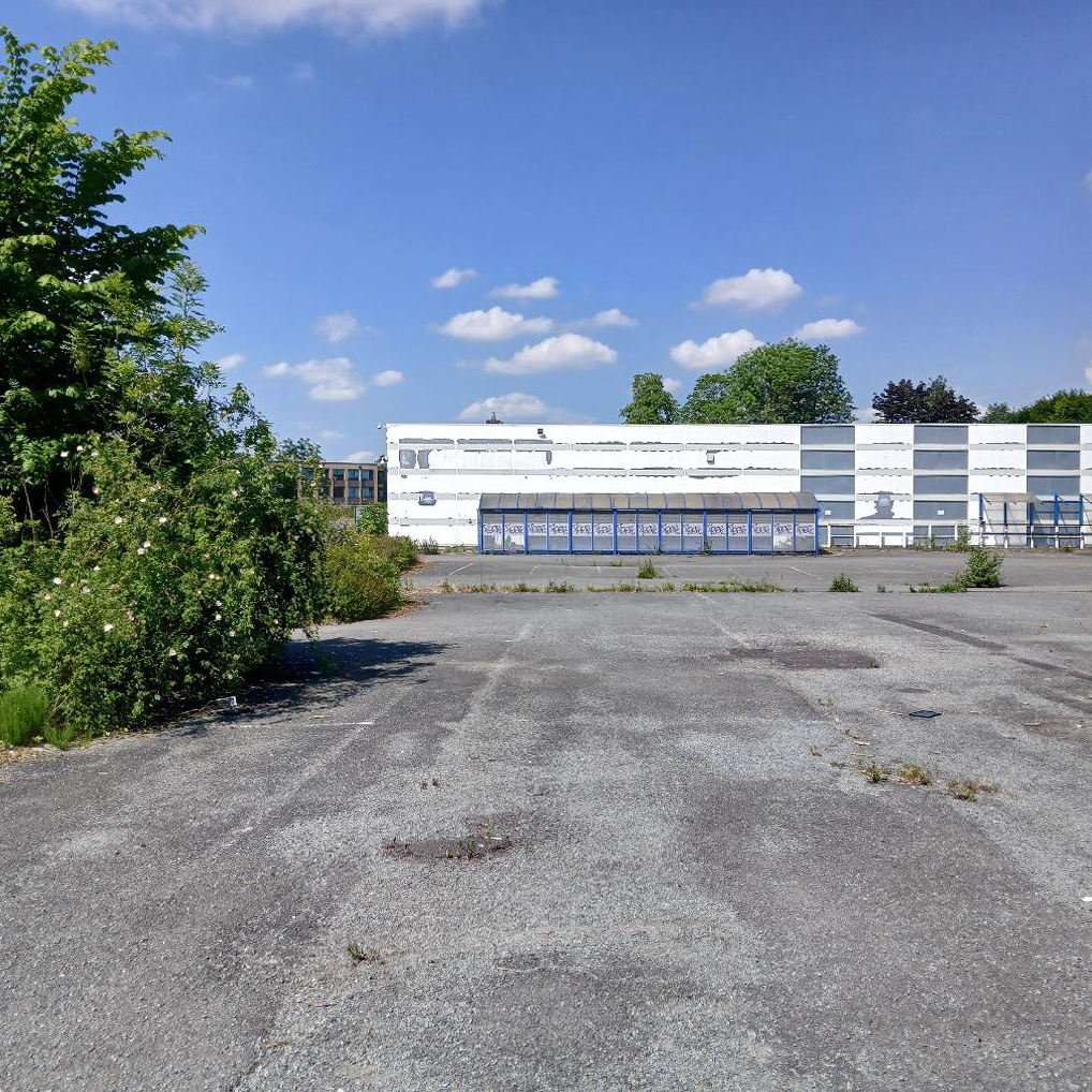
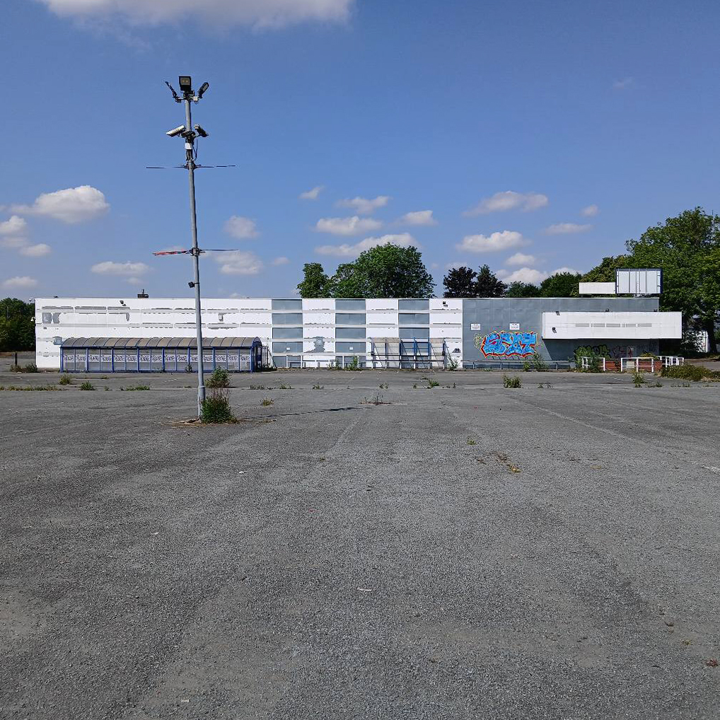
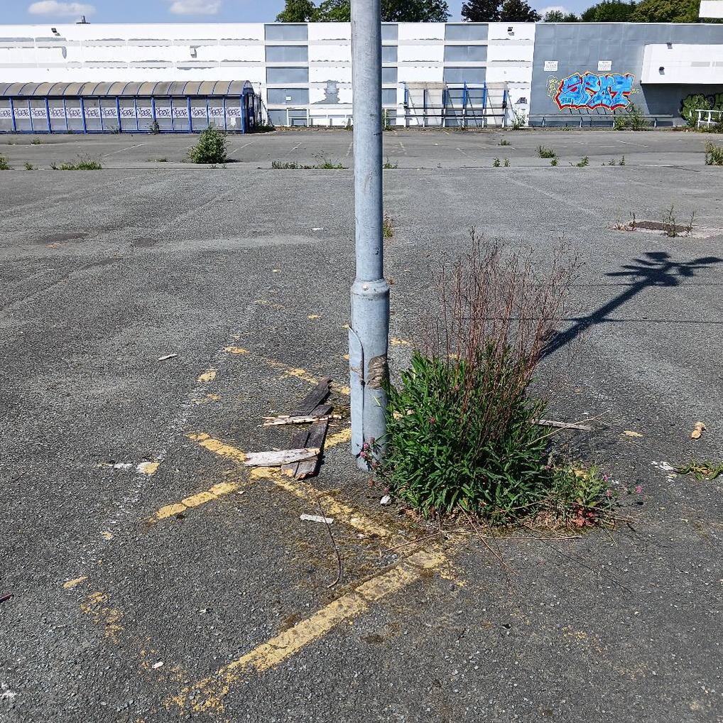
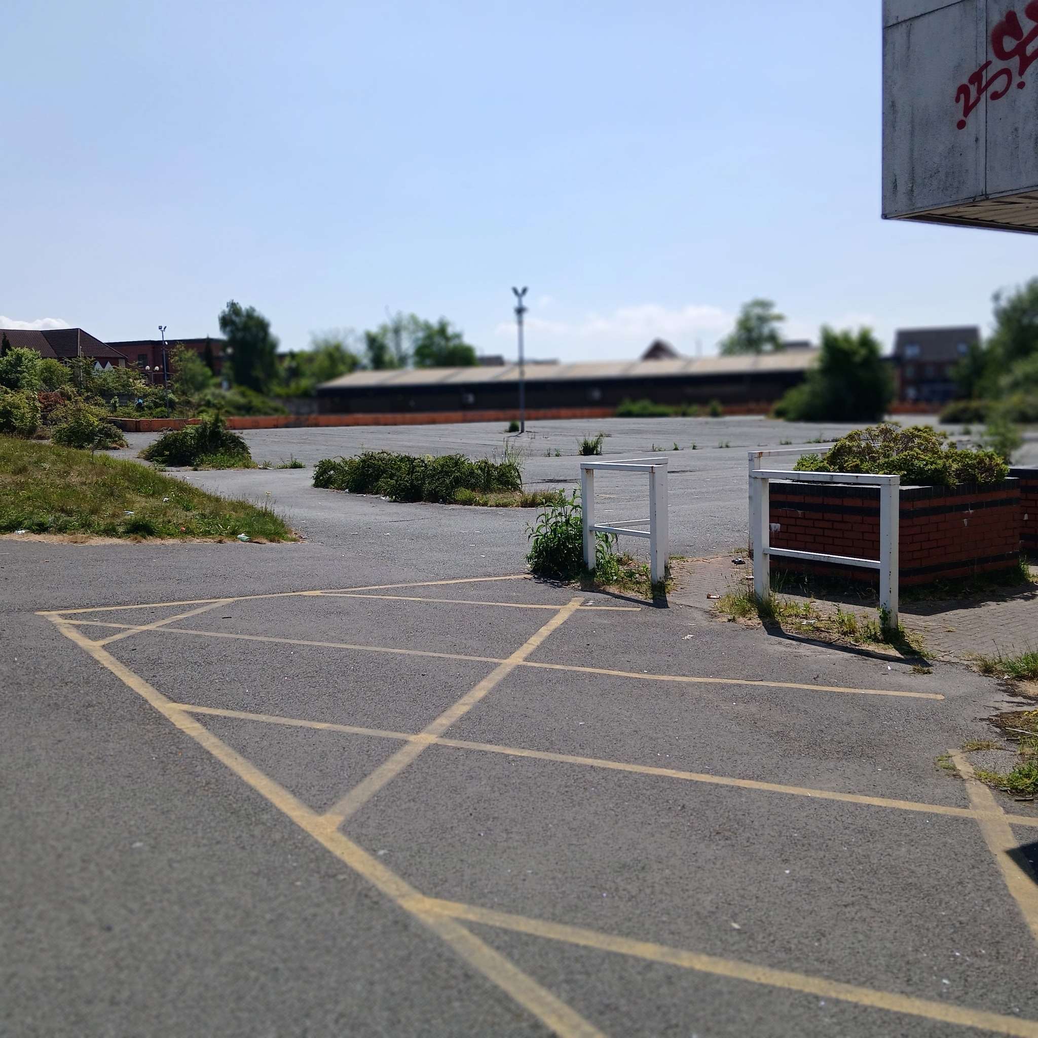
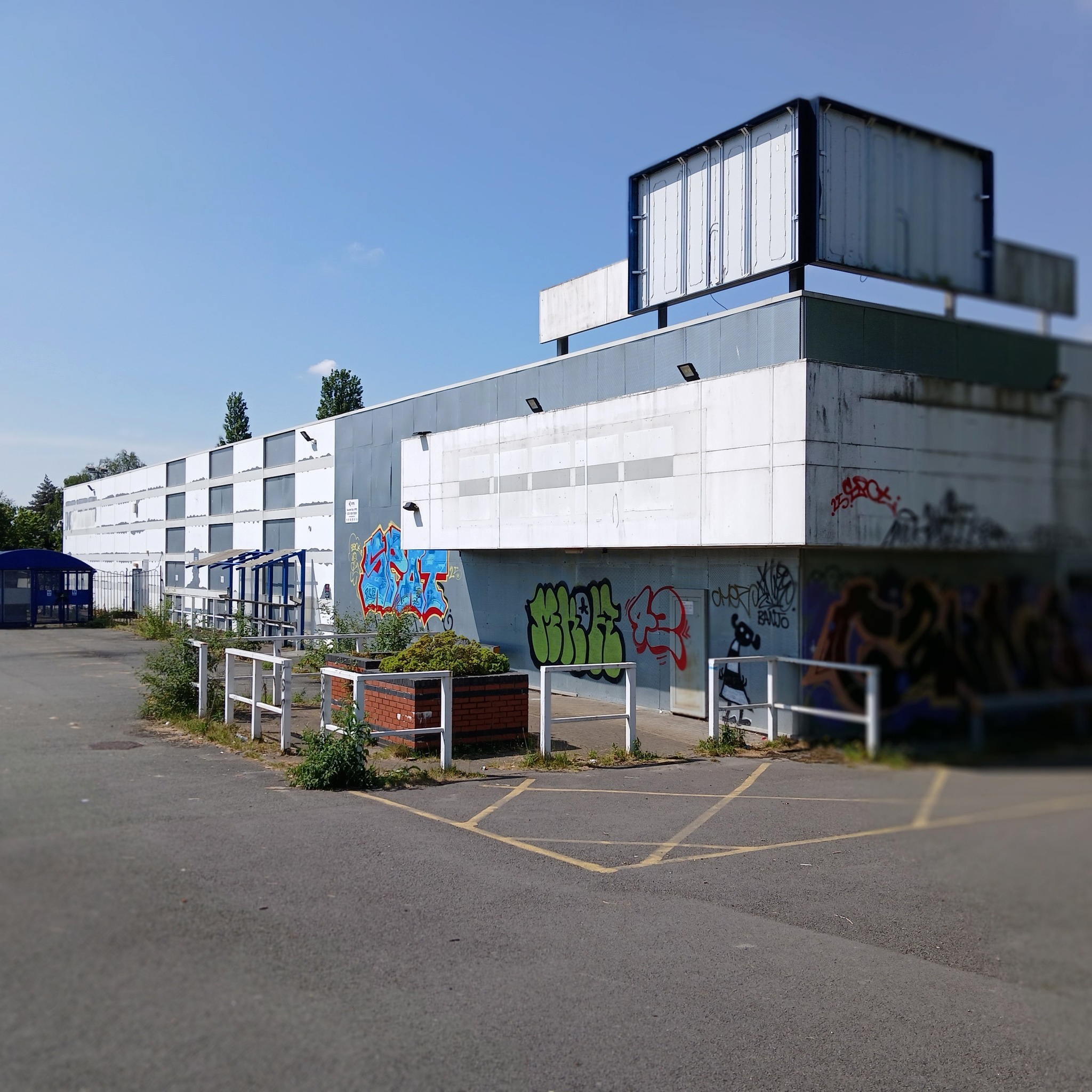
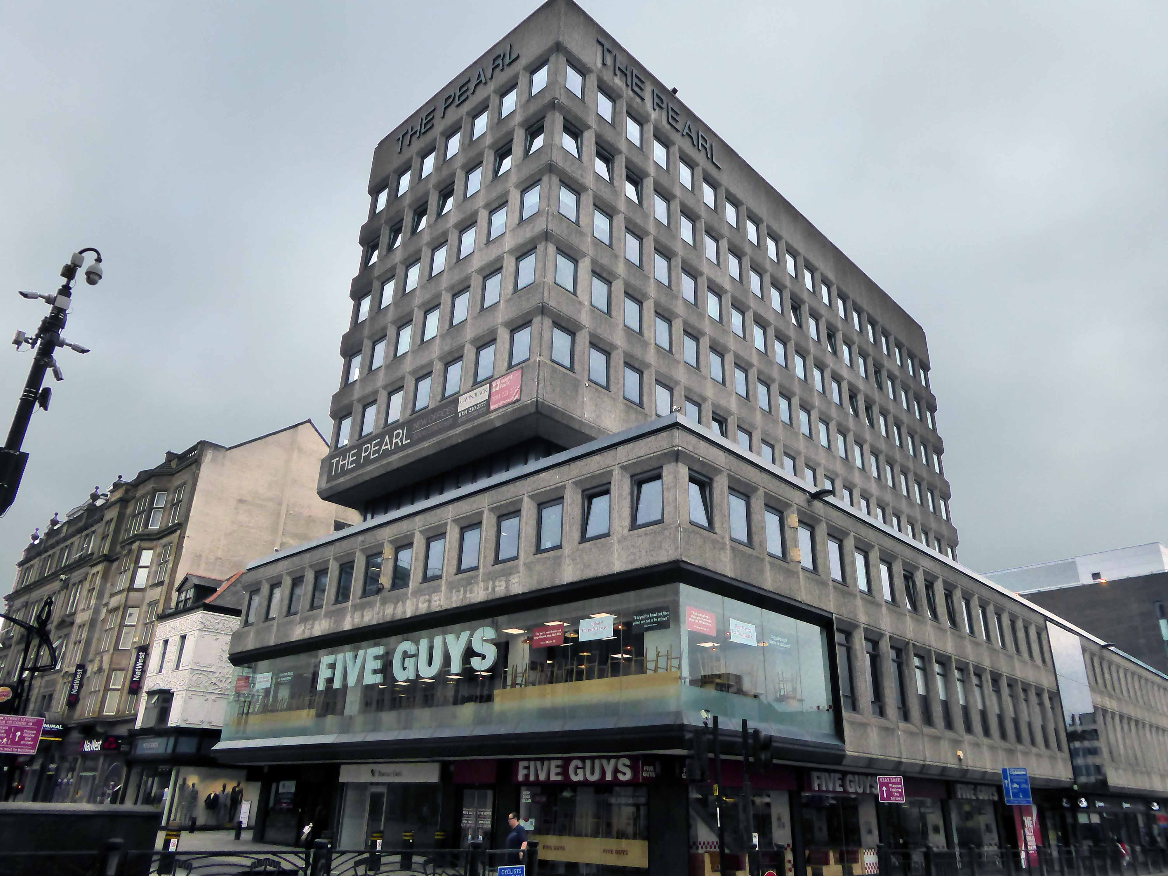
The building was originally developed by C&A and it is thought that funding for the reliefs might have been provided by the store and/or Northern Arts. It became BHS which subsequently closed, the building is now occupied by Primark, C&A estates still own the site.
Taking a bold leap into the unknown I left the city centre, unwisely following unfamiliar roads, predictably becoming very lost.
I sought assistance from a passing fellow cyclist, very kindly he guided me to Tynemouth, following a mysterious and circuitous course across the undulating terrain – thanks.
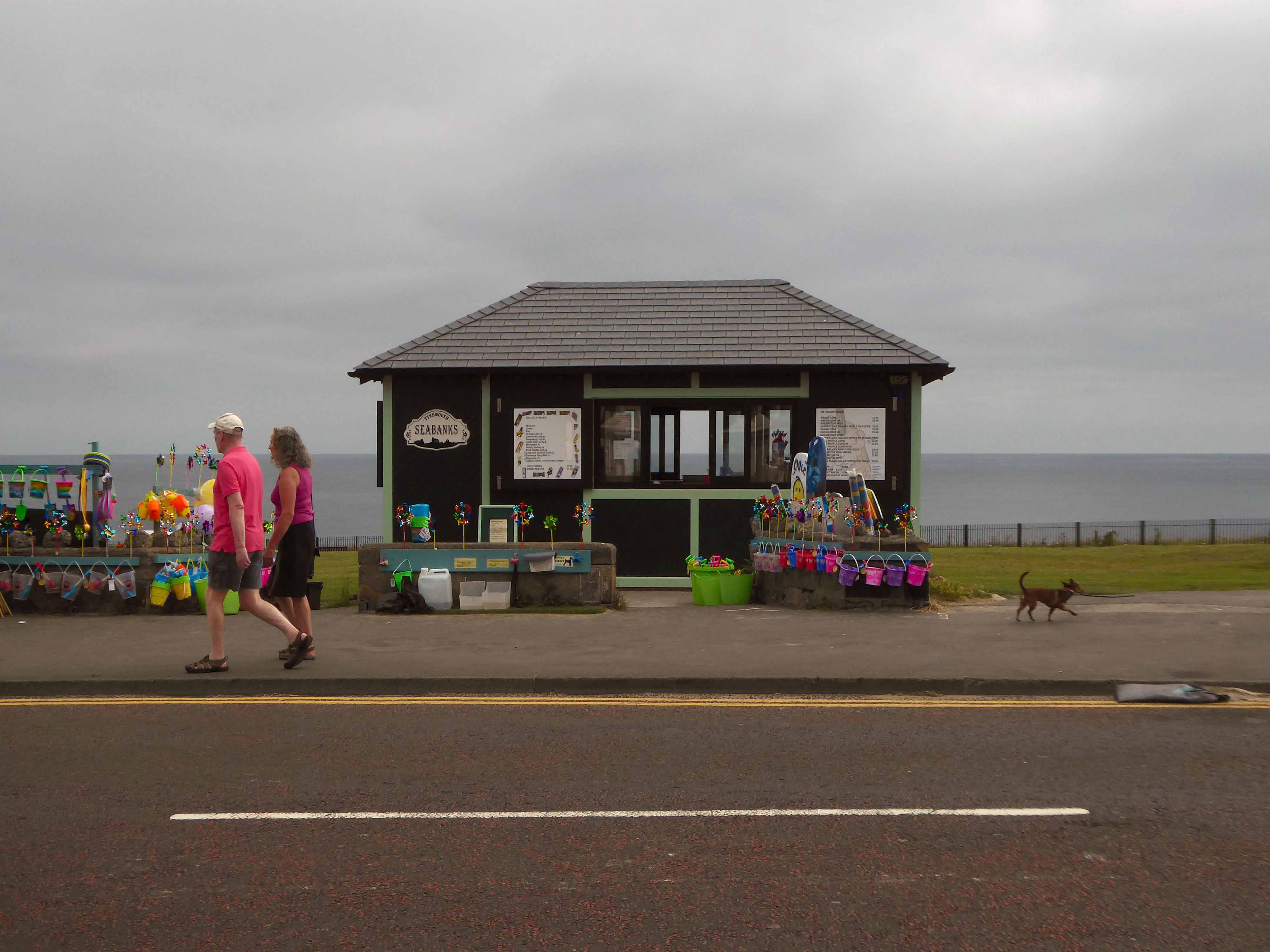
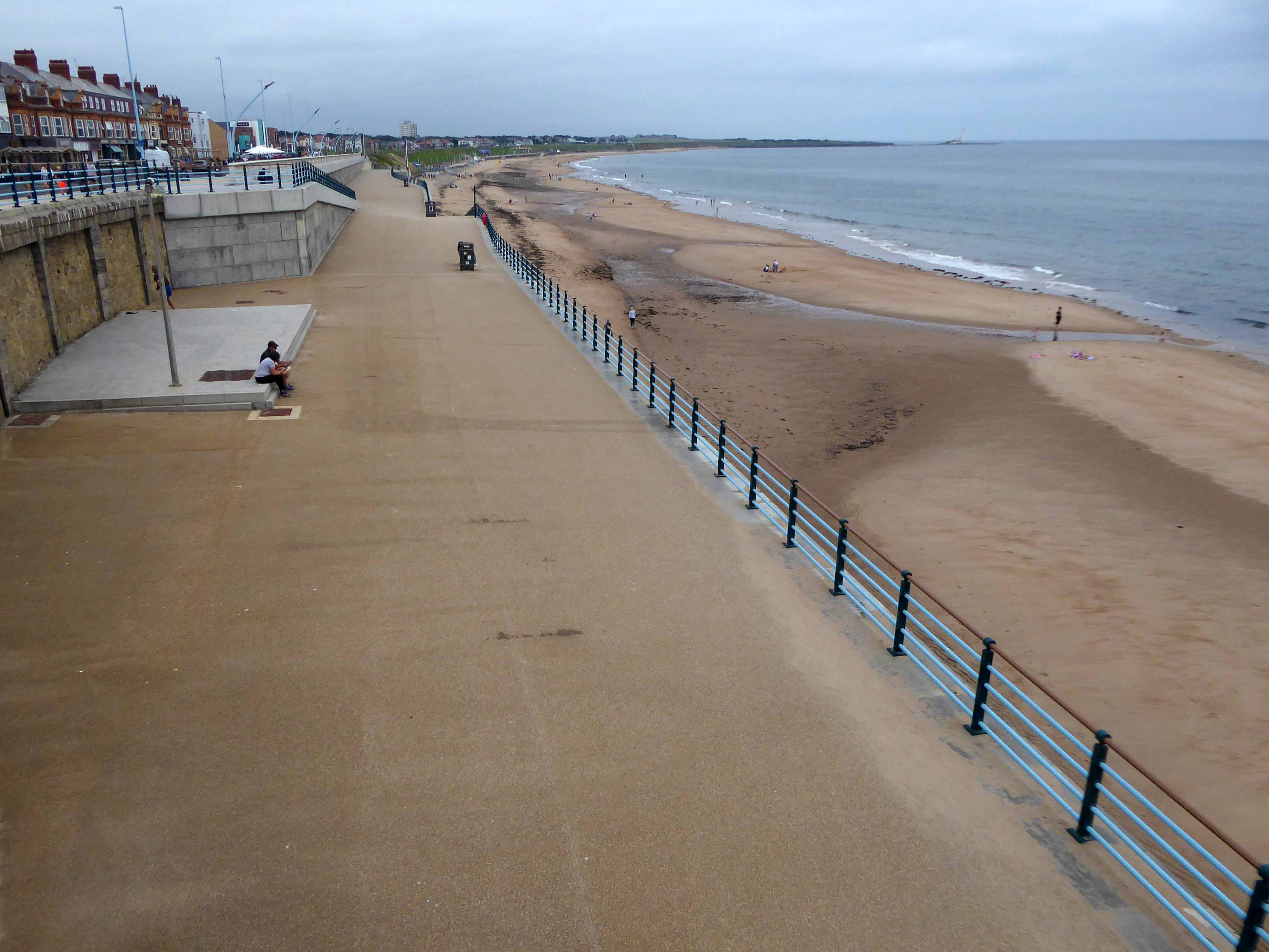
The city quickly becomes the seaside with its attendant retail bricolage.
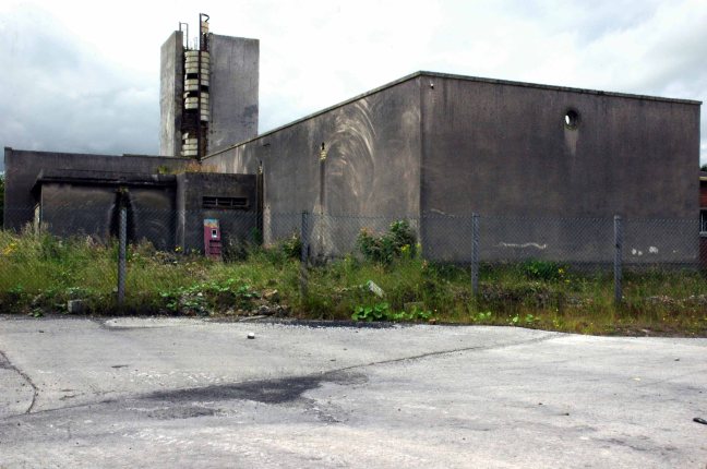
An all too familiar redundant Lido – opened in 1925 and closed in the mid 90’s – but a Friends Group aims to breathe new life into the site.
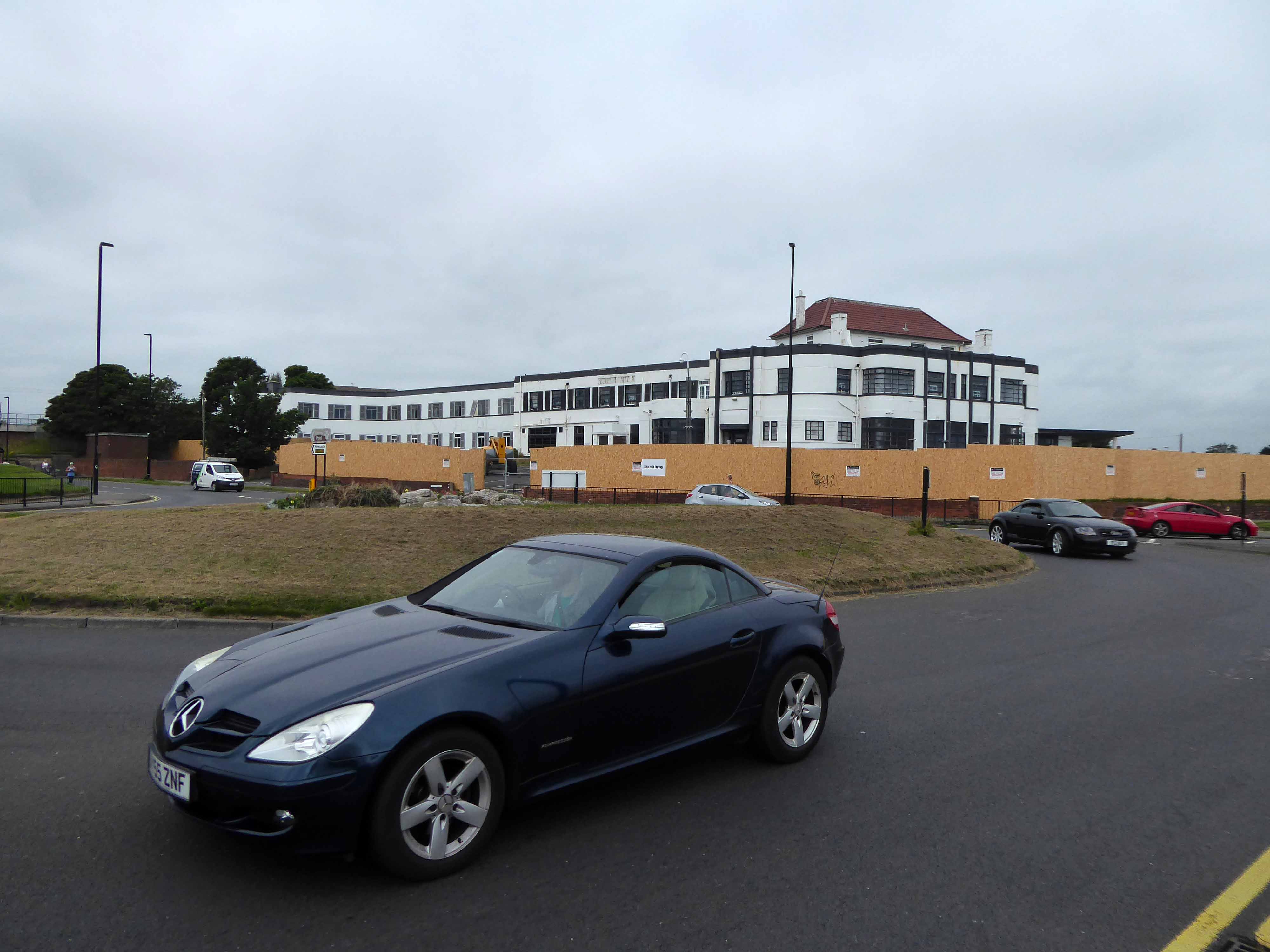
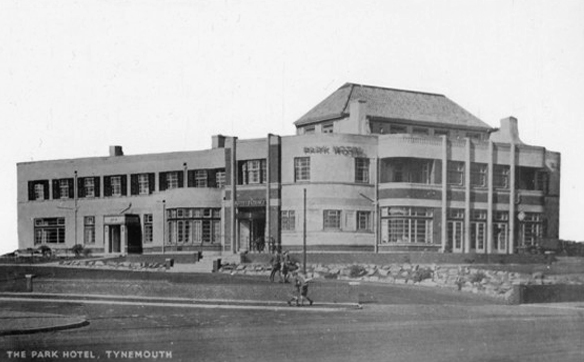
The Park Hotel built in the 1930’s and recently refurbished has been bought by The Inn Collection Group.
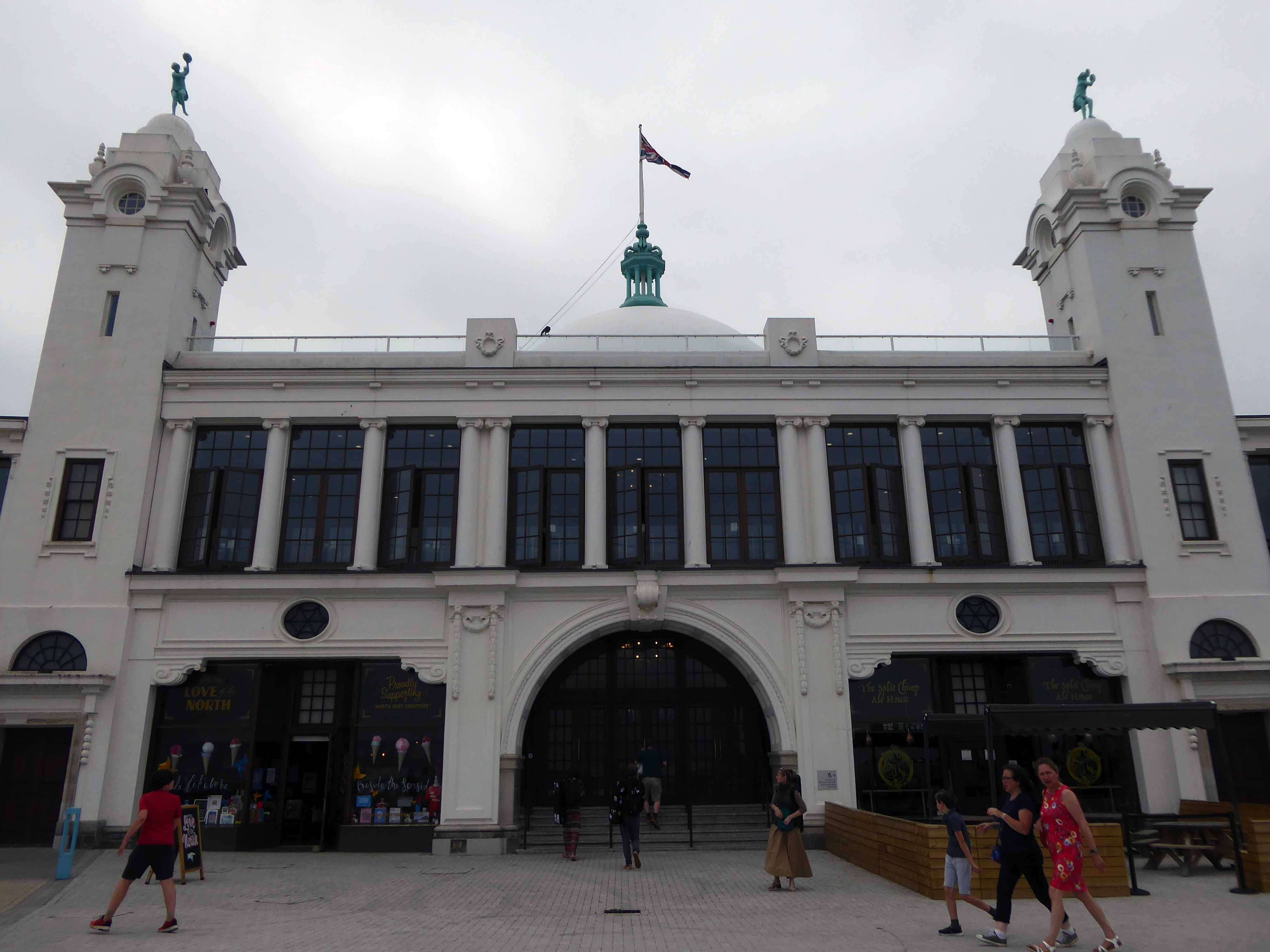
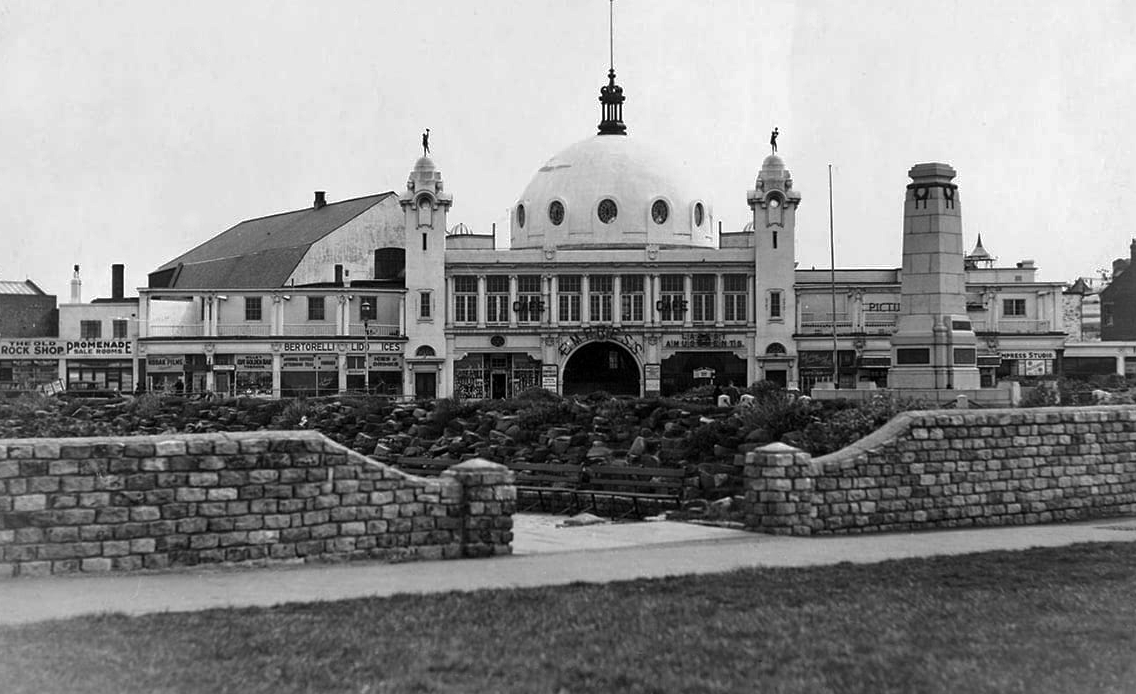
A simple three-arched entrance had been built facing the seafront and the area was now completely enclosed within a boundary. In 1909, large rides appeared, including a Figure Eight rollercoaster and a Water Chute. Elderton and Fail wanted to make a statement and create a new, grand entrance to the fairground. They hired the Newcastle architects Cackett& Burns Dick to survey the site and begin drawing up plans for new Pleasure Buildings.
Building began in February 1910 and the construction was completed by builders Davidson and Miller 60 days later. The use of the revolutionary reinforced concrete technique pioneered by Francois Hennebique was perfect for the job, being cheap and fast. The Dome and surrounding buildings – a theatre and two wings of shop units – opened on 14 May 1910 to great fanfare. Visitors marvelled at the great Spanish City Dome, the second largest in the country at the time after St. Paul’s Cathedral in London, which provided a spectacular meeting place with uninterrupted views from ground level to its ceiling, 75 feet above.
Telegraph-wire cyclists, acrobatic comedians, singing jockeys, mermaids, they all appeared at the Spanish City during its first decade. One of the wings hosted the menagerie, where visitors could see hyenas, antelopes and tigers! This was converted into the Picture House cinema in 1916.
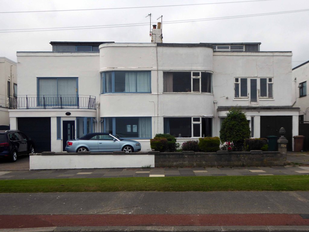
A little further along, a selection of Seaside Moderne semis in various states of amendment and alteration.
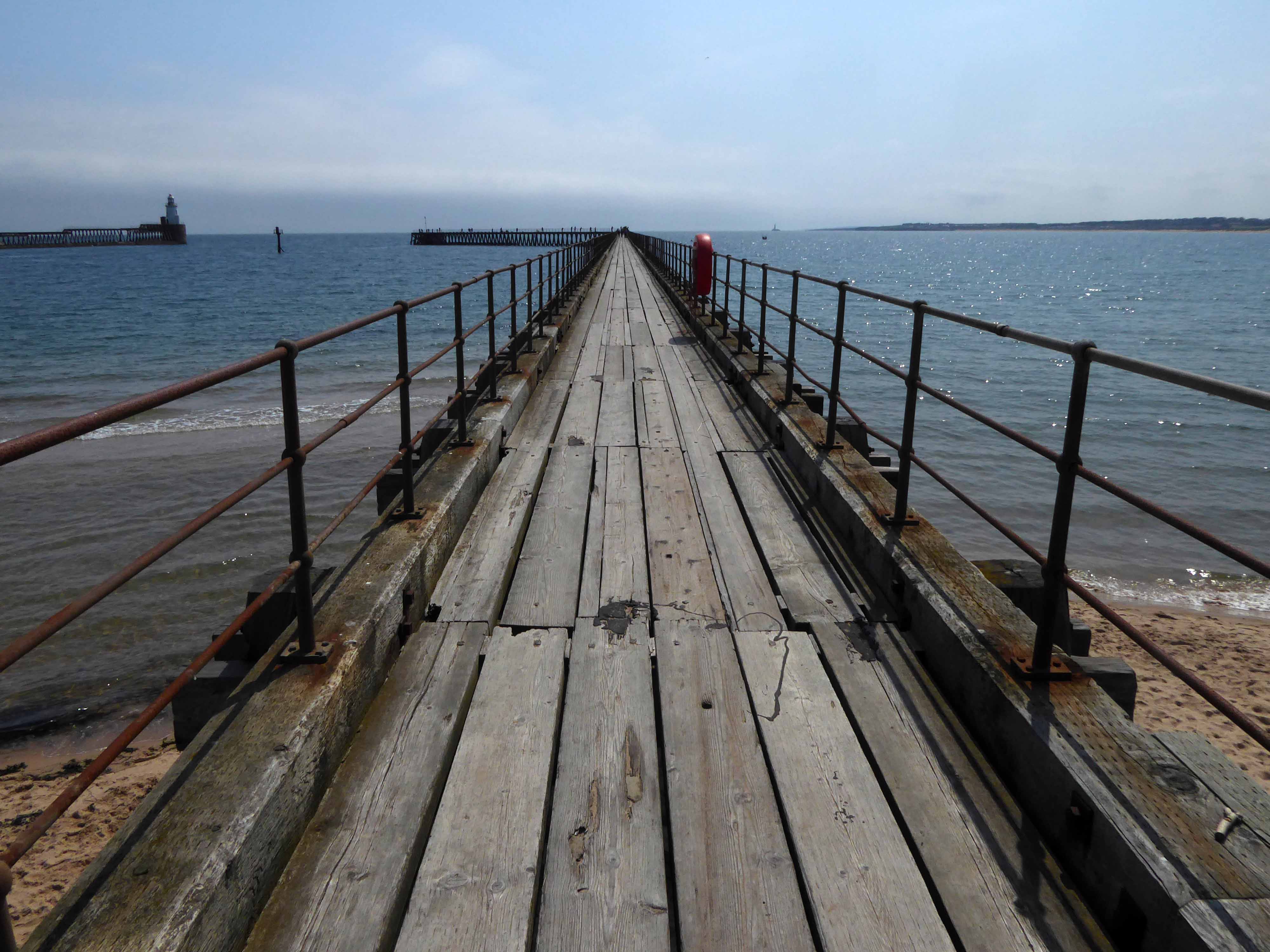
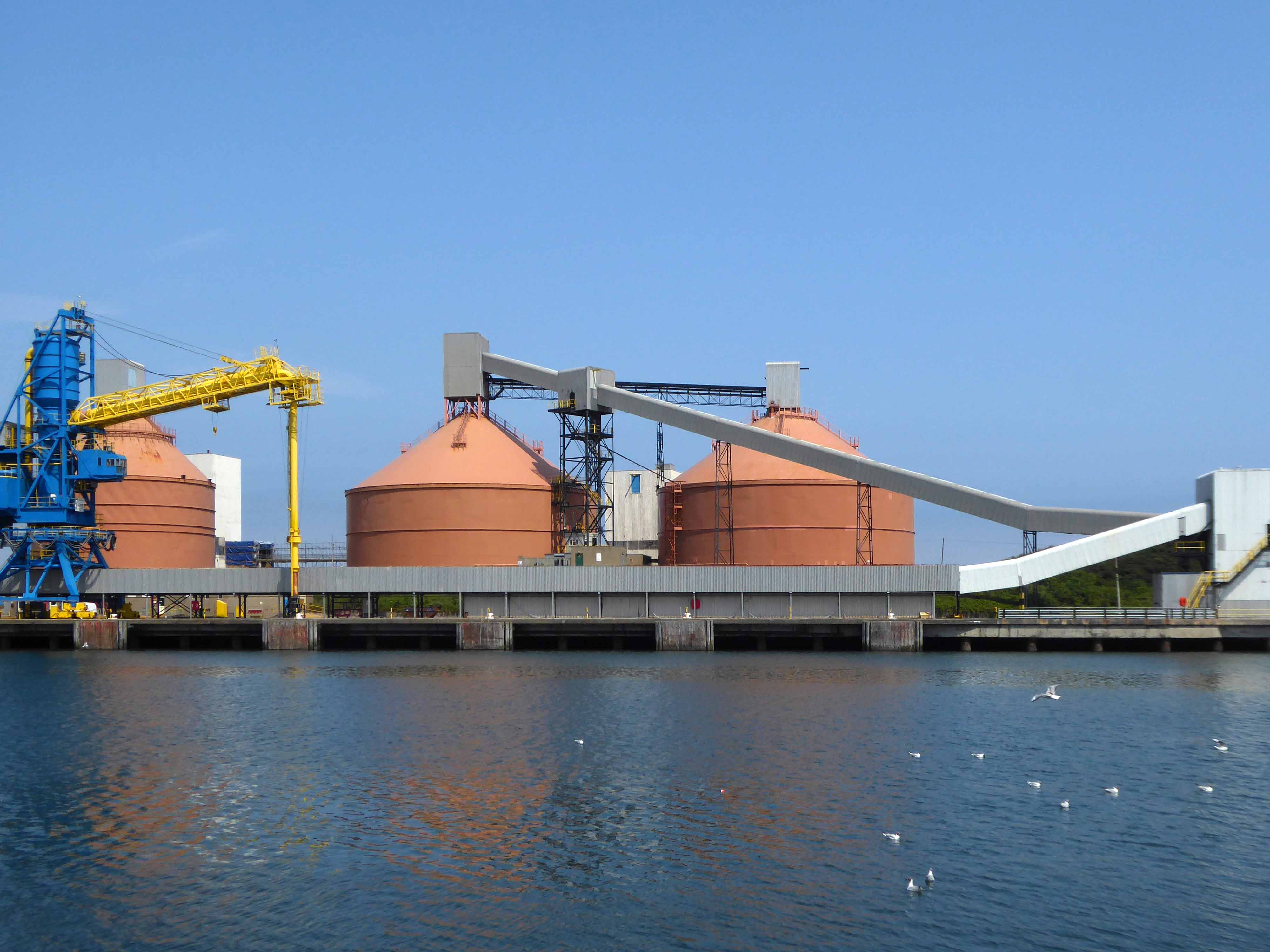
Before I knew it I was in Blyth.
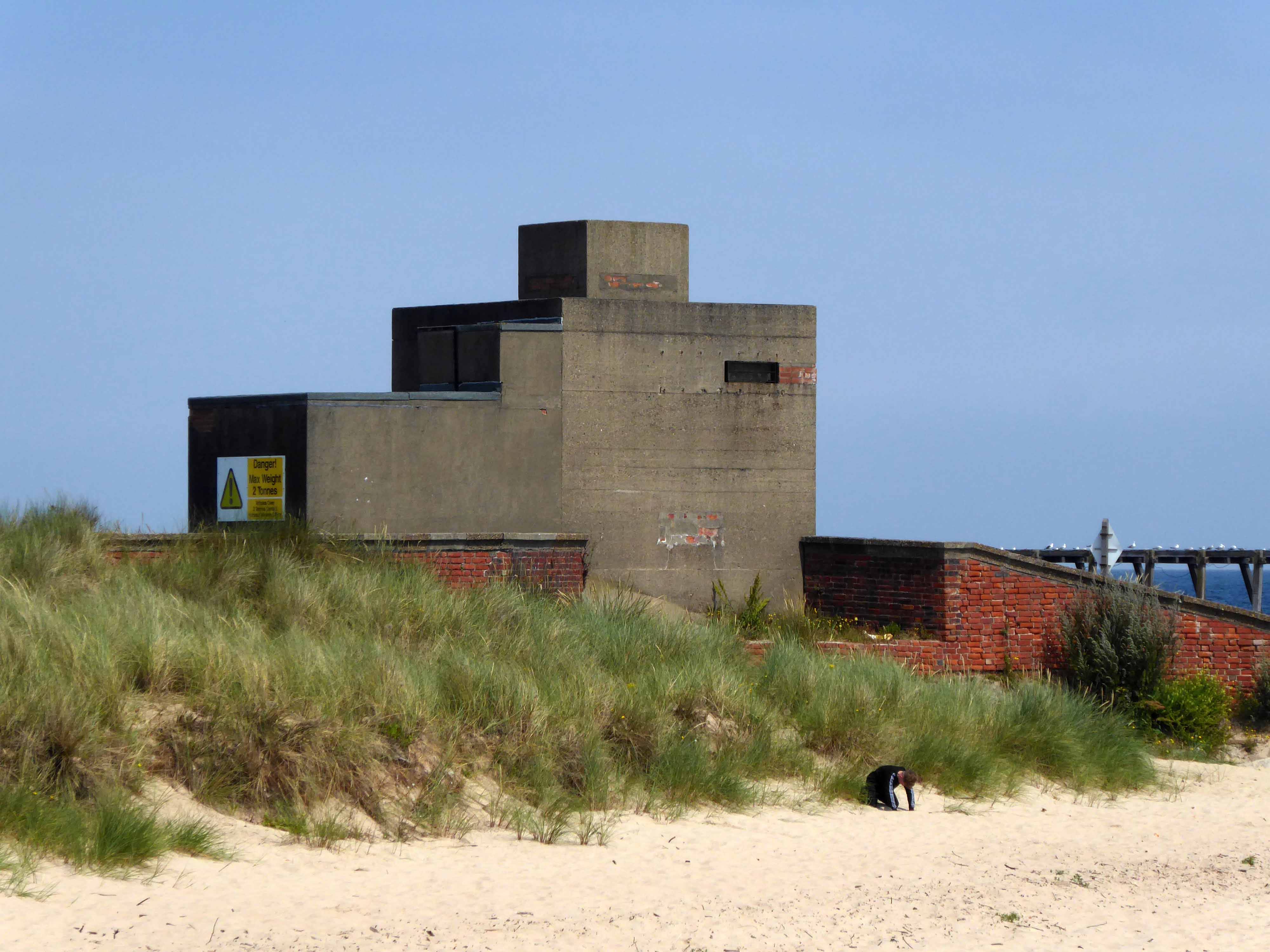
The town edged with military installations
Gloucester Lodge Battery includes the buried, earthwork and standing remains of a multi-phase Second World War heavy anti-aircraft gun battery and radar site, as well as a Cold War heavy anti-aircraft gun and radar site. The battery occupies a level pasture field retaining extensive rig and furrow cultivation.
During WW2 Blyth Harbour was used as a major submarine base and that combined with the heavy industry in the area it made a very good target for the Luftwaffe.
827 men of the 225th Antiaircraft Artillery Searchlight Battalion of the U.S. Army, arrived at this location in early March 1944 and were attached to the 30th British AAA Brigade. Here they sharpened their skills in the high-altitude tracking of aircraft.
The cycle route took me off road along the estuary and under the flyover.
Encountering a brand new factory.
And the remnants of the old power station.
Blyth Power Station – also known as Cambois Power Station, refers to a pair of now demolished coal-fired power stationsThe two stations were built alongside each other on a site near Cambois in Northumberland, on the northern bank of the River Blyth, between its tidal estuary and the North Sea. The stations took their name from the town of Blyth on the opposite bank of the estuary. The power stations’ four large chimneys were a landmark of the Northumberland skyline for over 40 years.
After their closure in 2001, the stations were demolished over the course of two years, ending with the demolition of the stations’ chimneys on 7 December 2003.
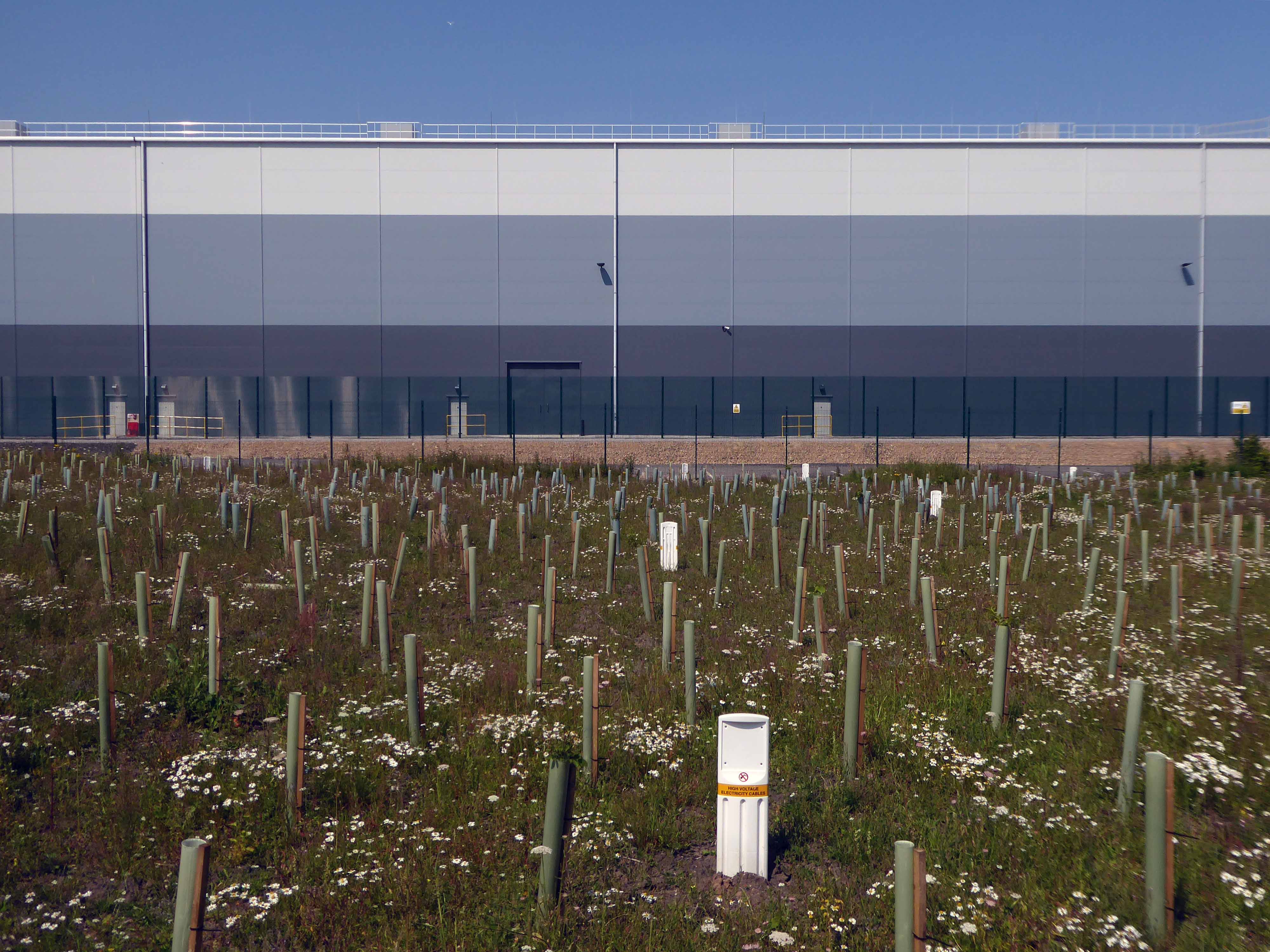
UK battery tech investor Britishvolt has unveiled plans to build what is claimed to be Britain’s first gigaplant at the former coal-fired power station in Blyth in Northumberland.
The £2.6 billion project at the 95-hectare Blyth Power Station site will use renewable energy from the UK and possibly hydro-electric power generated in Norway and transmitted 447 miles under the North Sea through the ‘world’s longest inter-connector’ from the North Sea Link project.
By 2027, the firm estimates the gigaplant will be producing around 300,000 lithium-ion batteries a year.
The project is predicted to create 3,000 new jobs in the North East and another 5,000 in the wider supply chain.