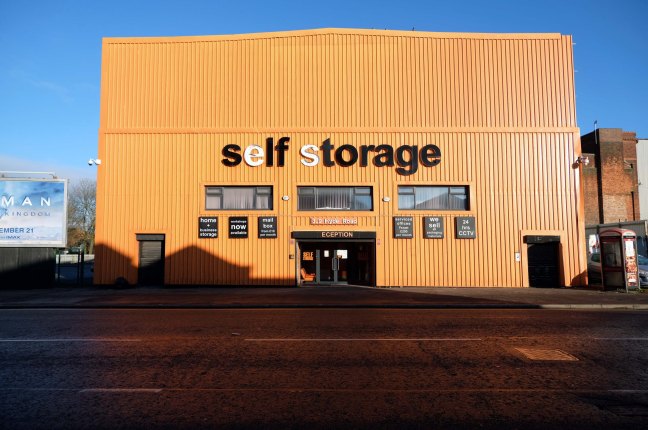
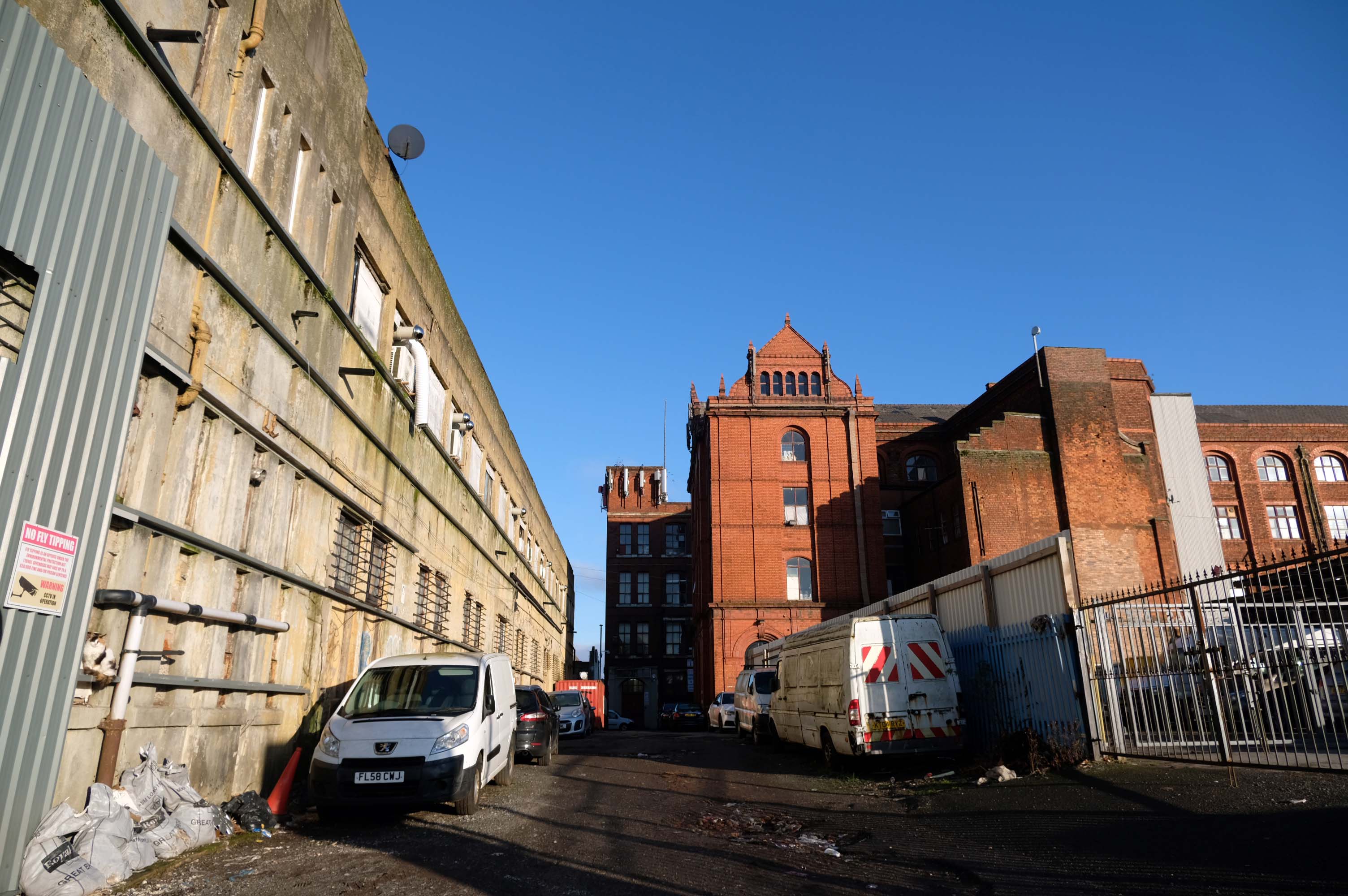
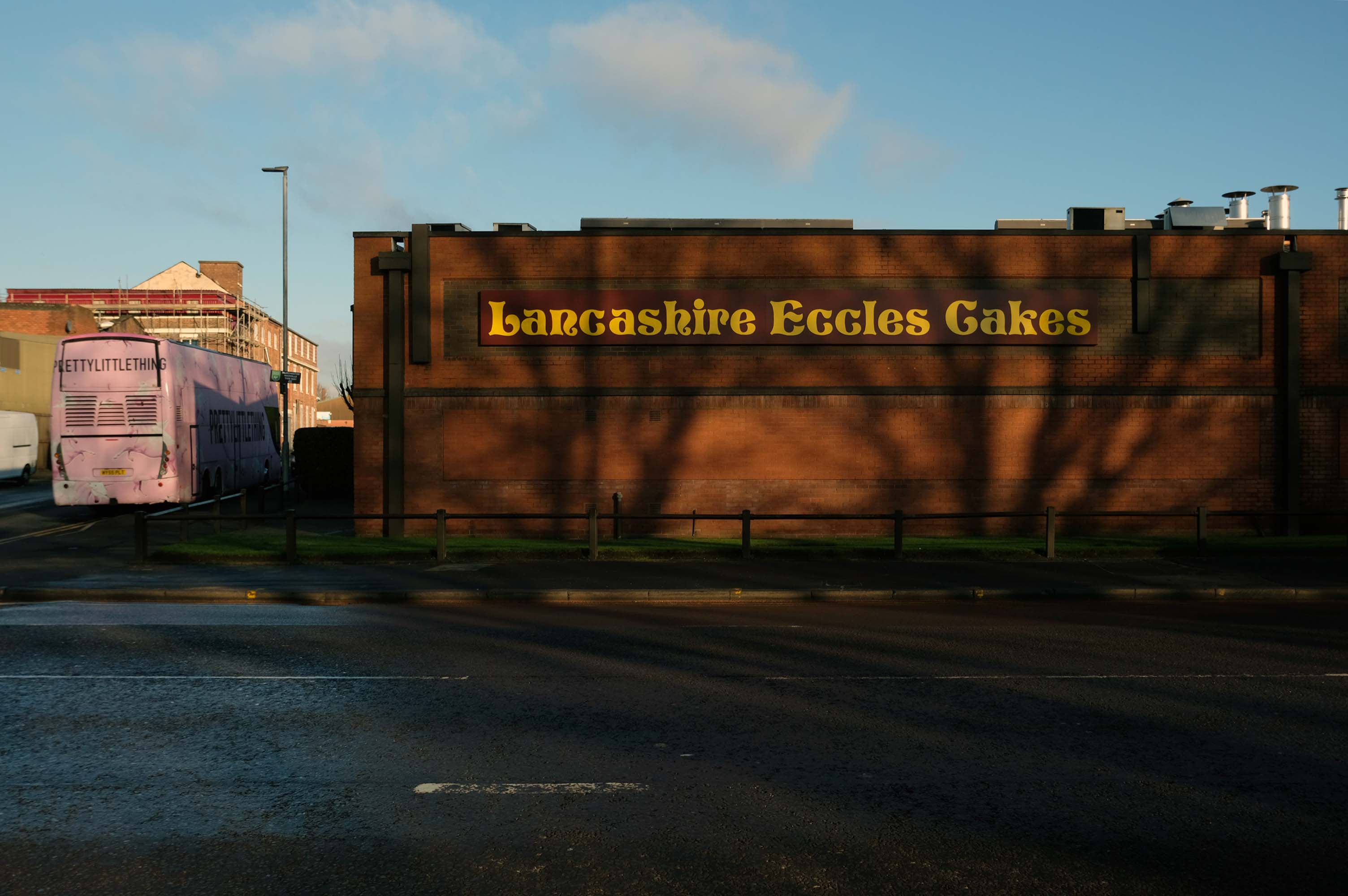
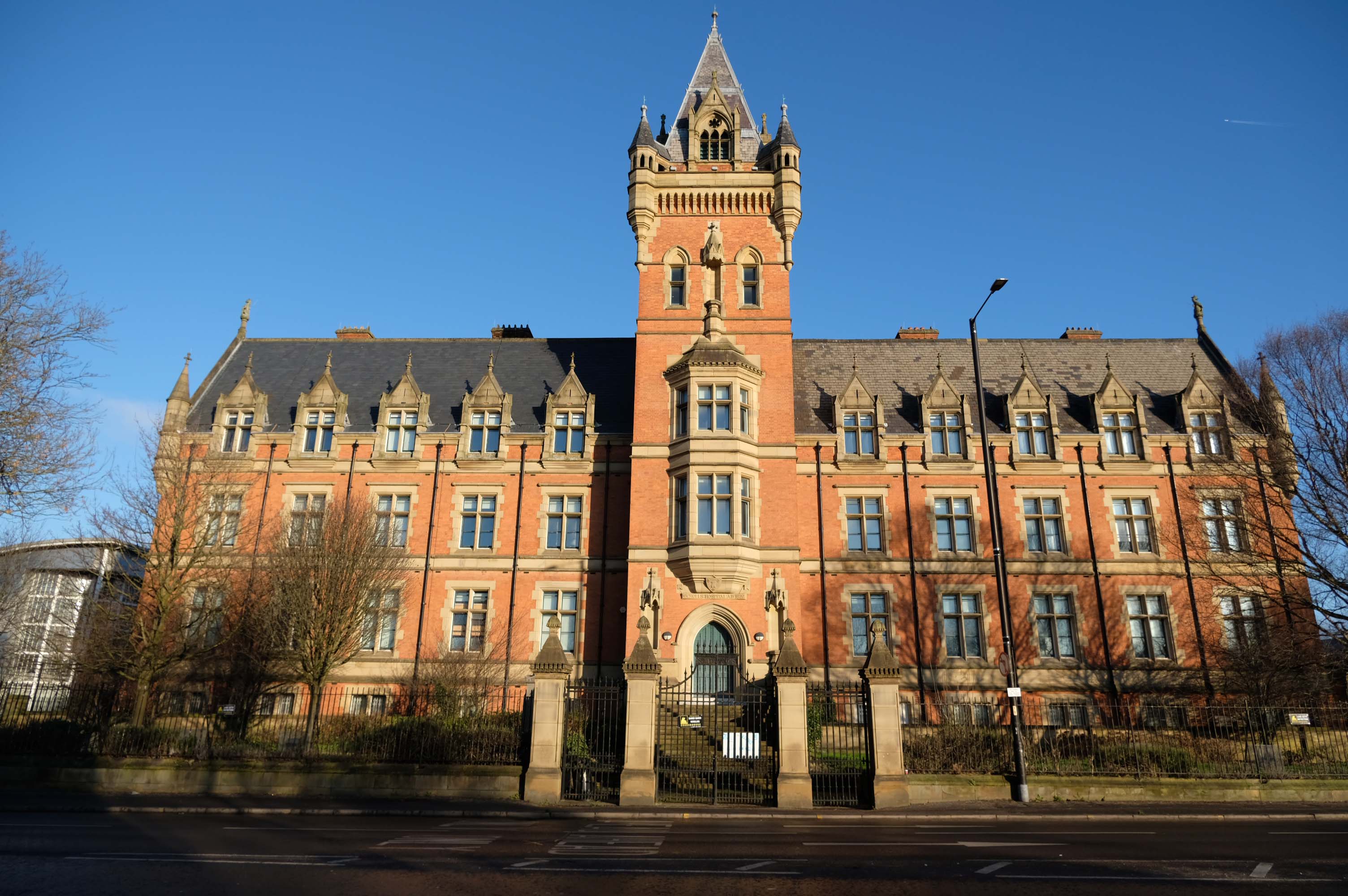
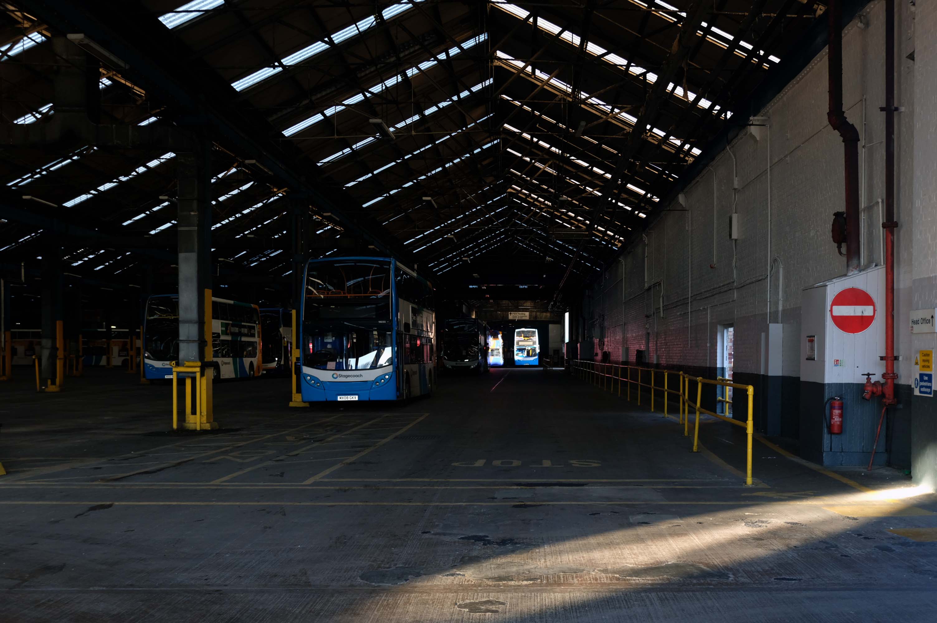
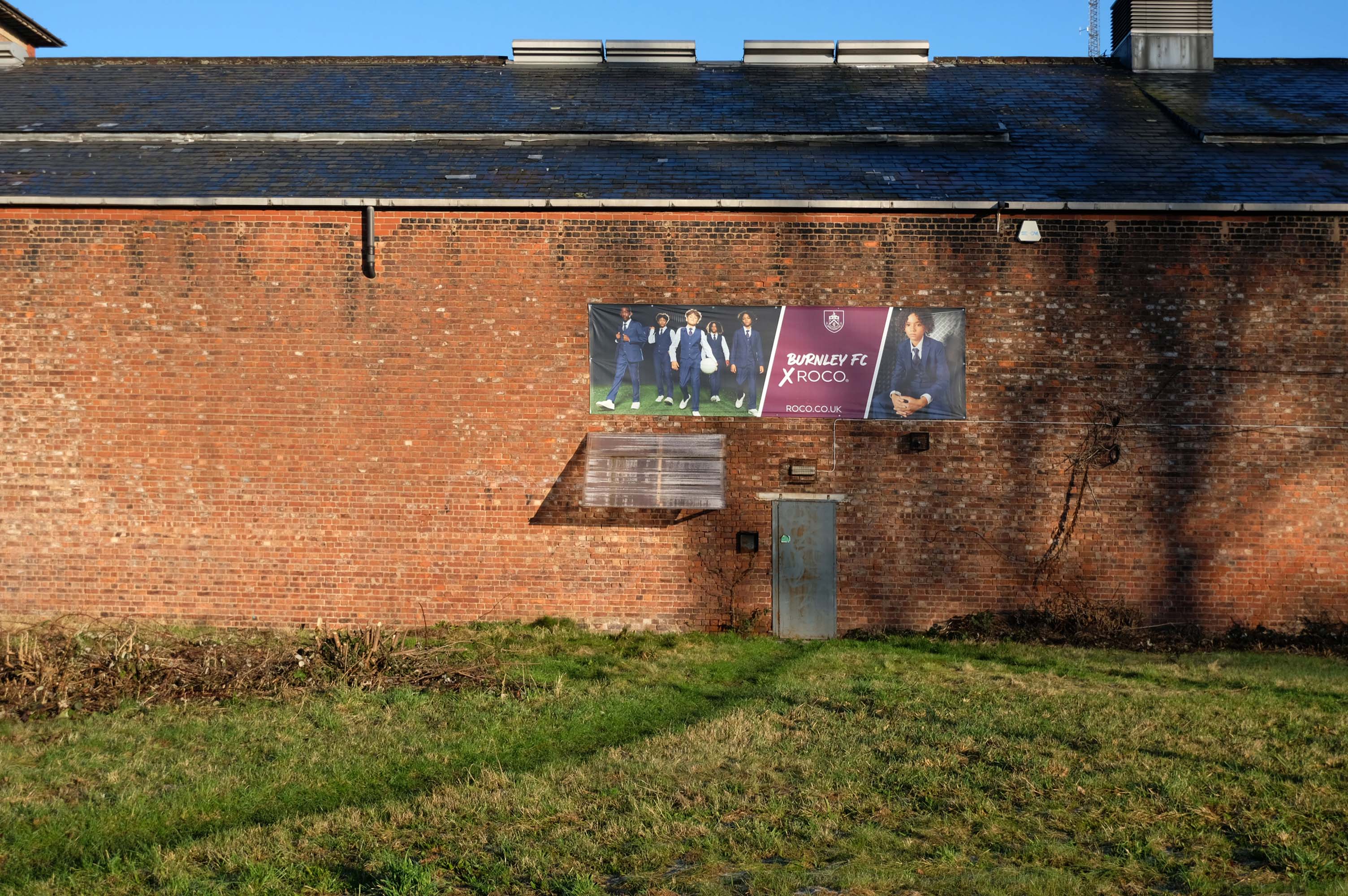
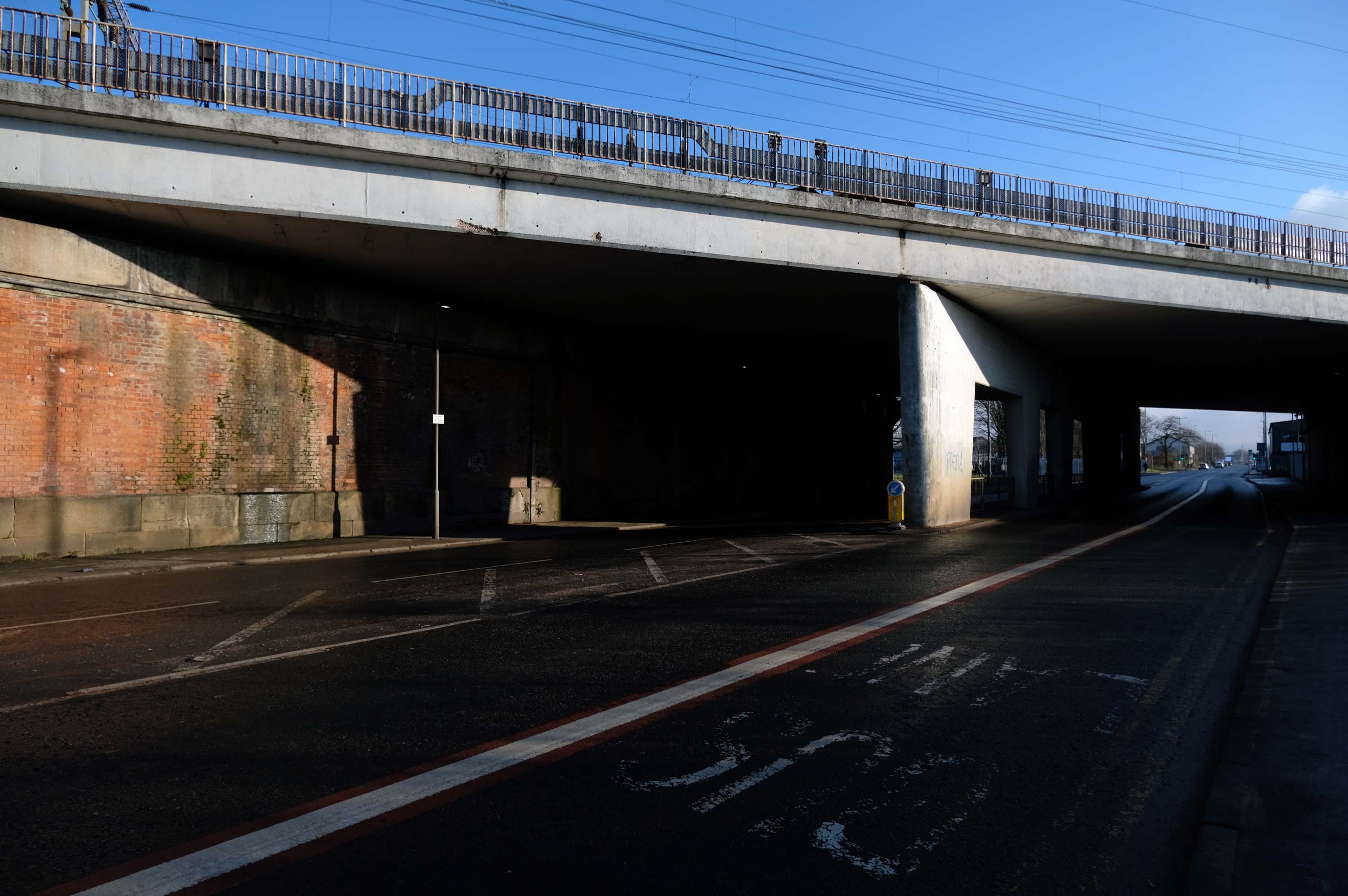
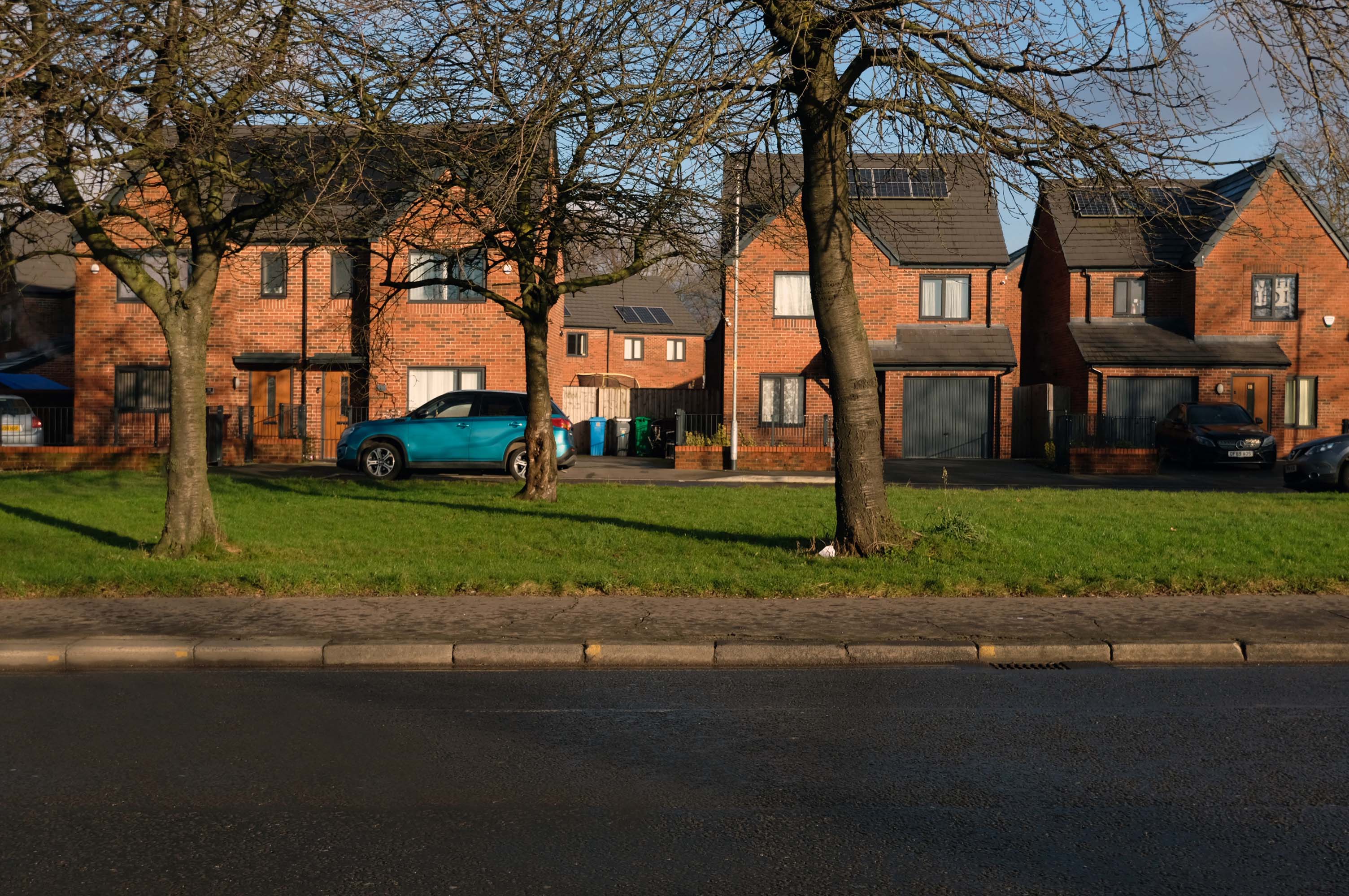
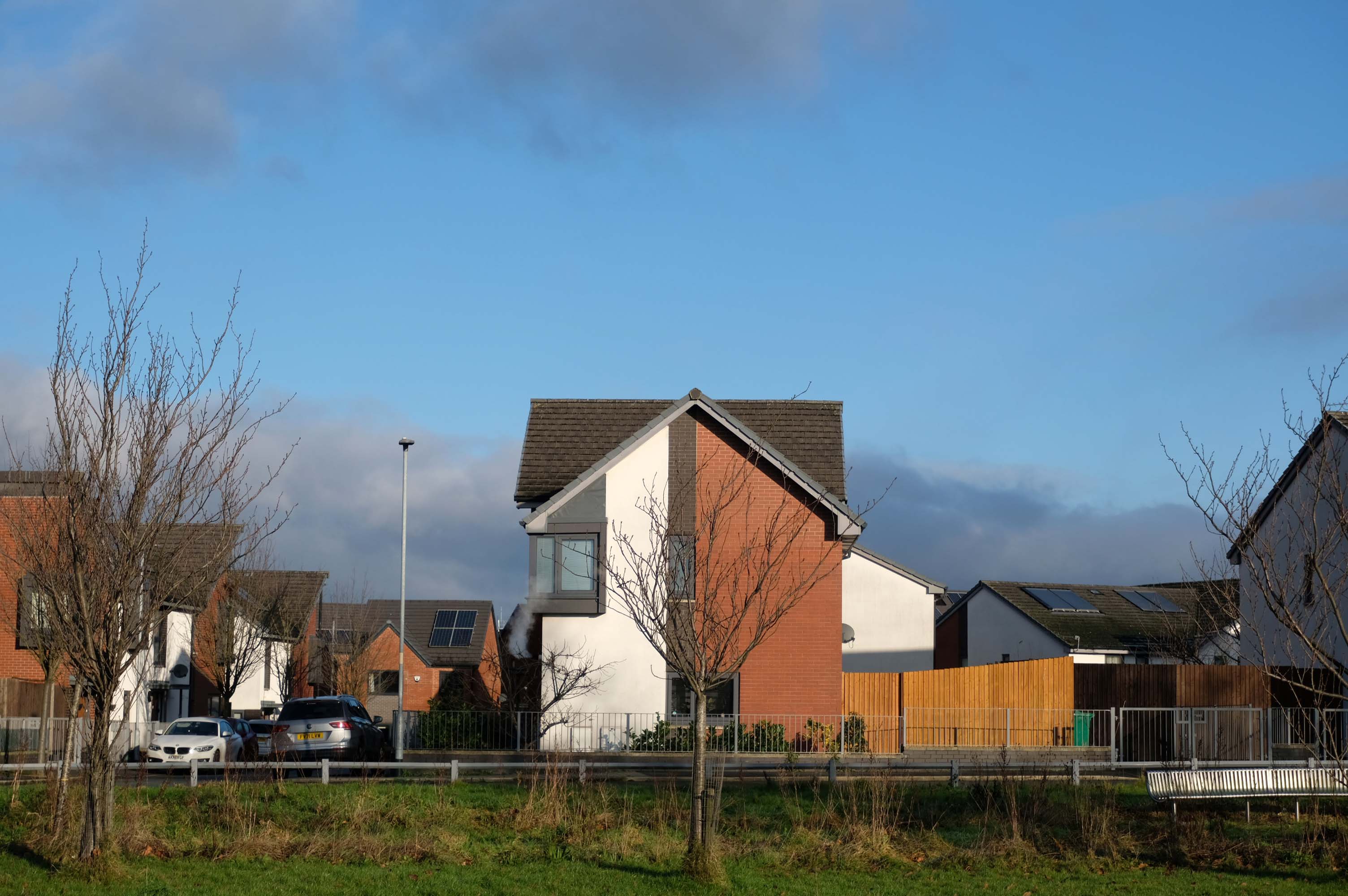
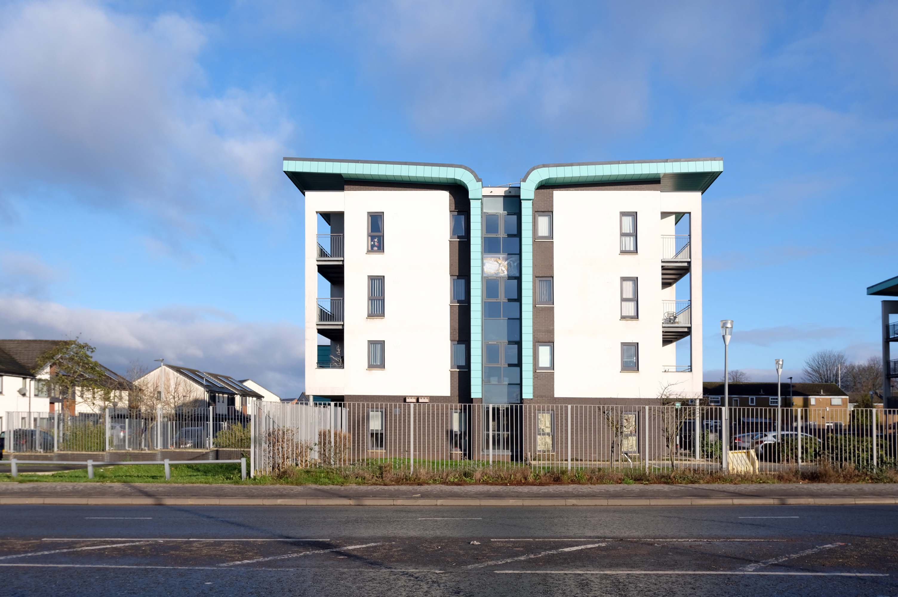
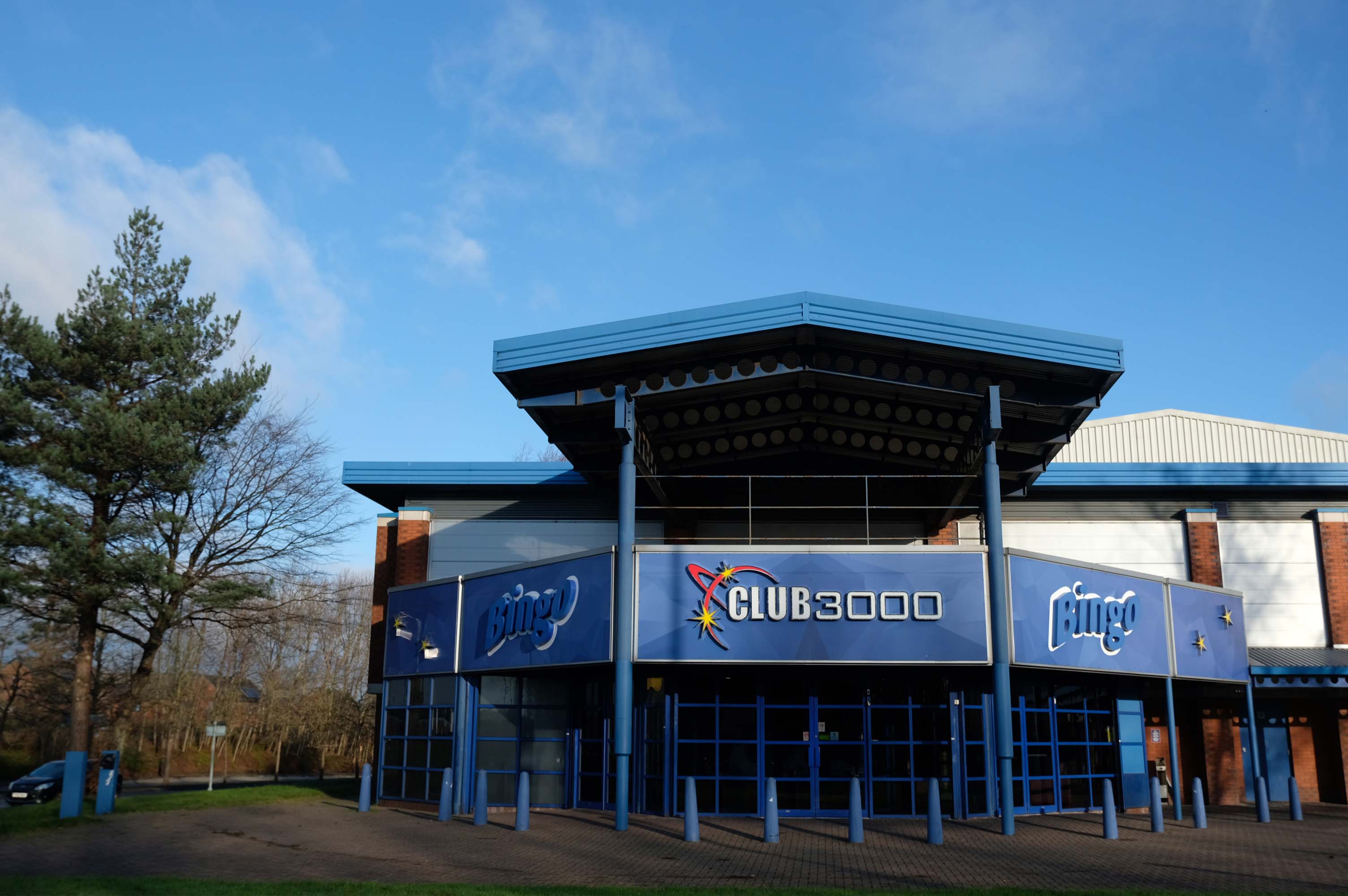
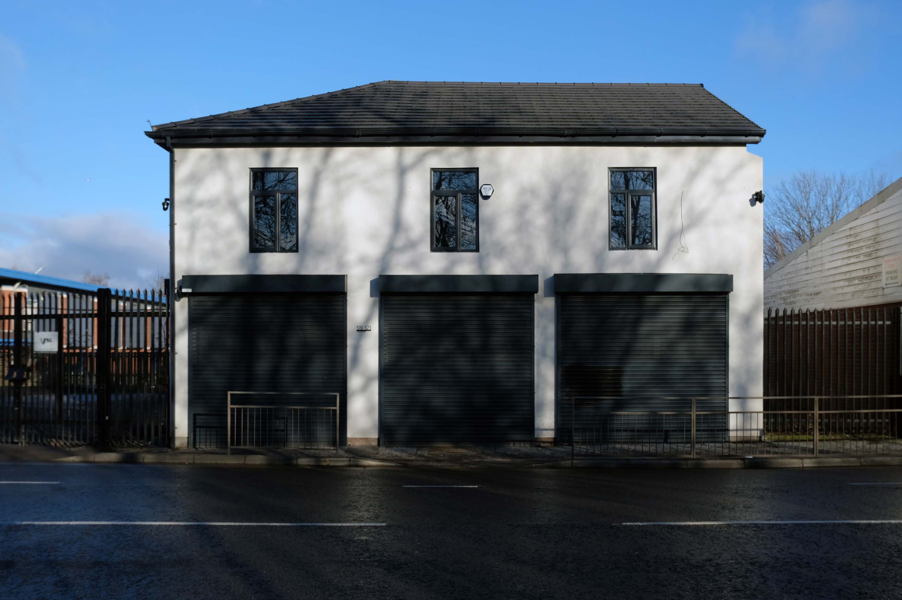
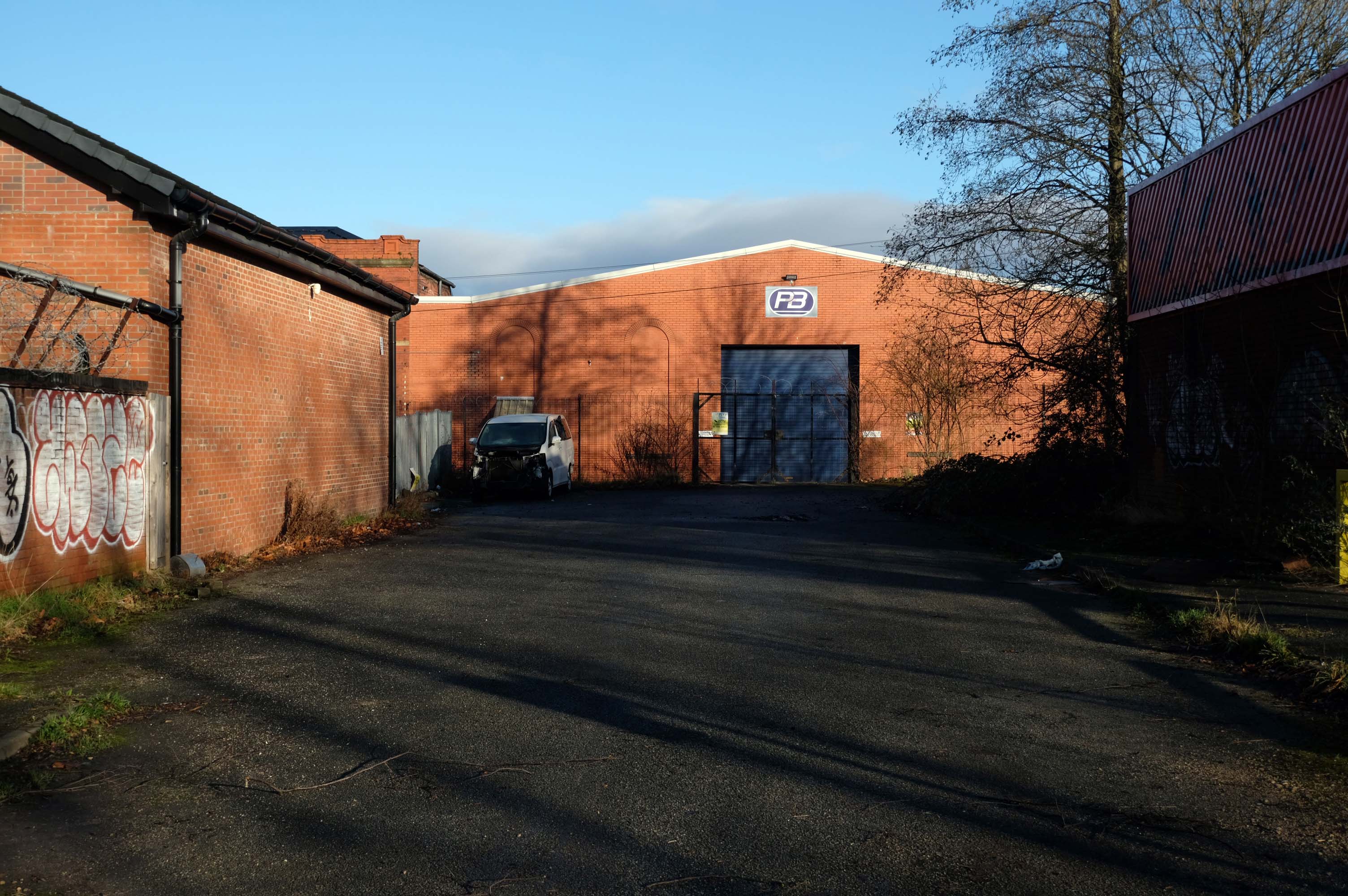
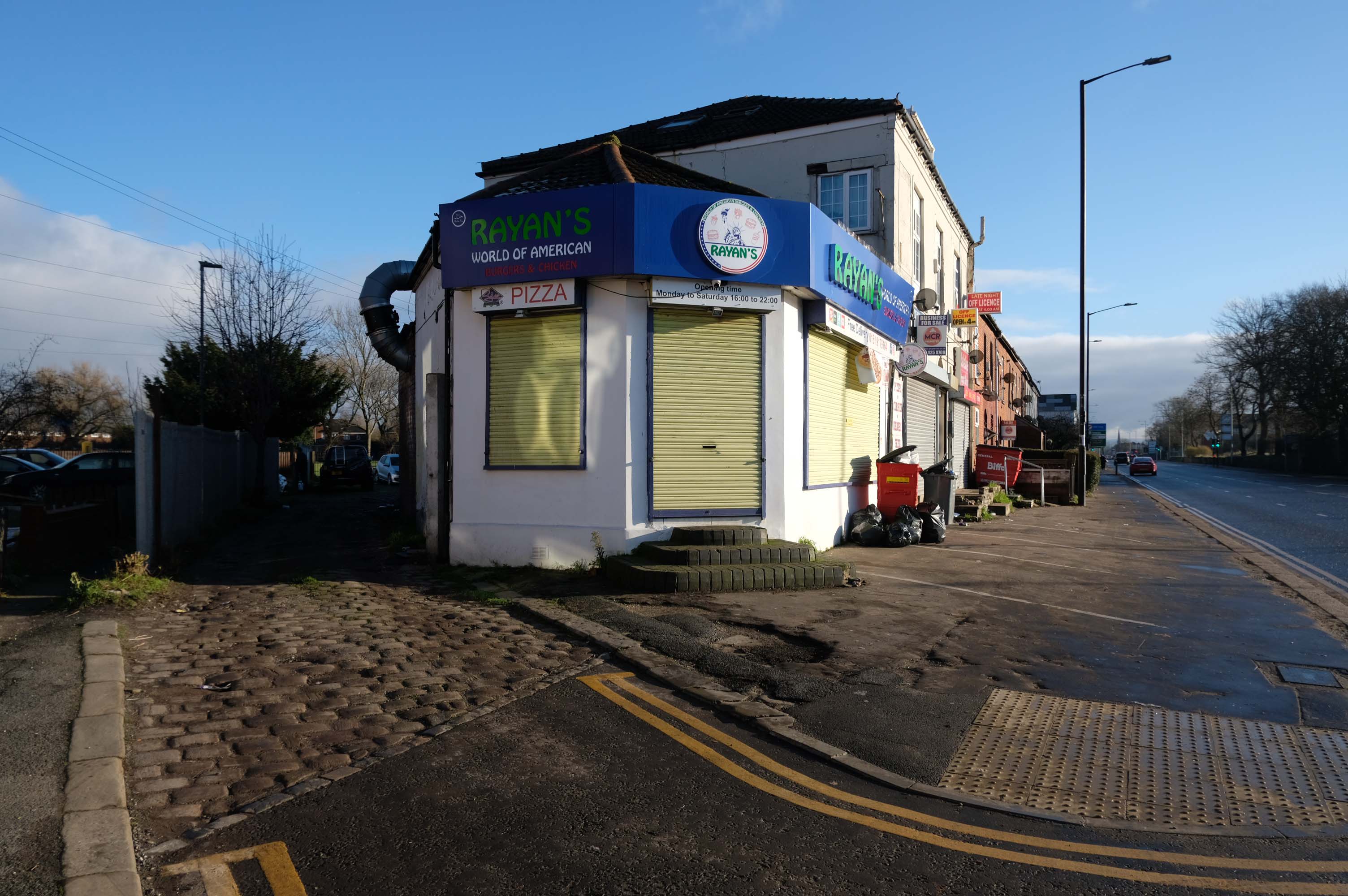
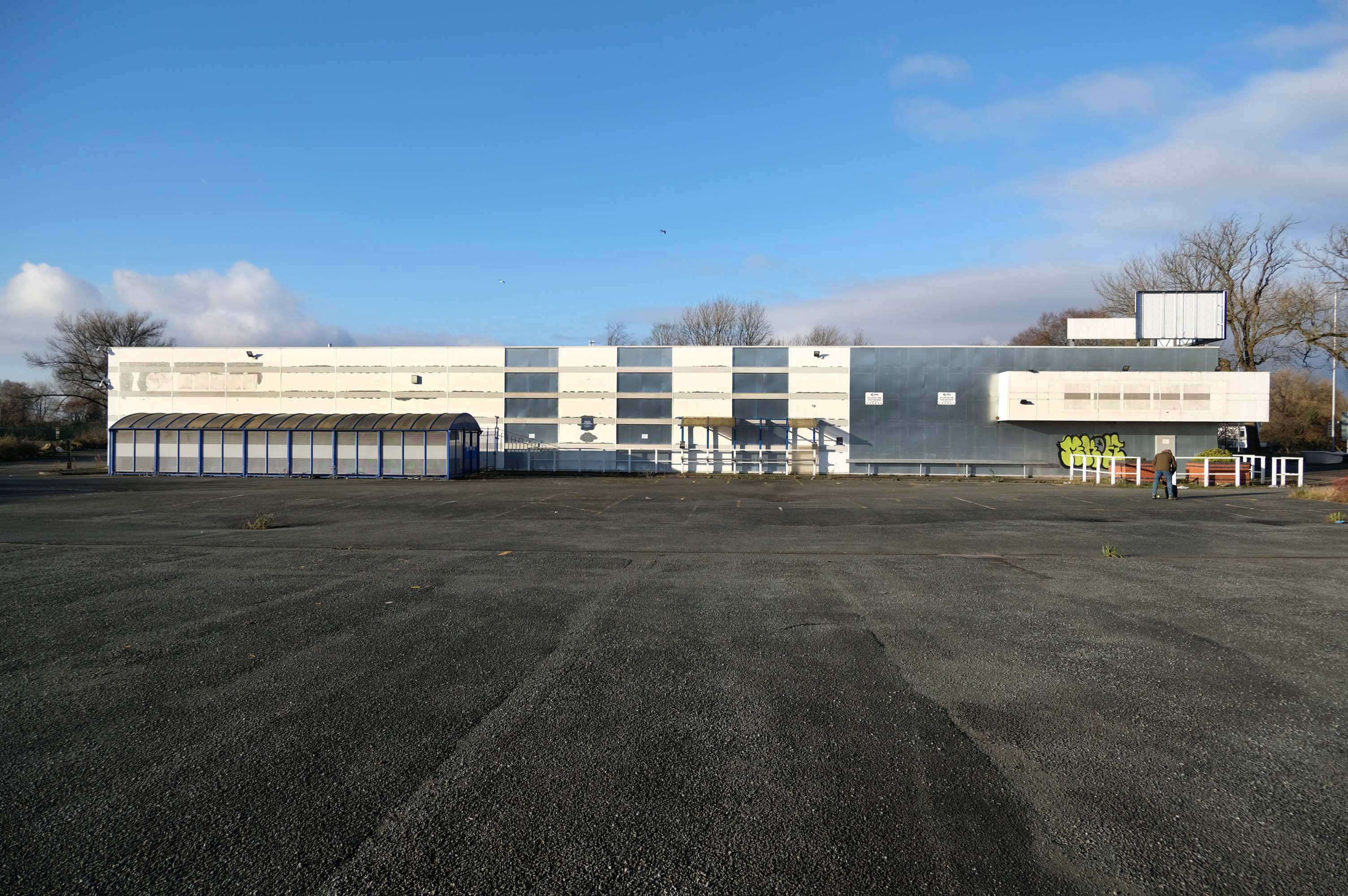
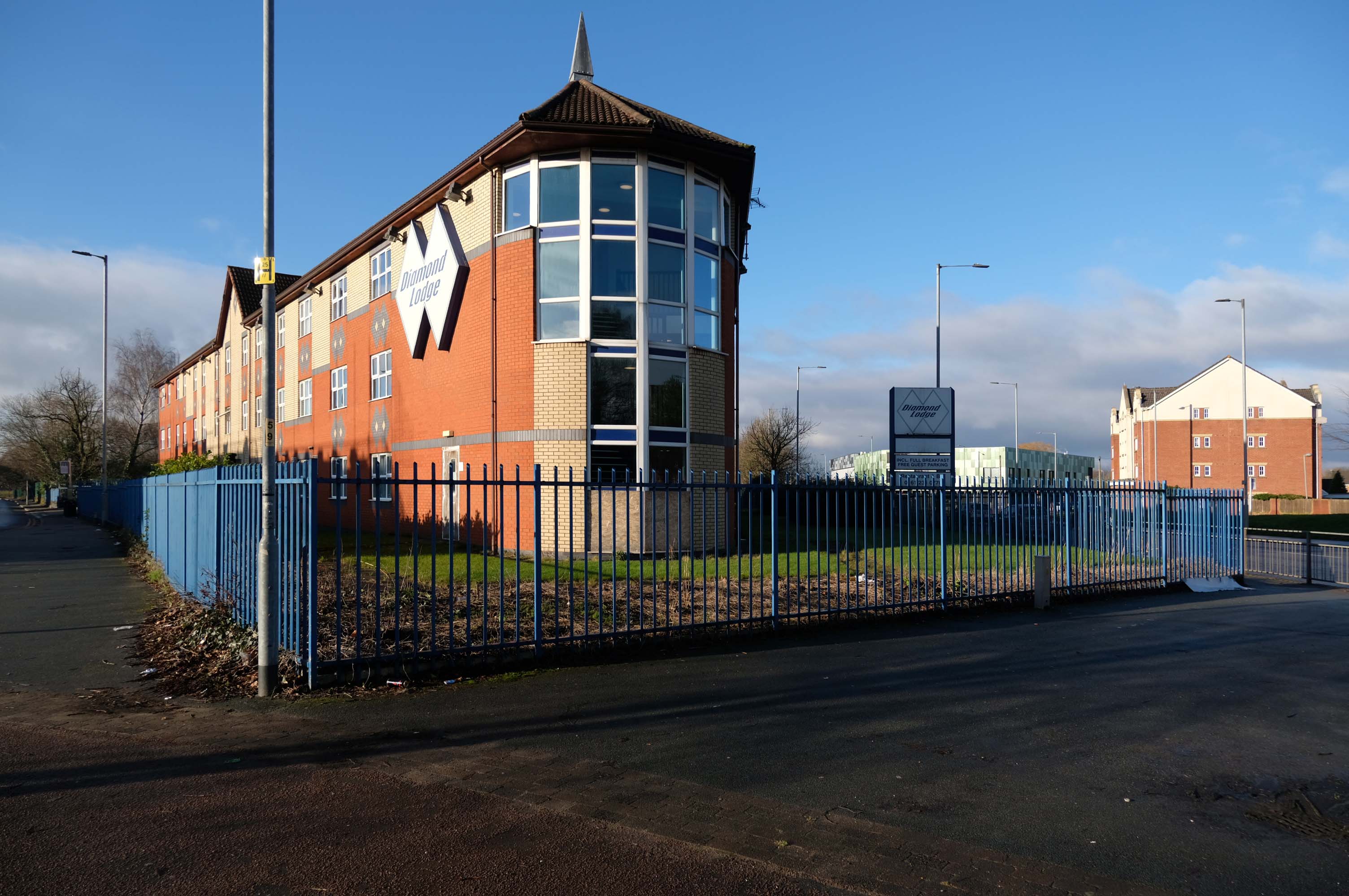
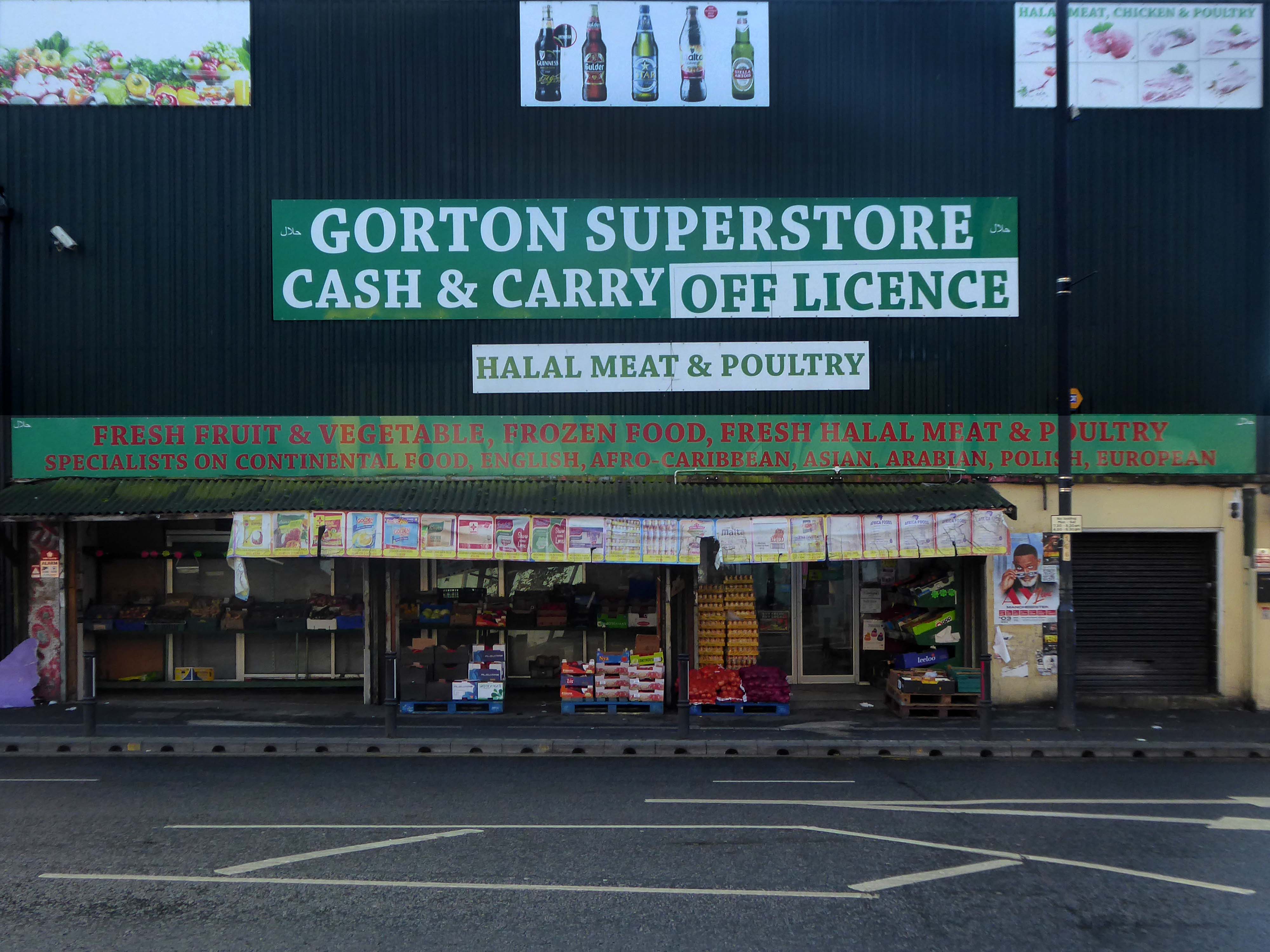
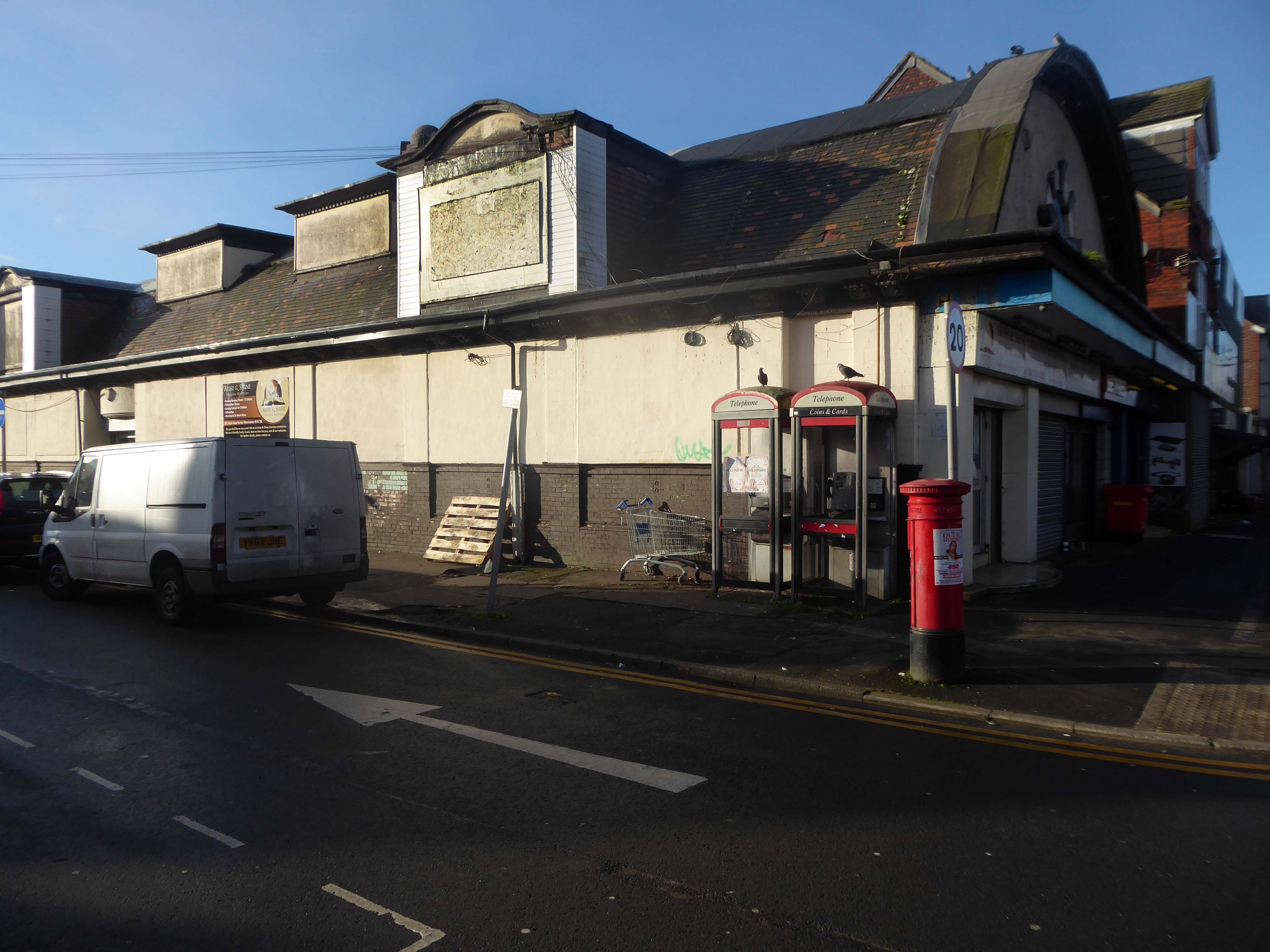
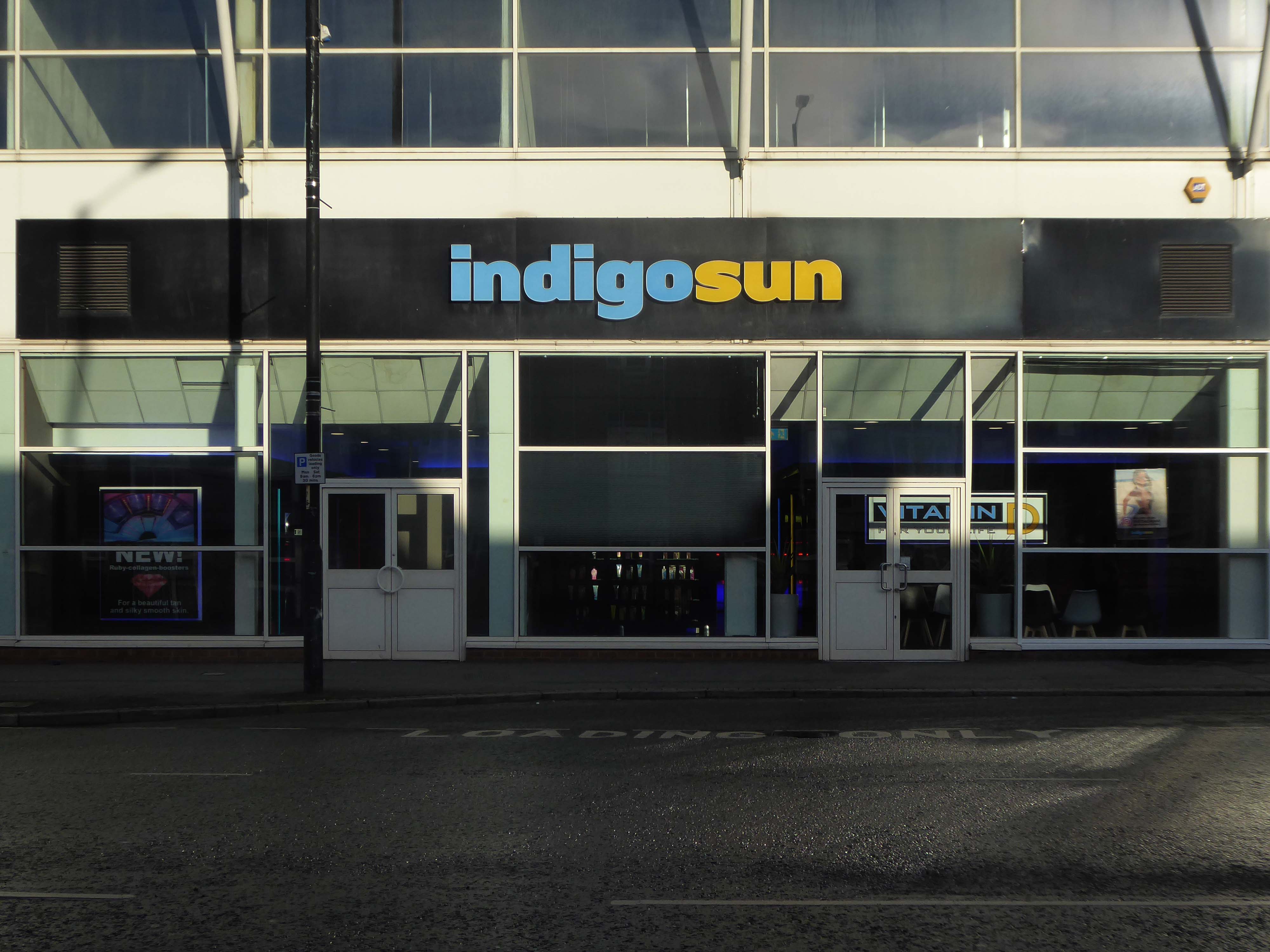
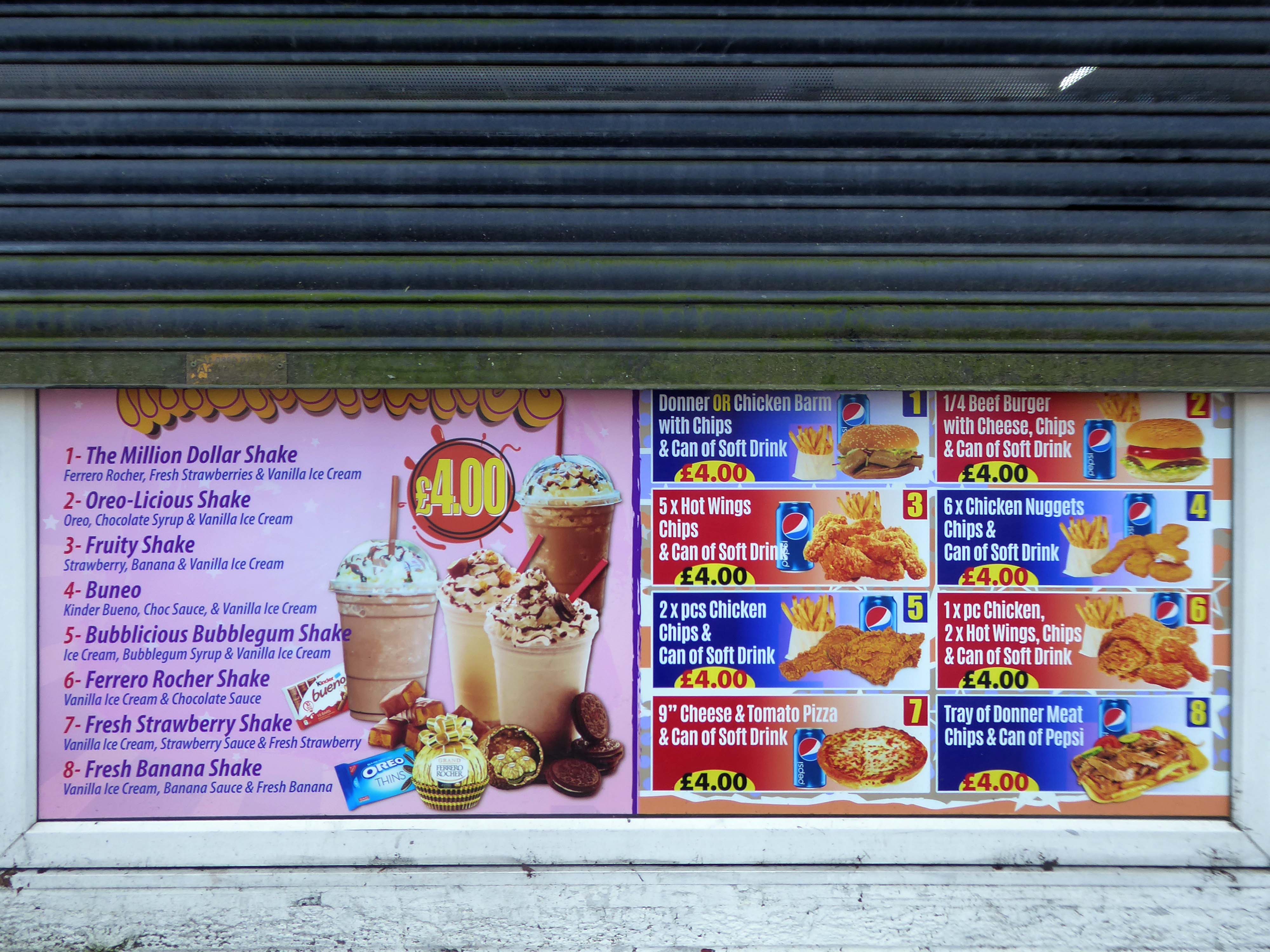
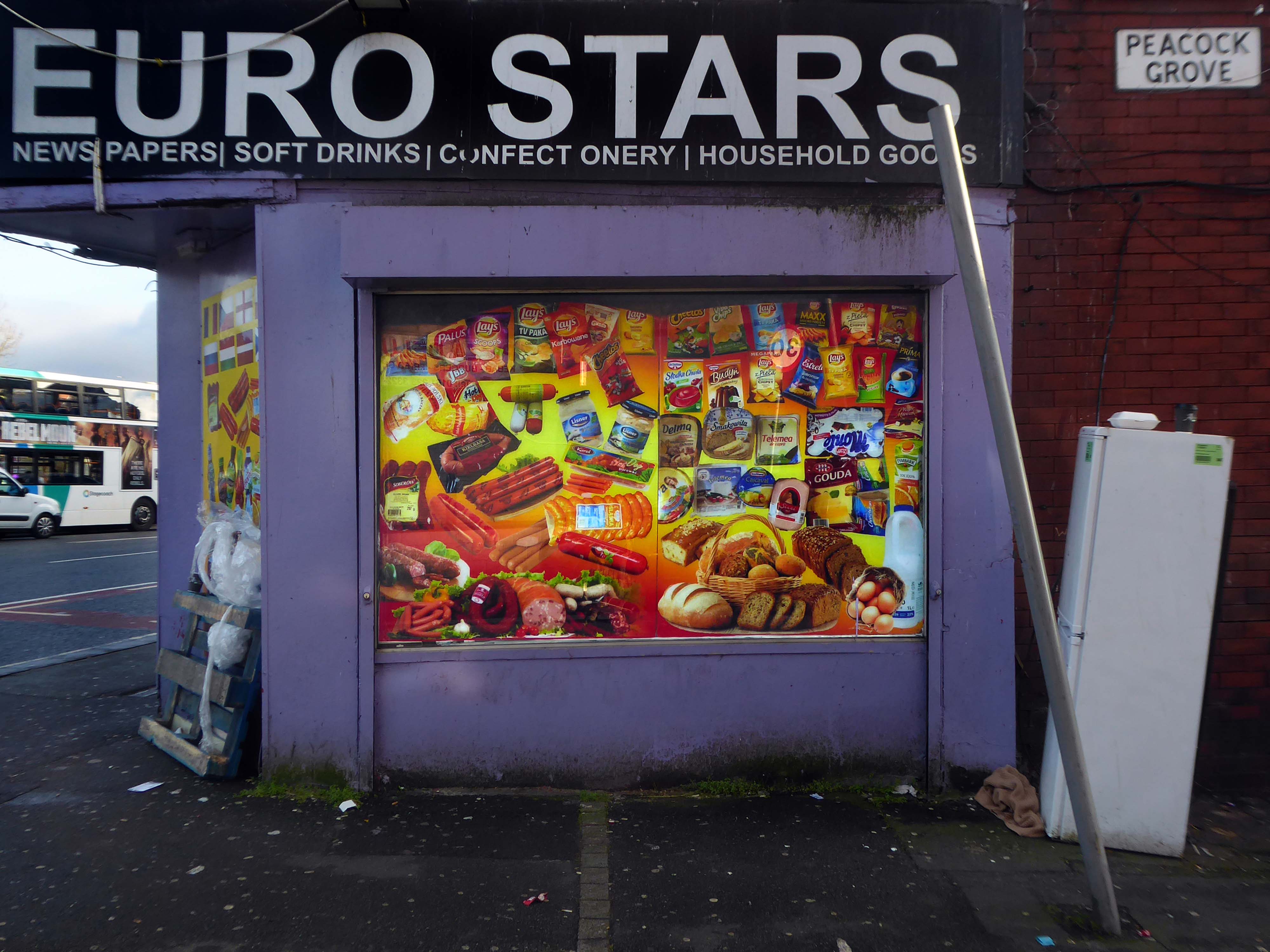
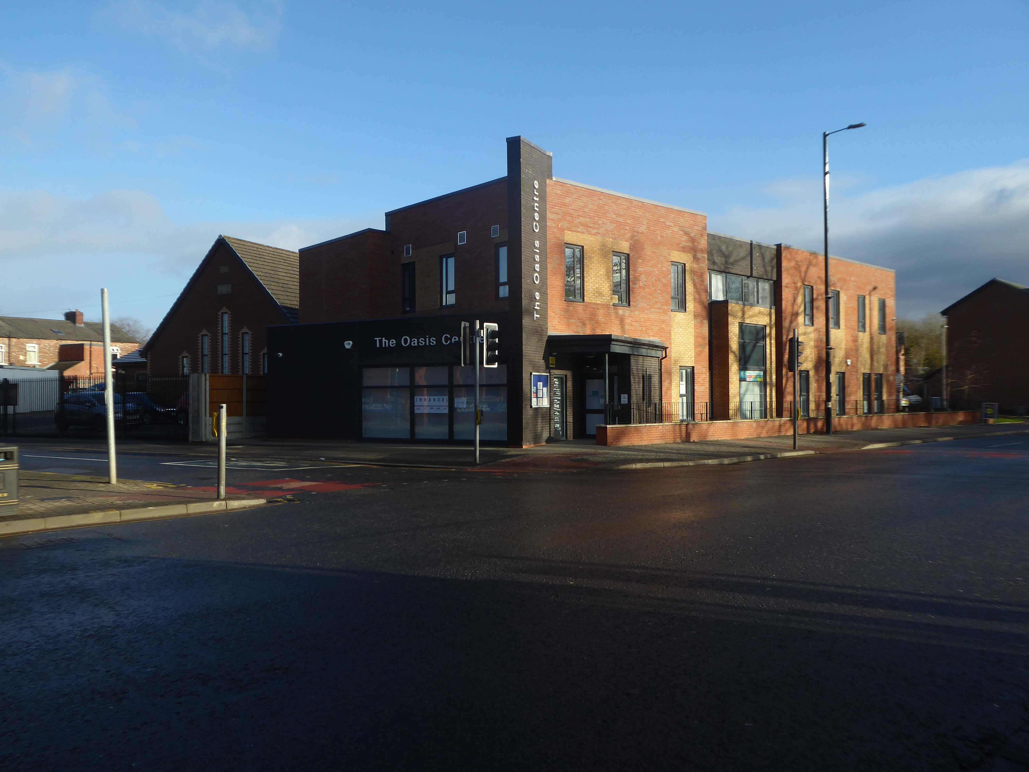
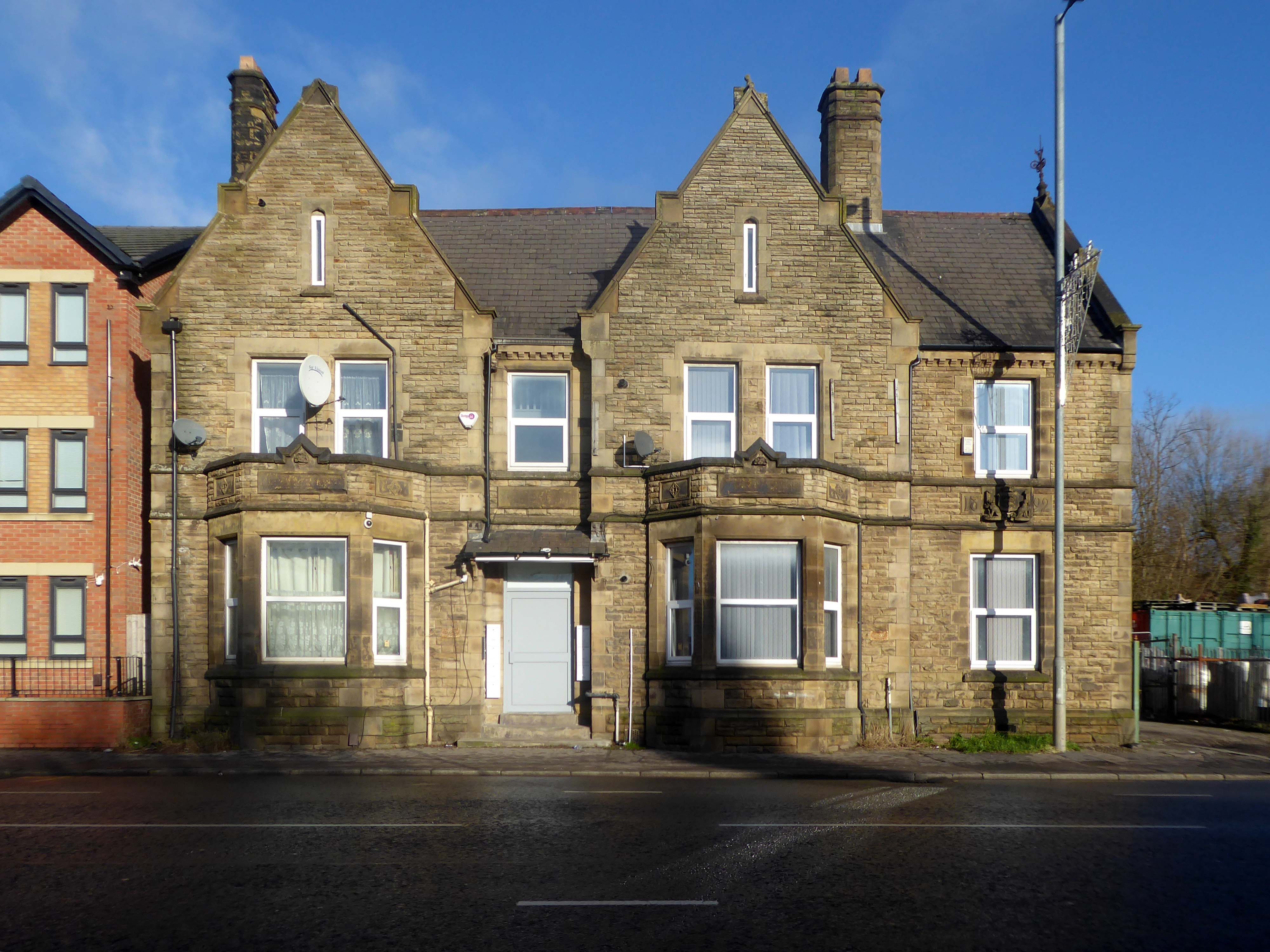
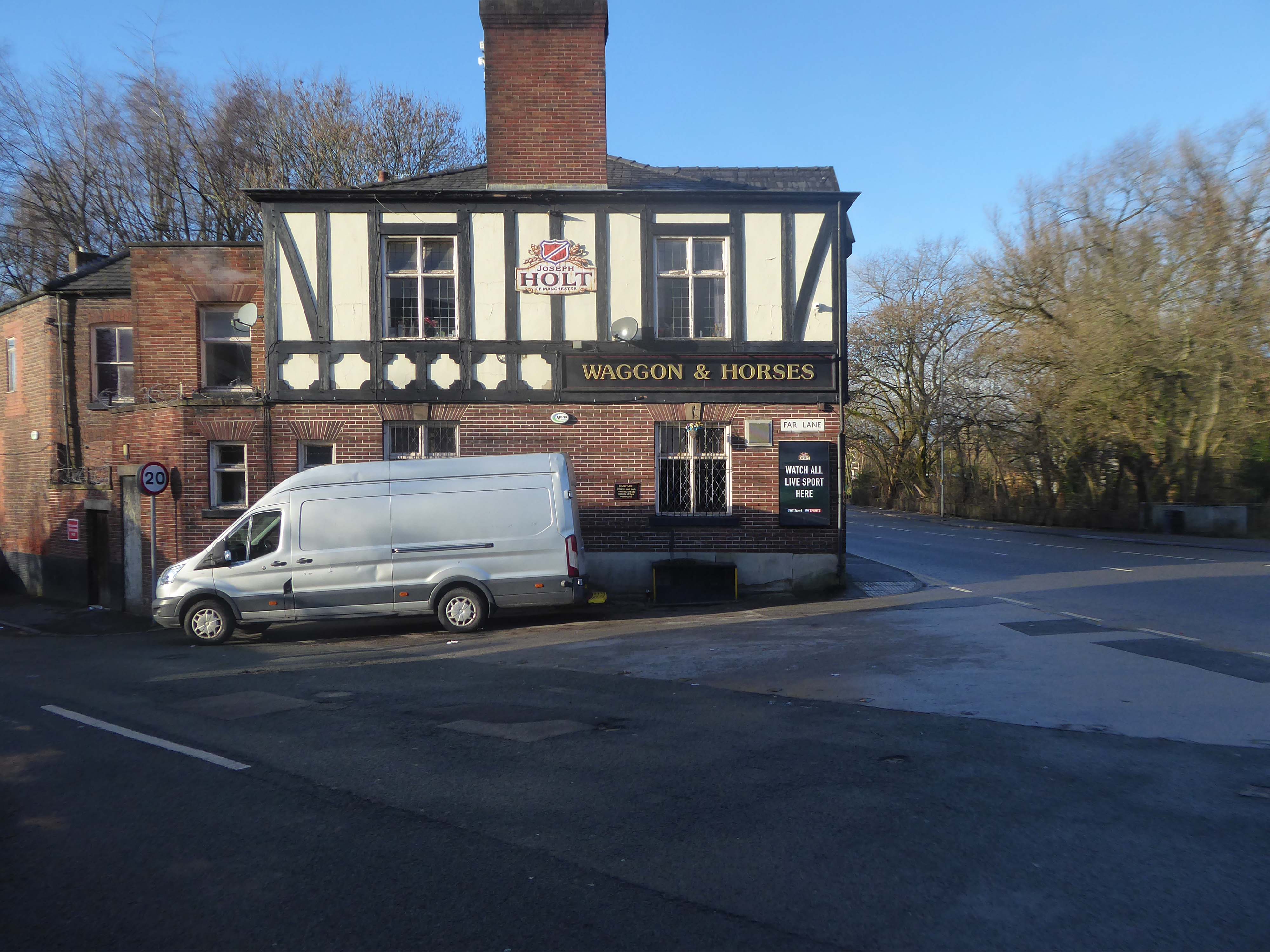
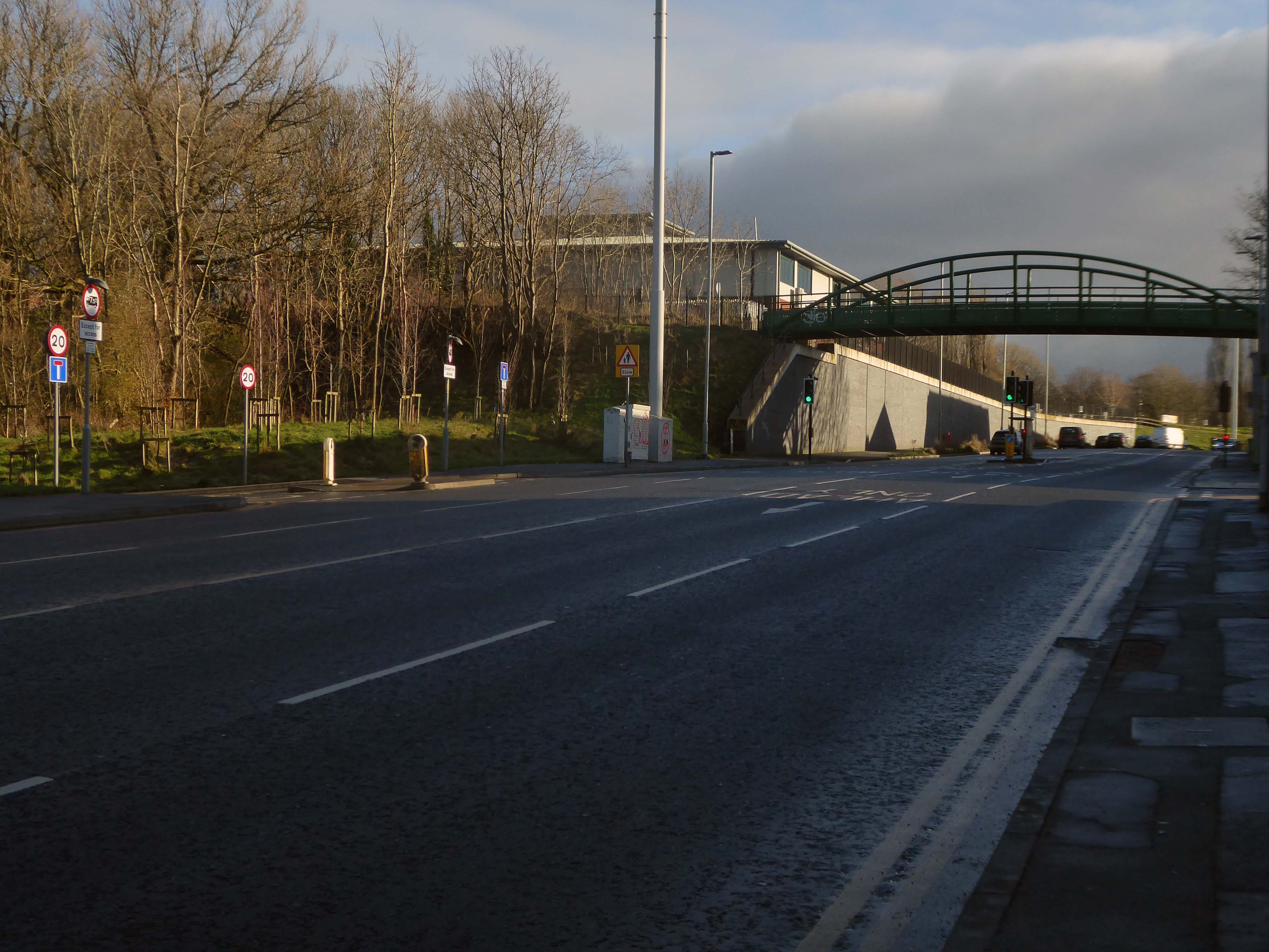
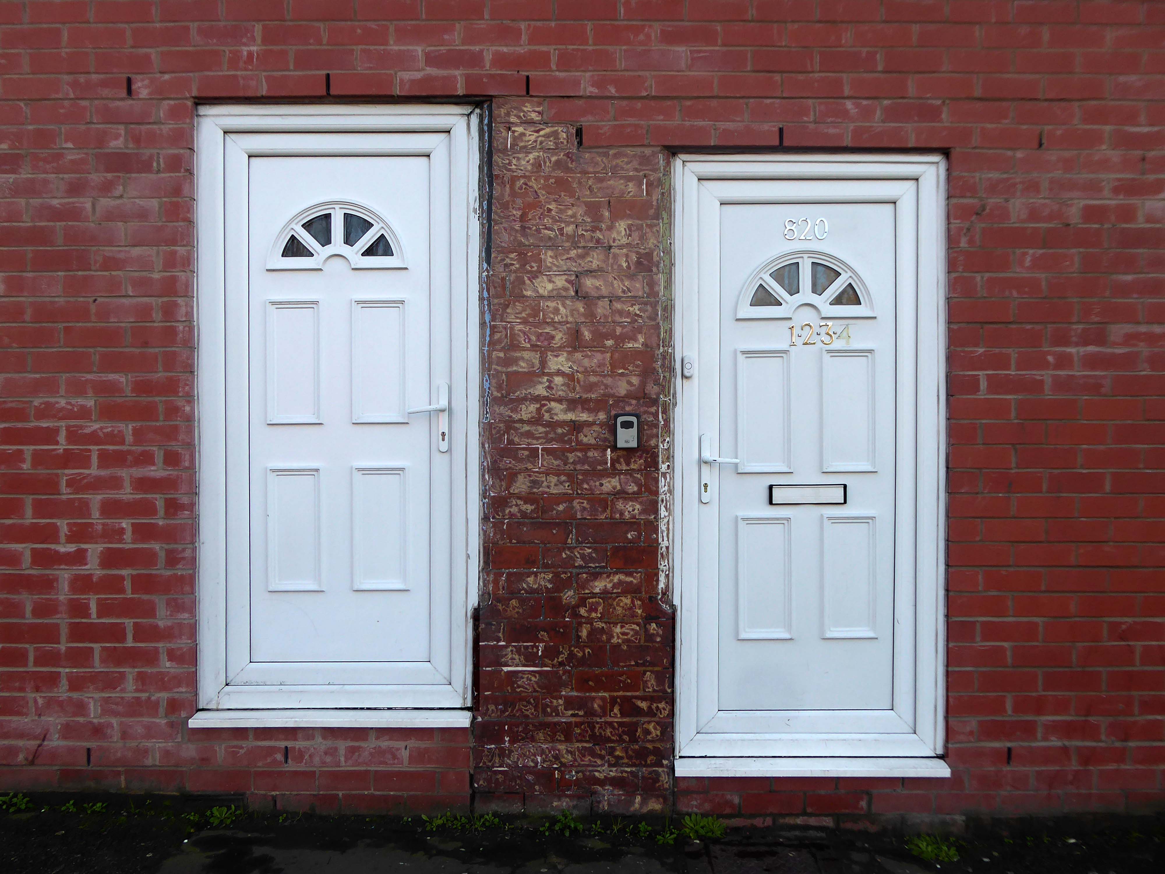
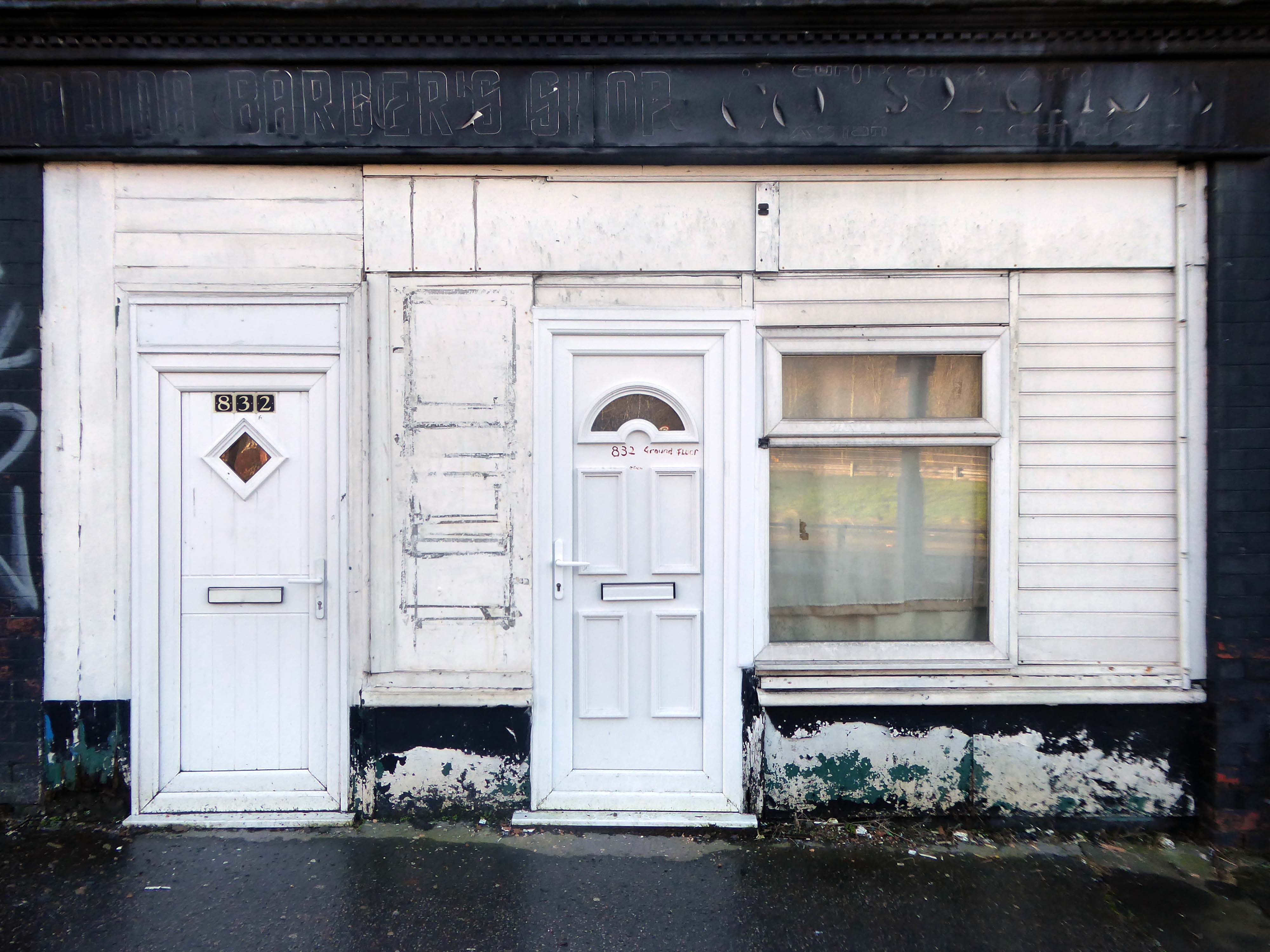
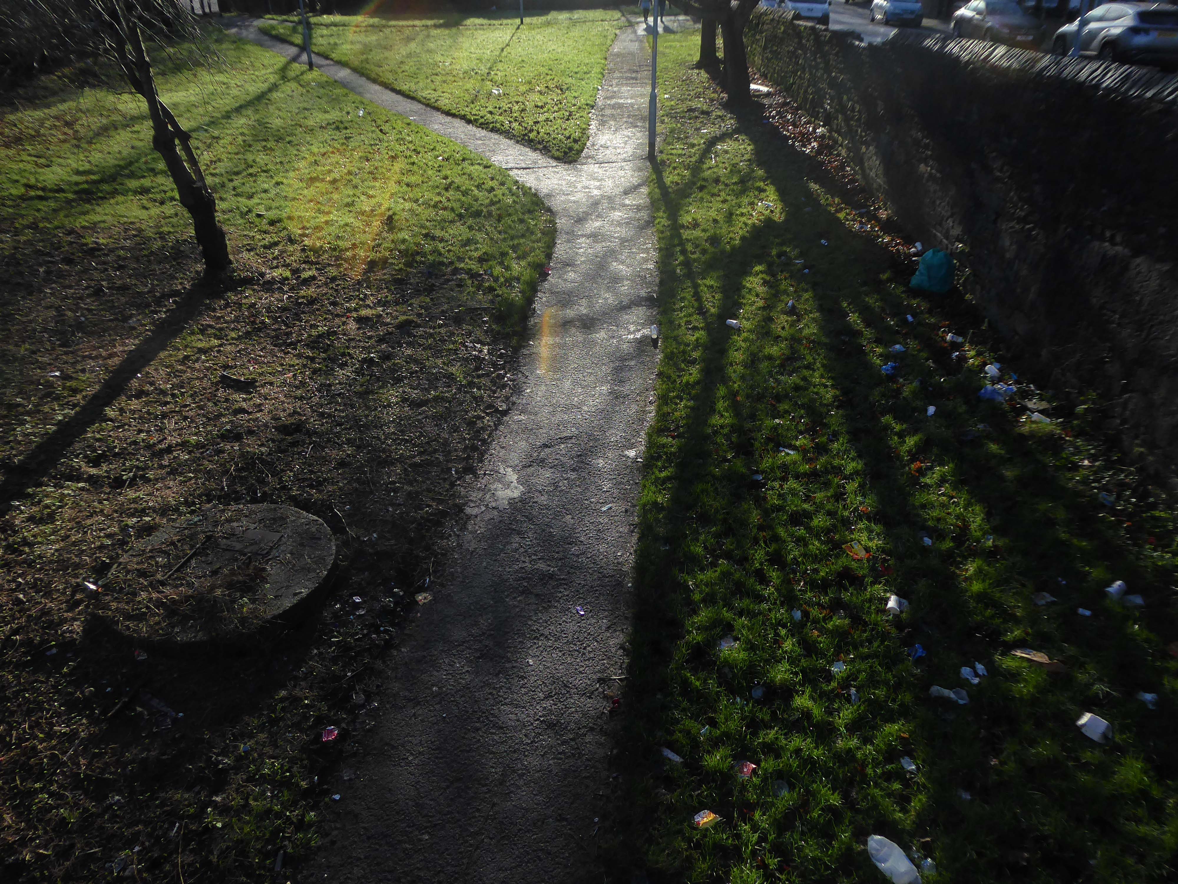
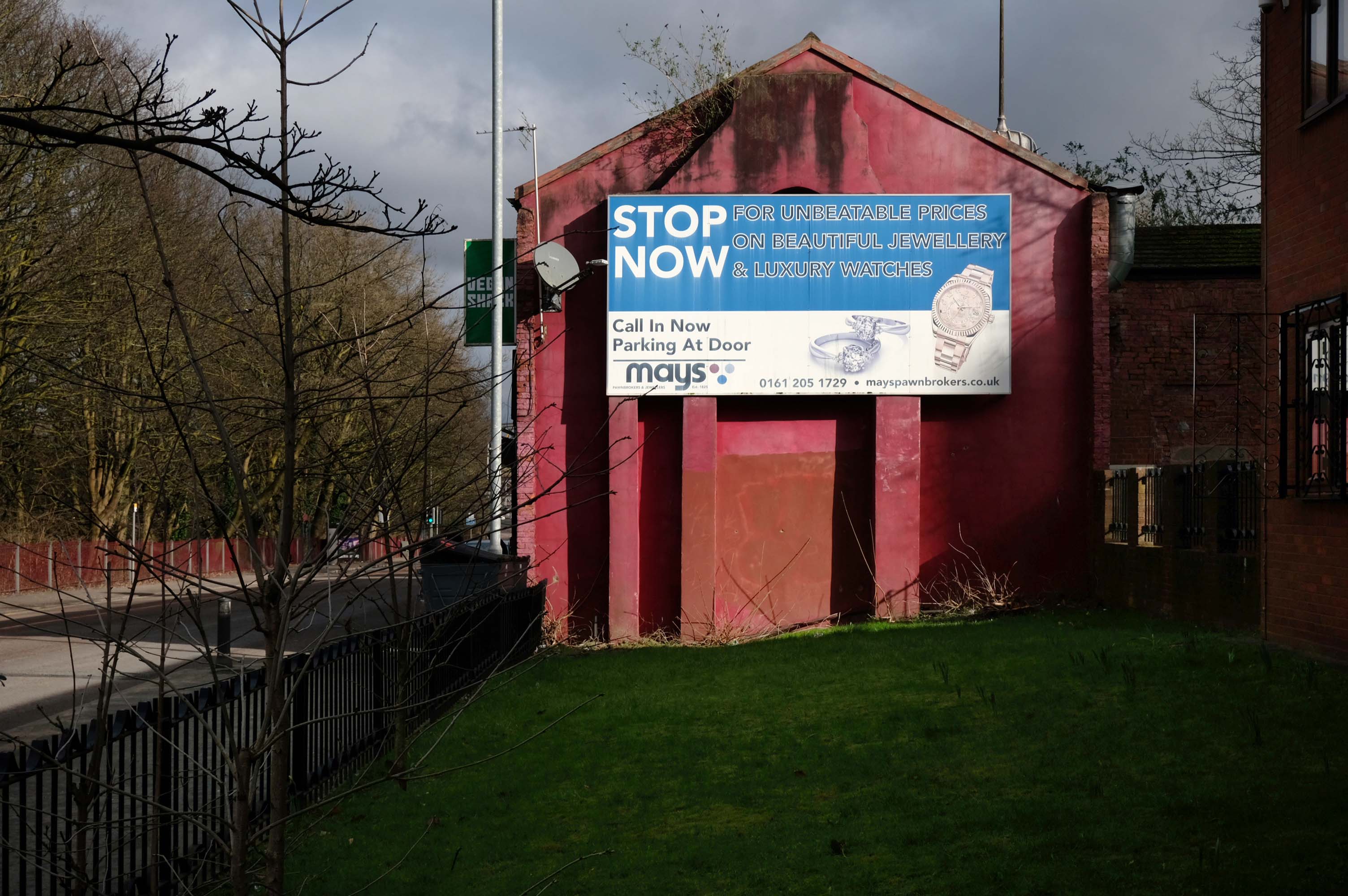
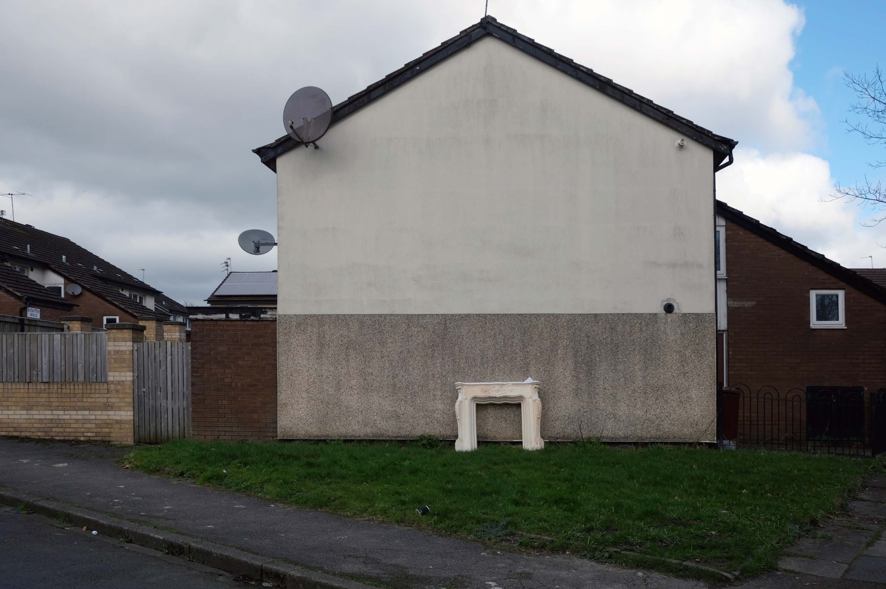
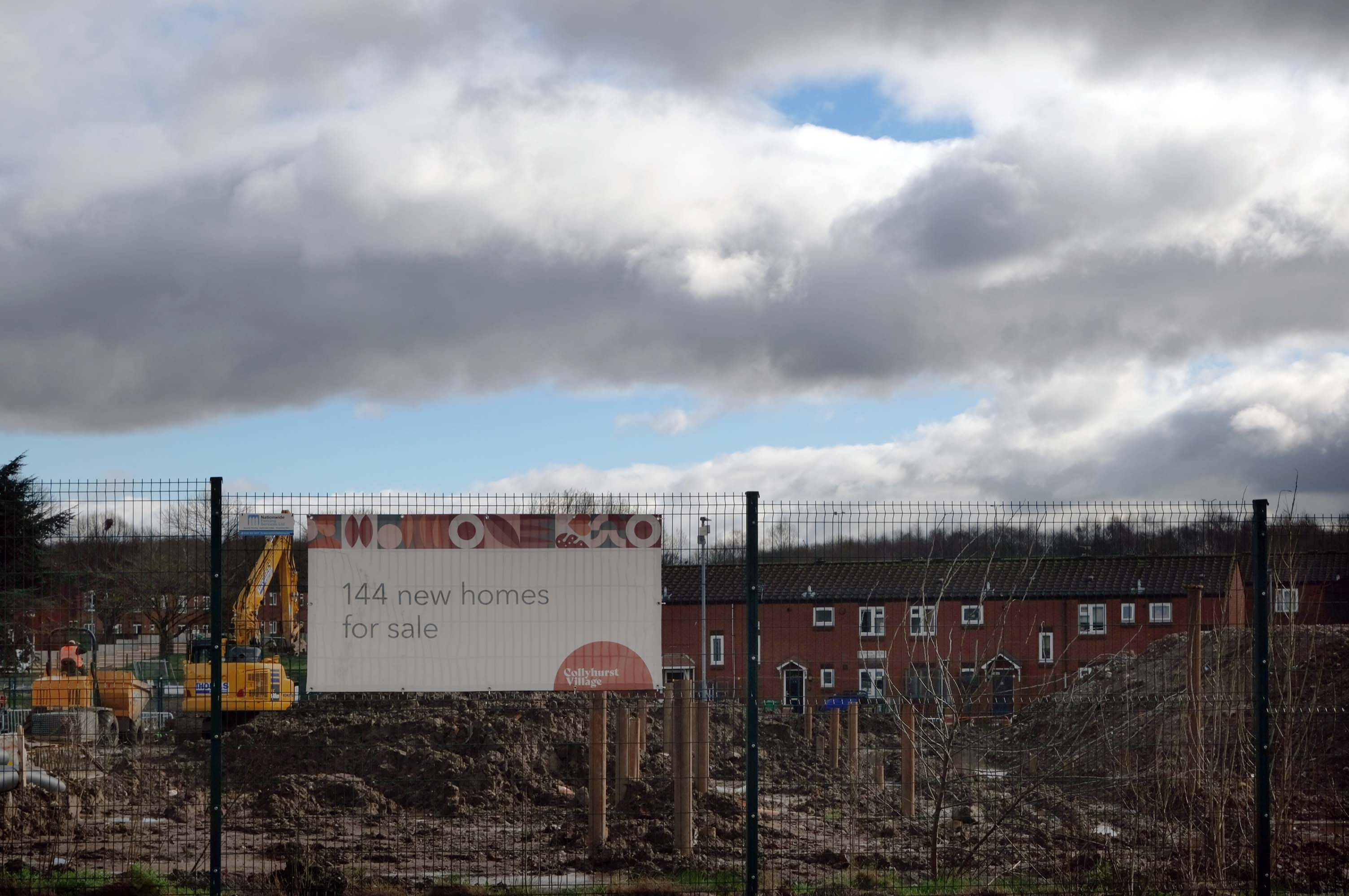
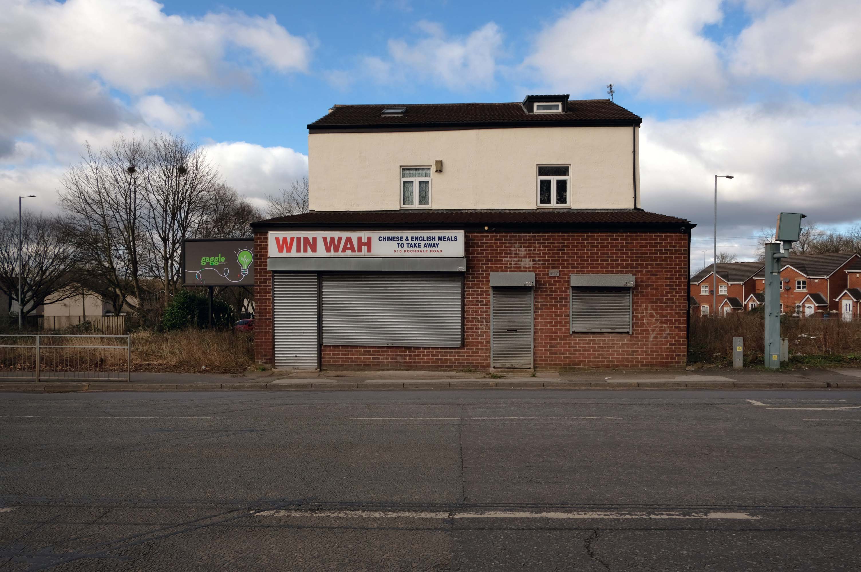
Having photographed the arterial roads of Manchester in 2014, I have resolved to return to the task in 2024.
Some things seem to have changed, some things seem to have stayed the same.
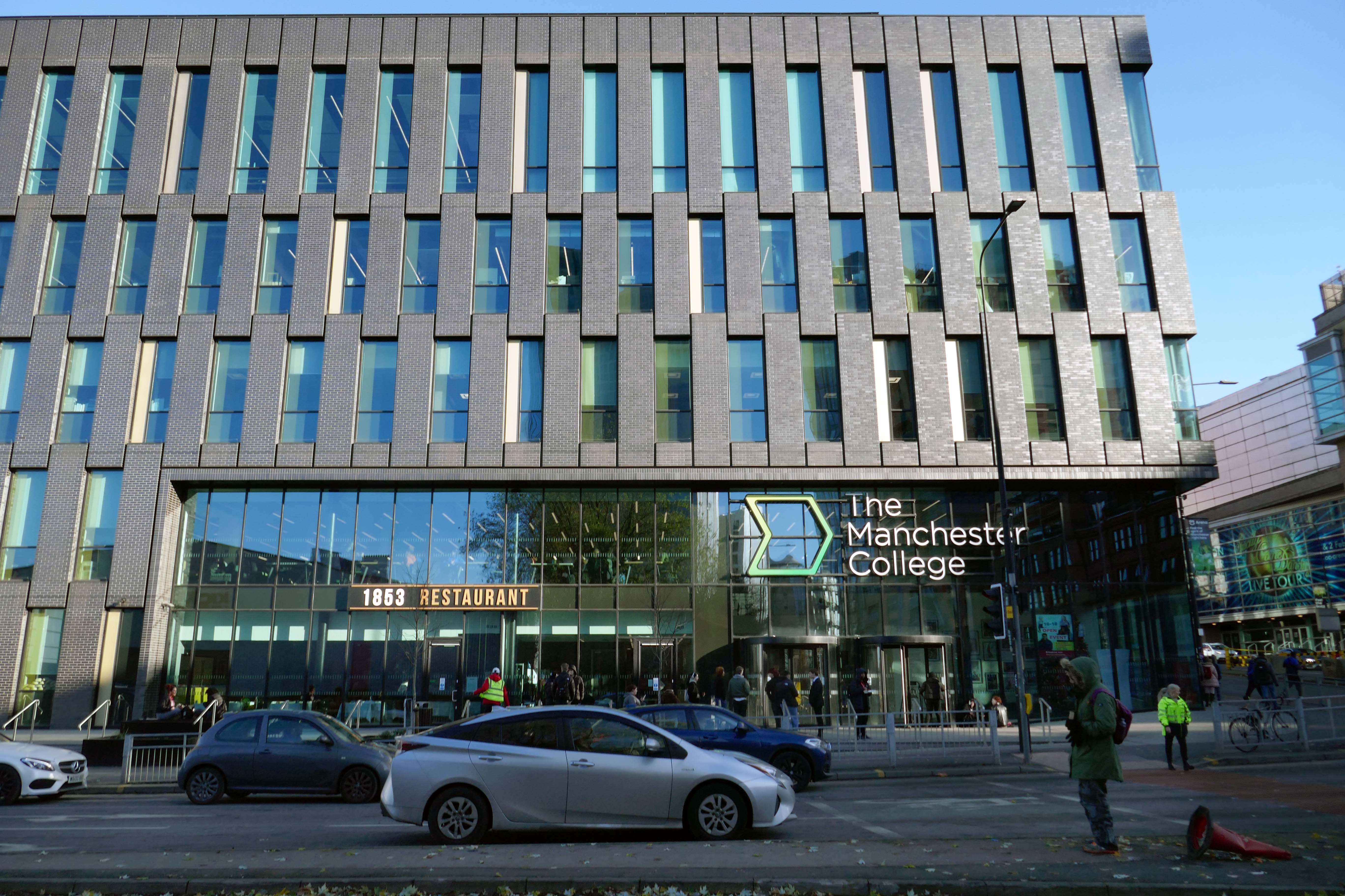
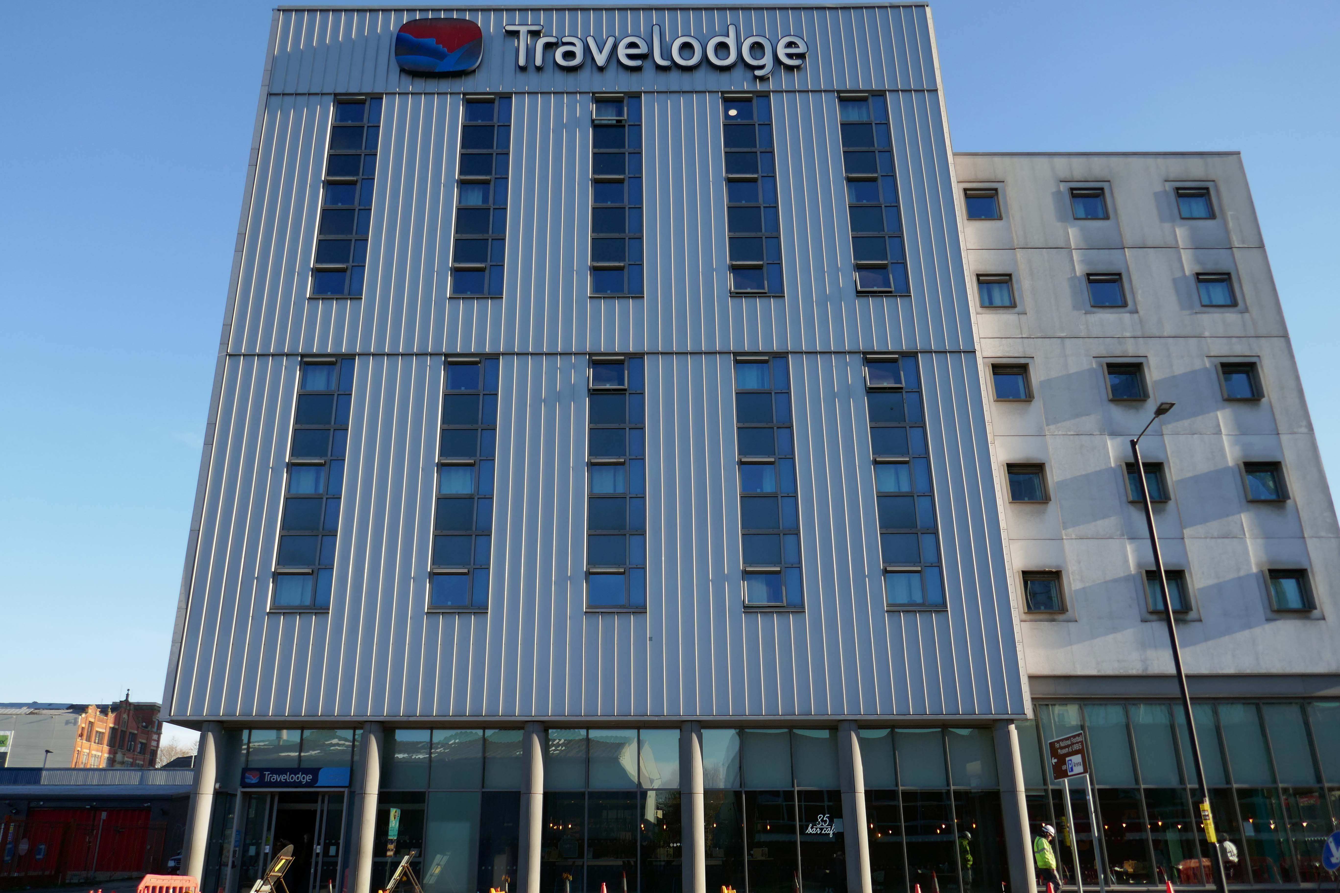
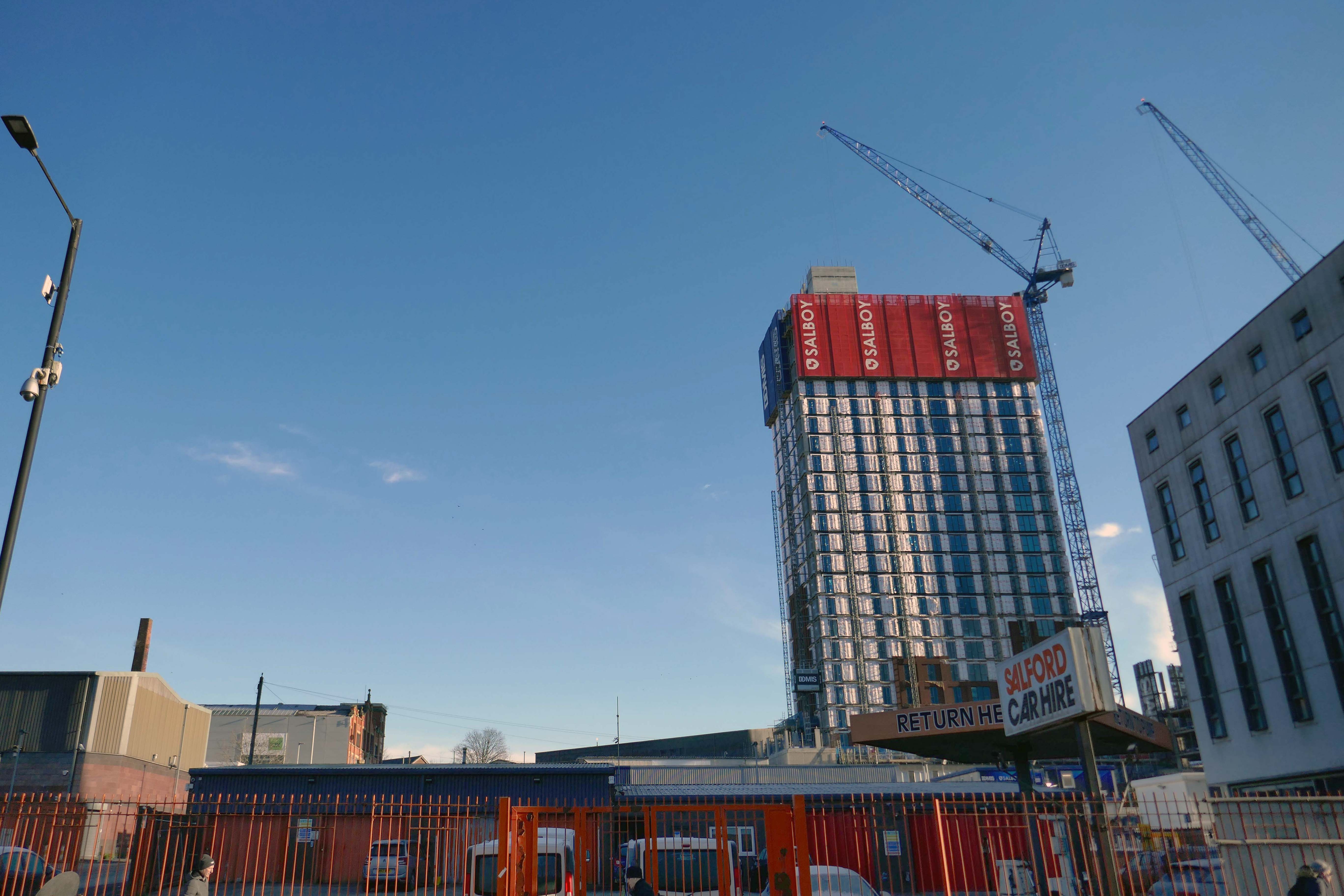
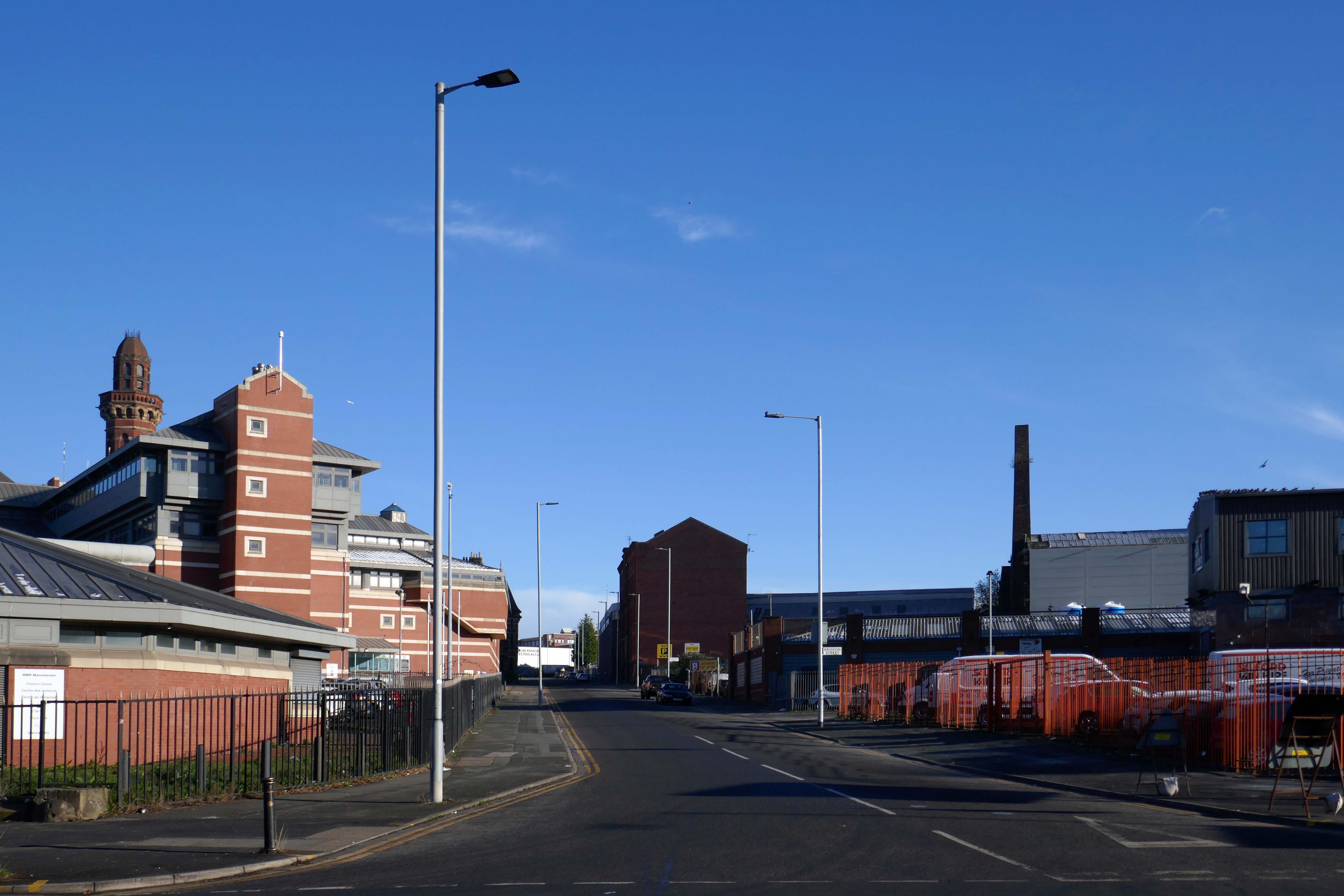
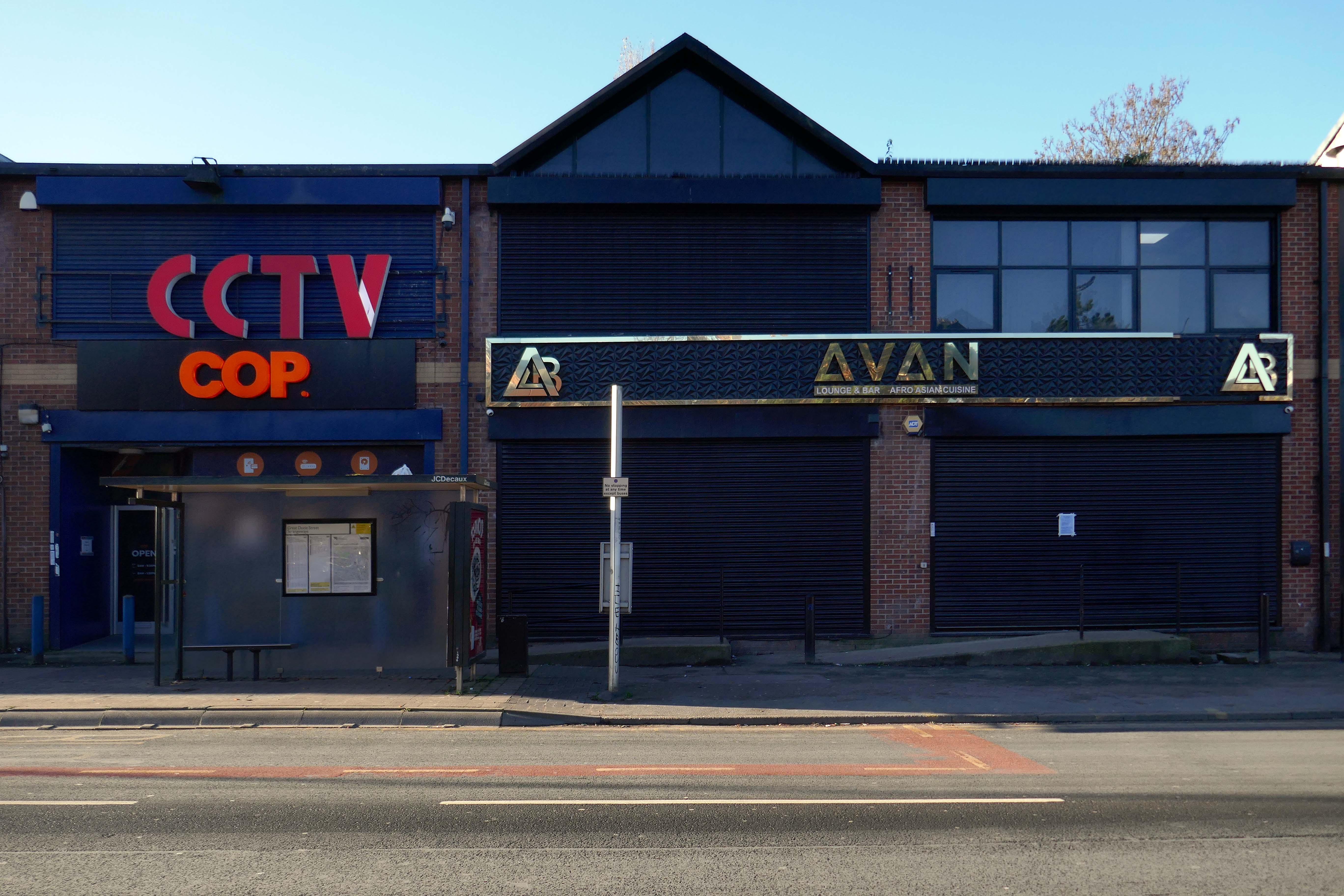
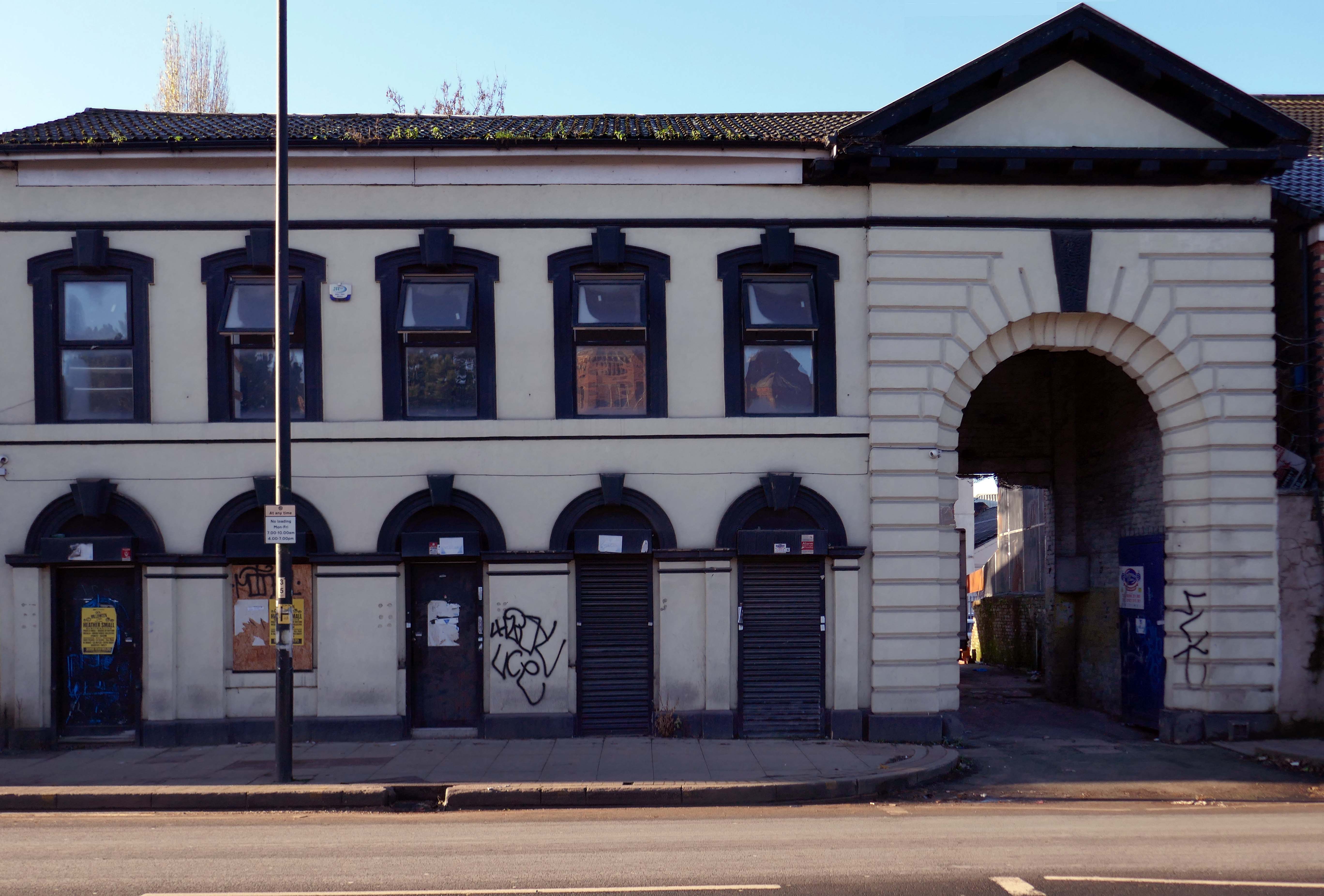
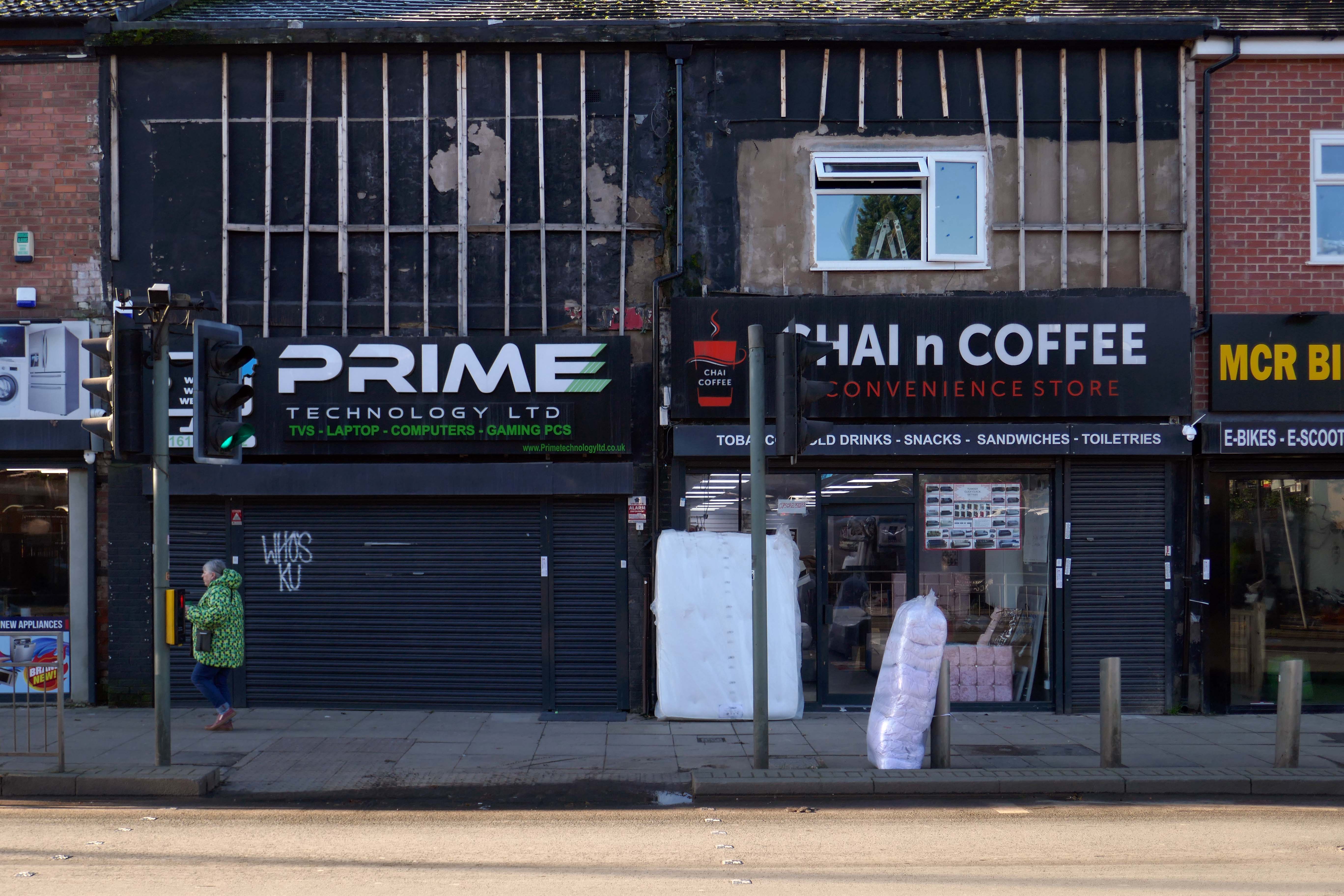
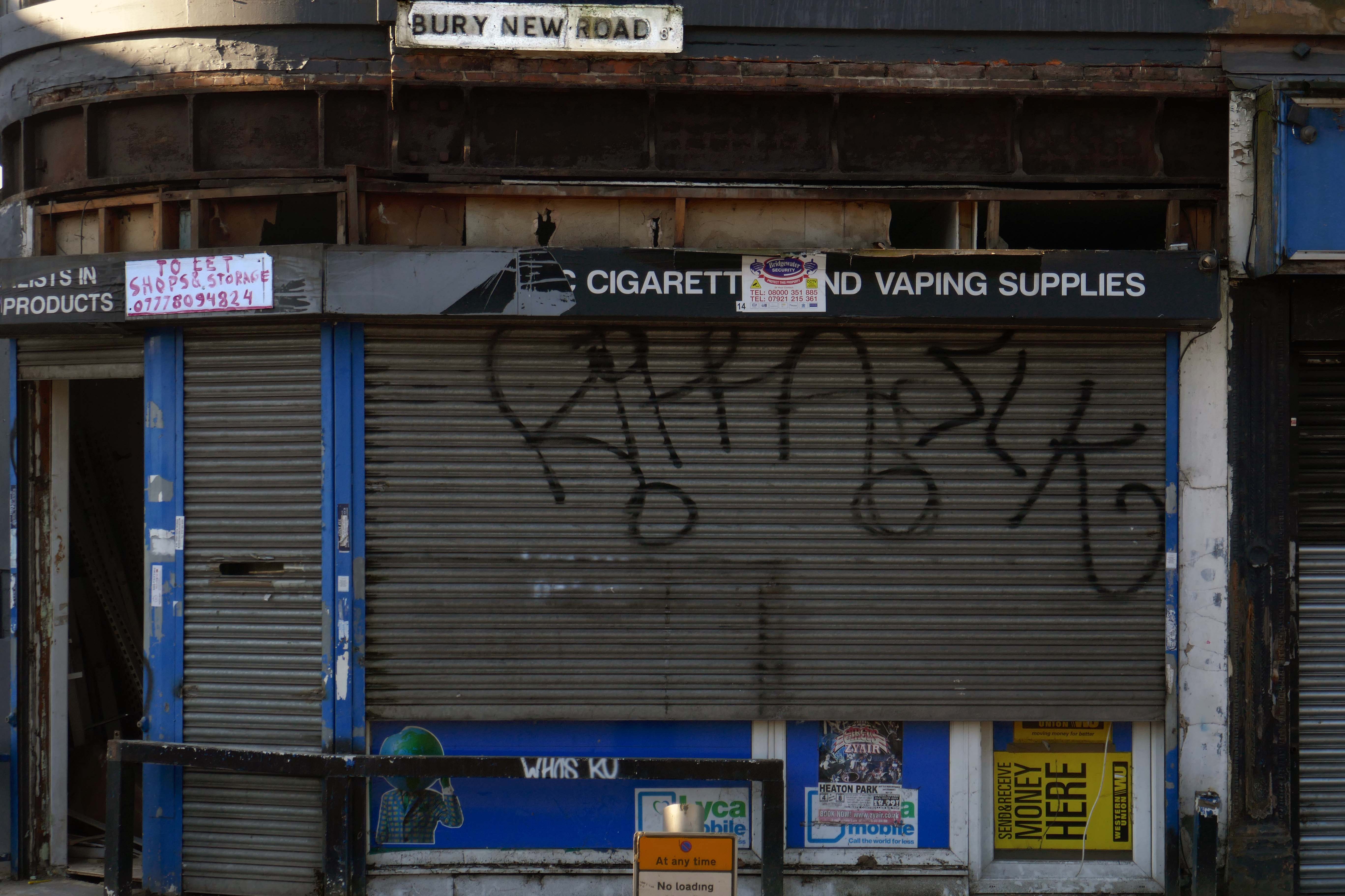
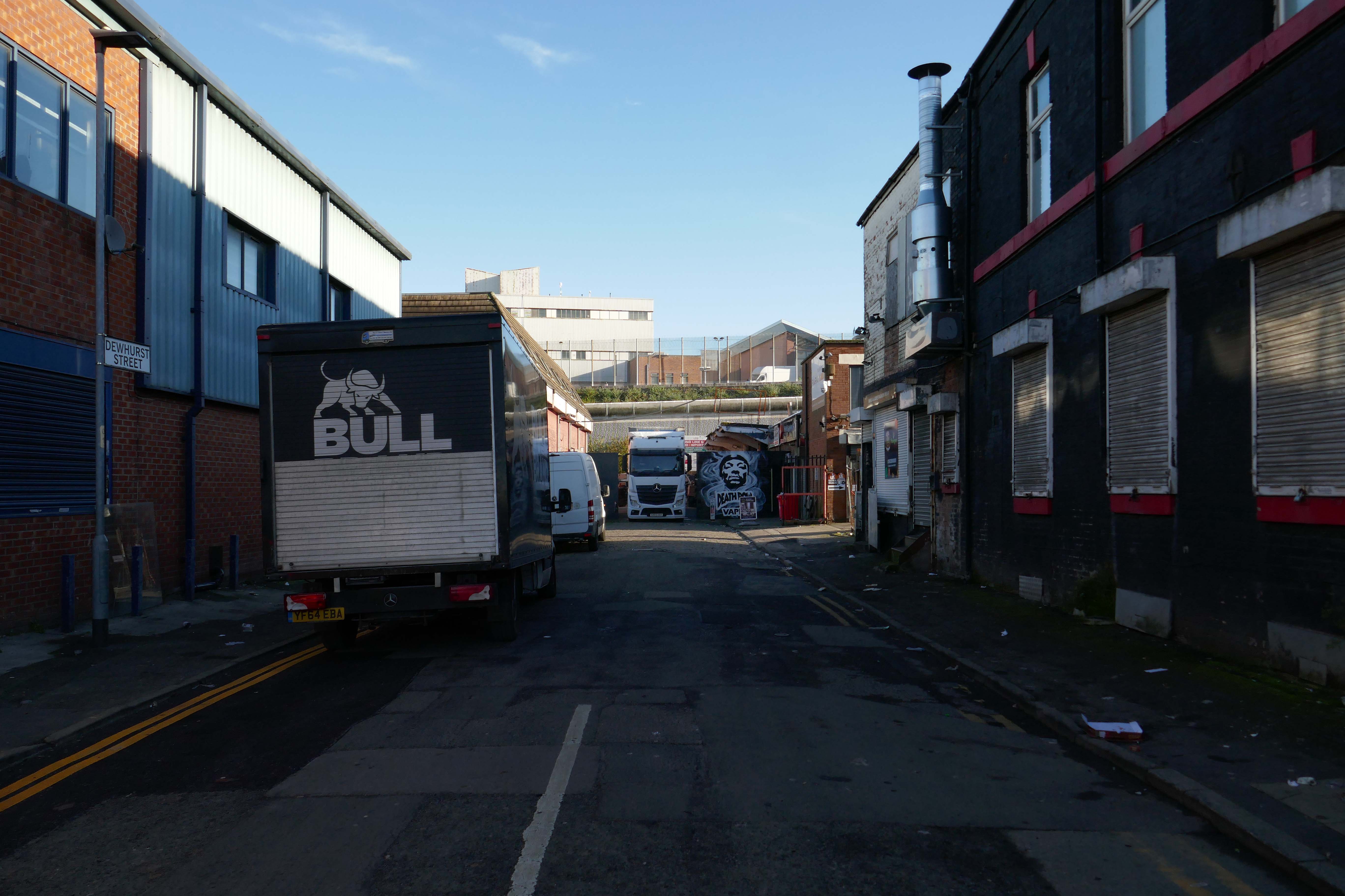
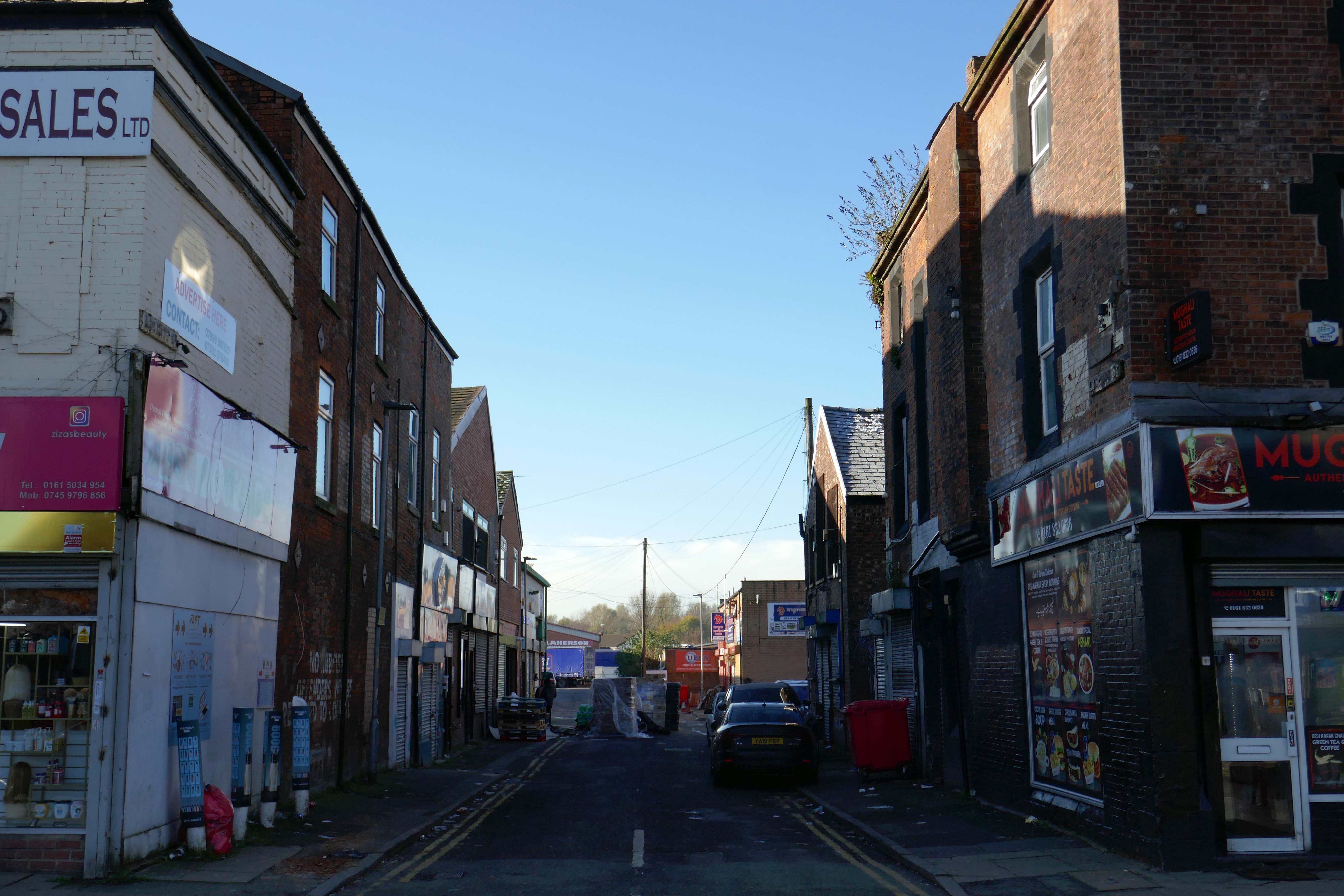
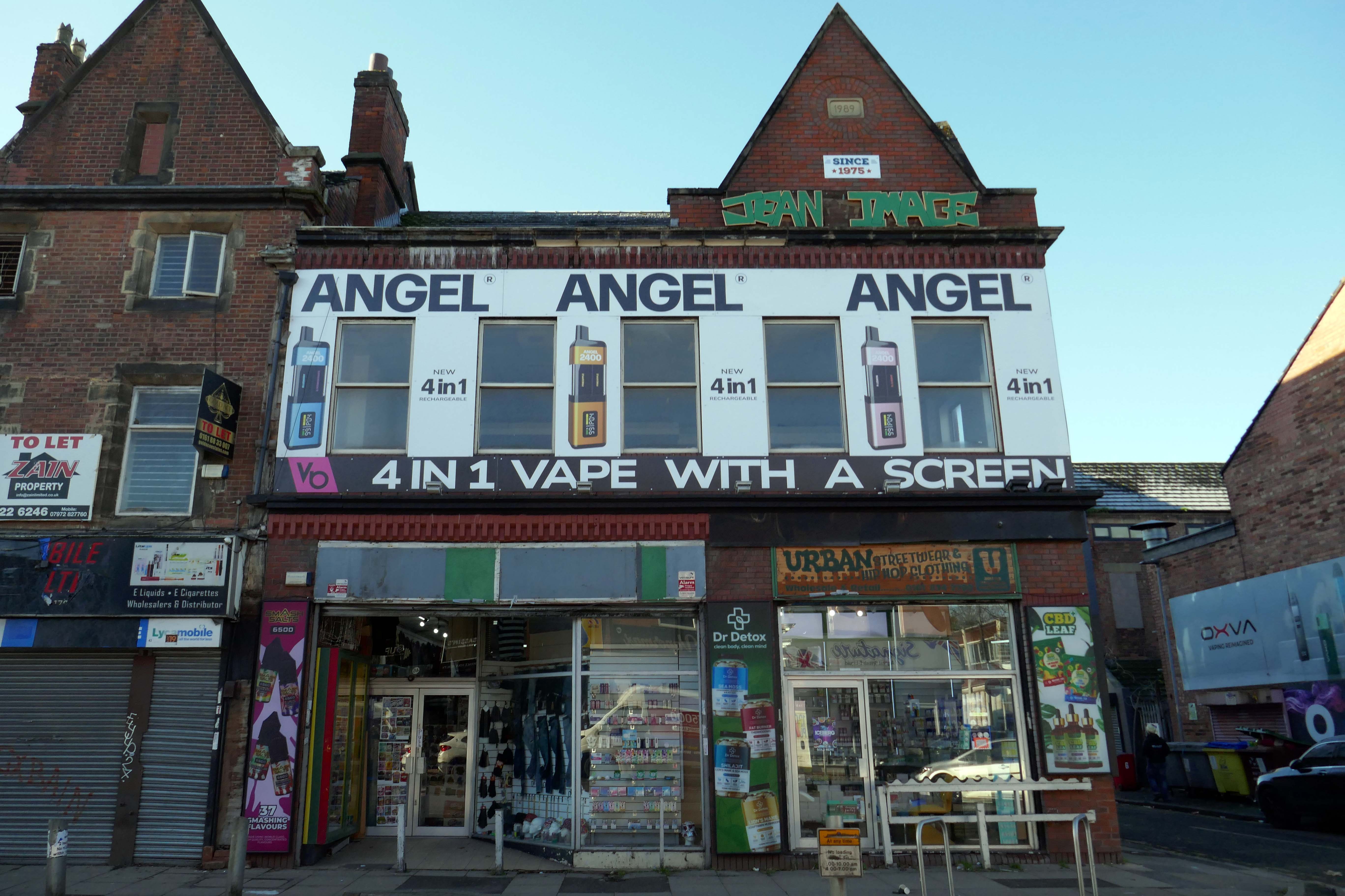
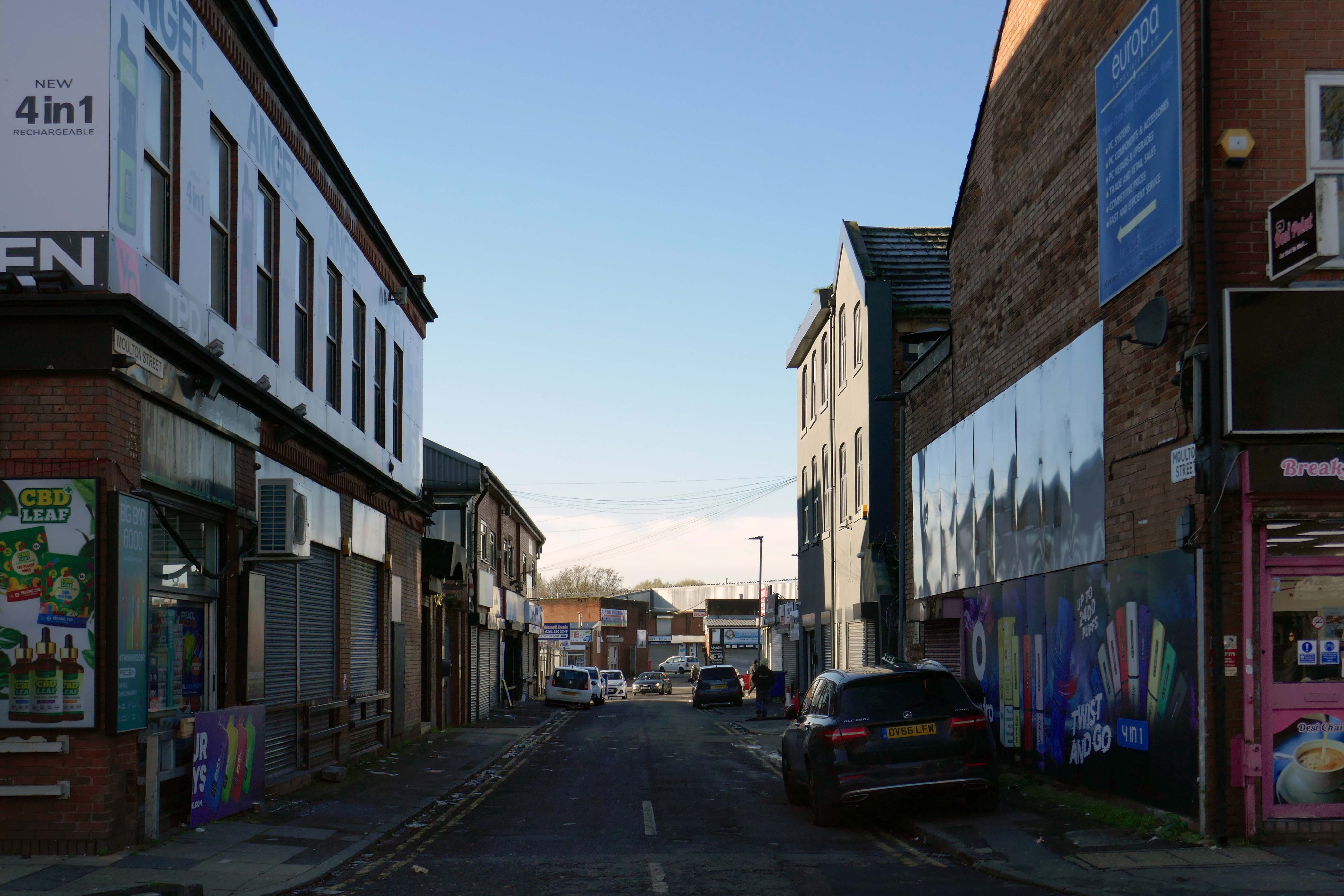
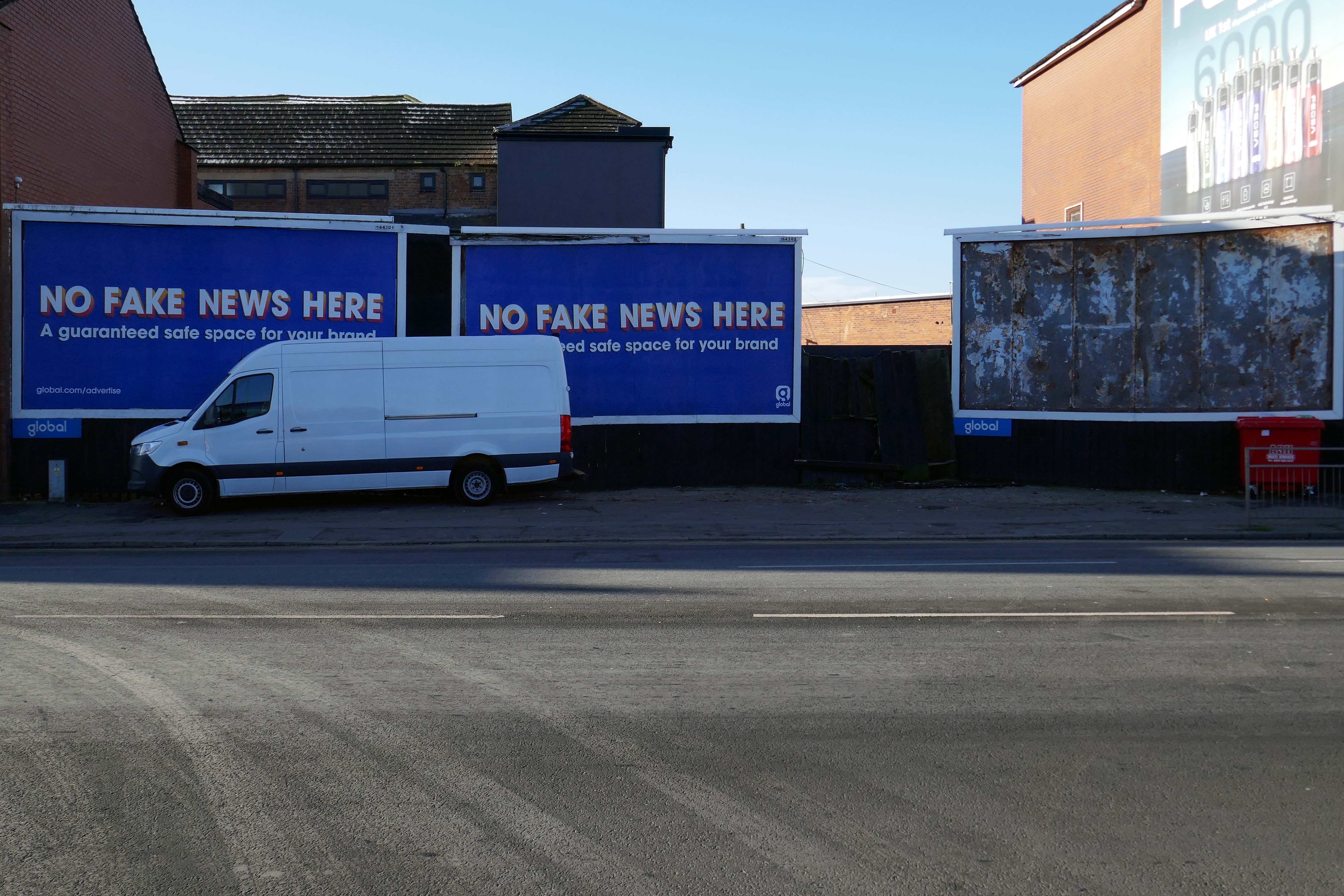
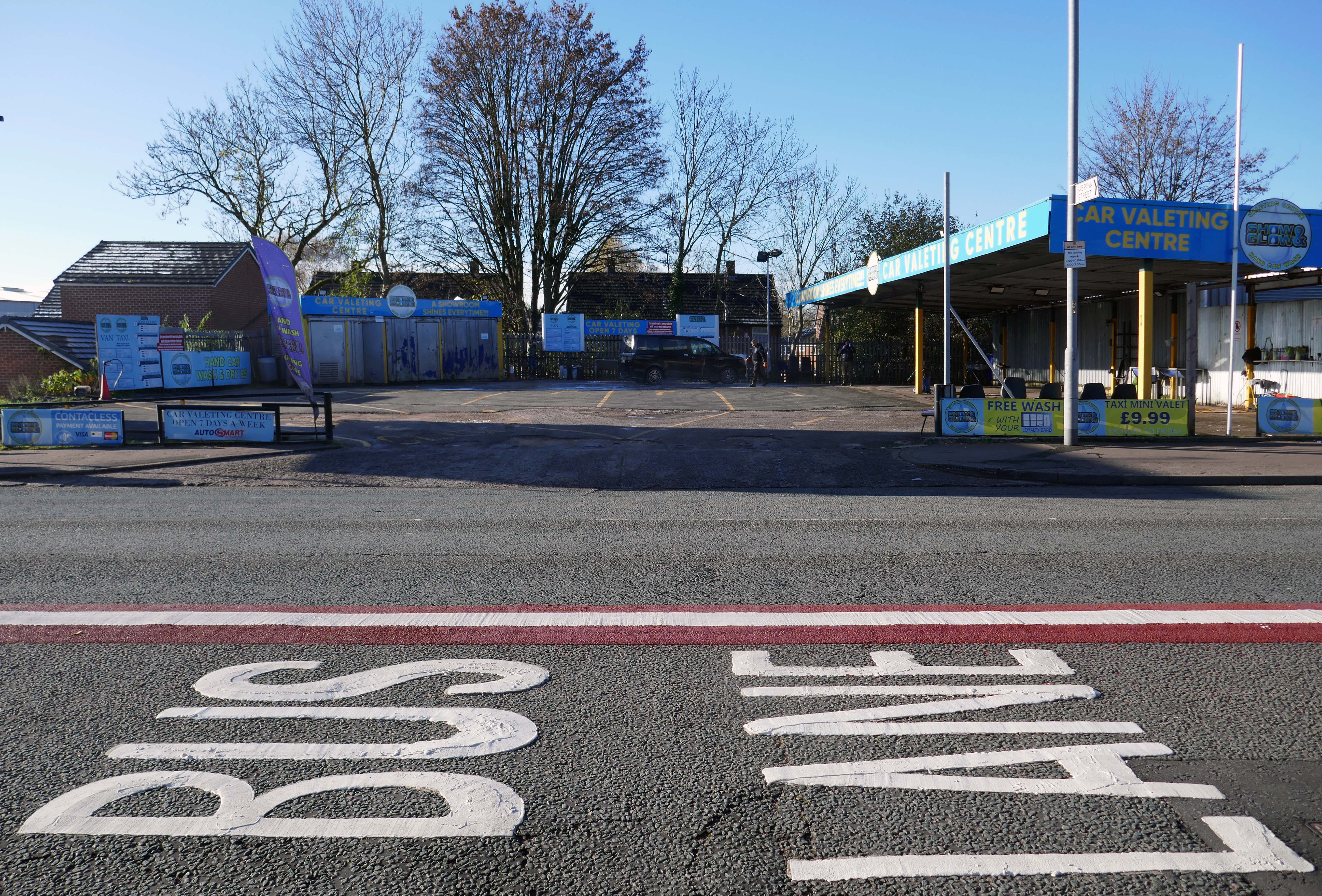
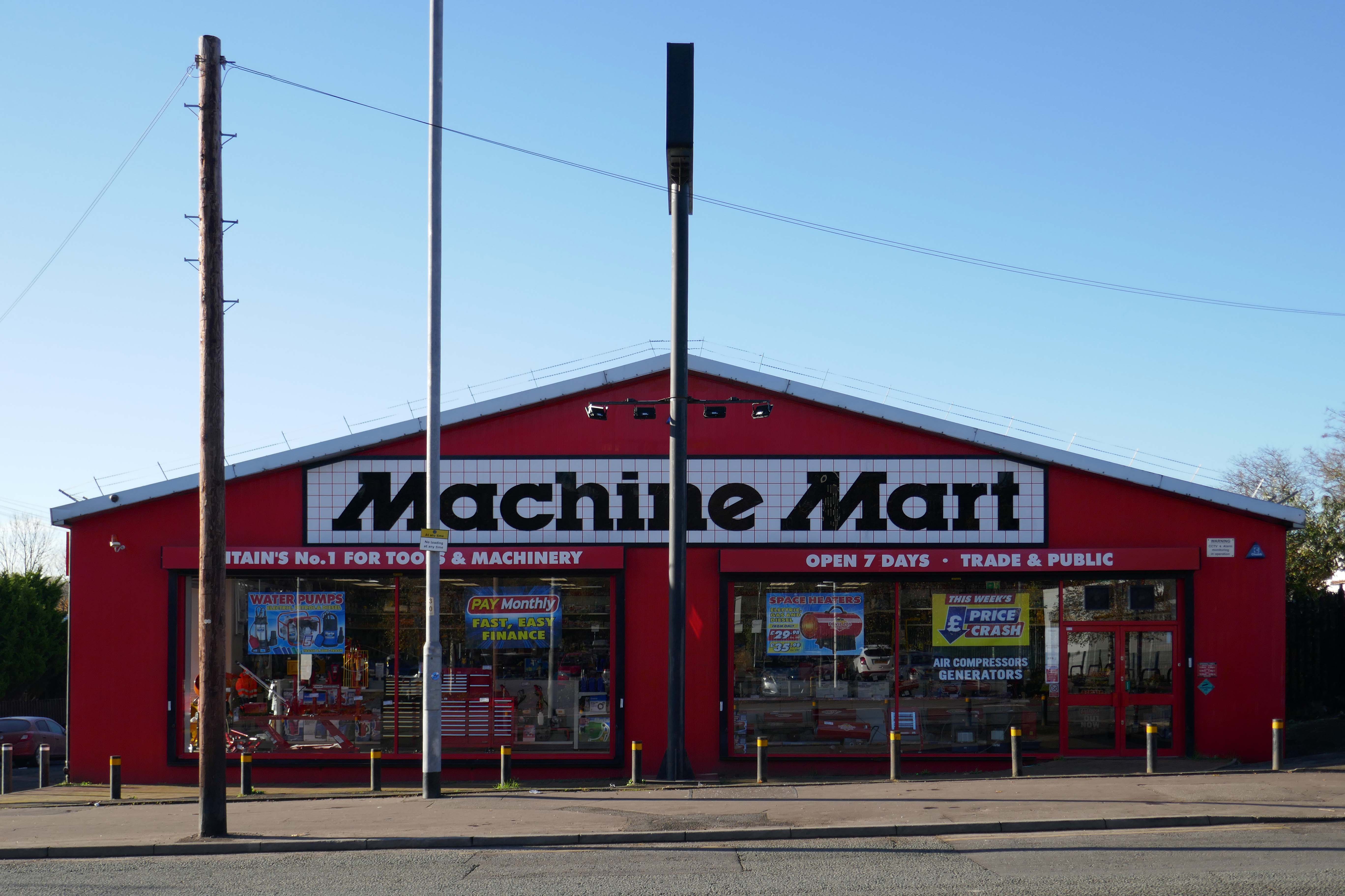
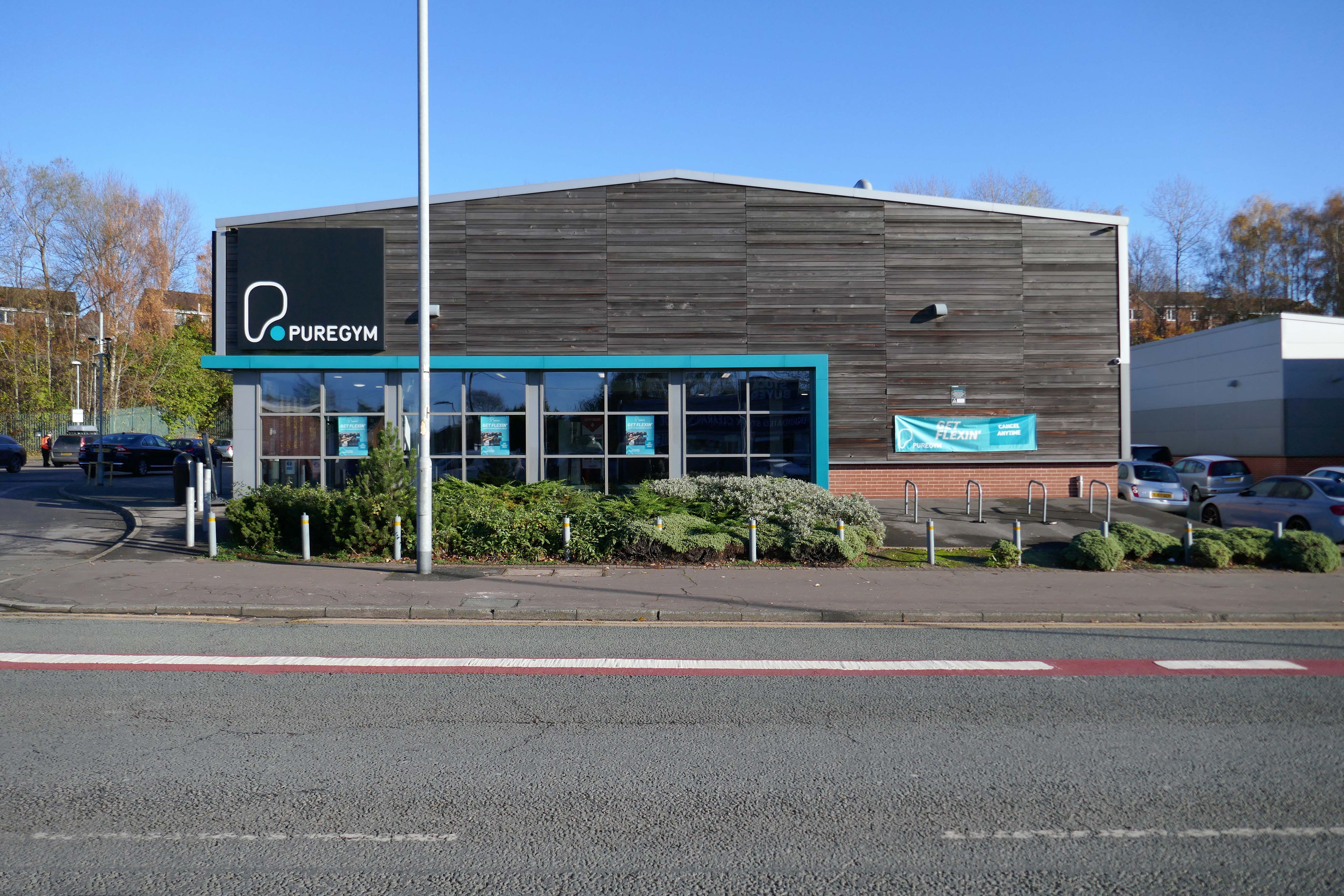
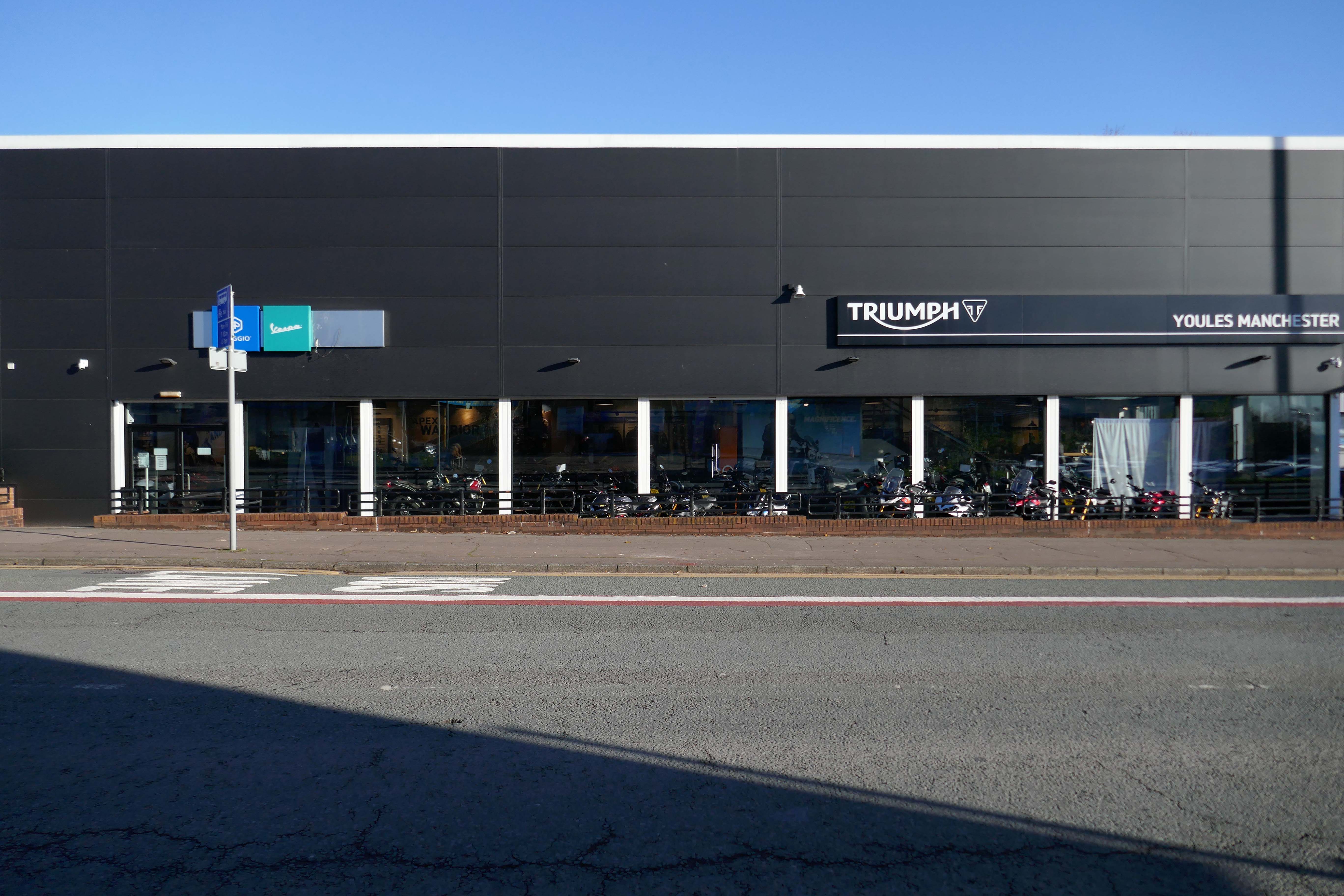
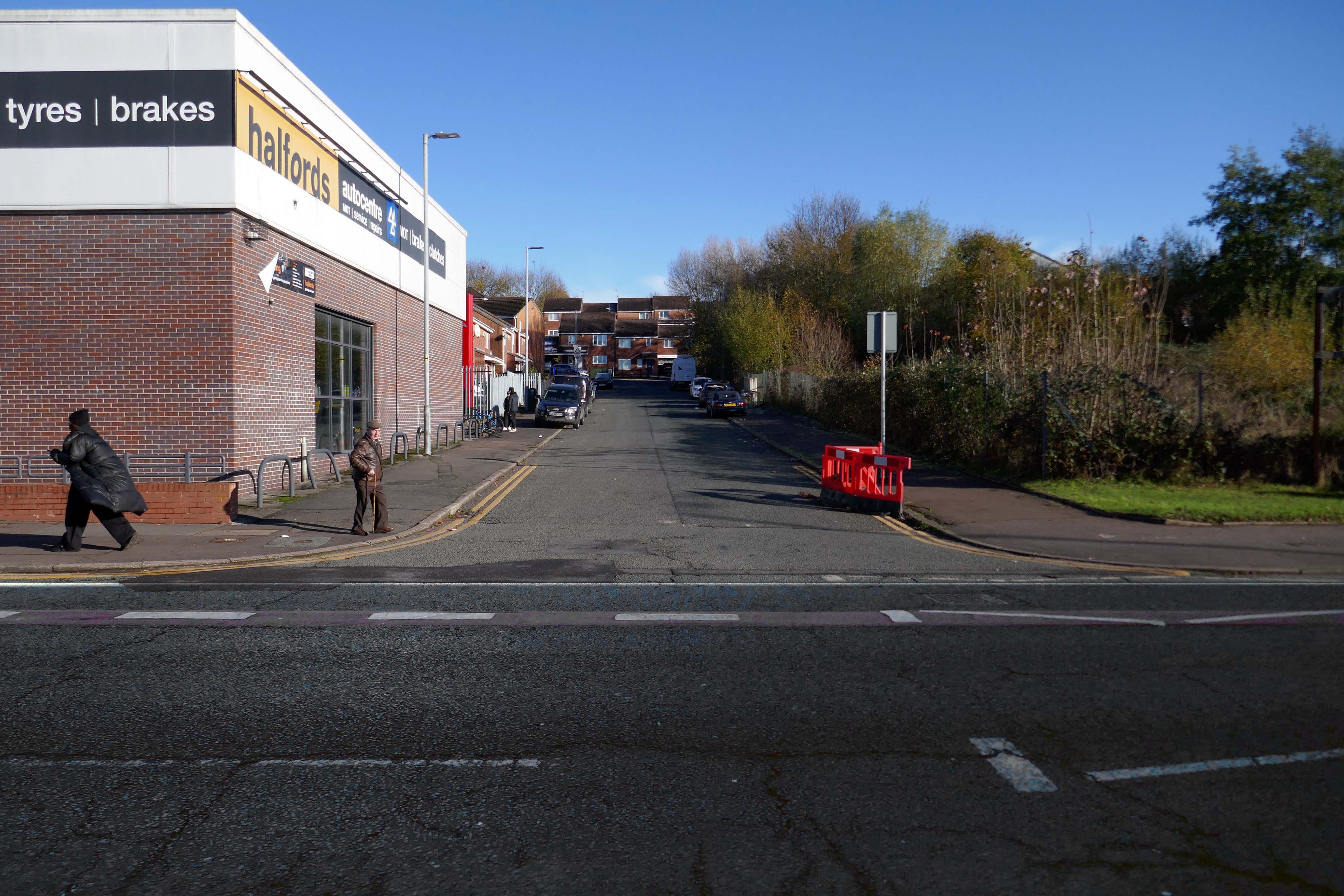
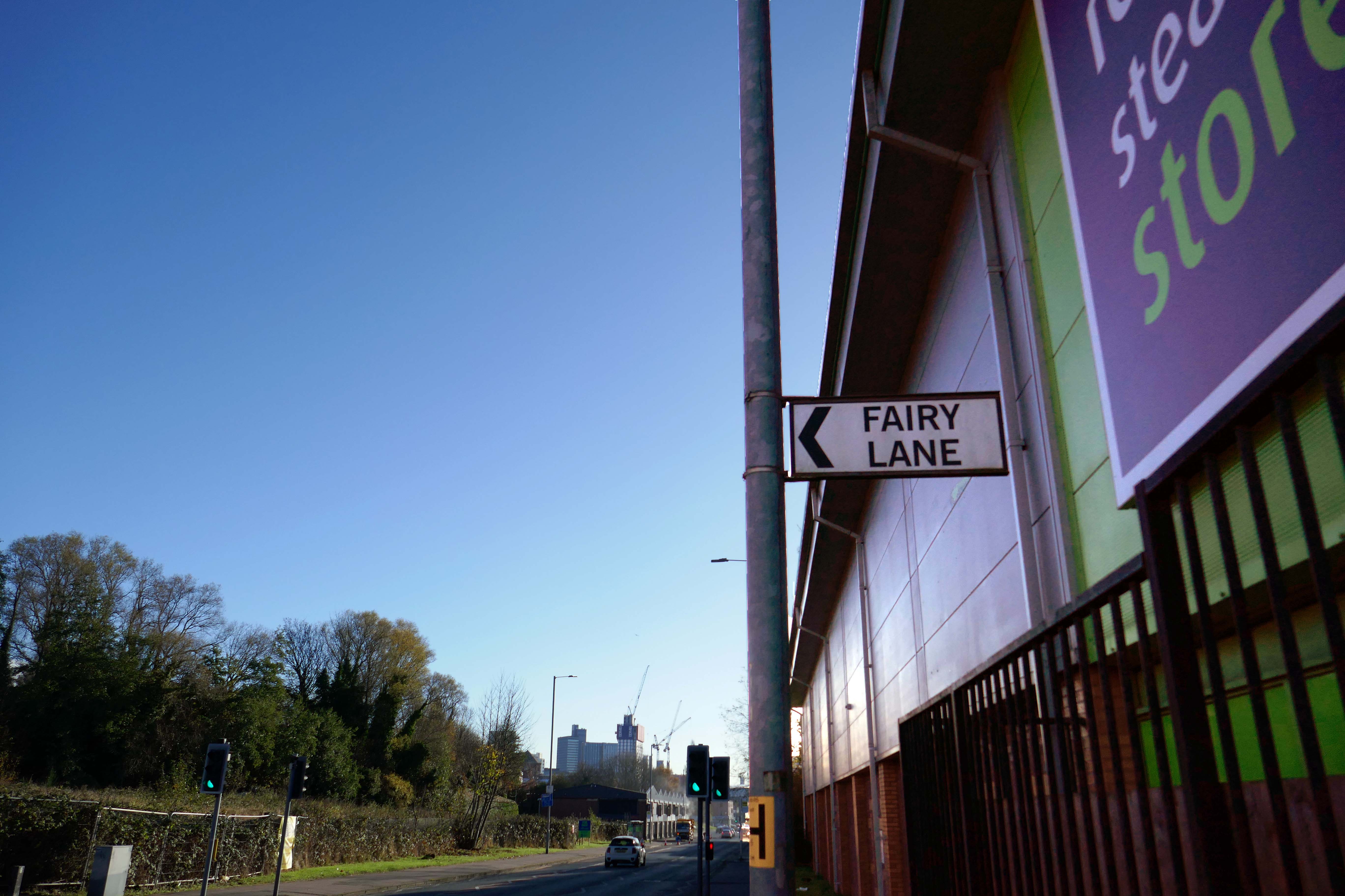
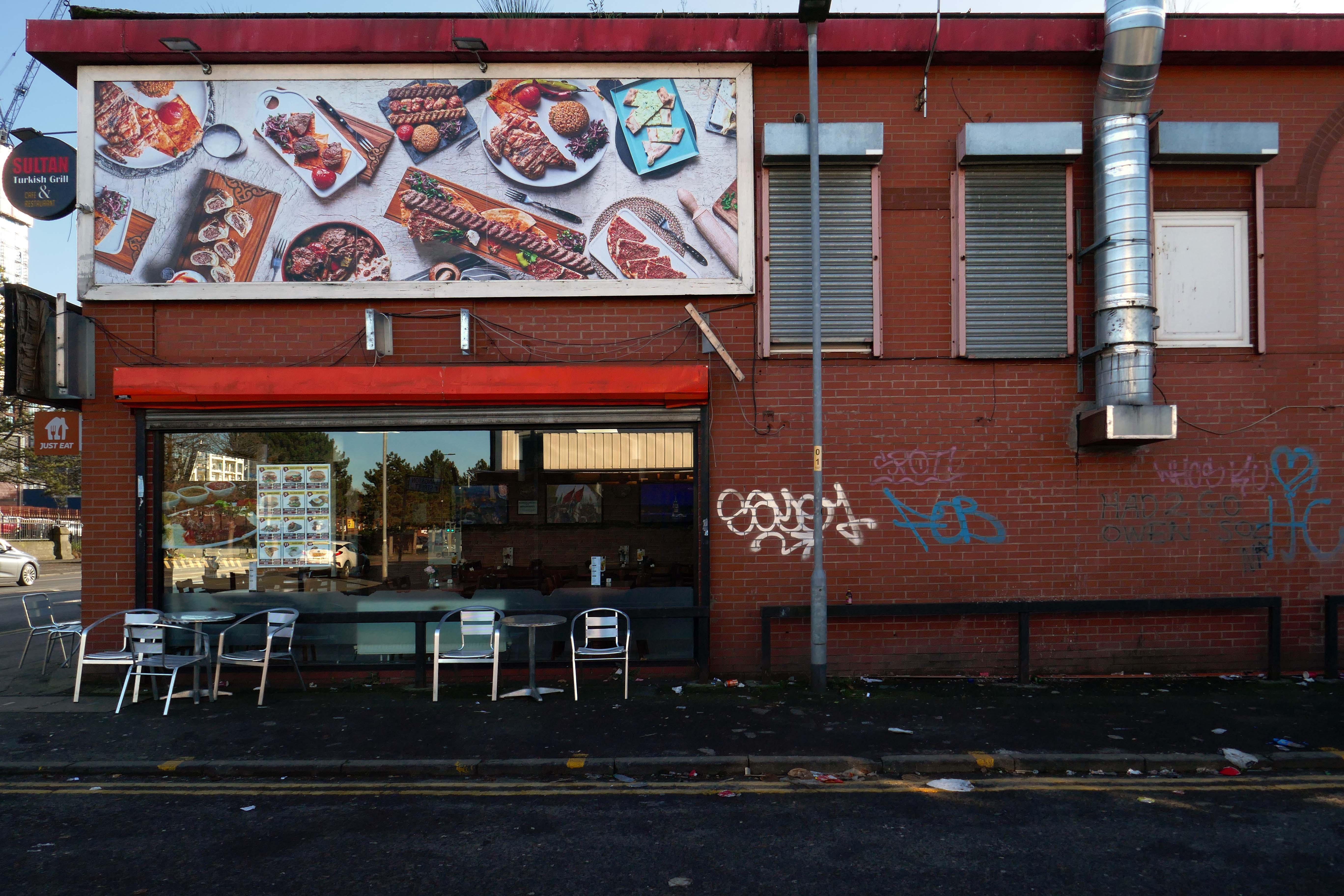

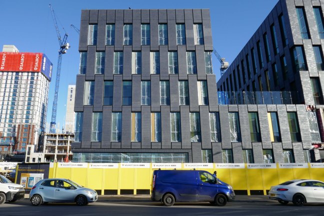
Having photographed the arterial roads of Manchester in 2014, I have resolved to return to the task in 2024.
Some things seem to have changed, some things seem to have stayed the same.

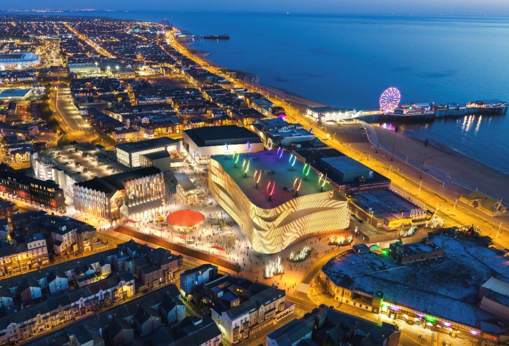
Blackpool Council says it remains committed to the Blackpool Central project amid the potential collapse of the developer leading the works.
But warning alarms sounded this week when Nikal – which was hired to oversee the project – filed a notice of intent to appoint administrators.
The £300m Blackpool Central development is billed as the biggest single investment in the town in more than a century and is planned to involve a “world-class leisure development” which would create 1,000 new jobs, bring an extra 600,000 visitors per year, and boost annual spend in the town by around £75m.
A spokesperson for Blackpool Council told the Blackpool Lead:
We have been working on the enabling phase of Blackpool Central over the last few years. The new multi-storey car park opened earlier this summer and we are currently completing preparations to demolish the old police station and courts building early in the New Year.
The proposals for the Bonny Street area can be seen here.
Plans for the area have hit further problems.
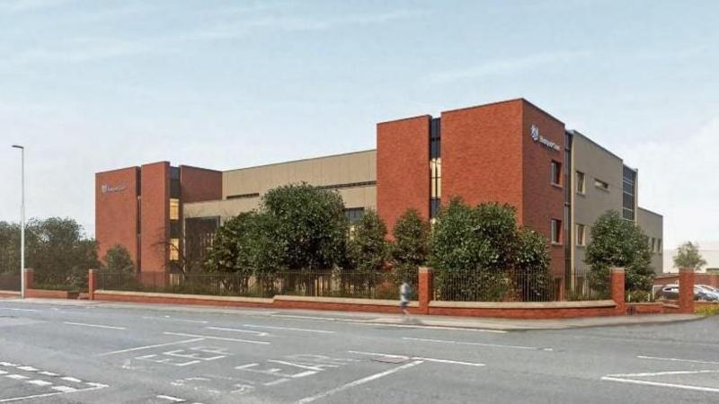
A new £40m magistrates courthouse is facing building delays after the project’s main contractor collapsed. Blackpool’s magistrates court was one of twenty two projects belonging to construction giant ISG, which was working on the scheme for the Ministry of Justice.
But the firm went into administration in September, leaving two thousand two hundred workers at risk of redundancy, the Local Democracy Reporting Service said.
Work was due to start early next year with a completion date expected in 2026.
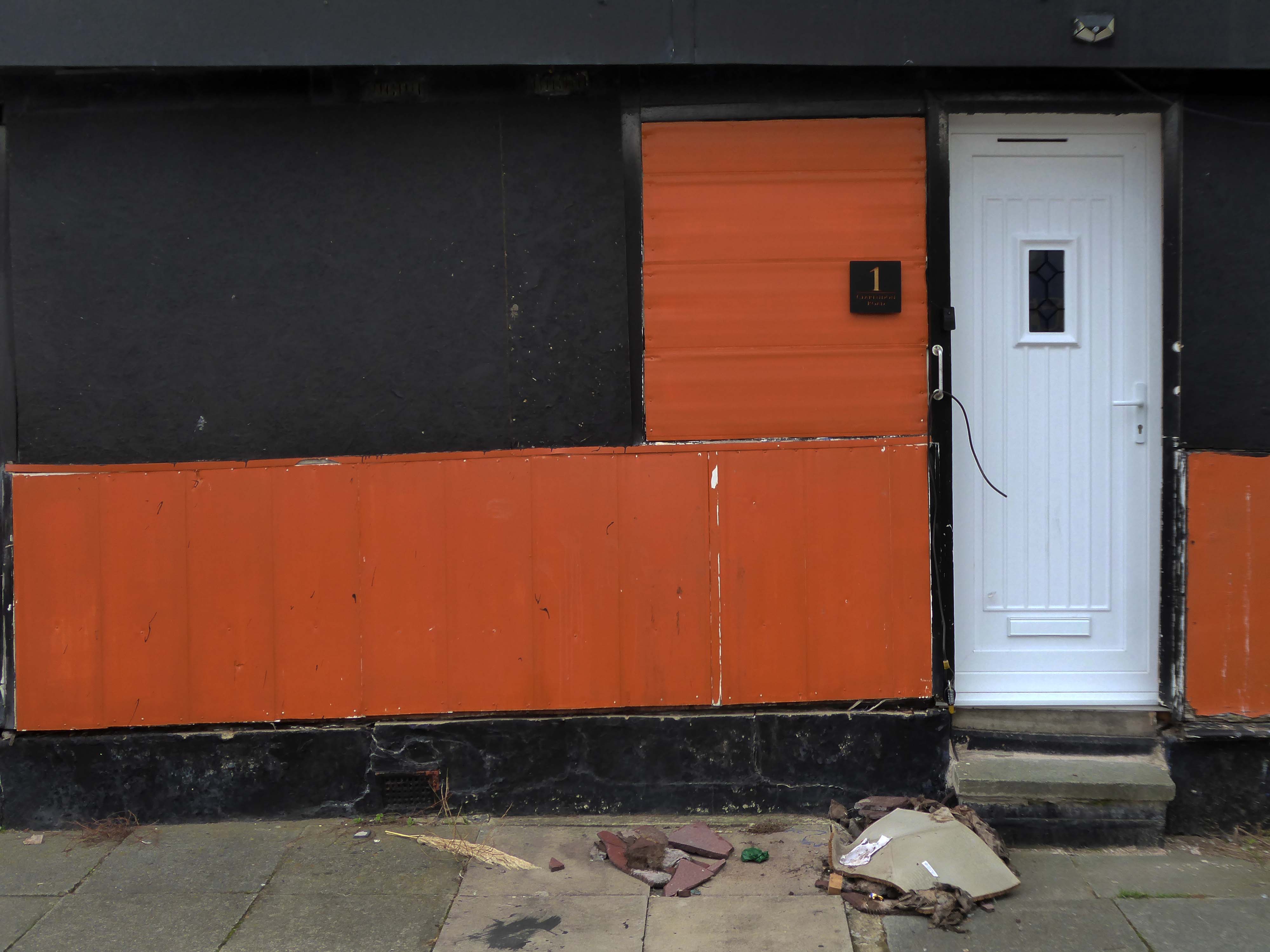
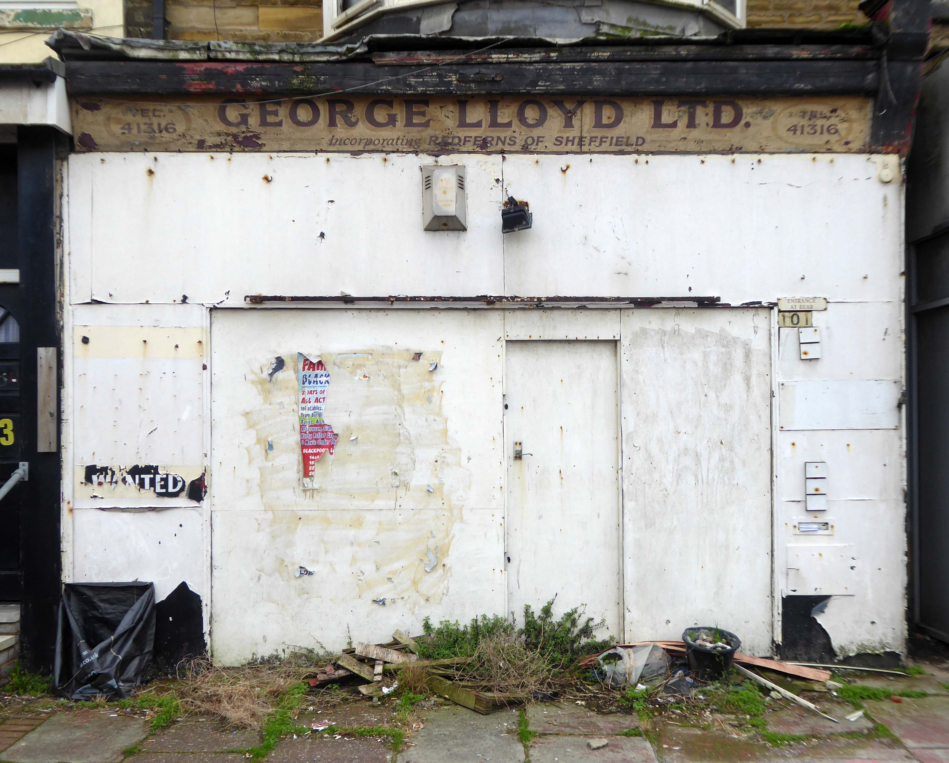
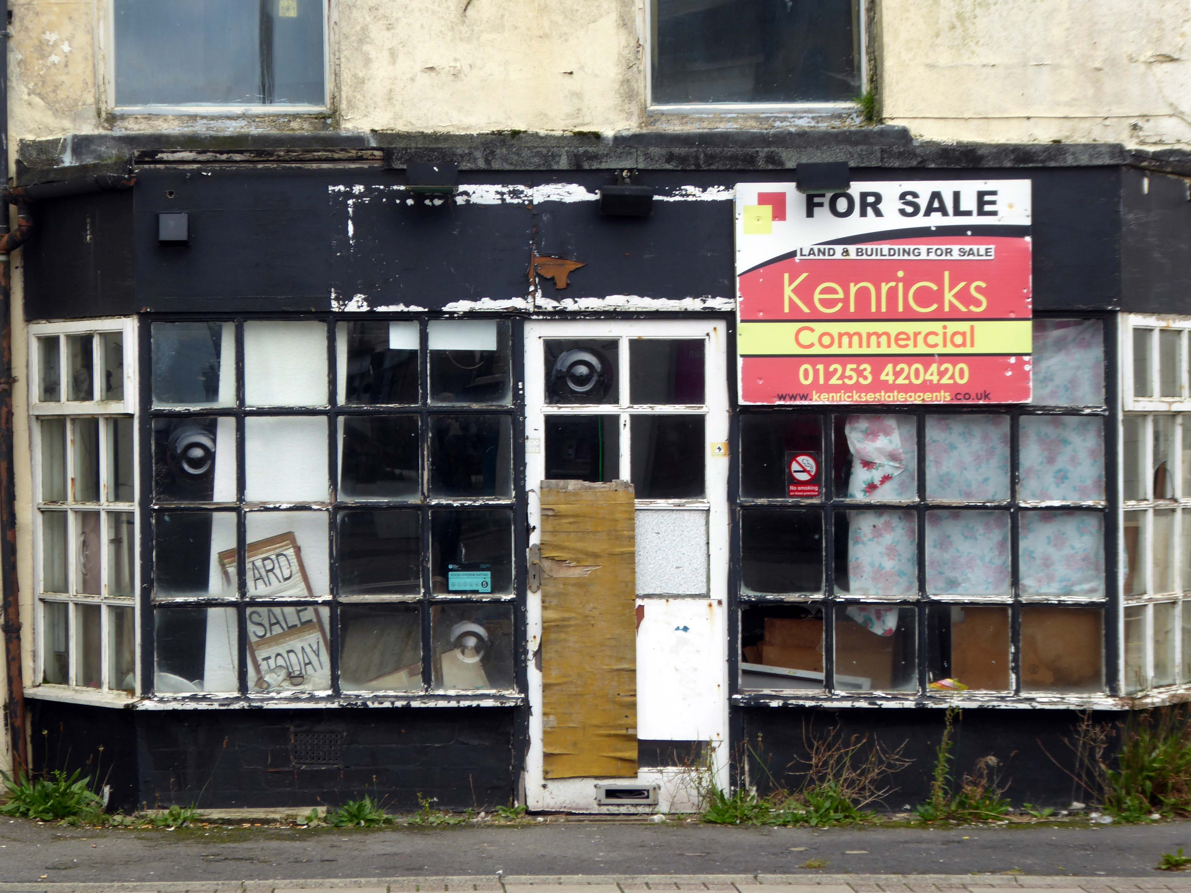
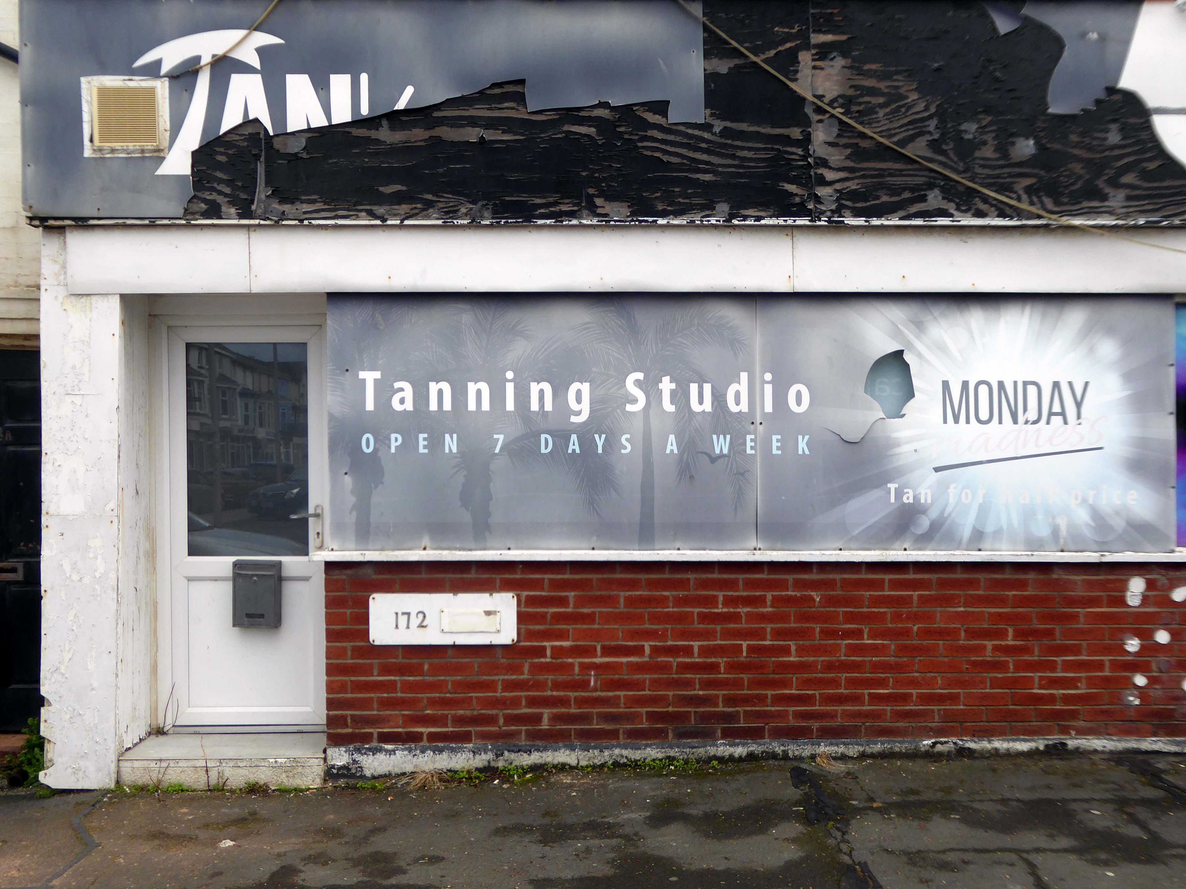
The town needs all the help it can get, time has not been too kind, whilst efforts have been made to invigorate the area around Blackpool North and the promenade, the back streets reflect the legacy of years of deprivation.
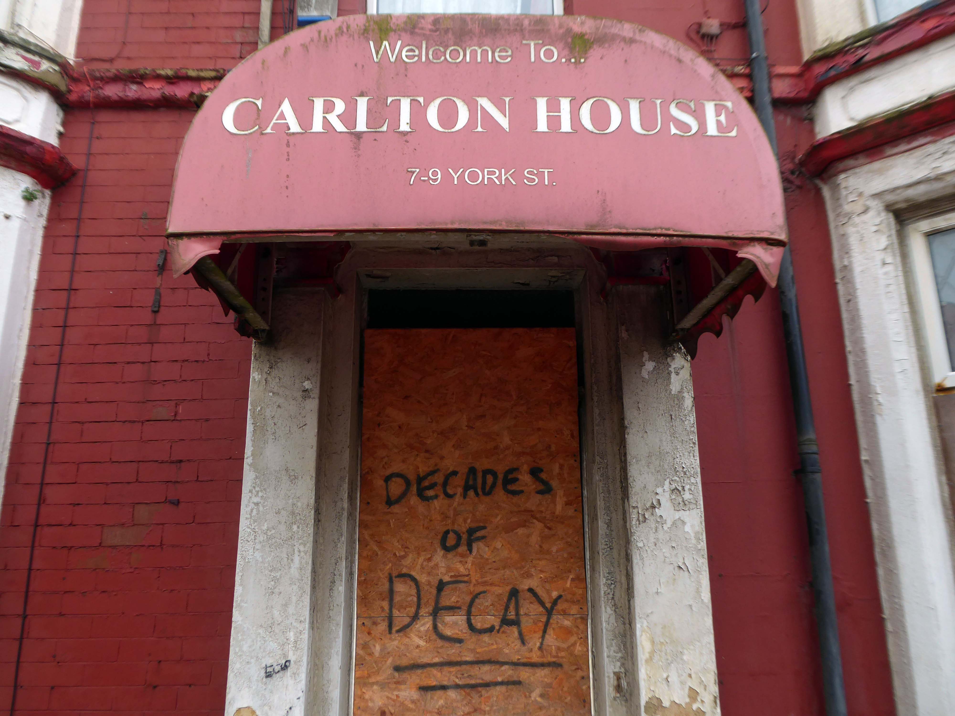
Blackpool ranks as one of the most deprived areas in the UK. Many people were already in poverty, and the cost of living pressures are having the biggest impact on this group, who need to spend a greater proportion of their incomes on household essentials. It is also affecting people on low and middle incomes, often surviving by having several jobs, who are being pushed into poverty. More people are turning to services for support, and as the winter progresses this is a serious concern.
Here is the statistical evidence as of 2021.
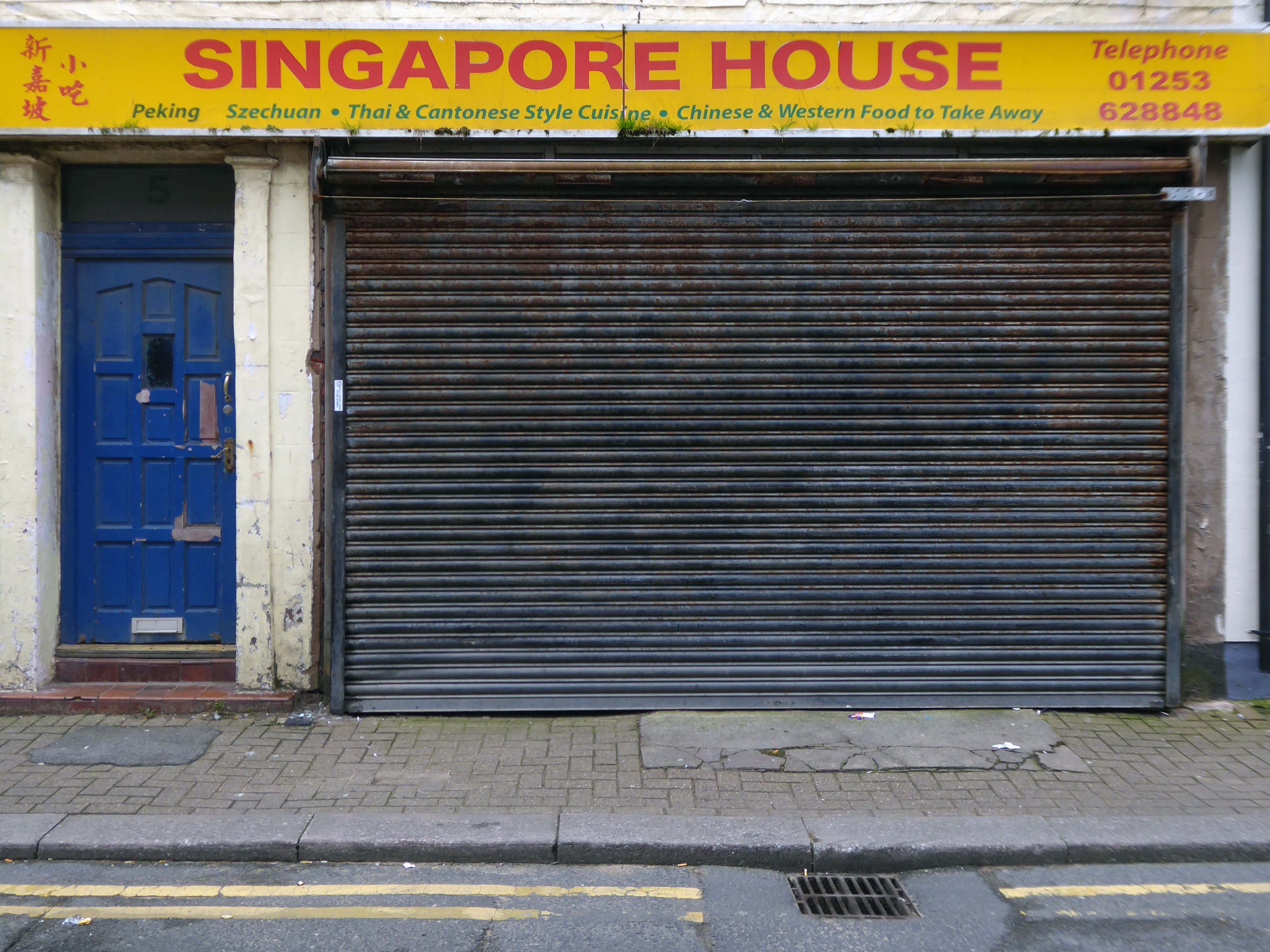
I have no wish to poor scorn on the area – but a short walk around the streets approximate to the coast tells a tale of failed businesses, decay and decline.
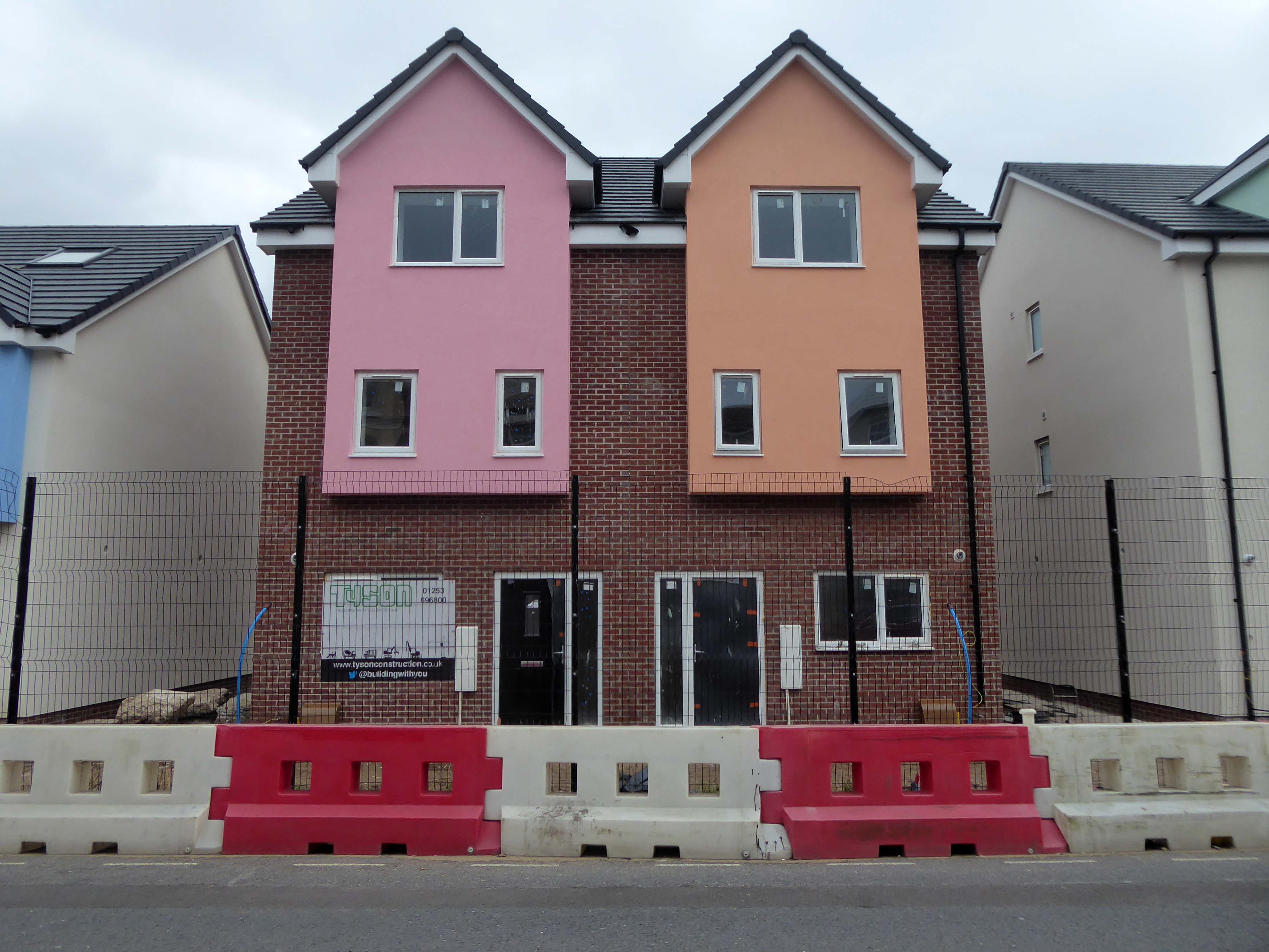
Happily there are the seeds of recovery in evidence, in the form of newly built housing.
The executive report outlines an area of regeneration to the South of the town centre. It lies broadly between Chapel Street and Rigby Road, and the Promenade and Central Drive. These have been identified as the initial areas of focus for detailed scheme development, community engagement and property acquisitions in preparation for future development.
We all deserve better.

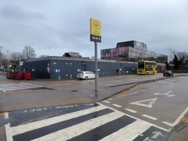
Arriving at and looking around the Interchange – 1980 architects: Essex Goodman & Suggitt
It is the northern terminus of the Manchester Metrolink’s Bury Line, which prior to 1992 was a heavy-rail line.
A new short spur line was constructed to connect the new station. The railway had originally run into Bury Bolton Street which was further away from the town centre, and was closed by British Rail on the same day that Bury Interchange opened.
It also incorporates a bus station.
Bury Interchange replaced the bus termini scattered around Bury town centre, notably around Kay Gardens.
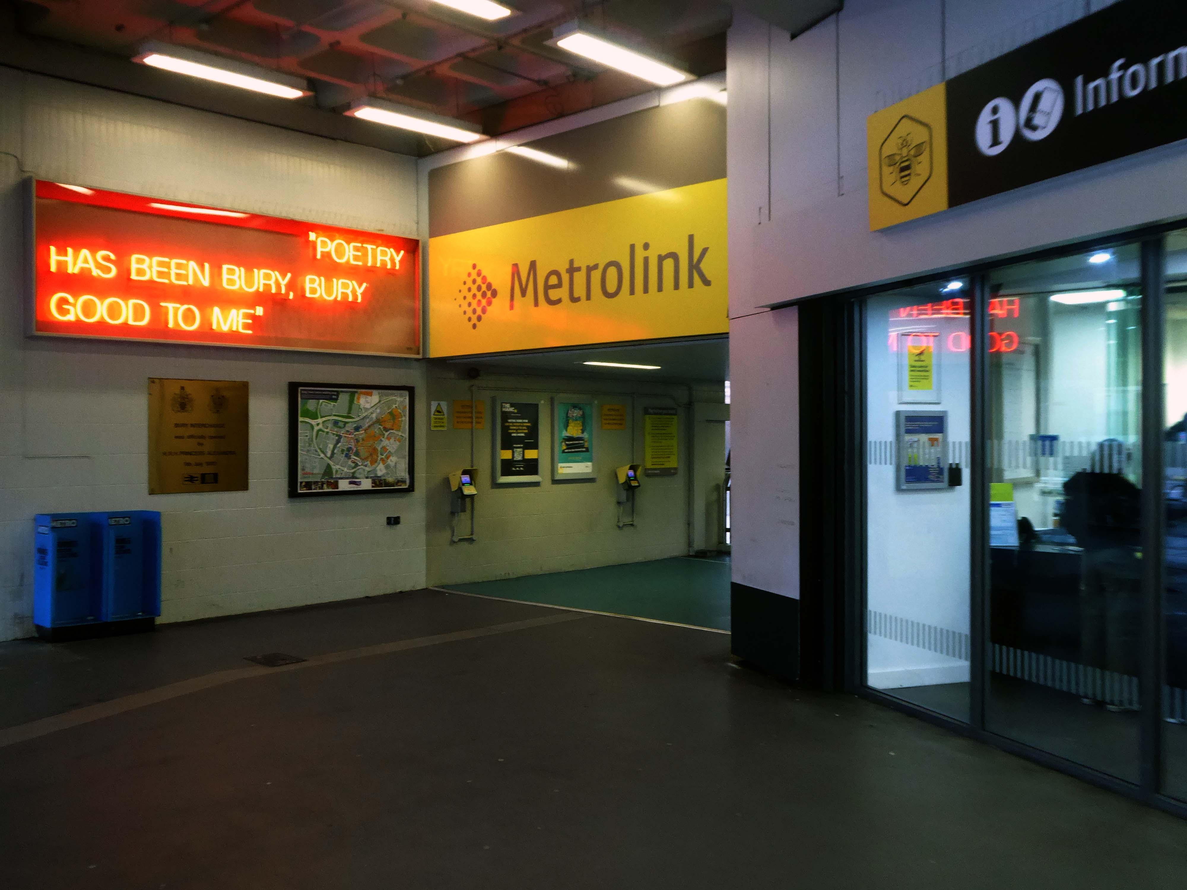
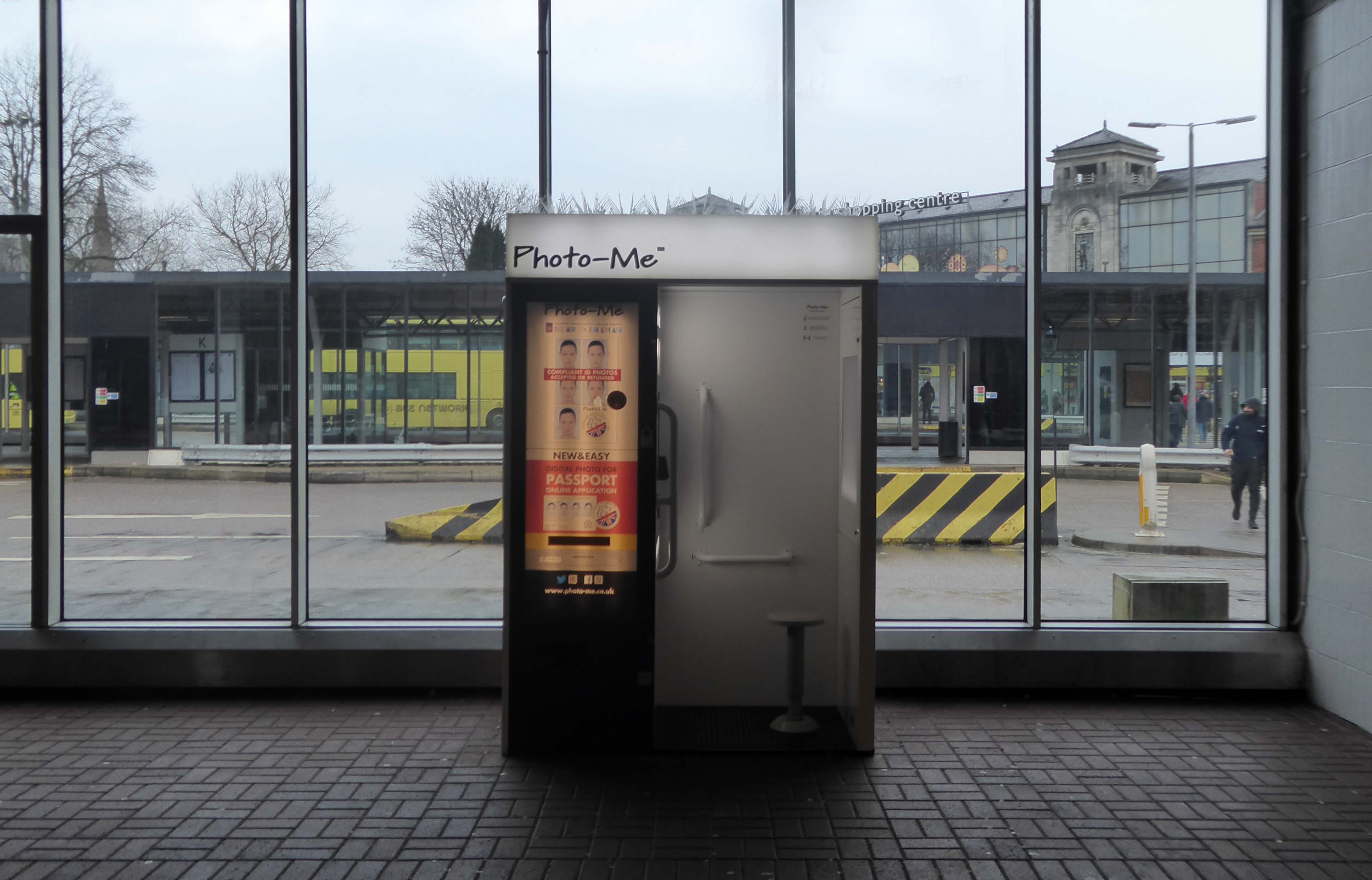
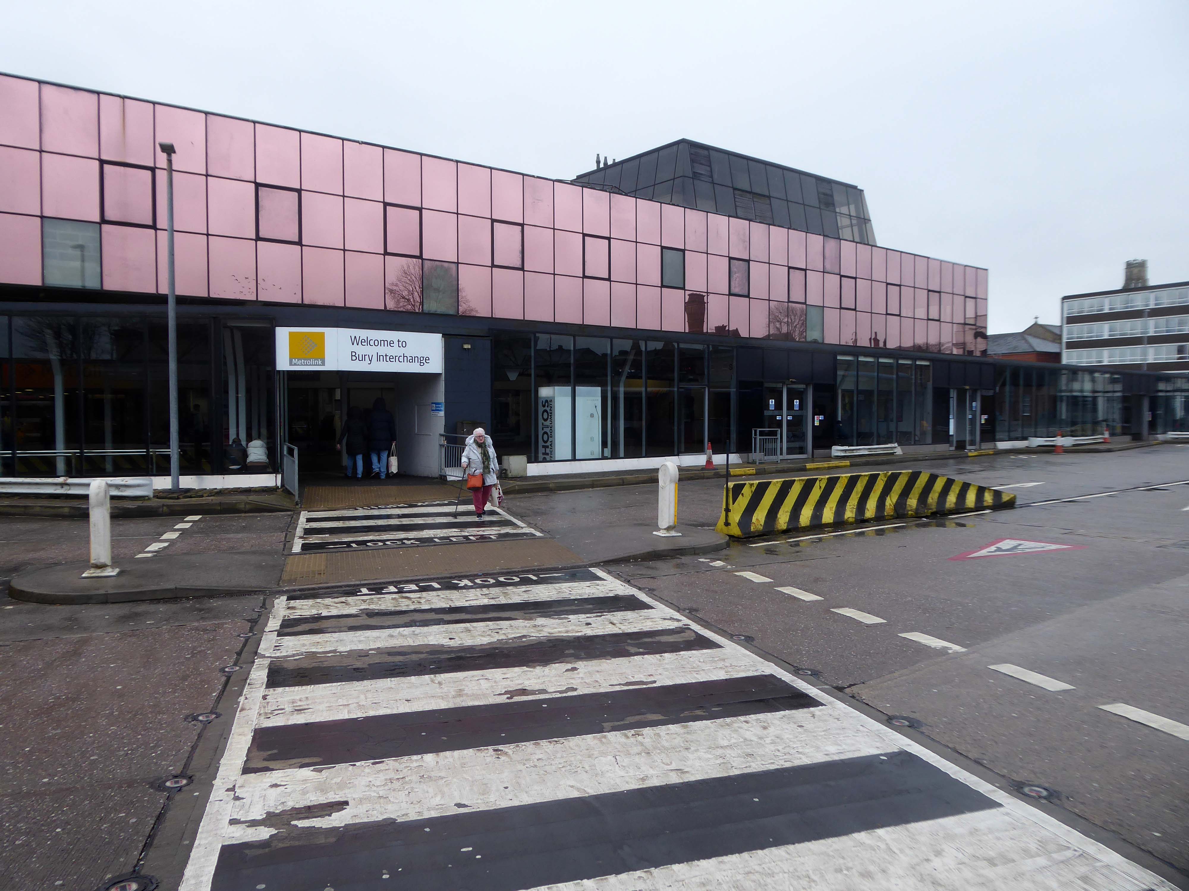
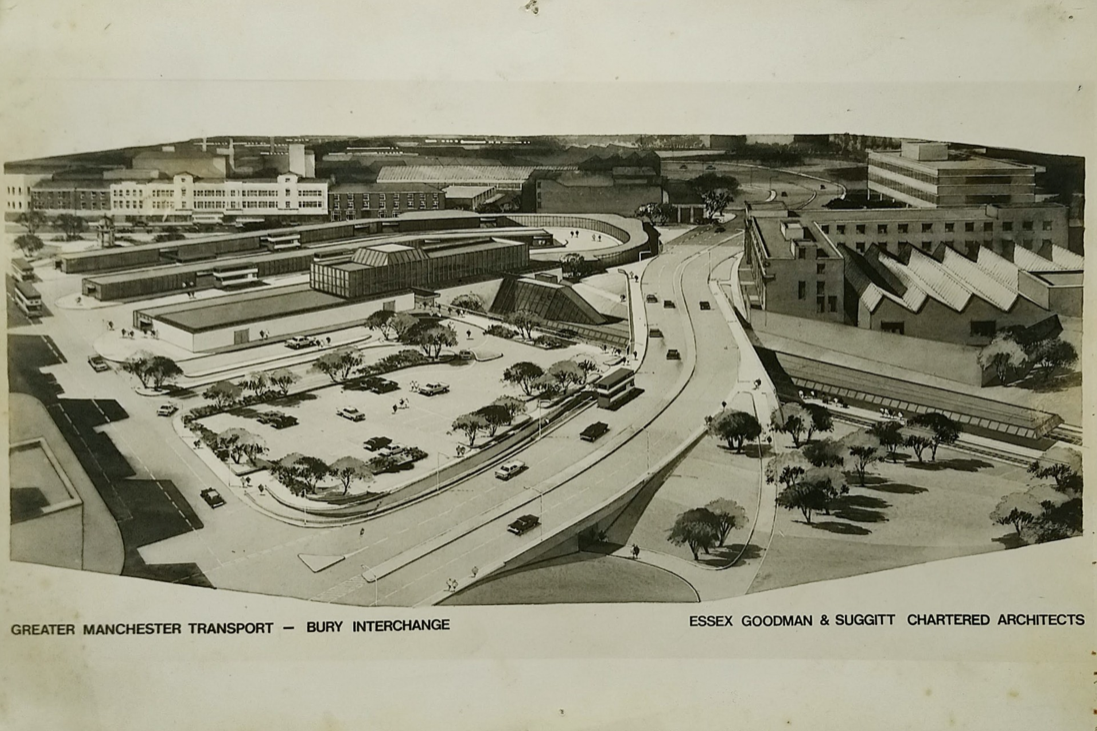
Image courtesy of Roy Banks
An £80m transformation is coming to the Bury Interchange, which will see step-free access at the Metrolink, a “vertical circulation core” to better connect the Metrolink with the bus facility, and an integrated travel hub with spaces for cycle storage.
The work is much-needed, explained Transport for Greater Manchester’s Alan Lowe, he said that the interchange was built in the 1980s and very much is of its time.
Onward to the Art Picture House which is Grade II Listed – currently operating as a Wetherspoons.
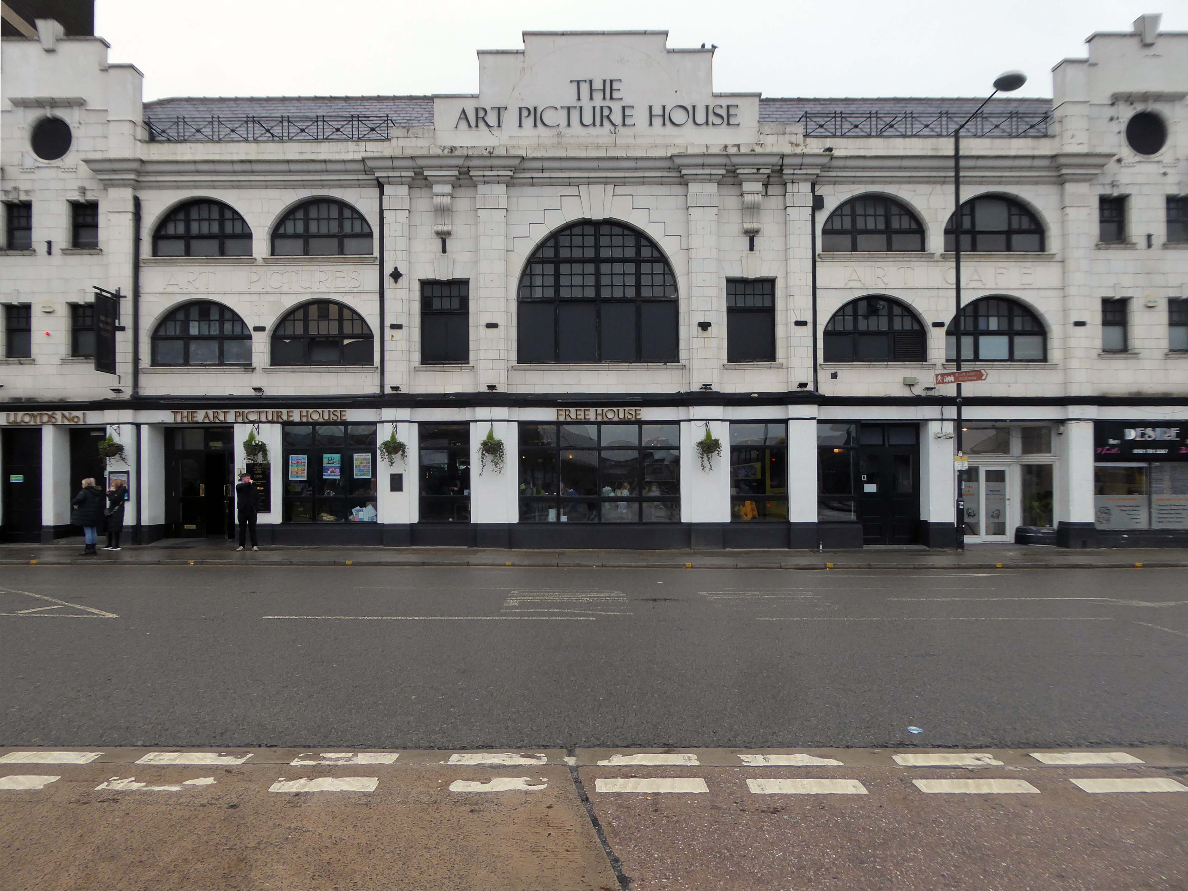
The Art Picture Palace was a 1923 rebuild of the earlier Art Picture Hall both designed by architect Albert Winstanley. The Art Picture Palace was opened on 26th January 1923. A remarkably complete survivor of a 1920’s cine-variety house executed in an elaborate style.
Films ceased in February 1965 and it became a bingo club. Later converted into a billiard hall until 19th May 1991 when it became a bingo club again, it later became a Chicago Rock Cafe.
Cinema Treasures
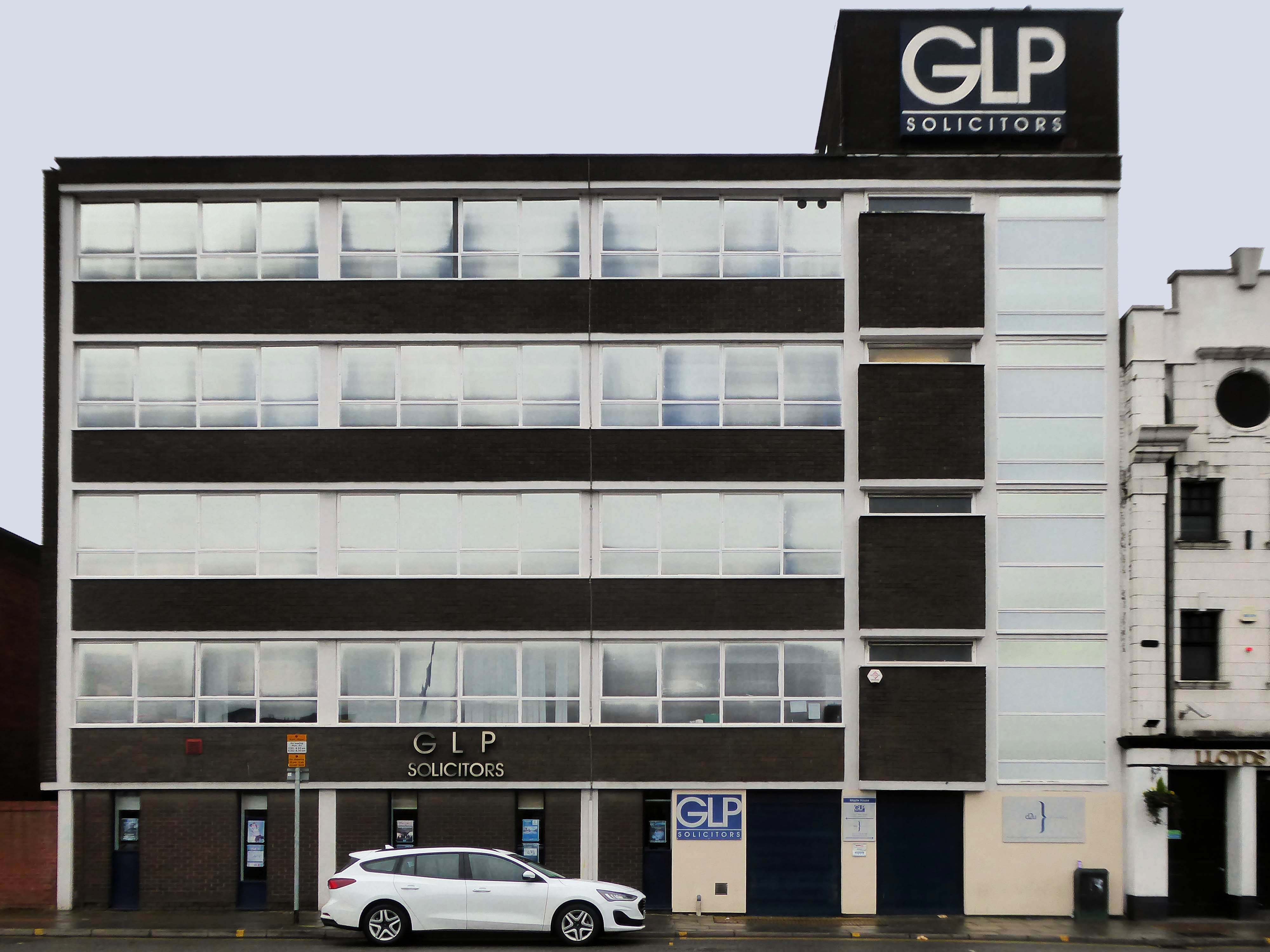
Next door a typical steel glass and brick banded office block Maple House.
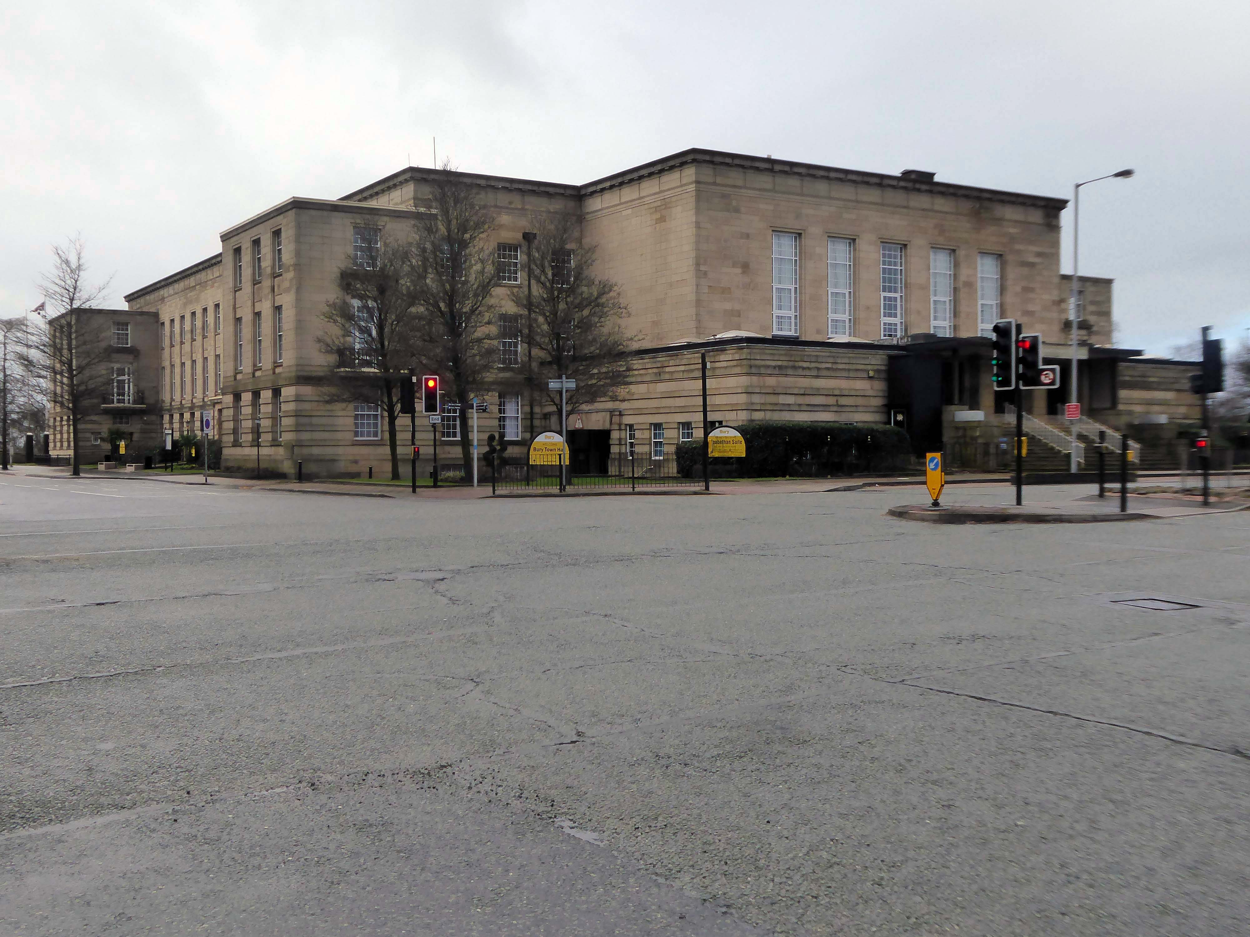
Around the corner and over the road to the Town Hall 1939-40 architects: Reginald Edmonds of Jackson & Edmonds then 1947-54.
Large and Dull – Niklaus Pevsner.
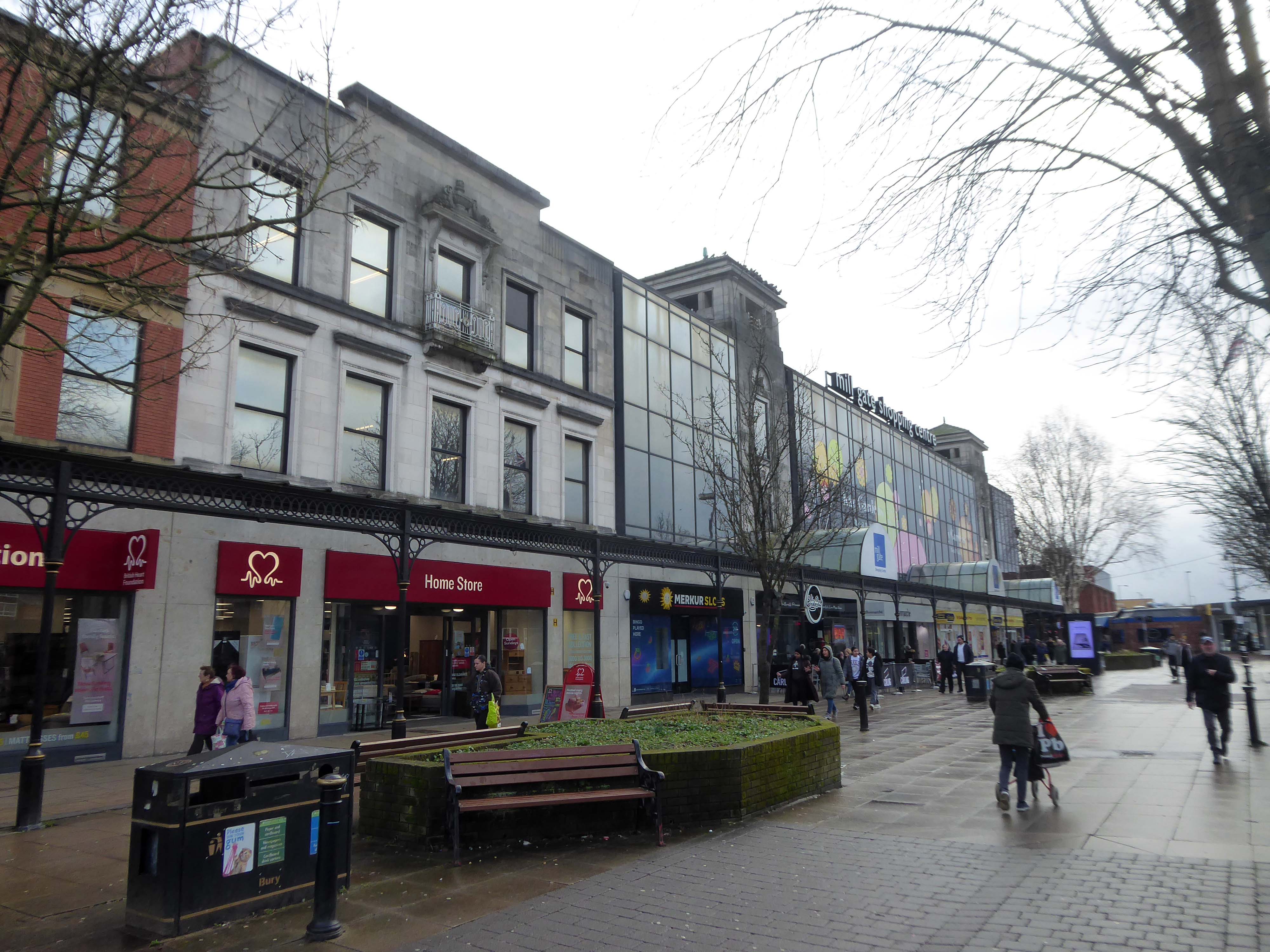
Back through the Interchange to the former Cooperative Store of the 1930’s.
The Portland Stone towers still visible – the elevation largely retro-clad in glass.
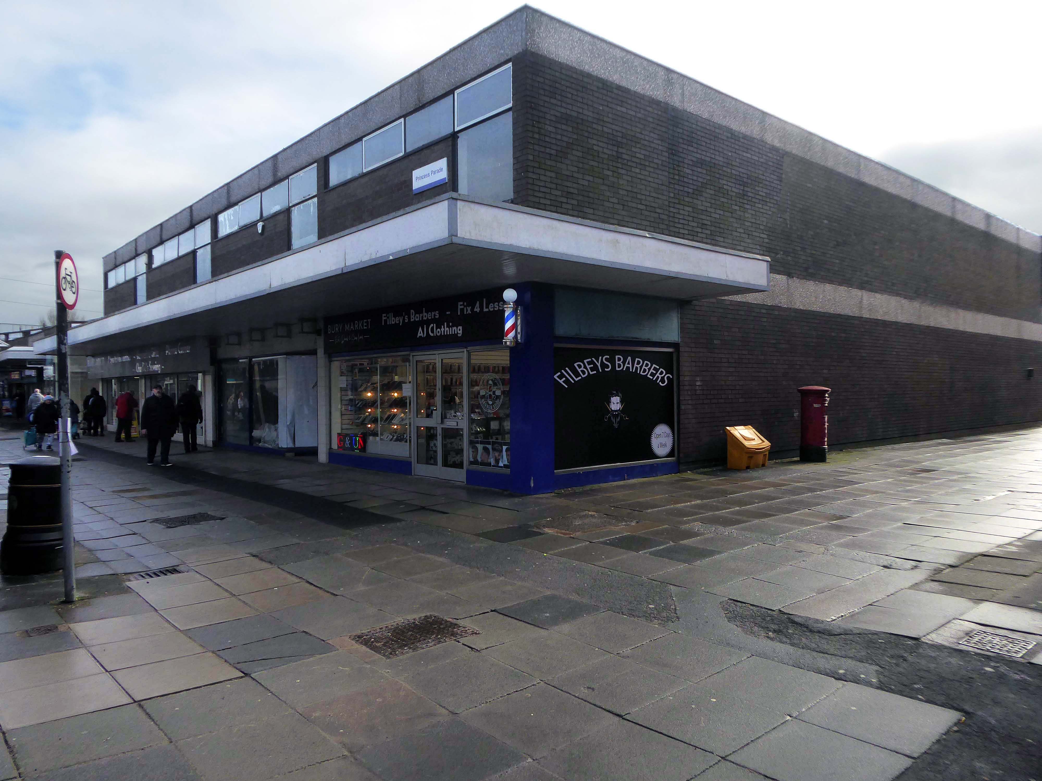
Passing through the Millgate Shopping Centre of the 1980’s.
Unambitious but successful, the floors cheerfully tiled – Niklaus Pevsner.
Down in the subway at midday.
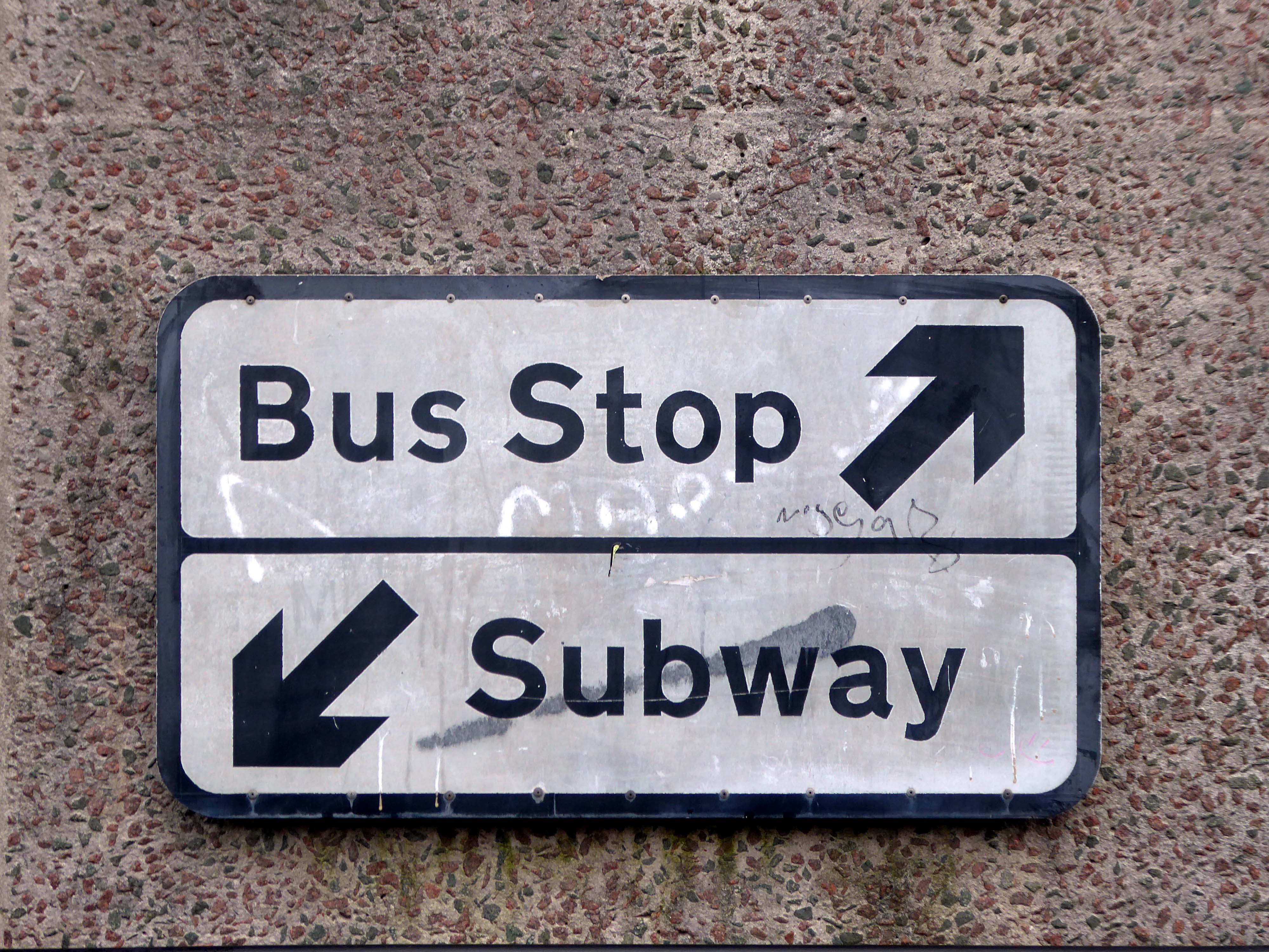
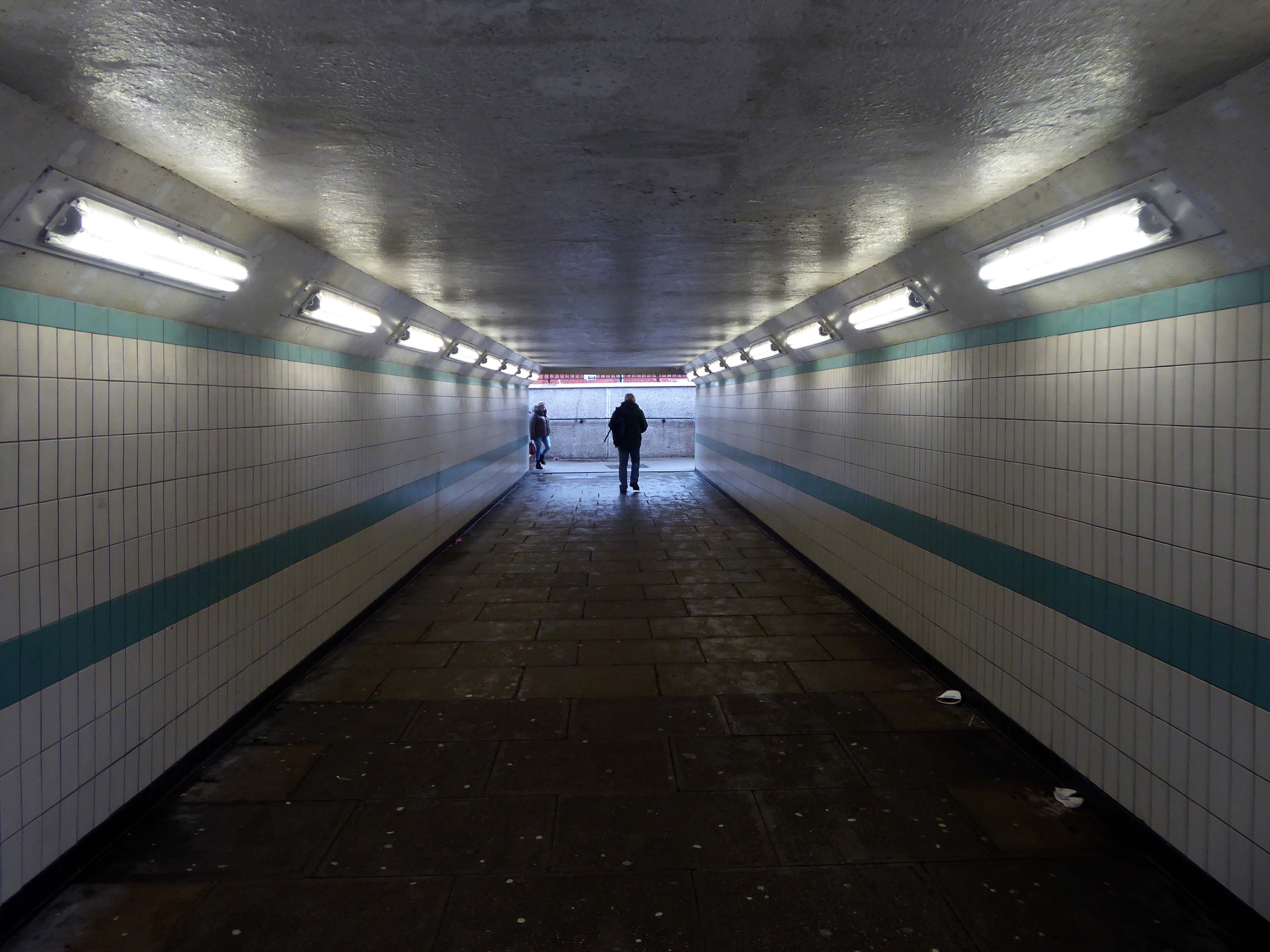
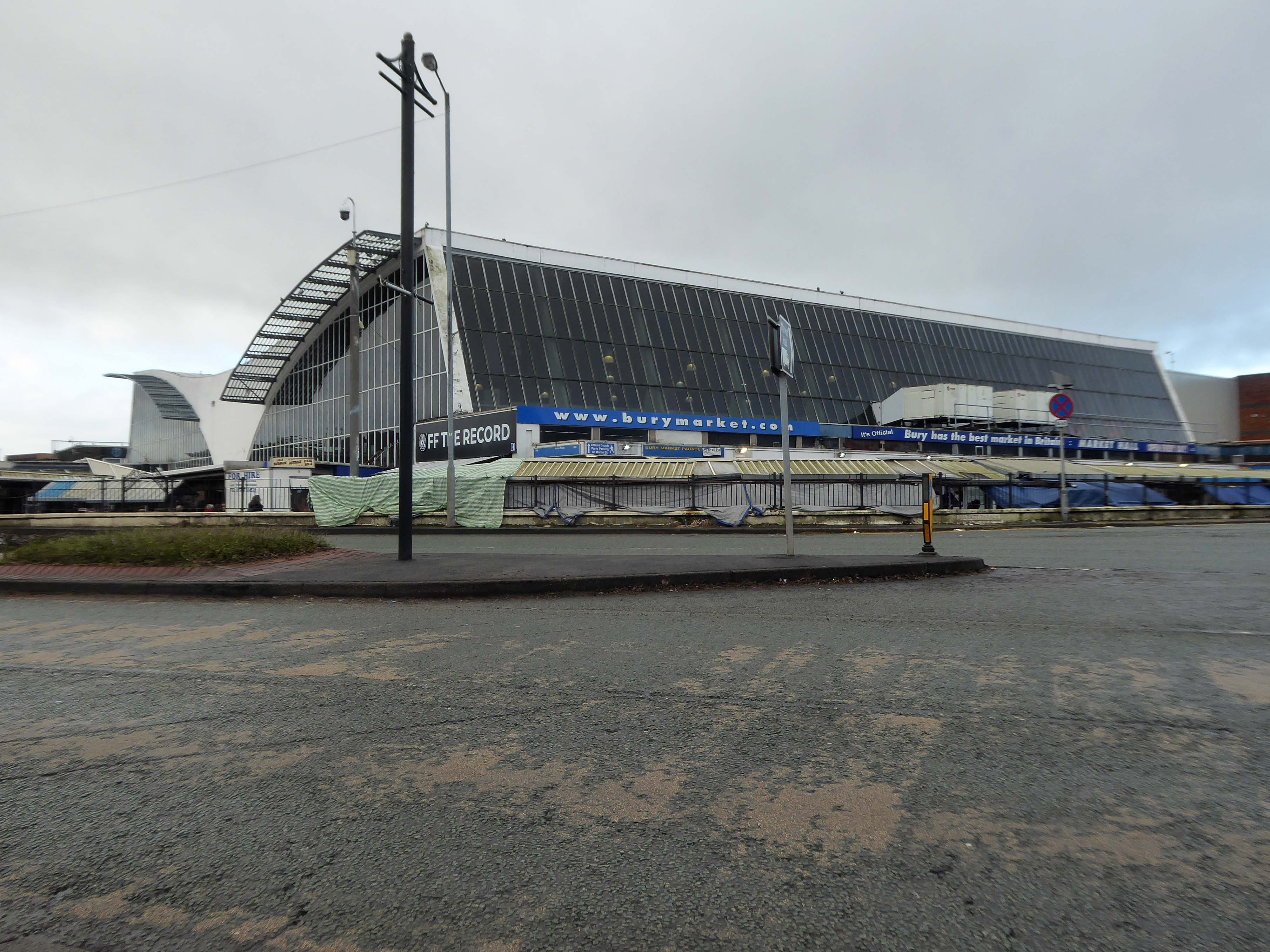
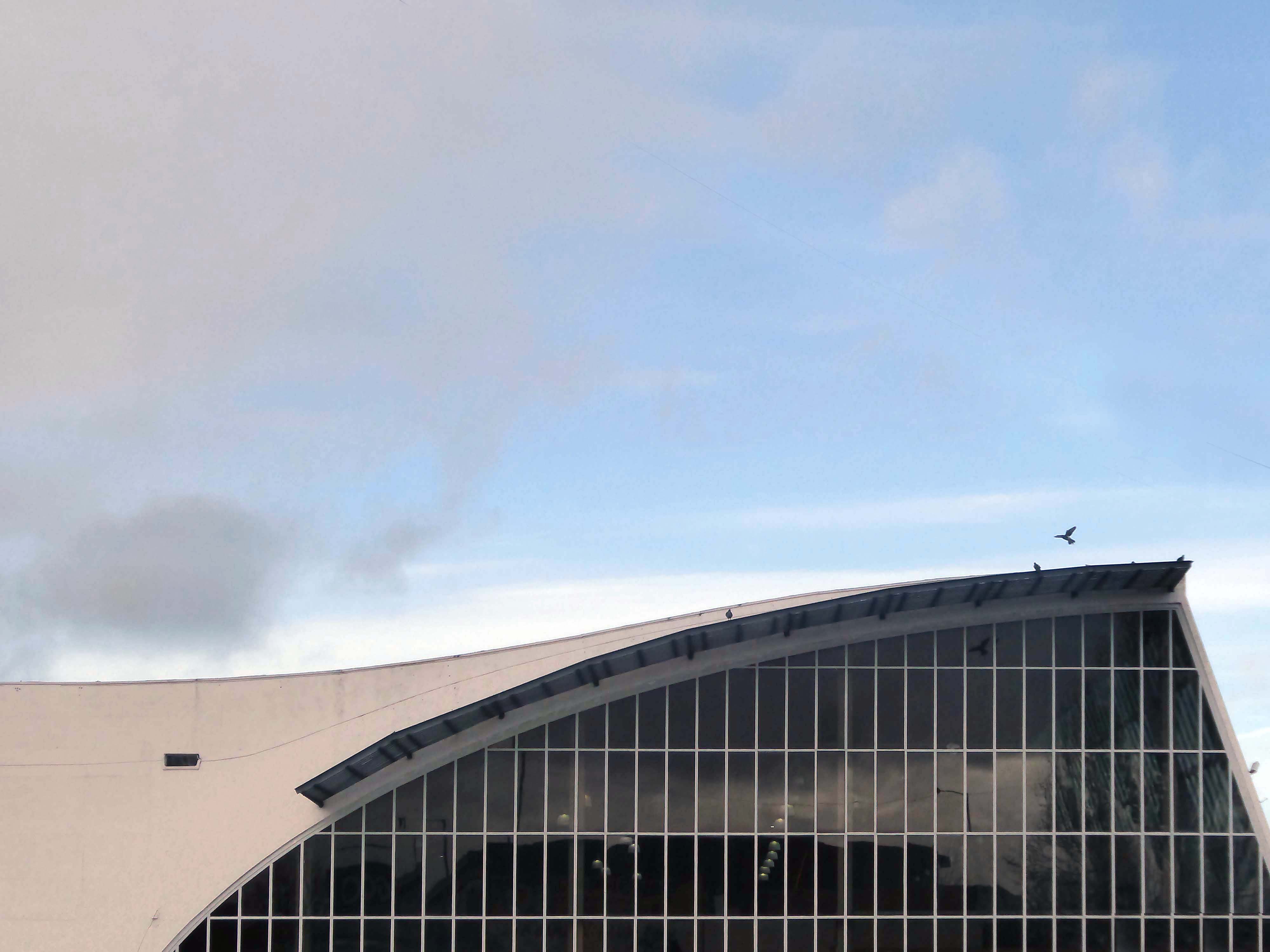
The better to get a view of the Market Hall 1971 – architects: Harry S Fairhurst.
The Indoor Market Hall is currently closed due to the discovery of Reinforced Autoclaved Aerated Concrete – within the building structure. RAAC is a lightweight type of building material that was used between the 1950s and 1990s.
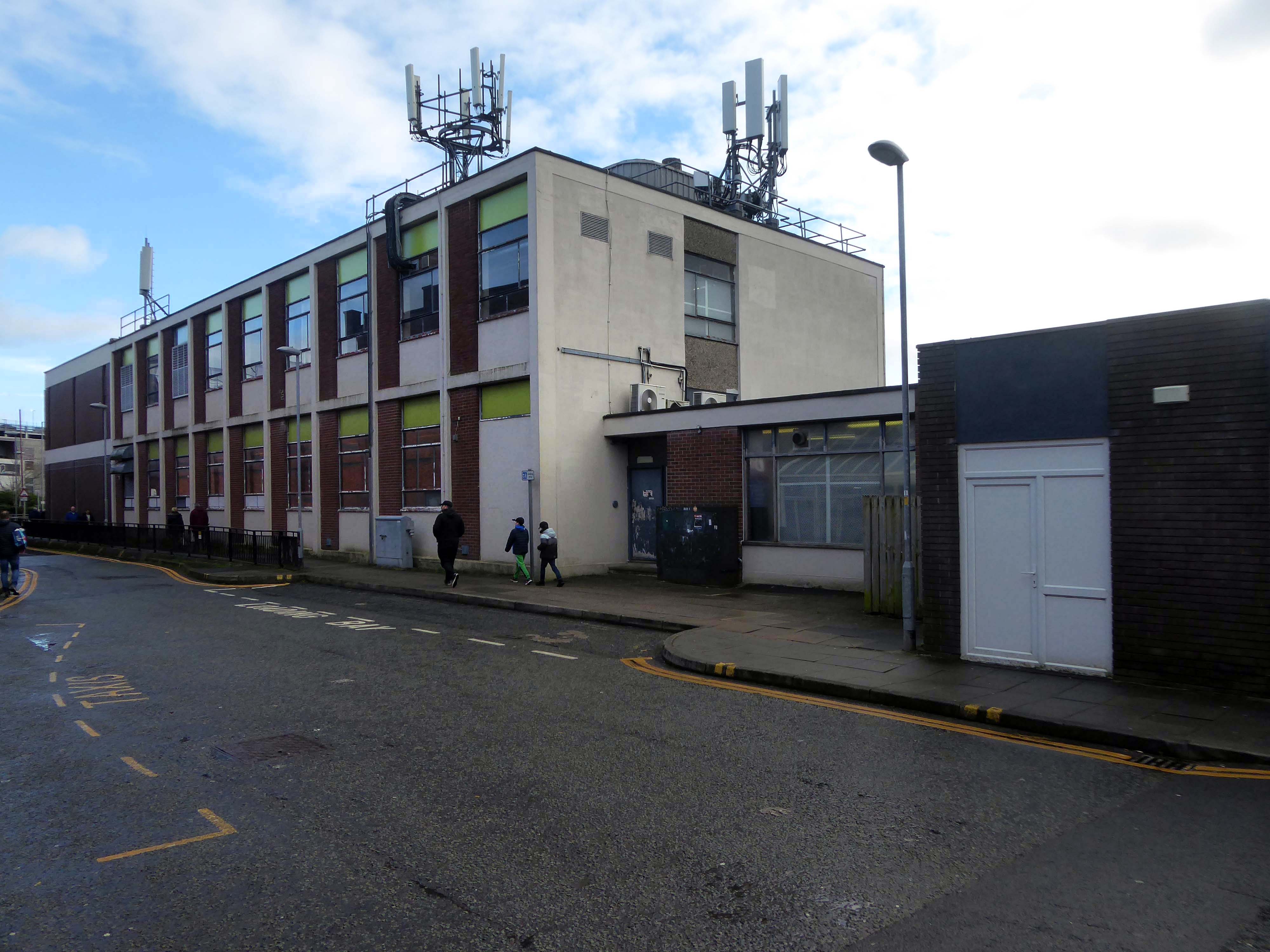
Back under the road – where we find a delightful Telephone Exchange.
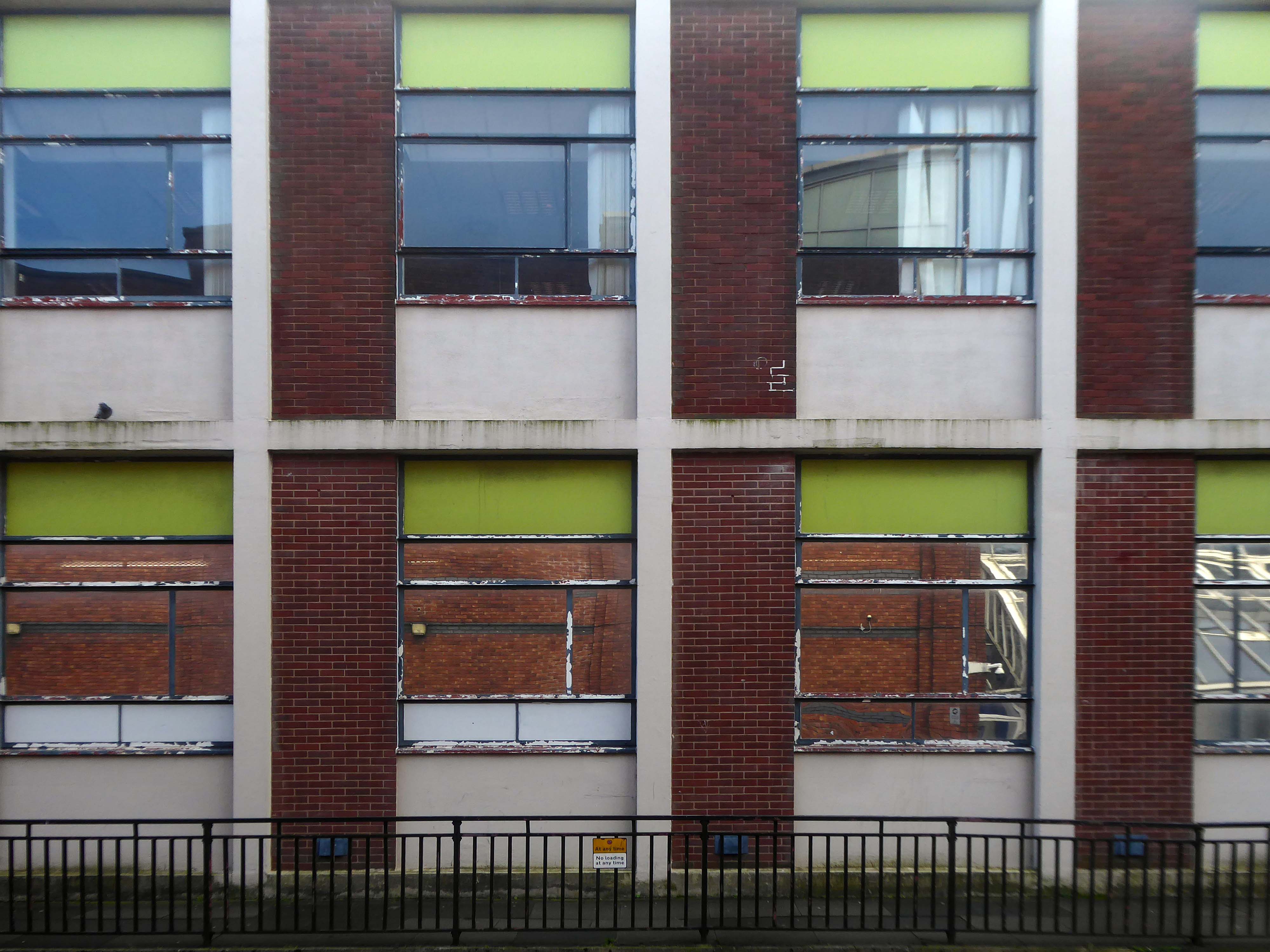
With an adjacent Multi Story Car Park.
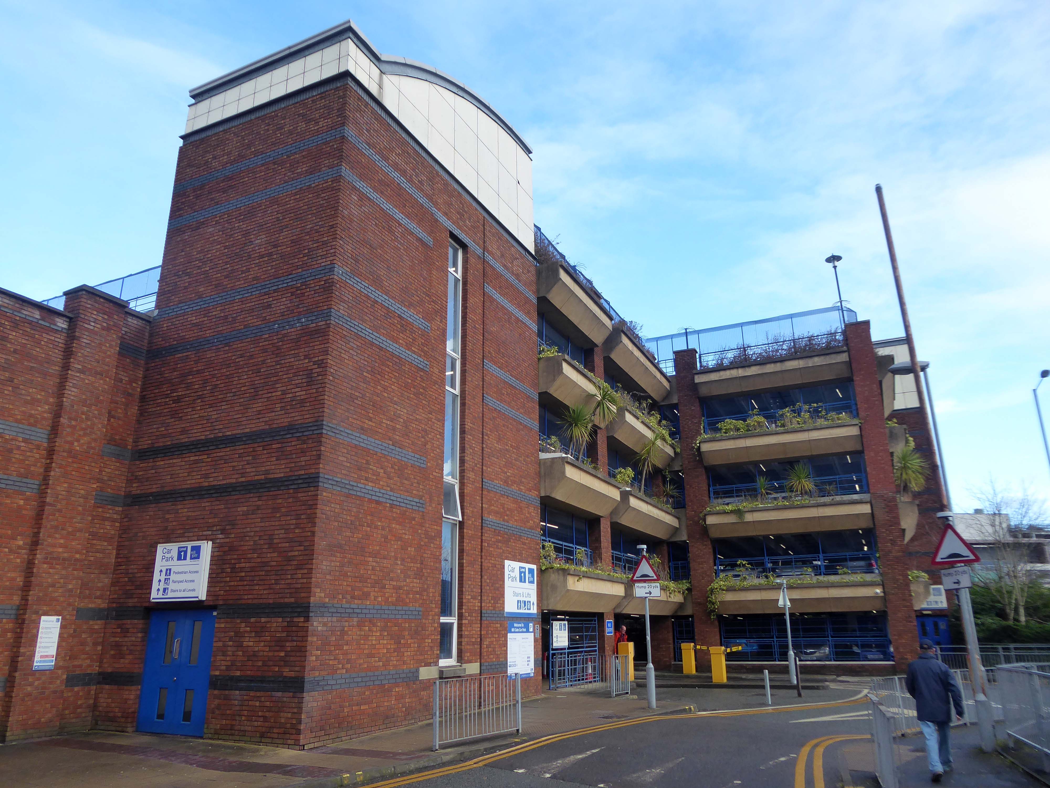
Around the bend to The Rock.
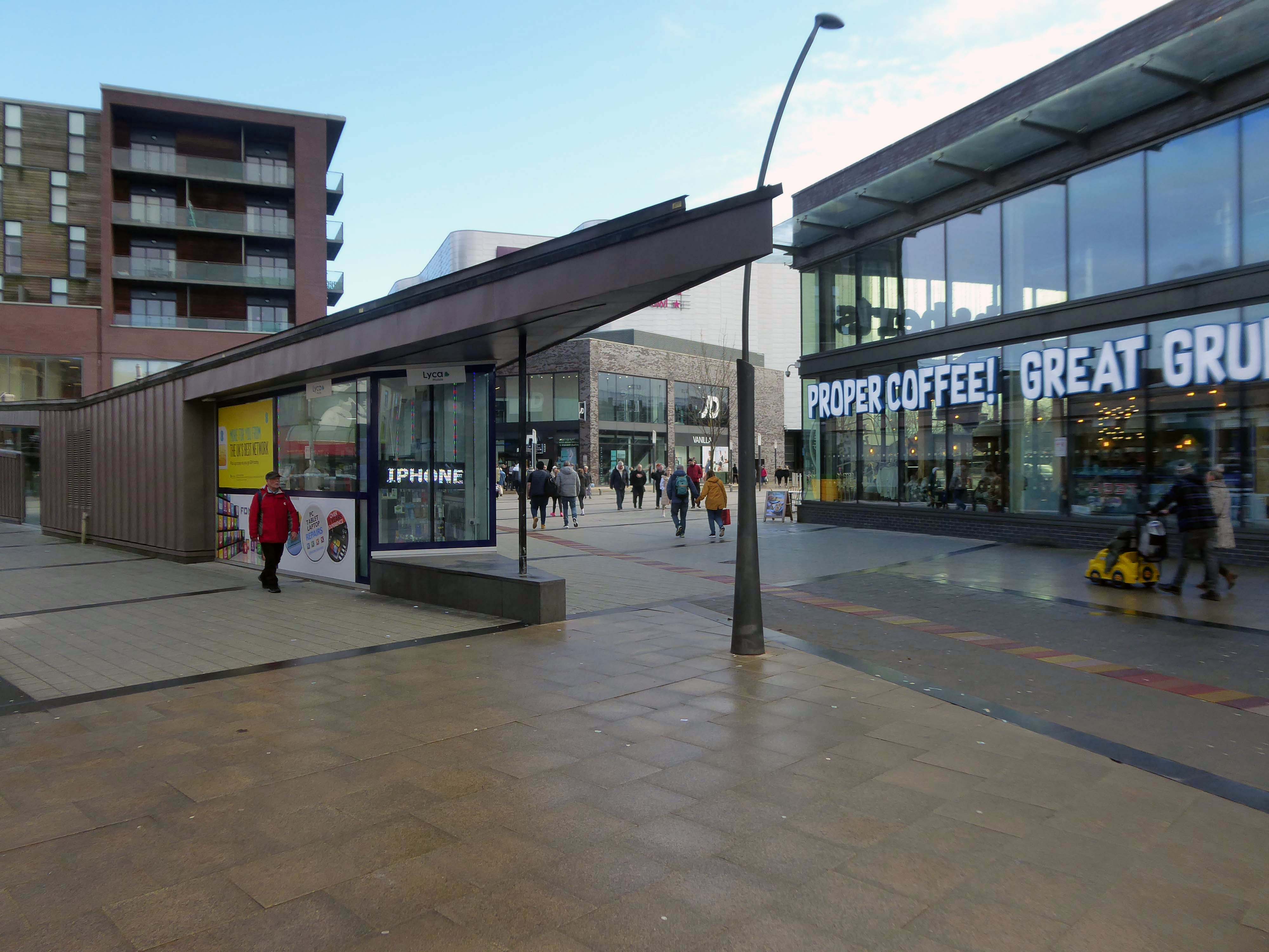
The Rock is a vibrant retail and leisure centre which is home to a range of high street fashion brands, independent retailers, tantalising eateries and fantastic entertainment – it’s the perfect place to visit any day of the week.
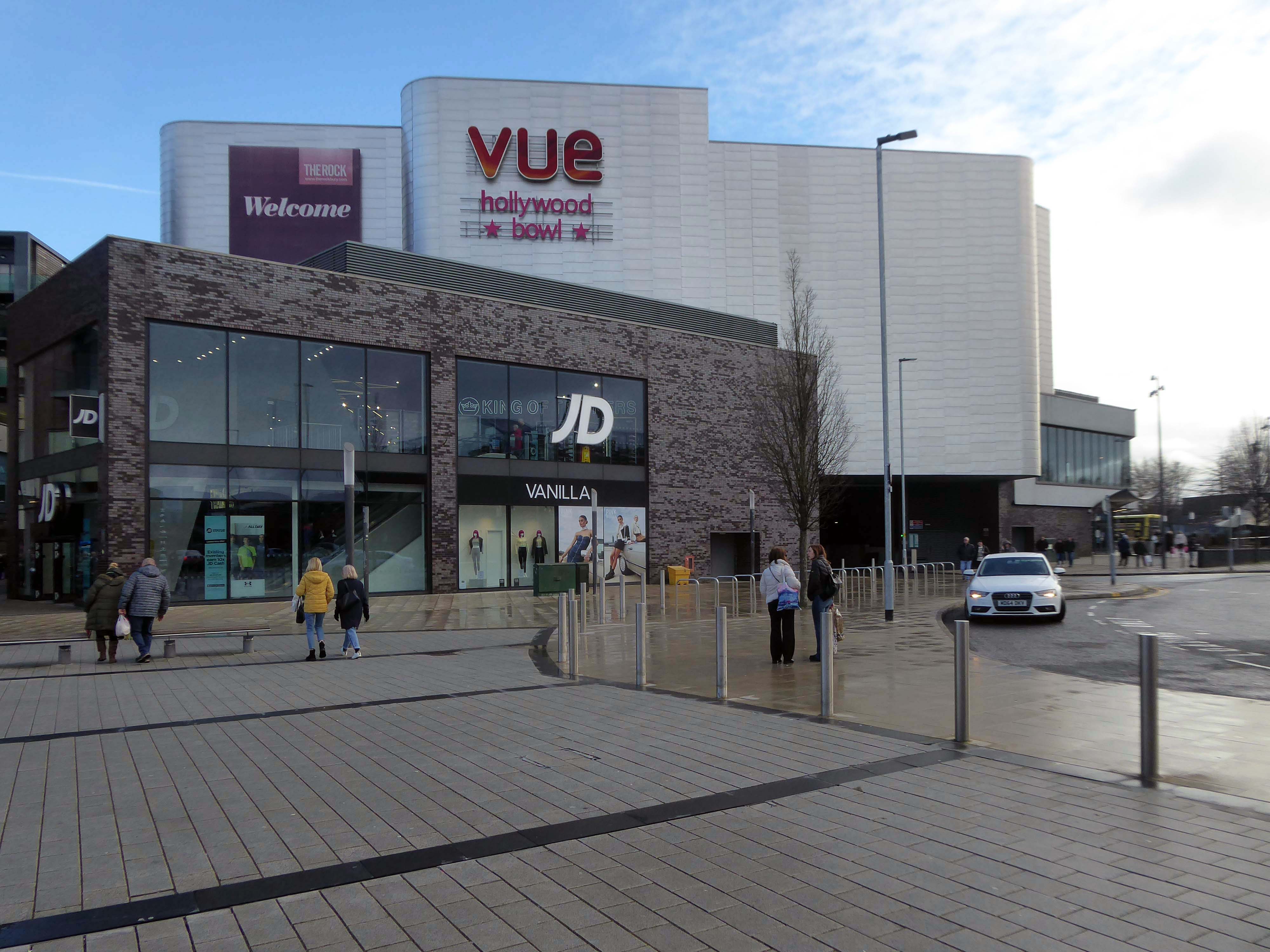
It is the work of architects BDP – completed in 2010 at a cost of £350 million.
Our masterplan for The Rock took into account the historical street pattern and public realm context to give the scheme its own identity, and make visual connections to local landmarks.
The retail and leisure scheme brings many exciting brands to Bury for the first time.
New pedestrian streets rejuvenate and improve connections to adjacent areas stitching the town back together.
The development will also contain 408 one and two-bedroom apartments.
Back to basics at a former Burton’s hiding its faience facade.
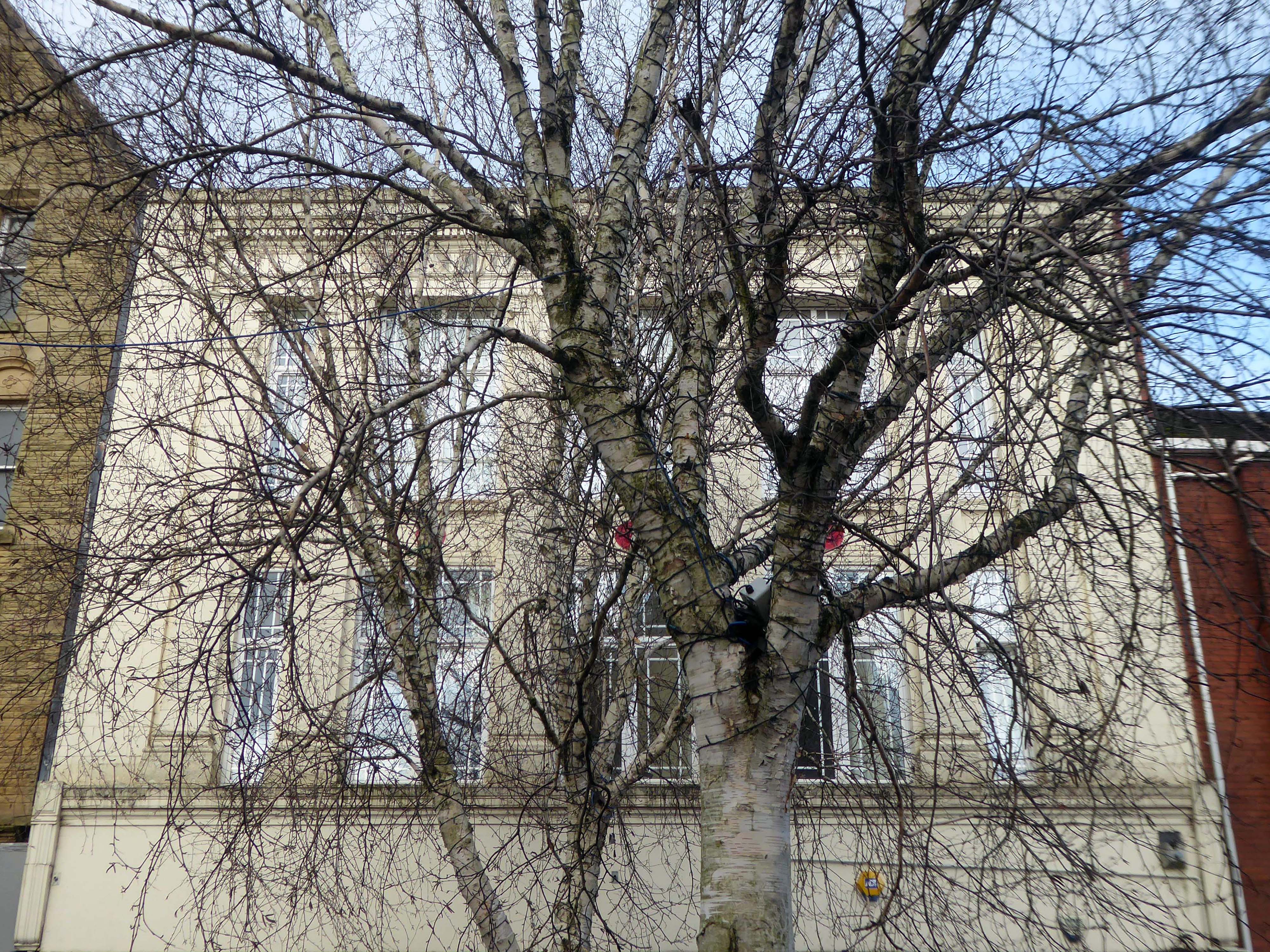
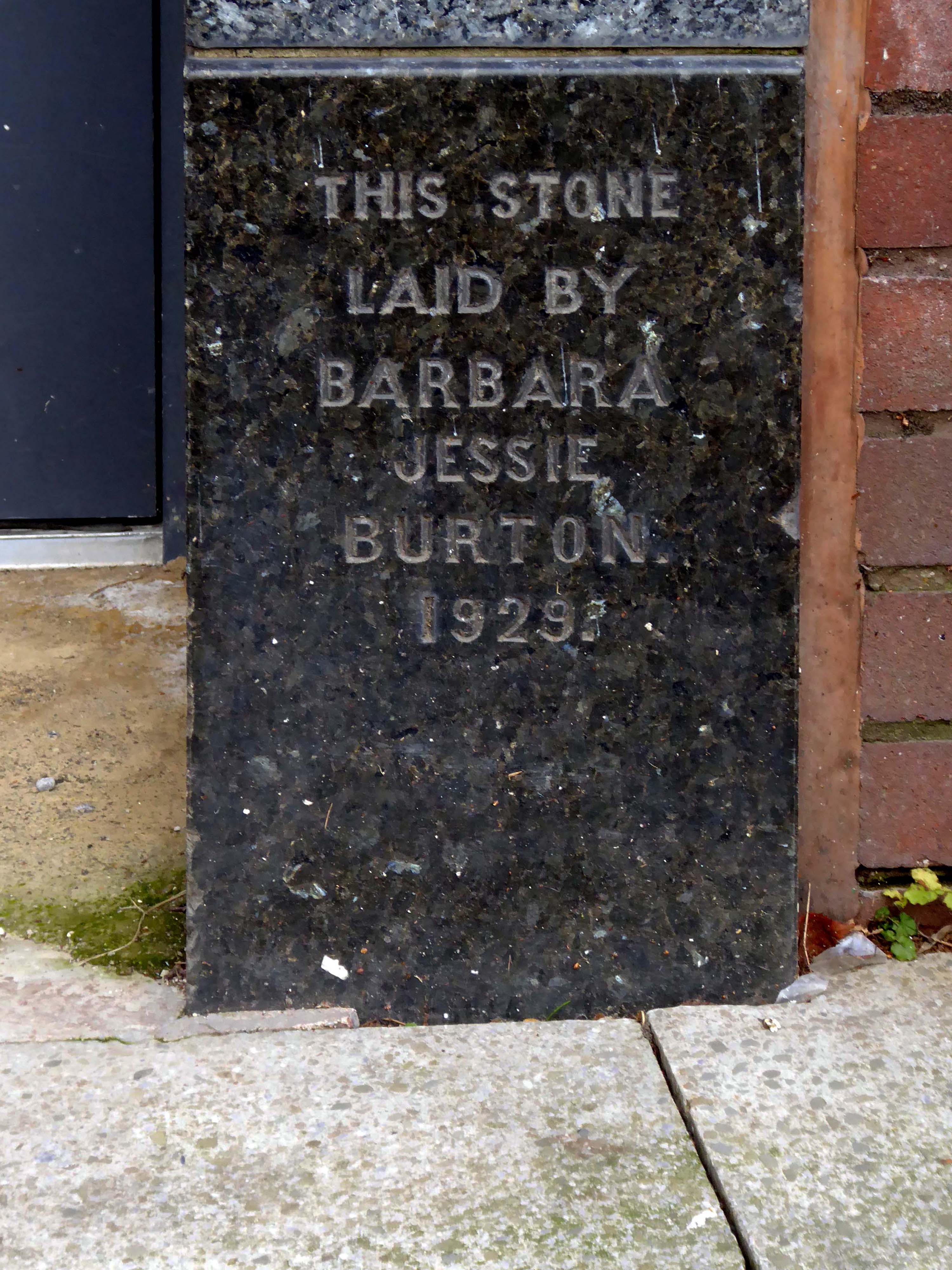
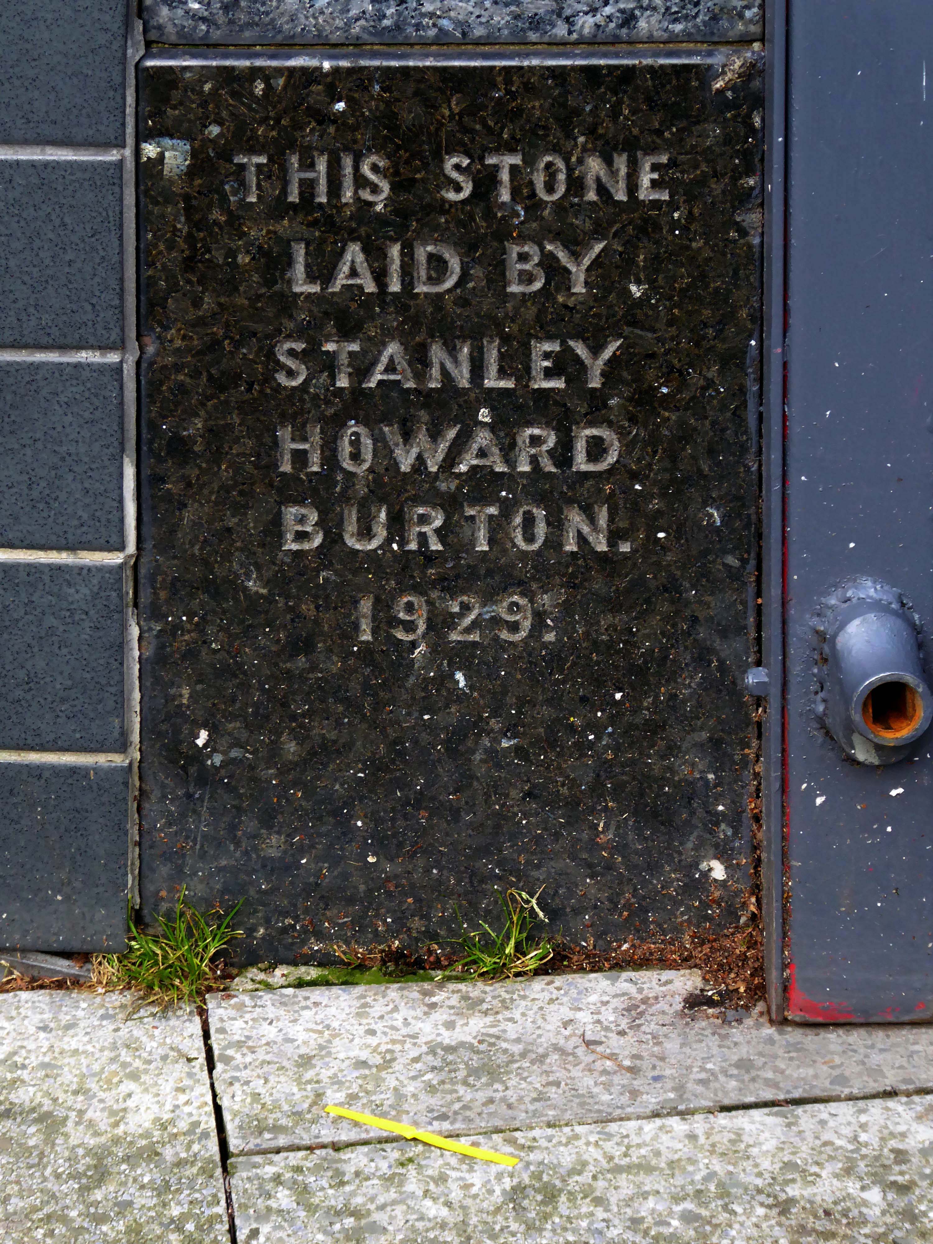
Typical inter-war infill on our crazy mixed up mongrel high streets.
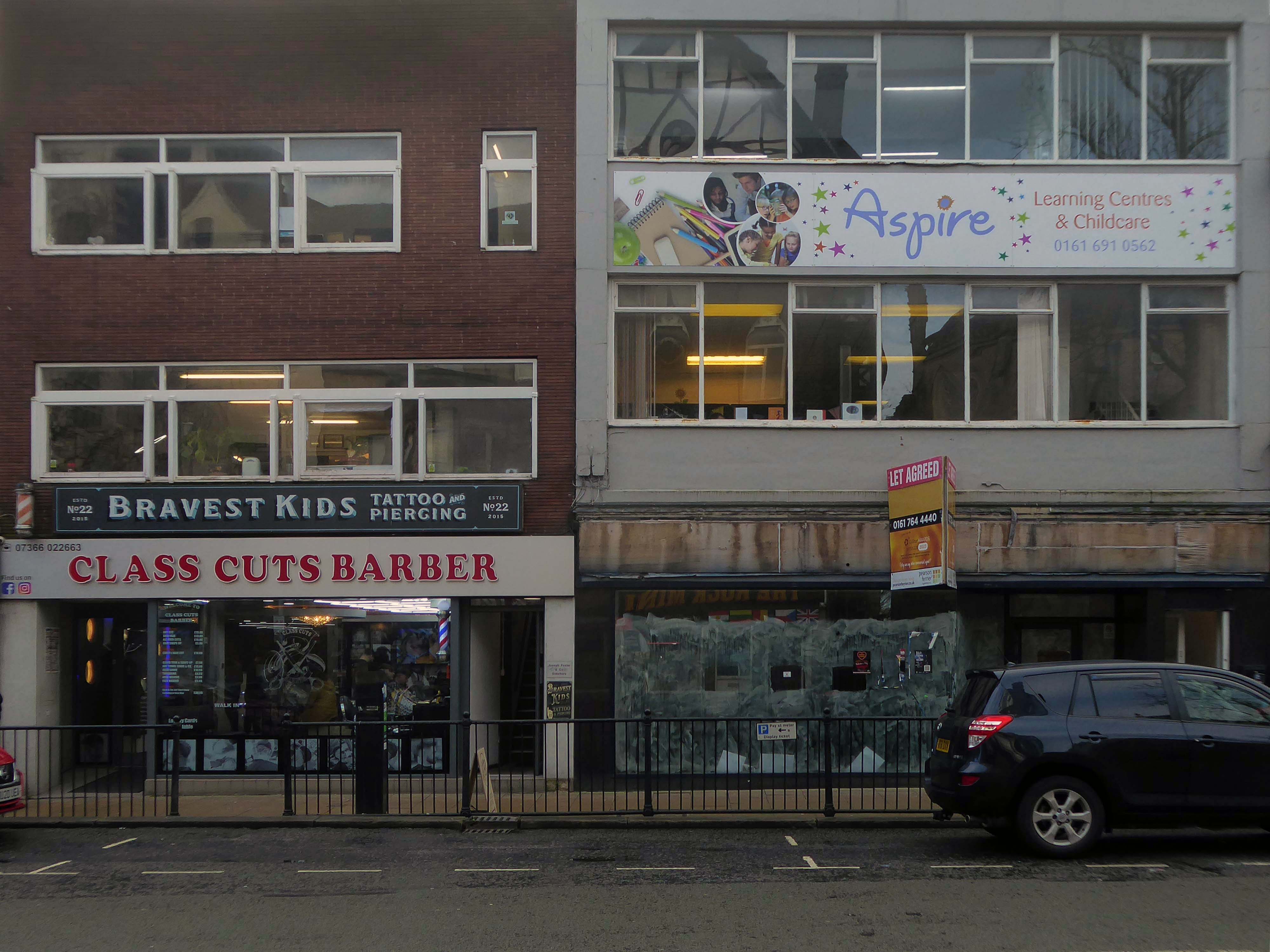
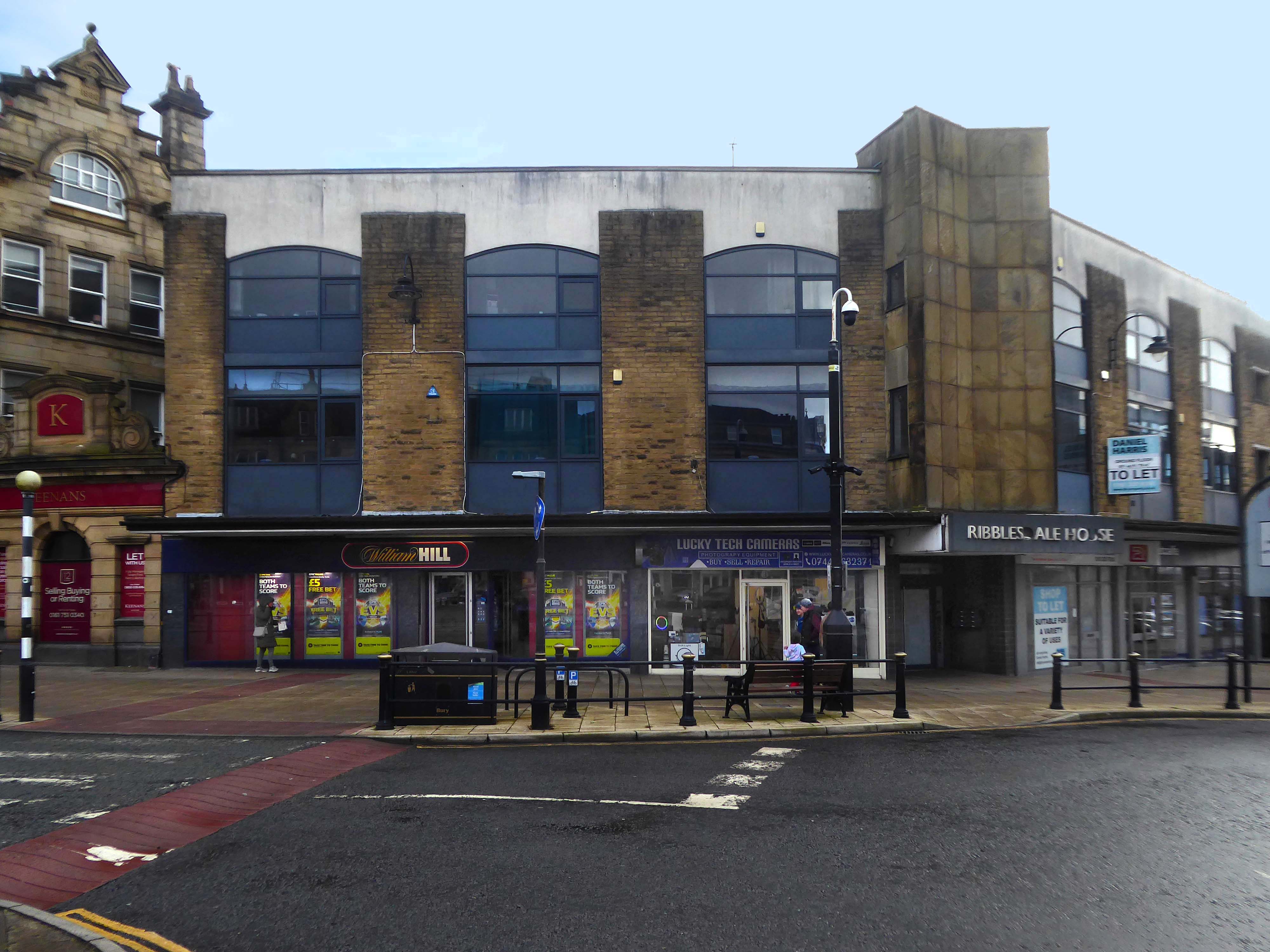
Ribblesdale House
Application by Shop and Store Developments Ltd submitted August 1965. Architect on application was Samuel Jackson and Son of Ocean Chambers in Bradford but during the application process this changed to John Brunton & Partners – Brunton was a partner in Jackson’s firm, at the same address. It had a restaurant and shops on the first floor.
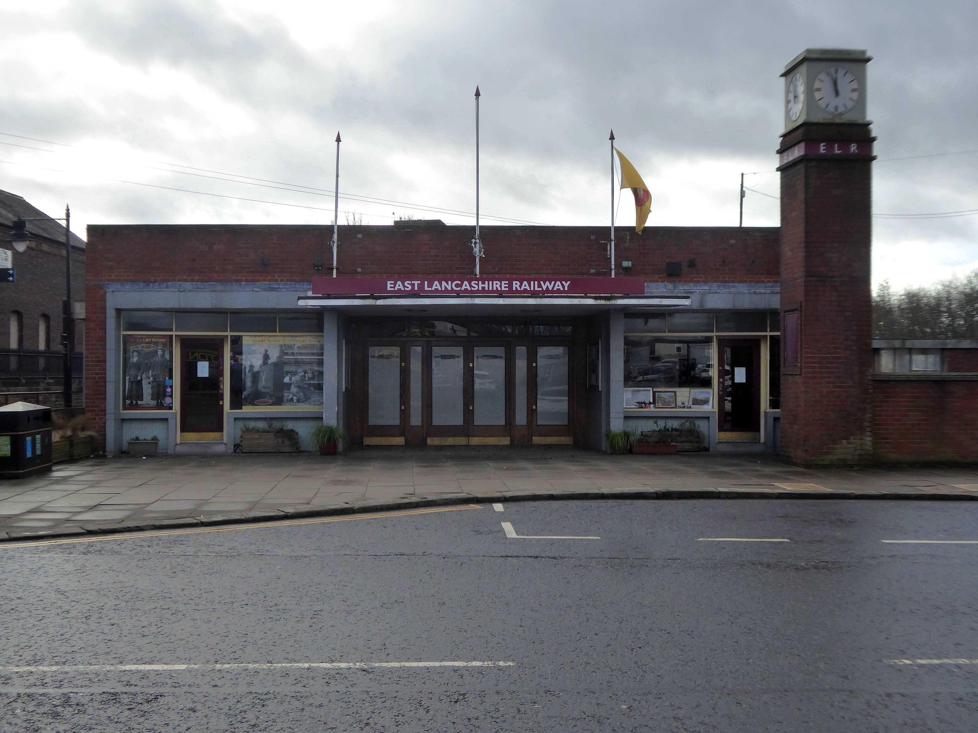
Off now to the Bury Bolton Street Station – currently home to the East Lancashire Railway.
The street level buildings were destroyed by fire on 14 May 1947 and were replaced with a new brick and concrete entrance and footbridge in 1952.
British Rail closed the station on 17 March 1980, when it was replaced by a new bus/rail interchange station further east into the town centre. Bury Interchange railway station served up until 1991 before the entire Bury Line was converted to light rail operation. It reopened in 1992 for Metrolink operation.
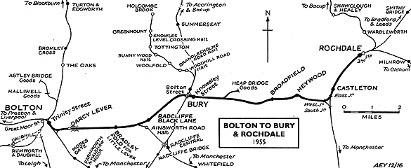
Bury was once the centre of multiple train links and the lost station of Knowsley Street.
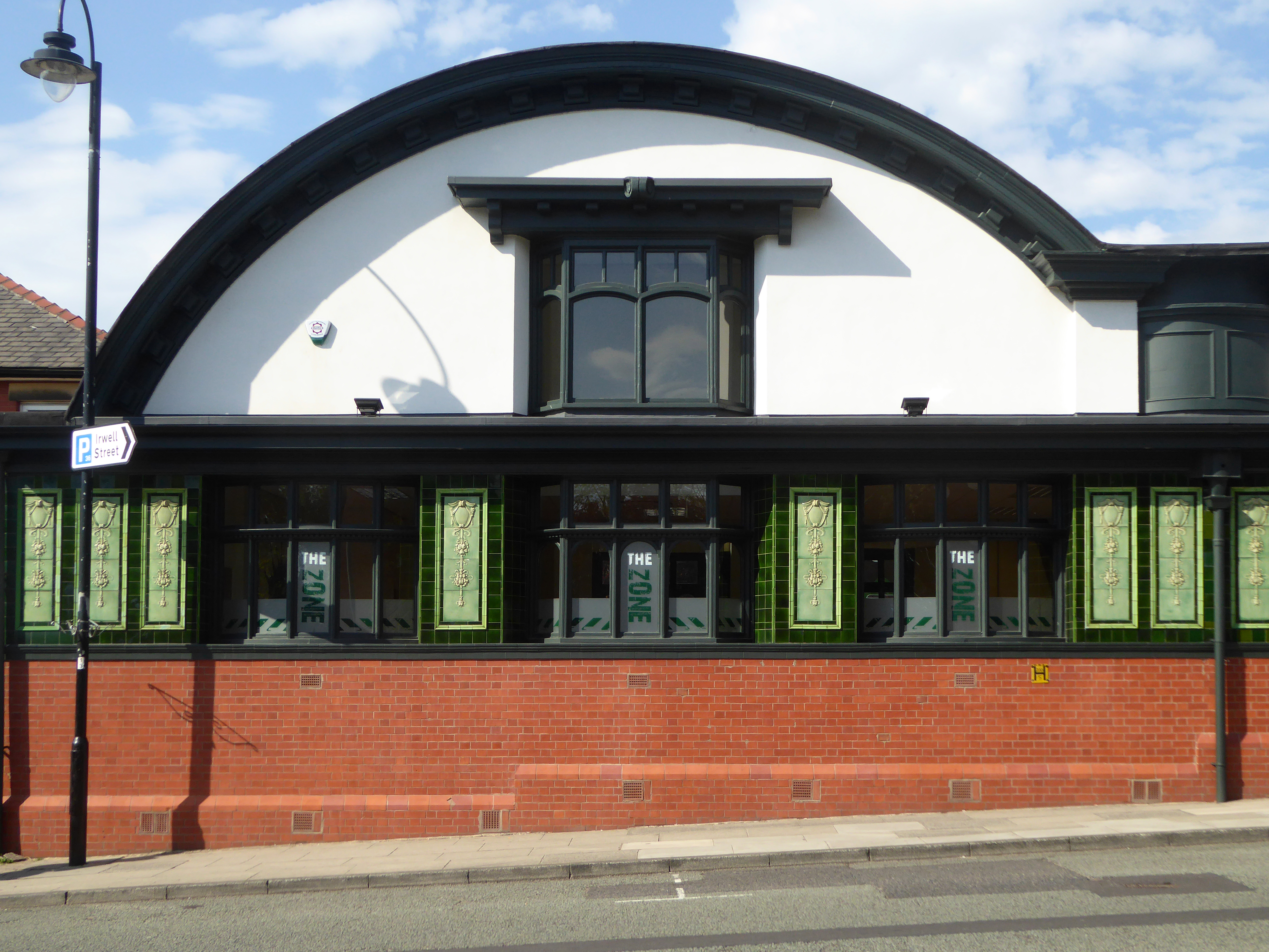
Over the road the former Temperance Billiard Hall 1910 architect Norman Evans.
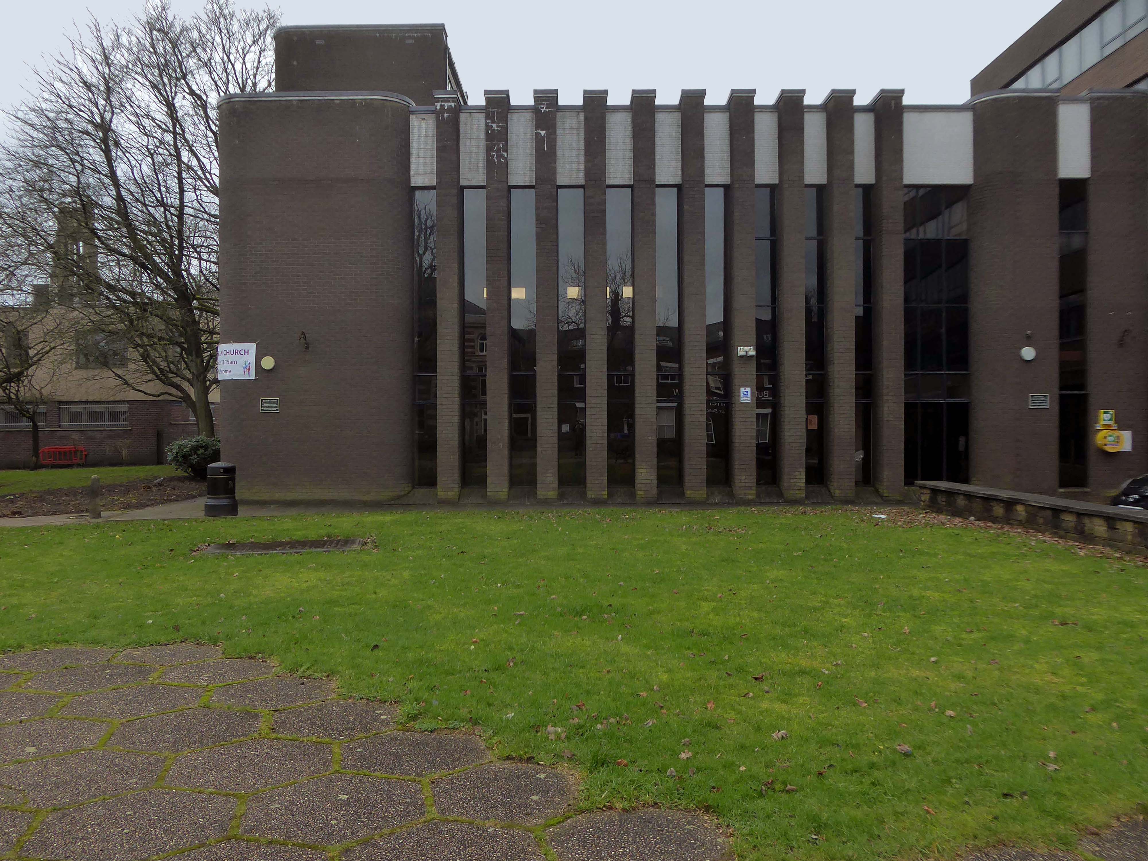
Down the side and up the steps to the Unitarian Church.
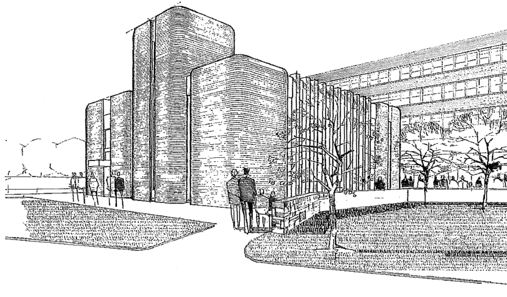
The new church was designed and constructed by local architects James T Ratcliffe.
The church was opened in 1974, with a service of dedication on Saturday, 9th March. The total cost, including furnishings, was £85,000.
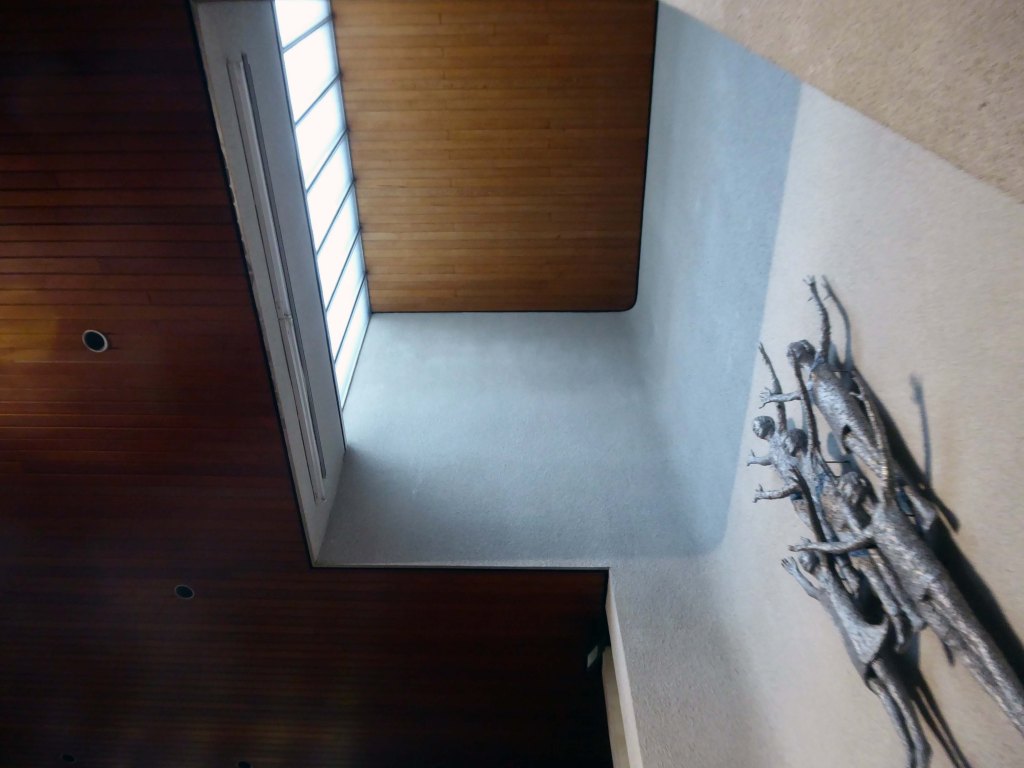
The People Praising by Elizabeth Mulchinock is a 12 foot high original sculpture at the front of the church which represents the family of the church.
Her work can also be seen at Sainsbury’s in West Ealing and Reading.
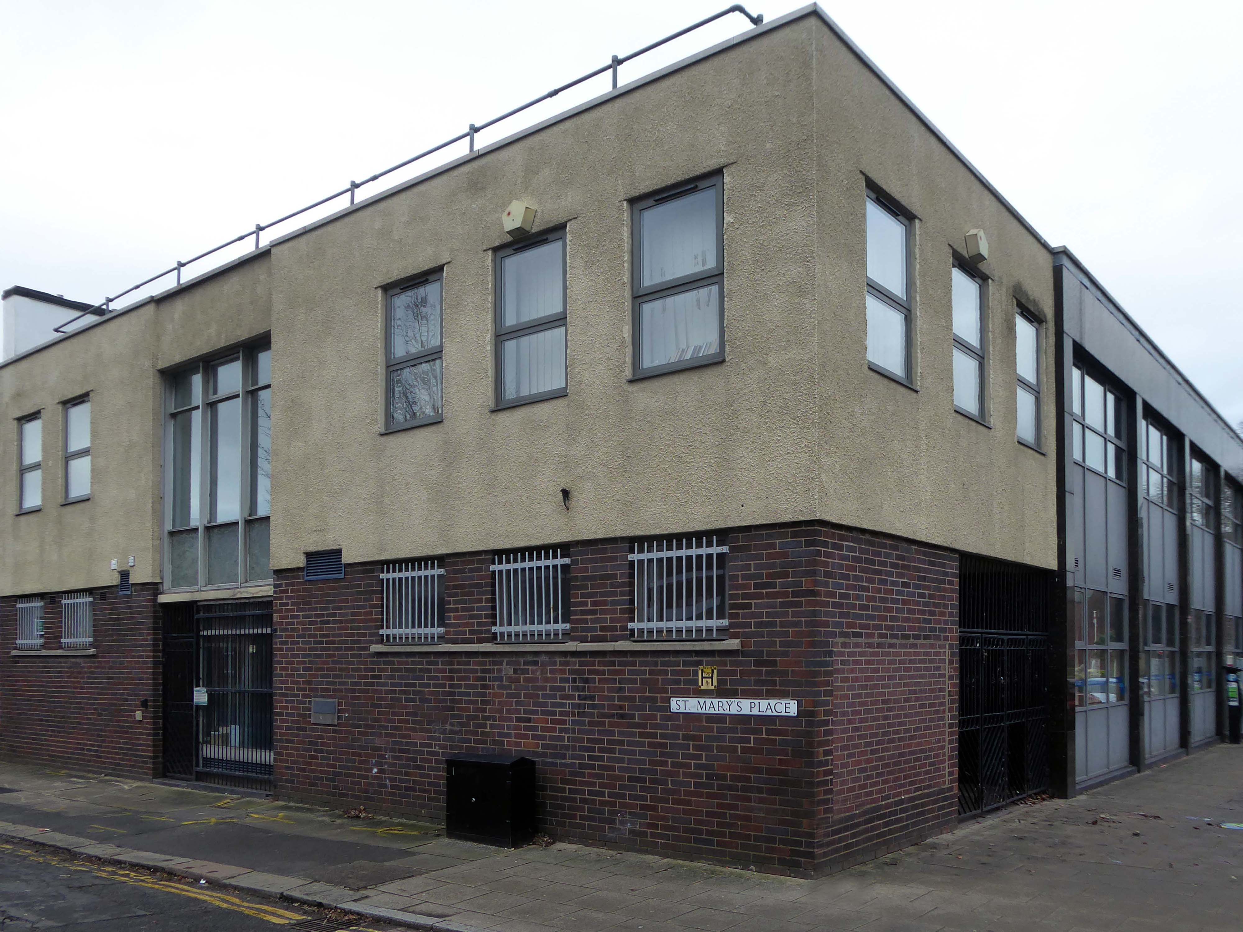
Next door is the former Trustee Saving Bank.
Planning application January 1965 – work started in June 1965. The architectural firm was Richard Byrom, Hill and partners. Richard Byrom was submitting building applications in the 1930s in Bury and locally.
The rendering on the building is original but the windows have been changed. The Job Centre took over the building in 1993. It is in a conservation area and the Civic Trust had some concerns!
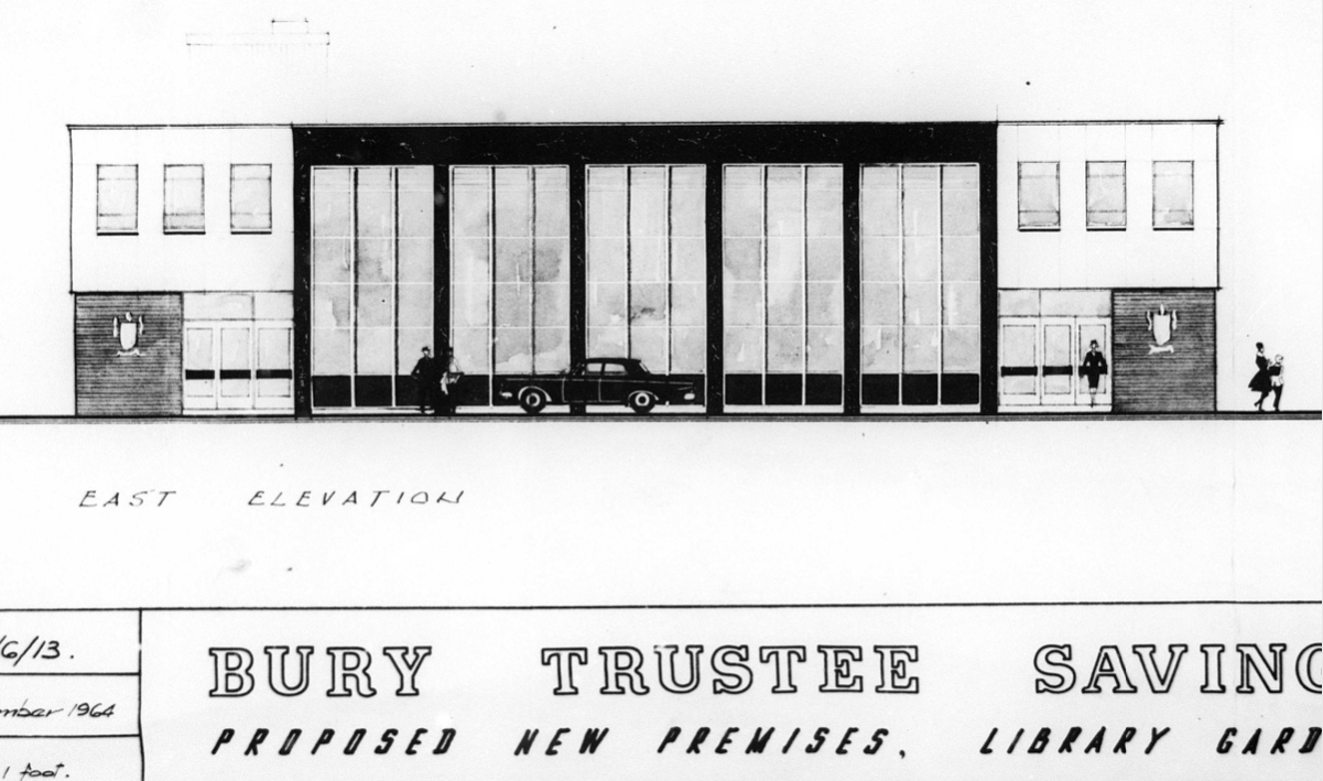
Many thanks to David French for the above information.
Far, far away from the mad, rushing crowd,
Please carry me with you.
Again I would wander where memories enfold me,
There on the beautiful Island of Dreams.
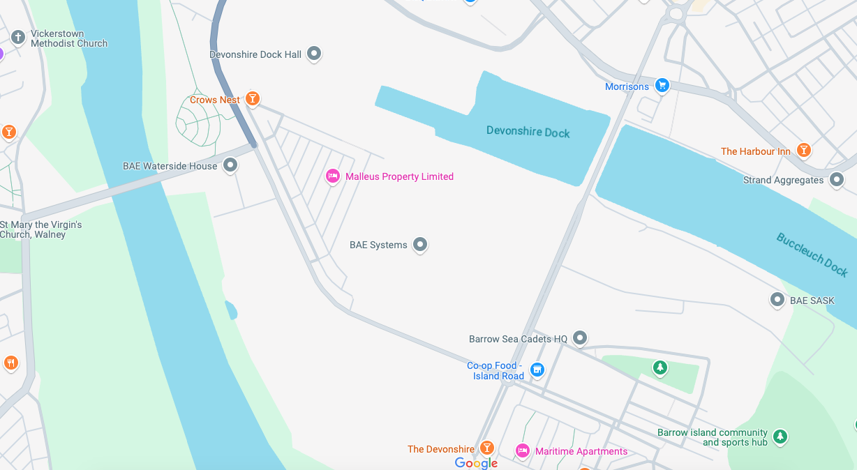
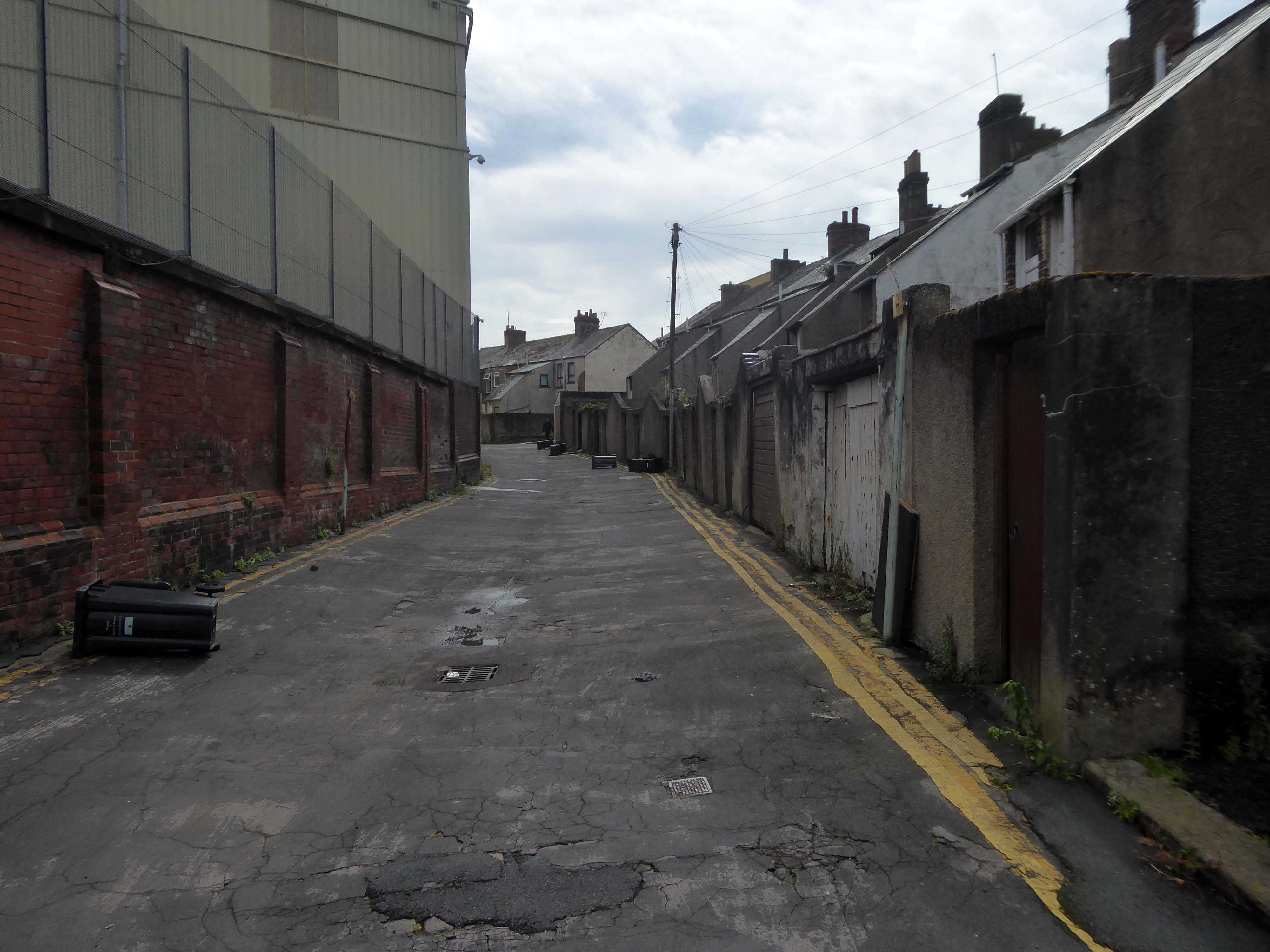
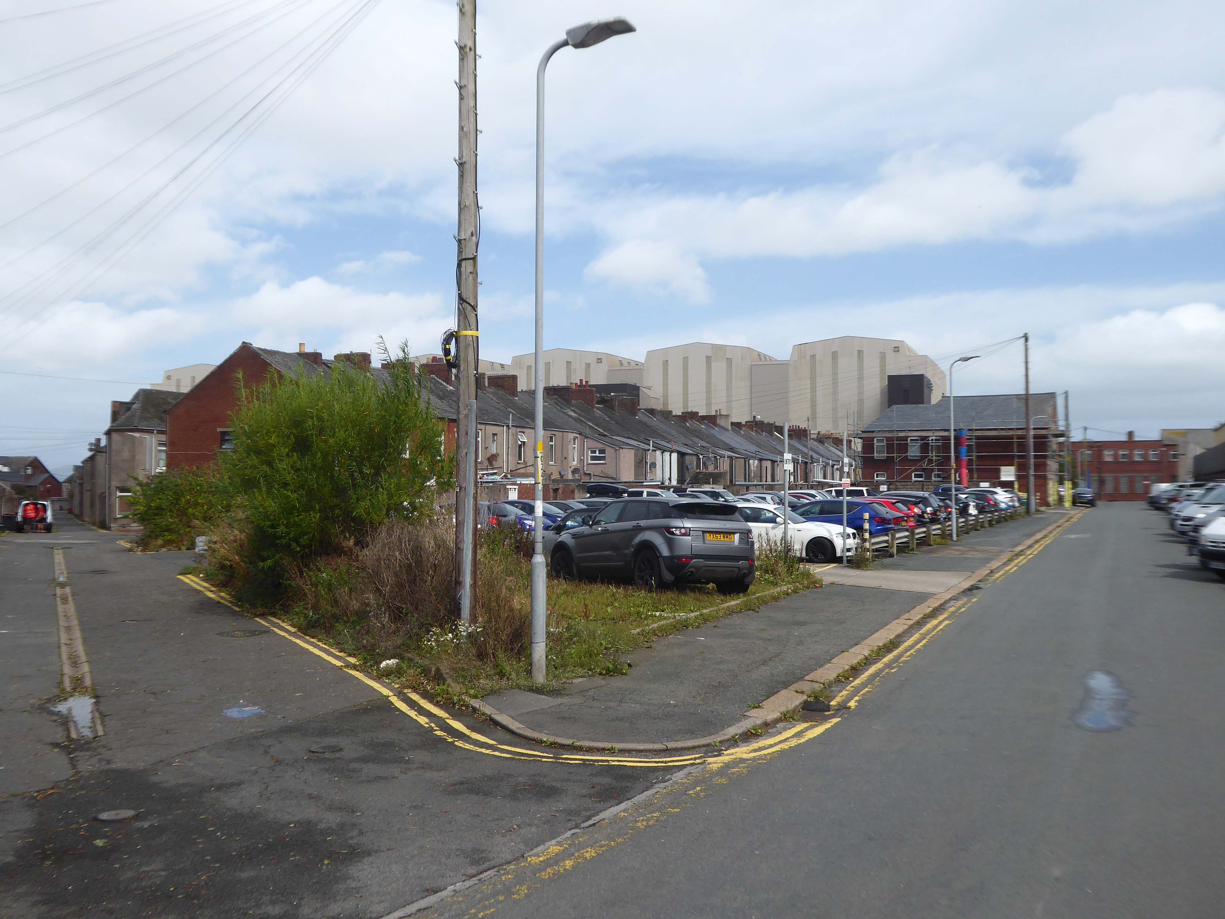
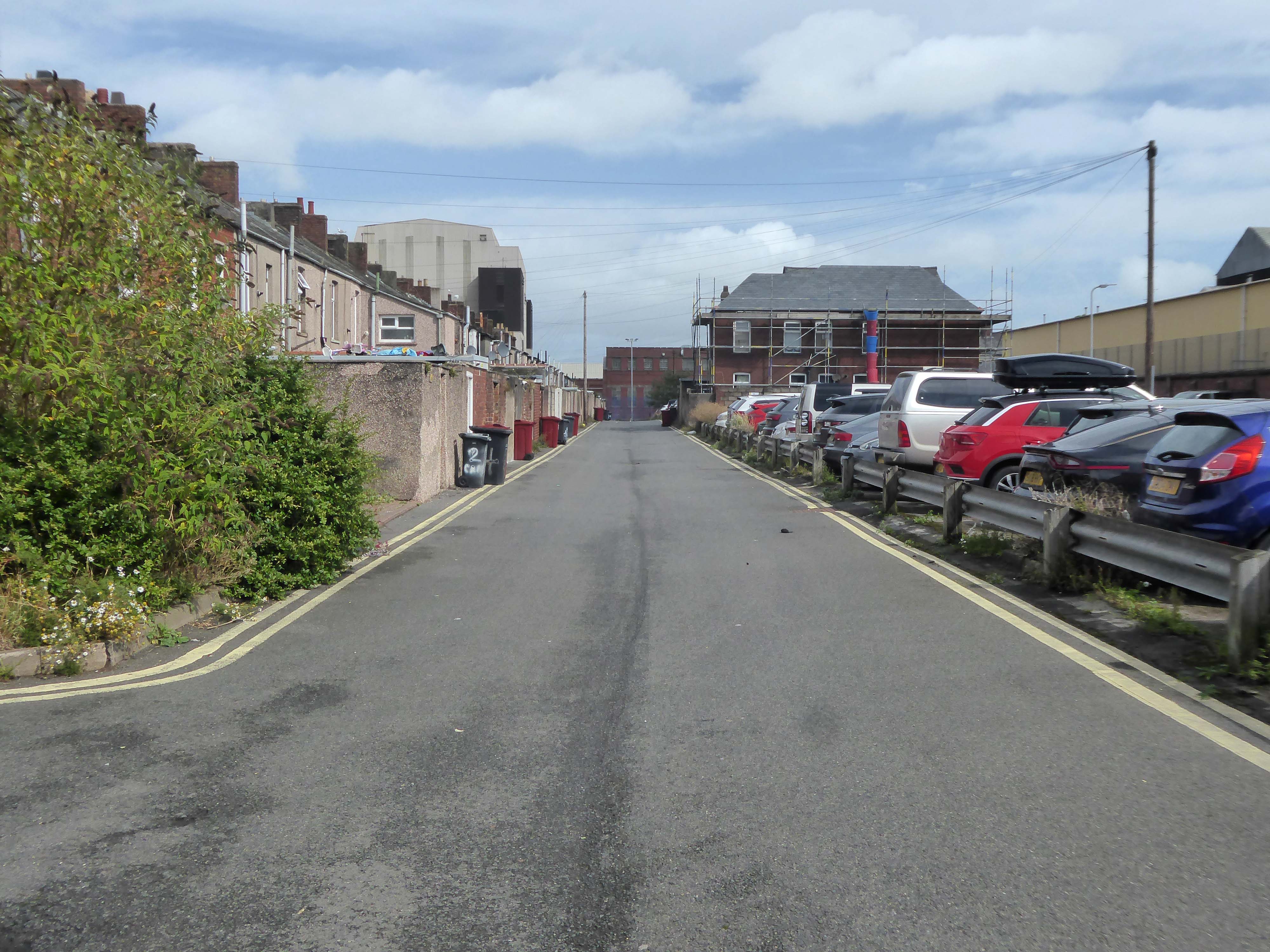
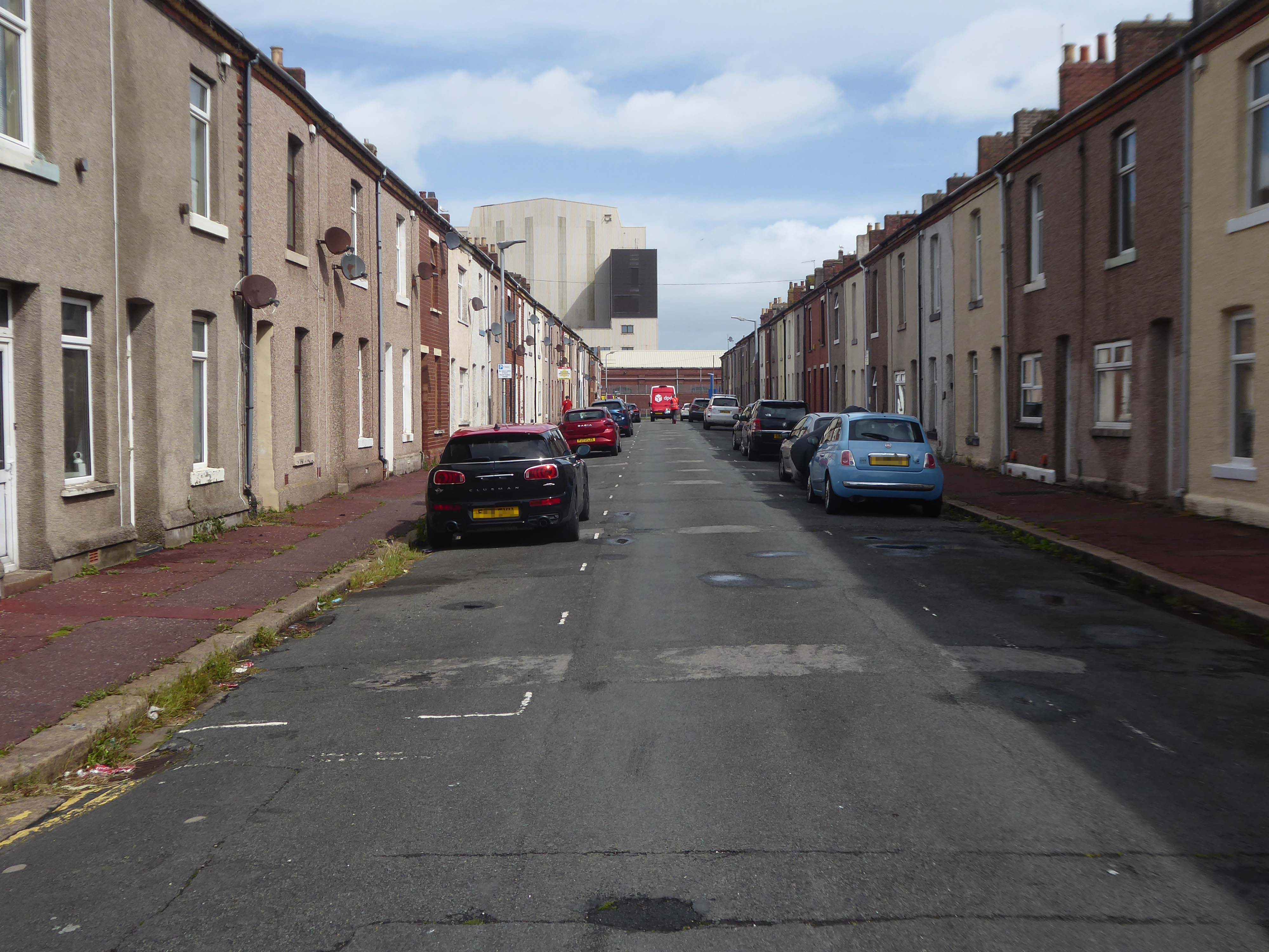
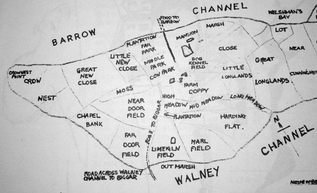
At the northern end of Barrow Island lies the Ferry Road Triangle. Covering an area formerly known by the field names, Crow Nest, Great New Close, Little New Close, Moss, Cow Park and Middle Park; the Ferry Road area has always been known as the Triangle, because the shape of the estate is truly a triangle.
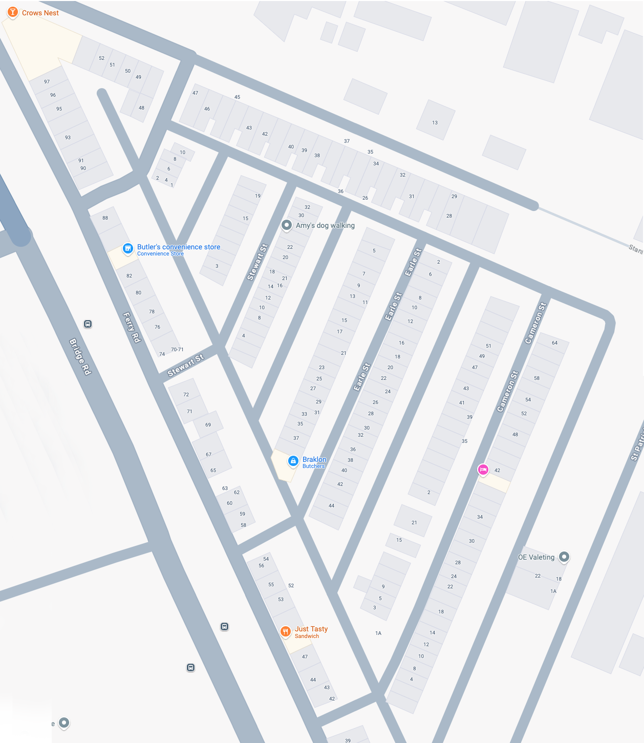
Properties in Cameron Street had an overall average price of £45,000 over the last year.
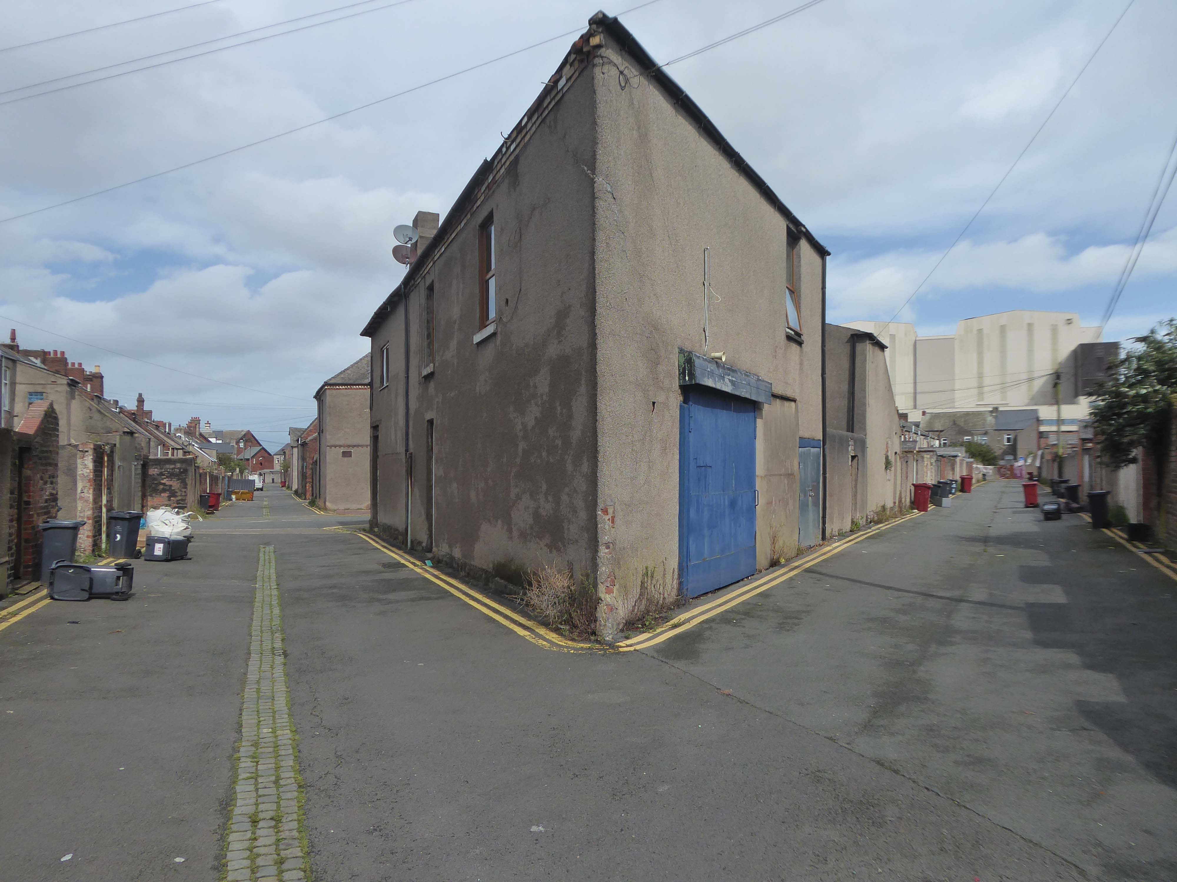
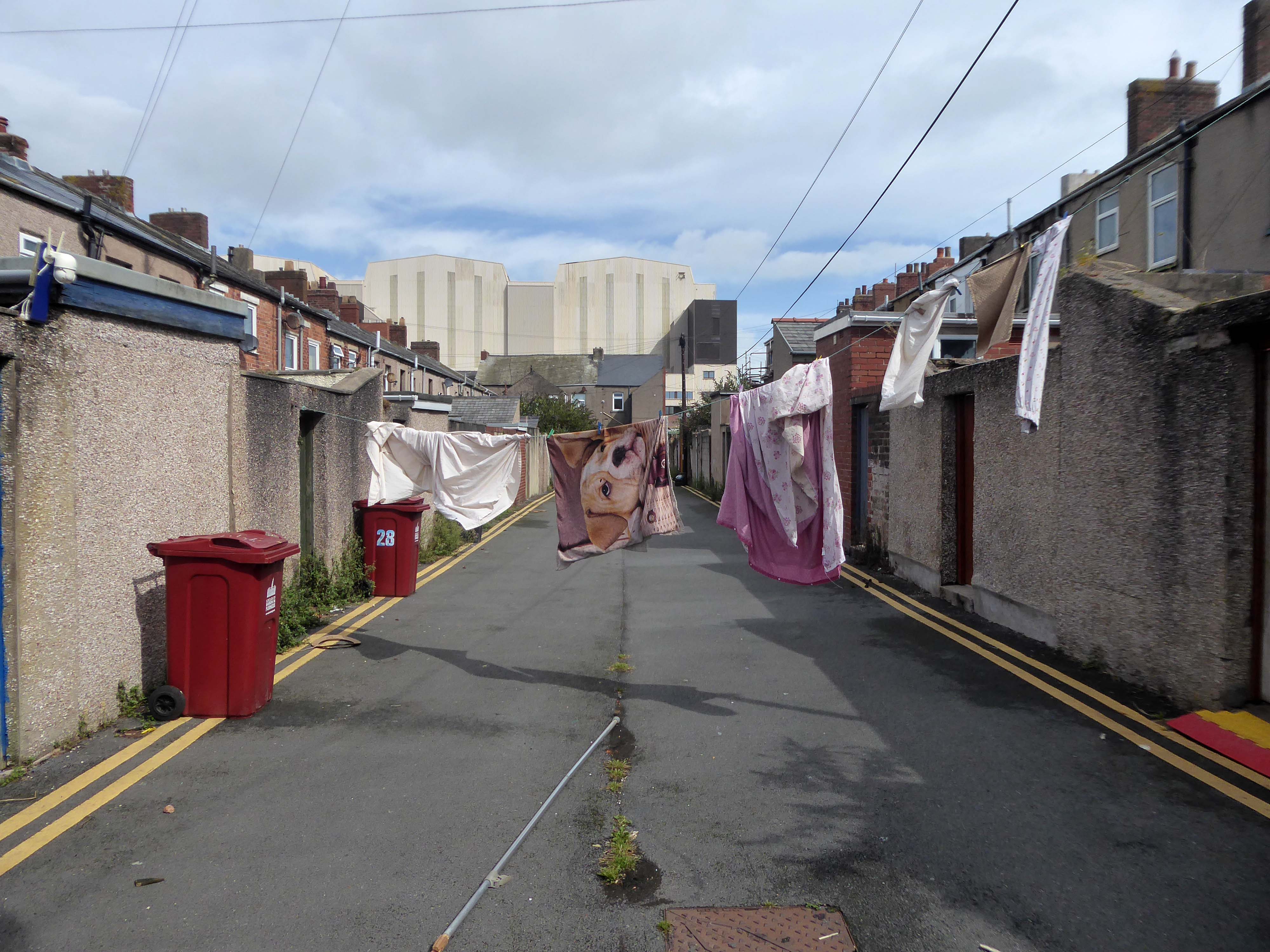
I had arrived in Barrow in Furness and taken to wandering the streets, hastily in search of nothing in particular.
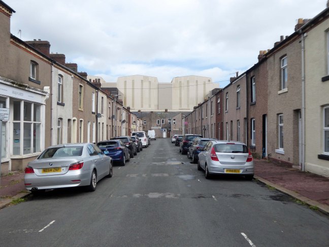
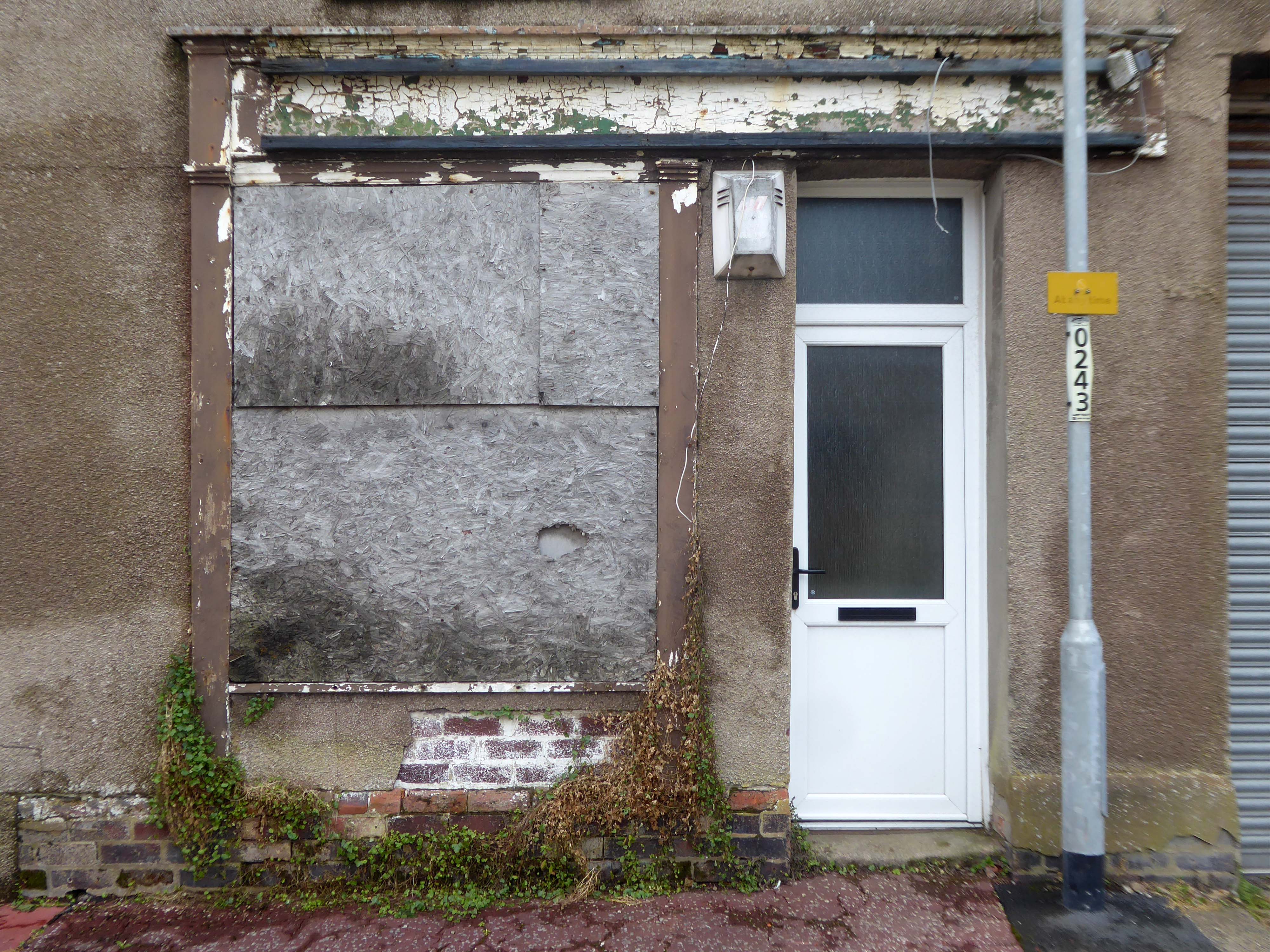
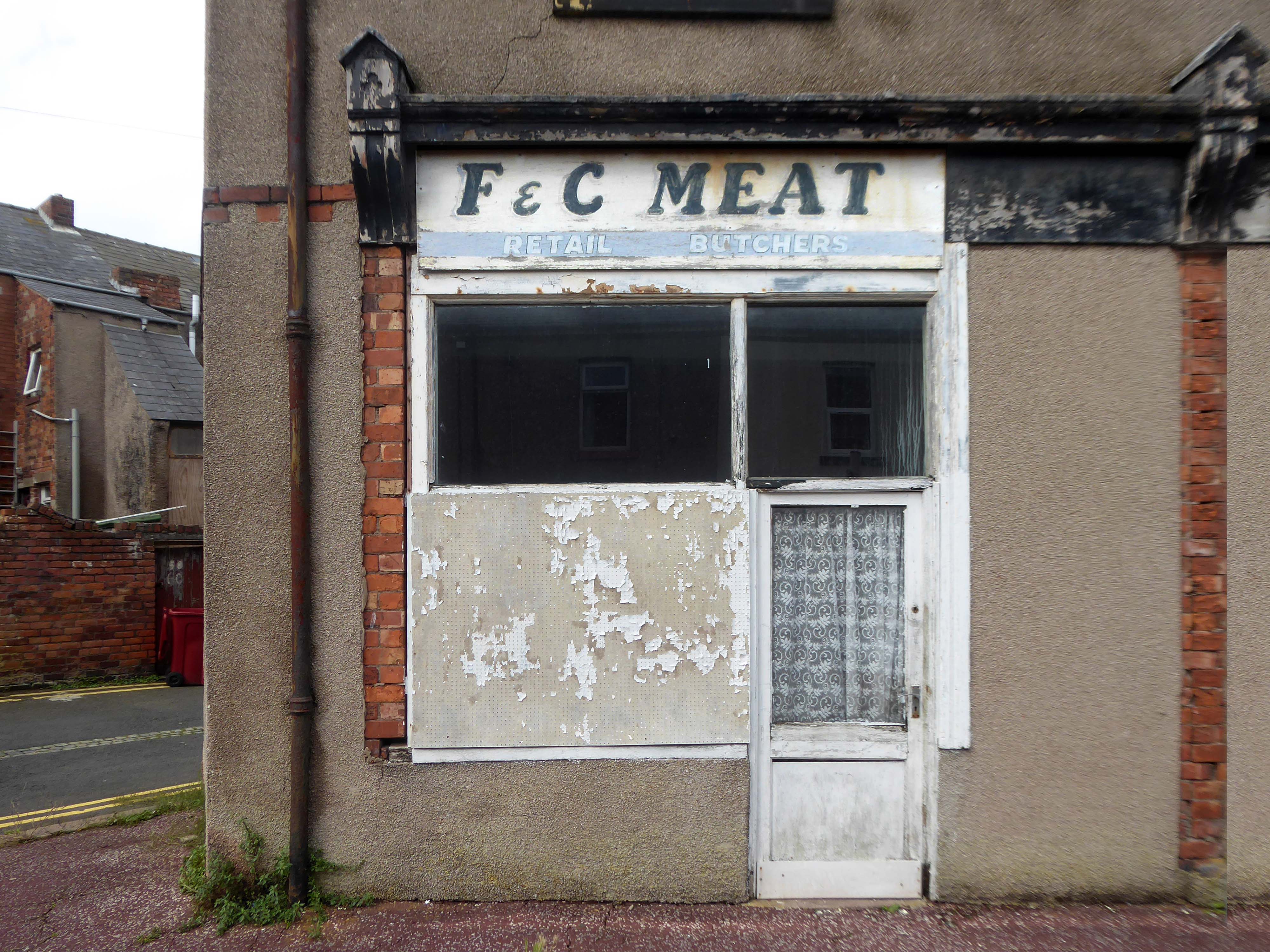
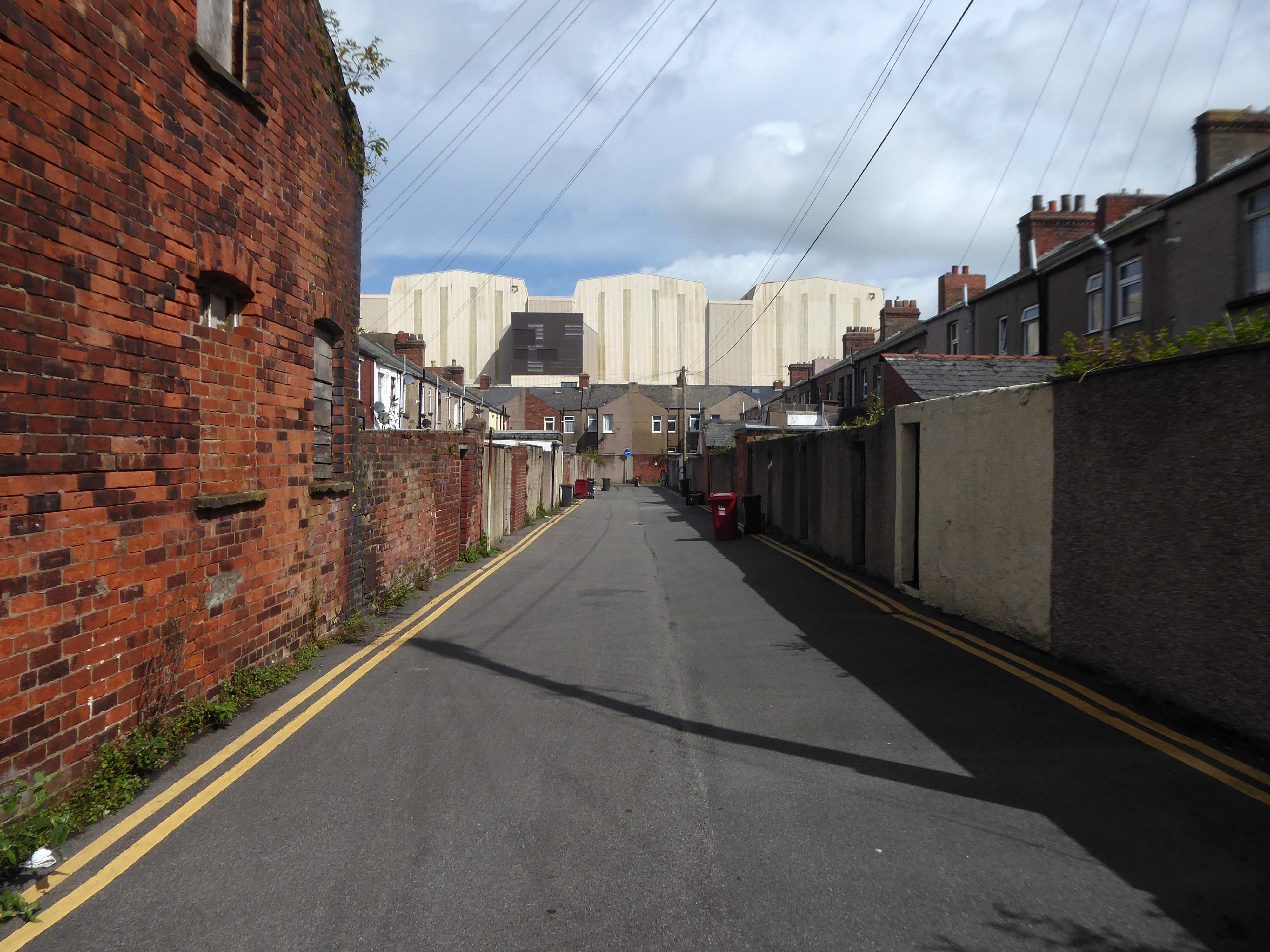
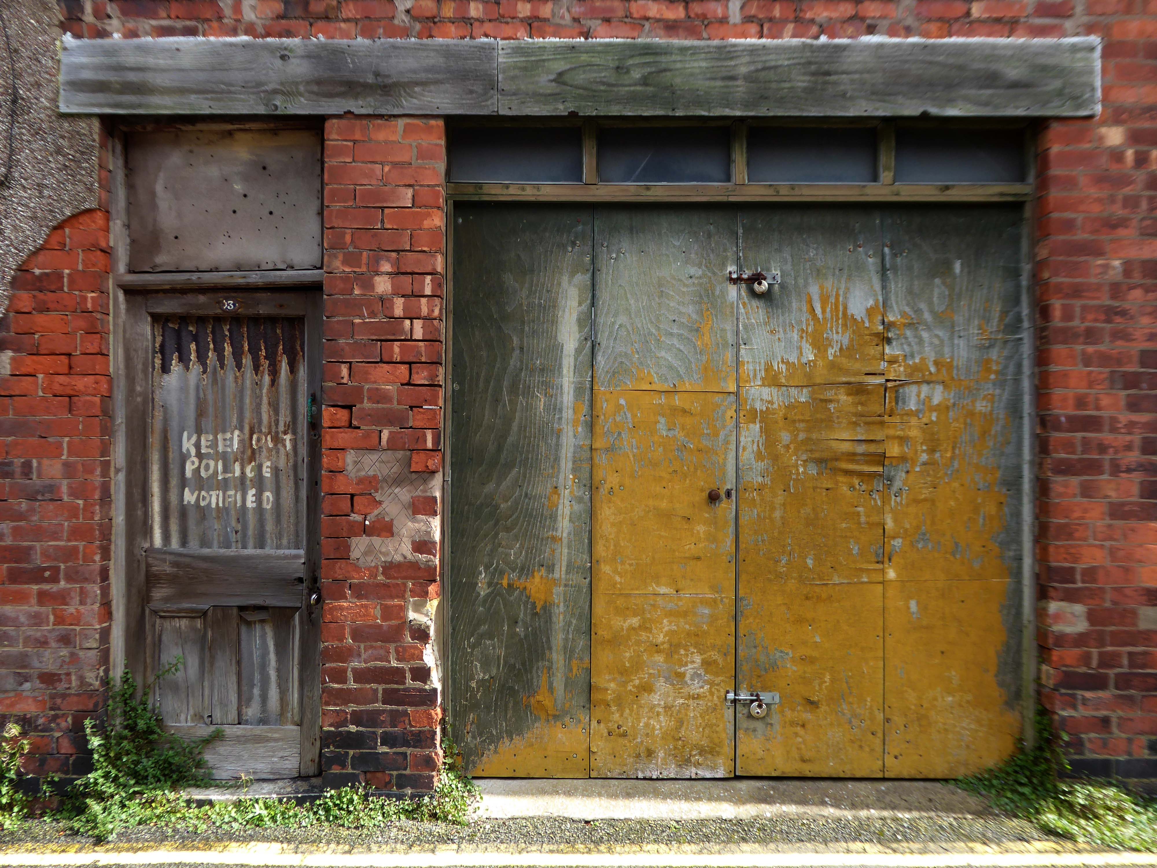
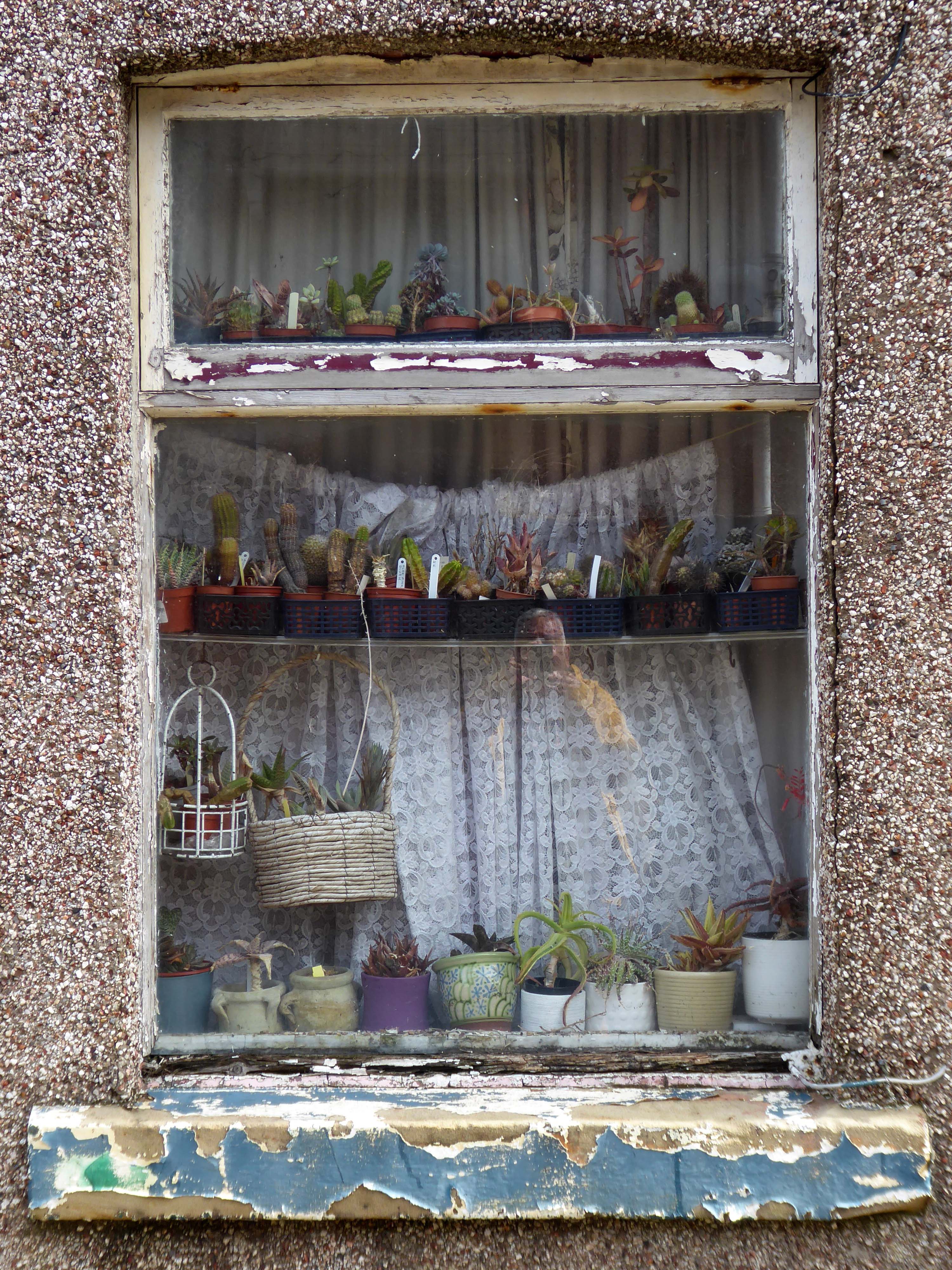
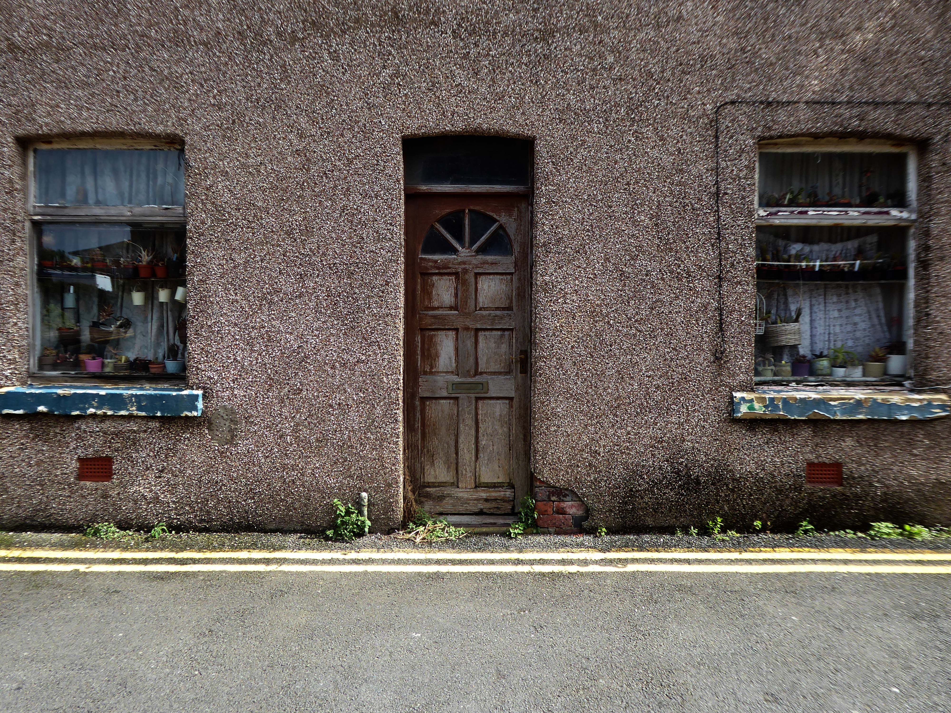
I came upon a neat triangle of terraced housing, which abutted the huge BAE Systems sheds.
The collision of scale created by the low lying domestic buildings, and the gargantuan industrial nuclear submarine homes, immediately put me in mind of Chris Killip’s photographs.
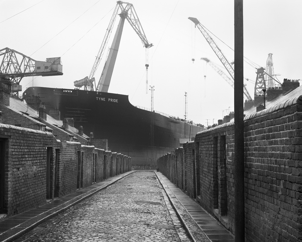
Chris Killip – Shipbuilding on Tyneside
He had recorded the last days of a dying industry, whilst the BAE contracts represent a long term lifeline to a once dying town.
The Ministry of Defence has awarded £3.95 billion of funding to BAE Systems for the next phase of the UK’s next-generation nuclear-powered attack submarine programme, known as SSN-AUKUS.

The funding follows the AUKUS announcement in March by the leaders of Australia, the UK and the United States. This will eventually see Australia and the UK operate SSN-AUKUS submarines, which will be based on the UK’s next generation design, incorporating technology from all three nations, including cutting-edge US submarine technologies.
Having started early design work in 2021, the £3.95bn funding will cover development work to 2028, enabling BAE Systems to move into the detailed design phase of the programme and begin to procure long-lead items. Manufacture will start towards the end of the decade with the first SSN-AUKUS boat due to be delivered in the late 2030s.
The town has a long history of shipbuilding, Vickers Shipbuilding and Engineering Limited being founded in 1897.
It has been said of Barrow: A rich mineral district was the cause, a railway was the effect, and an important manufacturing town the result.
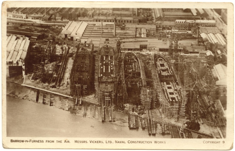
The dramatic growth of Barrow-in-Furness in the late 19th and early 20th Centuries was fuelled by the ready availability of Furness iron ore. Significant investments were made in developing the town to exploit this resource. The various ironworks, steelworks, foundries, shipyards and docks required a huge influx of population to support them. This in turn led to the rapid building of rows of good quality mass-produced terraced housing for the workers, and substantial sandstone villas for the management.
I stopped to chat with a local lad – I had thought Barrow to be a hard town, he thought not.
There’s not much trouble, though we have hard times – how so?
The Tories – now my kids have all got jobs for the next twenty years.
There were no reported crimes in June 2024
Devonshire Dock Hall is a large indoor shipbuilding and assembly complex that forms part of the BAE Systems shipyard.
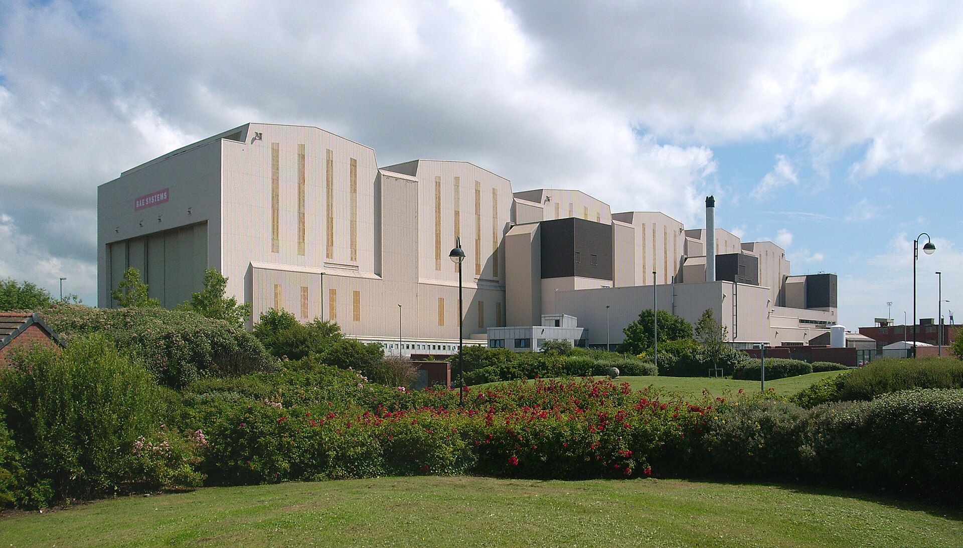
Constructed between 1982 and 1986 by Alfred McAlpine plc for Vickers Shipbuilding and Engineering, DDH was built on land that was created by infilling part of Devonshire Dock with 2.4 million tonnes of sand pumped from nearby Roosecote Sands.
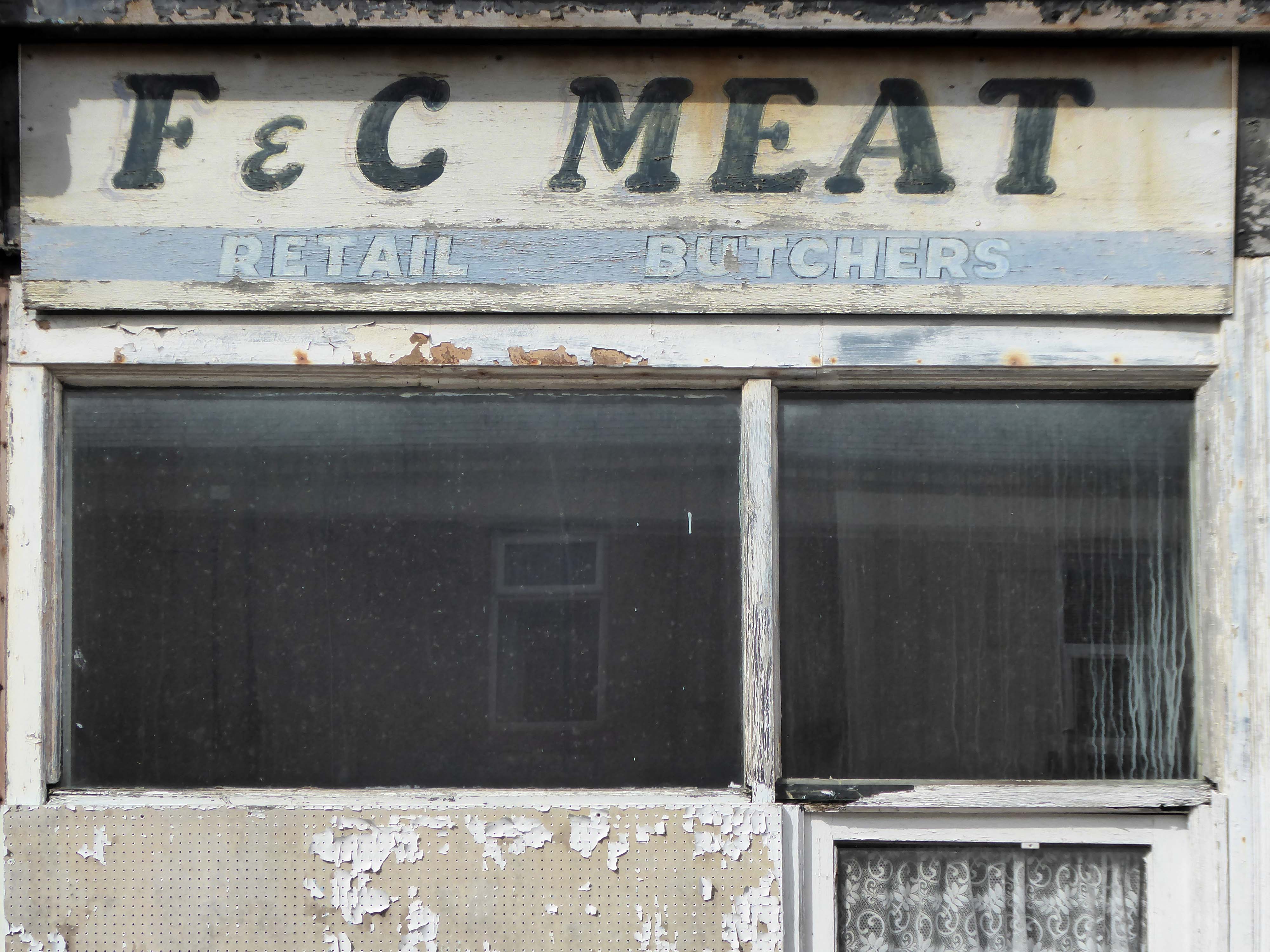
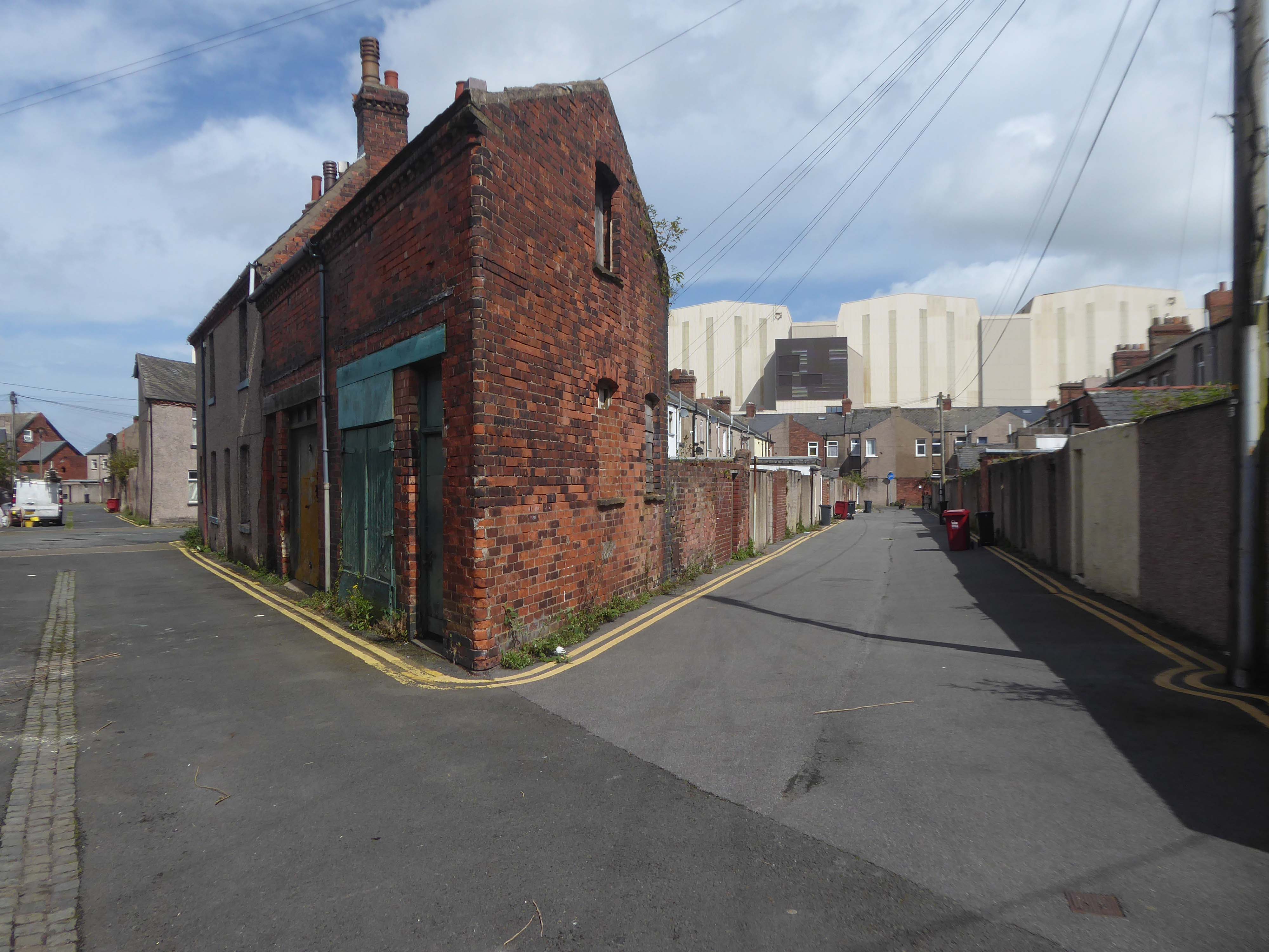
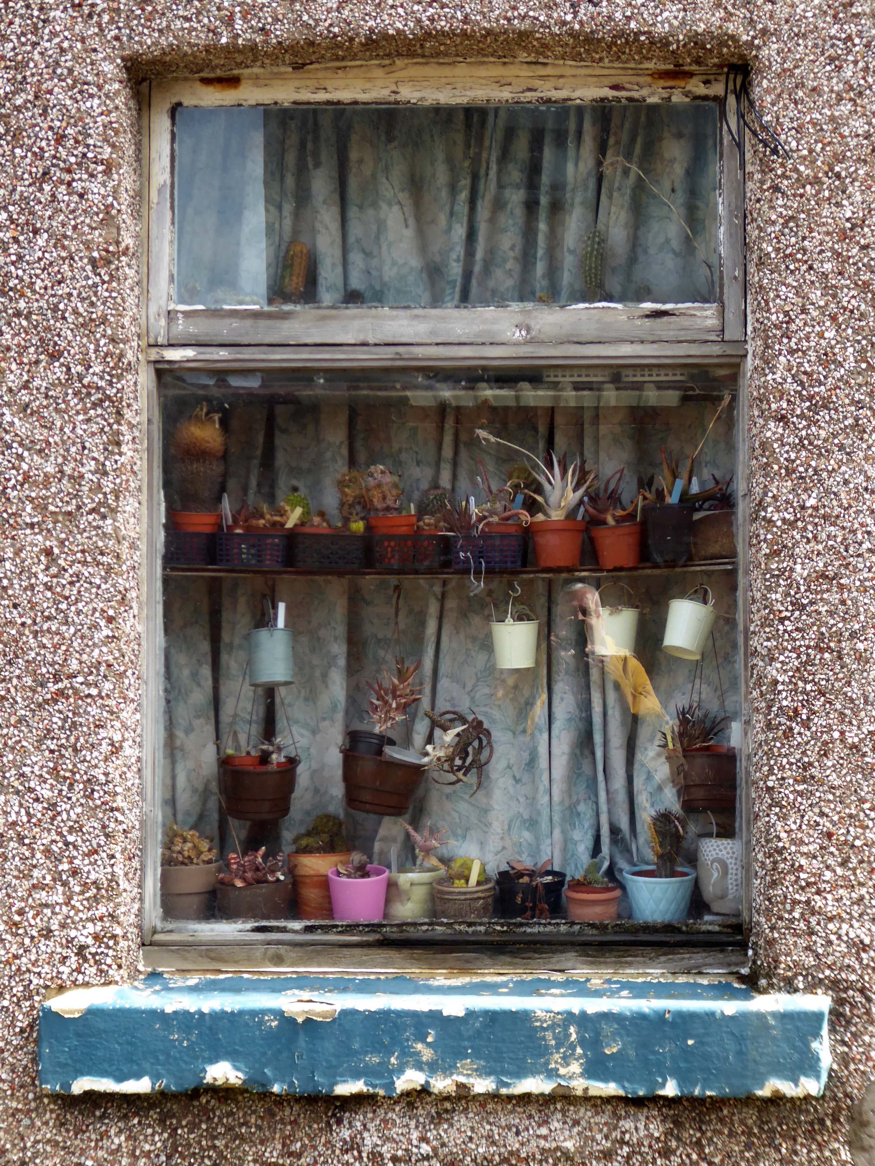
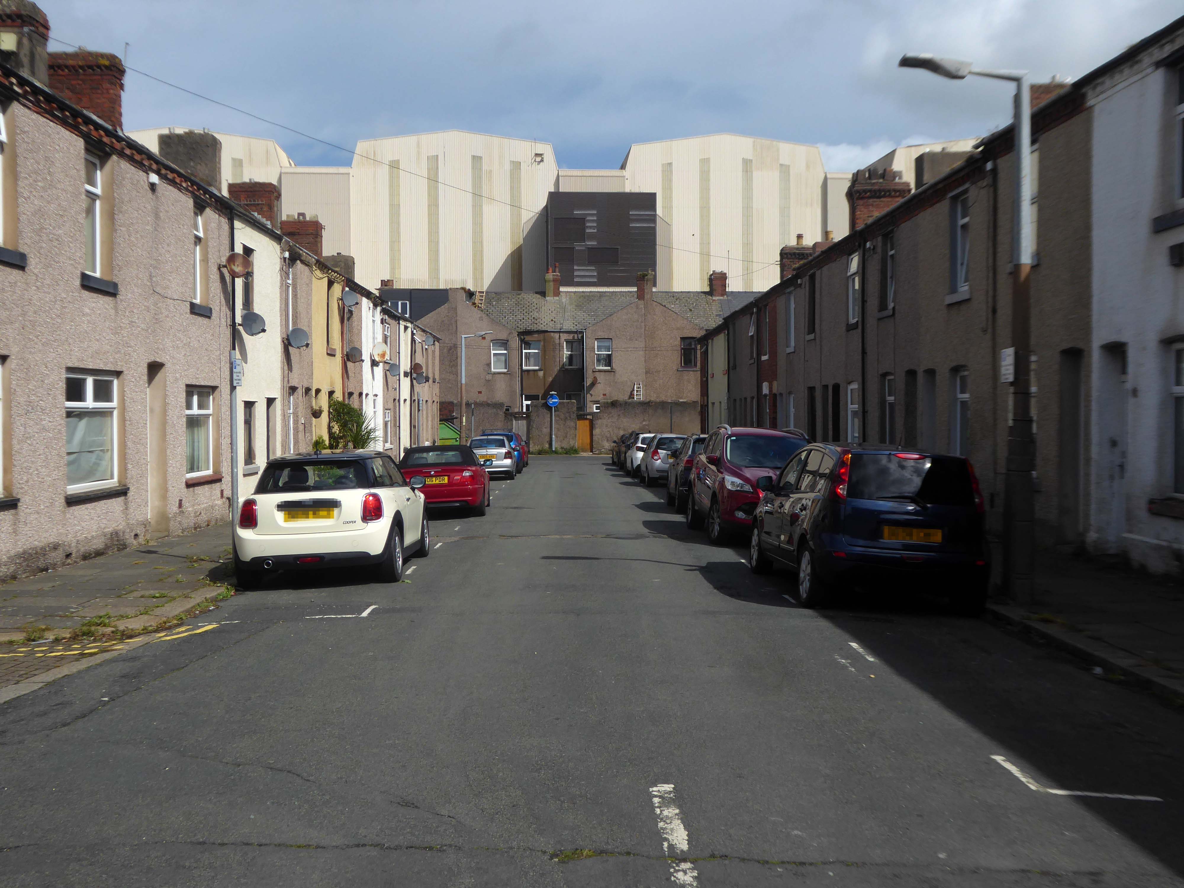
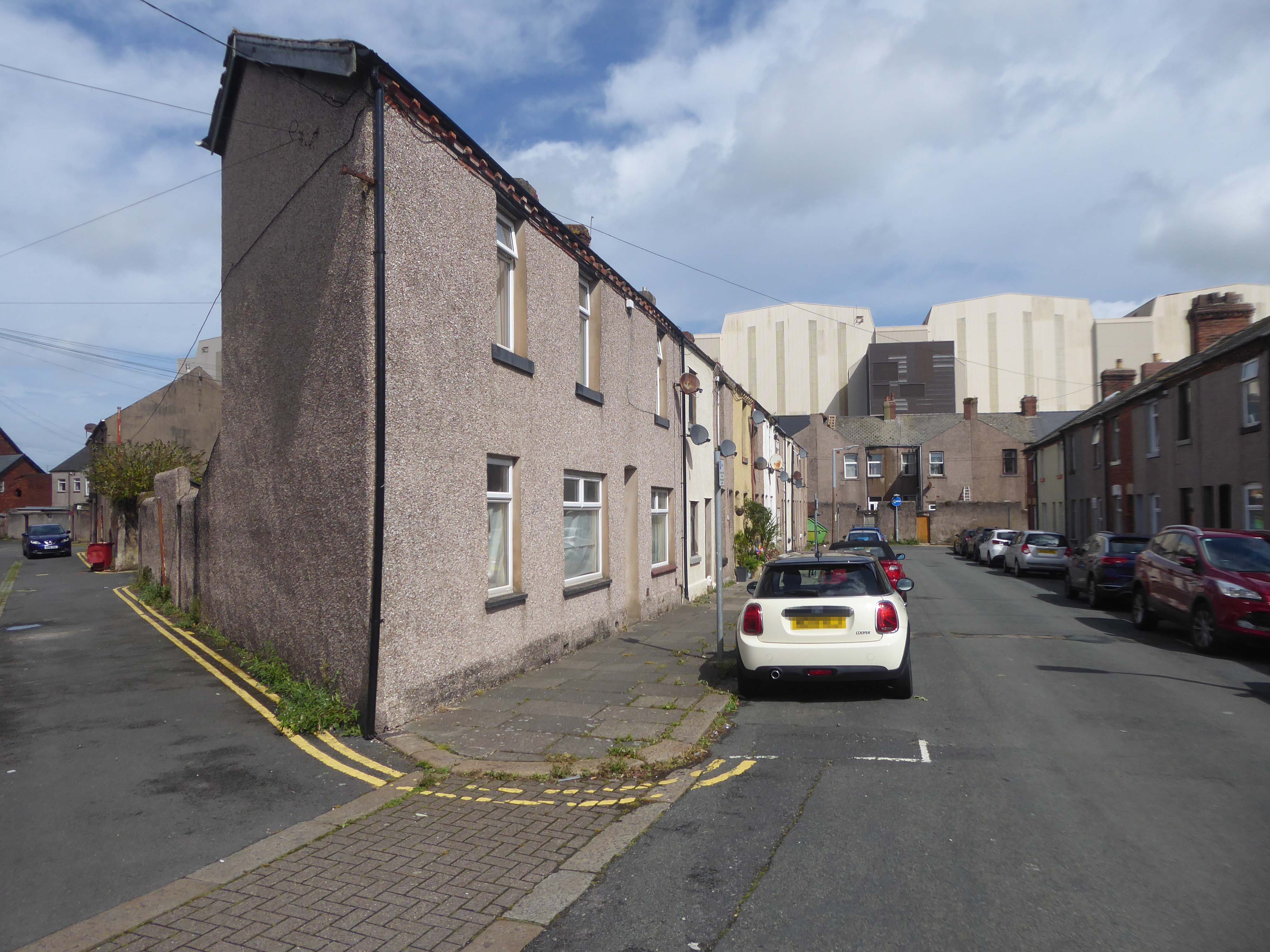
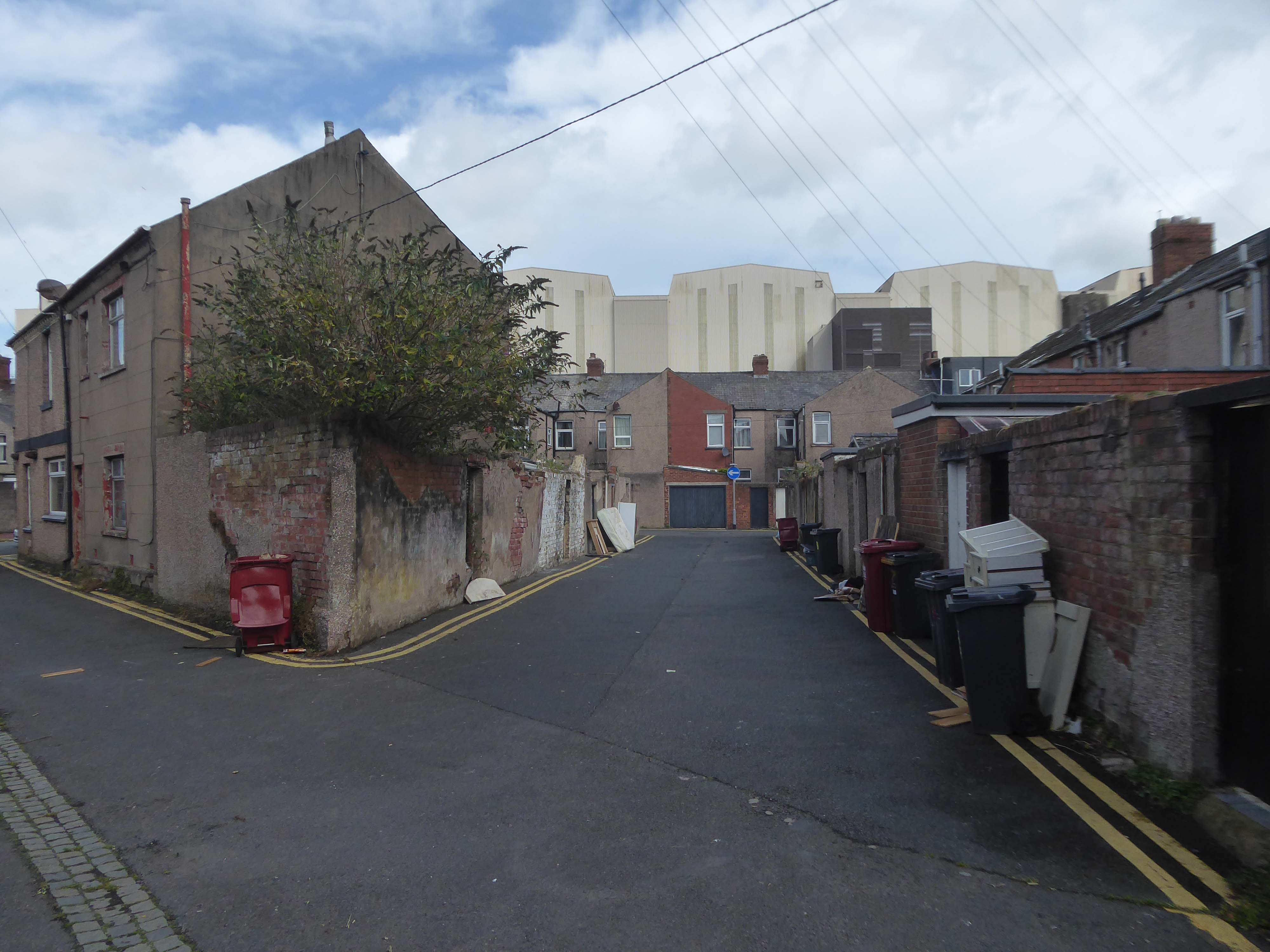
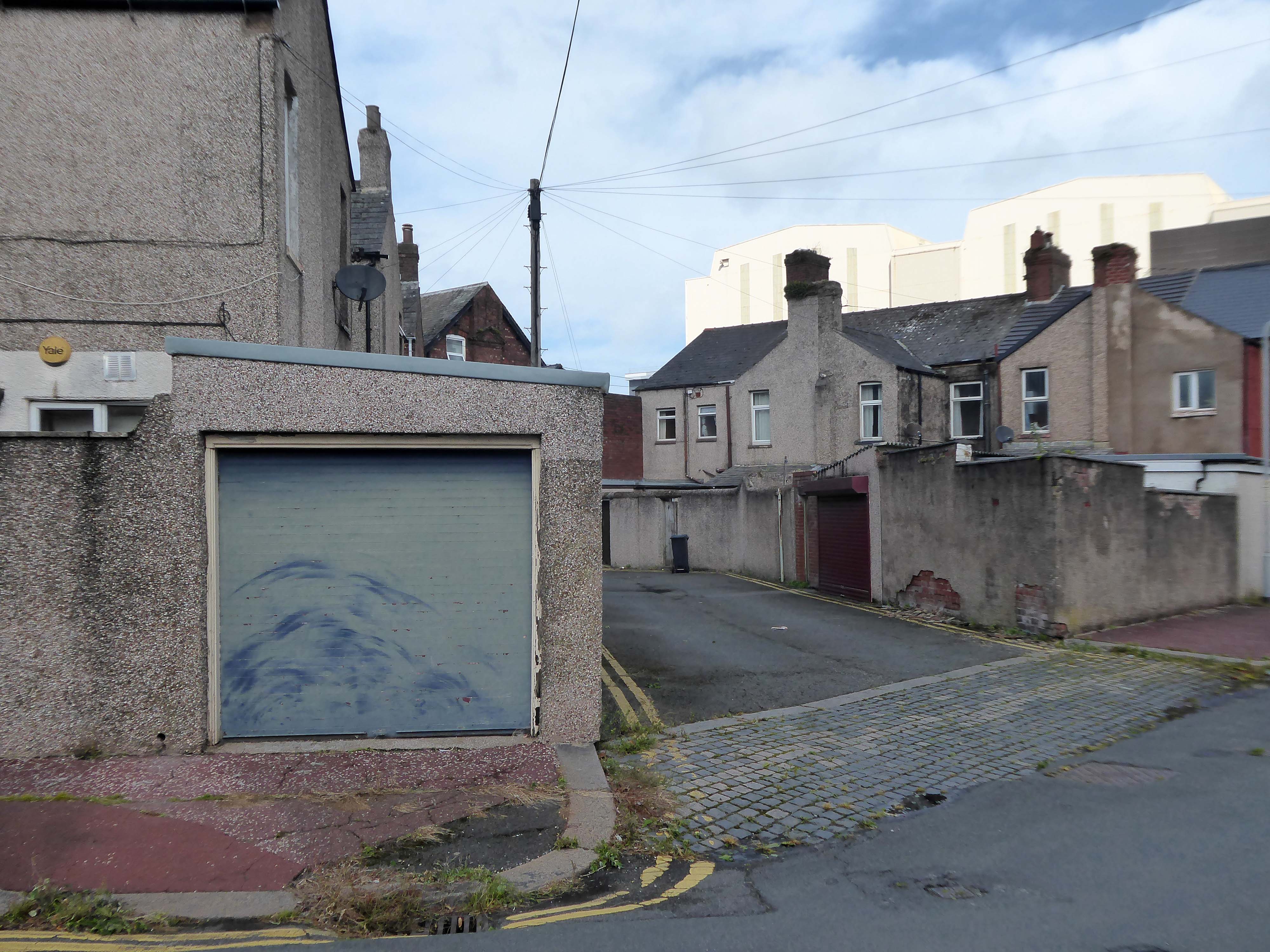
Sadly I neglected to pop into the Crow’s Nest – the street corner pub.
The Crows Nest is a community pub that welcomes all ages.
We can cater for any occasion including: weddings, christenings, birthday parties and funerals
Entertainment is provided on Fridays and Saturdays.
All live sport shown!
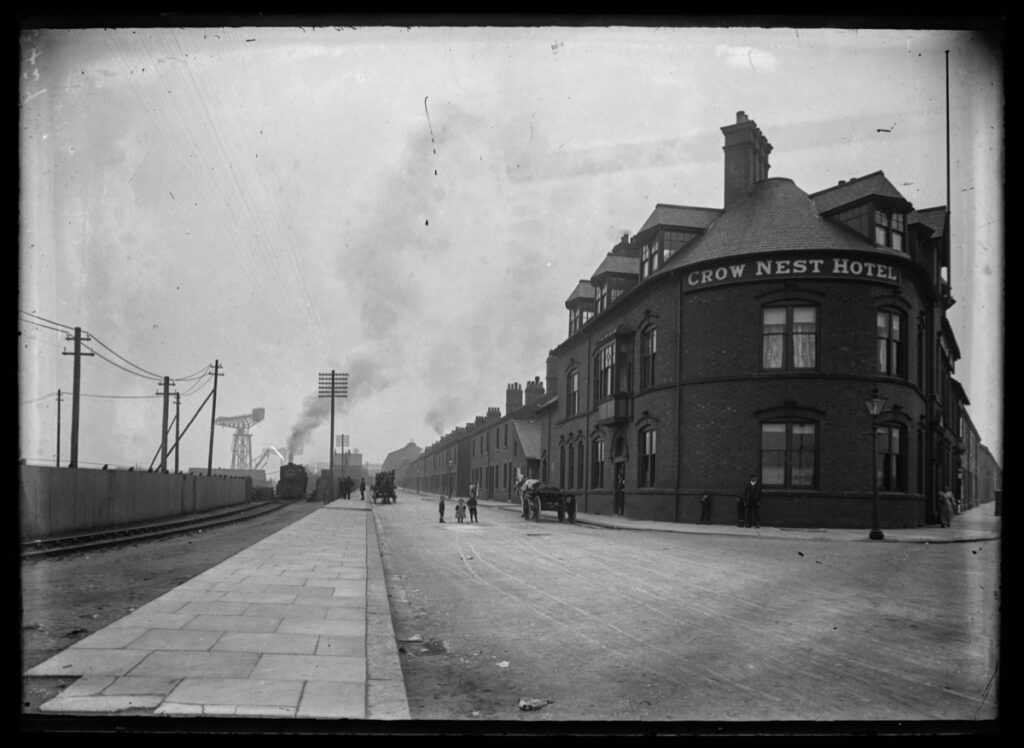
Crow Nest and Ferry Road – Circa 1910 © Sankey Family Photography Collection.
Opened in May 1888 it was described by the Barrow News as one of the best-appointed hotels in Barrow. From this start, Walton Lee, elected Town Councillor in 1886 envisaged an estate for the workers literally within spitting distance of their workplace.
A section of Career of Evil was filmed at The Crow’s Nest.
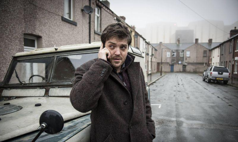
Barrow shipyard’s Devonshire Dock Hall, The Crow’s Nest pub, Barrow Island streets, including Stanley Road and Stewart Street, and Michaelson Road Bridge, all featured in episode one of Career of Evil on Sunday night.
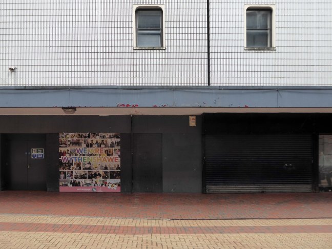
I wrote about the history of Civic in 2020.
Also visiting the multi-storey car park yesterday.
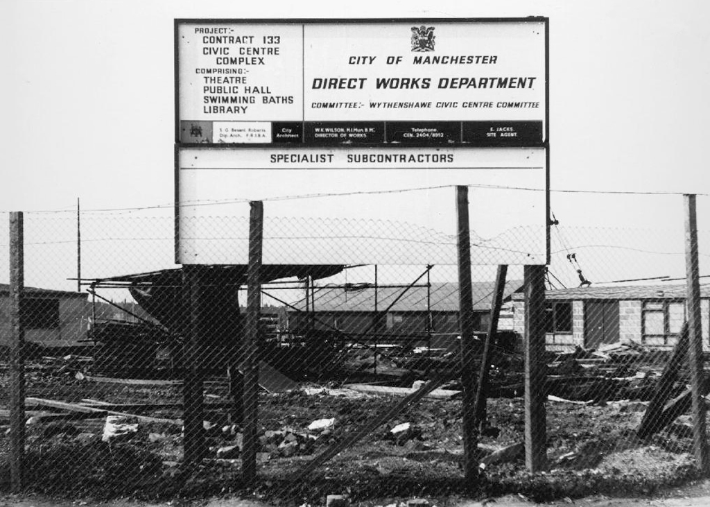
The work of Manchester City Architect Sydney George Besant-Roberts and his team.
Work began in the interwar years, and continued following the hiatus of 1939-45. The shopping centre named the Civic Centre was open in 1963, the actual Civic Centre containing a swimming pool, theatre, public hall and library in 1971.
Here I am again four years later, taking a look at how it looks today.
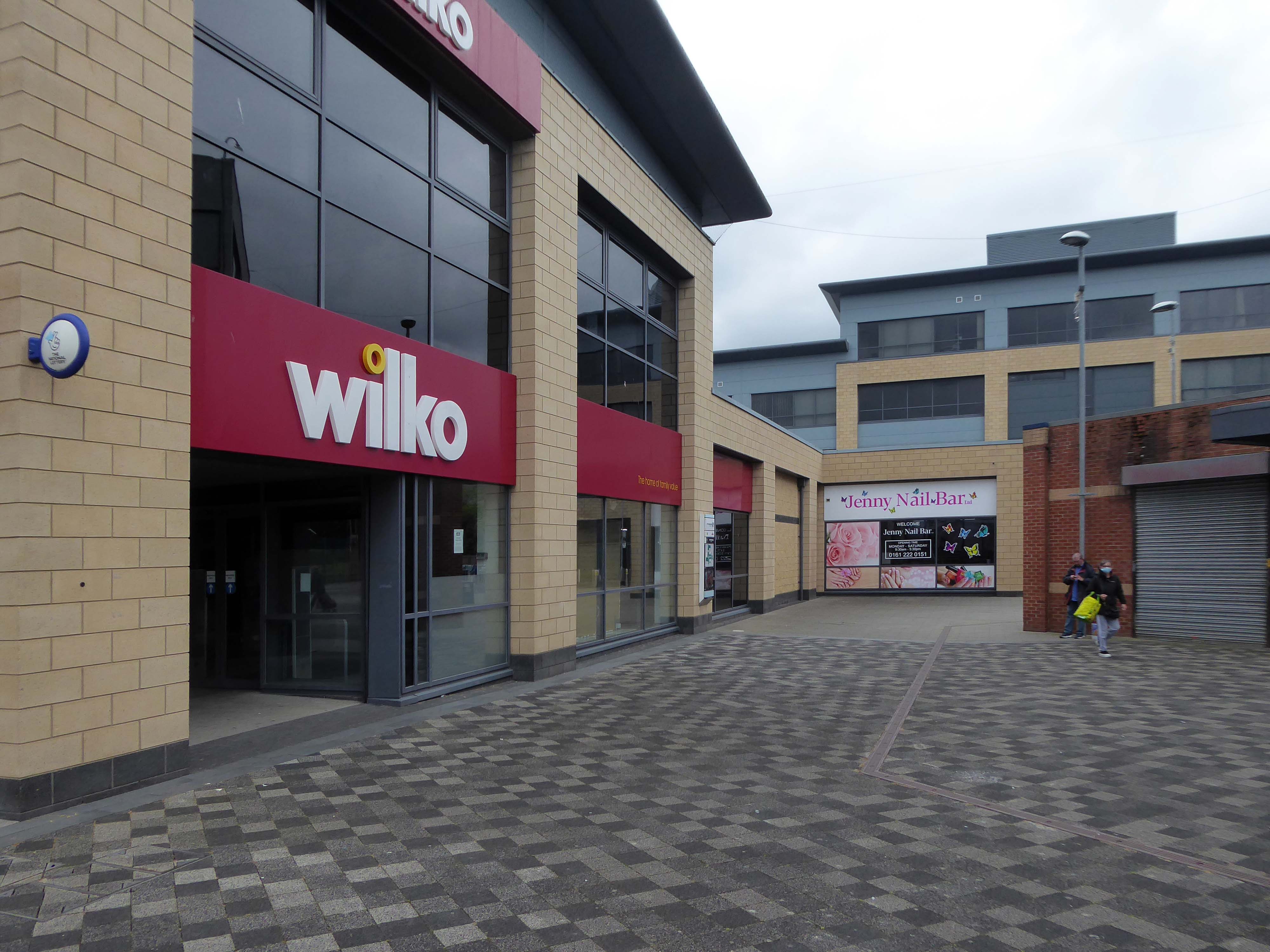
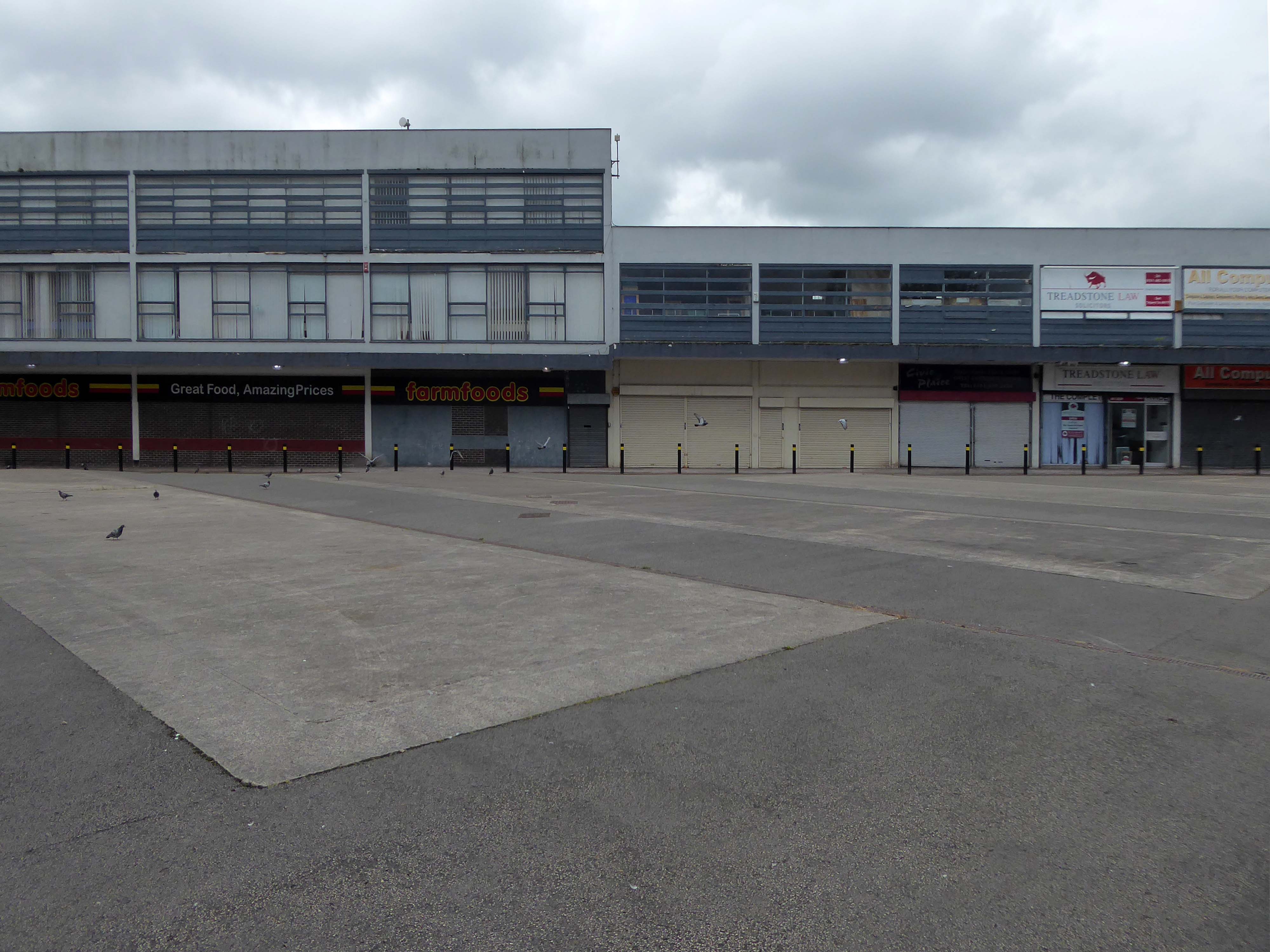
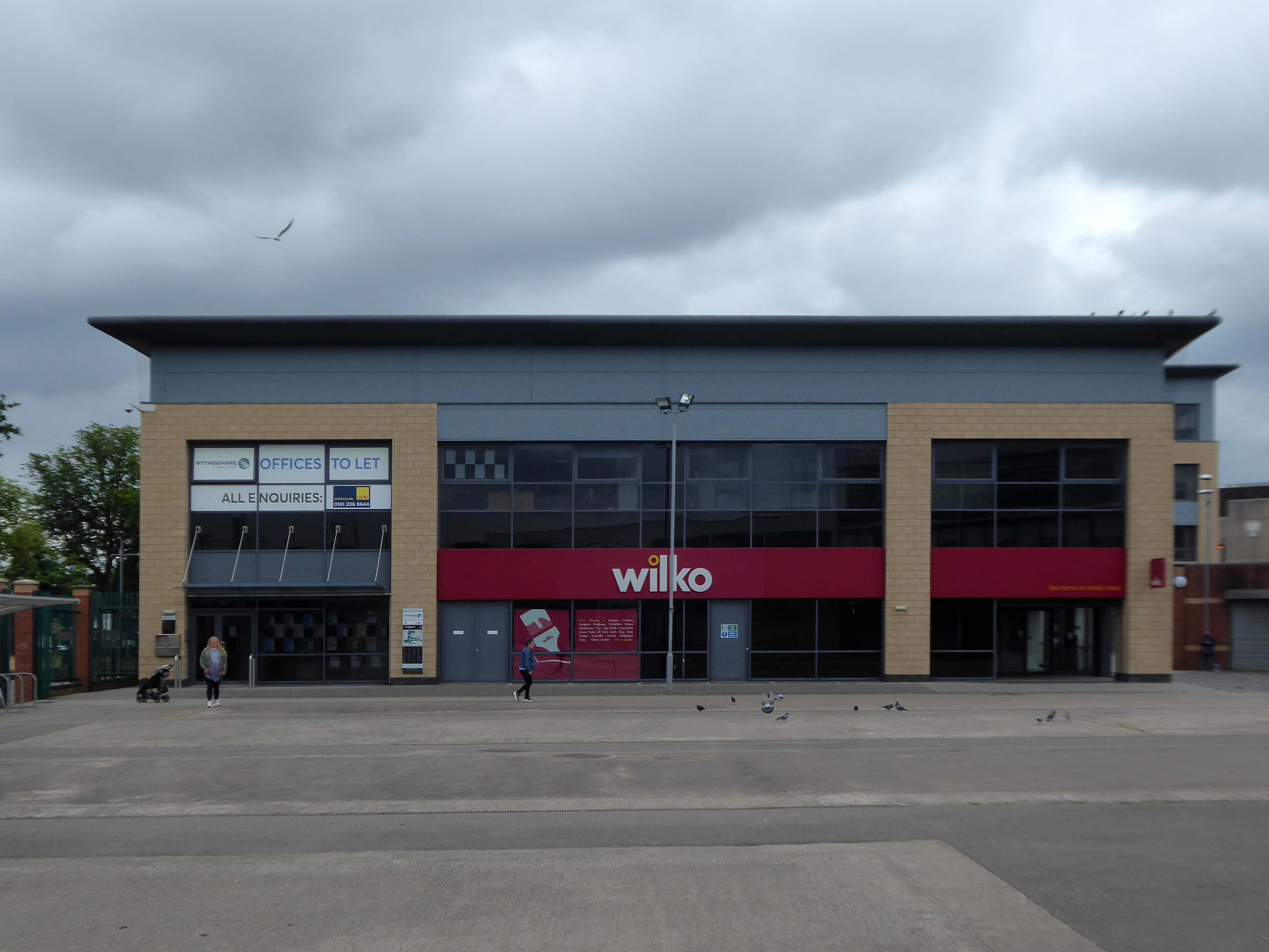
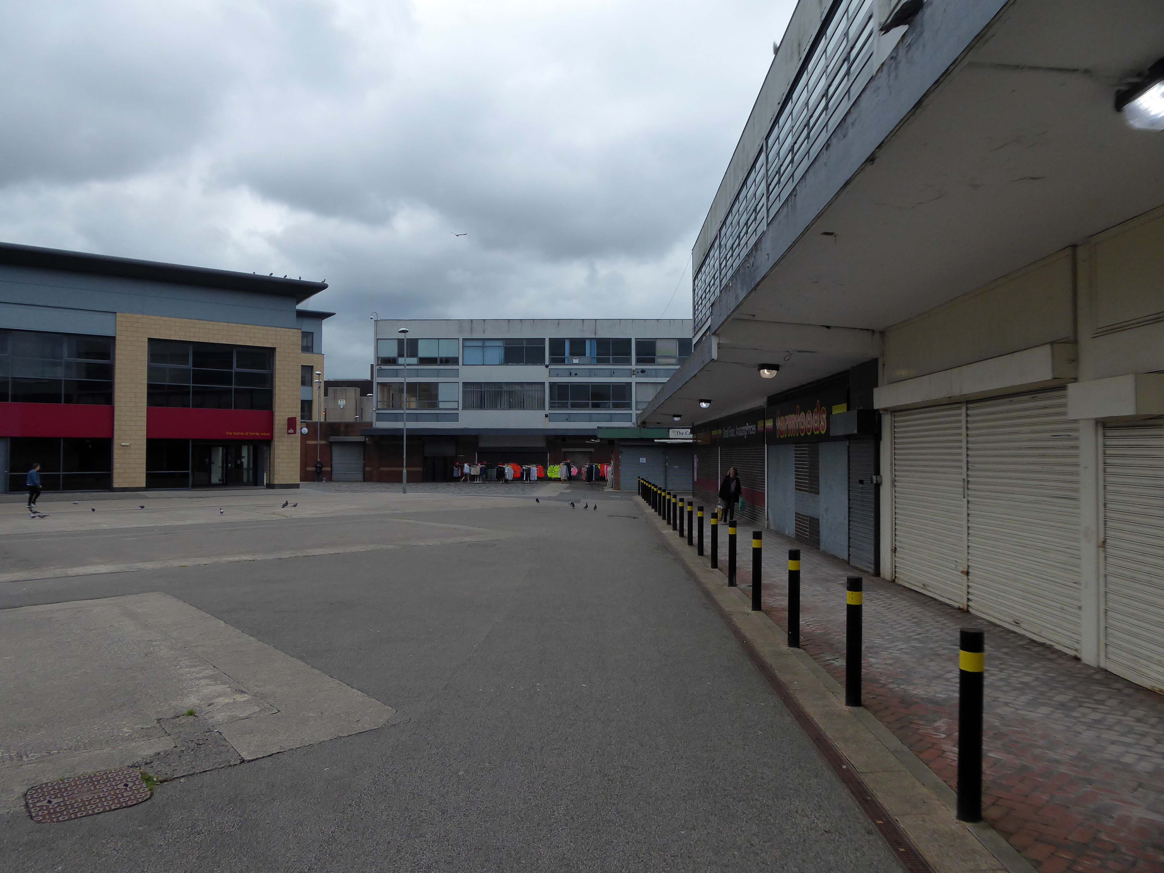
ASDA remains the anchor store, Wilko having left a Wilko sized hole in the precinct. On an overcast Friday morning there was sufficient footfall to sustain the wide variety of smaller shops and larger retail chains. As with many other towns within the central Manchester orbit, the easy proximity fills those busy trams and buses, which are leaving the area.
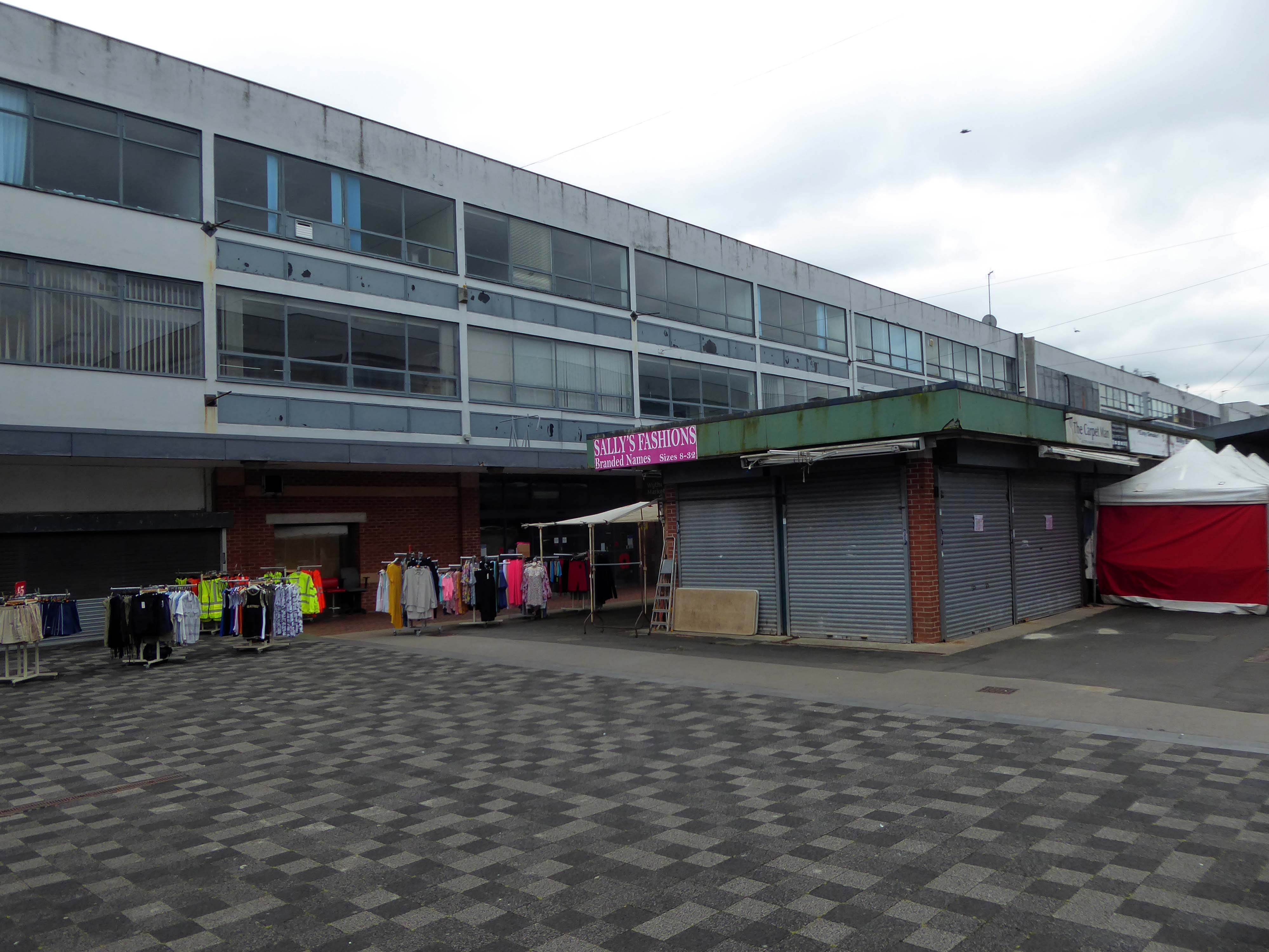
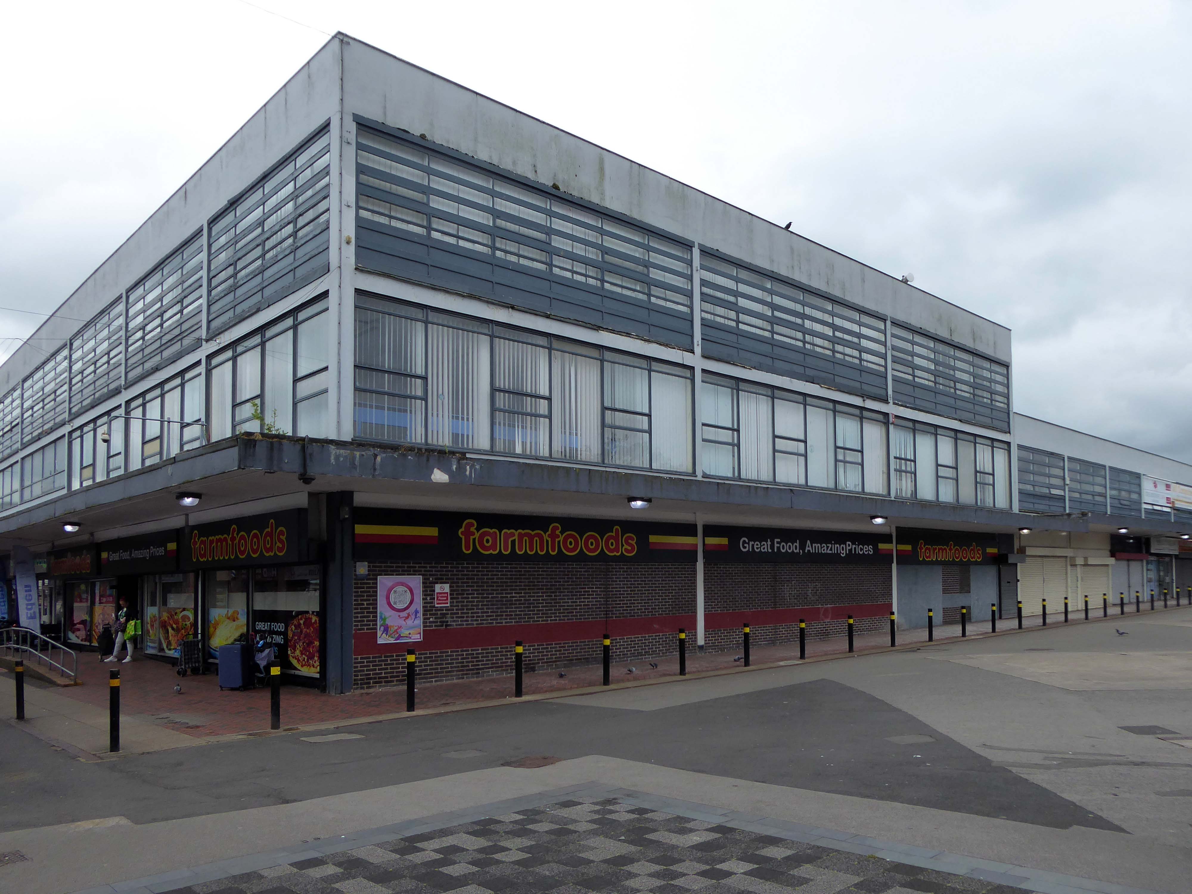
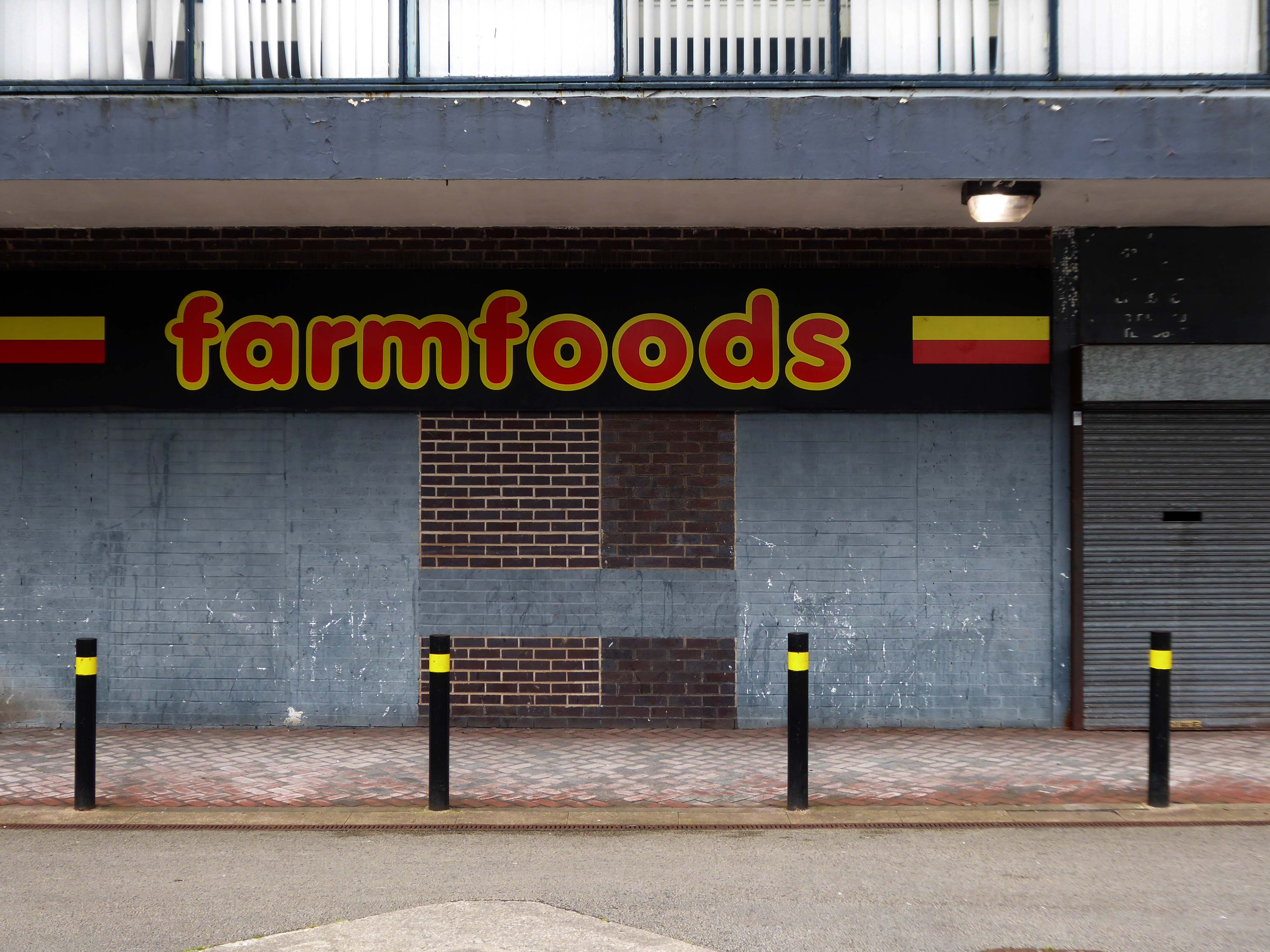
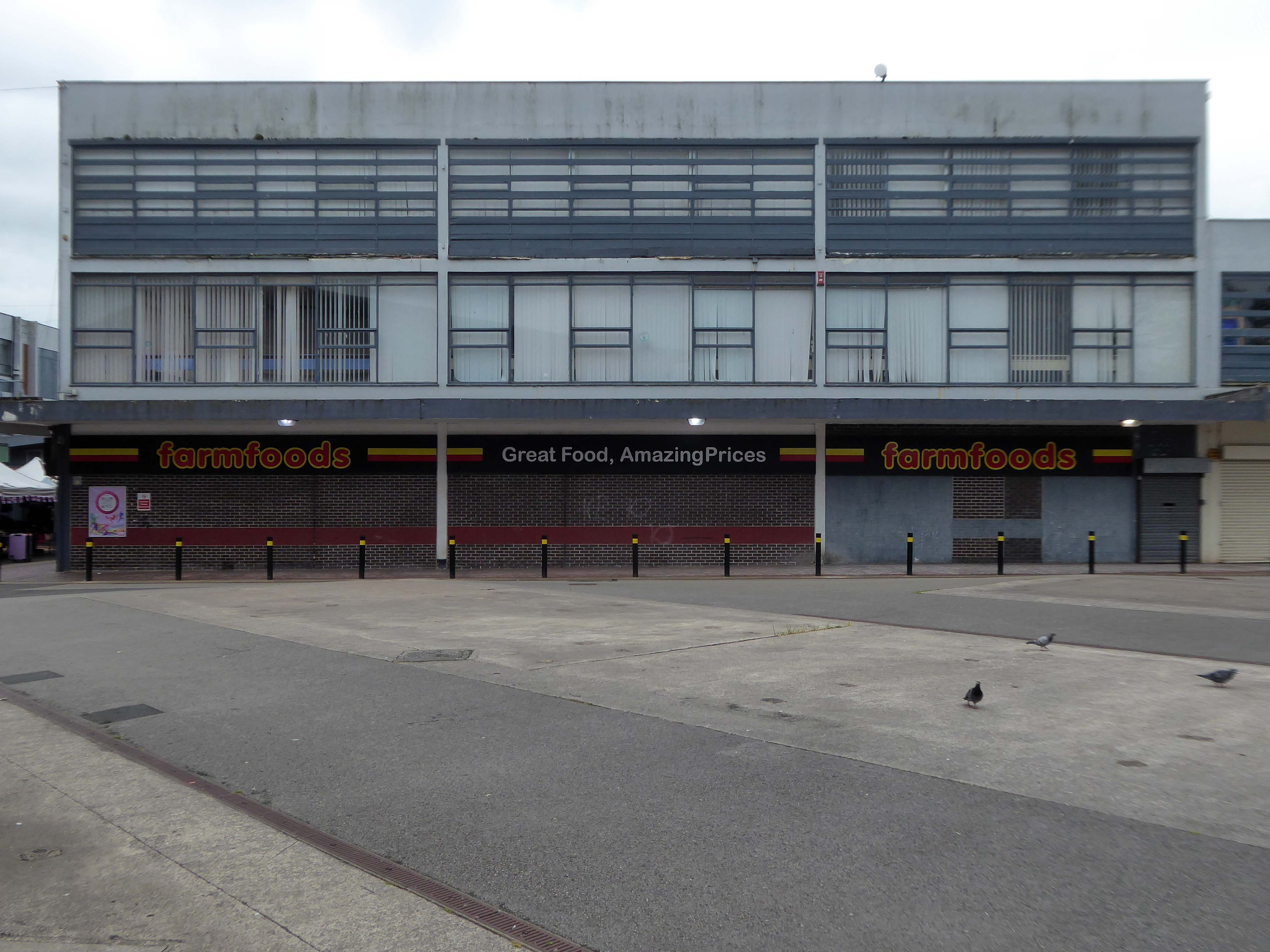
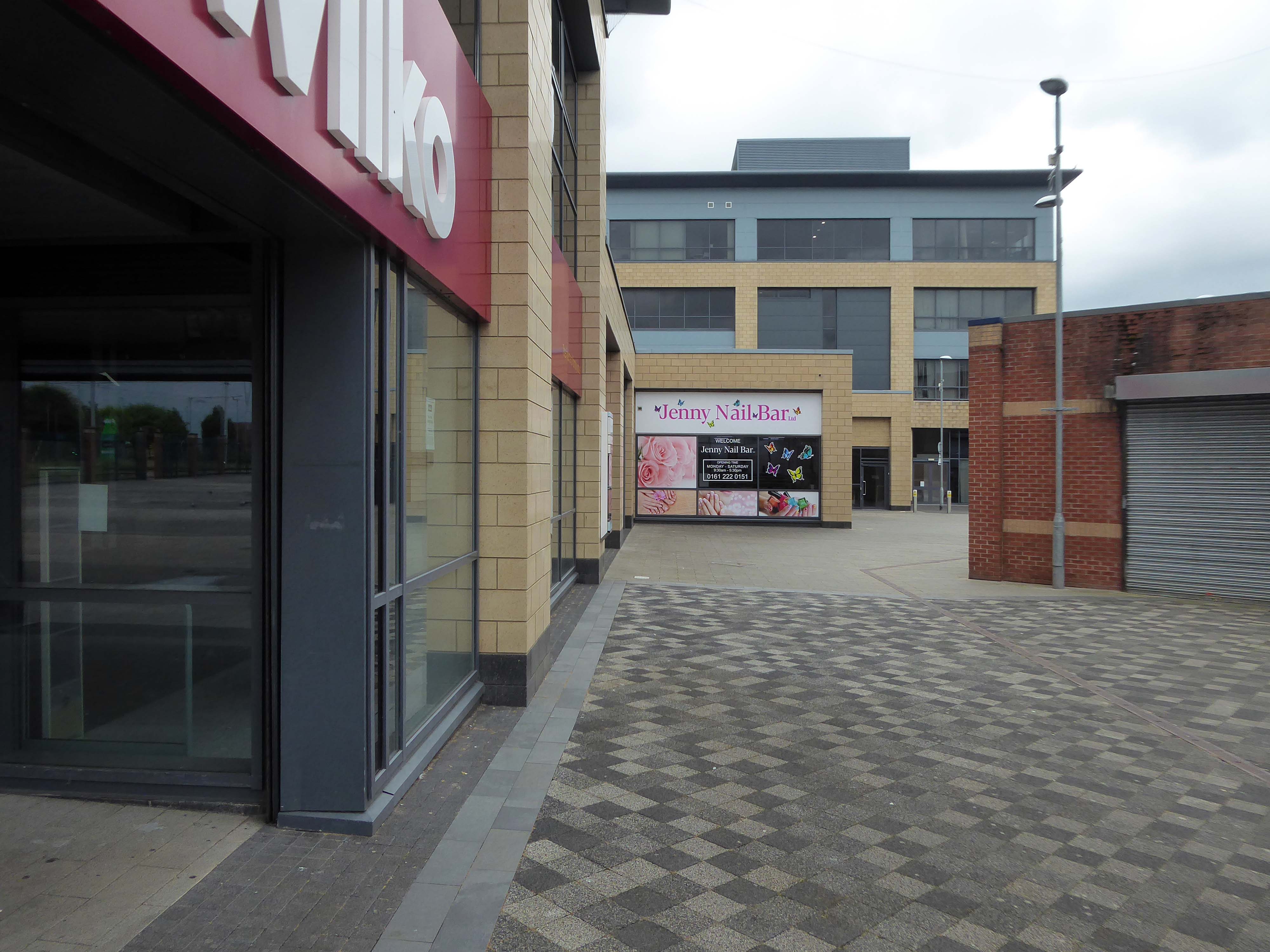
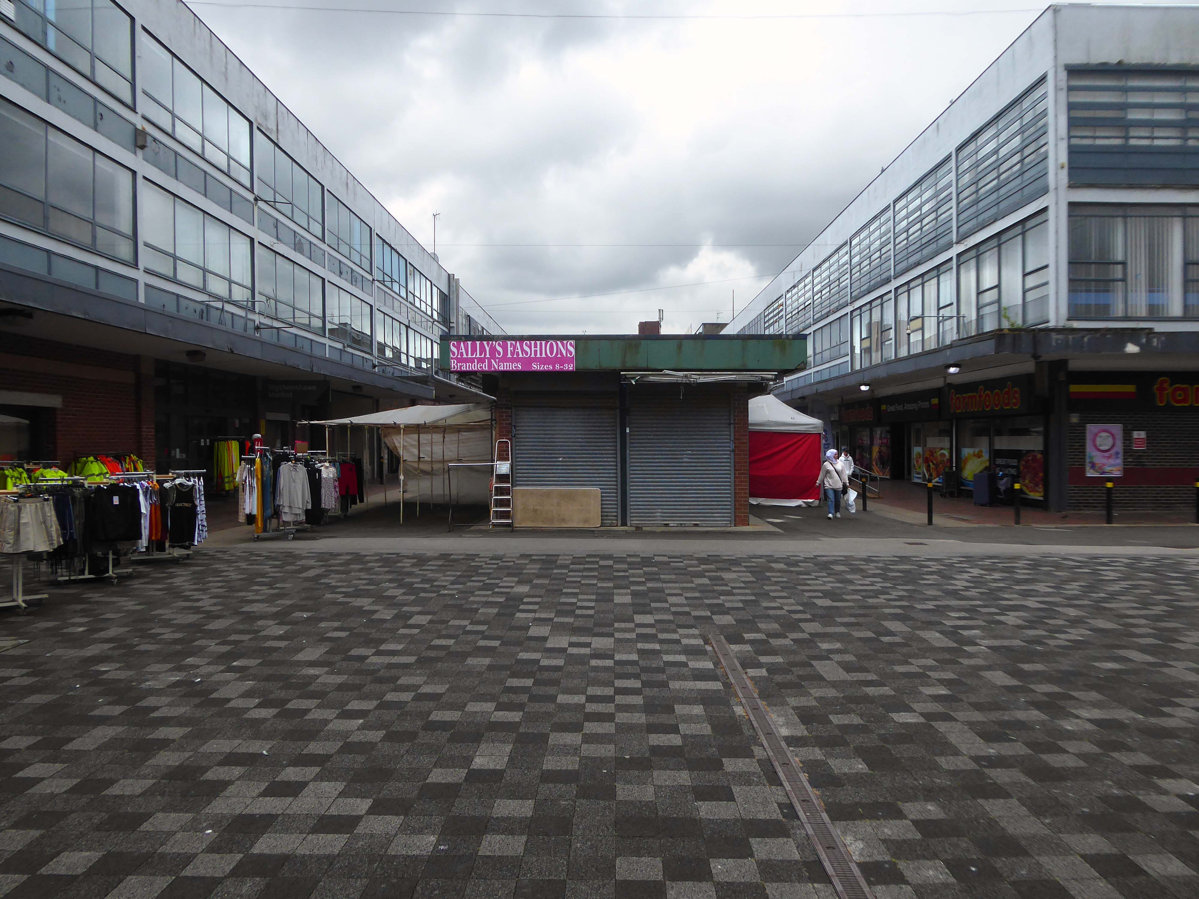
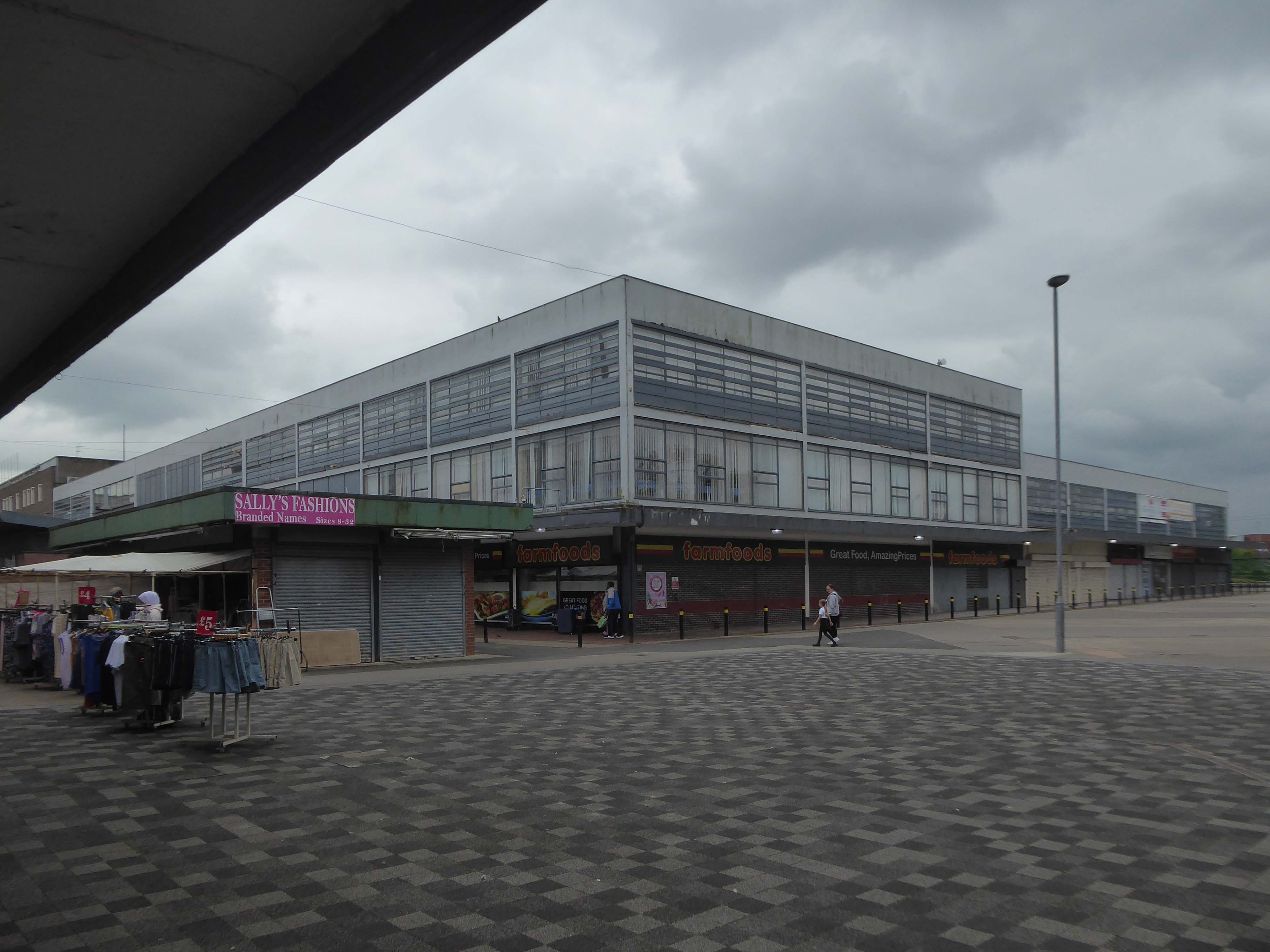
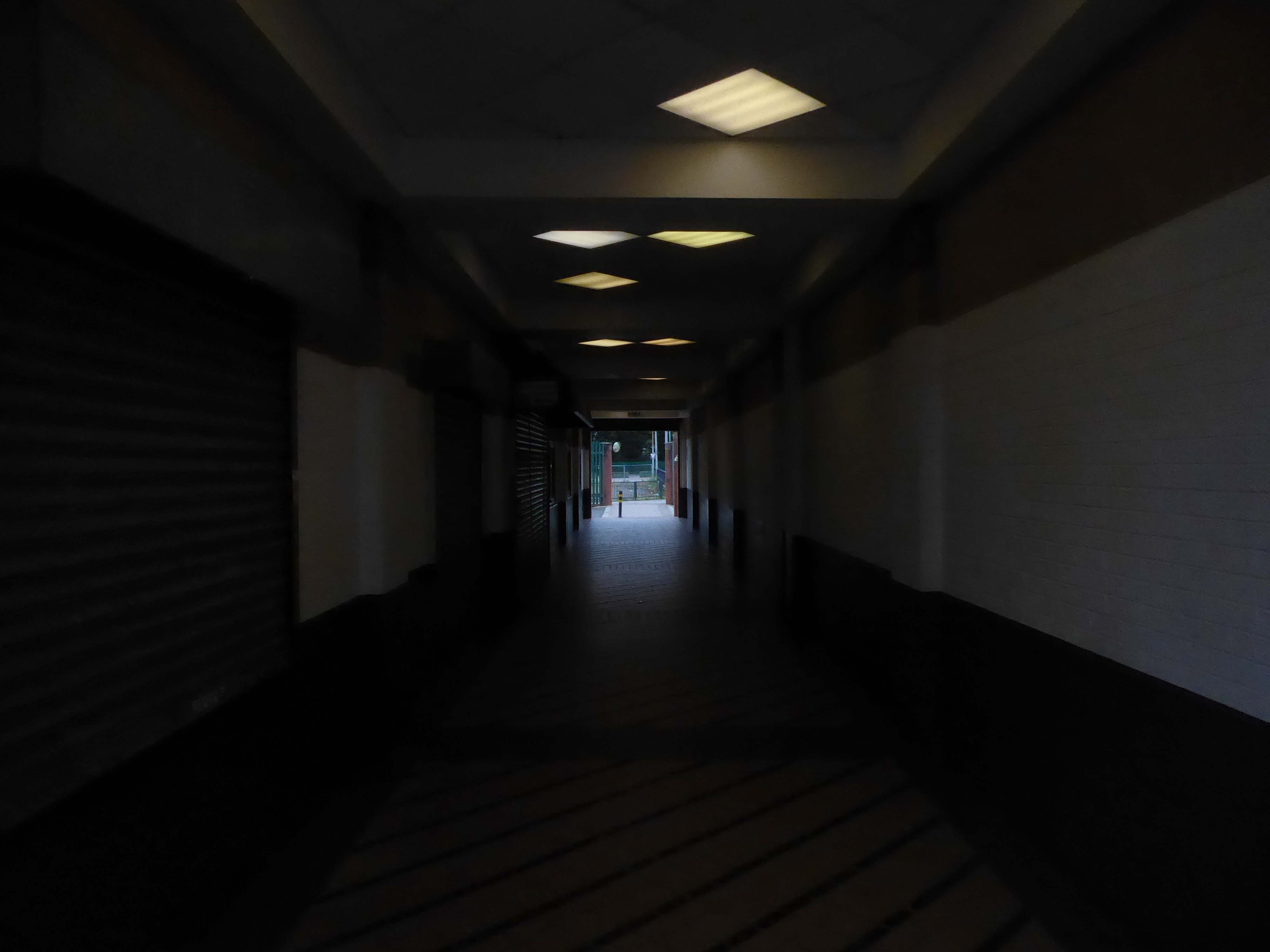
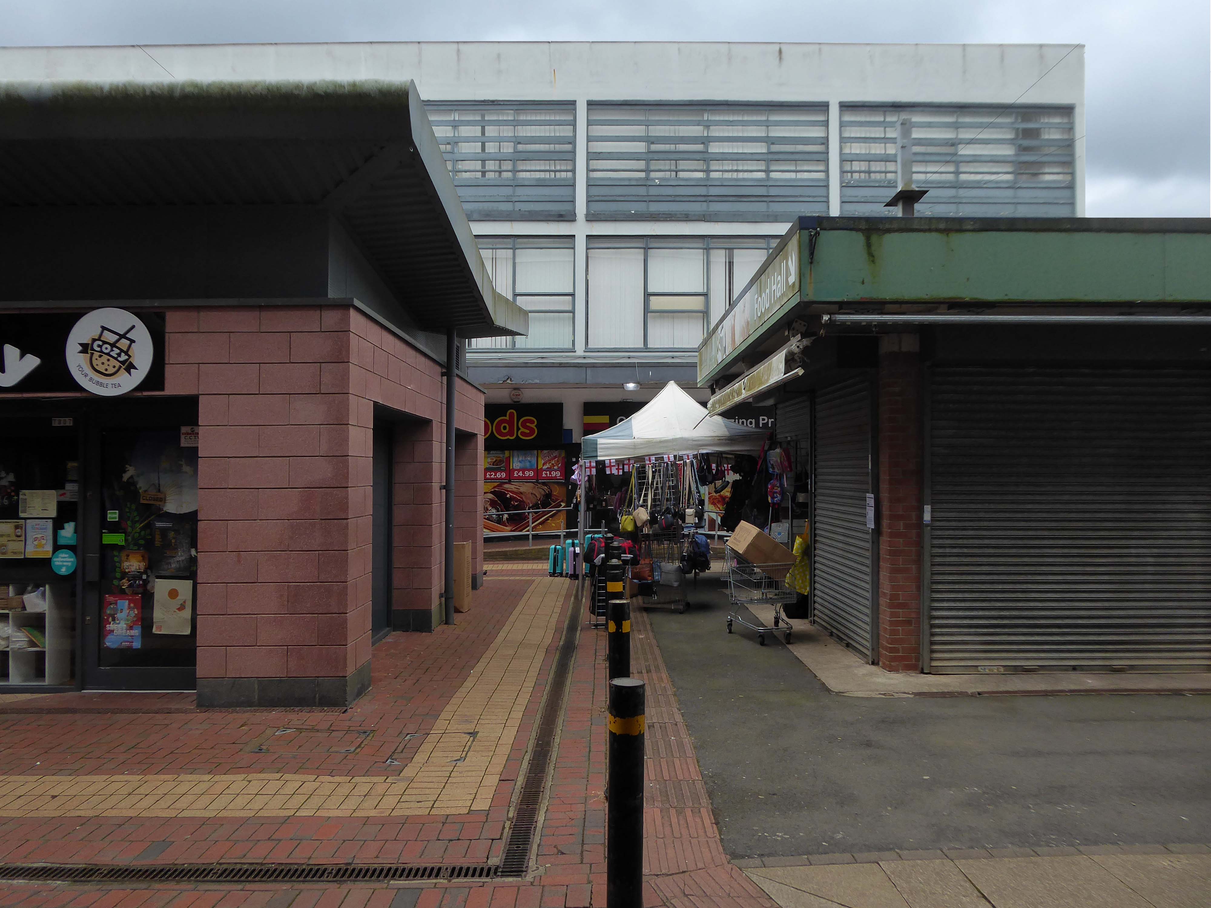
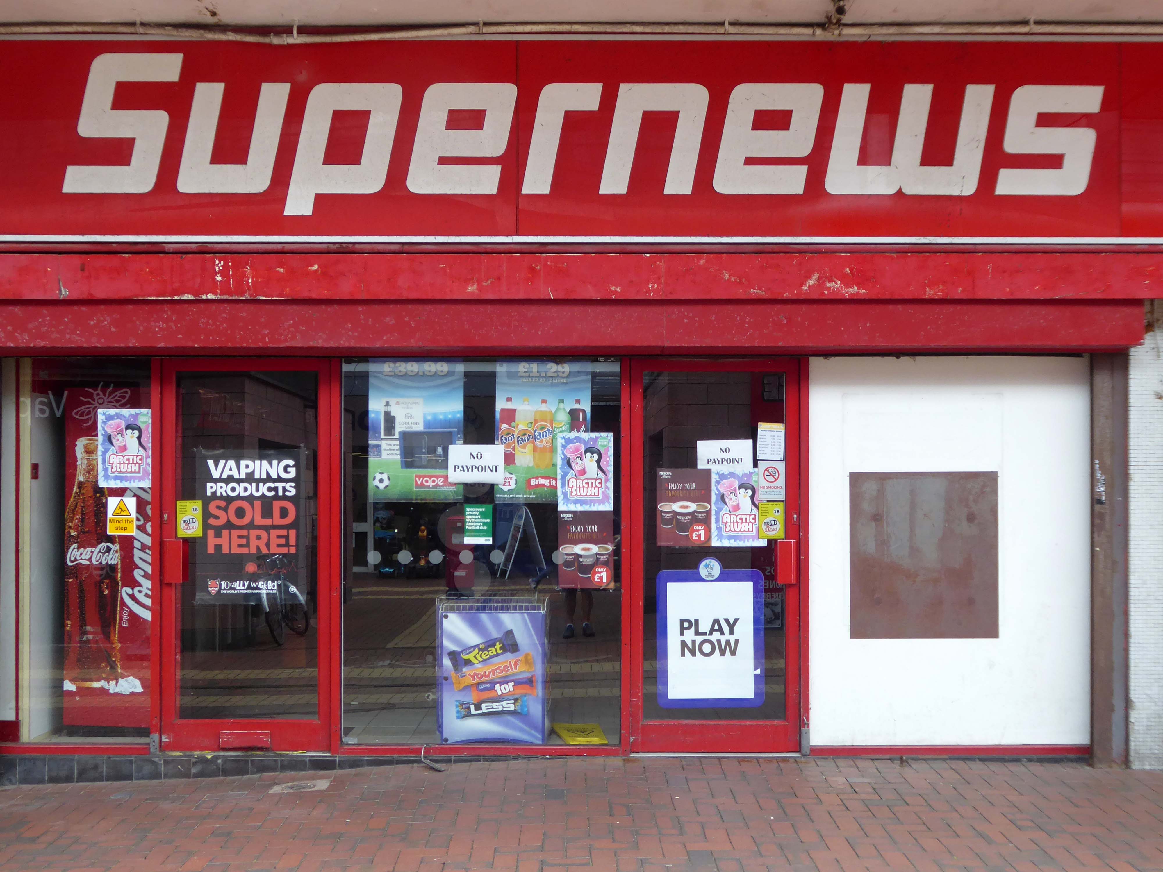
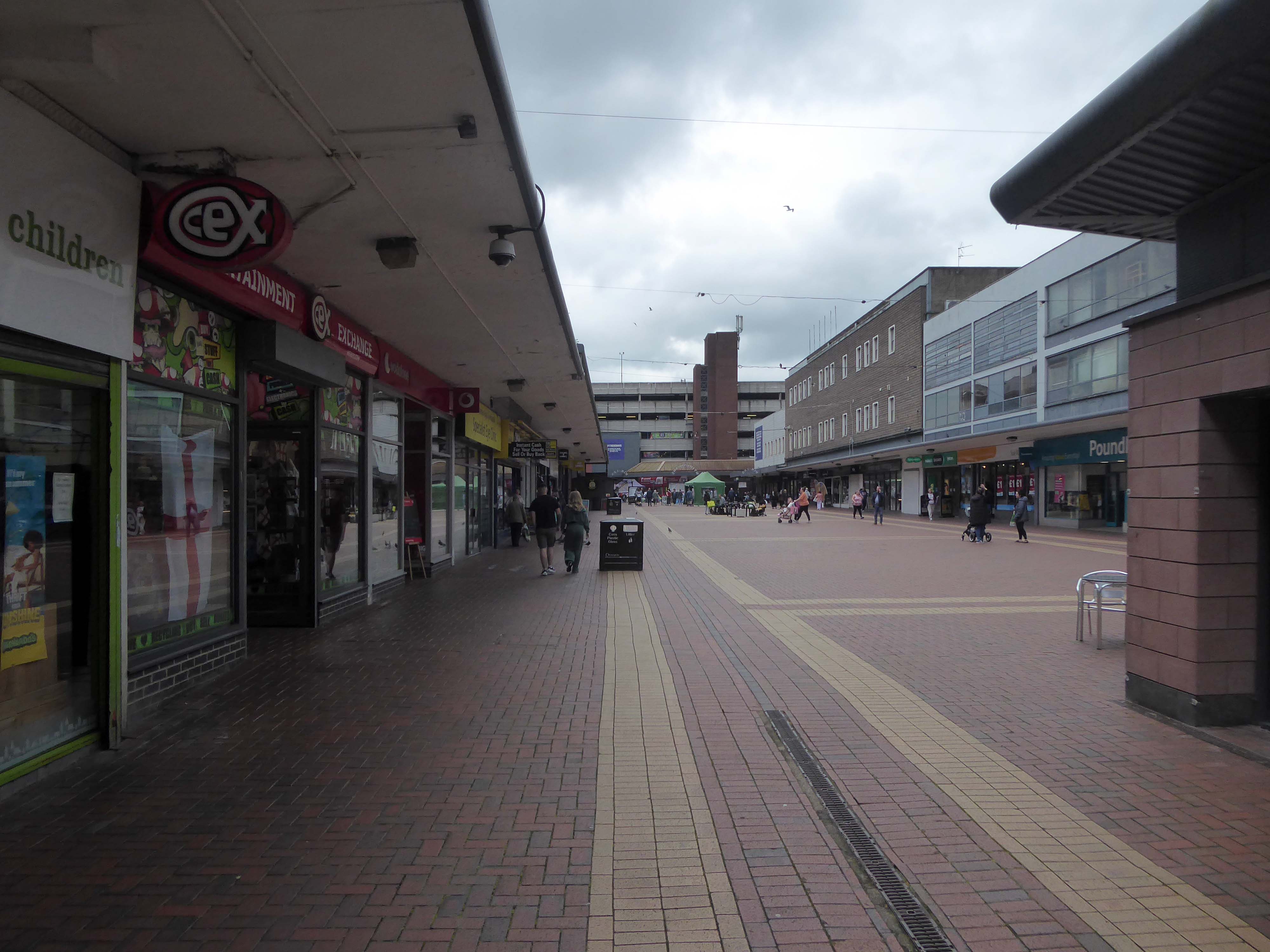
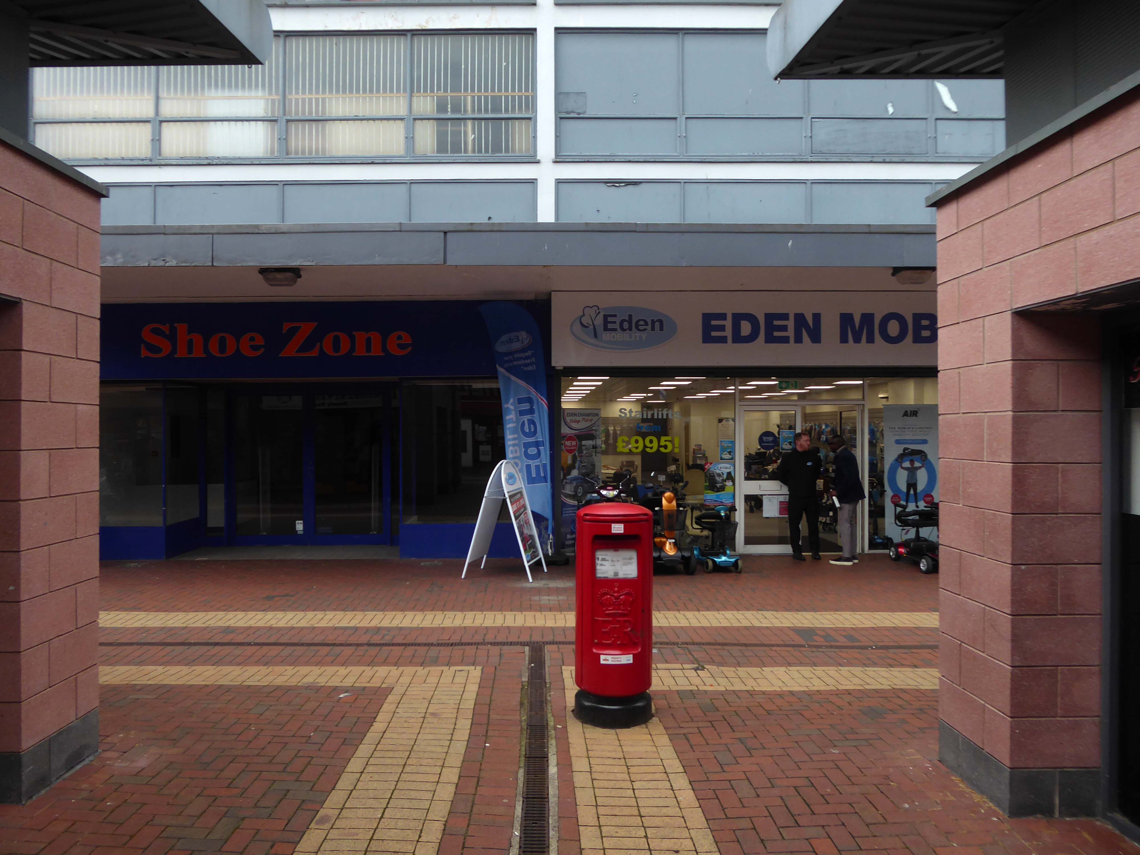
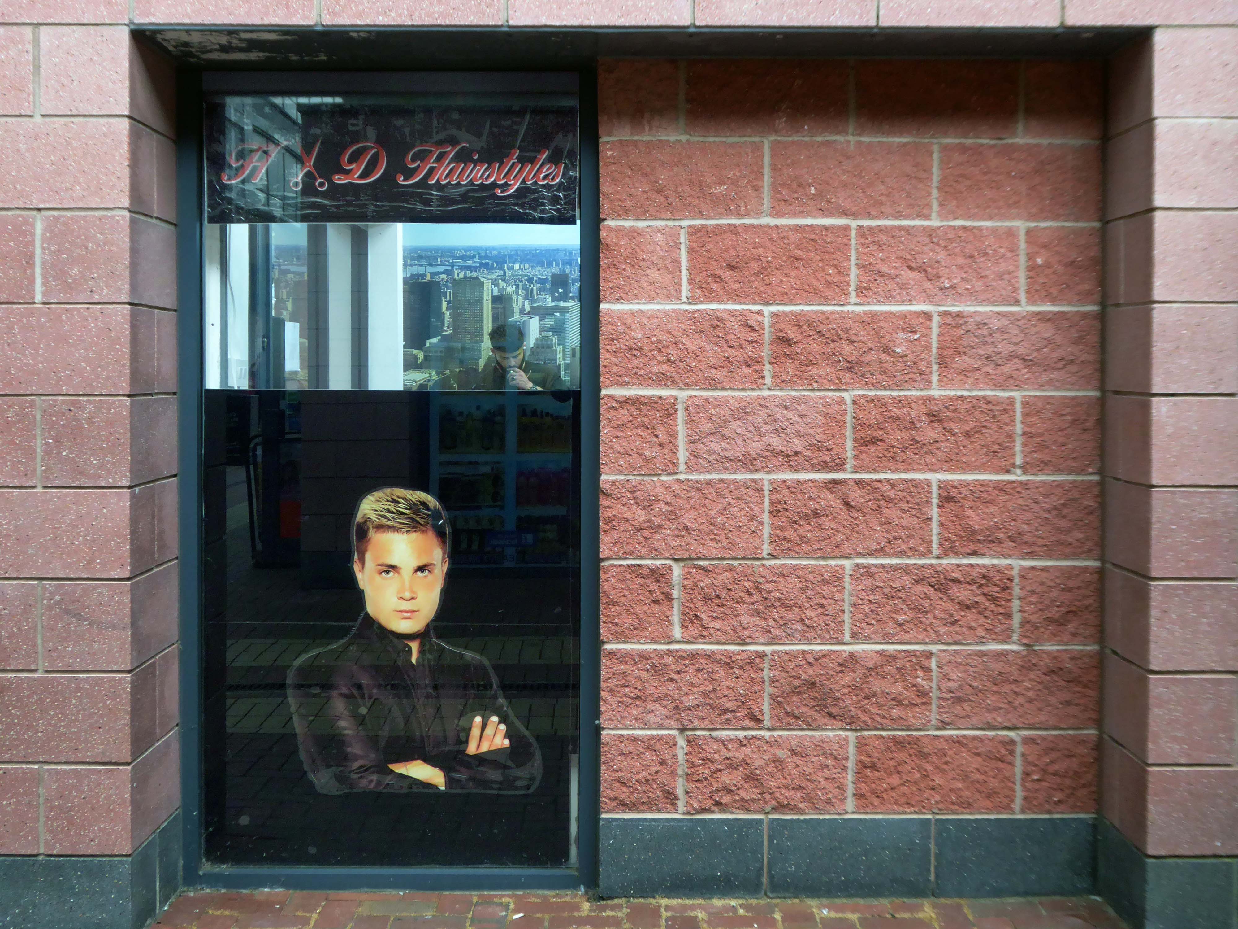
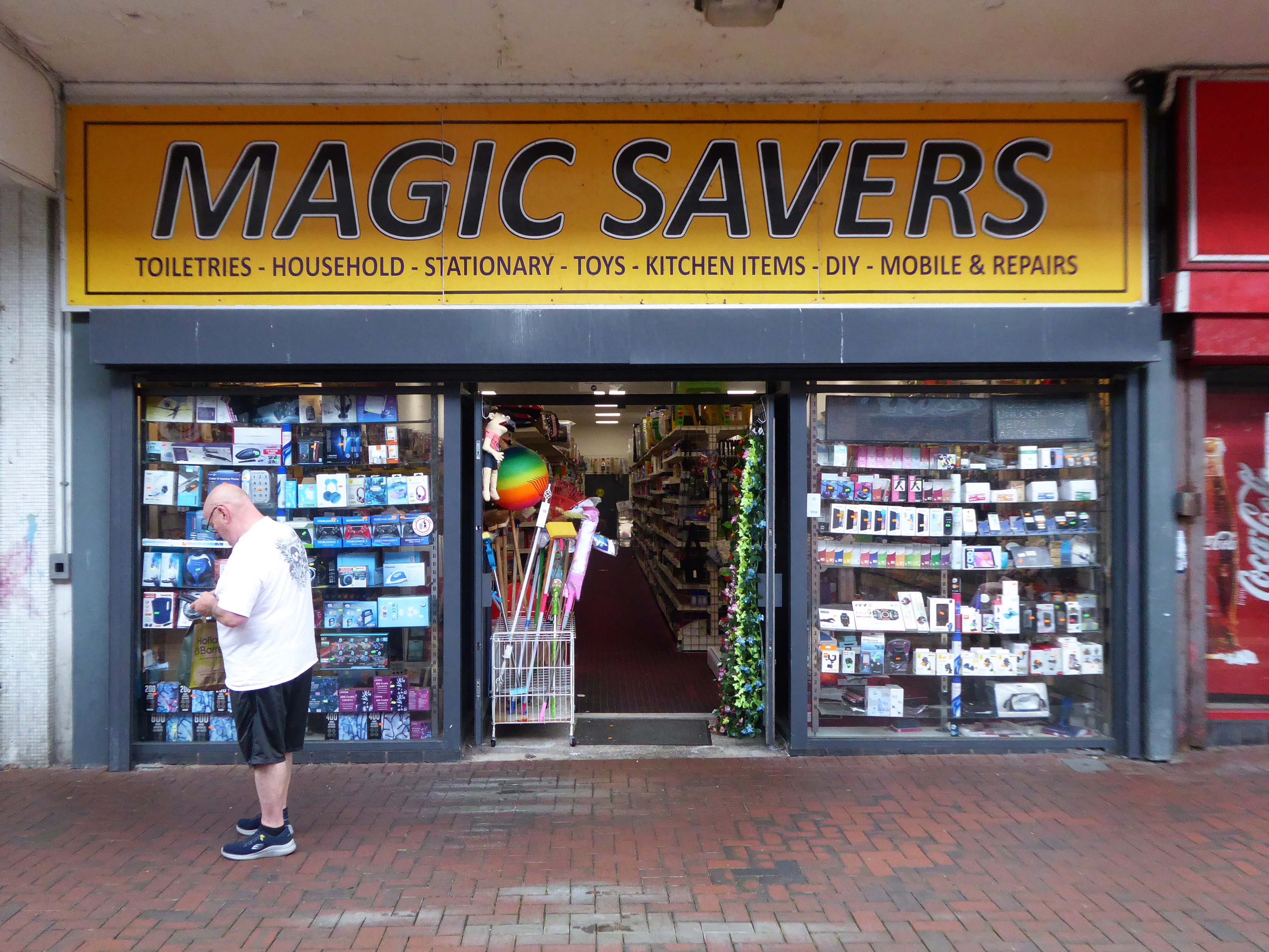
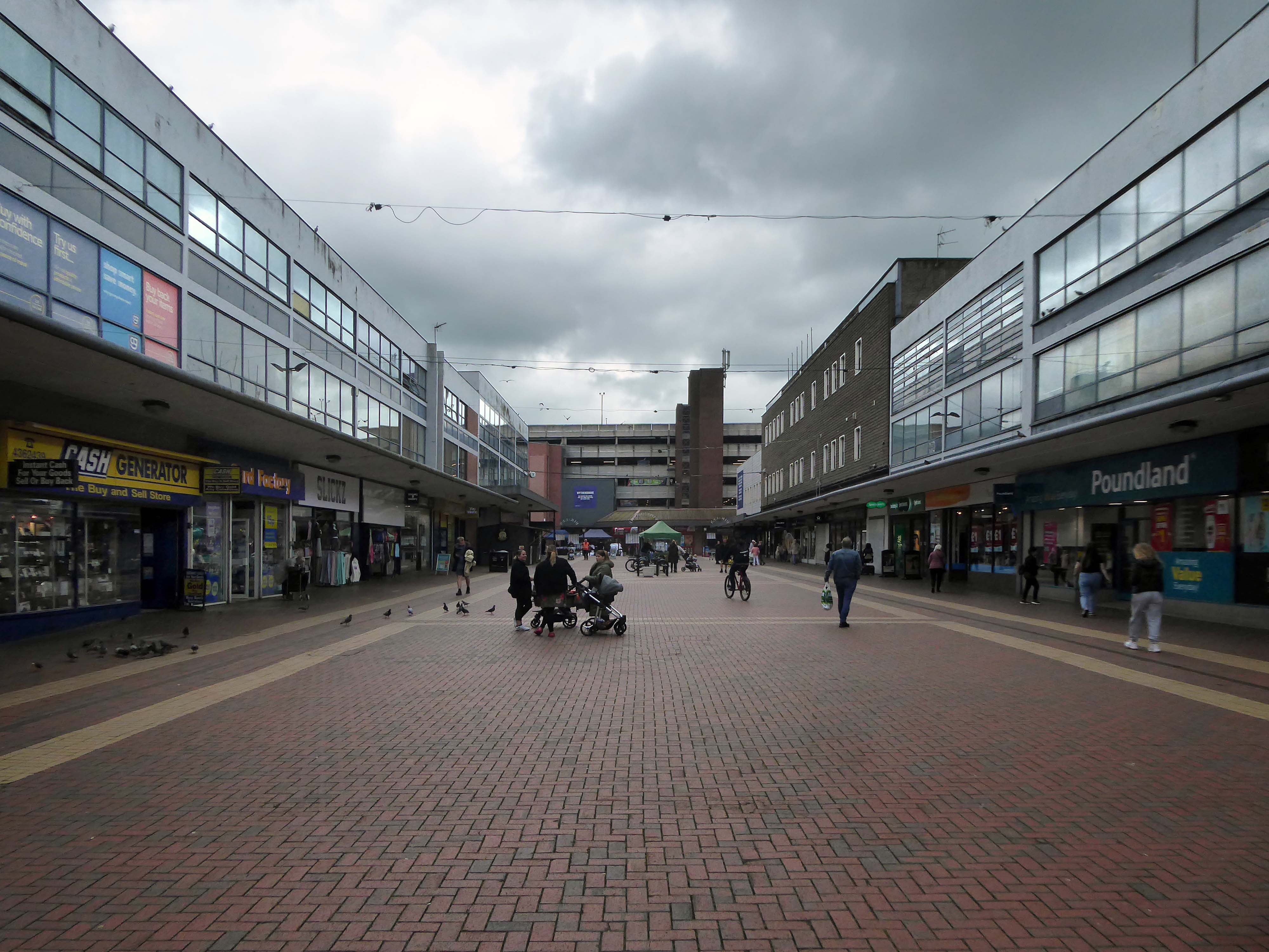
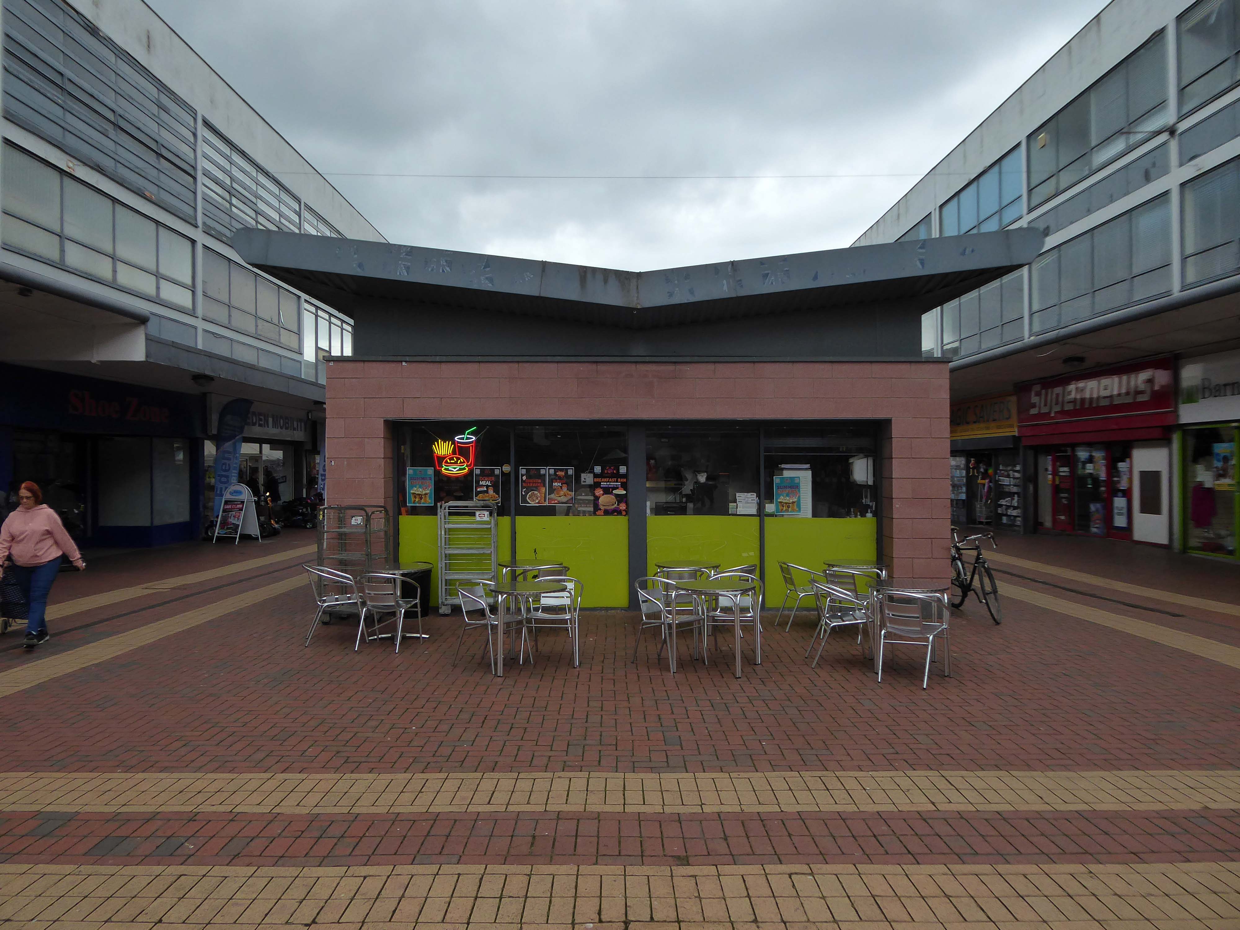
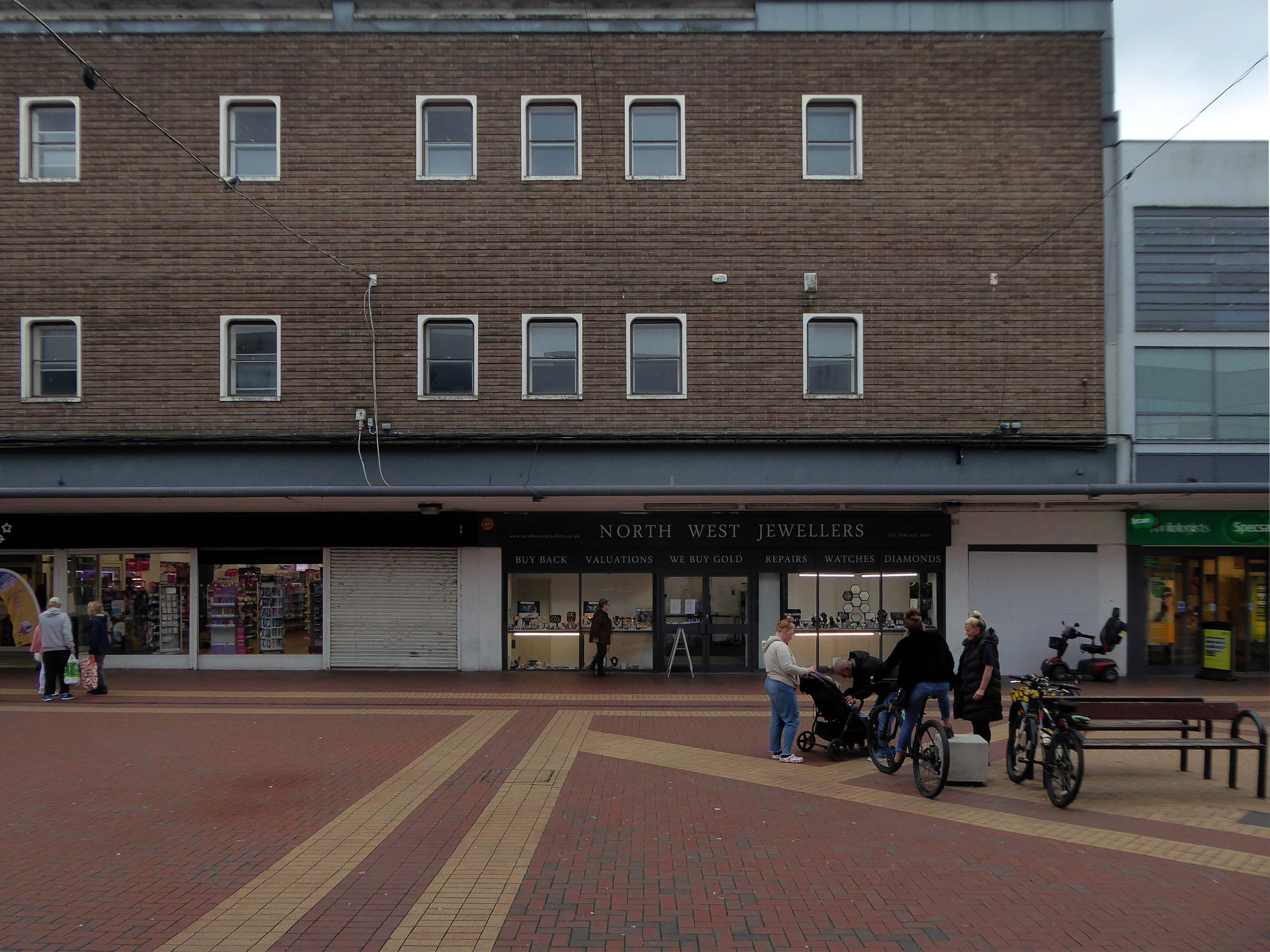
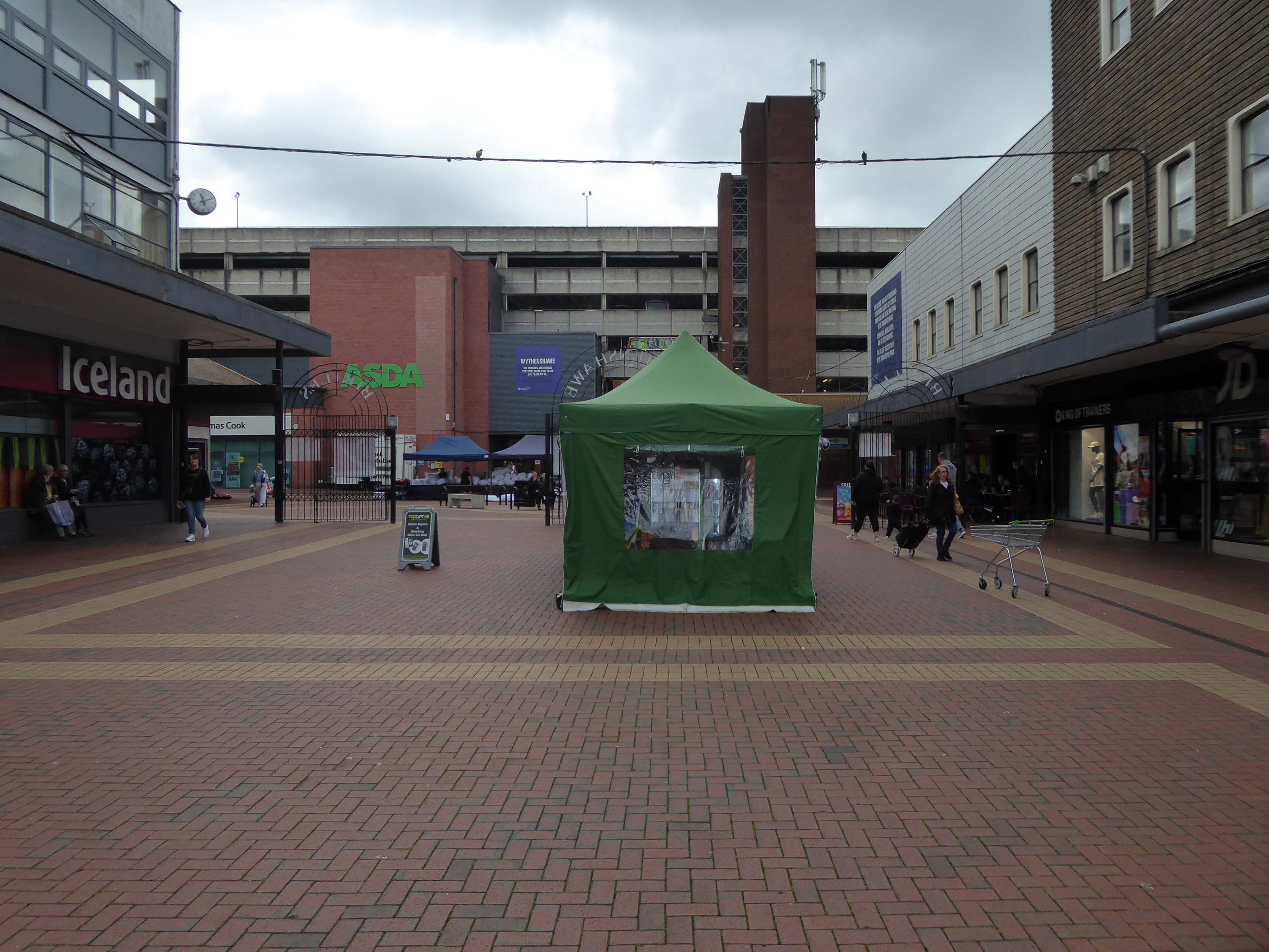
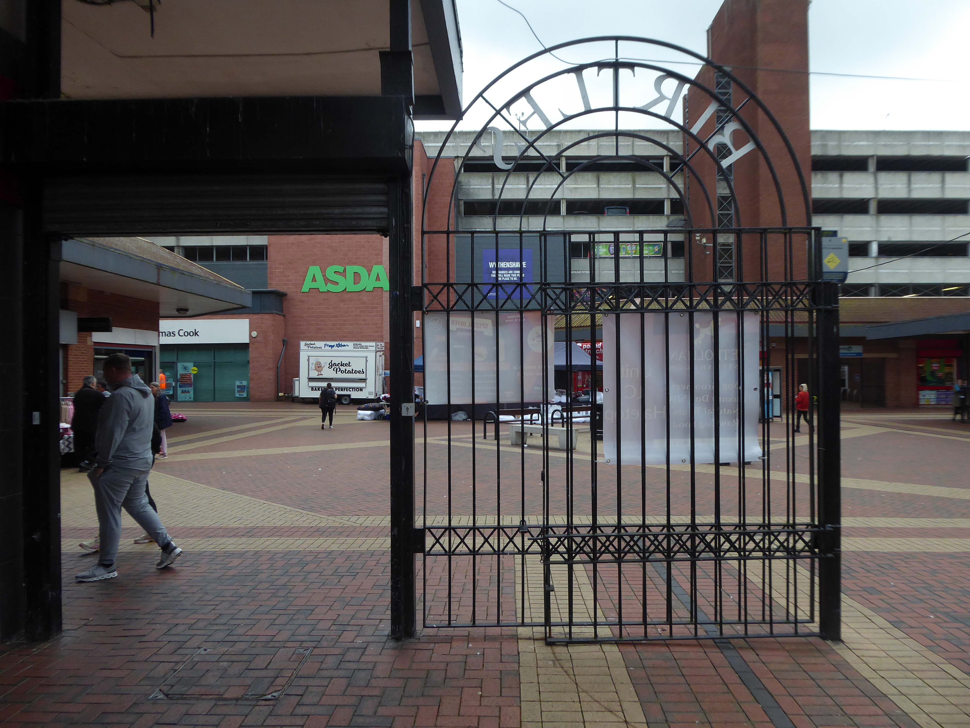
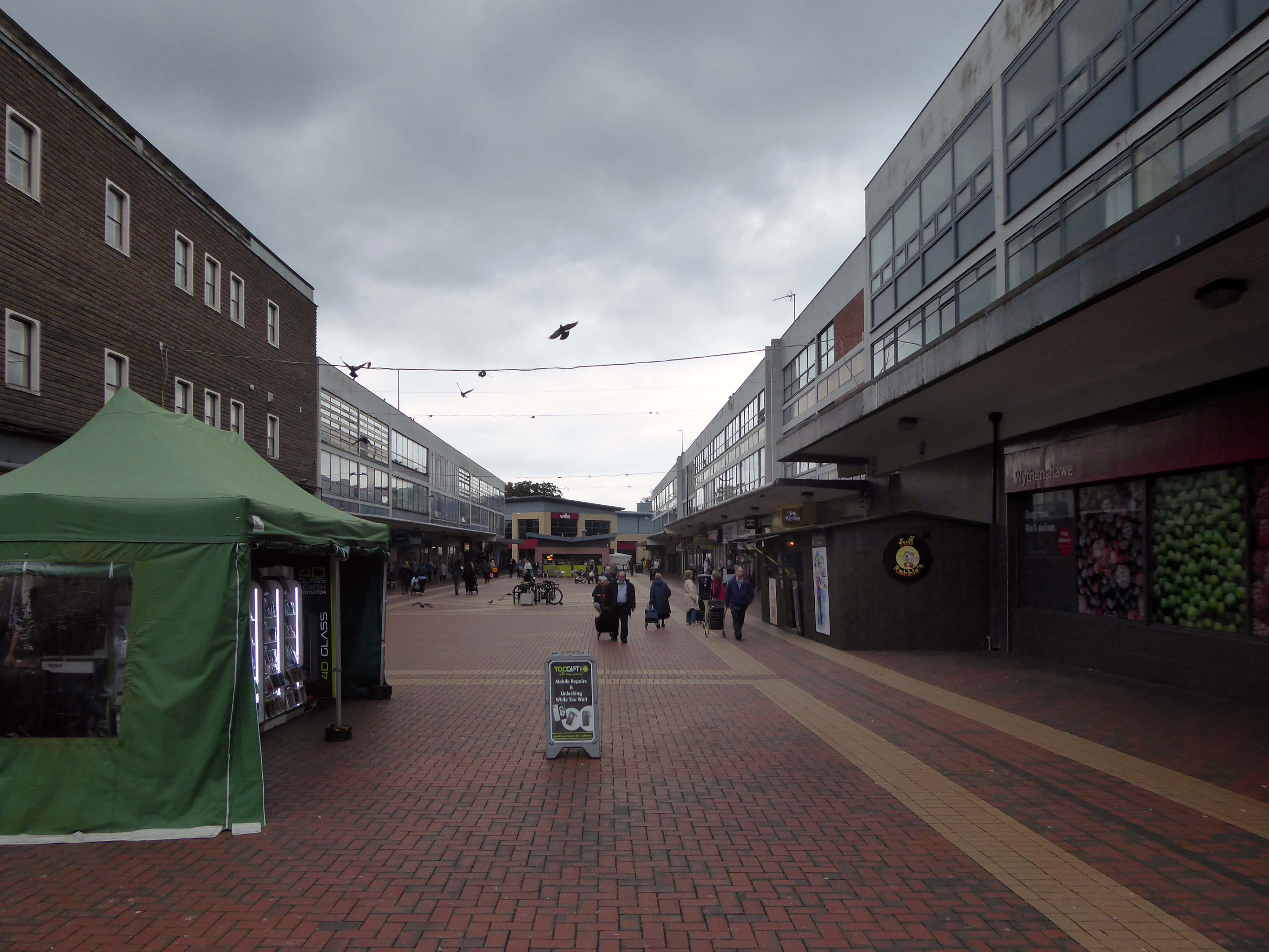
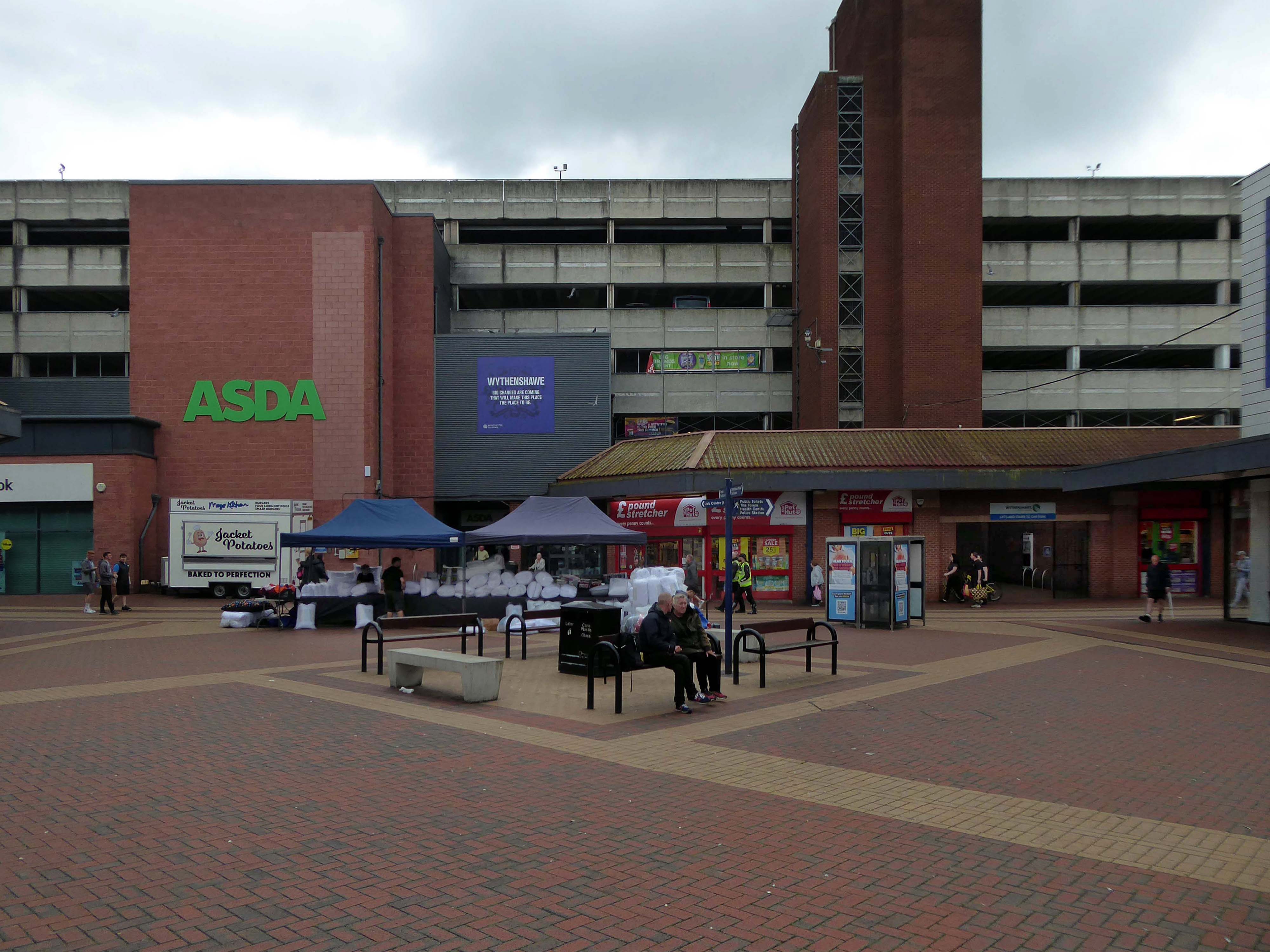
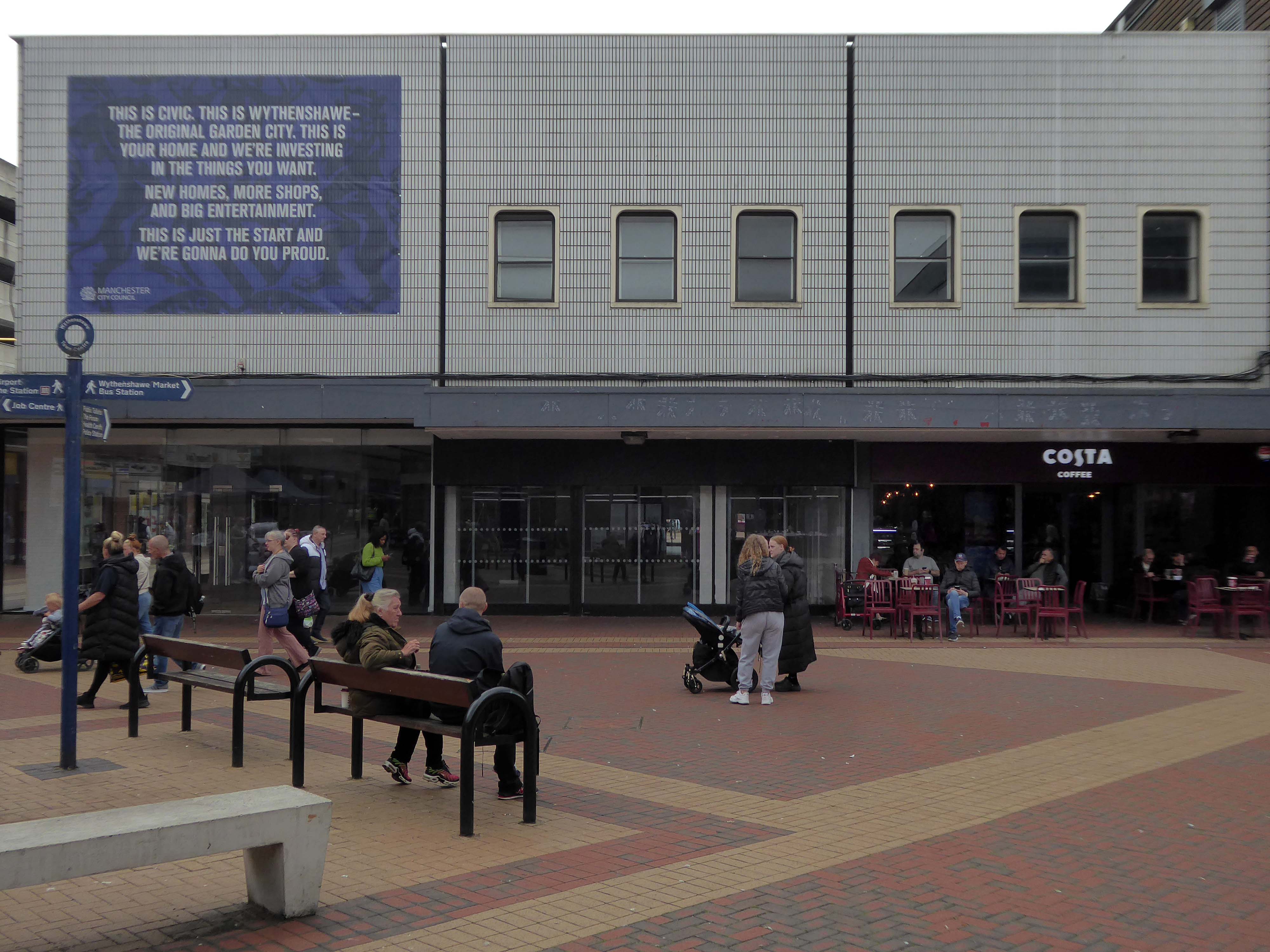

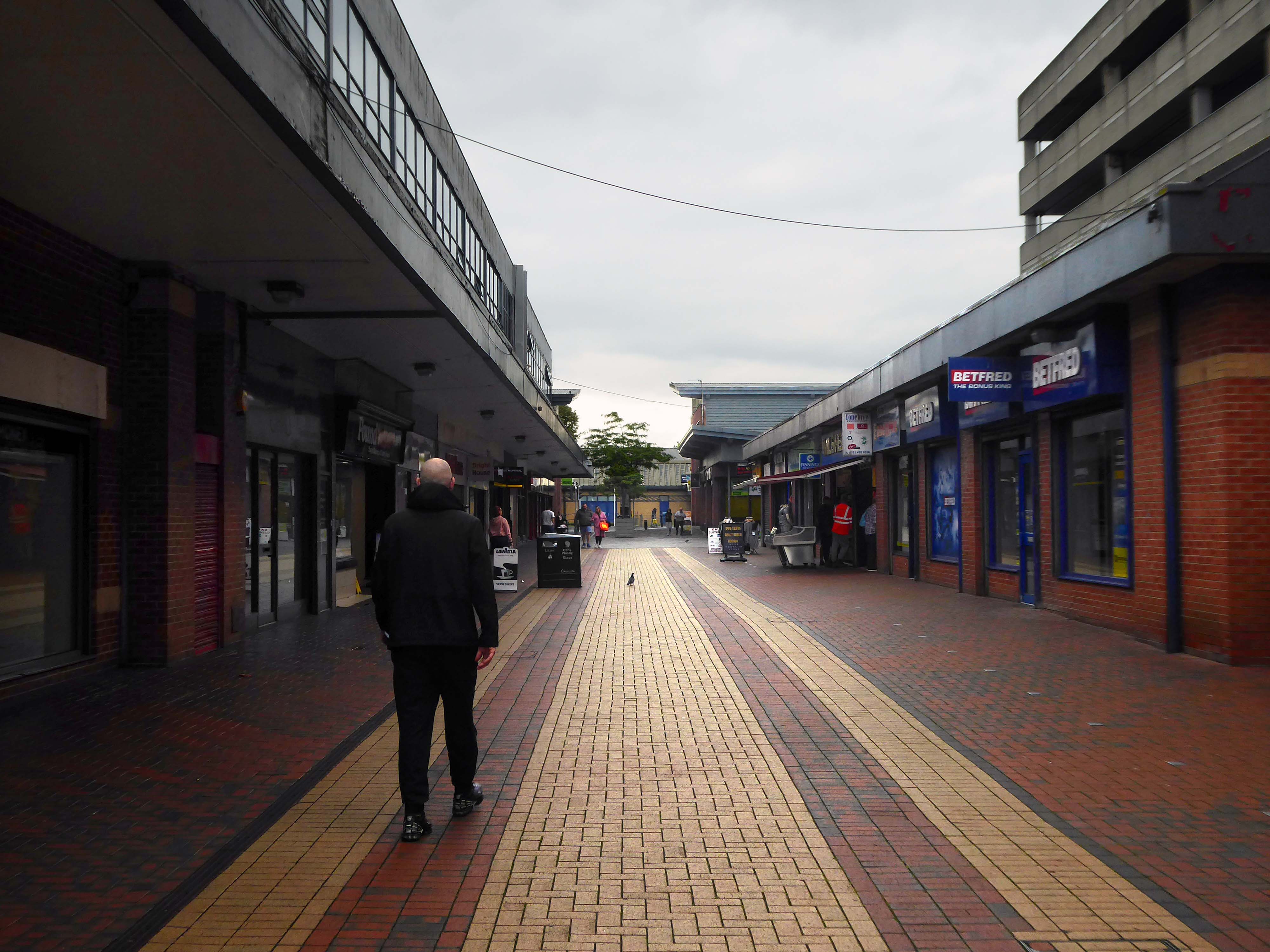
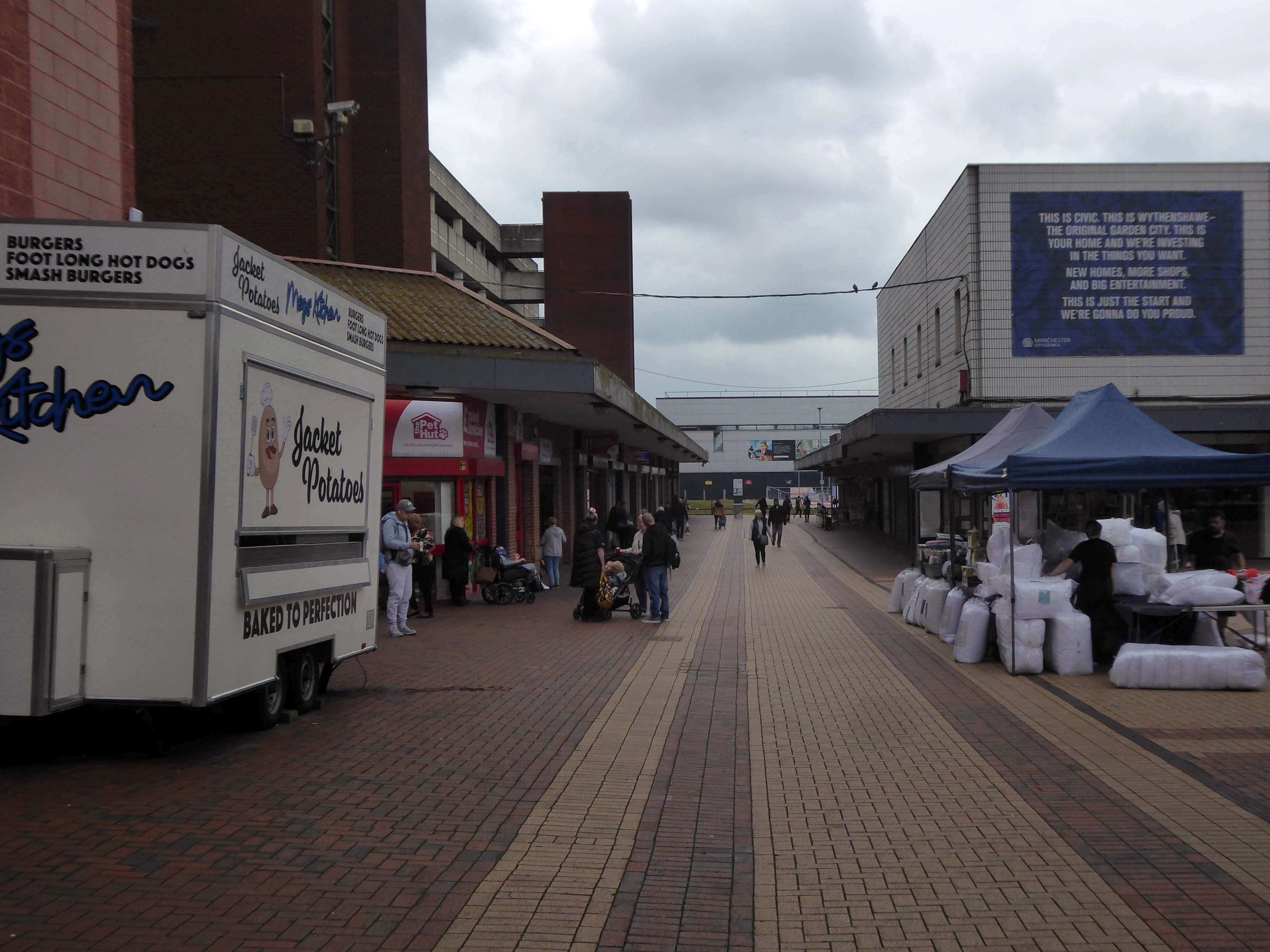
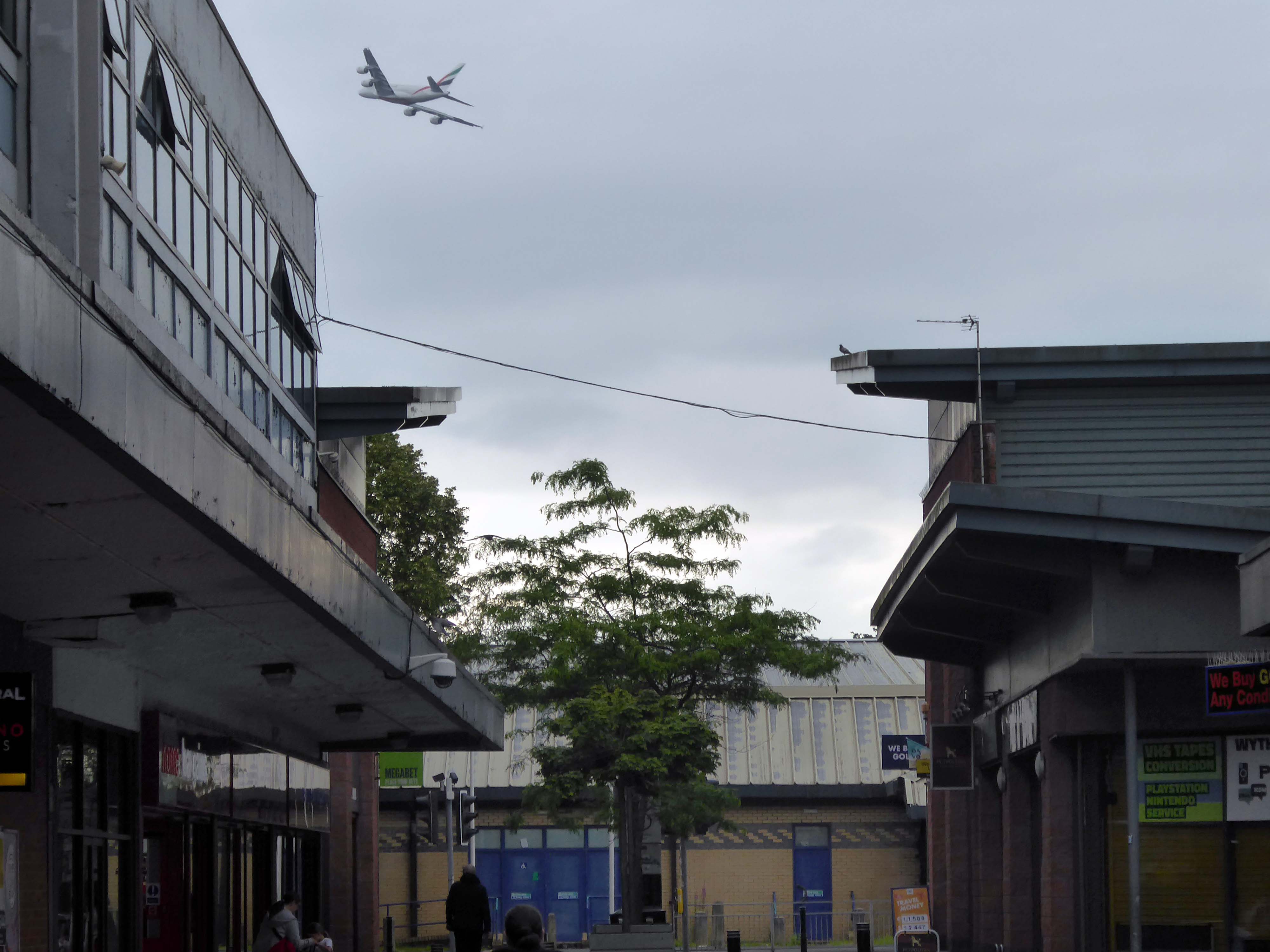
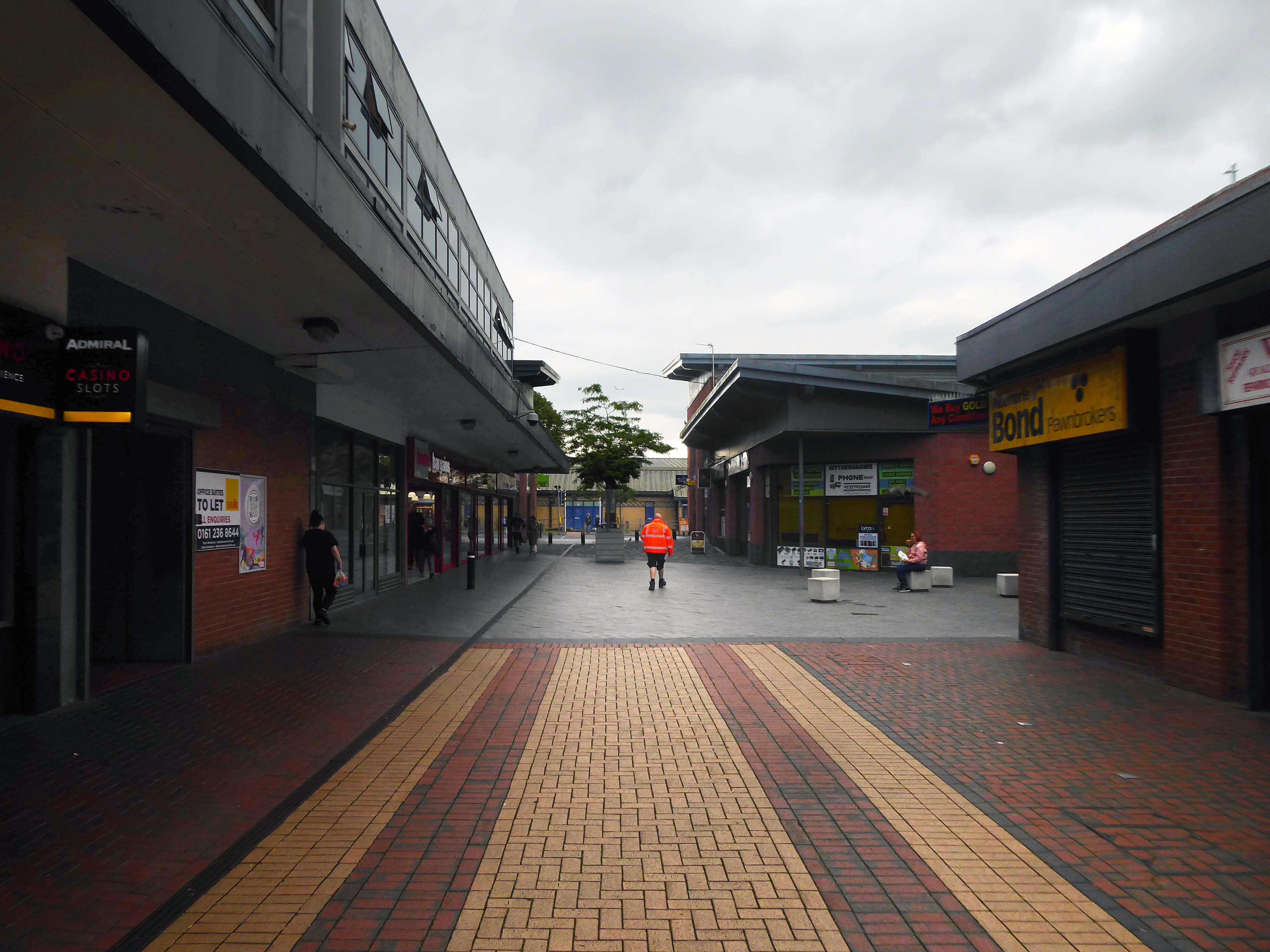
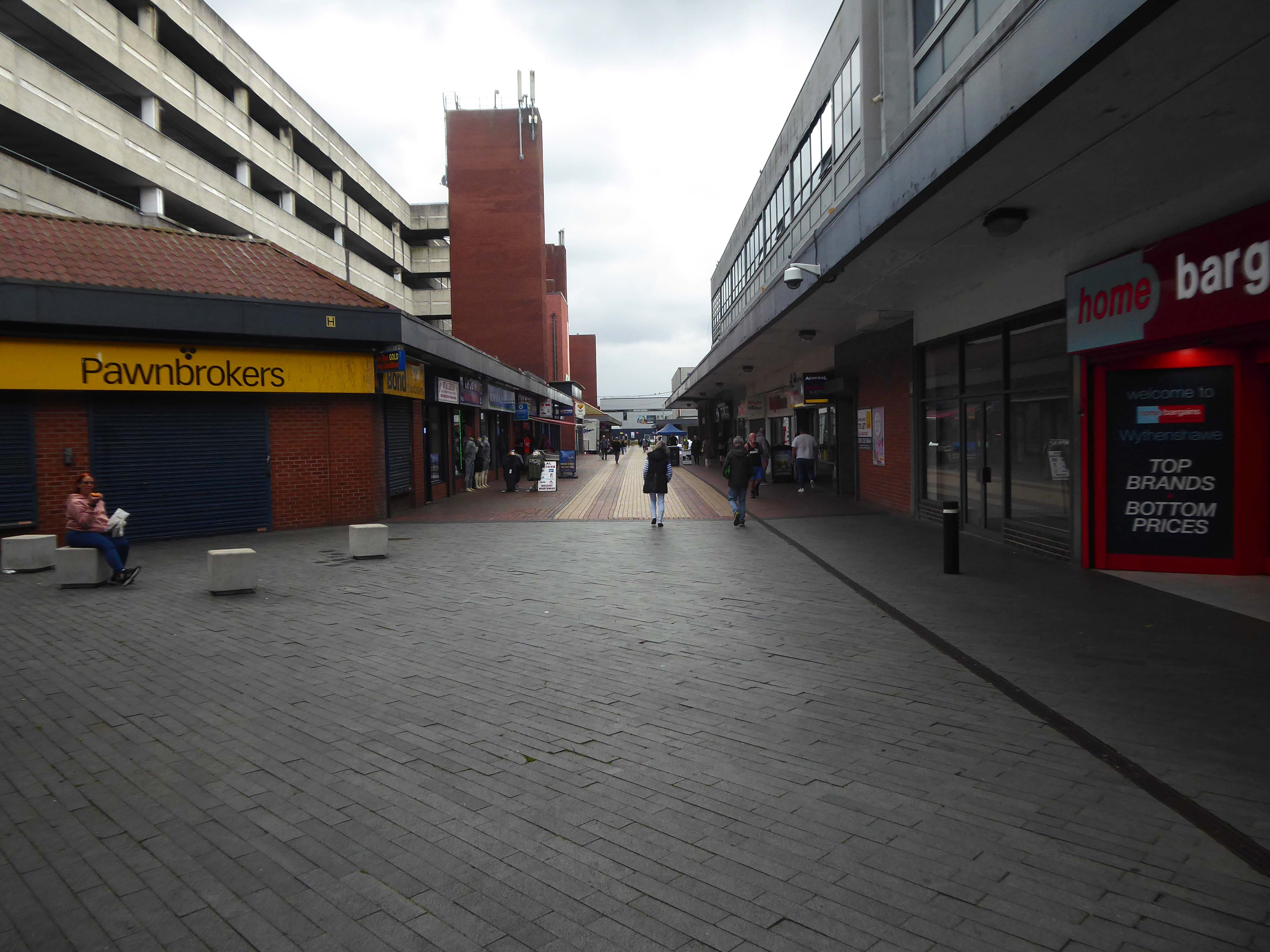
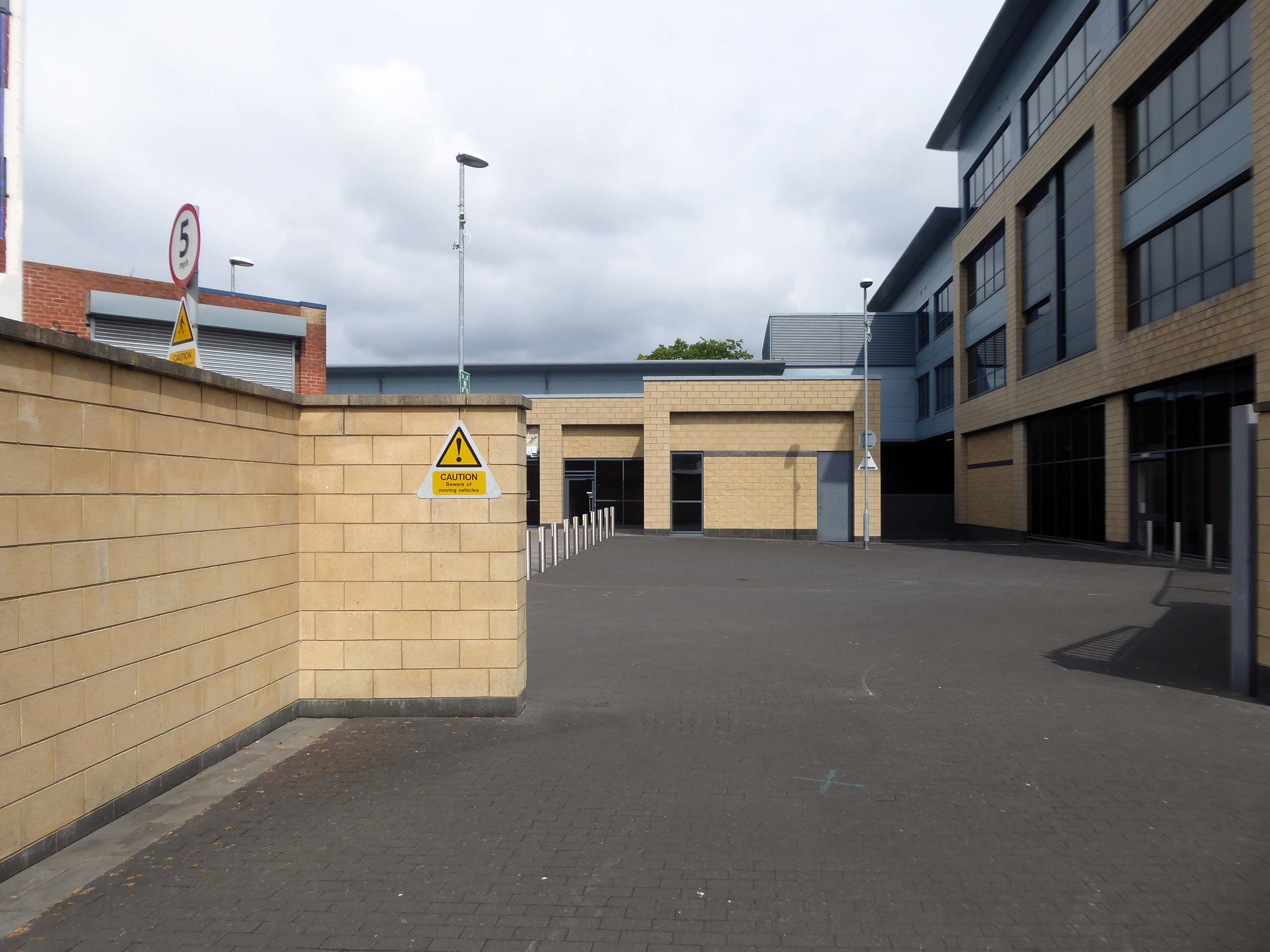
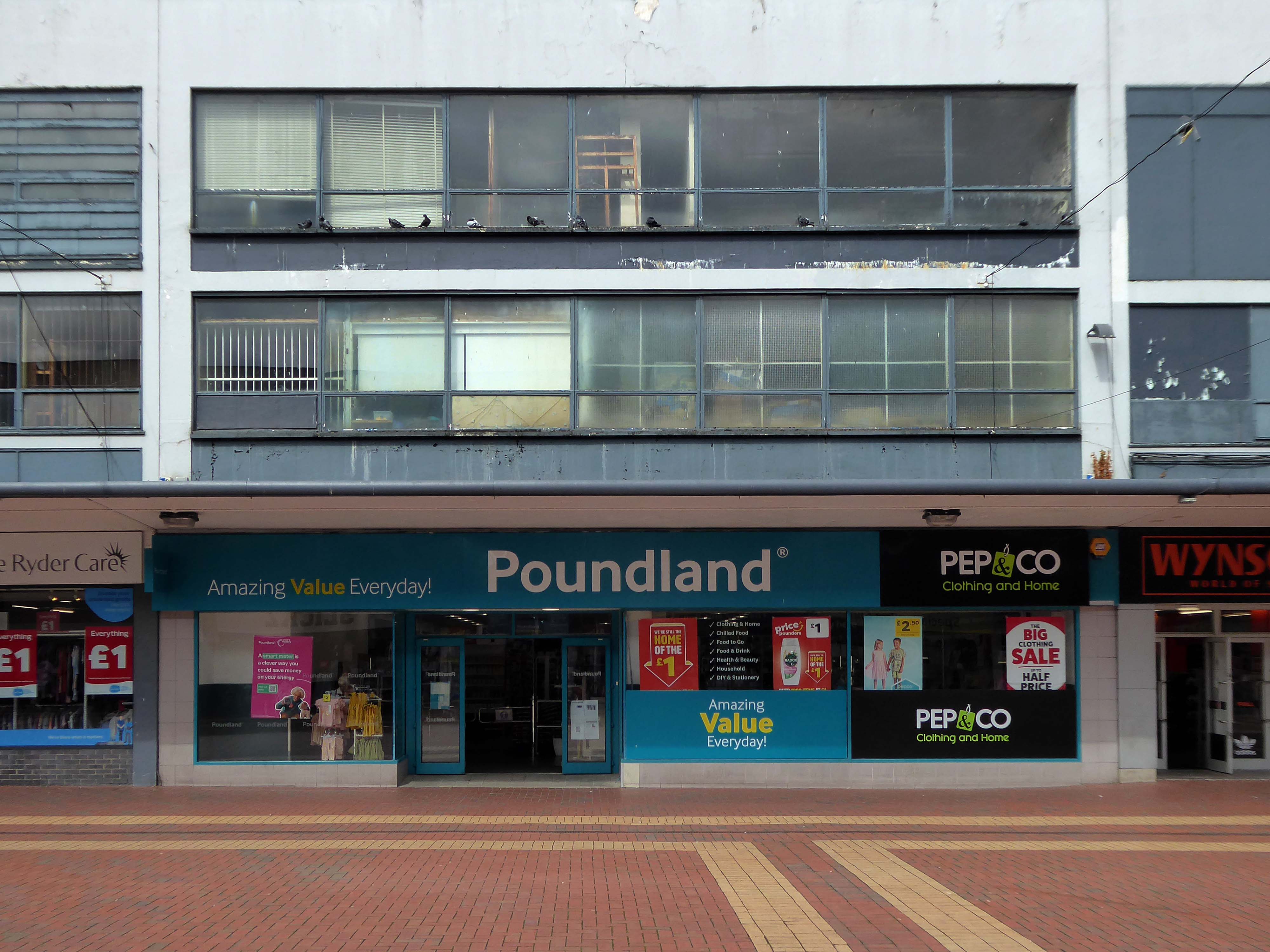
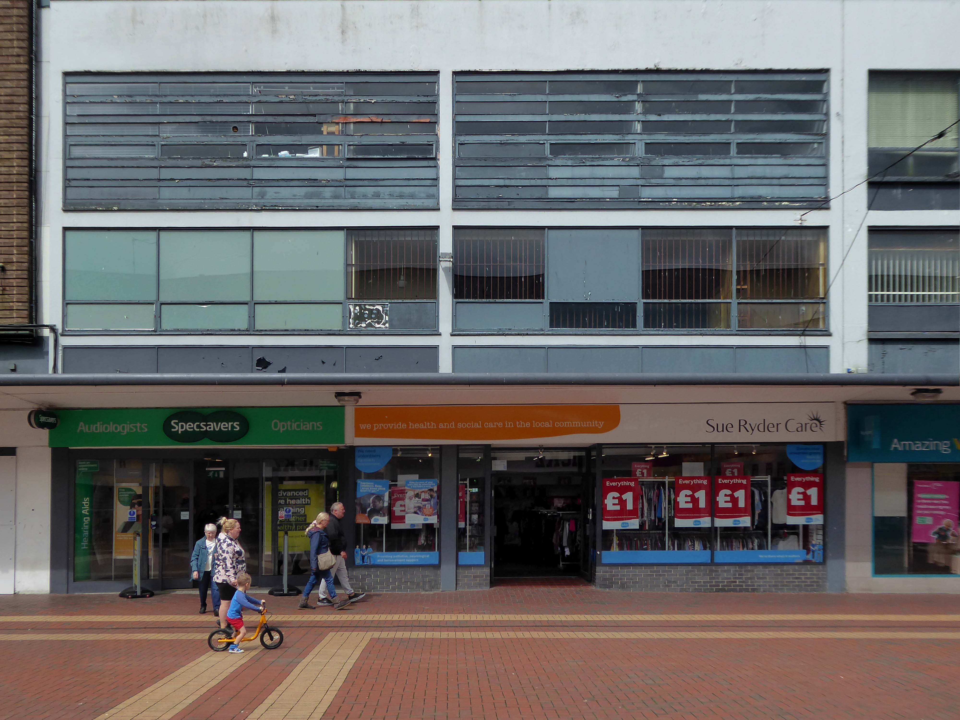
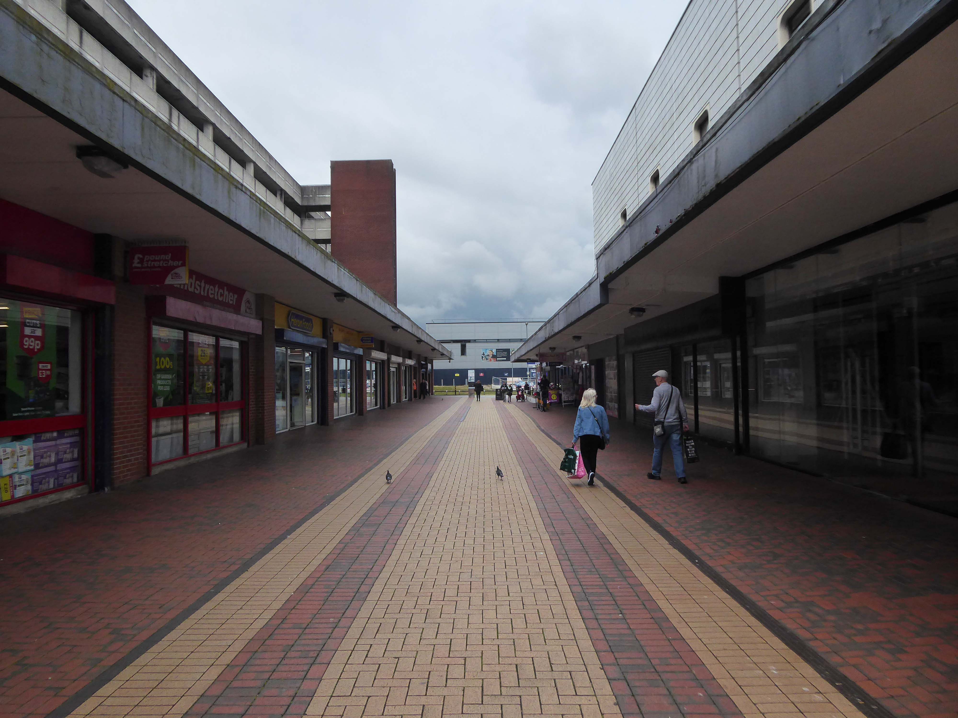
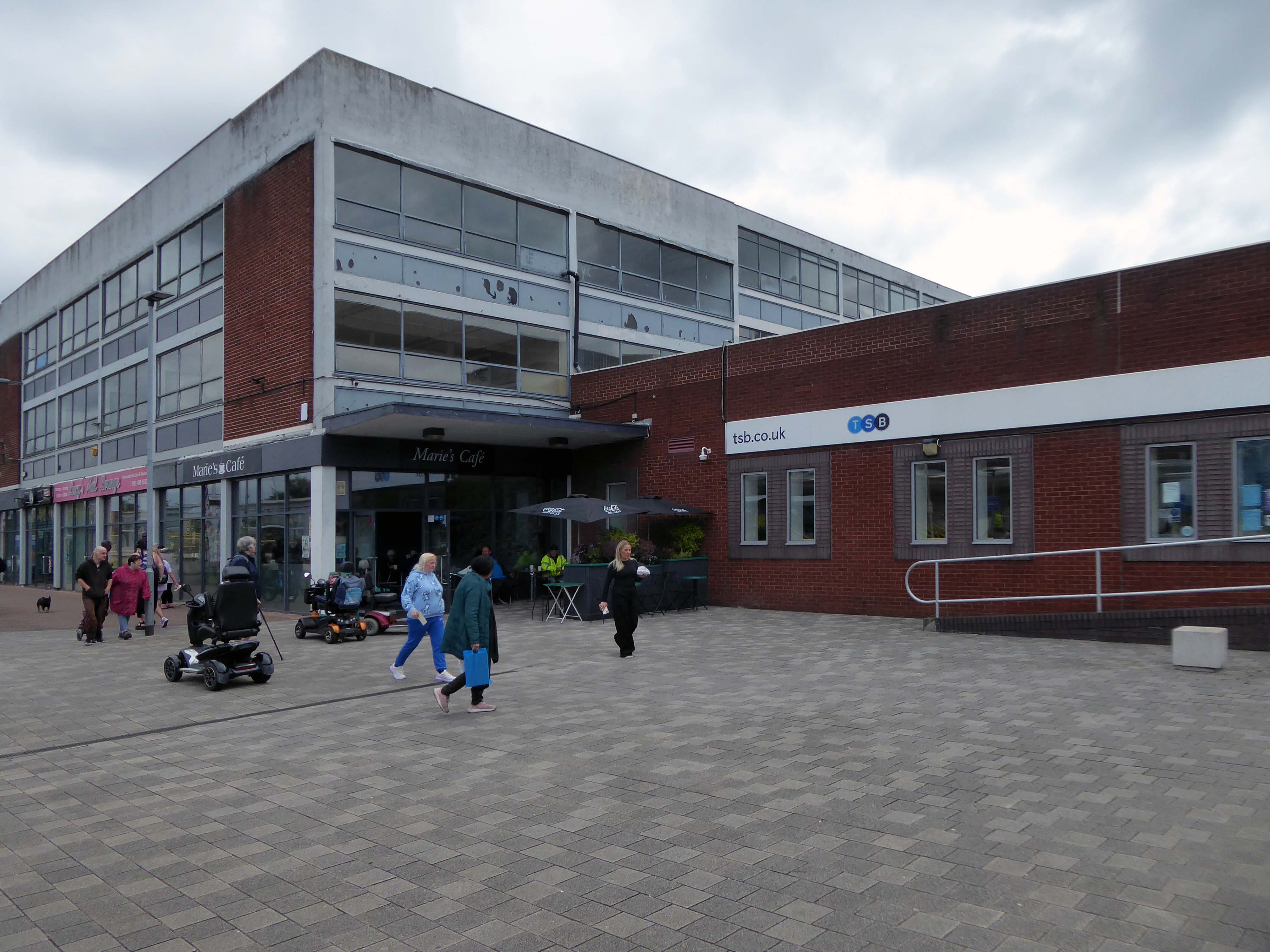
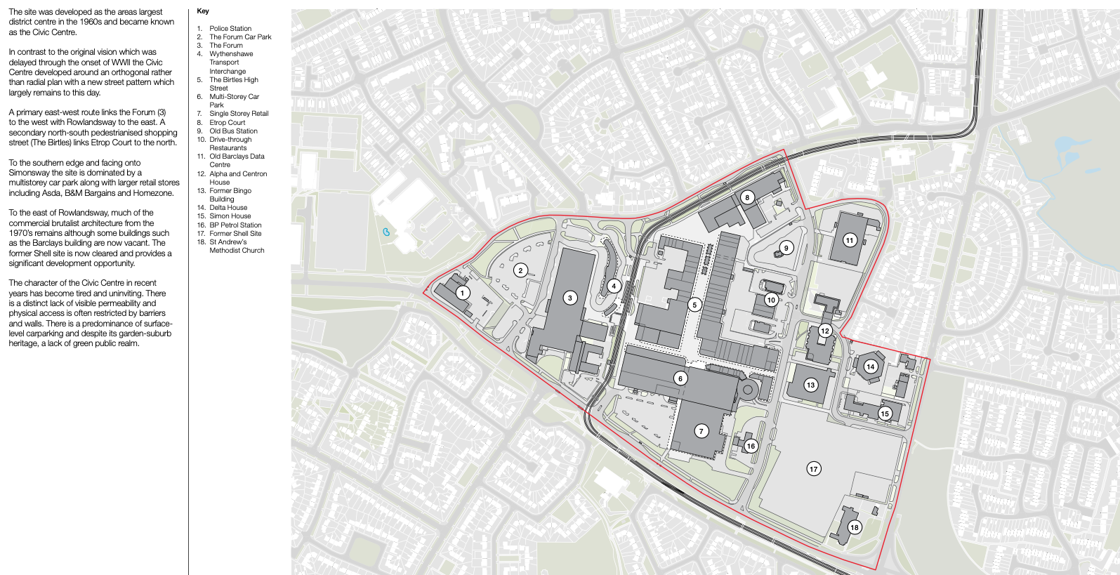
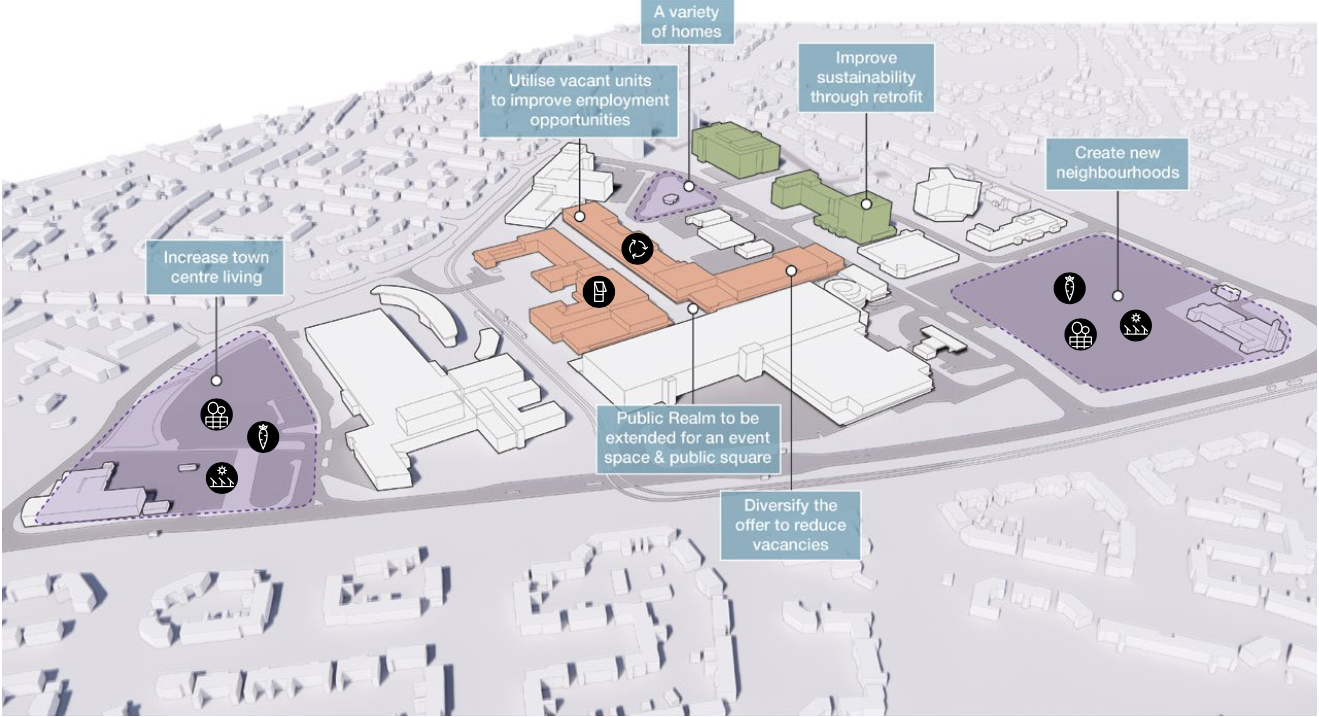
There are plans in place to regenerate the area, in the form of a Masterplan – which can be downloaded here.
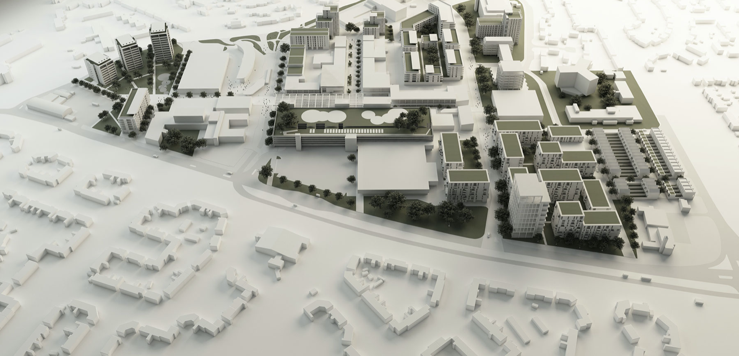
Between 1991-2002 there have been some architectural changes, including new stores and office developments. Some of the interventions included significant adaptions which further increased retail into the existing buildings high street.
The interventions included significant adjustments to the multi-storey car park with the aim of reducing parking numbers whilst providing additional lettable space. Further Transport Hub Arrival commercial development was created to the north of the site with the construction of Etrop Court, despite there being significant commercial vacancy across other parts of the estate.
Whilst there has been significant incremental intervention, the character of the area has
not fundamentally changed from its founding concept. However the cumulative impact of the various changes have had a negative impact on the functionality and suitability of place, so much so that the centre is in many ways no longer fit- for purpose.
The site today is surrounded by surface car parks, with a total of around 2,500 car parking spaces, 1,700 of which are contained within the multi-storey car park. Many of the retail units, the upper floor office spaces along the Birtles and Hale Top, and buildings to the east are vacant.
Typically, the levels of vacancy are consistent with the changing demands of the high street, where typically modern and successful retail centres are now more diversified and focussed on creating a visitor or destination-based experience. In this sense, we anticipate a need to diversify the high street and to promote a smaller more concentrated retail core, whilst supplementing the offer with more meanwhile and permanent uses and activities based on culture, food and creative workplace.
The gateway to the Civic Centre on arrival from the Transport Interchange is very poor. Access to the high street isn’t obvious and the route through to the high street isn’t clear. Much of the site is surrounded by fencing, barrier and gates and whilst they are open during the day, they are locked at night to prevent vandalism. This barricaded aesthetic does nothing to promote an easily accessible and family friendly environment as well as preventing any opportunity to promote a much needed night- time economy.
Currently, the Civic Centre appears to only cater for those with a need to visit for a particular purpose, rather than capitalising on an opportunity to create a place to visit and dwell.
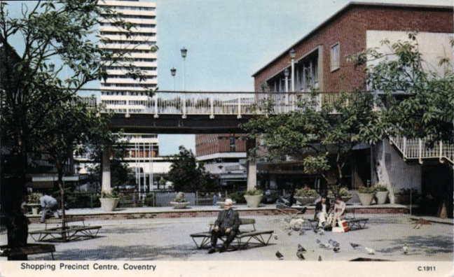
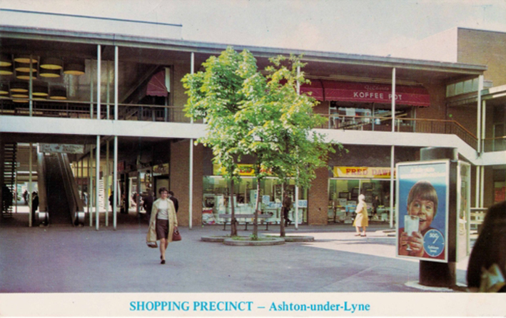
It all began way back when I was a raw youth living in Ashton under Lyne – the precinct was our playground, cycling and running, often against the grain, up and down the travelator.
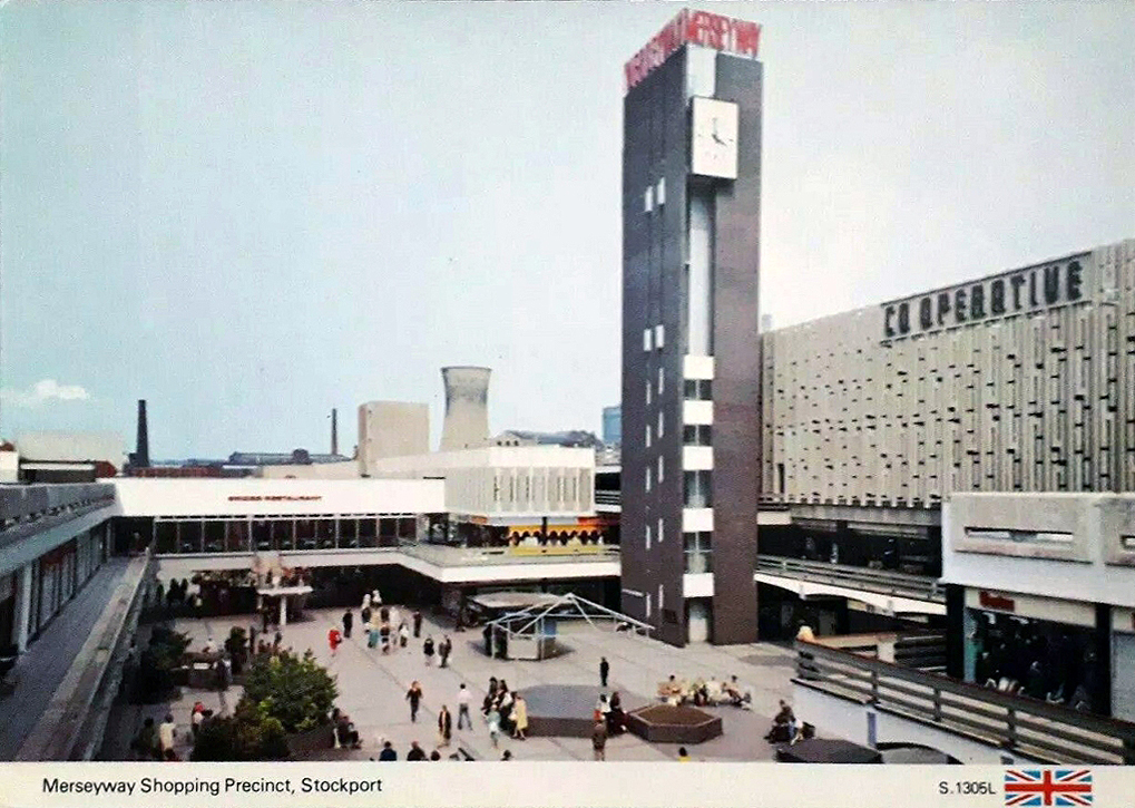
Some sixty years later I am still enthralled by the nation’s shopping precincts – including the very local Merseyway.
There have been two previous postcard posts – Shopping Precincts – UK and Shopping Precincts – UK Again.
Plus visits to various locations Hanley, Preston, Salford, Coventry, Billingham and Swinton.
So on a wet day in May, why not trawl the internet in search of old pastures new – when the shopping world really was new.
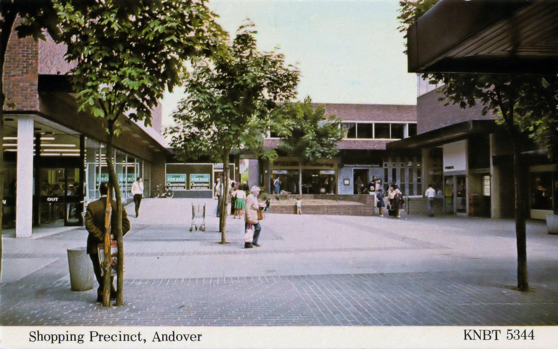
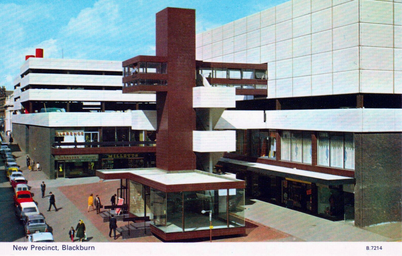
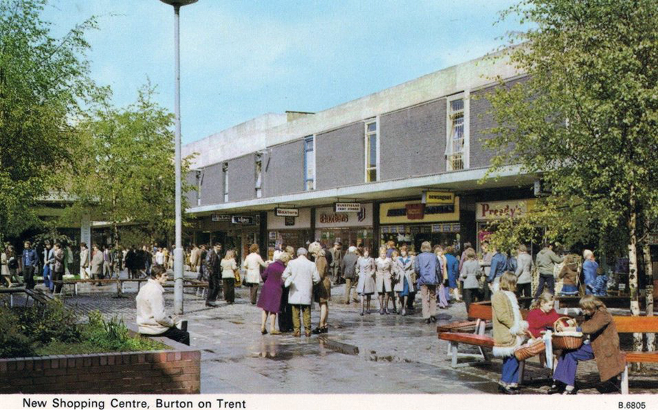
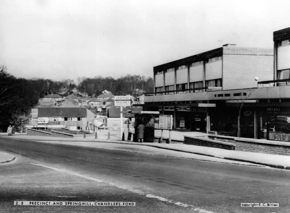
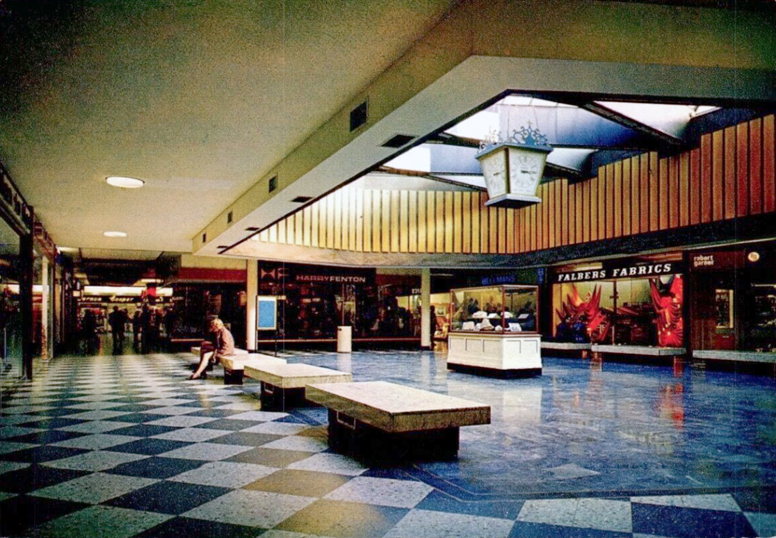
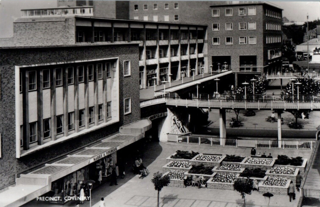
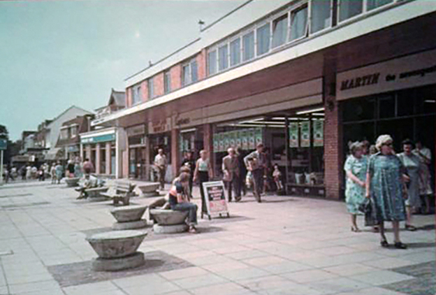
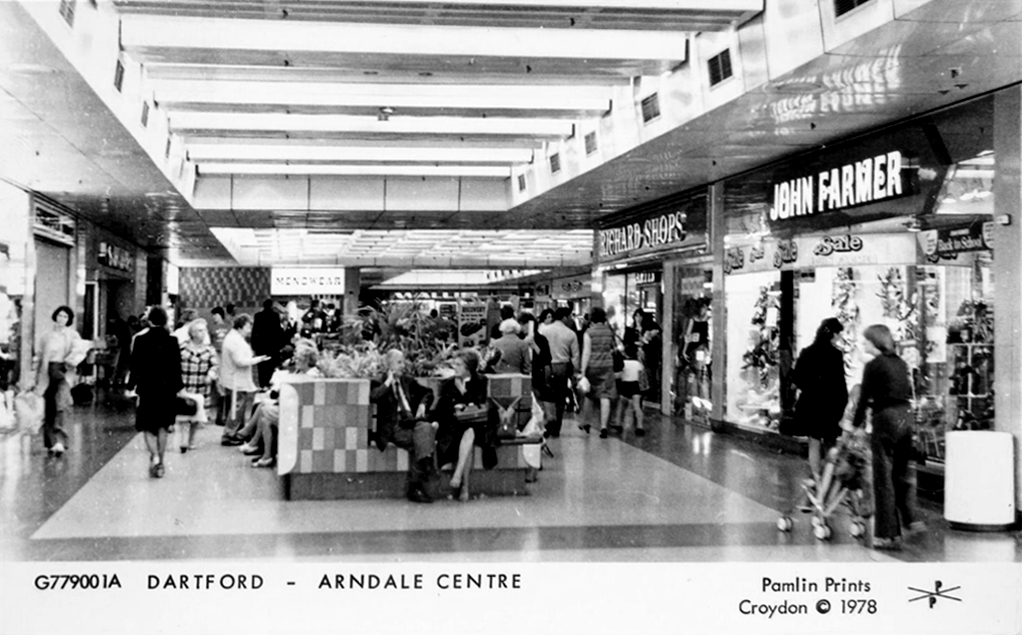
Come with me now on an alphabetical tour of the country’s finest precinct postcards.
Sadly many of these sites may well have been subsequently remade and remodelled, or even demolished.
Andover
Blackburn
Burton on Trent
Chandlers Ford
Chester
Coventry
Cowplain
Dartford
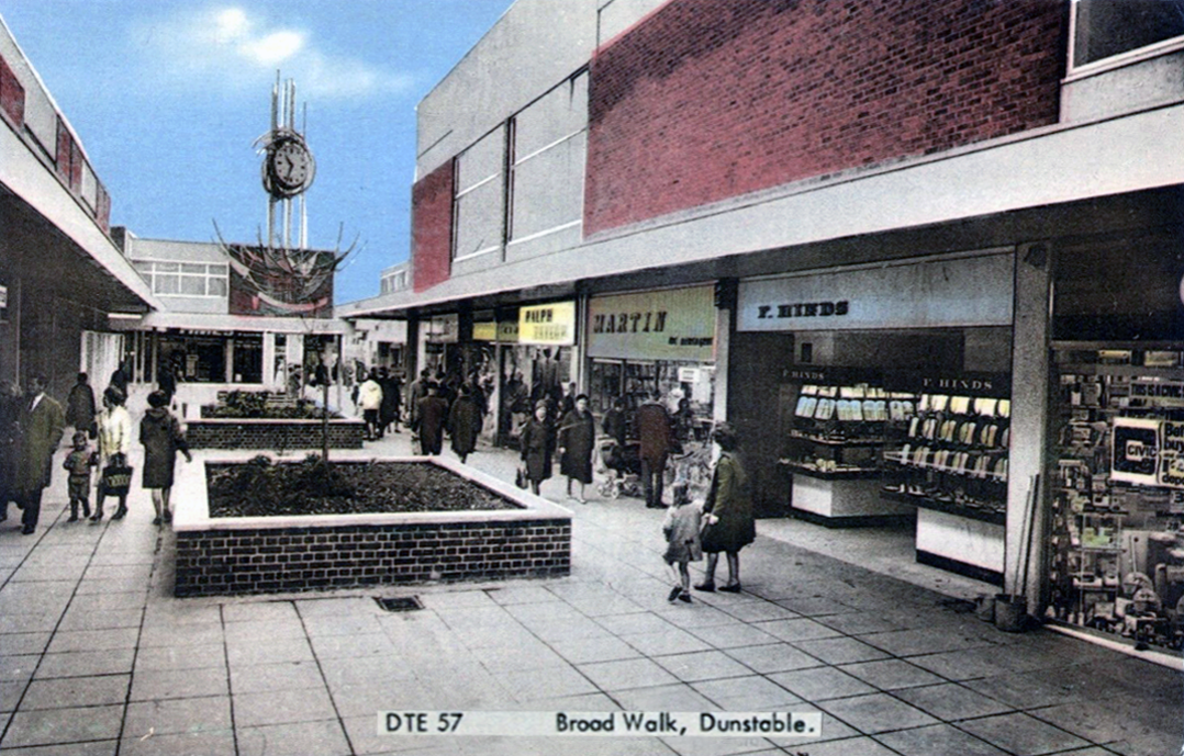
Dunstable
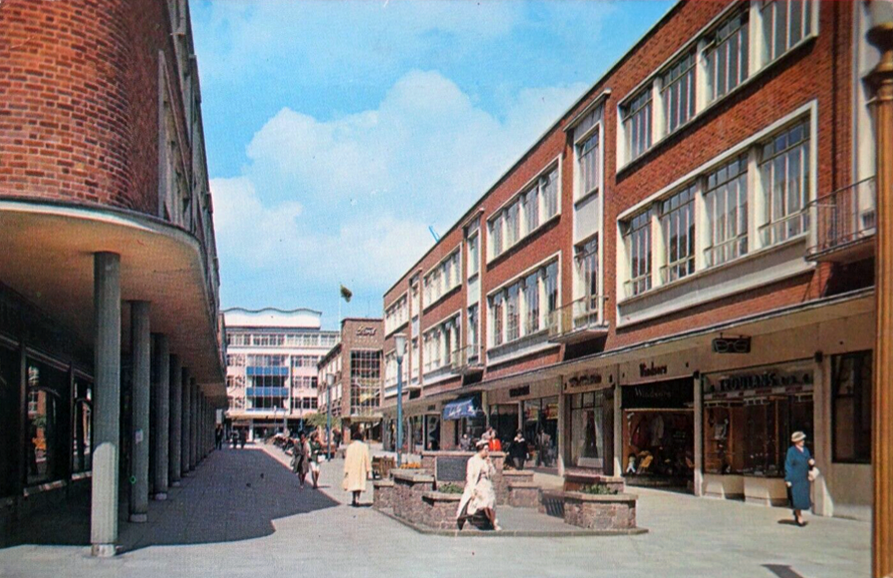
Exeter
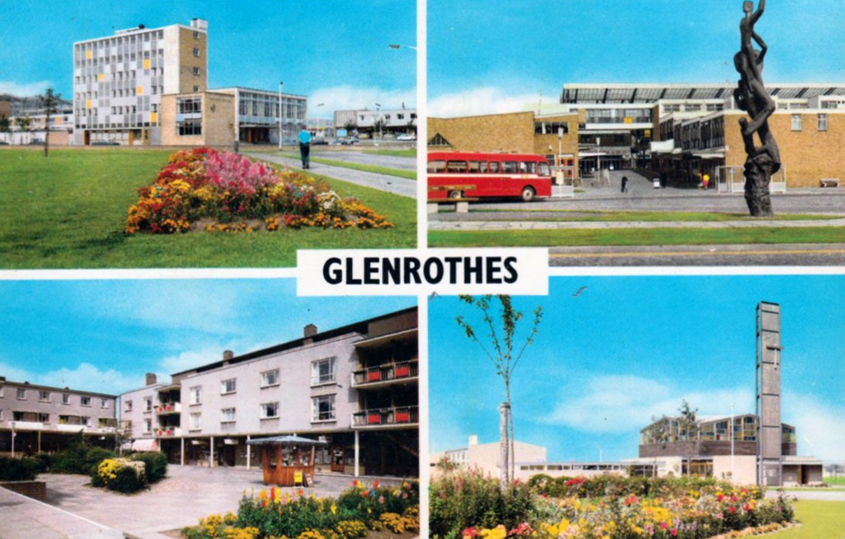
Glenrothes
Gloucester
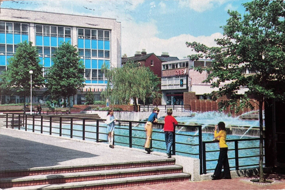
Hanley
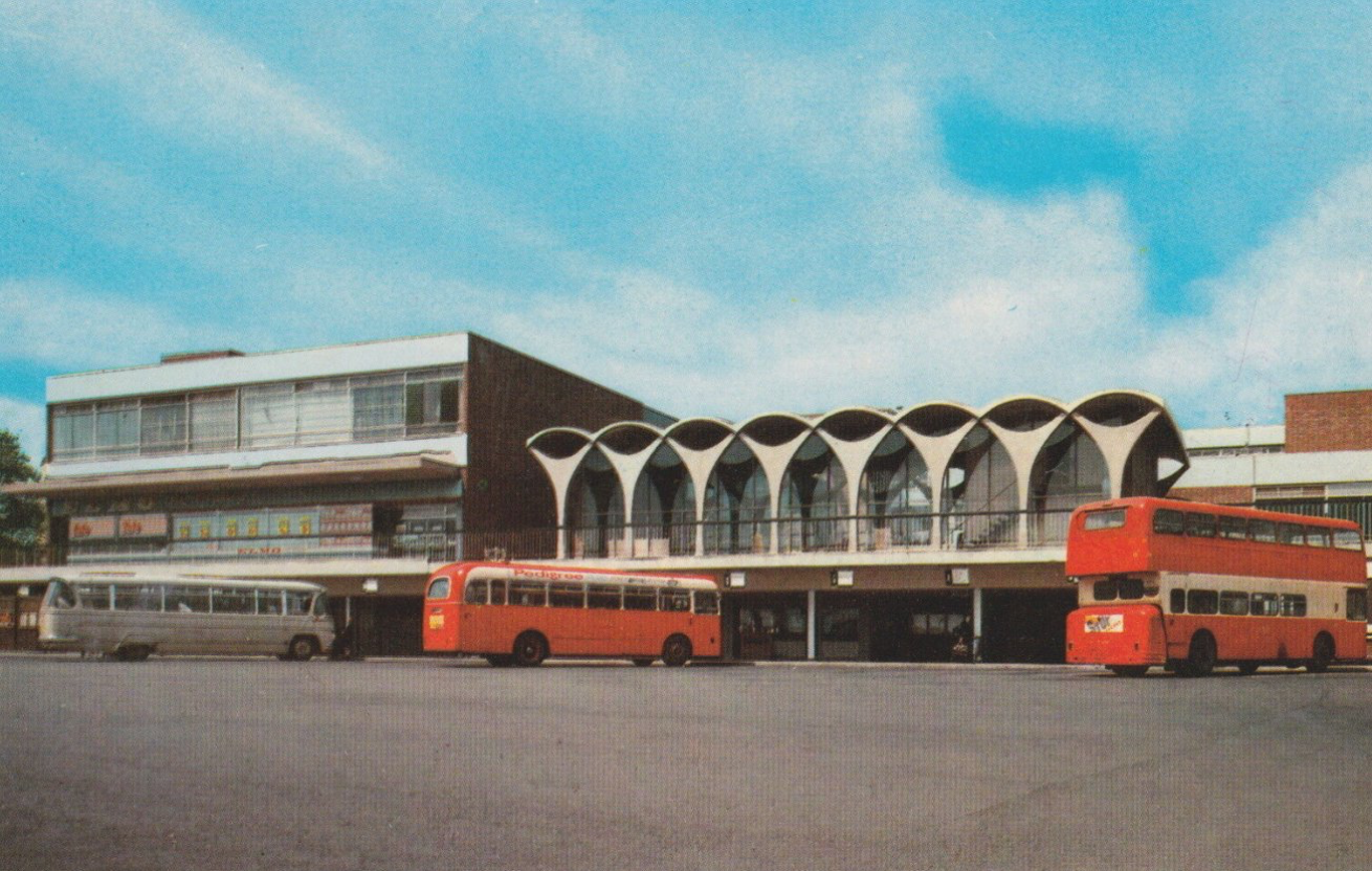
Jaywick
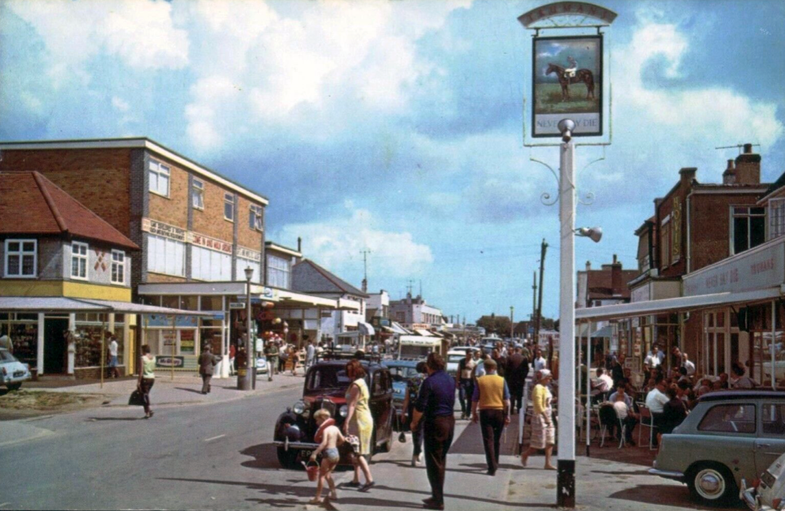
Kingwinsford
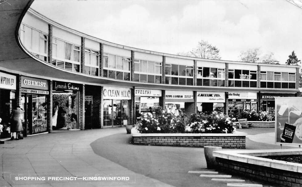
Leyland
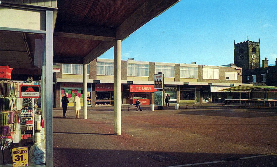
Poole
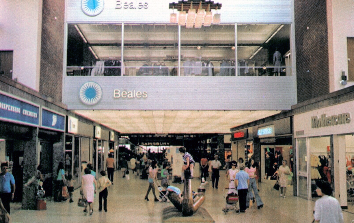
Portishead
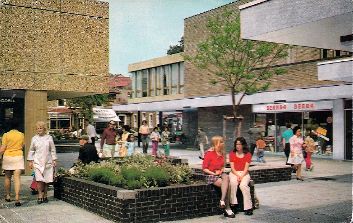
Solihull
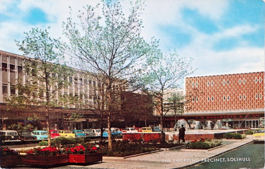
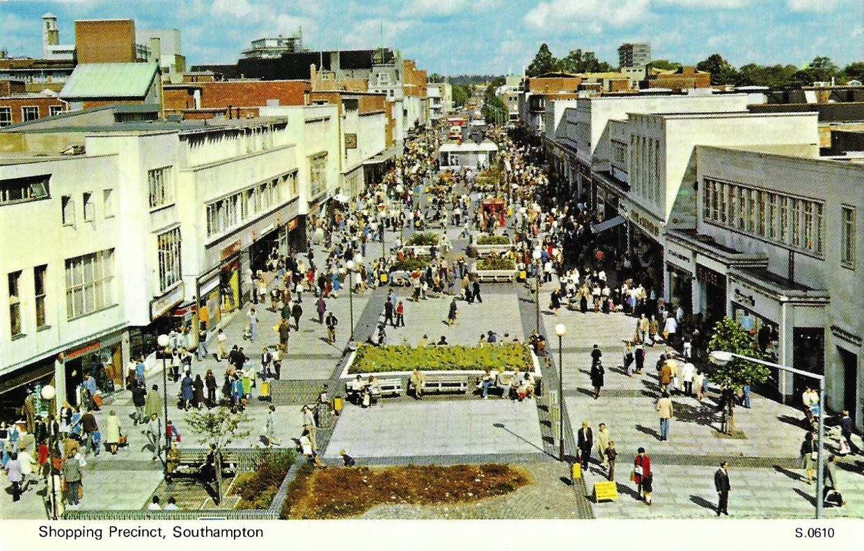
Southampton
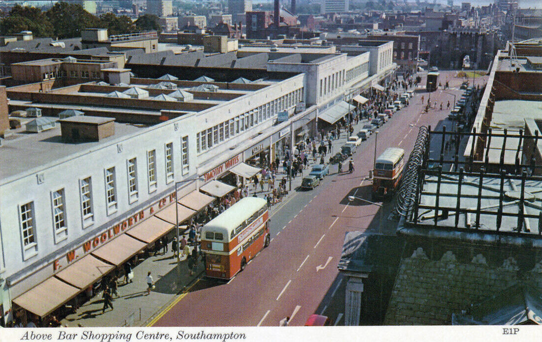
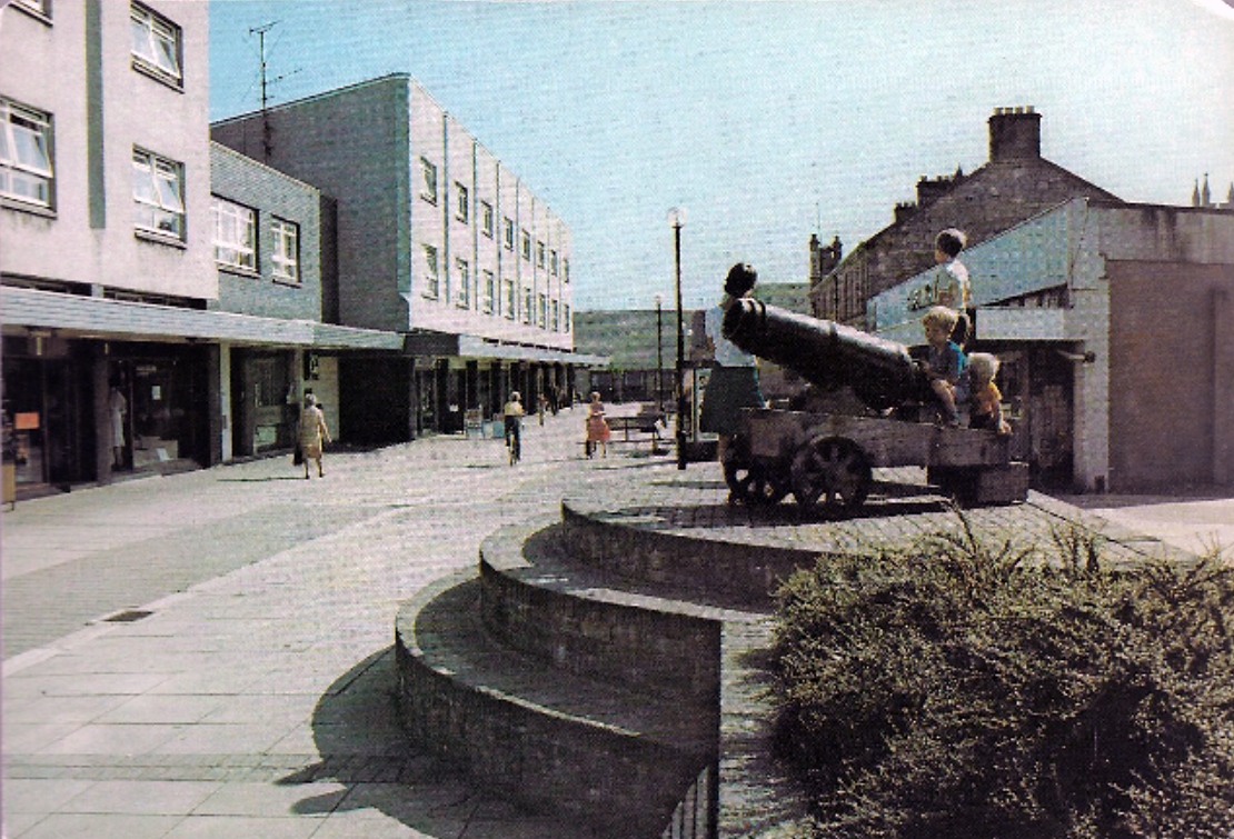
Stenhousemuir
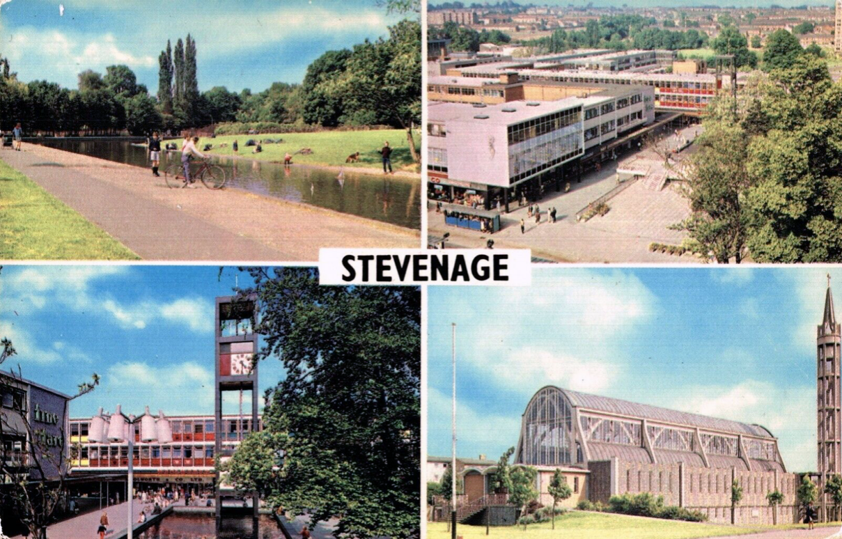
Stevenage
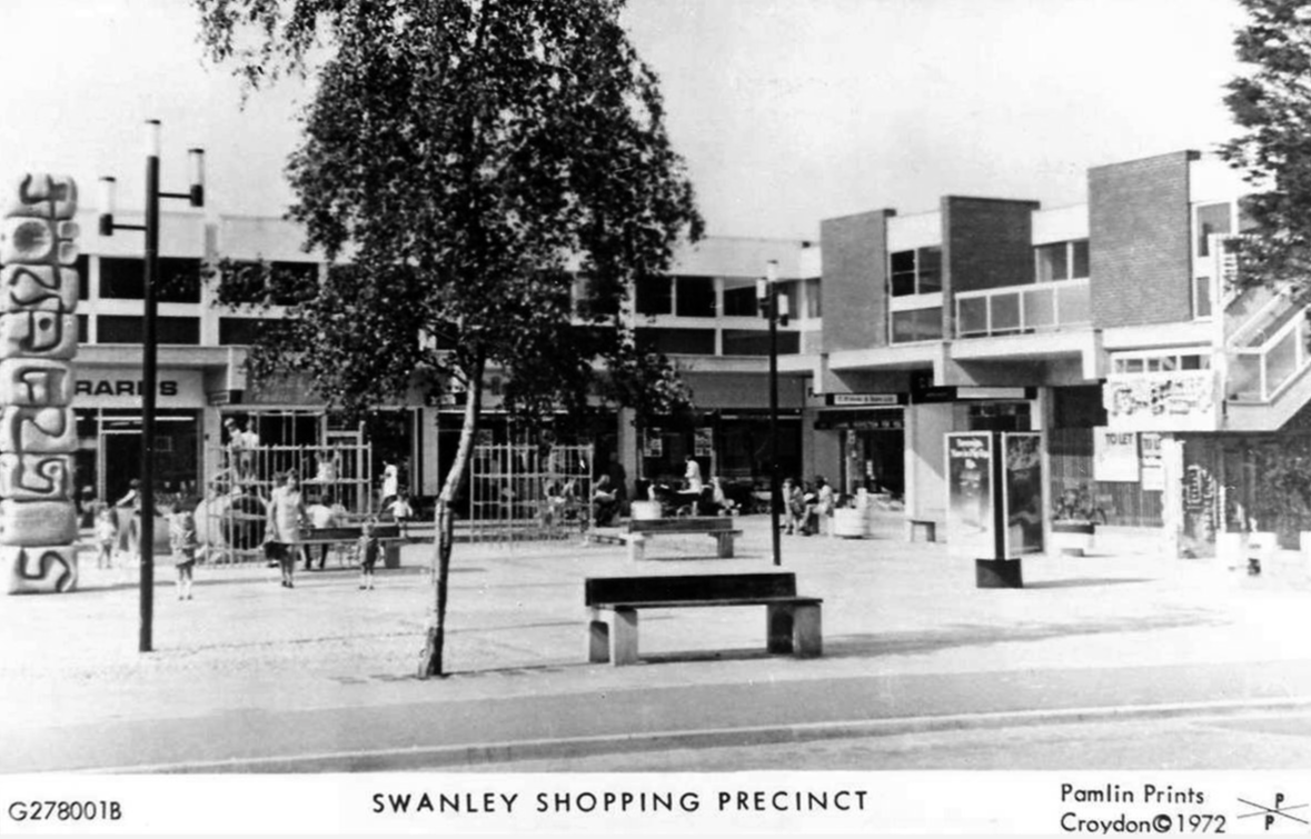
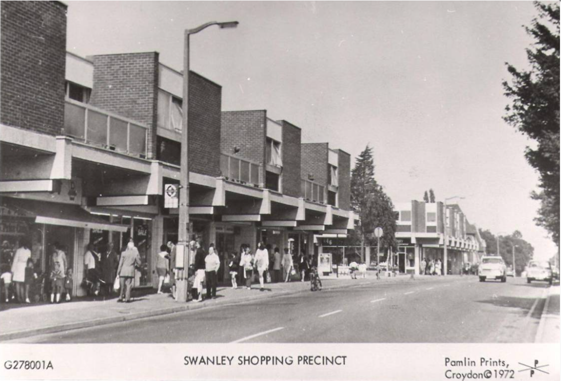
Swanley
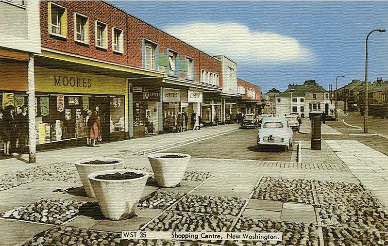
New Washington
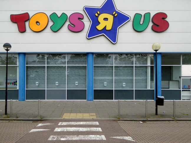
As seen on my list in 2018.
While originally considered a category killer, the rise of mass merchants and online retailers cost Toys “R” Us its share of the toy market. The company was further hampered by a significant debt load, the result of a leveraged buyout organized by private equity firms.
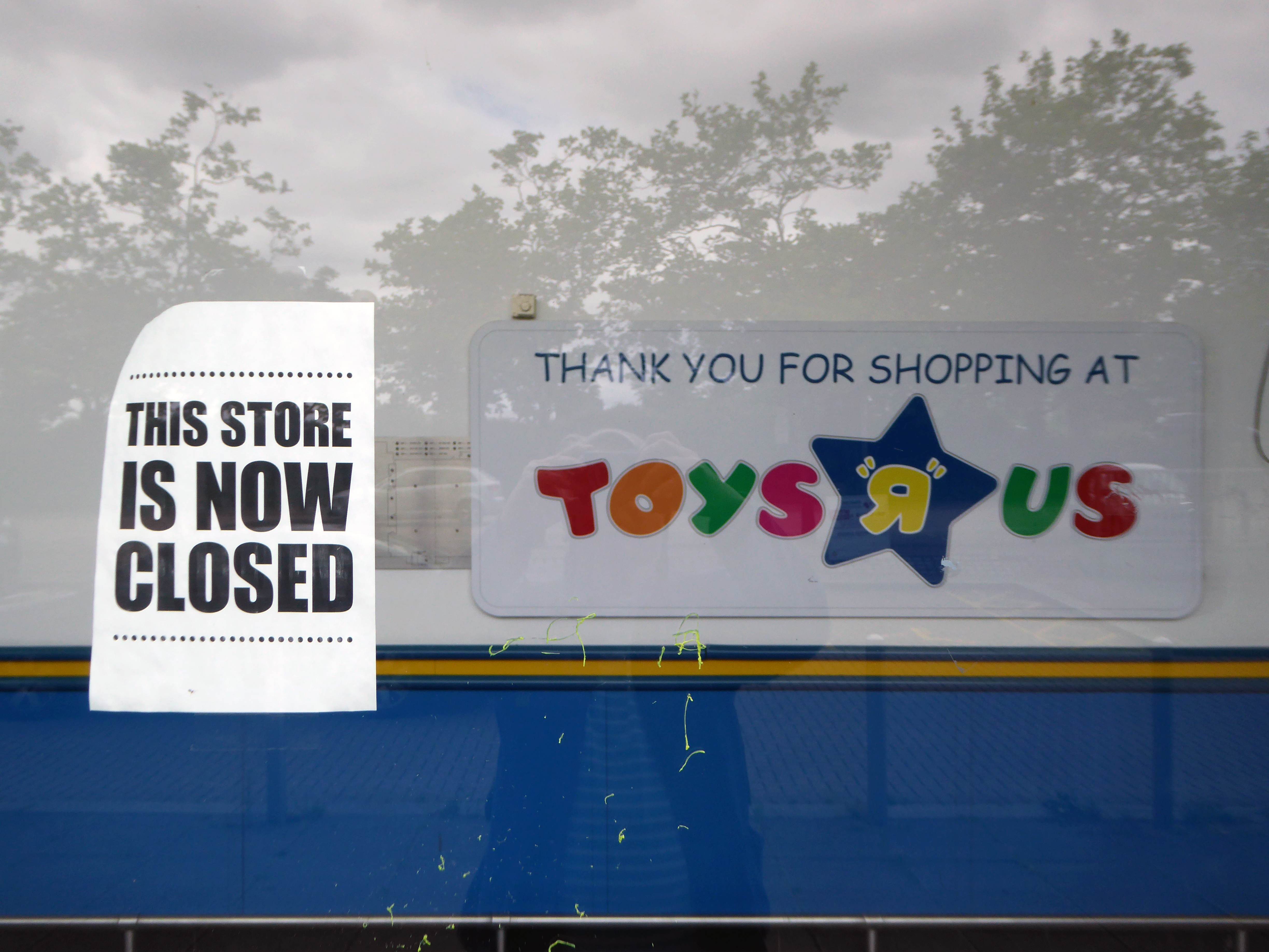
The toy retailer filed for bankruptcy in 2017 and in March 2018 announced it would be closing all its UK stores.
There were more than 100 Toys ‘R’ Us stores in the UK at the time.
A nipper, named only as Andrew penned a heartfelt 3-point letter to the judge handling the company’s bankruptcy case, and pleaded with him not to allow his fave shop to close down.

Andrew’s hand-written note to Judge Keith Phillips – which was put in the official court file – laid out exactly why he didn’t want the shops to shut.

In April 1948, Charles P Lazarus founded a baby-furniture retailer, Children’s Bargain Town in Washington DC, during the postwar baby boom. It was acquired in 1966 by Interstate Department Stores Inc.
The focus of the store changed in June 1957, and the first Toys “R” Us, dedicated exclusively to toys rather than furniture, was opened by Lazarus in Rockville Maryland. Lazarus also designed and stylized the Toys “R” Us logo, which featured a backwards “R” to give the impression that a child wrote it.
Having grown up in the days of the diminutive local toy shop – noses pressed against the widow admiring those treasures never ever owned, I find the present day retailers to be soulless industrial hangars – designed to extract every ounce of fun and currency from the hapless child and guardians.
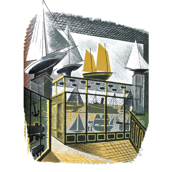
Eric Ravilious – inside the model shop.
I returned in 2024.

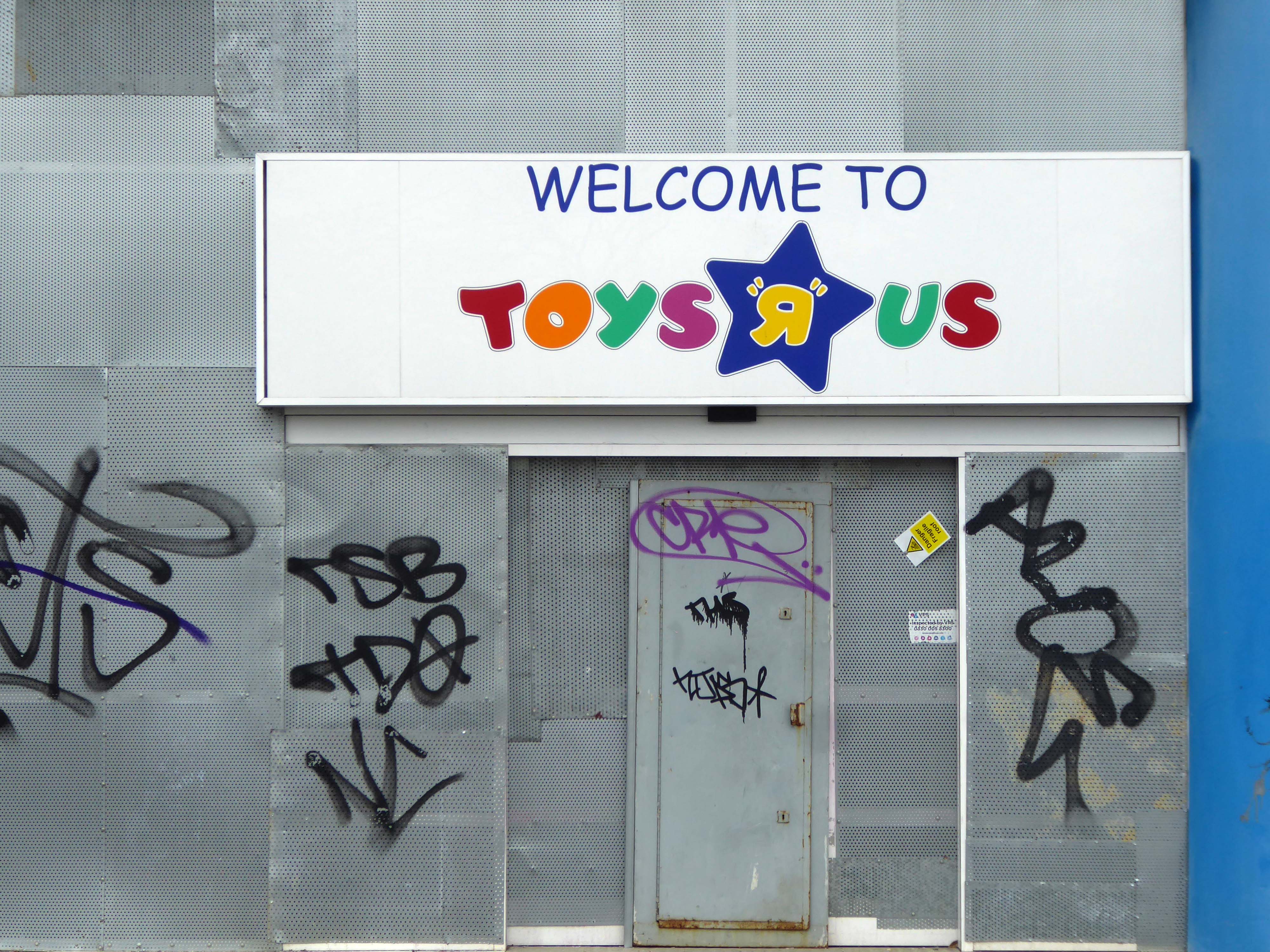

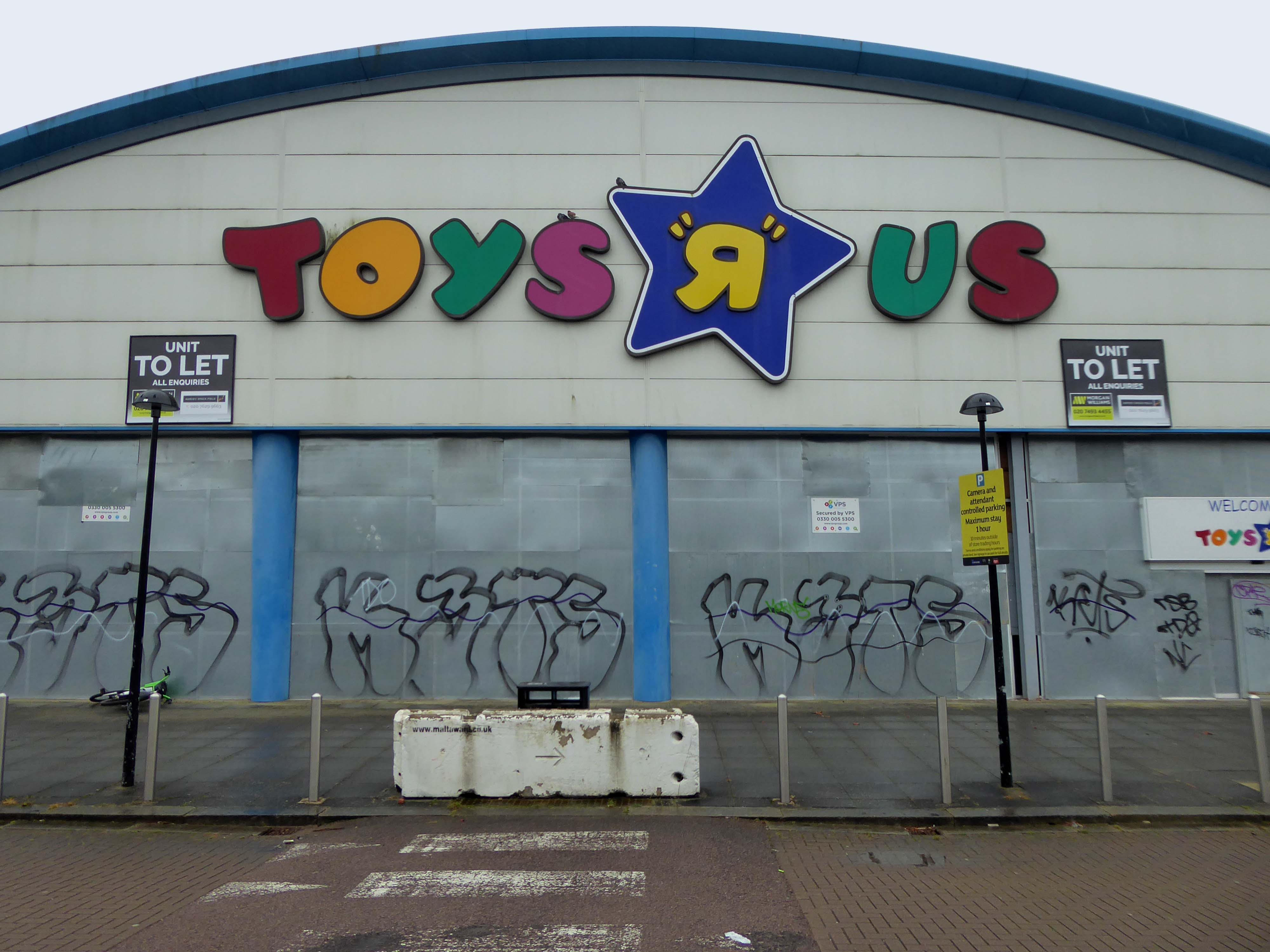
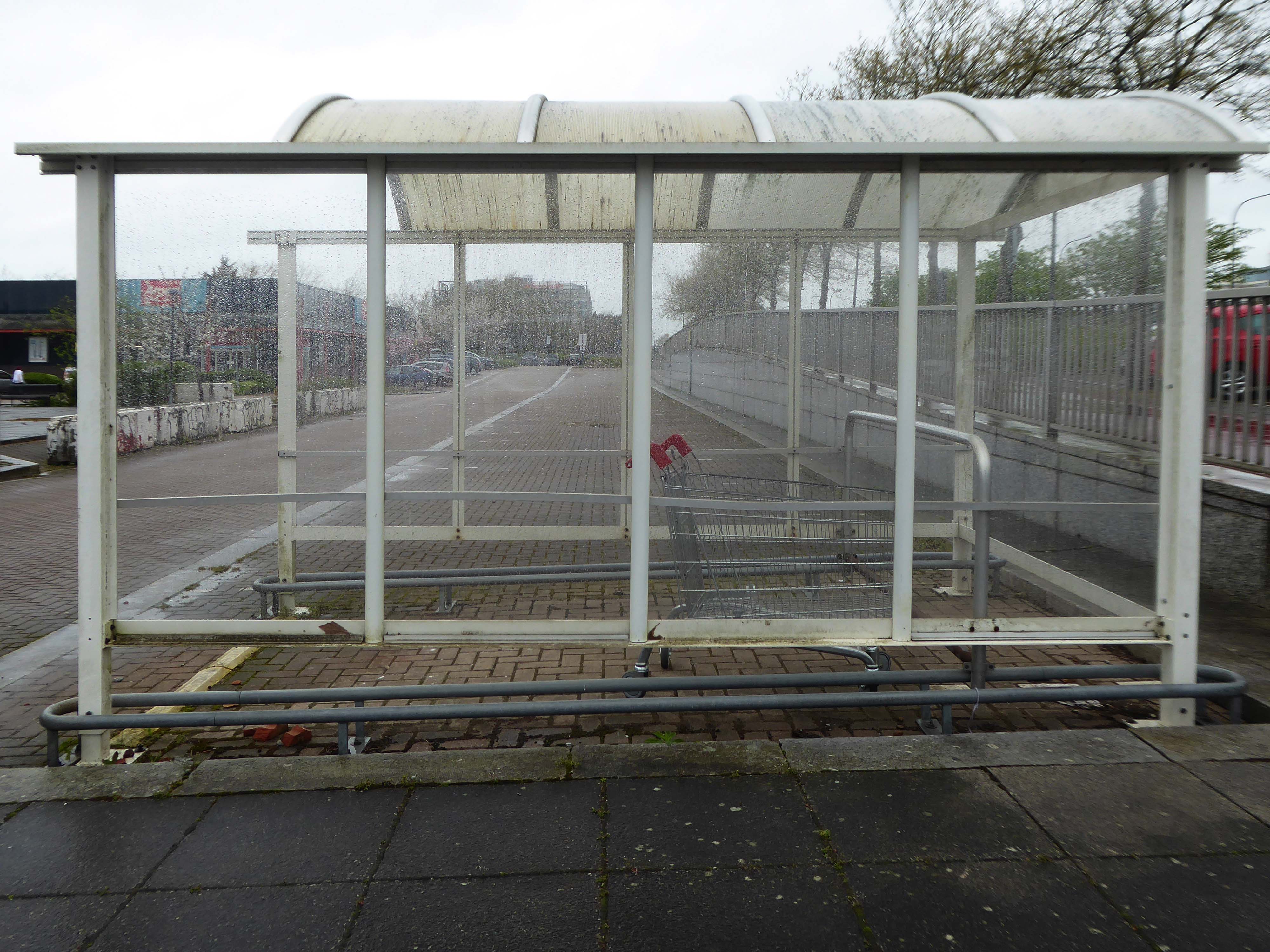
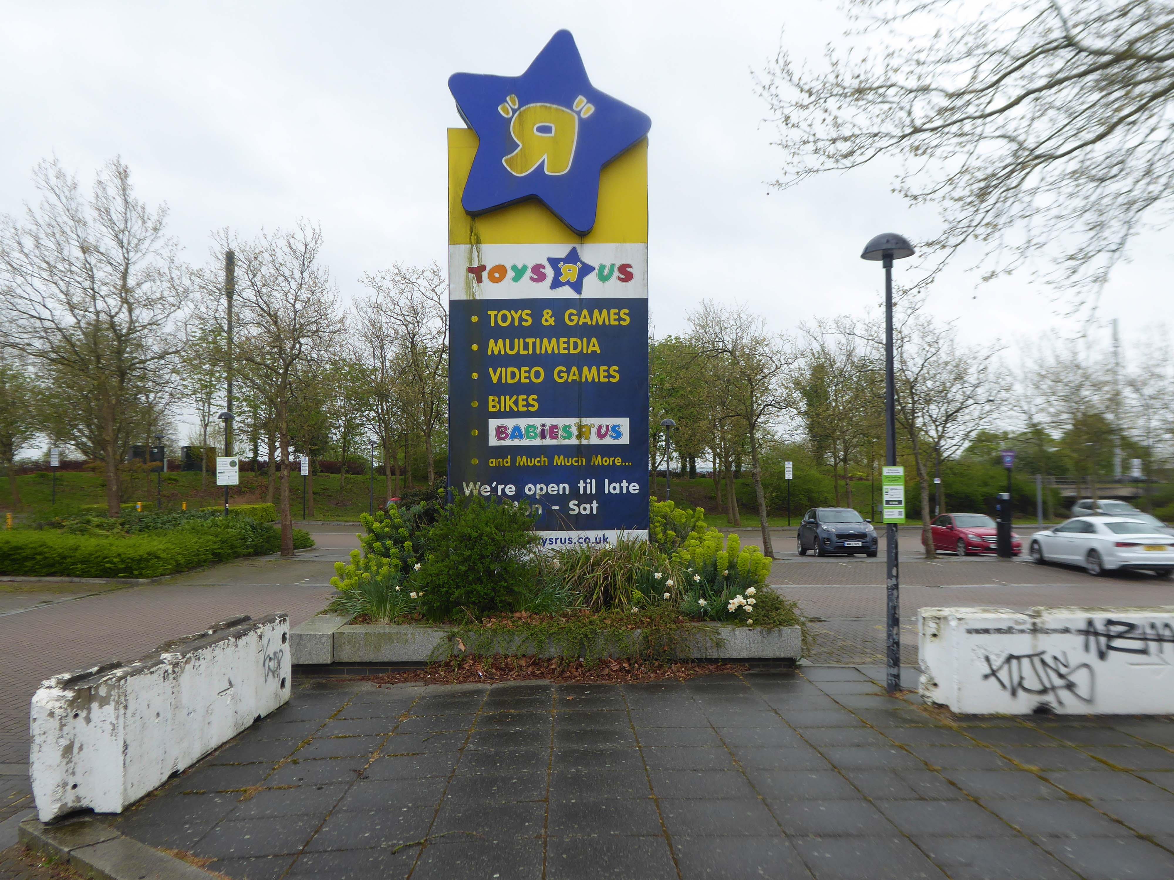


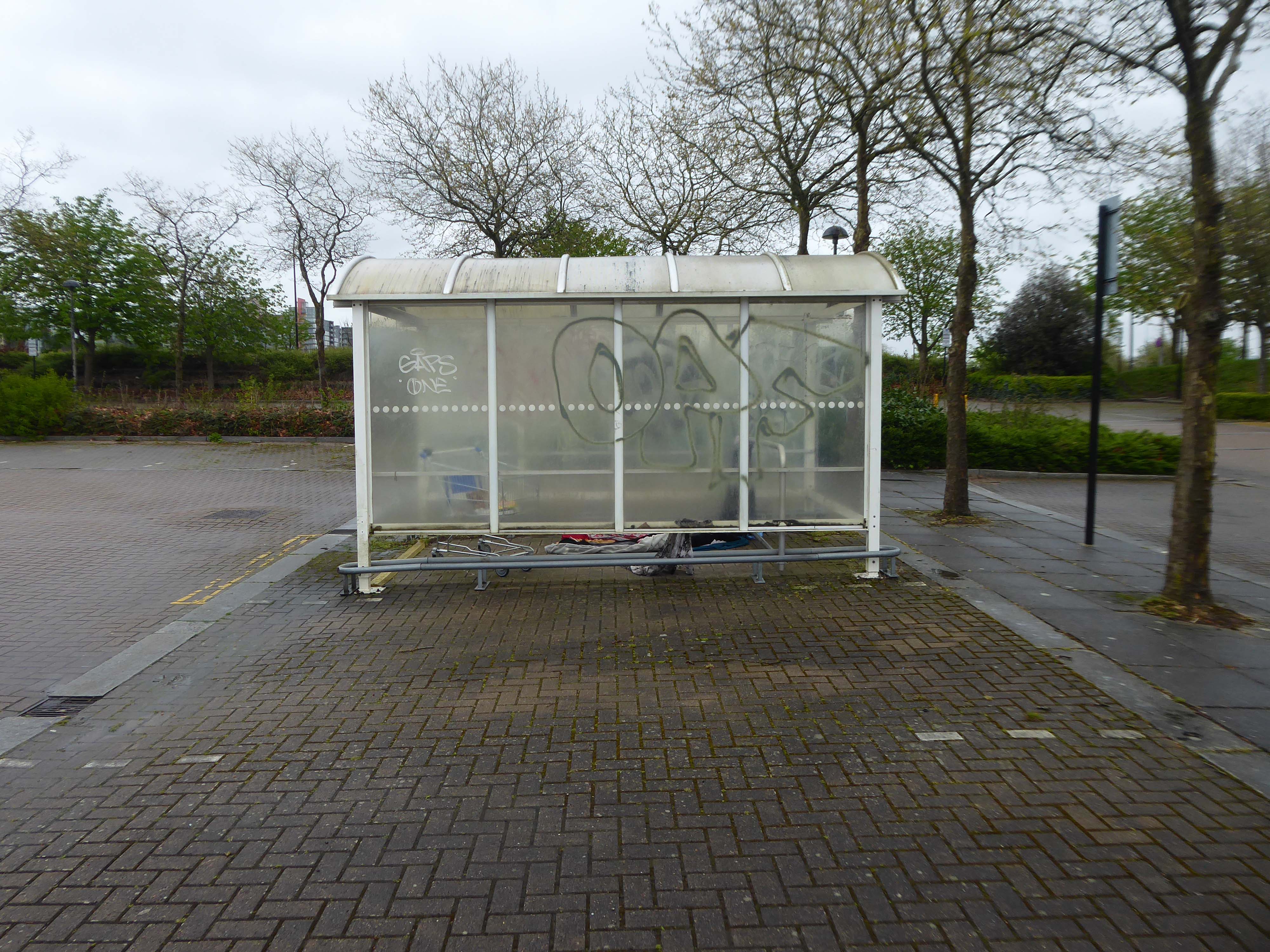
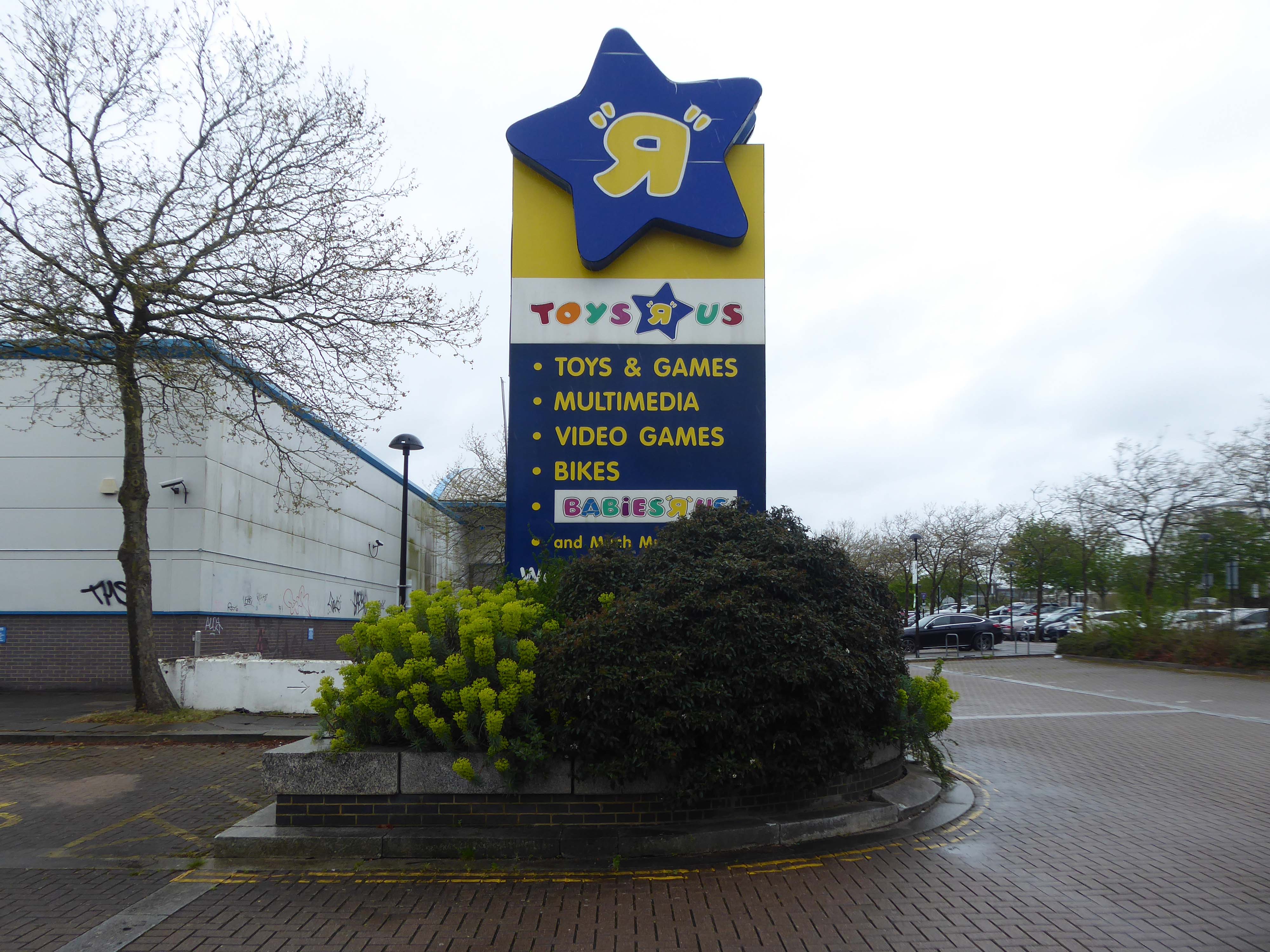

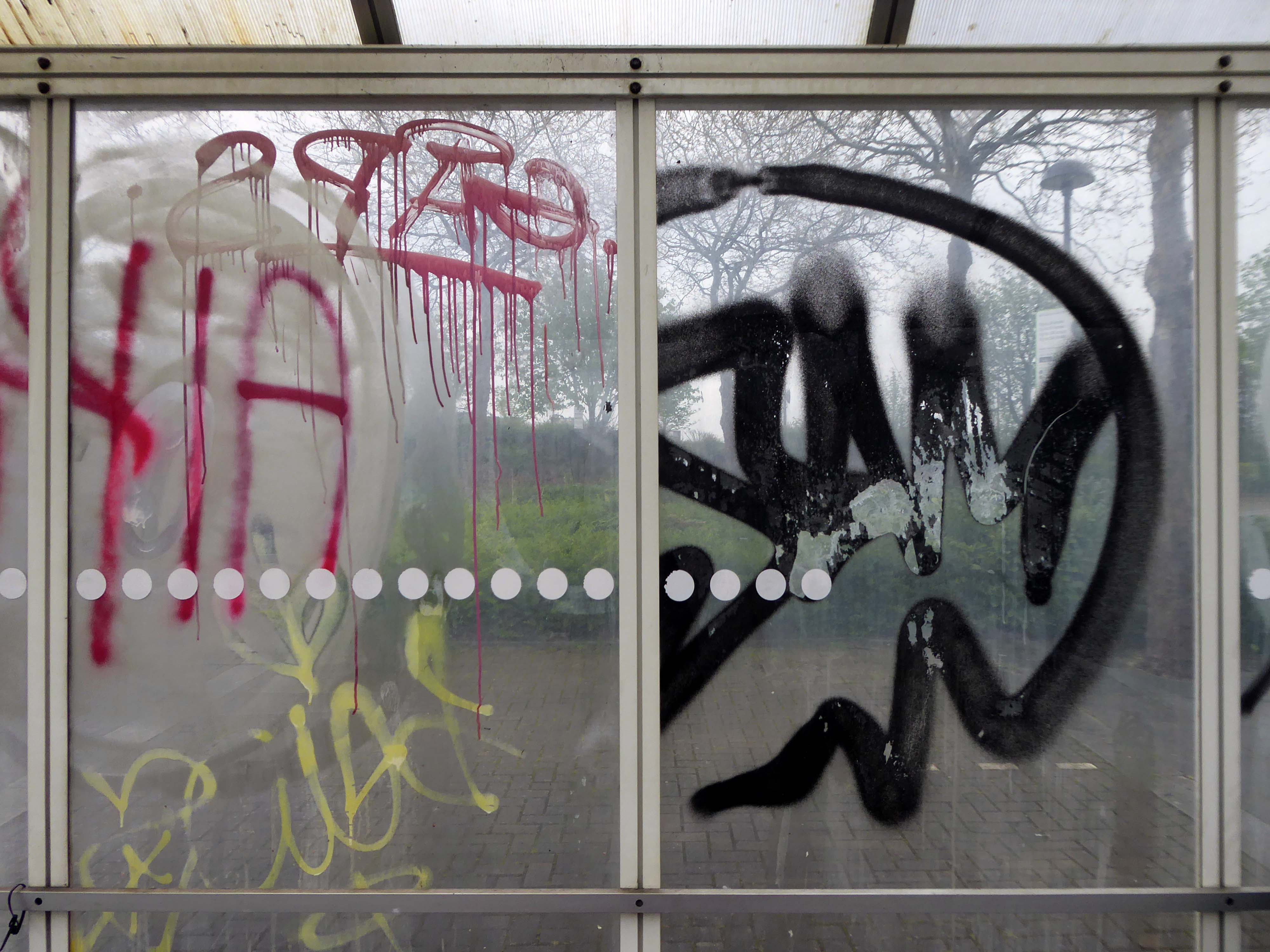


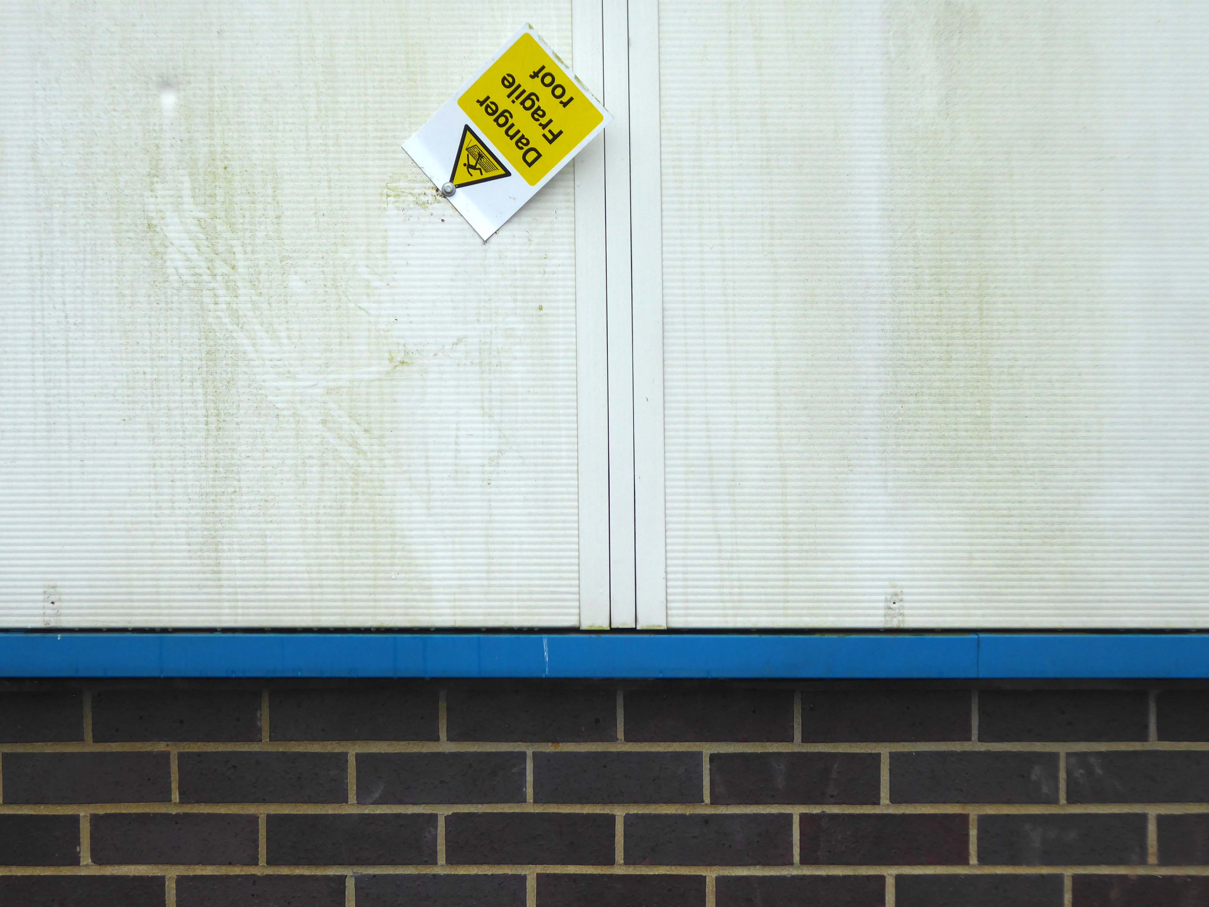
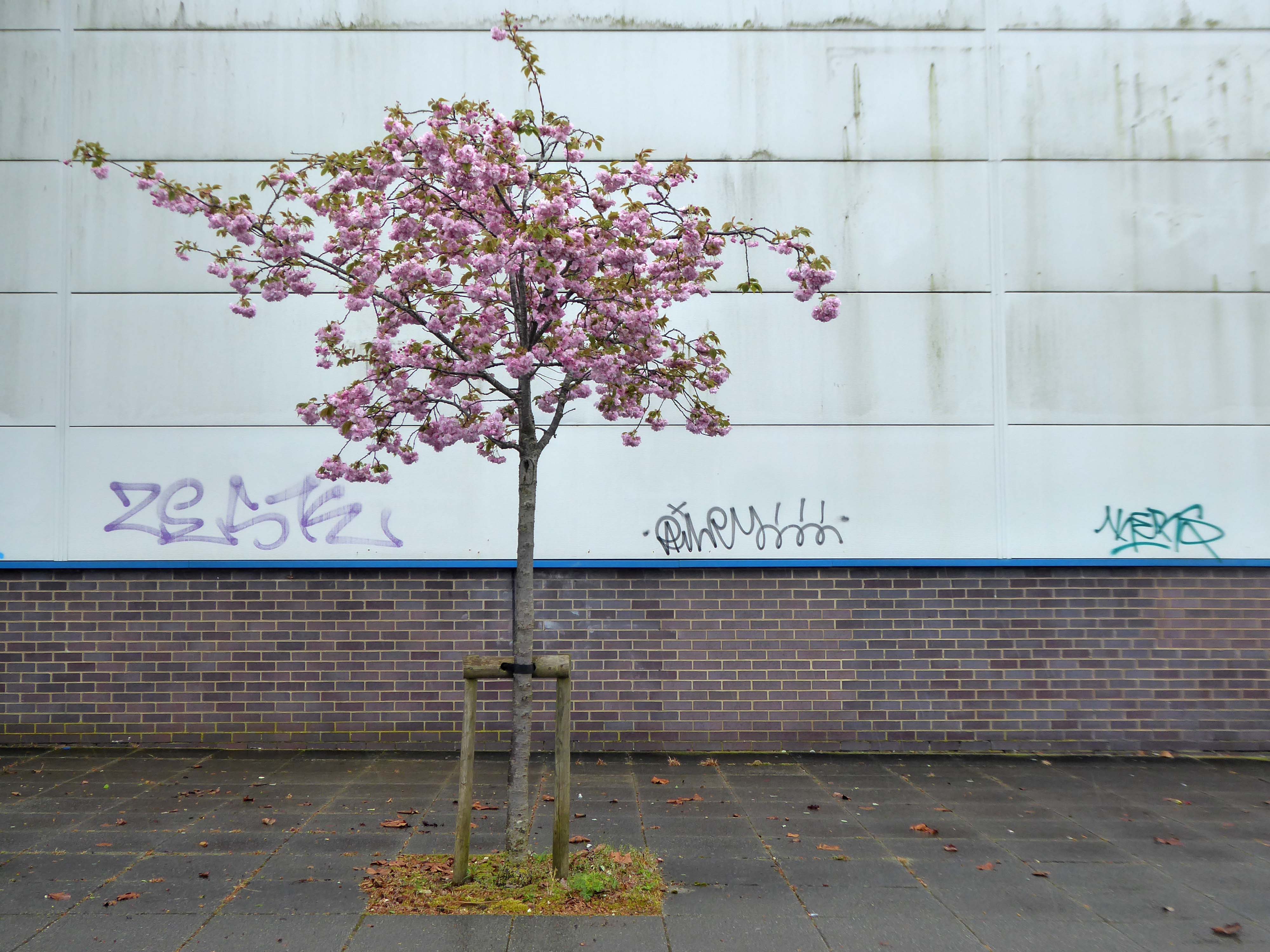
A large To Let sign is now visible above the store, with any interested parties invited to inquire about the large unit. The 47,500sq foot unit is available to lease – in whole or in part, and is described as being immediately available.
The news comes despite previous announcements that WHP Global, the owner of Toys R Us, had plans to re-open some UK stores during 2022. In February, the company said UK Toys R Us stores could open within months, although none have yet done so.
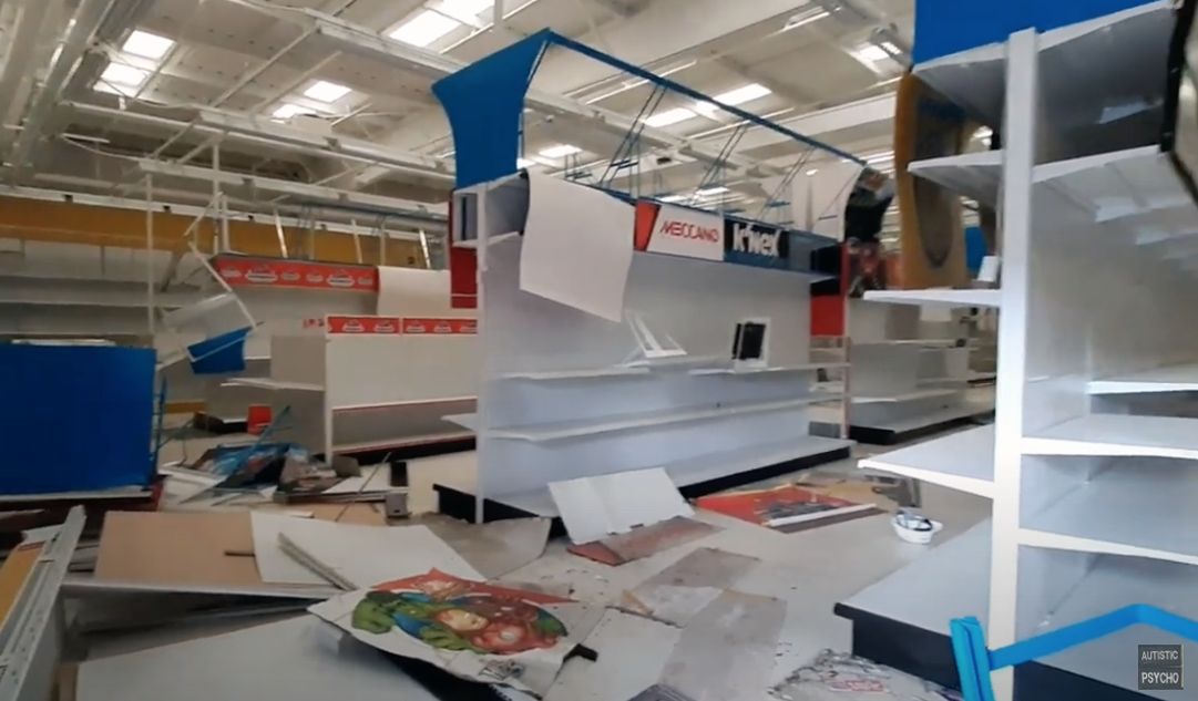
Here is Autistic Psycho’s tour around the deserted store,
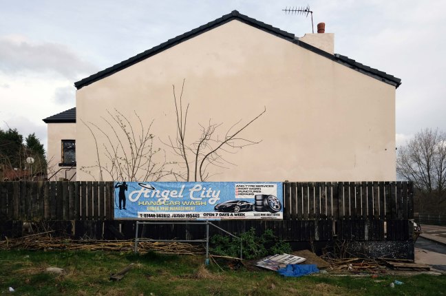
Having photographed the arterial roads of Manchester in 2014 I have resolved to return to the task in 2024.
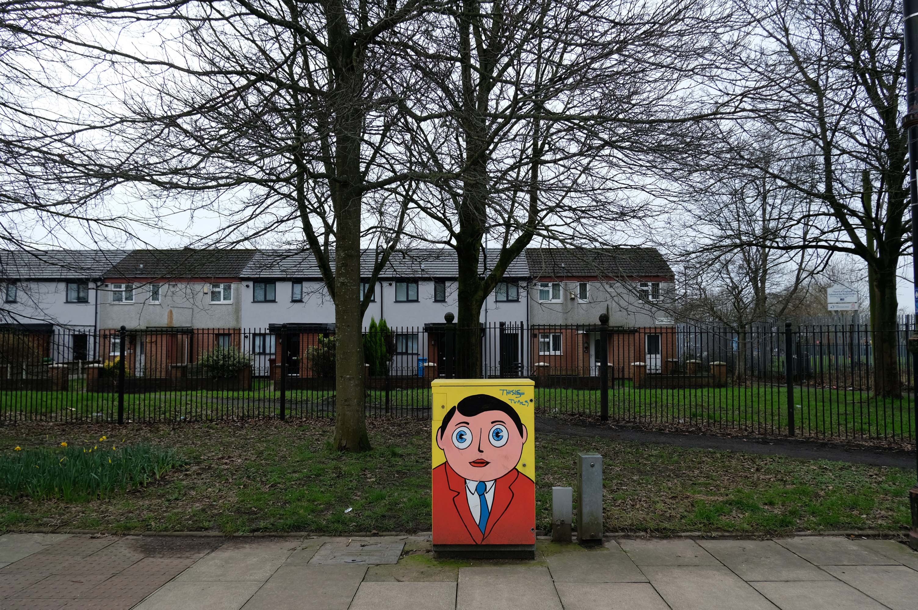
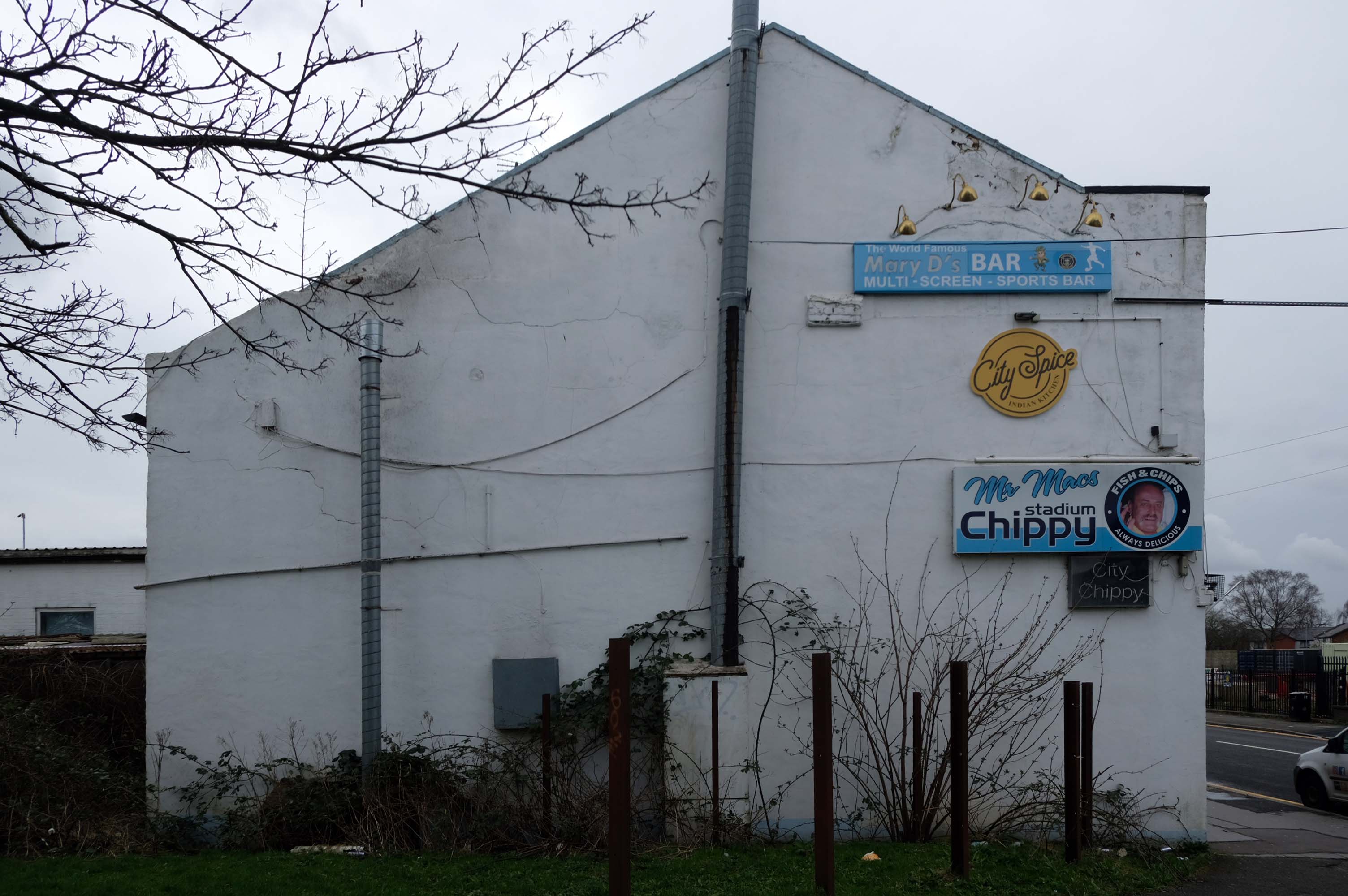
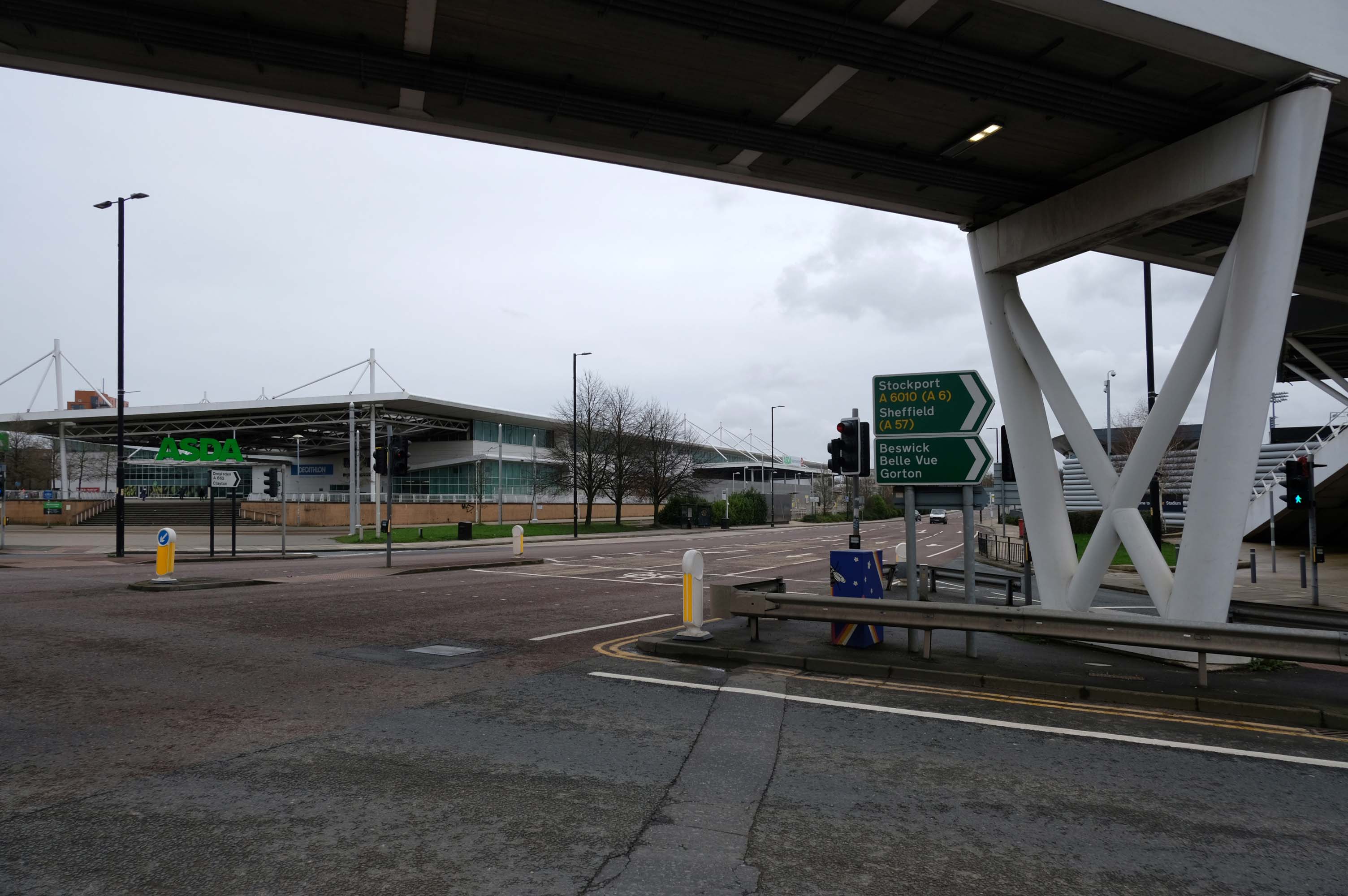
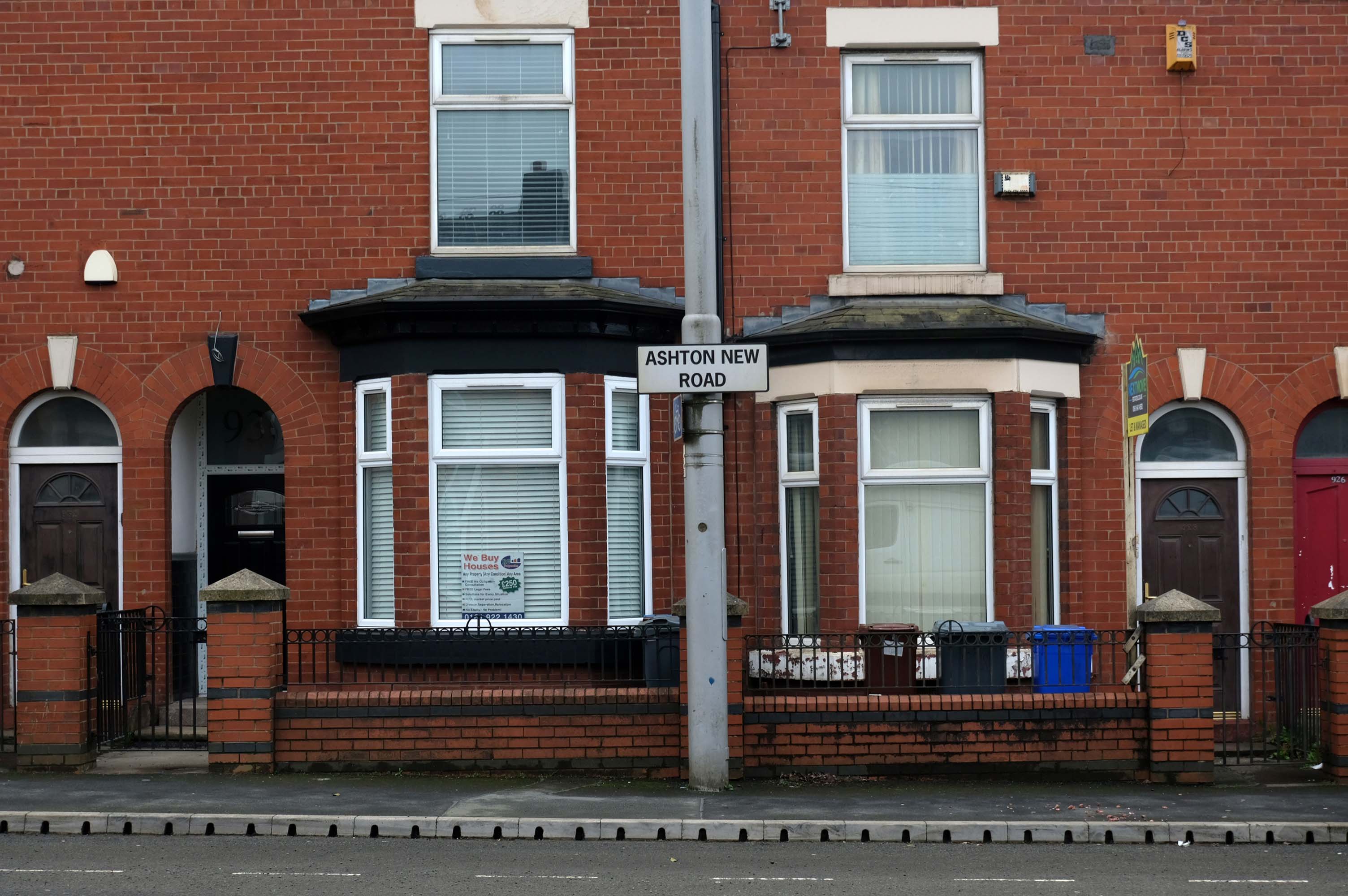
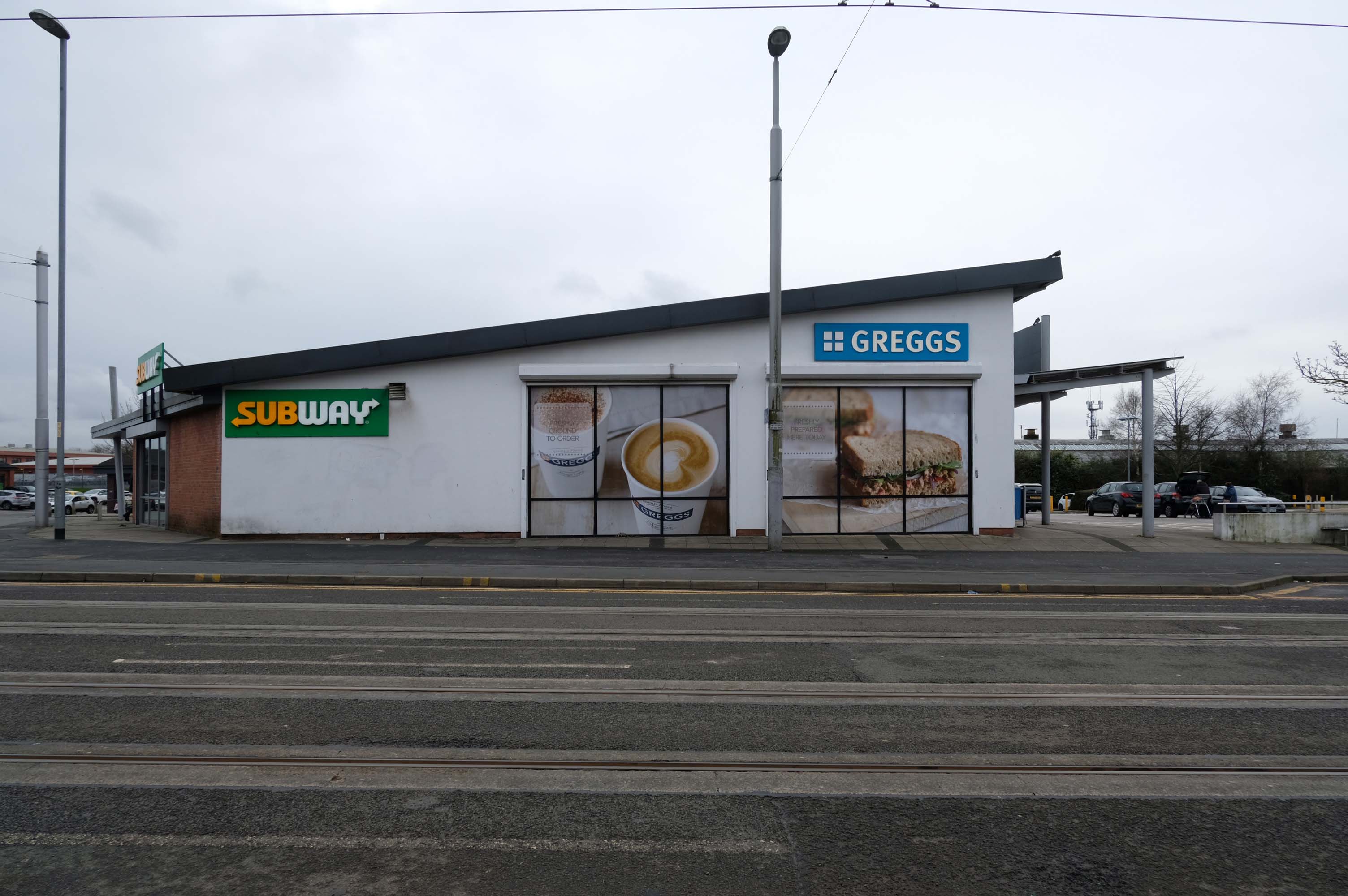
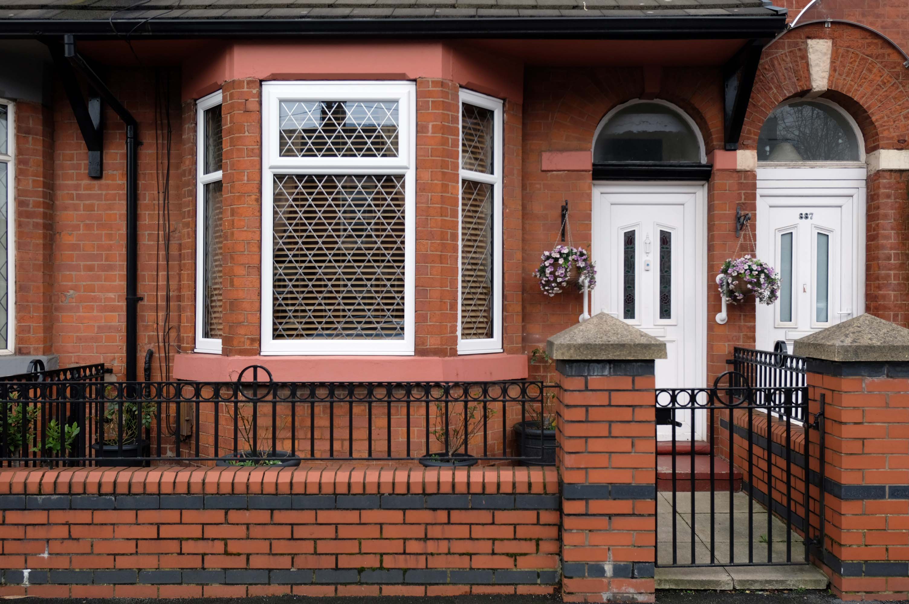
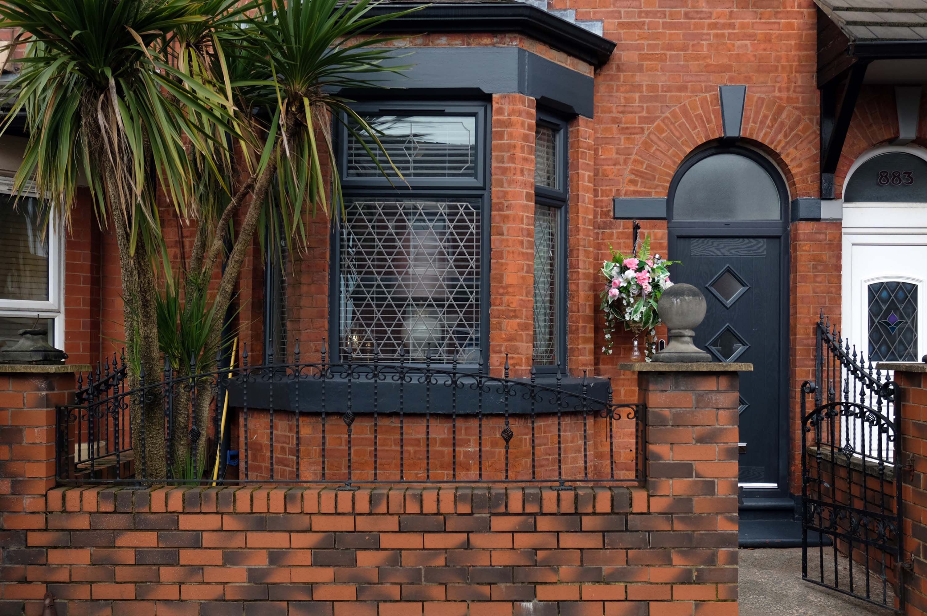
Some things seem to have changed, some things seem to have stayed the same on Ashton New Road.
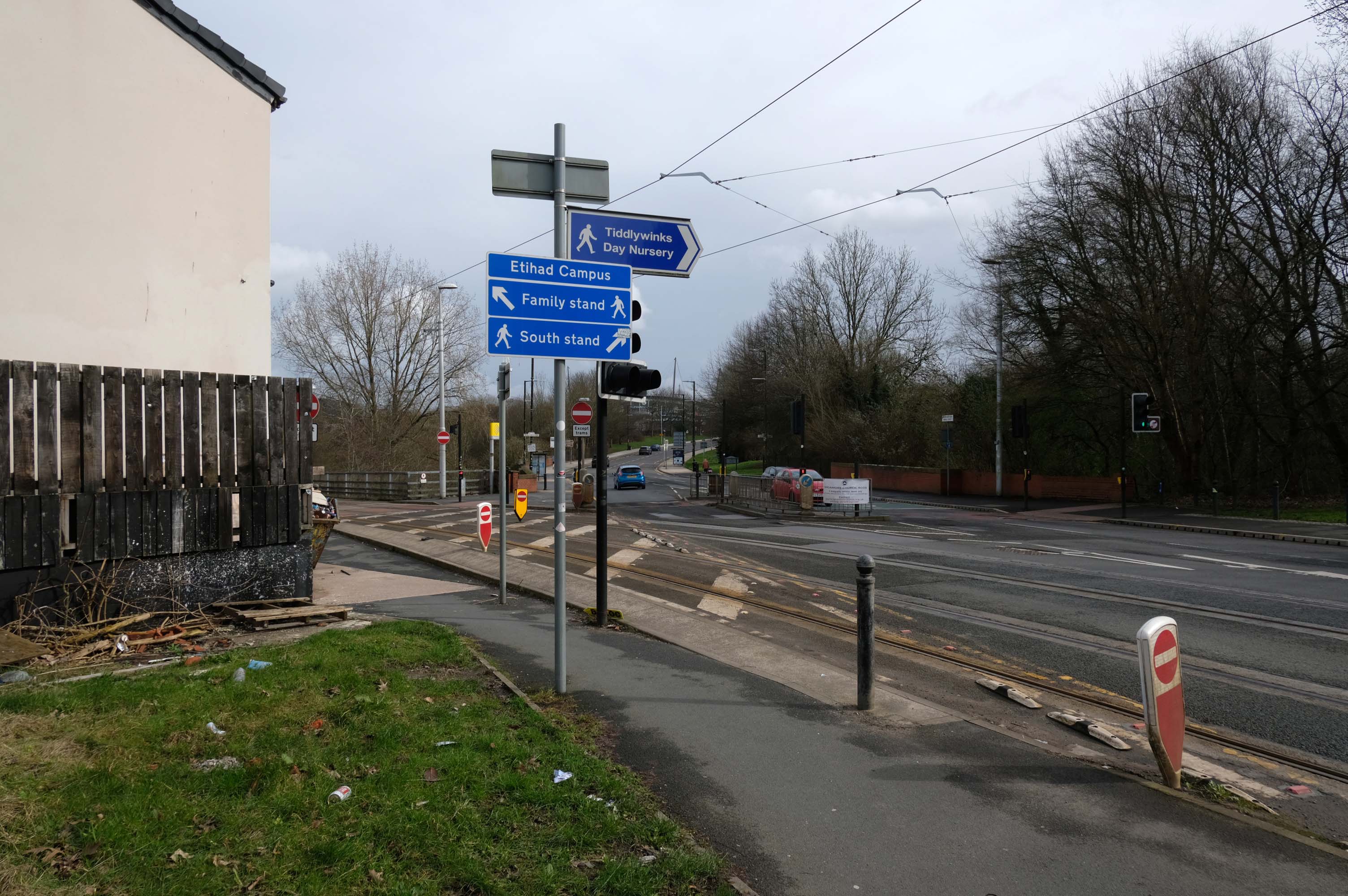


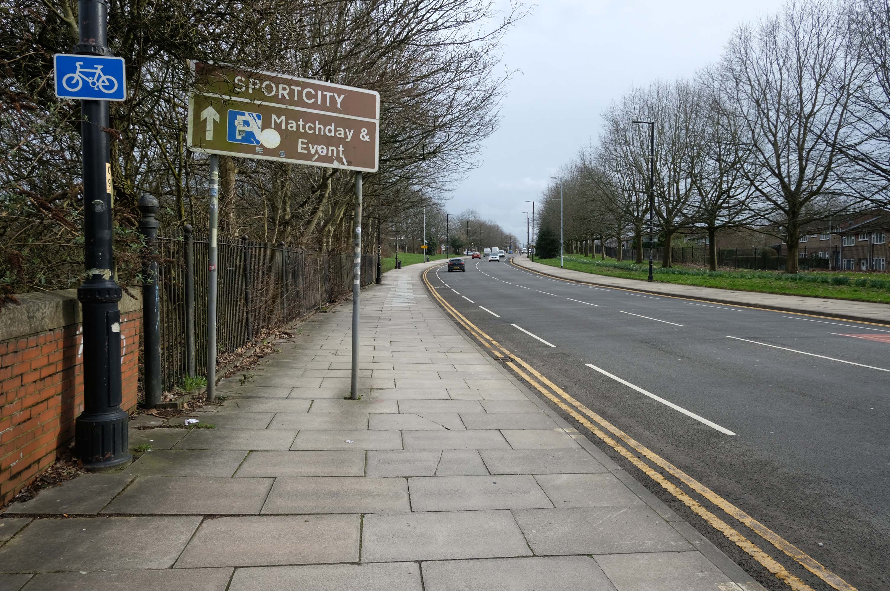

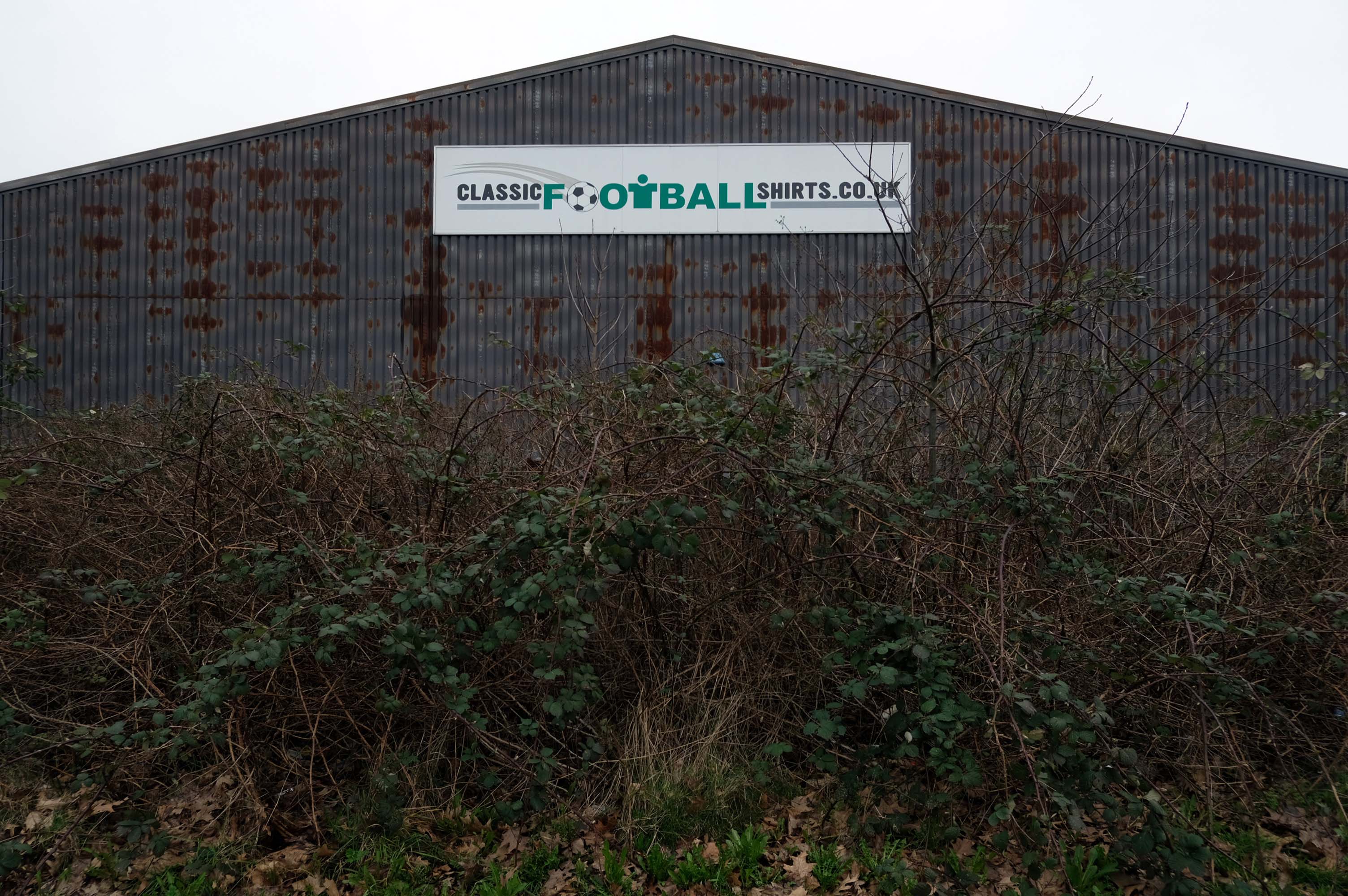


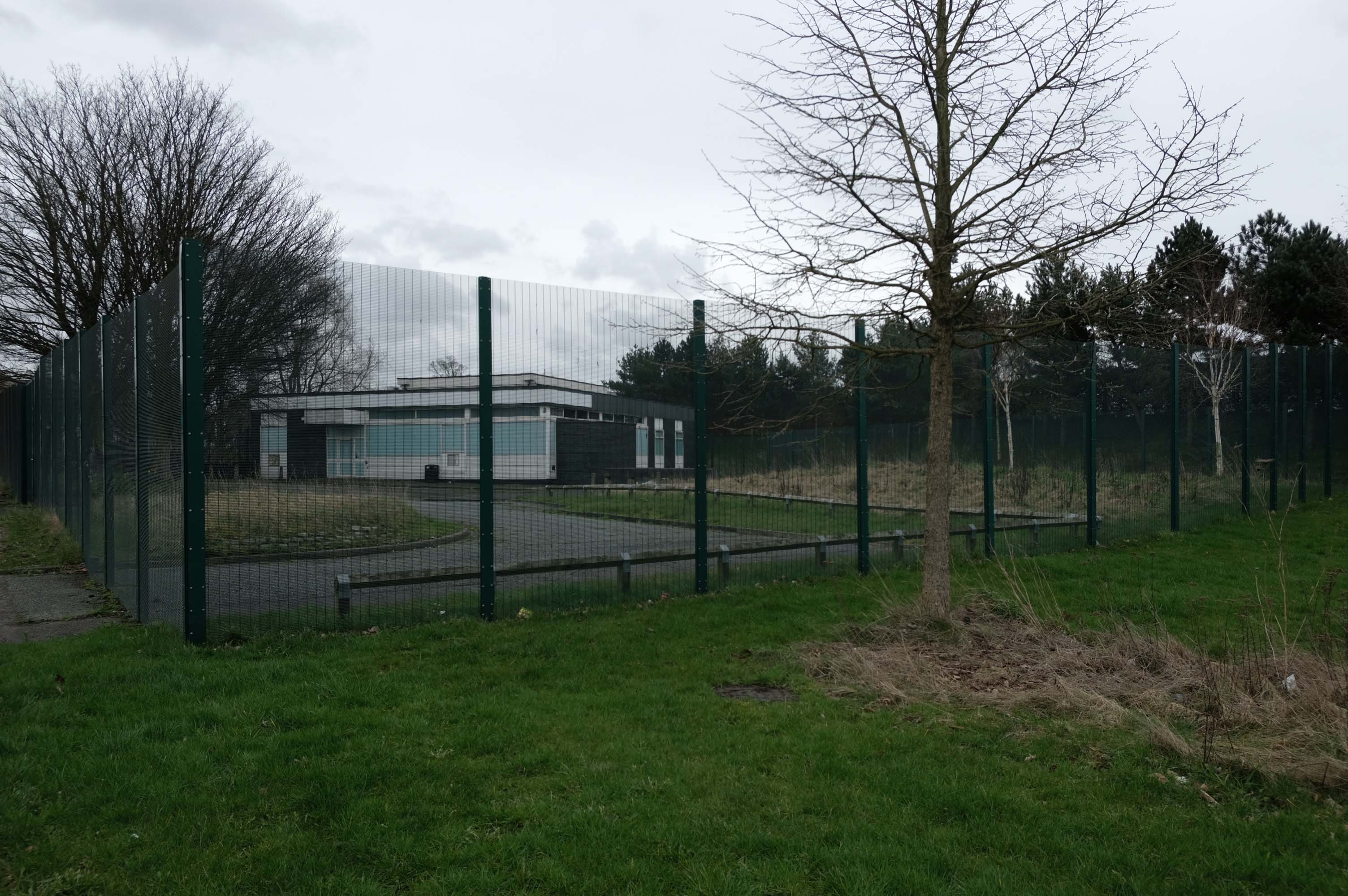
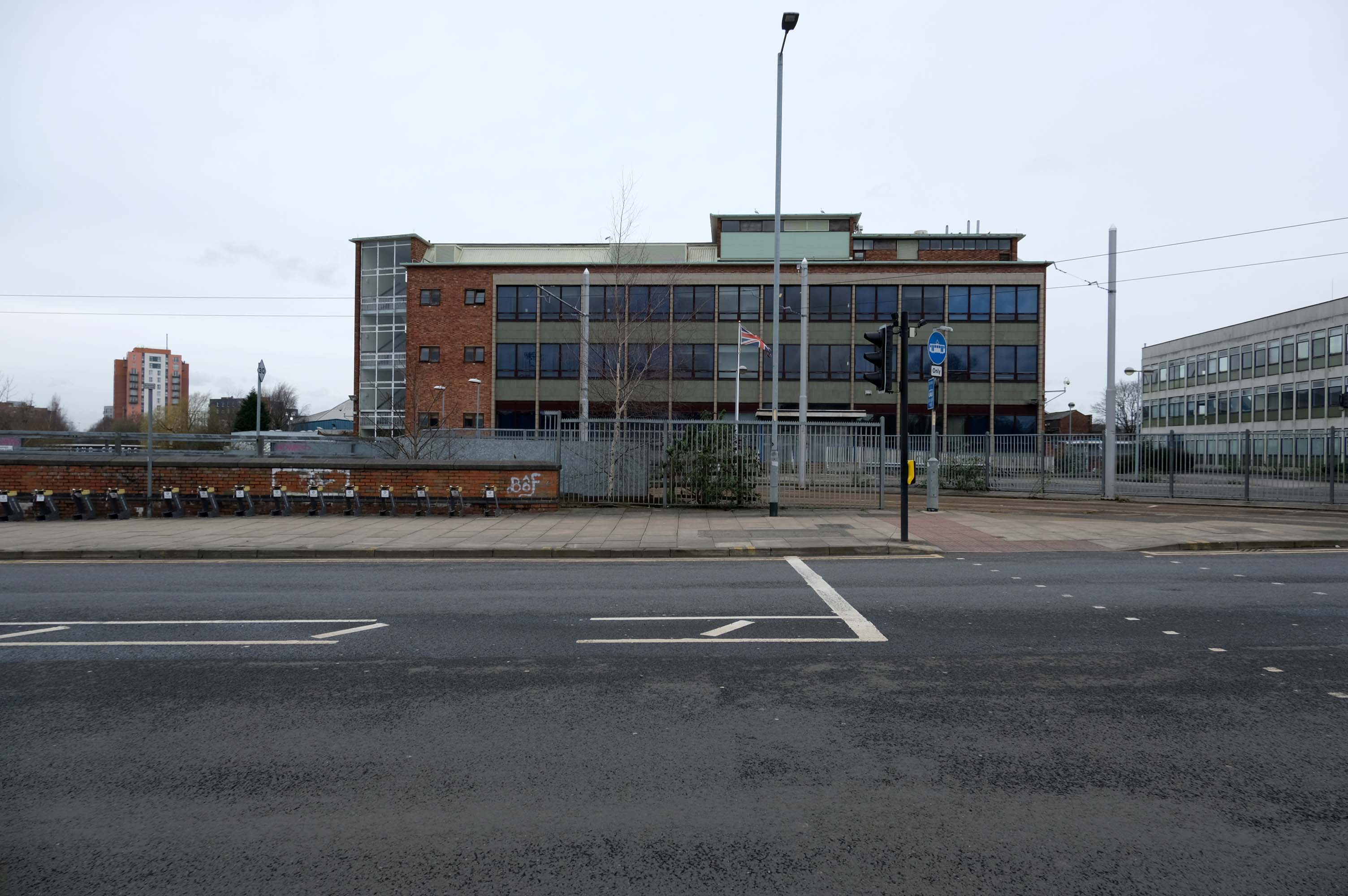
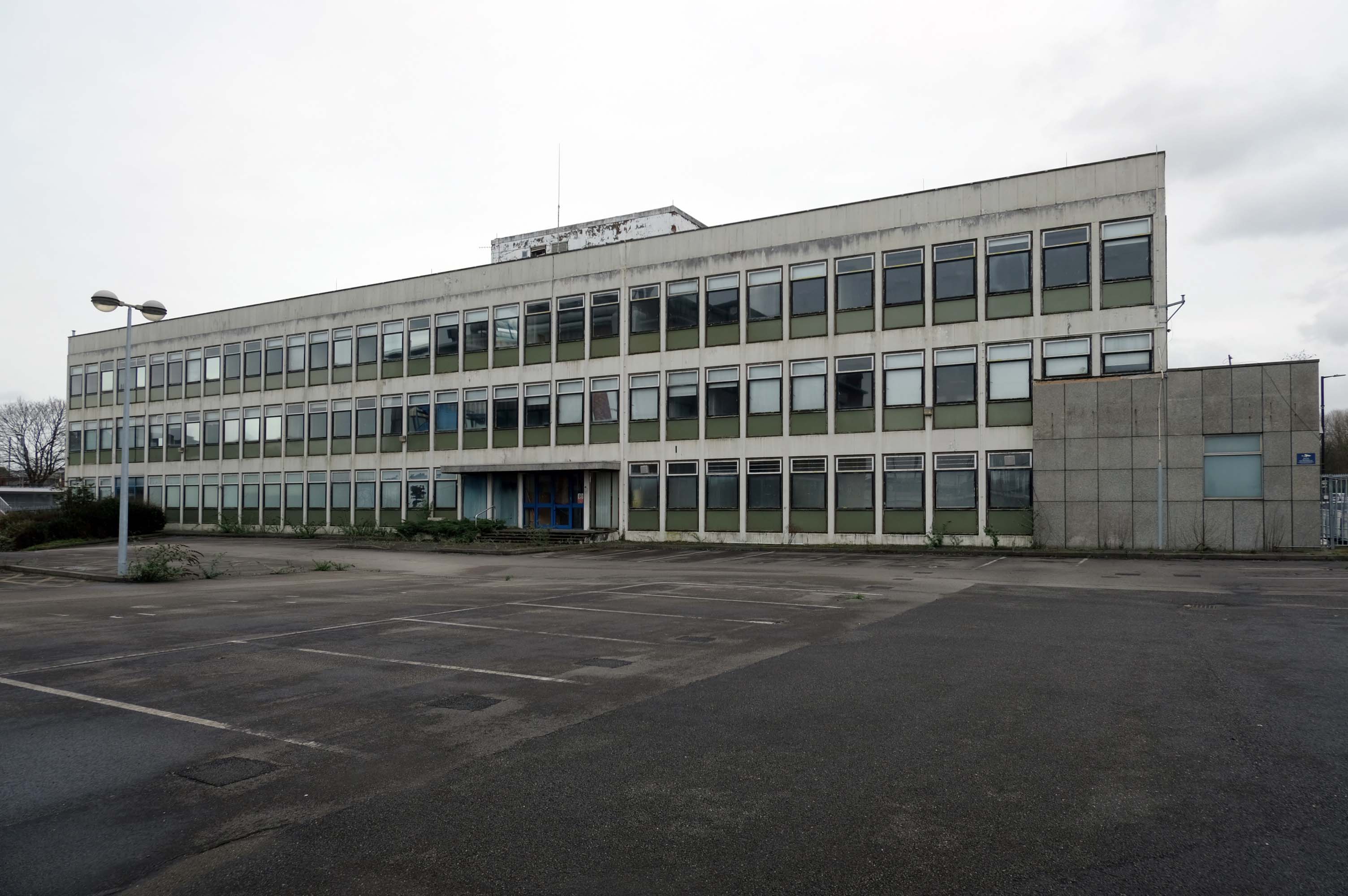

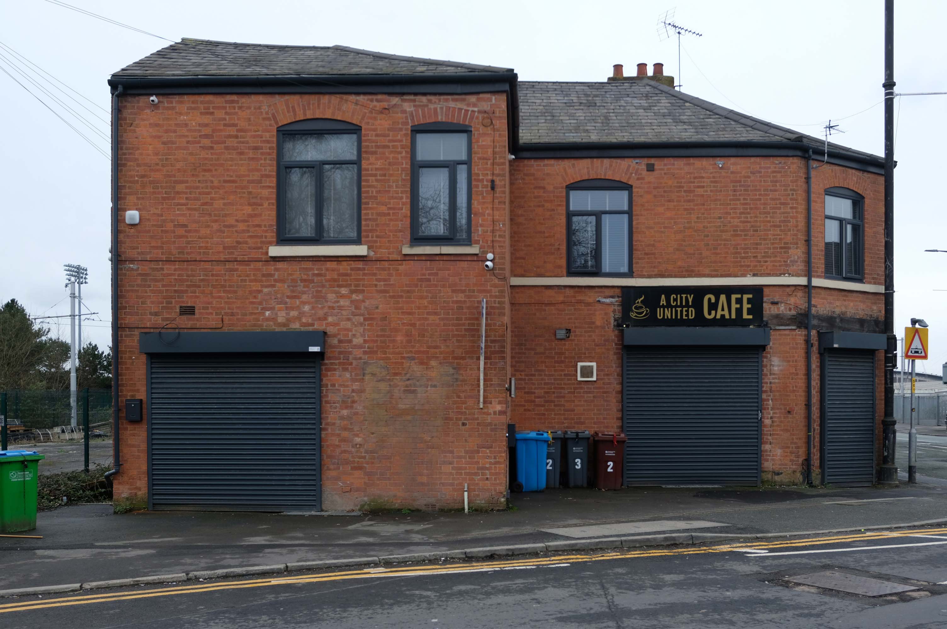
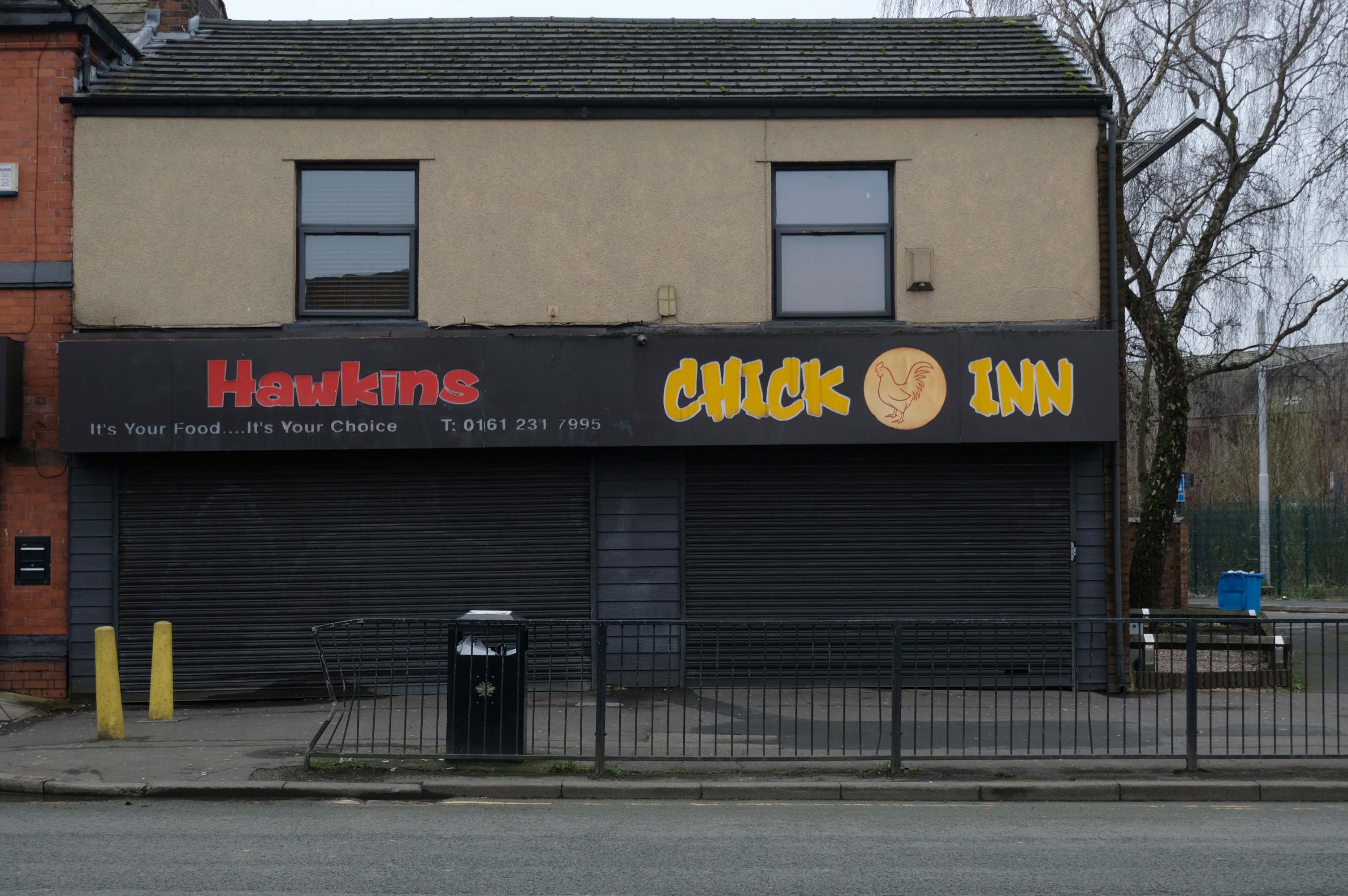


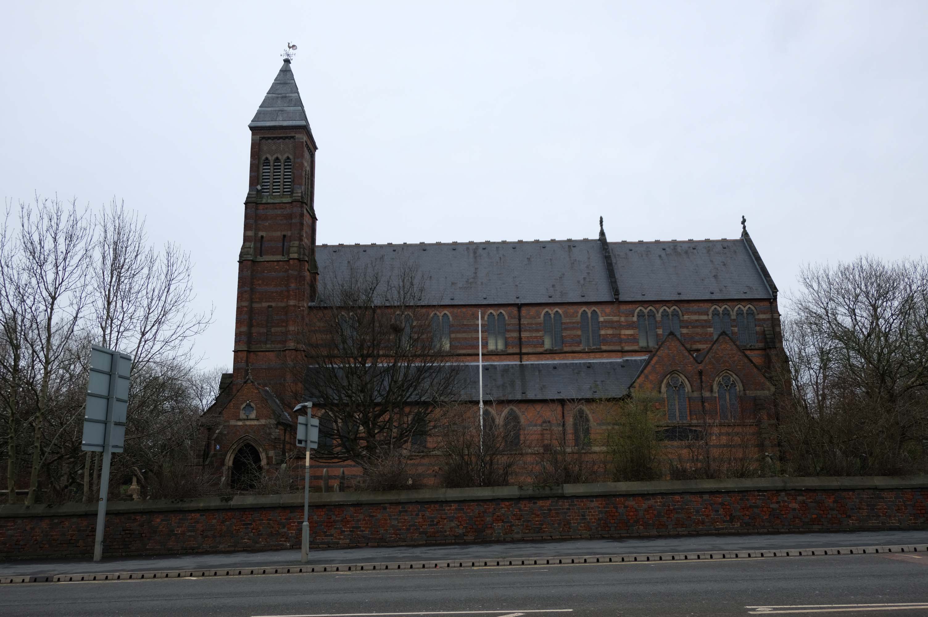





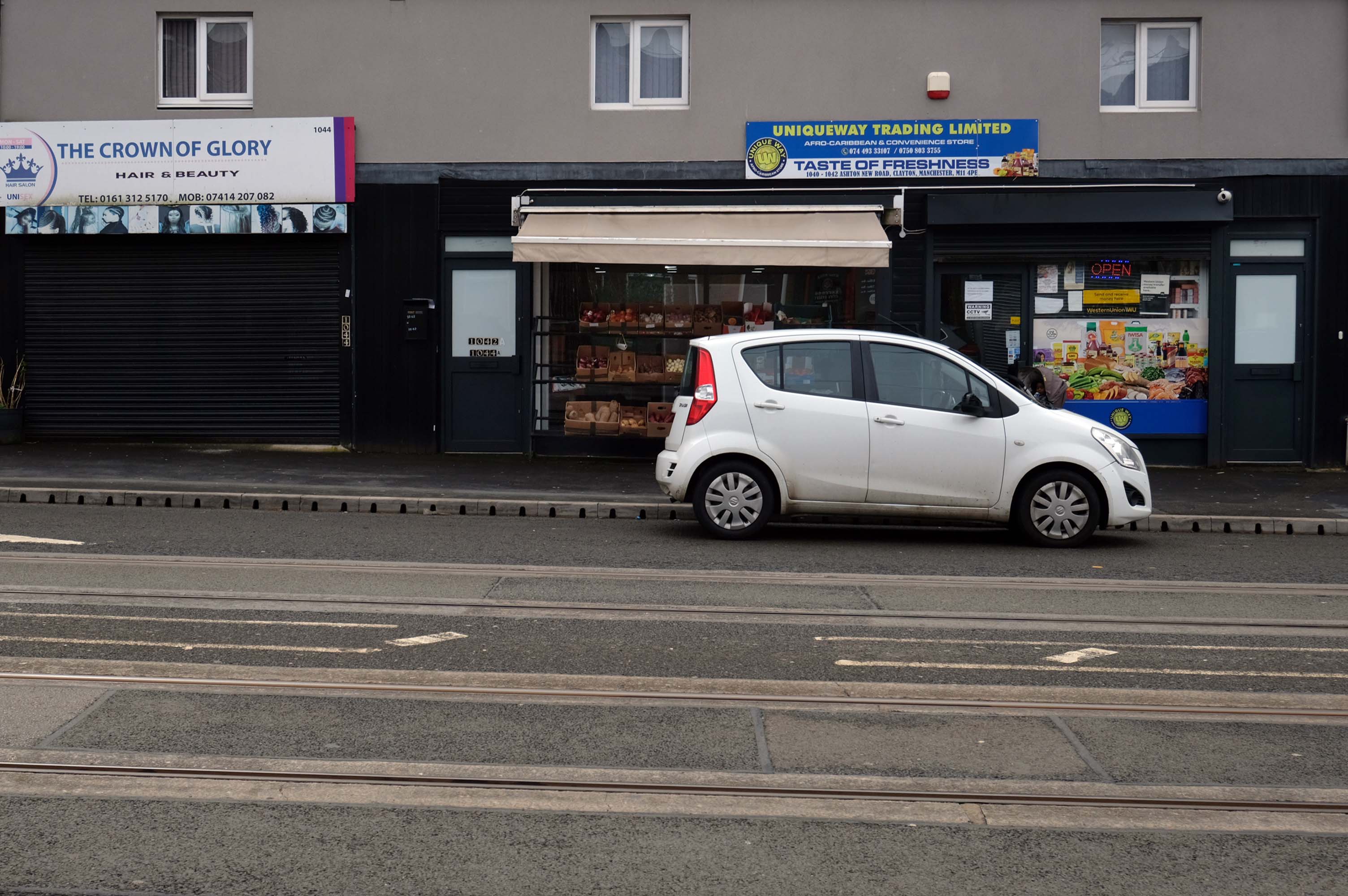
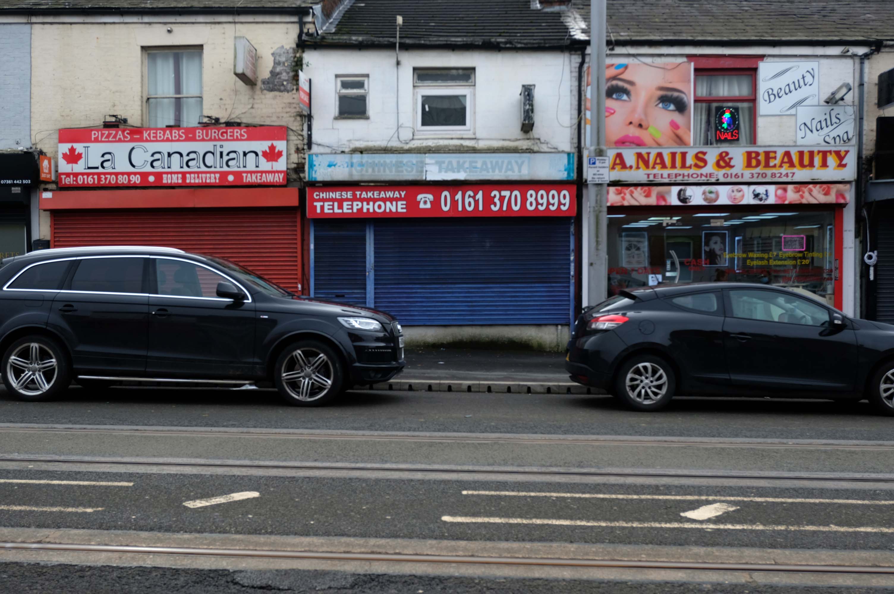
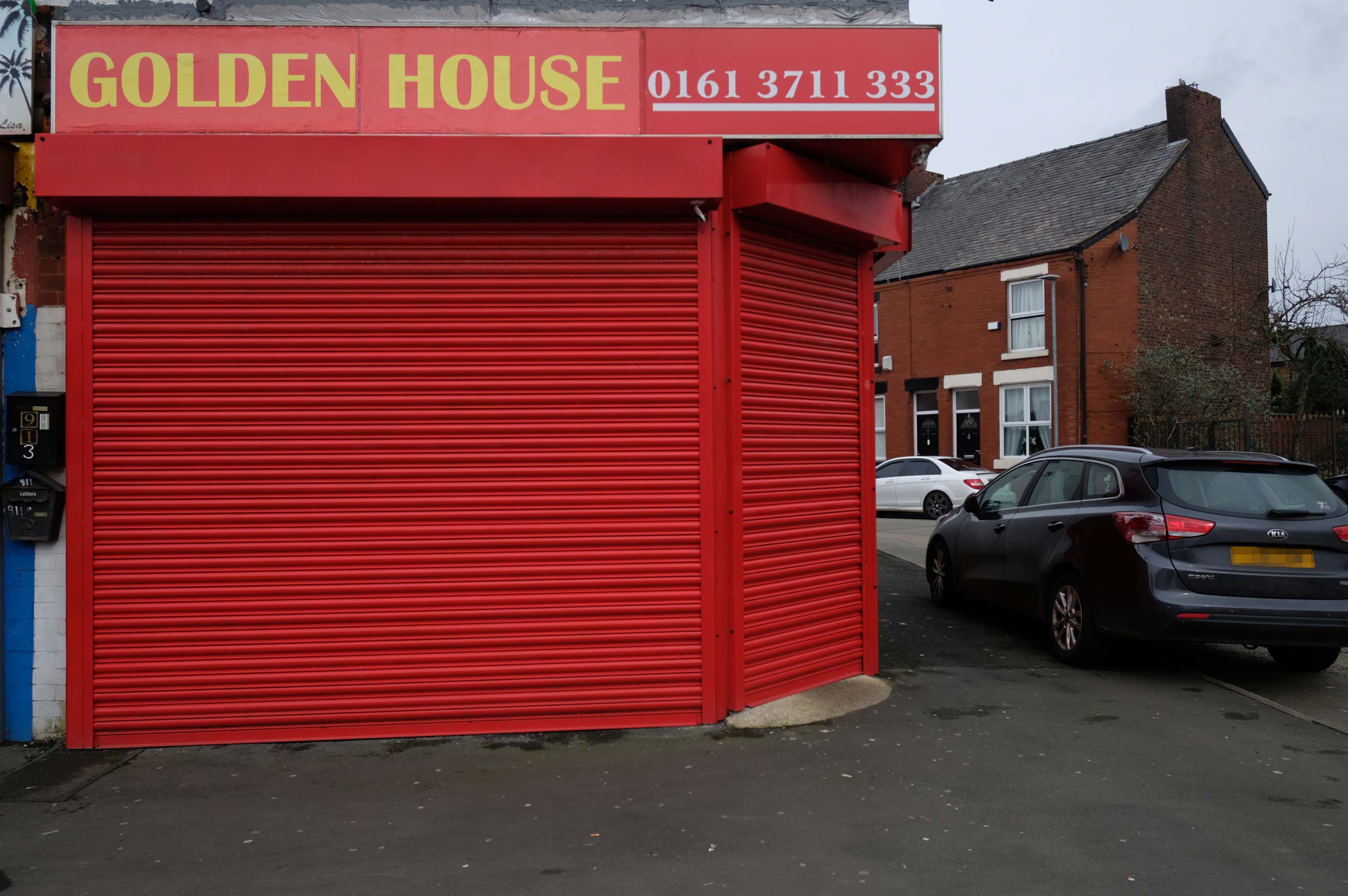
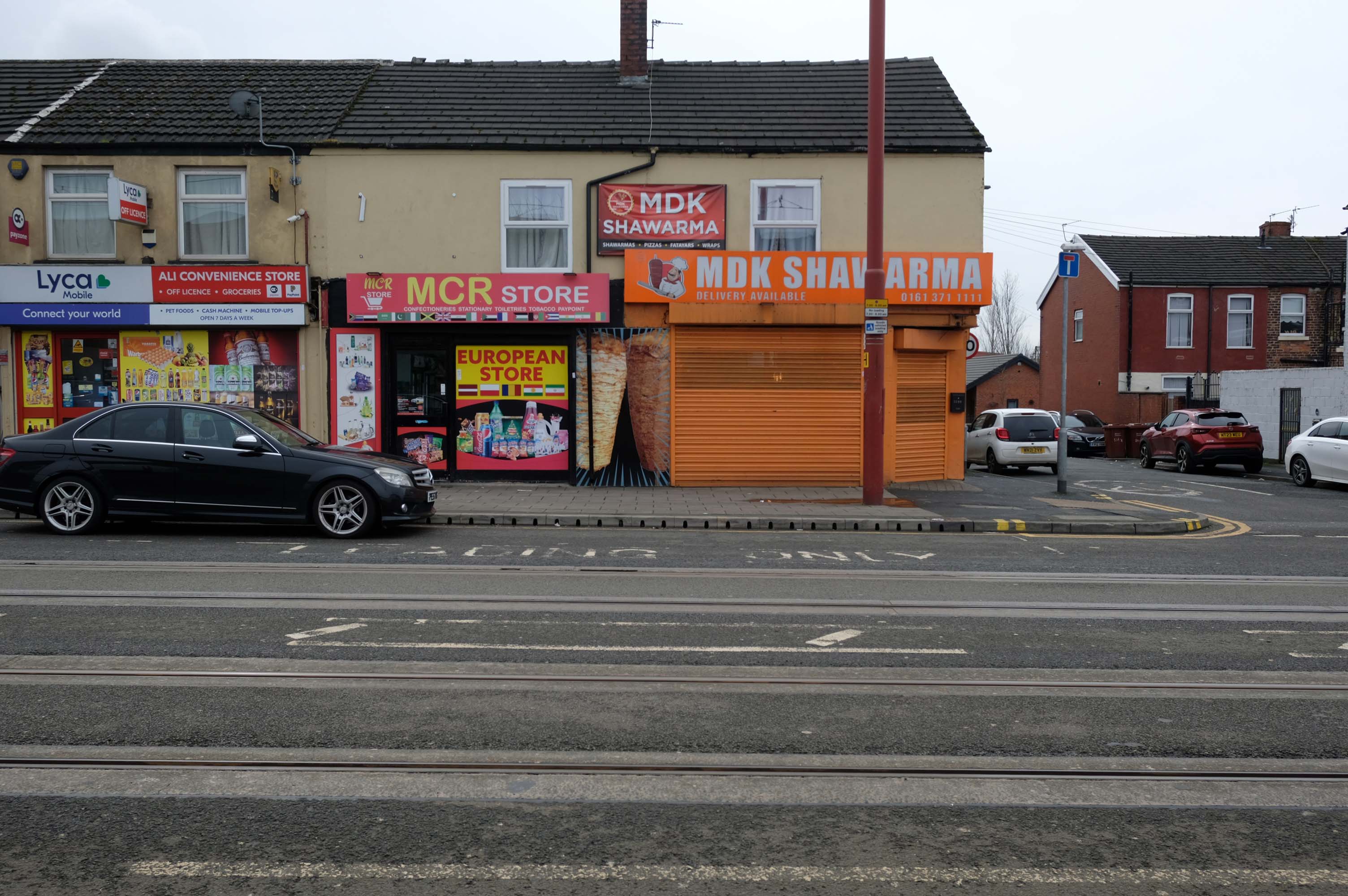
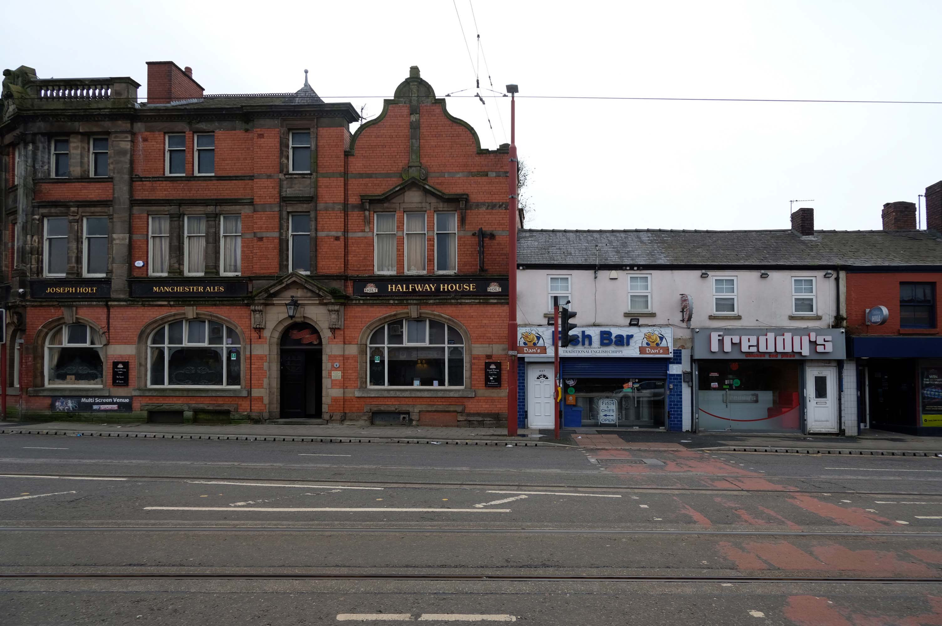
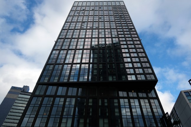
Having photographed the arterial roads of Manchester in 2014, I have resolved to return to the task in 2024.
Some things seem to have changed, some things seem to have stayed the same.
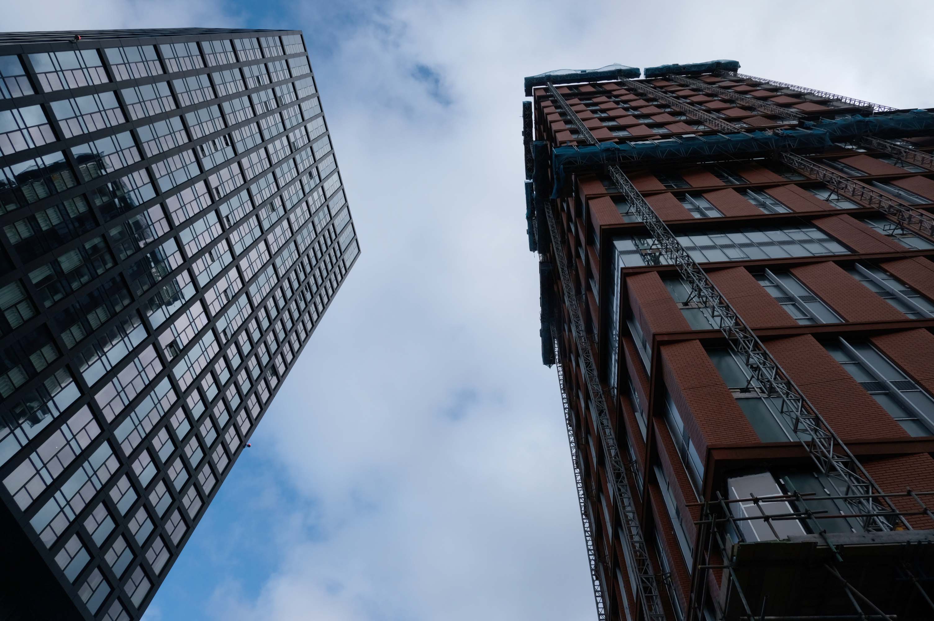

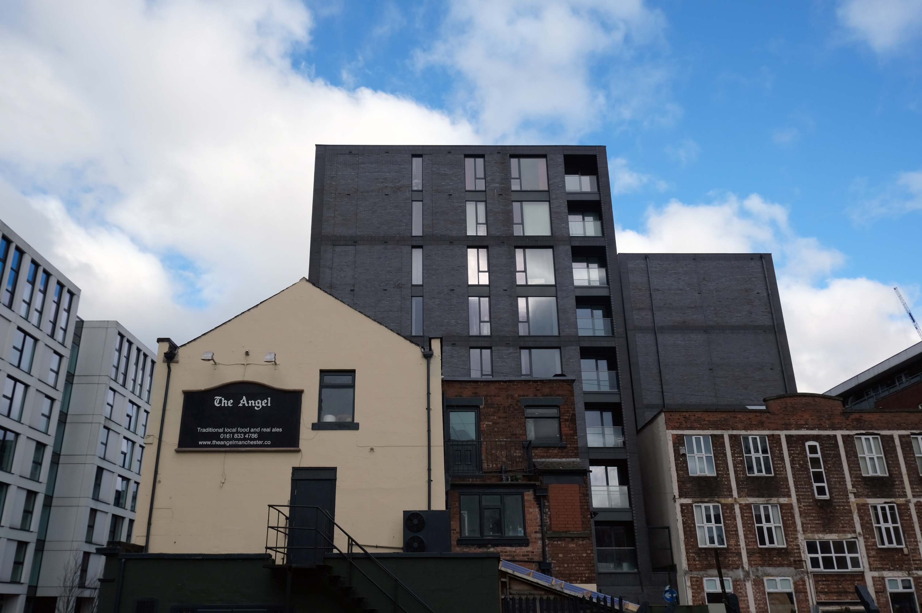


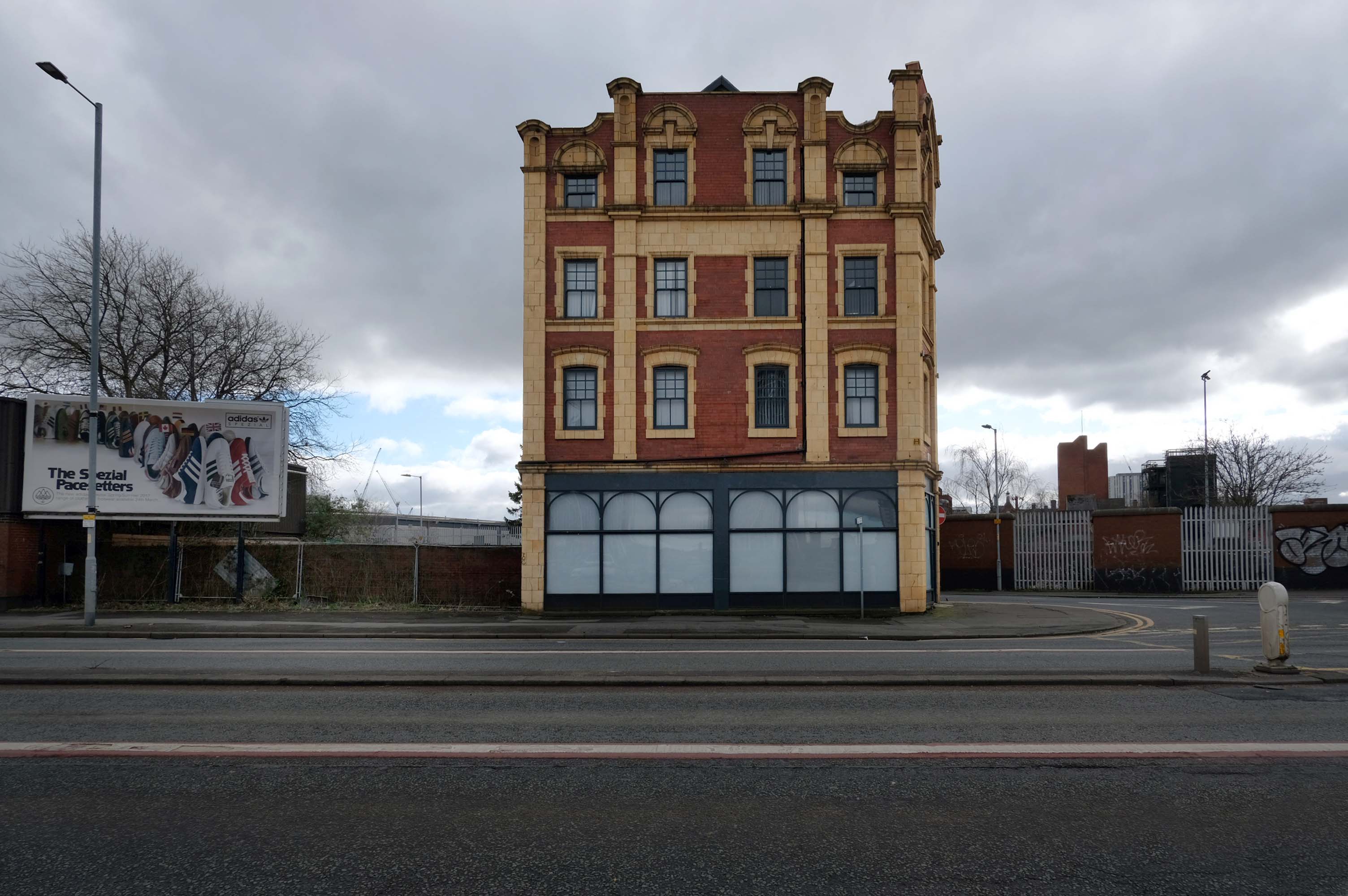
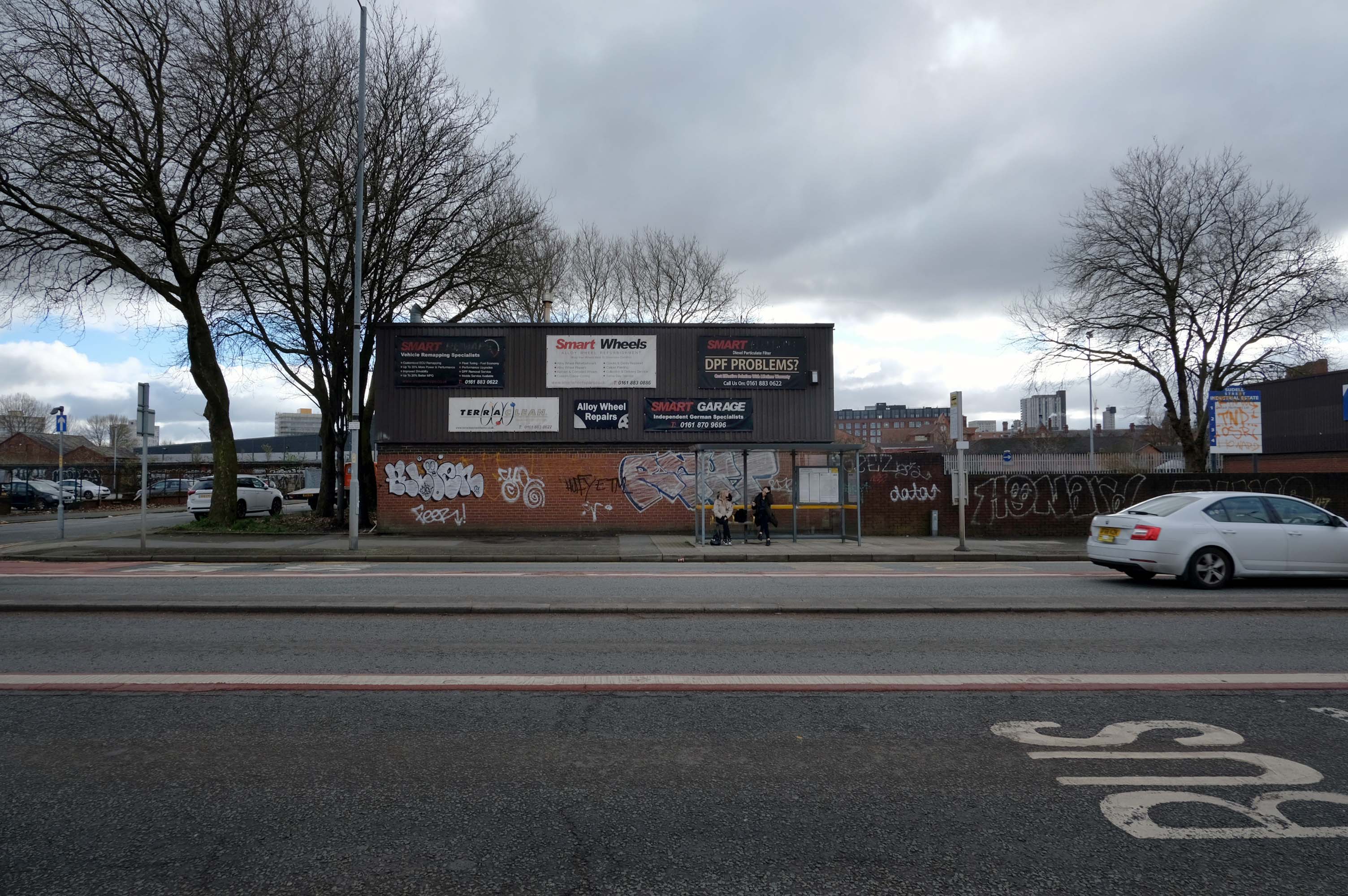
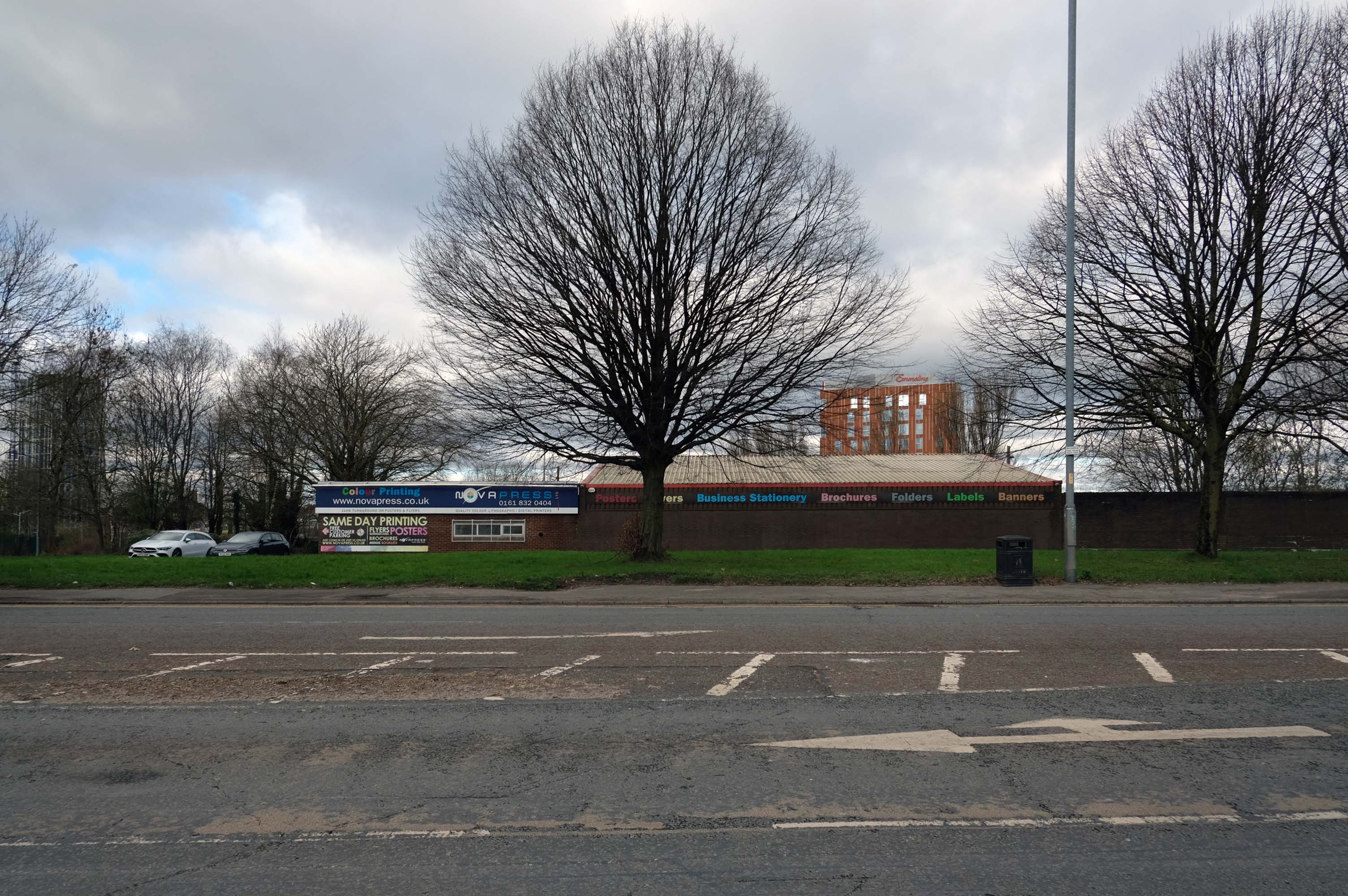

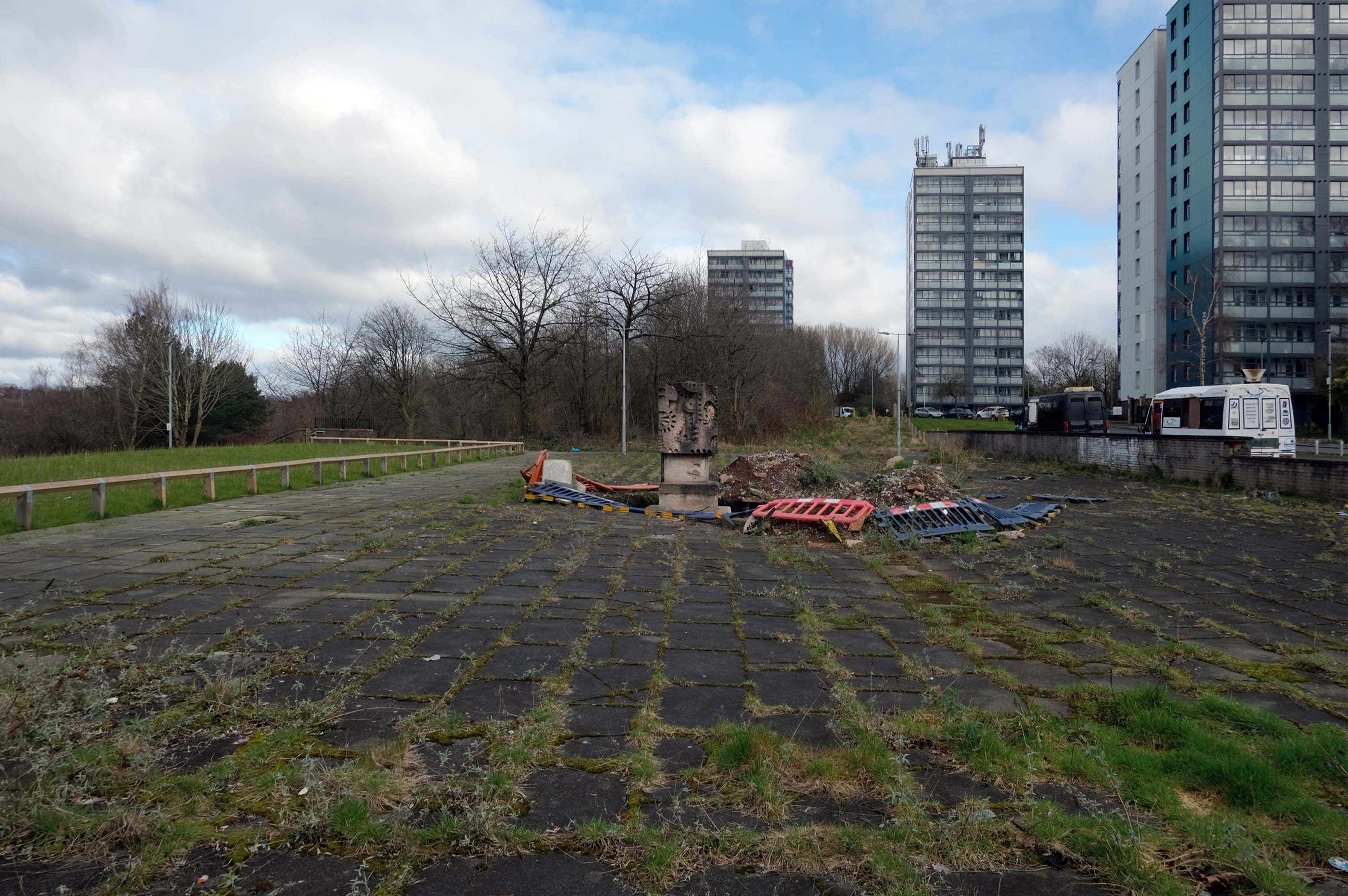



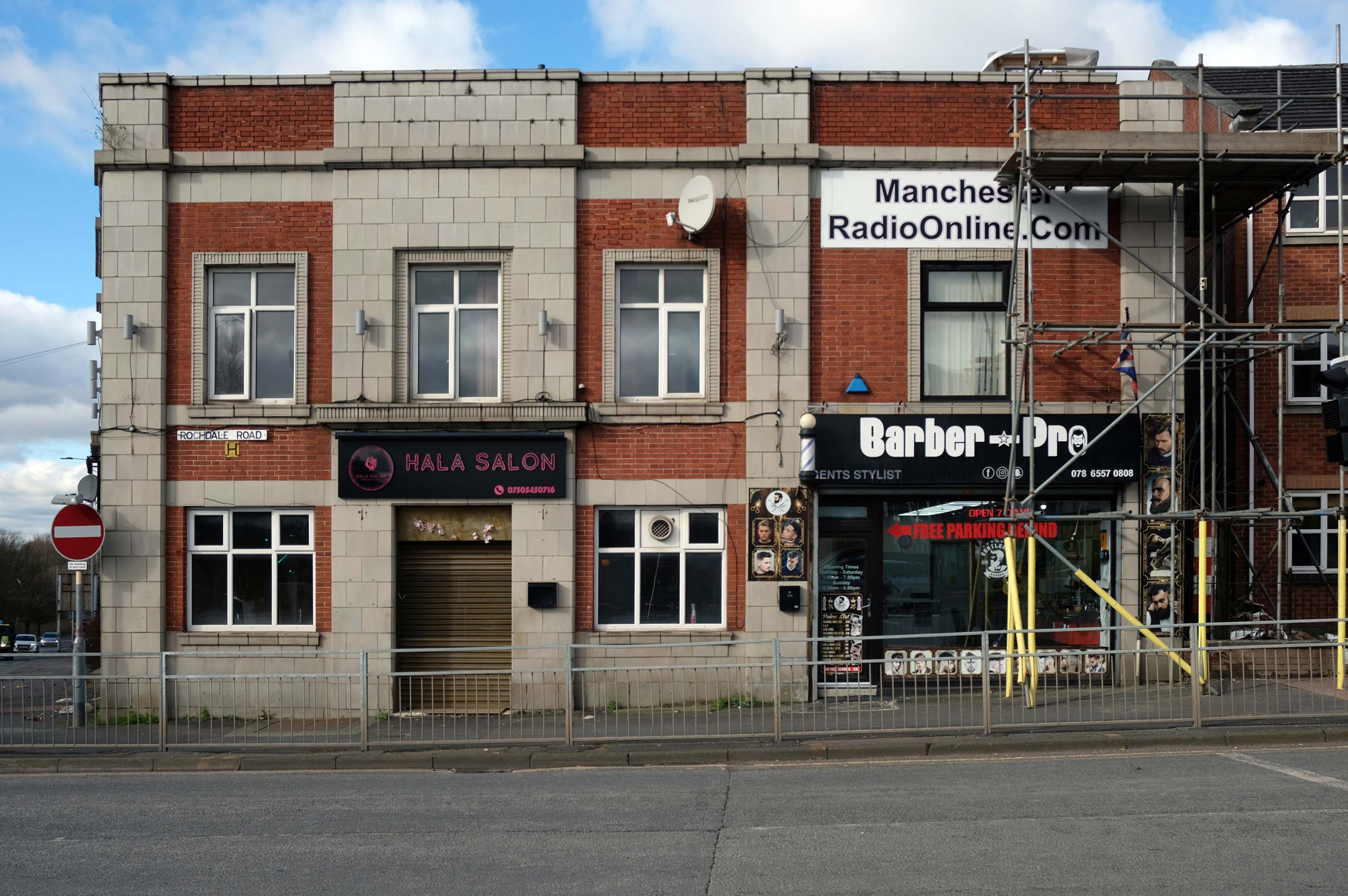
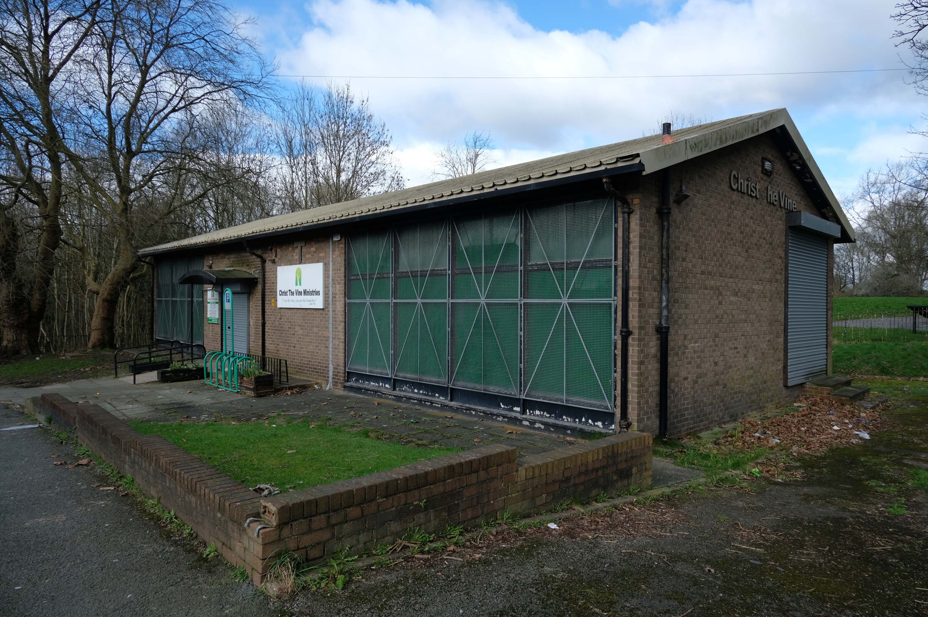

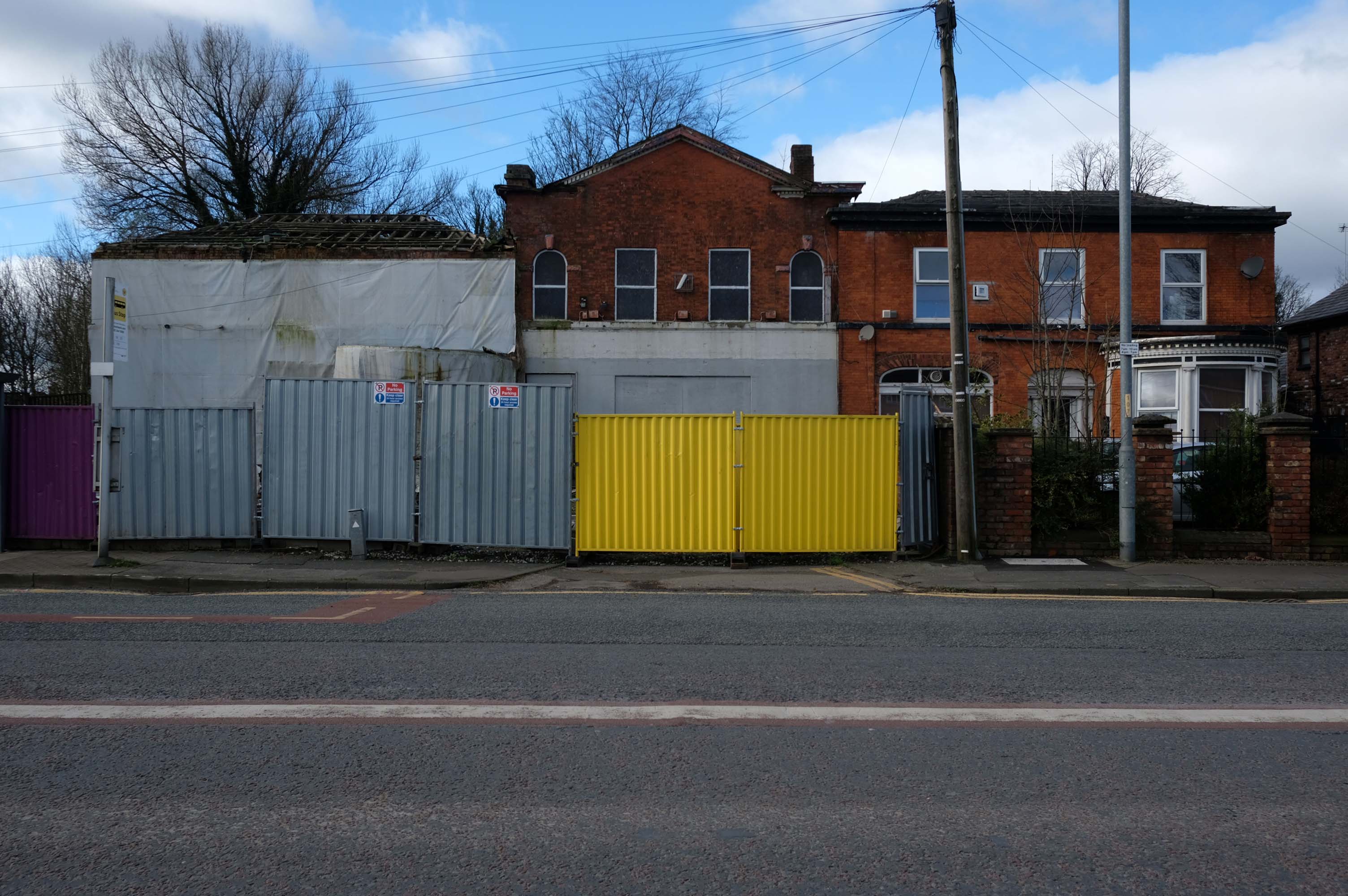


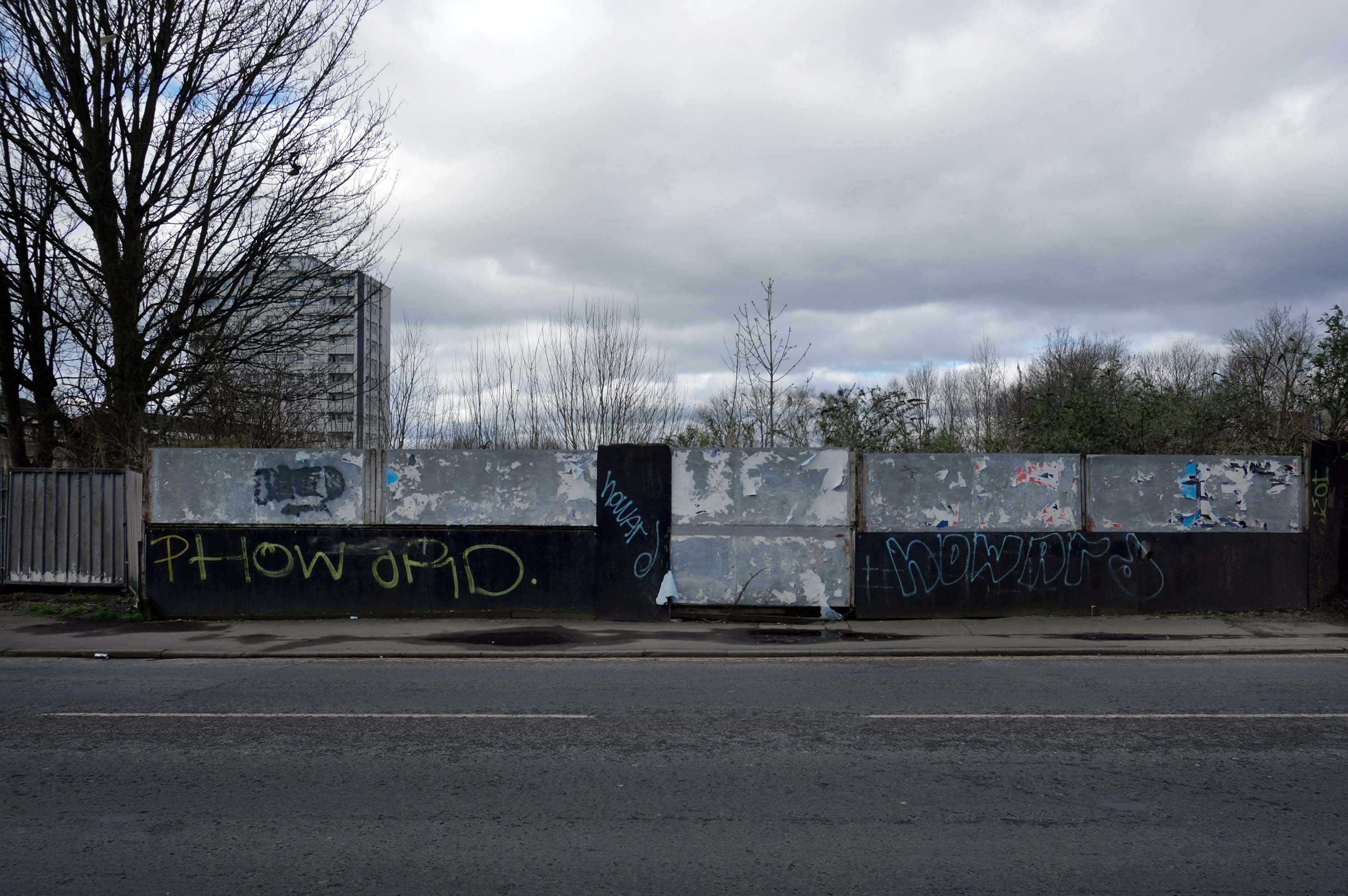
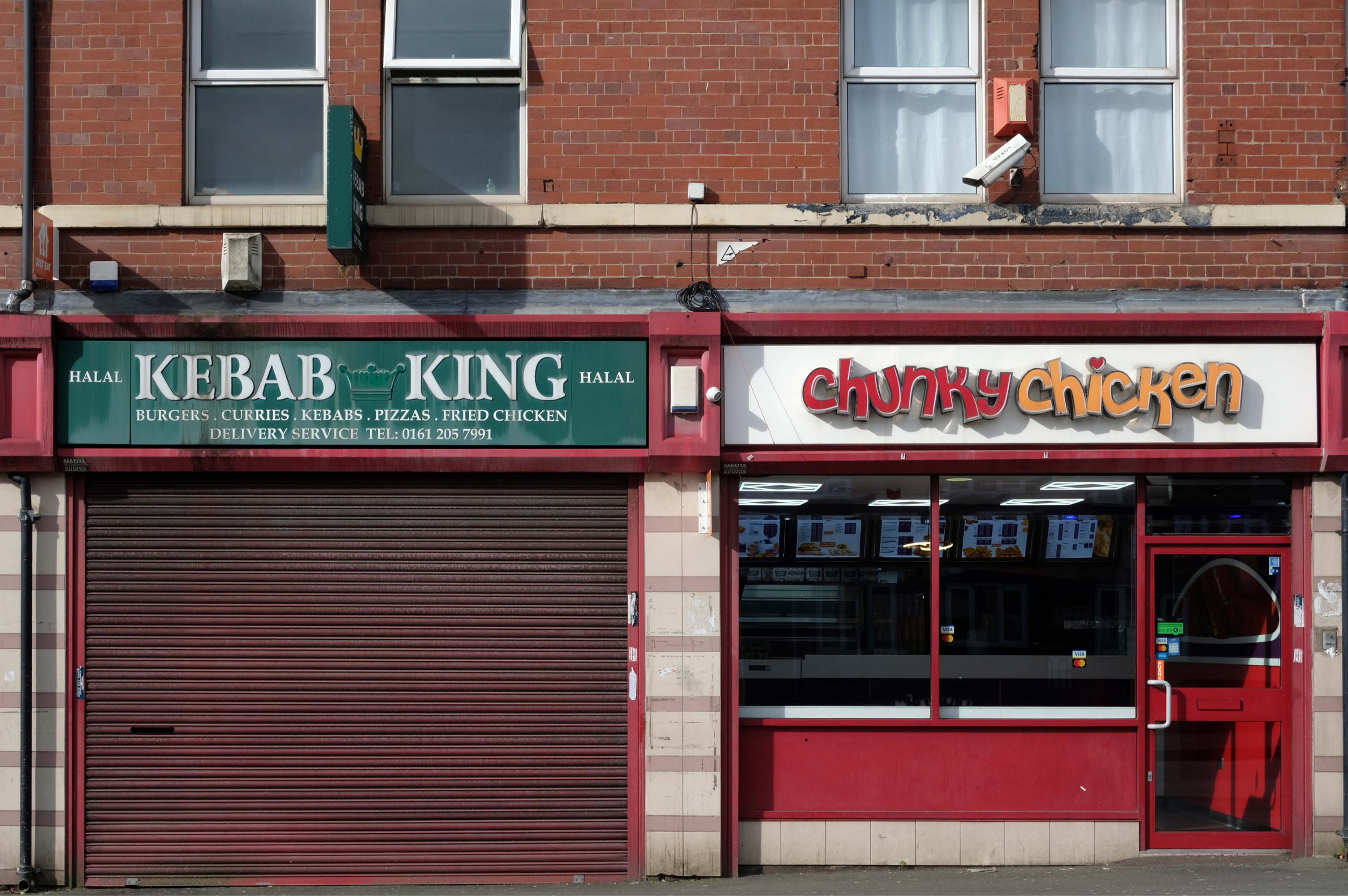
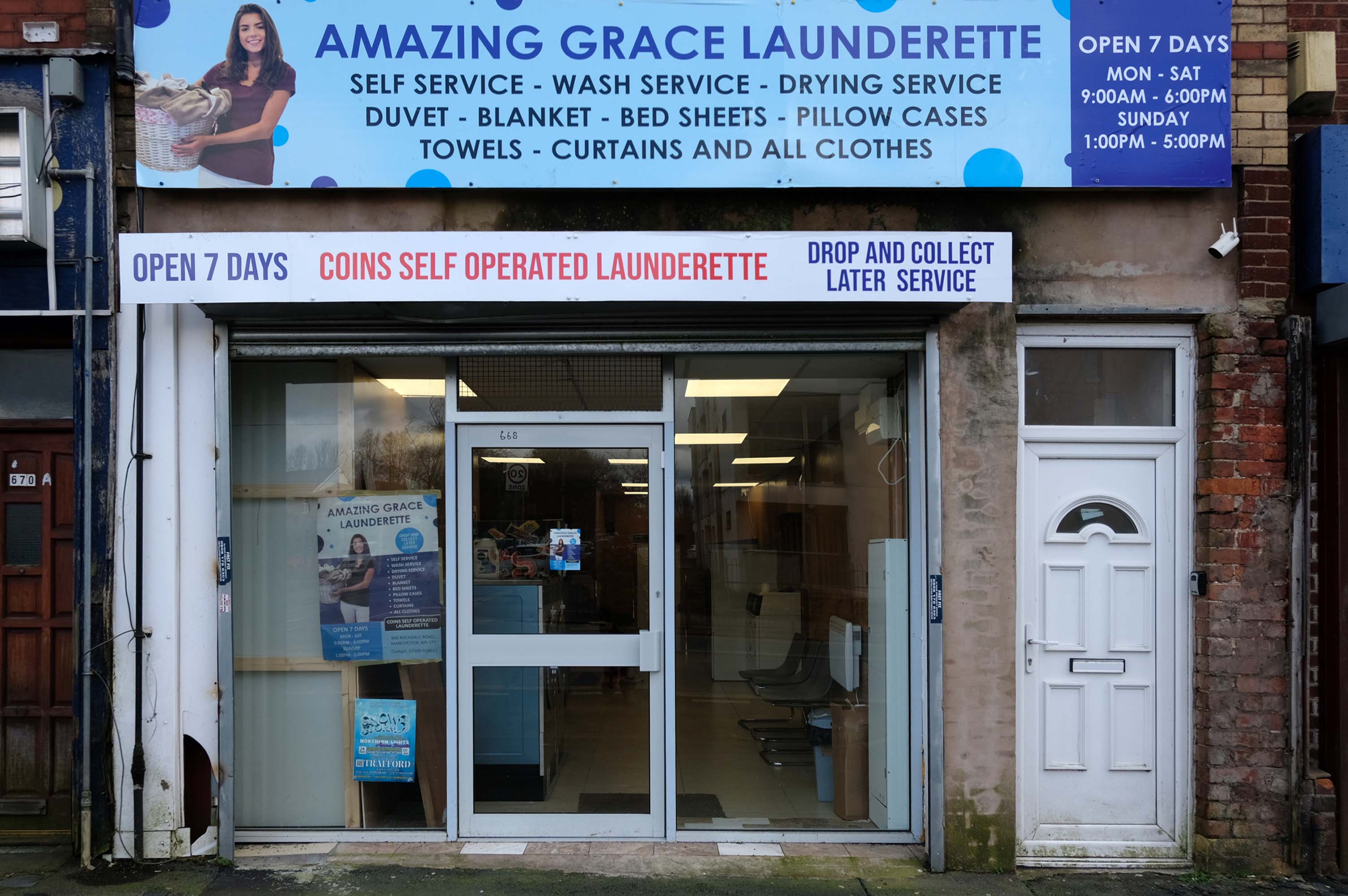

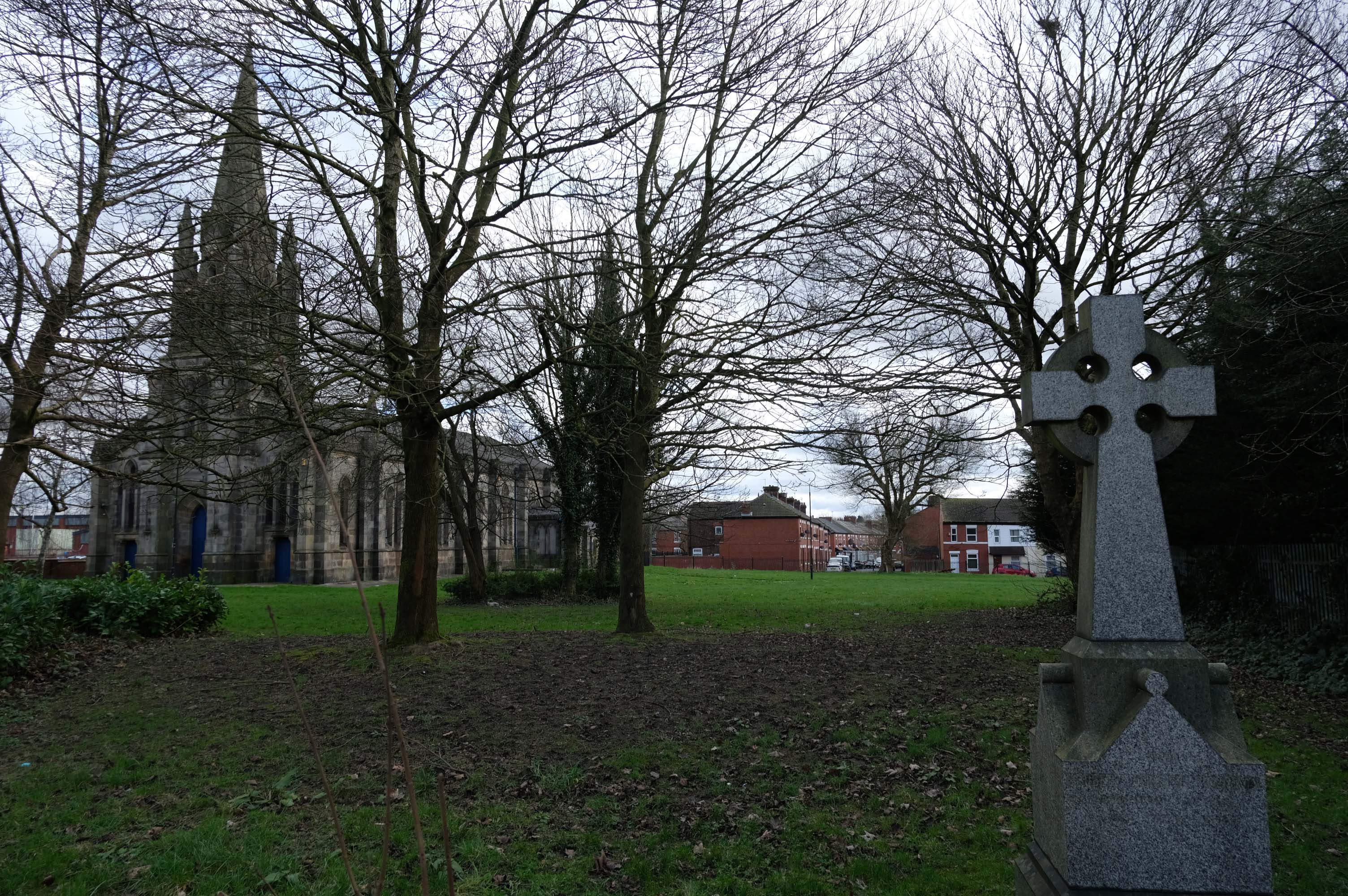









Pleasant Street Harpurhey M9 5XZ

Walking along Rochdale Road yesterday, I was suddenly arrested by the Pleasant Street street sign.
Having already been suddenly arrested last week, by the Bland Close street sign.
With my expectations defined by the above definition, I ventured along the street in search of happy satisfaction.
Coincidentally – The 18th century entrepreneur Josiah Wedgwood pioneered many of the marketing strategies used today, including the satisfaction or you money back guarantee, on the entire range of his pottery products. The money-back guarantee was also a major tool of early US mail order sales pioneers in the United States such as Richard Sears and Powel Crosley Jr. to win the confidence of consumers.
It is also a top tune by Harold Melvin and the Bluenotes!

In 1958 the street looked just like this:

Photo – L Kaye
Whilst ten tears later it looked just like this:


Photos – LH Price
Manchester Local Image Collection
However at someone between 1968 and 2024 the housing had been cleared away – also missing in action is the Golden Lion pub adjoining Pleasant Street on Rochdale Road.
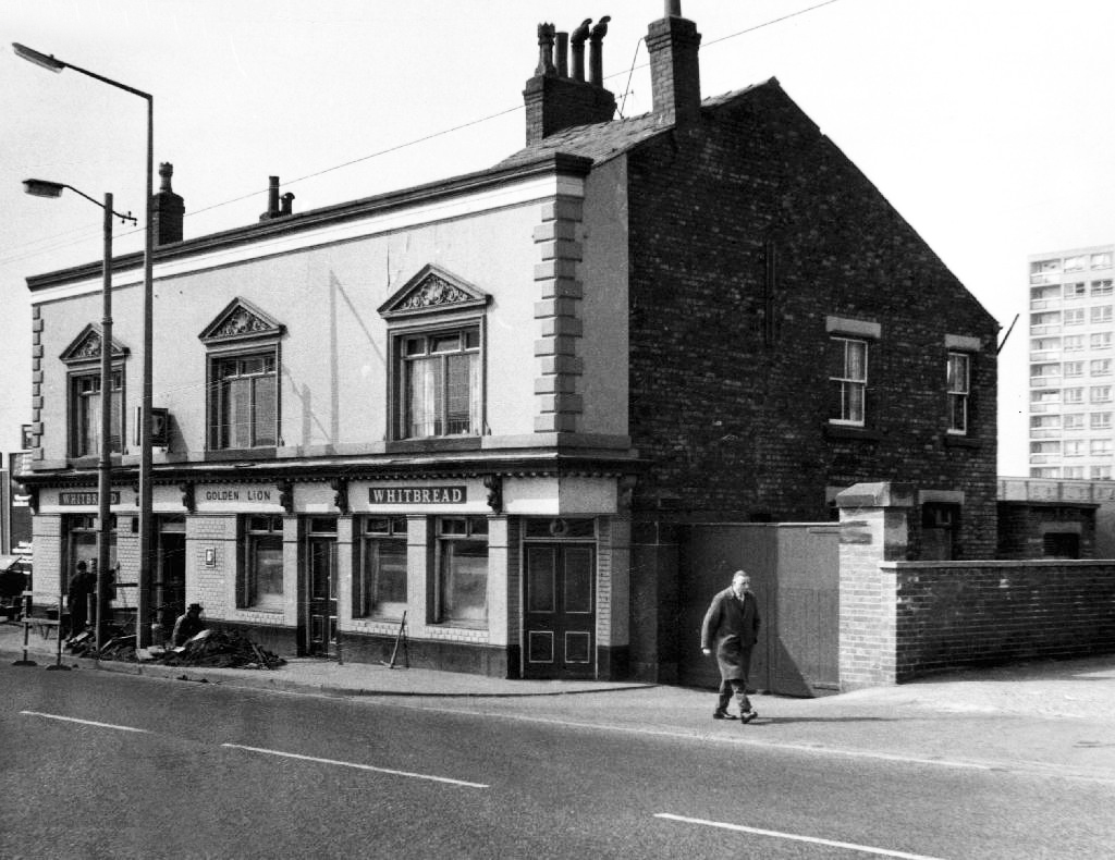
The Golden Lion was a proper old pub on the very busy rochdale road in the Harpurhey area of Manchester. Once inside there was a decent lounge and a basic bar i had a drink in the lounge and this was quite a comfy room.
This pub was a Whitbread tied house and there were two real ales on the bar I had a drink of Chesters bitter and this was a nice drink the other beer was Chesters mild. I thought this was quite a nice pub but sadly this pub has now been pulled down in the name of progress.
Alan Winfield – 1992
So here we are here today – yesterday has long gone and tomorrow never knows no how.
What’s left to see?
Manchester Hand Car Wash


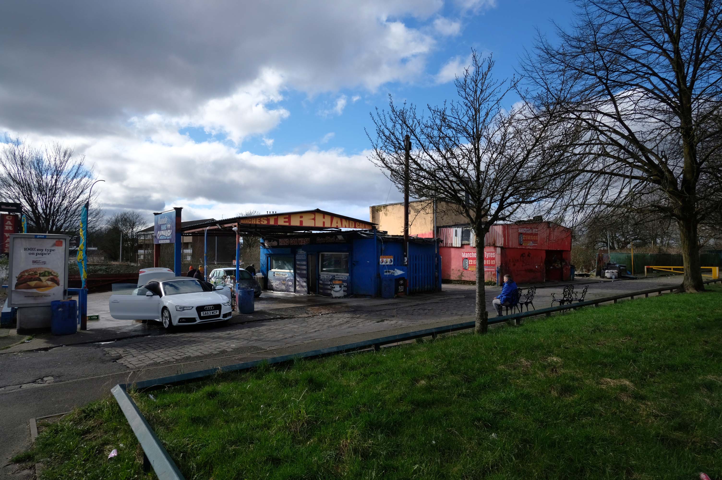
Manchester Tyres

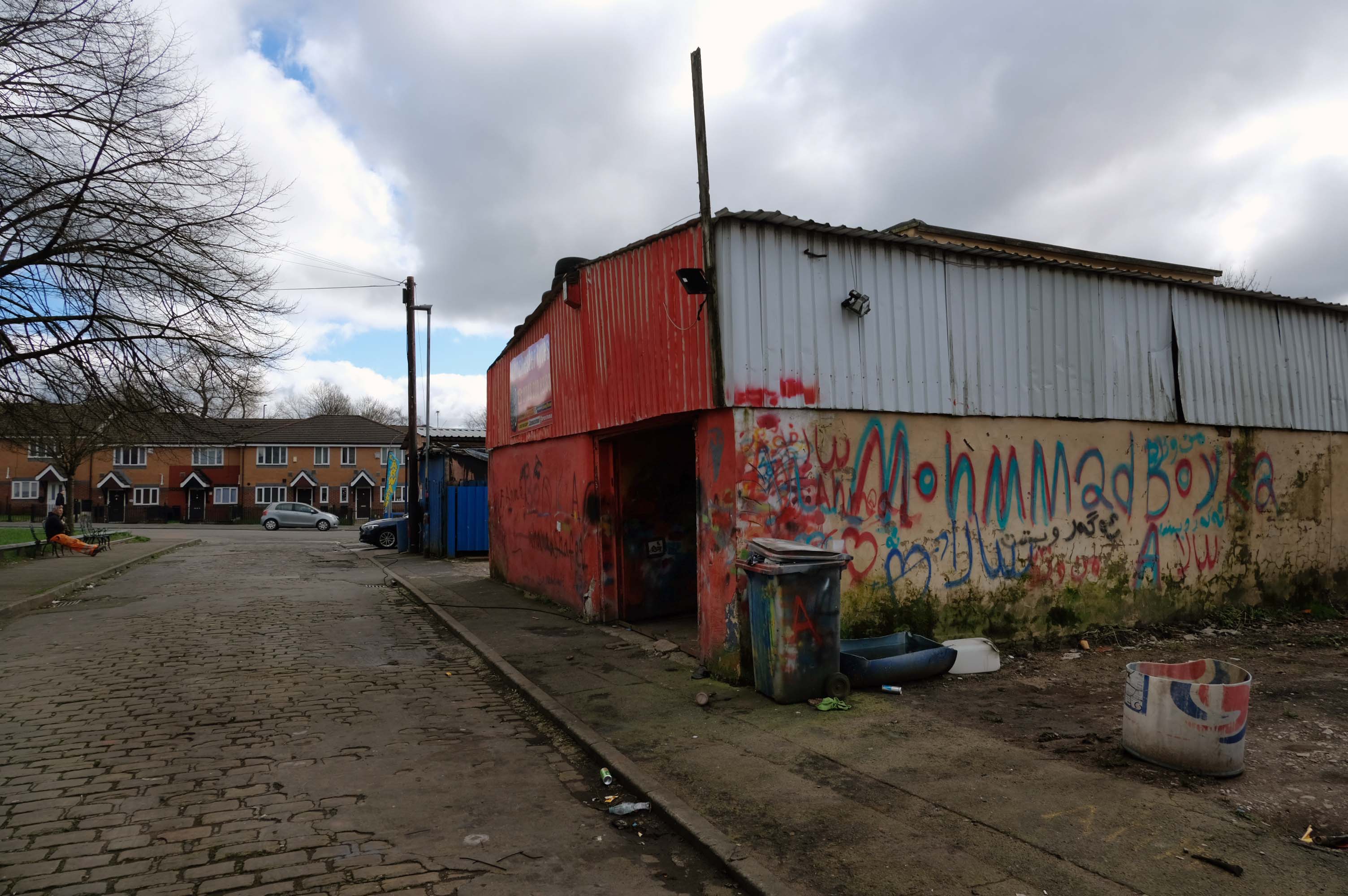
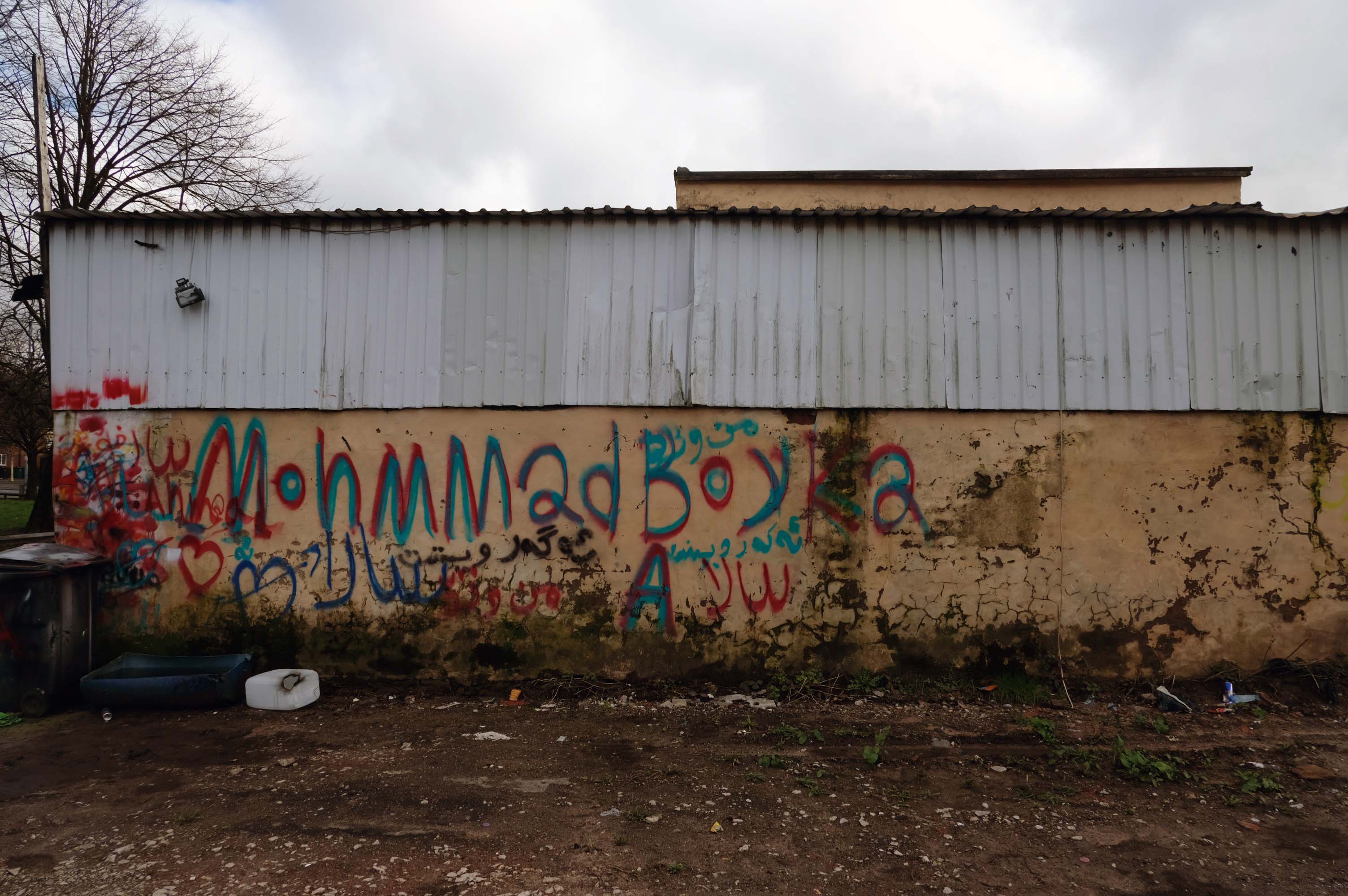

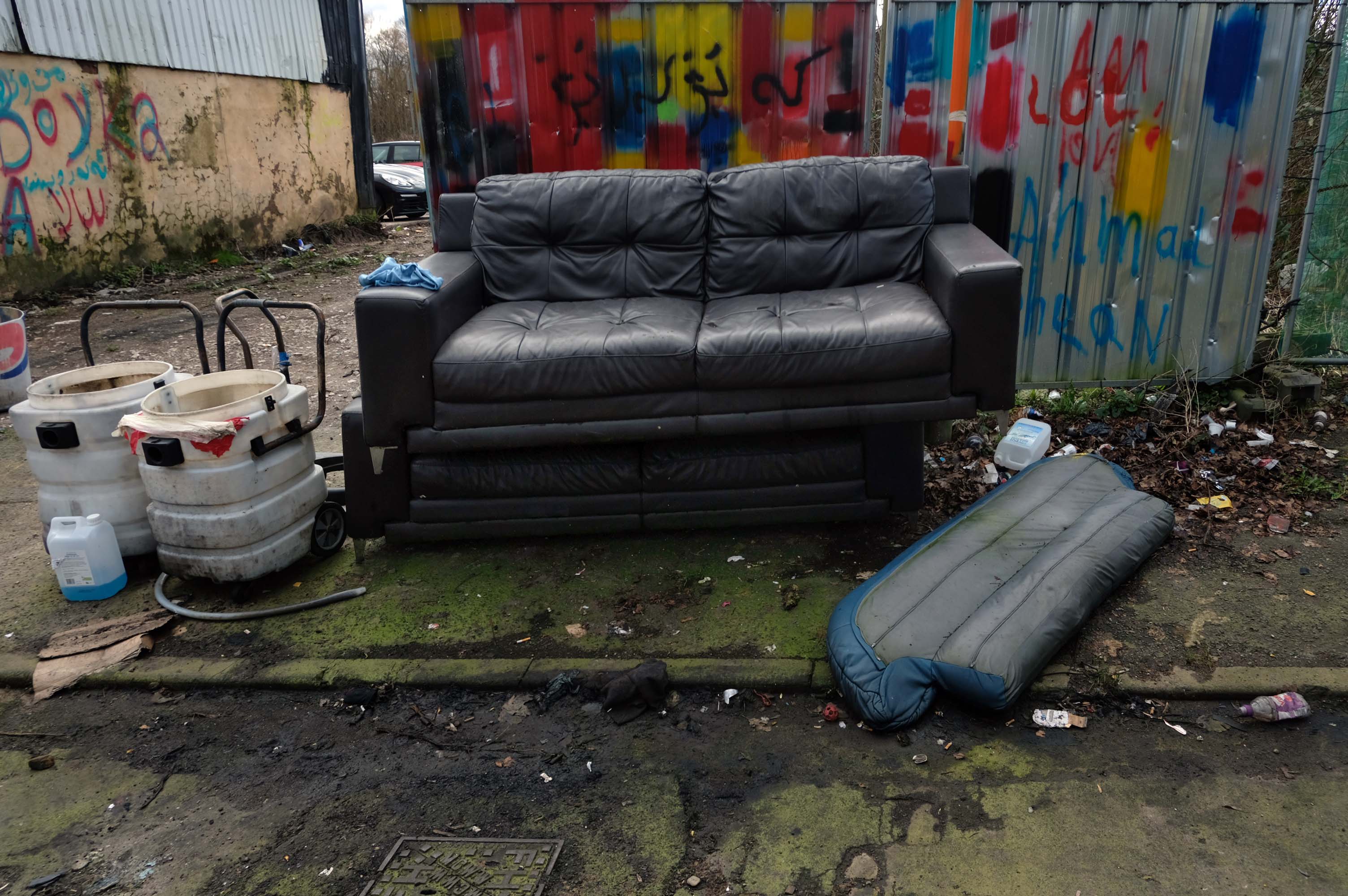
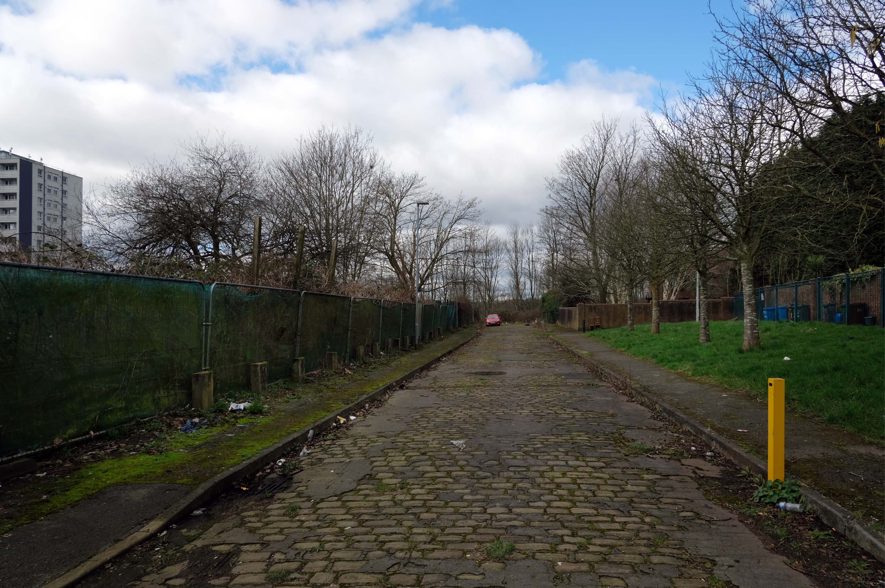


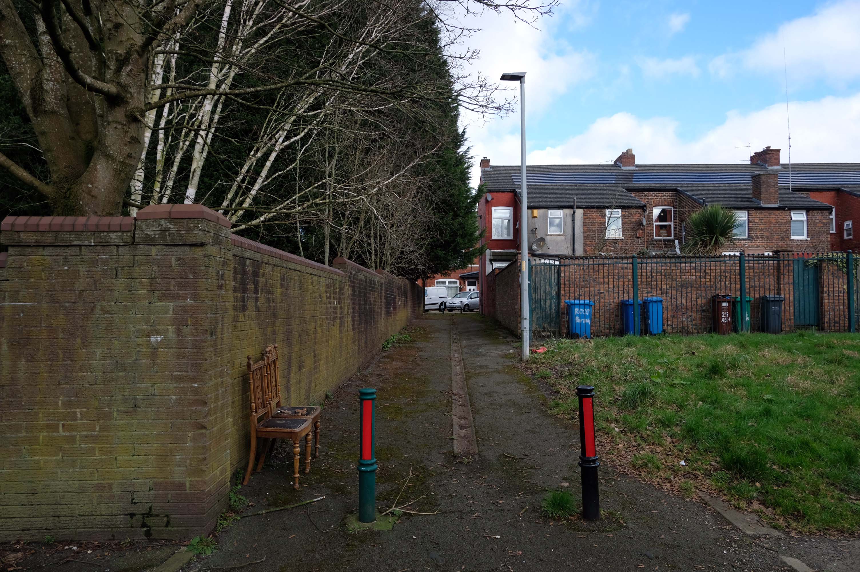
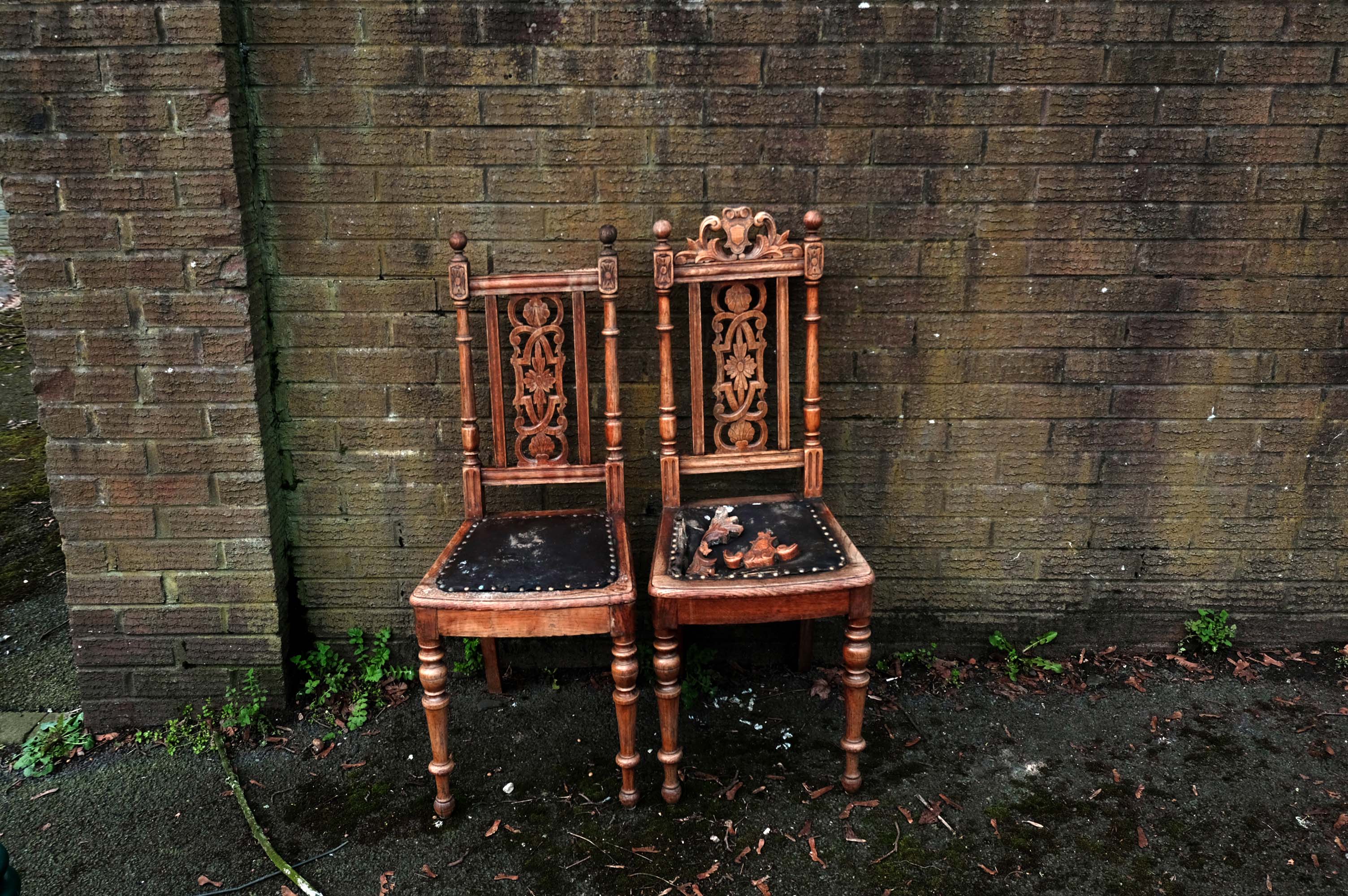


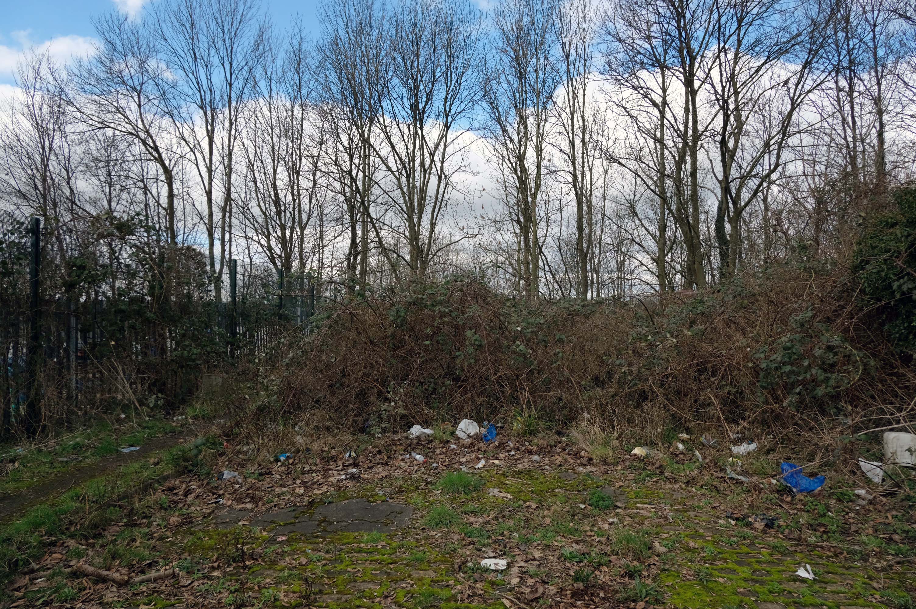
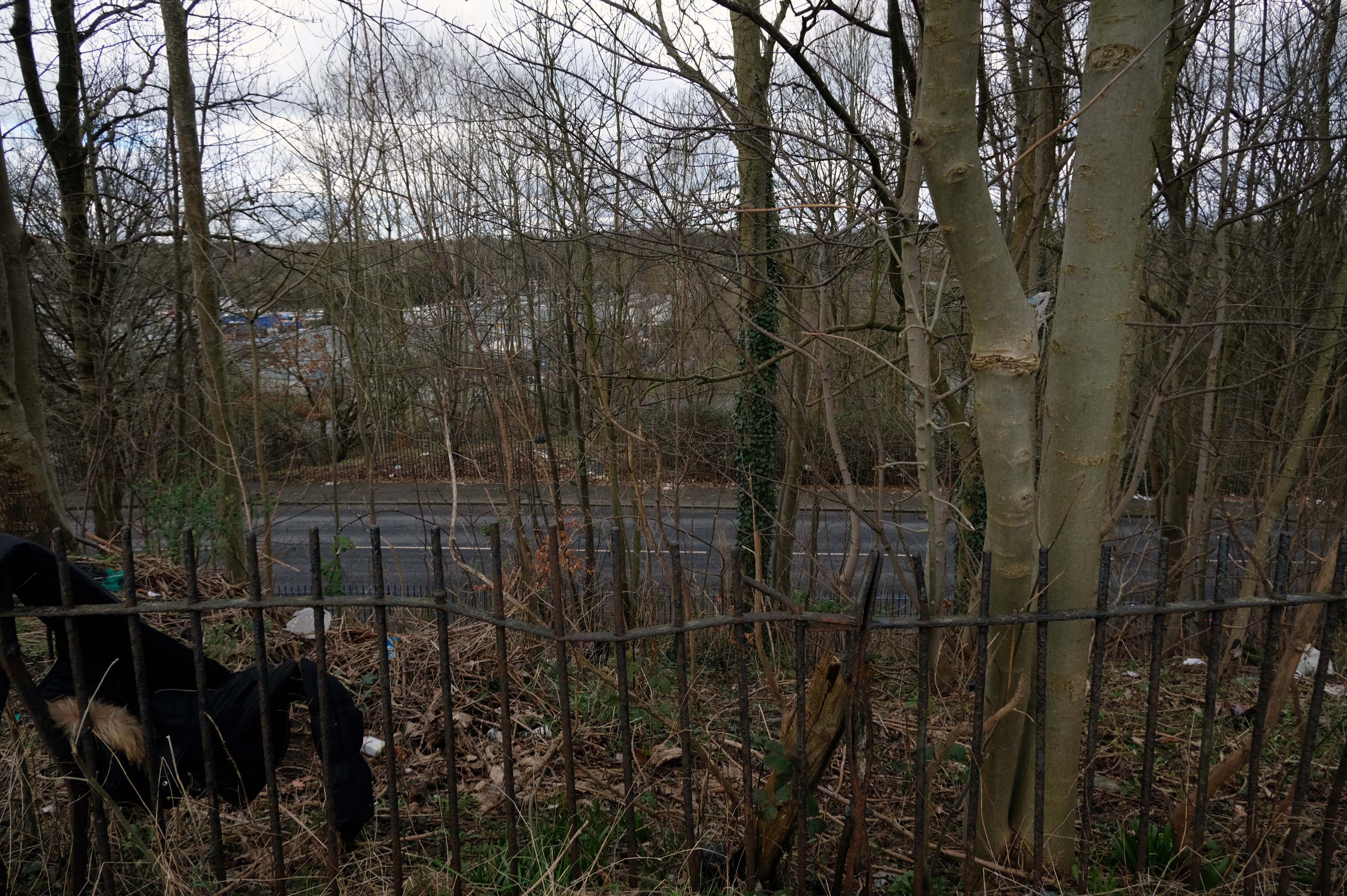
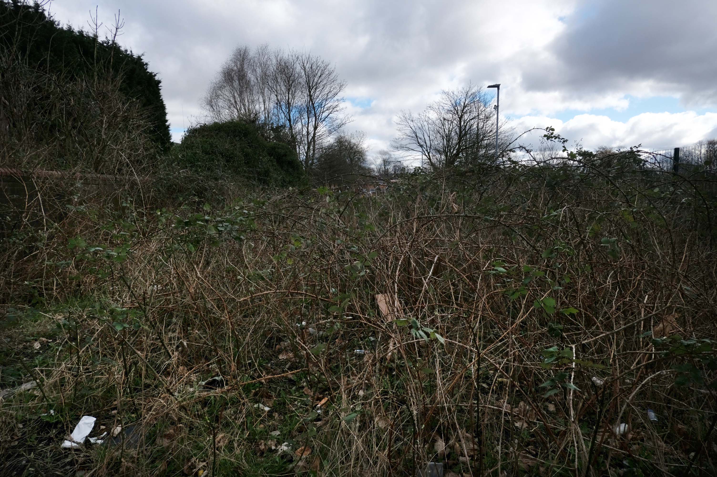


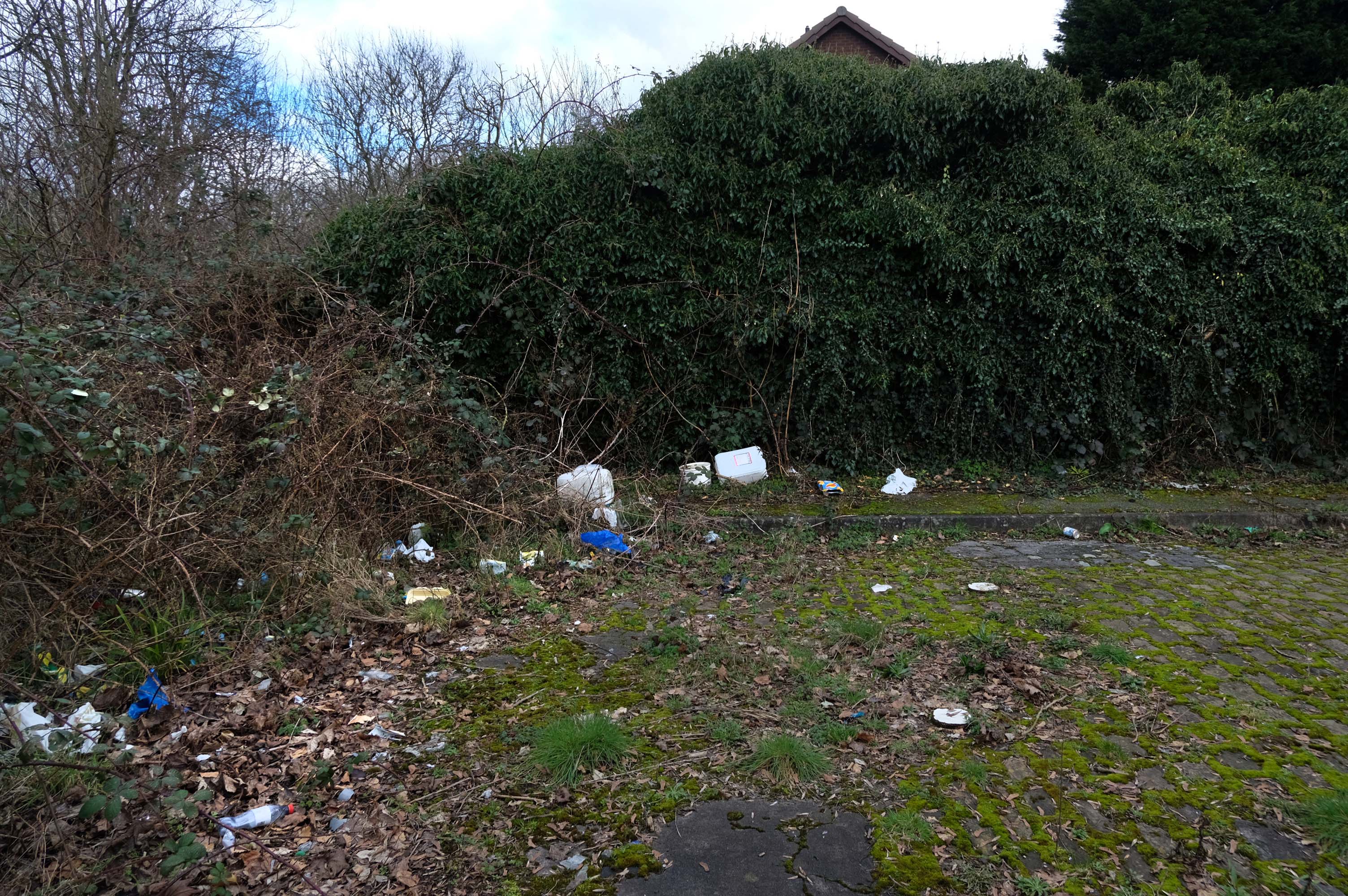


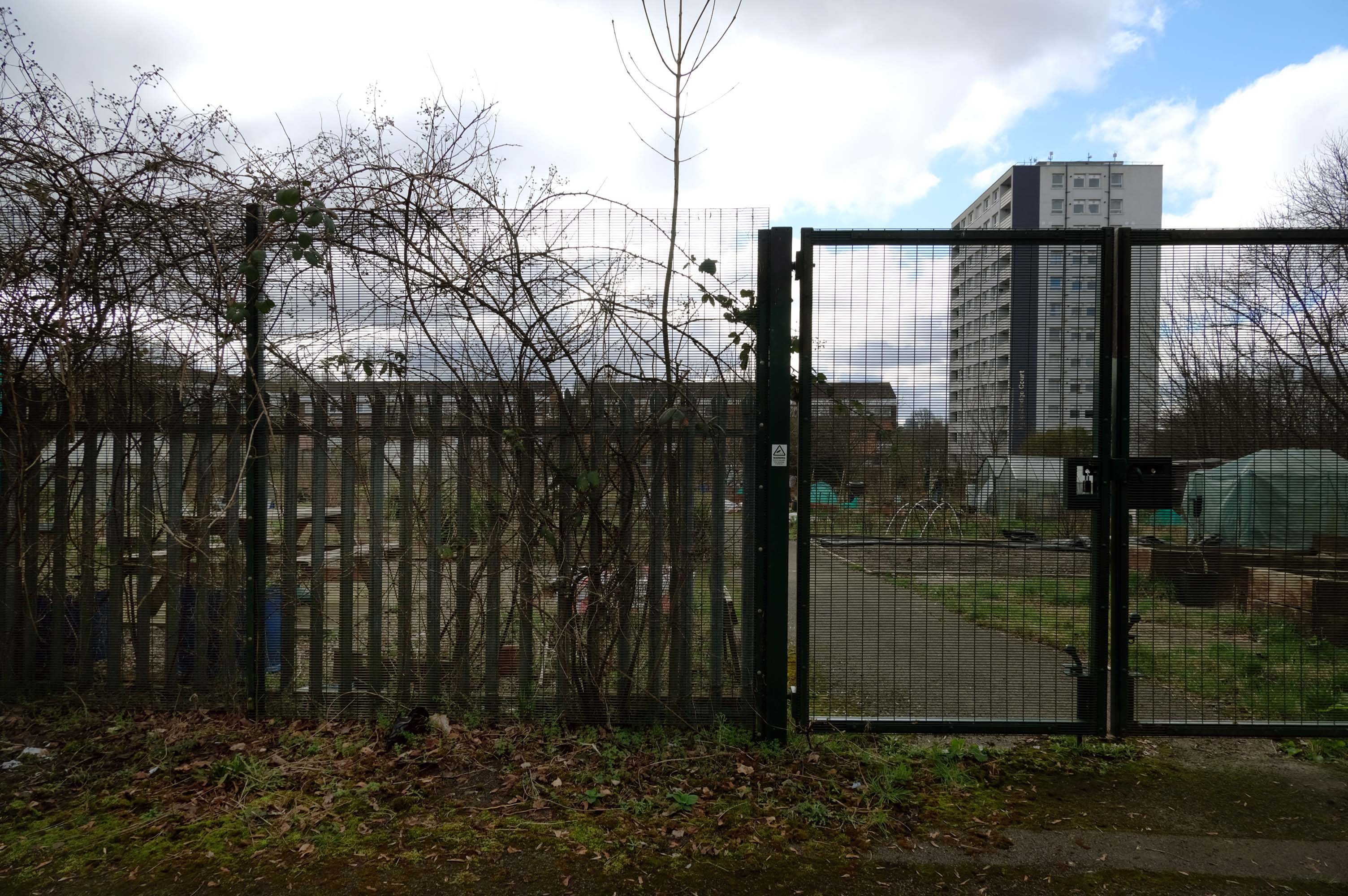
Pleasant Street Allotments
The allotments have had issues with fly tipping back in 2021.
There is now a lockable barrier in place on the cobbled cul-de-sac.

Photo – Howard Bristol
It is understood that the heaps of rubbish, including bin bags full of waste and unwanted wood and cardboard, have been growing in recent weeks.
Howard Bristol, the Secretary of the Pleasant Street allotments committee, said the situation has been ongoing for some time but has worsened since the removal of nearby CCTV cameras.
He told the Evening News that the road has been – piling high with rubbish, and that the area also had issues with the woodland behind the allotments being used for drug dealing during summer.
Pat Karney, councillor for Harpurhey tweeted about the flytipping on Sunday, calling it – unbelievable and disgraceful.

He added that those responsible should be – locked up in Strangeways for a long time, before adding that the council will – get it cleared.
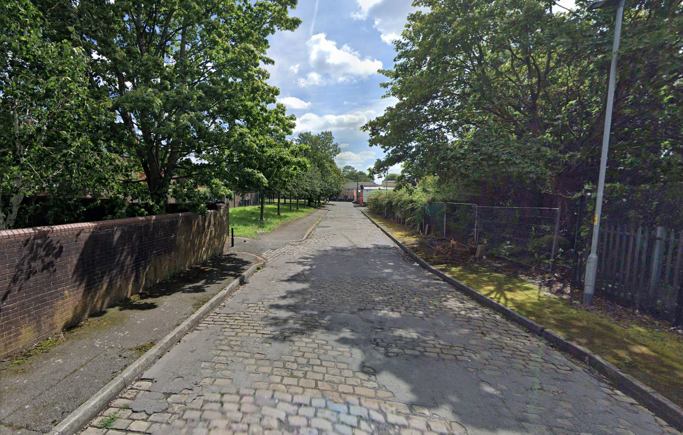
How pleasant is/was Pleasant Street?
Google says wait until there are trees are in leaf and the sun shines in the bright blue sky.
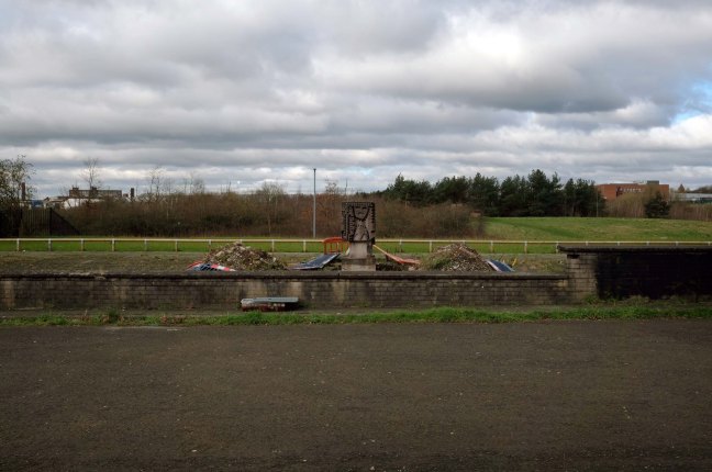
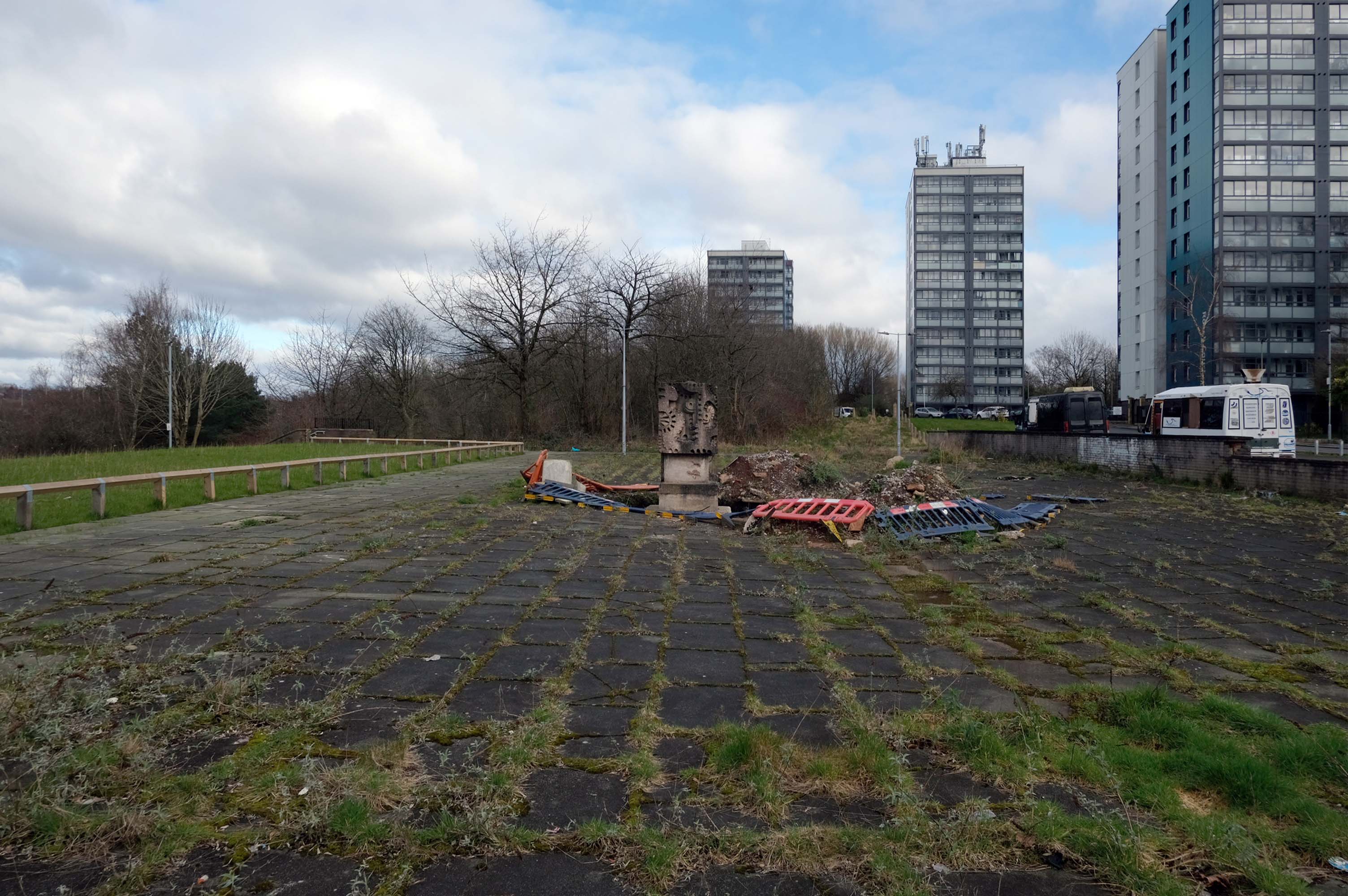
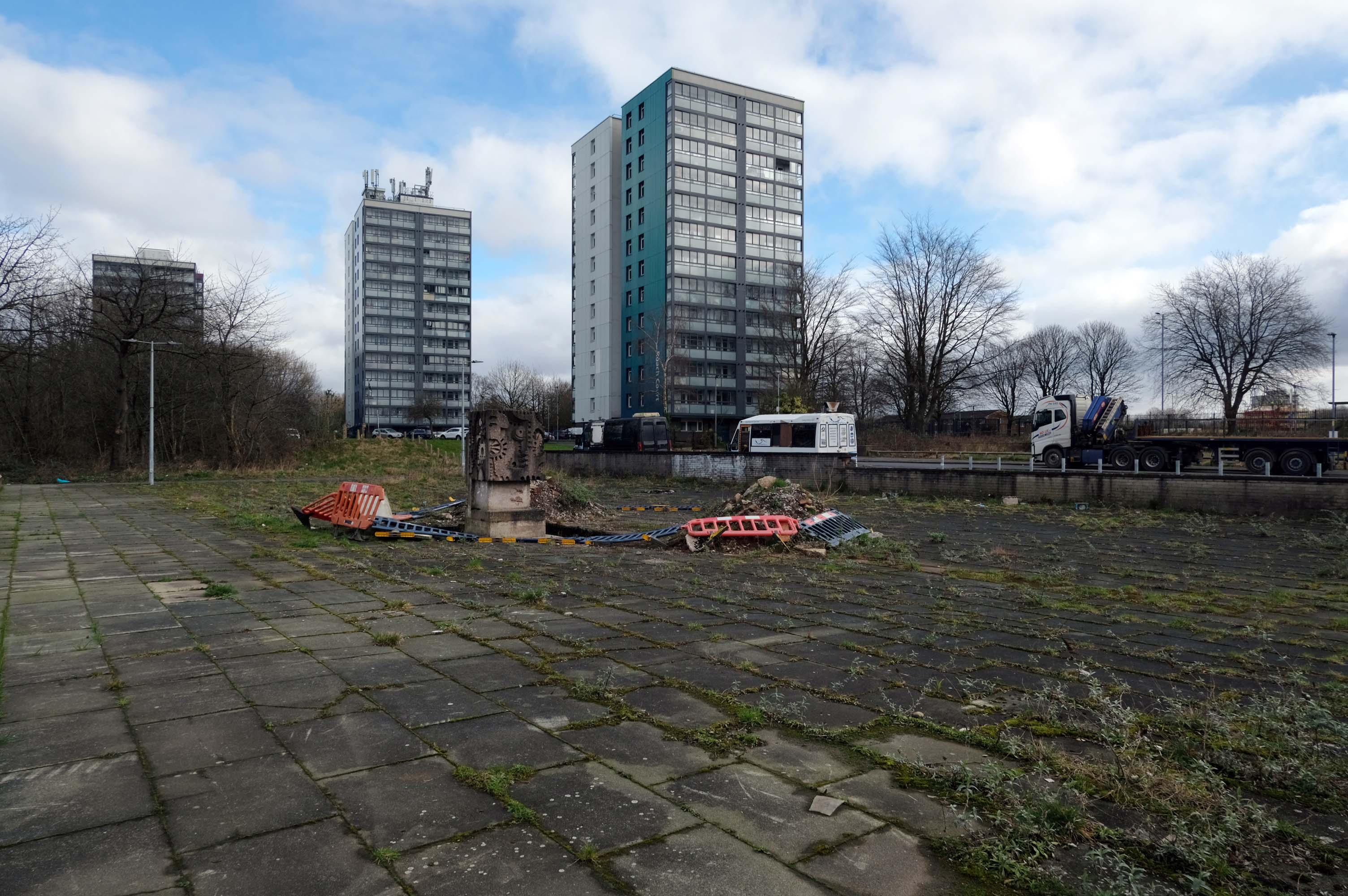
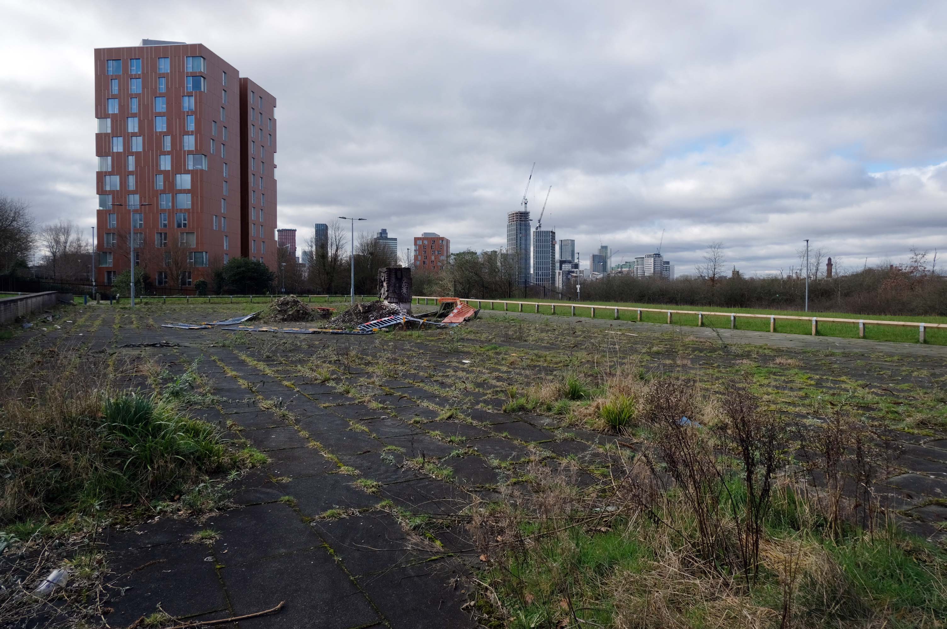
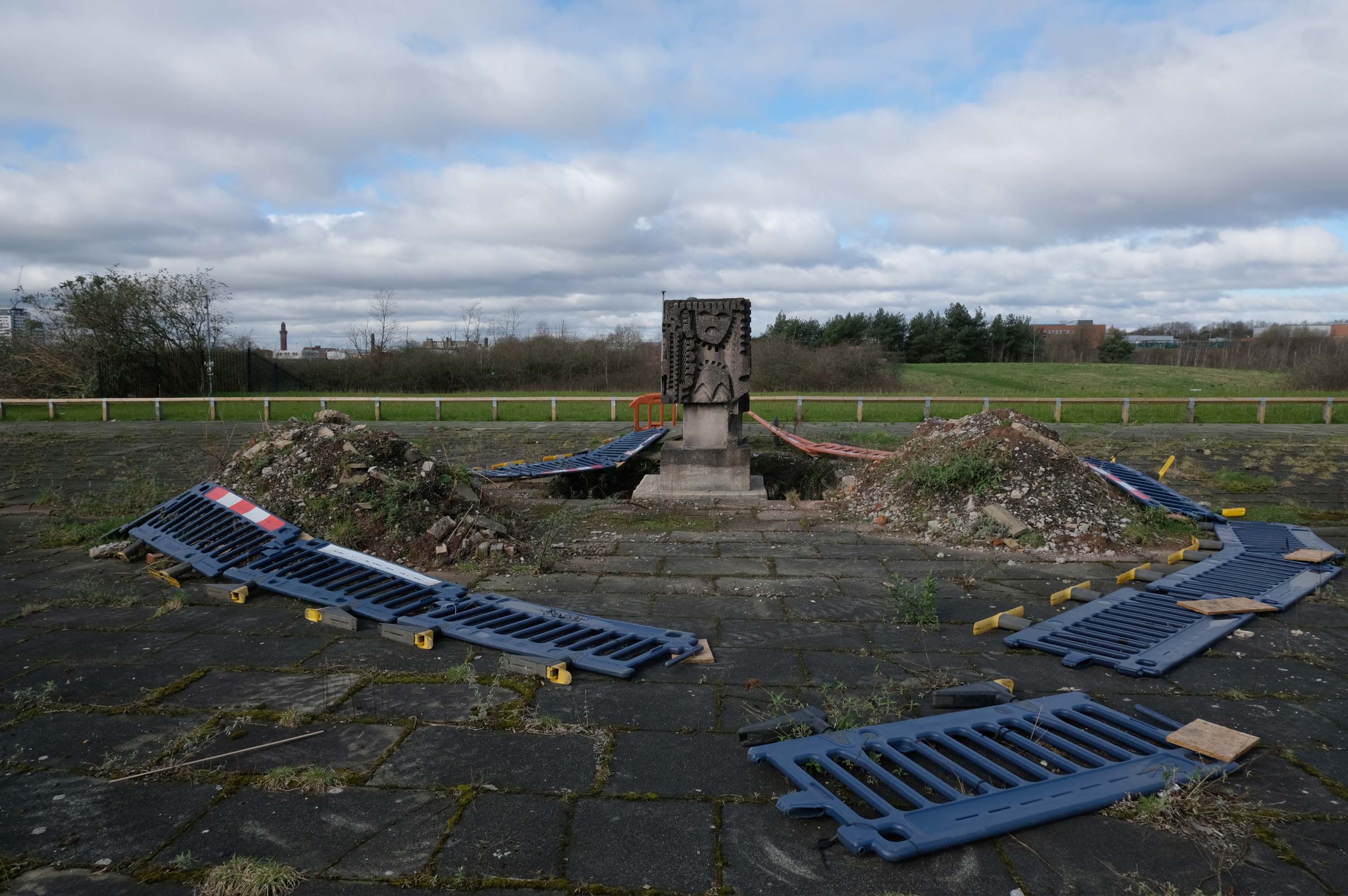
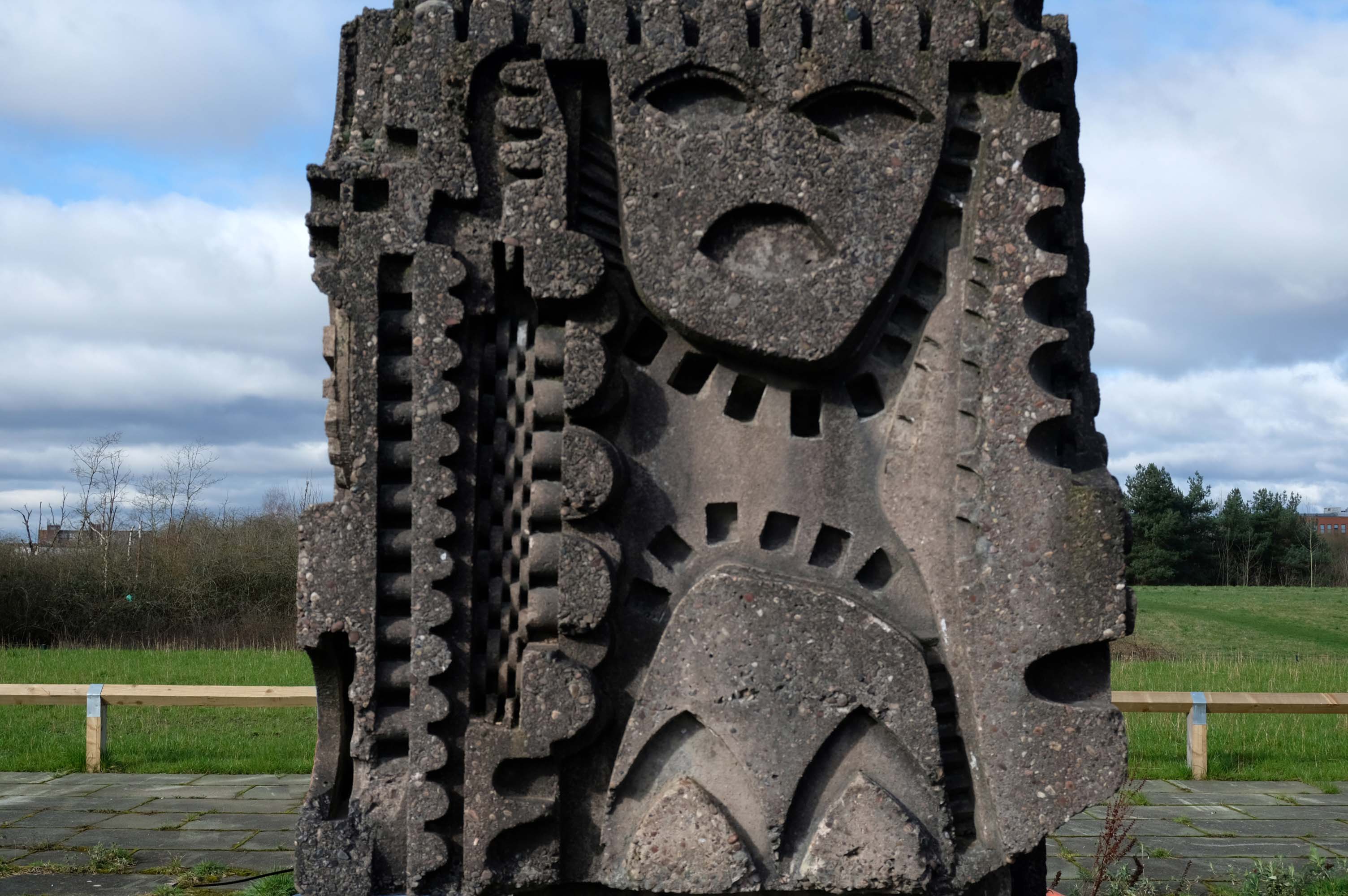
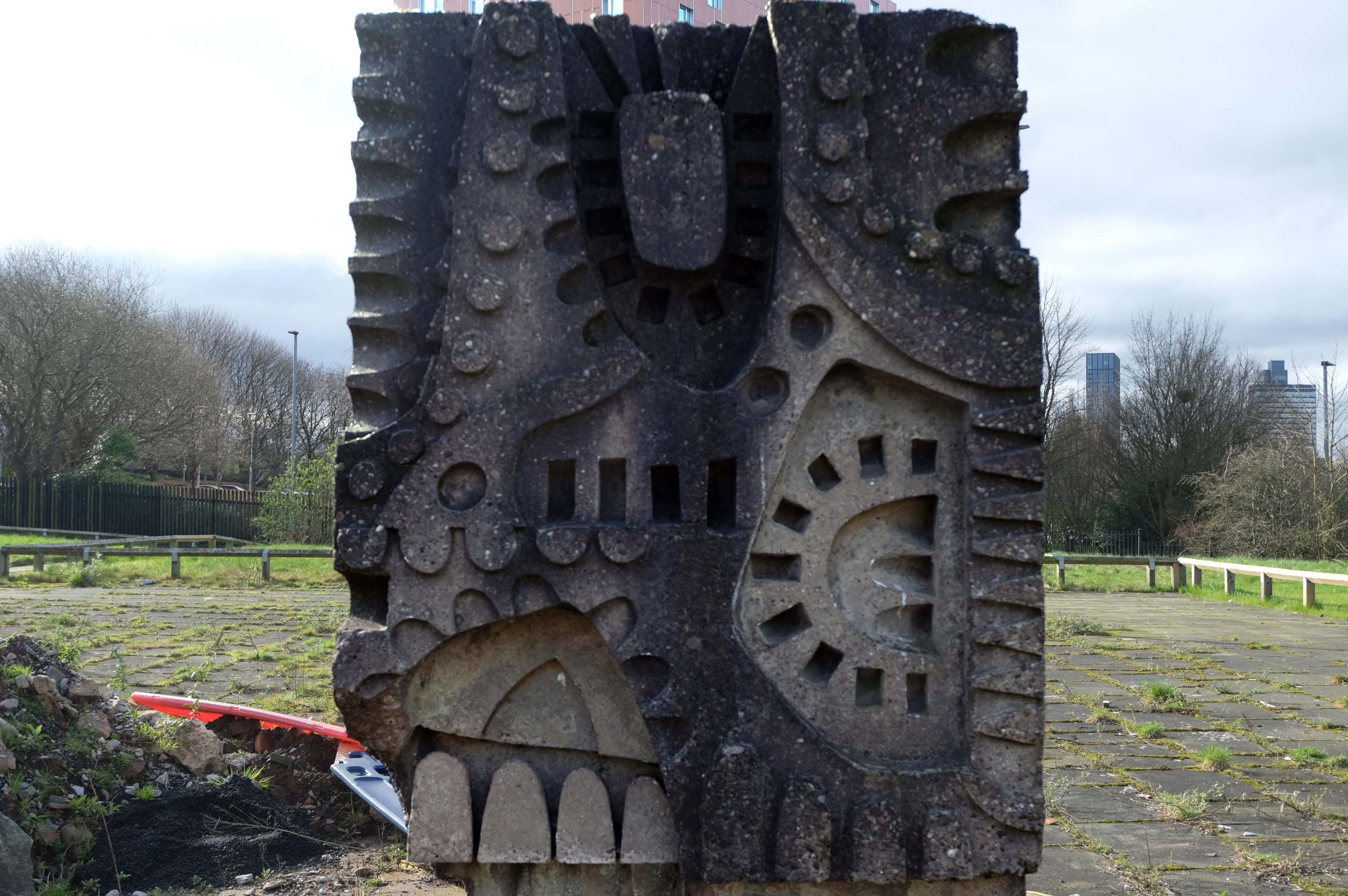
It was 2016 when I first stopped to snap and blog – the shops, homes and William Mitchell concrete sculpture.
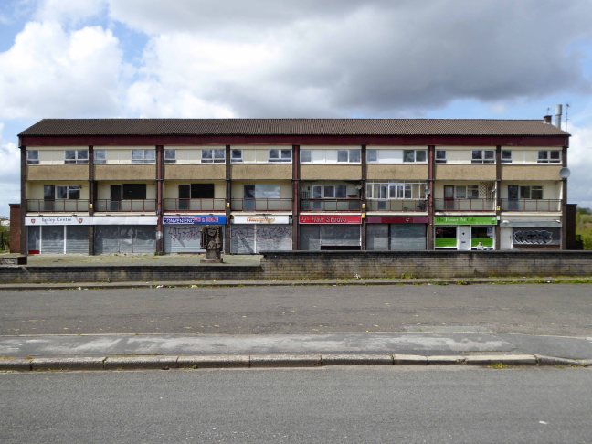
By then the missing housing block was already missing.
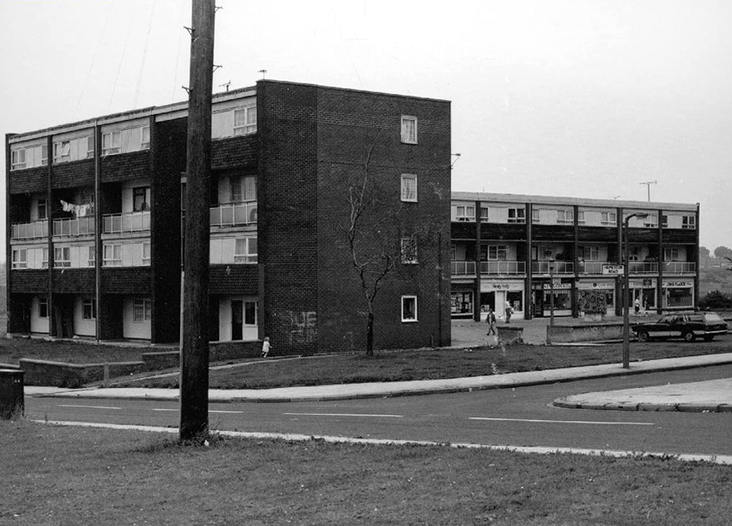
Returning in 2018 the shops are now shut and the homes stand empty.
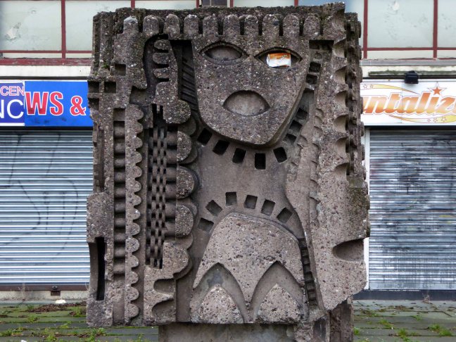
In 2019 there’s still nobody home, but the totem is in place.

In 2020 the undergrowth has grown over the square.
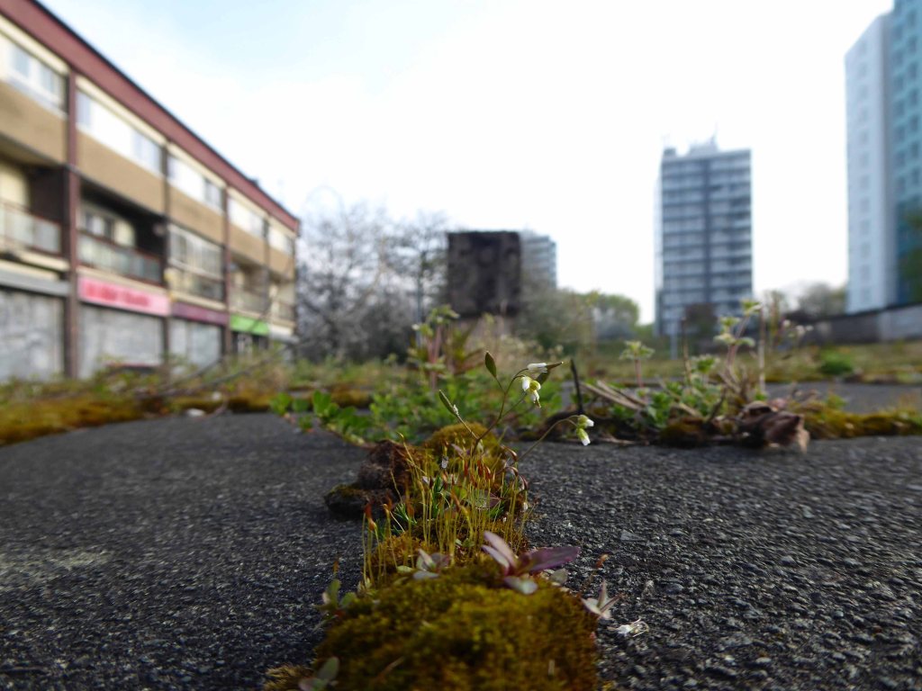
It’s 2021 and stasis is the order of the day.
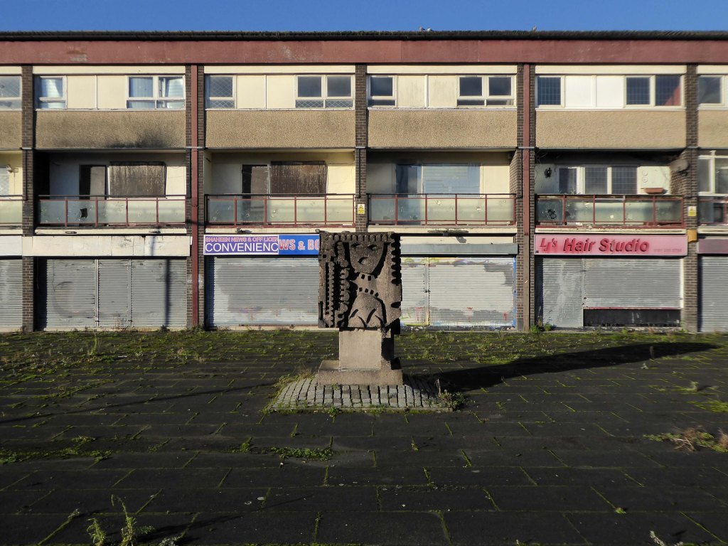
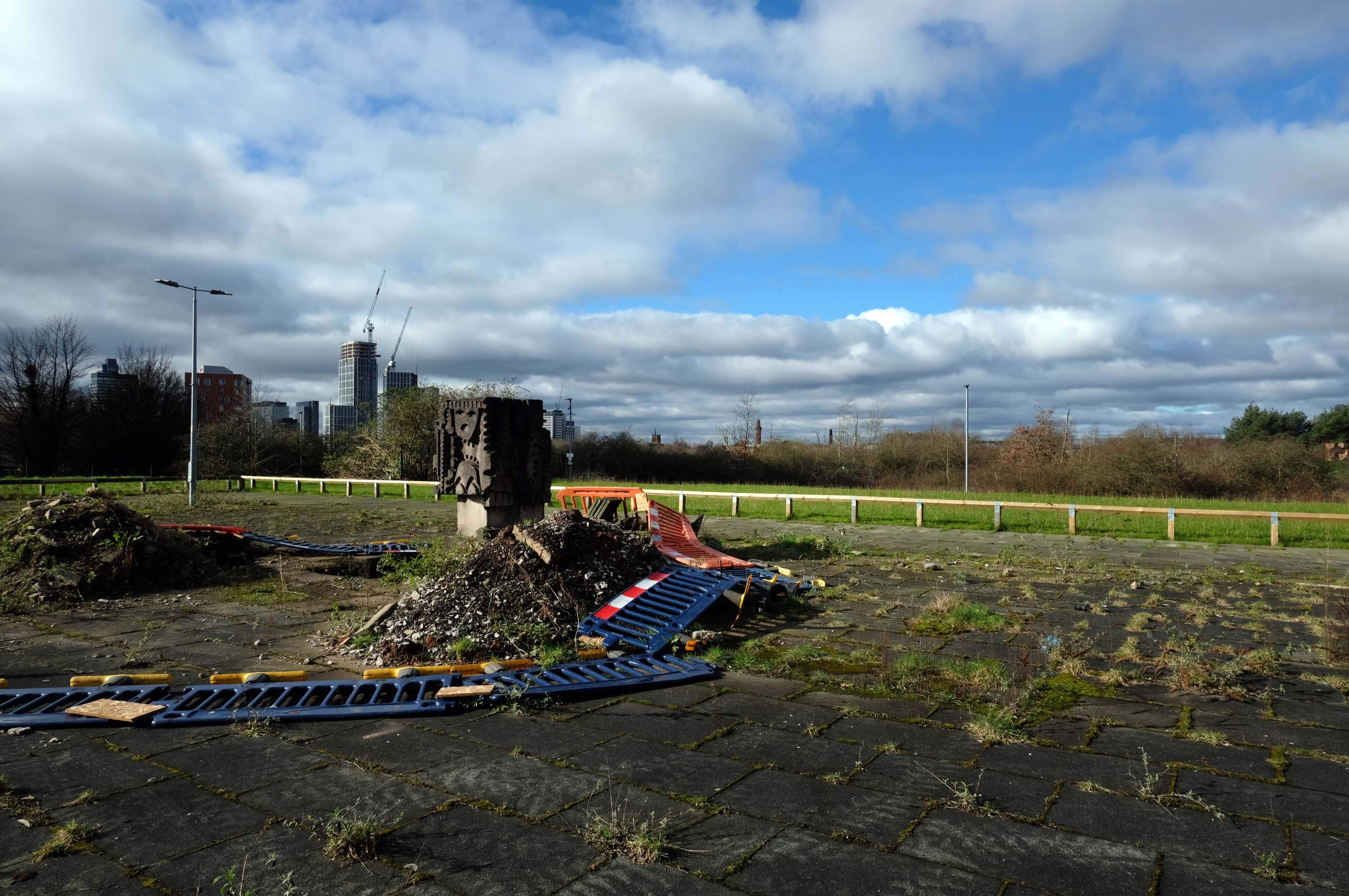
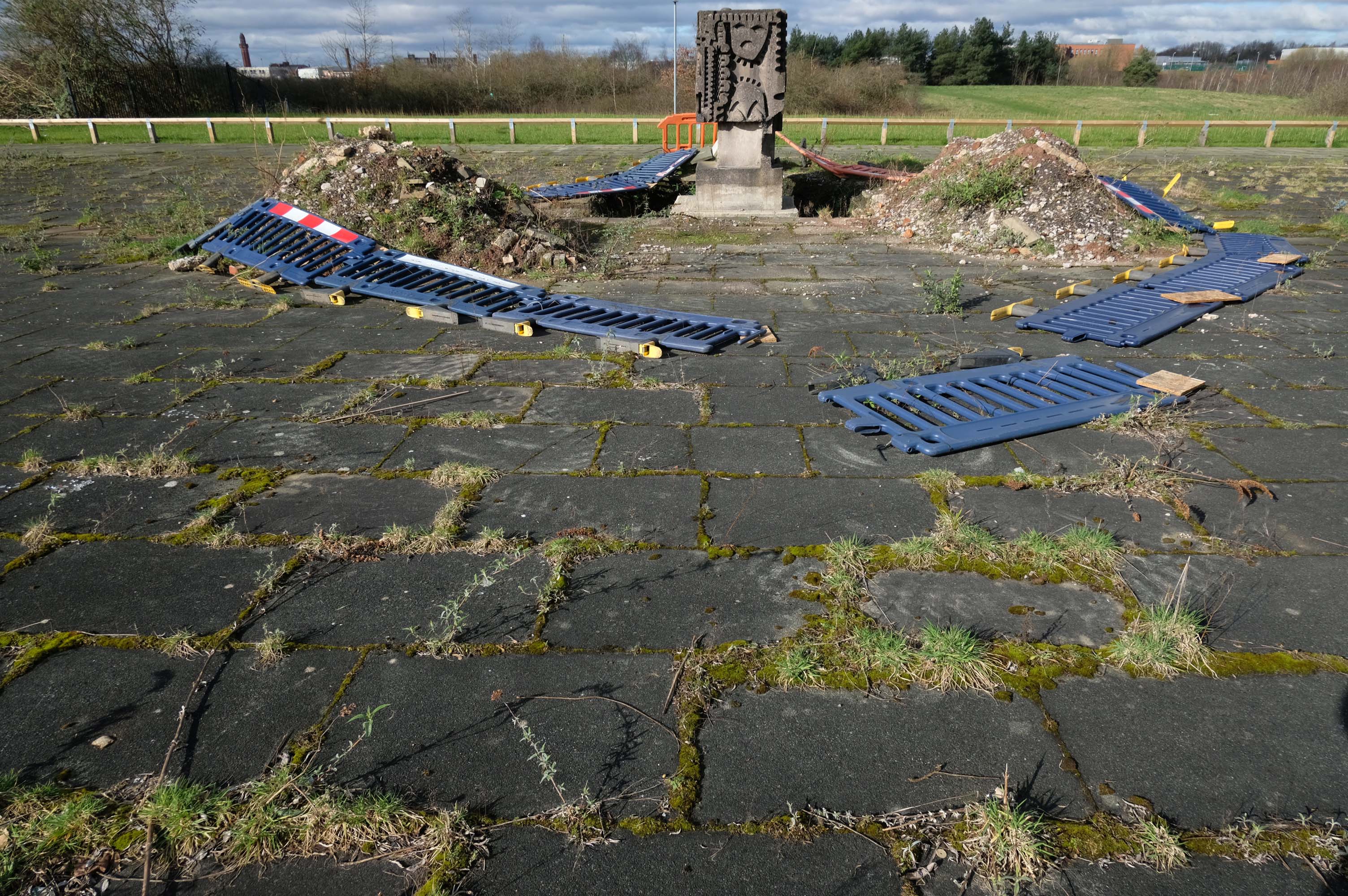
Fast forward to 2023 and the shops and homes are finally demolished – the totem still still in place.
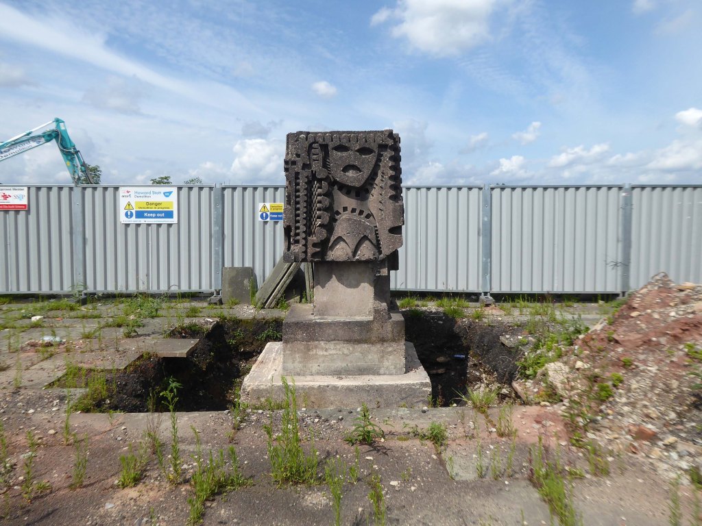
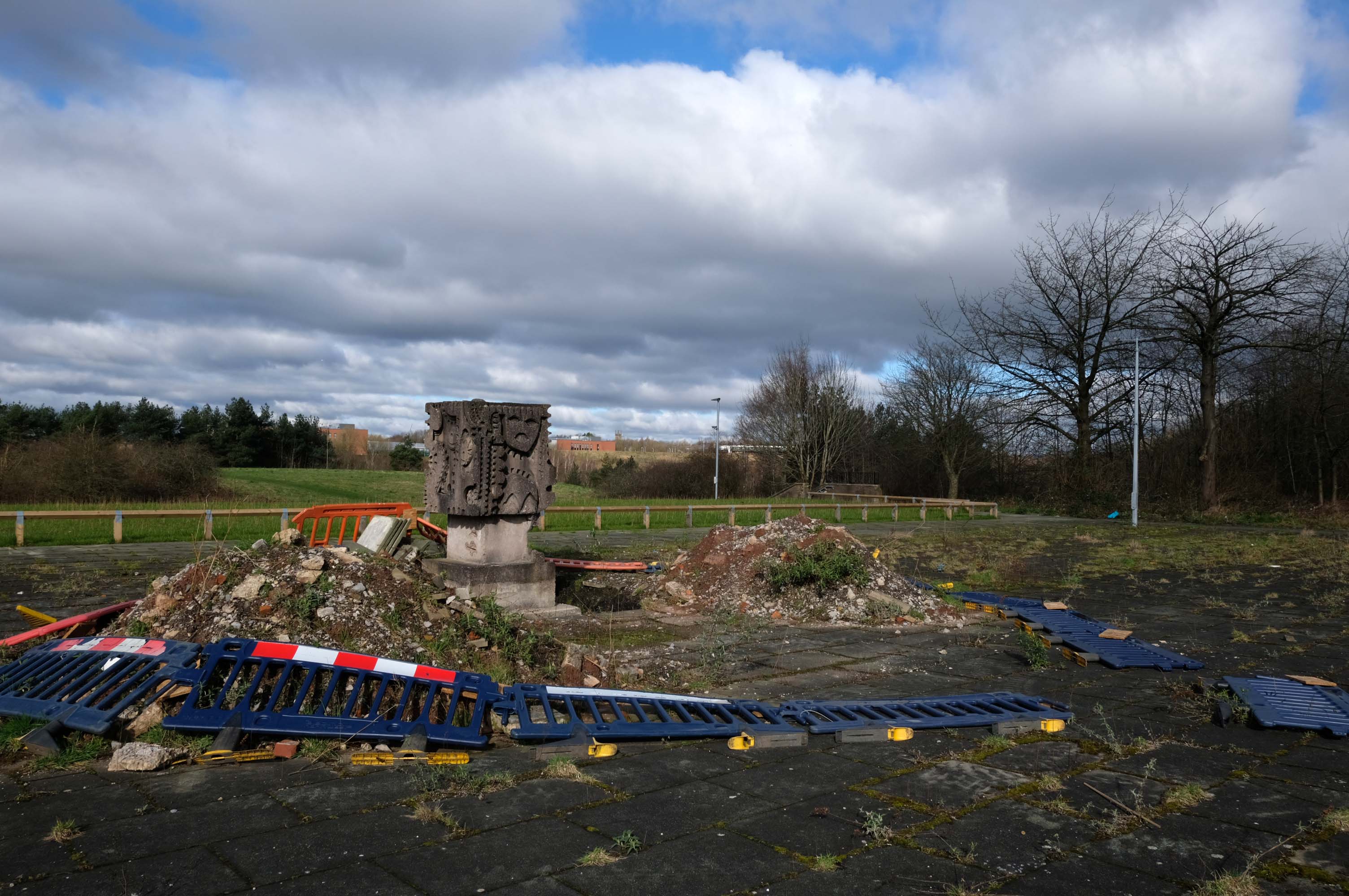
The base has been dug out and the sculpture awaits removal to the adjacent flats.
I was told that one estimate for the job was £120,000 – given its weight and location over railway tunnels.
So as of today today 26th February 2024 – ain’t nothing shaking but the weeds twixt the flags.
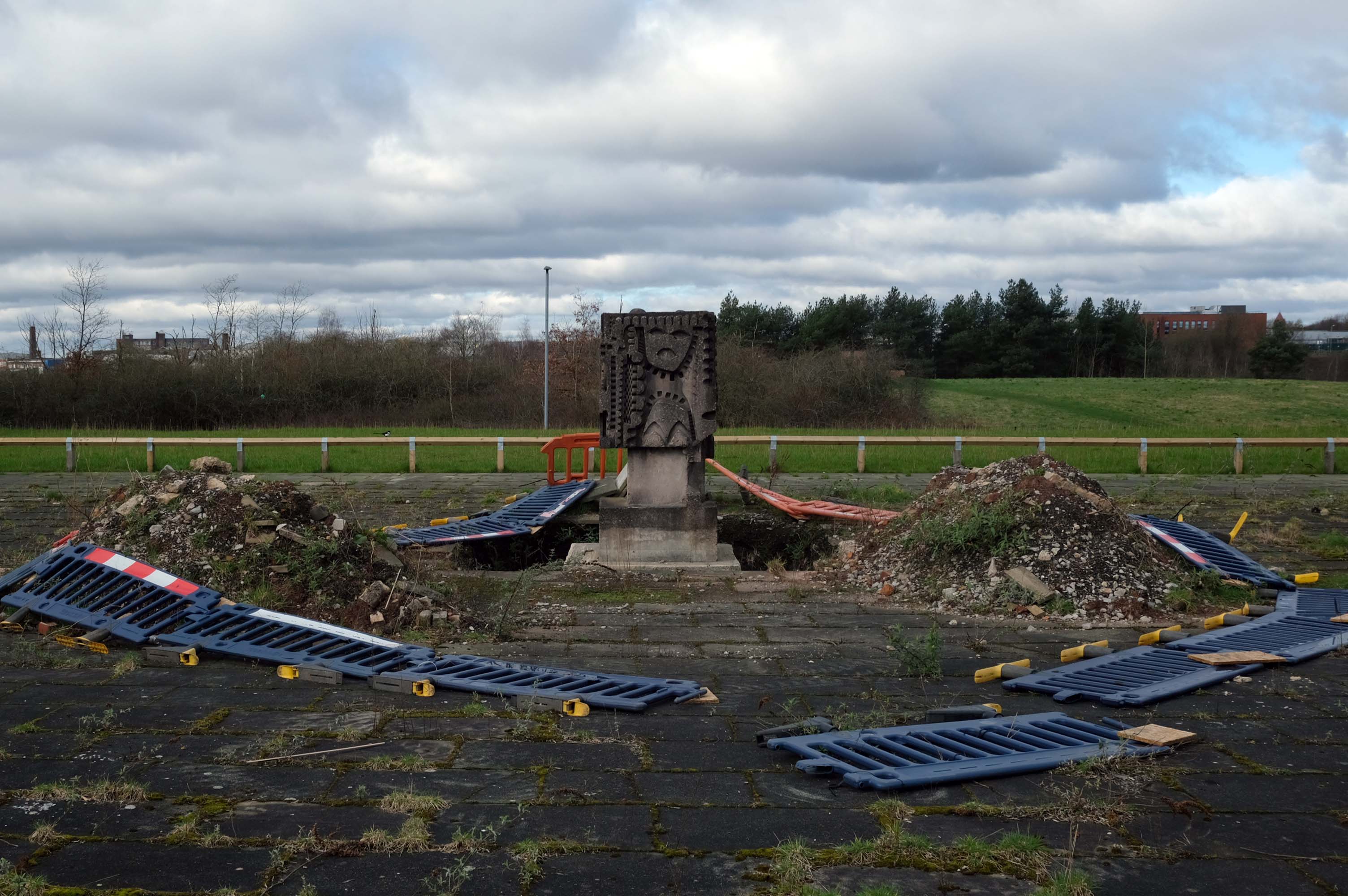
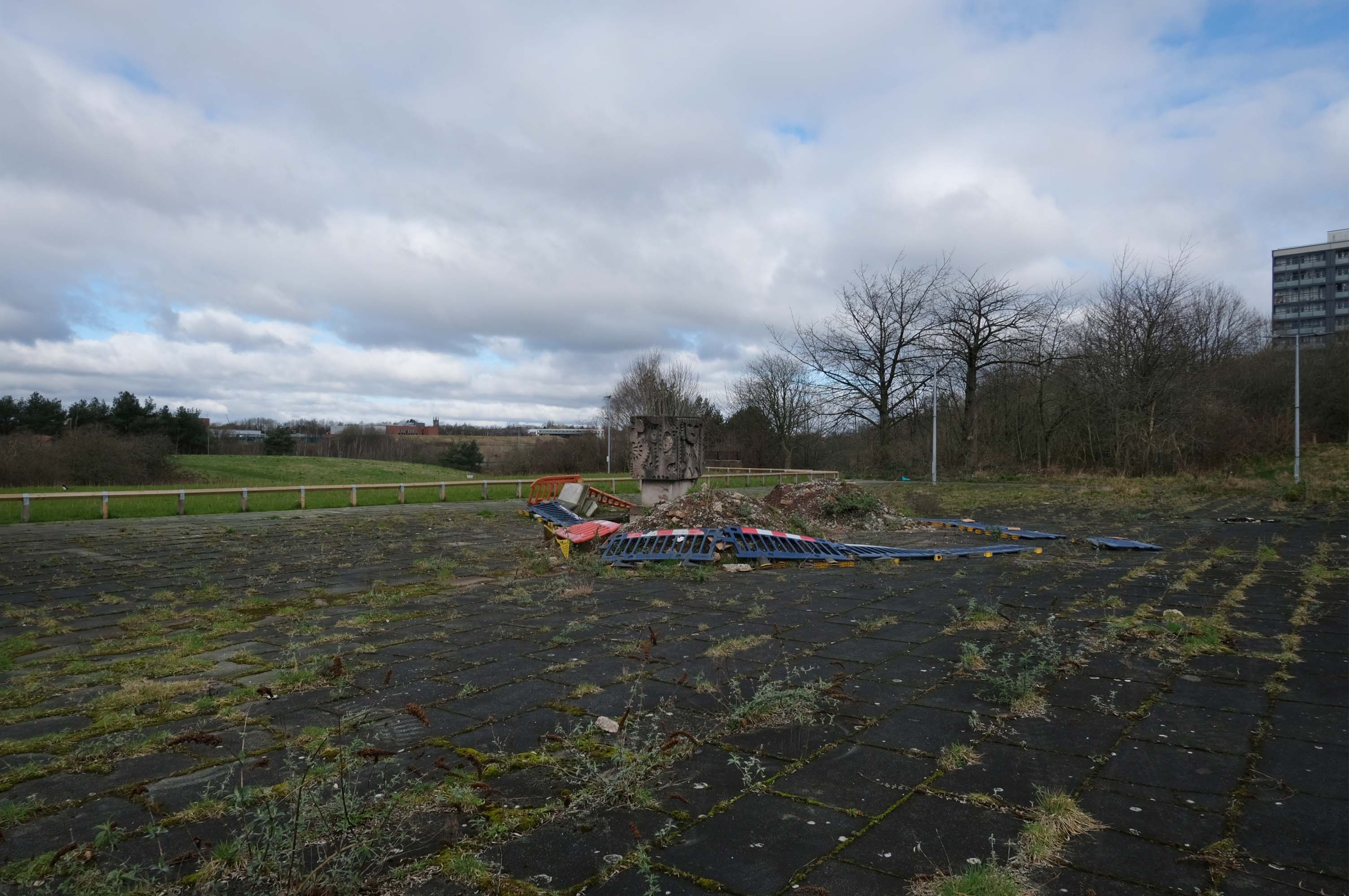


Having photographed the arterial roads of Manchester in 2014, I have resolved to return to the task in 2024.
Some things seem to have changed, some things seem to have stayed the same.
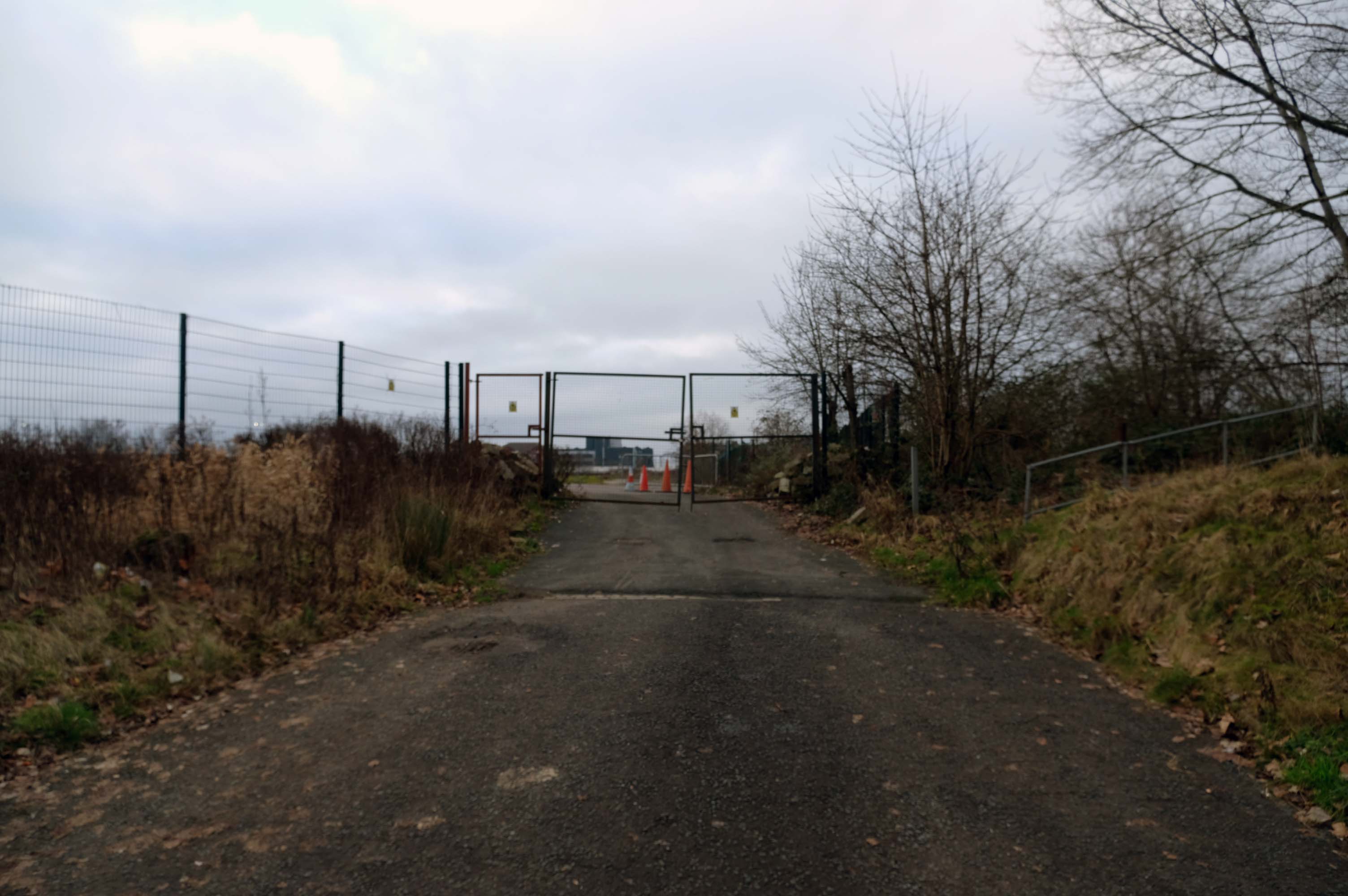


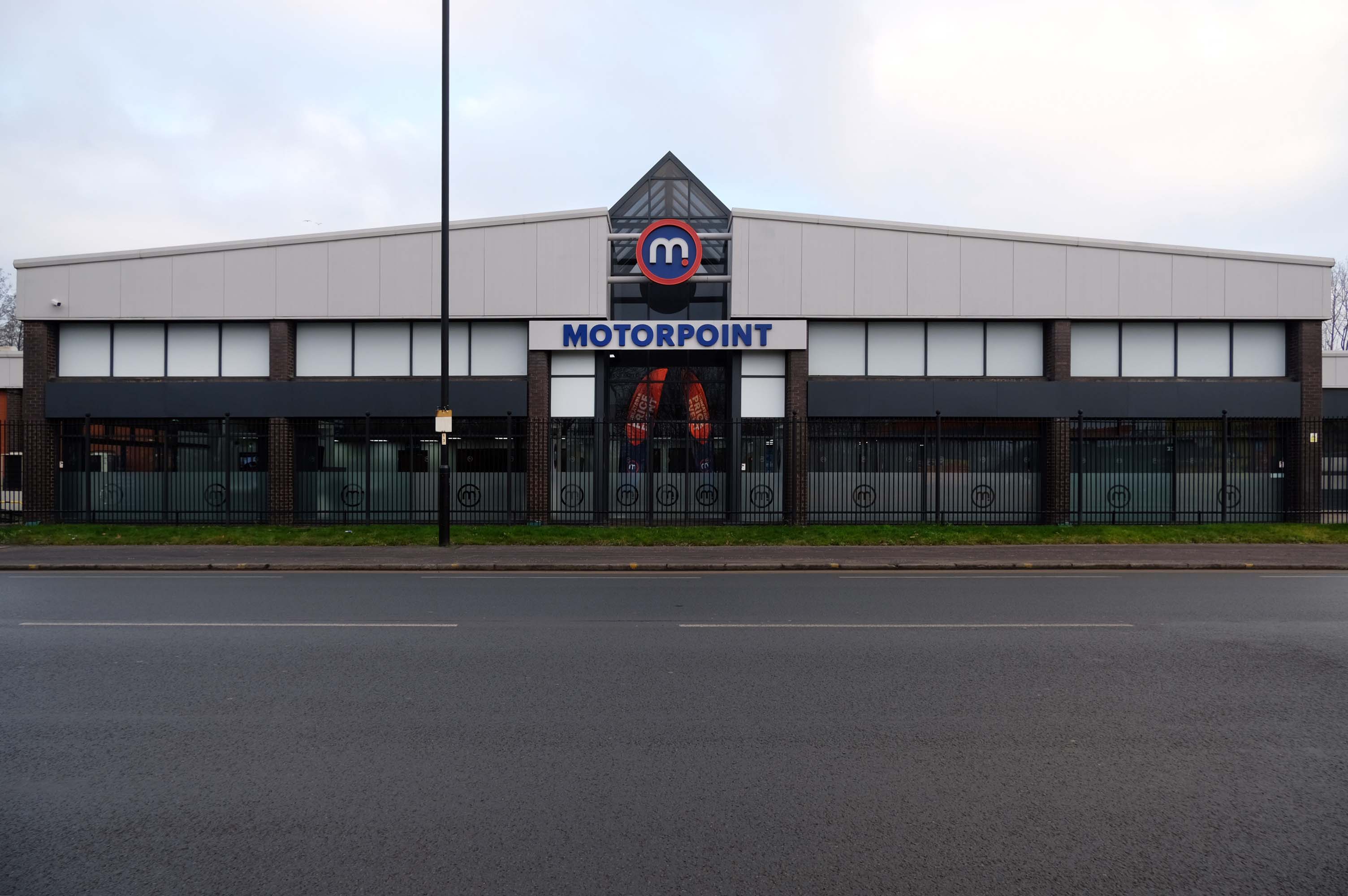
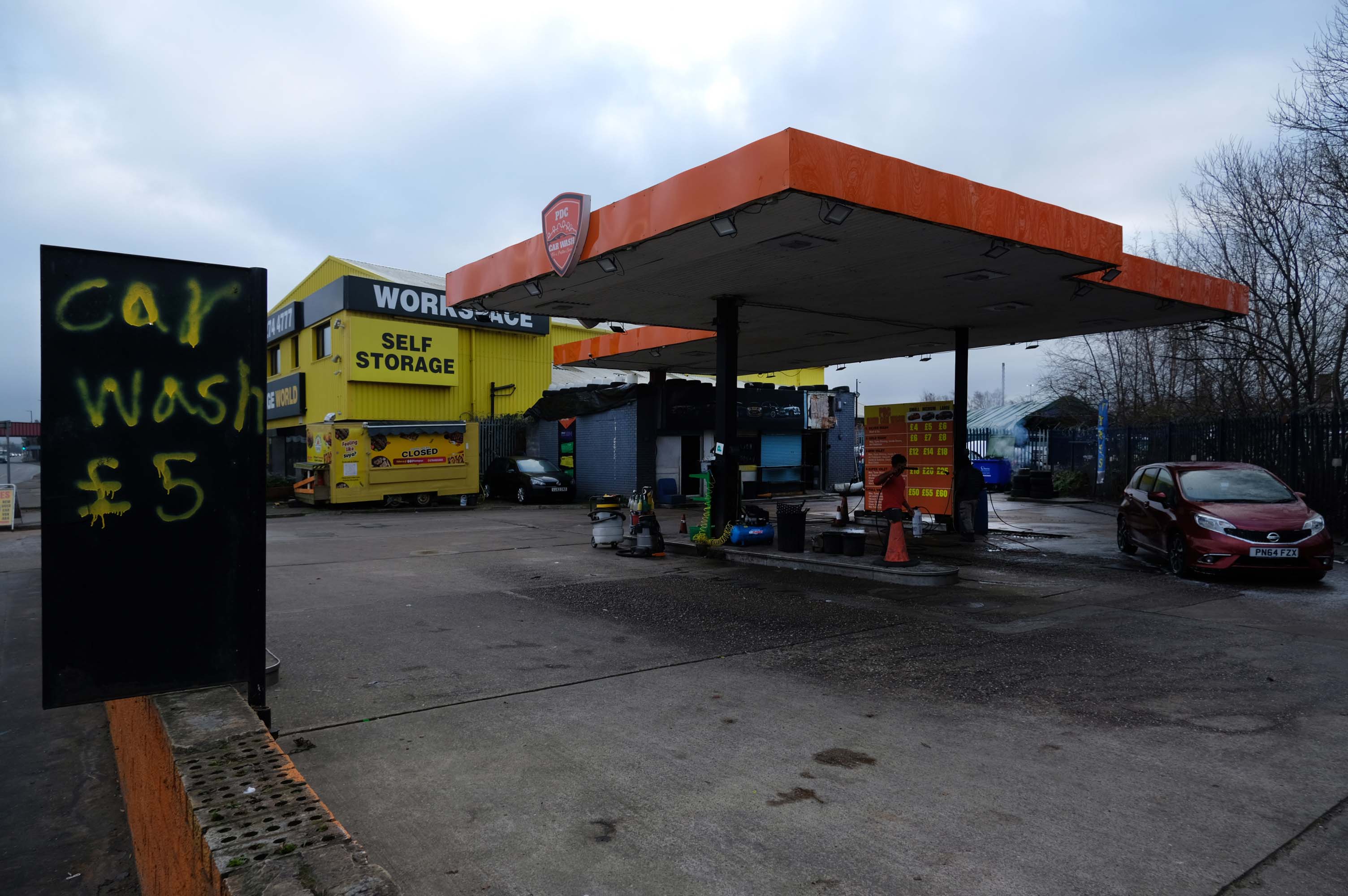
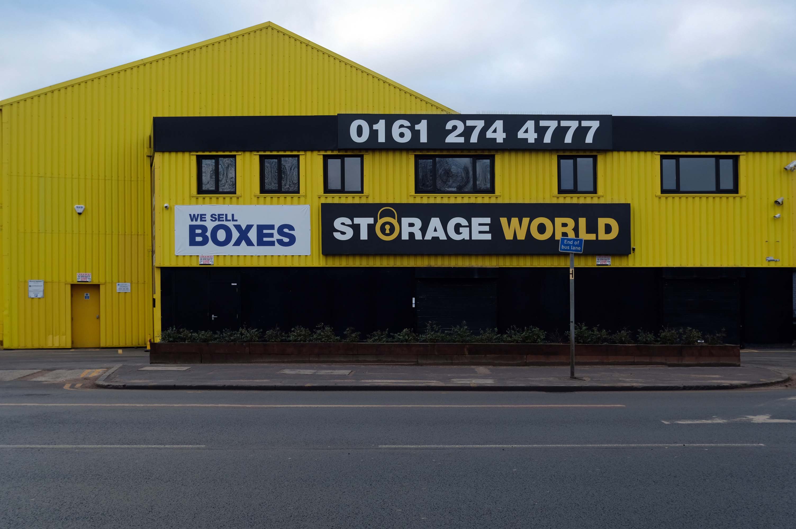

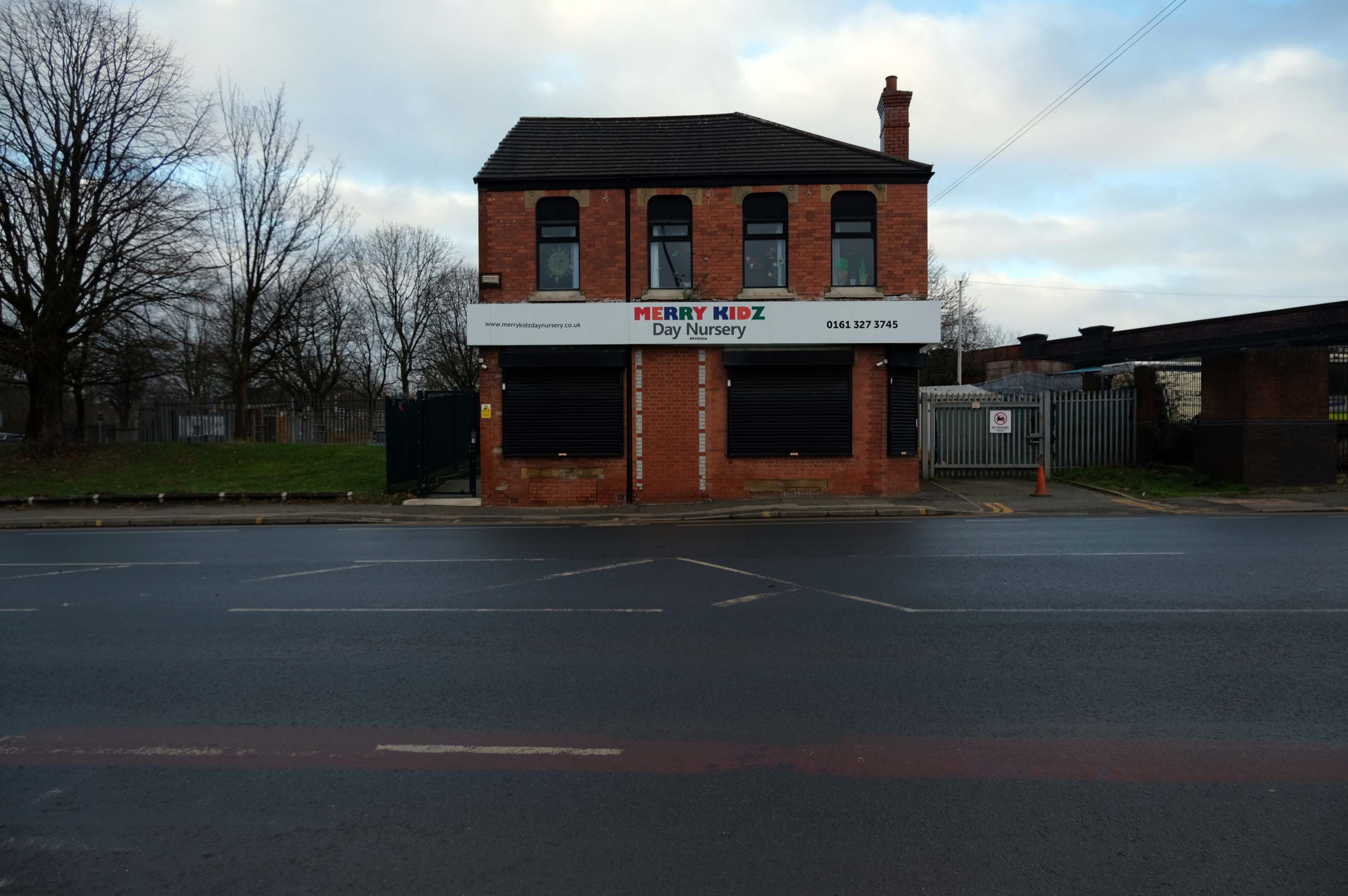

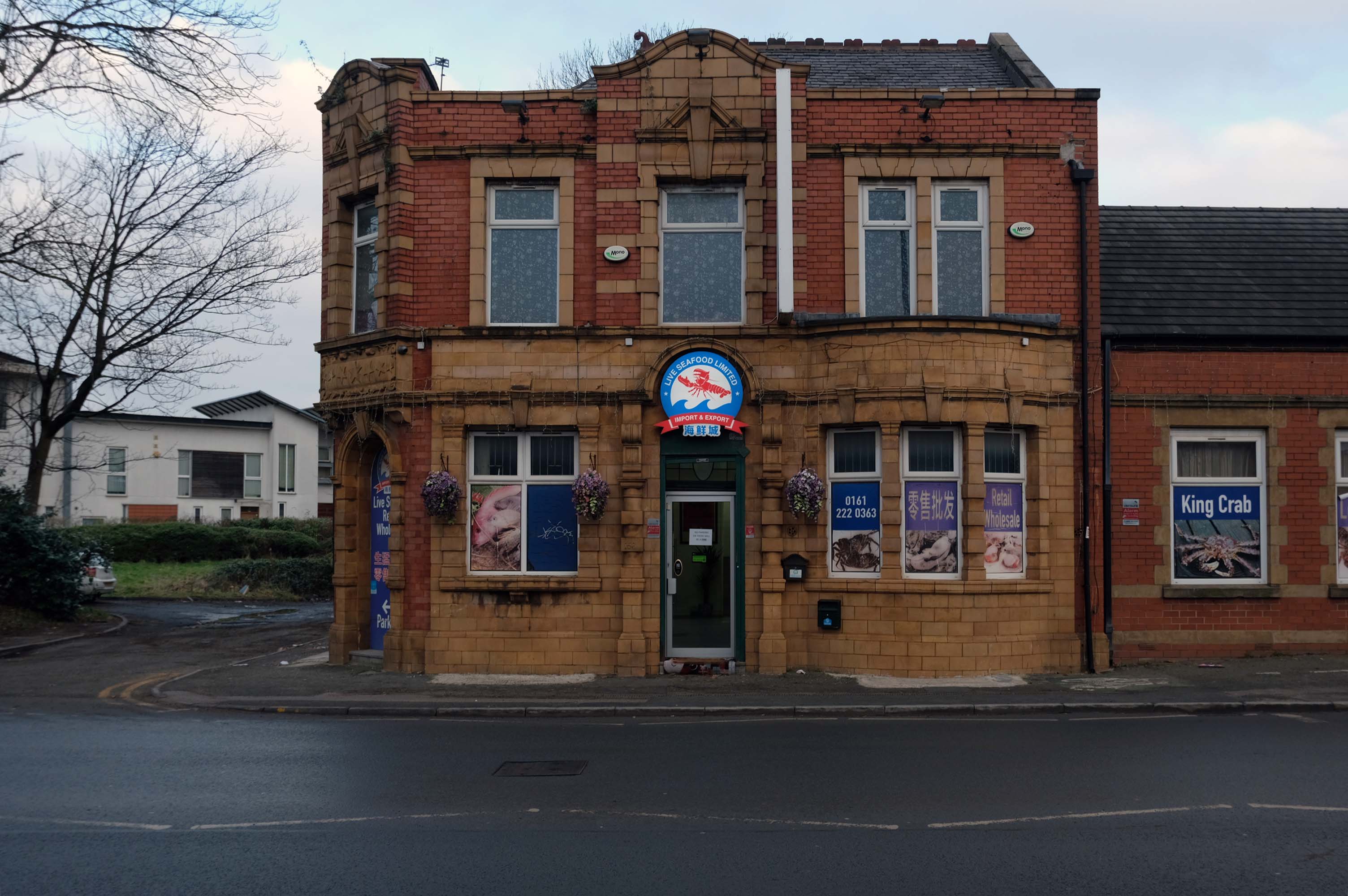
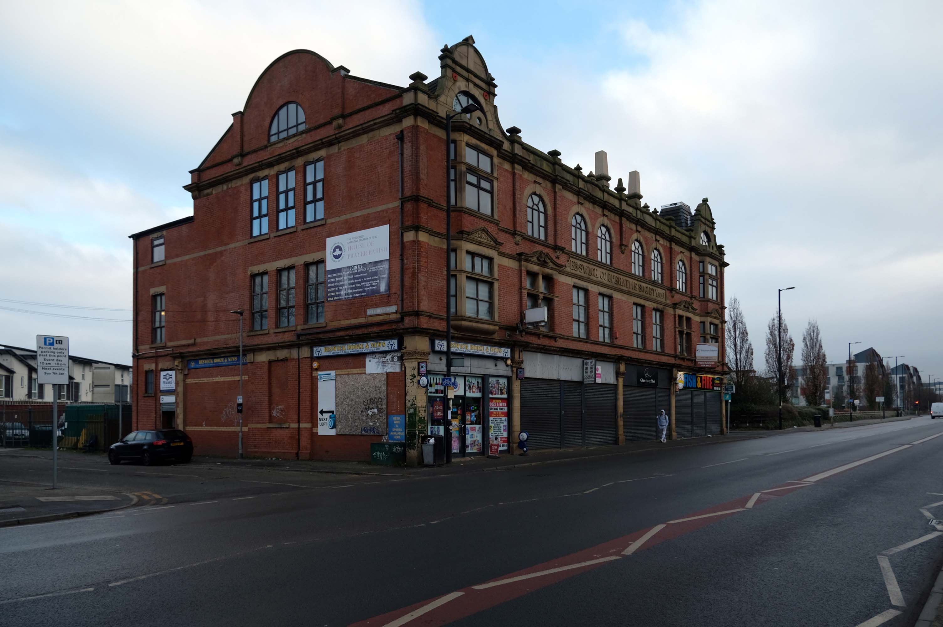
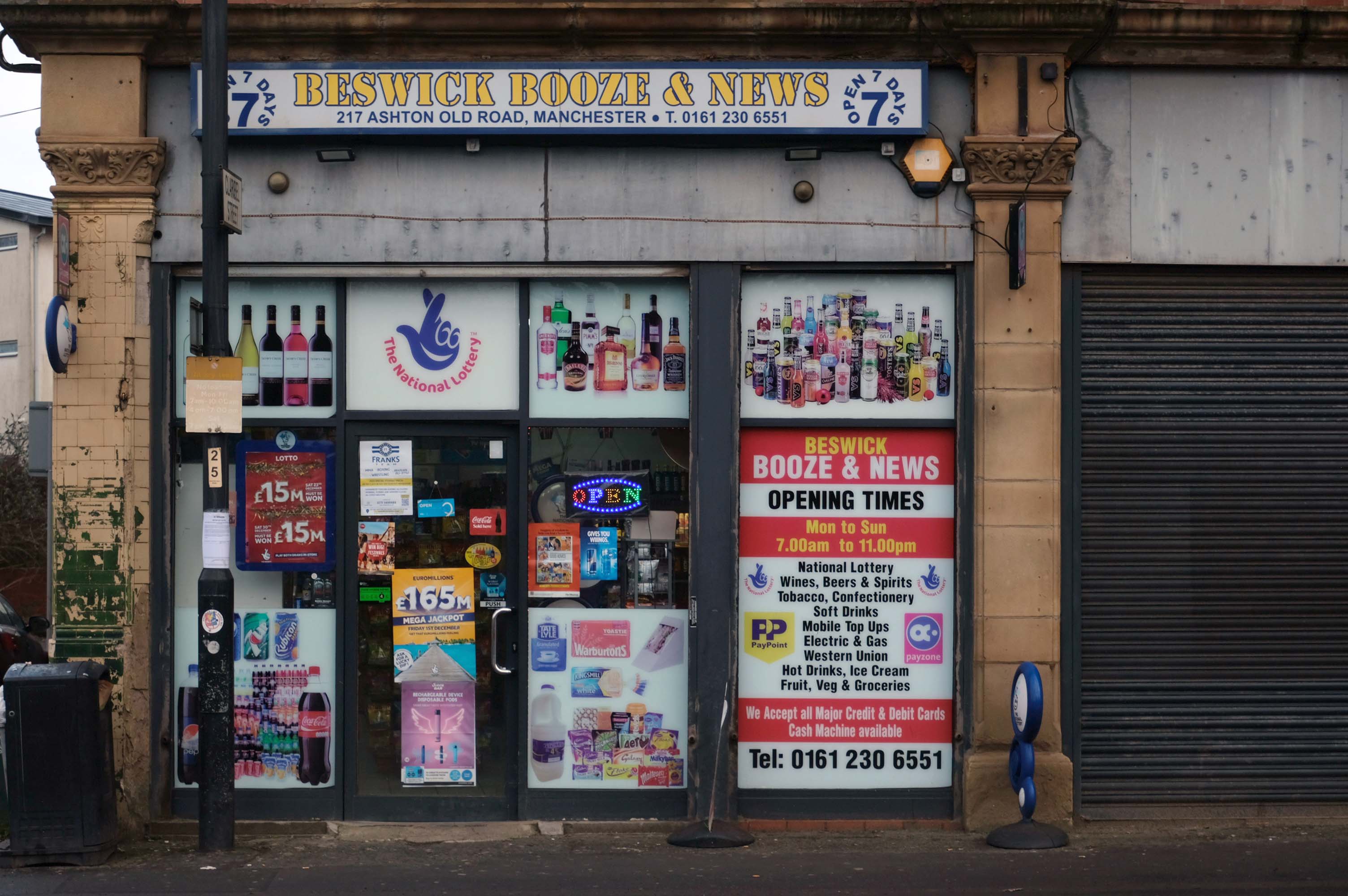
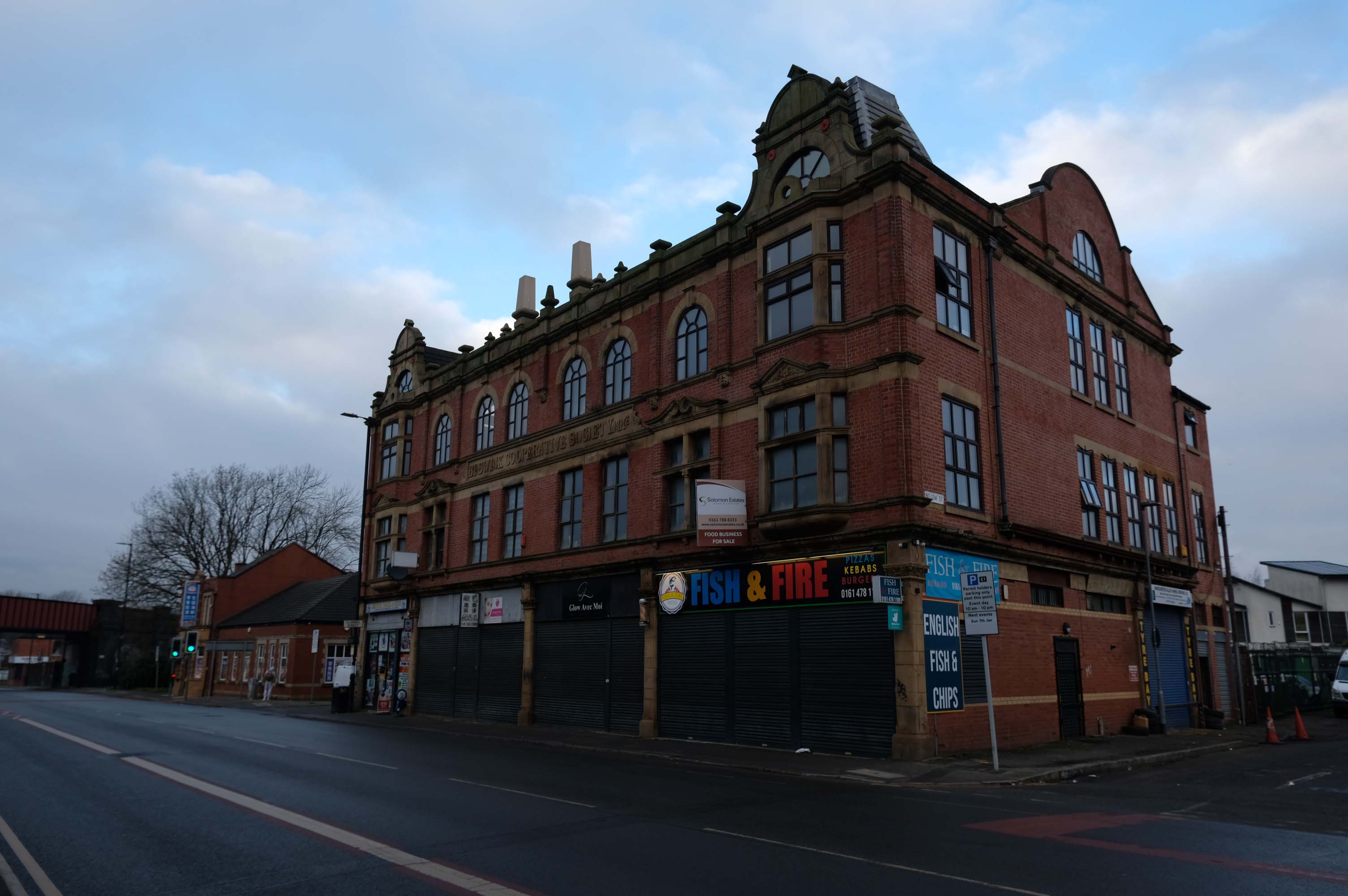
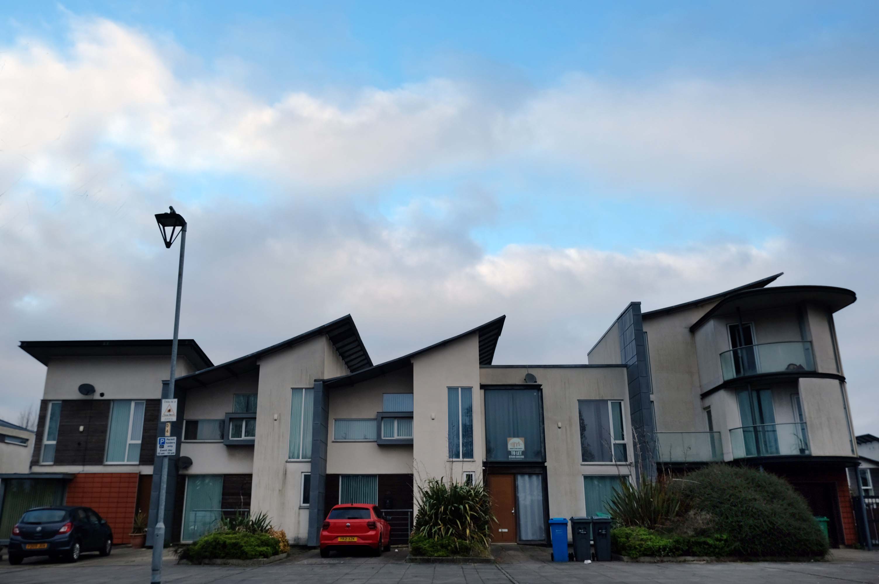

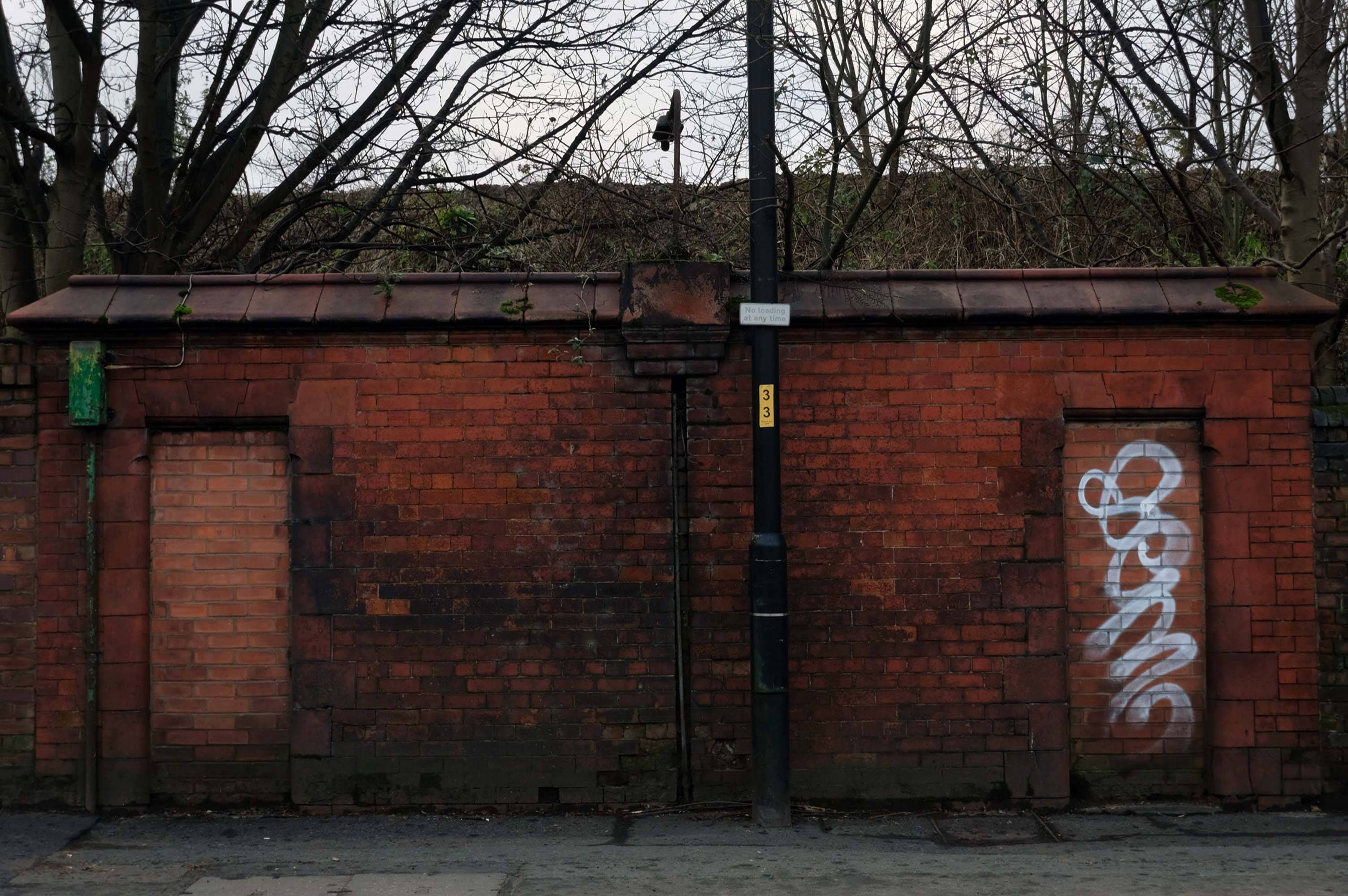
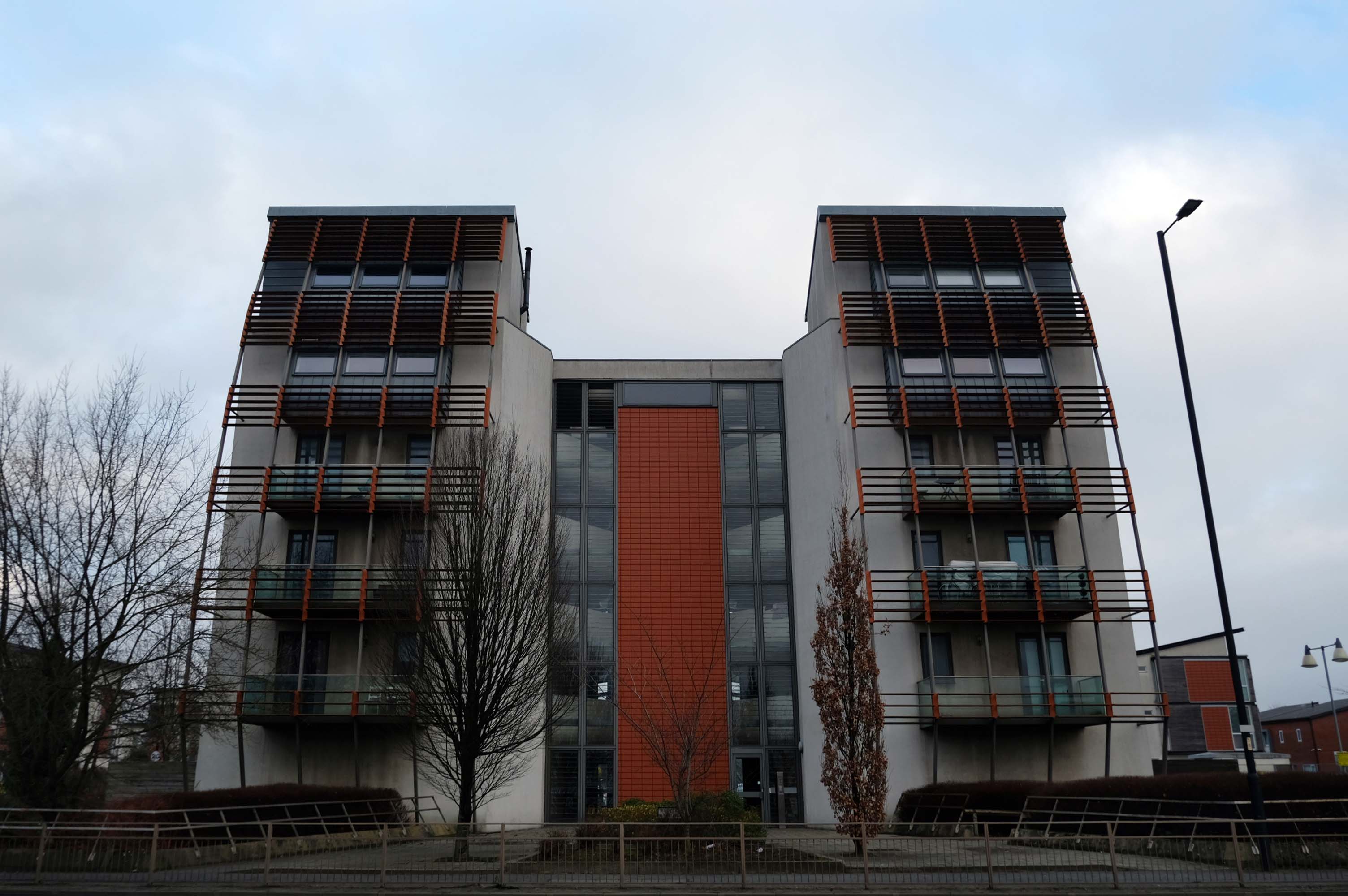
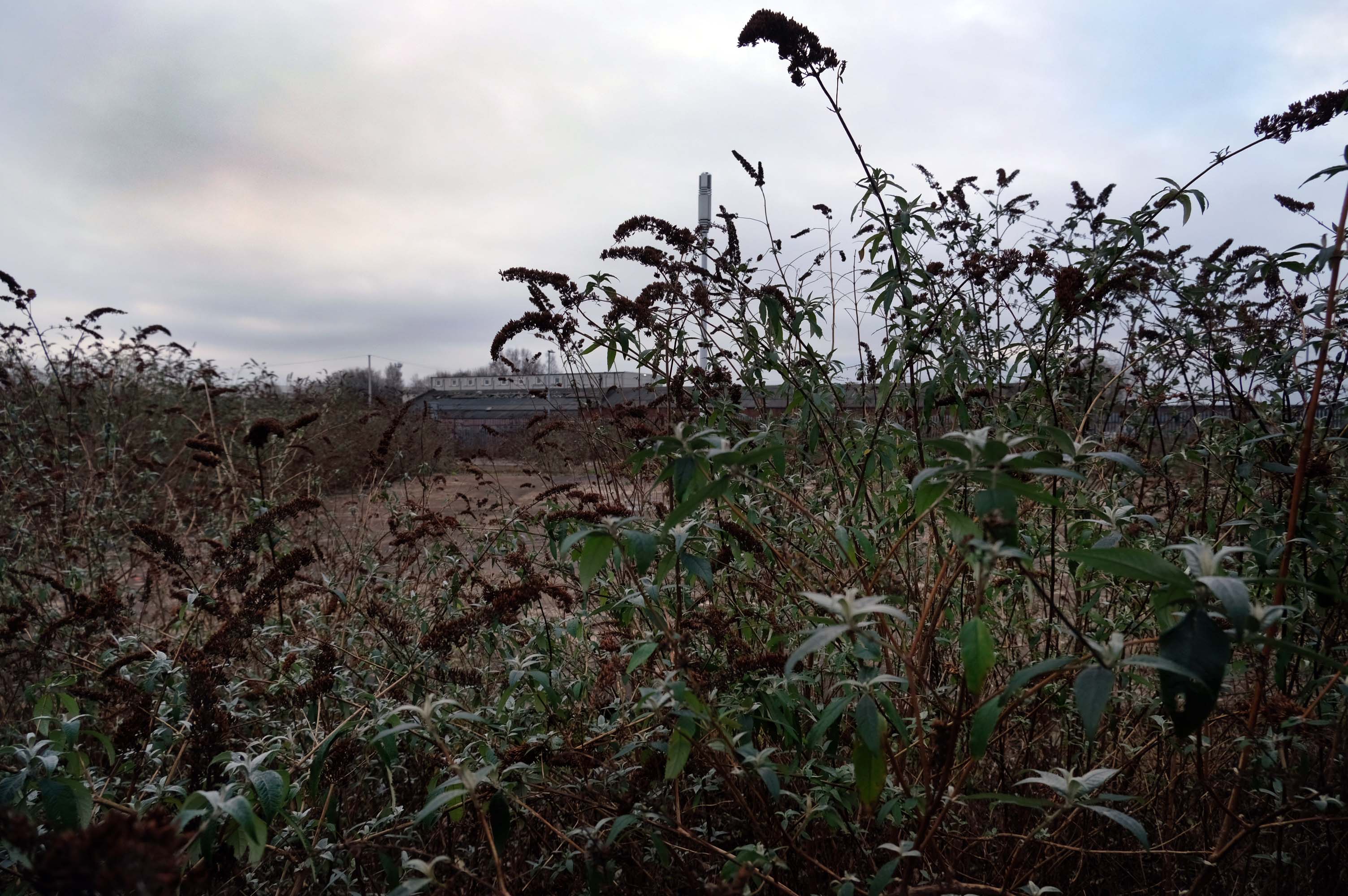
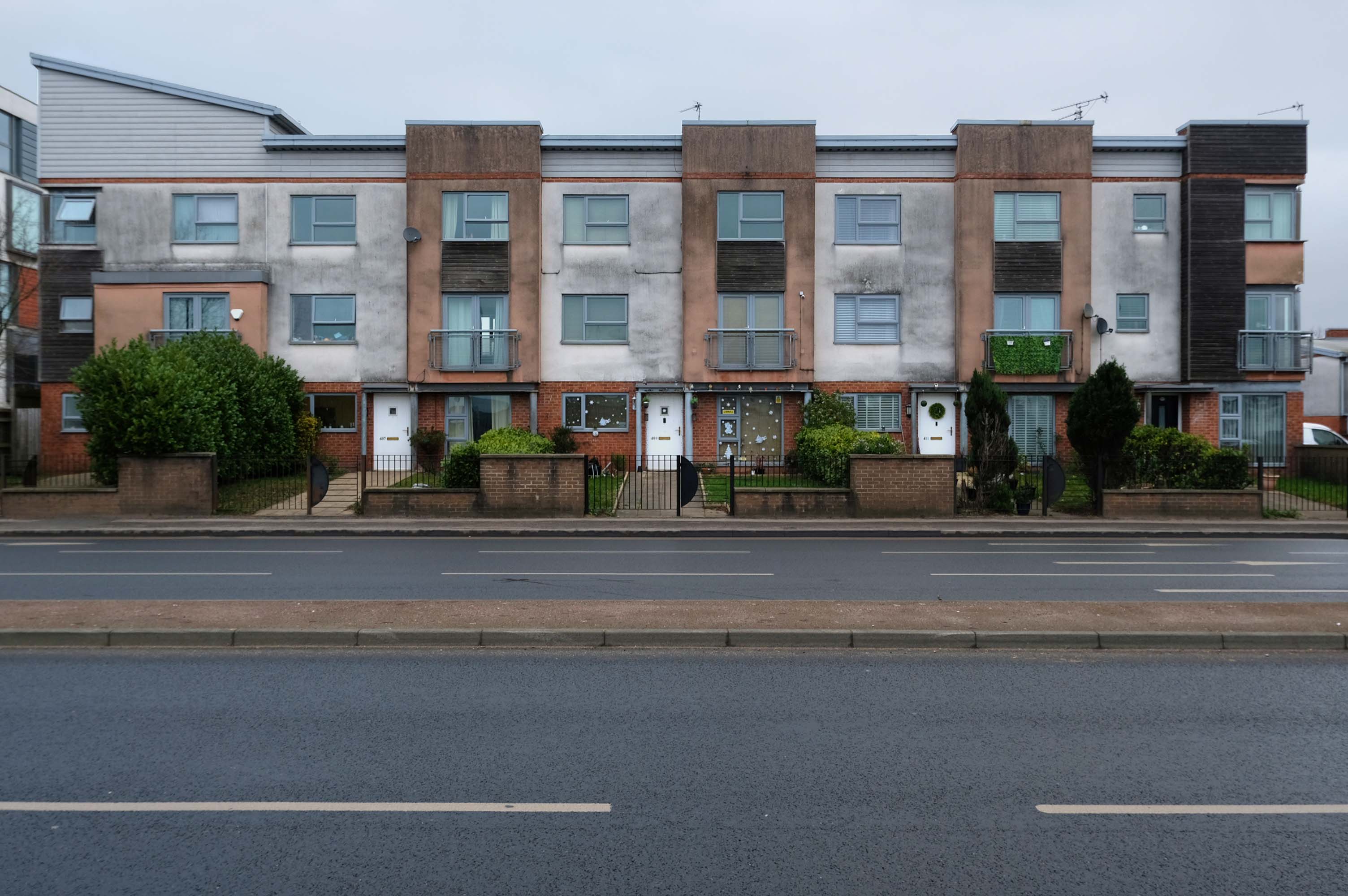
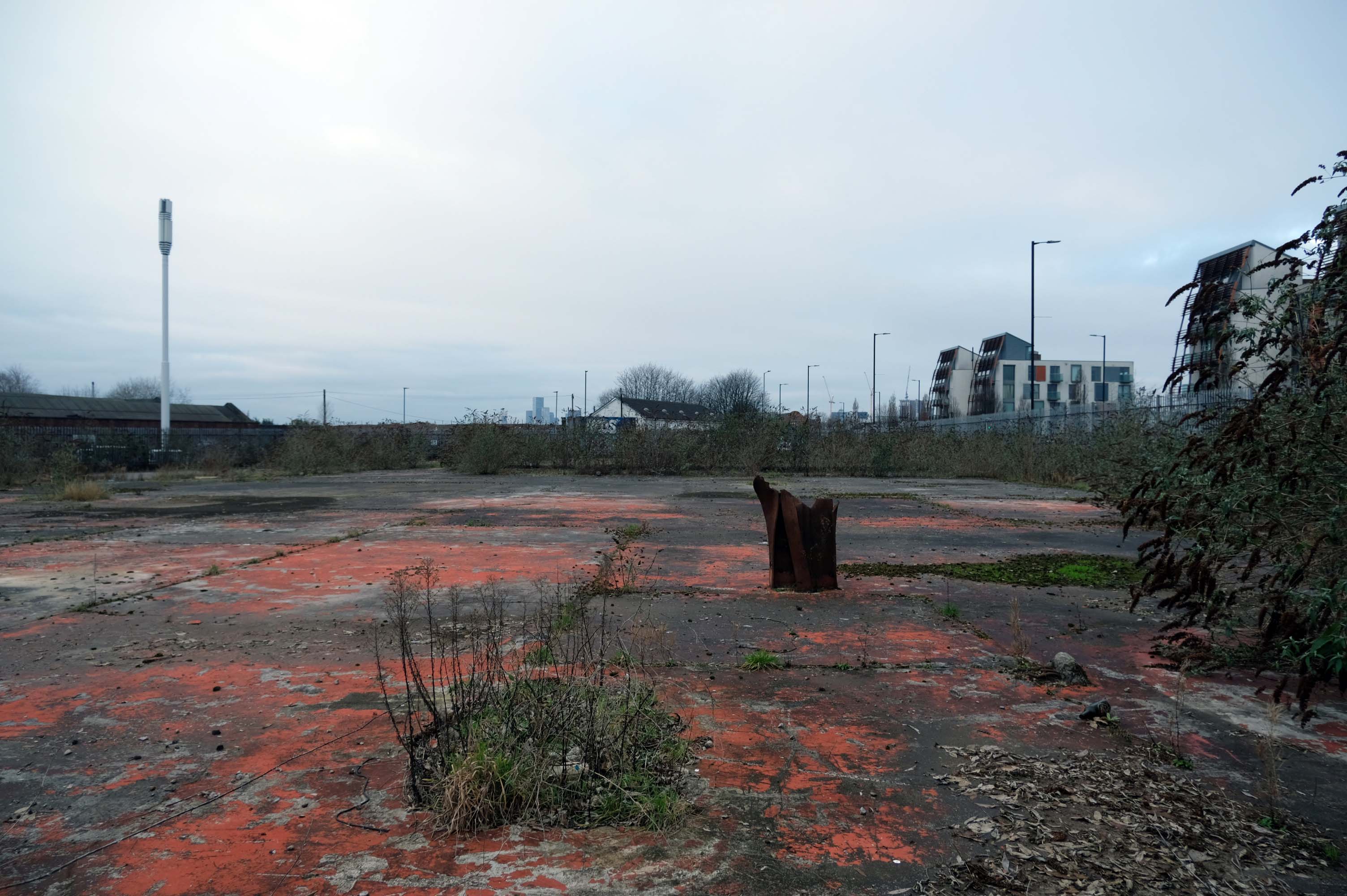


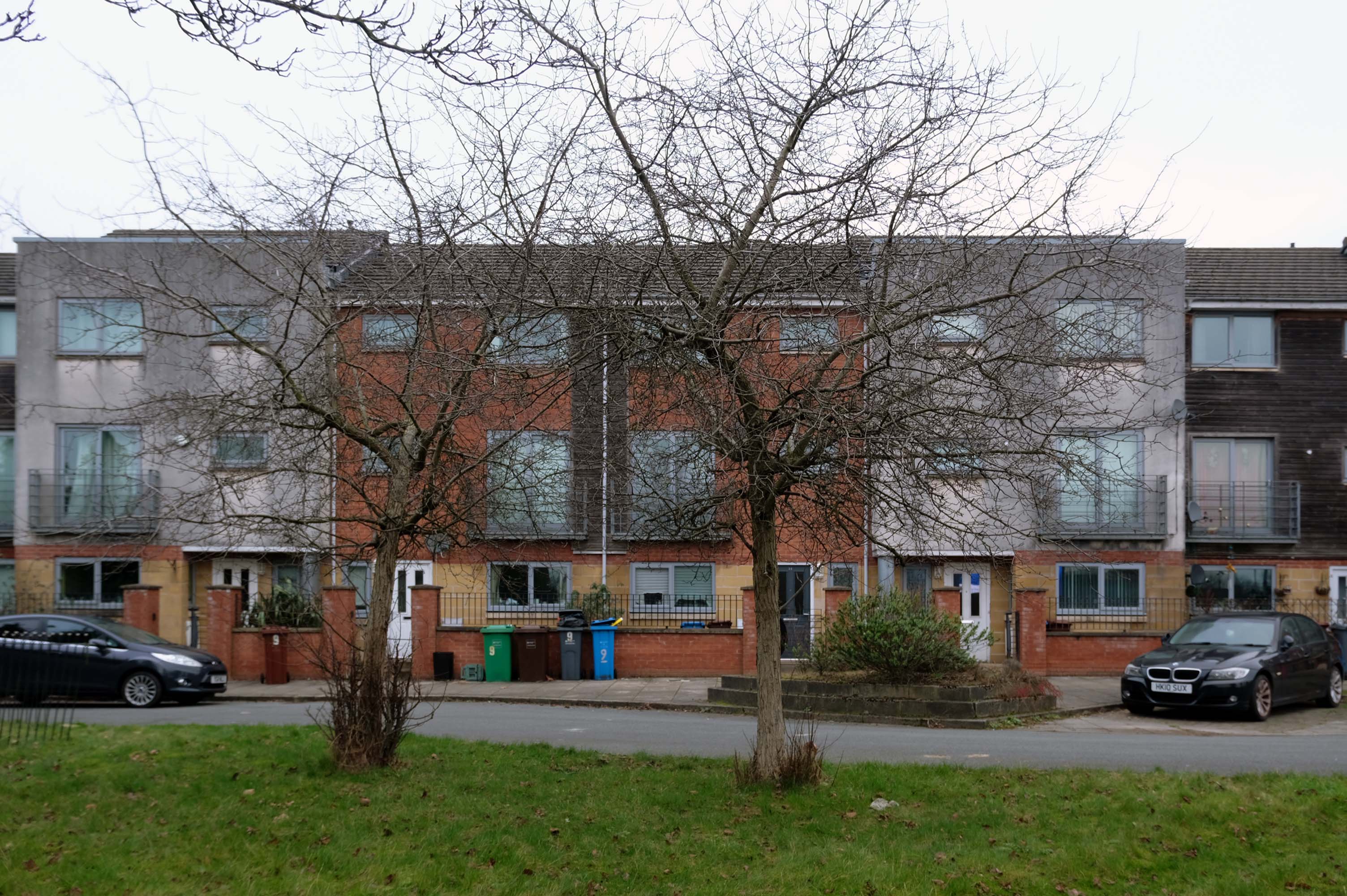
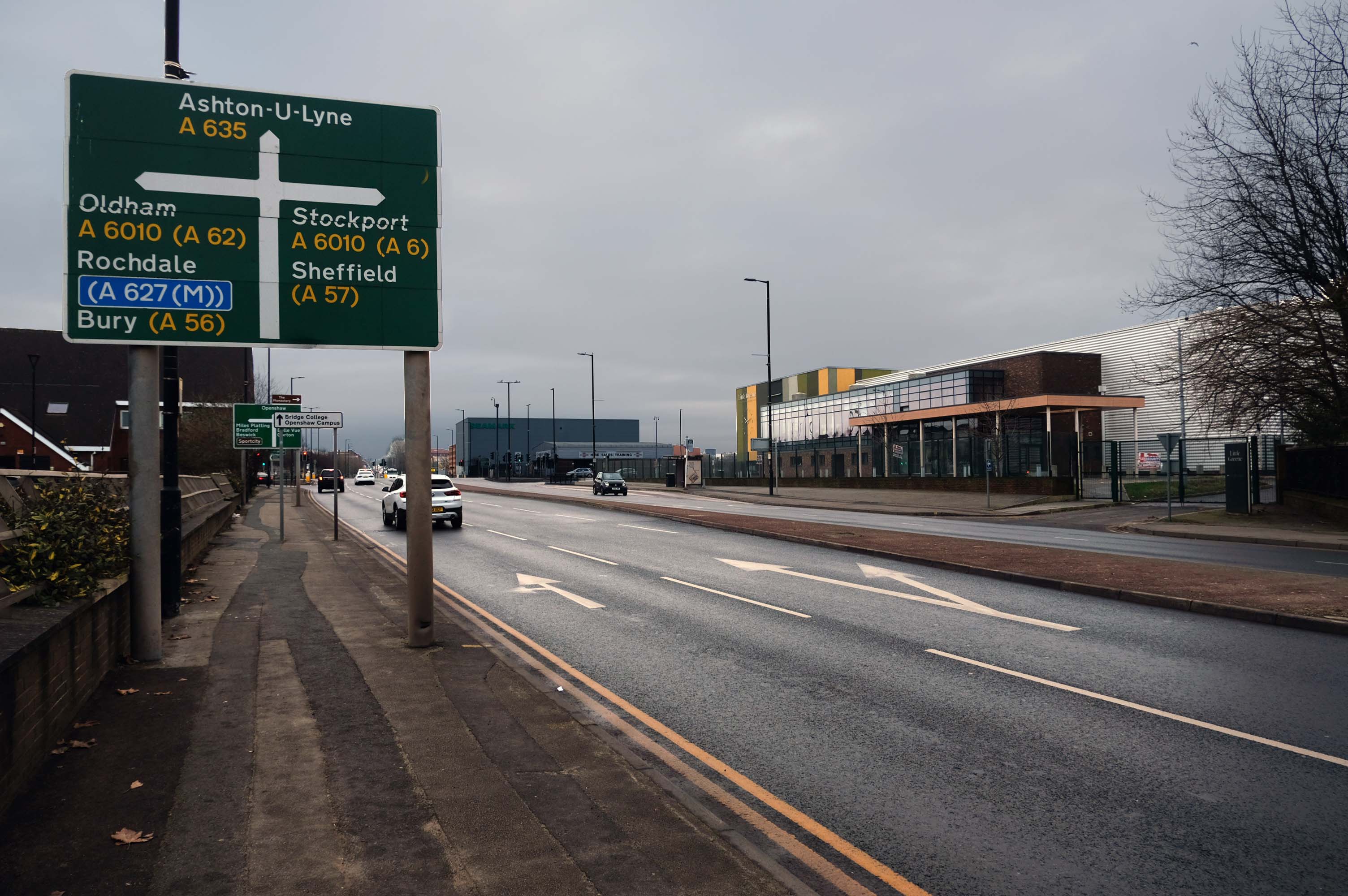
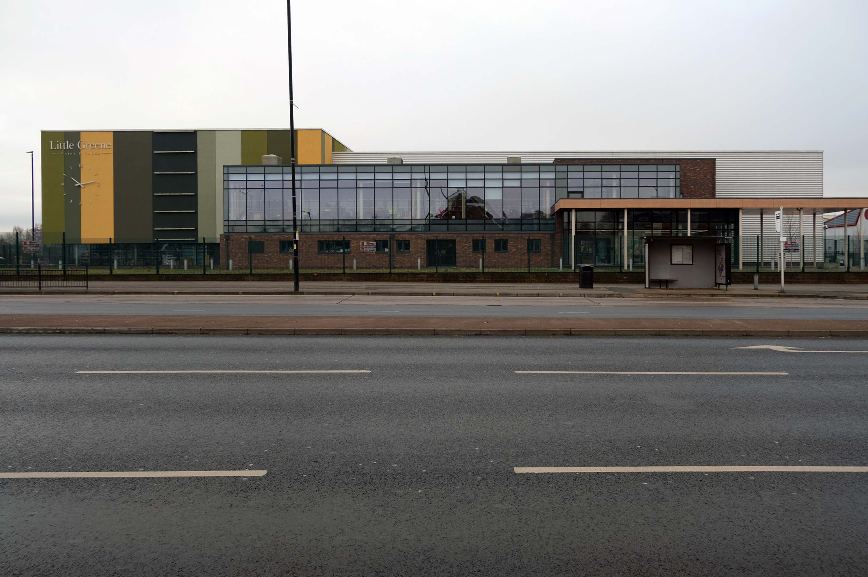
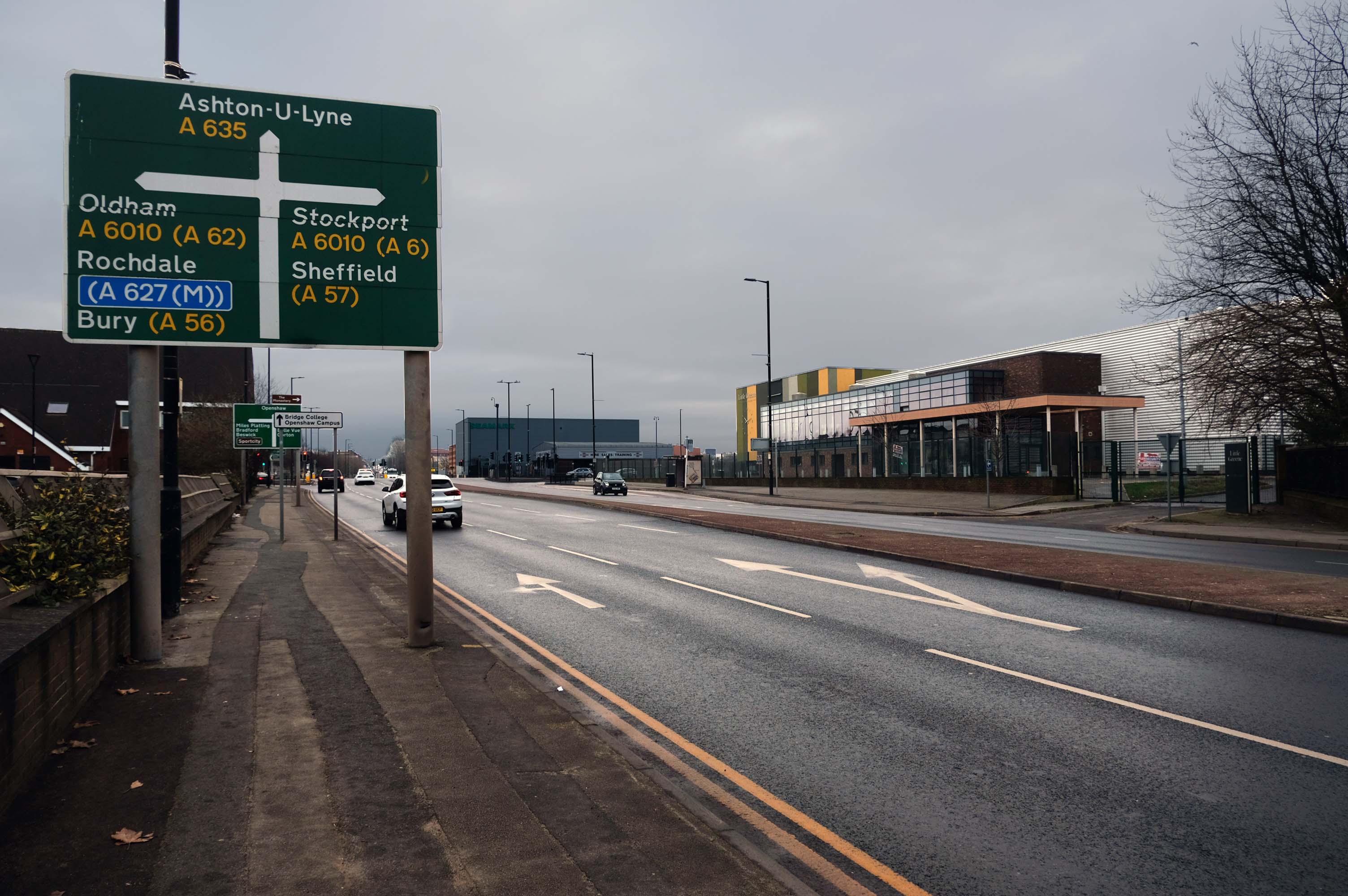
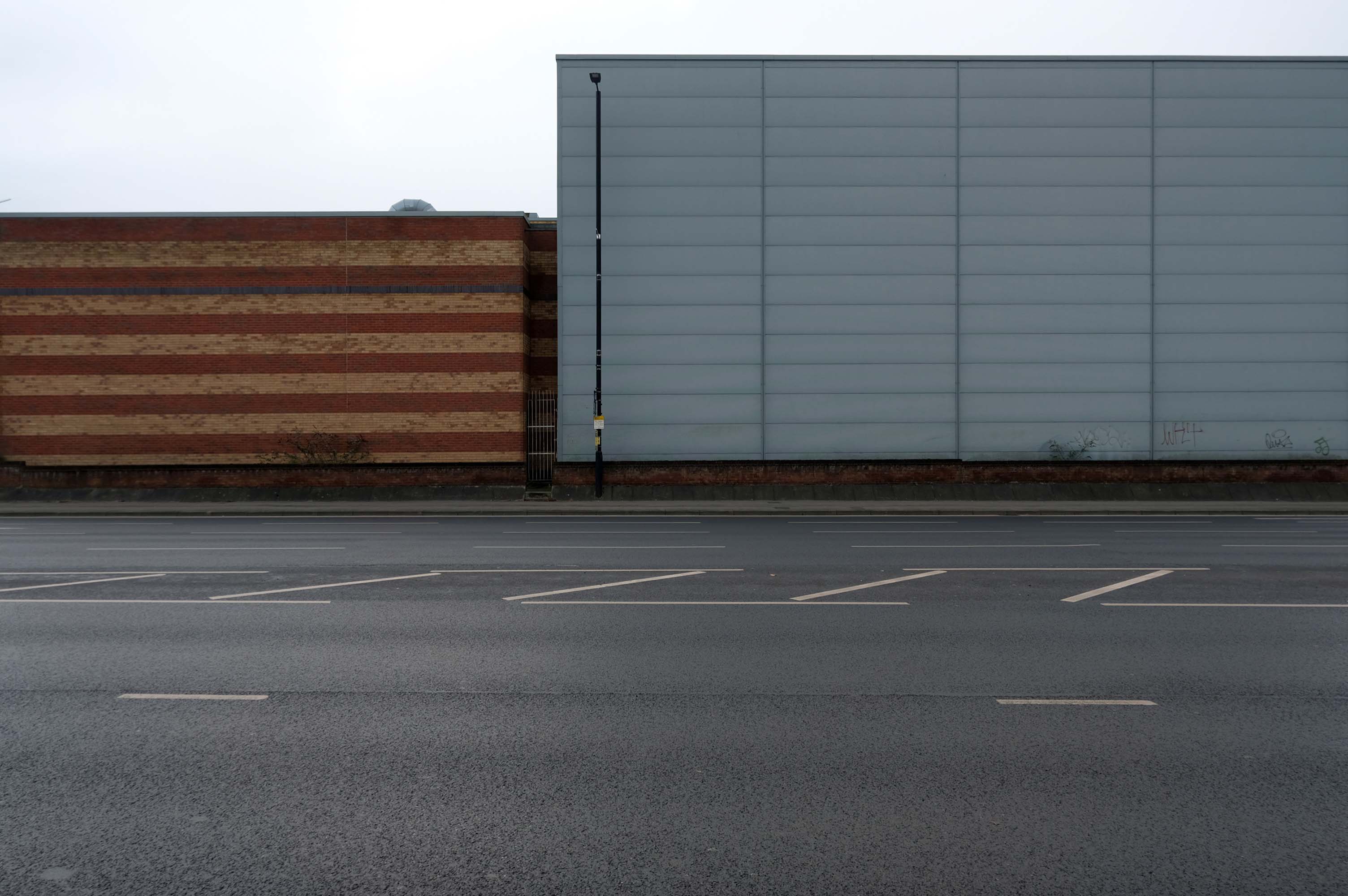
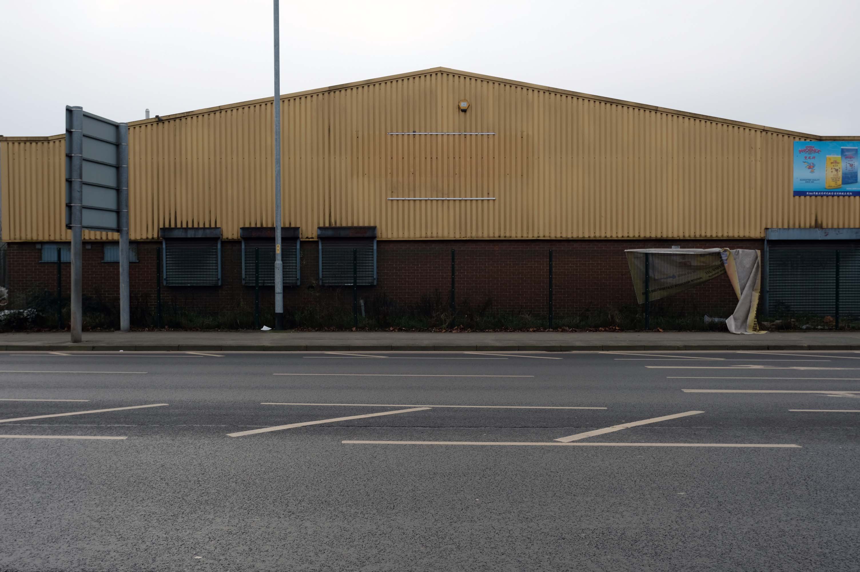
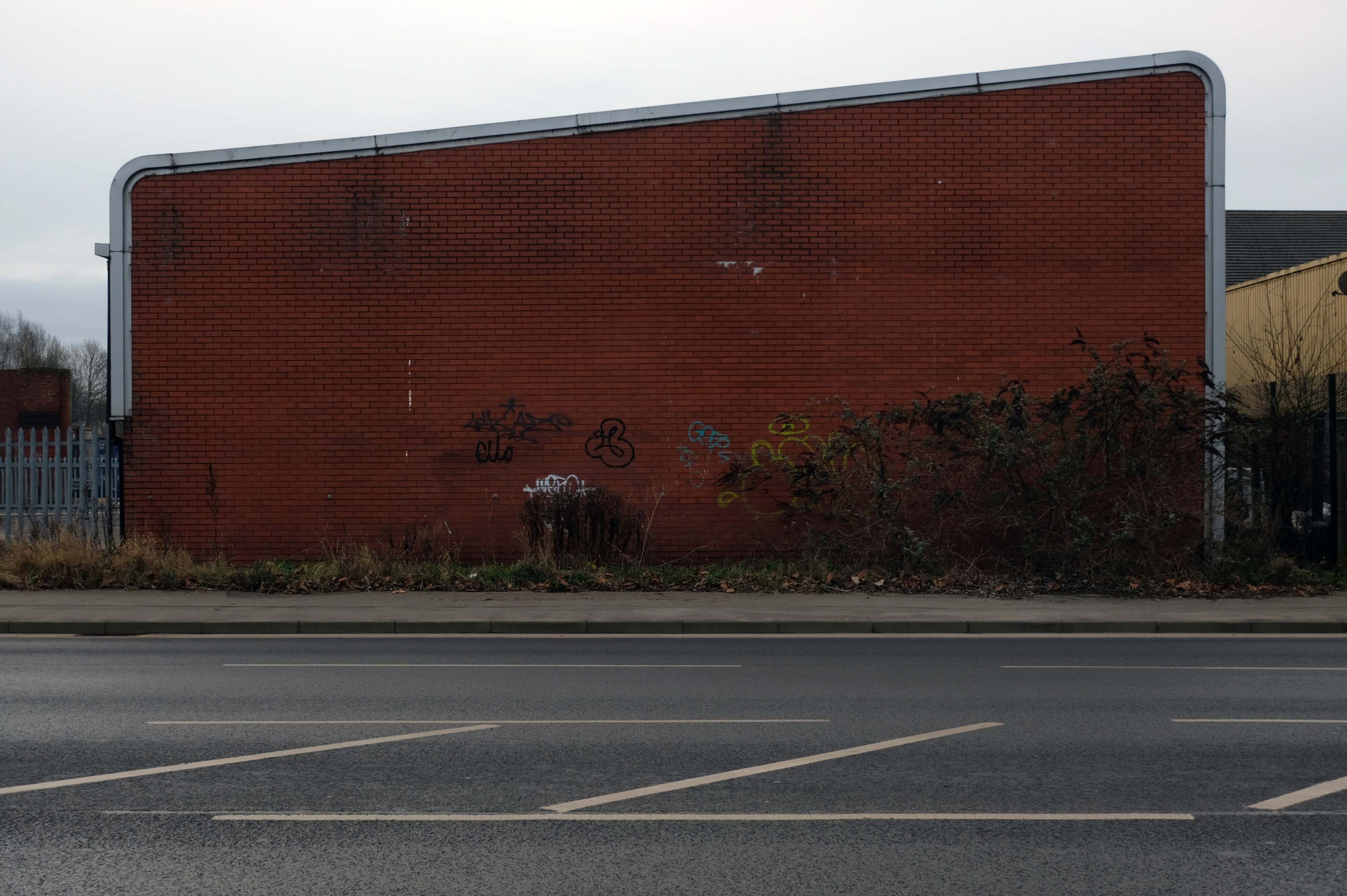


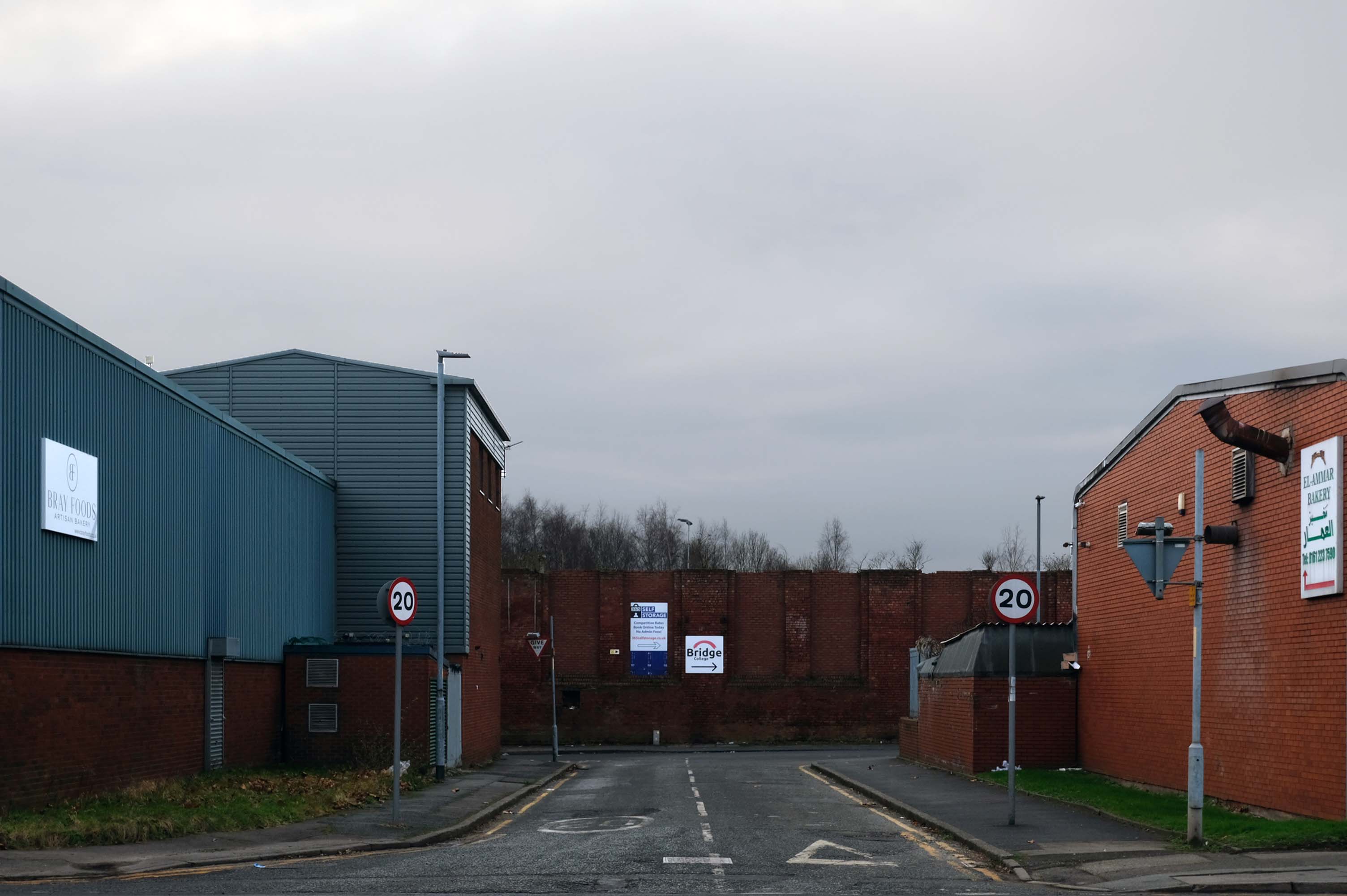
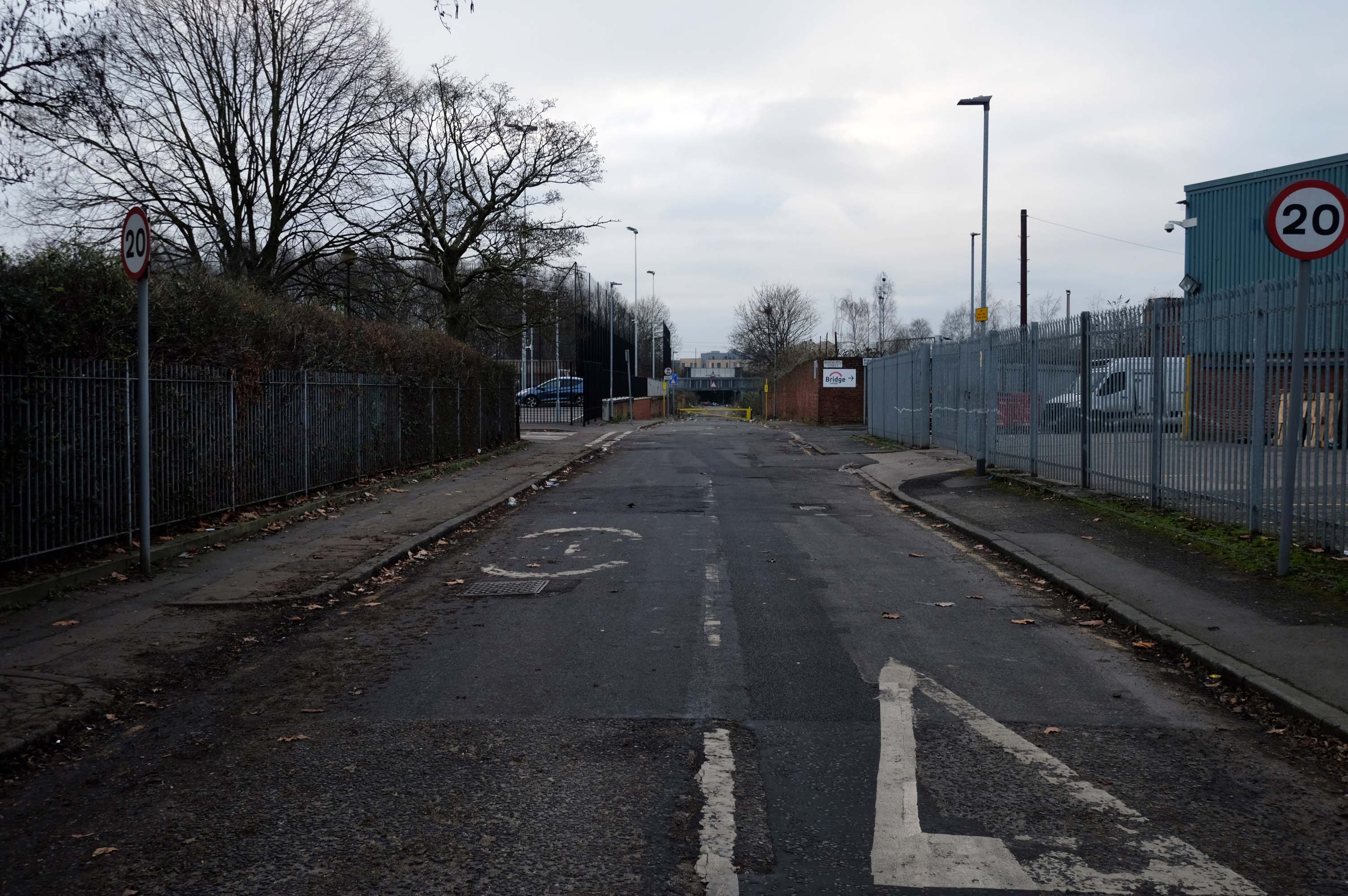


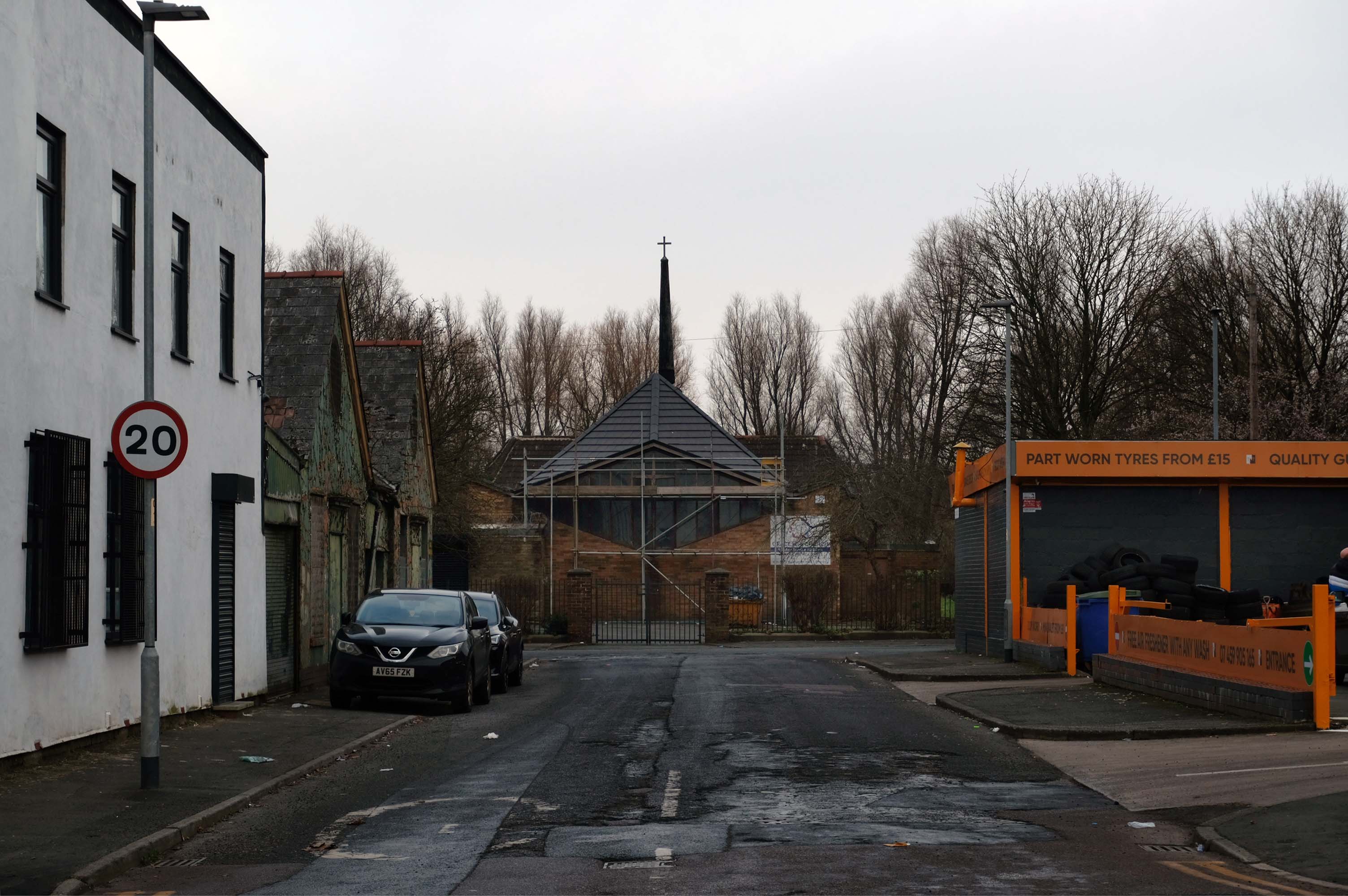

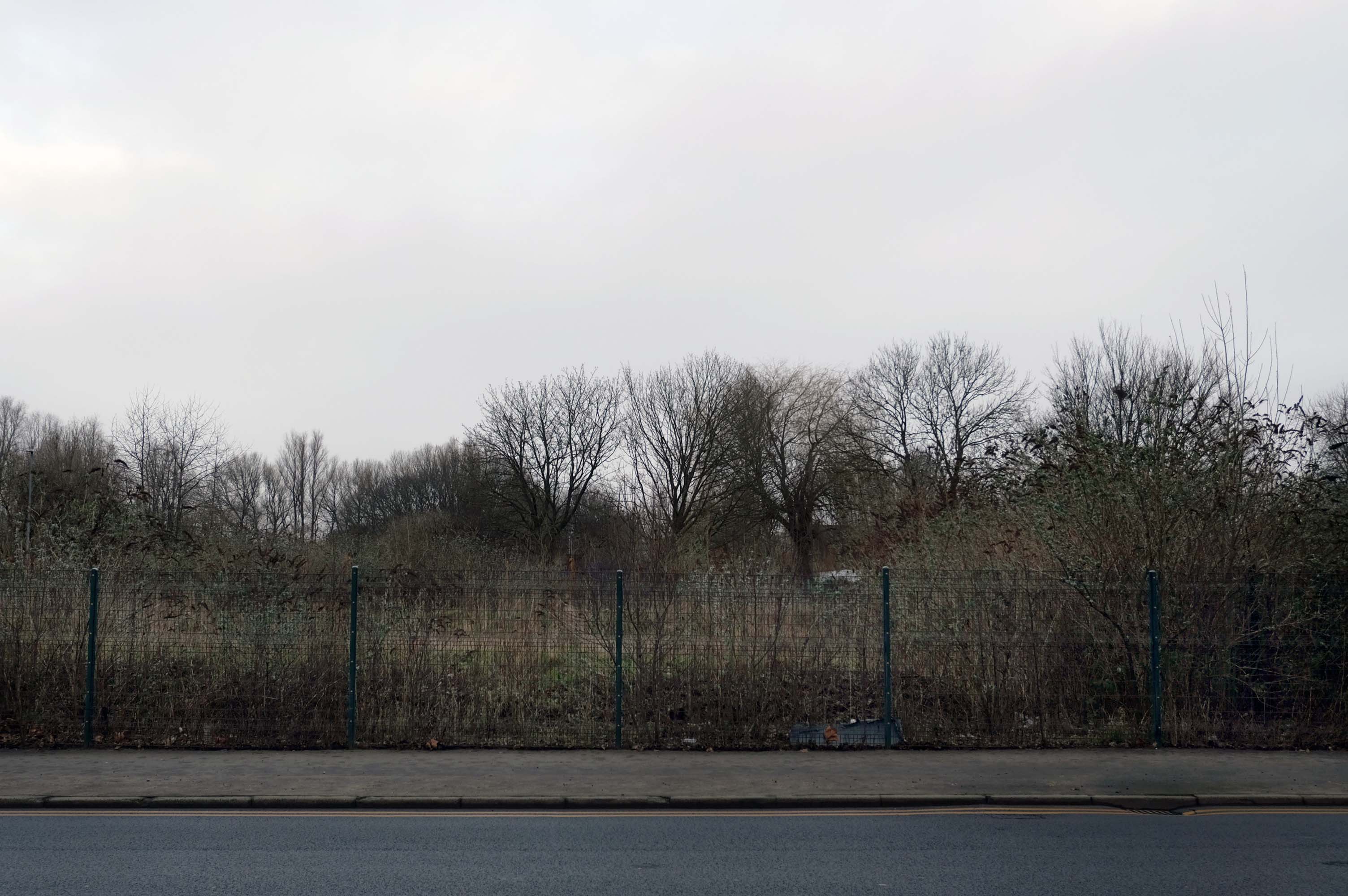
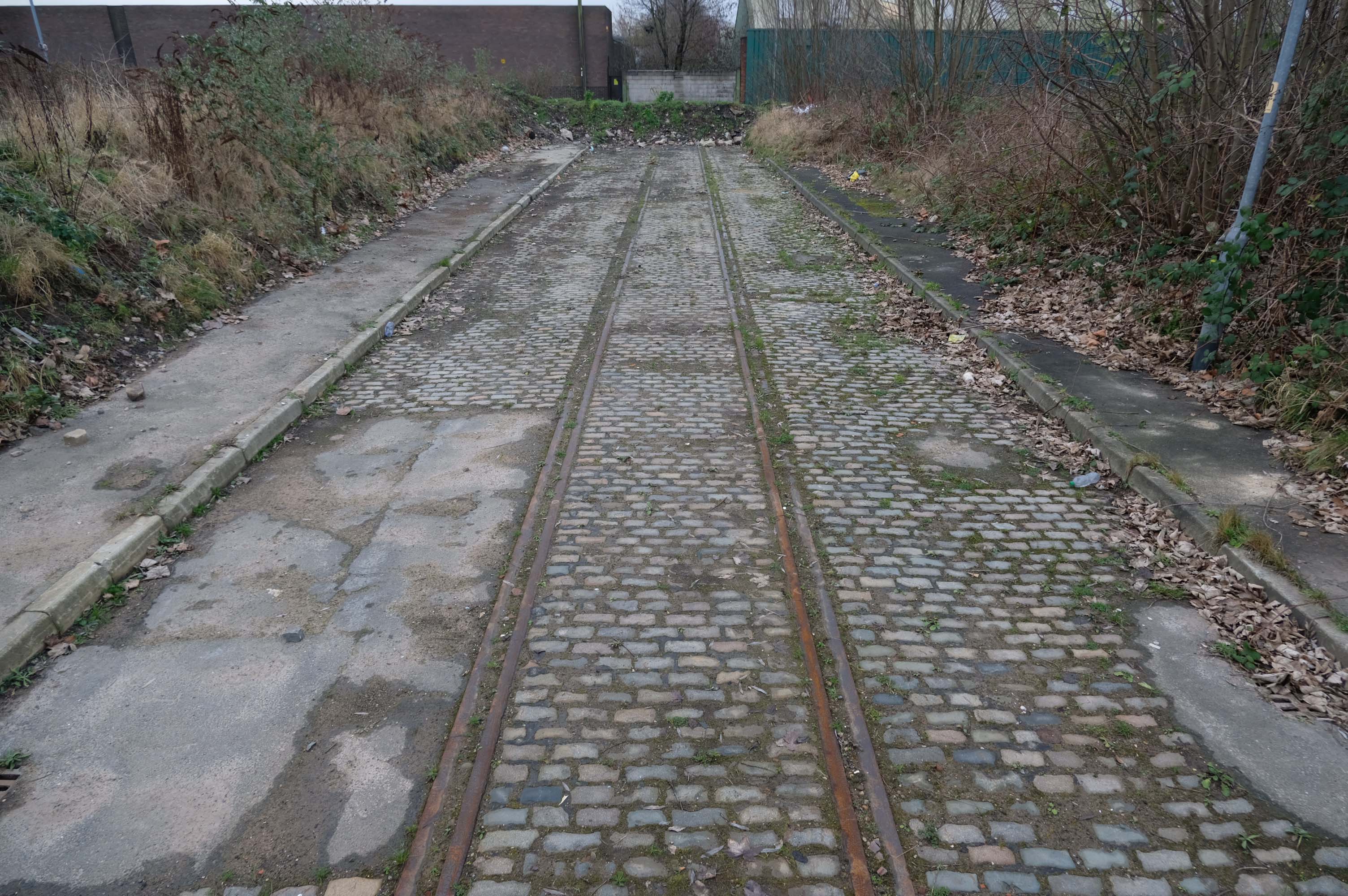
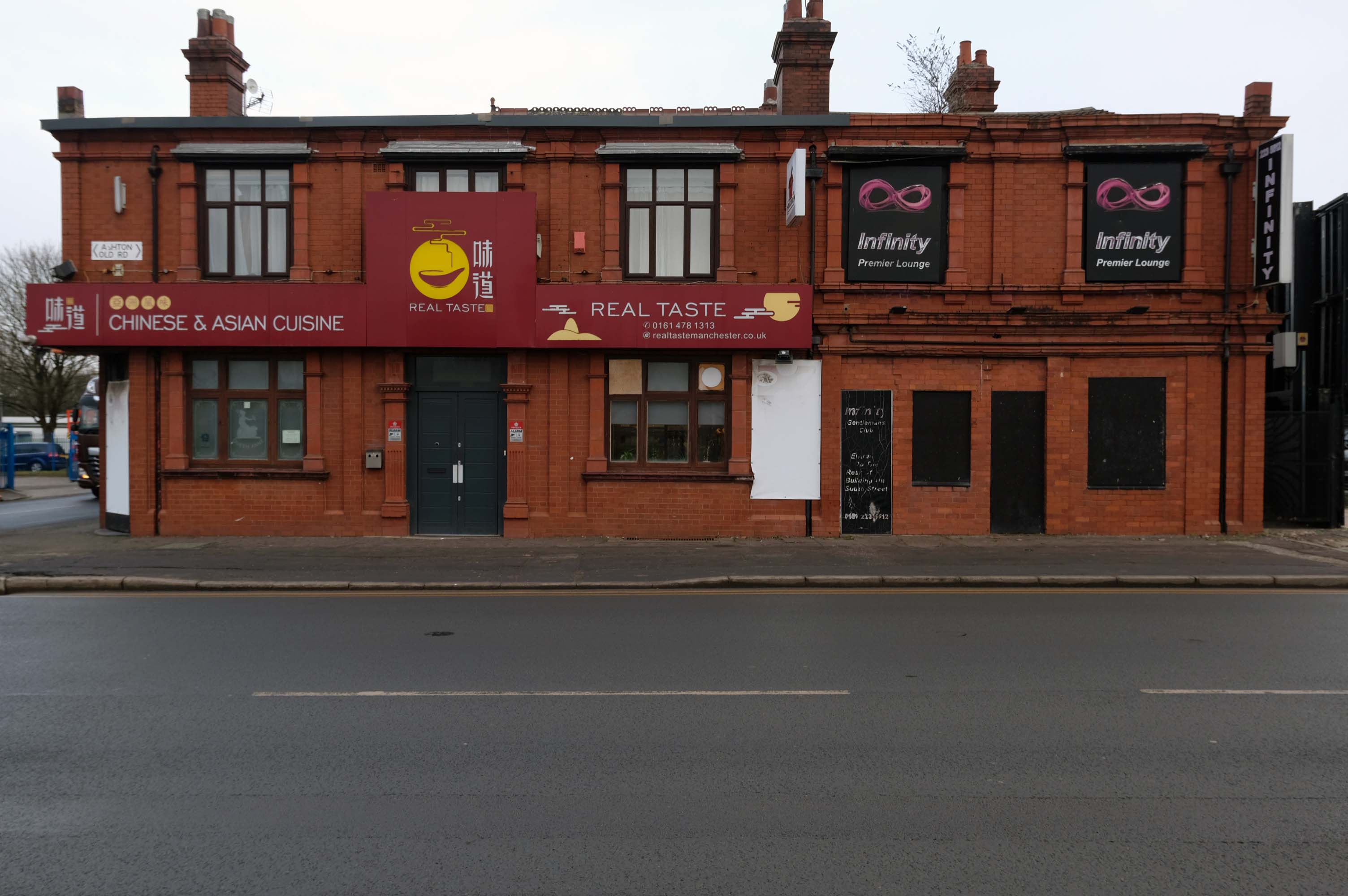
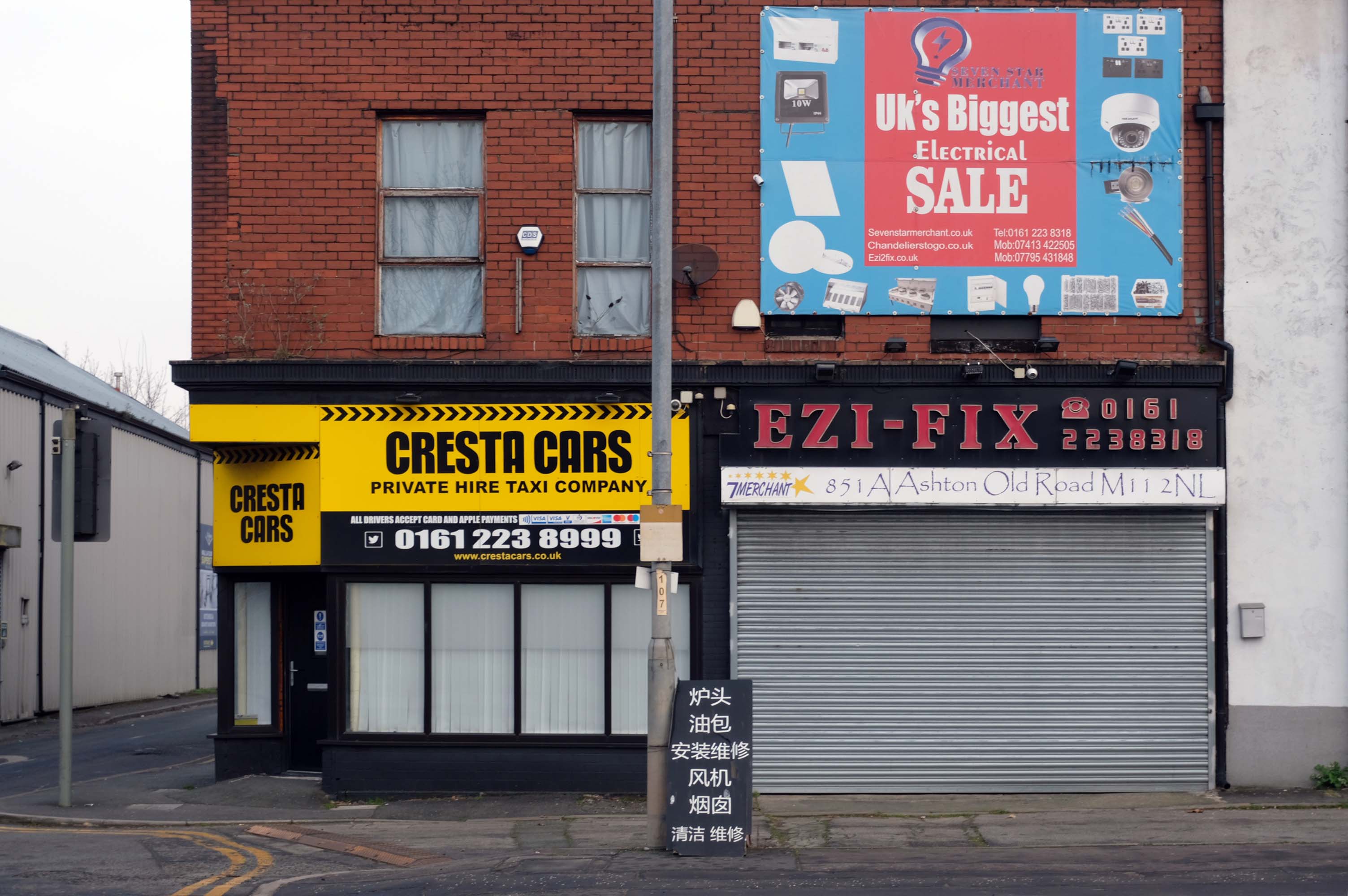
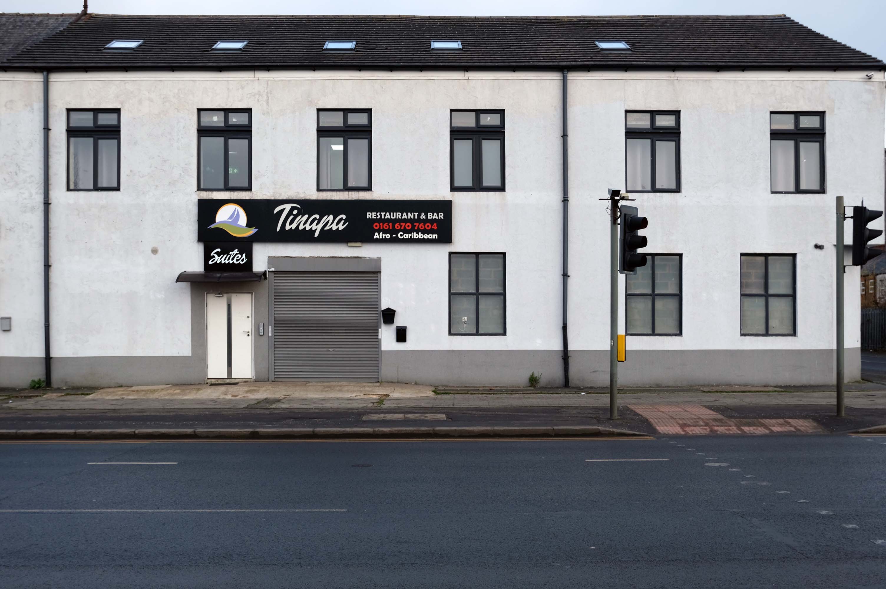
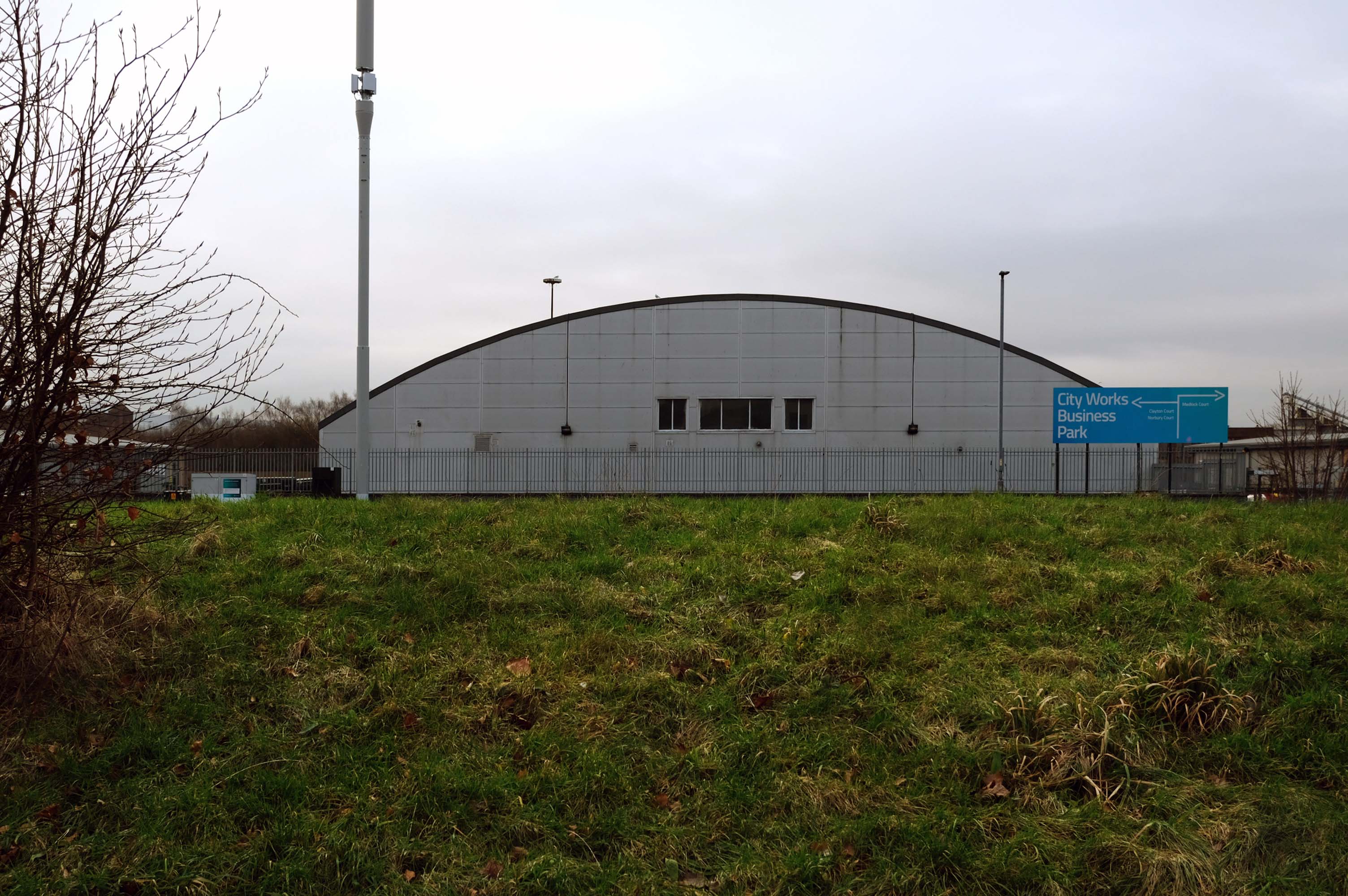
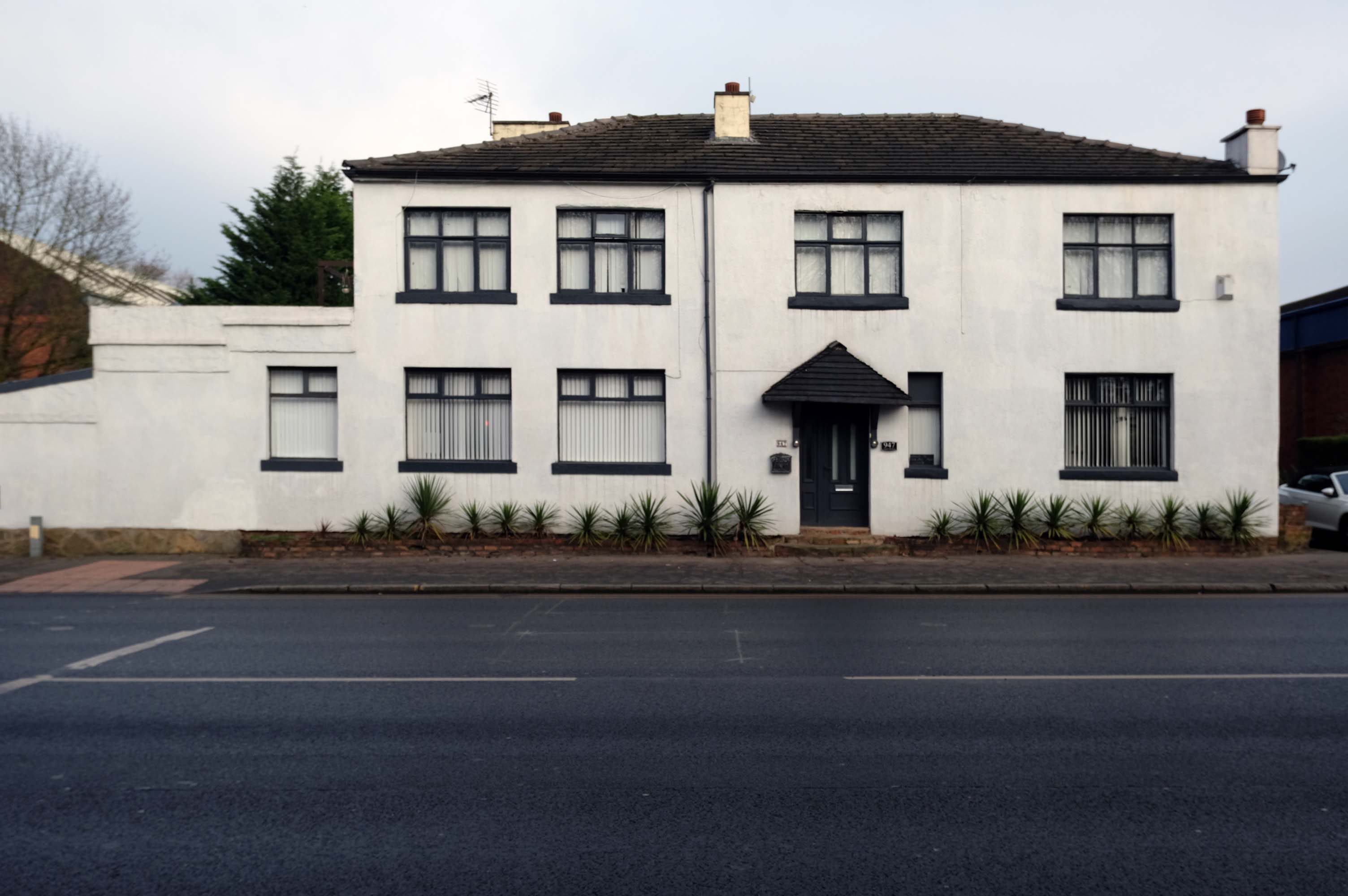
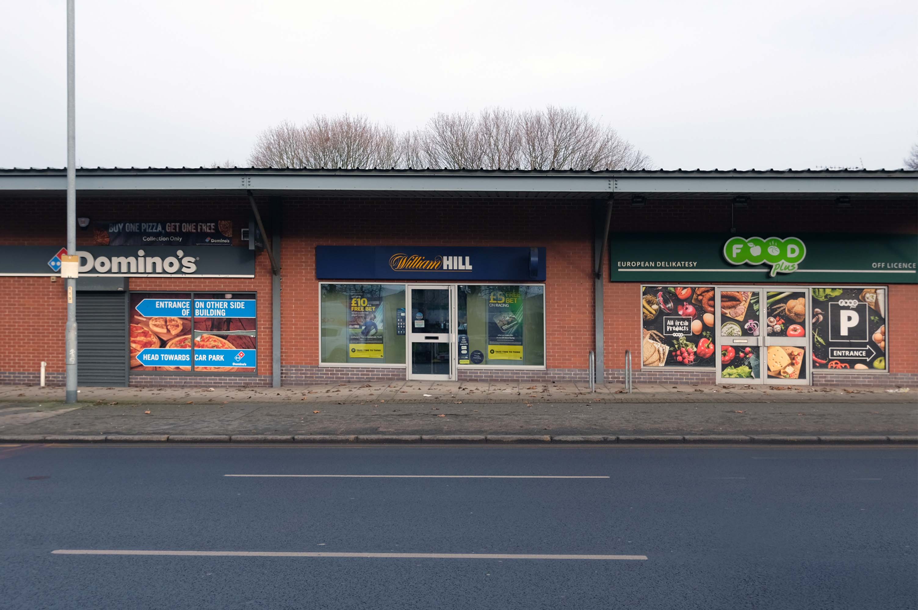
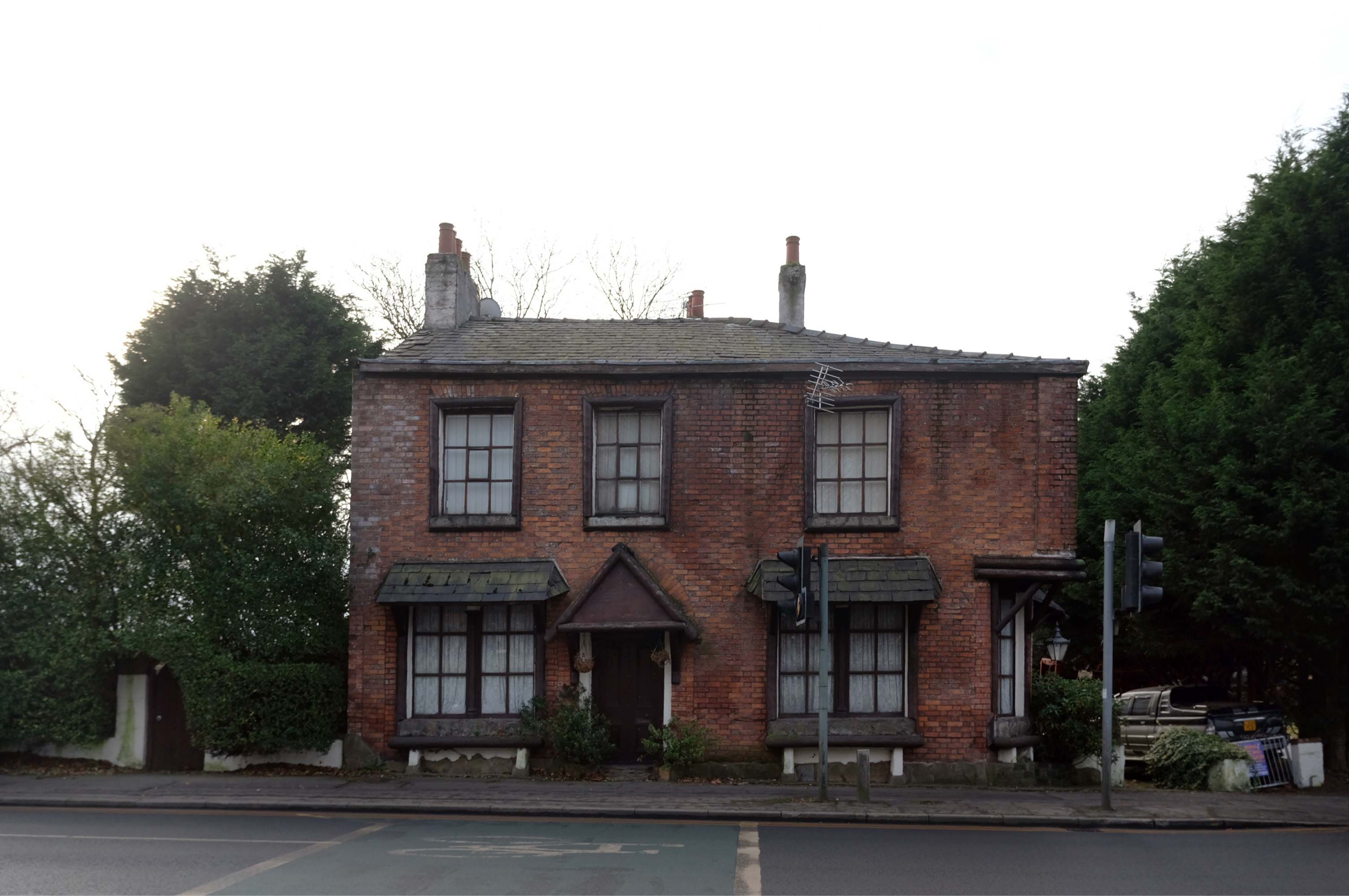
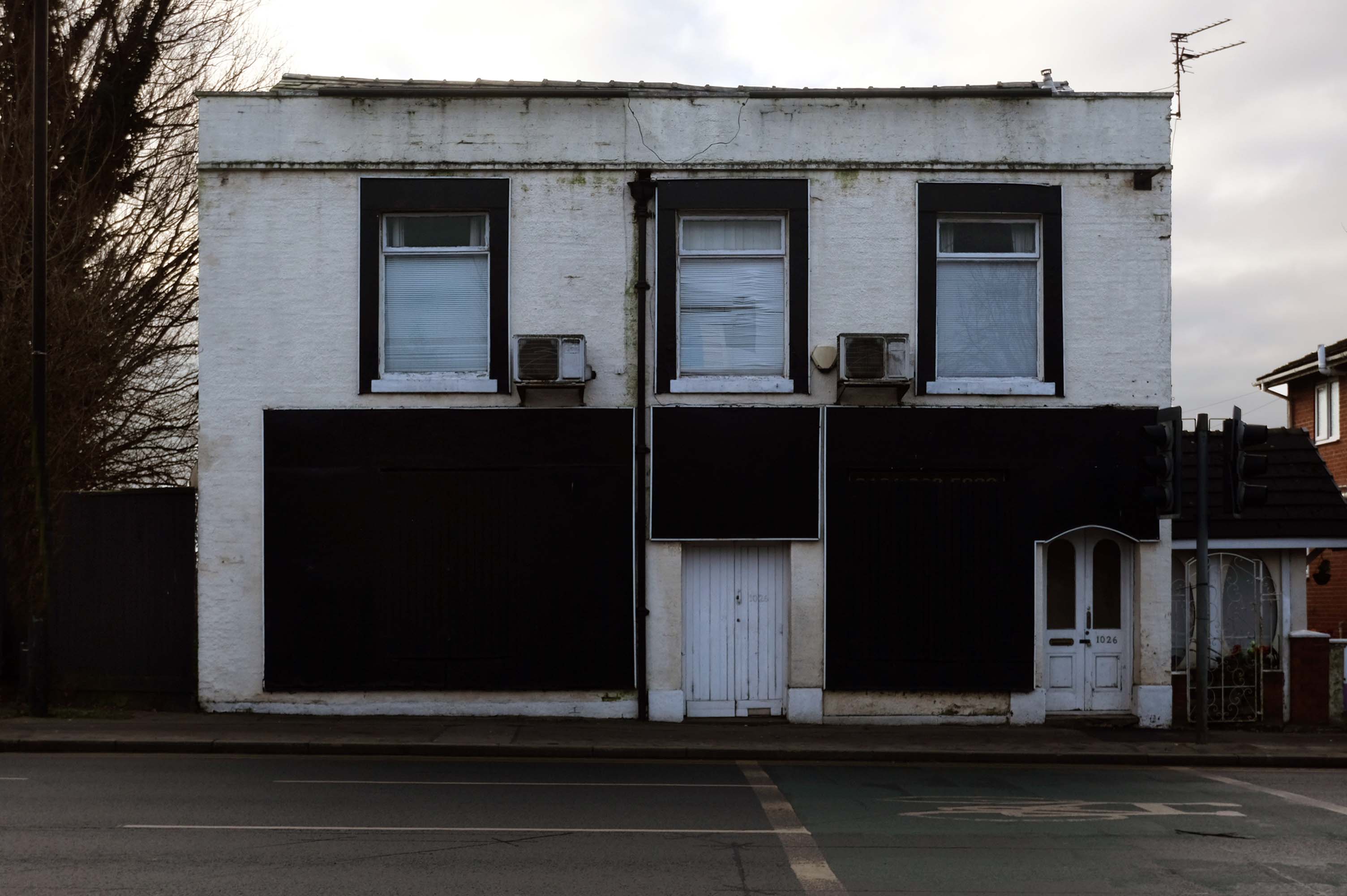
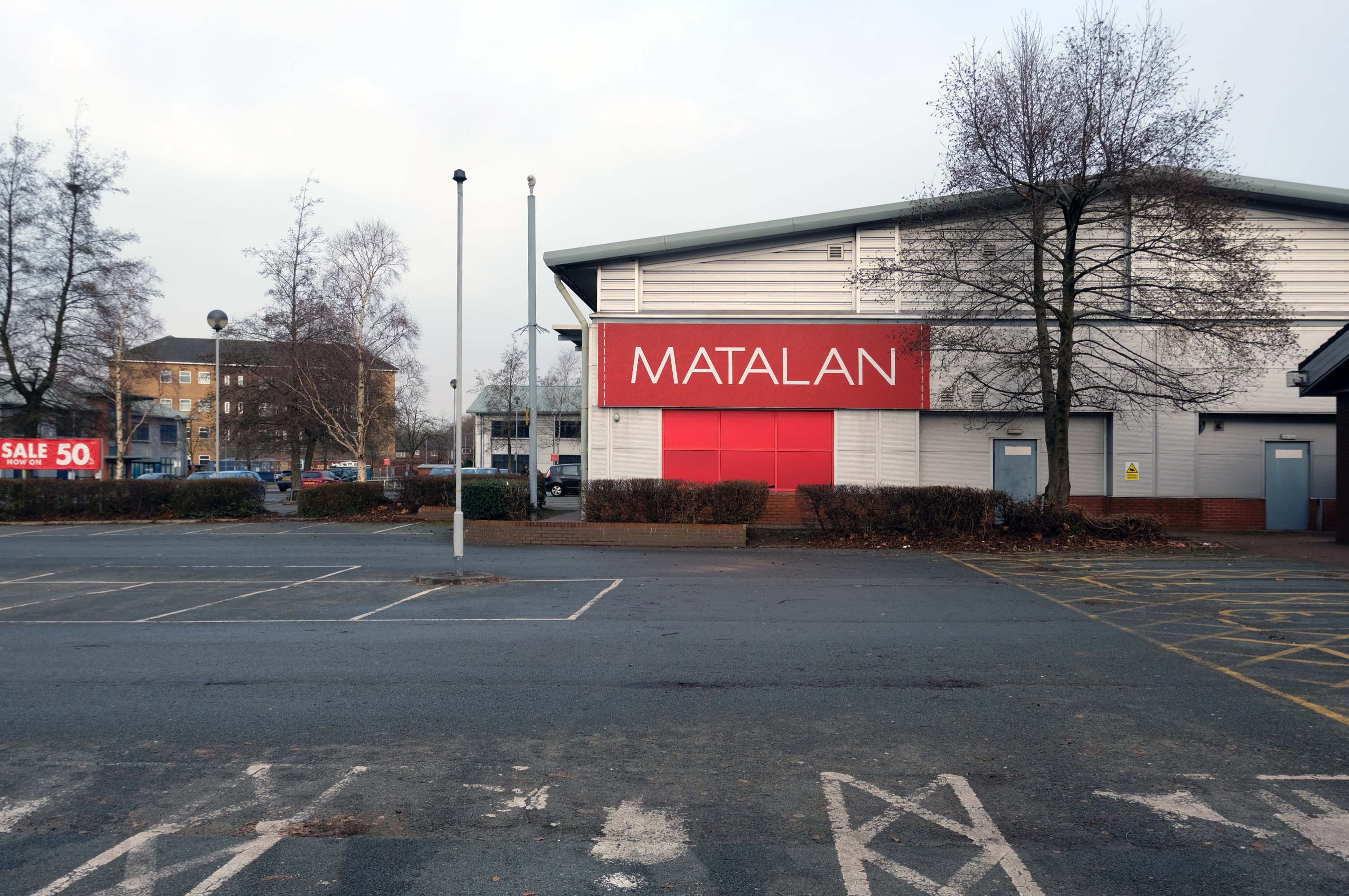
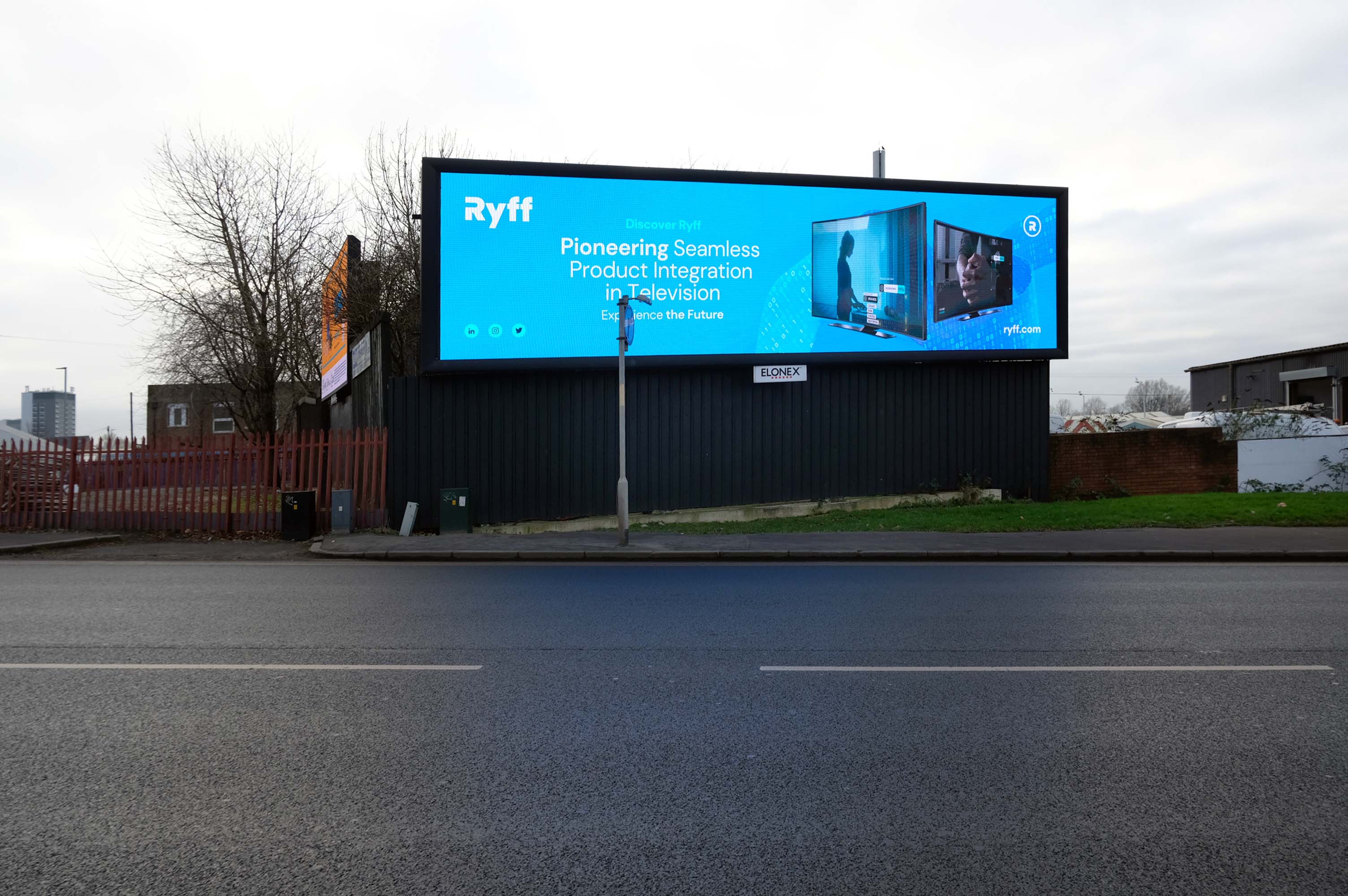
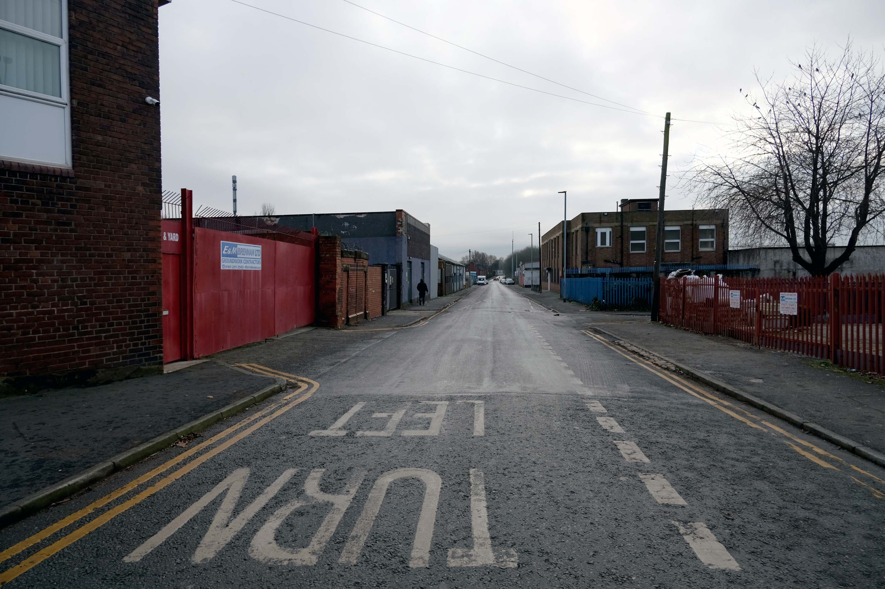


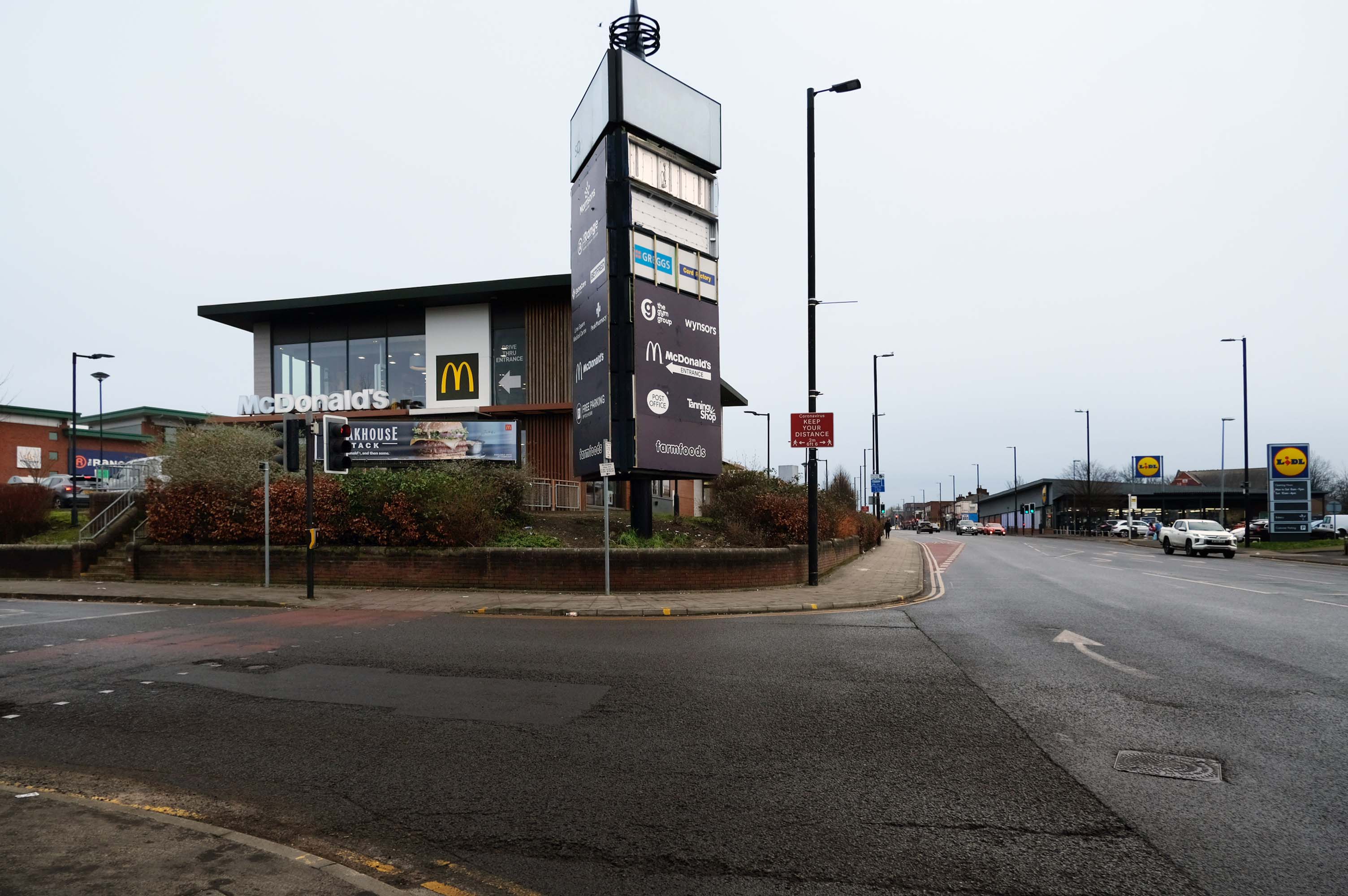
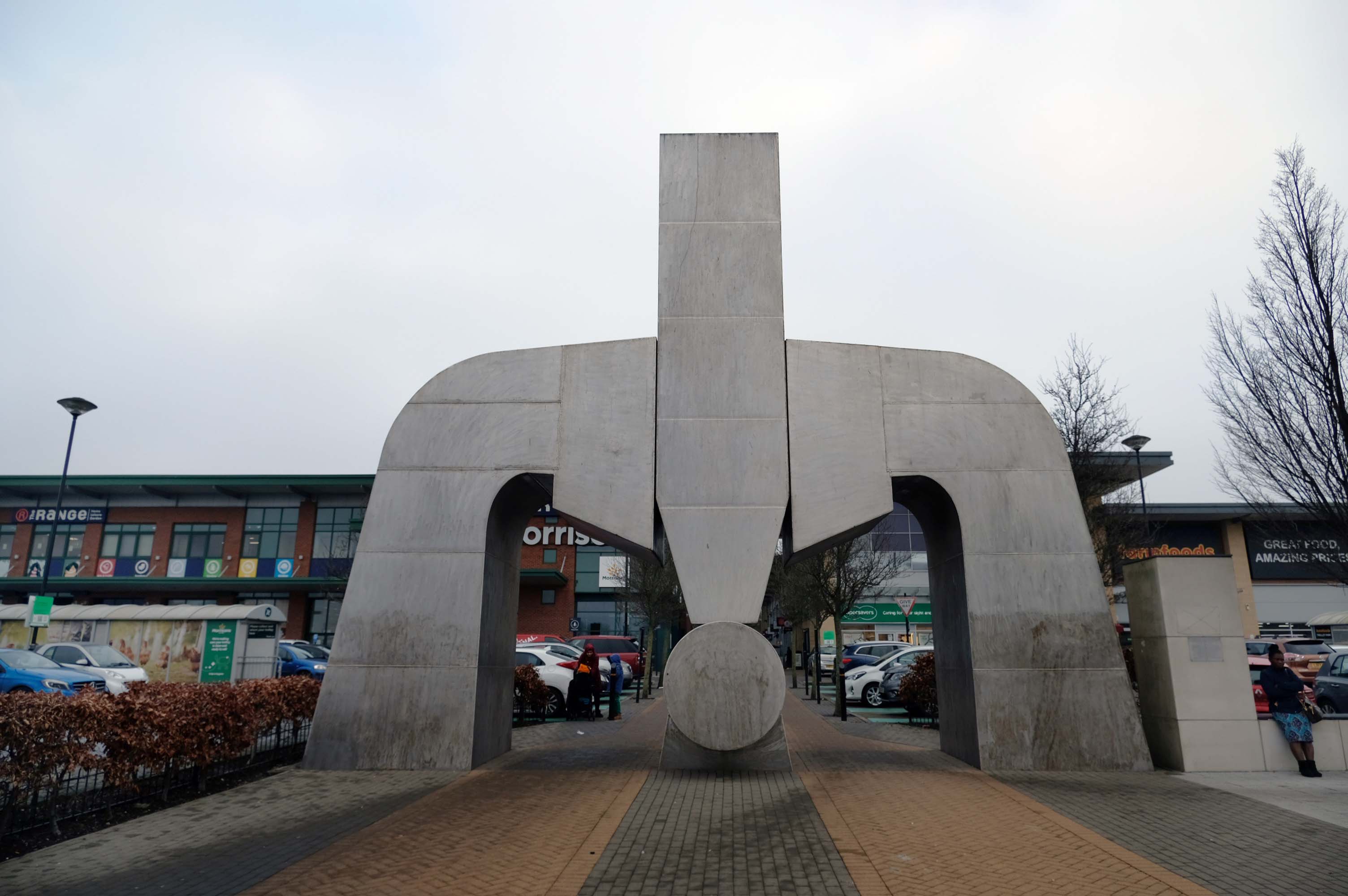

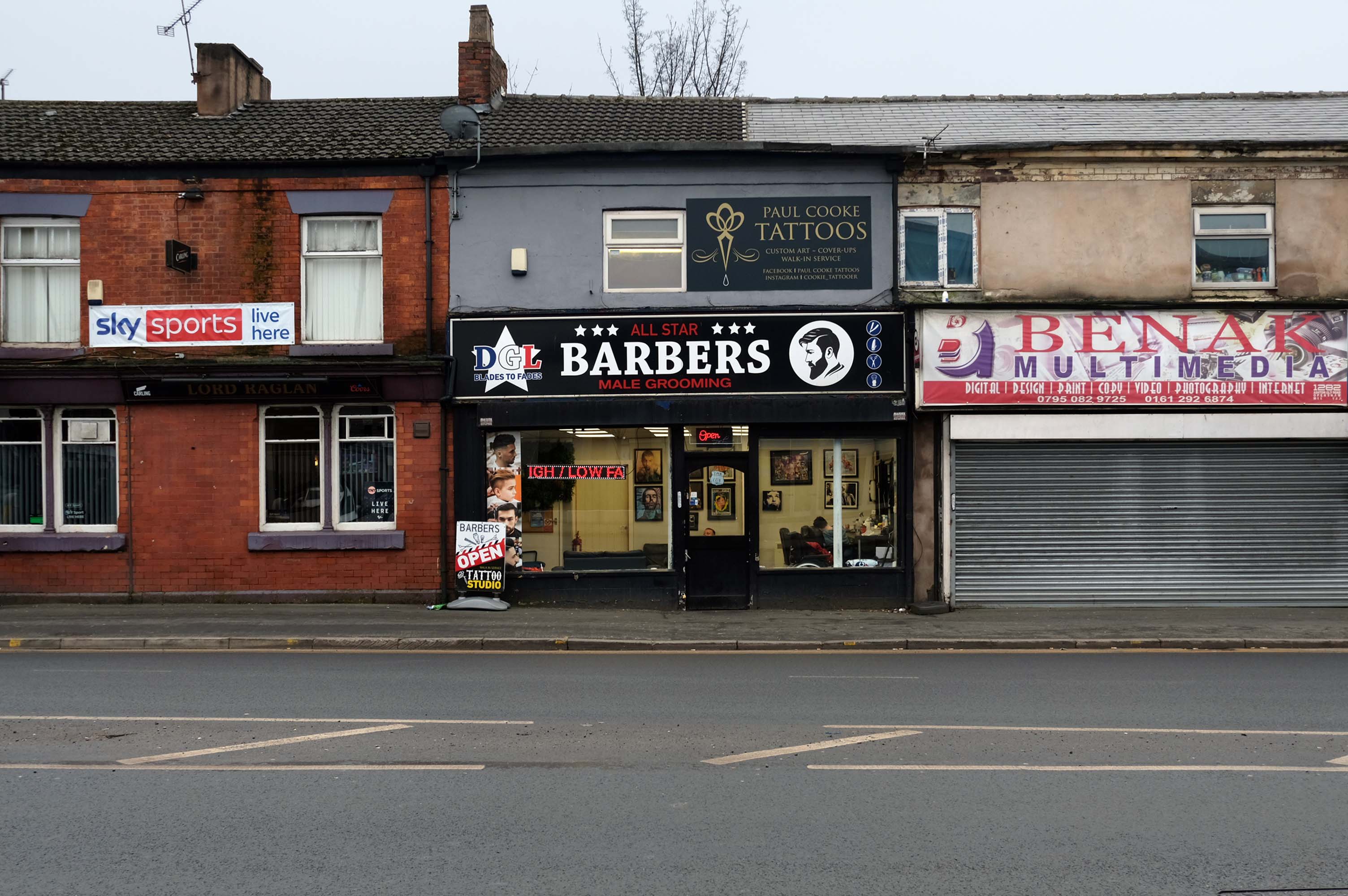
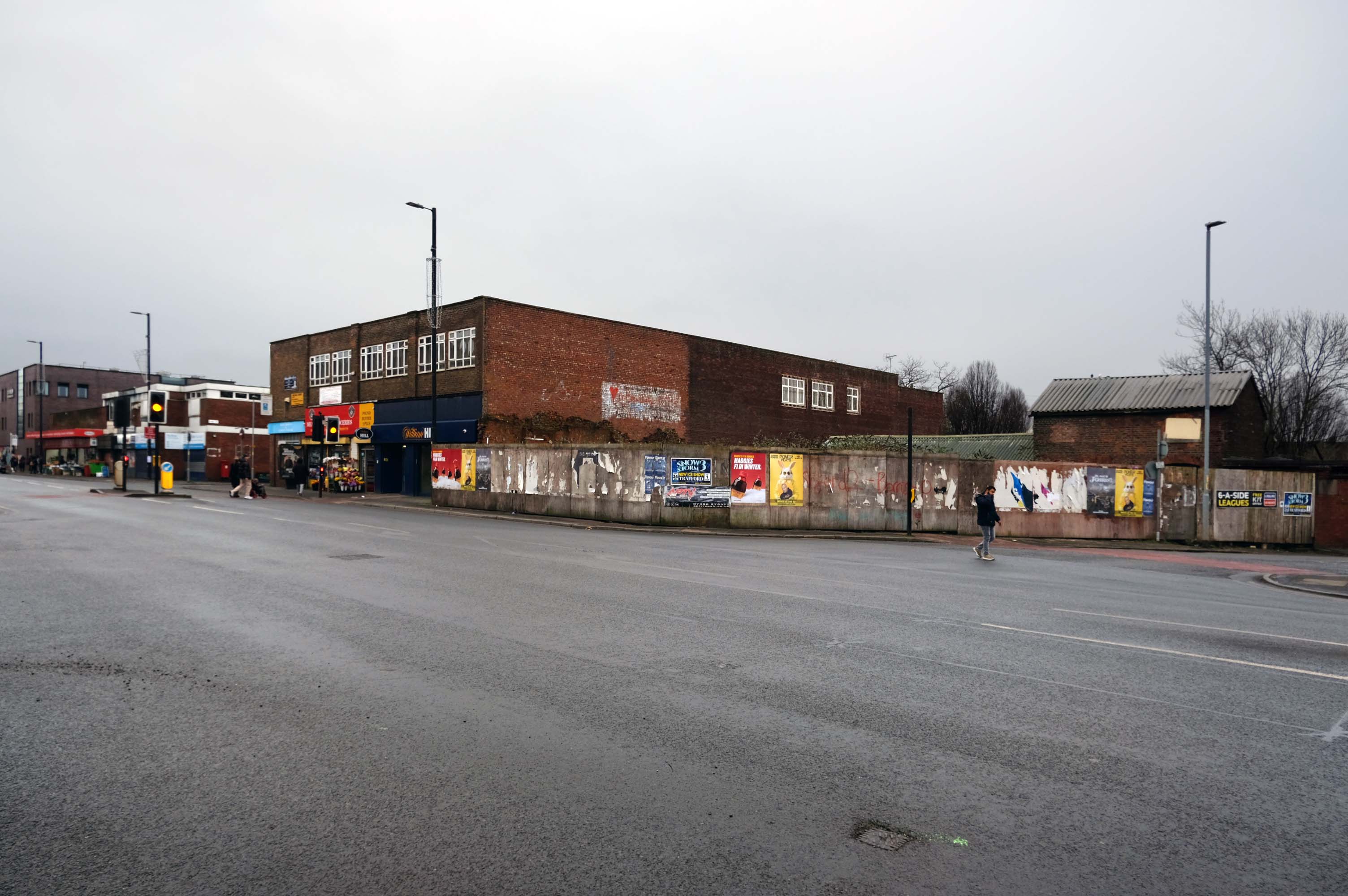


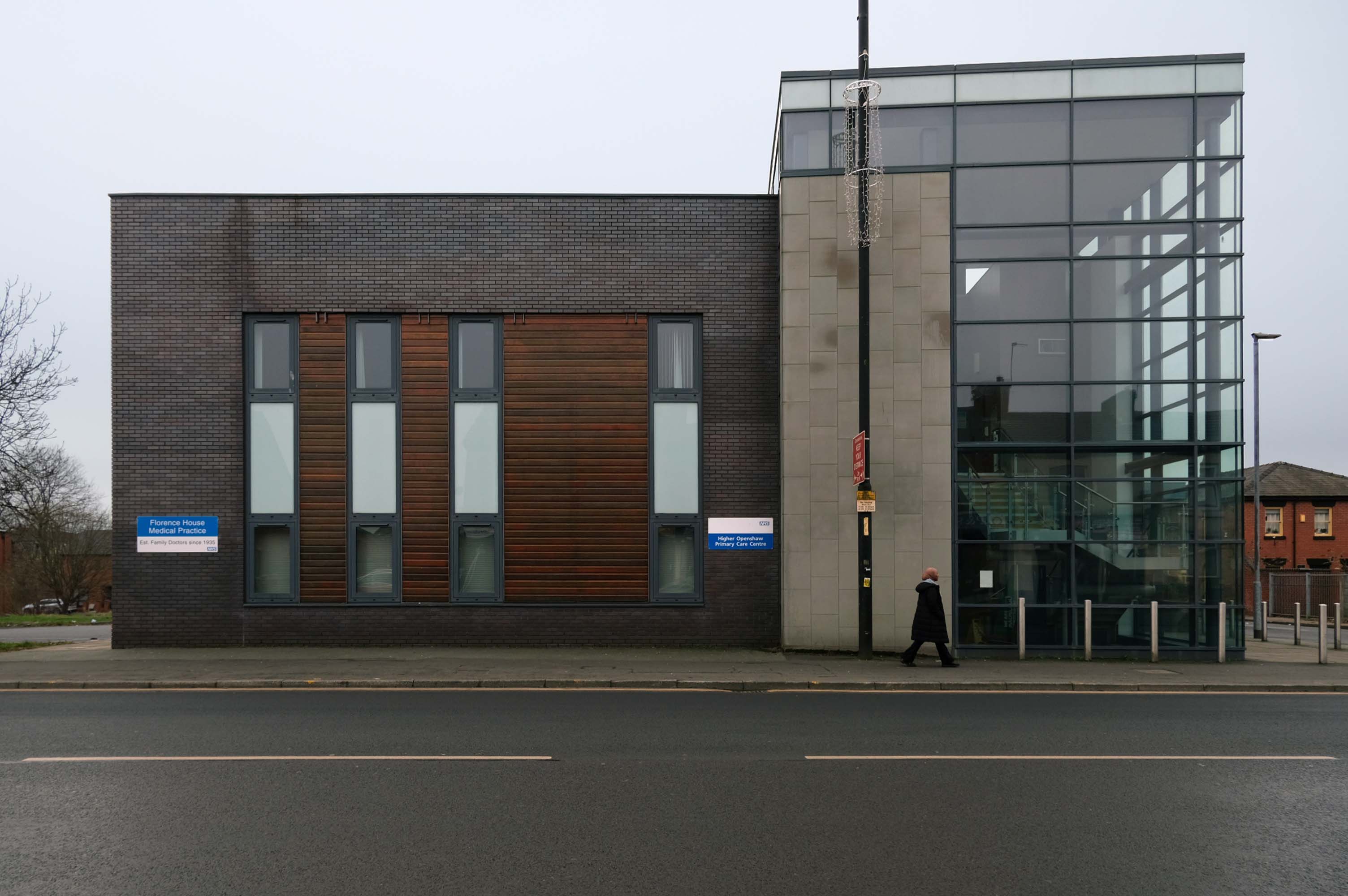
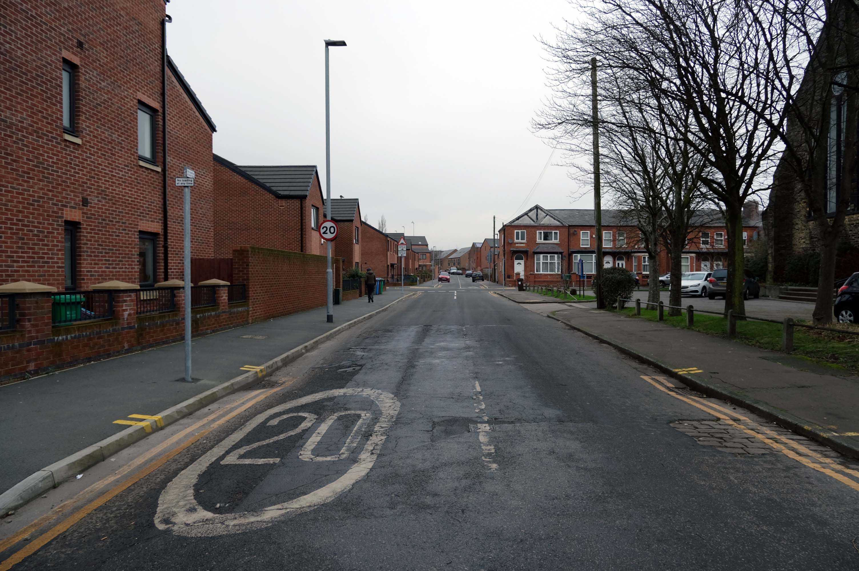
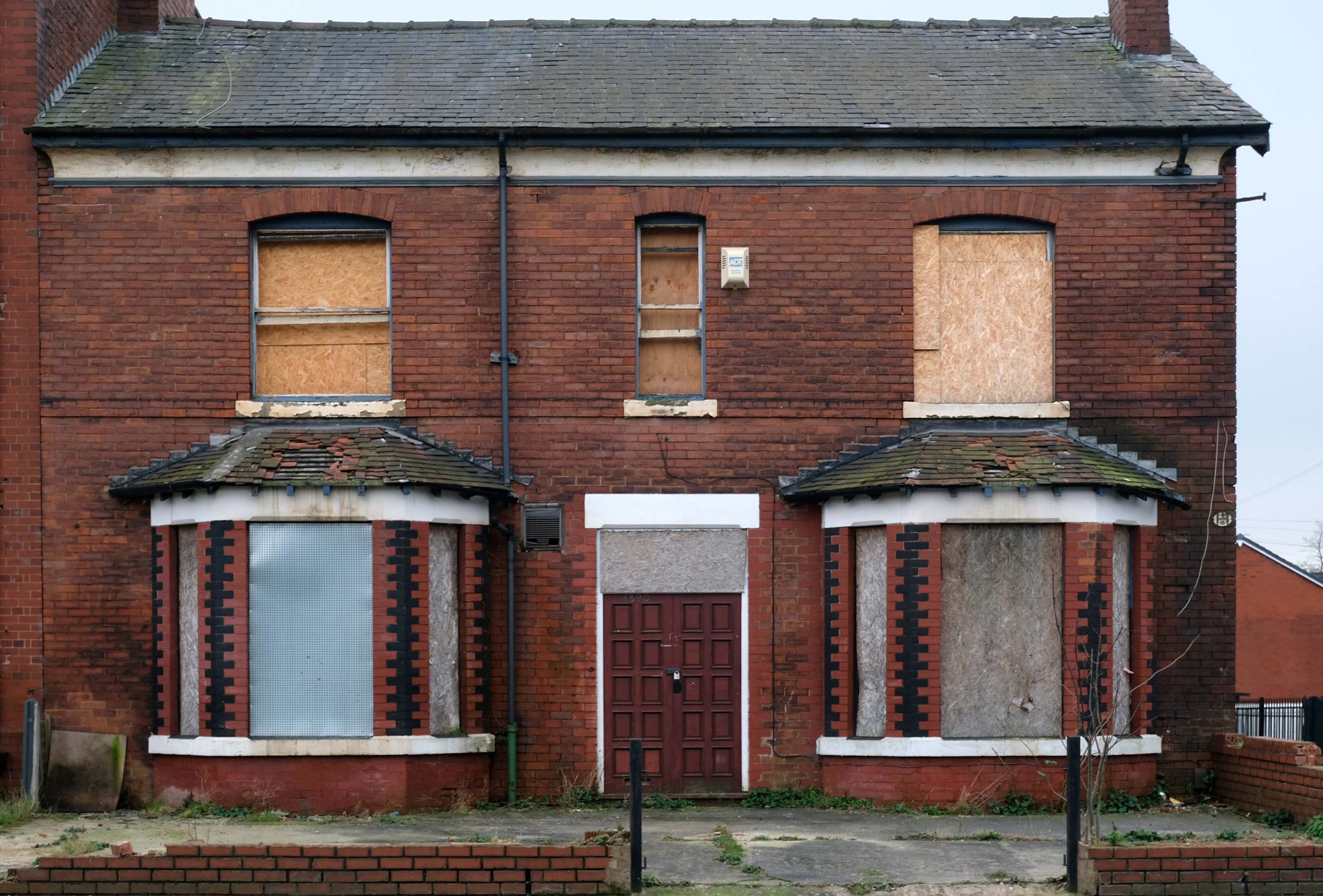
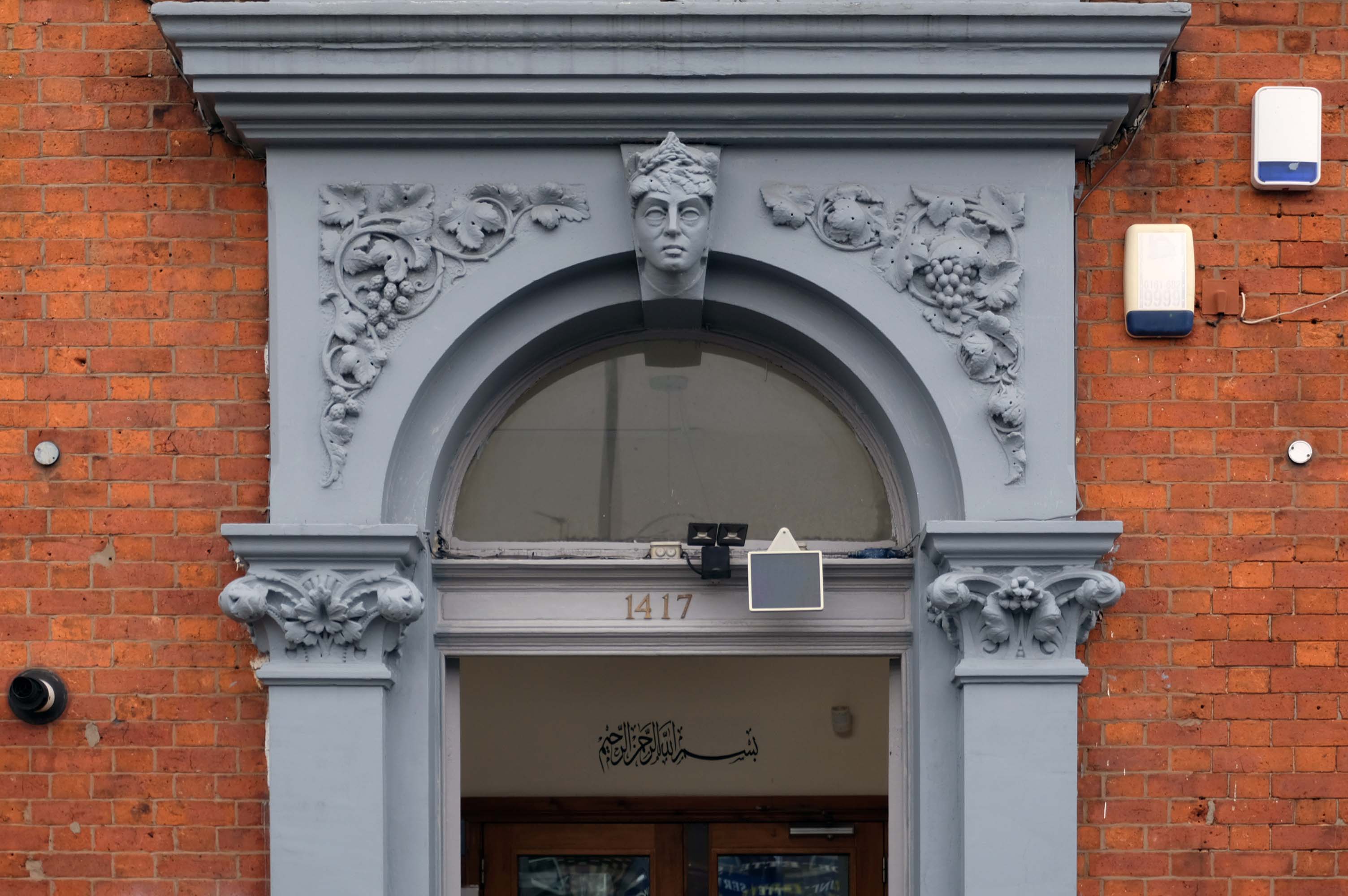
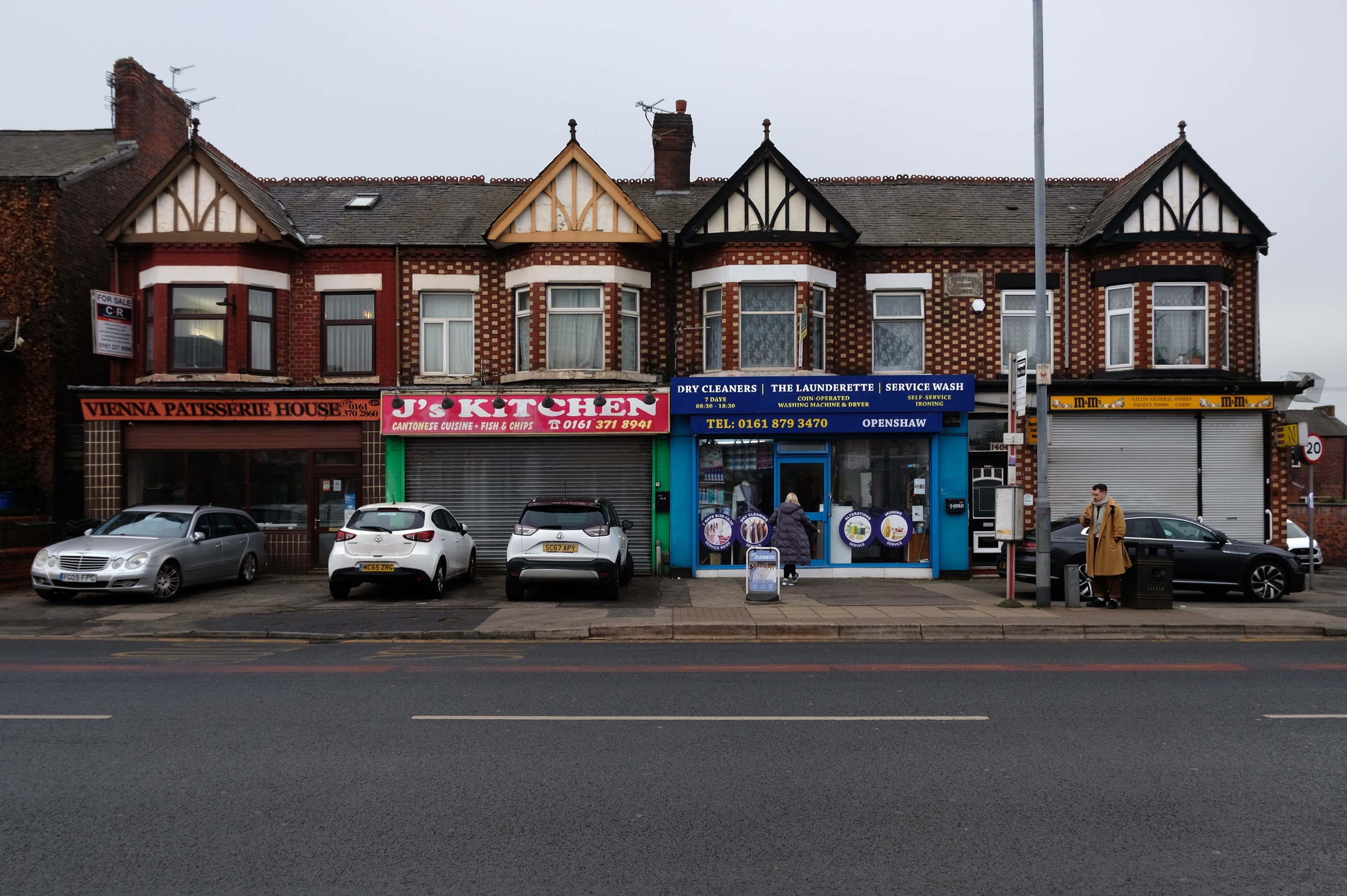

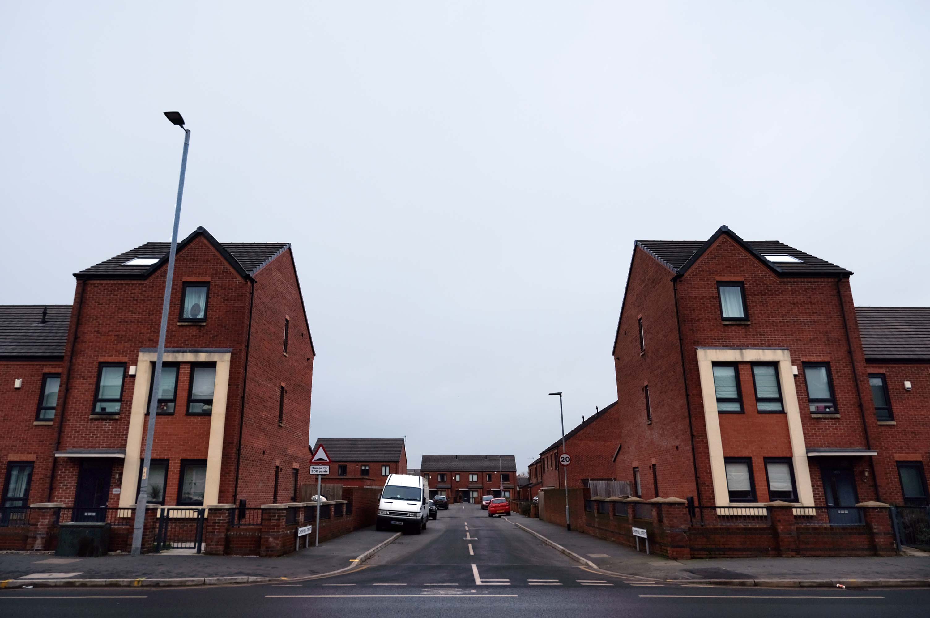
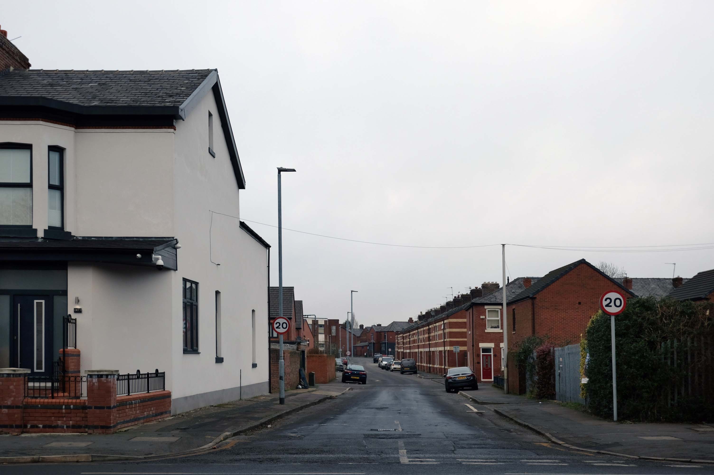
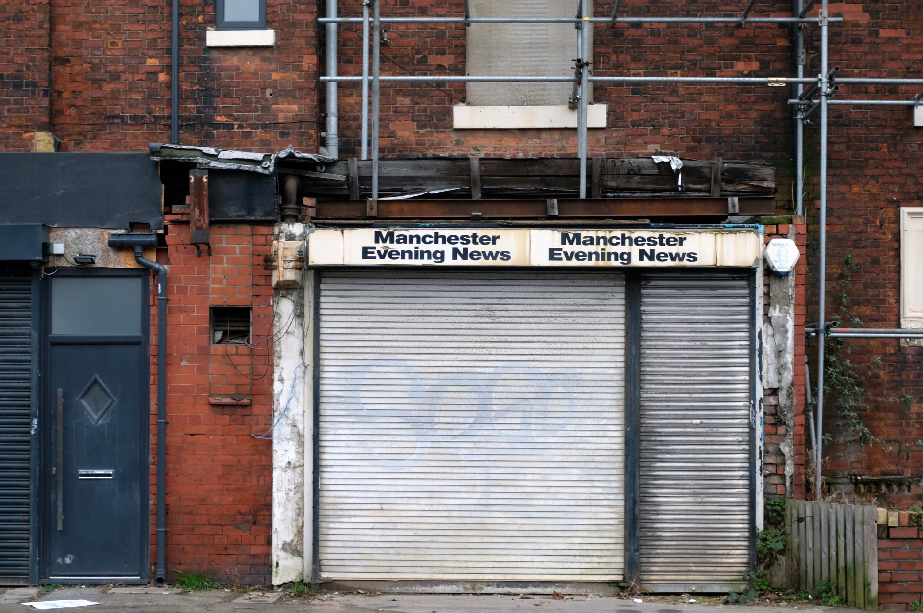

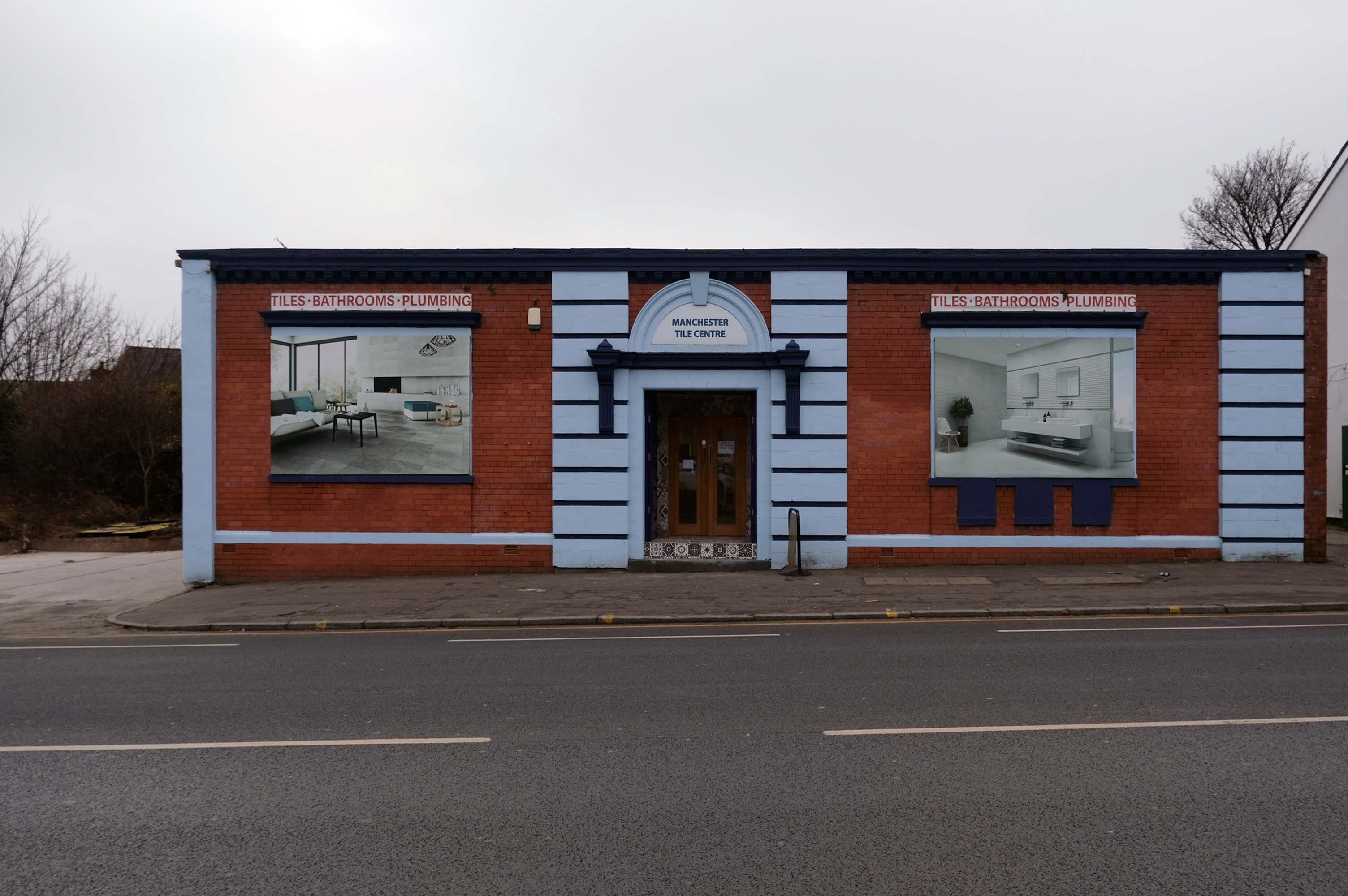
Having photographed the arterial roads of Manchester in 2014, I have resolved to return to the task in 2024.
Some things seem to have changed, some things seem to have stayed the same.

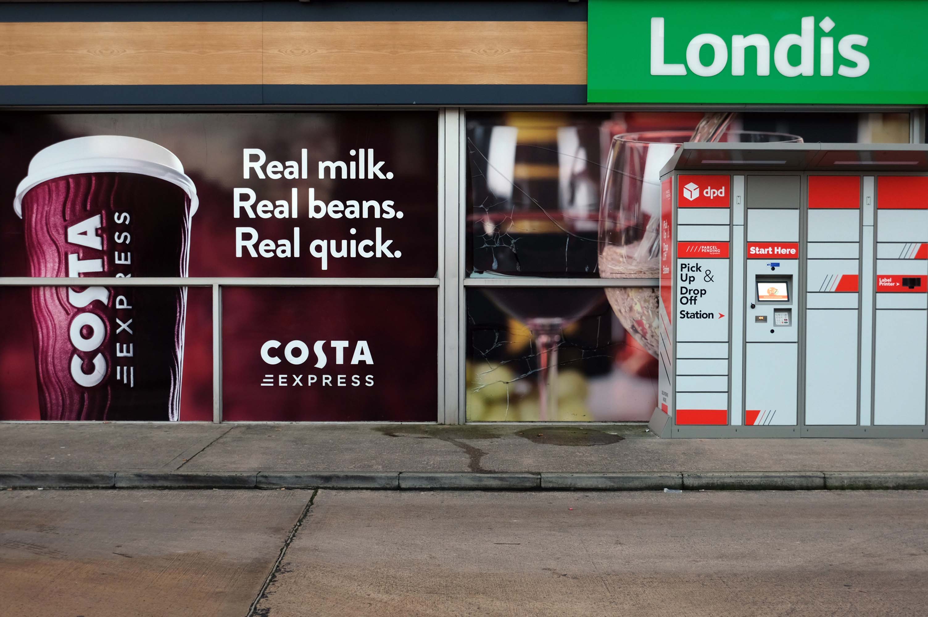
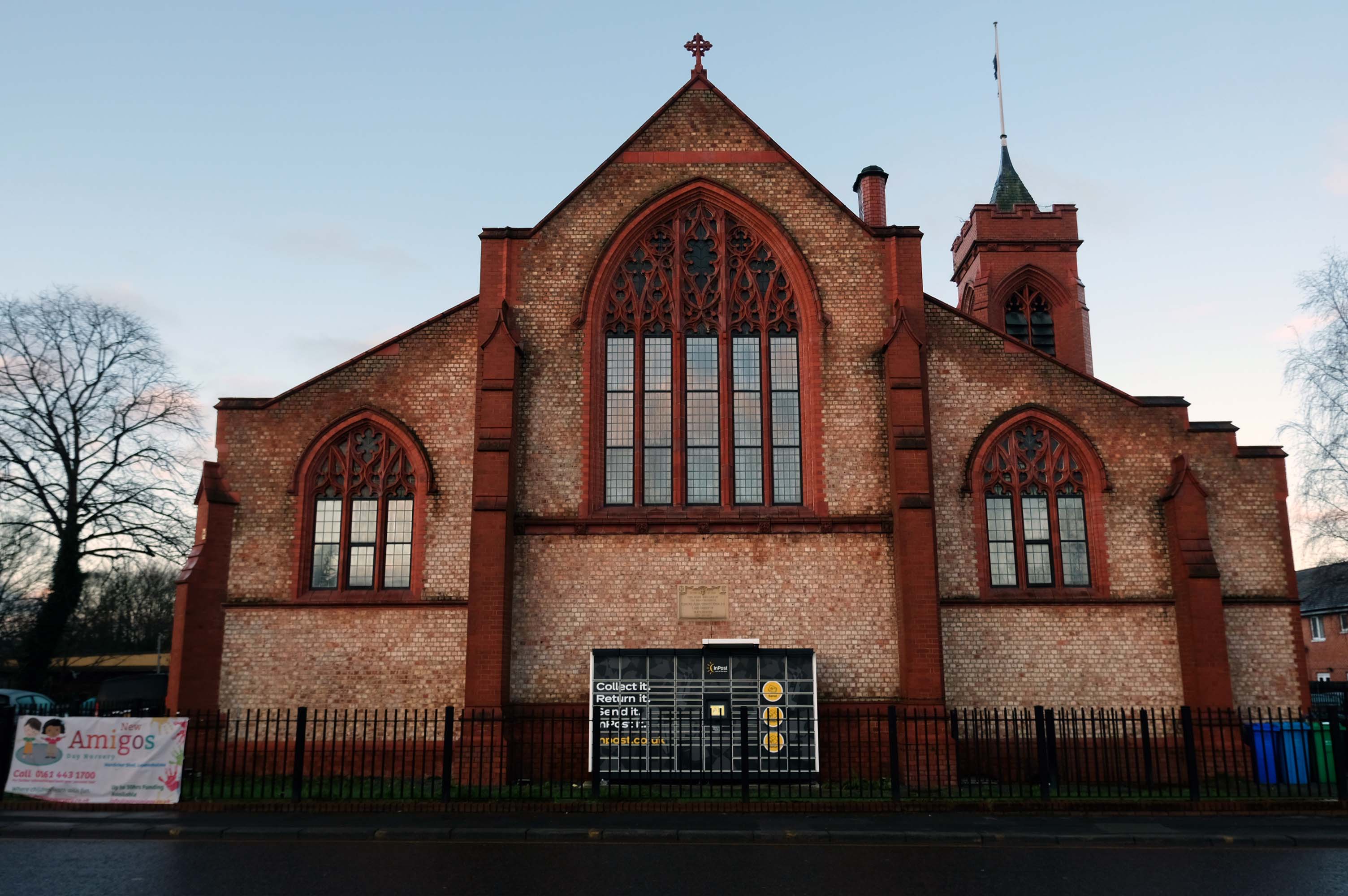
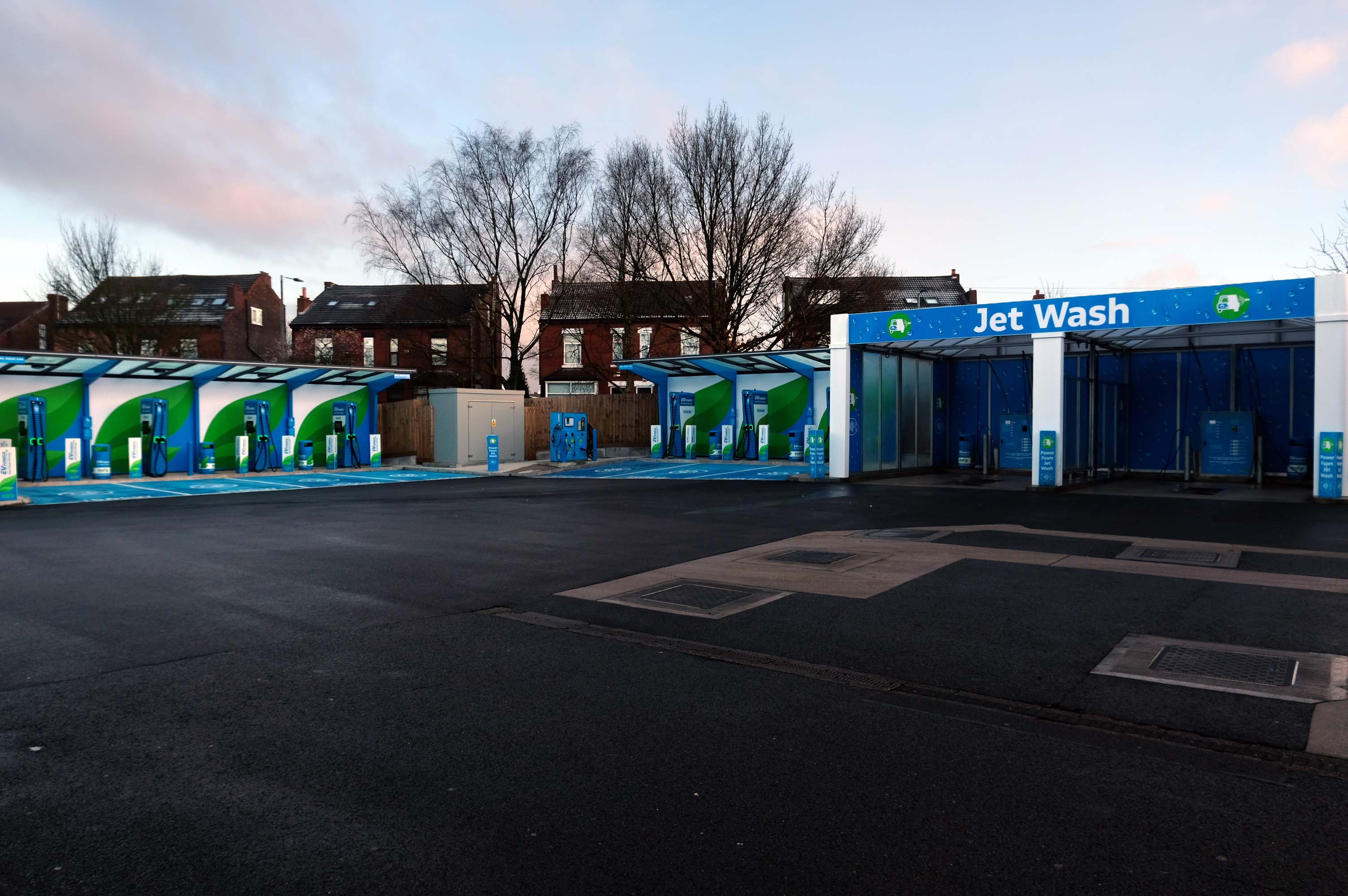
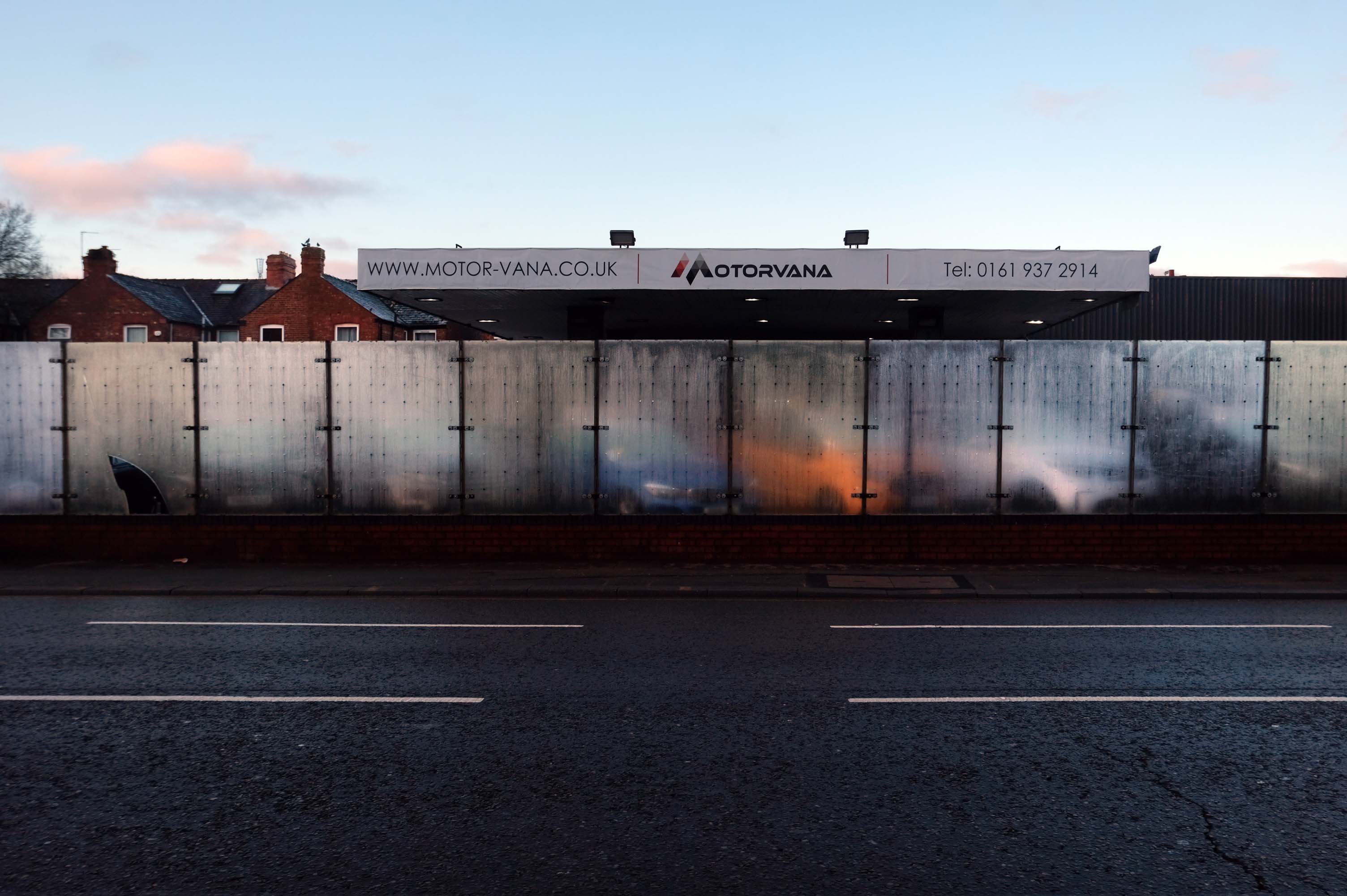
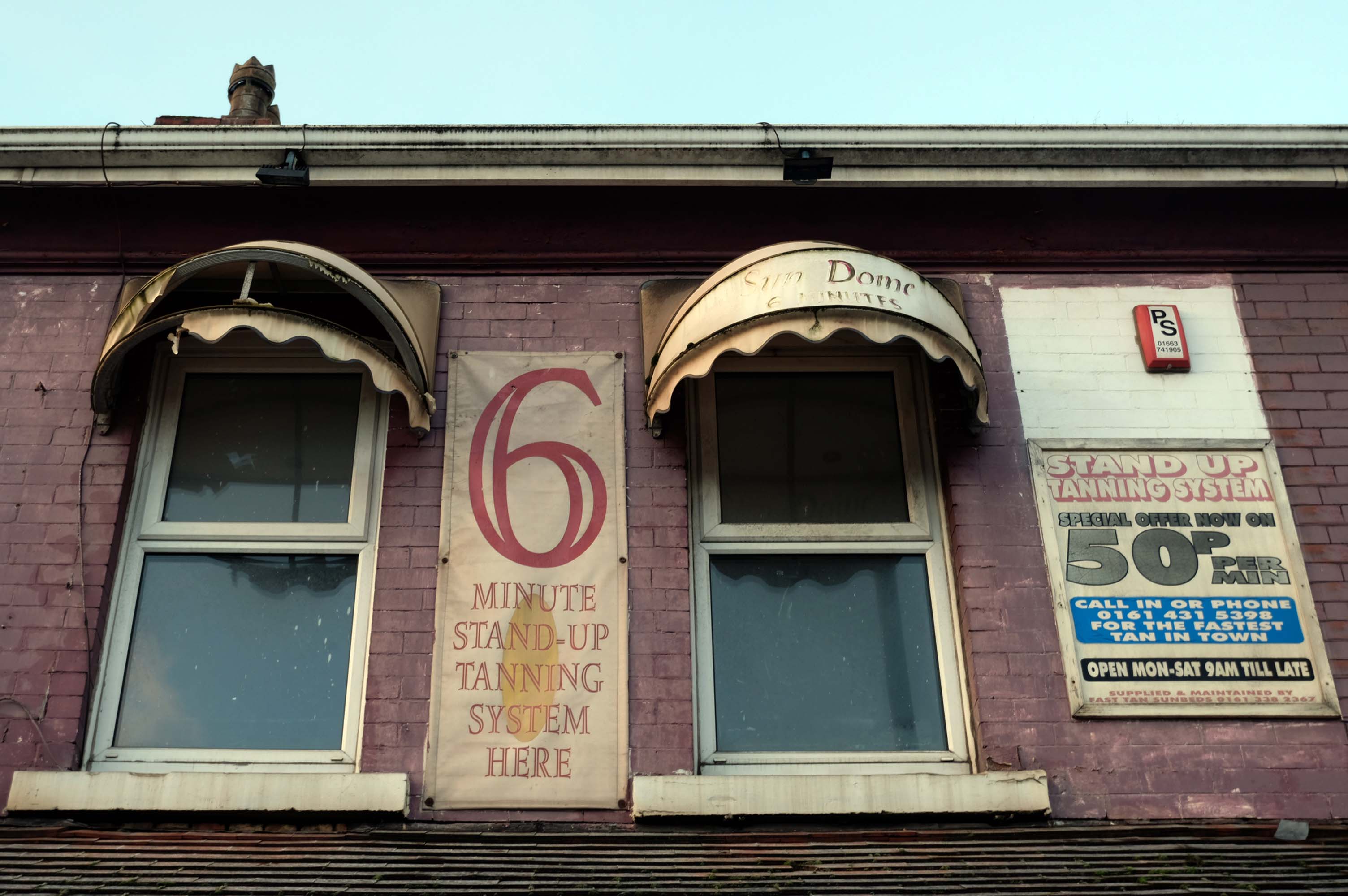
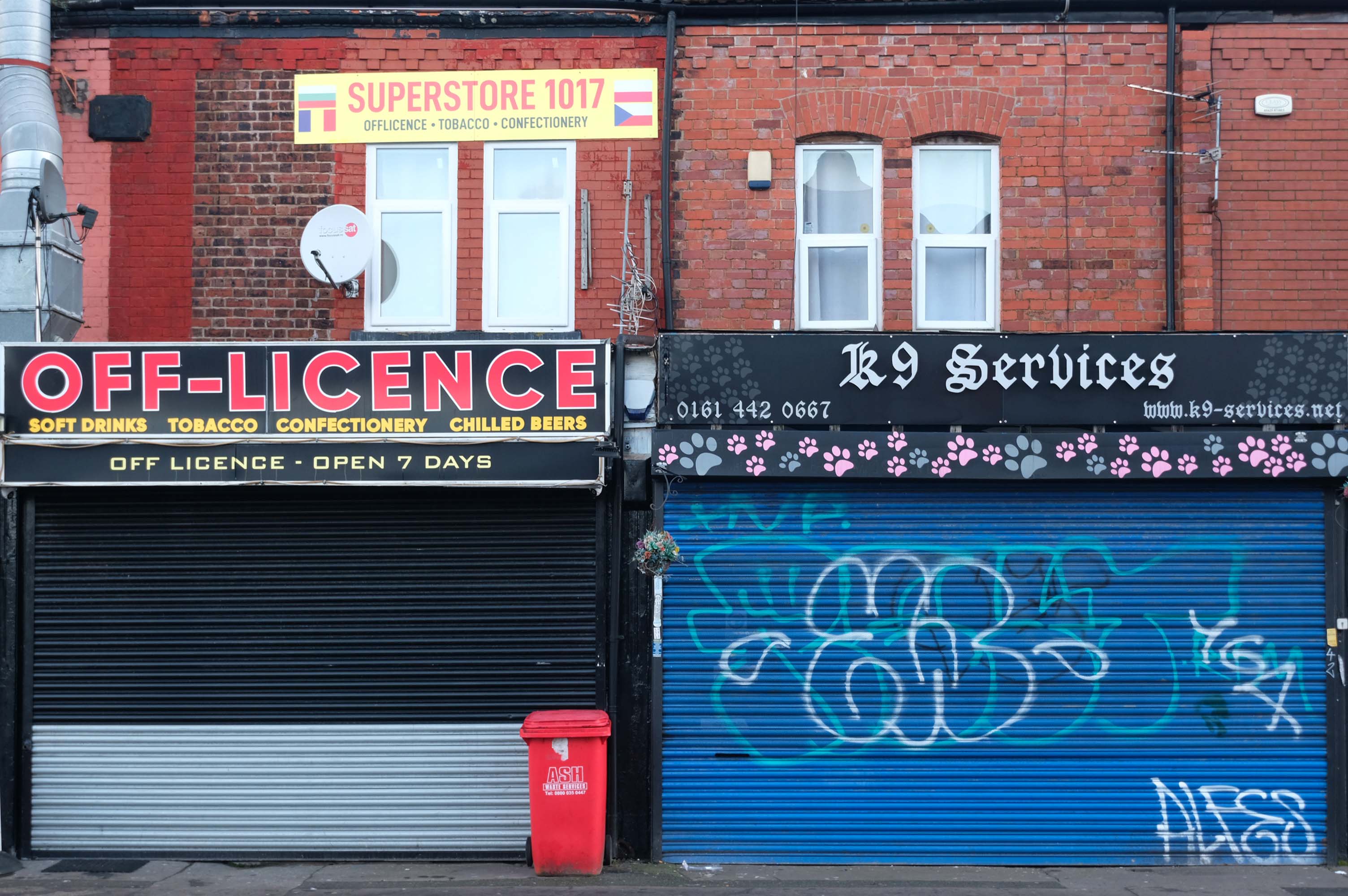
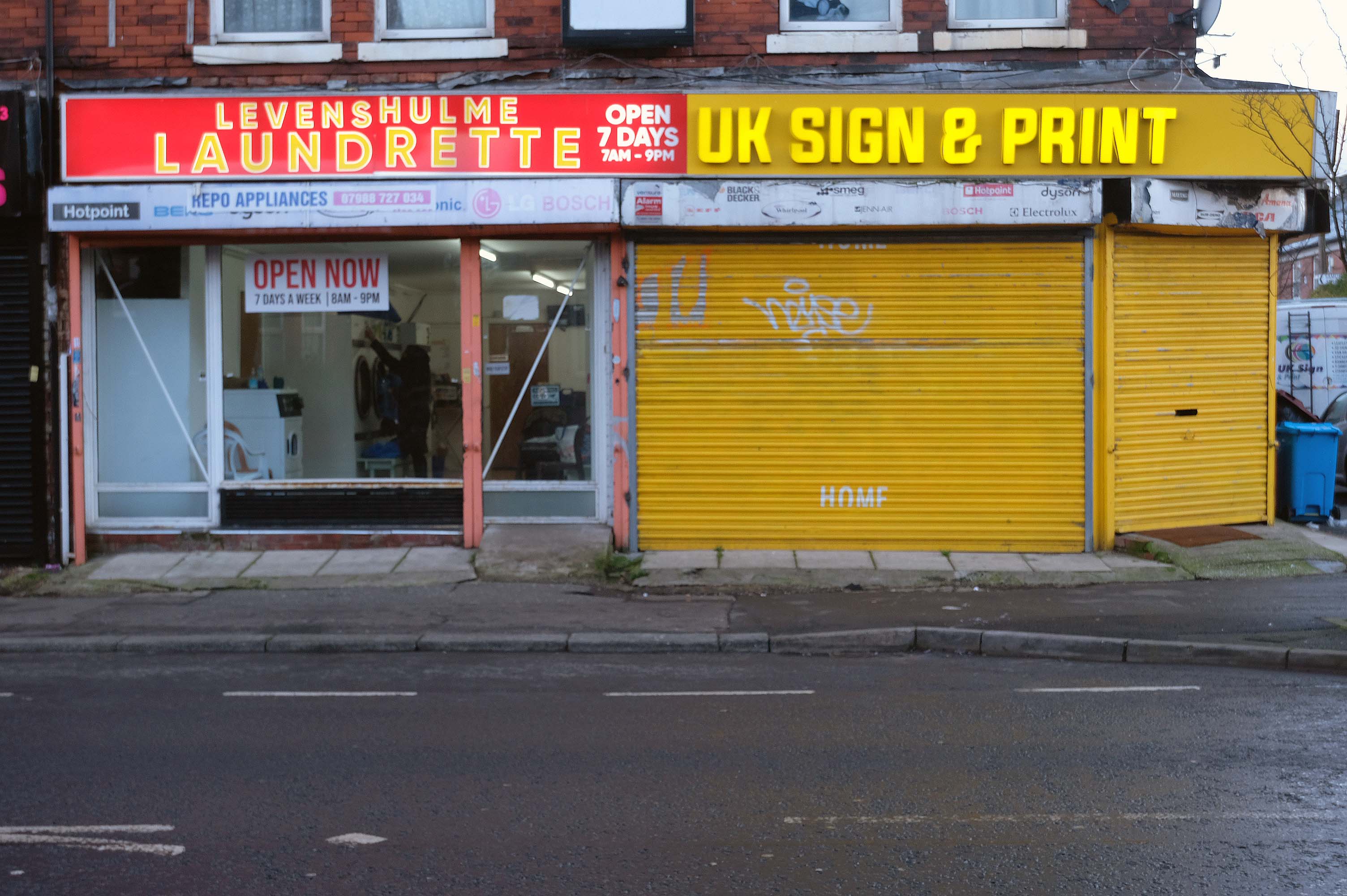
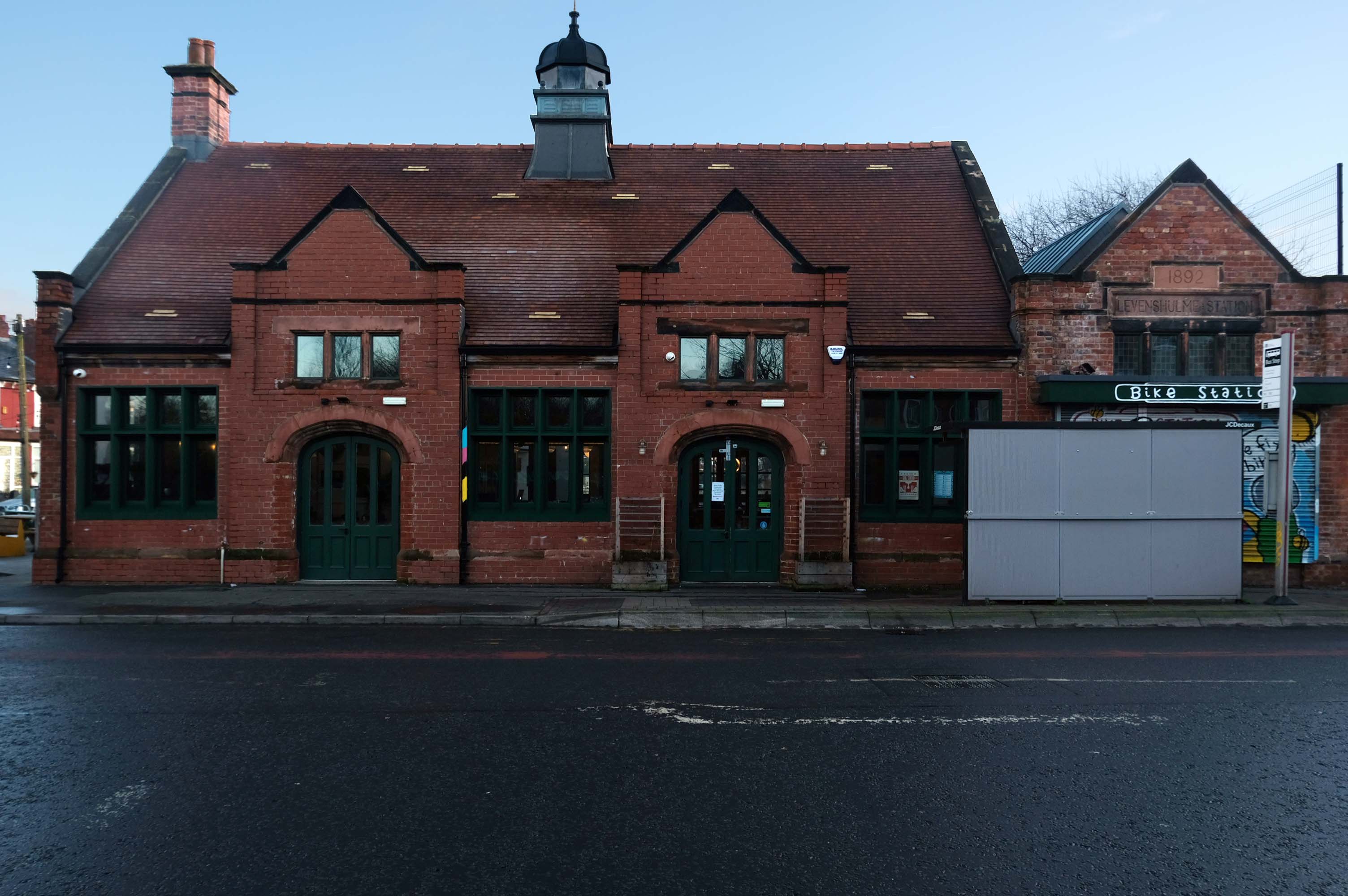


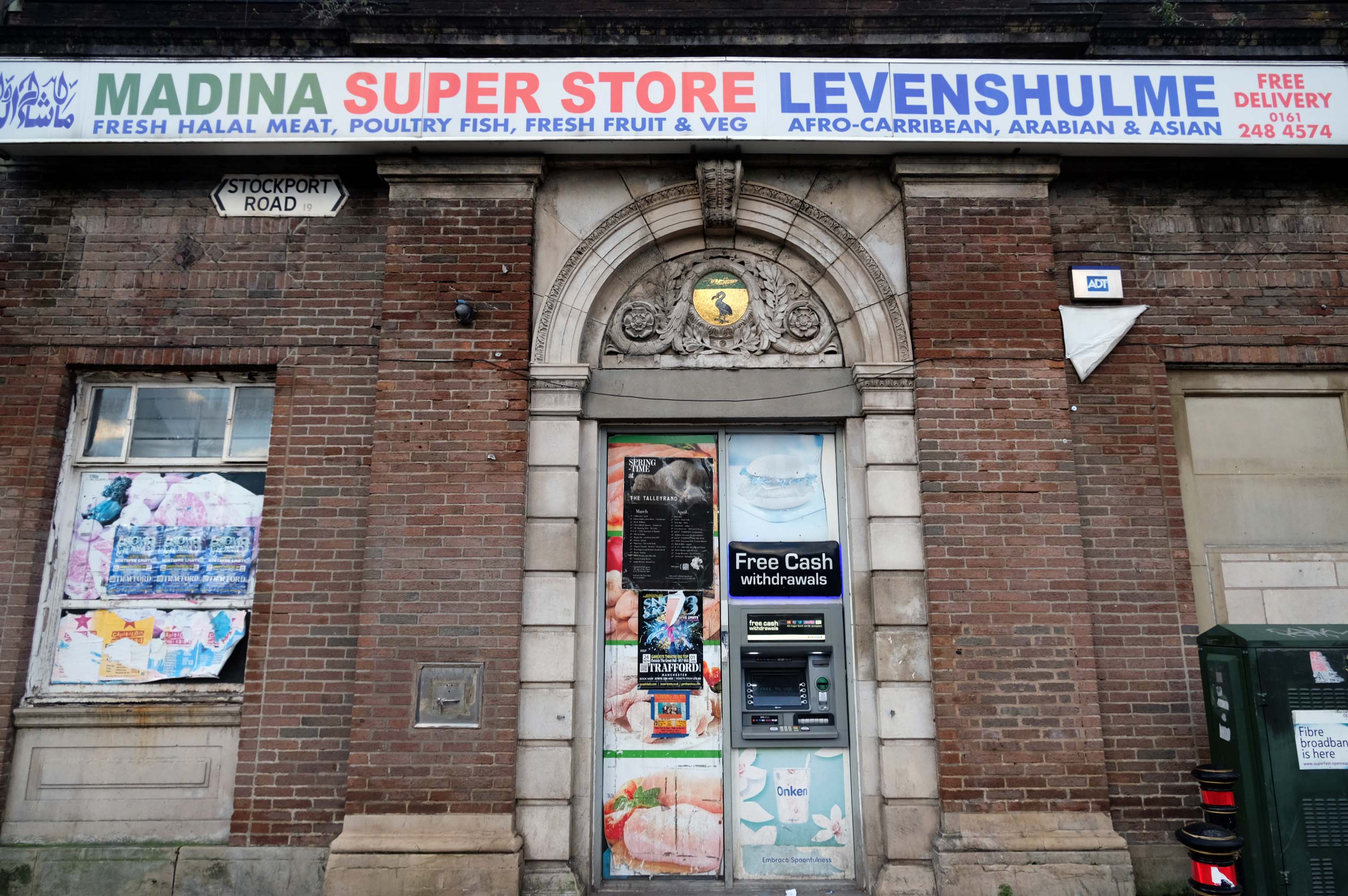


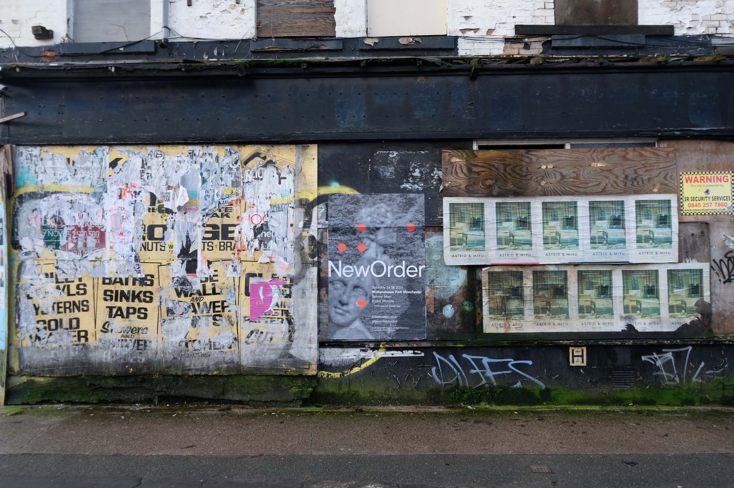
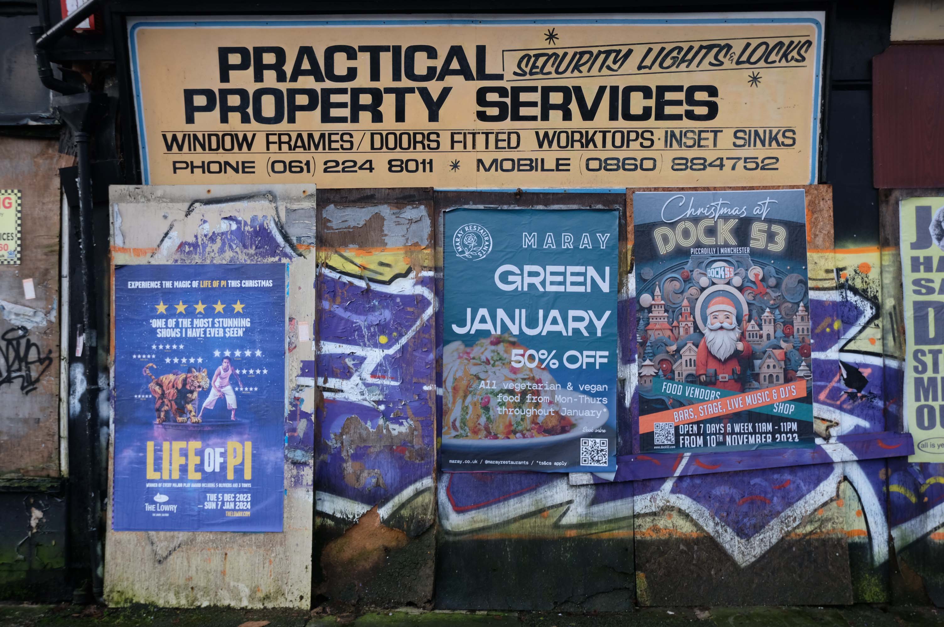


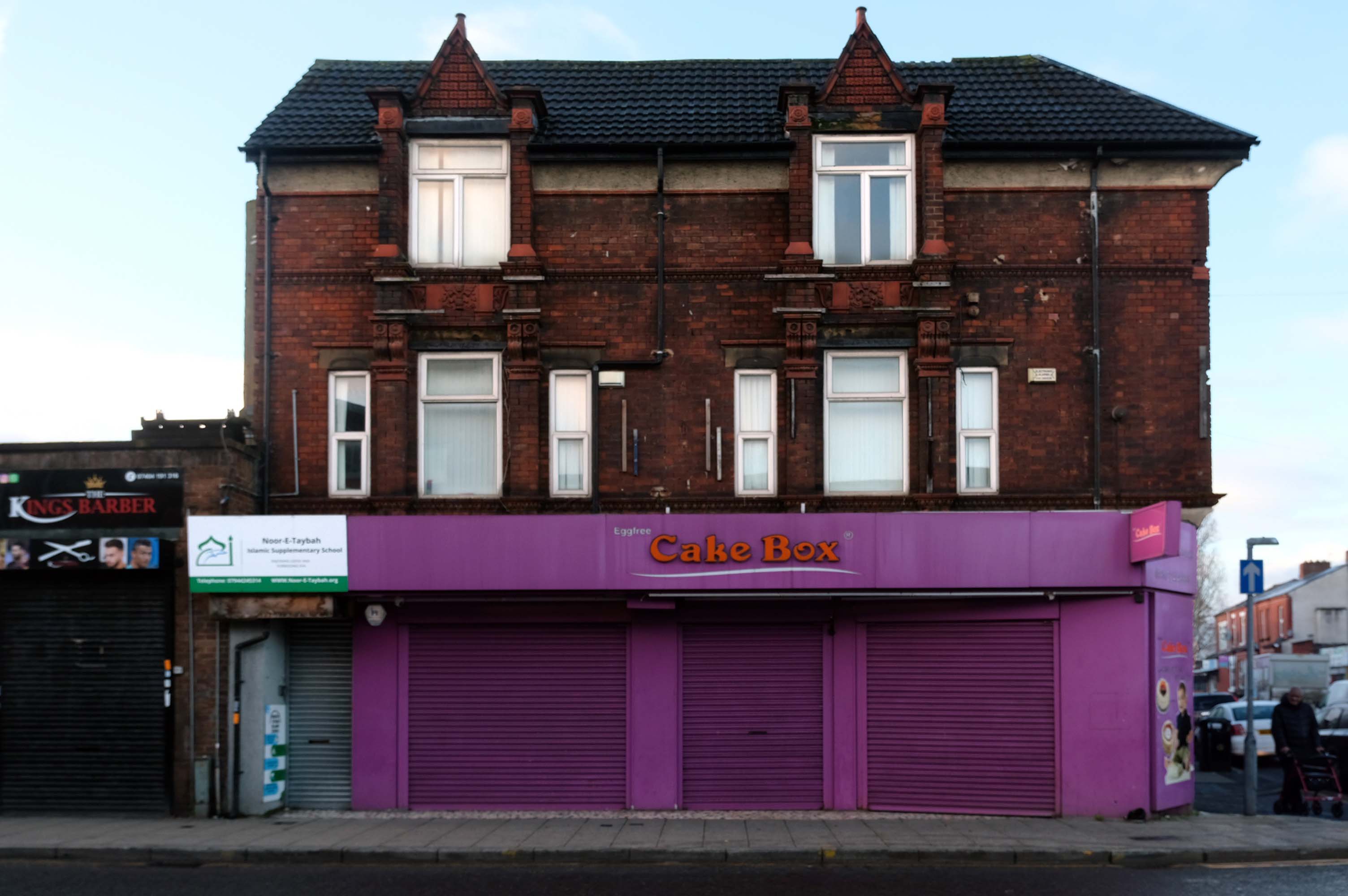
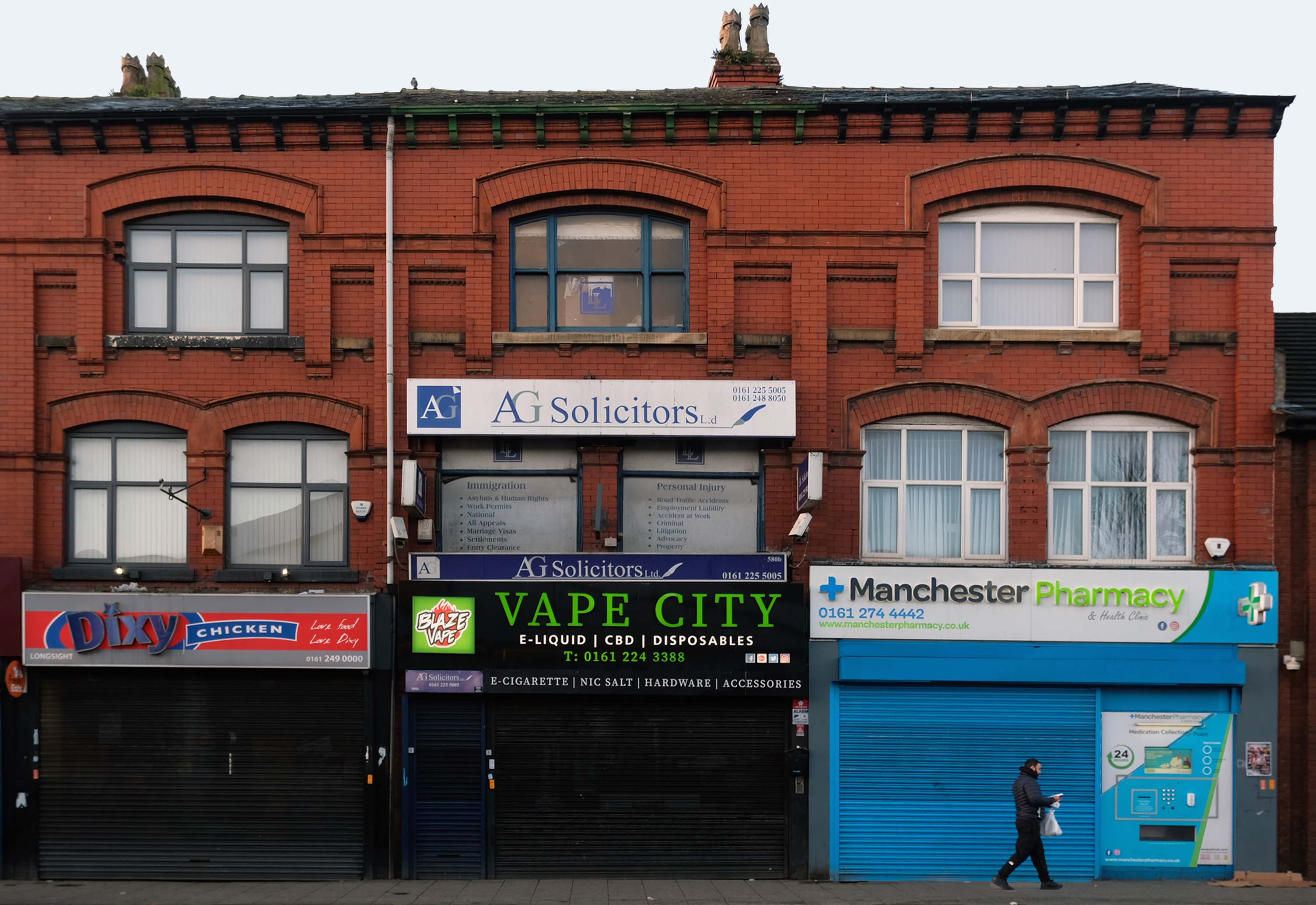
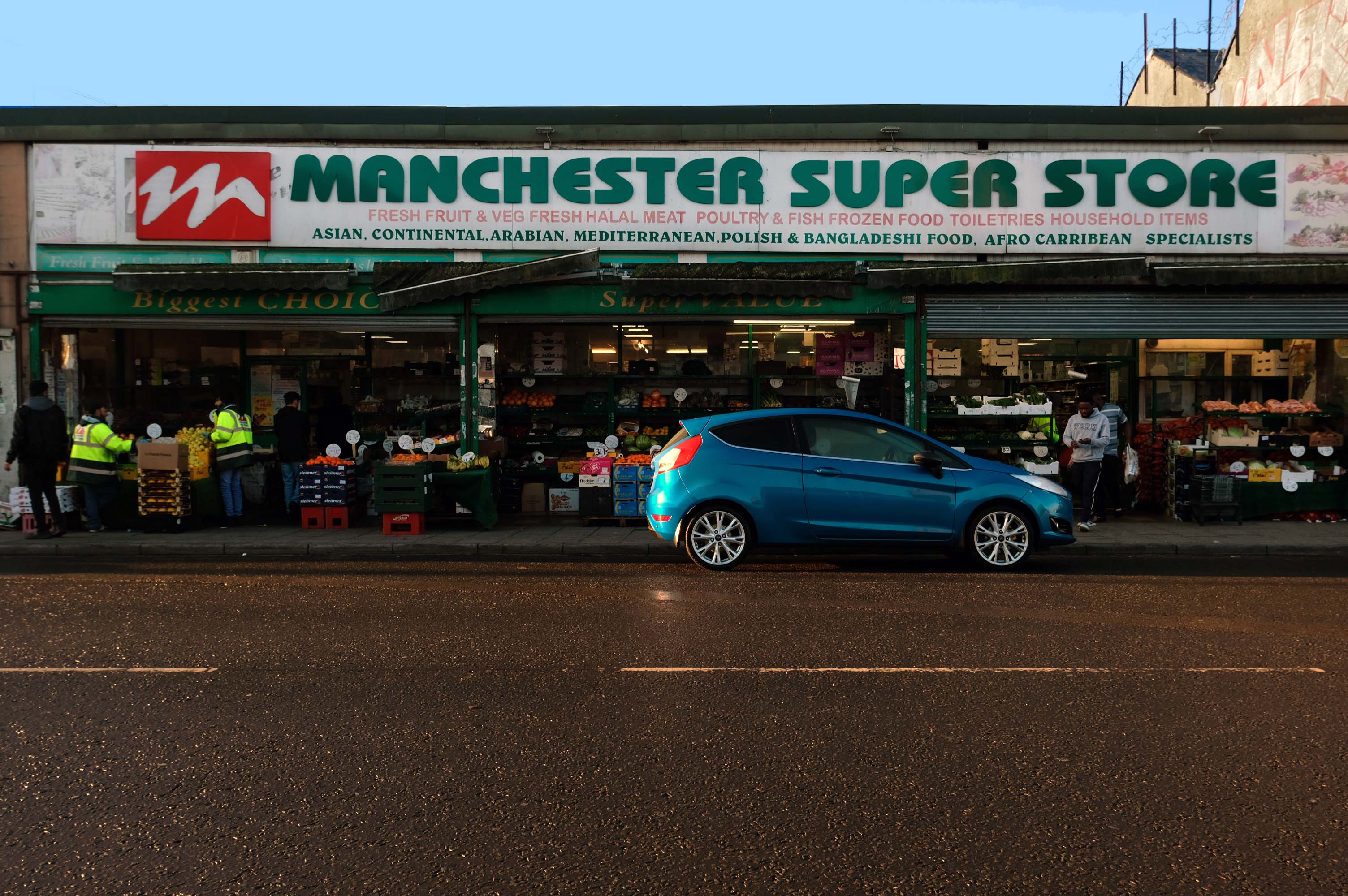
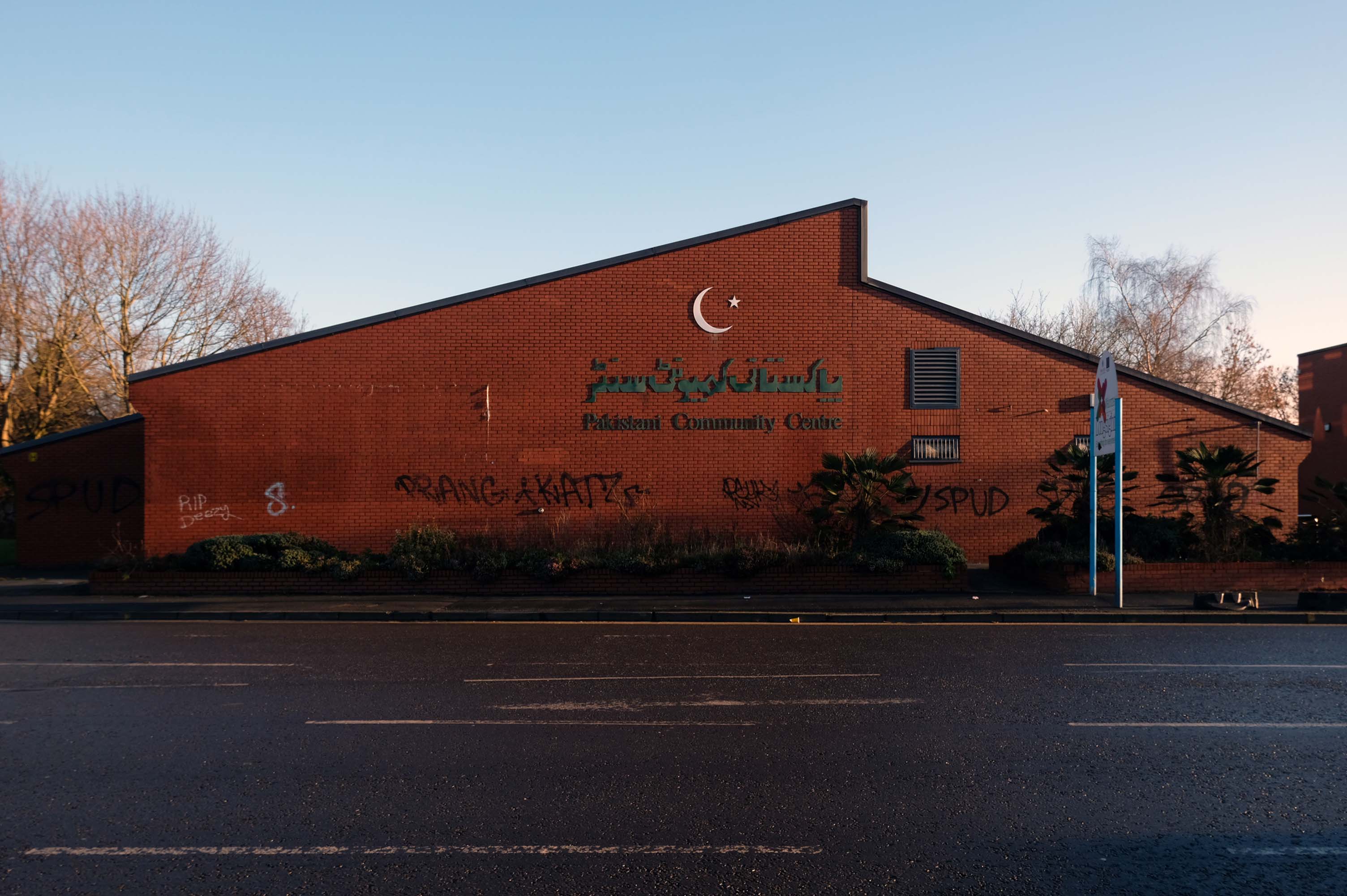
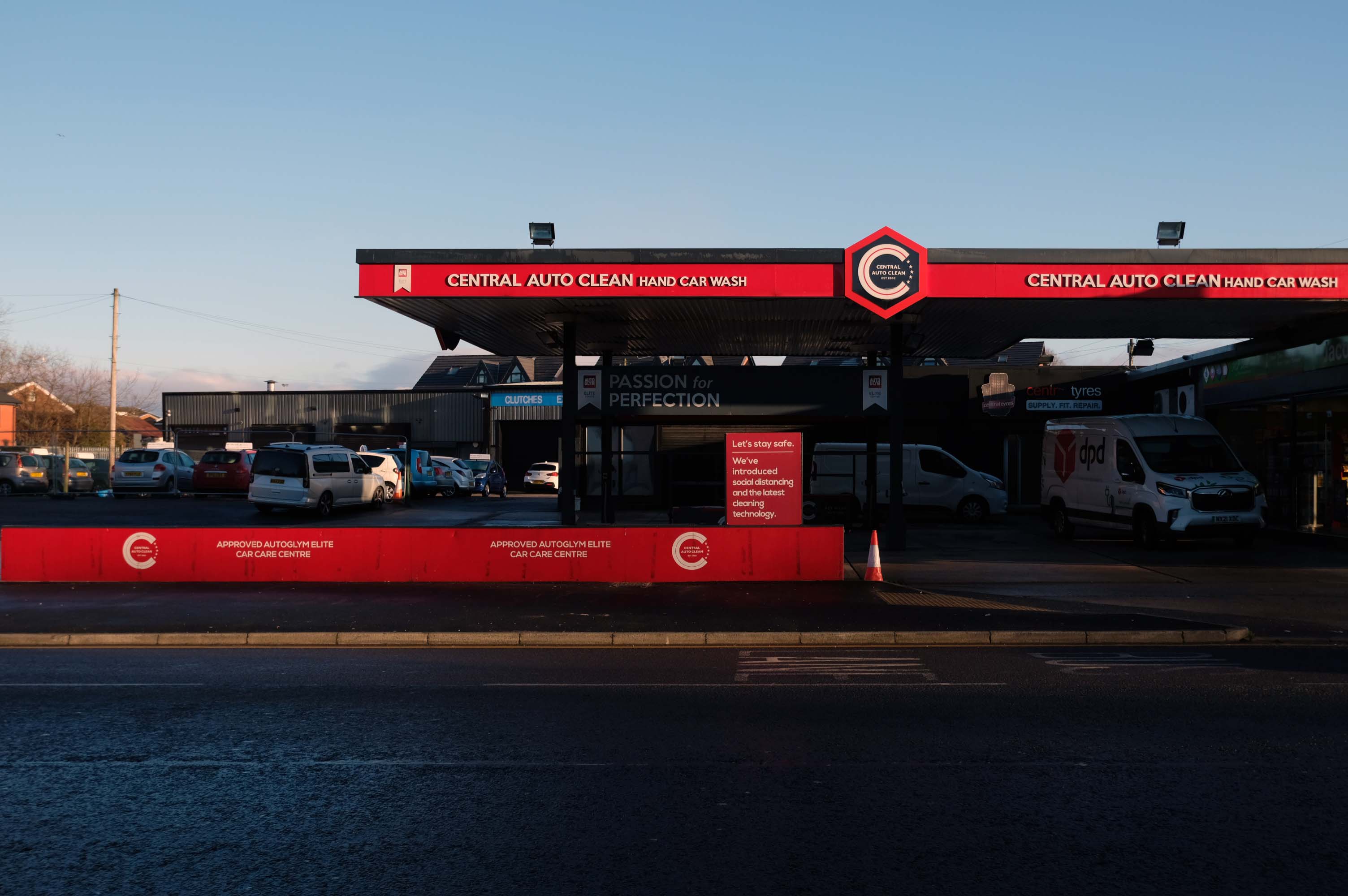

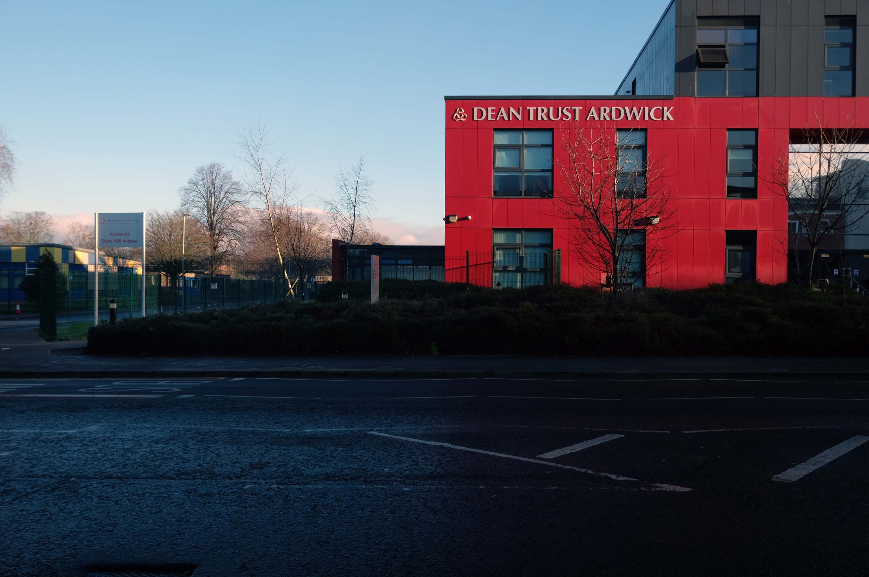
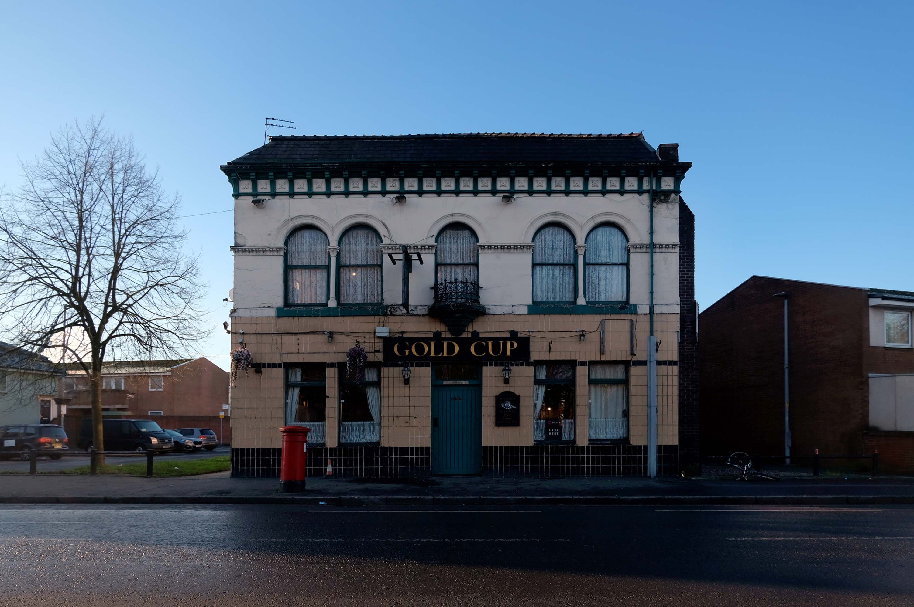

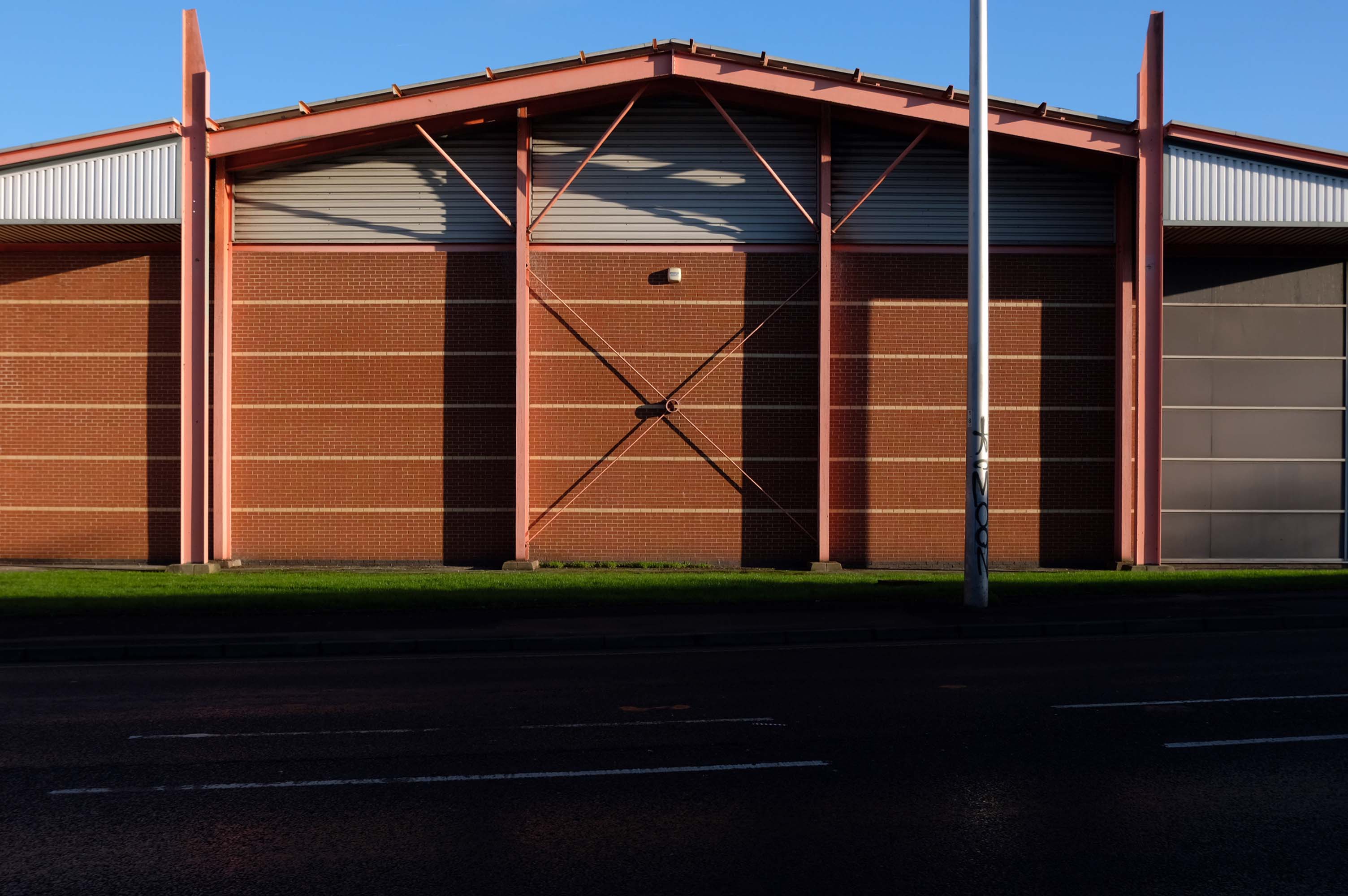


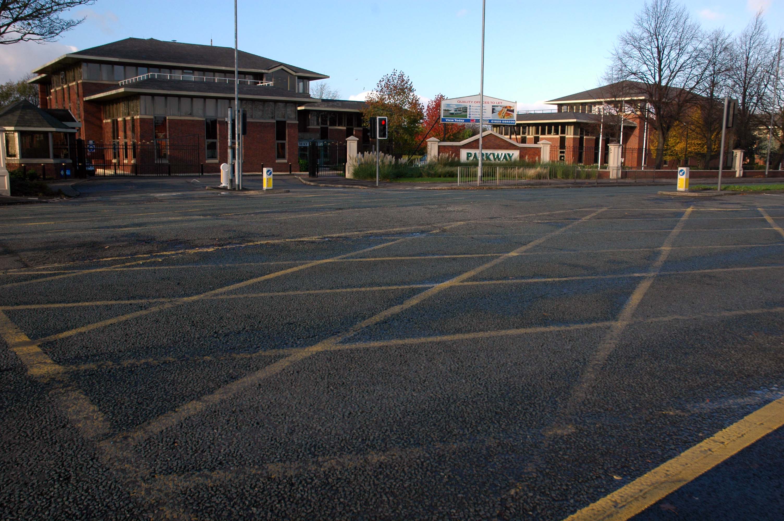
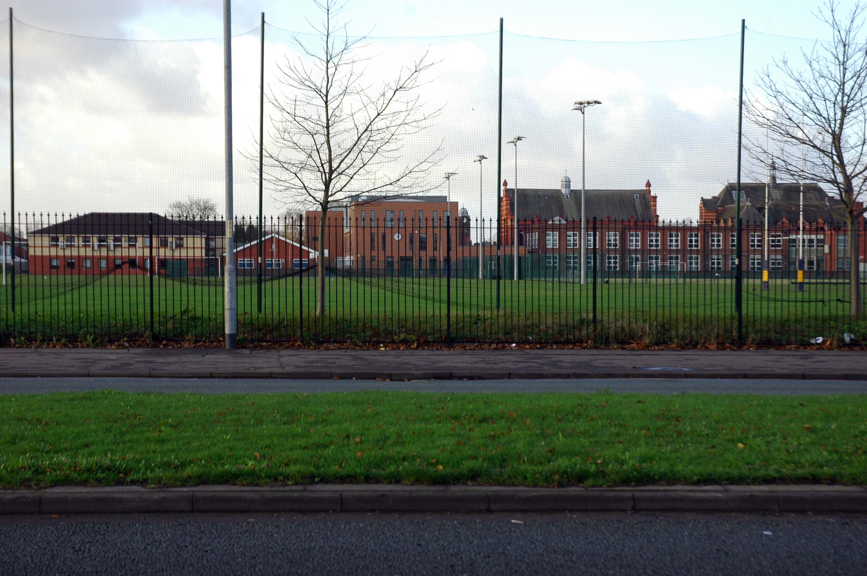
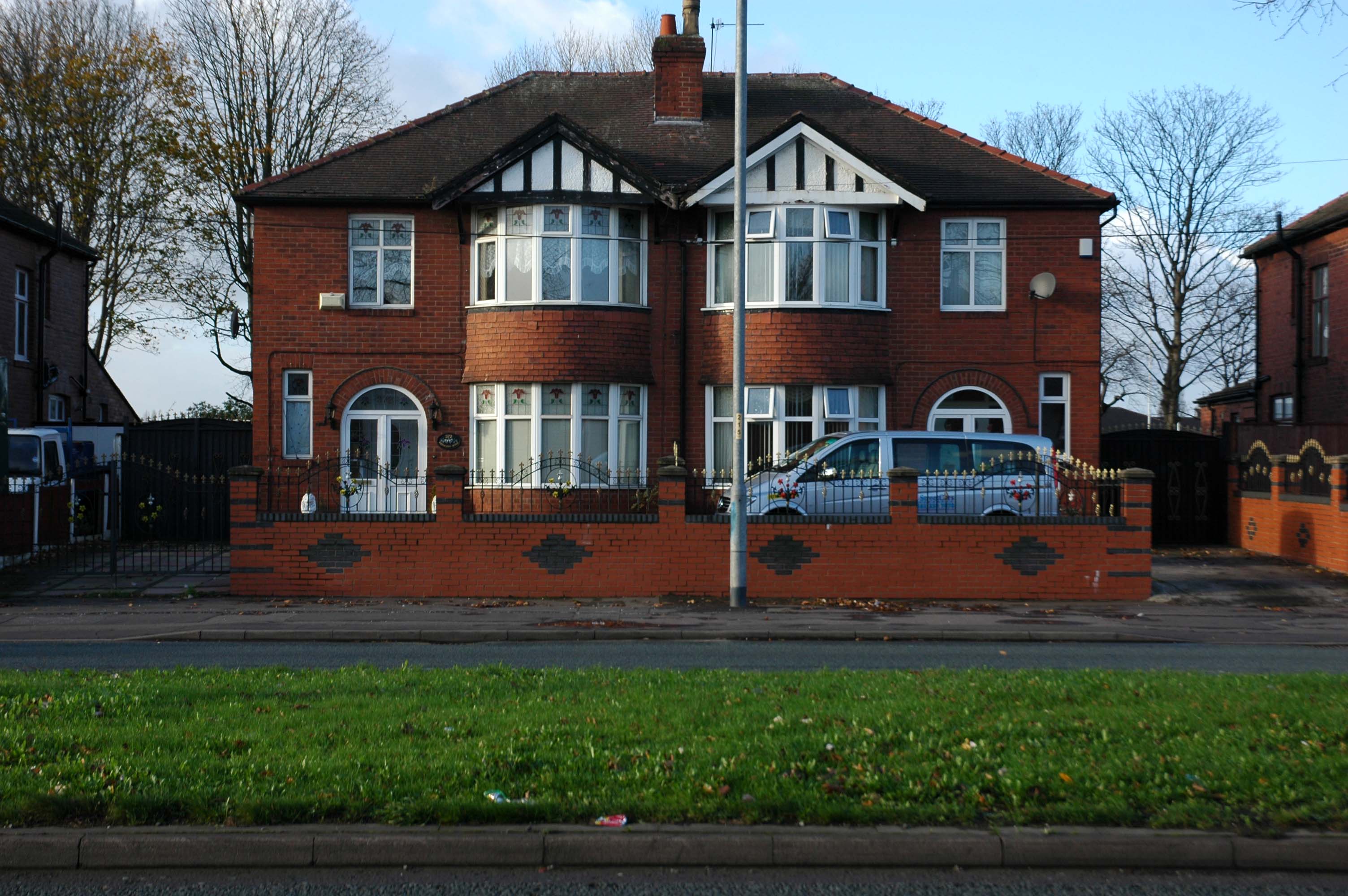
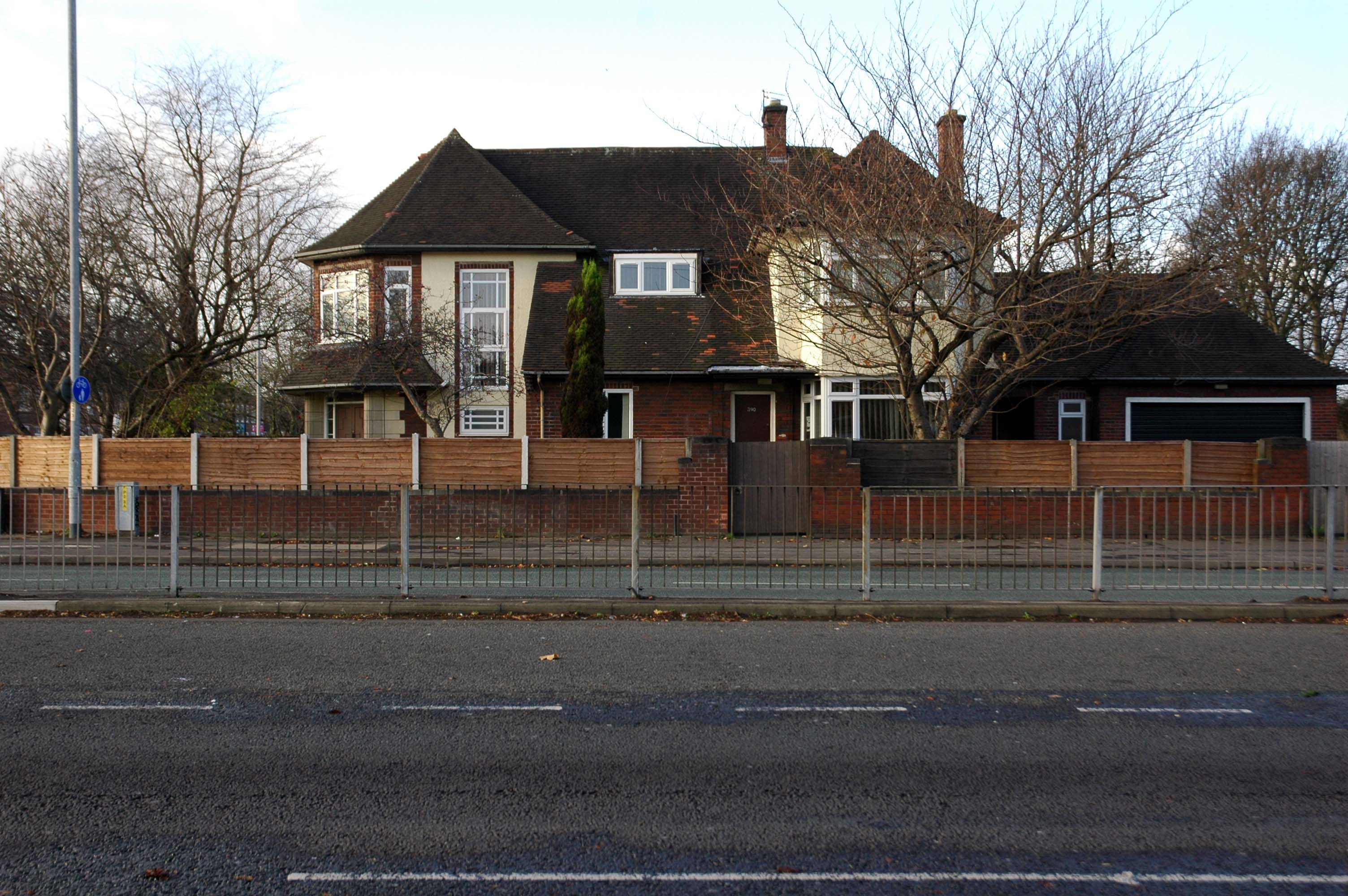
The A5103 is a major thoroughfare running south from Piccadilly Gardens in Manchester city centre to the M56 in Northenden. The road is two-lane dual carriageway with a few grade-separated junctions. It is used by many as a link to the airport and to the motorway network south.
The road starts at Piccadilly Gardens where it meets the A6. It heads along Portland Street – at one time it ran along the parallel Mosley Street, past fast-food outlets and off-licences and then meets the A34 Oxford Street. It multiplexes with that road north for 200 yards into St Peter’s Square and then turns left into Lower Mosley Street, initially alongside the tramlines and then past the former Manchester Central station, now a conference centre with the same name. The road becomes Albion Street and goes over the Bridgewater Canal and under the railway line east of Deansgate station. The road then meets the A57(M) Mancunian Way at a roundabout interchange. This is where most of the traffic joins and leaves.
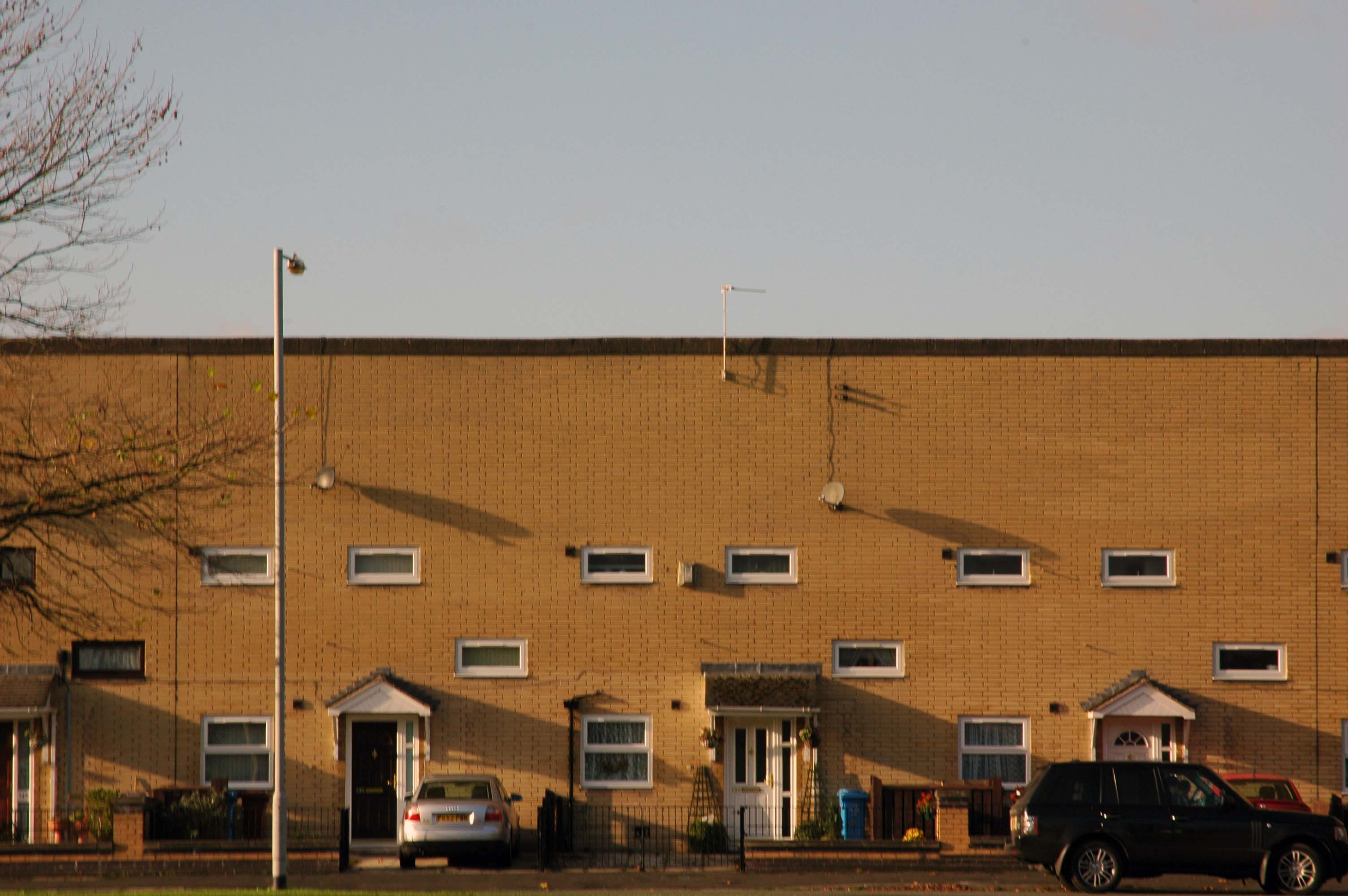
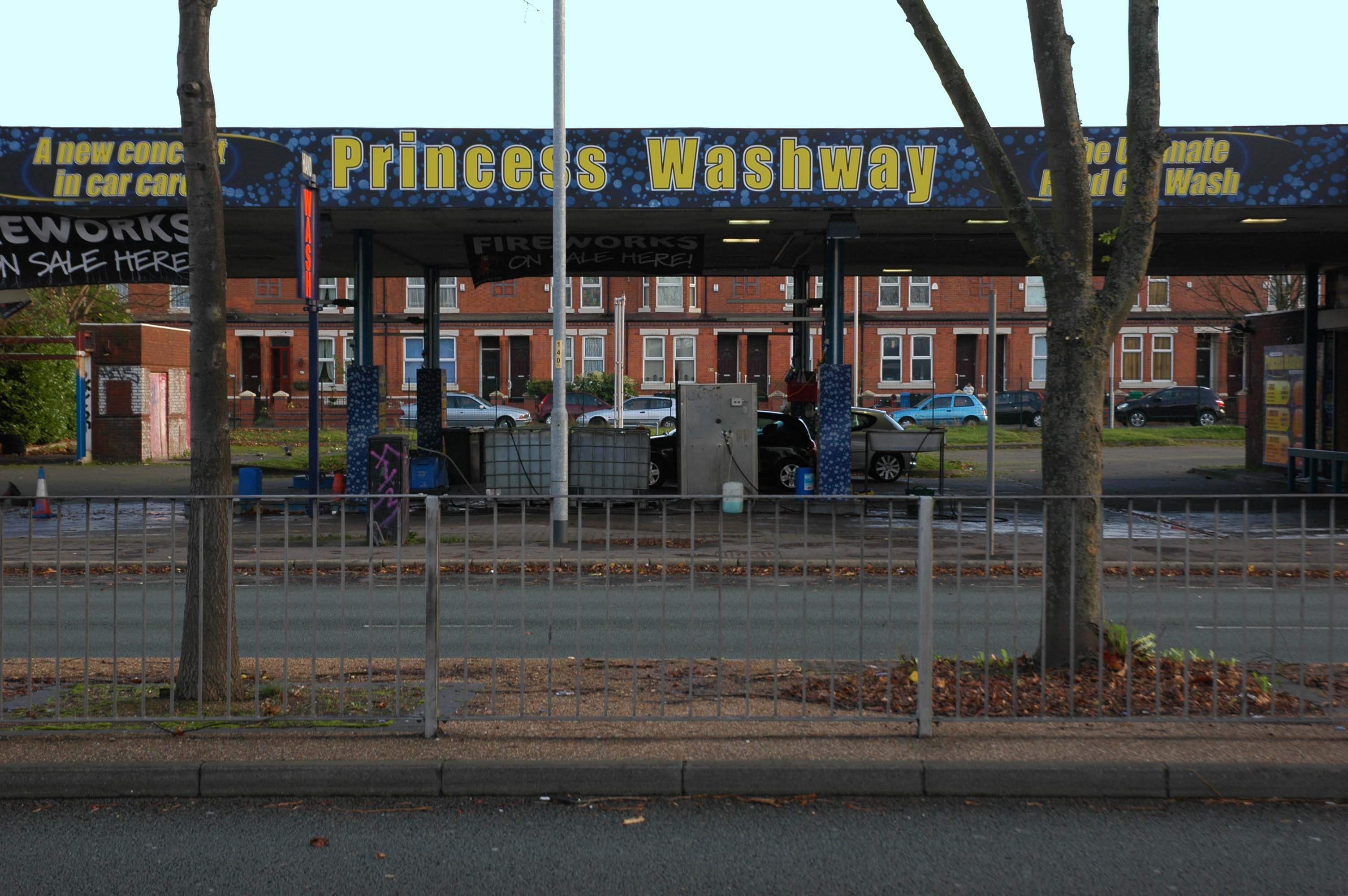
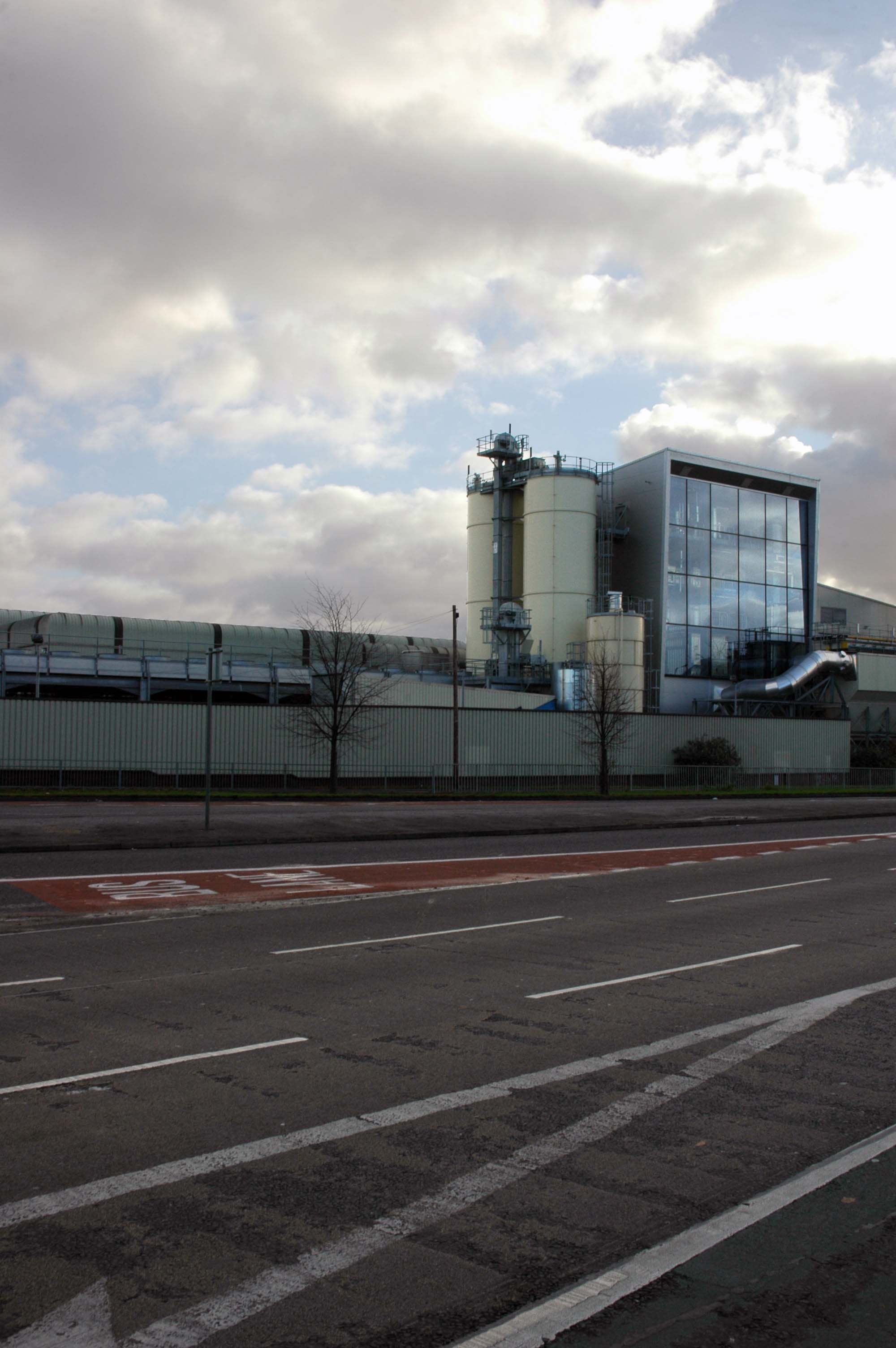
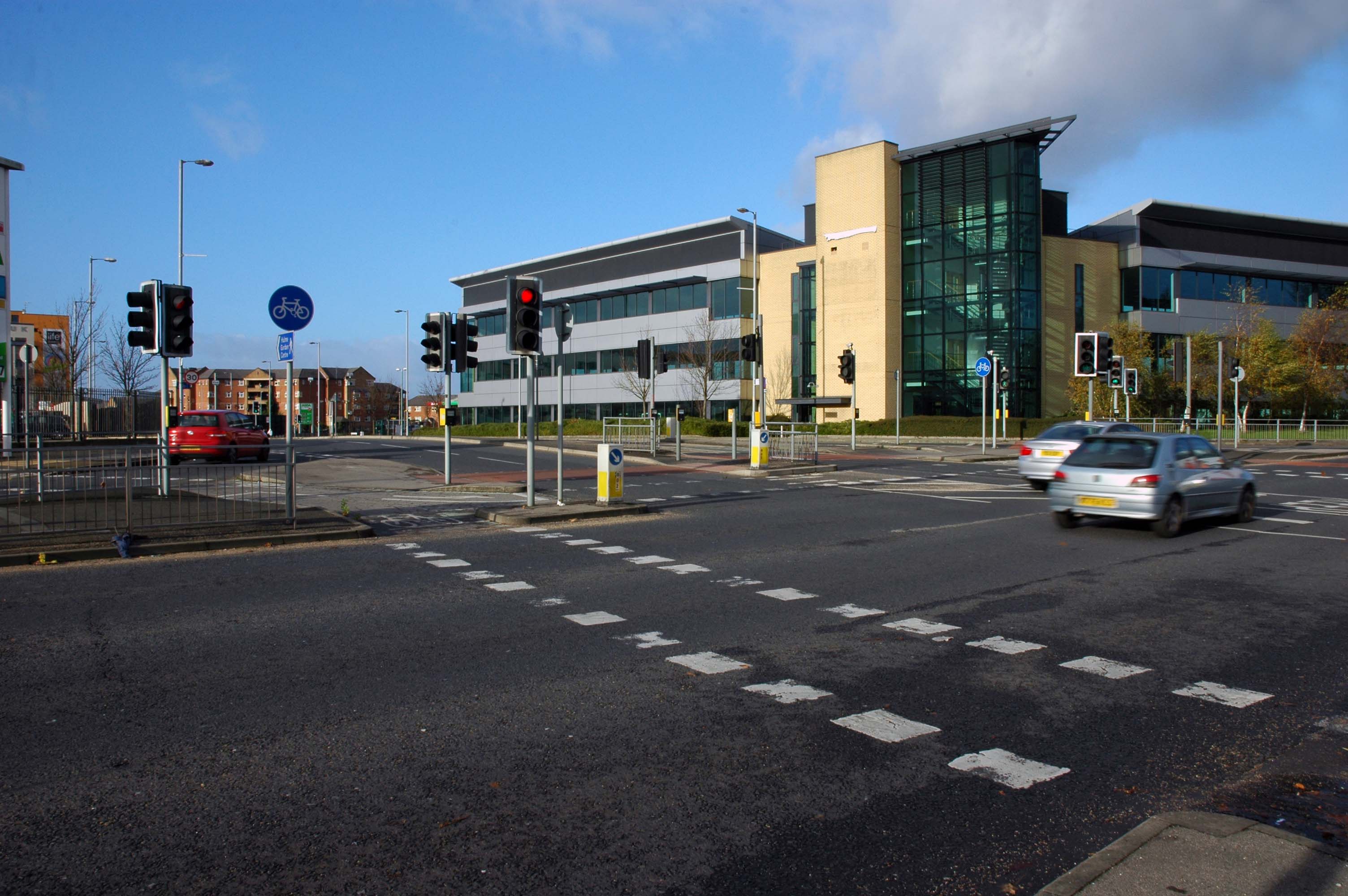
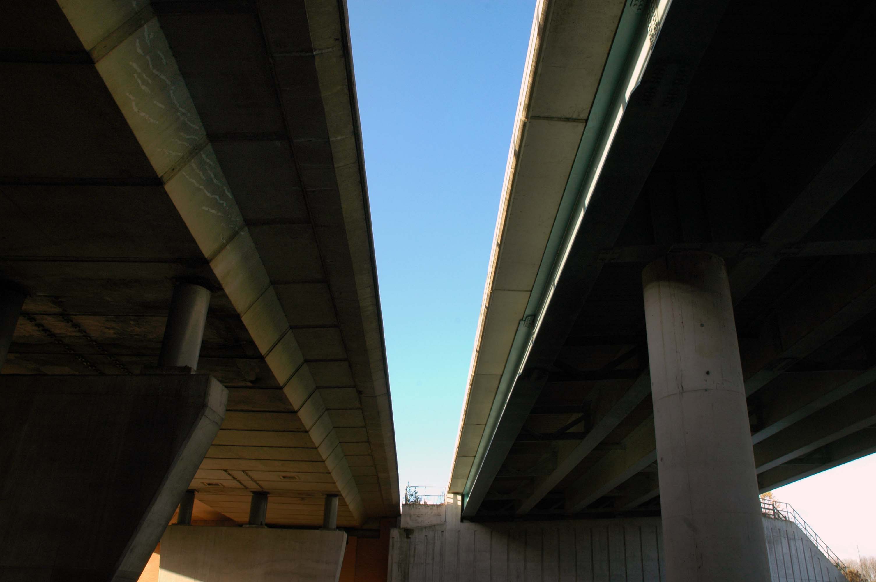
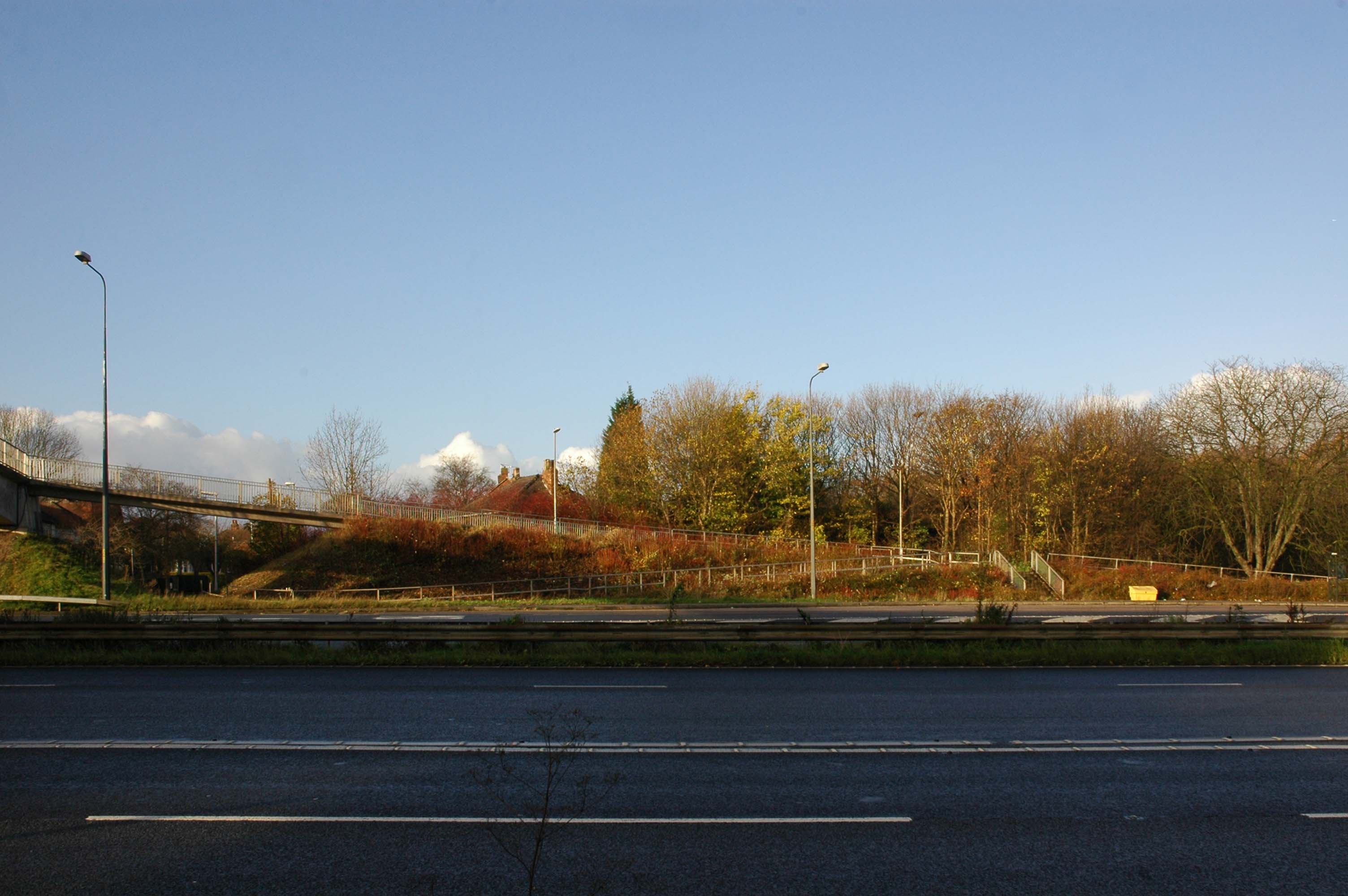
The road is now 2×2 dual carriageway with the name Princess Road. It passes under the Hulme Arch, a grade-separated junction with the A5067, with an unusually large central reservation. This is presumably because of the proposed plans from the 1960s of a motorway. However, after passing under the junction, there are innumerate sets of traffic lights, with the B5219, the A6010 and the A5145, as well as many other unsigned roads. There are also many speed cameras set at 30 mph.
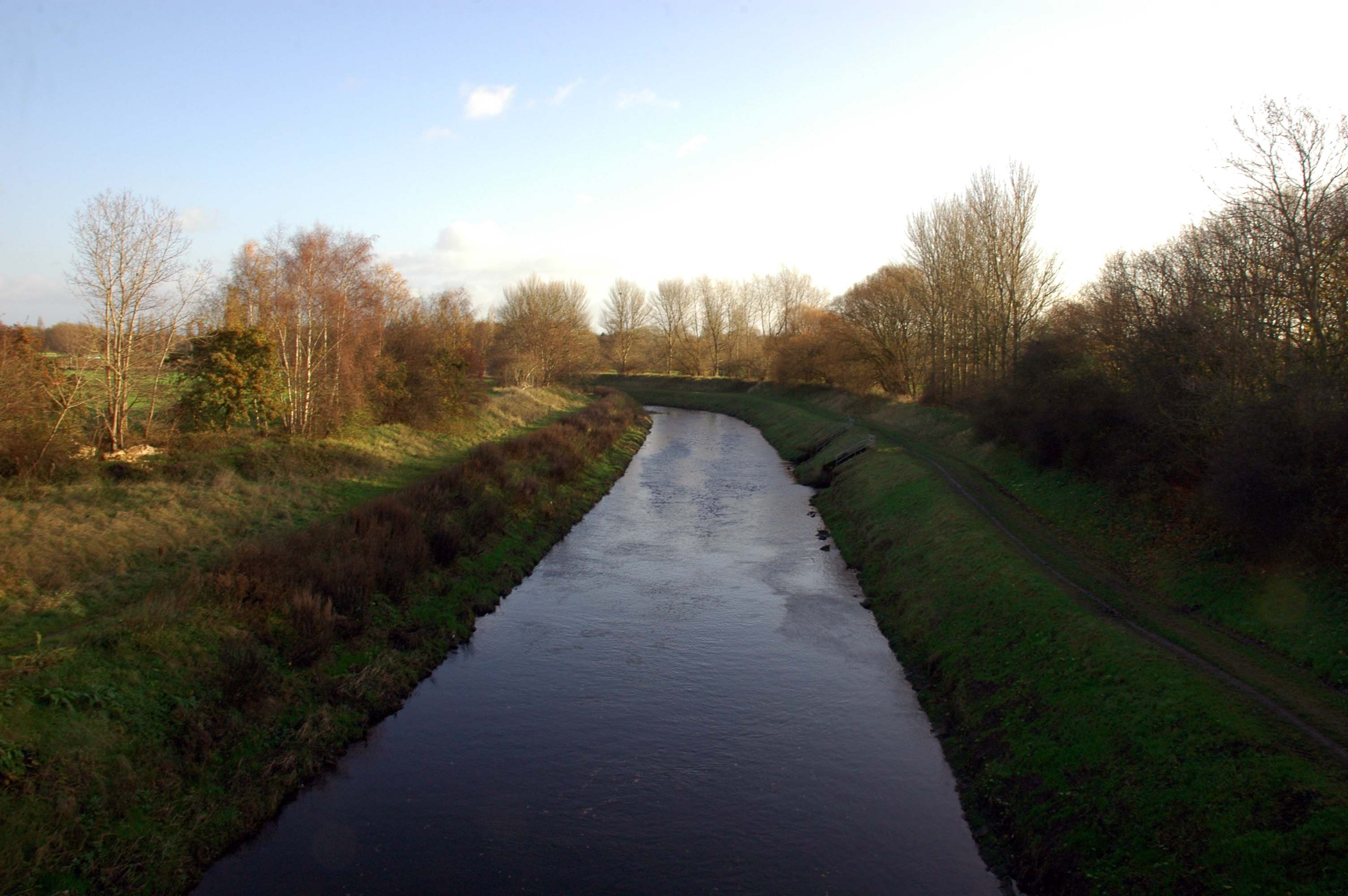
The road picks up pace as we exit the sprawl of South Manchester and the road becomes Princess Parkway, with a 50 mph speed limit. We cross the River Mersey and almost immediately hit the M60 at J5.
Except for the Manchester City Centre section – which was numbered A5068, this road did not exist on classification in 1922. Princess Road was built in 1932 to serve the new southwestern suburbs; initially it ran between the B5219 and A560 and was numbered B5290, with the road later extended north into the A5068 on the southern edge of the city centre and renumbered A5103.
The northern extension through Hulme initially followed previously existing roads, so followed a zigzag route. As part of the road’s upgrade and the reconstruction of Hulme in the 1970s the road was straightened and the original route can no longer be seen. The A5068 was severed around this time with the construction of the A57(M) and the A5103 took on its city-centre section, taking it to the A6.
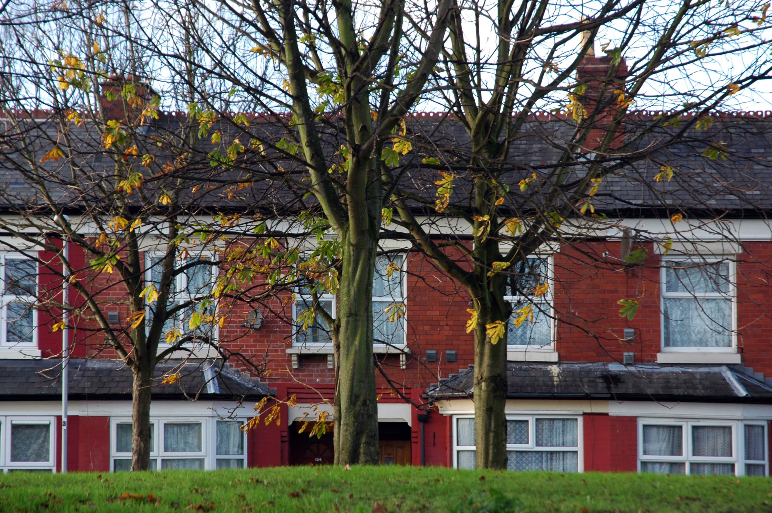
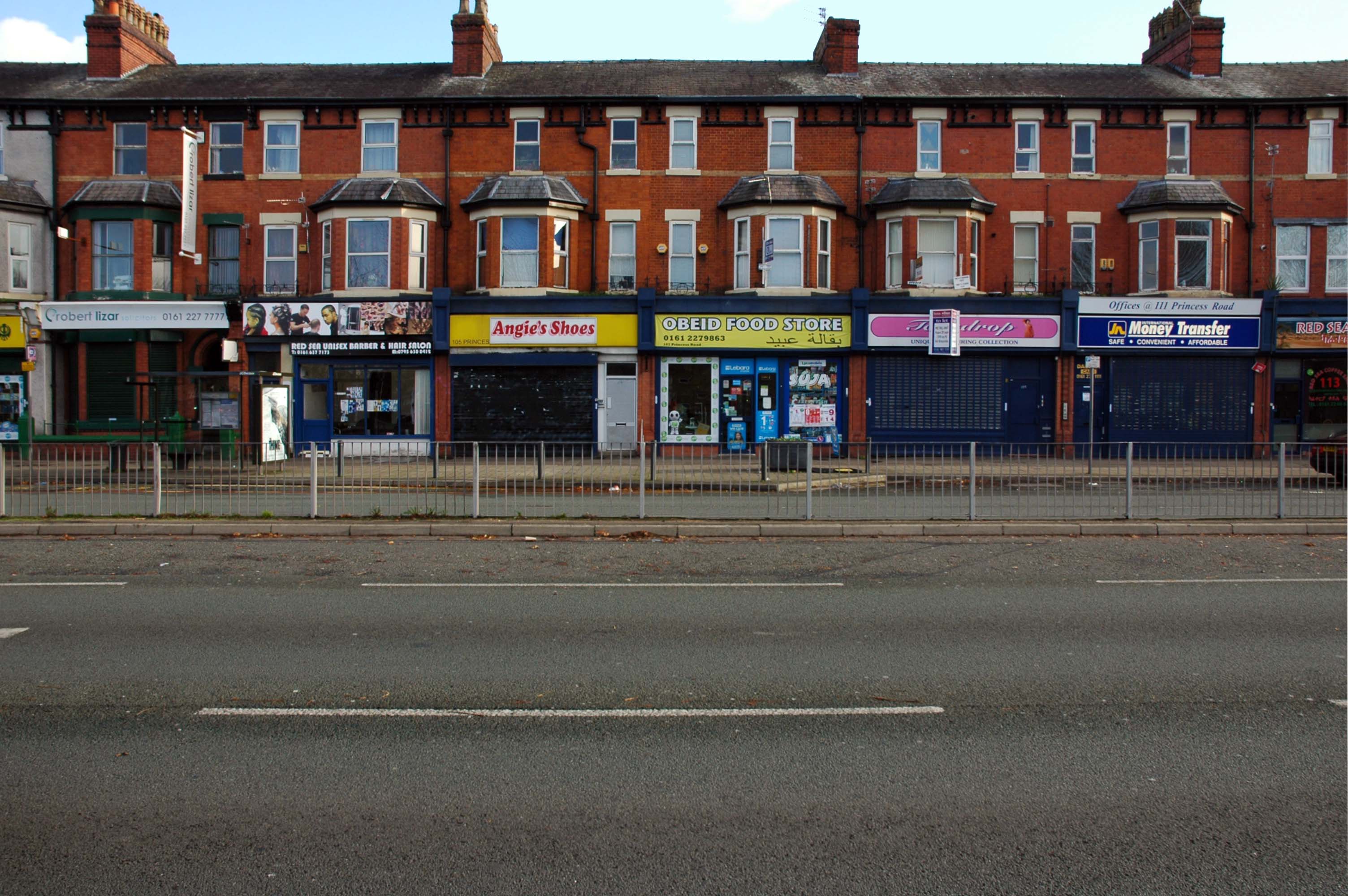

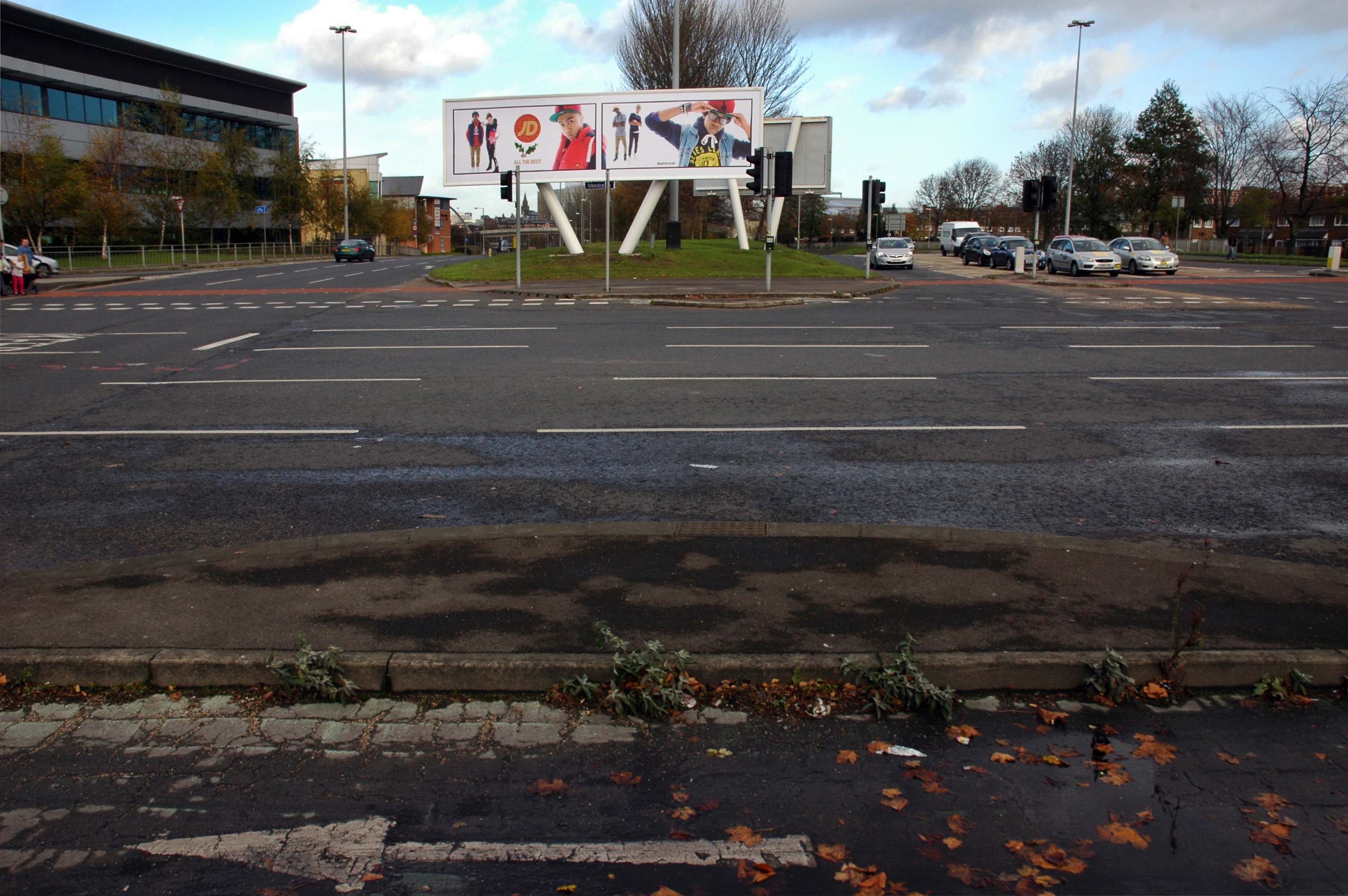
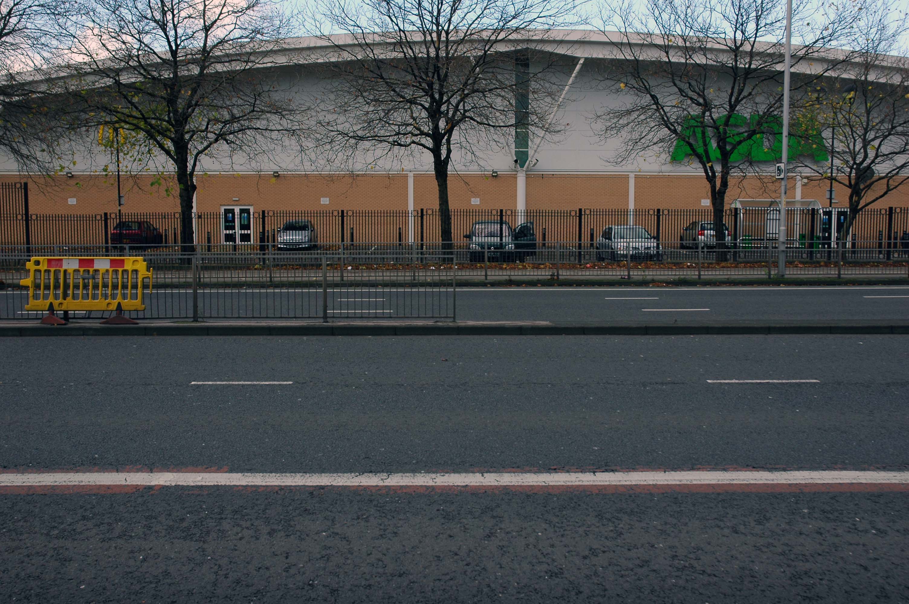
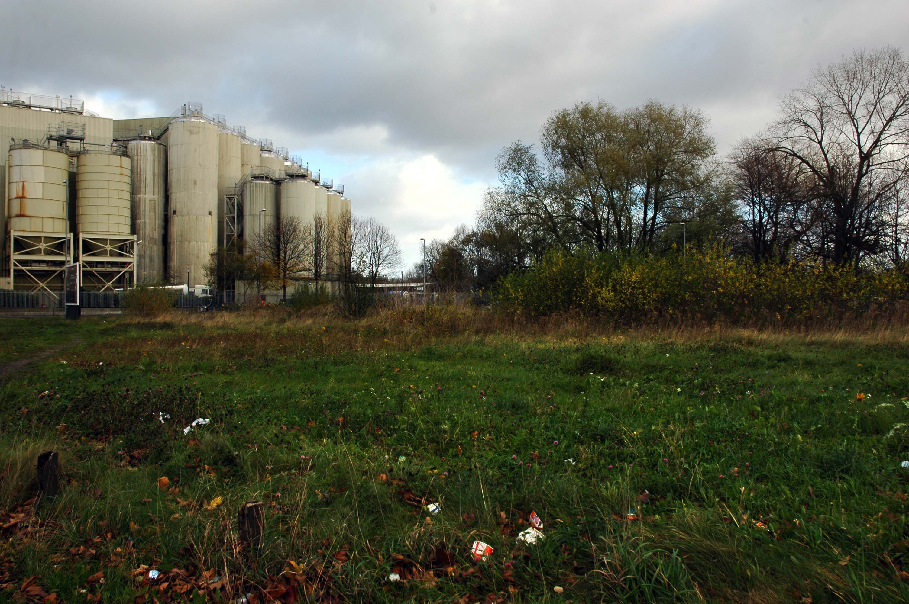

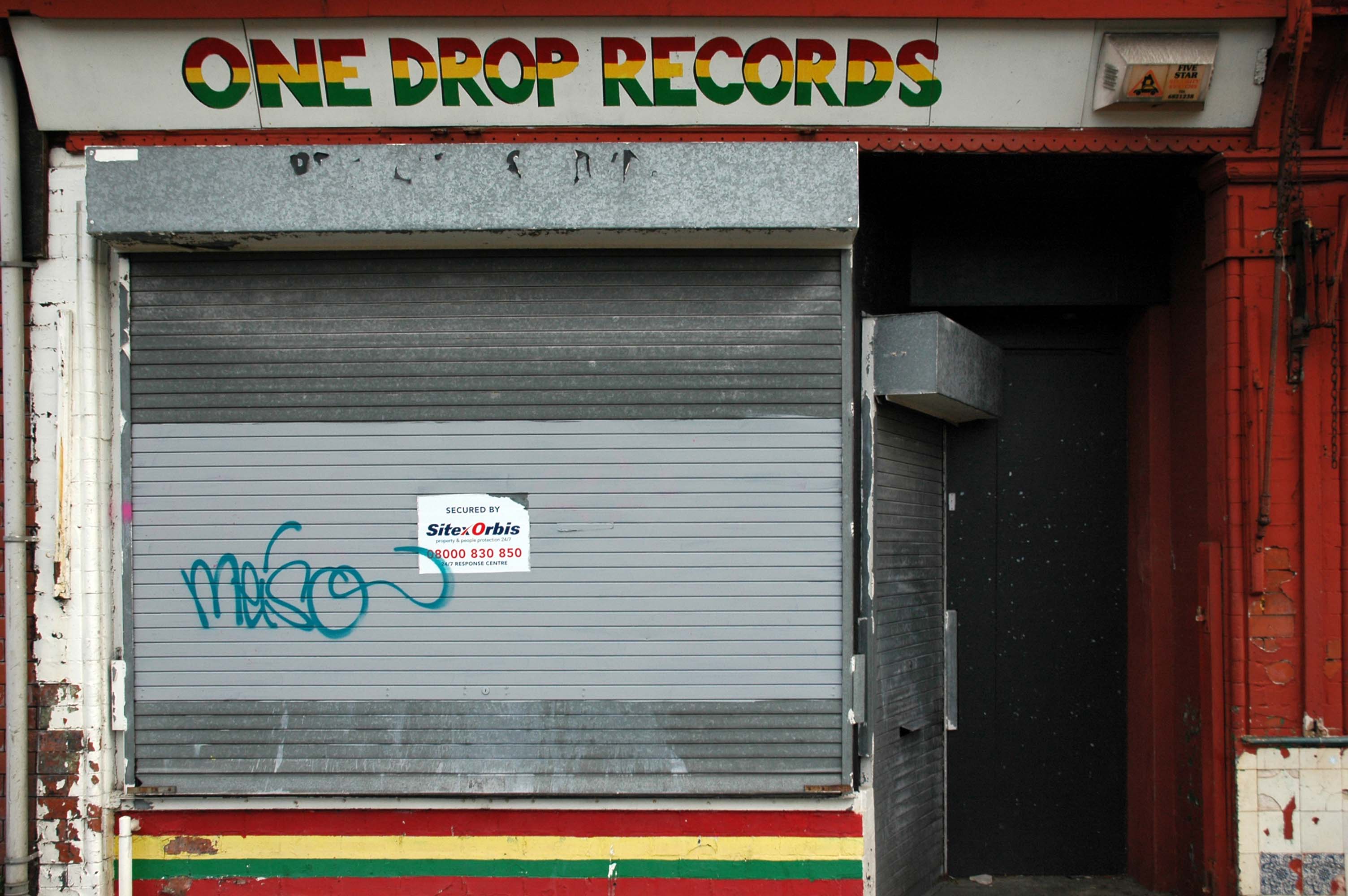








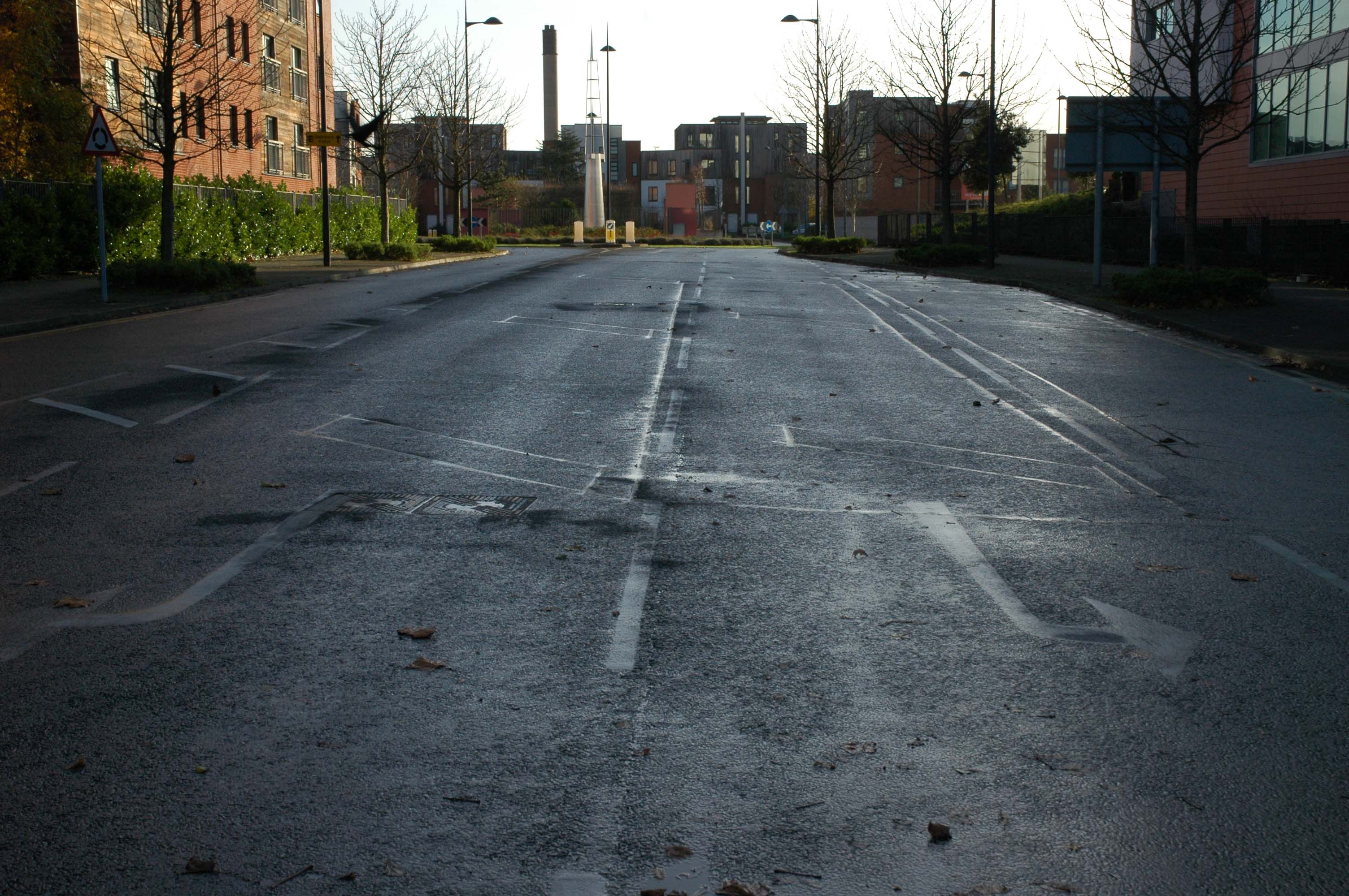
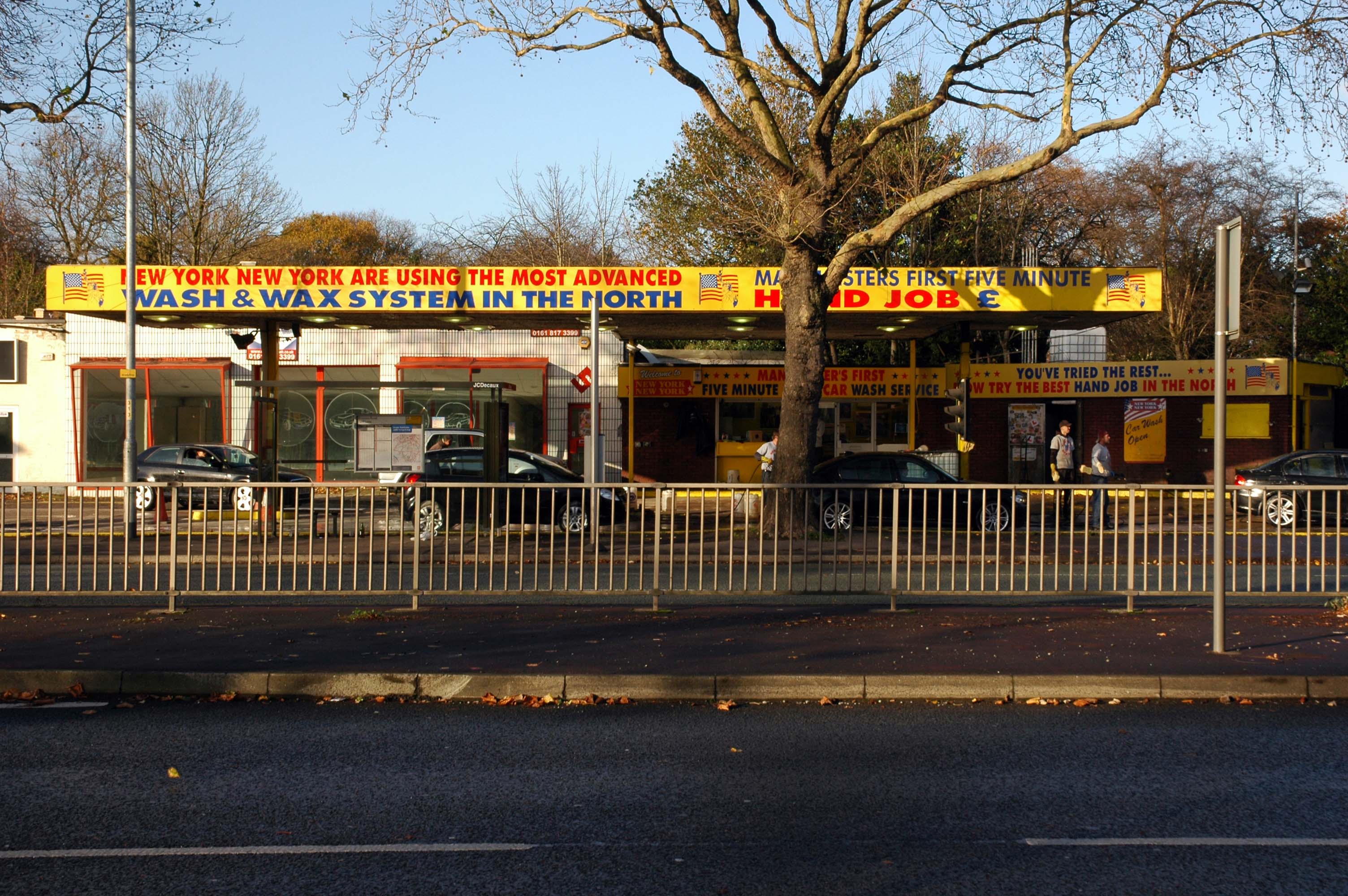
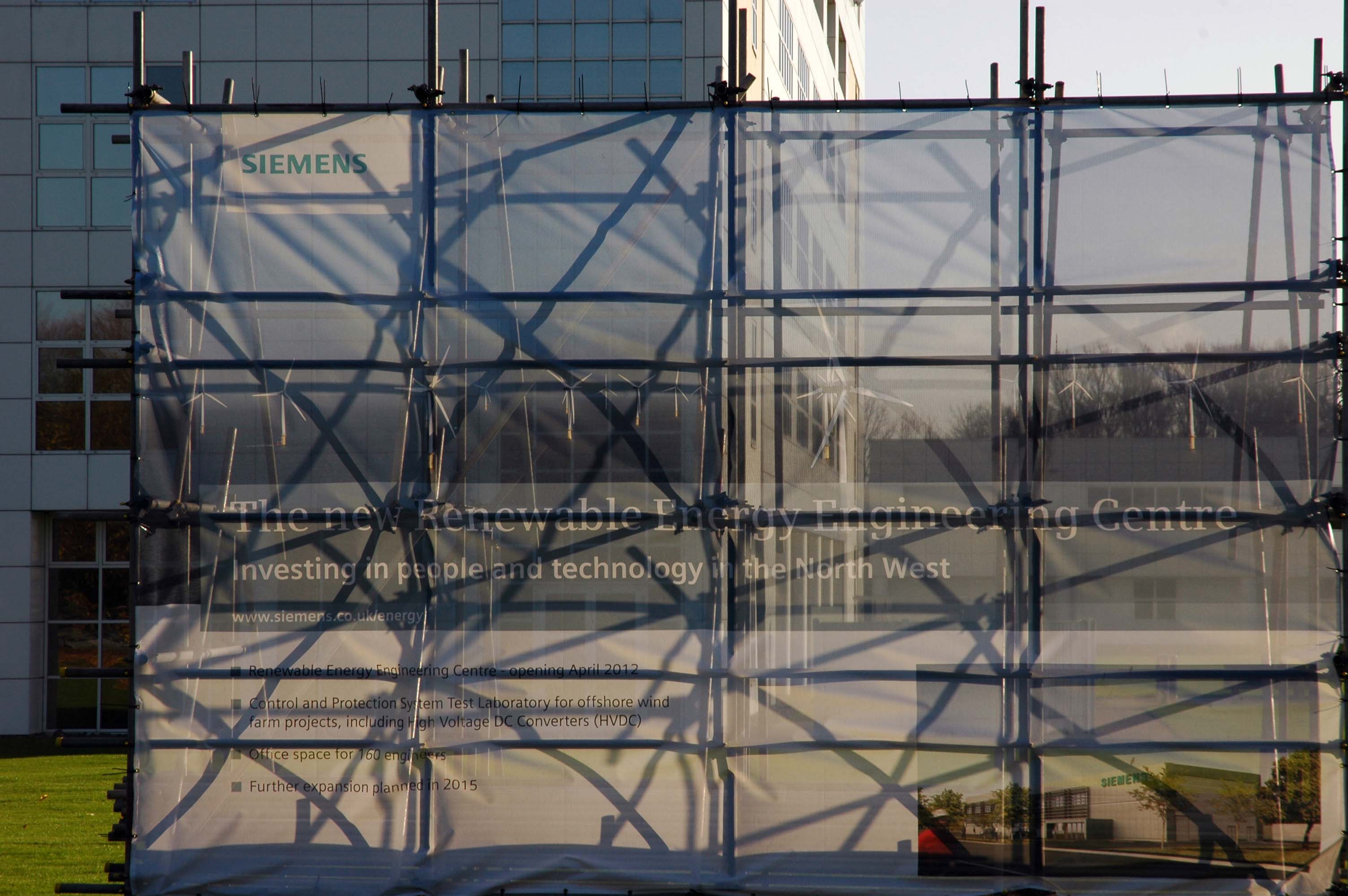
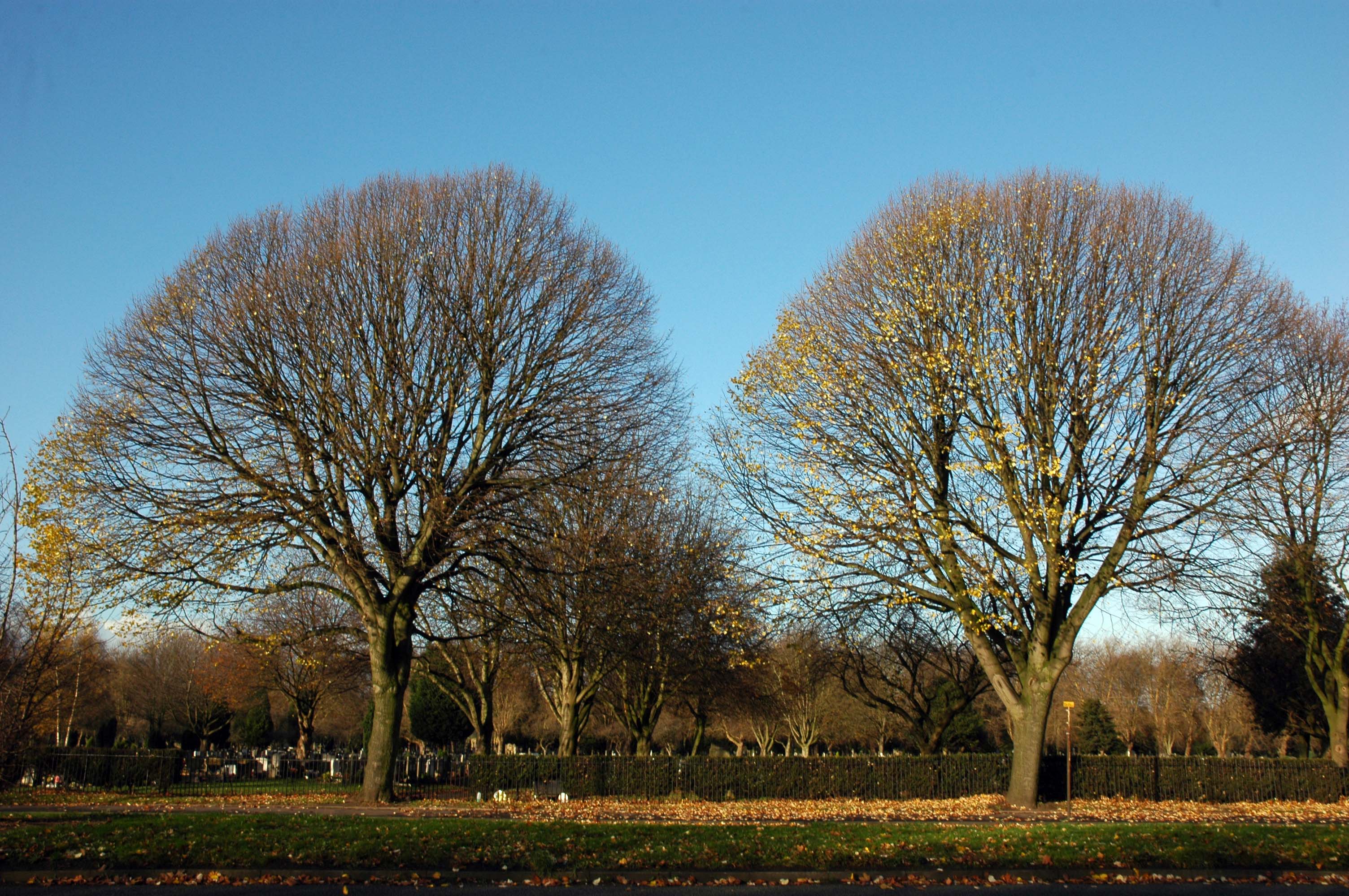
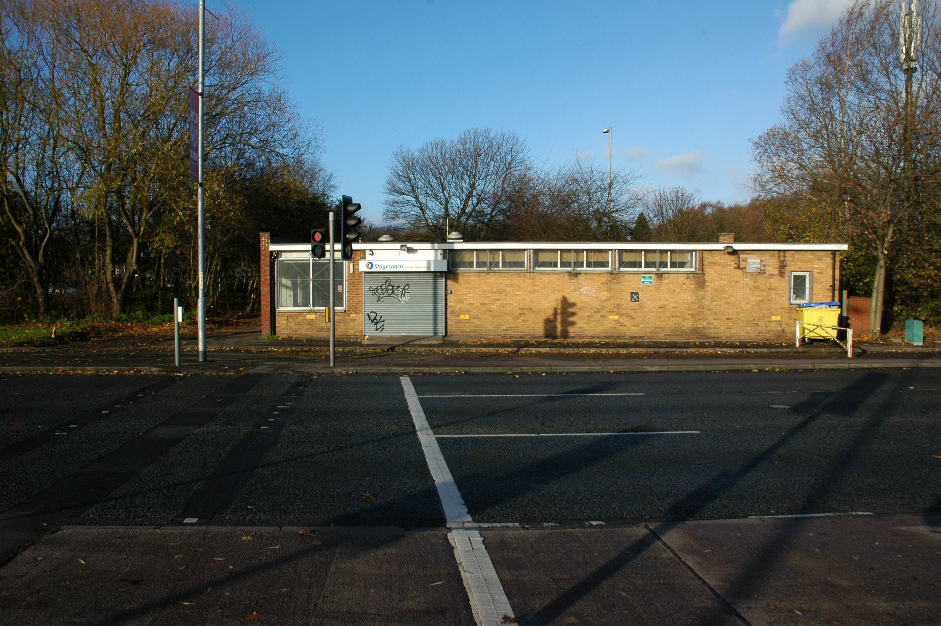

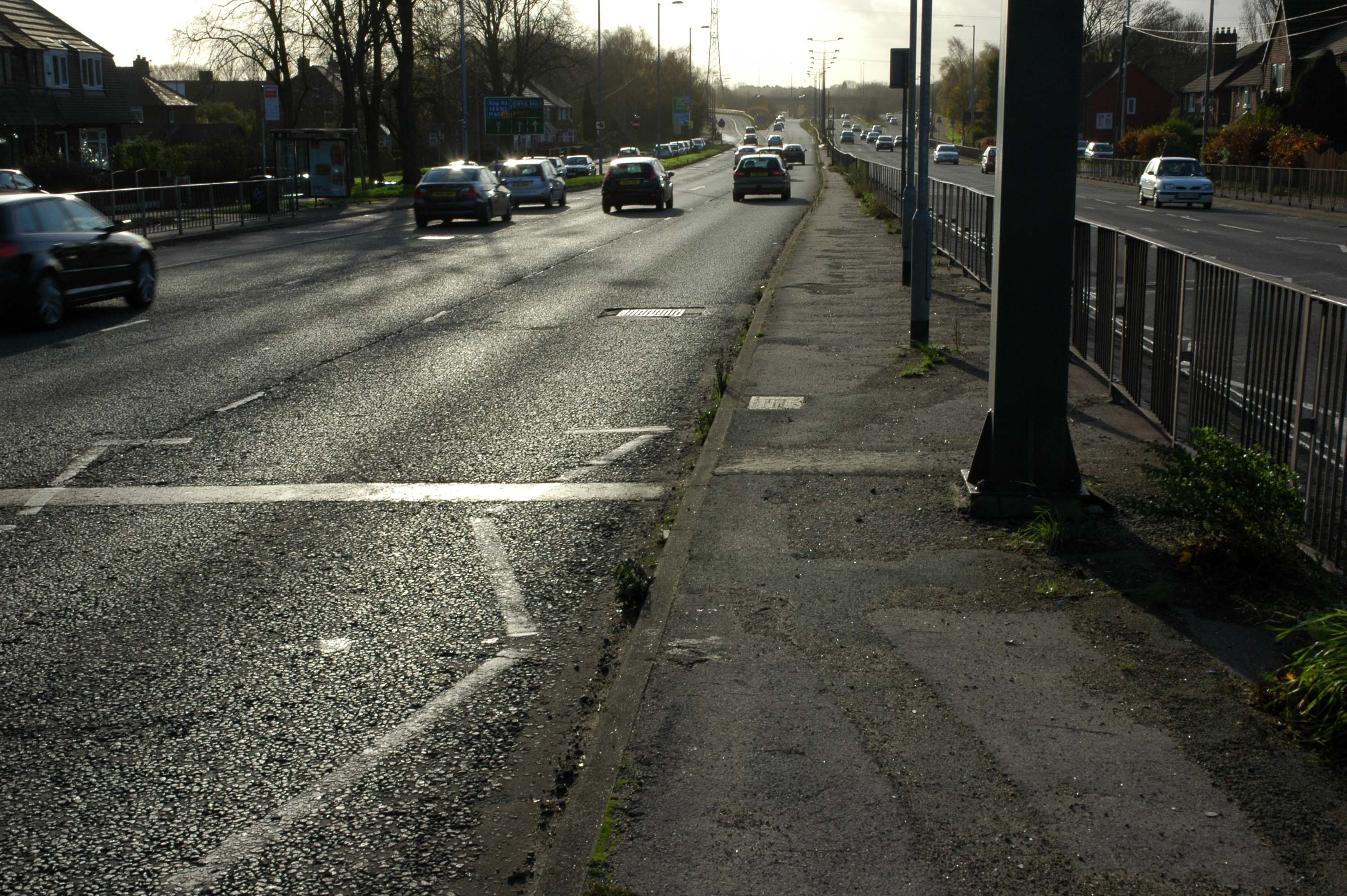
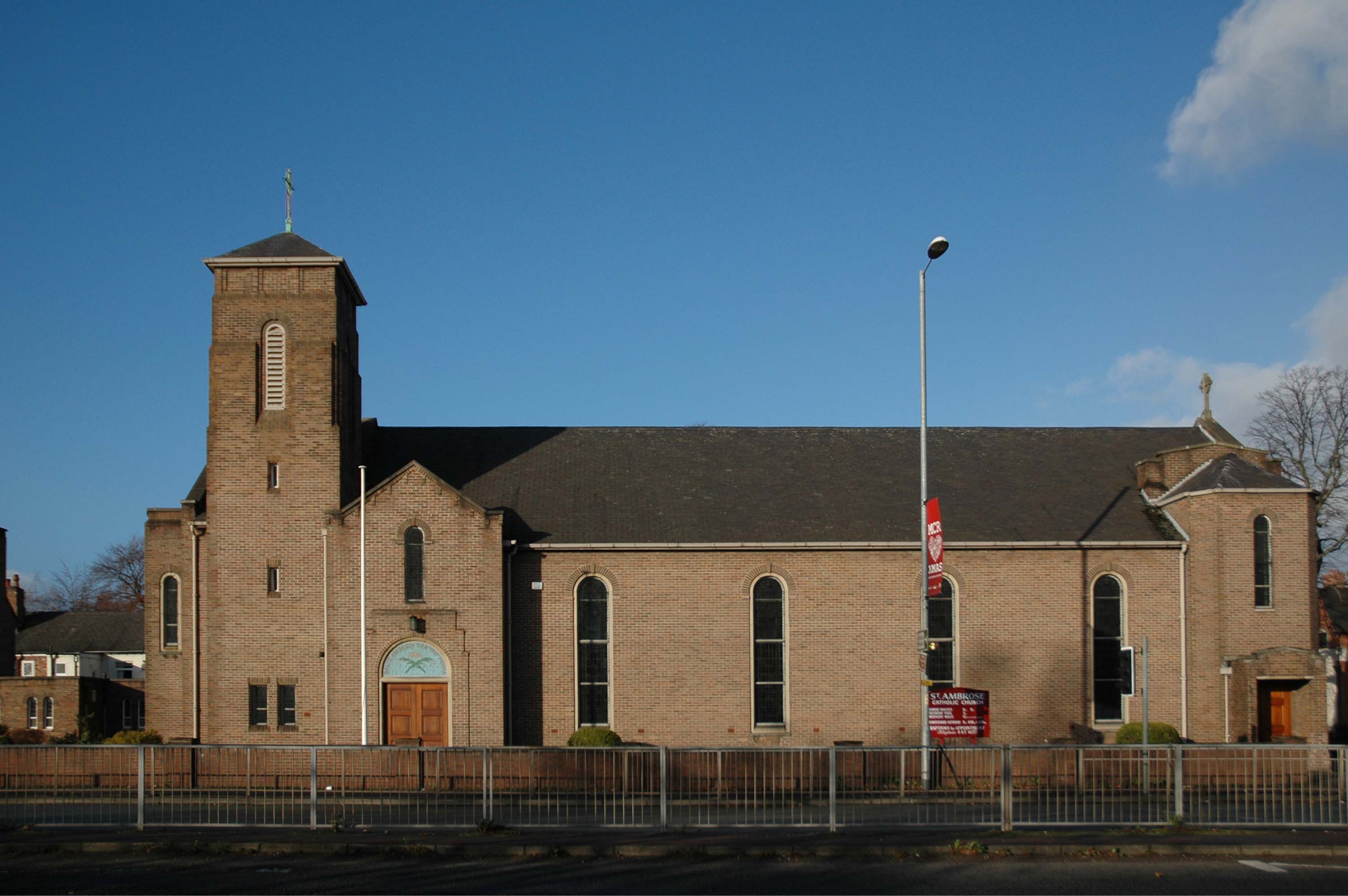
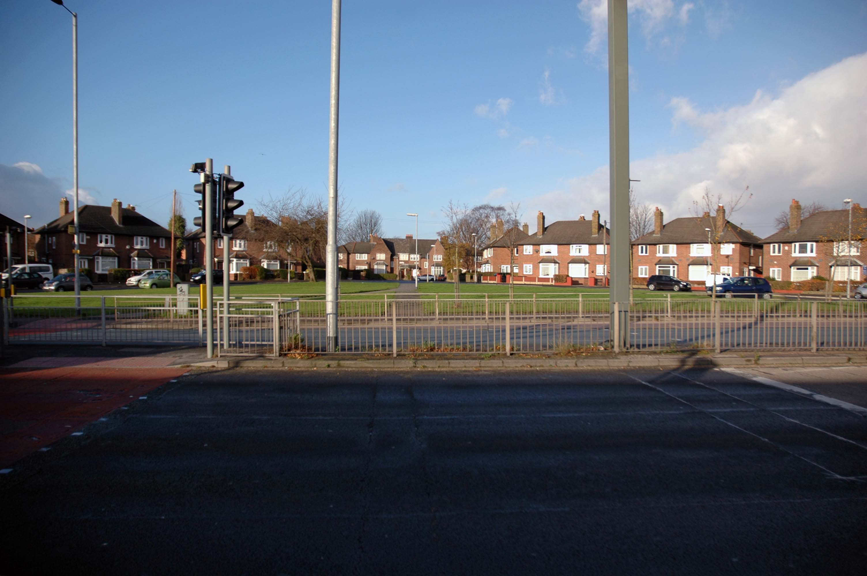


See also Bury New Road and Cheetham Hill Road and Rochdale Road and Oldham Road and Ashton New Road and Ashton Old Road and Hyde Road and Stockport Road and Kingsway.


The A34 is a major route from the ports on the South Coast of England to the Midlands and the North West, with the standard varying from rural dual carriageway sections in the south to urban single carriageway in the north, and everything else in between.
Slade Lane junction, Rushford Park to Parr’s Wood, East Didsbury – to connect to Manchester Road to Cheadle. It continued on to Laneside Road as a residential road. Opened on 11 April 1923 by Mary Cundiff, Lady Mayoress, and Margaret Turnbull, daughter of Alderman Turnbull, Chairman of Manchester Town Planning Committee. Width was 100 feet and it was designed for tram tracks in the central reservation. The dual road carriageways were 20 feet wide. Manchester’s tram system was closed in 1949. The carriageways were widened and central reservation grassed over. Originally opened as A5079.
Laneside Road, East Didsbury to Schools Hill/ Wilmslow Road junction, Cheadle. Opened on 12 October 1959. The official opening was on 15 October 1959. Planning for the bypass had been halted by the war. In December 1949 Manchester Corporation stated that it was not a priority since the Corporation was only responsible for the 200 yards to the proposed bridge over the River Mersey and Cheshire County Council had not asked for a joint approach to Ministry of Transport to build it. Work was finally authorised in January 1957 and started in the June. Width was 90 feet with dual 24 foot carriageways. Expected cost was £600,000 to £700,000.
In 2014, having taken early retirement from teaching photography, I embarked on a series of walks along the arterial roads of Manchester.




See also Bury New Road and Cheetham Hill Road and Rochdale Road and Oldham Road and Ashton New Road and Ashton Old Road and Hyde Road and Stockport Road.


The A6 is Britain’s fourth longest road. Its route varies greatly from the lower lands of the South East, though the Peak District, right though the heart of Manchester city centre, then onwards towards Preston. It then goes though the historic city of Lancaster before skirting the Eastern fringe of the Lake District before ending in Carlisle, bang on the start of the A7.
North from Stockport towards Manchester, the A6 was a wide, four lane road, but still 30 mph, which usually flowed pretty well. According to Mudge, it looks like it has now been massacred by bus lanes and red paint. Shame. We meet the A57 from the east, just south of the city centre, and multiplex until we reach Mancunian Way, the A57 heading off as a short urban motorway, the A6 heading into the city centre via London Road/Piccadily, where it loses its number and vanishes. It would have gone straight down Piccadily/Market Street to meet Deansgate, and then across the River Irwell into Salford, and up Chapel Street, where the number reappears. Market Street has been pedestrianised for years, so the A6 has long ceased to be a through route.
In 2014, having taken early retirement from teaching photography, I embarked on a series of walks along the arterial roads of Manchester.









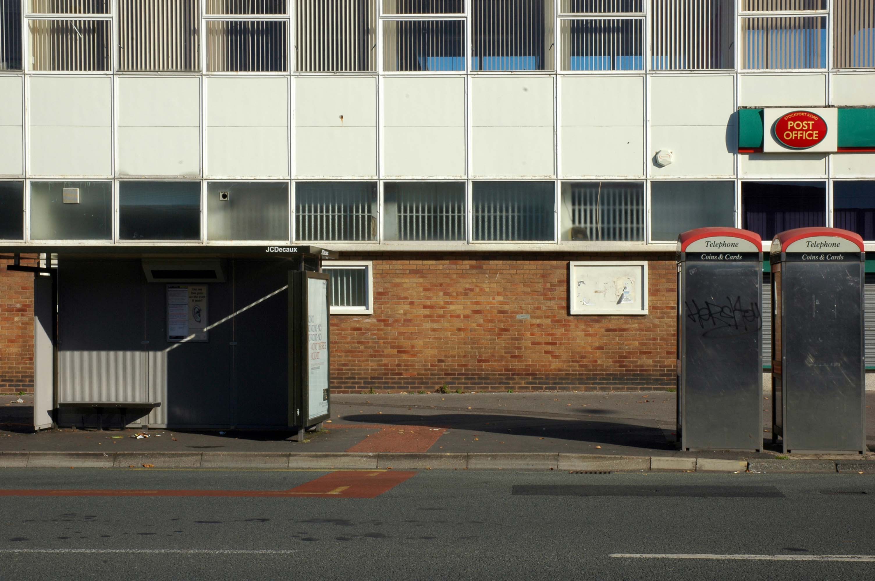
See also Bury New Road and Cheetham Hill Road and Rochdale Road and Oldham Road and Ashton New Road and Ashton Old Road and Hyde Road.


The A57 was nearly a coast to coast route. It passes through three major city centres (Liverpool, Manchester, and Sheffield – with elevated sections in each) and several smaller ones, multiplexes with the A6 and the A1, follows the banks of two canals and negotiates the remotest part of the Peak District. In one city it part of it is a tram route, whilst in another its former route is also a tram route. After all these adventures, it sadly gives up just 40 miles short of the east coast, Lincoln apparently proving too big an obstacle.
The A57 crosses the River Irwell at Regent Bridge before entering its moment of motorway glory as the A57(M) Mancunian Way skirting the south of Manchester’s city centre on an elevated section and crossing the A56 and A34. This includes a half-completed exit that goes the wrong way up Brook Street – a one way street. The original A57 ran further north through the city centre along Liverpool Road (now the A6143) and Whitworth Street – B6469 as far as the A6 London Road which marked the start of a multiplex.
At the end of Mancunian Way, we reach a TOTSO, straight on being the short unsigned A635(M) and thence the A635 – for Saddleworth Moor, Barnsley and Doncaster whilst the A57 turns south, briefly multiplexing with the A6, and then branching off along Hyde Road. This section of road was extensively cleared for the westward extension for the M67, and consequently has seen a lot of redevelopment.
In 2014, having taken early retirement from teaching photography, I embarked on a series of walks along the arterial roads of Manchester.
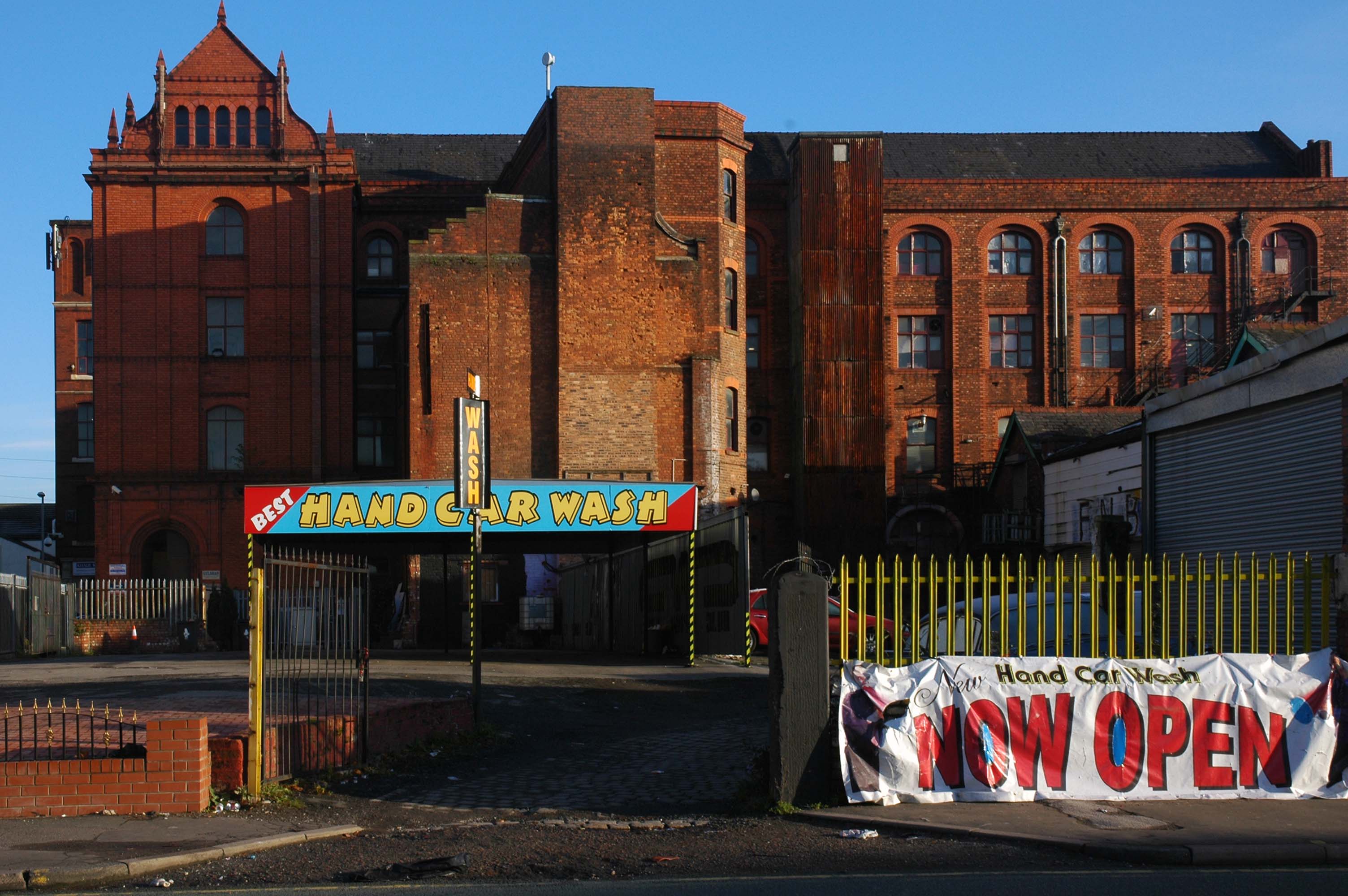



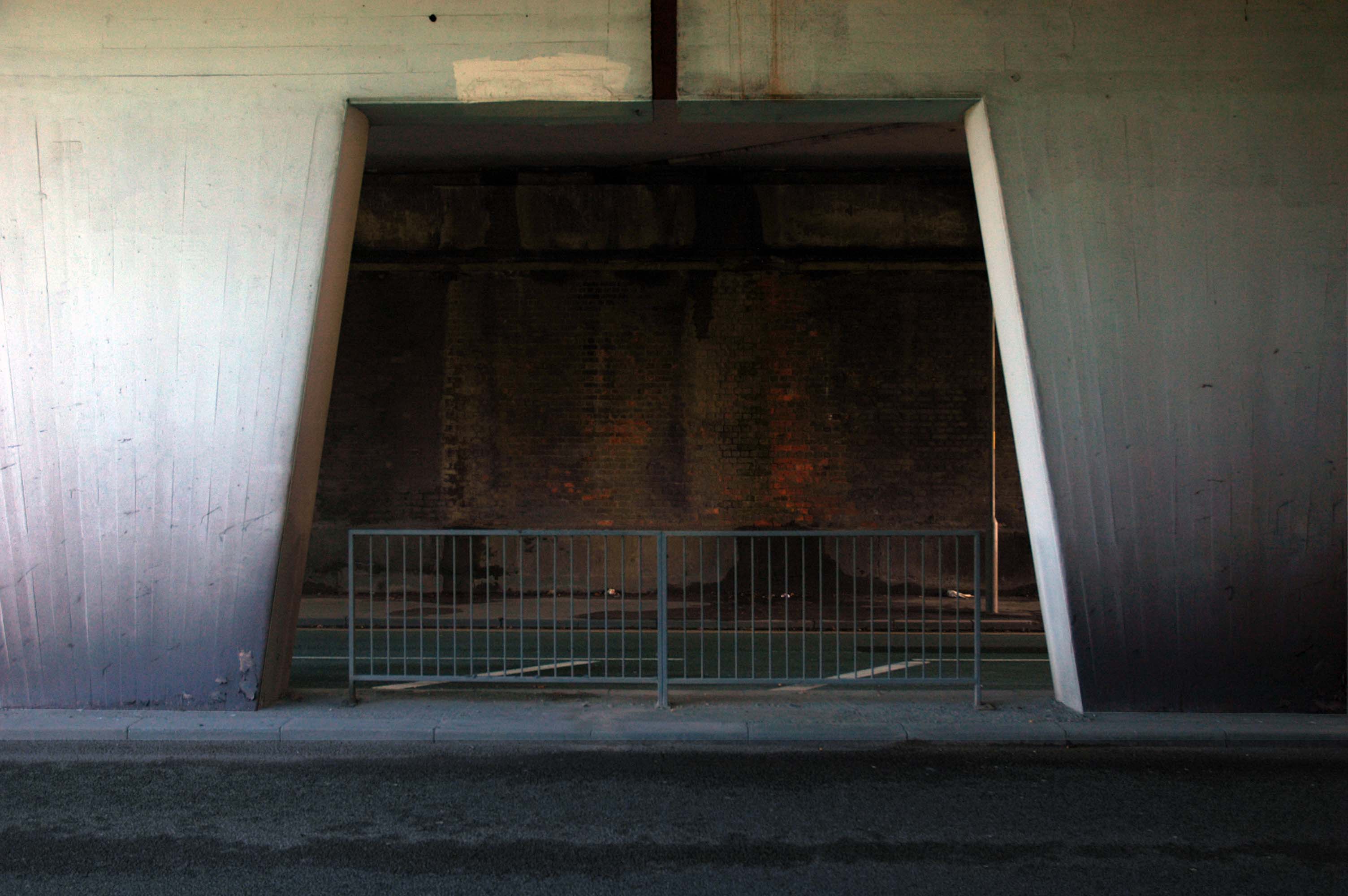
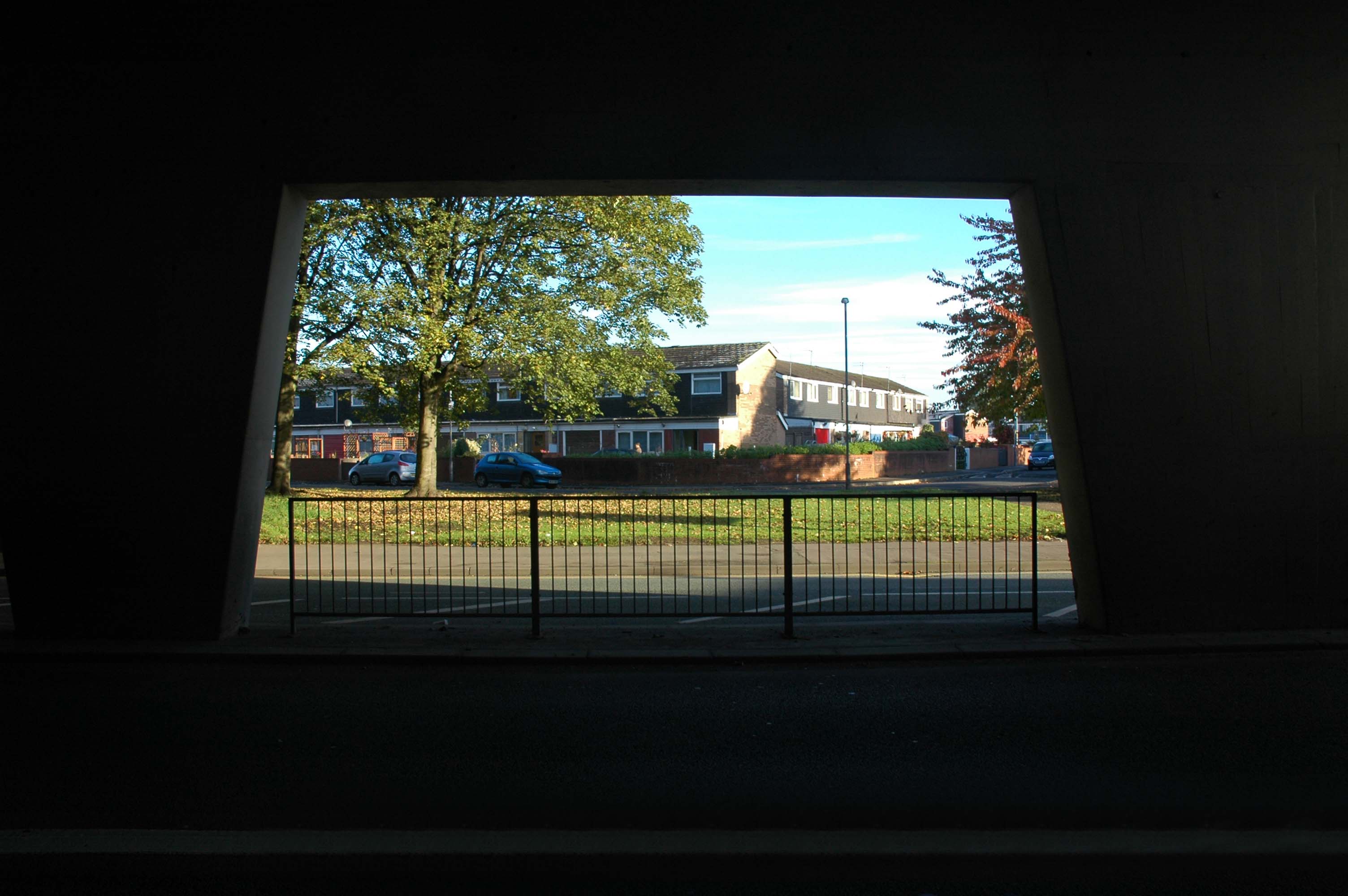
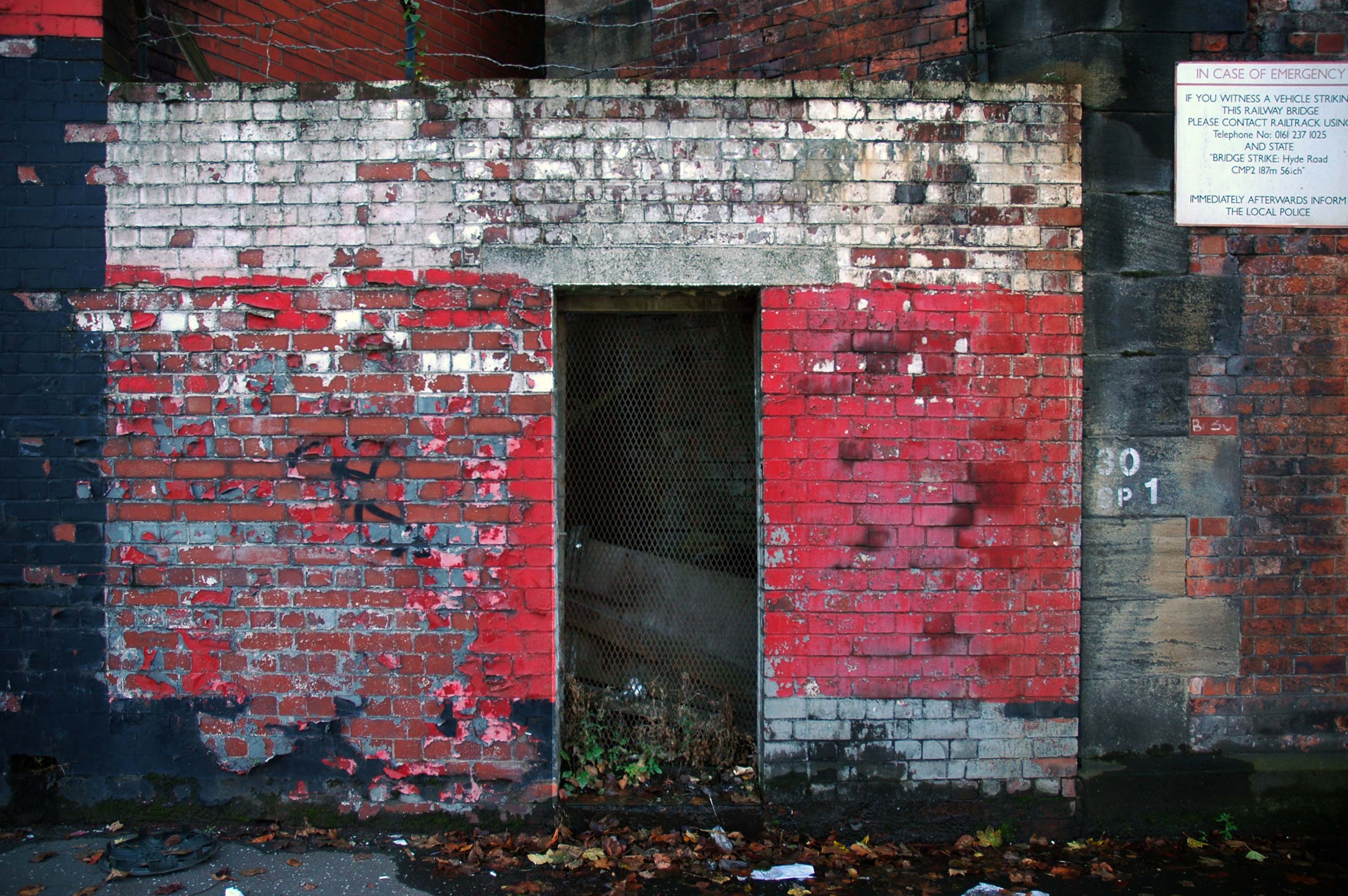


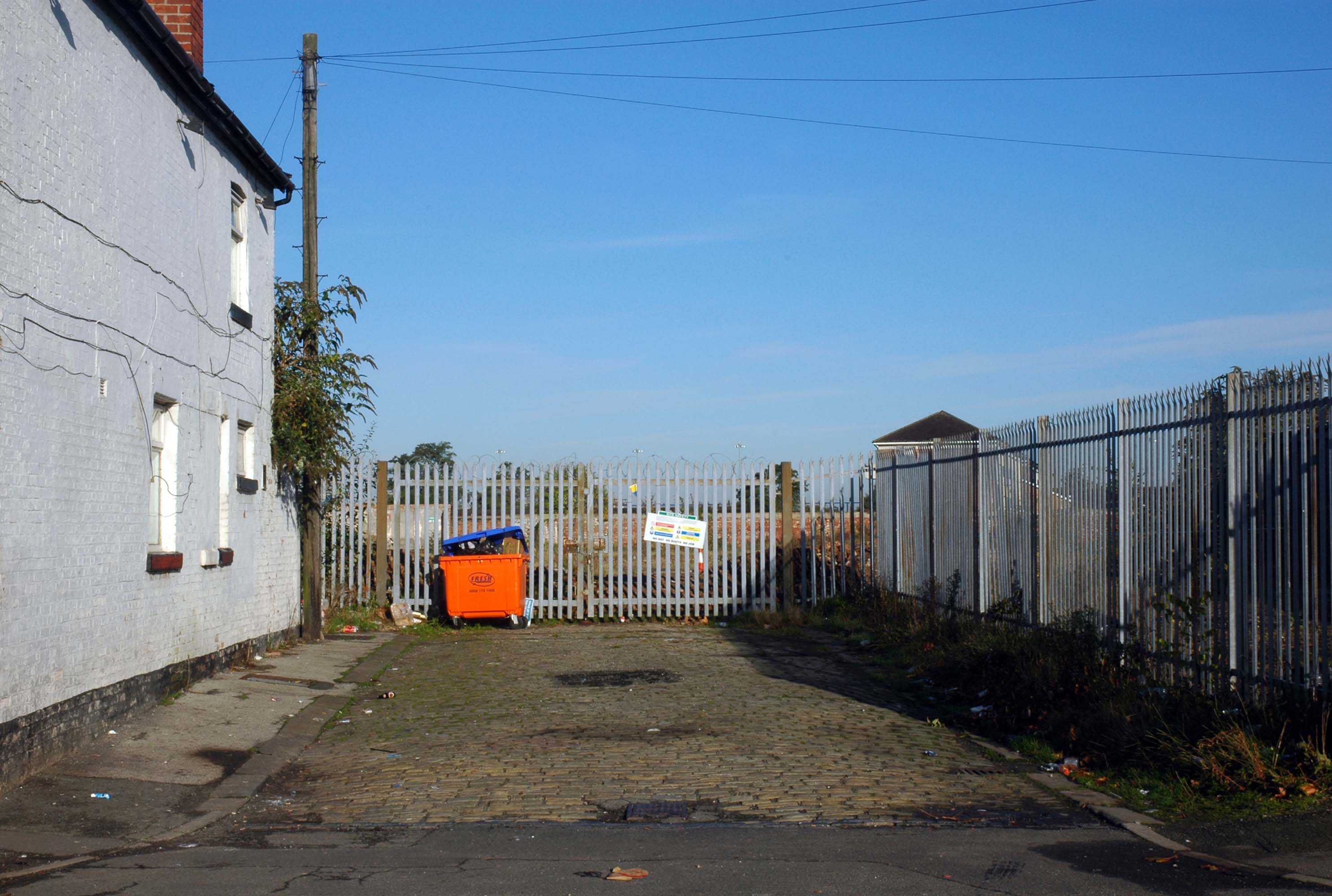












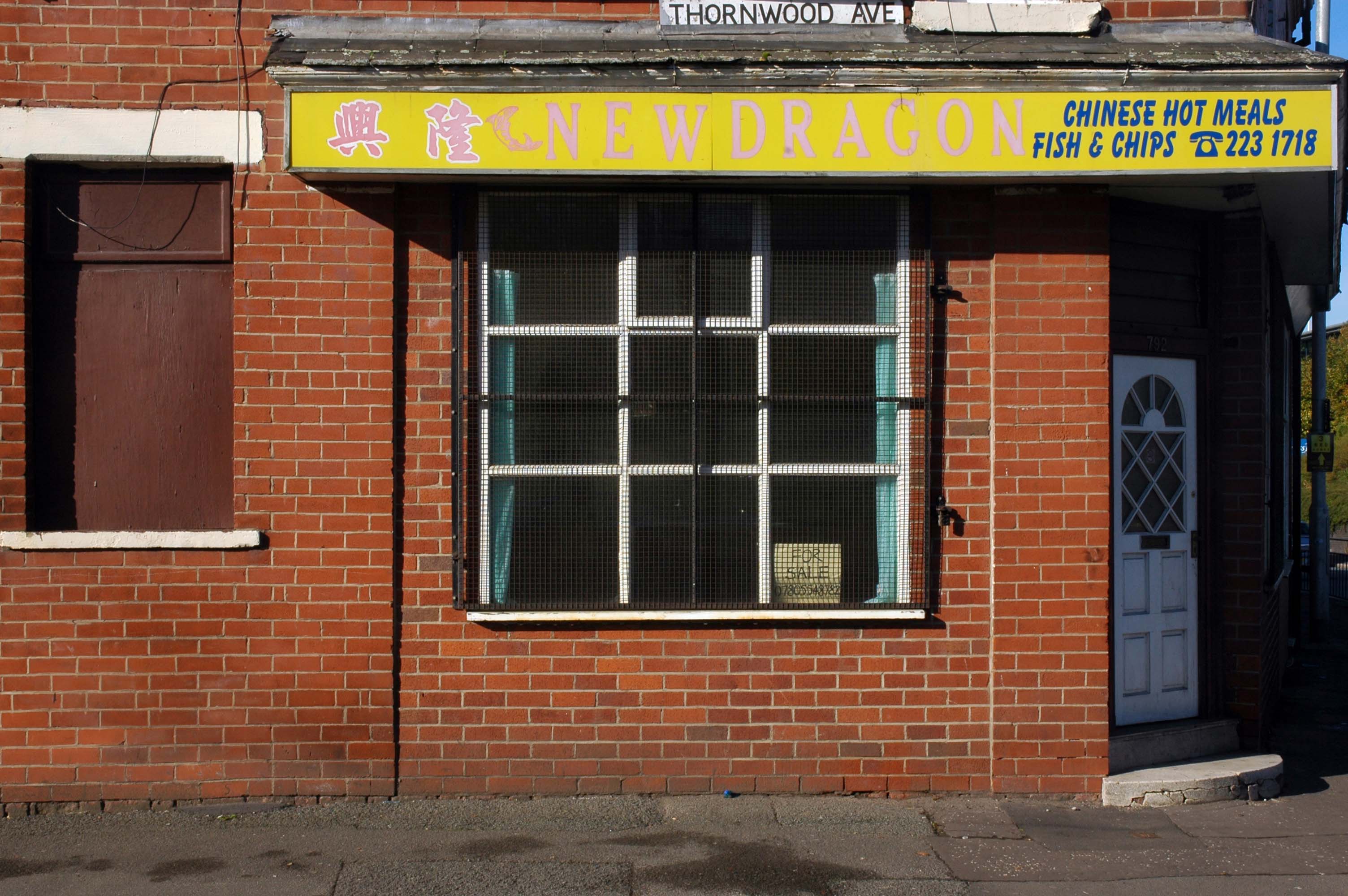


See also Bury New Road and Cheetham Hill Road and Rochdale Road and Oldham Road and Ashton New Road and Ashton Old Road.

The road now begins slightly further south than it used to. Instead of starting on Fairfield Street in Manchester city centre, it begins immediately as the Mancunian Way ends, which at this point is the unsigned A635(M). The motorway flows directly into our route. There’s a TOTSO right at a set of lights, and we pick up the old alignment, which now starts as the B6469.
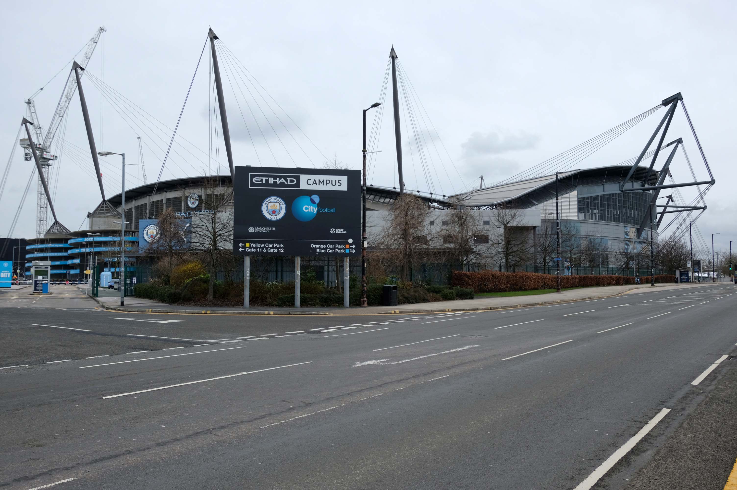
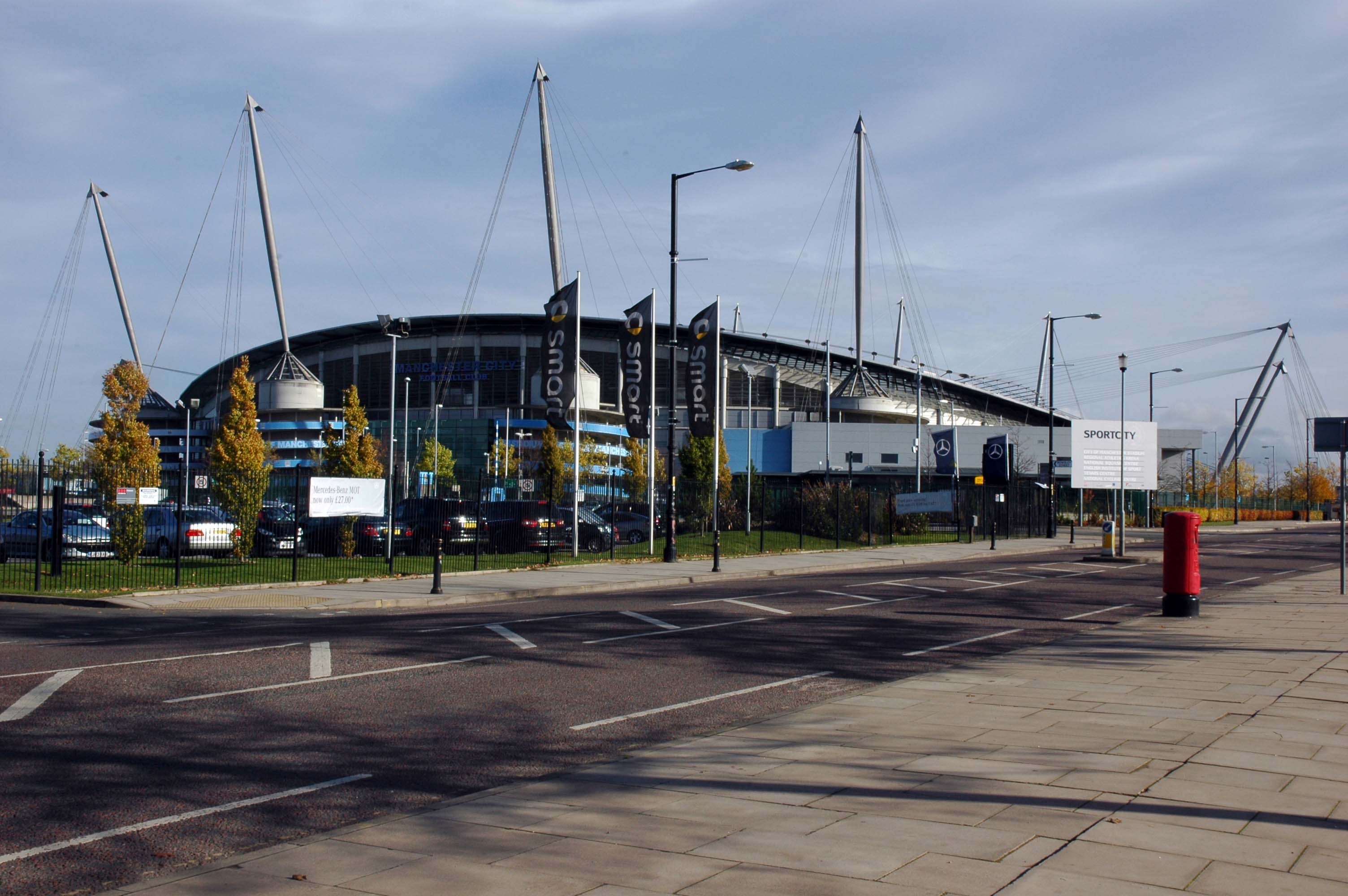
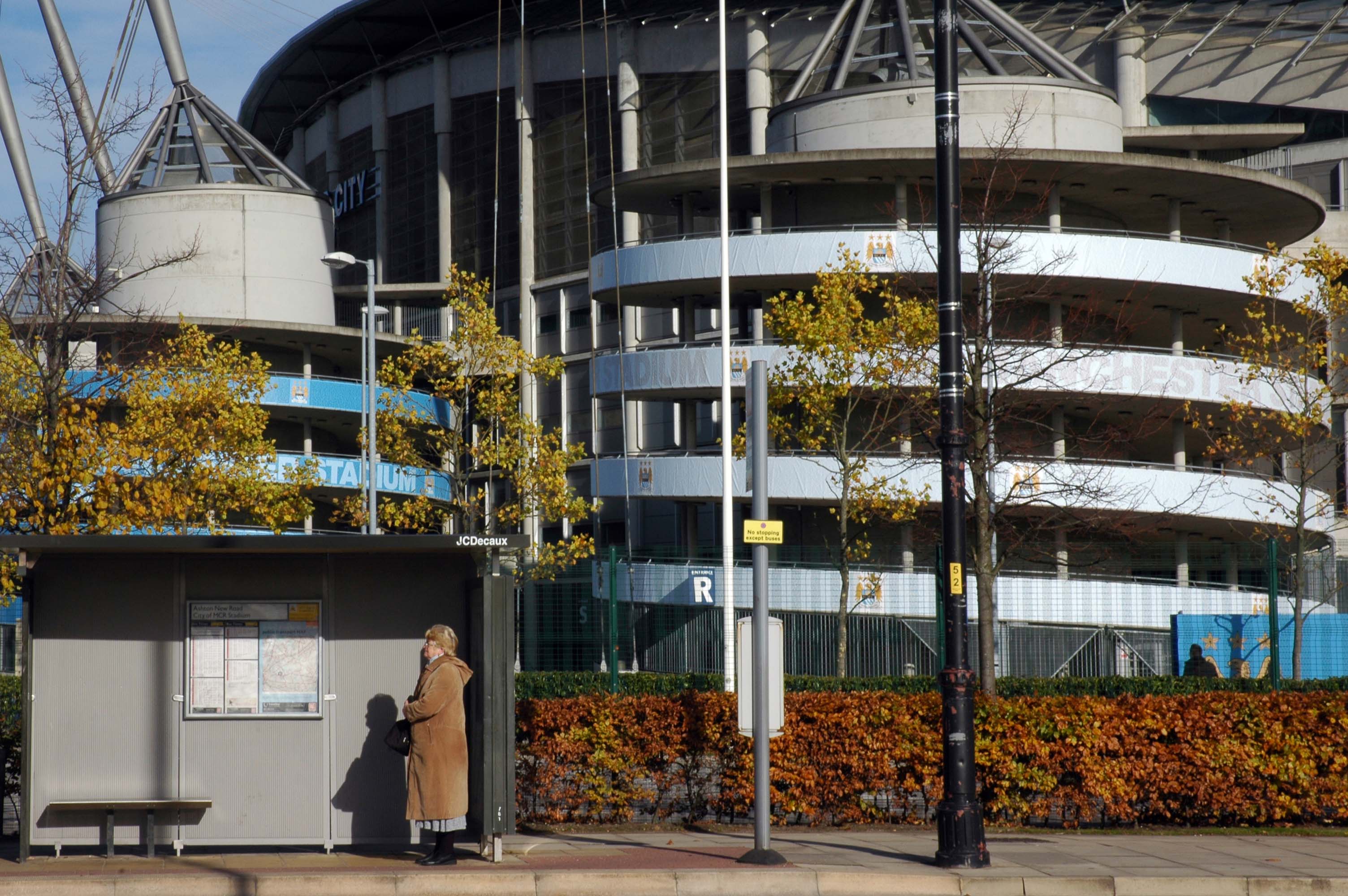
We can see the new City of Manchester Stadium on the left, site of the 2002 Commonwealth Games and now home to Manchester City FC. The road switches between S2 and S4 as it passes through the rather run-down urban areas of Ardwick and Gorton. A short one-way system at a triangular-shaped junction with the A662 leads onto a wider stretch as we near the M60 junction. This area is set to see significant industrial growth, with whole swathes of land either side of the now D3 road cleared and ready for development.
In 2014, having taken early retirement from teaching photography, I embarked on a series of walks along the arterial roads of Manchester.

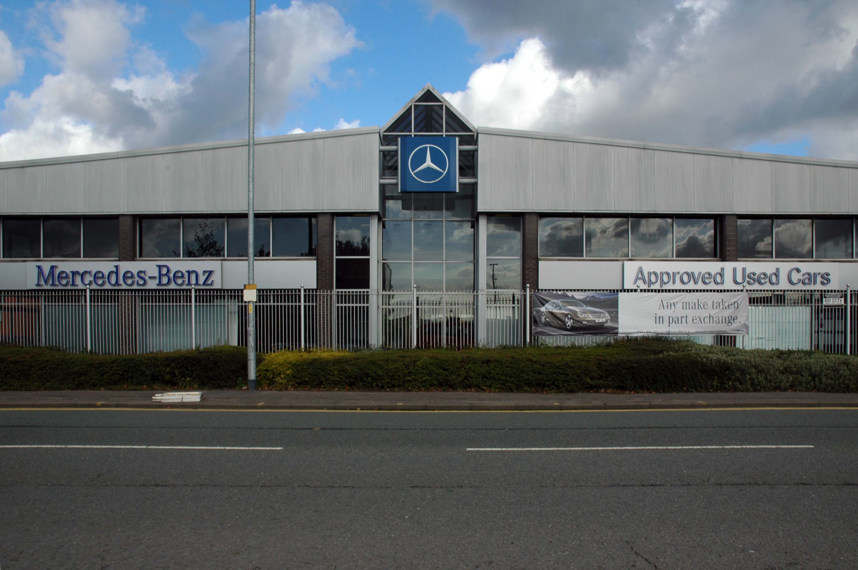
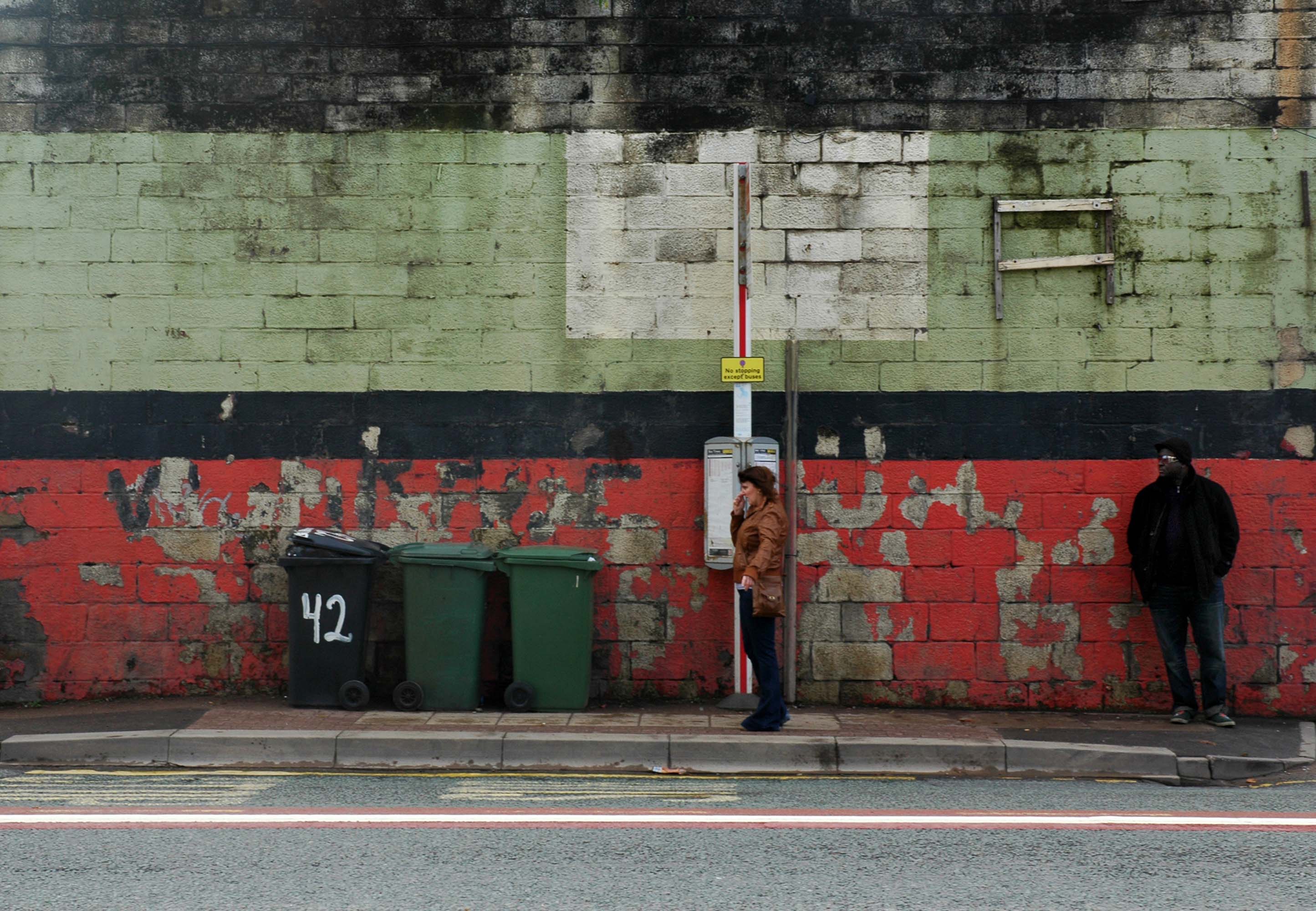





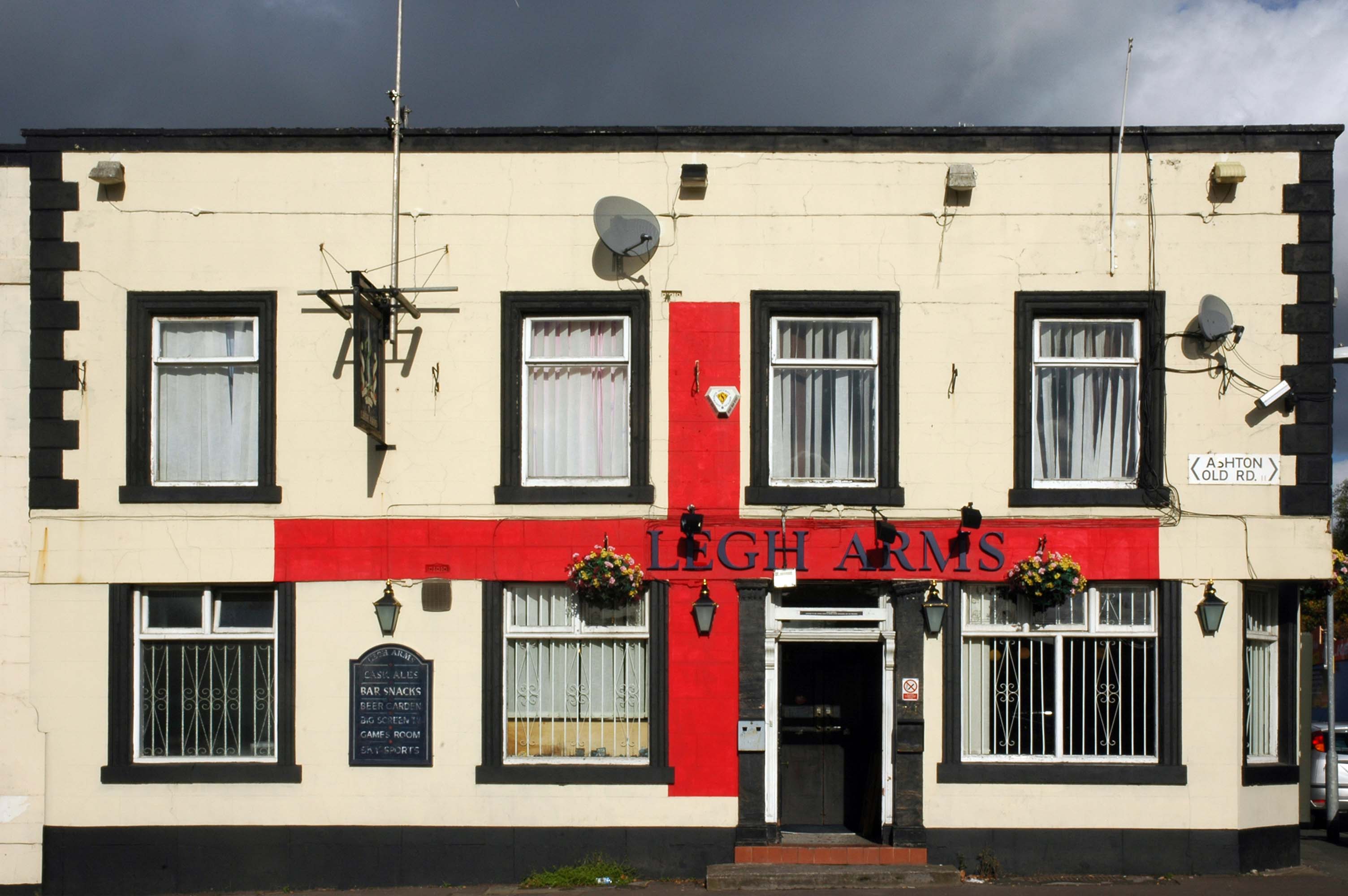
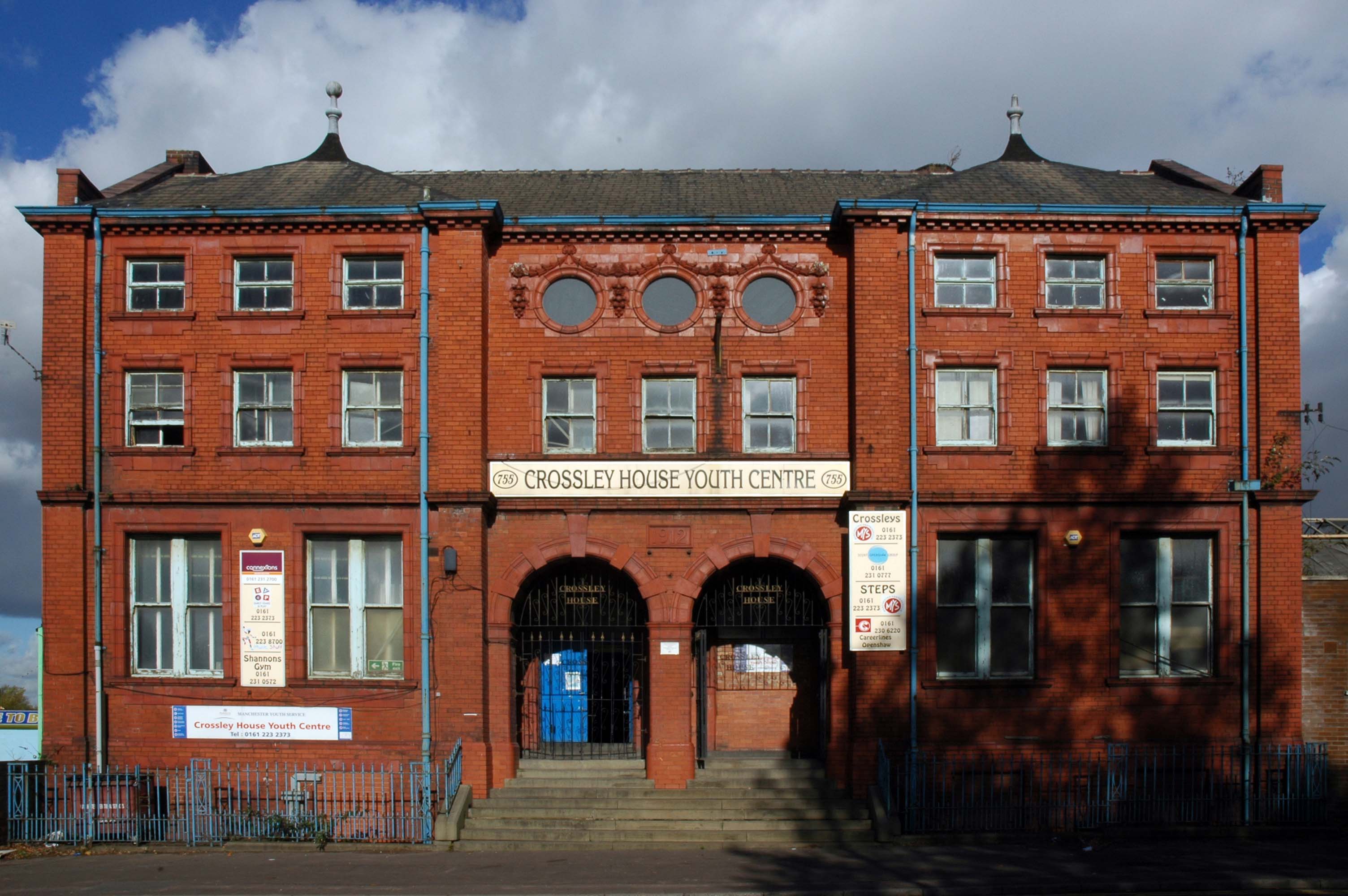
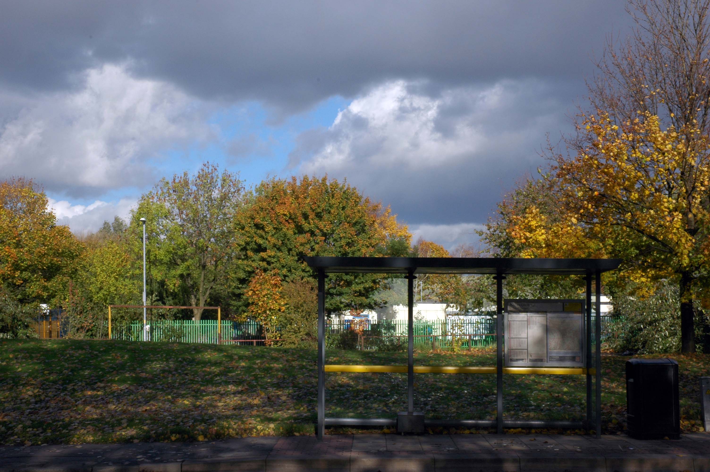

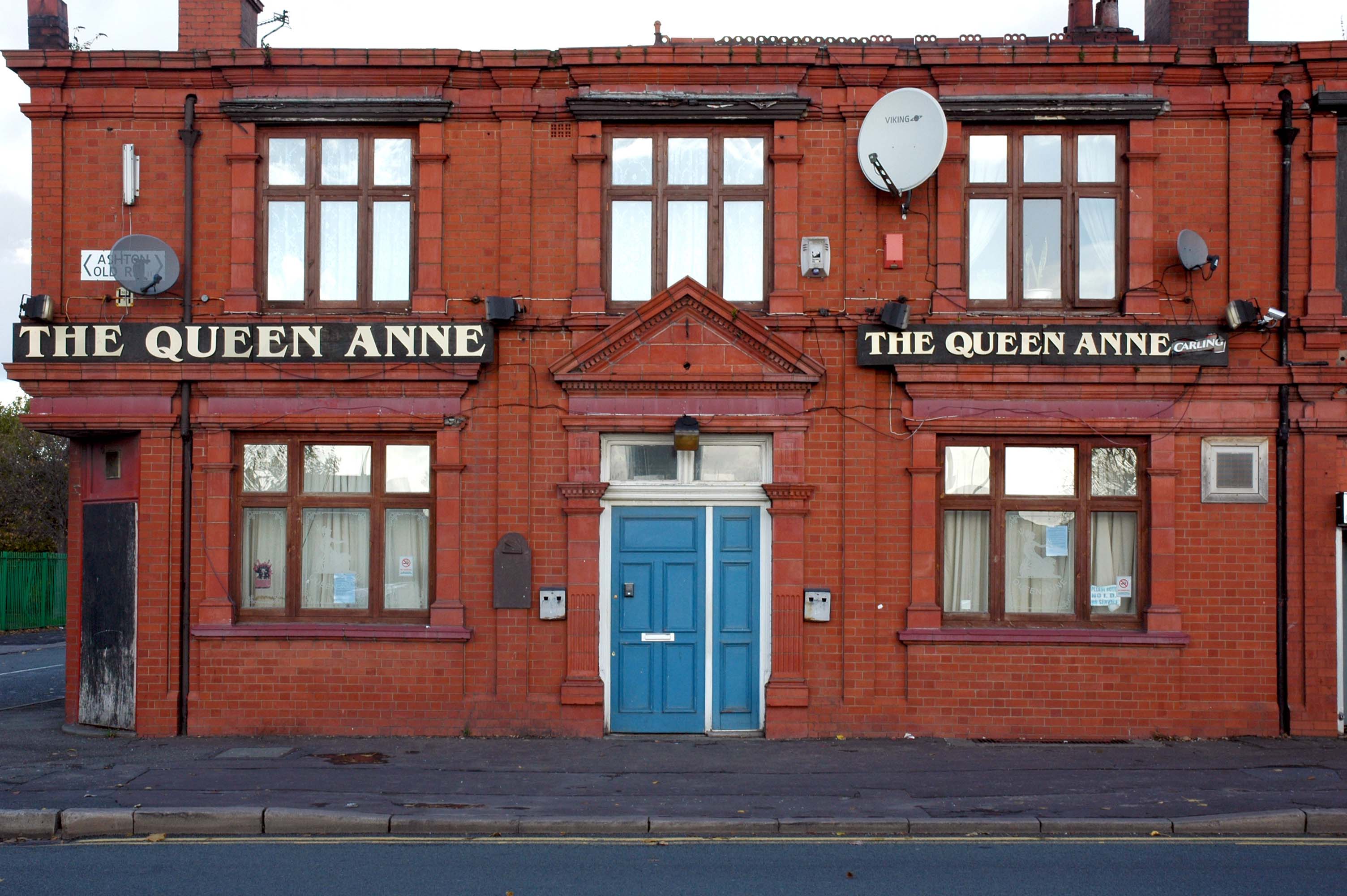

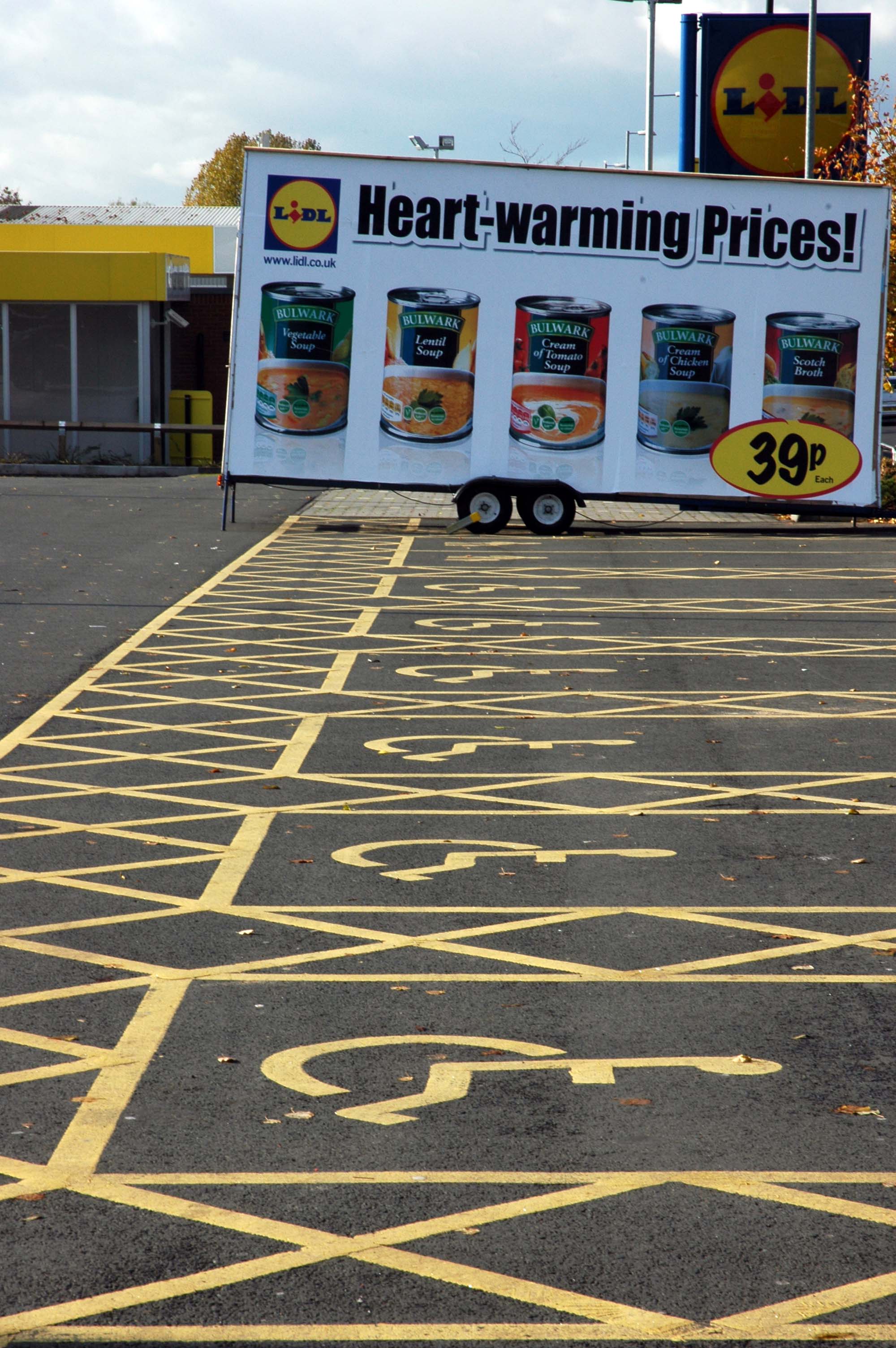

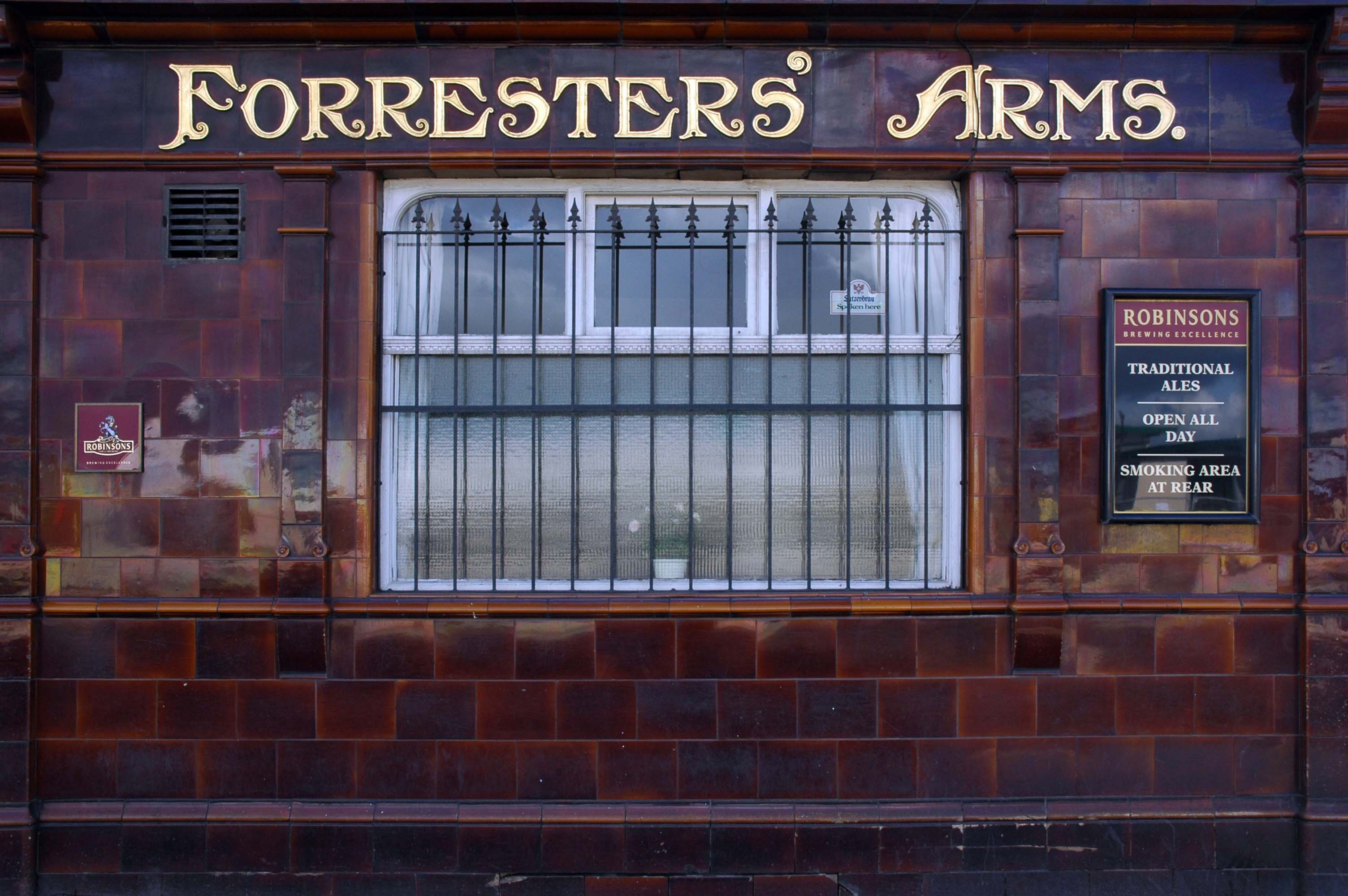
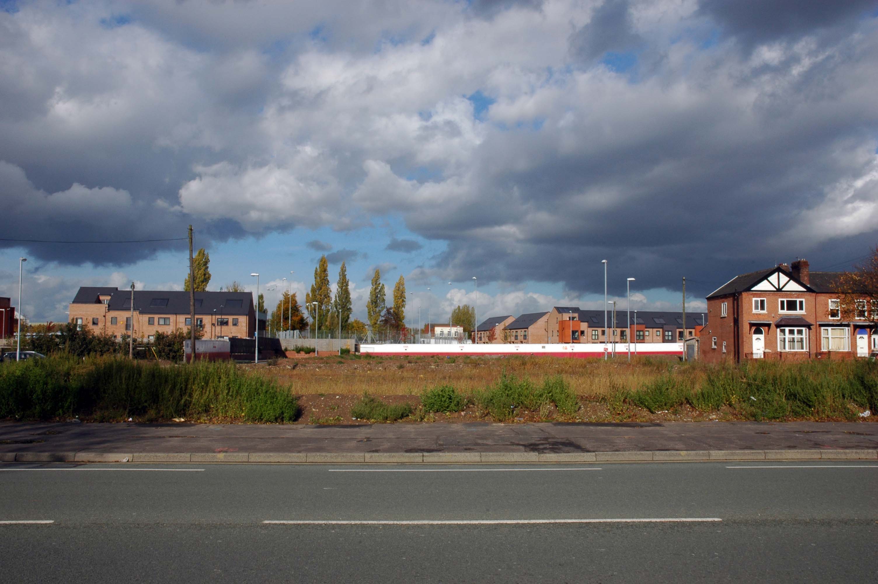

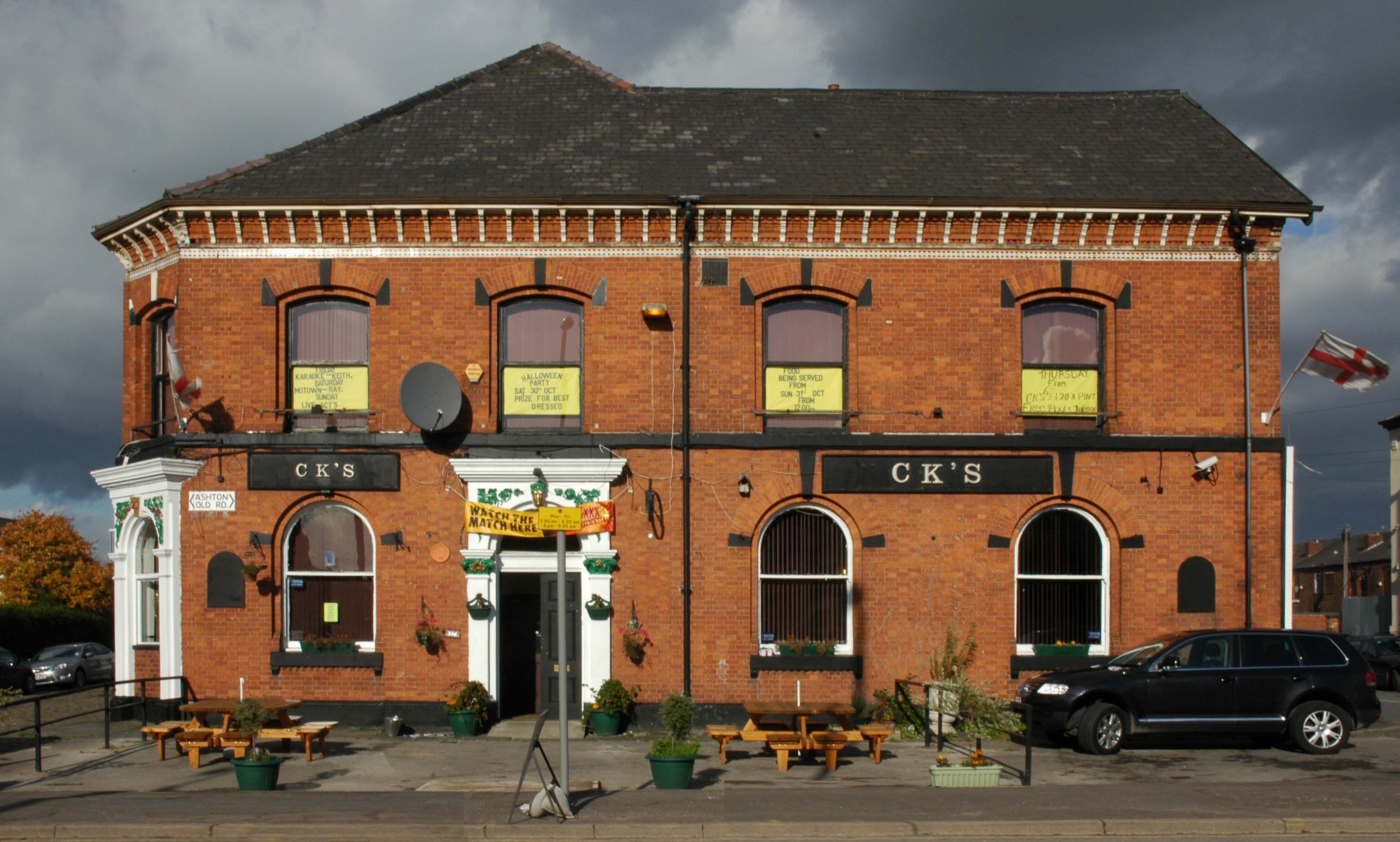
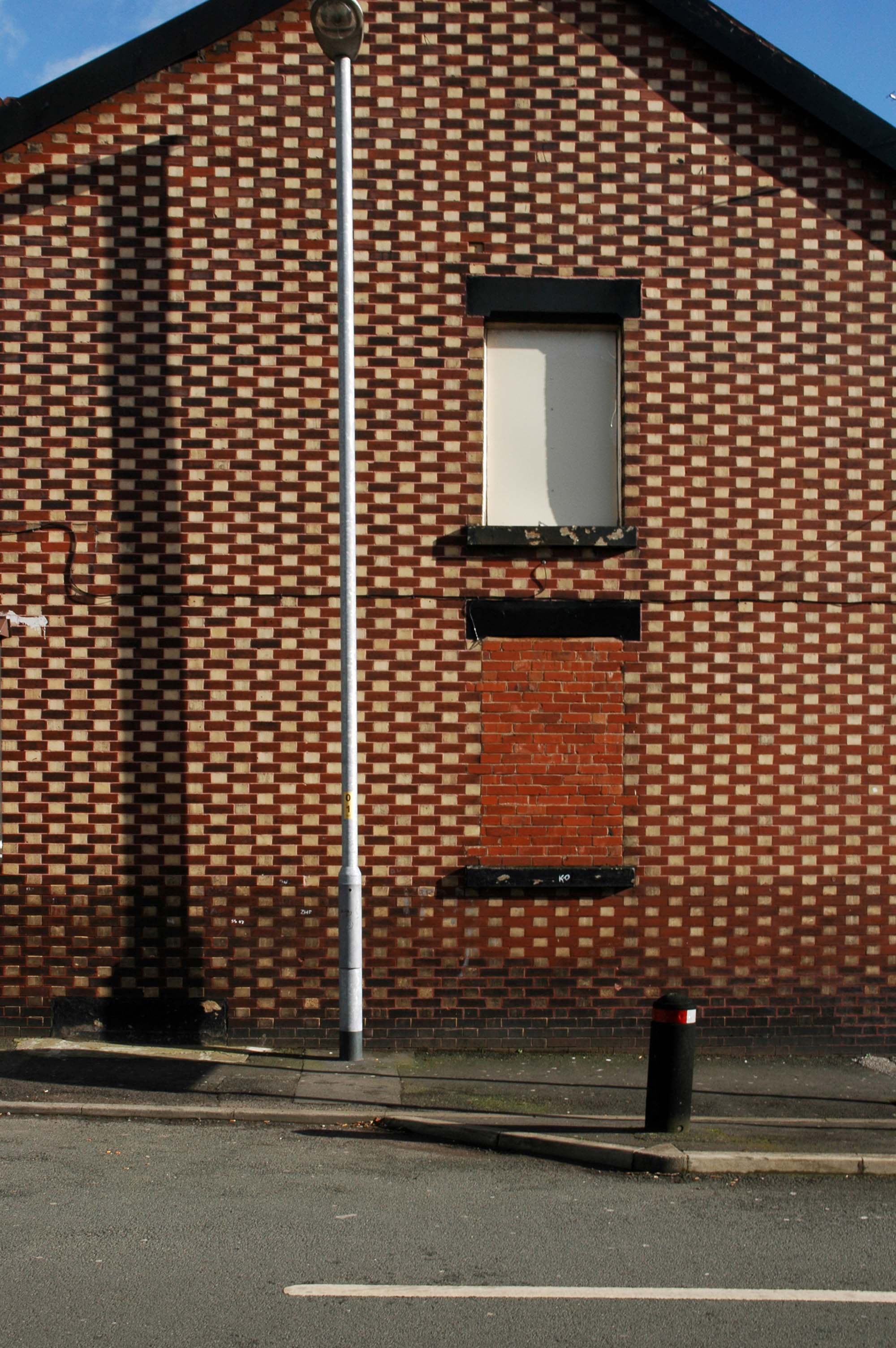
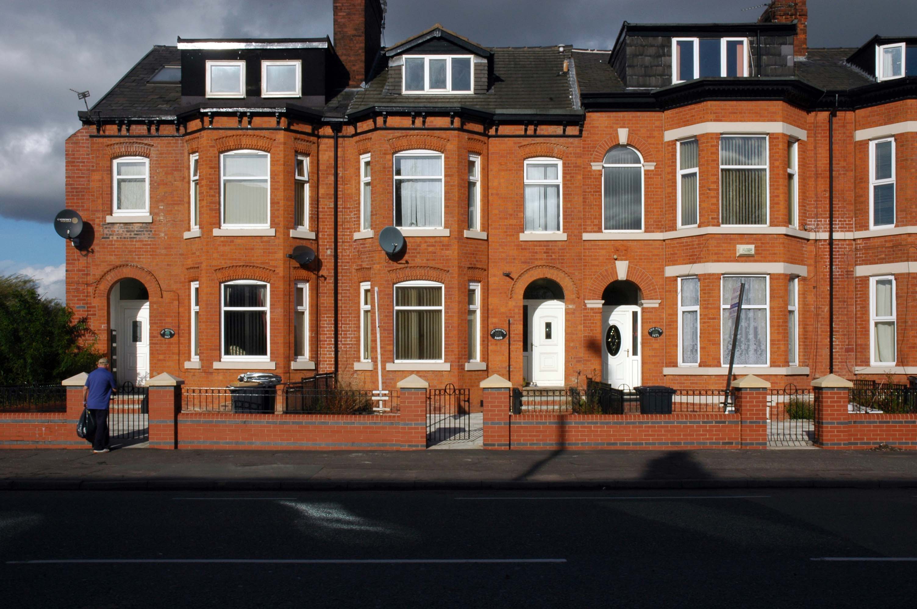
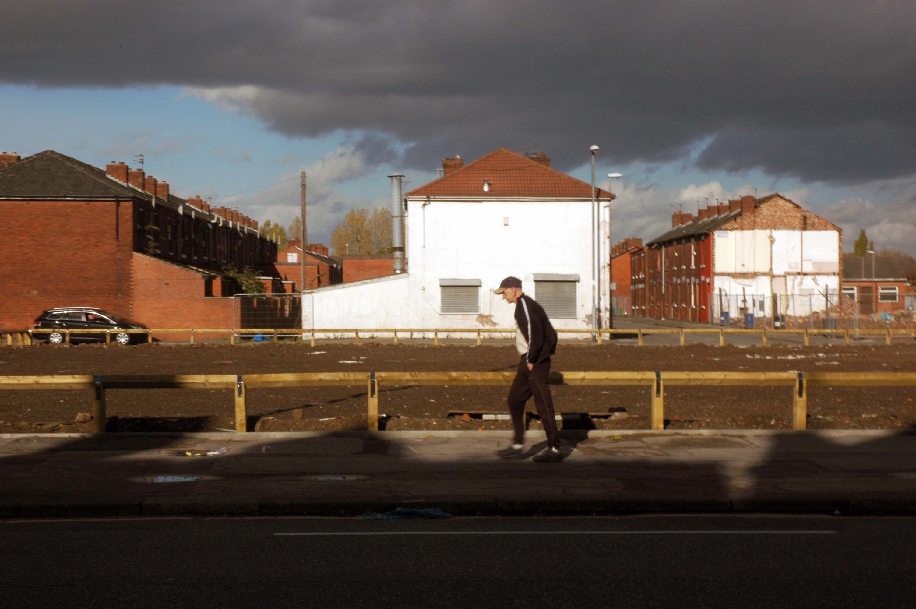
See also Bury New Road and Cheetham Hill Road and Rochdale Road and Oldham Road and Ashton New Road

Starting at traffic lights on the A665 the road heads northeastwards, initially with the Metrolink on the left and a factory building on the right. The road then bears right at traffic lights marking the first section of on-street running for the trams, which lasts until just before a bridge over the River Medlock, after which the road passes to the south of the Sportcity complex whilst the tram line runs through the middle.
The A6010 is crossed at traffic lights, after which we see the tram lines on the left once more. We go over the Ashton Canal, then the tram lines at grade before bearing to the right to pass Clayton Park before another section of on-street running for the Metrolink begins, which continues for some distance. Just after crossing the Manchester city limit there is a set of traffic lights, after which the road becomes D2 for a short distance to allow a tram stop – Edge Lane, to be located in the central reservation. The tram leaves the road to the right for the next stop – Cemetery Road, and the stop in Droylsden town centre is once again in the central reservation. In all three cases the street running recommences after the stop.
In 2014, having taken early retirement from teaching photography, I embarked on a series of walks along the arterial roads of Manchester.


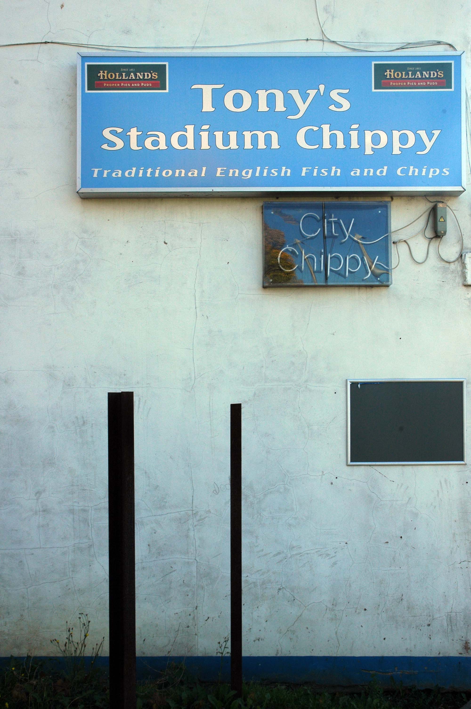


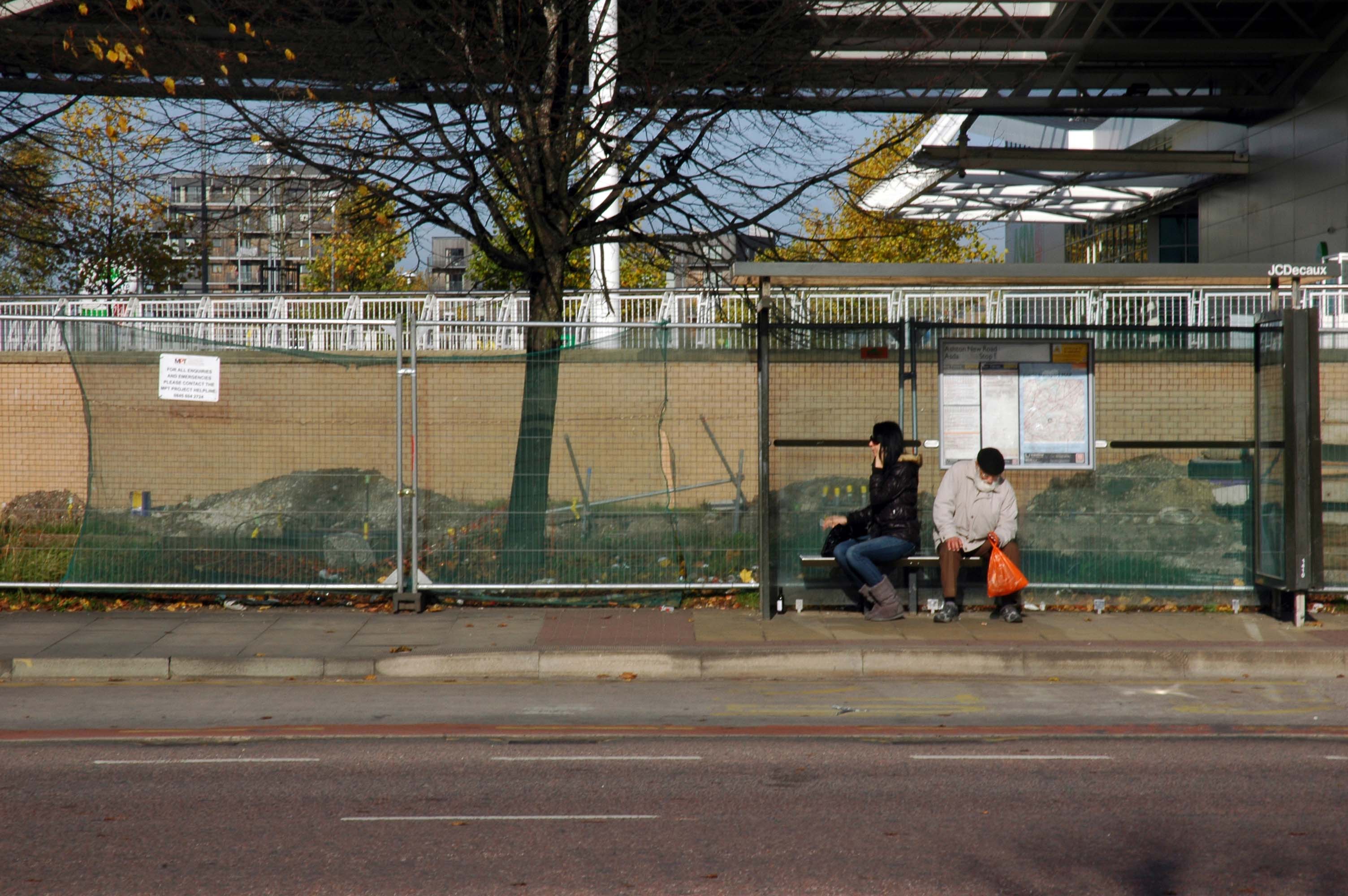
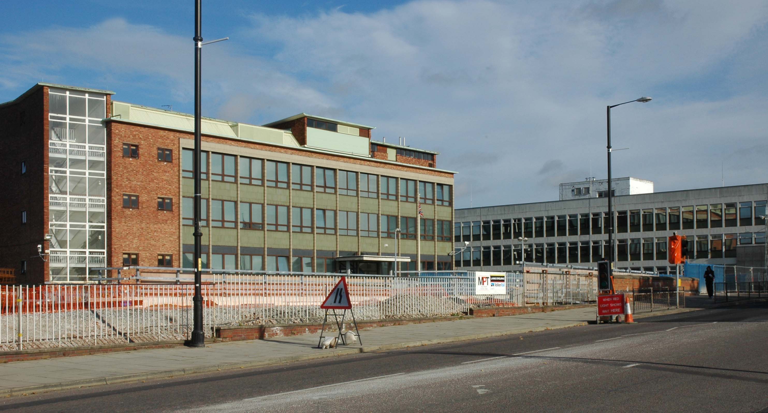


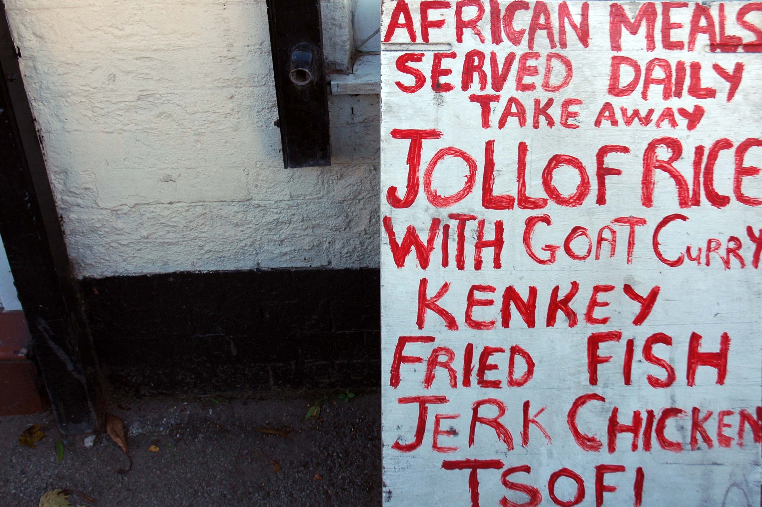






See also Bury New Road and Cheetham Hill Road and Rochdale Road and Oldham Road.