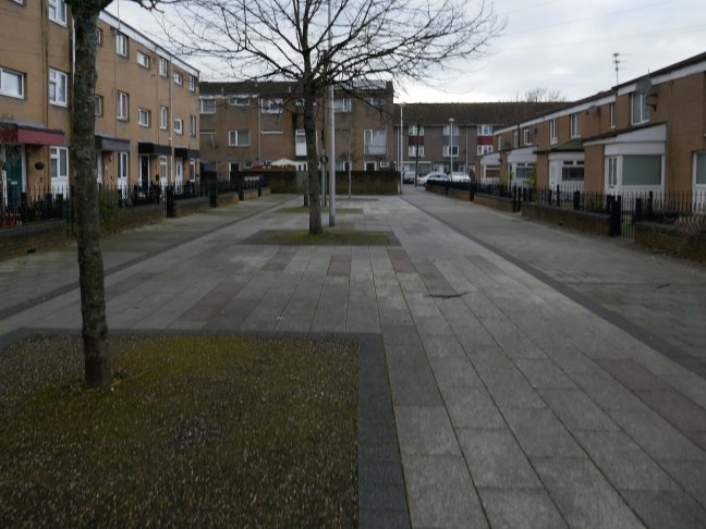
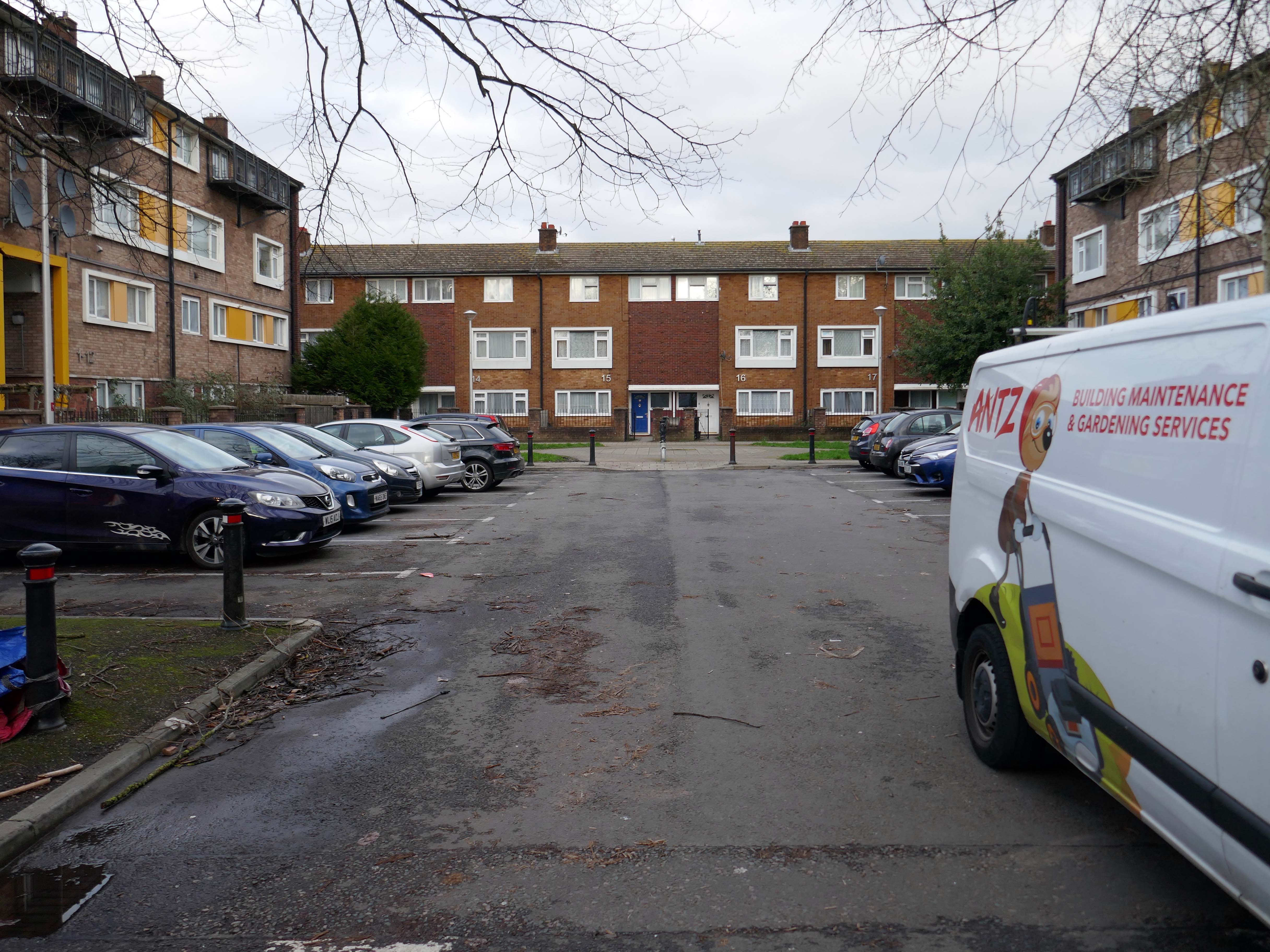
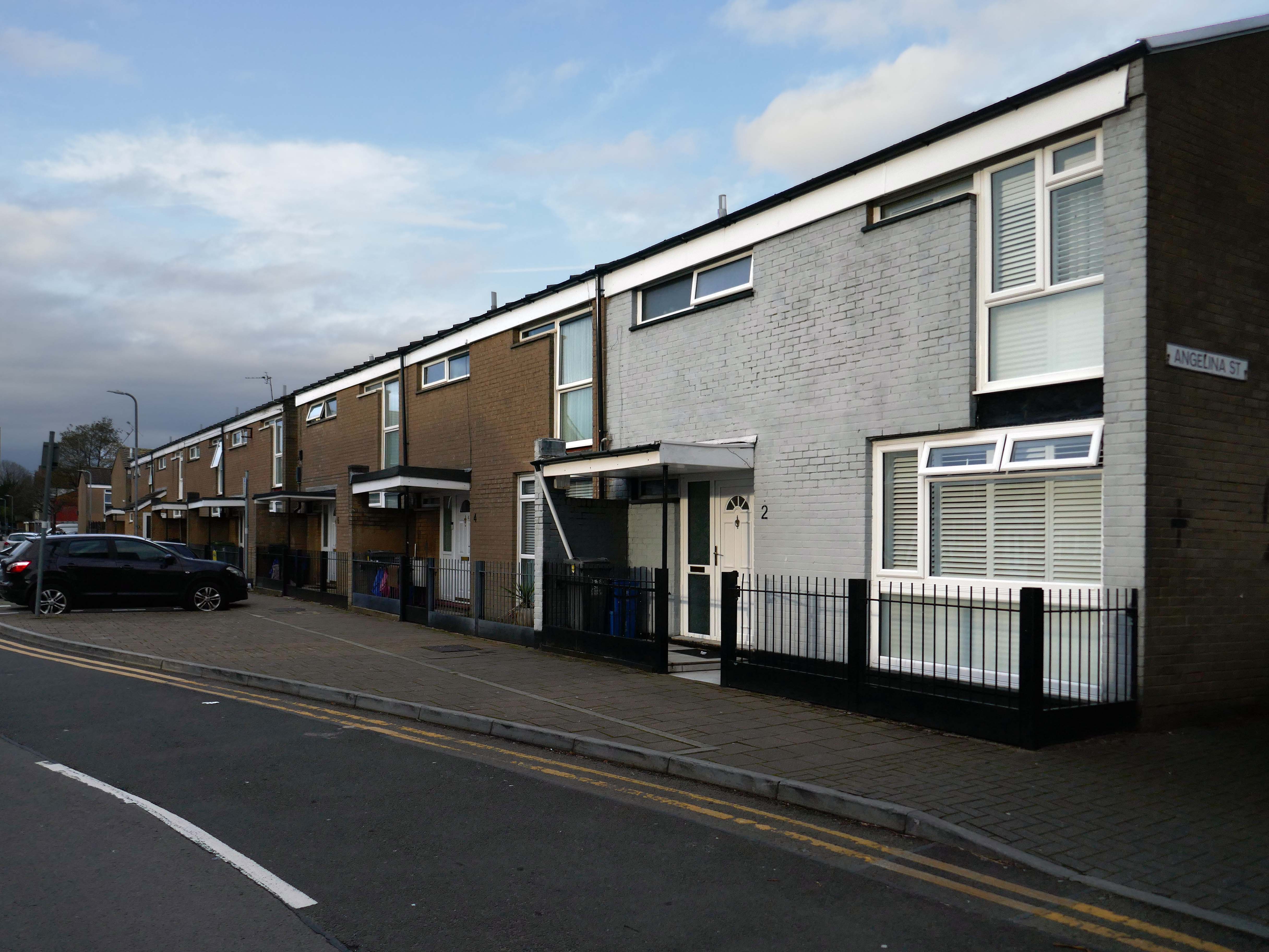
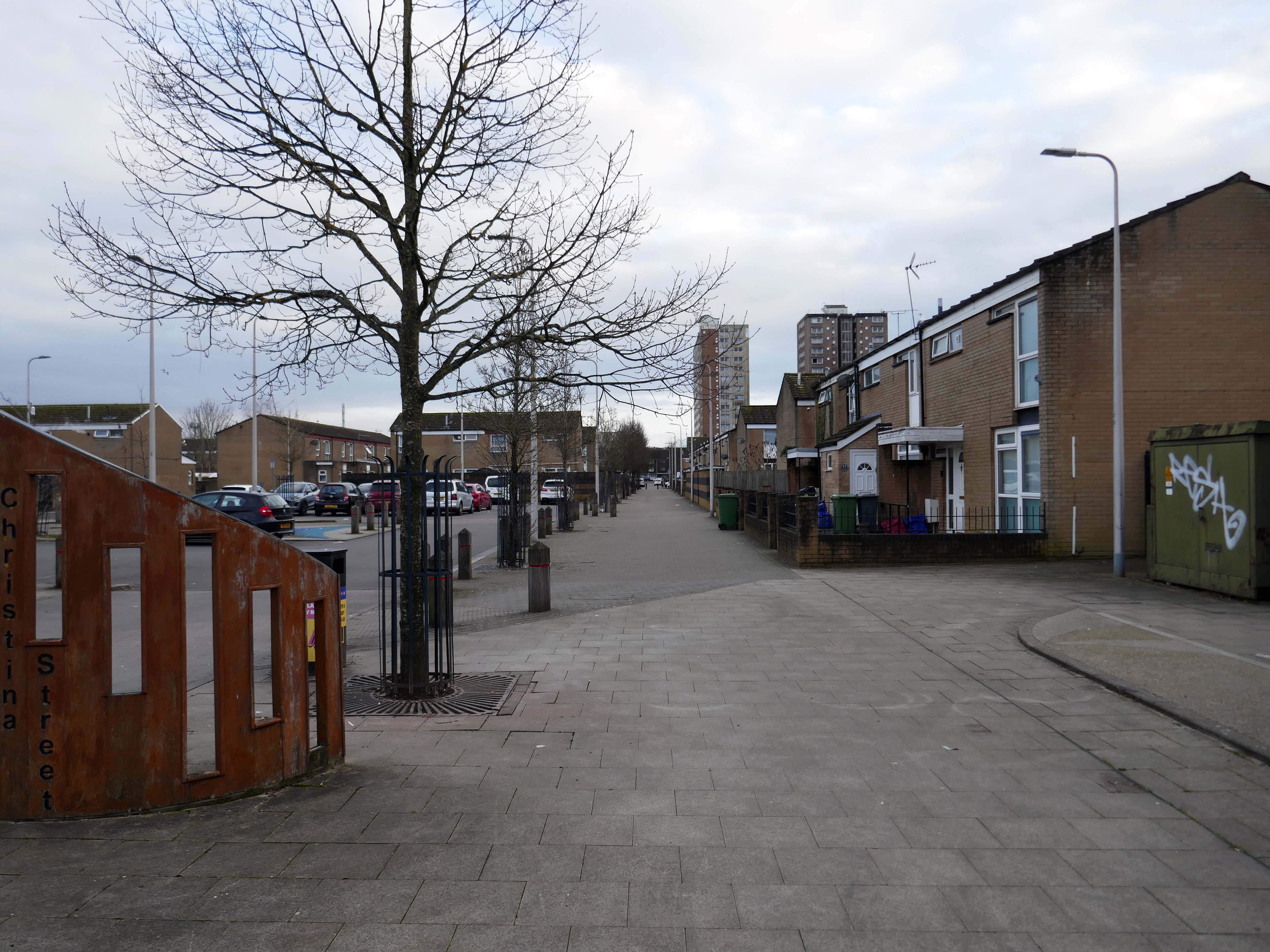
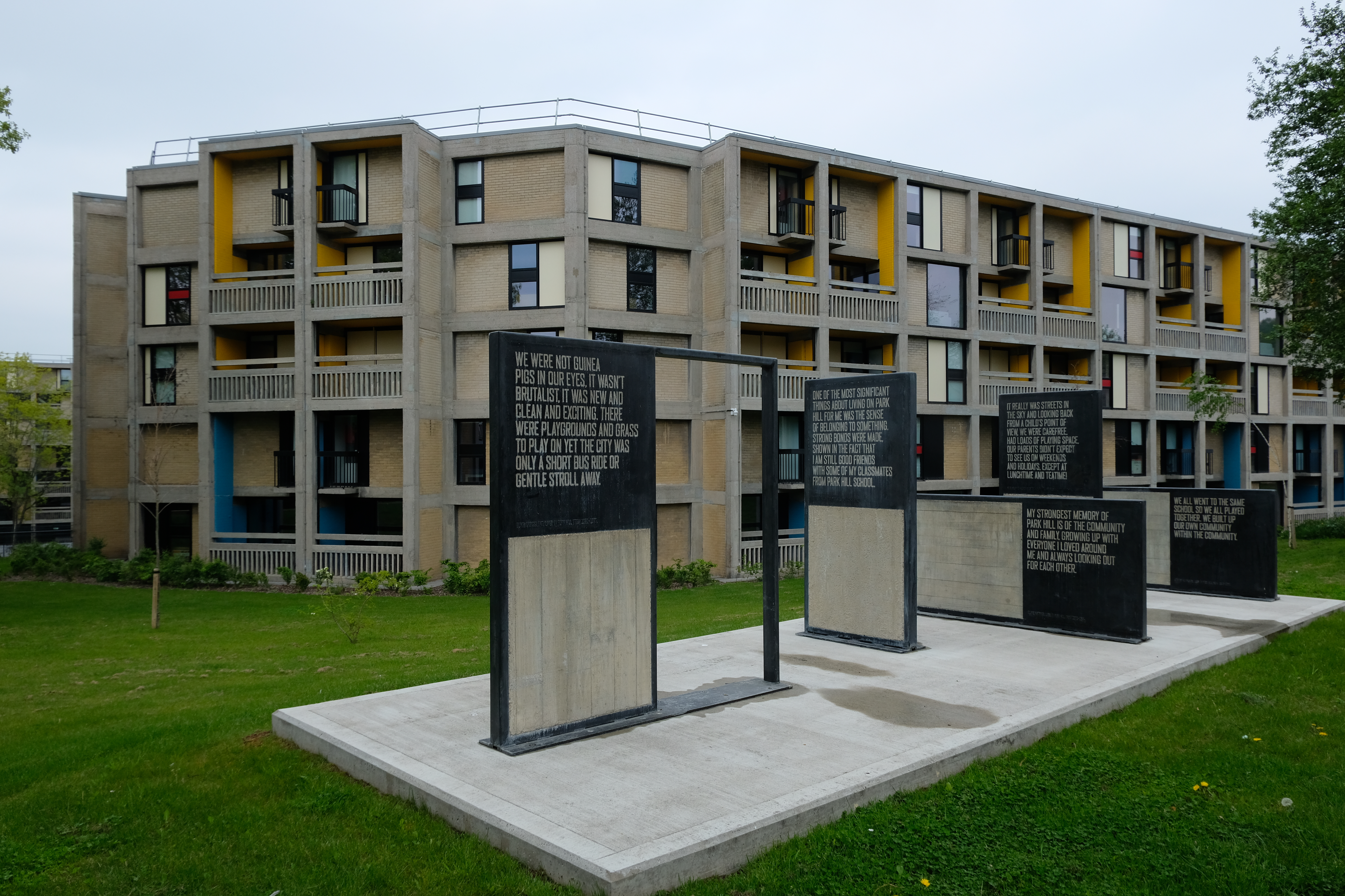
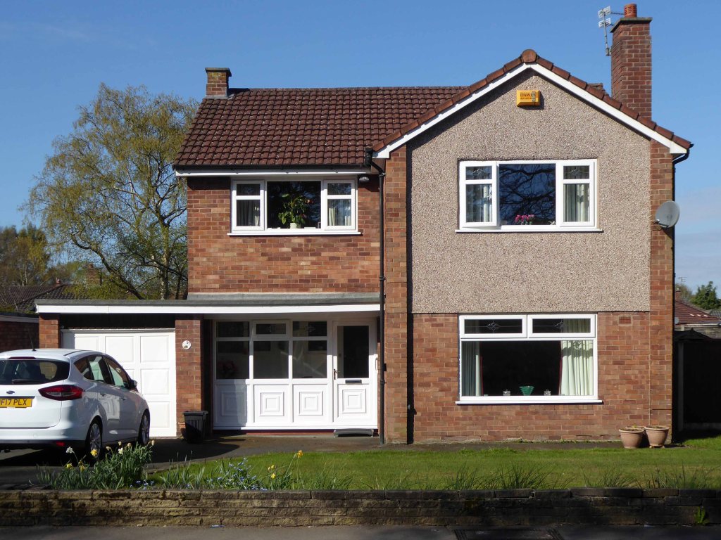
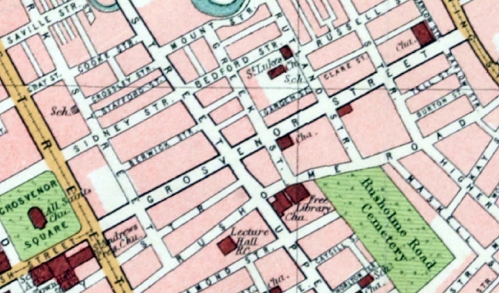
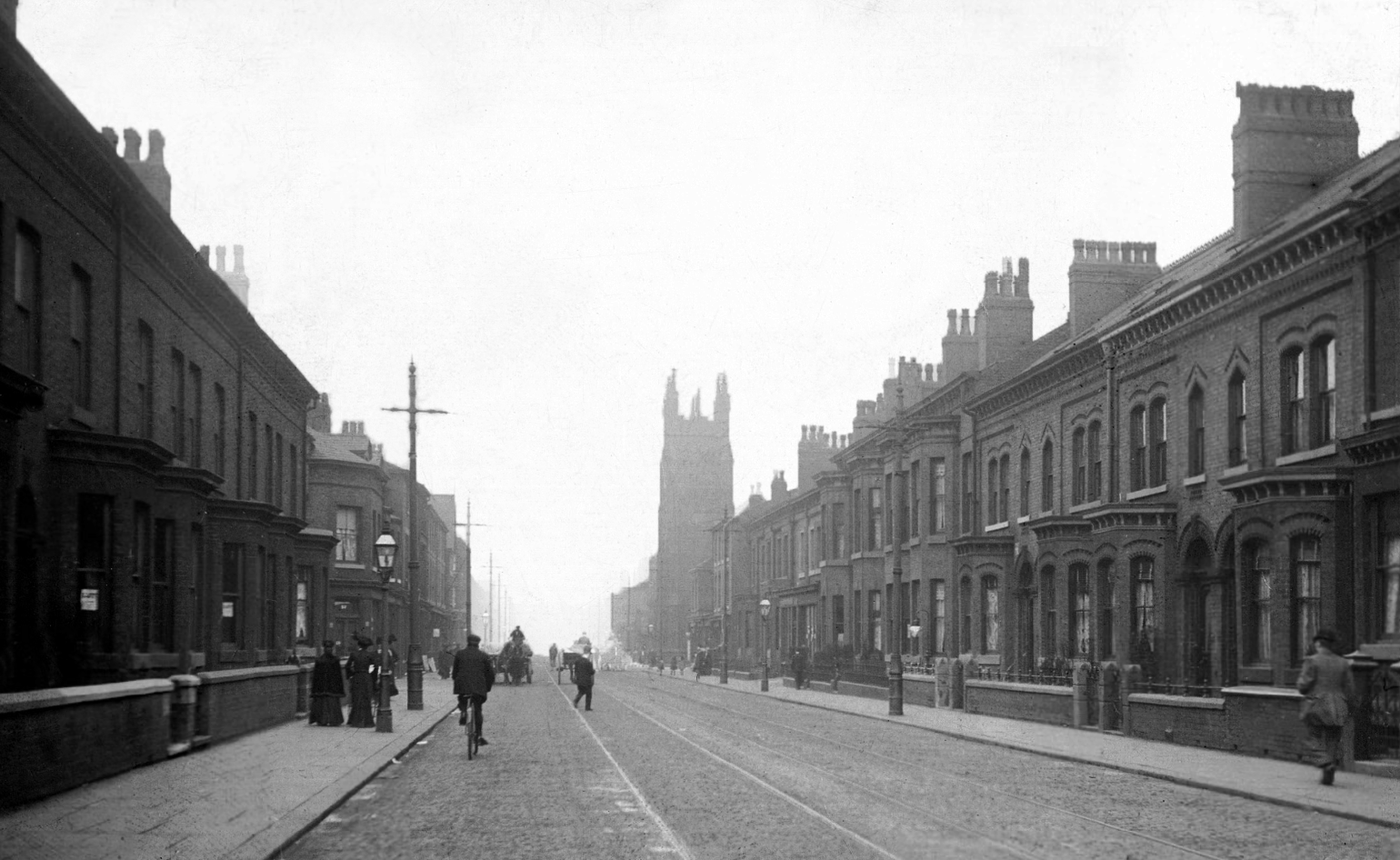
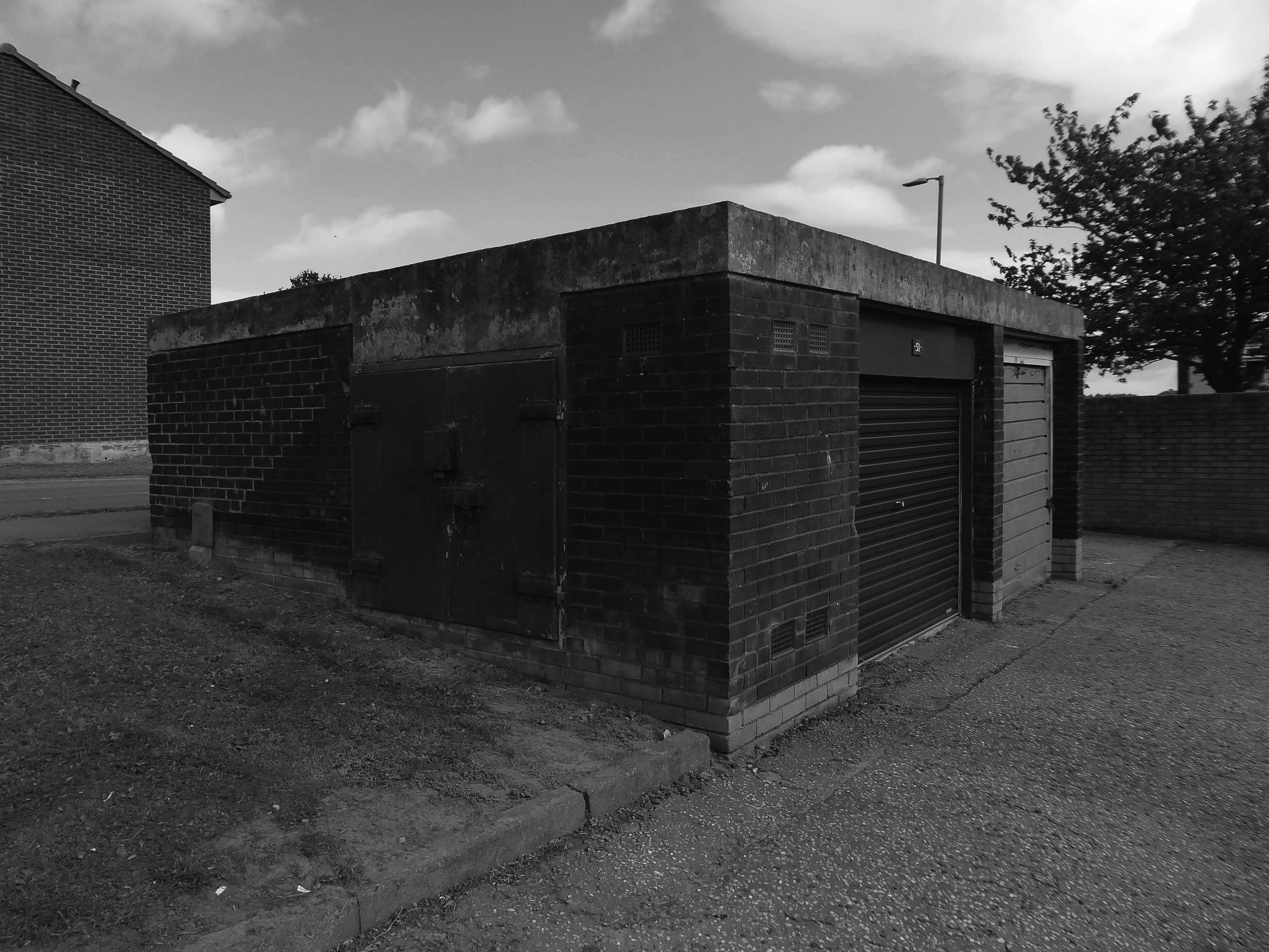
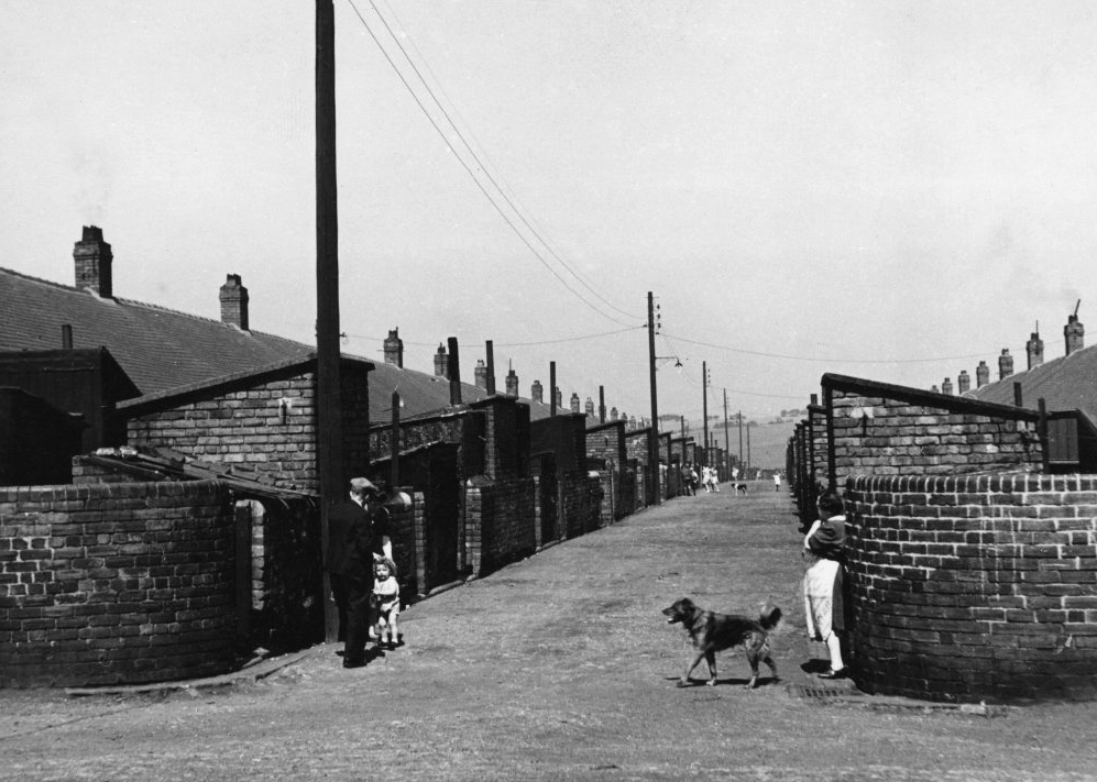
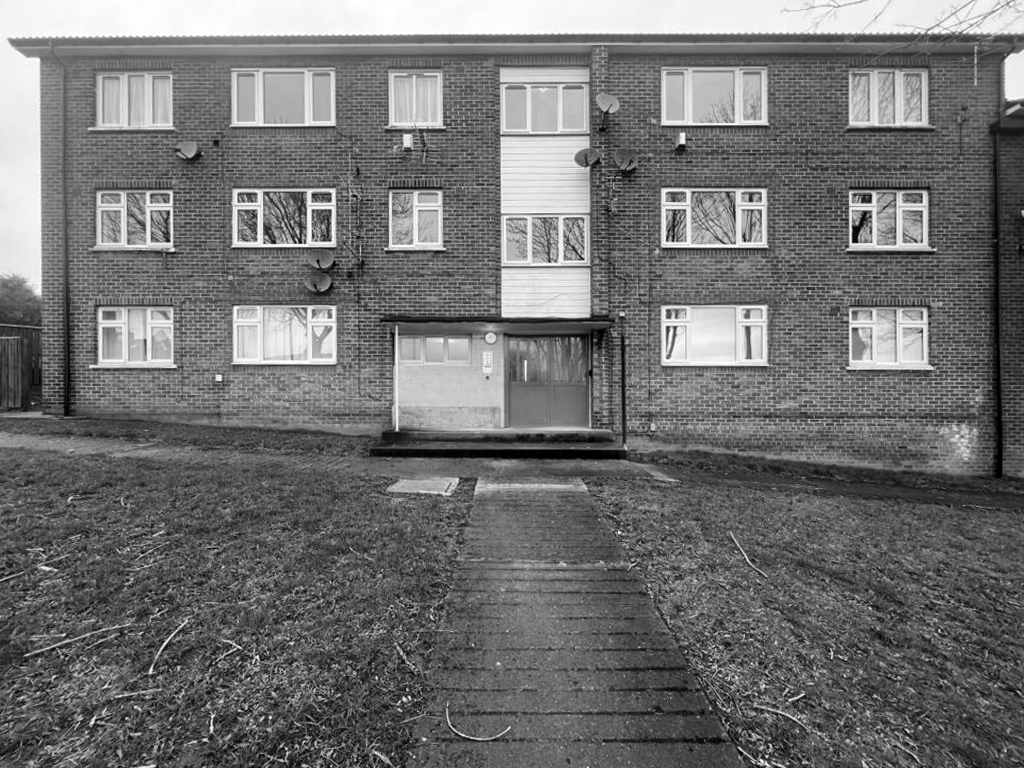
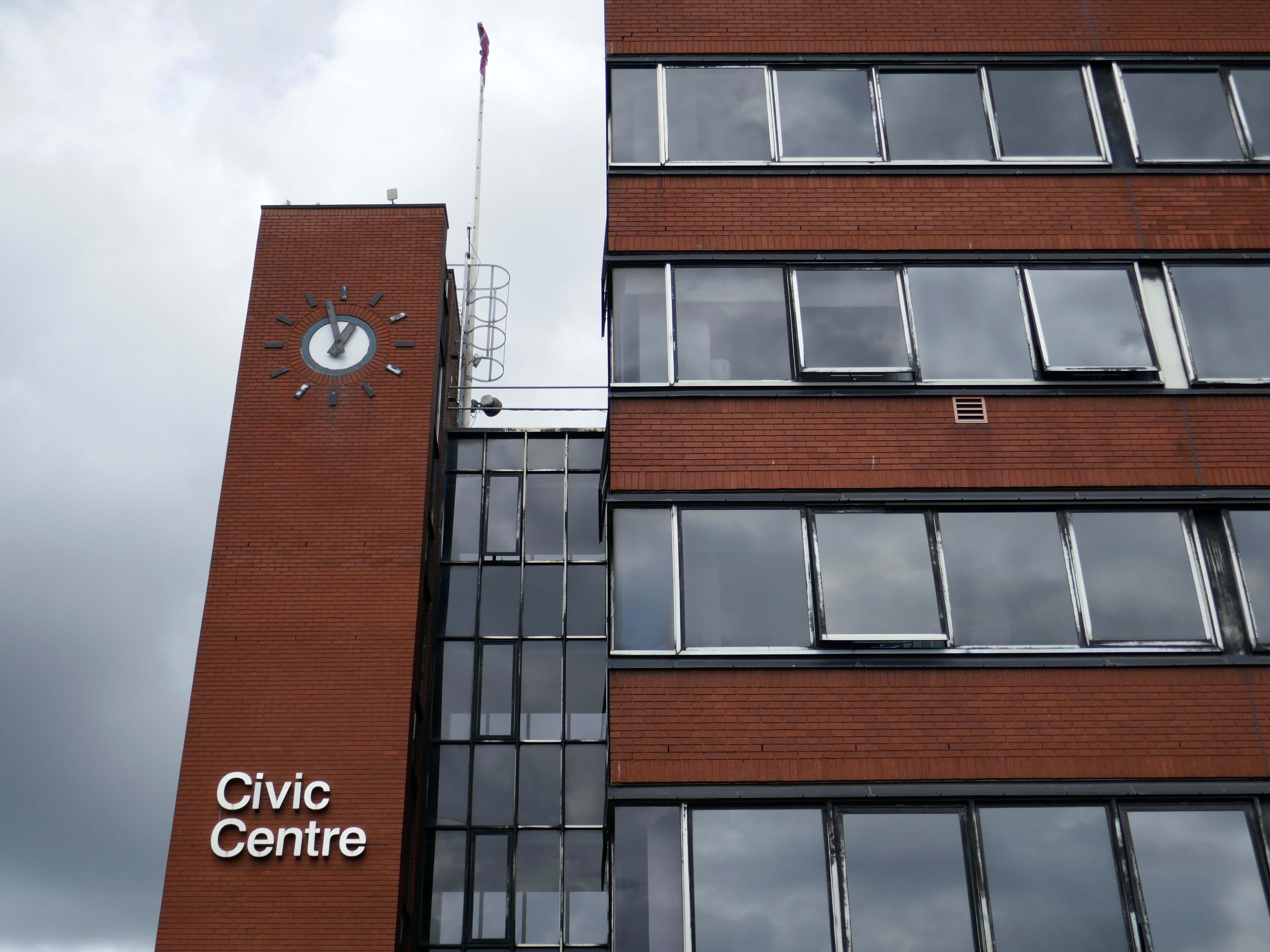
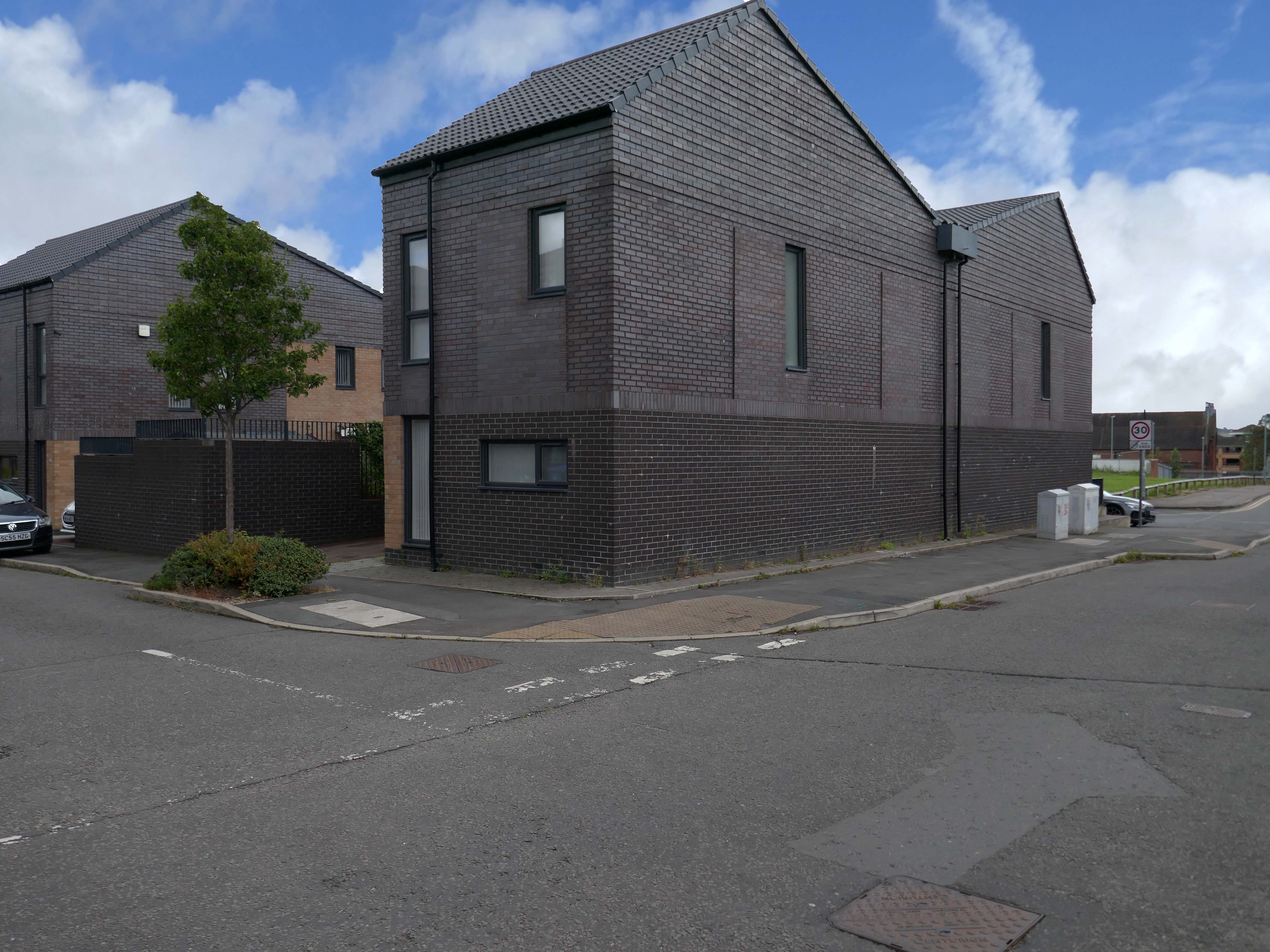
Butetown – or The Docks Tre-biwt is a district and community in the south of the city of Cardiff. It was originally a model housing estate built in the early 19th century by the 2nd Marquess of Bute, for whose title the area was named.
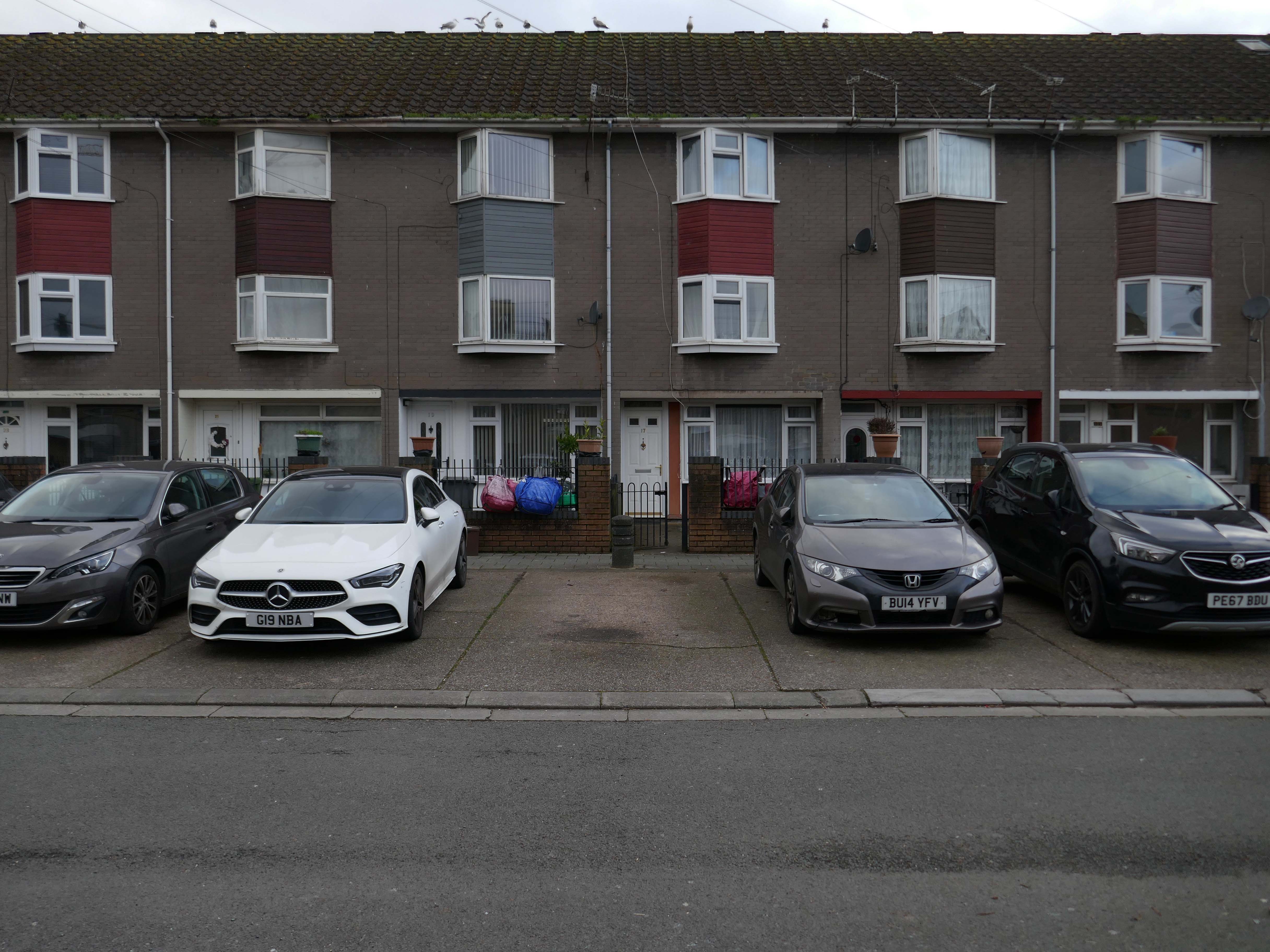
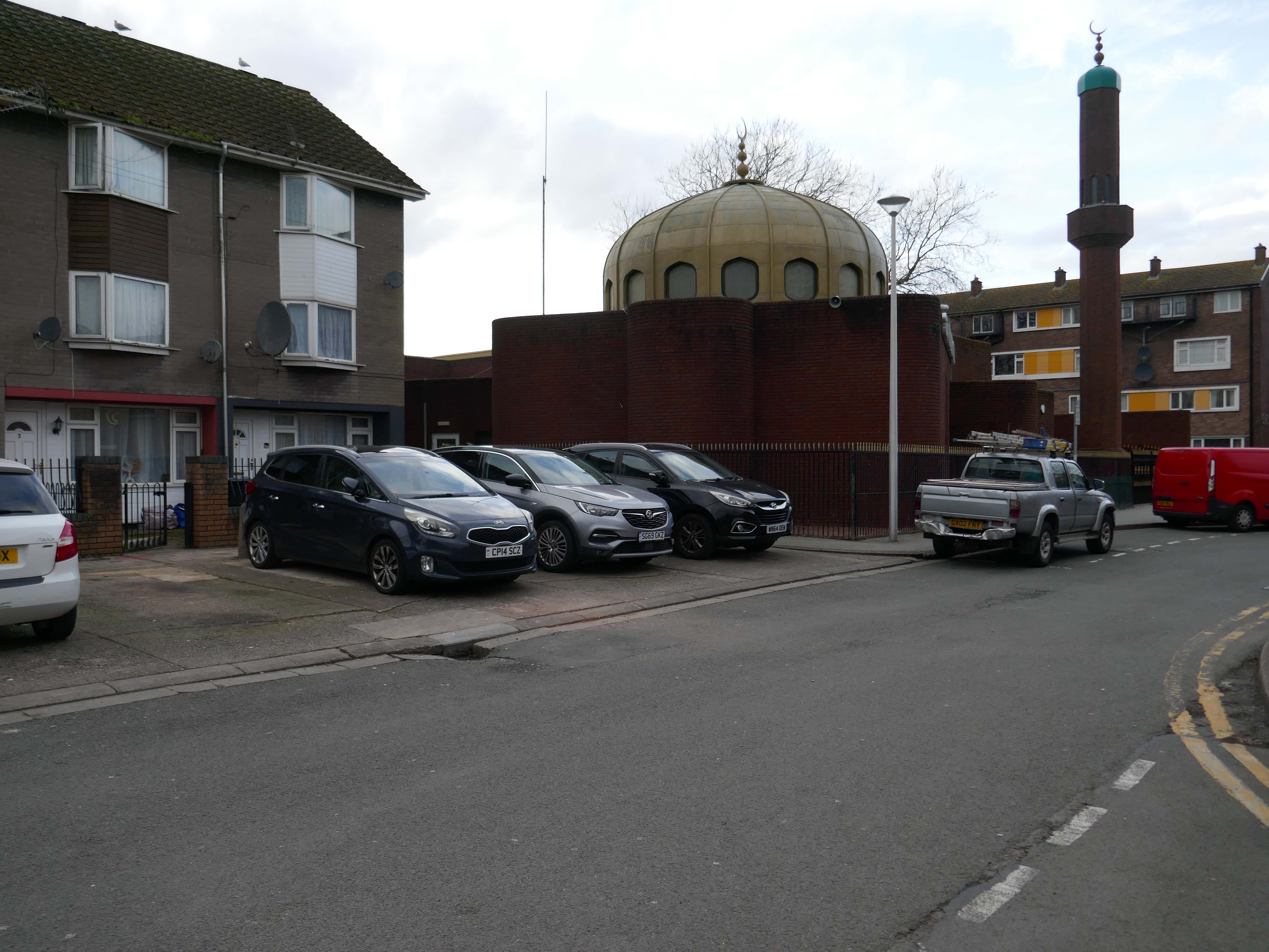
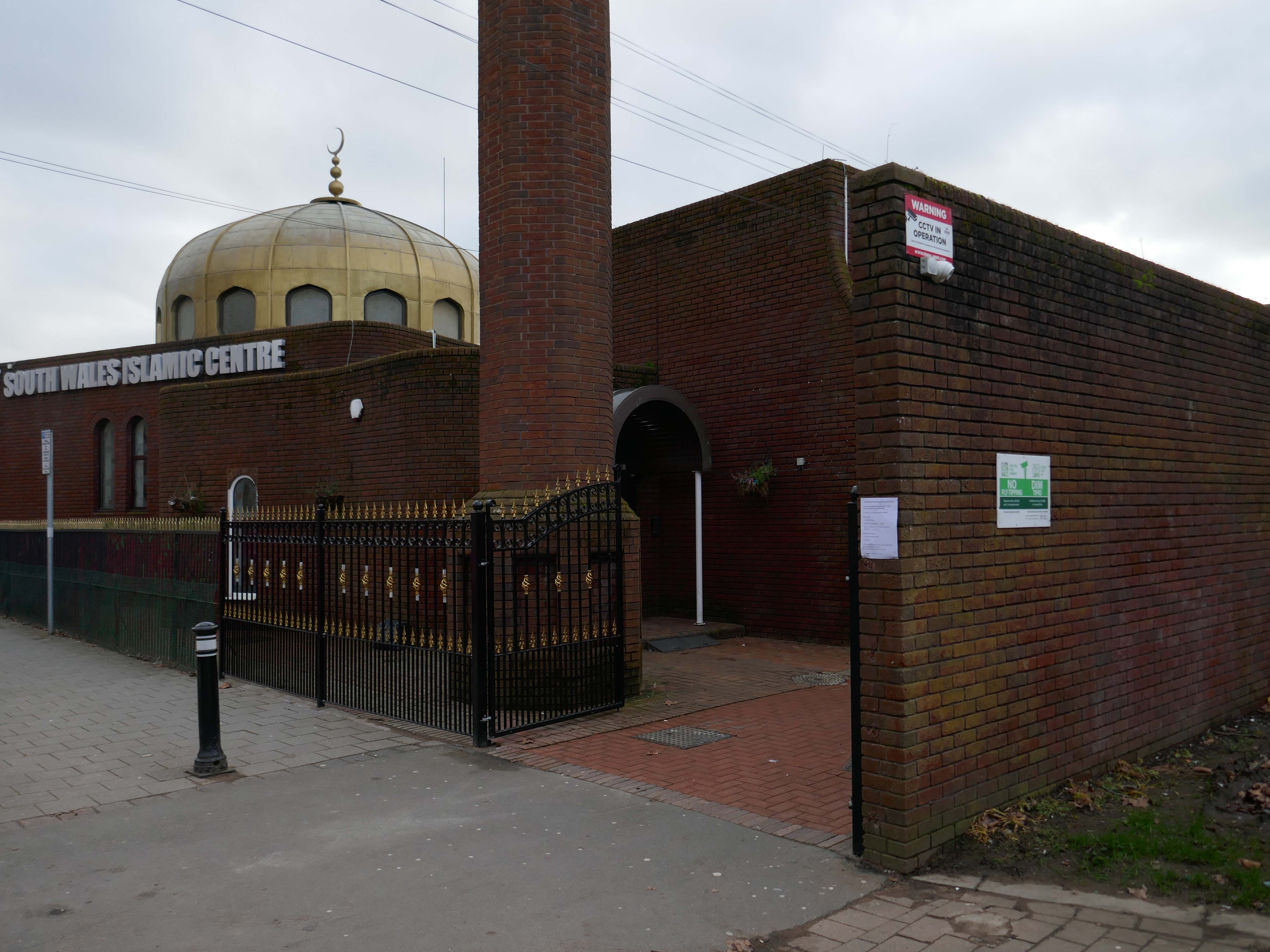
Commonly known as Tiger Bay, this area became one of the UK’s first multiculturalcommunities with people from over fifty countries settled here by the outbreak of the First World War, working in the docks and allied industries. Some of the largest communities included the Somalis, Yemenis and Greeks, whose influence still lives on today.
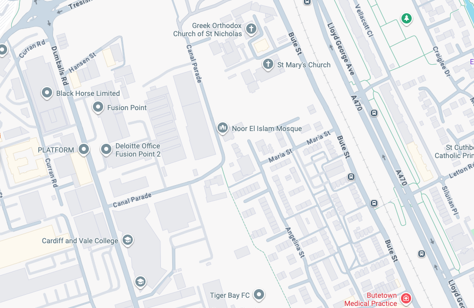
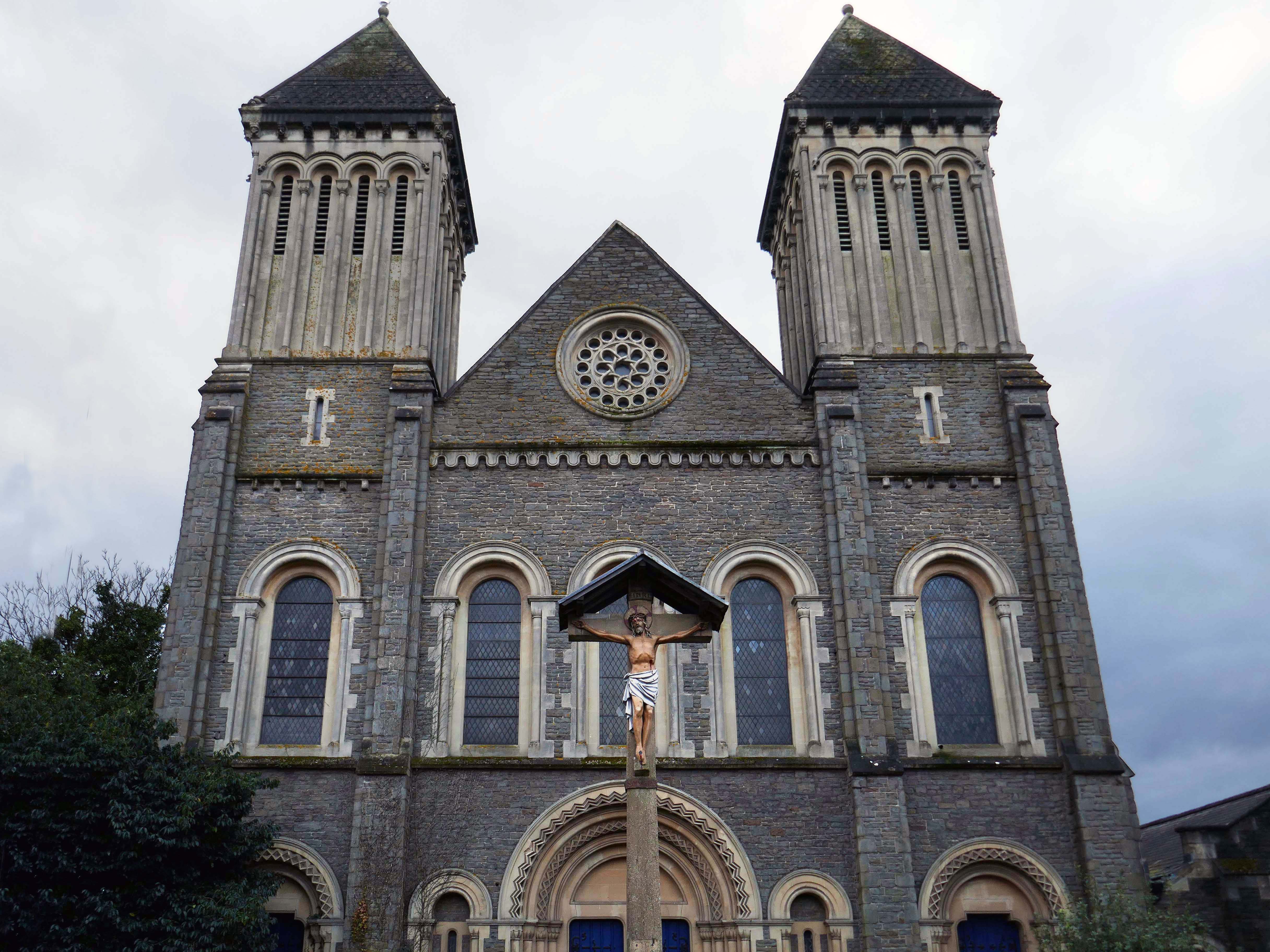
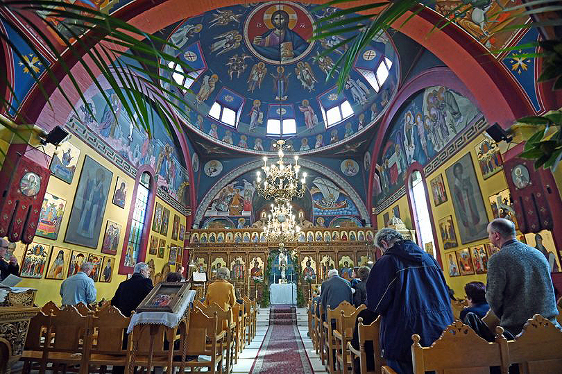
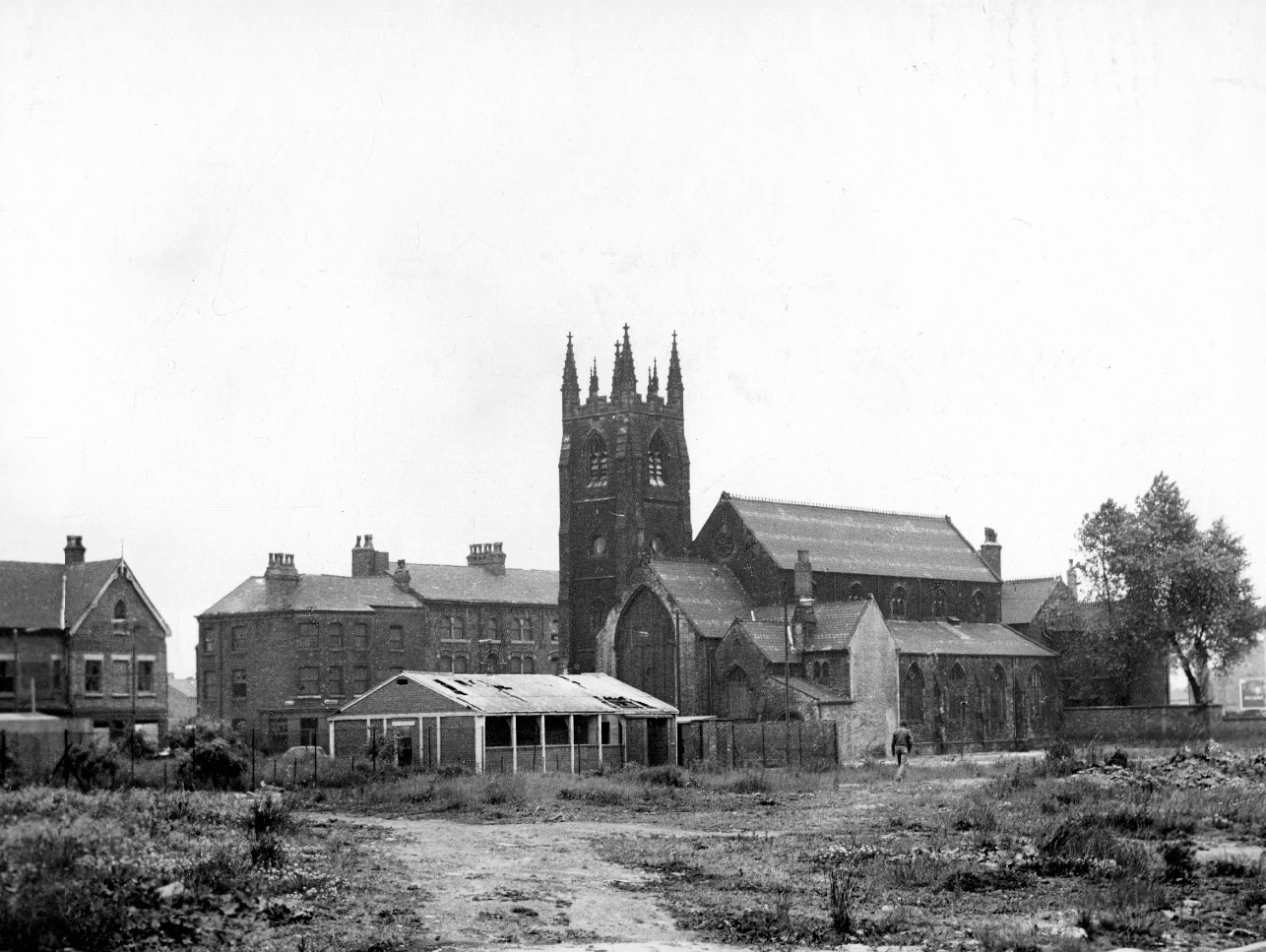
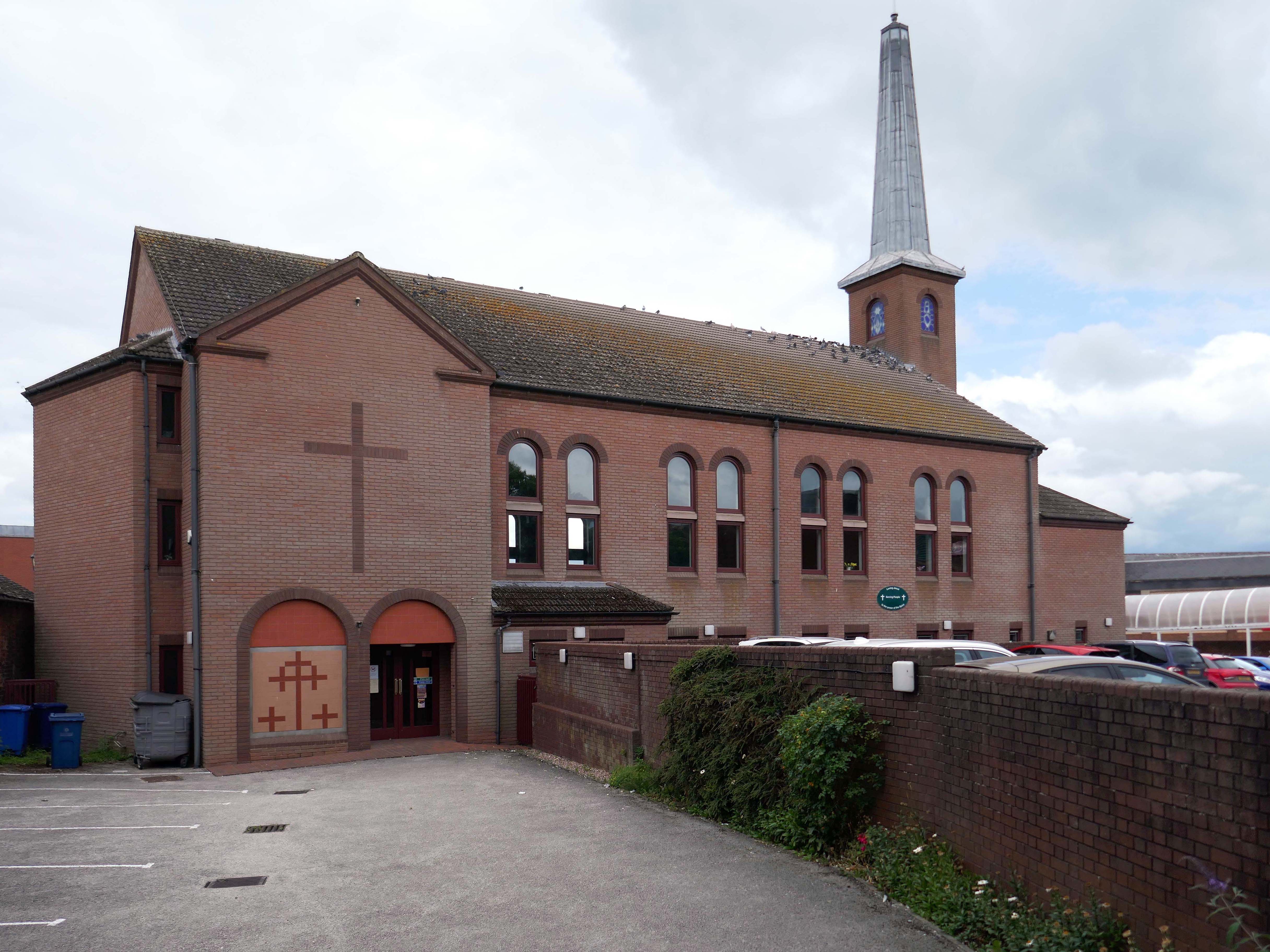
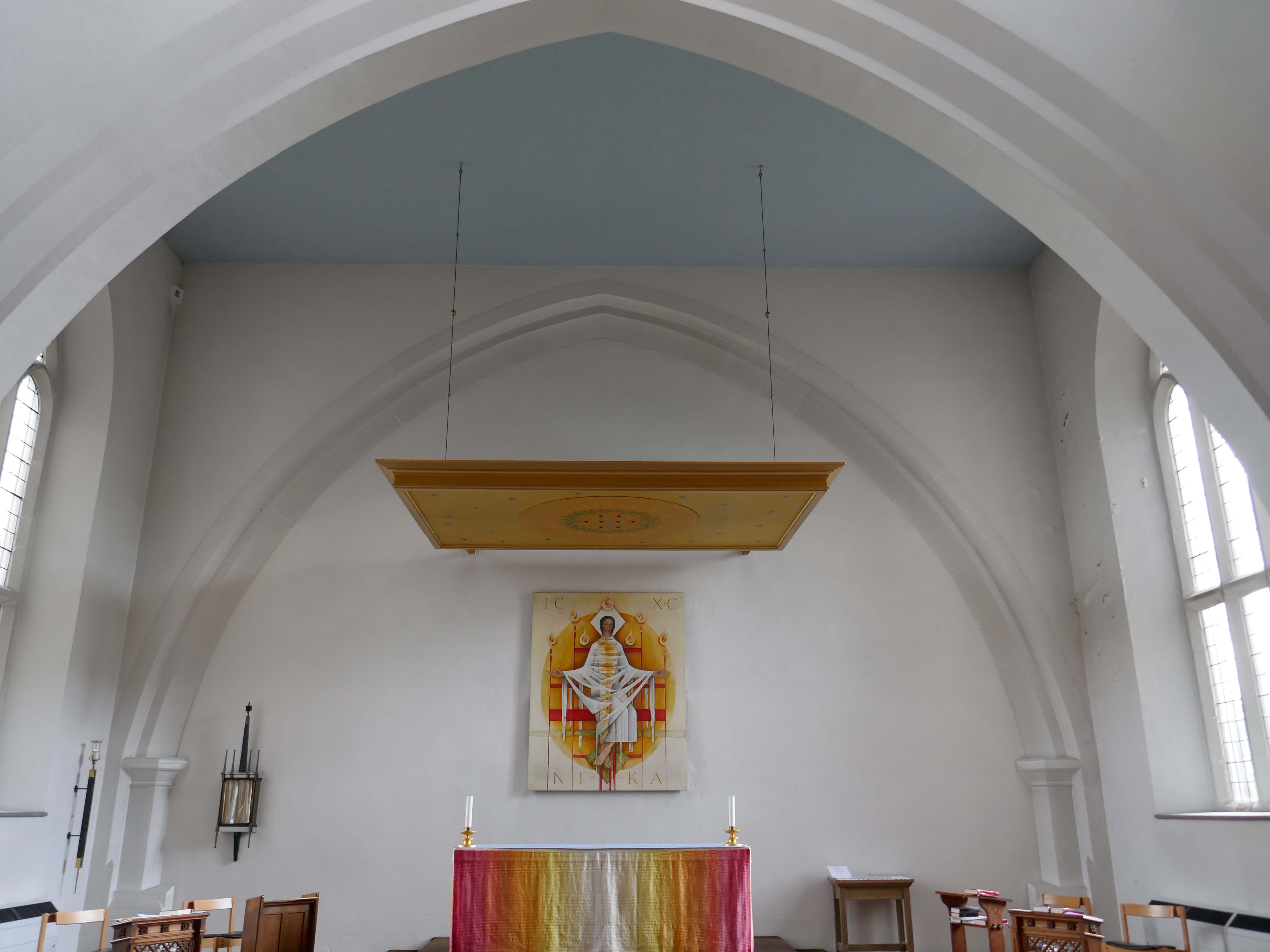
In 1906, work began on the present-day church, which also serves the Russian Orthodox community in south Wales. Designed by local architects, James and Morgan, it is located on a site provided by the 4th Marquess of Bute, to the west of Bute Street. The modestly-sized building is of Byzantine style with a domed nave and an apse at the east end. It retains the original dedication to StNicholas. The interior is very ornate, with a lot of carved woodwork. The dome and upper walls have painted Biblical scenes in vivid colours with gold decoration.
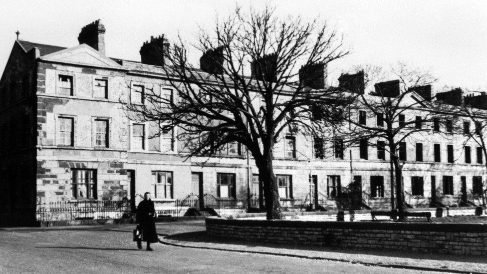
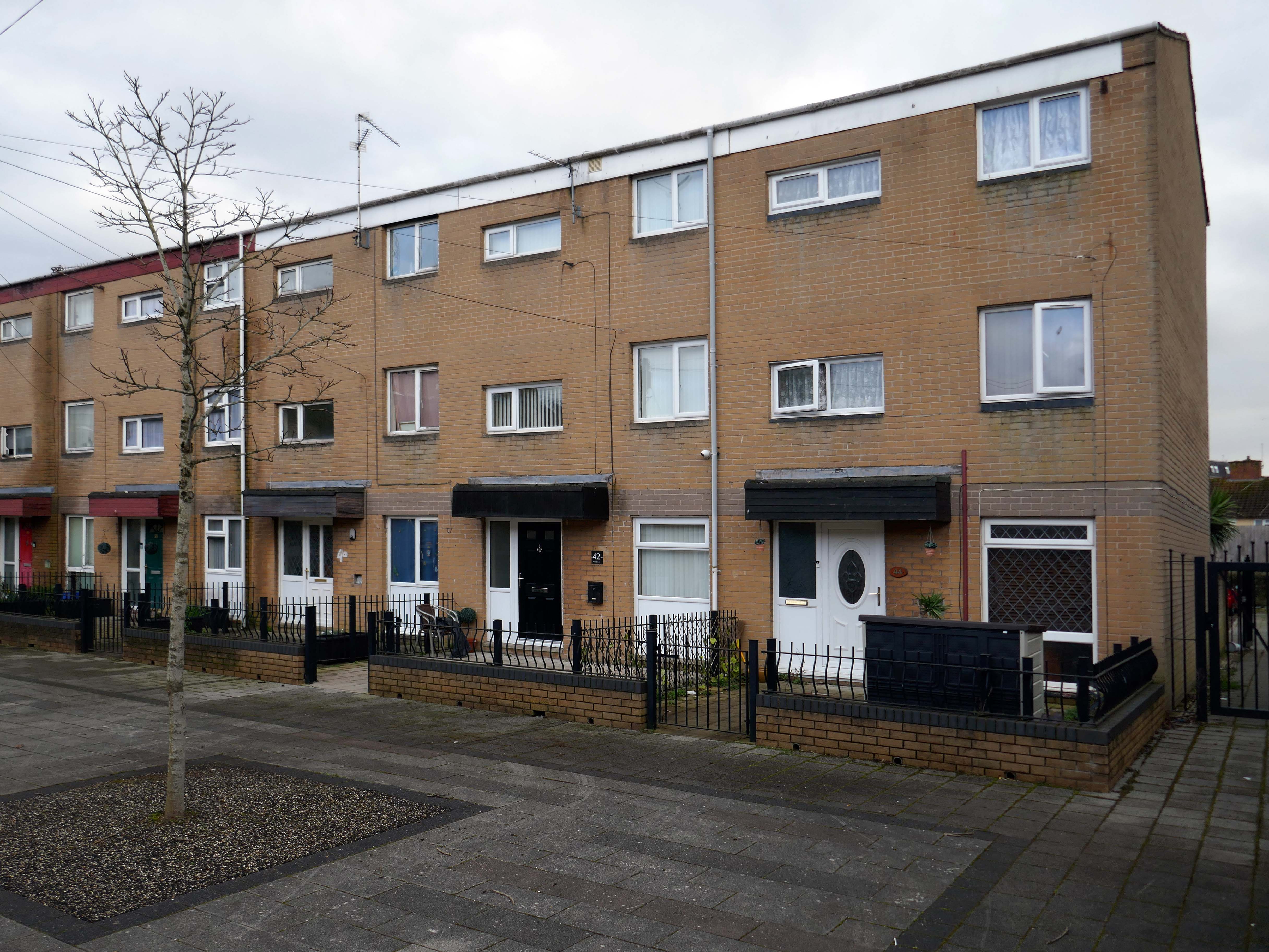
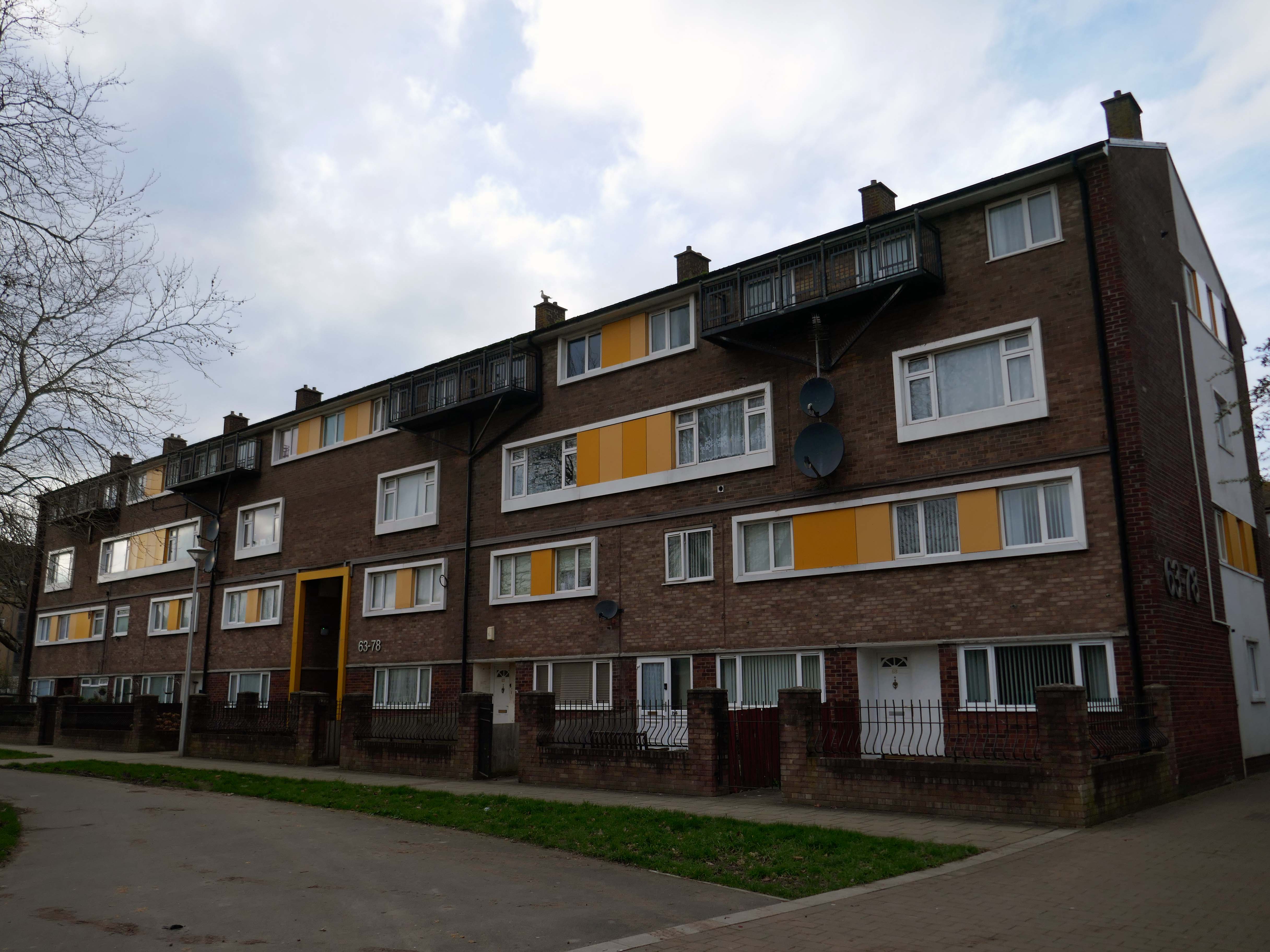
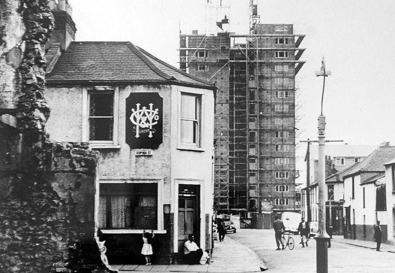
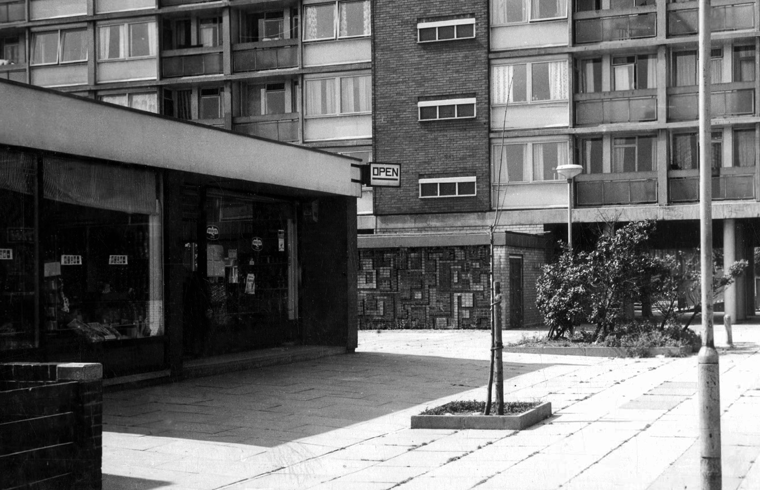
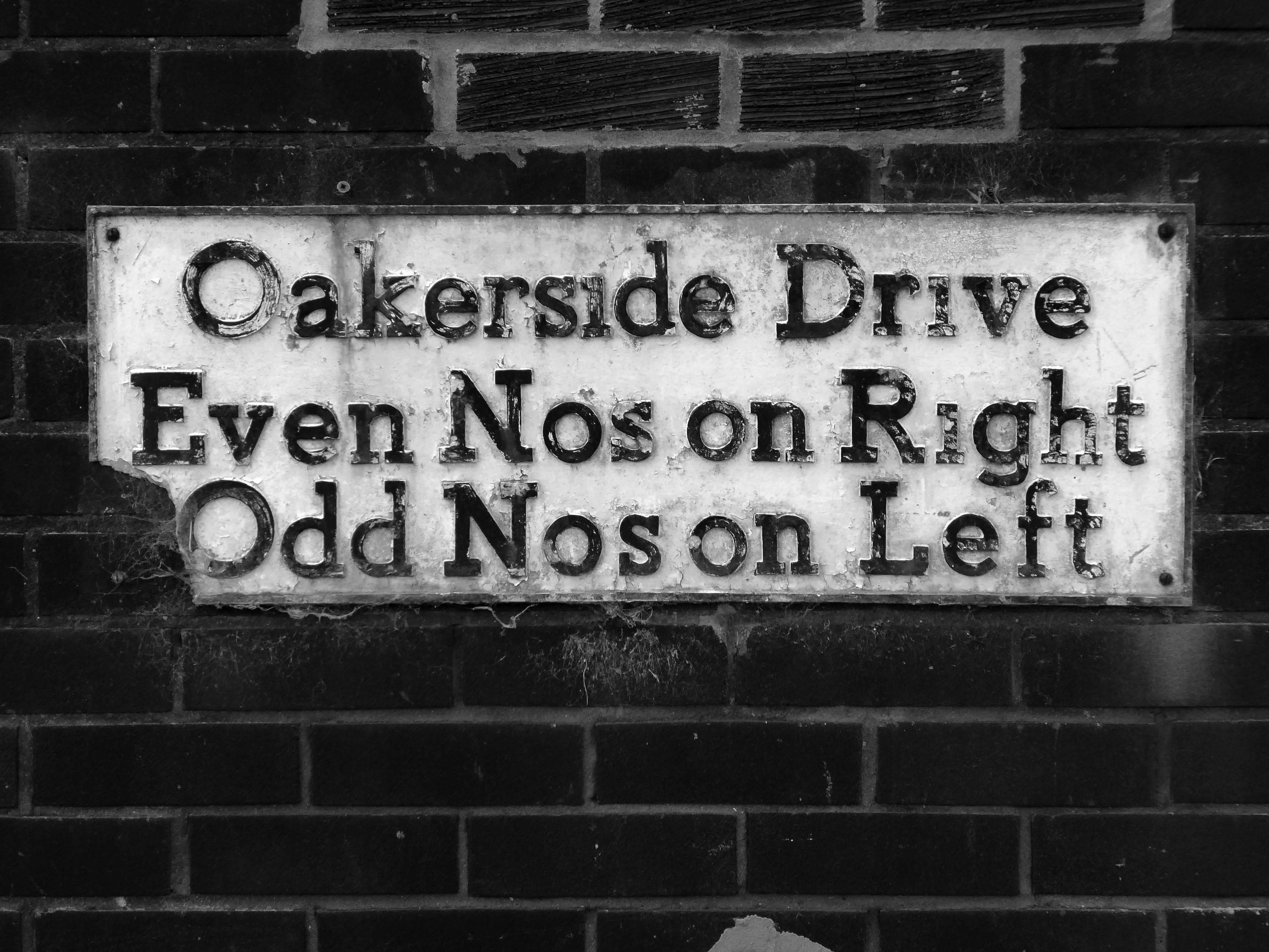
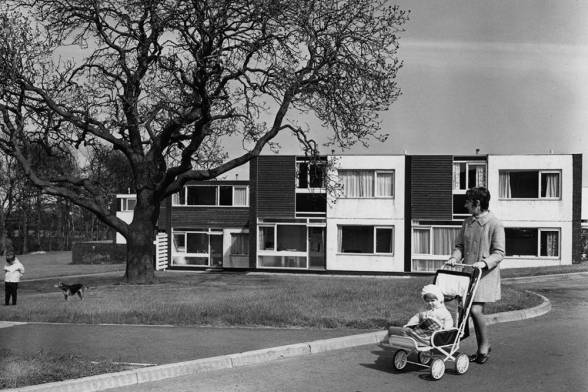
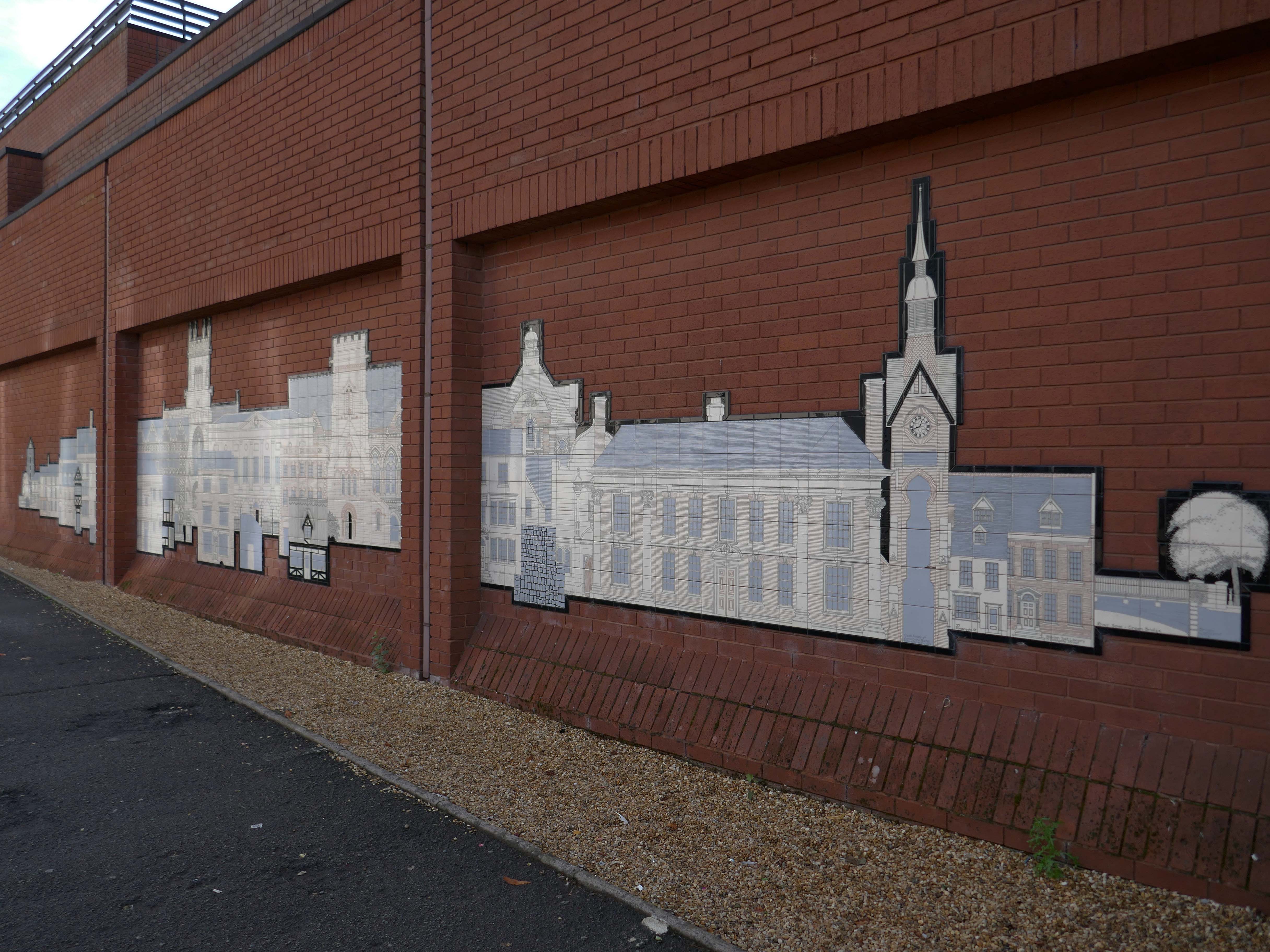
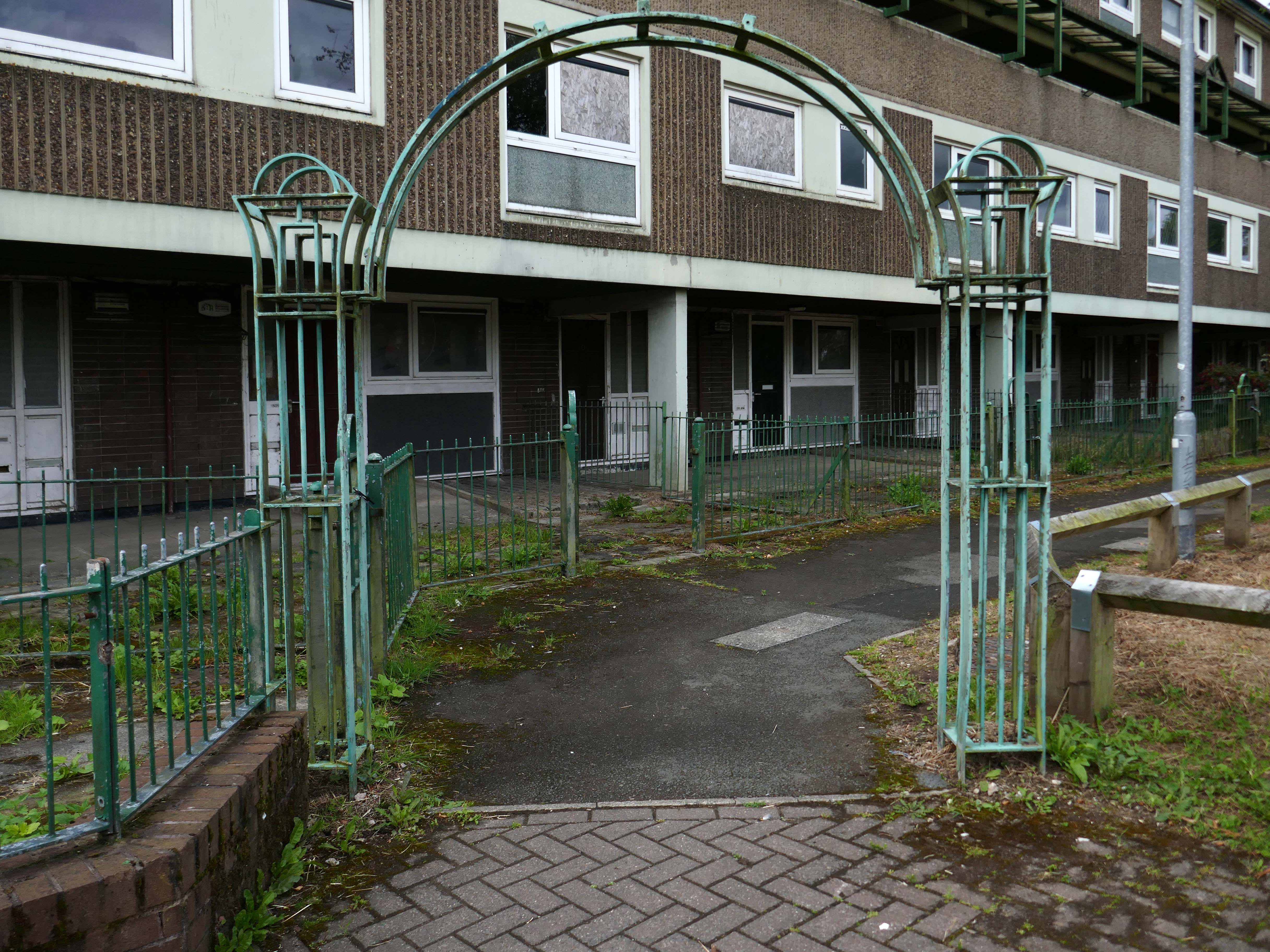
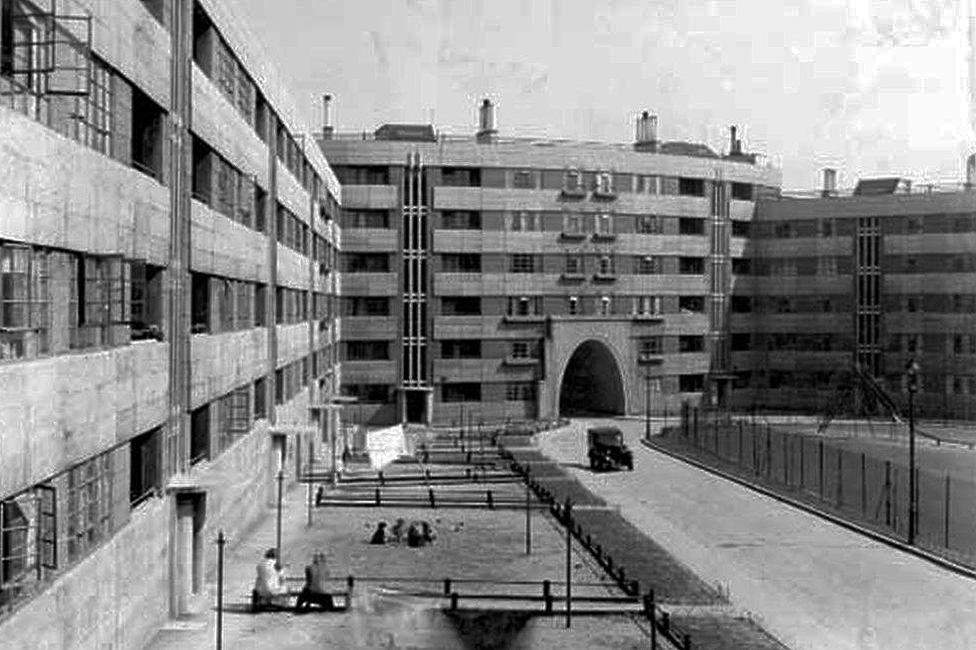
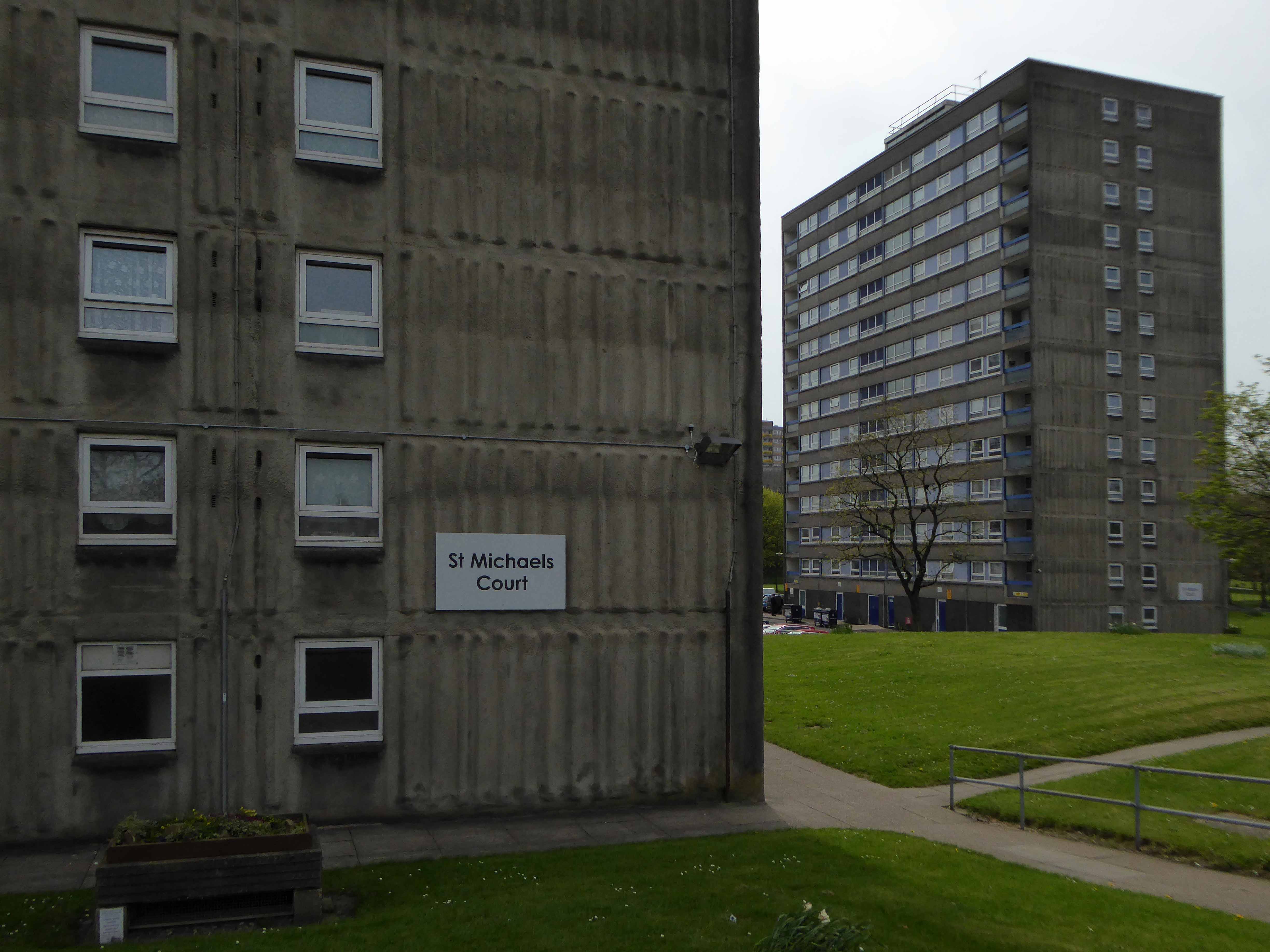
Loudoun Square was originally built in the mid-1850s as upmarket homes for merchants, mariners, ship brokers and the like around a central park.
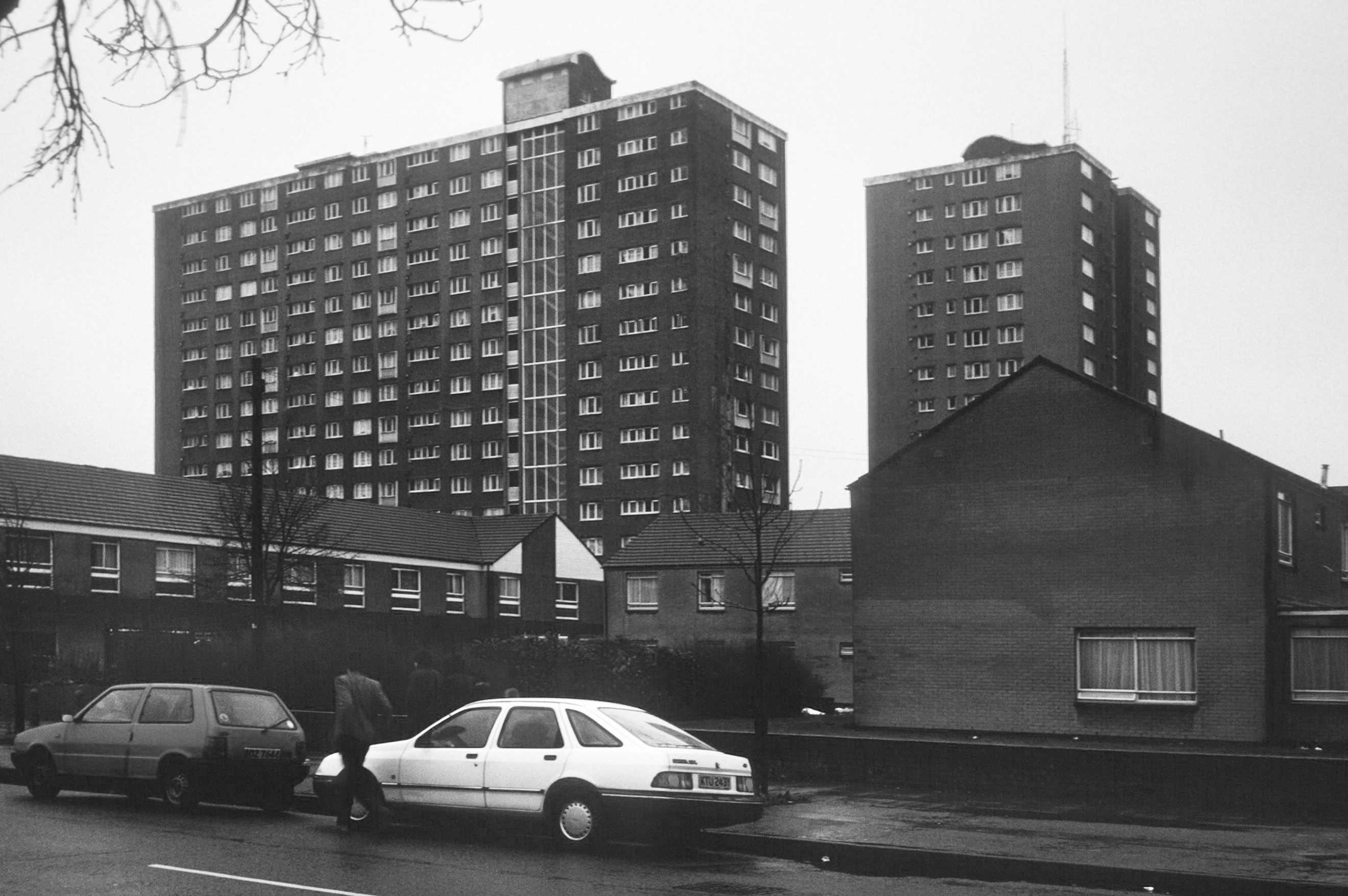
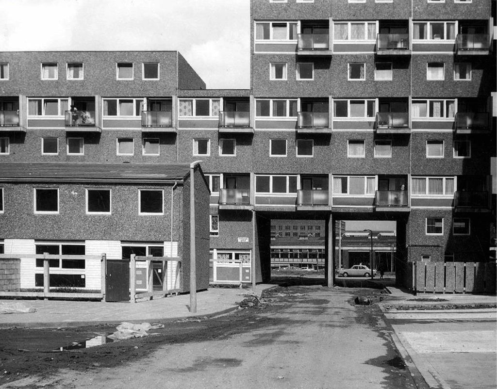
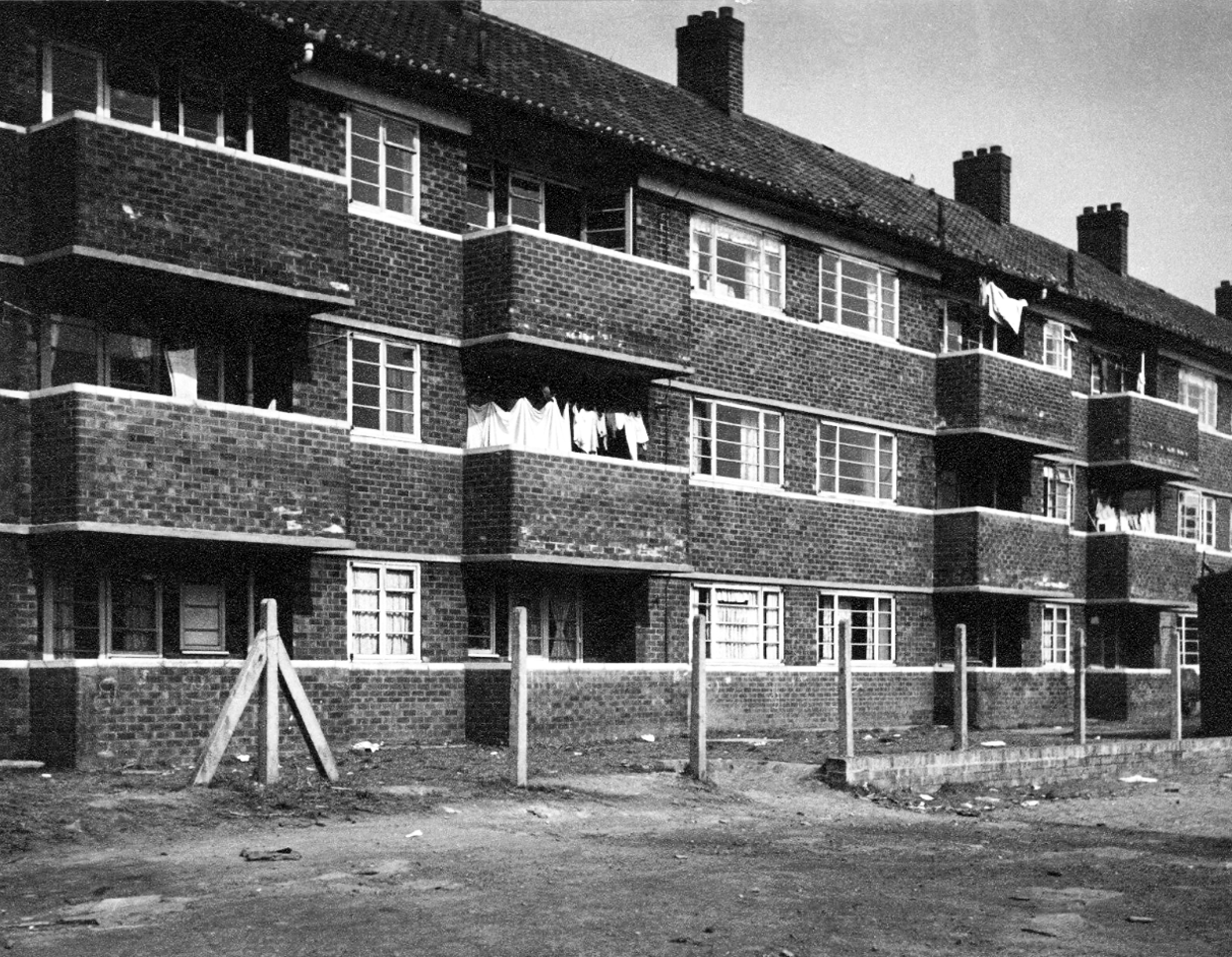
Photo 1962
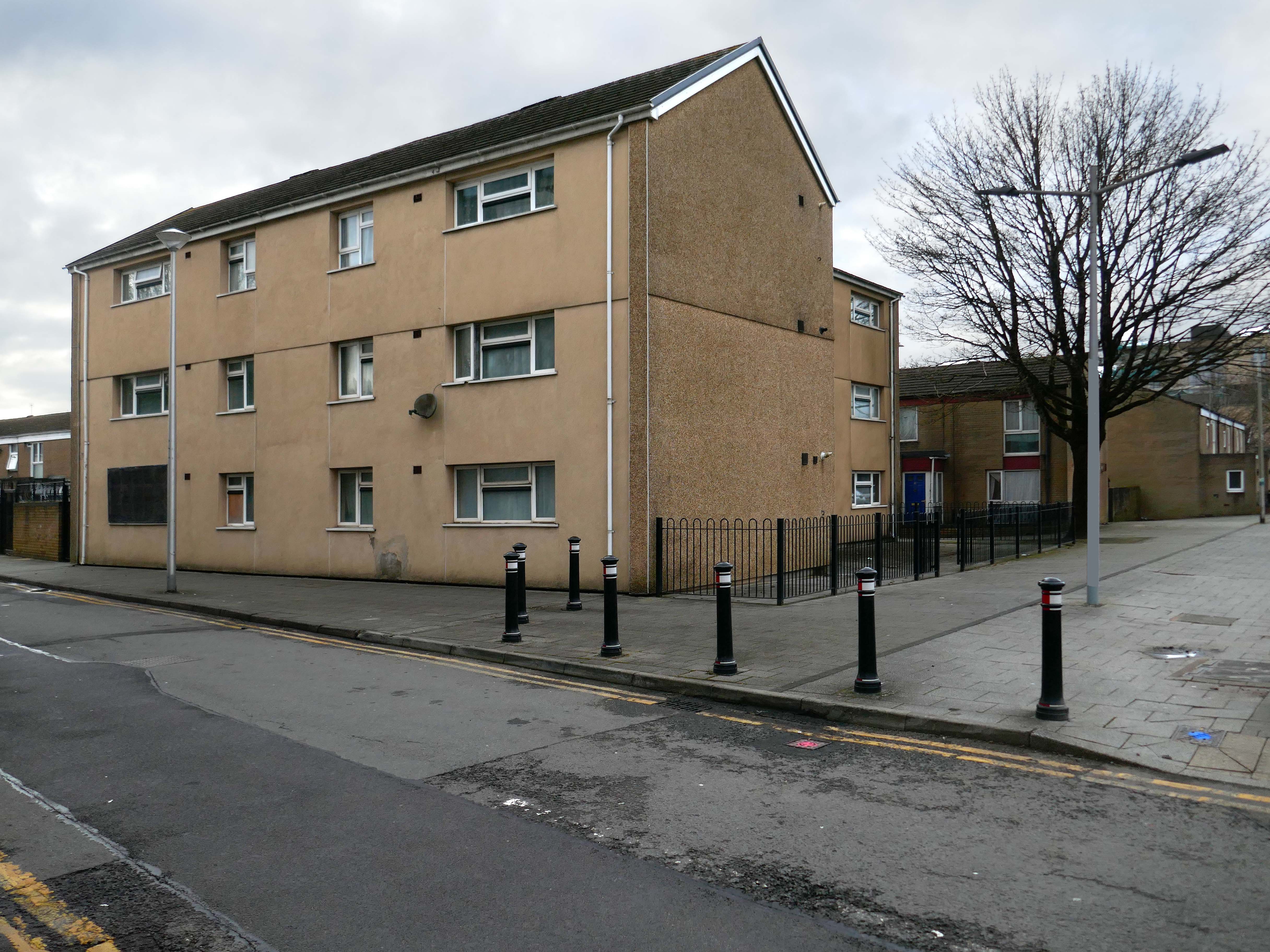
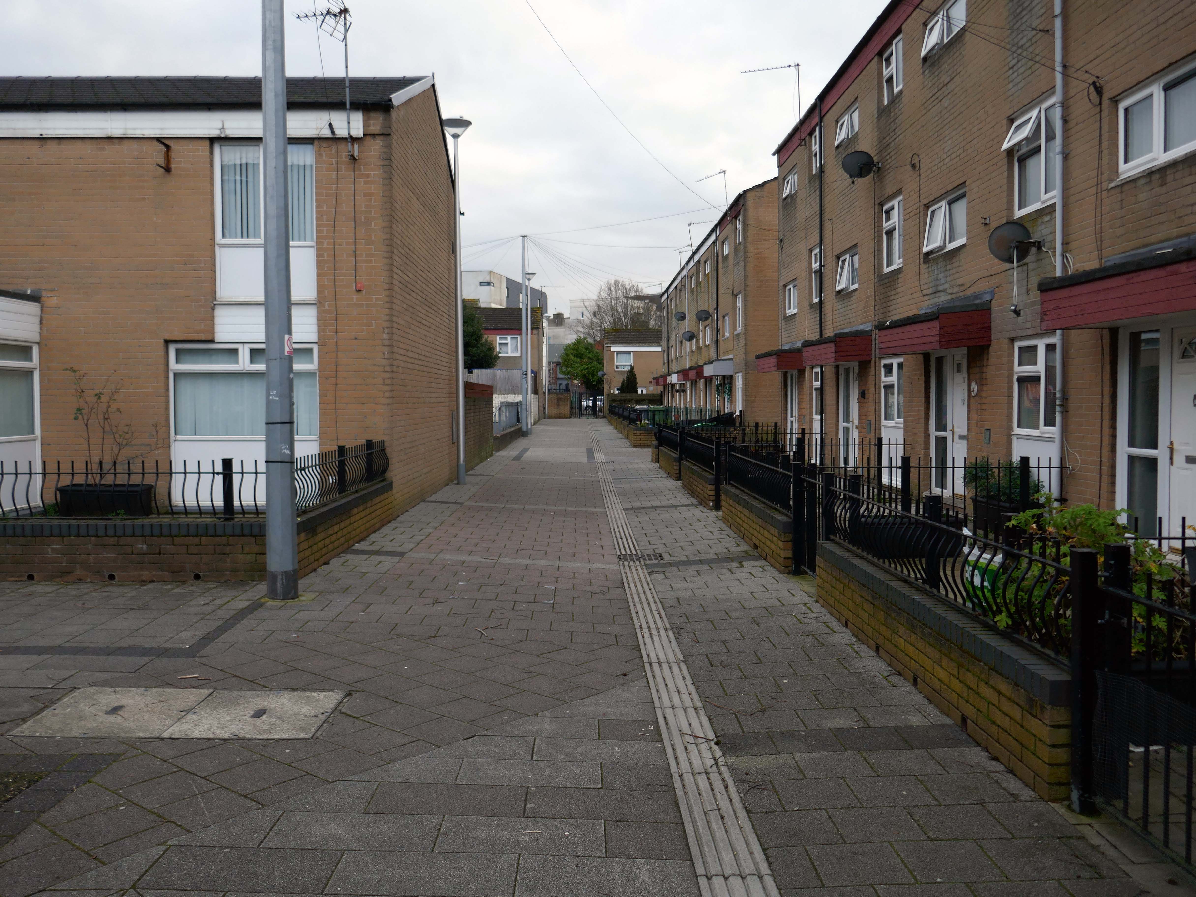
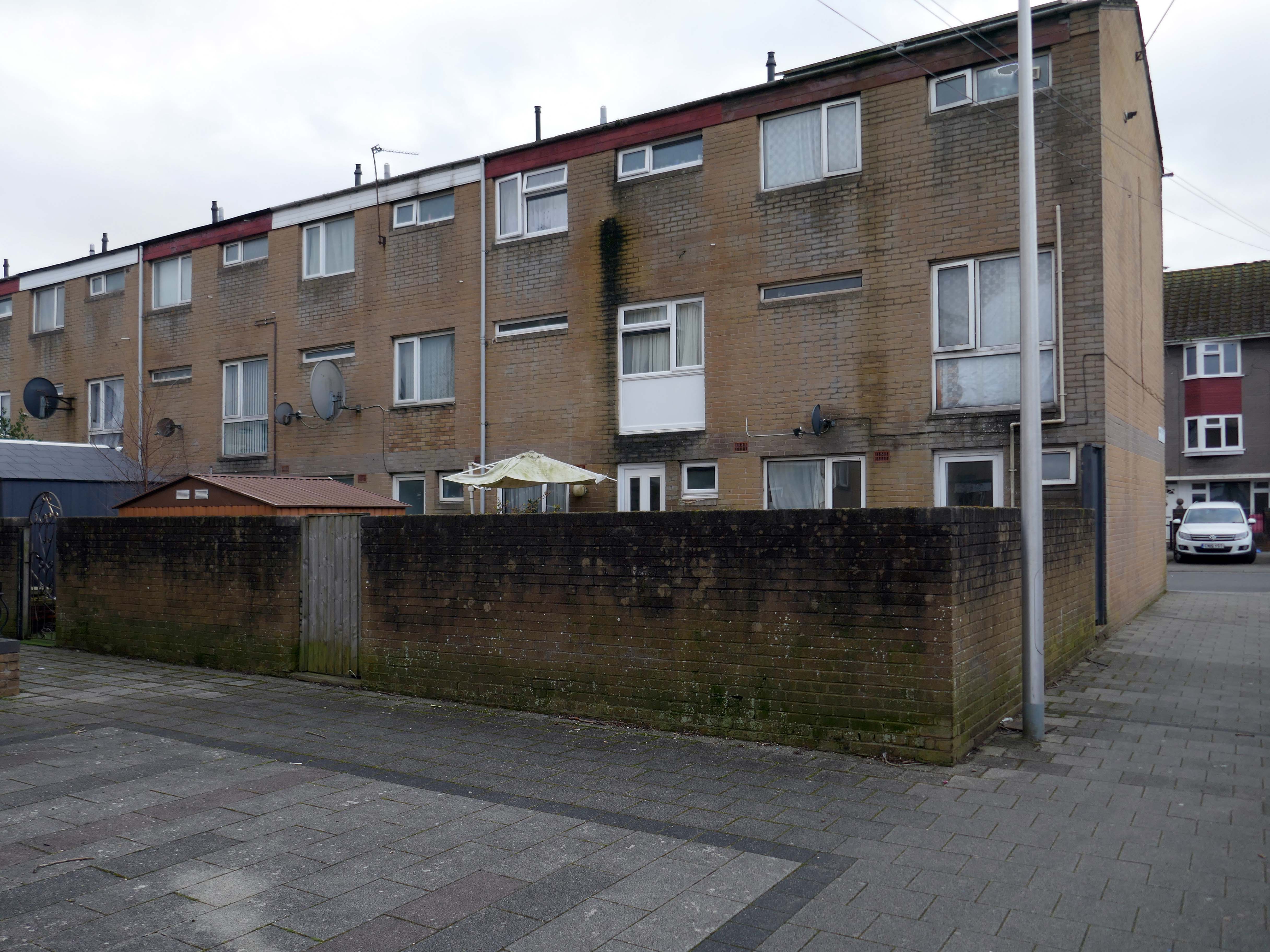
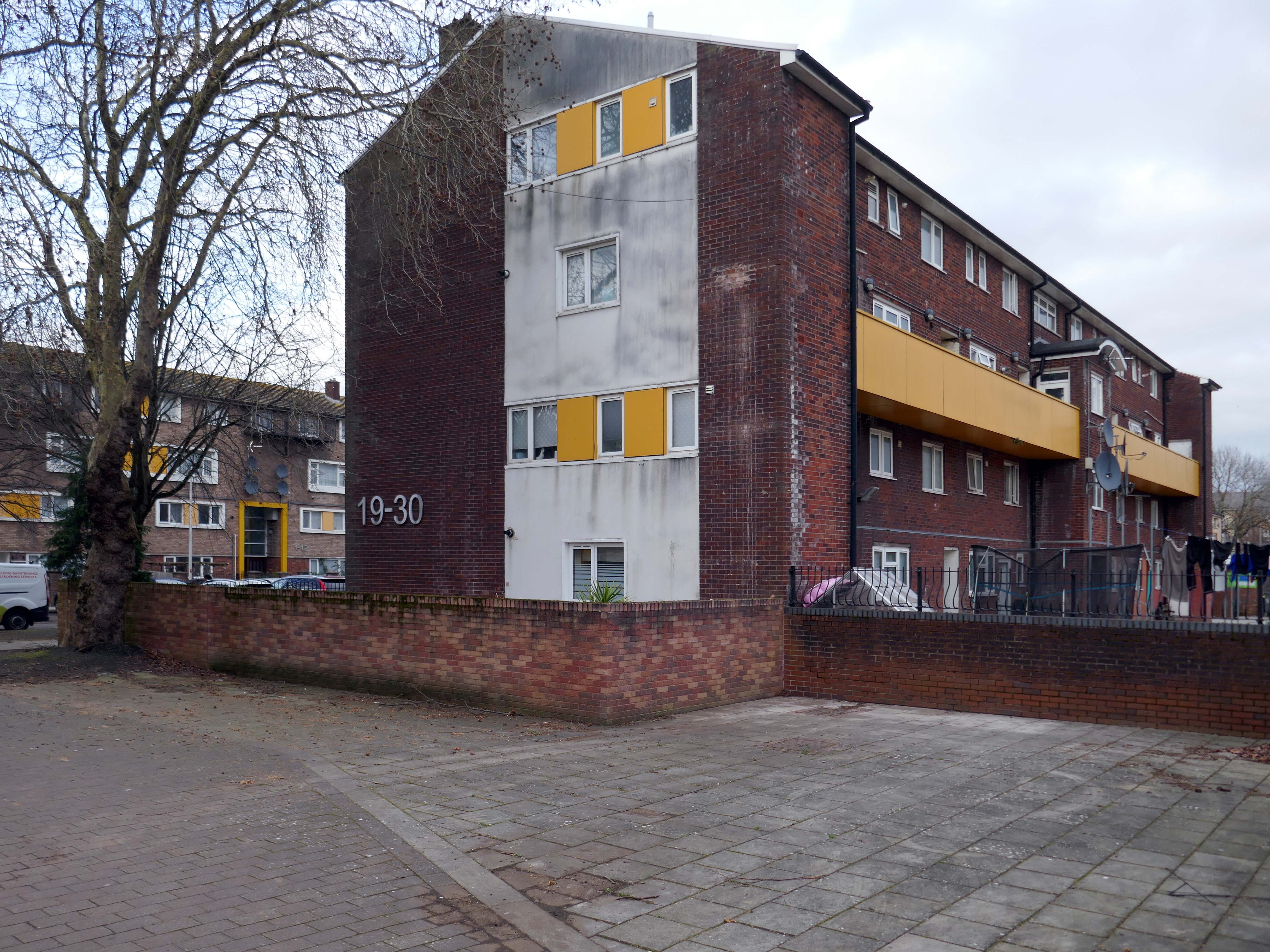
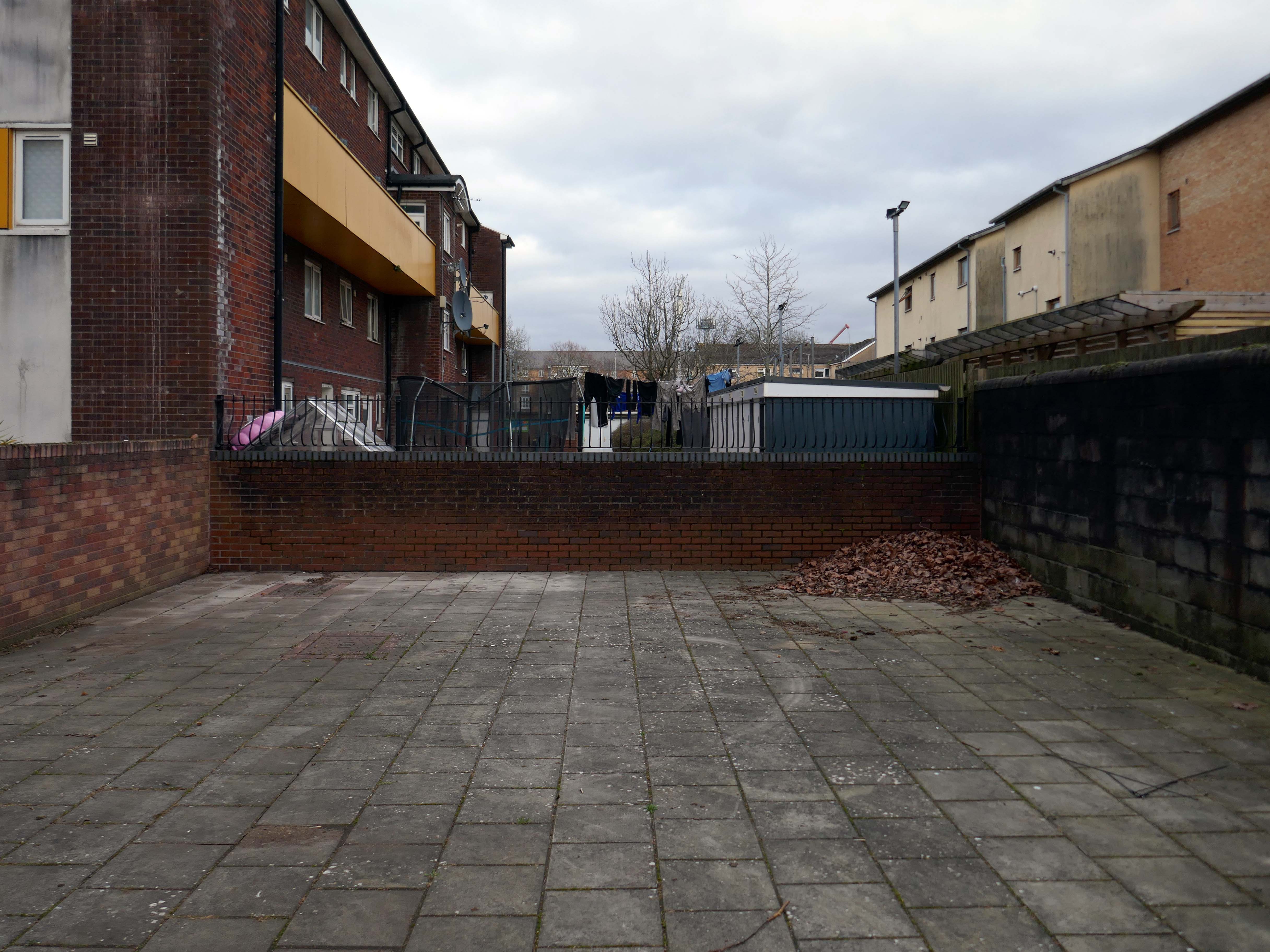
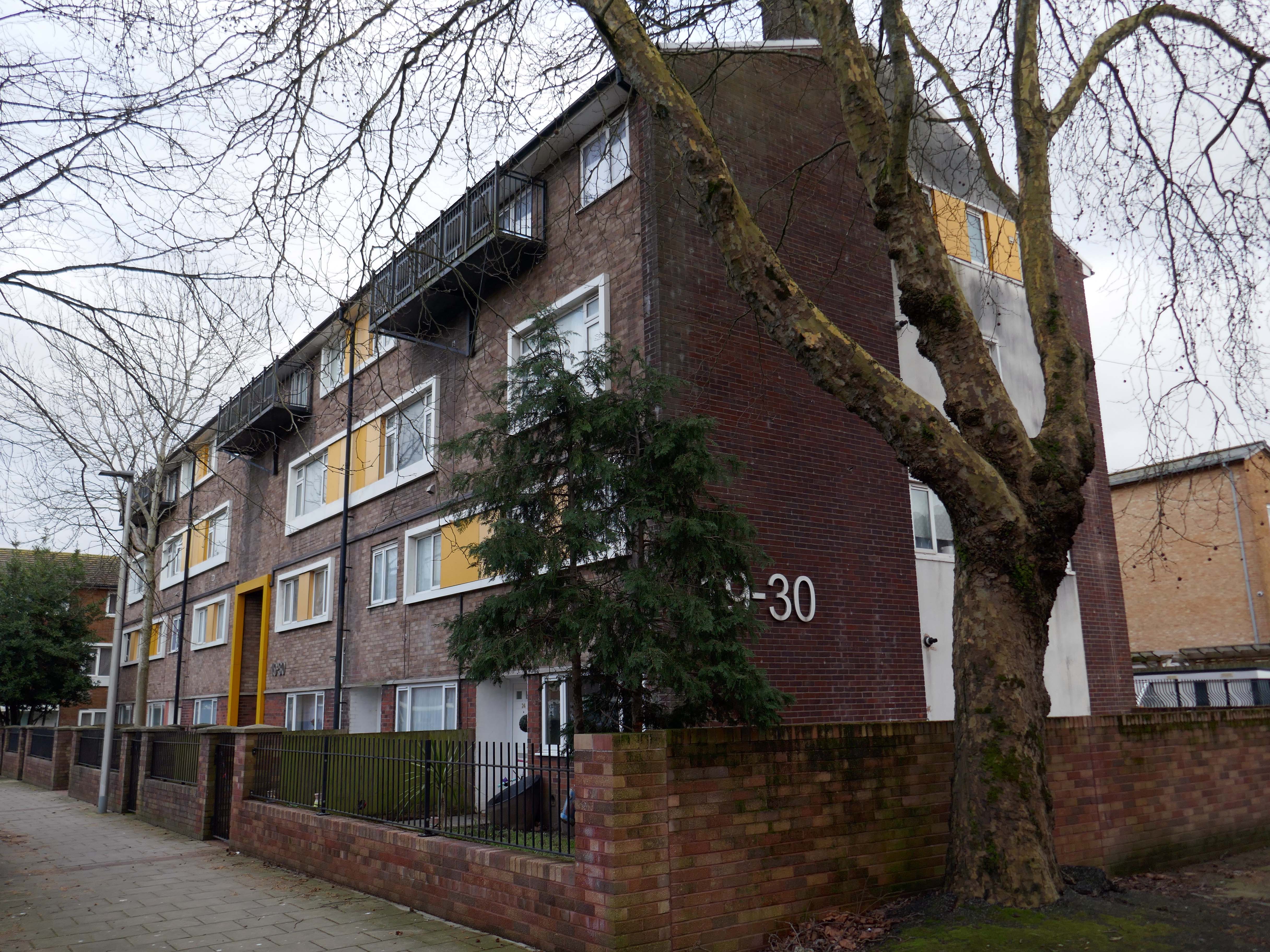
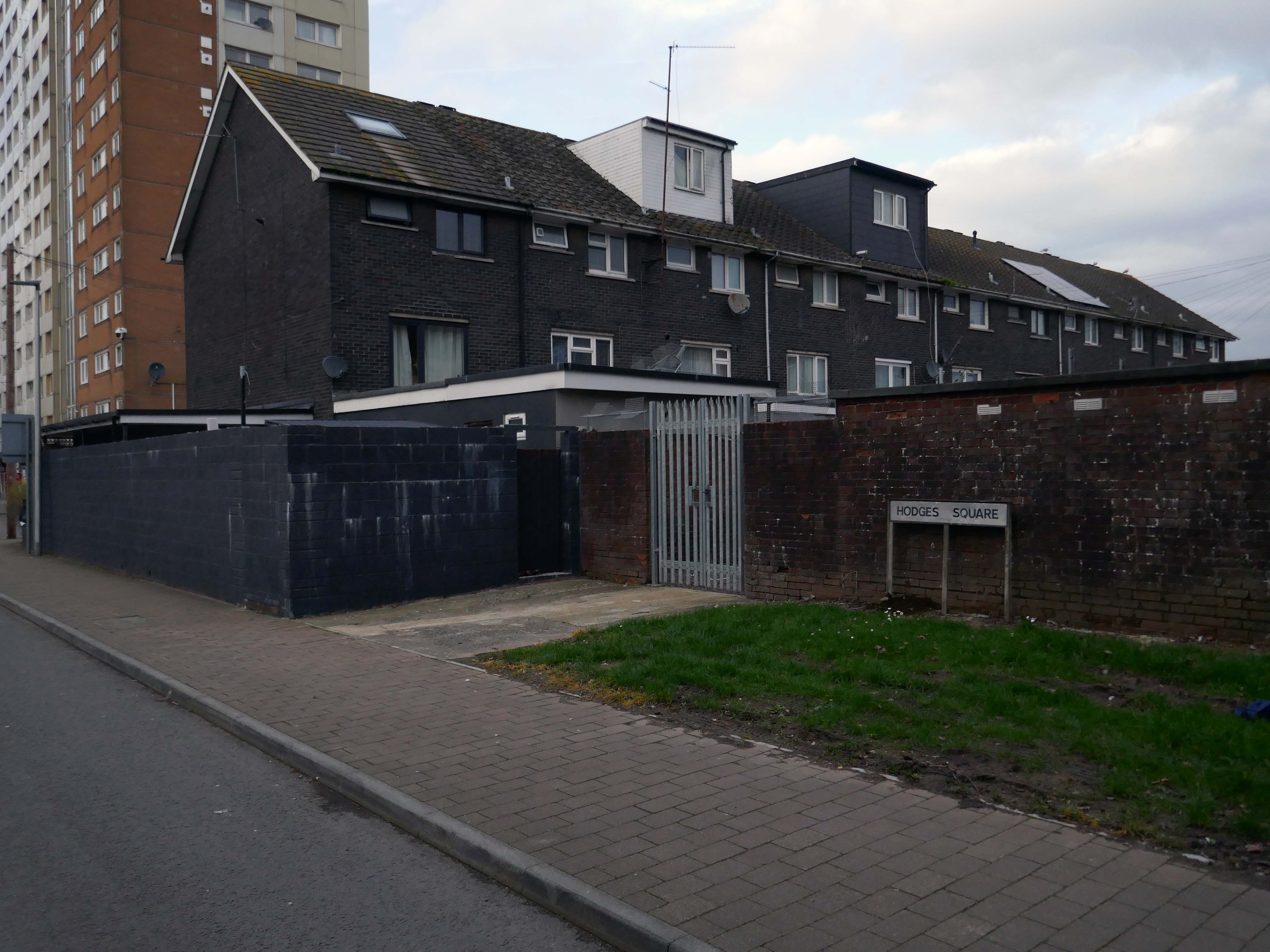
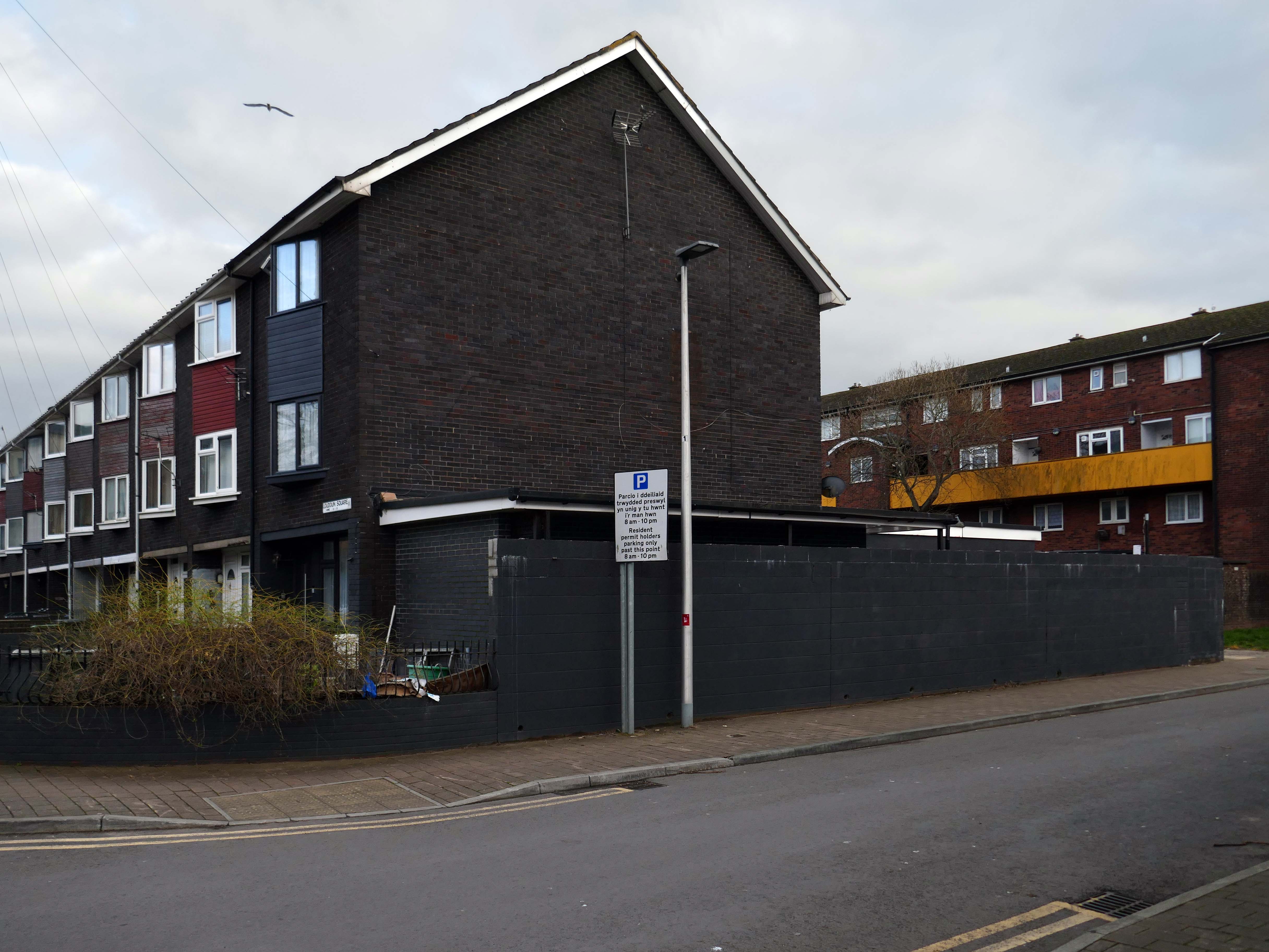
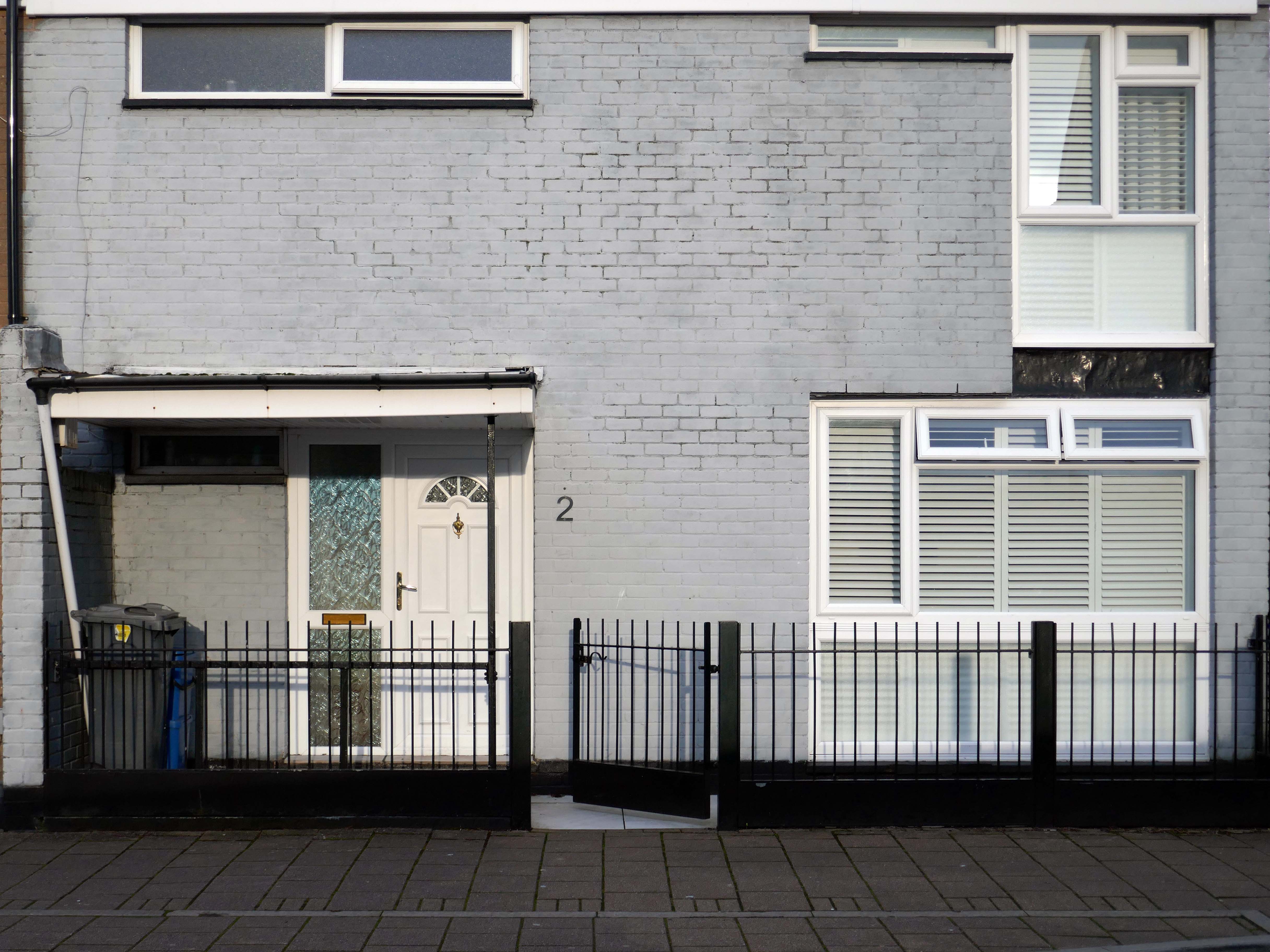
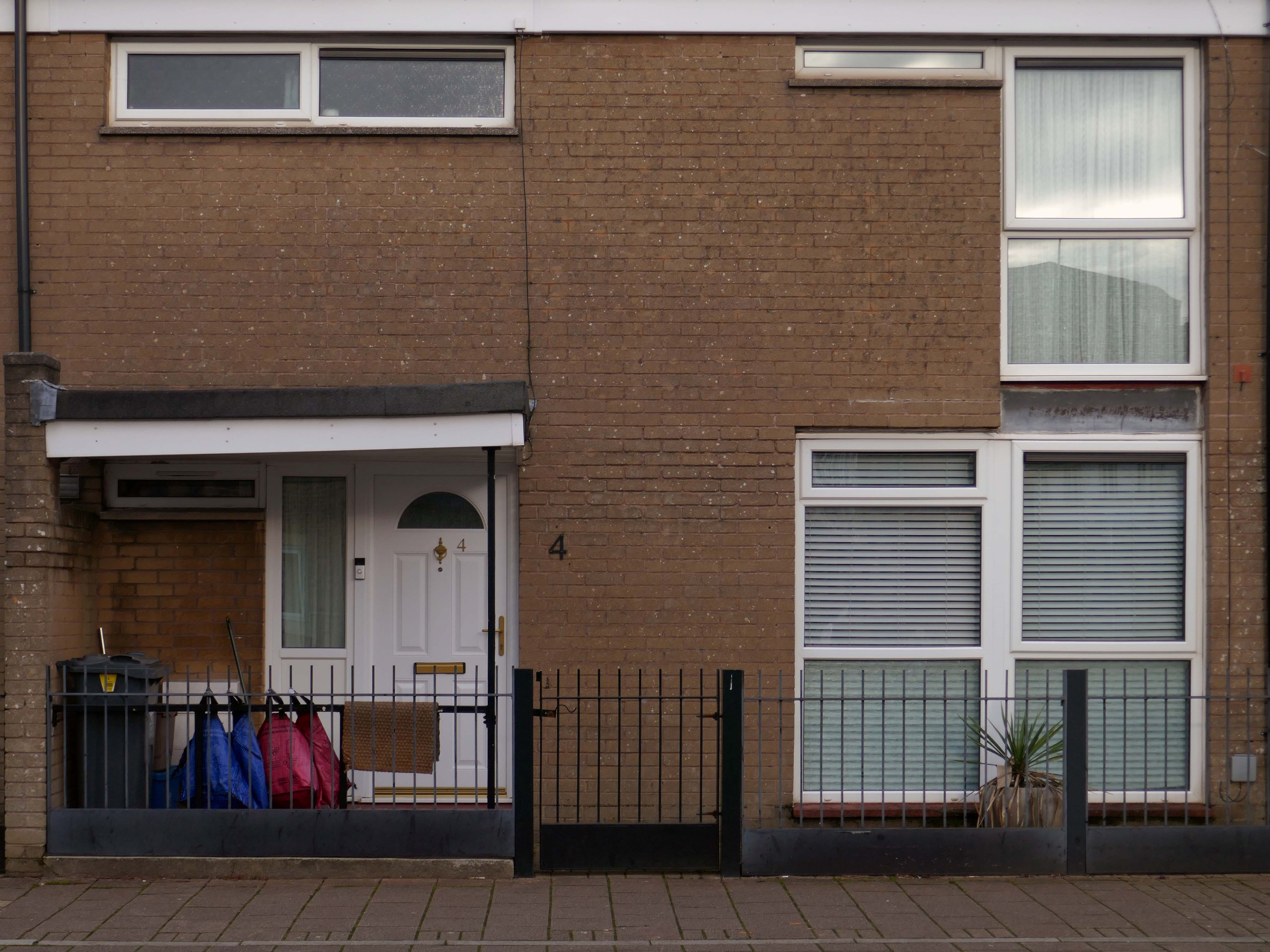
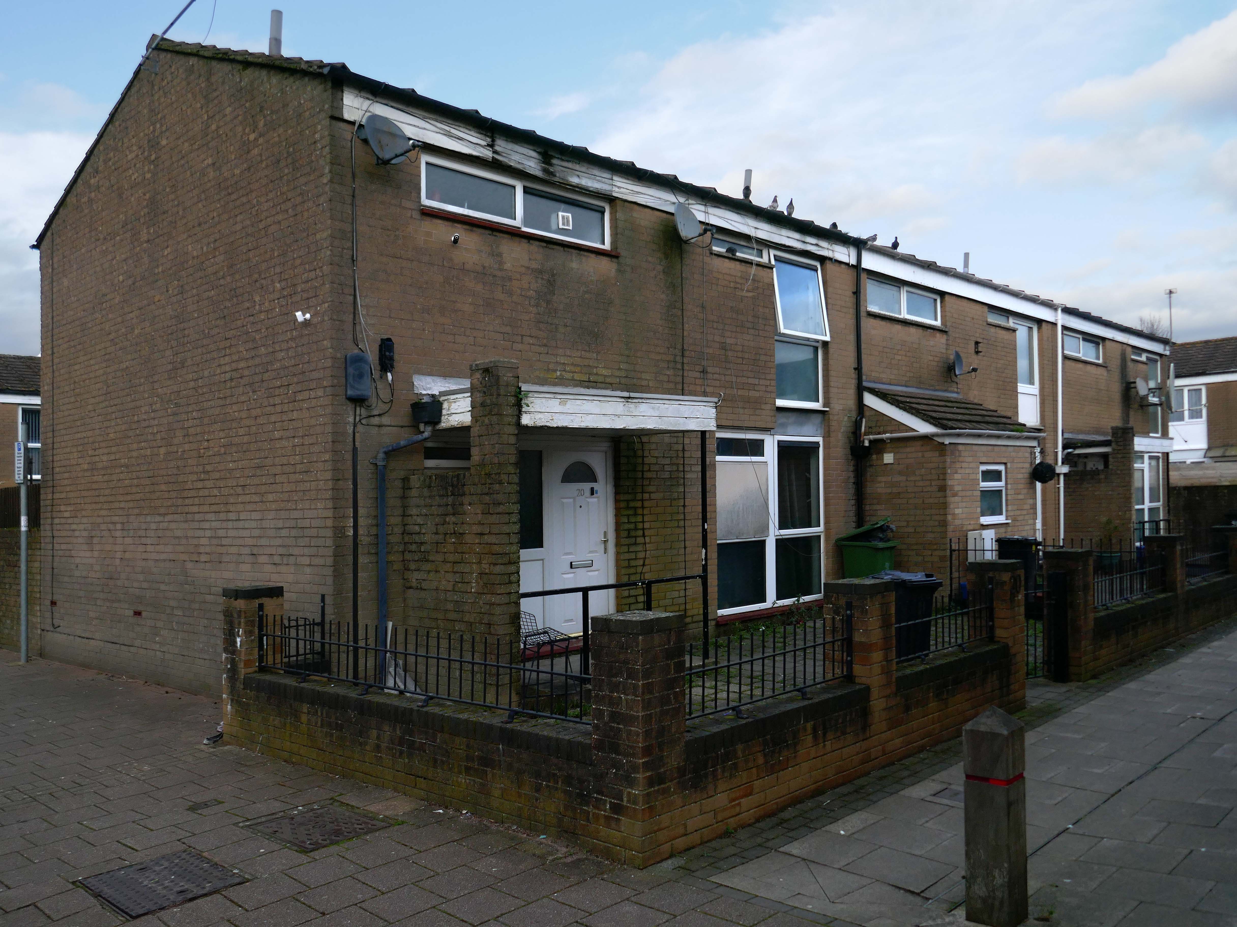
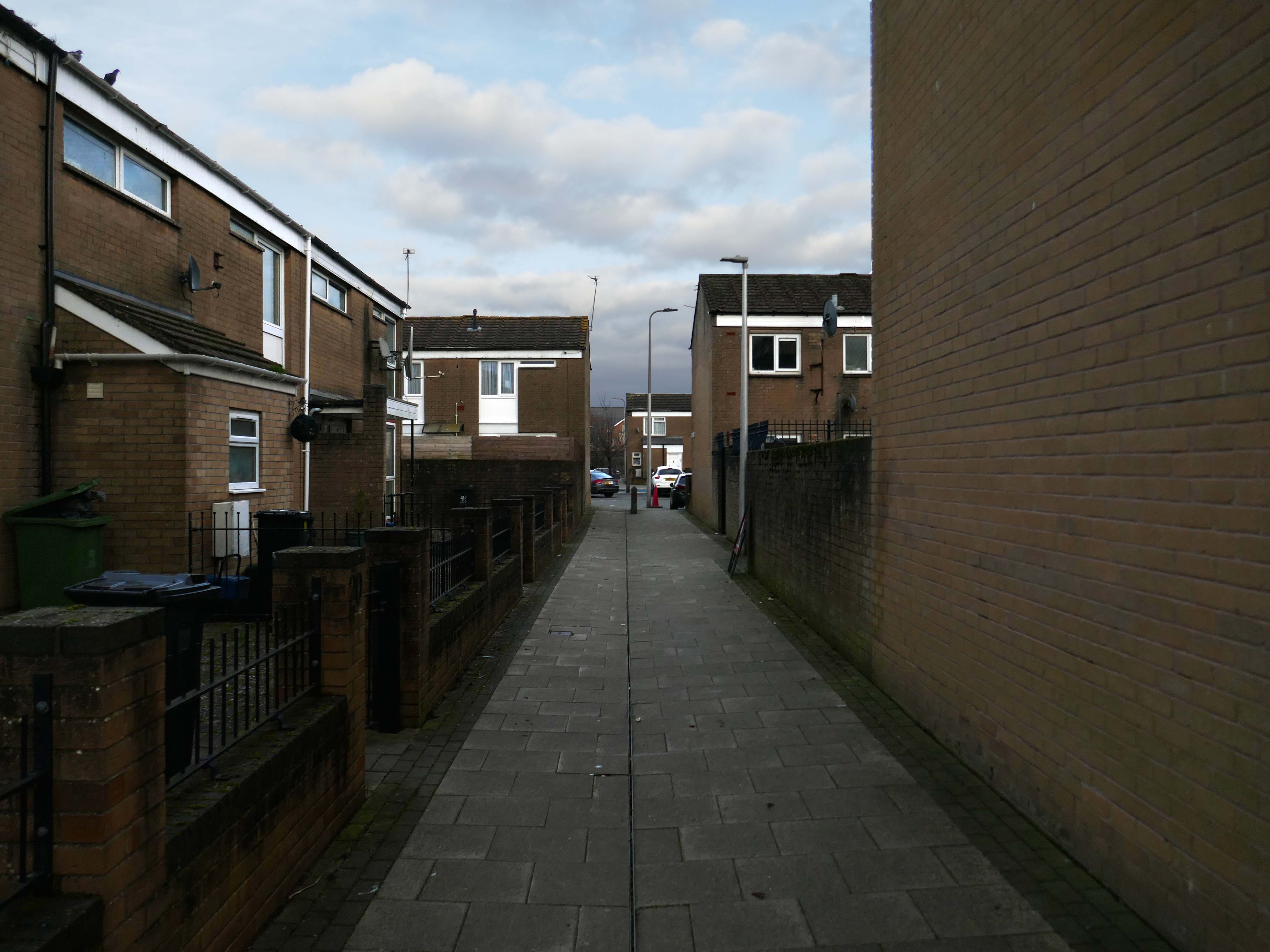
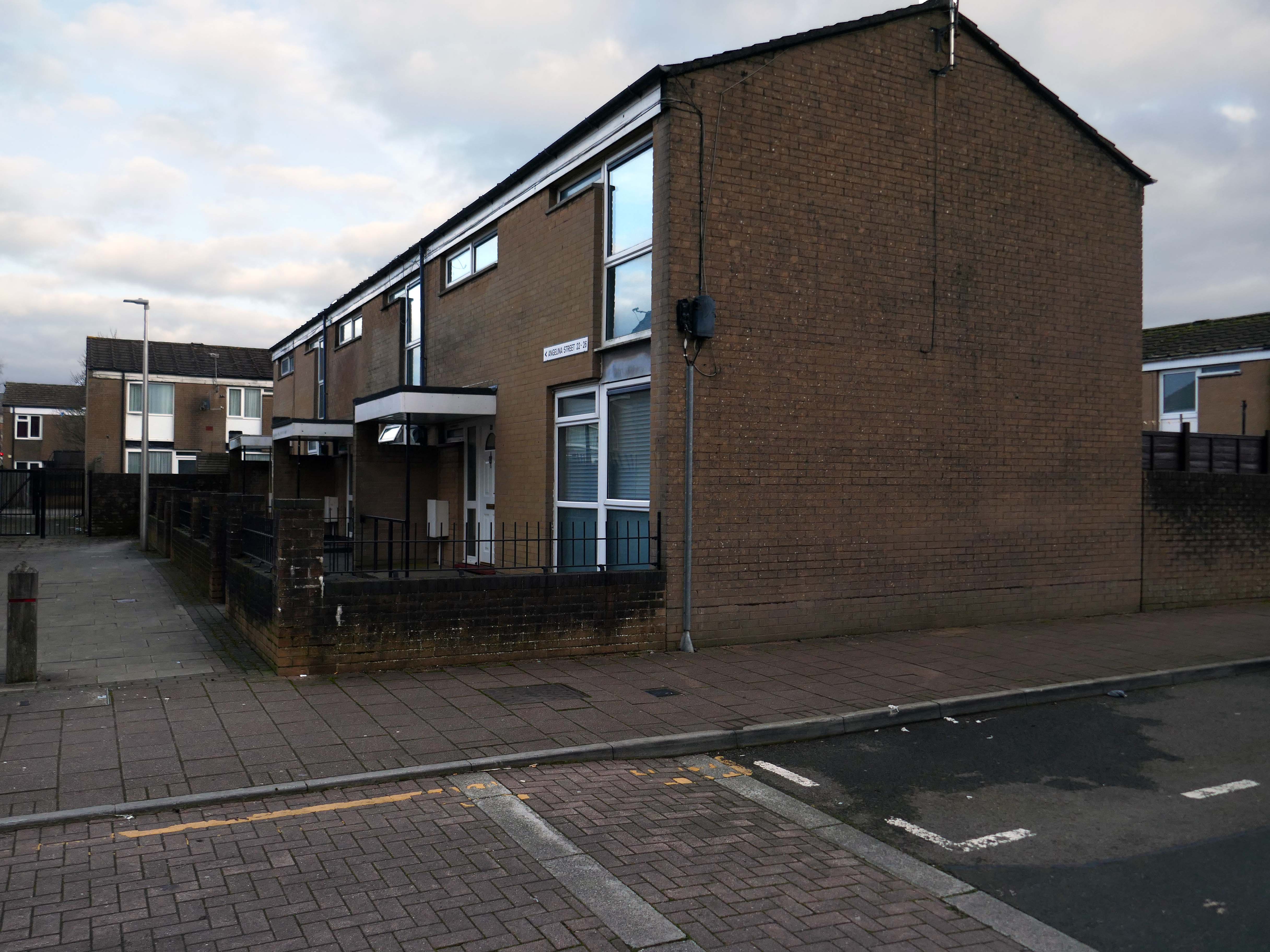
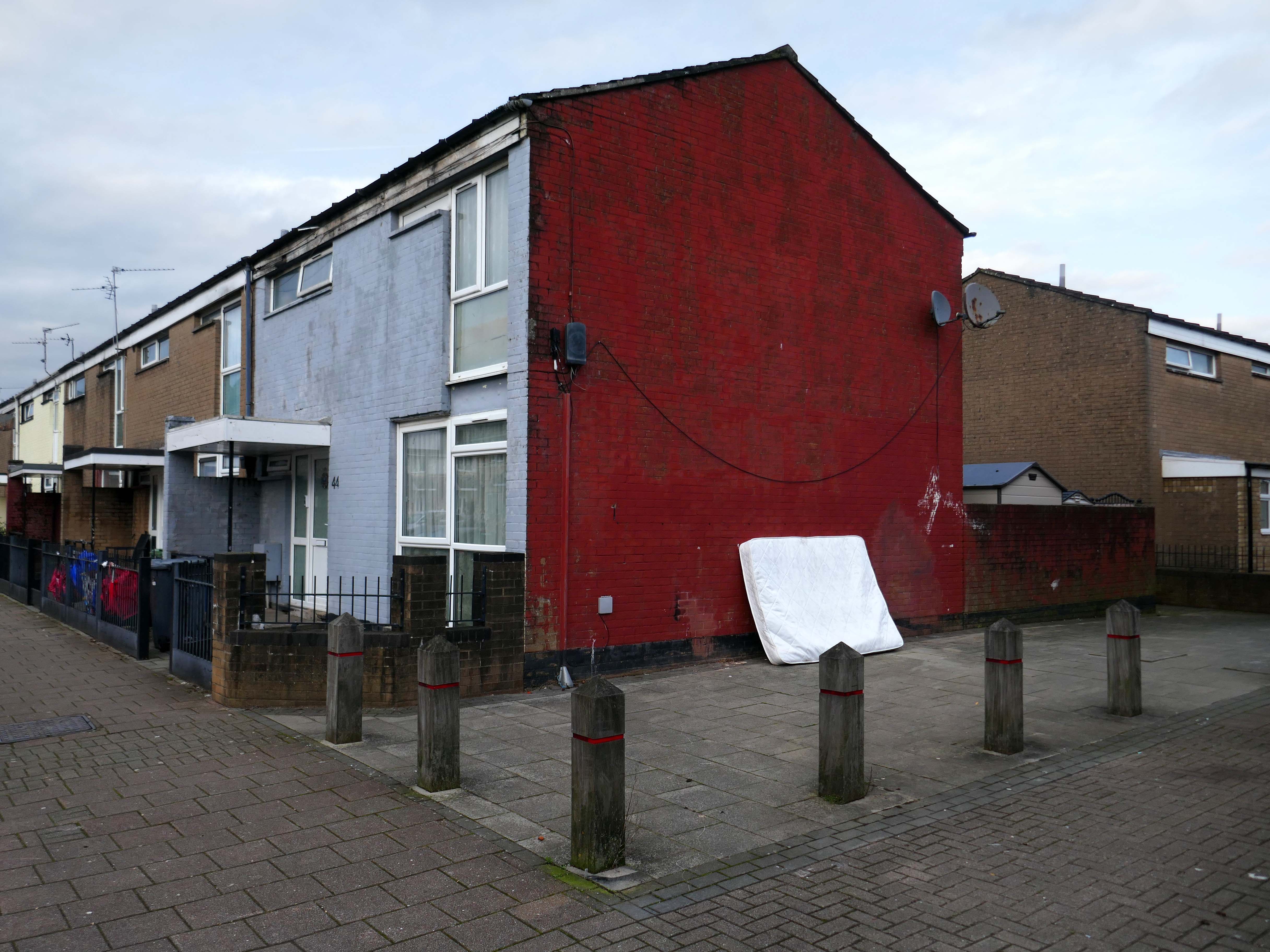
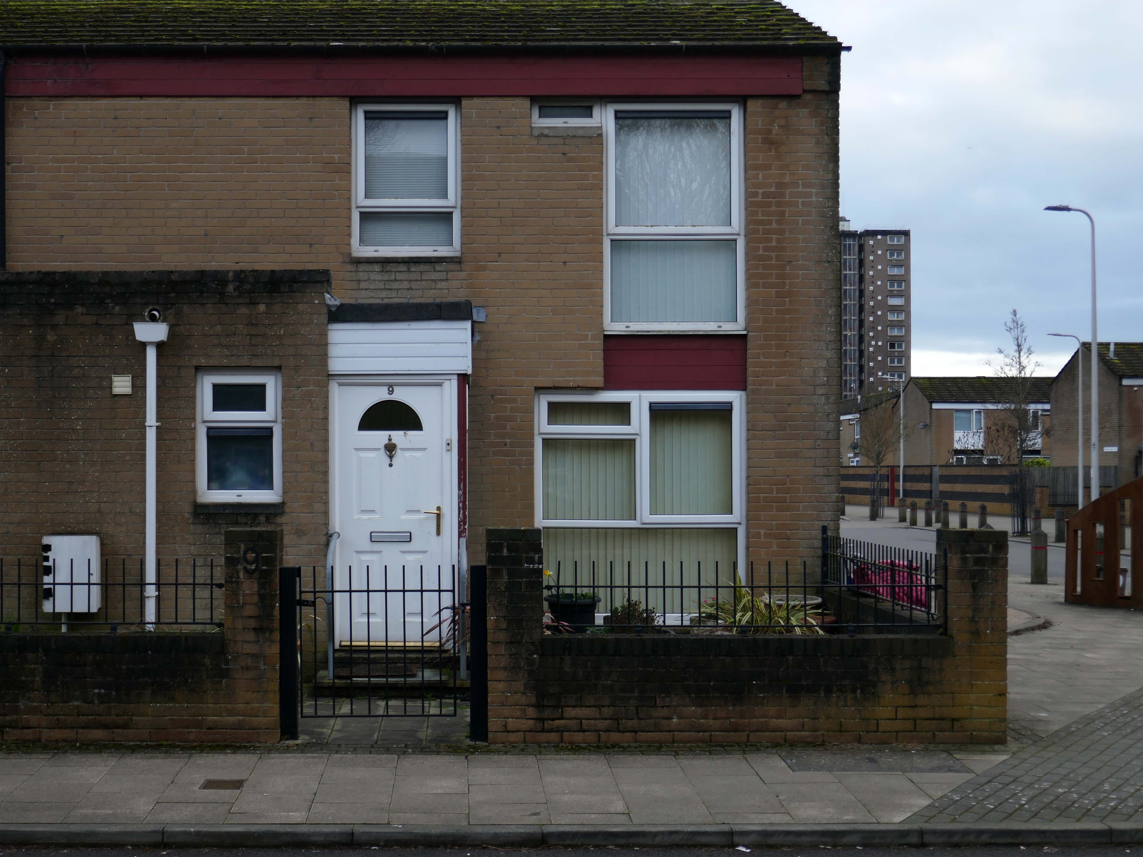
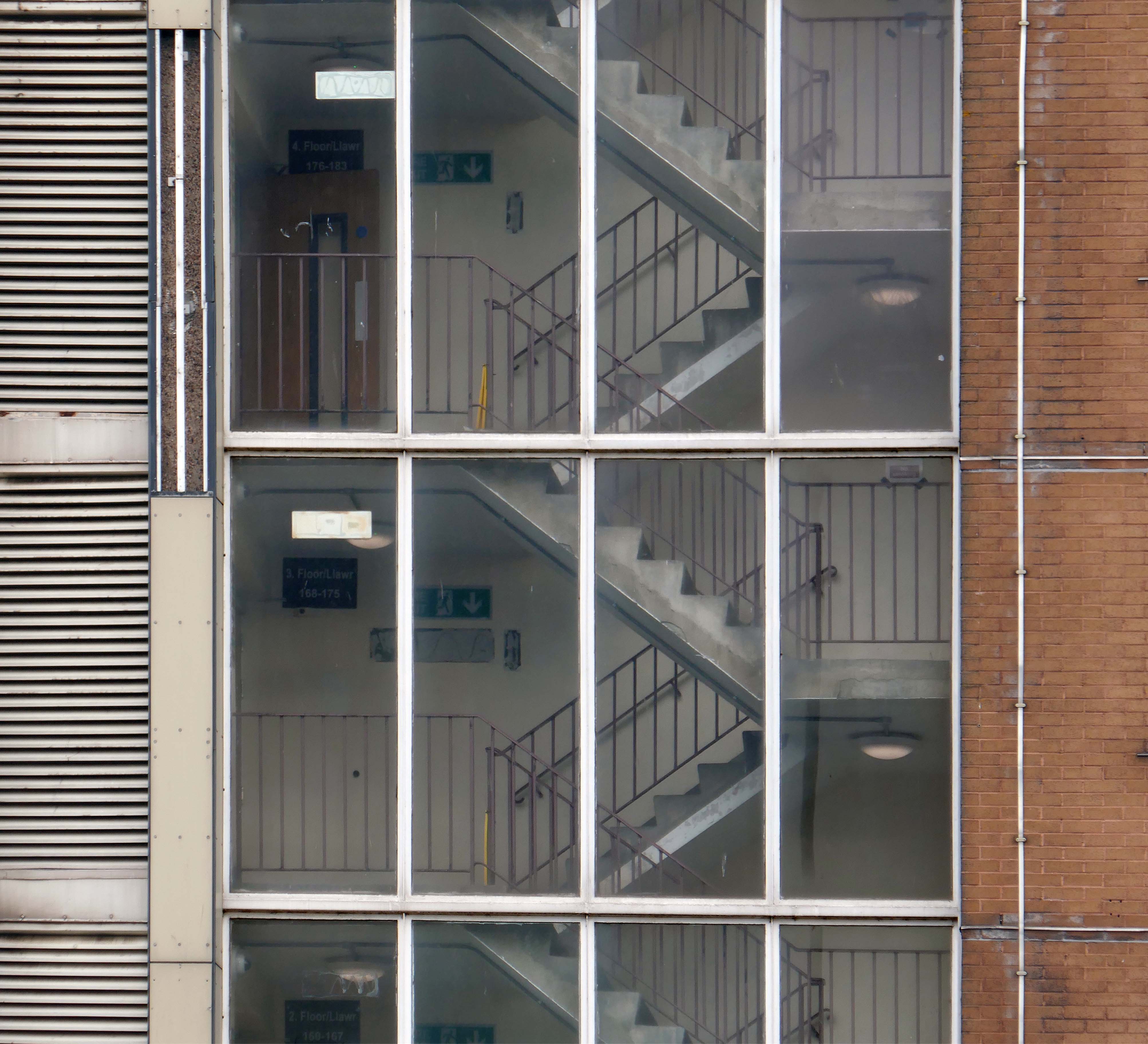
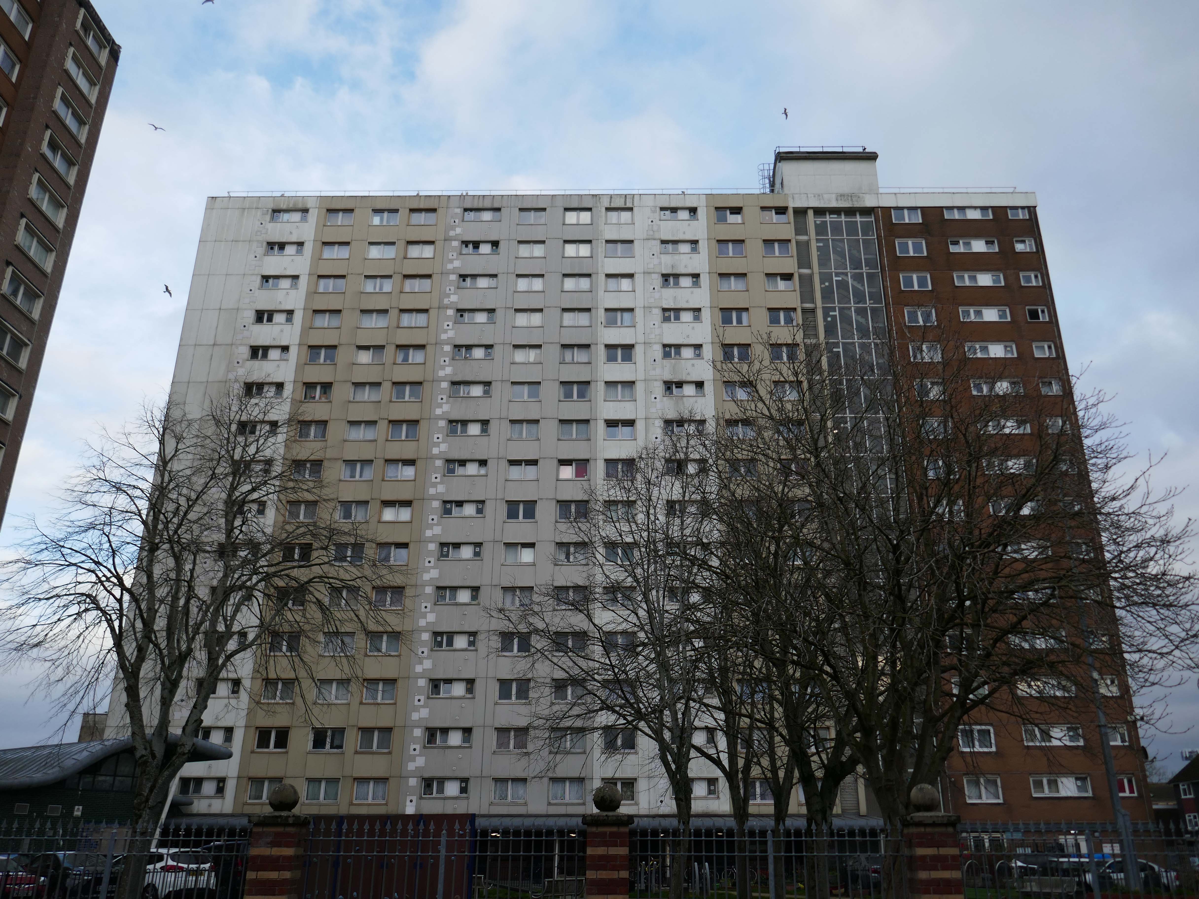
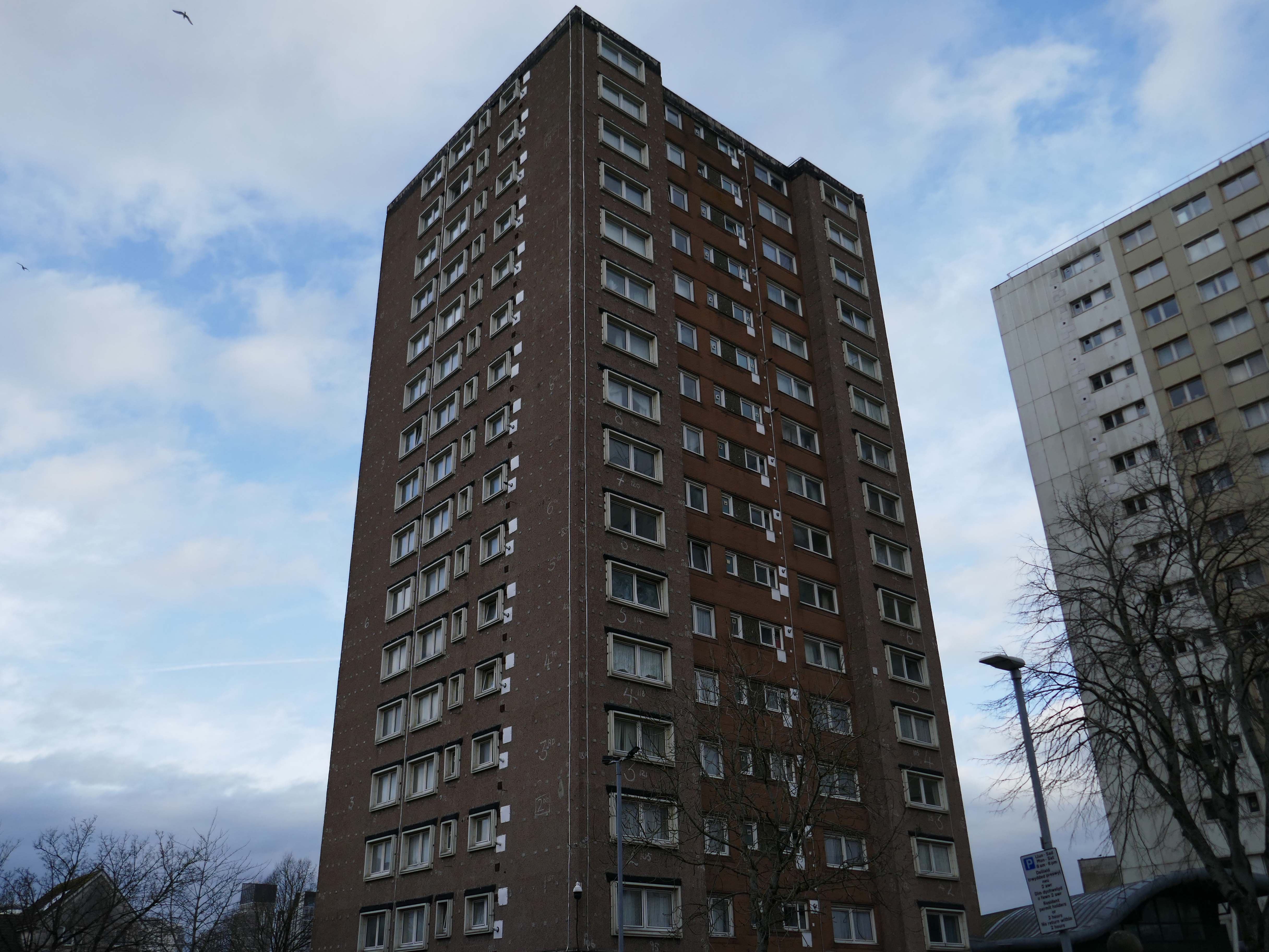
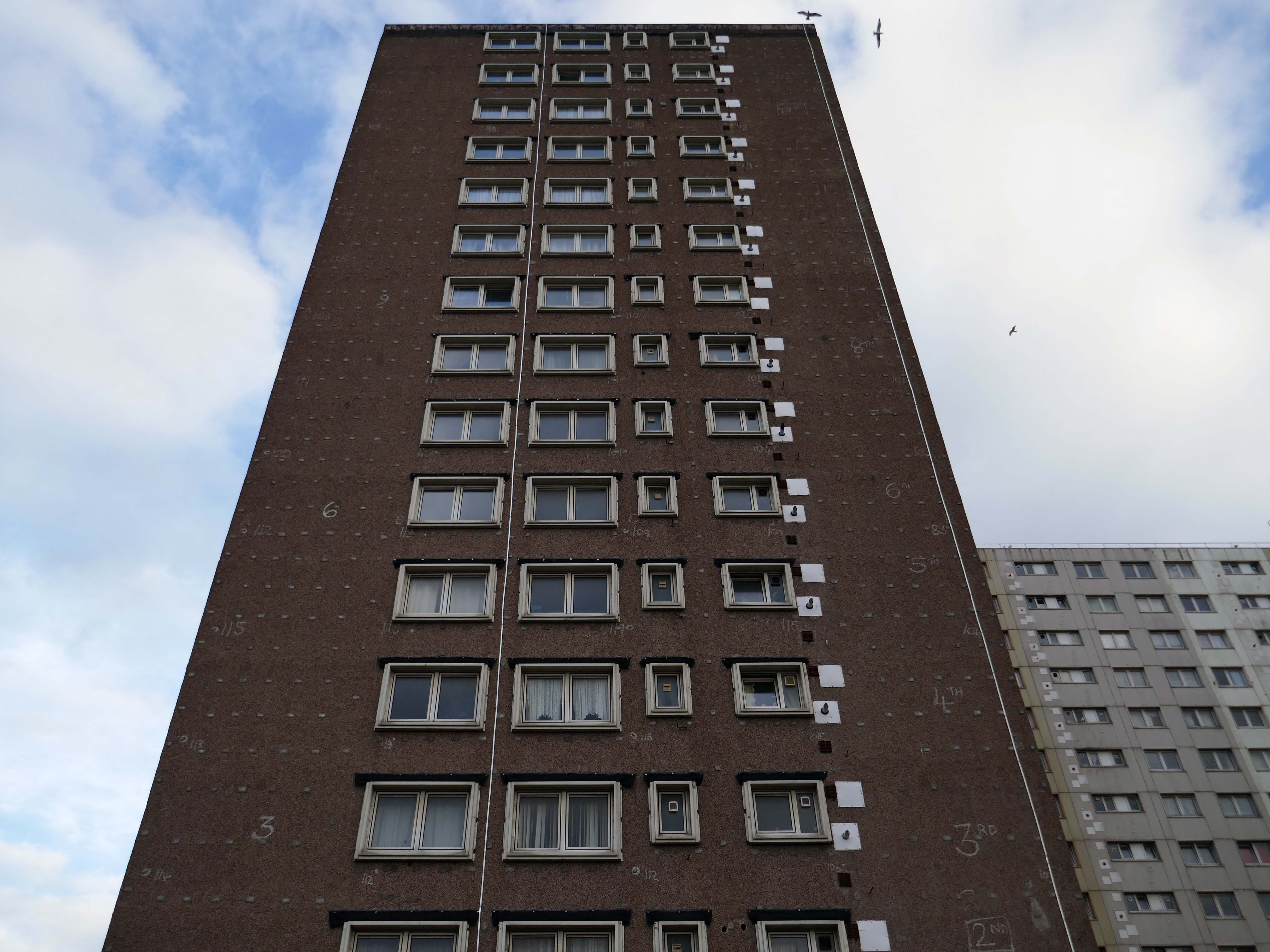
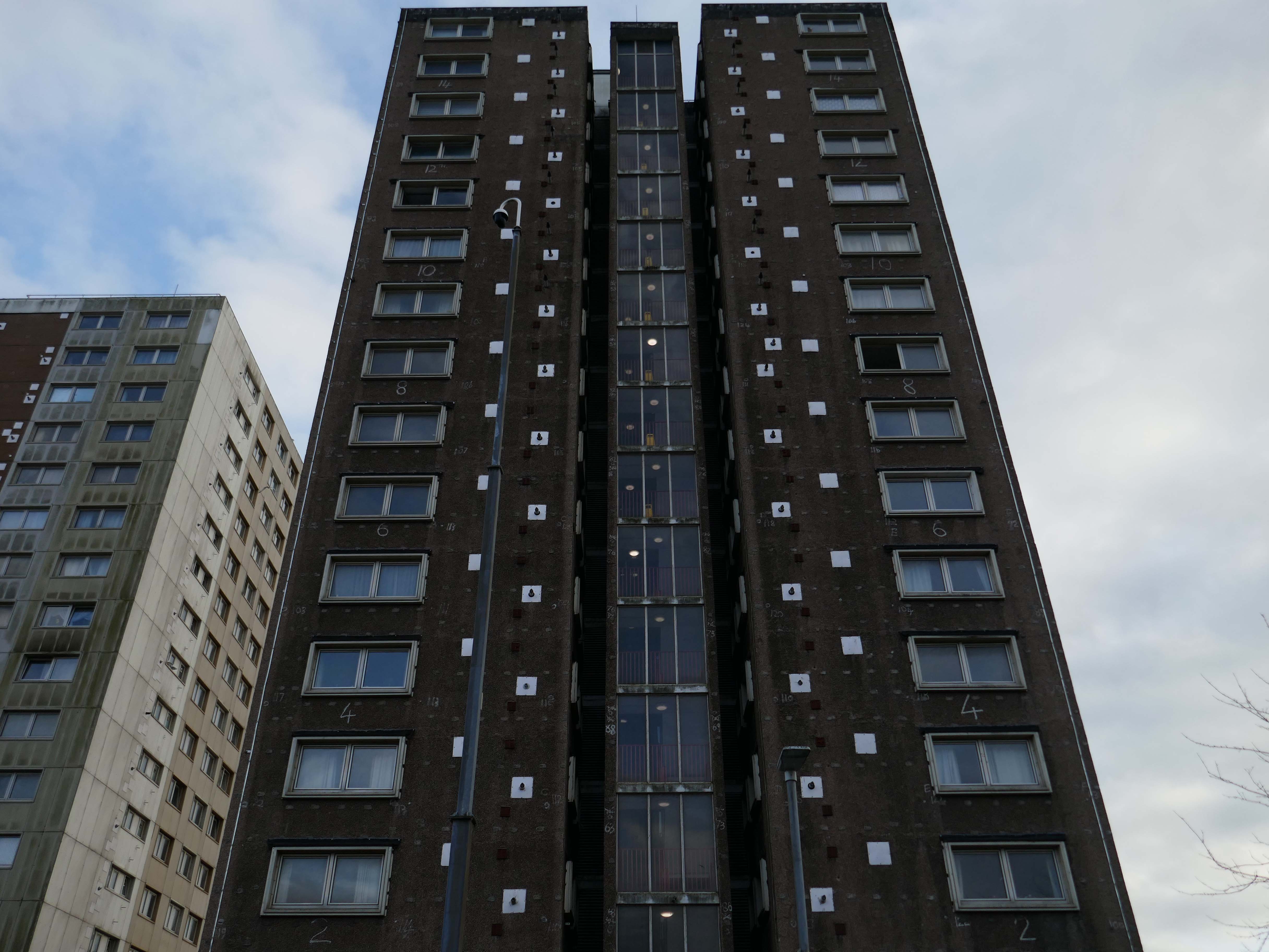
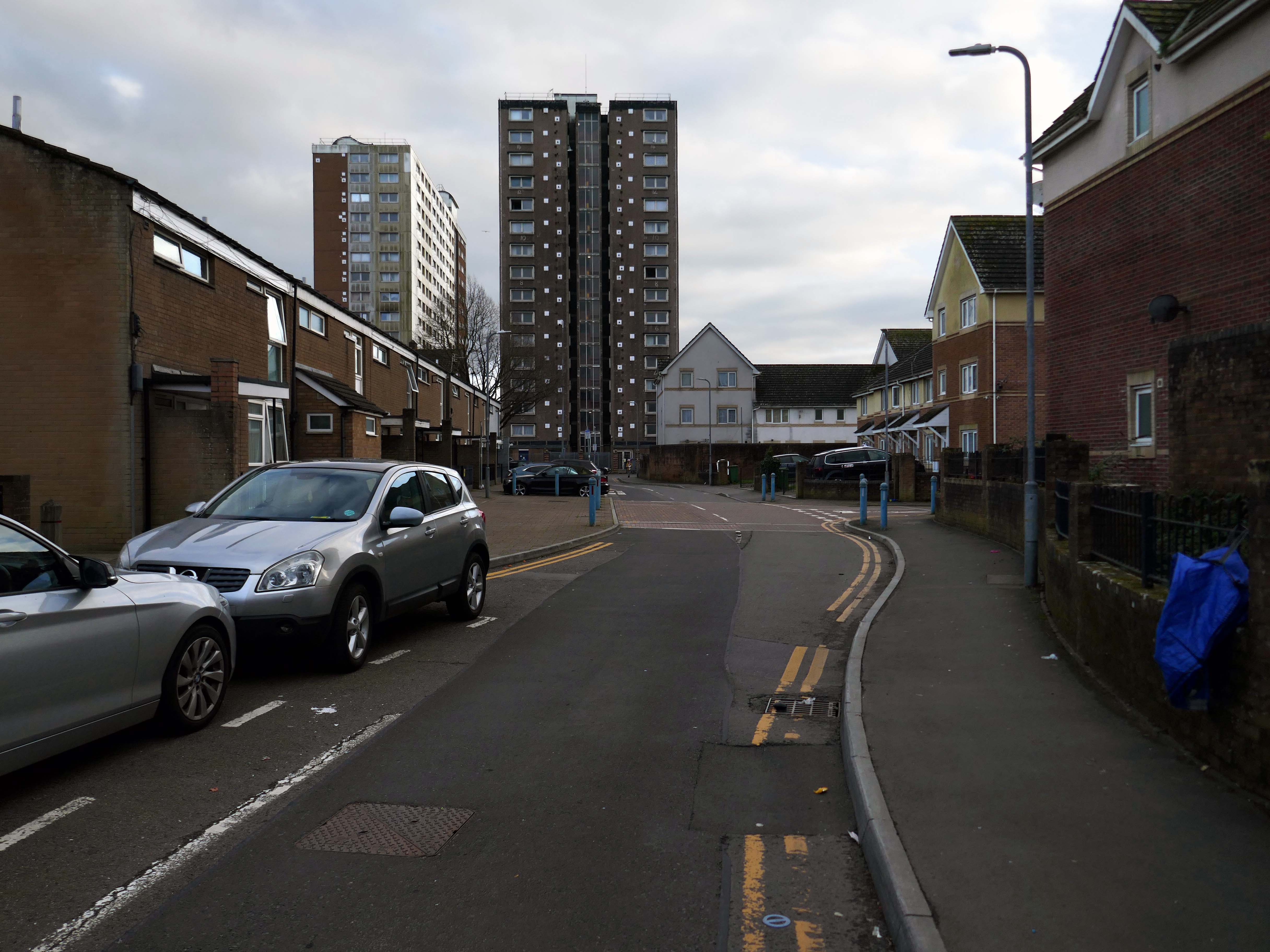
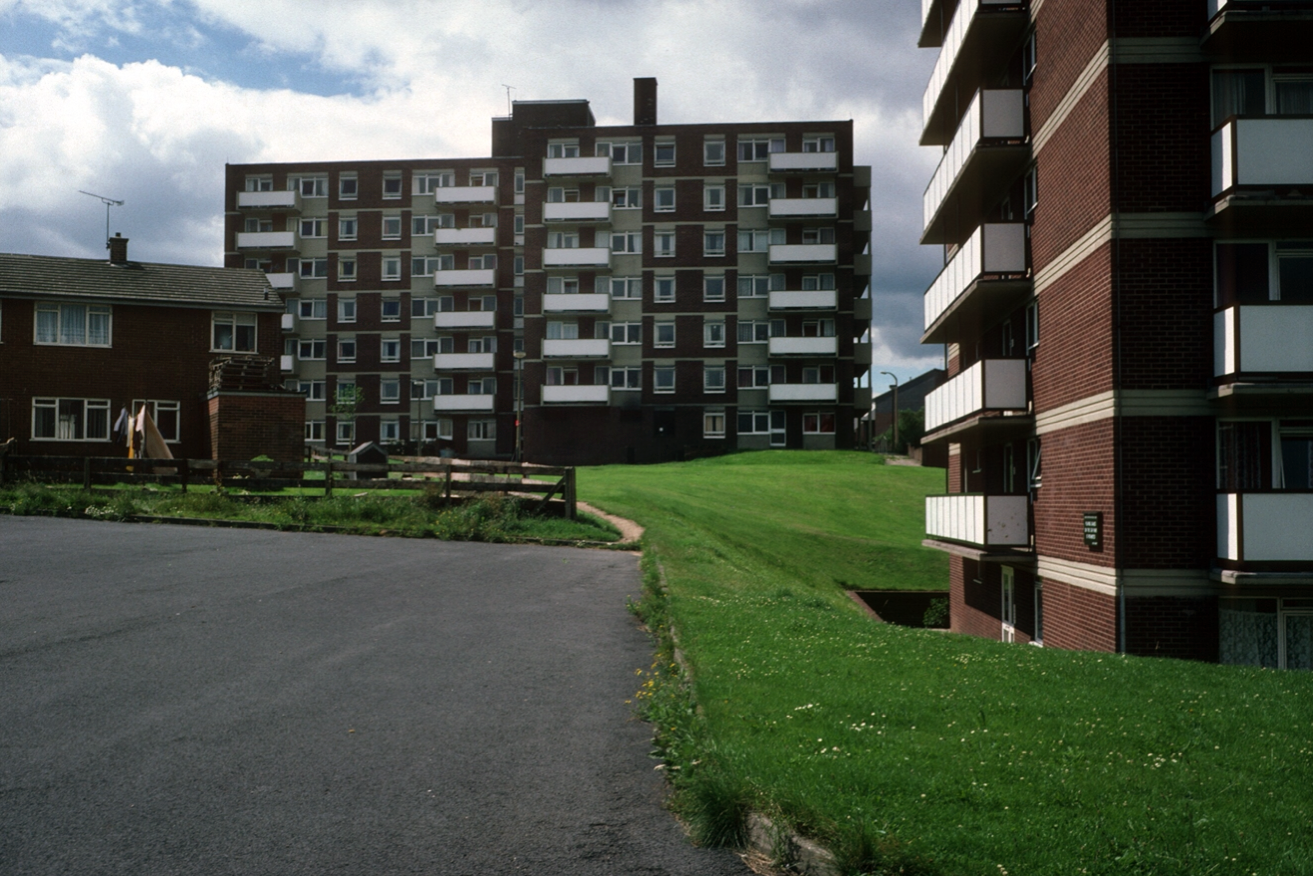
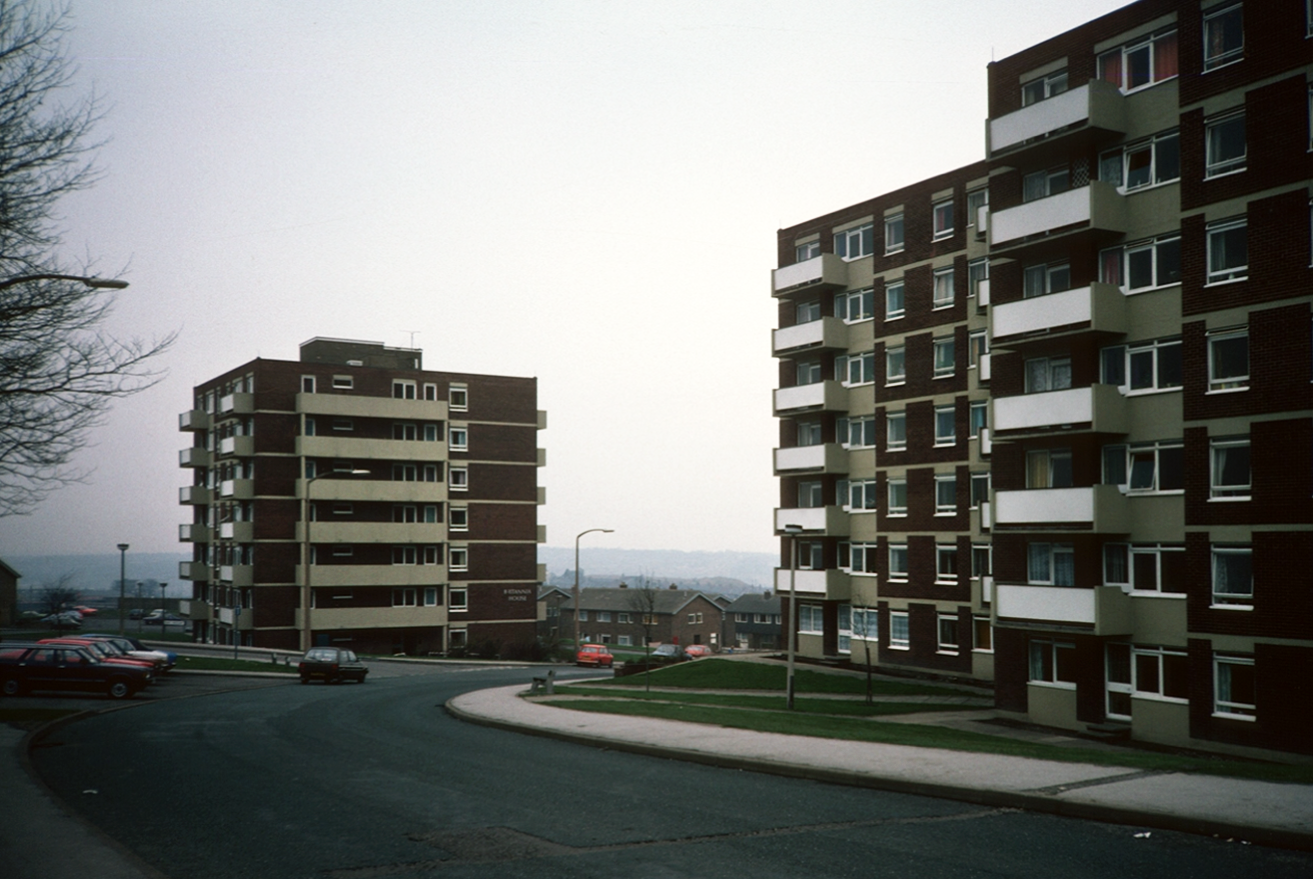
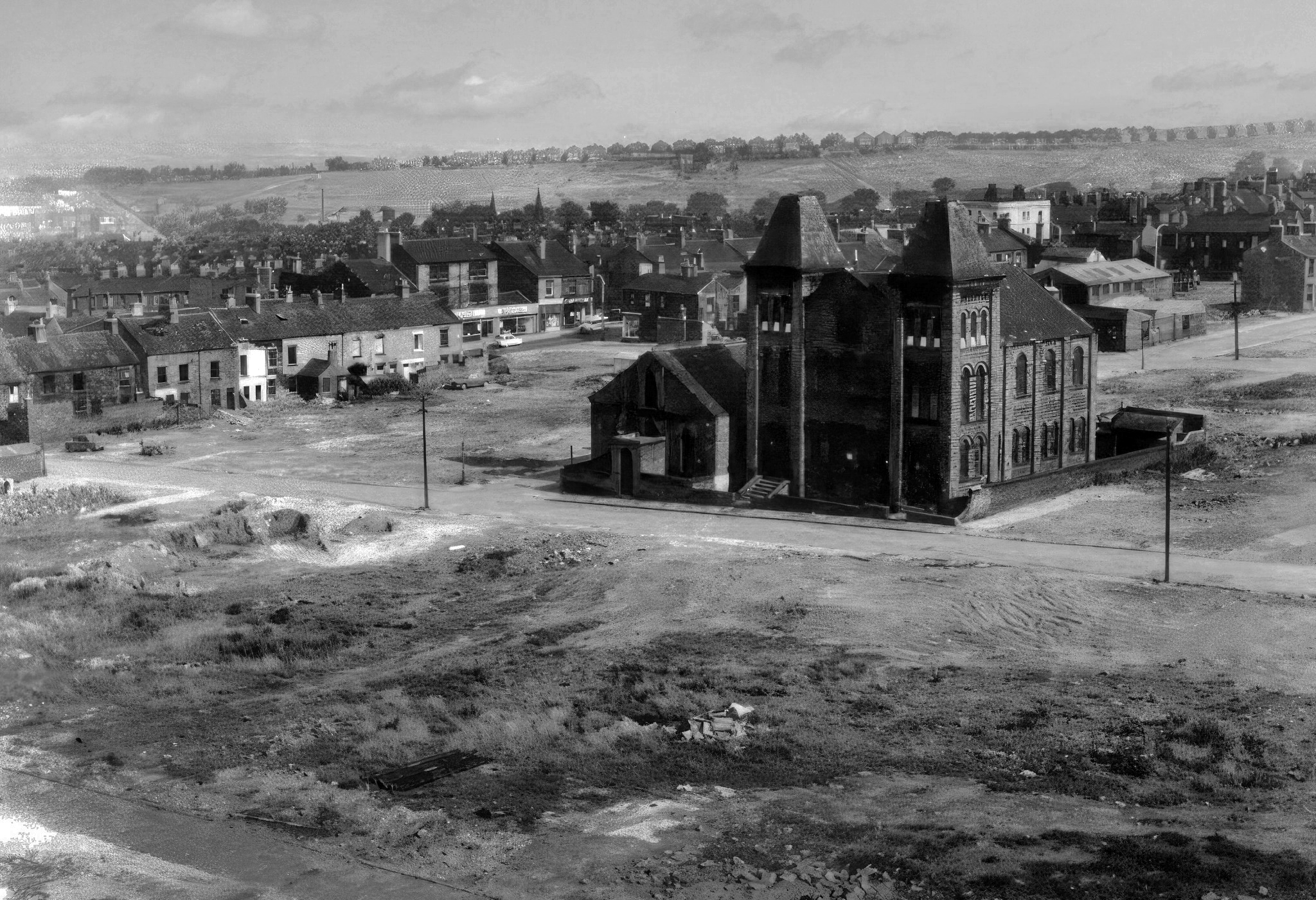
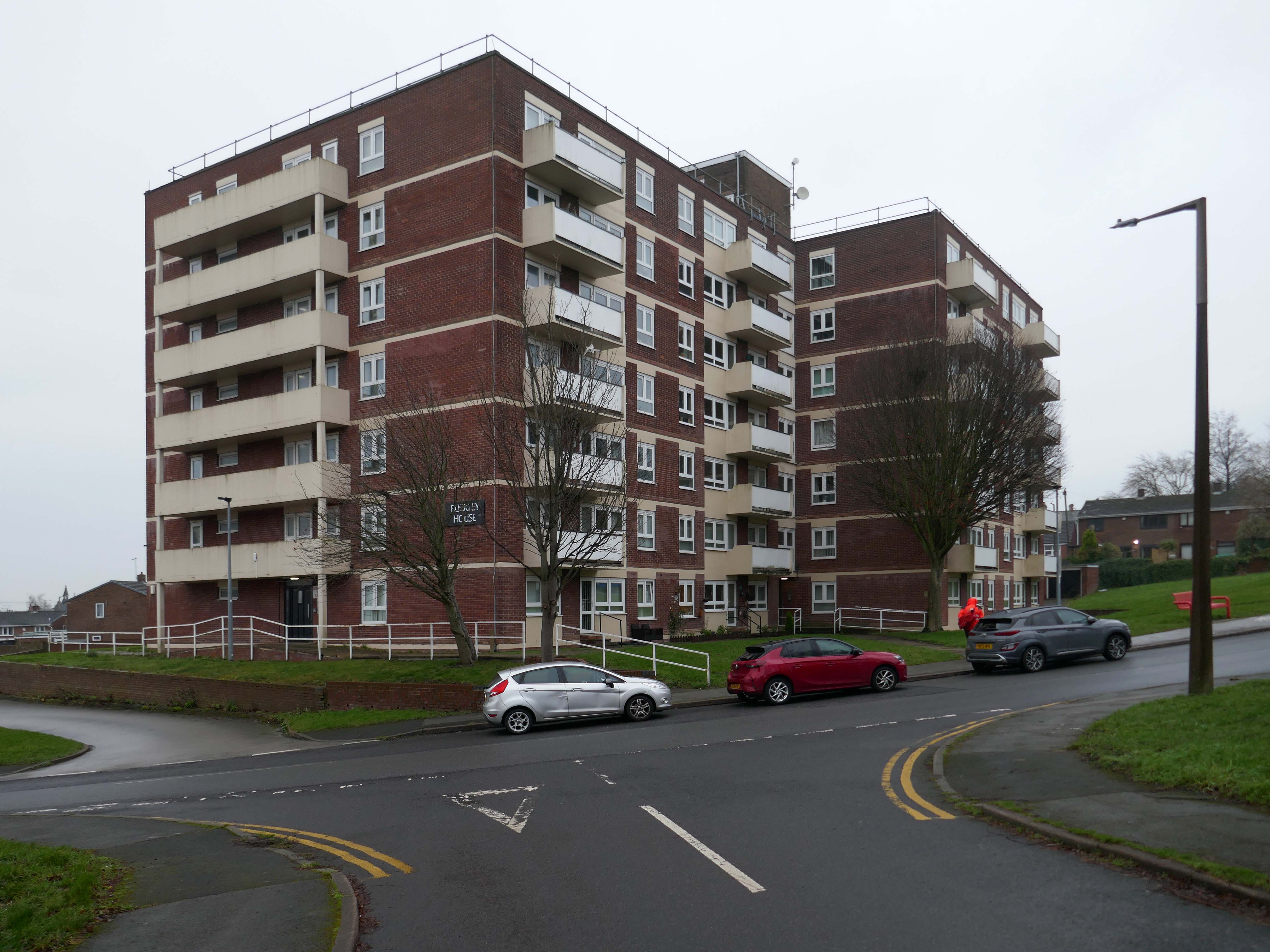
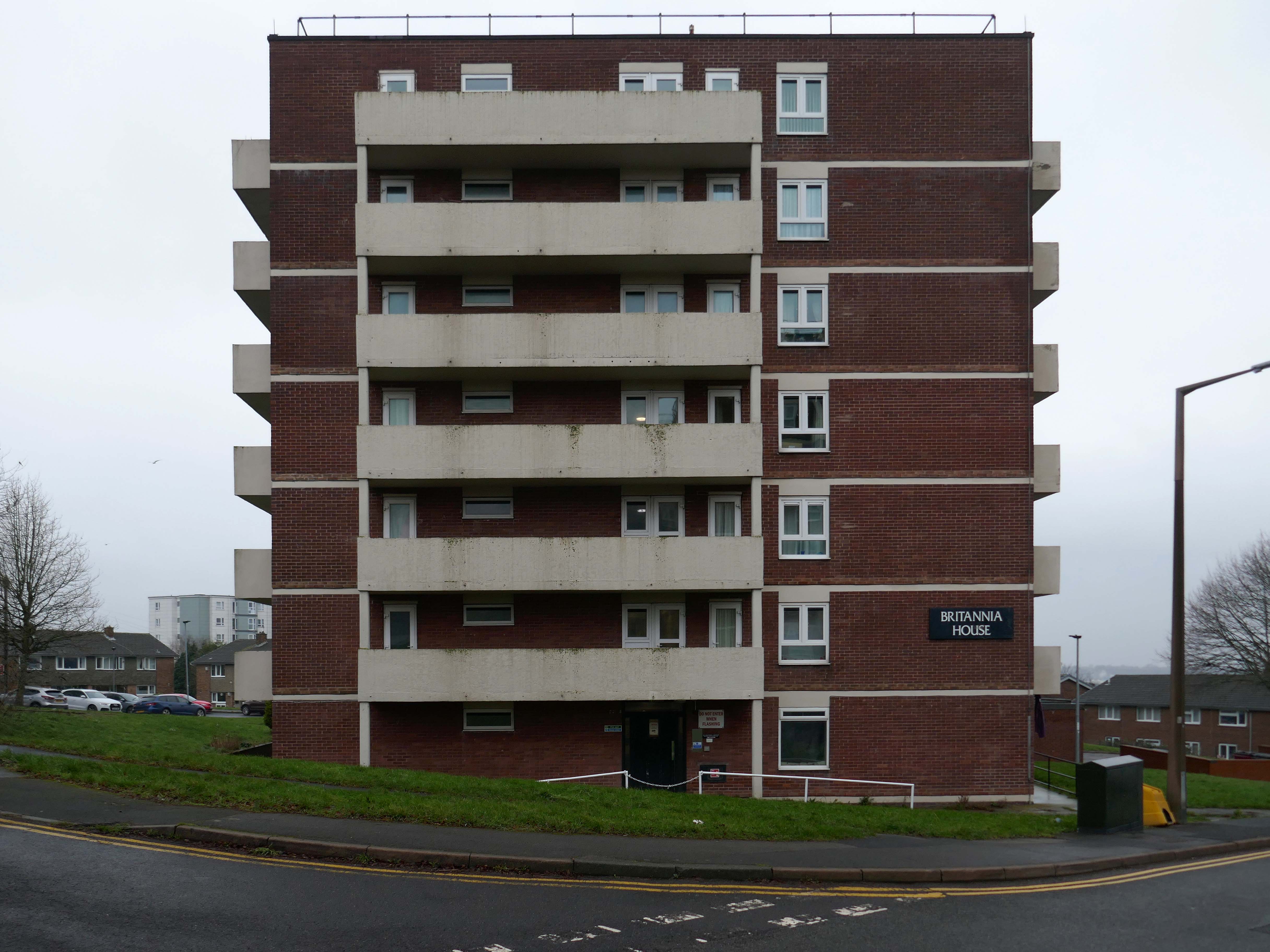
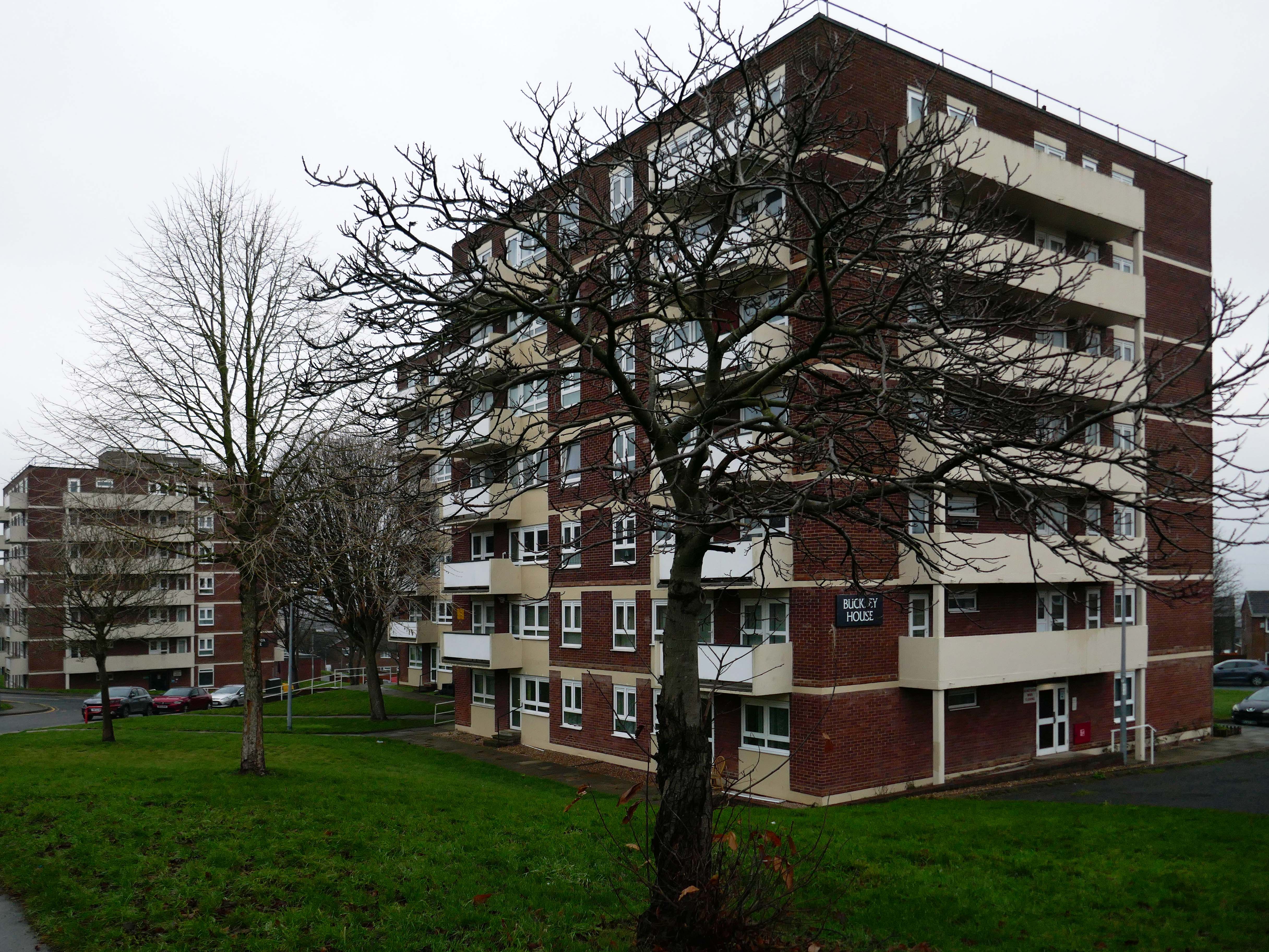
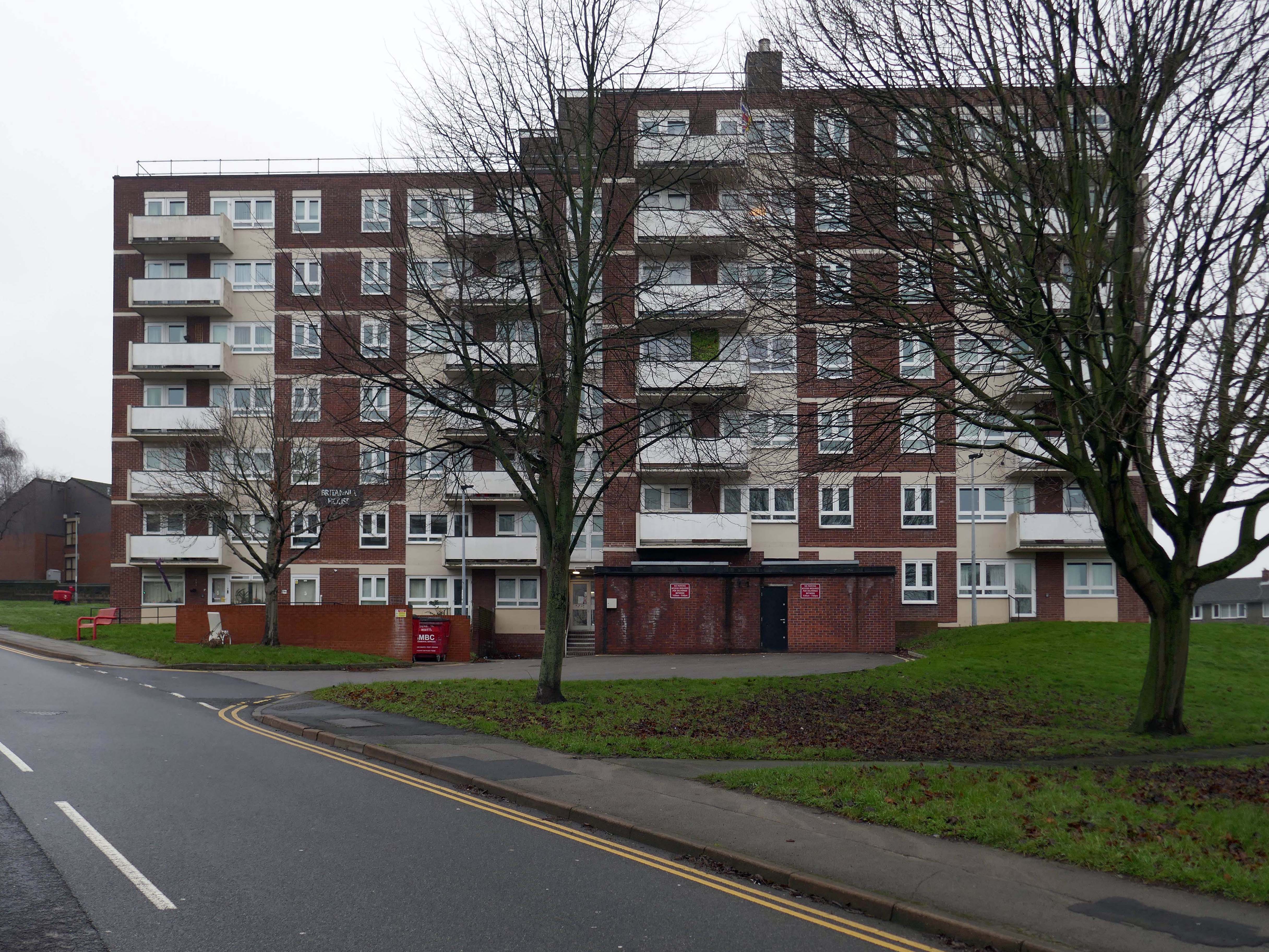
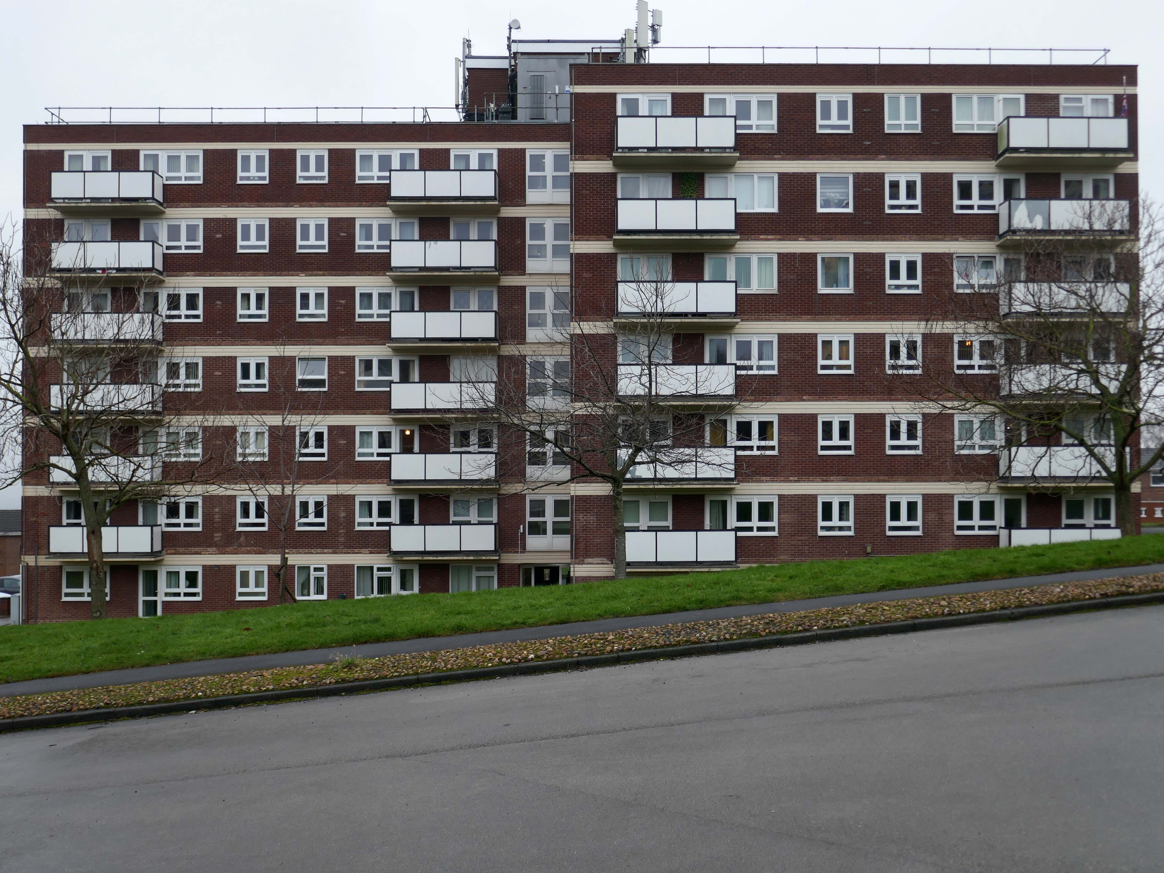
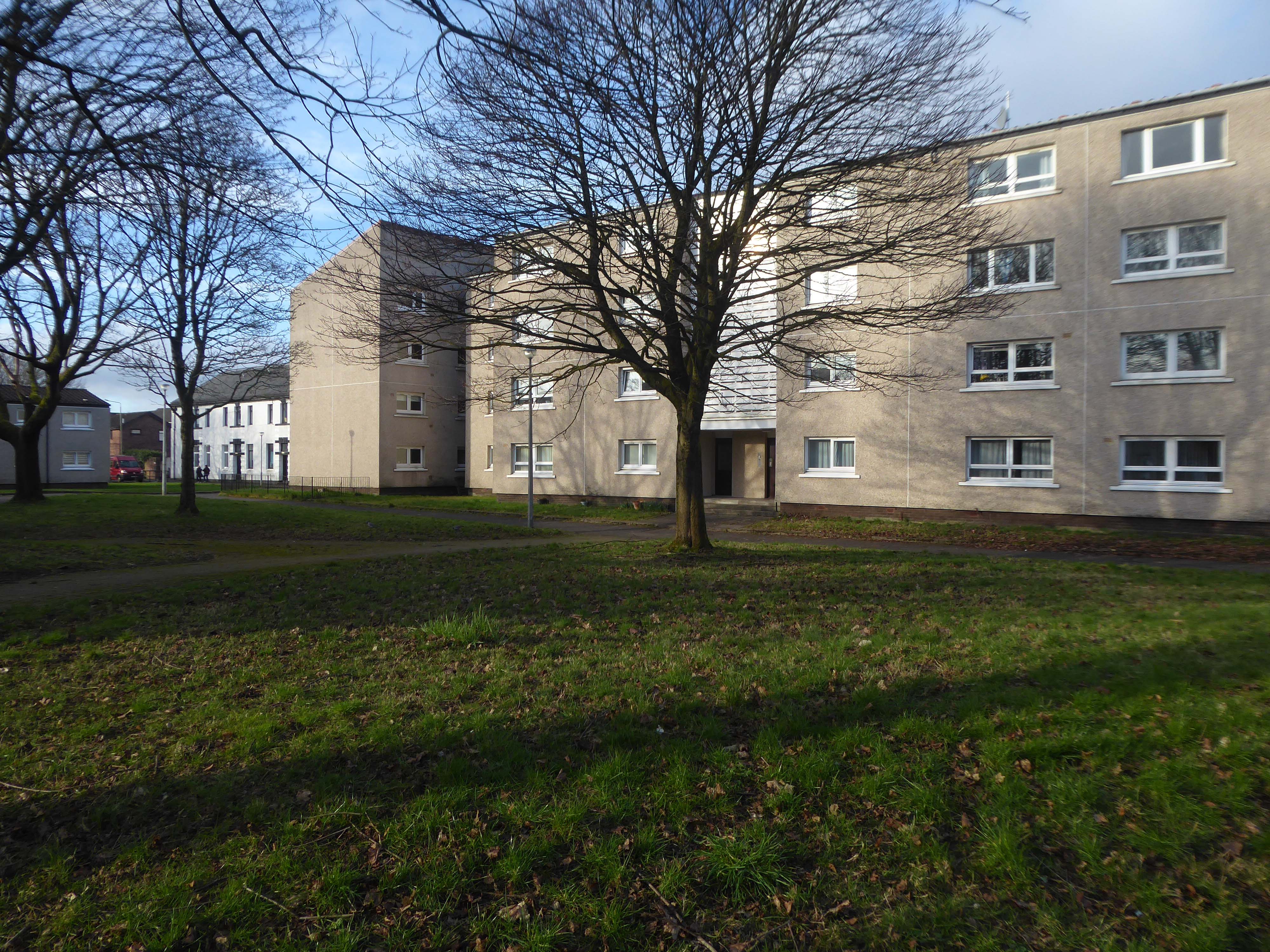
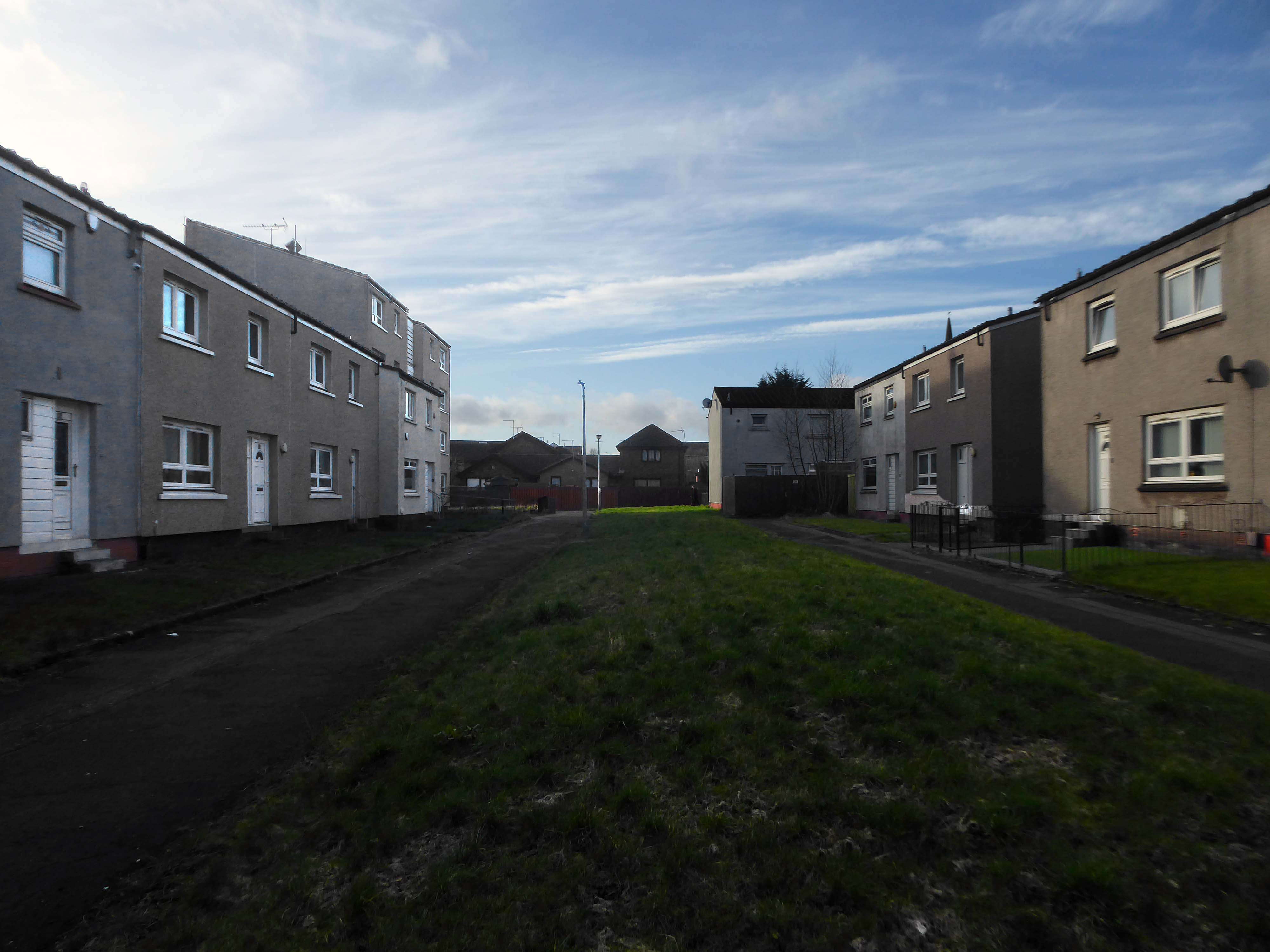
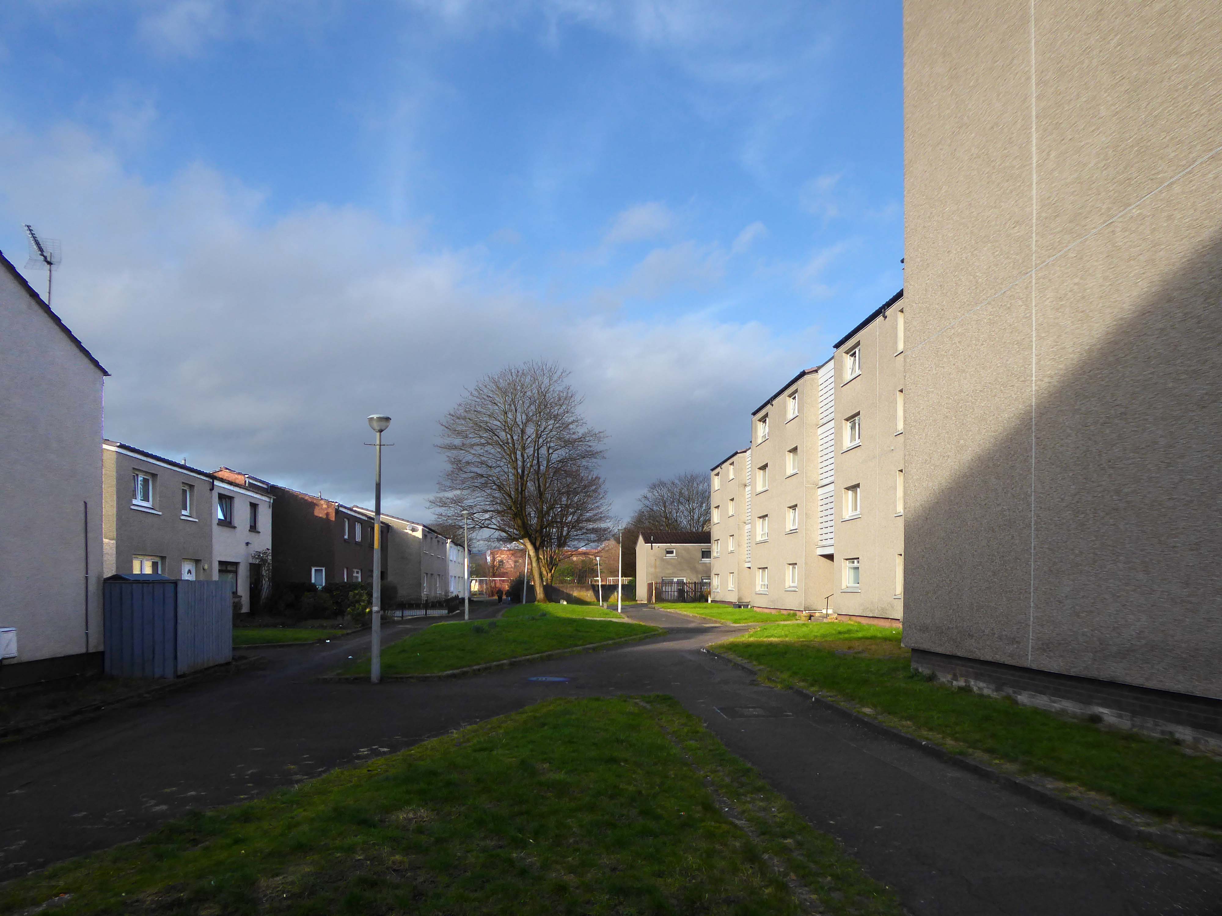
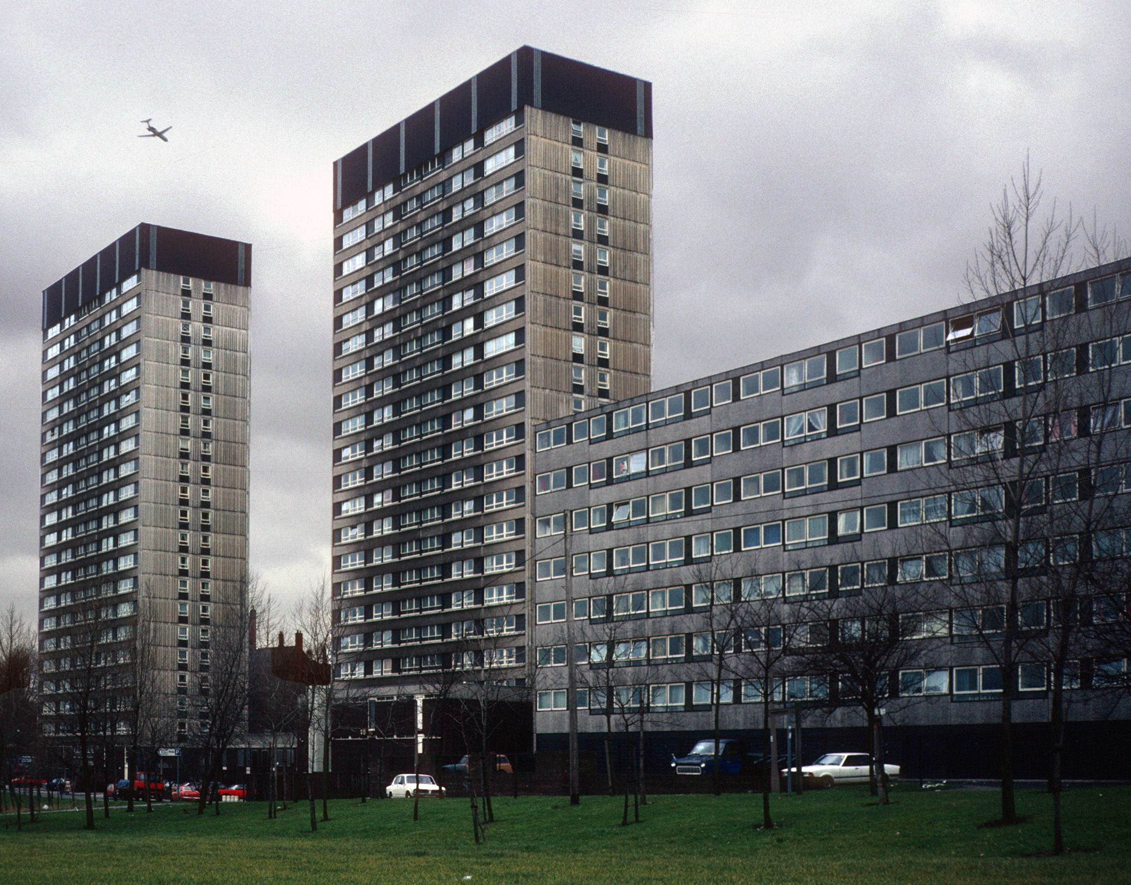
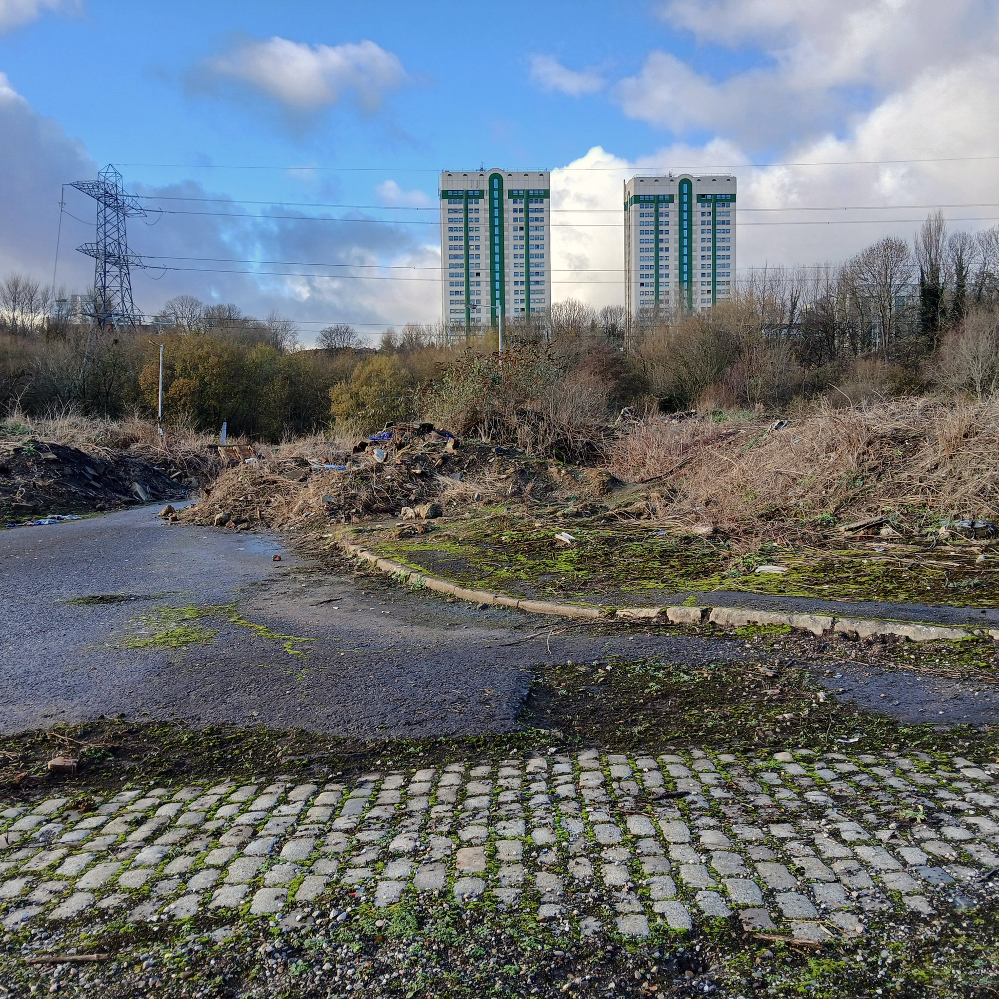
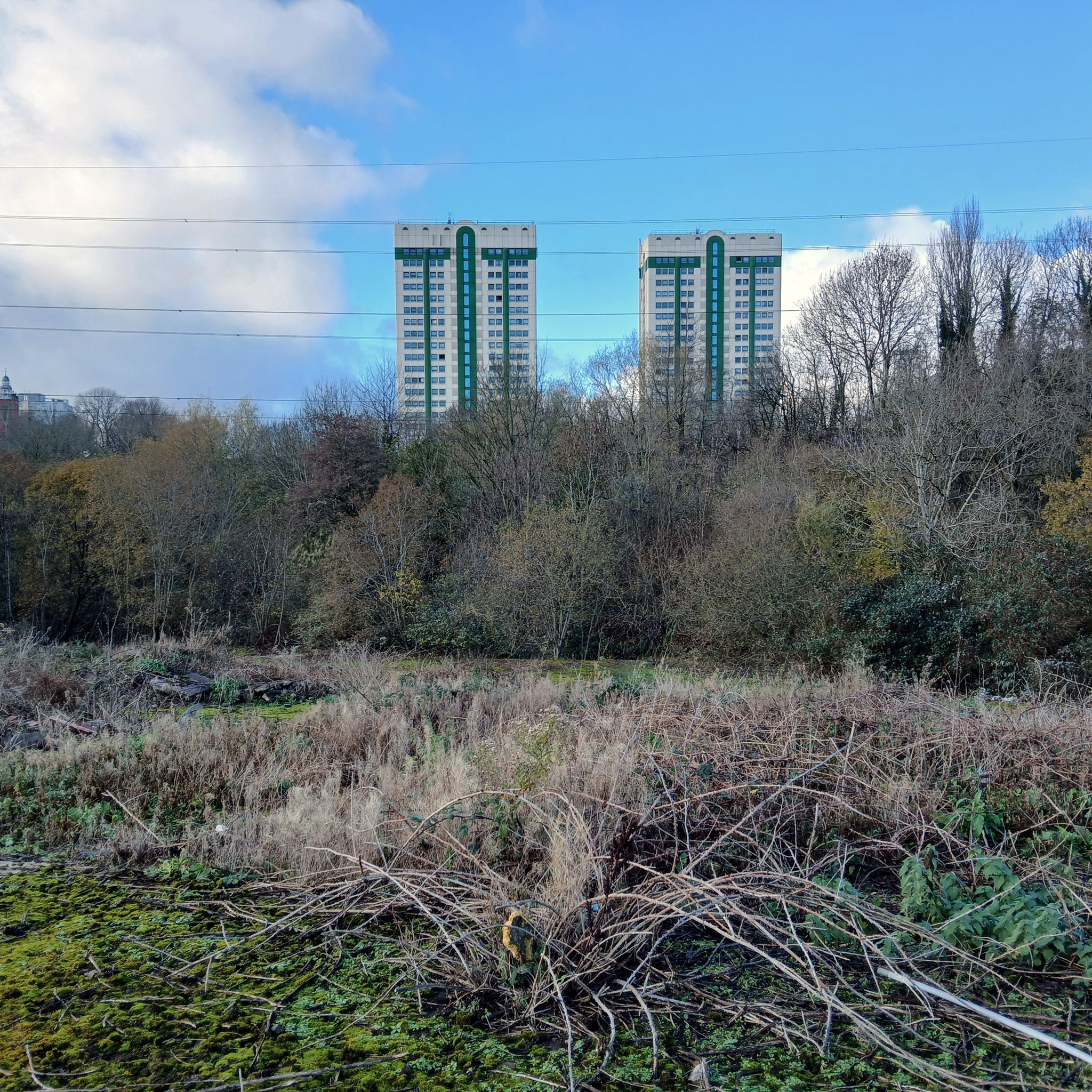
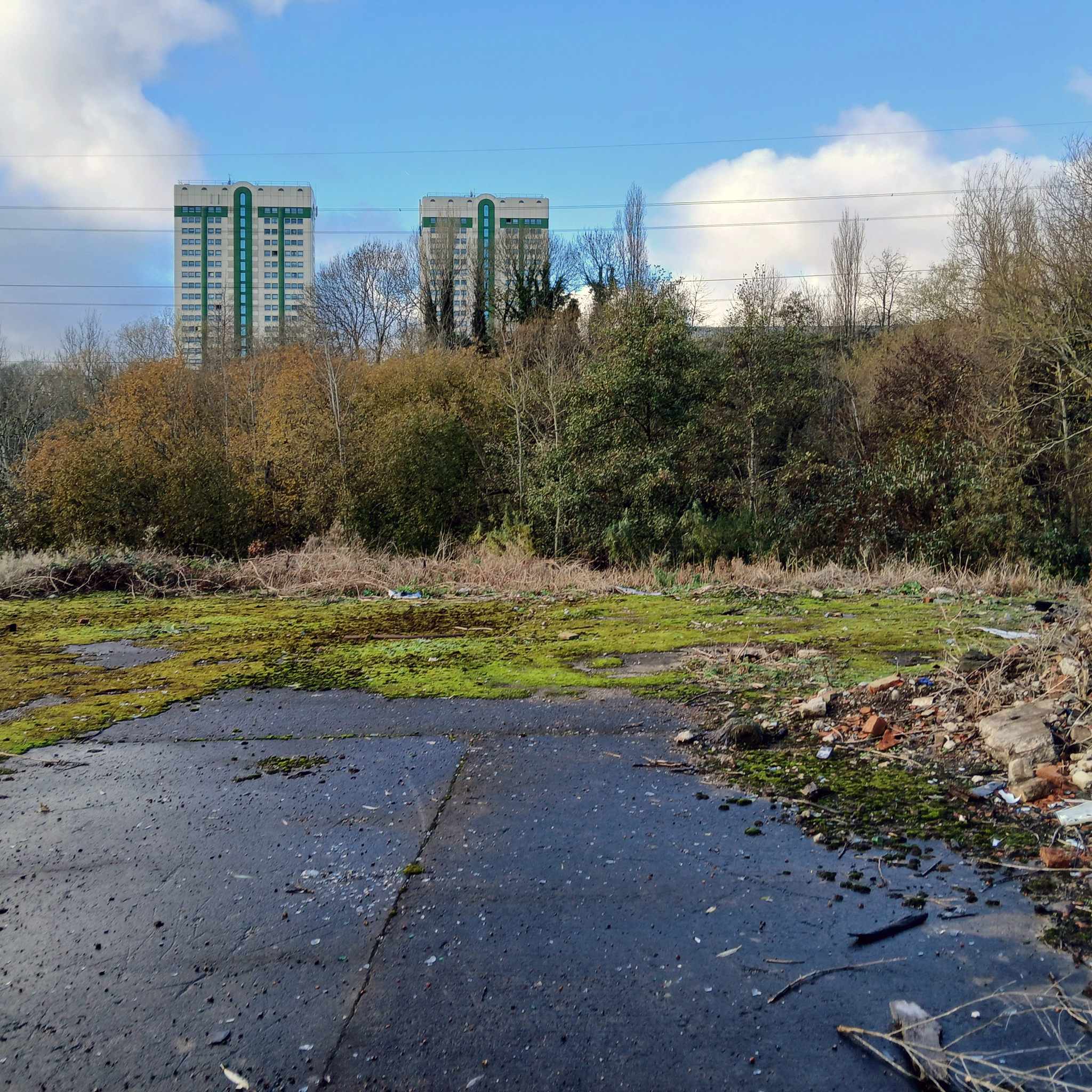
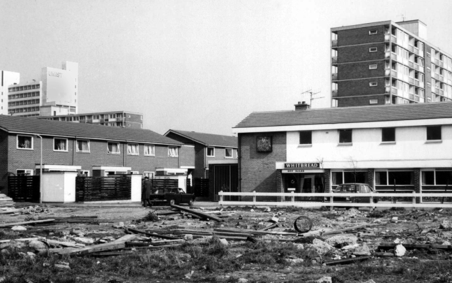
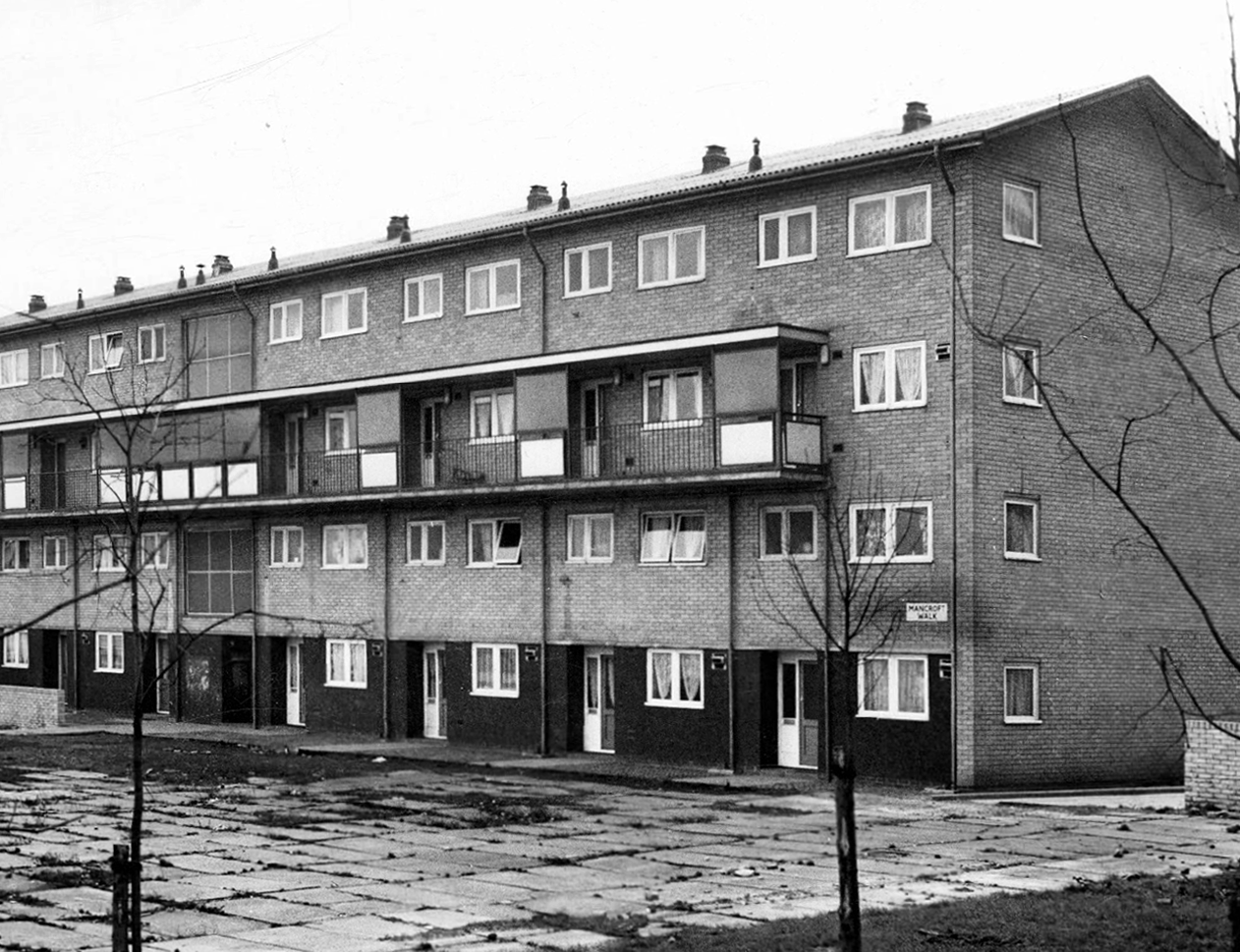
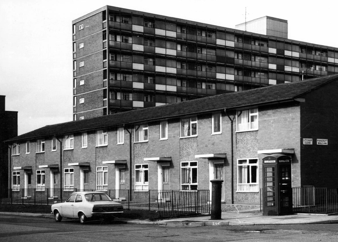
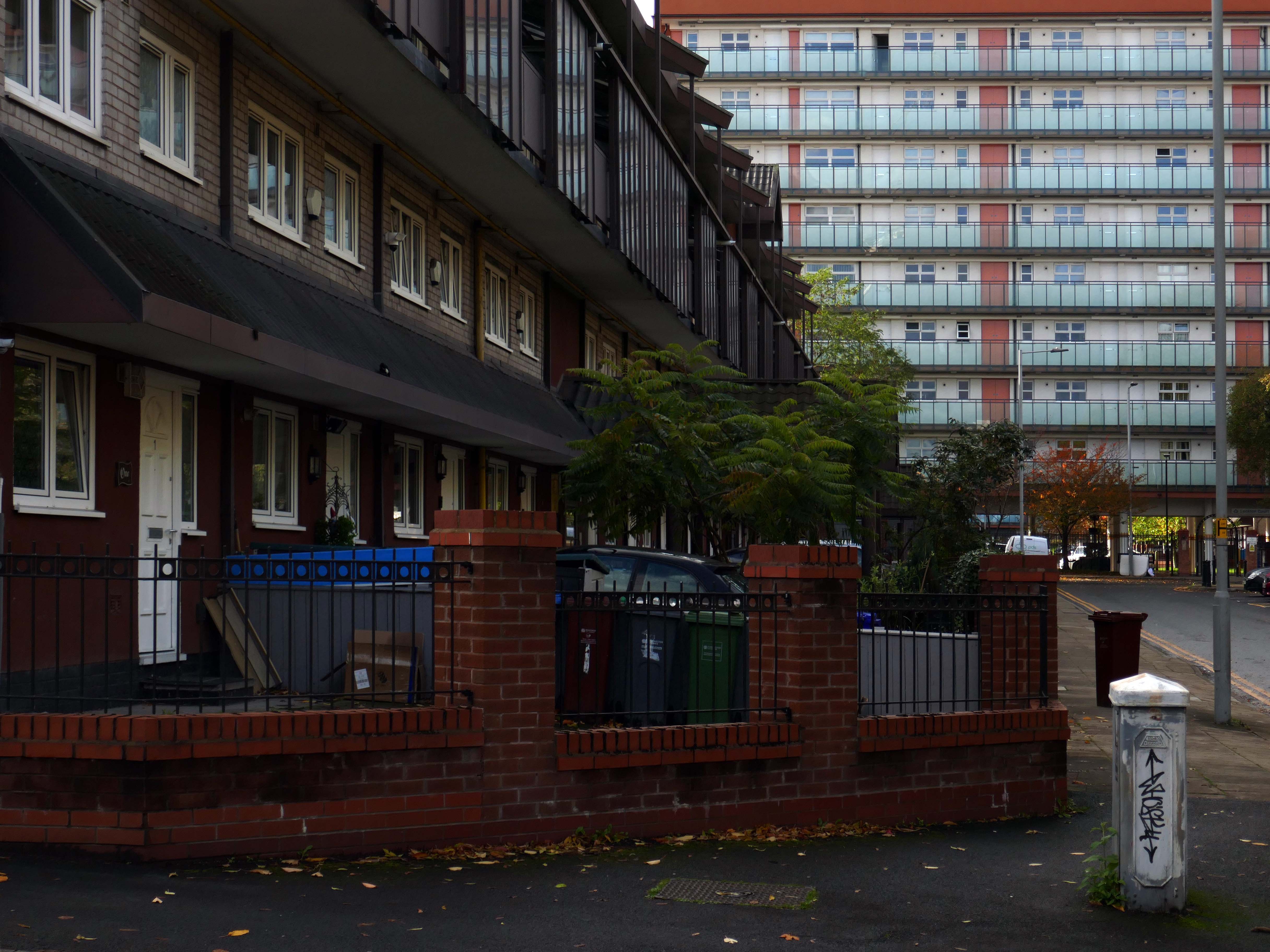
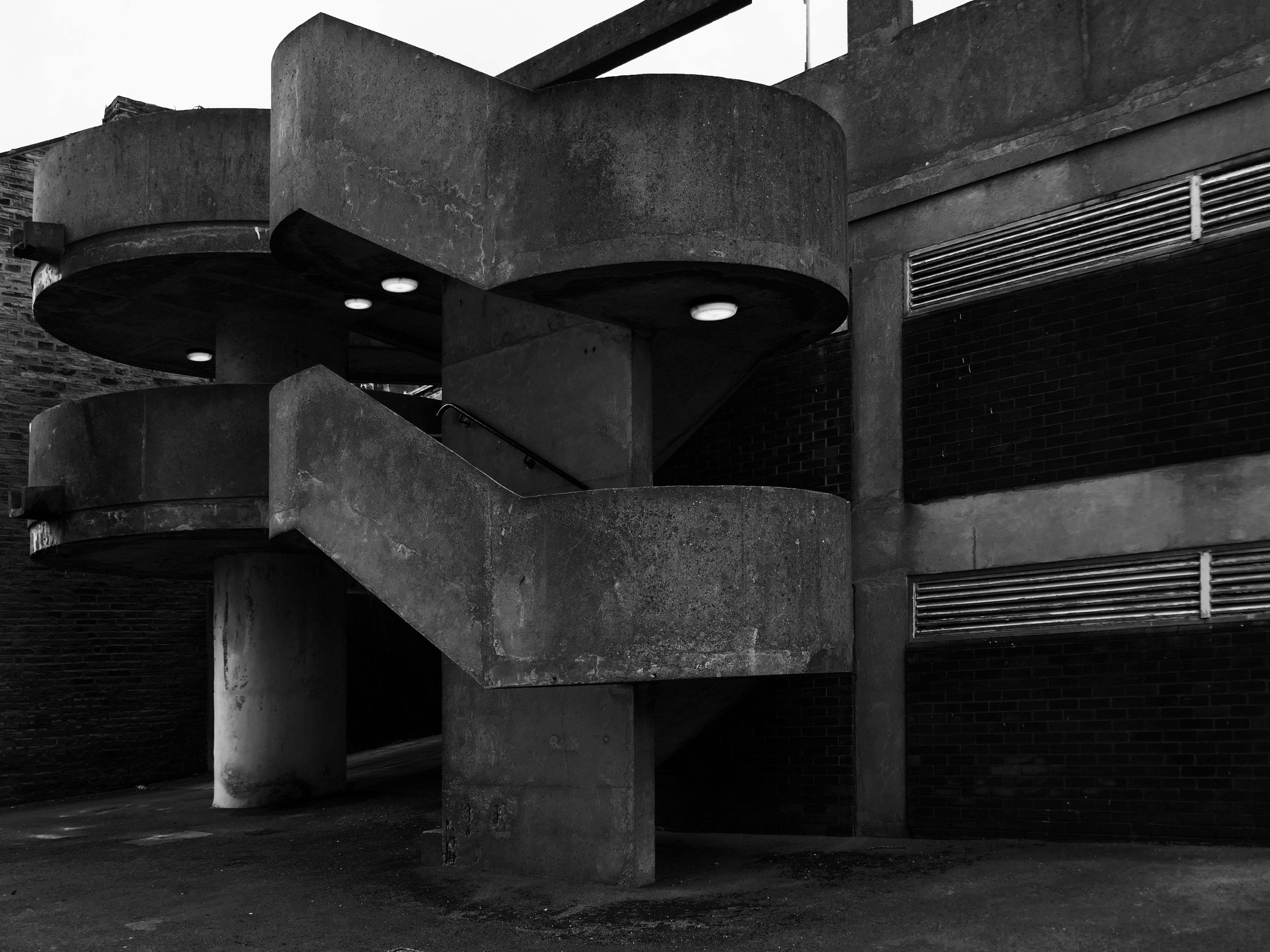
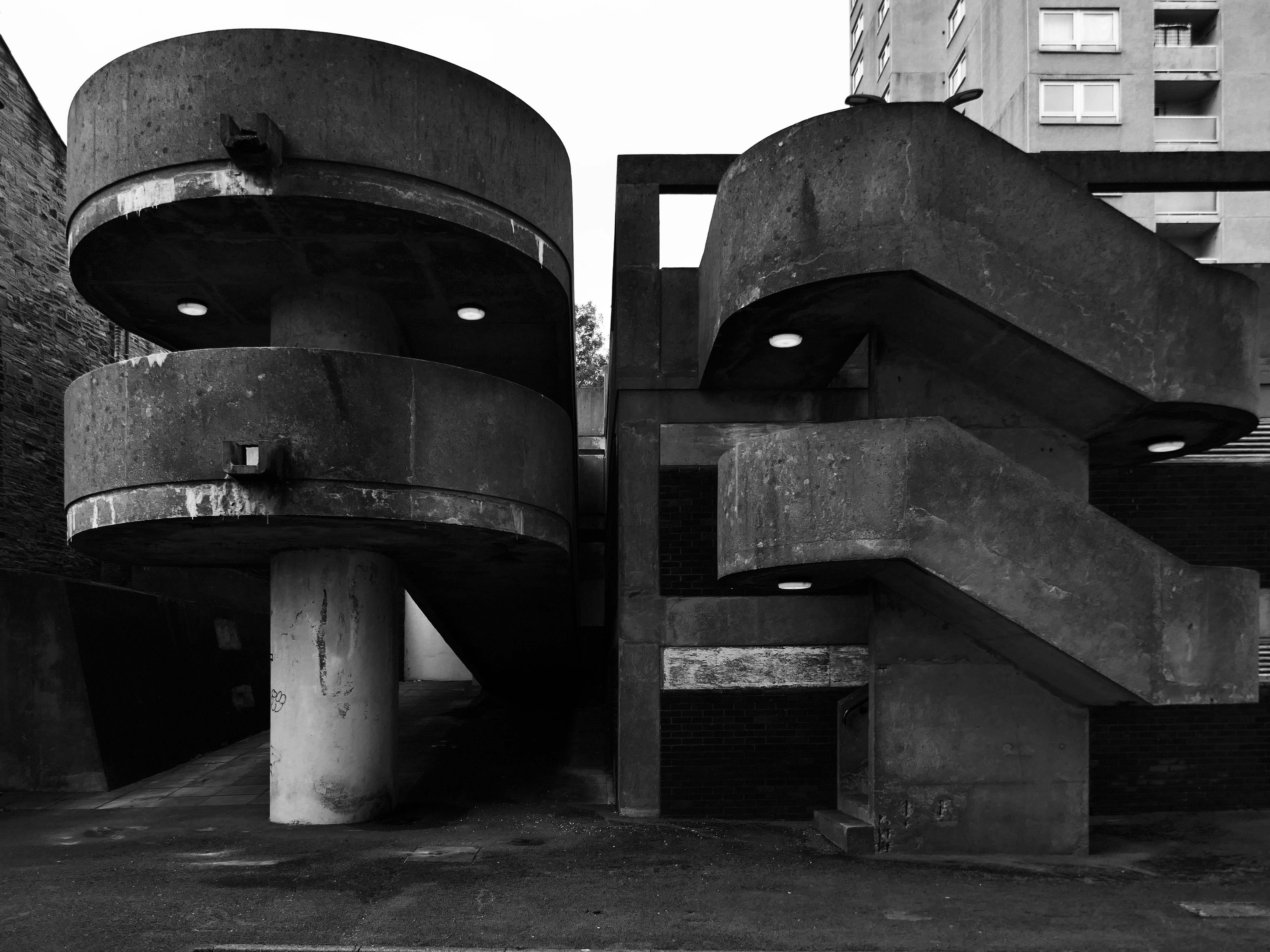
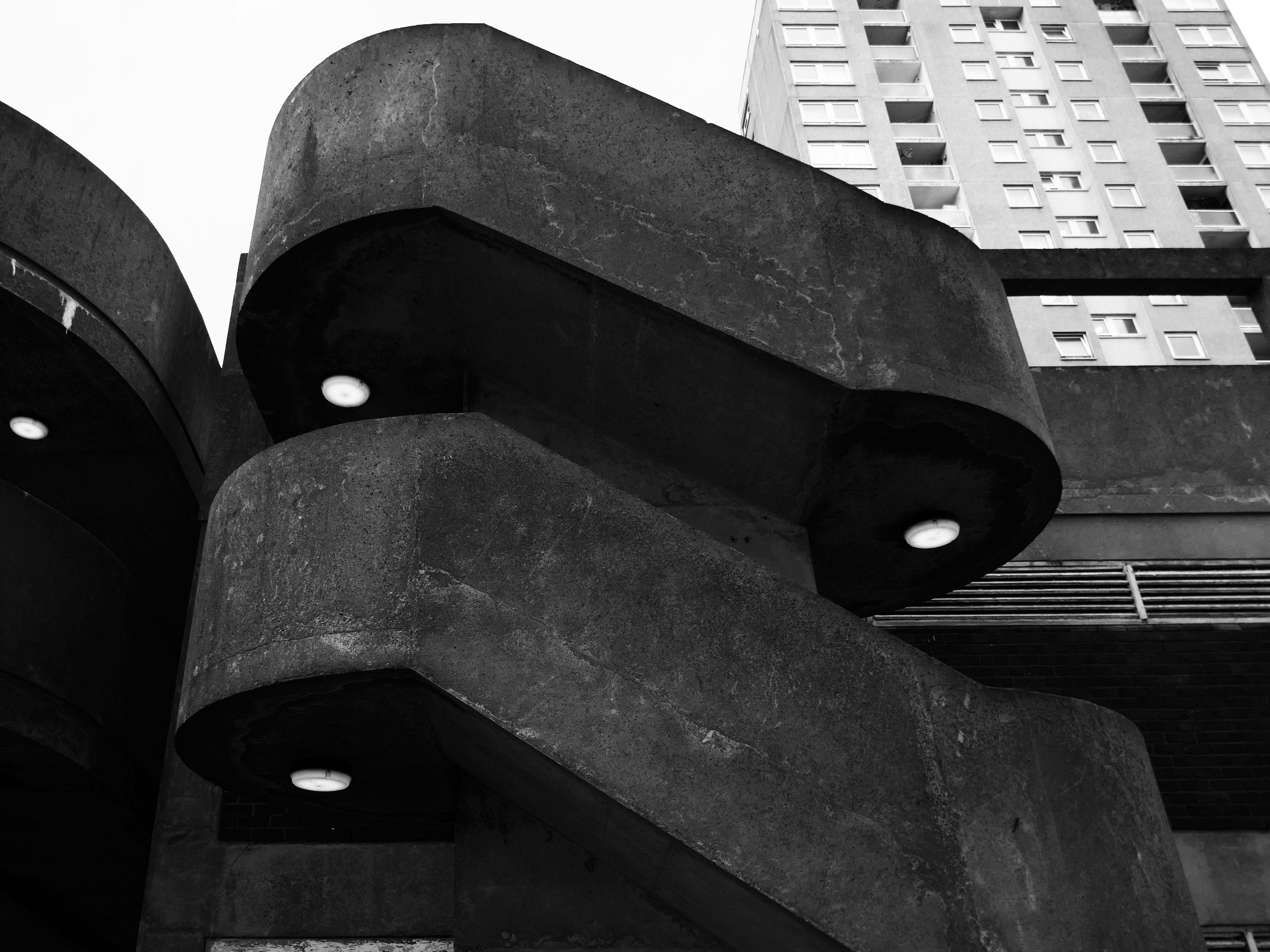
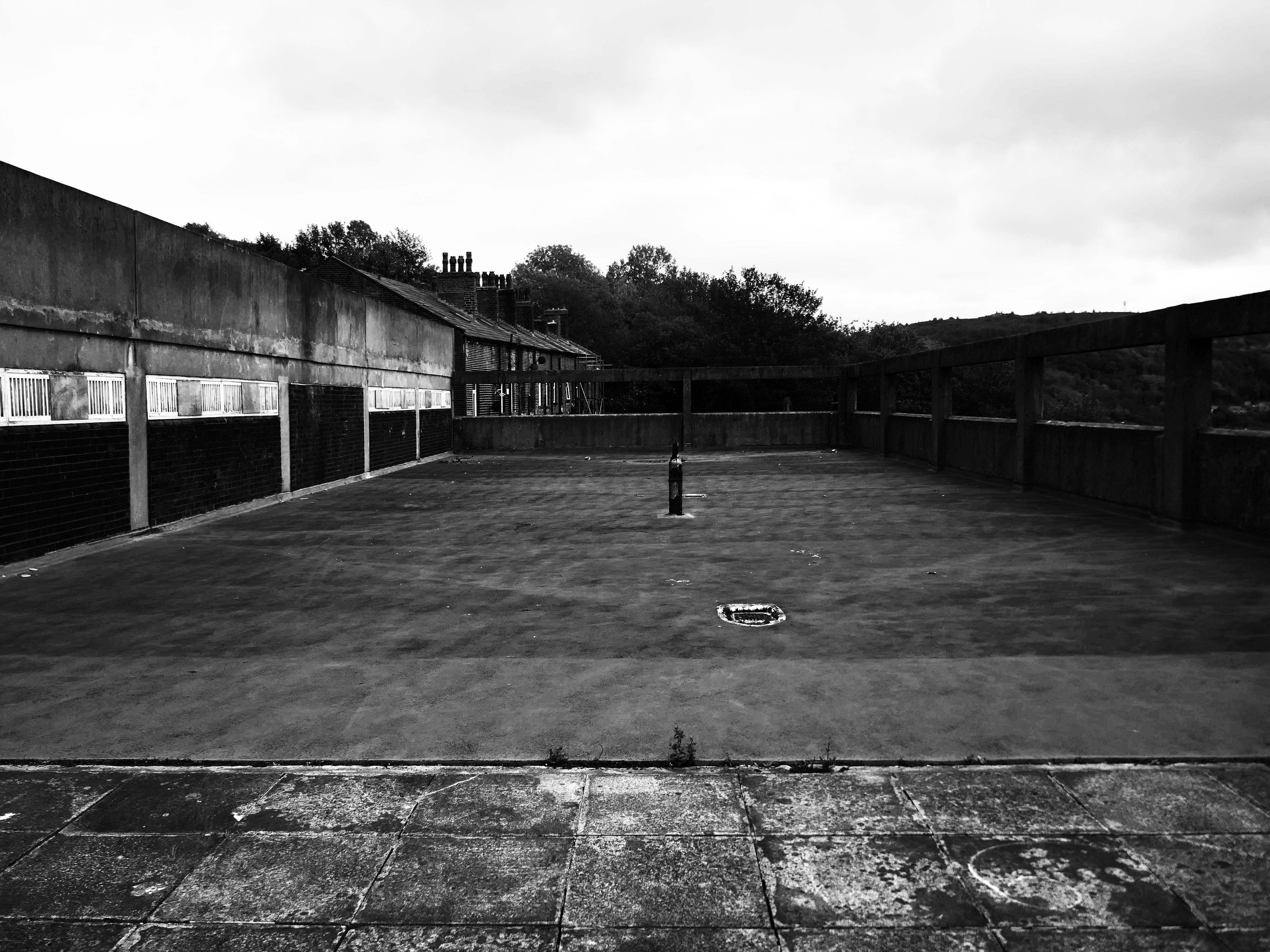
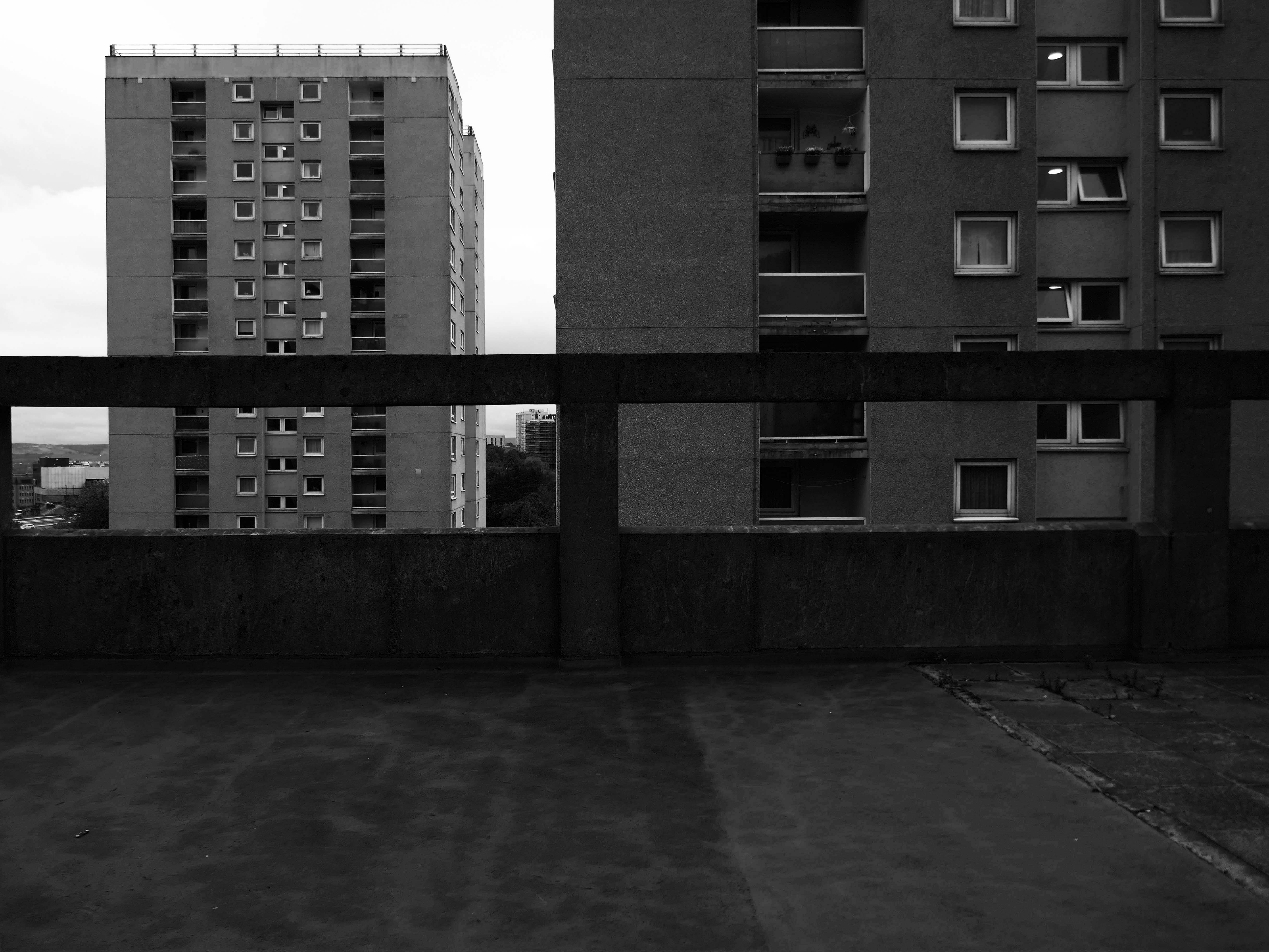
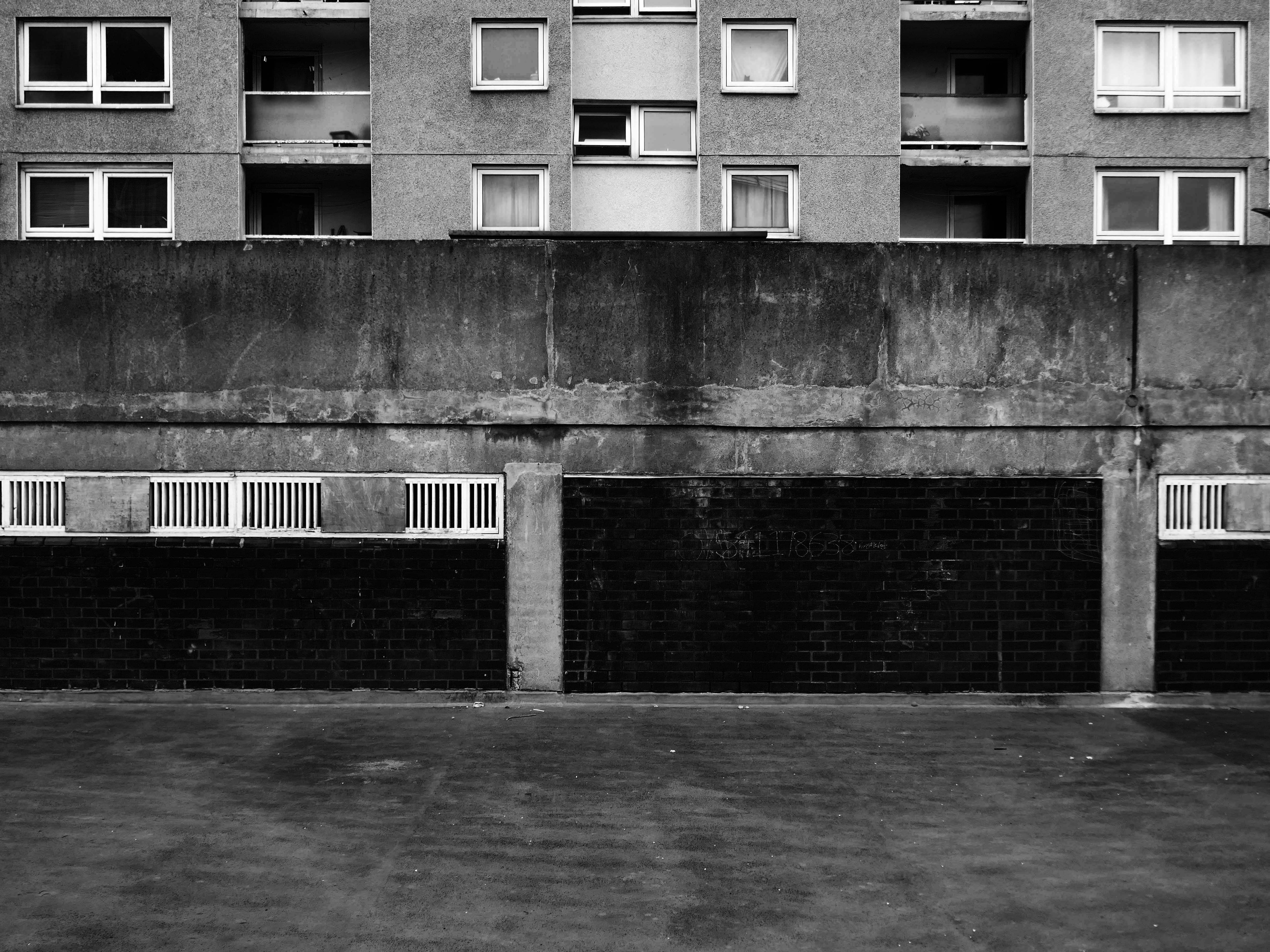
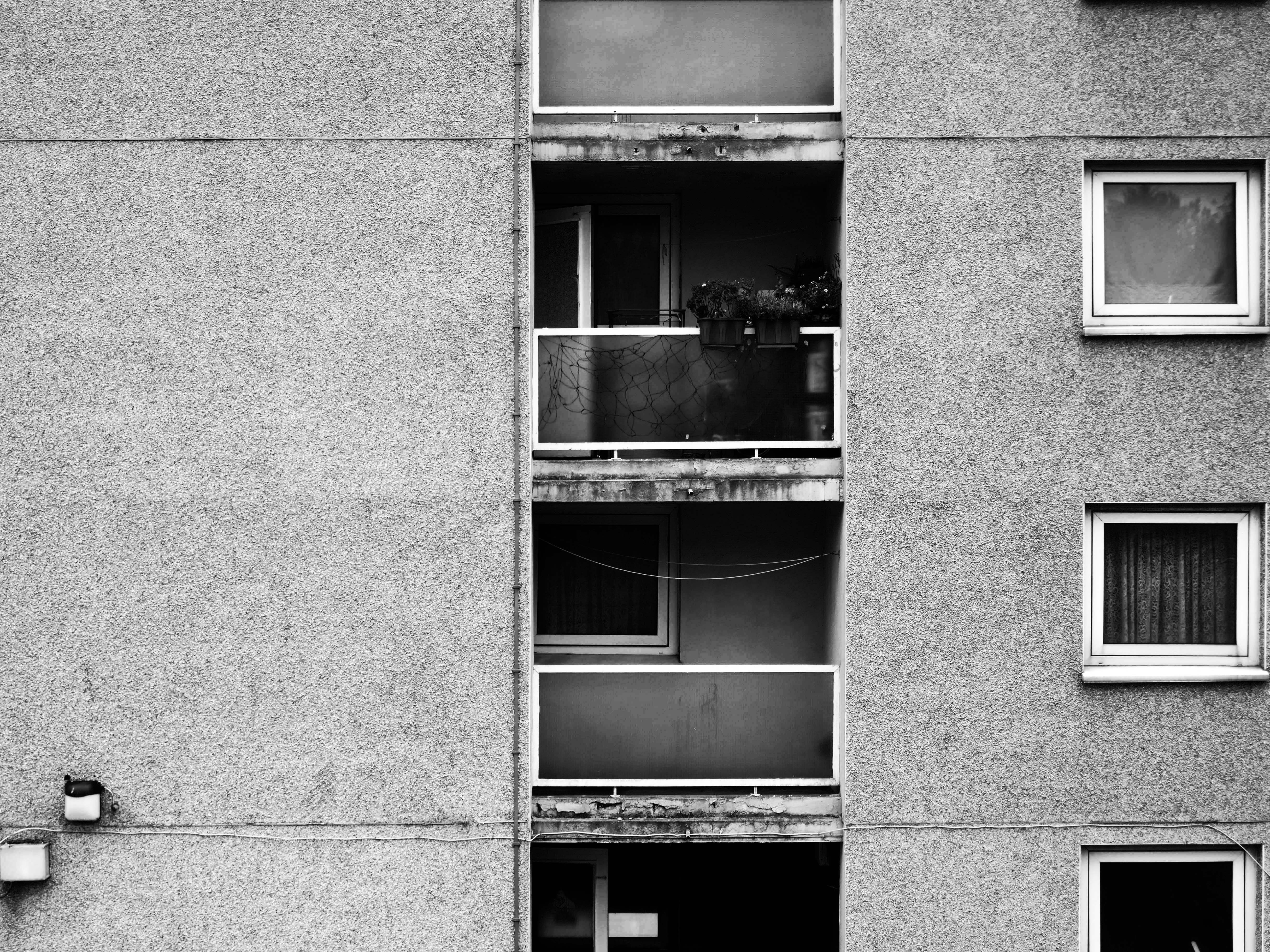
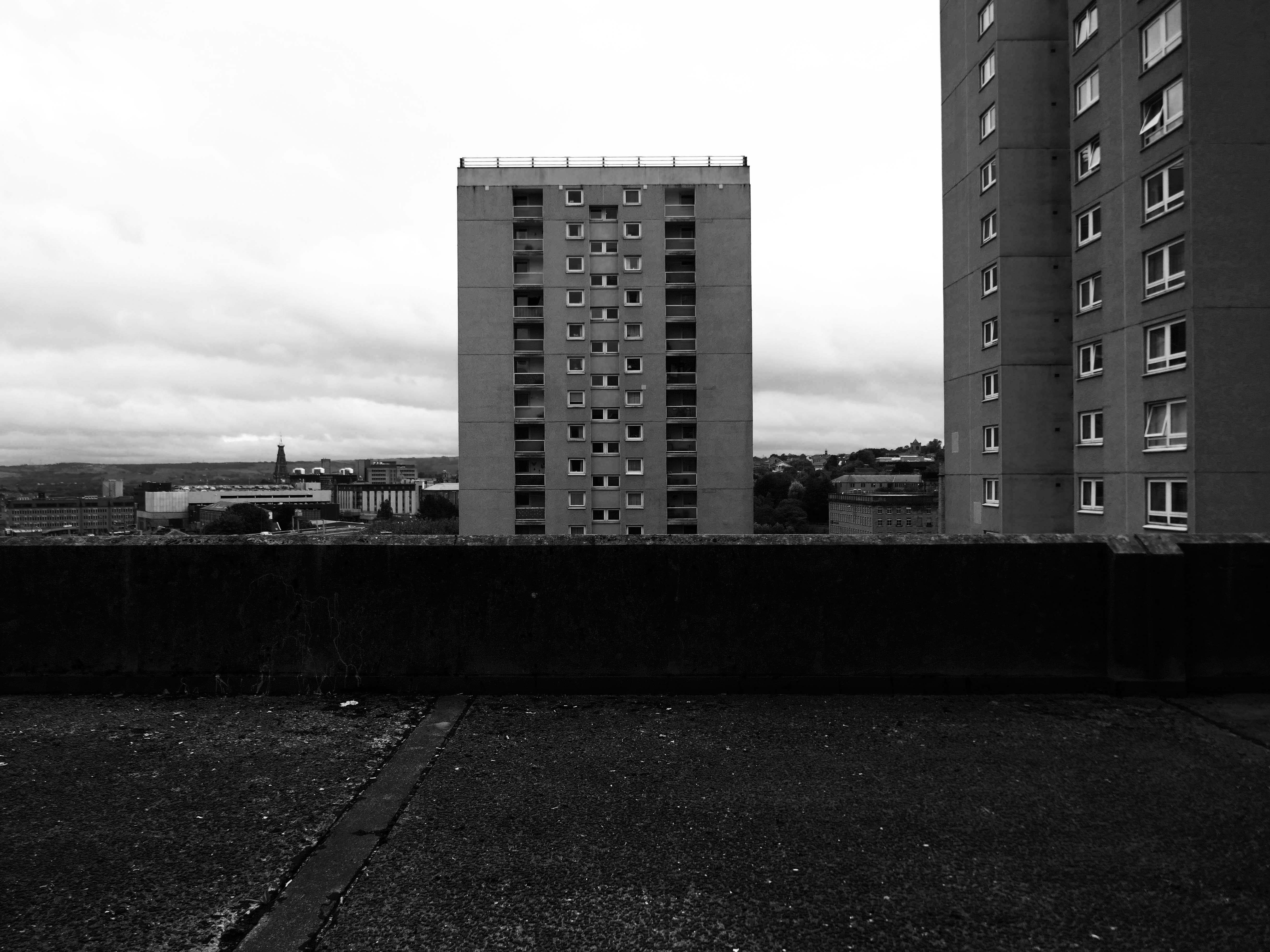
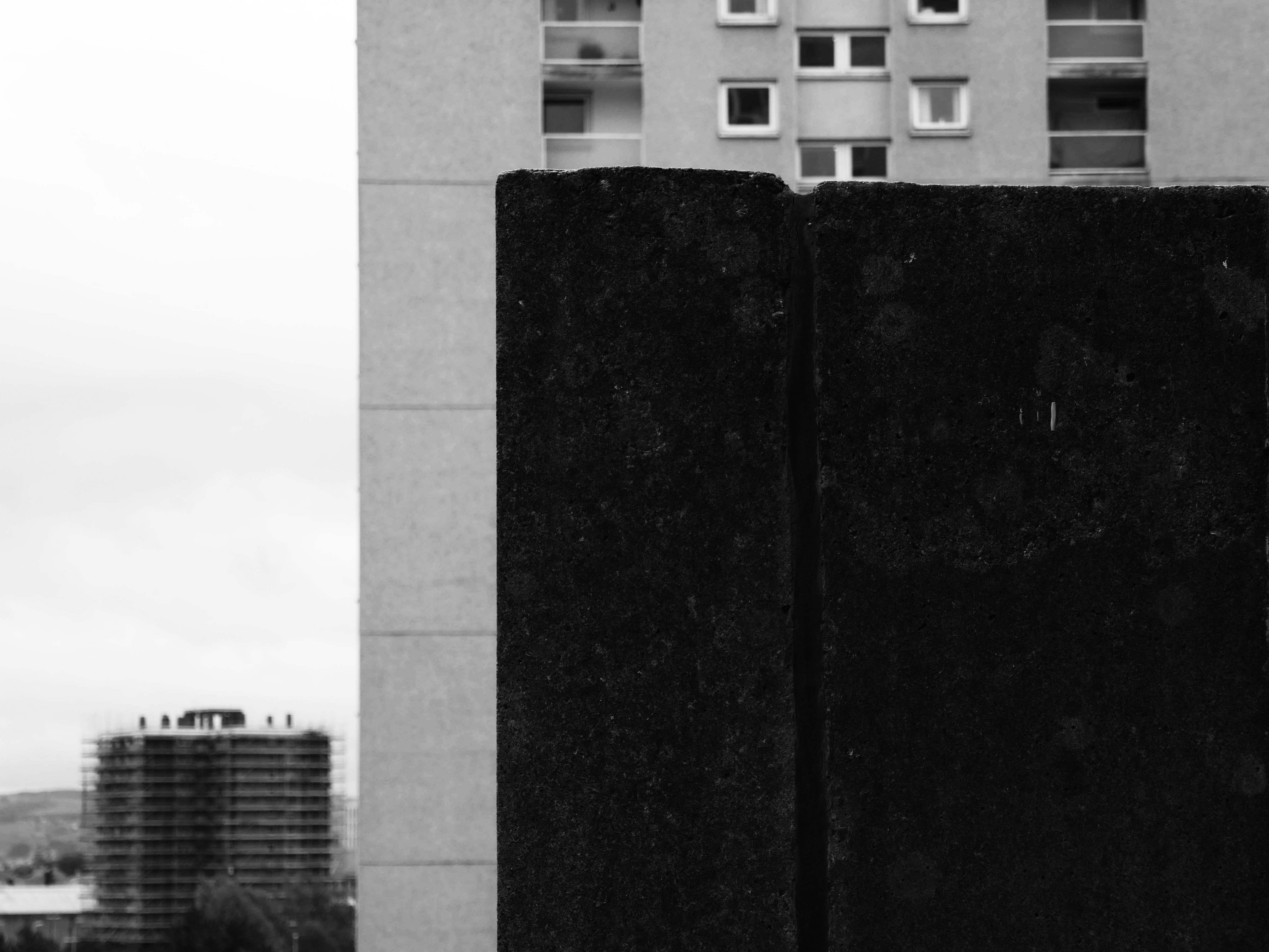
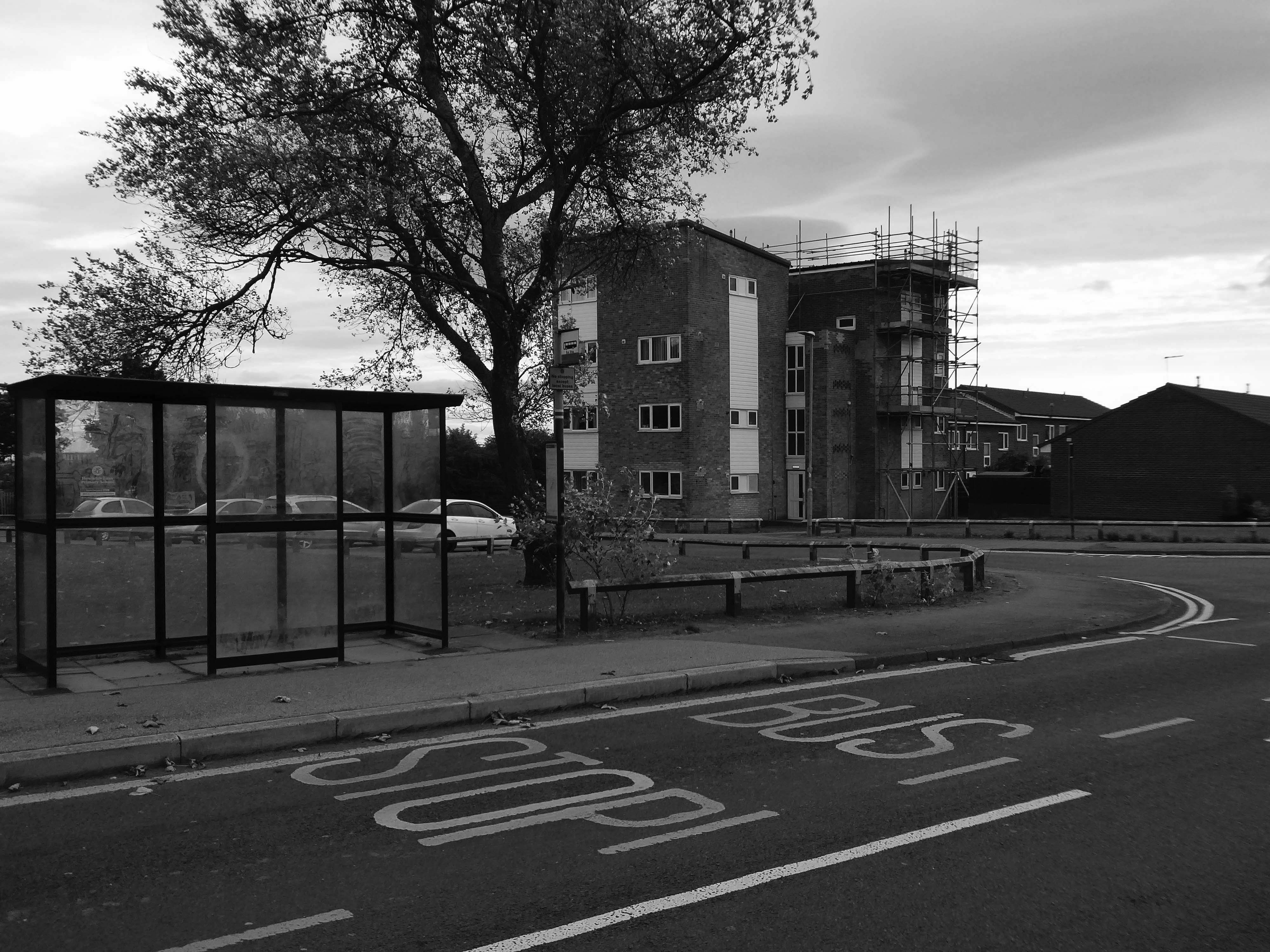
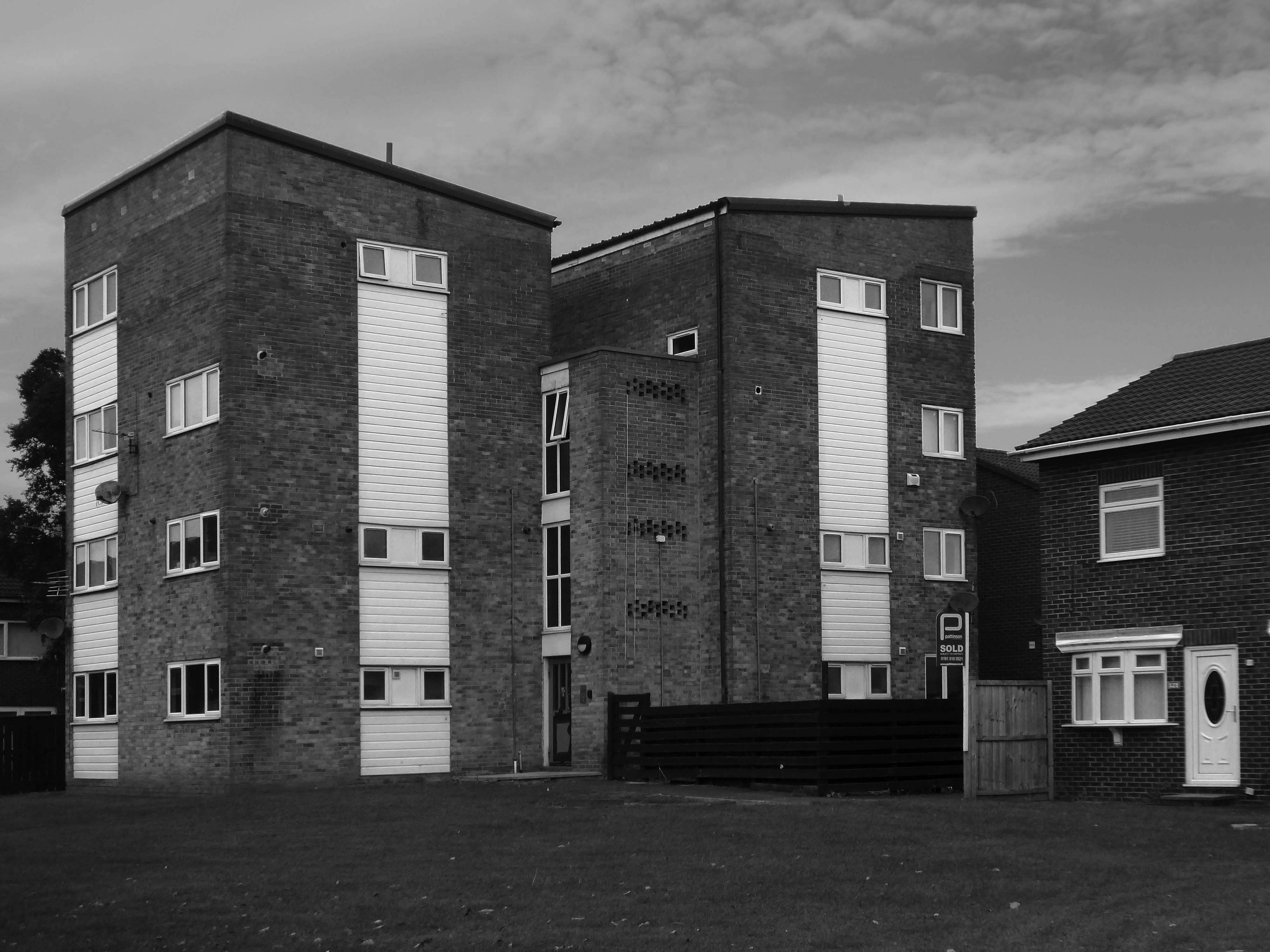
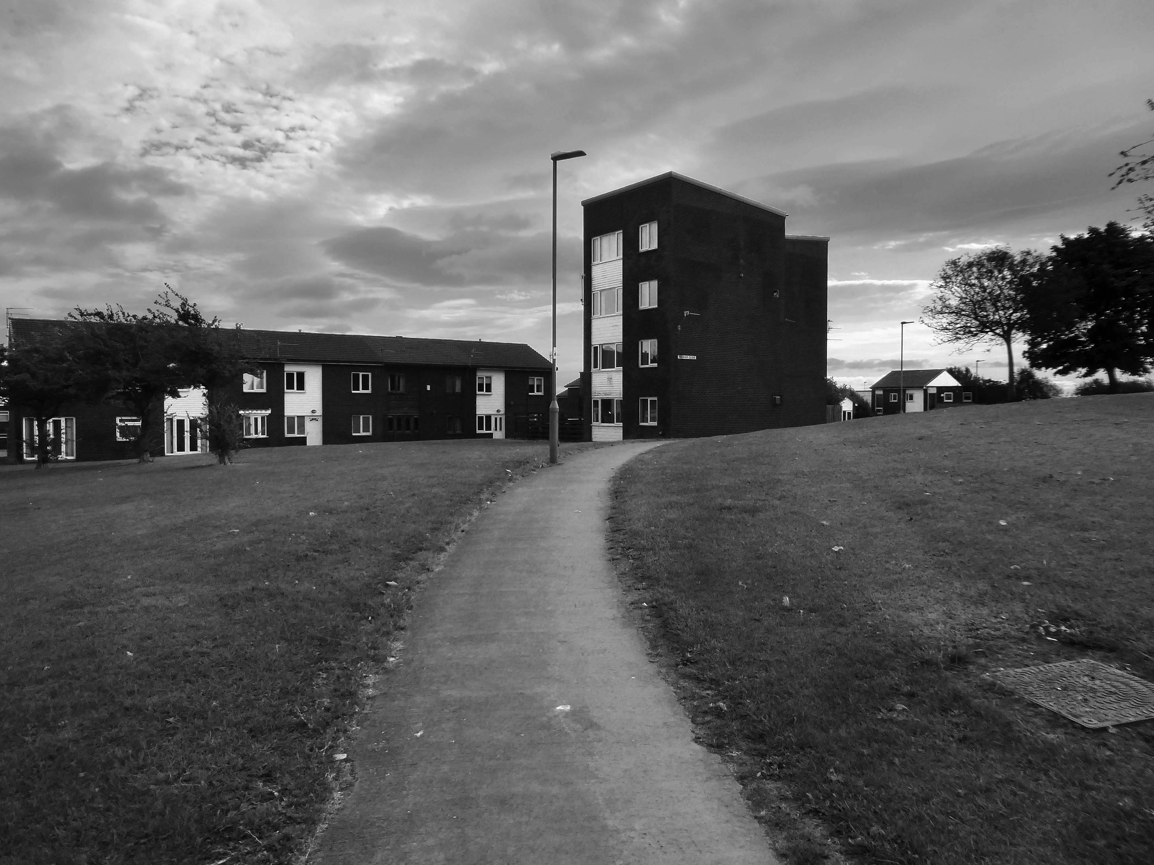
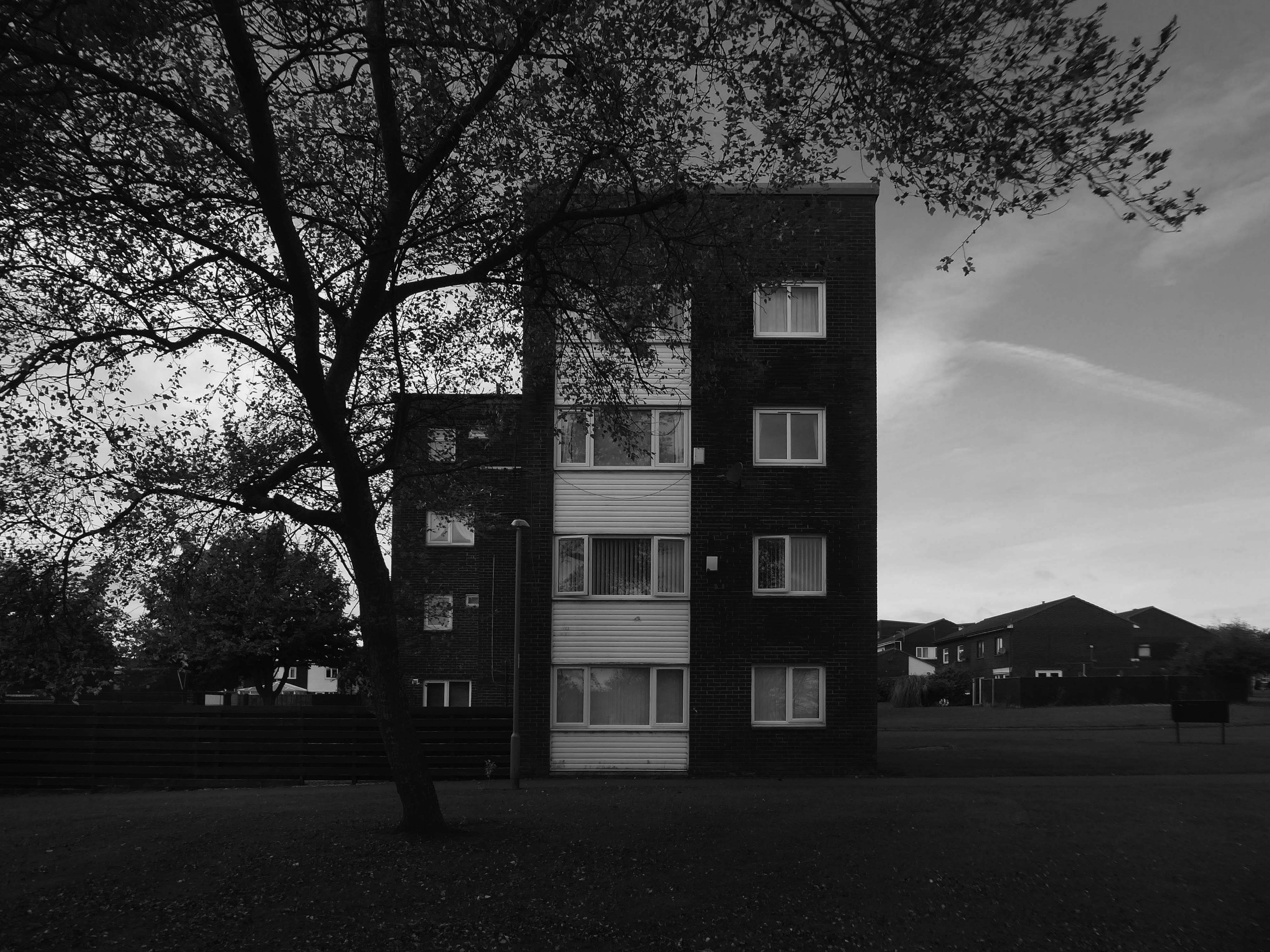
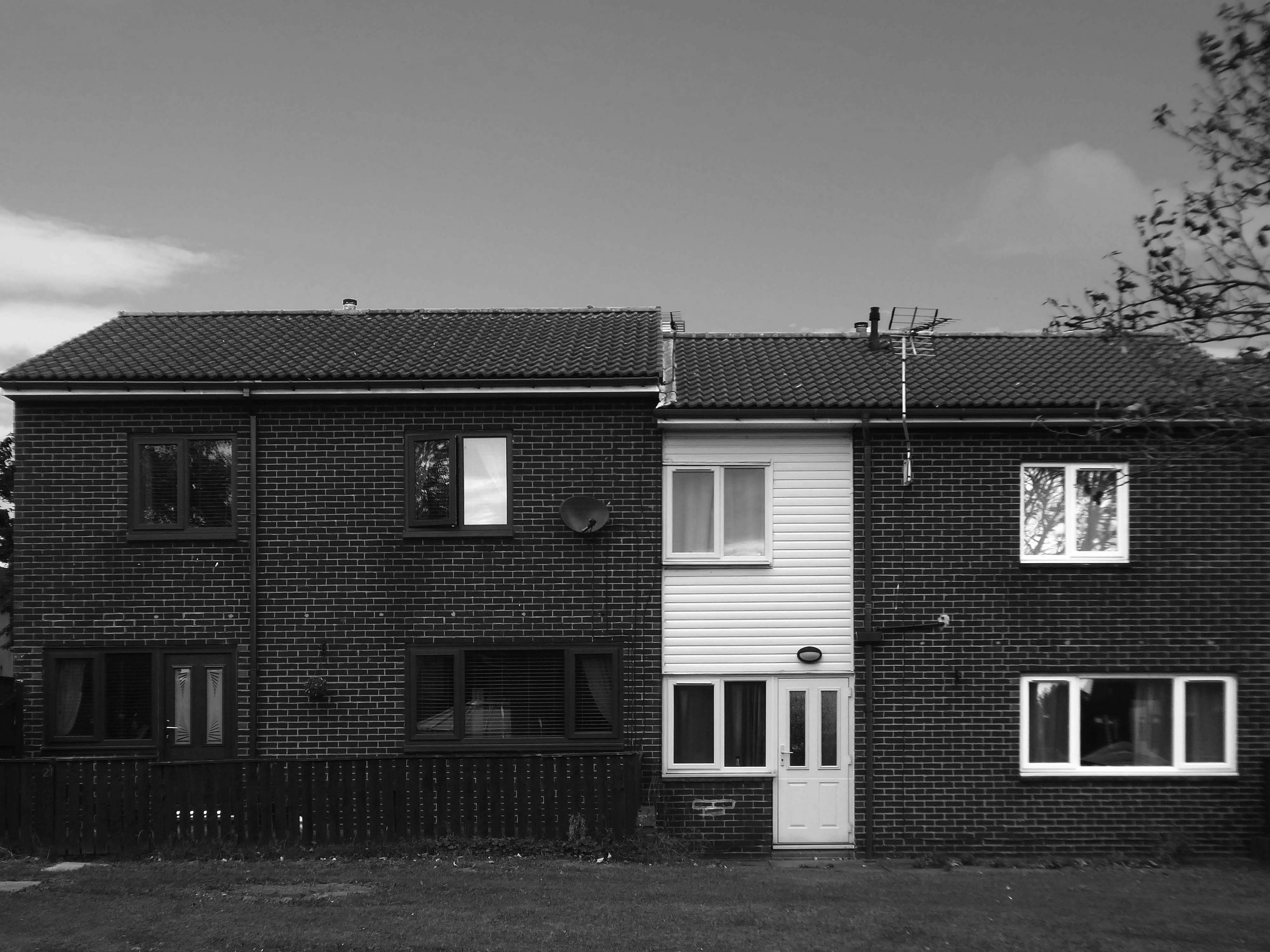
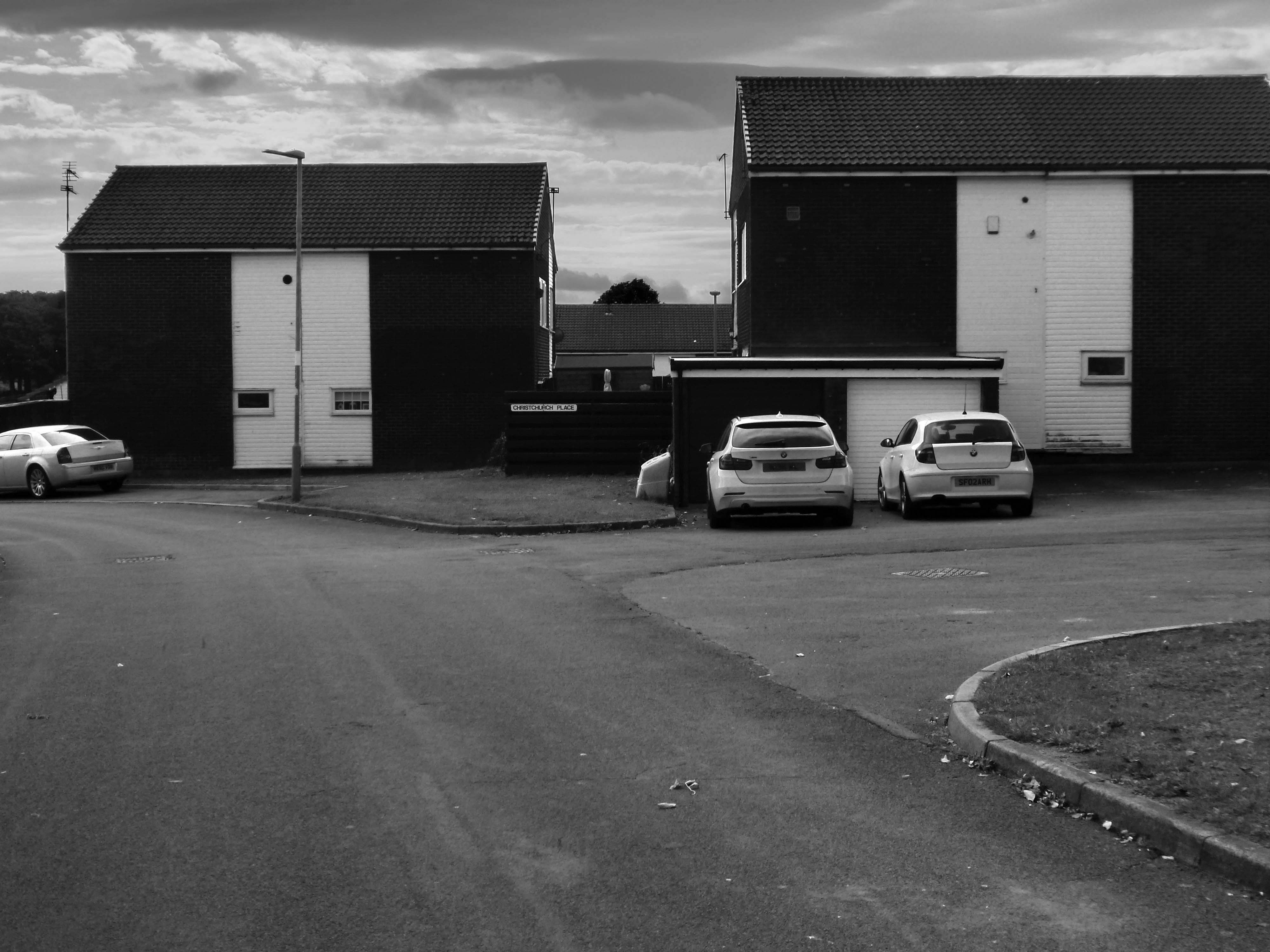
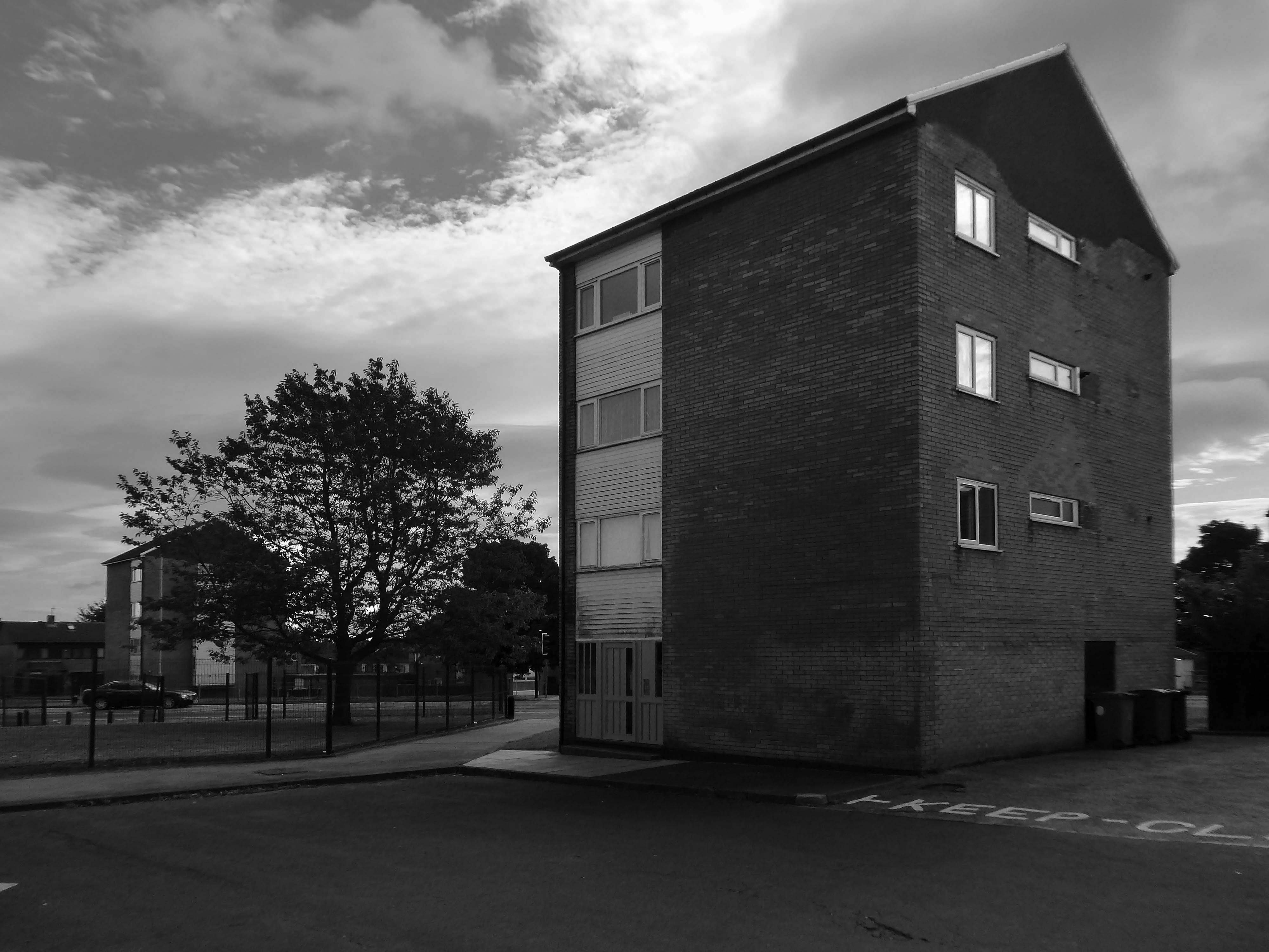
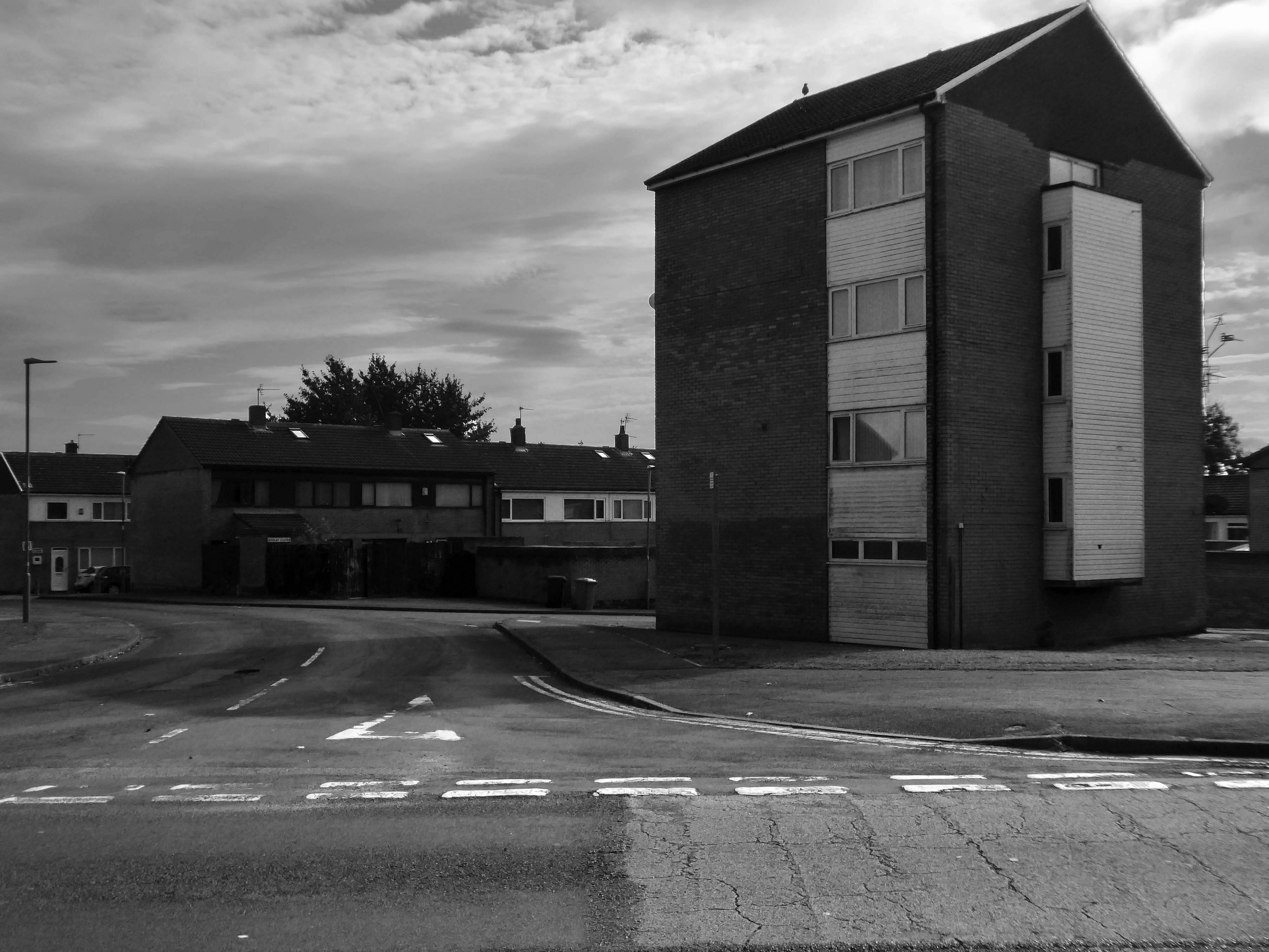
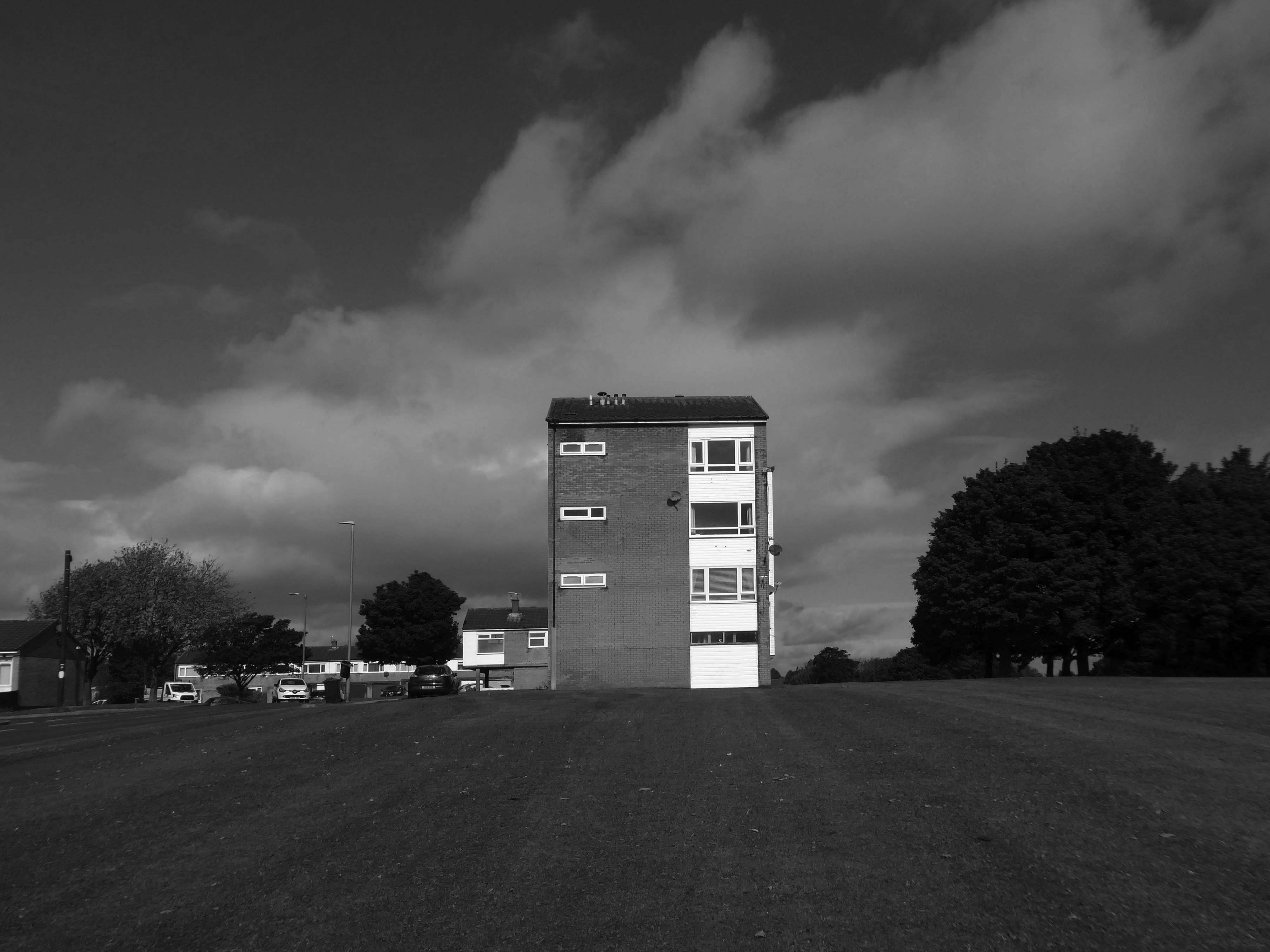
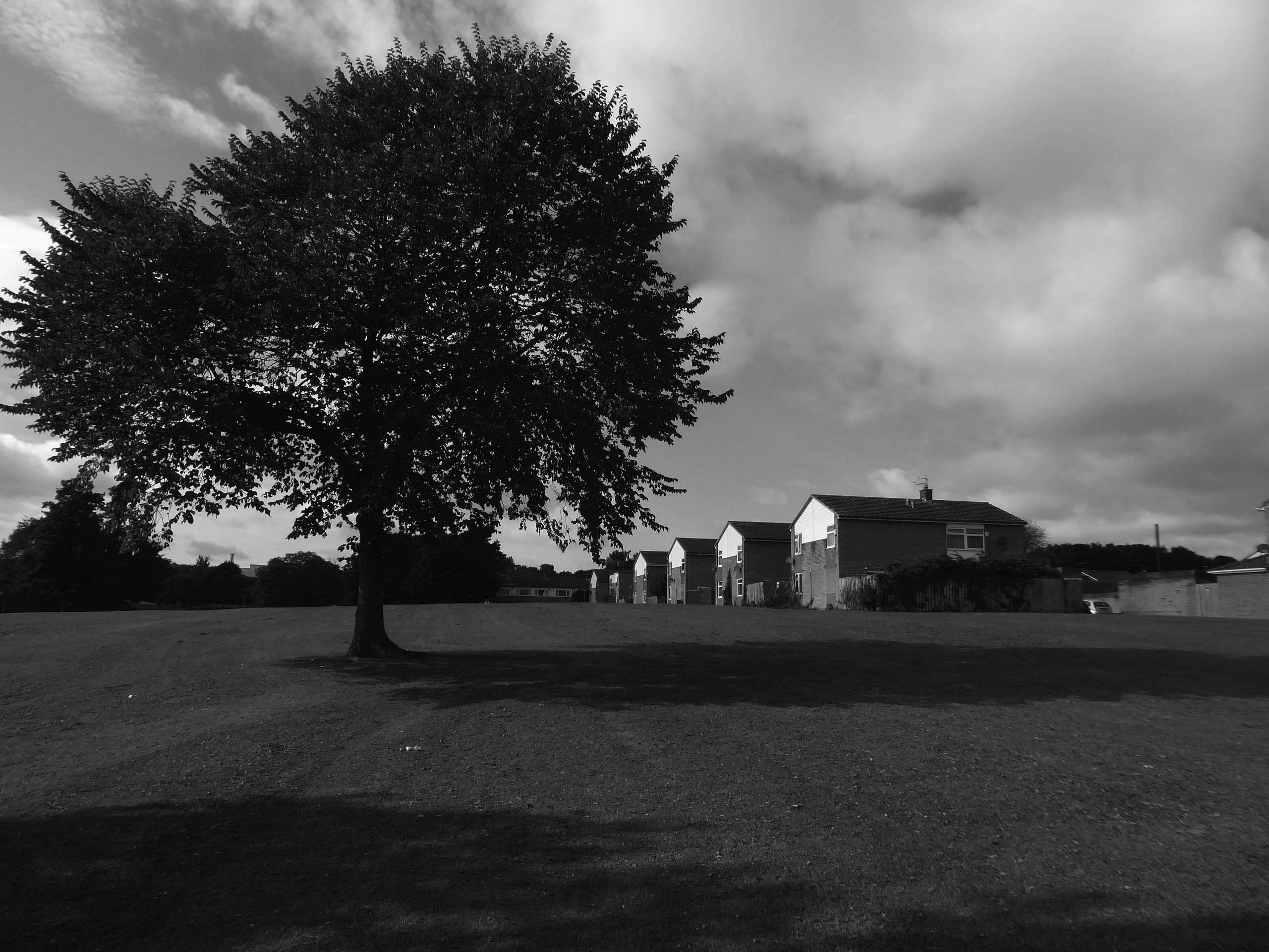
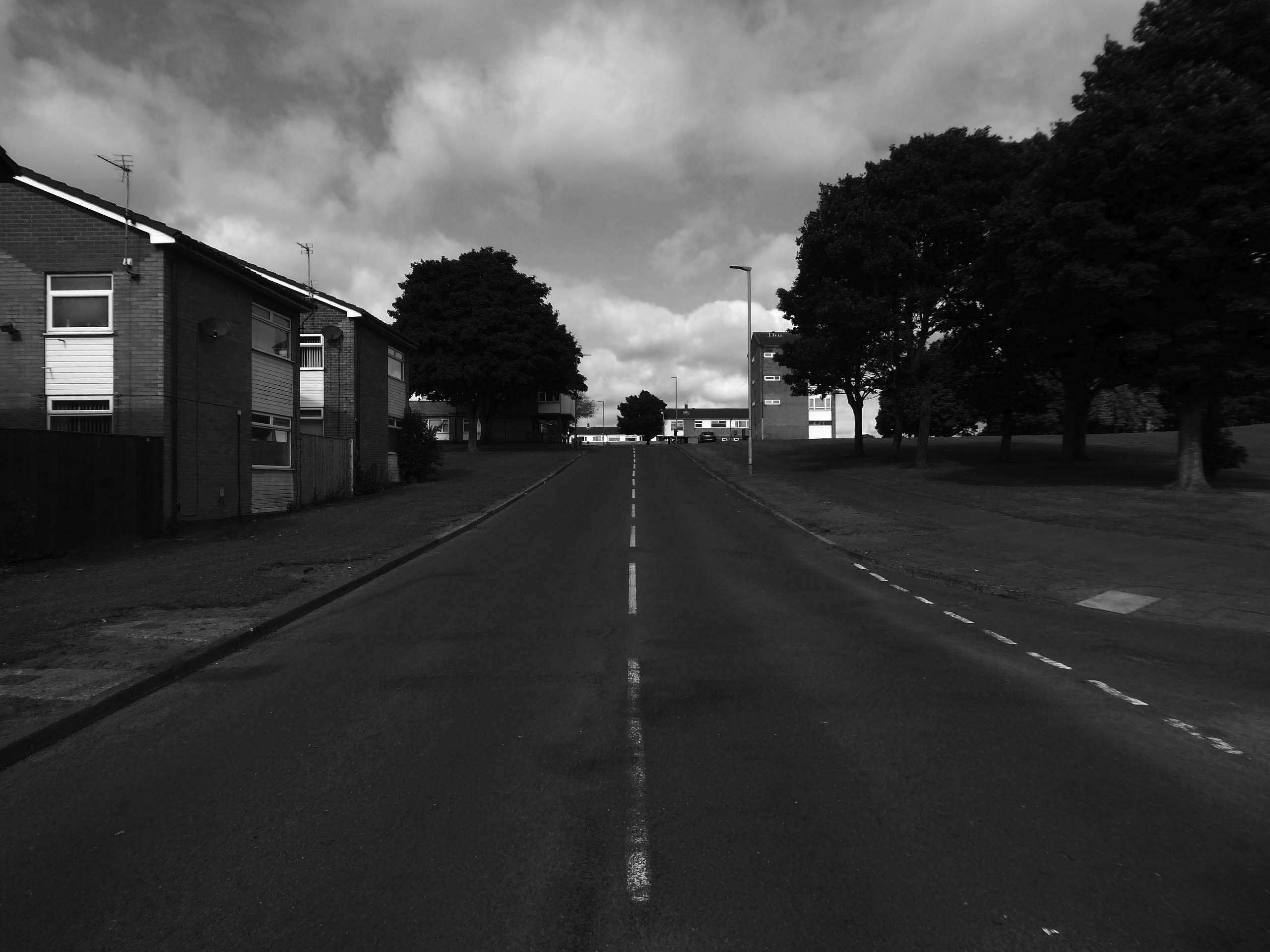
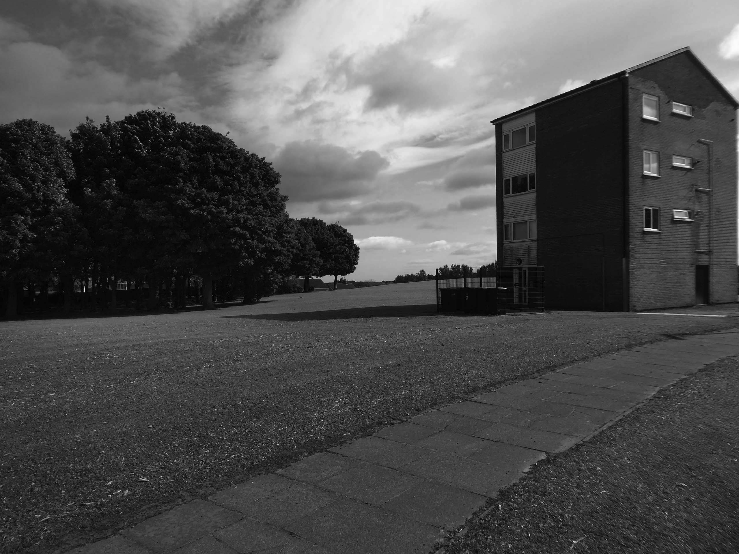
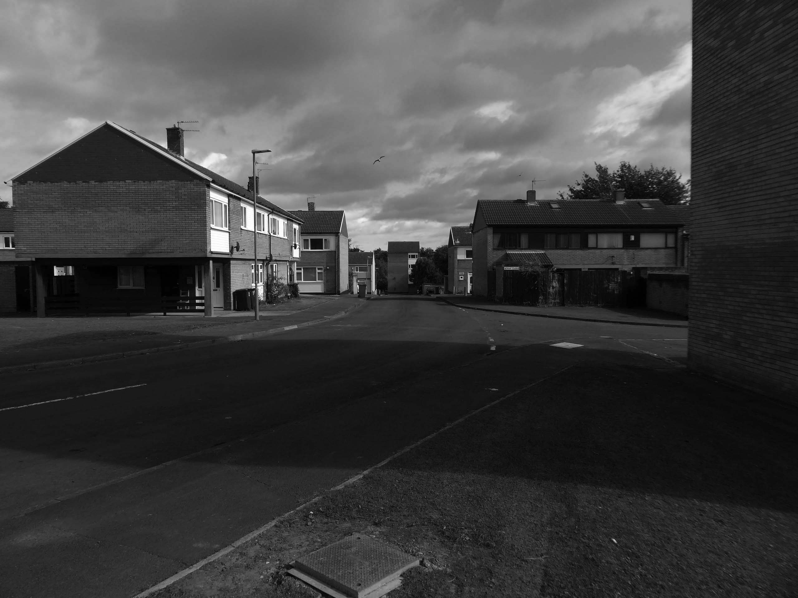
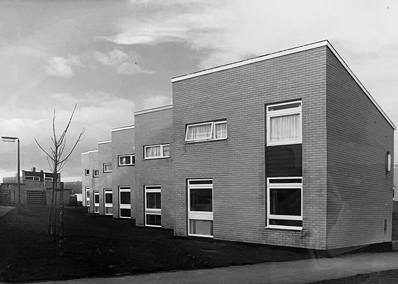
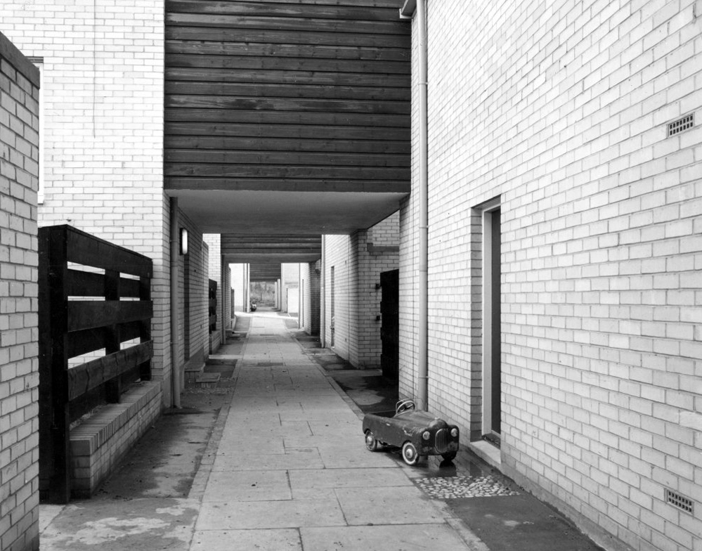
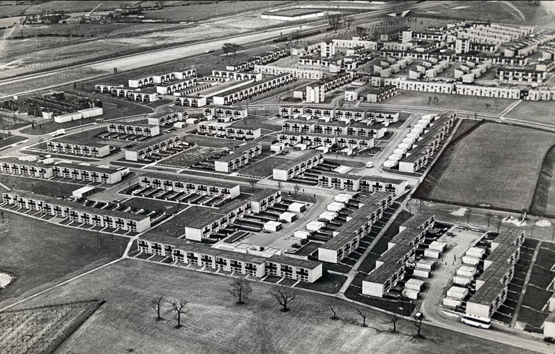
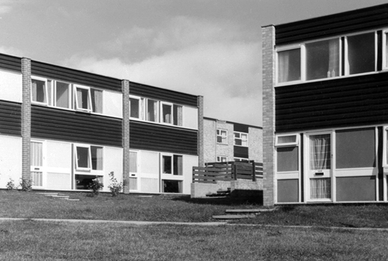
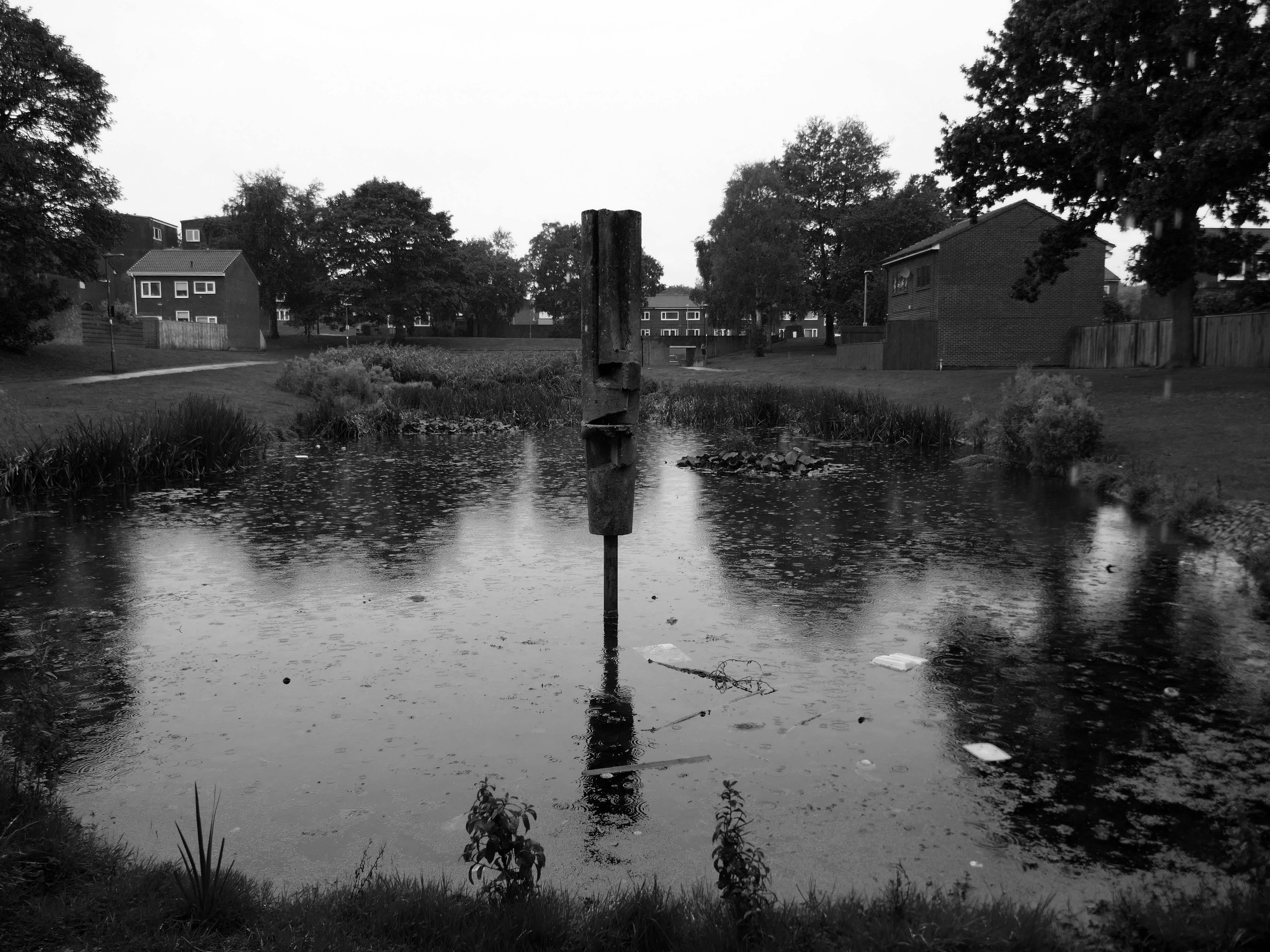
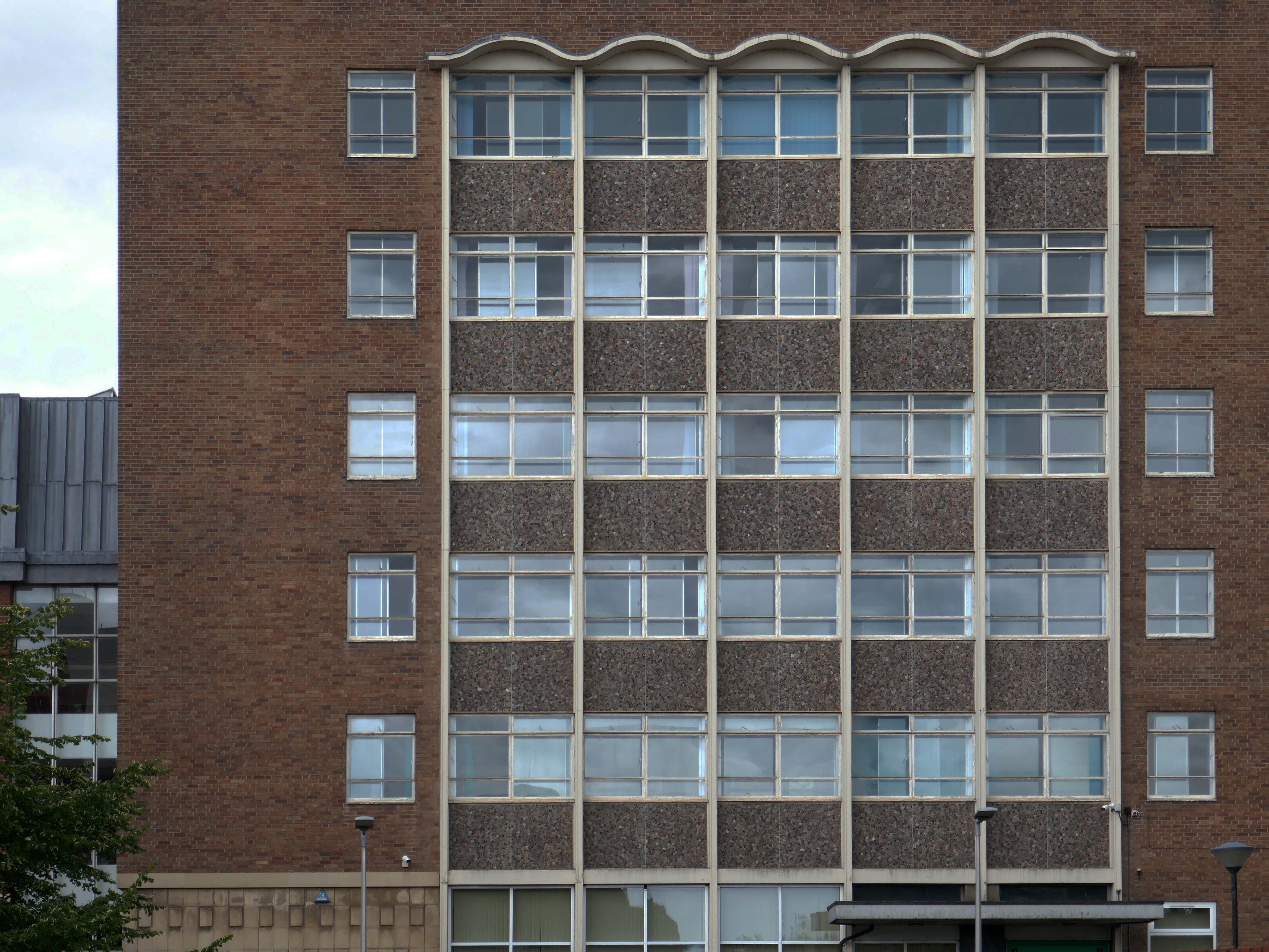
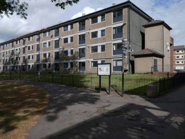
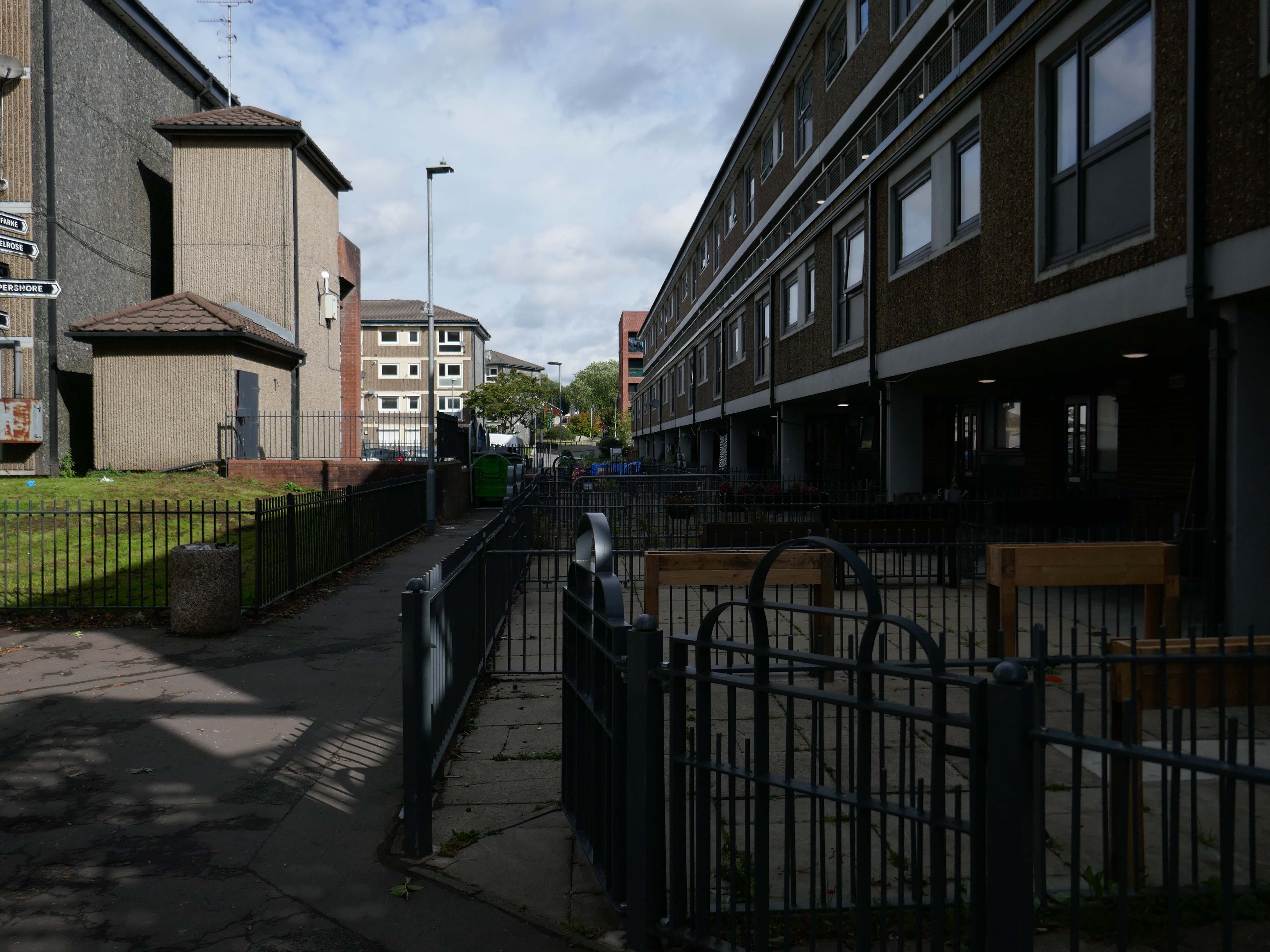
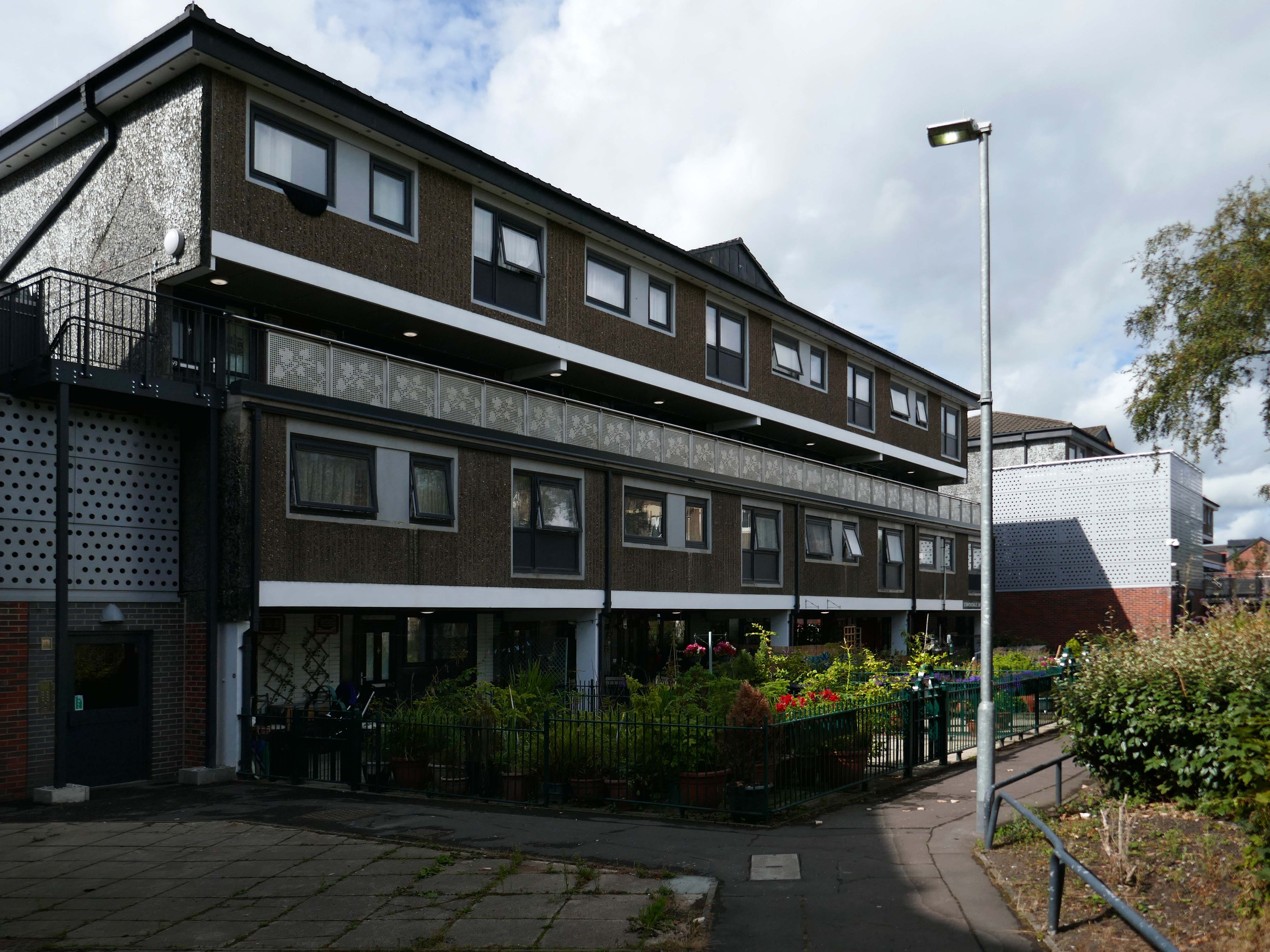
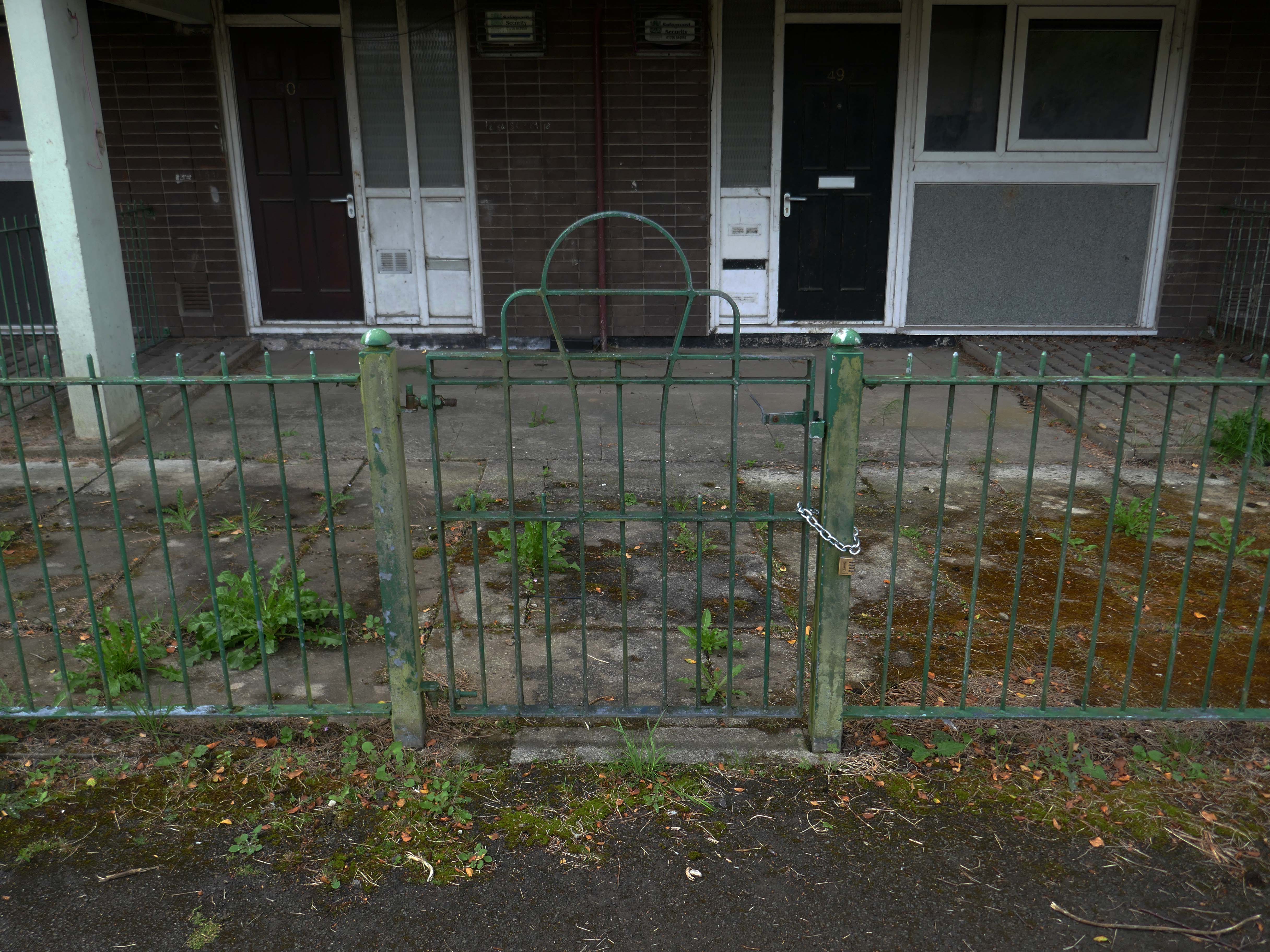
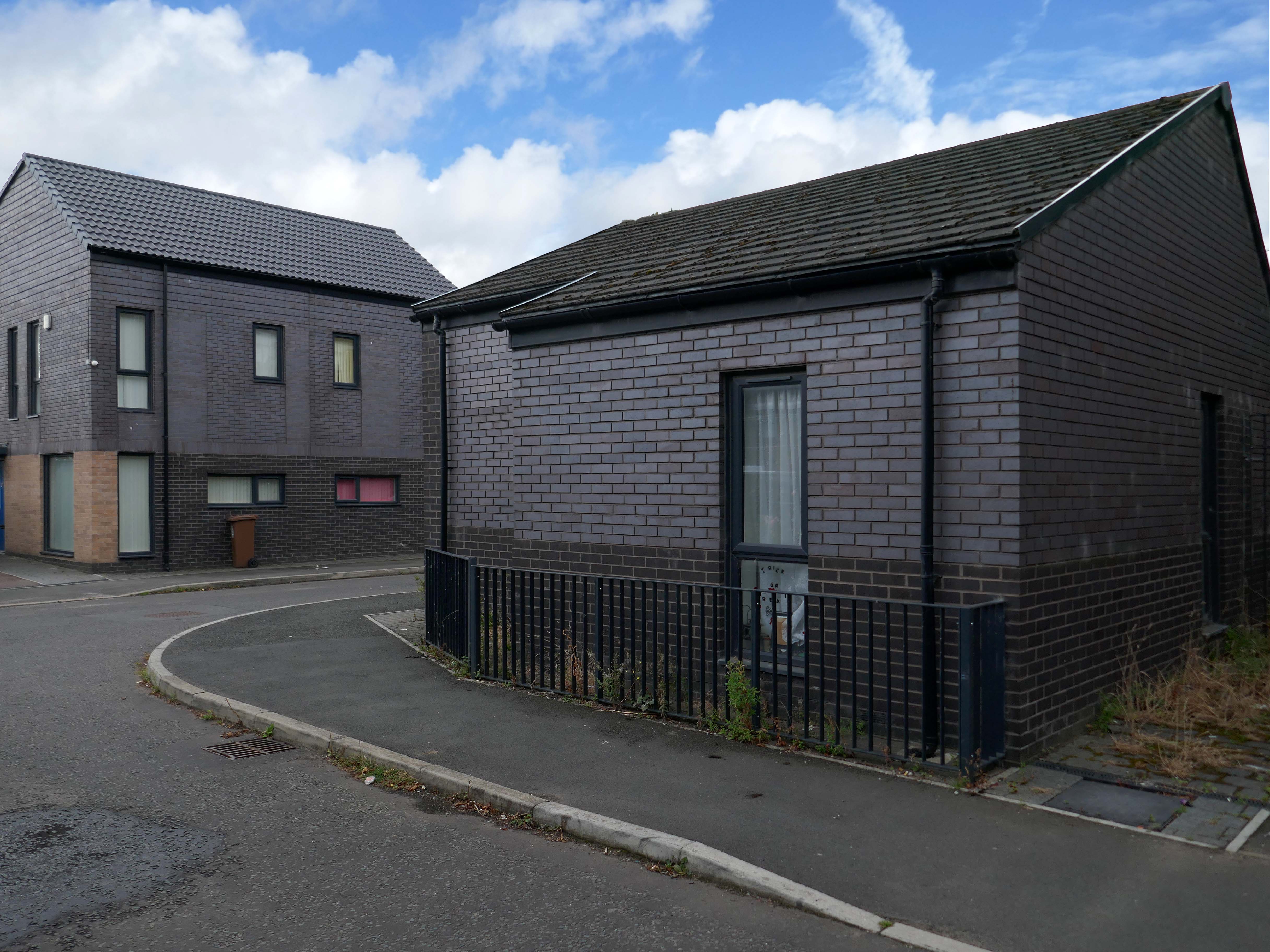
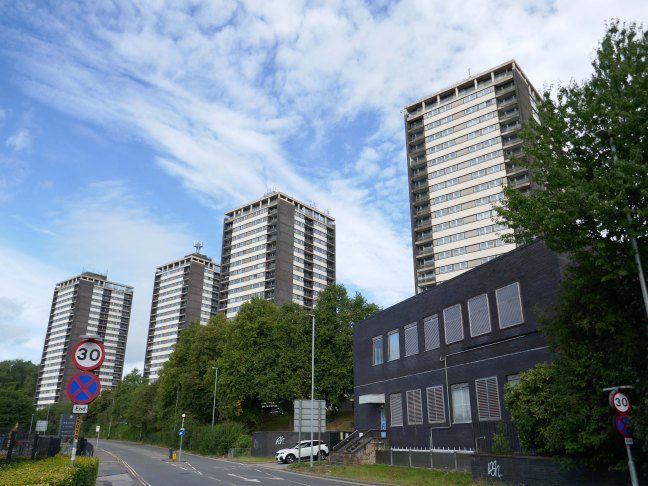
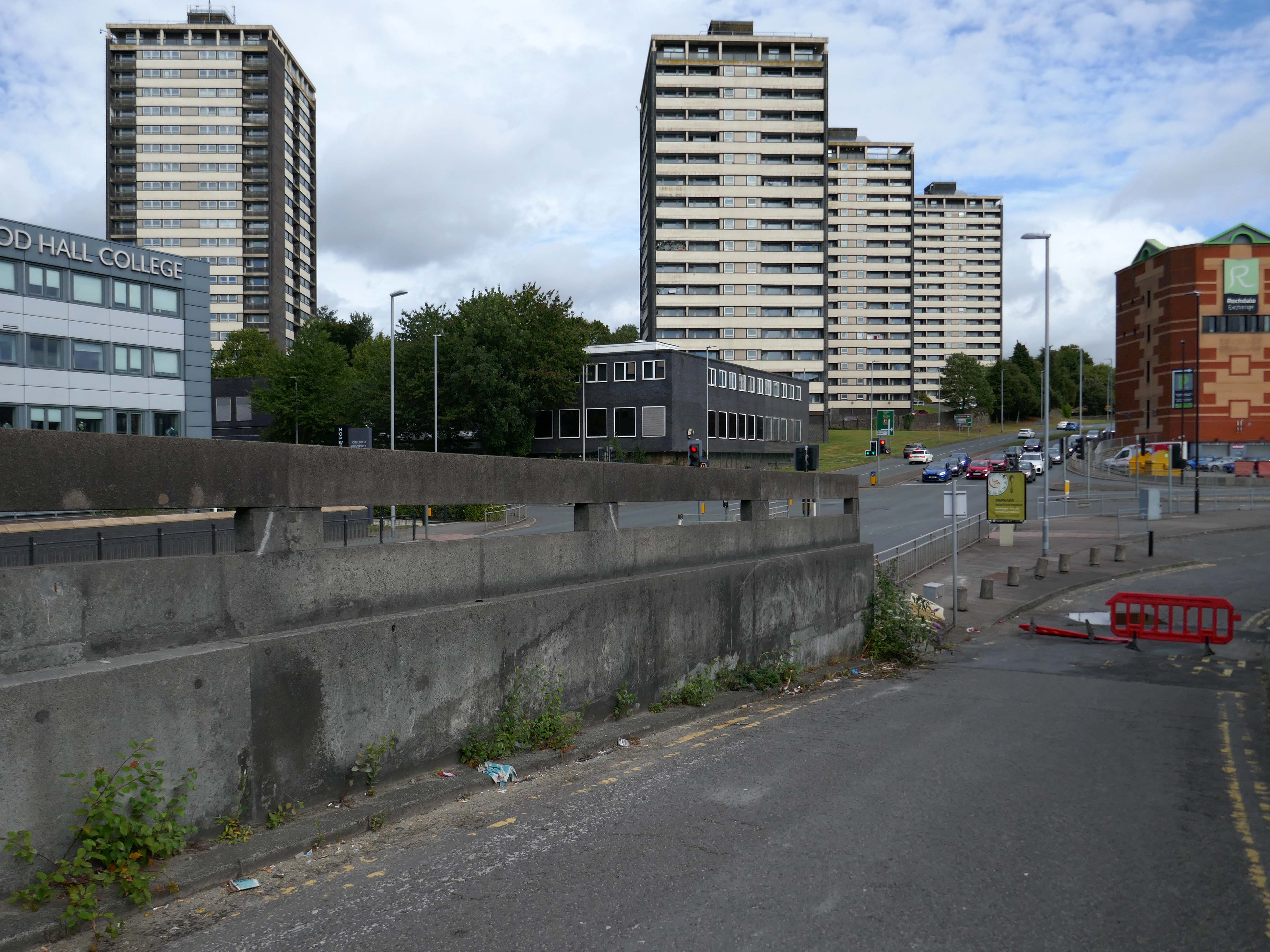
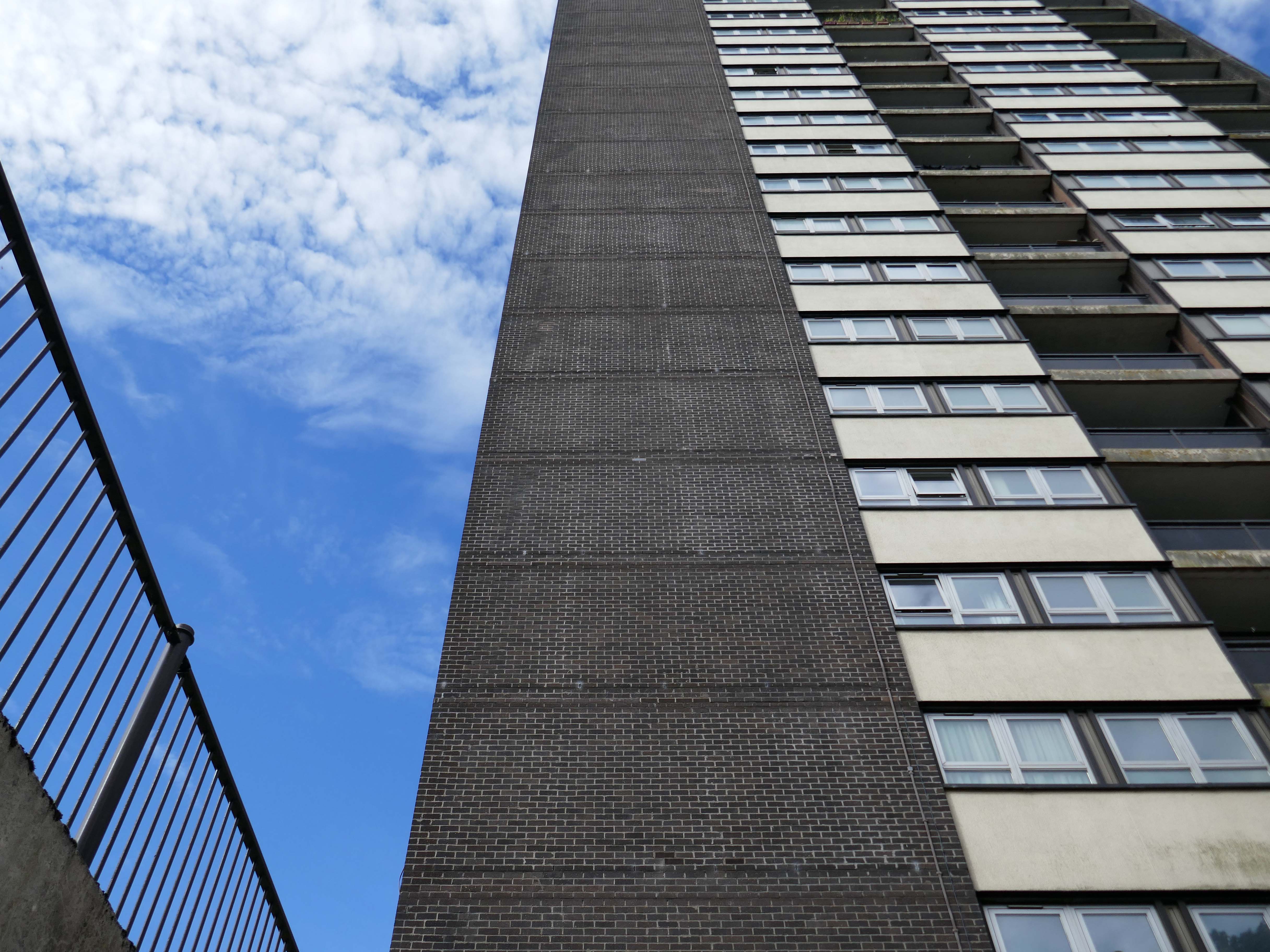
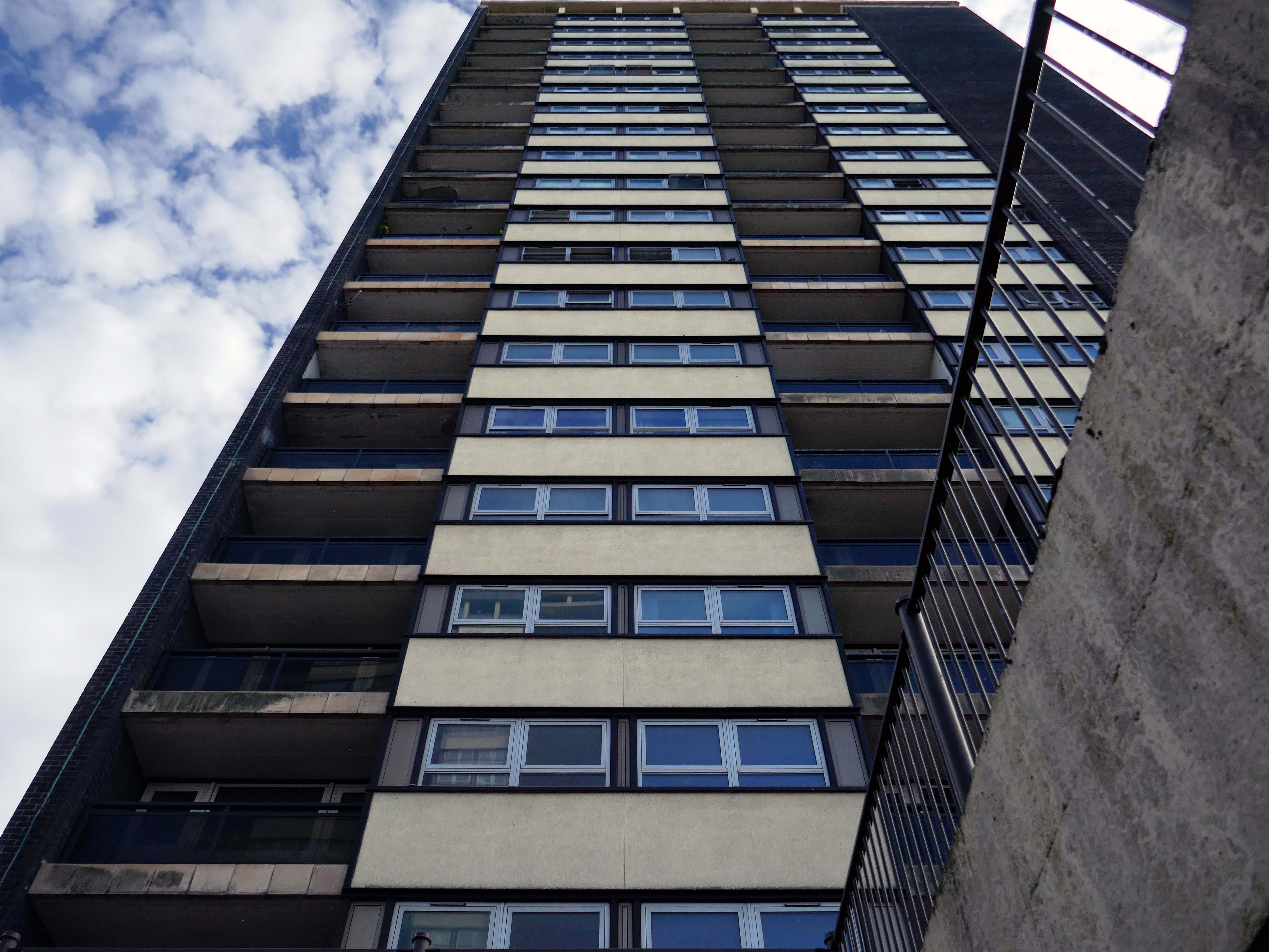
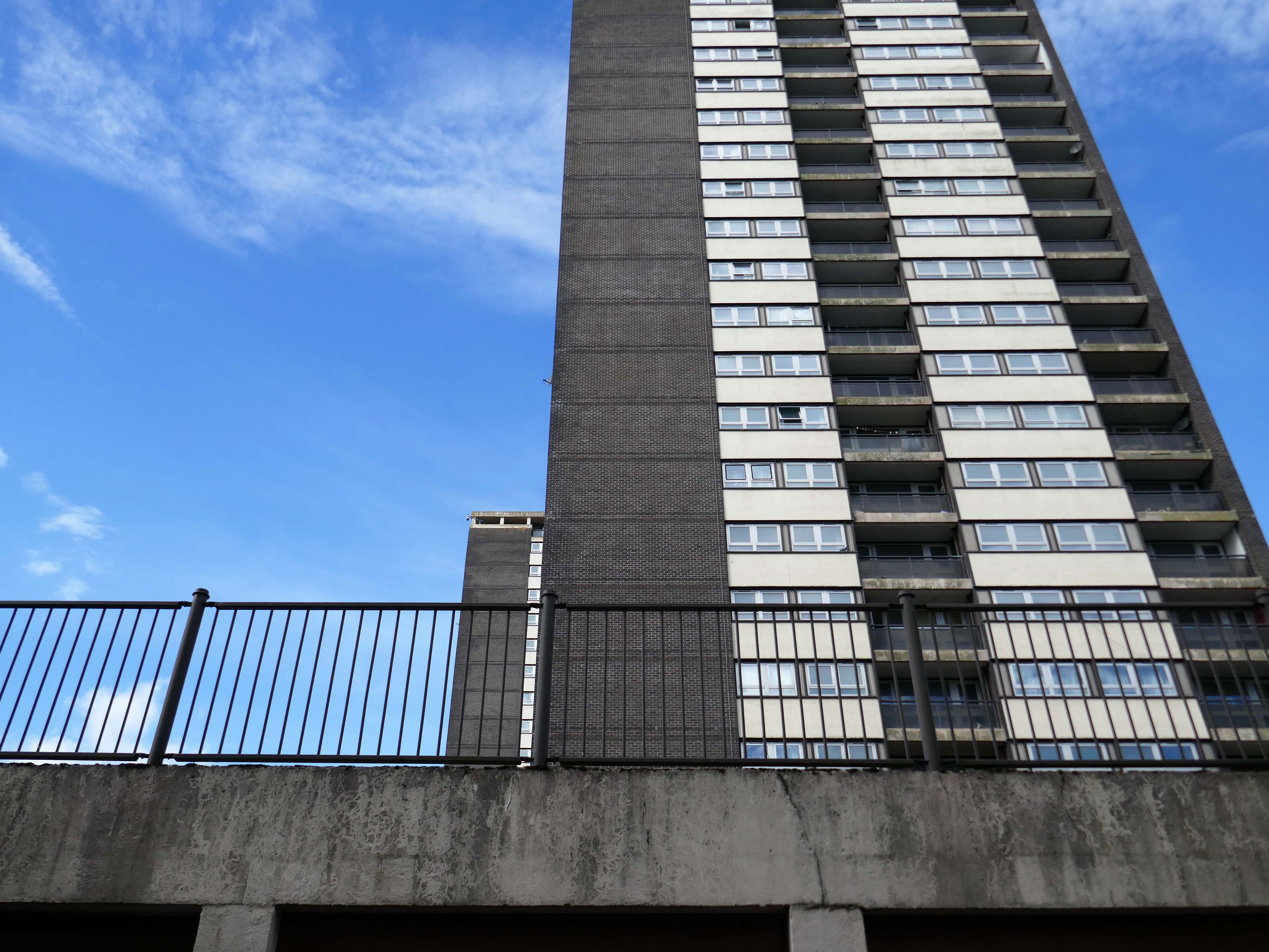
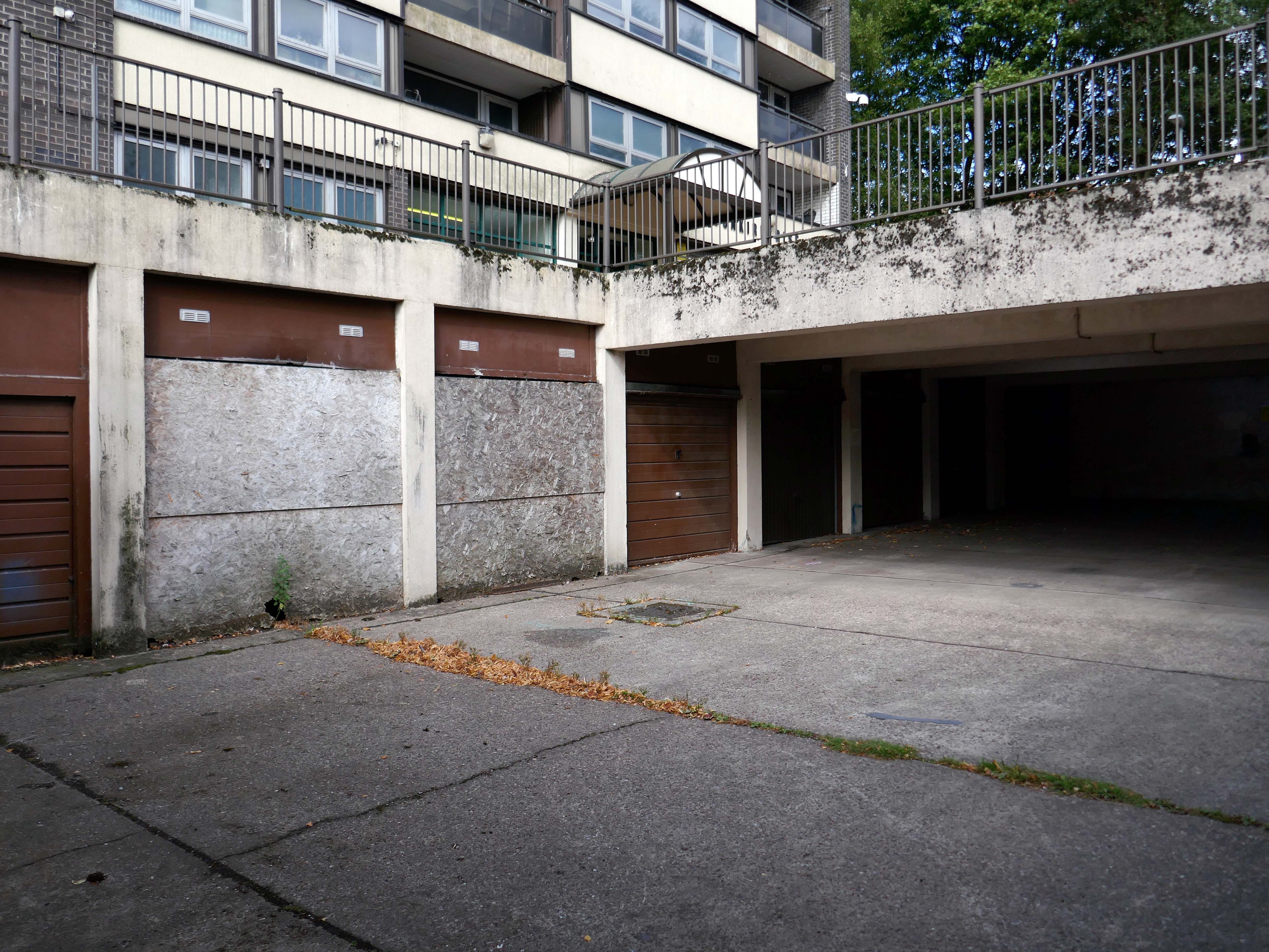
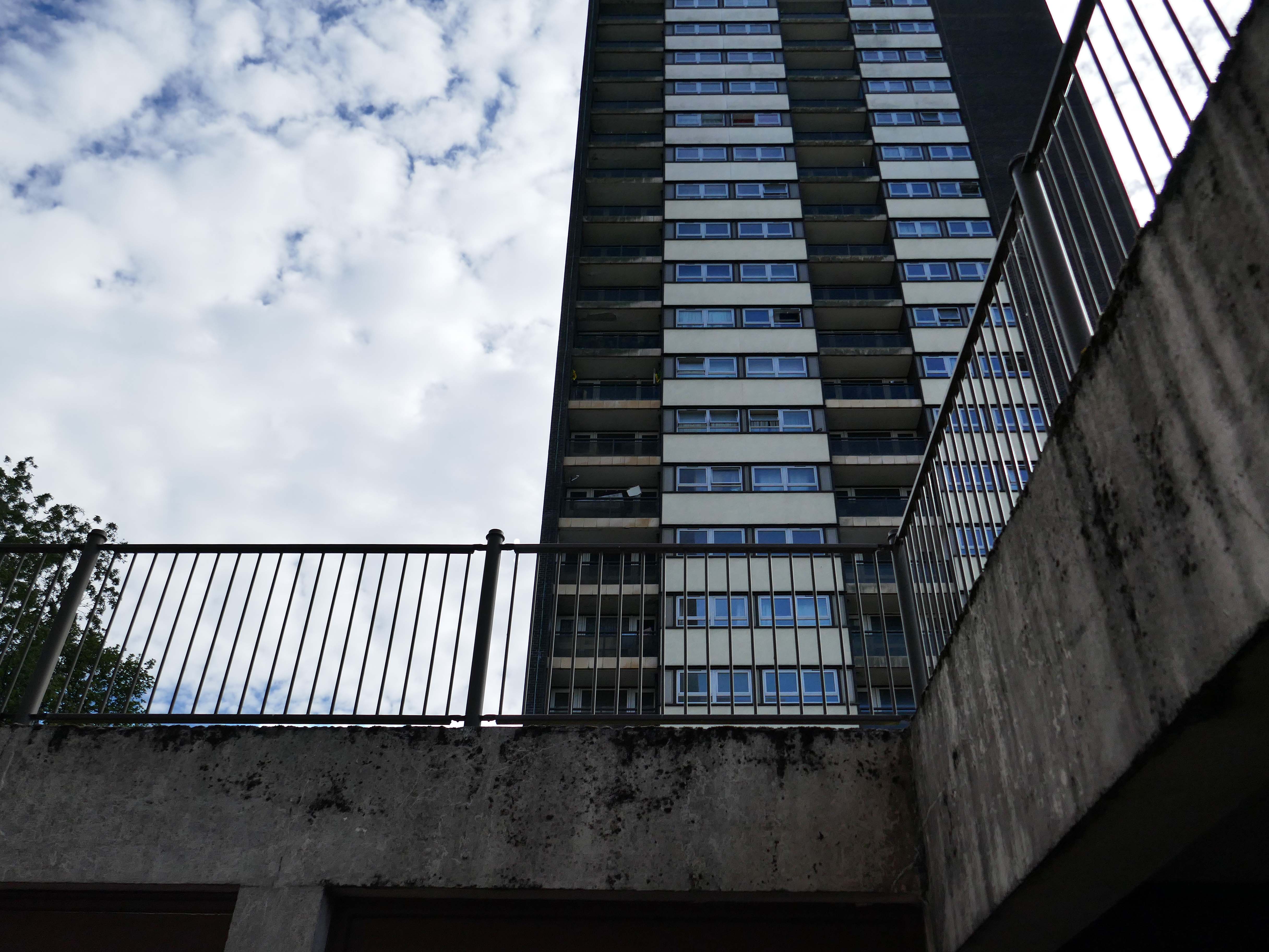
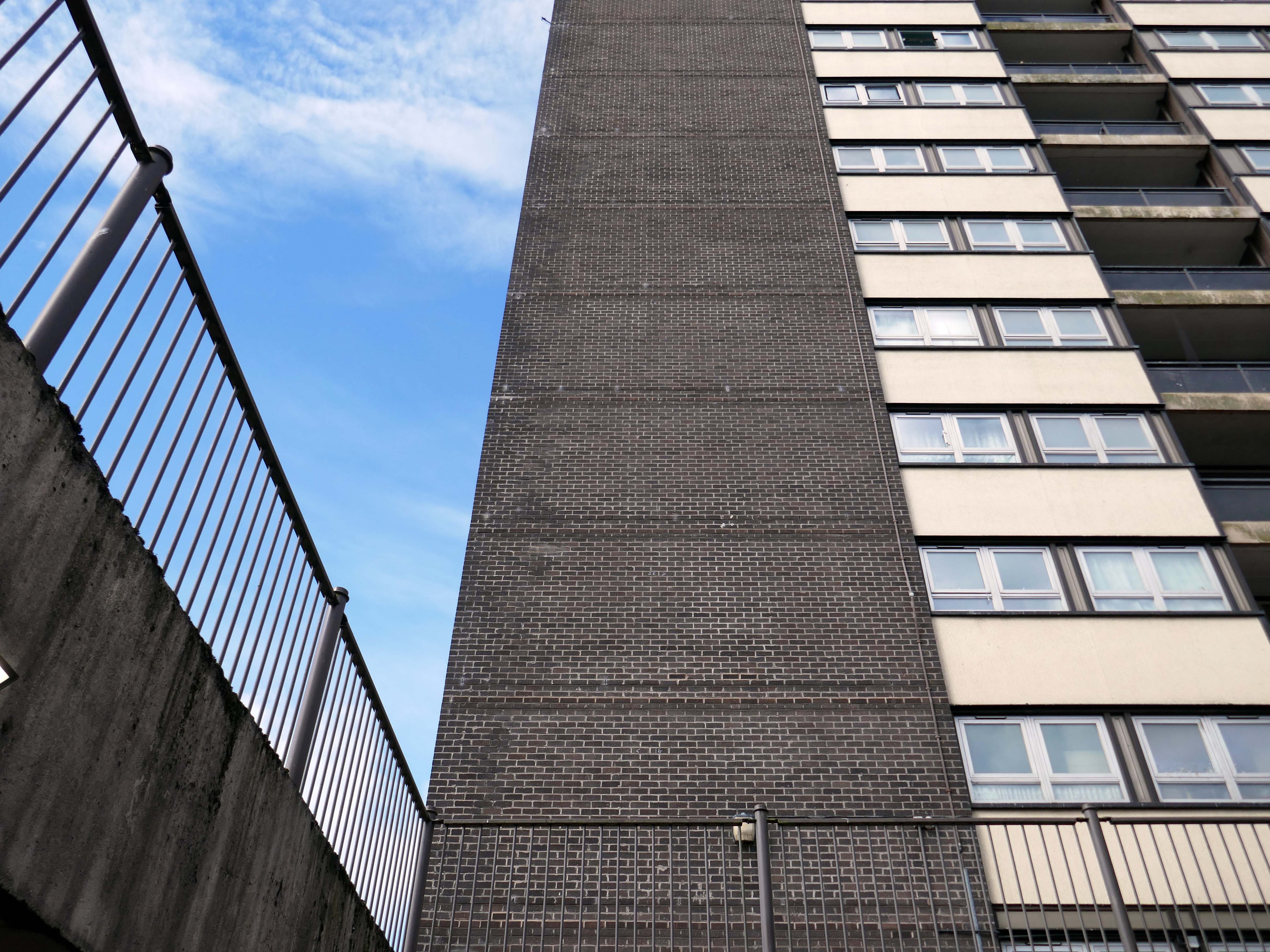
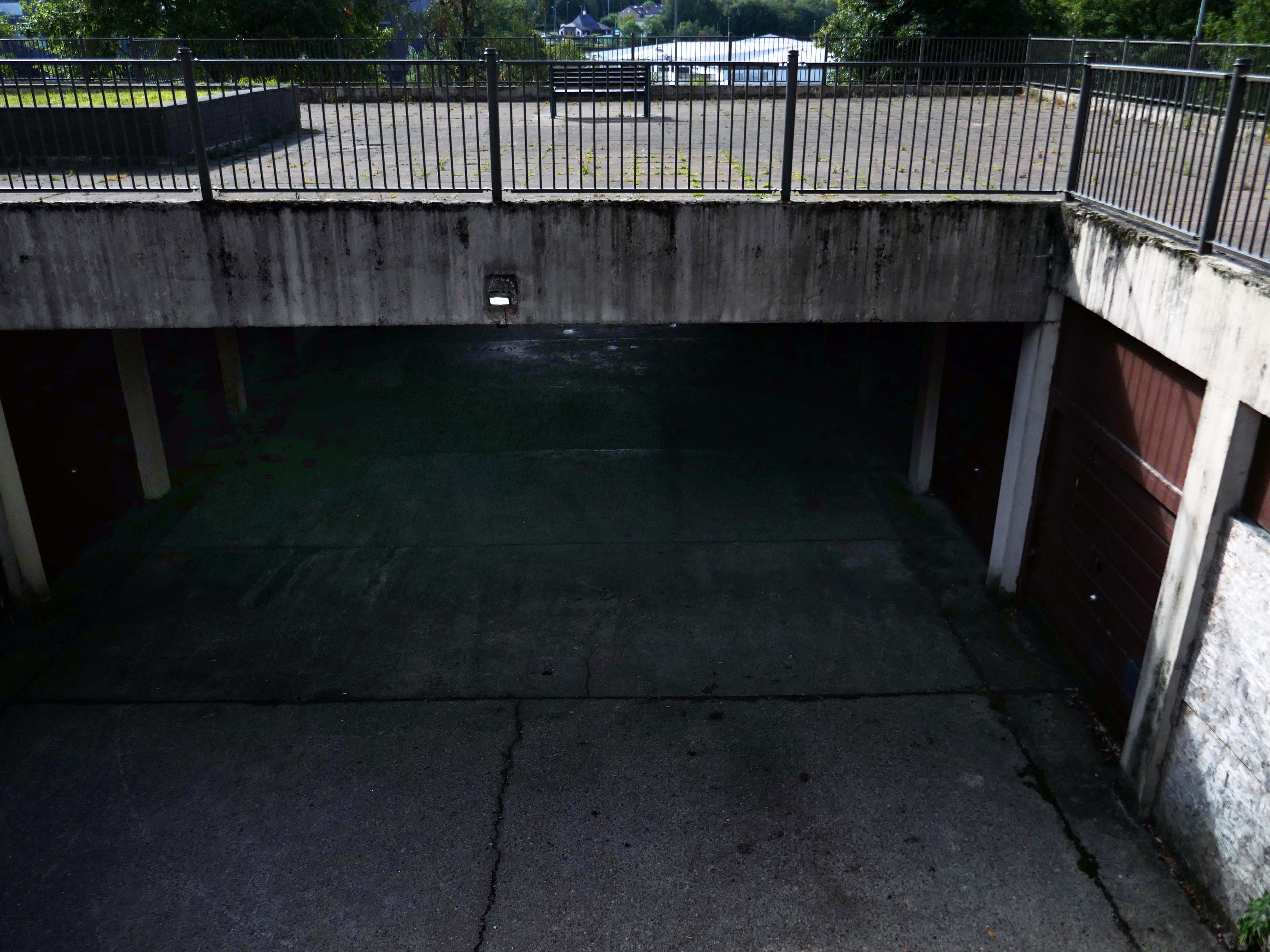
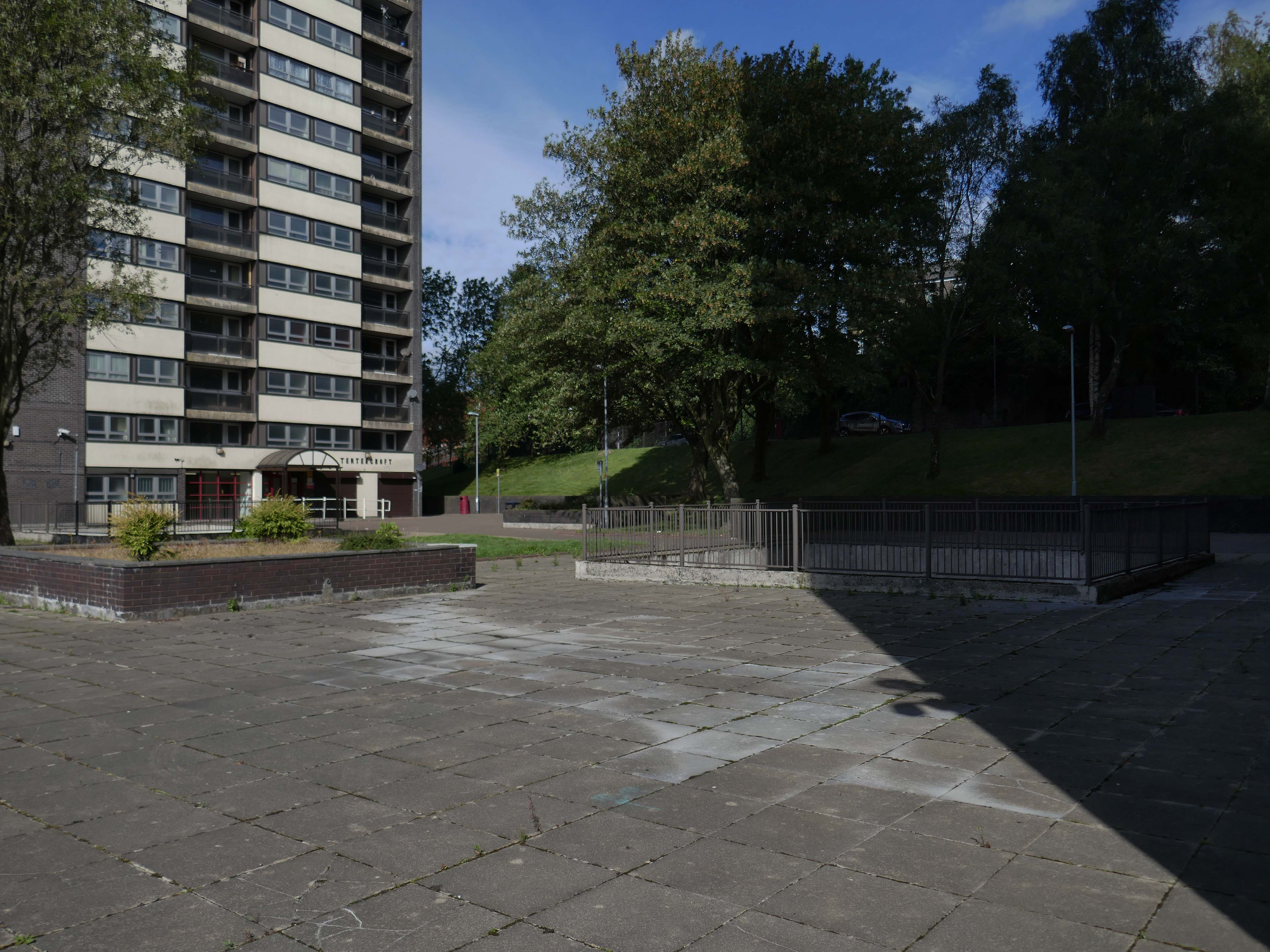
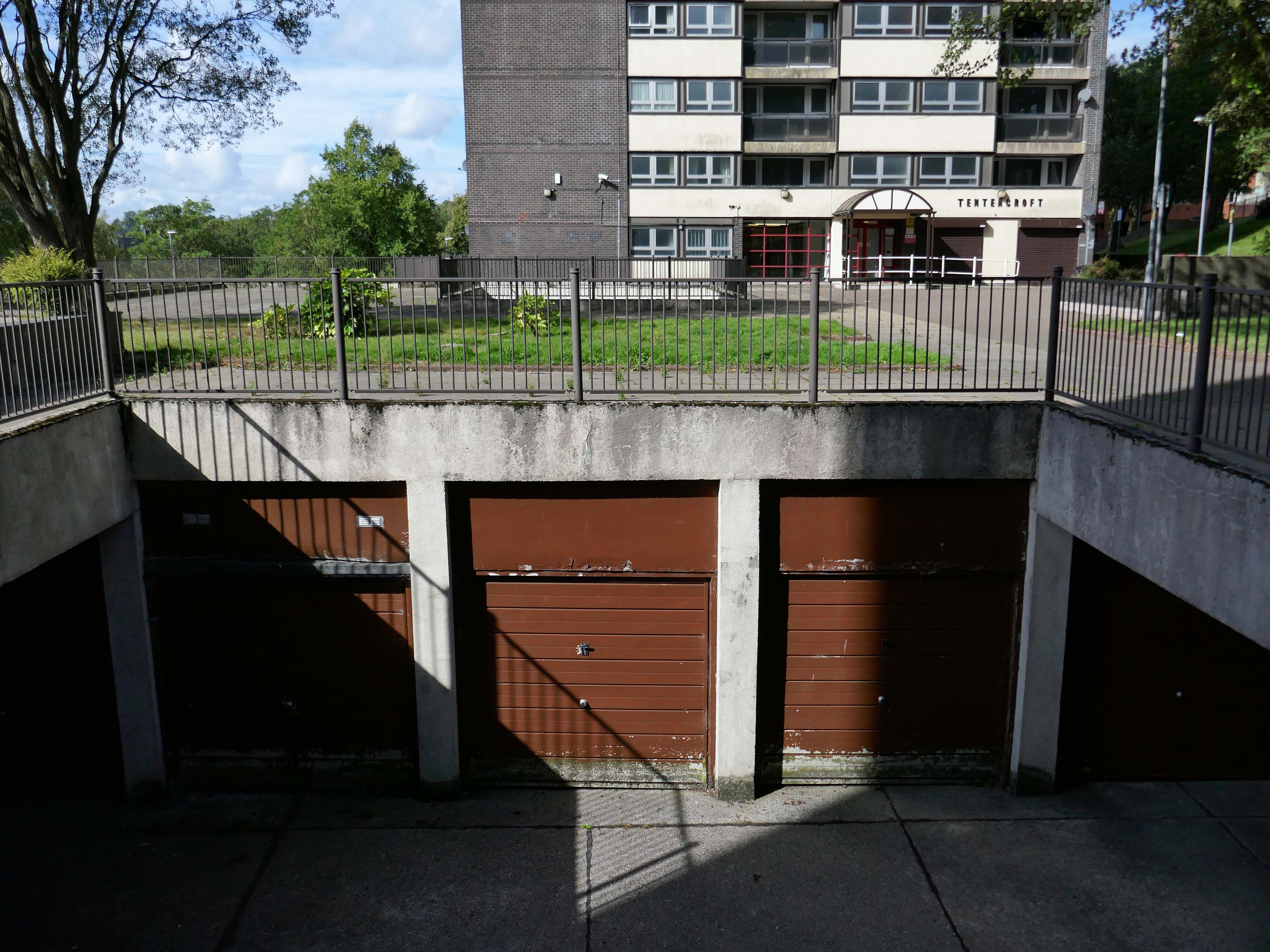
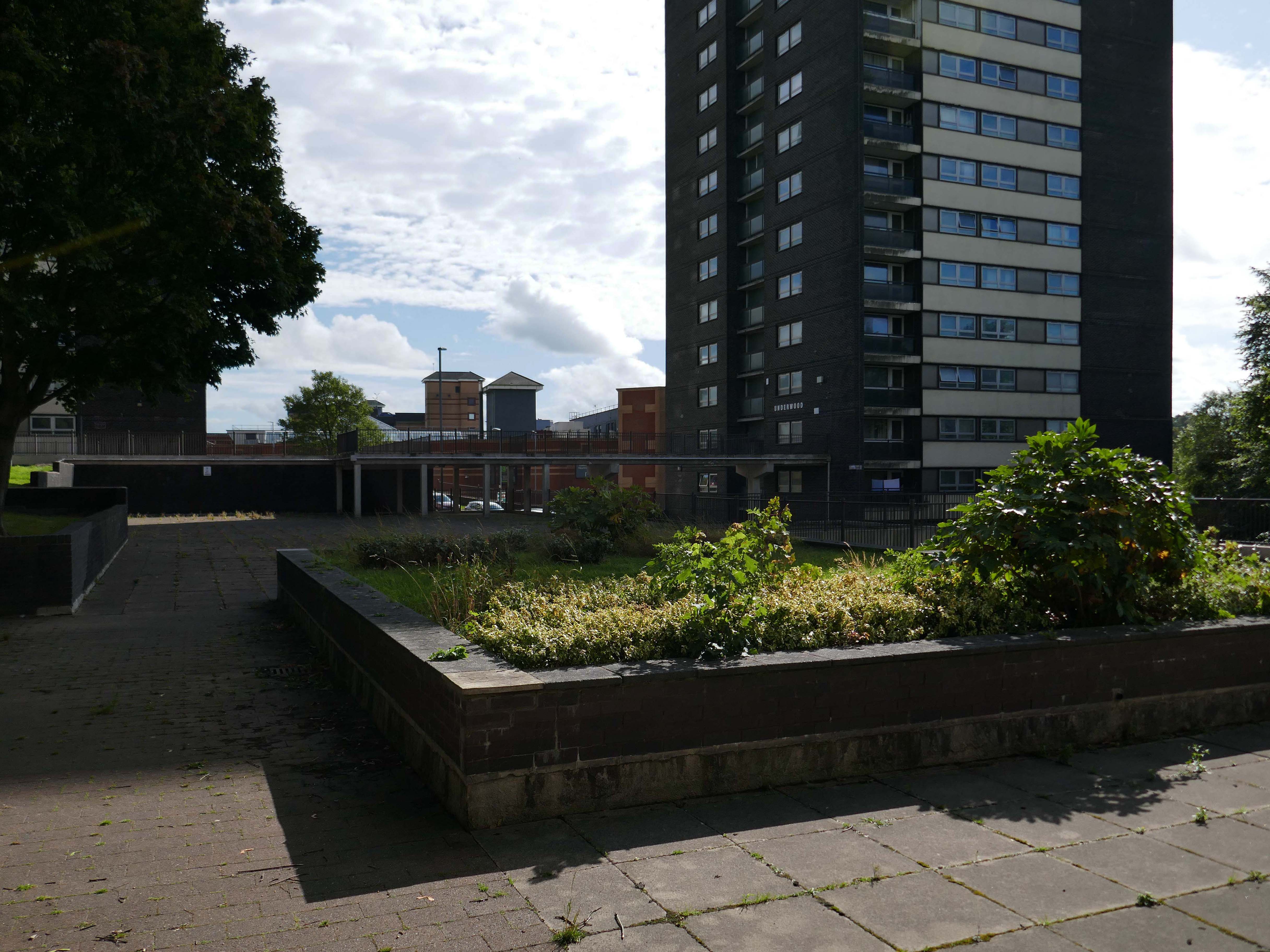
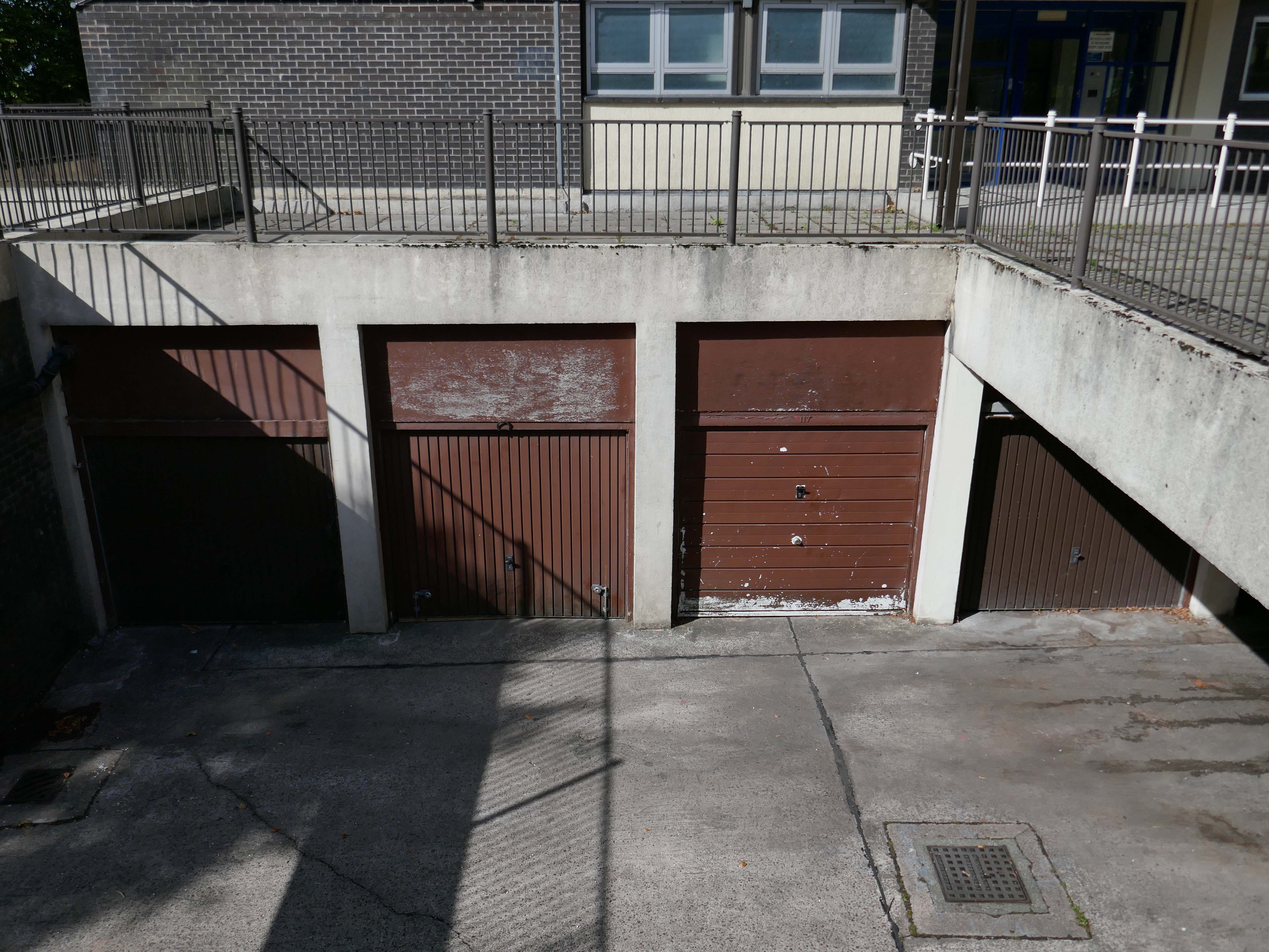
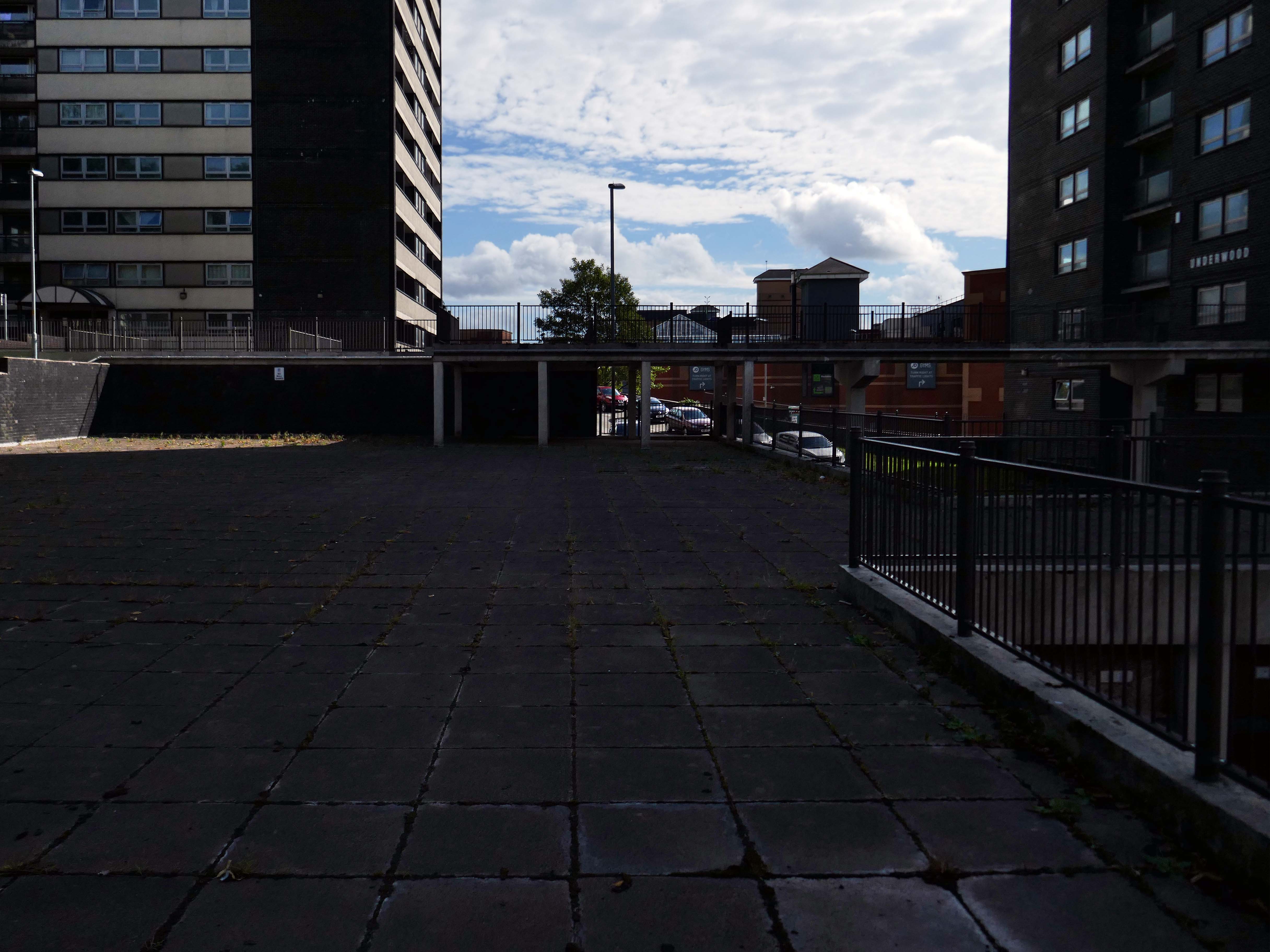
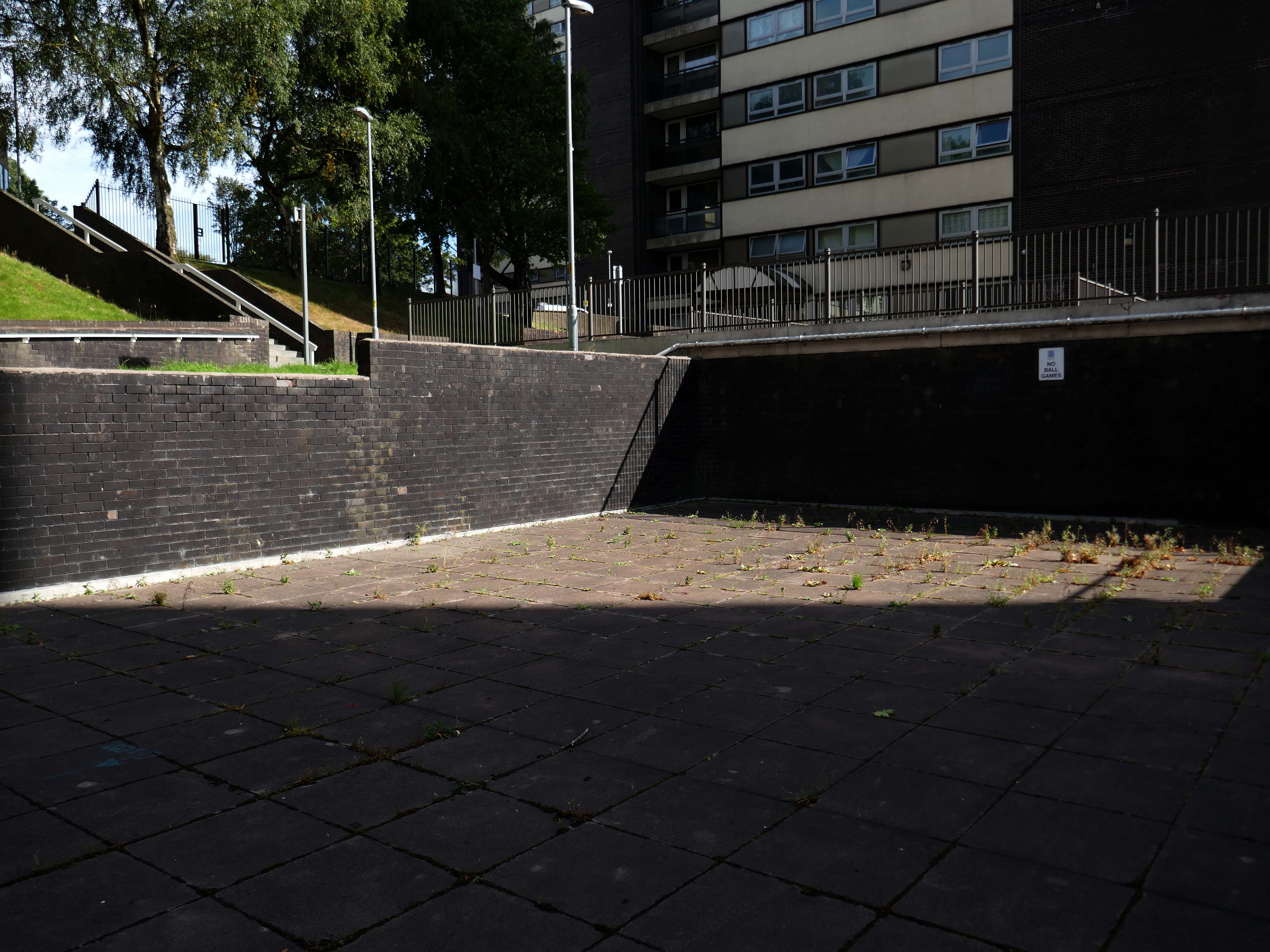
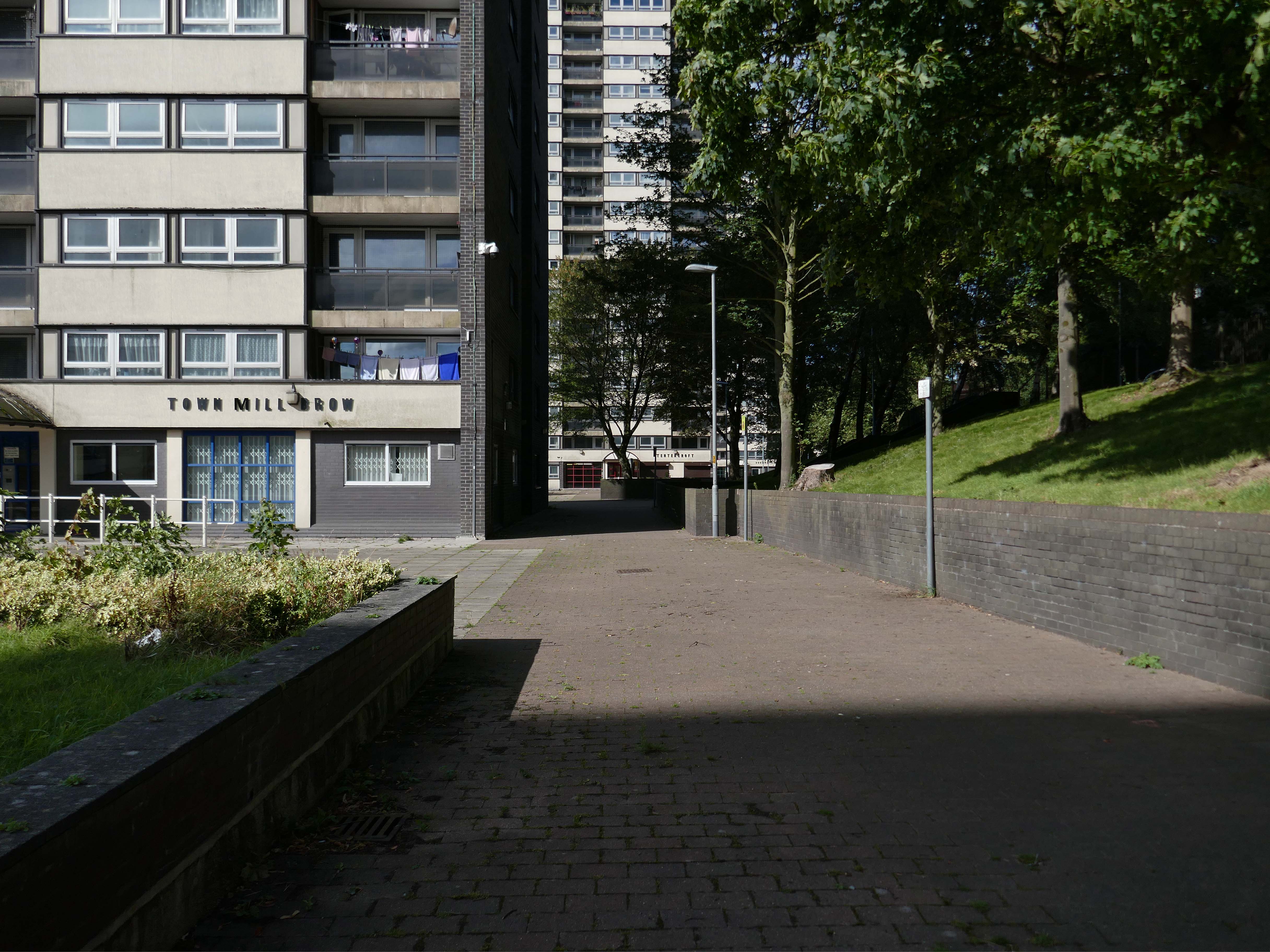
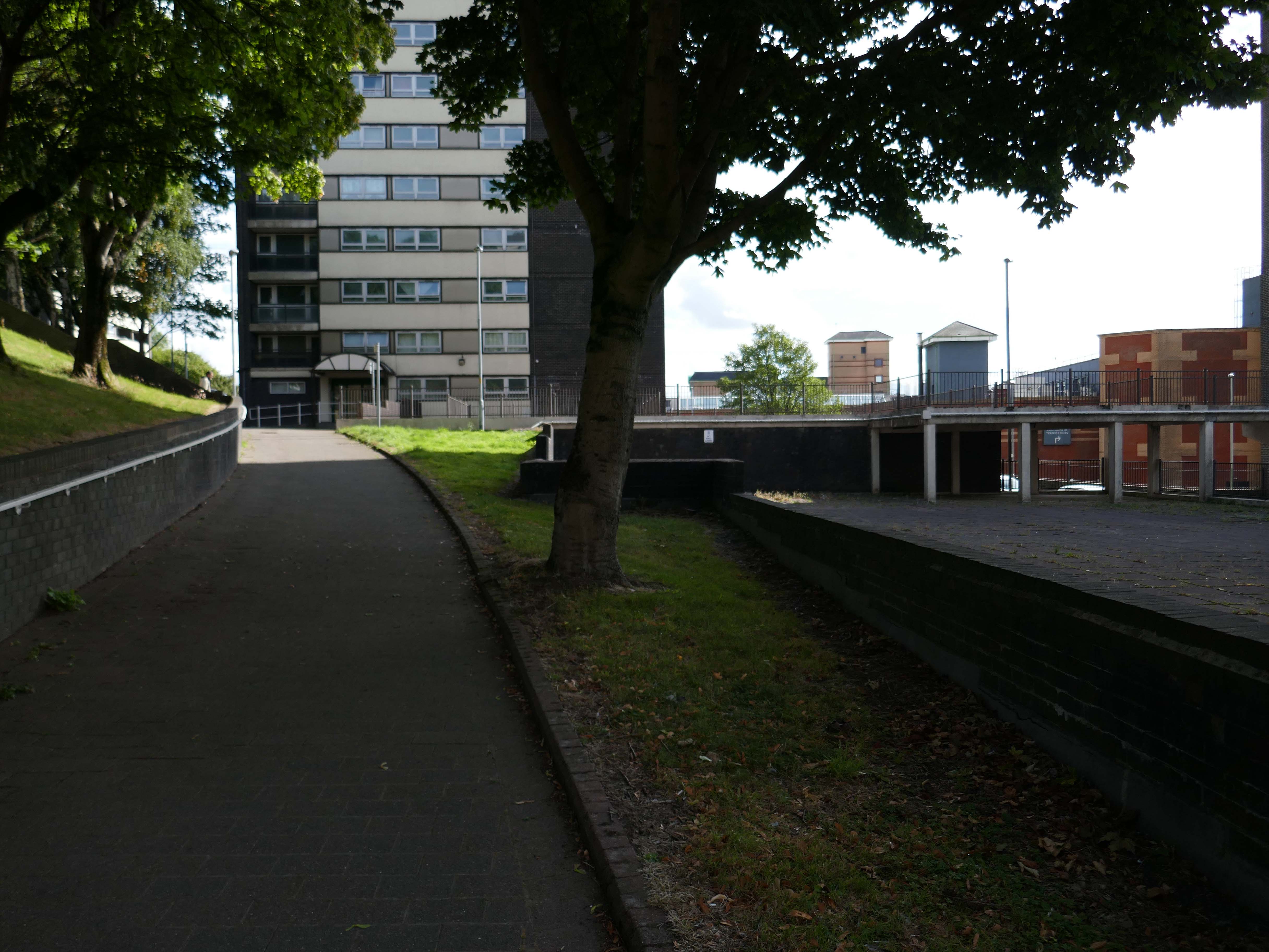
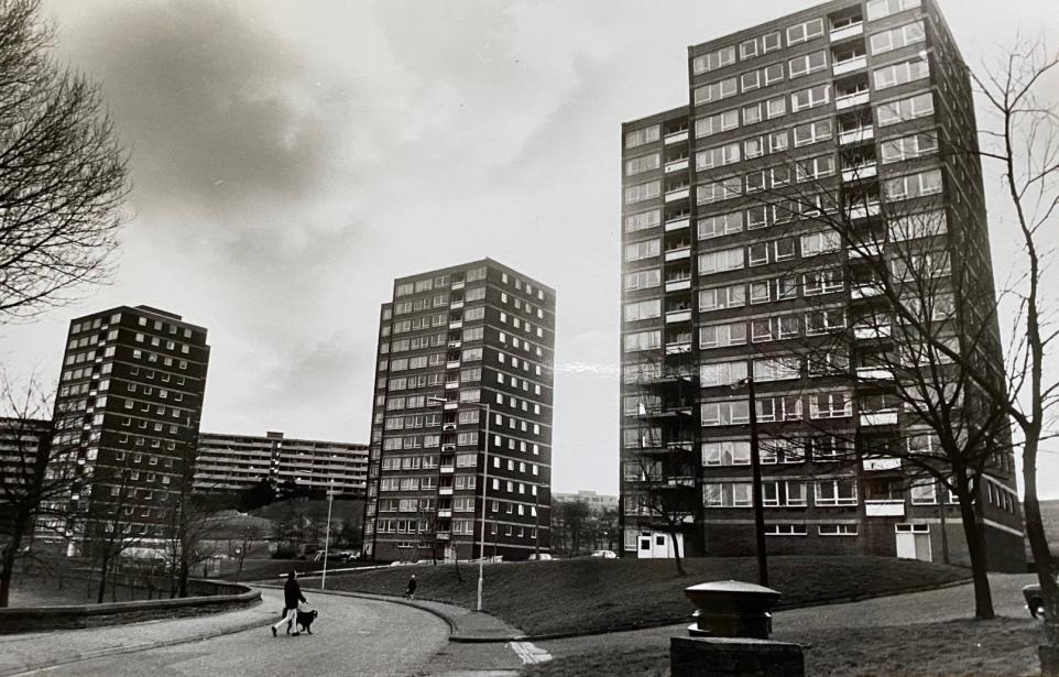
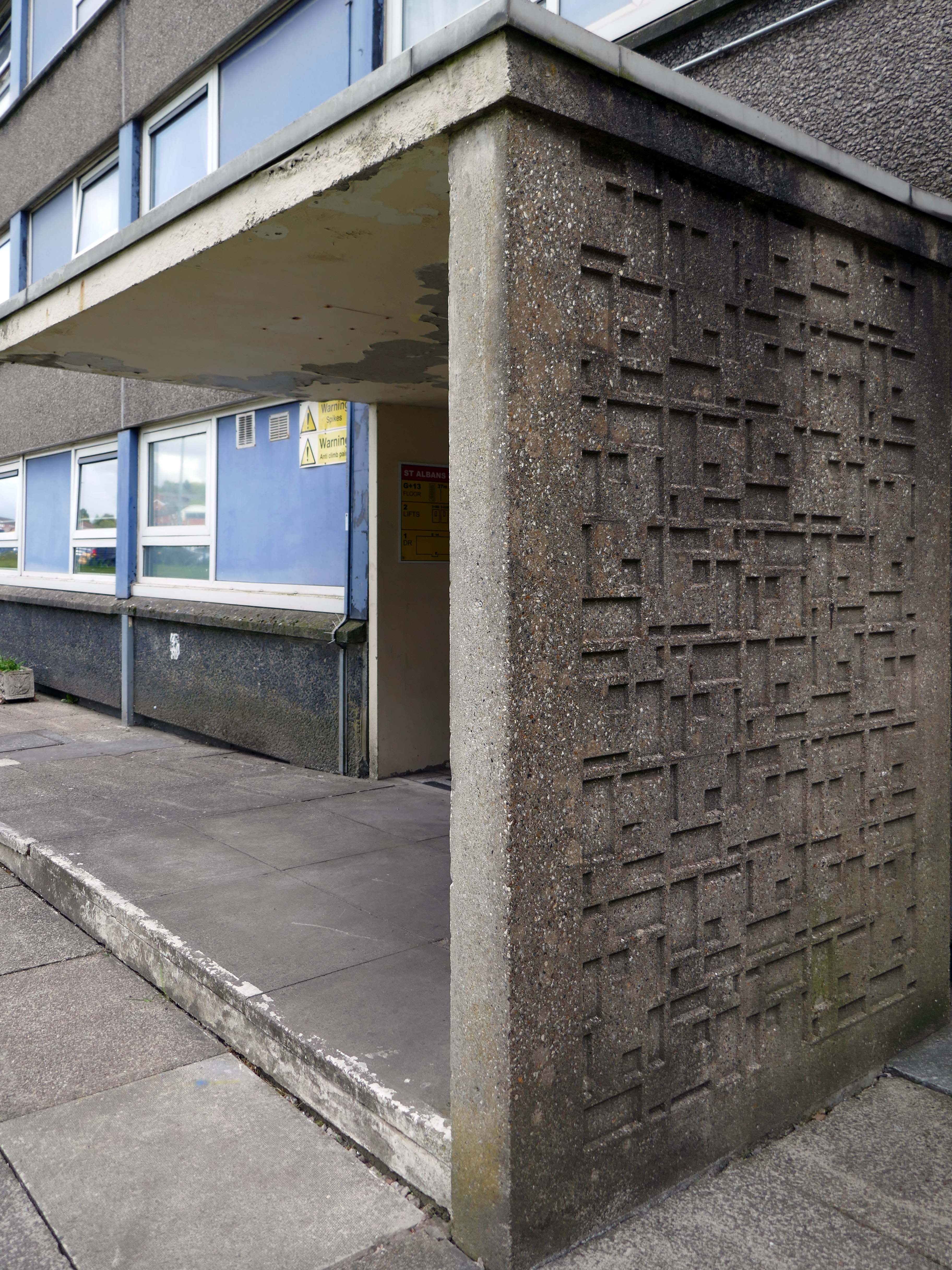
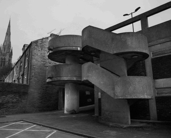
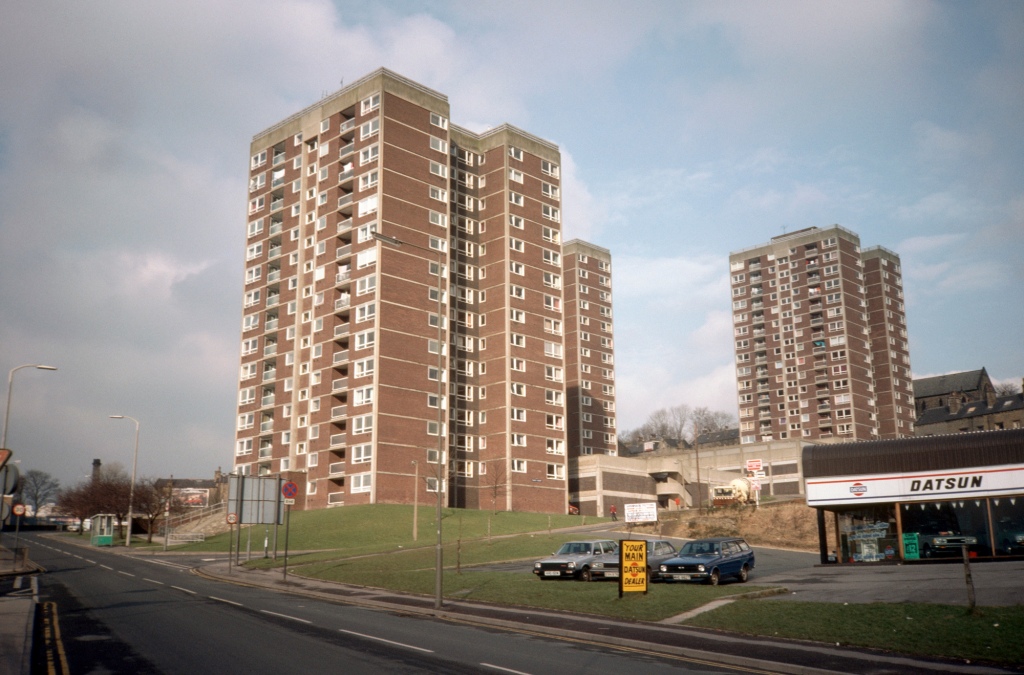
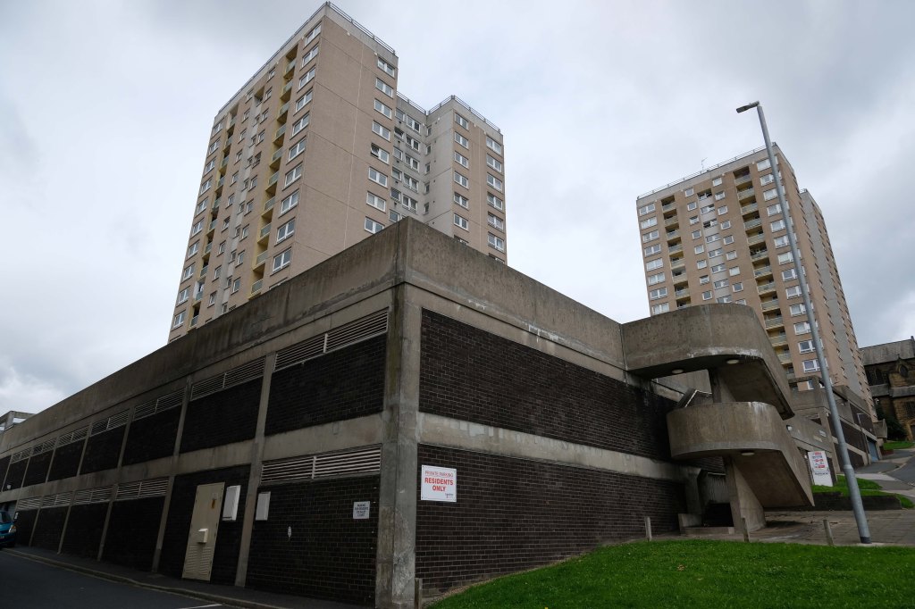
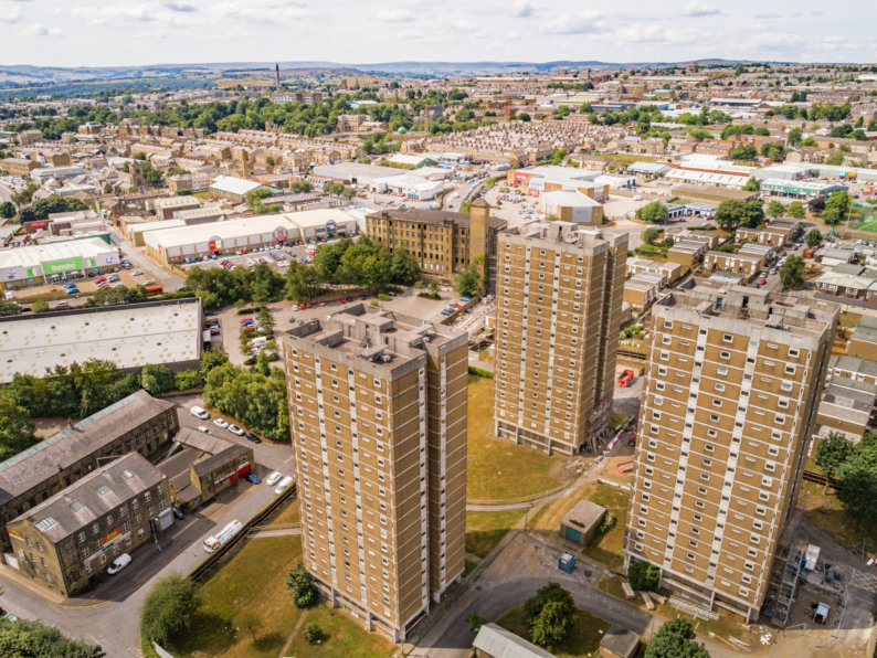
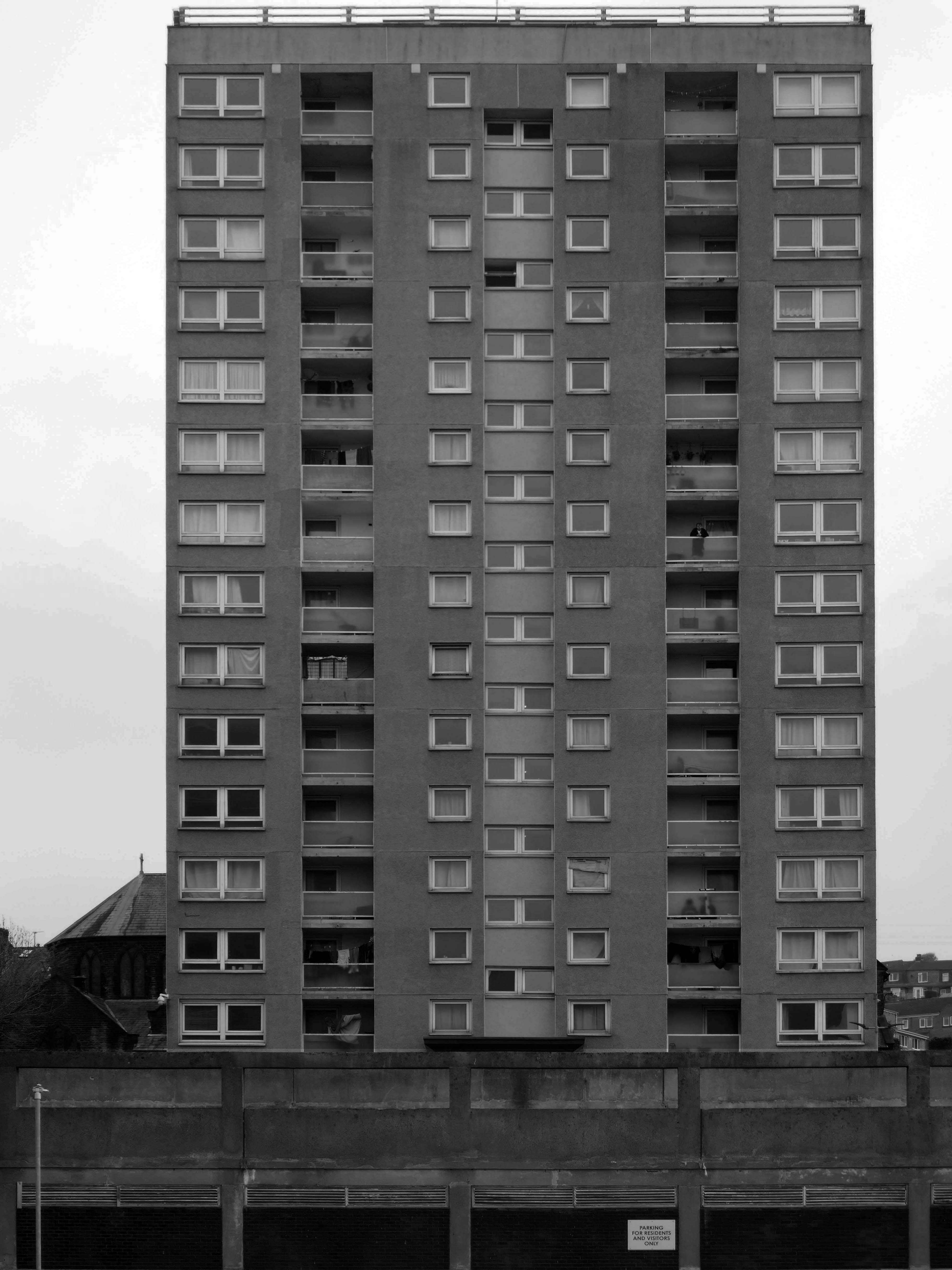
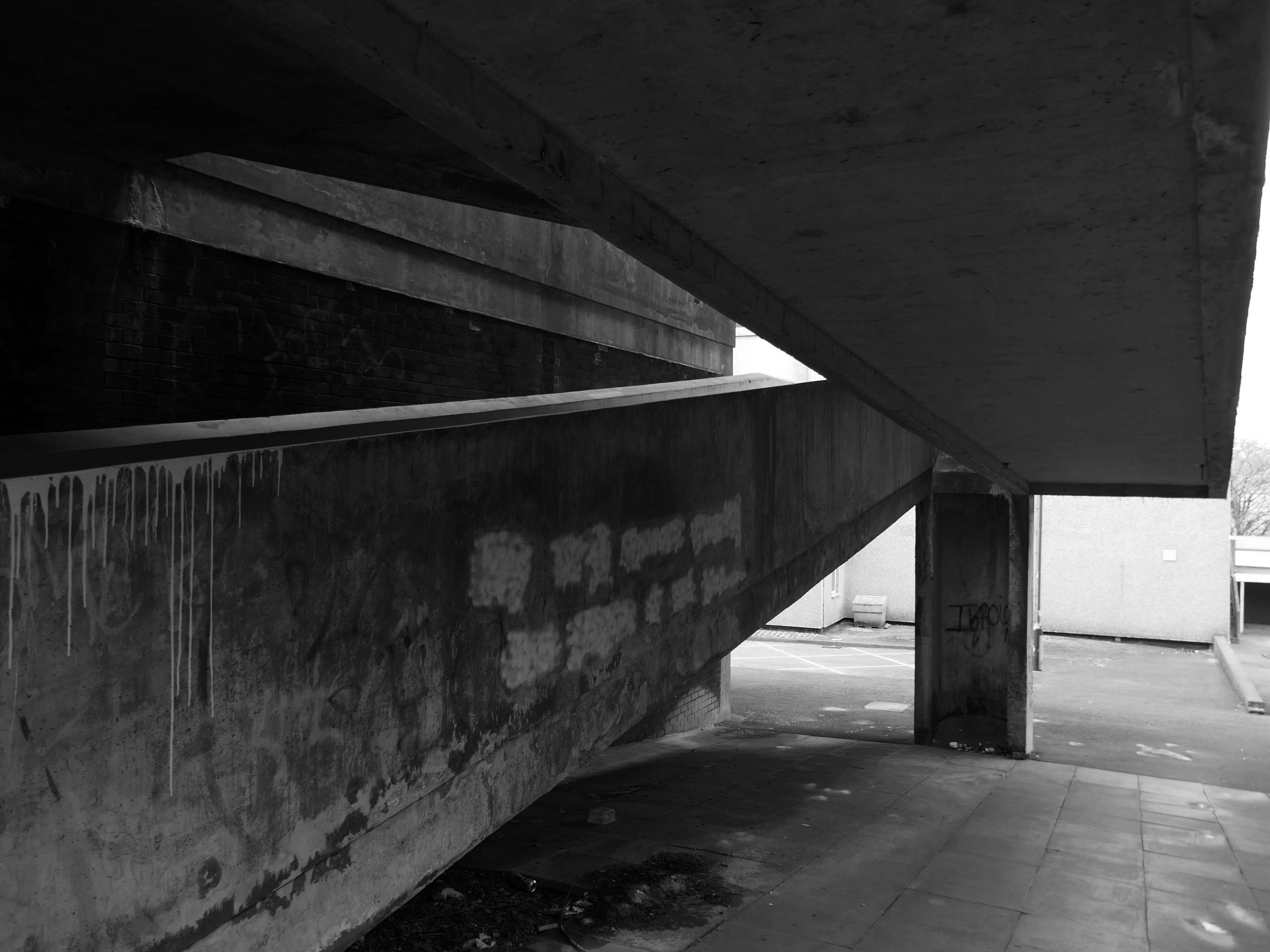
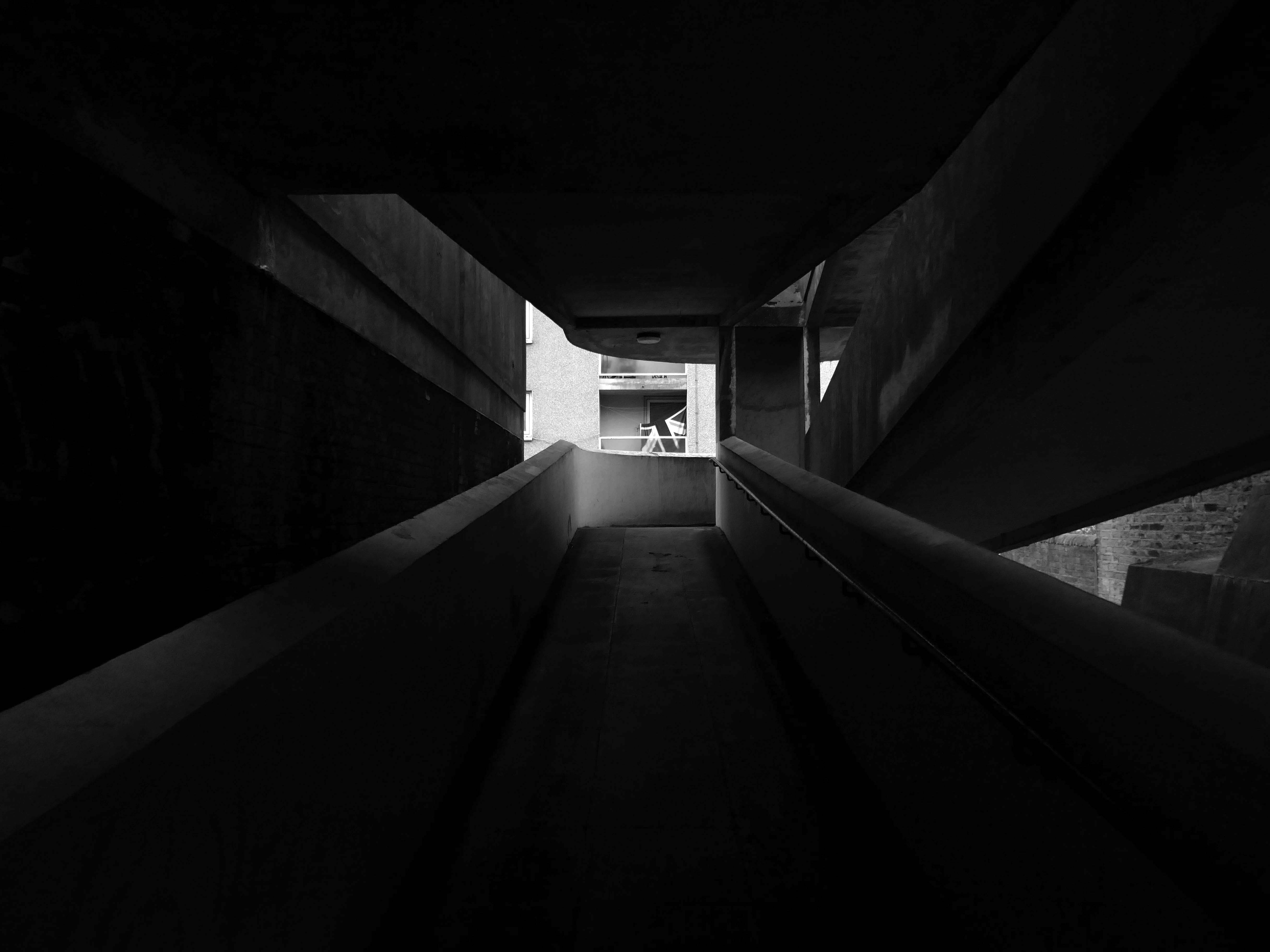
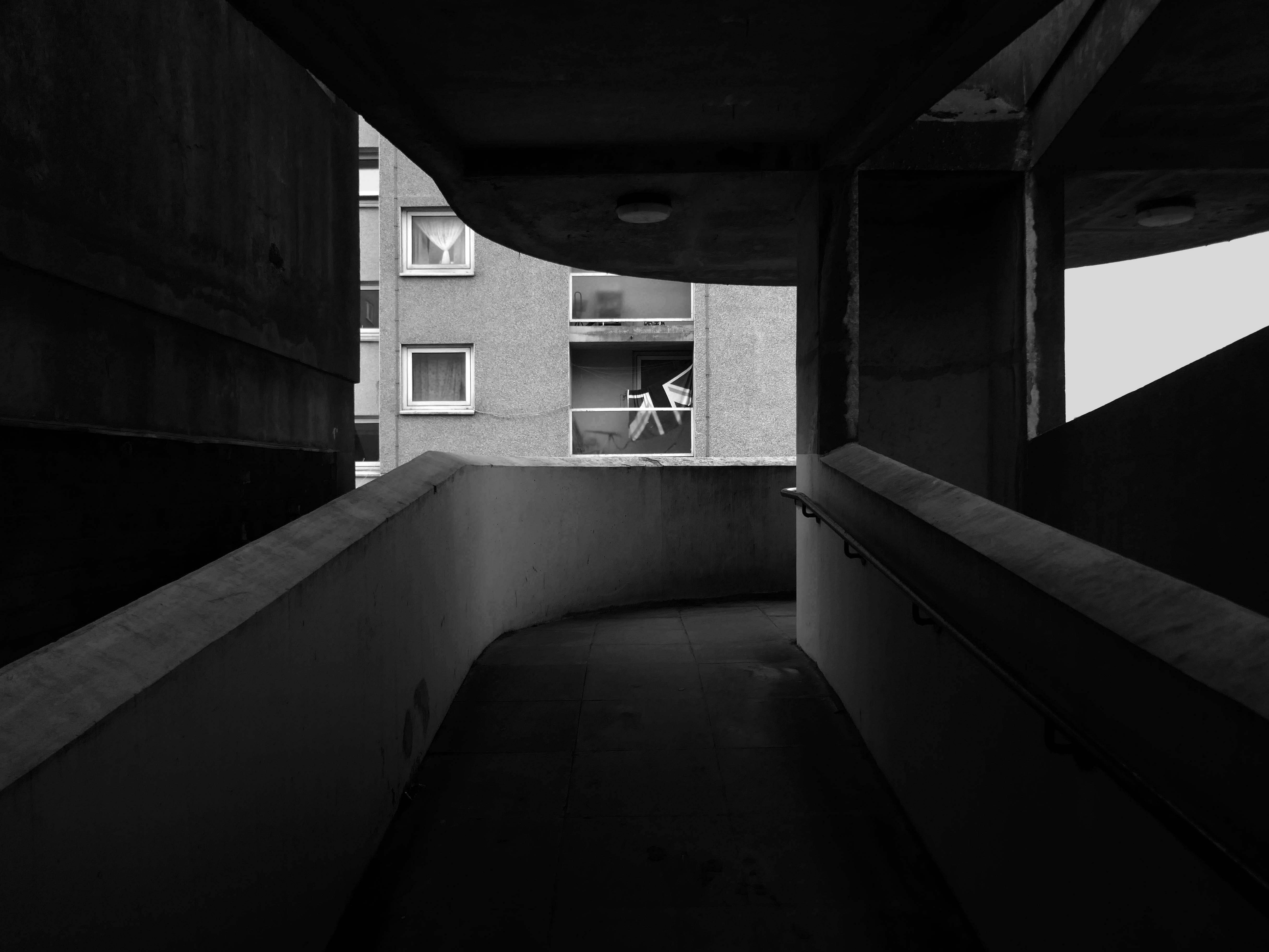
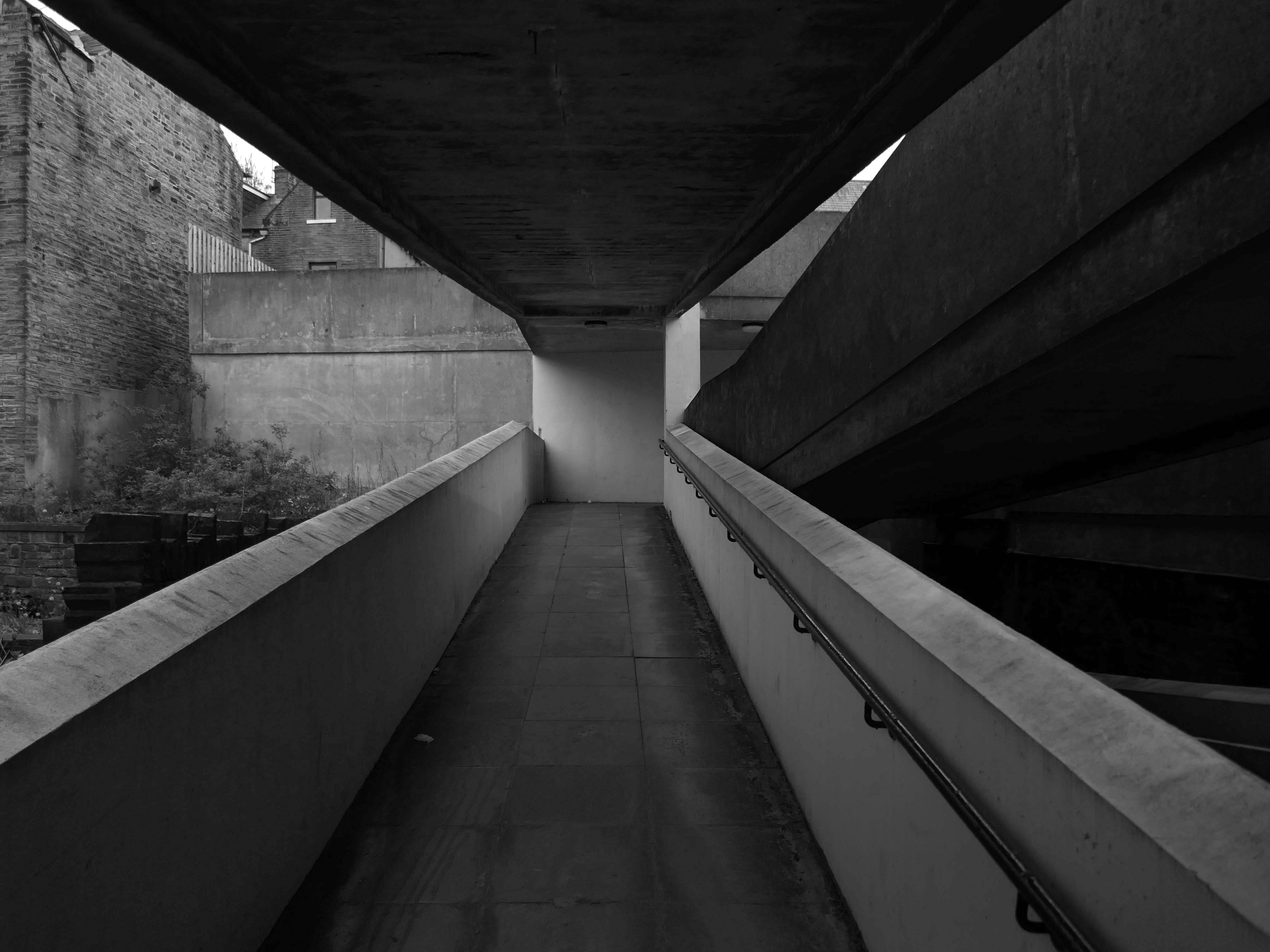
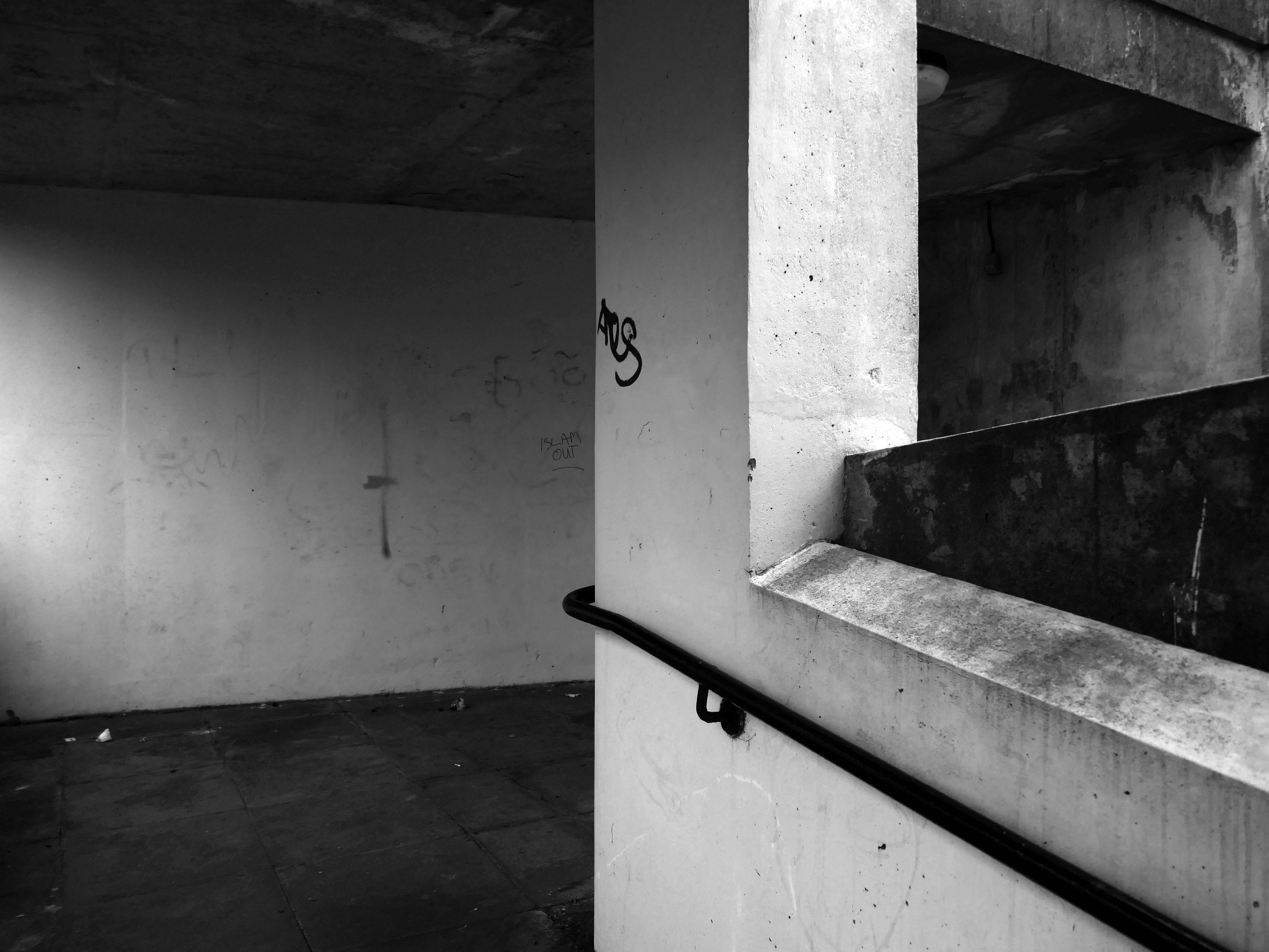
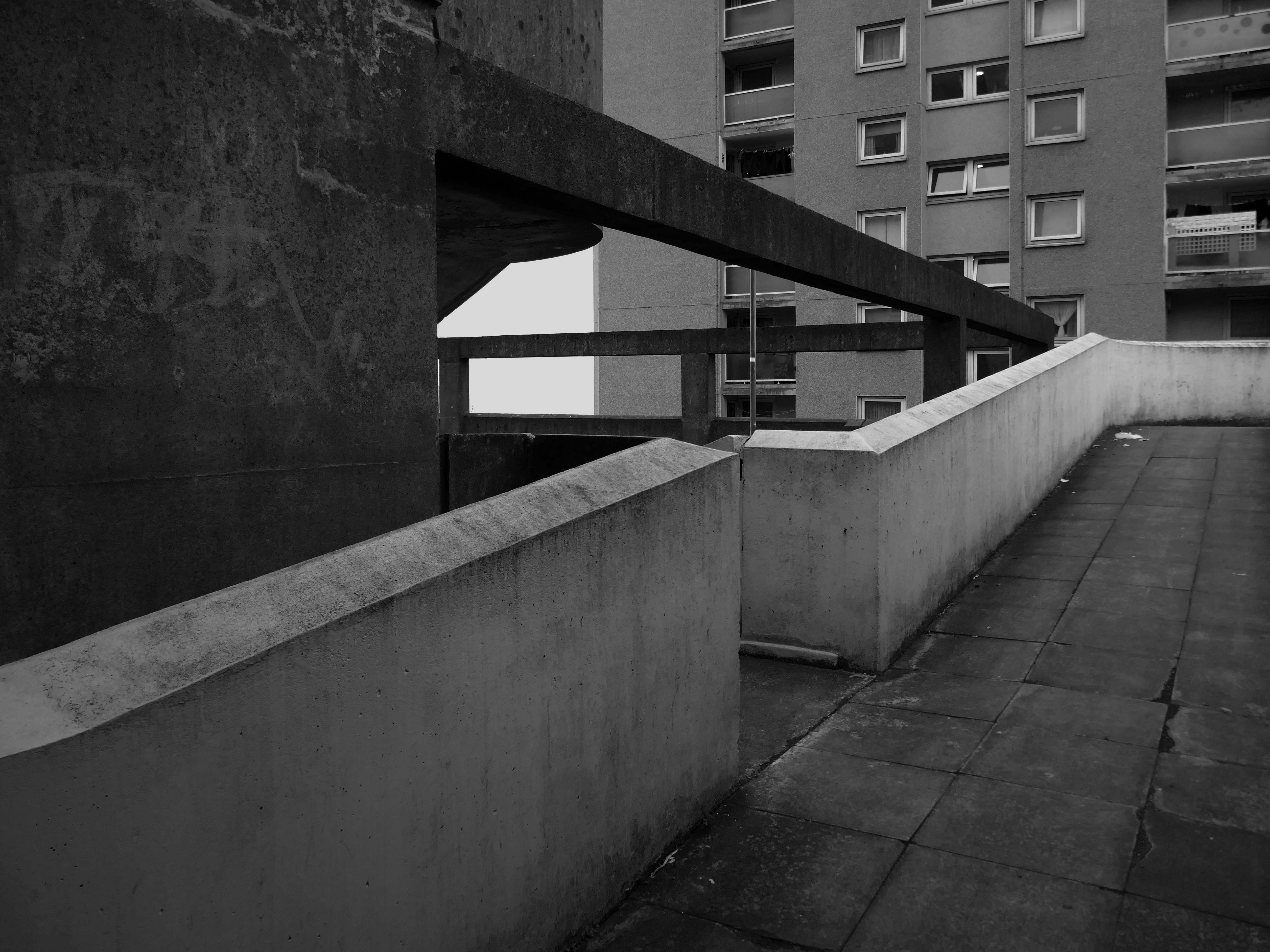
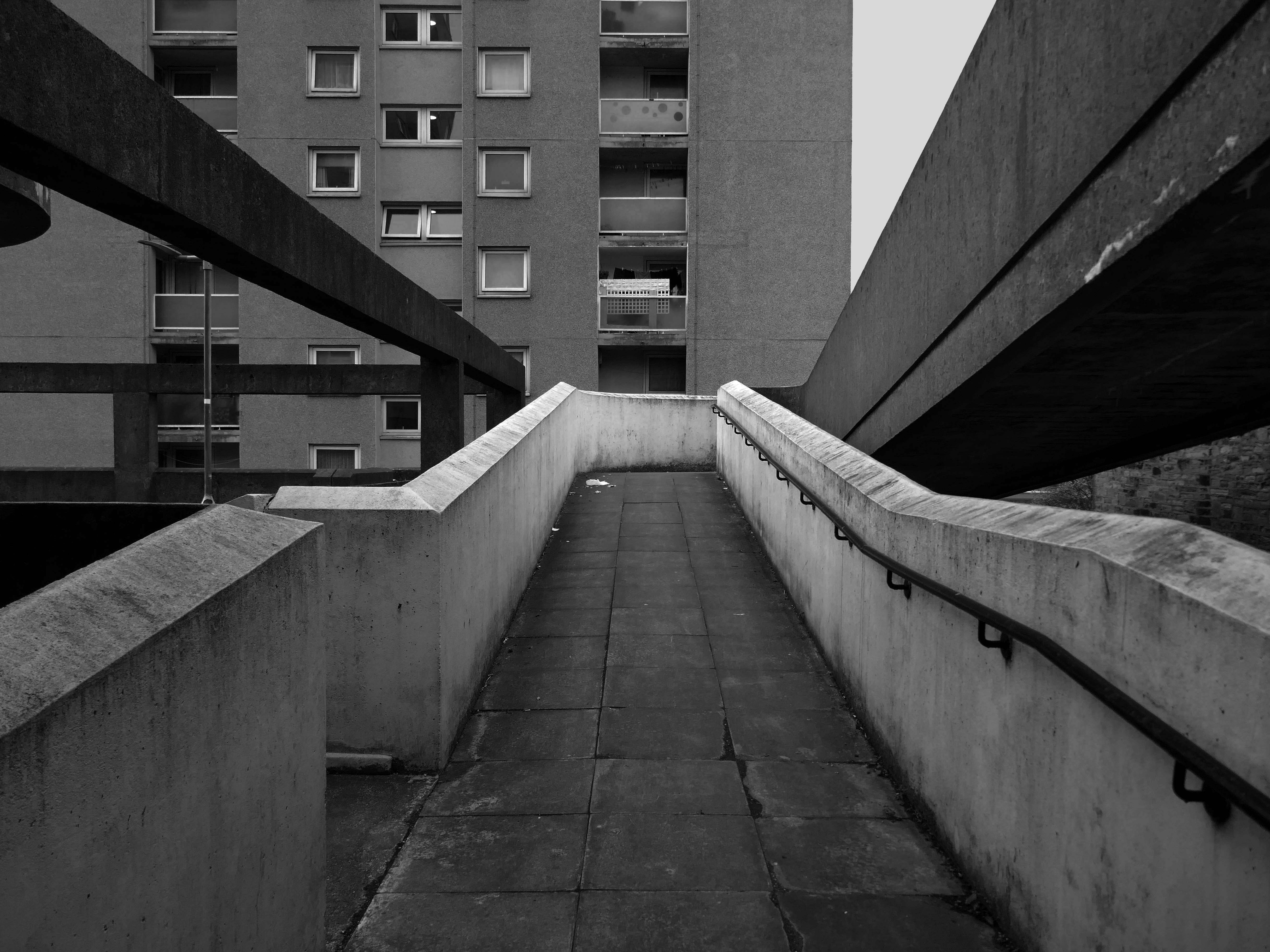
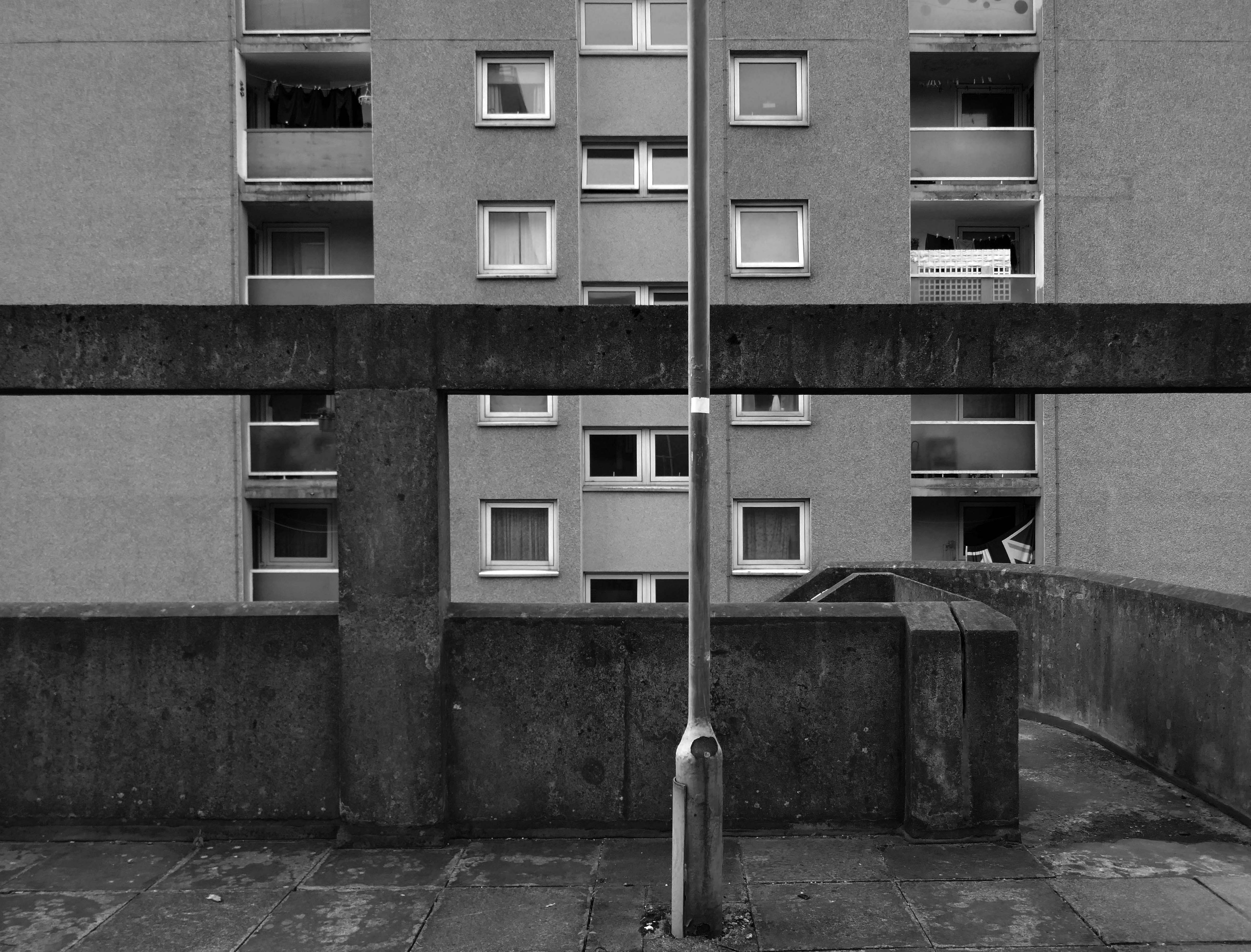
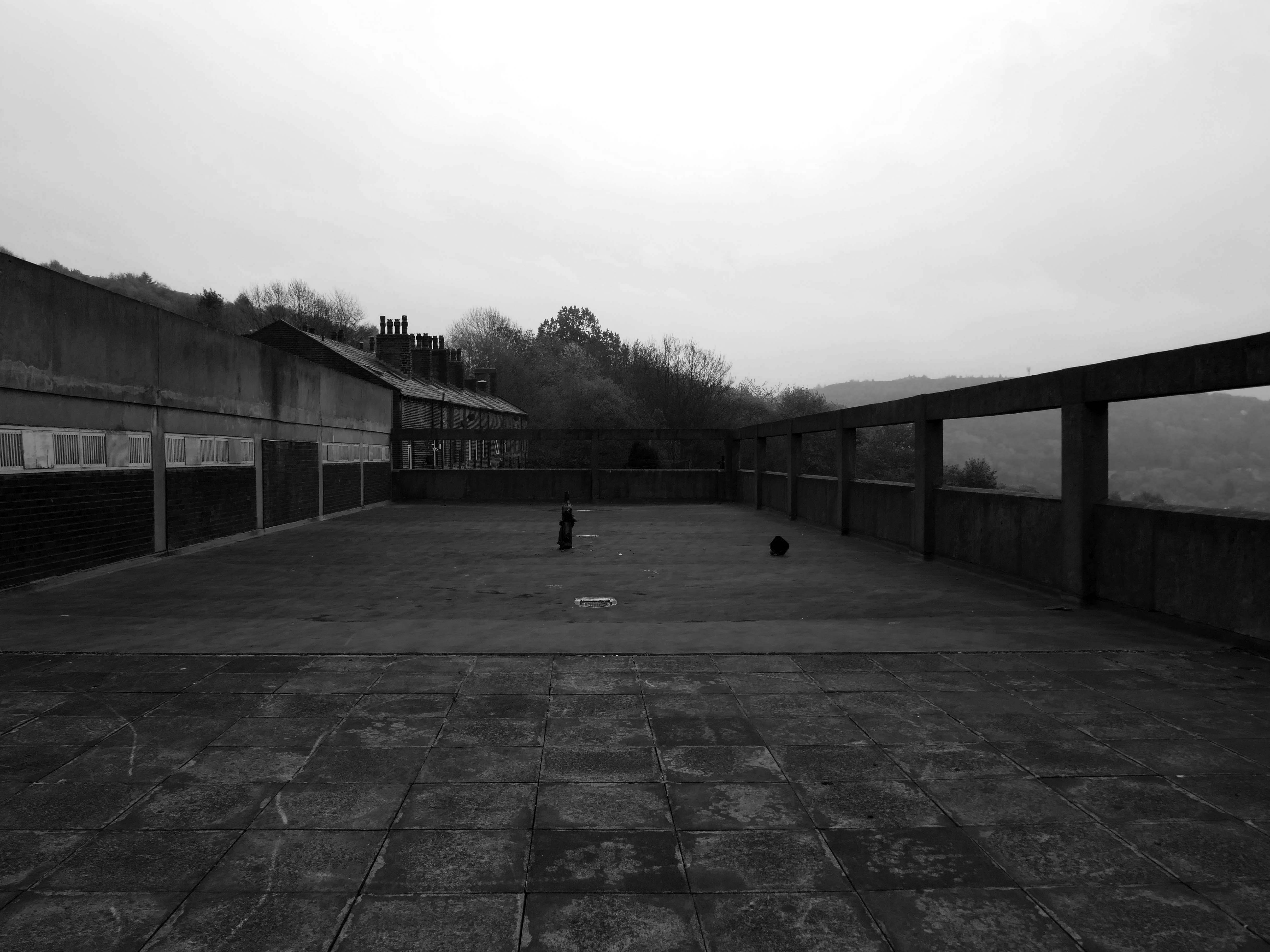
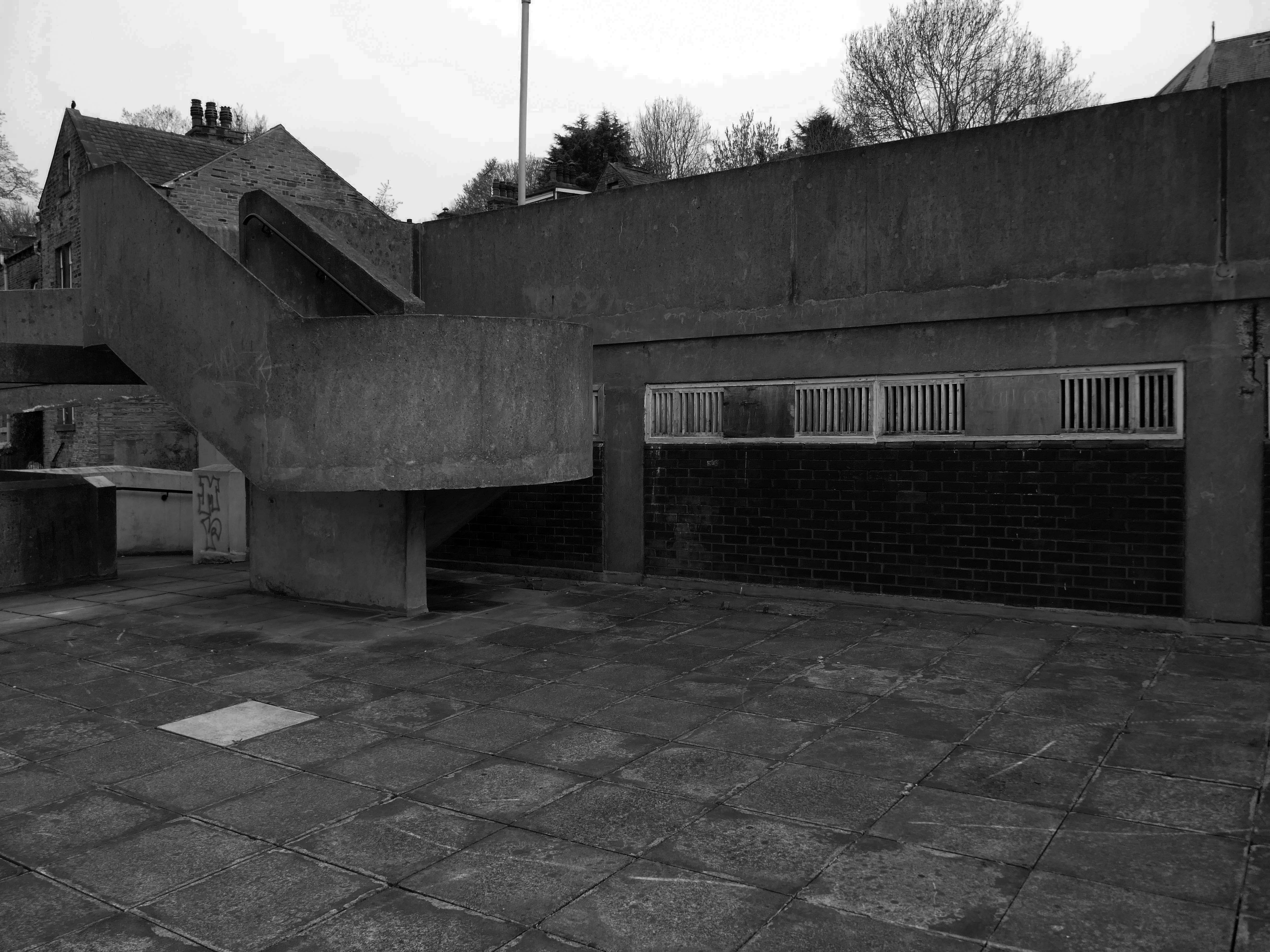
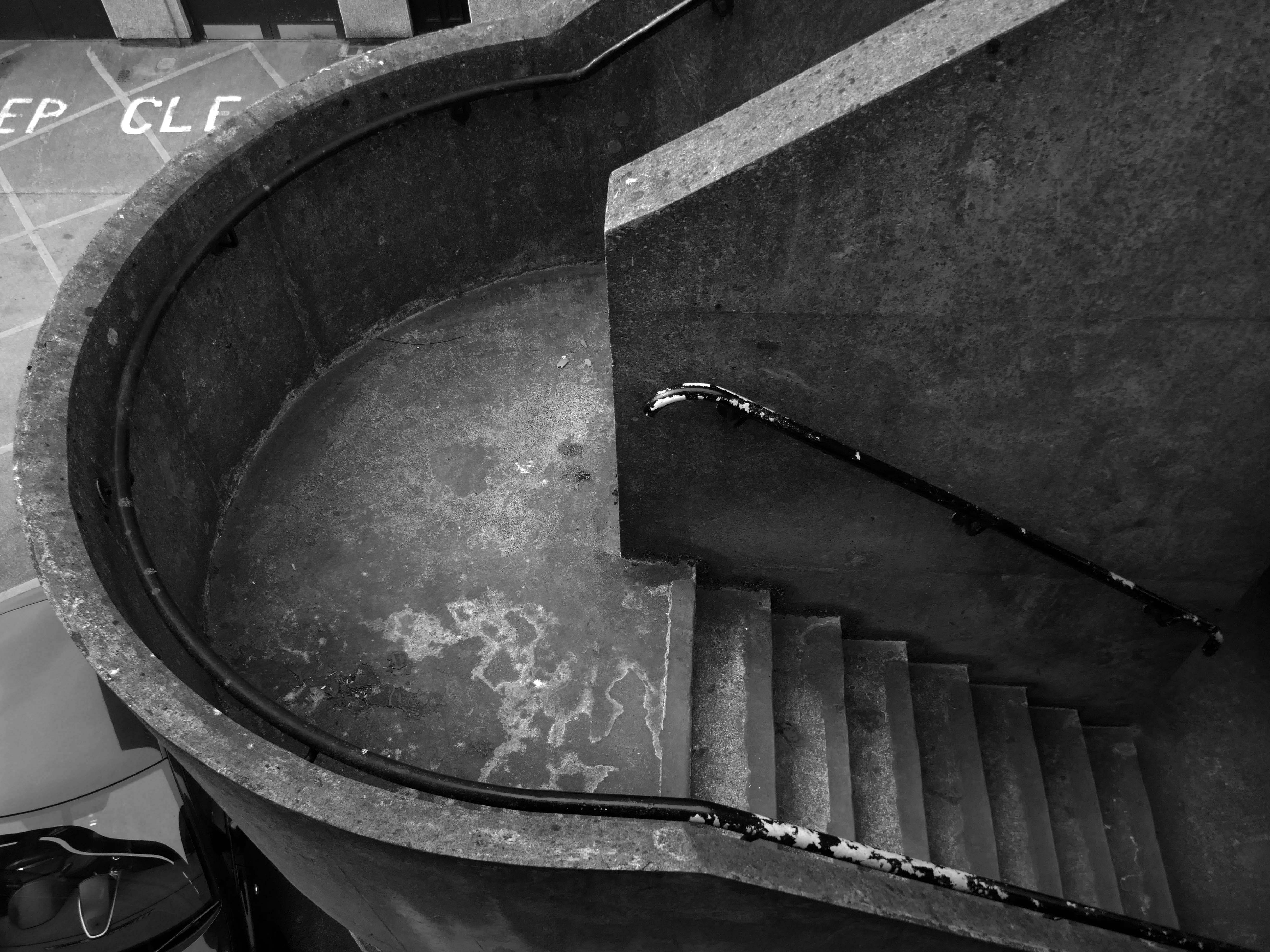
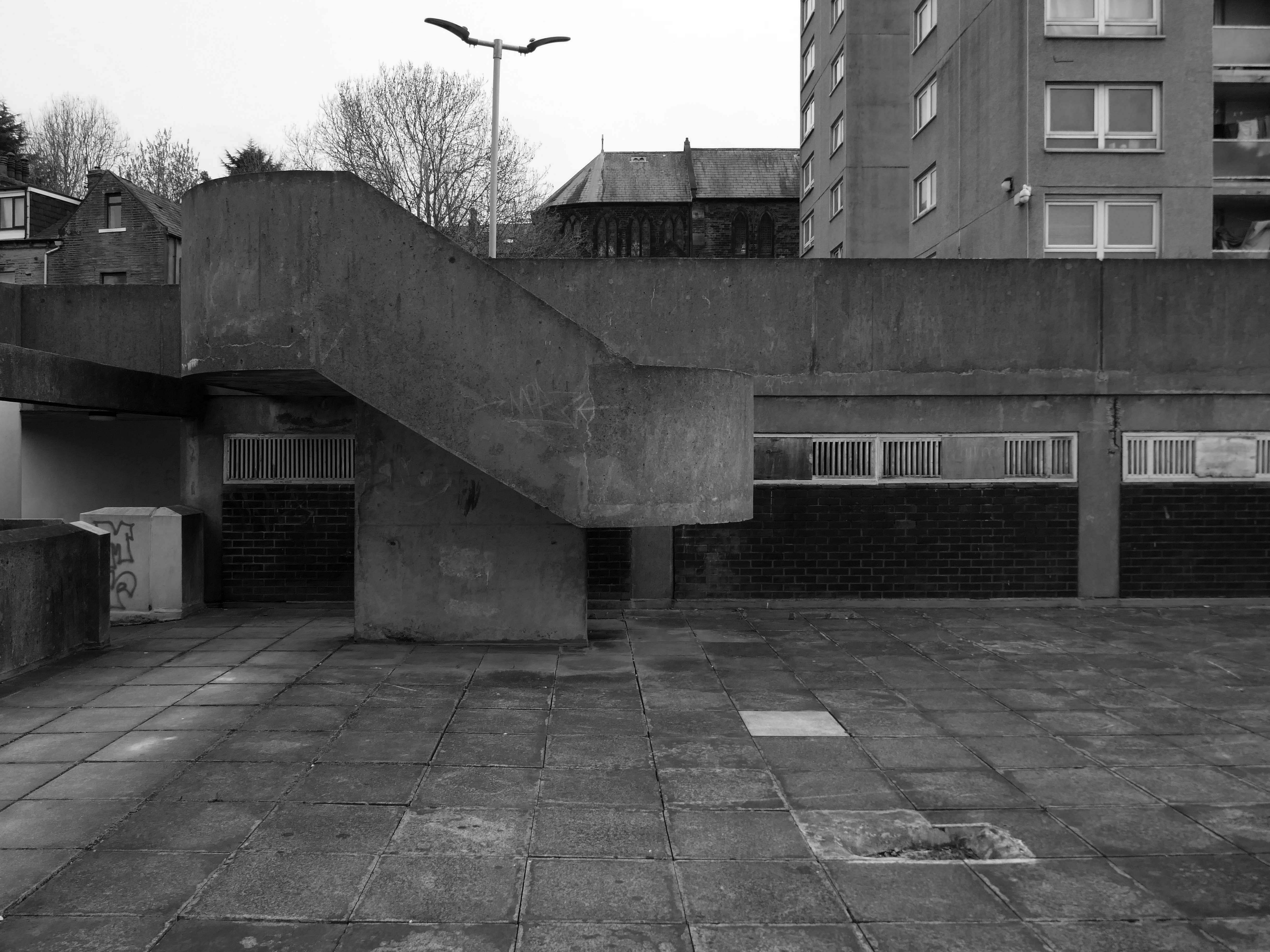
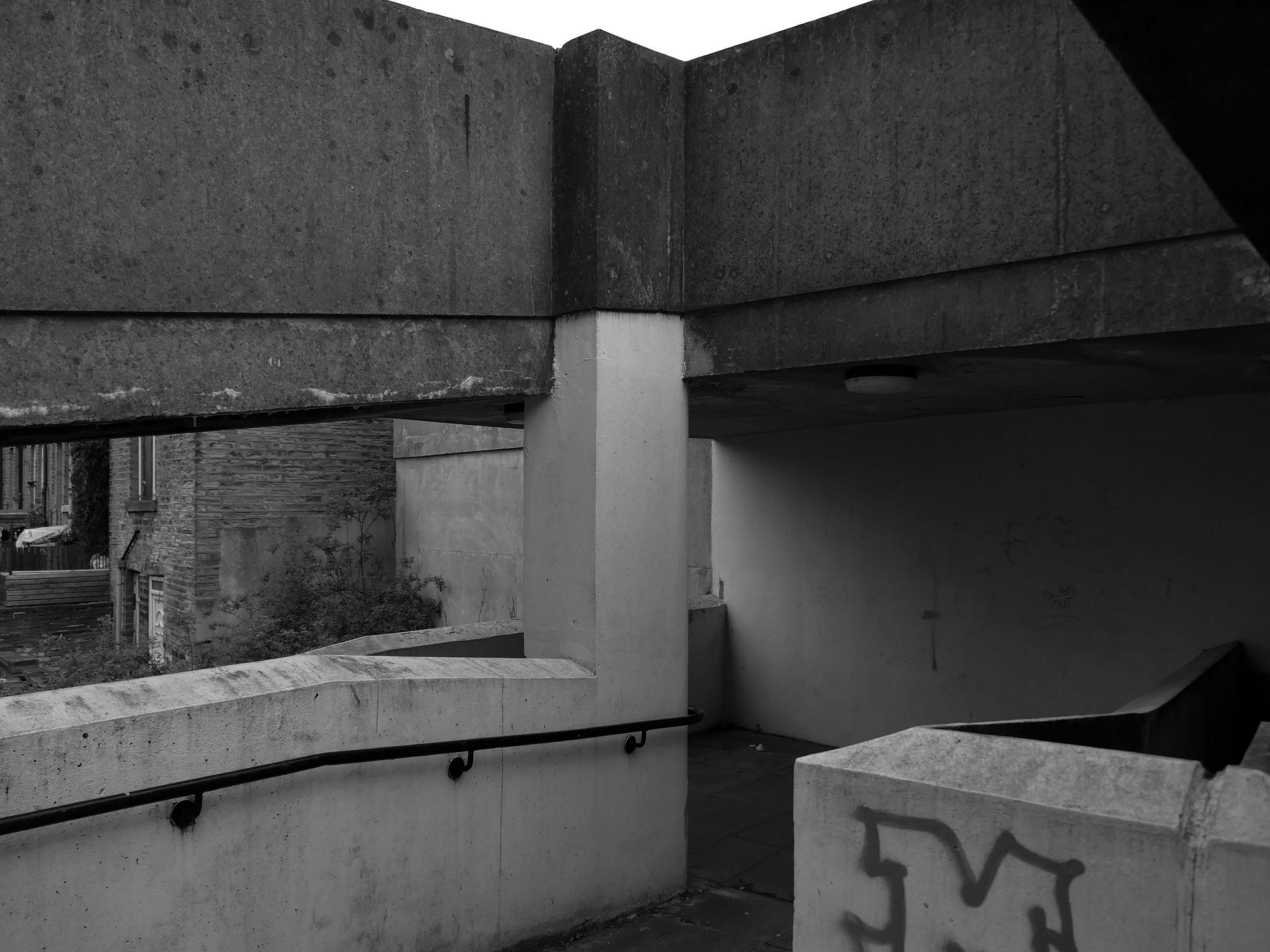
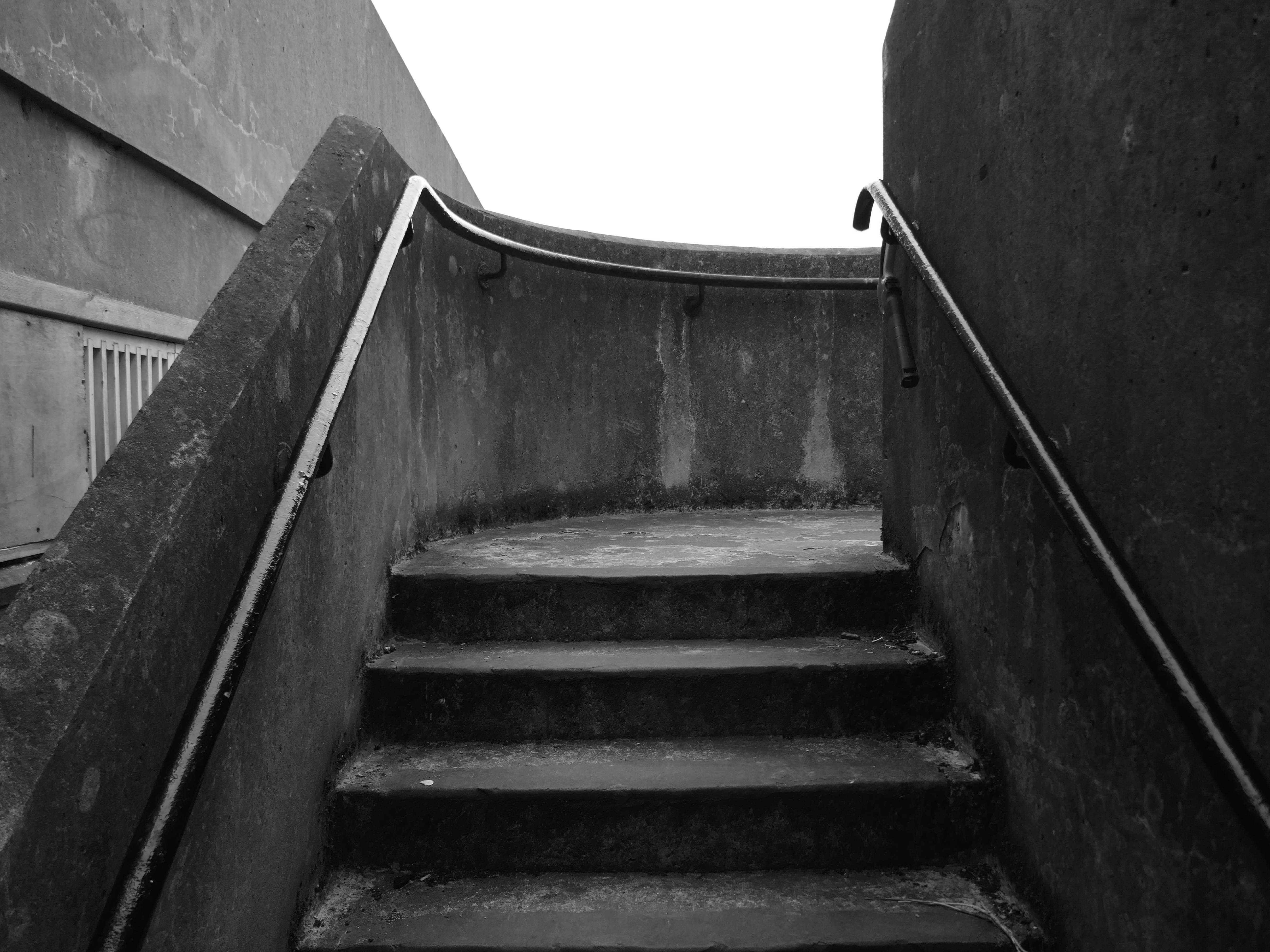
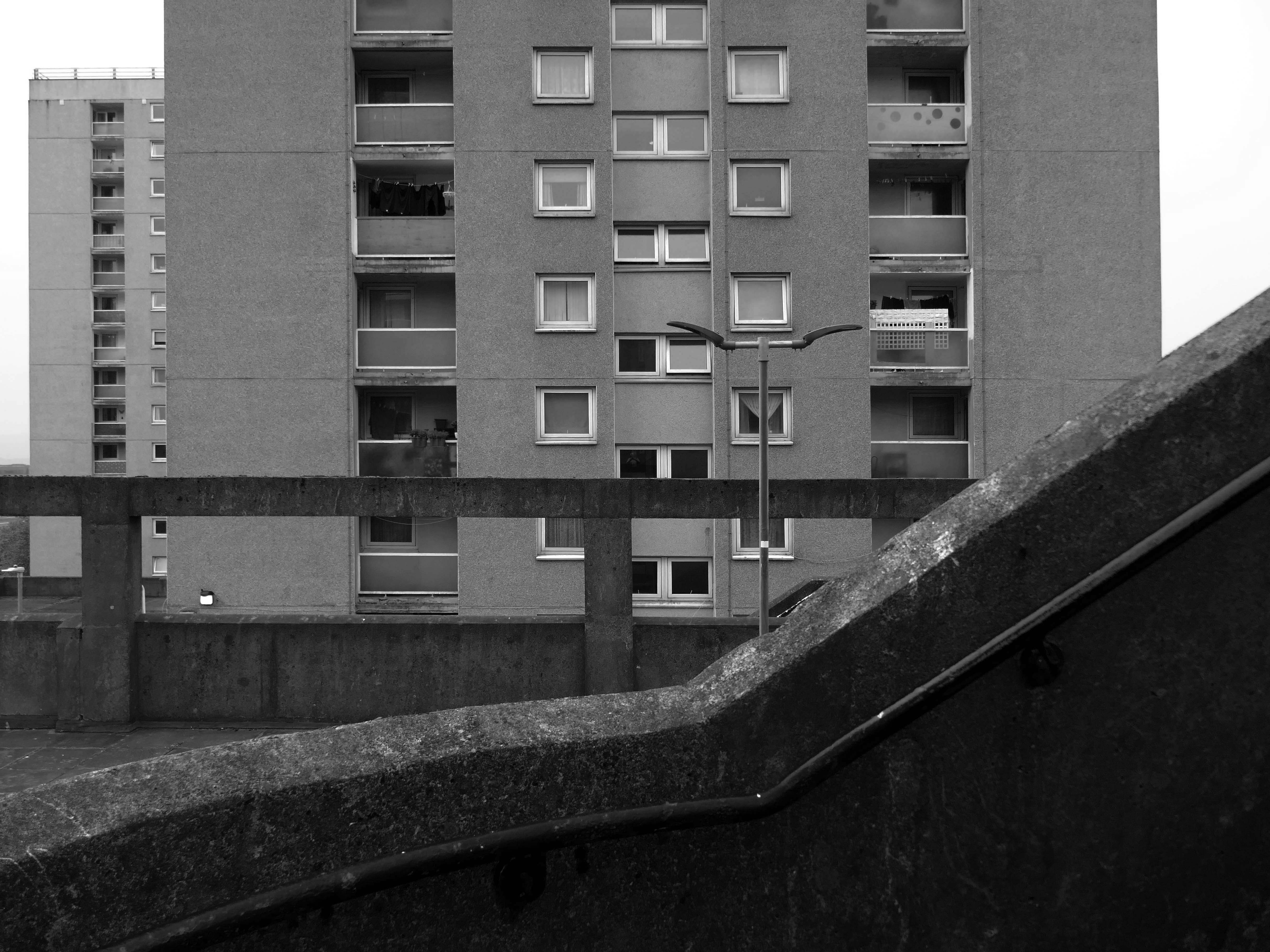
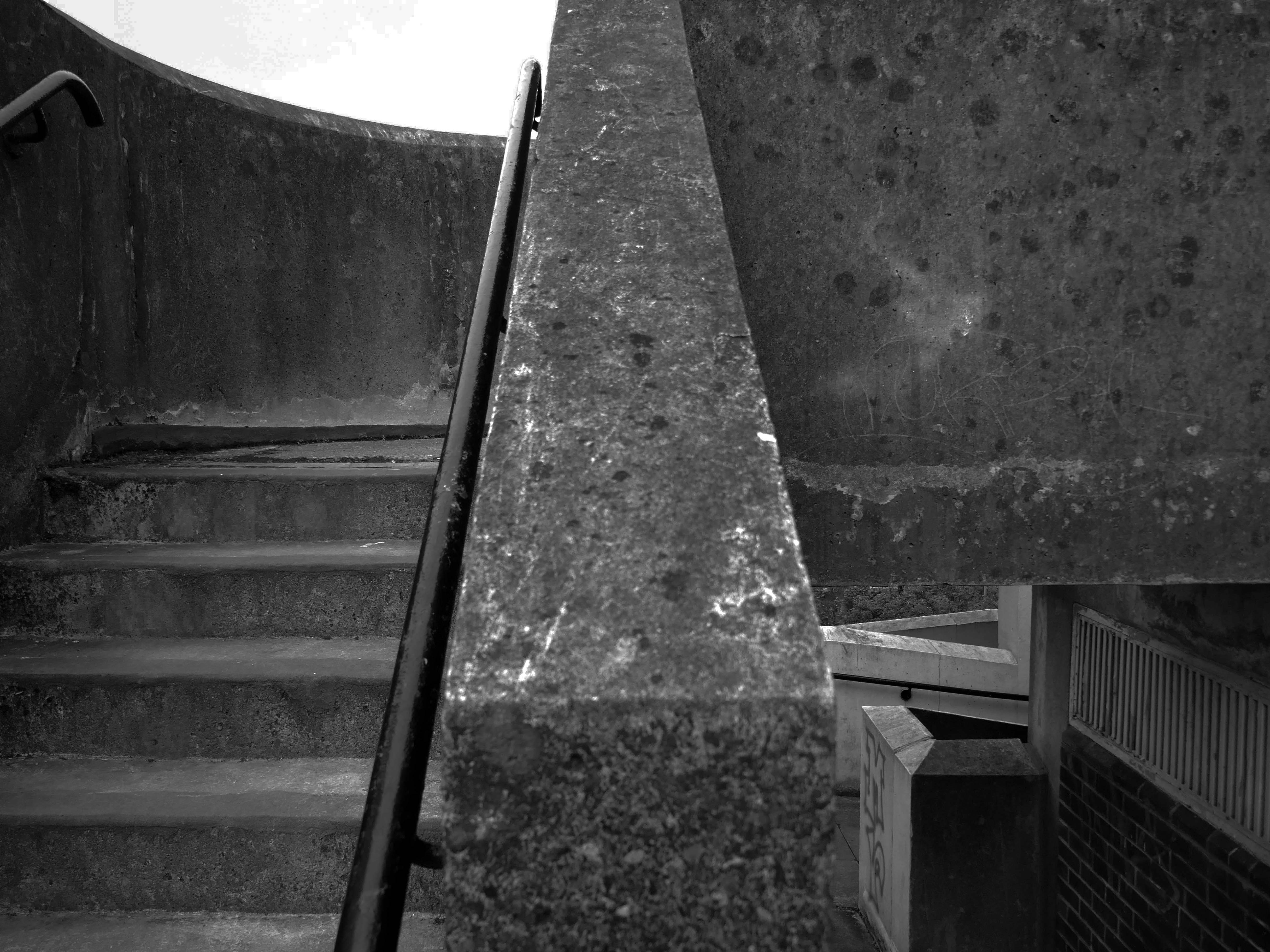
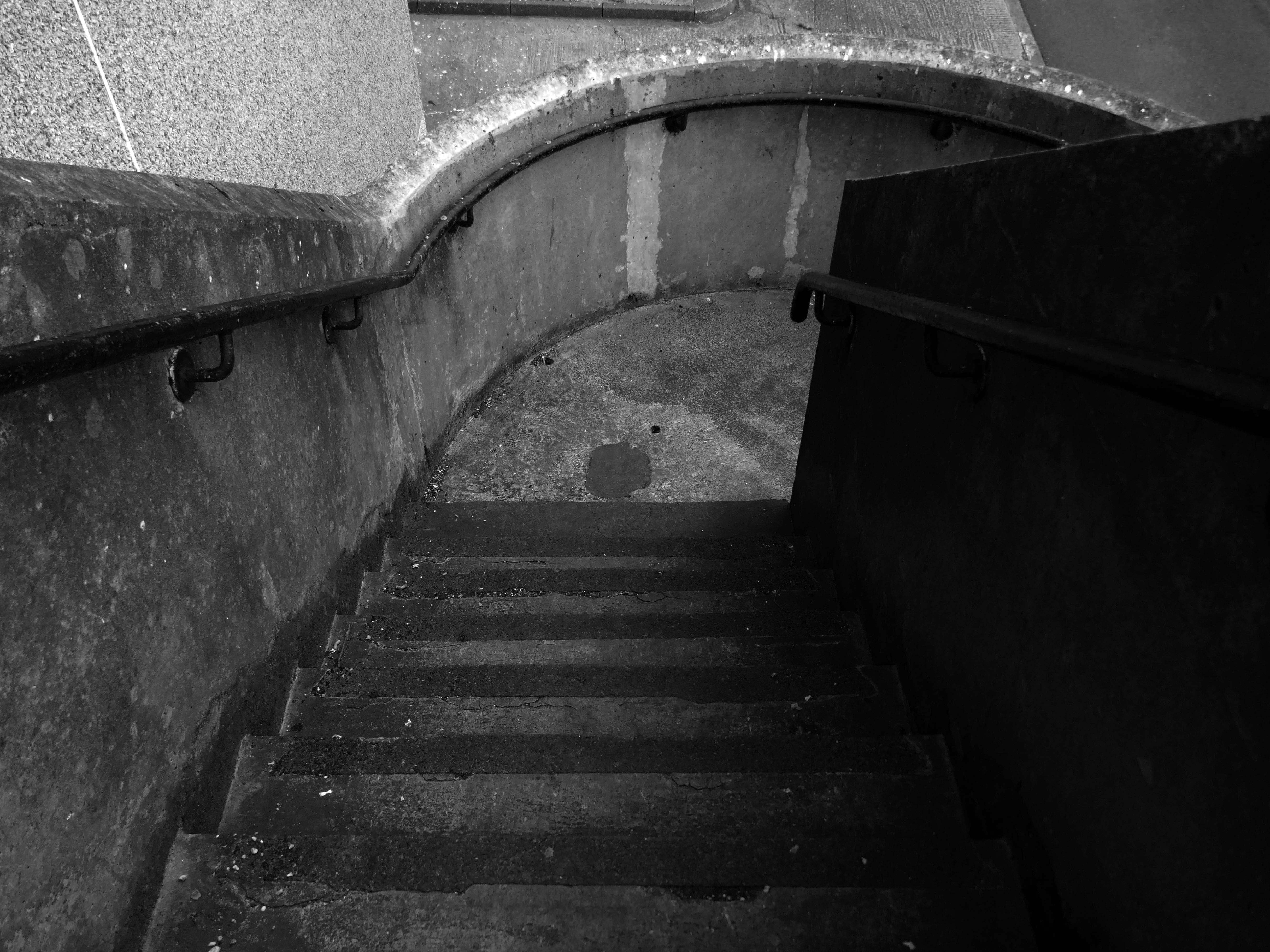
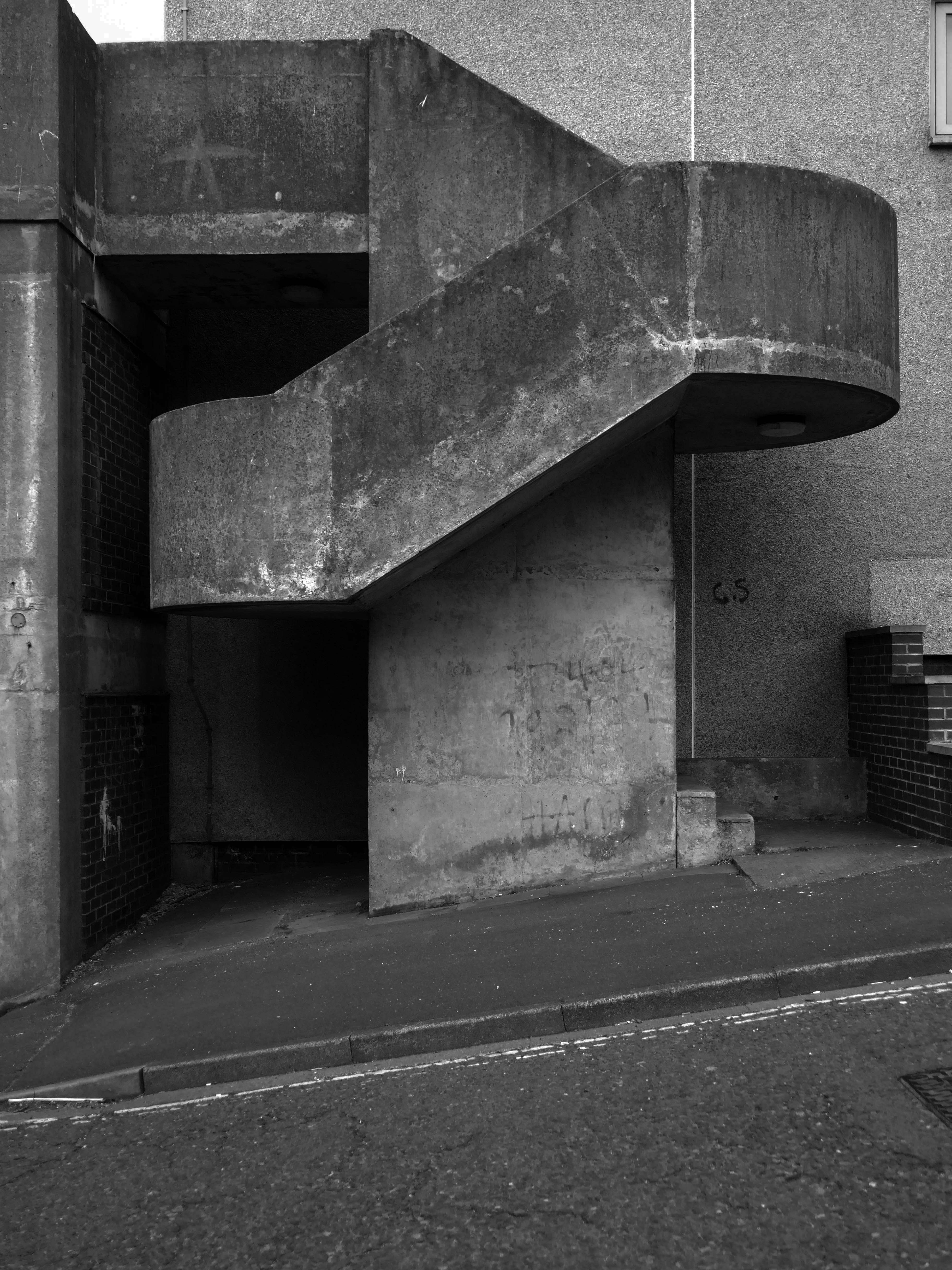
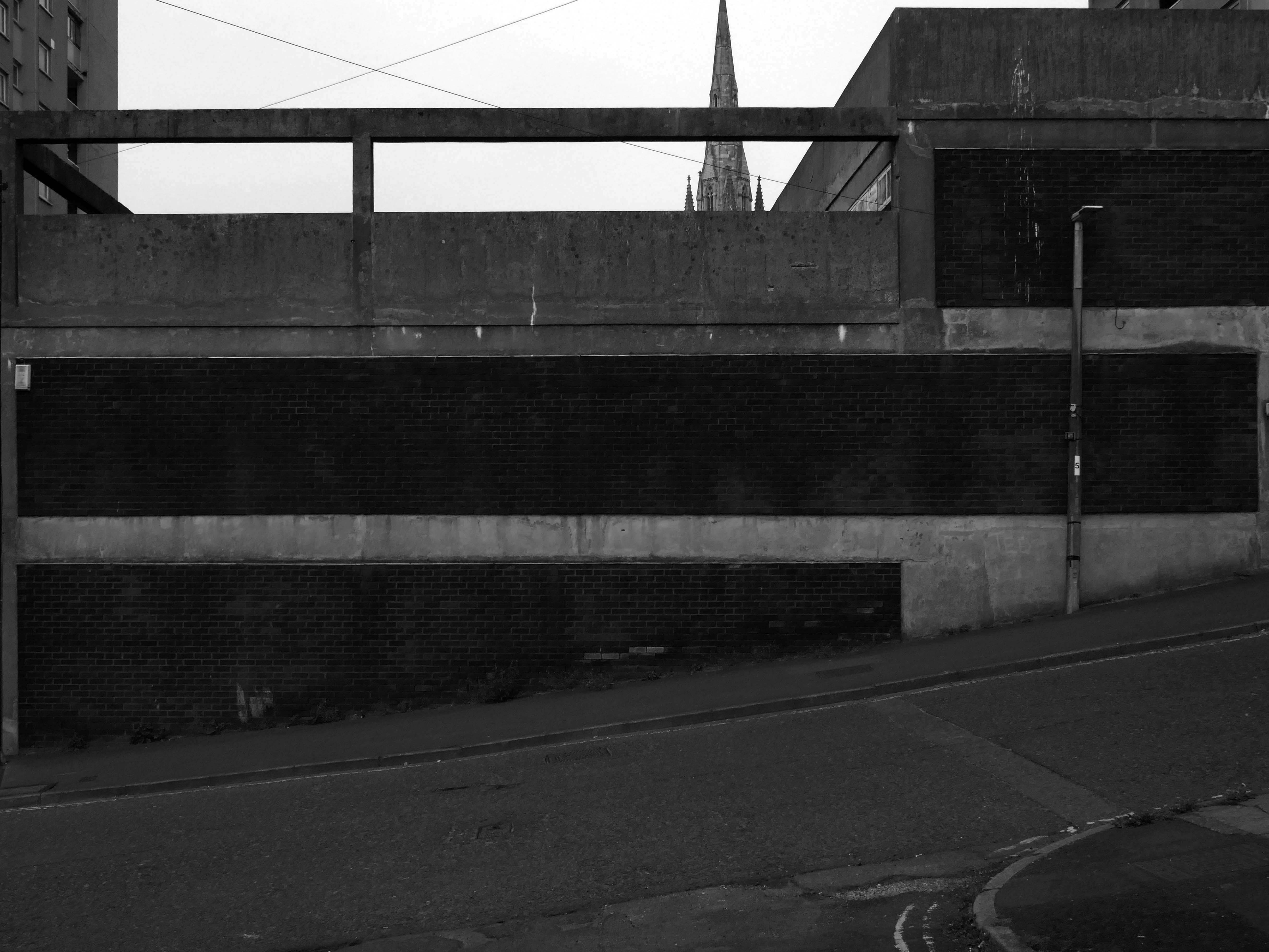
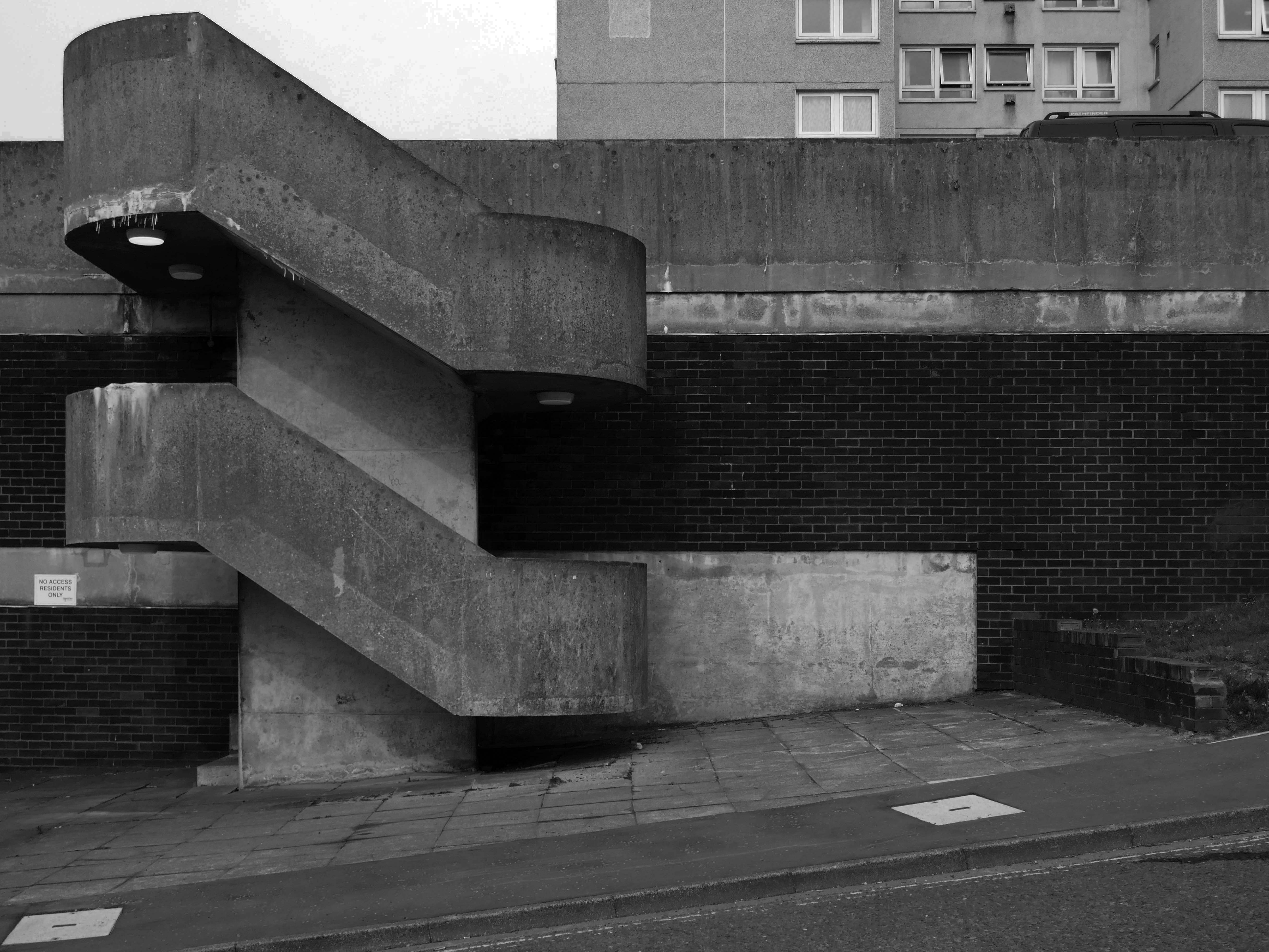
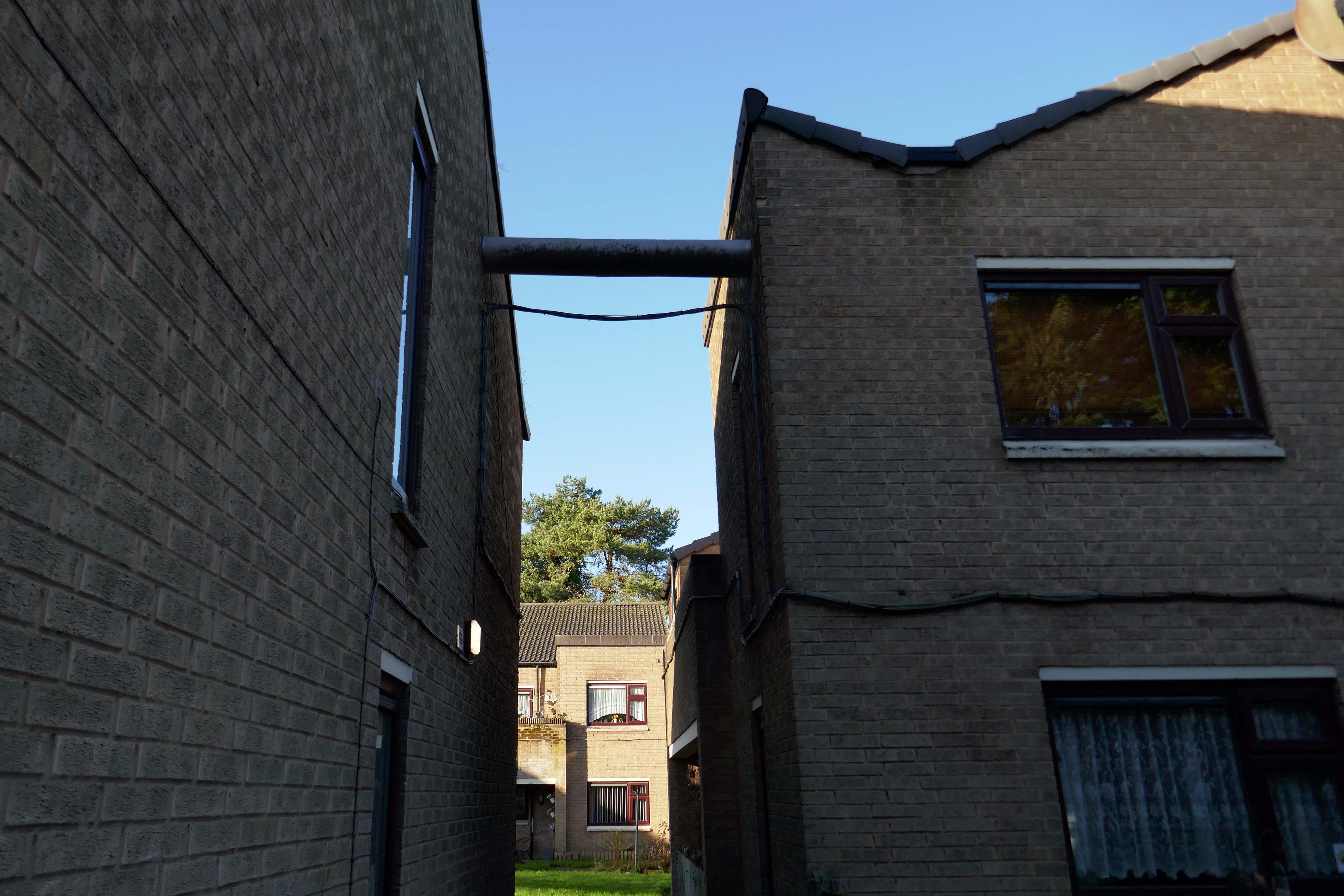
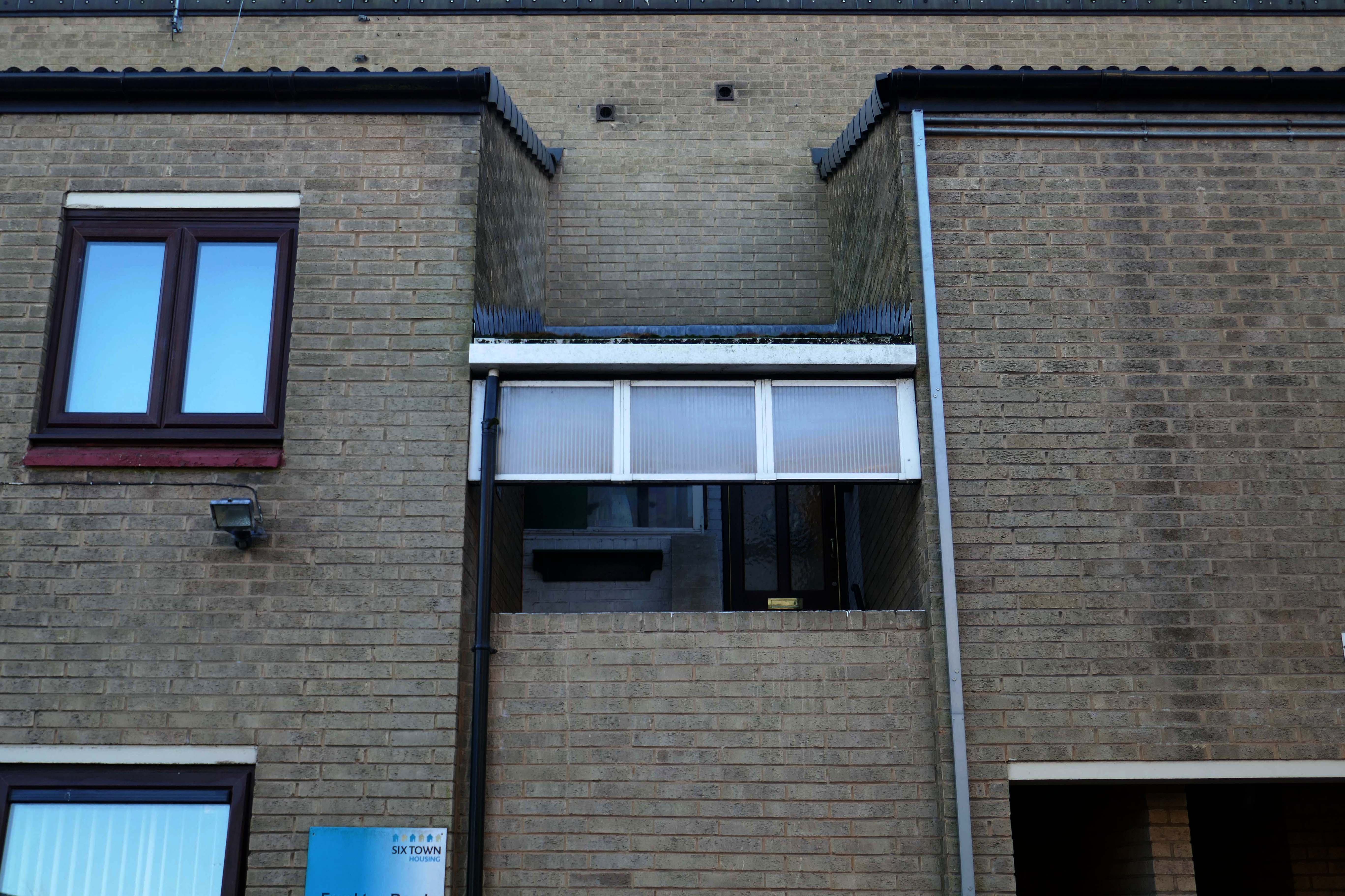
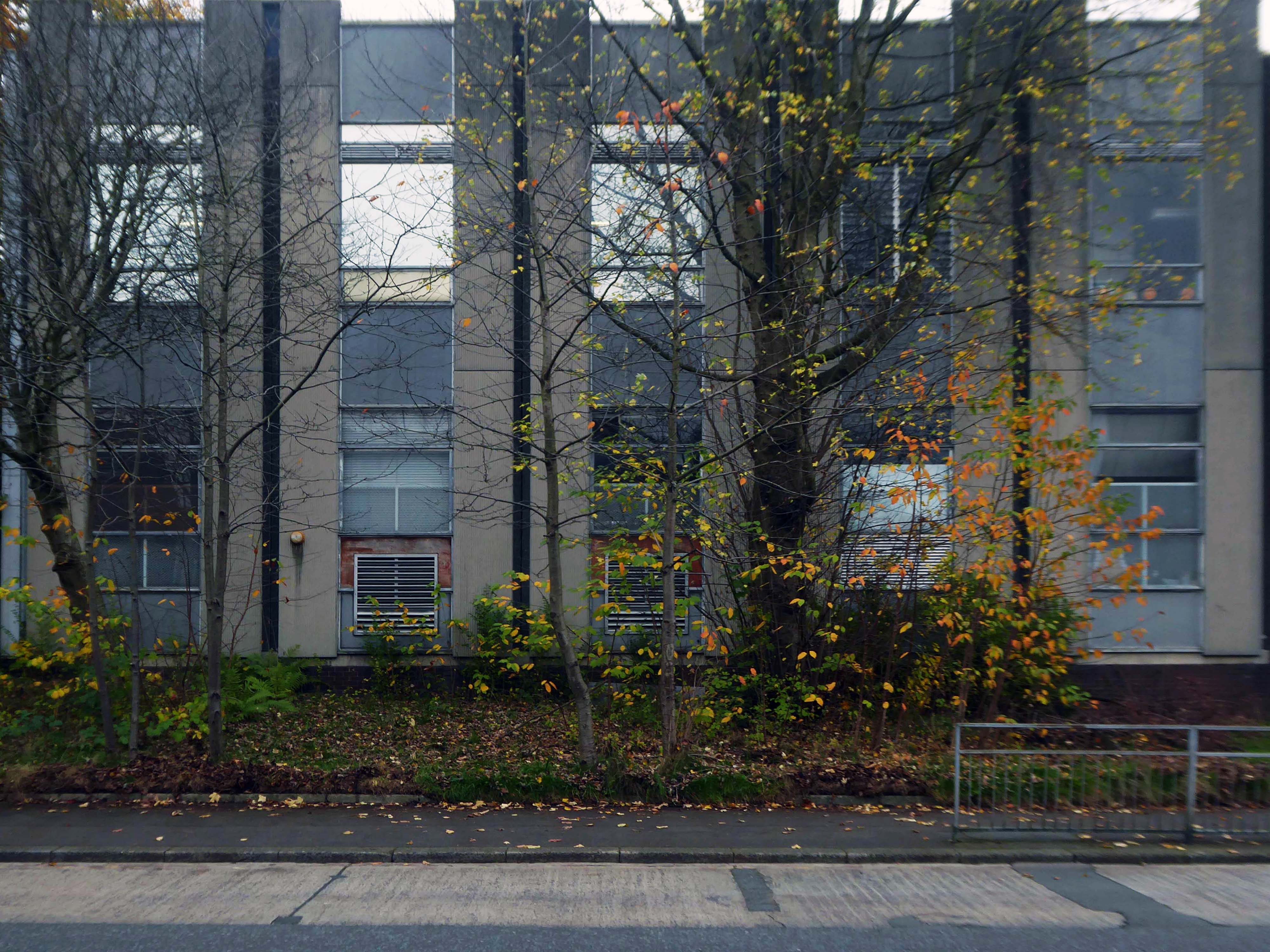
In the 1960s, most of the original housing was demolished including the historic Loudoun Square, the original heart of Butetown. In its place was a typical 1960s housing estate of low-rise courts and alleys, and two high-rise blocks of flats.
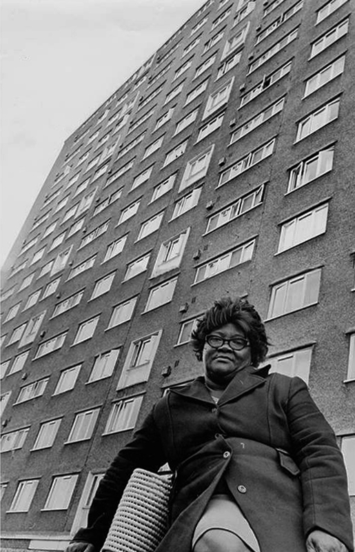
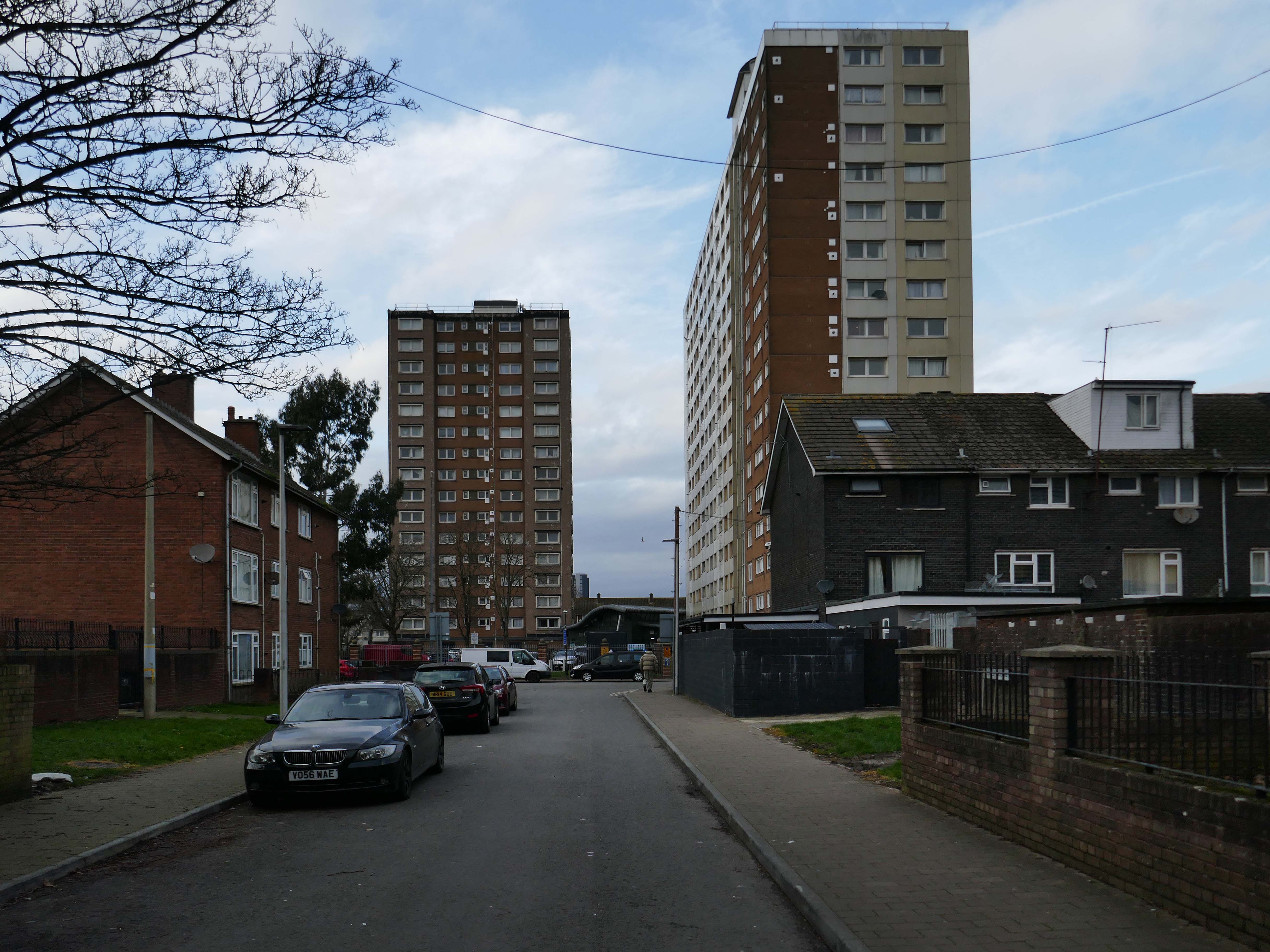
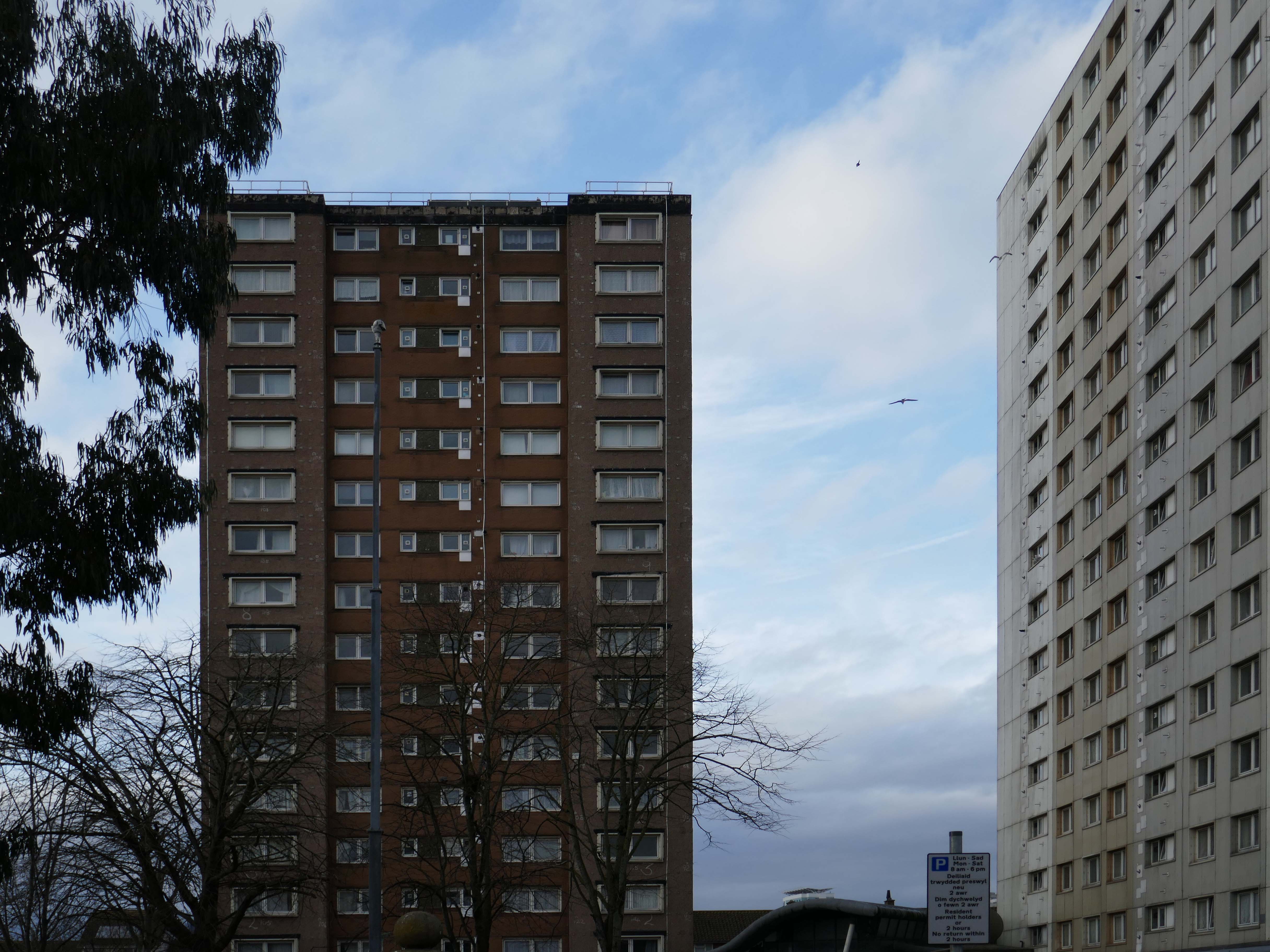
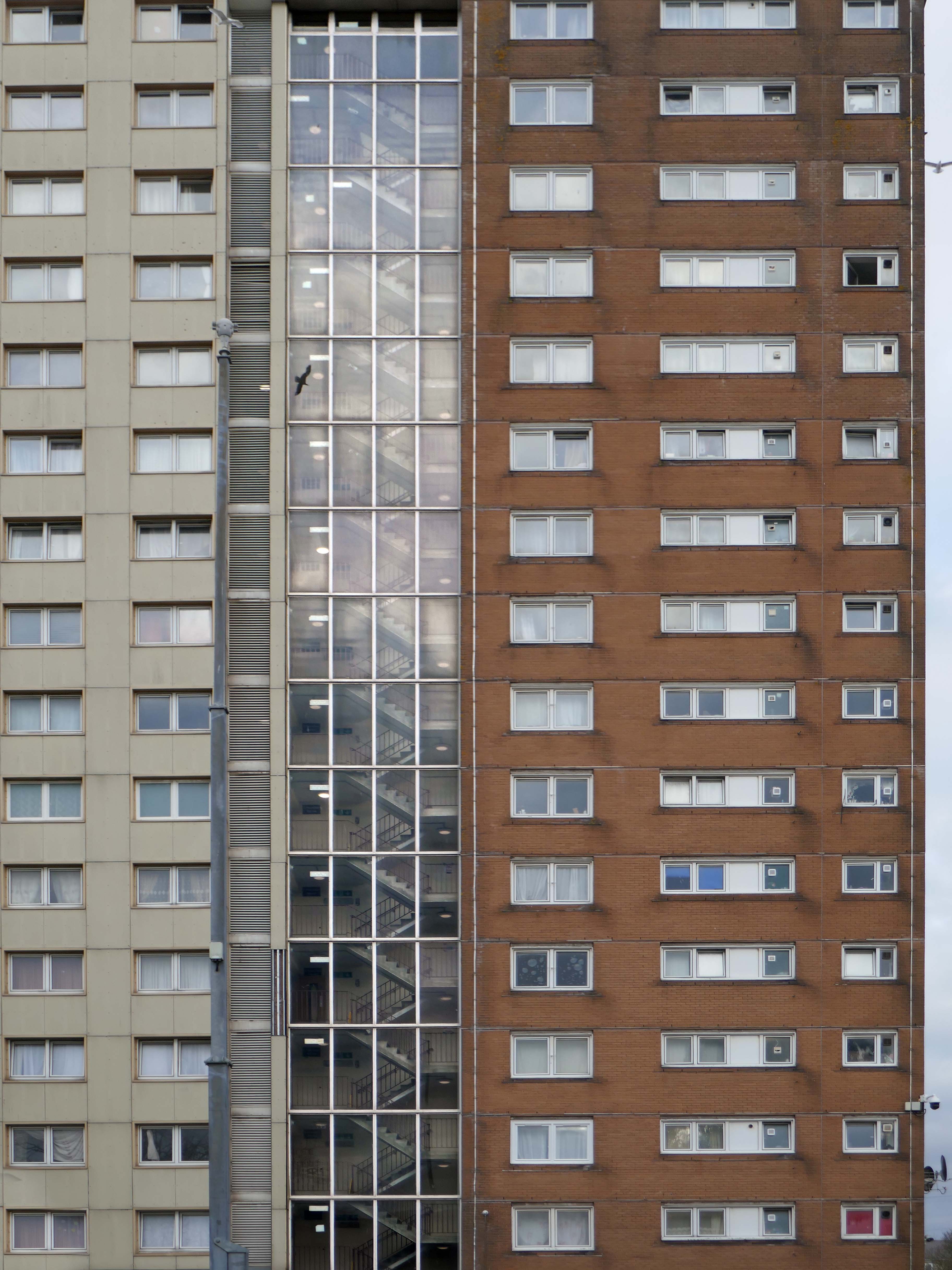
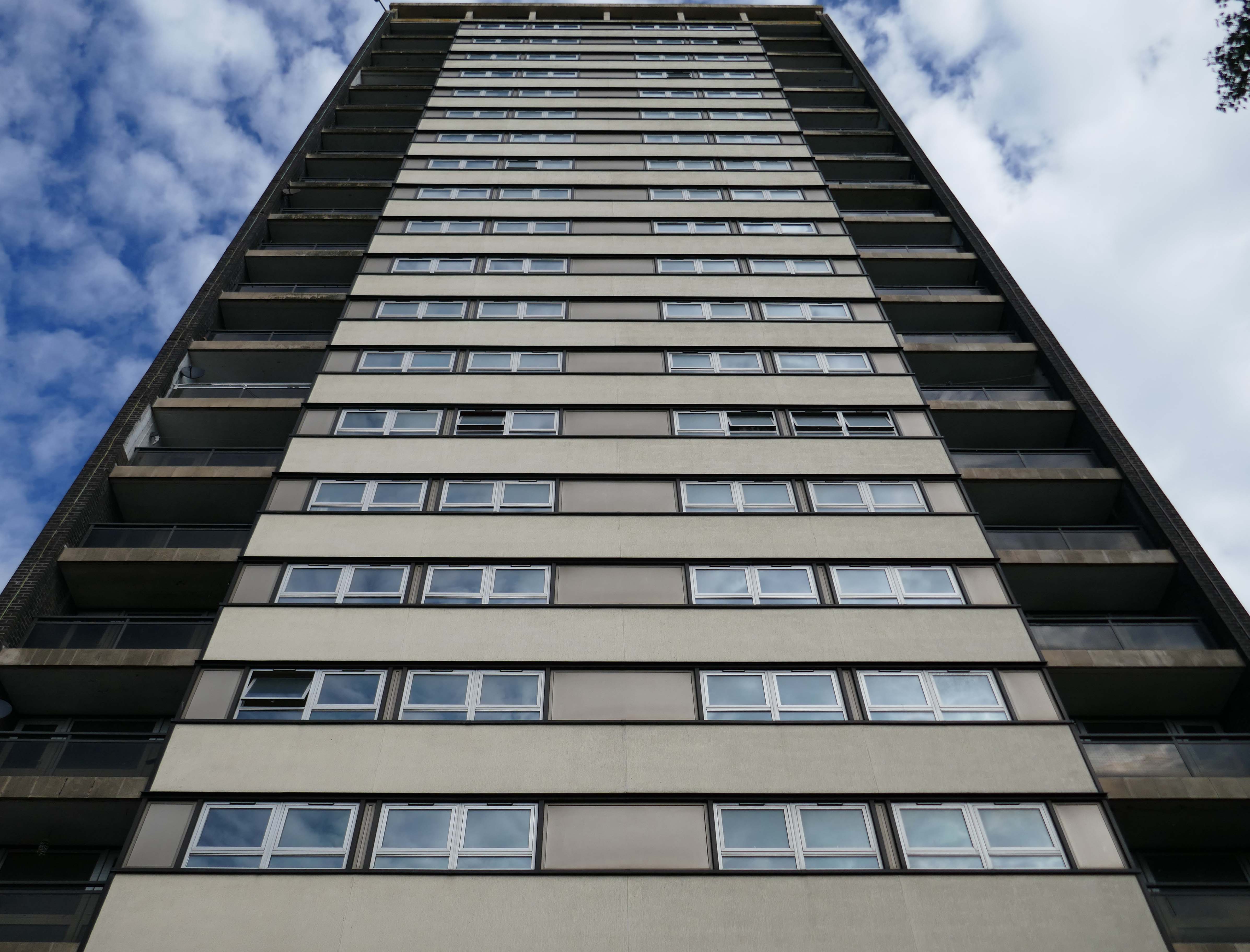
Between 1960 and 1966 two sixteen-storey tower blocks, Loudoun House and Nelson House, were built on the centre of Loudoun Square
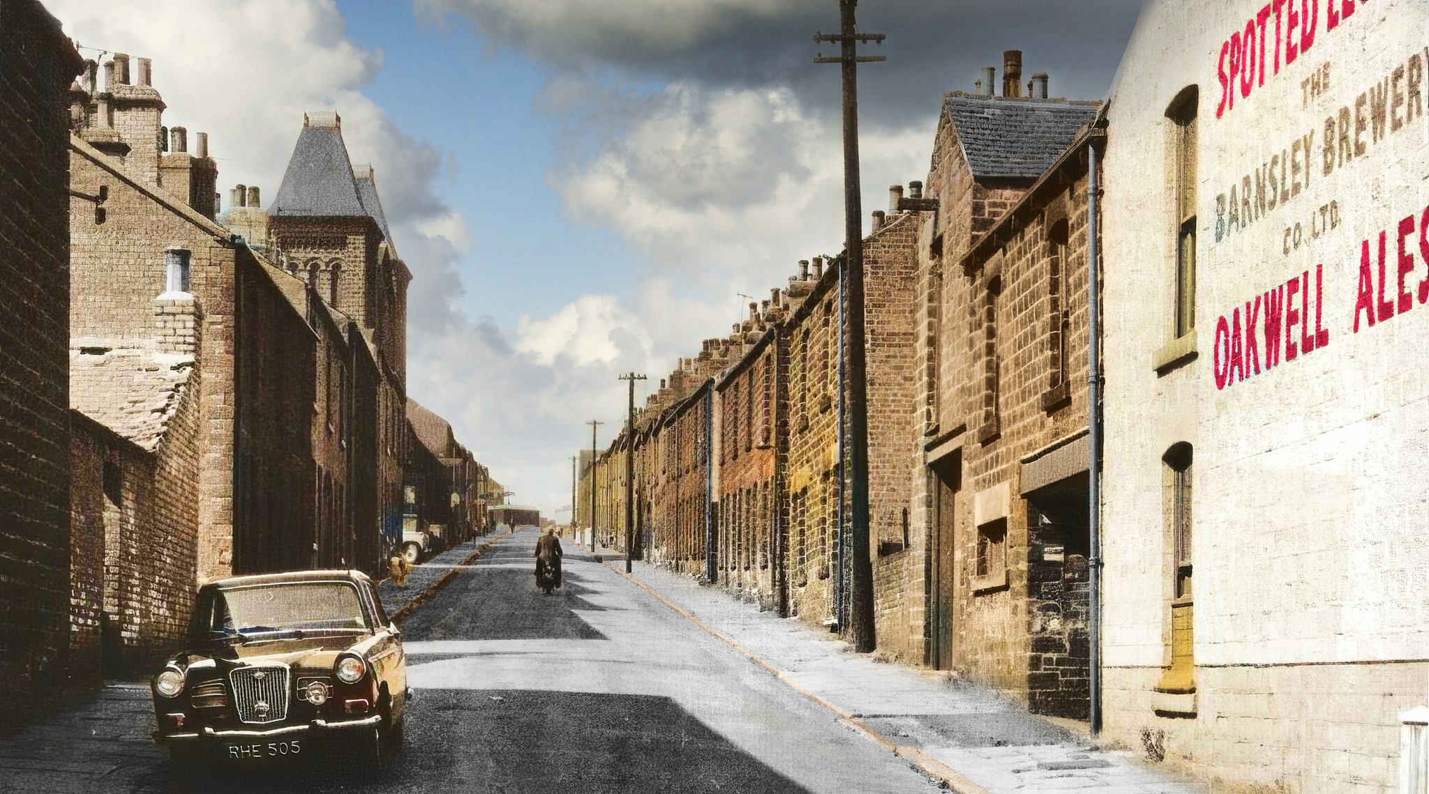
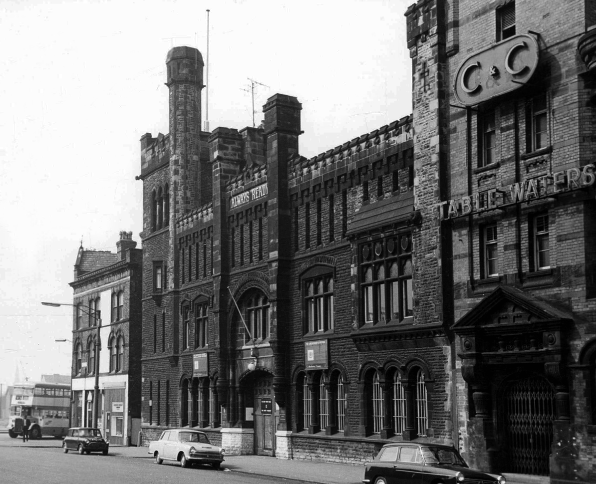
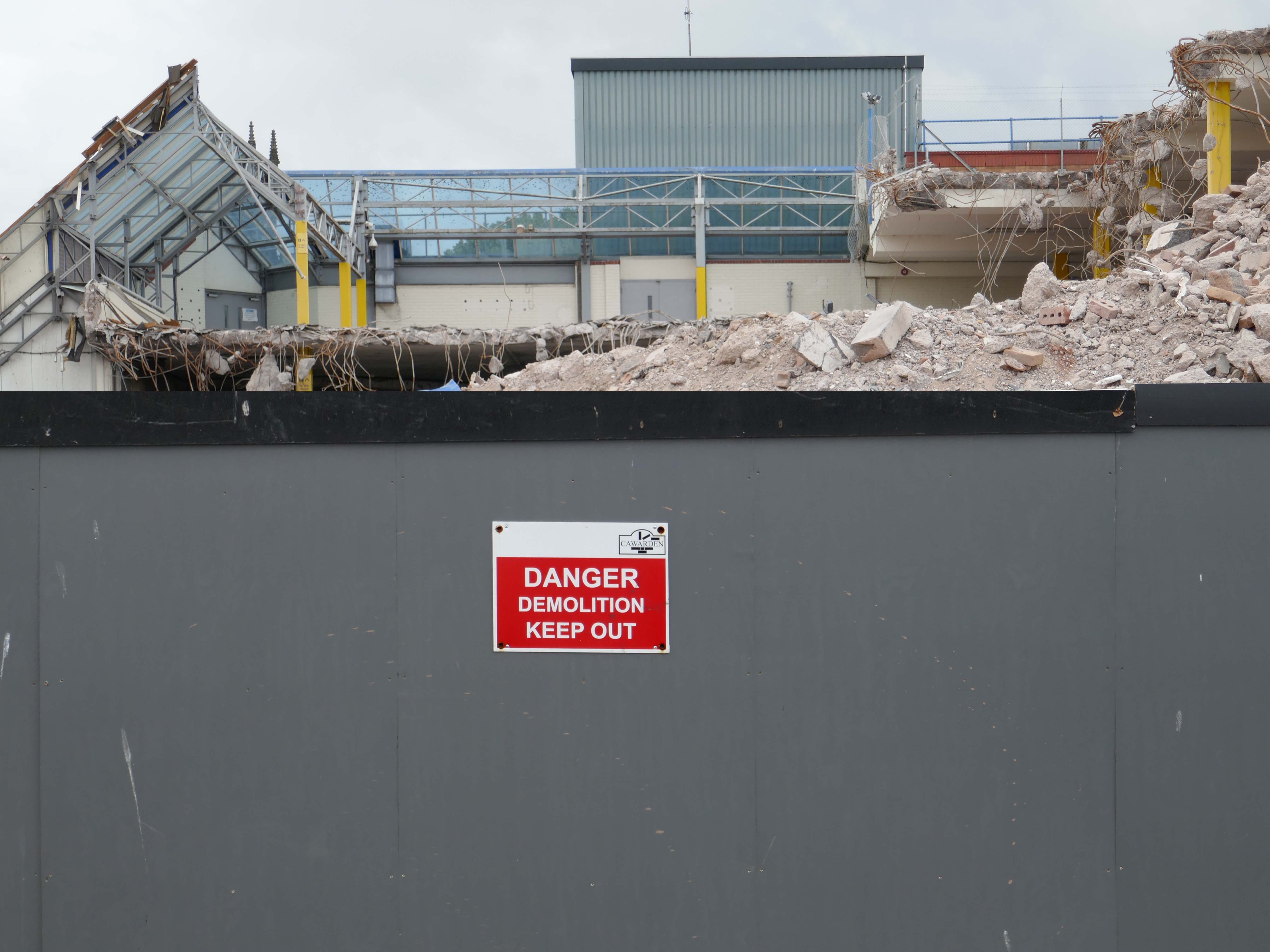
The demolition of the old buildings in Bute Street gets under way in 1963.
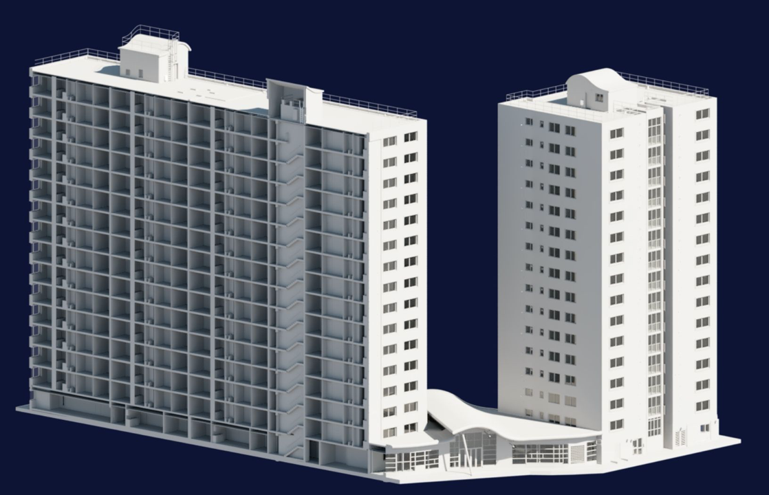
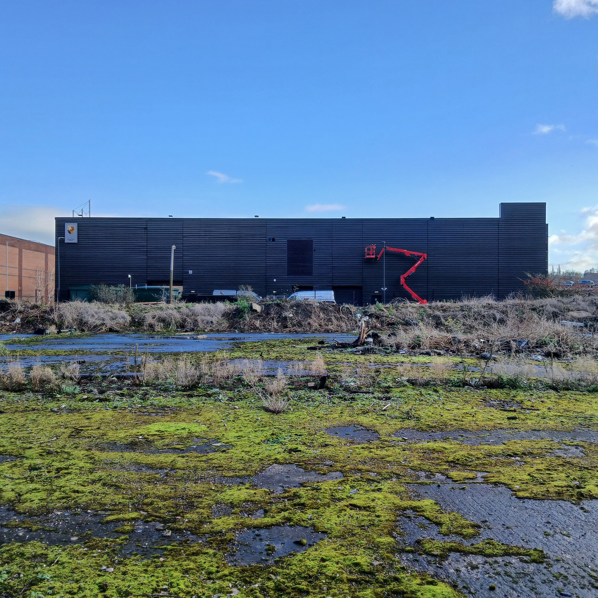
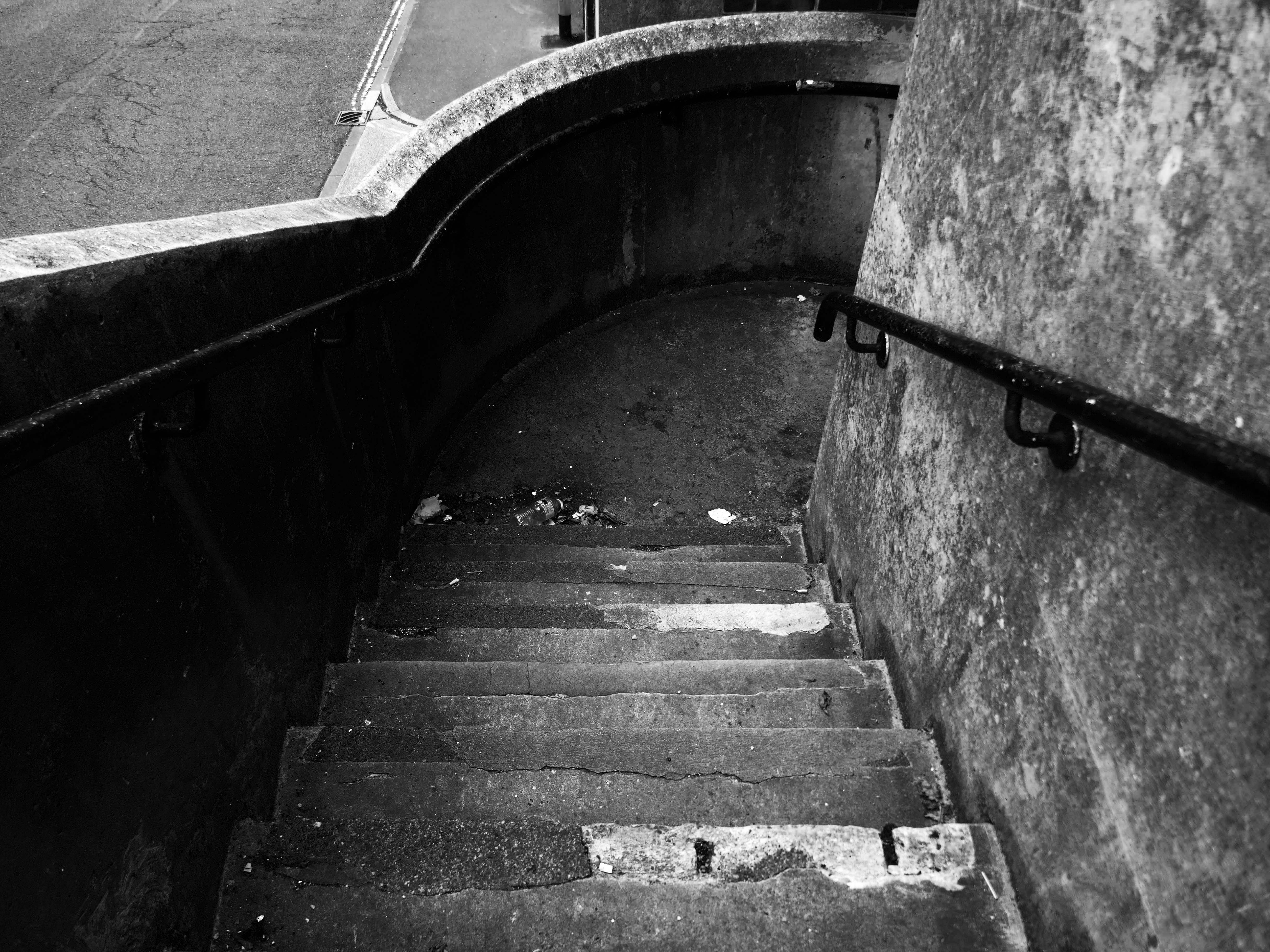
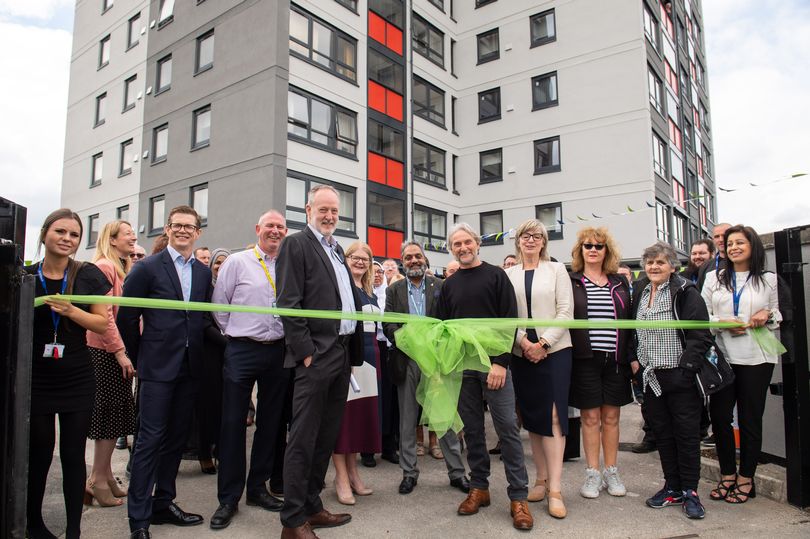
Surveybase have undertaken detailed scanning and modelling prior to the planned post Grenfell re-cladding.
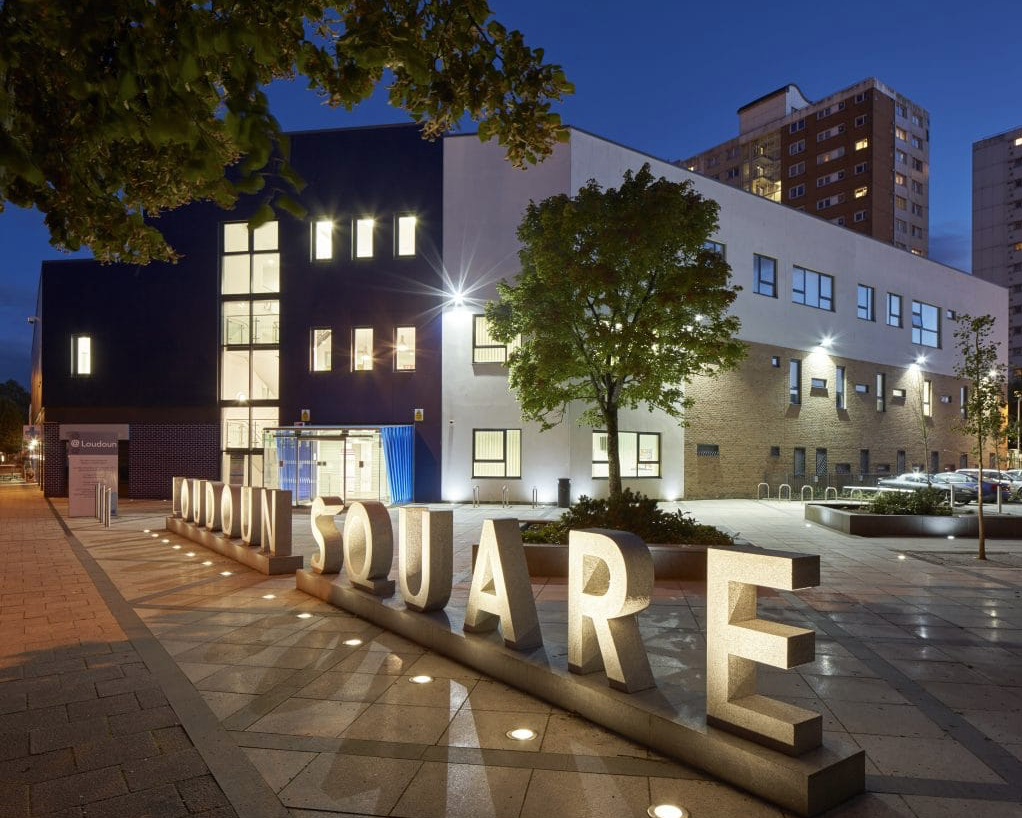
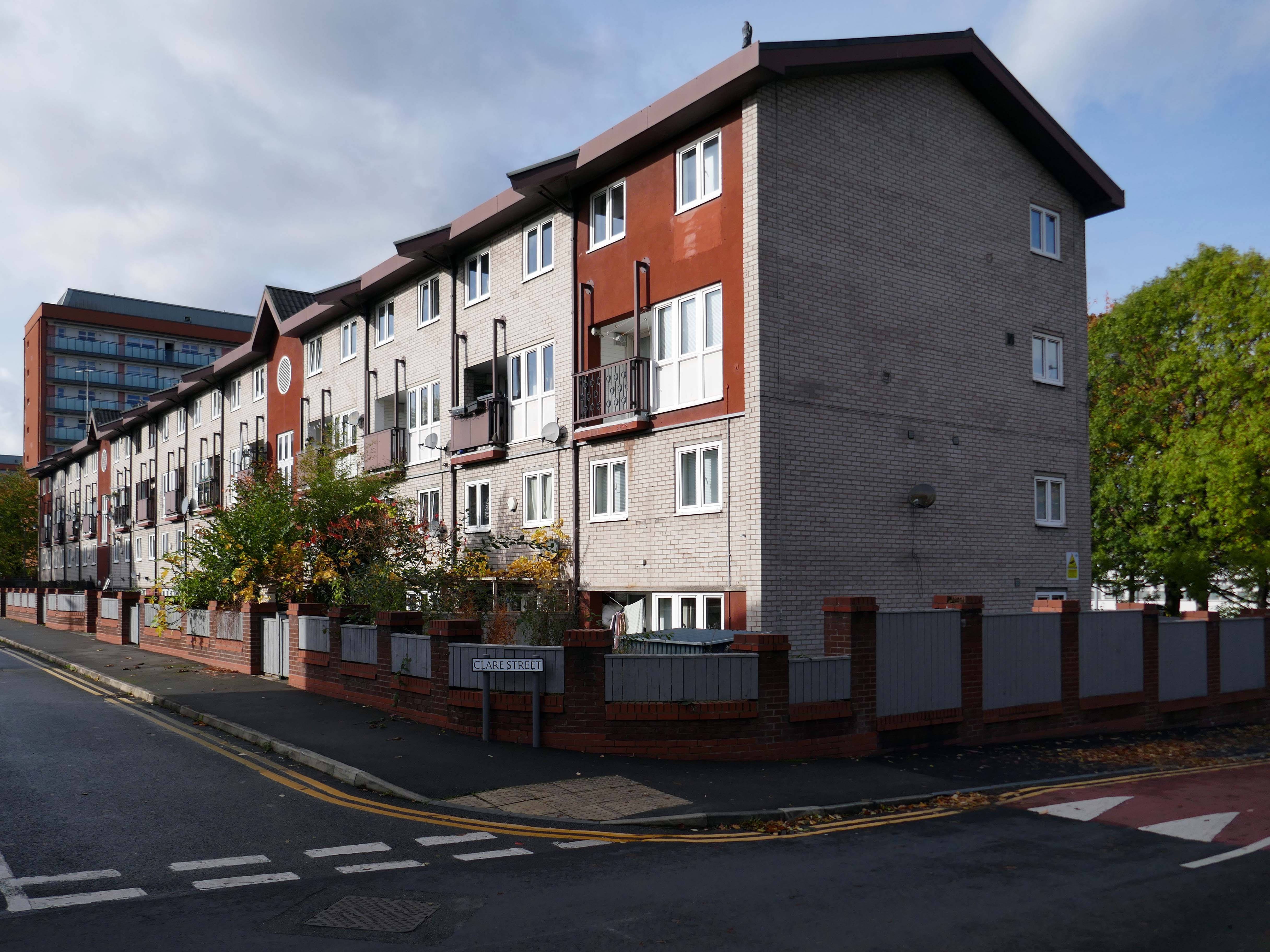
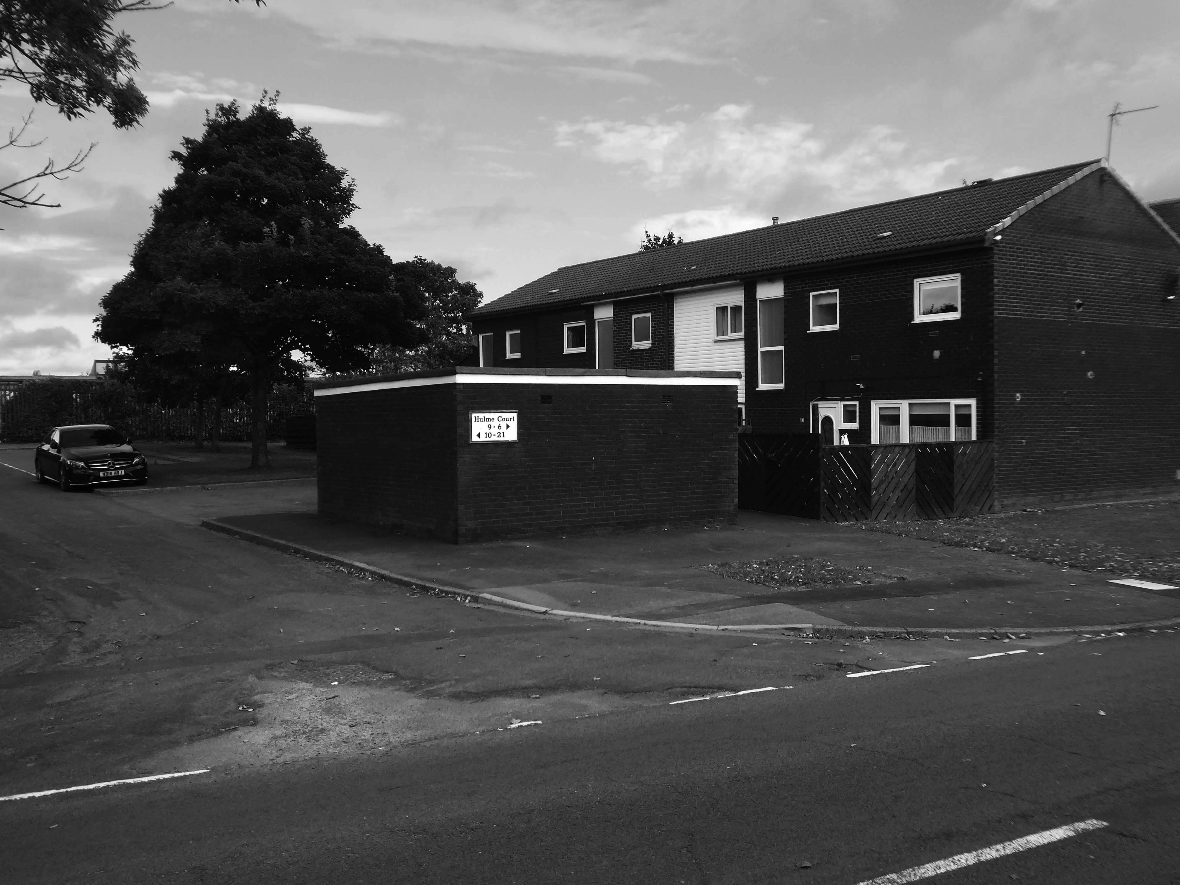
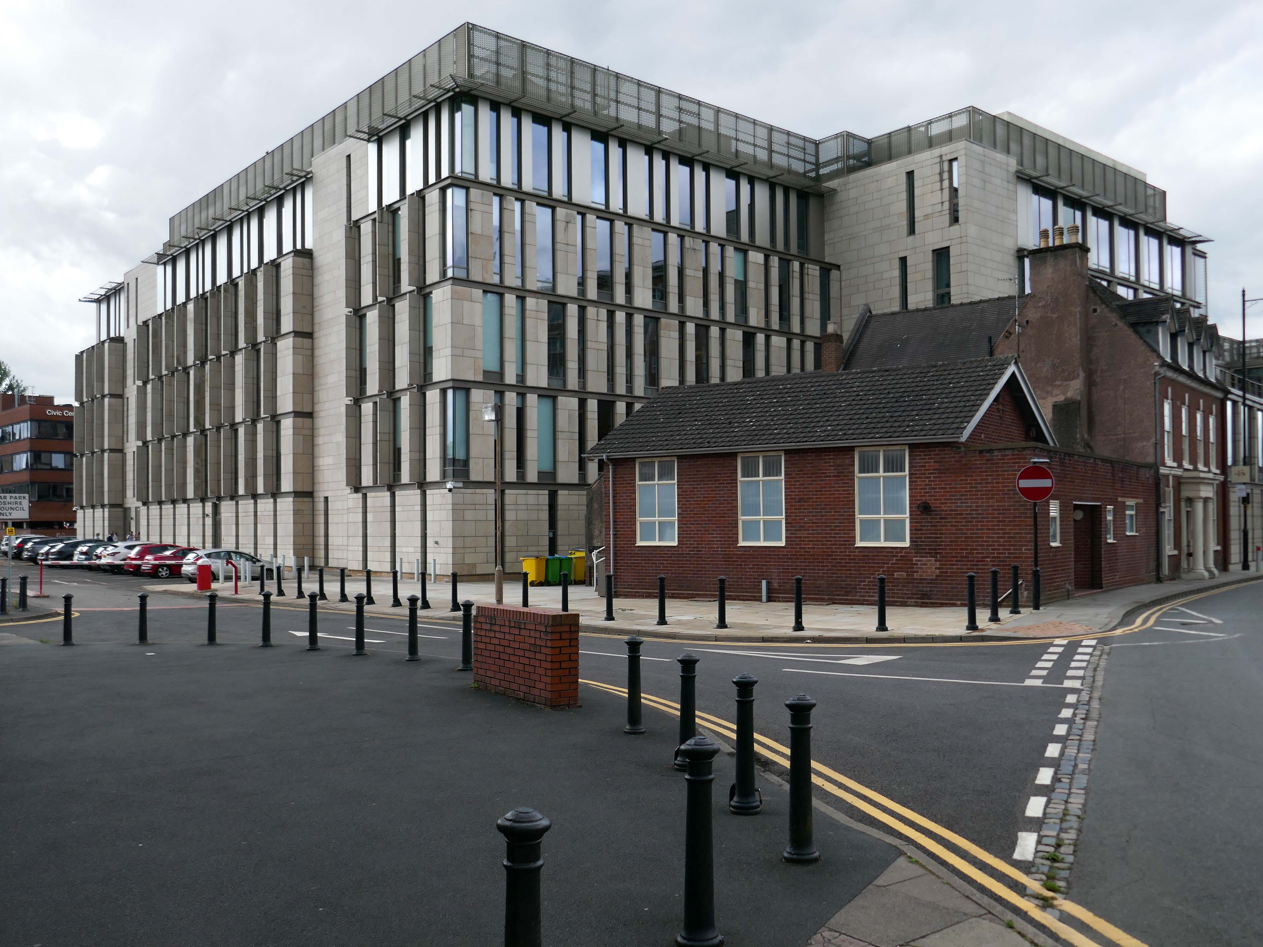
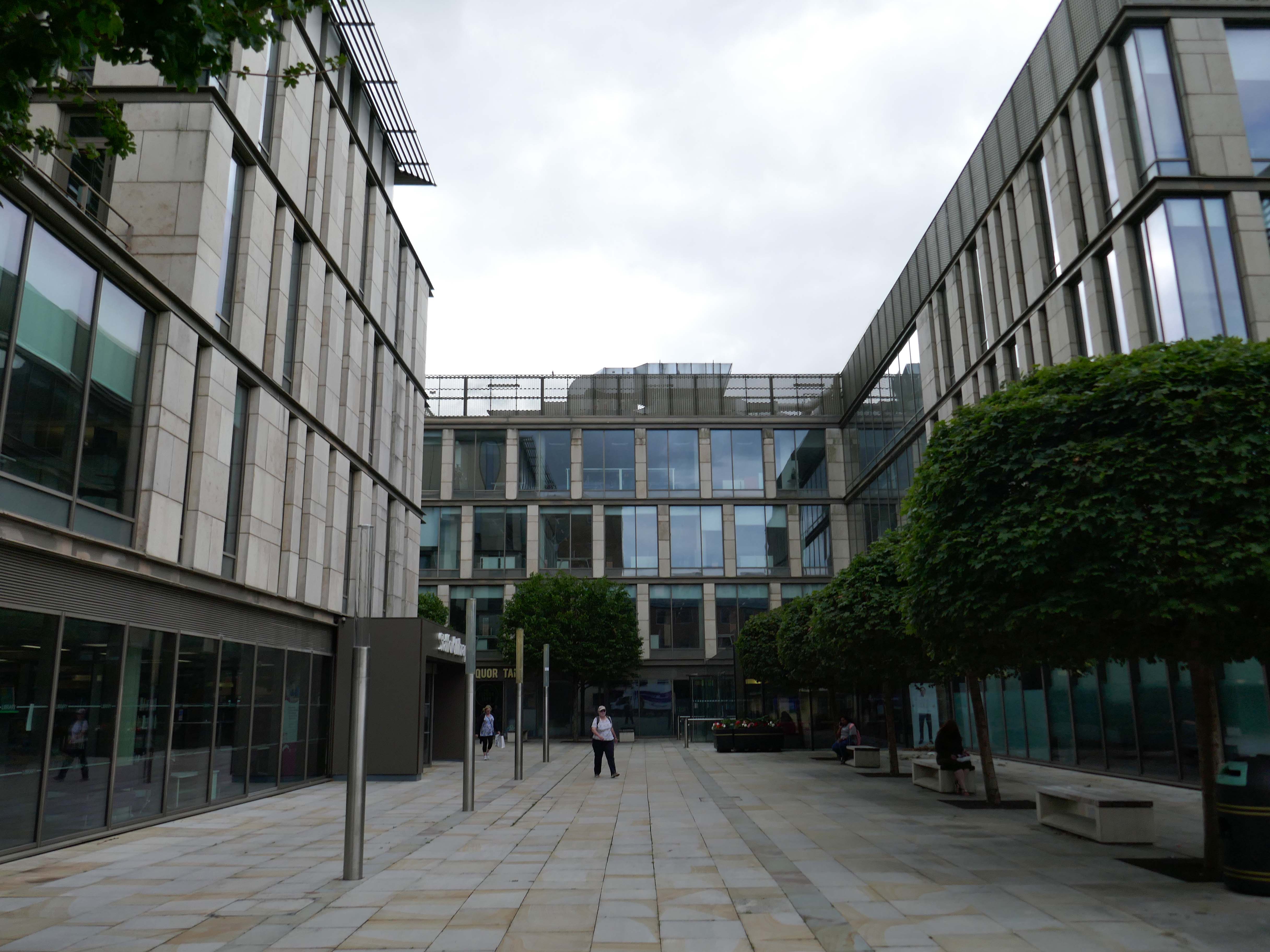
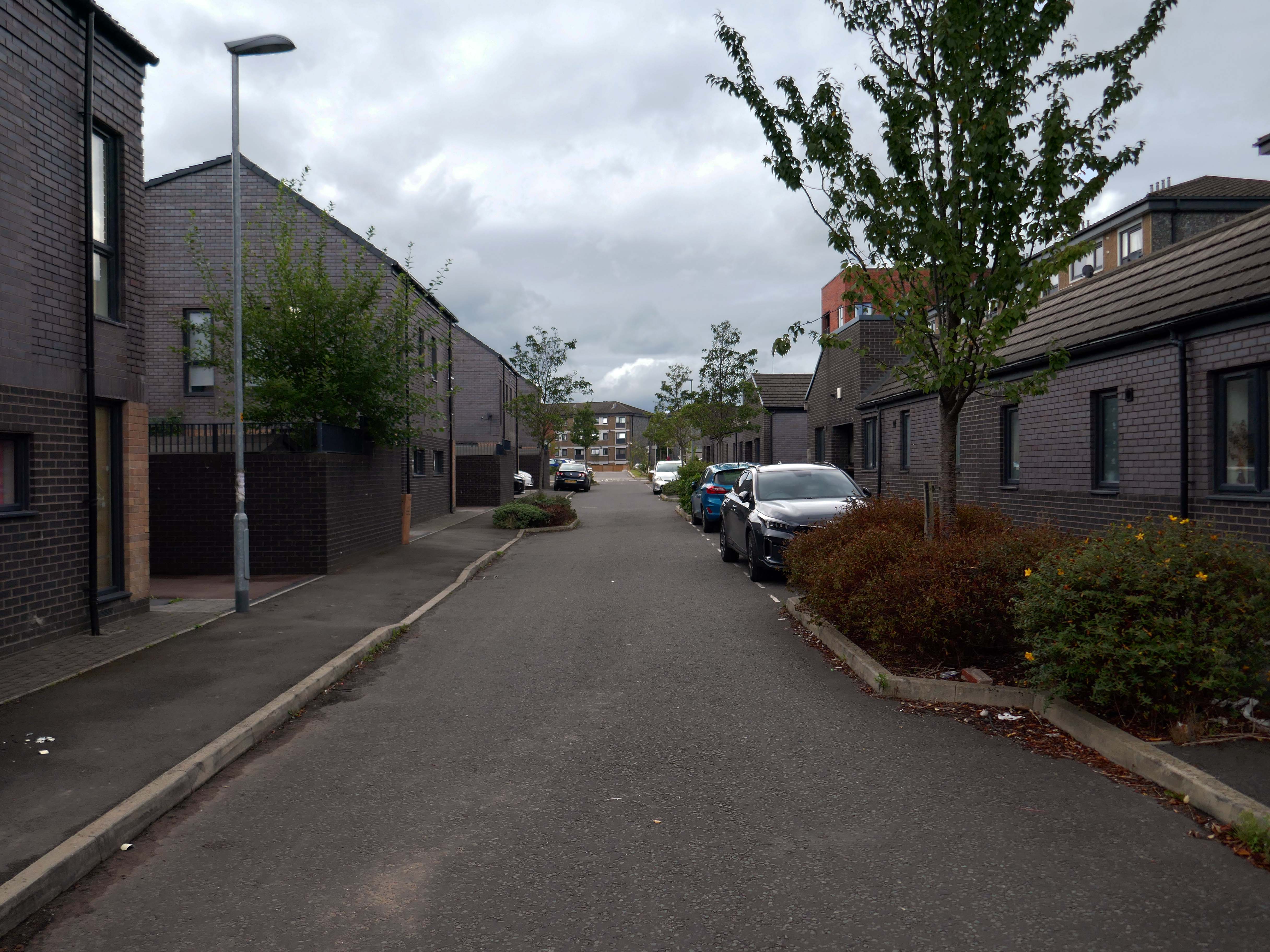
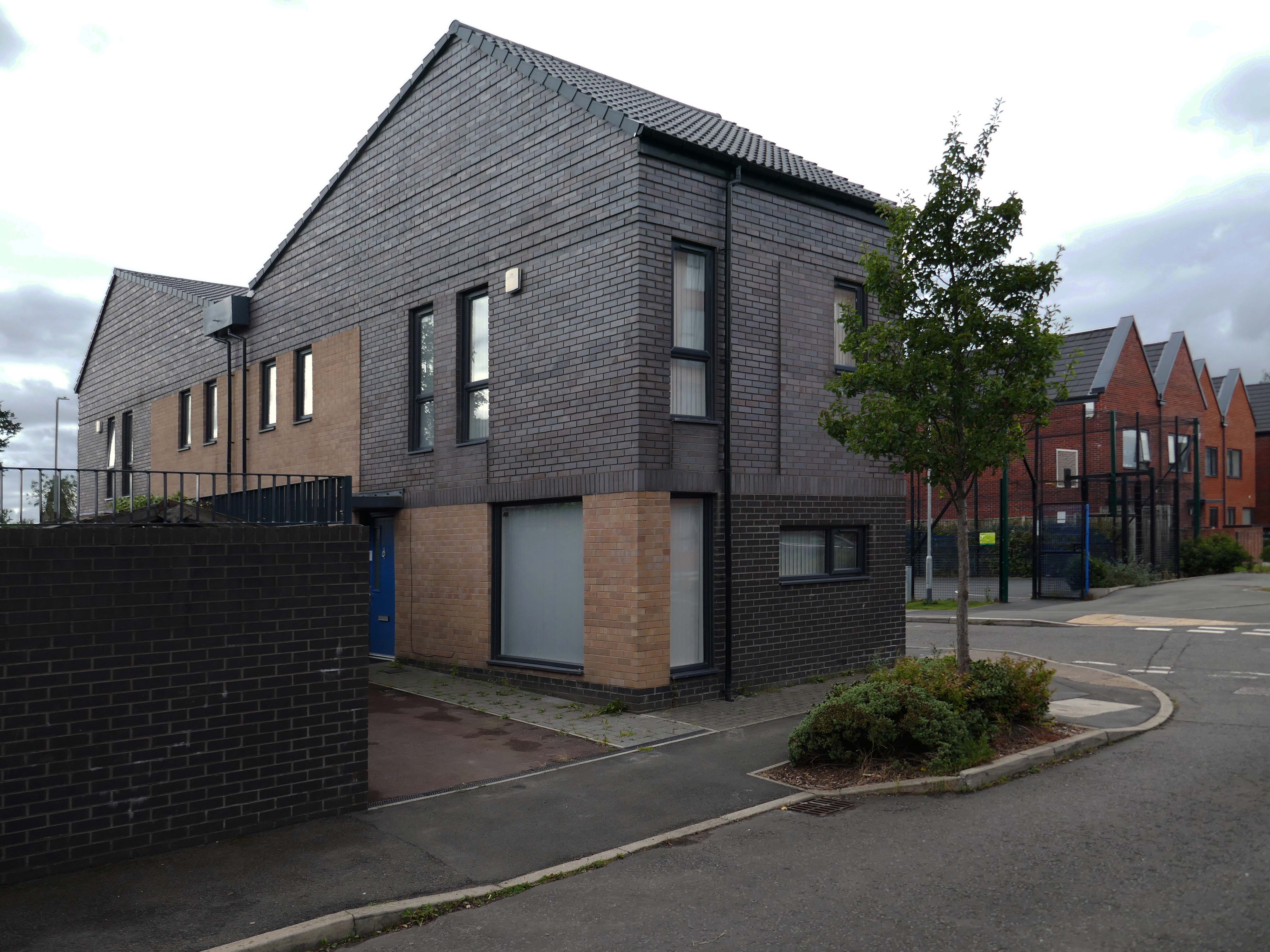
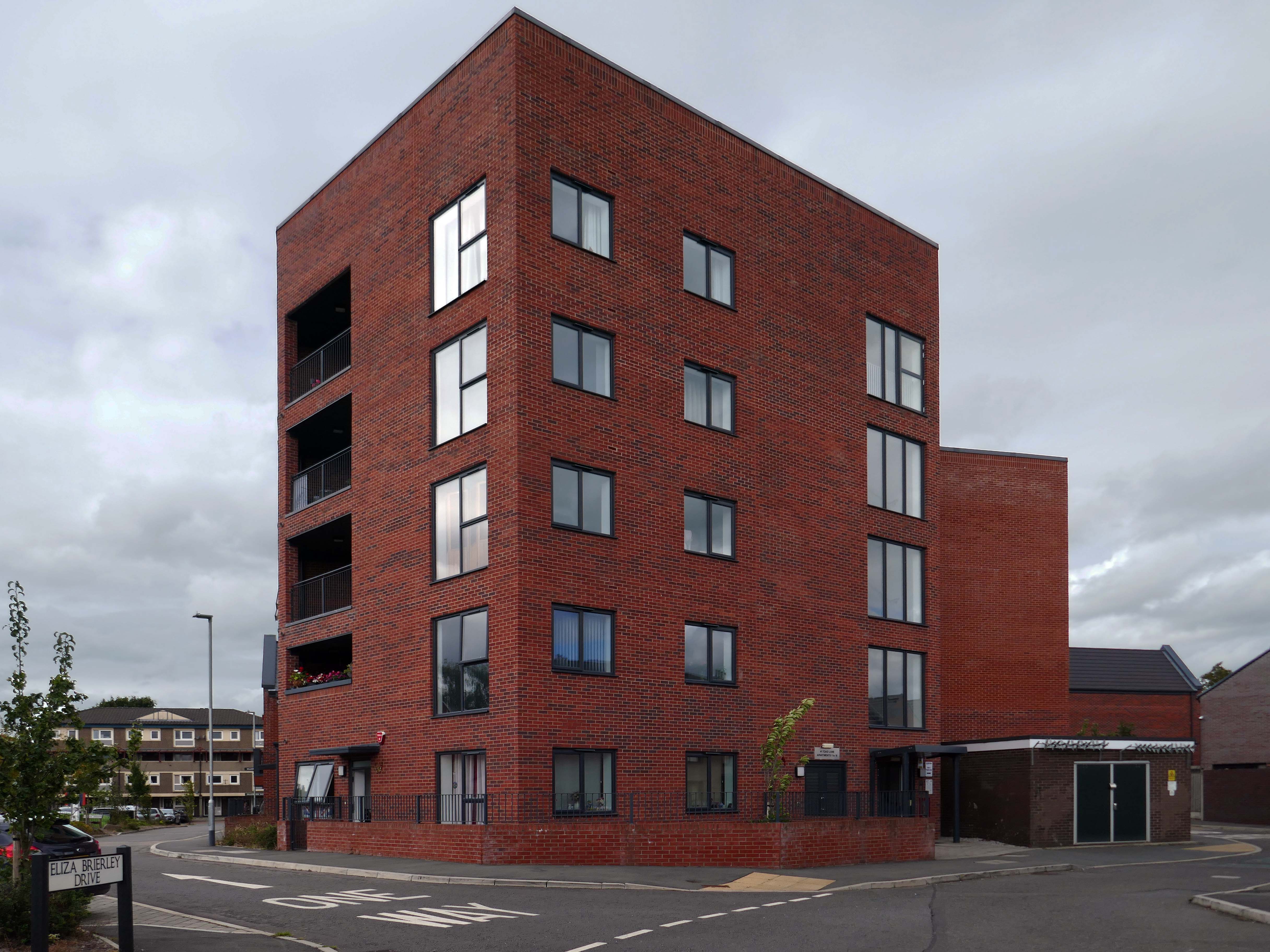
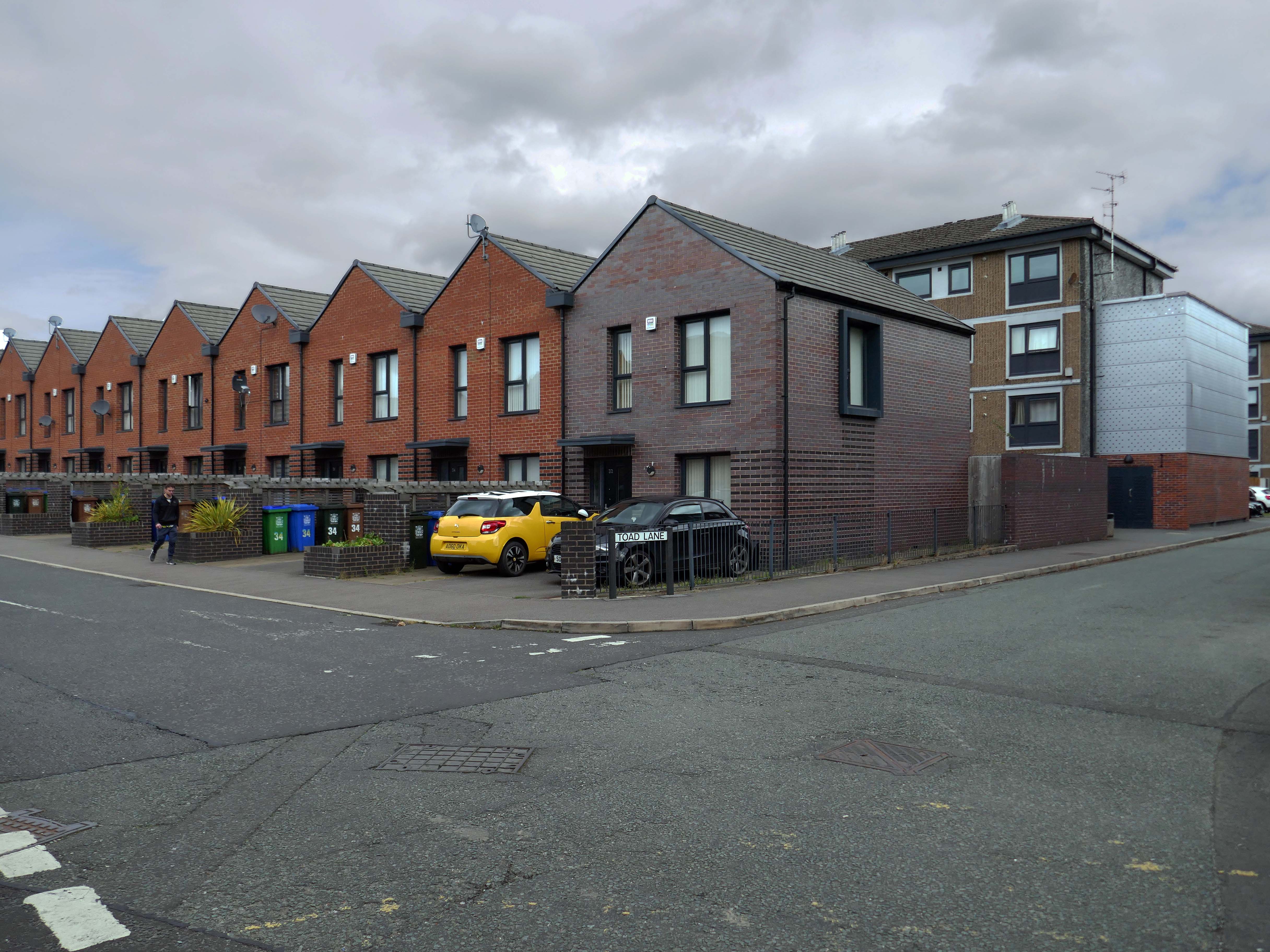
The Loudoun Square regeneration project is a collaboration between Cardiff City Council, Cardiff Community Housing Association, Cardiff Local Health Board and Cardiff and Vale NHS Trust. The site is located between Cardiff City Centre and Cardiff Bay, and was previously occupied by an existing health centre and local shops, together with a vacant area of land.
The area has been regenerated with the creation of new modern facilities to serve the local community and include a new health centre, shops, affordable homes and community facilities.
My baby takes the morning train He works from nine till five and then He takes another home again To find me waitin’ for him
Sheena Easton
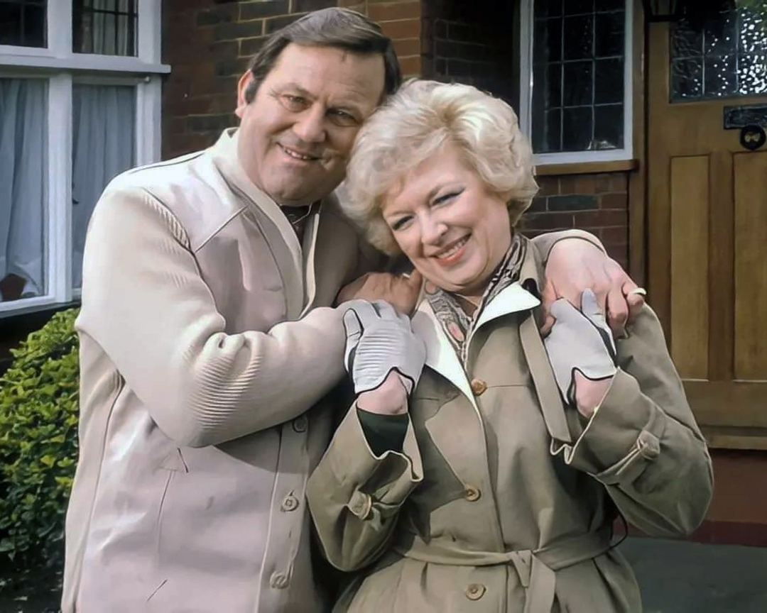
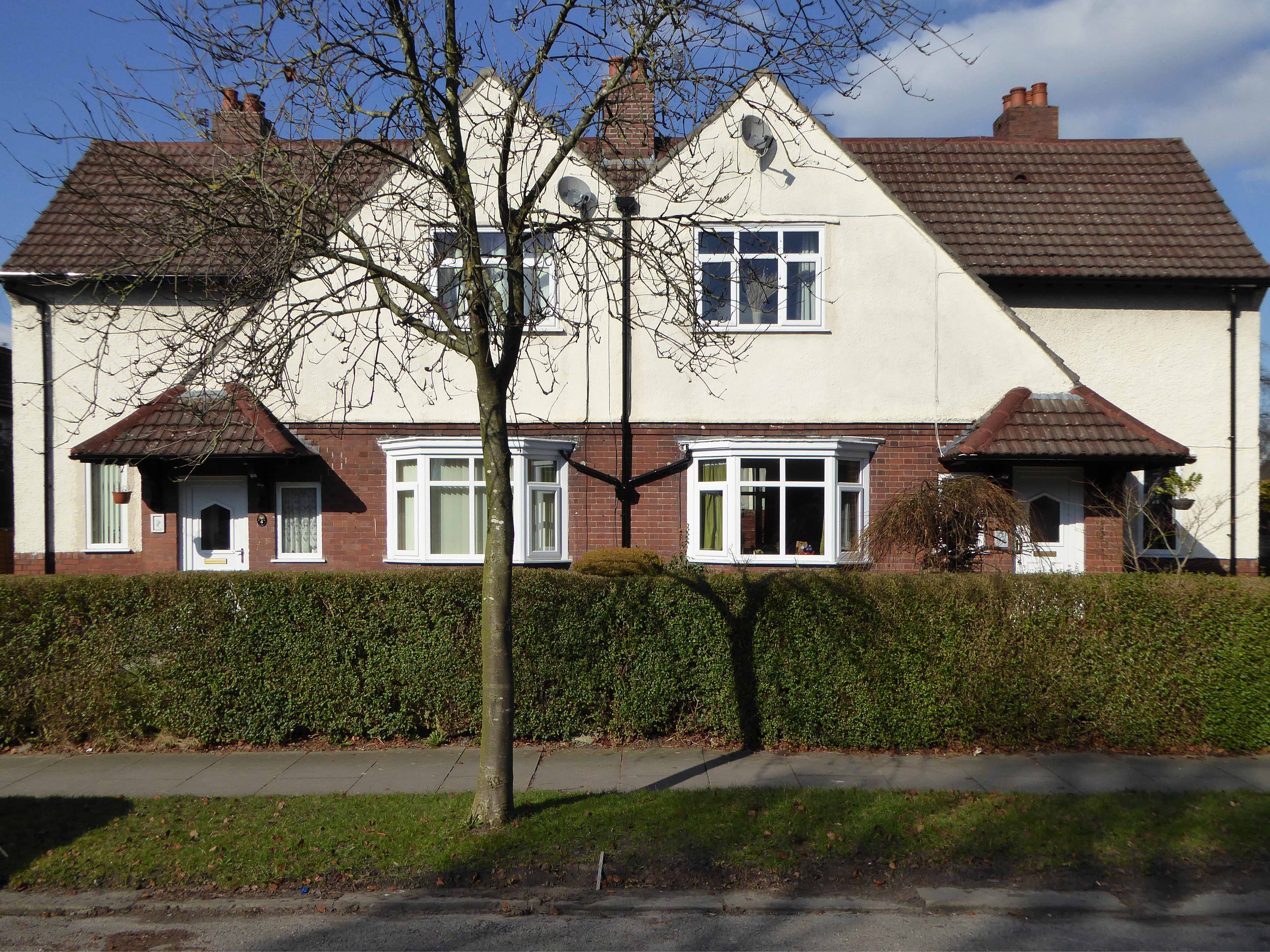
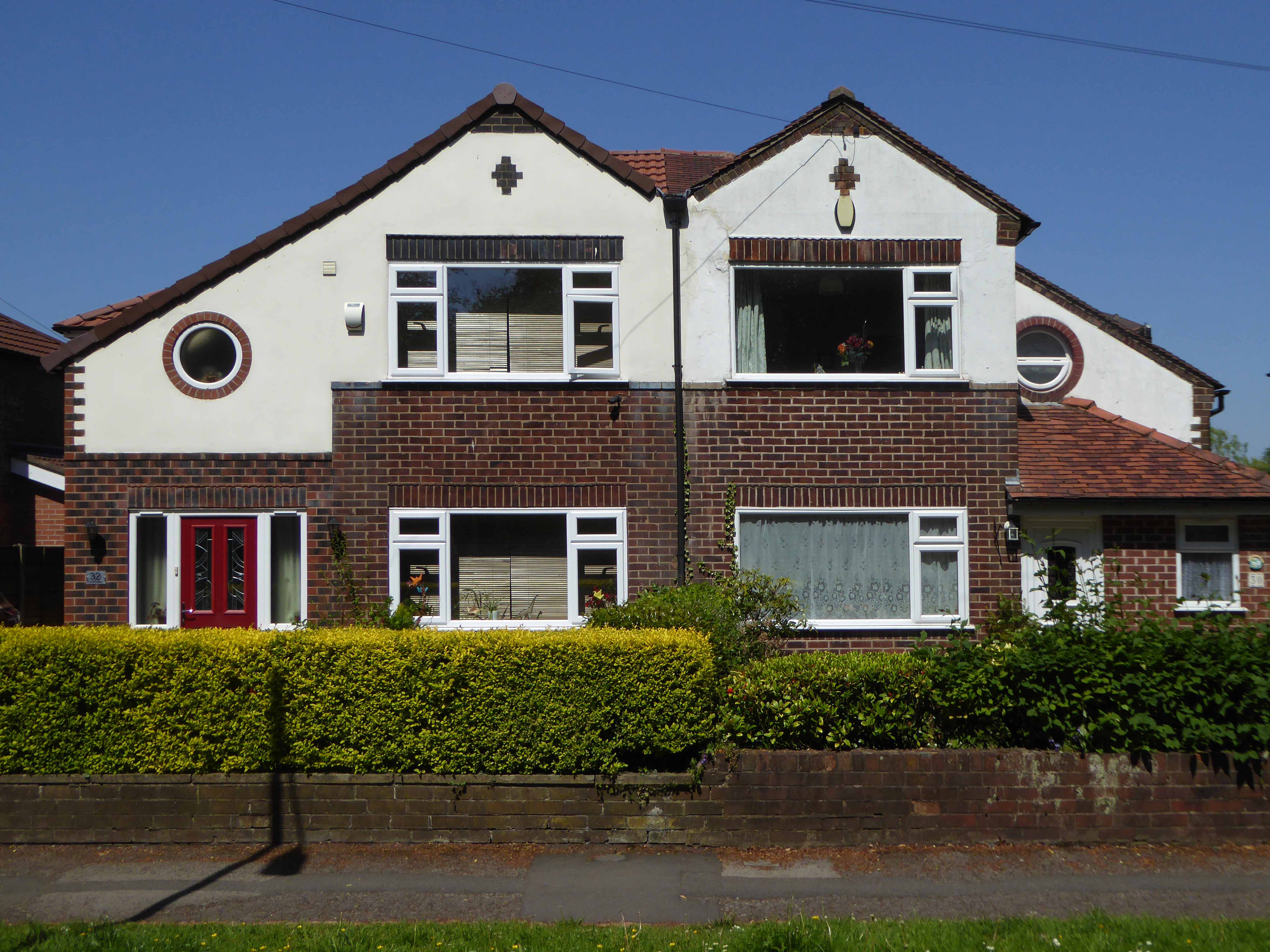
Welcome to the land of Terry and June – the seemingly complacent home to the newly aspirational classes, anathema to those thrill seeking Modernists, embracing the dynamism of the city, or those Ruralists protecting the integrity of the countryside.
Tradition has broken down. Taste is utterly debased, the town, long since degraded, is now being annihilated by a flabby, shoddy, romantic nature worship. That romantic nature worship is destroying also the object of its adoration, the countryside.
The growth of British towns and cities, from the onset of the Industrial Revolution, created a demand for new homes, the earliest developments were close to the centres of production and administration. Followed by the creation of outlying estates for the fleeing middle classes, as the smoke began to billow and the trains and buses began to run.
Originally the work of speculative private enterprise, followed by homes built by the local authority along with charitable institutions.
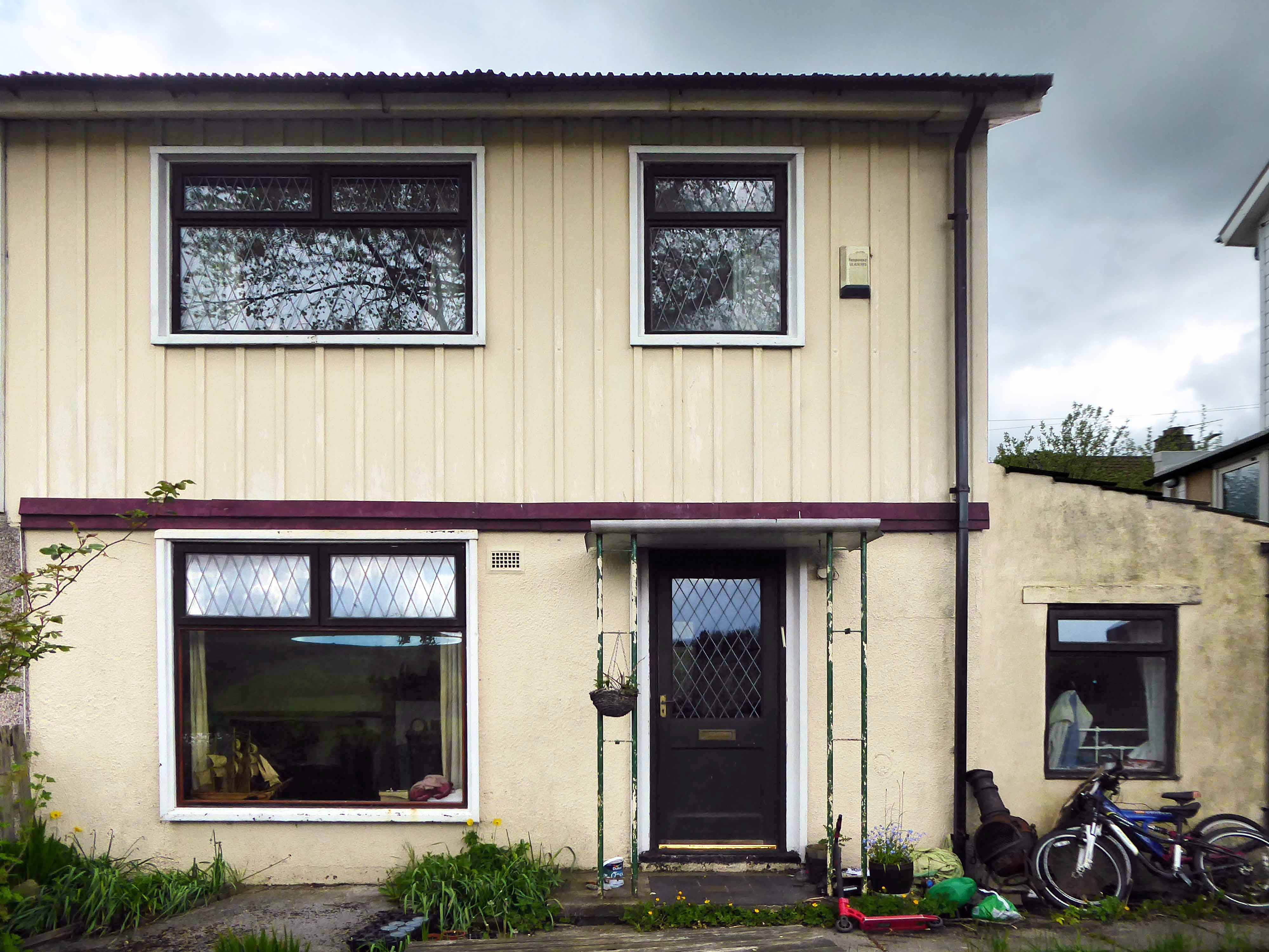
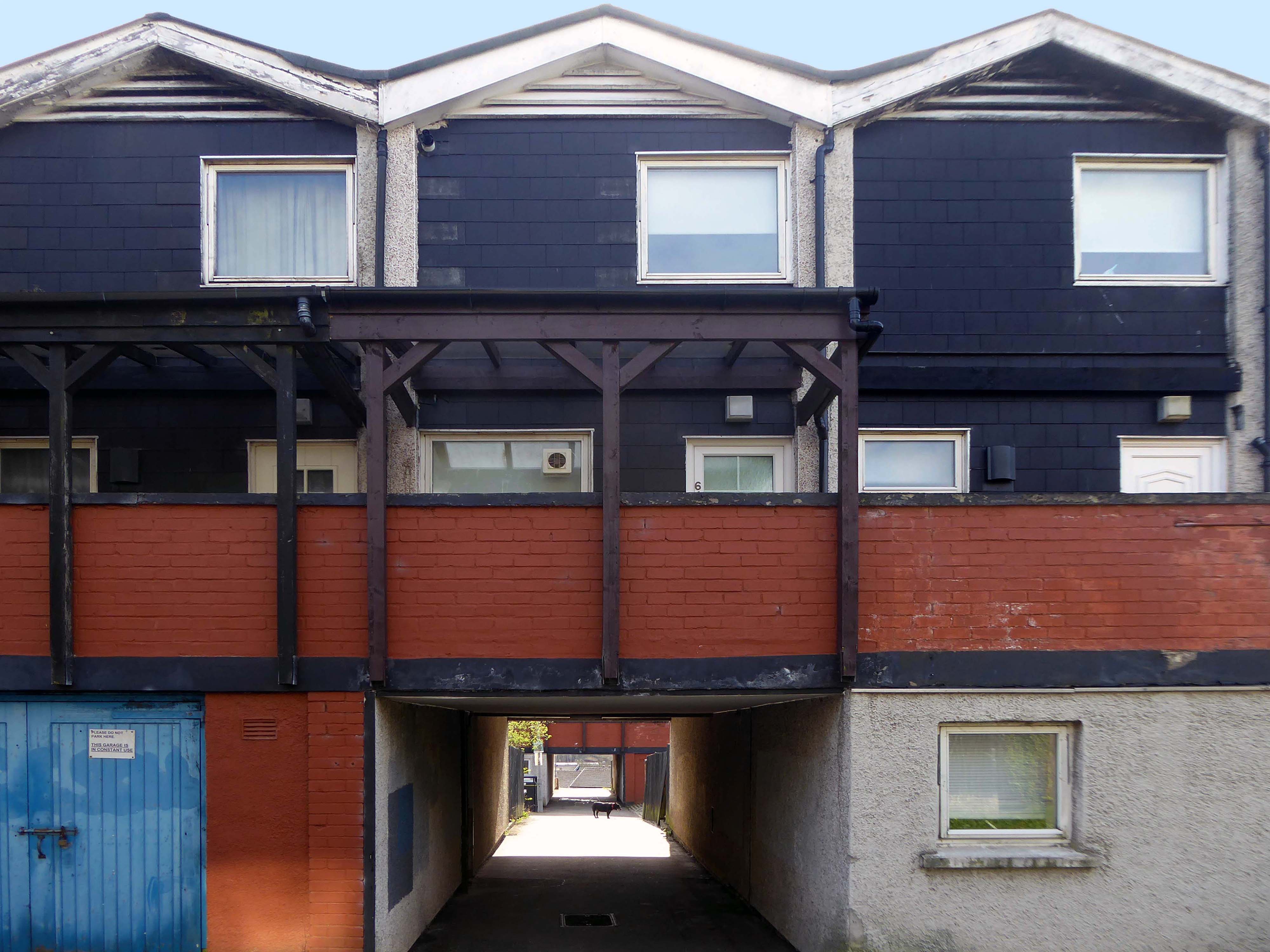
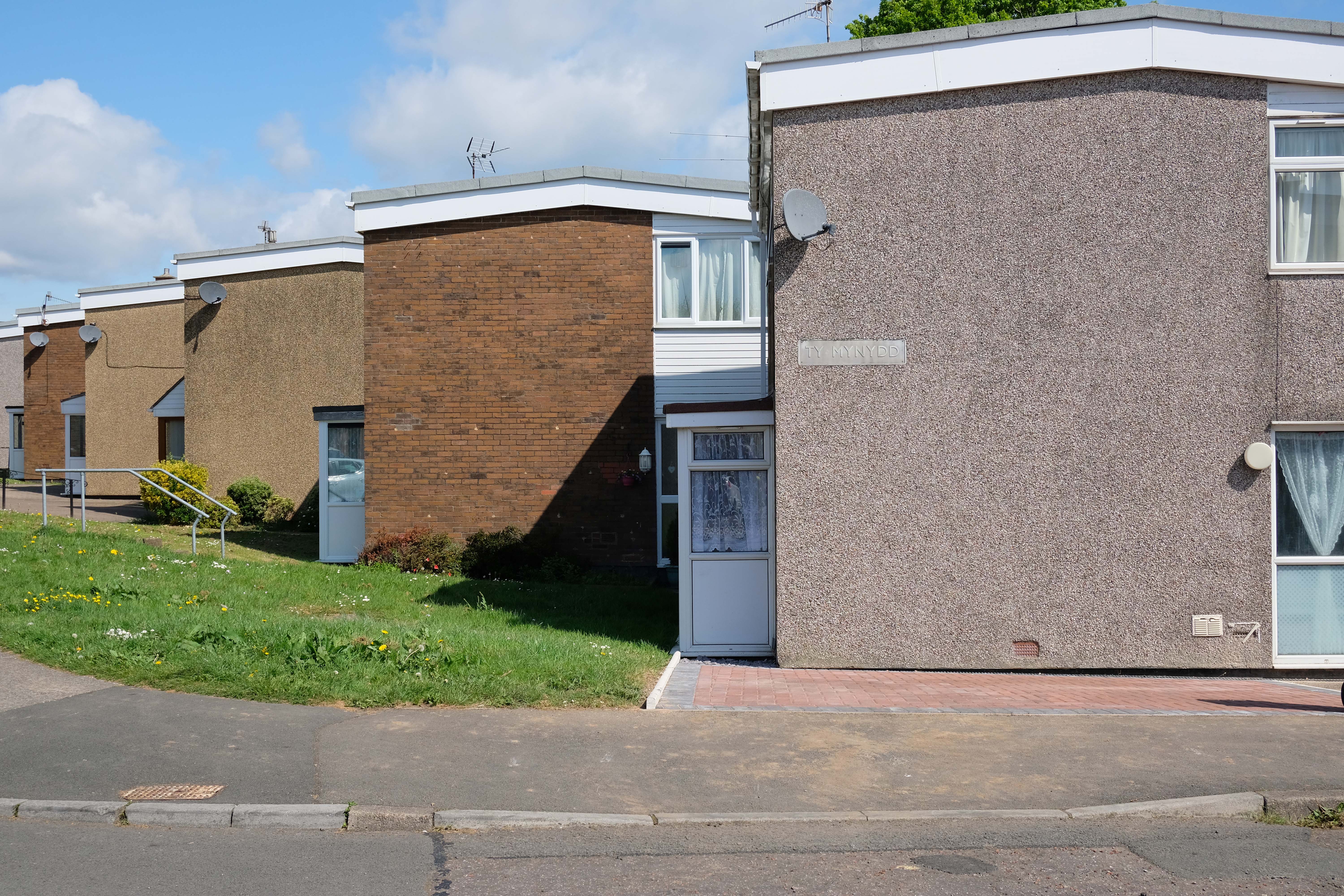
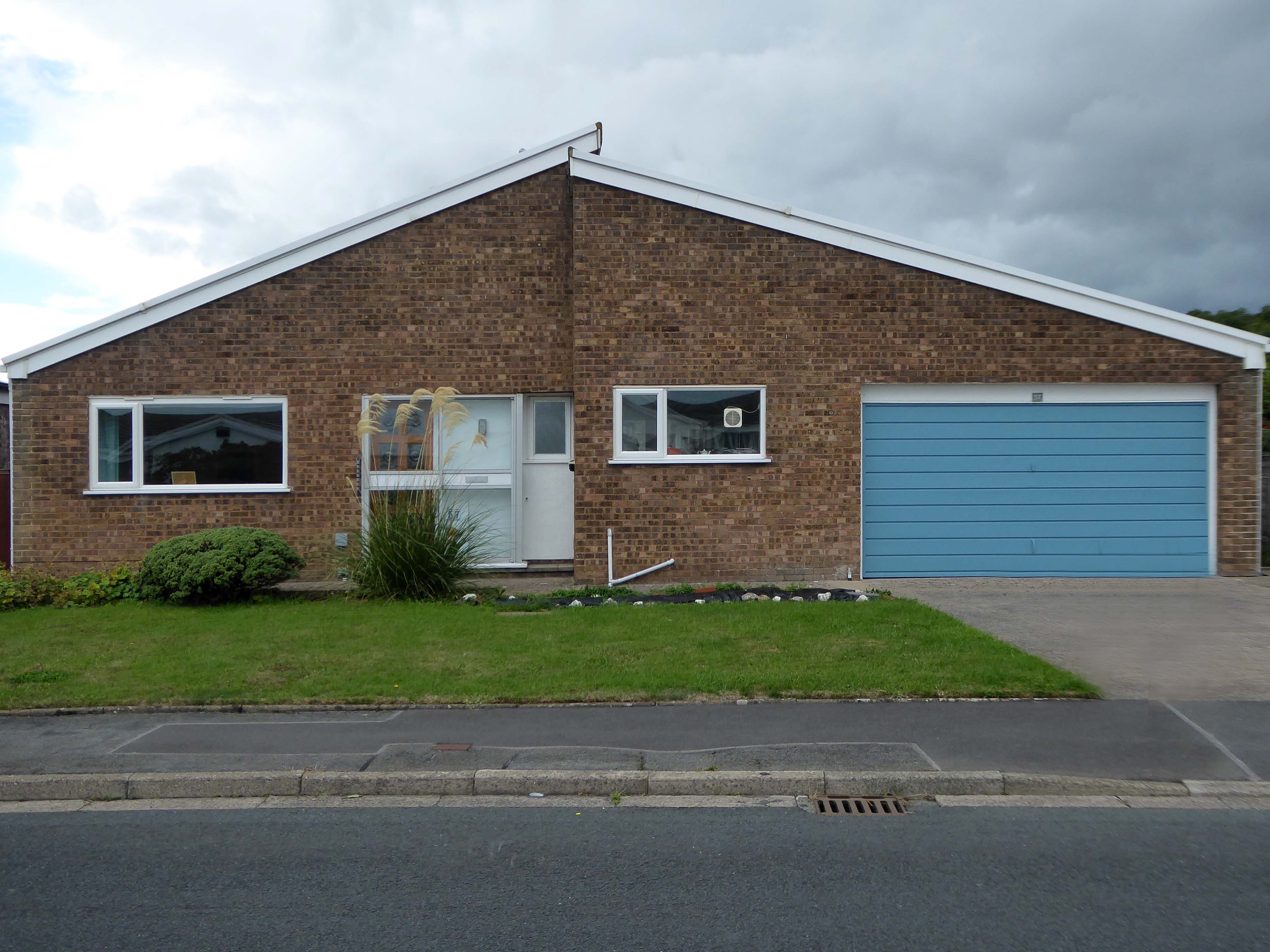
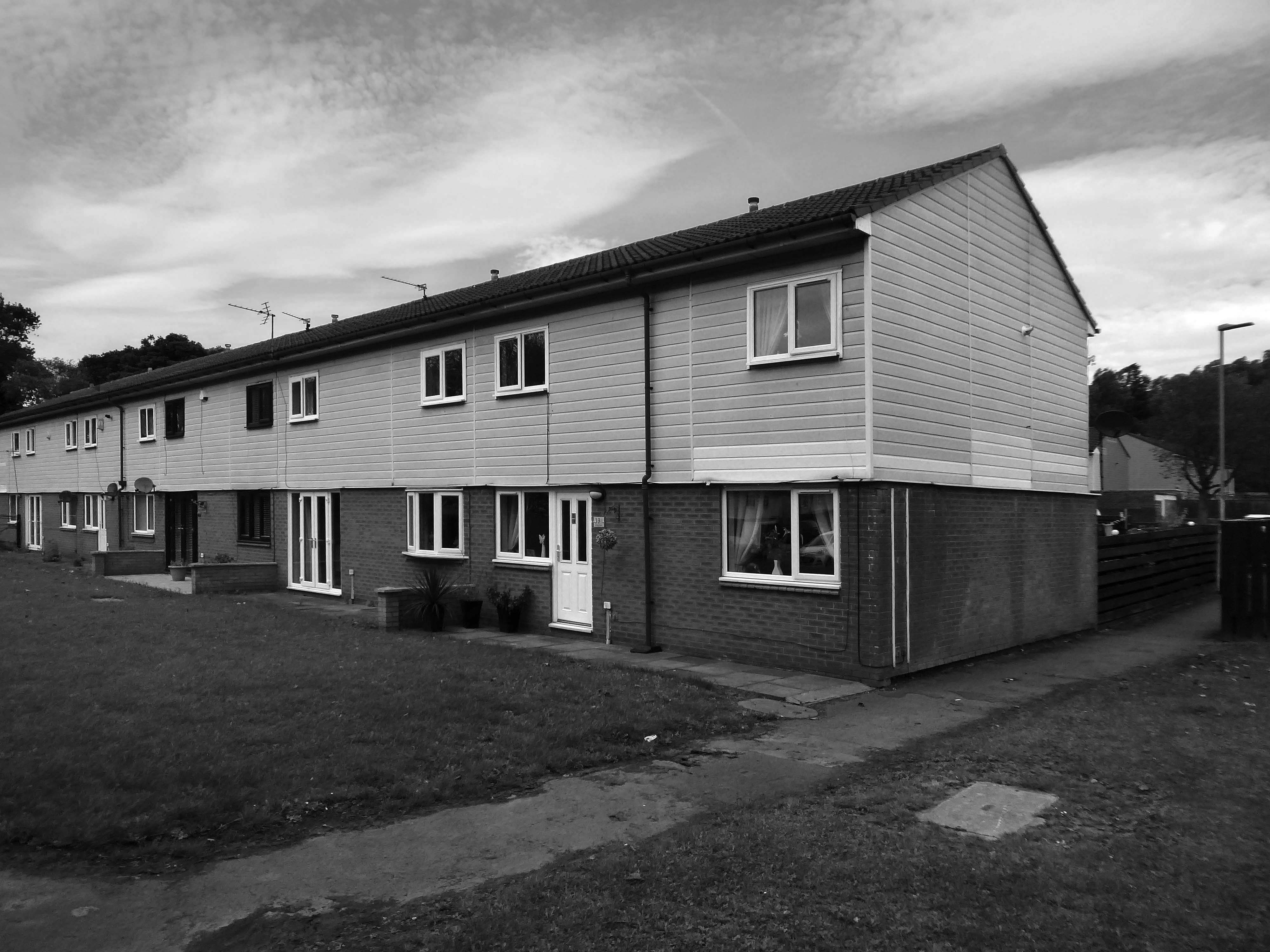
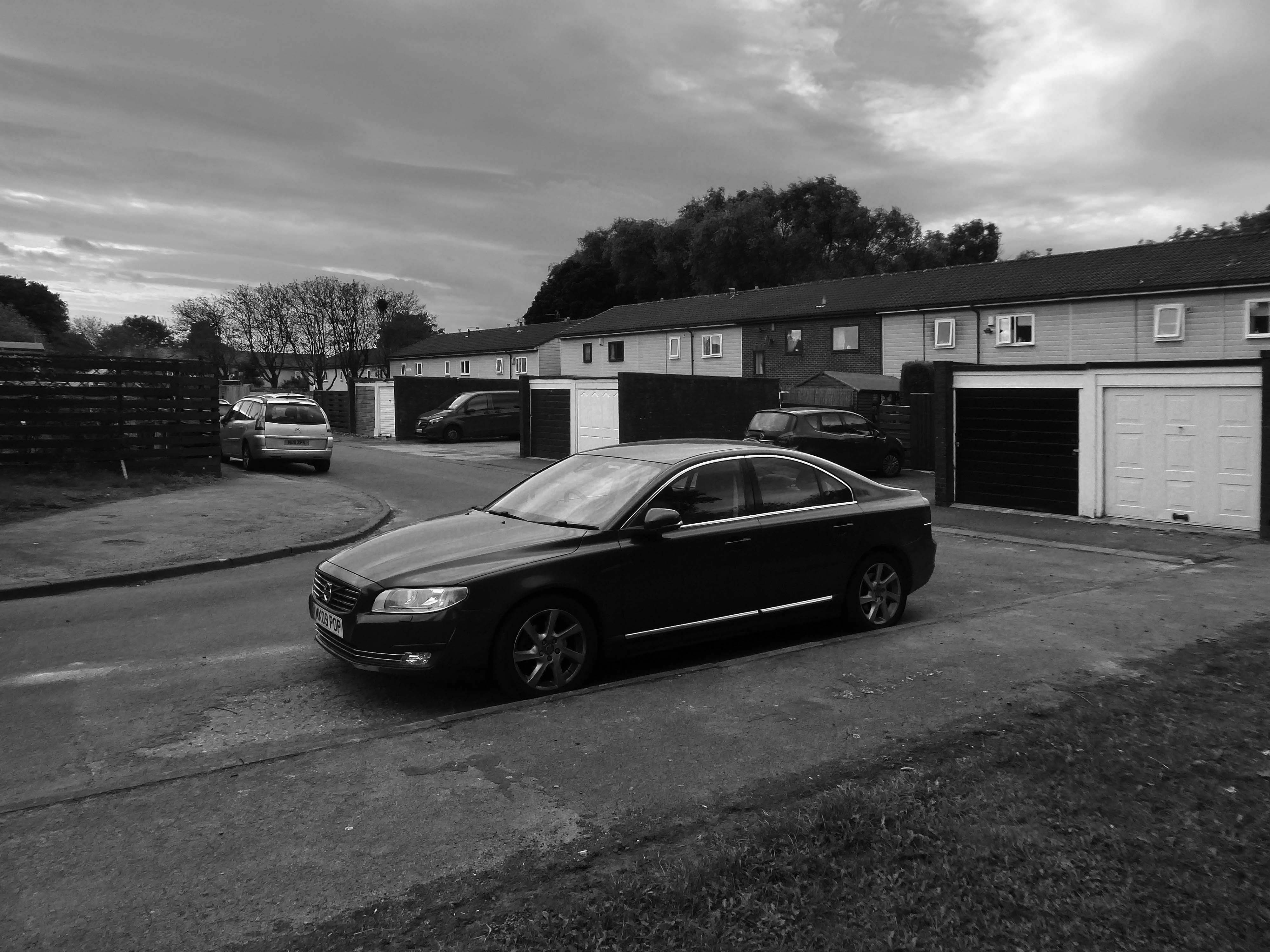
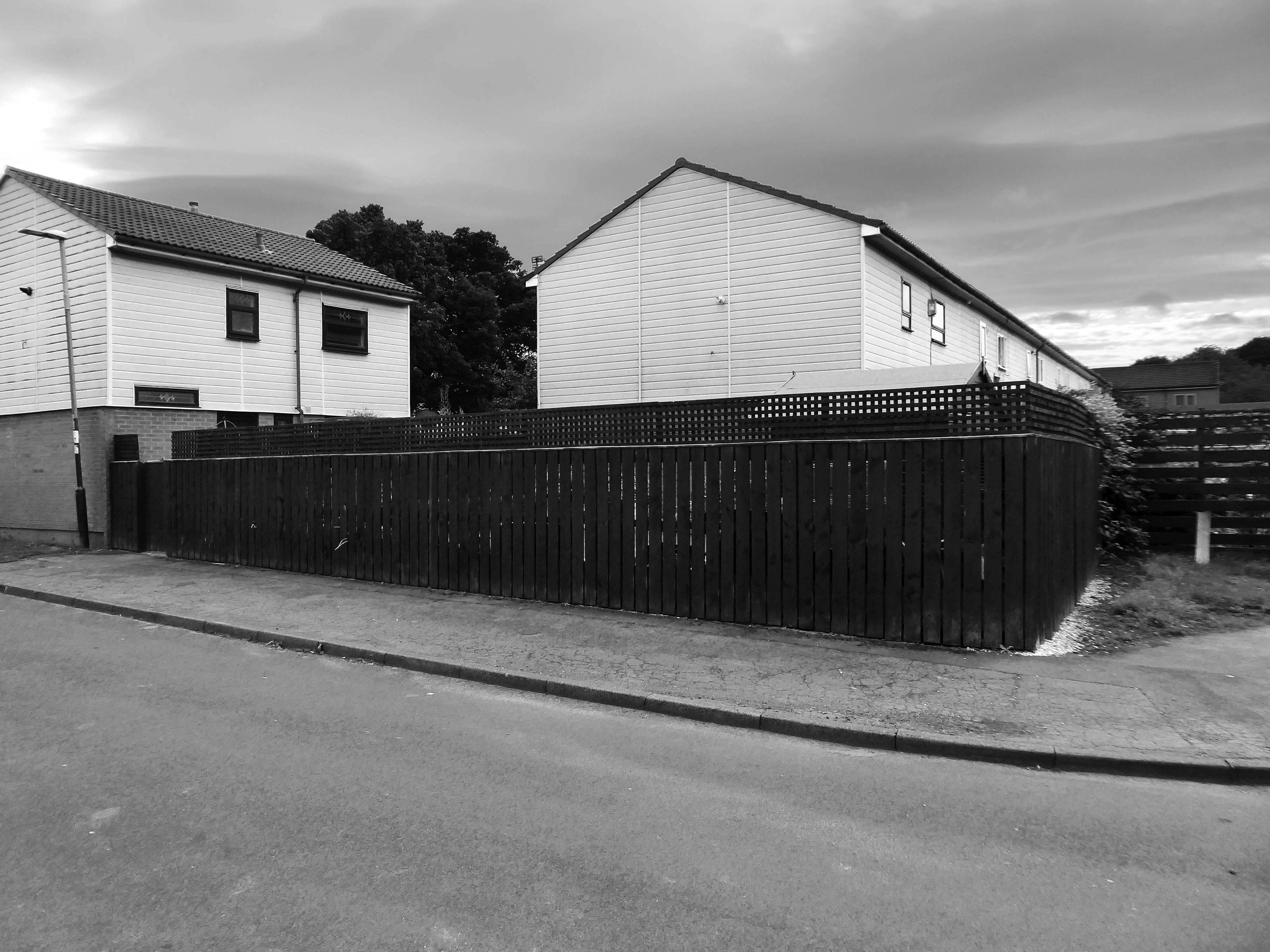
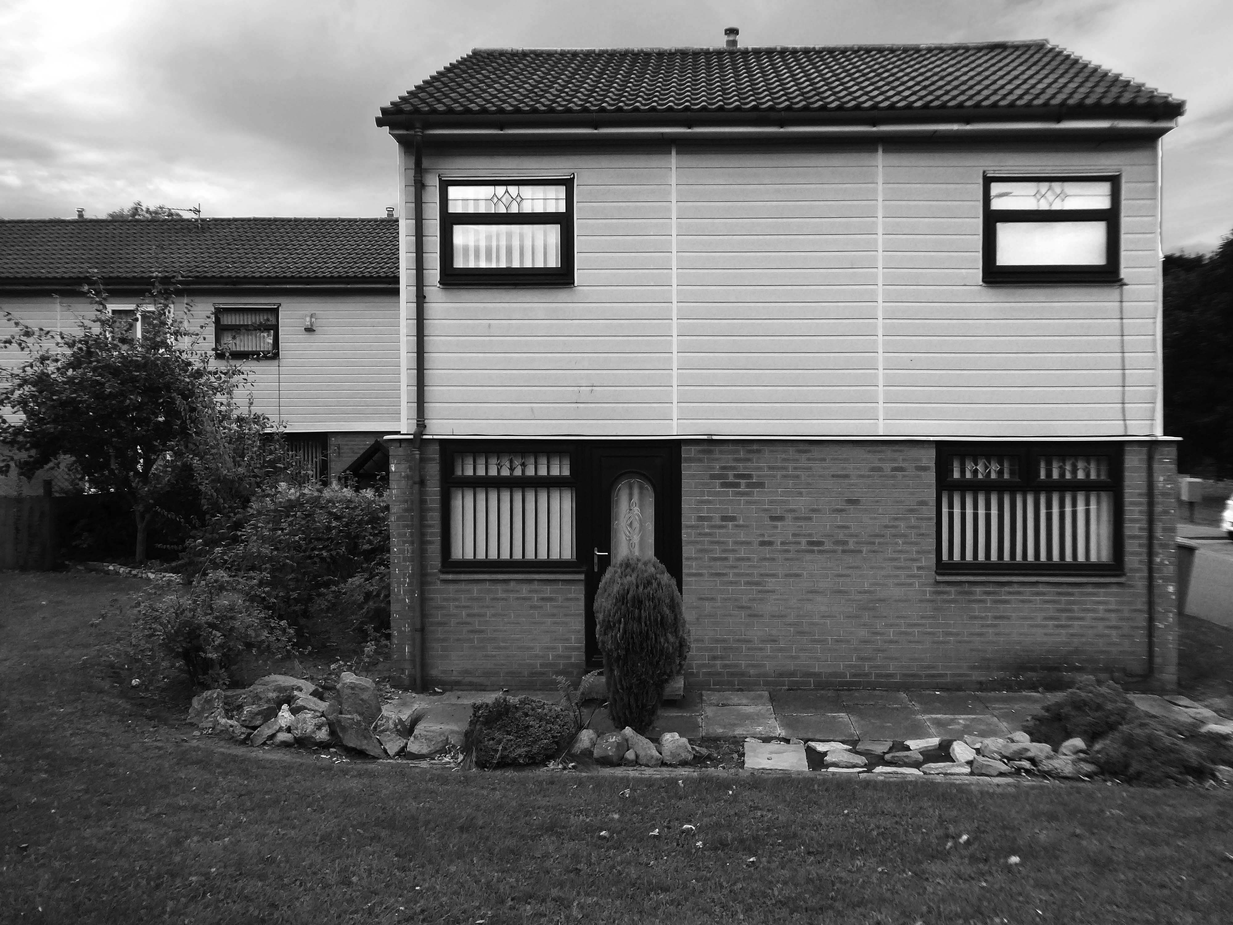
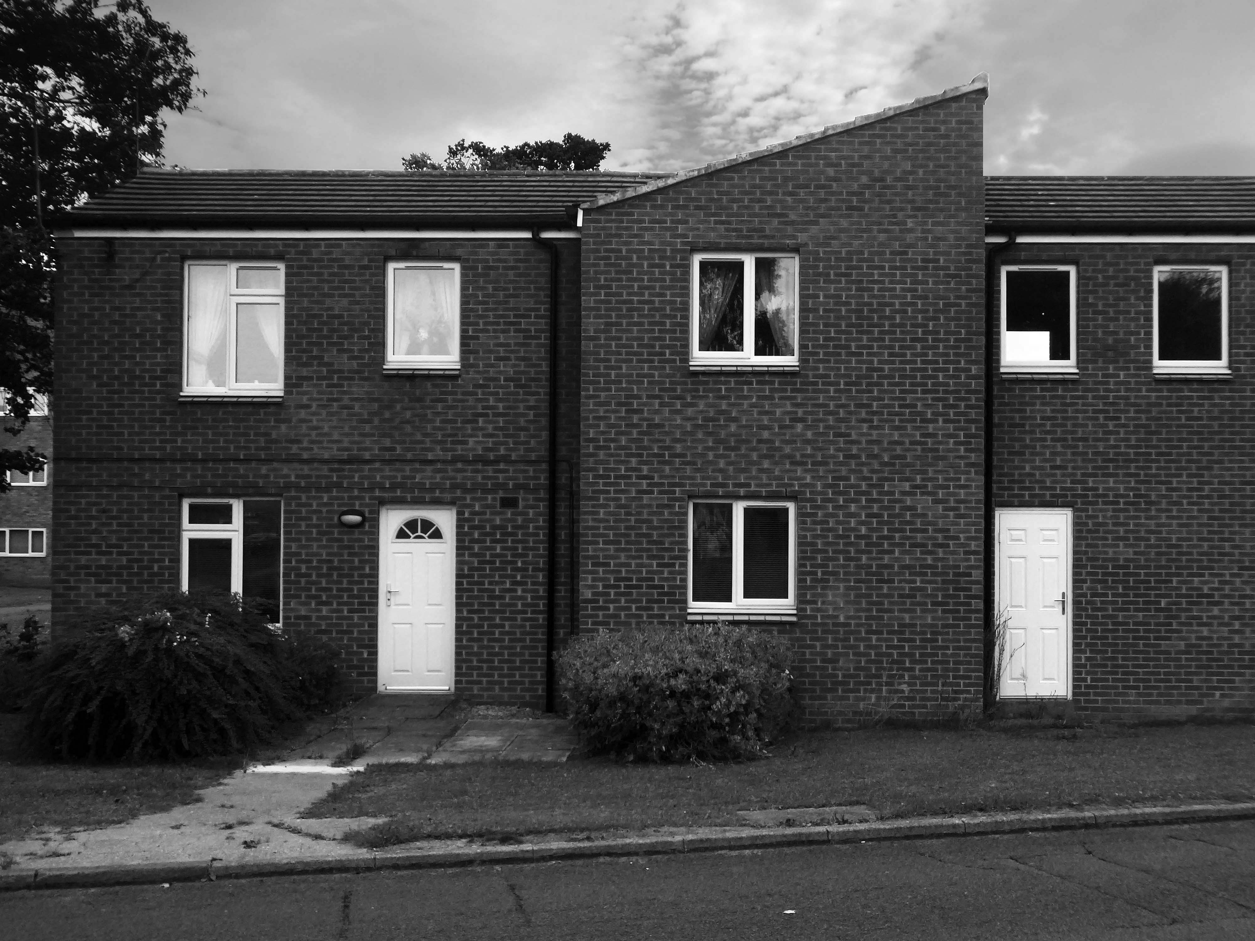
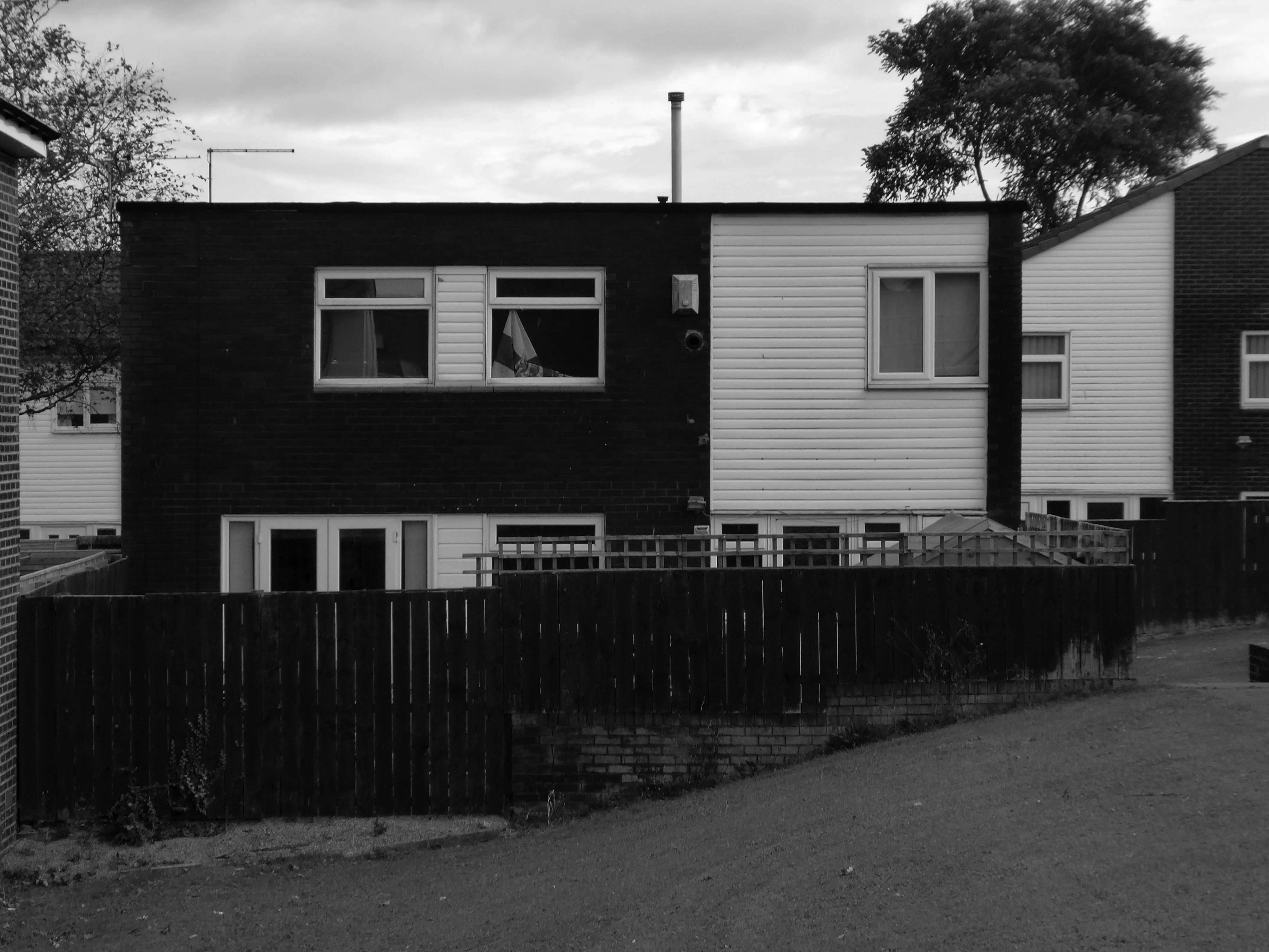
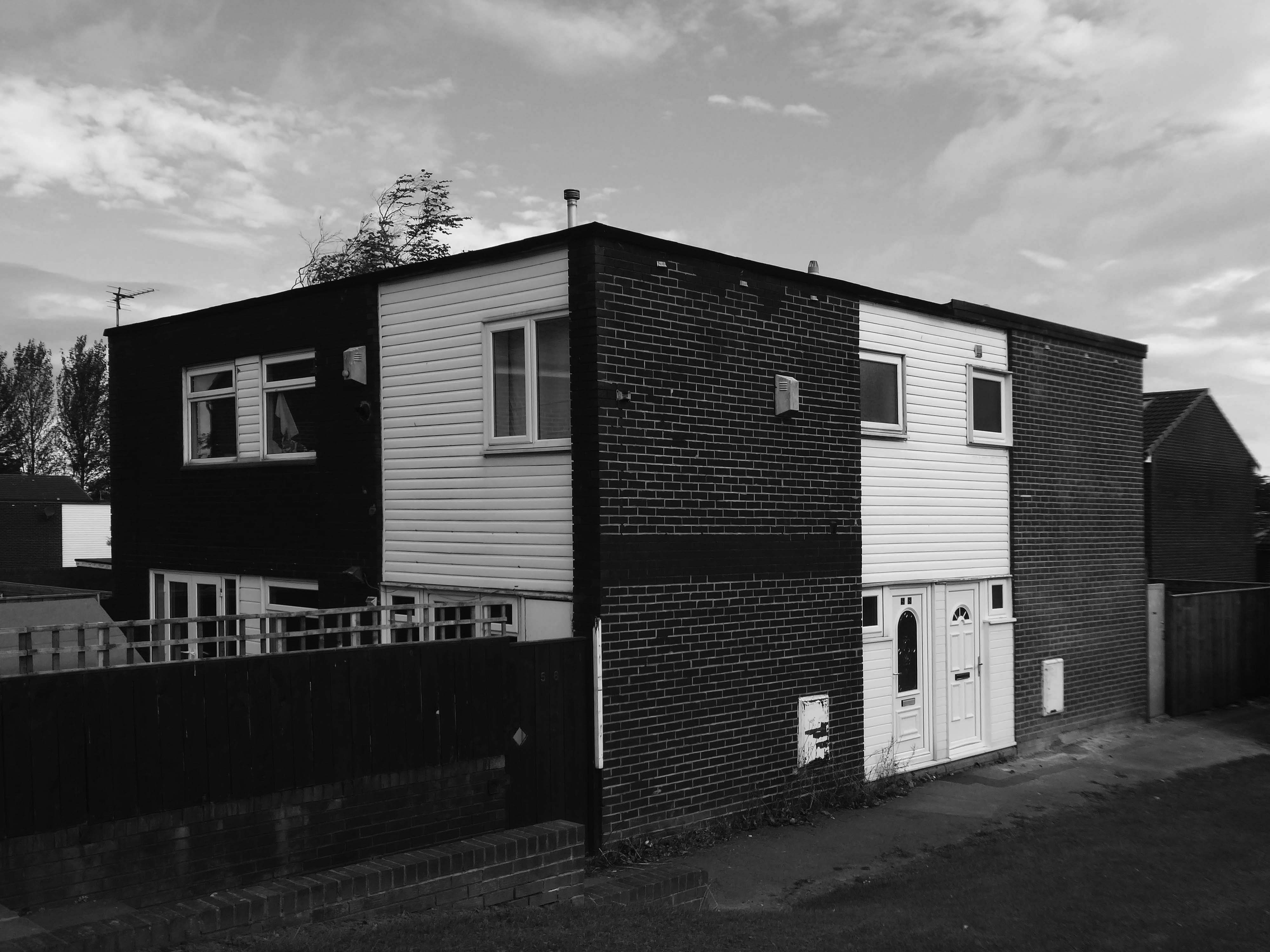
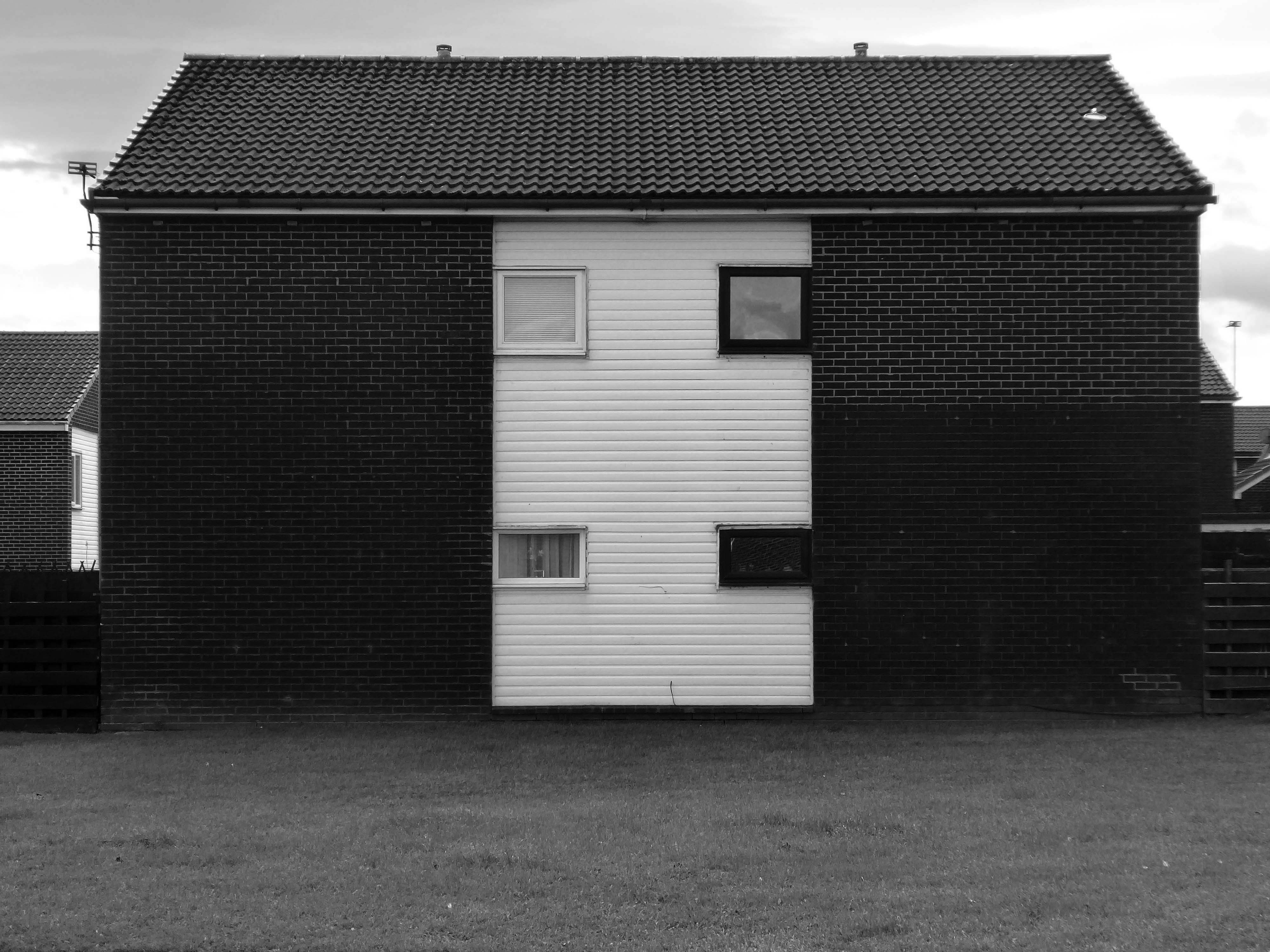
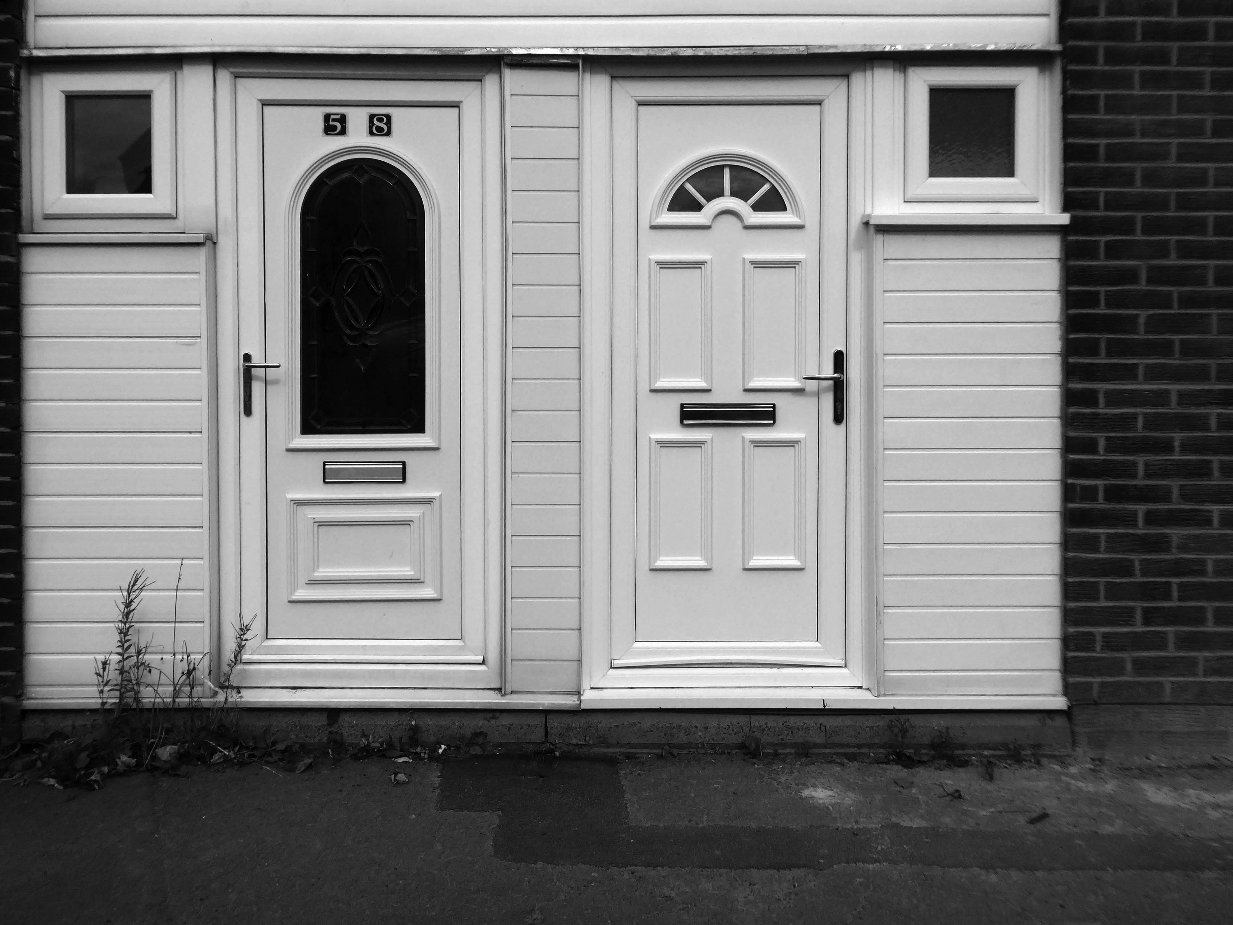
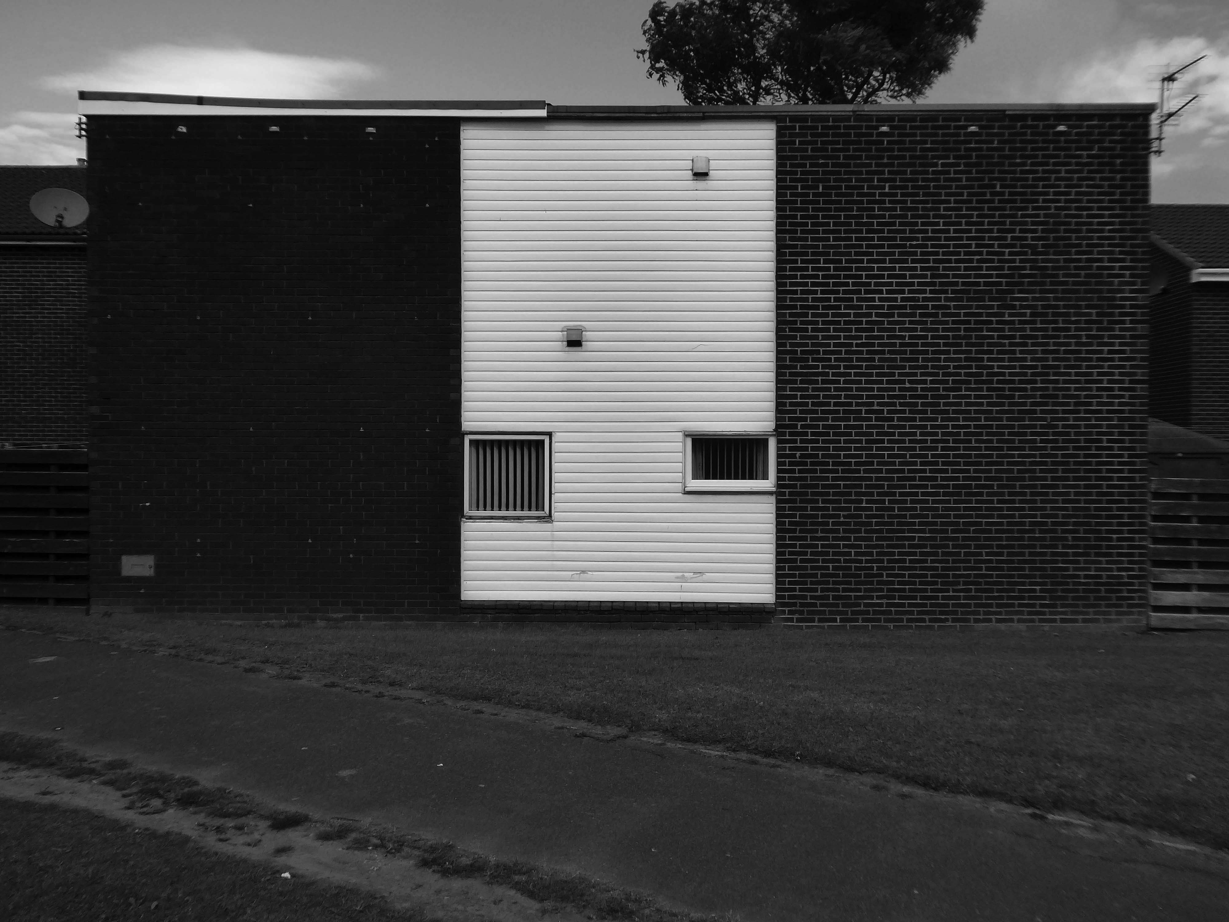
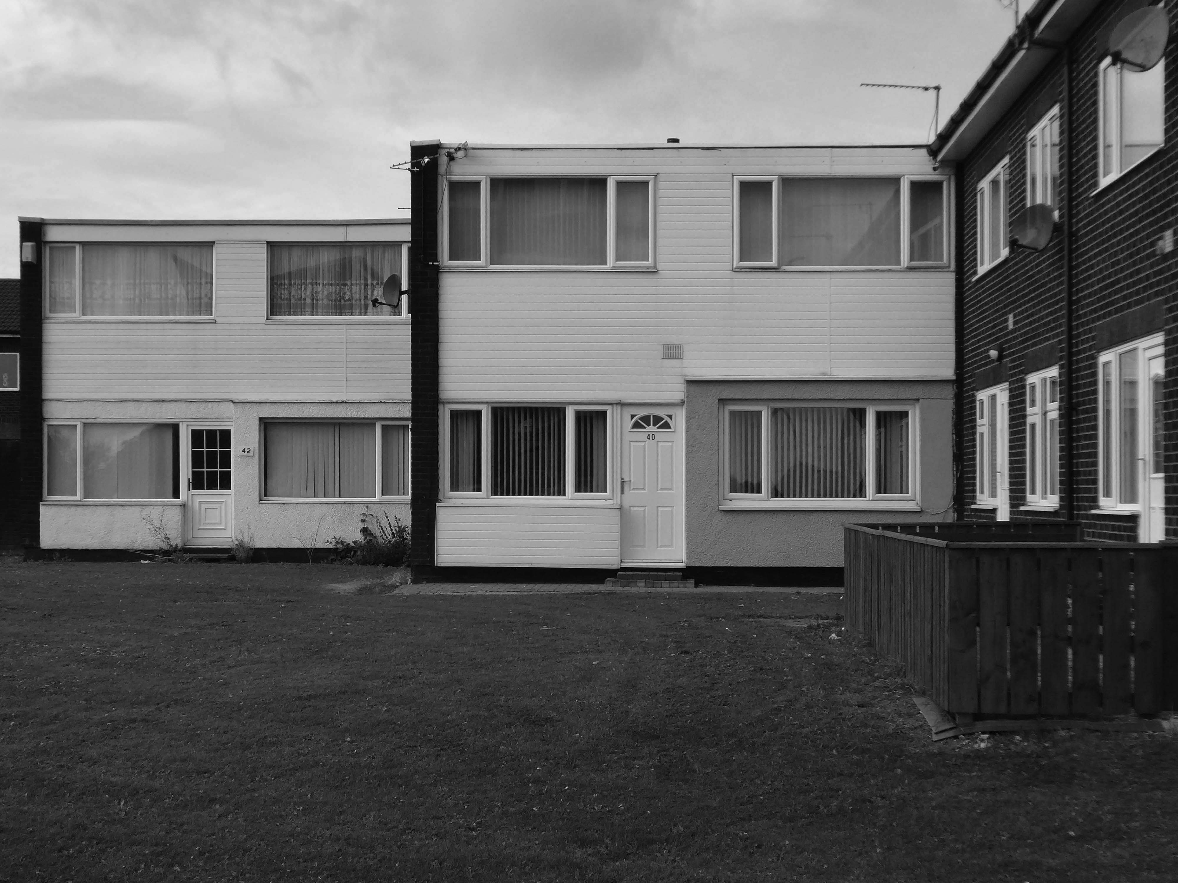
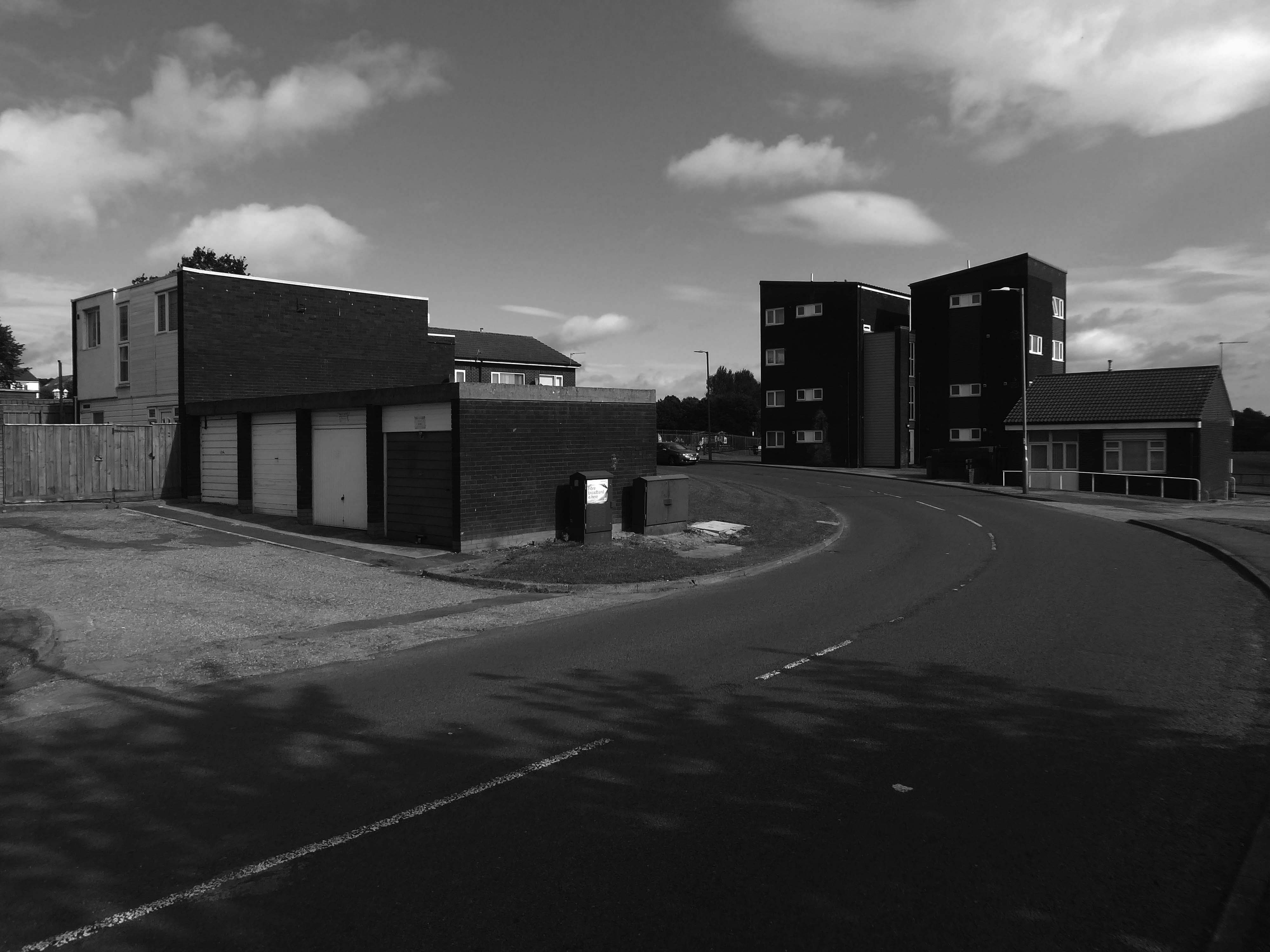
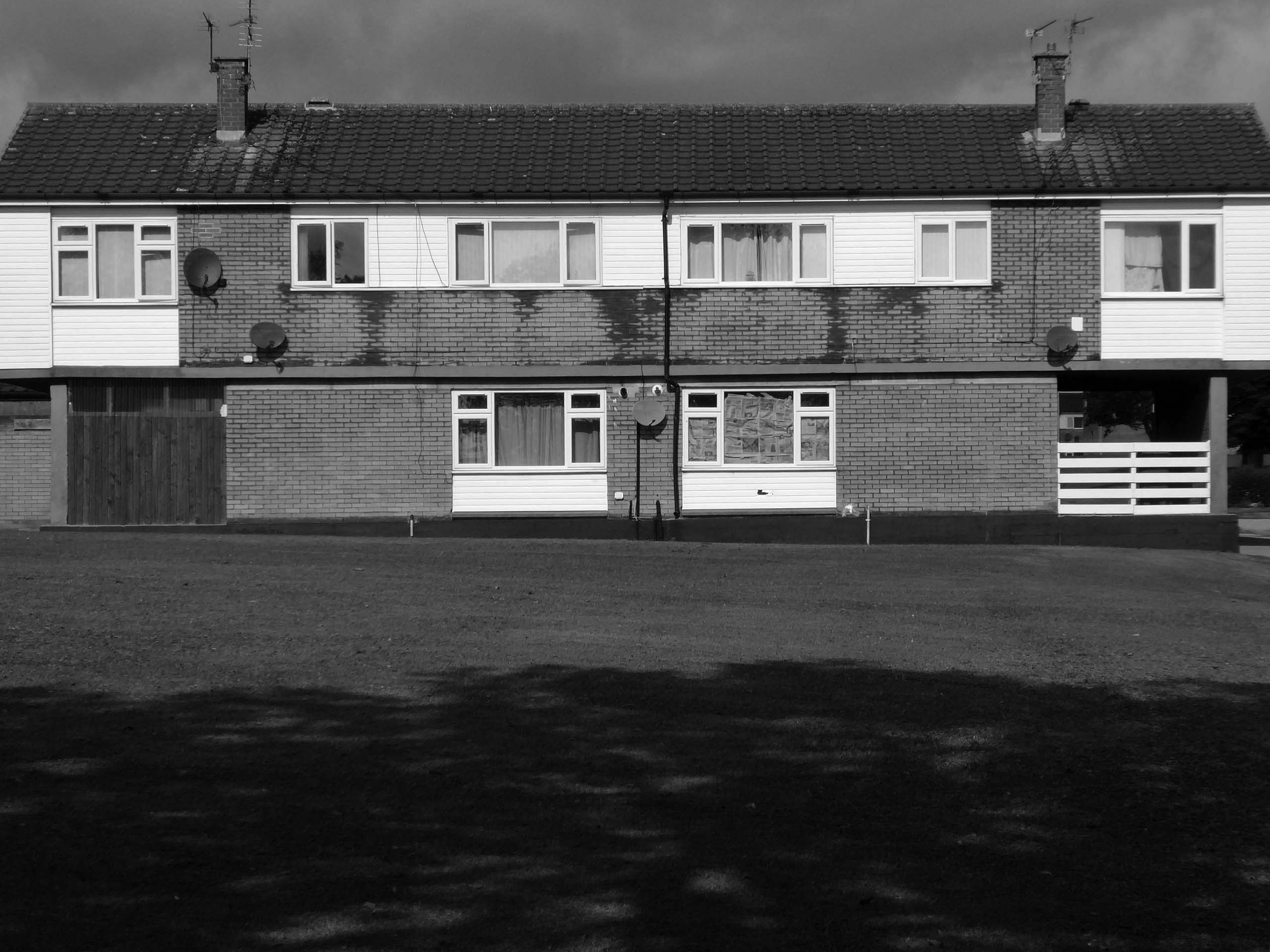
My own experience has taught me that Suburbia is architecturally diverse, socially less so, as various areas are segregated by class, and perhaps less so by ethnicity and/or culture.
The majority of the population live in Suburbia it seems, there now follows a selection of the suburban sites which I have visited in the last ten years or so.
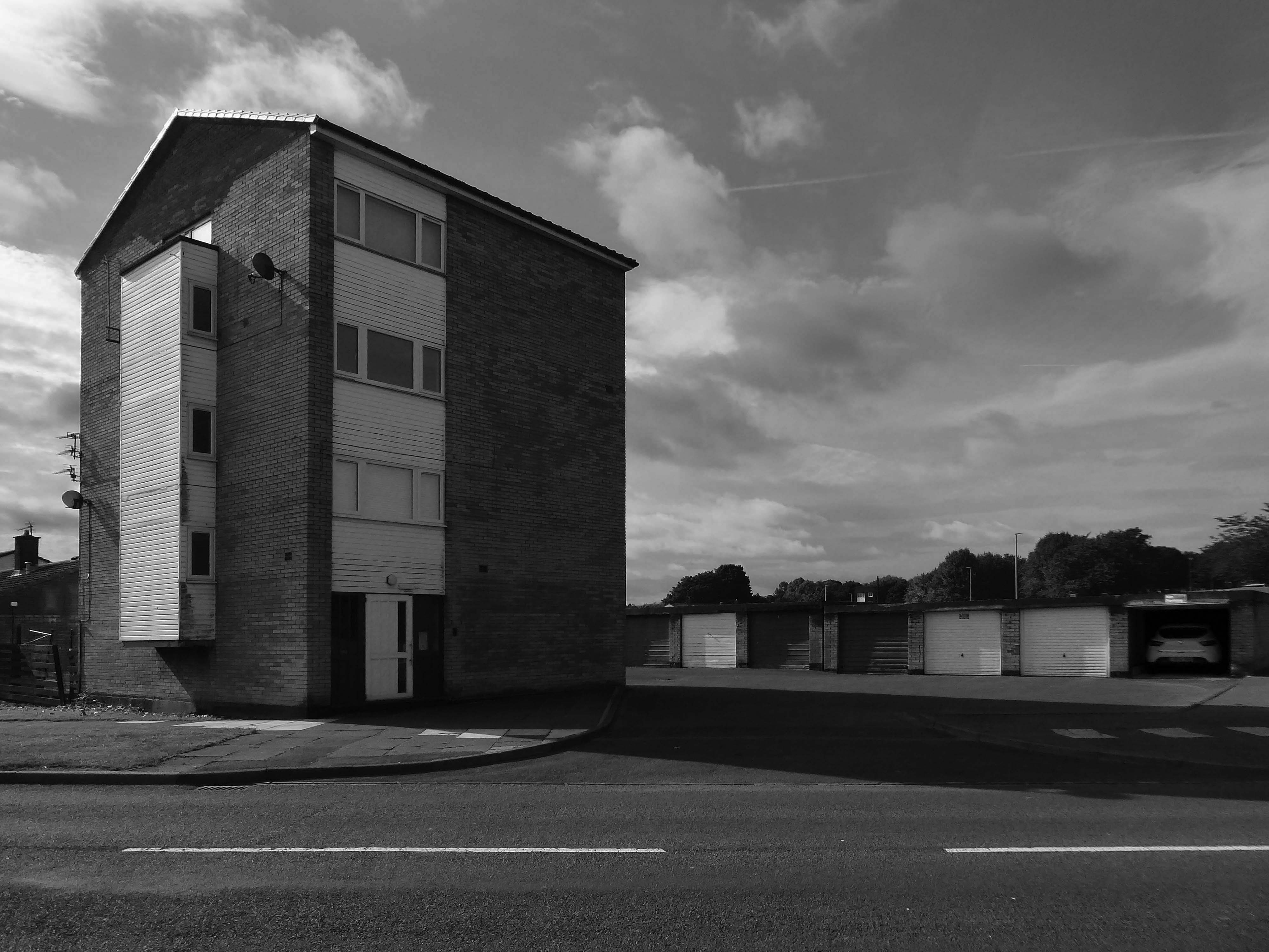
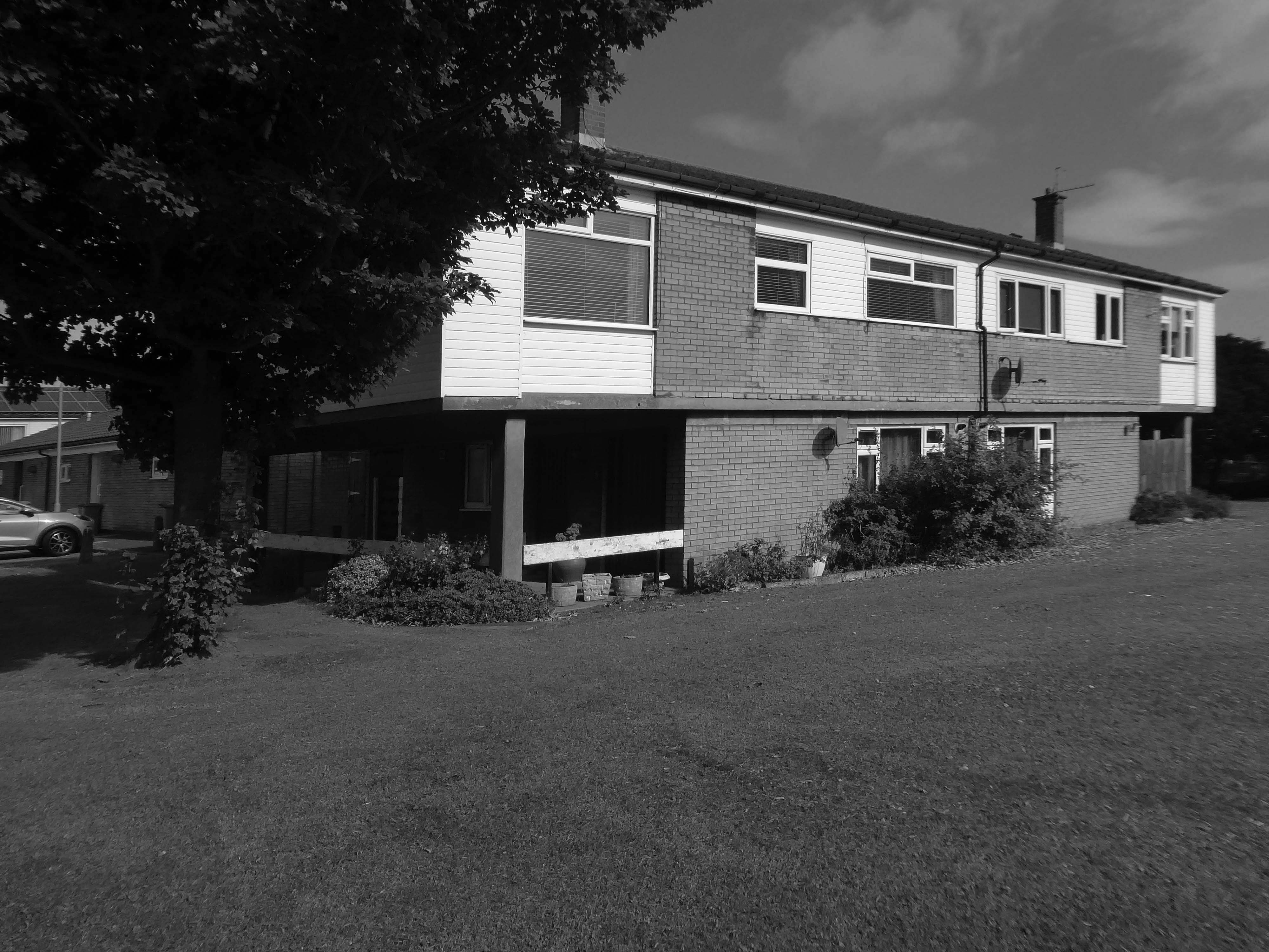
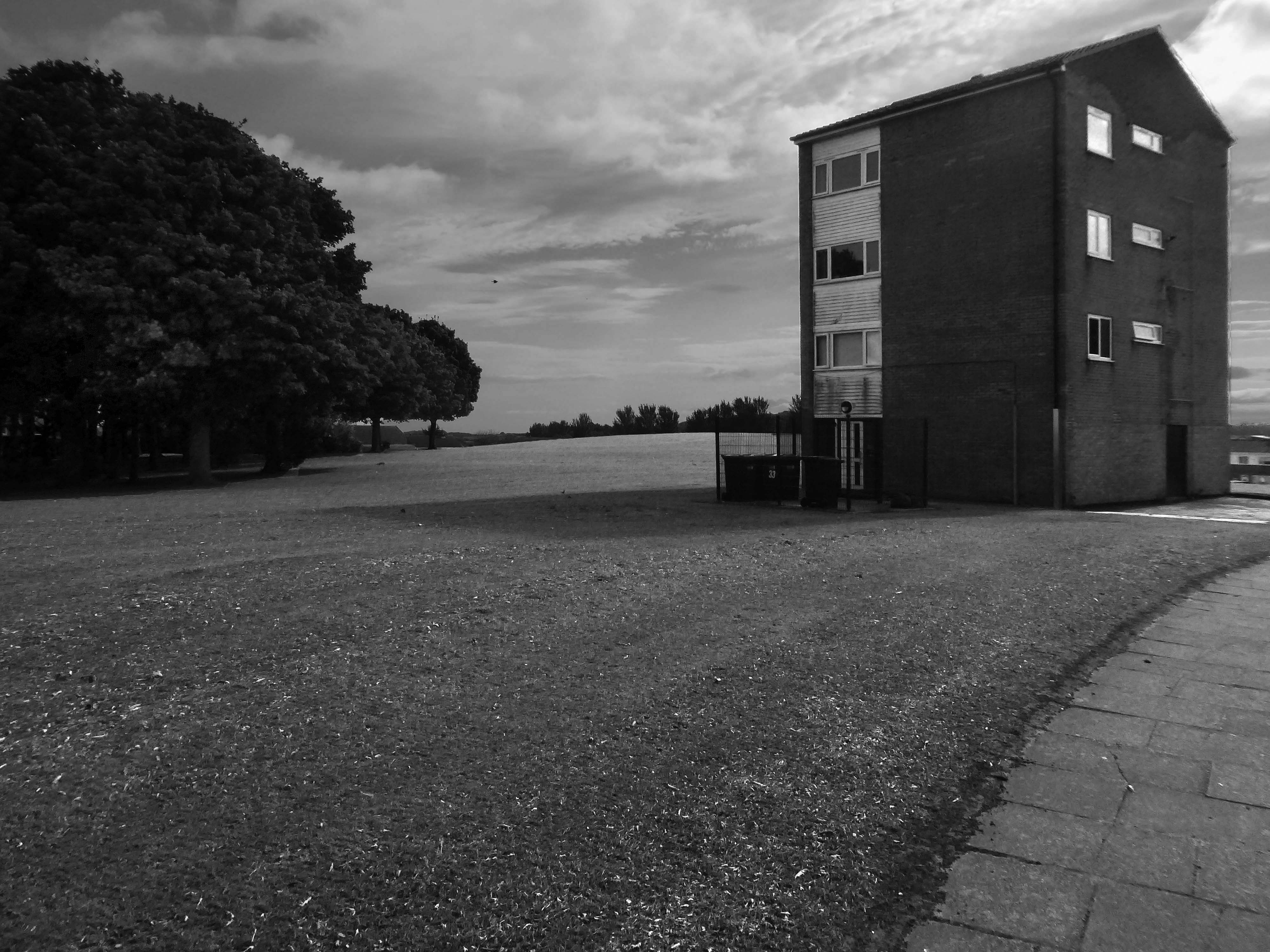
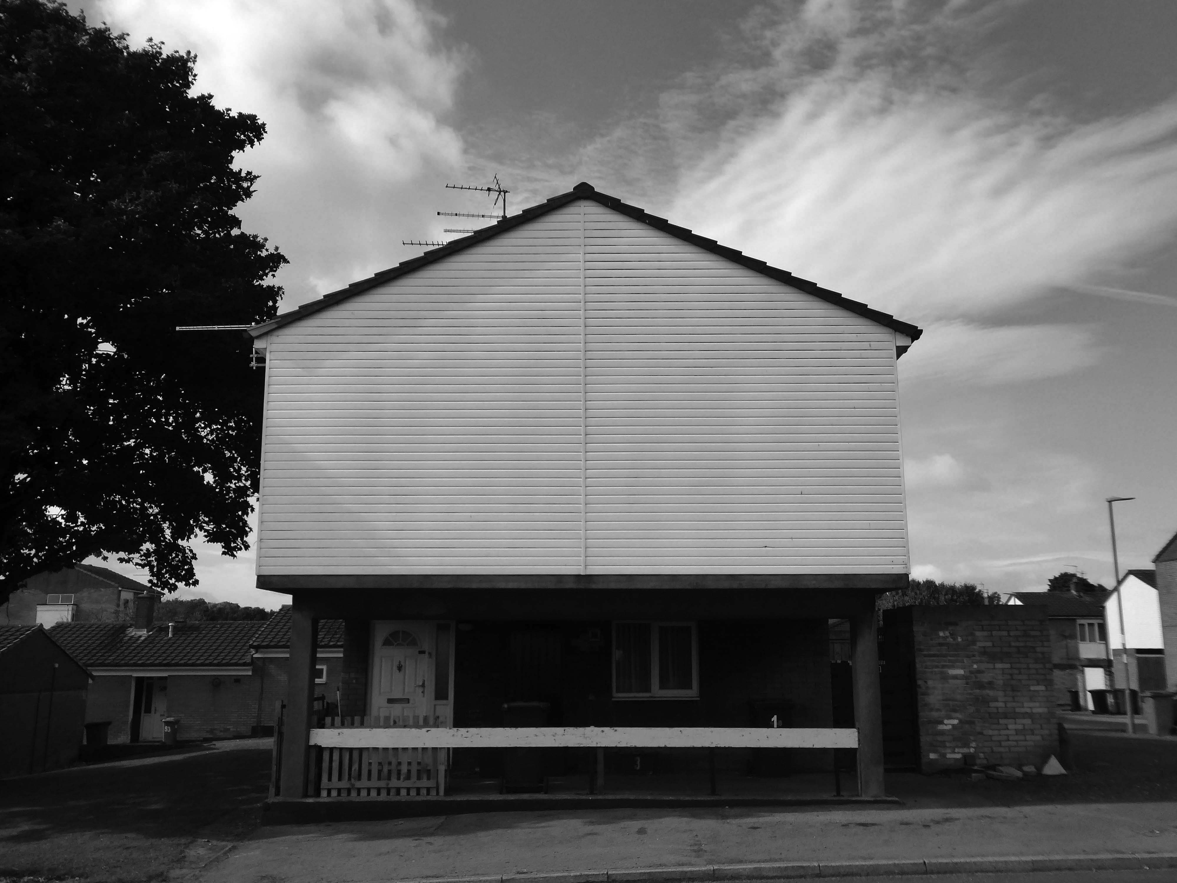
In search of Suburbia.
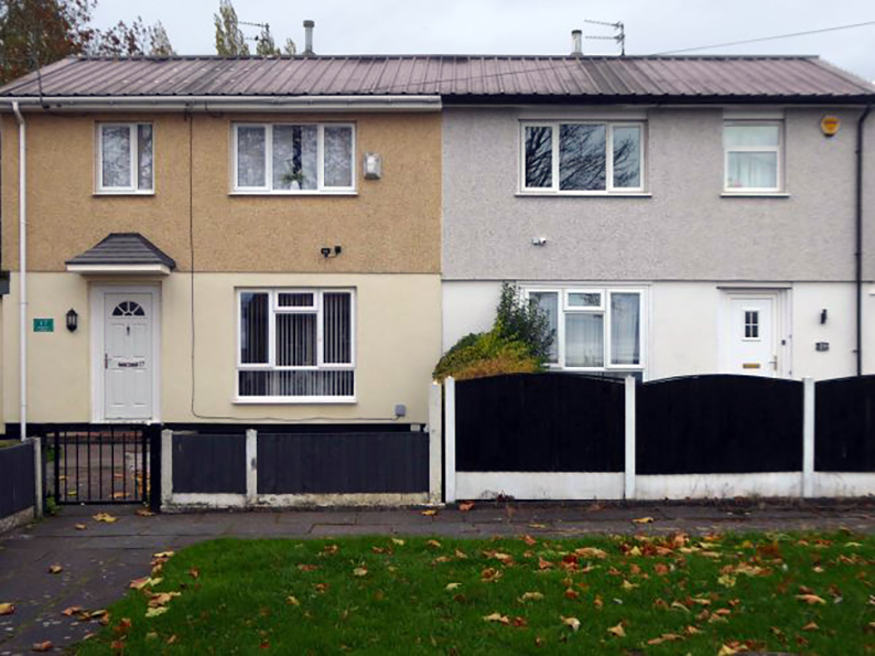
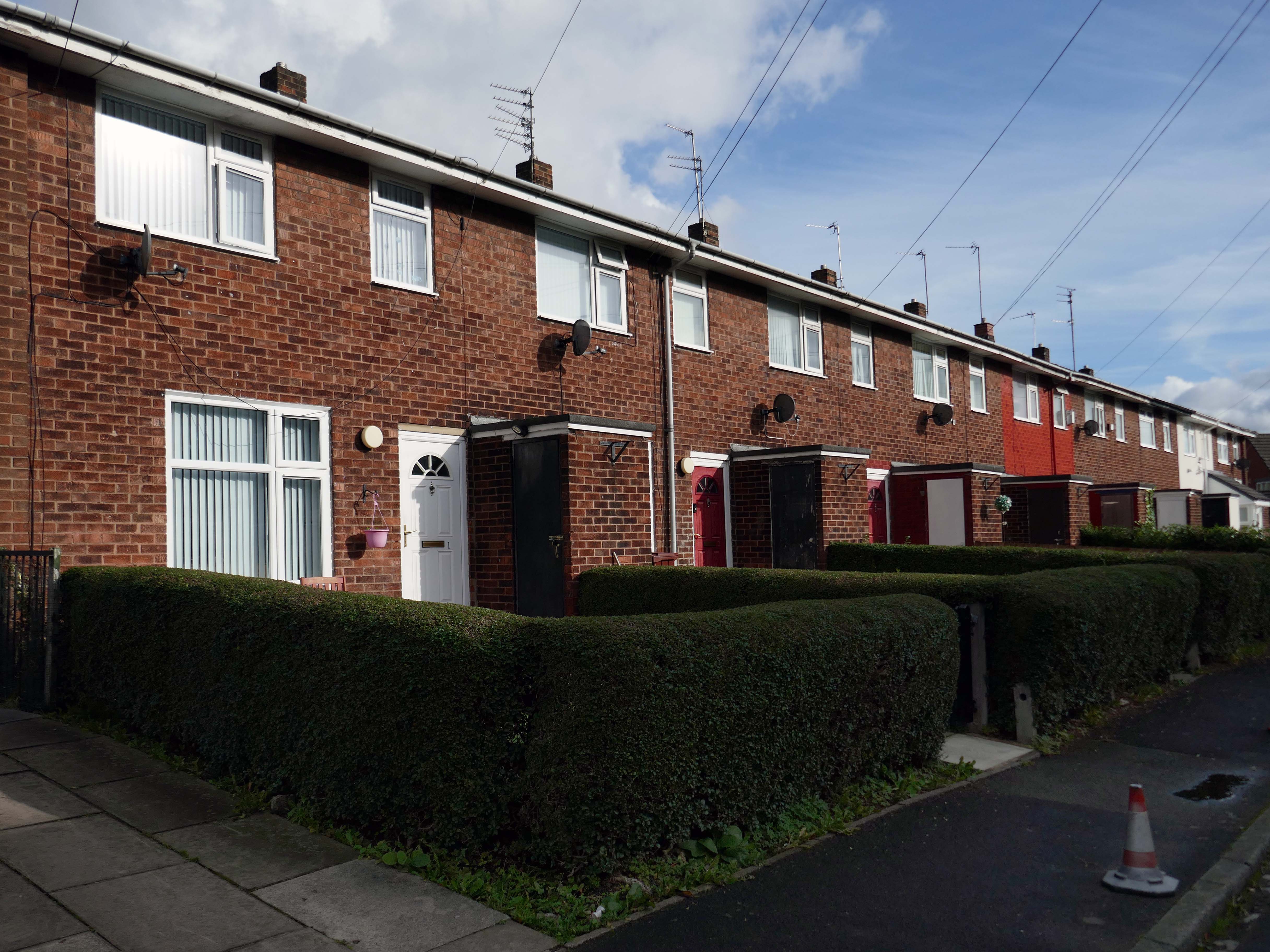
There are areas of Victorian terraced housing Manchester which survived clearance – such as Jetson Street in Abbey Hey.
By 1931 1.1 million council houses were built and 2.8 million privately owned homes.
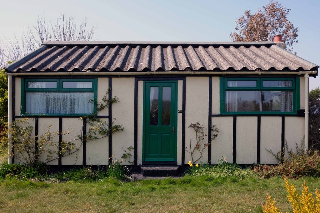
Post WW2 the emphasis was on an expansion of social housing, along with a growth in privately owned property – detailed information and analysis of social housing can be found here at Municipal Dreams.
These homes were at times both temporary and of non-standard construction.
This prefabricated house was originally built for the good folk of Doncaster, later finding itself in Humberston Fitties
These Wythenshawe BISFHomes designed by Frederick Gibberd, the so-called Tin Town are still very much habitable homes.
Post war development was inextricably linked to the New Towns.
The new towns in the United Kingdom were planned under the powers of the New Towns Act 1946 and later acts to relocate people from poor or bombed-out housing following World War II. Designated new towns were placed under the supervision of a development corporation, and were developed in three waves. Later developments included the “expanded towns”: existing towns which were substantially expanded to accommodate what was called the “overspill” population from densely populated areas of deprivation.
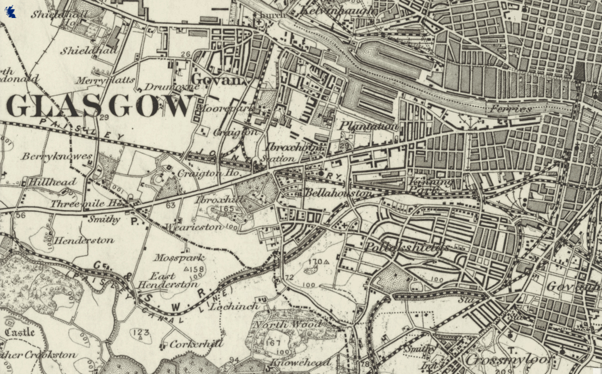
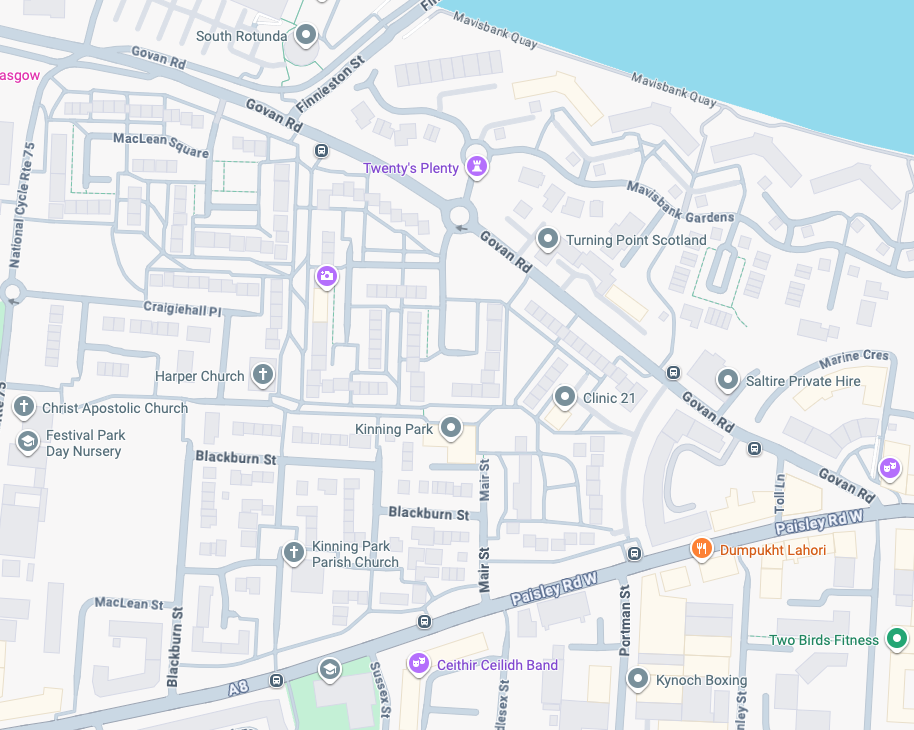
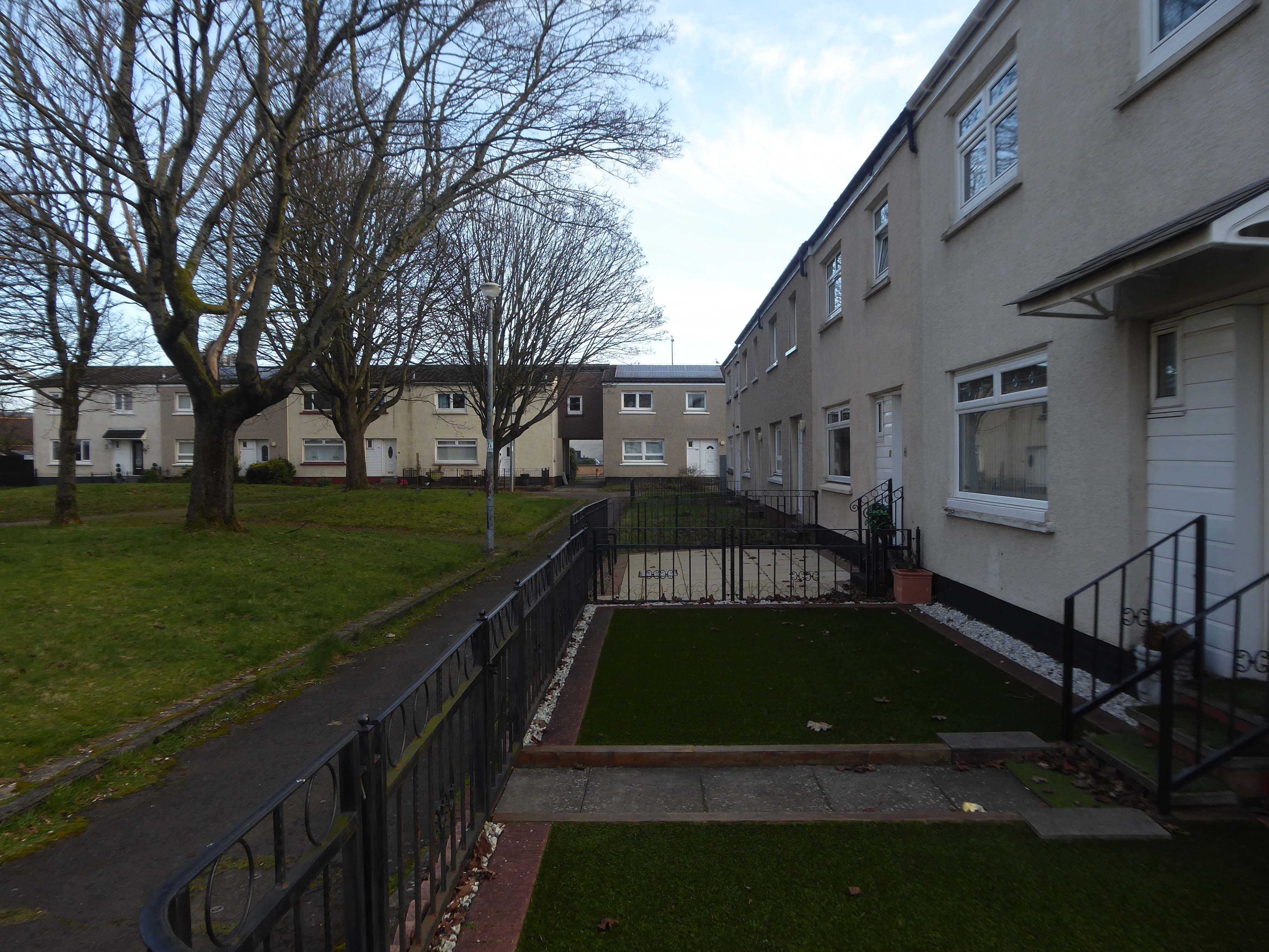
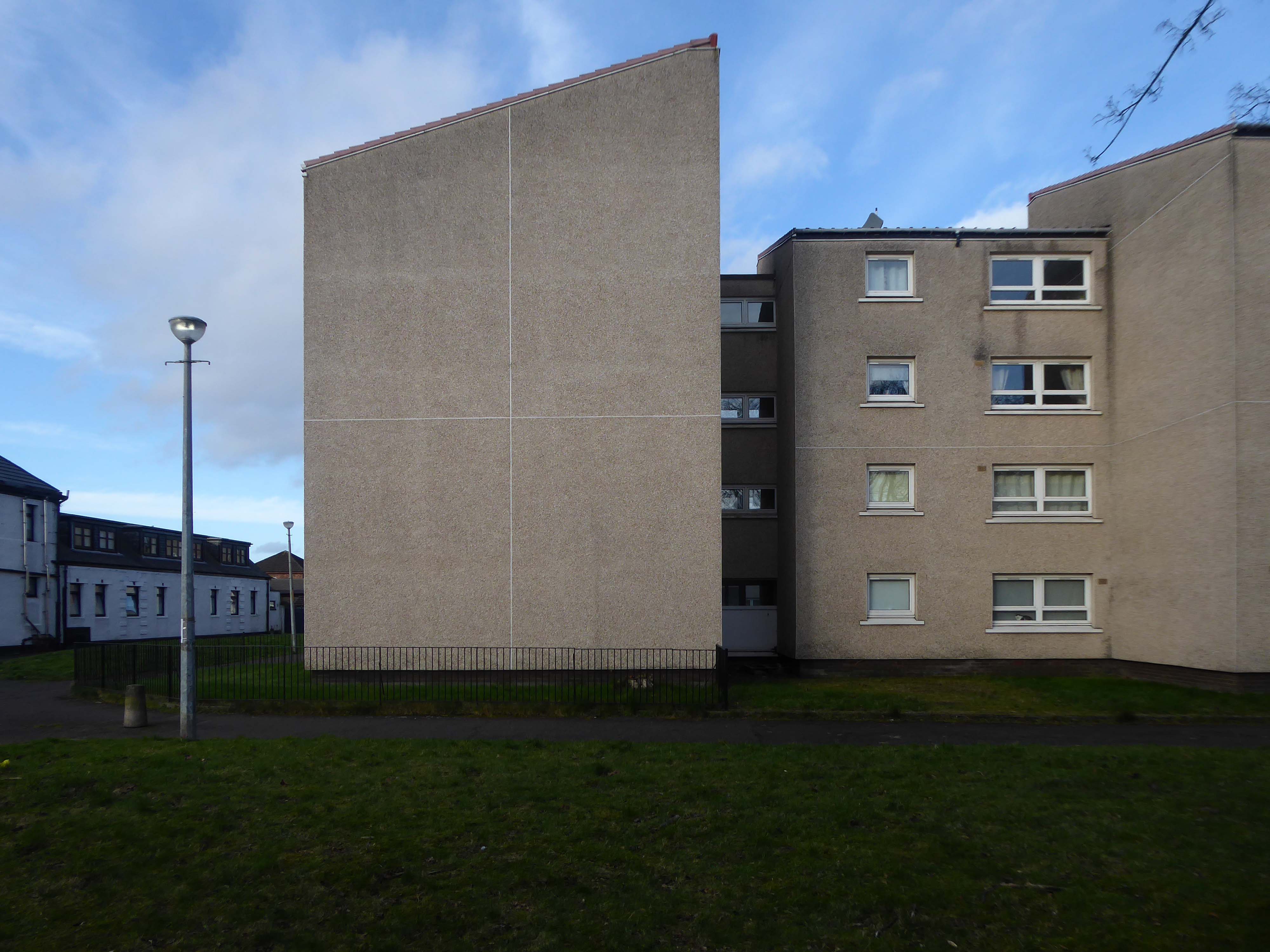
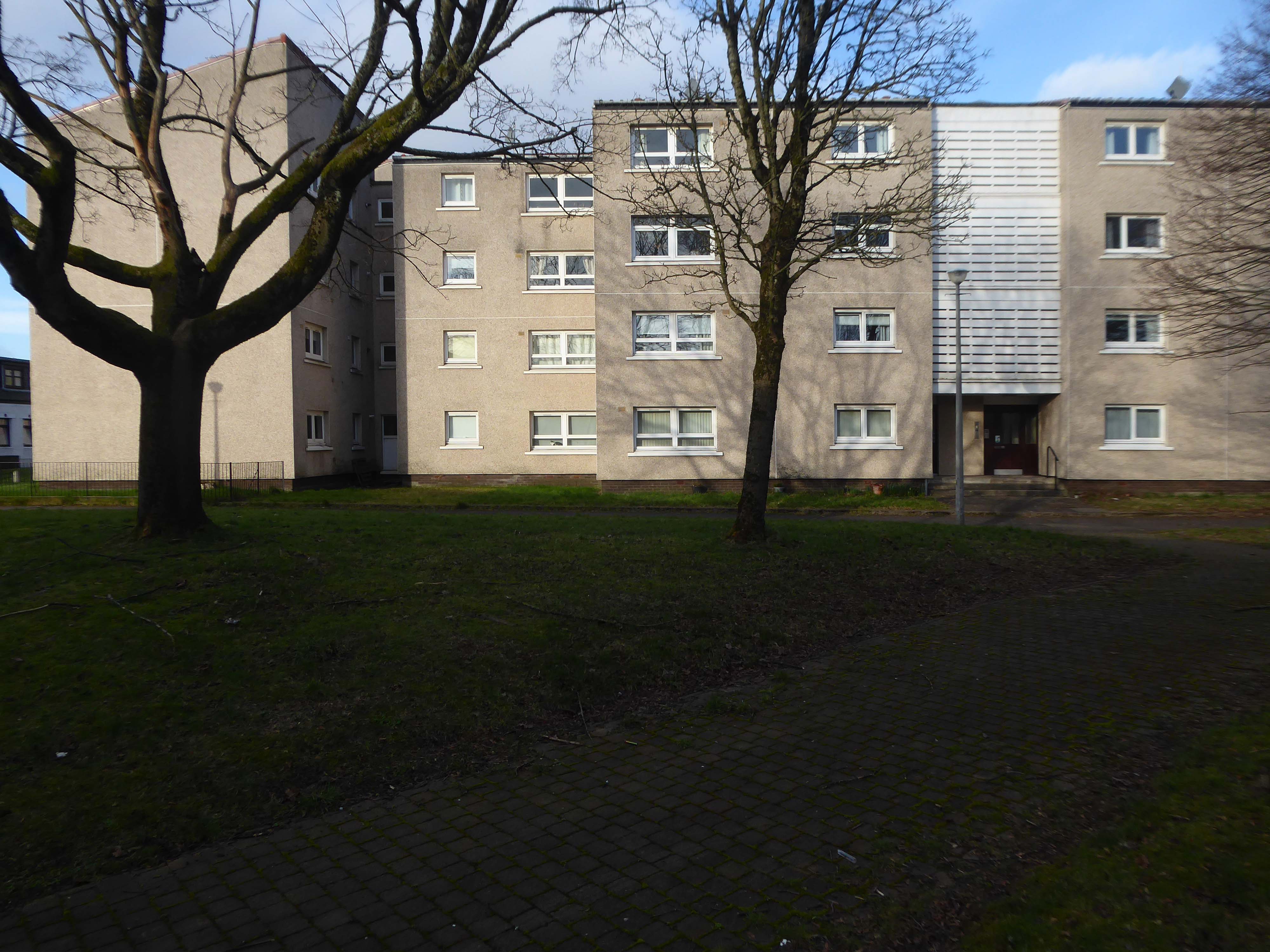
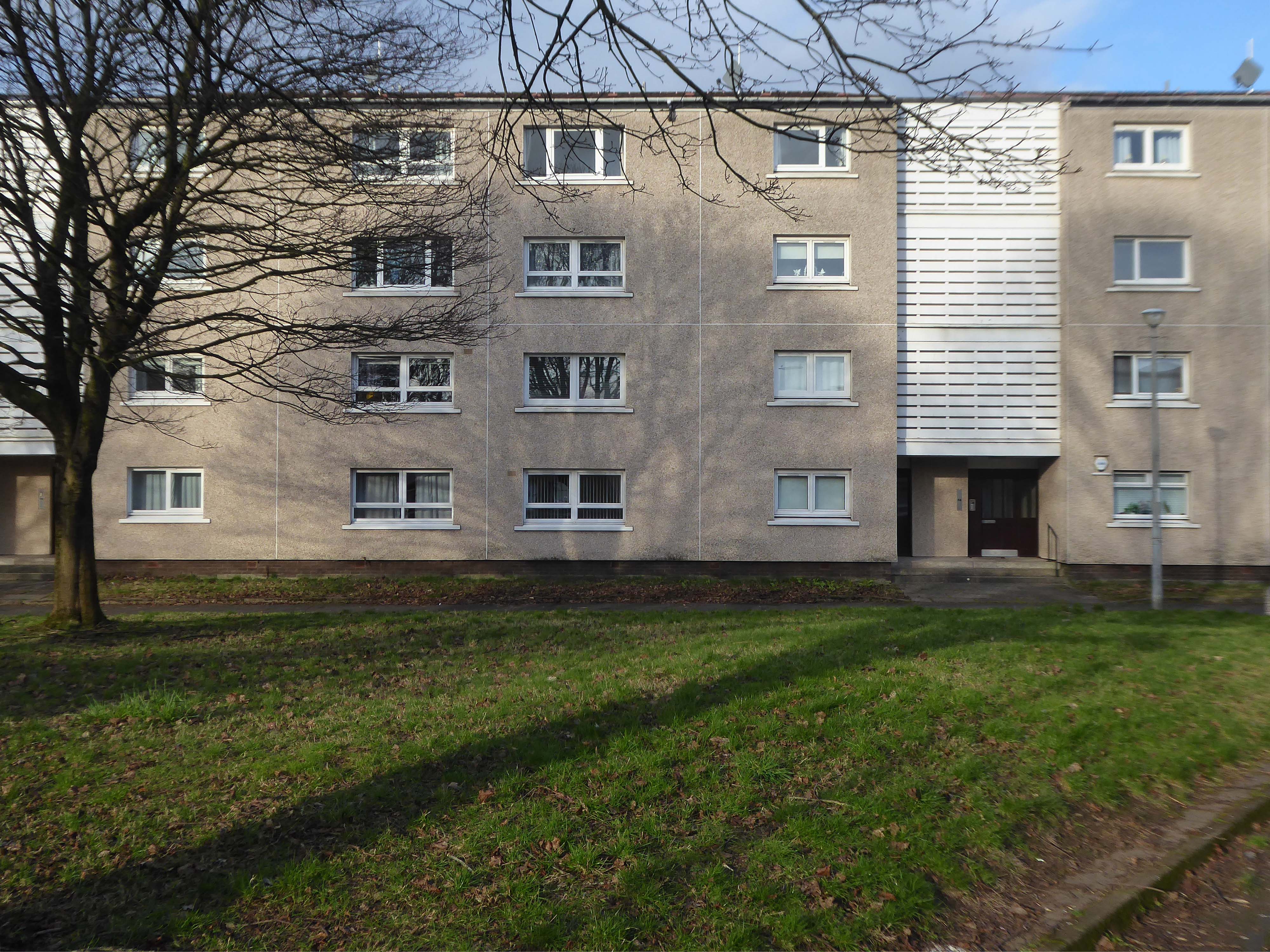
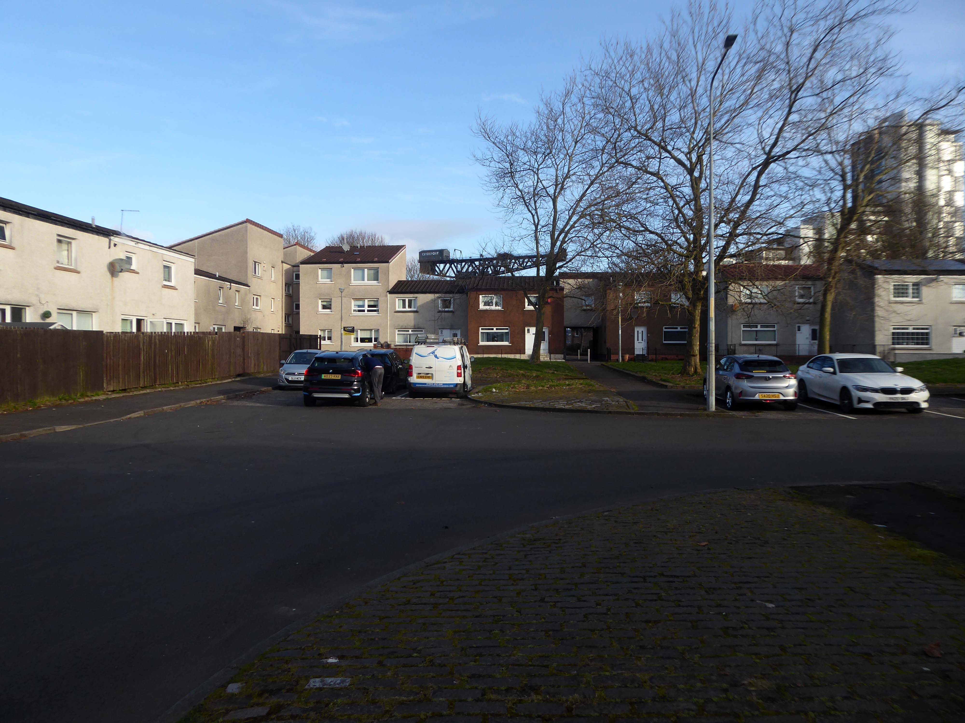
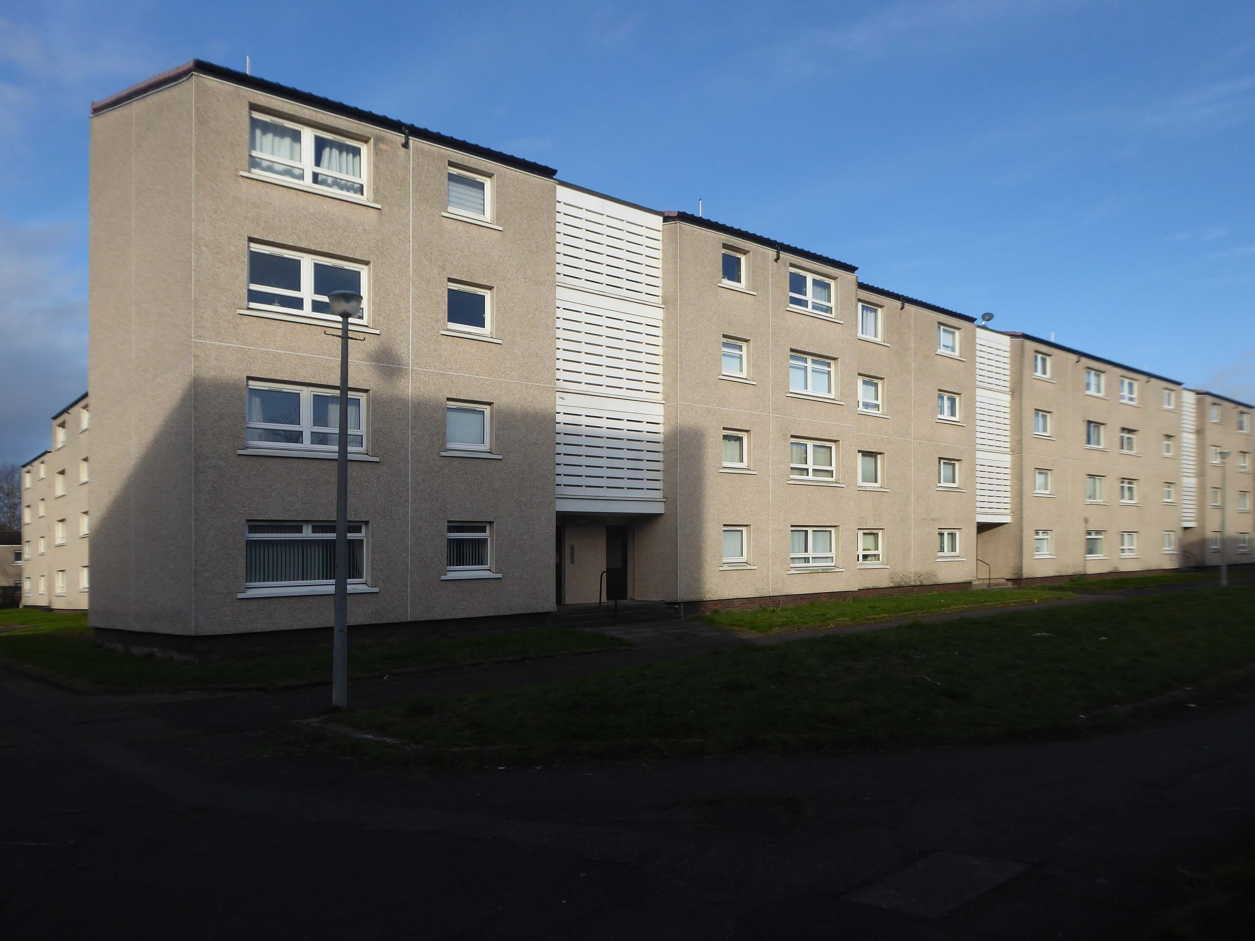
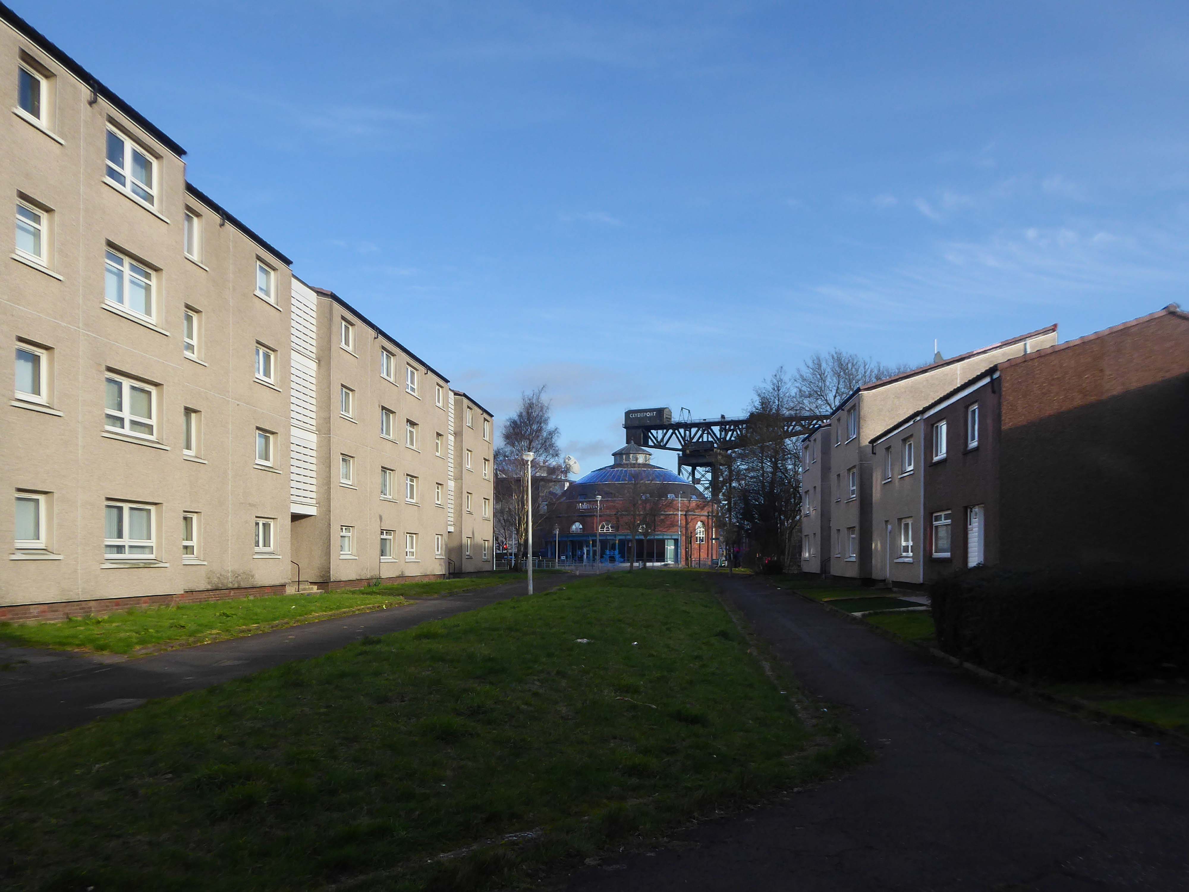
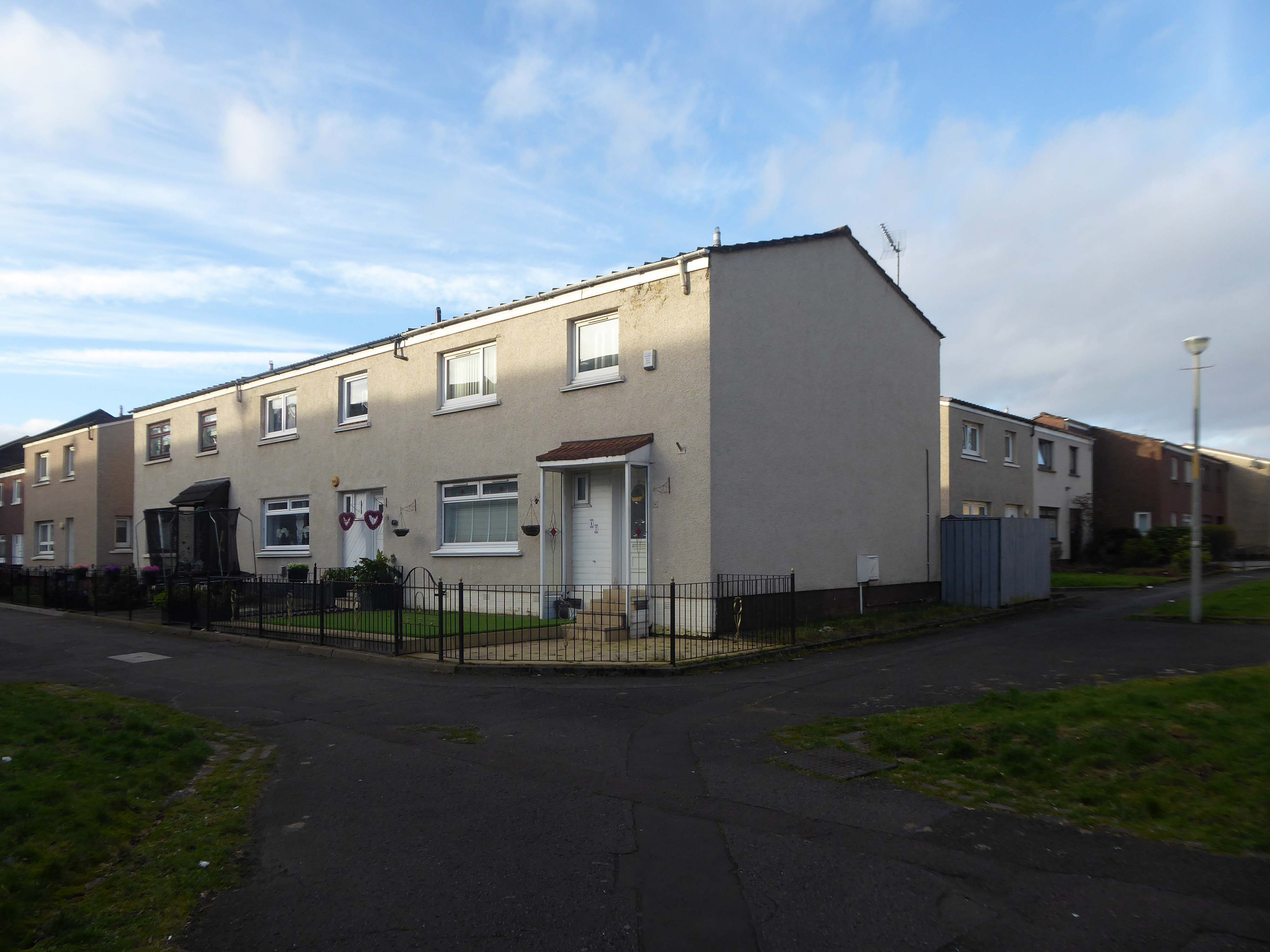
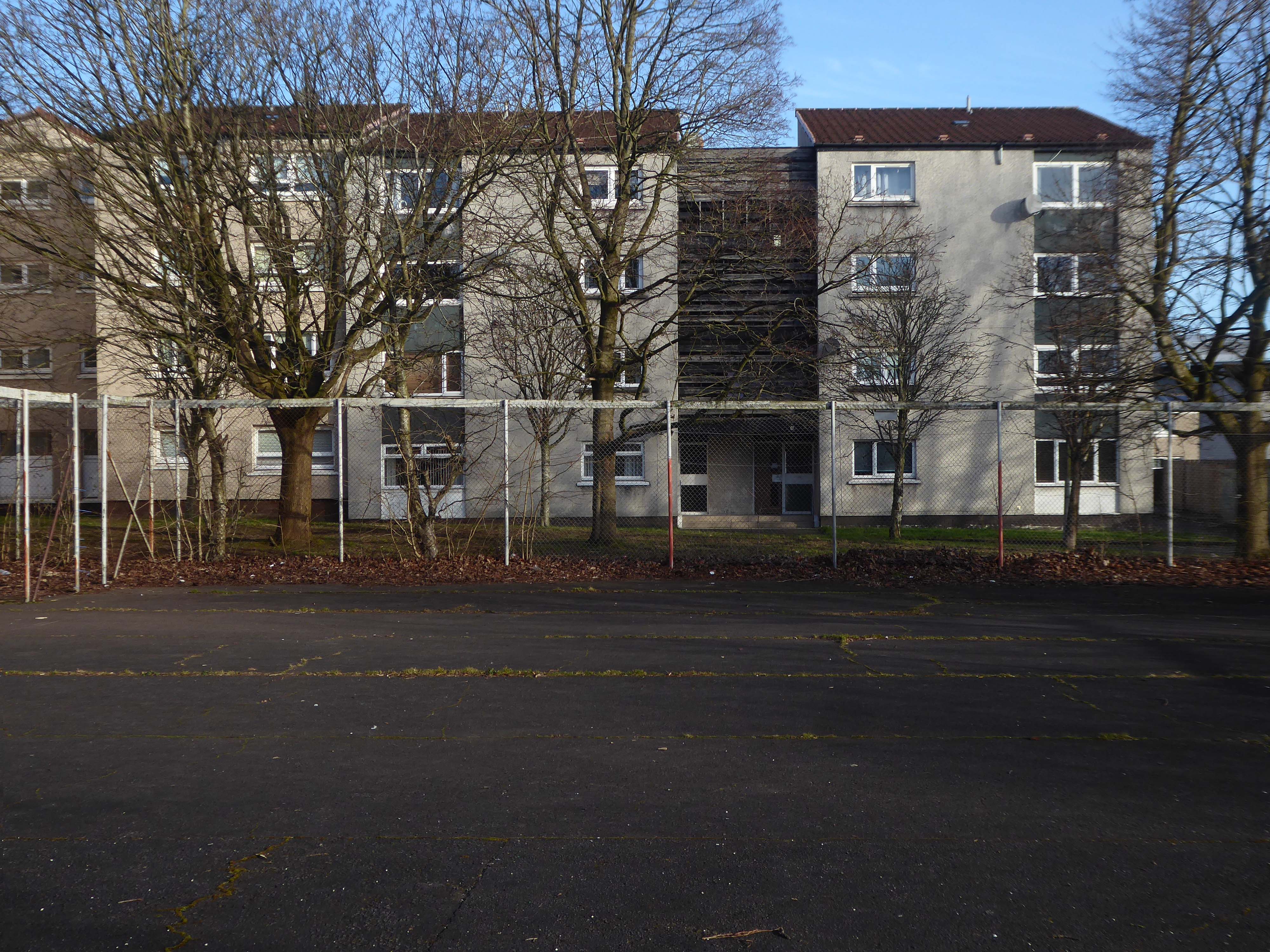
Plantation is an area in the city of Glasgow, Scotland. It is situated south of the River Clyde and is part of the former Burgh of Govan. It lies approximately between the areas of Cessnock and Ibrox to the west, Kingston to the east, and Kinning Park to the south.
The 80-acre Craigiehall estate, previously three smaller properties, was bought in 1783 by John Robertson, a cashier in the Glasgow Arms Bank, who with his brothers owned cotton and sugar plantations in the West Indies. He renamed it Plantation, possibly as a reminder of the West Indies plantations. It then, in 1793, passed to John Mair, a merchant who developed the building and gardens. Plantation passed to the Maclean family, in 1829, in the person of William Maclean, a Glasgow Baillie.
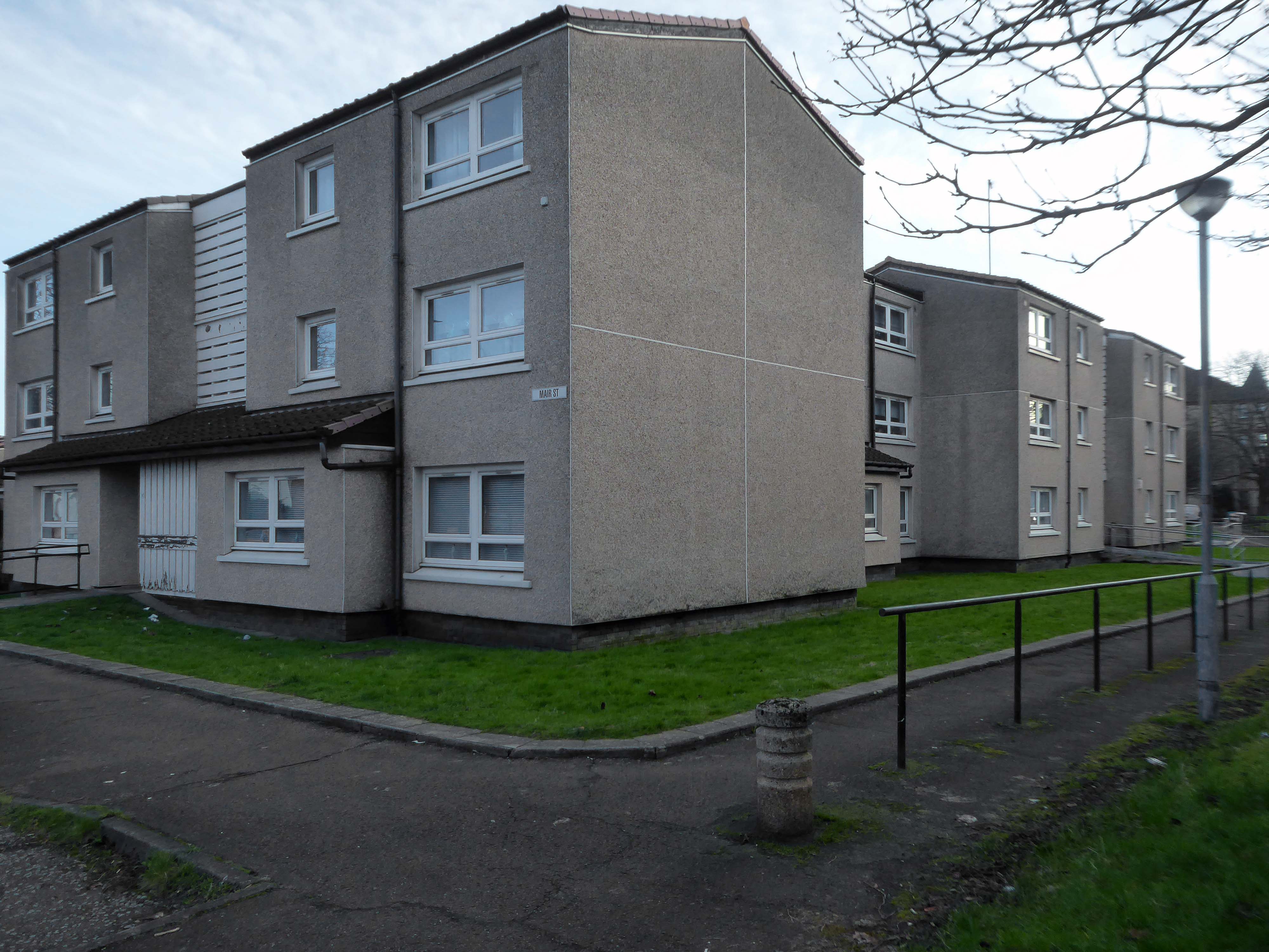
In the years that followed, the estate was bisected by the railway to the south, with the shipbuilding yards of The Clyde Trust cutting off the estate from the river. Plantation was laid out for tenement houses in the 1870s and Maclean, Plantation, Mair and Craigiehall Streets refer to the history of the old estate.
Plantation Quay formed part of the site for the Glasgow Garden Festival in 1988 and subsequent Glasgow Science Centre.
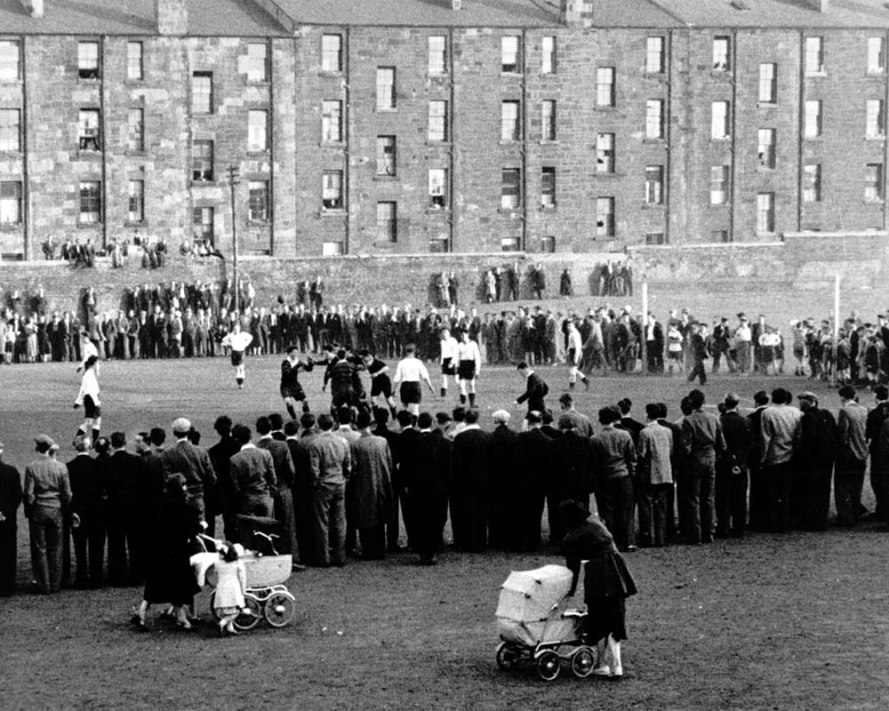
A crowd gathered to watch a football match at Plantation, 1955. The players in dark jerseys appear to be celebrating a goal.
The mostly male spectators are focused on the game, while in the foreground a couple of women pass by with prams. The tenements in the background provide their inhabitants with a bird’s-eye view of the match. Other spectators are perched on top of a high wall separating the tenement back courts from the football pitch.
In 1955 Partick Camera Club set out to create a photographic survey of Glasgow. As the project progressed, other camera clubs joined and each was allocated a district of the city to photograph. Glasgow Museums exhibited the photographs at Kelvingrove Art Gallery and Museum and at the People’s Place, and in 1956 the exhibition was shown at the Palace of Art in Bellahouston Park. The photographs are now part of Glasgow Museums’ collections.
So the folks, homes, industry and streets of the past have been and gone.
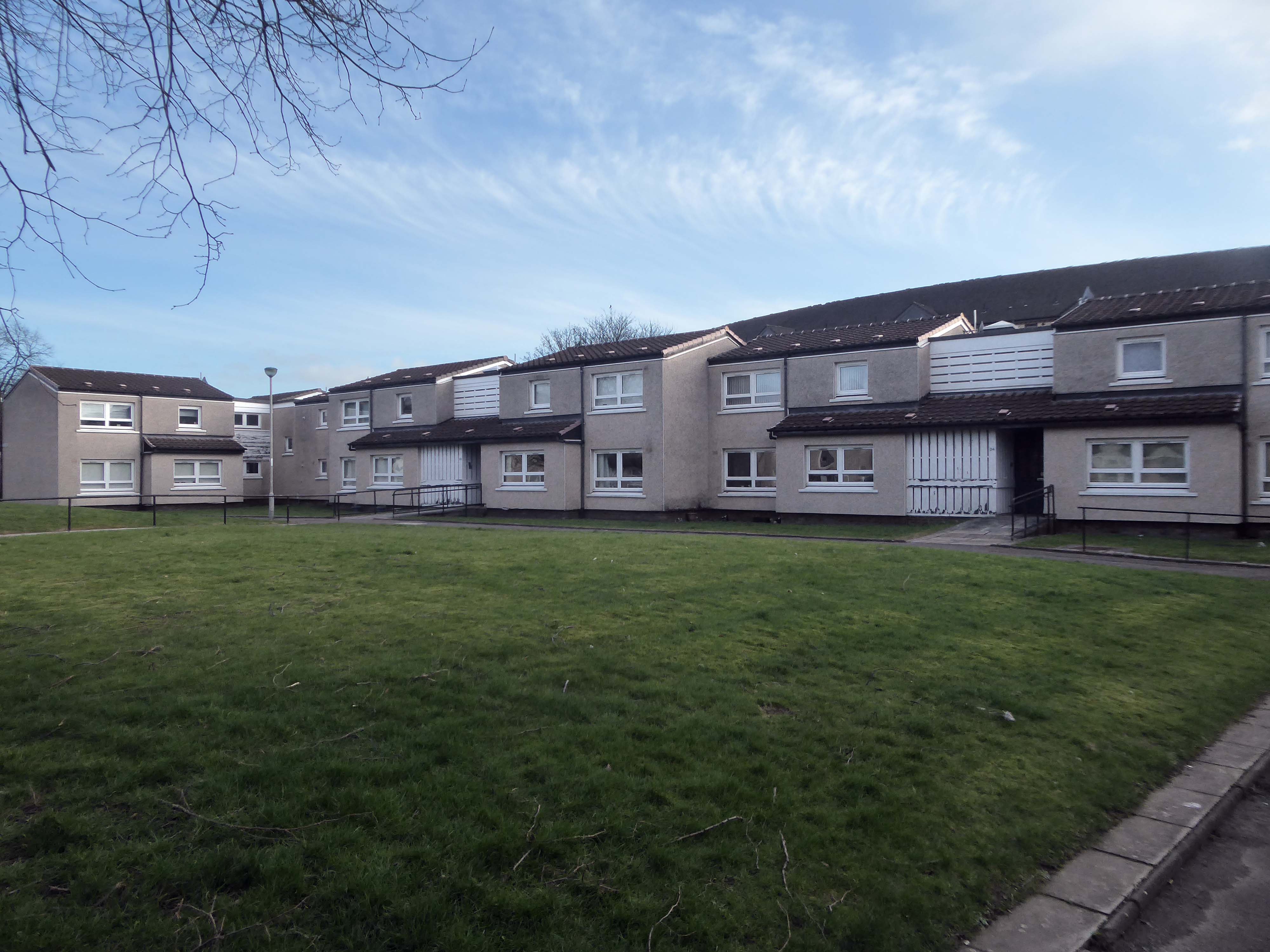
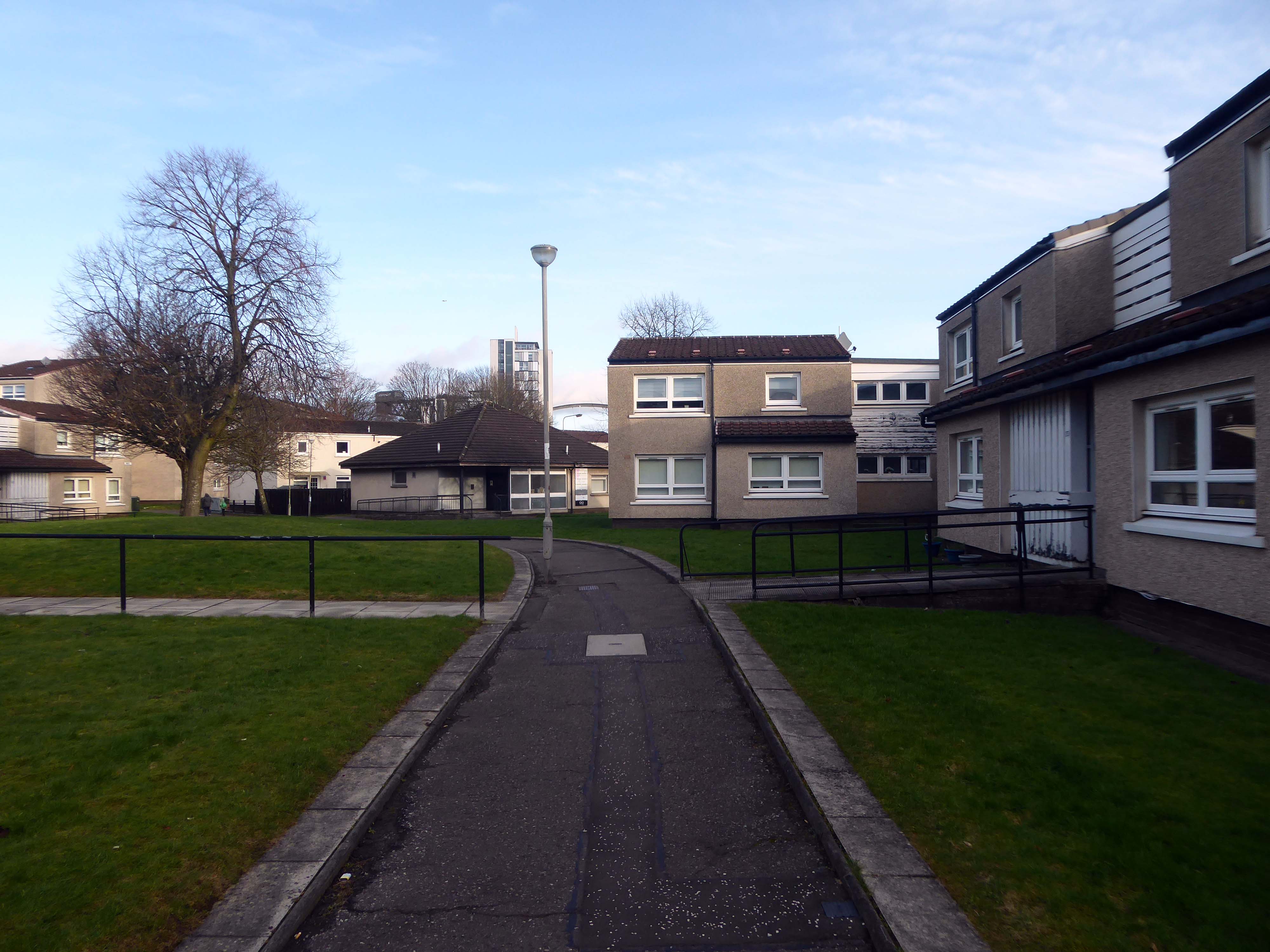
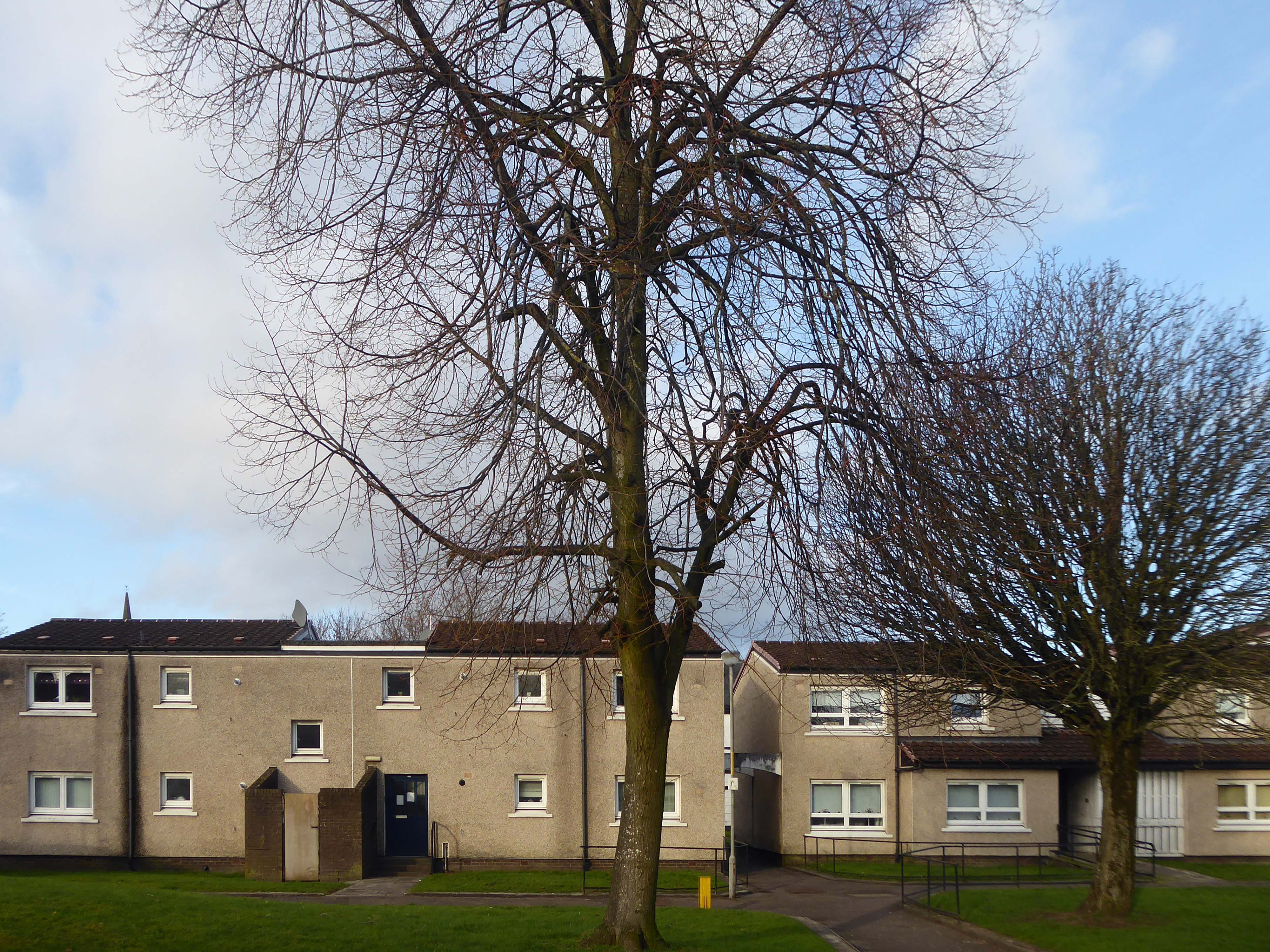
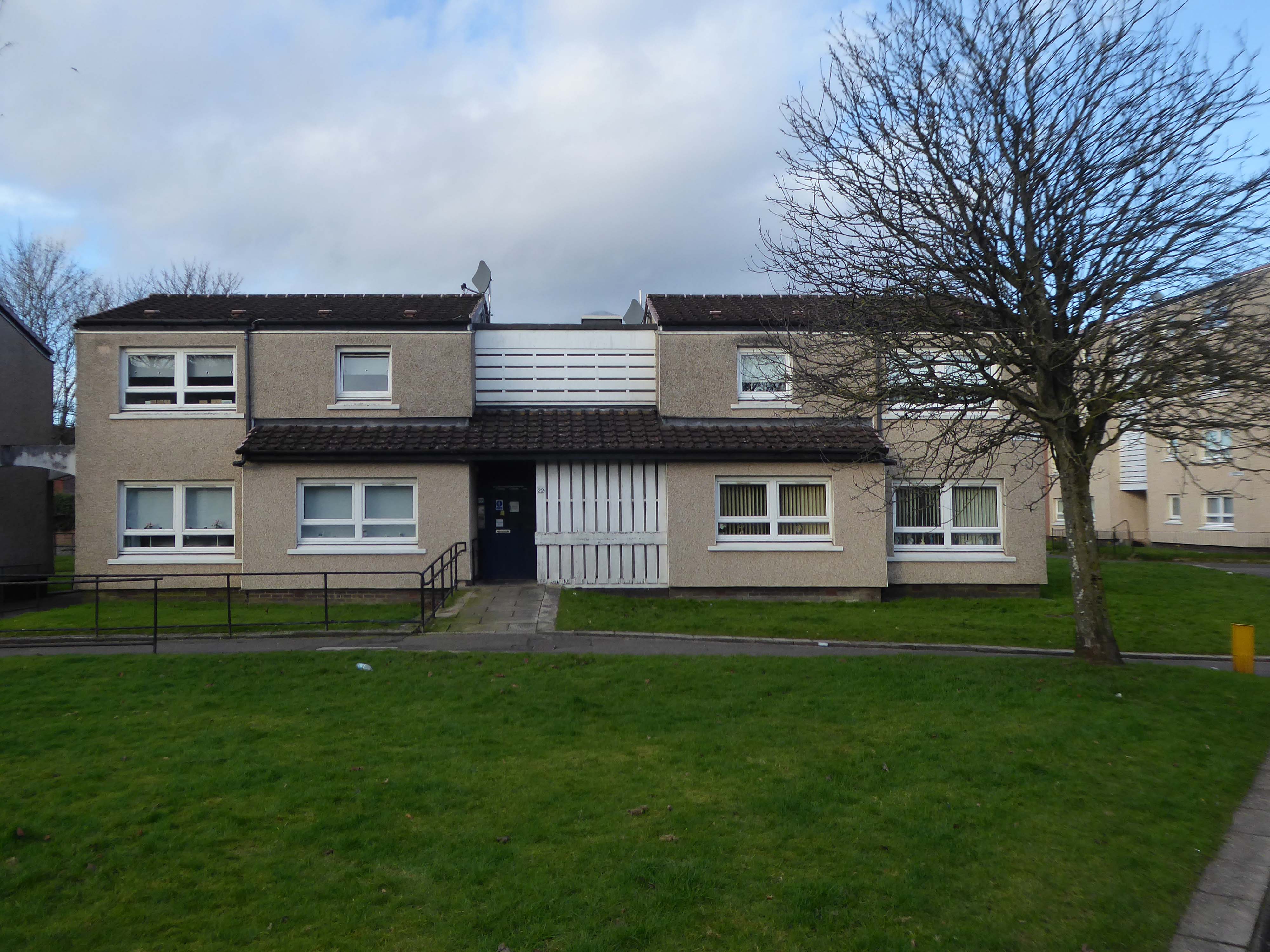
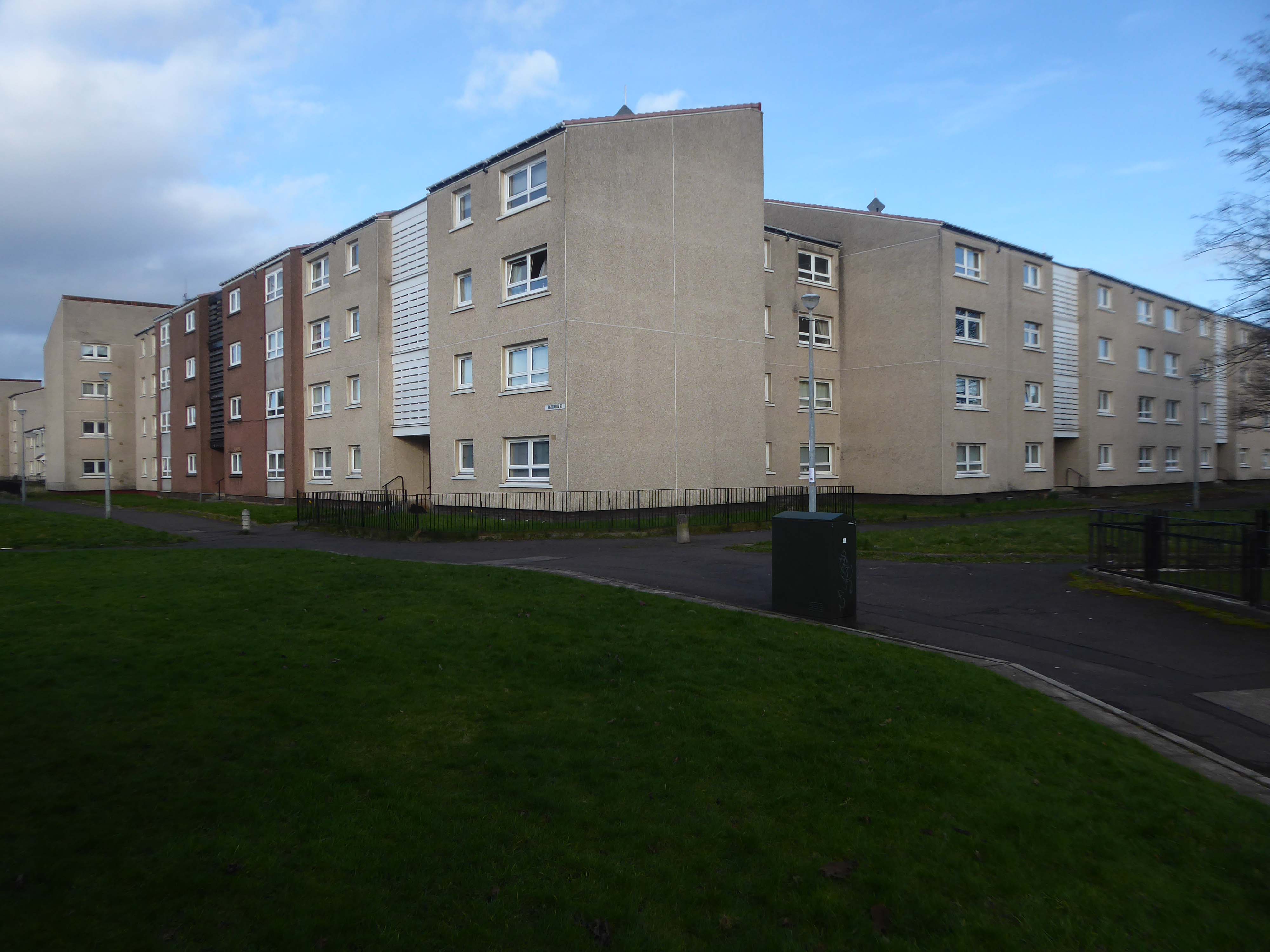
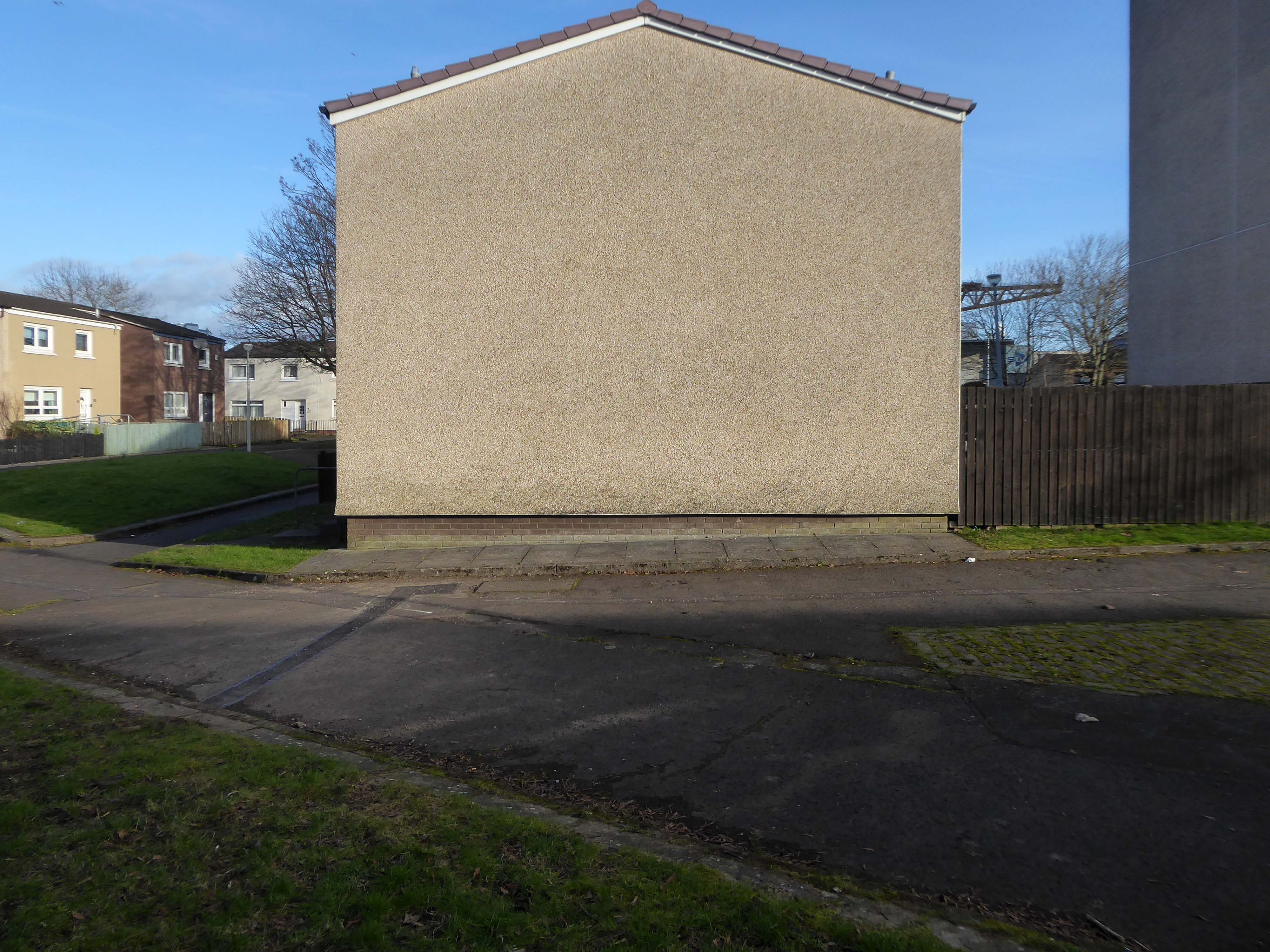
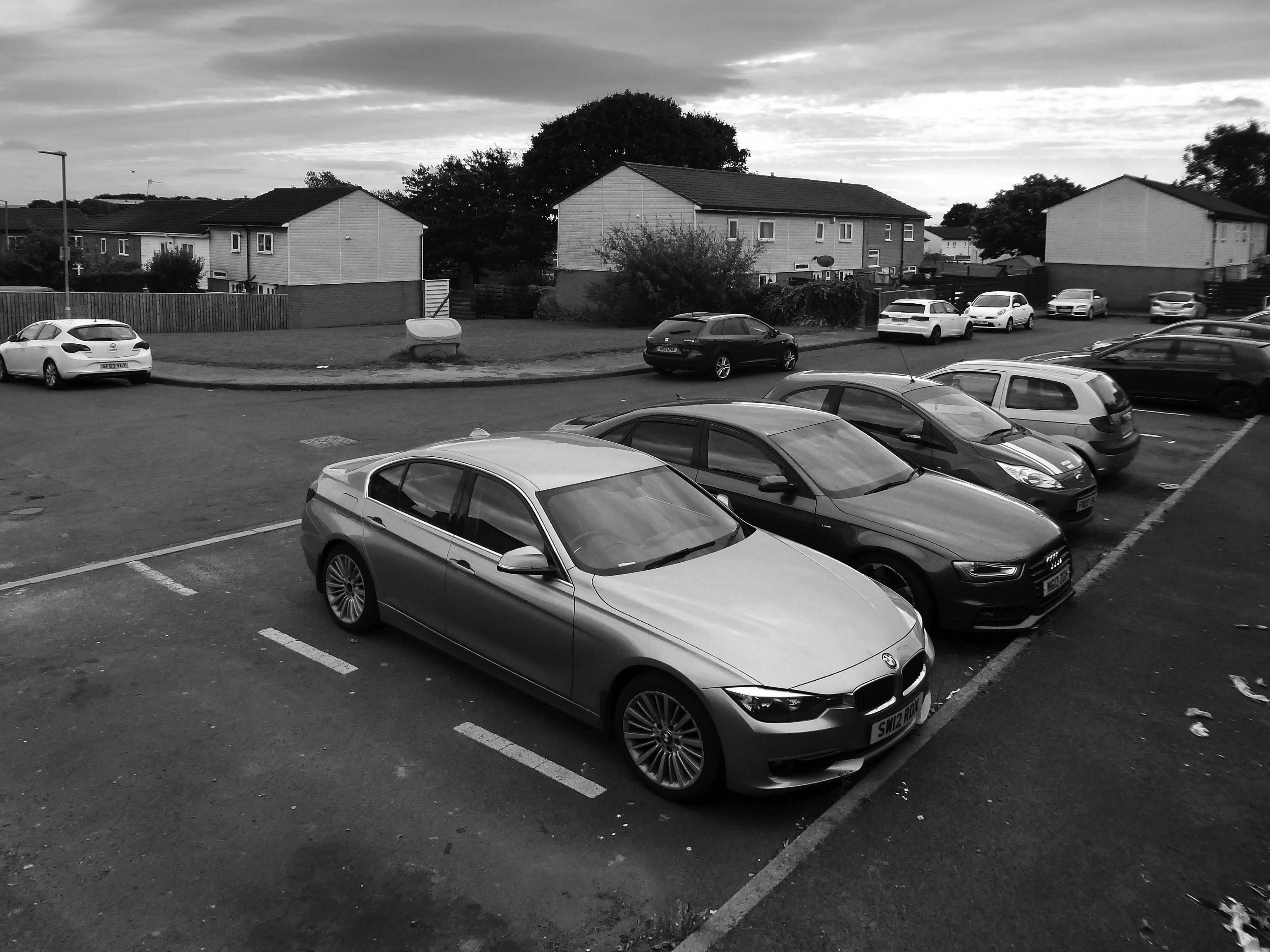
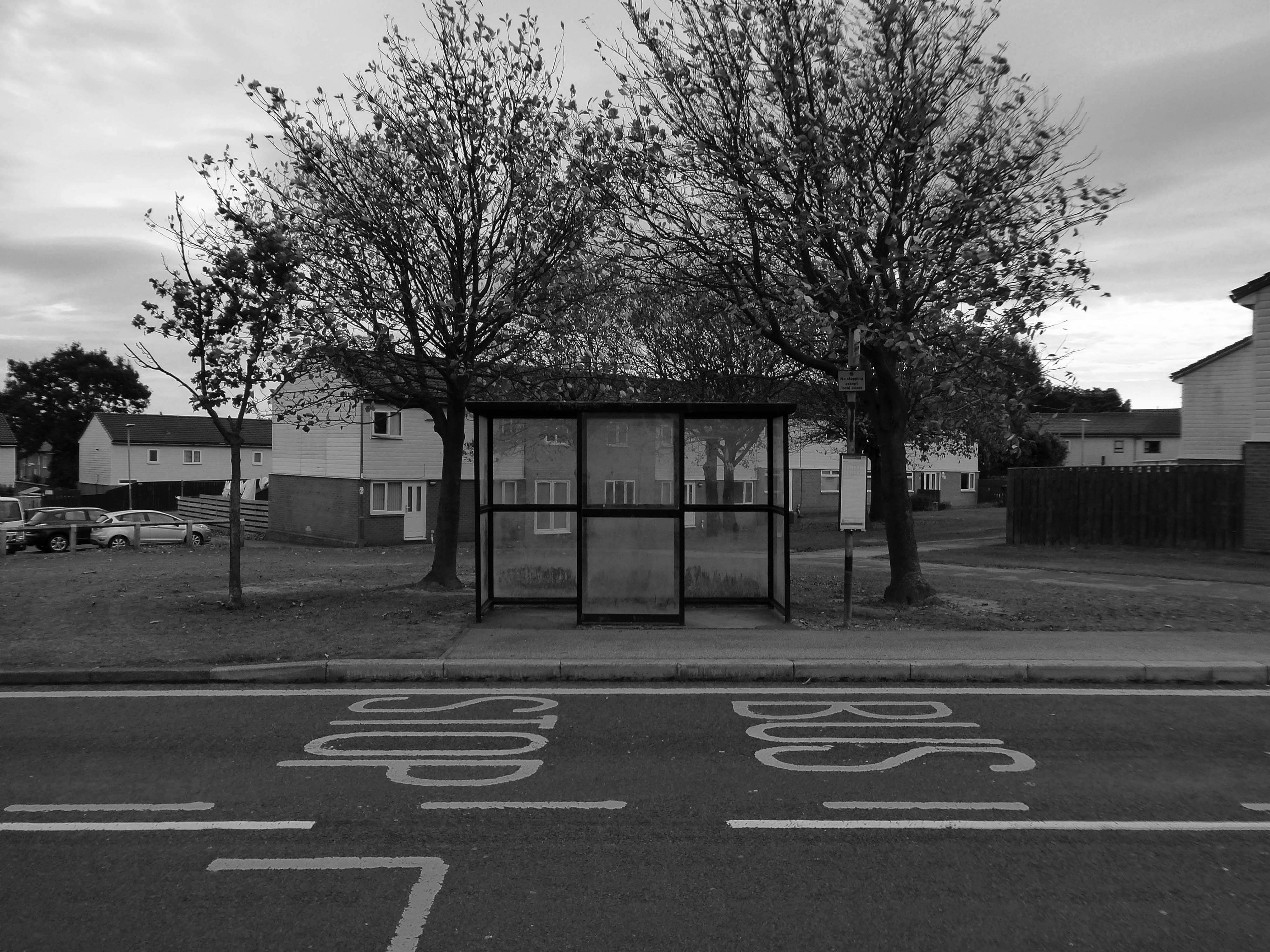
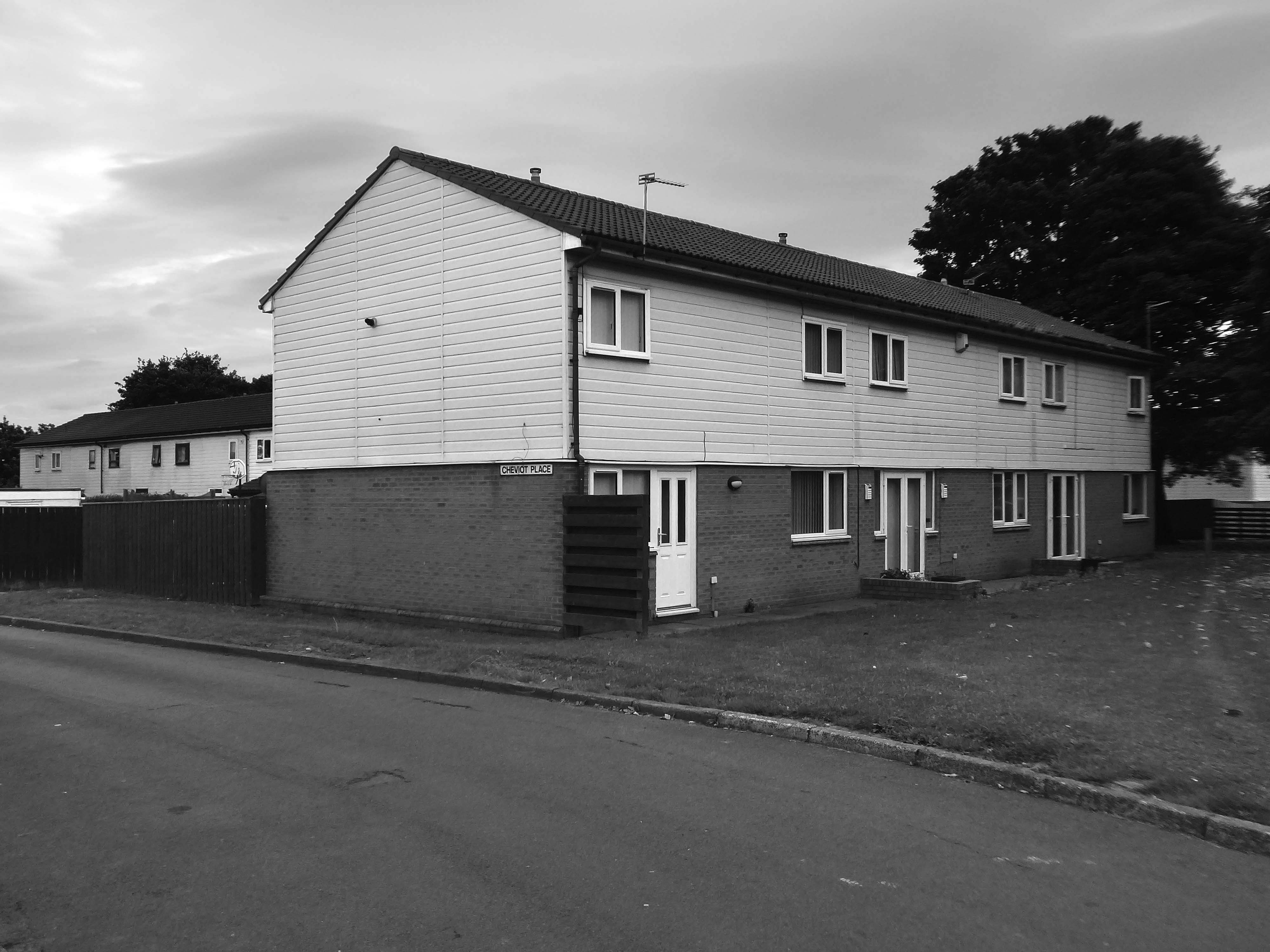
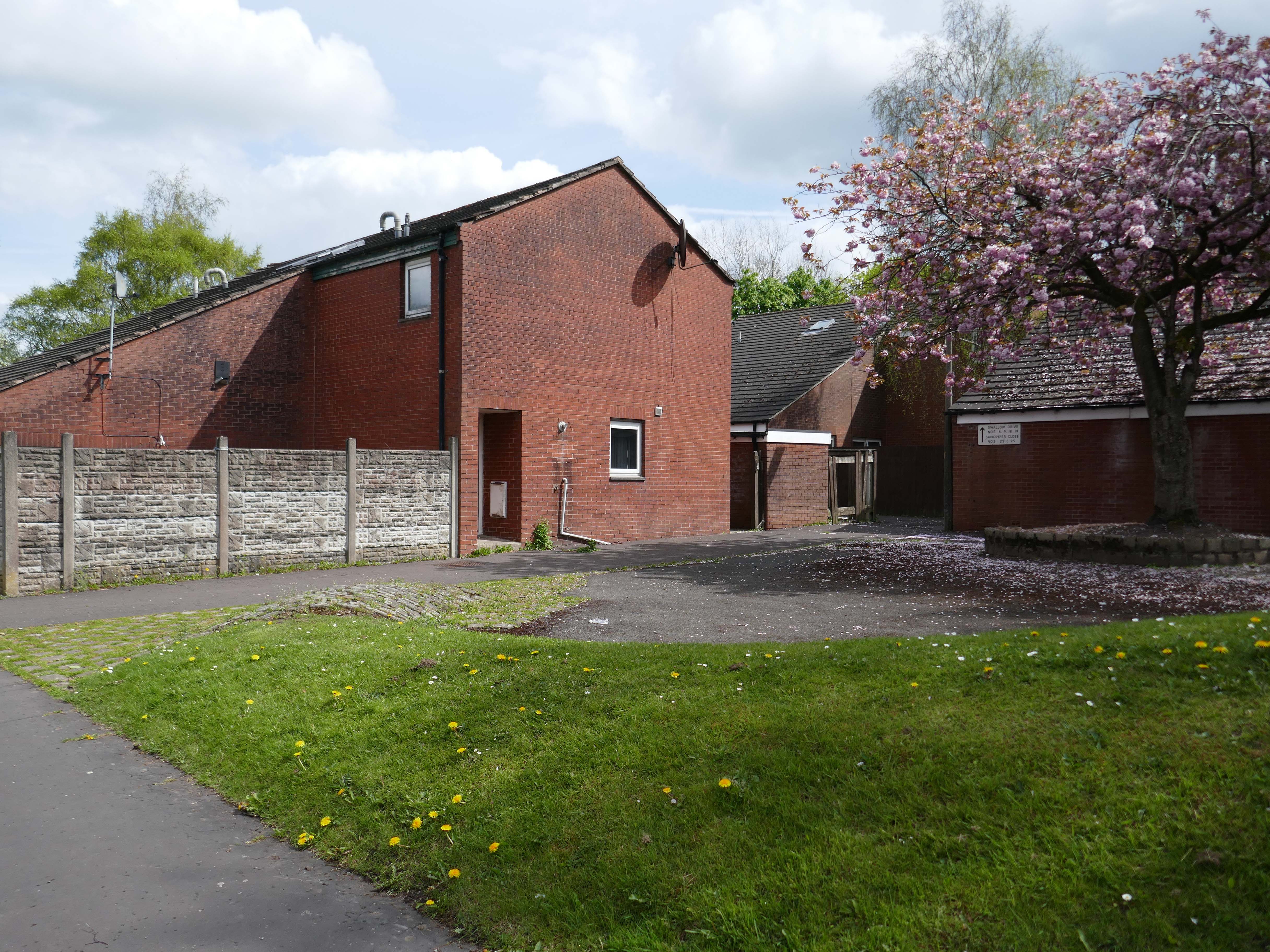
I was walking through the area in March 2023 one quite quiet morning, and attracted by the neat rows of austere grey terraces, low rise blocks and maisonettes, which have replaced the tenements.
The estate is clean and well maintained, open areas of grass criss crossed with pedestrian paths, surrounded by mature trees, motor cars have discrete parking areas.
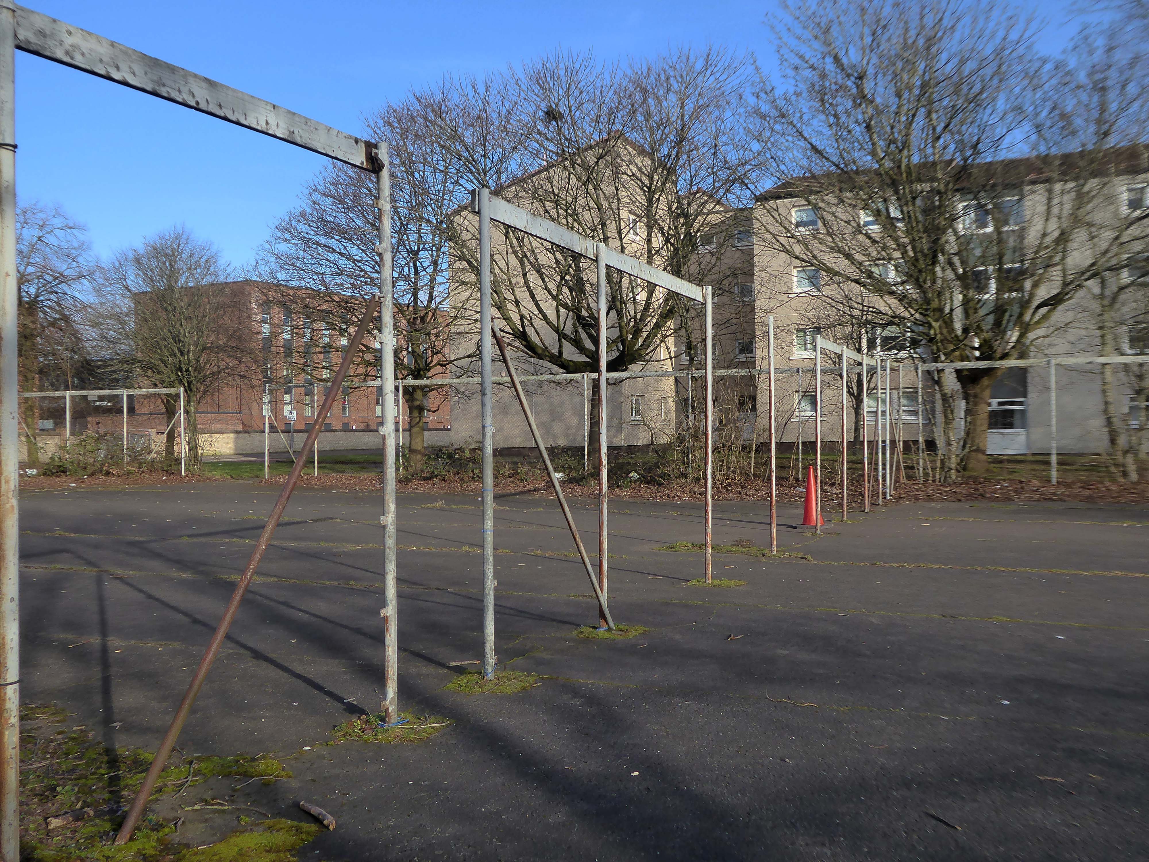
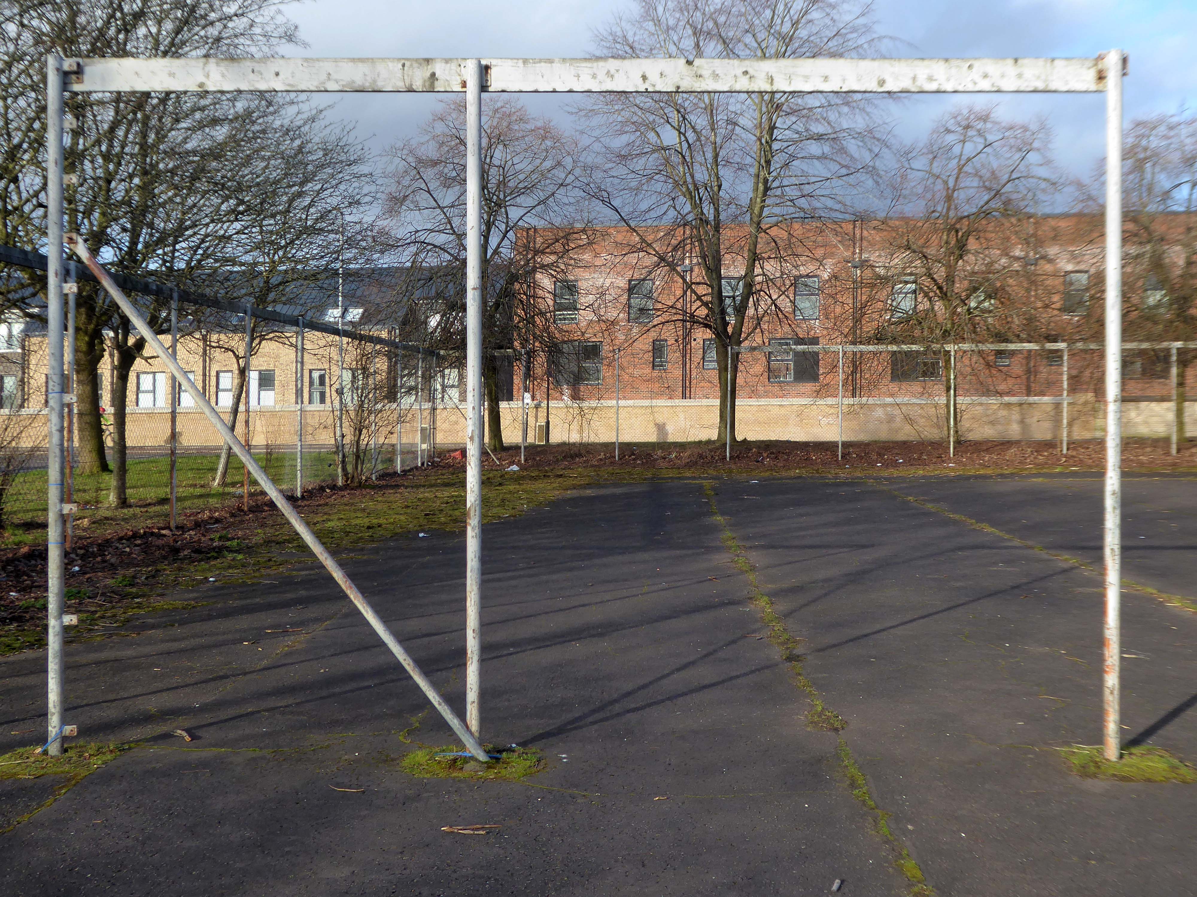
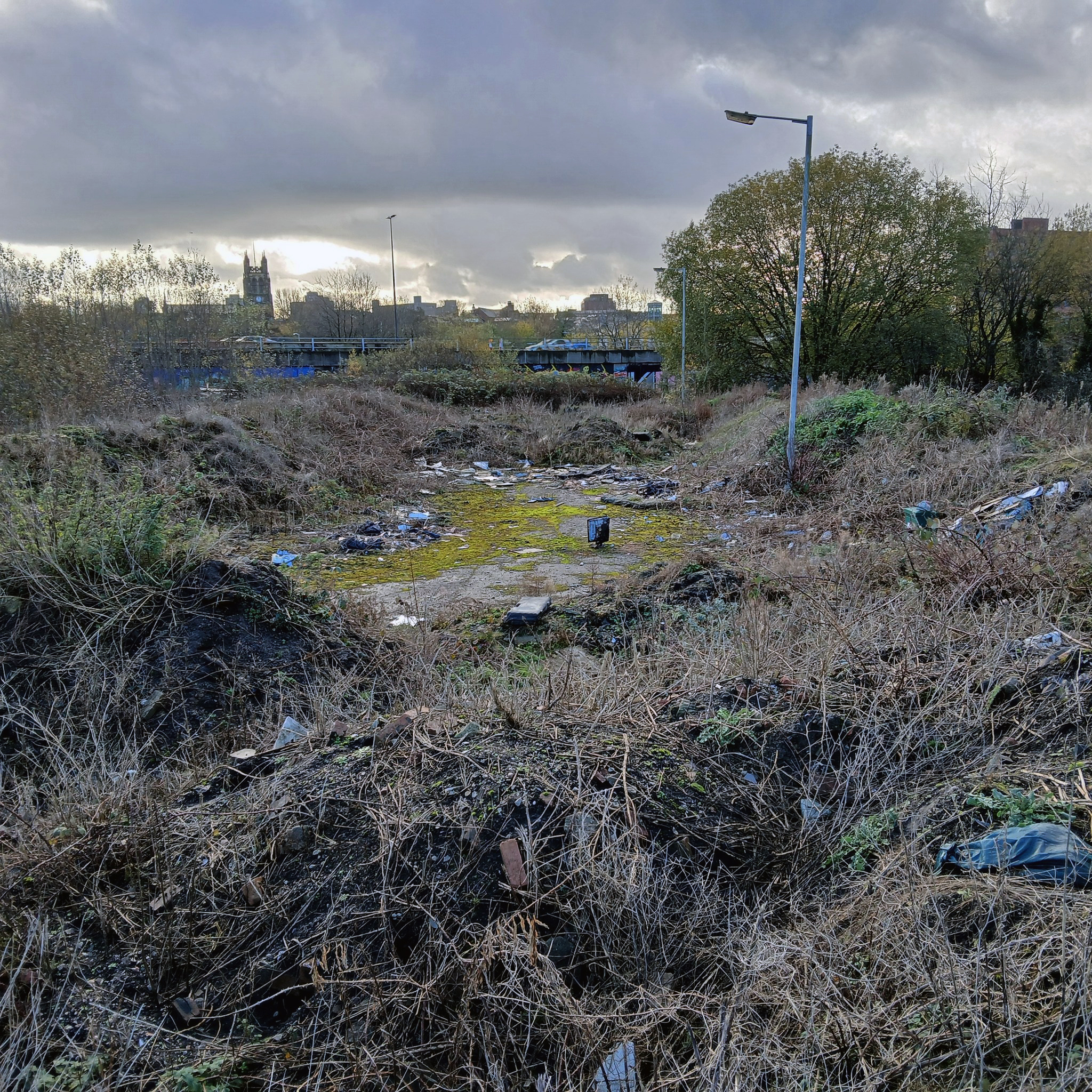
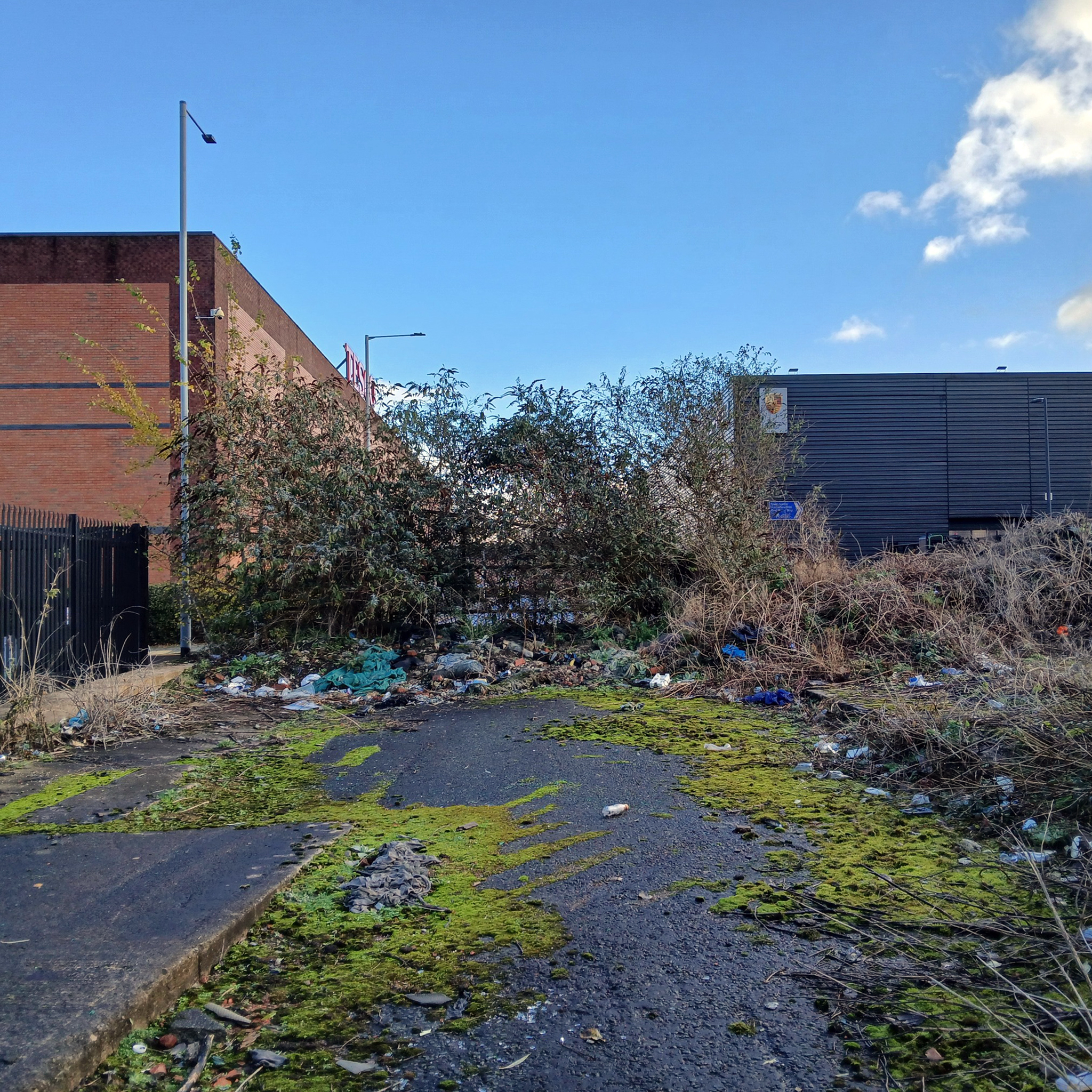
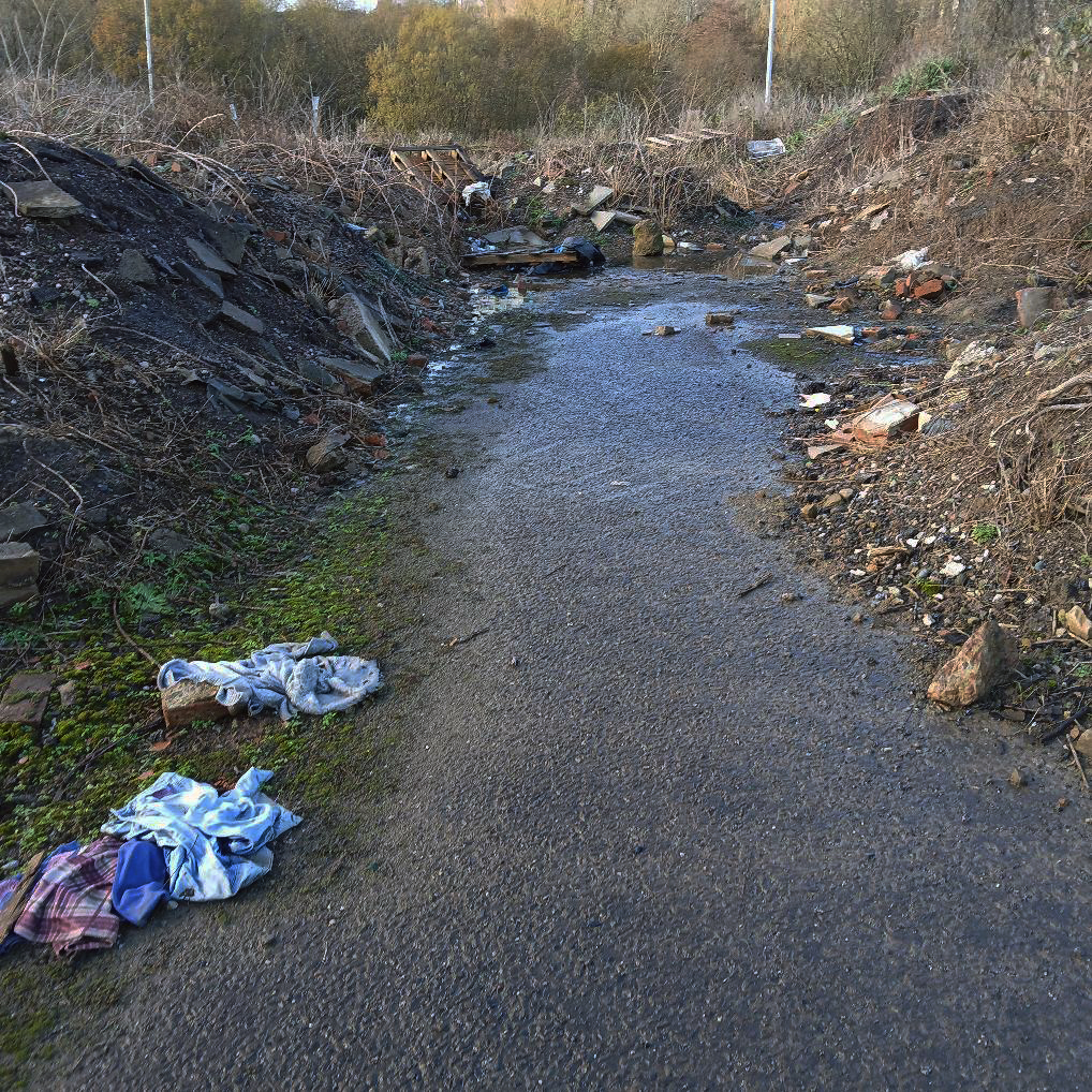
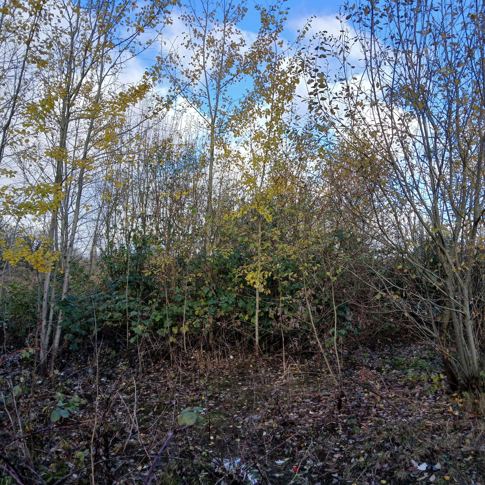
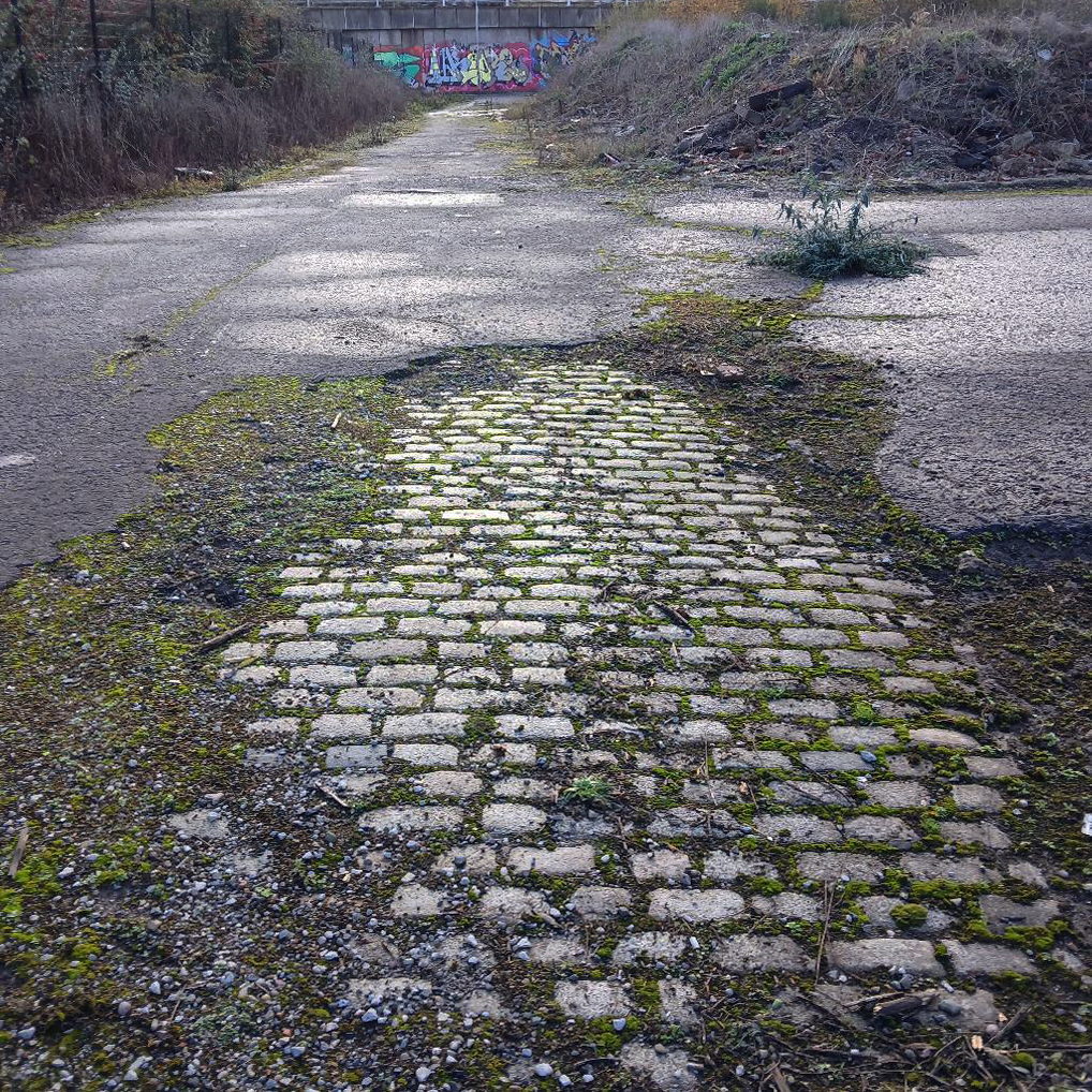
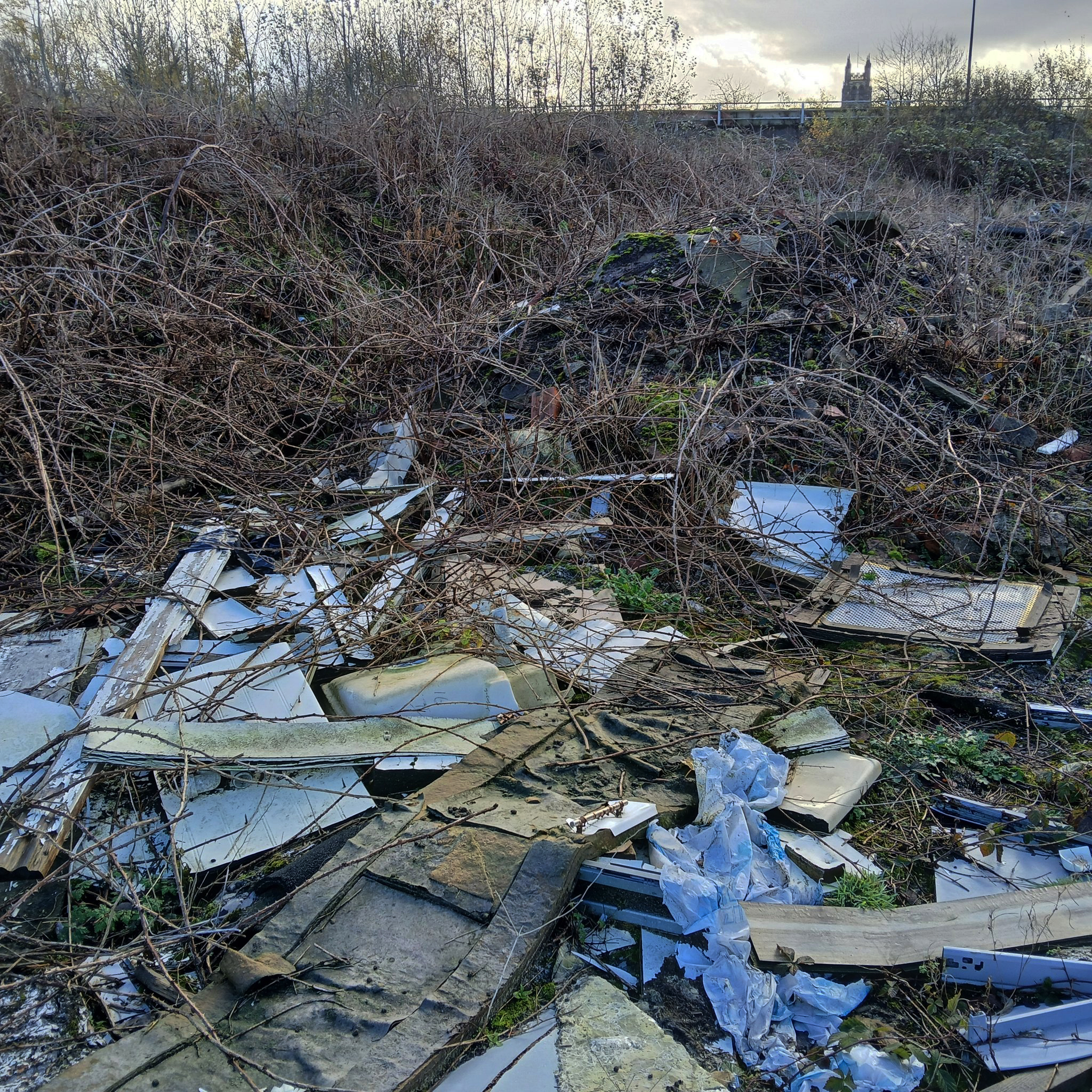
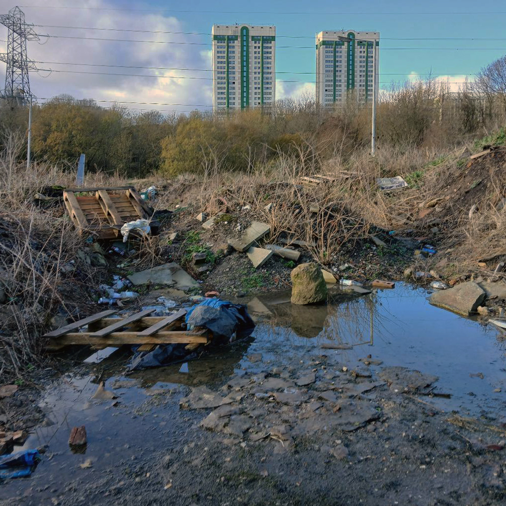
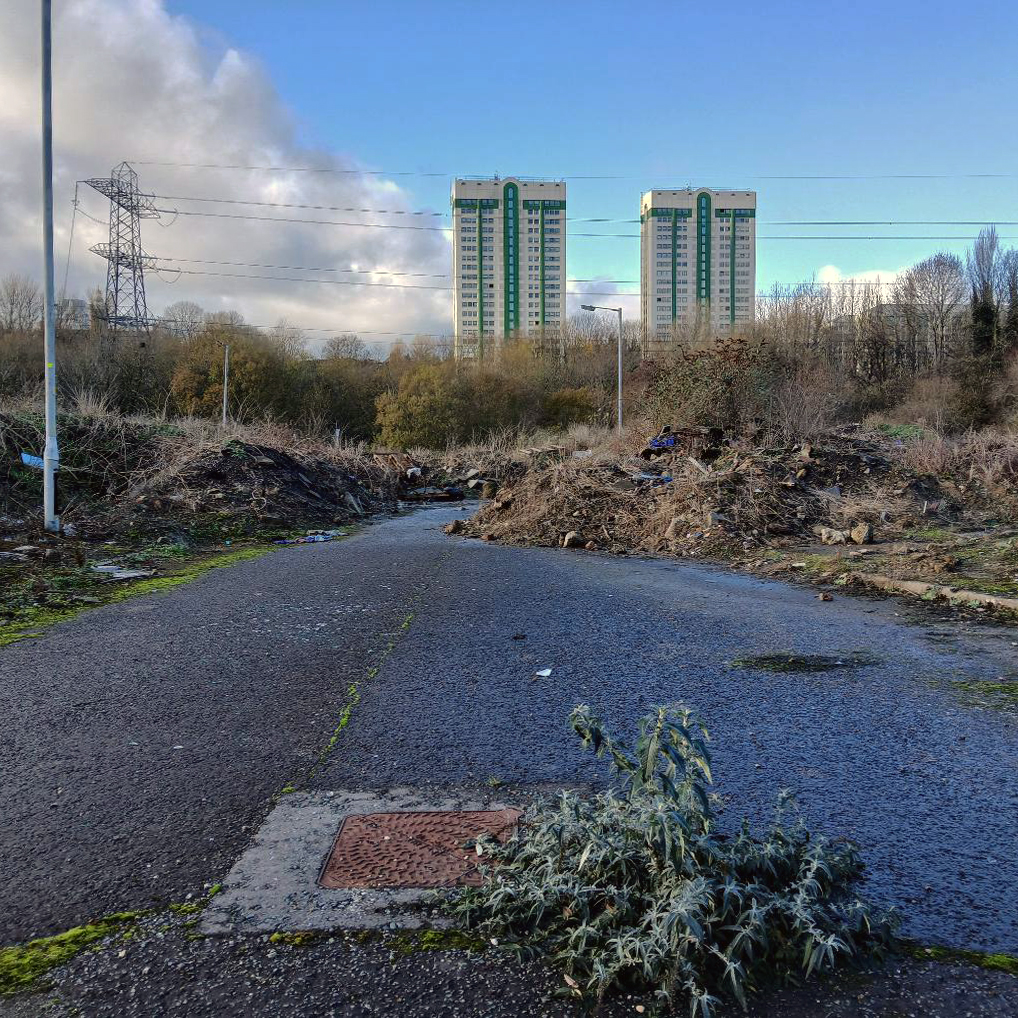
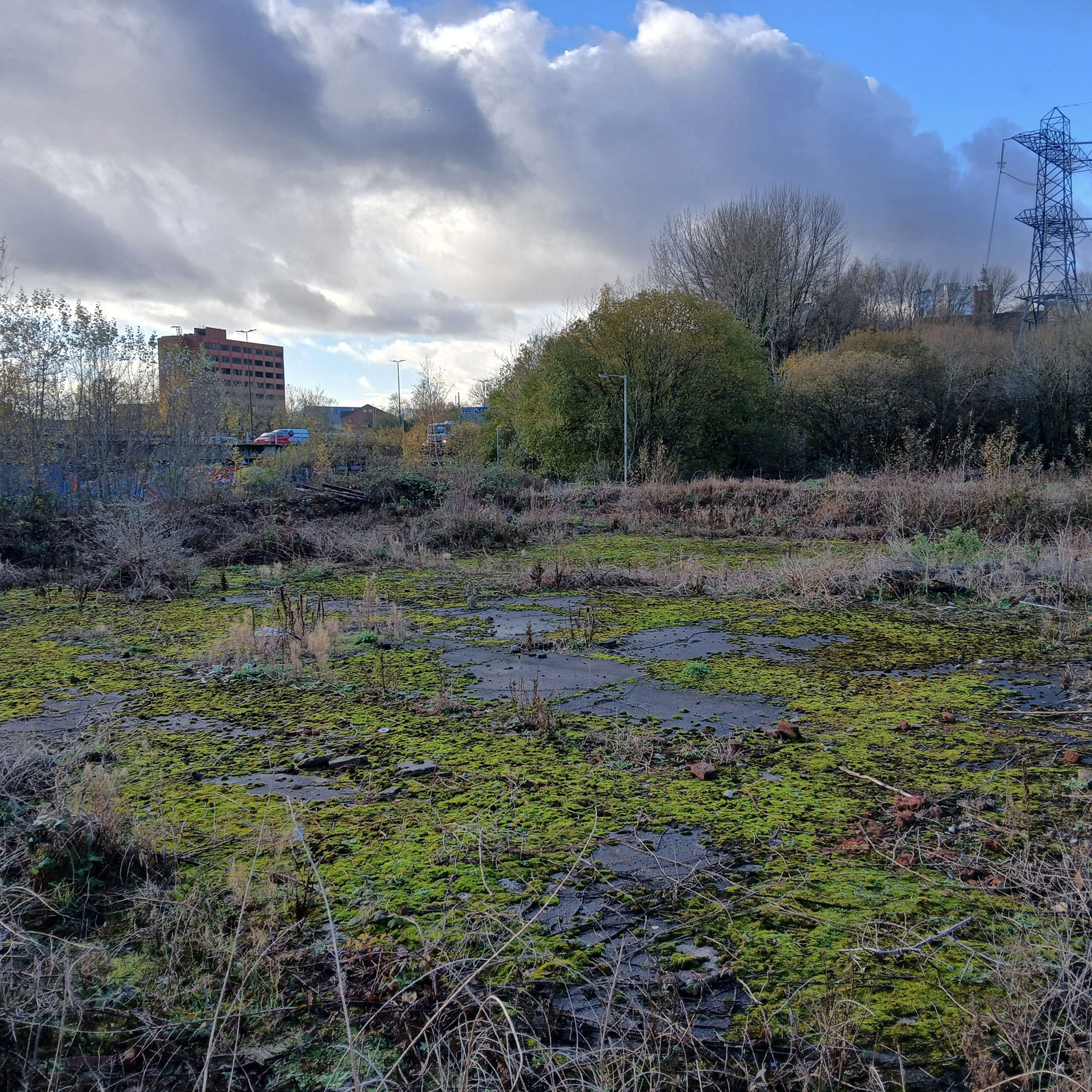
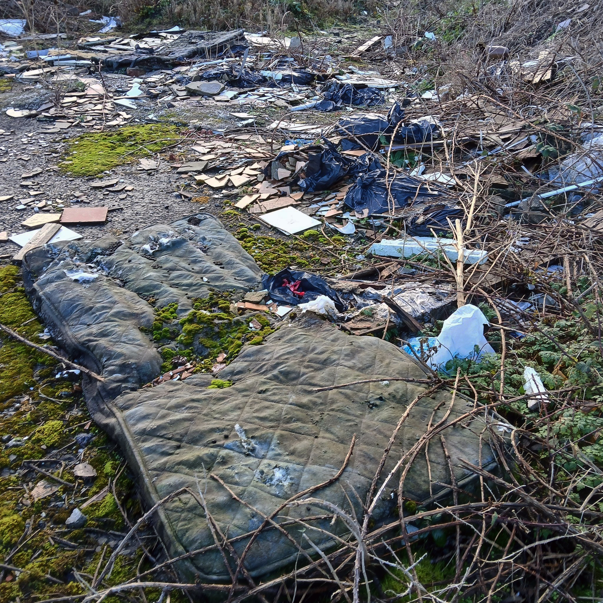
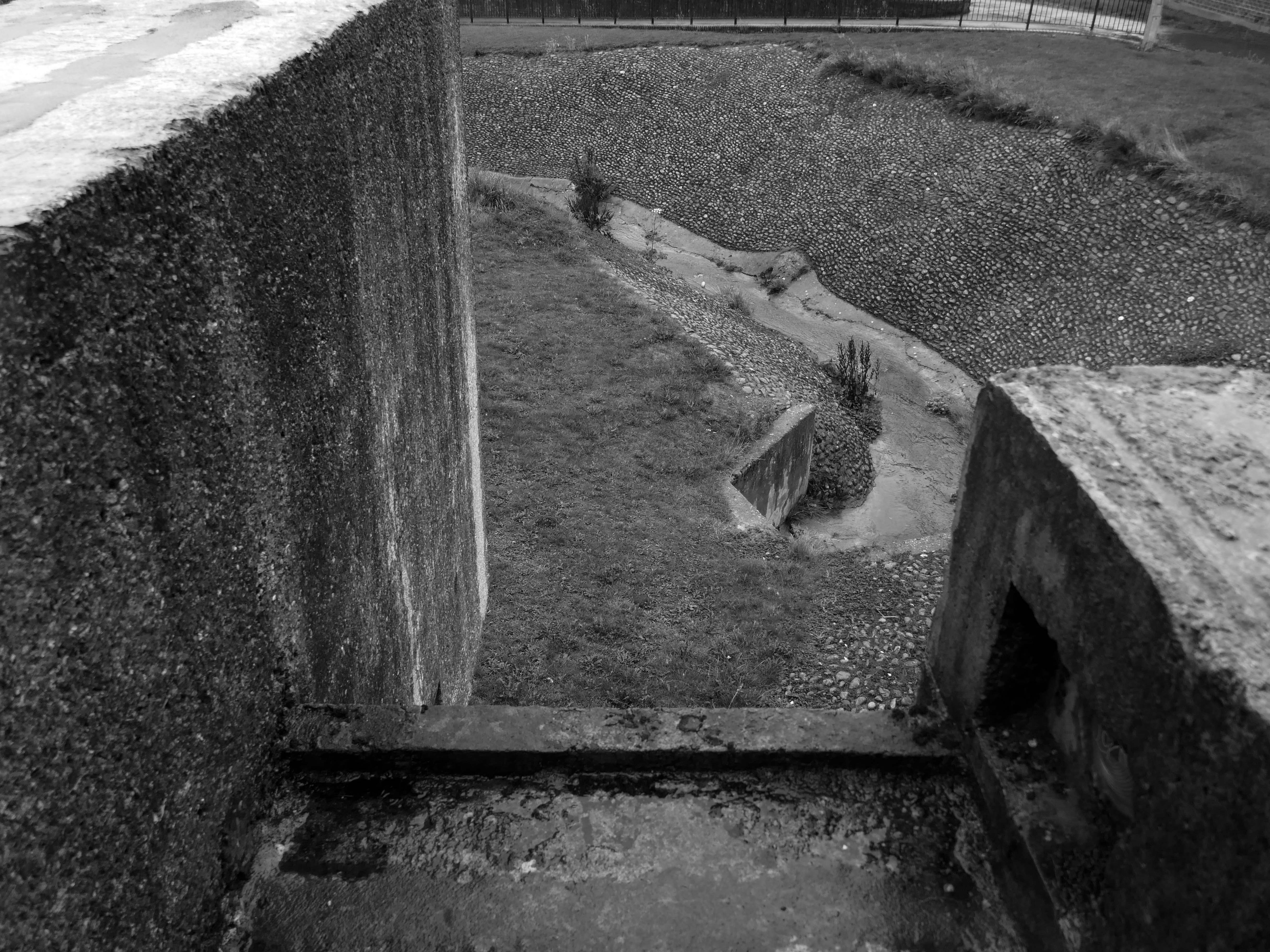
We can see the remains of the road system of this former industrial site, now colonised by brambles and greenery, the imposition of earth mounds and fly tipping.
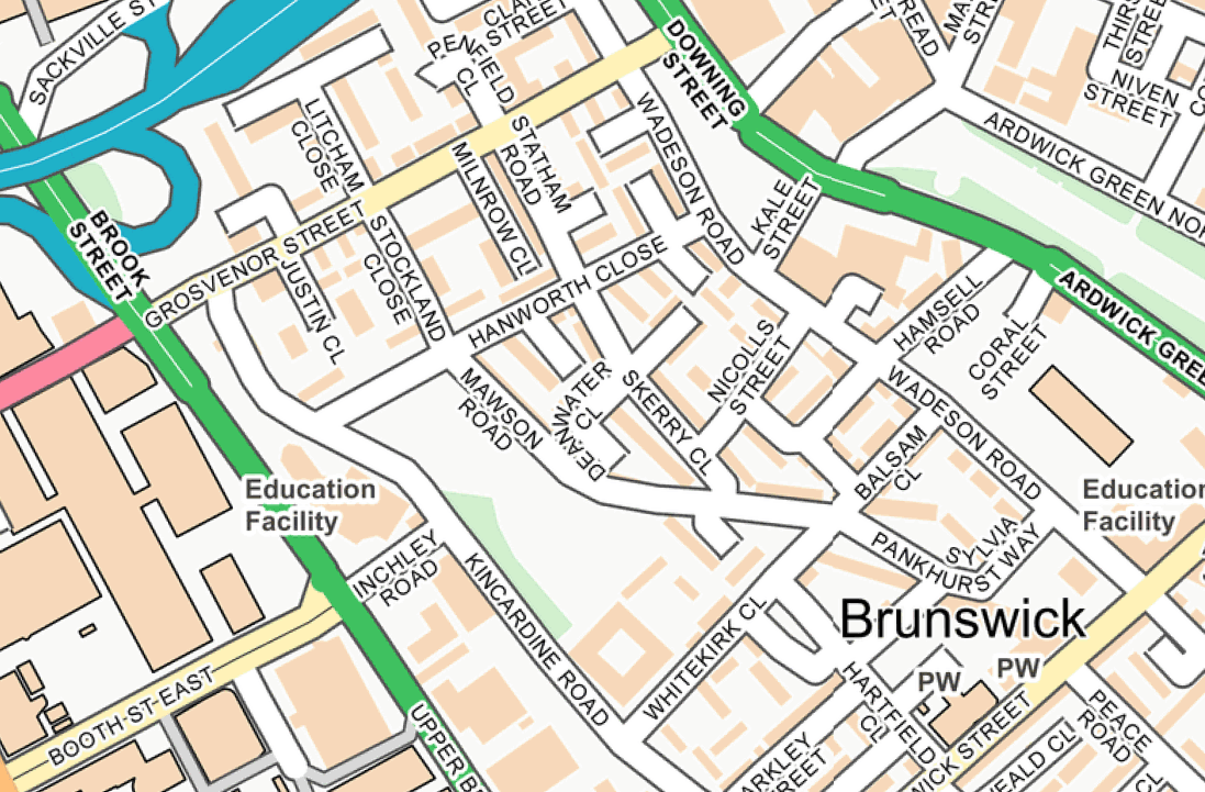
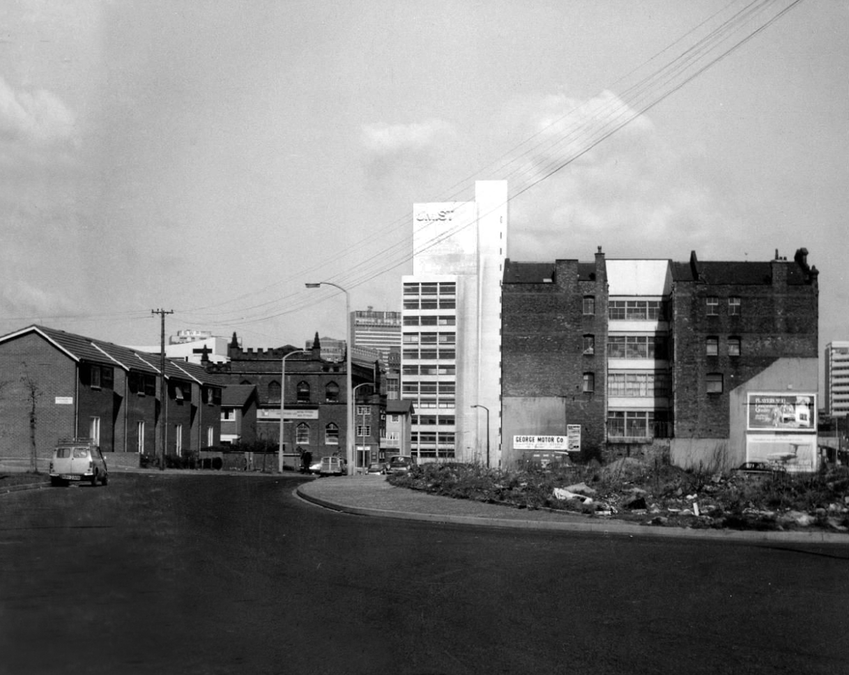
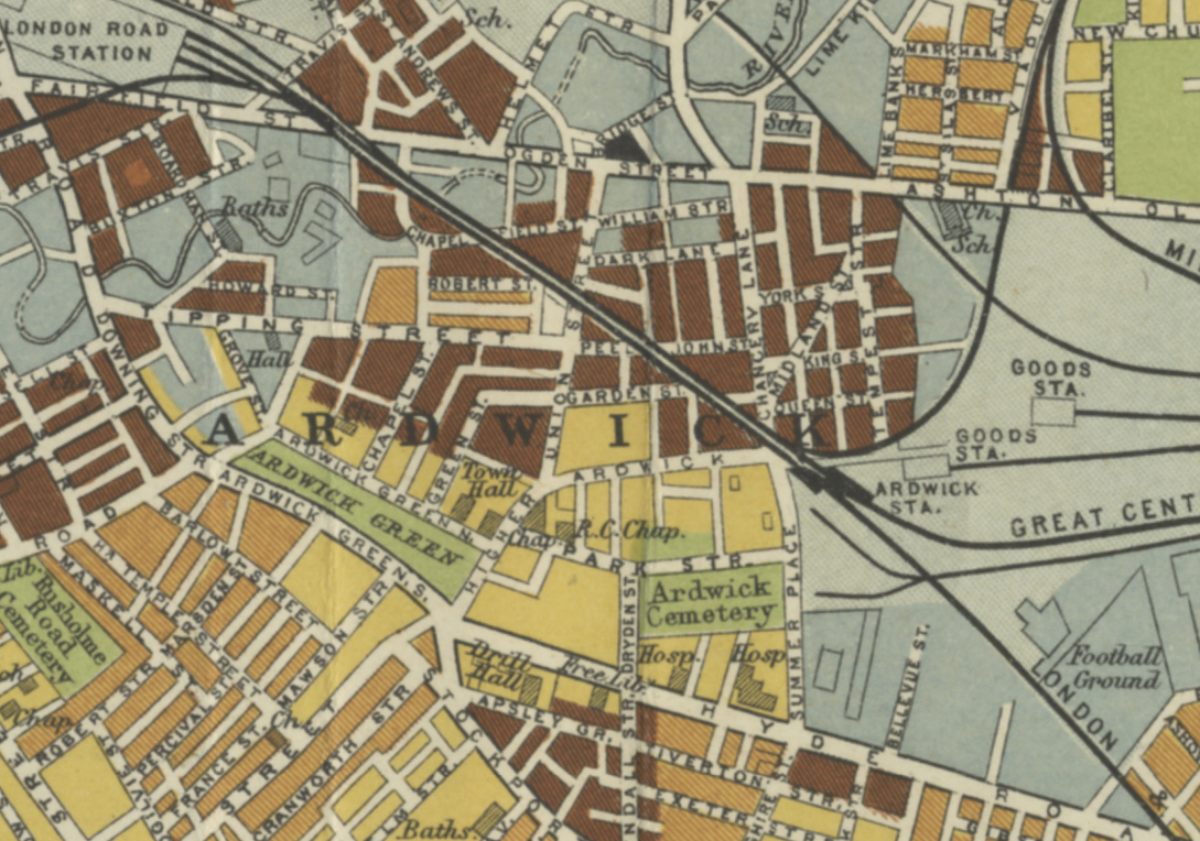
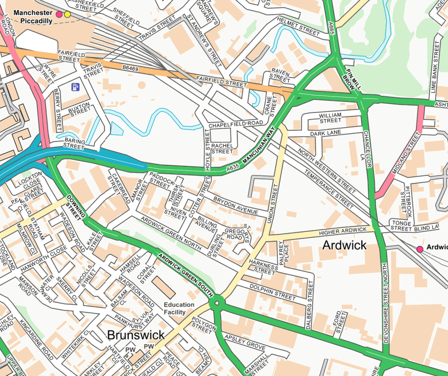
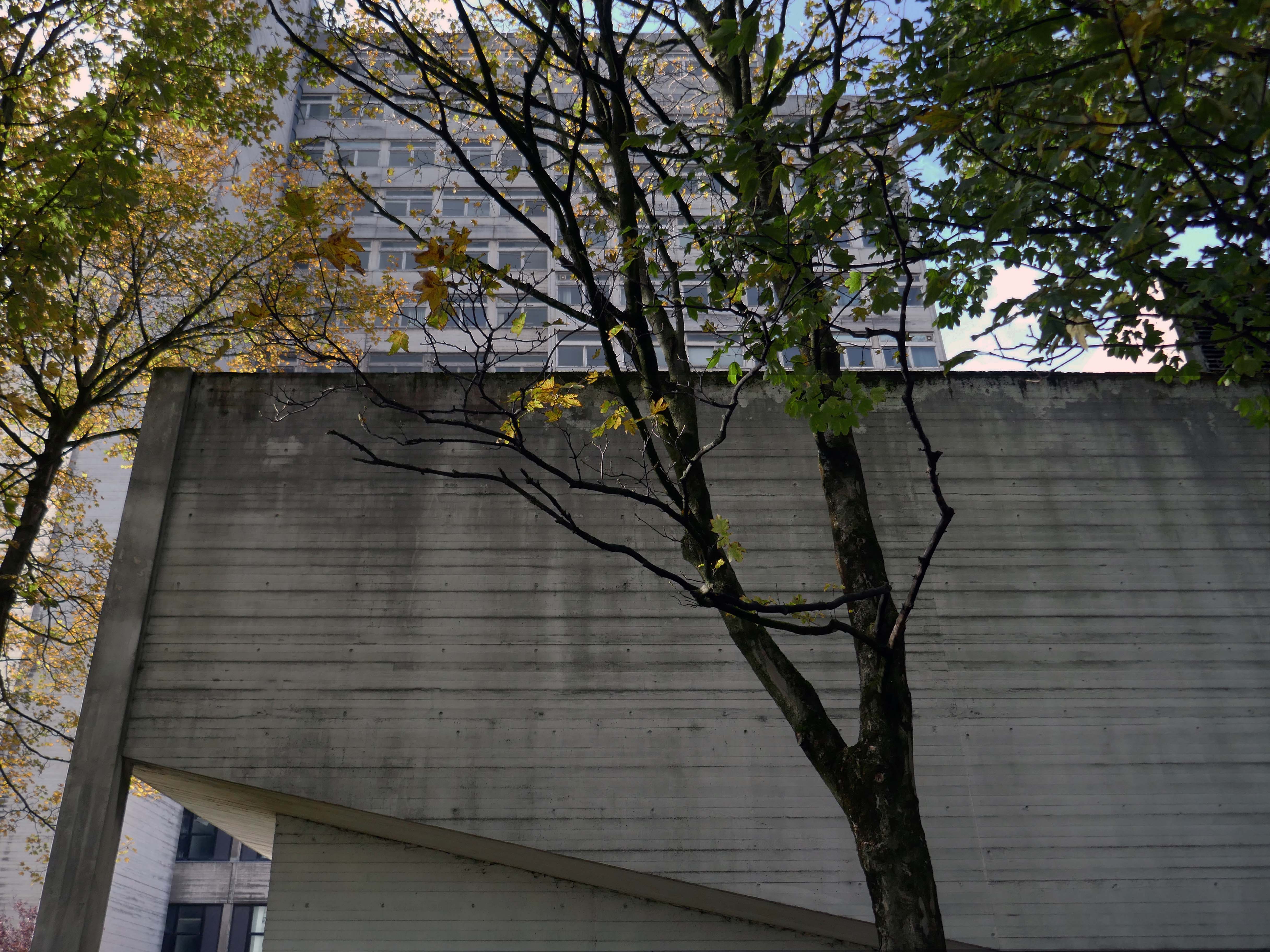
I was walking around town, with a view to updating my Ardwick Walk.
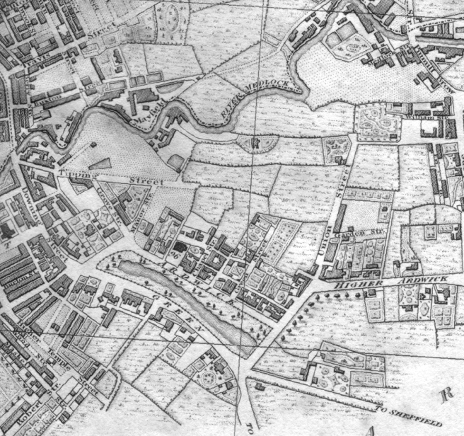
Idle curiosity took me toward the Brunswick Estate – that pocket of housing nestle twixt the Mancunian Way/River Medlock, Ardwick Green, Brunswick Street and Upper Brook Street.
Back in 1813, a web of streets and enclosed fields, and more fields, along with small groups of higher status housing, but by the early 20th century it was very much a working class district, within which industry began to grow.
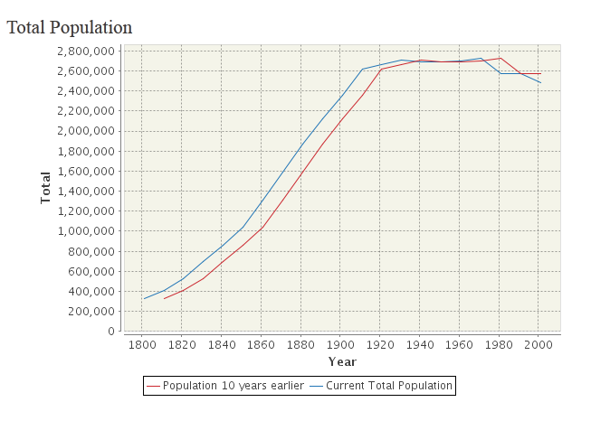
The population of Manchester expanded unstoppably throughout the nineteenth century.
Extensive slum clearance in the nineteen sixties saw the area and its street names change, some erased forever in the new build.
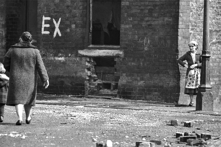
In Manchester, in a vast belt immediately outside the central area of the city, there still exist all too many remnants of a planless, knotted chaos of dark, dismal and crumbling homes. Many of these crossed the verge of uninhabit-ableness long before their most elderly inhabitants were born.
St Paul’s and St Luke’s Brunswick Street W Higham 1970
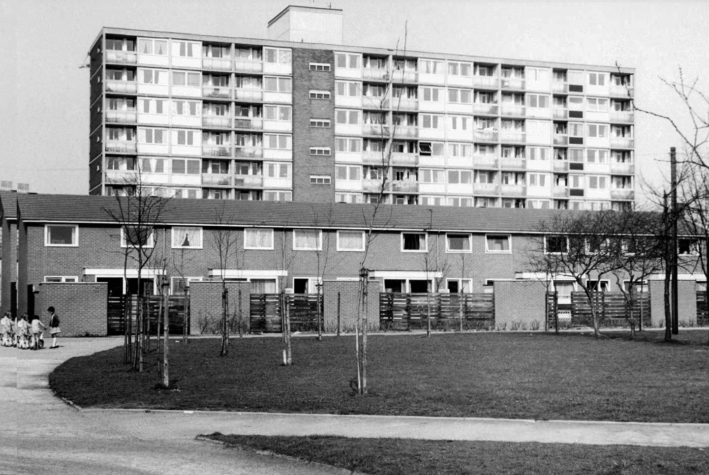
Lamport Court W Higham 1970
One of three nine-storey blocks, containing two hundred and nineteen dwellings; also including SilkinCourt and Lockton Court.
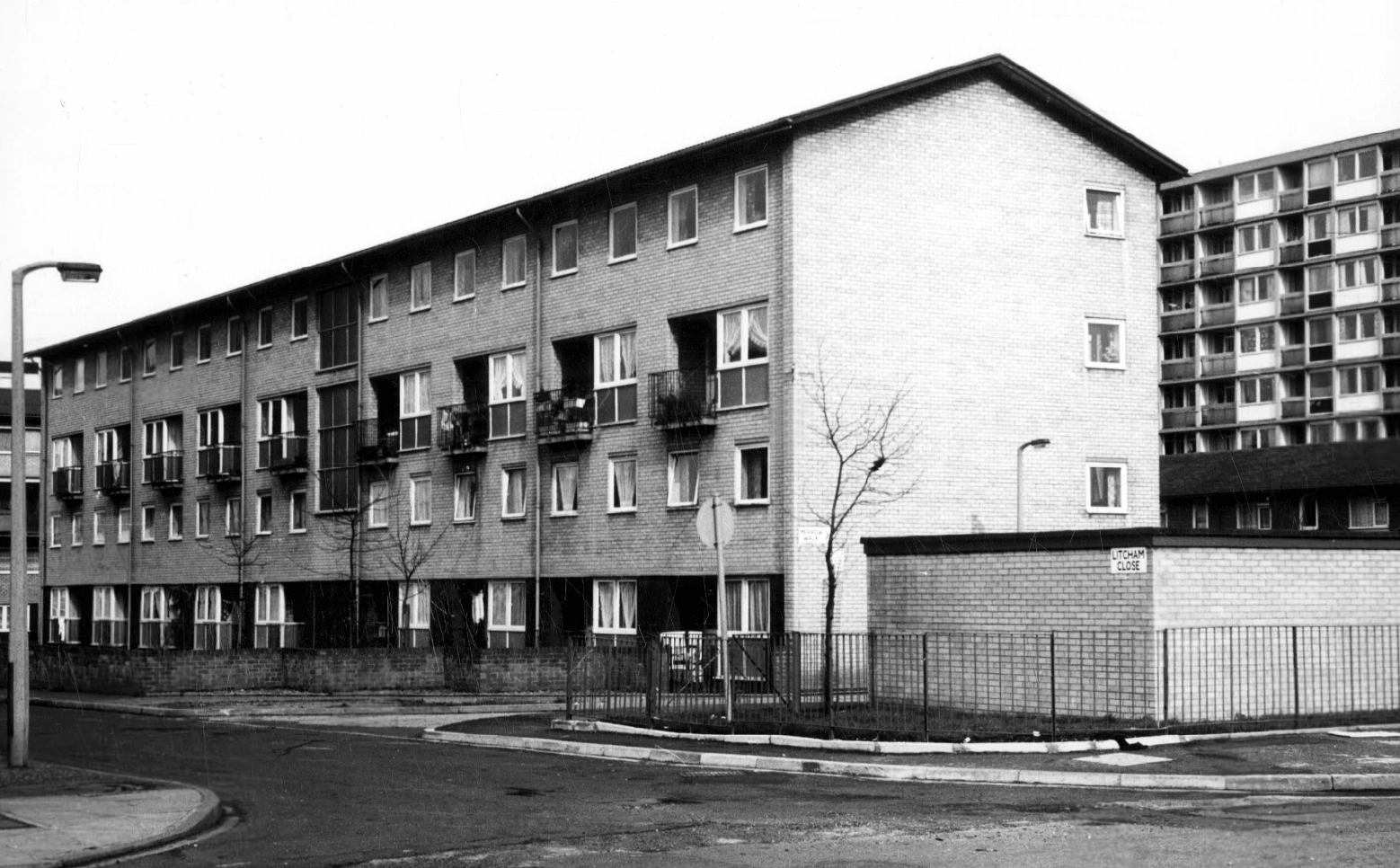
Litcham Close W Higham 1970
Harry Milligan 1903 – 1986 worked as the photographer at Manchester Central Library until his retirement in around 1968. He was instrumental in setting up the Manchester Region Industrial Archaeology Society in 1965. He volunteered at the North Western Museum of Science and Industry from 1968, assisting with reprographics requests. His knowledge of the history of photography in Manchester and the UK led to him taking on the role of Honorary Curator of Photography at the museum.
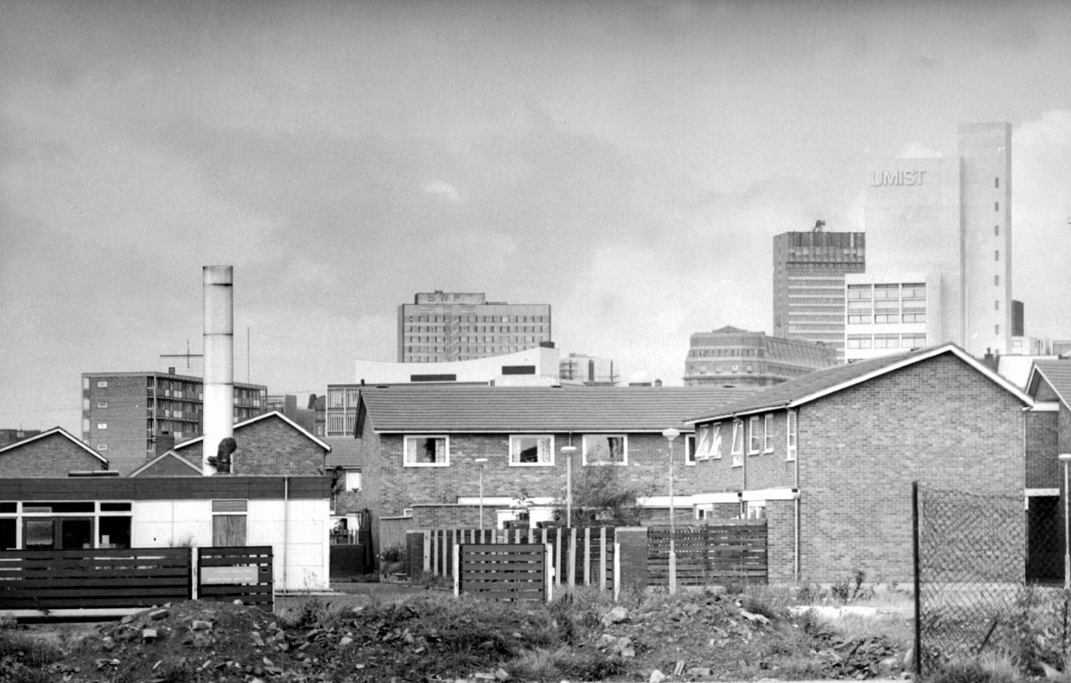
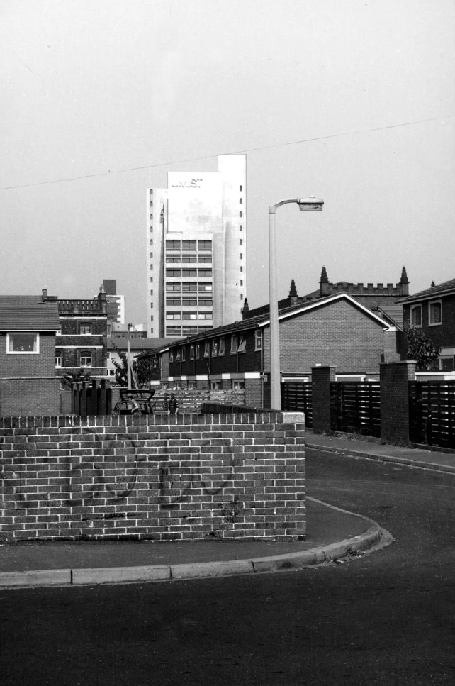
Panorama of Brunswick with UMIST in the background.
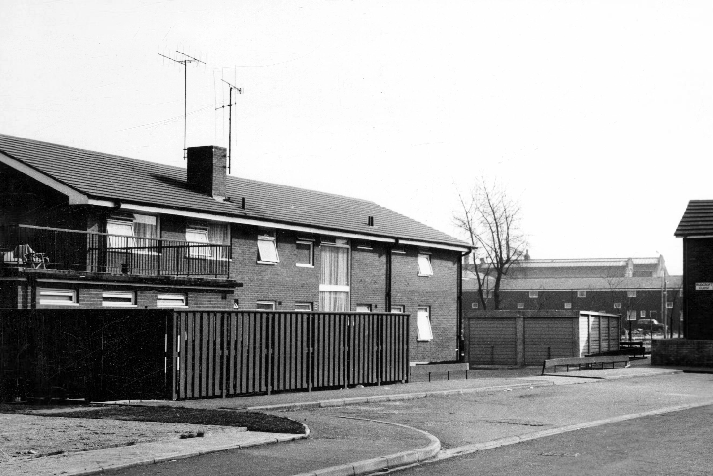
Hanworth Close area terraced housing and flats 1972.
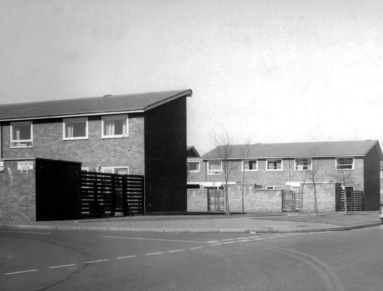
Staverton Close
Melcroft Close
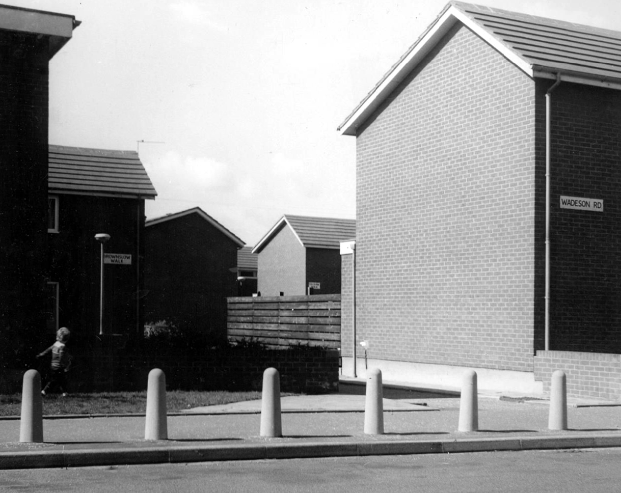
Wadeson Road
Helmshore Walk – Skerry Close
Cherryton Walk
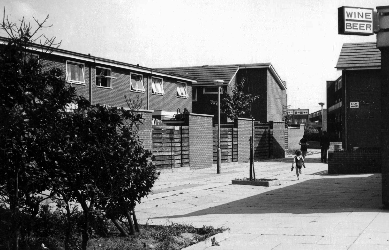
Cray Walk
Wadeson Road
Hanworth Close
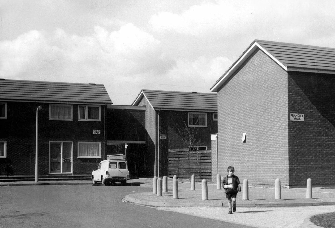
Pedley Walk
Cray Walk – note the decorative brick relief
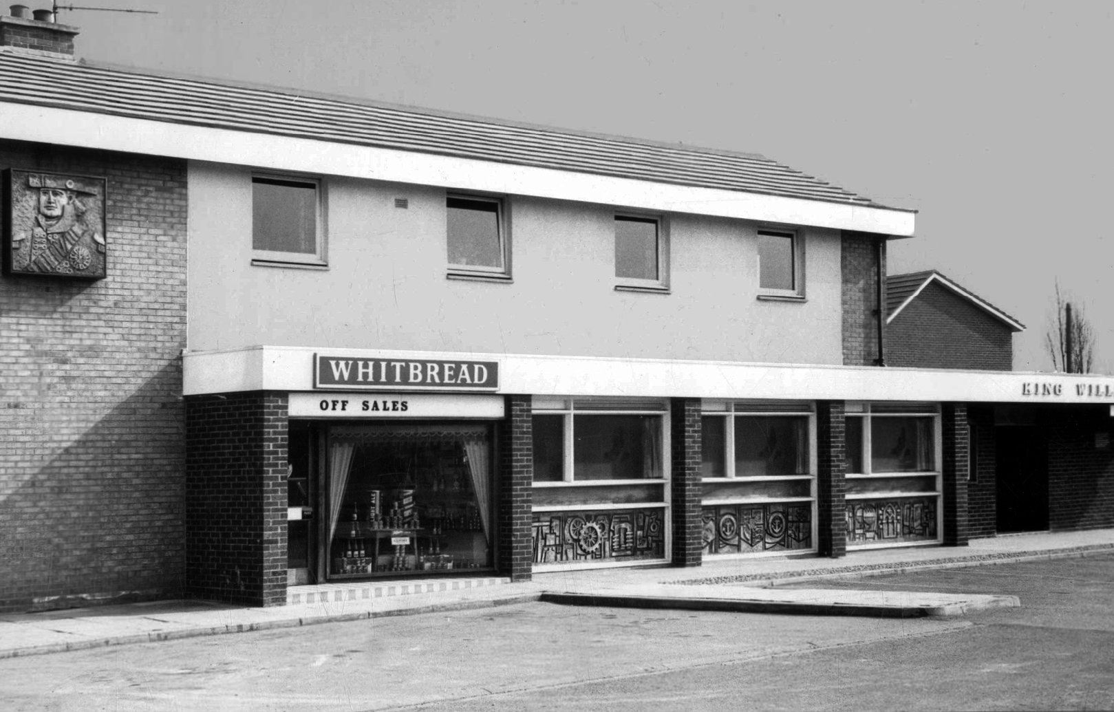
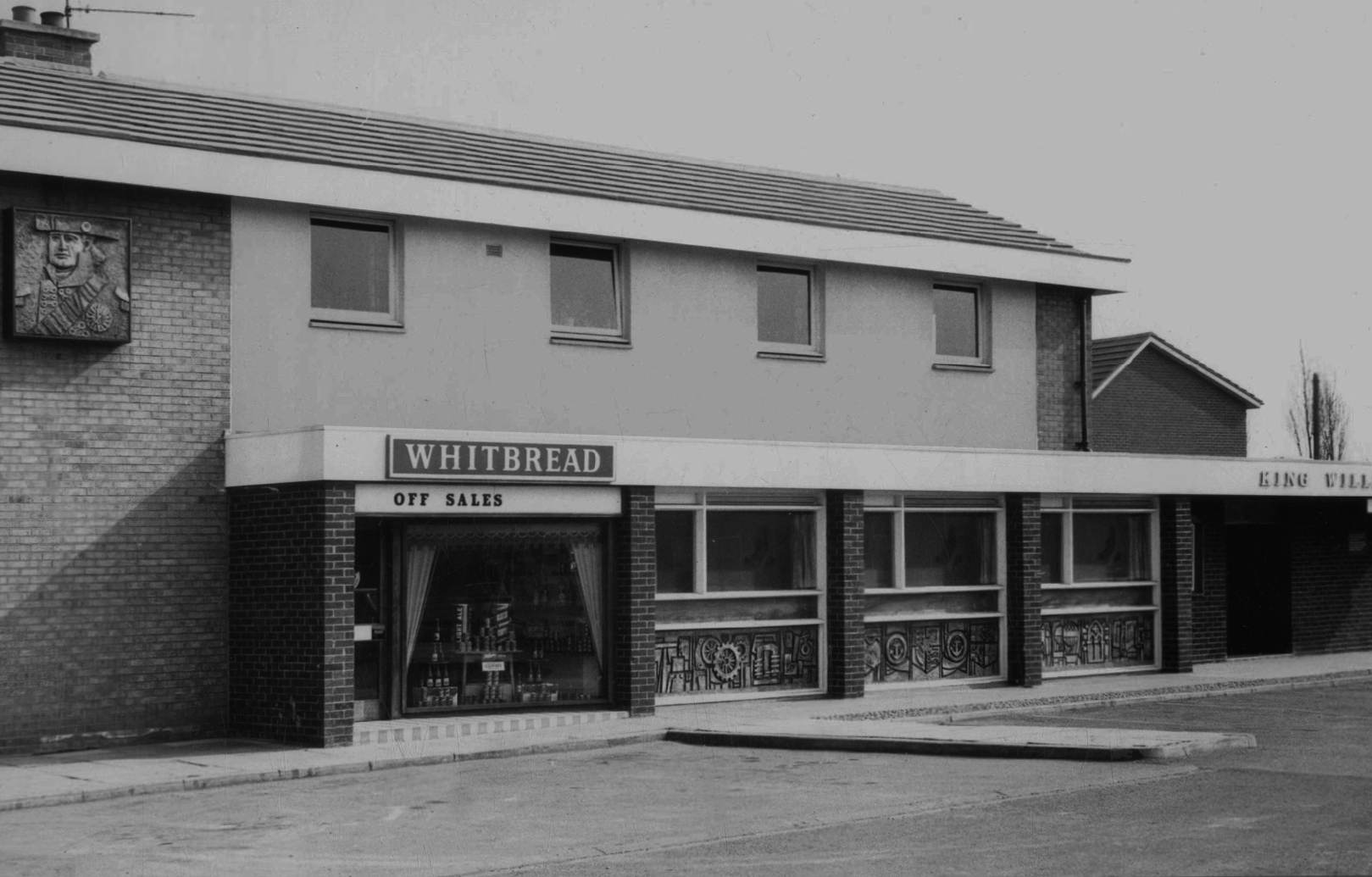
King William IV
Former Chesters then Whitbread estate pub was built in 1967. Closed in 1996 when it was converted to residential property. It had a brief spell 1991 to 1995 as brewery premises for the Dobbin’s West Coast Brewery, during this period the interior was stripped out to accommodate the brewery paraphernalia.
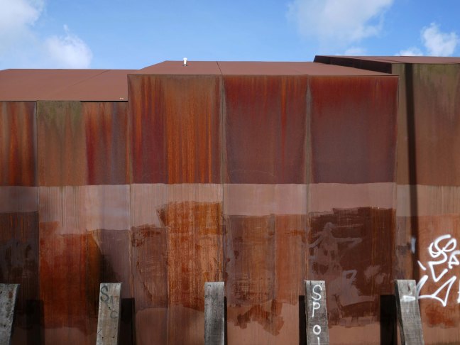
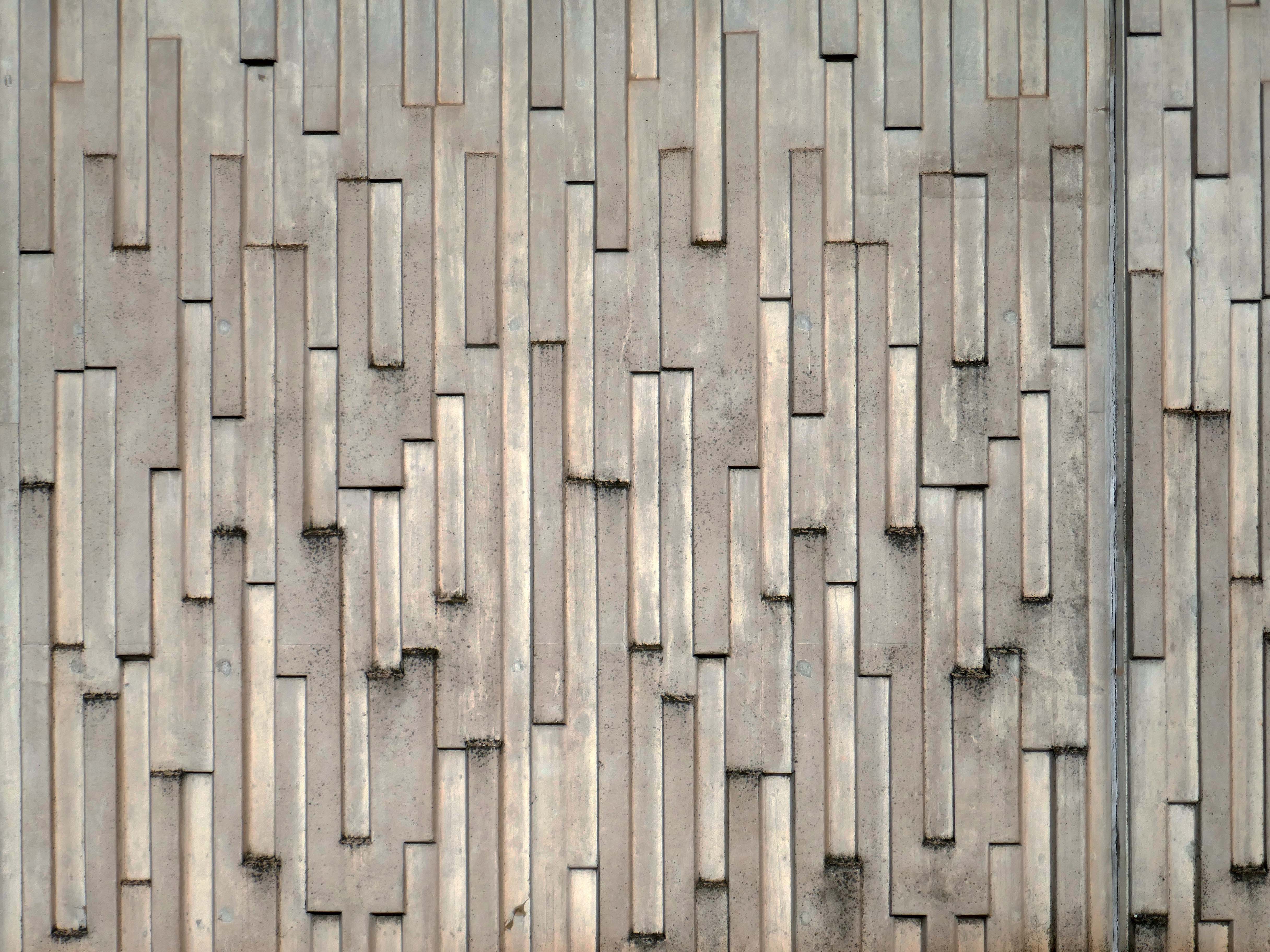
The building was cladded with a COR-TEN® steel envelope, the nature of which was relatively complex.
Corten steel sets itself apart due to the inclusion of unique alloying elements: chromium, nickel, copper and added phosphorous which gives the steel its self-protecting properties.
Platform 14 is primitive, I understand totally from an infrastructure standpoint because it’s on a bypass line on a bridge, but it gets too overcrowded and is windswept. The rest of the station is ok. Platforms 13/14 have not changed in 40 years, grim.
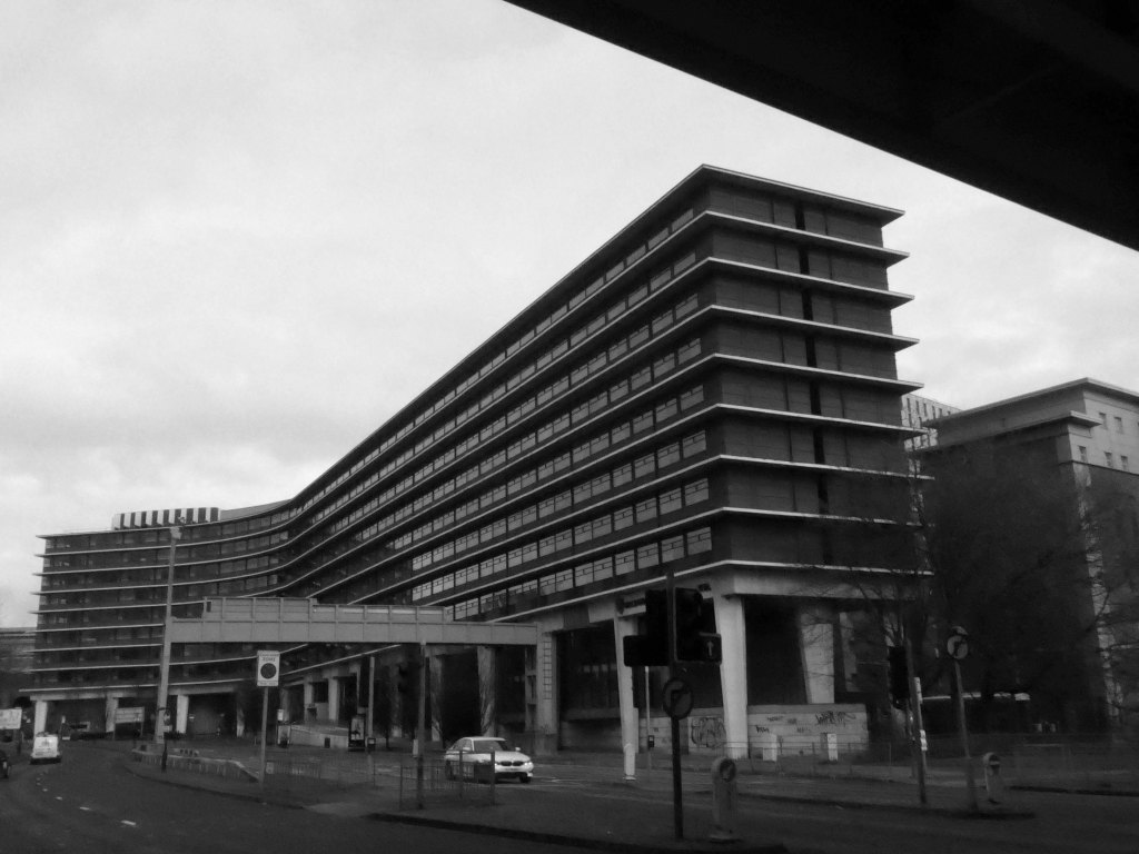
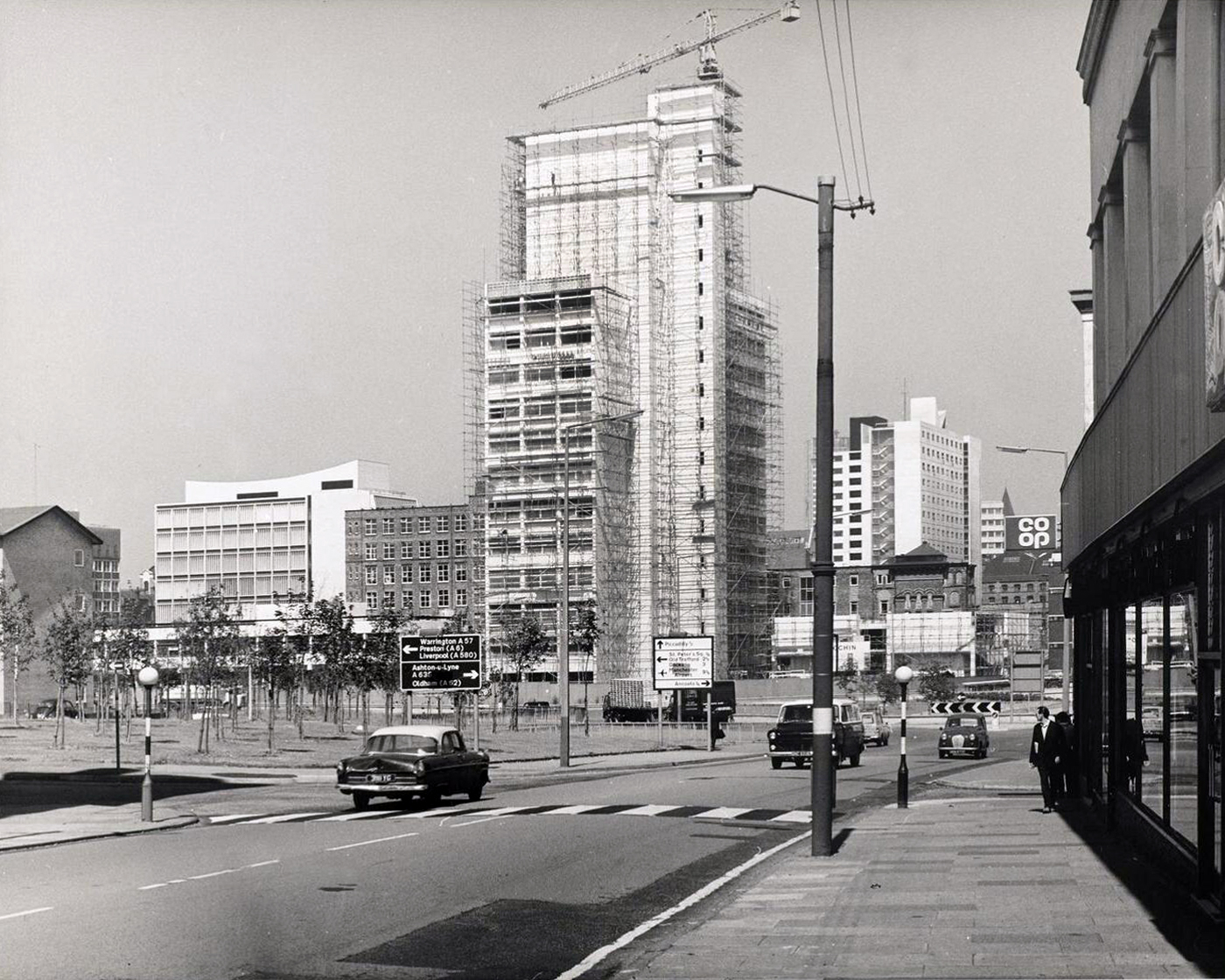
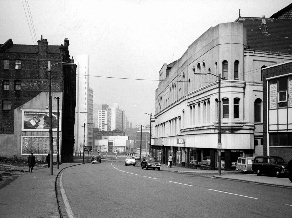
We the pass to the former BT Building – architects JW Hammond 1973.
Originally conceived as a hotel, there were no takers at the time, so it became the BT HQ.
Comprising 338 rooms, Manchester Marriott Hotel Piccadilly is near a shopping district, a 10-minute ride from Etihad Stadium. Offering a location right in the centre of a beautiful neighbourhood, this comfortable hotel boasts a lounge bar along with city views.
The developer’s architects now propose to ‘reimagine’ the artwork and incorporate it into the foyer of the new office building. However, this ‘reimagining’ requires large sections of the artwork to be removed by cutting away and ‘folding’ around 30% of the sculpture.
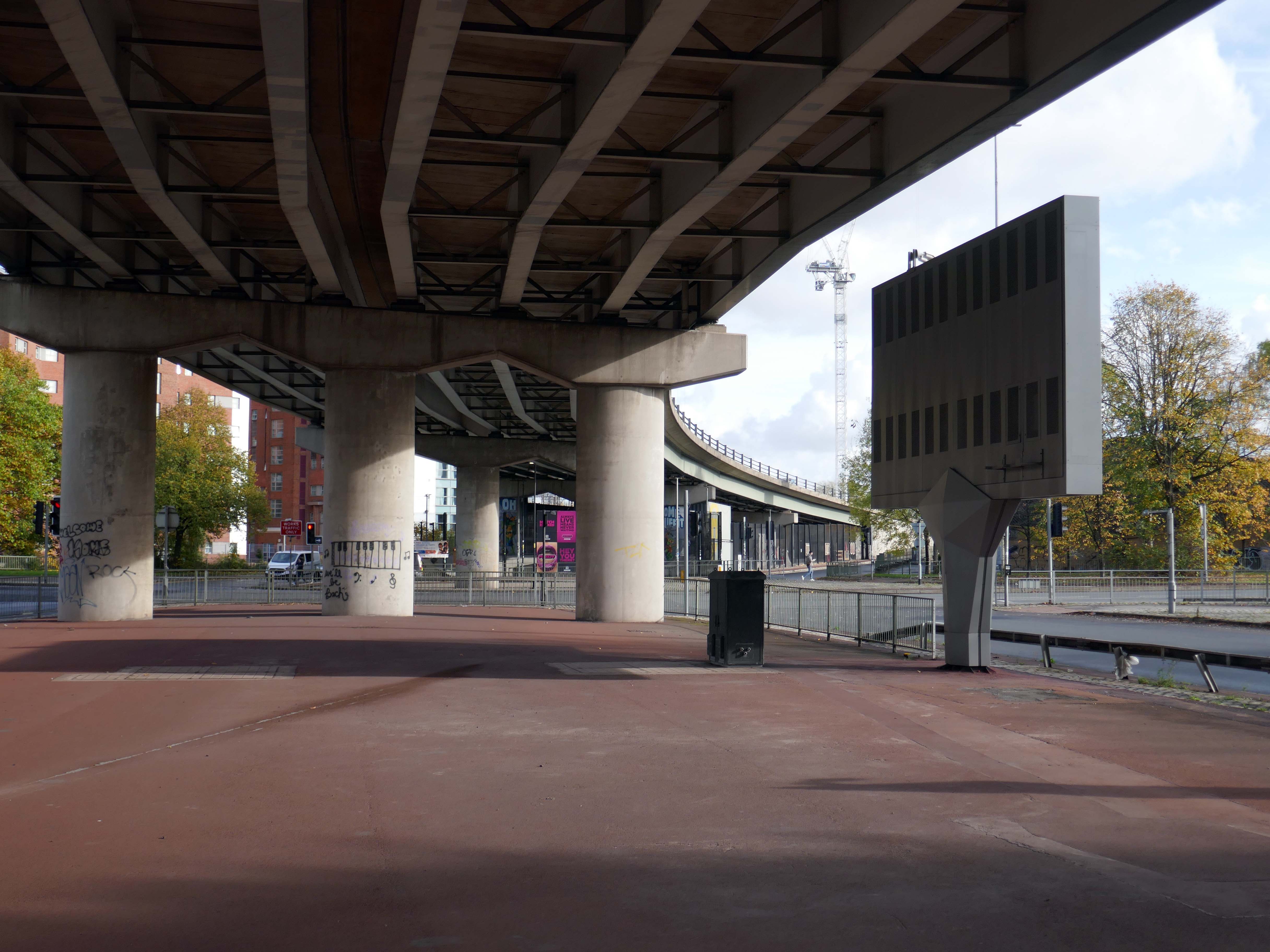
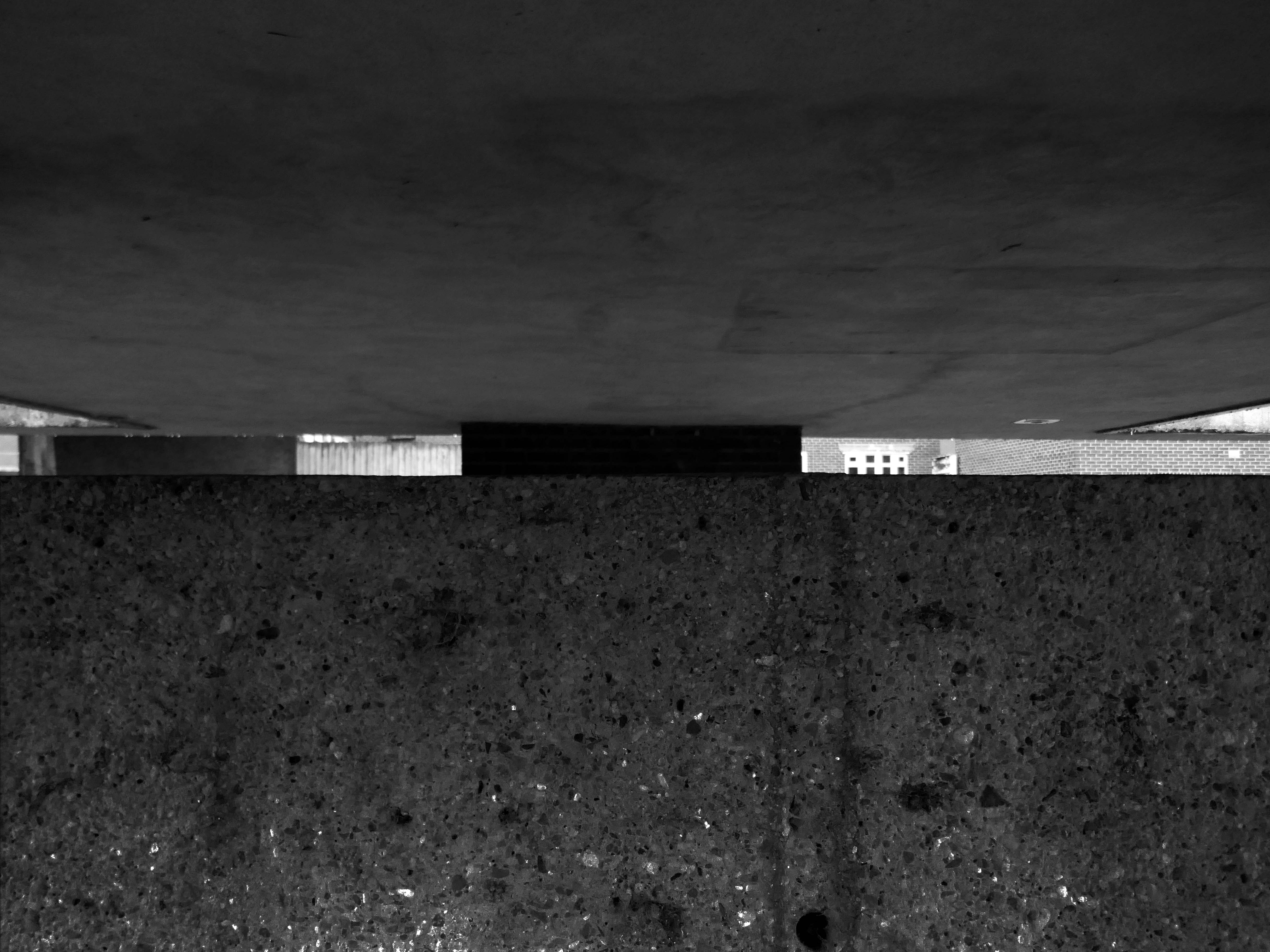
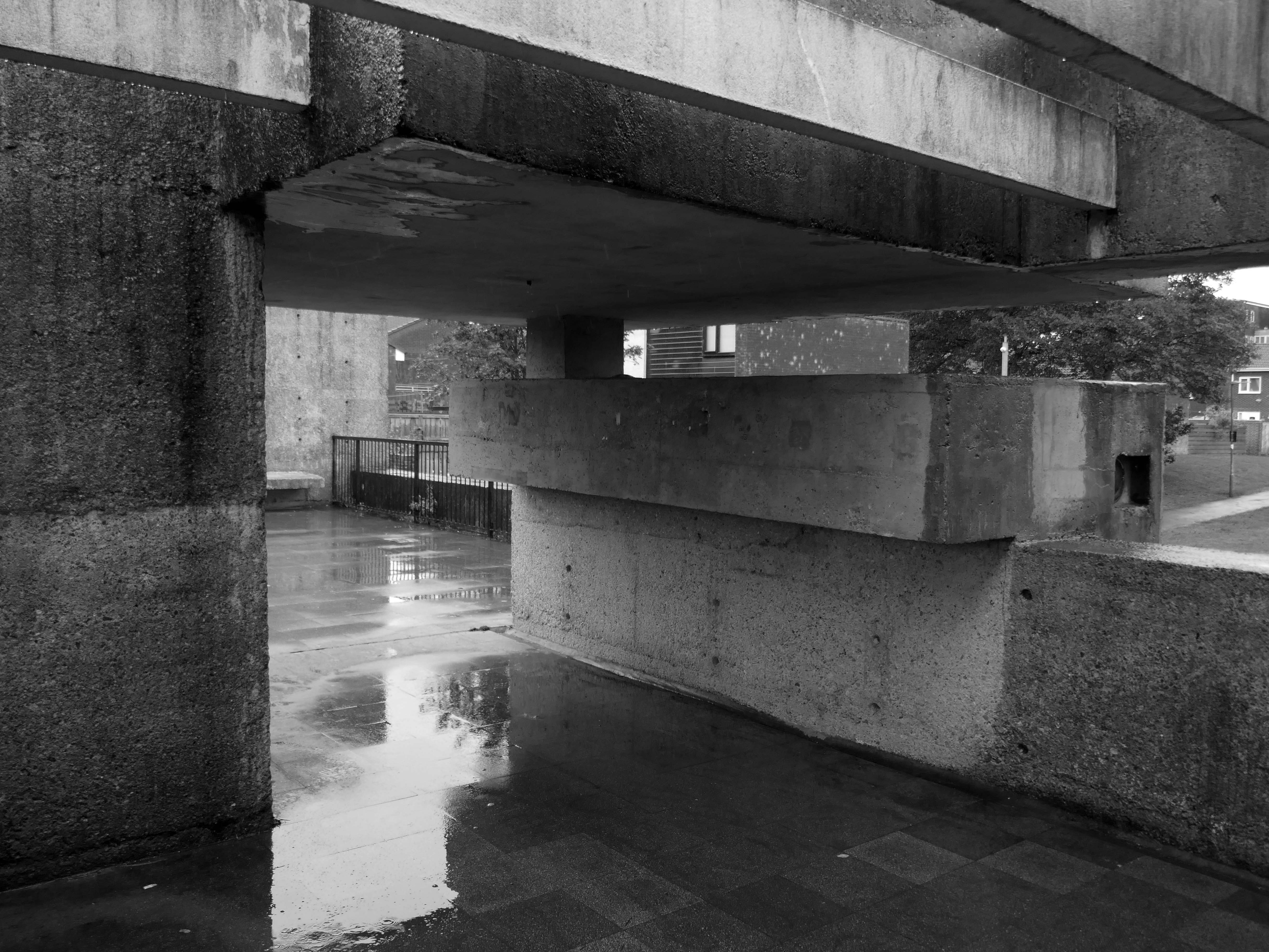
From beneath the roadway we can see the Ferranti Building.
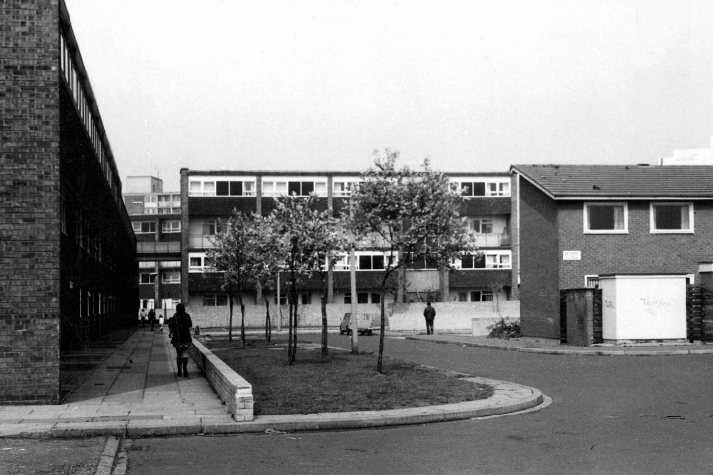
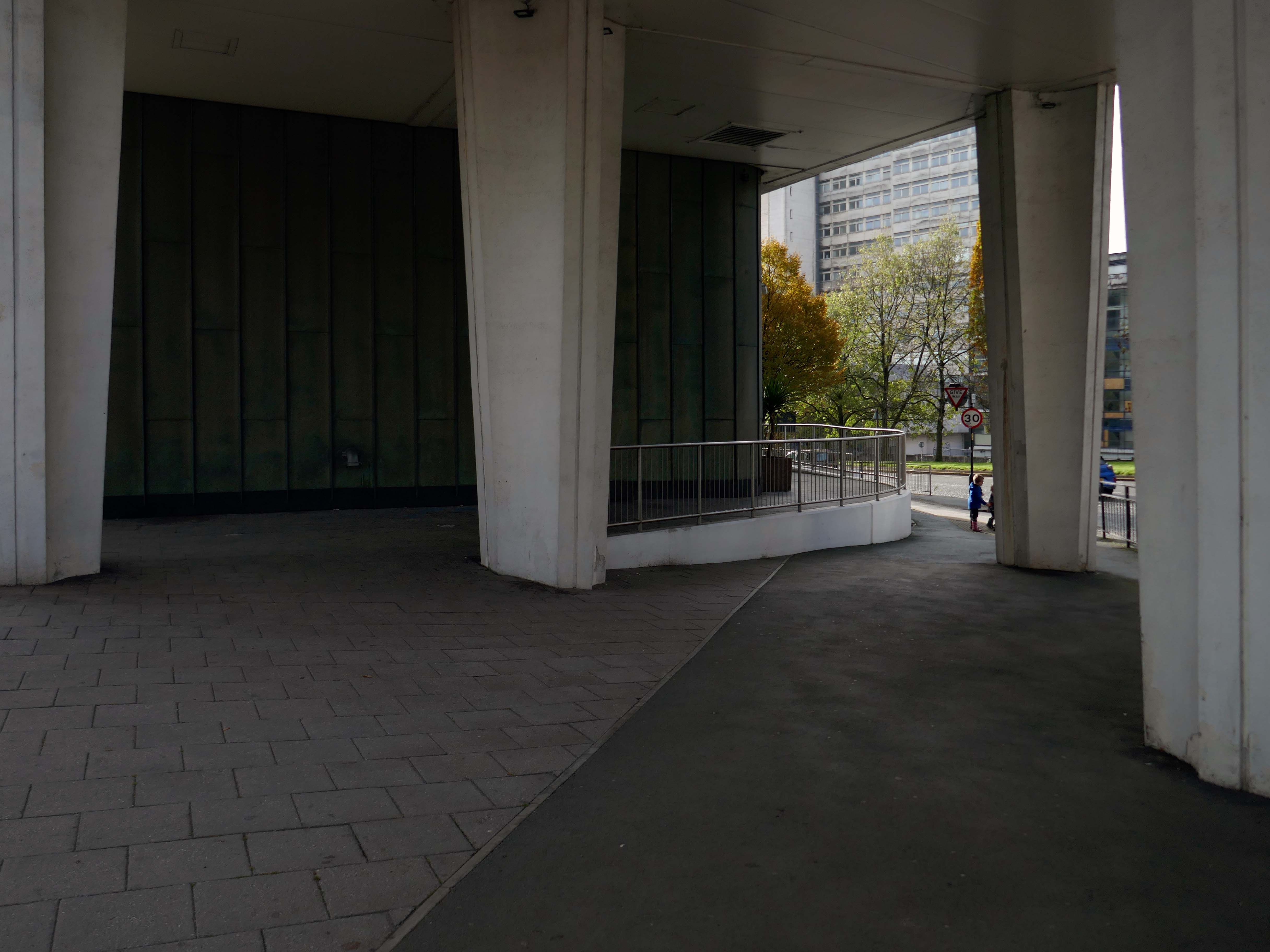
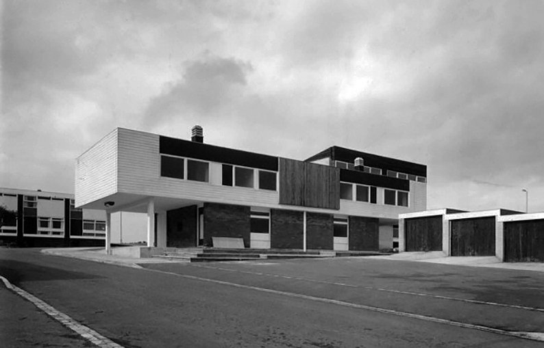
Crossing over to see the Brunswick Estate, built in the Sixties and Seventies and recently refurbished.
S4B is a partnership leading the £106m regeneration of Brunswick, Manchester. The Brunswick Regeneration PFI is a combination of government funding, private investment and expertise that will revitalise Brunswick. Improvements will include council home refurbishments, new homes for sale and to rent and an improved neighbourhood design.
Long gone lost estate pub from the estate – King William IV a former Chesters then Whitbread estate pub was built in 1967. Closed in 1996 when it was converted to residential property. It had a brief spell 1991 to 1995 as brewery premises for the Dobbin’s West Coast Brewery, during this period the interior was stripped out to accommodate the brewery paraphernalia.
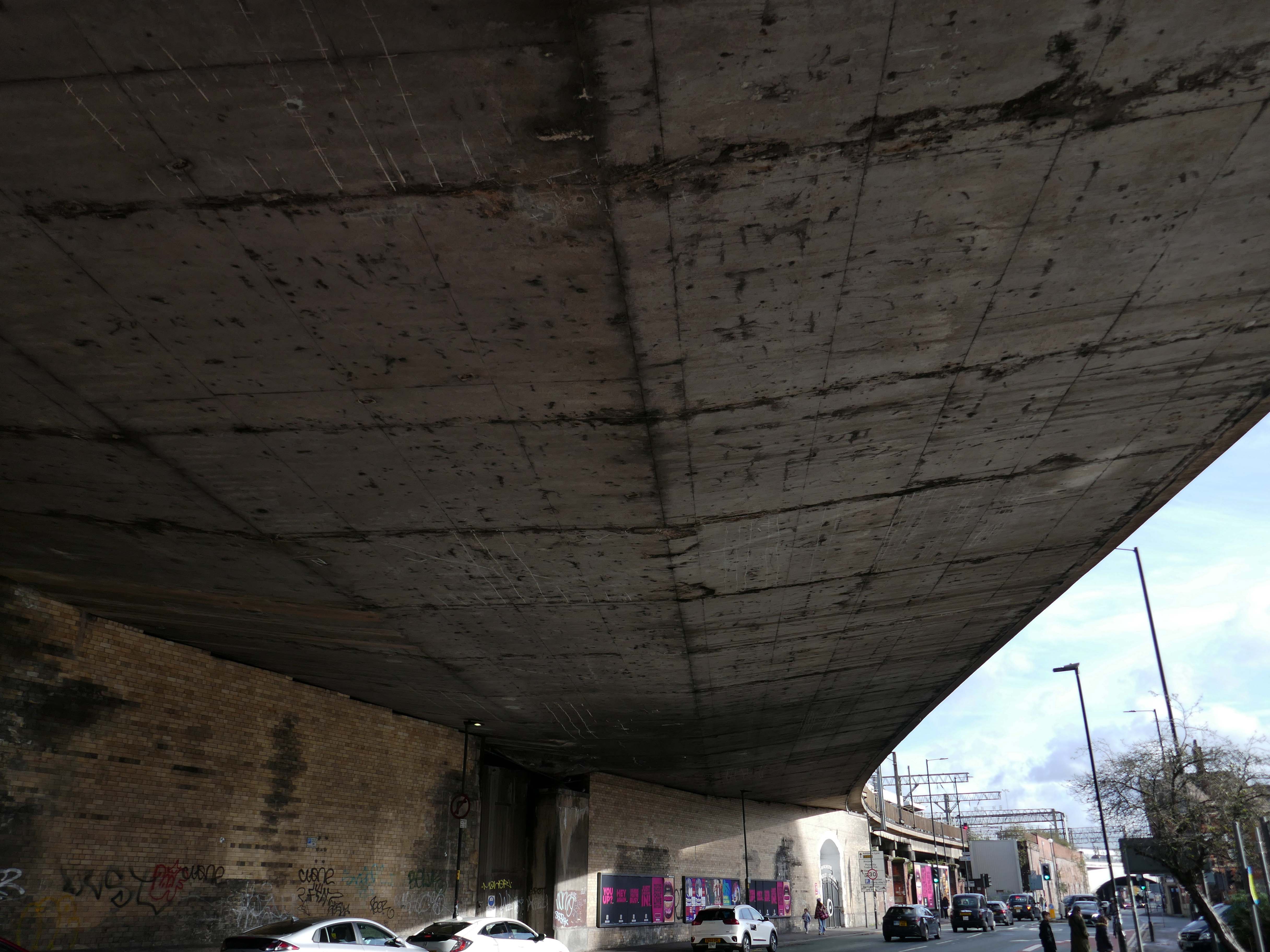
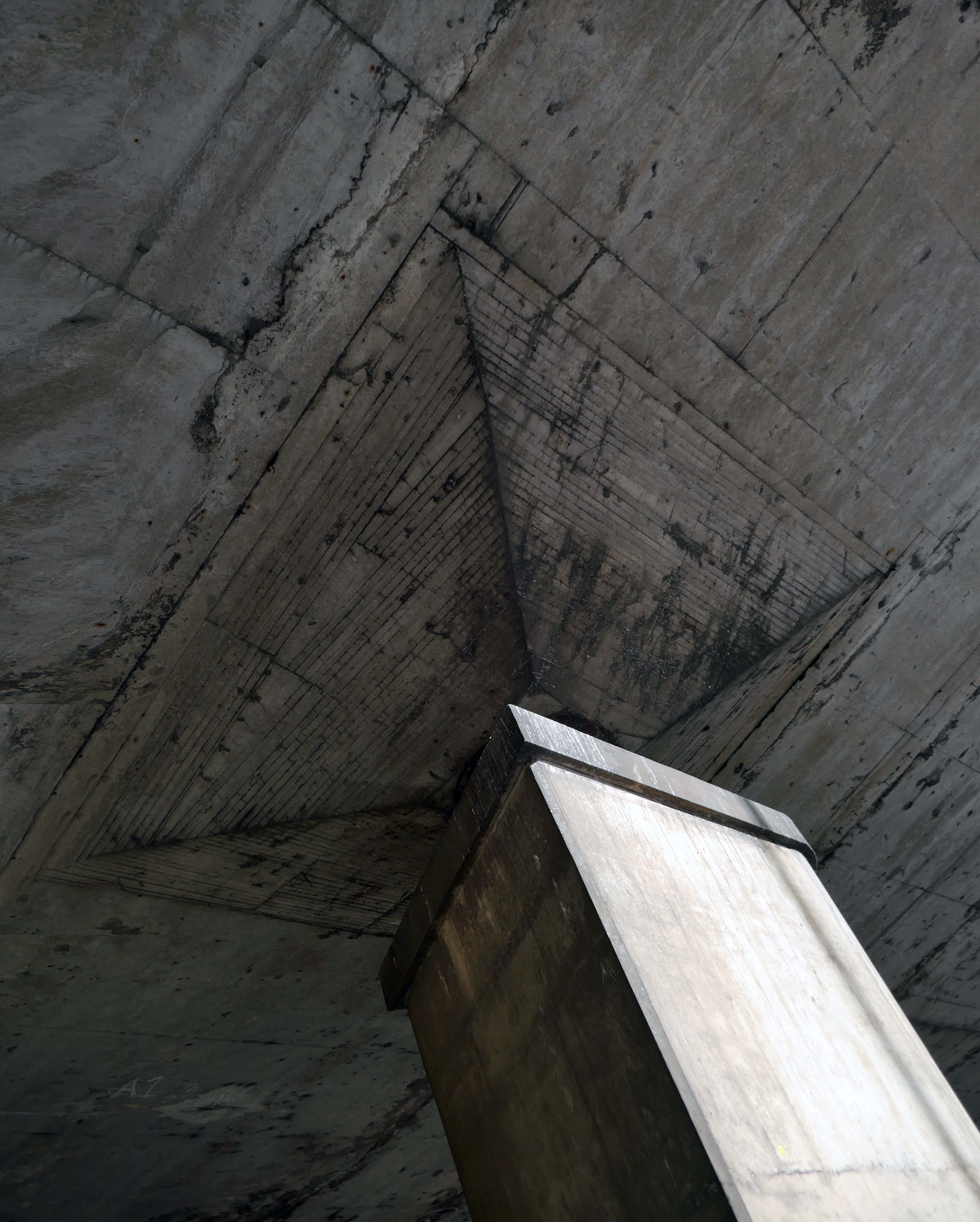
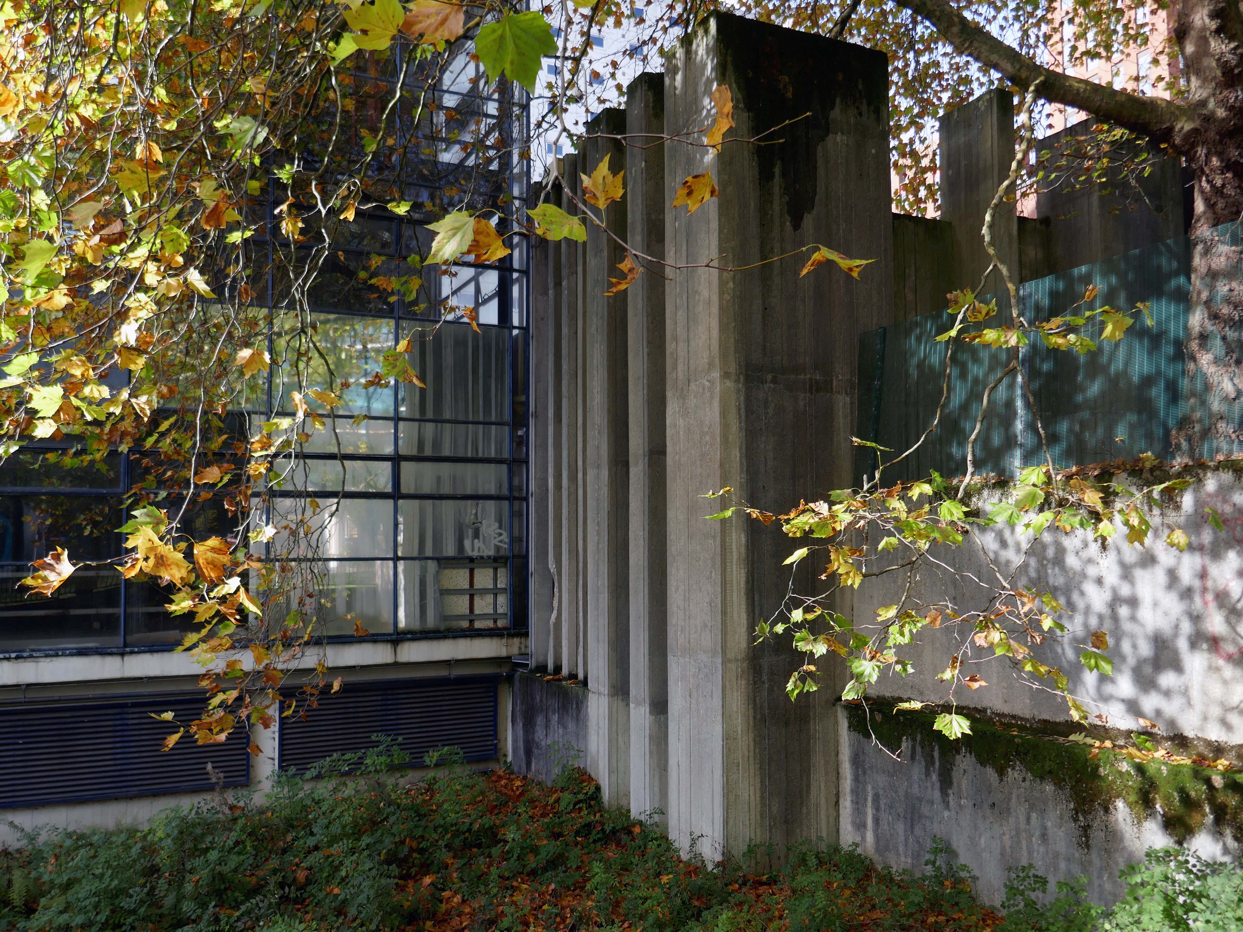
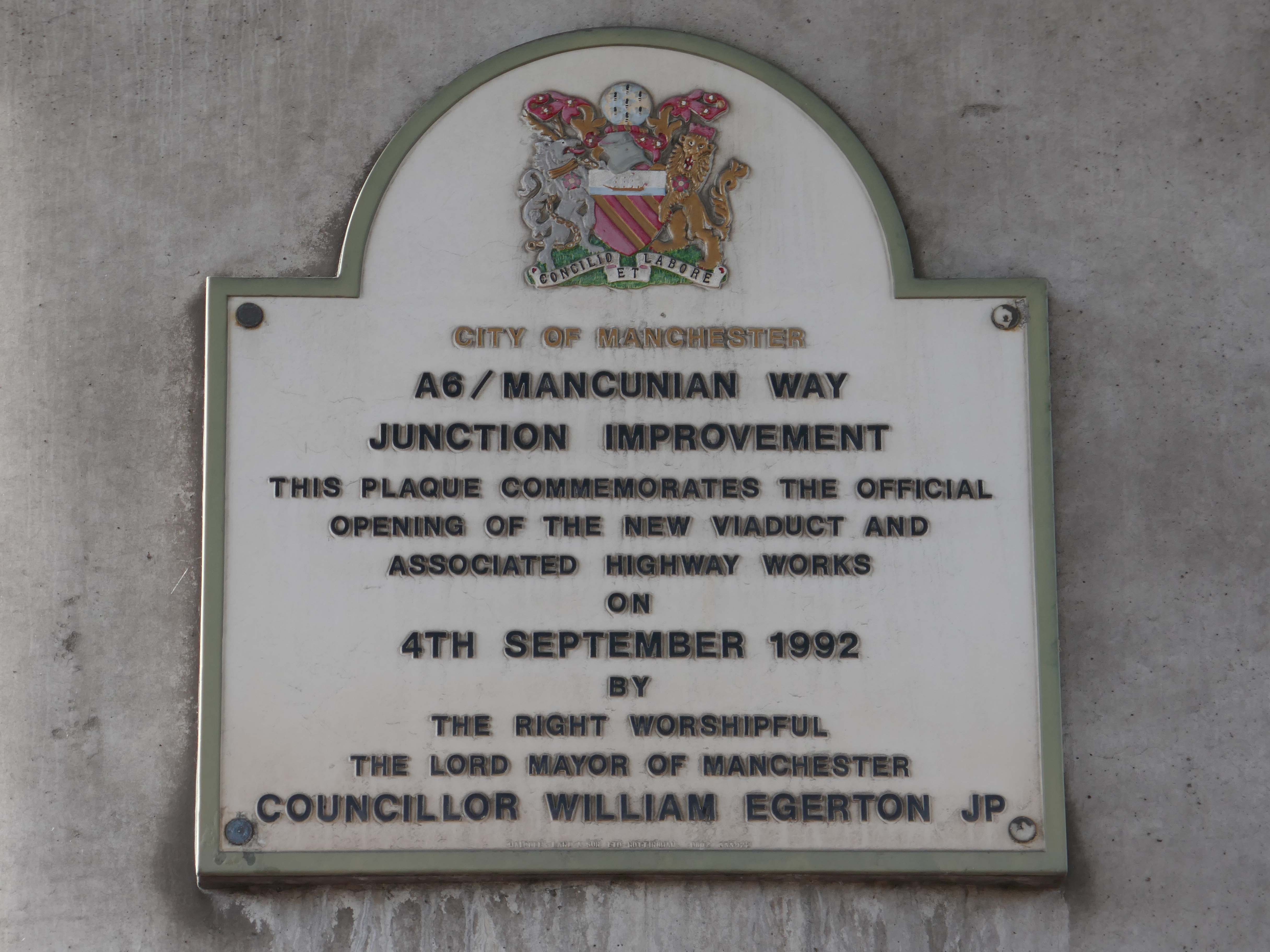
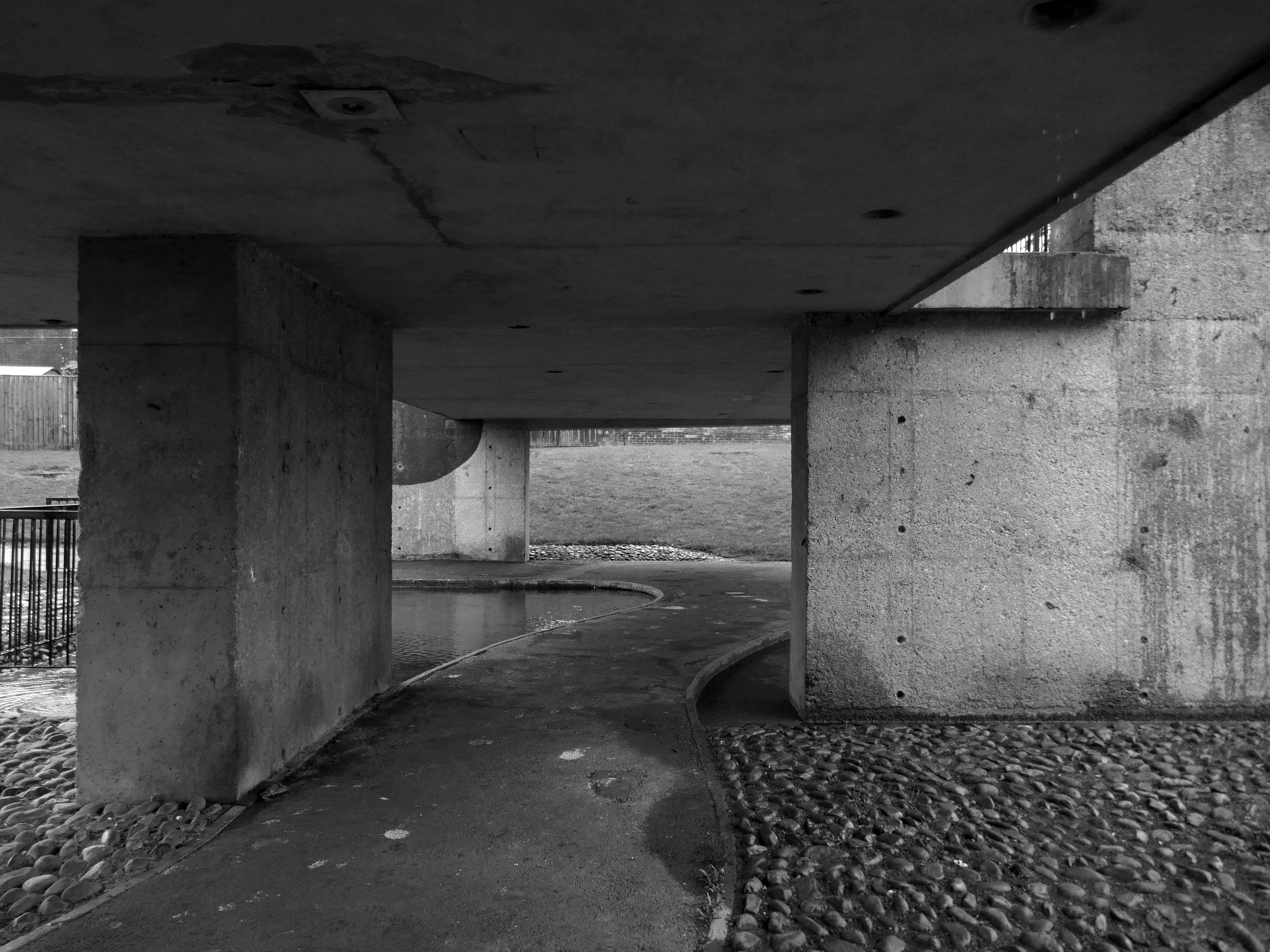
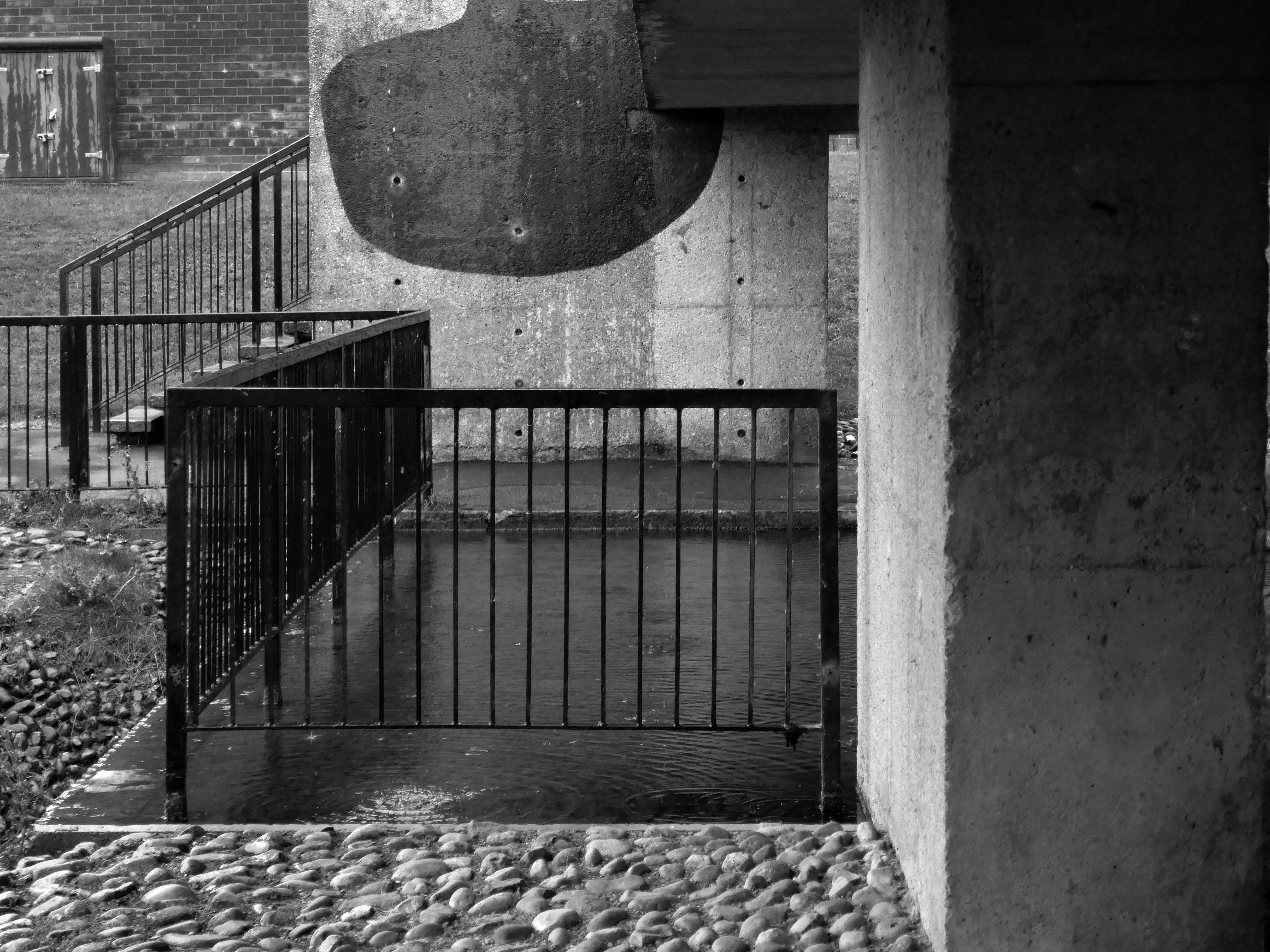
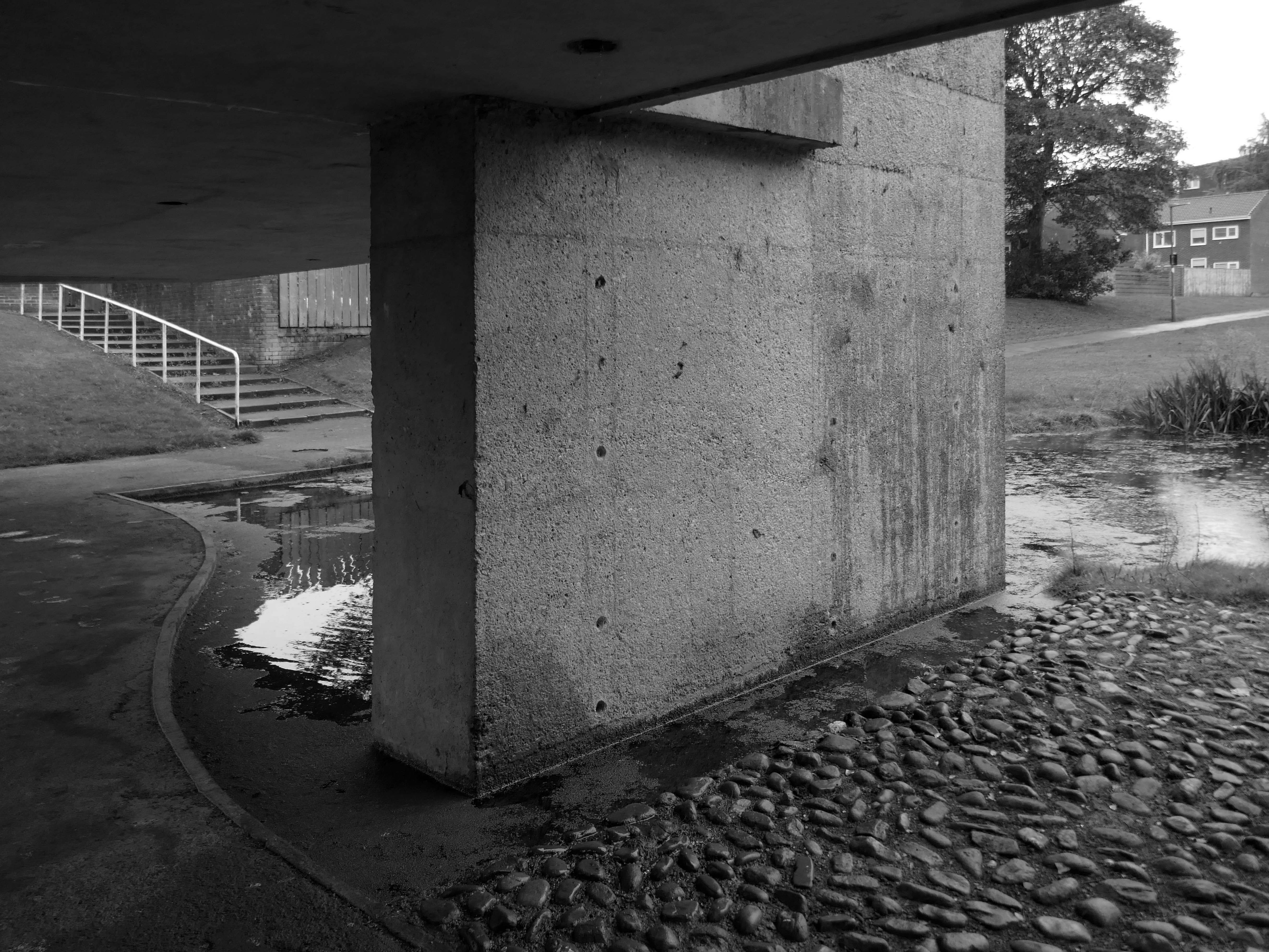
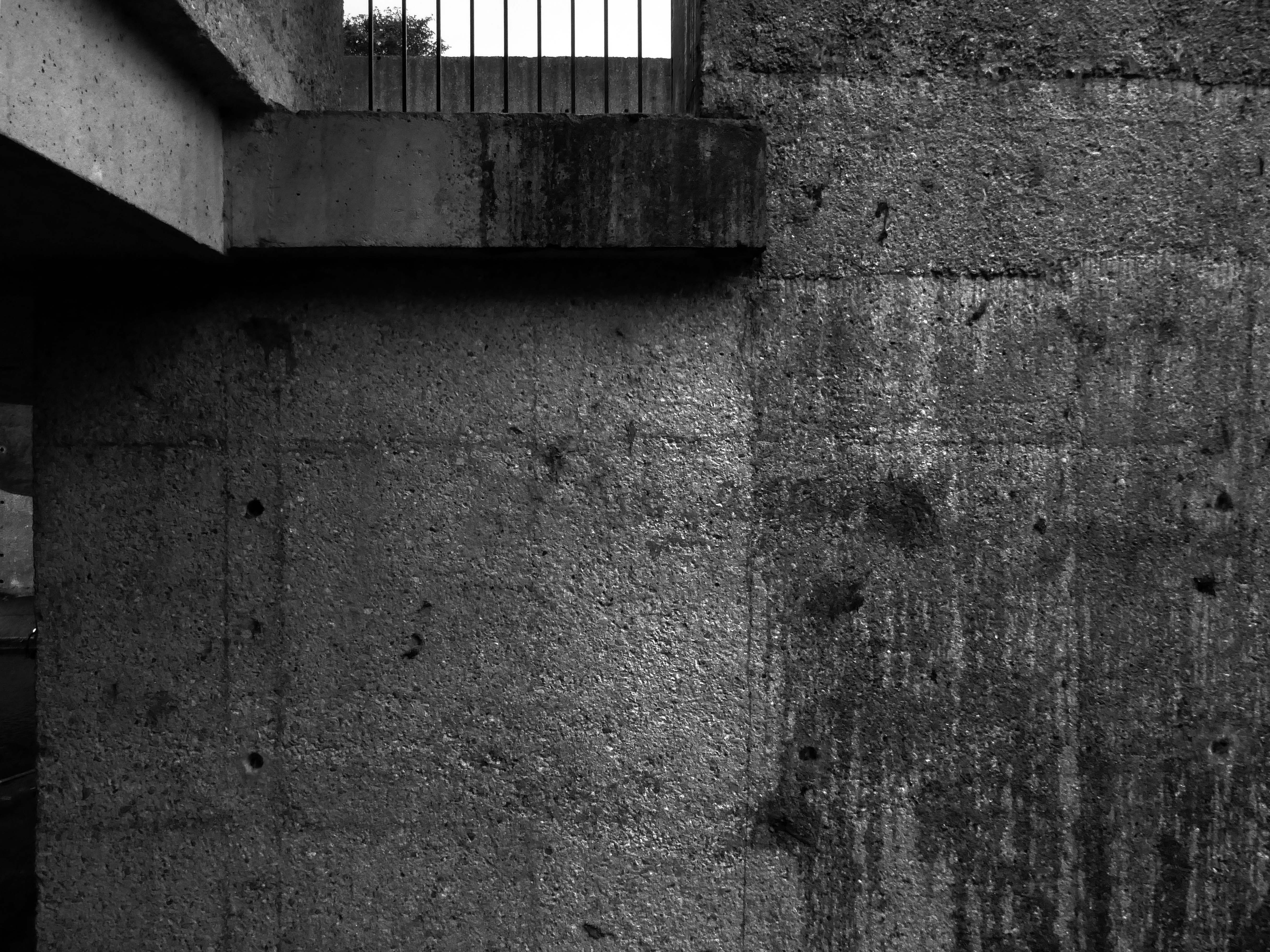
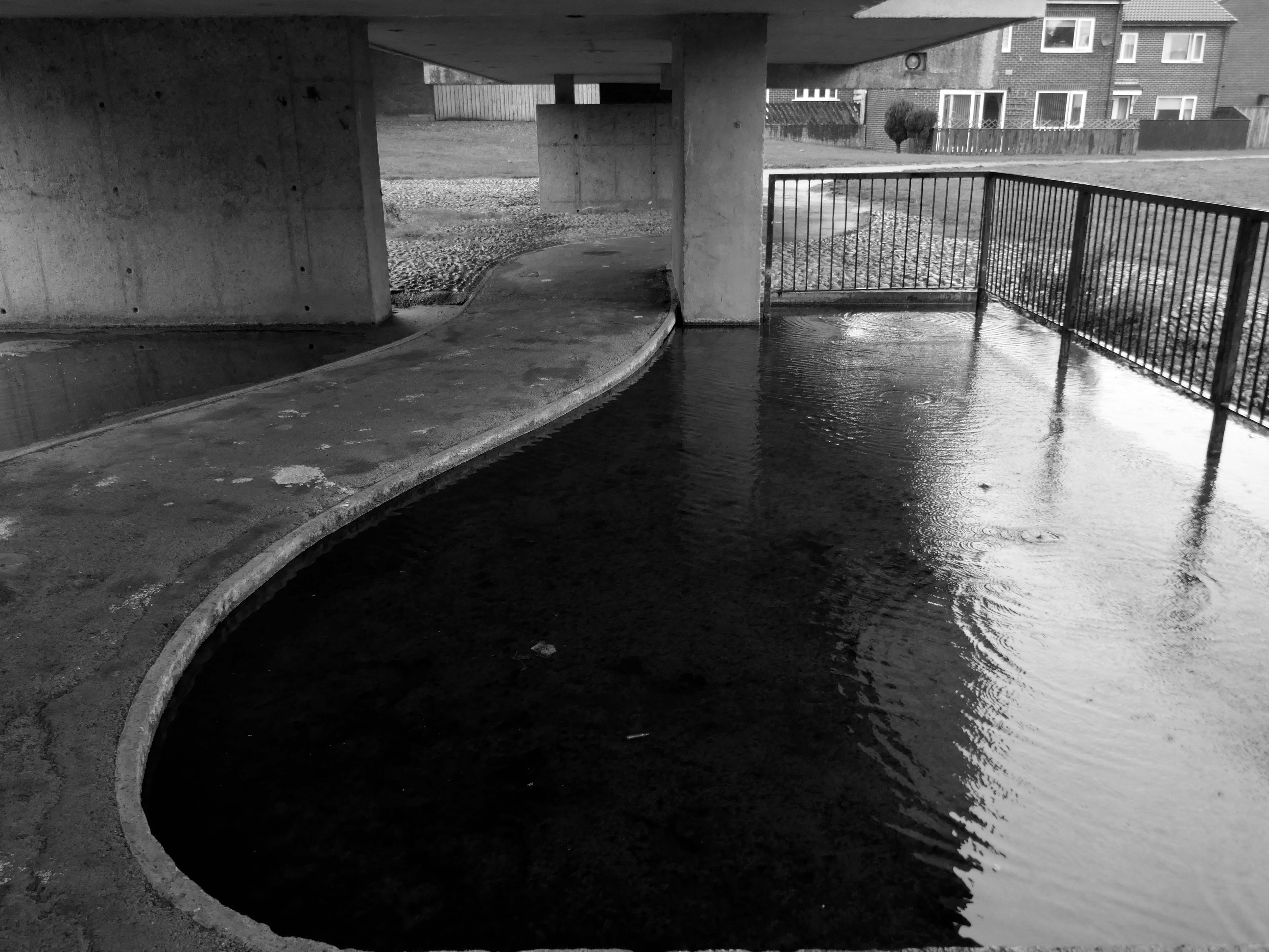
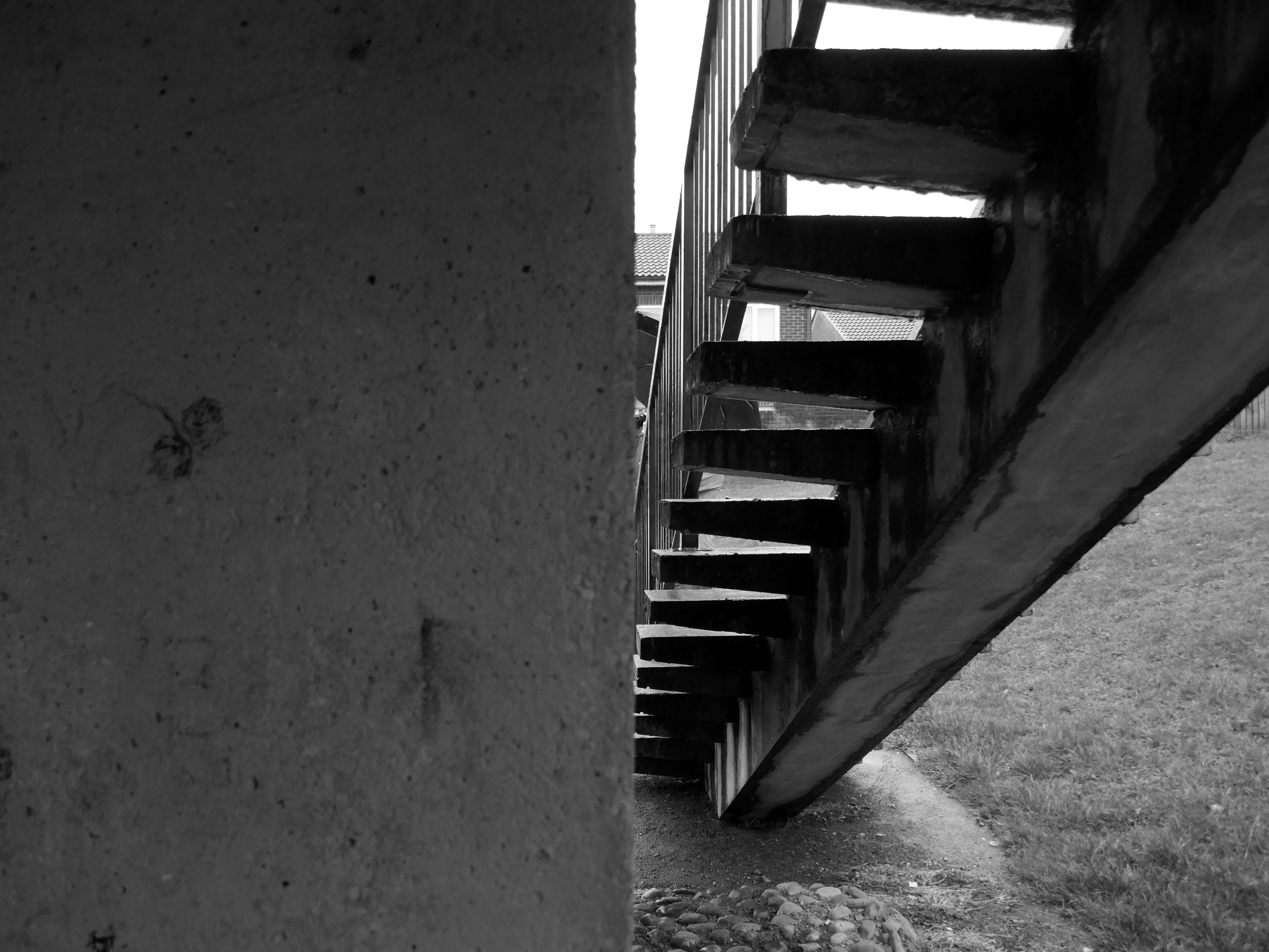
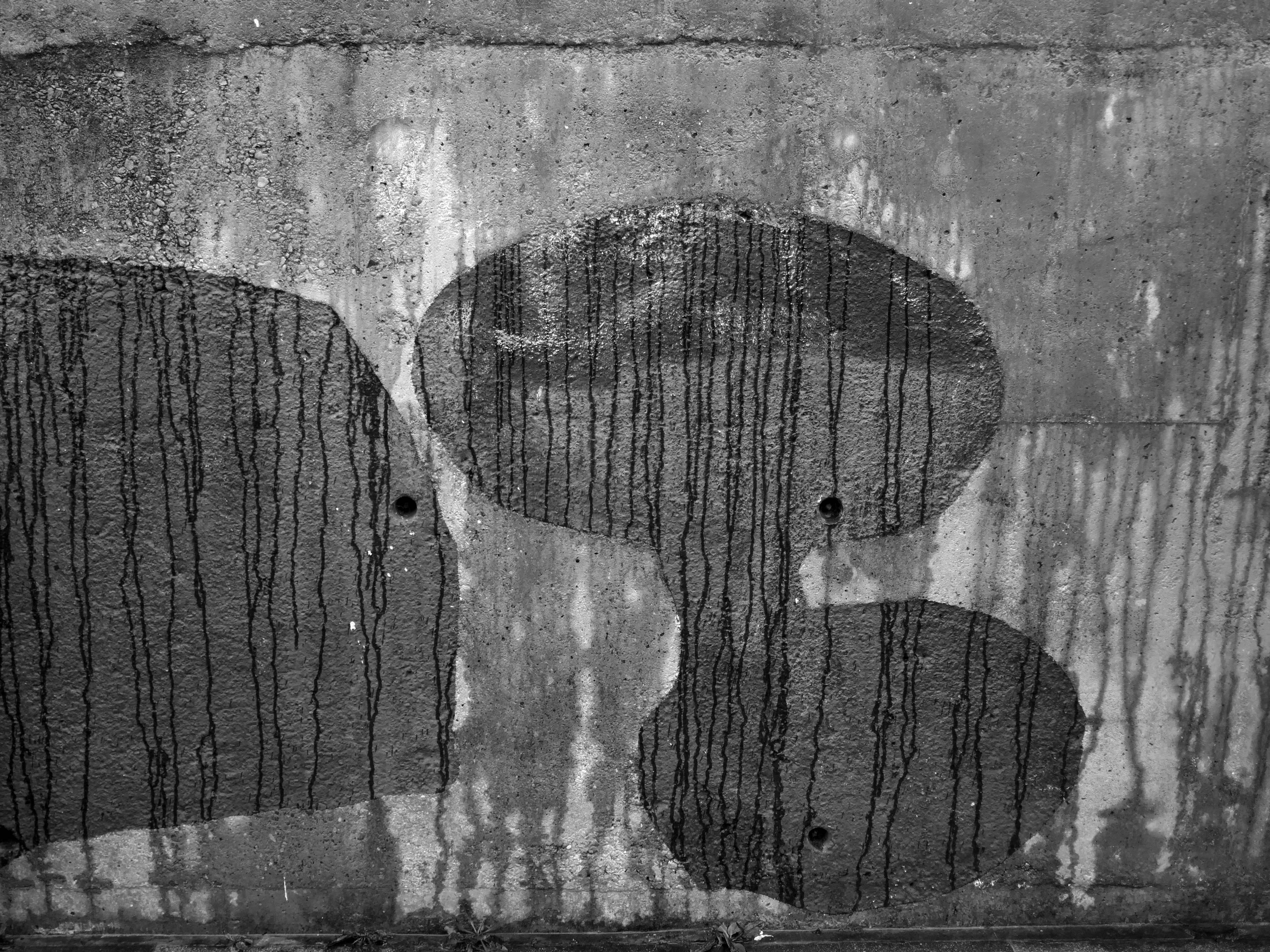
We take a jog around the block to see the concrete relief that clads the road ramp.
Where there was once a giant Cooperative Store there is now a light industrial and retail estate.
The Diocese of Manchester has been working in partnership with the Church Revitalisation Trust to open Fabric Church and refurbish the building, following a successful bid to the Church of England’s Strategic Mission and Ministry Investment Board.
We’re excited to be working alongside Fabric Church on the transformation of the Grade II listed former Ardwick Barracks in Manchester. This ambitious refurbishment project will see the historic site reimagined as a vibrant community hub, featuring a new worship hall, community café, offices, meeting spaces, and more.
Alongside Ardwick Green Park there are new housing developments nearing completion.
Ardwick Green combines contemporary design with great light infused spaces, offering stylish homes with a modern twist, private parking, outdoor spaces and a welcoming community atmosphere an urban retreat that truly feels like home.
With the city just moments away, living at Ardwick Green will give homeowners easy access to Manchester City Centre and beyond with its vibrant social scene, bustling business landscape and extensive transport network on your doorstep.
Without which much of what we understand as the modern age would possibly not now exist.
It appears to be green slate from the Lake District, the native underlying rock in this part of Manchester is a red sandstone.
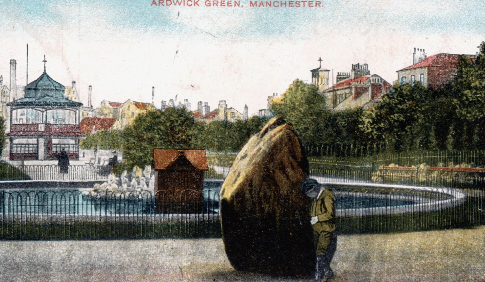
Postcard of 1906
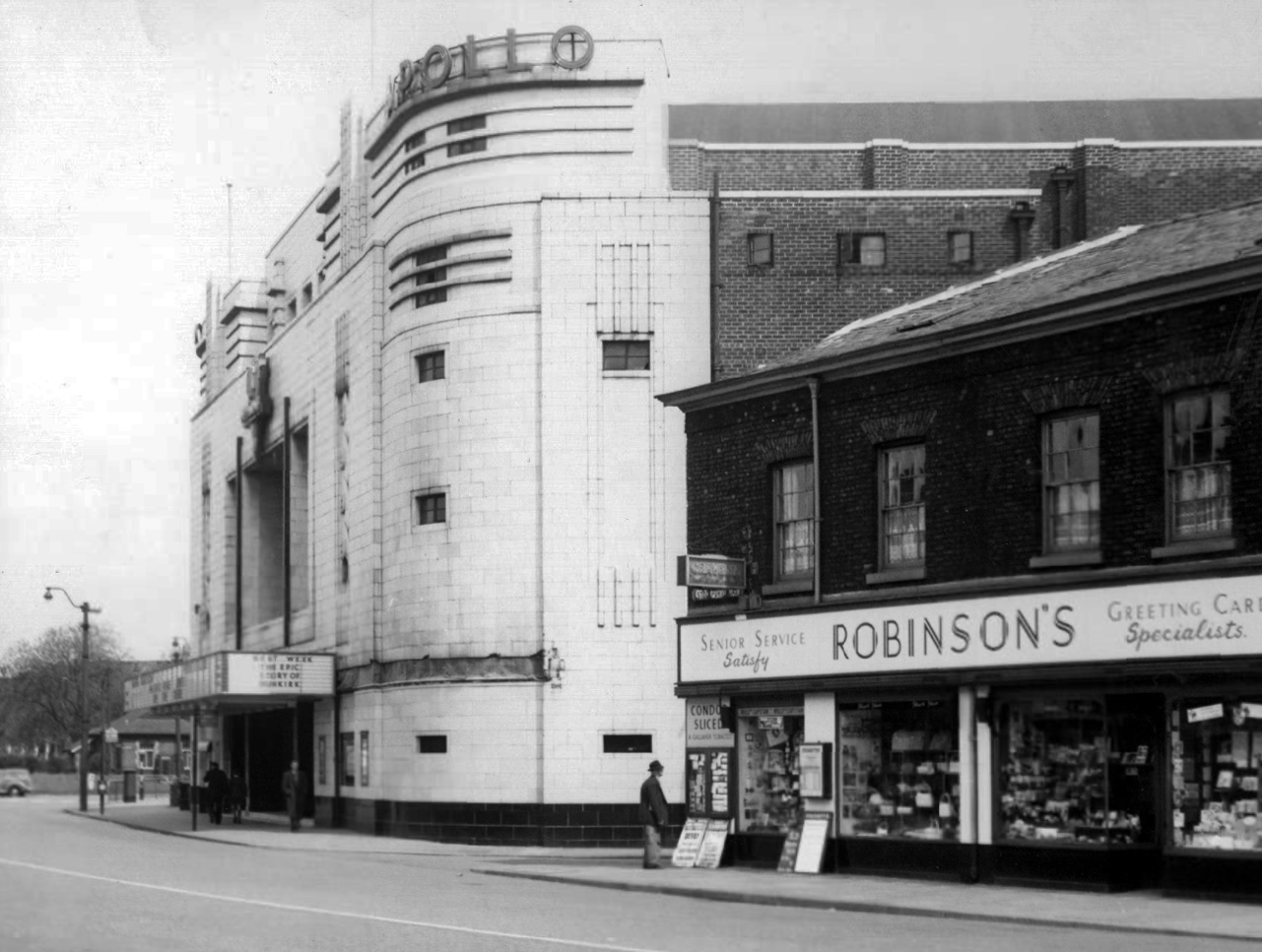
The Apollo of course prevails. – seen here in 1958
Architects: Peter Cummings Alex M Irvine
Opened on 29th August 1938 the interior decorations were carried out by noted interior designers Mollo & Egan with the Holophane lighting designed by R Gillespie Williams.
This Sixties municipal building remains a mystery.
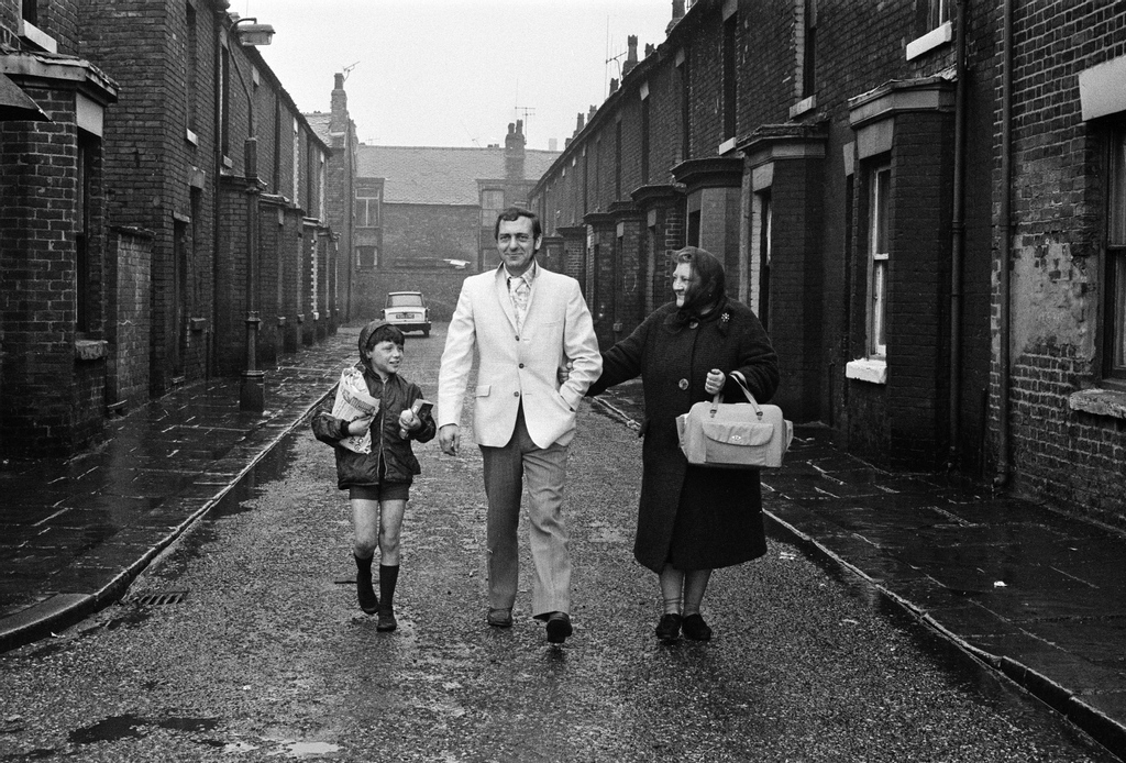
Actor Harry H Corbett visiting his childhood area in 1969, he lived on Earl Street and later in Wythenshawe.
When in Halifax it’s imperative to visit Haley Hill flats, as we did in May 2025.
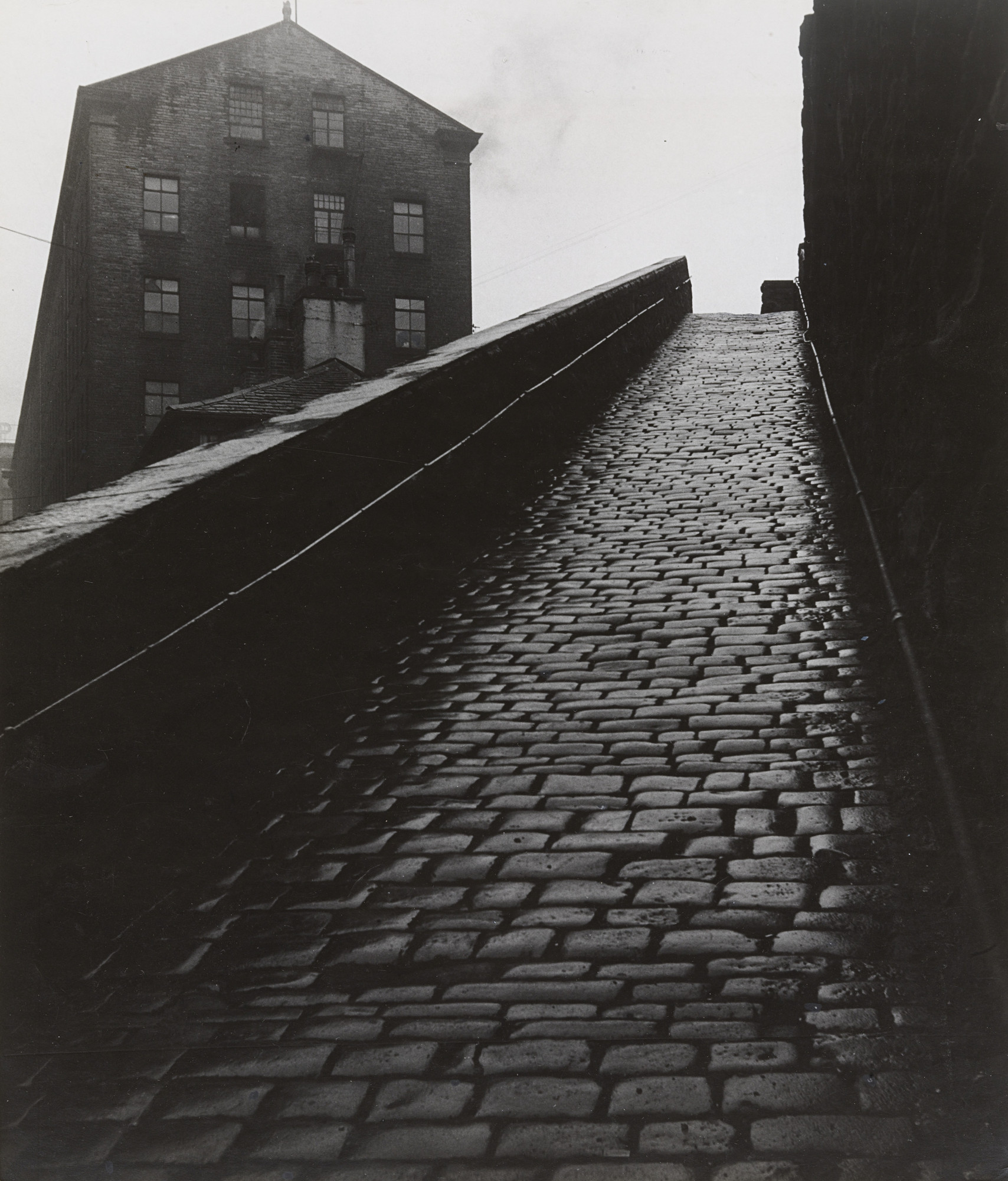
It’s a labour of love ascending the granite setts to the side of Dean Clough.
Walking in the footsteps of photographer Bill Brandt.
A Snicket in Halifax: Bill Brandt 1937
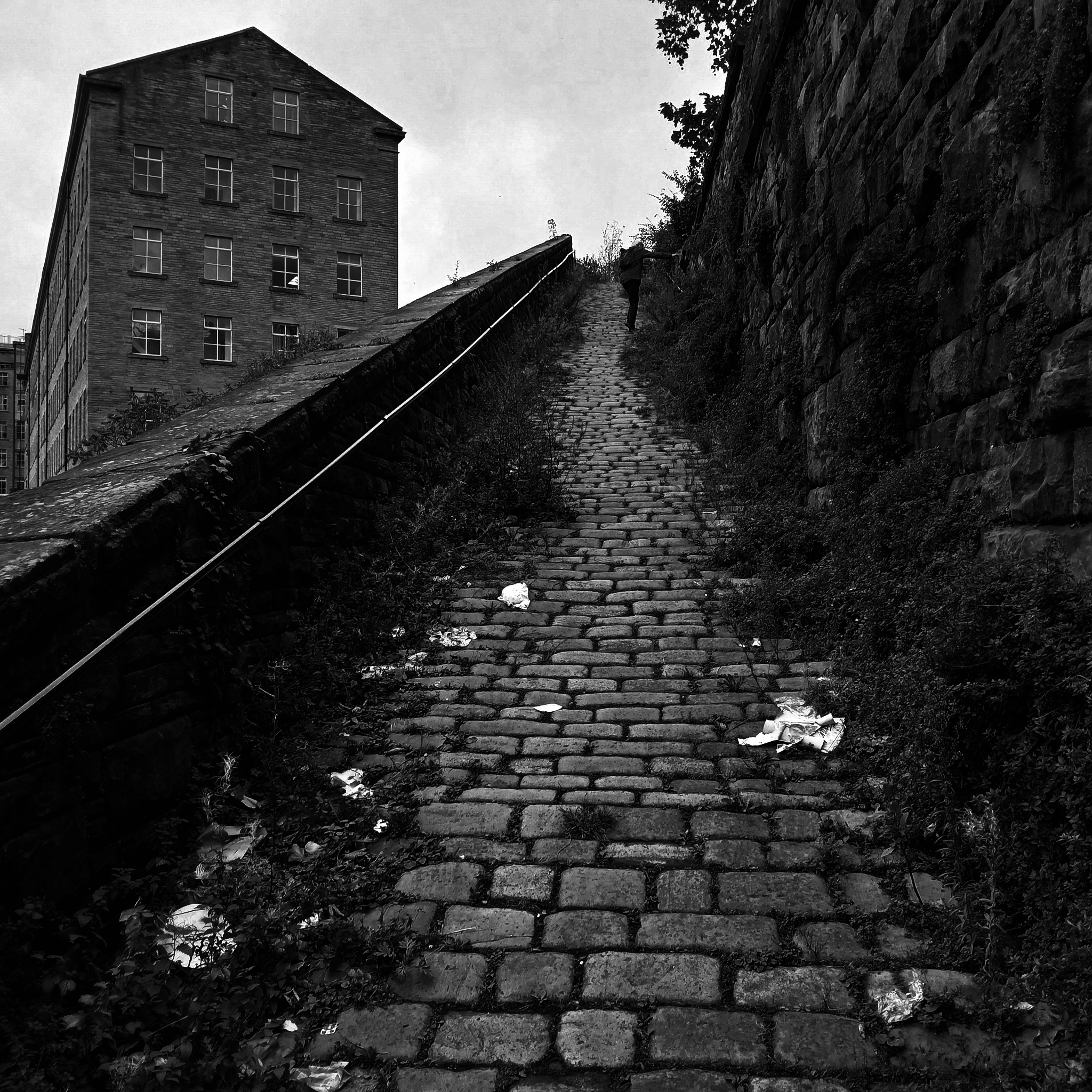
A Snicket in Halifax: Steve Marland 2025
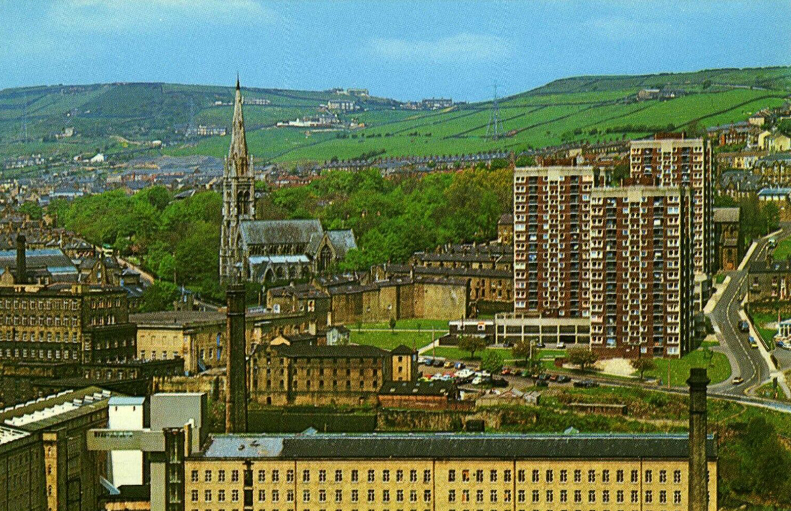
Postcard c. 1970
So it’s October 2025 and today Matthew I am mainly Bill Brandt.
Walking in the footsteps of giants.
Print quality is a variable thing depending on the purpose of the image. I would expect a pure record photograph to have a full range of tone, with both shadow and highlight gradation. Against this, pictorial or art based imagery requires the range of tones best suited to making the statement. The classic case is the soot and whitewash printing of Bill Brandt. So we have a situation that carries a contradiction; blocked up shadows in applied work is not acceptable but blocked up blacks in pictorial work is often perfectly acceptable, if that lost information is not relative to the image. Burnt out highlights are more dangerous, but again Bill Brandt did it with great effect.
Bill Wisden
So, the record print would have an even tonality thus:
Whilst the pictorial artist may favour the higher contrast.
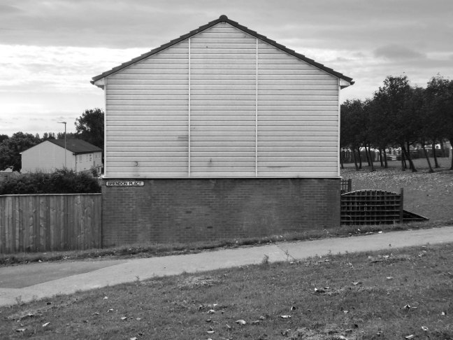
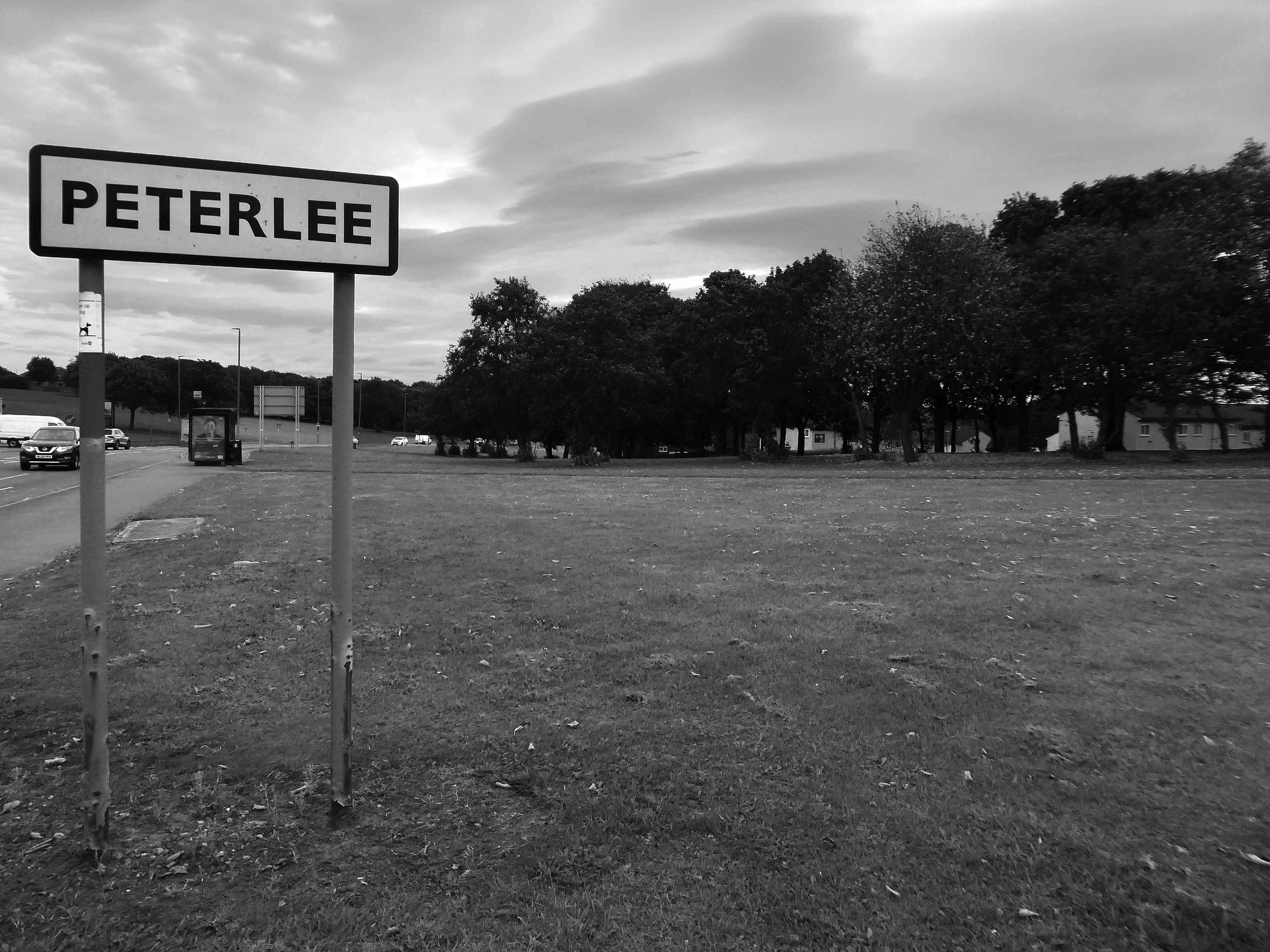
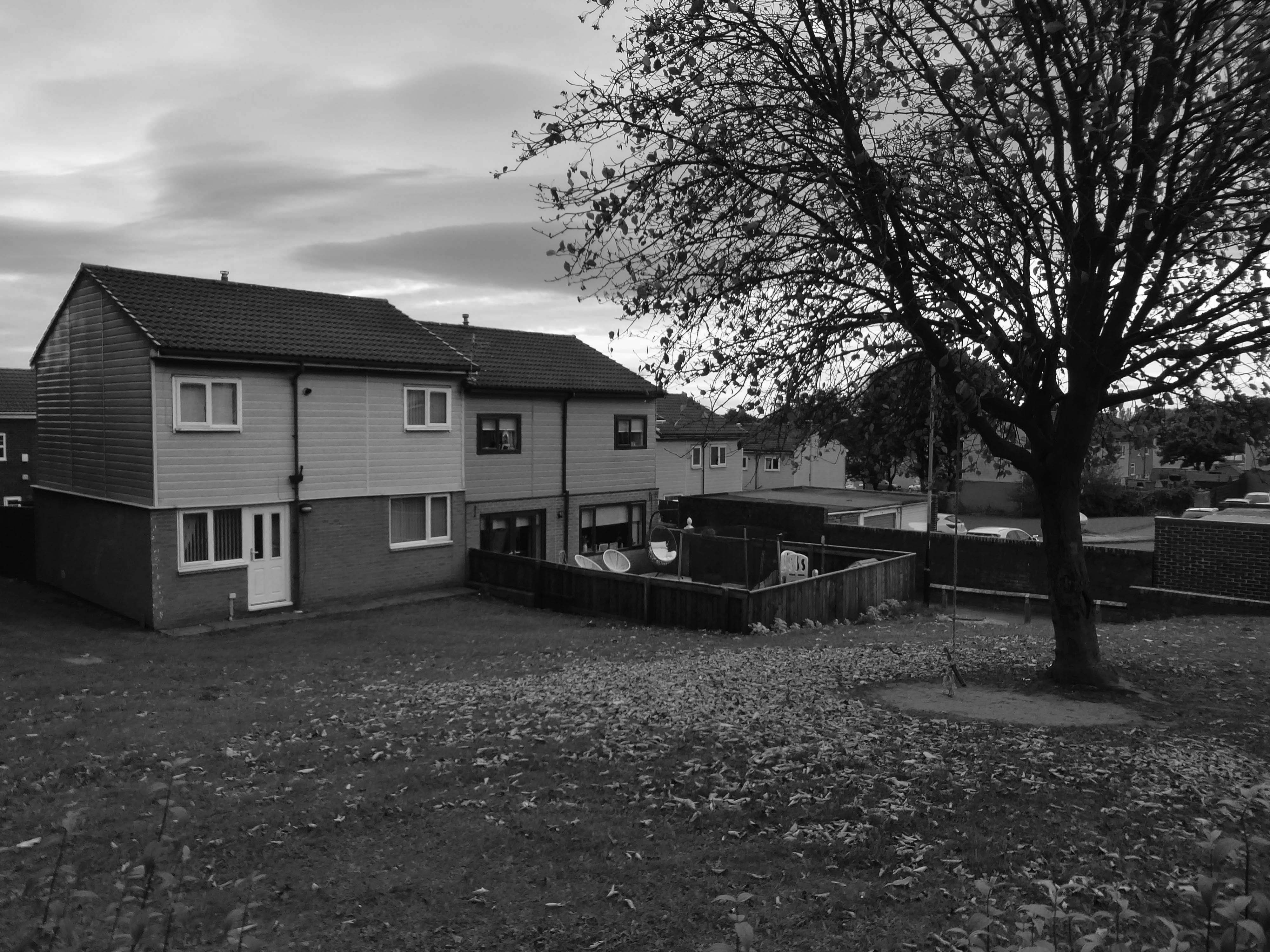
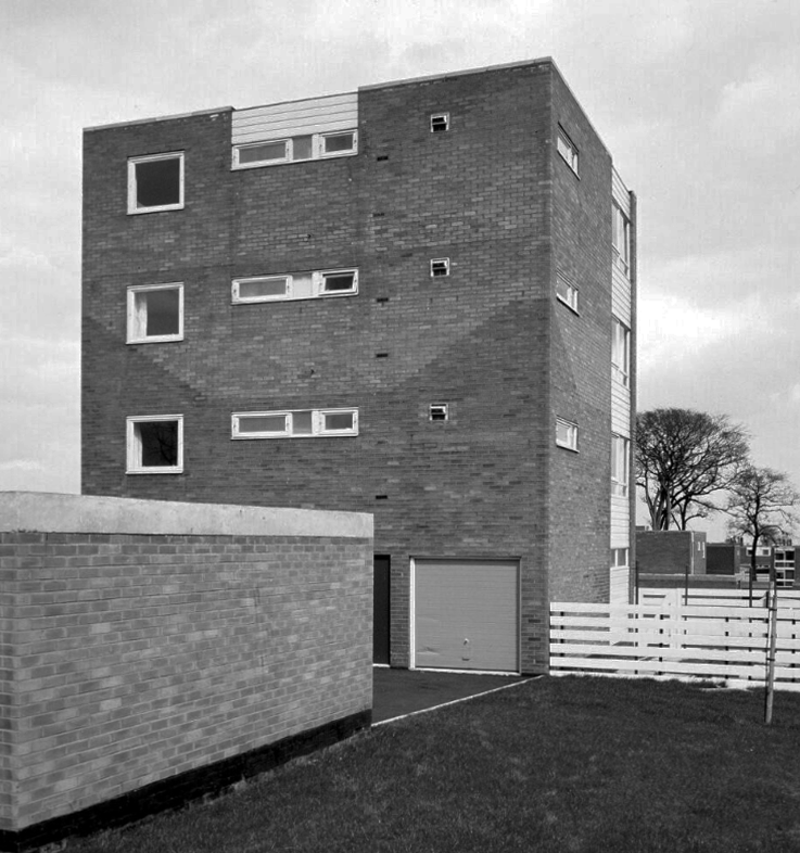
An express bus ride away from Newcastle City Centre – arriving in Peterlee, with a clear intent to wander around and look at housing.
There have been many alterations and amendments made, in the short time since the inception of the Masterplan. Flat roofs have largely been and gone, timber replaced by uPVC, what remains is an interesting array of building types set in an attractive rolling landscape.
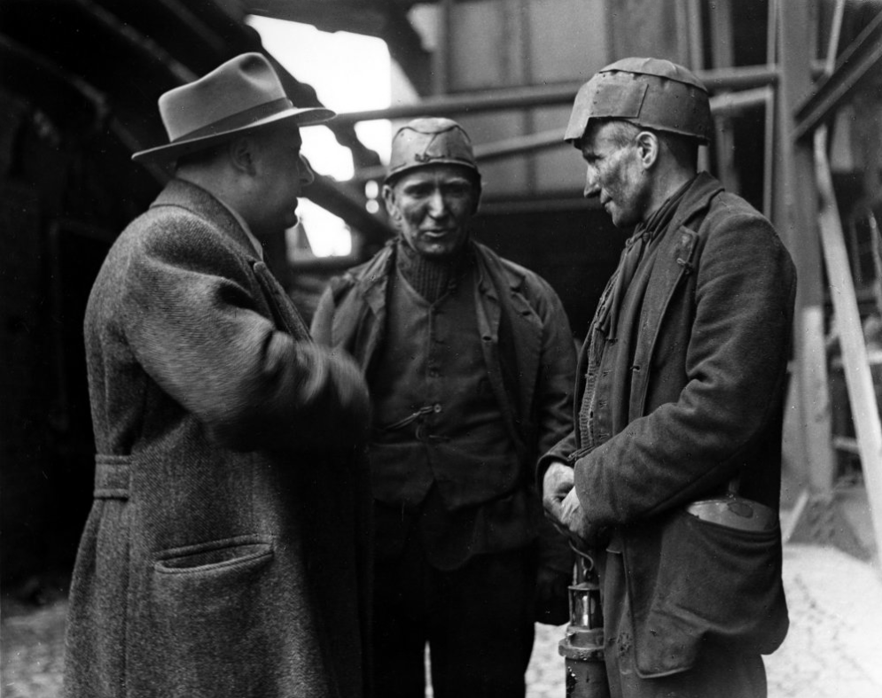
The case for founding Peterlee was put forward in Farewell Squalor by Easington Rural District Council Surveyor CW Clarke, who also proposed that the town be named after celebrated Durham miners’ leader Peter Lee. A deputation, consisting mostly of working miners, met the Minister of Town and Country Planning to put the case for a new town in the district. The minister, Lewis Silkin, responded by offering a half-size new town of 30,000 residents. The subsequent new residents came largely from surrounding villages in the District of Easington.
Peterlee Development Corporation was founded in 1948, first under Dr Monica Felton, then under AV Williams. The original master plan for tower blocks of flats by Berthold Lubetkin was rejected as unsuitable for the area’s geology, which had been weakened by mining works, and Lubetkin resigned in 1950. George Grenfell Baines’ plan was accepted, and construction quickly began, but it was of poor quality. Williams invited artist Victor Pasmore to head the landscaping design team.
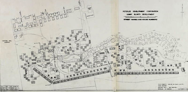
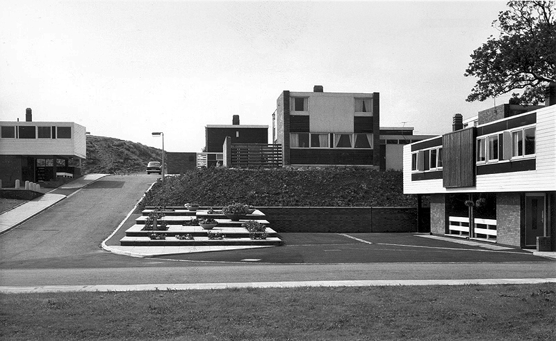
The long and narrow site intersected by a sloped ravine necessitated a new design approach for the layout of the road system and housing in Sunny Blunts. Rather than imposing a grid system as before, the roads follow the natural contours of the landscape so become curvilinear. The housing is then arranged in asymmetric patterns – a deconstructed grid system is one way of describing it.
One of the oddities of Sunny Blunts is the way the houses are rotated 180 degrees in relation to the conventional streetscape where enclosed gardens are normally at the rear of the houses. At Sunny Blunts the front door opens into the garden, while the backdoor opens out onto public realm space, often directly onto grassed areas, which because of how the houses are arranged forms small communal gardens isolated from road traffic for safe places to play. Peterlee at this time had a very high percentage of young families.
Sunny Blunts is also where the now infamous Crudens houses were introduced – along with the Howletch area. Crudens owned the British rights to the Skarne building system, where prefabricated concrete walls and floors are bolted together to form the frame of the house. The system reduced building costs by 10% per house unit, though at Sunny Blunts this saving was then absorbed by the costs of remedial work required to make many of the houses habitable for residents to move in. This still didn’t fully resolve issues with water ingress in some cases.
After the completion of Sunny and Howletch the Development Corporation reverted back to using more traditional building methods.
The Peterlee Development Corporation initially employed the Russian modernist architect Berthold Lubetkin to design the new town. Appointing a renowned Modernist architect such as Lubetkin demonstrated the importance that was placed on innovative design. Lubetkin initially planned to build a modern town of high-rise towers and walkways in the sky. However, his plan was rejected because towers of such height could not be built on land that had been mined.
After Lubetkin’s resignation in 1950 a new architect, Grenfell Baines, was employed to work on the development of Peterlee. After further dissatisfaction with the plans, Victor Pasmore was invited to collaborate on a new scheme for the south west area of the town in 1955. Pasmore’s role was to work alongside the architects to add imagination to a project that could potentially get weighed down with the restrictions of building regulations. That Pasmore – one of the most influential abstract artists in Britain at the time – was given such a vital role in the development of Peterlee demonstrates the central role art played in urban design after the war.
As well as appearing in the Chapel Hill area, this house style was also introduced in parts of Acre Rigg, along Manor Way, and in the early phases of the South West Area. These were designed and built in the early 1960’s when Roy Gazzard was Chief Architect. The three story blocks of flats with their distinctive butterfly roof design that were introduced in the same areas of the new town can also be credited to Gazzard.
Roy Gazzard left Peterlee Development Corporation in June 1962 and went on to become Chief Architect at Killingworth in North Tyneside.
The footpath running between a group of two-bedroom houses.
Essington Way is the main spine road running north from the town centre to Thorpe Road which connects Easington Village and Colliery, with Horden and Sunderland Road. East of Essington Way is the North East Quadrant . West is Acre Rigg which was built in five phases from 1956-1966. The early phases of Acre Rigg share a similar character to that of the earlier North East Quadrant. The later phases built in the 1960s contrast sharply, drawing on the design approached developed in the South West Area under the guidance of artist Victor Pasmore.
The contract to build the Howletch area was awarded to Crudens, who owned the British franchise for the Swedish designed Skarne building system.
The Crudens houses were constructed using prefabricated concrete sections bolted together to form the frame of the building. The gable end walls were then rendered with brick, with non-loadbearing glass, wood, and rendered panel sections forming the front and rear elevations of the houses.
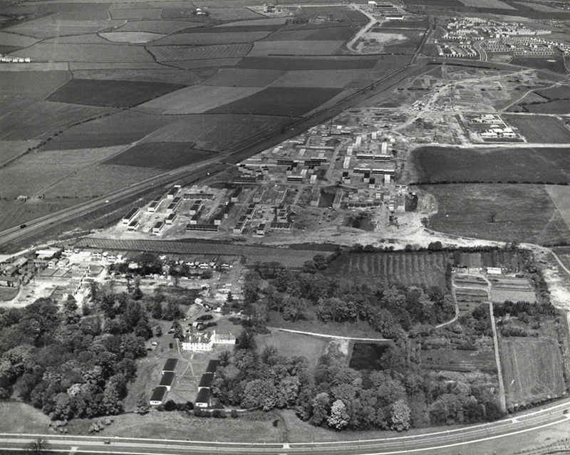
In the foreground of this aerial photo is Old Shotton Hall, which at this time was the headquarters of Peterlee Development Corporation after it was refurbished in 1948 by Architect Planner Berthold Lubetkin. In 1976 the Development Corporation moved its headquarters to Lee House in the town centre. It is now the offices of Peterlee Town Council.
After the departure of Berthold Lubetkin, Grenfell Bains was drafted in as Architect Planner to develop the new Master Plan and oversee development of the North East Quadrant. Bains at the time filled the position at Newton Aycliffe, another of the first wave new towns located 20 miles south west of Peterlee.
1956
As the dates of these aerial photographs testify, building work was already well underway in the North East Quadrant by the time the Peterlee Master Plan was published in September 1952. Indeed, as surviving residency agreements and rent books also testify, houses in this part of Peterlee were already occupied, such were the pressures on the Development Corporation to have something tangible to show for their efforts.
Thorntree Gill was the first phase of residential development completed in Peterlee. It was home to the towns first residents, who began moving in in 1951. The road layout is that designed by Architect Planner Berthold Lubetkin for his ‘Hundred Houses’ scheme , though the houses eventually built differed dramatically from what Lubetkin had envisaged.
In the first phase of the South West Area, Victor Pasmore – Consulting Director of Urban Design, Frank Dixon – Building Architect and Peter Daniels – Landscape Architect, settled upon an orthogonal layout system – roads and houses set at right angles to form a grid pattern.
Three bedroom semi-detached cantilever house on Avon Road.
Screen partition on Thames Road.
Dart Road
A stub block of single-bedroom flats over garages.
The road and housing layouts in the South West III and IV areas extend the orthogonal grid pattern introduced in the South West I and II areas.
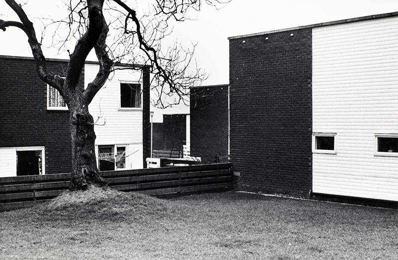
The presence of existing mature trees is a feature of South West III which helps give the area an identity that is distinctive from South West I and II. This distinctiveness is further enhanced by the choice of building material.
The South West III and IV areas were built with cured lime brick, with black dye added to a material that is naturally white, creating symbolic reference to a coal face. The visual effect was then sharpened with white panelling. When the dye added to the bricks began fading to a pale grey colour through exposure to the elements, the intended symbolism uncannily started to mirror the fate of the coal industry across the east Durham area.
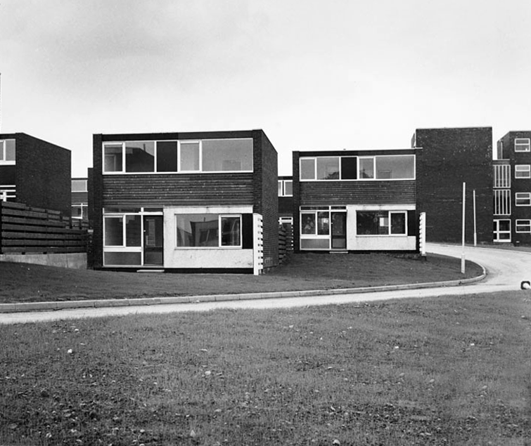
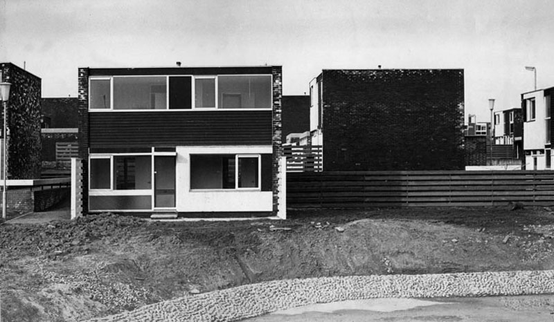
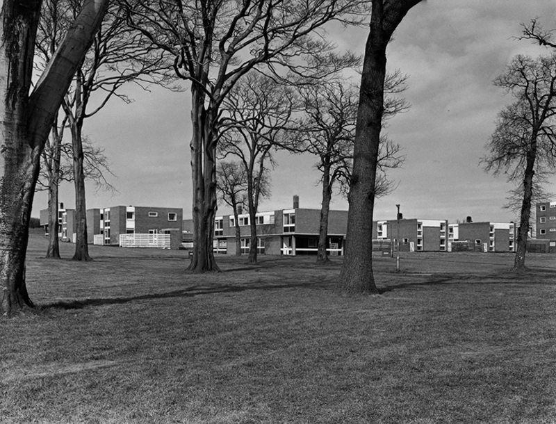
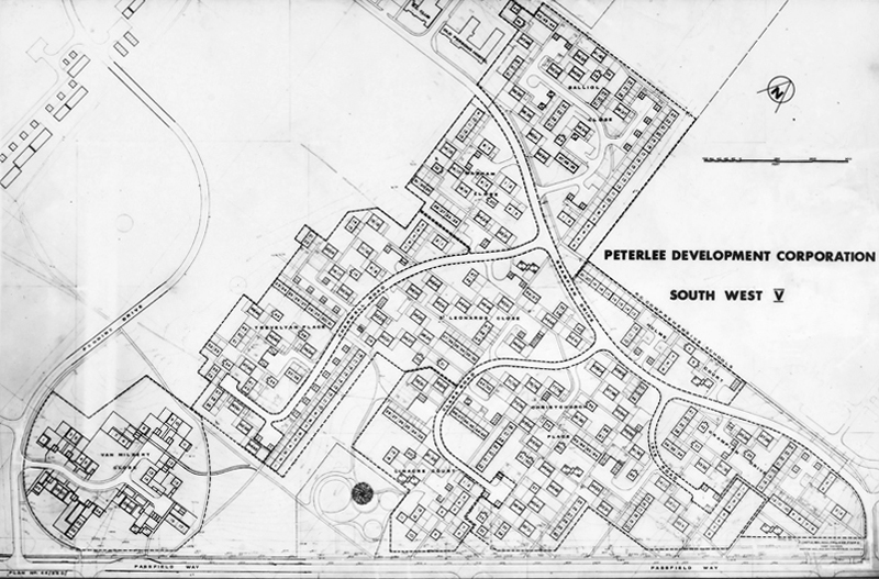
The South West V Area is approximately twice the size of Sunny Blunts. This final phase of development therefore provided Victor Pasmore with the opportunity to expand the new layout system without the constraints presented by the Sunny Blunts site.
Though the basic cubic house unit is retained in South West V, the detailing in the house elevations is much simpler and closer in feel to the South West III and IV Areas.
This is an an abridged version of the material to be found on PeterleeHistory – intended as an accessible guide to visitors wishing to explore the town.
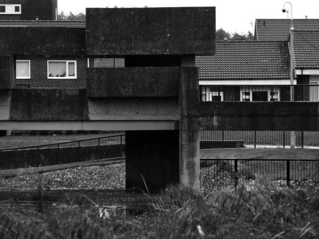
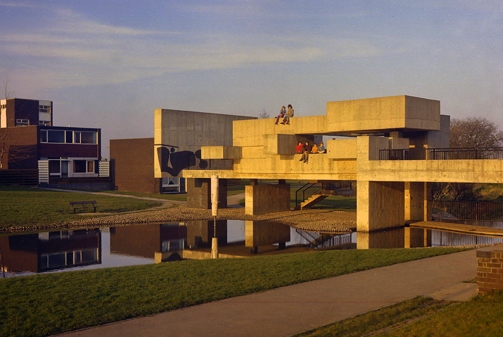
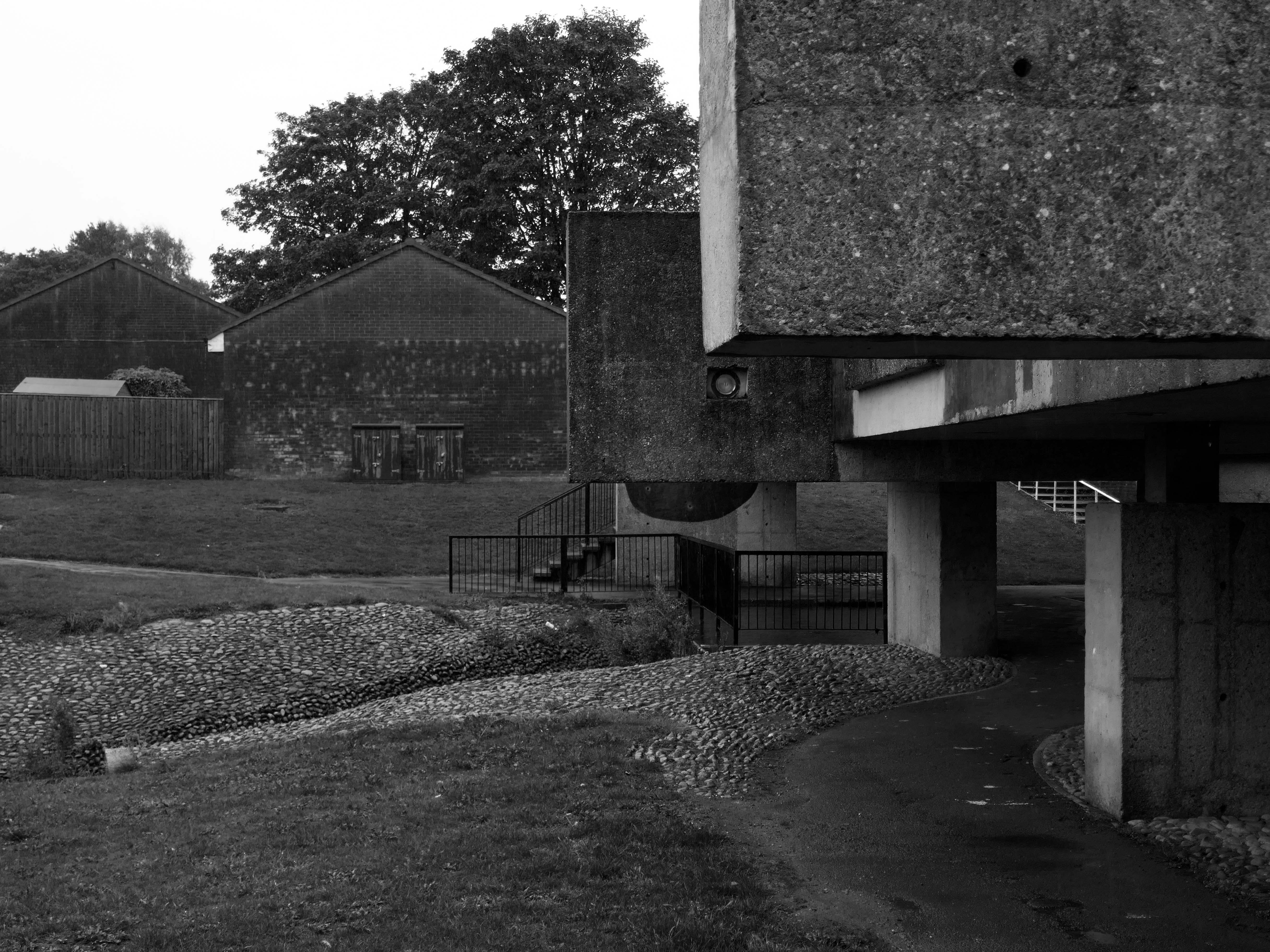
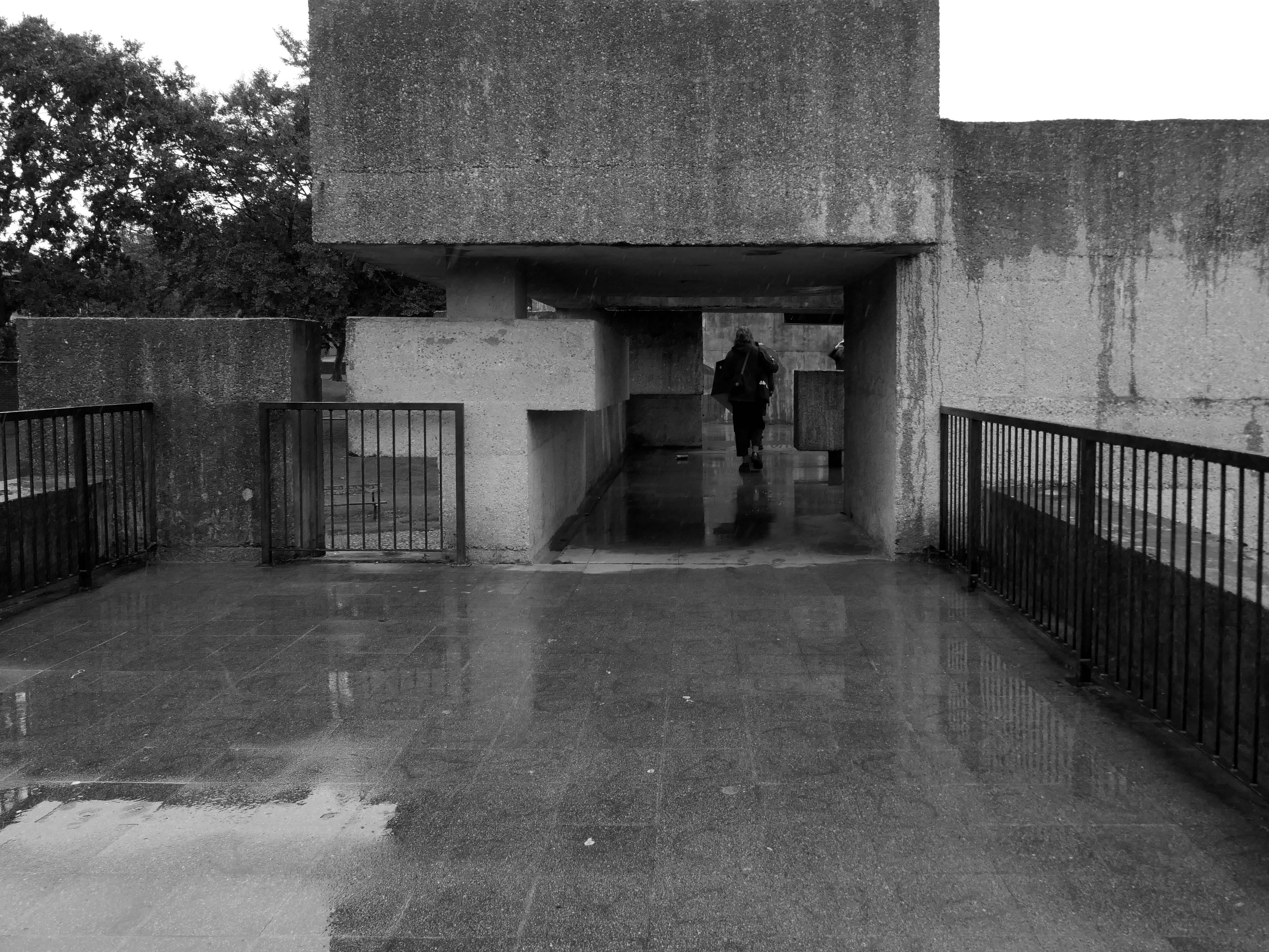
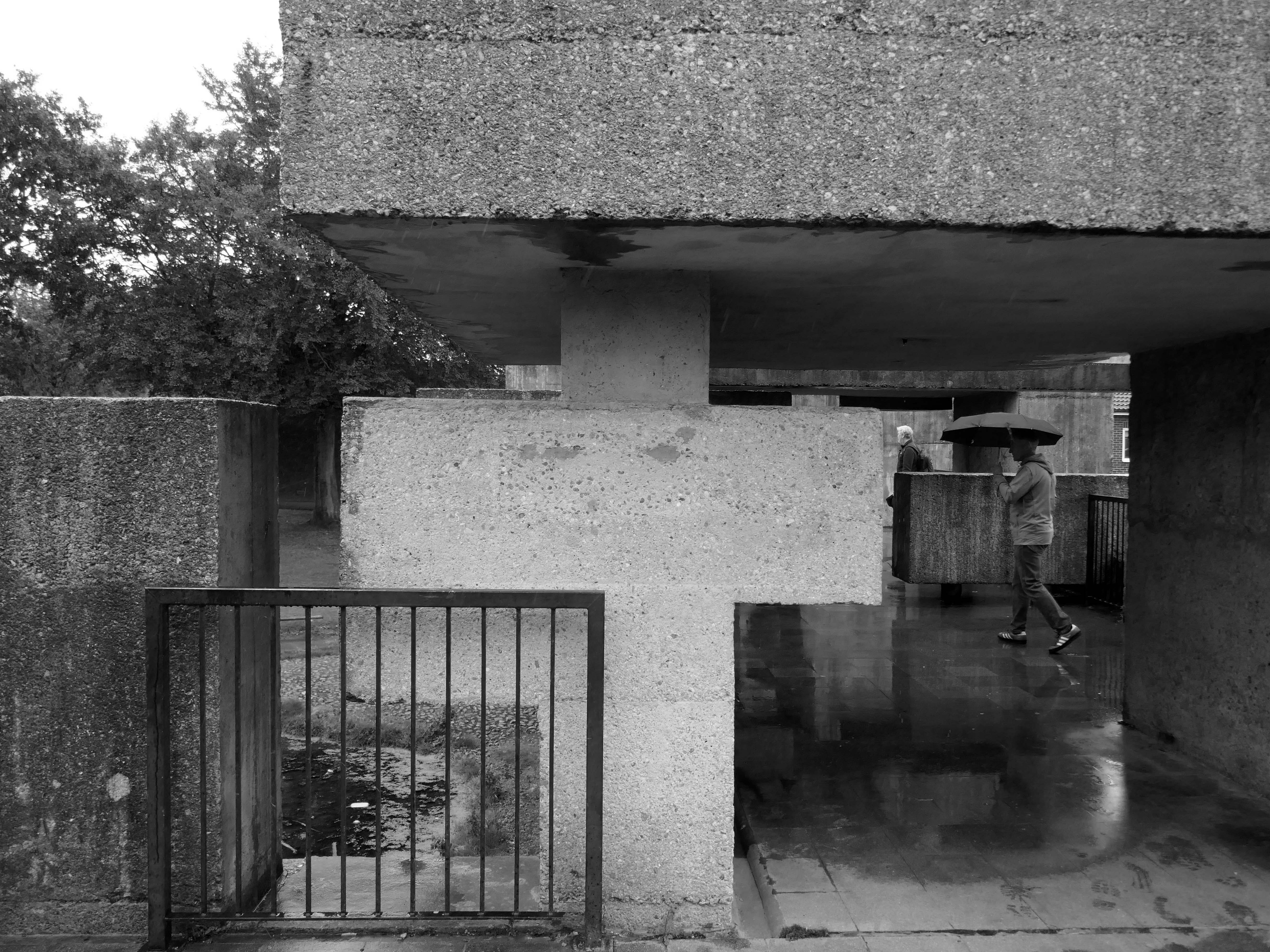
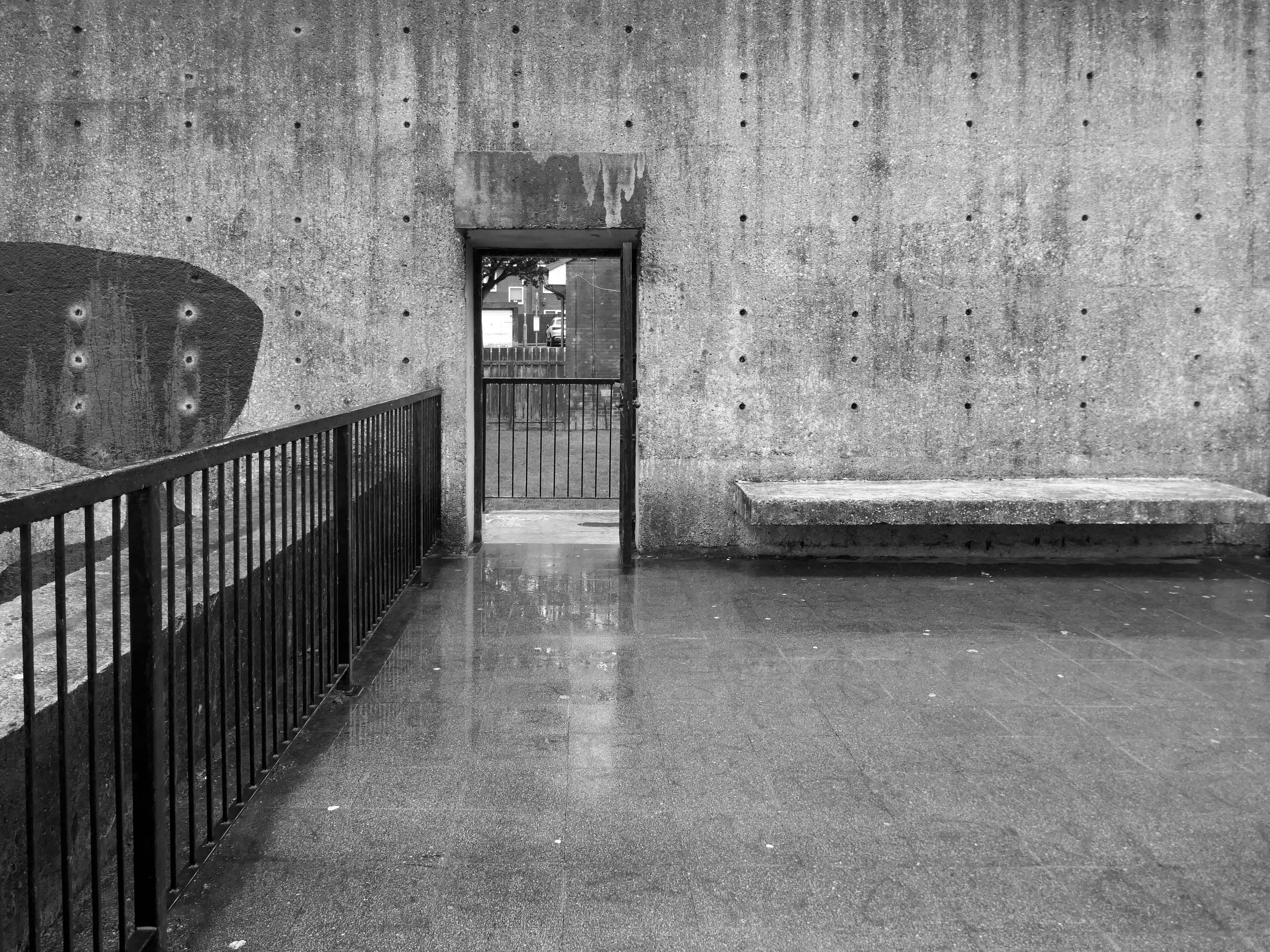
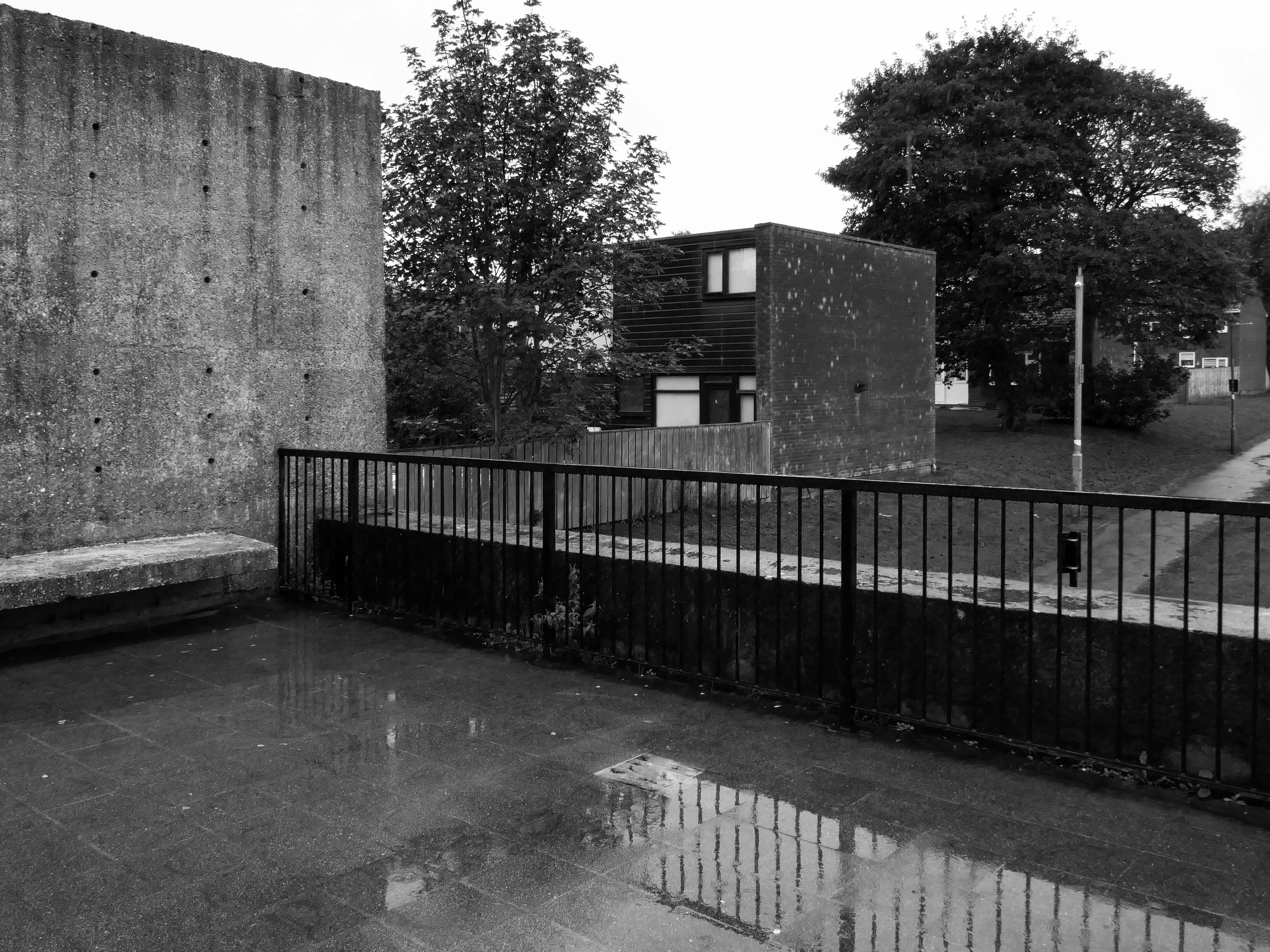
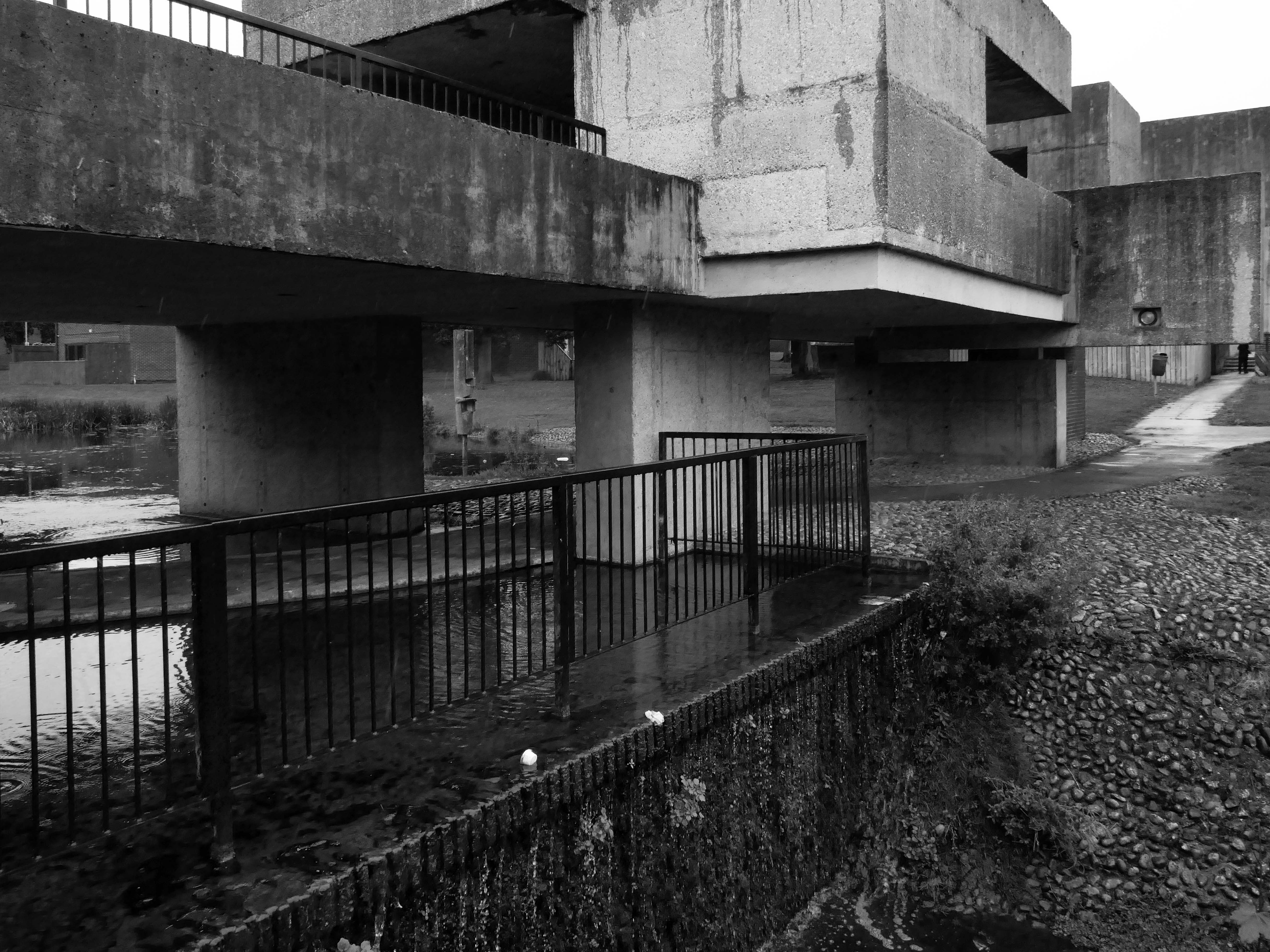
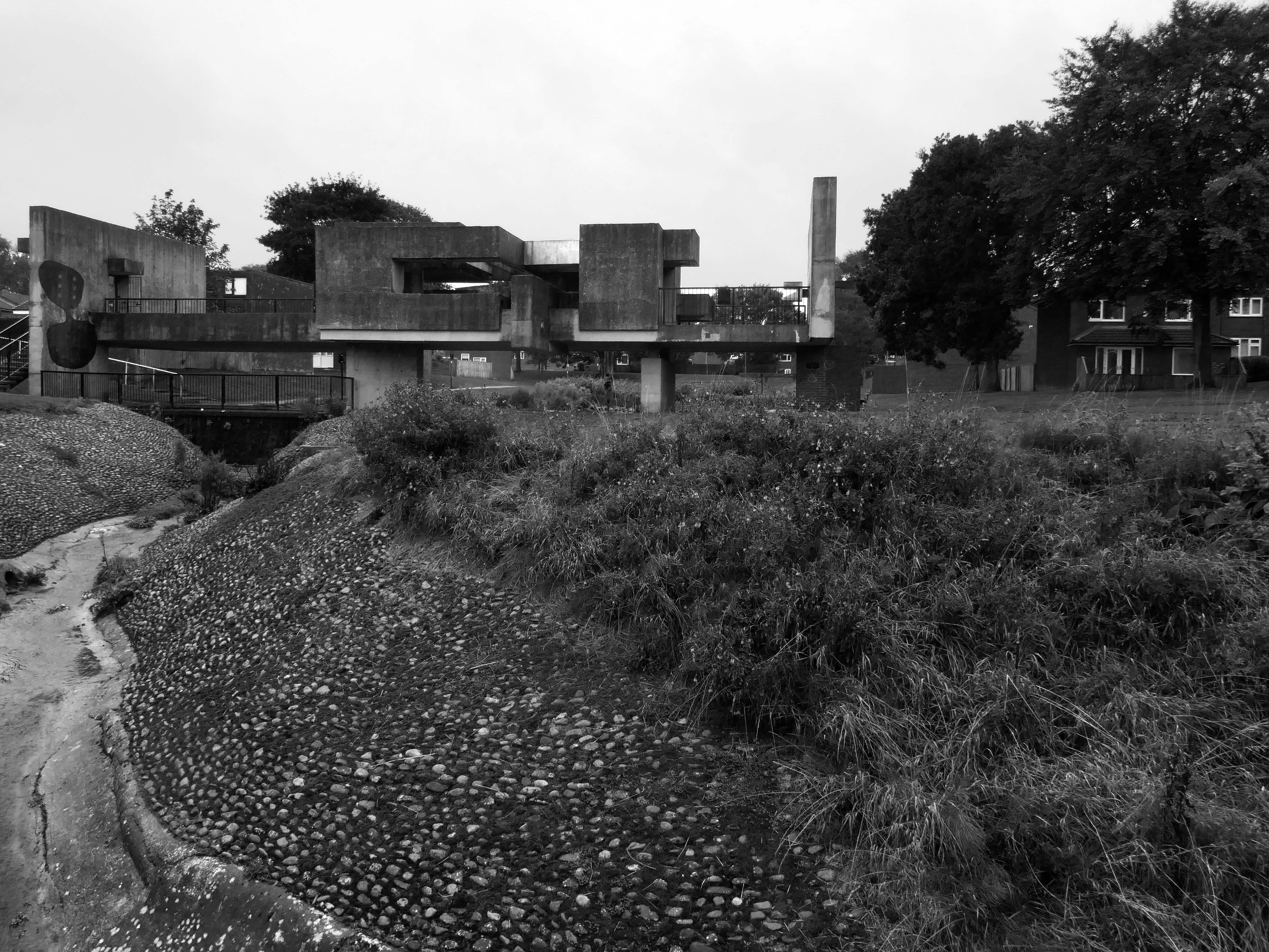
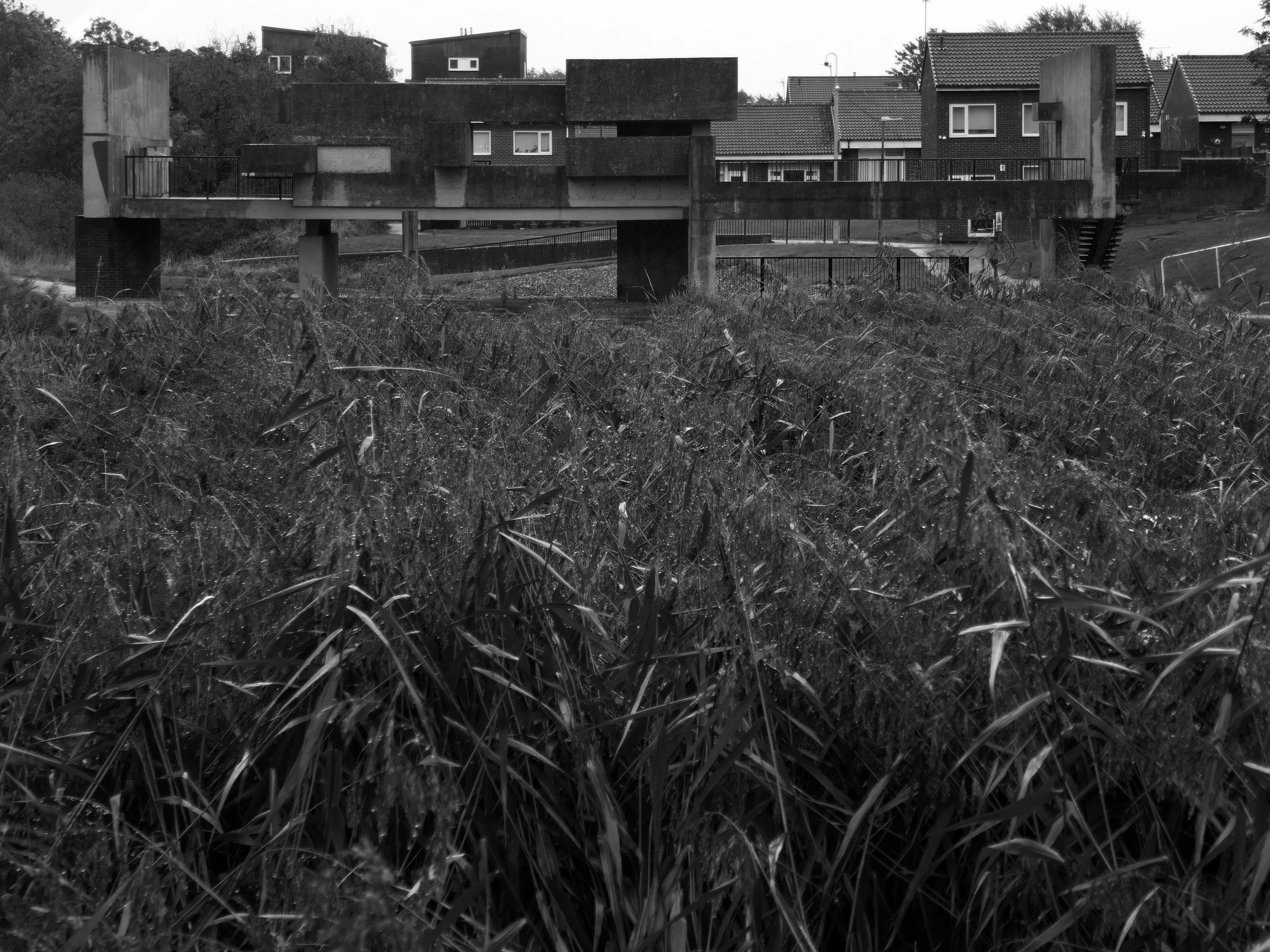
The idea for the Apollo Pavilion was the culmination of Victor Pasmore’s involvement with the planning and design of the new town of Peterlee in County Durham which began in 1954 with his appointment by AV Williams, the General Manager, as a consultant architectural designer to the Corporation. The brief was to inject a new initiative into the new town’s design, which had been limited by practical and financial constraints. The early departure of Berthold Lubetkin from the original design team, and the limitations imposed by building on land subject to underground mining, had led to a deterioration in the quality of the architecture being produced at Peterlee.
The Apollo Pavilion, created by Victor Pasmore in 1969, is designated at Grade II* for the following principal reasons: Architectural interest: the structure is of very high architectural quality, forming the centrepiece of a registered landscape Artistic quality: the only truly three-dimensional work by the internationally known artist Victor Pasmore, the Pavilion is an abstract work of art, a demonstration of Constructivist ideas on a large scale and an expression of brutalist architecture Setting: the setting of the structure is the centrepiece of the registered Pavilion Landscape and as such survives intact.
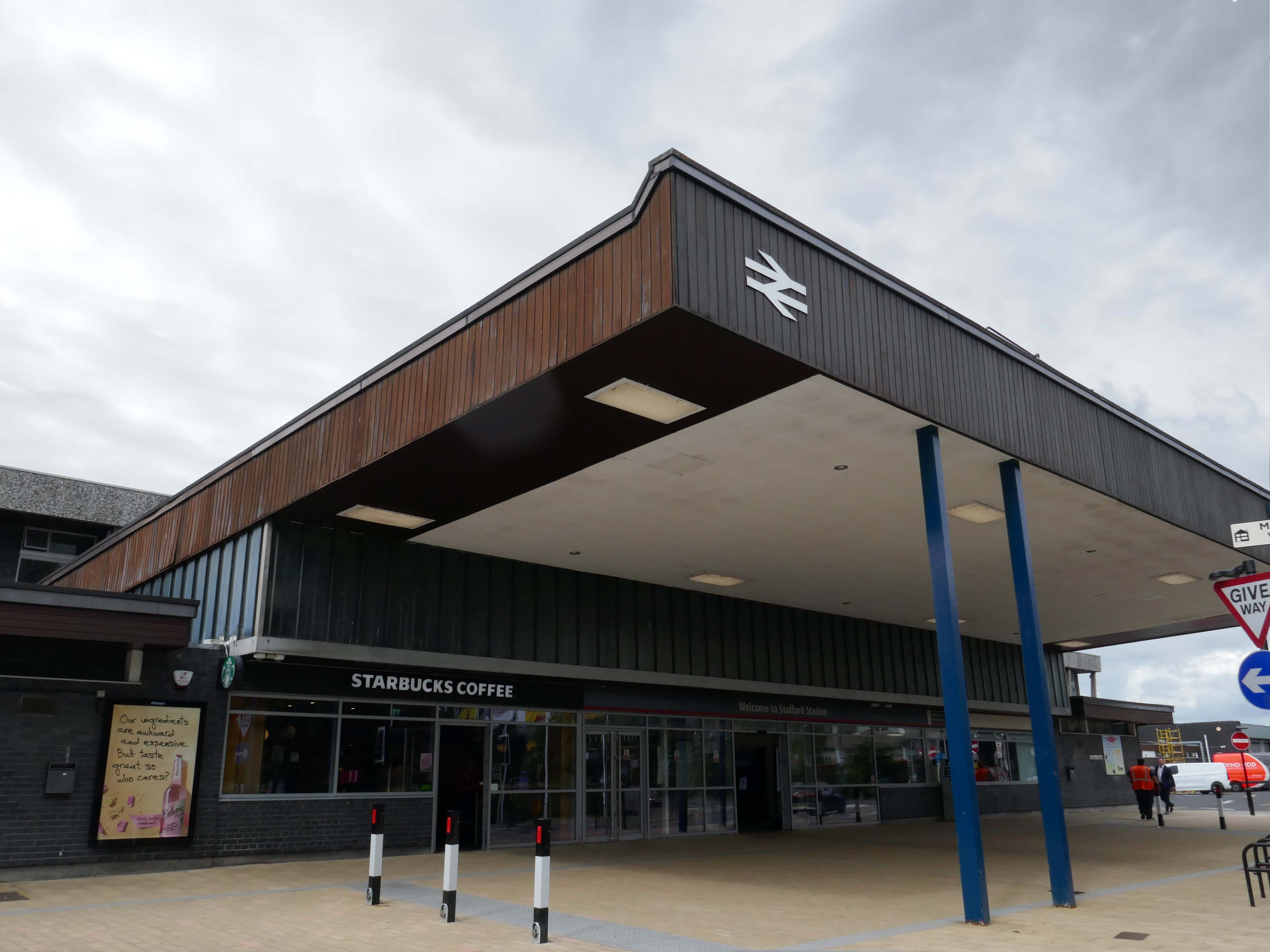
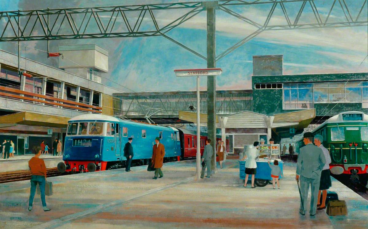
The current station was built in 1962, by the architect William Robert Headley, as part of the modernisation programme which saw the electrification of the West Coast Main Line.
On leaving the station there is an as yet partially un-let Sixties office block to let – Victoria Park House.
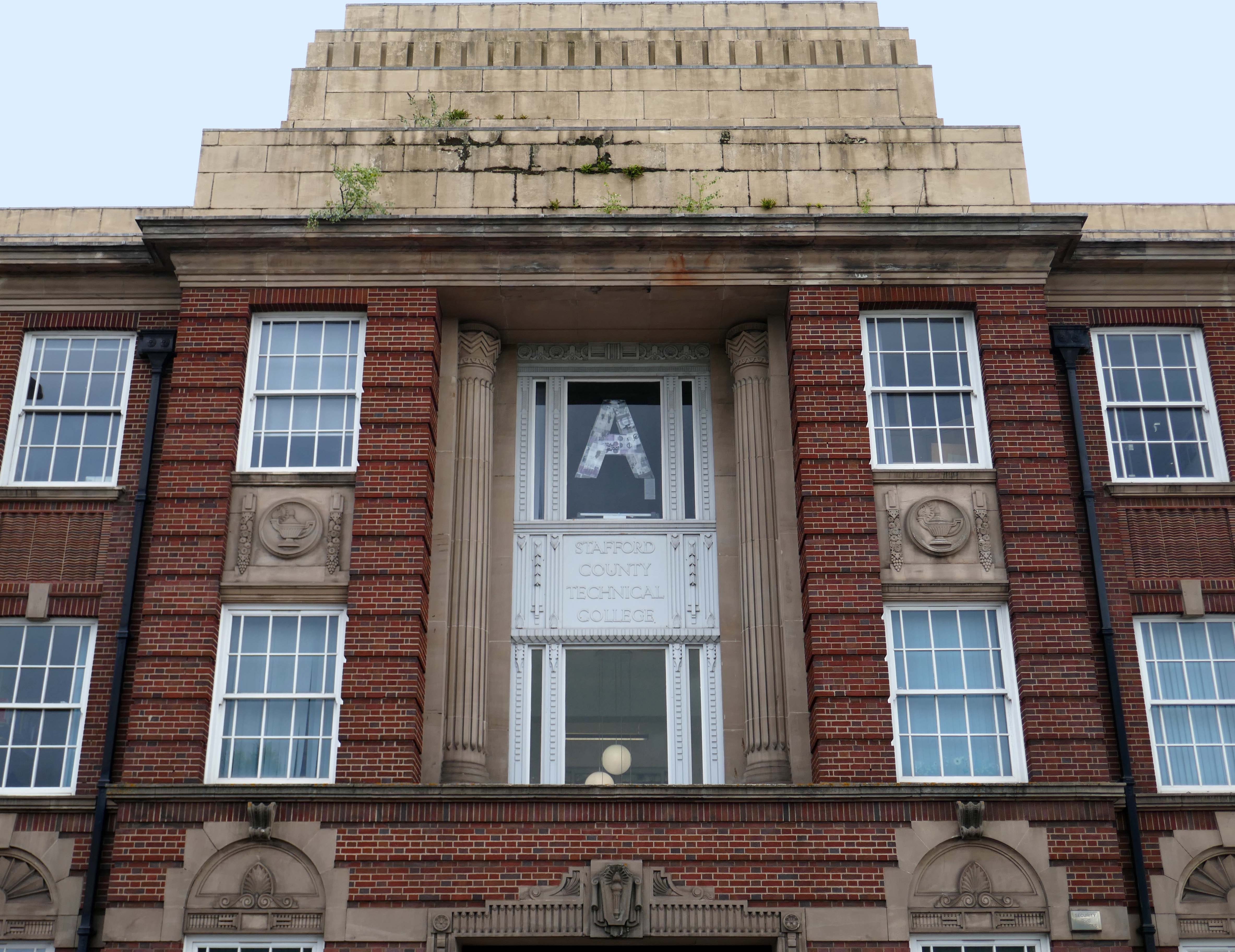
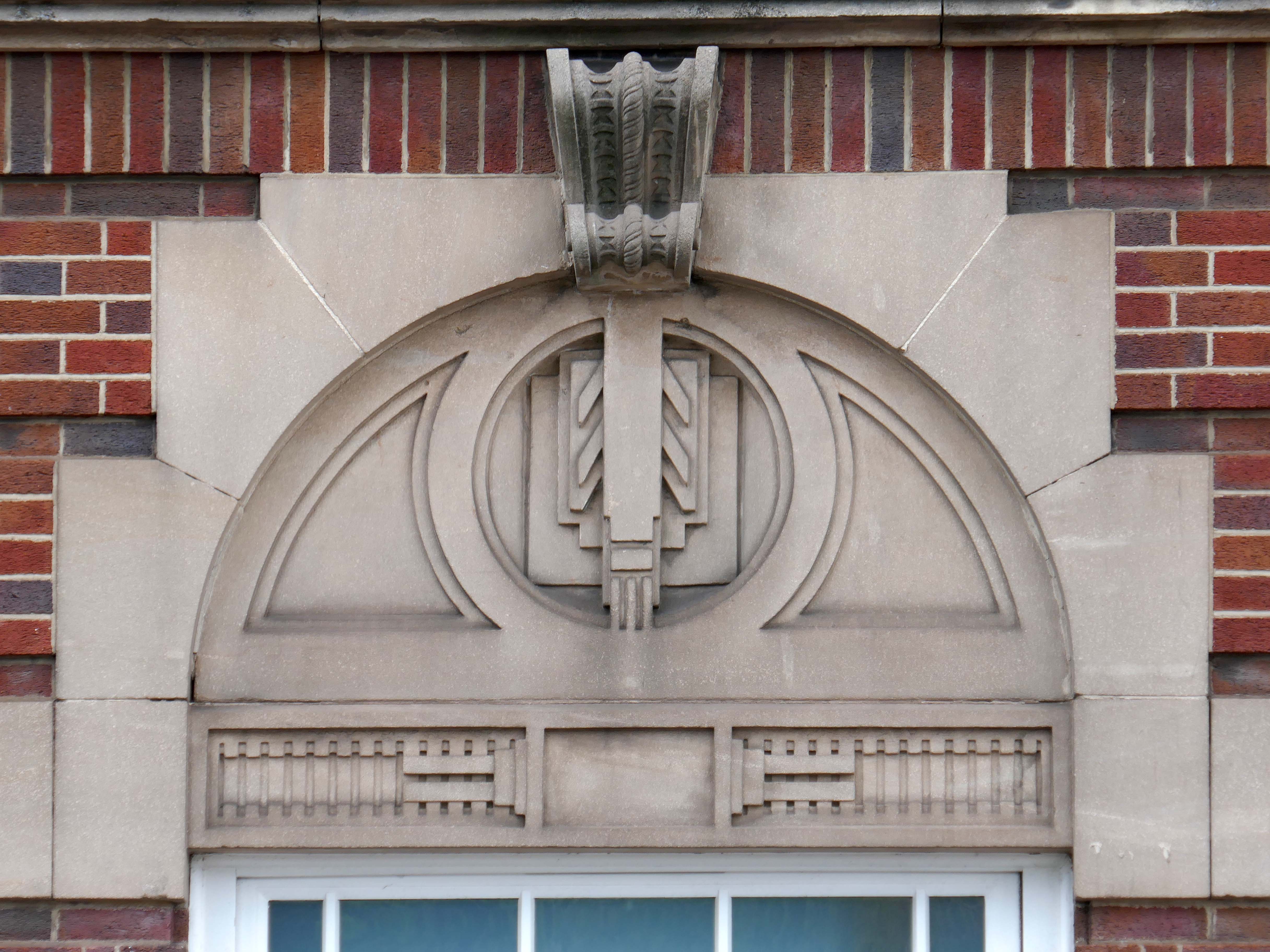
Onward to the County Technical College 1937 Grade II Listed – interior completed 1946.
The shell of the building was completed in 1937, after which it was used as an American army hospital during the war, then completed afterwards.
Heavily loaded with Art Deco details.
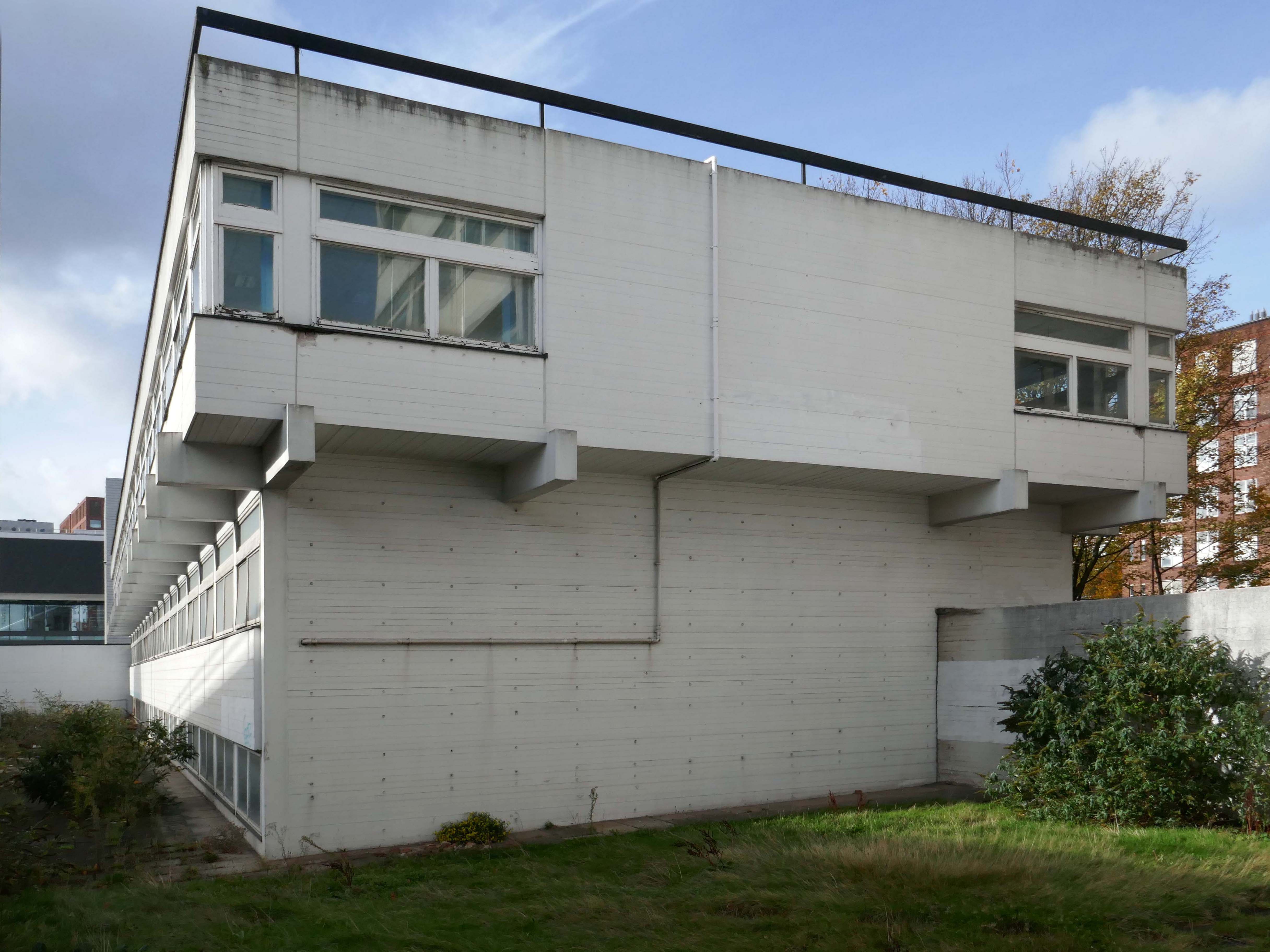
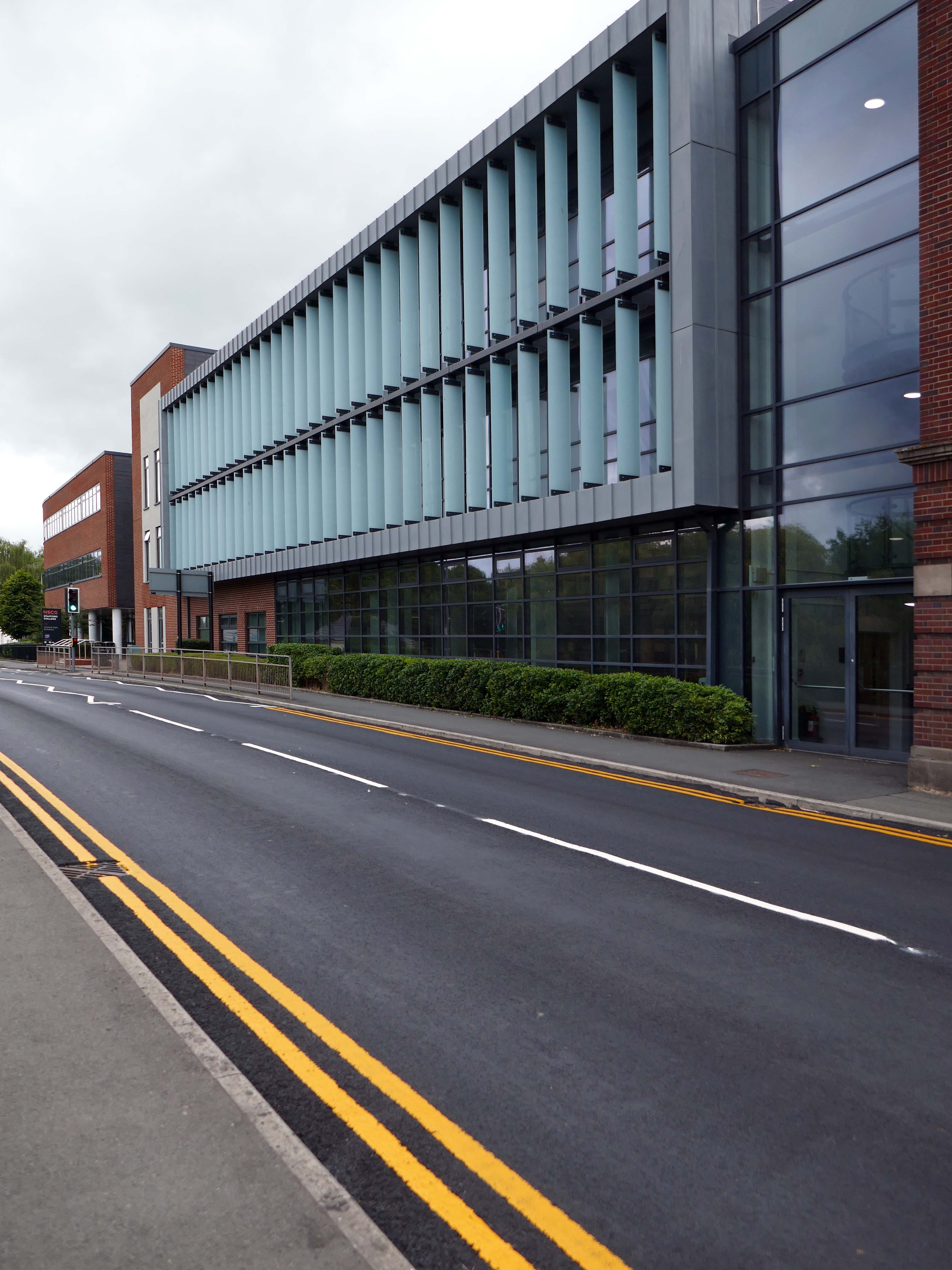
The new £28m three-storey Skills & Innovation Centre at Stafford College, completed in August 2023, was one of the first further education college schemes to be delivered under the DfE framework and a pathfinder scheme for delivery in accordance with the Further Education Output Specification. The new Centre is equipped with cutting-edge equipment and state-of-the-art facilities for construction, engineering and hybrid / electric vehicle maintenance facilities, as well as IT rich seminar suites and open learning break-out spaces along with a 4-court sports hall, a fully-equipped gym and a flexible 300-seat auditorium.
A 1970’s block was demolished to make way for the new development.
Almost everywhere we go we find a PoMo Crown Courts 1991 – architects: Associated Architects of Birmingham, cost of £10.4 million.
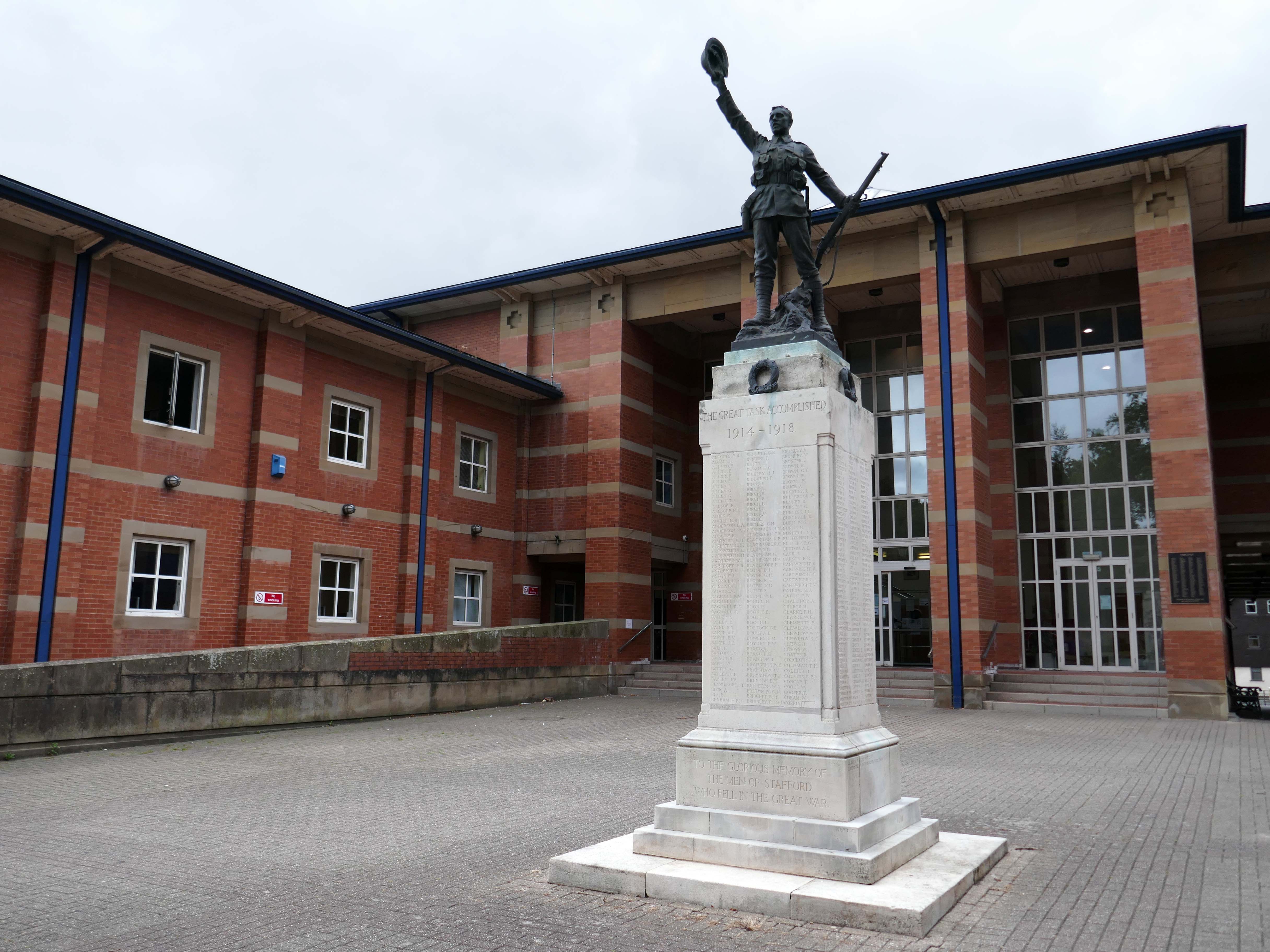
The war memorial of 1922 is by Joseph James Whitehead.
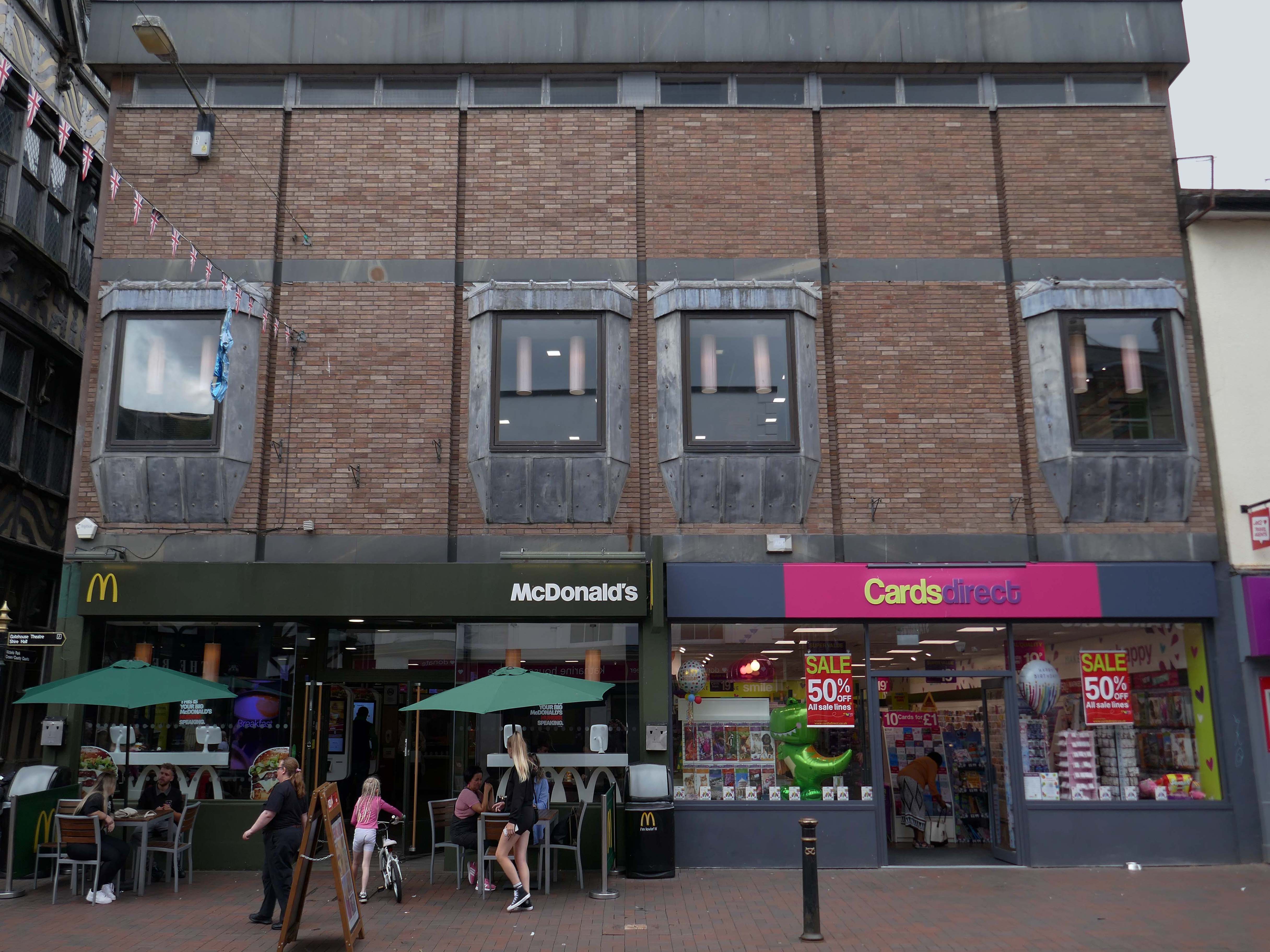
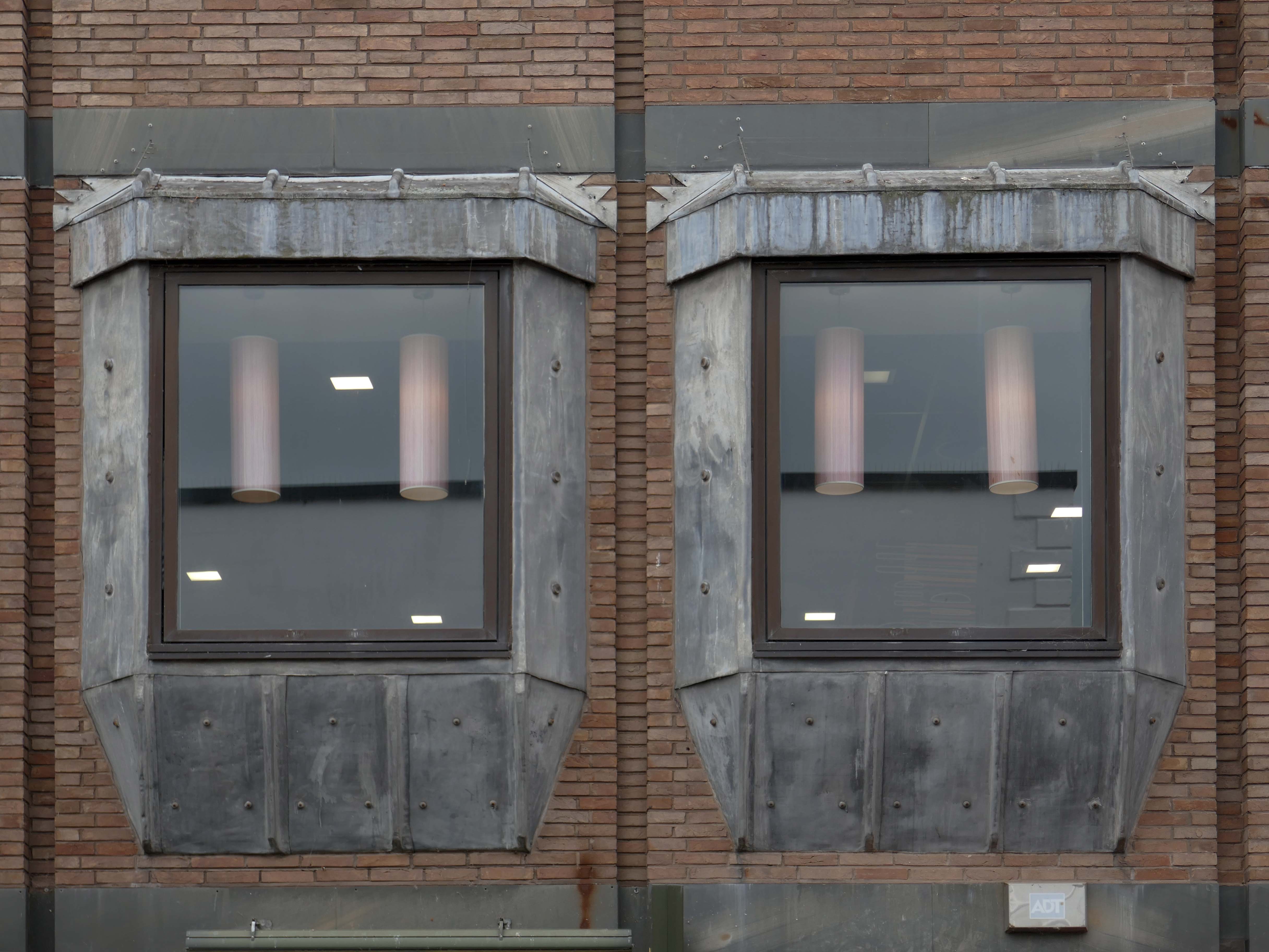
Sneaking through the alley to and before the McDonalds – one many more recent buildings with jetted lead clad bays.
Keeping the town Tudor one bay at a time..
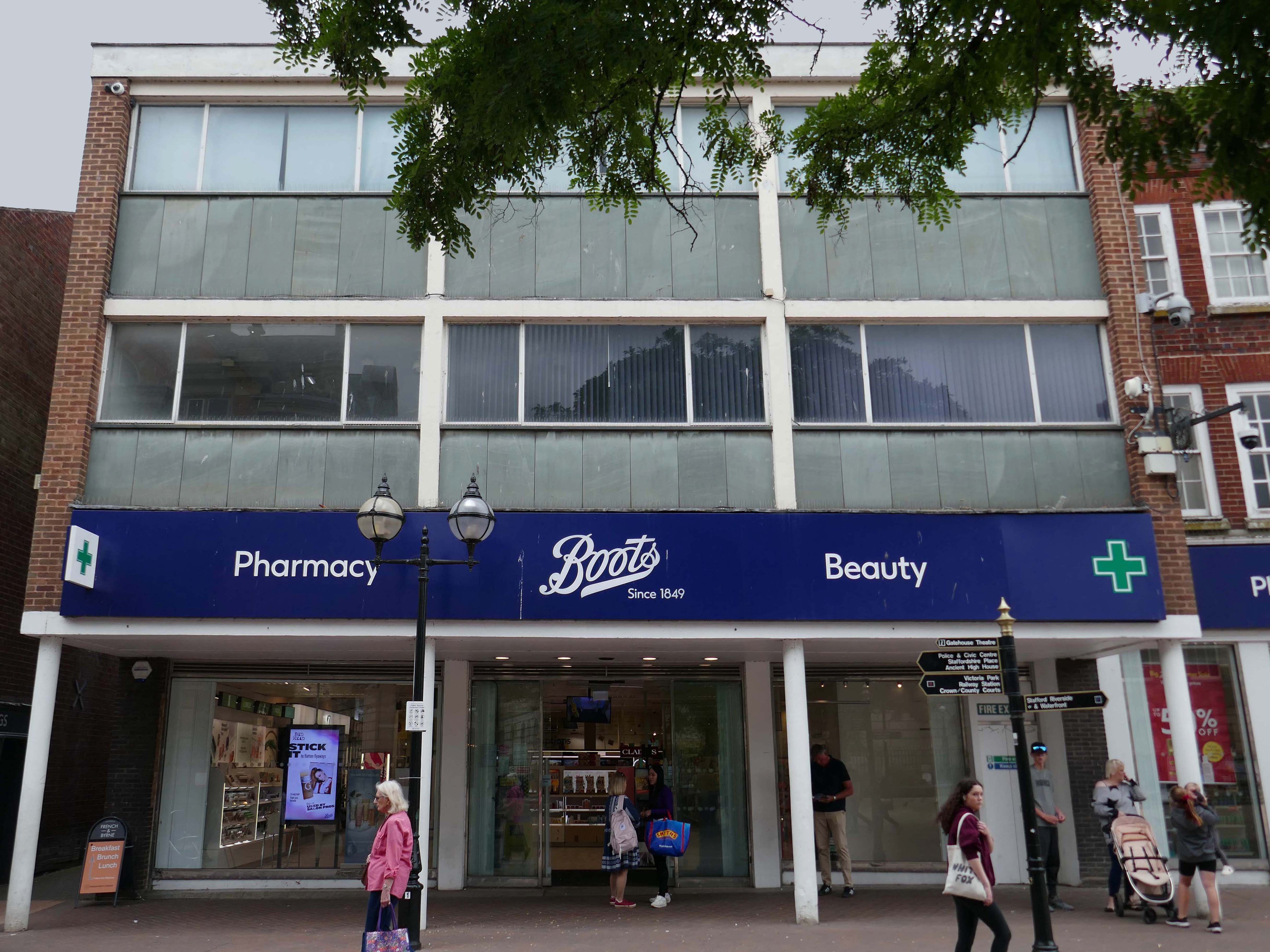
Further along a Sixties Boots.
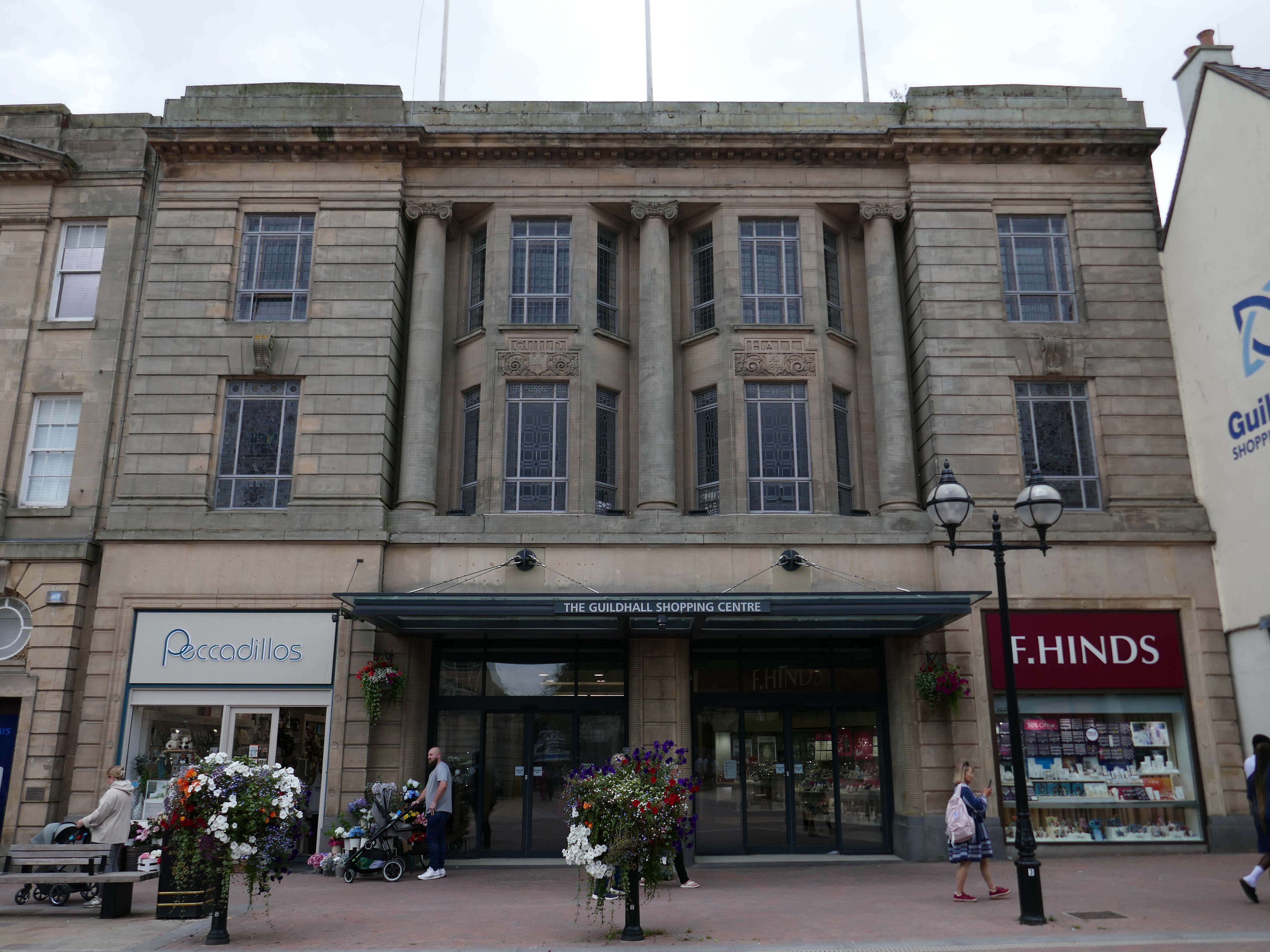
The Classical stone frontage of the Guildhall Shopping Centre.
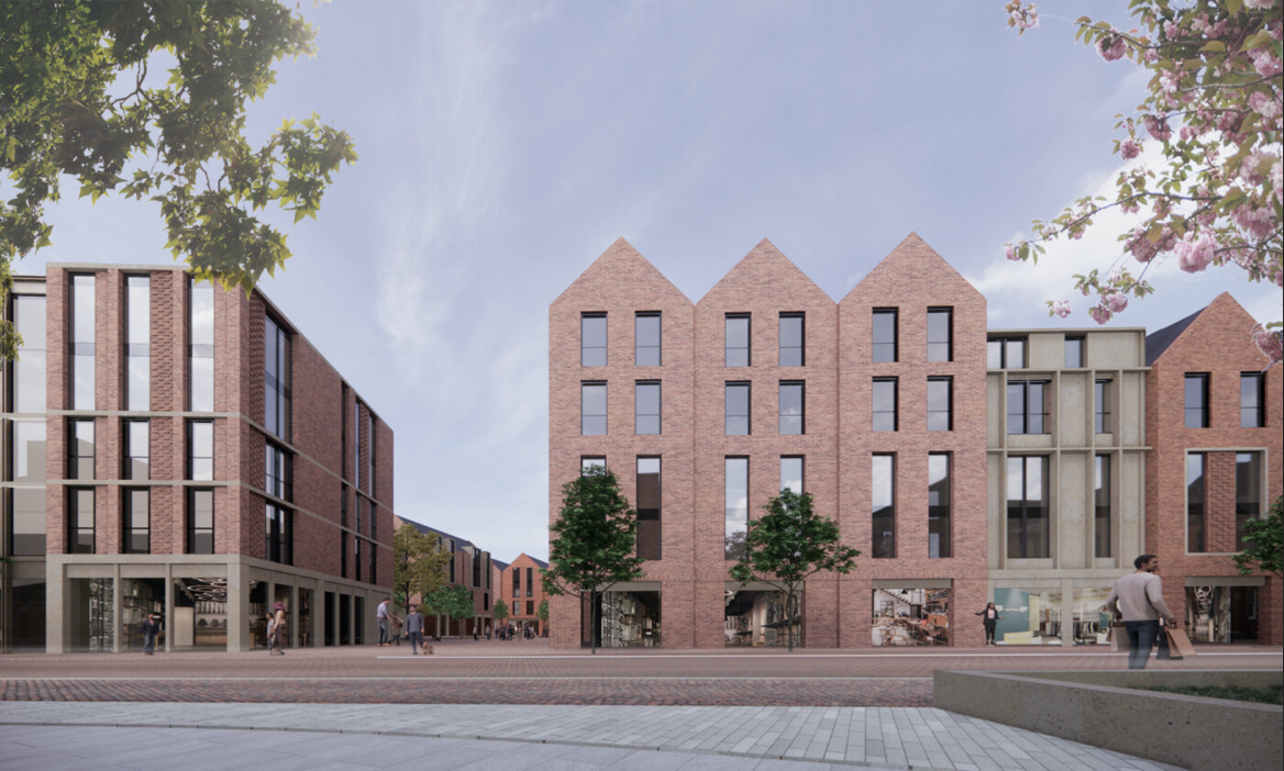
Working with Mercia Real Estate, Glancy Nicholls Architects have designed a contextual mixed-use scheme in the heart of Stafford Town Centre, within the footprint of a disused shopping centre. This includes the regeneration of the 1930’s Guildhall building that serves as the main entrance to the shopping centre and the listed Market Square building.
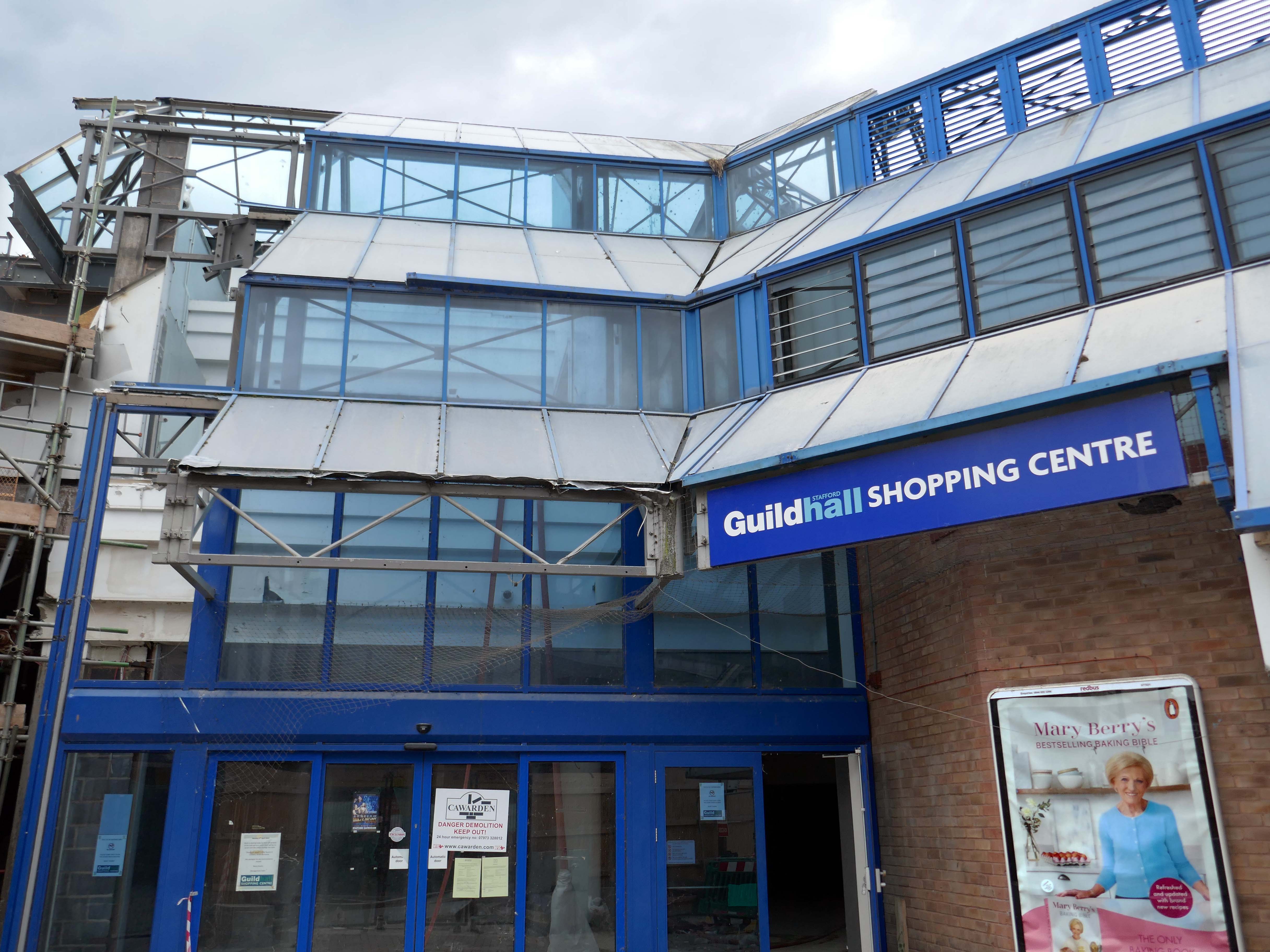
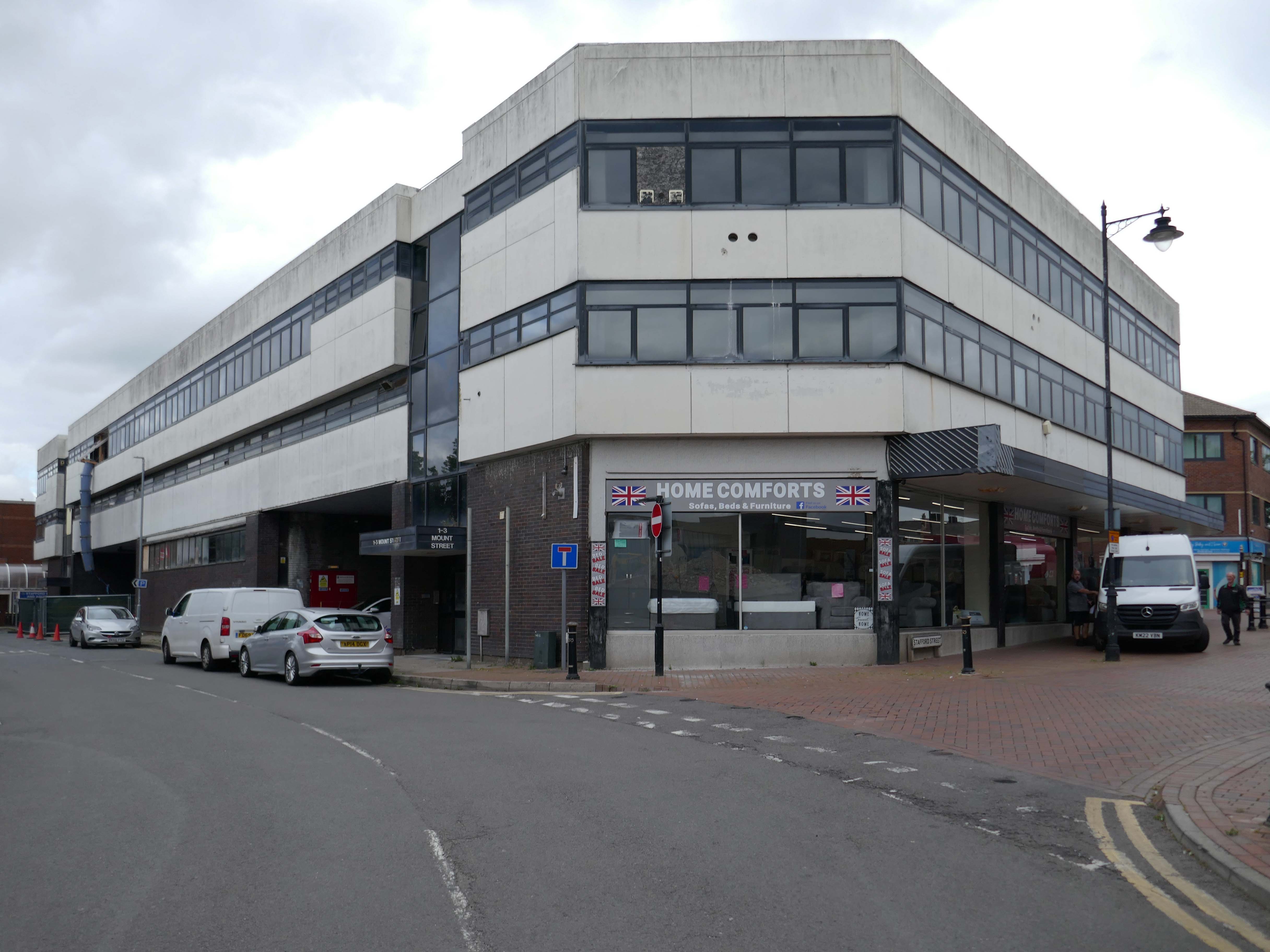
Around the corner a somewhat neglected retail development.
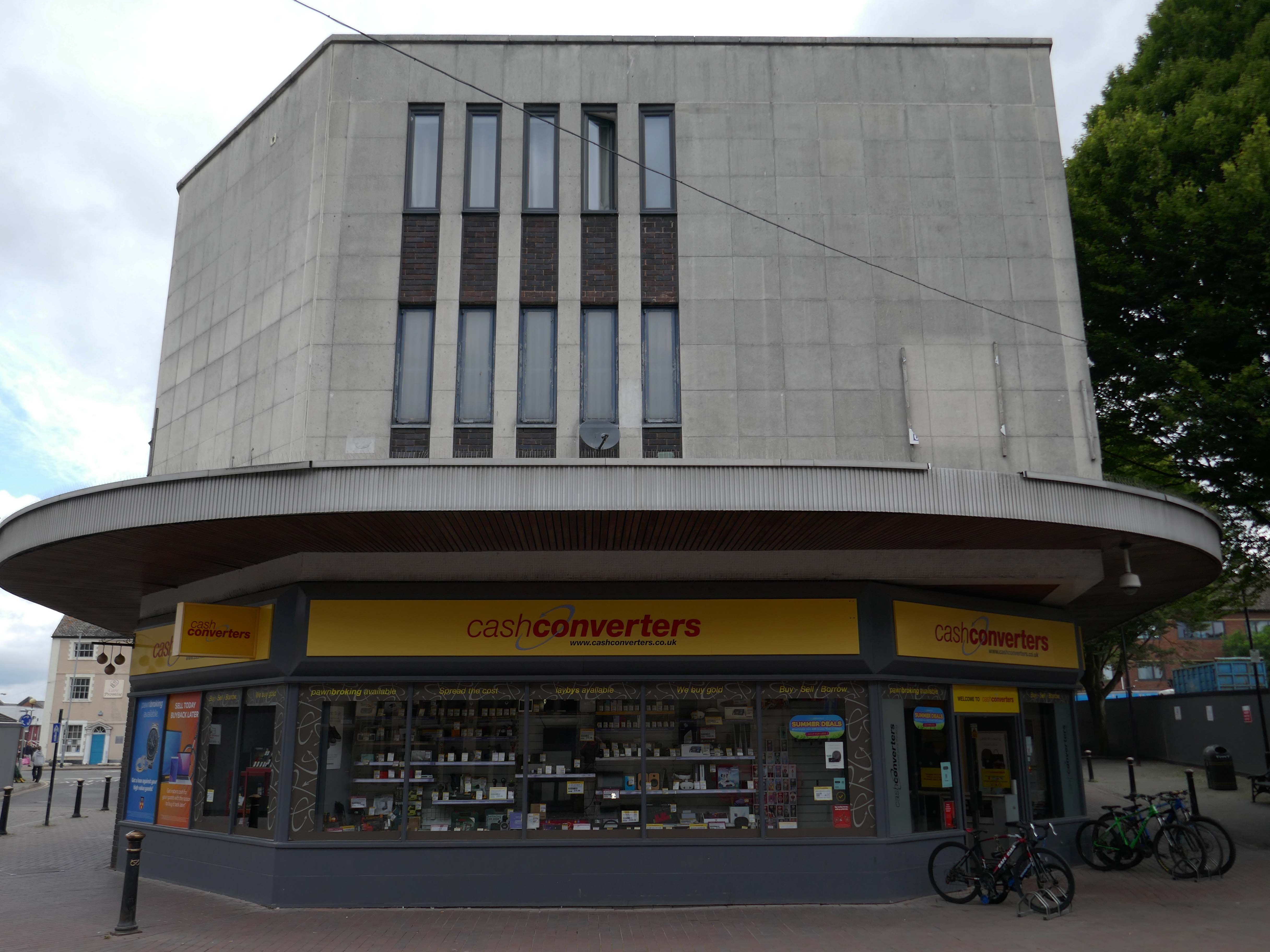
And a long lost Wilko.
Amidst it all the curious time warp that is Trinity Church 1988.
It is used by Methodist and United Reformed Church congregations.
Tucked away in a minor maze of retail a piece of figurative commemorative public art by Glynis Owen Jones, entitled Stafford Faces.
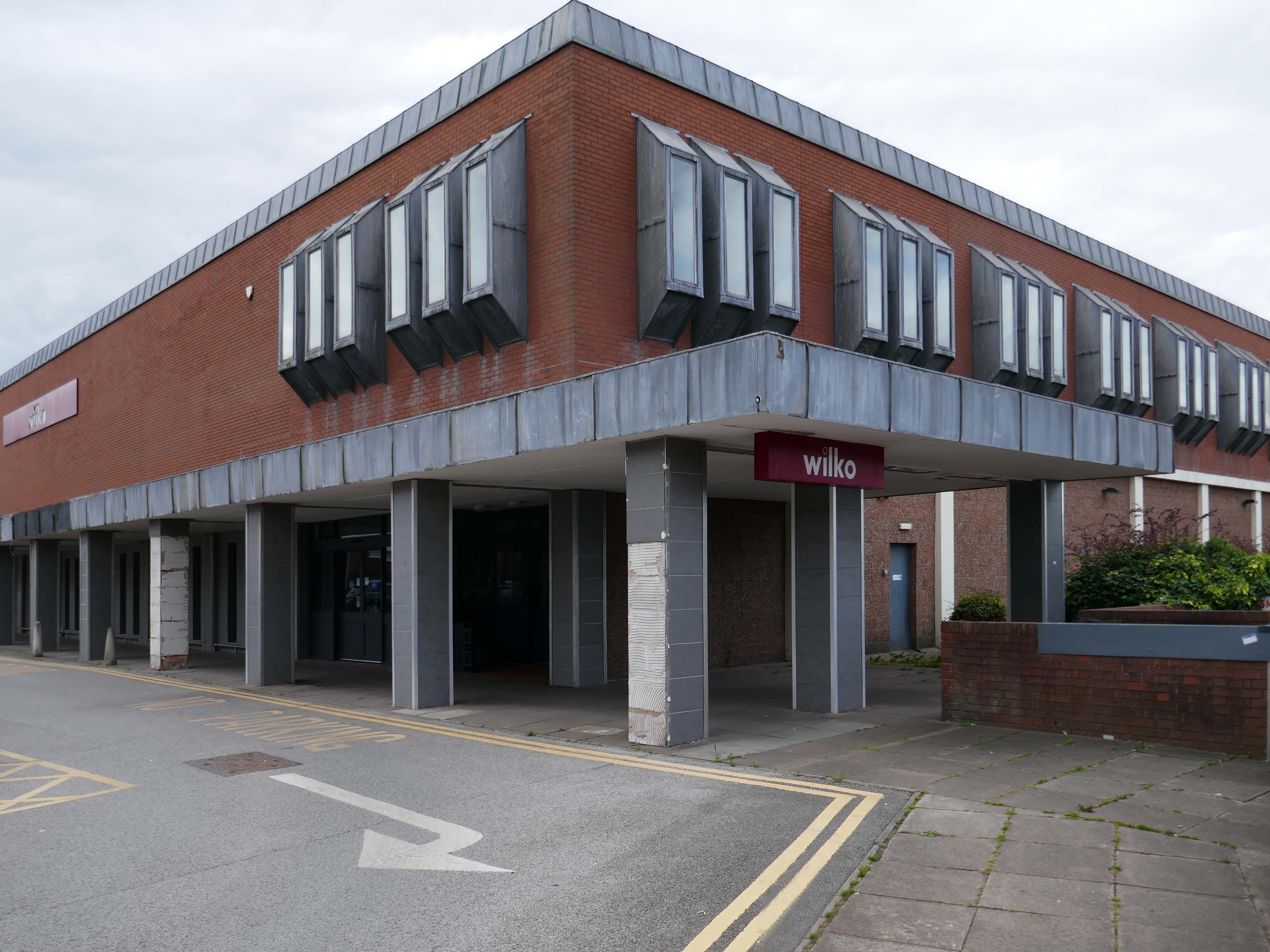
Around the corner a big B&M.
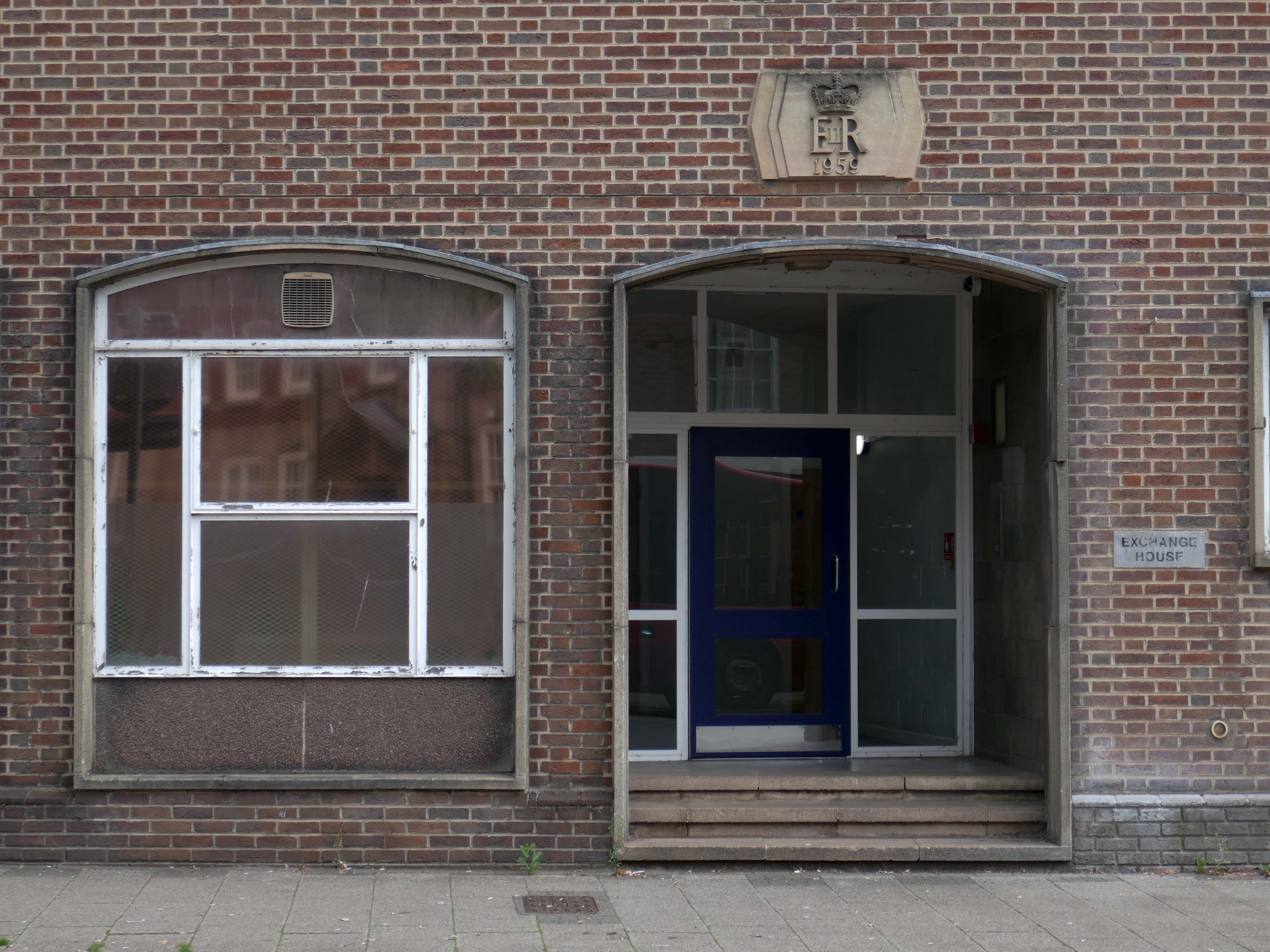
Further along a brick FoB Telephone Exchange of 1959.
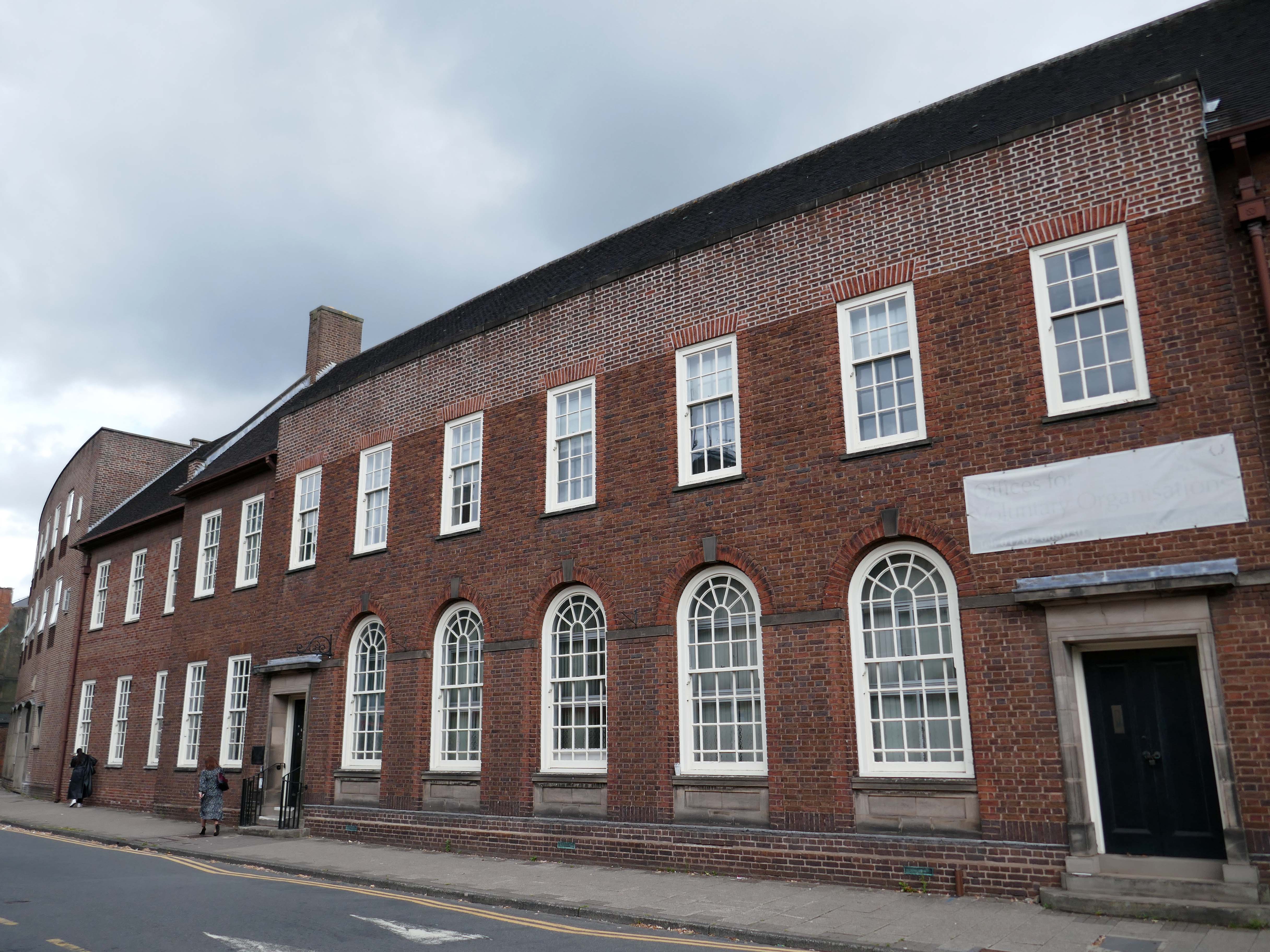
Adjoined by the County Records building.
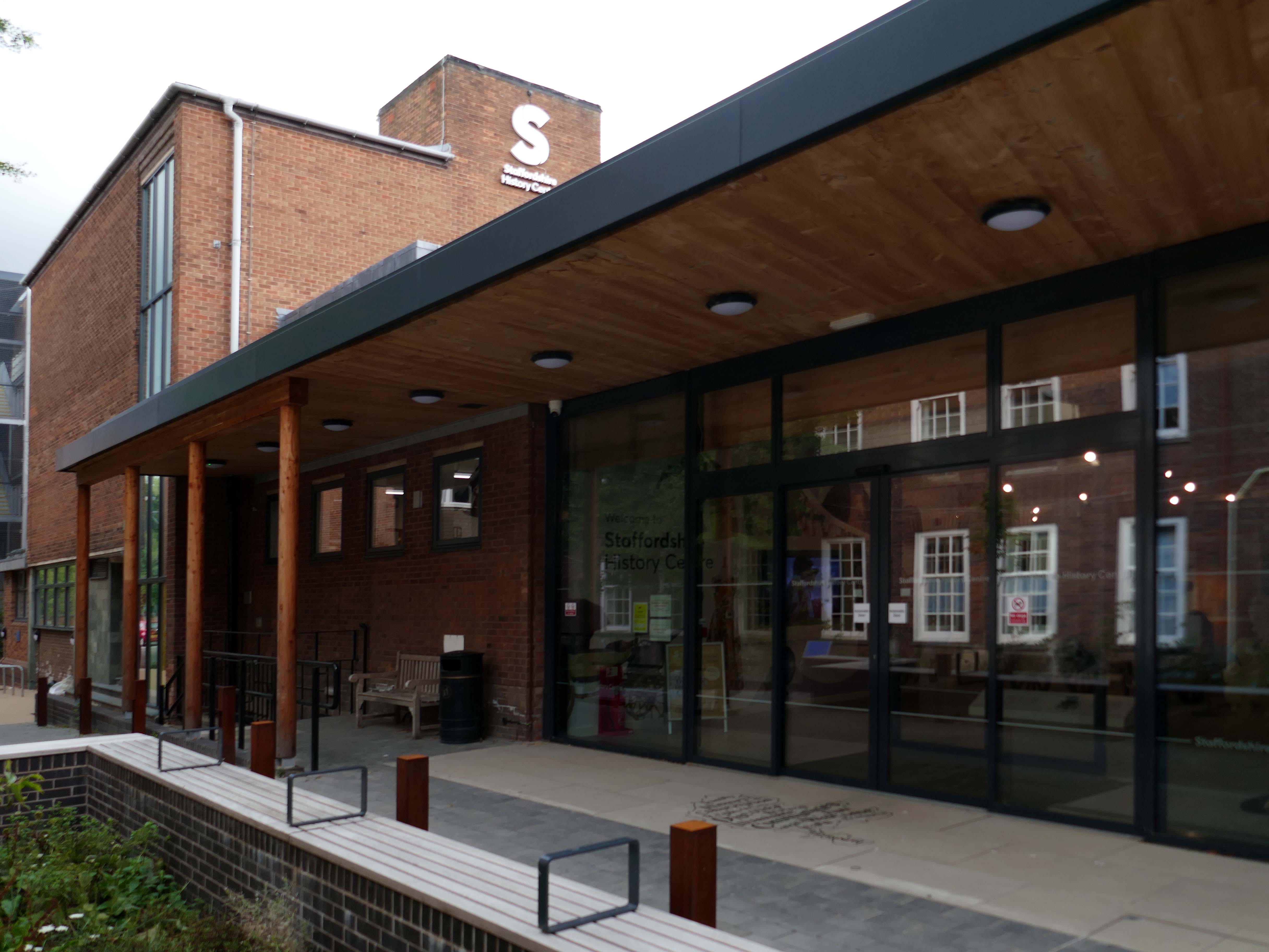
Pringle Richards Sharratt Architects have been appointed by Staffordshire County Council to create a new History Centre for Staffordshire and Stoke on Trent.
The new £4m centre will be located on Eastgate Street in Stafford and will hold historical records and collections up to 1,000 years old.
The scheme will help to provide a rejuvenated service combining the existing Records Office building and William Salt Library, in Stafford and provide a welcoming destination for all of those with an interest in local history. This will include bringing on to the Stafford site the Lichfield Records Office and aspects of the County museum.
Further FoB in the Civic Building.
Close by the Staffordshire Place a civic and retail mixed use development.
Our scheme delivers 135,000 ft2 of high quality contemporary office space across two buildings linked by a new town square. The ground floor incorporates a mix of retail and leisure uses around a sequence of smaller public spaces to maximise the amount of visible active frontage and create a natural extension to the town centre.
Sustainability issues fundamentally informed the design approach, from mitigating energy consumption to ‘future proofing’ the finished building. The building achieves a BREEAM ‘Excellent’ rating and a European Energy Performance of Buildings Directive Rating ‘A’.
Surprise surprise another retail development Riverside.
£70m riverside town centre retail and leisure development in the heart of Stafford. The 230,000 sq. ft. scheme anchored by M&S will deliver 18 retail units arranged over ground and first floors, five leisure units and a six-screen cinema to complement and strengthen the town centre economy and create new businesses and jobs.
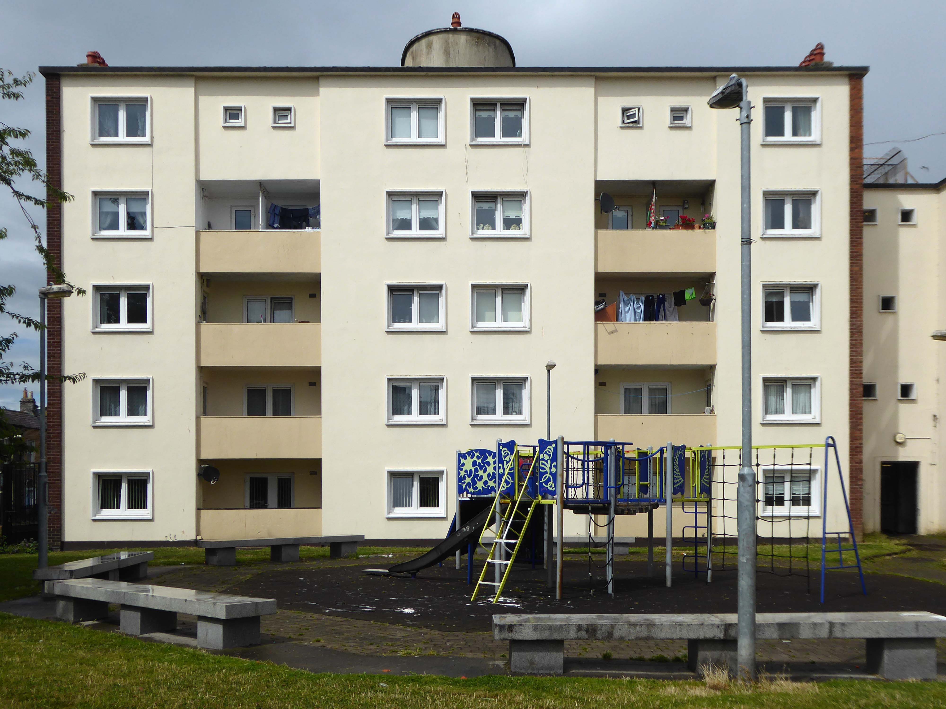
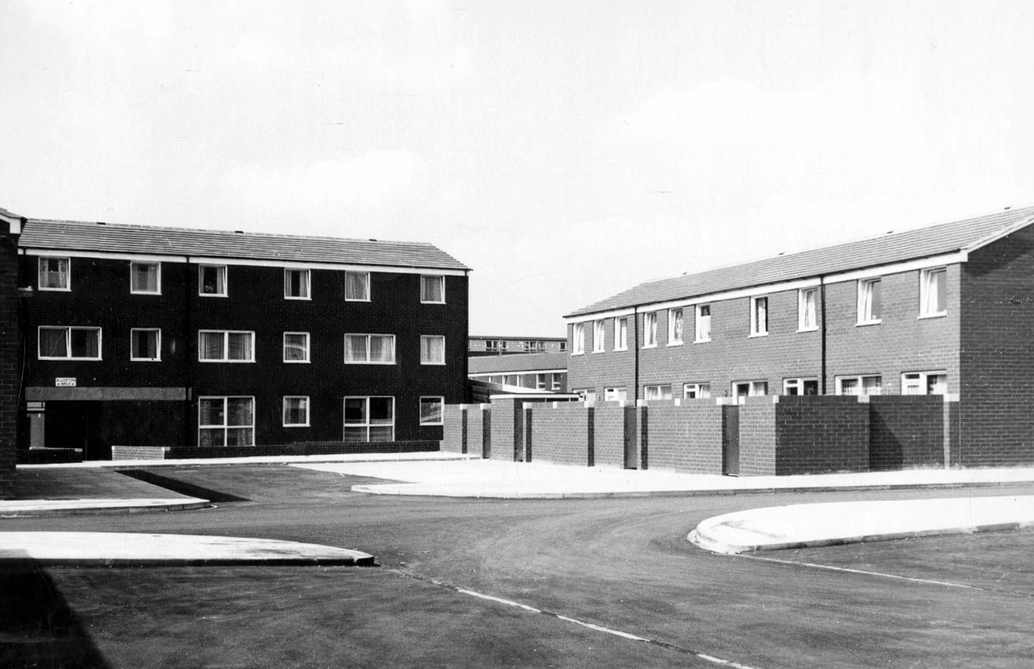
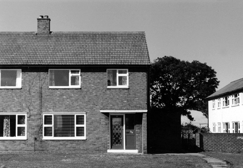
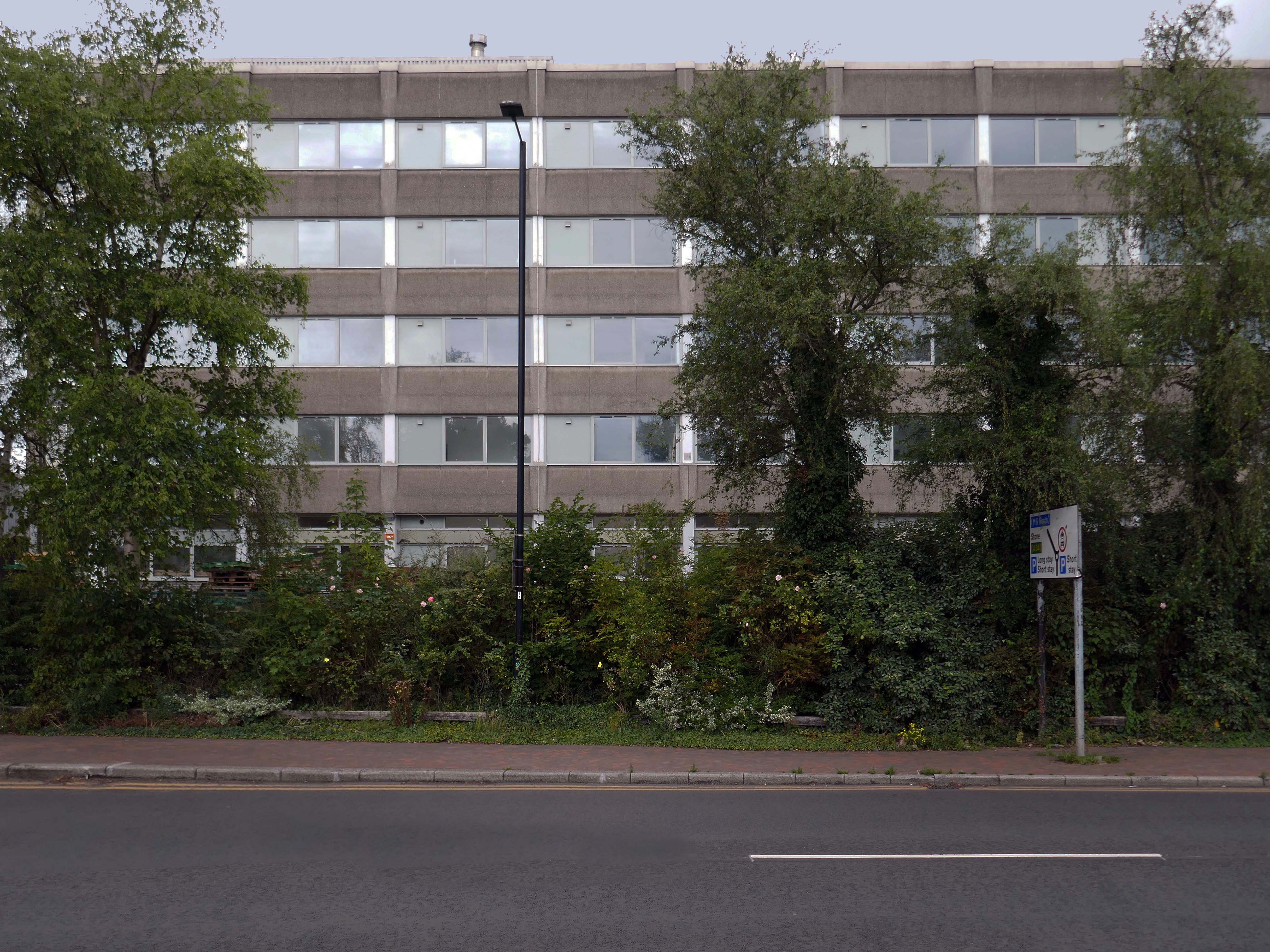
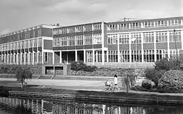
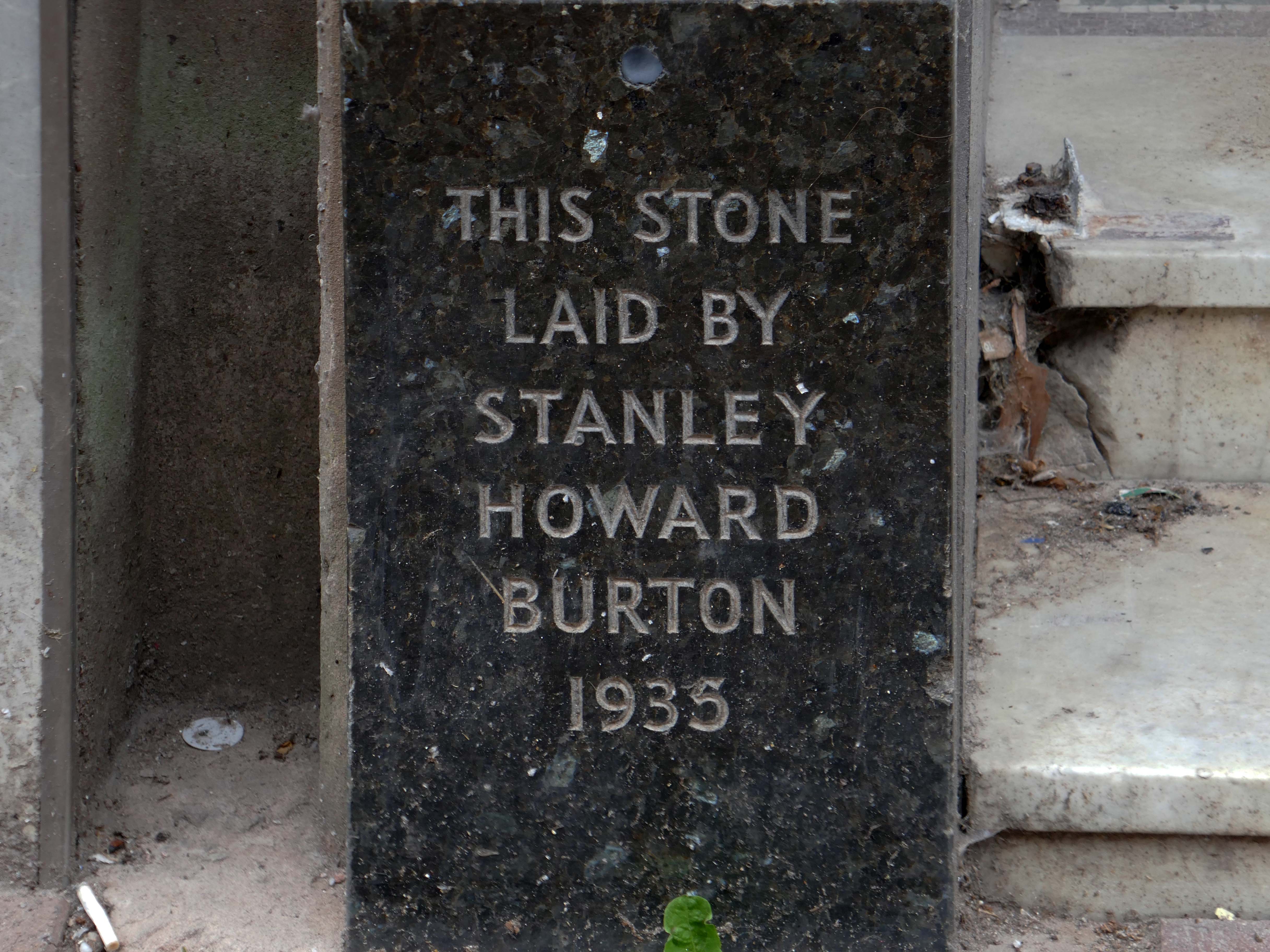
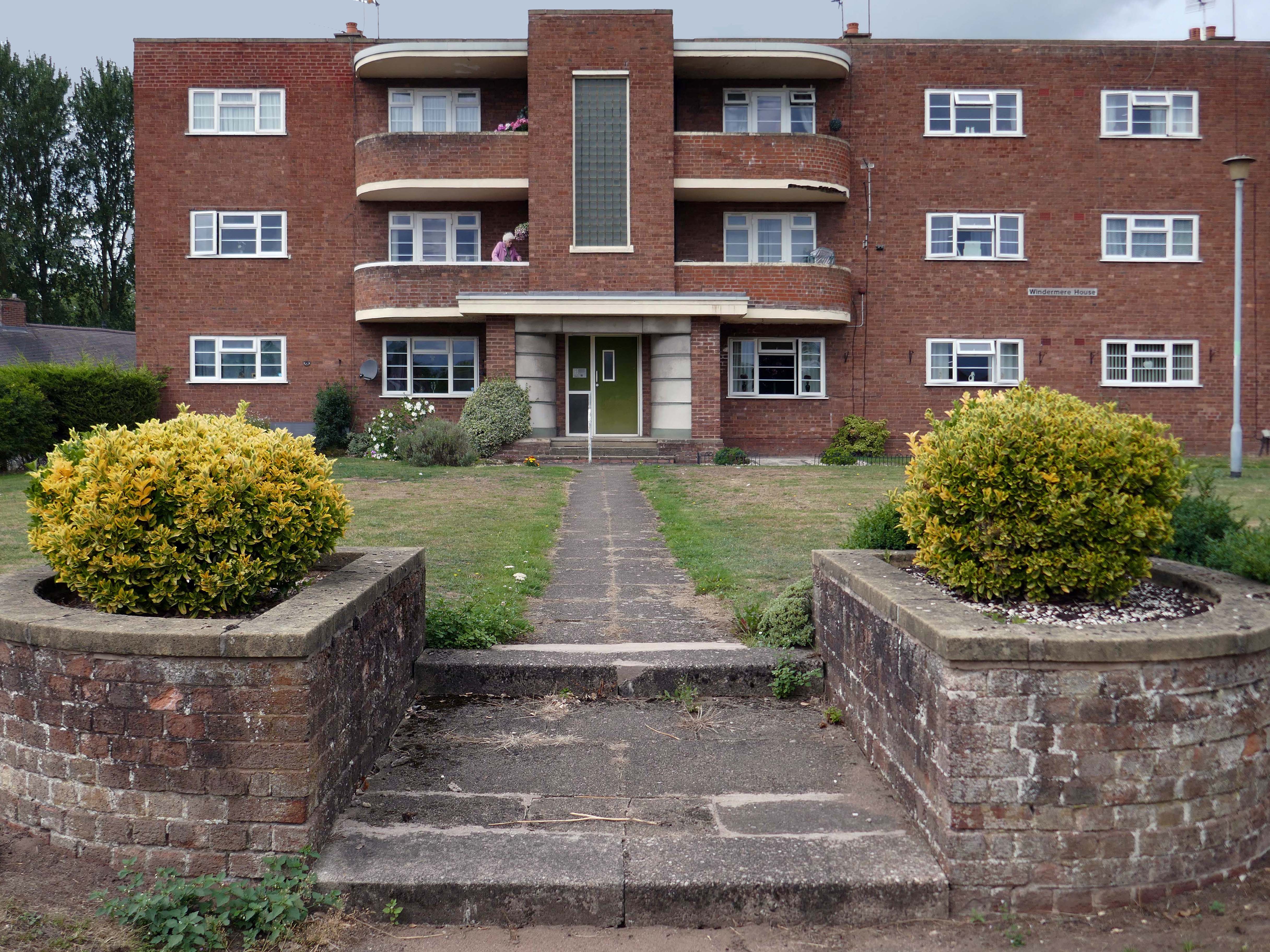
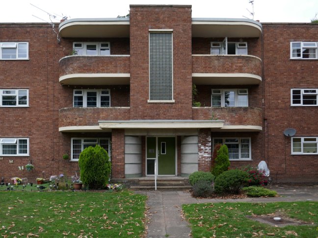
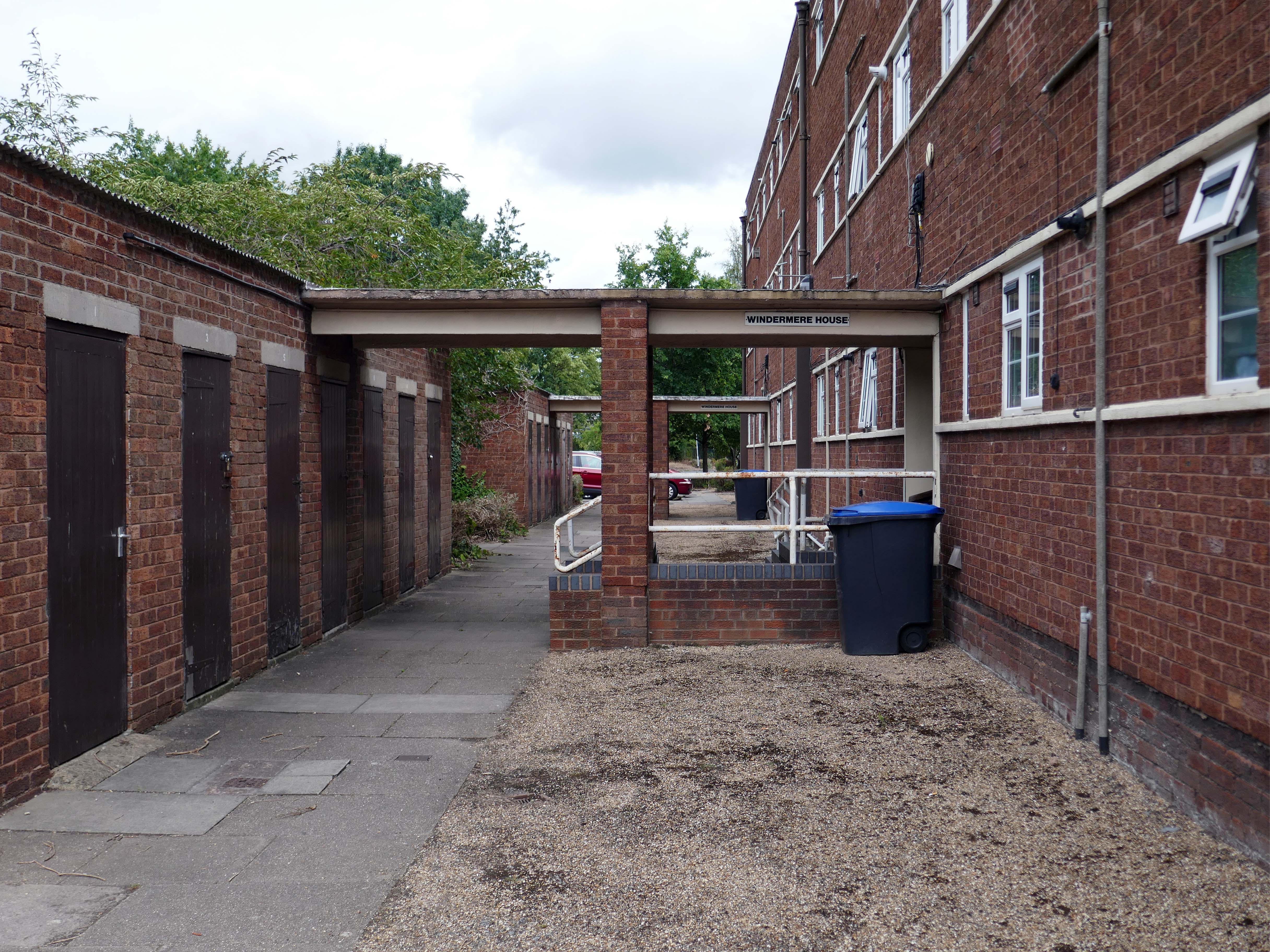
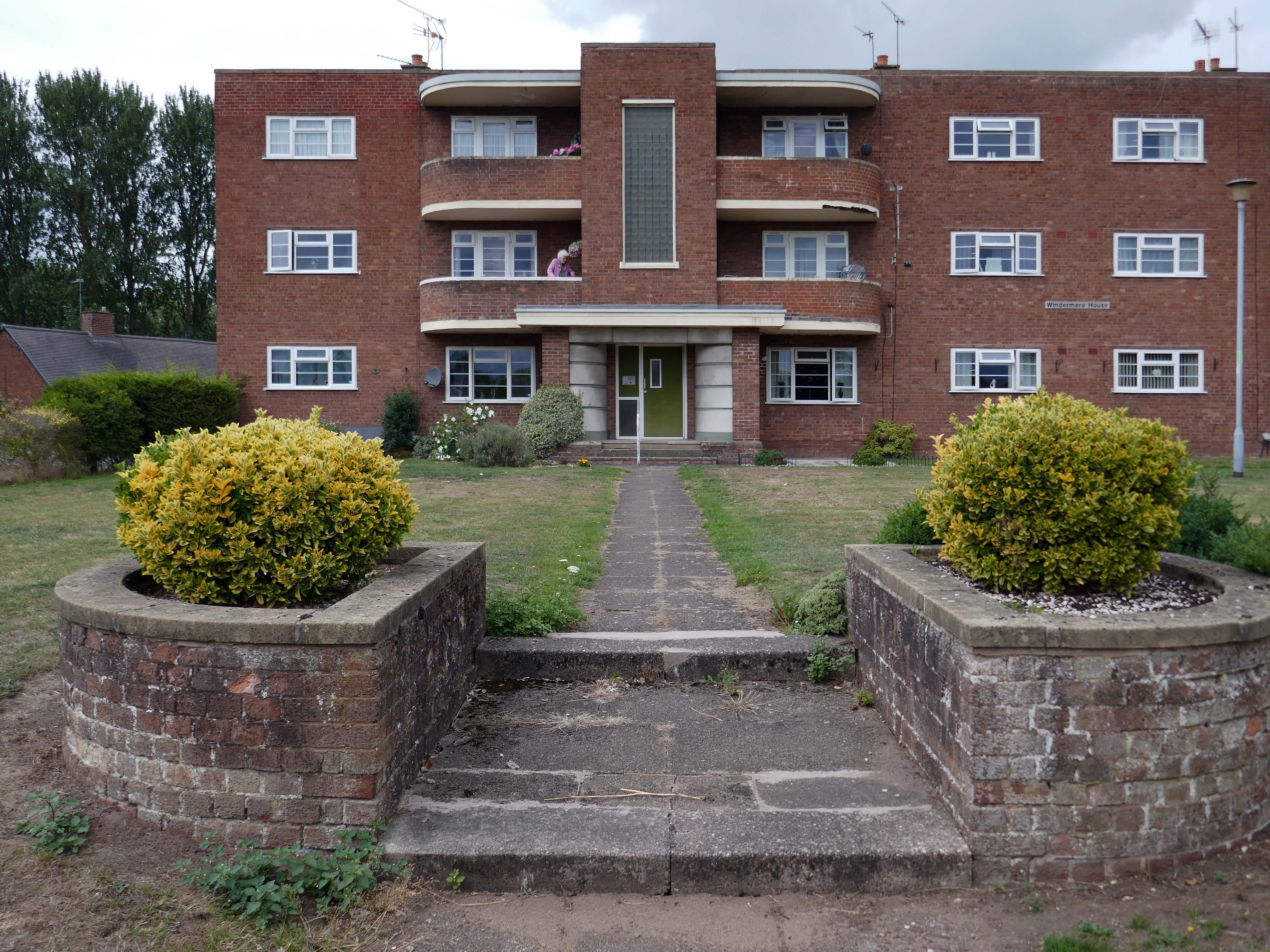
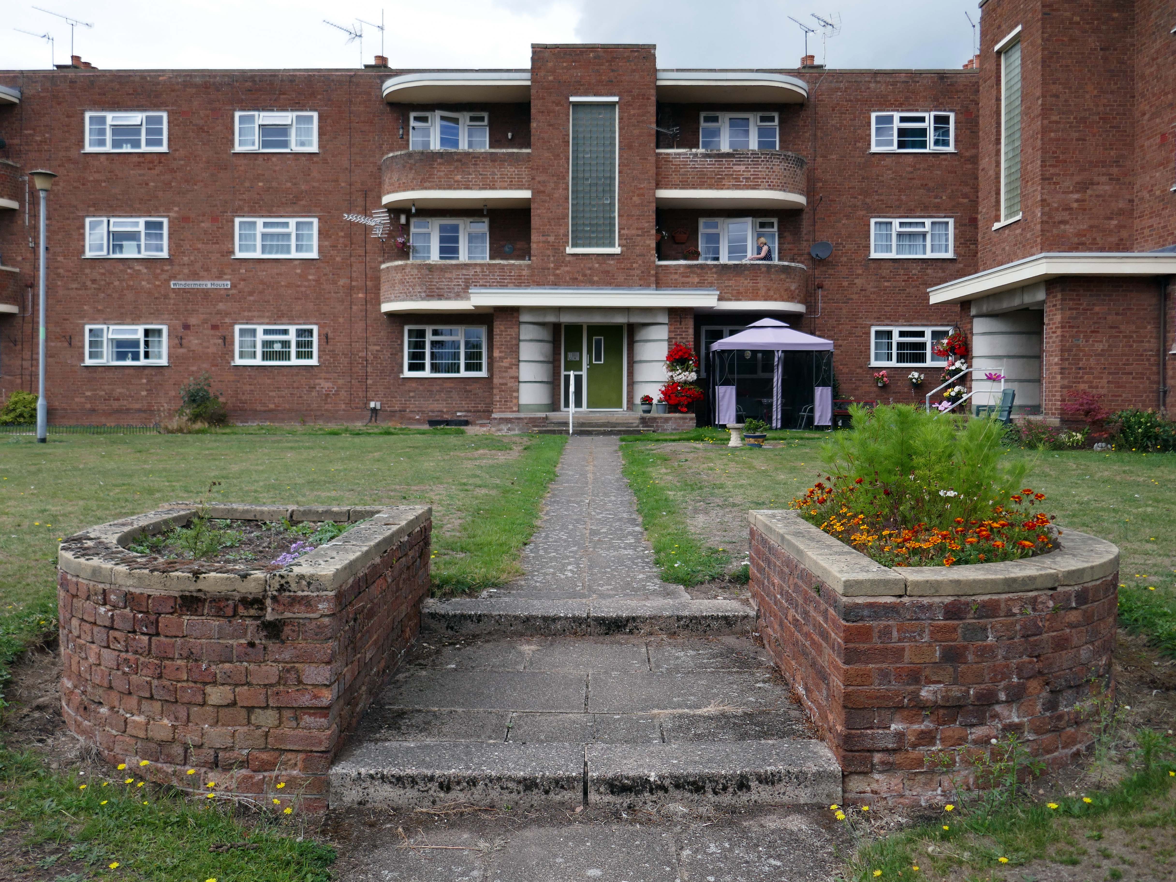
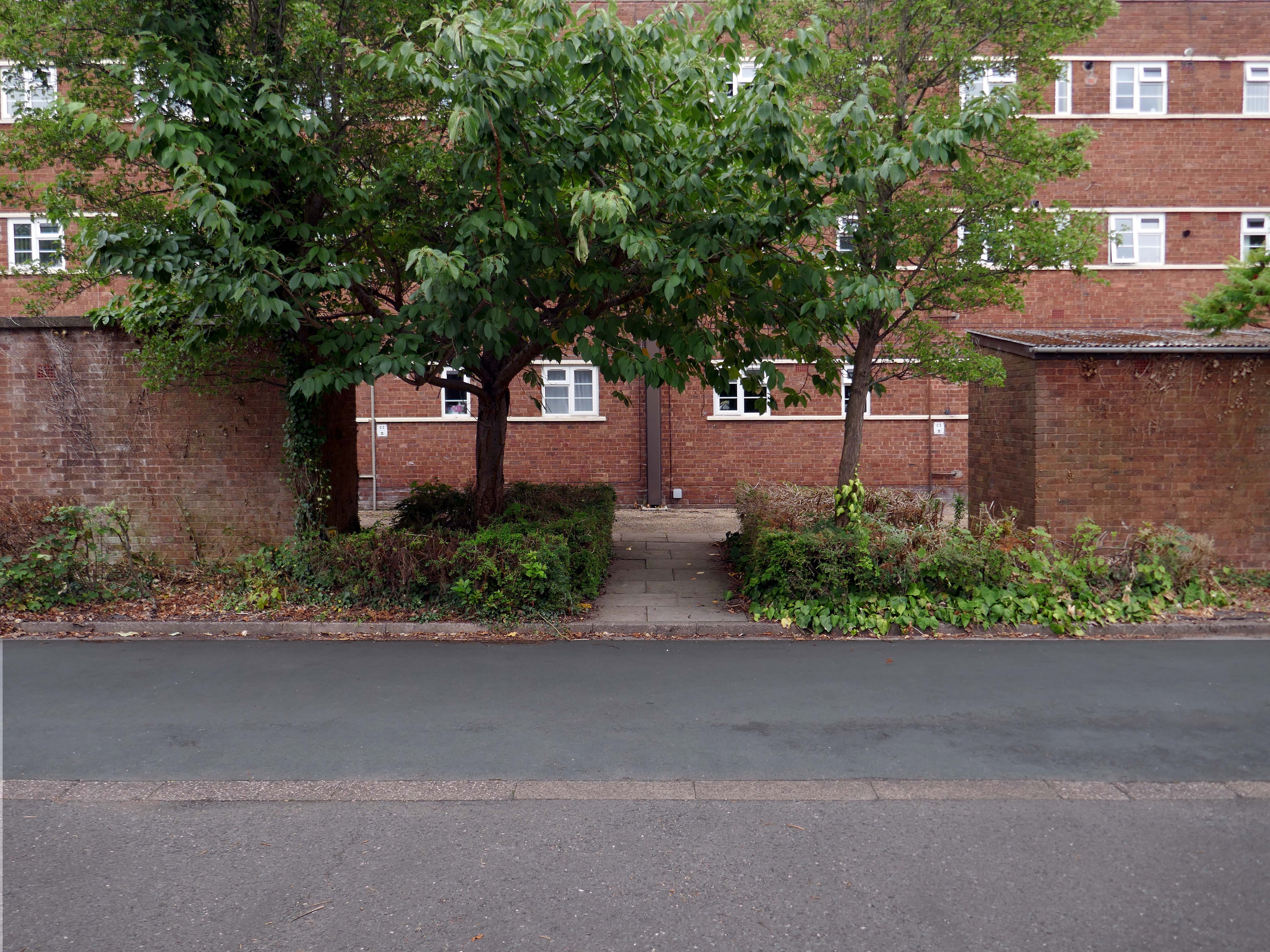
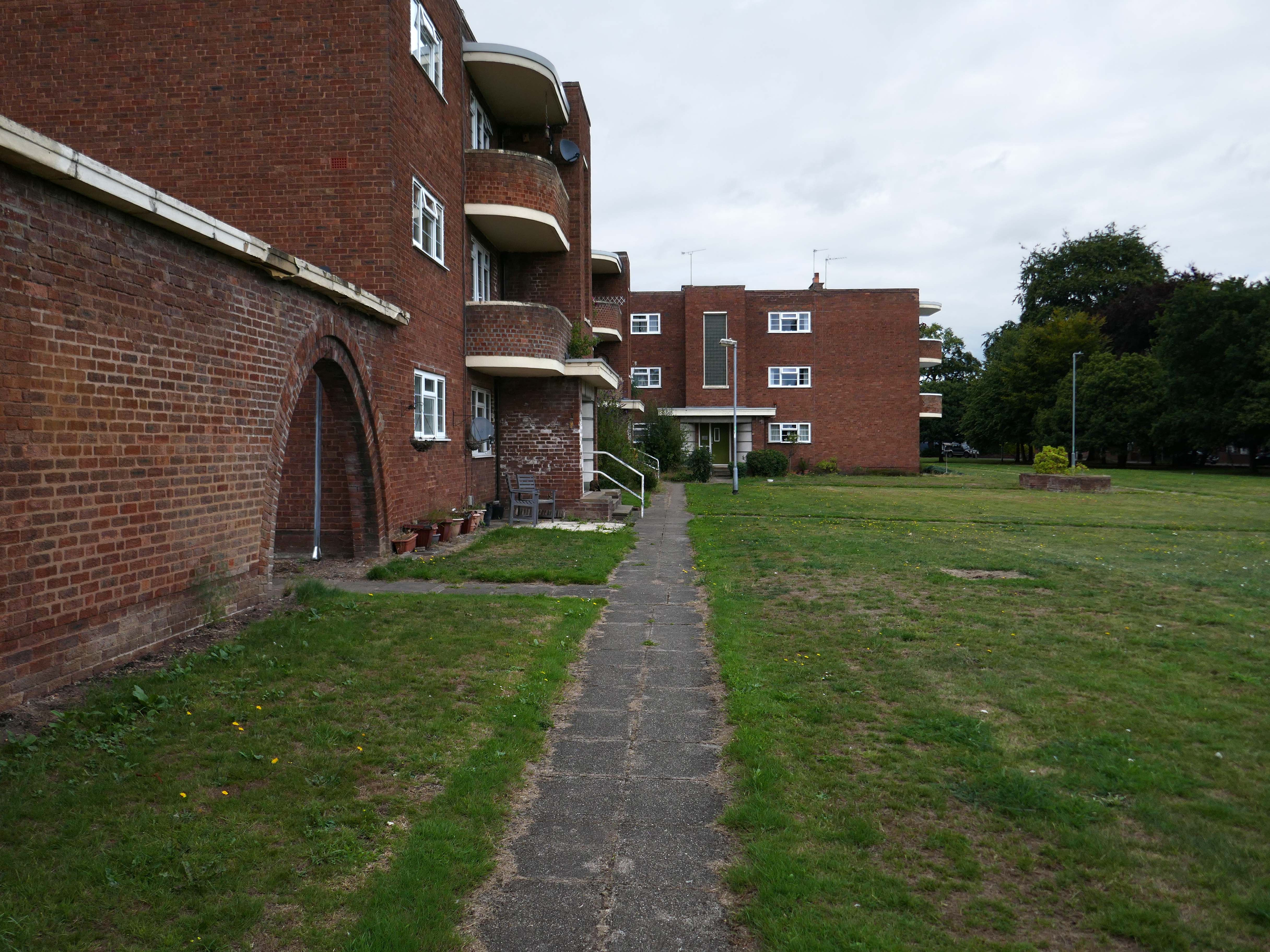
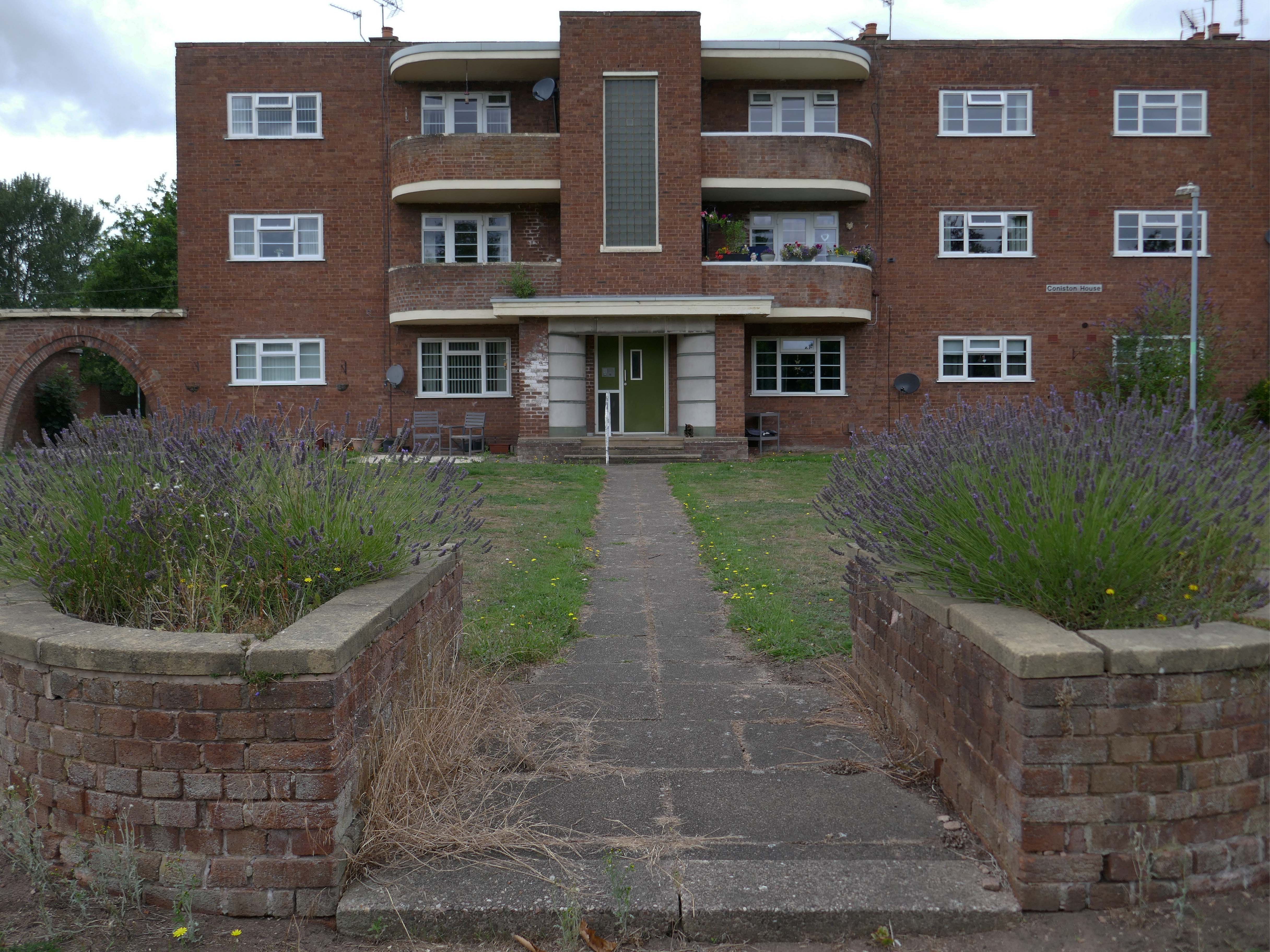
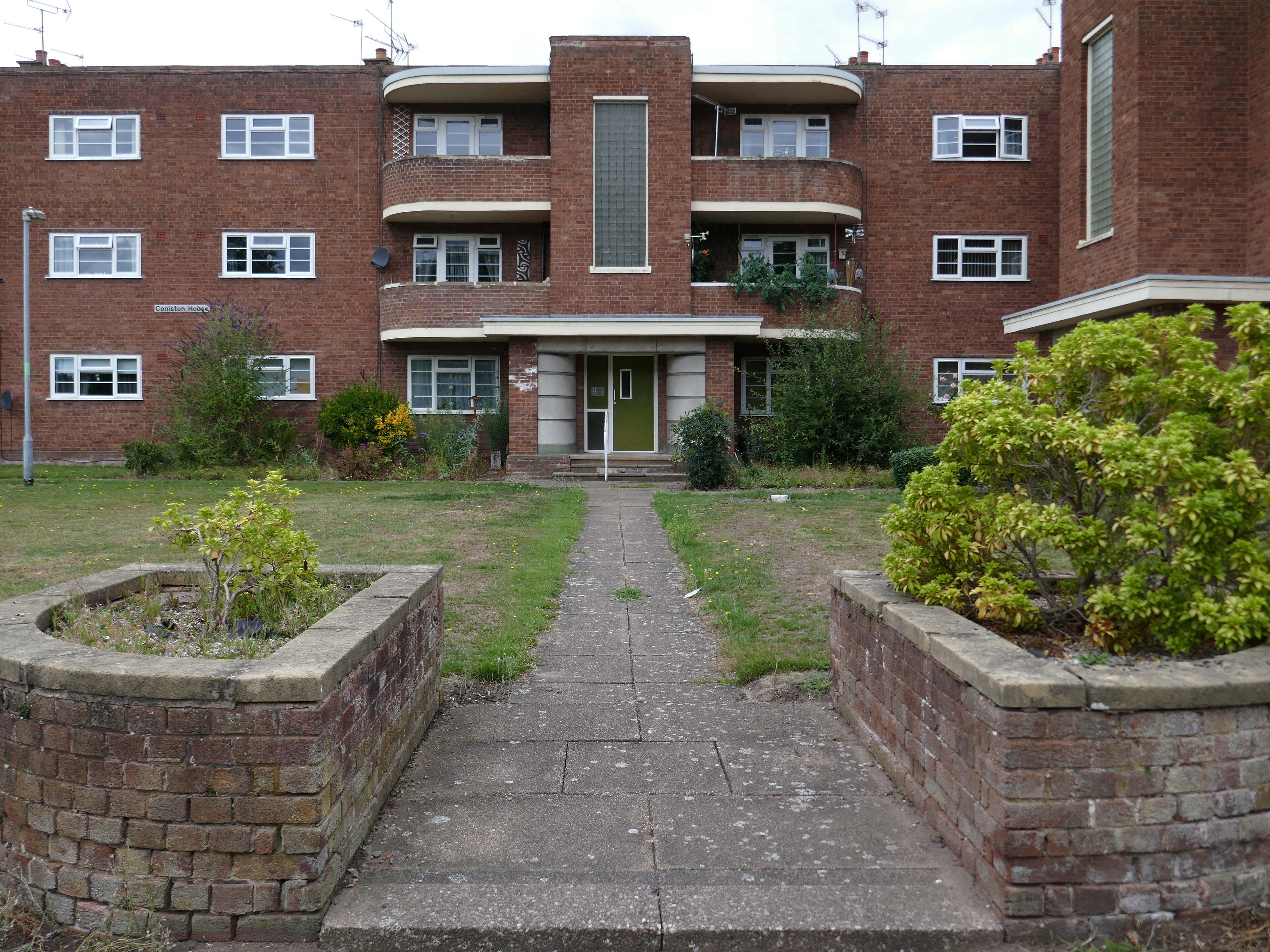
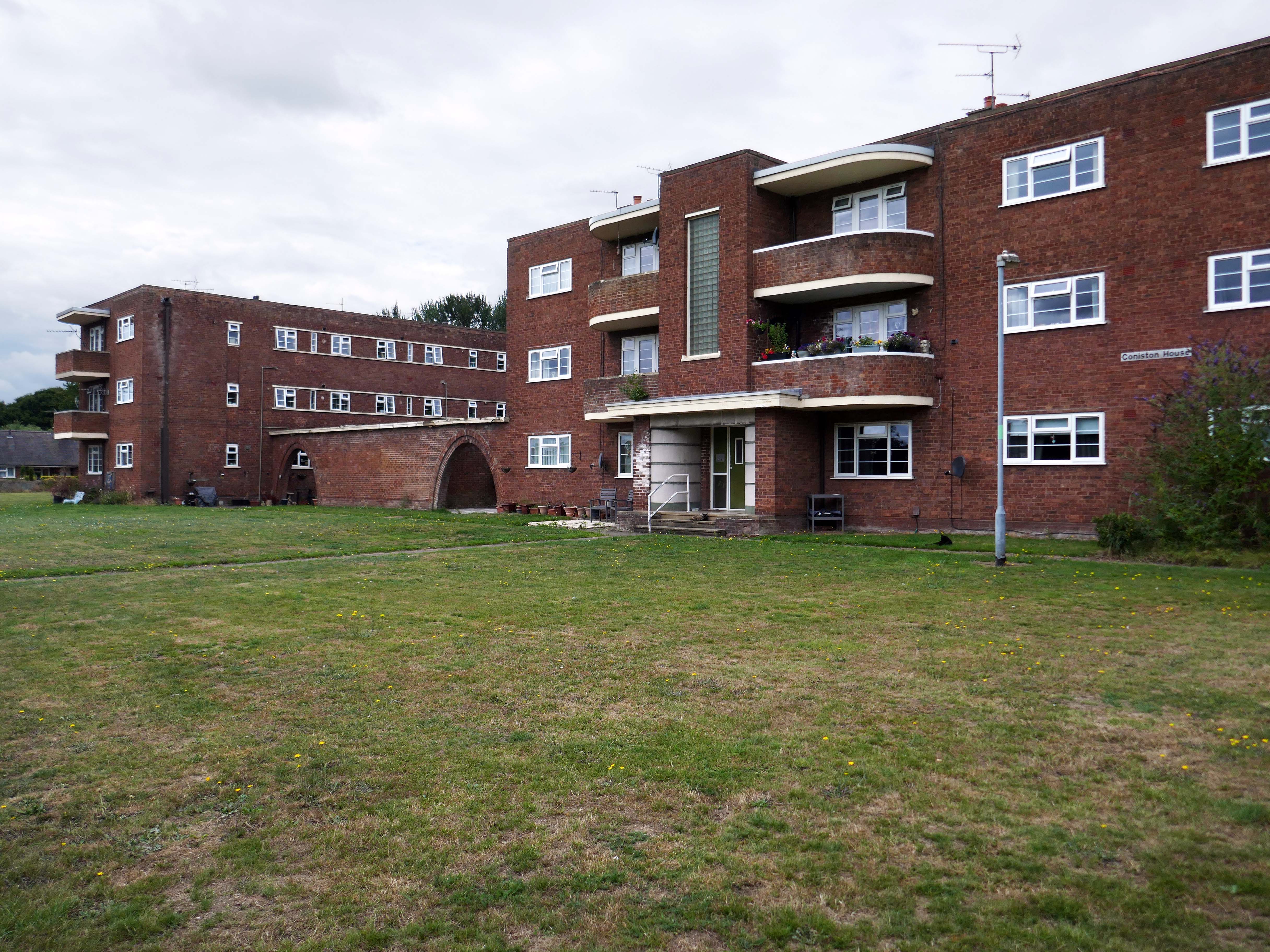
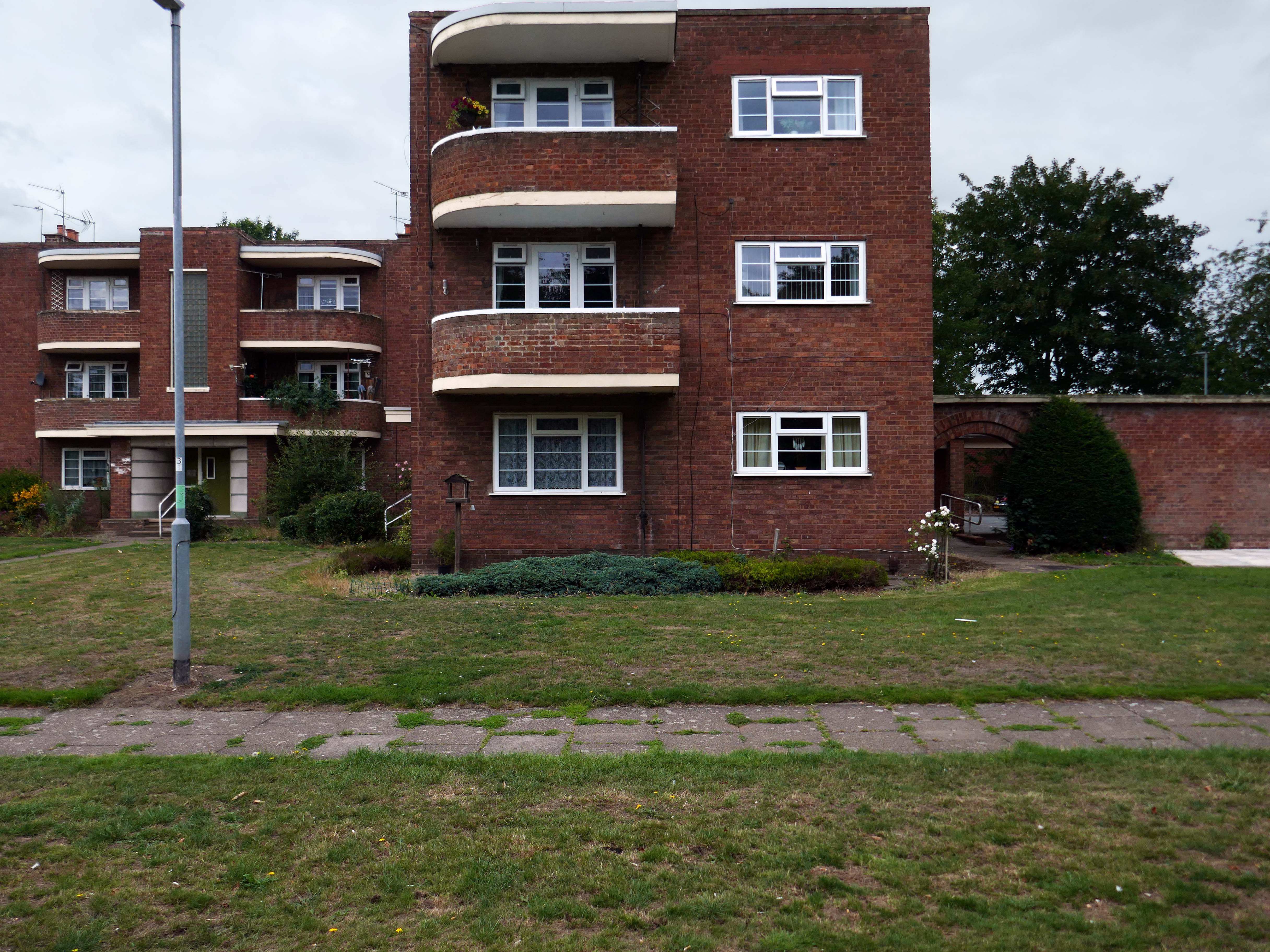
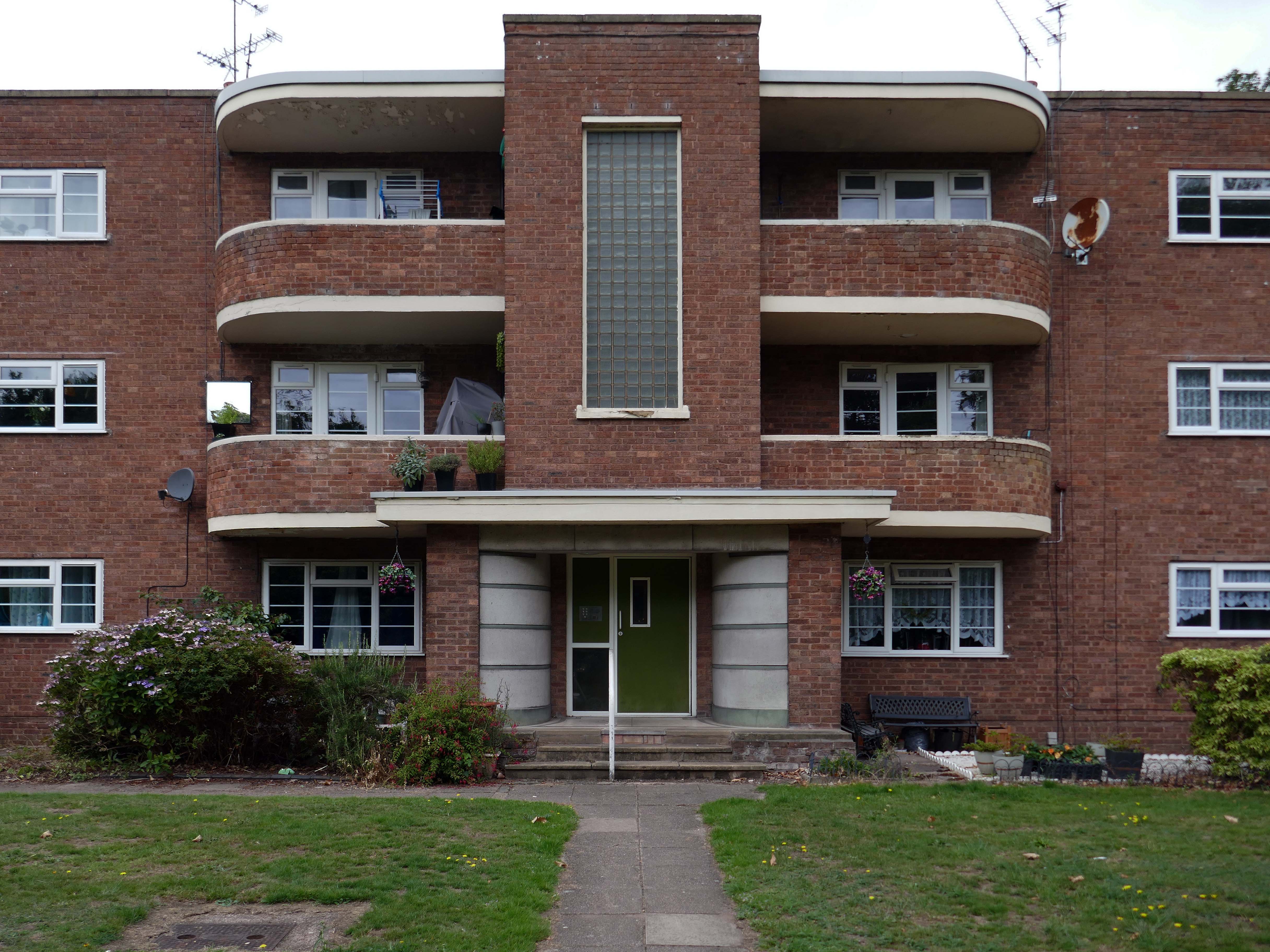
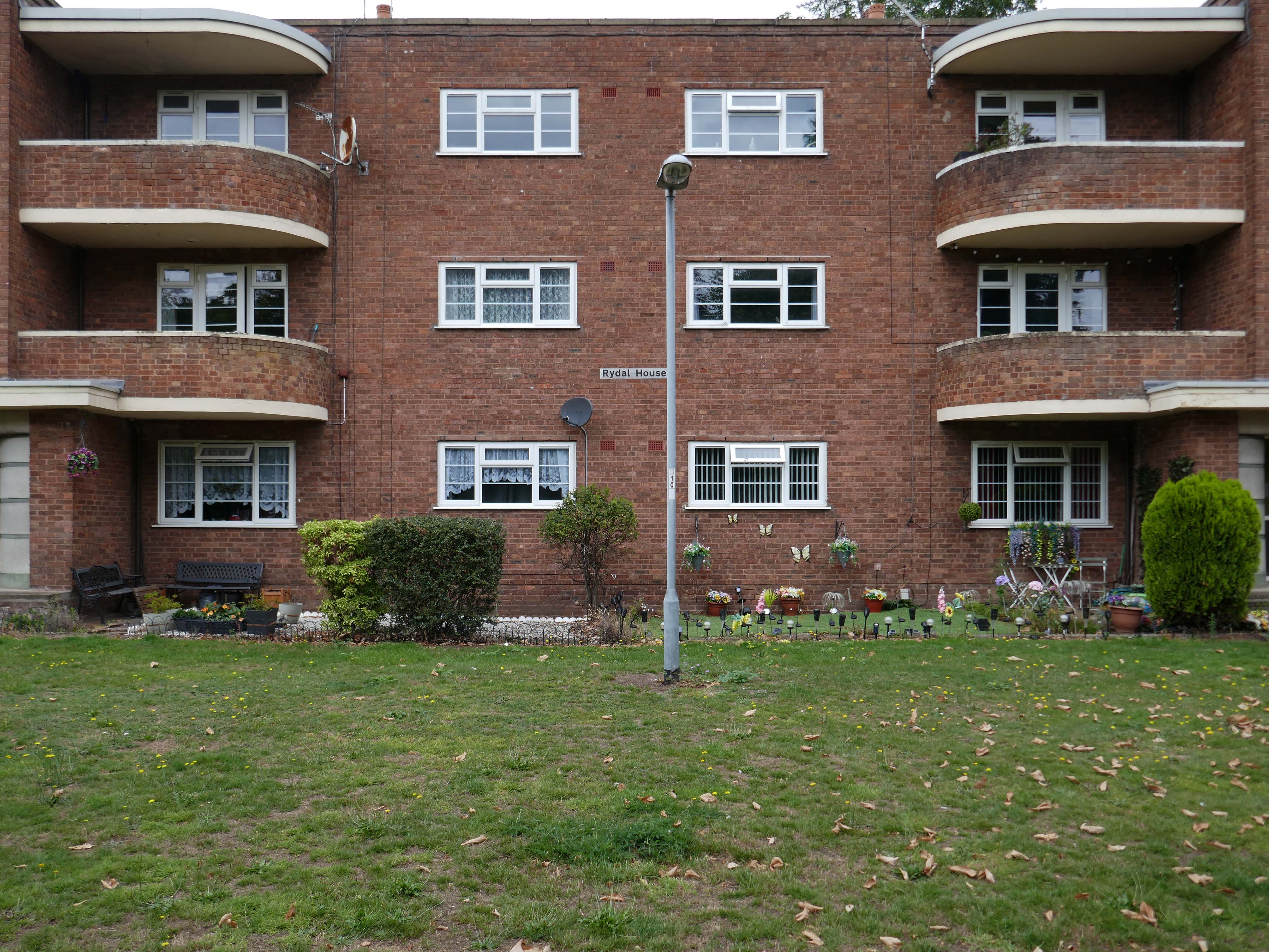
Coniston, Windemere and Rydal were among the first council homes to be built in Stafford, between 1951-52, under the direction of County Architect CM Coombes.
The flats were built as a result of The Housing – Financial and Miscellaneous Provisions Act 1946, which gave subsidies to local authorities to provide social housing. The expansion of the Borough Council’s civic duties included the employment of County Architects, in this case CM Coombes FRIBA, to whom these flats are attributed.
54 flats were built in total, to a distinctly Modernist design, and their appearance and setting are very well preserved.
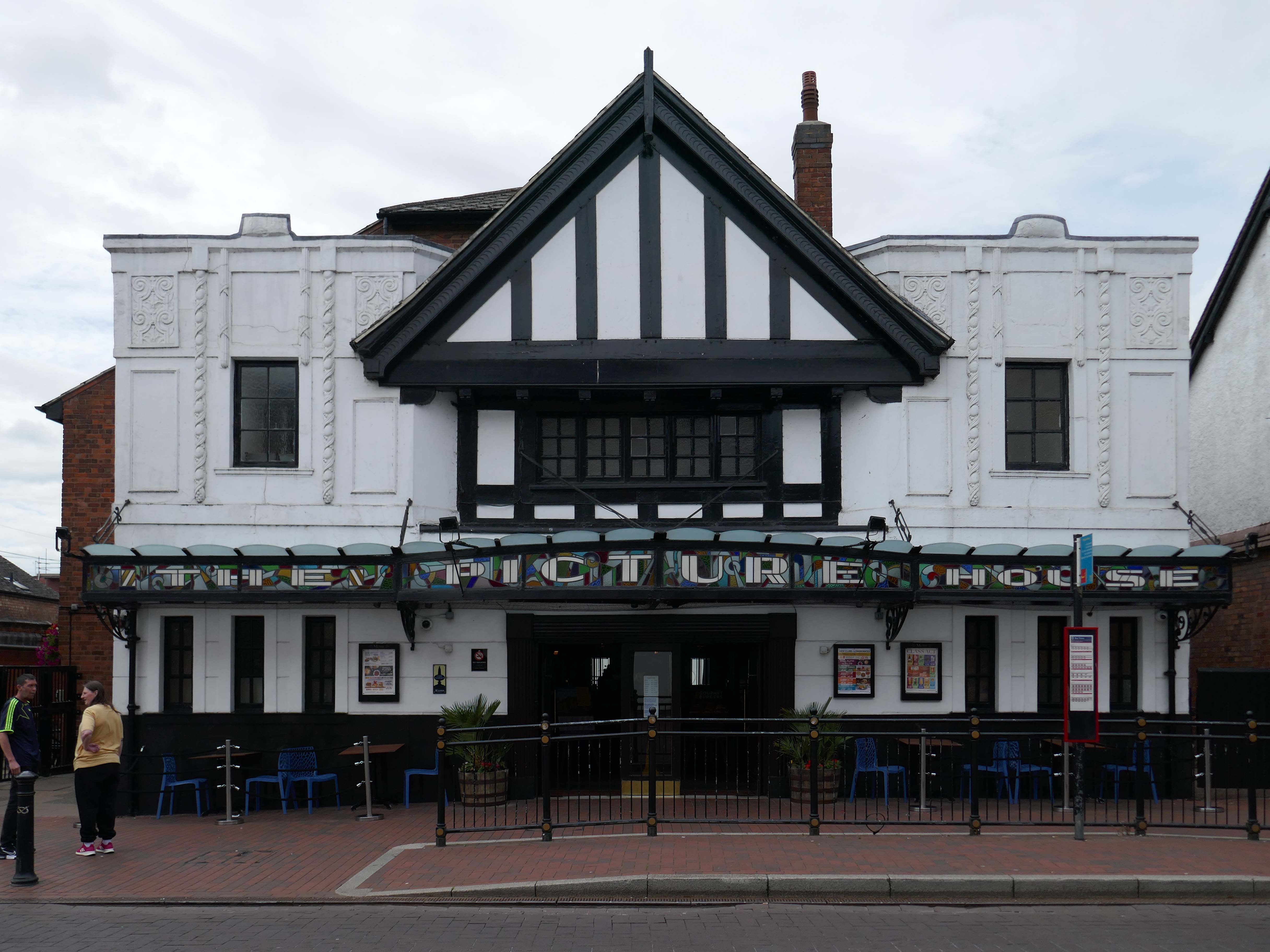
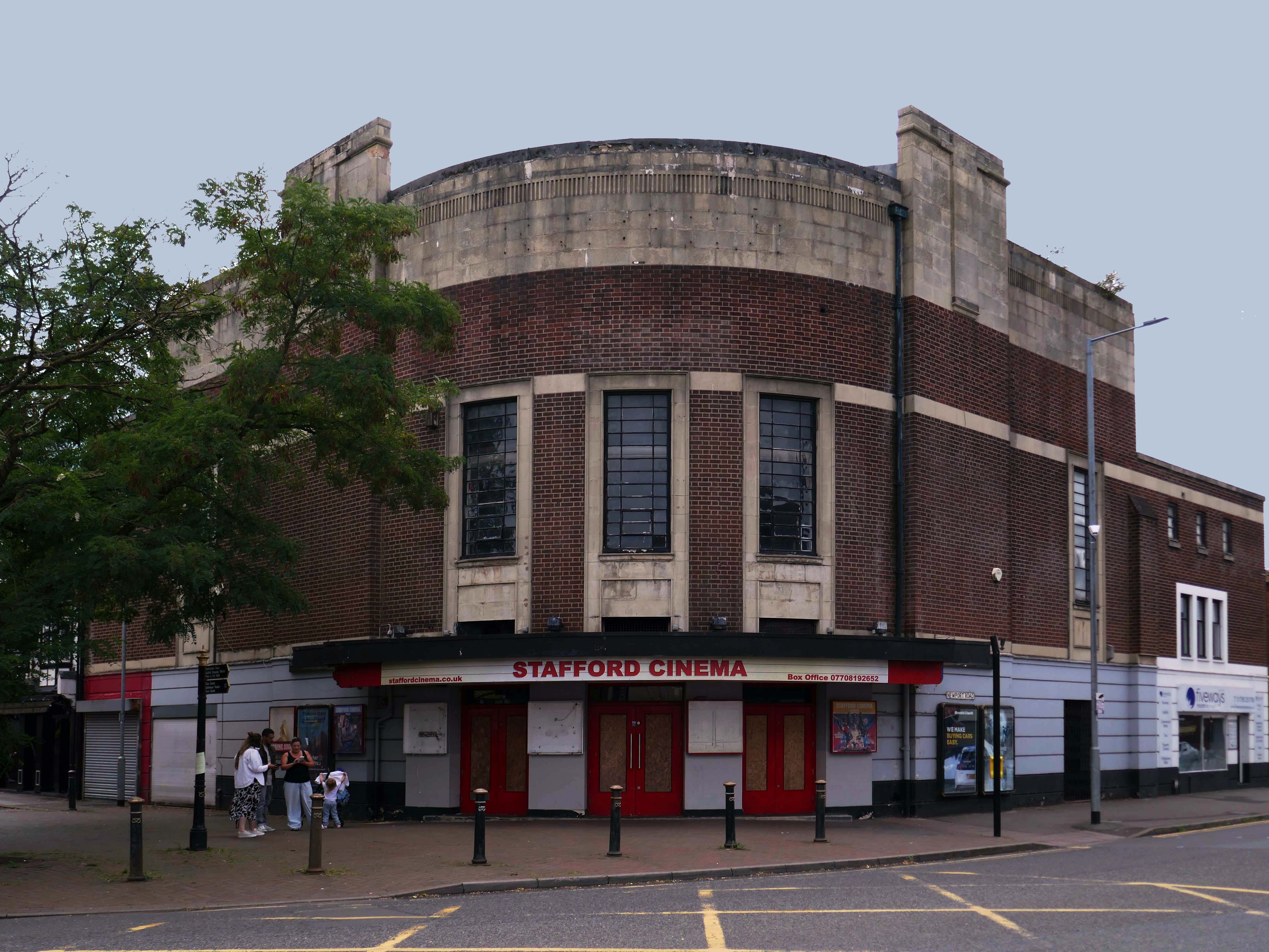
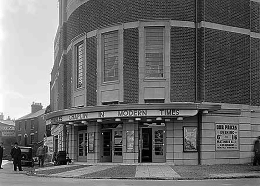
Let’s head back into the town centre – to the Grade II ListedPicture House 1914
The Picture House was closed on 30th March 1995 after a three week run of Disclosure starring Michael Douglas, there were seventy eight attending the final performance.
It was disposed of by the Rank Organisation in July 1981 and was taken over by the Hutchinson Leisure Group who re-named it Astra Cinema. In December 1981 it was tripled with 435 seats in the former stalls and two mini cinemas in the former circle seating 170 and 168.
In 1988 it was taken over by Apollo Cinemas and re-named Apollo Cinema. The downstairs cinema was closed and became a bingo club for a couple of years, during which time the two mini cinemas in the former circle remained open. The bingo operation gave way to films again in 1990 and all three screens were again open, with seating for 305, 170 and 164. In January 2014 it was taken over by the Curzon Cinemas chain and renamed Stafford Cinema.
It was closed on 18th December 2017 with Star Wars:The Last Jedi.
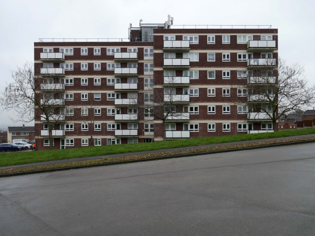
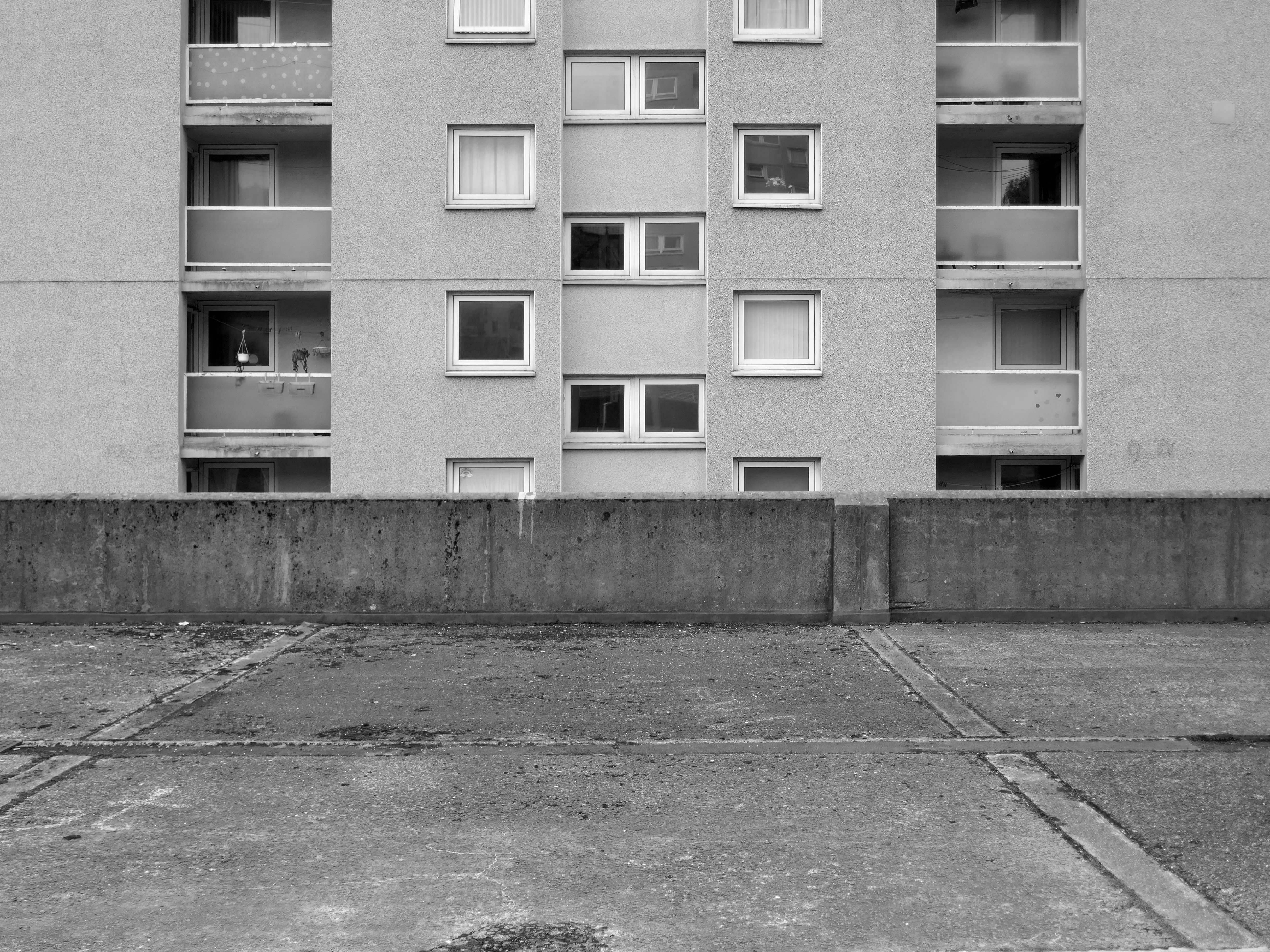
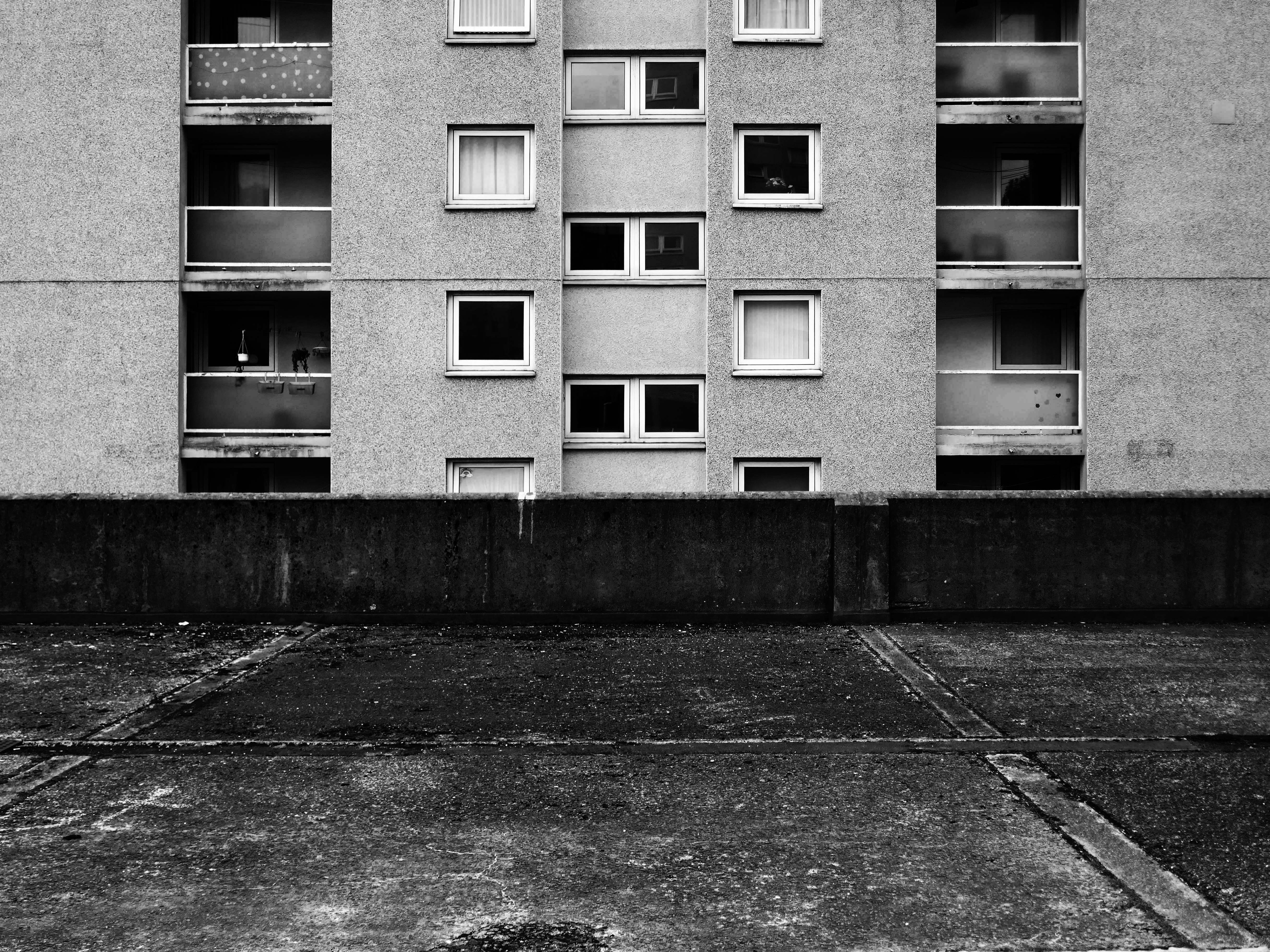
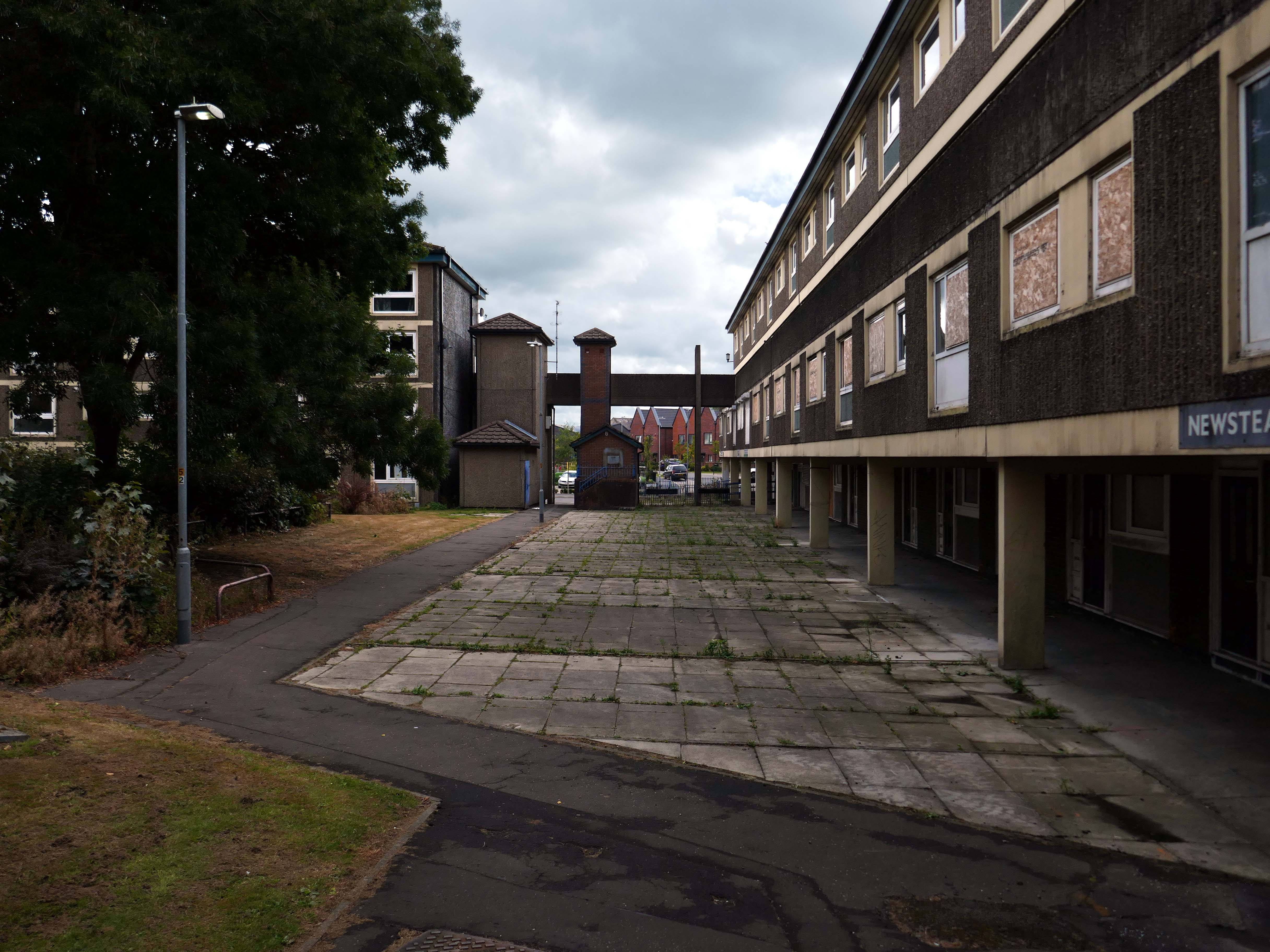
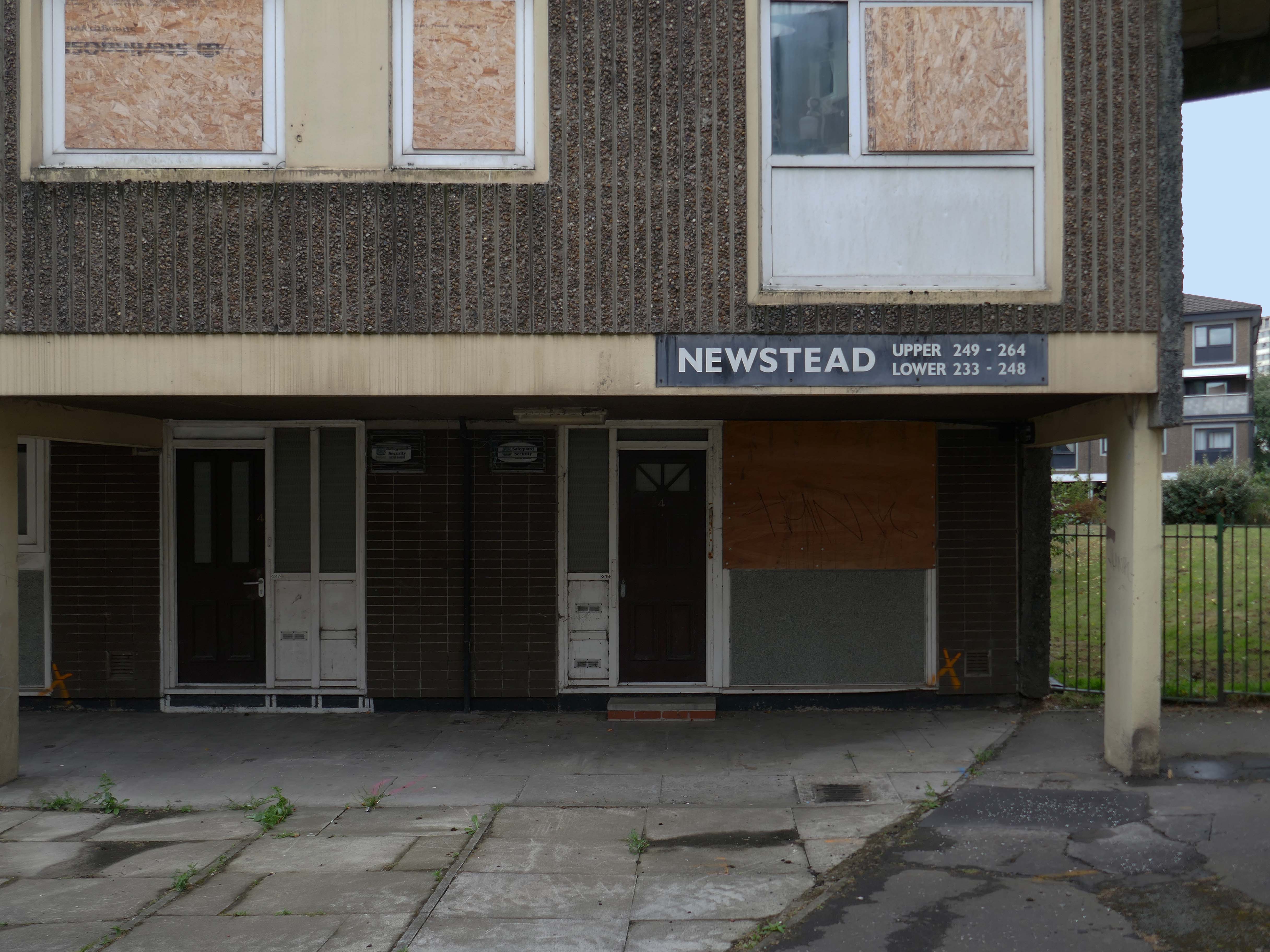
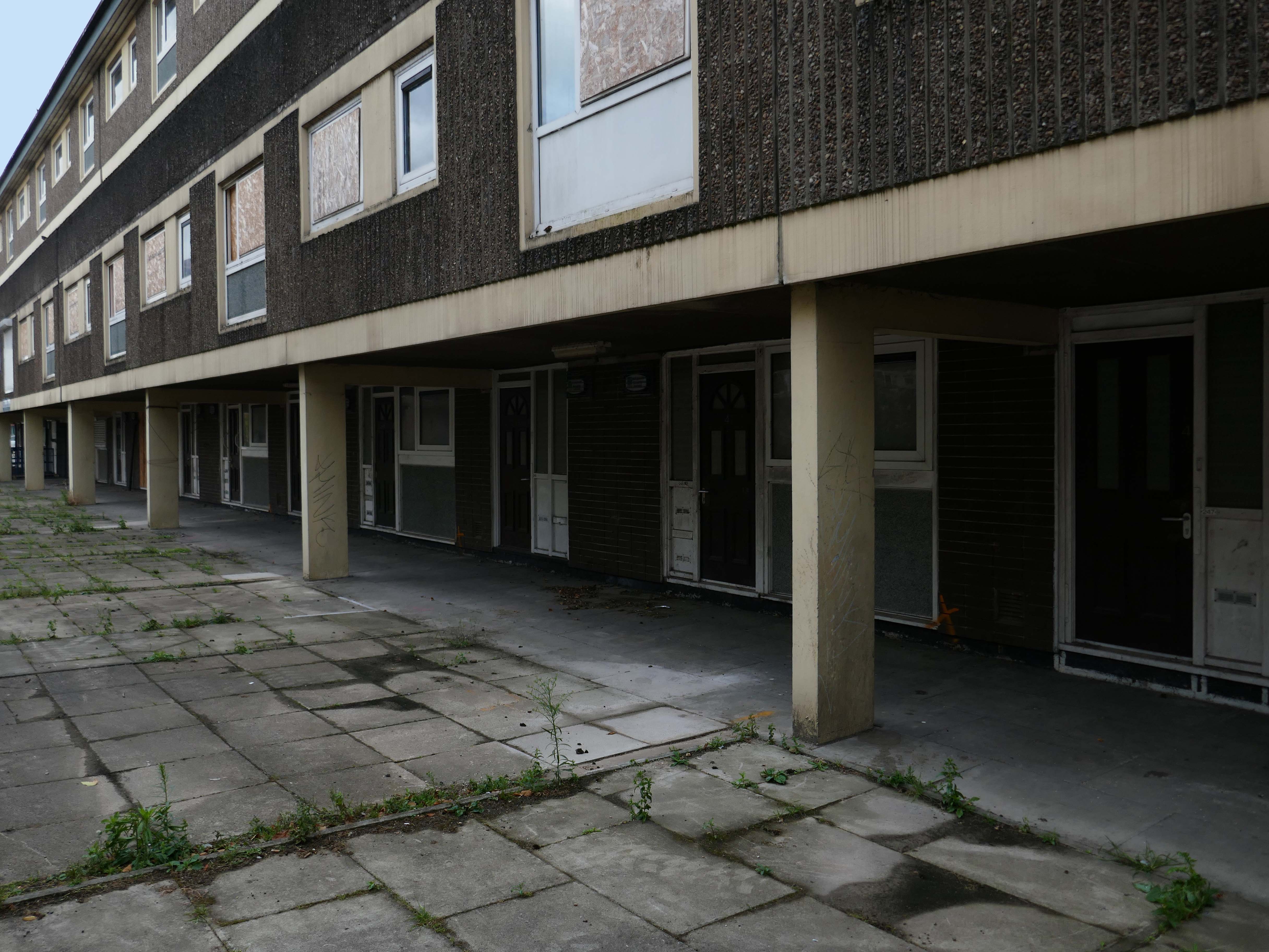
I came along to take a look aroundin 2017 – at this point all of the homes are occupied.
Fast forward to 2025 and the estate looks very different, a minority of the blocks have been refurbished.
The remainder have been, or are to be demolished.
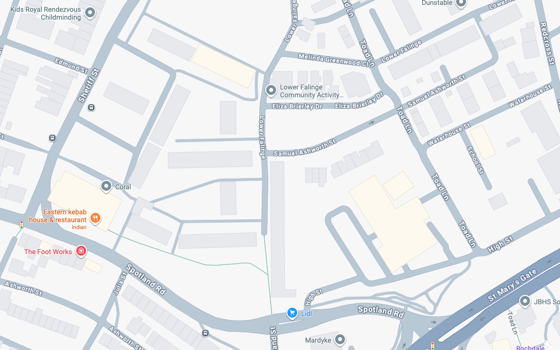
Rochdale’s 2021 planning statement for Lower Falinge is beguiling in its talk of ‘a better quality and mix’ of housing, better public space and better links with surrounding areas. It goes on to say that the ‘the delivery of market housing within this area is required to deliver this diversification and to ensure the sustainability of retained affordable housing in the area’ – a sentence containing the claim that a tenure mix of public and owner-occupied housing is a good in itself, whilst also acknowledging contradictorily that affordable housing (how affordable?) is only possible by cross-subsidy from market sales’
Some 560 new homes were proposed in Lower Falinge. The plans as a whole proposed the loss of 720 primarily social rent homes and their replacement by 560 new homes of indeterminate tenure.
The tenants in the refurbished blocks with whom I chatted were convinced that demolition was not the answer, further renewal could take place, Rochdale Boroughwide Housing, despite a well prepared save our homes campaign thought not.
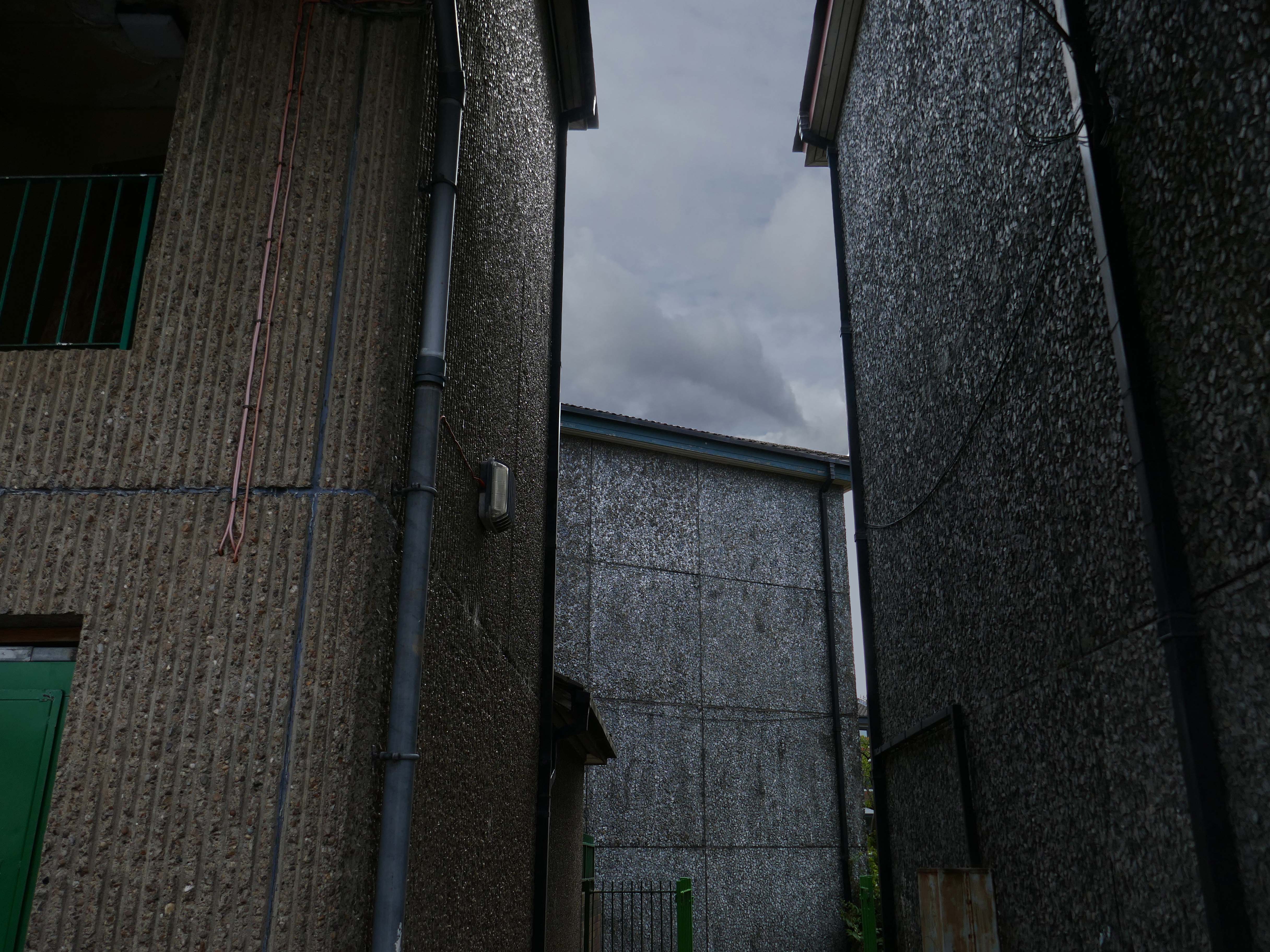
In March, we told you that we planned to demolish the six empty maisonette blocks – Ollerton, Newstead, Romsey, Quinton, Ullesthorpe, and Vaynor, in Lower Falinge, as well as the former RSPCA buildings and the former car wash on High Street, within the next 12 months. This will make way for the development of new family homes across a larger site that we will work with the community on designing.
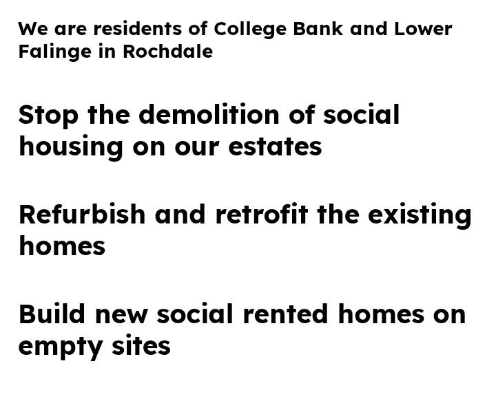
Our beautiful mature greenery here on Lower Falinge is showcased in this wonderful video. We are proud of living here surrounded by all this nature – it really is like living in a park.
Unfortunately our urban oasis of calm is at risk of being destroyed if RBH demolish 128 homes and eventually build on the land.
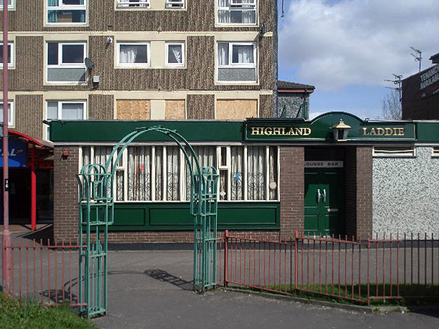
Once home to the Highland Laddie pub which closed in 2010.
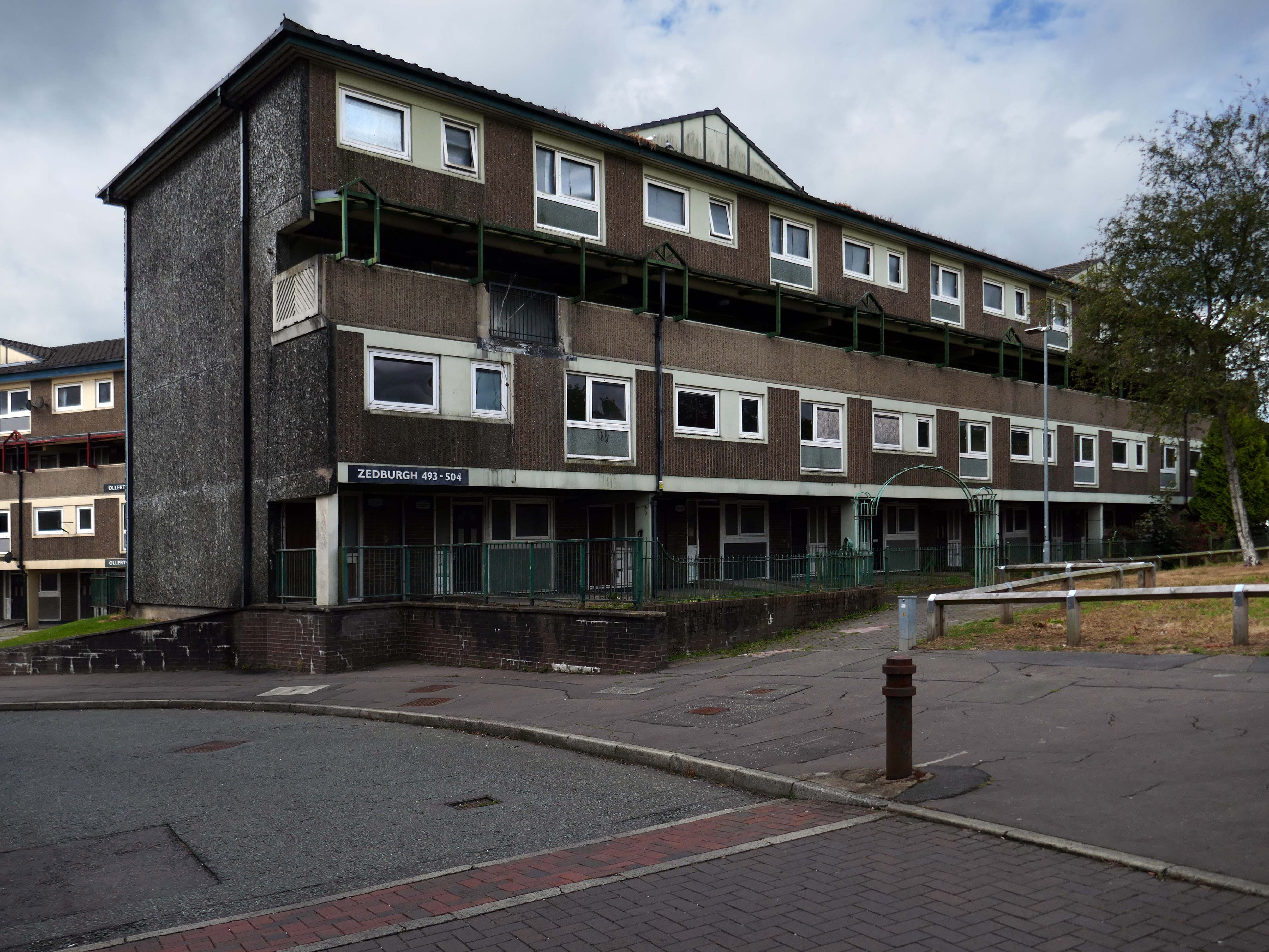
The remainder of the estate remains in limbo.
Next door the new homes have been built.
A major housing regeneration scheme which includes the construction of 30 energy efficient, affordable homes is breathing new life into the Lower Falinge neighbourhood in Rochdale.
The project is being carried out for Rochdale Boroughwide Housing by Rochdale-based main contractor The Casey Group with OMI Architects. This is the largest of 3 schemes that Casey has carried out for RBH.
In recent years these homes have been under threat of both demolition and refurbishment.
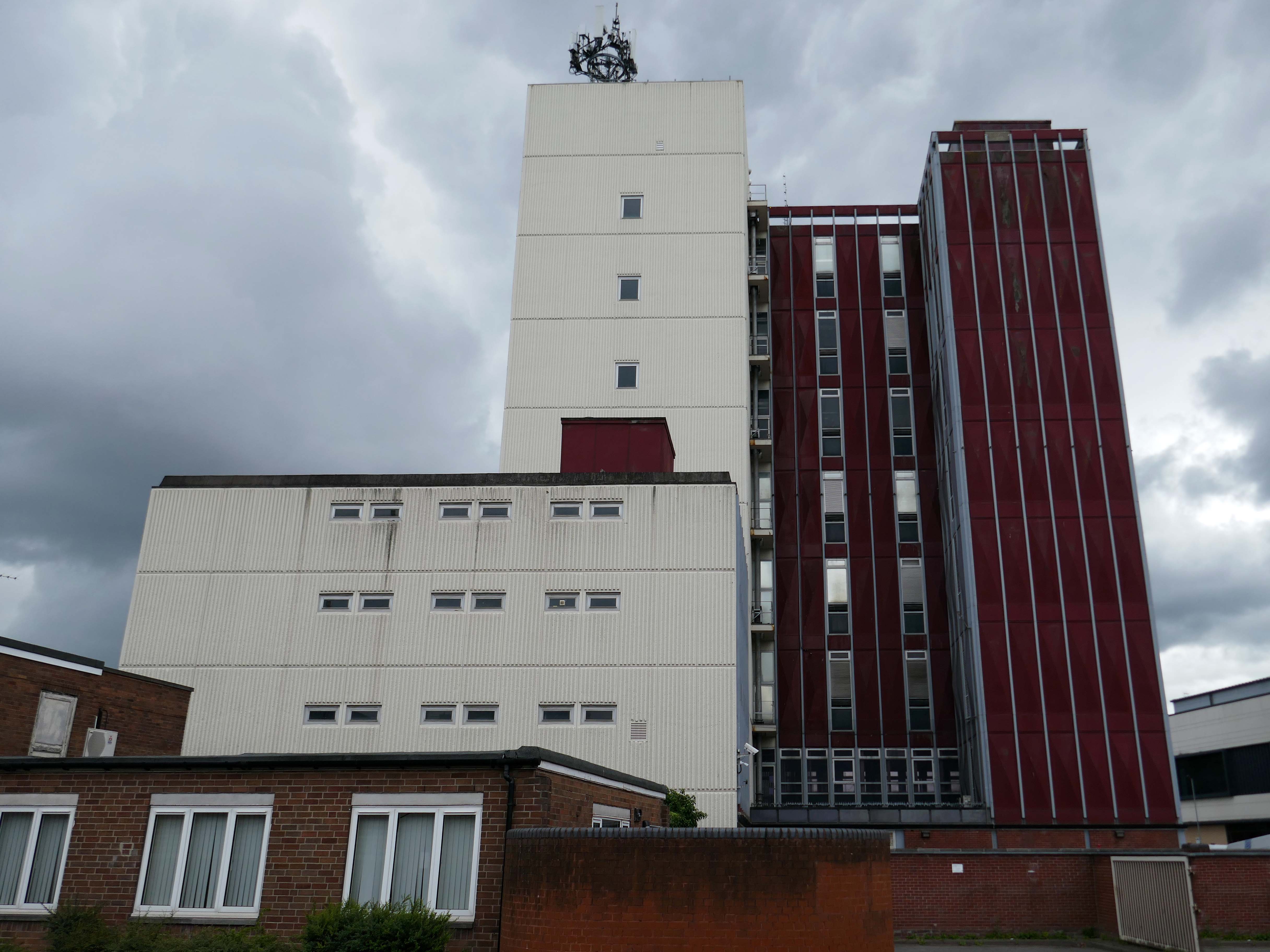
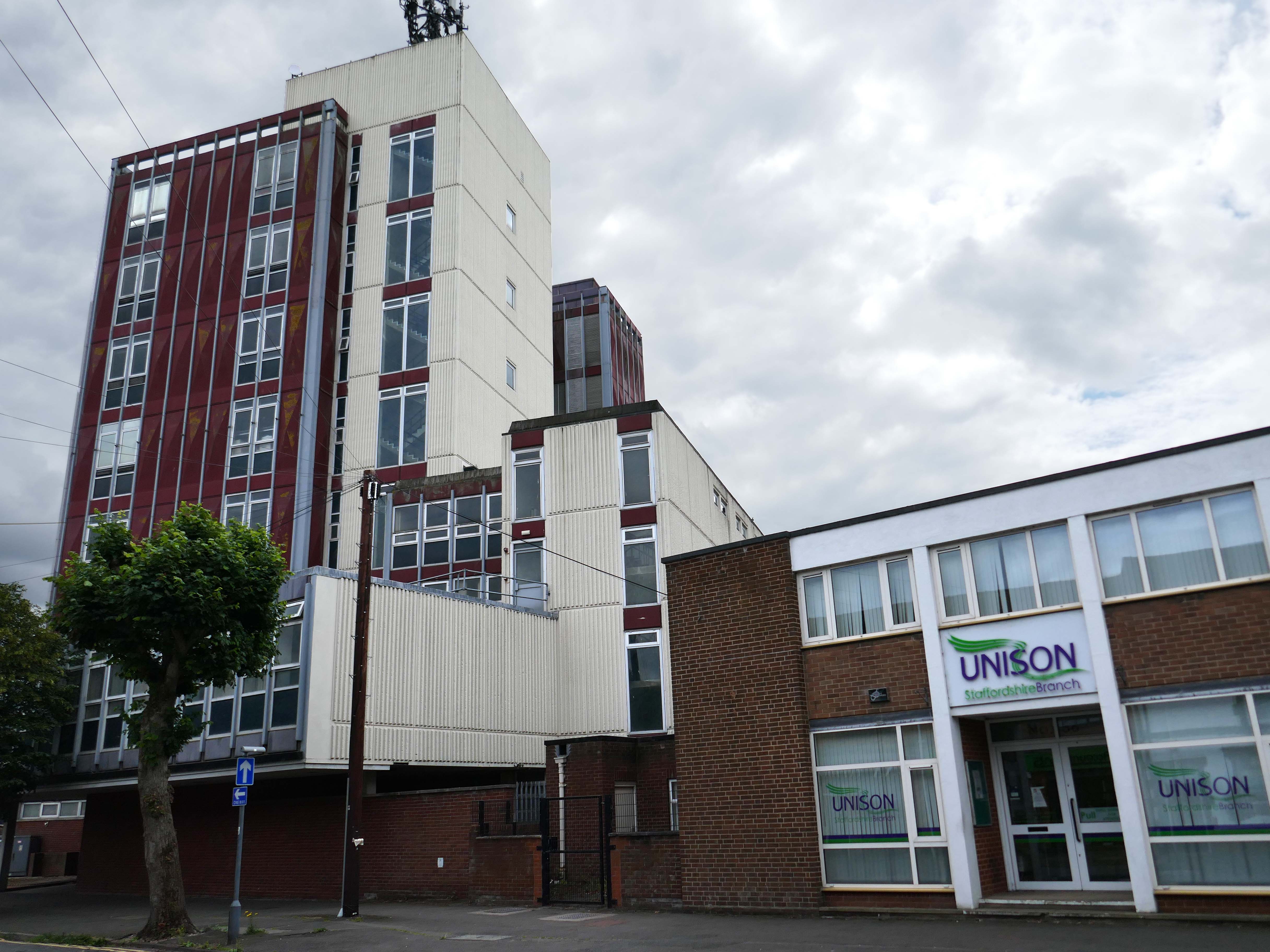
Rochdale Boroughwide Housing – RBH had sought help from a developer to pay for its £107m plans to refurbish the College Bank high-rise apartments, known in the town as the Seven Sisters.
But the social housing landlord has been unable to reach a commercially viable agreement to help improve the blocks where 250 people live.
Amanda Newton, RBH chief executive said the lack of a deal was disappointing but all options for the future of the site would still be explored.
Many of the apartments spread across the Seven Sisters remain unoccupied after a plan was announced to demolish four of the blocks in 2017, leading to an exodus of hundreds of tenants. RBH later reconsidered the plan, and instead signed a deal with developer Legal & General Affordable Housing last year, to find a viable way of refurbishing the apartments.
All 700 flats in the 1960s blocks were set to be redeveloped under the plans, but the pair’s agreement has now come to an end without a solution emerging.
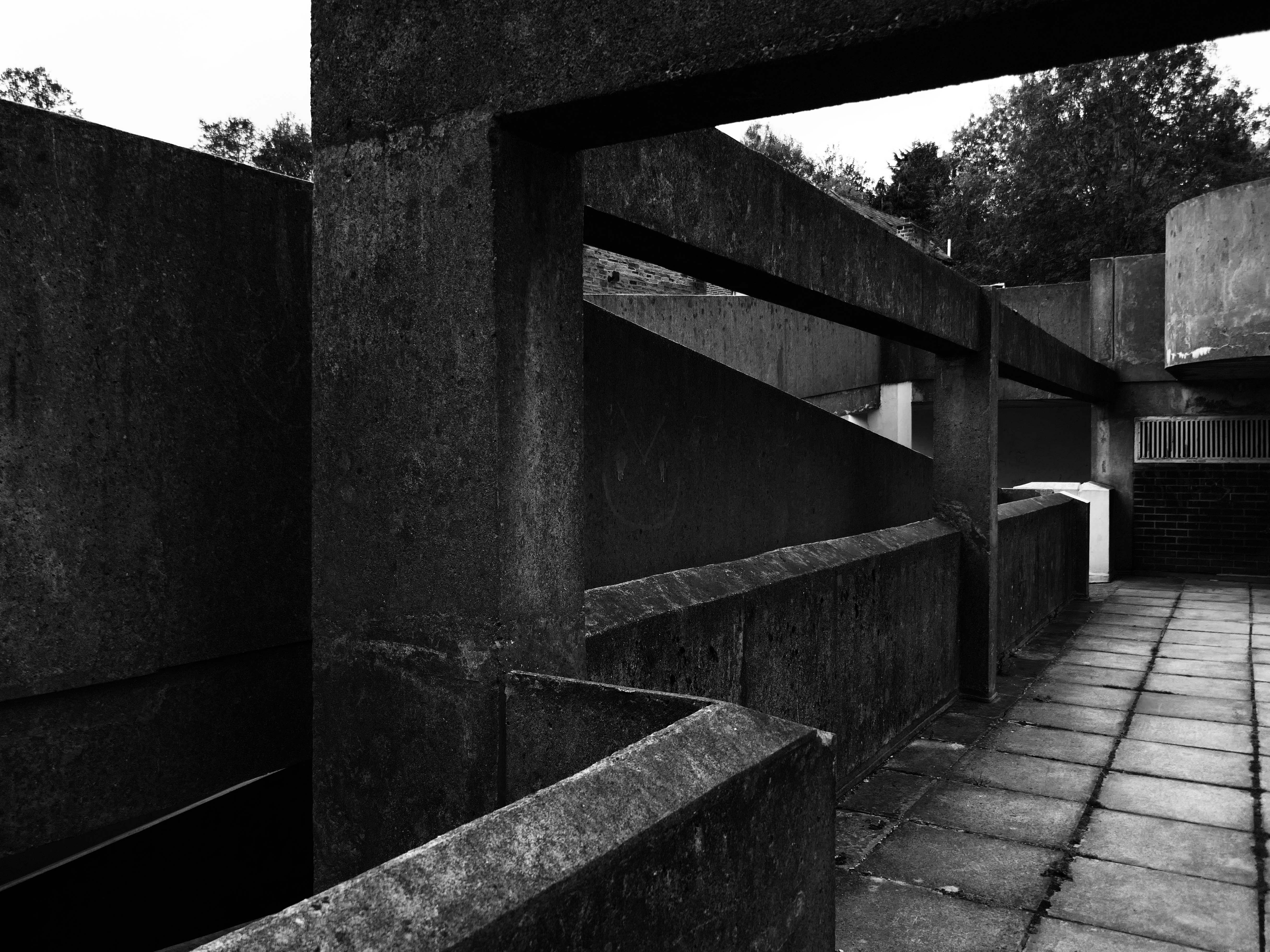
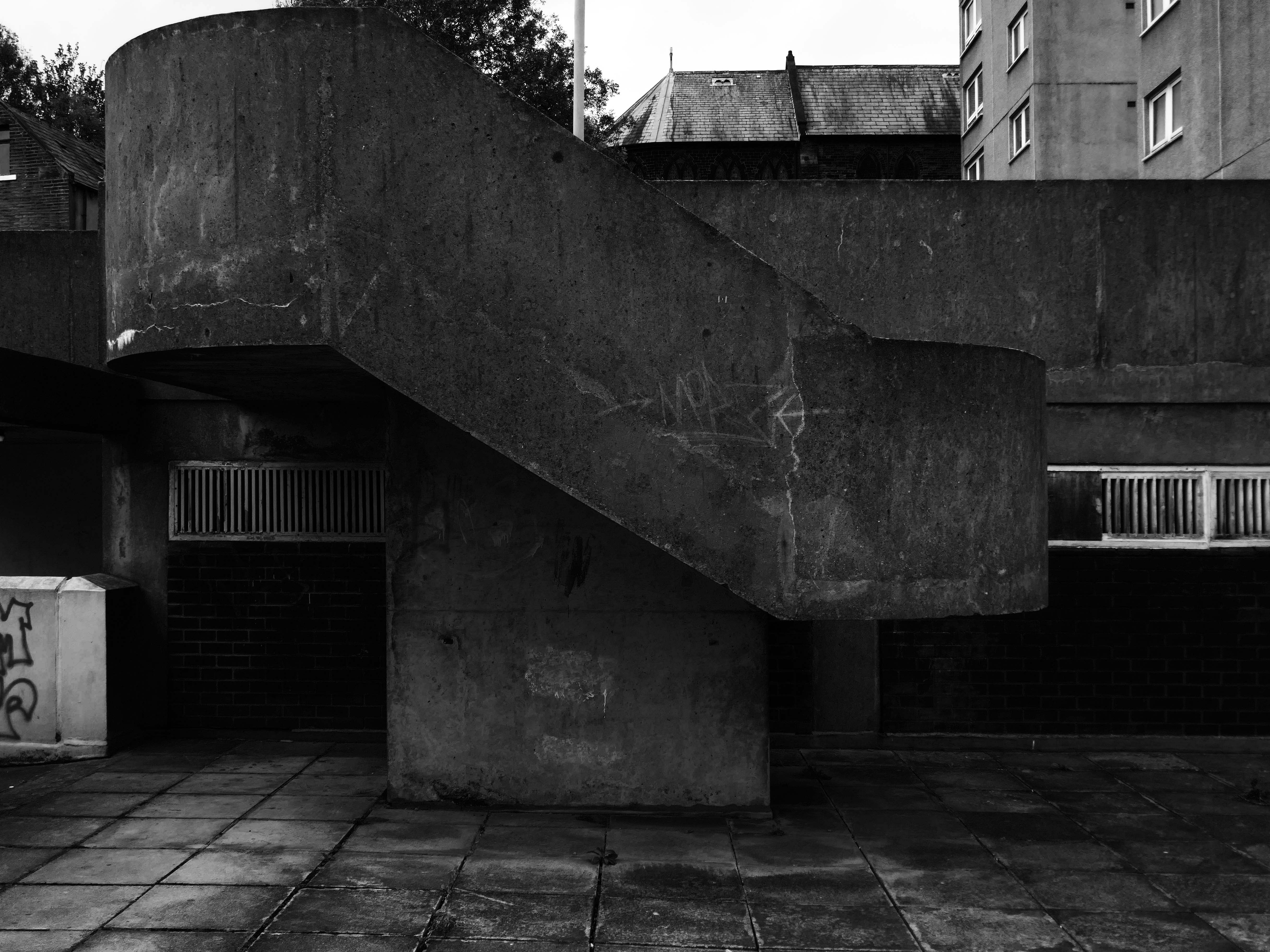
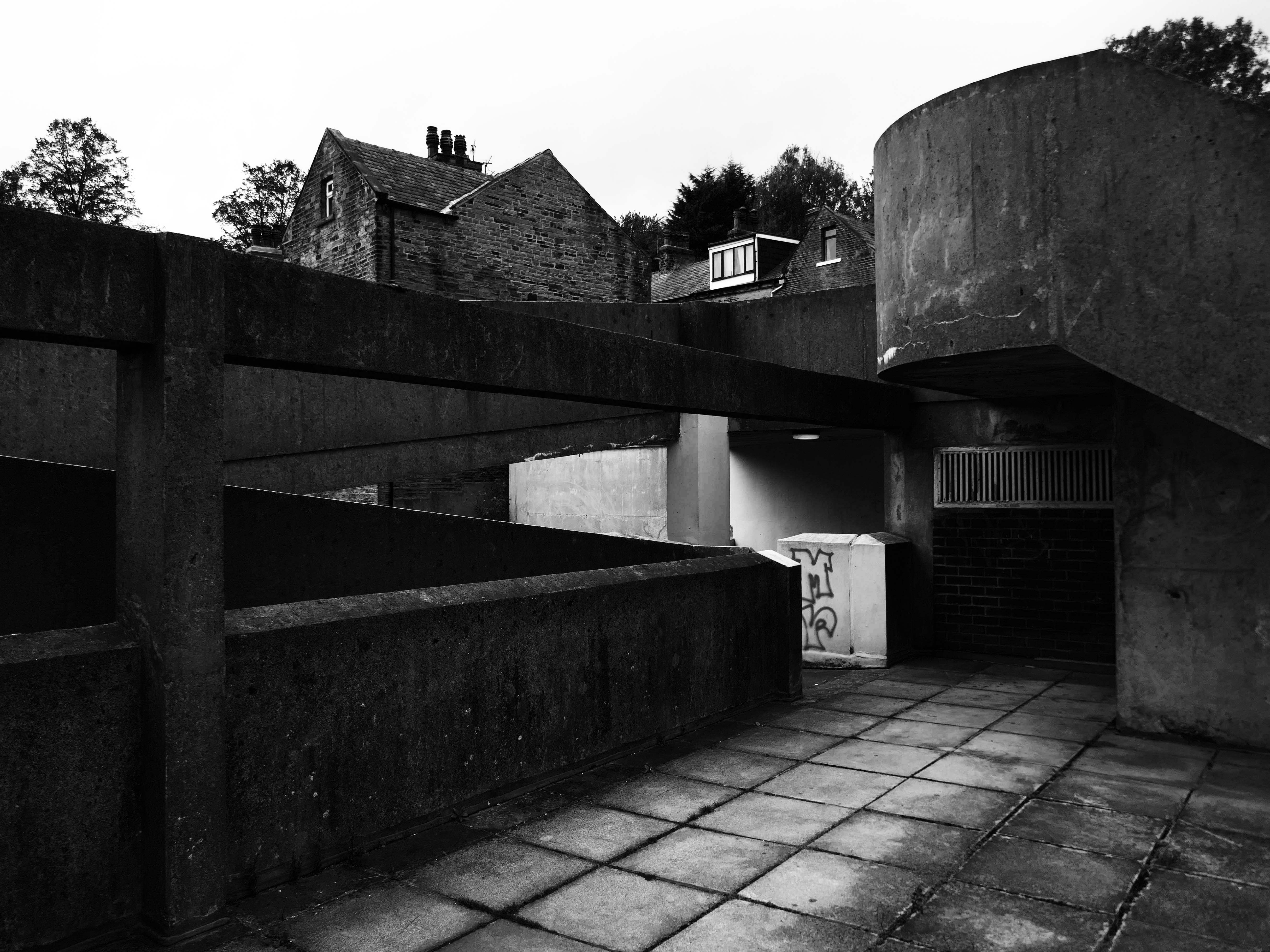
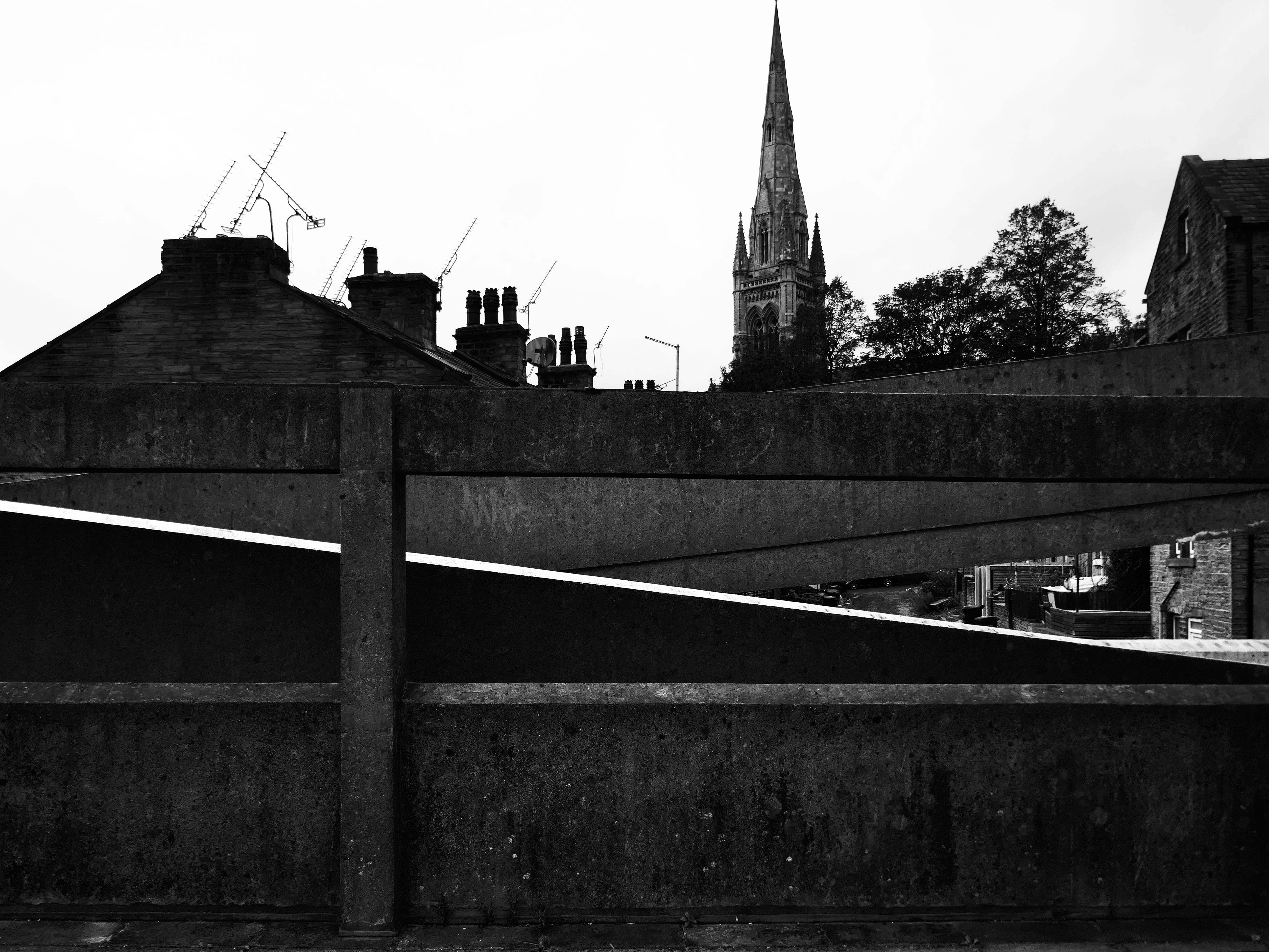
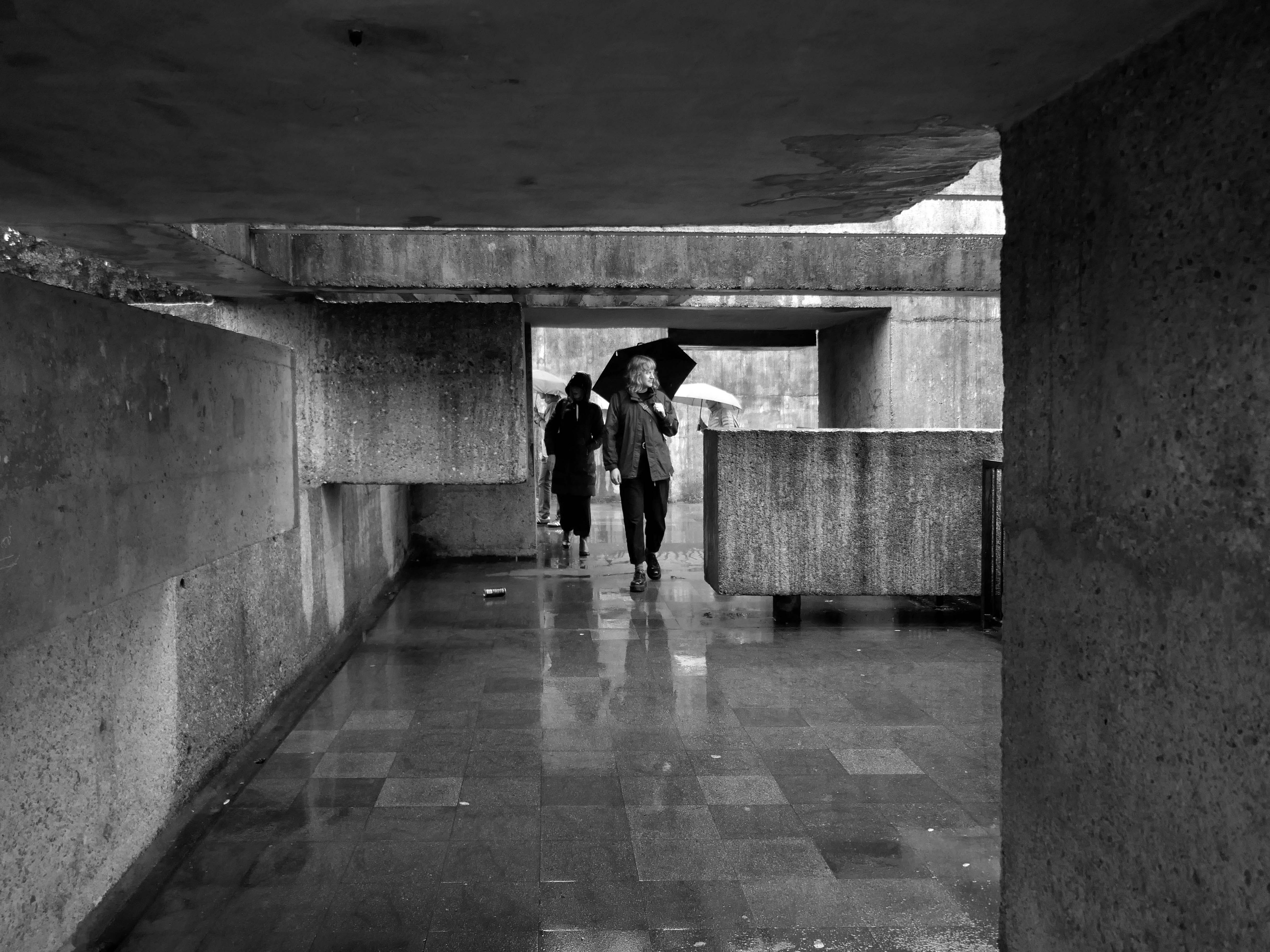
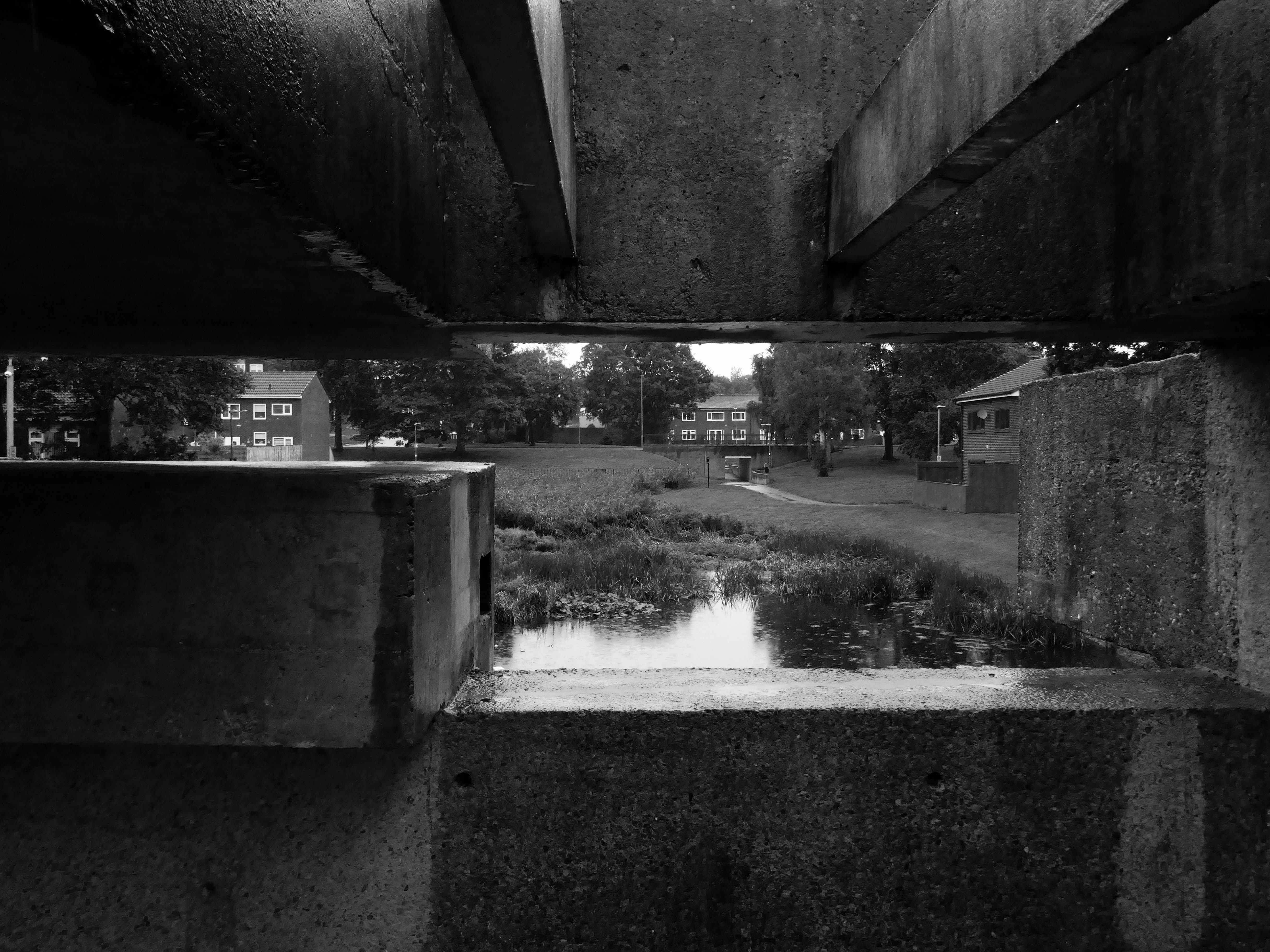
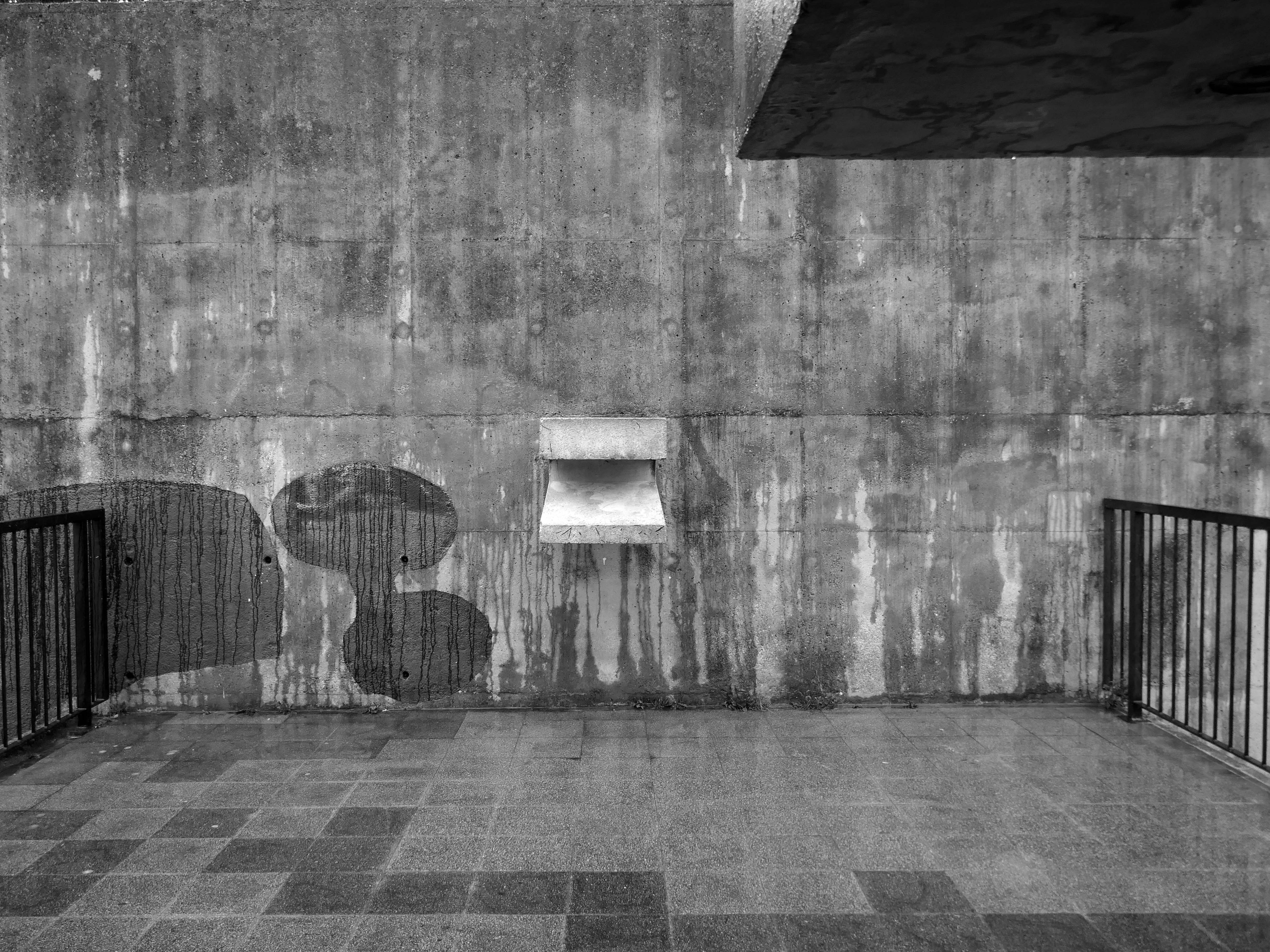
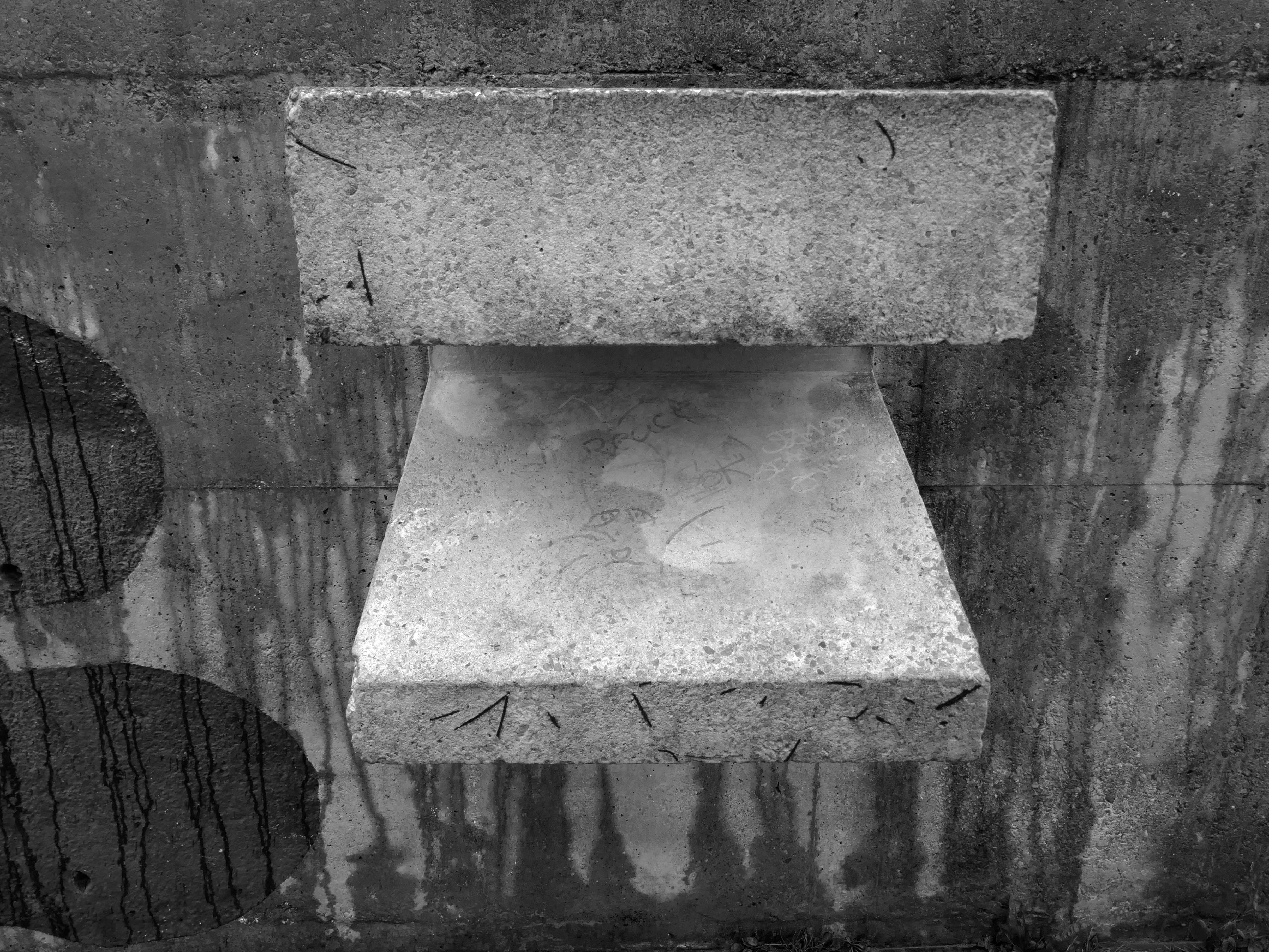
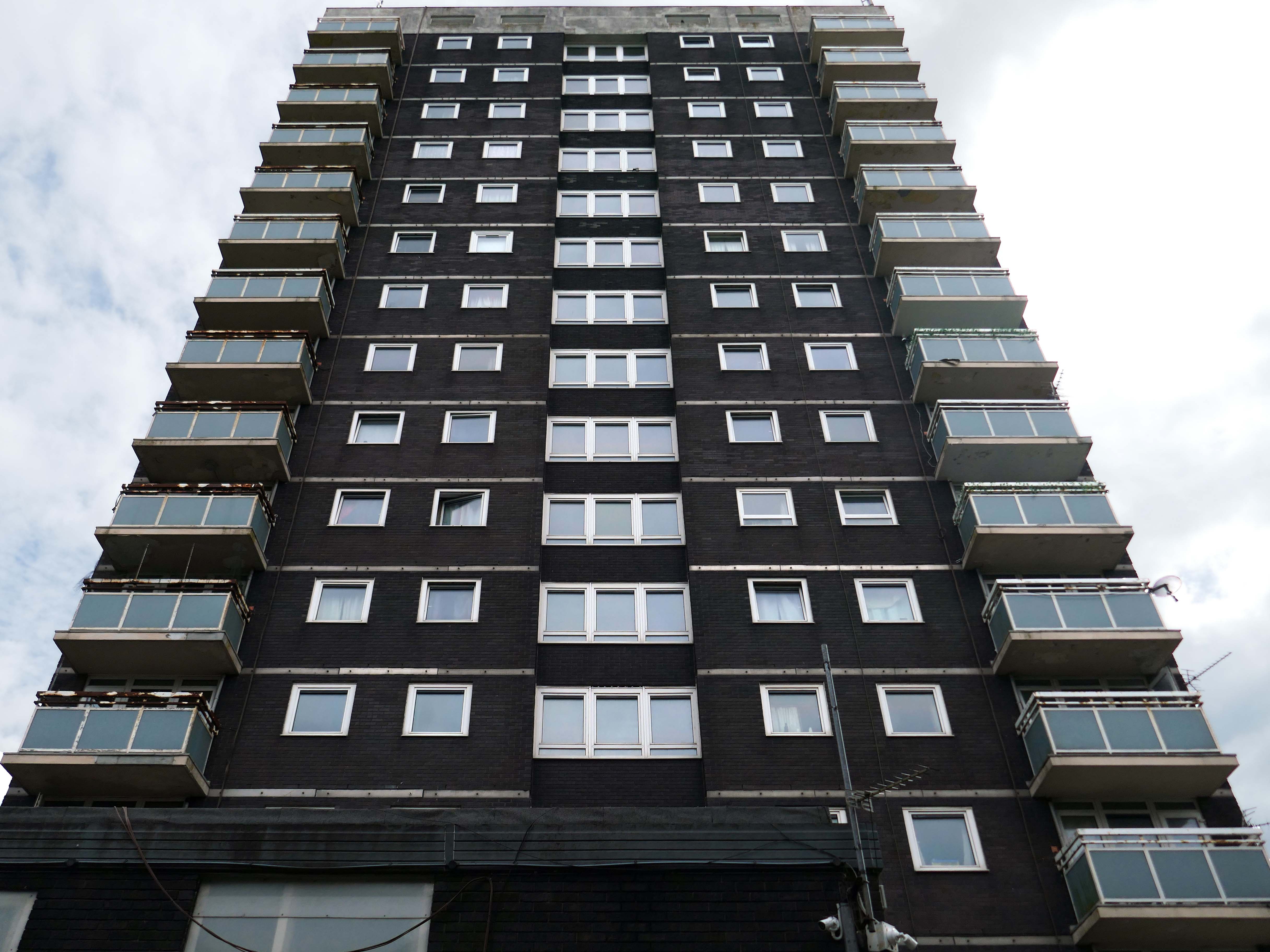
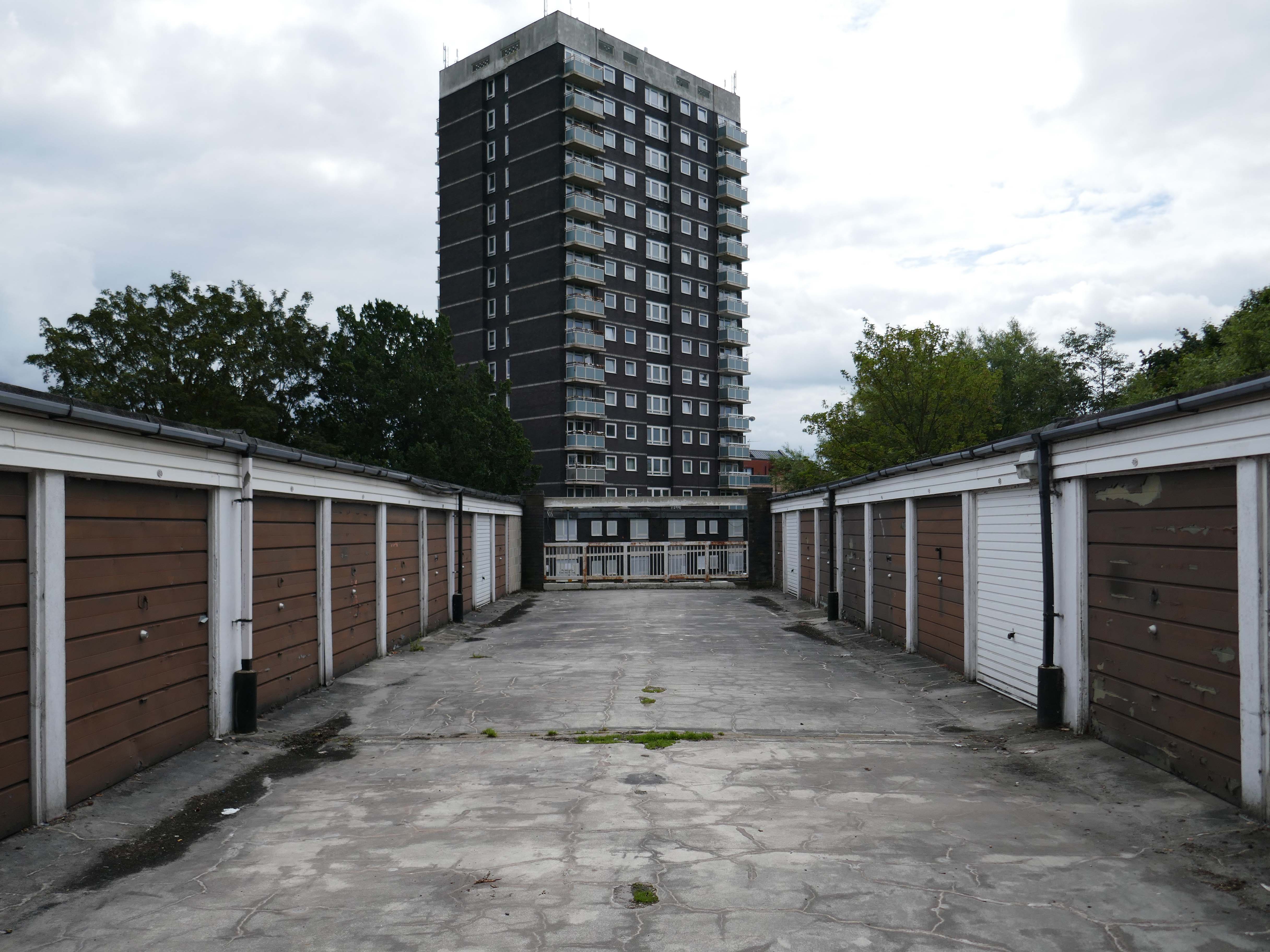
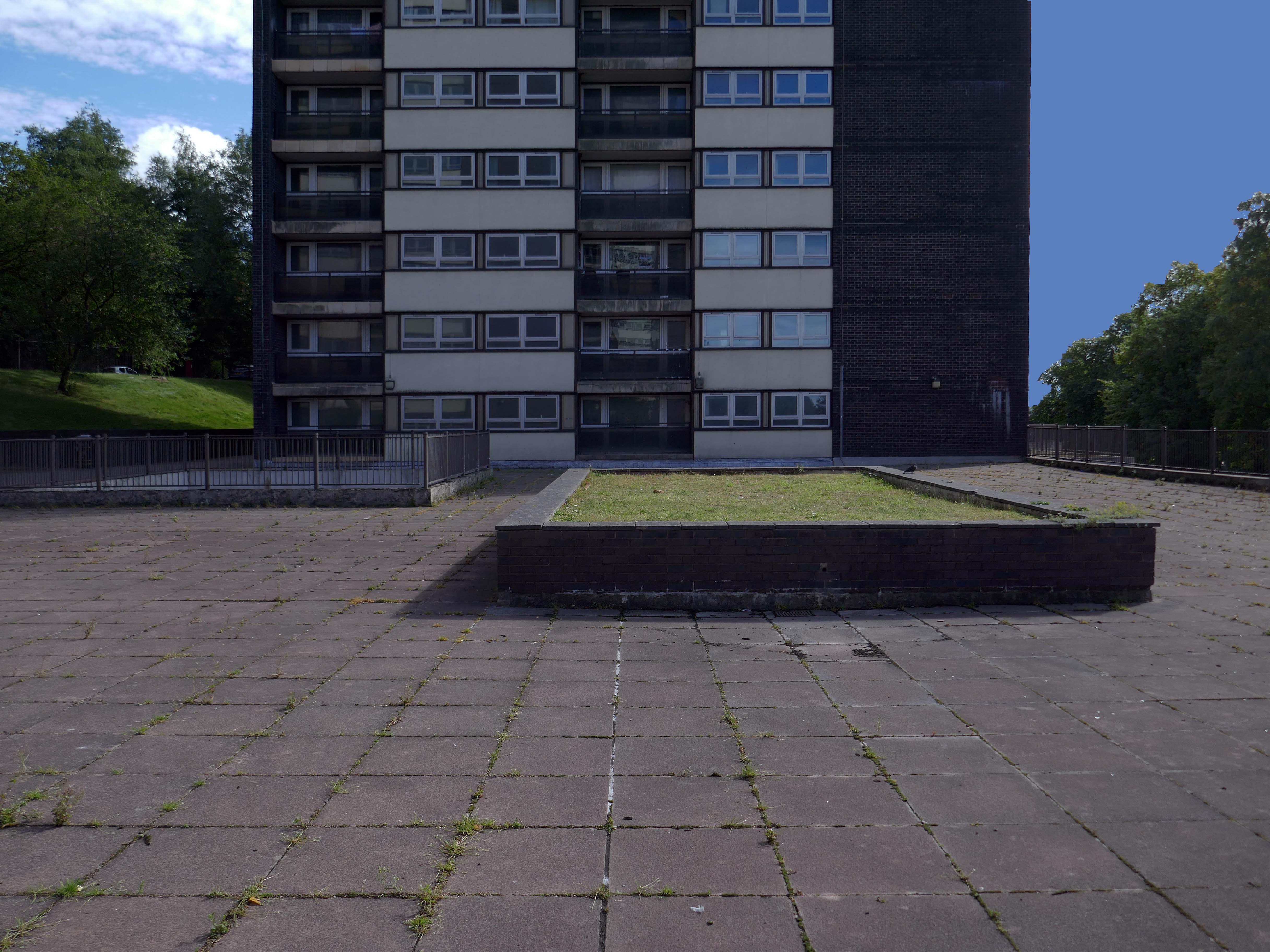
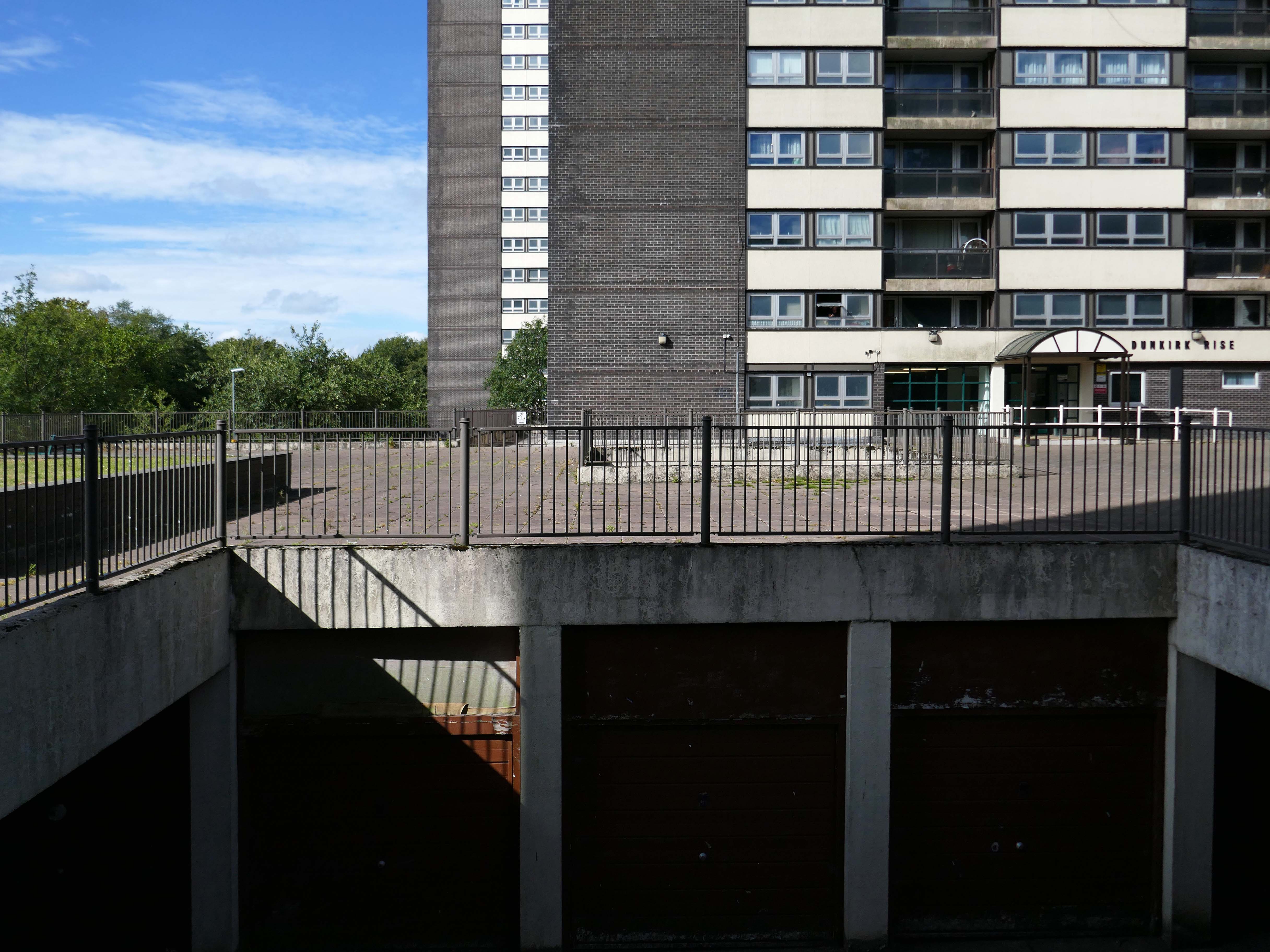
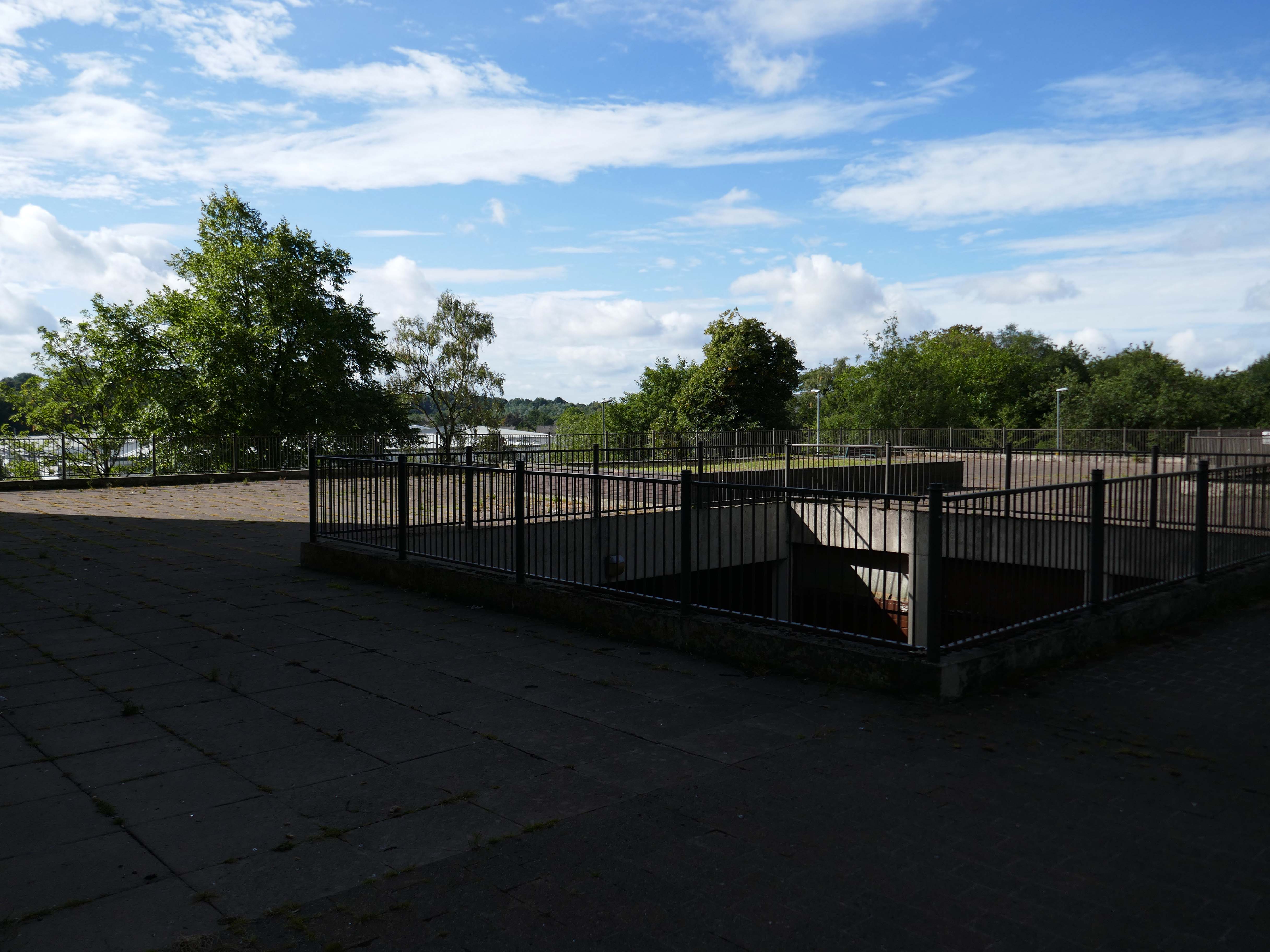
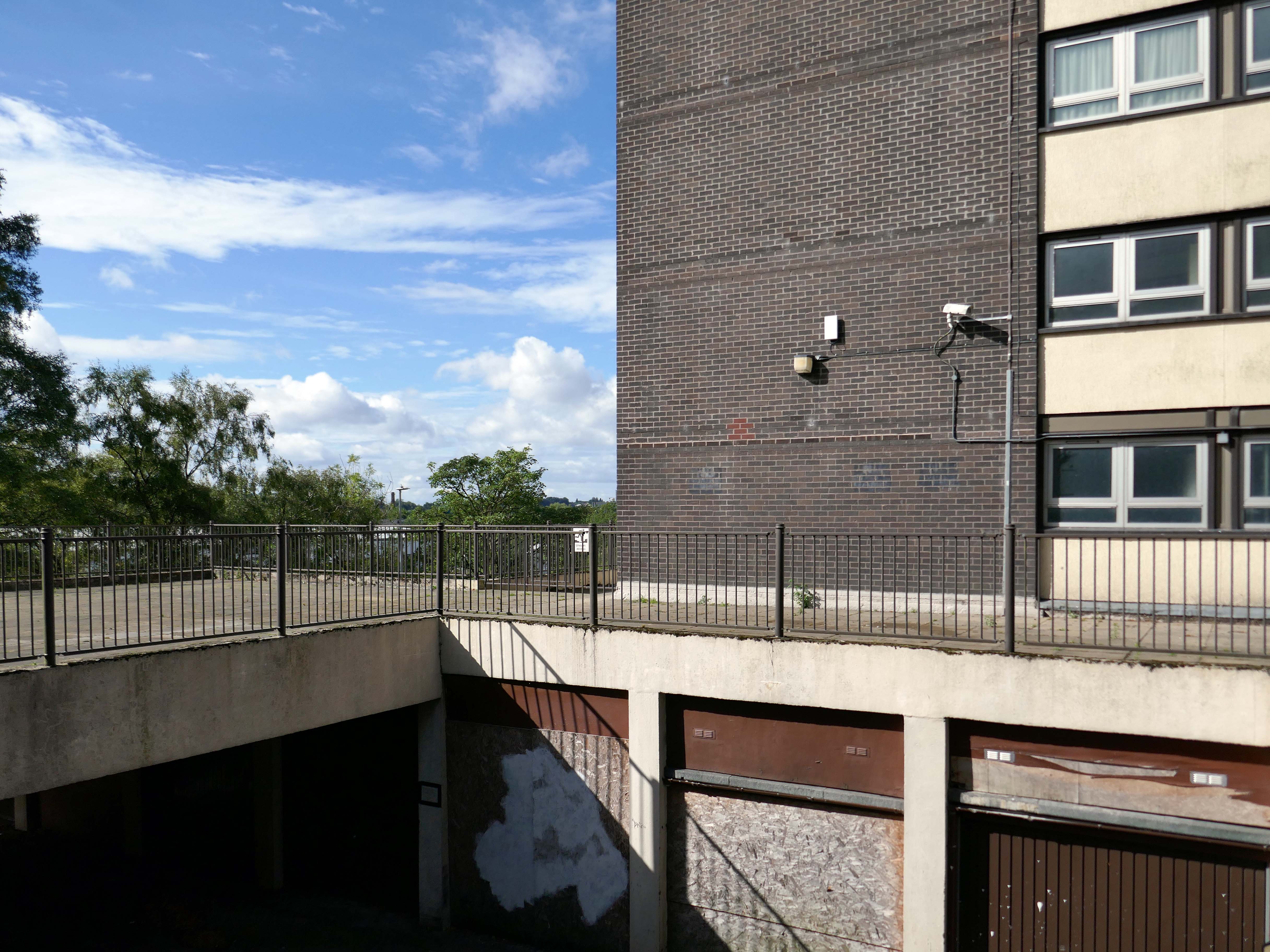
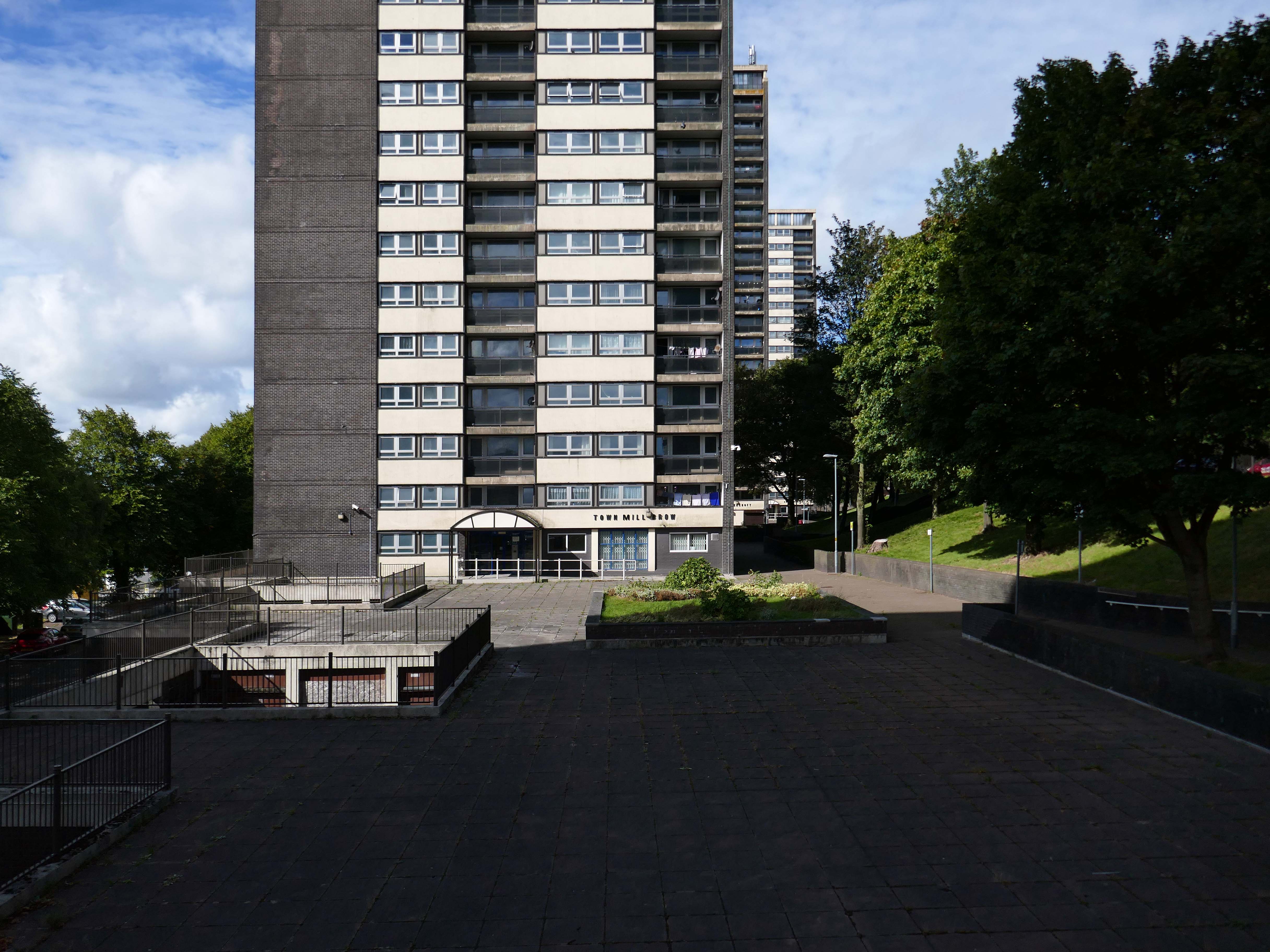
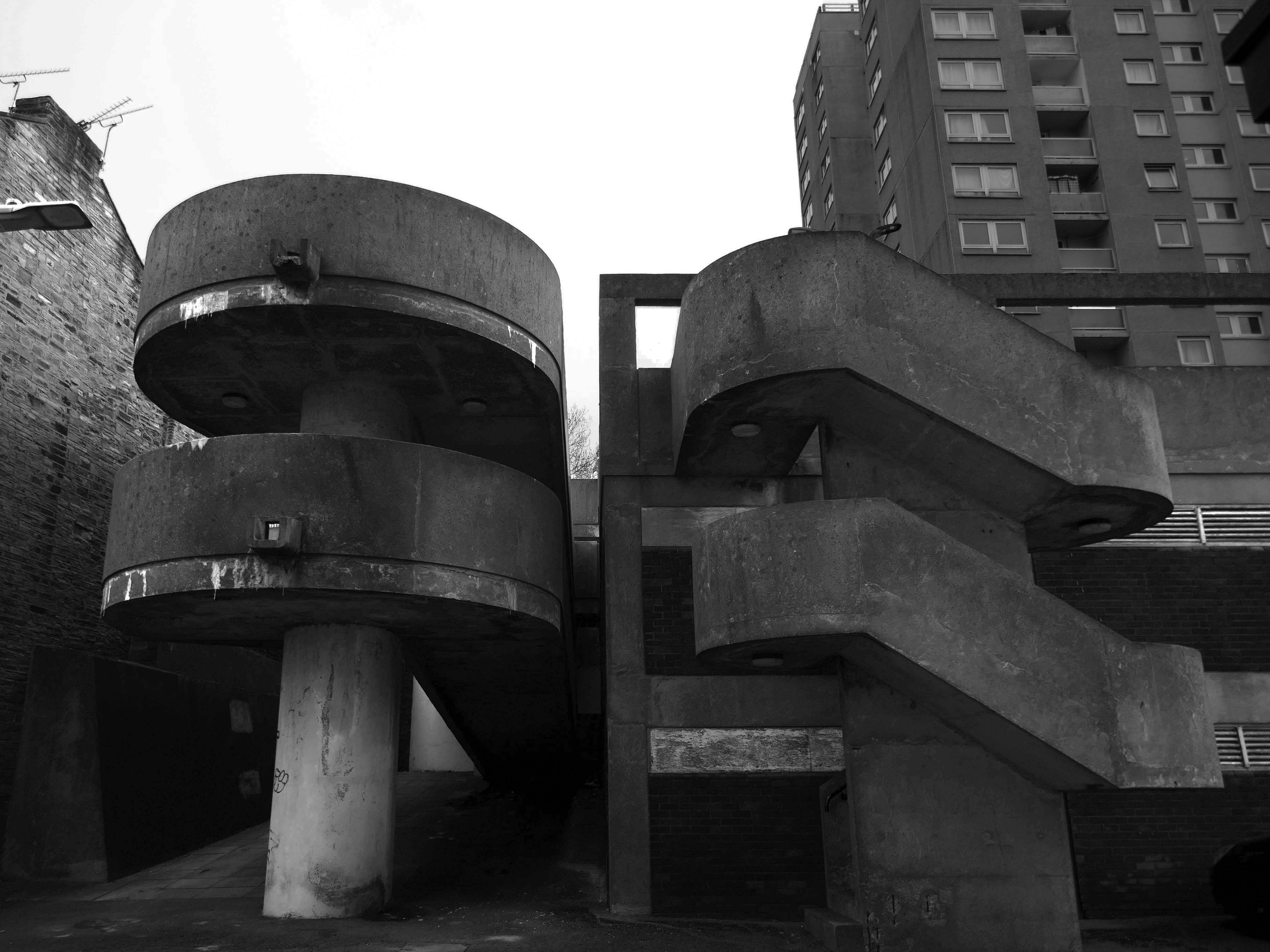
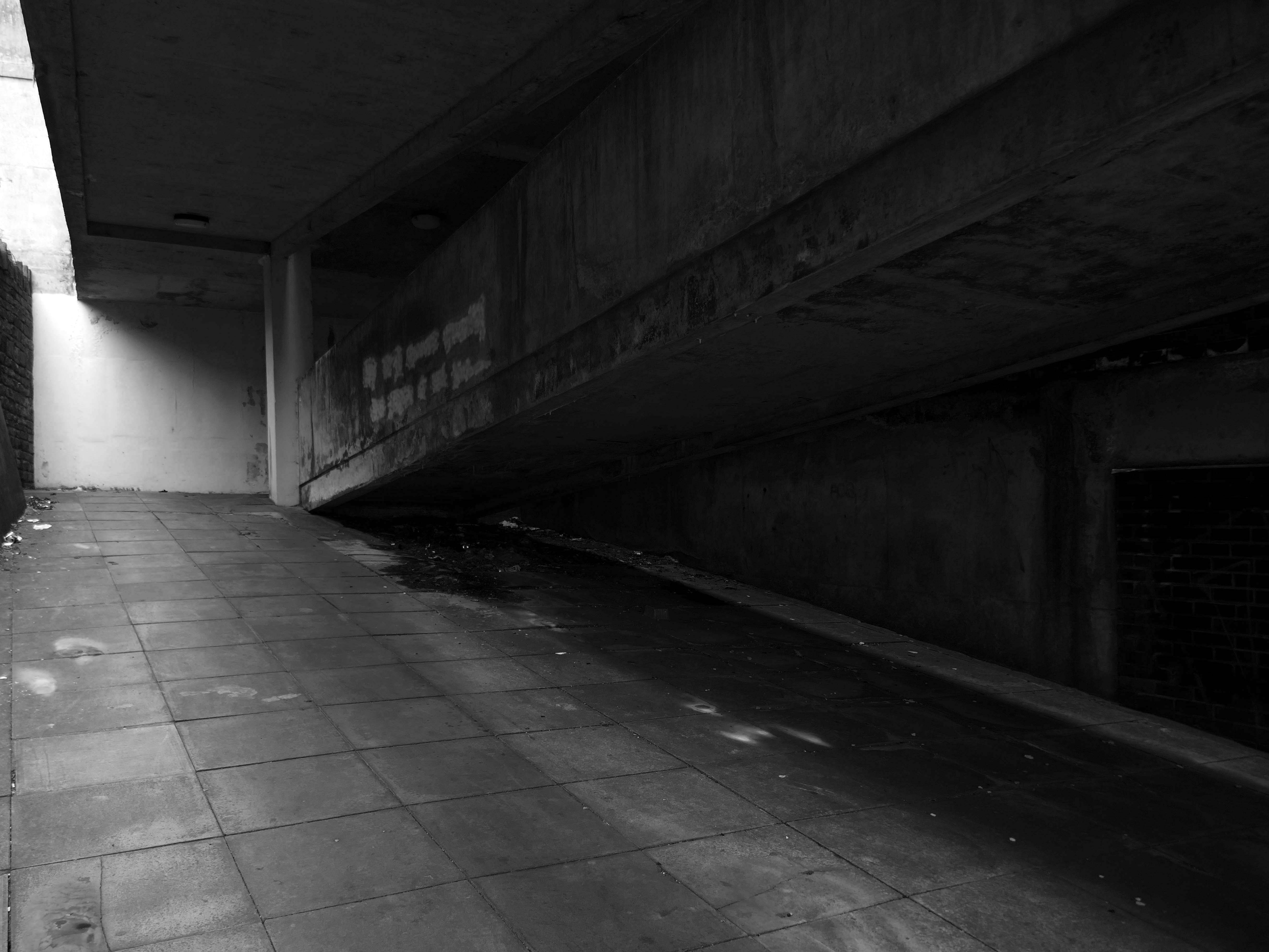
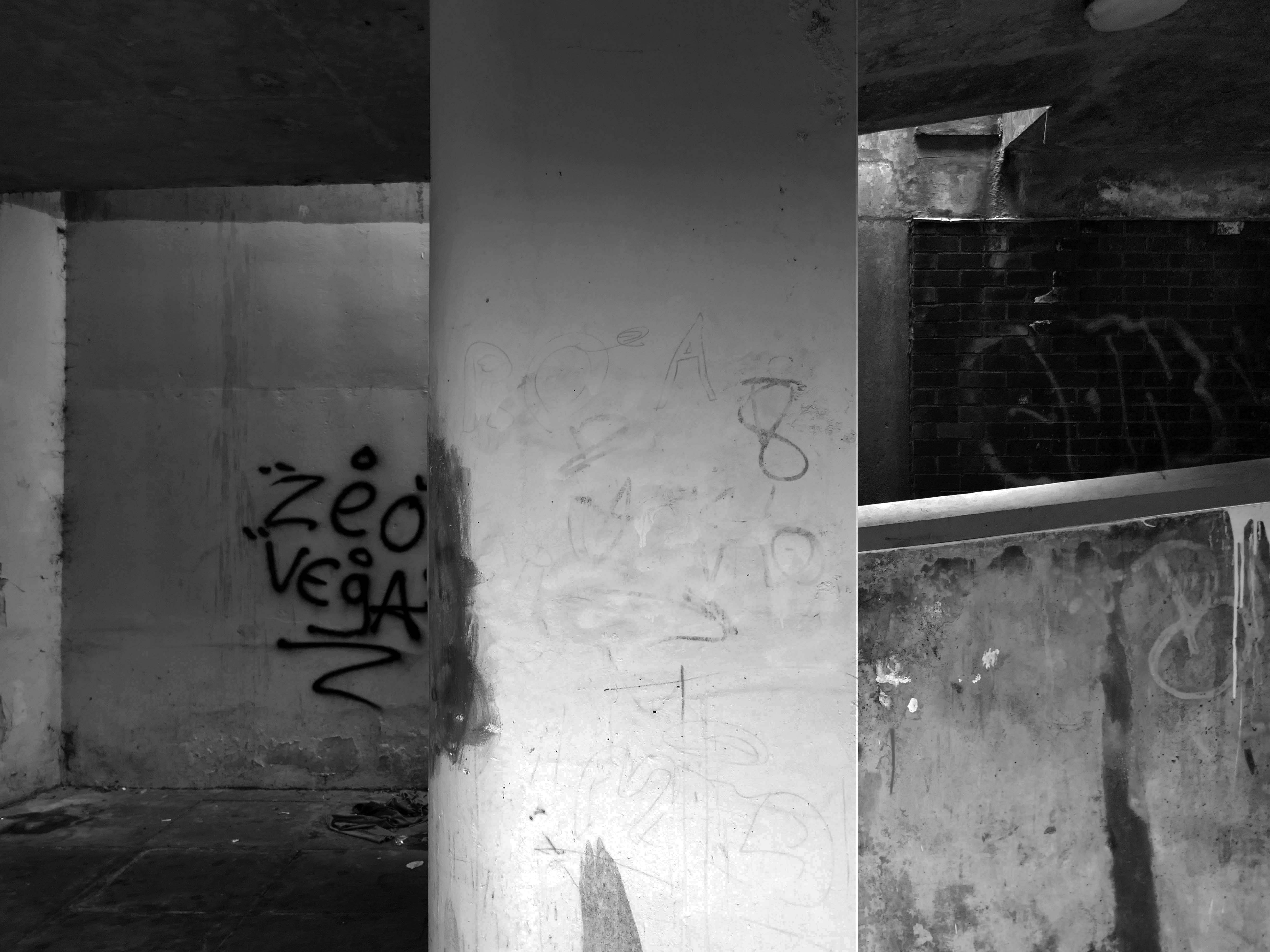
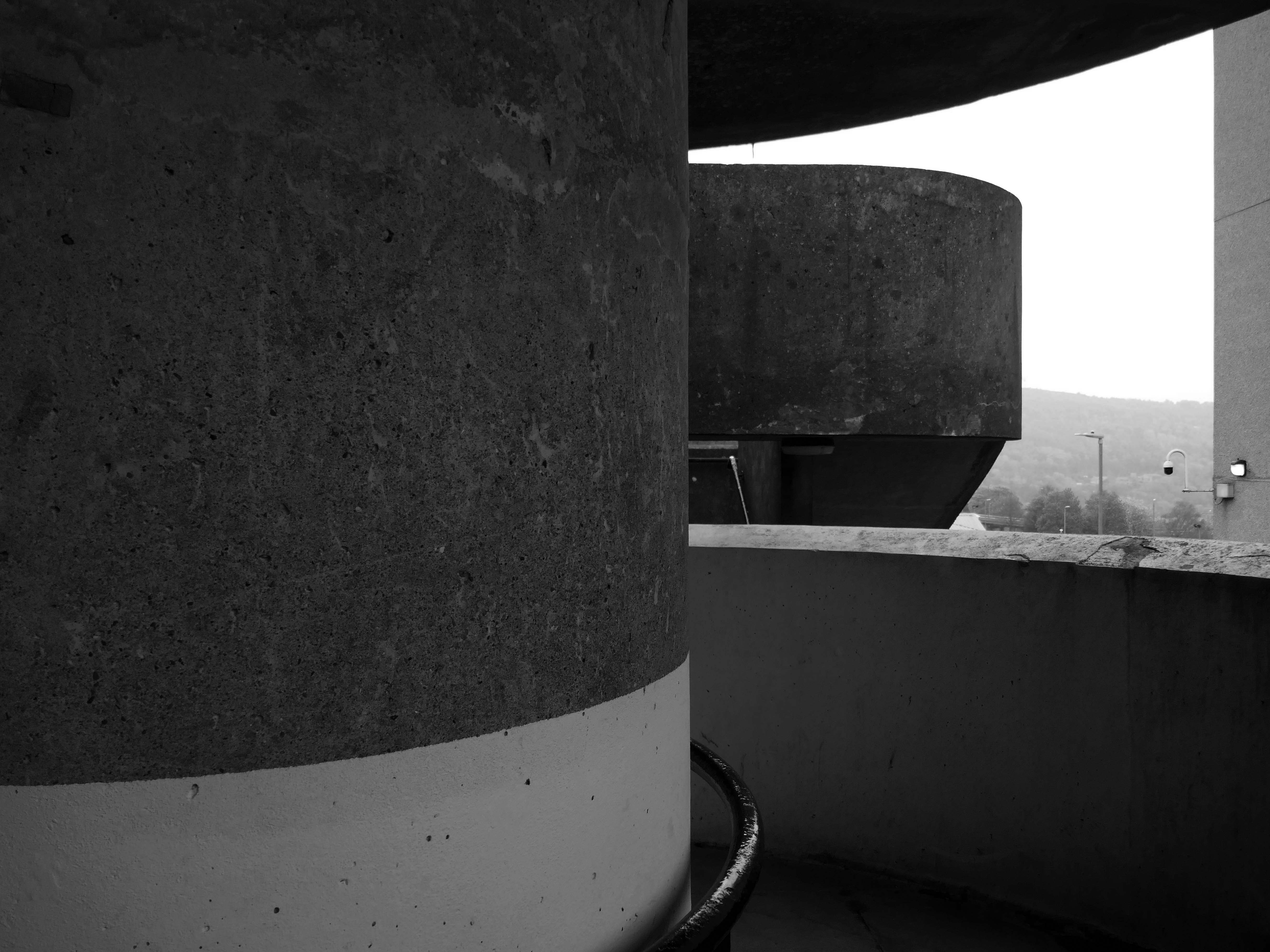
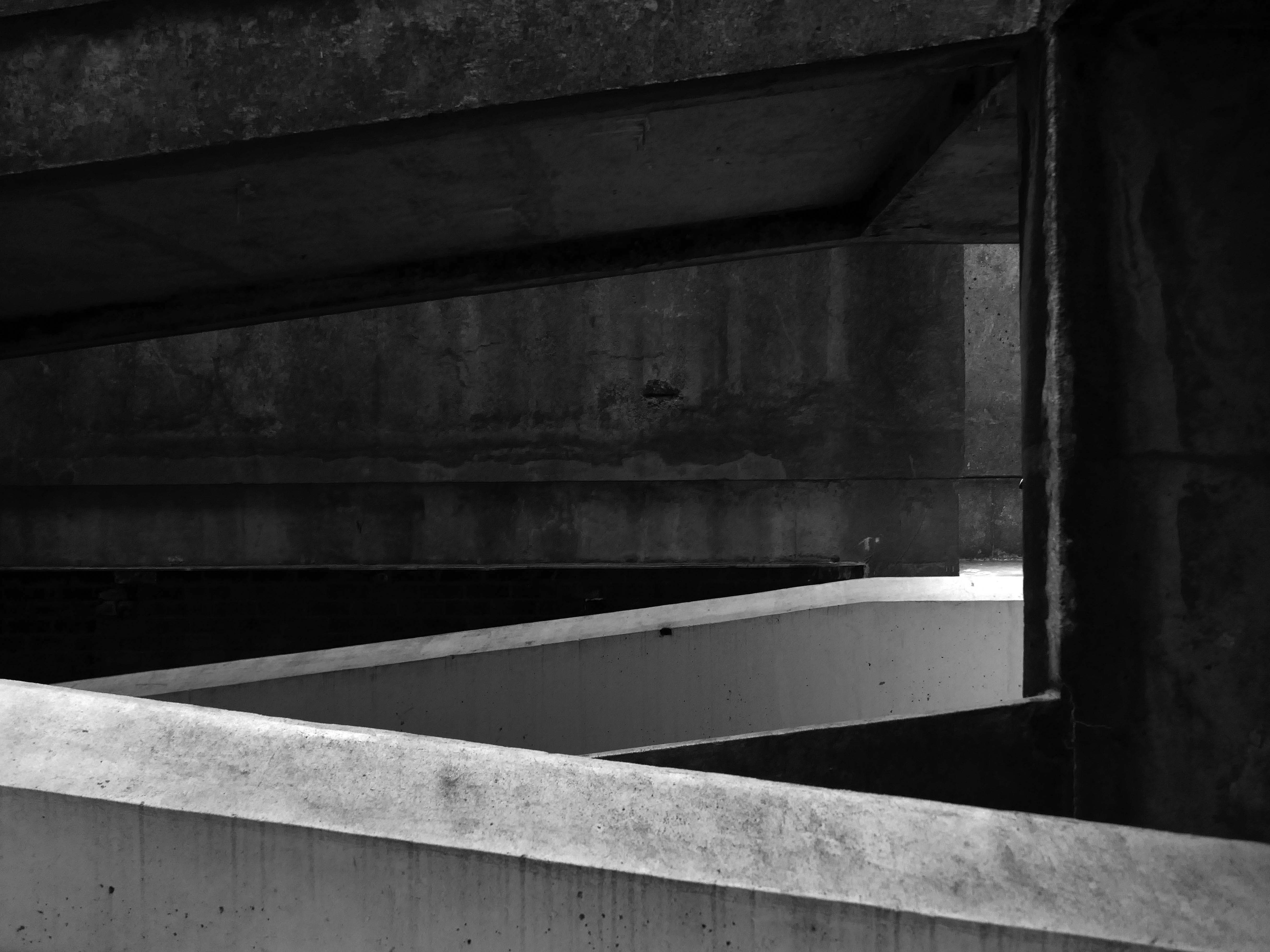
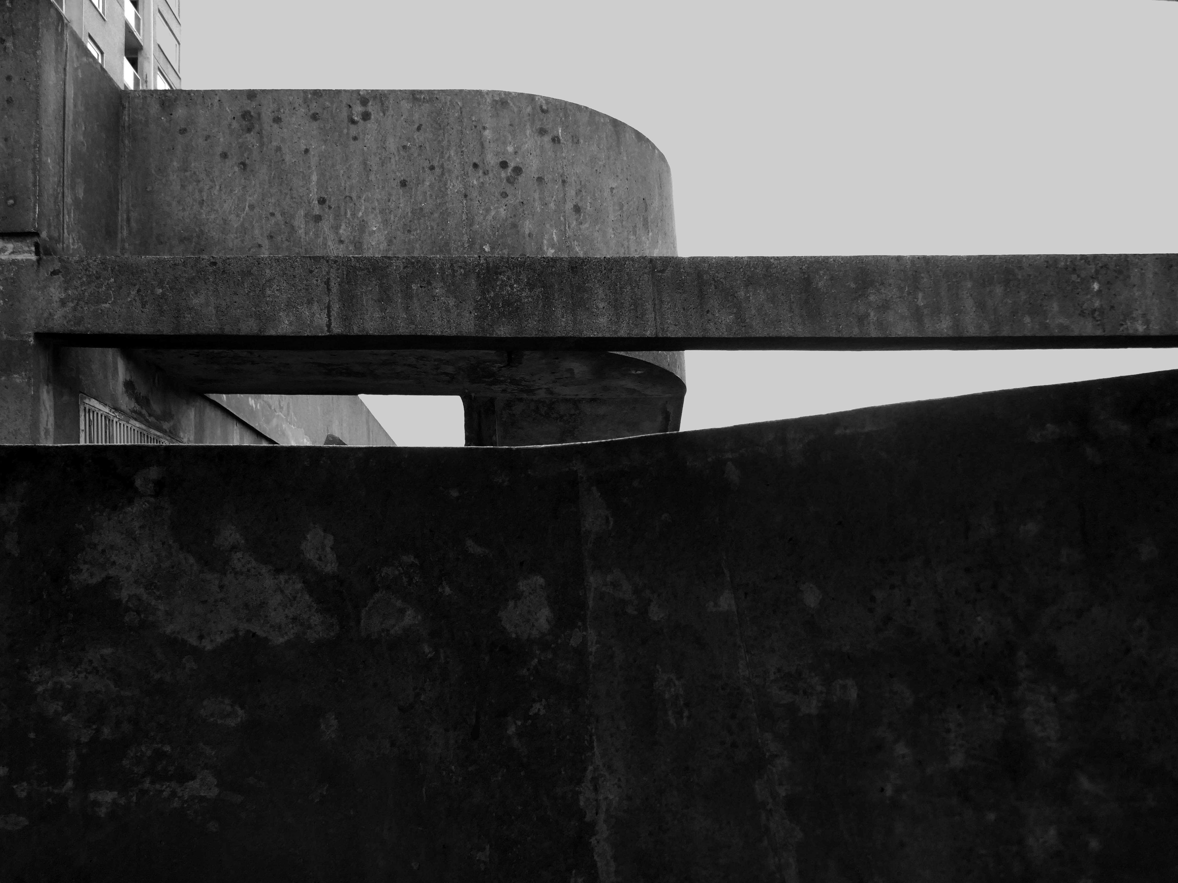
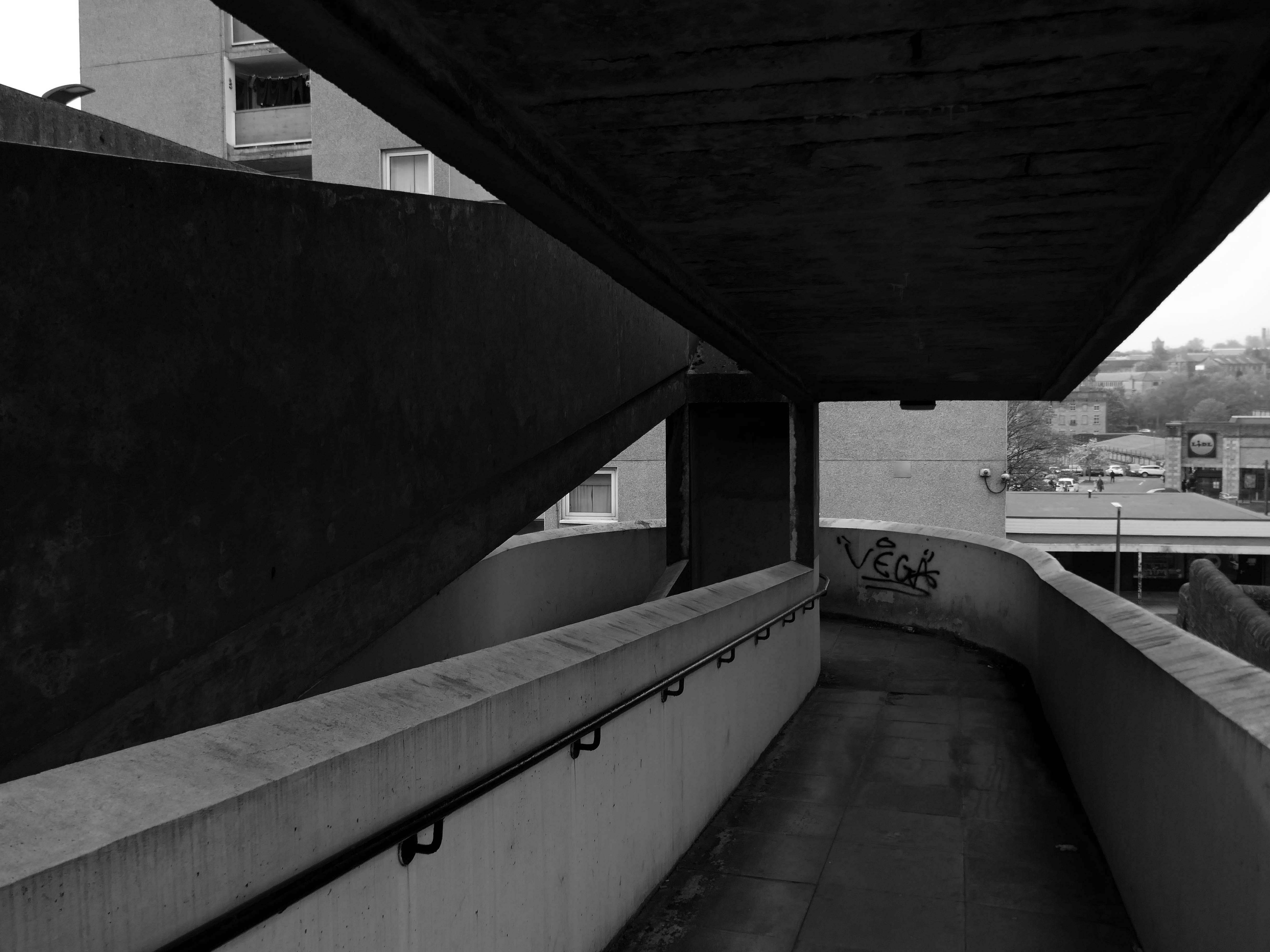
So an unsatisfactory stasis prevails across the windswept piazzas, podium garages and towering towers.
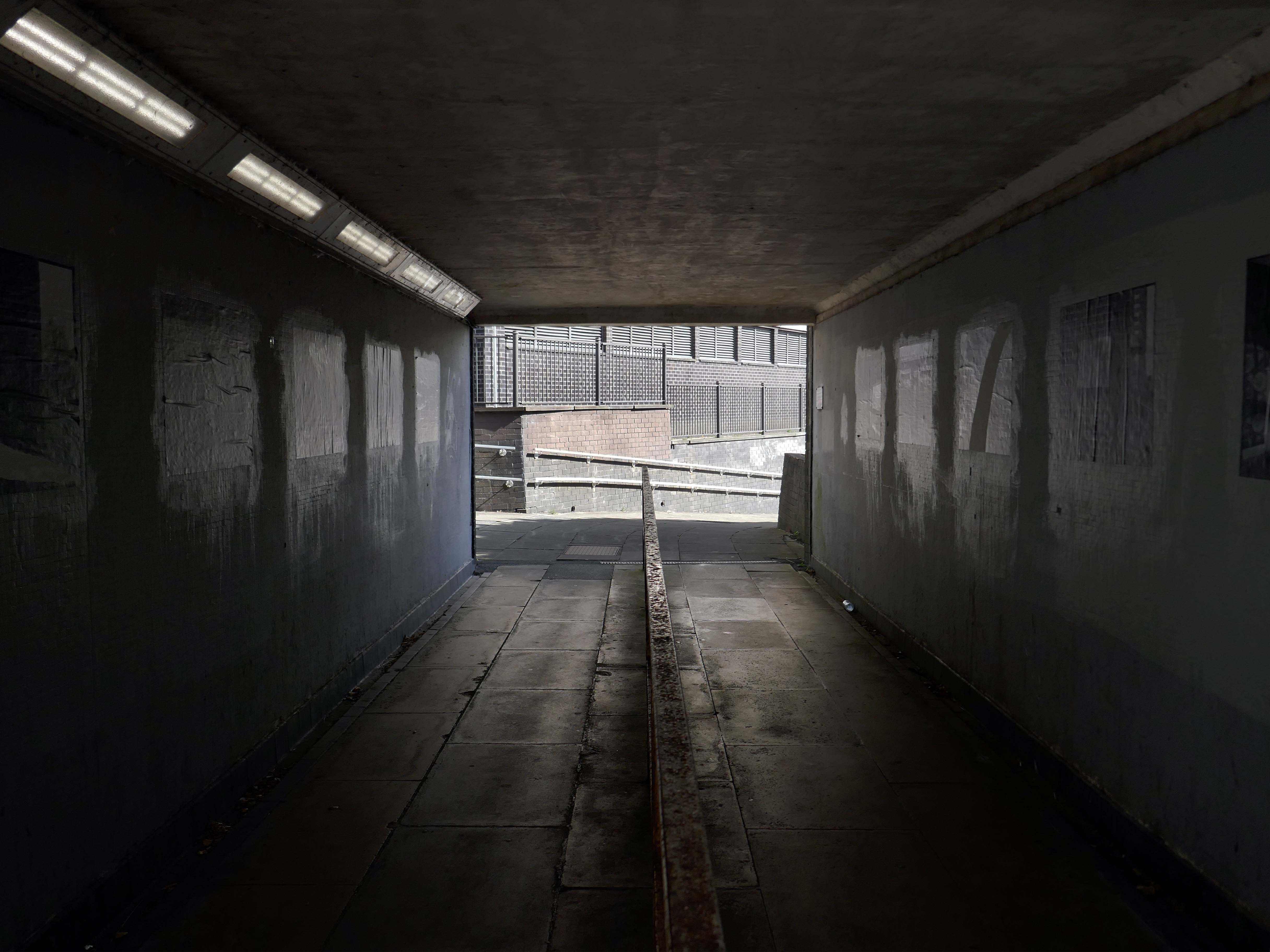
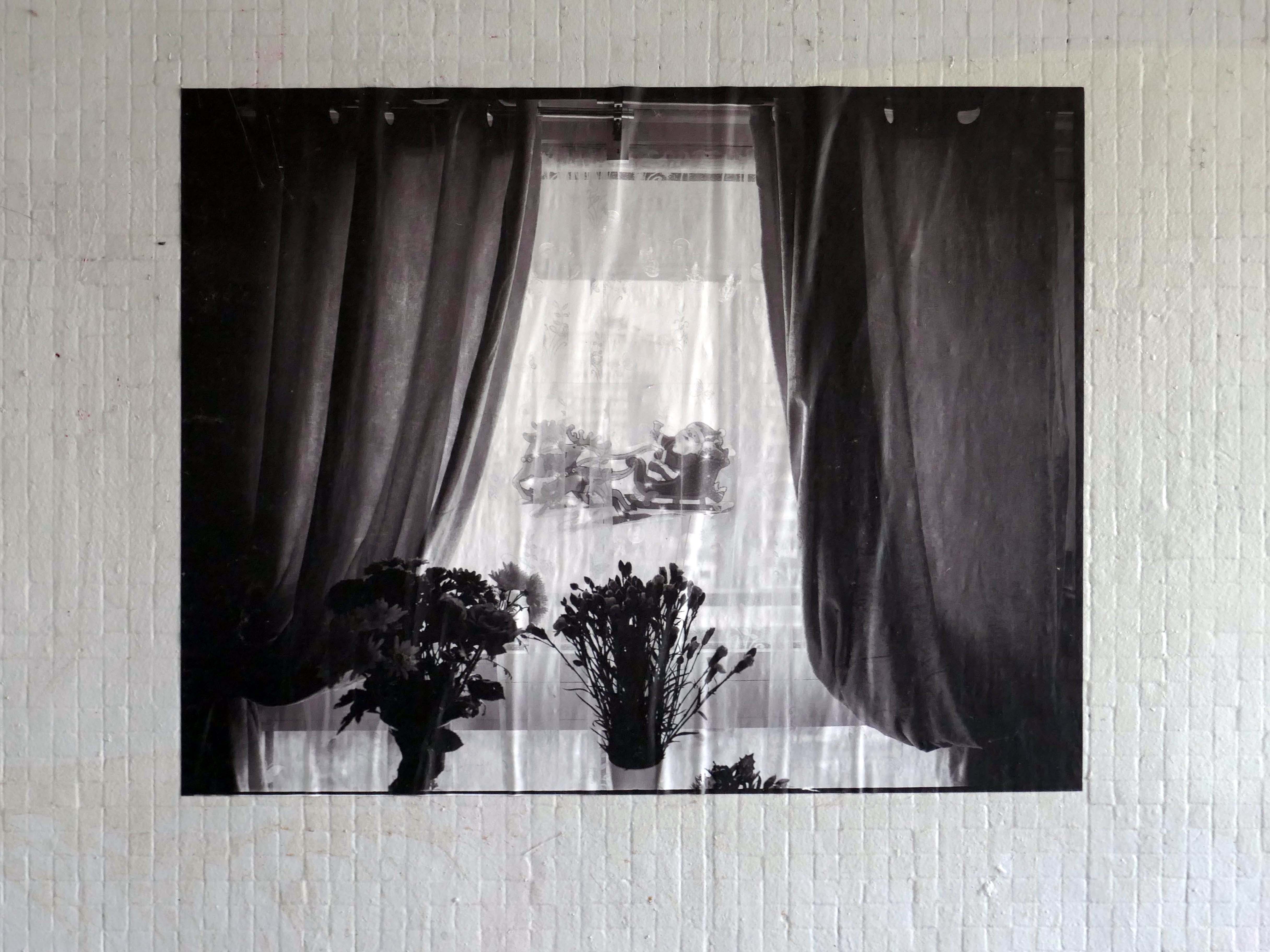
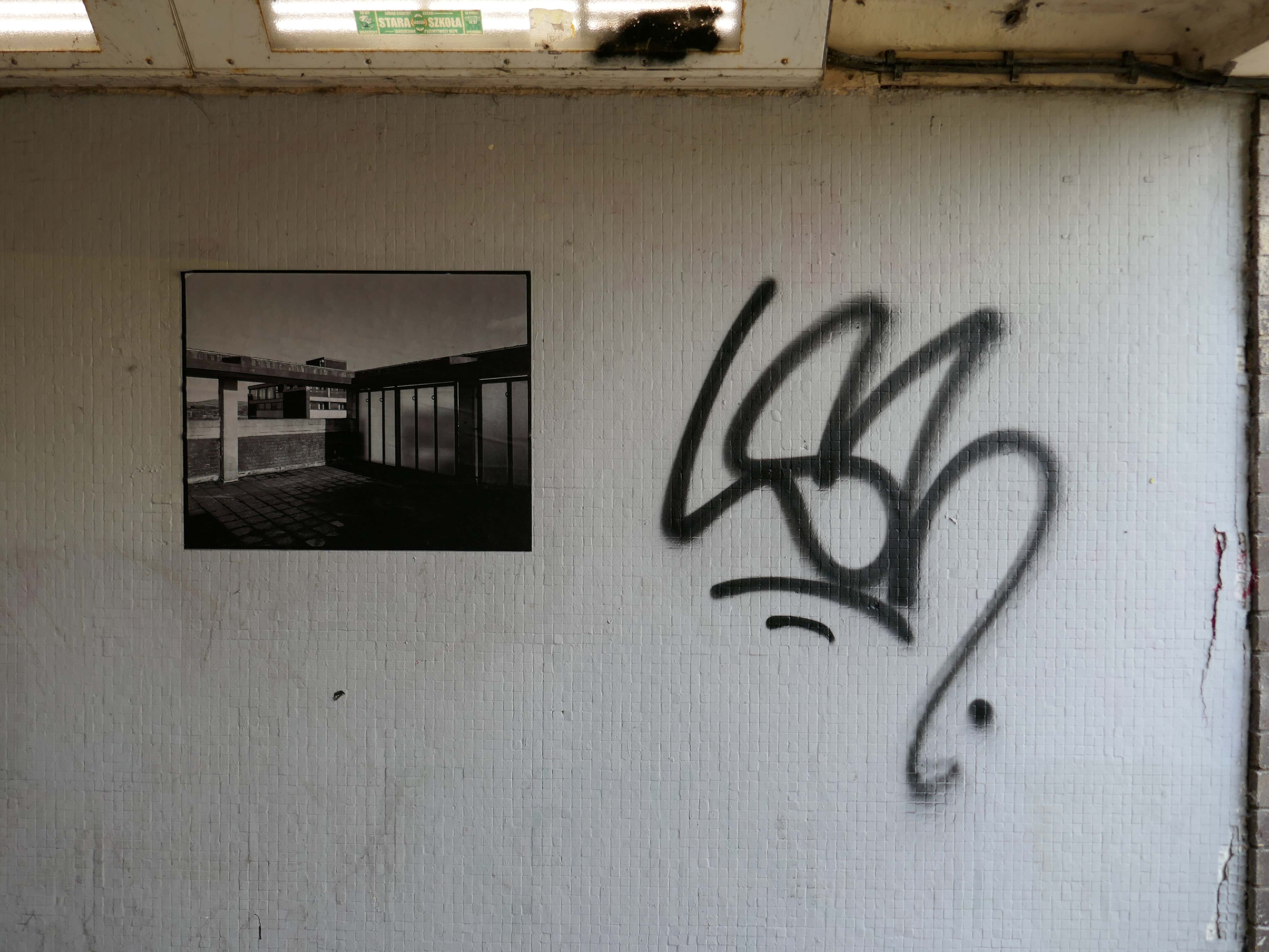
Local photographer Ellie Waters has her pictures of the flats displayed in the underpass.
Notes From College Bank is an ongoing project which documents the College Bank buildings in Rochdale, Greater Manchester. Known locally as ‘The Seven Sisters’, College Bank is formed of seven high-rise social housing blocks, four of which have come under recent threat of demolition.
Drawing from found imagery and photographs taken by my late Grandfather – M J Burgess – who like me grew up in Rochdale, I’ve been working with past and present residents to create a collective record of life in and around College Bank.
This project is ongoing, if you would like to share your stories of College Bank please get in touch via email – notesfromcollegebank@gmail.com
Here is a recent post from Municipal Dreams outlining the history state of play – Rochdale Housing Part II.
Fast forward to the present, the Seven Sisters still stand – an impressive architectural statement in the heart of Rochdale and, to my mind, as powerful a testament to municipal endeavour and aspiration as the town’s nearby town hall. But much has changed. In the slow evolution that affected council housing more broadly, the flats became less desirable, even, in some eyes, a ‘sink estate’. In Robin Parker’s view, the Council started re-housing people in the blocks ‘not suitable for high-rise living’ – a typical occurrence when the most vulnerable on the waiting list and those with least choice are allocated to so-called ‘hard to let’ estates.
Coniston, Windemere and Rydal were among the first council homes to be built in Stafford, between 1951-52, under the direction of County Architect CM Coombes.
The flats were built as a result of The Housing – Financial and Miscellaneous Provisions Act 1946, which gave subsidies to local authorities to provide social housing. The expansion of the Borough Council’s civic duties included the employment of County Architects, in this case CM Coombes FRIBA, to whom these flats are attributed.
54 flats were built in total, to a distinctly Modernist design, and their appearance and setting are very well preserved.
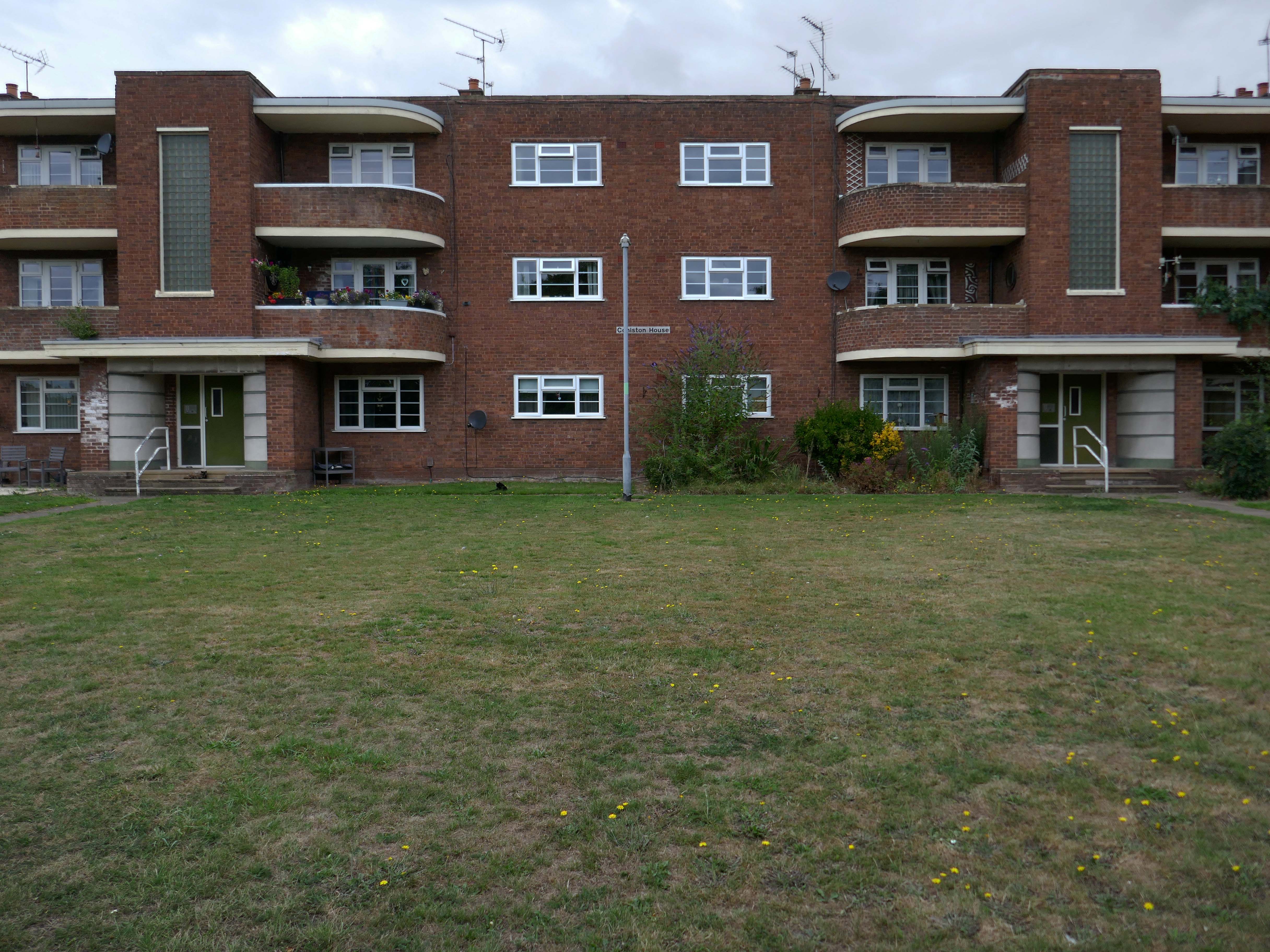
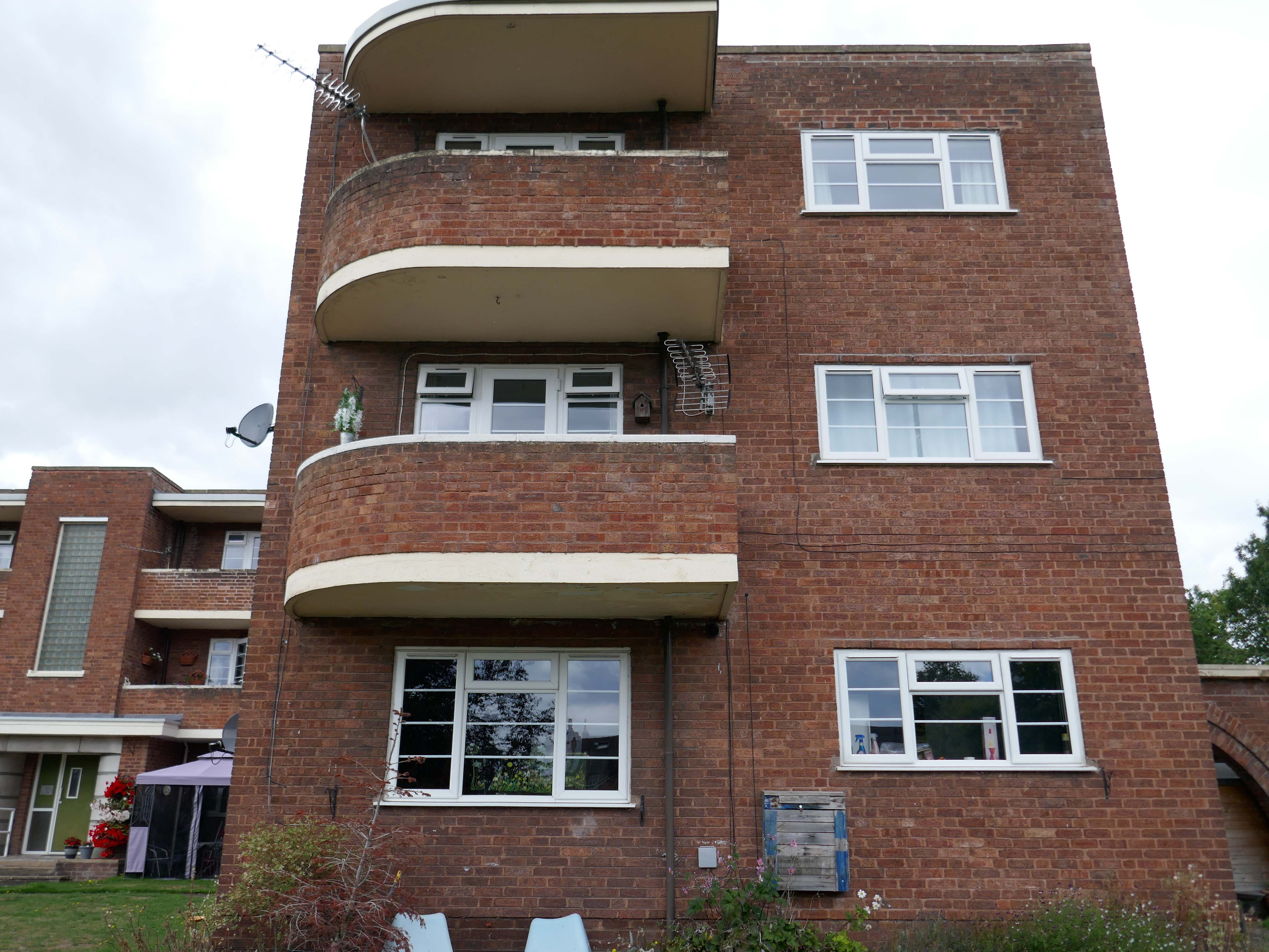
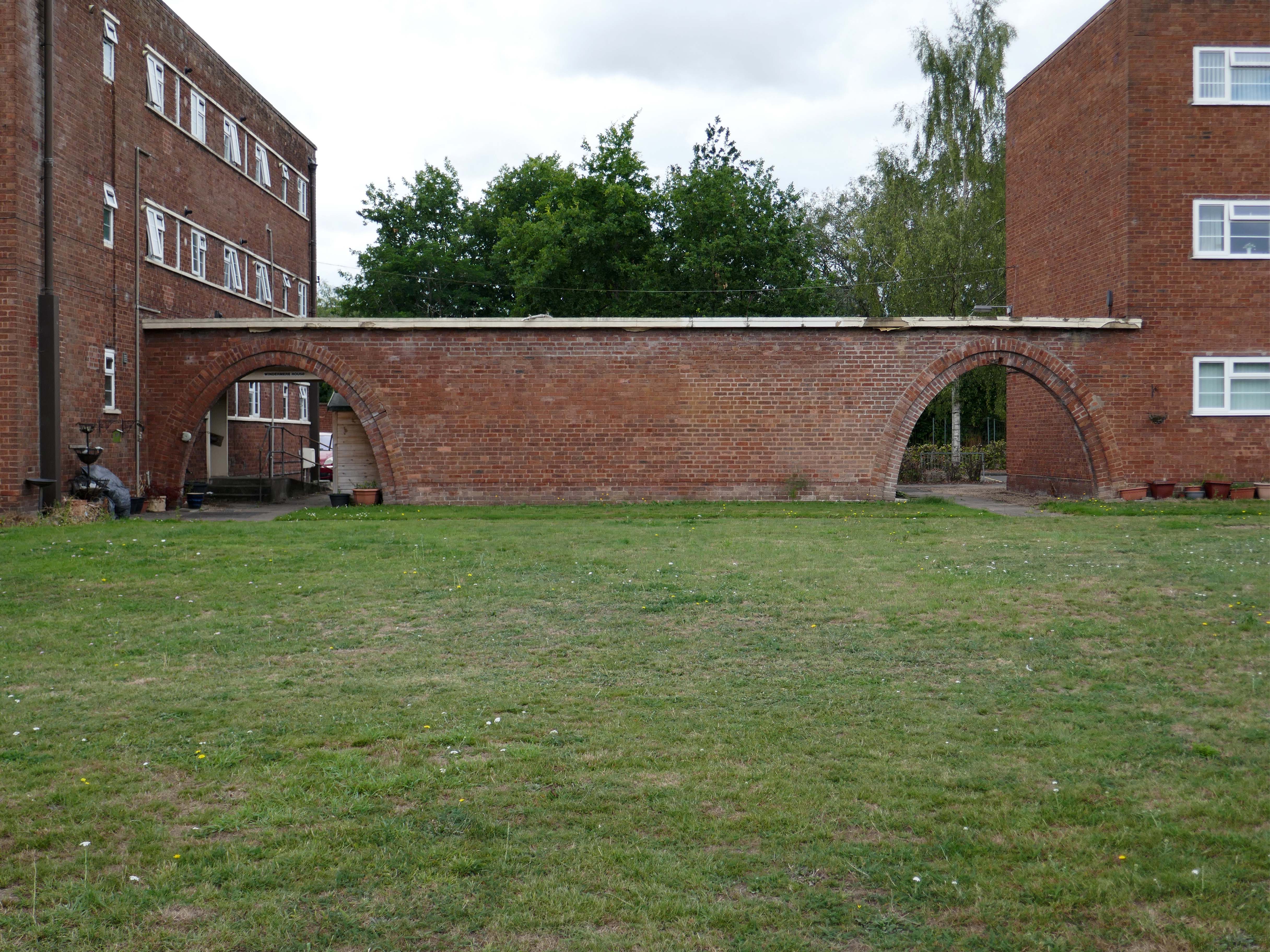
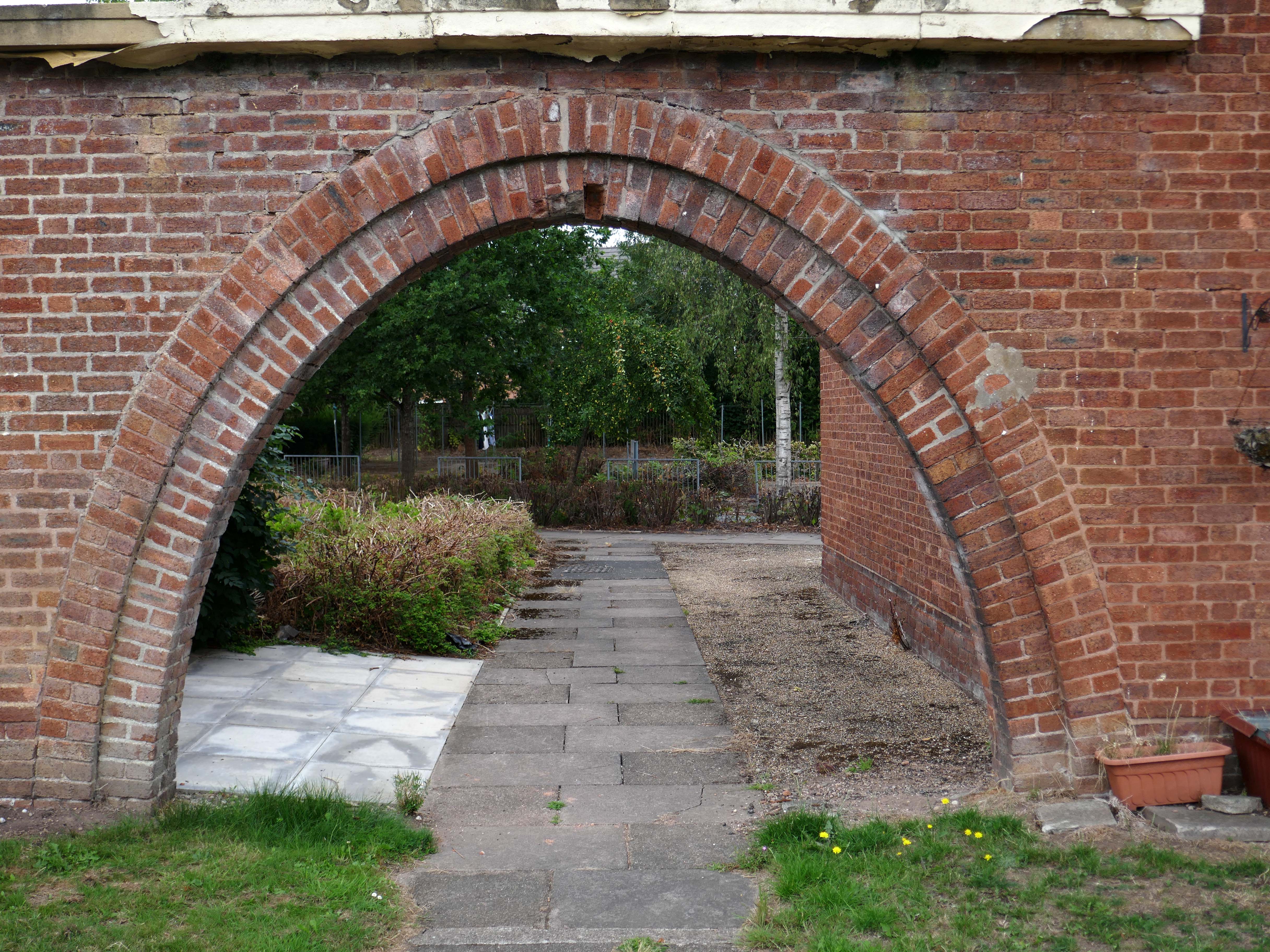
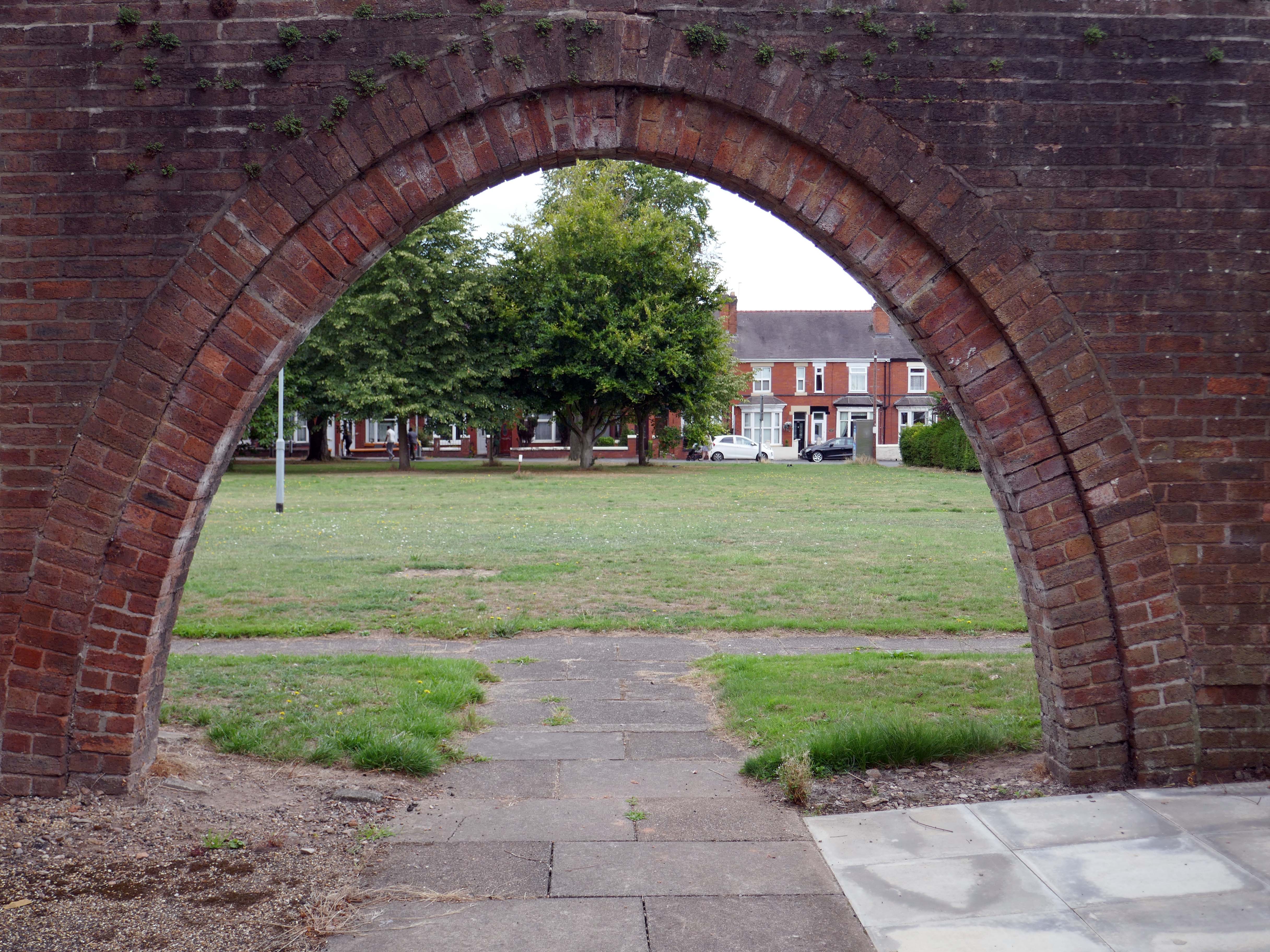
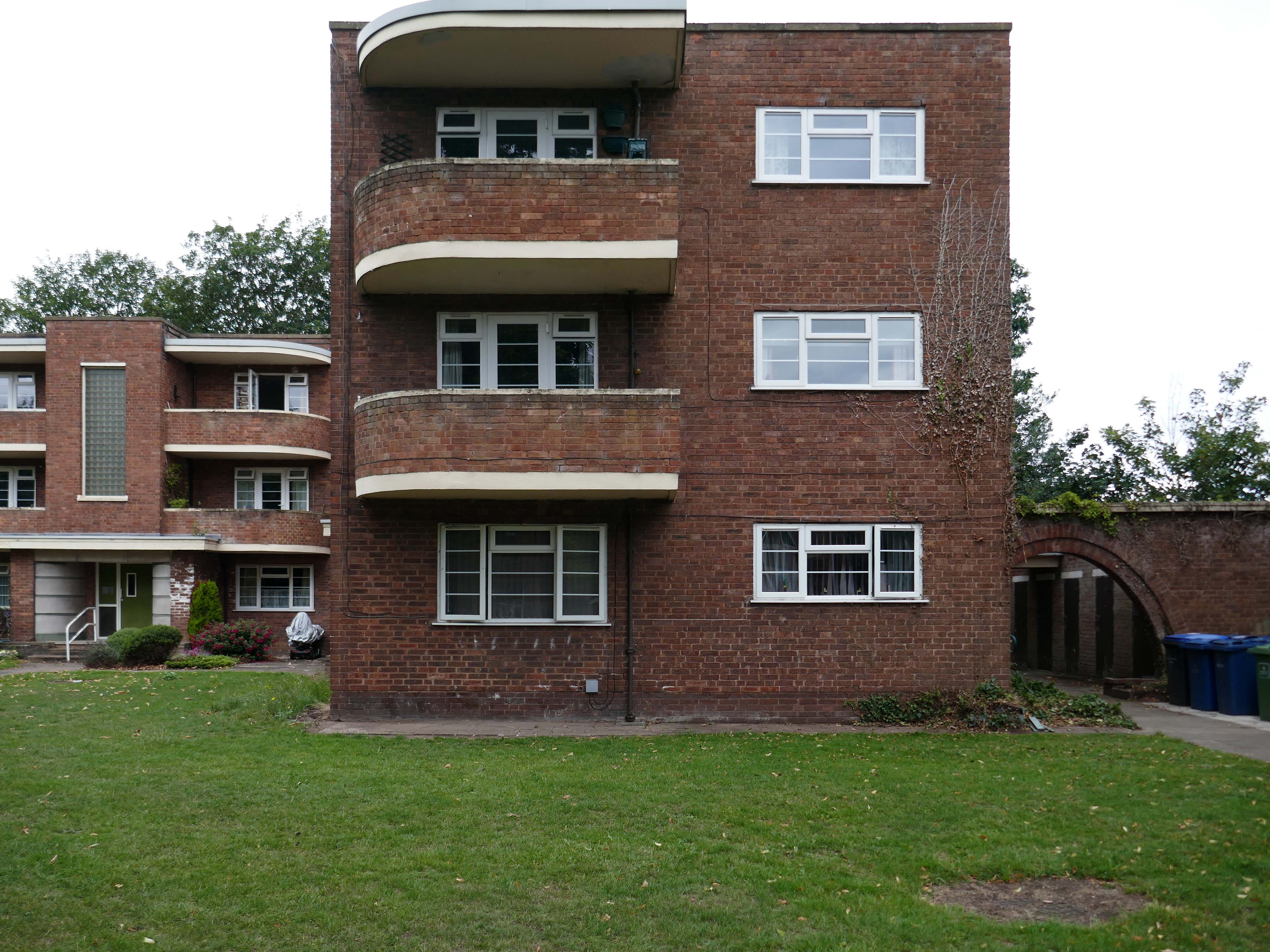
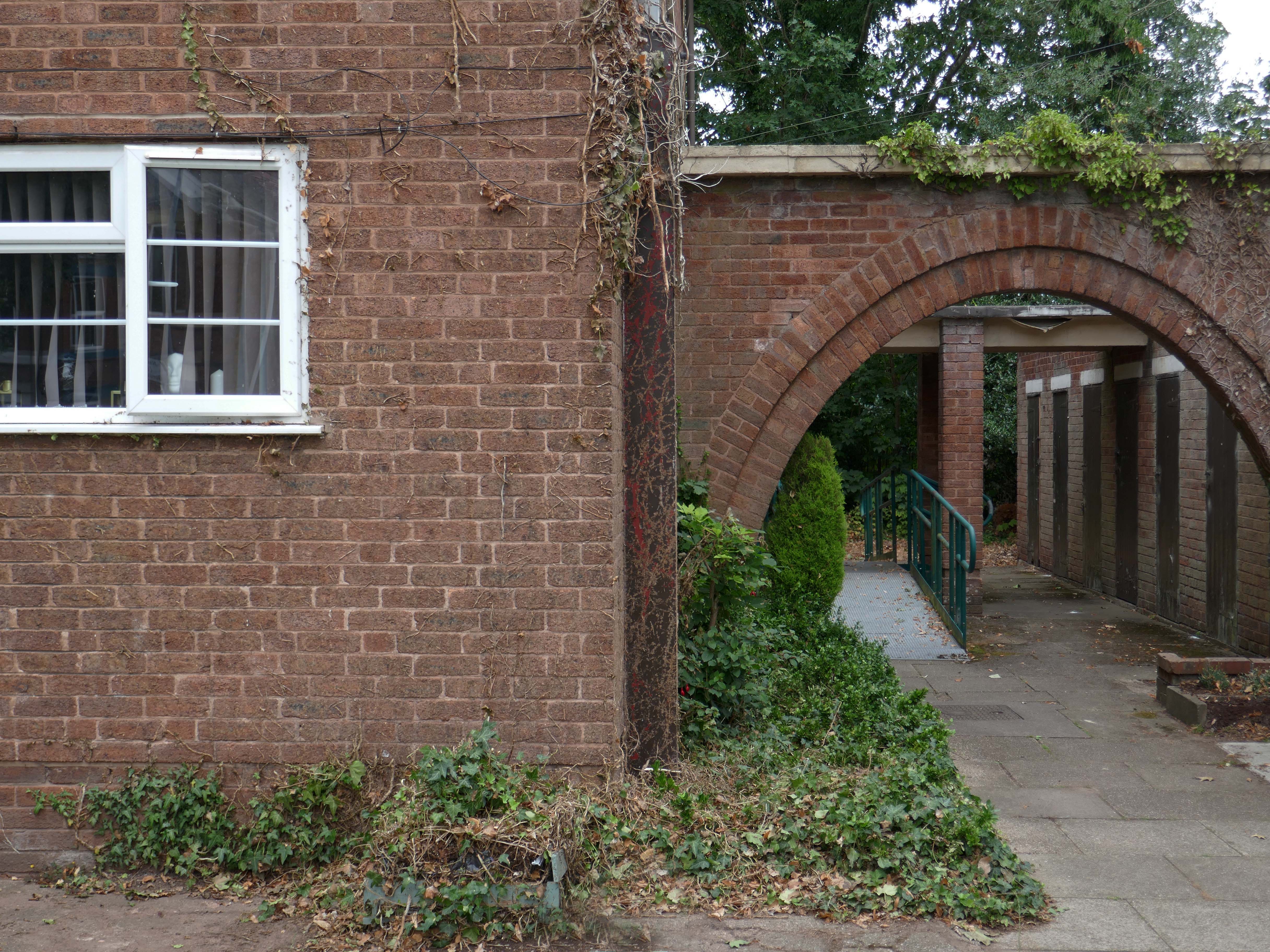
Whilst there are some common stylistic characteristics the Corporation Street Flats are of a more modest order. There are communal areas and a grassed apron, balconies and arched passages.
Over time the standard of maintenance seems to have declined, and the Crittall Windows have been replaced by white uPvc, where once there was a bowling green, this is now roughly mown and unused.
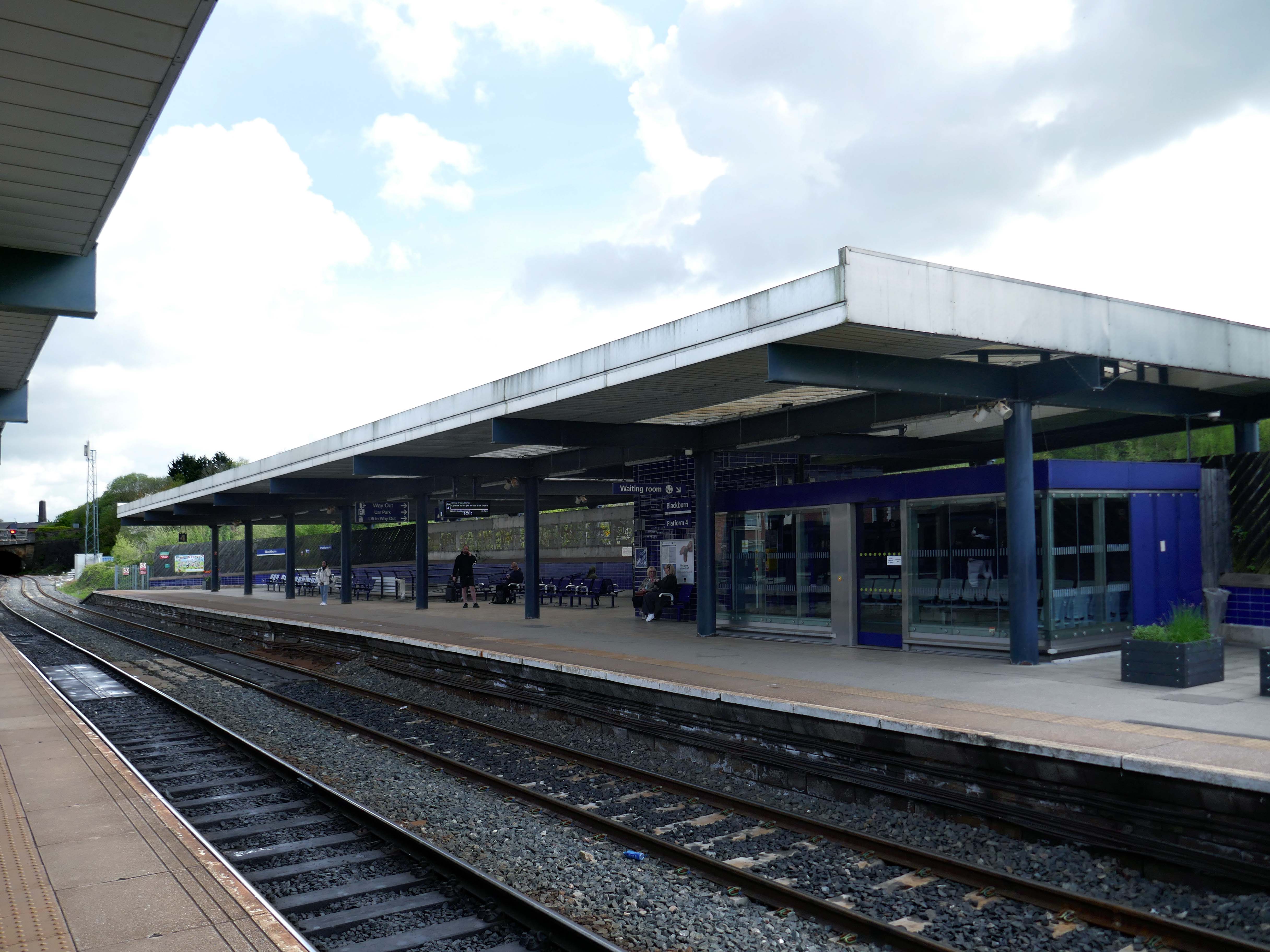
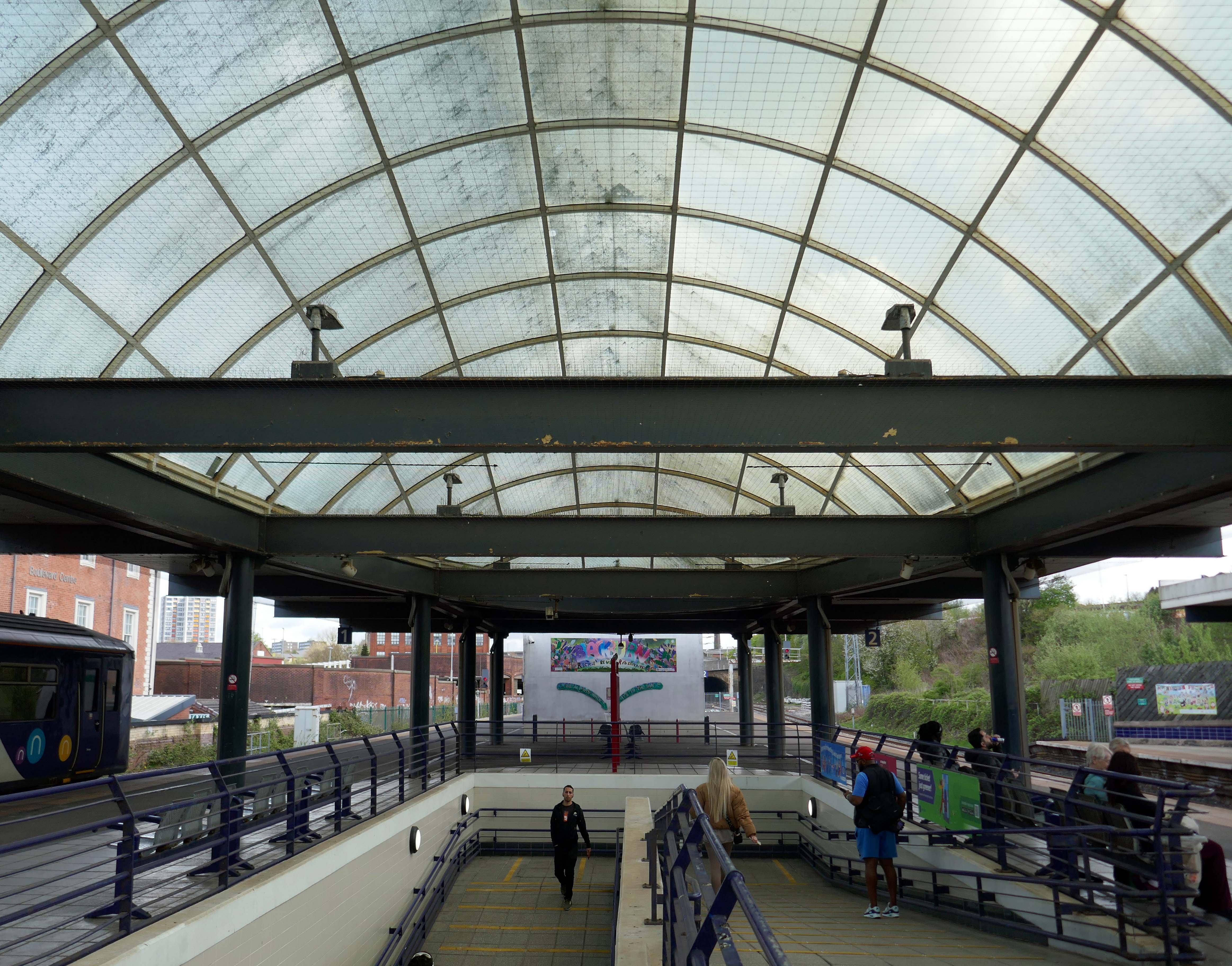
The station was covered by twin train sheds, an architecturally detailed canopy that covered all platforms. In 2000, due to its decaying state, it was removed, changing the nature of the station in a £35 million regeneration project. A new building was built on the main island platform. The Grade II listed original entrance built in the 1880s,including the station buffet and former booking hall, was retained and refurbished.
Facing the station the 2015 development of hotel and office space.
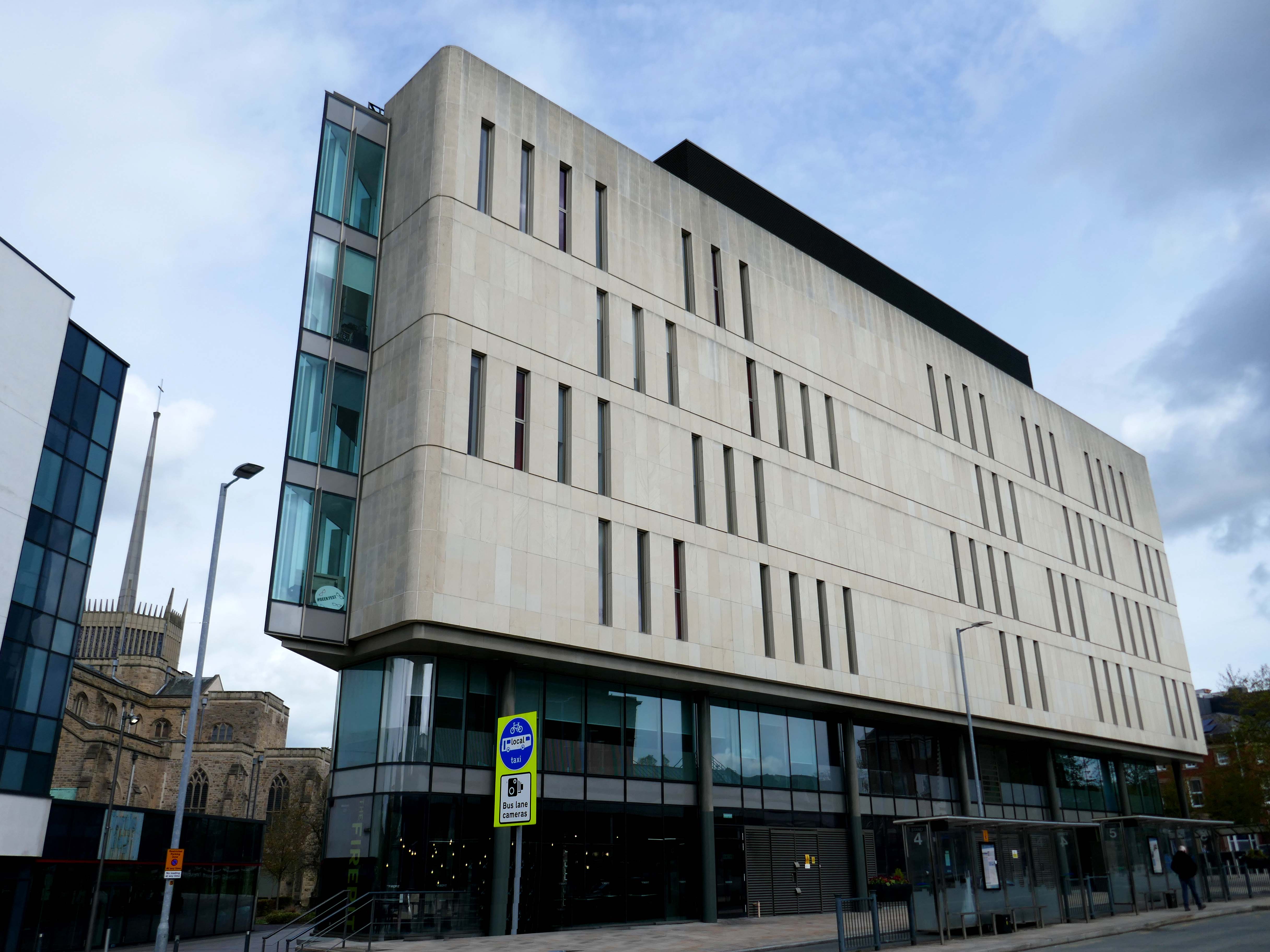
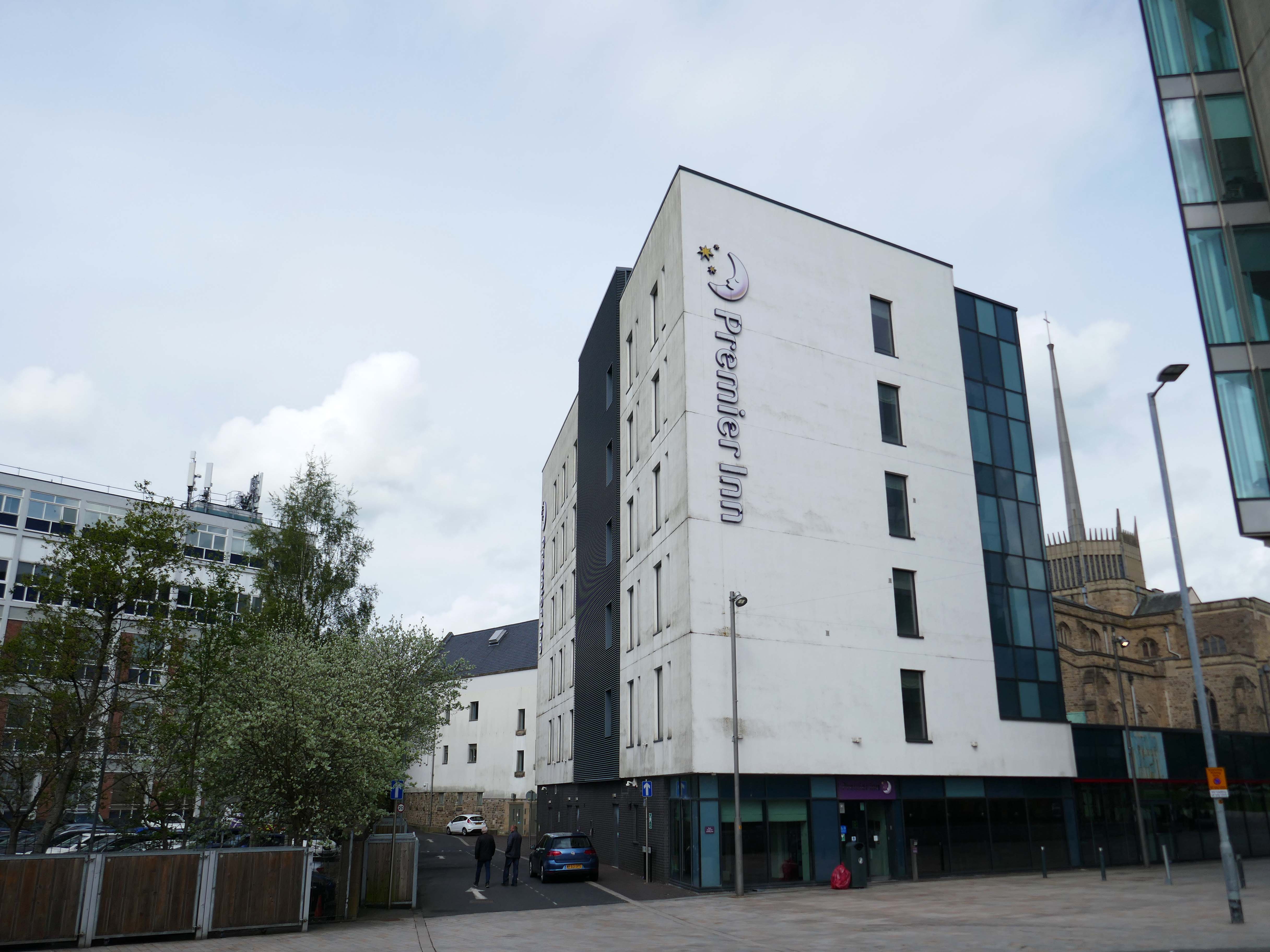
Arriving by train into Blackburn Rail Station, visitors get the full impact of this carefully planned but ambitious regeneration project. Maple Grove’s aspiration was to offer something befitting of a city centre in one of the region’s largest towns. Cathedral Square comprises a six storey BREEAM Excellent office building, designed by BDP, a Premier Inn Hotel, restaurants and cafes positioned around a new public square that acts as a link between the rail station, cathedral and beyond to the shopping centre.
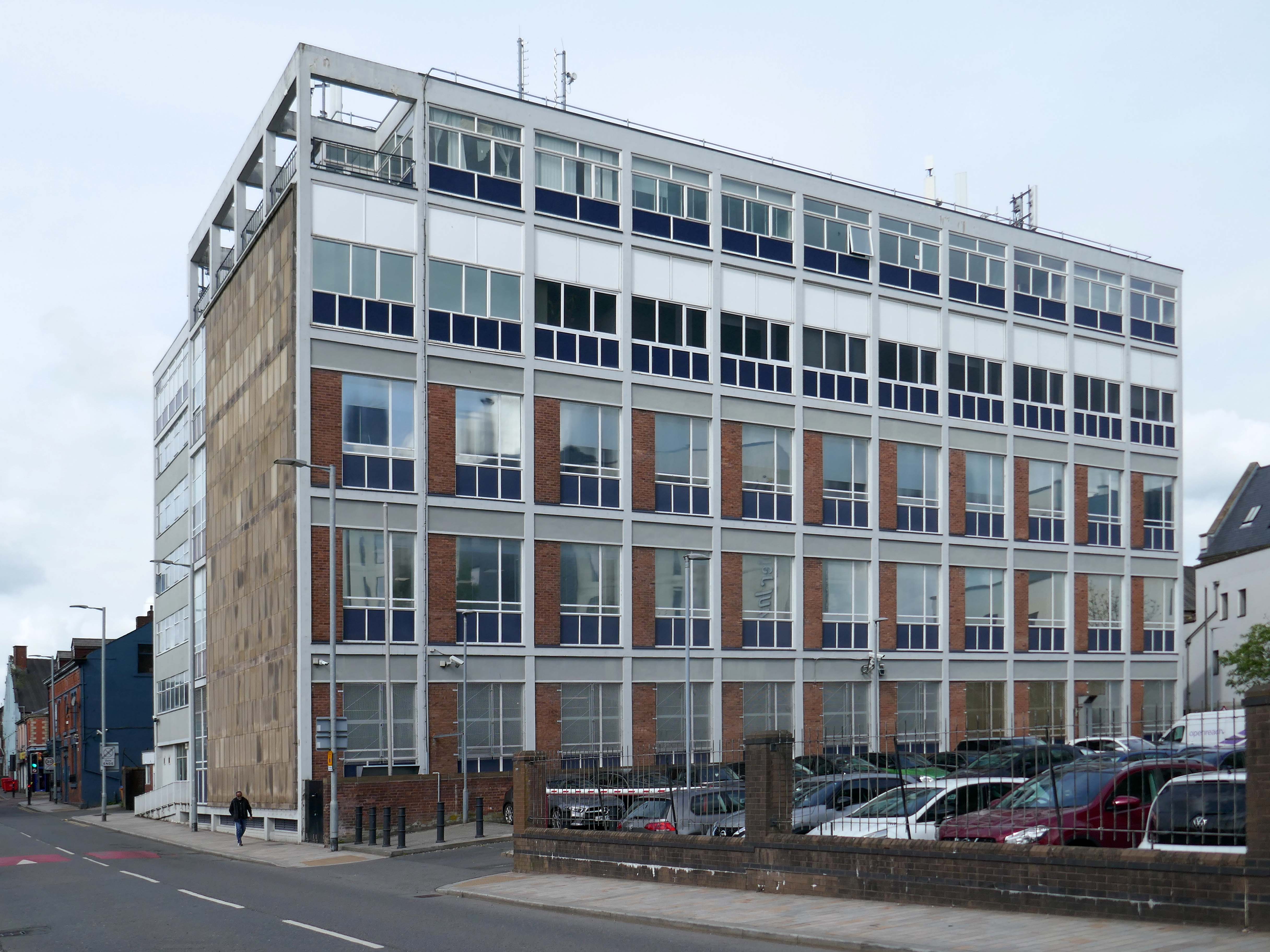
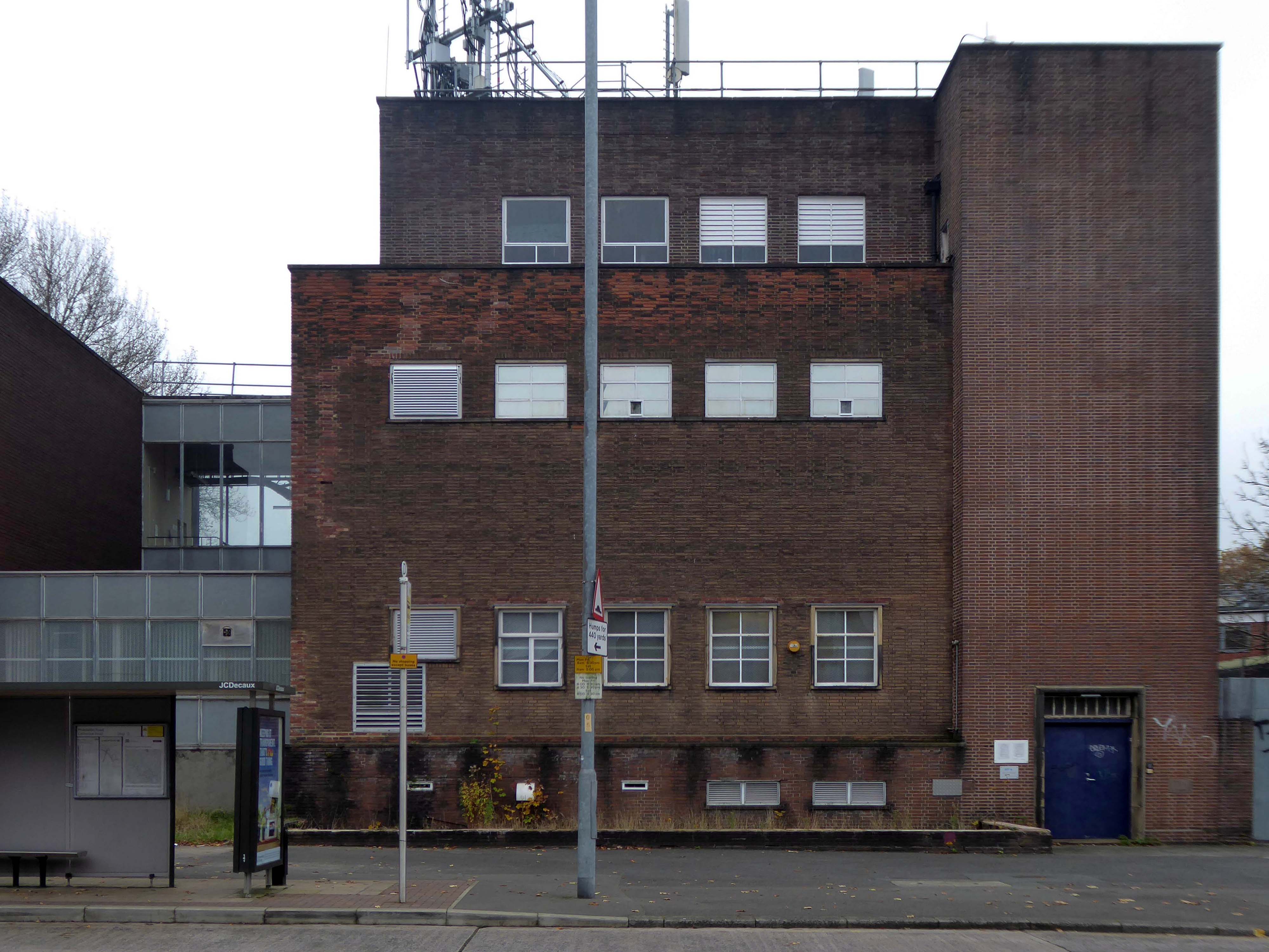
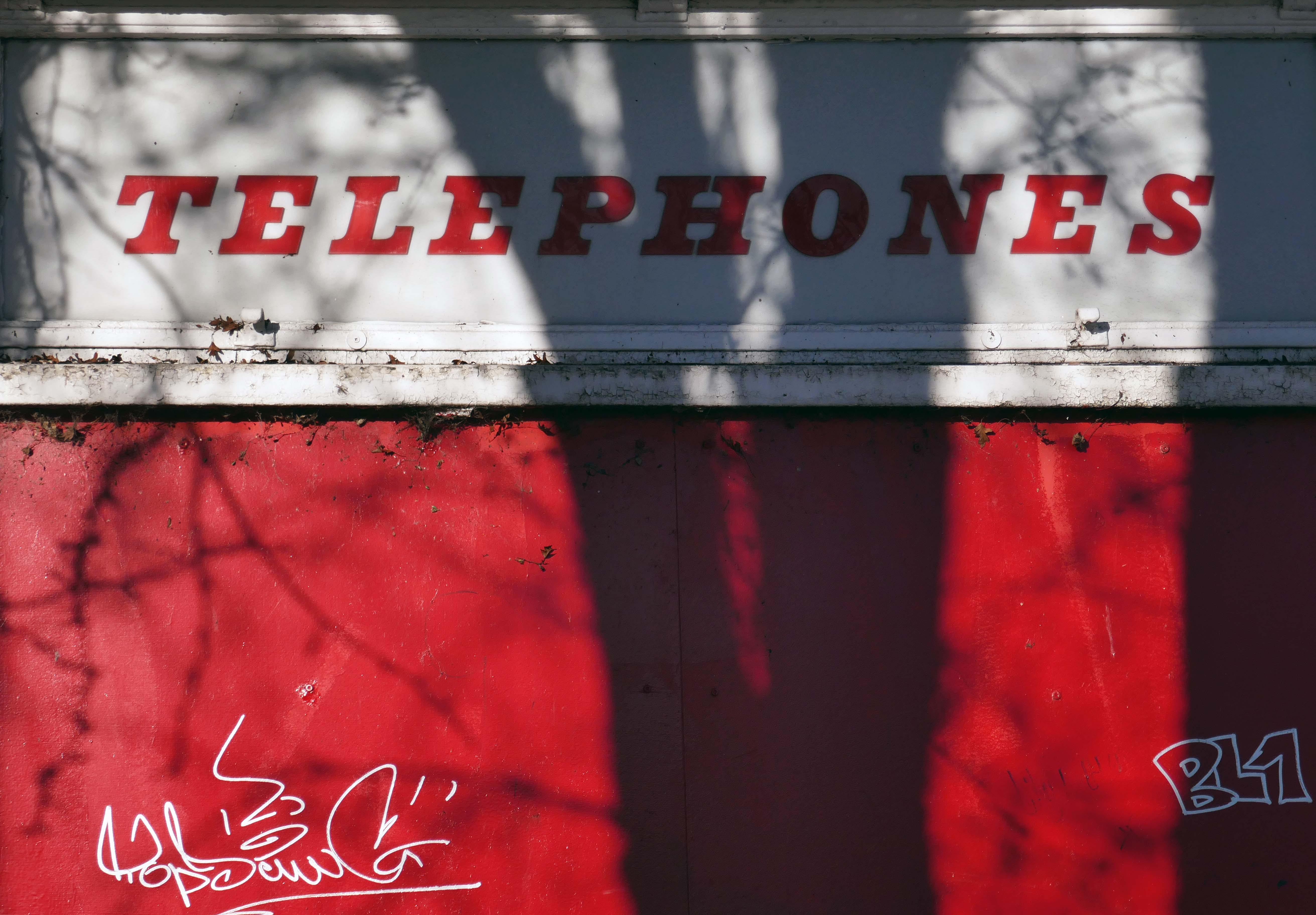
Left onto Jubilee Street where we find the Telephone Exchange.
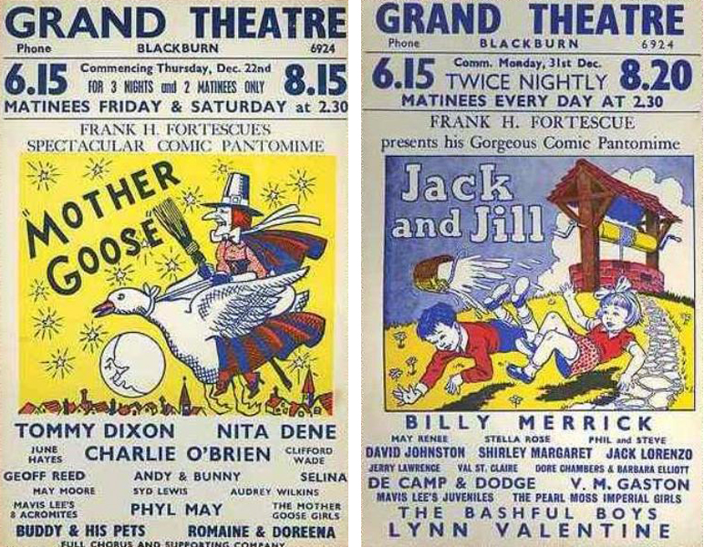
The site was formerly occupied by the Grand Theatre – in the 1950’s, Blackburn had no fewer than fourteen cinemas. The Grand carried on being a live venue until its closure in 1956, before finally being demolished in 1958.
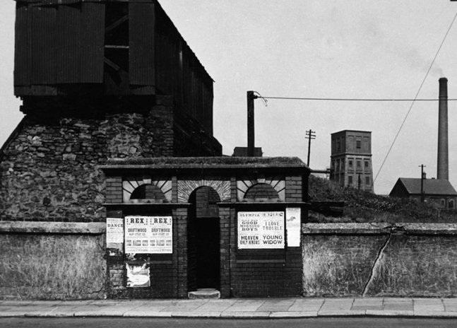
Further down the road the rear of another former cinema – The Olympia
The Olympia was opened on 19th May 1909 as a roller skating rink. It was a short lived venture and closed in November 1911. It was converted into the Olympia Theatre, presenting music hall/variety, opening on 12th December 1911. Seating was provided for 2,000, many on long wooden benches. The proscenium was 32 feet wide and the stage 50 feet deep. It was soon screening films as part of the programme.
It was converted into a full time cinema in 1921, although there were still some variety acts on the programme. All the original wooden benches used for seating in the theatre were removed and replaced by regular tip-up seats, reducing the seating capacity to 1,360. During the 1940’s, the Olympia Cinema boasted a café for the convenience of its patrons and it was operated by Jacksons’ Amusements, Ltd.
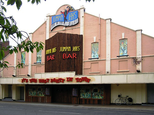
The Olympia Cinema was mainly independently operated, and closed in 1957. It stood empty for two years, then in 1959, it was taken over by Mecca Ltd, and converted into the Locarno Ballroom, later becoming a Mecca Bingo Club. It later became the Golden Palms Nightclub, Jumpin’ Jax, and since 2009 it operated as a trendy nightclub named Liquid & Envy.
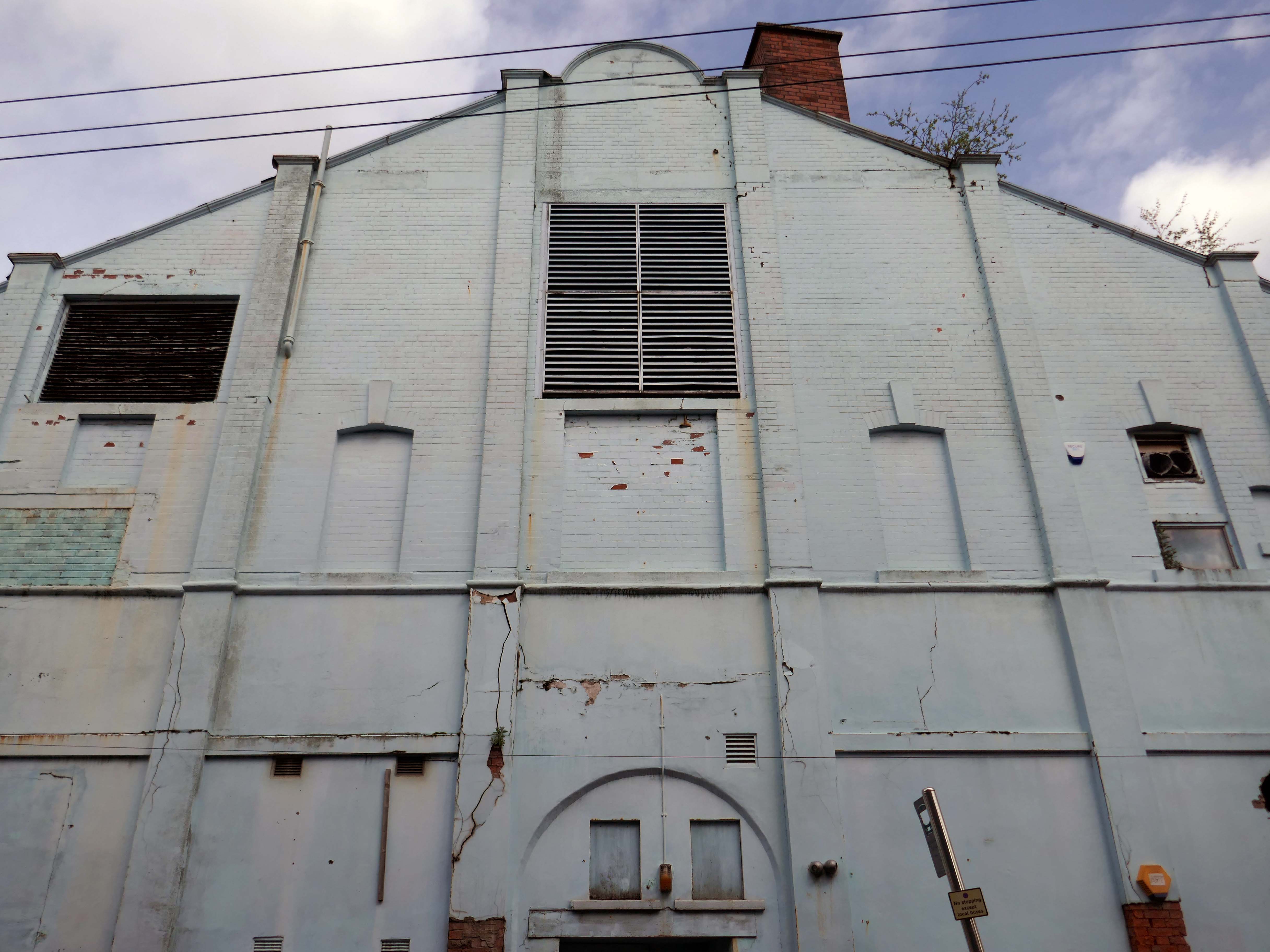
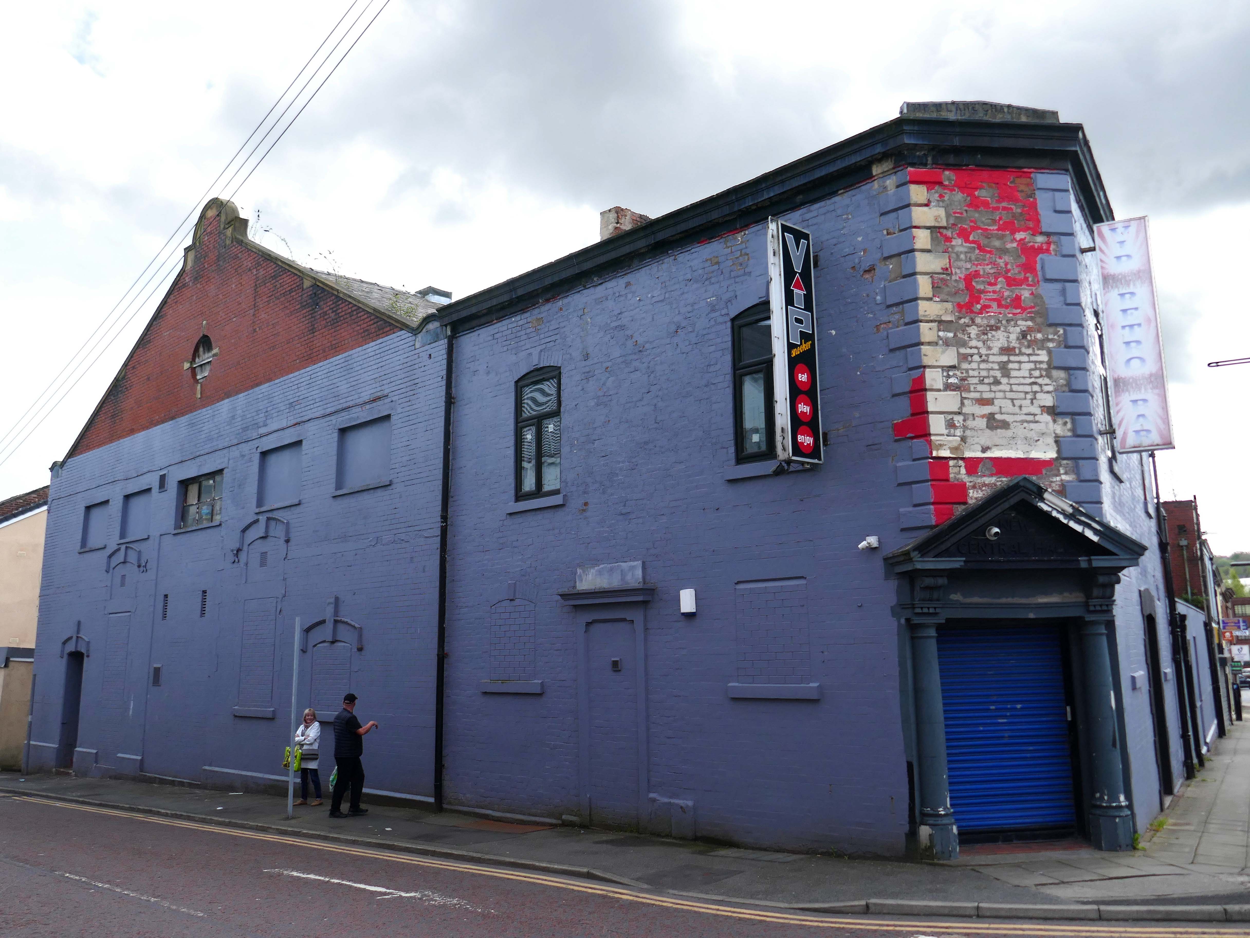
Previous to 1900 the site at the corner of Mincing Lane and Mill Lane had housed a temporary circus, known as Ohmy’s Circus. The New Central Hall was built and opened in April 1900, and was used as a roller skating rink until November 1909, when it was converted into the 1,000-seat Central Hall Cinema.
Altered and enlarged to 1,372 seats in 1923, it was re-named New Central Hall Cinema. The proscenium was 20 feet wide, later enlarged to 22 feet.
The Central Cinema was closed in January 1957. Then in 1974, it was renovated and was converted into a Walkers Bingo Club, which remained open until at least 1995. It recently operated as a Riley’s American Pool and Snooker Club until early 2009. In November 2009 after a refurbishment, it re-opened as the VIP Snooker Club.
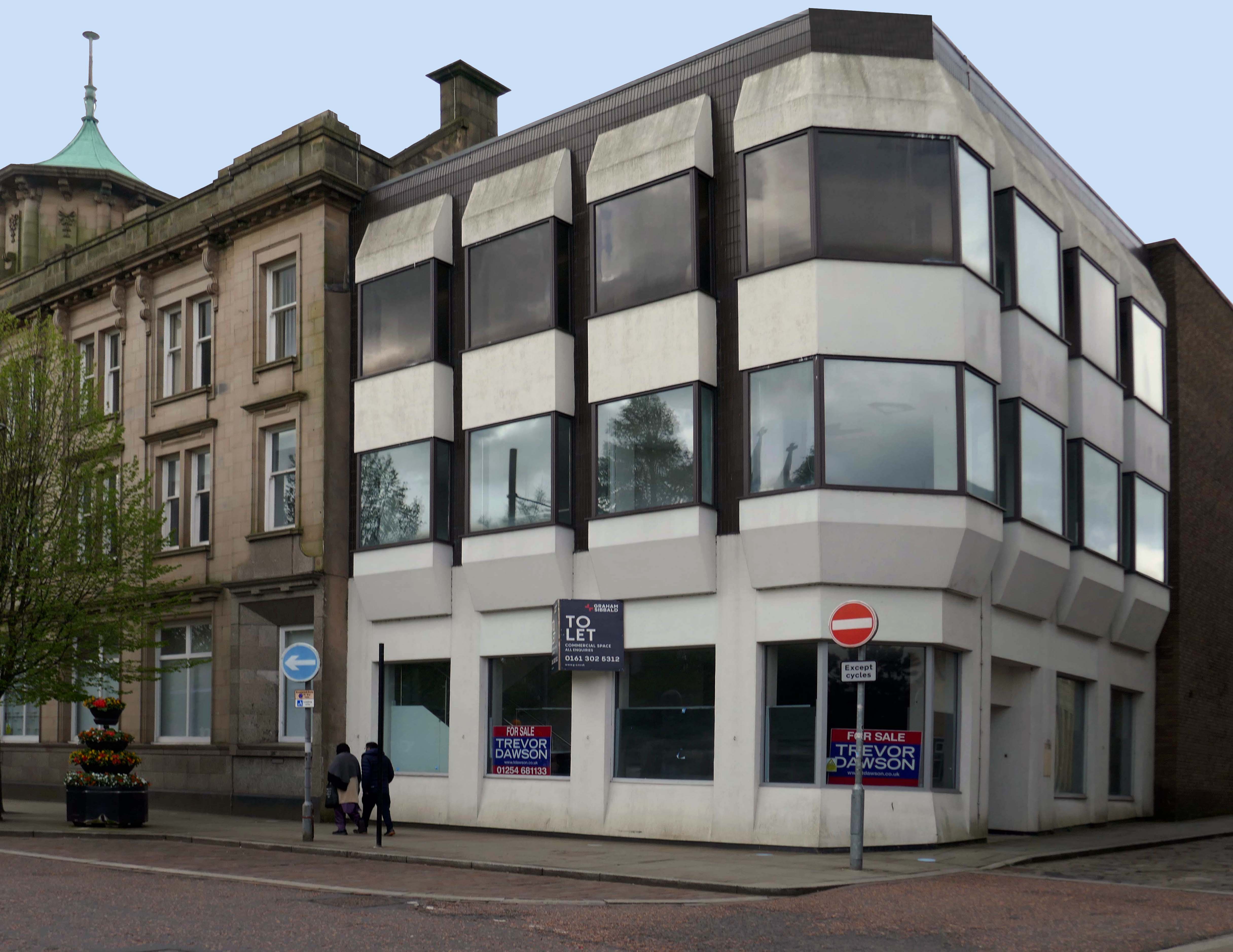
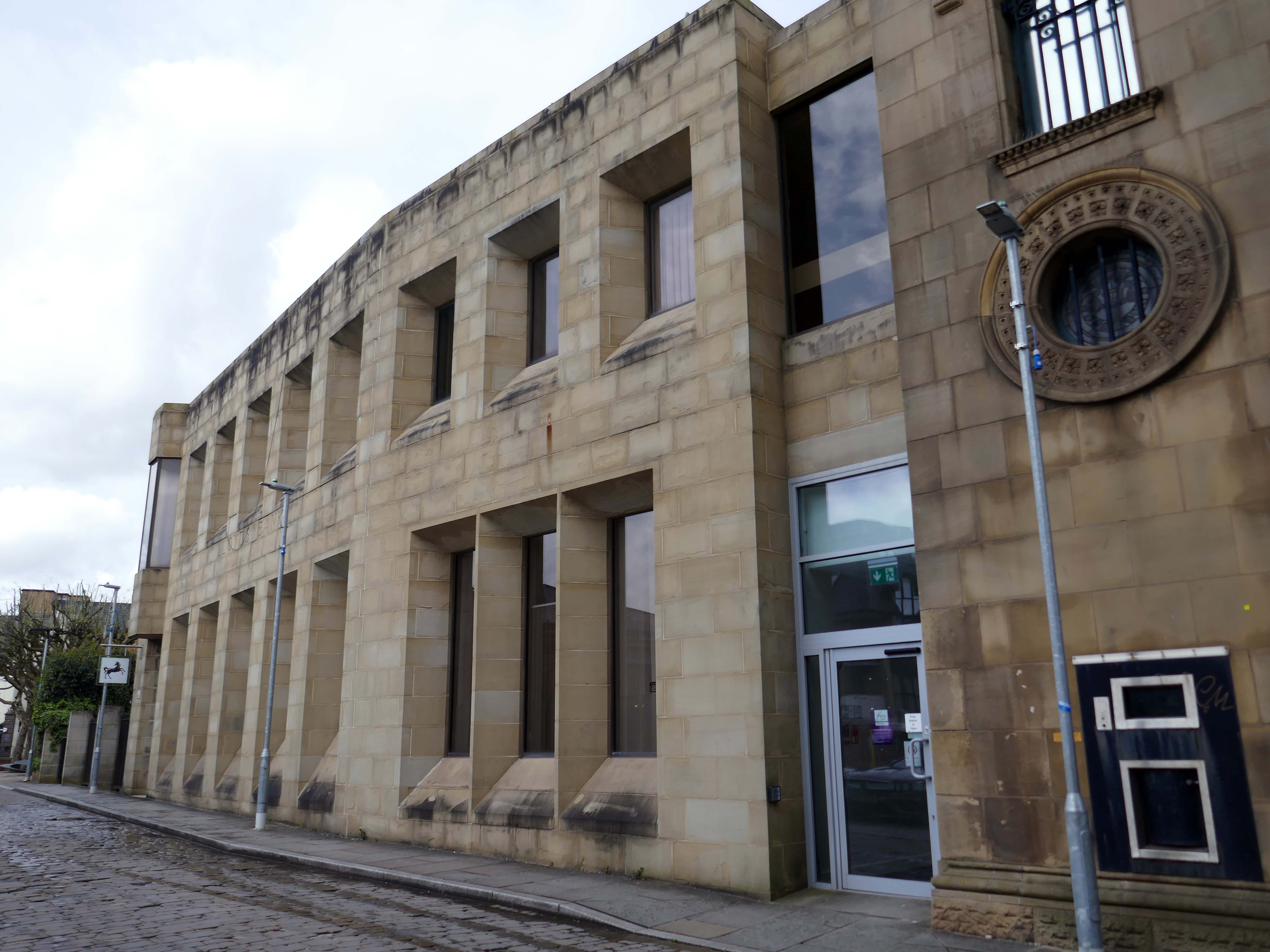
Turn right into Darwen Street along to the former Barclays Bank.
Next door Lloyd’s Bank extension.
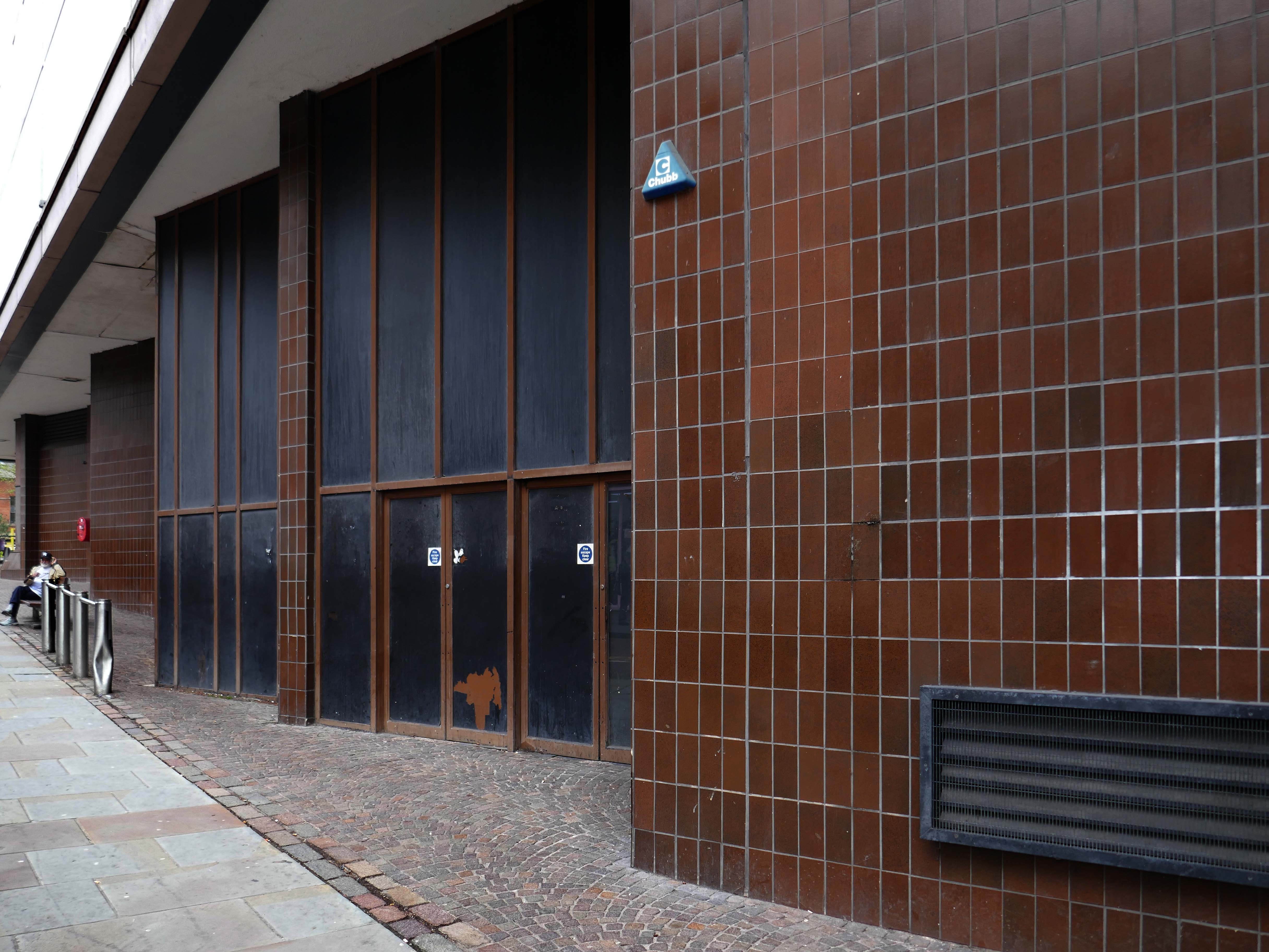
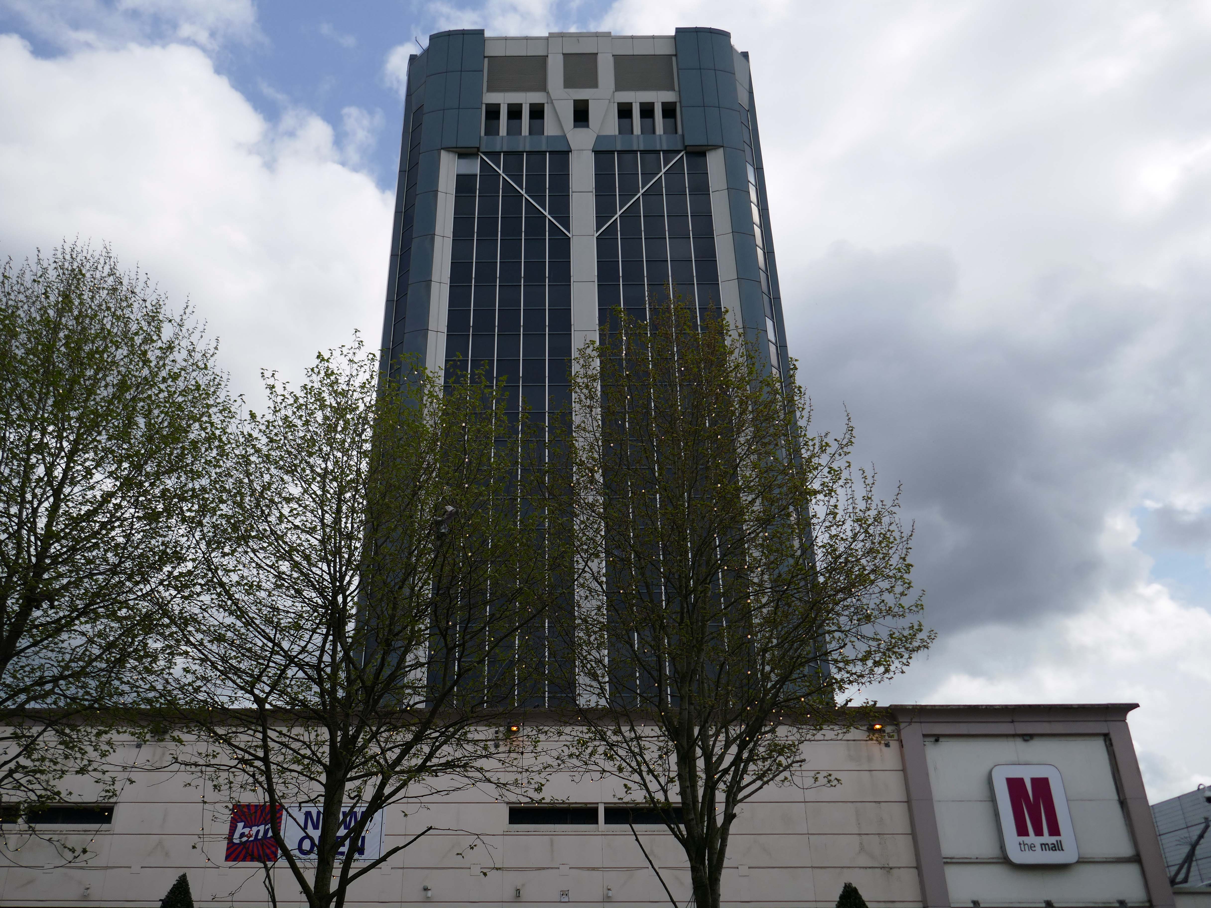
On Astley Gate the brown tiled remains of the Shopping Centre now known as The Mall.
The shopping centre was built in three phases, with the final phase opening in 1979. The centre was refurbished in 1995, during which the lower floor of the former Co-Operative Department Store was transformed into the Ainsworth Mall.
The centre was bought by Standard Life in 1993 and its name was subsequently changed to Blackburn Shopping Centre. Standard Life sold the centre in 2003 to Reit Asset Management.
In 2004, Reit Asset Management sold the centre to The Mall Fund. The centre was sold again in 2022 to the Adhan Group from The Mall Fund for £40 million.
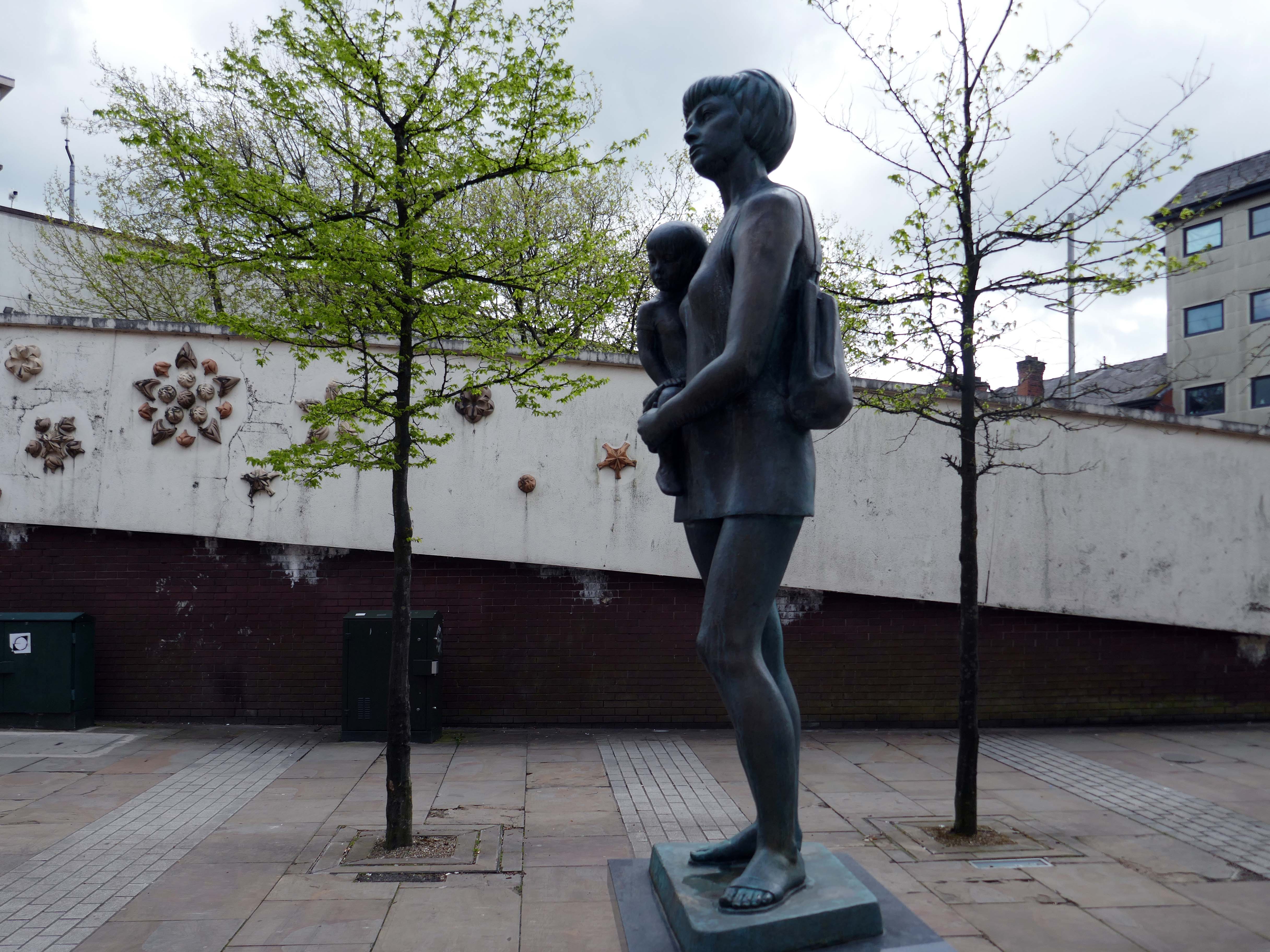
Around the corner the Mother and Child monument, created by Welsh sculptor Robert Thomas in 1974, who used his wife and child as models.
In 1974 the statue was placed in Lord Square, removed in 2007 and placed in storage, it was placed in Cardwell Place in 2012.
The Mall has been significantly remodelled, along with the adjacent Tower Block.
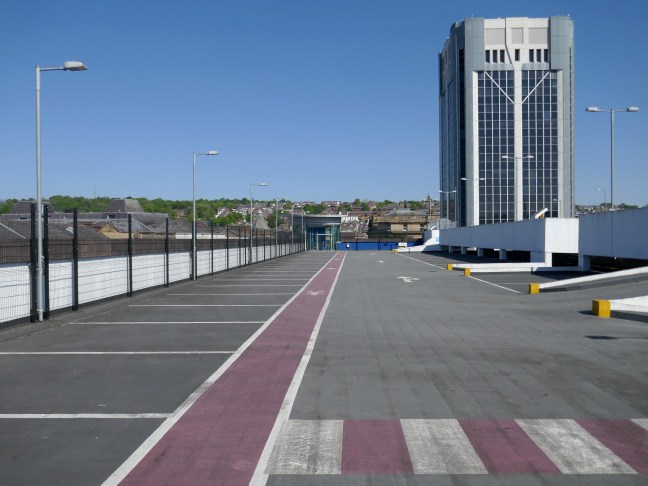
Above the Mall is a dizzying array of multi storey car parks – reflecting the various stages of development.
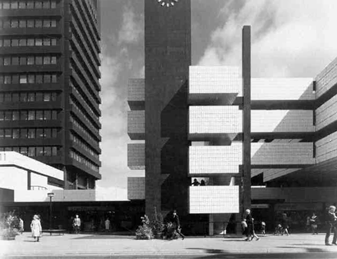
Next to the Central Library, the former Co-op Emporium by Walter Stirrup in Town Hall Street, opened in 1930, was converted into a £1m library by BDP, it opened on September 1st 1975.
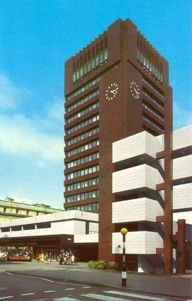
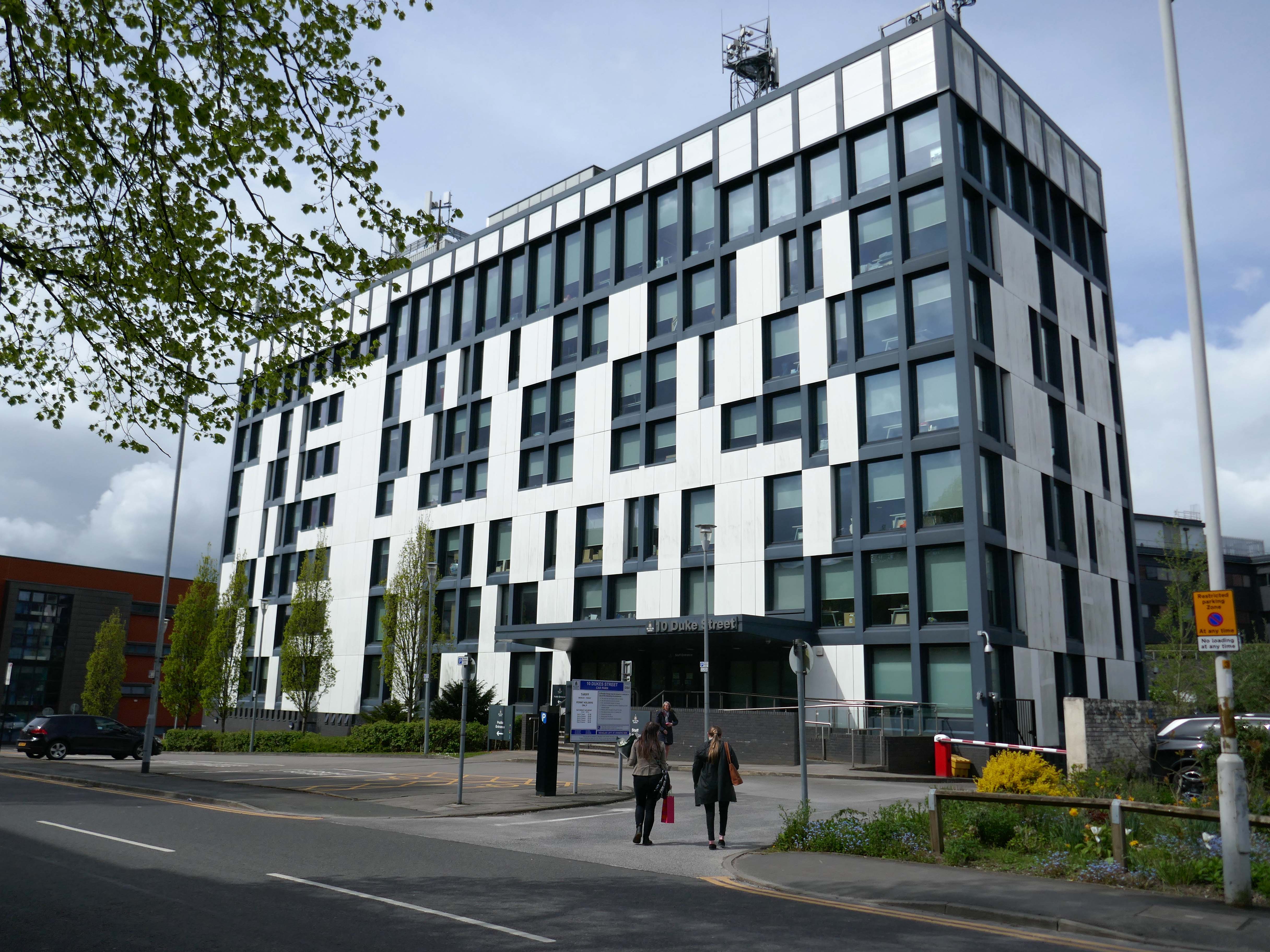
Onward to 10 Duke Street – home to council offices and the NHS, the Tower Block is now no longer in use.
Blackburn’s former town hall tower block has over the years become one of our most recognisable buildings. Sadly it is now starting to be given derogatory names, such as the ‘Big Empty’ and ‘Mothballed Monolith’. But compared to how it looked some years ago, before being reclad in today’s design, it still impresses many visitors to our town. Wouldn’t it be great if Blackburn’s ‘Big Empty’ could become full again.
These tower blocks were the flats at Queens Park and in the background you can see the co-called ‘deck-access’ flats at Shadsworth.
Bowland House was one of three tower blocks built in 1963 and the only one still standing after the others, Ribble and Pendle, were torn down in 2001 to be replaced by homes.
In 2022 Bowland House was refurbished.
Former four-time World Superbike champion Carl Fogarty was the guest of honour as Great Places’ Bowland House in Blackburn was officially unveiled.
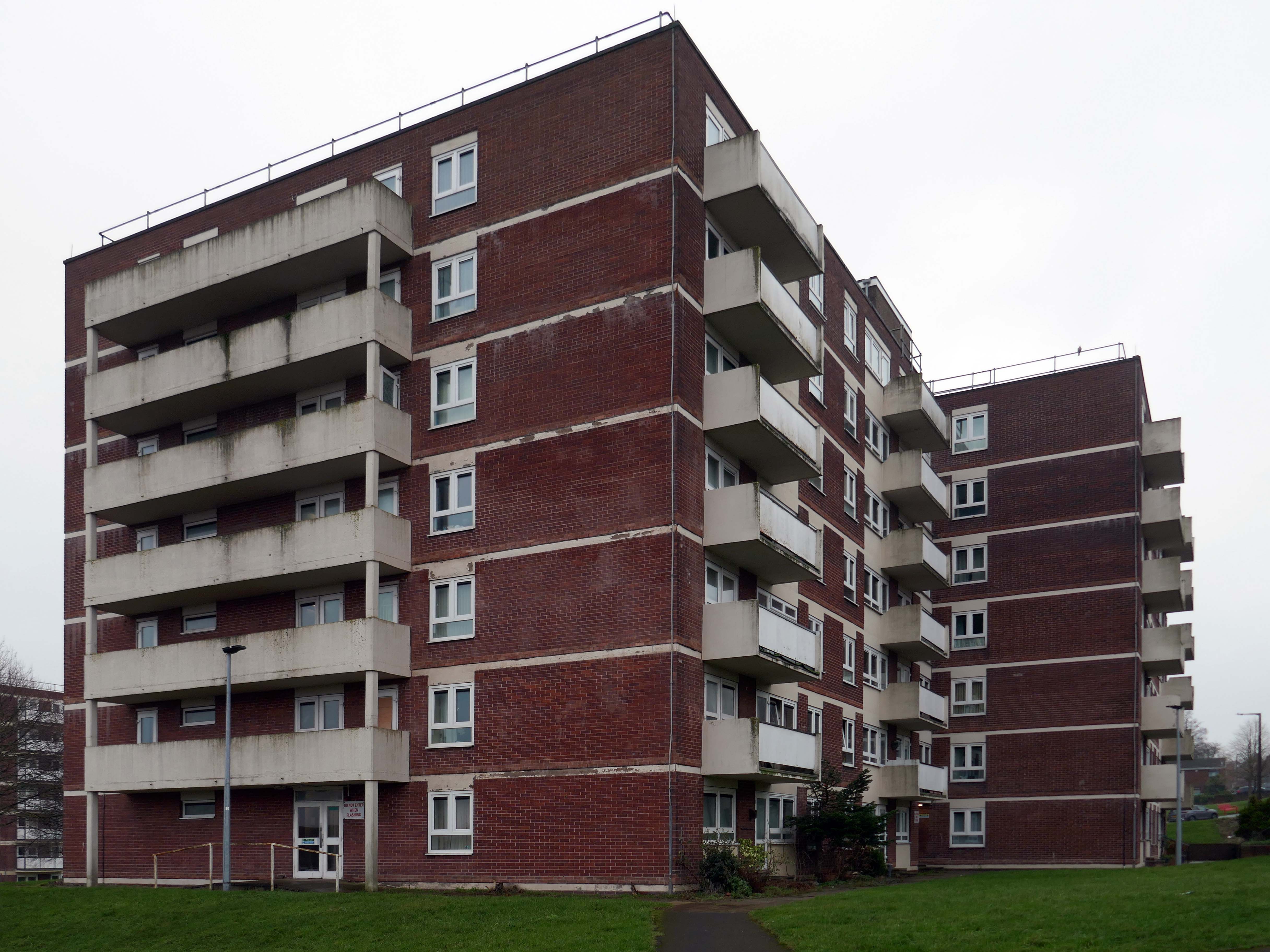
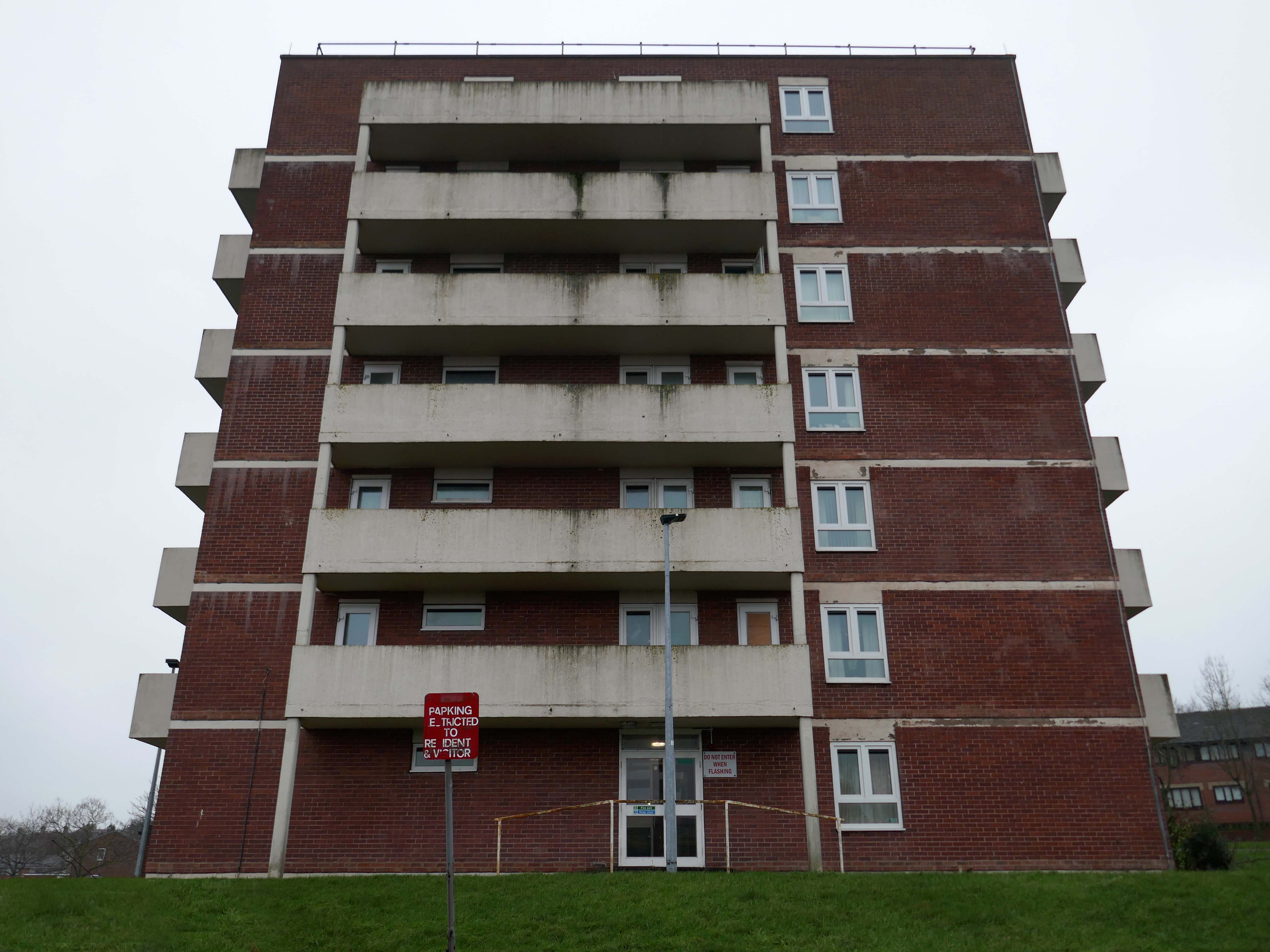
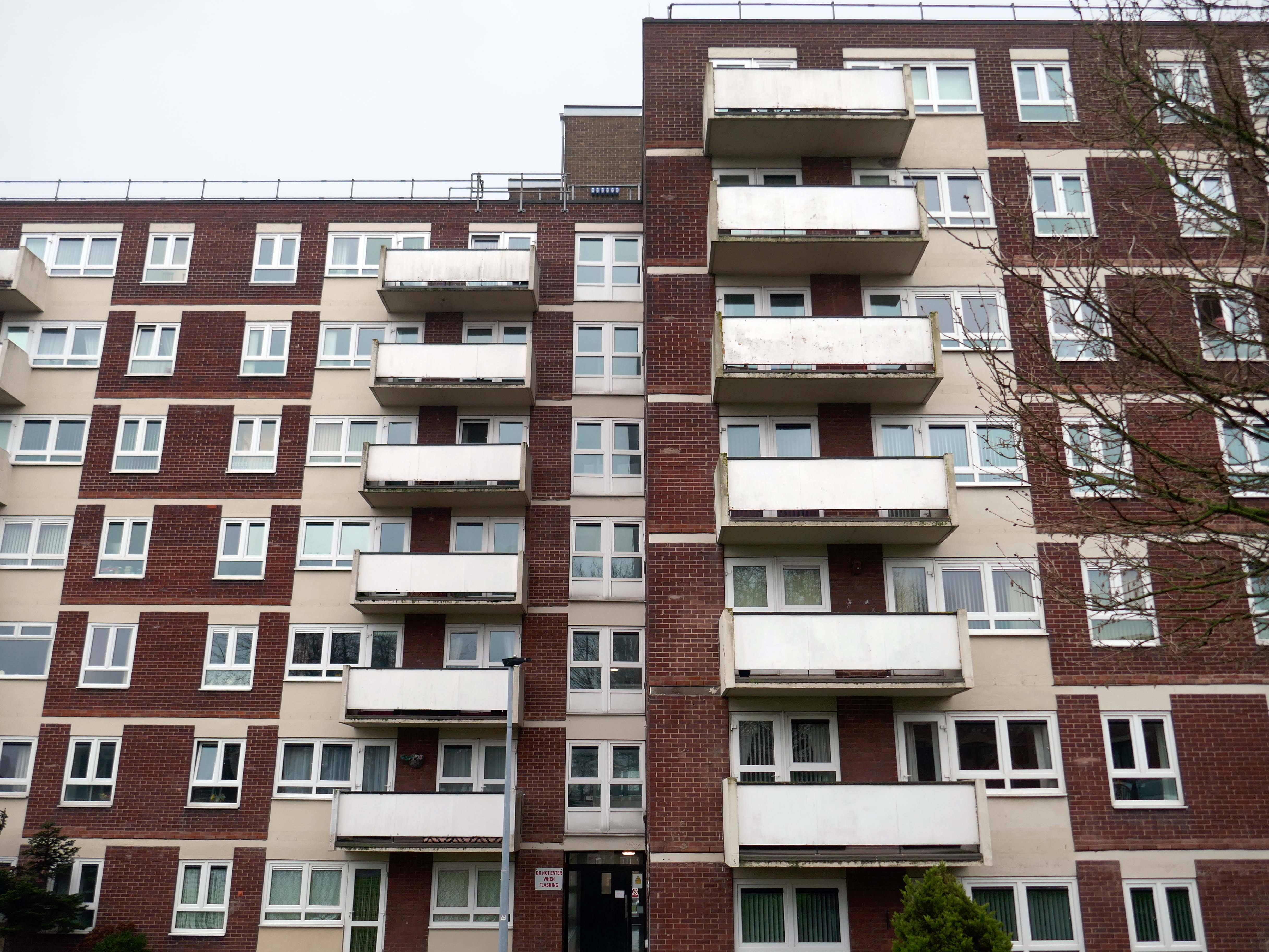
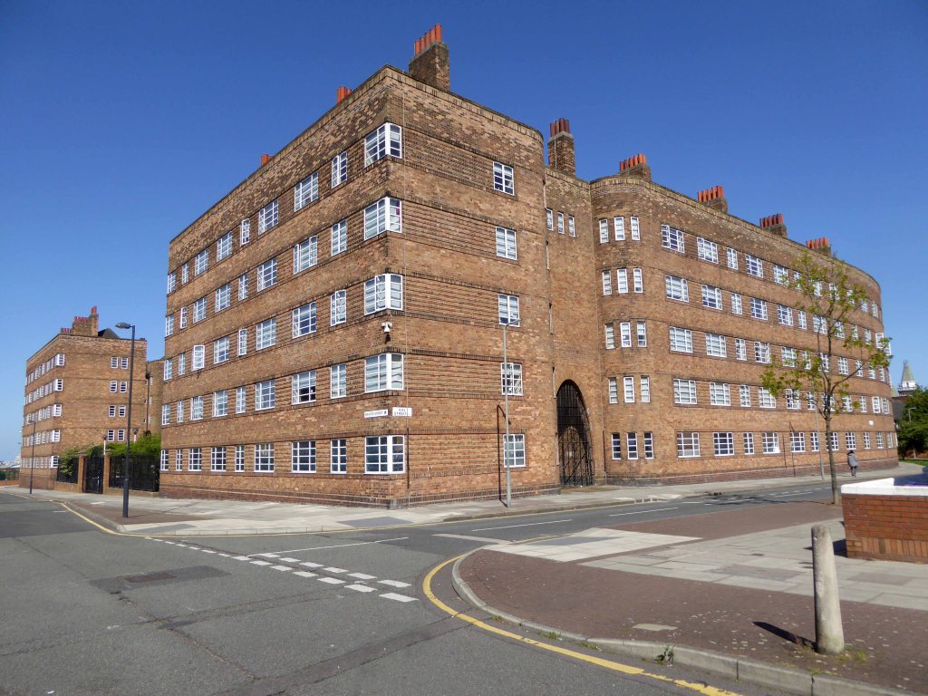
Three thirteen-storey slab blocks built as public housing using the Sectra industrialised building system. The blocks contain 183 dwellings in total, consisting of 72 one-bedroom flats and 111 two-bedroom flats. The blocks are of storiform construction clad with precast concrete panels. The panels are faced with exposed white Cornish aggregate. Spandrel panels set with black Shap granite aggregate are used under the gable kitchen windows. The blocks were designed by the Borough architect in association with Sydney Greenwood. Construction was approved by committee in 1966.
1987 view of Birley Street development, with Trinity Court in the foreground: Tower Block
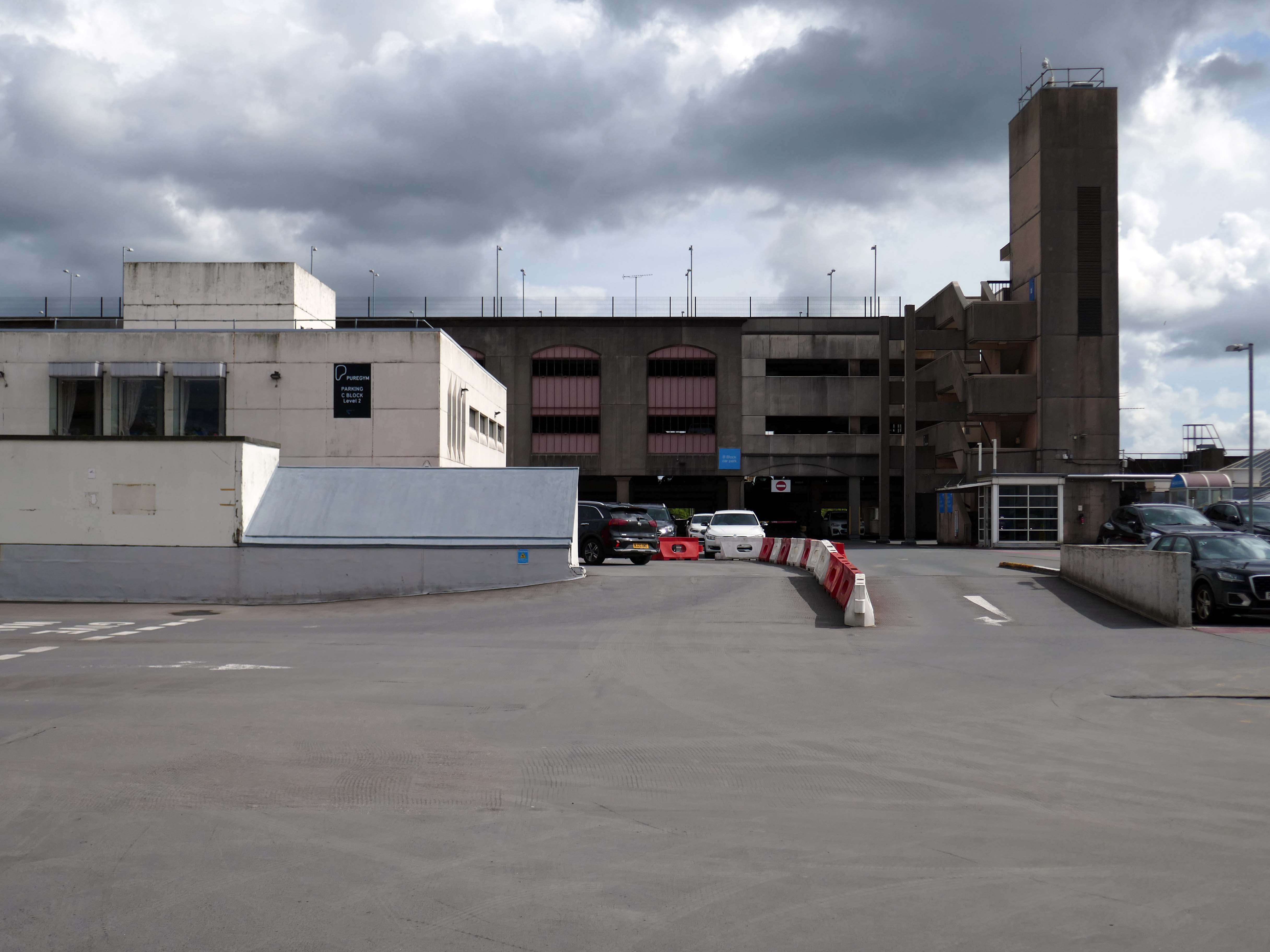
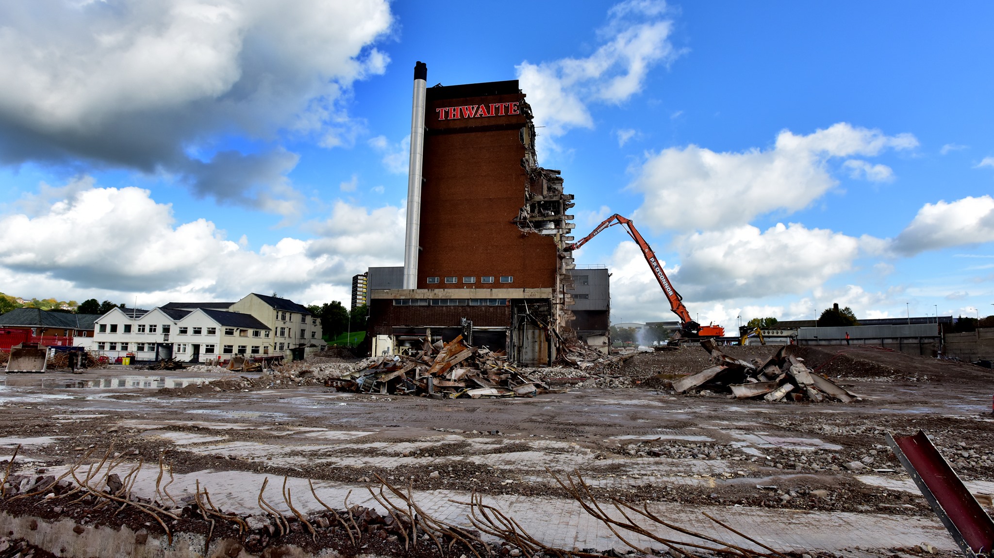
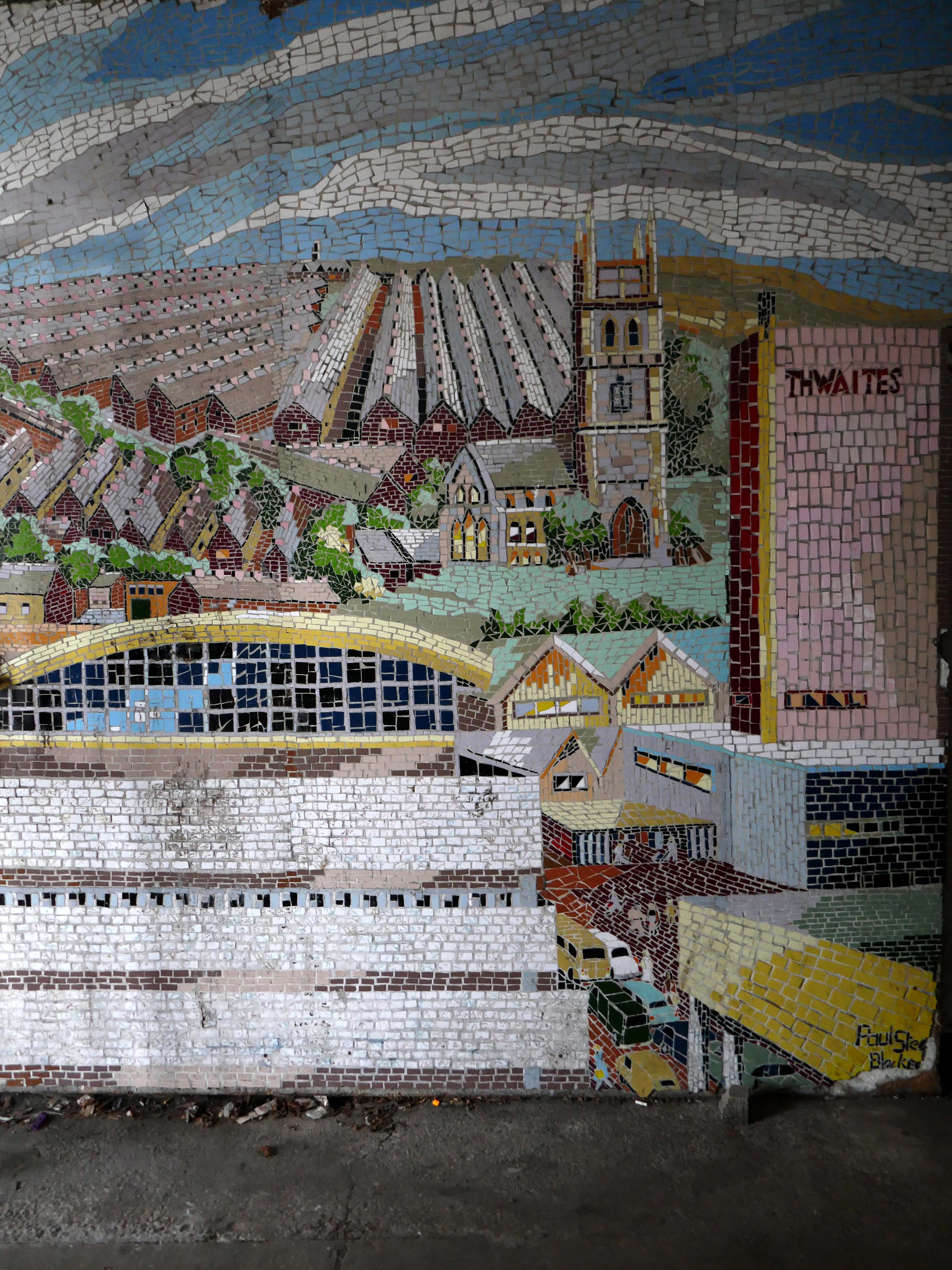
Back now into the centre – passing the now empty site of Thwaites Brewery, demolished in 2019.
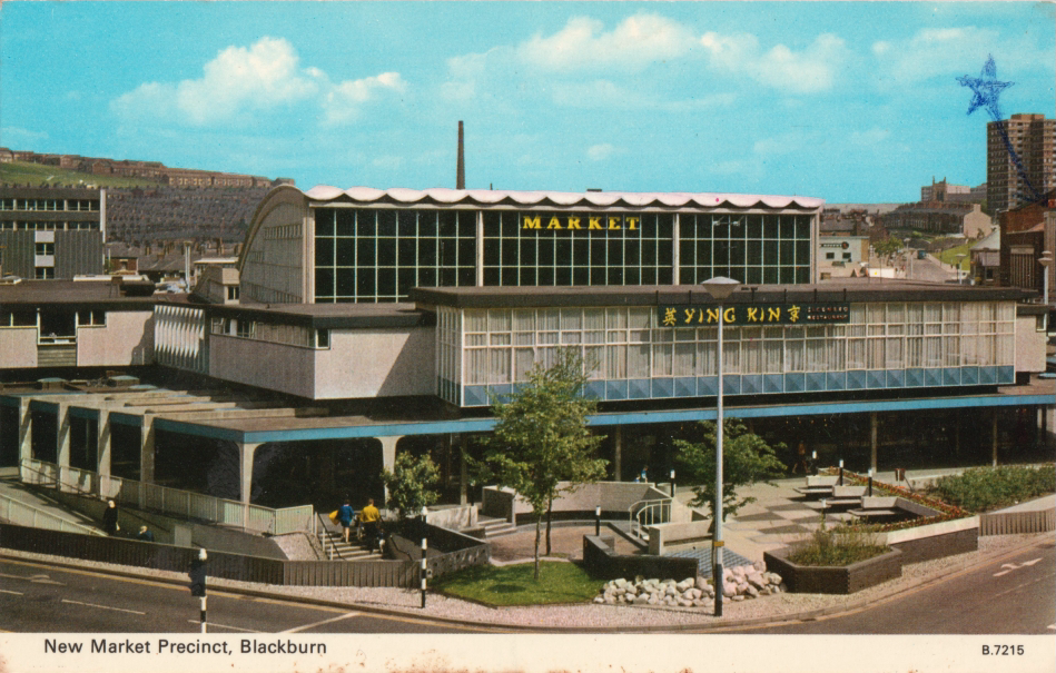
Also missing in action is the 1960’s Market Hall – architect Tom Brennan.
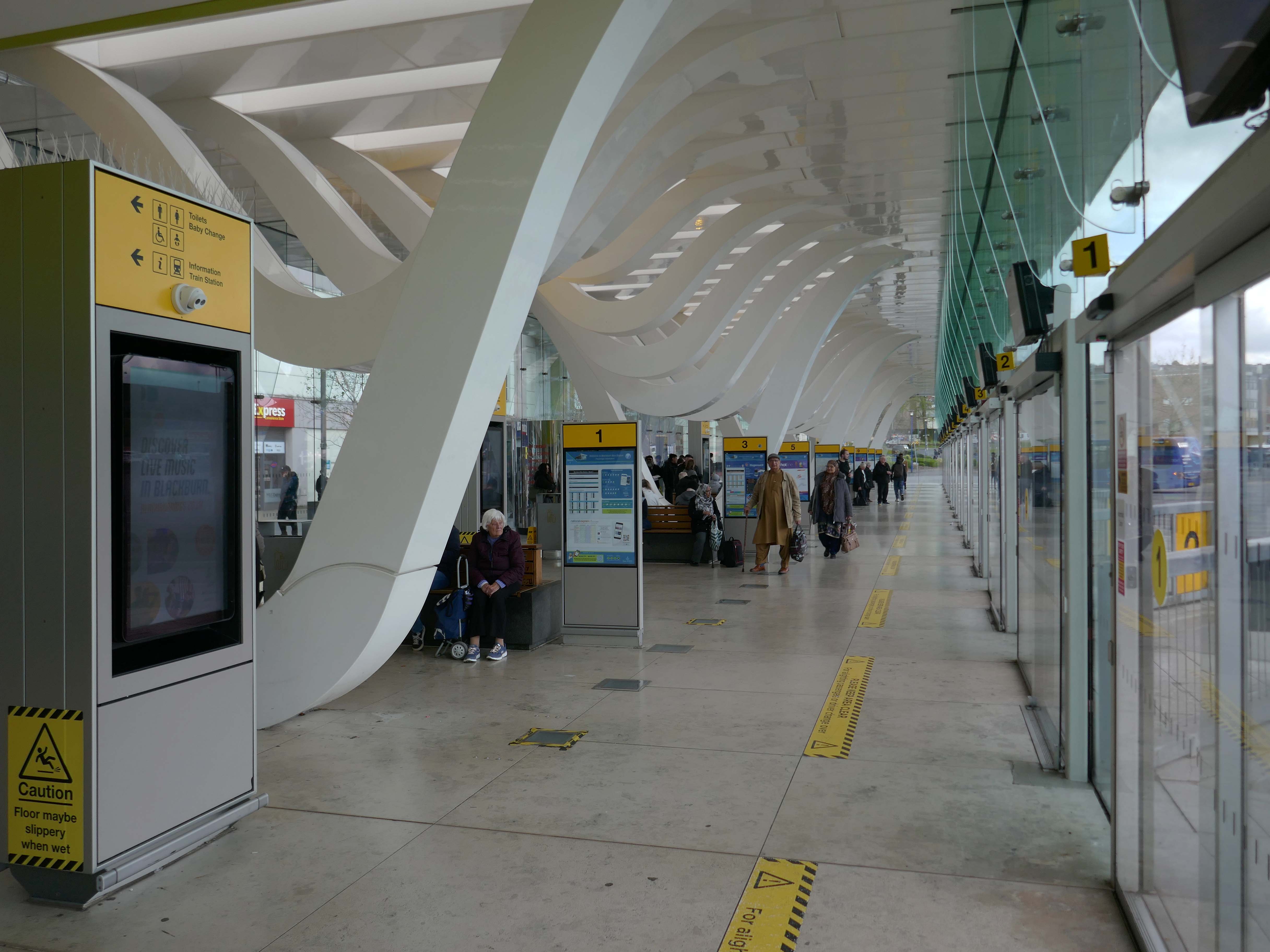
The new Bus Station designed by Capita Symonds – replacing the old bus station.
The outward facing elements of the building are flat and orthogonal. In contrast, the underside of the canopy is free flowing and consists of a number of glazed slots cut in the canopy to allow daylight to penetrate onto the concourse area. Directly below each of the slots is a hanging loop which appears to be pulled down from the canopy to reveal a glazed opening. The composition of these draws inspiration from the cotton weaving looms, and drying cotton bundles, a reference to the town’s industrial past.
There are four loop types (A, B, C & D) which are arranged to alter the scale of the concourse and create a rhythm of peaks and troughs along its length. Loop A is designed to provide support to the whole canopy allowing the canopy to appear as one floating unified element.
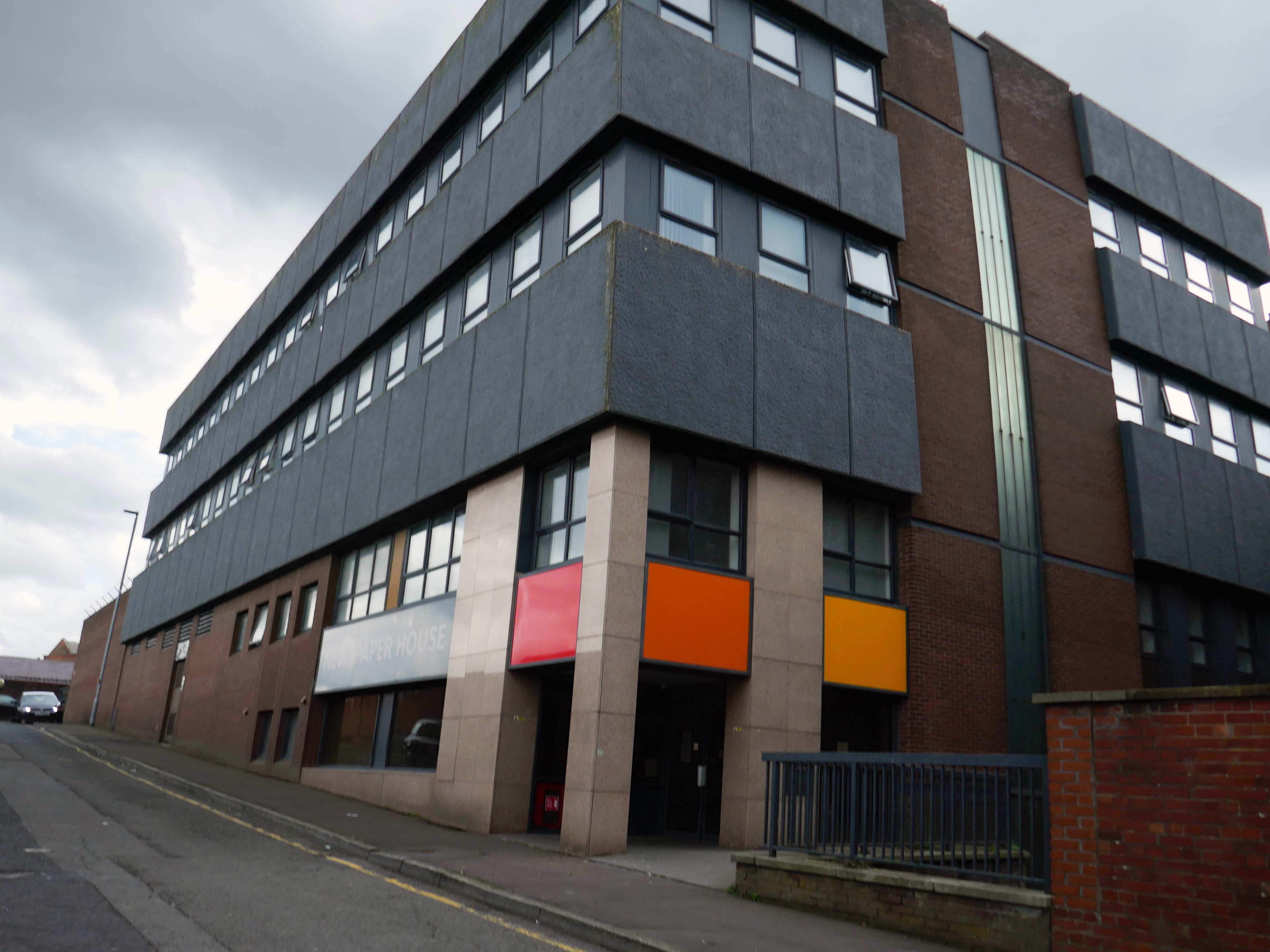
Newspaper House – once the home to the LancashireTelegraph, converted to apartments in 2017.
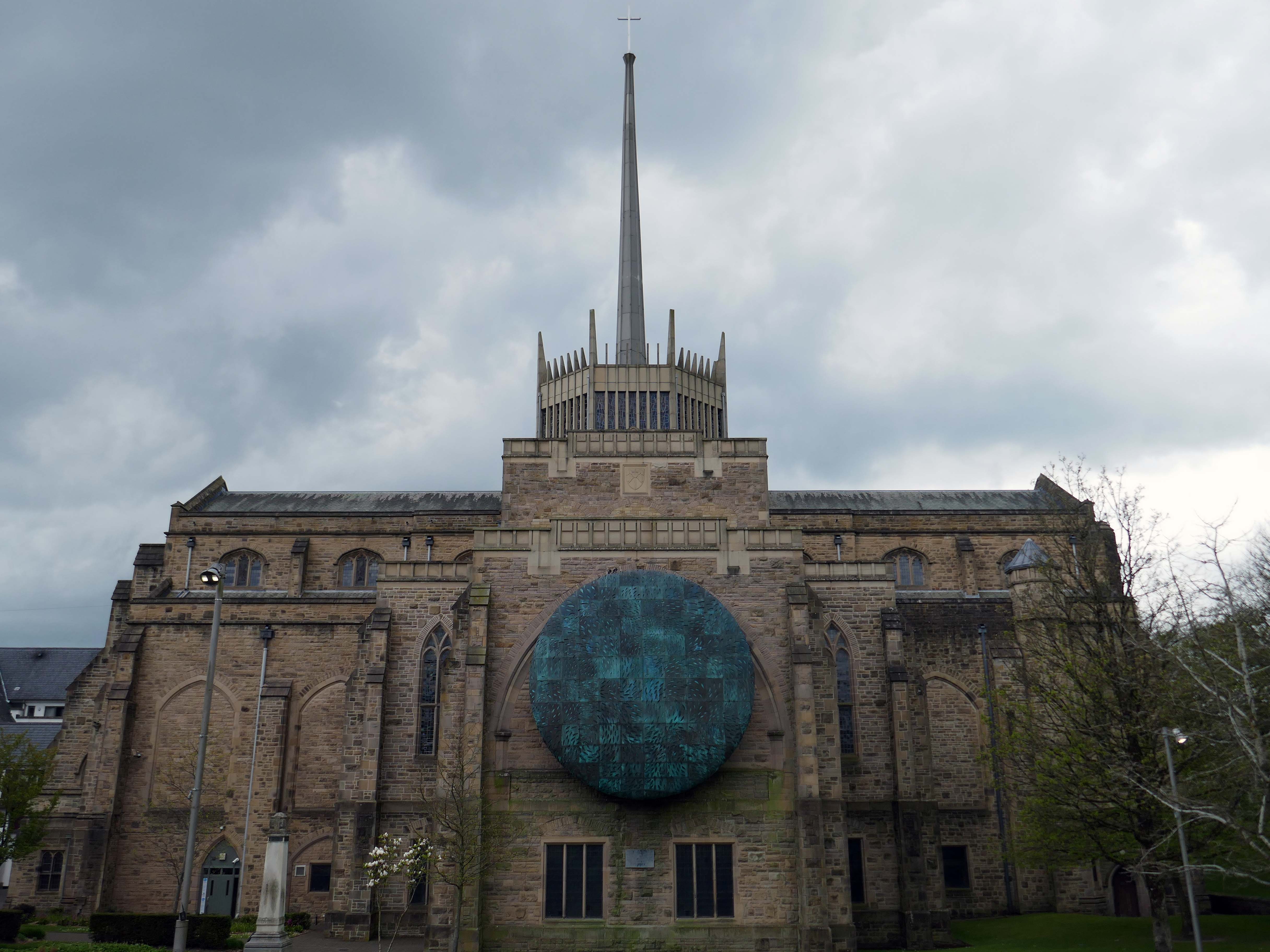
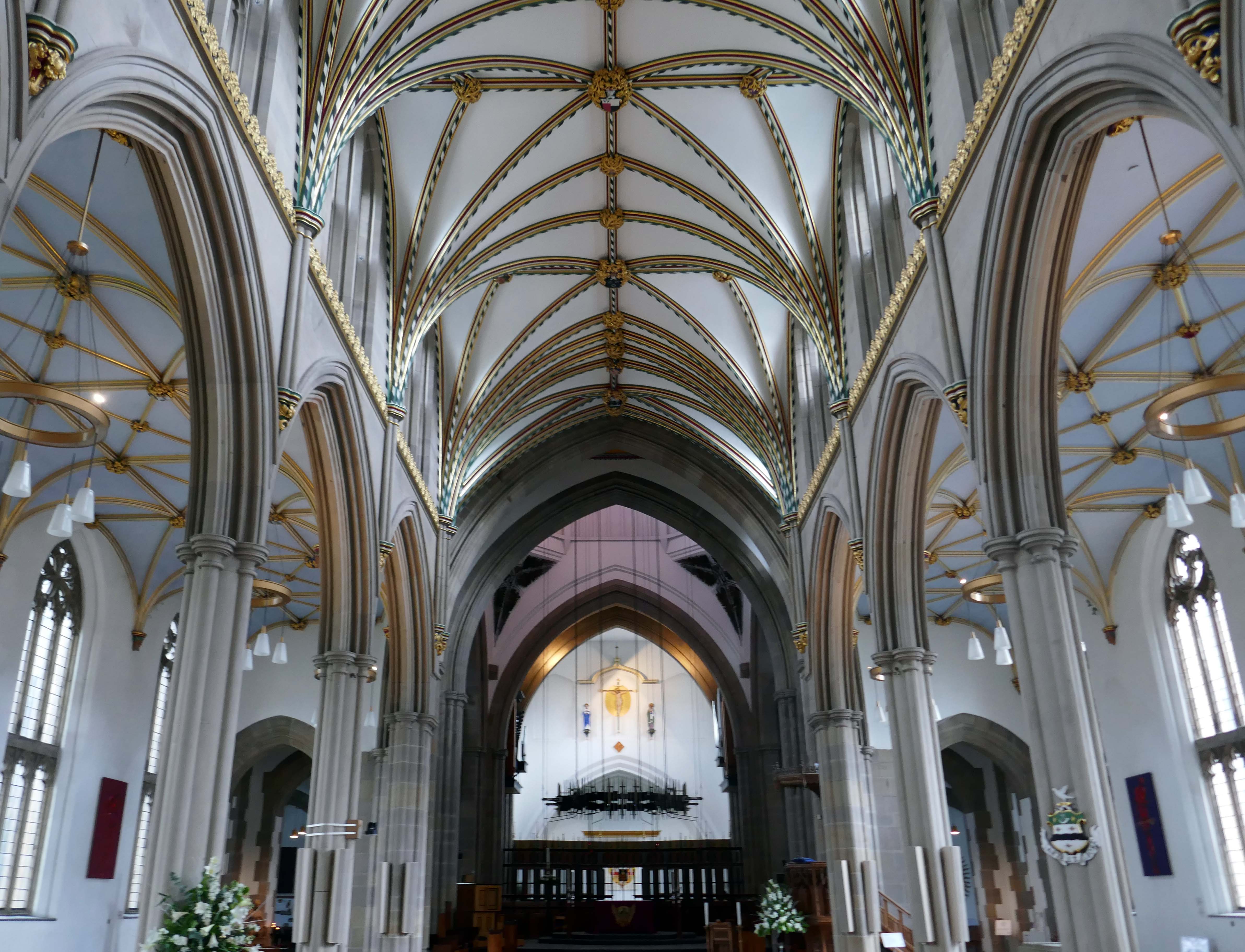
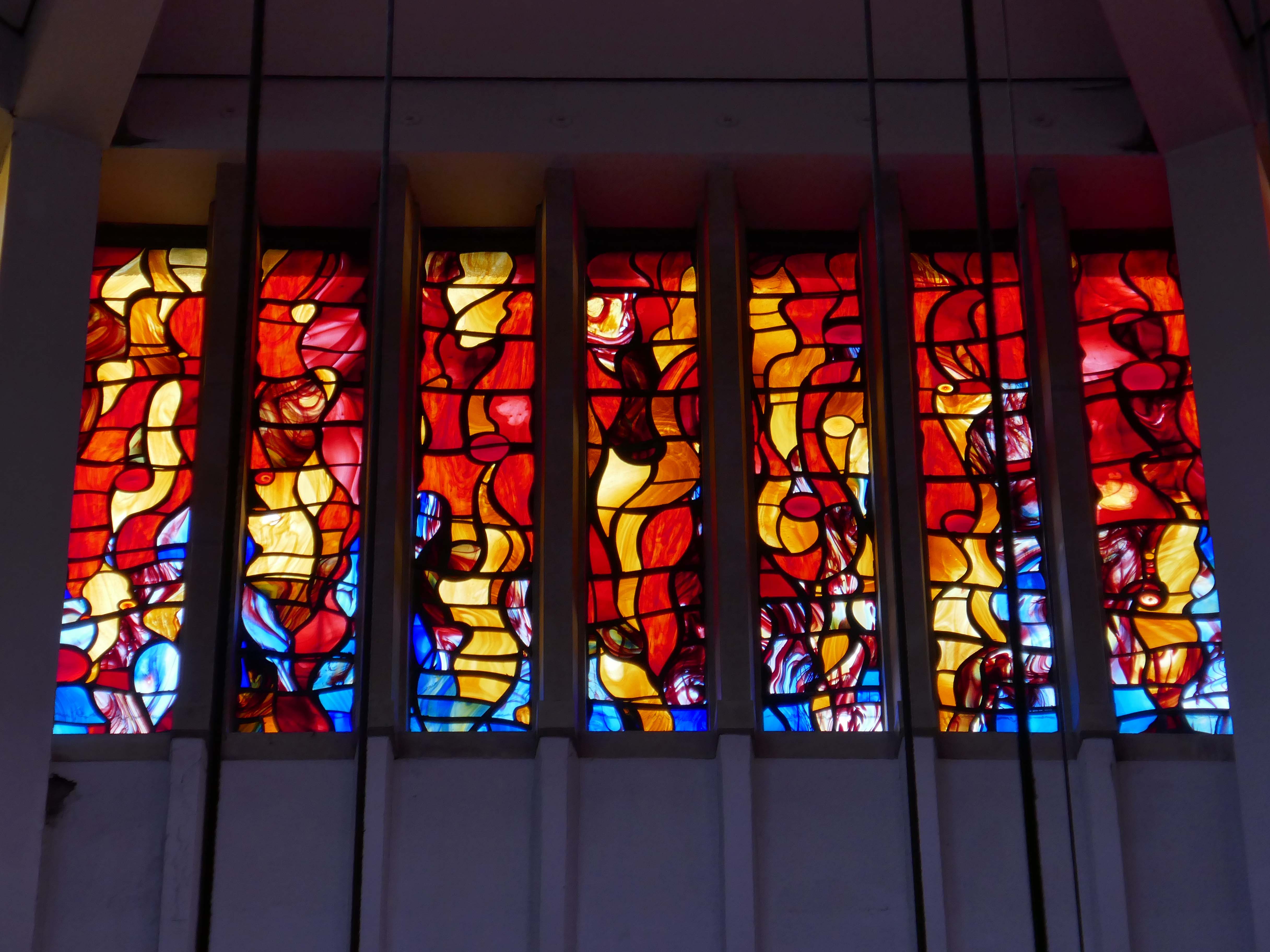
Finally to the Garde II* listed BlackburnCathedralchurch – since 1926, formerly parish church, 1820-6 by John Palmer of Manchester.
Central concrete corona by Lawrence King 1961 – it was rebuilt in stone by Brian Lowe in 1998.
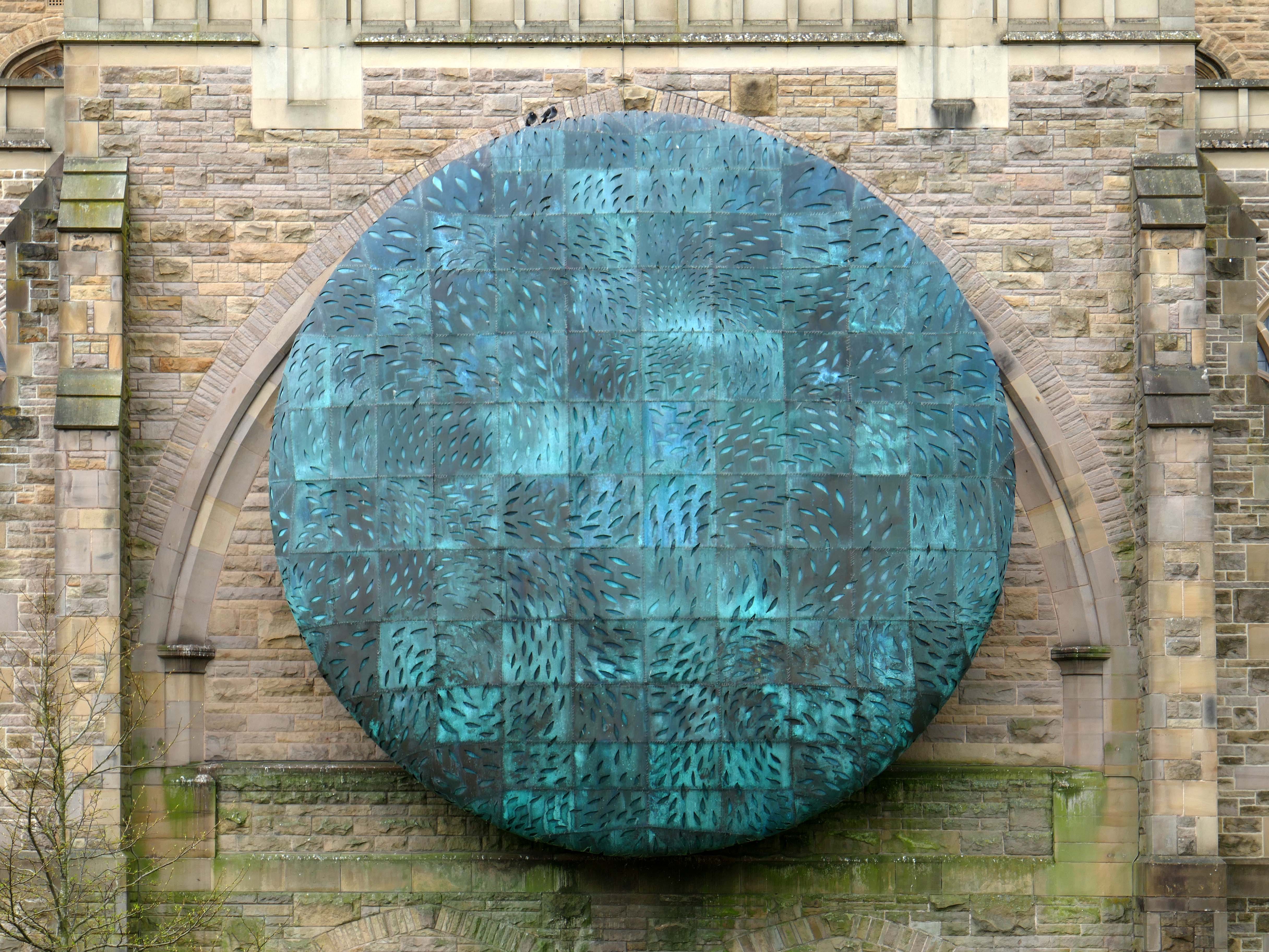
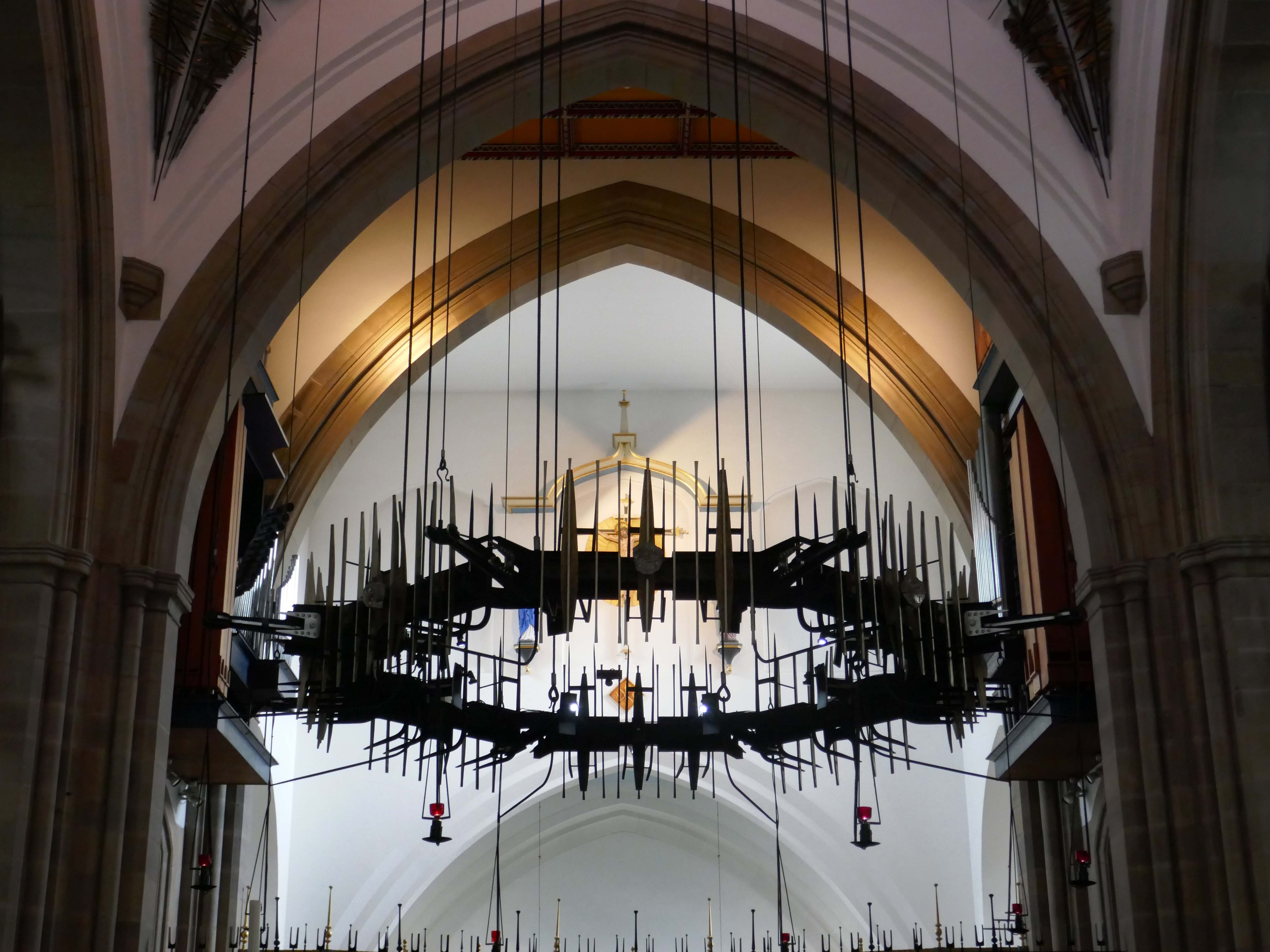
The Healing of Nations in steel and copper by Mark Jalland 2001.
It is a reflection on the opening of chapter 22 of the book of Revelation, new Jerusalem, and ‘the leaves of the tree are for the healing of the nations’.
Traditionally a stained-glass window at the east end of a cathedral would reflect a spectrum of light into the building but this sculpture projects the light out in a kaleidoscope of colour reminding us of Jesus the light of the world and the hope that we have in him.
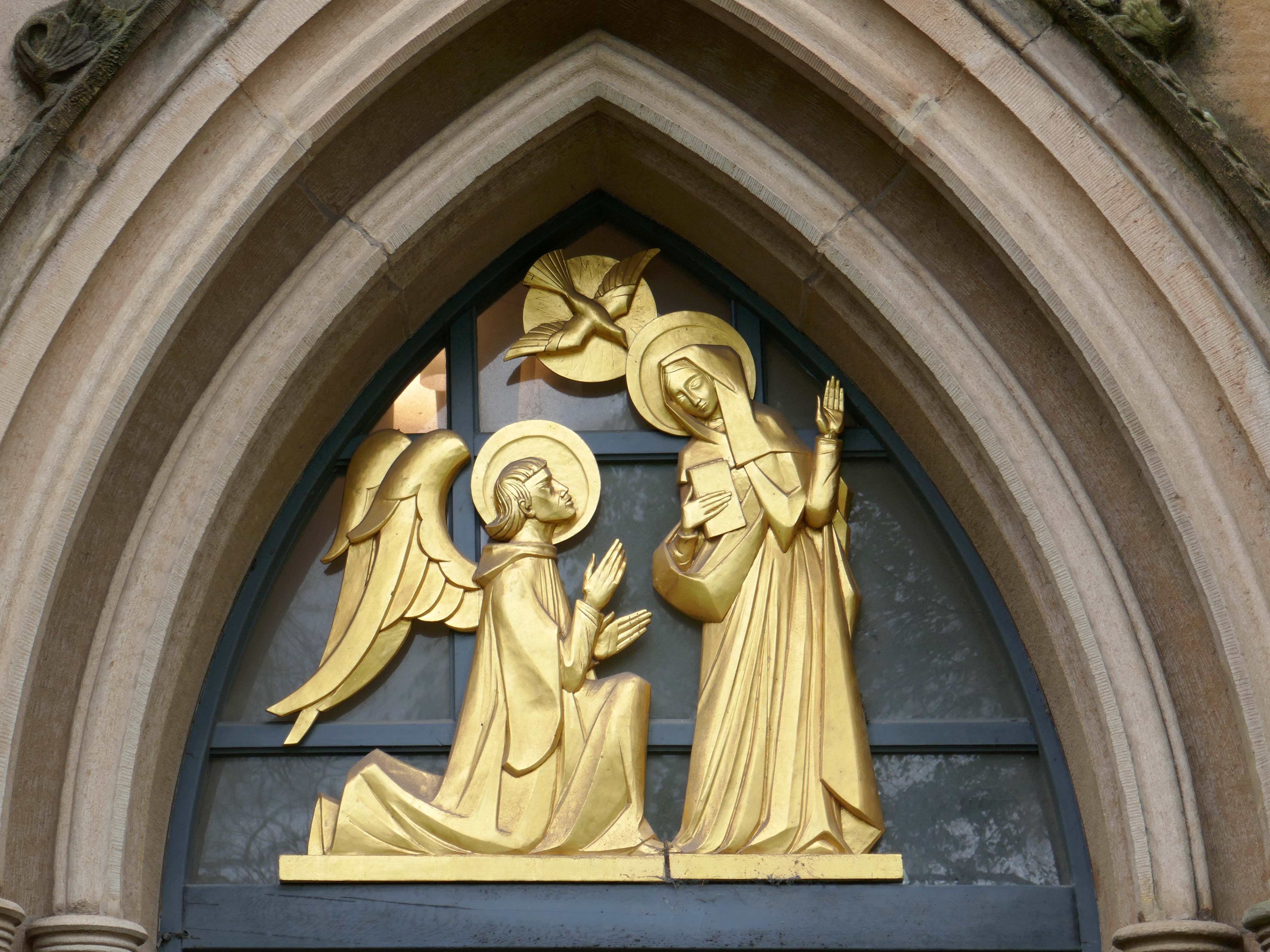
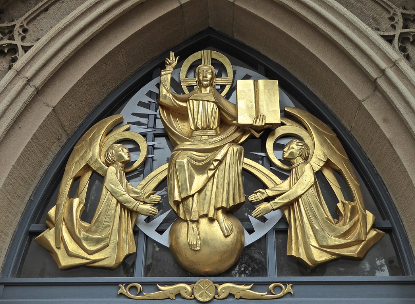
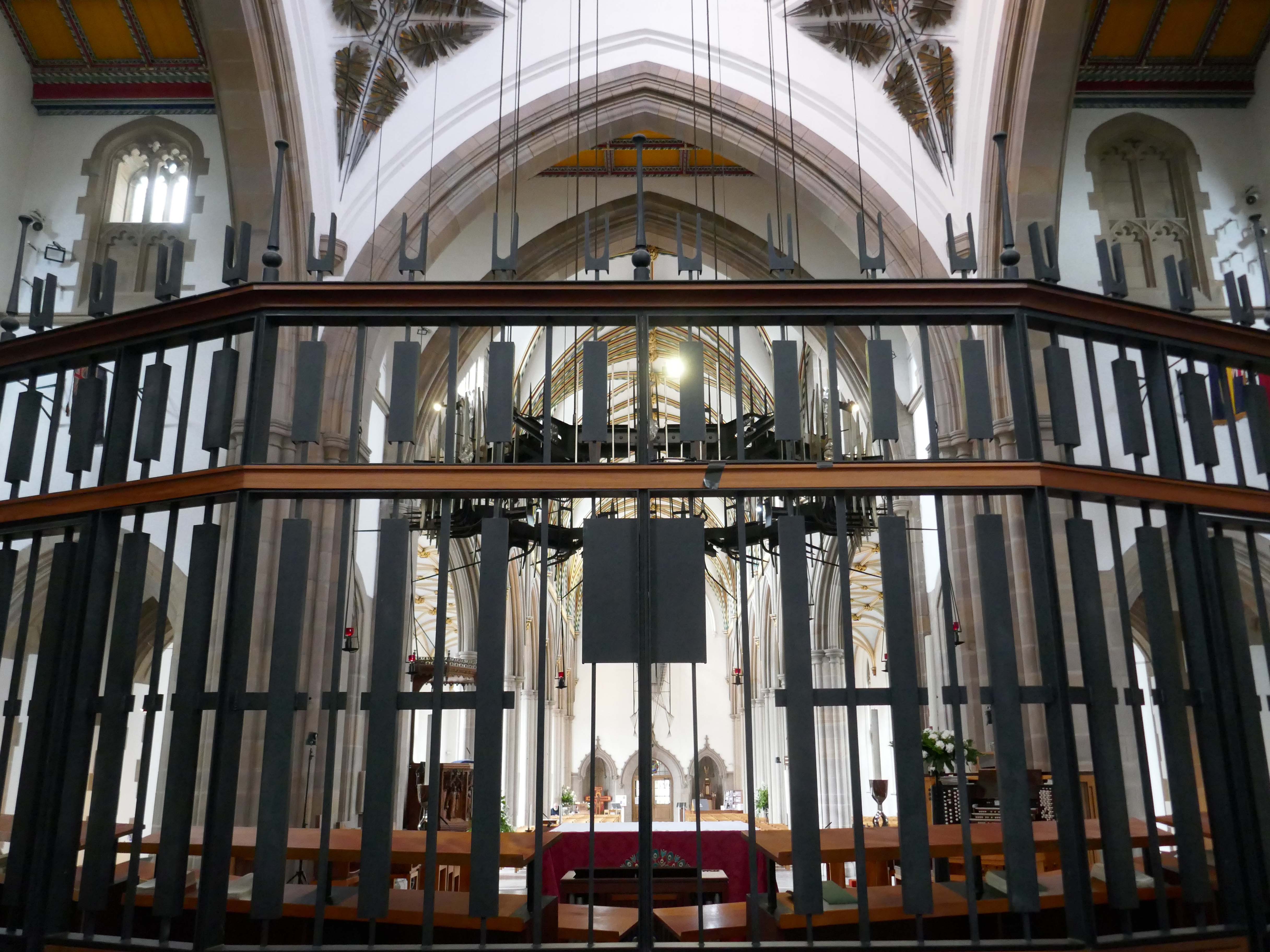
Annunciation and Christ in Majesty sculptures by Siegfried Pietsch 1965.
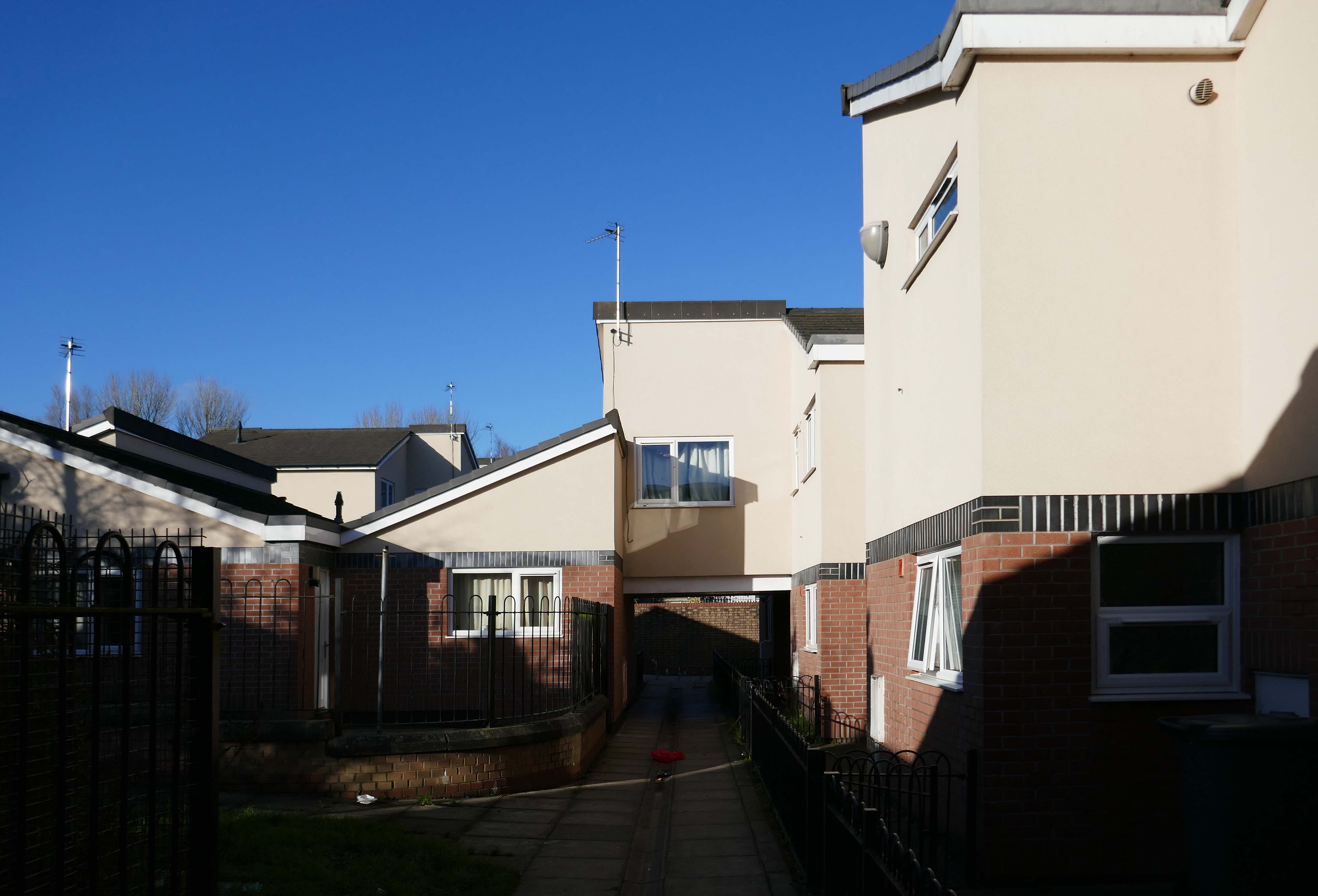
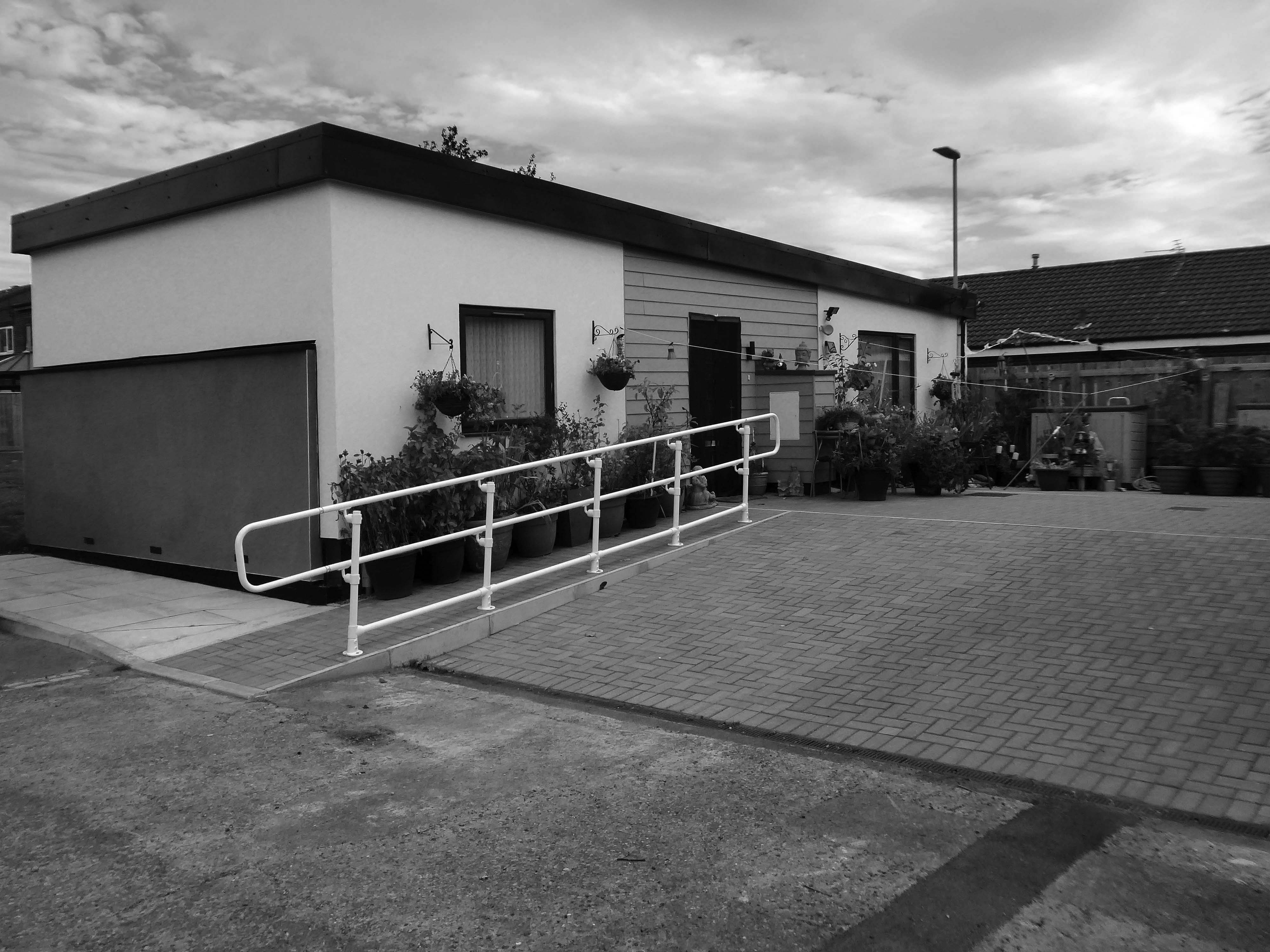
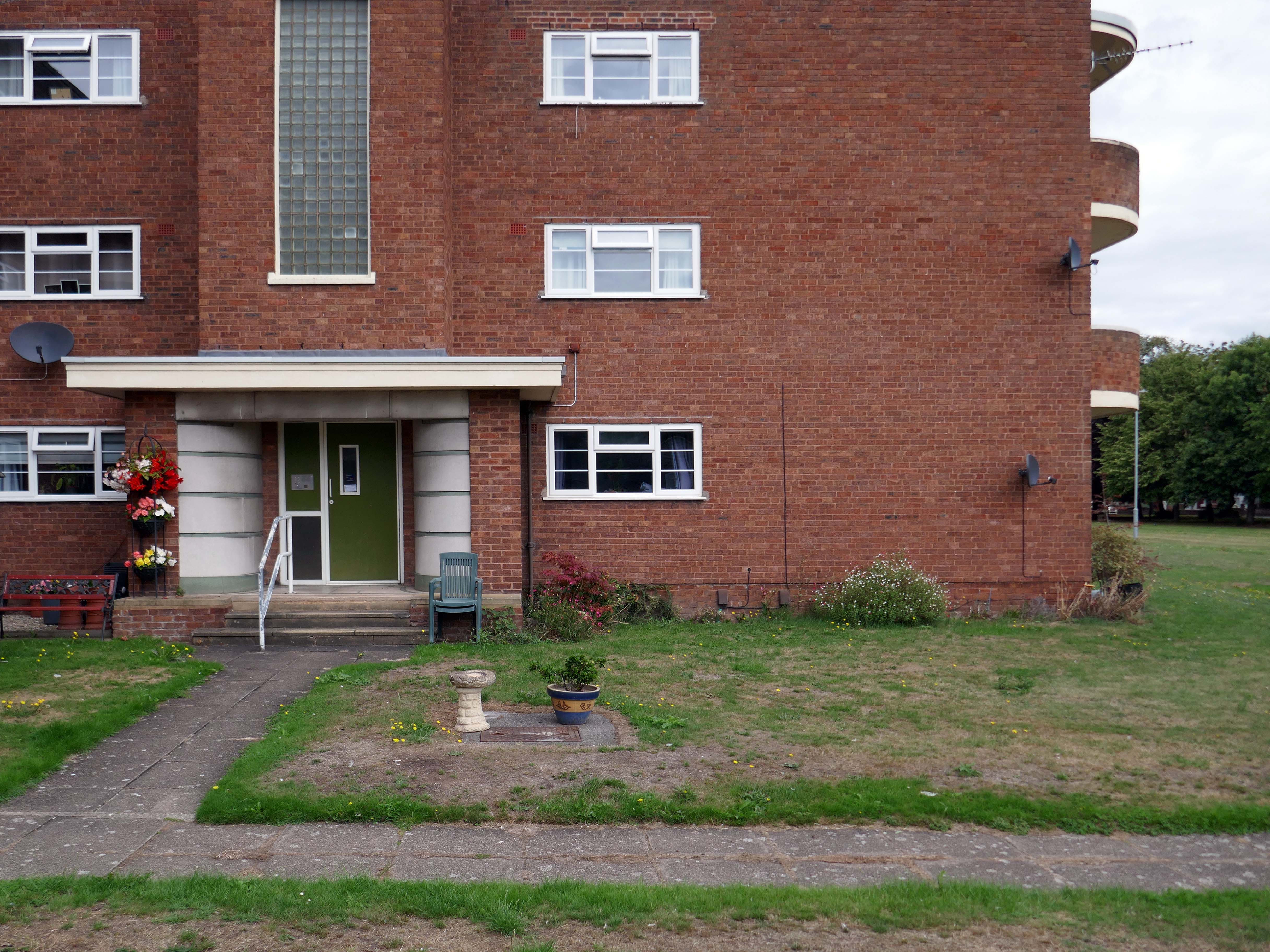
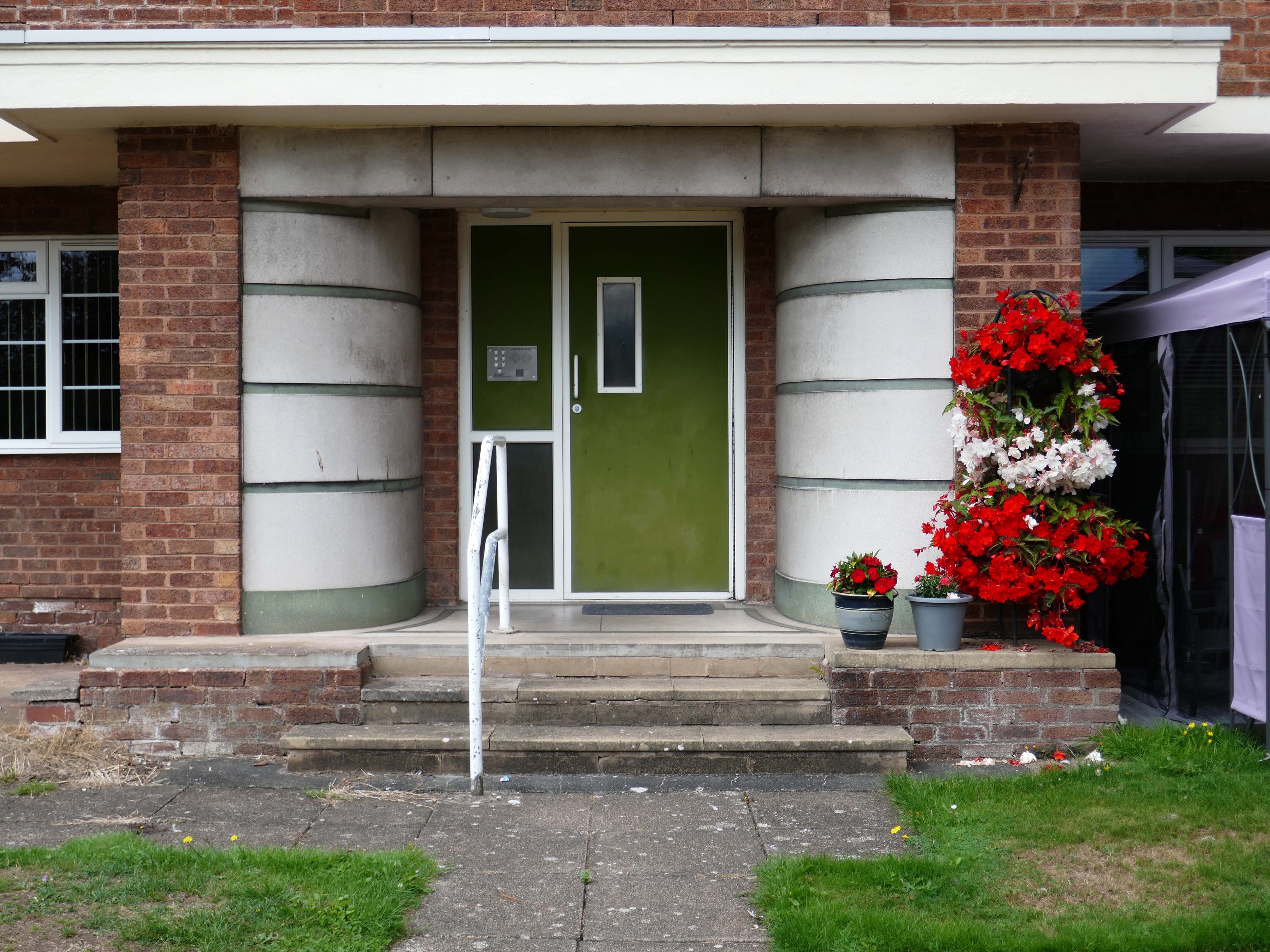
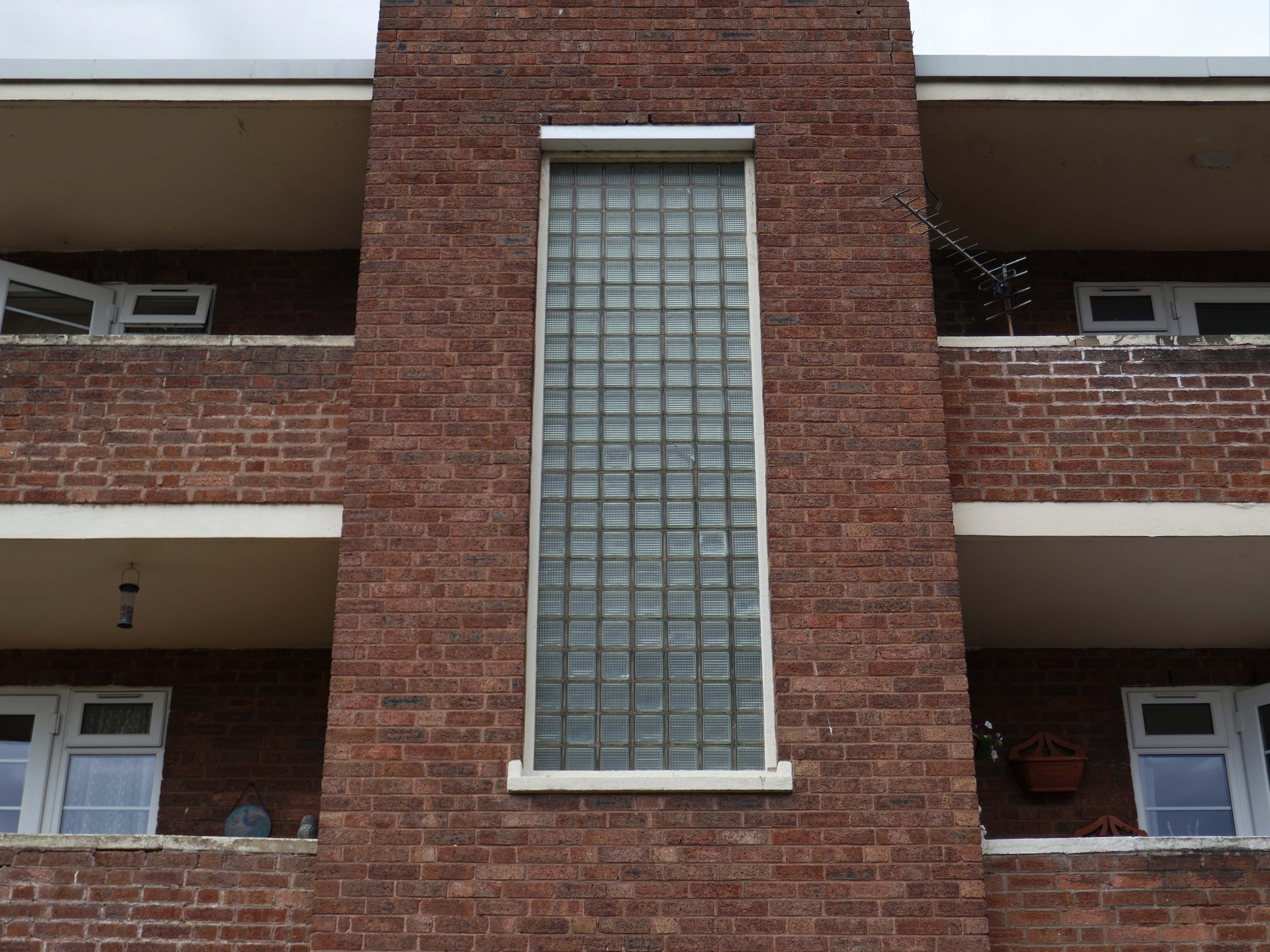
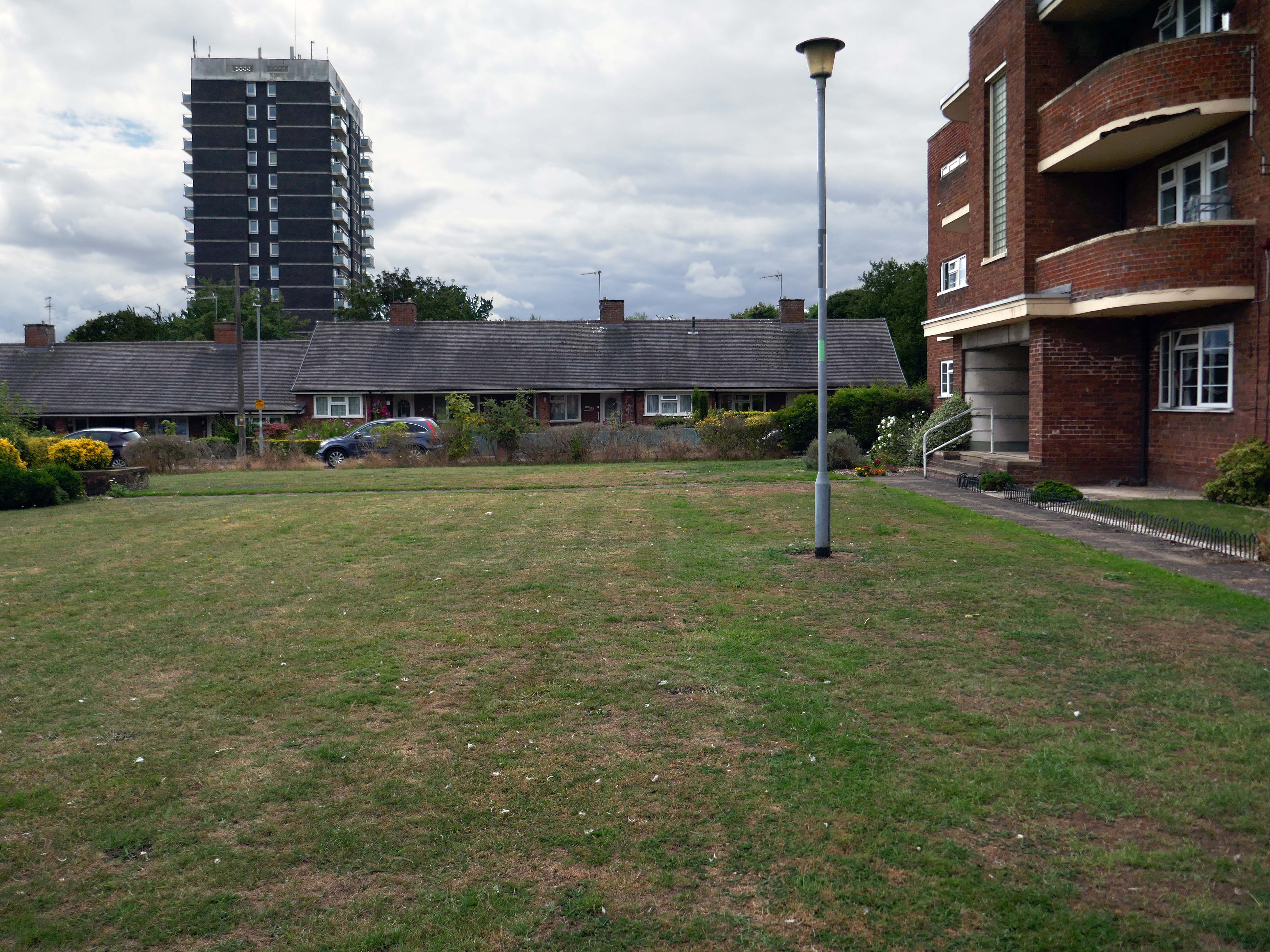
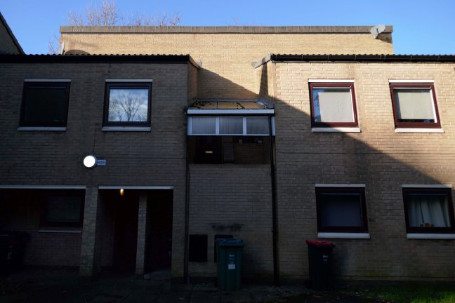
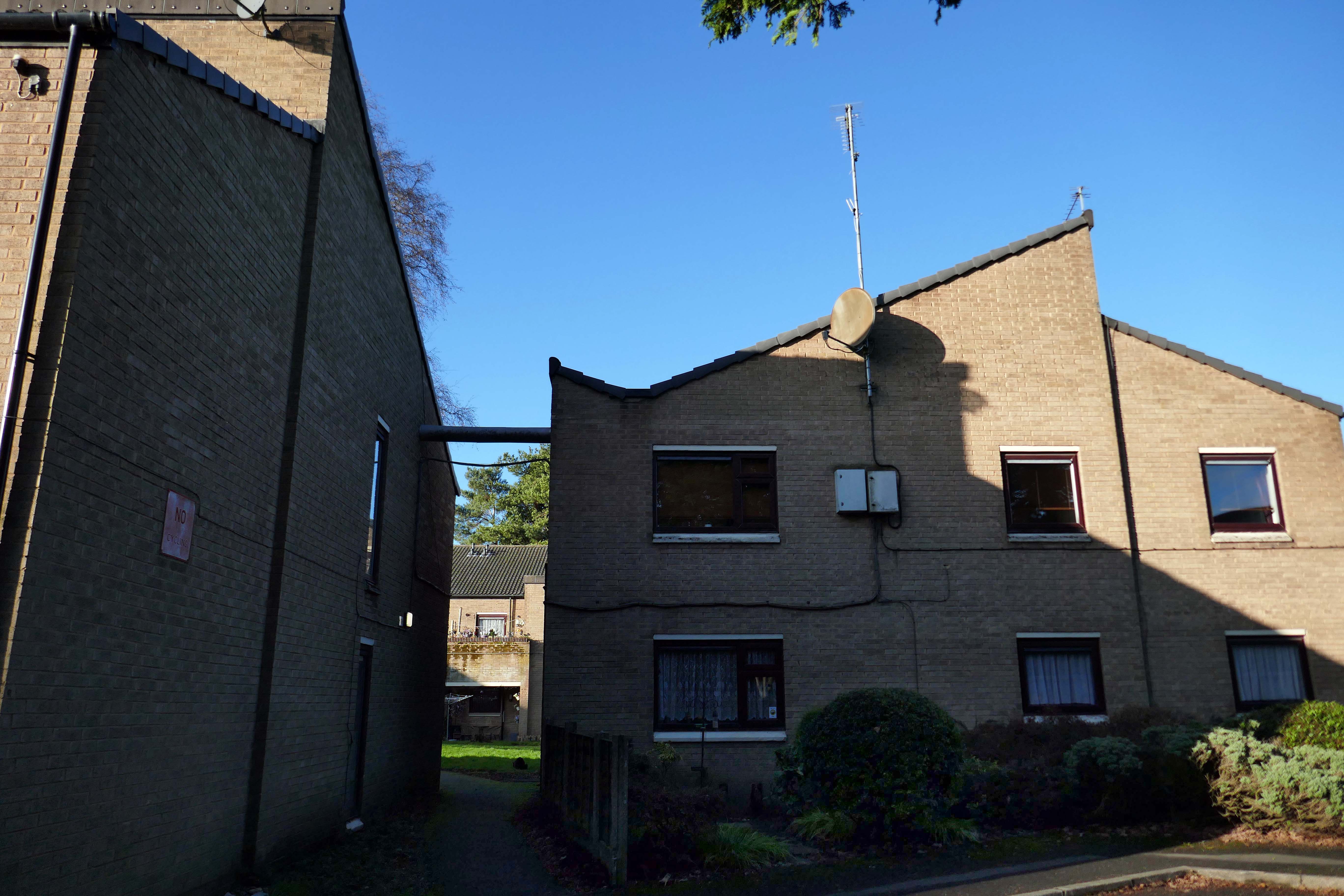
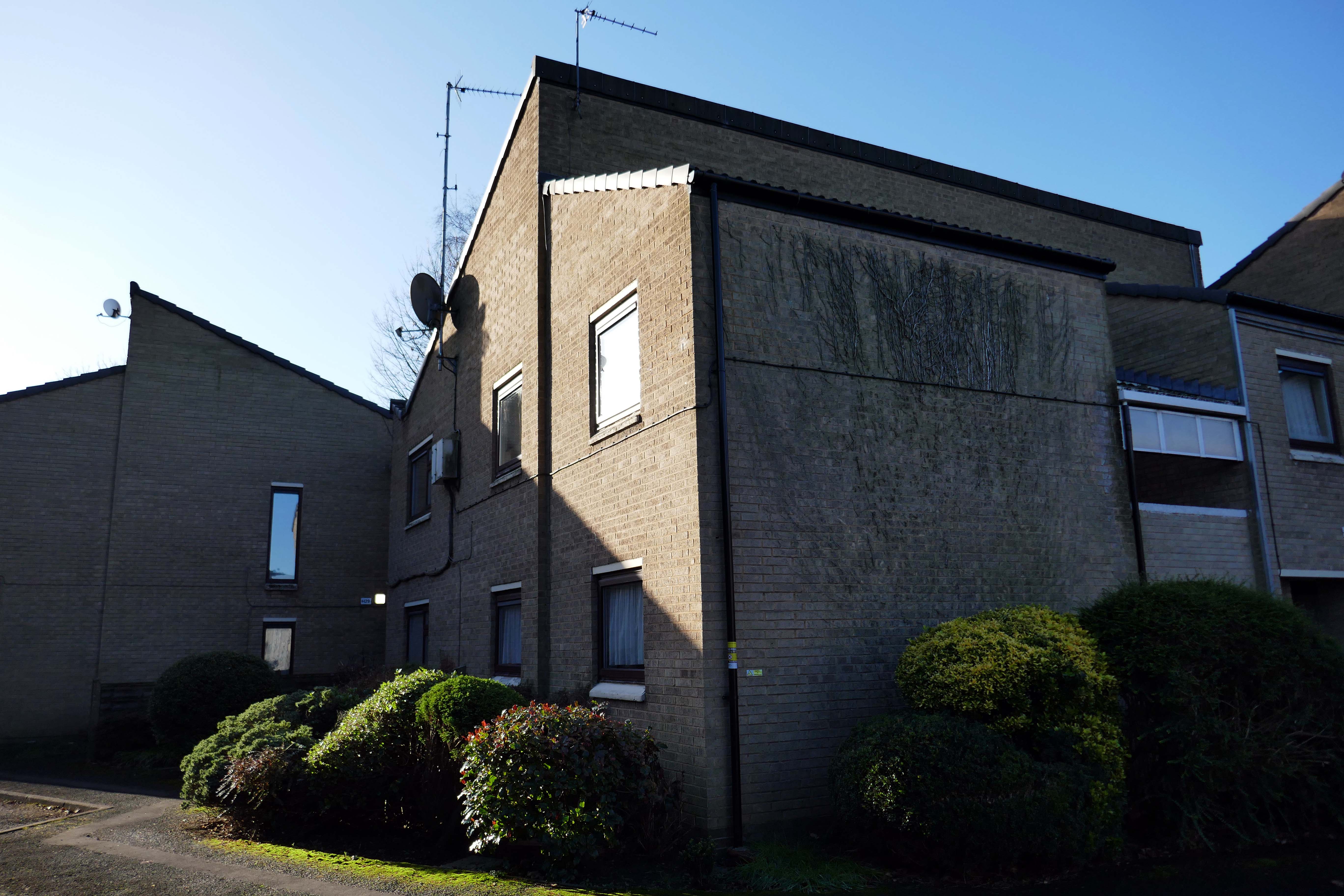
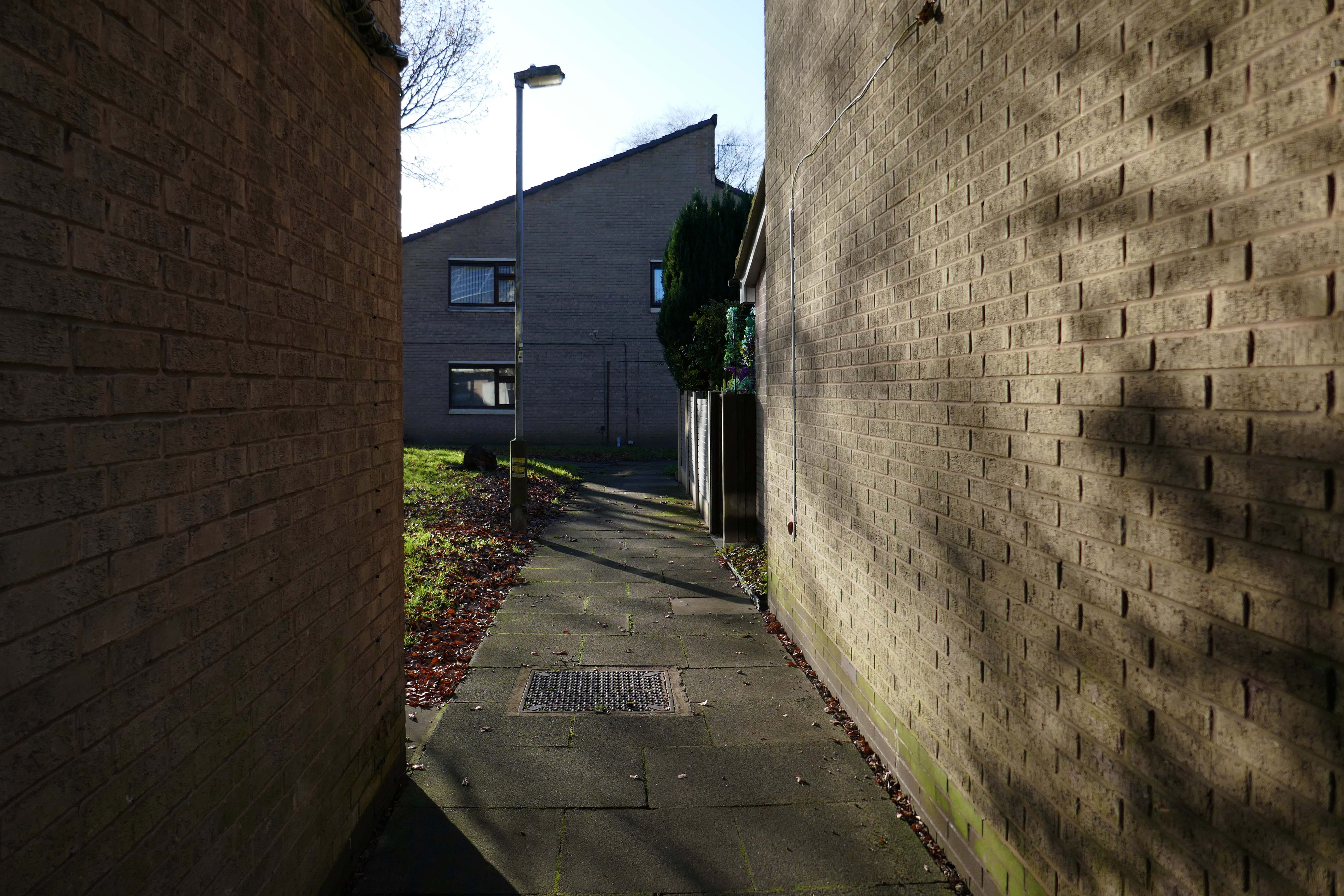
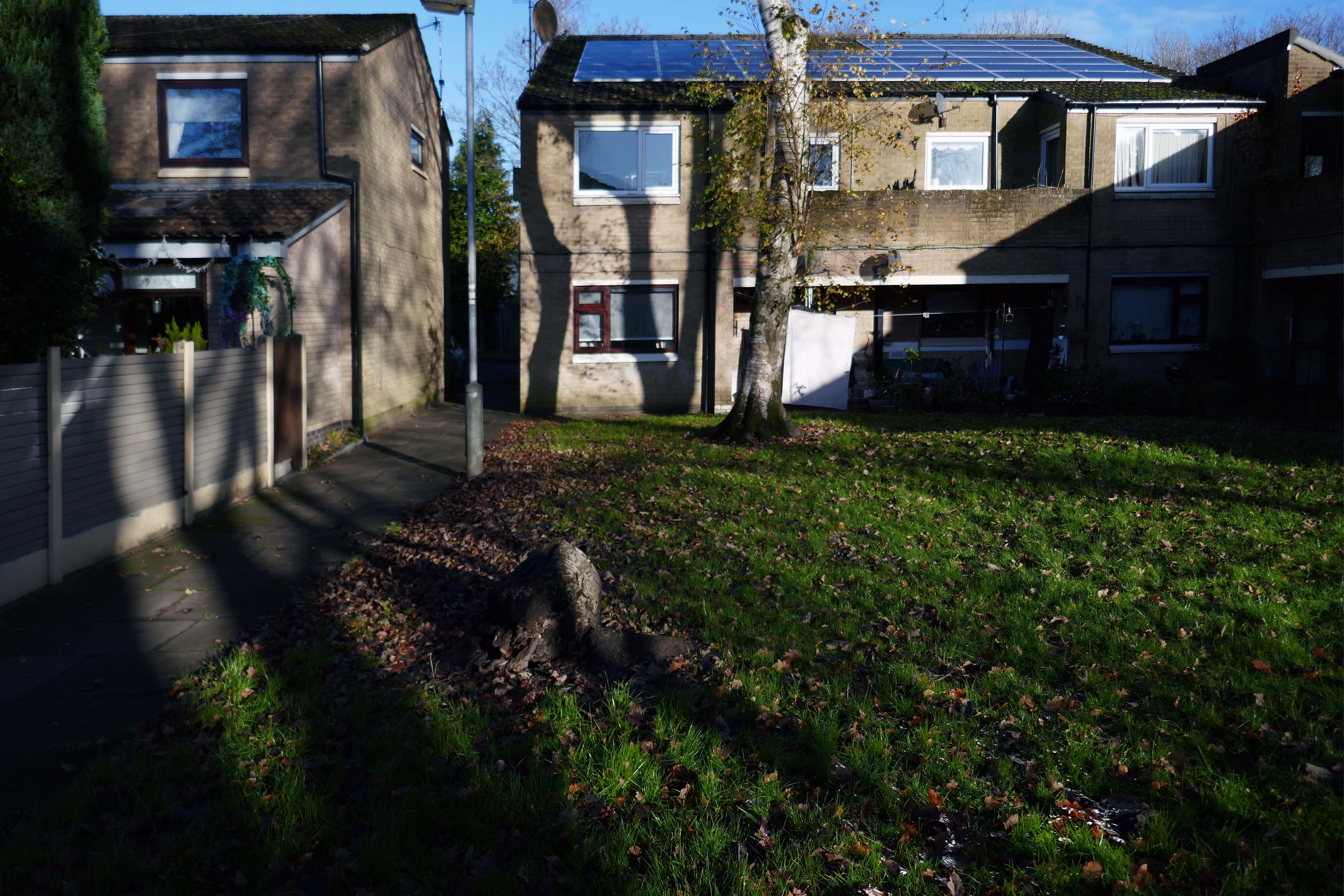
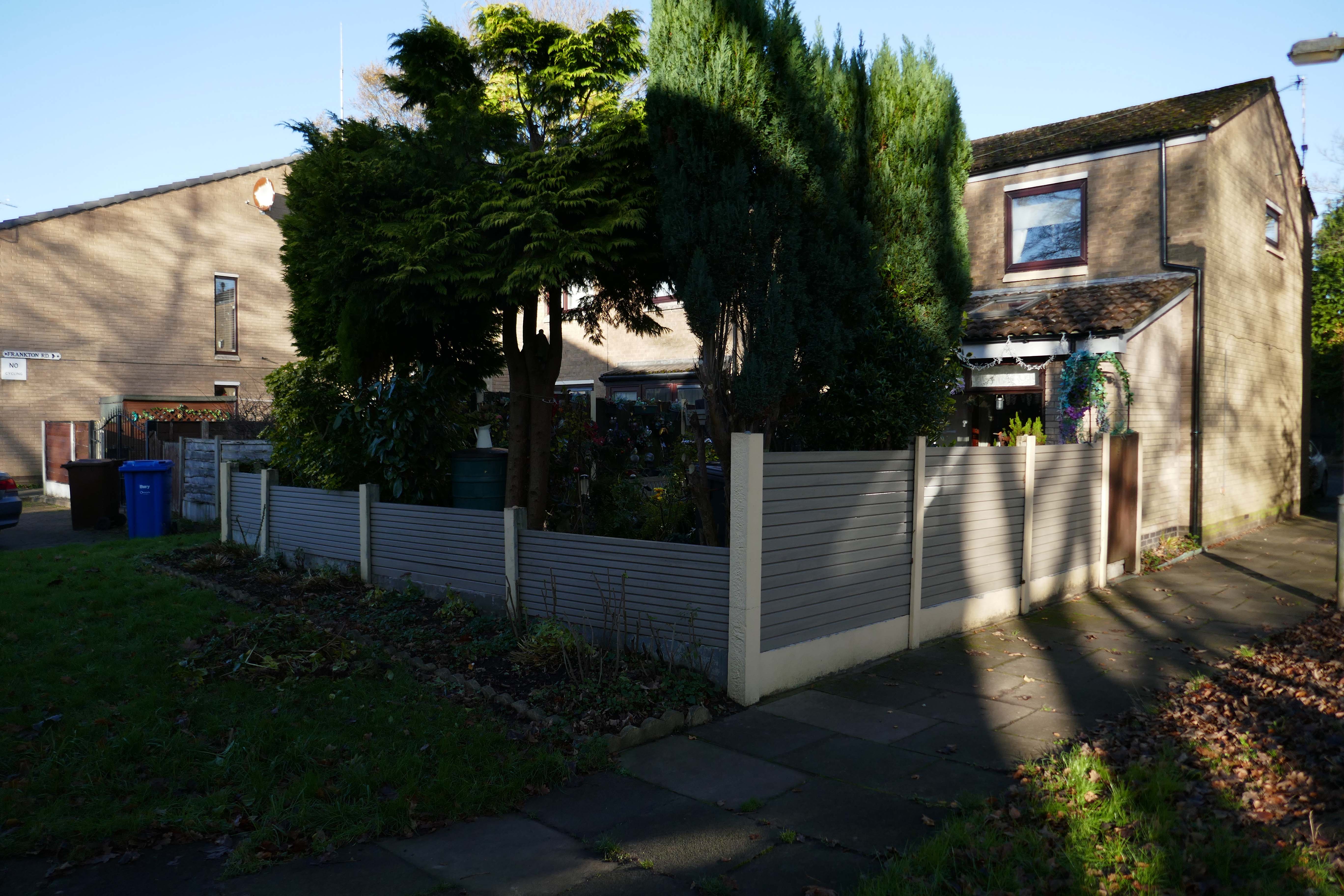
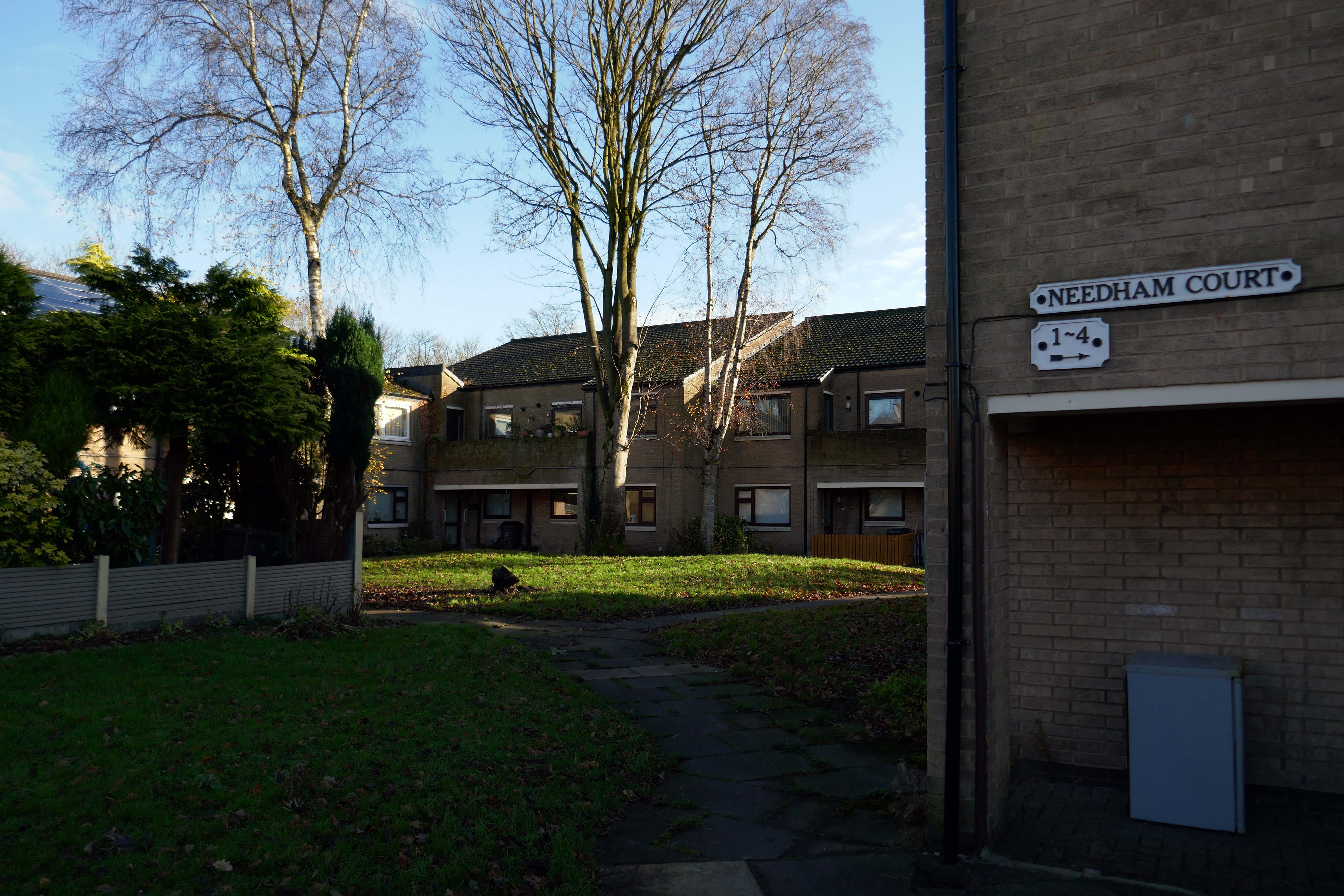
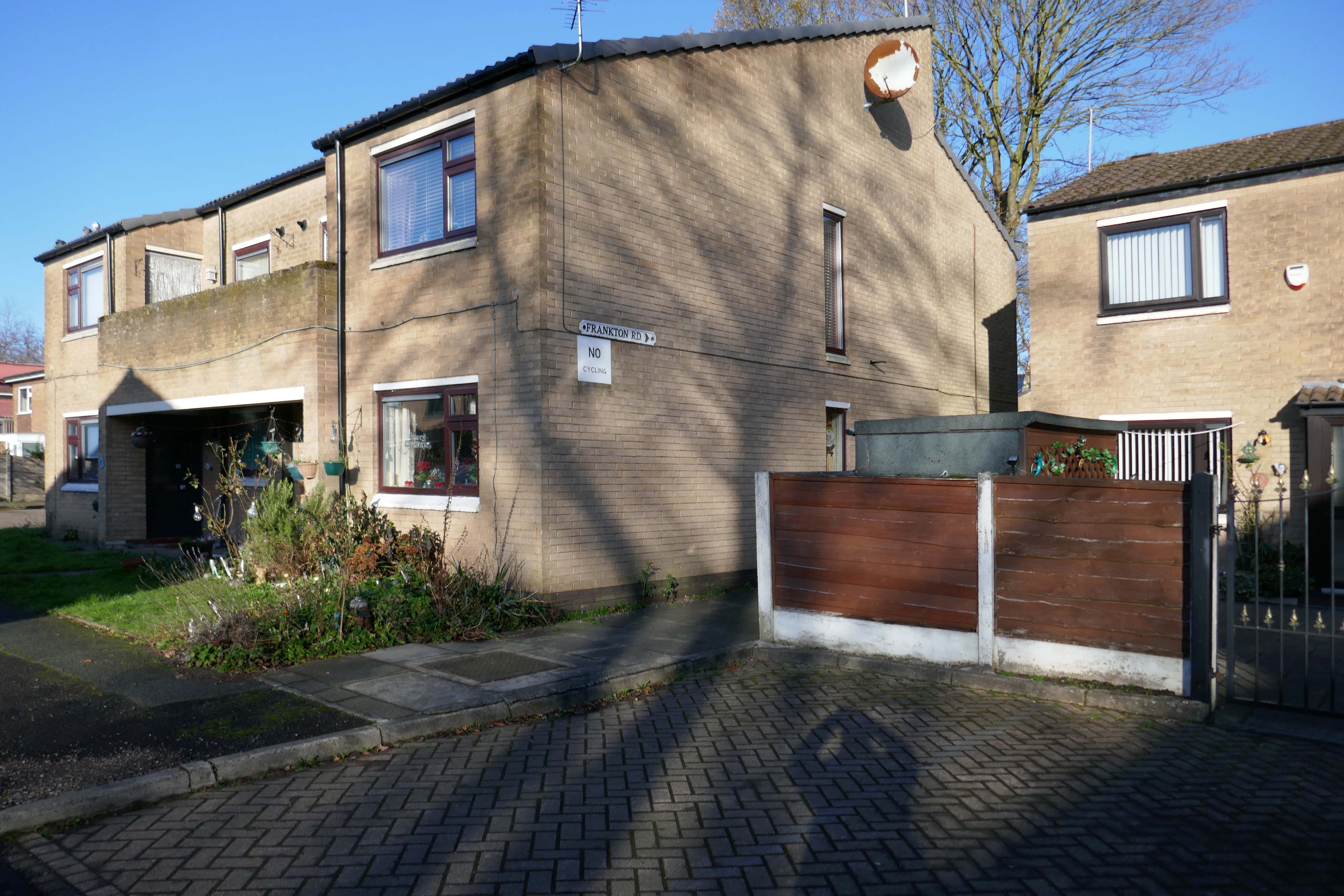
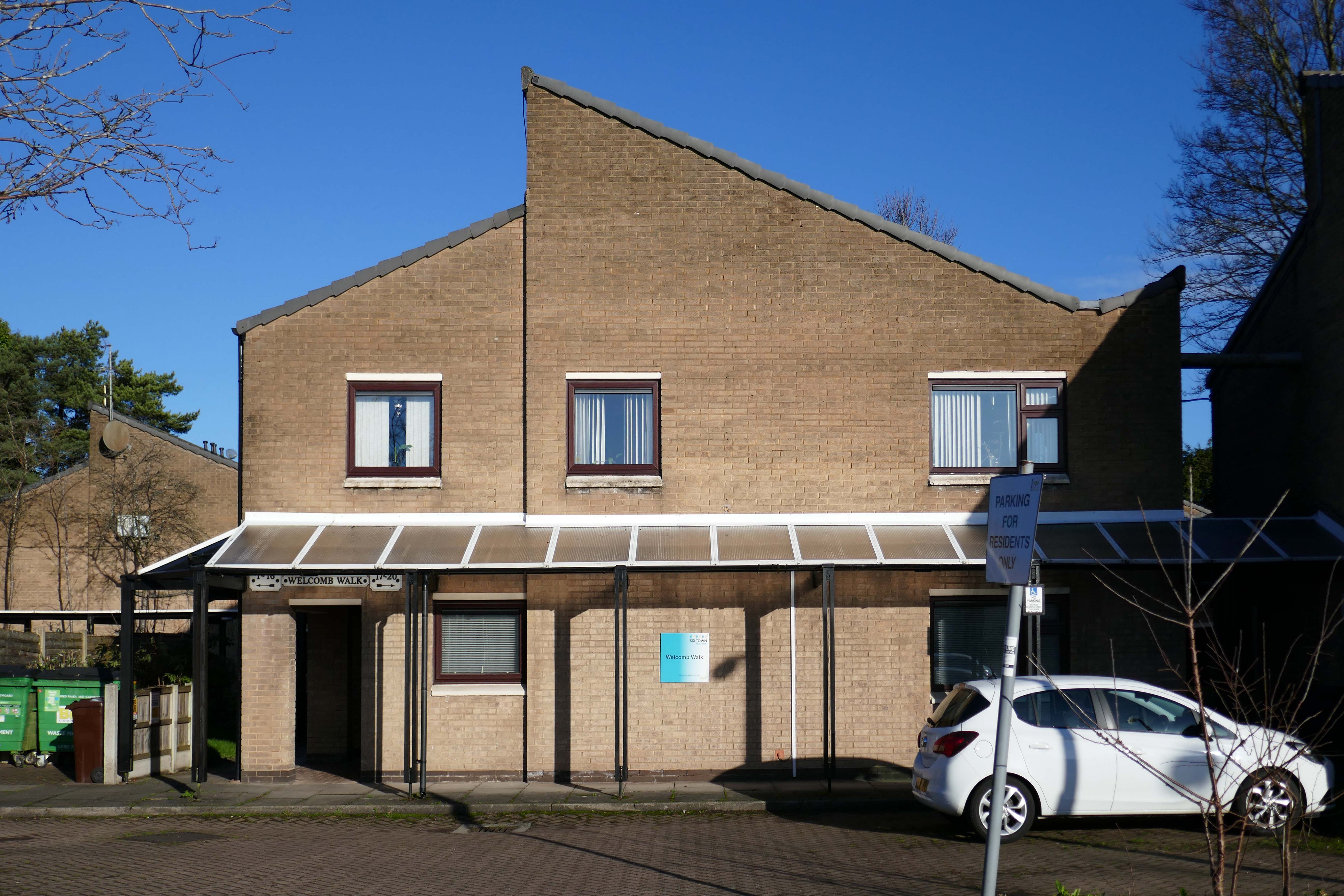
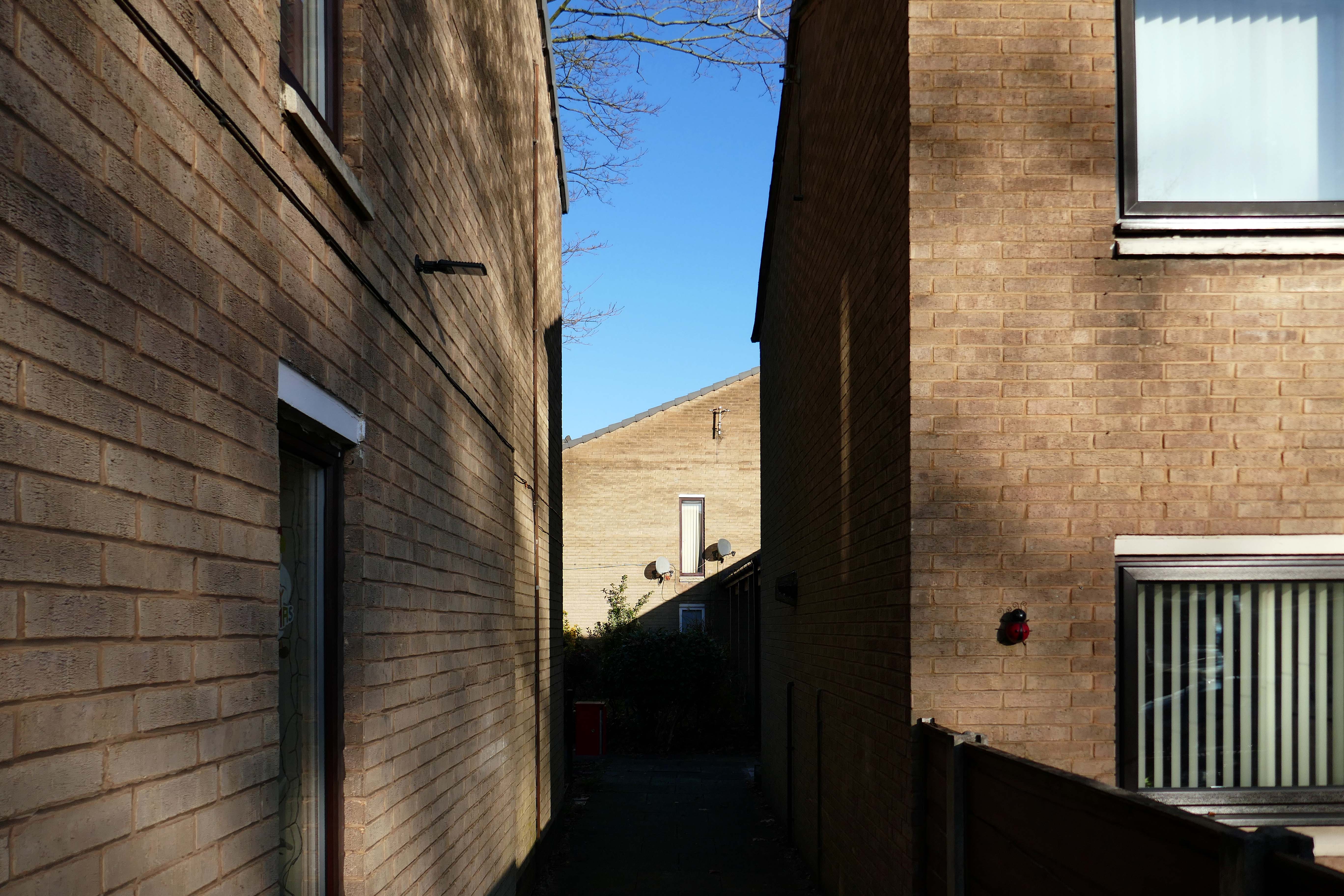
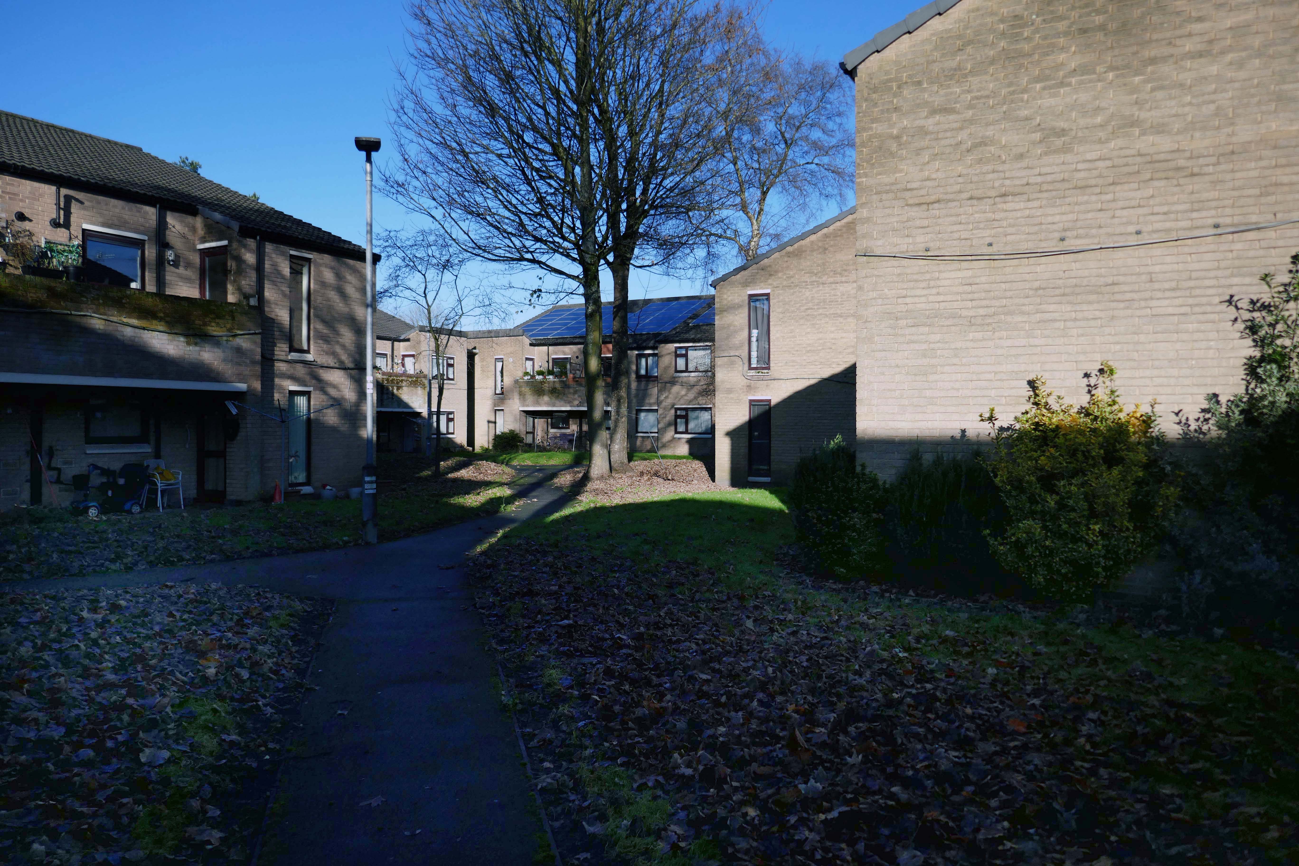
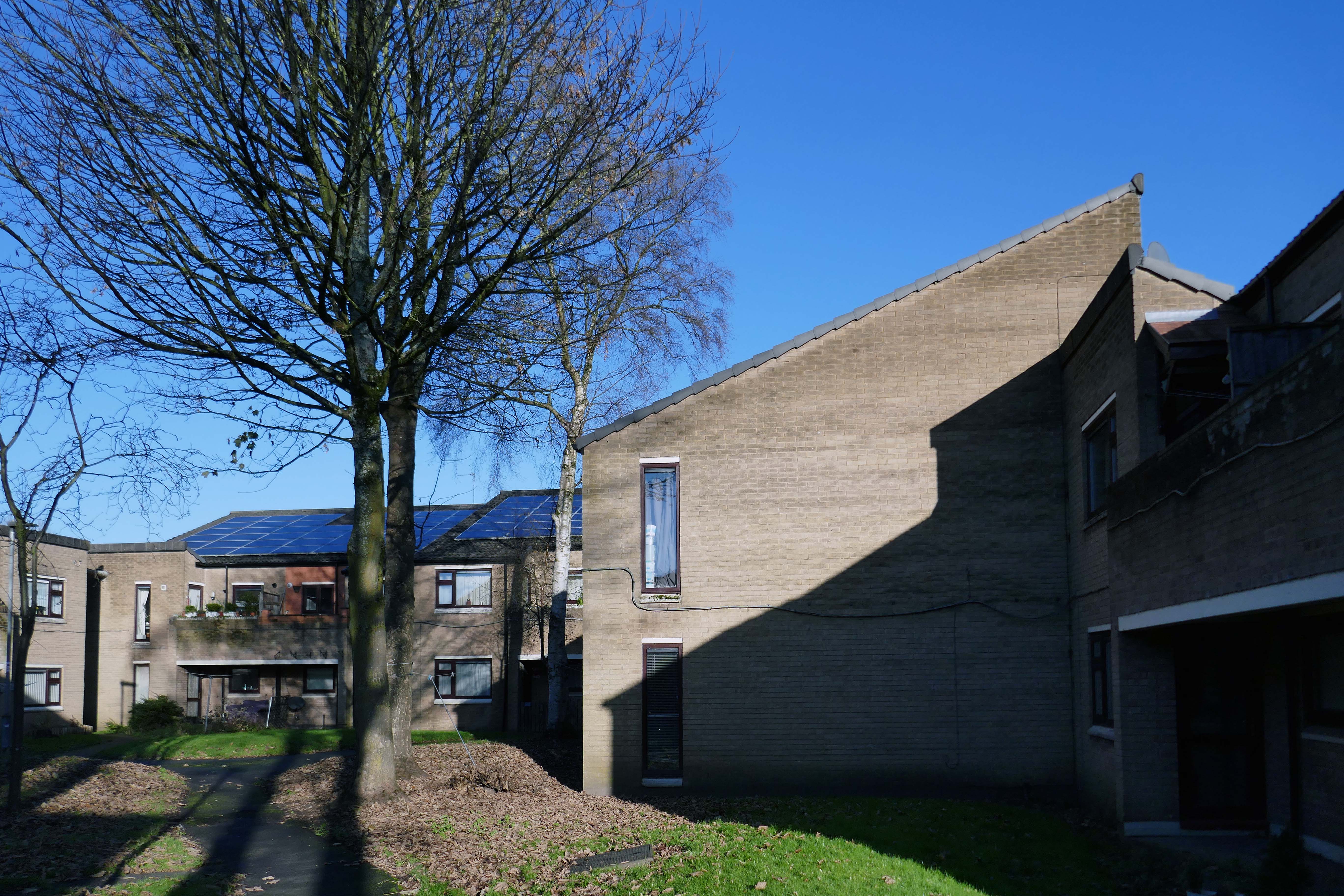
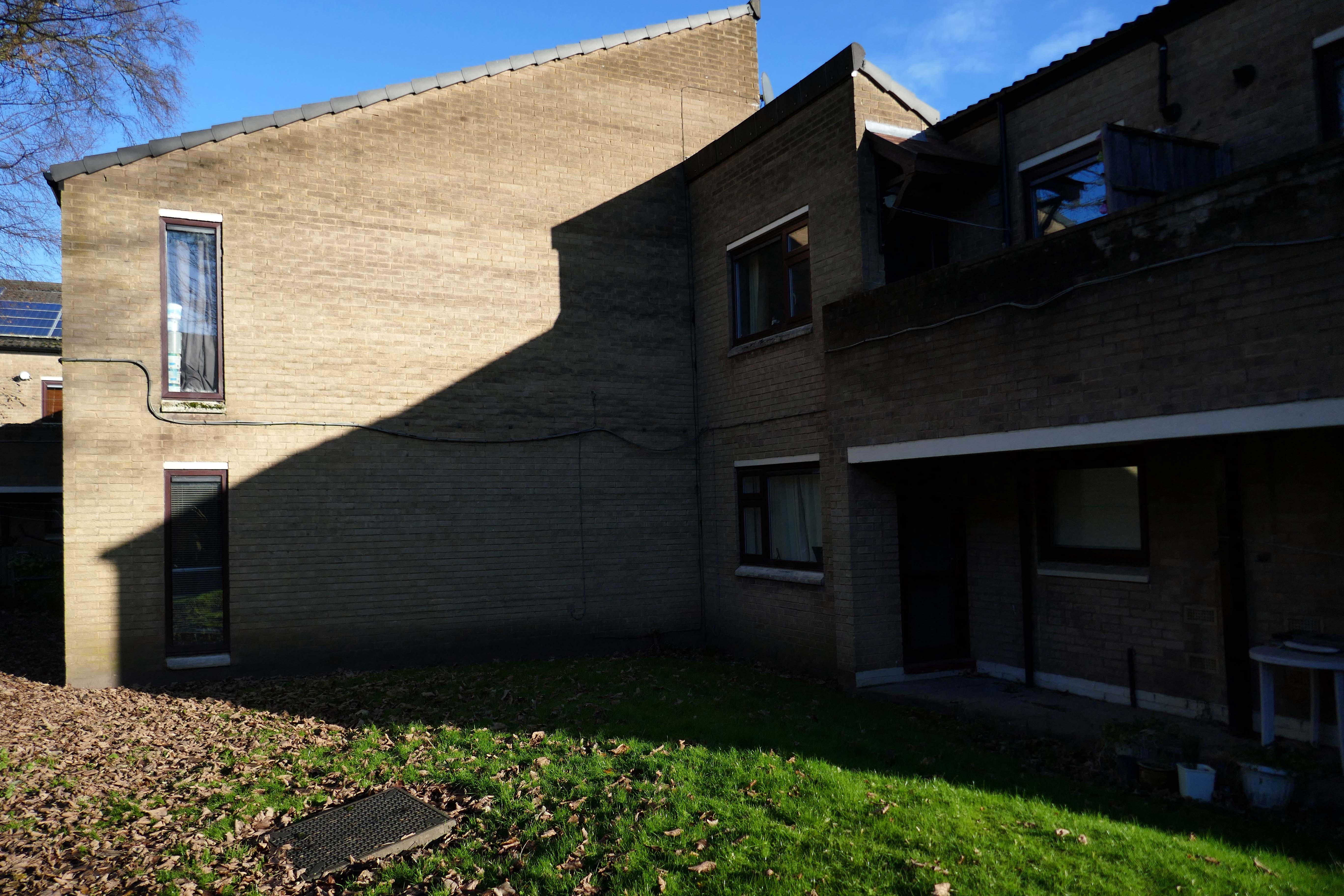
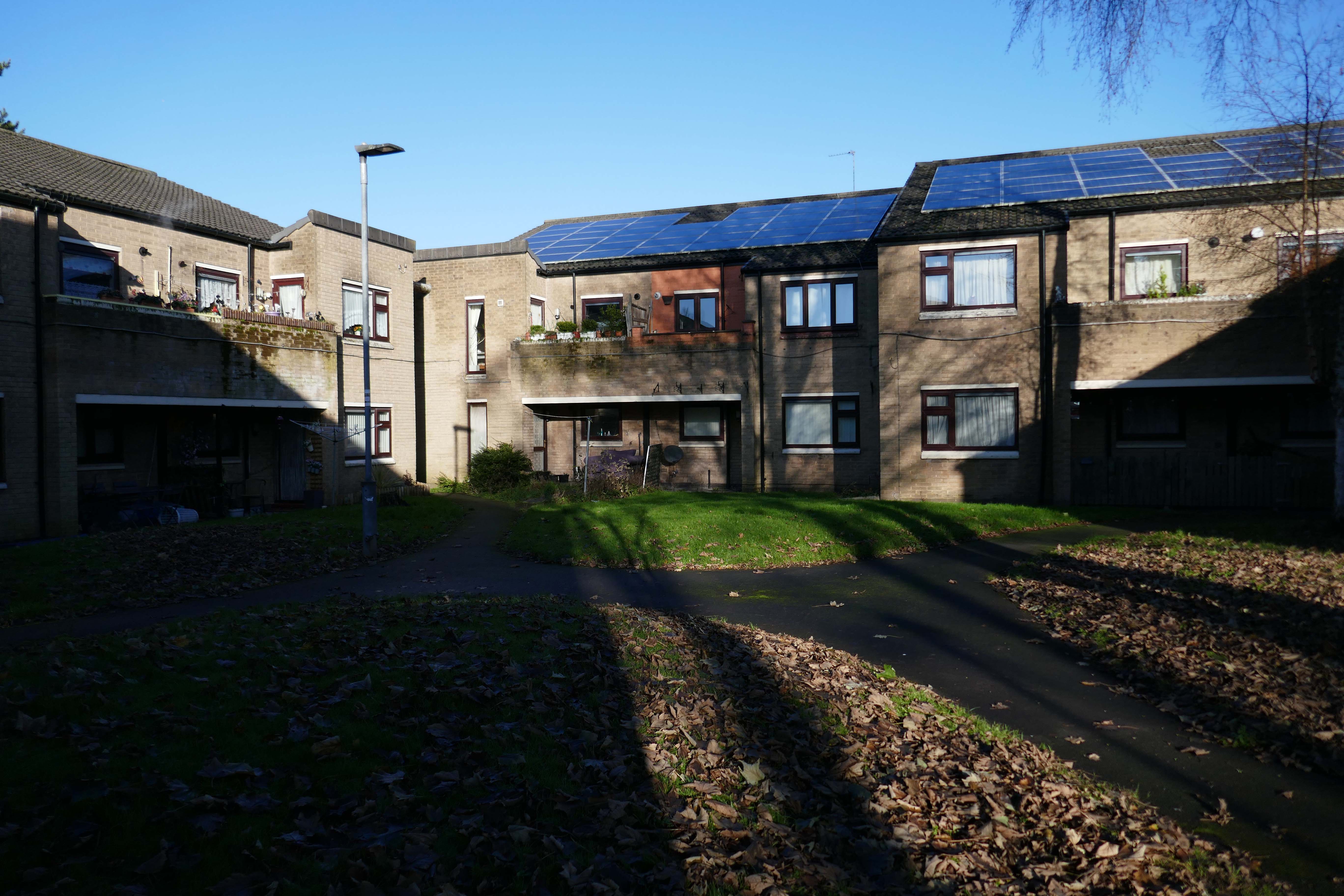
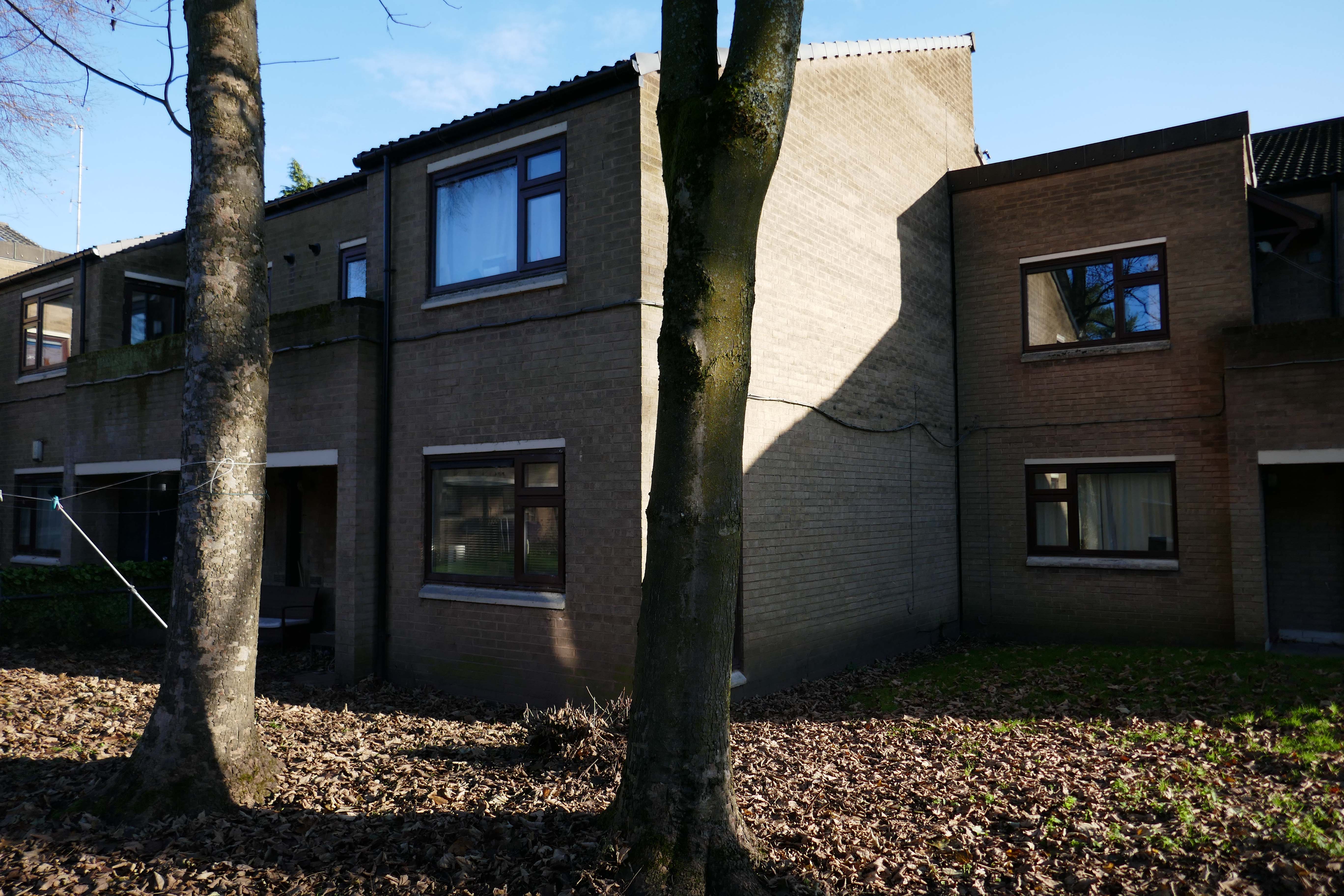
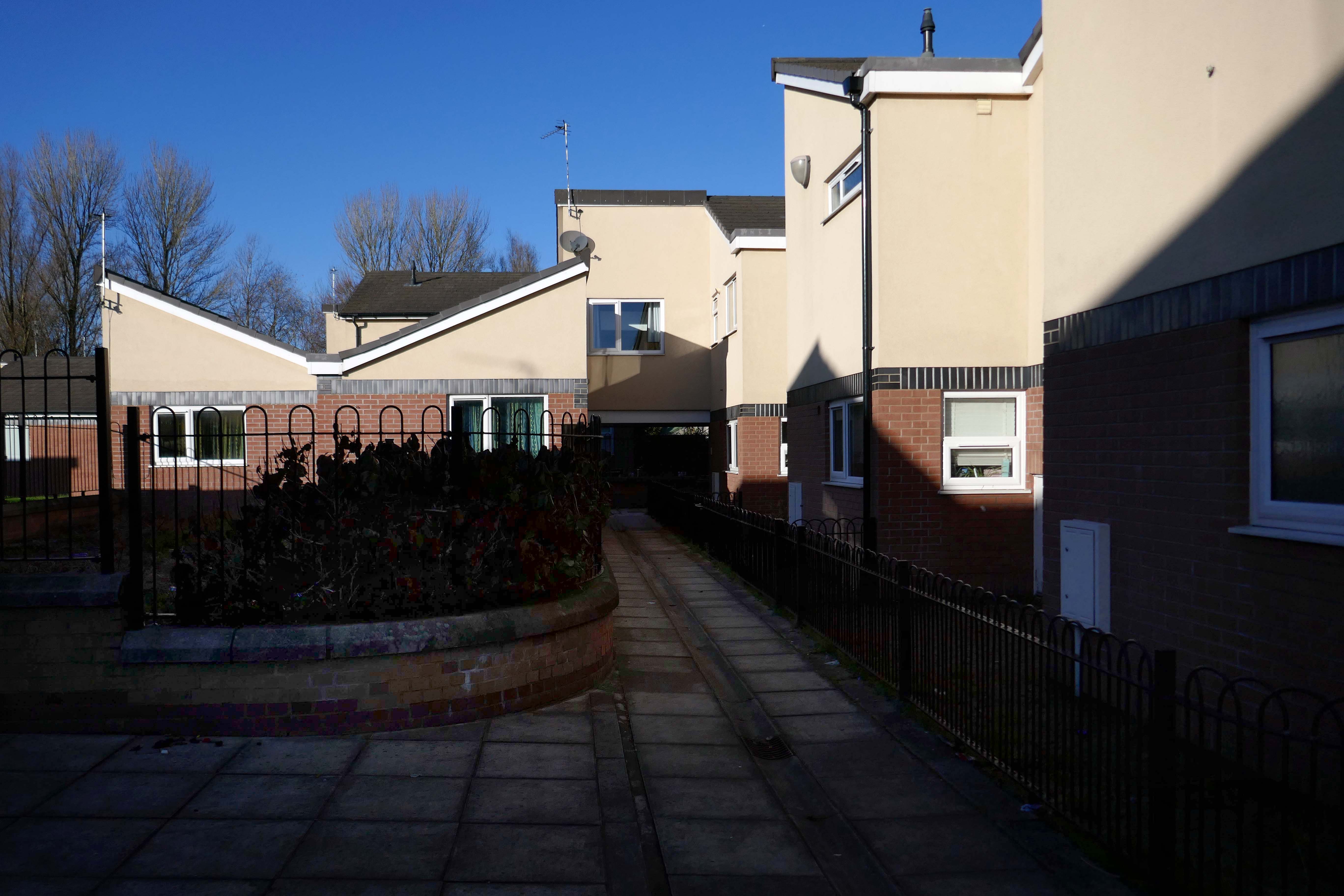
Whilst not seeking sheltered housing for my good self, I am always intrigued by small developments of interesting social housing, grouped around pedestrian walk ways and green space.
The residents with whom I chatted seems content with their homes and the management thereof.
I bade them adieu and went about my way, taking these few snaps.
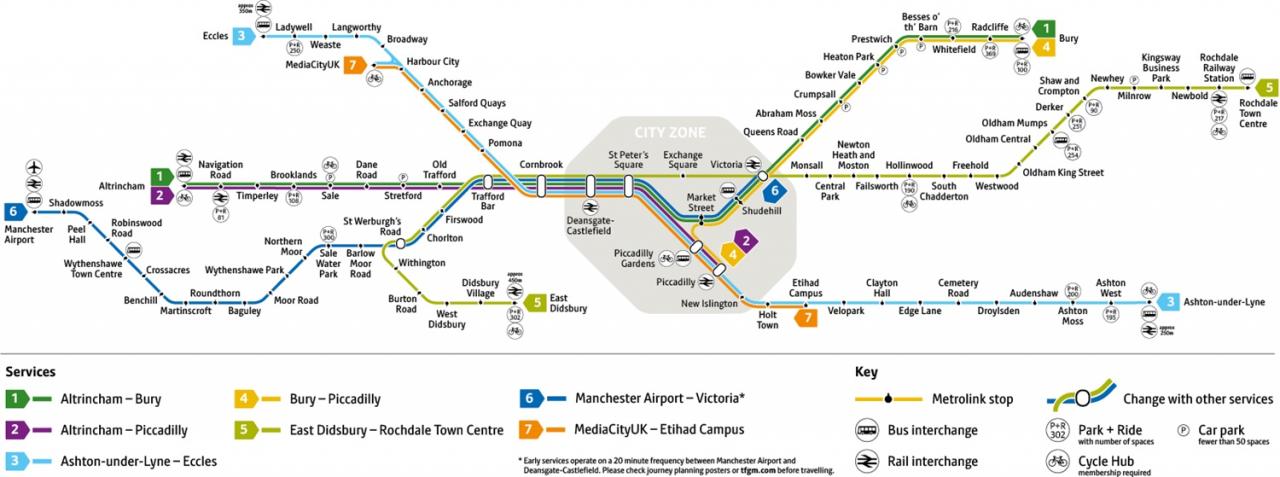
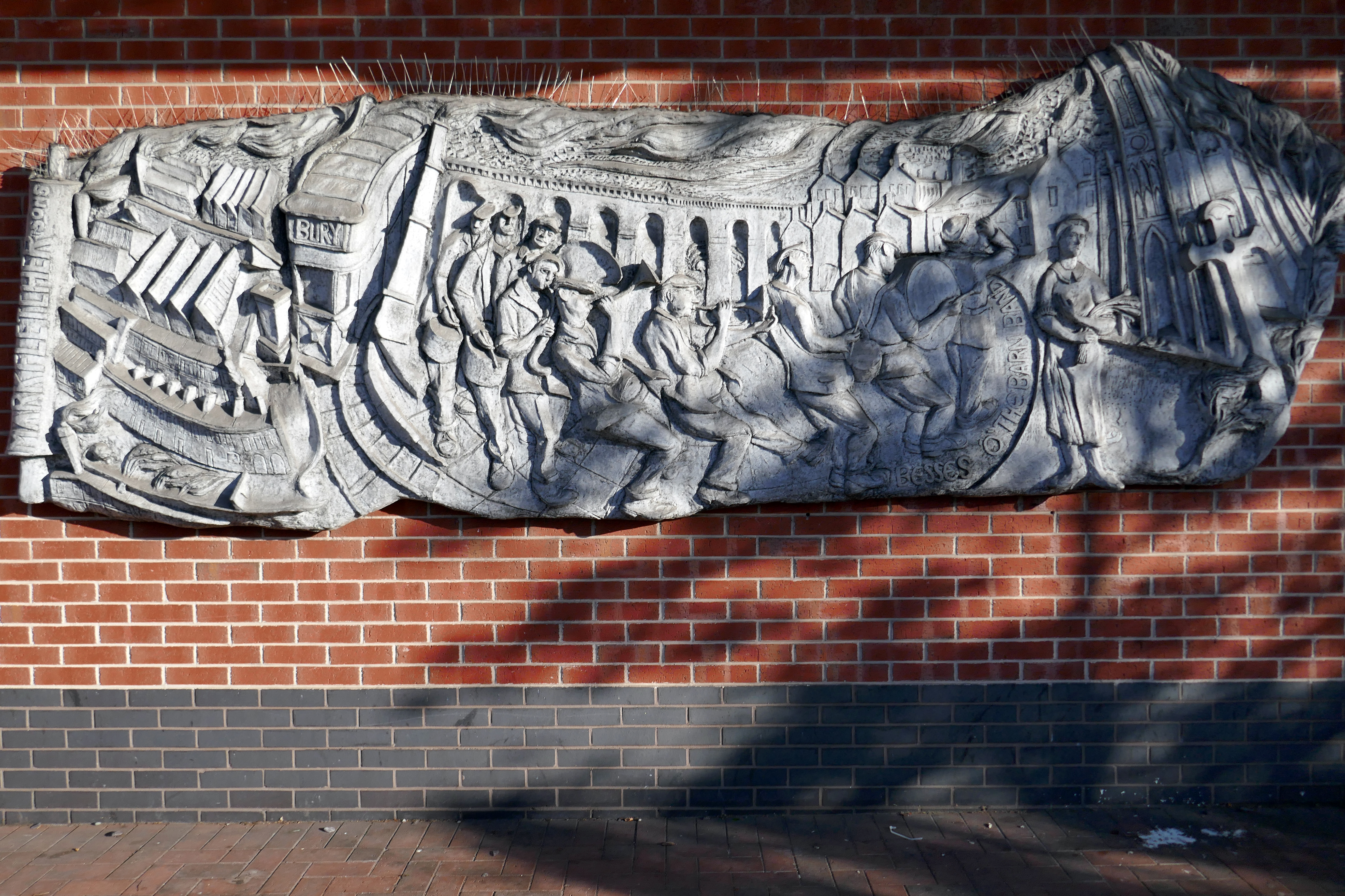
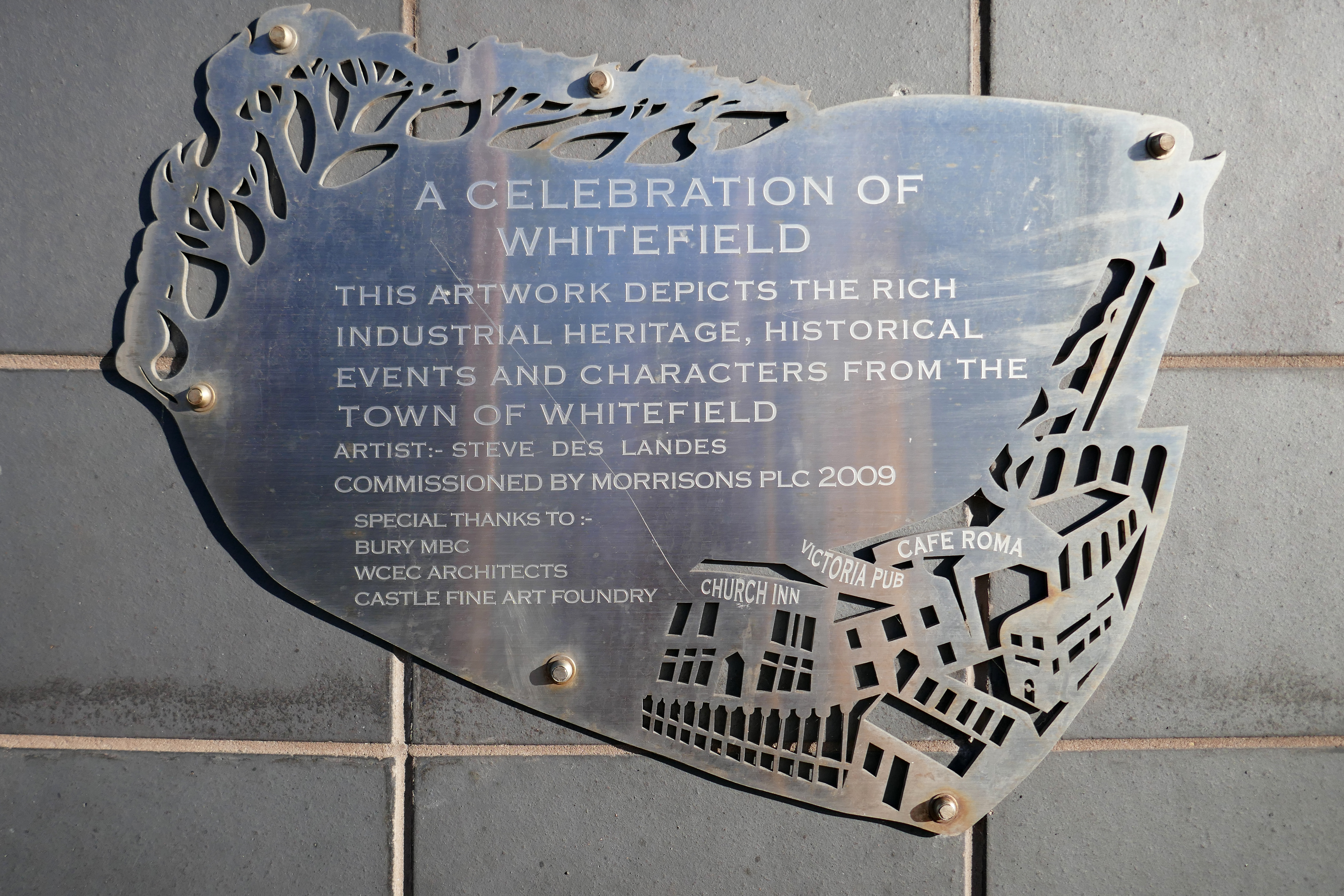
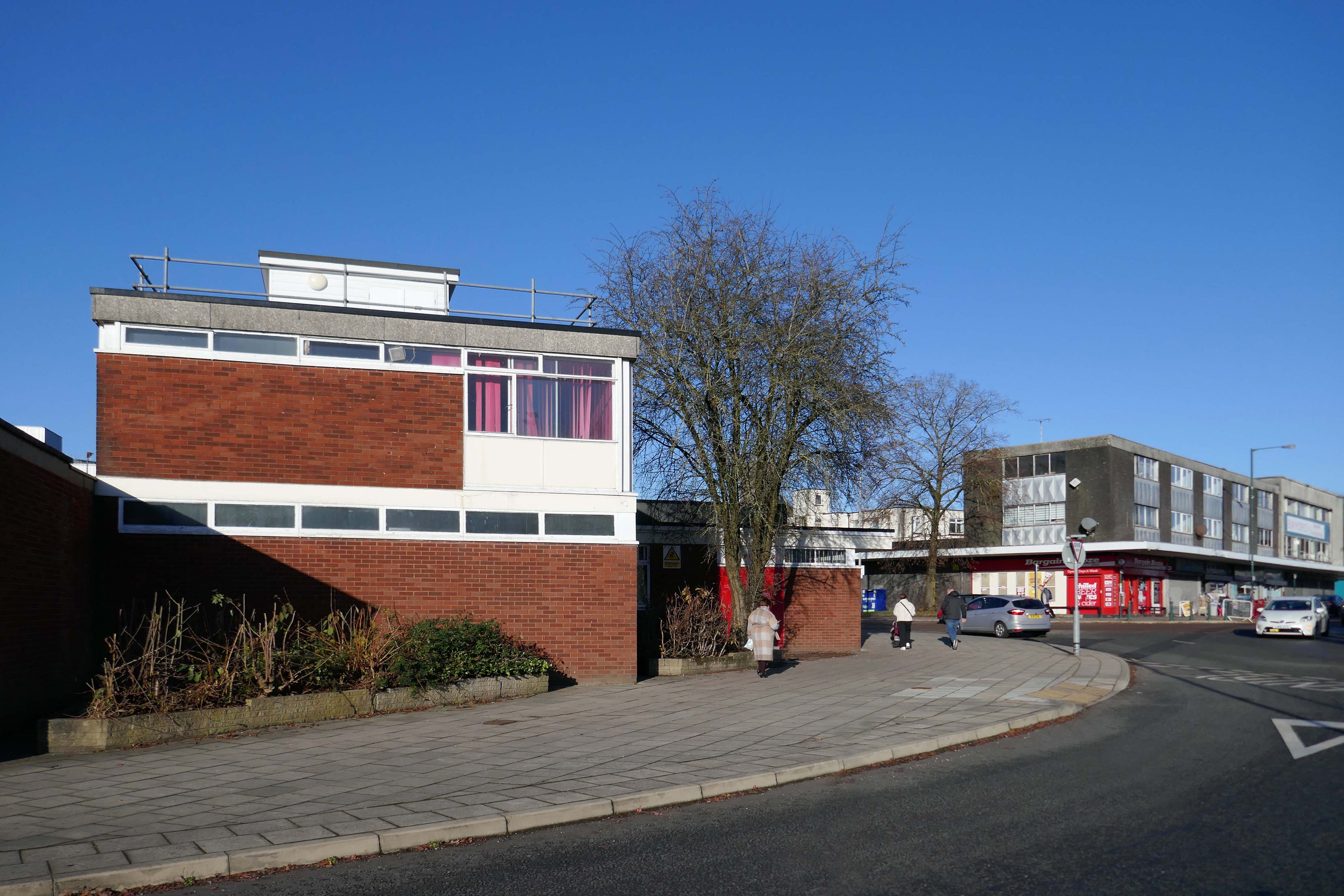
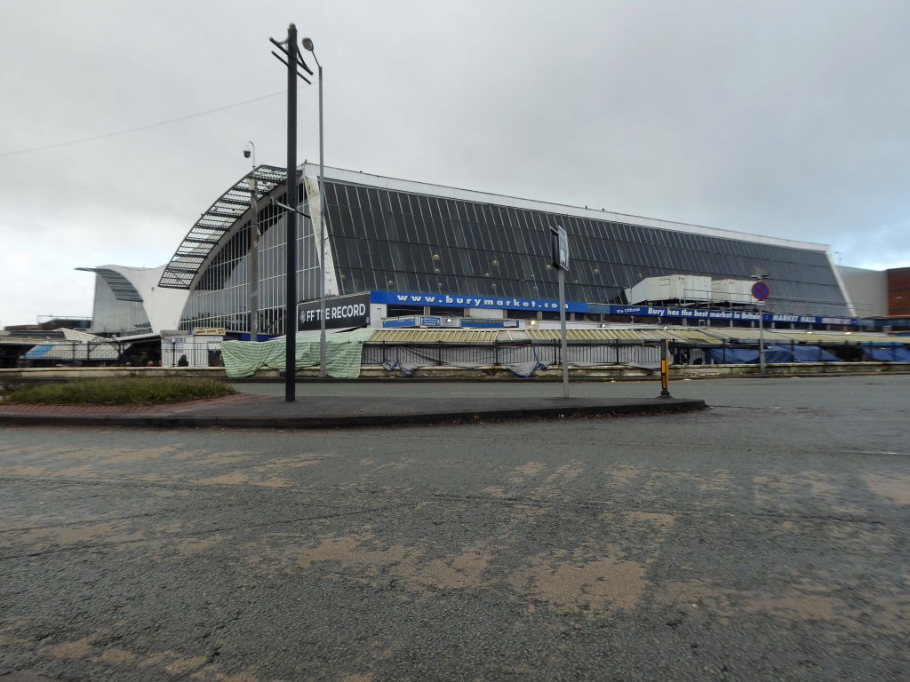
I was cordially requested to produce tram based walk, by the good folk at the modernist – travelling from Victoria Station to Bury. Alighting at each stop and seeing what could be seen, by way of modern buildings along the byways.
By the way, I do have previous experience, having undertaken a similar task travelling to Ashton.
So I set off as instructed, clutching my GMPTE senior concessionary travel pass.
Queens Road
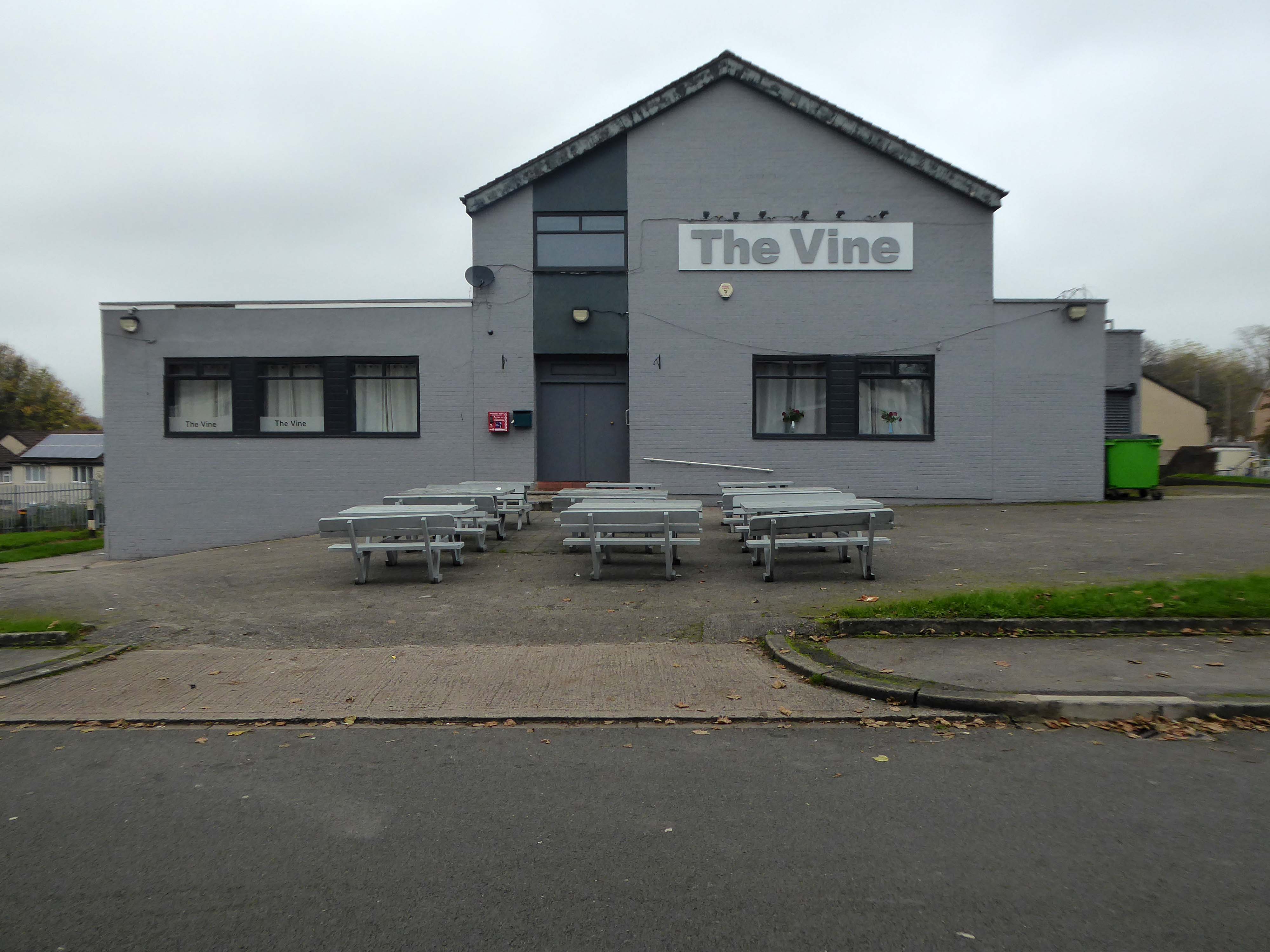
Turn right on leaving the station, right then left – you have reached The Vine.
Glendower Dr, Manchester, Greater Manchester M40 7TD.
Head for Rochdale Road and turn right back toward the city centre, you have reached Eastford Square.
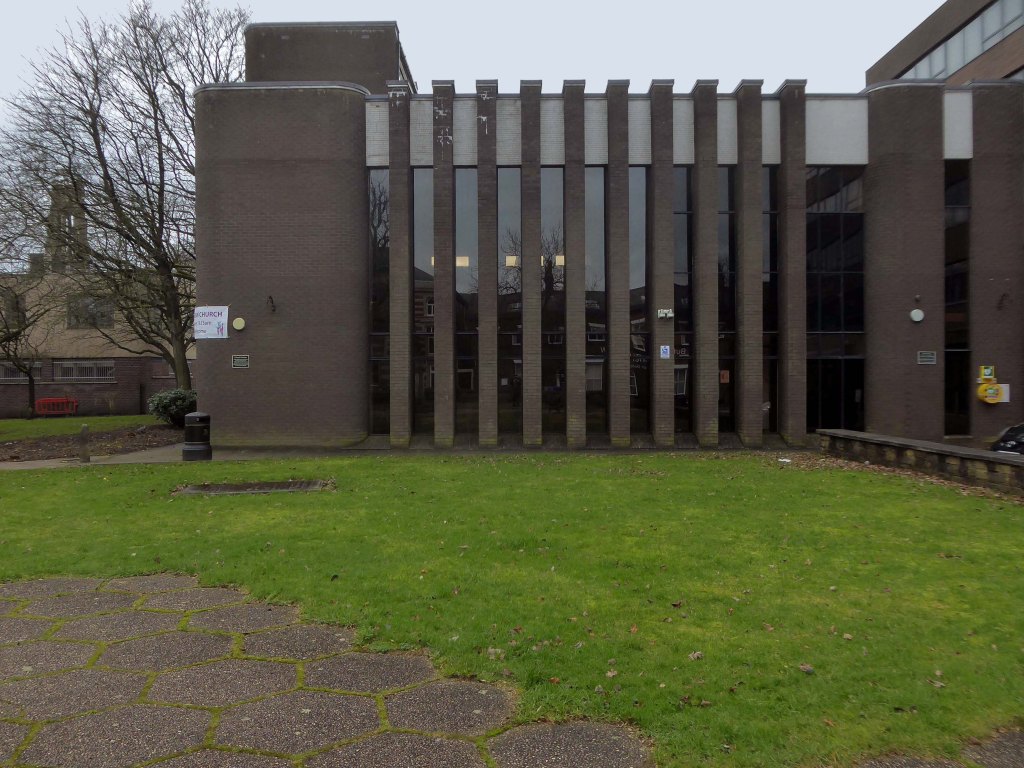
Turn left from the station along Bury Old Road until you reach Heywood Road on your right.
Heywood Road, Prestwich, Manchester M25 2GT
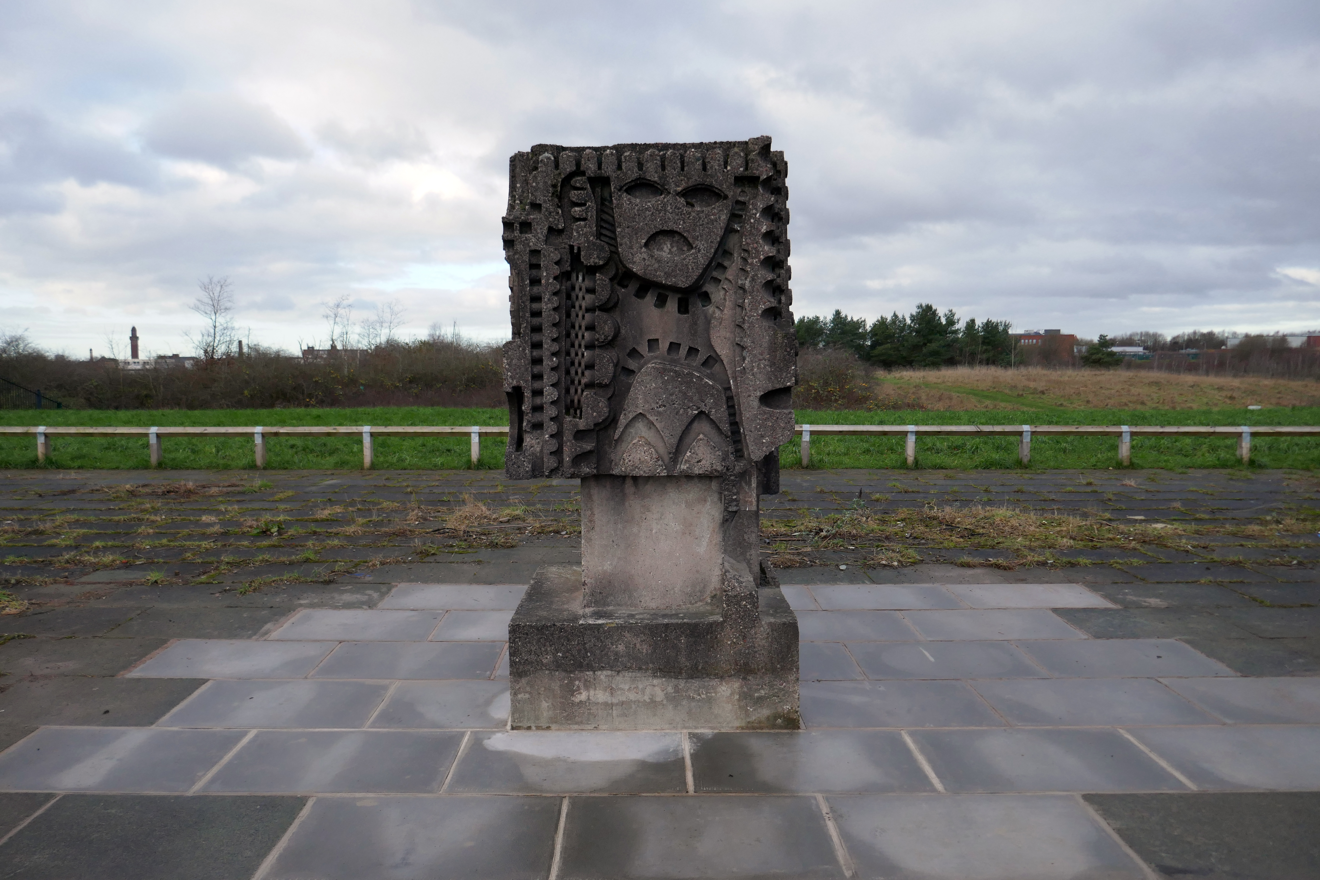
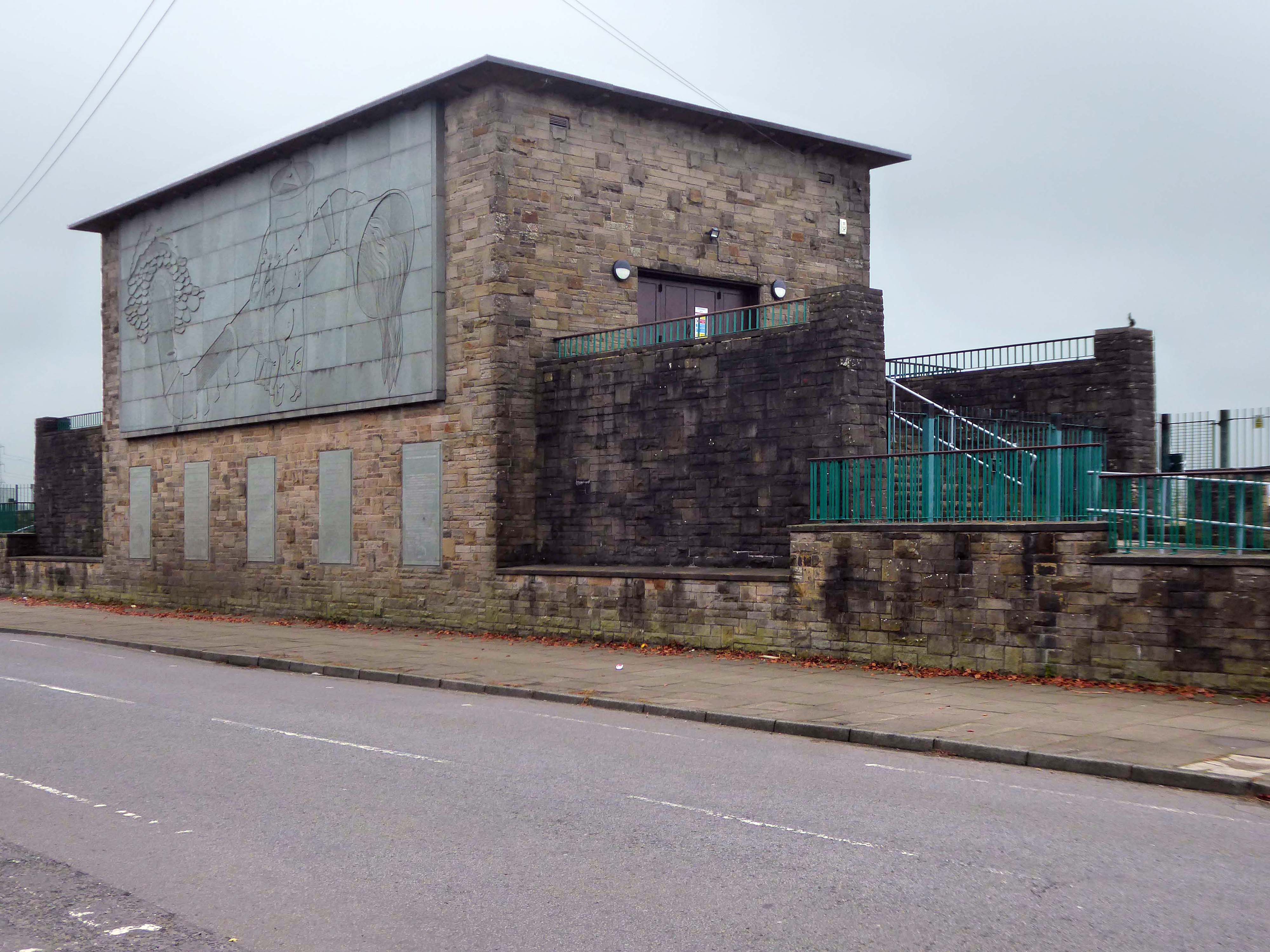
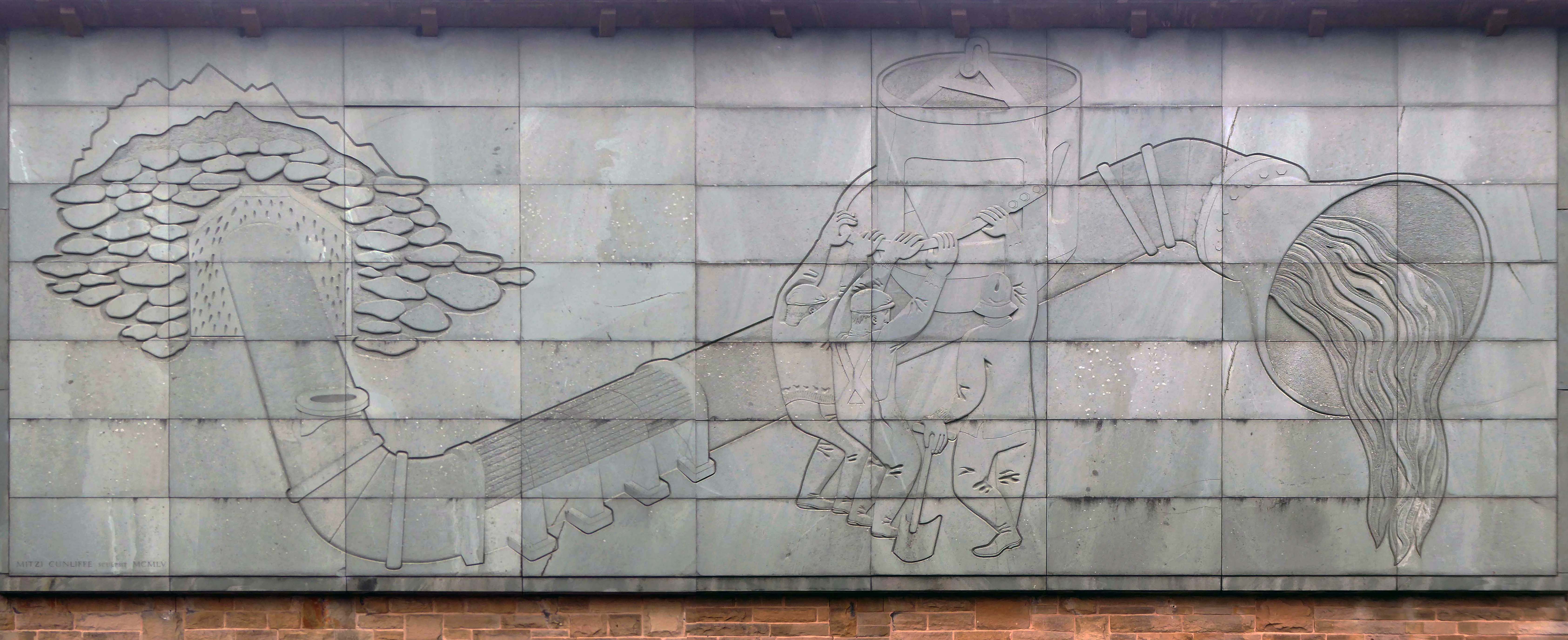
1954-5 by the Manchester City Architect’s Department, Chief Architect Leonard C Howitt, for the Manchester Corporation Waterworks. Alan Atkinson, engineer. Incorporates large relief by Mitzi Cunliffe, signed and dated 1955.
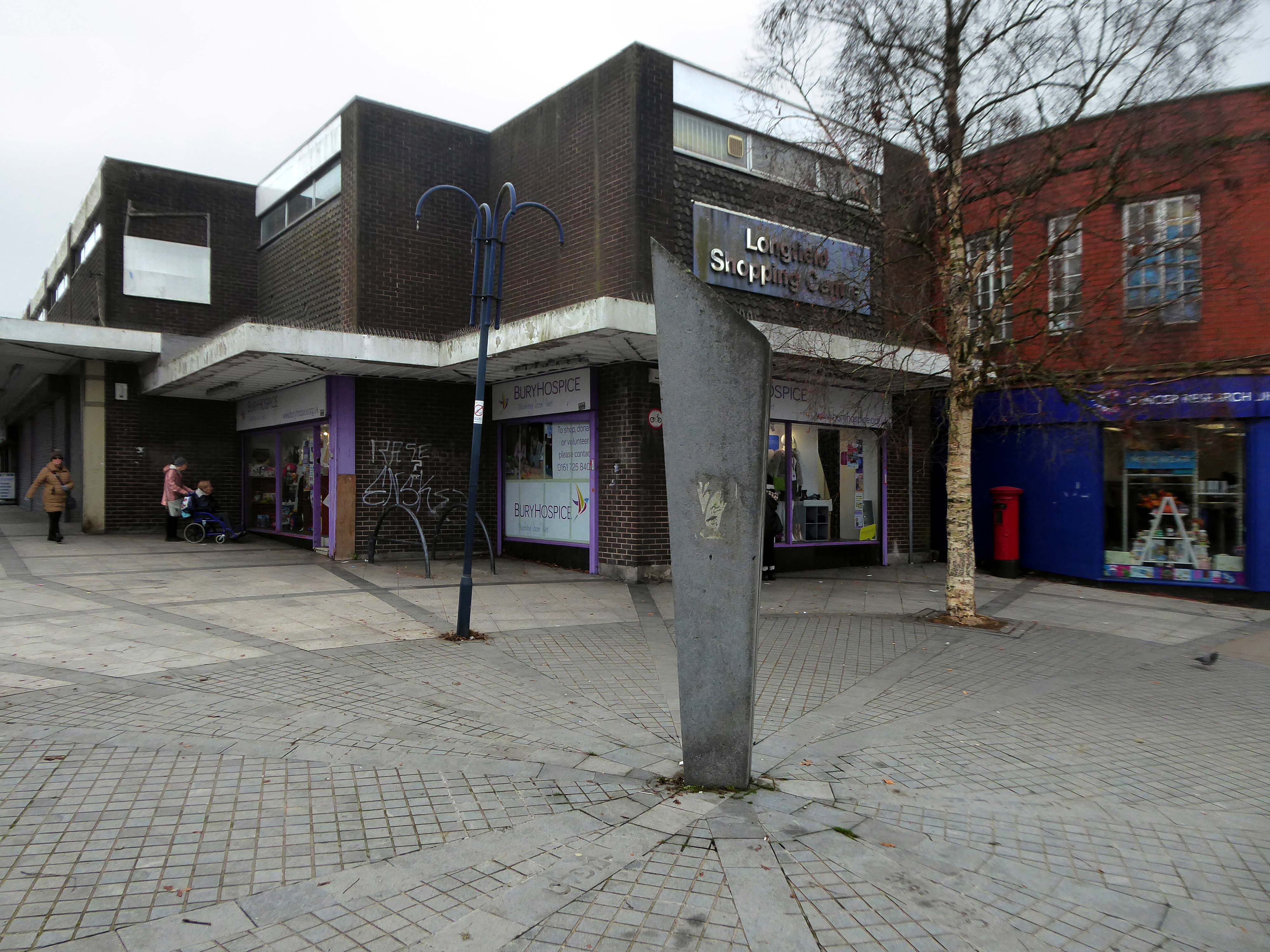
After months of public consultation, the joint venture has firmed up its proposals for the redevelopment of the Longfield Centre and is aiming to be on site before the end of the year.
Muse and Bury Council have submitted a hybrid application to transform six acres of Prestwich town centre.
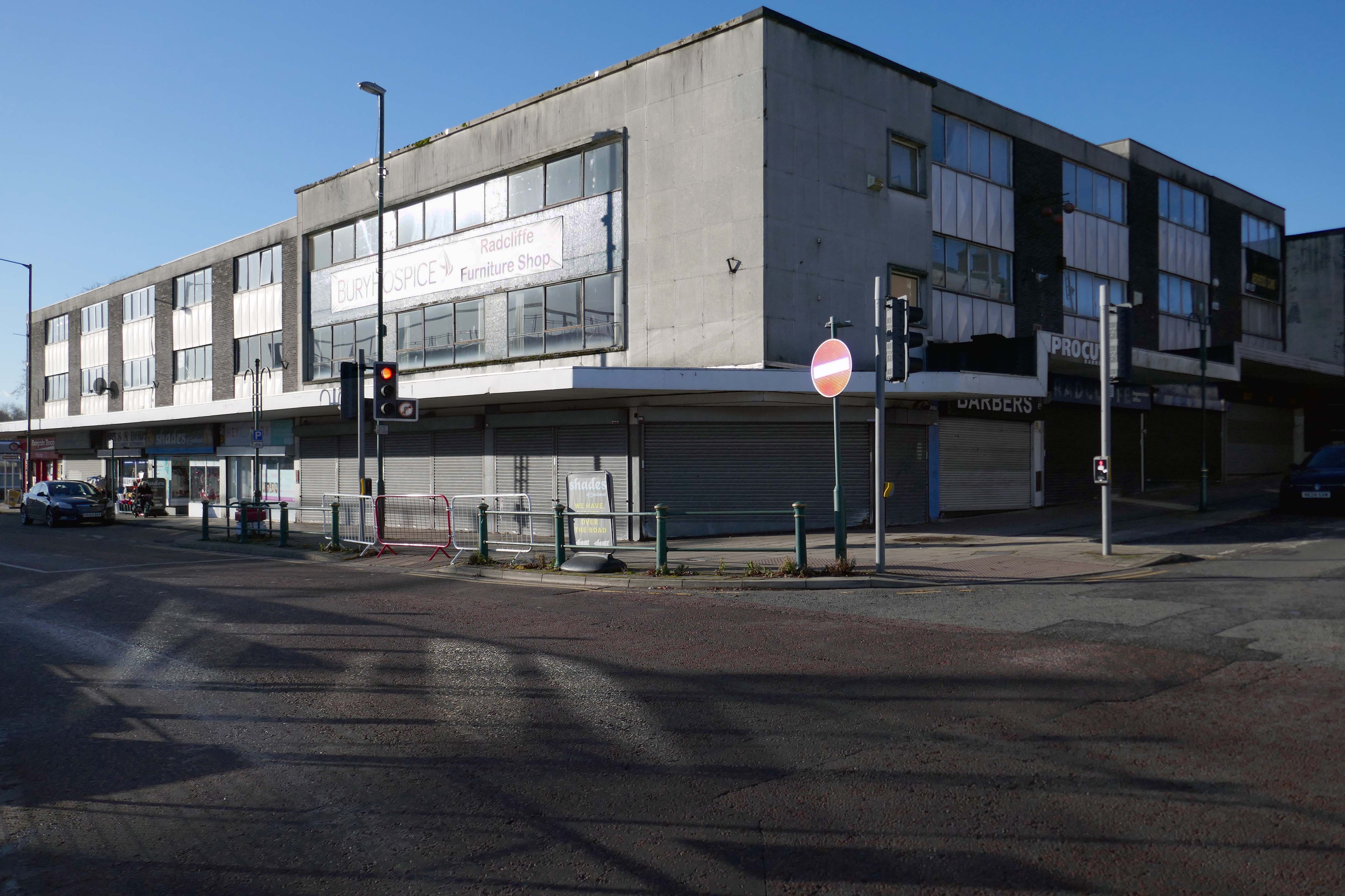
The Strategic Regeneration Framework is the guide that is shaping the direction of Radcliffe’s growth over the next 15 years with a series of realistic short, medium, and longer-term actions. It is also shaping the direction of future council investment, supporting bids for central governmental funding and providing certainty for third parties wanting to invest in town.
Work has begun on Strategic Regeneration Framework’s priority projects, these include:
A new civic hub in central Radcliffe, which will bring together a mix of functions at the heart of the town
Refurbishment of the market basement and the revamping of market chambers
New leisure facilities
A secondary school on the Coney Green site
A “whole town approach” to housing, bringing forward a comprehensive approach to residential development in Radcliffe
A transportation strategy, which will consider matters such as active travel and car parking