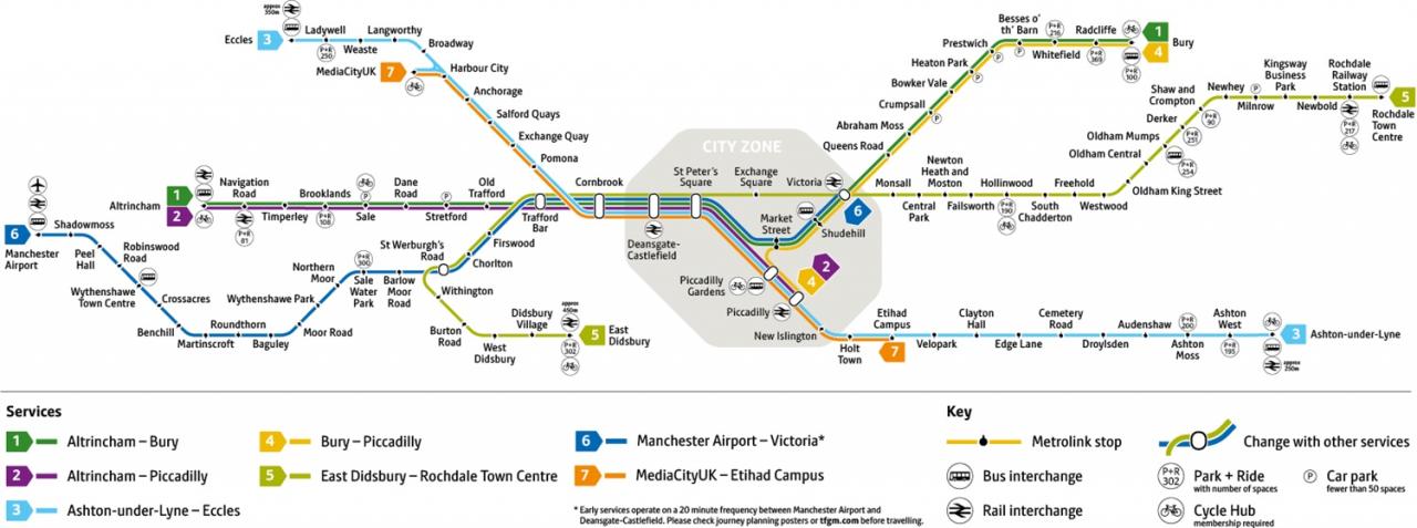
I was cordially requested to produce tram based walk, by the good folk at the modernist – travelling from Victoria Station to Bury. Alighting at each stop and seeing what could be seen, by way of modern buildings along the byways.
By the way, I do have previous experience, having undertaken a similar task travelling to Ashton.
So I set off as instructed, clutching my GMPTE senior concessionary travel pass.
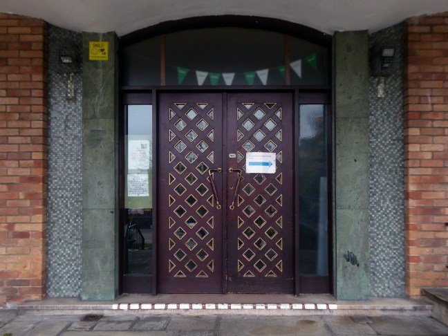
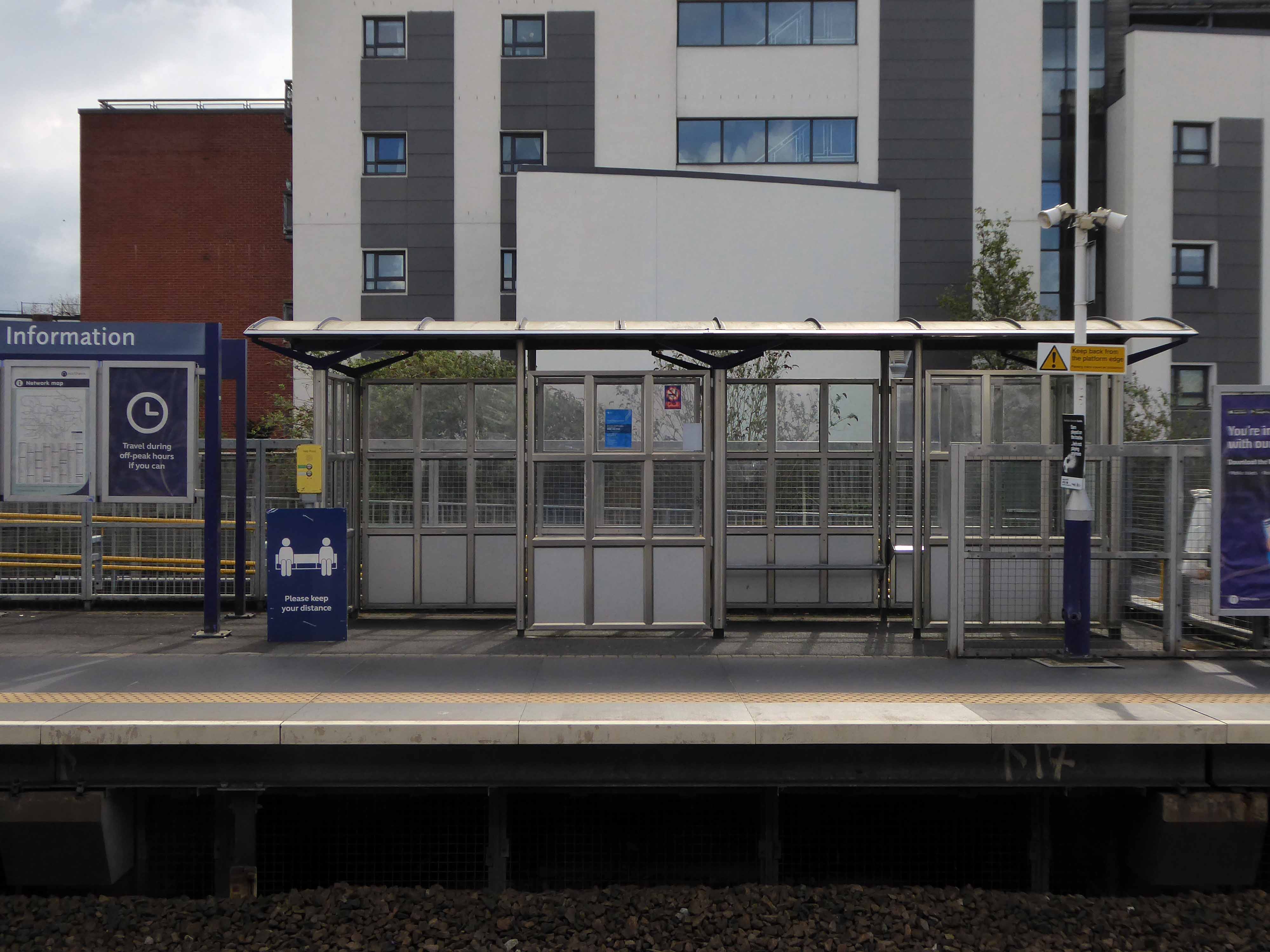
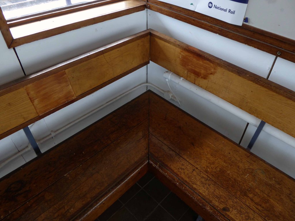
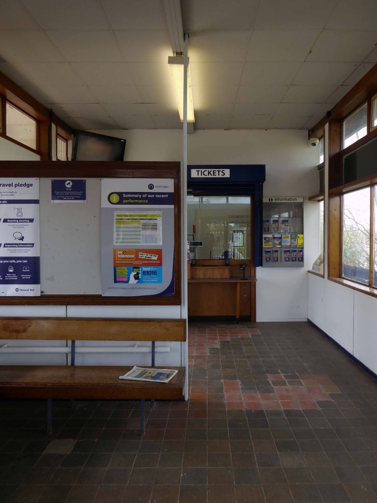
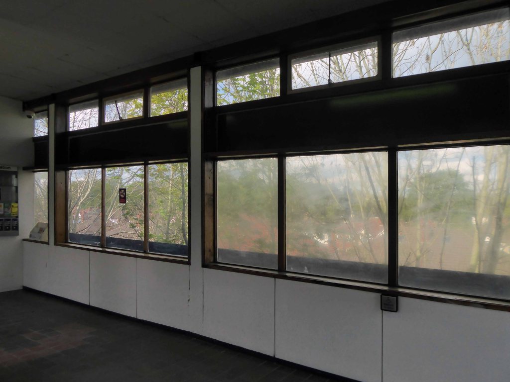
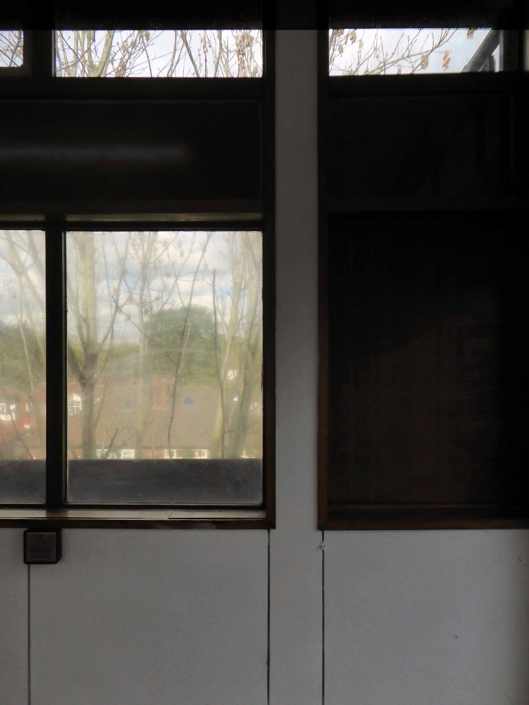
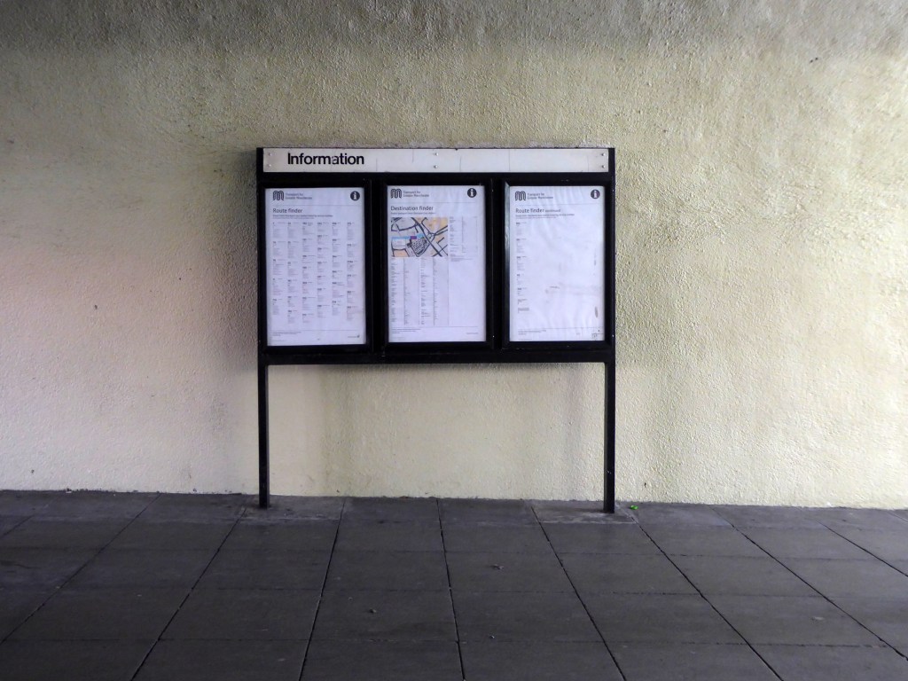
Queens Road
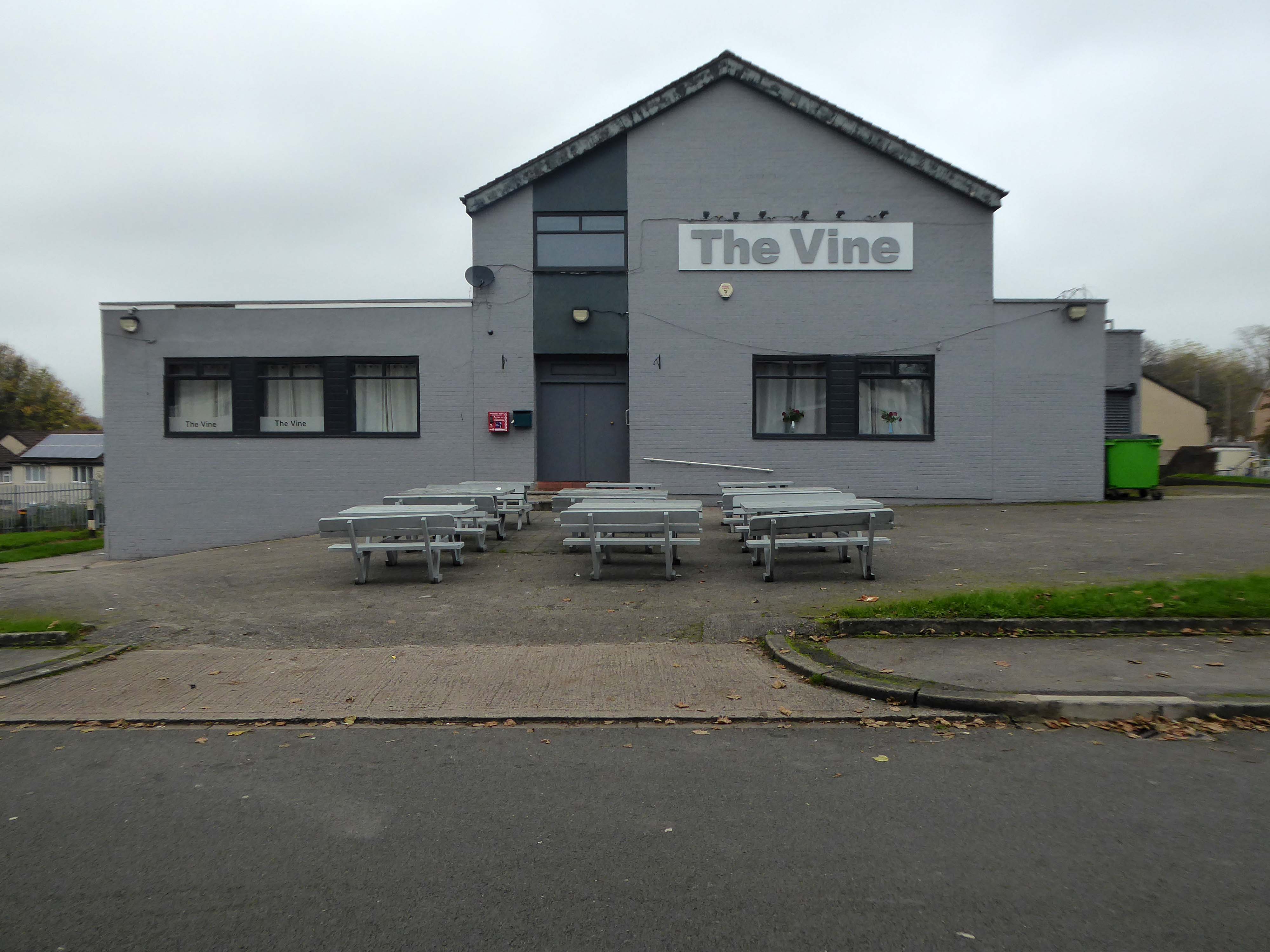
Turn right on leaving the station, right then left – you have reached The Vine.
Glendower Dr, Manchester, Greater Manchester M40 7TD.
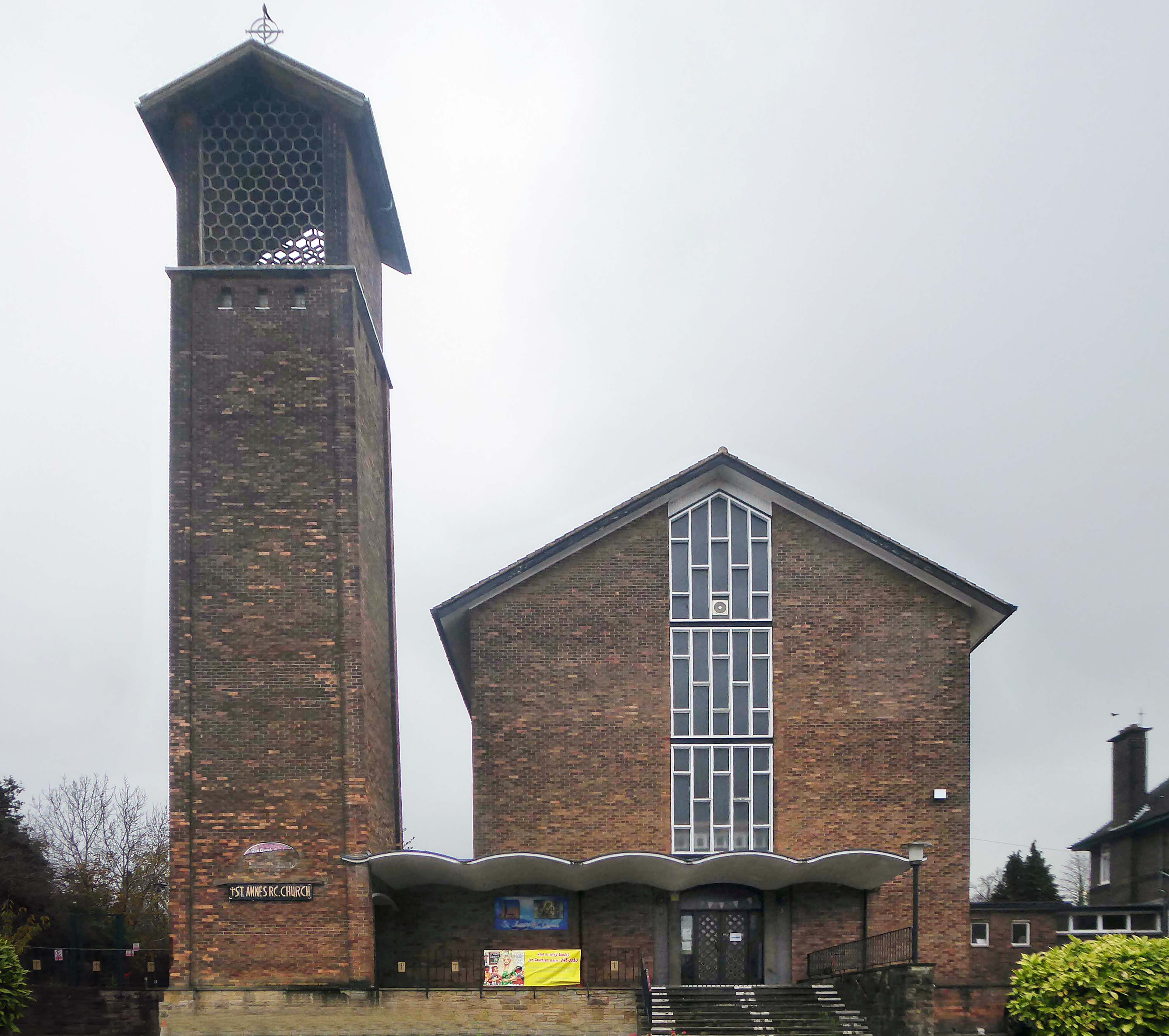
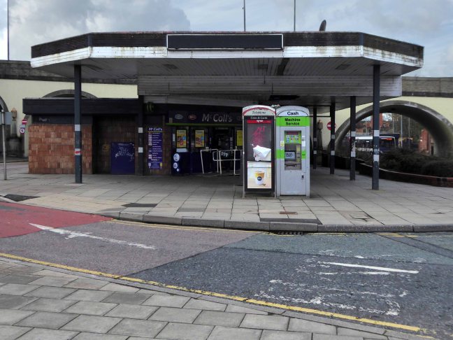
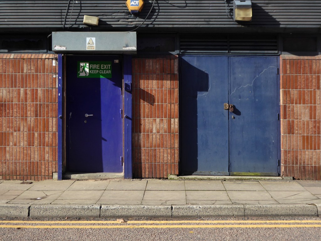
Head for Rochdale Road and turn right back toward the city centre, you have reached Eastford Square.
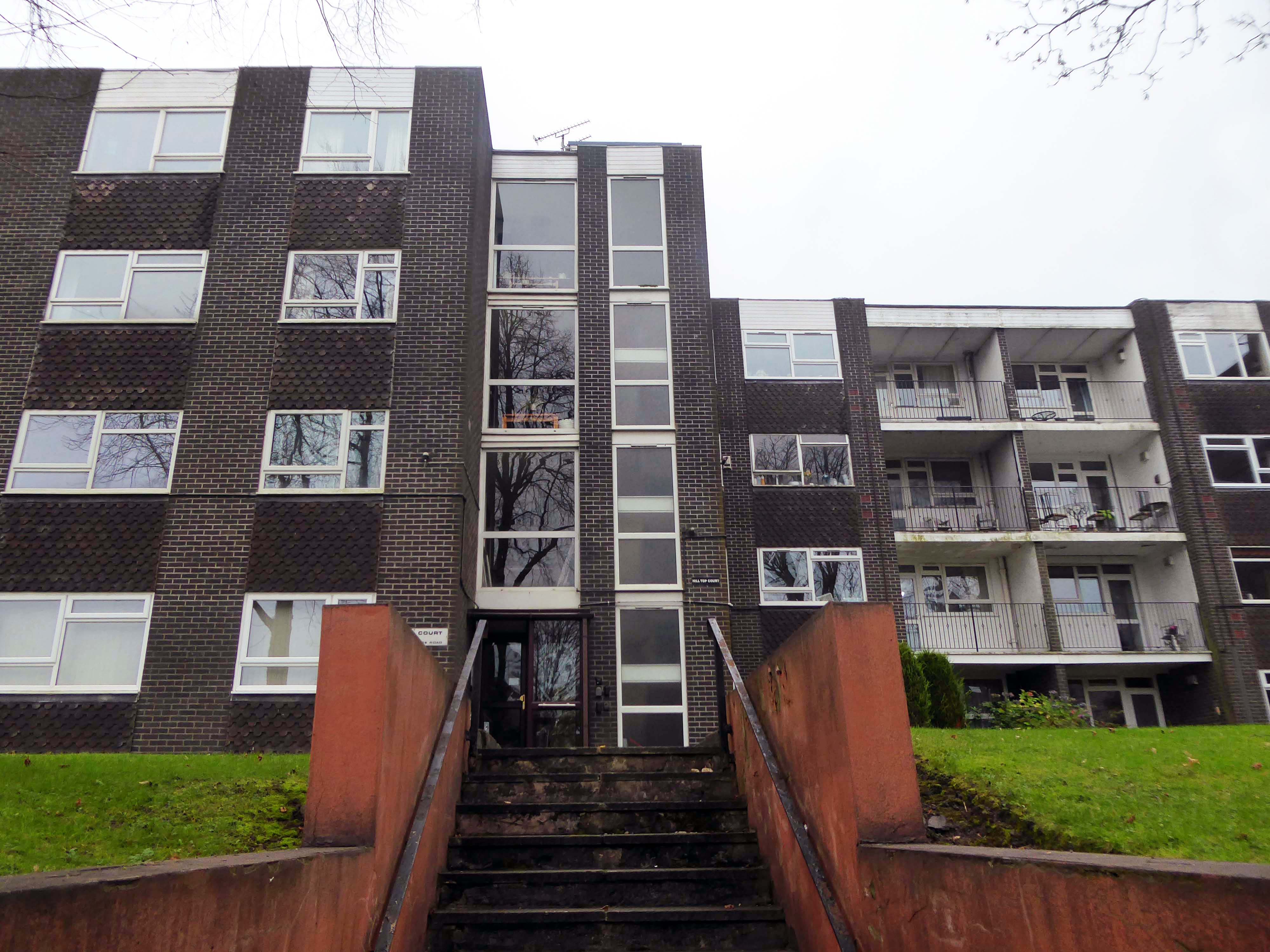
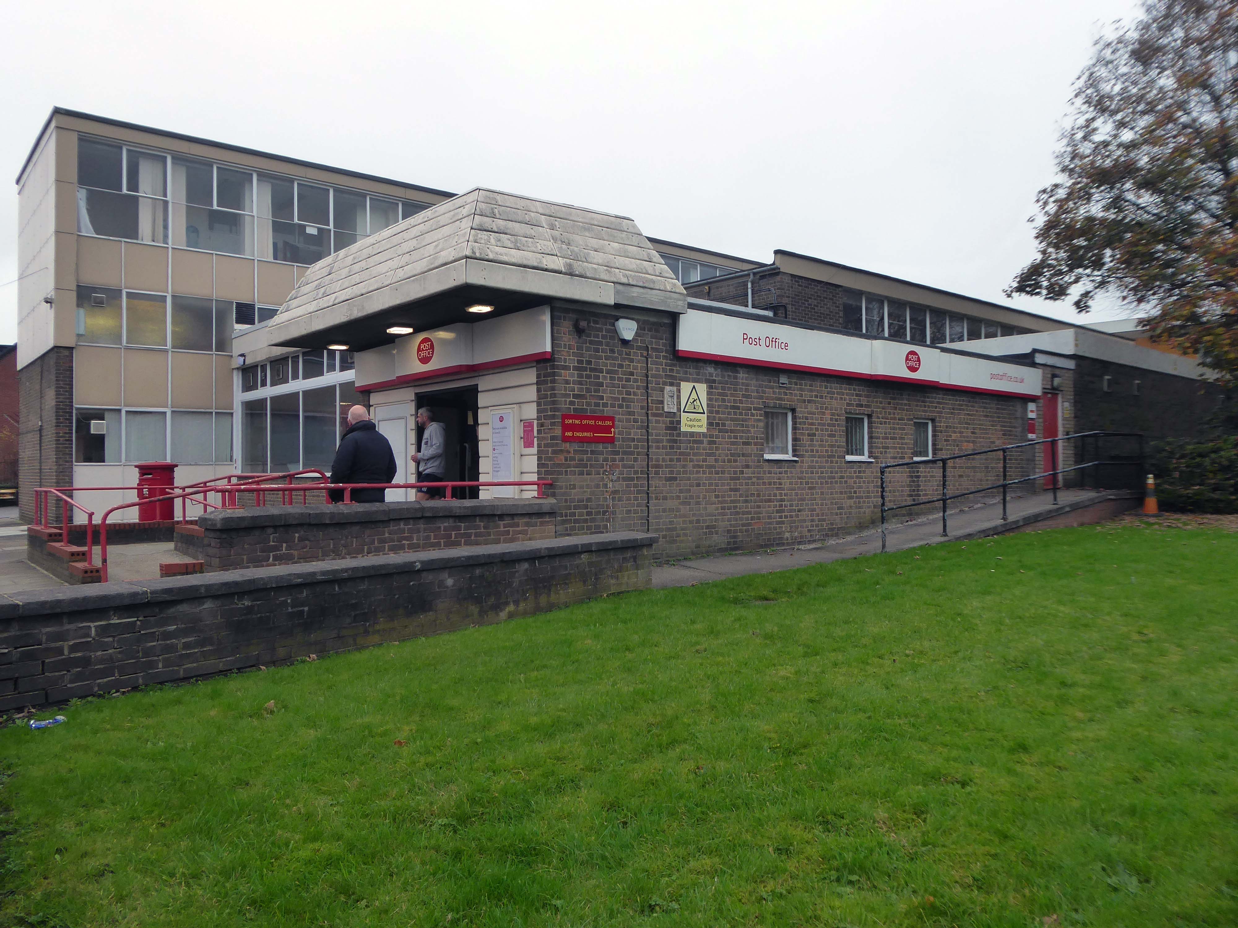
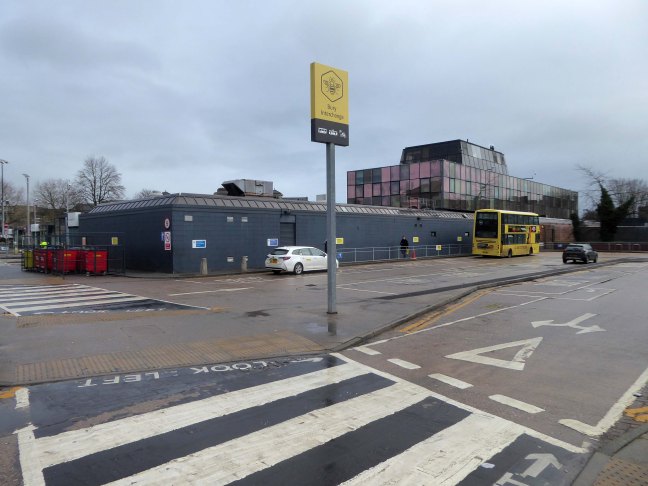
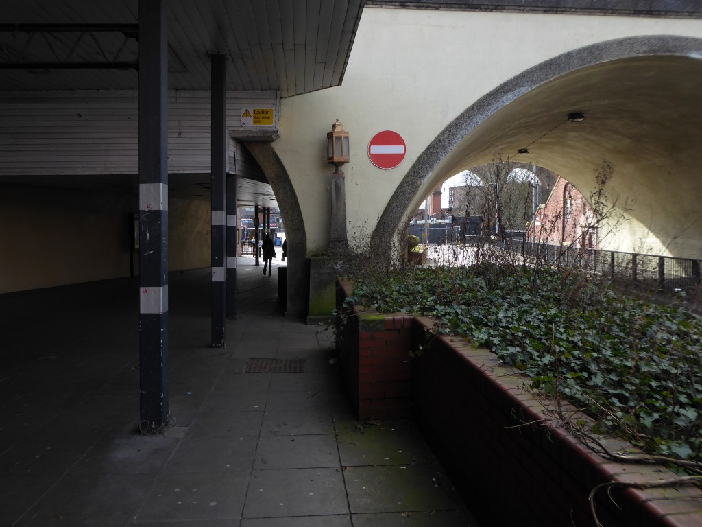
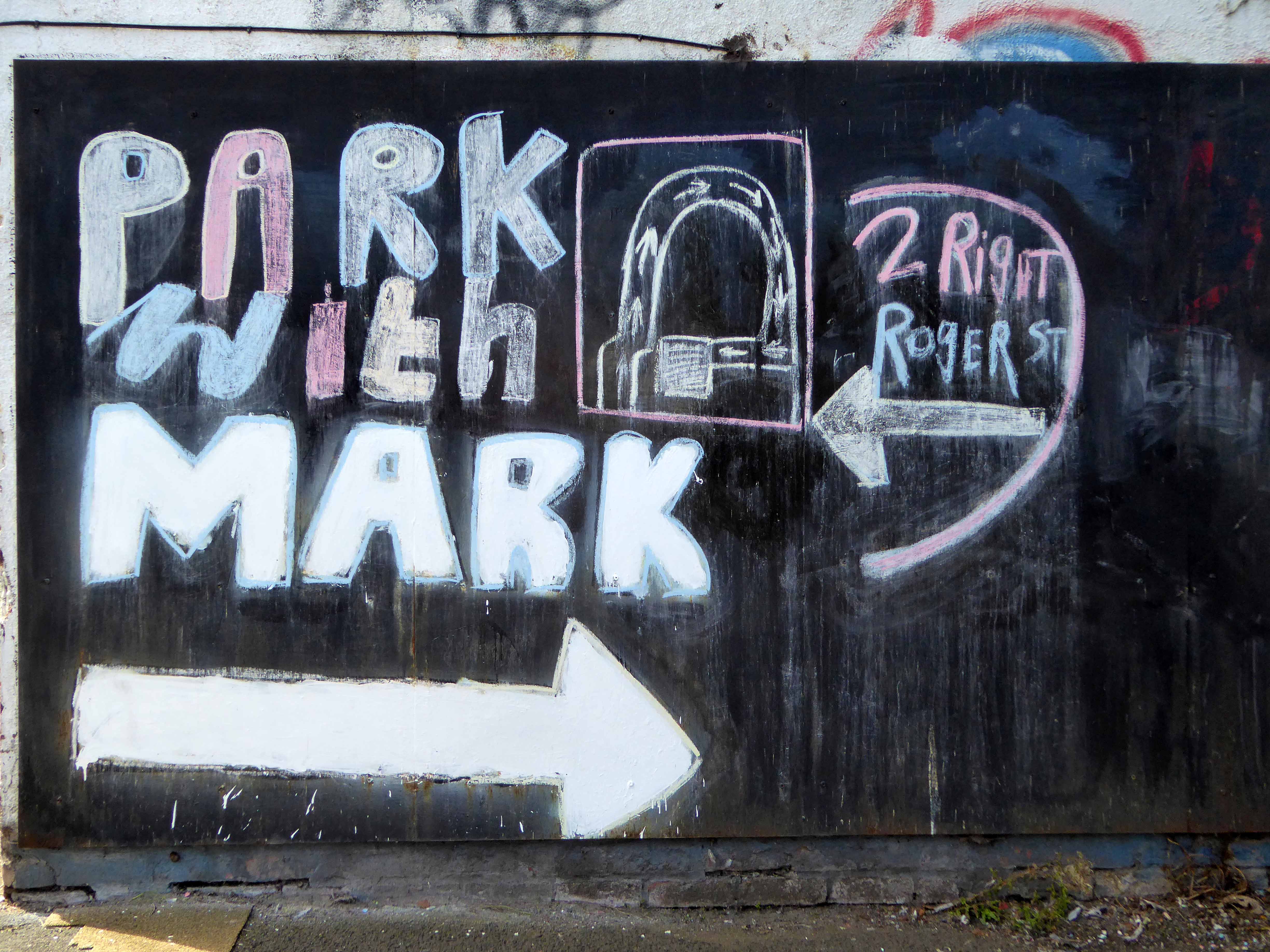
Turn left from the station along Bury Old Road until you reach Heywood Road on your right.
Heywood Road, Prestwich, Manchester M25 2GT
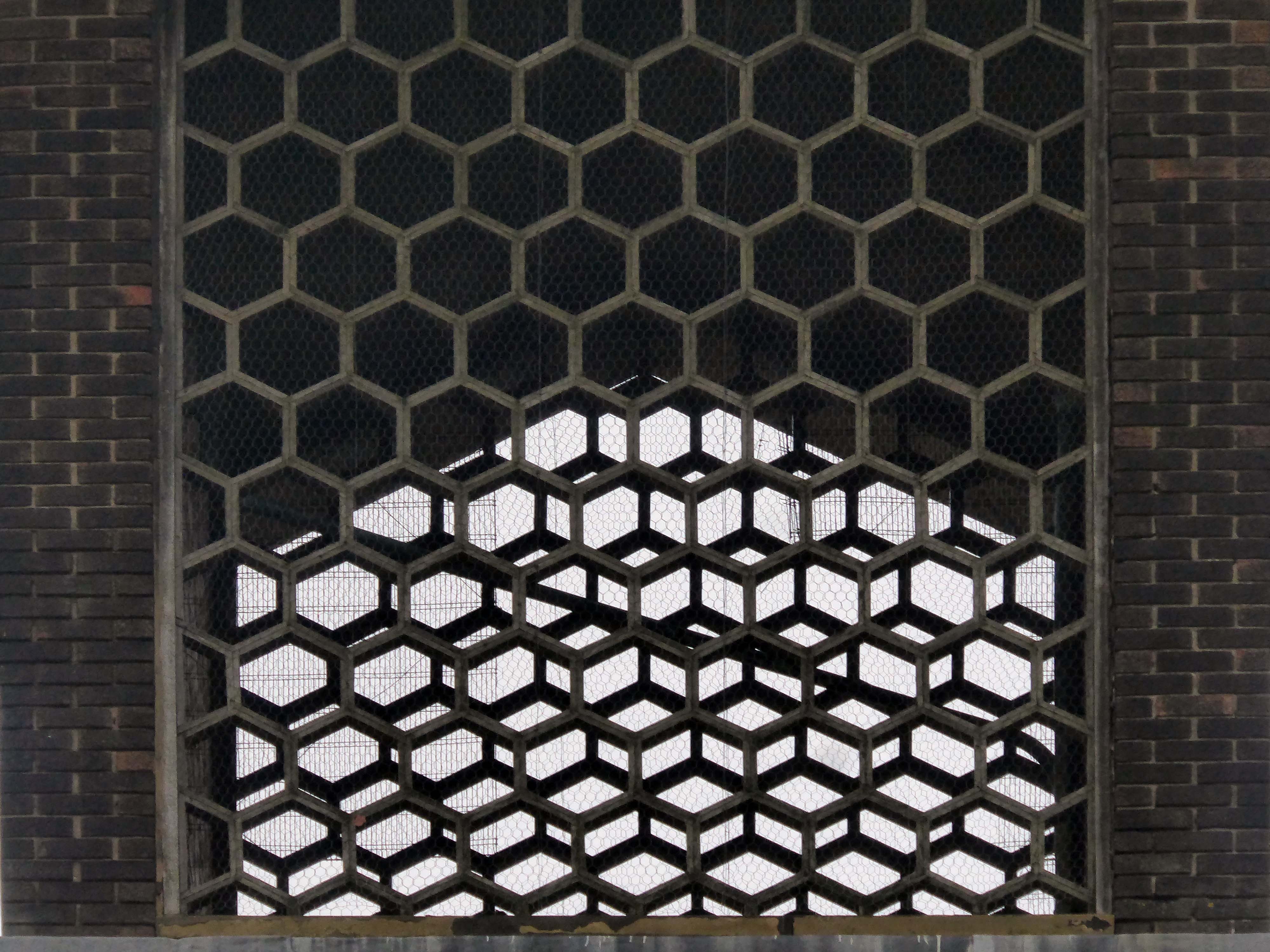
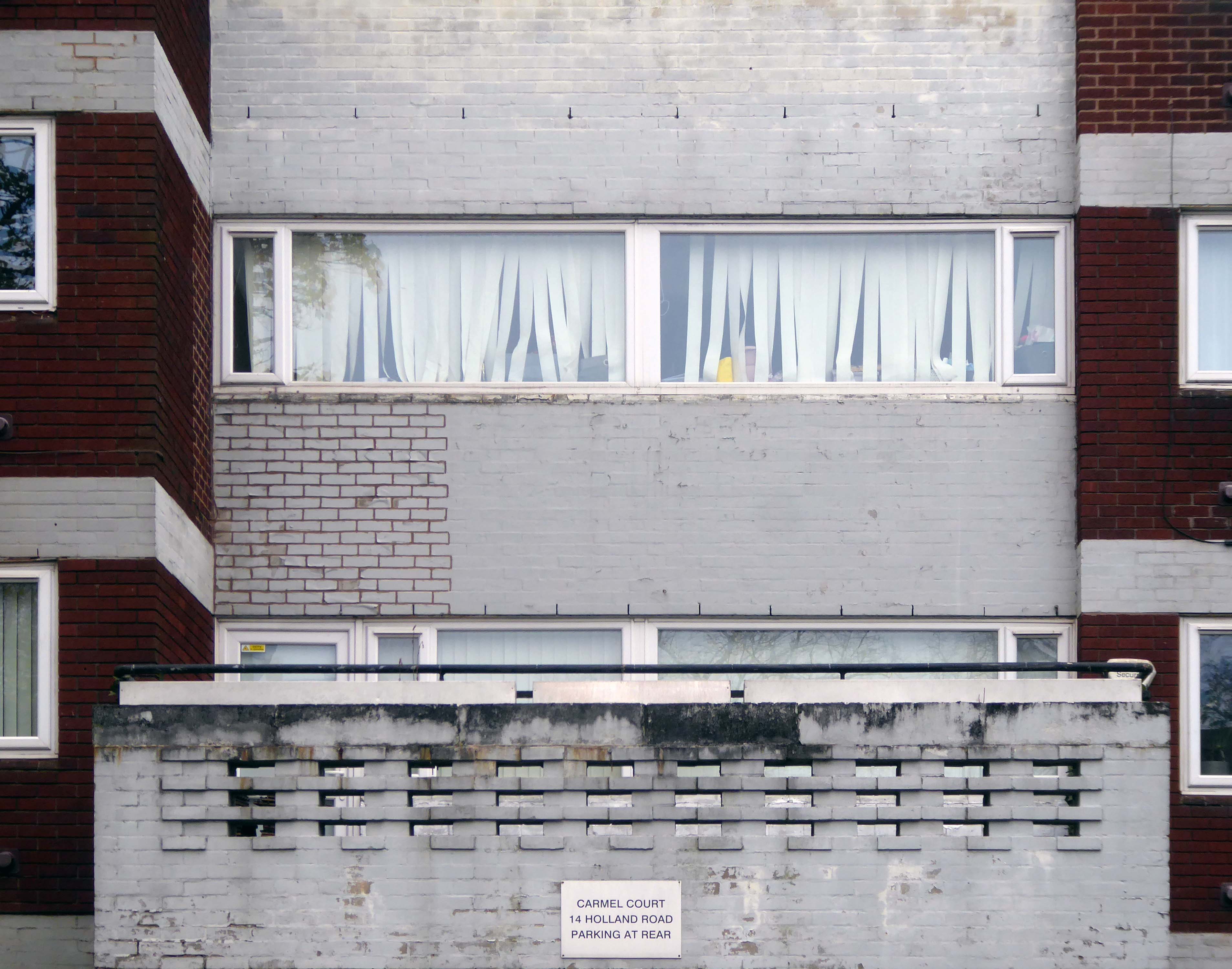
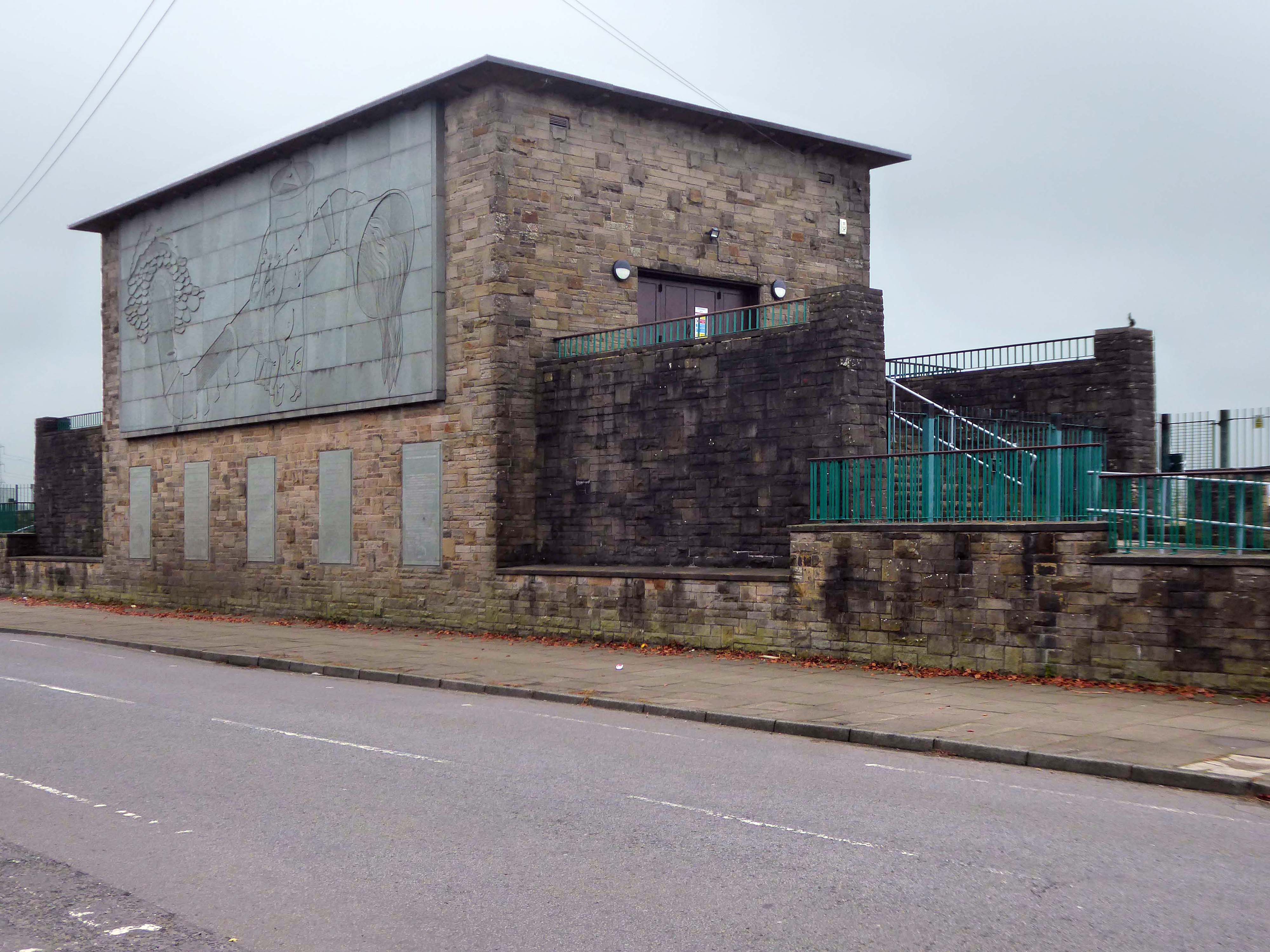
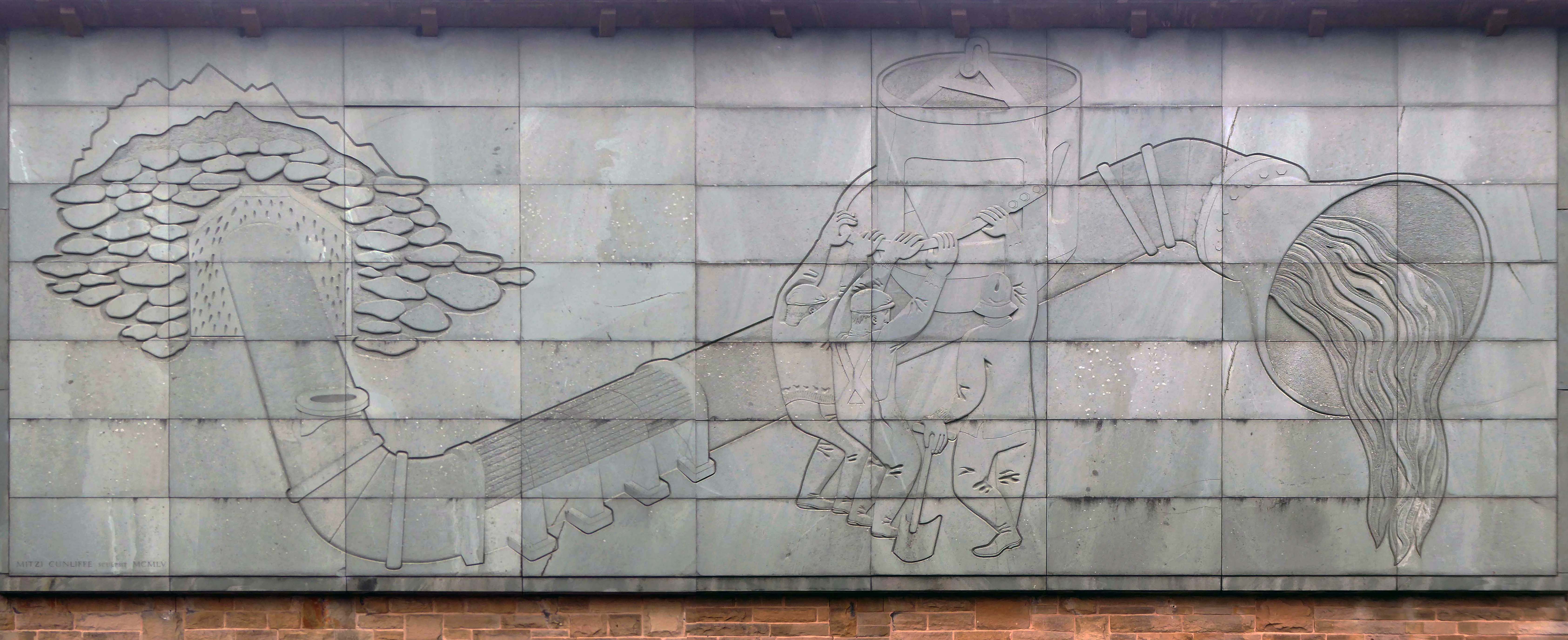
1954-5 by the Manchester City Architect’s Department, Chief Architect Leonard C Howitt, for the Manchester Corporation Waterworks. Alan Atkinson, engineer. Incorporates large relief by Mitzi Cunliffe, signed and dated 1955.
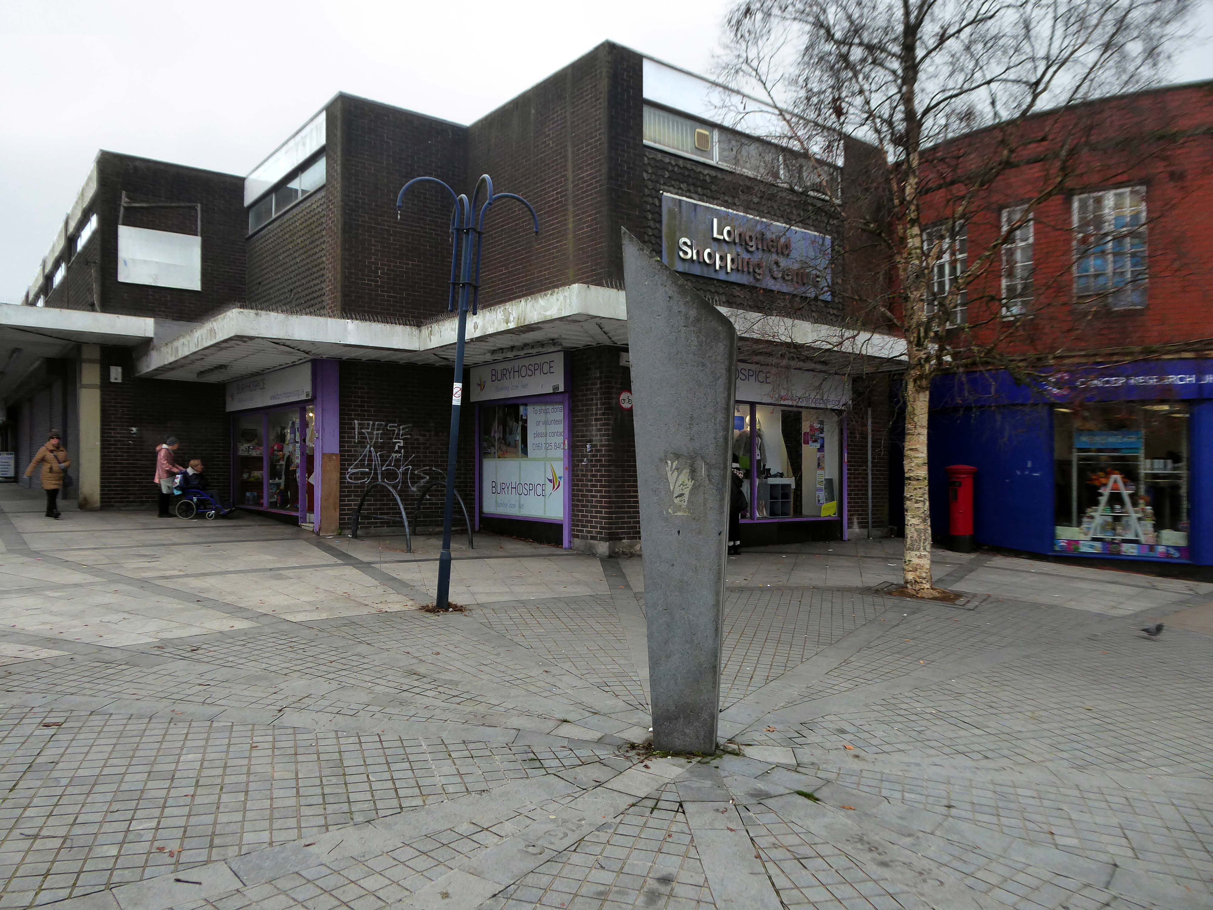
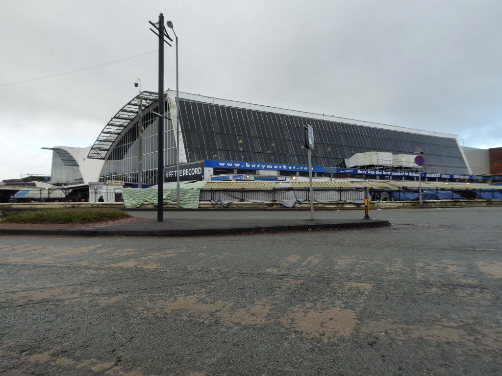
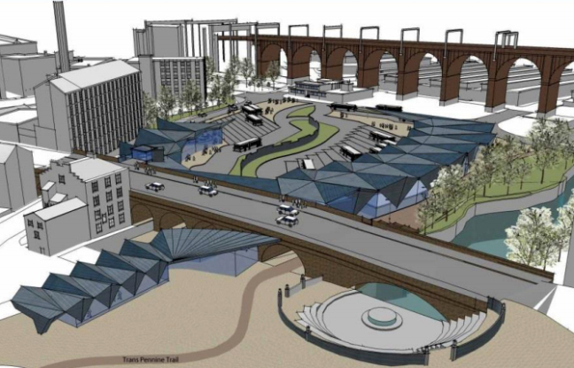
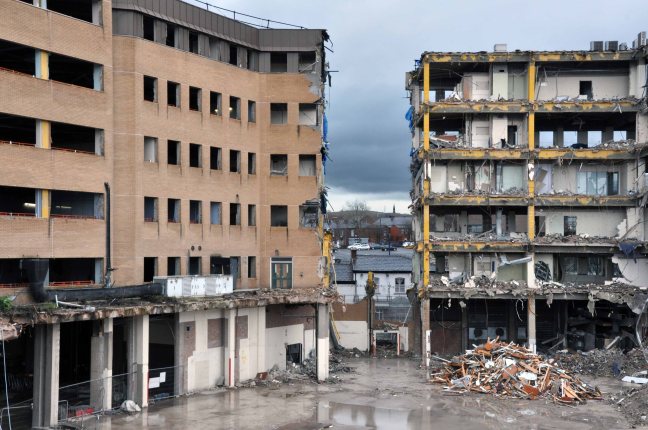
After months of public consultation, the joint venture has firmed up its proposals for the redevelopment of the Longfield Centre and is aiming to be on site before the end of the year.
Muse and Bury Council have submitted a hybrid application to transform six acres of Prestwich town centre.
The Strategic Regeneration Framework is the guide that is shaping the direction of Radcliffe’s growth over the next 15 years with a series of realistic short, medium, and longer-term actions. It is also shaping the direction of future council investment, supporting bids for central governmental funding and providing certainty for third parties wanting to invest in town.
Work has begun on Strategic Regeneration Framework’s priority projects, these include:
A new civic hub in central Radcliffe, which will bring together a mix of functions at the heart of the town
Refurbishment of the market basement and the revamping of market chambers
New leisure facilities
A secondary school on the Coney Green site
A “whole town approach” to housing, bringing forward a comprehensive approach to residential development in Radcliffe
A transportation strategy, which will consider matters such as active travel and car parking
I began walking when quite young, then like Felix, I kept on walking, walking still.
The photograph was taking during the Whit Walks in 1958 – aged three, I was engaged in religious pilgrimage, as we know there are many reasons for walking, this is but one.
I was fortunate to grow up at a time when youngsters were permitted to roam freely, less traffic, less anxiety, gave me access to a wider axis of exploration.
The photograph would have been taken I assume, by my mam, on the Brownie 127. When aged nine I wandered alone through the local woods and exposed twelve frames of 44mm 127 film, the prints are long gone, yet I remember each of the photographs and locations clearly.
I went to school, then I didn’t, then I went to Art School, eventually becoming a teenage Constructivist, tutored by Jeffrey Steele, a leading light in the British Systems movement.
The rigidity of the grid, symmetry and orthogonal framing have stayed with me.
Then I went to work for a very long time indeed, then all of a sudden I didn’t. Taking early retirement aged 59 some ten years ago, subsequently taking to the roads, streets and hills of Britain in search of nothing in particular.
In recent years there has been a rapid development in the culture of walking, theories, films, guides, songs and literature. I am fully cognisant of such, yet believe at heart that walking can be free of such baggage, we can stride unhindered, atavistic and carefree/less.
Walk tall, walk straight and look the world right in the eye.
Getting lost is about the unfamiliar appearing.
In my own small way, I have become part of that baggage, having been asked to lead a walk around Stockport by the the modernist neé Manchester Modernist Society.
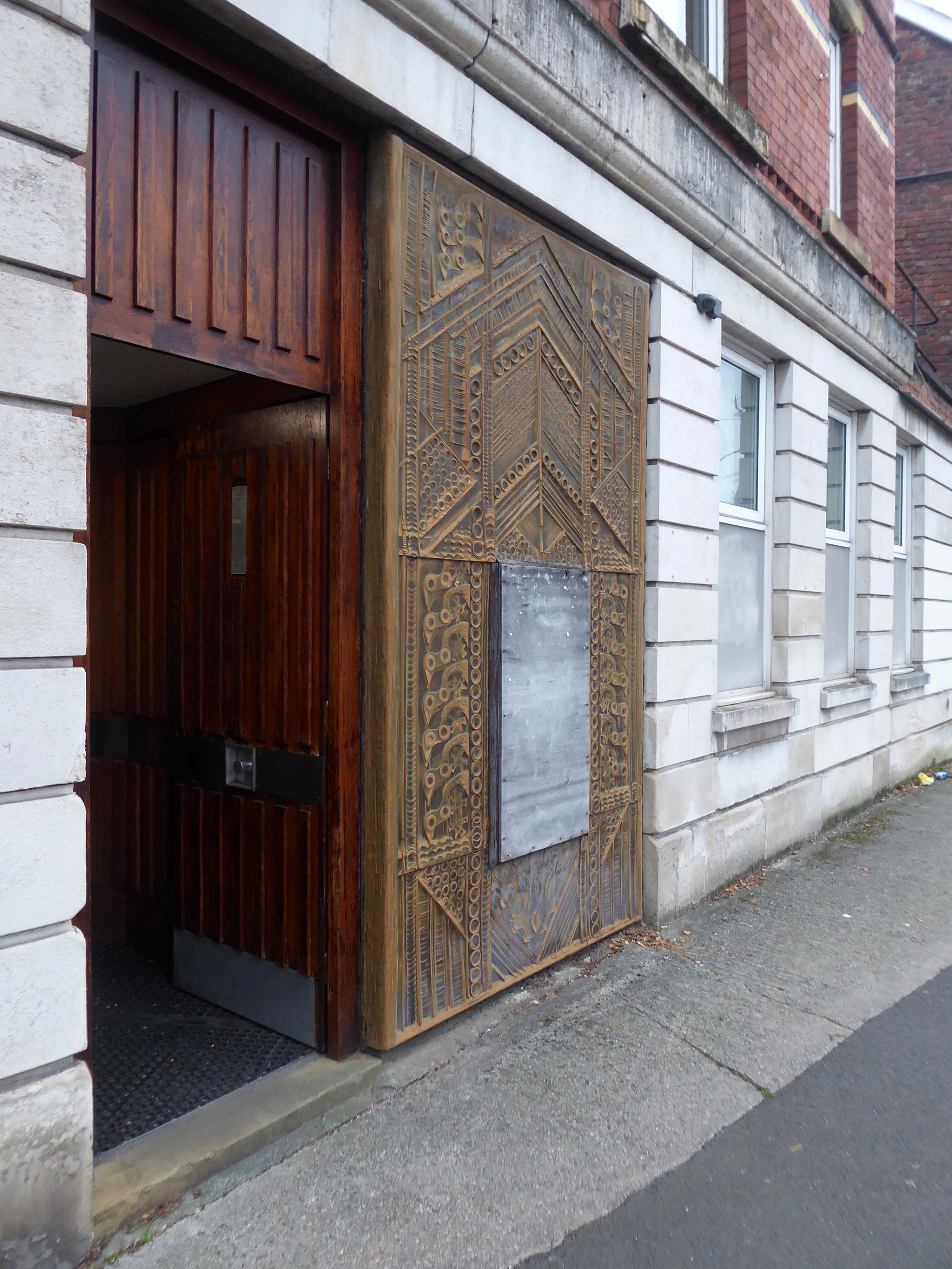
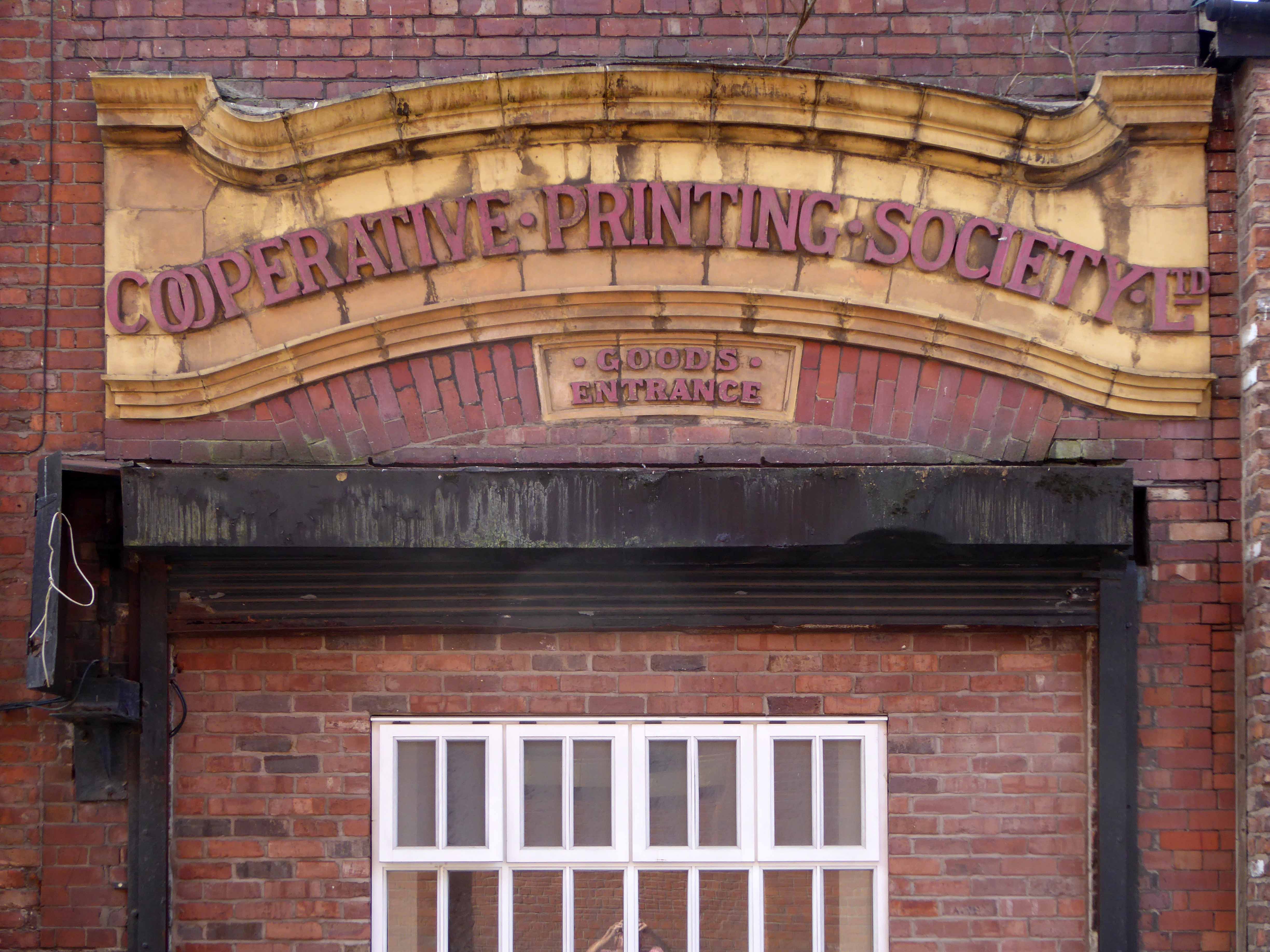
The photograph depicts Alan Boyson’s concrete screen wall, attached to the former Cooperative super store designed by Philip Andrew. The two worked to gather on the Hull Cooperative store, which is adorned by Alan’s huge Three Ships mosaic.
Philip was a childhood friend of Alan Boyson and it was Alan’s father, manager of the Marple Co-operative Society, that recommended Philip for an apprenticeship job in 1951 to the chief architect at the CWS in Manchester HQ.
In preparation for the tour, I visited the town’s Local Heritage Library and read extensively from serendipitous charity shop finds.
The two hour route was designed around an economy of distance and elevation, allowing time for others to take in, what may be for them unfamiliar surroundings. A group of around twenty or so folk became sociable and engaged, with a suitably concise and apposite contribution from myself. There are those who busied themselves taking snaps along the way, chatting amiably or simply gazing in amazement.
The service building above the former Debenham’s store.
Famed as an imaginary TV police station, this civic building is a civic building I simply can’t resist. I return on a regular basis to wander and snap. This is an open public space that seems little loved and has few visitors.
From then onwards I have been taking folks on Modernist Mooches on a regular basis, two or so a month, during the less inclement times of year.
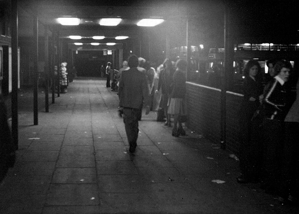
At about the same time I was asked to exhibit my photographs in Stockport, I chose to mooch about at night. Walking around an almost deserted town, avoiding the glare of streetlights, there is a mild frisson to be about when nobody else is about. The air feels different, exposures are longer, the almost waking world feels arrested, by the low available light.
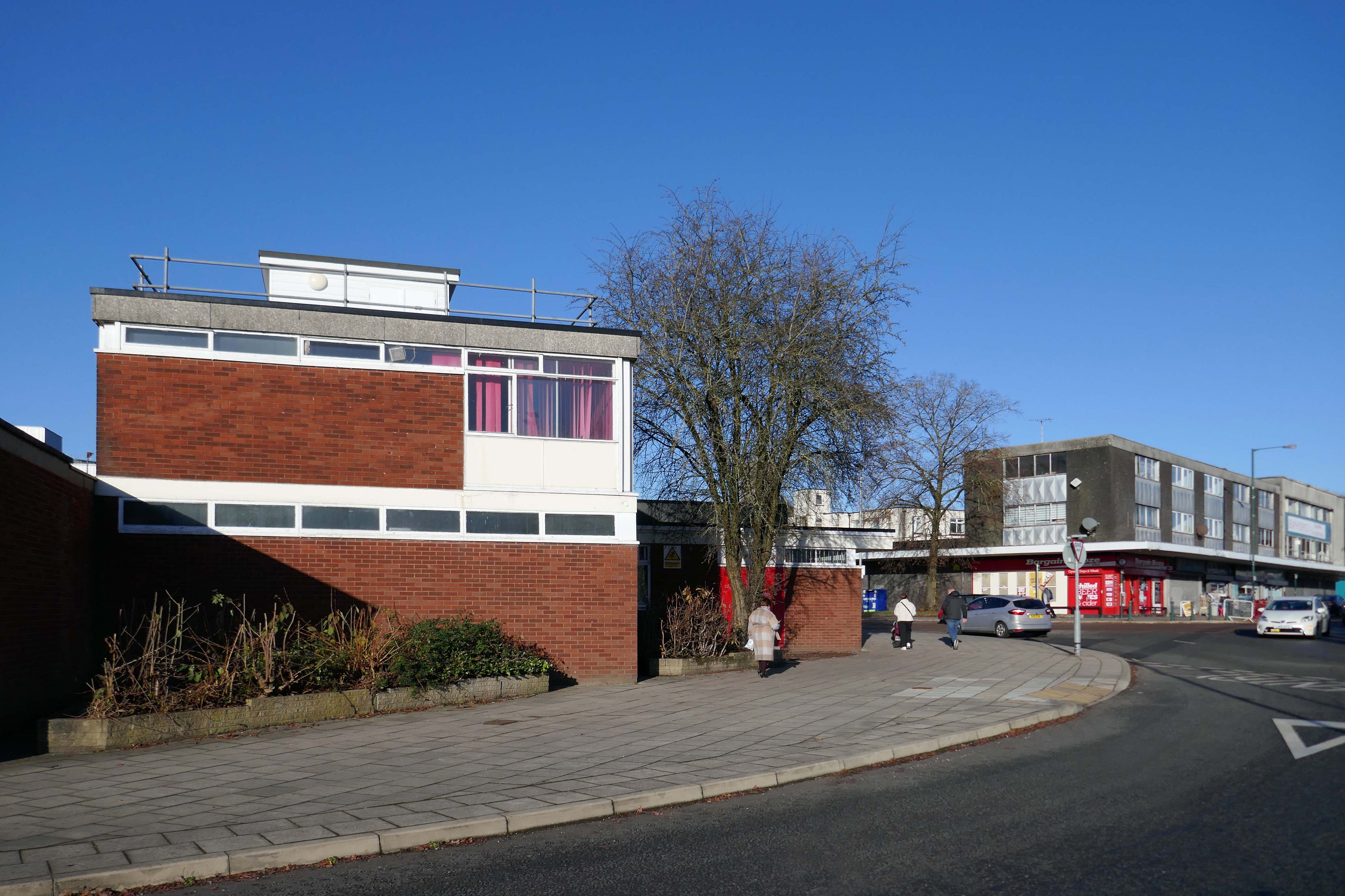
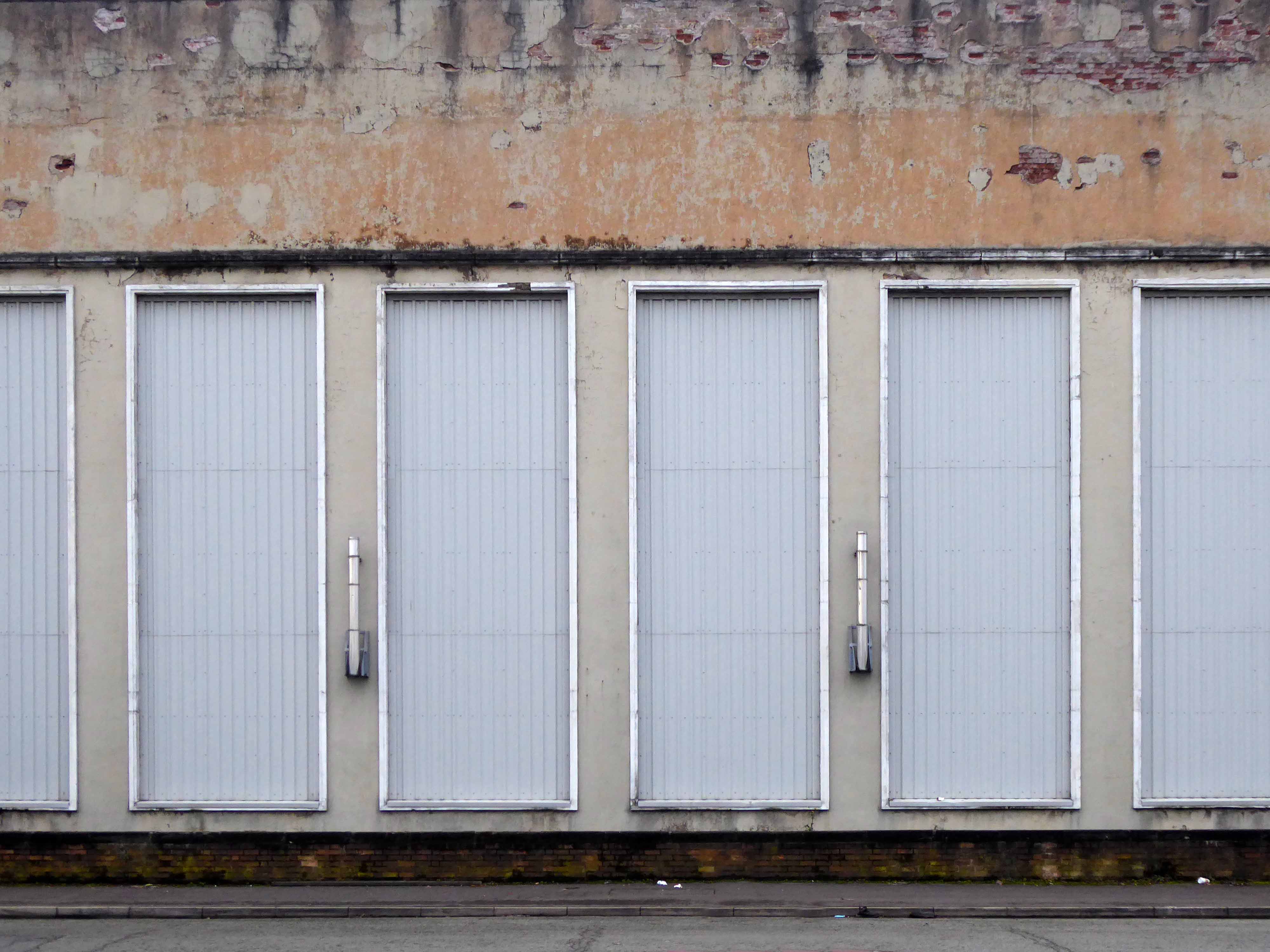
My local shopping centre and as such part of my weekly walking and shopping life.
NCP Car Park located on Stockport Station approach.
Regent House
Asda superstore
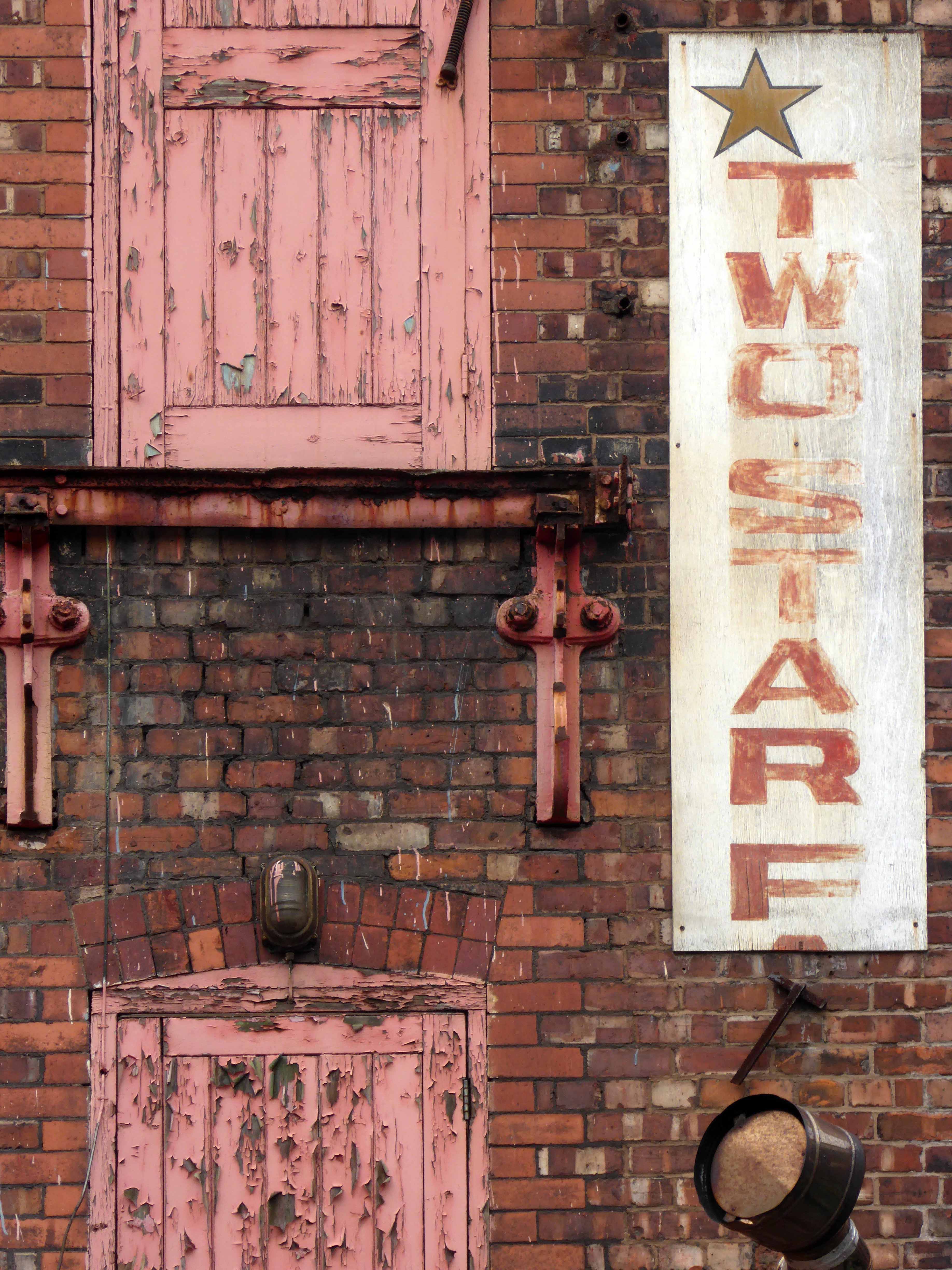
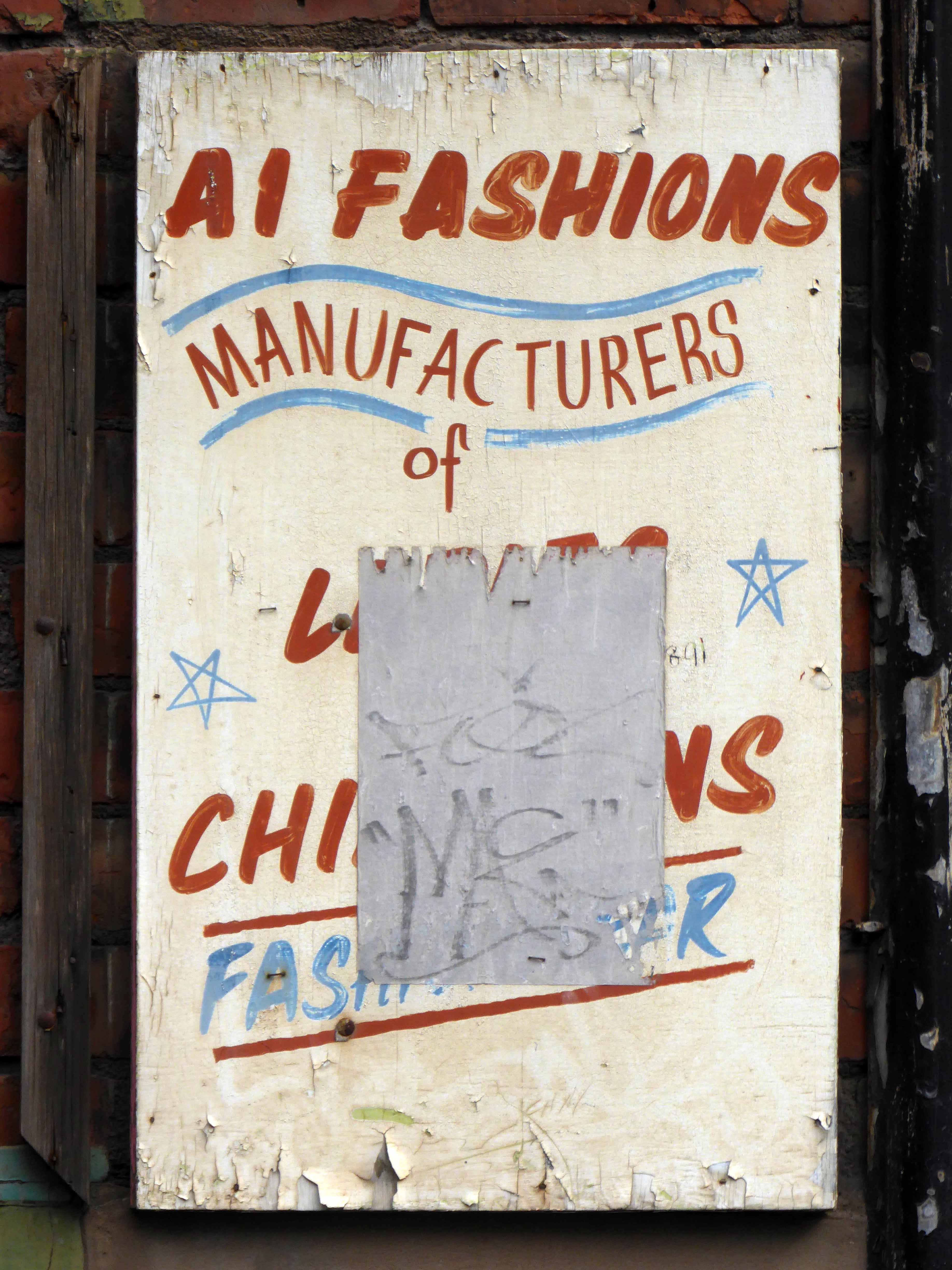
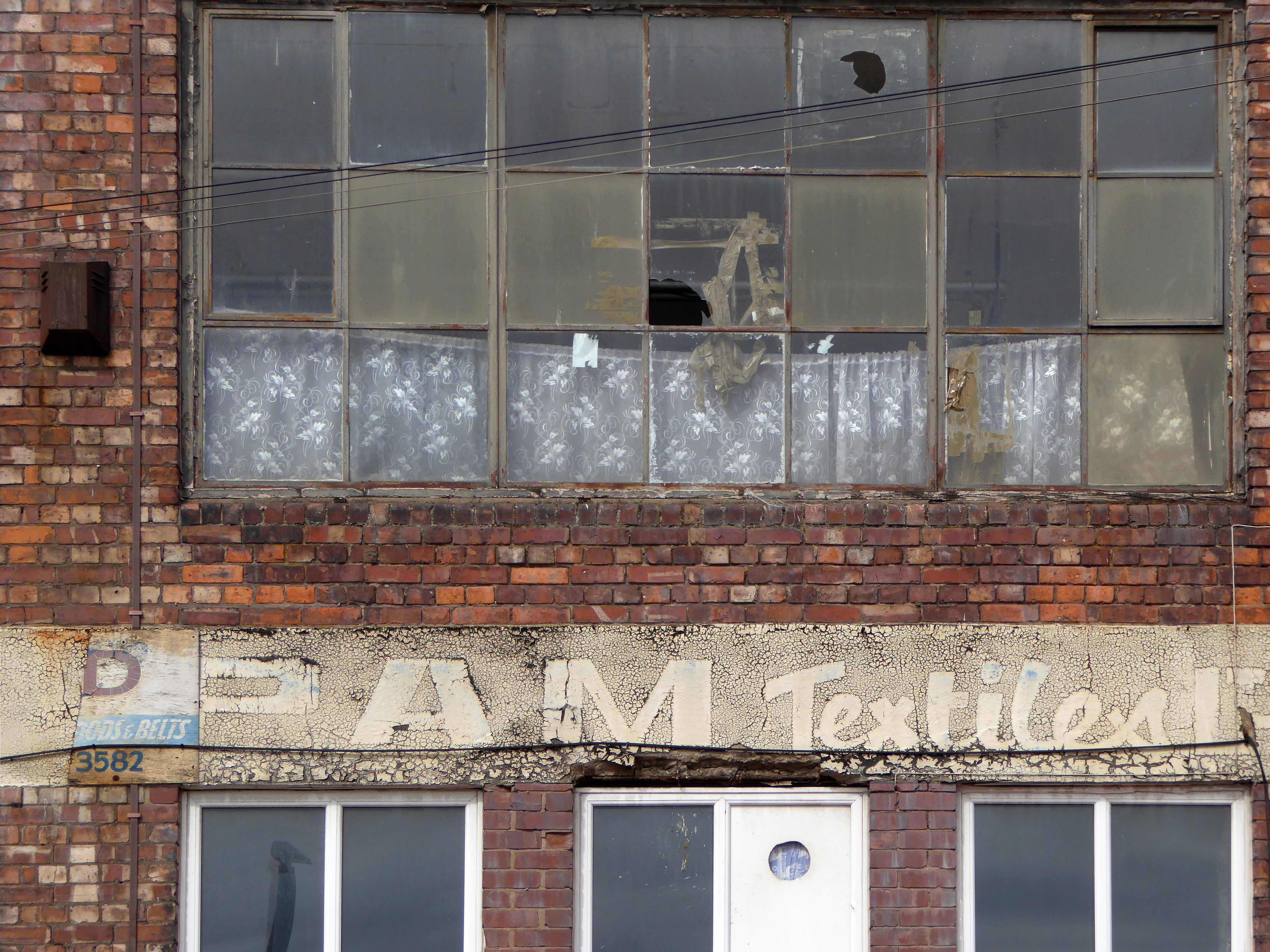
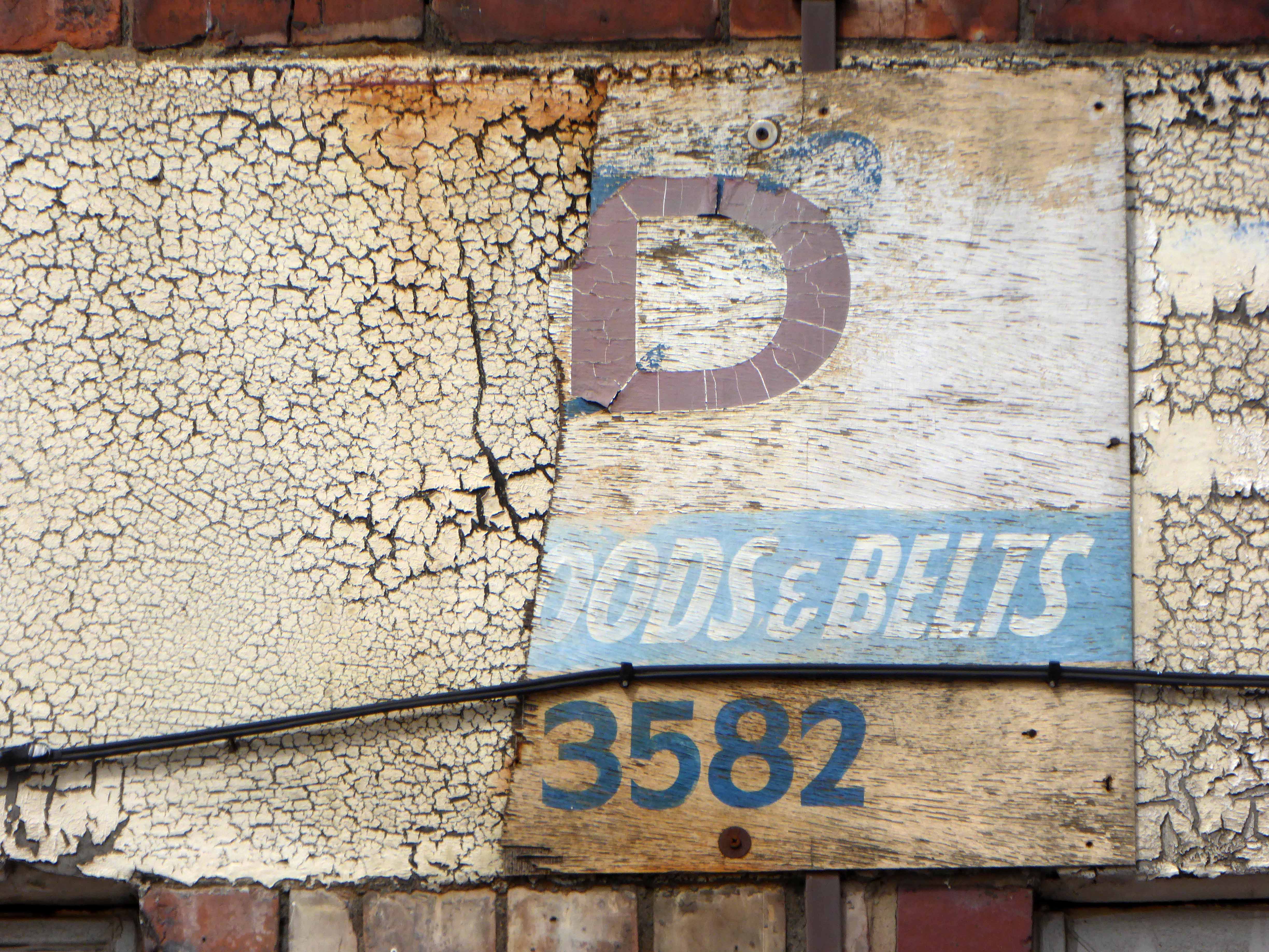
I found a copy of Charlie Meecham’s book Oldham Road in a charity shop.
Inspiring me in 2014, to walk in mostly straight lines, though often as not zig zagging along the main arterial roads of Manchester.
Taking pictures on Sunday mornings, in order to avoid traffic, mildly amused to be ignoring the primary function of the routes.
This is one of the more familiar roads, having walked up and down several times over several years. It was to have been an extension of the Mancunian Way, forming a trans-pennine motorway. Much of the property lining the route was cleared in preparation, it was never built, and for years a strange semi-deserted ambience hung over the A57.
Bus Depot
Railway Bridge
The car showrooms which later became an African Evangalist church.
Having cleared away both Victorian and Sixties housing, new architectural forms arose in West Gorton.
Now, everywhere I go, I see launderettes – so arriving in Hanley with time on my hands, wandering around I found this exemplary example.
Having a blog entitled Manchester Estate Pubs, the national media became interested in my photographs. I had spent quite some time, wandering around in search of this endangered architectural typology.
This was Billy Greens in Collyhurst, named for a local boxer, now demolished.
Which in turn became the second modernist calendar.
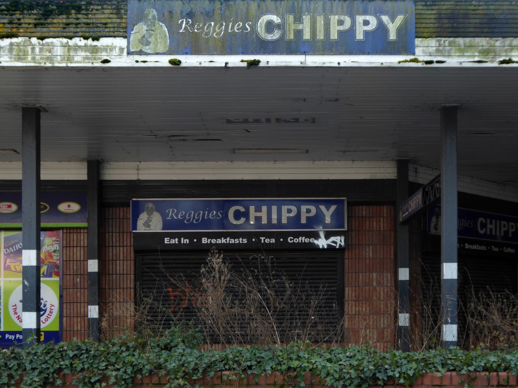
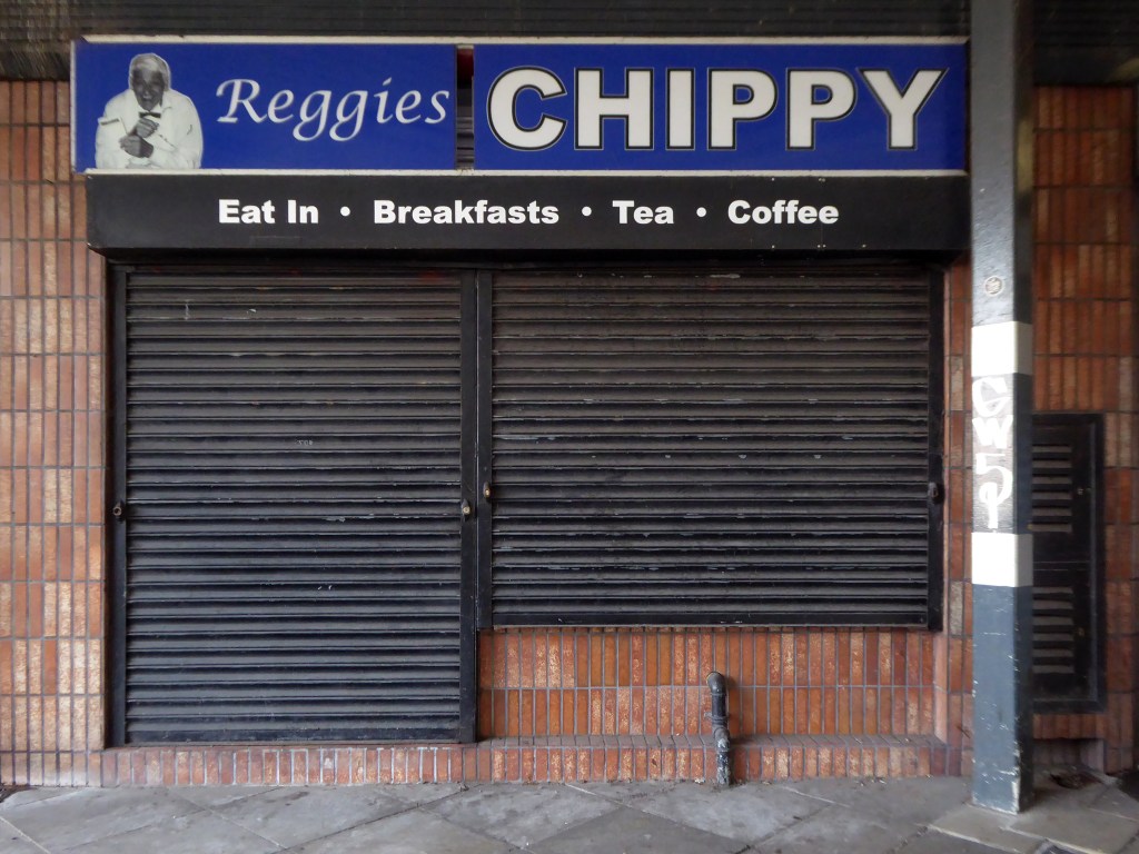
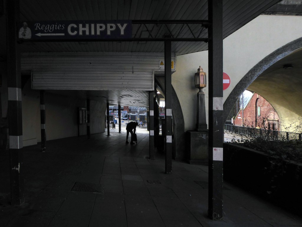
Followed the following year by fish and chip shops.
So building a vocabulary for my mooching, discovering yet another chippy, laundry, pub, Burton’s, telephone exchange, glazed stairway or underpass.
These things find you, yearning for some small amount of attention and affection.
The Trawl – my favourite peg board menu, my favourite Bridlington chippy.
We are now coming to the end of the car park year – seen here on the wall of my command centre.
Home to William Mitchell’s Totem, the homes long gone and the Council pledged to move the totem too.
The state of play this week, the detritus removed and the base filled in, repaved and safe for a while.
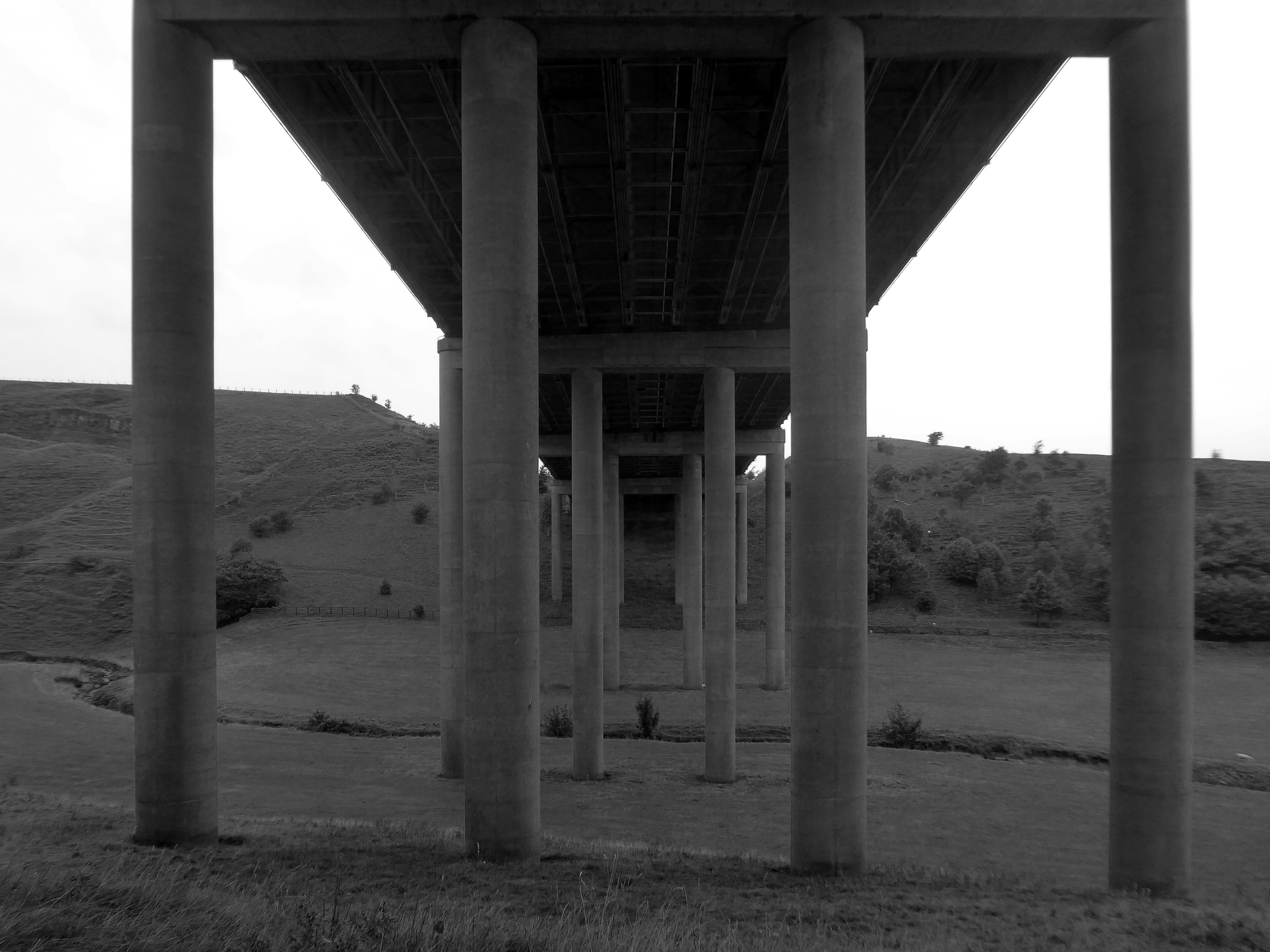
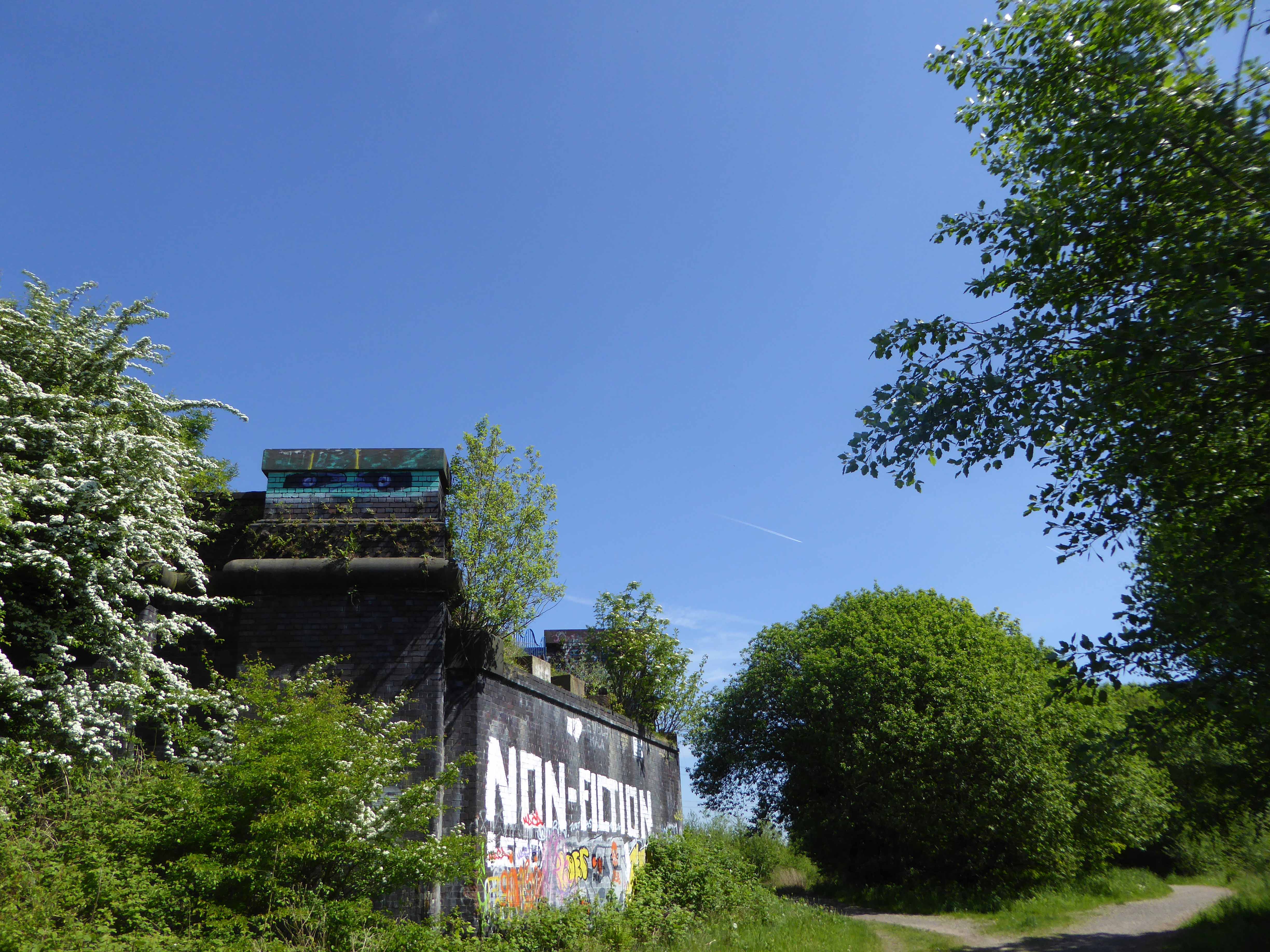
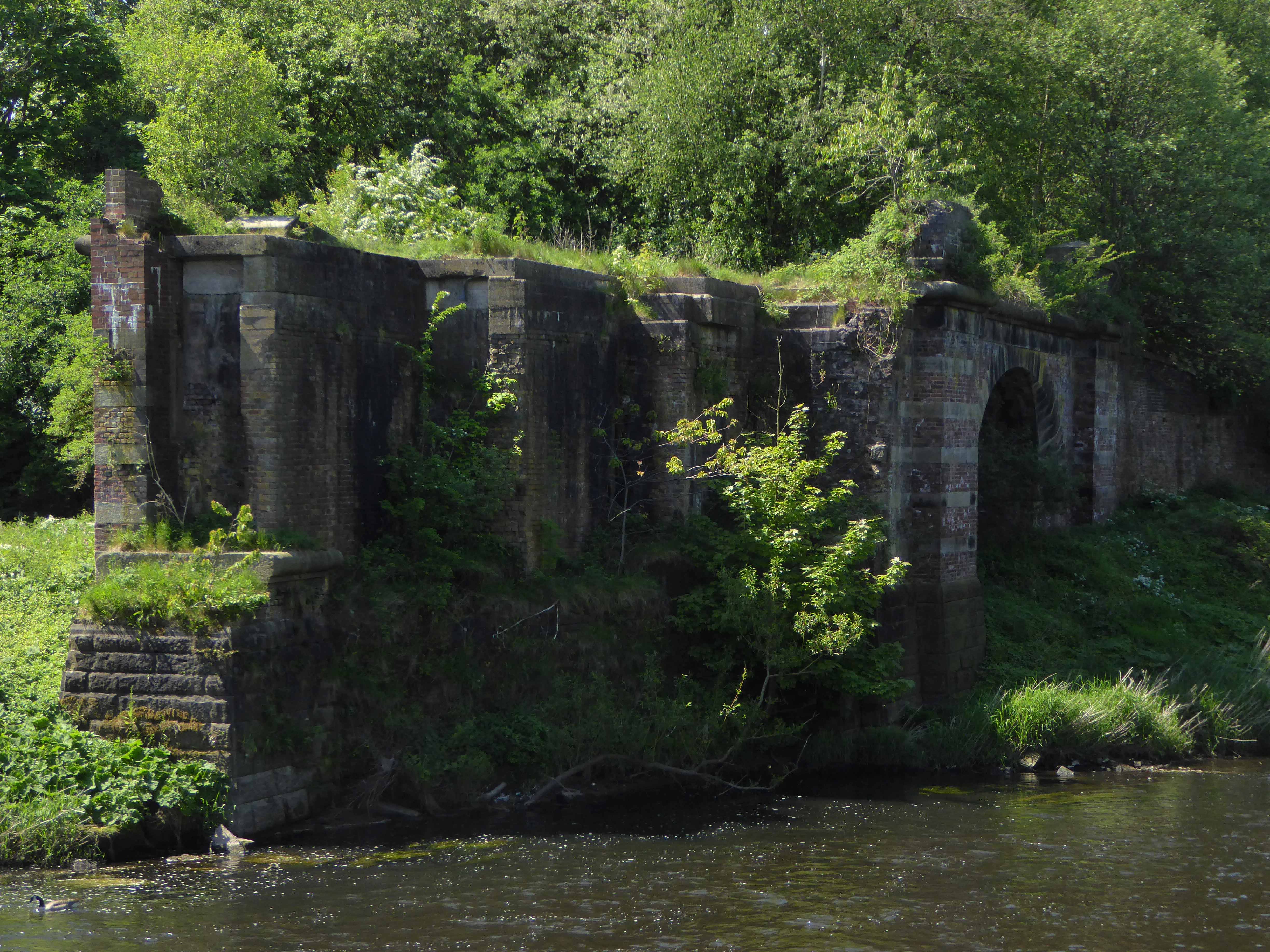
Off now to the Weaver Valley another day another river, passing under Weaver Viaduct
The looking toward KouraGlobal – leader in the development, manufacture, and supply of fluoro products and technologies, opened a new HFA 152a production facility at their Runcorn site in the UK.
Further rural Modernism as we pass under and traverse the M62, whilst walking around the Piethorn Valley
The newest of the Modernist Mooches was to Burnley where we visited the Keirby Hotel.
The former GUS Offices with a mural by Diane and William Morris.
Plus the Charles Anderson concrete relief at the Crow Wood Hotel.
Finally a little light relief – a visit to the Boots factory in Nottingham.
Having innocently board a bus outside the station with a Boots head code , I alighted within the factory gates. Then innocently walking around taking snaps, unheeded until the men in the van stopped me in my tracks.
Who are you, what are you doing?
I am the Modern Moocher going about my business – well it turns out this was not permitted and I was red carded by the earnest security guards and asked to leave forthwith. Suitably rebuked, I politely bade them farewell and headed for the gates.
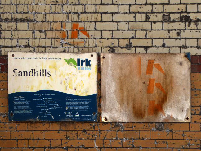
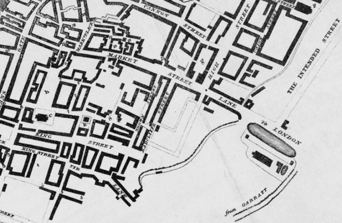
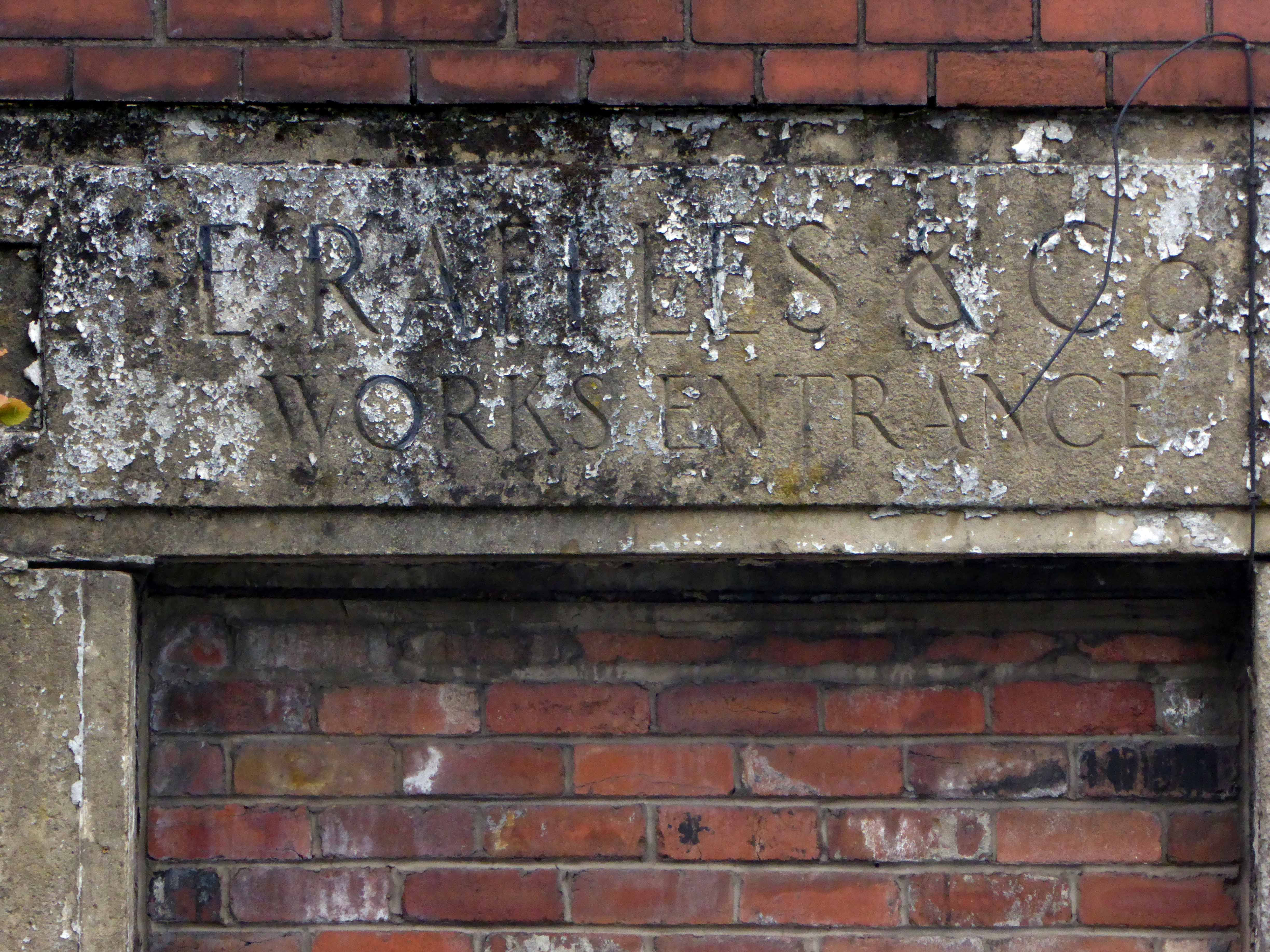
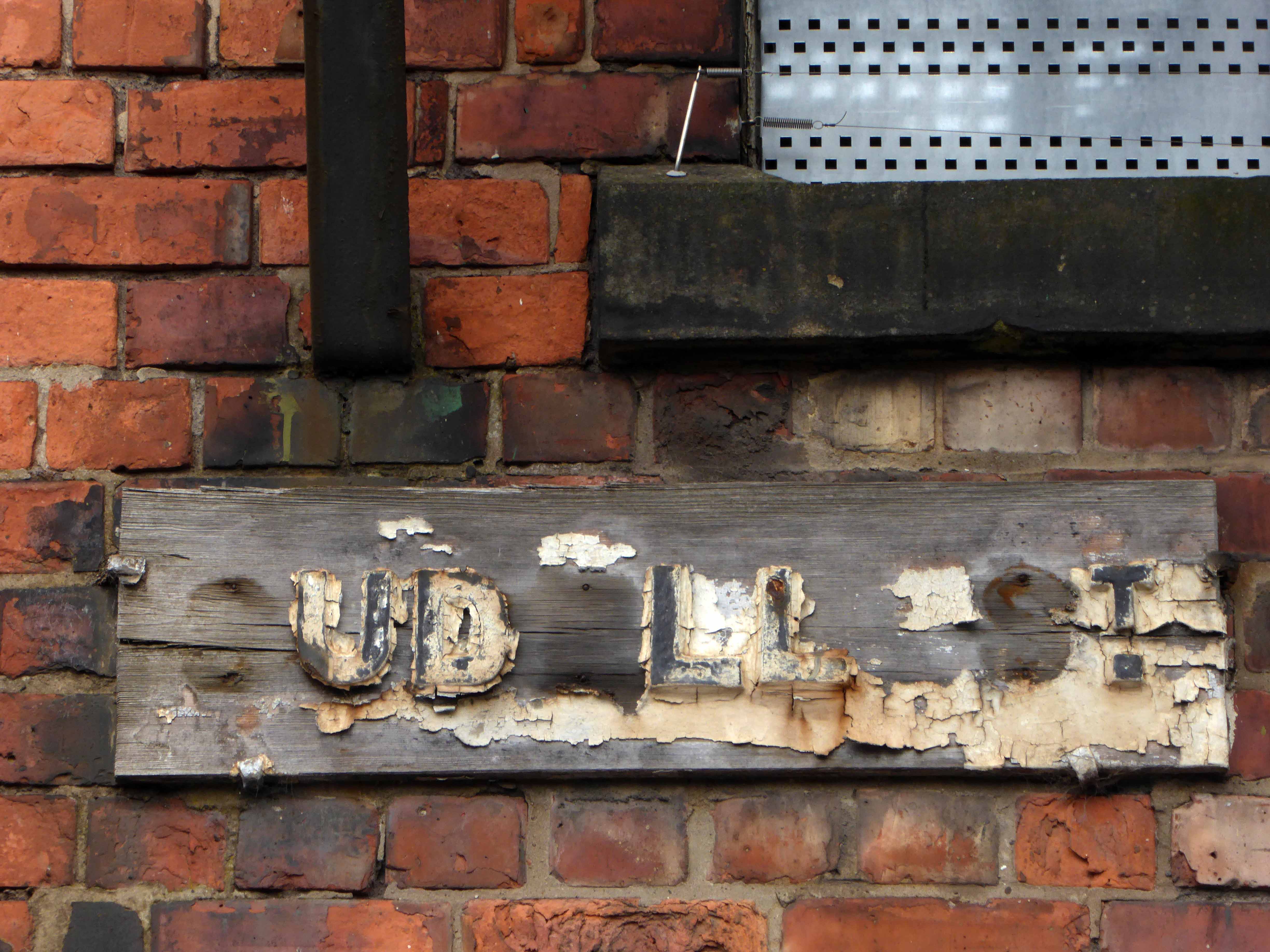
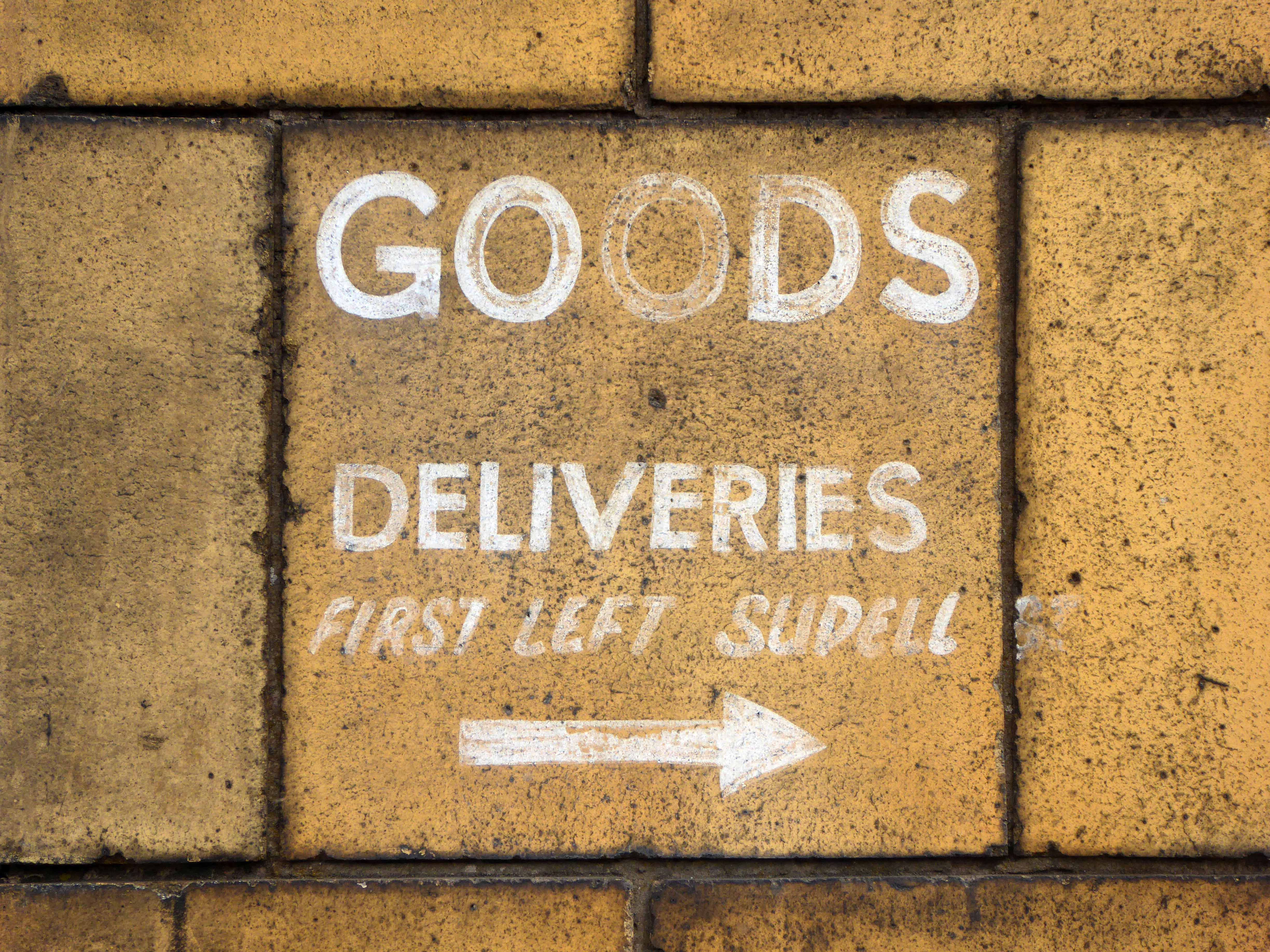
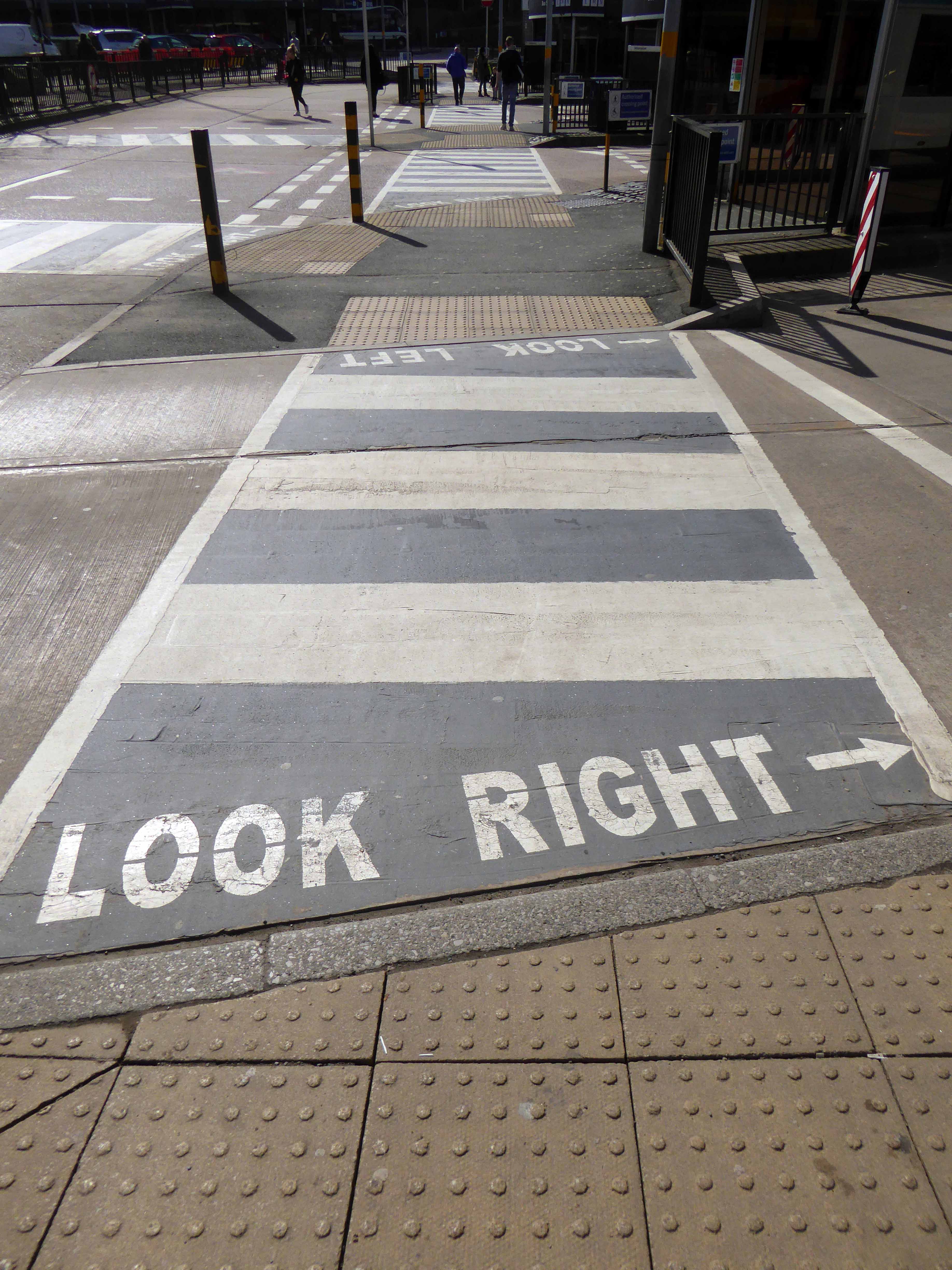
Cheetham Hill Road is part of the designated A665. Cheetham Hill Road starts at the junction of the A6042 Corporation Street and the A665 Miller Street. It crosses the culverted River Irk to the east of Victoria Station. At its junction with New Bridge Street, it turns north-northeast and is straight for 1 km, to the A6010 Queen’s Road . This stretch was called York Street until about 1900. Cheetham Hill Road leads from here to the community of Cheetham Hill, where at Bourget Street and Crescent Road – formerly Sandy Lane, Cheetham Hill Road becomes Bury Old Road.
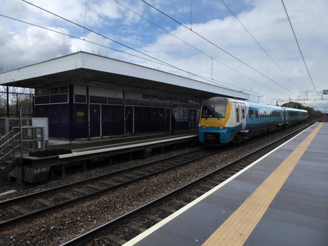
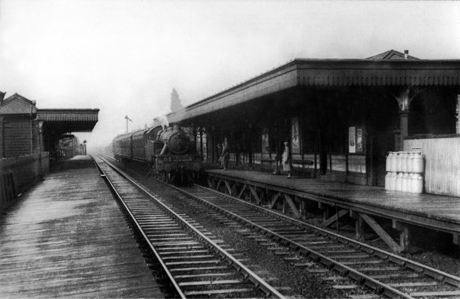
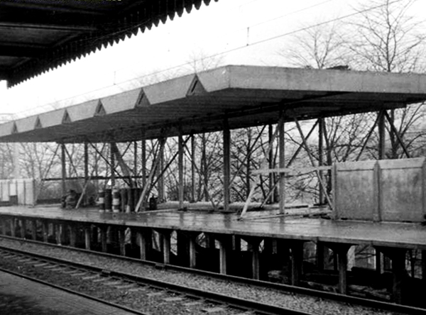
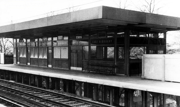
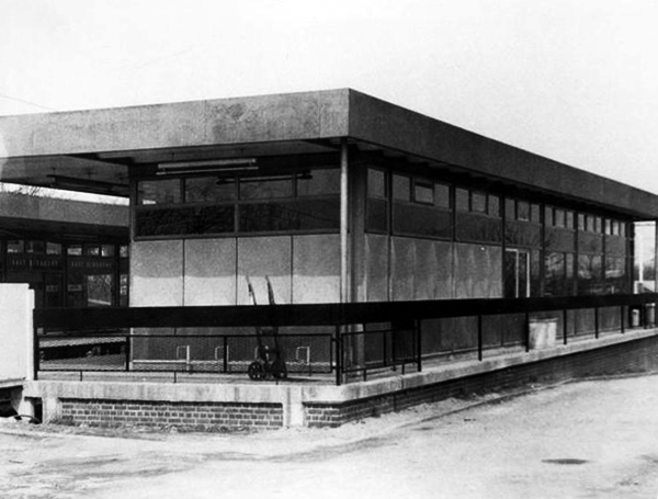
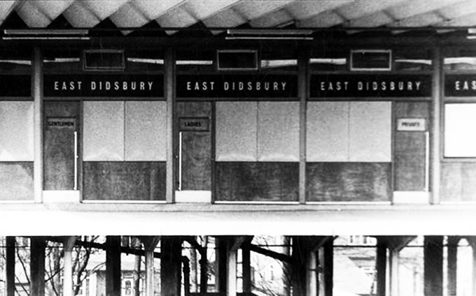
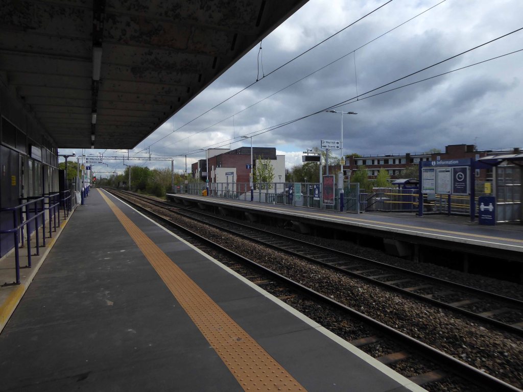
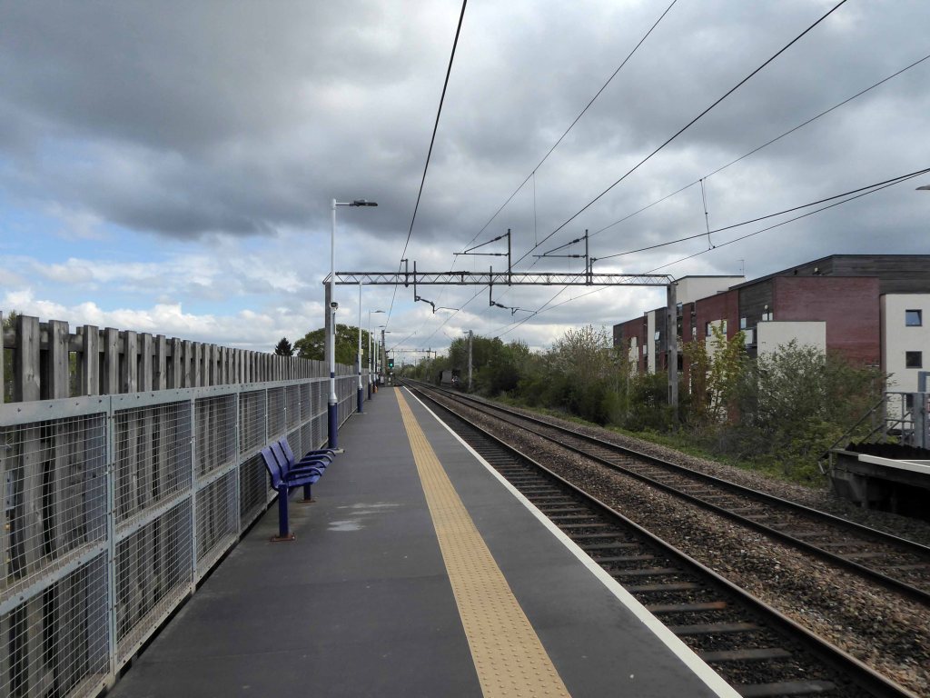
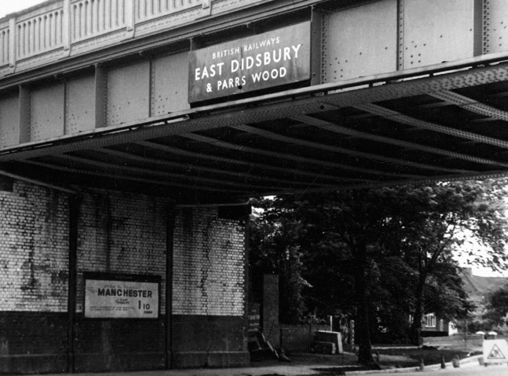
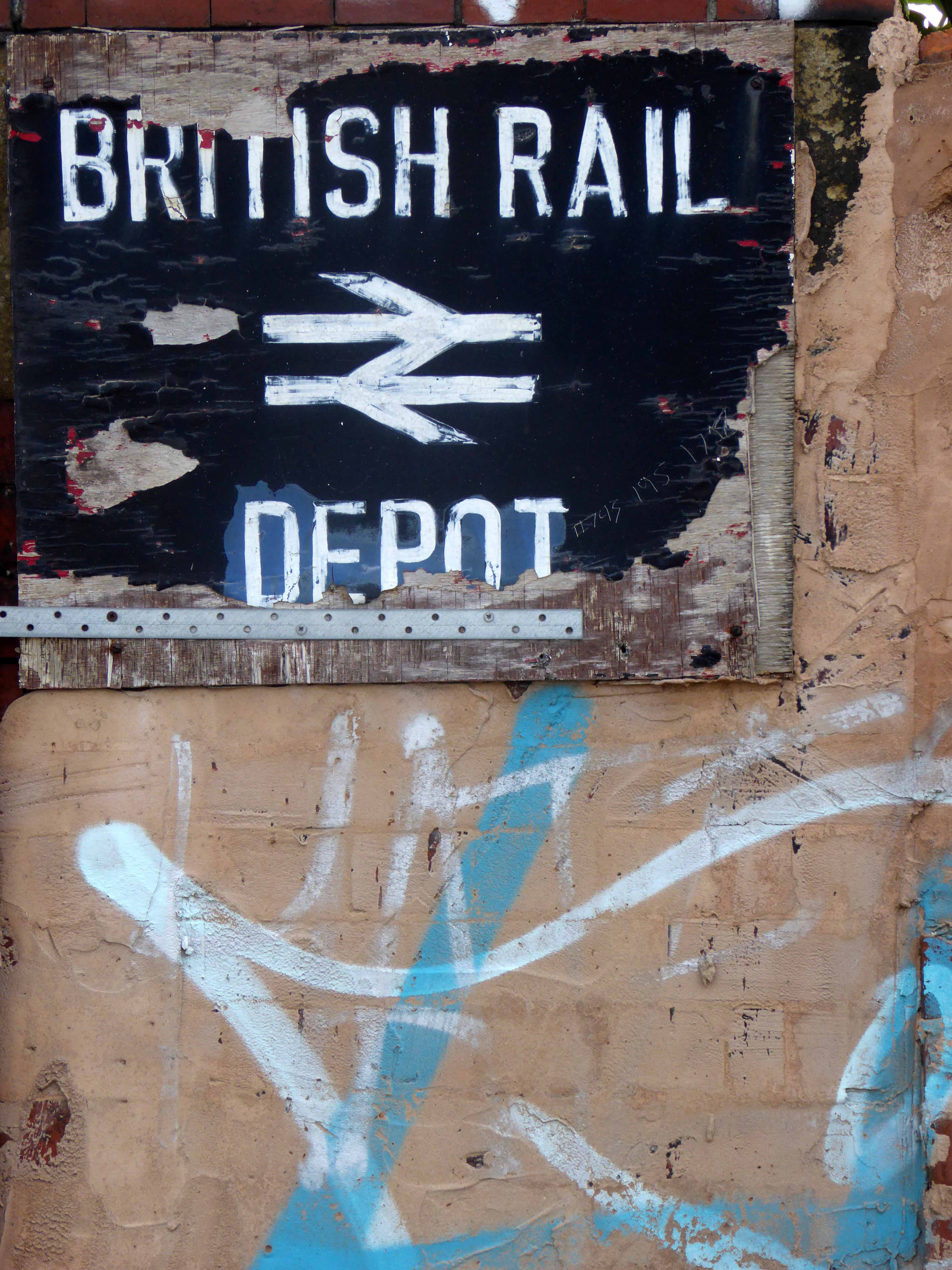
East Didsbury Station was opened in 1909 by the London and North Western Railway and, until 6 May 1974, was called East Didsbury and Parrs Wood.
From 1923, the line was operated by the London Midland and Scottish Railway. Following the formation in 1948 of British Rail, rail services were operated by the London Midland Region of British Railways, then North-Western Regional Railways.
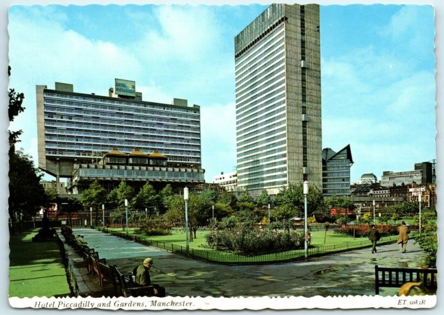
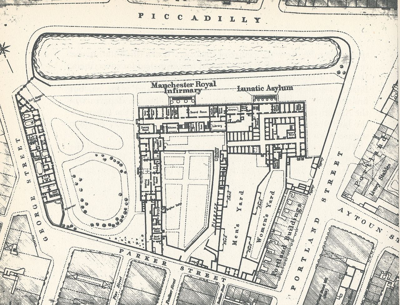
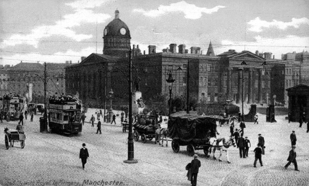
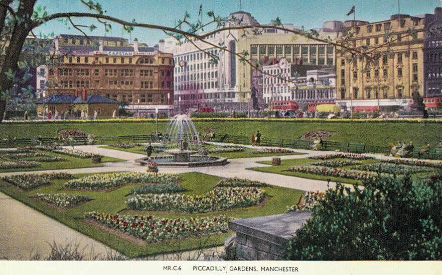
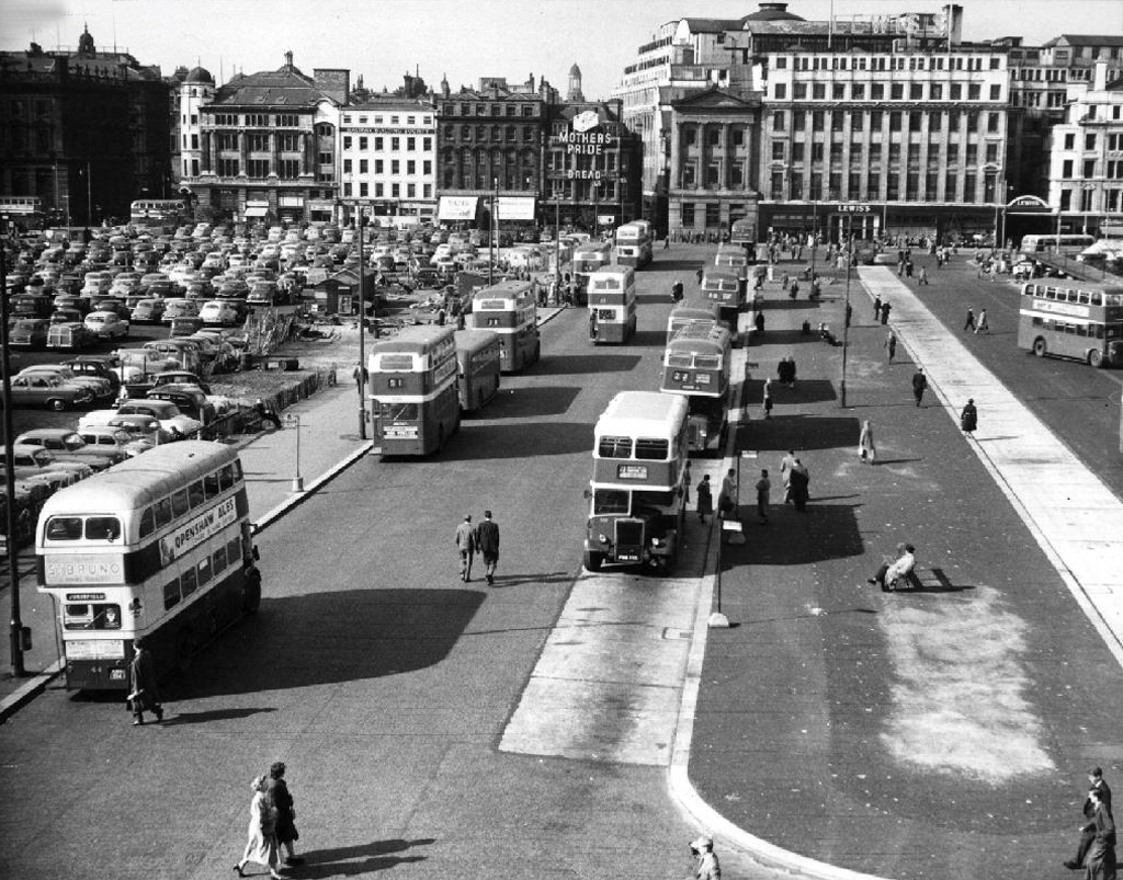
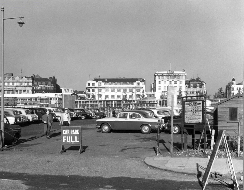
Well not a great deal, it’s 1772 and the Gardens and Plaza, are as yet undreamt of – the area was occupied by water-filled clay pits called the Daub Holes, eventually the pits were replaced by a fine ornamental pond.
In 1755 the Infirmary was built here; on what was then called Lever’s Row, in 1763 the Manchester Royal Lunatic Asylum was added.
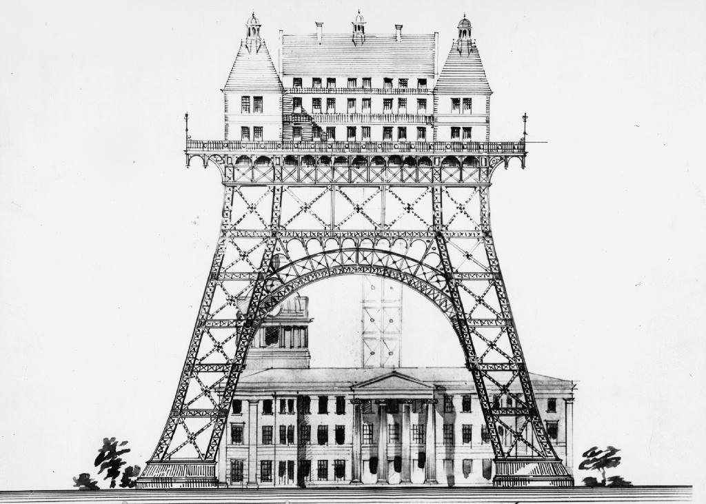
There were grander unrealised plans.
Including an aerial asylum.
The Manchester Royal Infirmary moved to its current site on Oxford Road in 1908. The hospital buildings were completely demolished by April 1910 apart from the outpatient department, which continued to deal with minor injuries and dispense medication until the 1930s.
After several years in which the Manchester Corporation tried to decide how to develop the site, it was left and made into the largest open green space in the city centre. The Manchester Public Free Library Reference Department was housed on the site for a number of years before the move to Manchester Central Library.
The sunken garden was a remnant of the hospital’s basement.
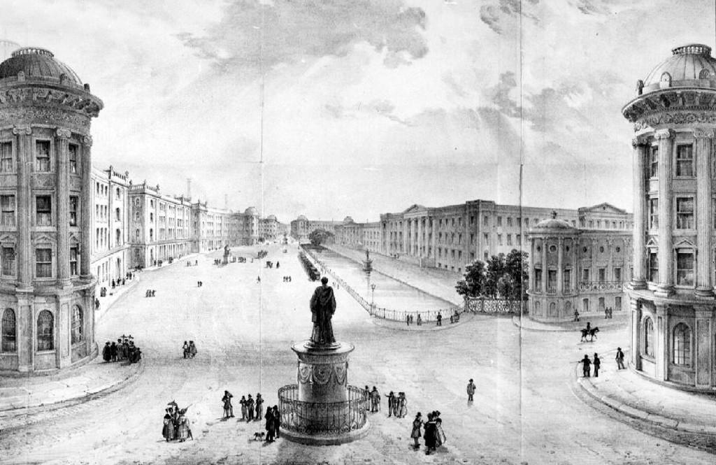
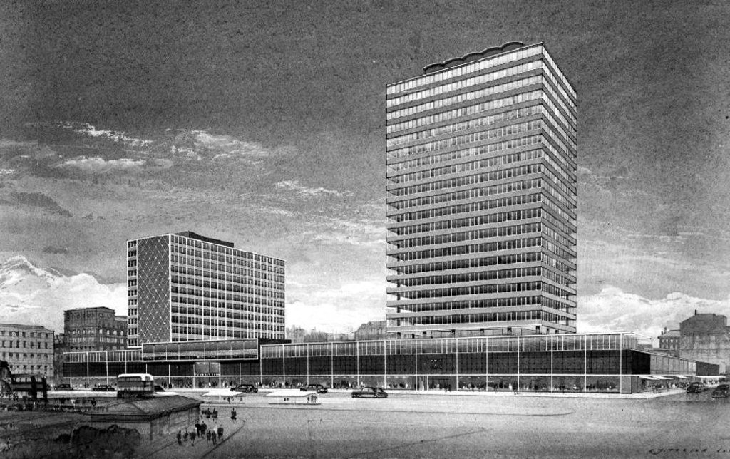
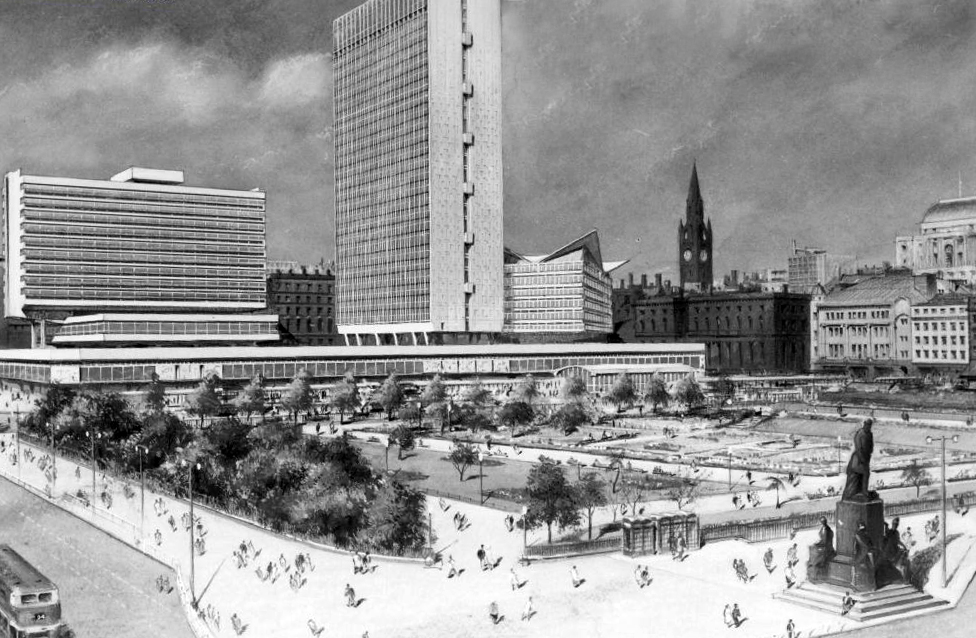
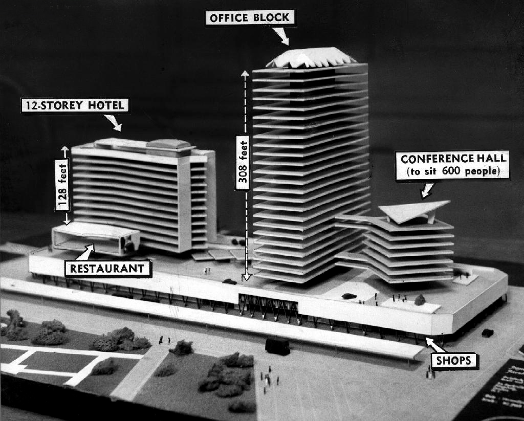
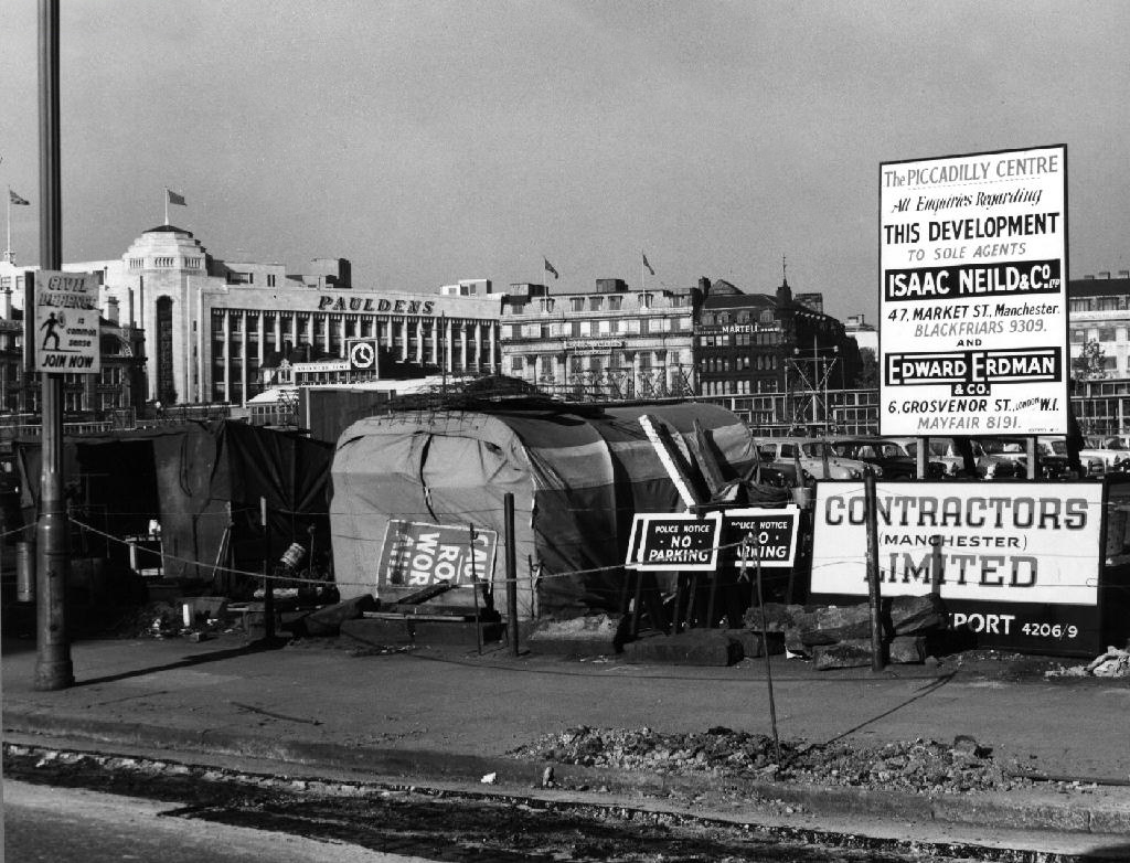
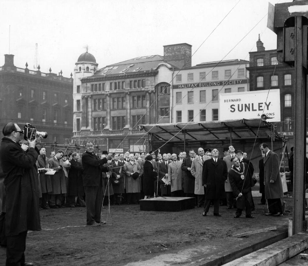
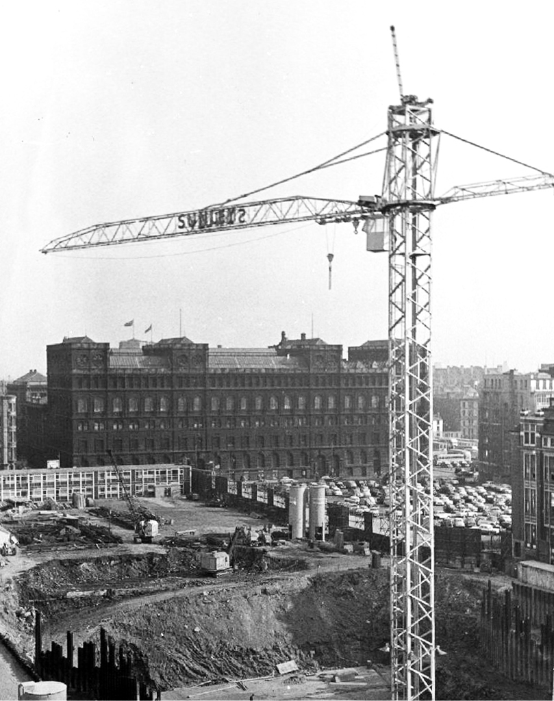
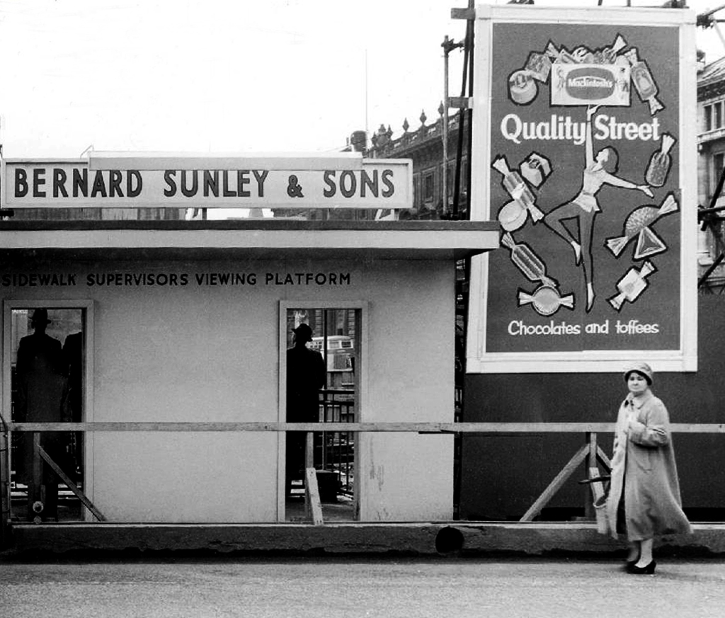
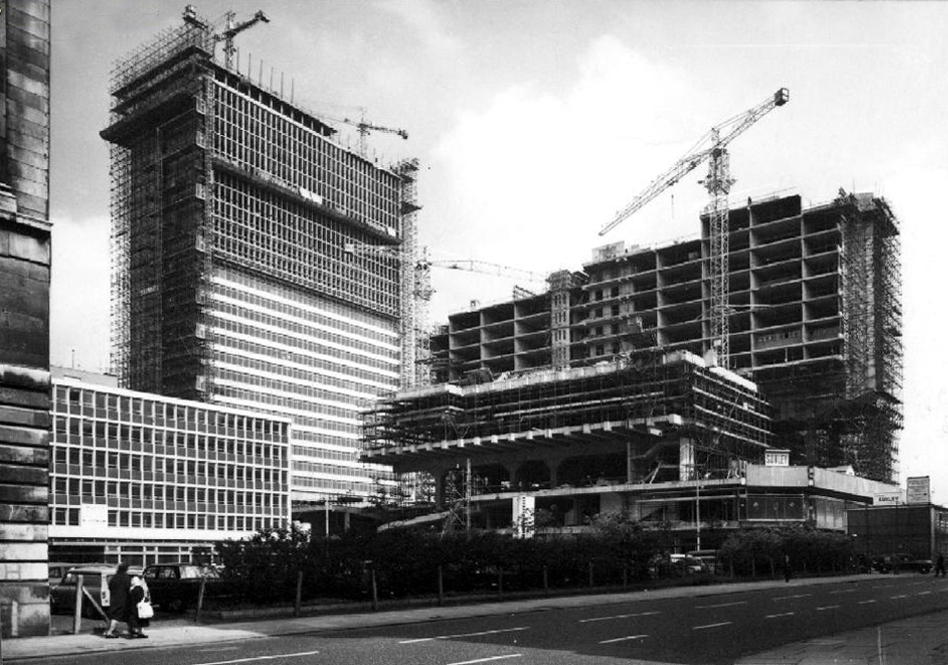
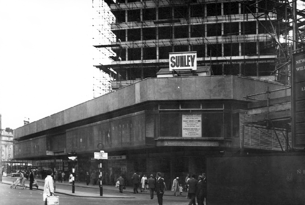
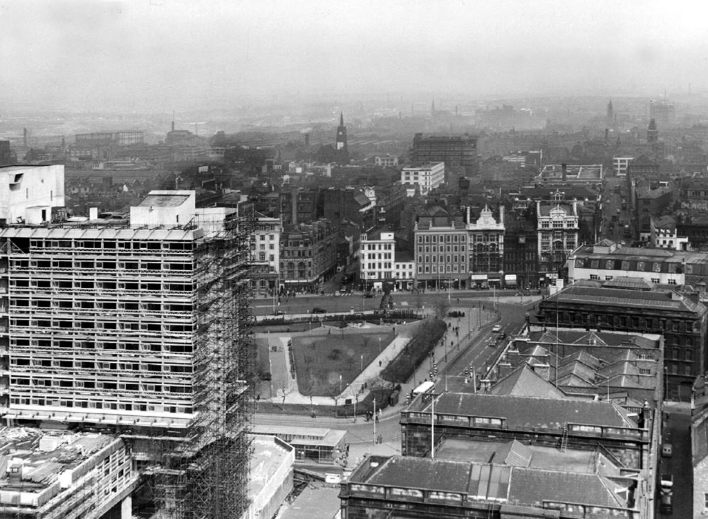
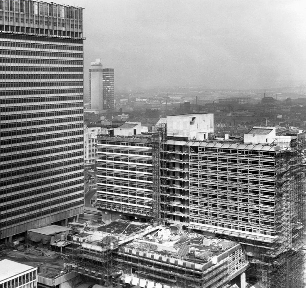
Towering cranes tower over the town, deep holes are dug with both skill and alacrity.
A Plaza begins to take shape, take a look.
Nearly done.
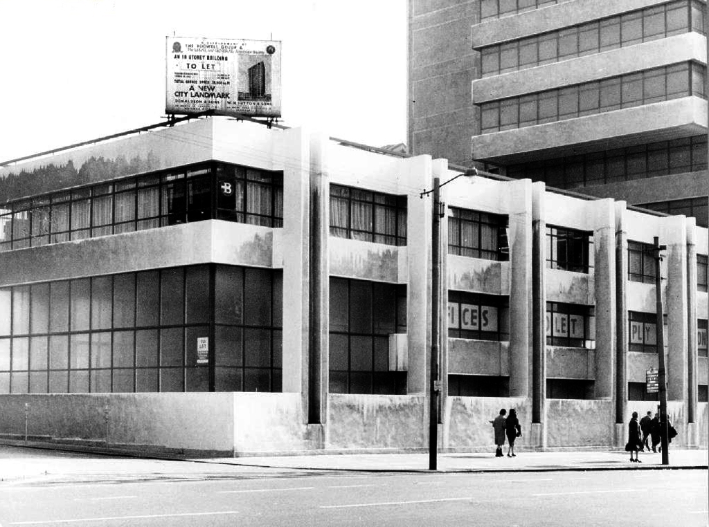
All we need now are tenants.
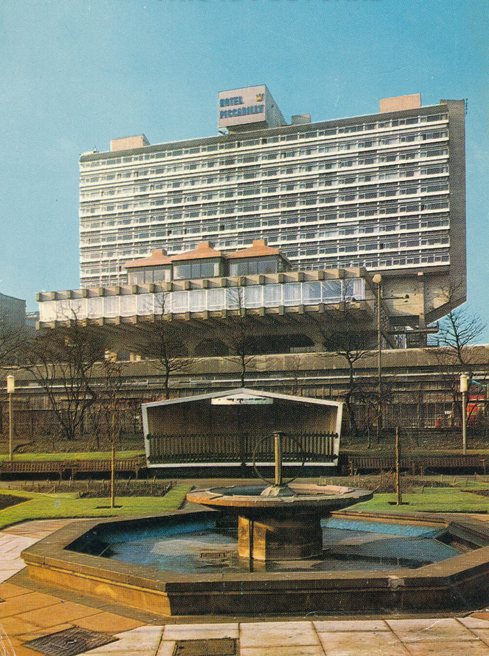
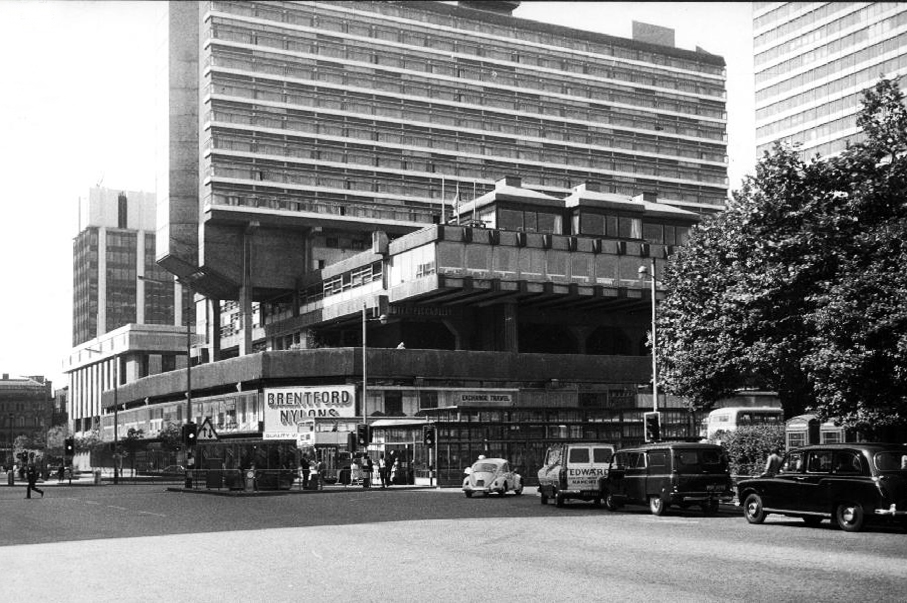
Piccadilly Plaza now contains the renovated Mercure Hotel it was formerly known as the Ramada Manchester Piccadilly and Jarvis Piccadilly Hotel; the refurbishment was completed in 2008.
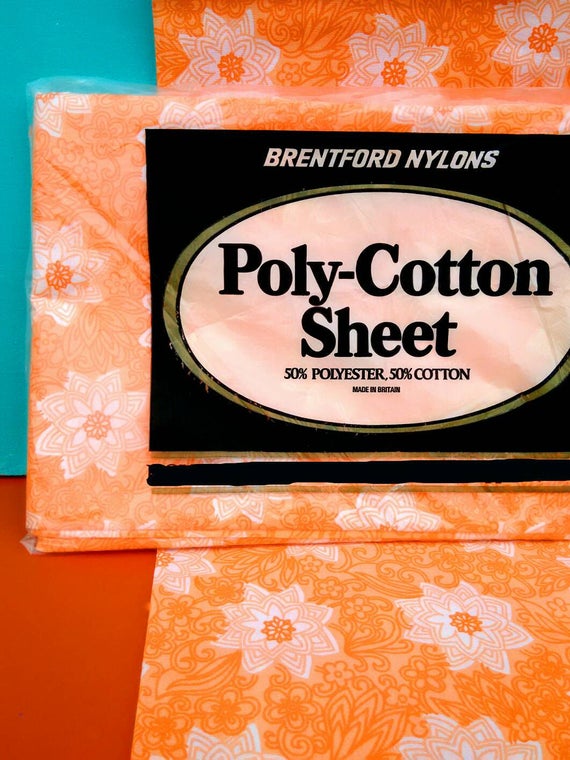
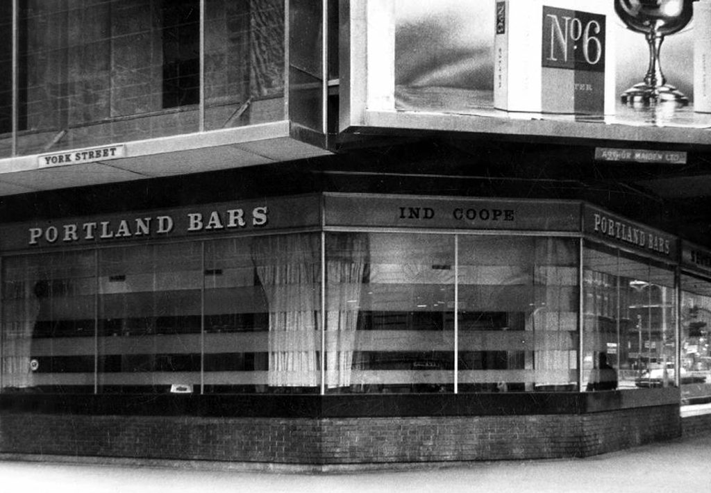
The retail units famously contained Brentford Nylons.
The company was eventually sold at a knock-down price and the new owner did not think the name worth having.
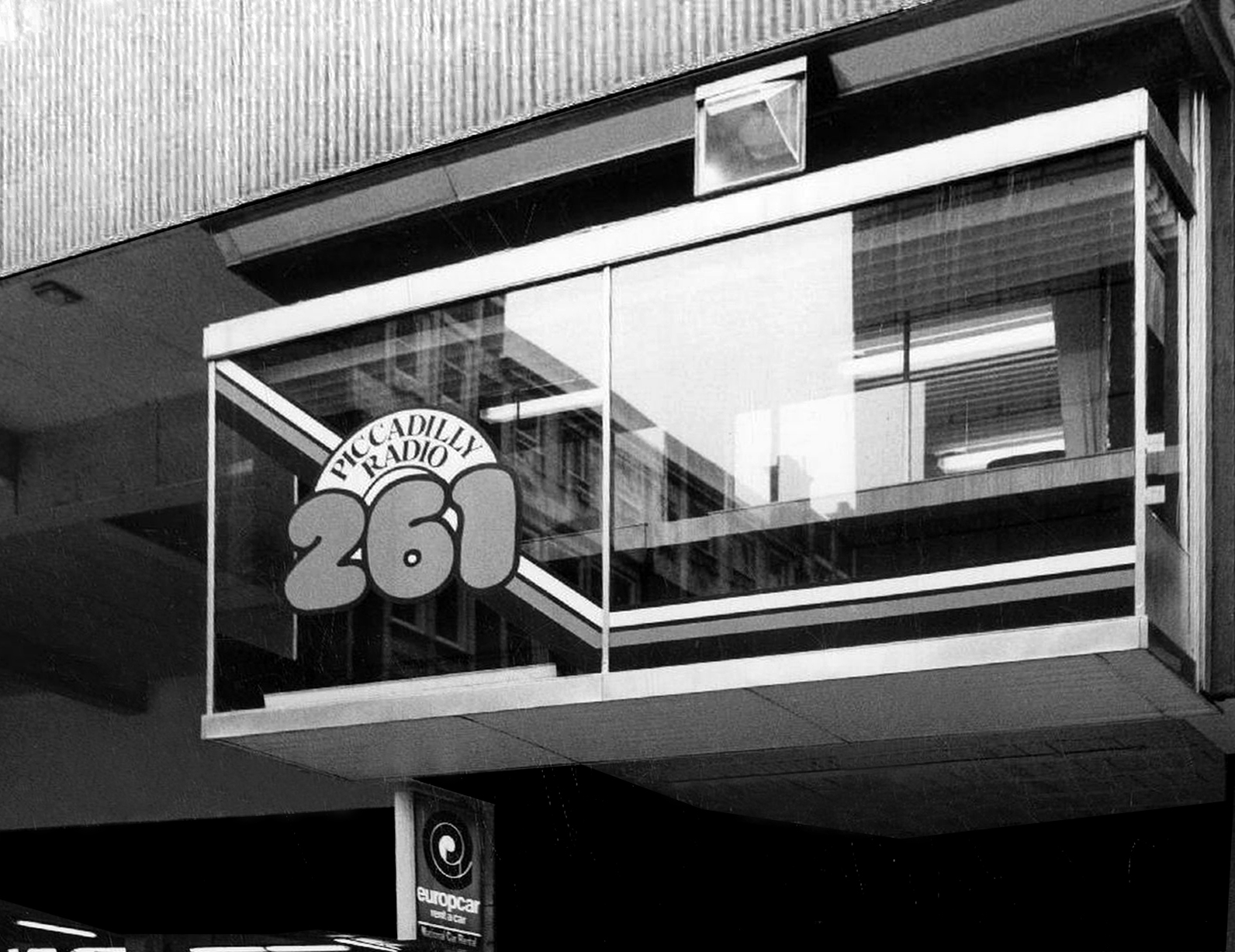
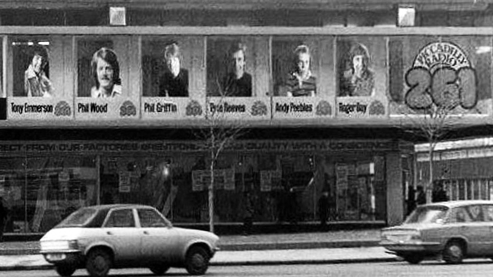
The noisy upstairs neighbours were Piccadilly Radio.
The first broadcast was at 5am on April 2nd 1974, it was undertaken by Roger Day, with his first words to the Manchester audience: “It gives me great pleasure for the very first time to say a good Tuesday morning to you… Hit music for the North West…we are Piccadilly Radio” before spinning Good Vibrations.
It was the first commercial radio station to broadcast in the city, and went on to launch the careers of a host of star DJs, the likes of Gary Davies, Chris Evans, Andy Peebles, Timmy Mallett, Mike Sweeney, Pete Mitchell, James Stannage, Steve Penk and James H Reeve.
Waiting for a mate who worked at Piccadilly Radio we ventured down the stairs next door to get a drink and because of our clothes/leather jackets we were chucked back up the steps. We should of stood our ground like one of my mates who was told he could stay if he turned his jacket inside out, thinking he wouldnt do it, but he did and had a drink with his red quilted lining on the outside.
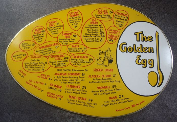
“Food served at the table within ten minutes of ordering and with atomic age efficiency. No cutlery needed or given. Drinks served in a bottle with a straw. Condiments in pre-packaged single serving packets.”
In addition to familiar Wimpy burgers and milkshakes, the British franchise had served ham or sardine rolls called torpedoes and a cold frankfurter with pickled cucumber sandwiches called Freddies.
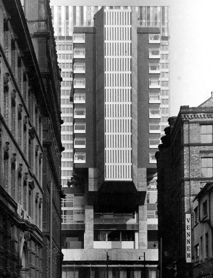
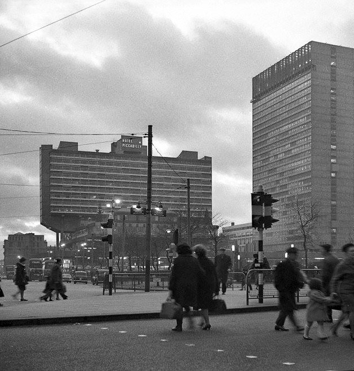
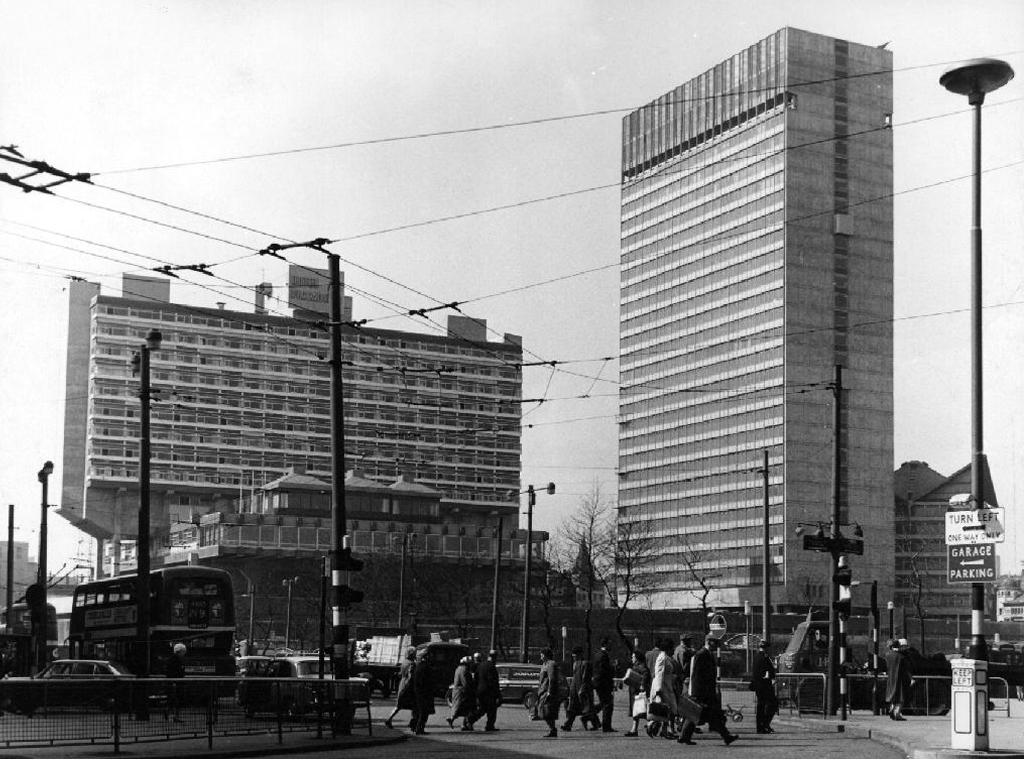
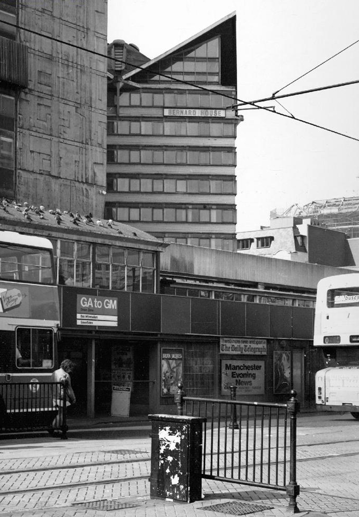
Even on the greyest days the Plaza was a beacon of Modernity.
Though sadly we eventually lost Bernard House.
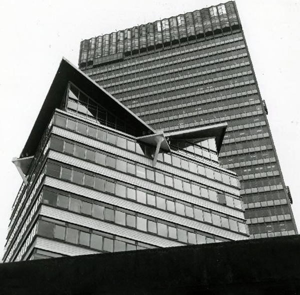
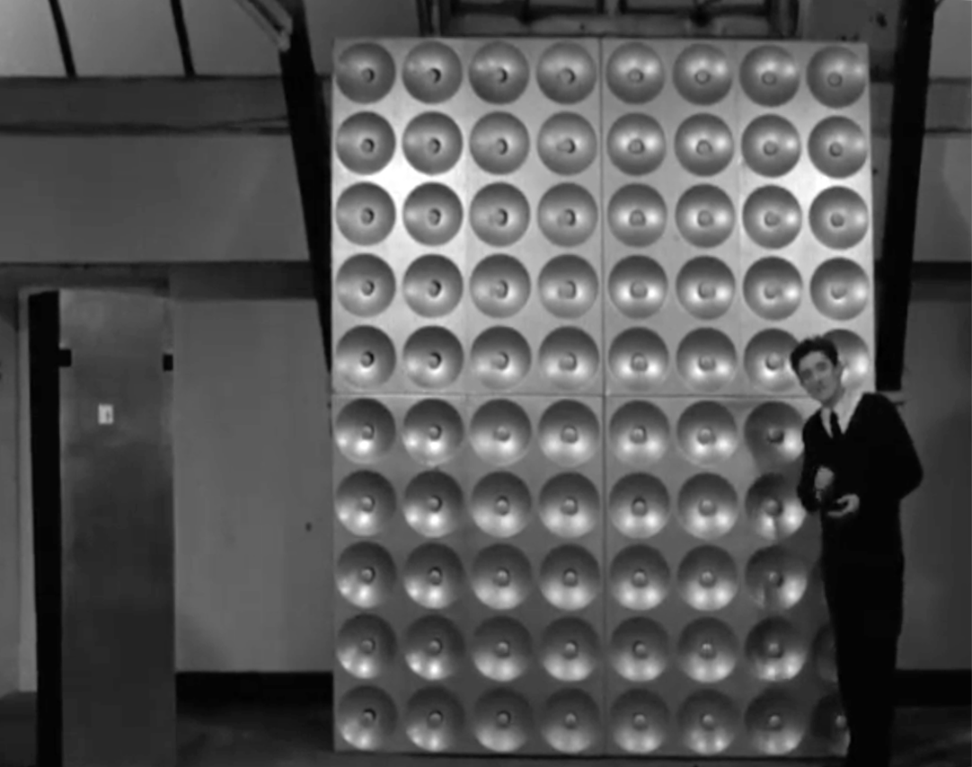
However, City Tower still prevails as a mixed use office block, adorned east and west with big bold William Mitchell panels.
Which were to be illuminated by ever changing images, produced by photo electric cells – sadly unrealised.
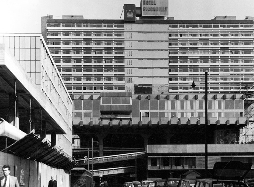
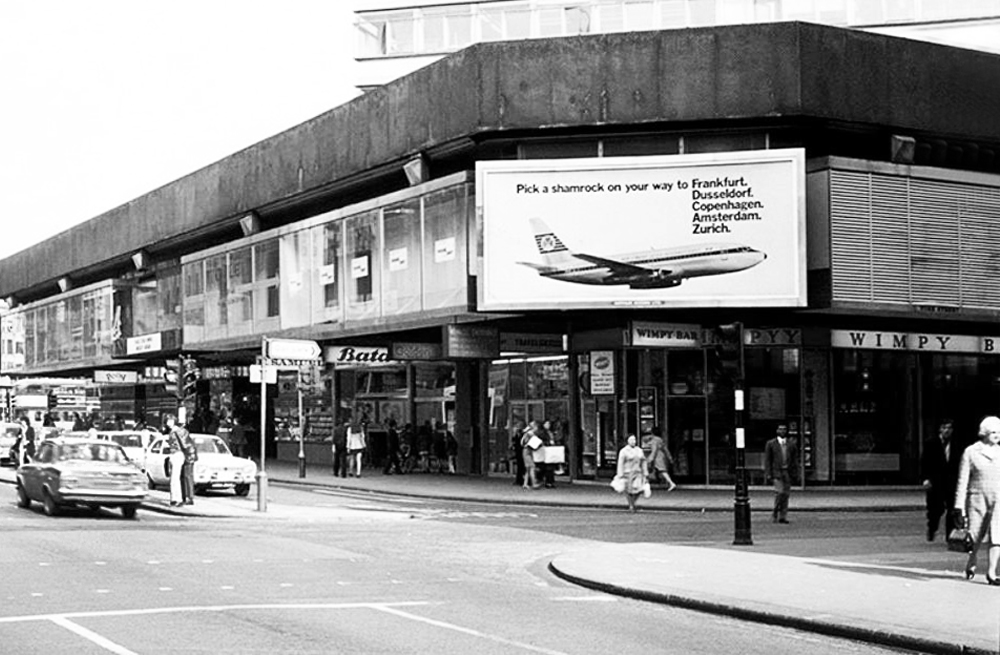
So goodbye Piccadilly – farewell Leicester Square? – it’s a long, long way to the future, and we’re barely half way there.
While we’re in the vicinity take a quick trip up and down the car park ramp.
Notably the entrance to the Hotel Piccadilly was on the first floor, accessed by non-existent highways in the sky – sweet dreams.
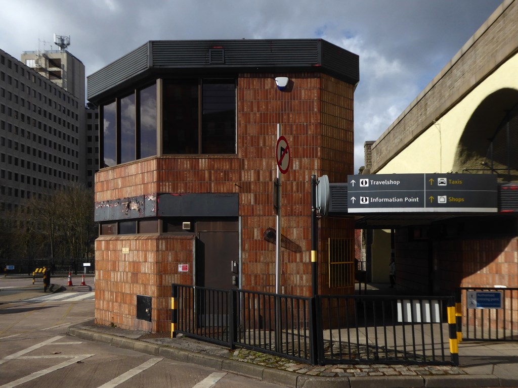
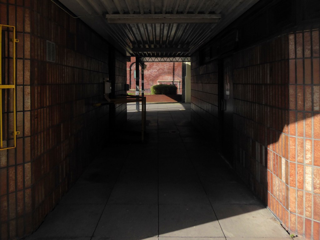
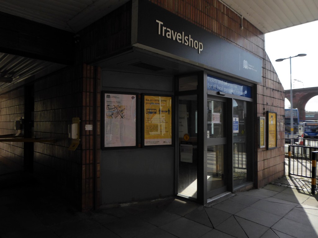
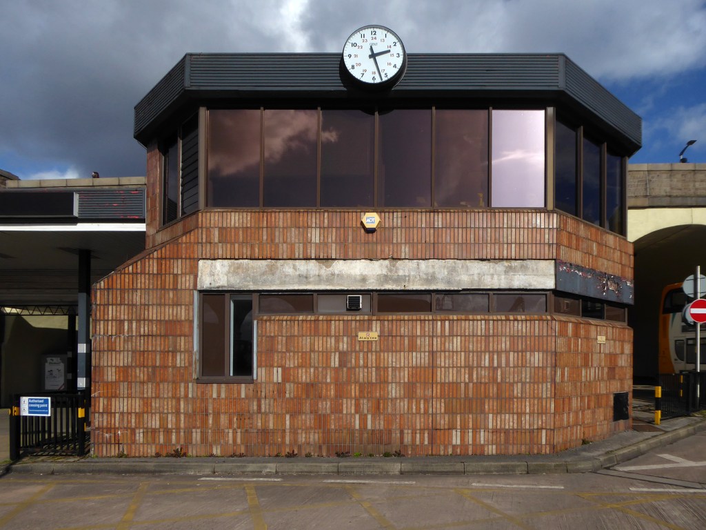
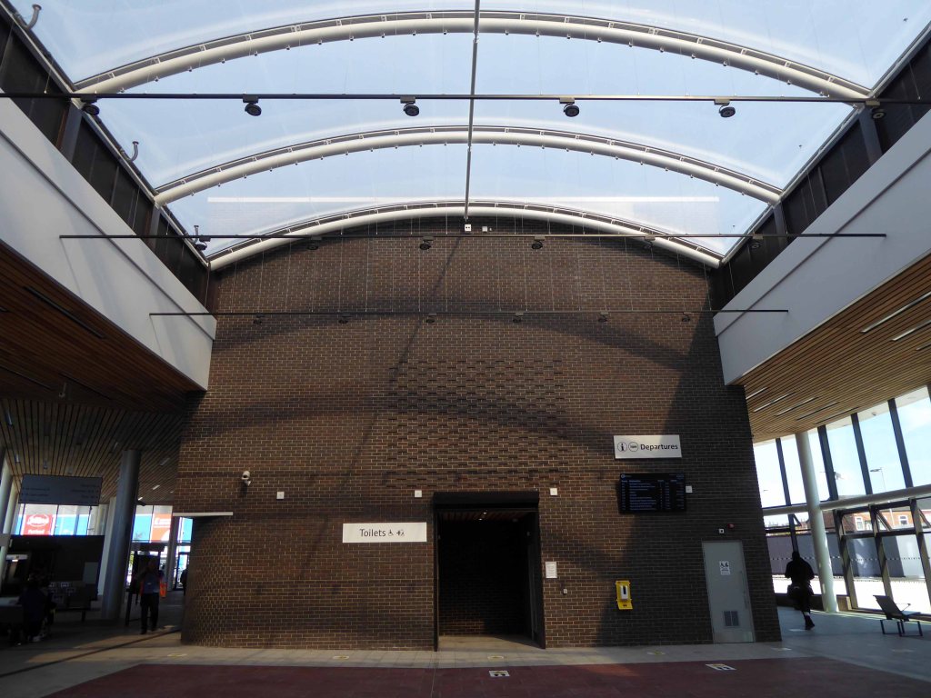
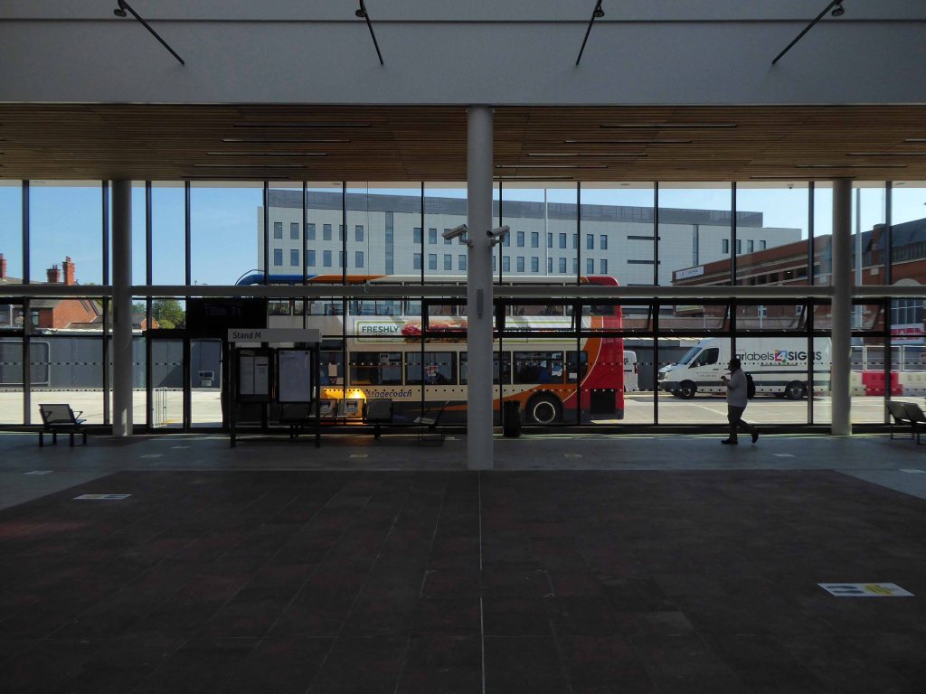
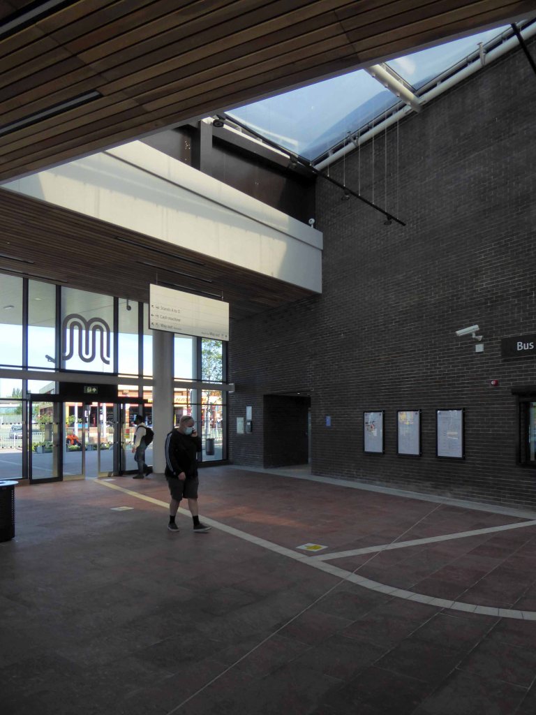
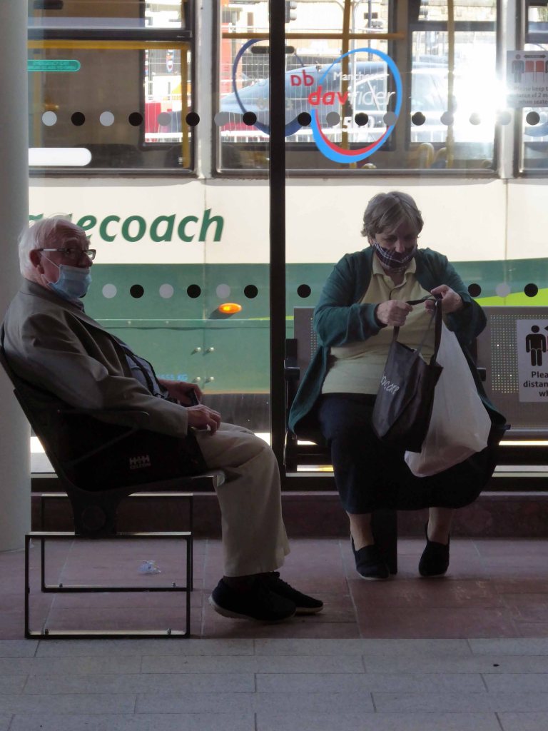
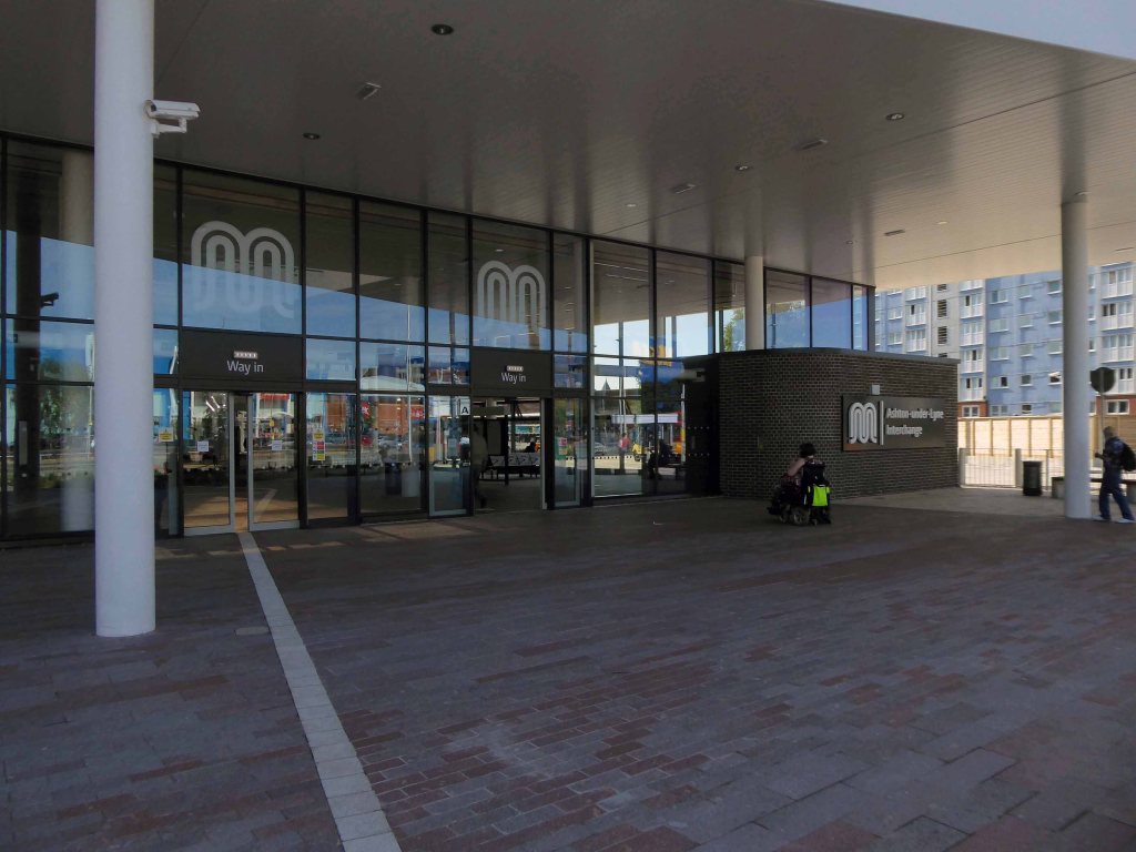
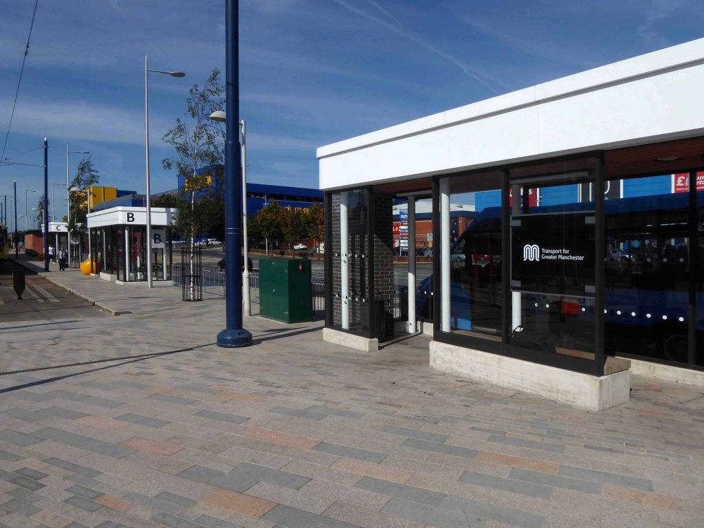
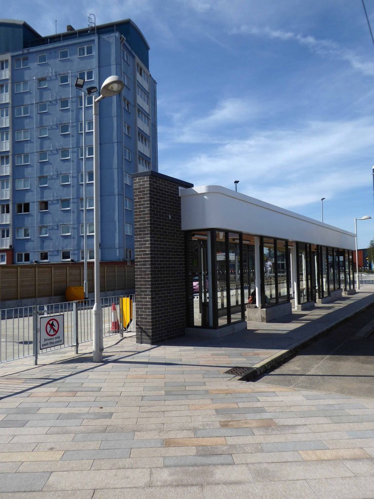
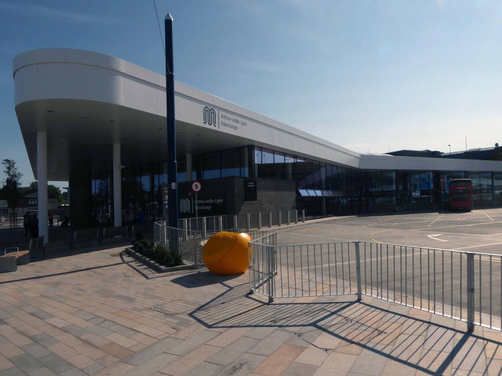
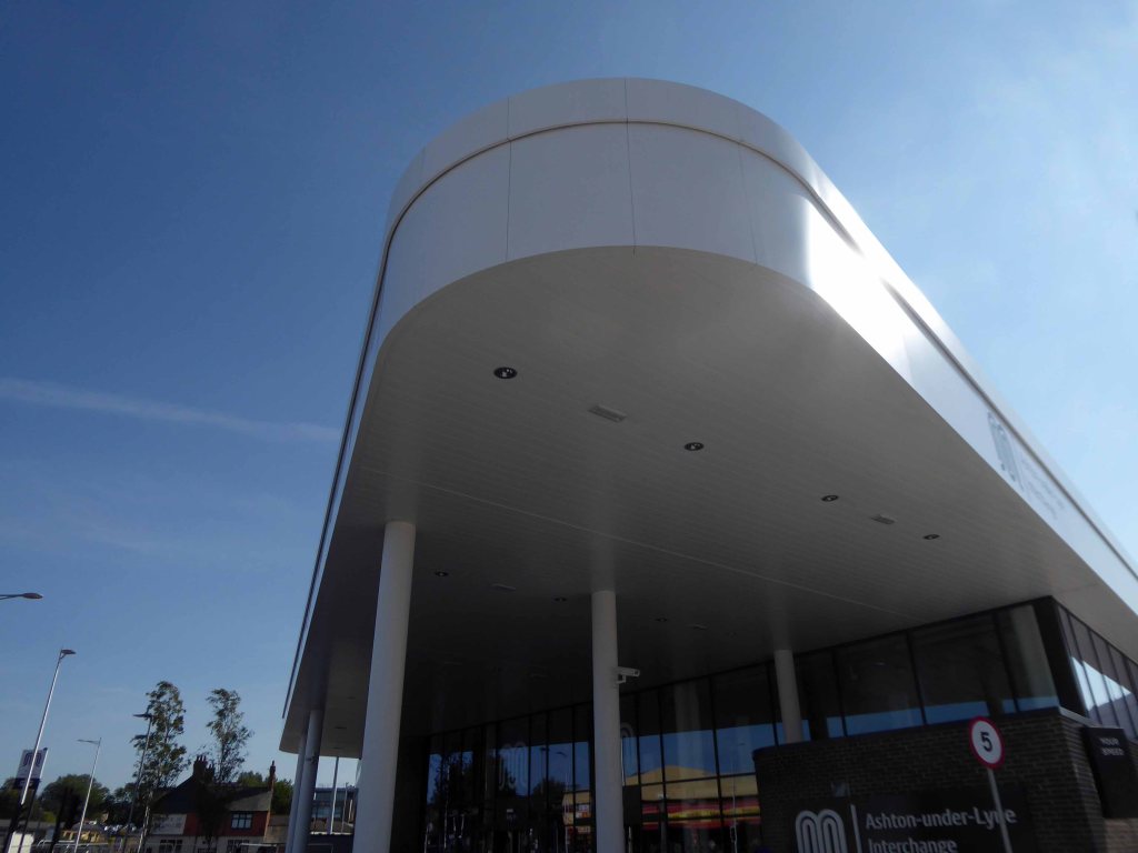
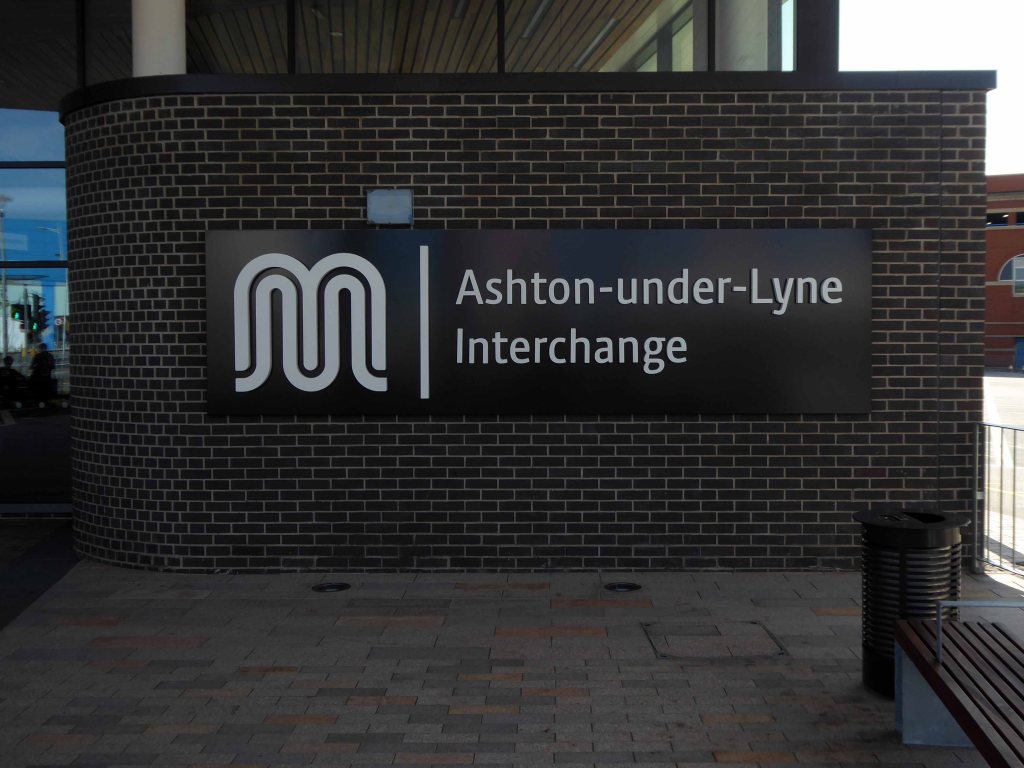
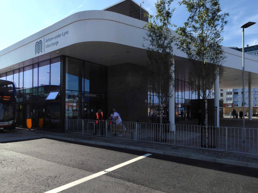
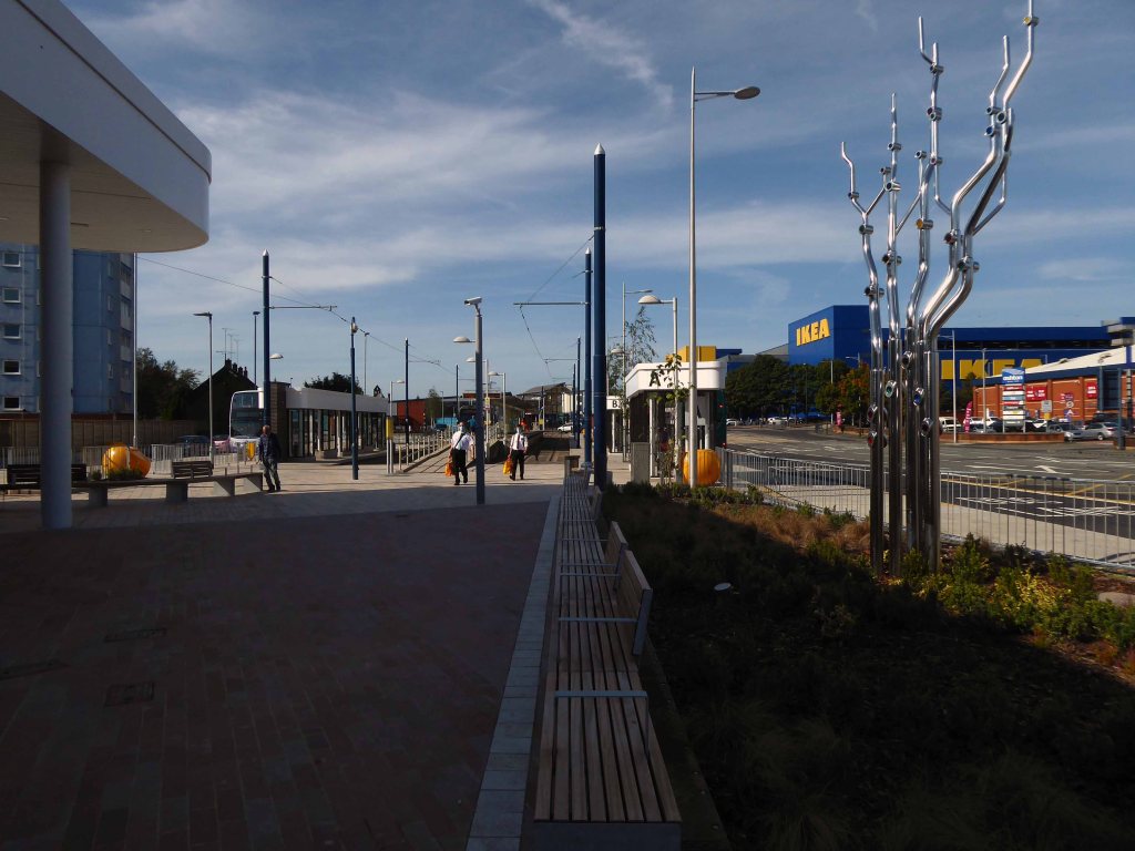
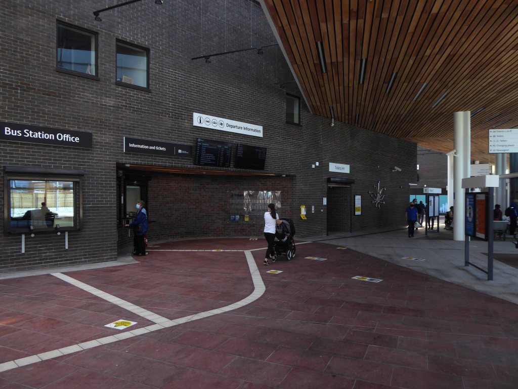
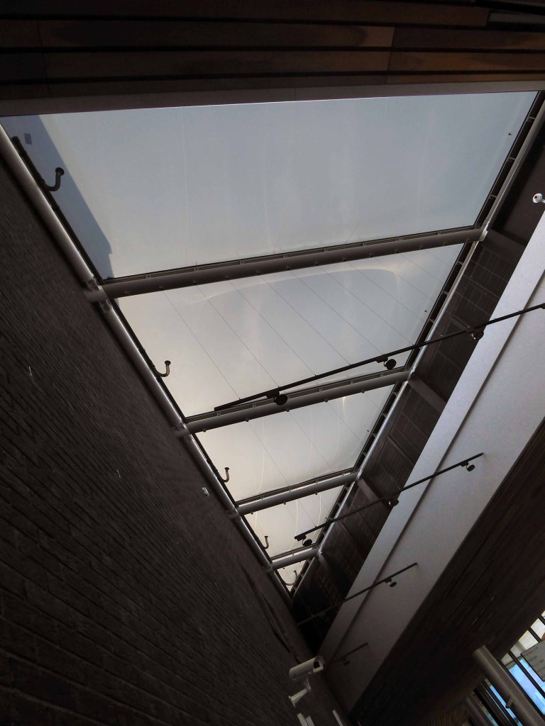
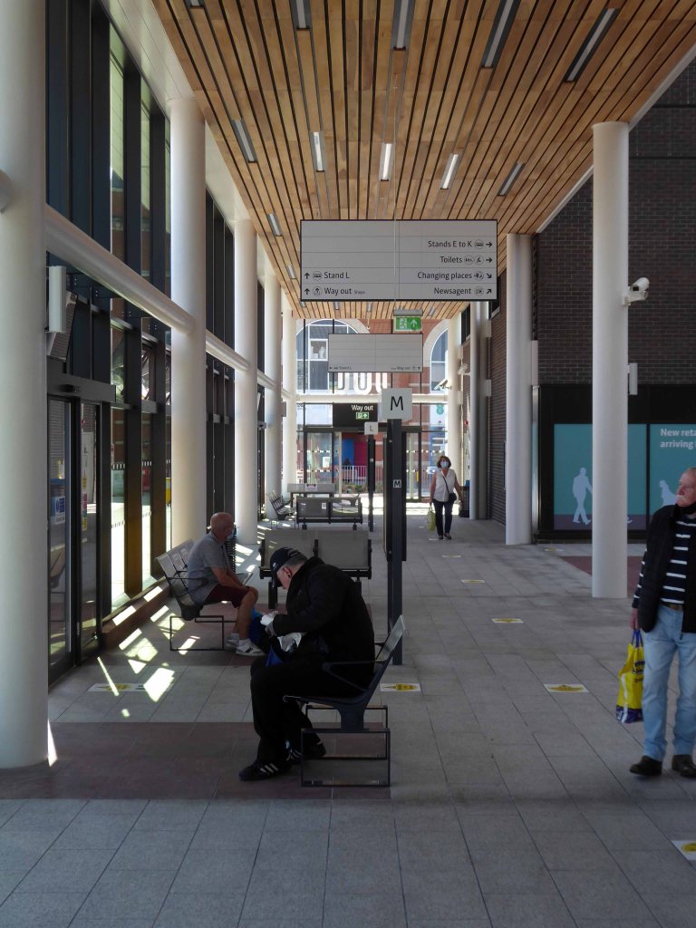
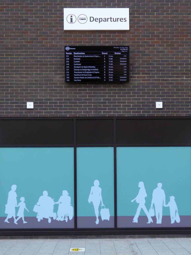
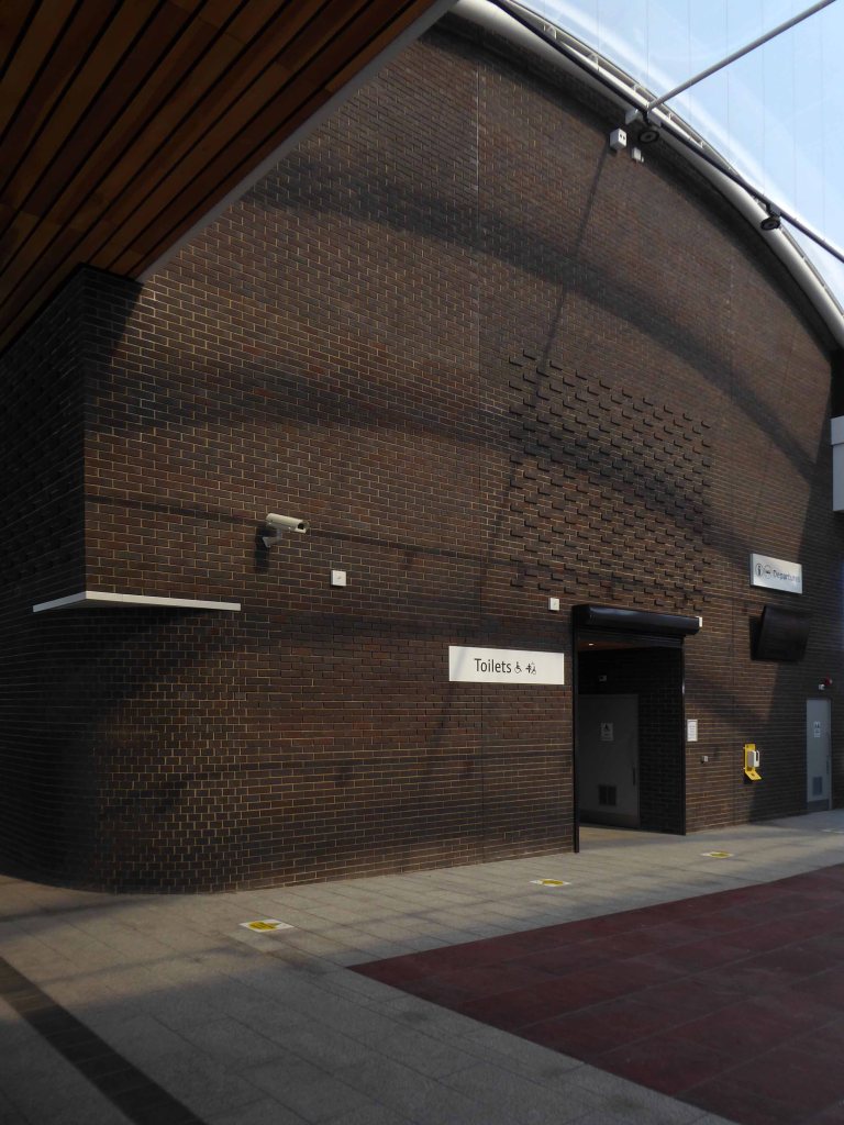
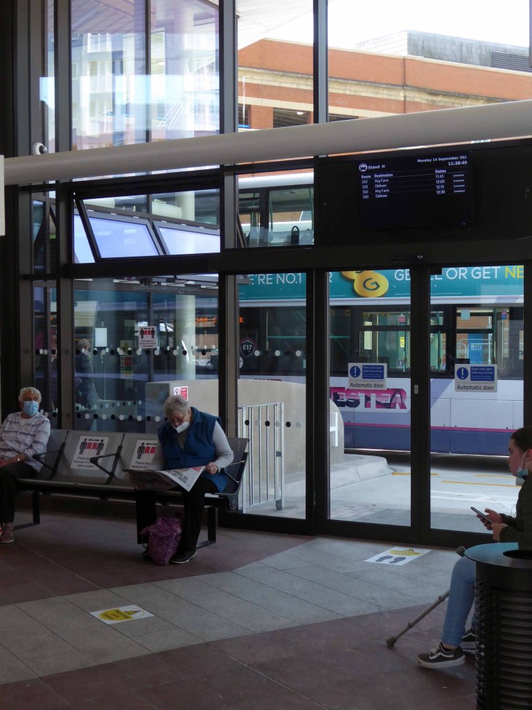
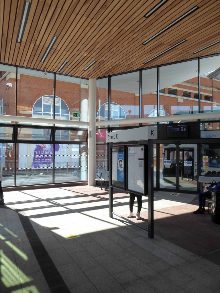
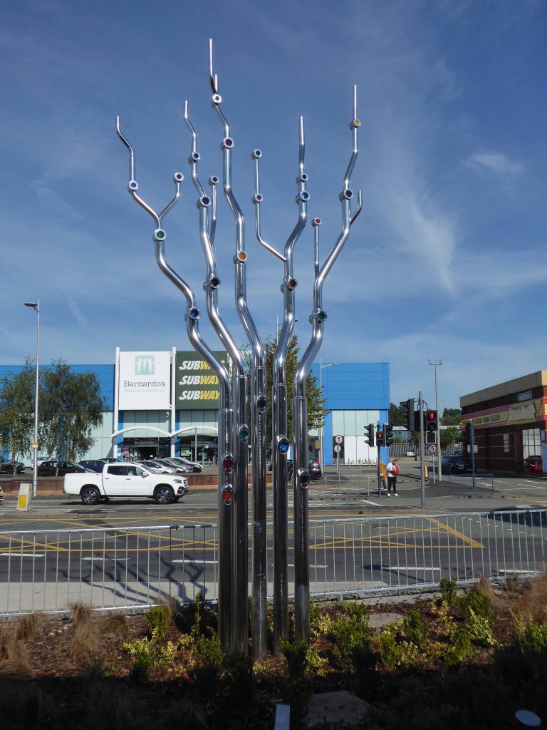
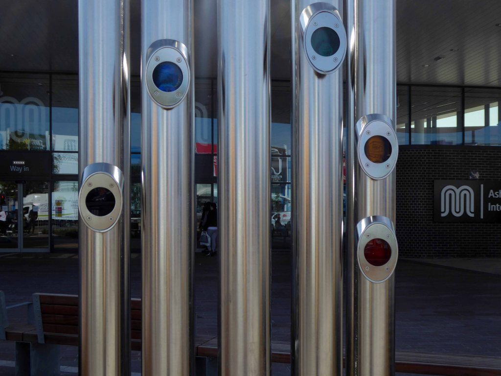
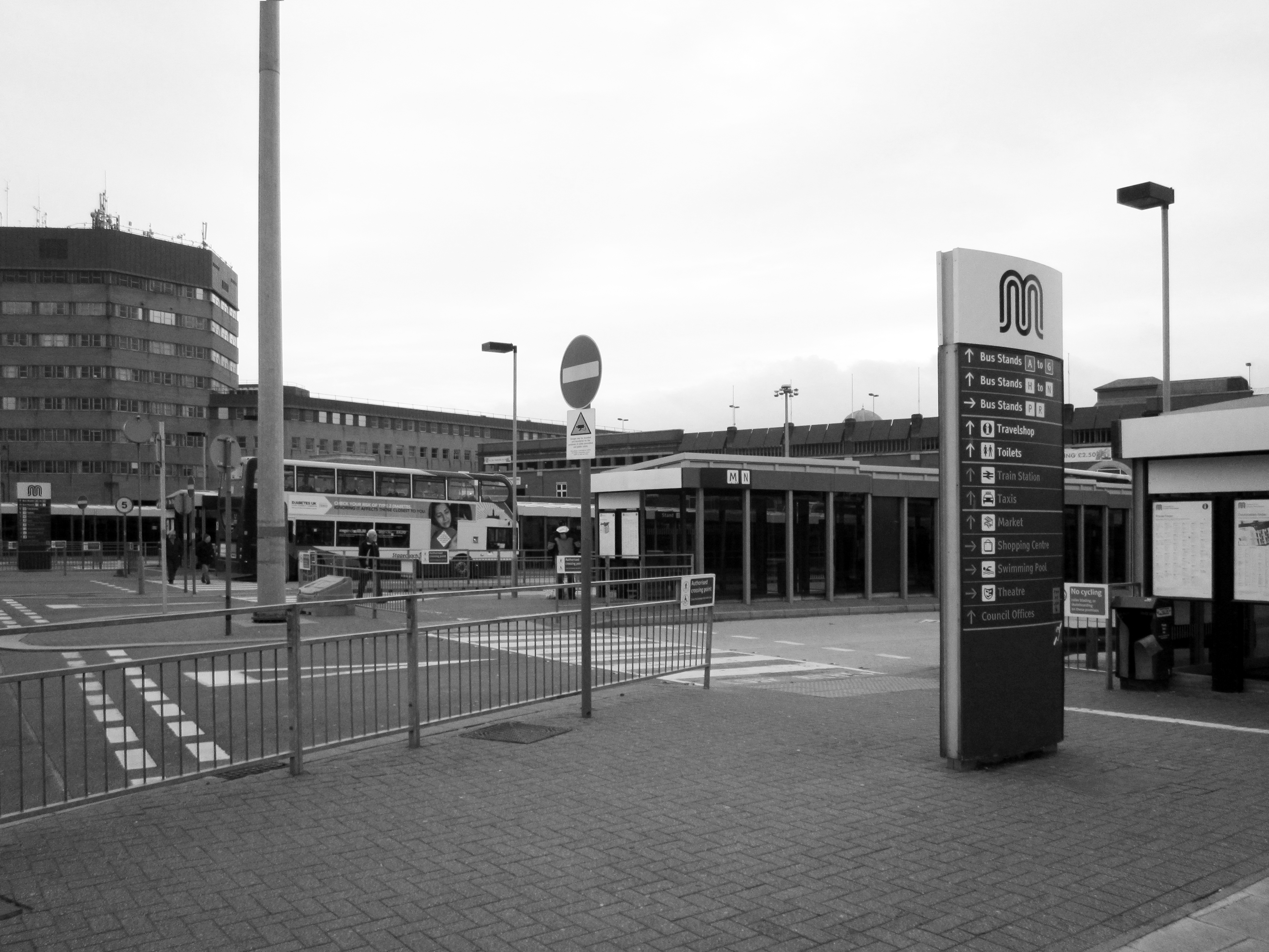
This time as an interchange, where bus, tram and train converge – the most modern of modern ideas.
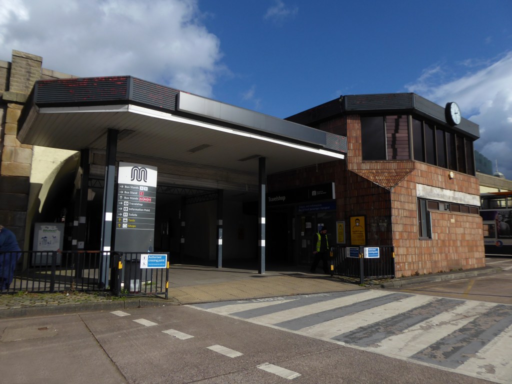
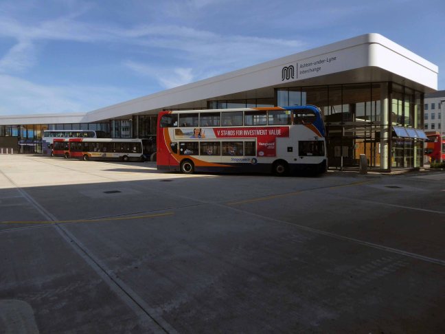
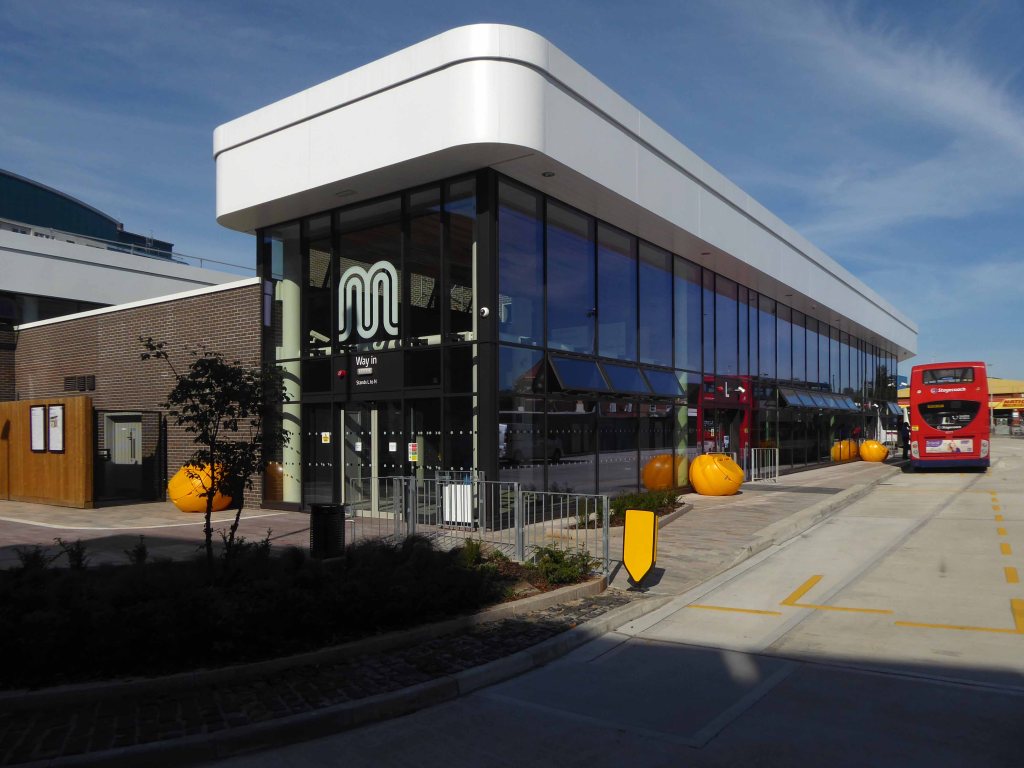
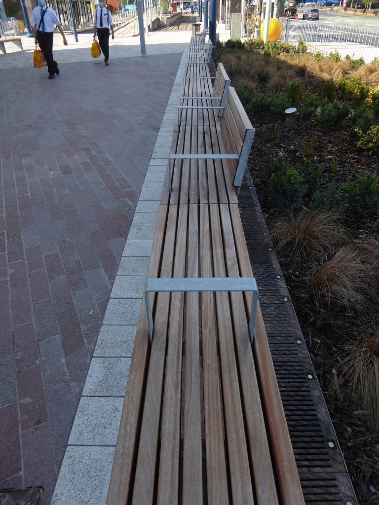
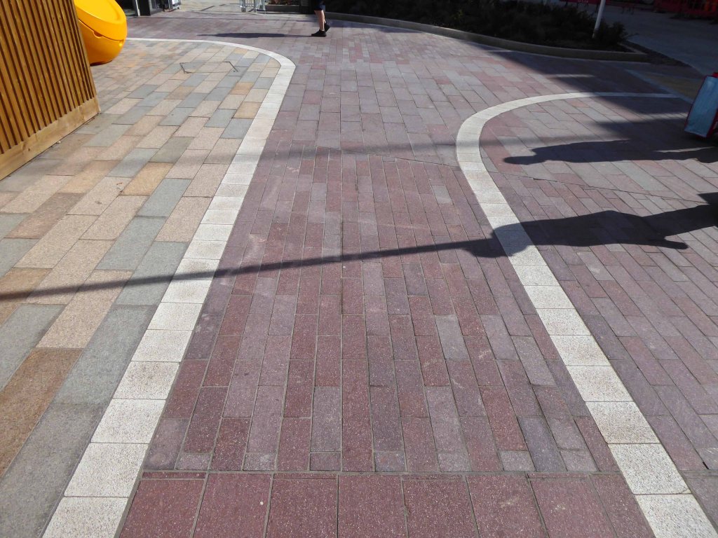
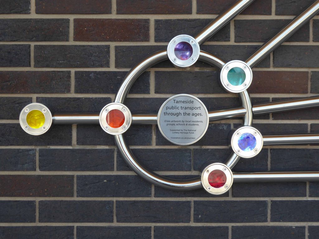
The brand-new Ashton-under-Lyne Interchange is now open, providing passengers with much-improved facilities and a modern, accessible gateway to the town.
The Interchange supports the economic growth of the town and helps people to get to and from their places of work as well as Ashton’s great shops, markets, restaurants and bars in a modern, safe and welcoming environment.
The Interchange has been developed by Transport for Greater Manchester in partnership with Tameside Council and funded with support from central government’s Local Growth Deal programme.
The building contractor was VINCI Construction UK.
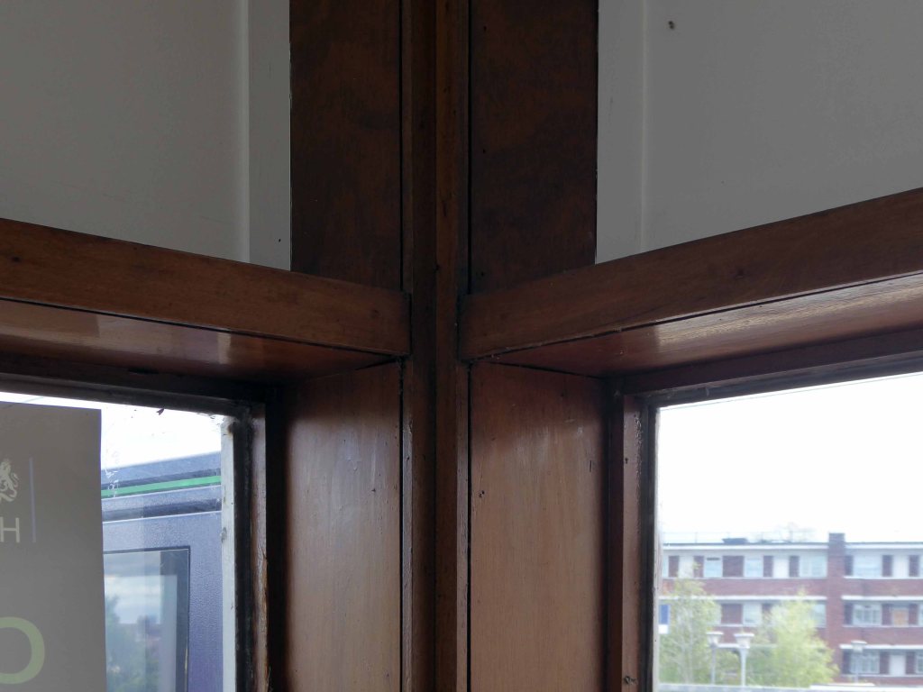
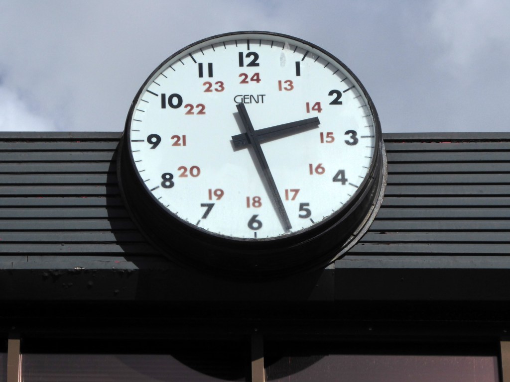
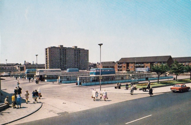
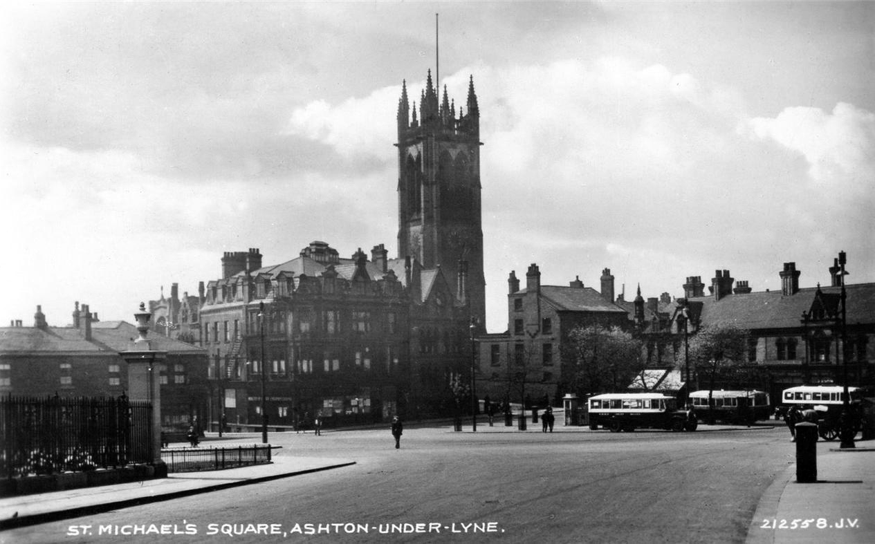
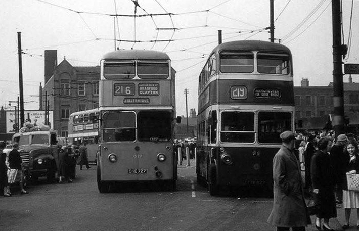
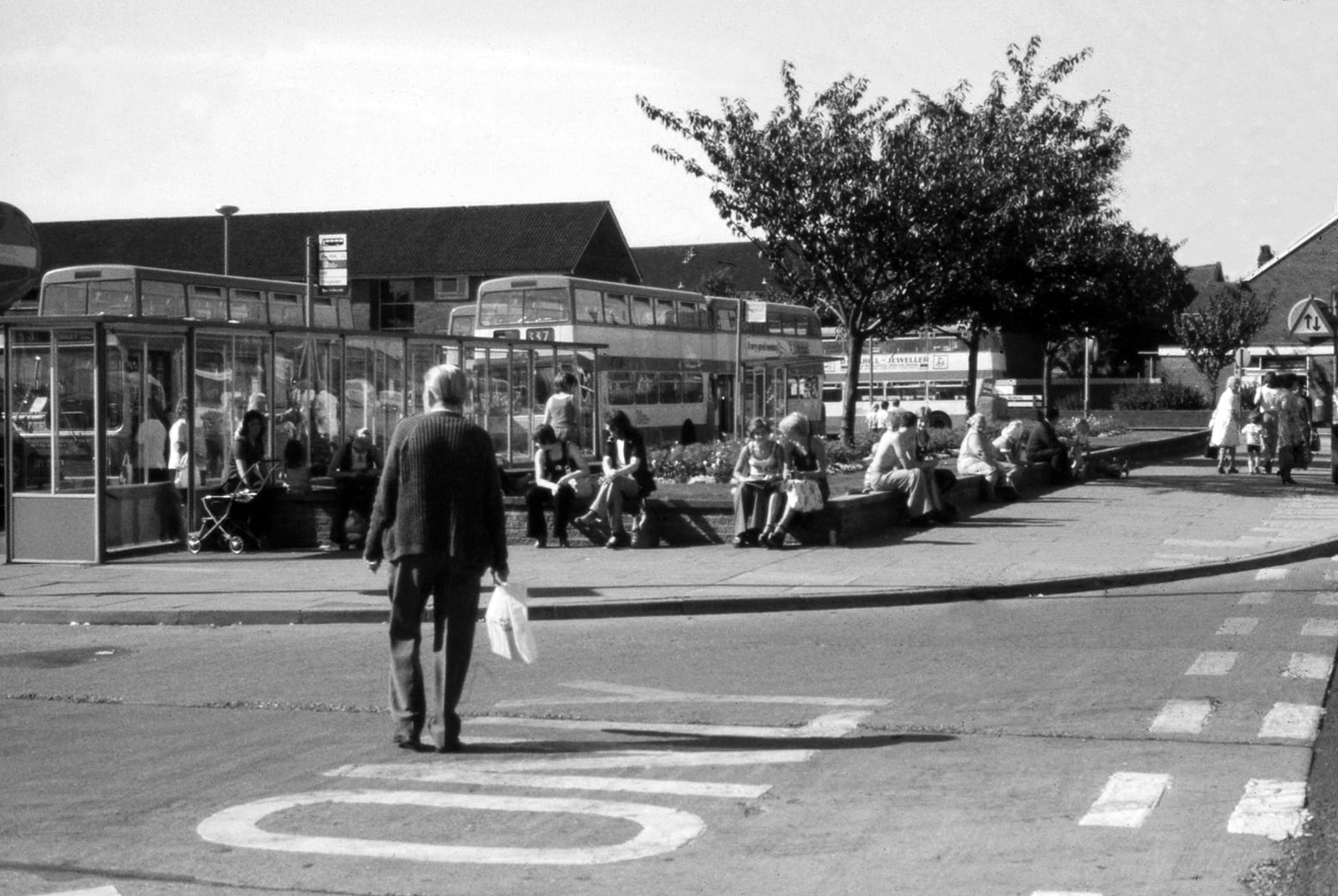
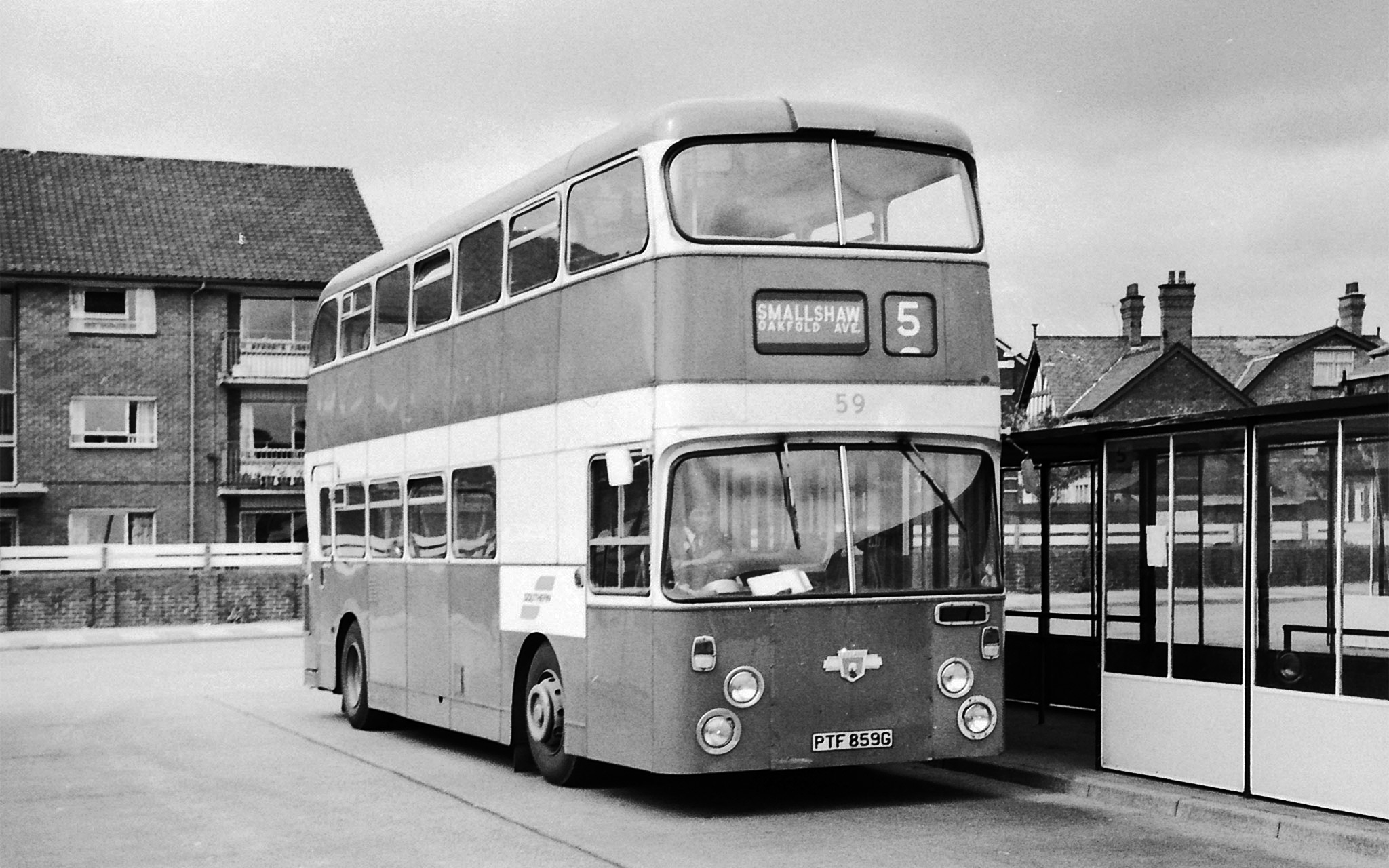
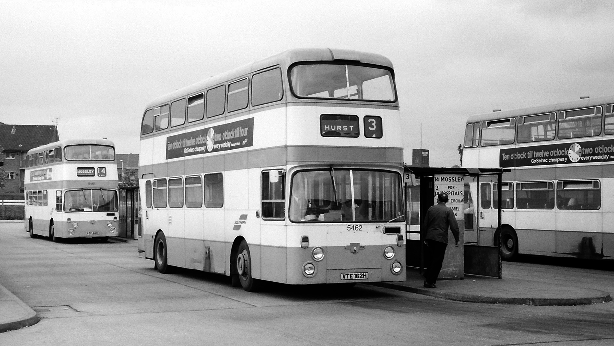
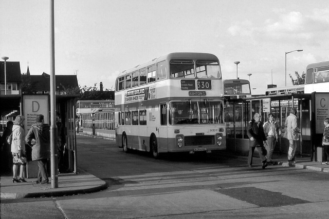
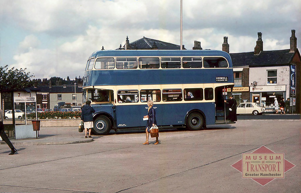
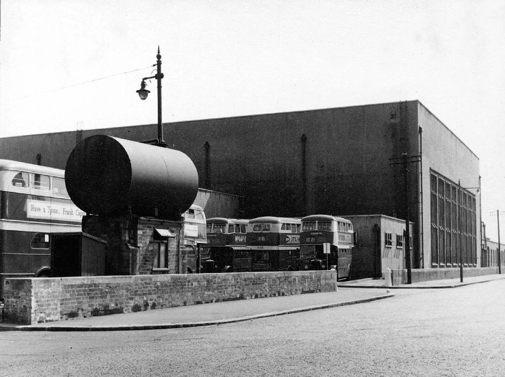
In my memory of days long gone by, I call to mind the stops strewn around St Michael’s Square – all points east I assume, Stalybridge, Mossley, Micklehurst, Dukinfield, Glossop and beyond.
Prior to 1963, Ashton-under-Lyne’s buses and trolleybuses stopped at a variety of termini throughout the town centre. Manchester Corporation services called at Bow Street and Old Square, by Yates’ Wine Lodge; Ashton-under-Lyne Corporation’s buses opted for Market Street and Wellington Road by the town hall.
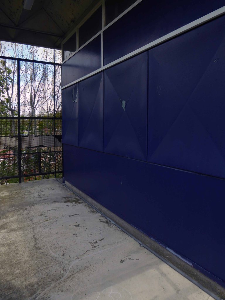
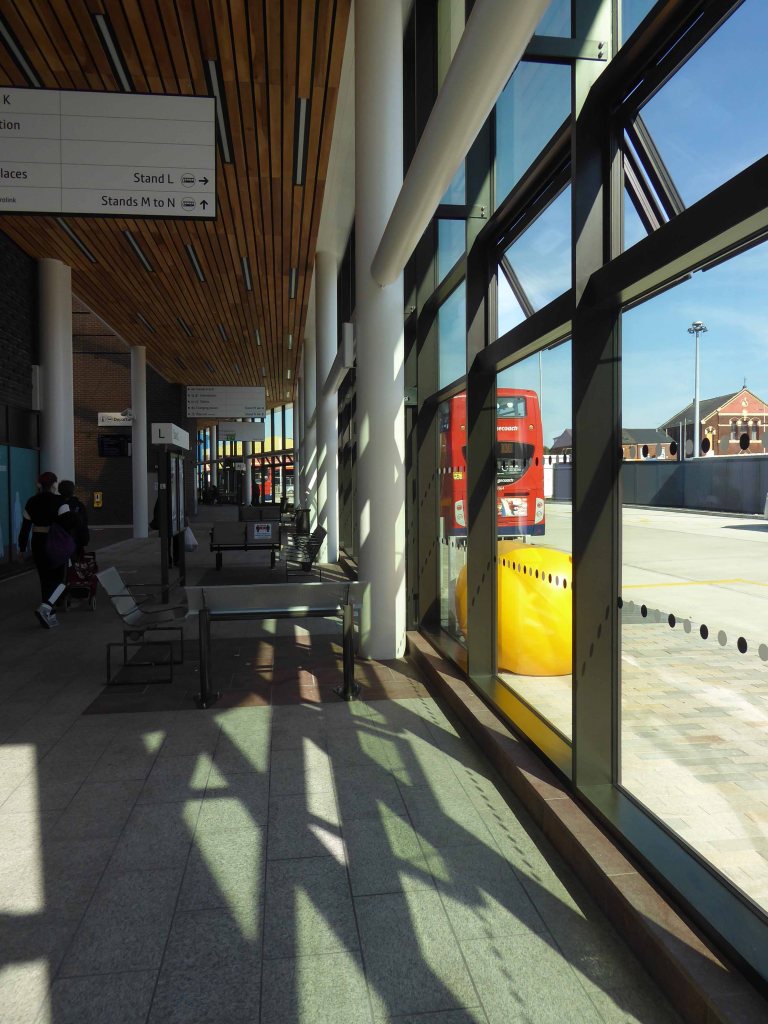
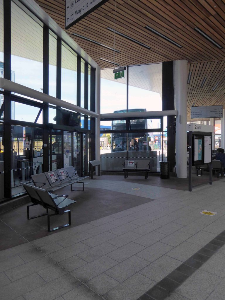
Ashton zooms forward into the future, its flat-roofed modern facilities complemented by ranks of low-level shelters and edged to the east by a walled lawn and flower bed – where we all loved to sit of a sunny day.
And the under the cover of the canopy at night, ready for the time of your life, at the Birdcage, pub or pictures.
I remember the kiosk on the corner, a jewellers around the other corner.
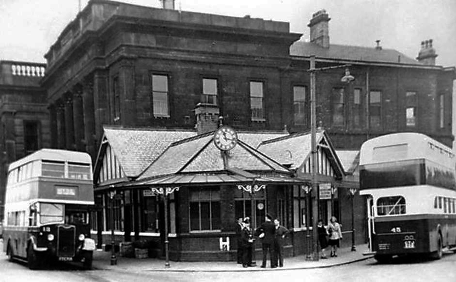
I’ll meet you under the clock.
Photo: Ron Stubley
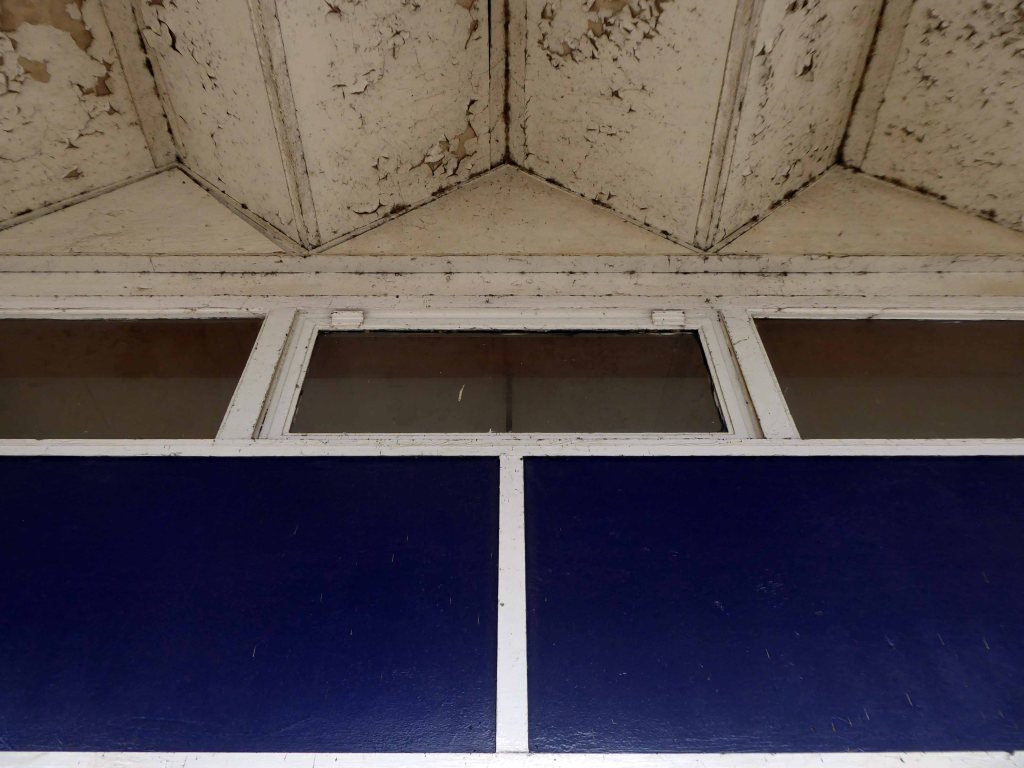
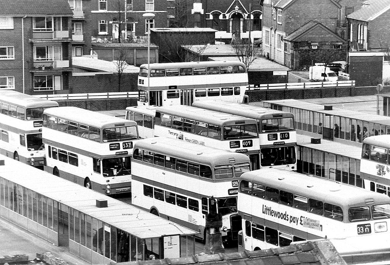
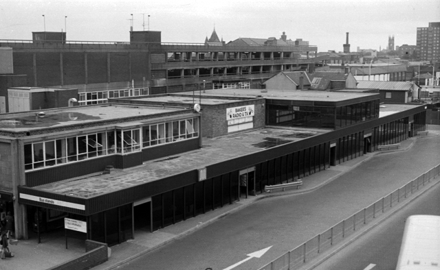
Here we see that the original shelters have been replaced and realigned.
Temporary Queensbury shelters were put in place prior to the addition of GMPTE’s standard shelters, seen in Stockport and Oldham bus stations. By the close of 1983, the recognisable GMPTE ones emerged. The cover at the precinct end was later glazed and became stands A to C.
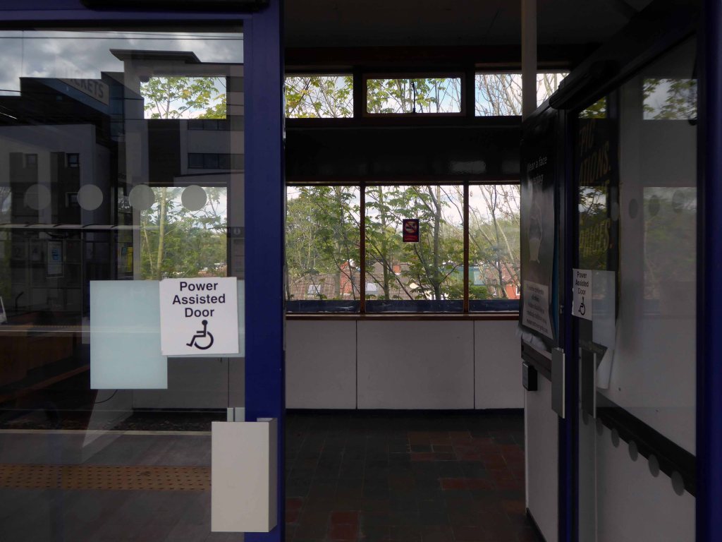
The second version of Ashton-under-Lyne’s bus station opened on the 18 March 1985. After two and a half years refurbishment work, it was opened at 11.30 by Councillor Geoffrey Brierley.
Mancunian 101
And that’s the corner where we would deck off the open backed buses, hitting the pavement at speed.
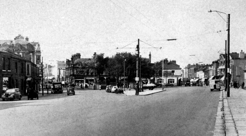
That’s the deep blue and cream Ashton livery later superseded by SELNEC, GMPTE and TFGM – the wonderful full fare, unfair world of Margaret Hilda Thatcher’s privatisation, Arriva, First and Stagecoach first.
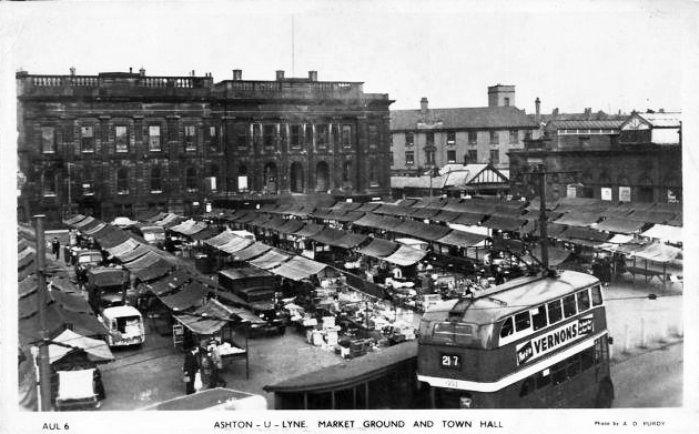
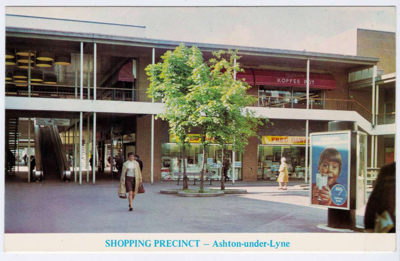
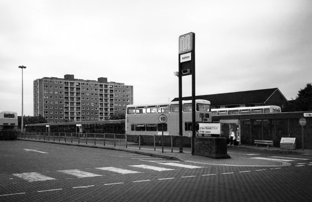
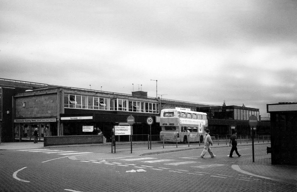
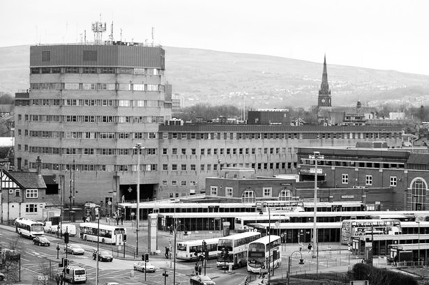
Then in the 1995 with the development of the Arcades Shopping centre, the whole site is reconfigured, now seen nestling in the shadow of the Dustbin.
Though as we know, nothing lasts forever and the shelters, passengers and buses get shunted and rebuilt yet again,
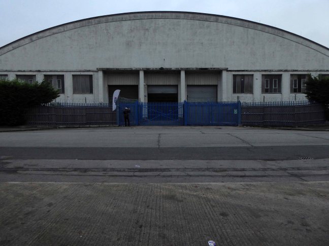
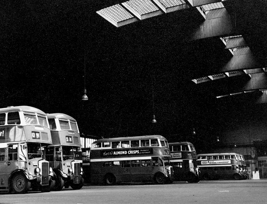
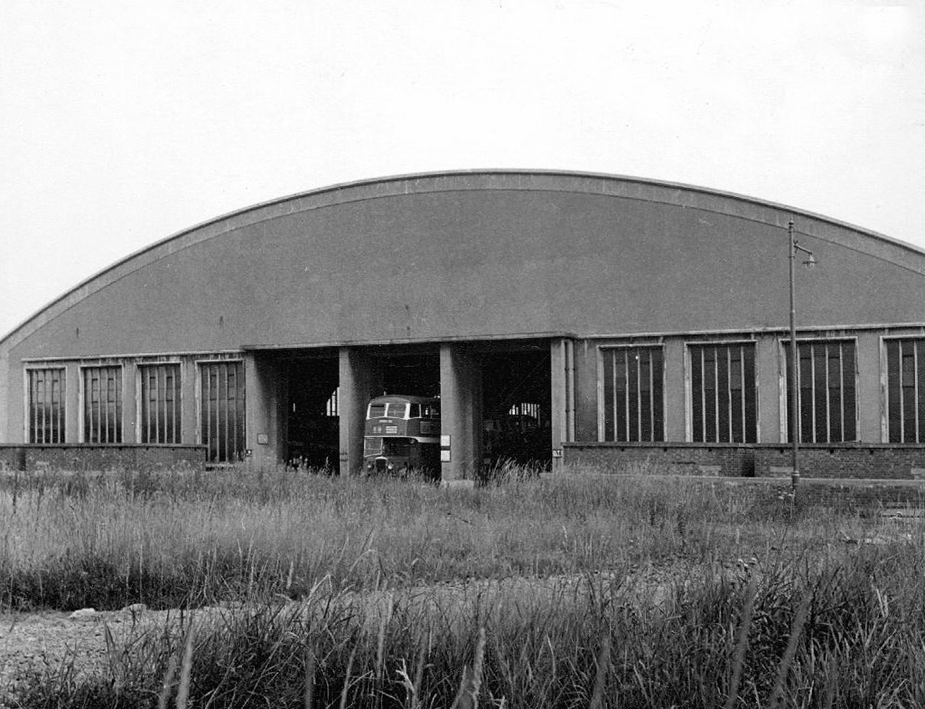
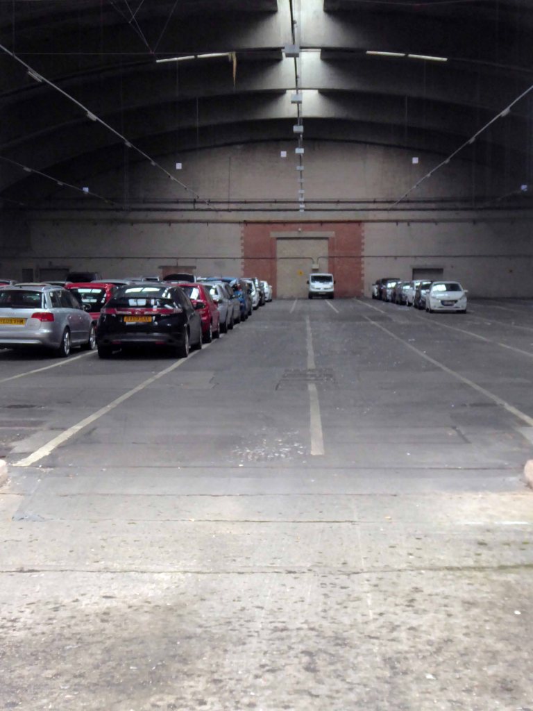
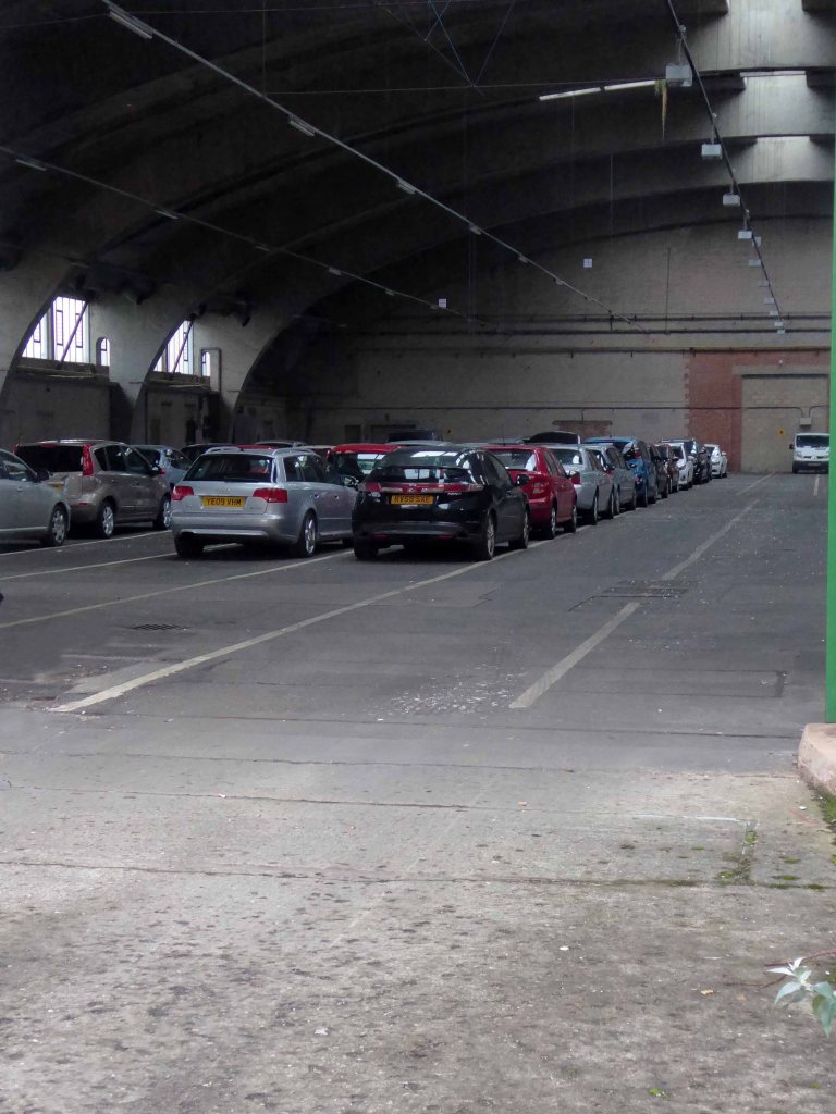
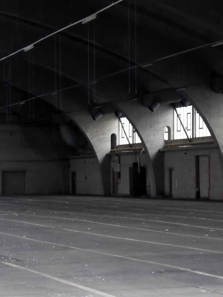
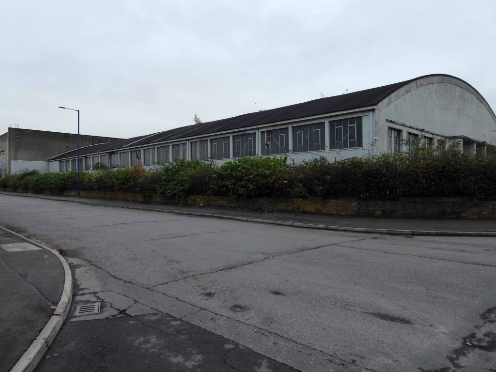
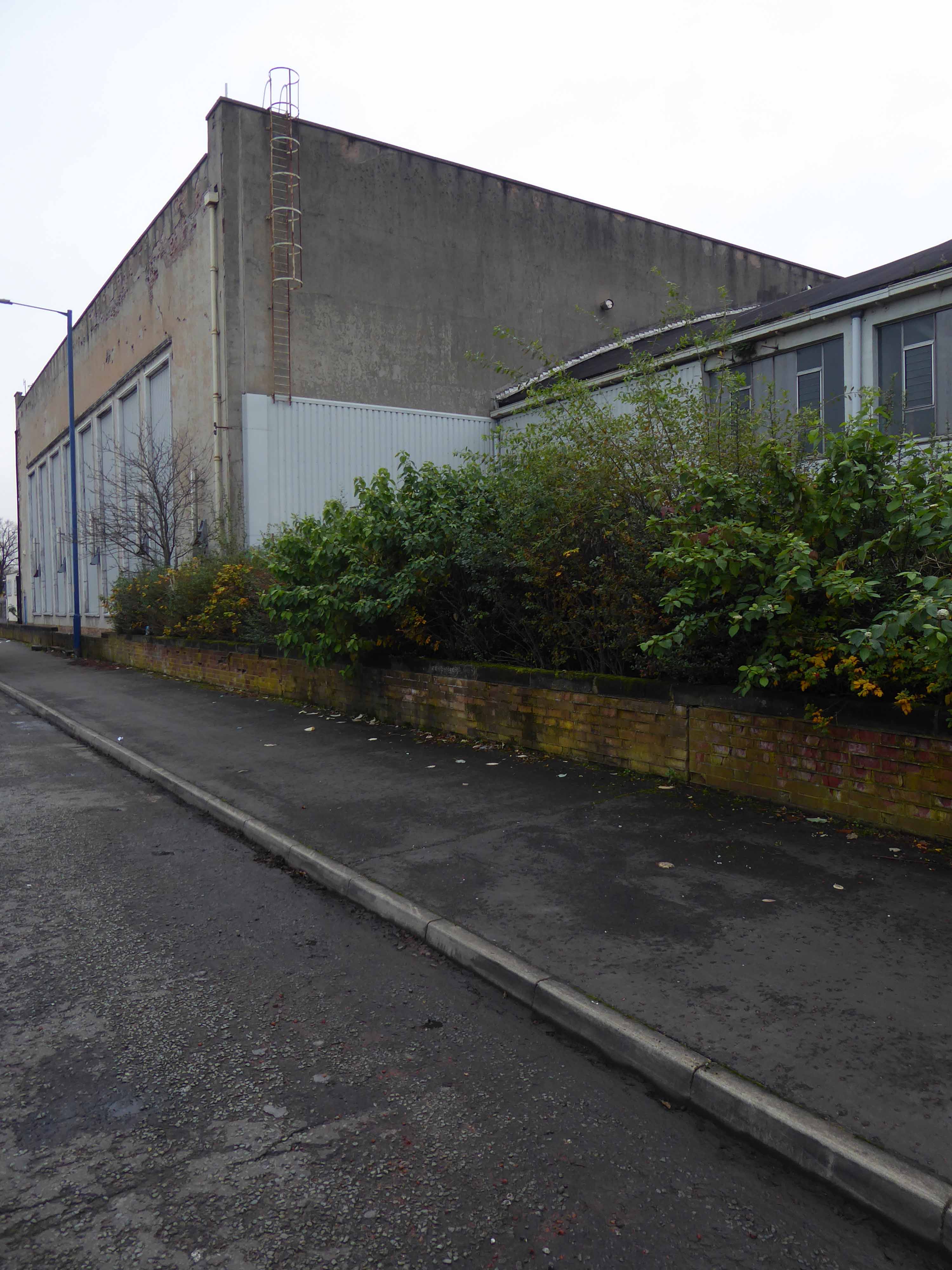
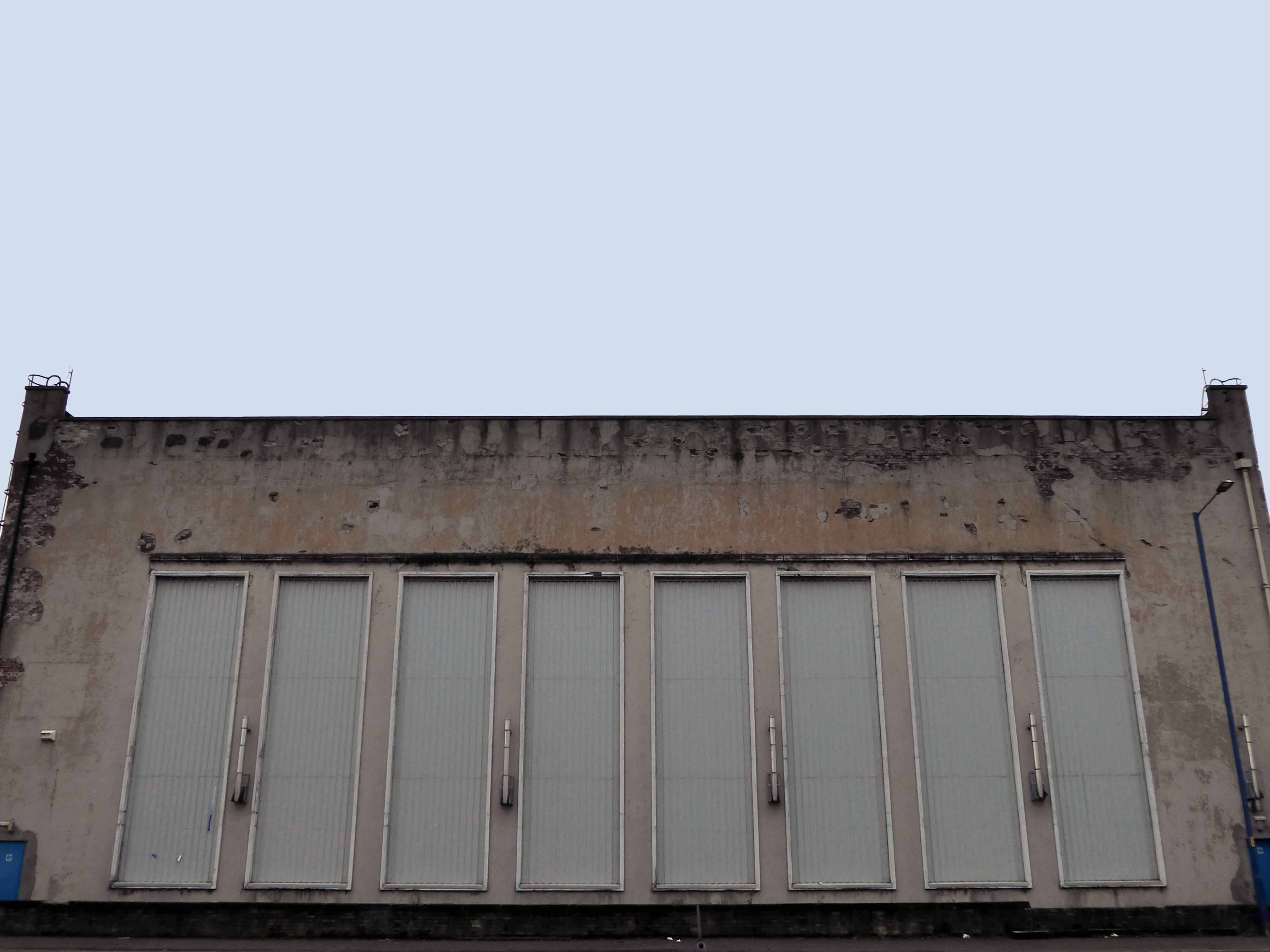
This building formed part of the later phasing of the proposed Garden Suburb of Wythenshawe. It was intended to house up to 100 double-decker buses but was put to use as a factory for components for Lancaster bombers during the war. It is included here for the functionalist qualities of the building and the acknowledgement of the daring of the City Architects Department. Academic papers, as late as 1952, cited this simple structure as exemplar of its type; Elaine Harwood notes, ‘this was the pioneering example of the means of construction, and the model for larger shells at Bournemouth and Stockwell’. The arches that support the shell have a span of over fifty metres and are spaced at twelve metre intervals. The concrete shell roof is of the short-barrel type commonly used on single span buildings such as hangars, it is uniformly around seventy millimetres thick. The only single span structure larger than this was indeed an aircraft hangar, at Doncaster Airport, demolished around 1990. This building is now in the ownership of an airport parking company that utilise it as vehicle storage; close to its original function.
Walking from our house to Sharston, this was the furthest point west – I kept on walking towards the security gates, they opened – I snapped, they closed.
This is now the home of Manchester Airport Parking – no place for a pedestrian, I walked away, slowly circumnavigating this uplifting, uplifted behemoth.
This may seem sufficient to satiate the local historian’s voracious appetite for facts and general tittle tattle, but wait.
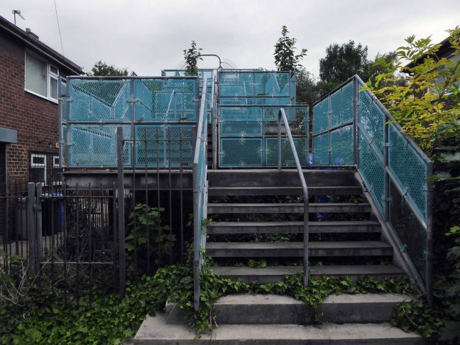
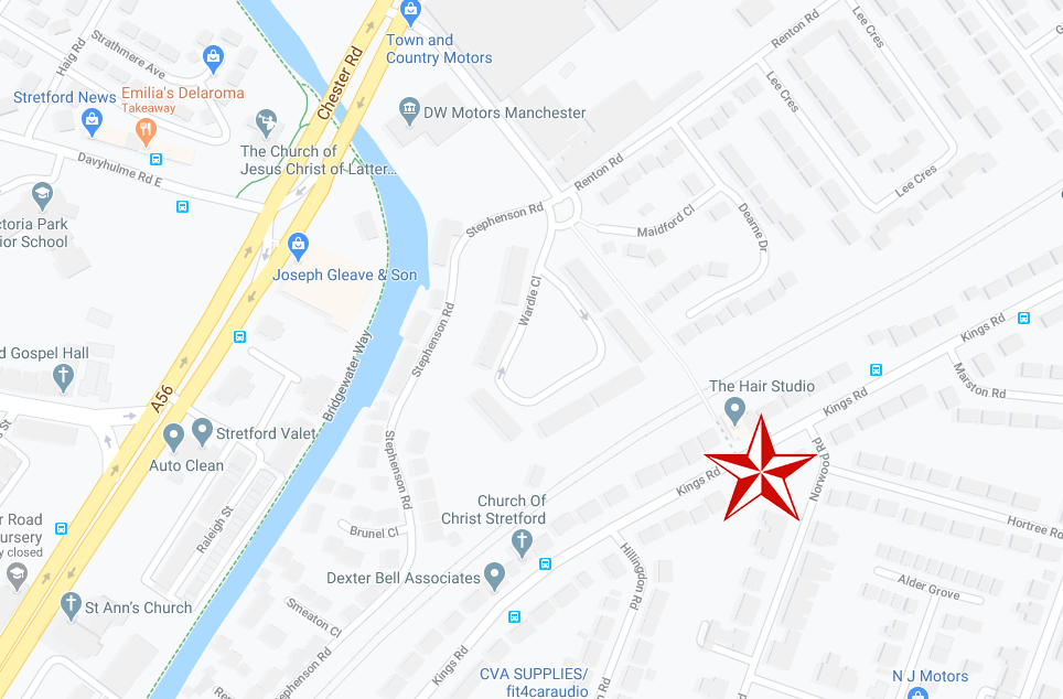
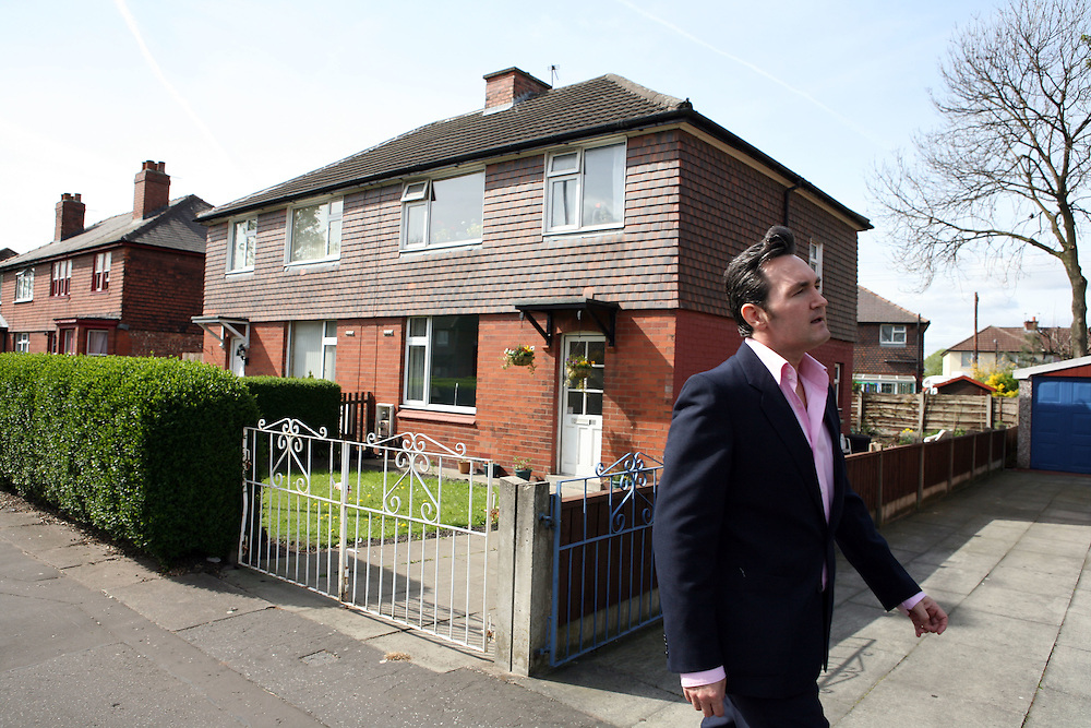
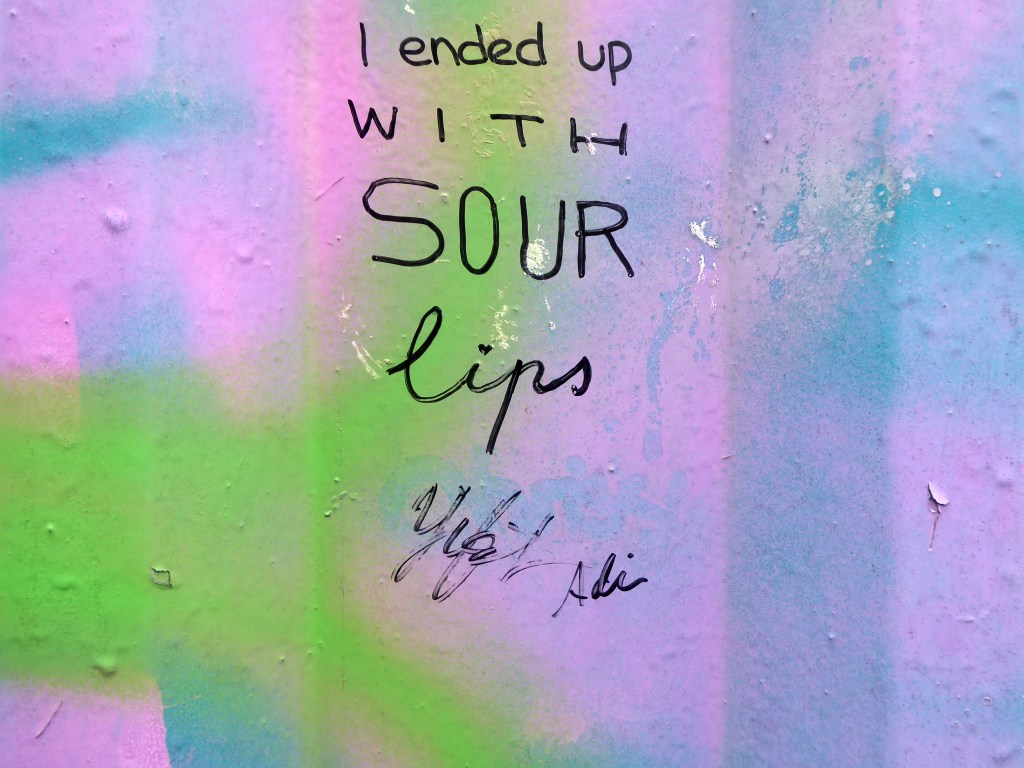
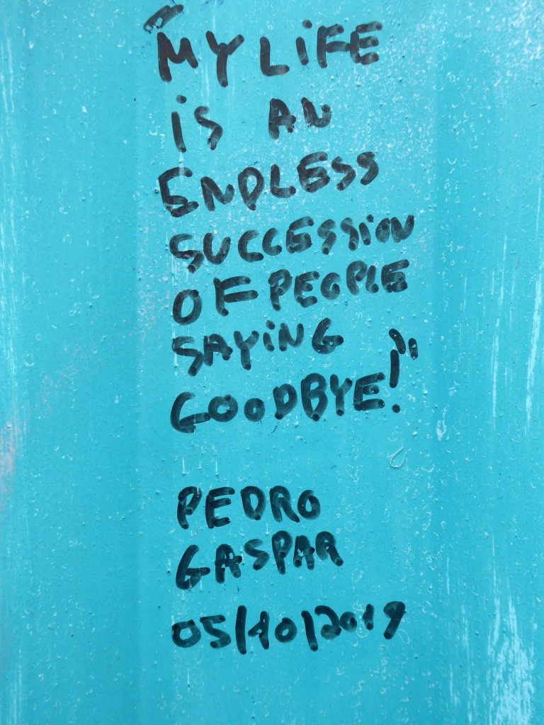
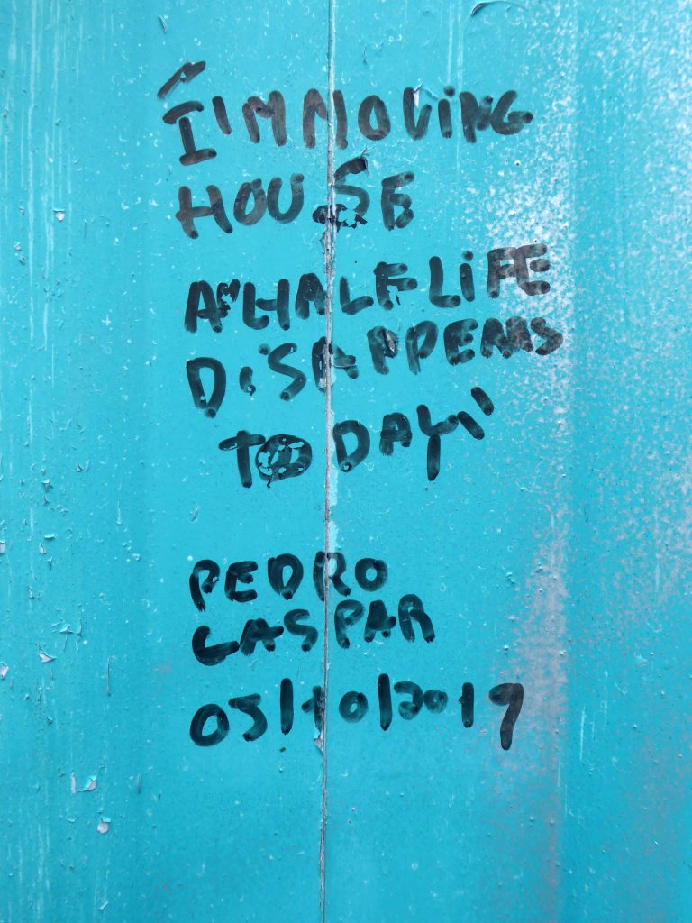
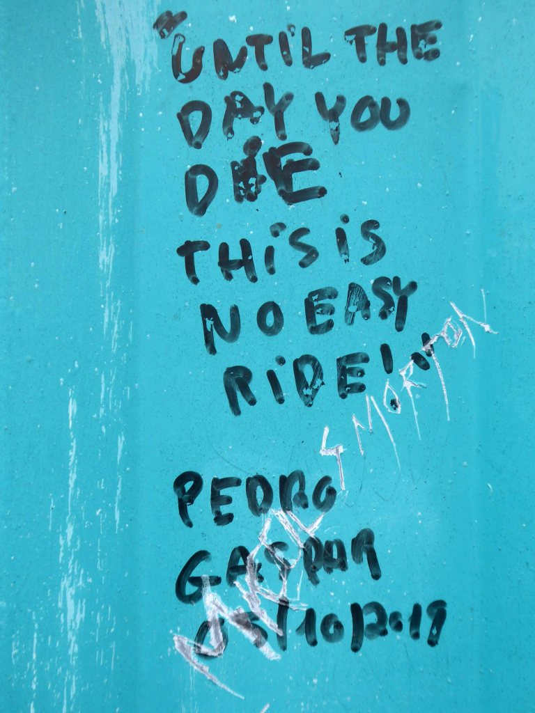
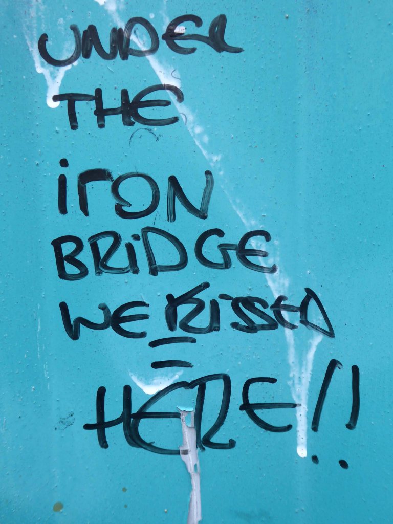
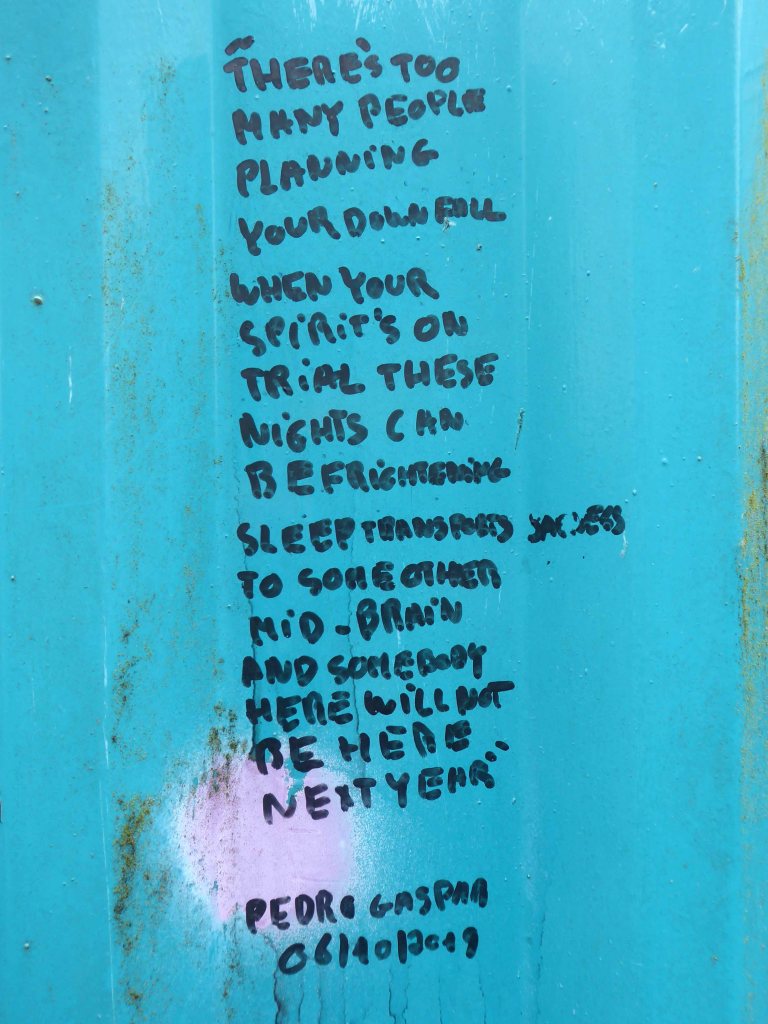
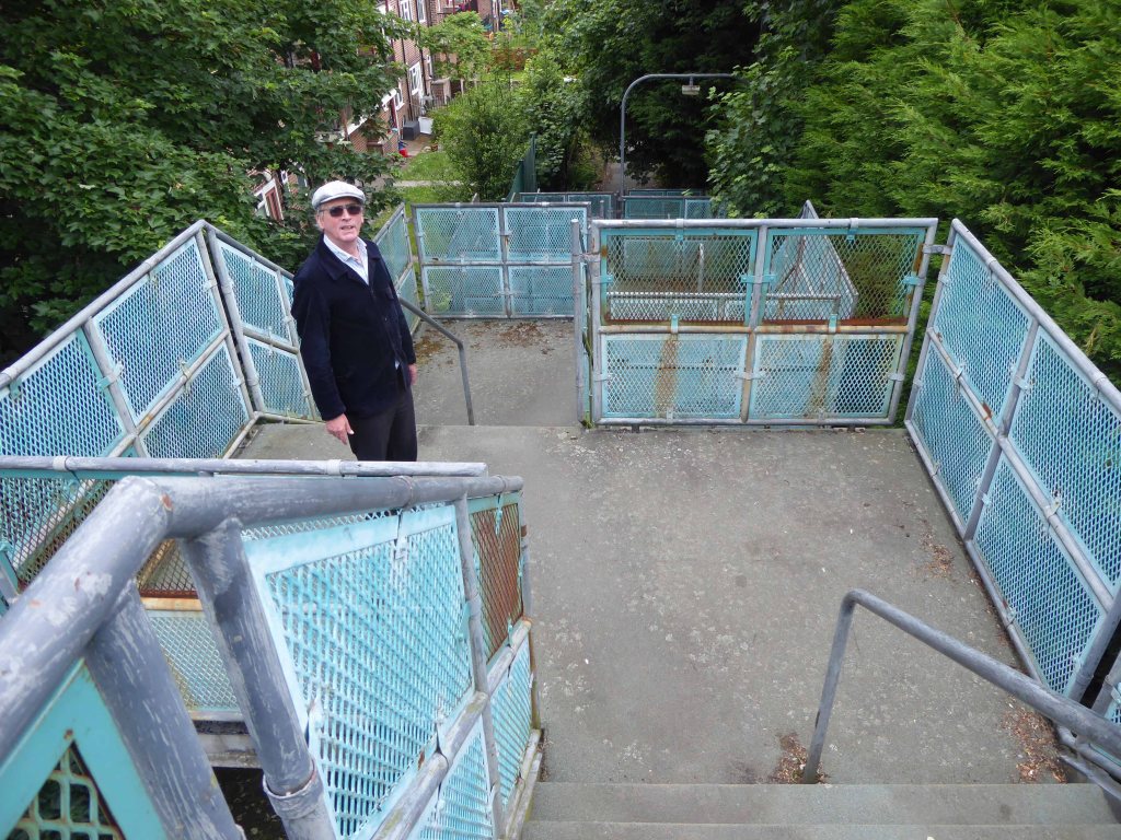
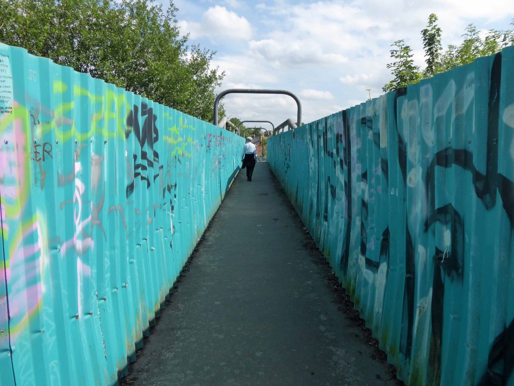
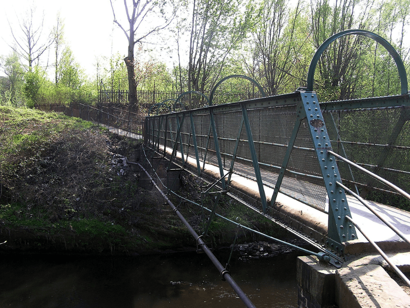
384 King’s Road was once home to pop sensation Steven Patrick Morrissey – seen here imitating himself in Elisabeth Blanchet’s photograph.
More than once this charming lad would have walked the bridge himself – on the way to goodnesses knows where.
In later life he changed his name to The Smiths and wrote a chart topping tune Still Ill name checking the Iron Bridge.
Under the iron bridge we kissed And although I ended up with sore lips It just wasn’t like the old days anymore No, it wasn’t like those days, am I still ill?
The location is now a place of pilgrimage for Morrissey’s deluded fans, who with depressing regularity, adorn the structure with their misquoted quotes.
Sun drenched faux-Californian Mr Morrissey does seem to be still ill in his own unique and unpleasant manner.
Let’s take a look at what he’s been missing.
What indifference does it make?
Self confessed Smiths sceptic Mr Mark Greer – currently incognito.
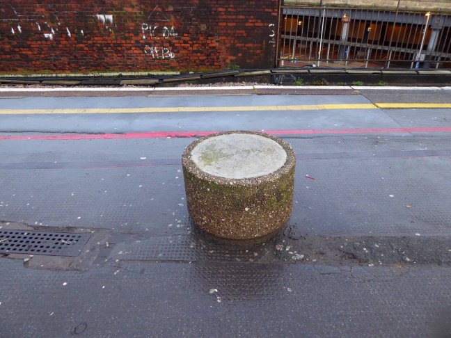
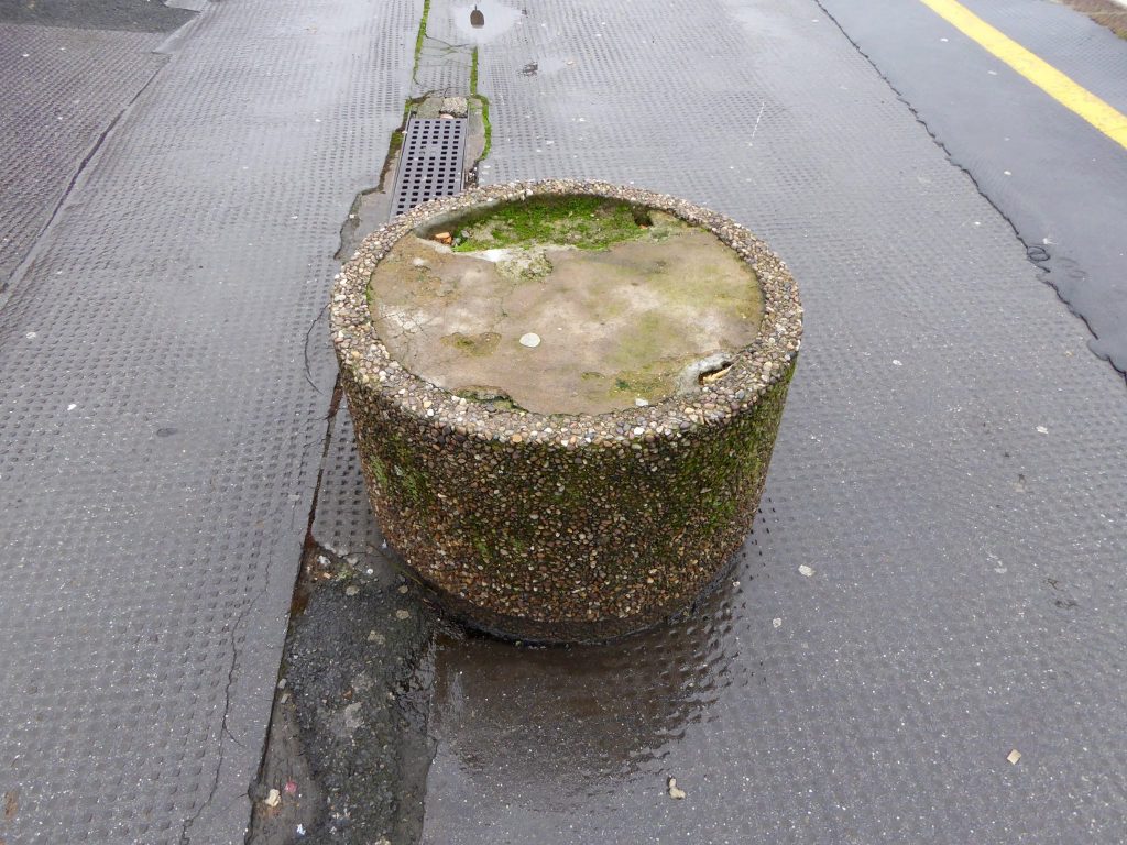
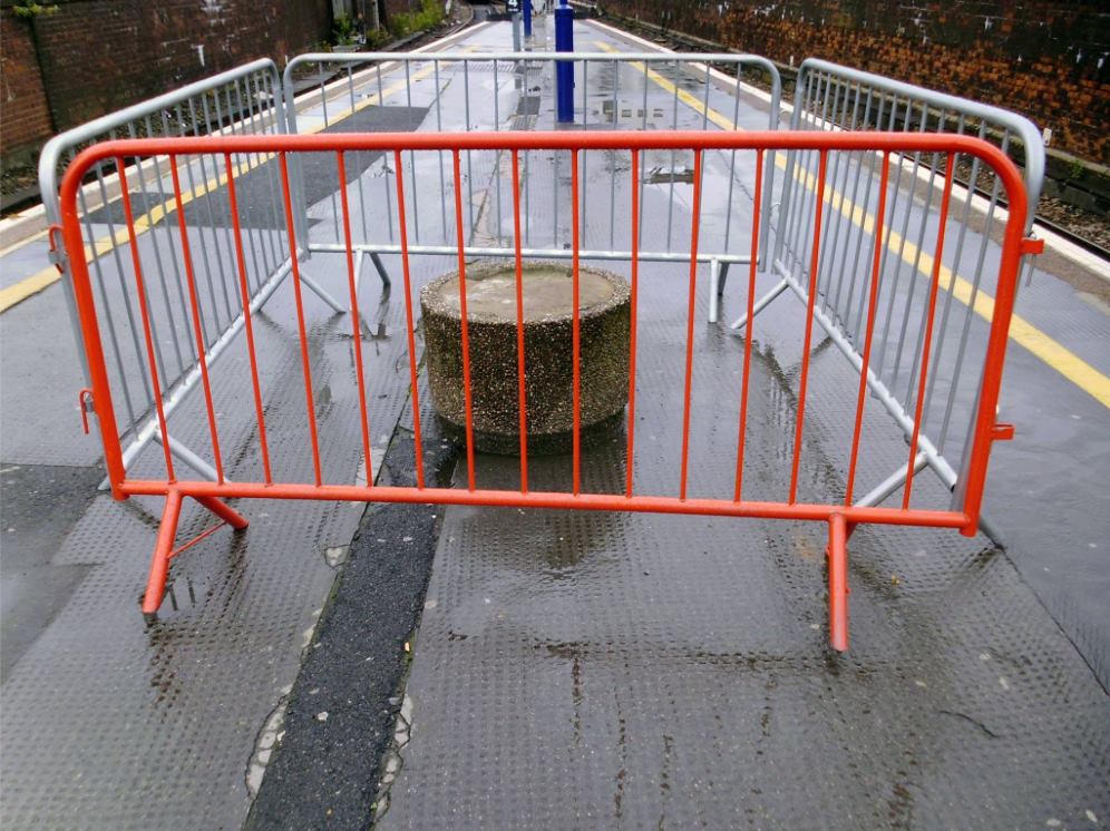
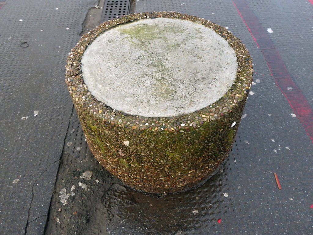
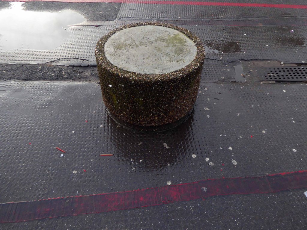
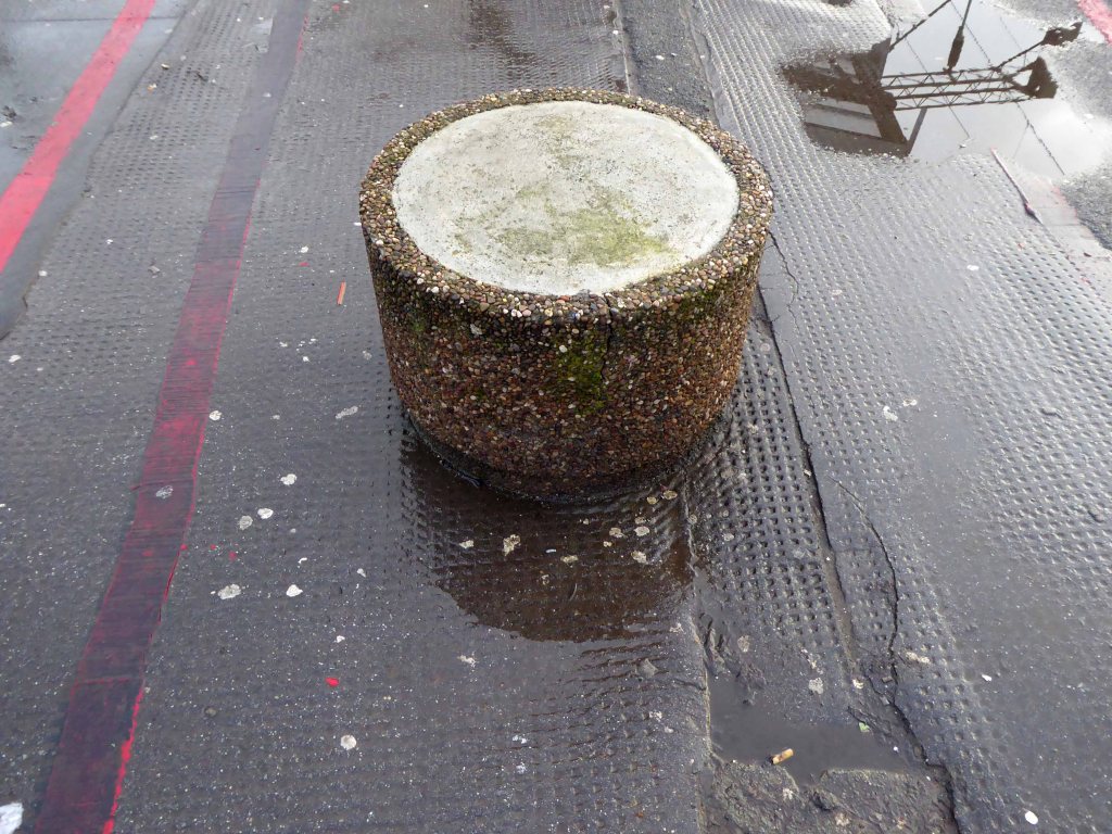
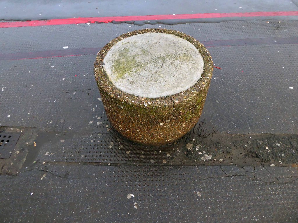
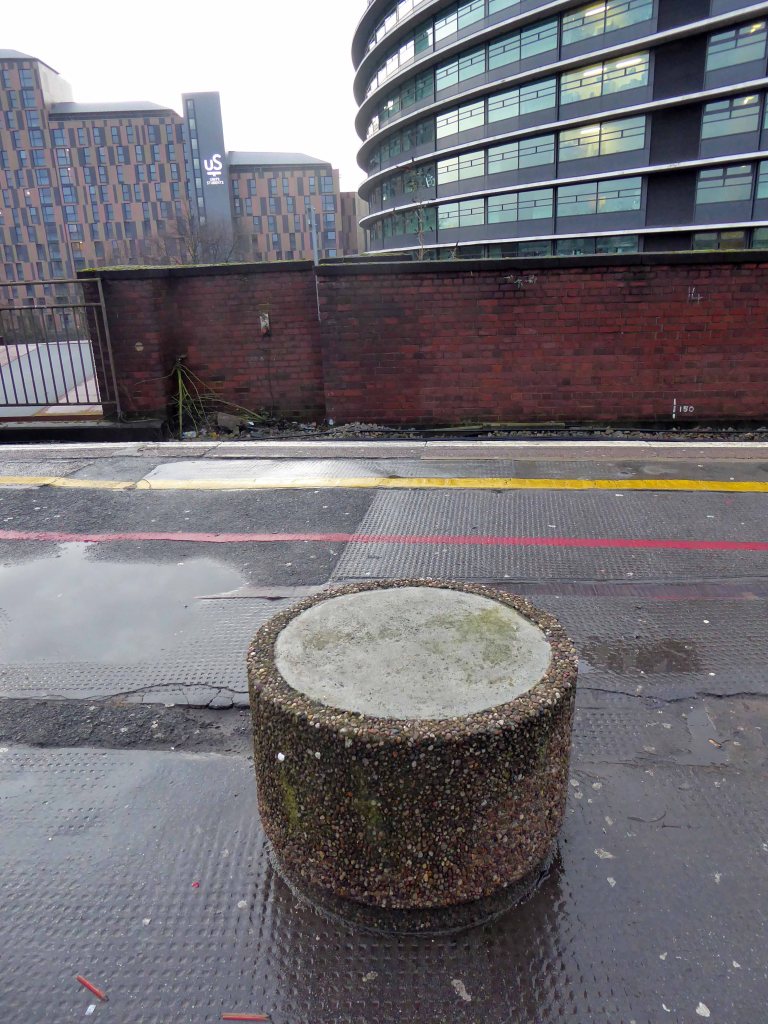
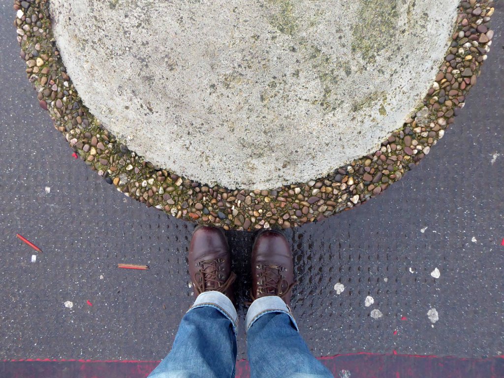
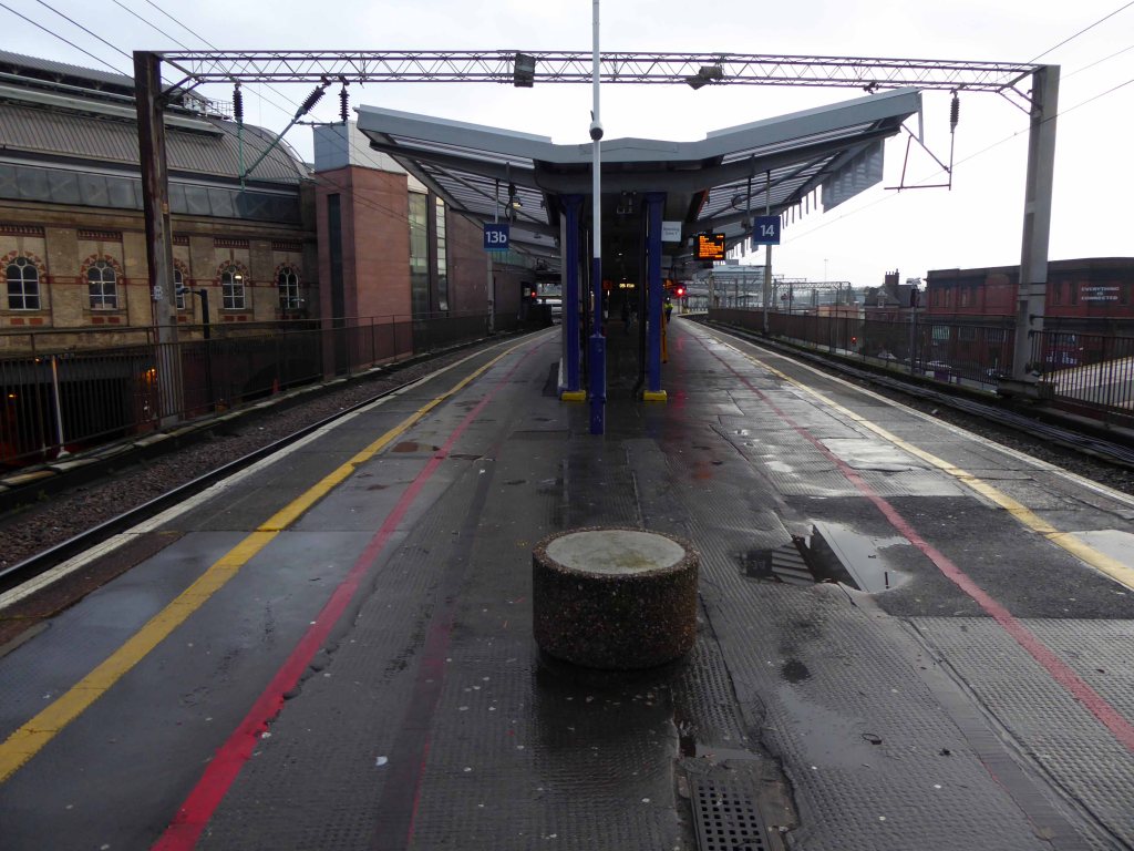
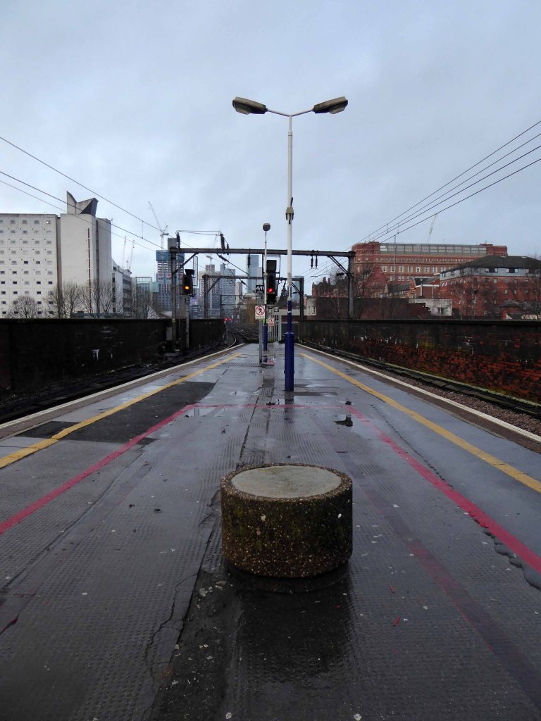
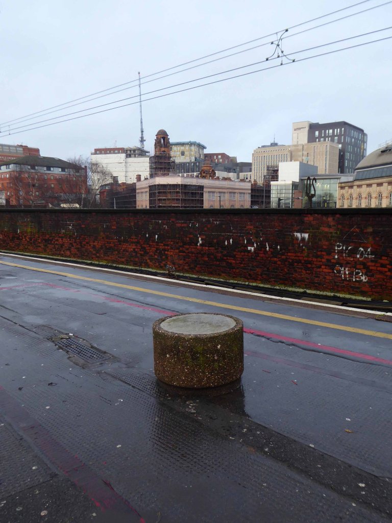
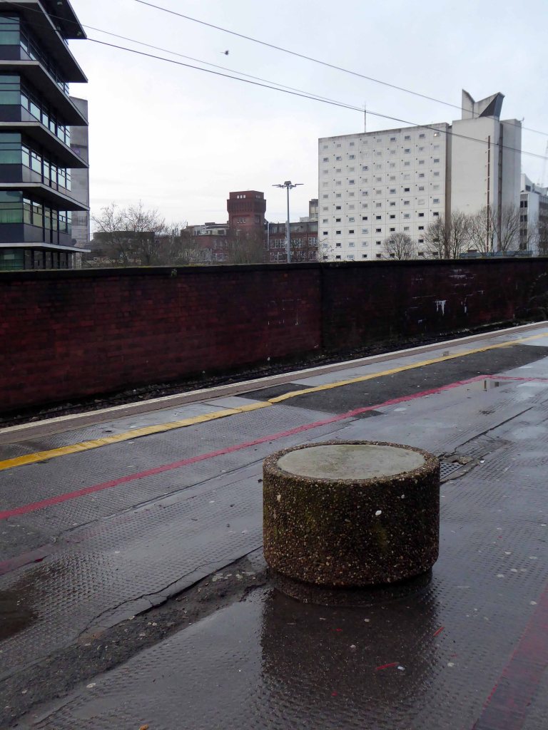
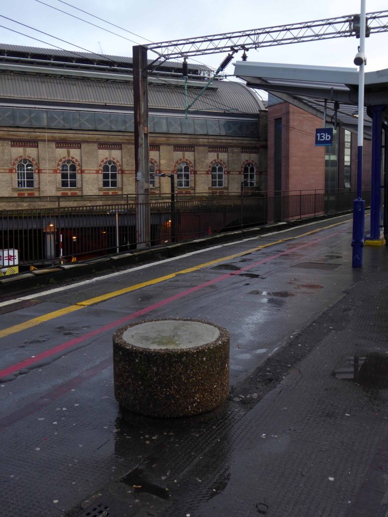
So here we are again at Piccadilly Station – stood standing at the western end of Platforms 13 and 14, waiting on a Southport train.
Time to spare and spend a few more magic moments with an old and trusted friend.
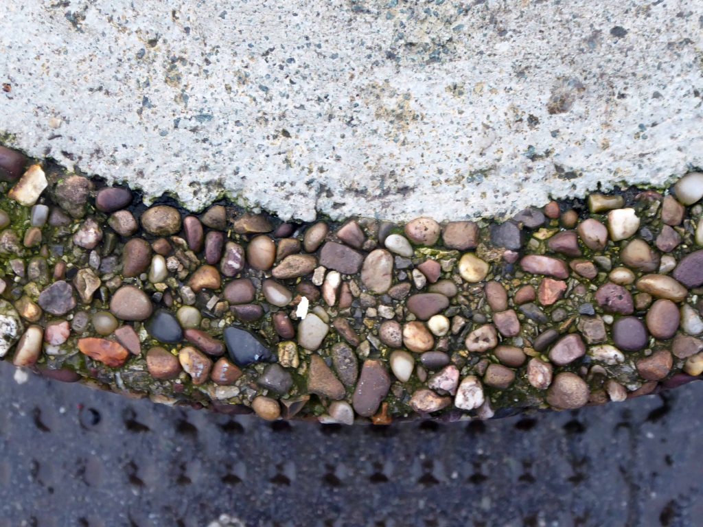
The back-filled concrete planter.
Seen here in a neglected and forlorn state, awaiting minor repairs to its upper sealed surface.
Once incarcerated and seemingly set for demolition, our diminutive concrete pal has lived to fight another day.
Standing alone in all elements, disabused by illicit smokers, grabbing a serruptitious chuff, whilst avoiding the ubiquitous Network Rail CCTV.
Sat upon by the indolent leg weary traveller, having missed yet another cancelled train.
Your days may yet be numbered, as the platforms are part of a Station upgrade – the platforms are not thought to be commodious by the majority of train users.
I for one shall campaign for your preservation and reinstatement – right at the heart of matters.
My personal, totemic modernist work of public art.
Once upon a time there was almost nothing, as there often is.
Green fields, sylvan glades and a pleasant park in Grosvenor Square.
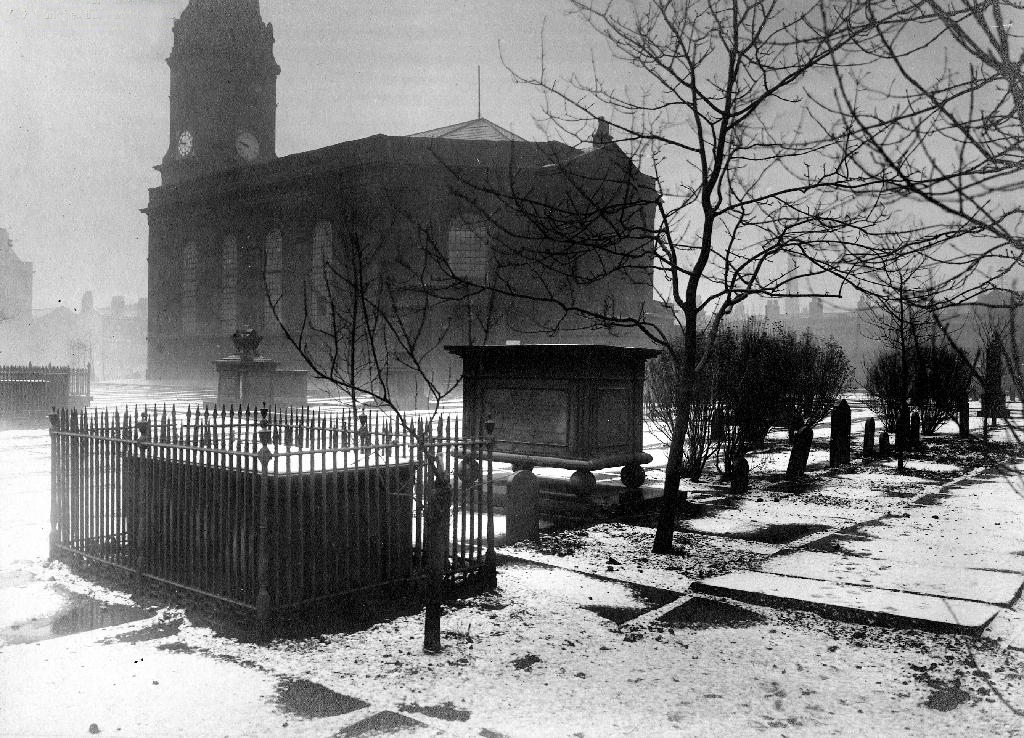
Then all of a sudden, at the heart of the Square sat All Saints Church.
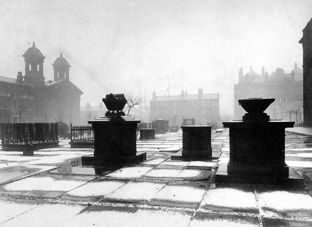
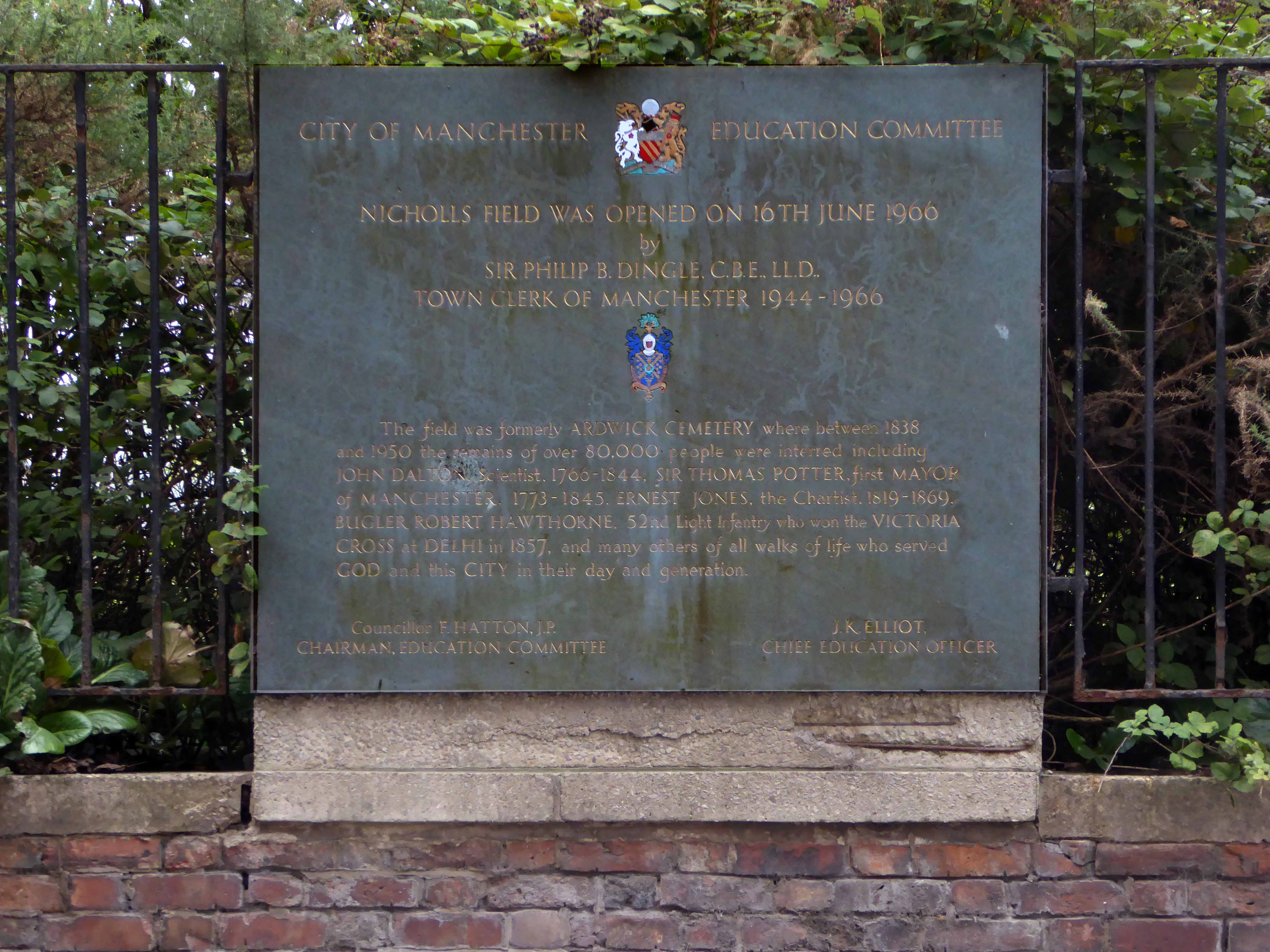
Underneath Manchester’s All Saints Park is a hidden history – an estimated 16,000 bodies. For this was the site of a former Victorian Cemetery, set up to cater for the parishioners of All Saints.
All Saints Burial Ground officially opened on Wednesday 19 April 1820. The first interment was that of twenty-one-year-old Fanny Knowles, who lived on London Road. Her funeral was conducted by the founder himself, Charles Burton. It would be another month before the next interment took place. In the first year burials were slow with only 55 interments, however, by 1851 the number had increased to over 600 per annum.
The whole area having been a centre of housing, education, entertainment, commerce, public services and worship, was becoming the fiefdom of first the Polytechnic and subsequently the Manchester Metropolitan University.
But formerly there were peoples’ homes here.
Then the 1960s saw a huge programme of slum clearance in Manchester and whole communities across the Square and nearby Hulme were moved, rehoused in a thoroughly modern milieu.
Shops came and went.
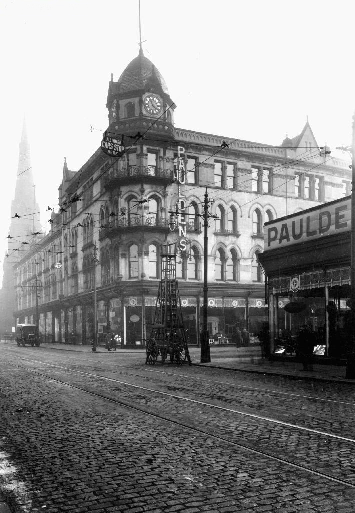
Paulden’s magnificent store was destroyed by fire in 1957
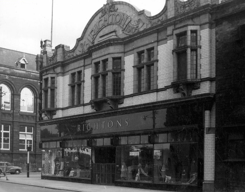
Rightons haberdashers has survived though no longer haberdashing, having been amalgamated into MMU.
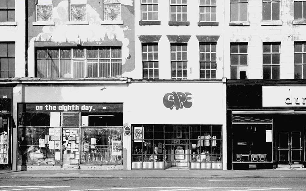
One day On The Eight day moved a little to the left
The fascia has been retained but the name has not been changed to protect the innocent.
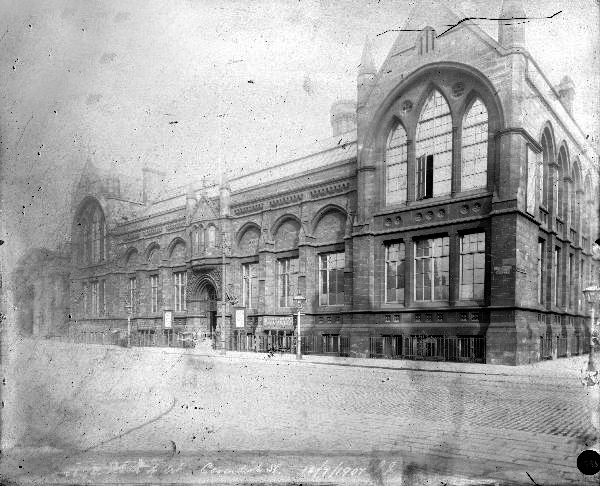
Next door the Chorlton on Medlock town hall still has its portico in place, the adjacent Adult Education building has been surgically removed.
Richard Lane, the architect of the Friend’s Meeting House on Mount Street, designed the Chorlton-on-Medlock Town Hall on Grosvenor Street. It continued in that role from 1831 until 1838 when Chorlton-on-Medlock became part of the city of Manchester. In the years that followed it was used by the local community for a variety of functions but the redevelopment of the area meant that the local population diminshed and the building became redundant. In 1970, the interior was removed, a new structure added to the rear and it became part of the Polytechnic which became the Manchester Metropolitan University.
The Fifth Pan African Conference was held there between October 15th and 21st in 1945.Ninety delegates from across Africa, Europe and the Caribbean, attended the meeting and among the delegates were a number of men who went on to become political leaders in their countries including: Hastings Banda, Dr Kwame Nkrumah, Obafemi Awolowo and Jomo Kenyatta.
Former Chorlton Poor Law Guardian’s HQ then Registry Office, now the Ormond Building of Metropolitan University – and at the far right edge St Augustine RC.
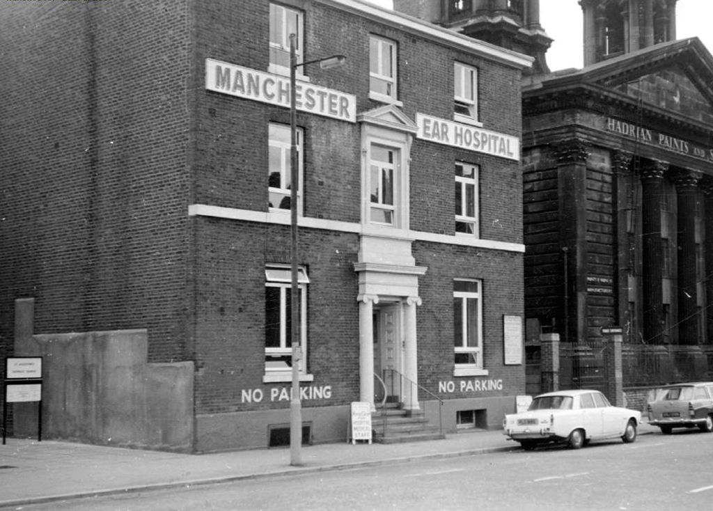
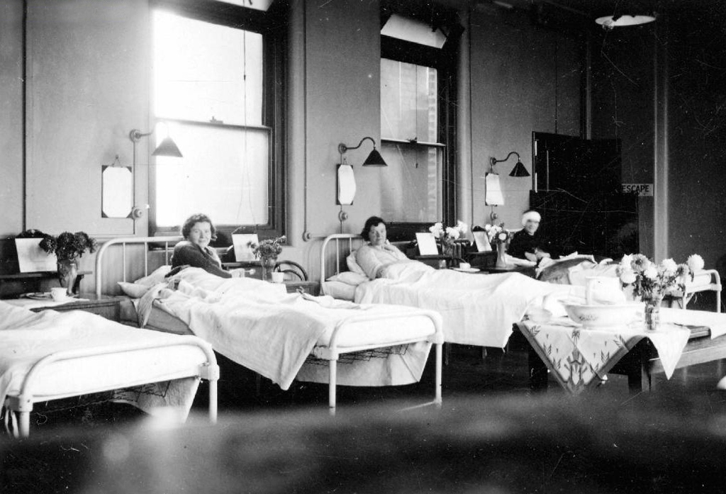
The Manchester Ear Hospital on Lower Ormond Street, shortly before being transferred to Manchester Royal Infirmary. Most of the building was demolished, but the facade retained as part of MMU’s Bellhouse Building.
To the right the Presbyterian Church.
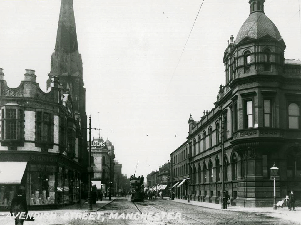
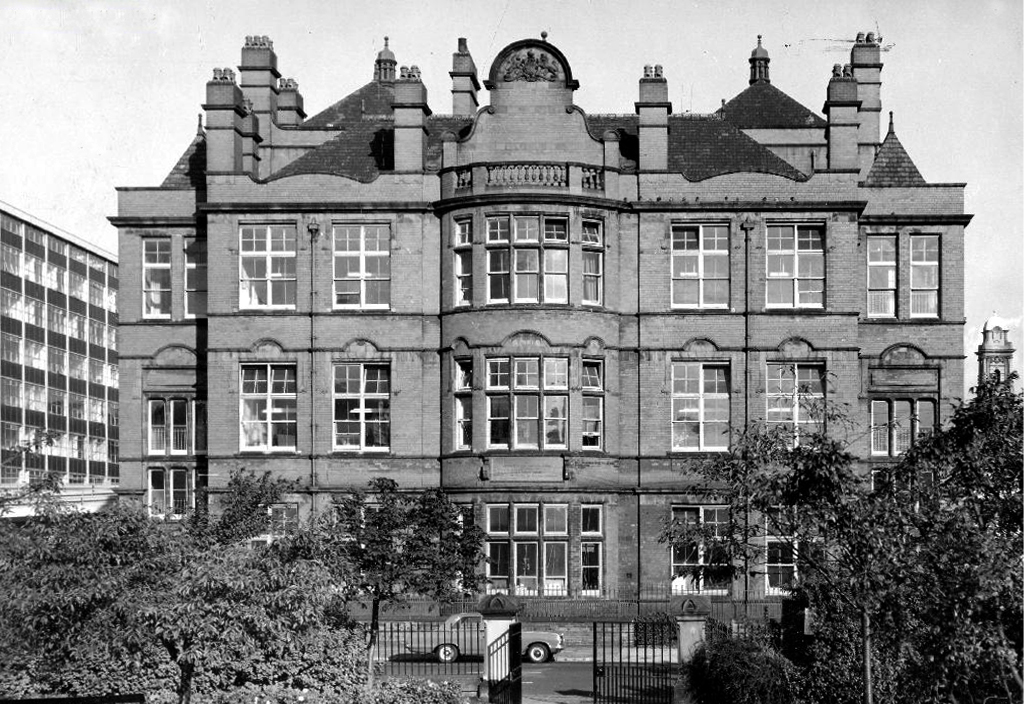
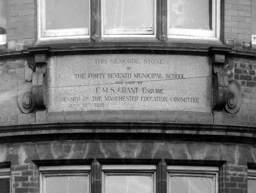
Cavendish Street School
The memorial stone on the front of the school, laid on June 17th, 1908, declared that it was the Forty Seventh Municipal School. Strangely, it seems that it was called the Cavendish Street School despite the fact that it wasn’t on Cavendish Street.
Manchester History
It was subsequently utilised by the Polytechnic sculpture department – then demolished to make way for something else of an educational nature.
Some or all of our social and architectural history has been overwritten, lost or swept aside by the tide of history.
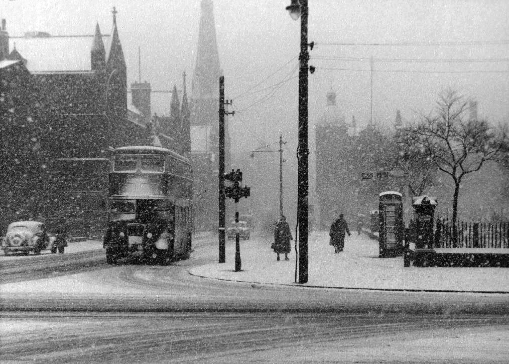
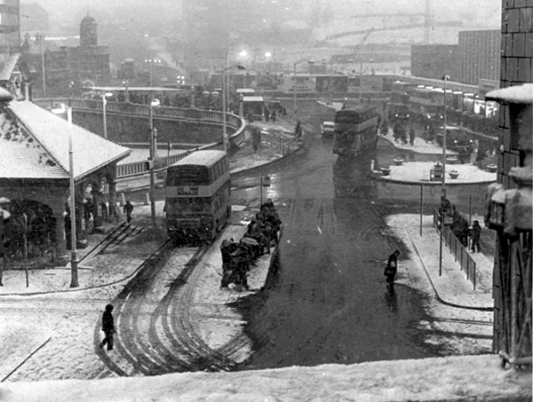
Though on a dark snowy night you can still make out the bright red corporation buses, passing by in a dark cloud of diesel.
Where the Victorians modelled their stations on cathedrals, temples and palaces.
Modern Man models his on shopping centre and office blocks.
Richards and MacKenzie – The Railway Station
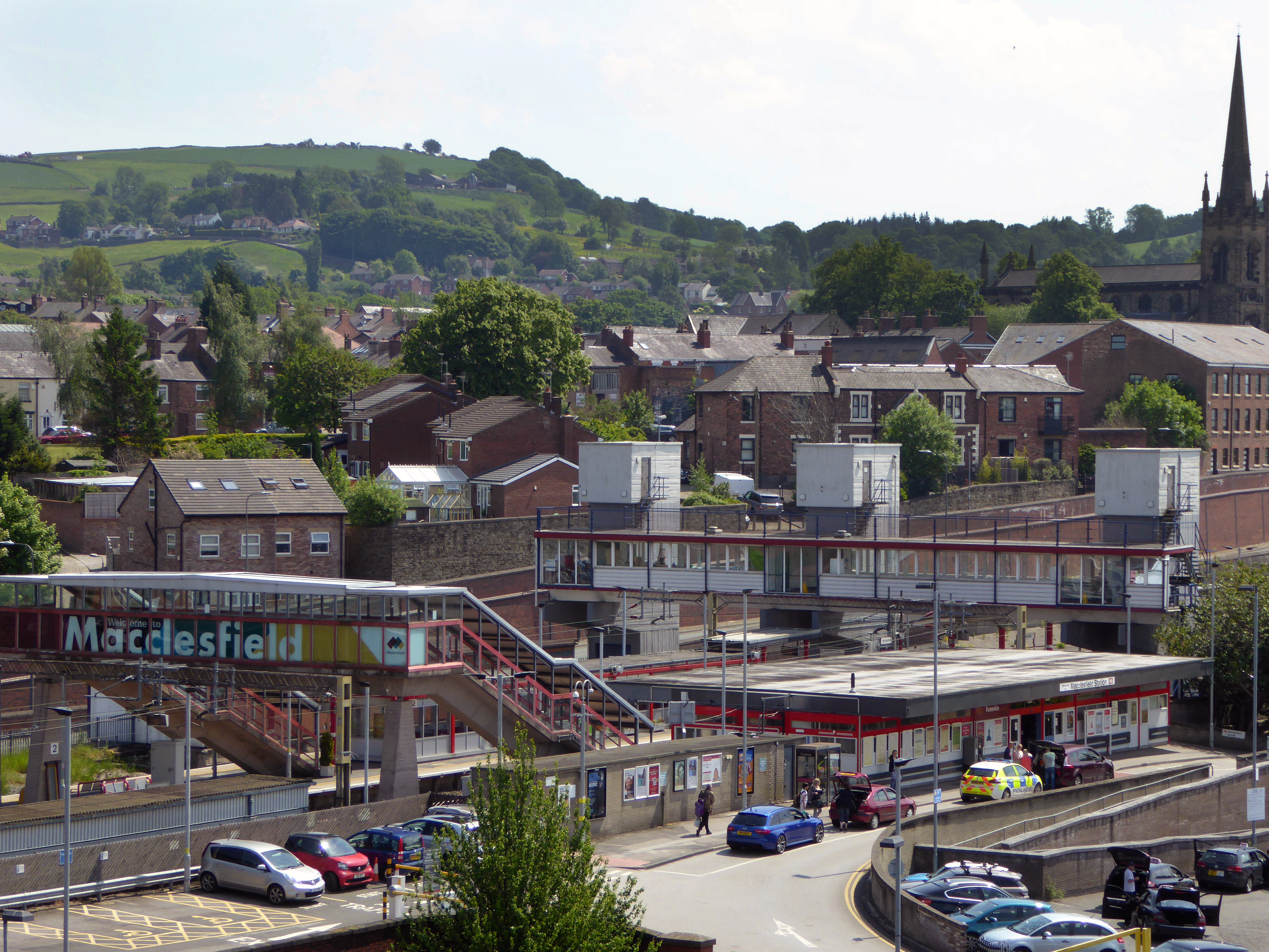
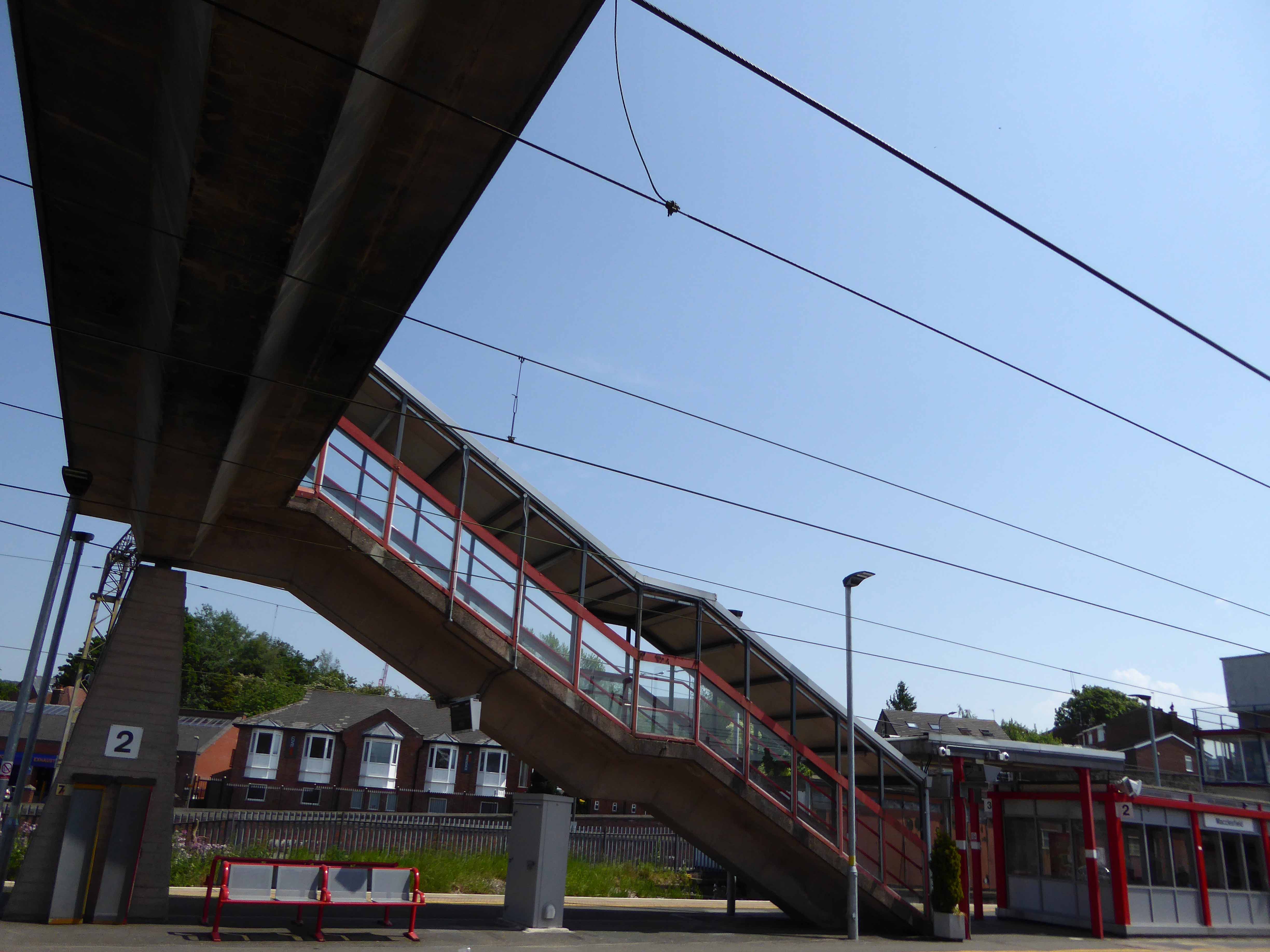
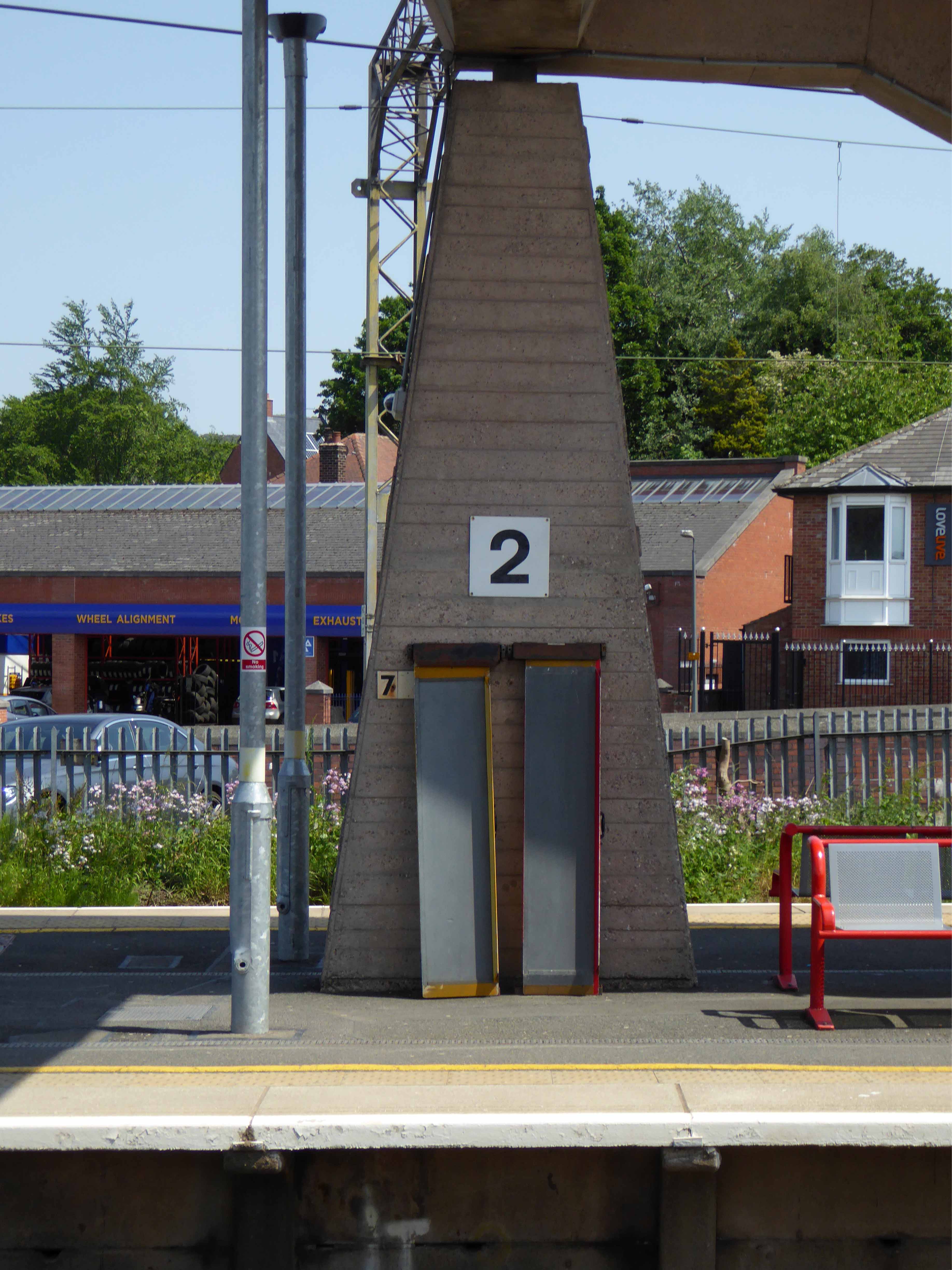
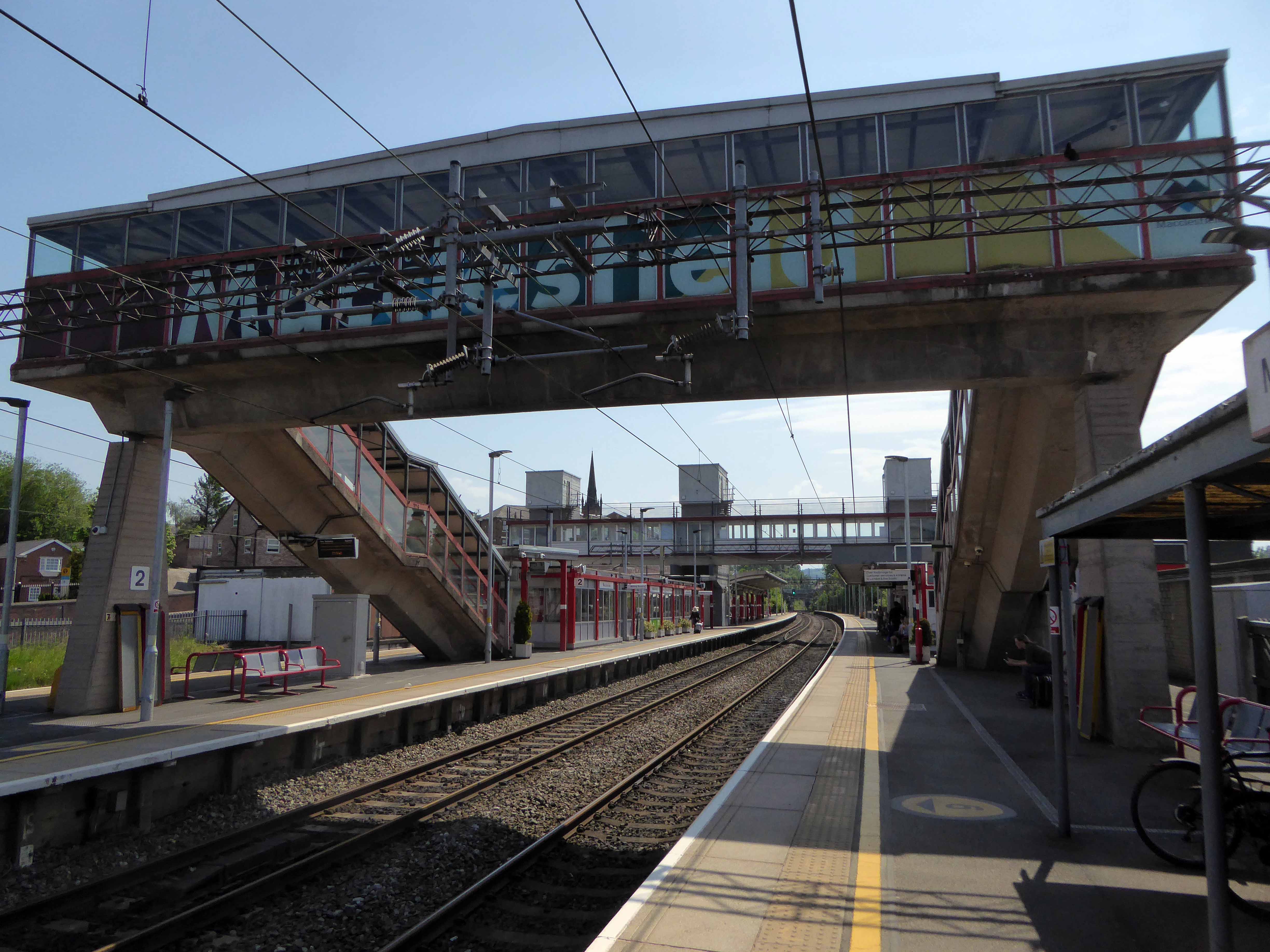
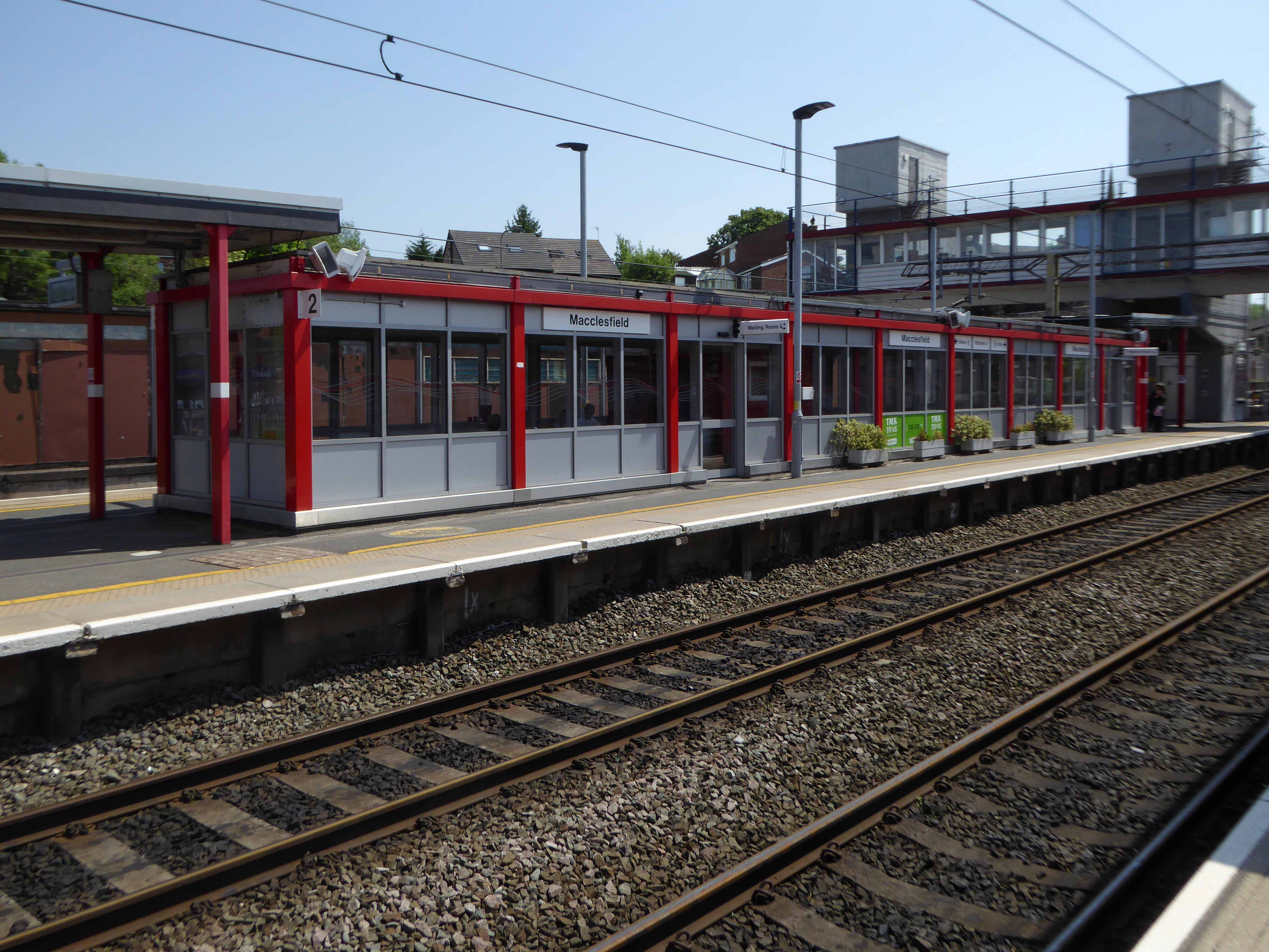
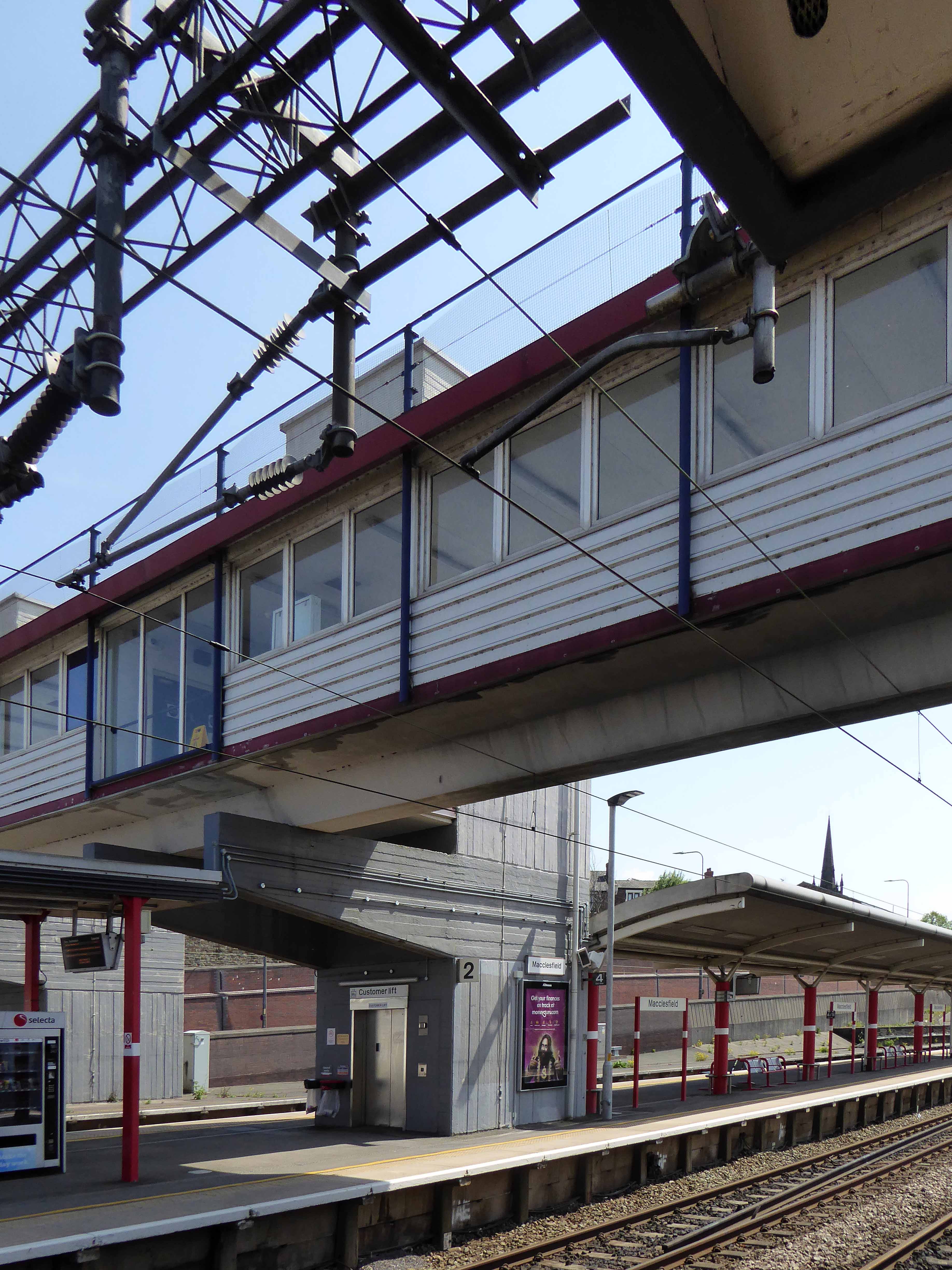
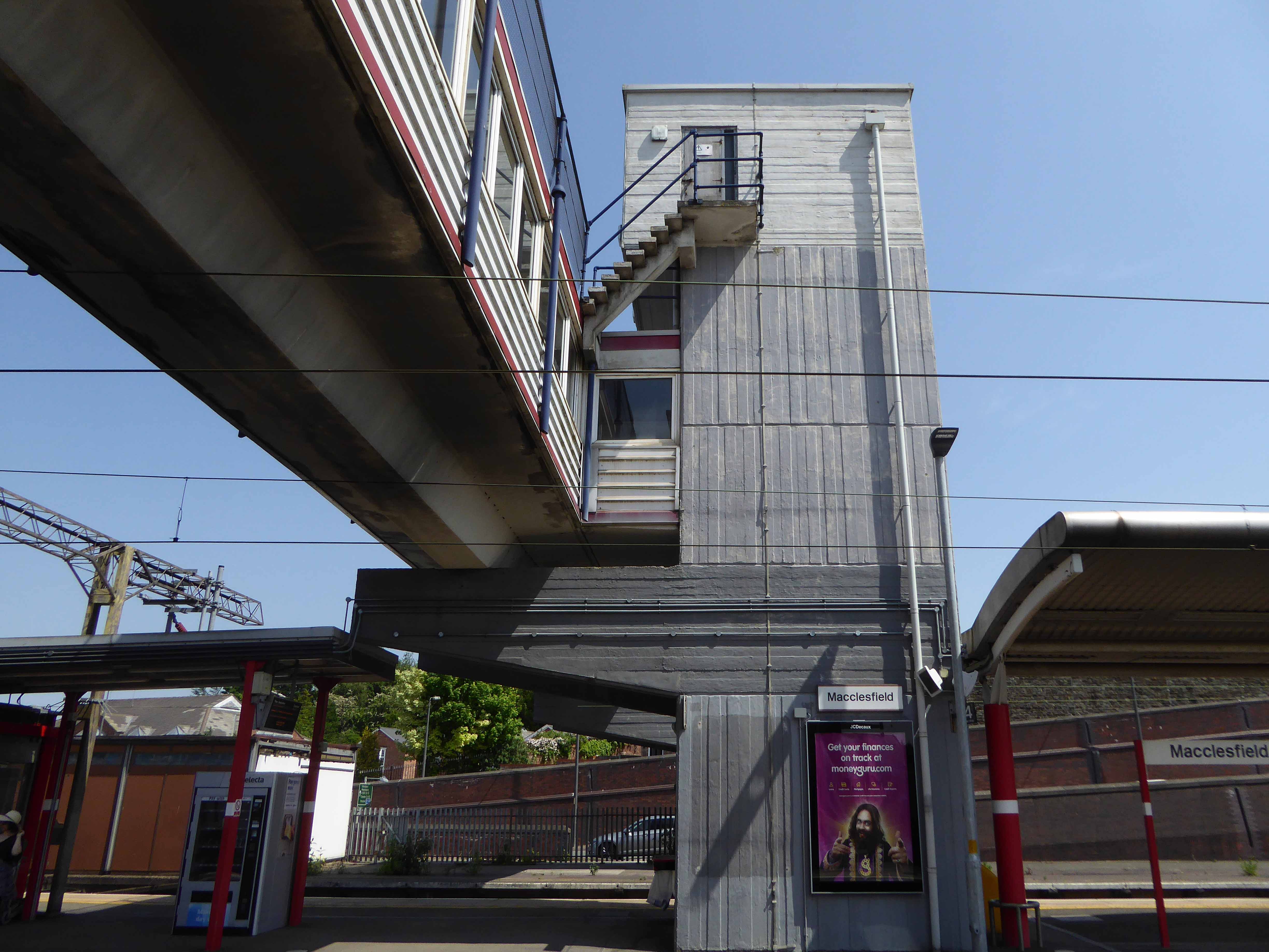
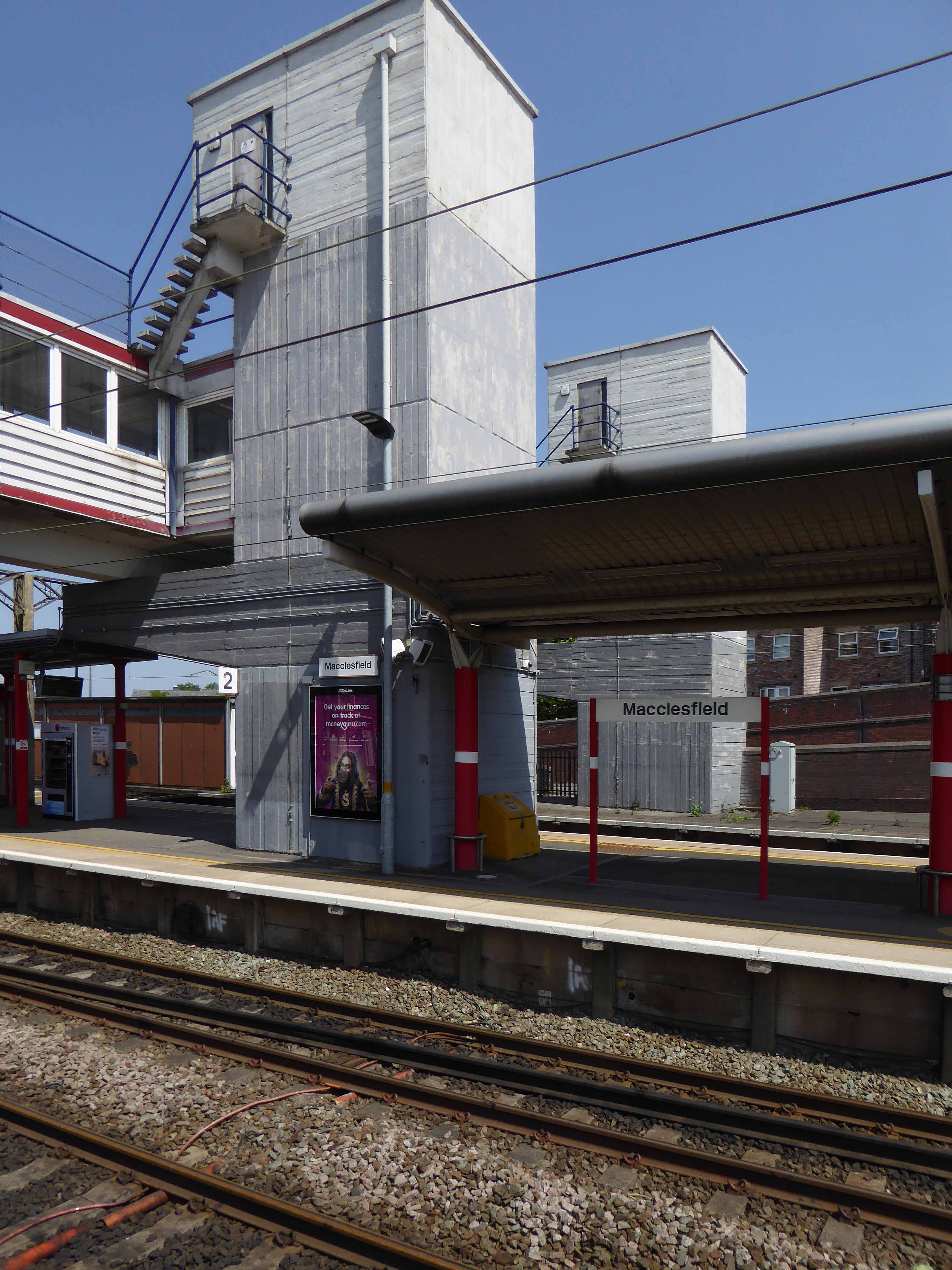
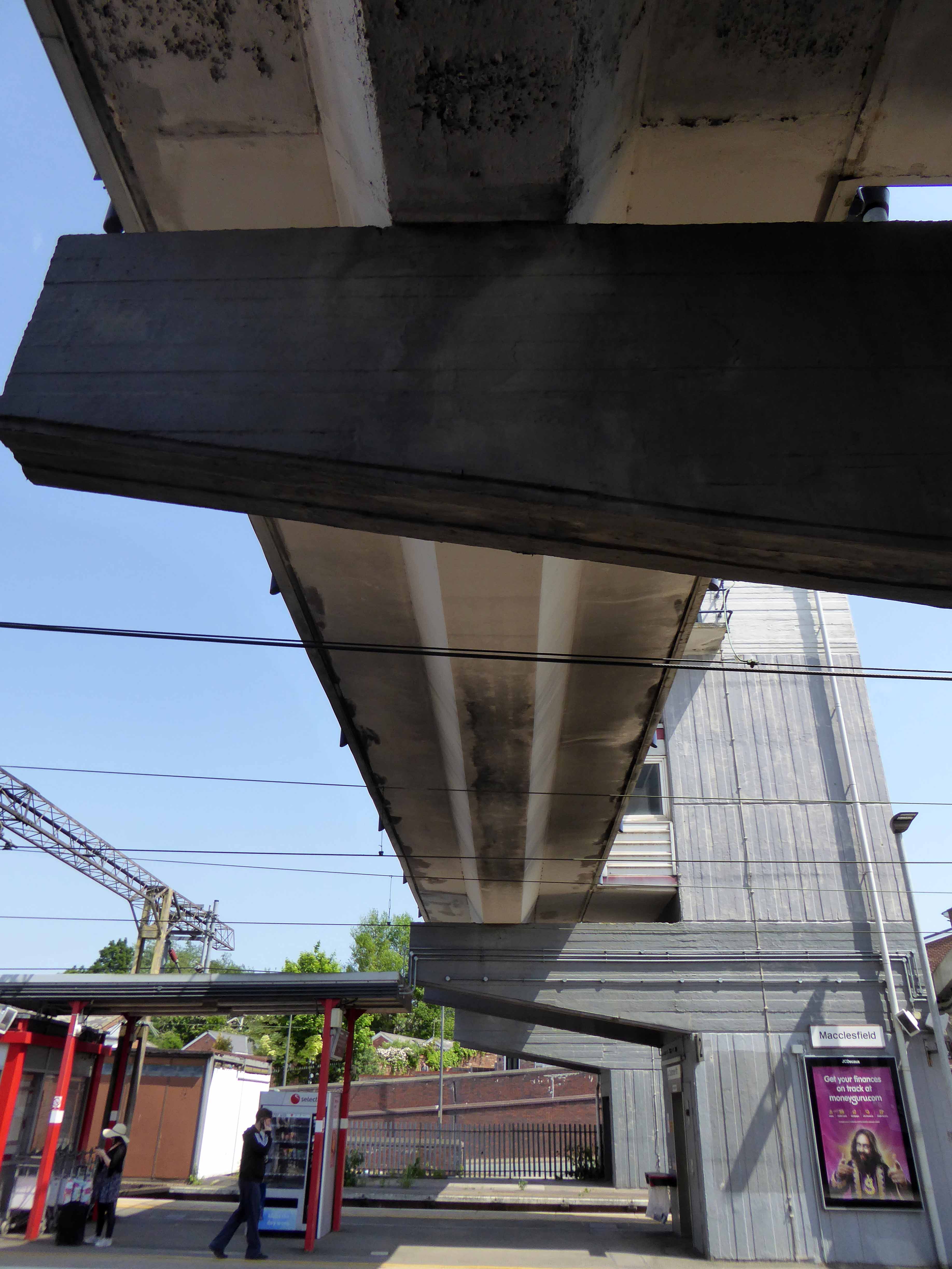
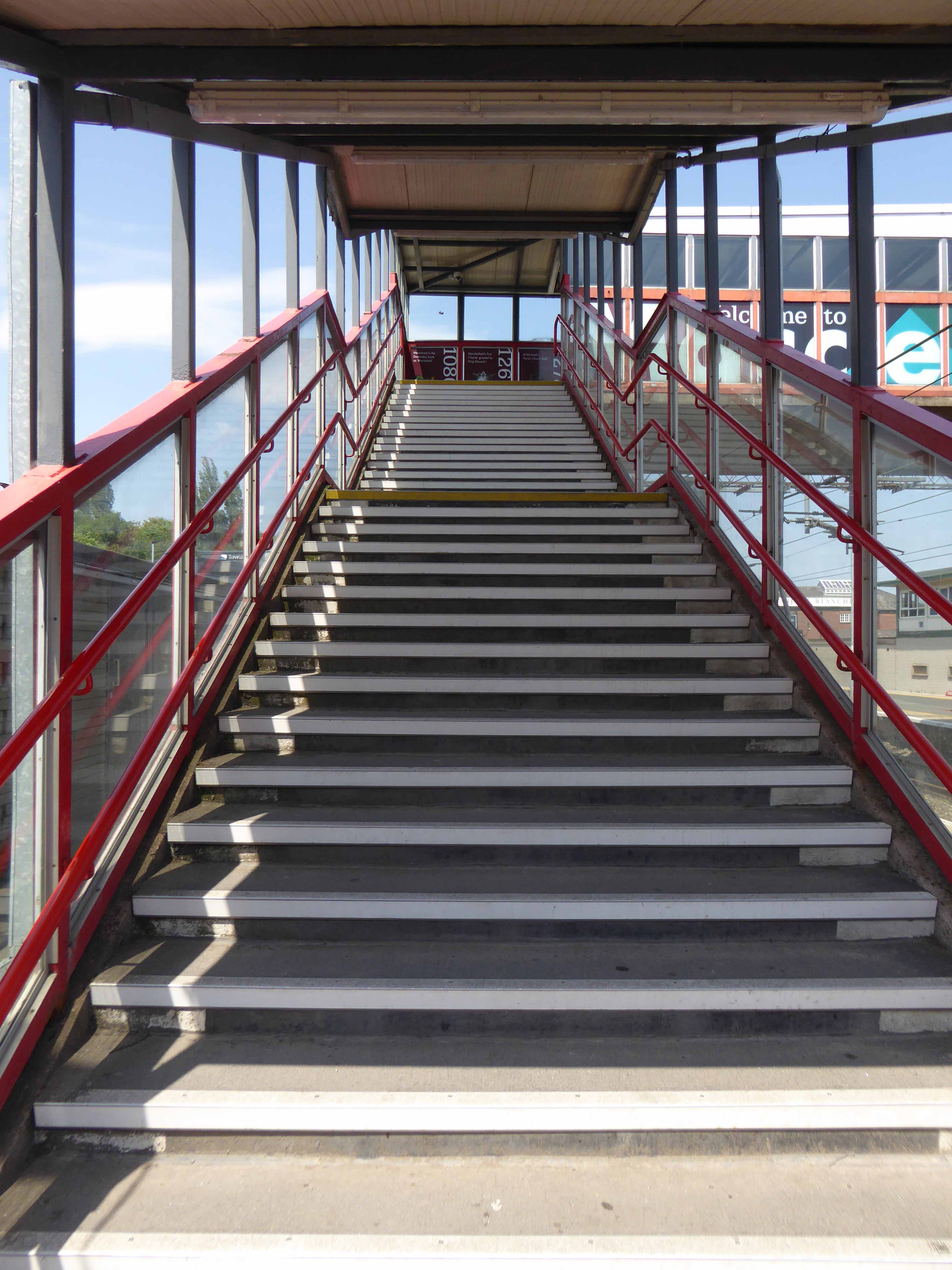
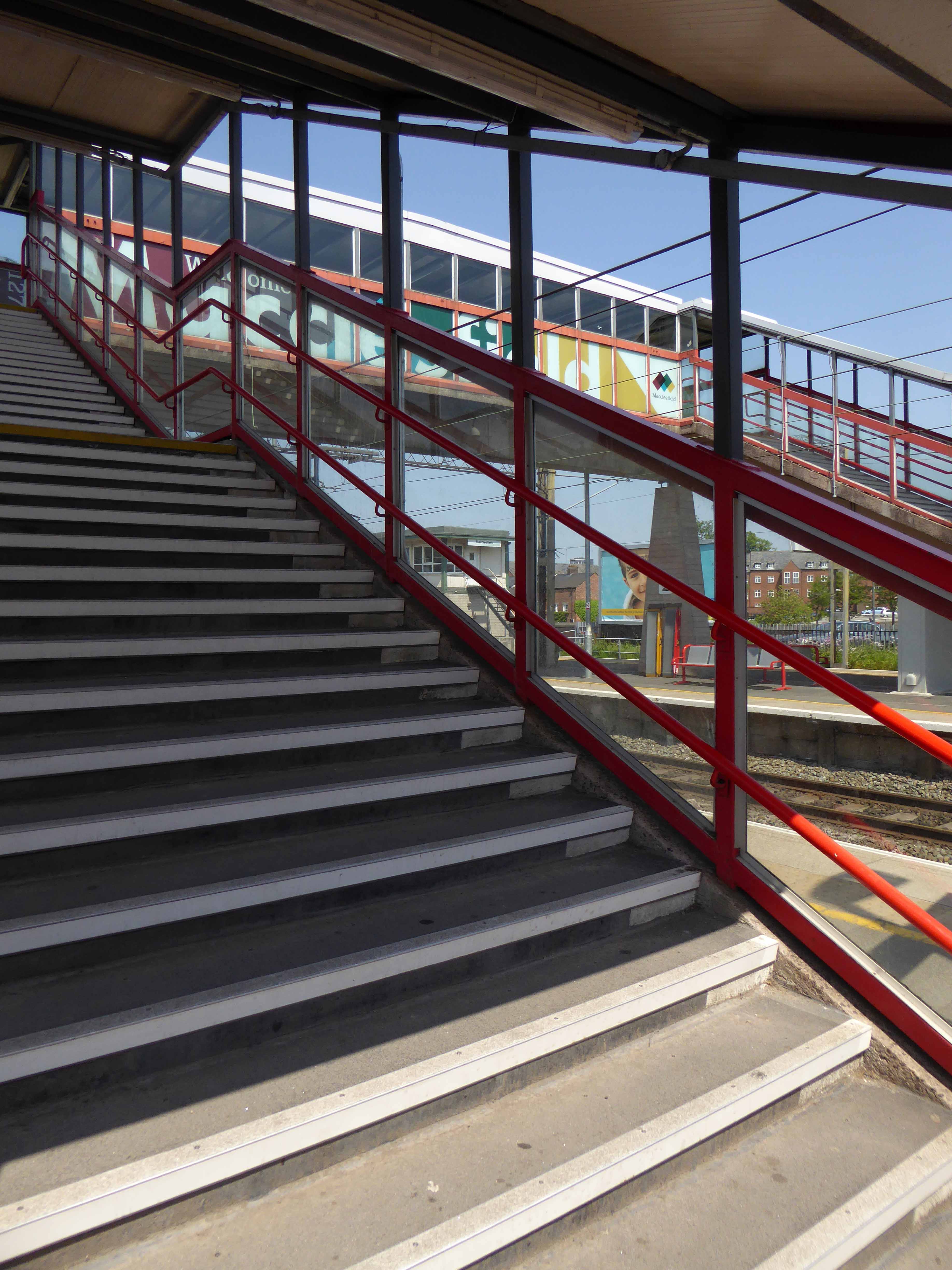
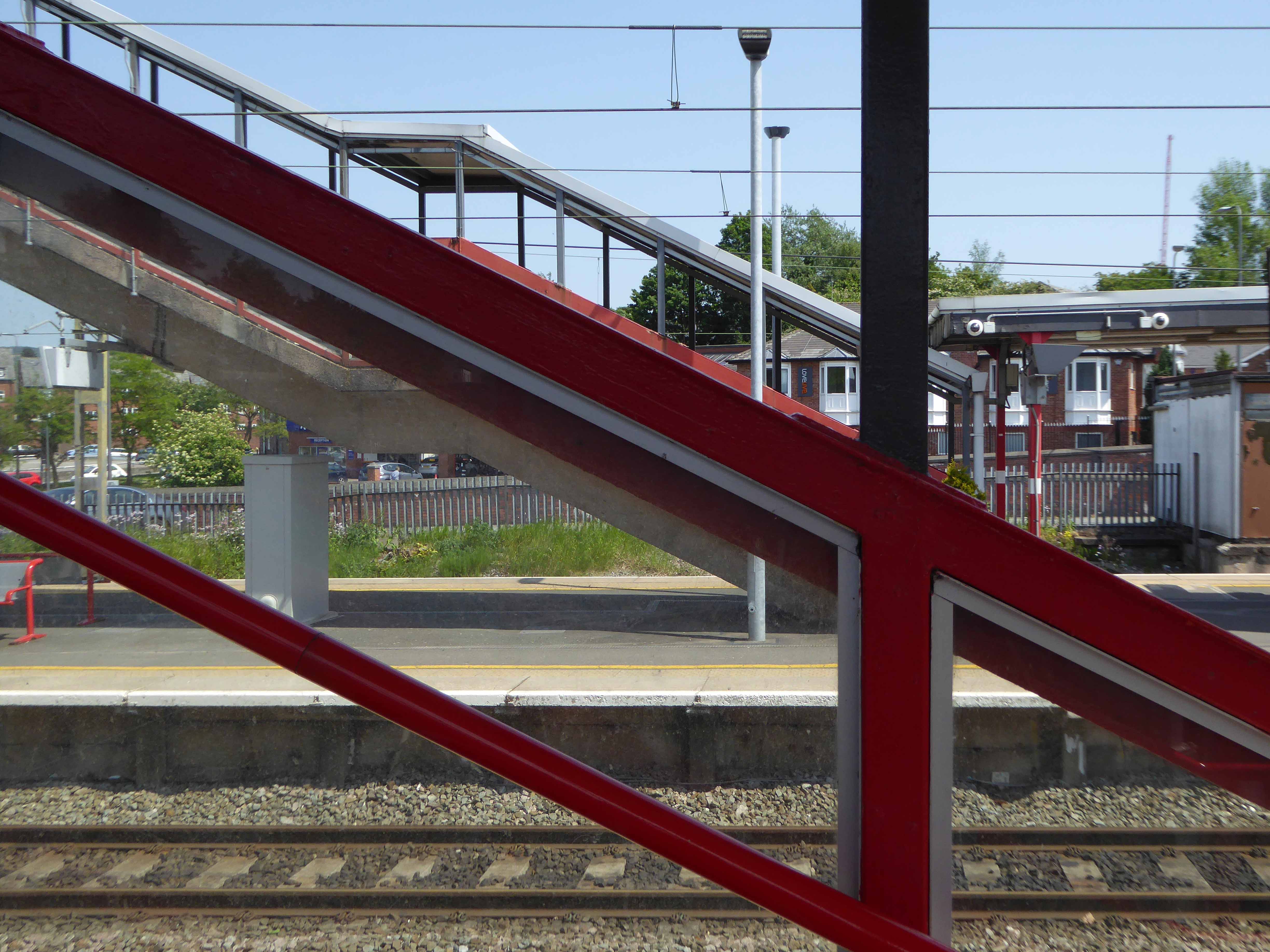
Though it seems to me that Macclesfield Station, in its earlier and current states, refuses to dovetail neatly into either of these sloppy binary paradigms.
The former – single storey buildings, fitting unostentatiously into the topographic and practical constraints of the site. A neat, tightly packed rhythm of brick arches with a compact and bijou porch welcoming the expectant traveller.
The latter a functionalist block, fully utilitarian crossings with lift access columns, embodying a particularly industrial demeanour.
From the golden age of steam to the moribund years of diesel, Macclesfield sits comfortably somewhere, betwixt and between ugly duckling and fully fledged swan.
Nestled in the lea of the East Cheshire Highlands, offering practical everyday transport solutions to the beleaguered commuter.
No frills, no thrills.
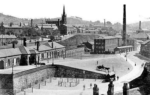
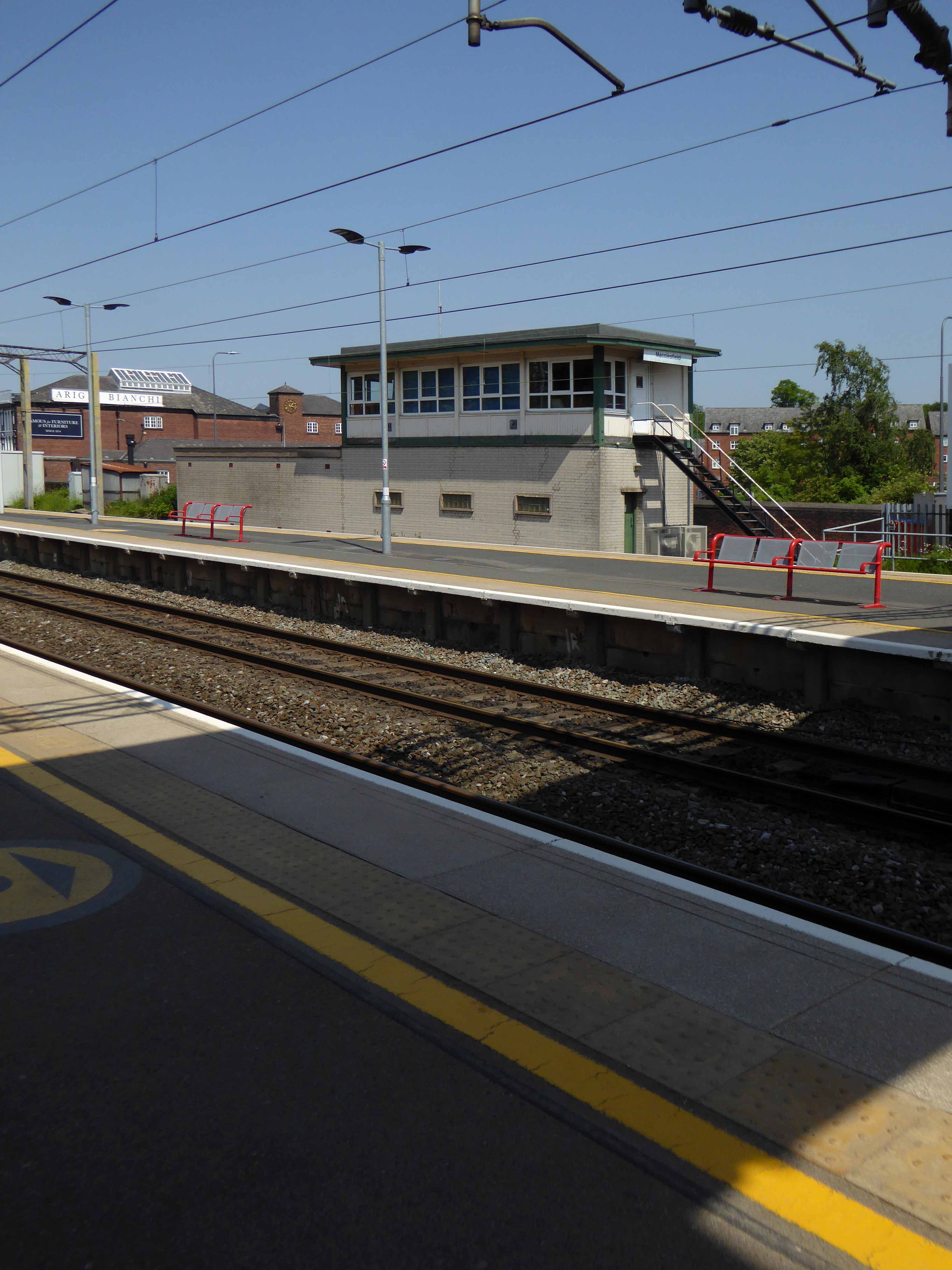
The London and North Western Railway opened the line between Manchester and Macclesfield on 19 June 1849 – Macclesfield Central was born. Later it would become a key station on the Stafford branch of the West Coast Main Line, remodelled in 1960 and rebranded as the much snappier Macclesfield Station.
Which it proudly announces topically and typographically to the world.
Welcome to Macclesfield a town that is clearly going places, and so are you.
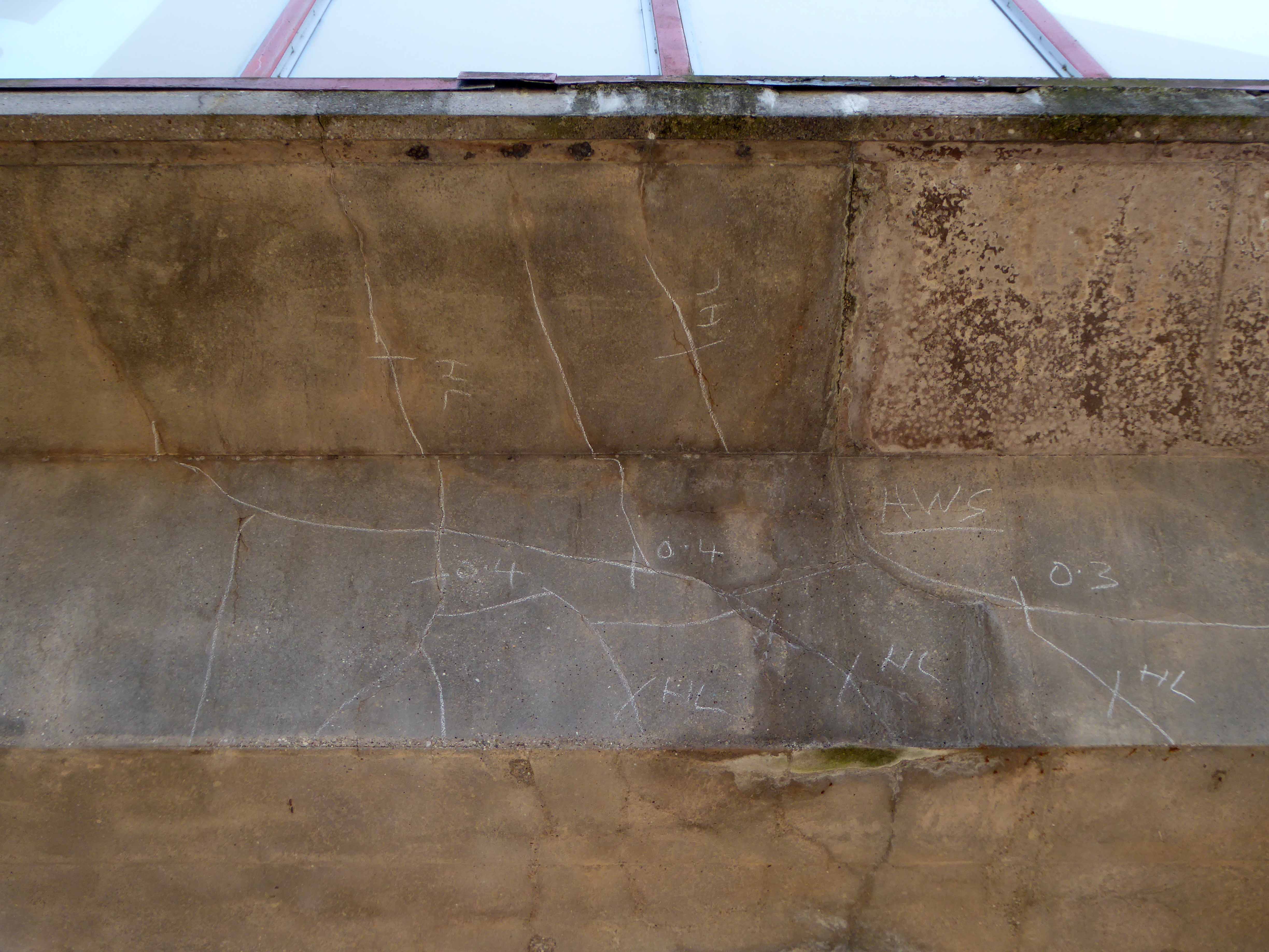
The station won the Best Kept Station in Cheshire Award for 2007, but was reported in summer 2011 to be distinctly shabby, with peeling paintwork.
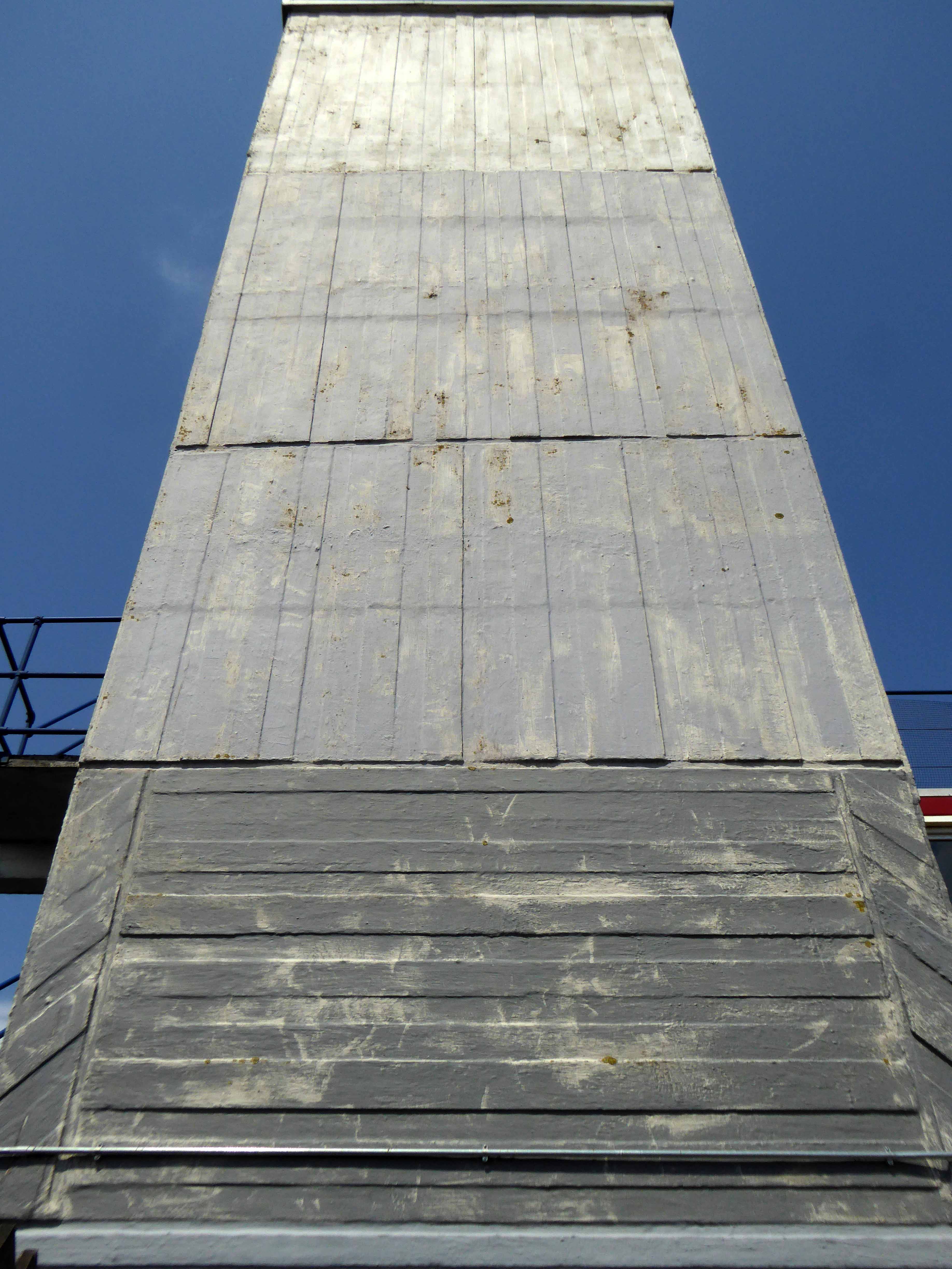
And yet there is something in the constituent Platonic steel, glass and concrete forms that never ceases to amuse and amaze me, this is Brutalism on a human and provincial scale.
The raw concrete softened with three or four shades of grey, as a concession to the delicate suburban sensibilities of this once silk-fuelled town.
Take a trip with me – join the Cheshire train set.
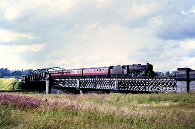
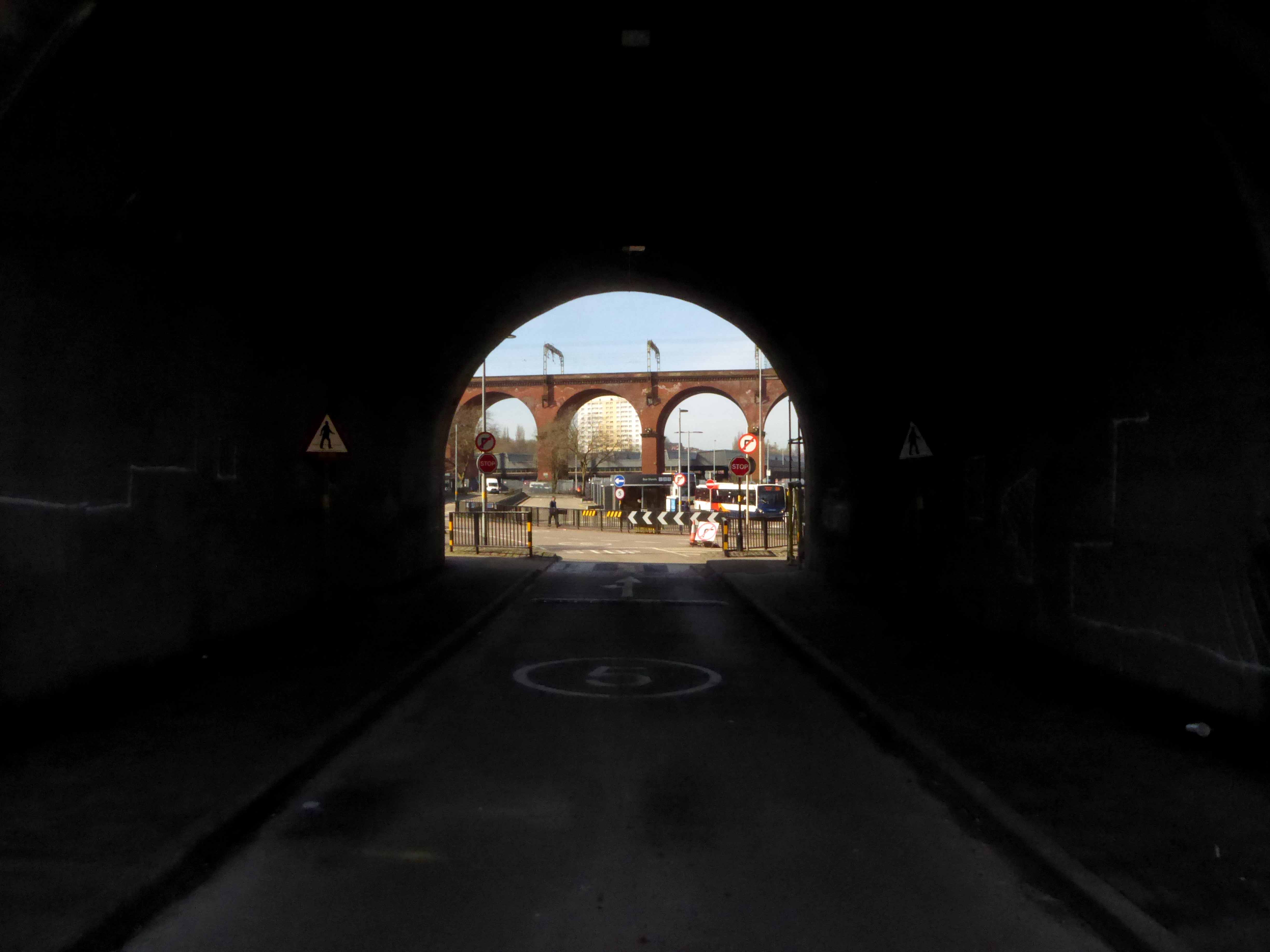
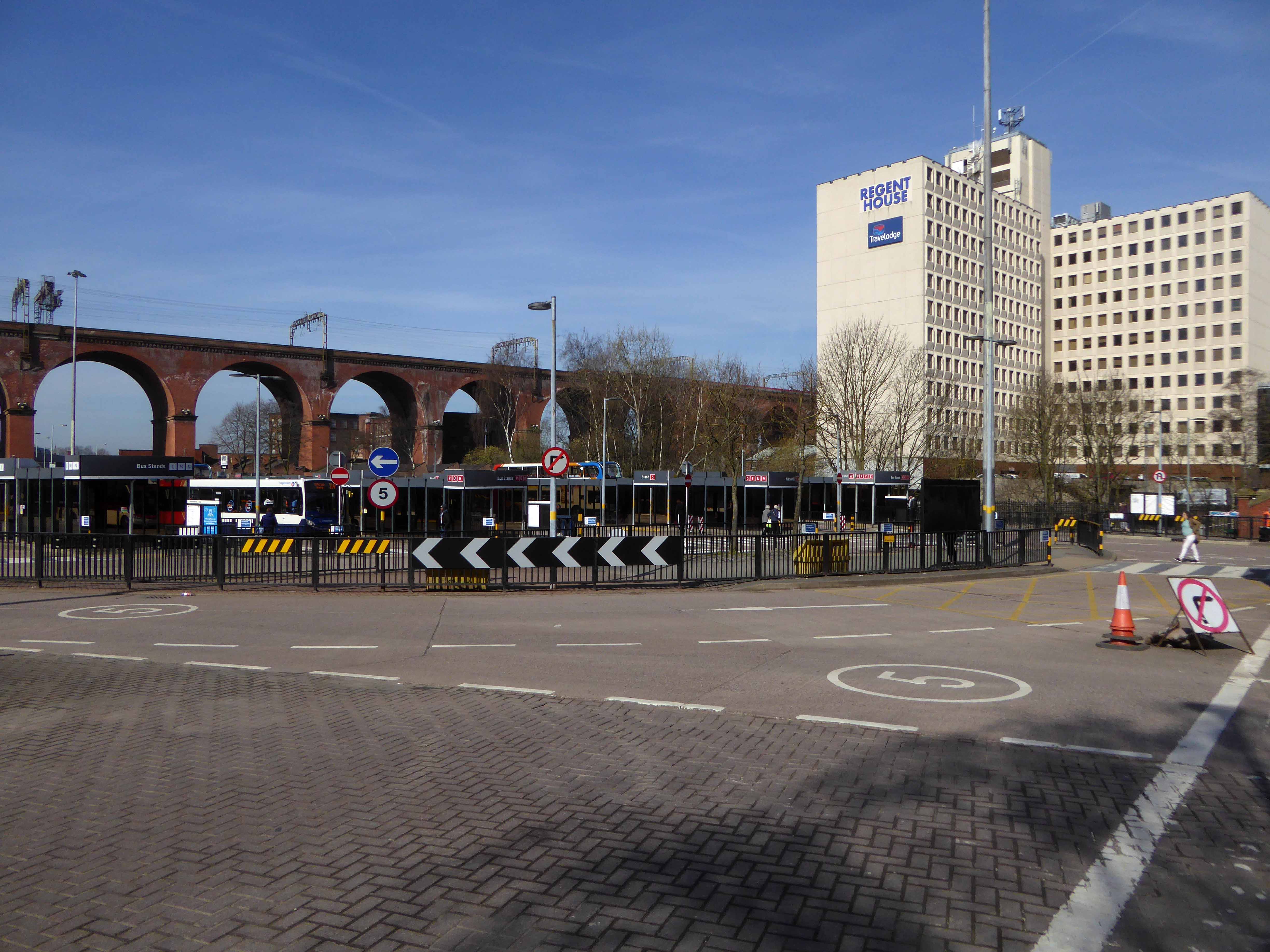
A mighty river valley was formed in the second Ice Age, as the glaciers receded and rushed seaward.
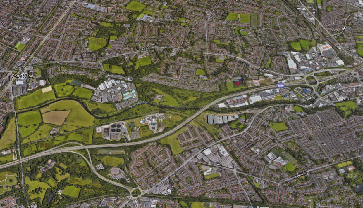
The mighty River Mersey was formed on the eastern edge of Stockport, at the confluence of the Tame and Goyt/Etherow rivers.
Thousands of years in the making, as the water-powered mills of the adjacent Pennine Hills migrate to the lower reaches of the towns, in search of water, workers and steam, the full force of the Industrial Revolution takes shape in the west.
The mixed farming of the alluvial valley, which opens up onto the Lancashire and Cheshire Plains, meets and greets the incursion of dye and brick works, mills and manufacturing.
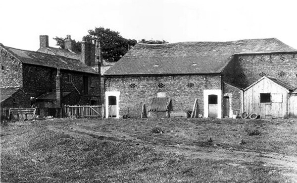
Fred Schofield’s farm 1930
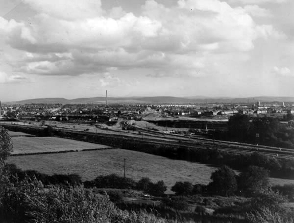
View towards Stockport from Heaton Mersey Park
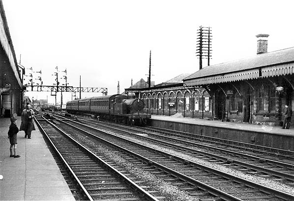
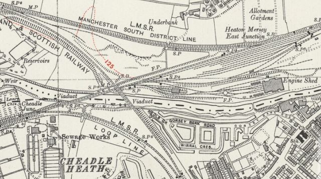
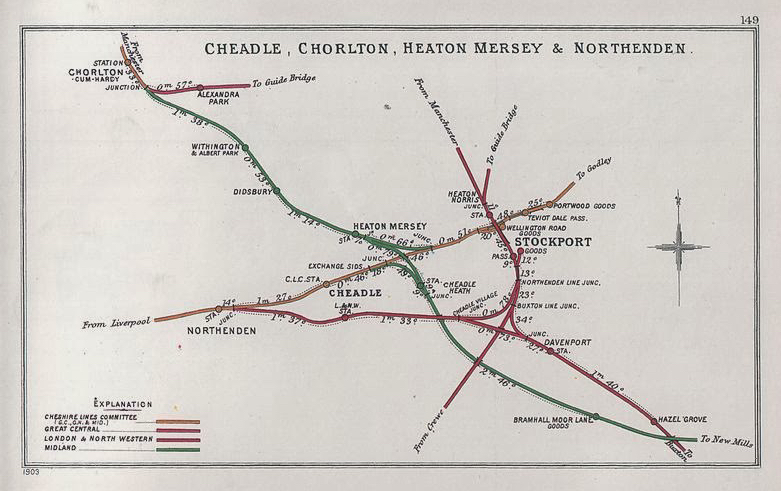
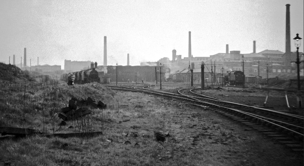
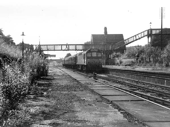
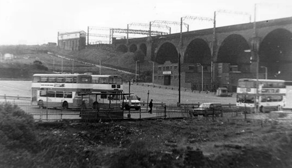
Serviced by a complex and competing rail system based around Heaton Mersey Shed.
Opened in 1889 and served until May 1968 operating steam locomotives to the end -Coded 9F.
Here we were at the centre of a rail hub spreading out in all directions, to and from the ports, cities and resources of the country and beyond.
Great movements of steel, cotton, coal, people and manufactured goods.
Fireman Eddy “Ned” Kelly
Heaton Mersey railway station was opened on 1 January 1880 by the Midland Railwayand lay on the newly opened line which ran from Heaton Mersey East Junction to Chorlton Junction and on to Manchester Central station.
The station was situated at the southern end of Station Road which still exists. The station was later operated by the London Midland and Scottish Railway and was closed by the London Midland Region of British Railways on 3 July 1961.
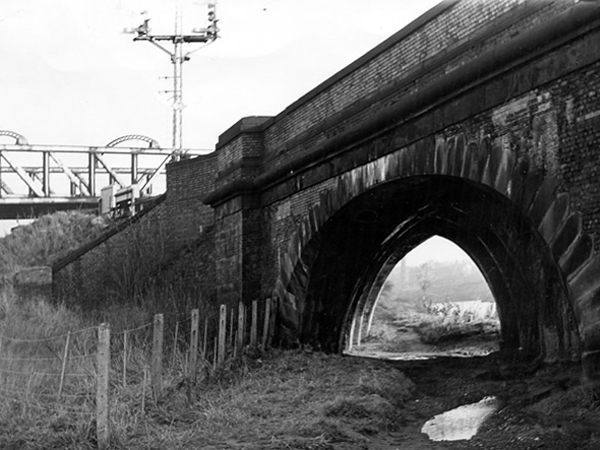
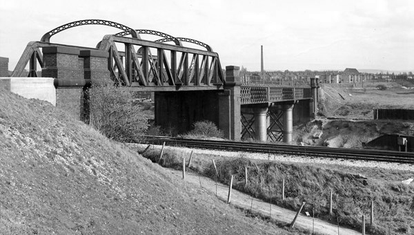
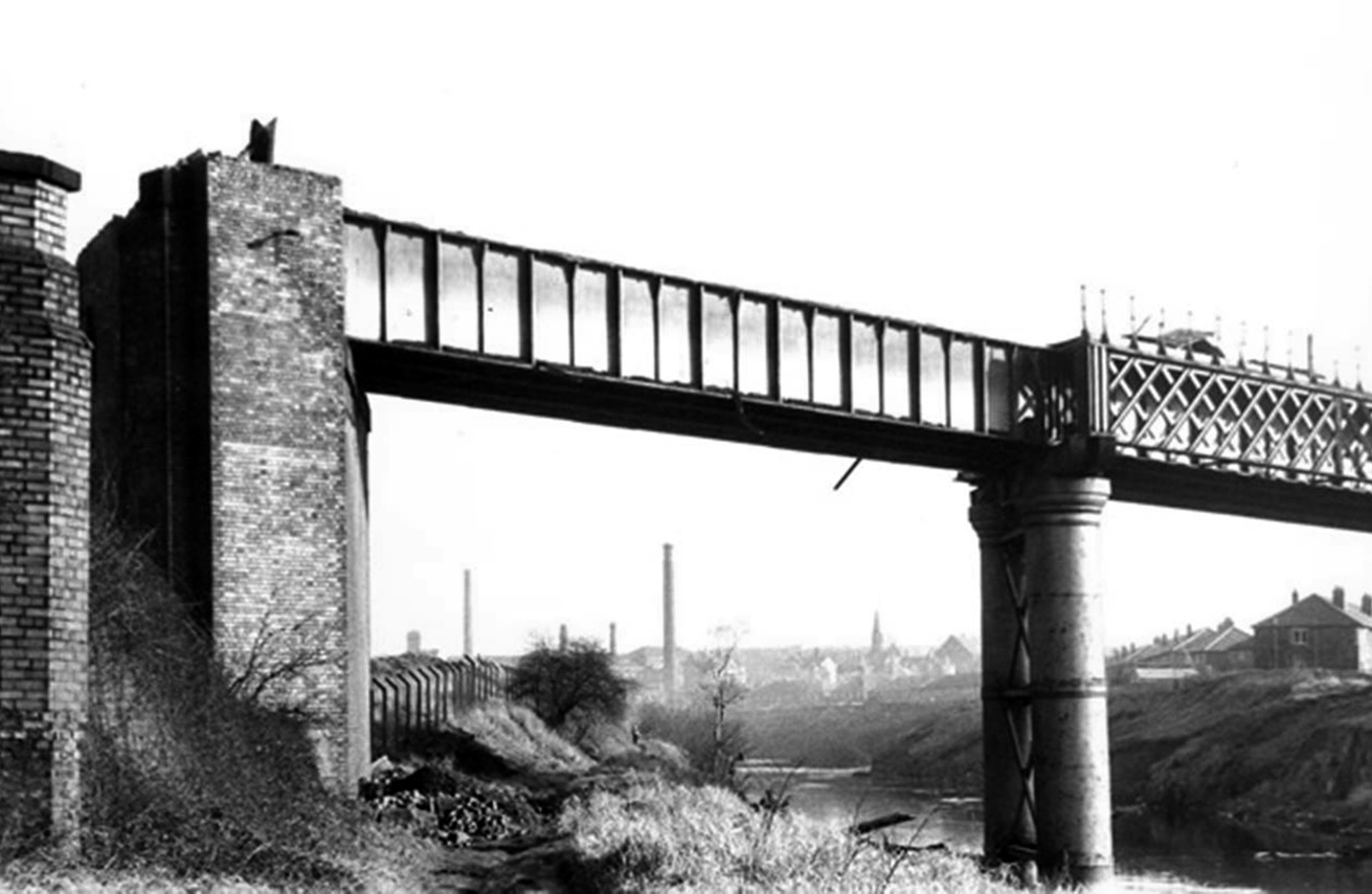
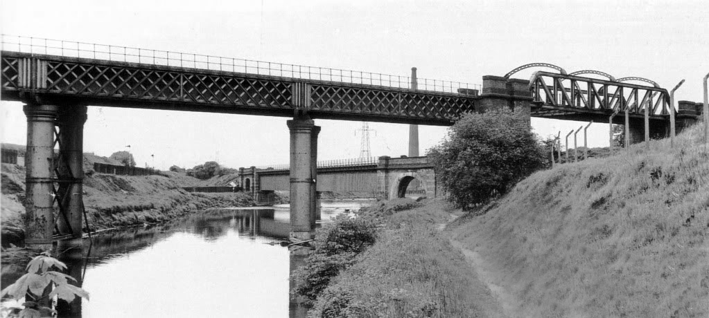
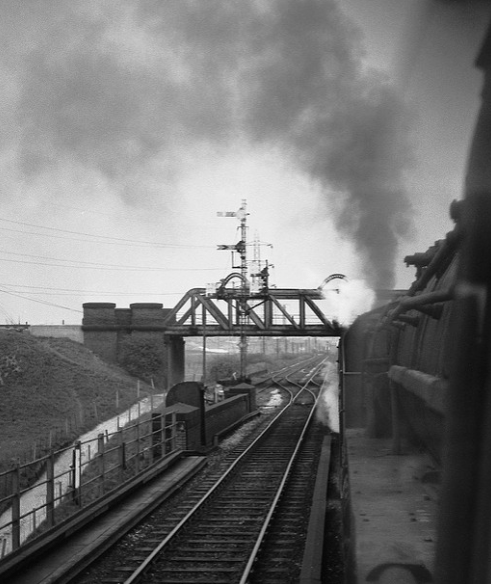
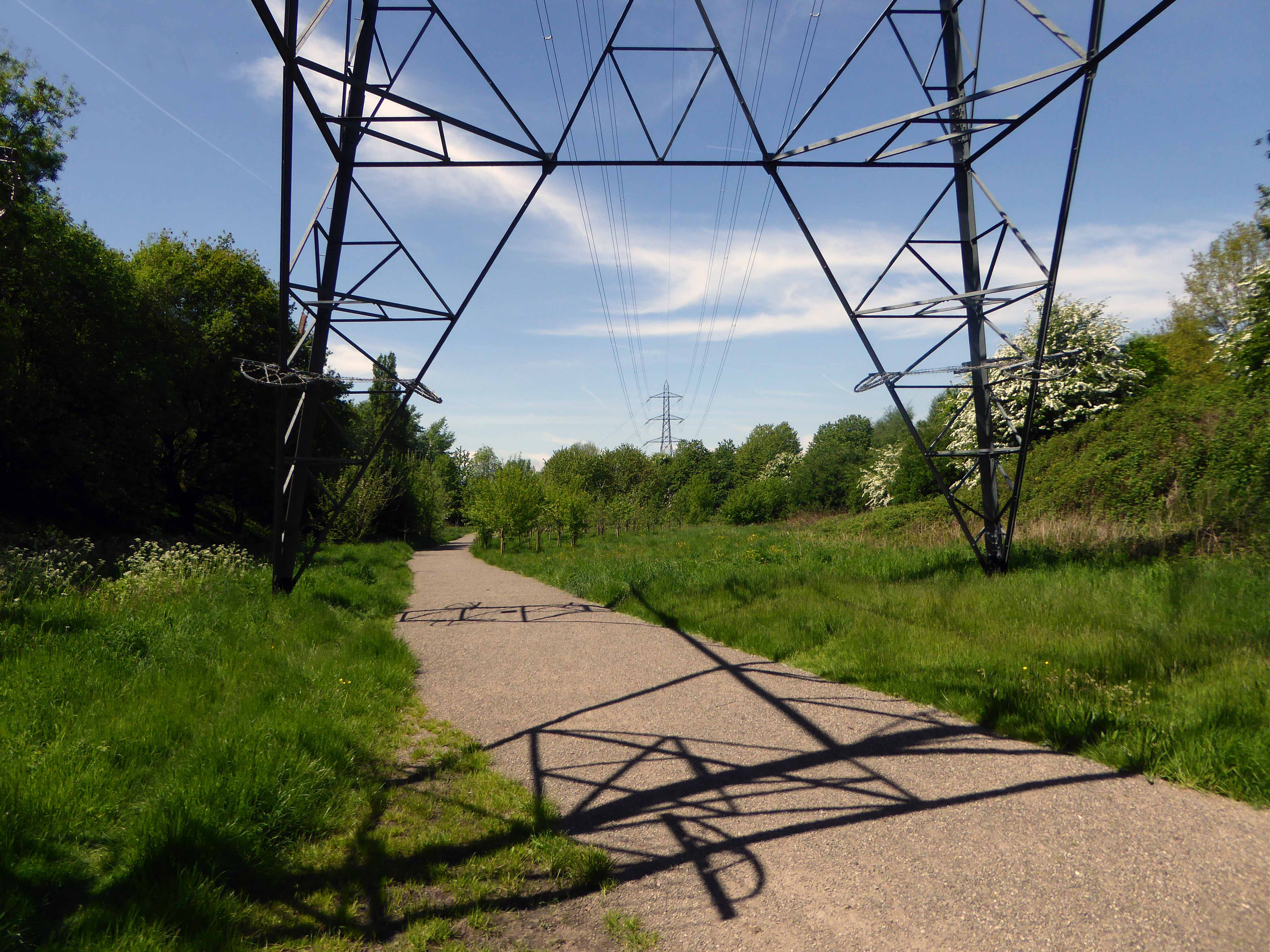
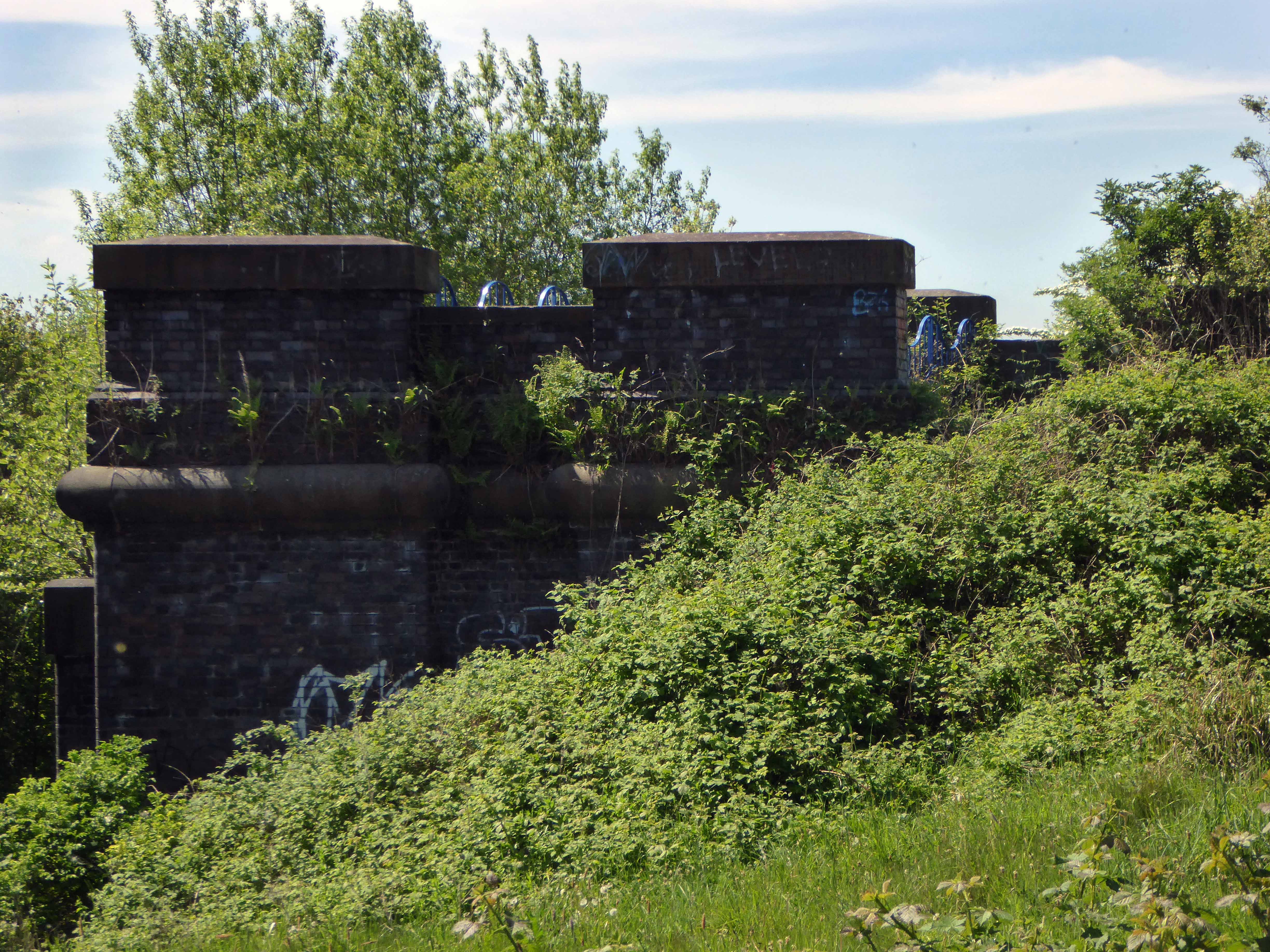
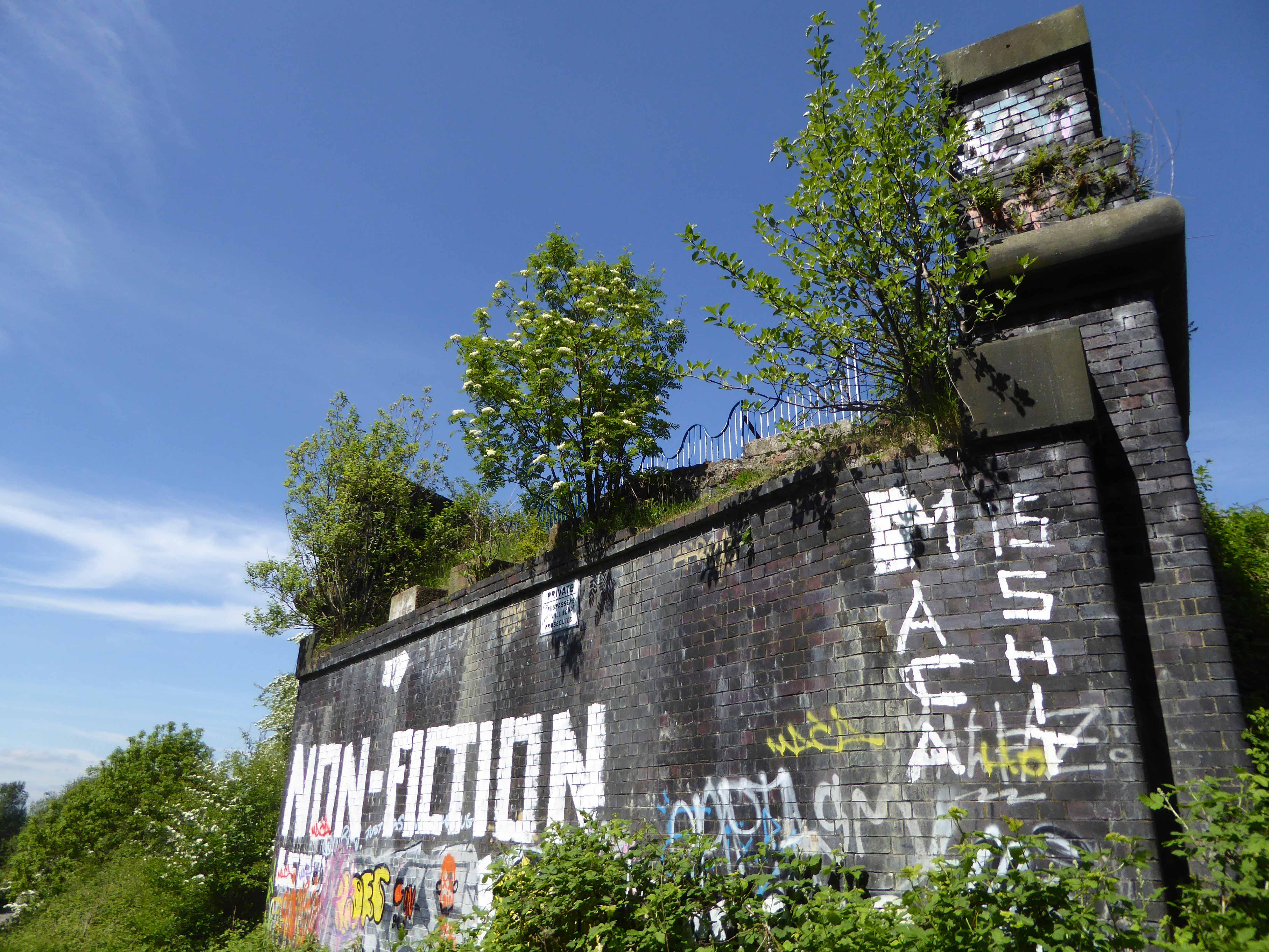
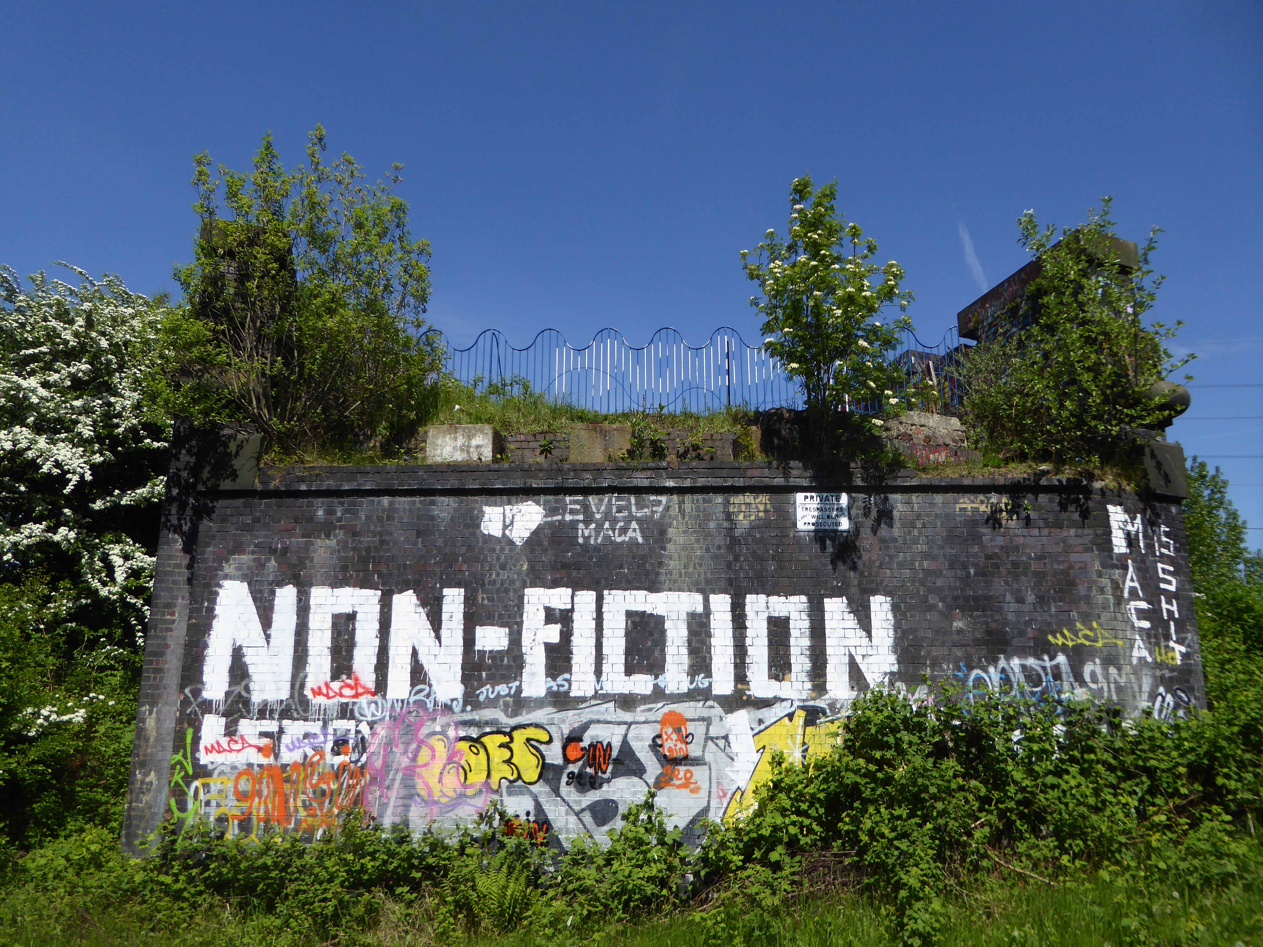
The area was criss-crossed by railways – its bridges traversing the roads, fields and river, dominating the landscape in a wild flurry of steam and smoke.
The end of steam – as drivers, fireman and staff were transferred to Newton Heath, was followed by the slow demise of the rail network, freight moved to road and passengers purchasing their first cars and a passport to illusory freedom.
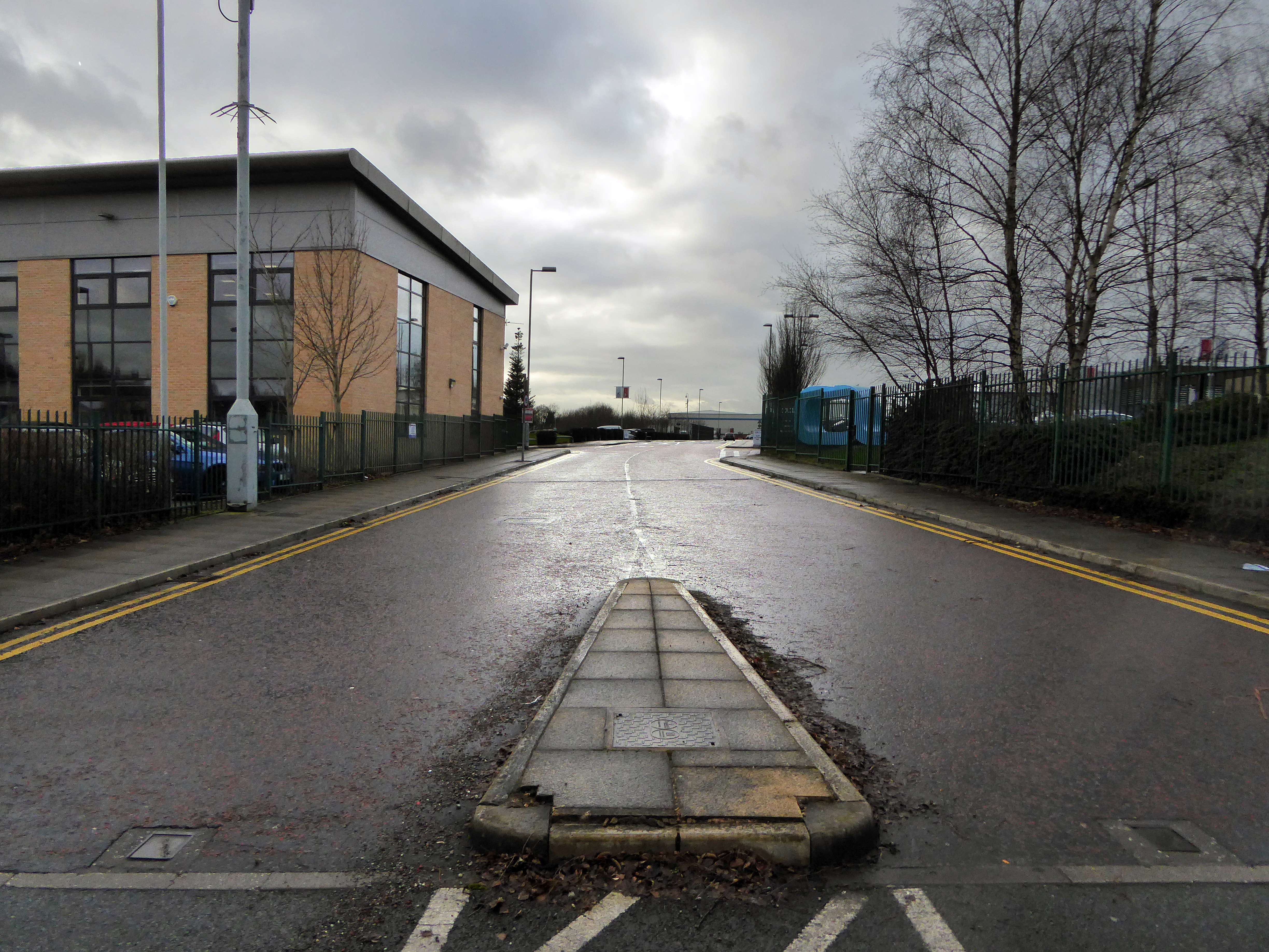
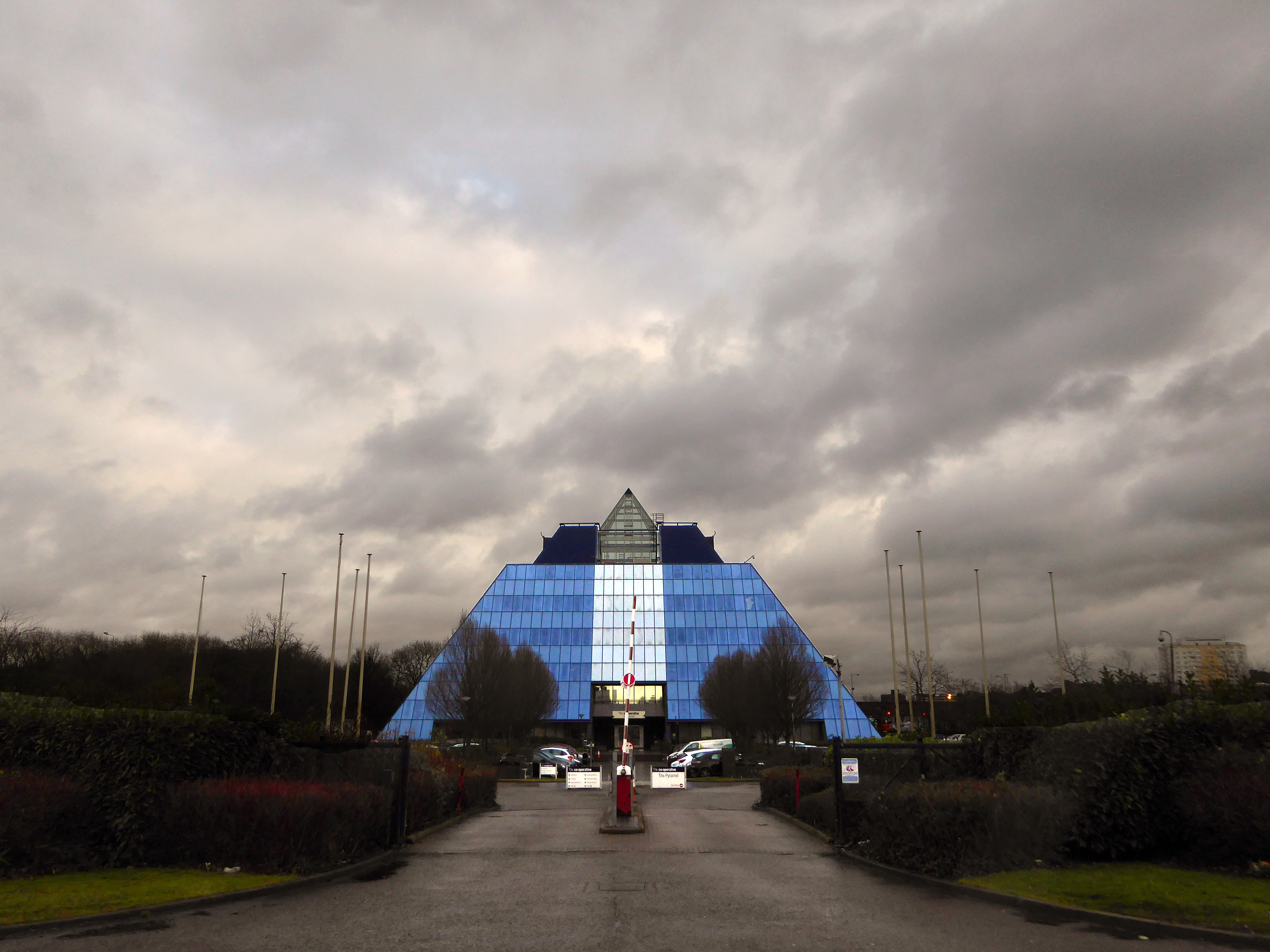
The mighty Mersey is now flanked by newer neighbours, a shiny blue administrativepyramid, business park, car showrooms and nature reserve, the only certainty is change.
Great volumes of earth are moved to from a new topography a topography of leisure – the gentle stroll, jog and cycle replaces the clank of fire doors and shovel on coal.
But take a look around you and you will see the remnants of the industrial age, shrouded in fresh hawthorn and enshrined in birch and beech.
To walk this landscape is to traverse geological, agrarian, industrial and post-industrial time – they all coexist and coalesce. Have an eye, ear and heart open to their resonance and presence, transcend time and space in the Mersey Valley today, you’re part of the leisured generation.
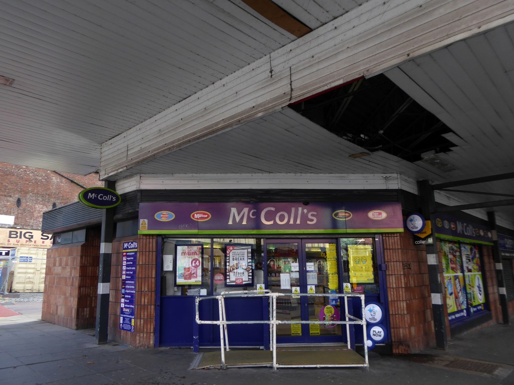
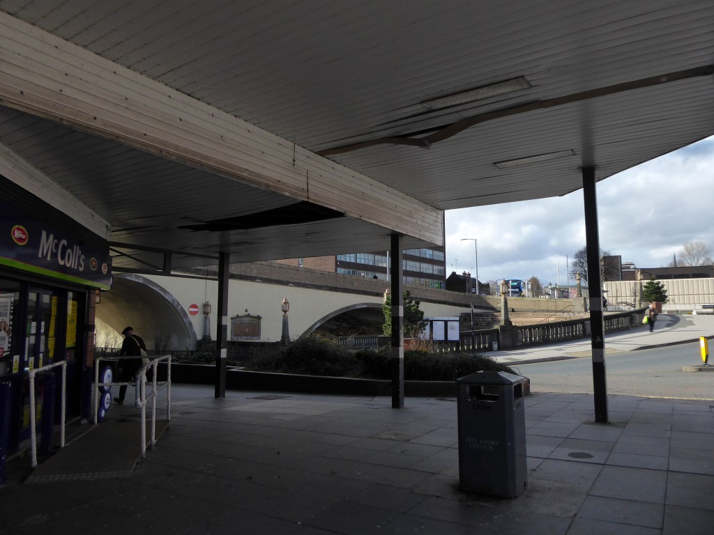
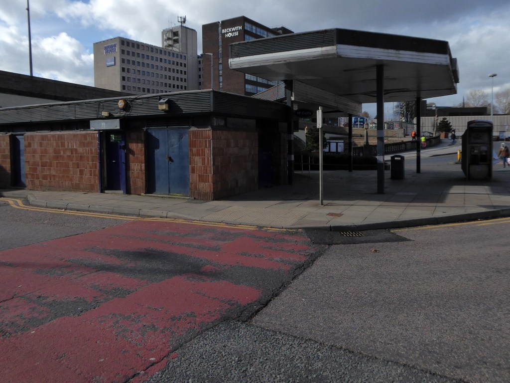
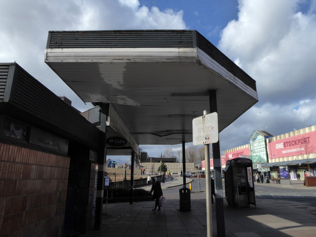
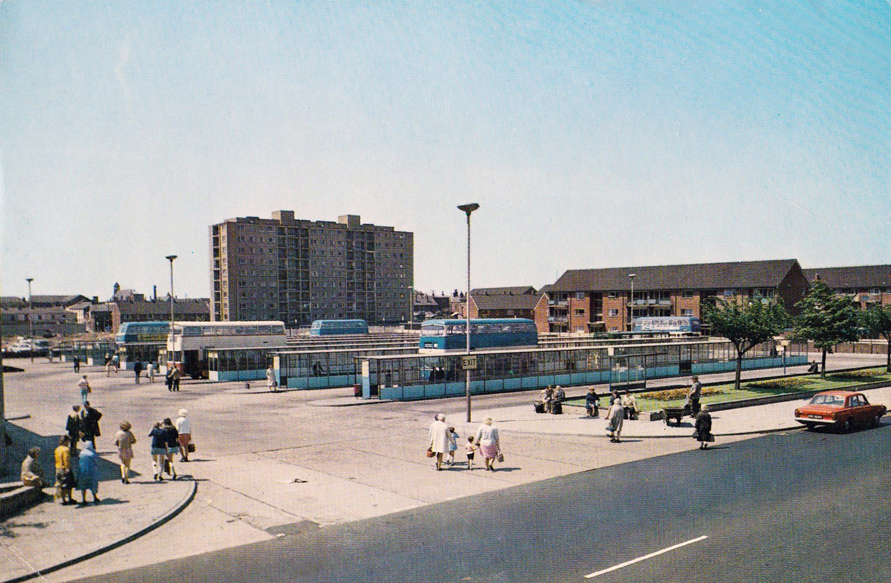
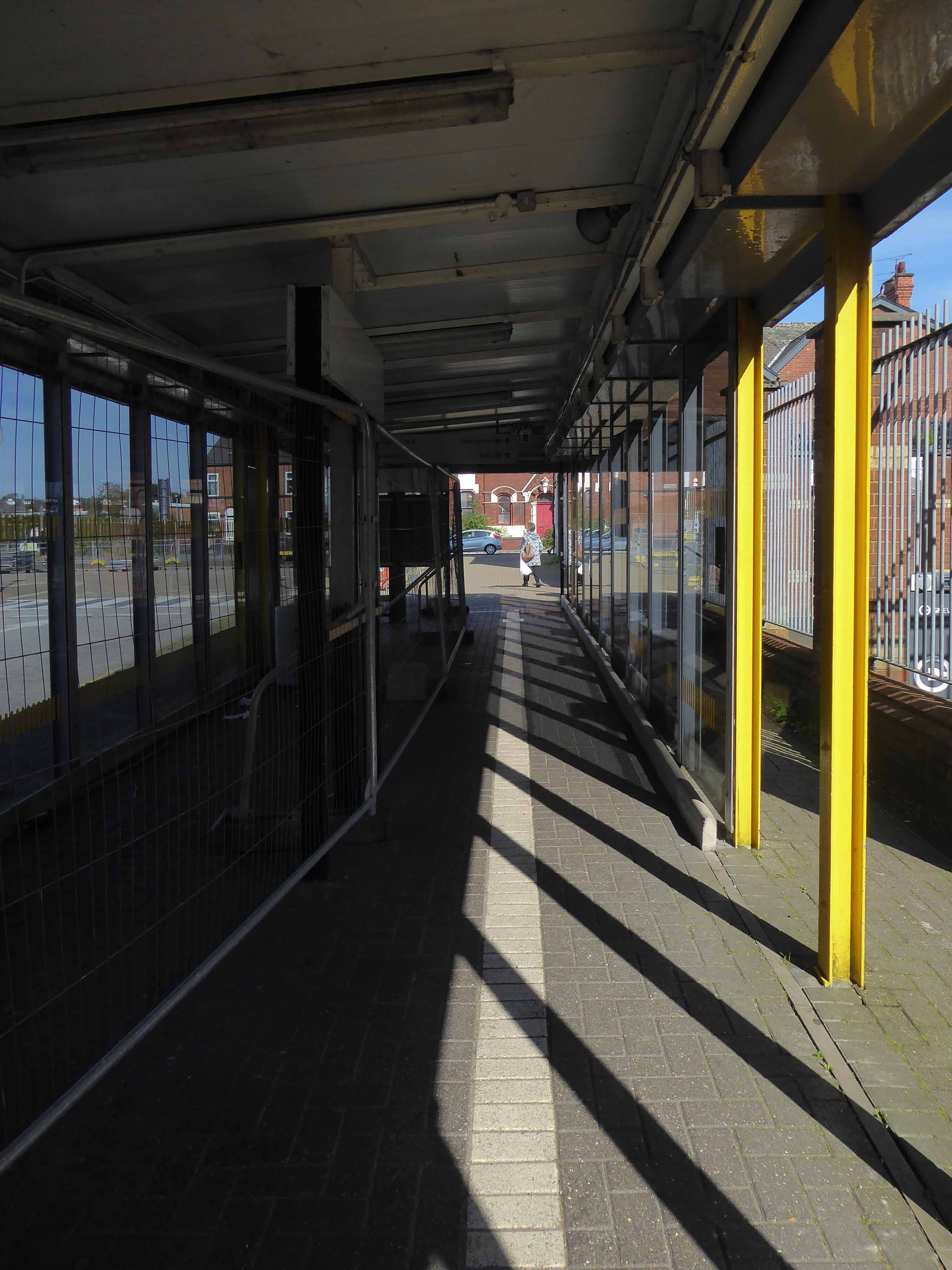
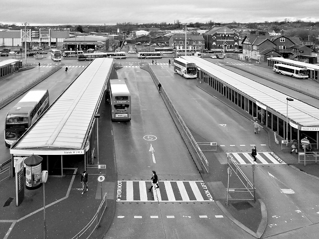
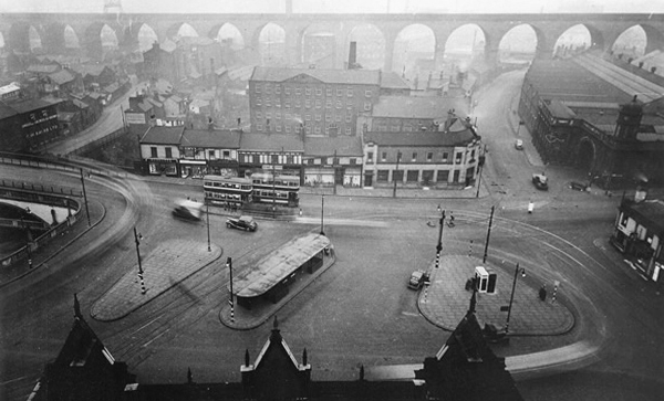
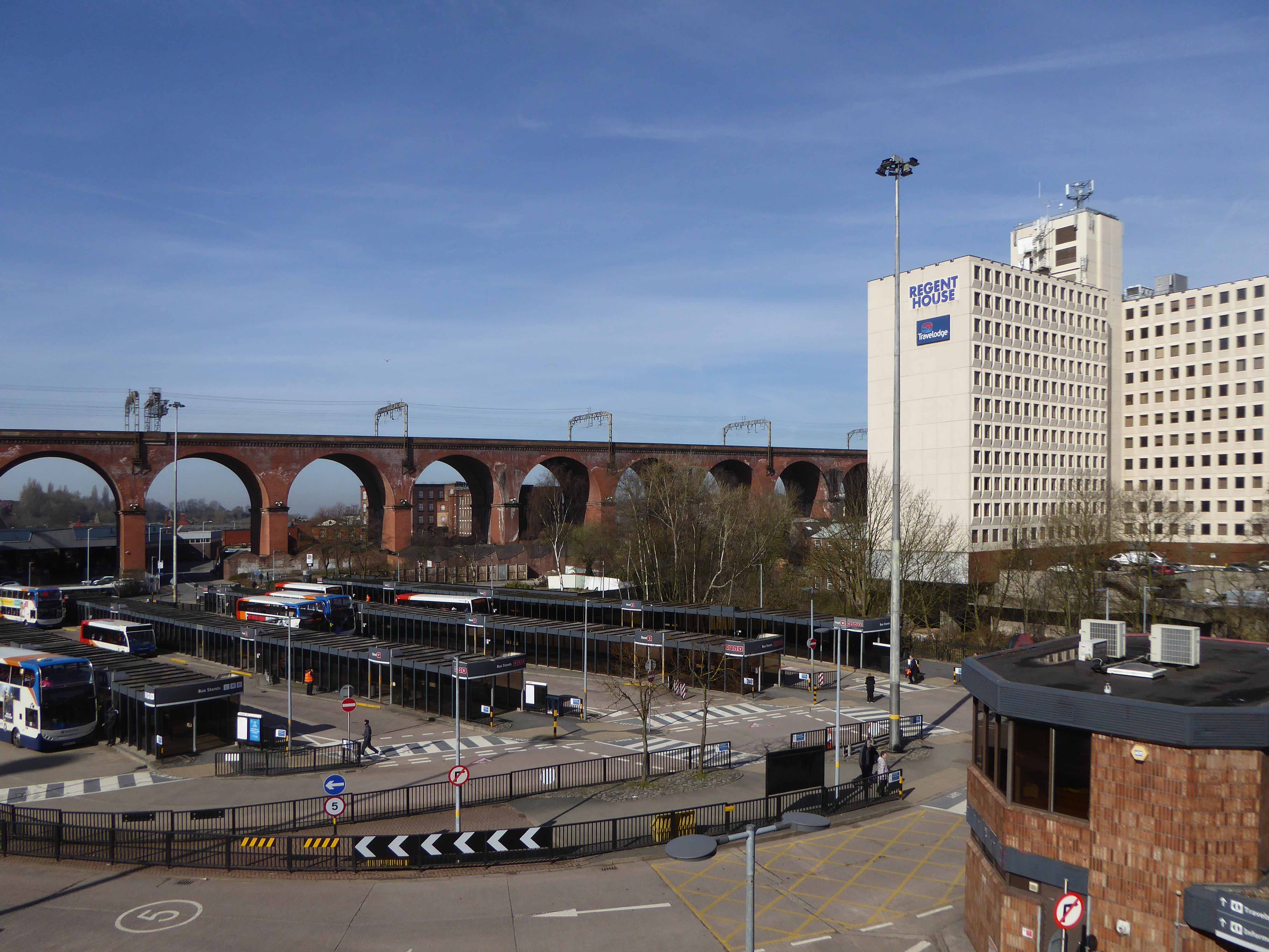
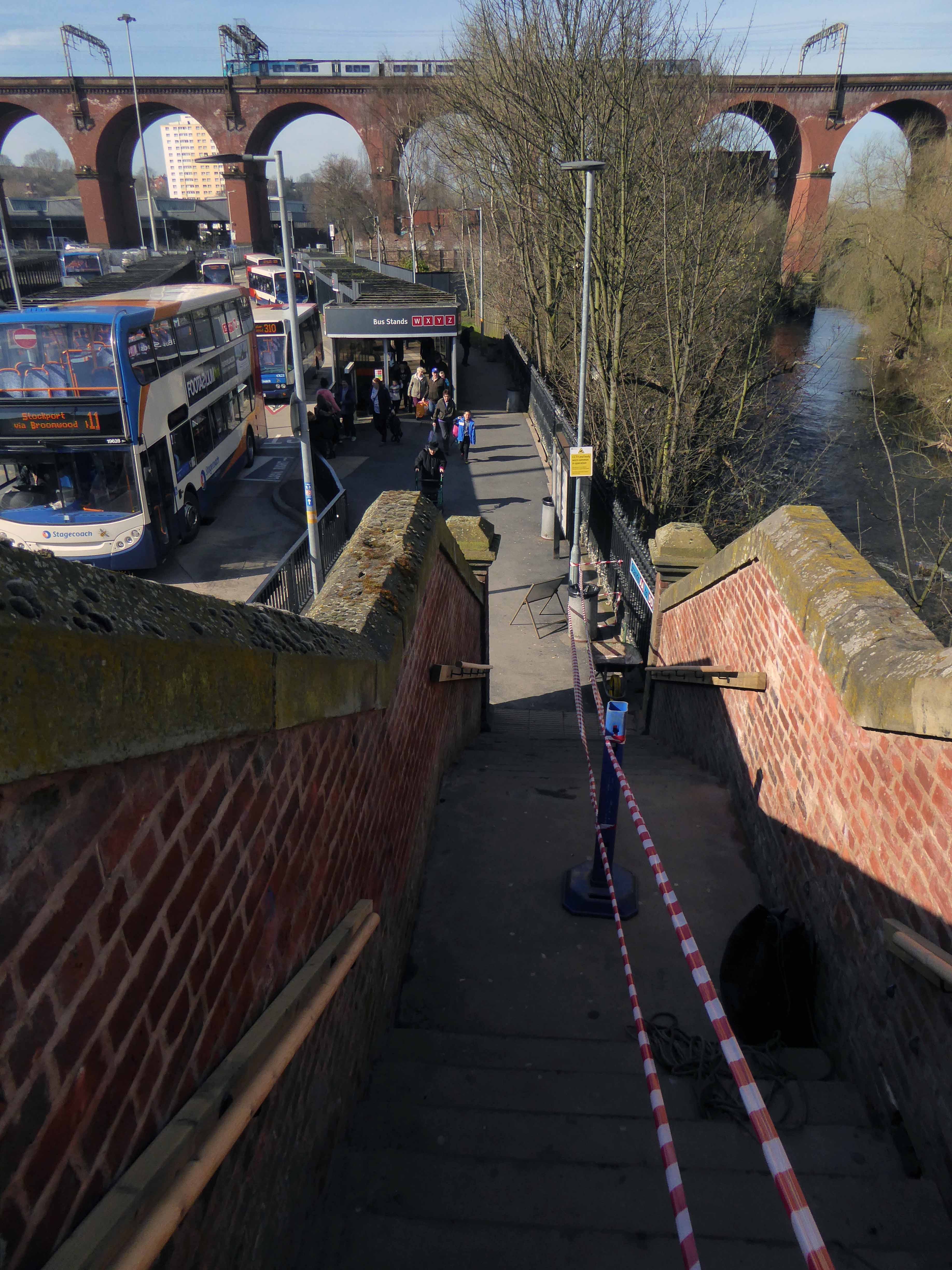
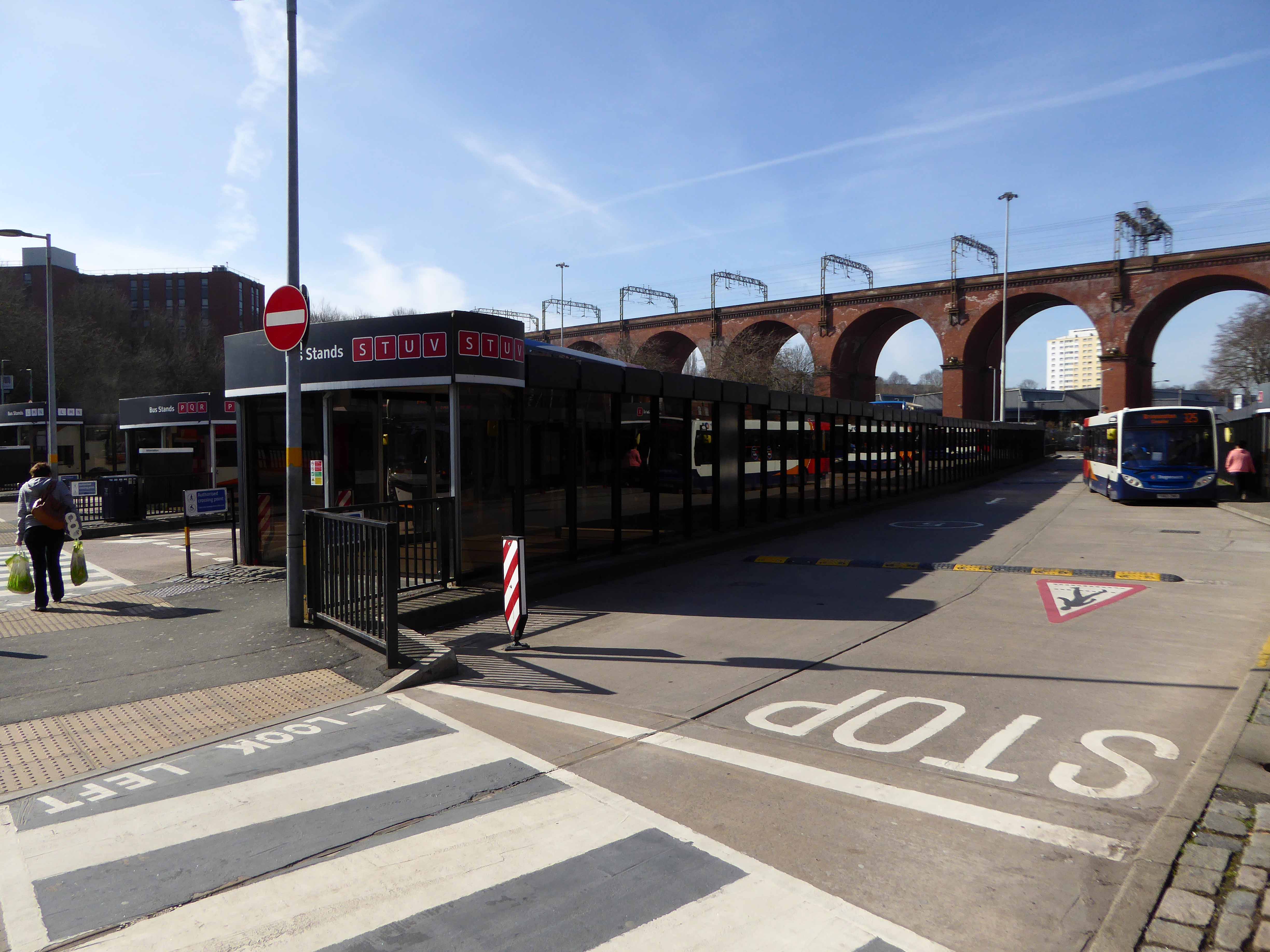
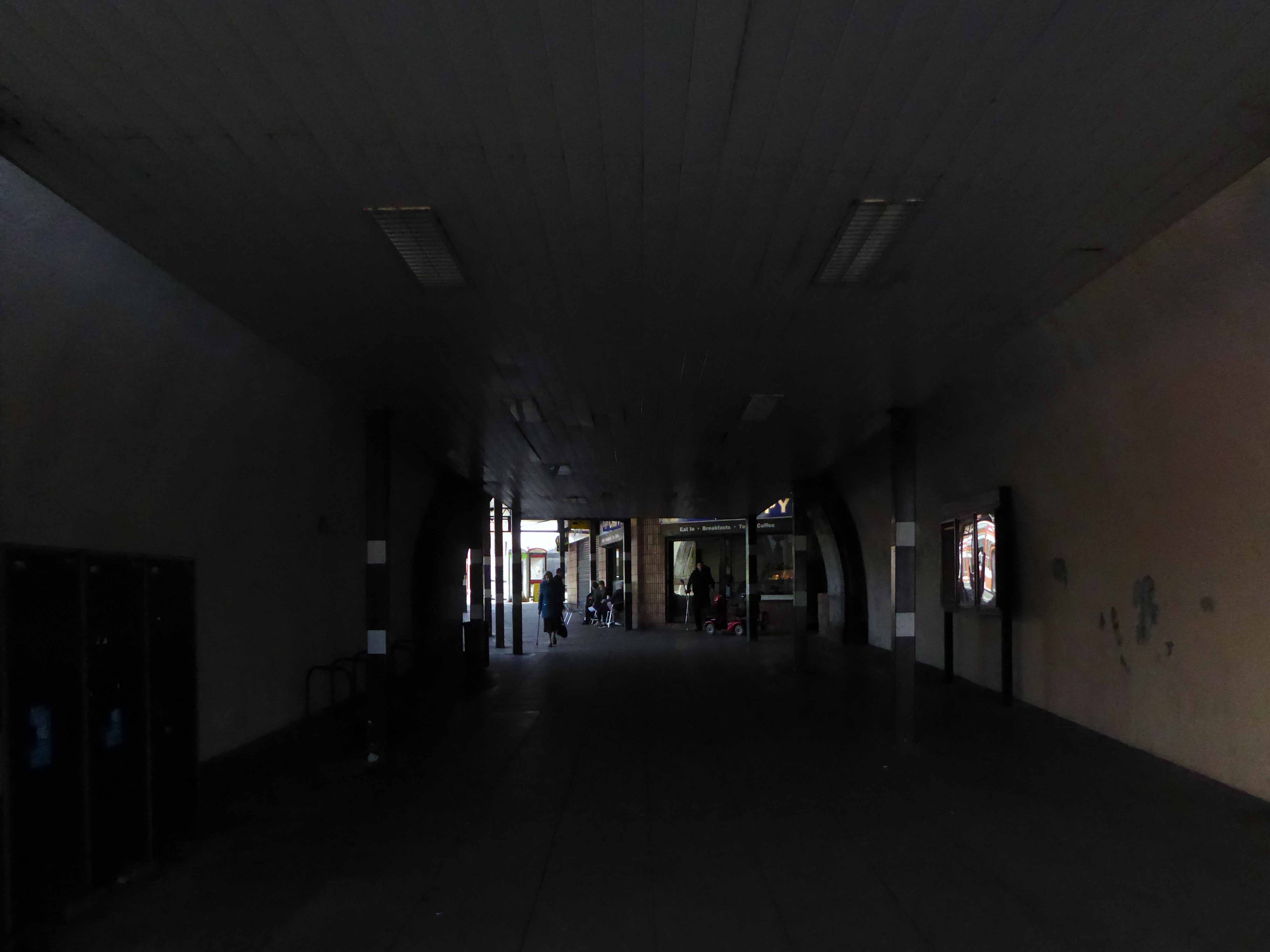
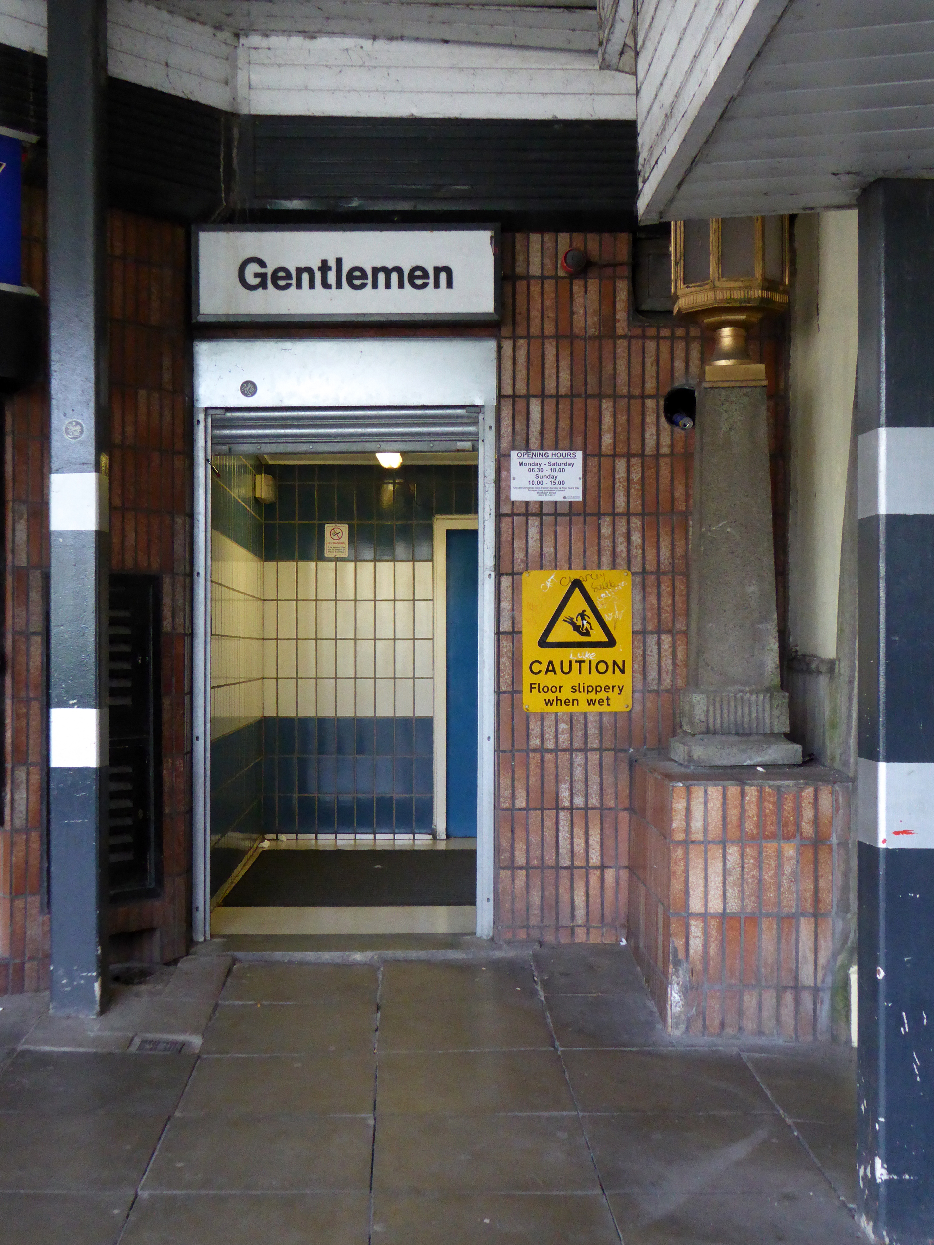
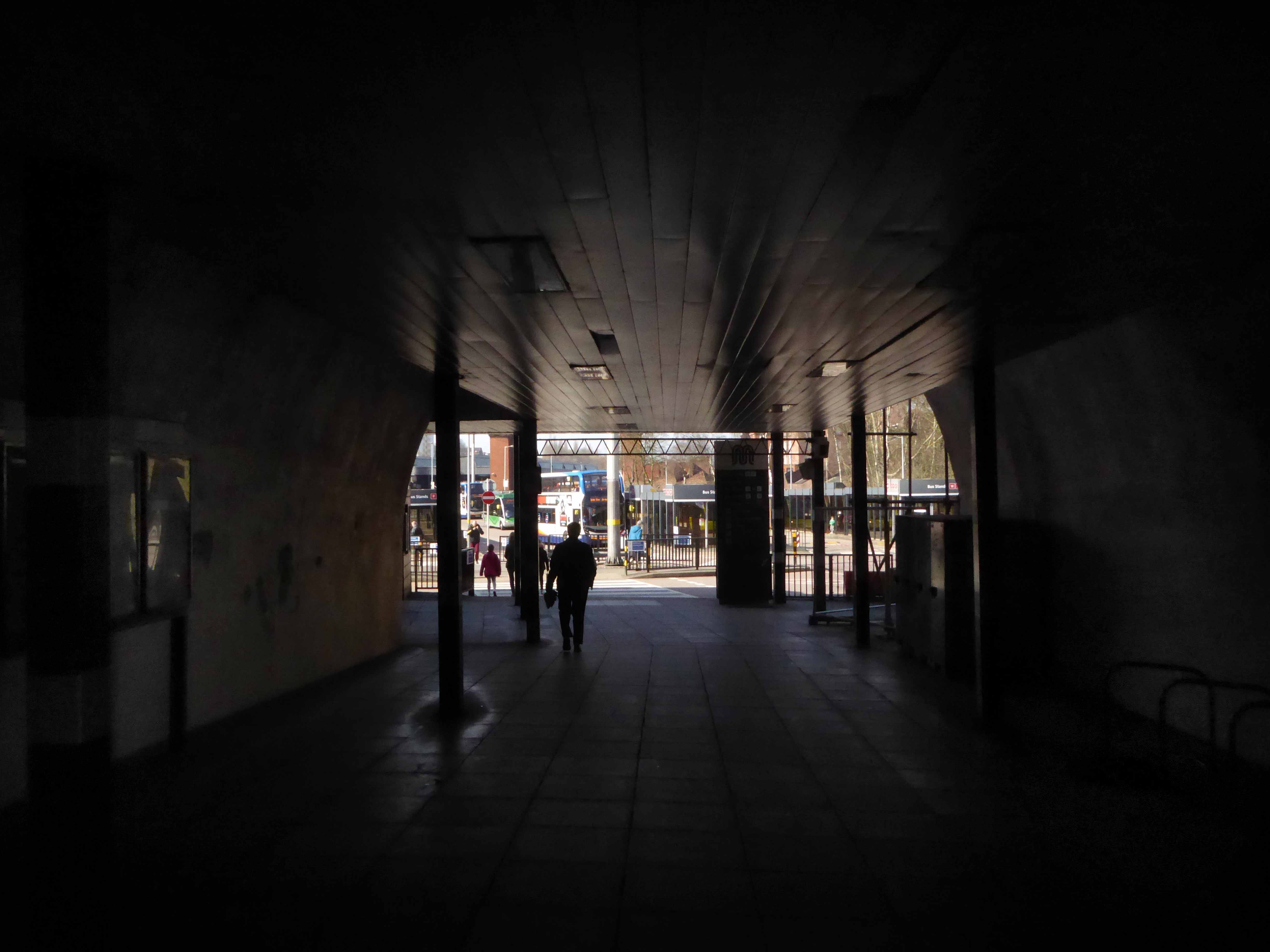
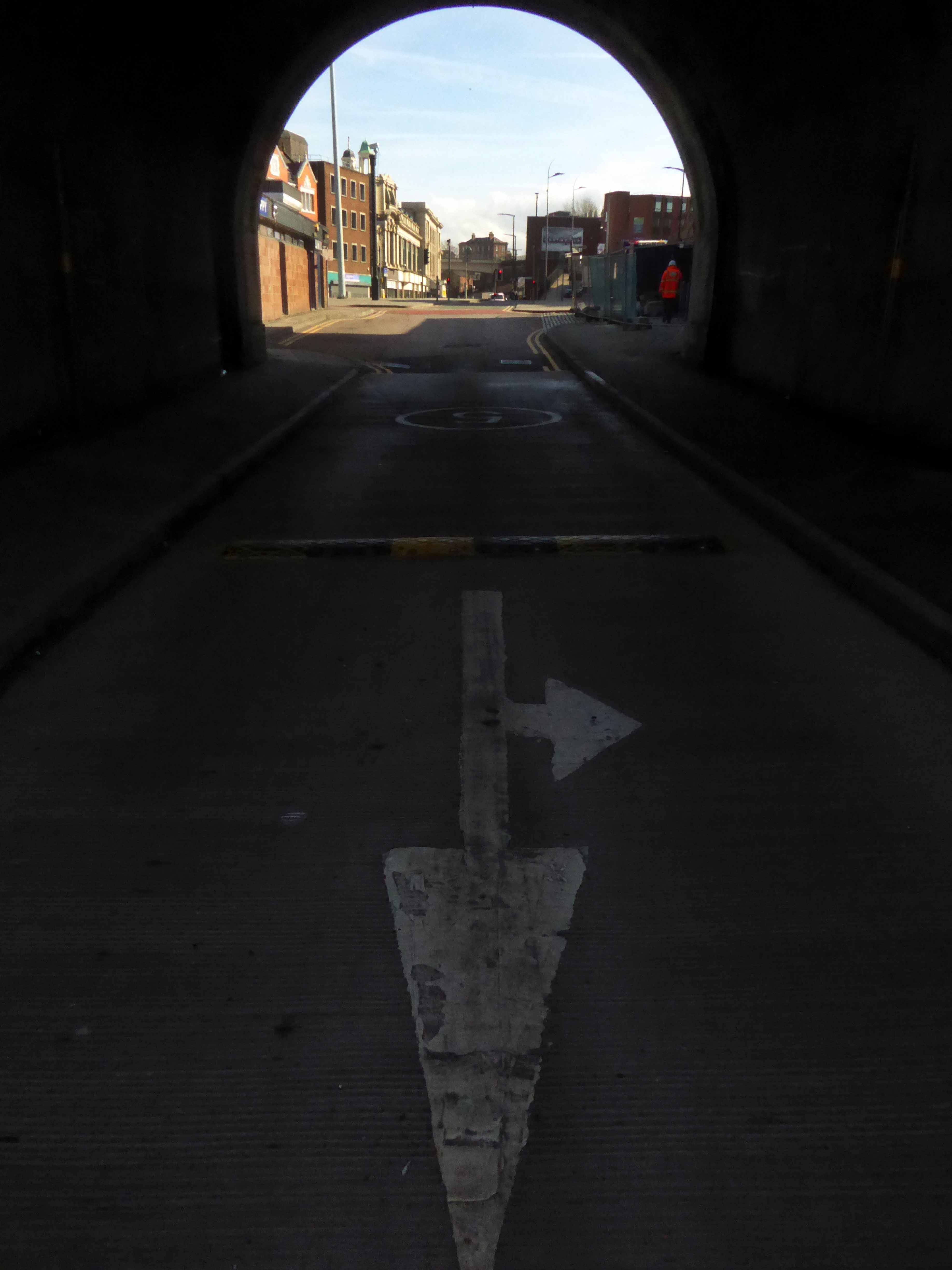
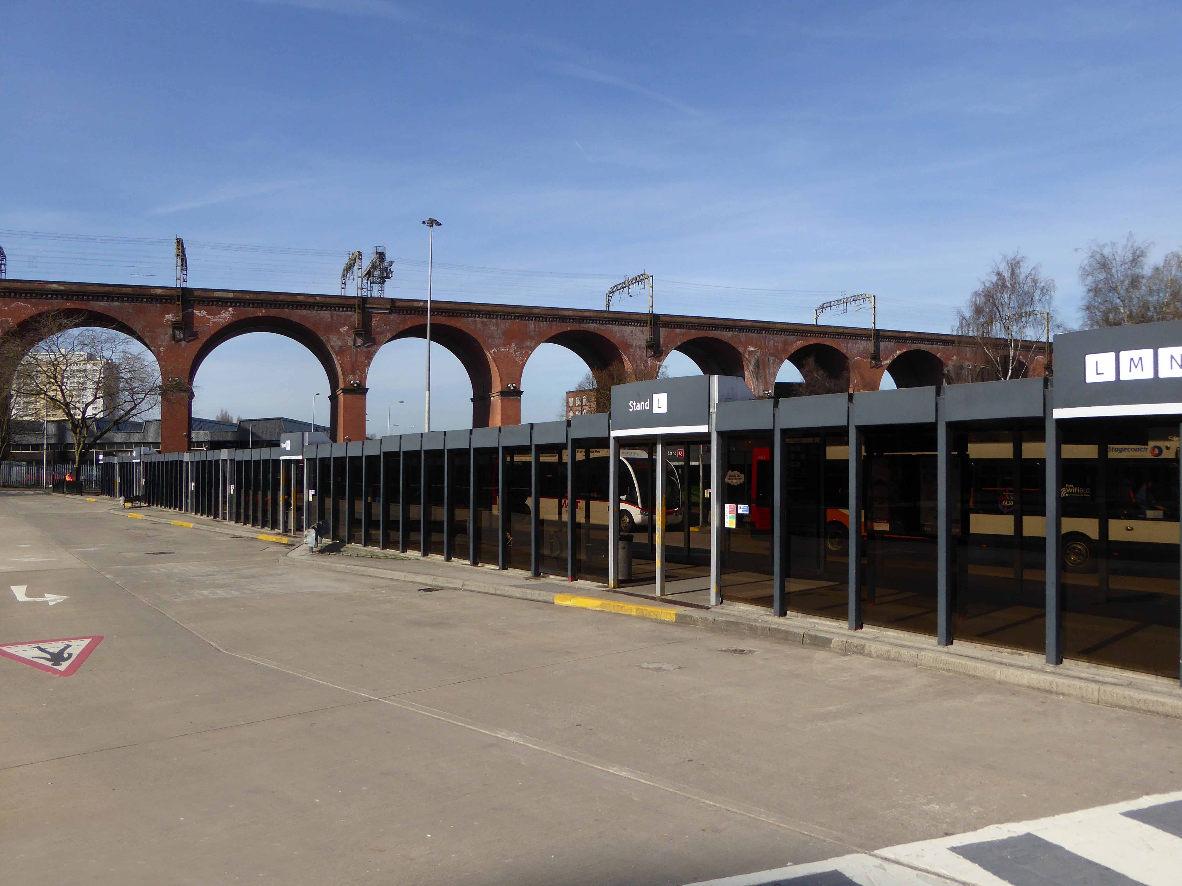
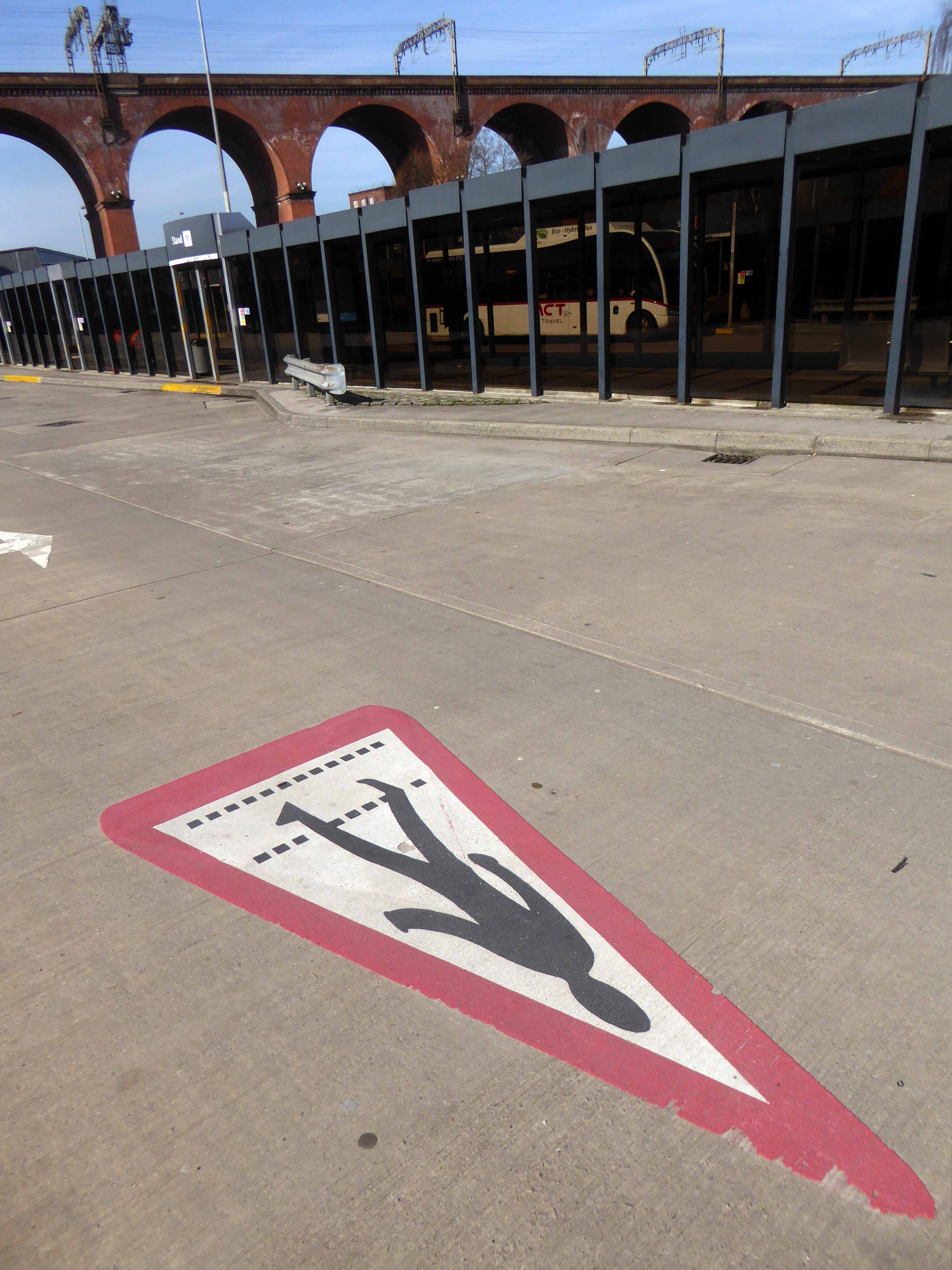
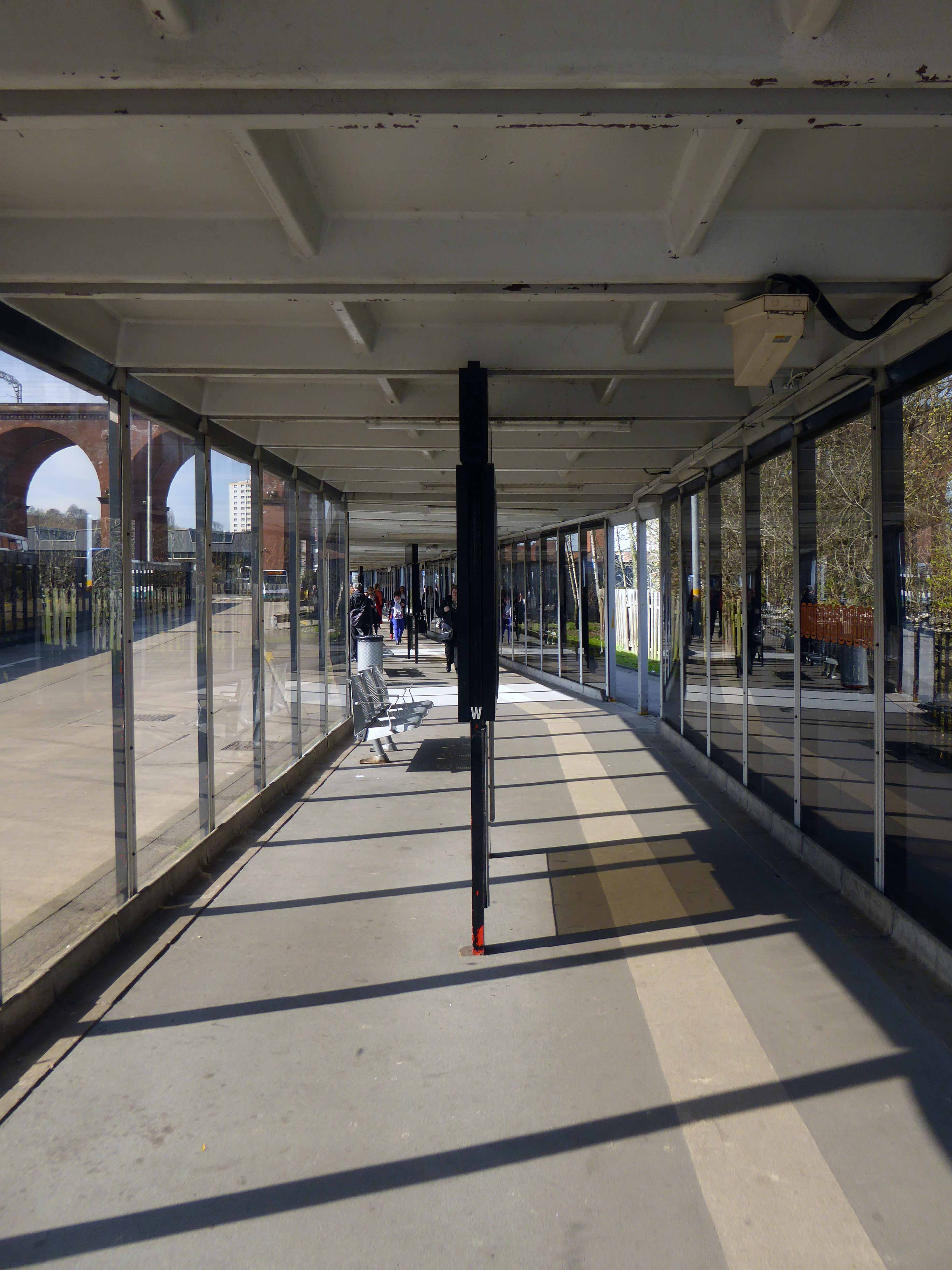
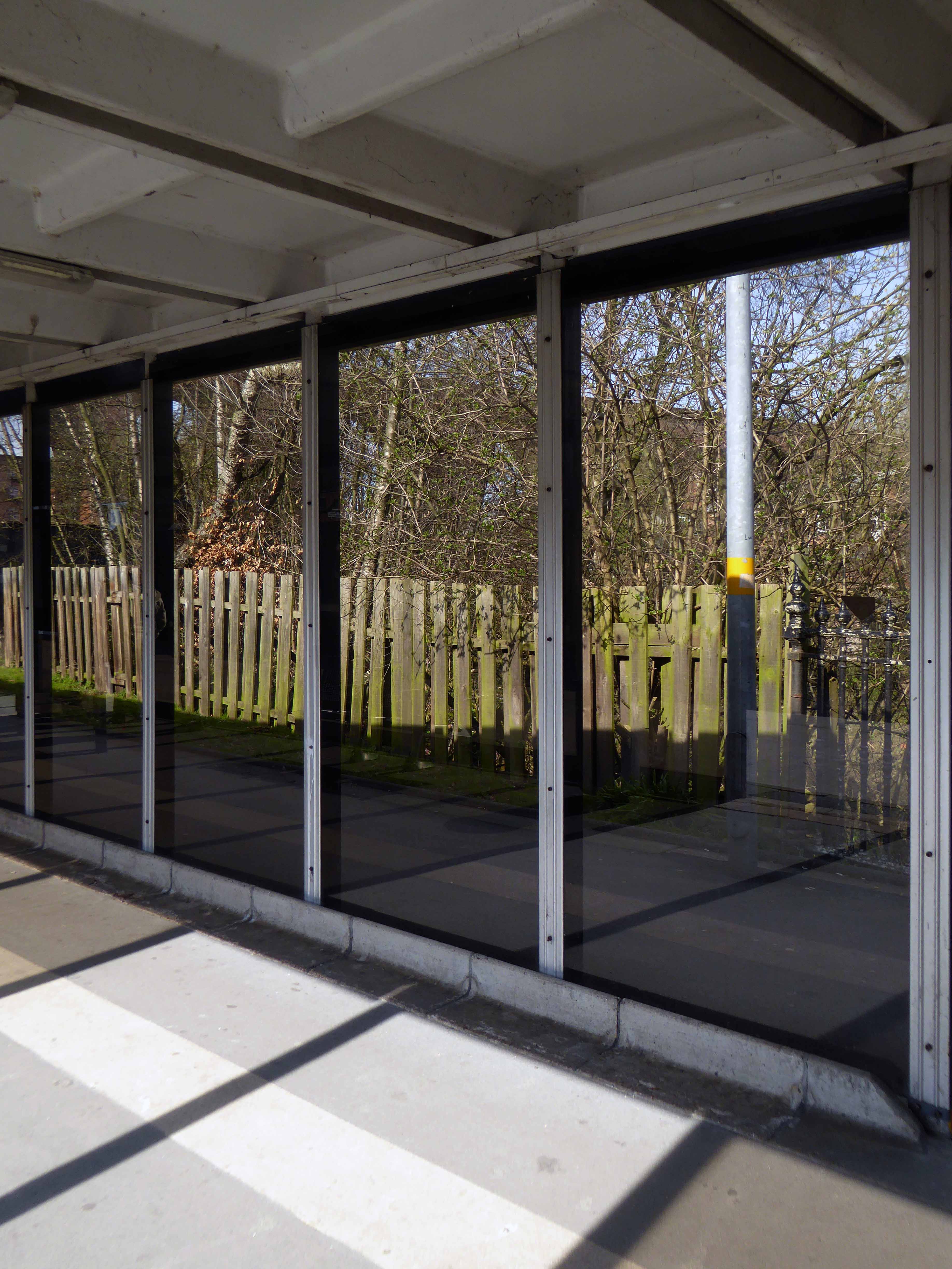
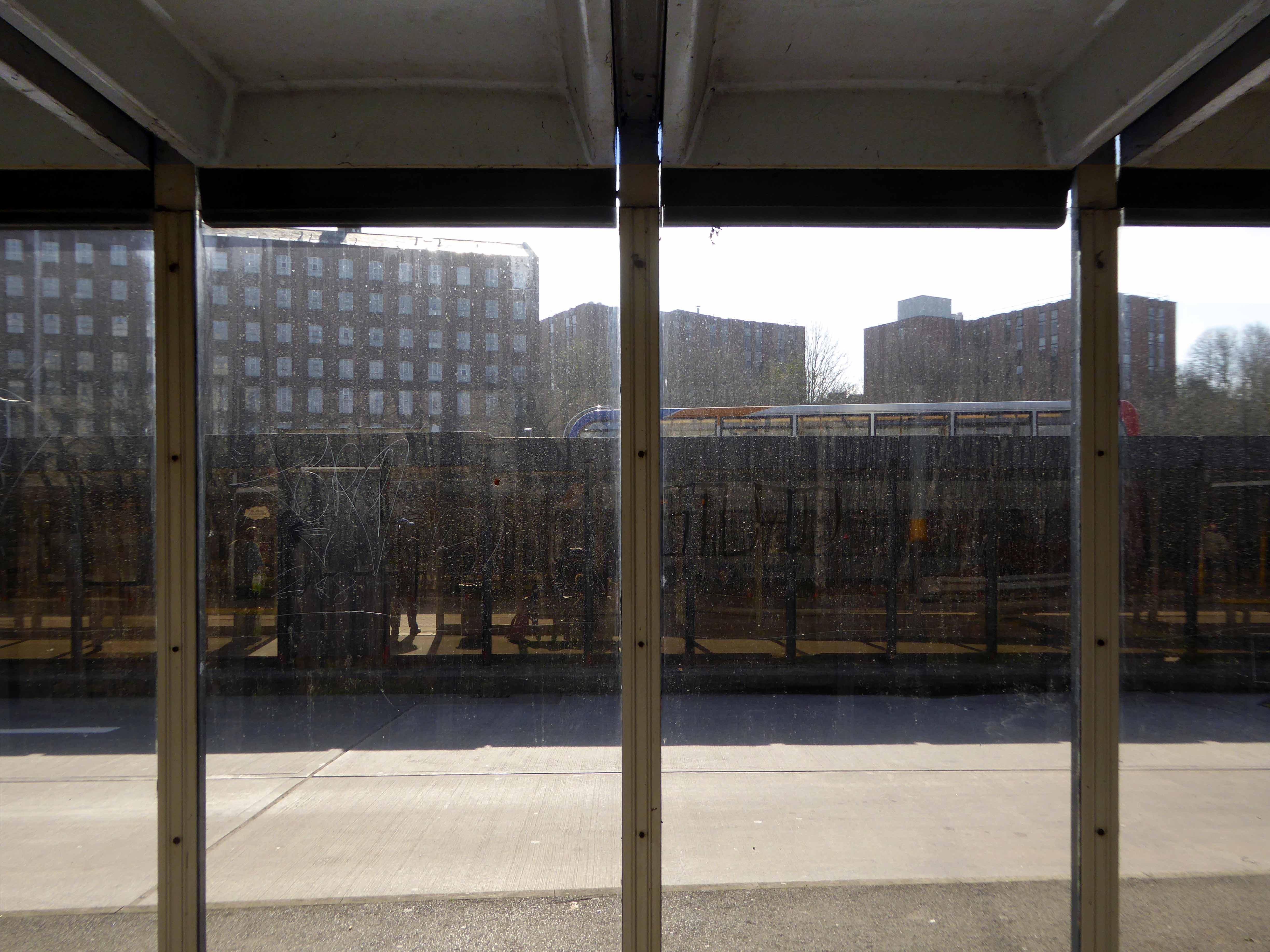
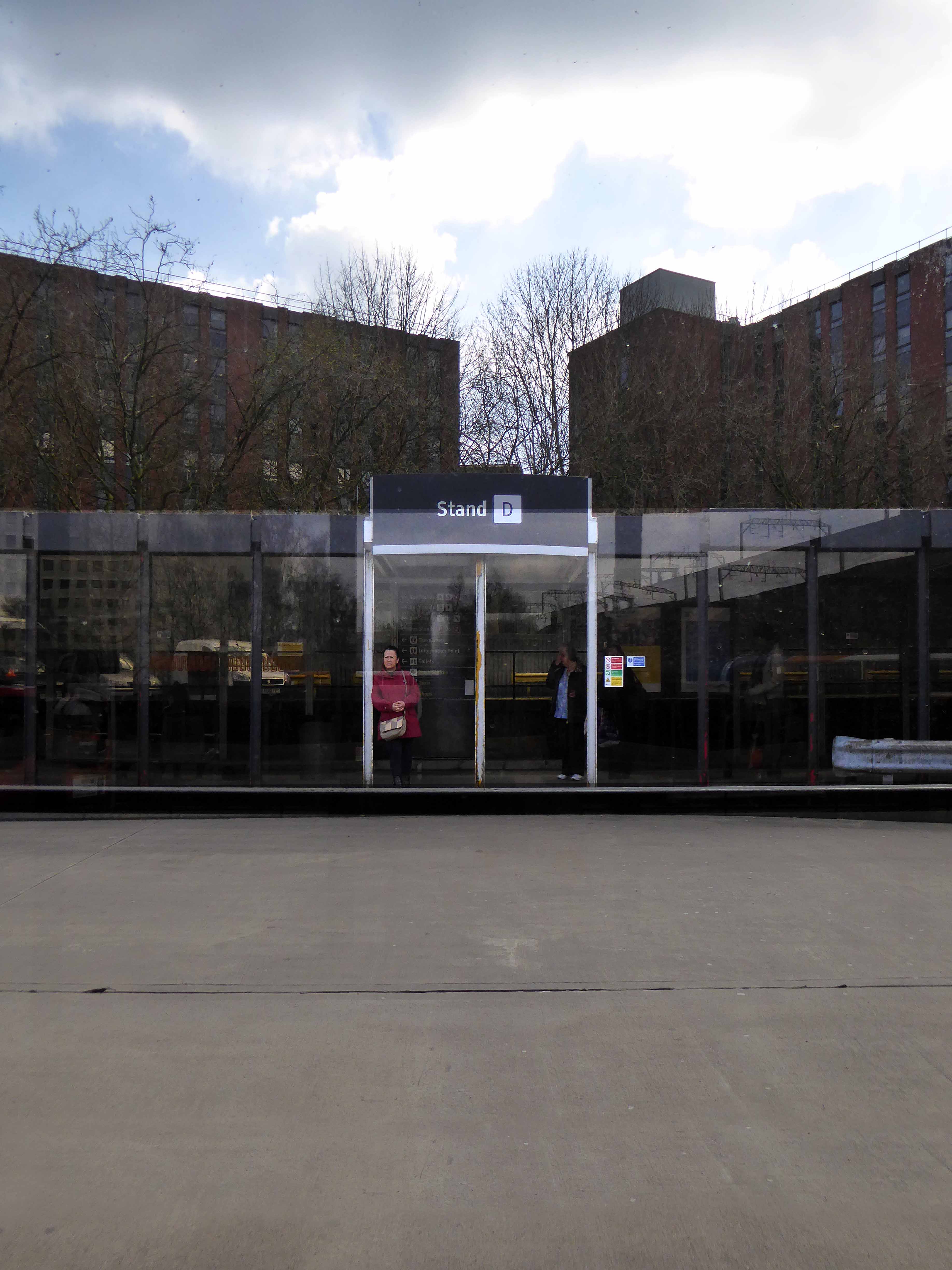
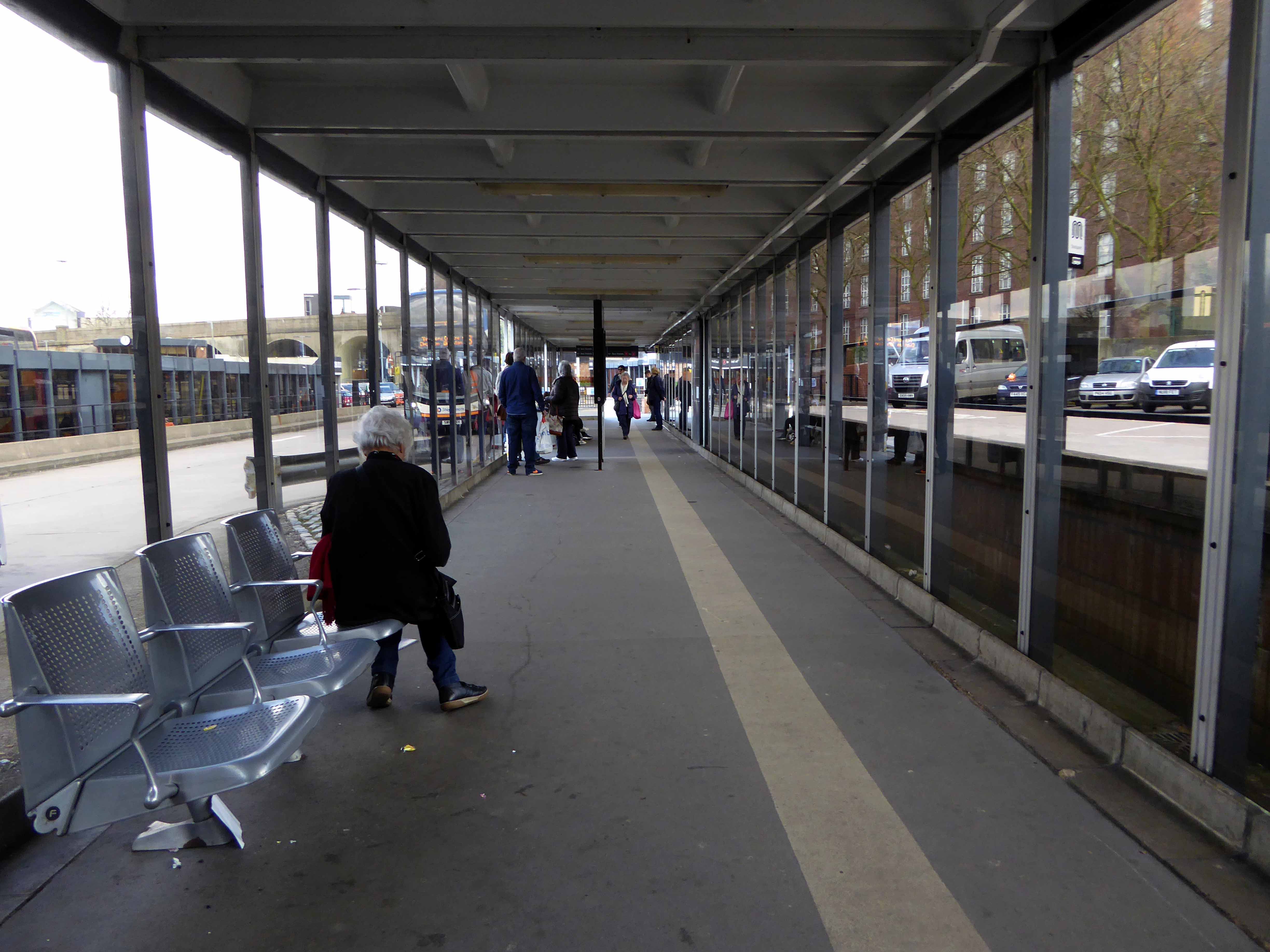
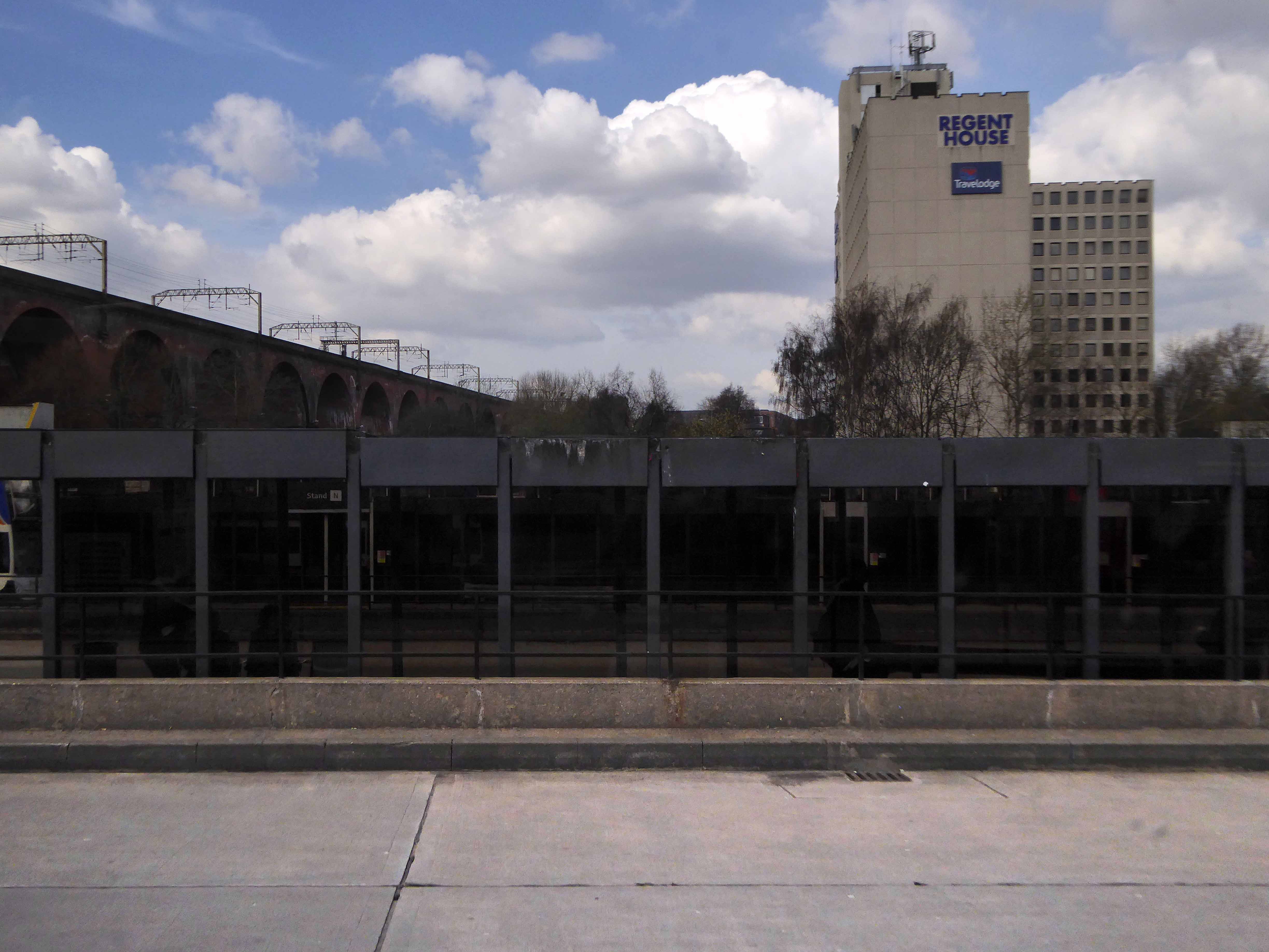
From the early part of the Twentieth Century trams and then buses stopped and started in Mersey Square, affording limited succour, space or shelter for the weary traveller.
View from the Fire Station Tower.
View from the Plaza Steps.
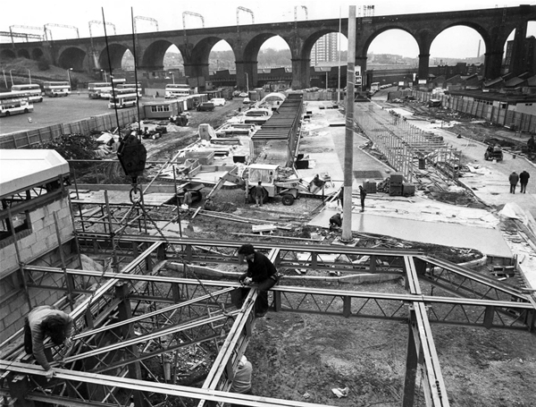
The land where the bus station currently stands was then owned and used by North Western Buses – a rather large and uncultivated plot.
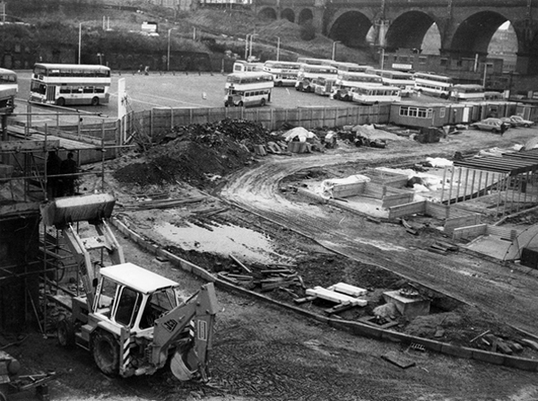
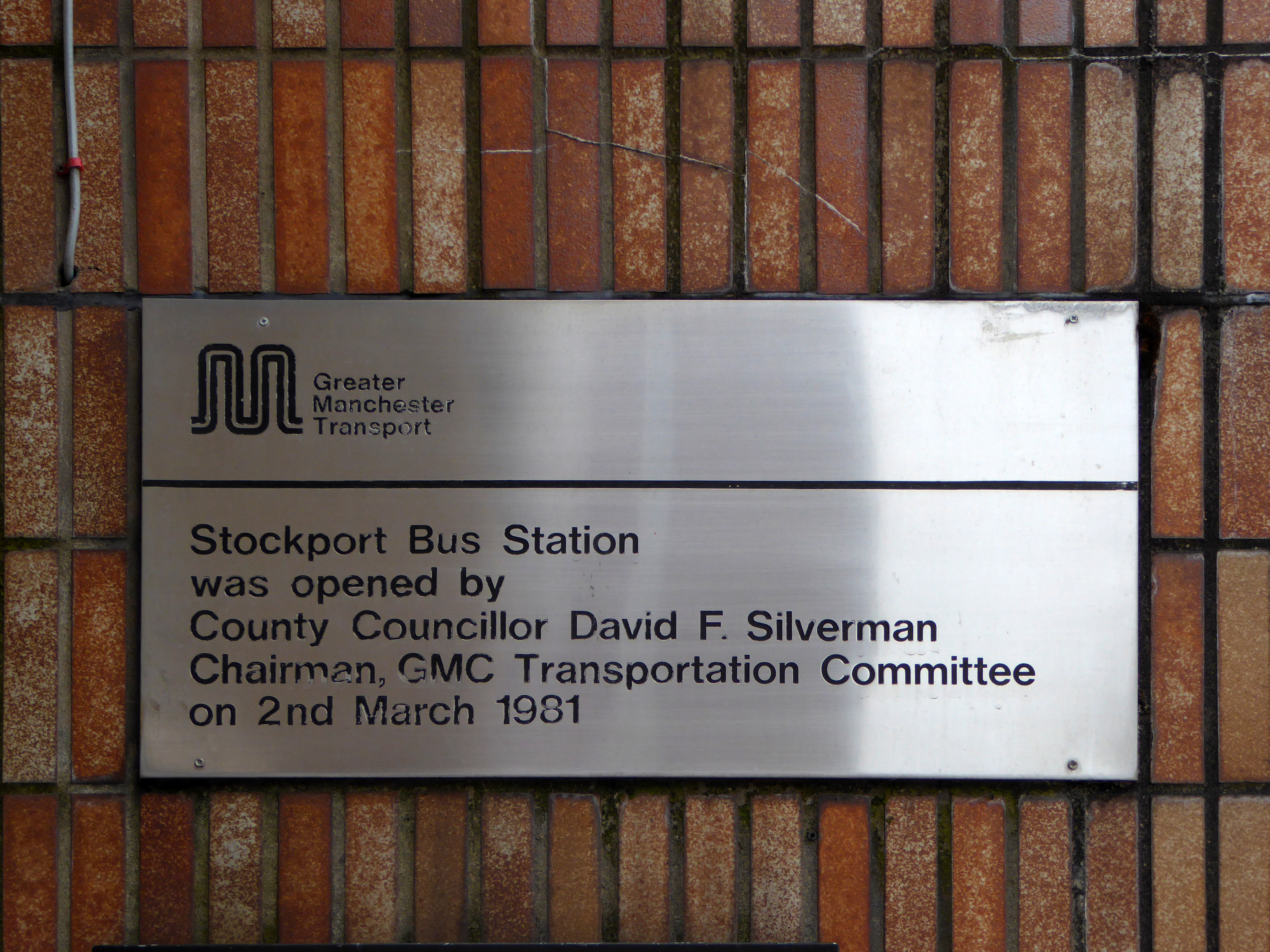
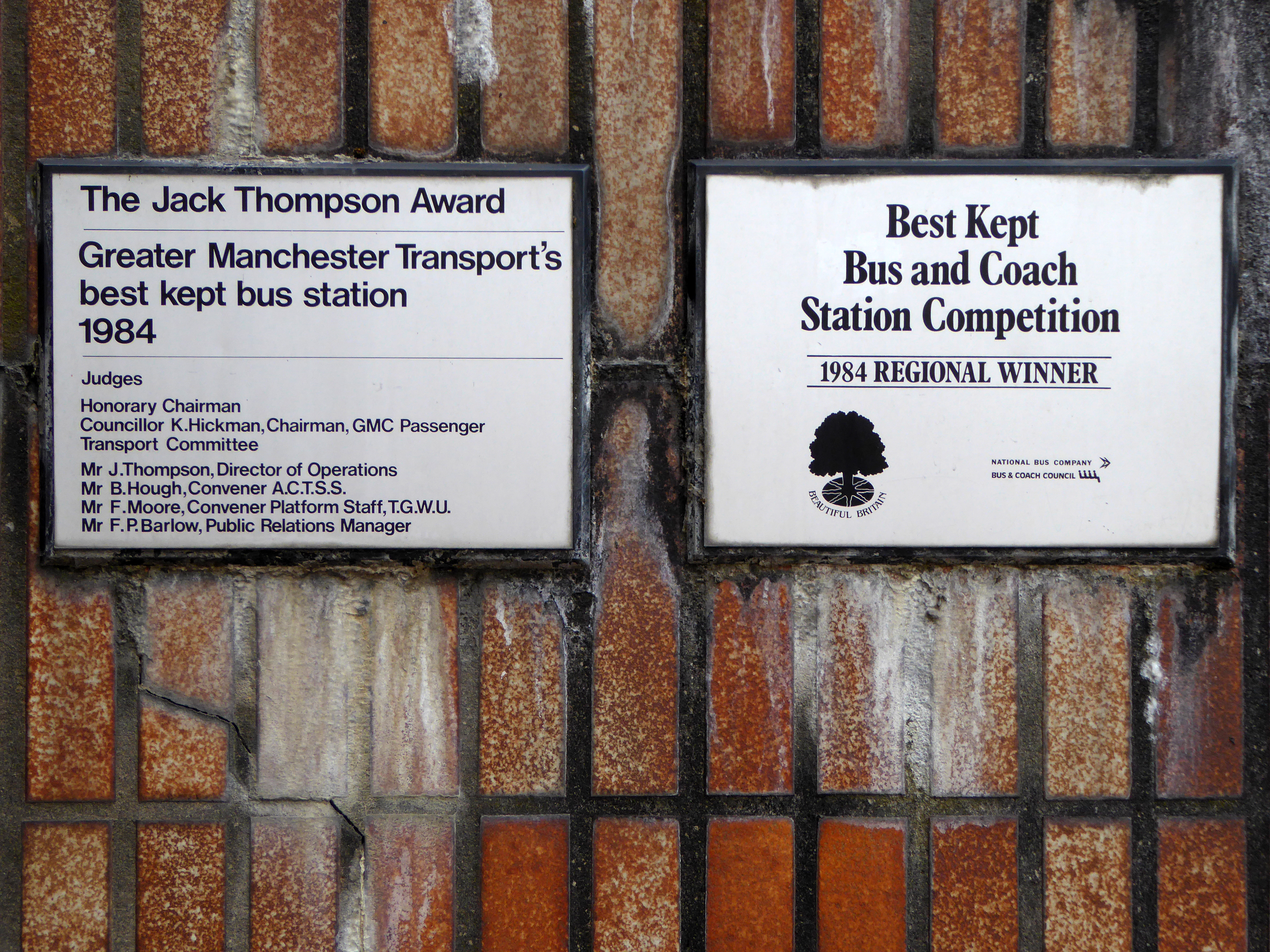
Work began in April 1979 on a brand new bus station, the first stage finally opening on March 2nd 1982.
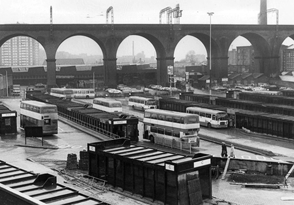
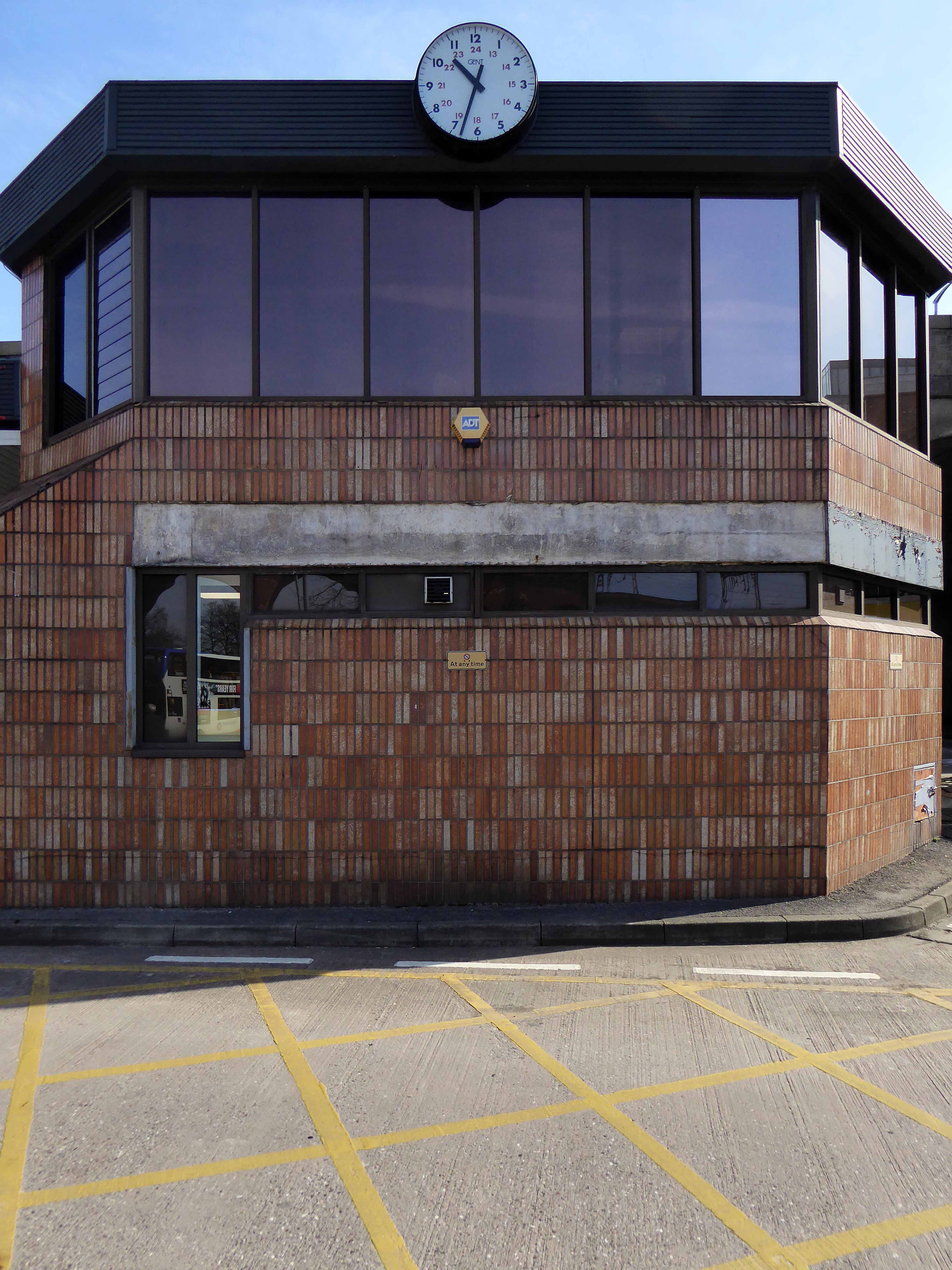
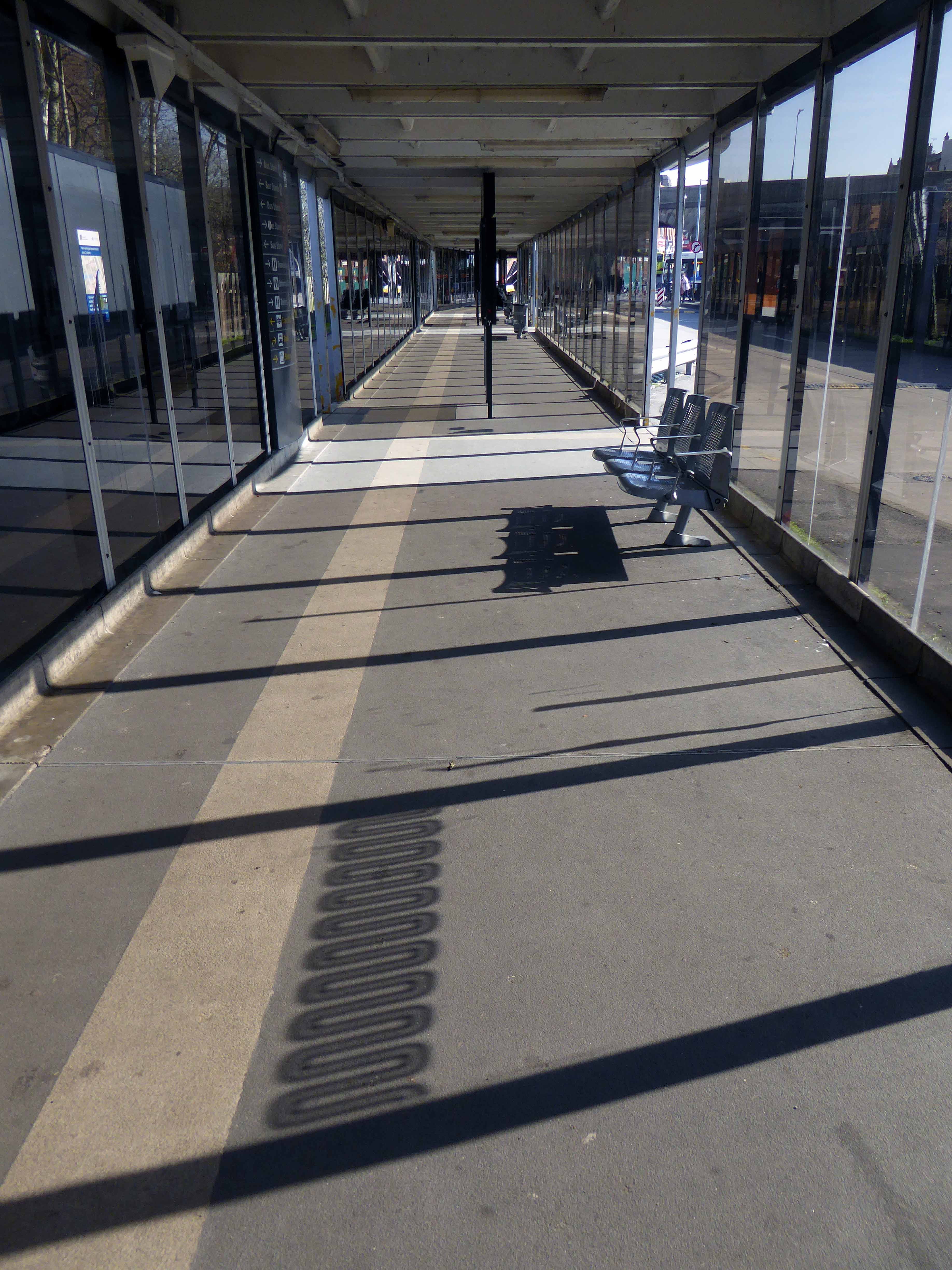
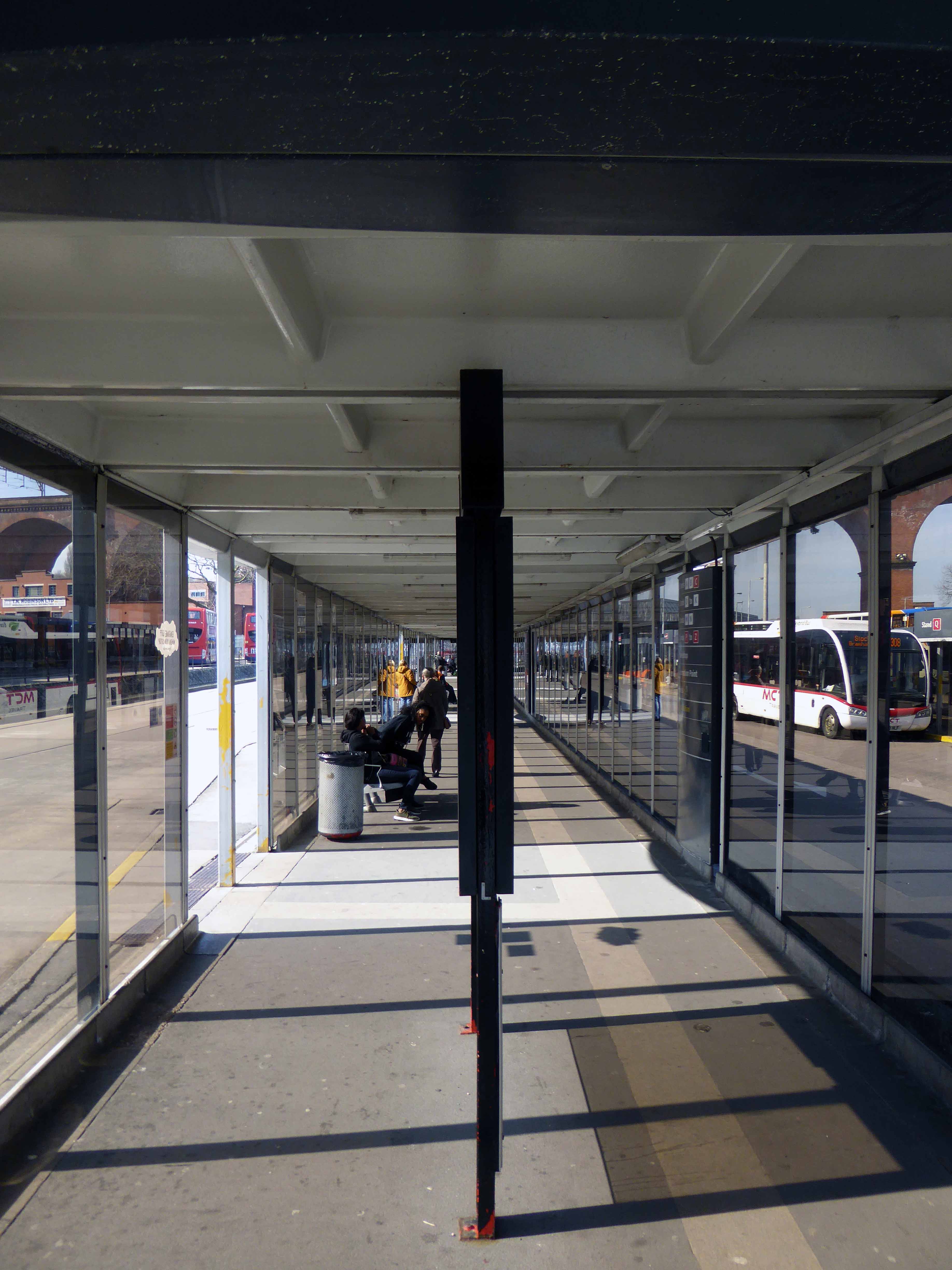
Slowly emerging from the rough ground – a series of glass and steel boxes worthy of that master of minimalism Ludwig Mies van der Rohe, a Neue Nationalgalerie in miniature.
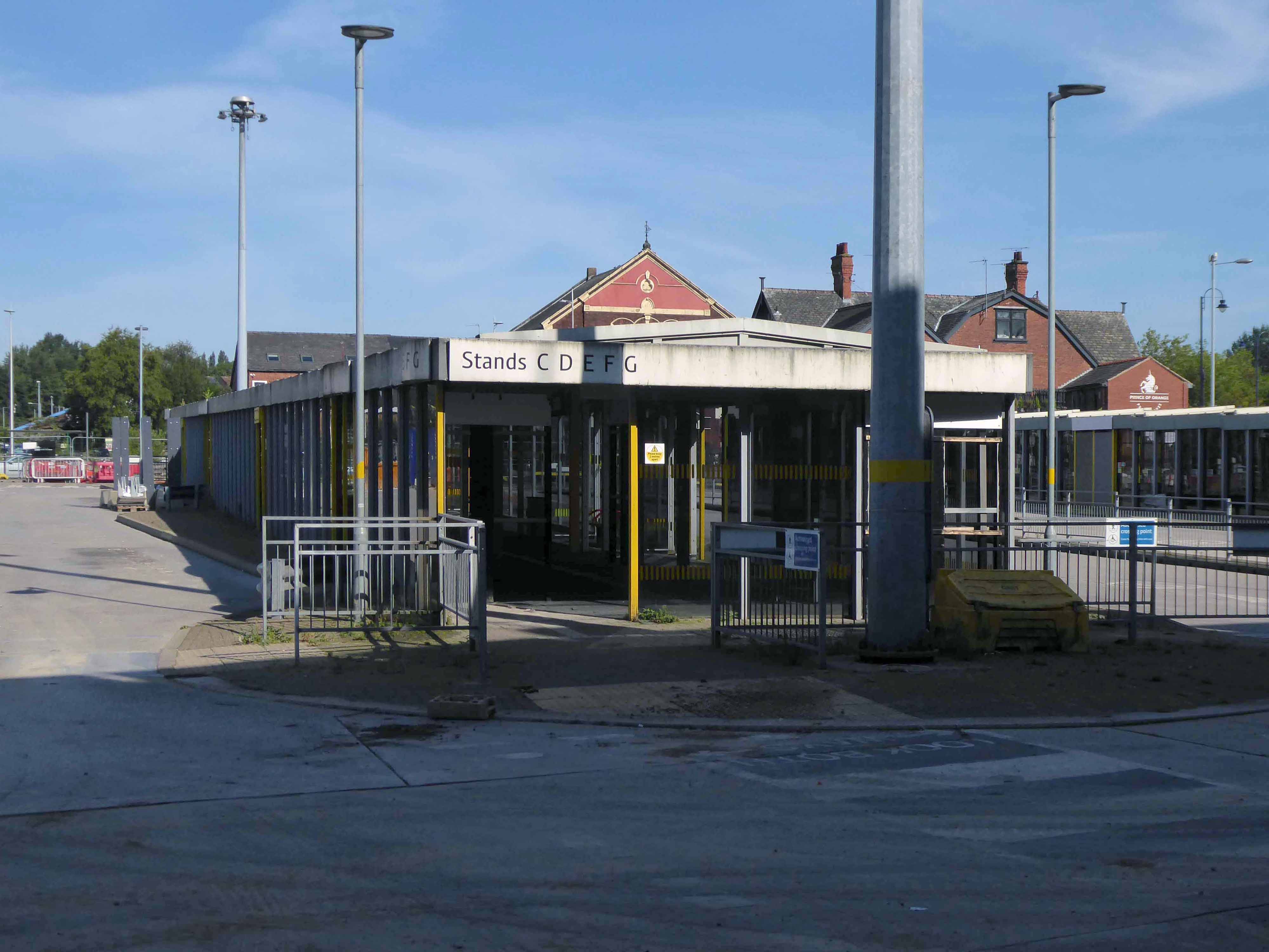
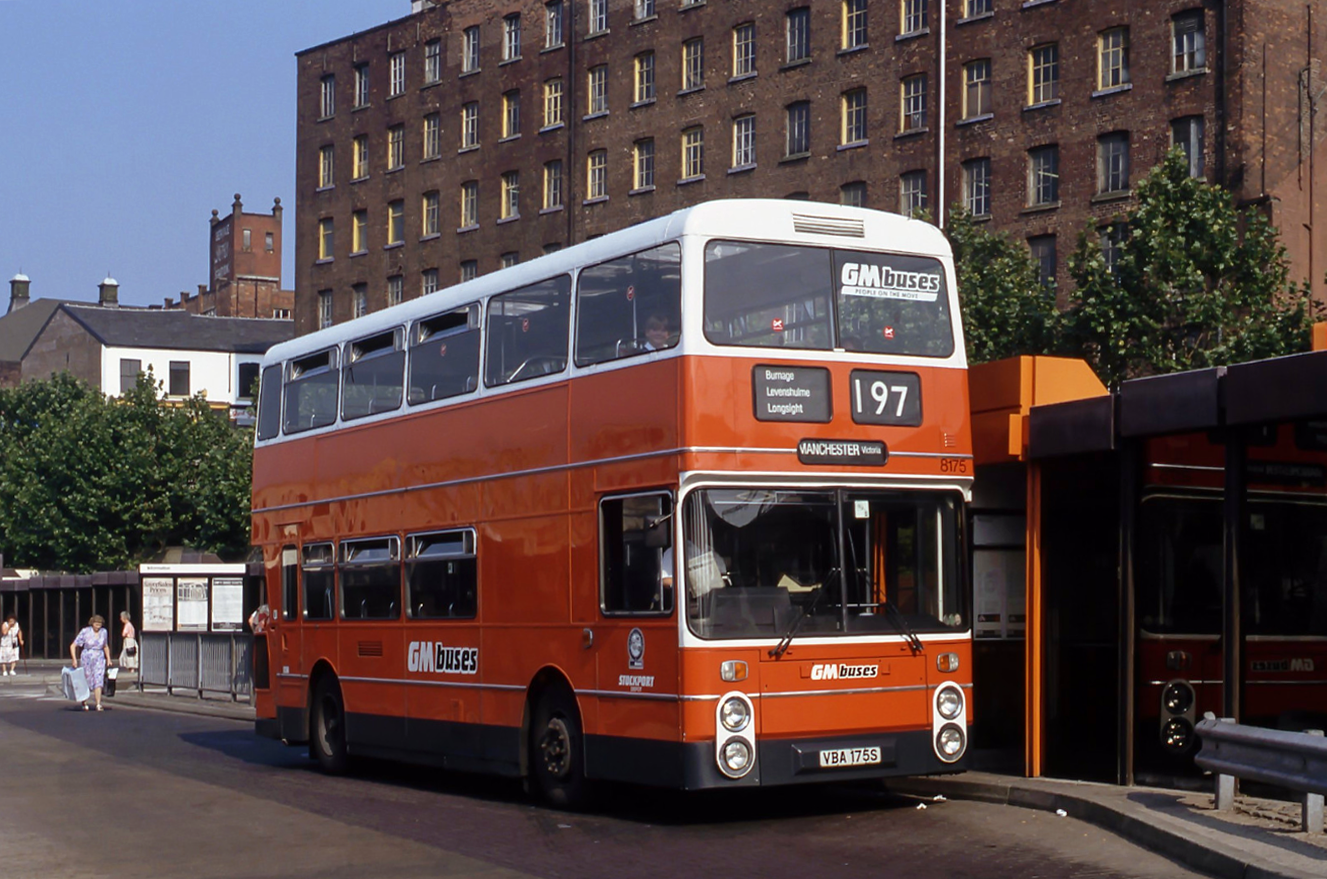
It has stood and withstood the winds of change and perfidious public transport policy, the privatisation of the service, snatched greedily from local authority control.
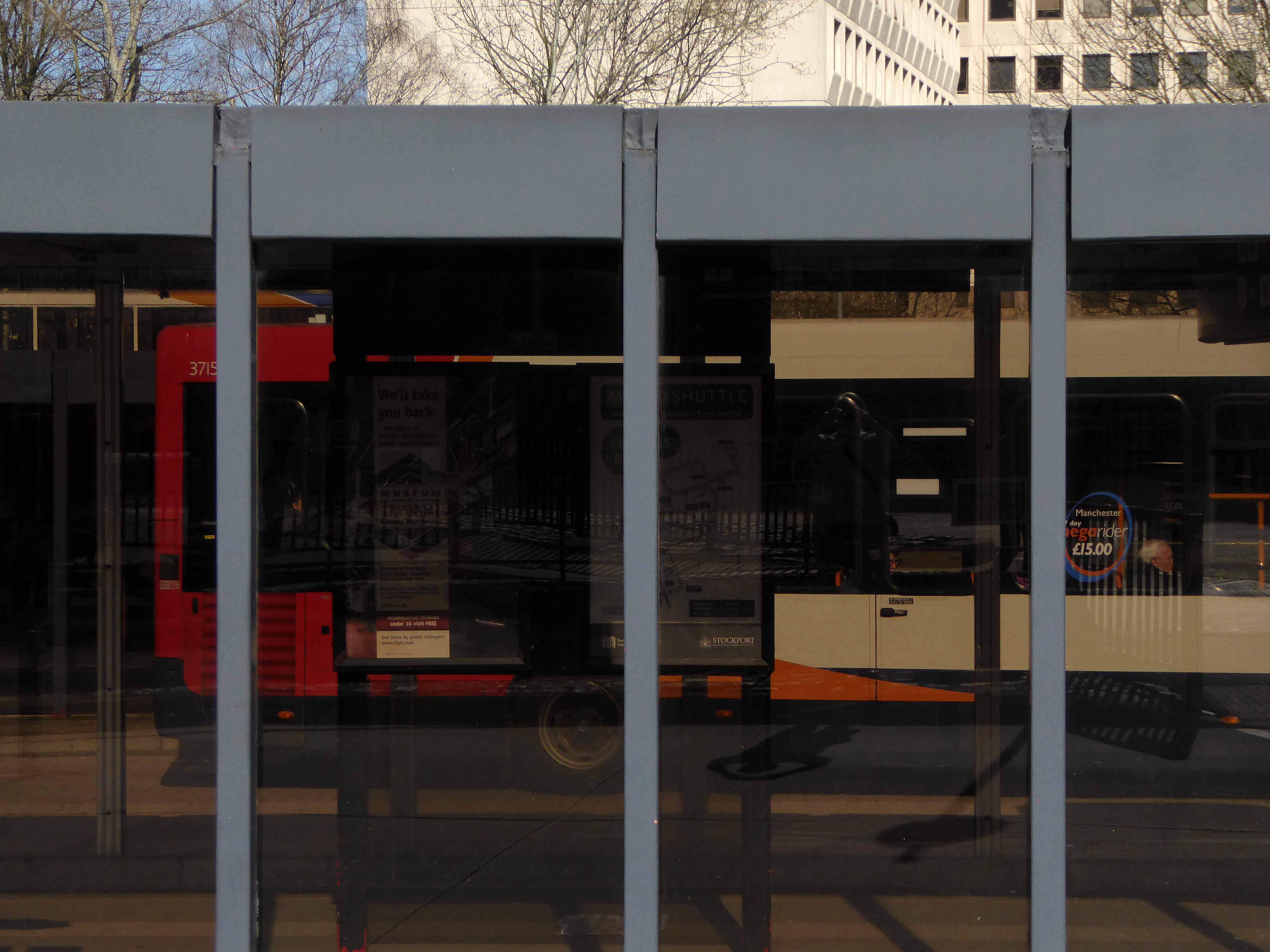
Passengers have met and parted, whilst buses of every hue and stripe have departed from these draughty boxes.
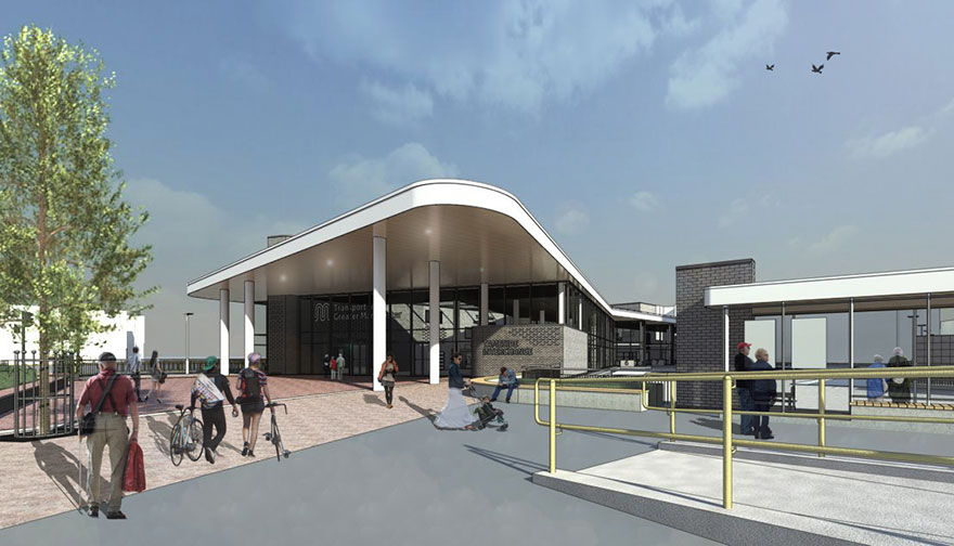
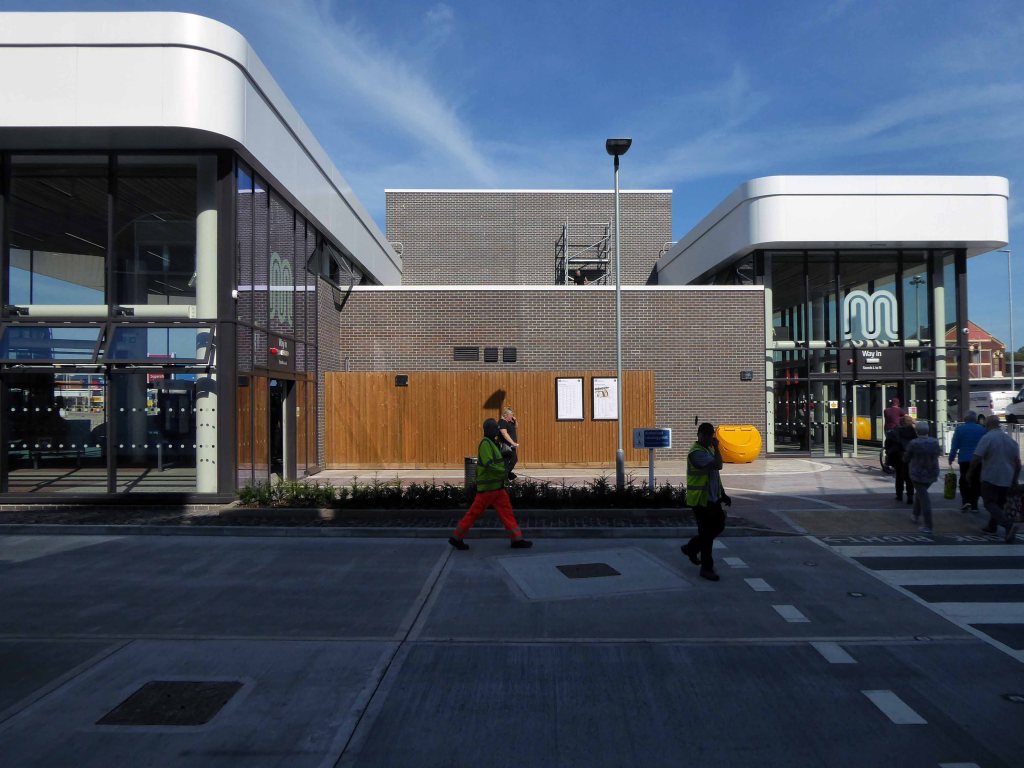
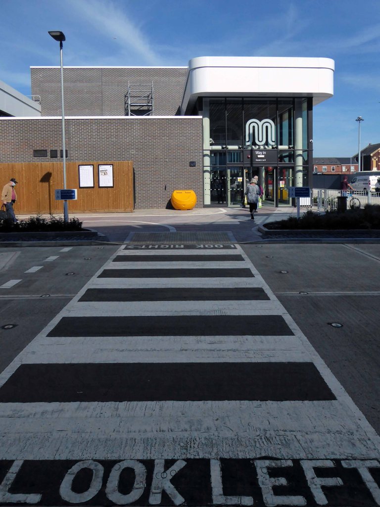
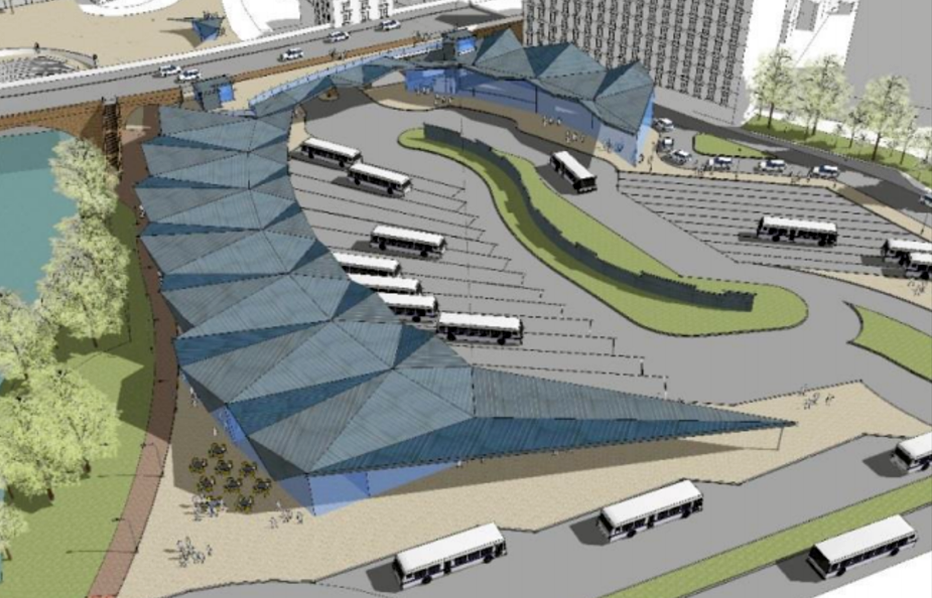
There are now plans for imminent demolition and rebuilding – shaping a transport hub fit for the Twenty First Century – Space Age forms for a brave new world.
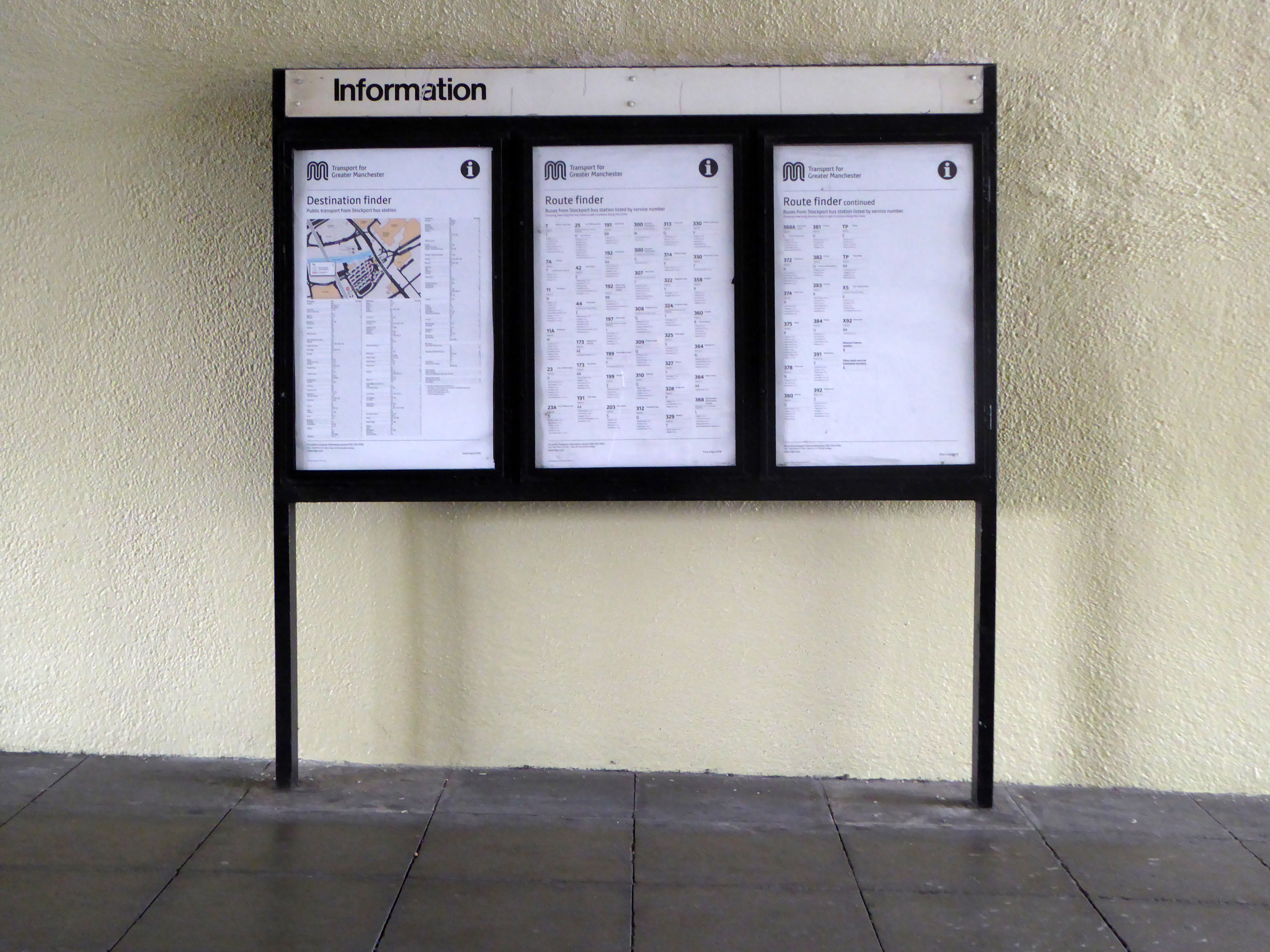
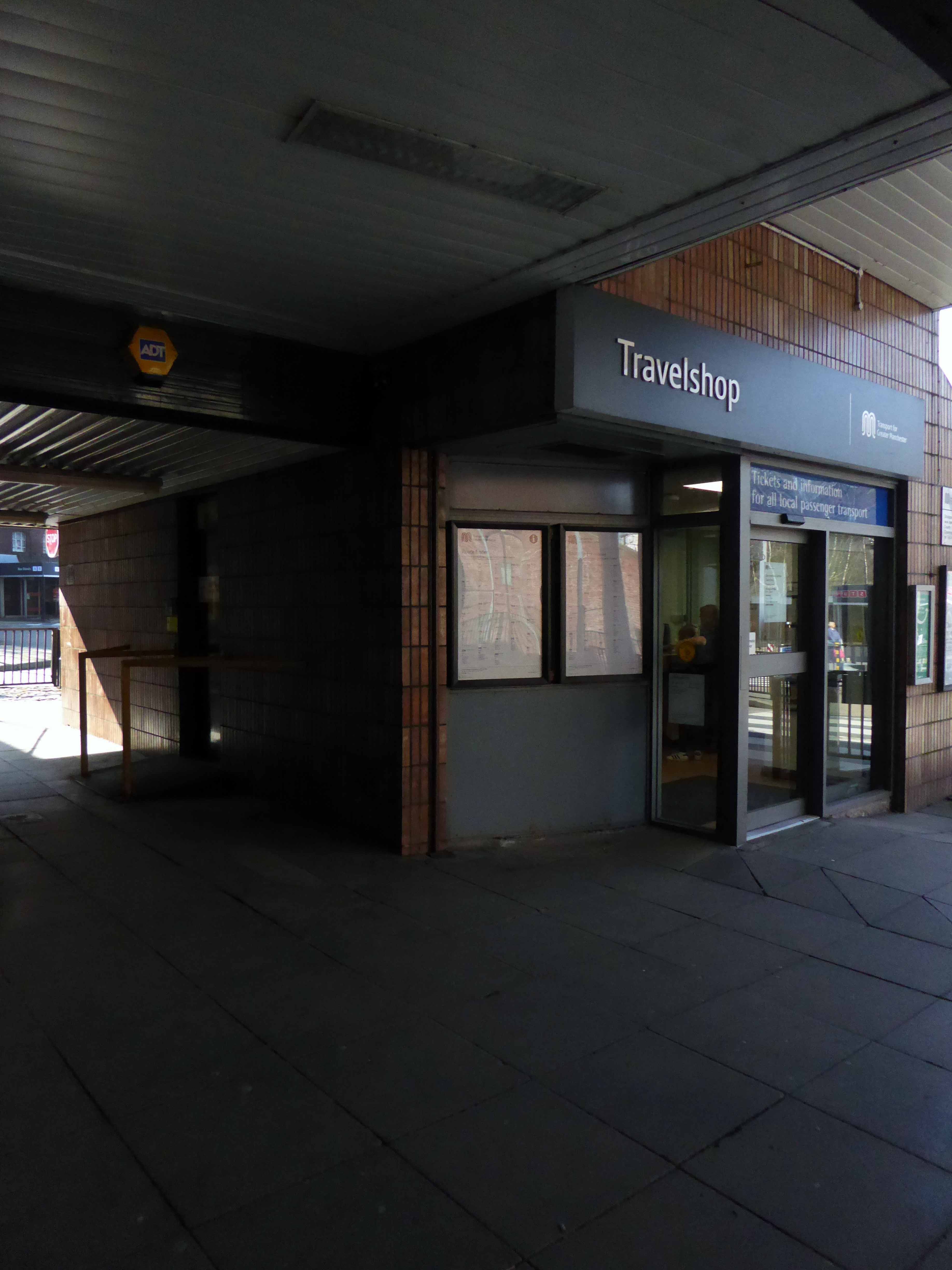
A new £42m transport interchange in Stockport town centre has taken a step forward after the local council agreed key measures to back the project.
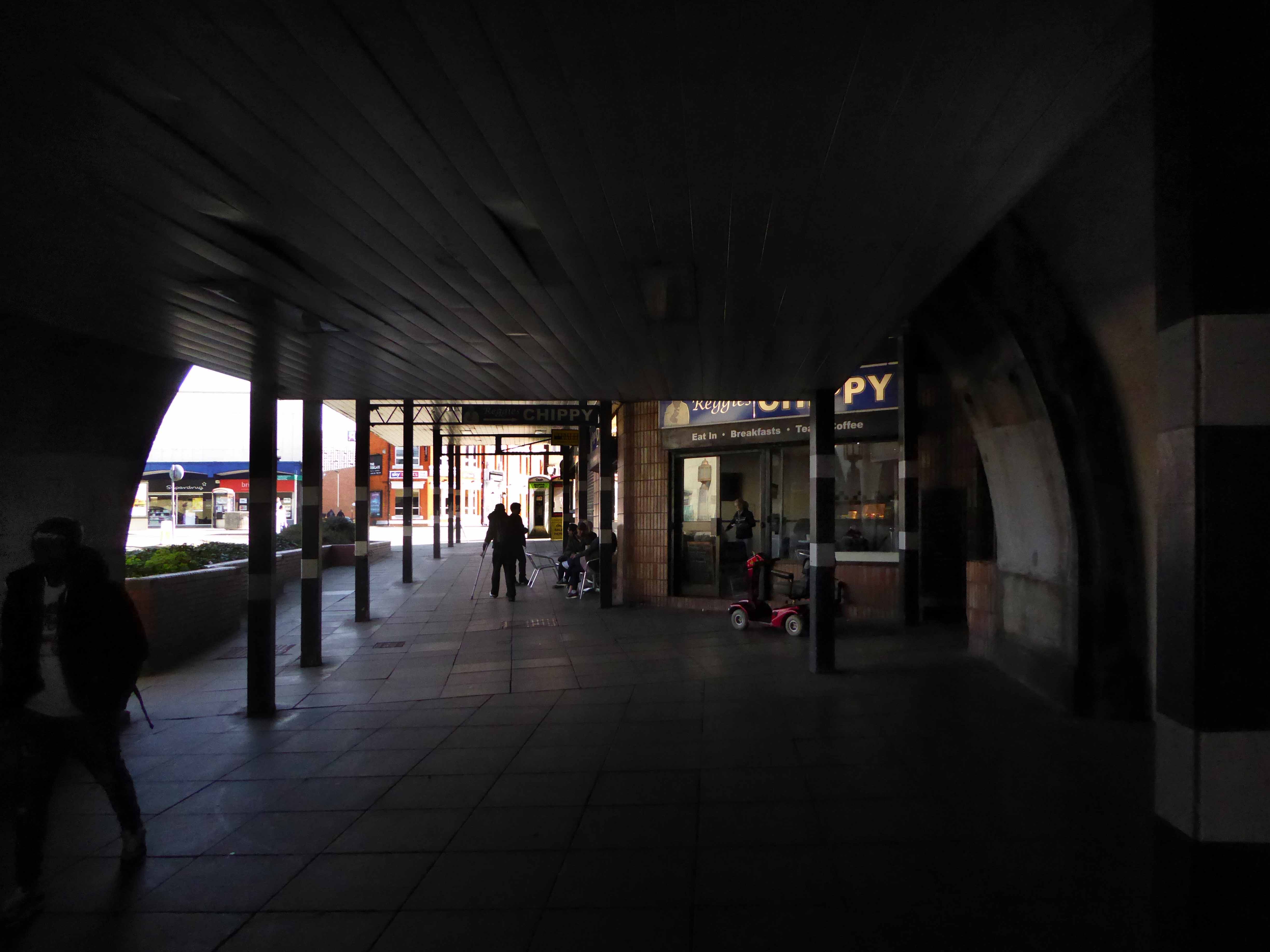
April 9th 2017 here is my photographic record of the Bus Station, I’ve been, gone and come back again countless times through the years.