Well well here we are again, third time around following a visit in 2018 and later in 2021.
Almost inevitably, changes have taken place.
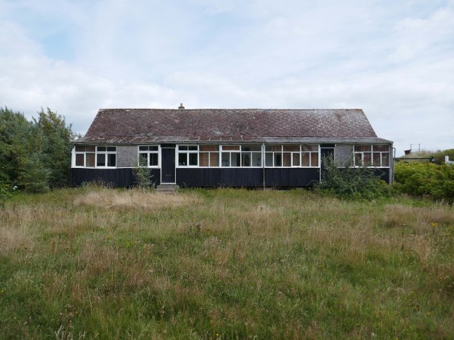
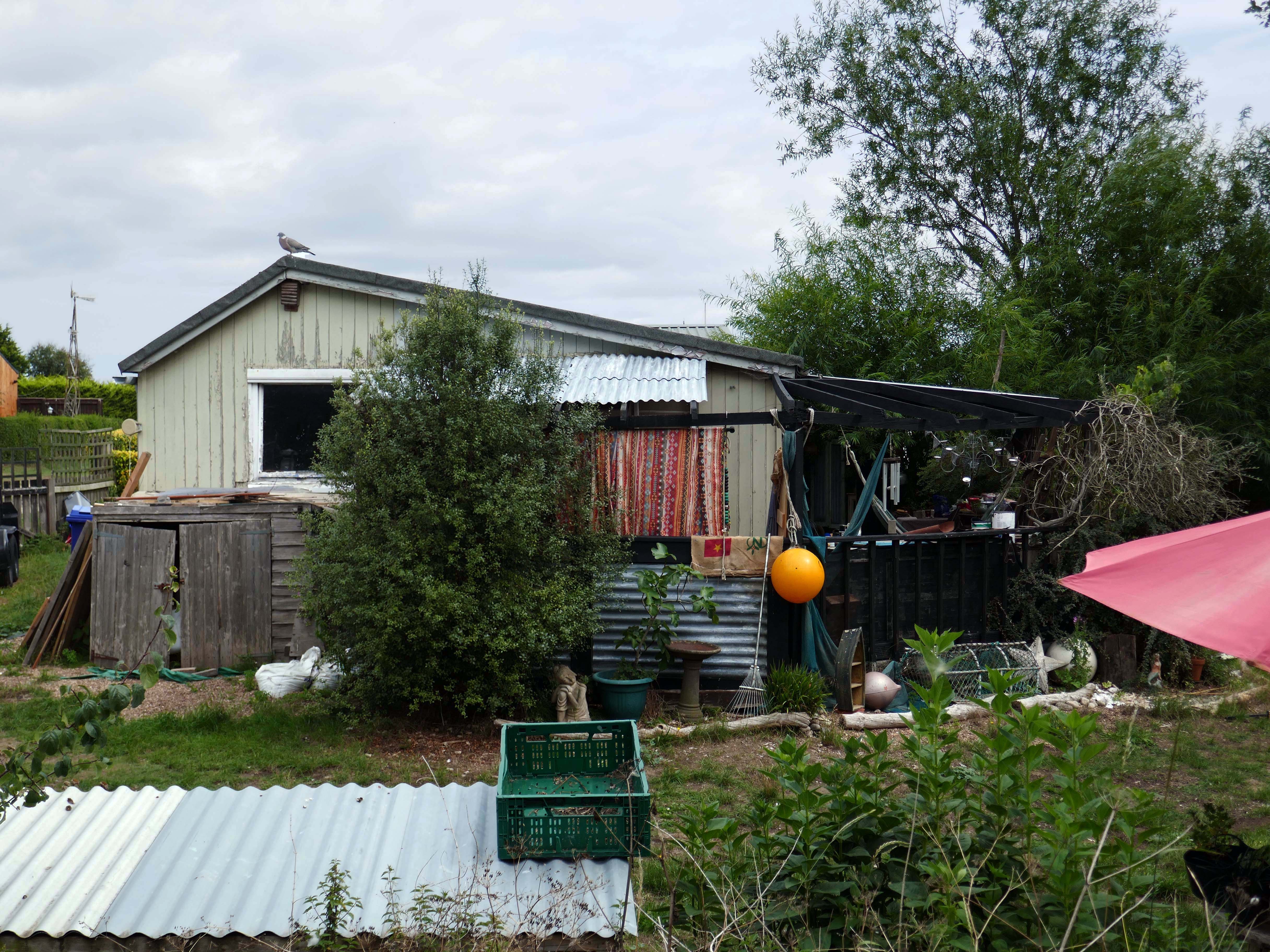
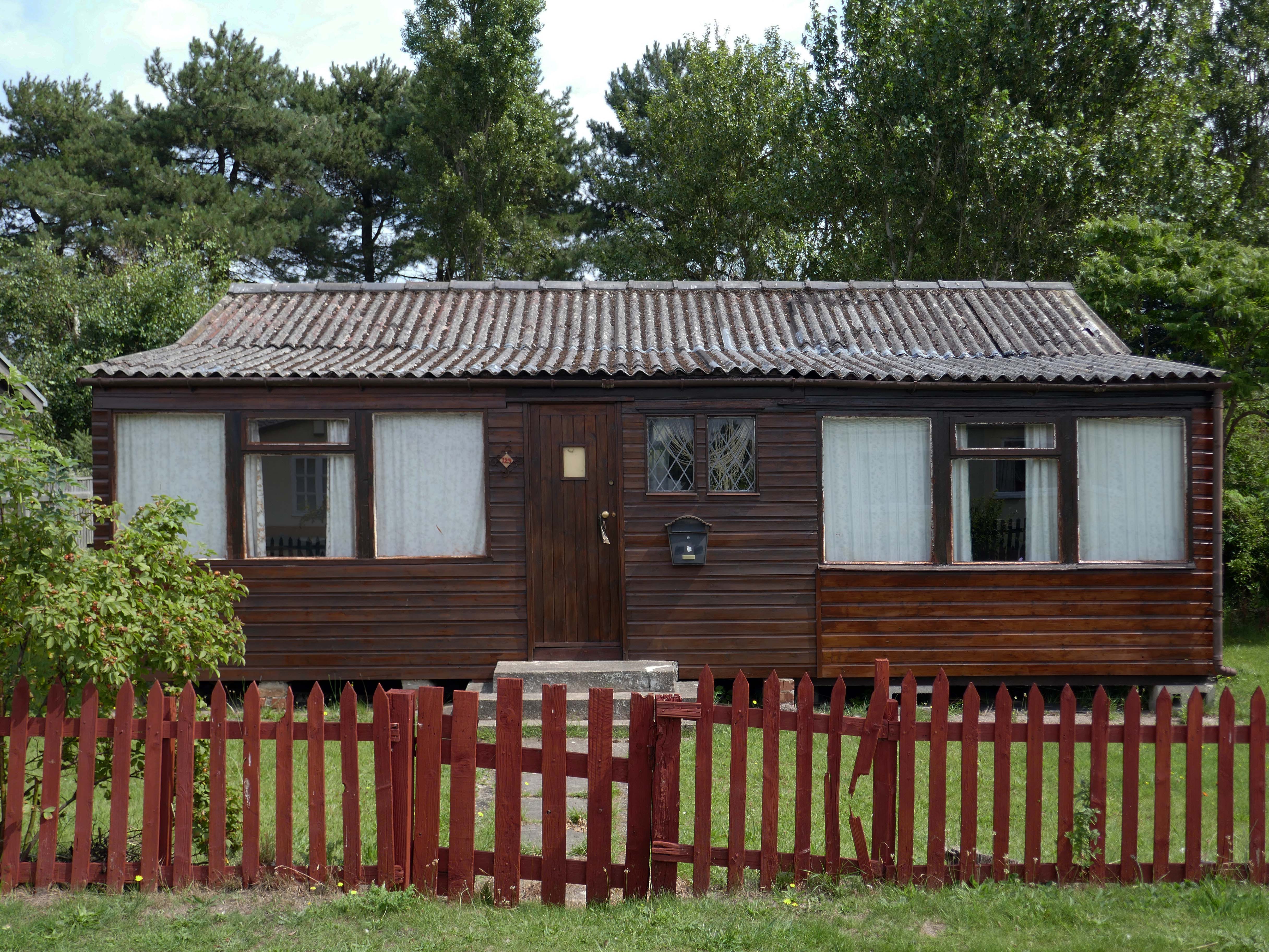
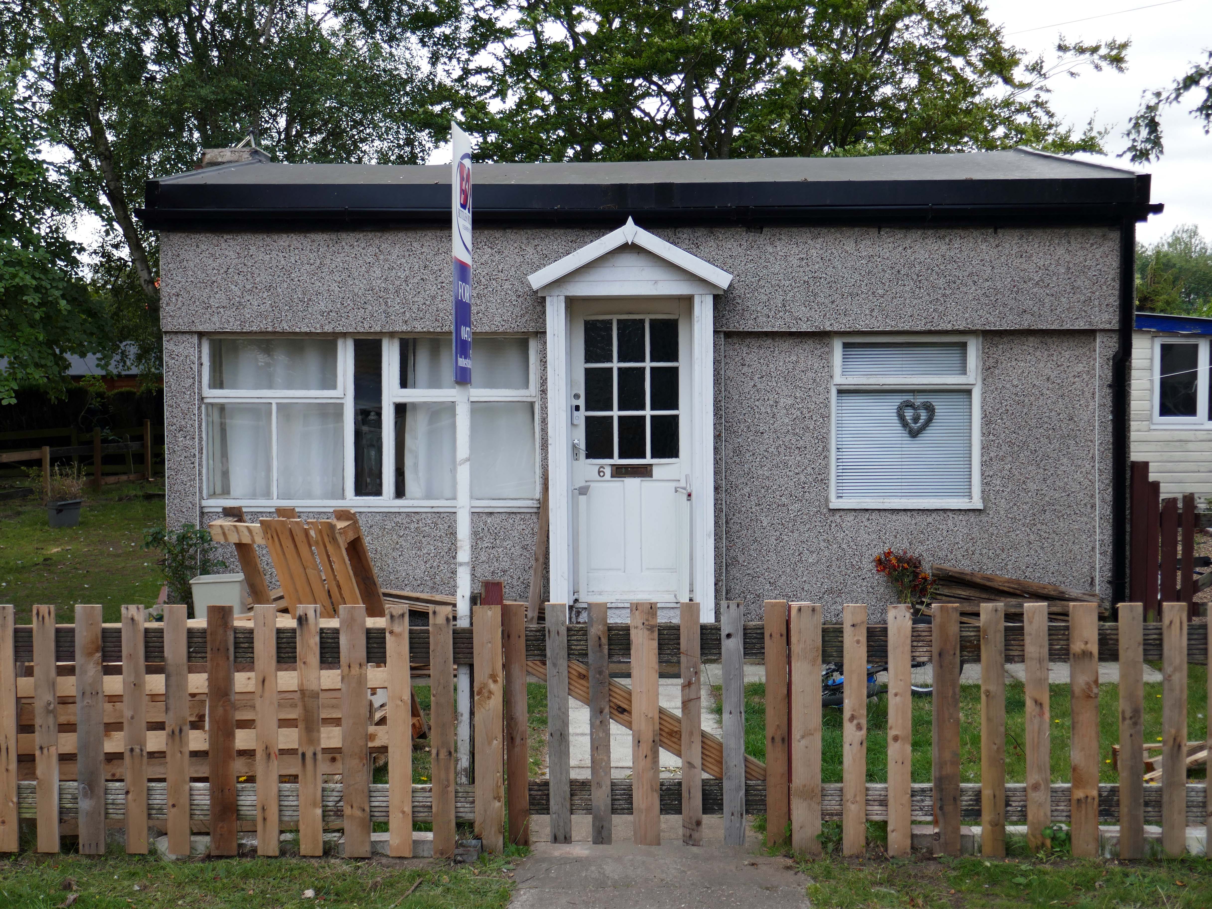
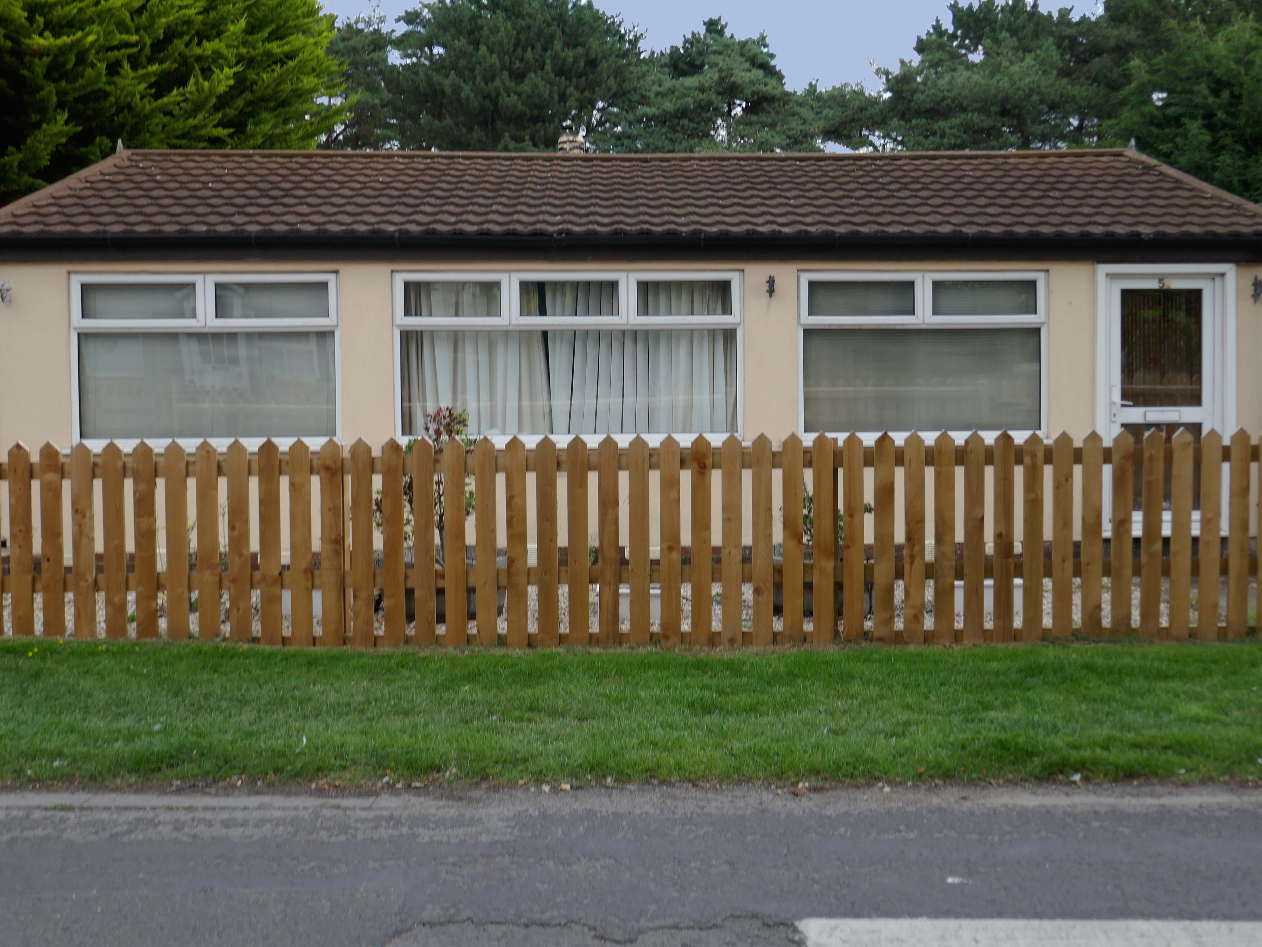
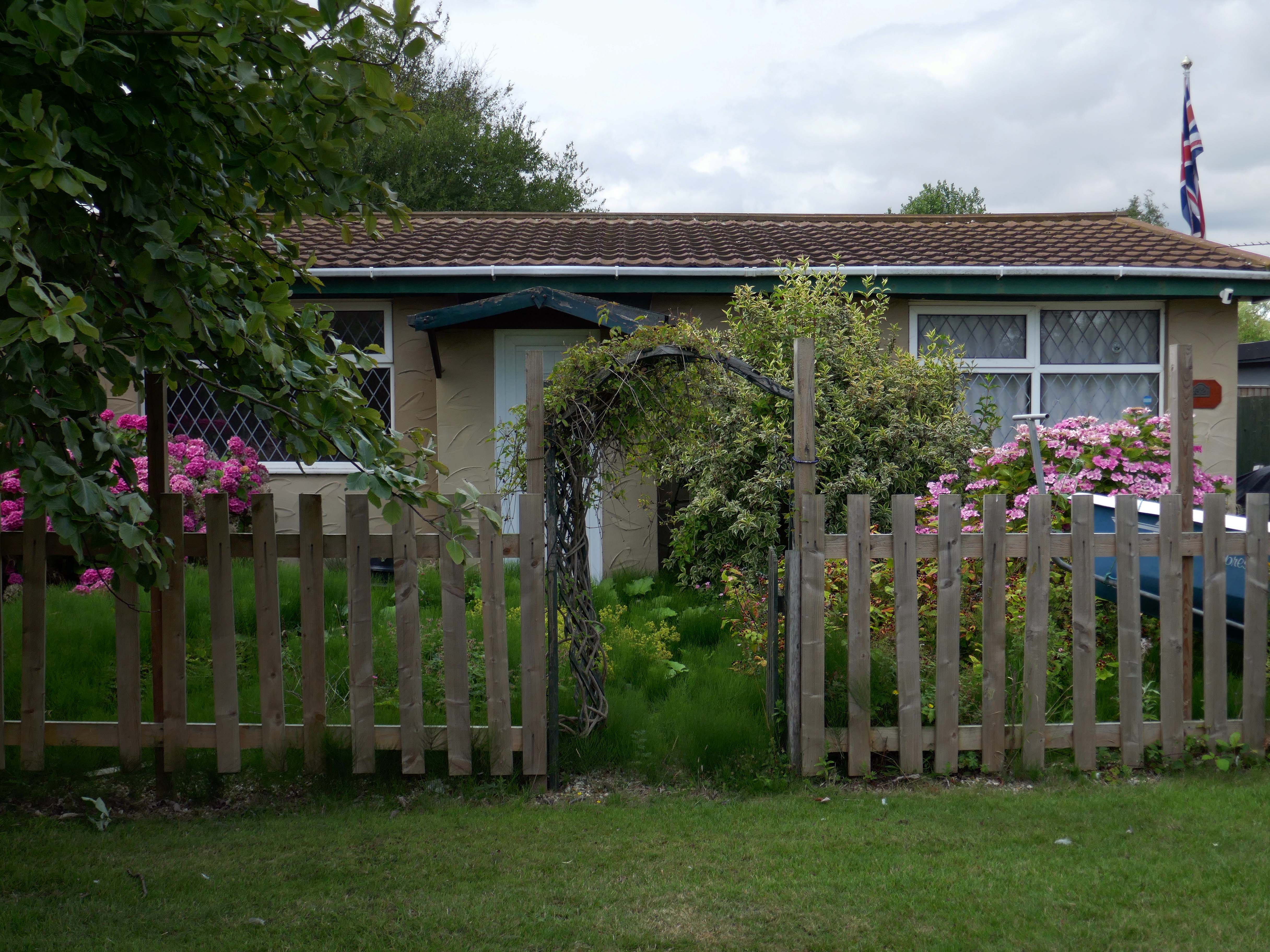
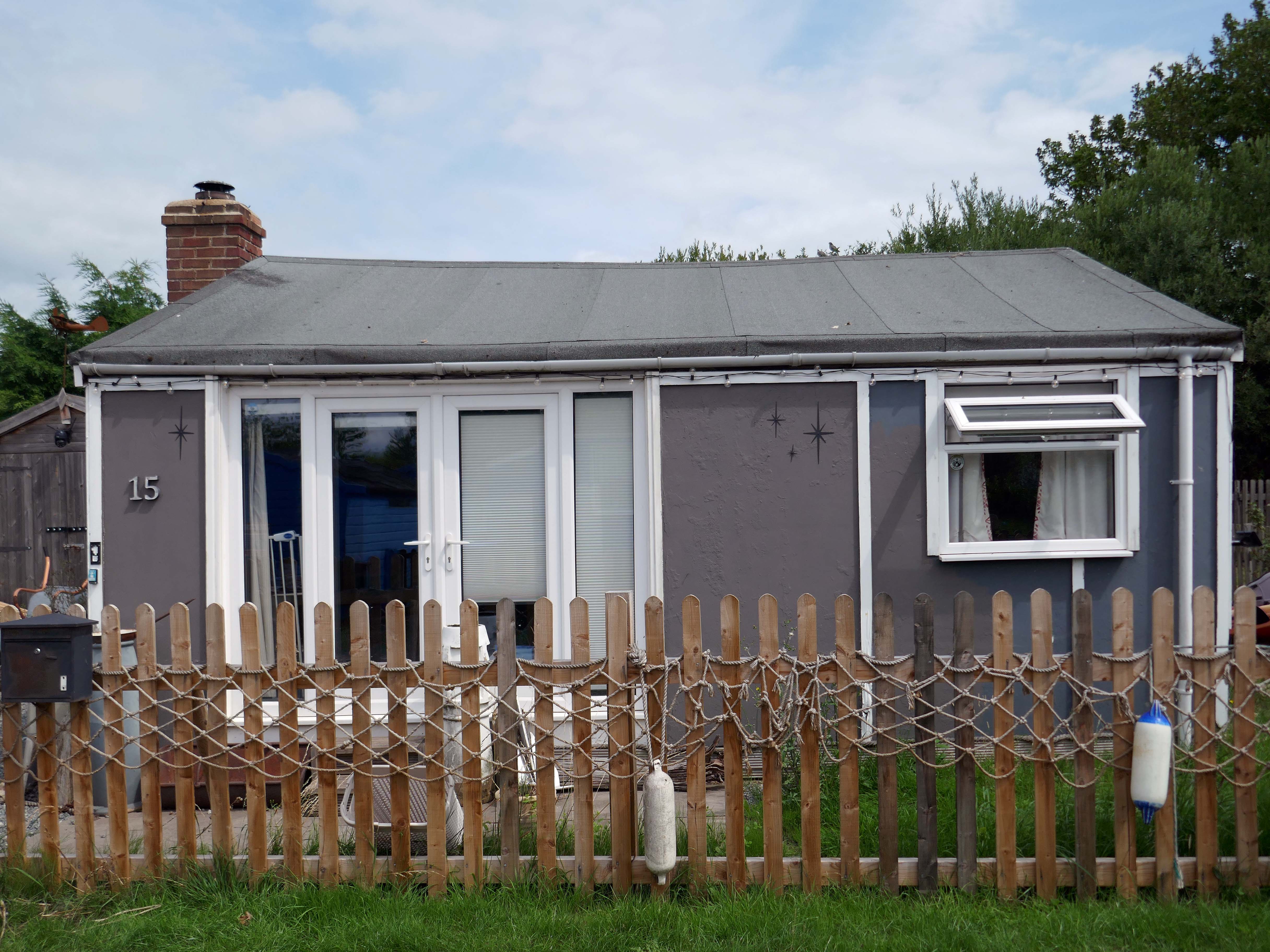
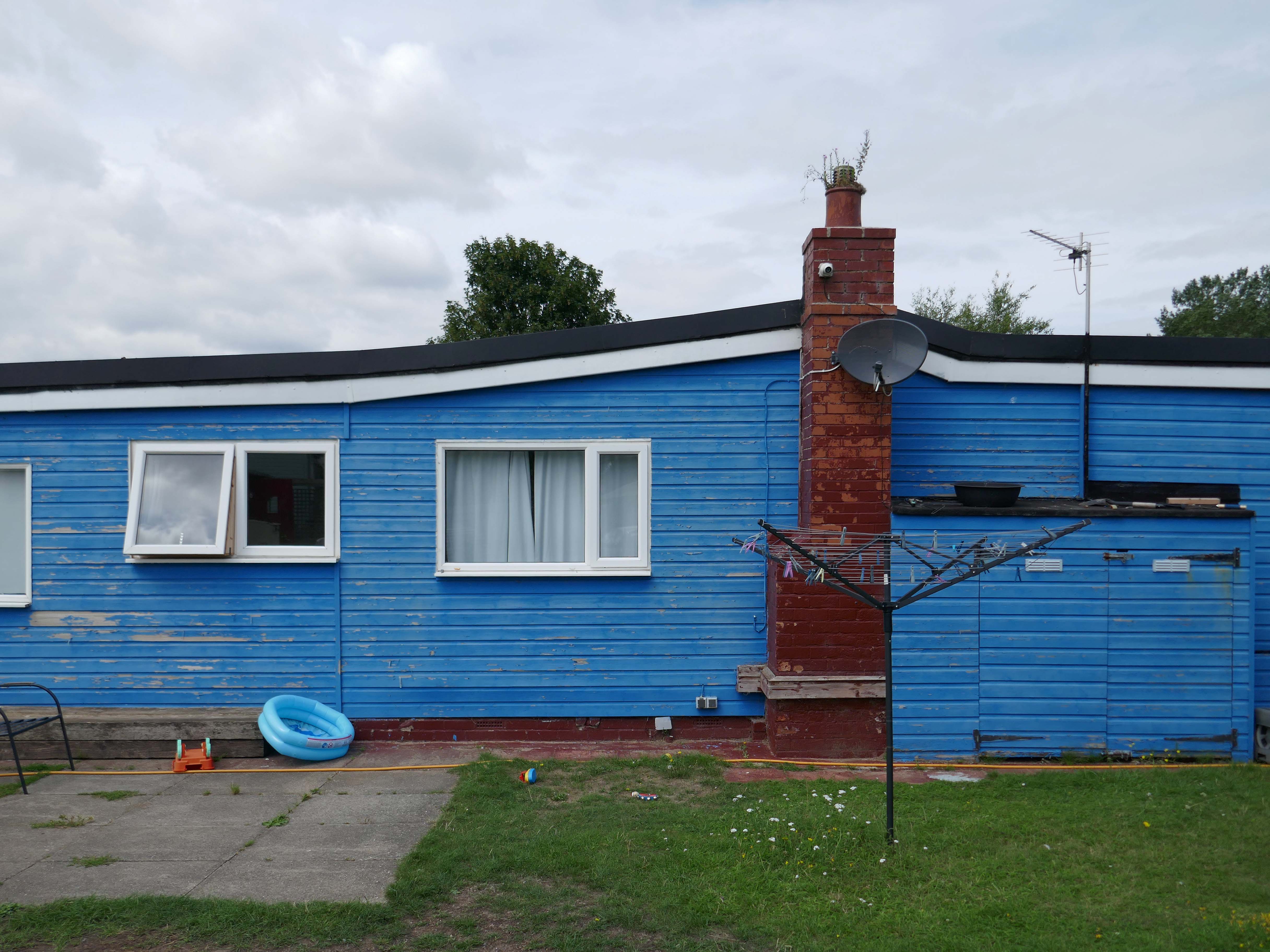
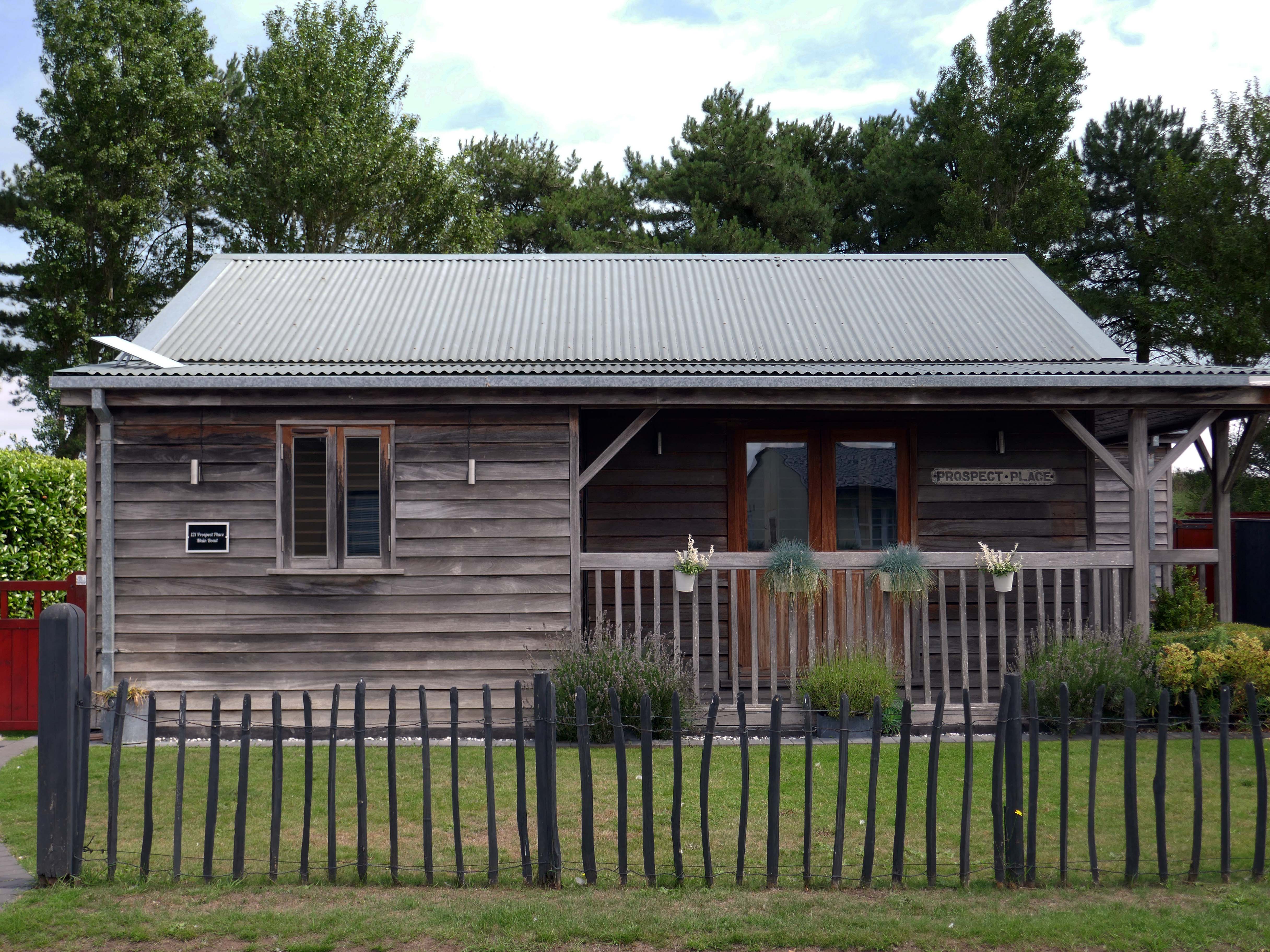
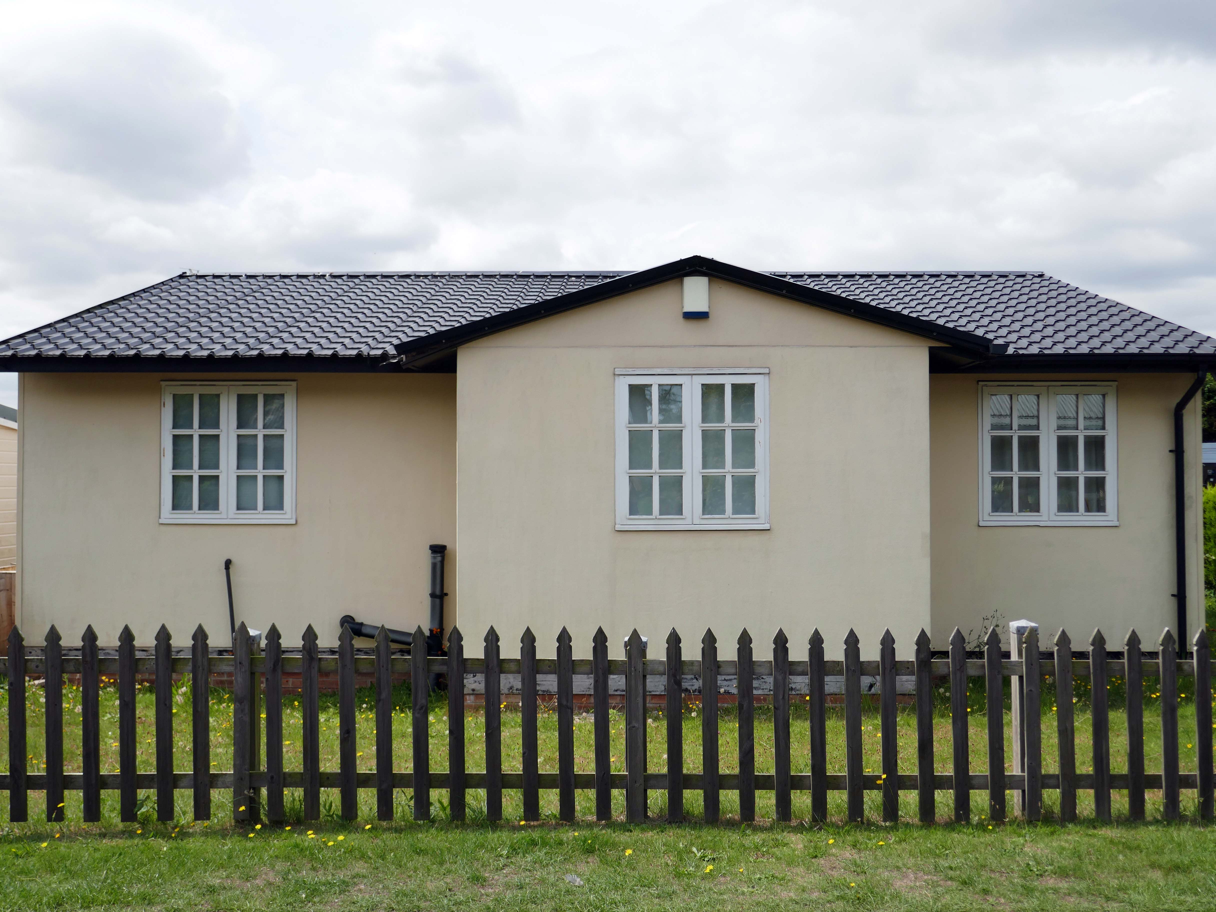
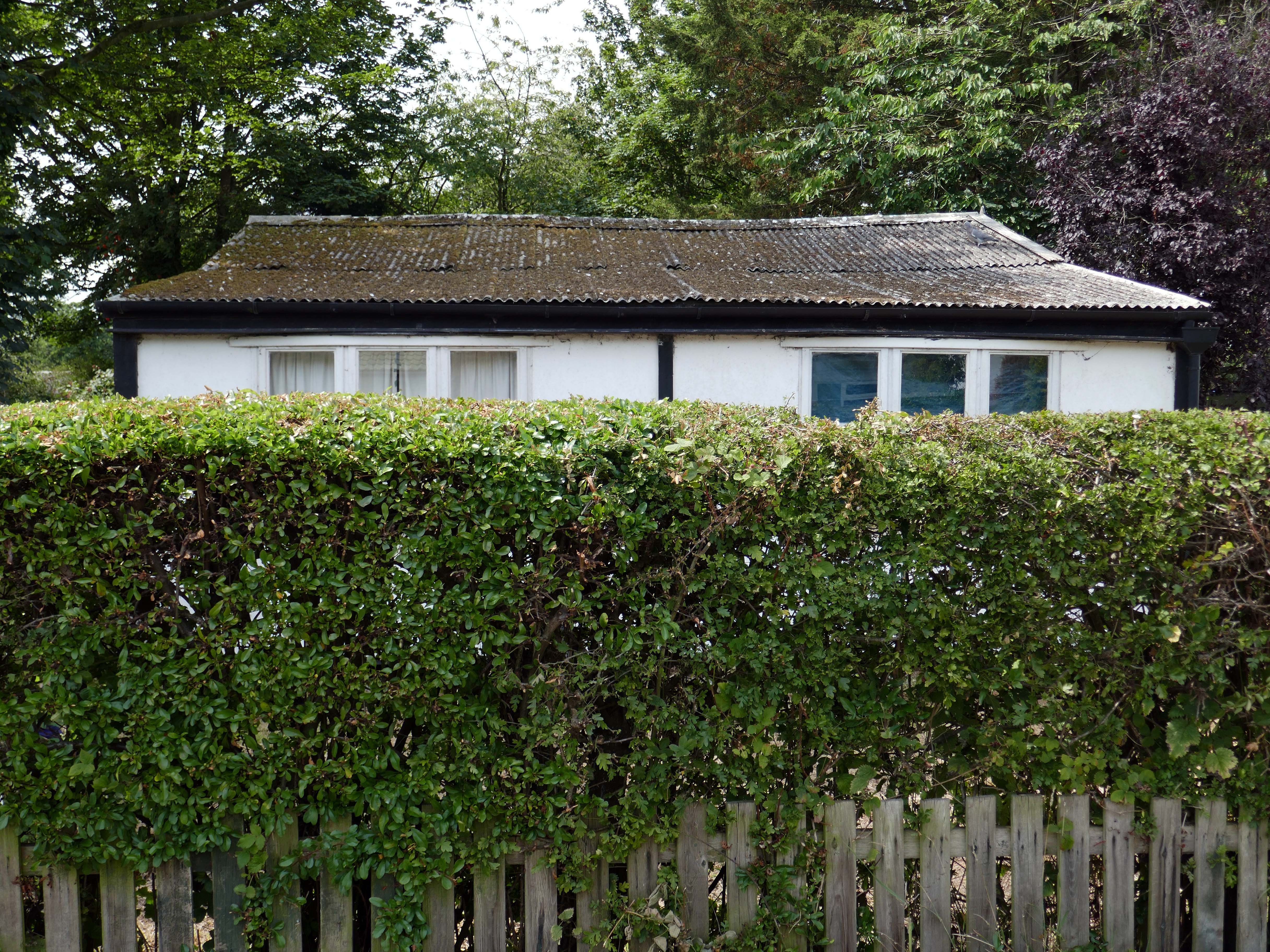
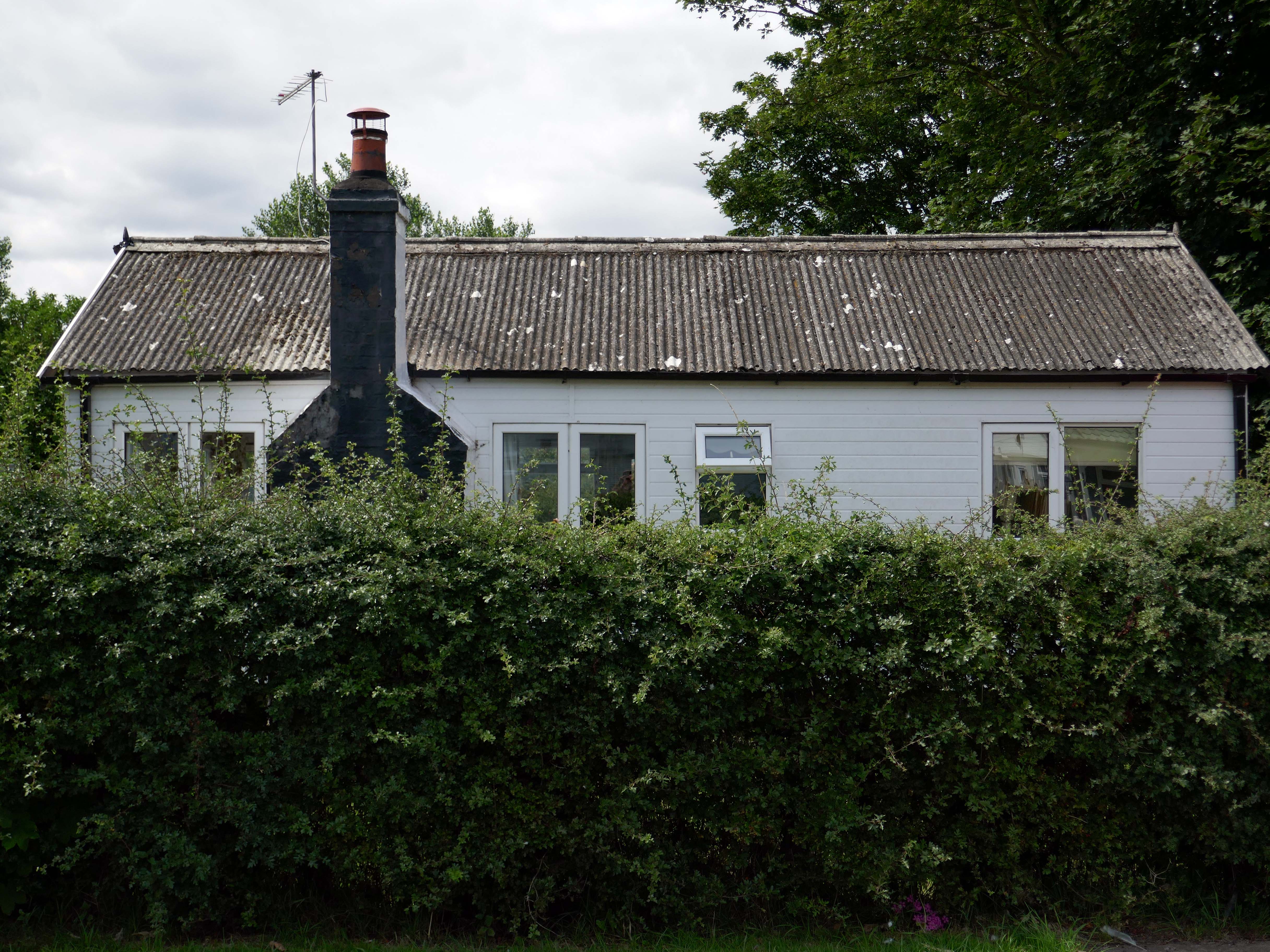
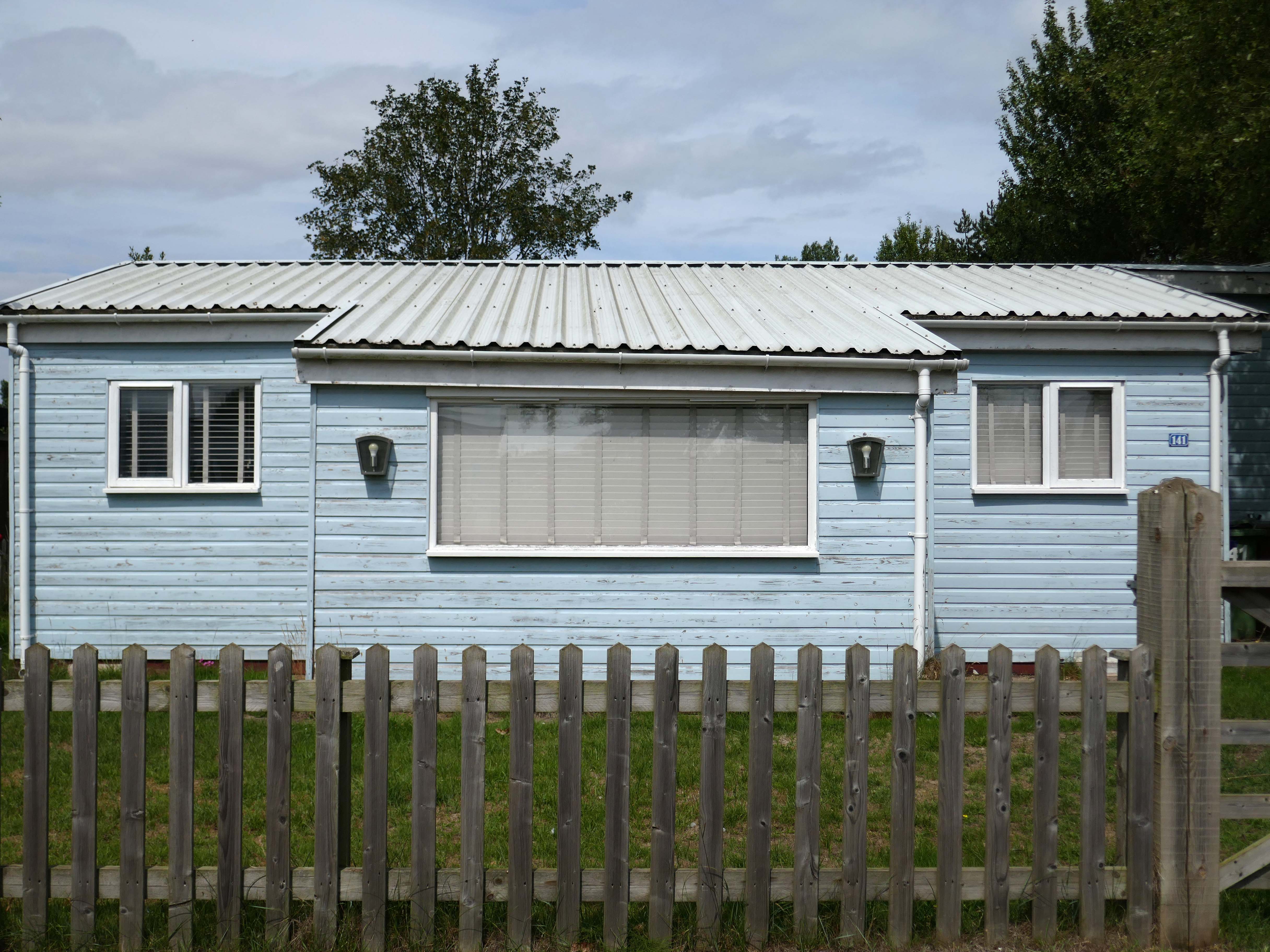
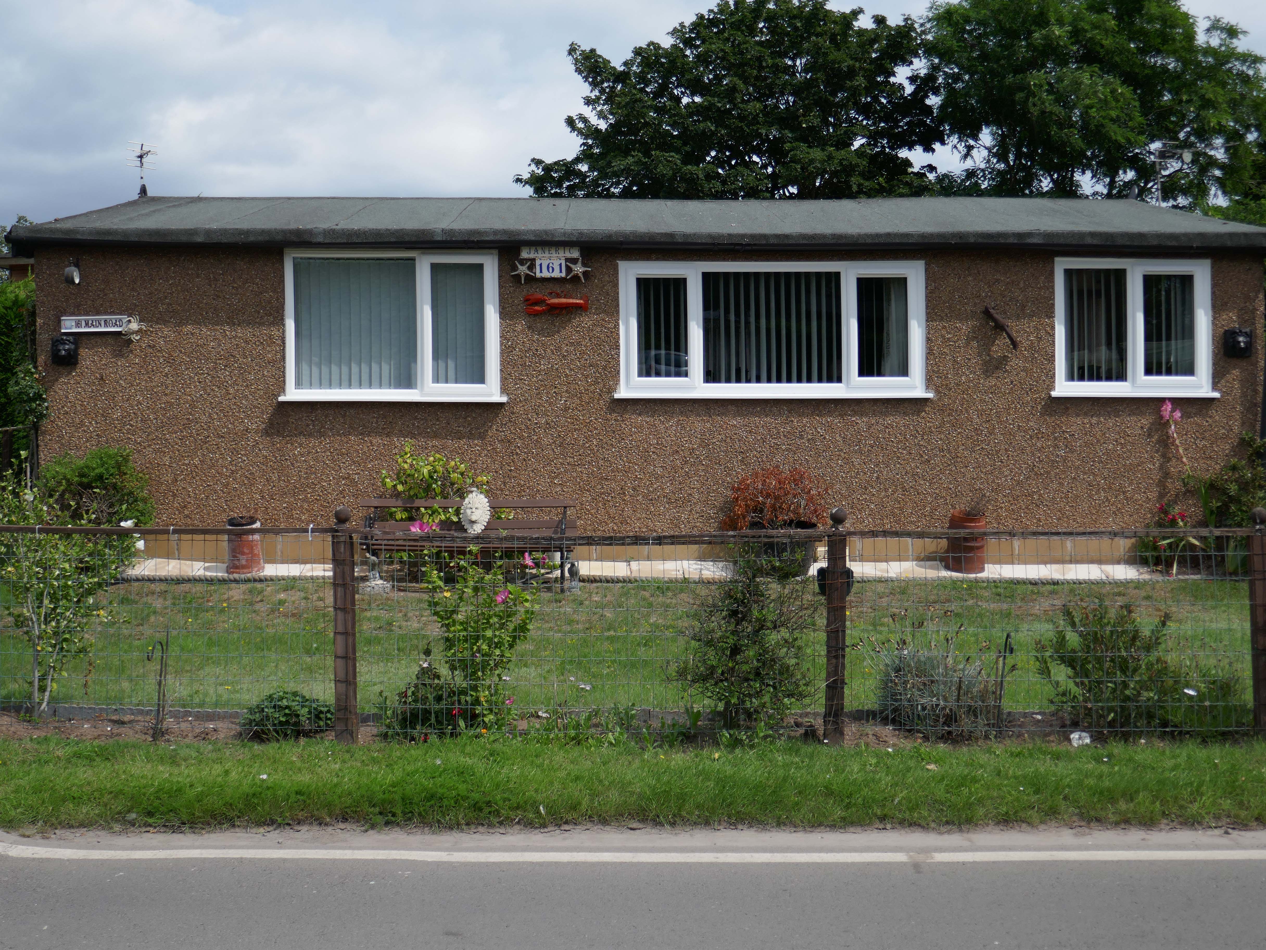
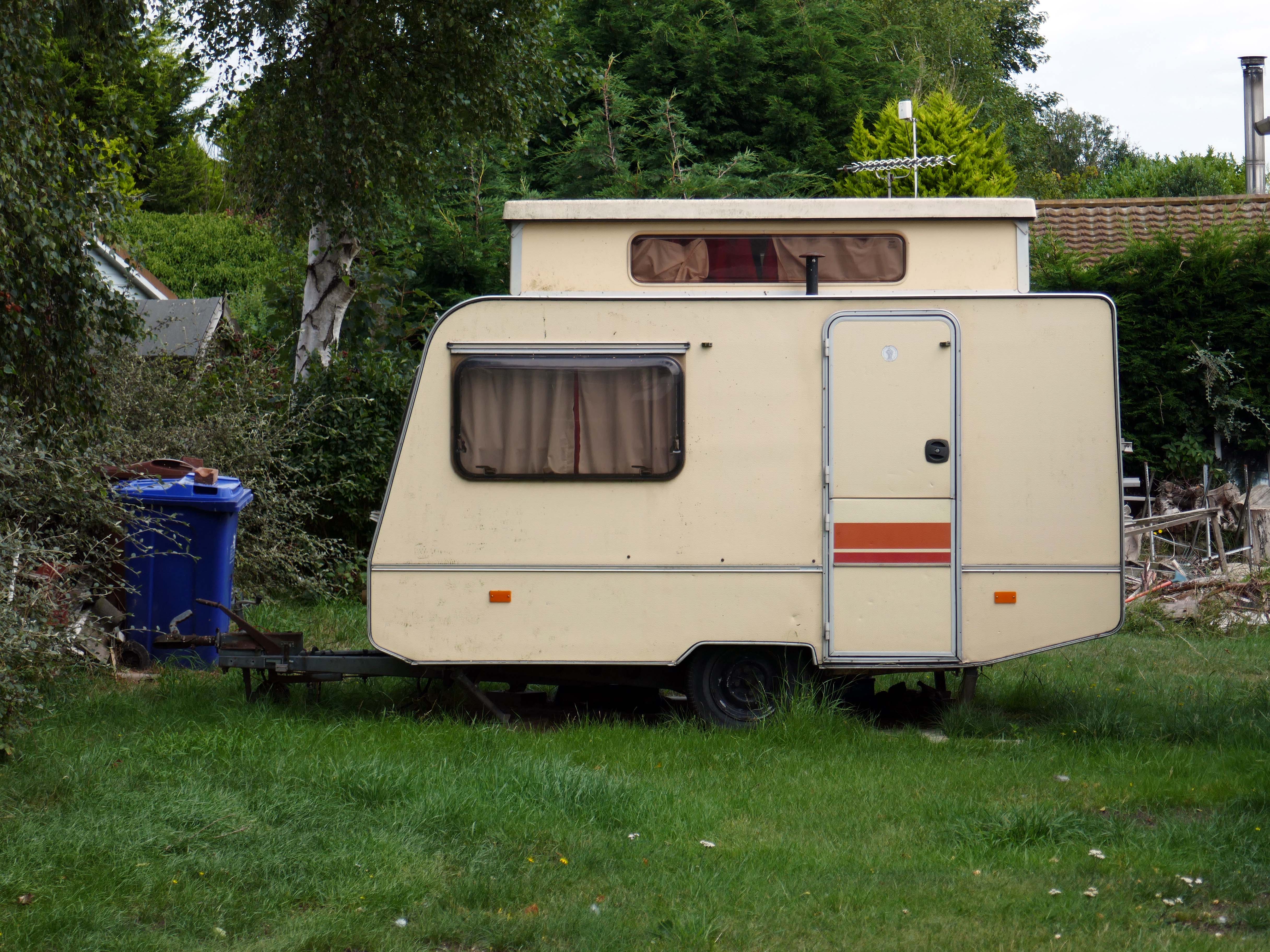
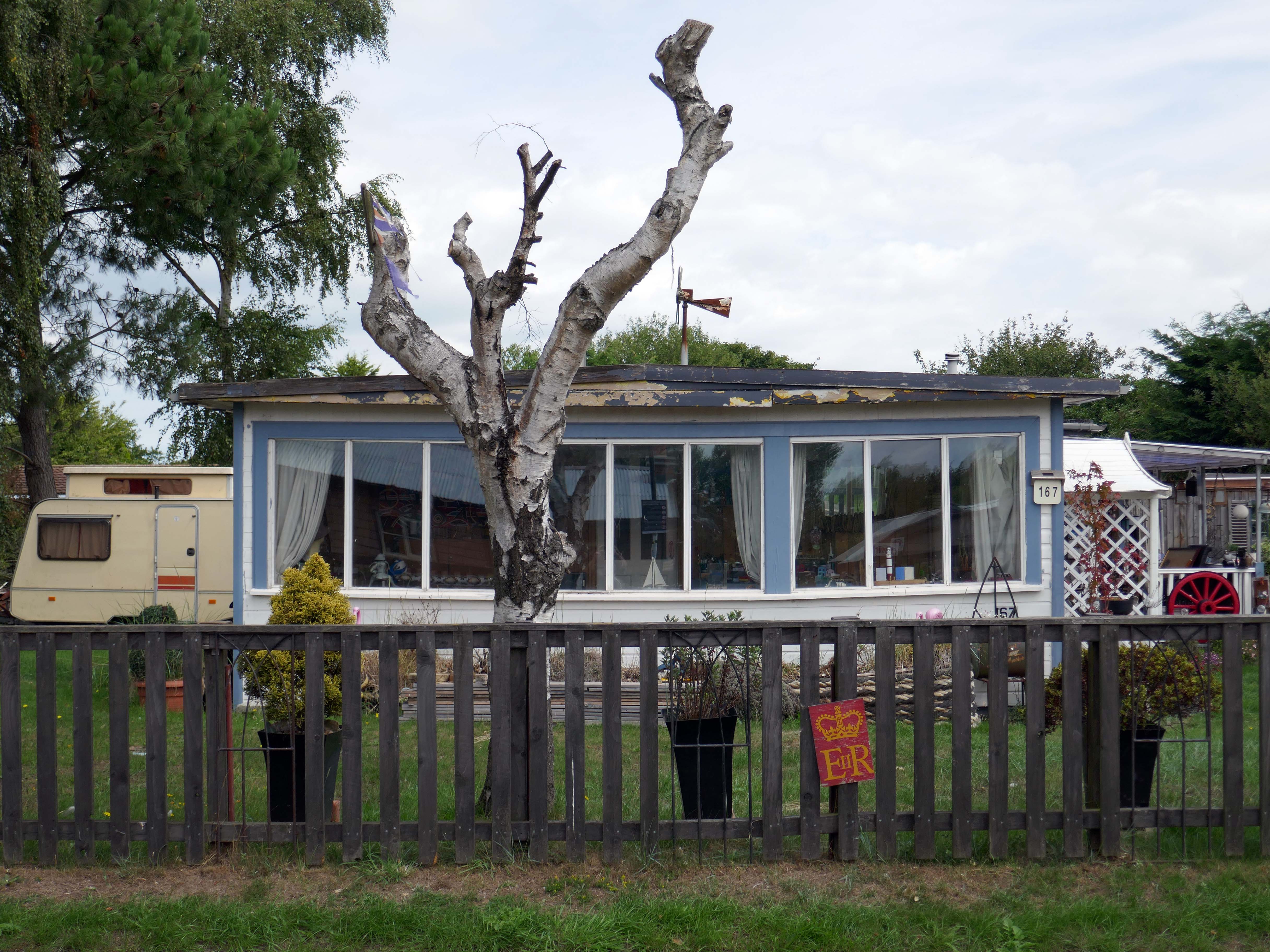
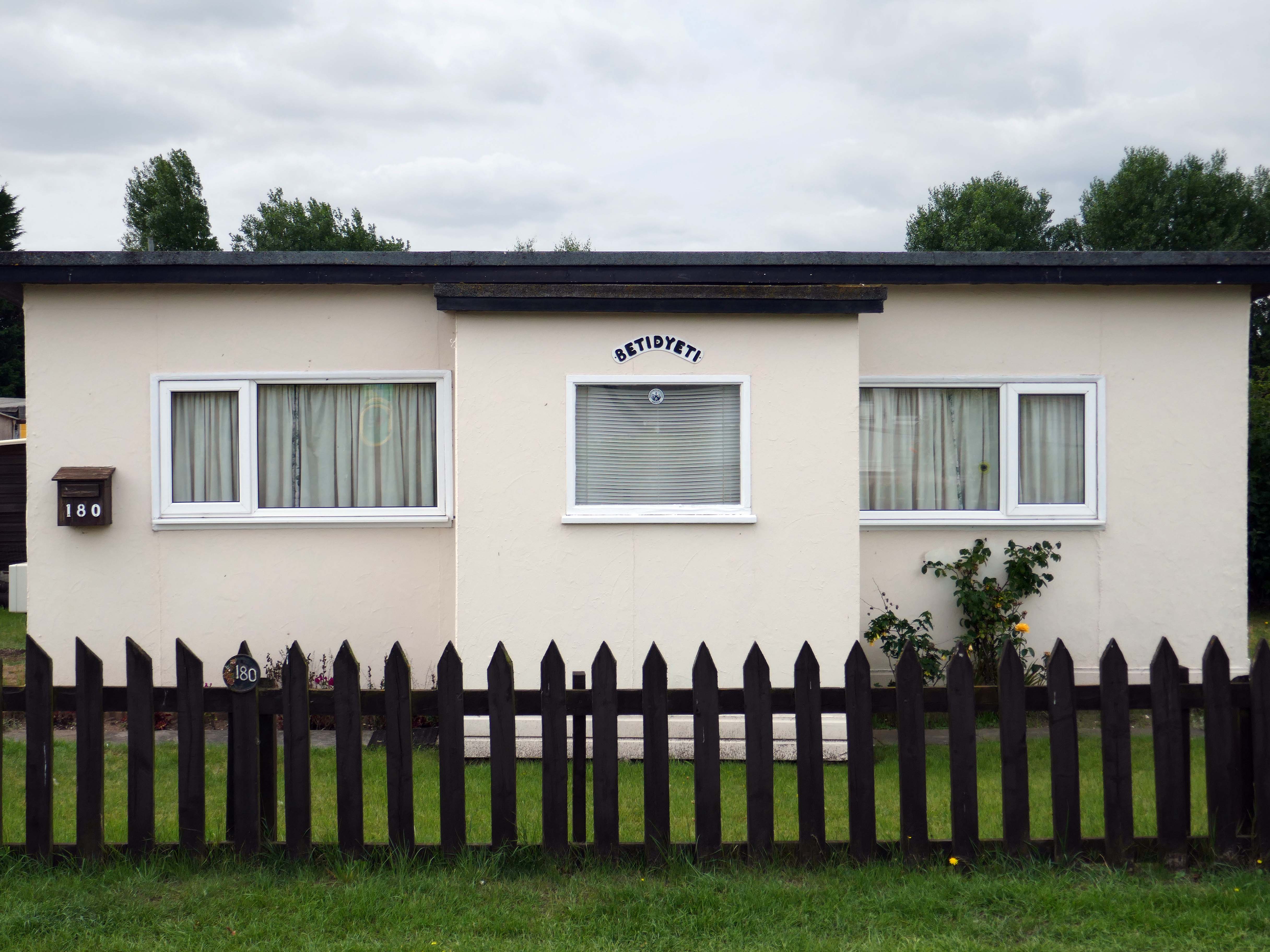
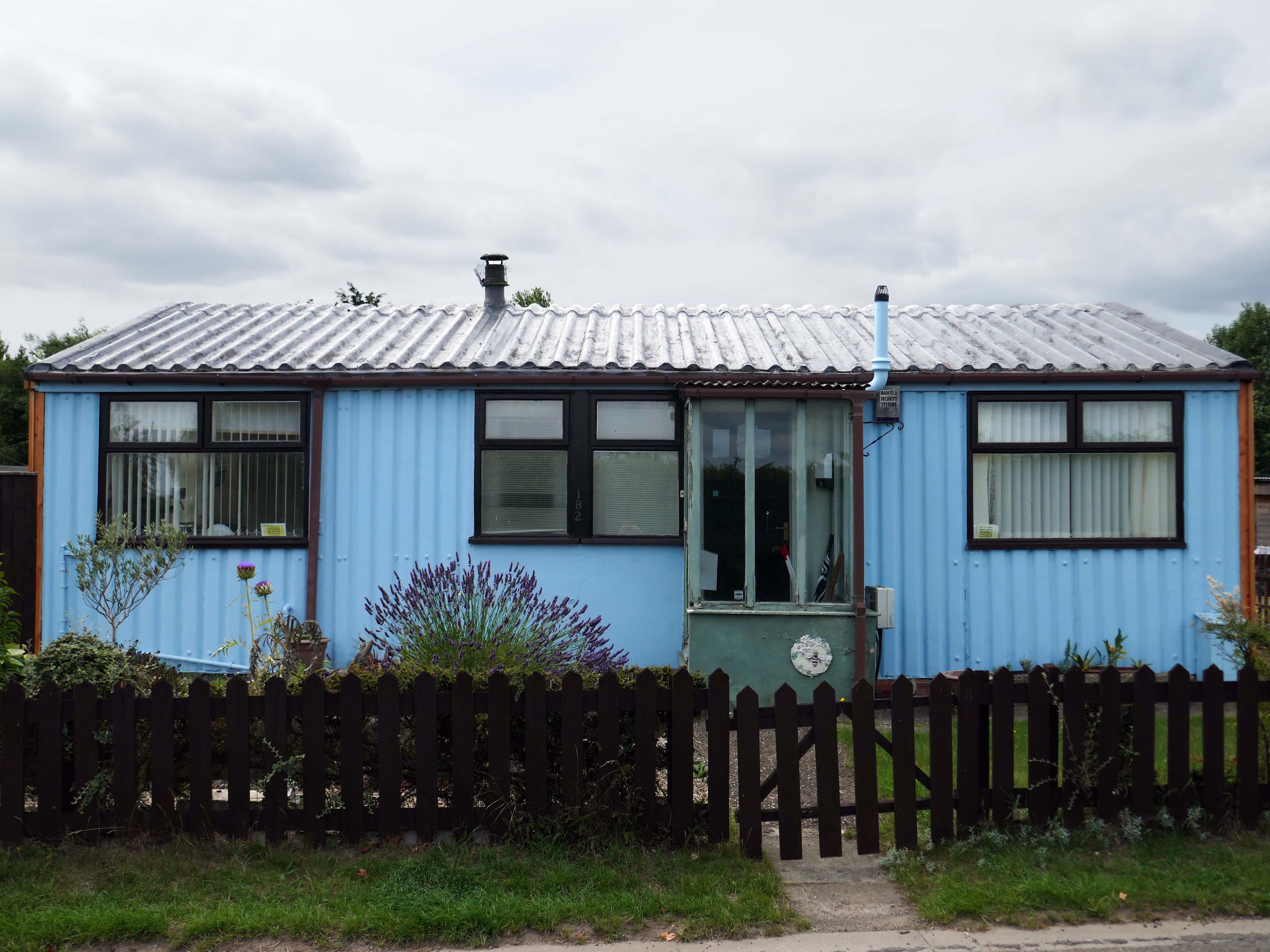
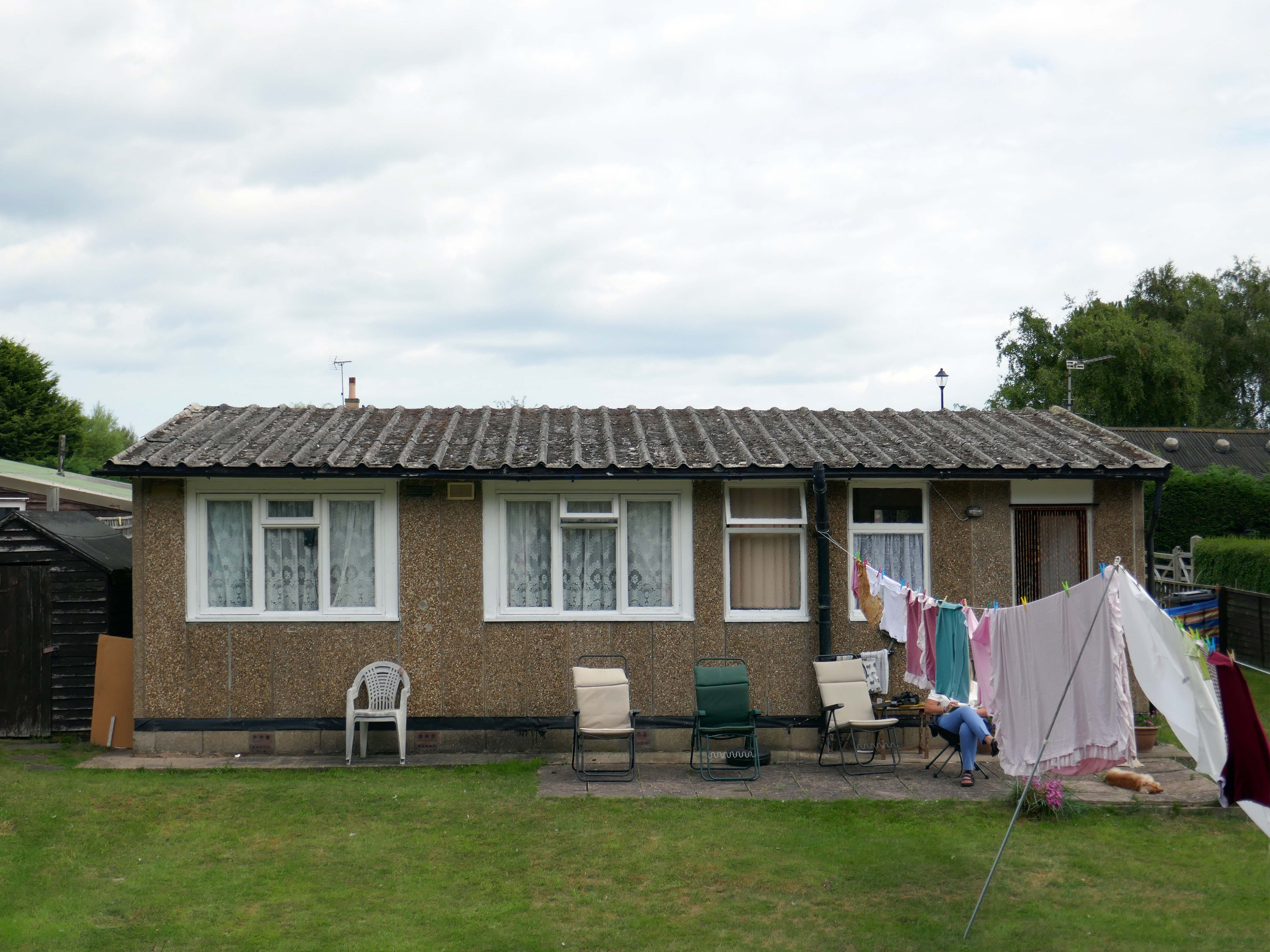
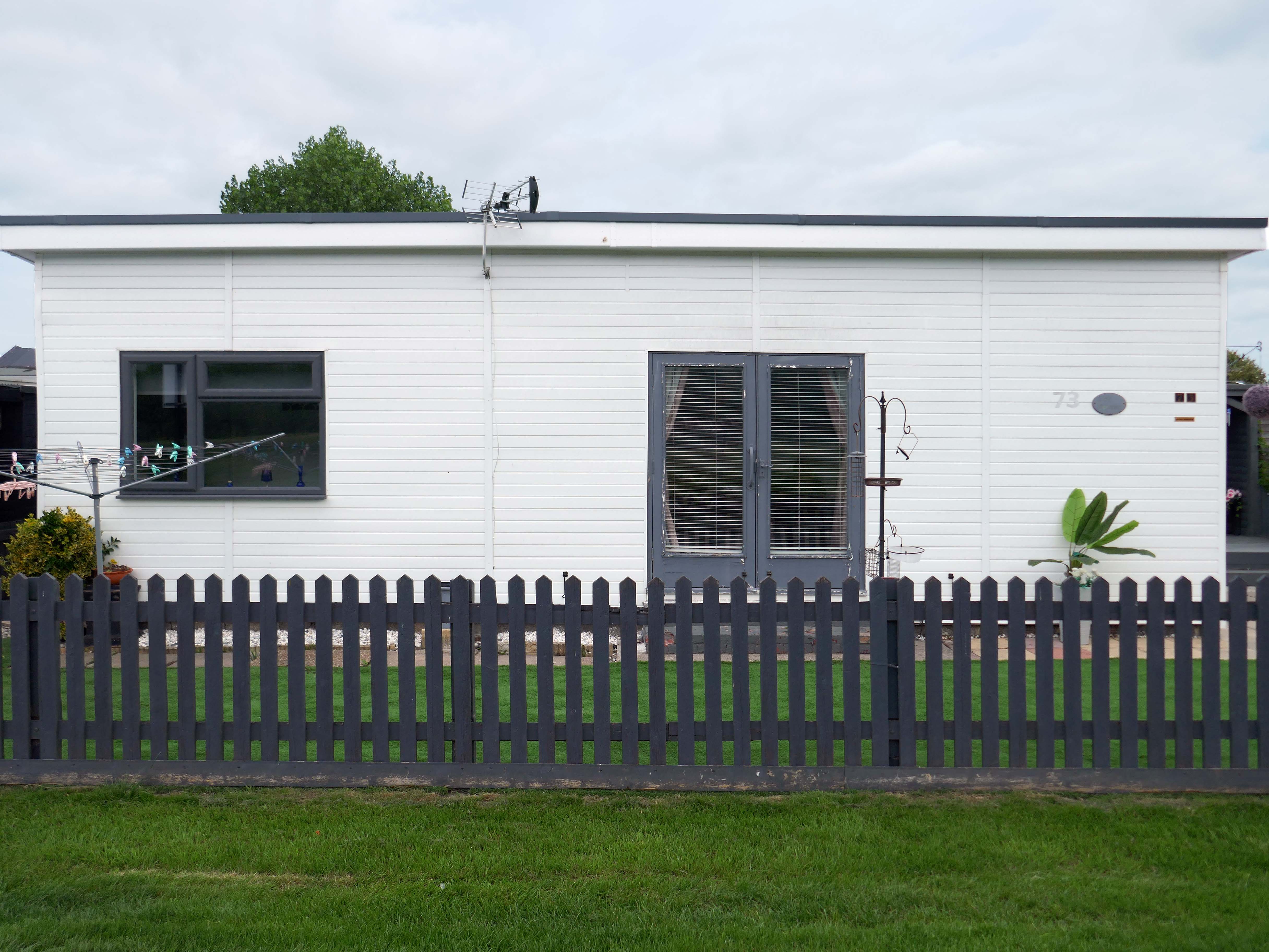
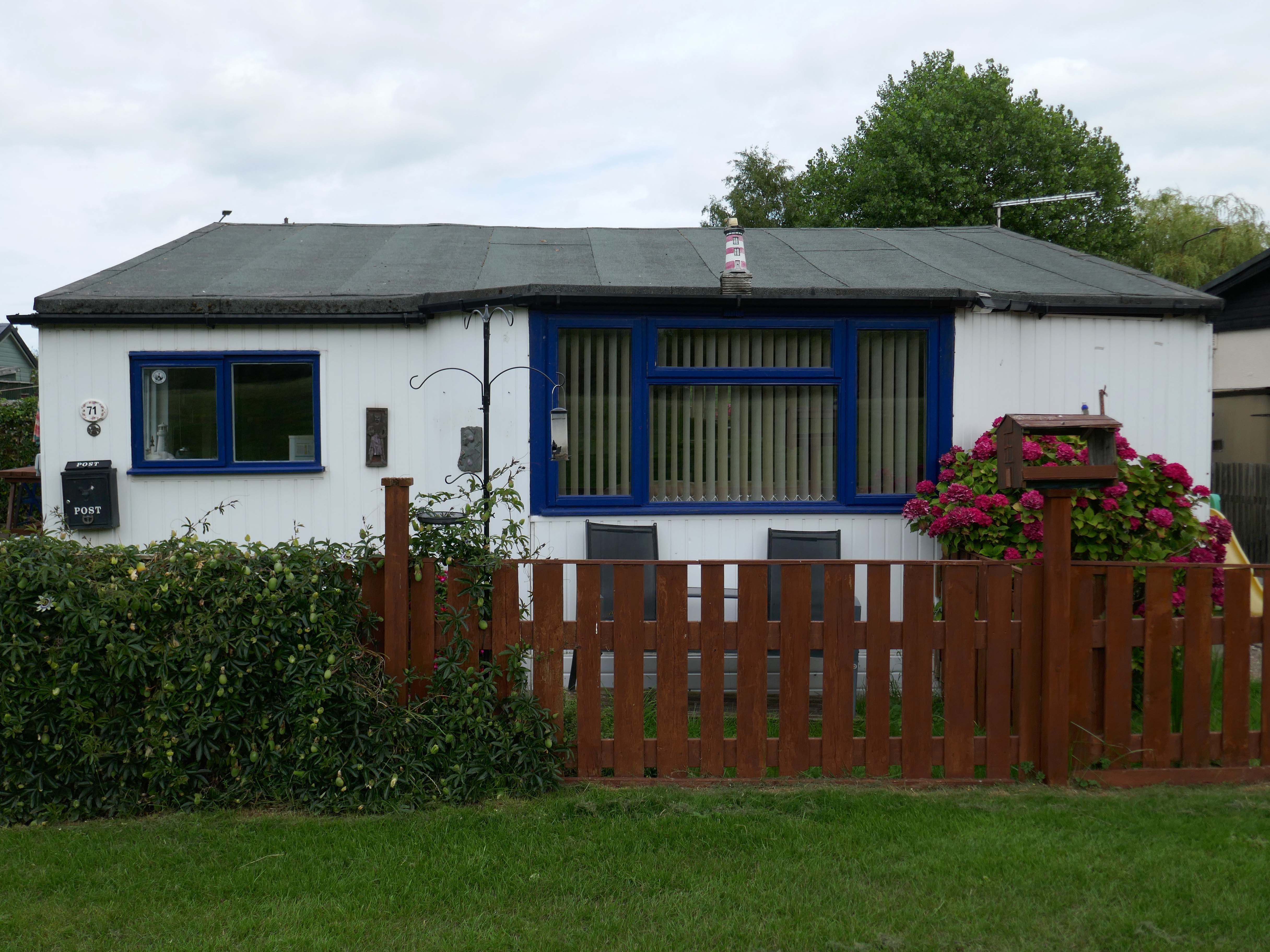
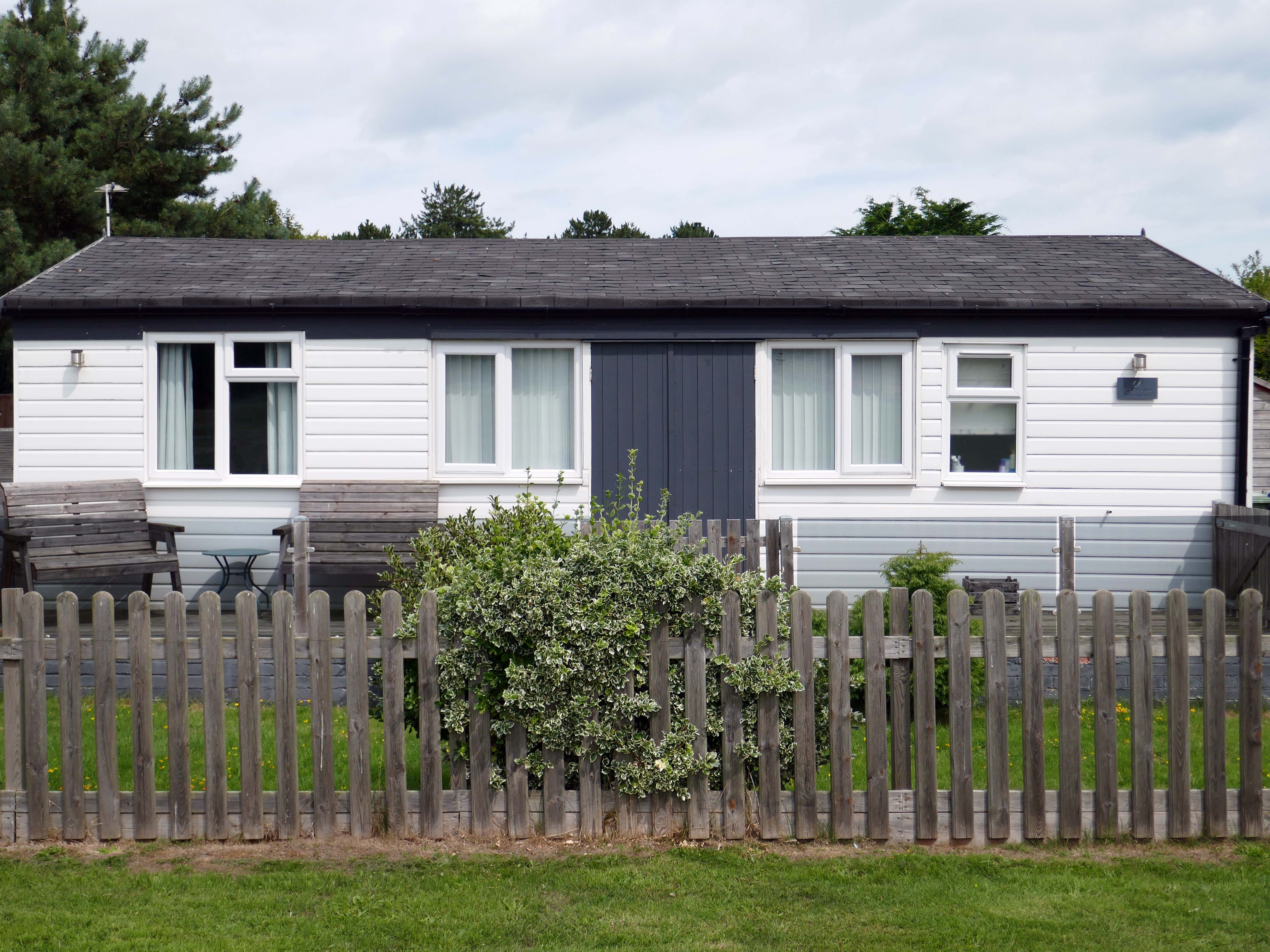
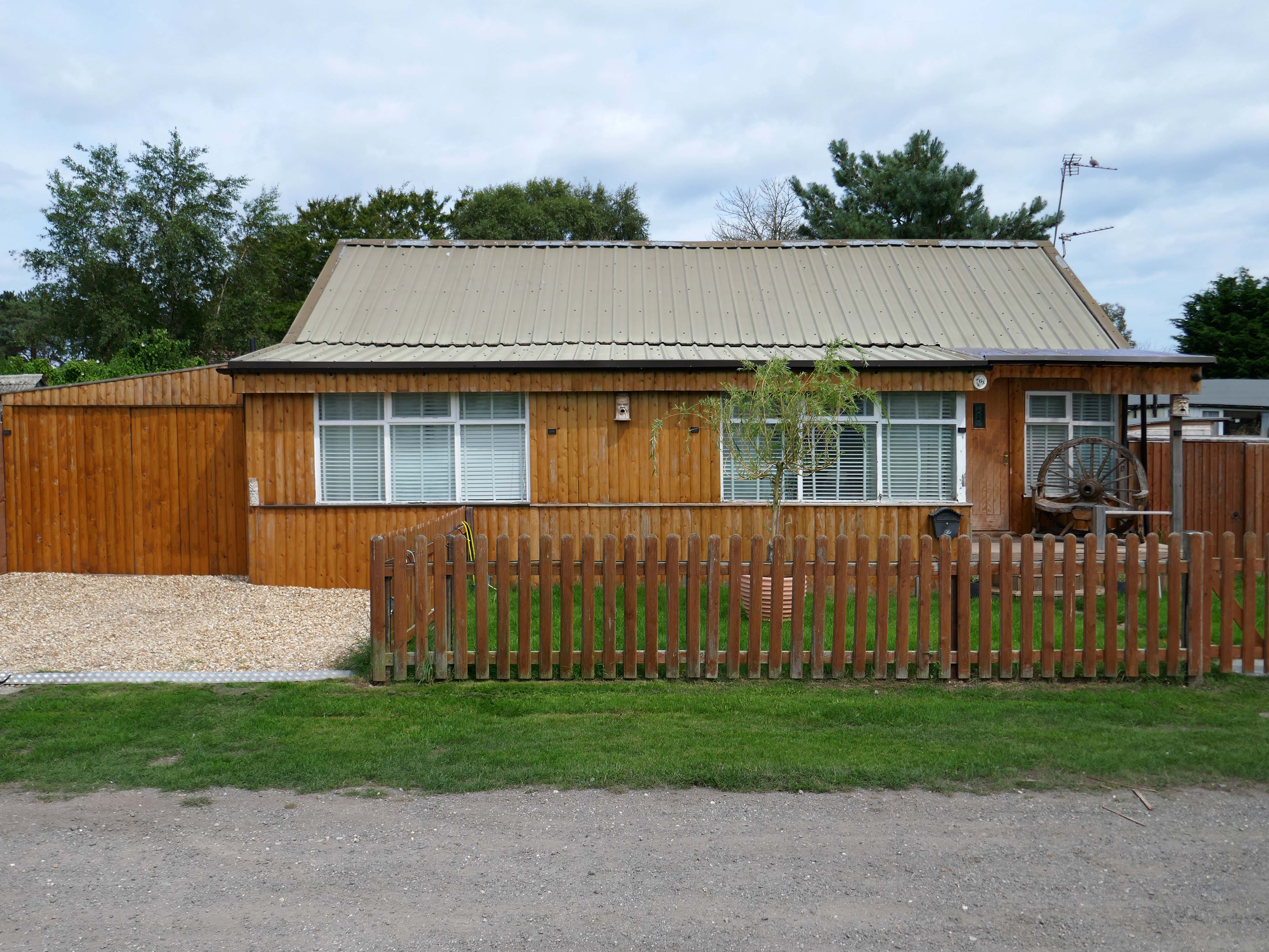
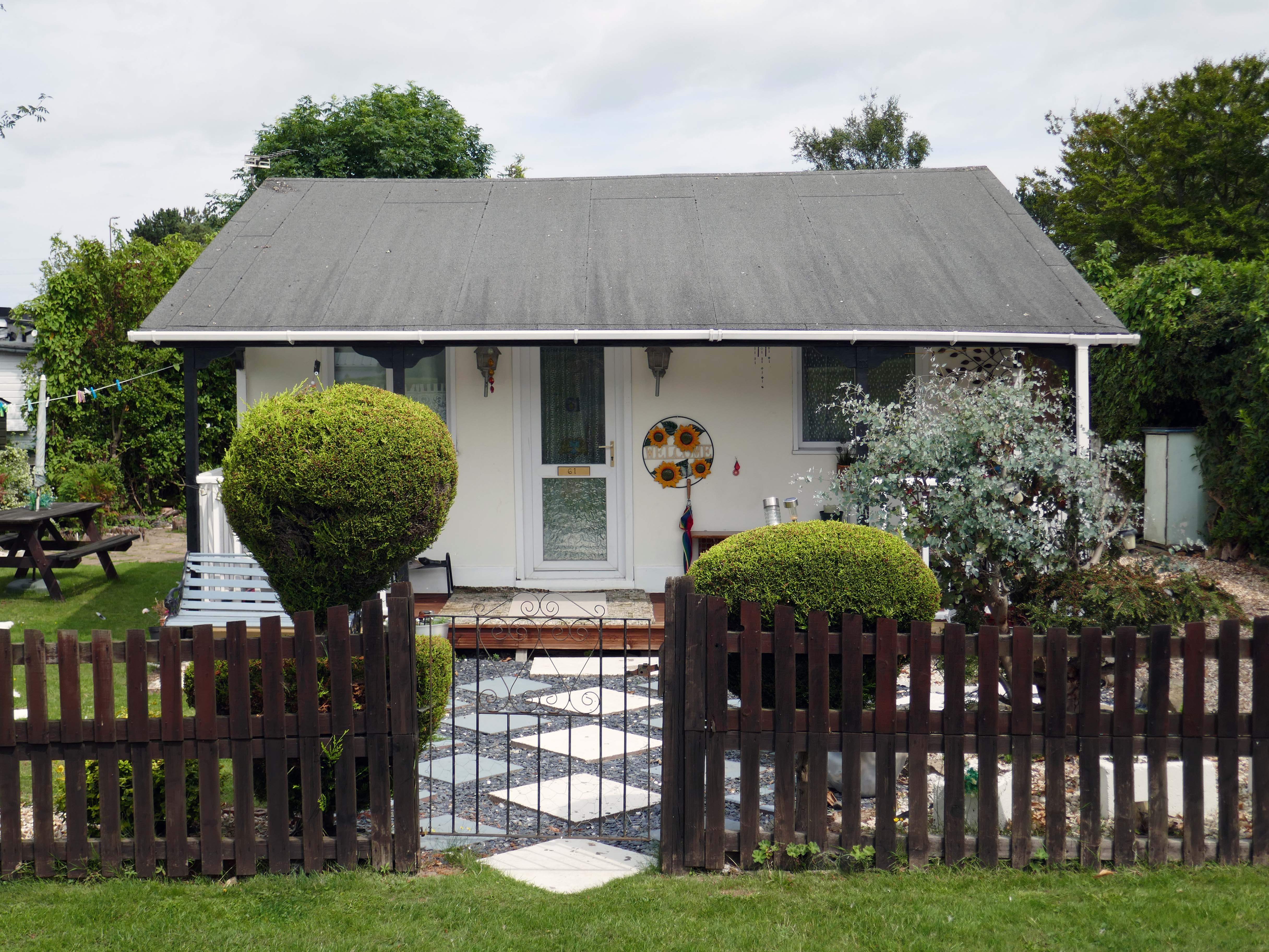
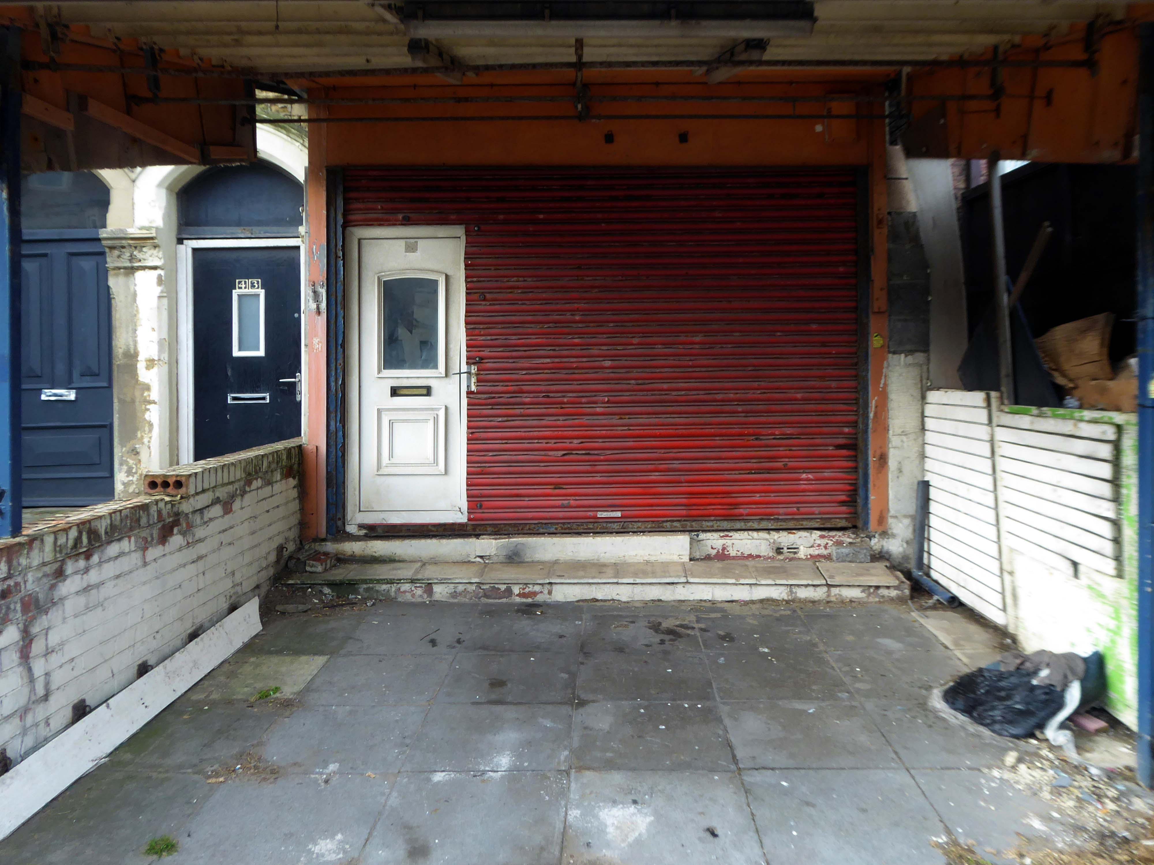
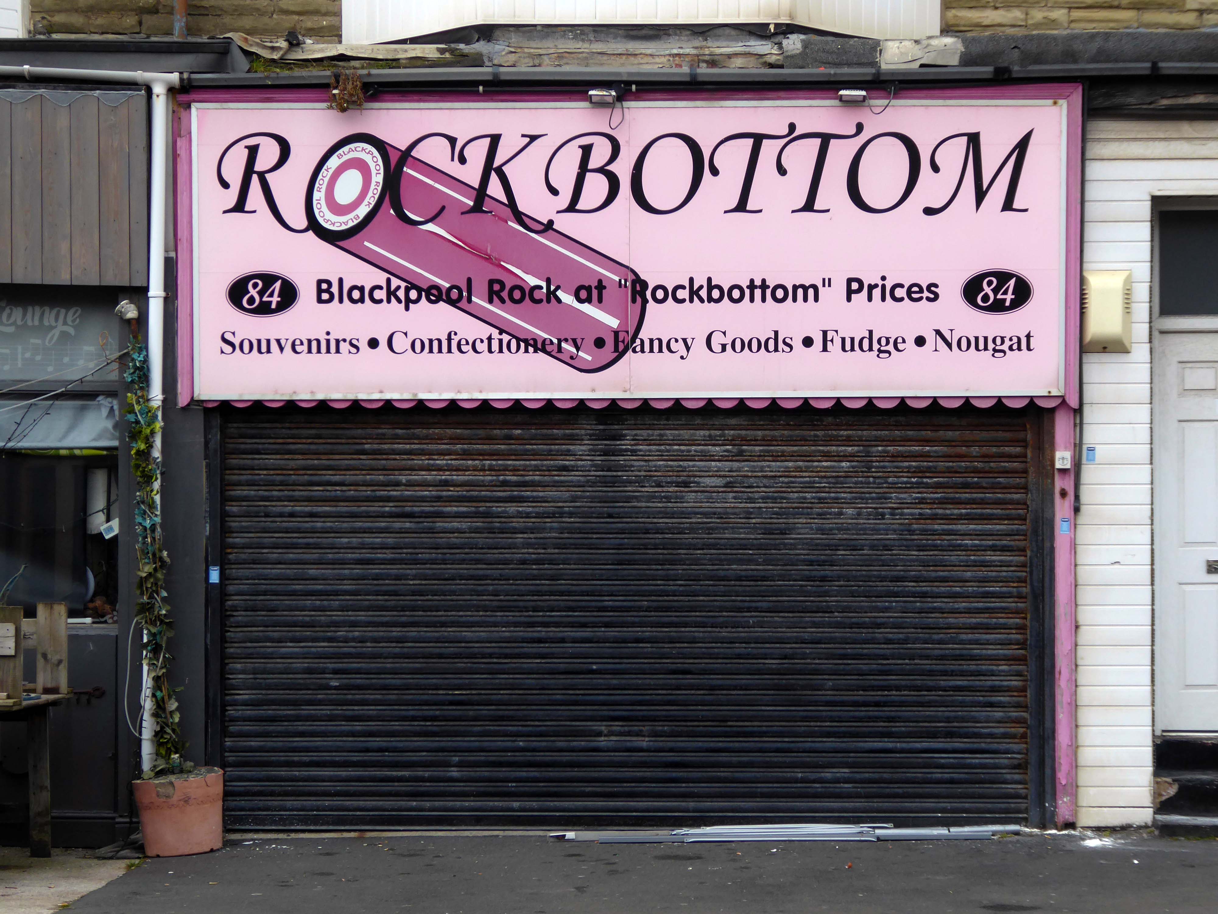
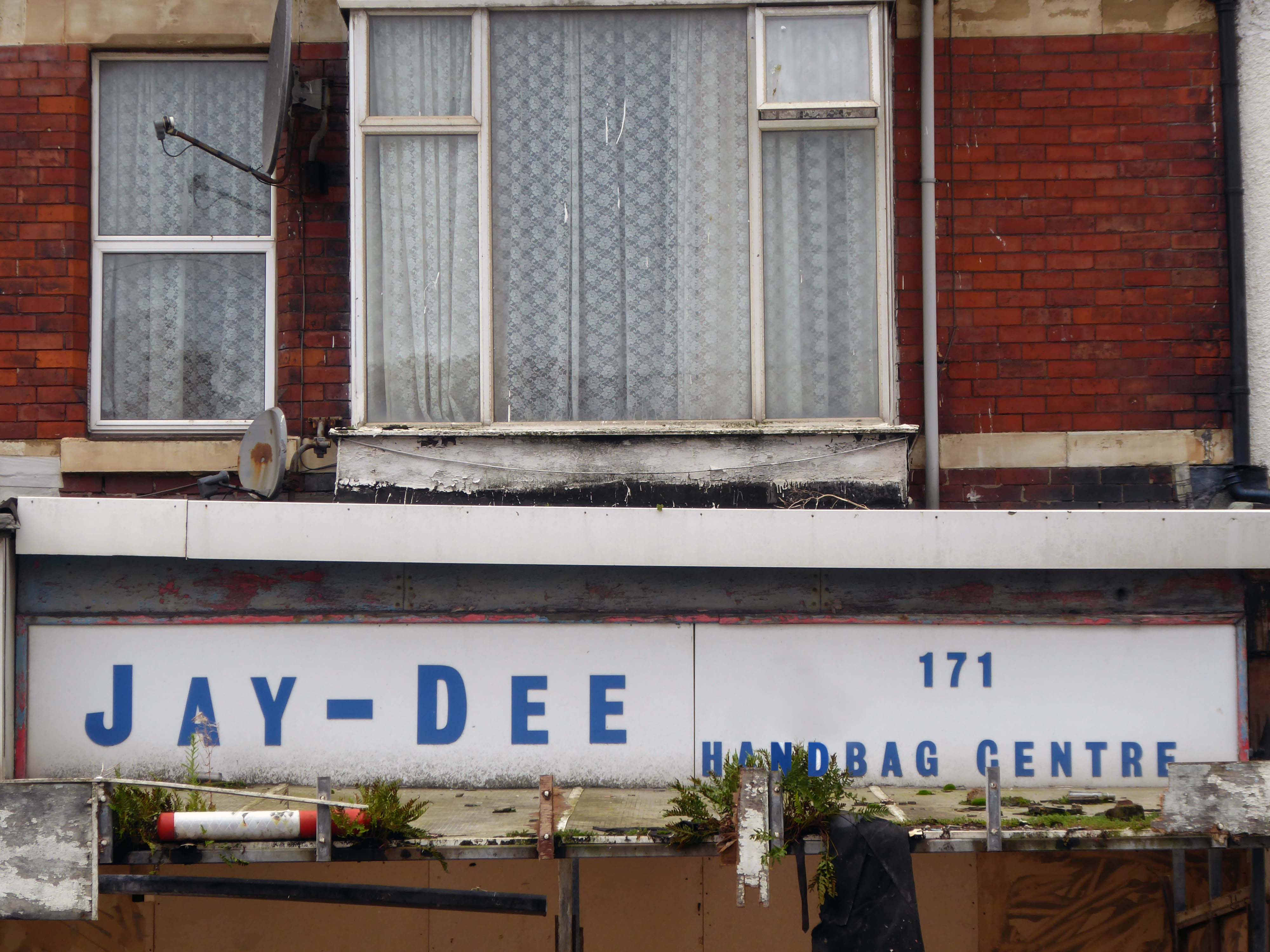
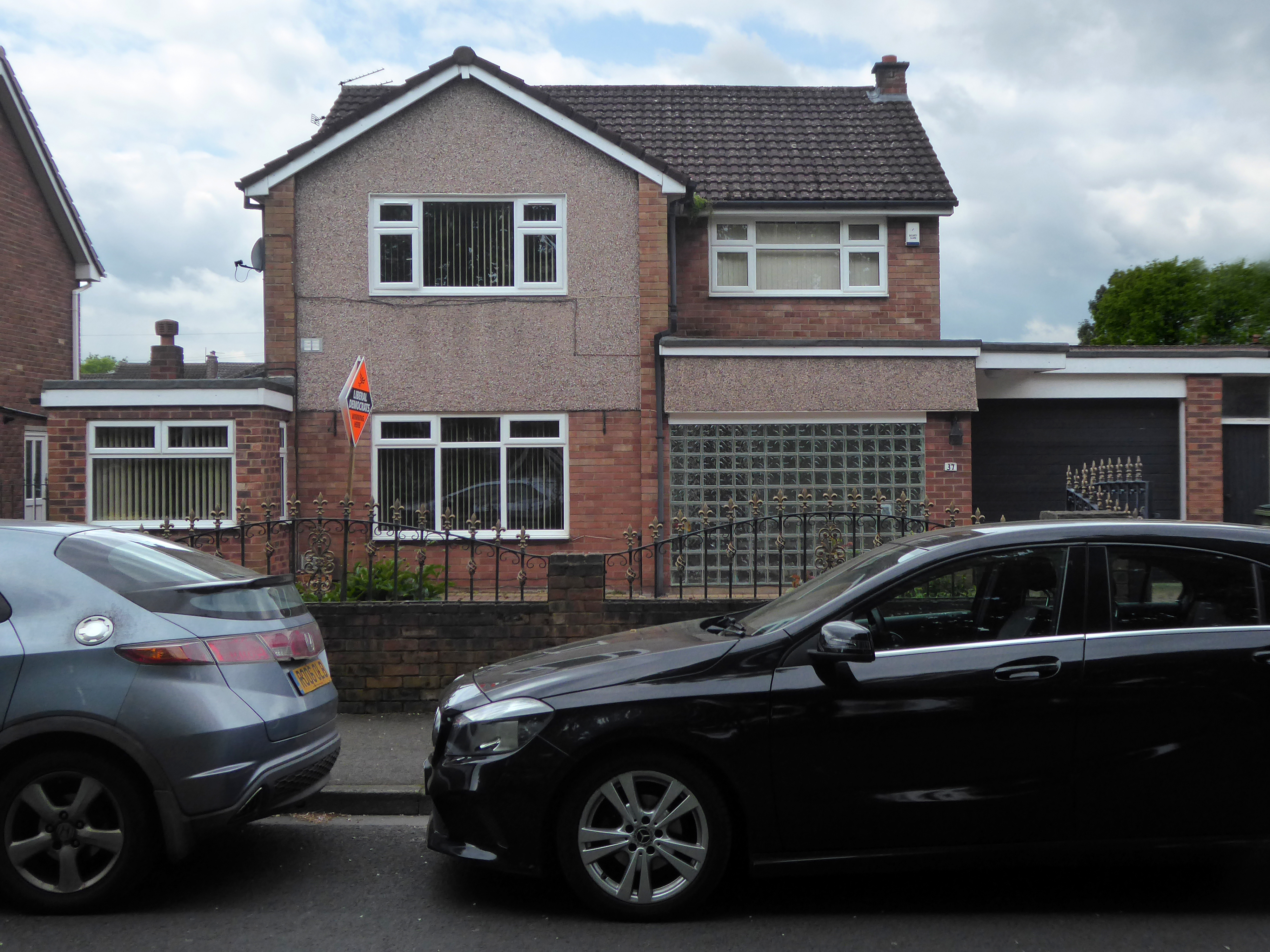
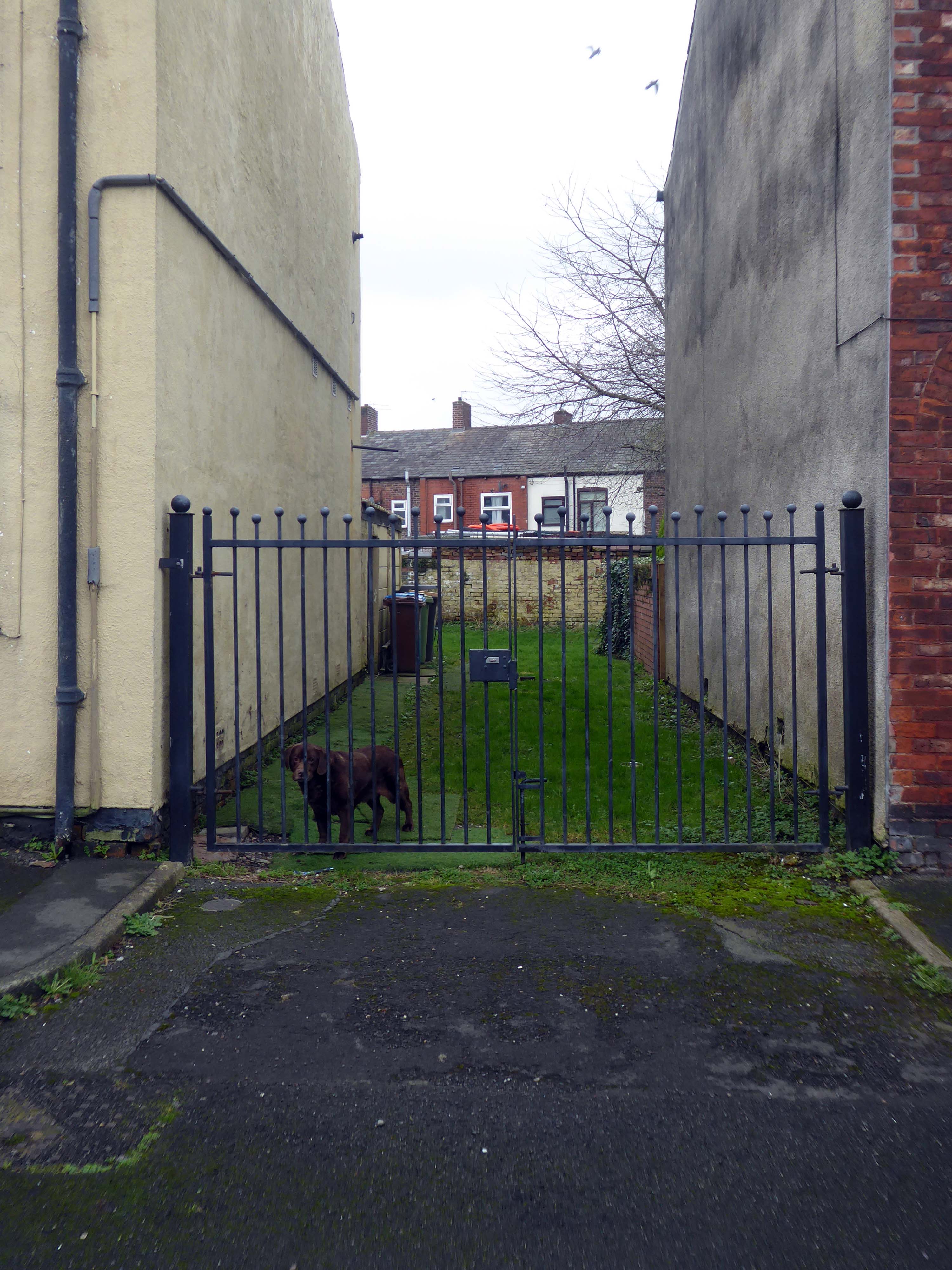
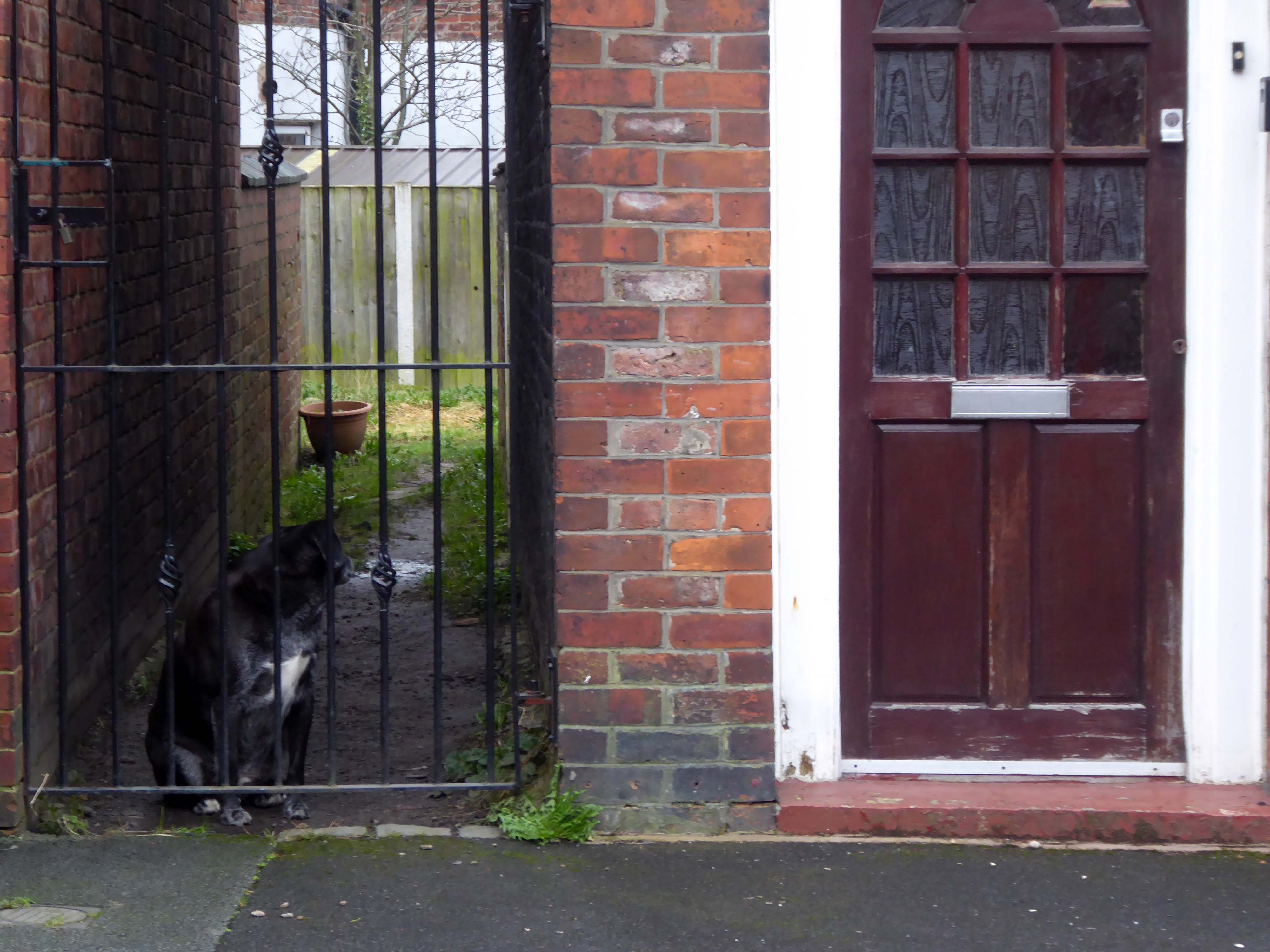
There is an almost constant tension between order and/or disorder.
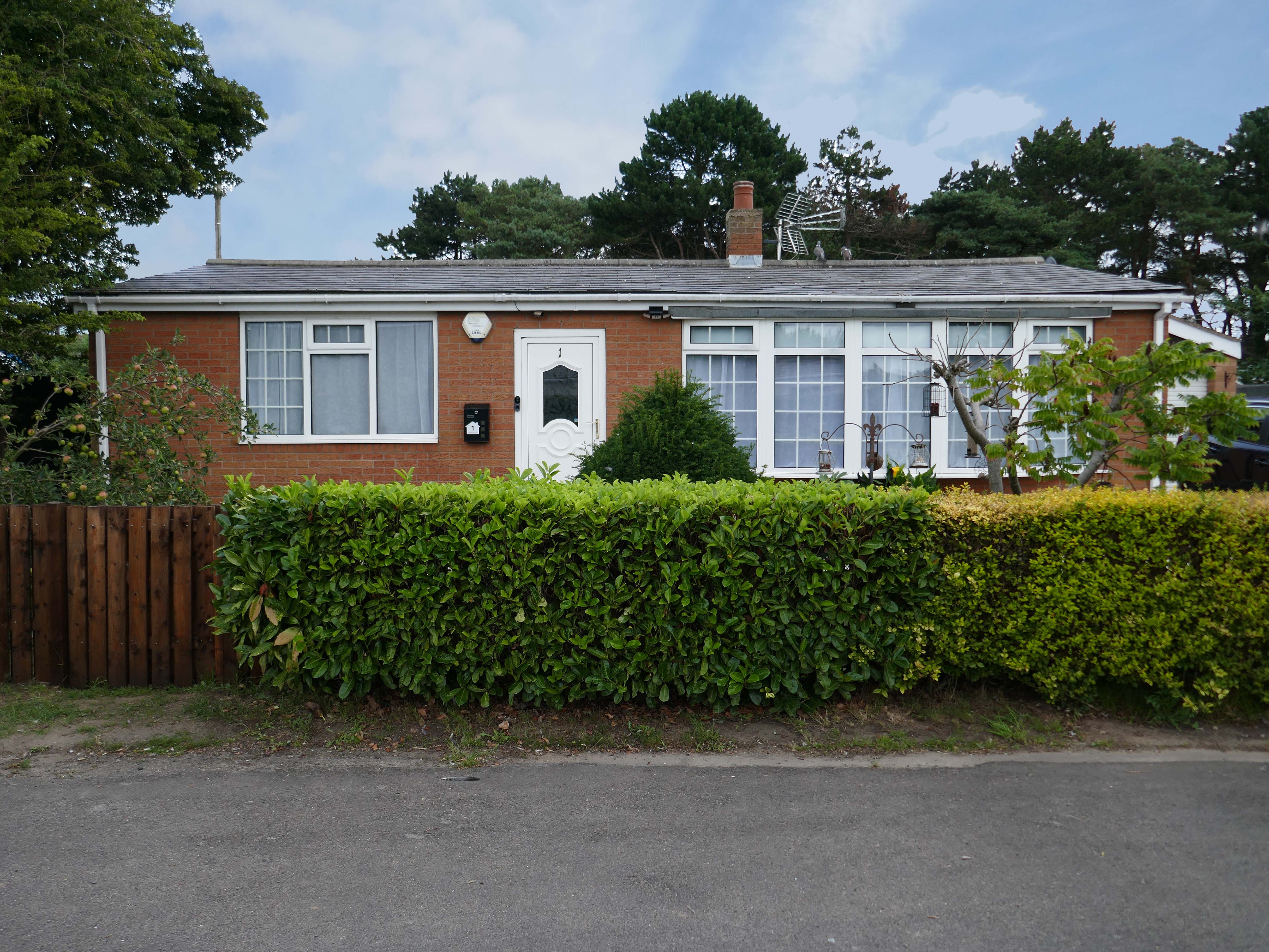
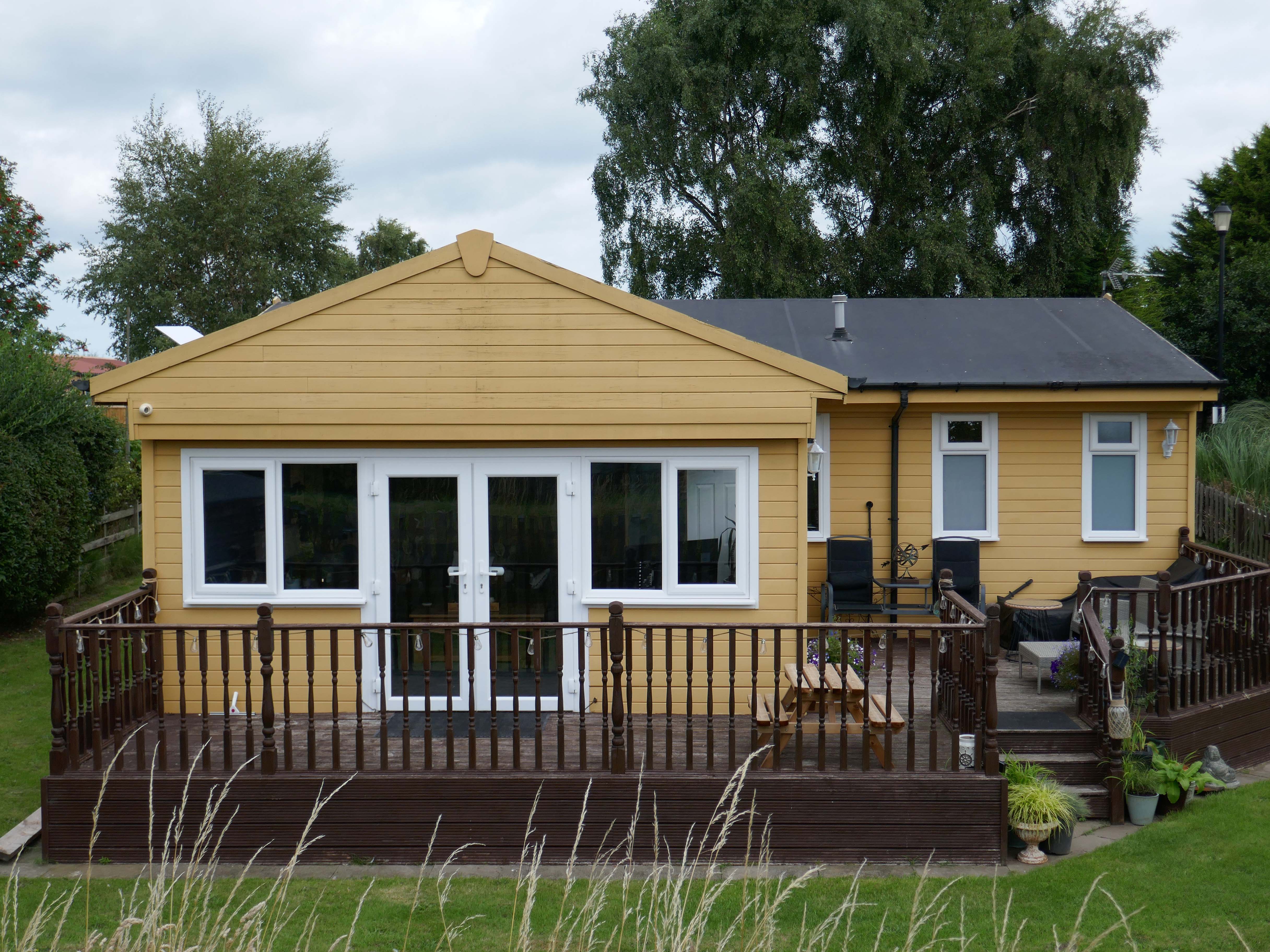
Between those who prefer the shambolic aesthetic of the shotgun shack, and those whose hearts and minds are in the double spread of Homes and Gardens.
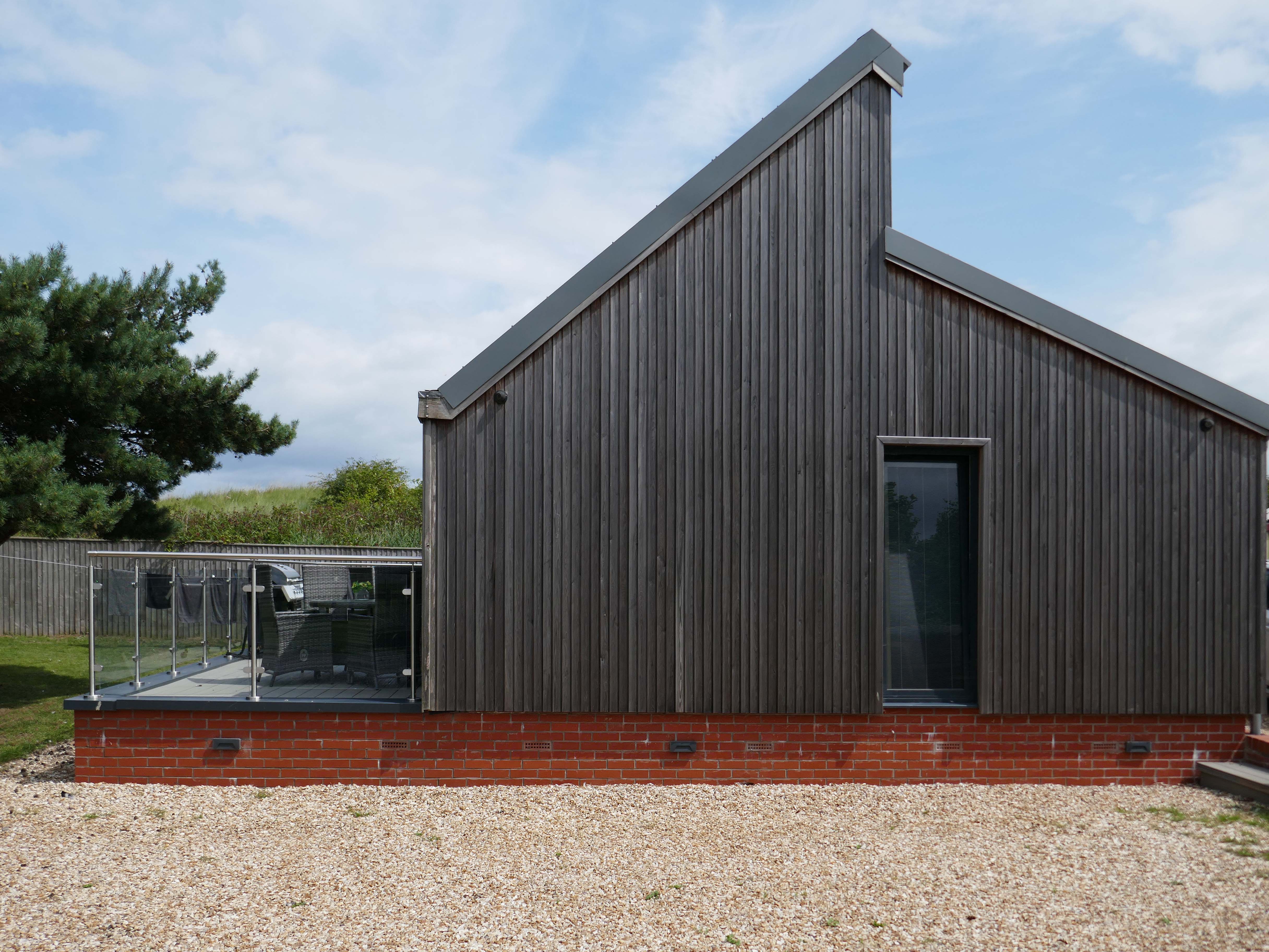
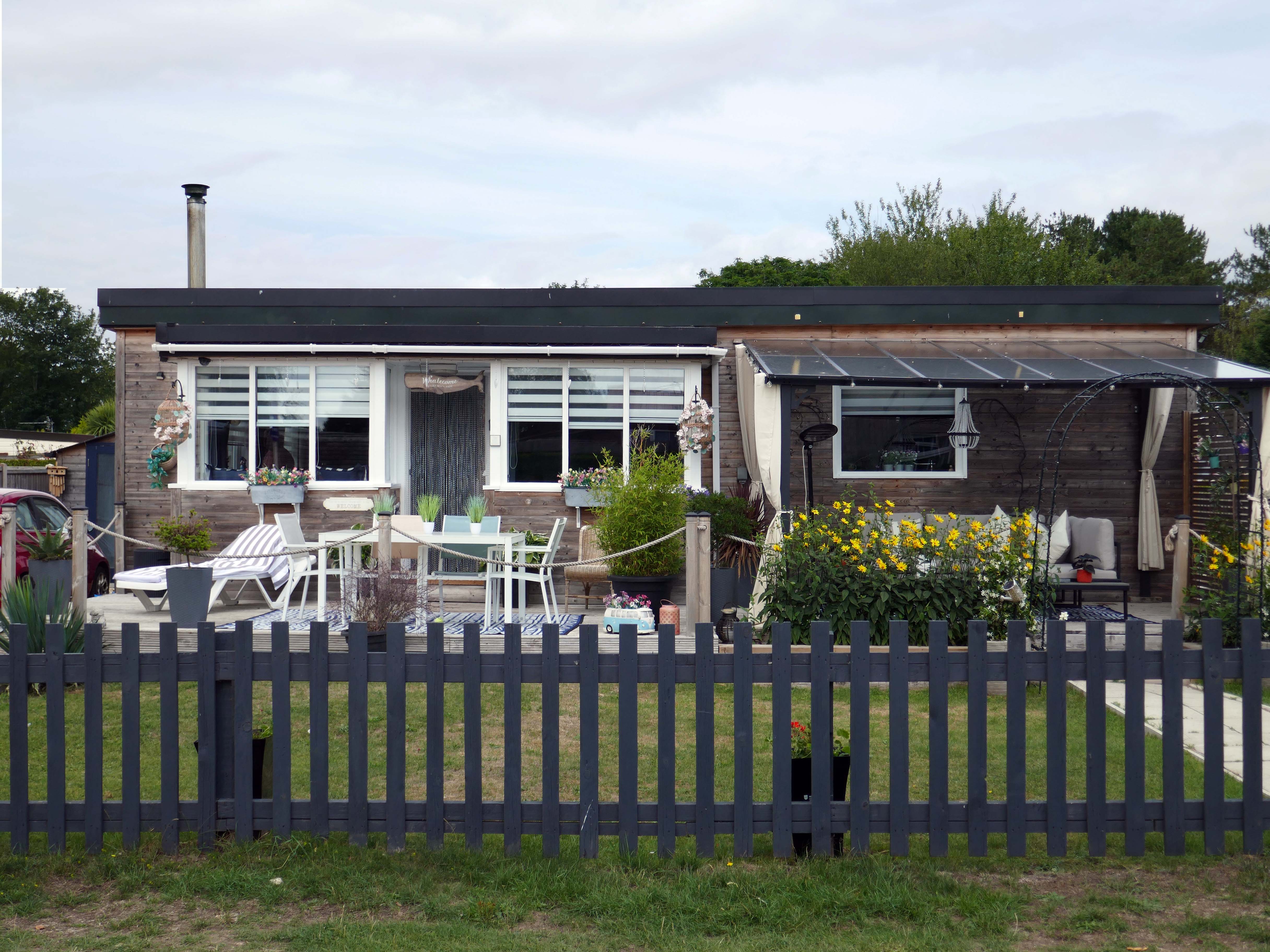
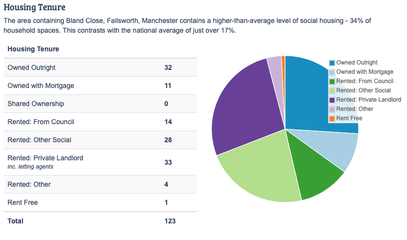
It’s also a question of economics, there are those with capital who may wish to make investments in property. Buy to let, second homes that yield a return above the current savings’ rates. Thus raising the cost of housing, both ordered and disordered.
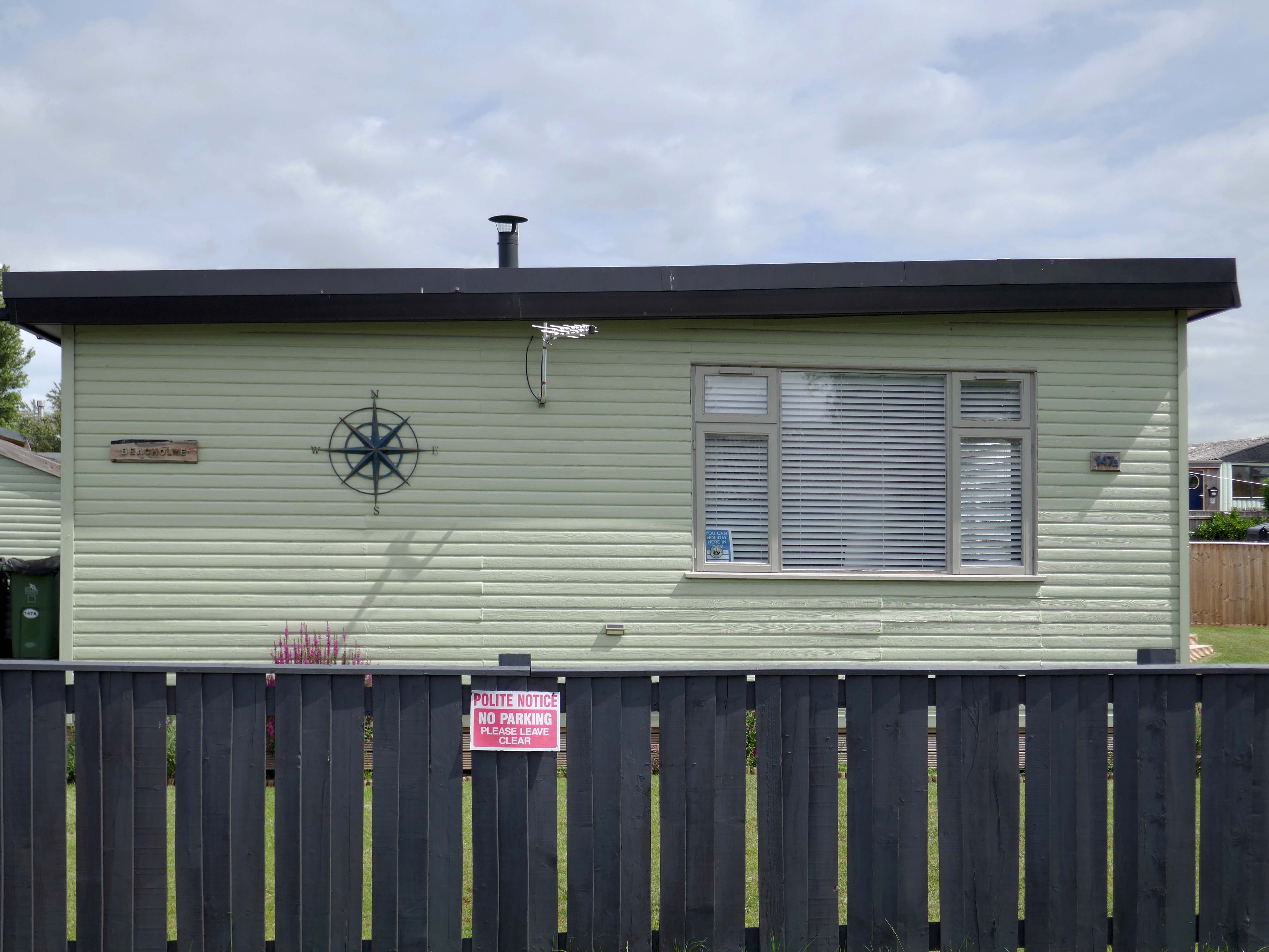
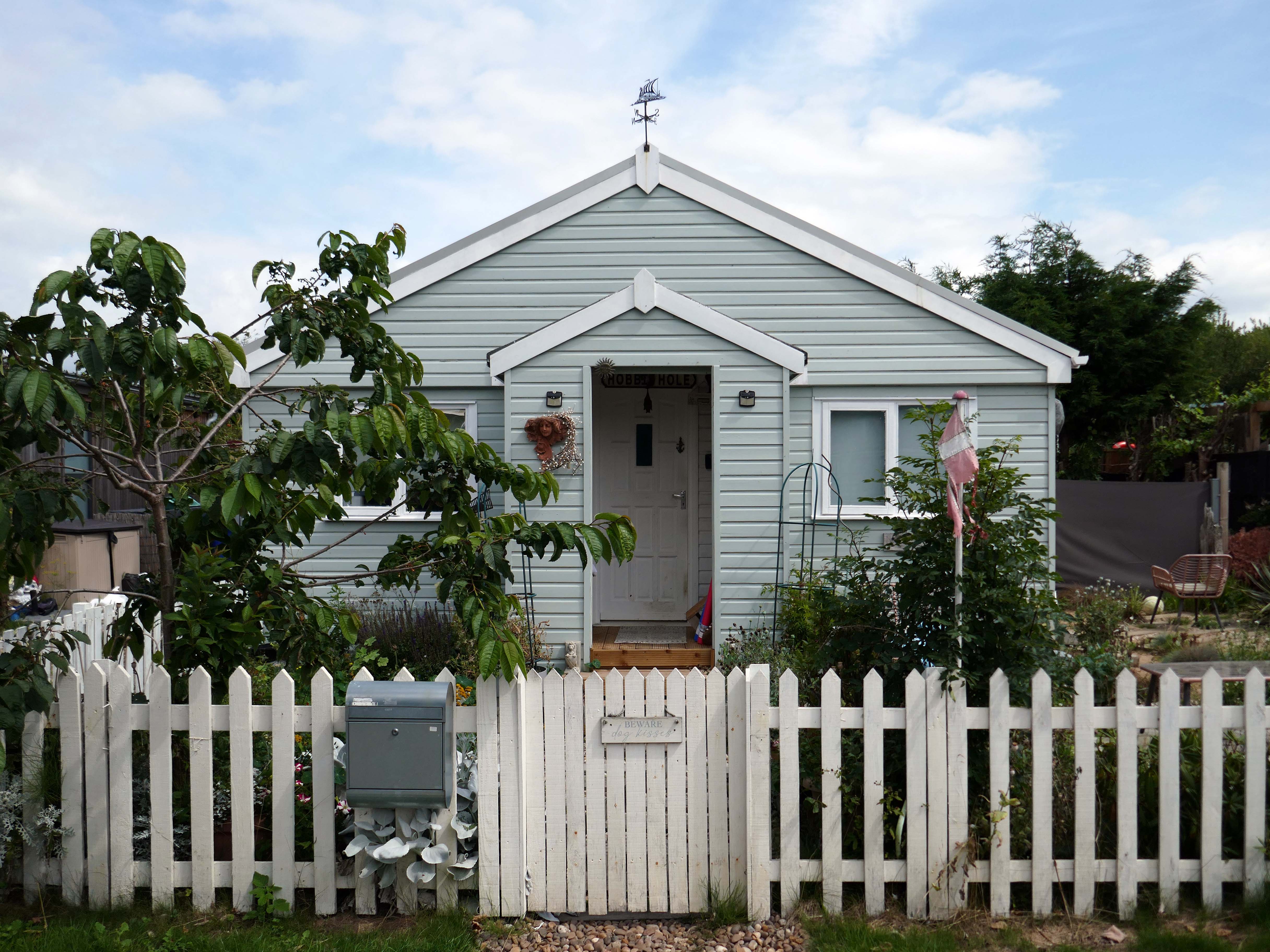
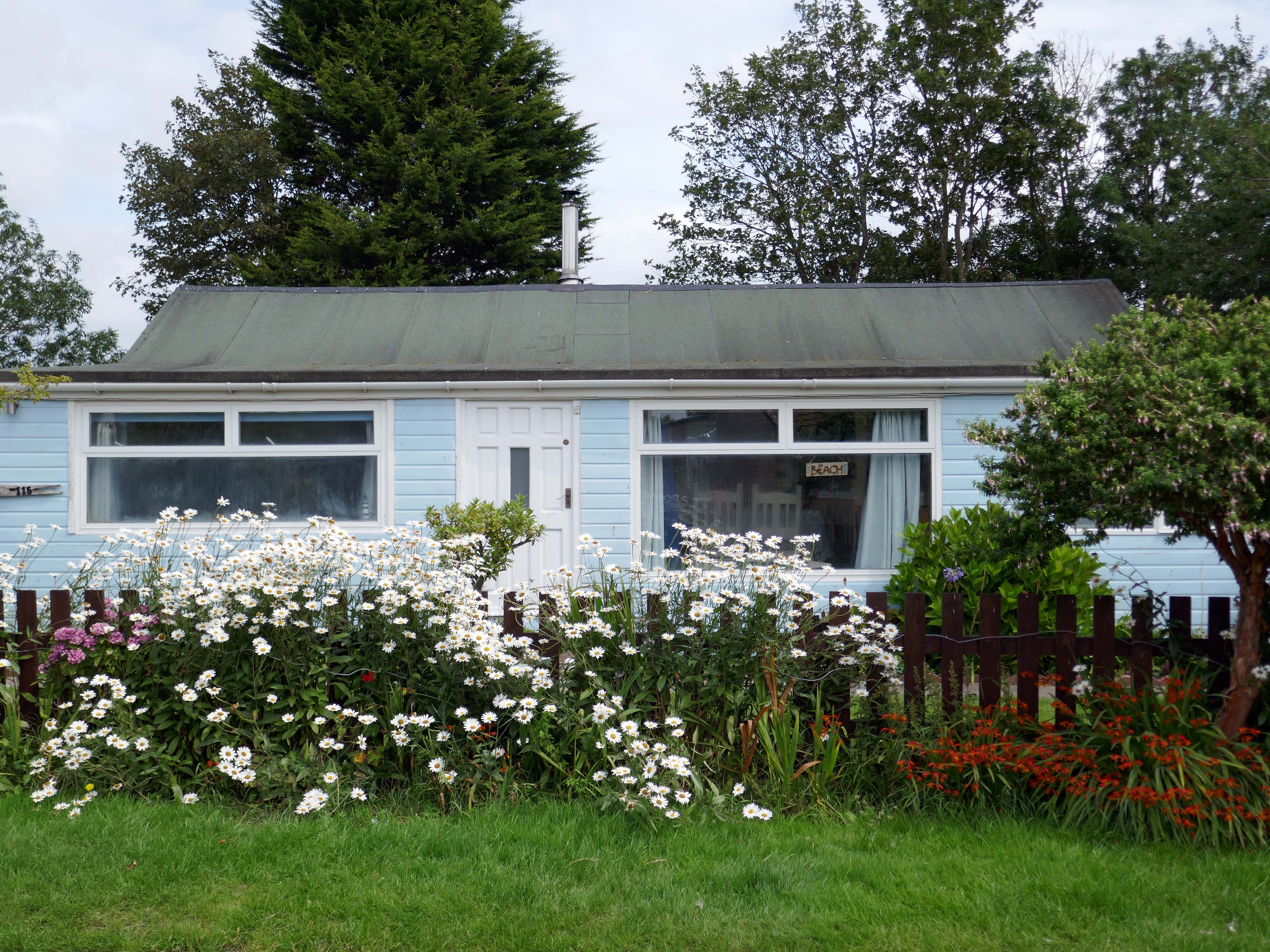
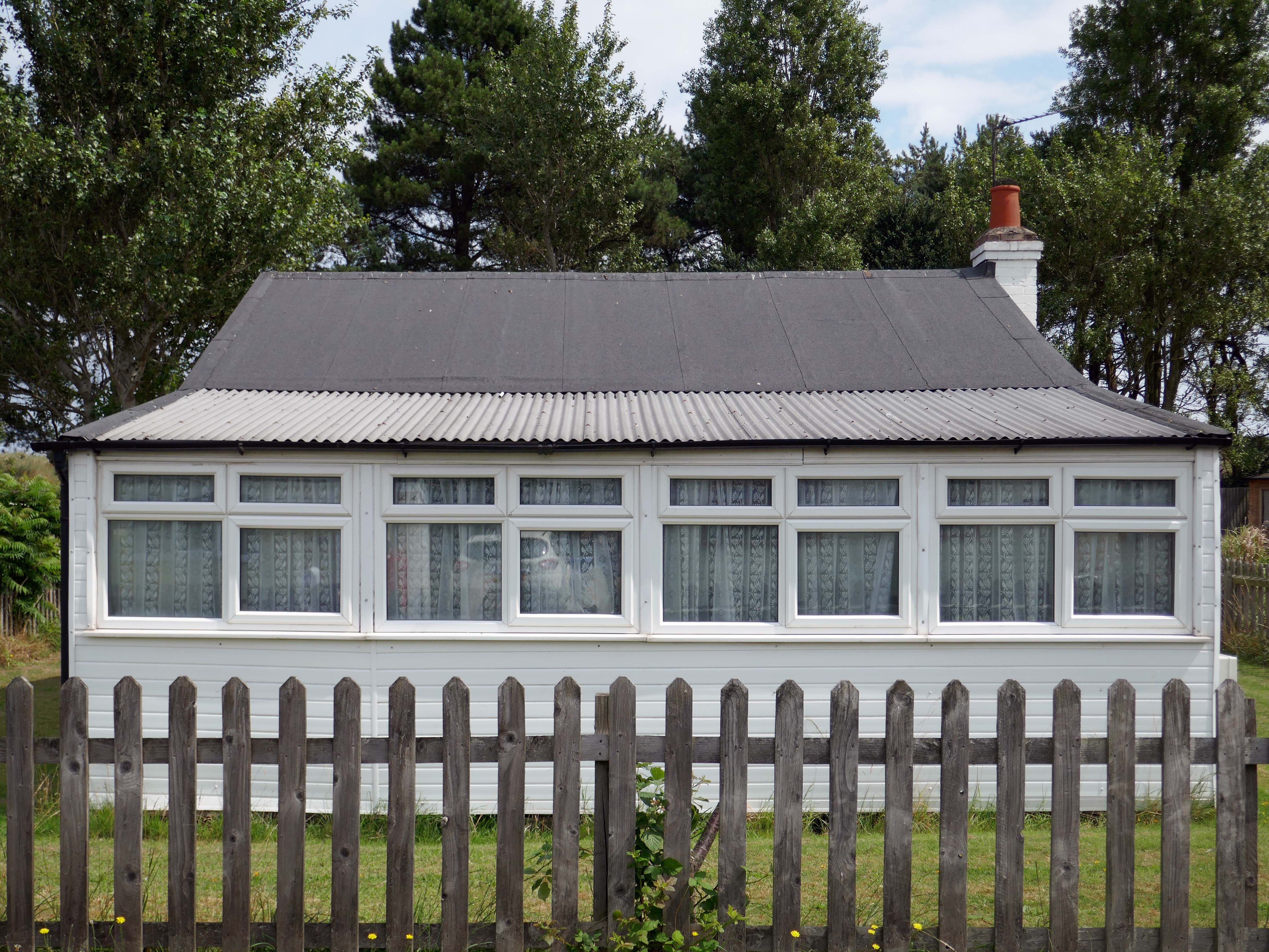
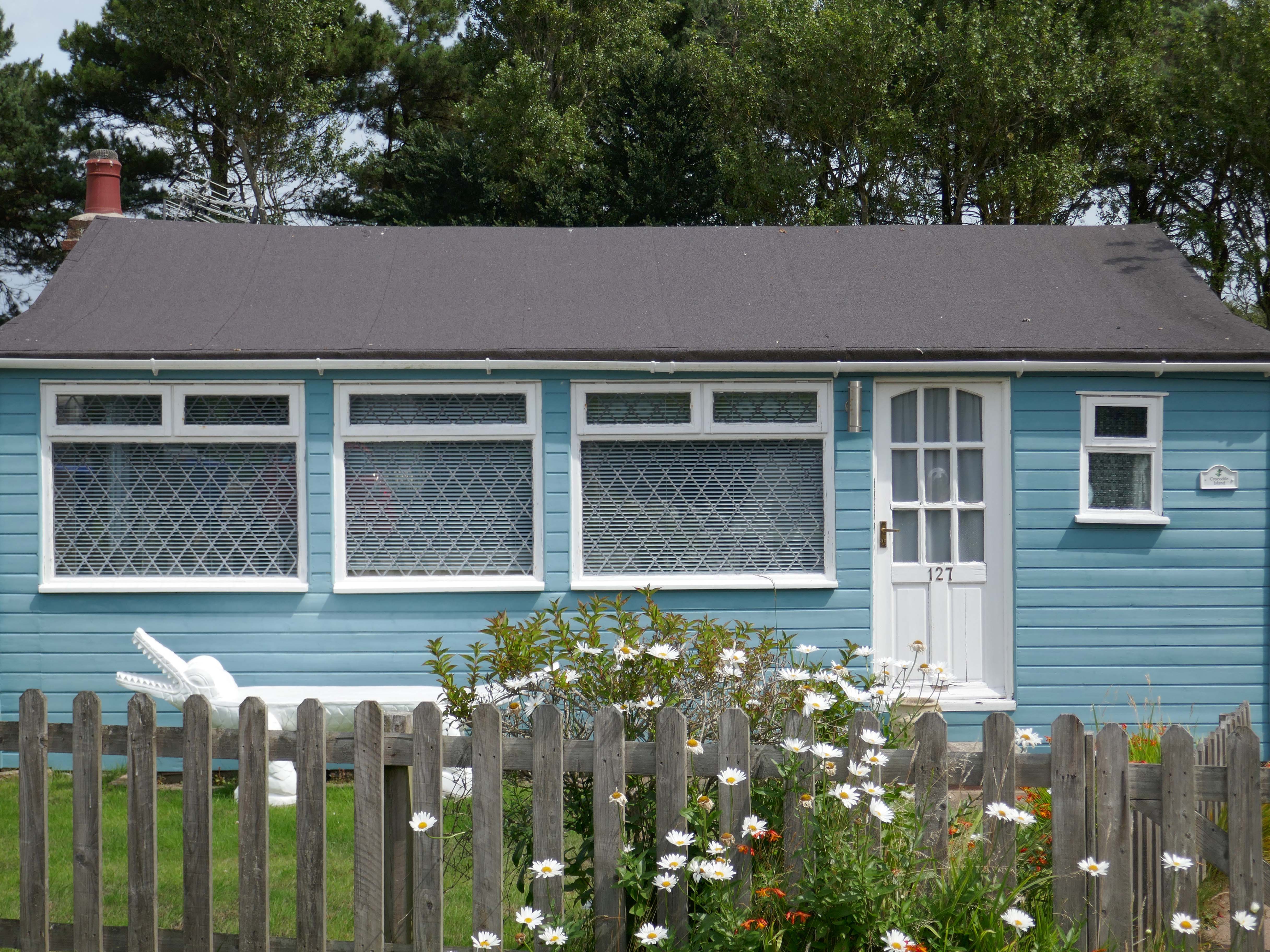
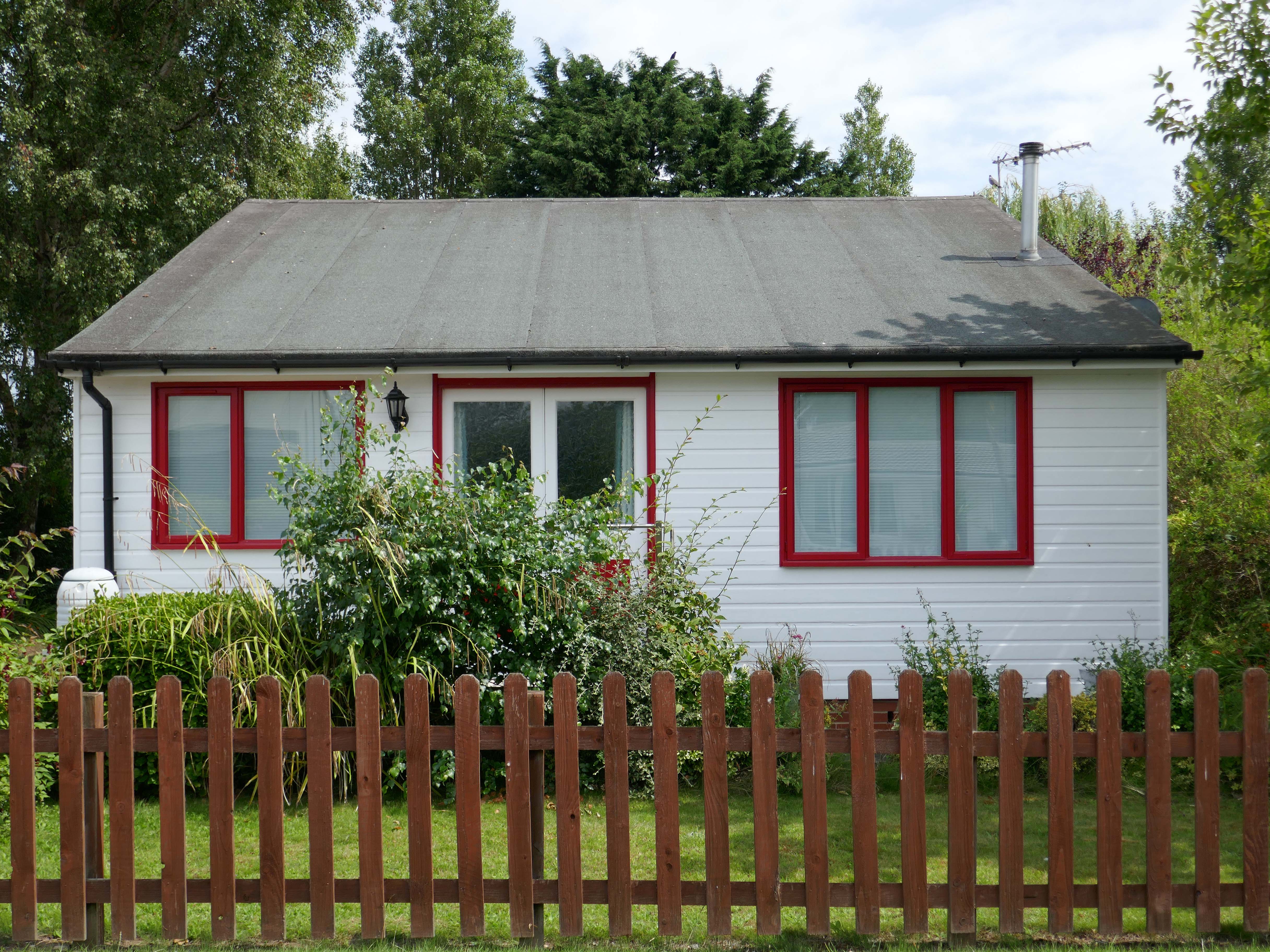
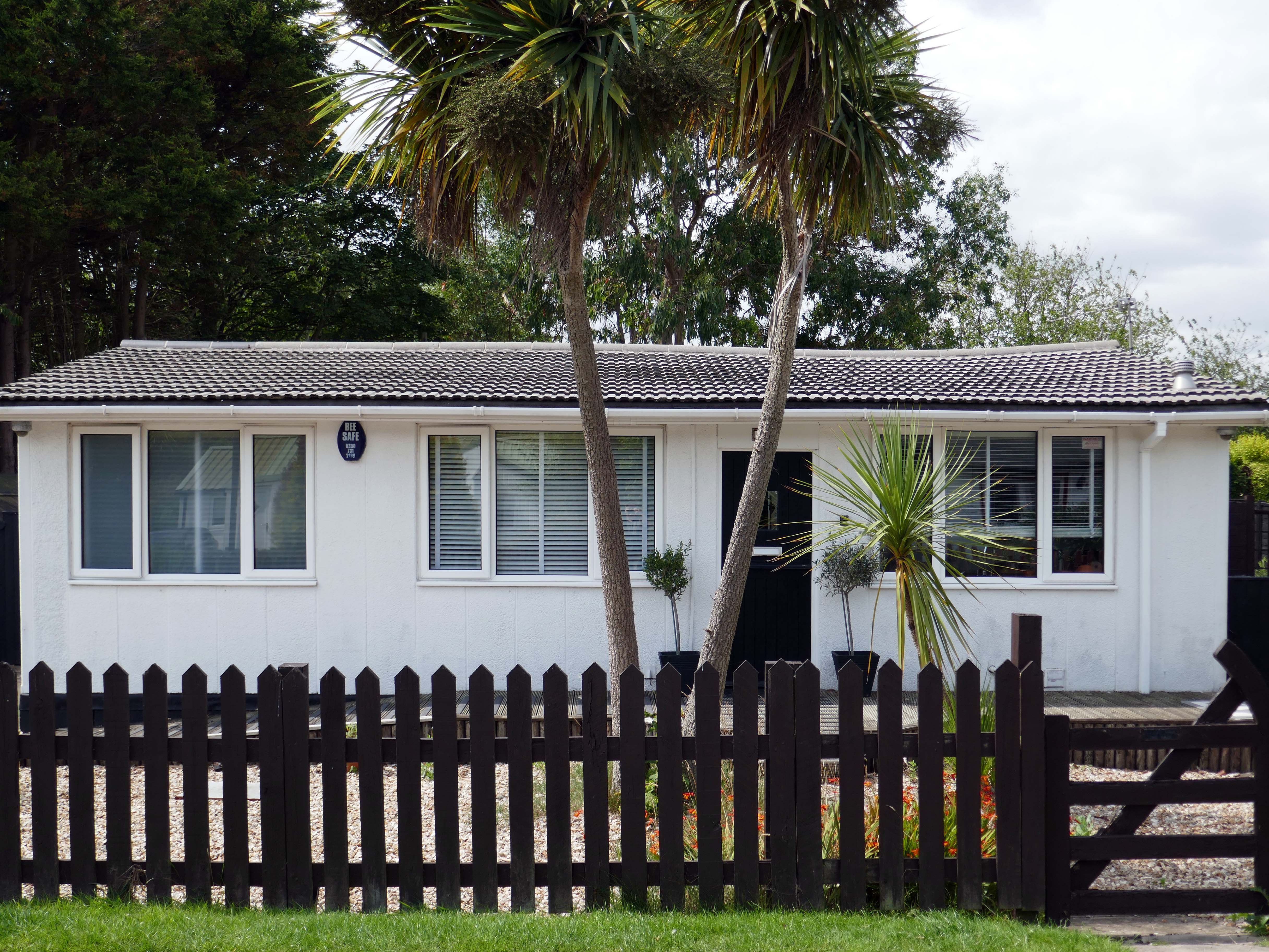
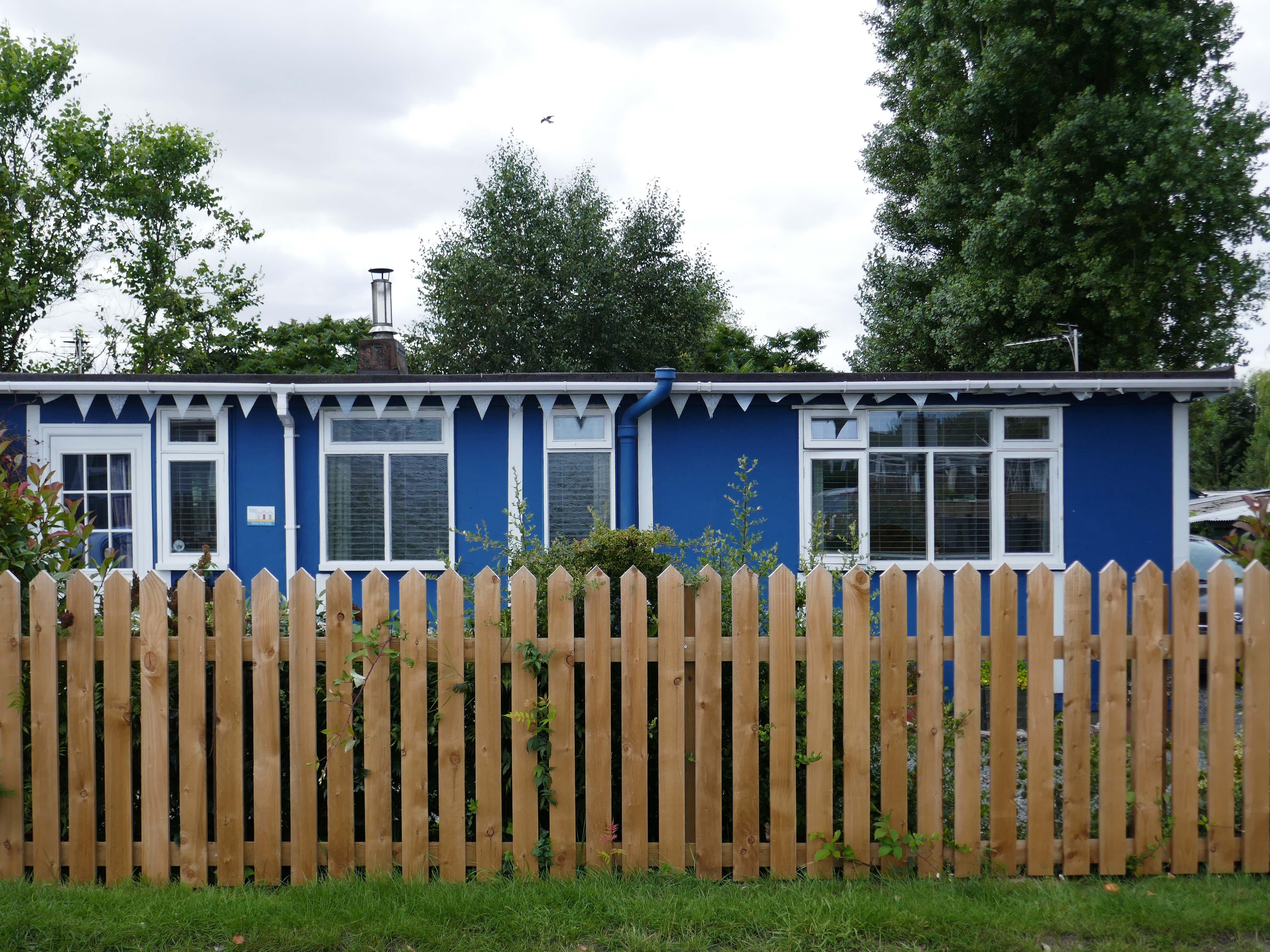
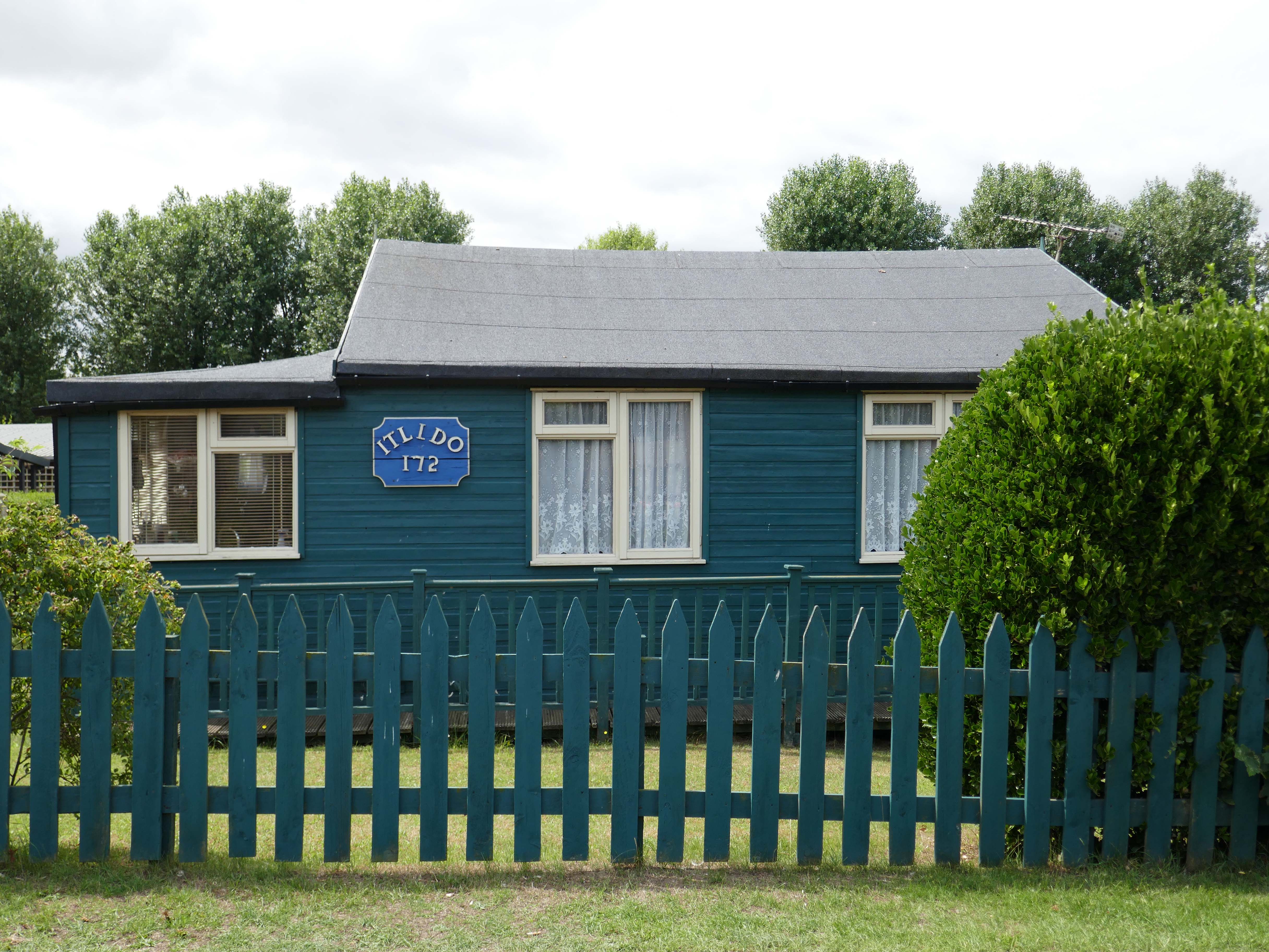
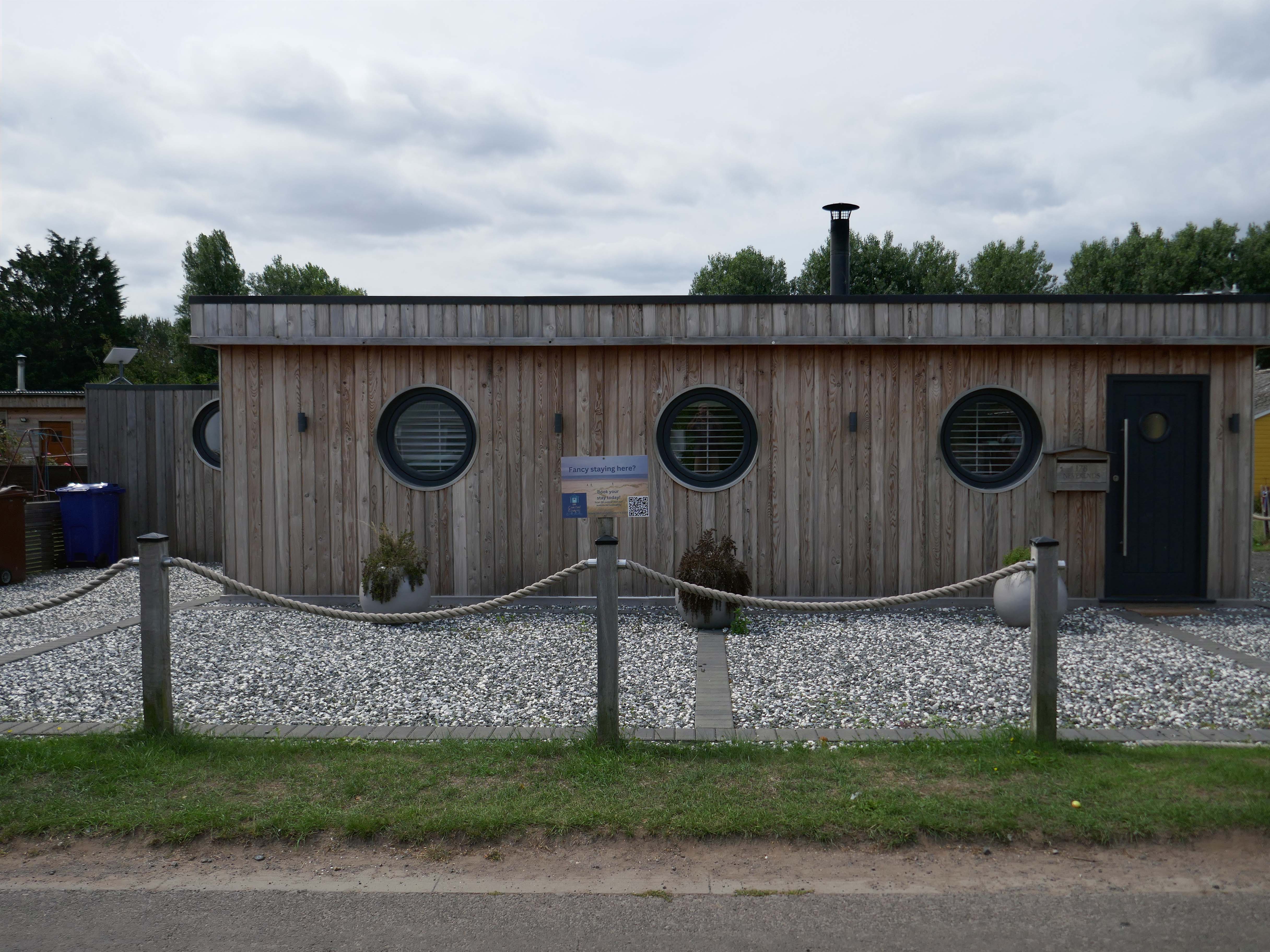
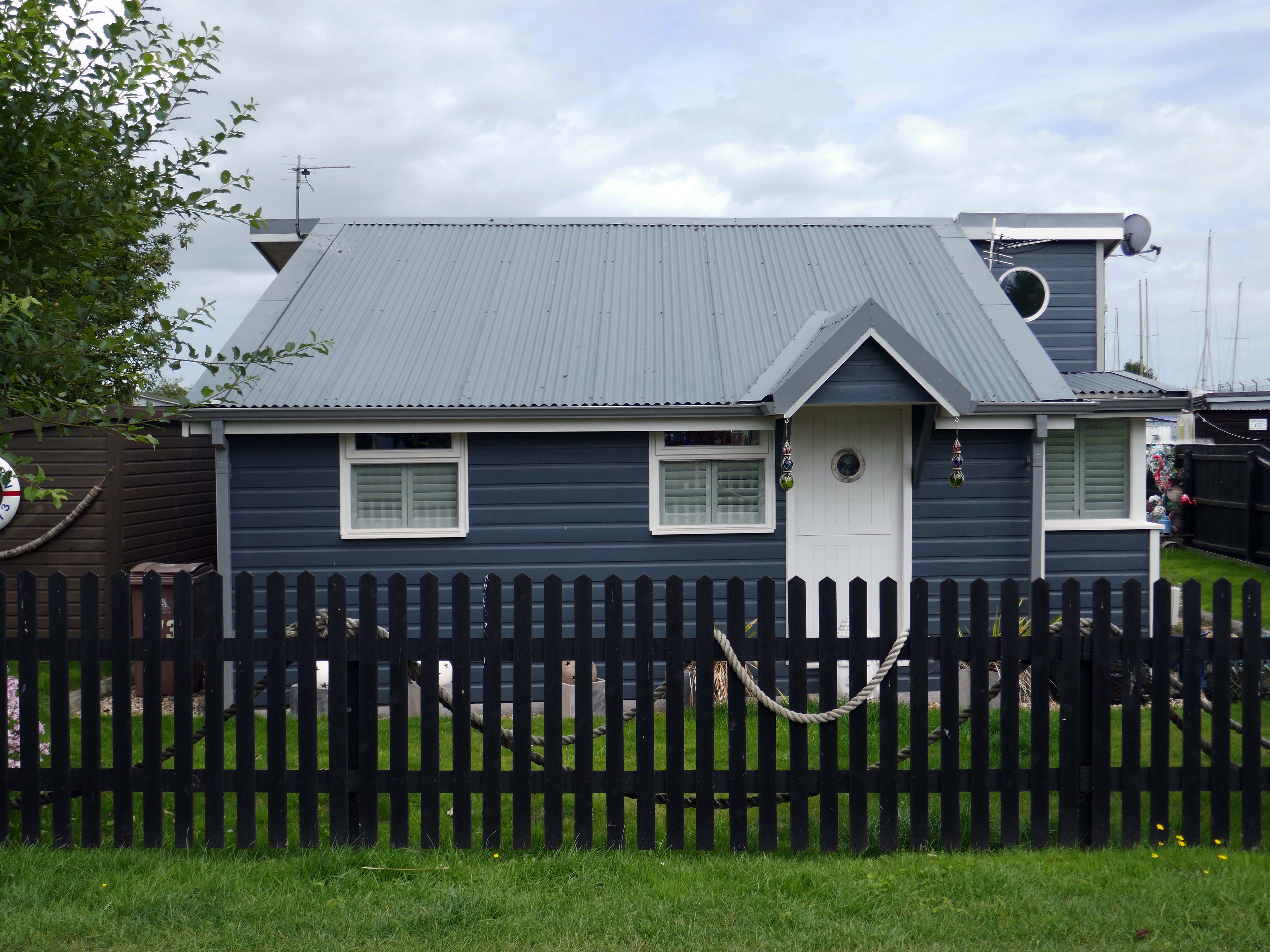
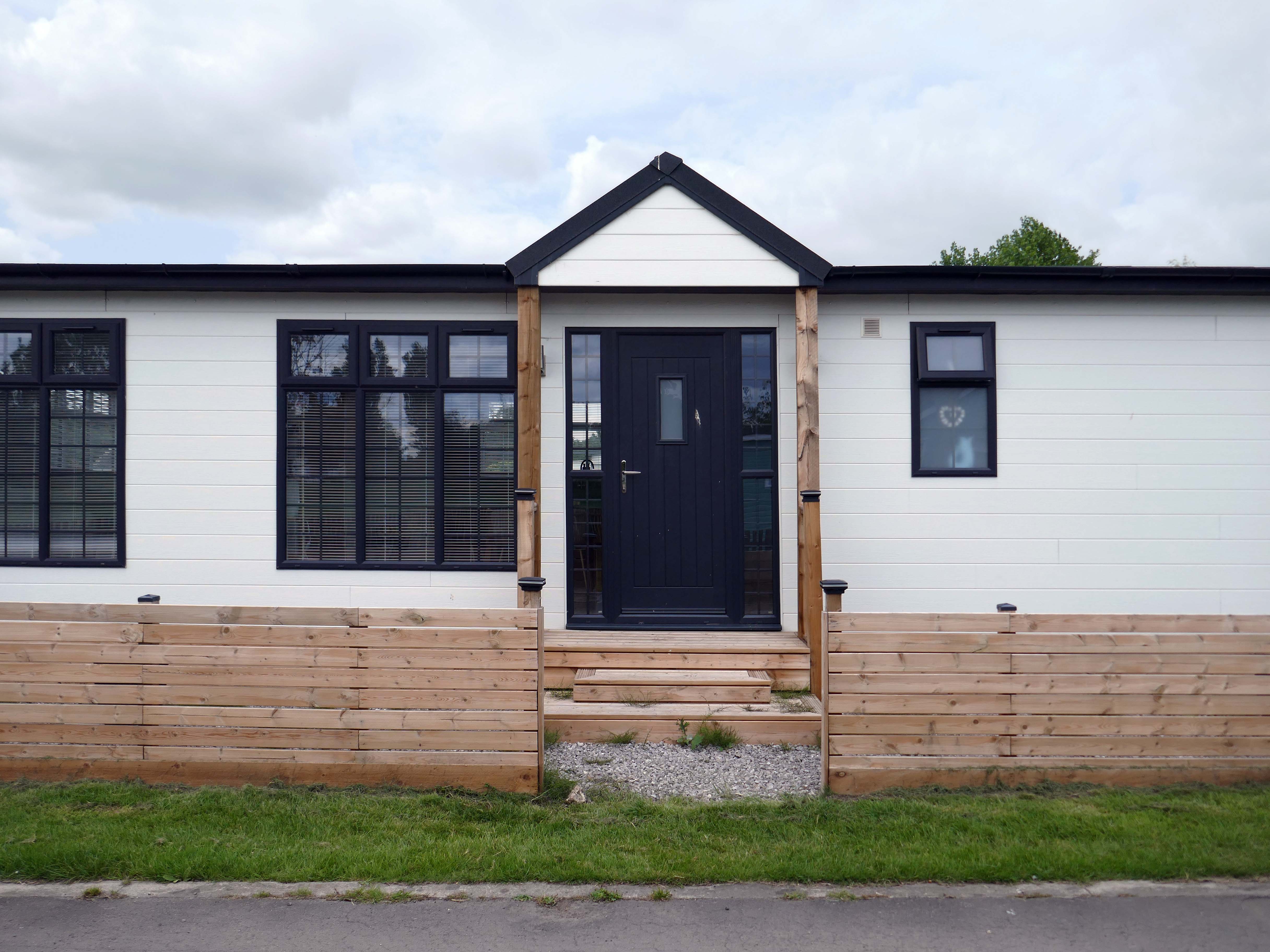
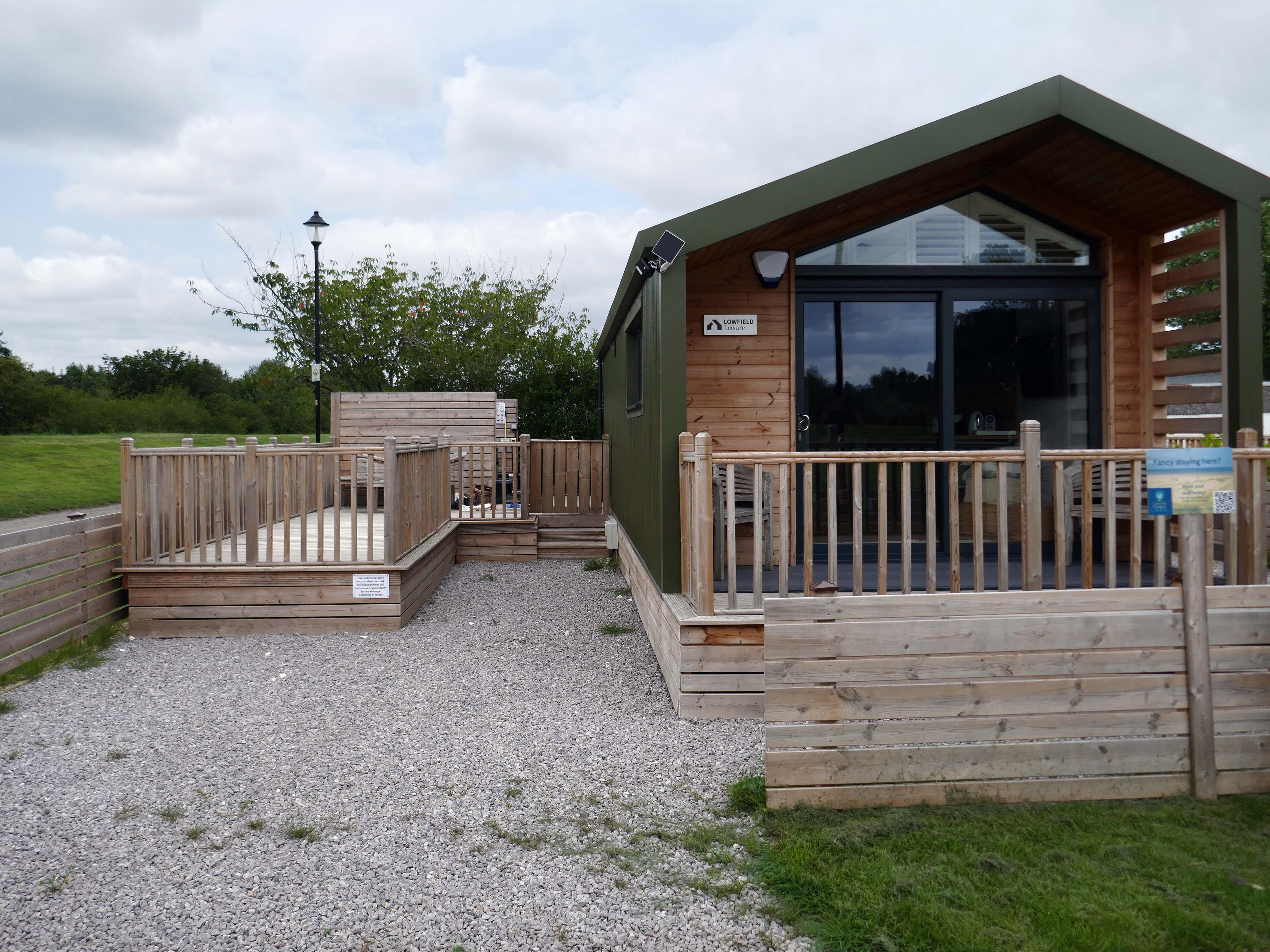
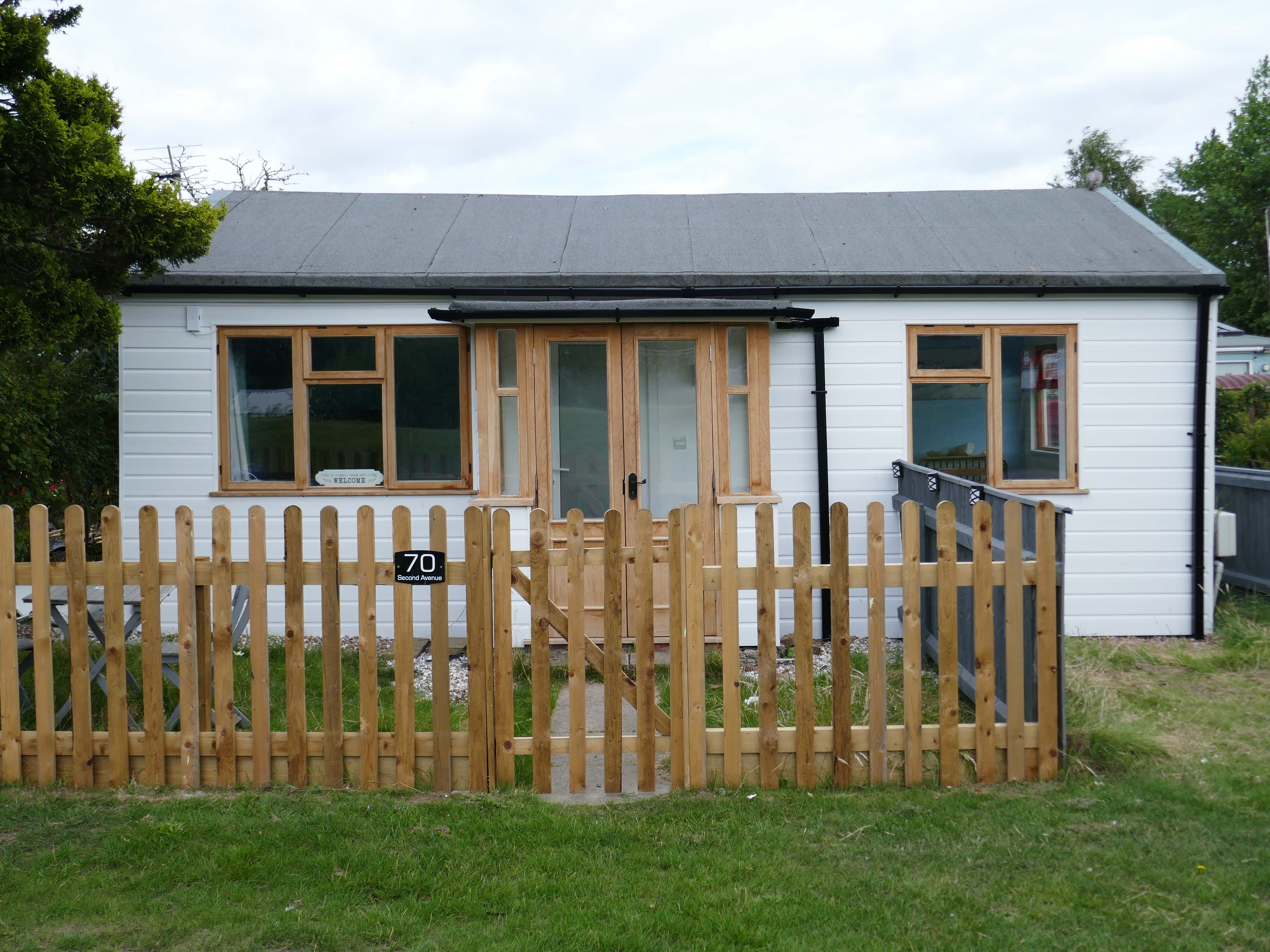
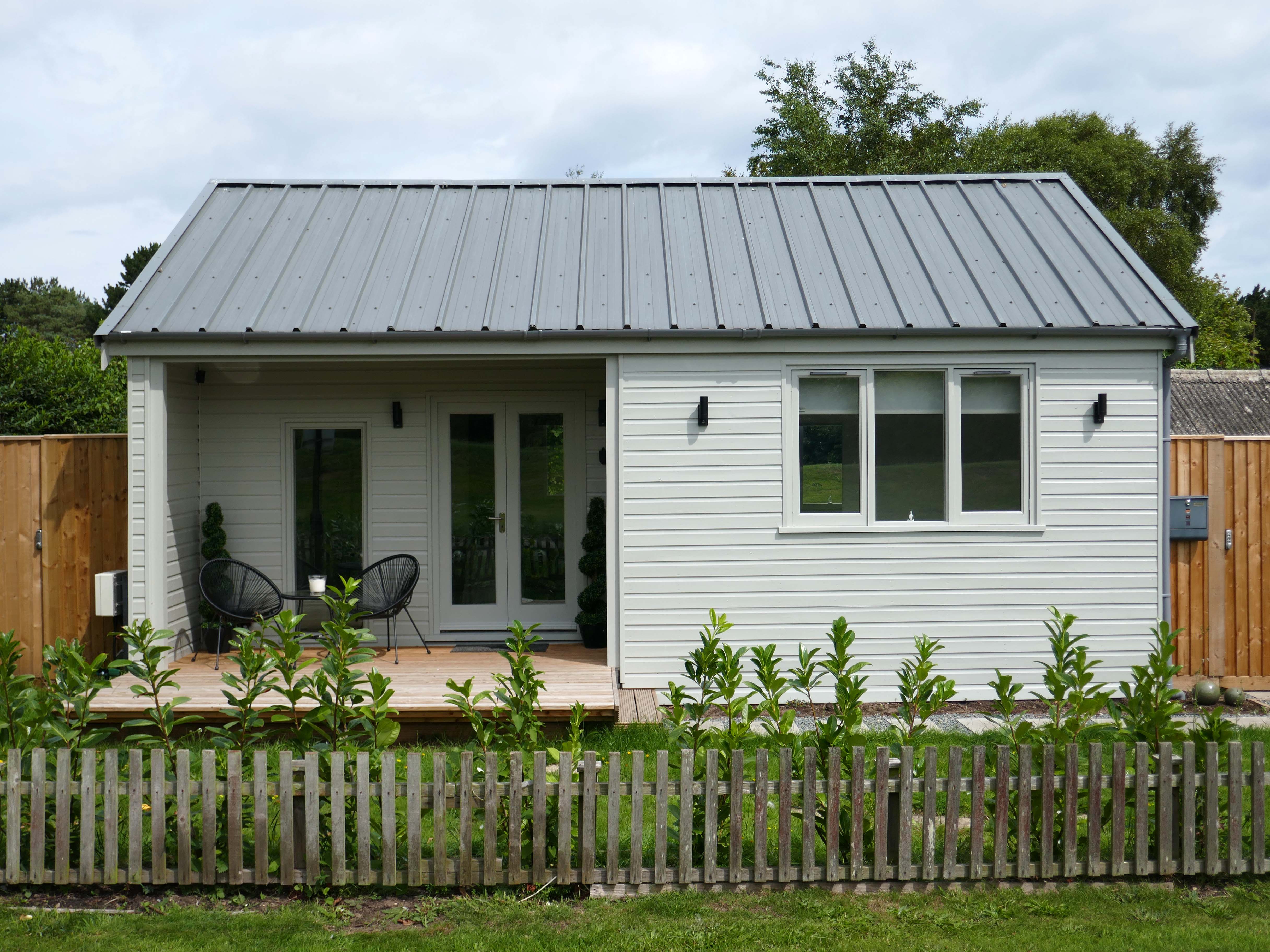
The chalet is a unique wooden clad cabin painted in lovely complimentary colours of Cream and Seaspray Green. A porthole window peers into a generous open plan living room and adjoined kitchen with subtle seaside touches of stripes, driftwood, shells, all quality wooden furniture and large comfy corner sofa plus two relaxing reading chairs with plenty of blankets to snuggle up in.
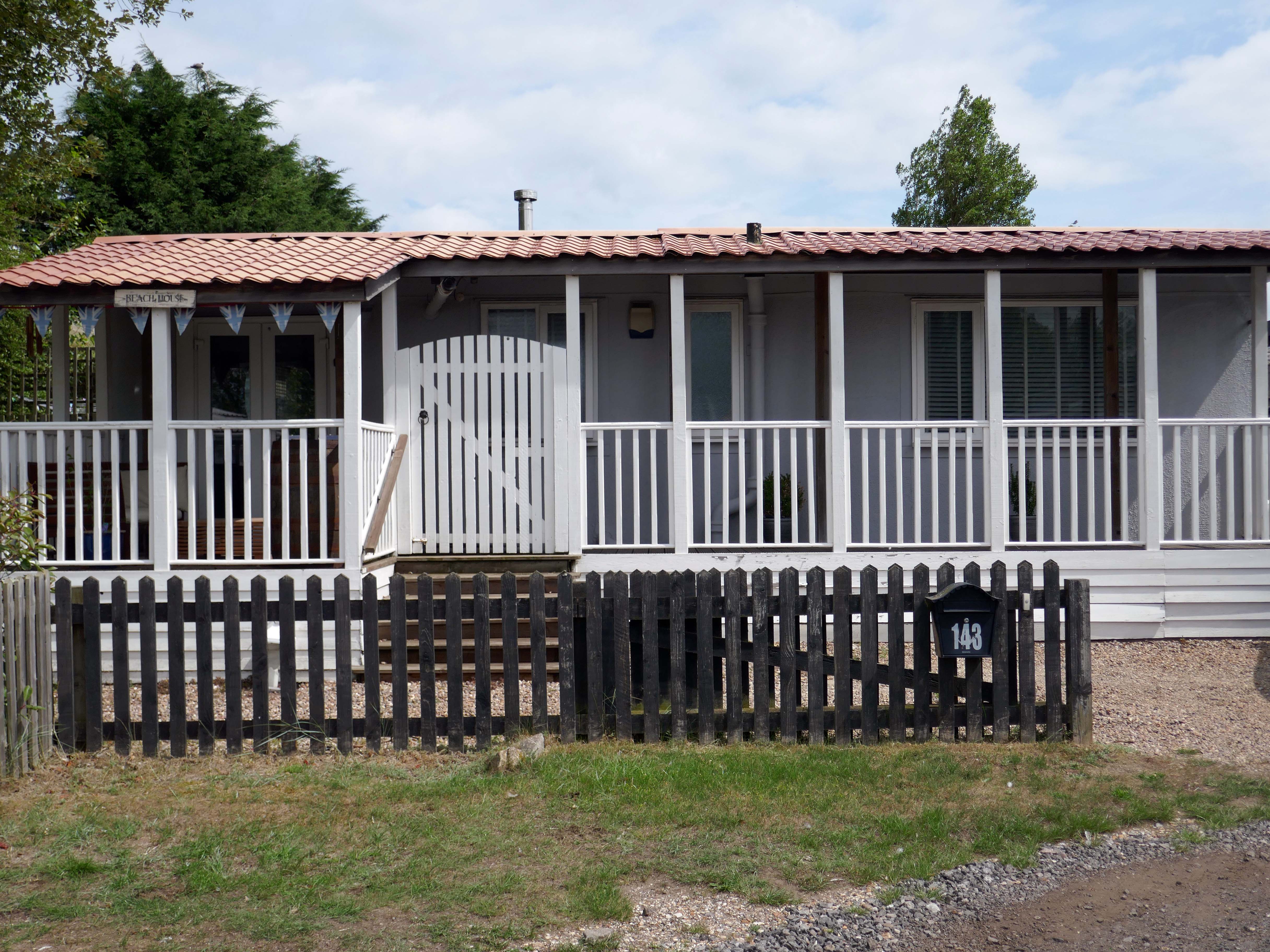
So the march of big money heralds the arrival of complementary after dinner mints, uPVC cladding, tasteful nautical bric a brac, prohibitive signs, off road parking and a Hampton’s aesthetic – a little bit of New England inna little bit of England.
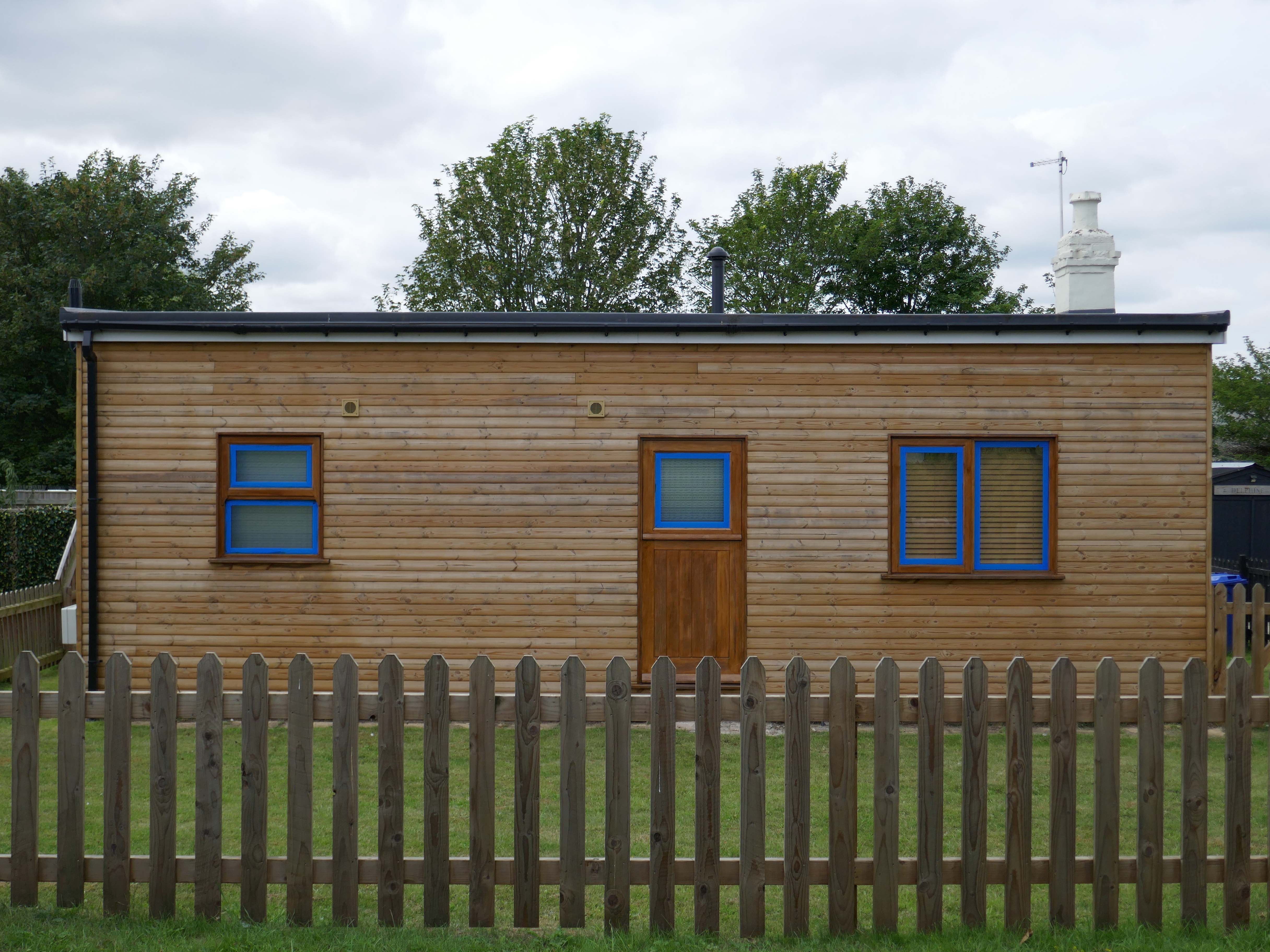
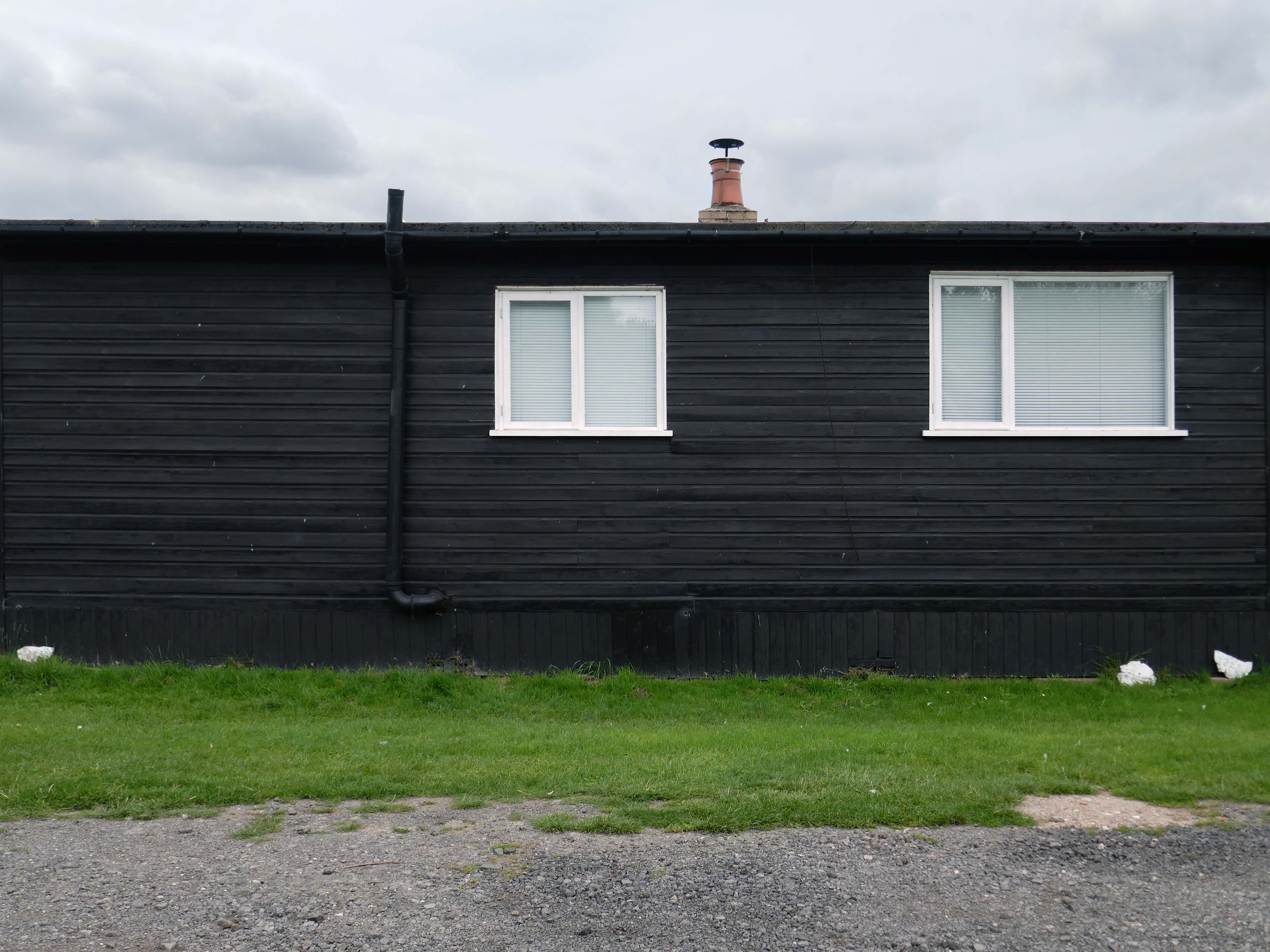
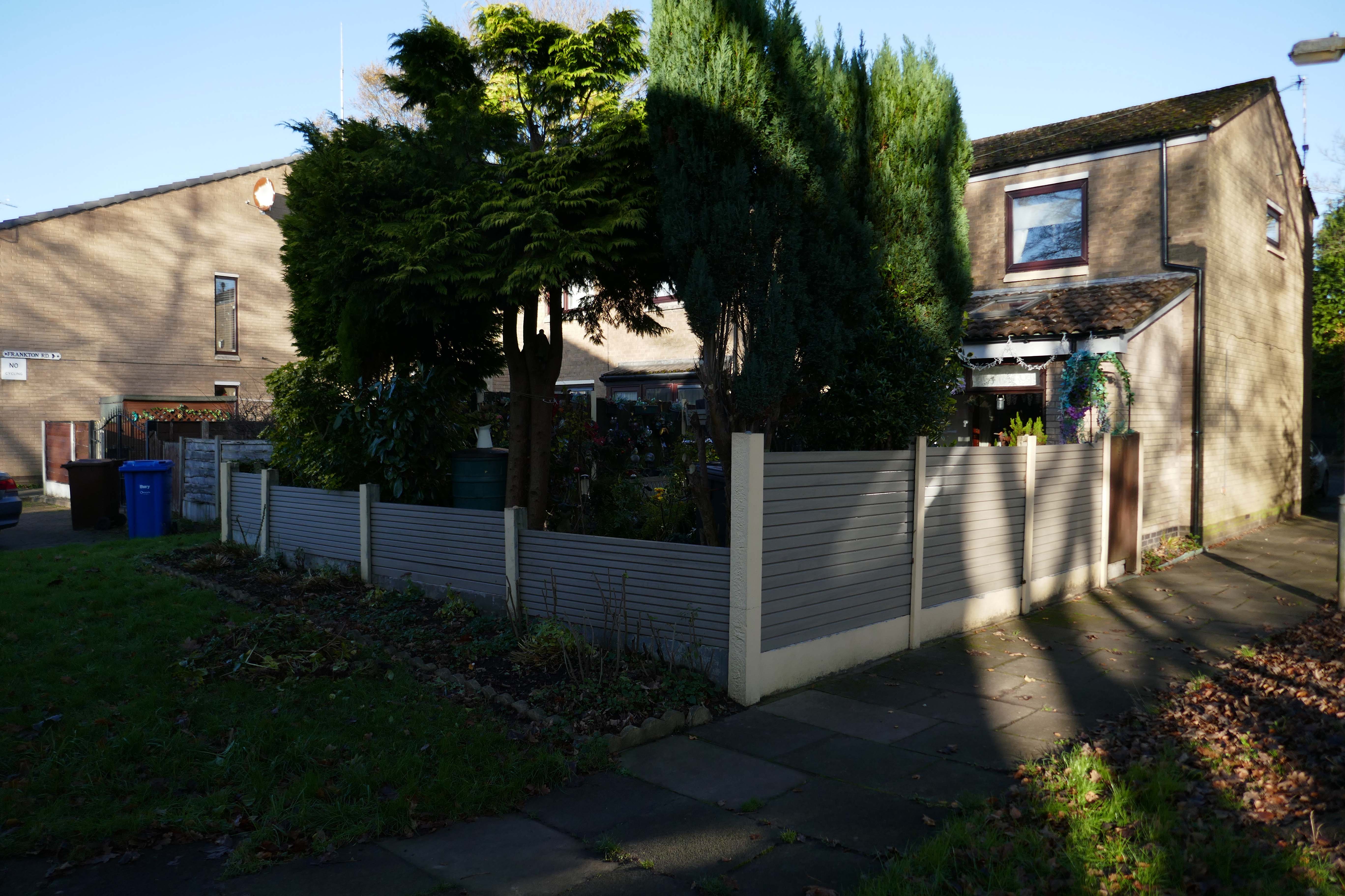
Despite the incursion of those folks on a week long excursion, there is still an air of lukewarm anarchy which pervades the Fitties. An array of wonky homemade fences constantly askew, refusing to be aligned to the orthogonal.
Mañana never comes here on this little stretch of the Lincolnshire coast, get it while you can.
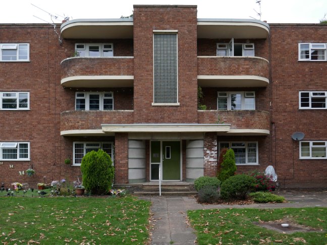
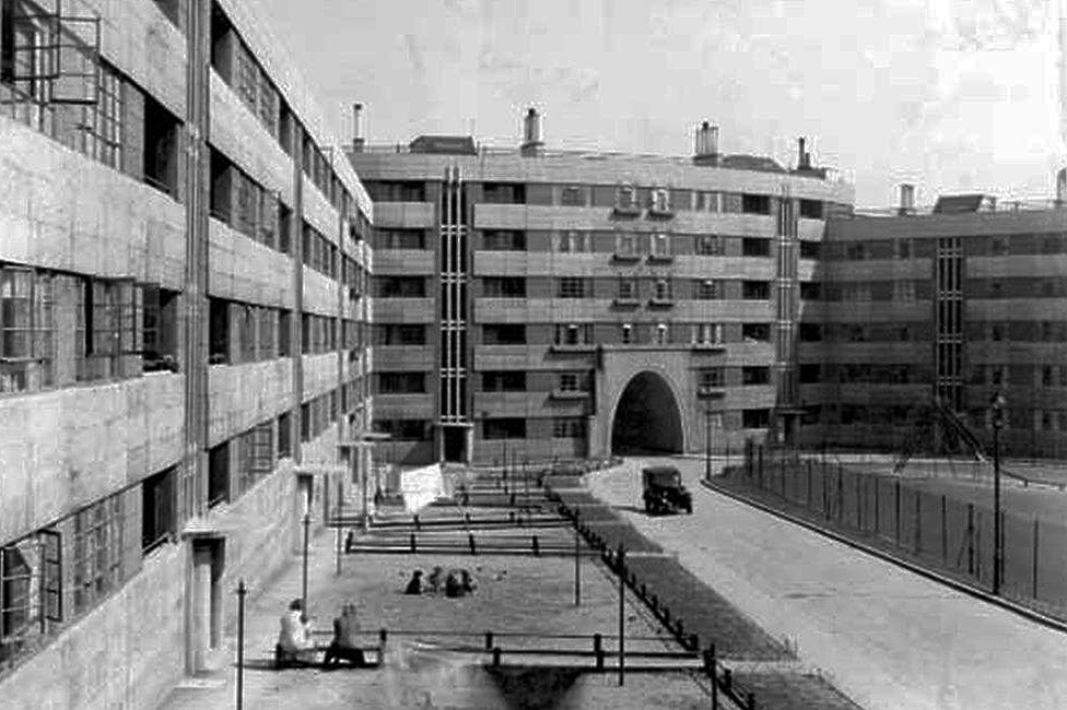
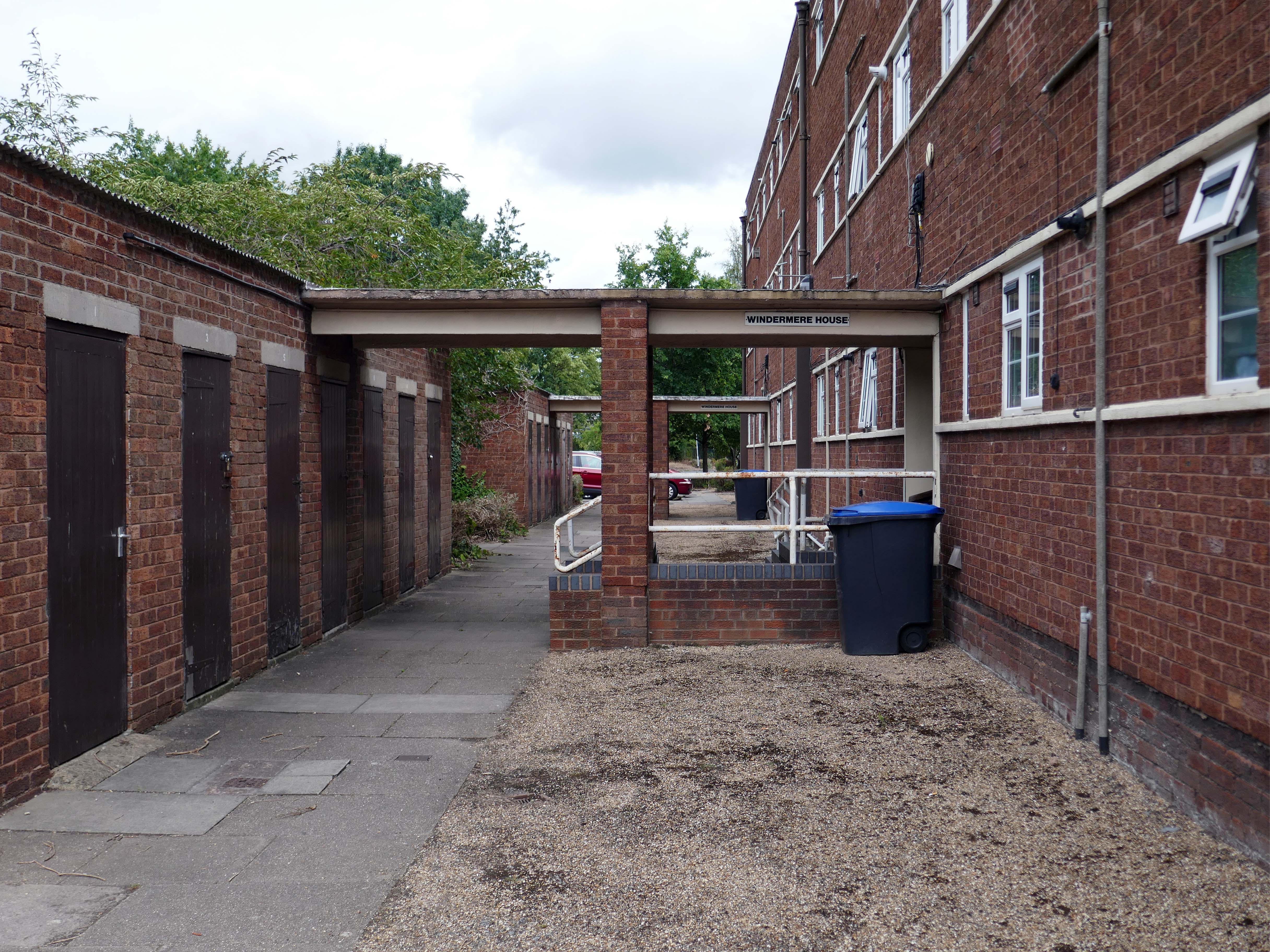
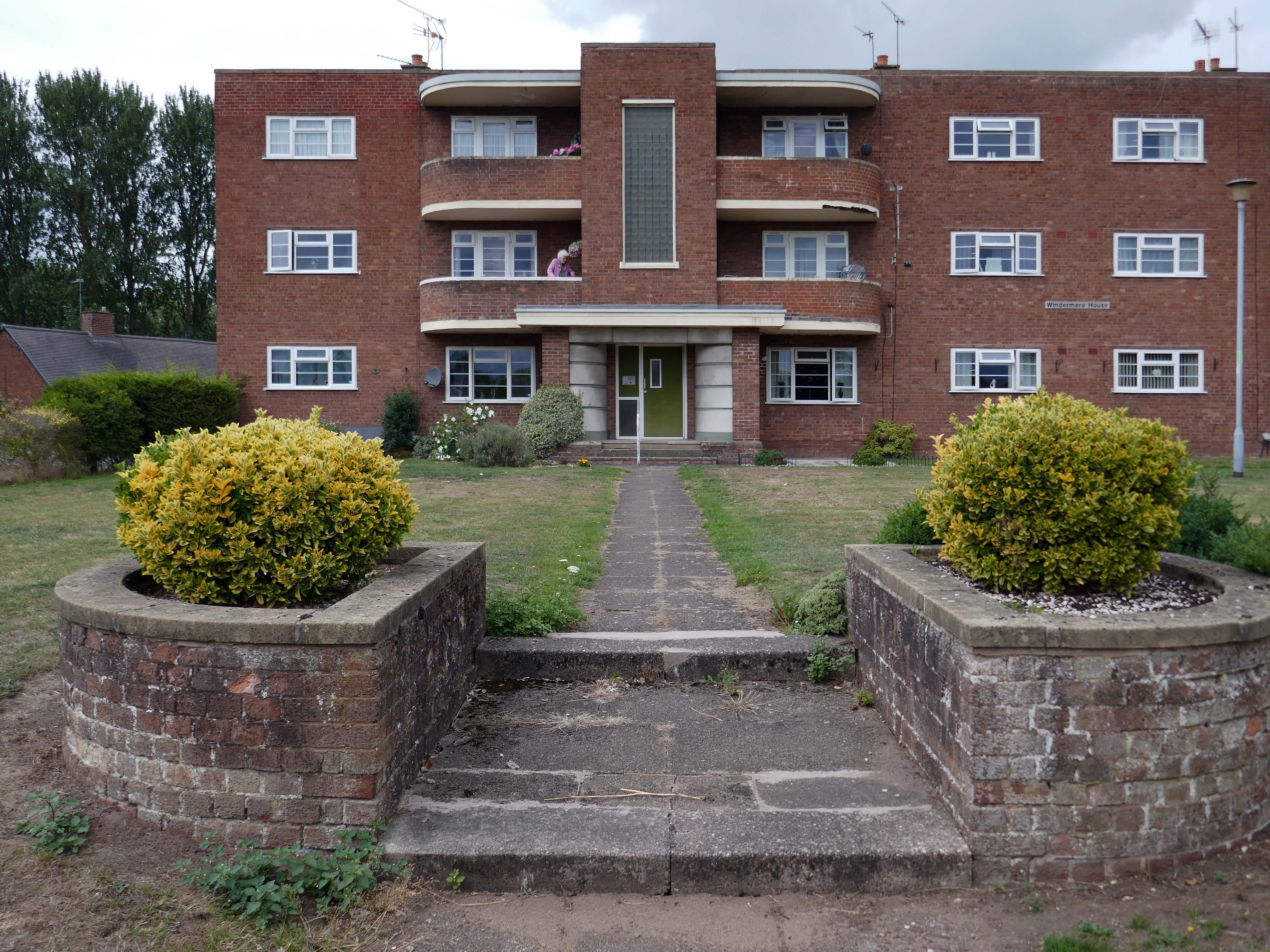
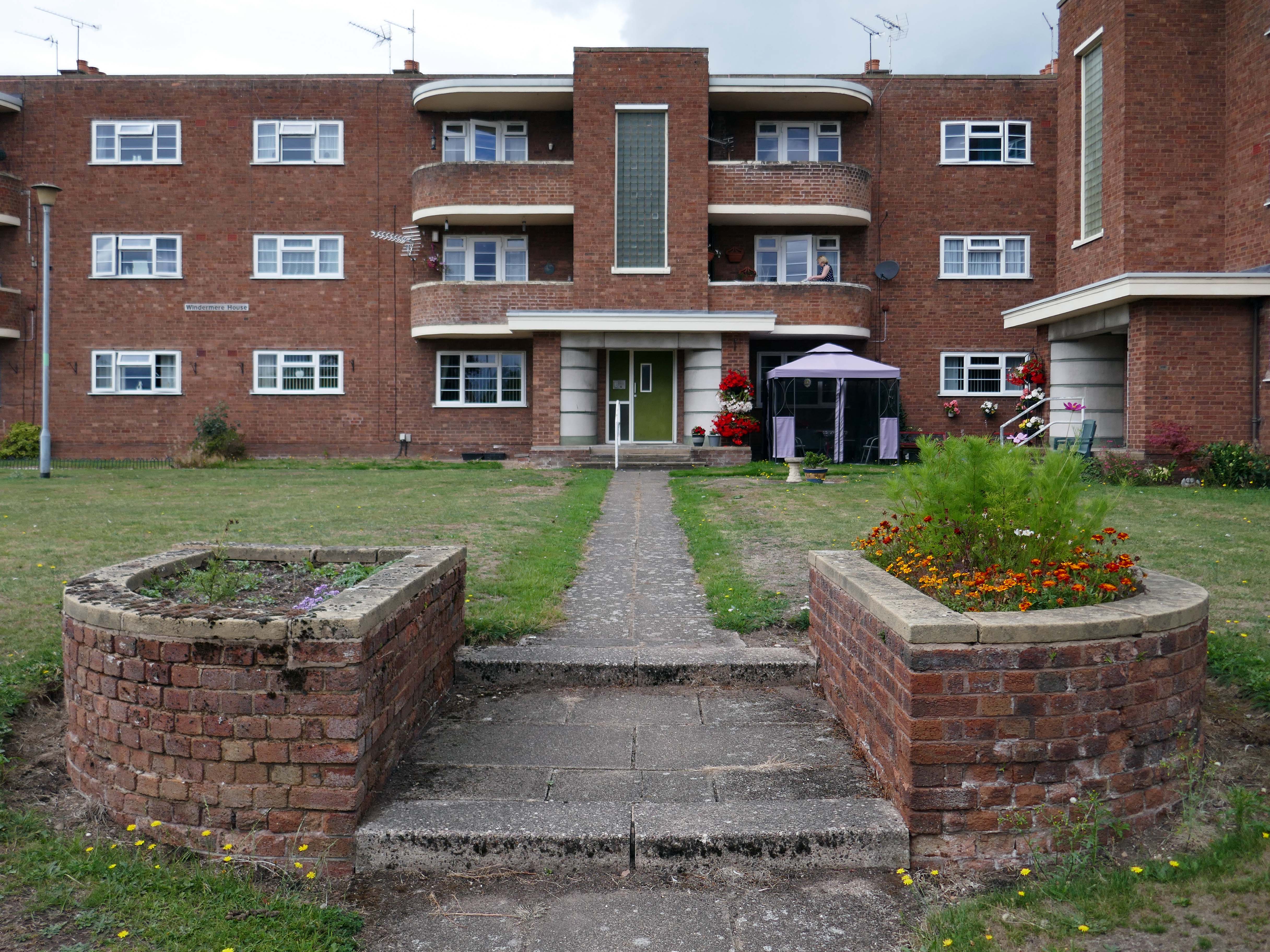
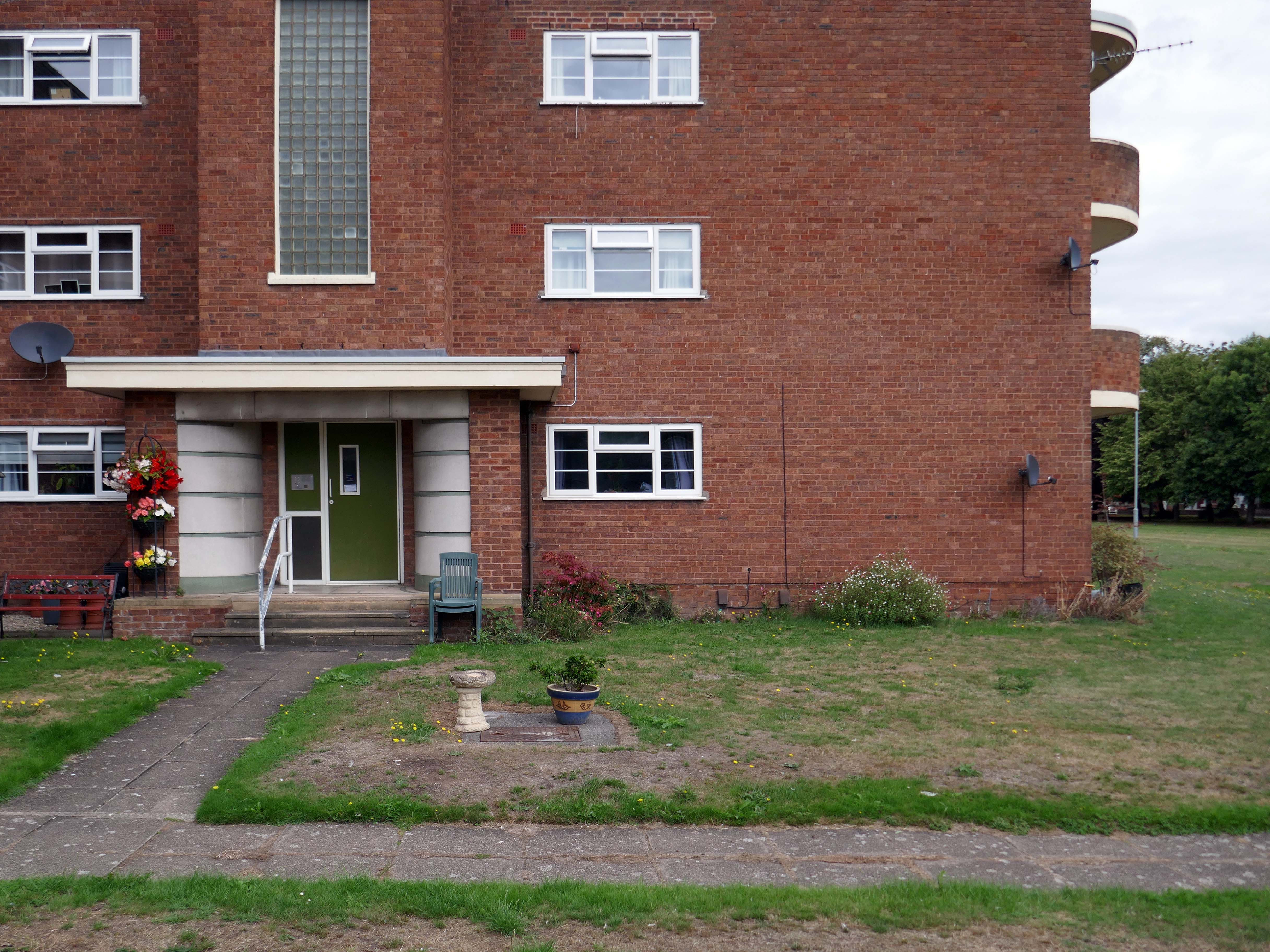
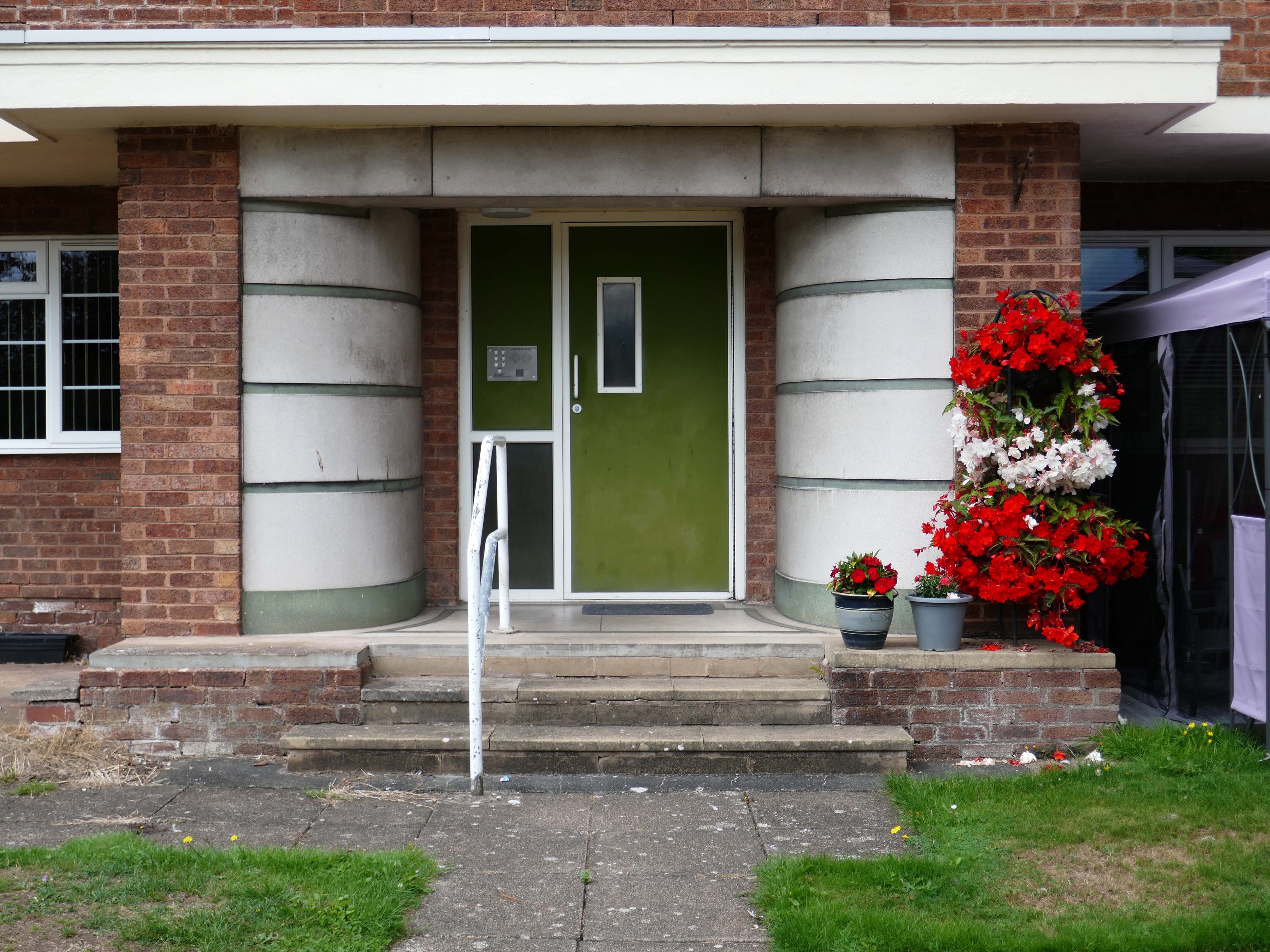
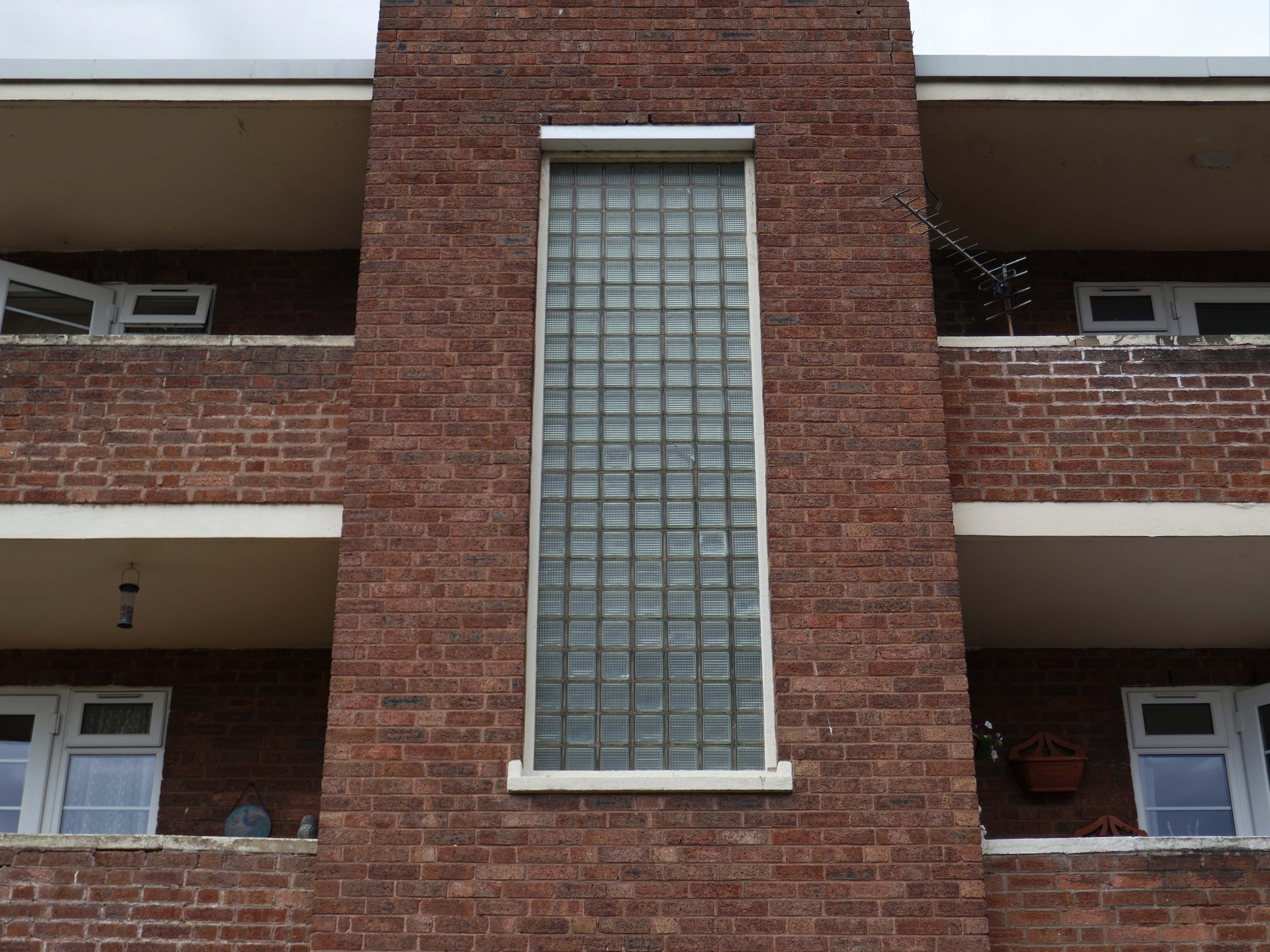
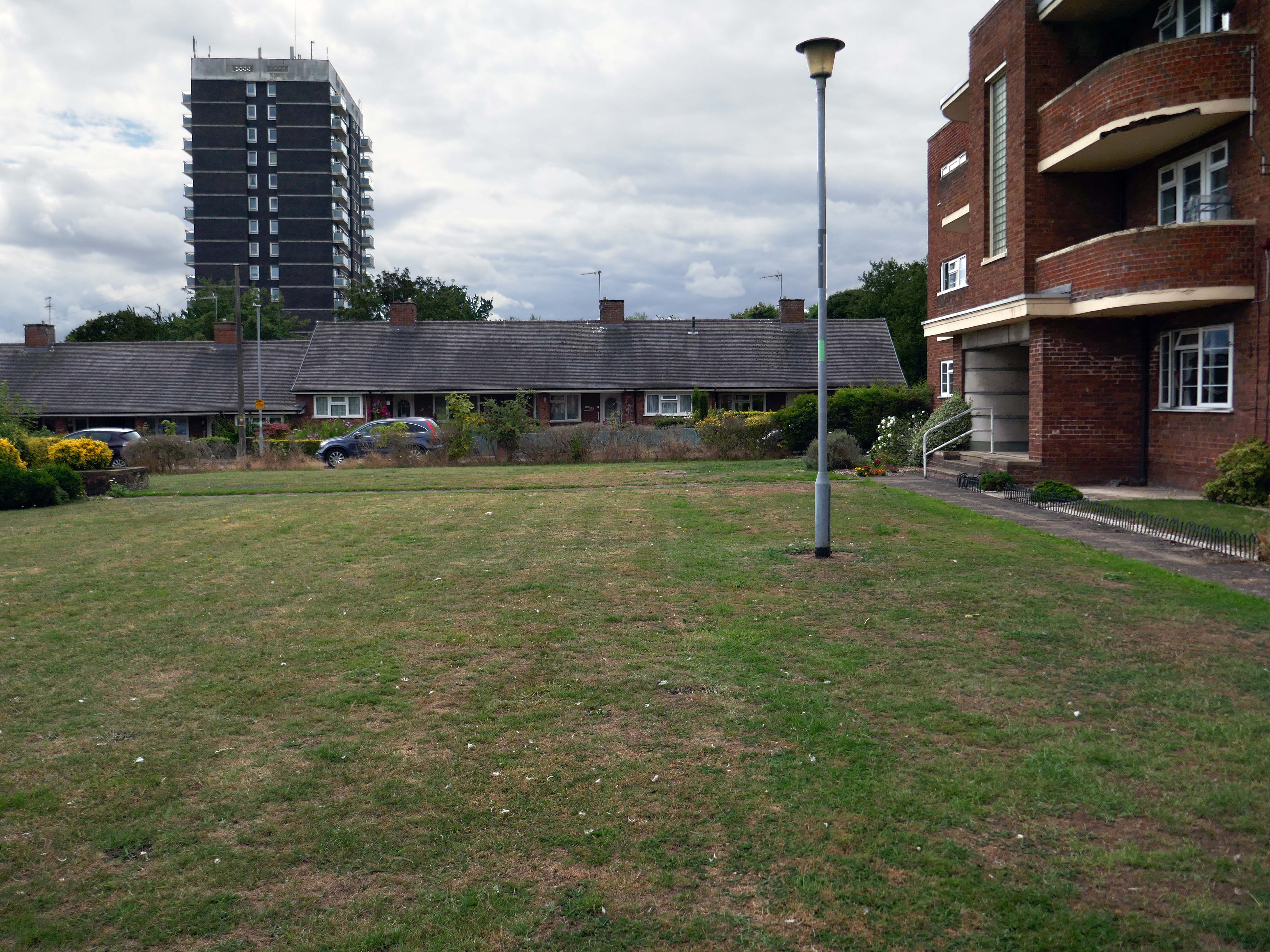
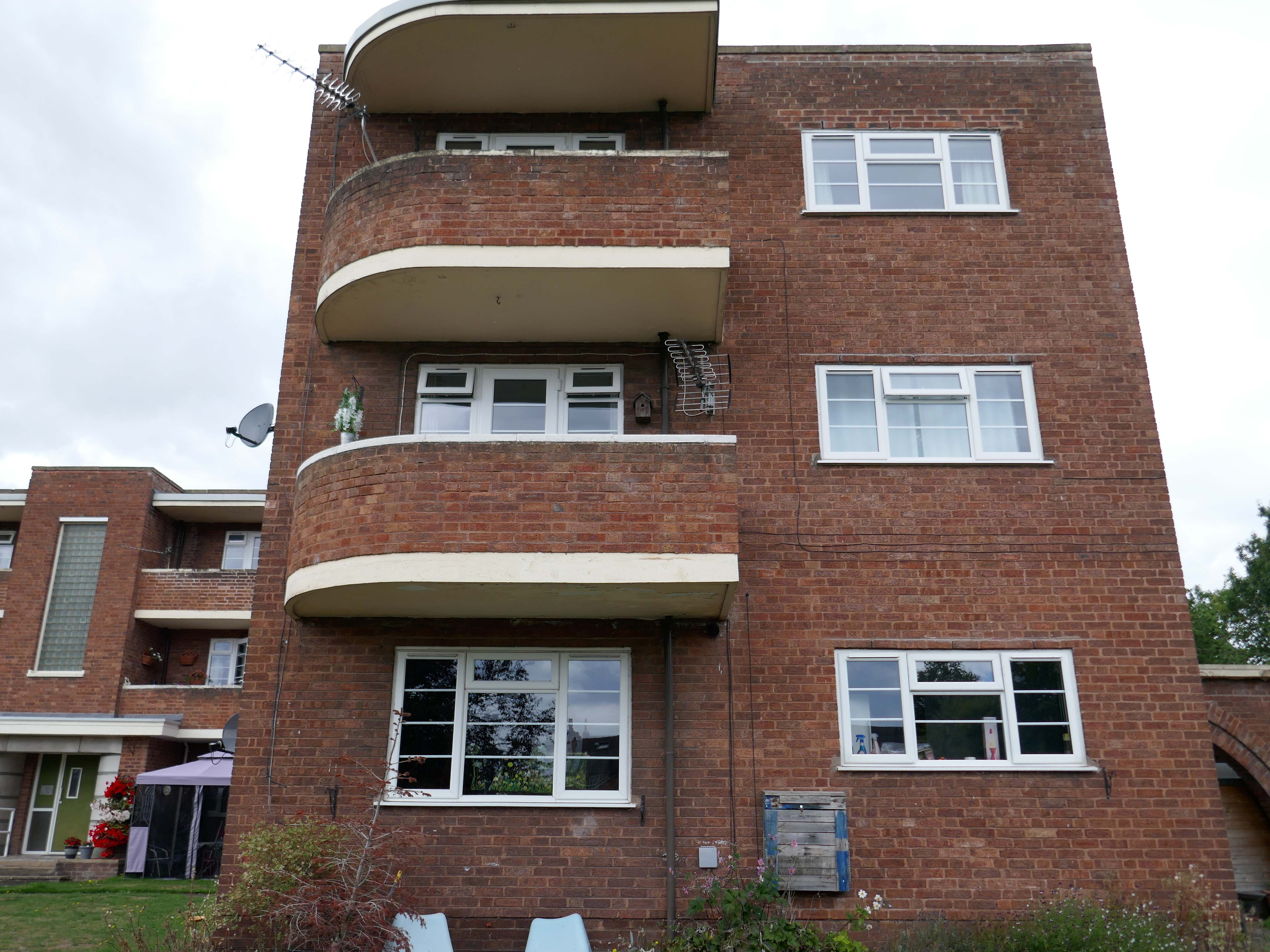
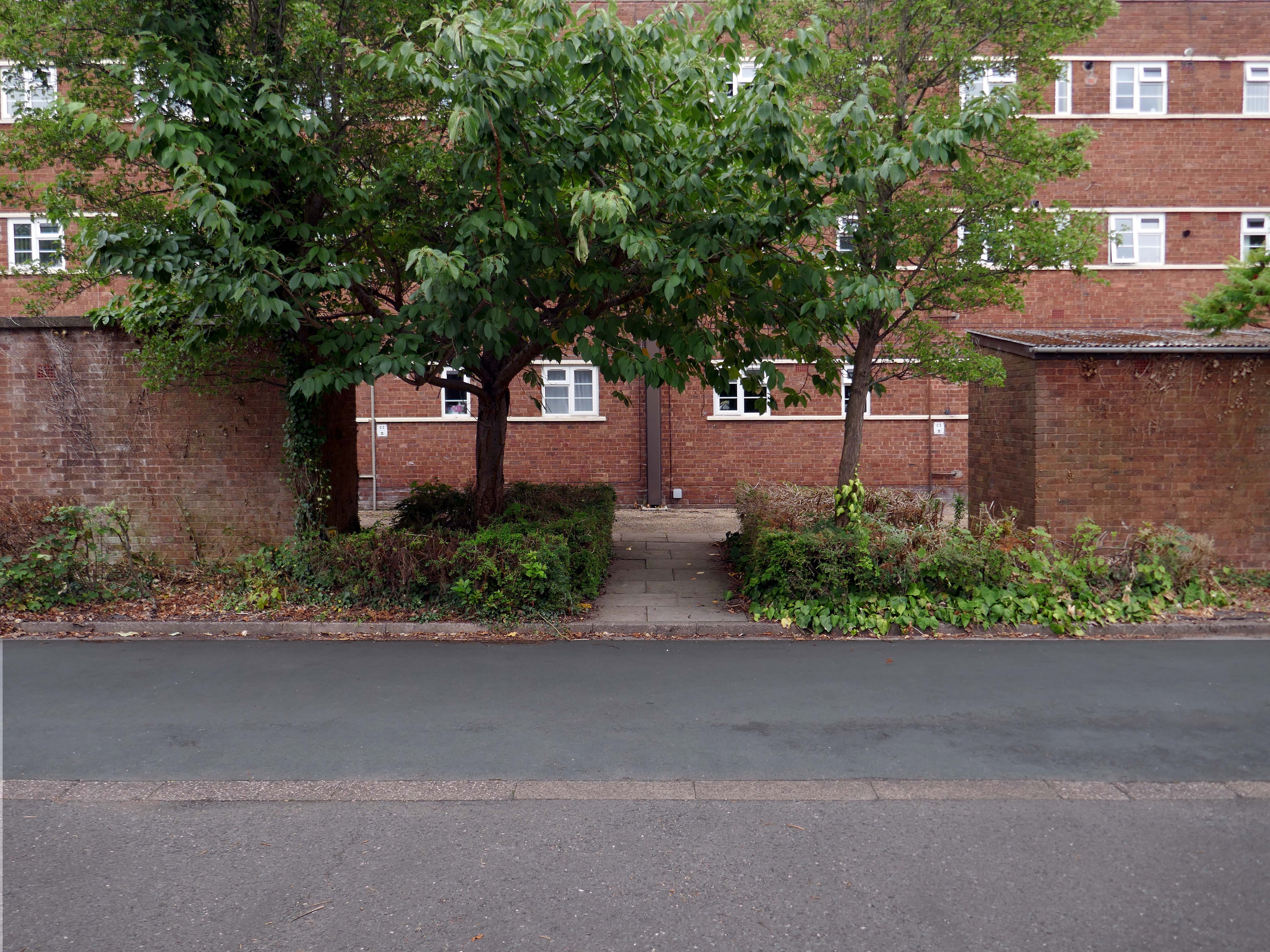
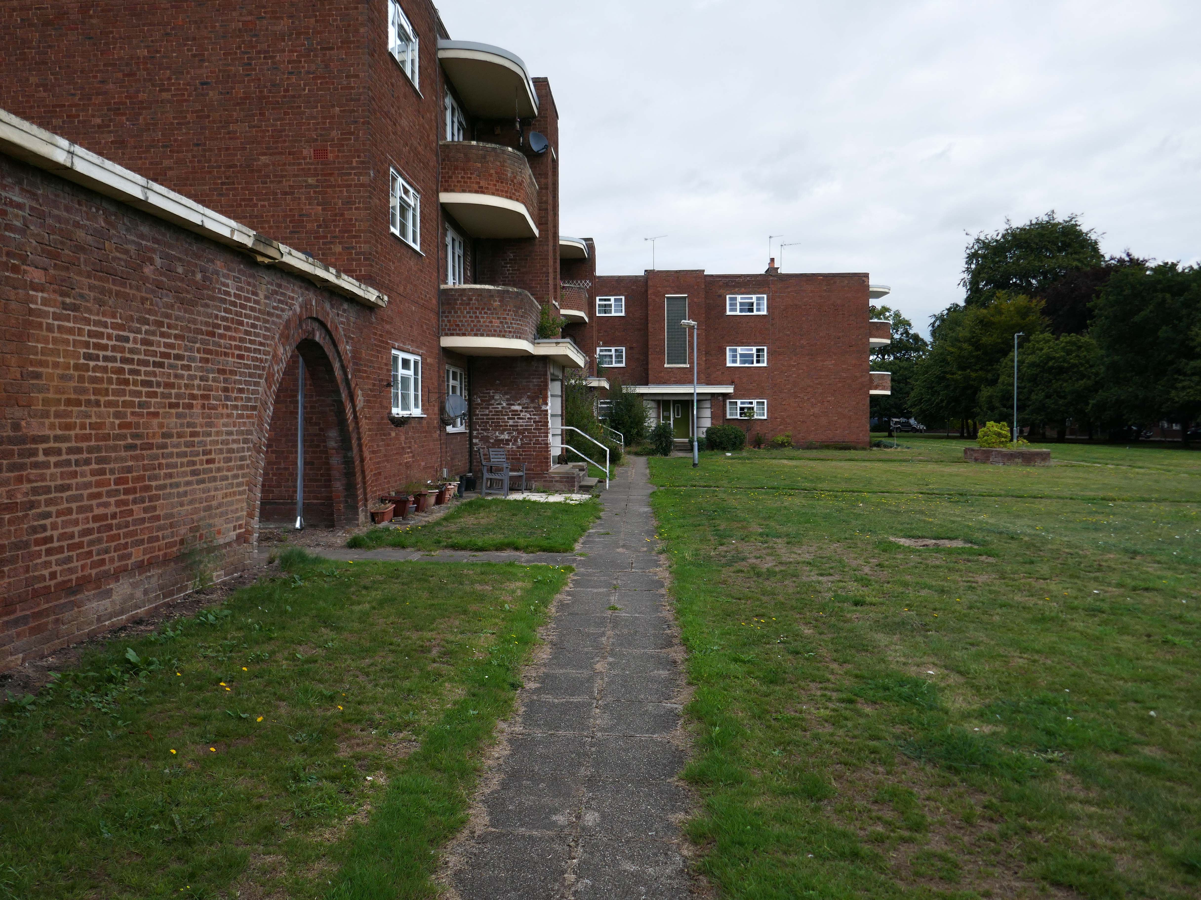
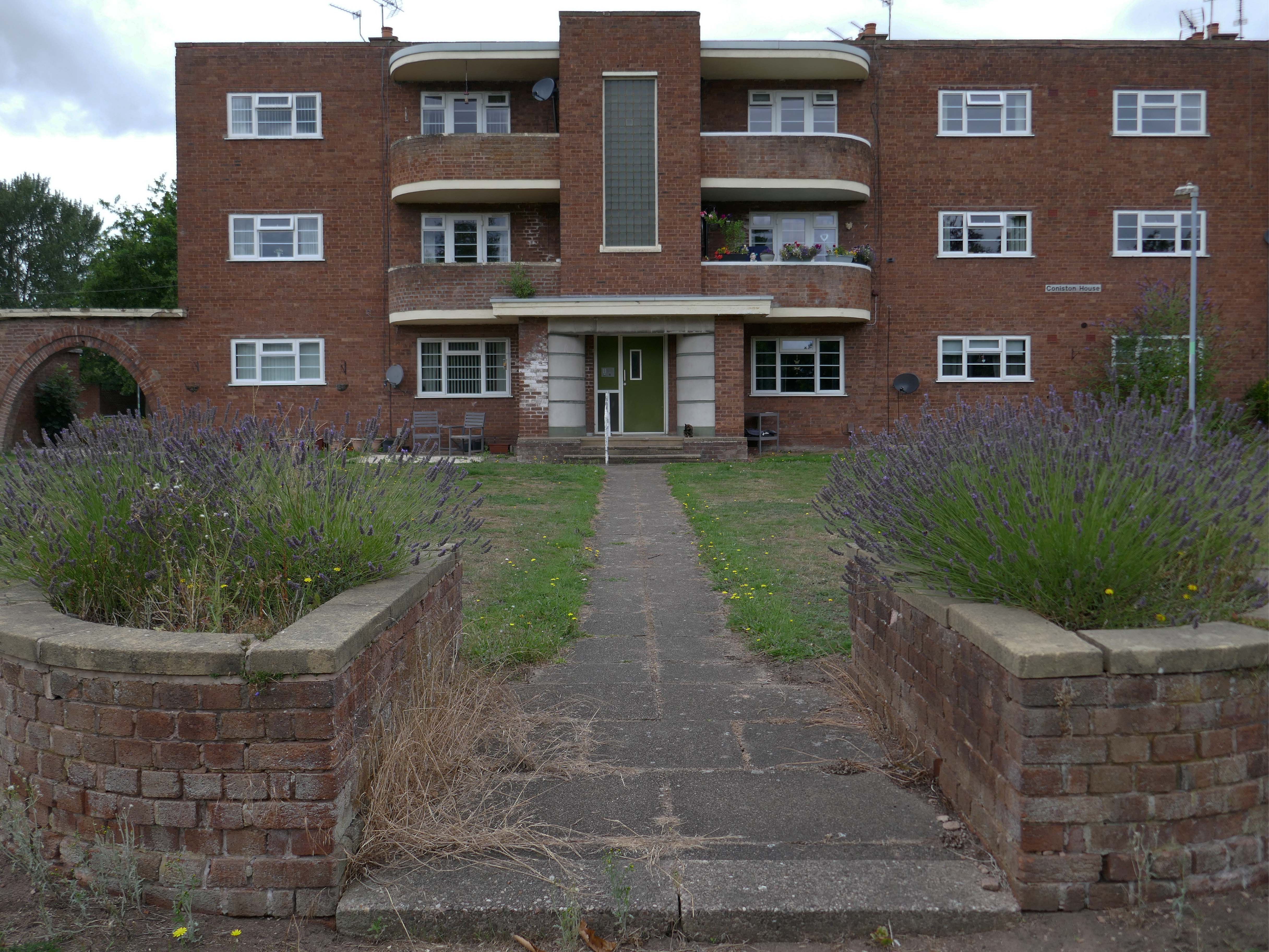
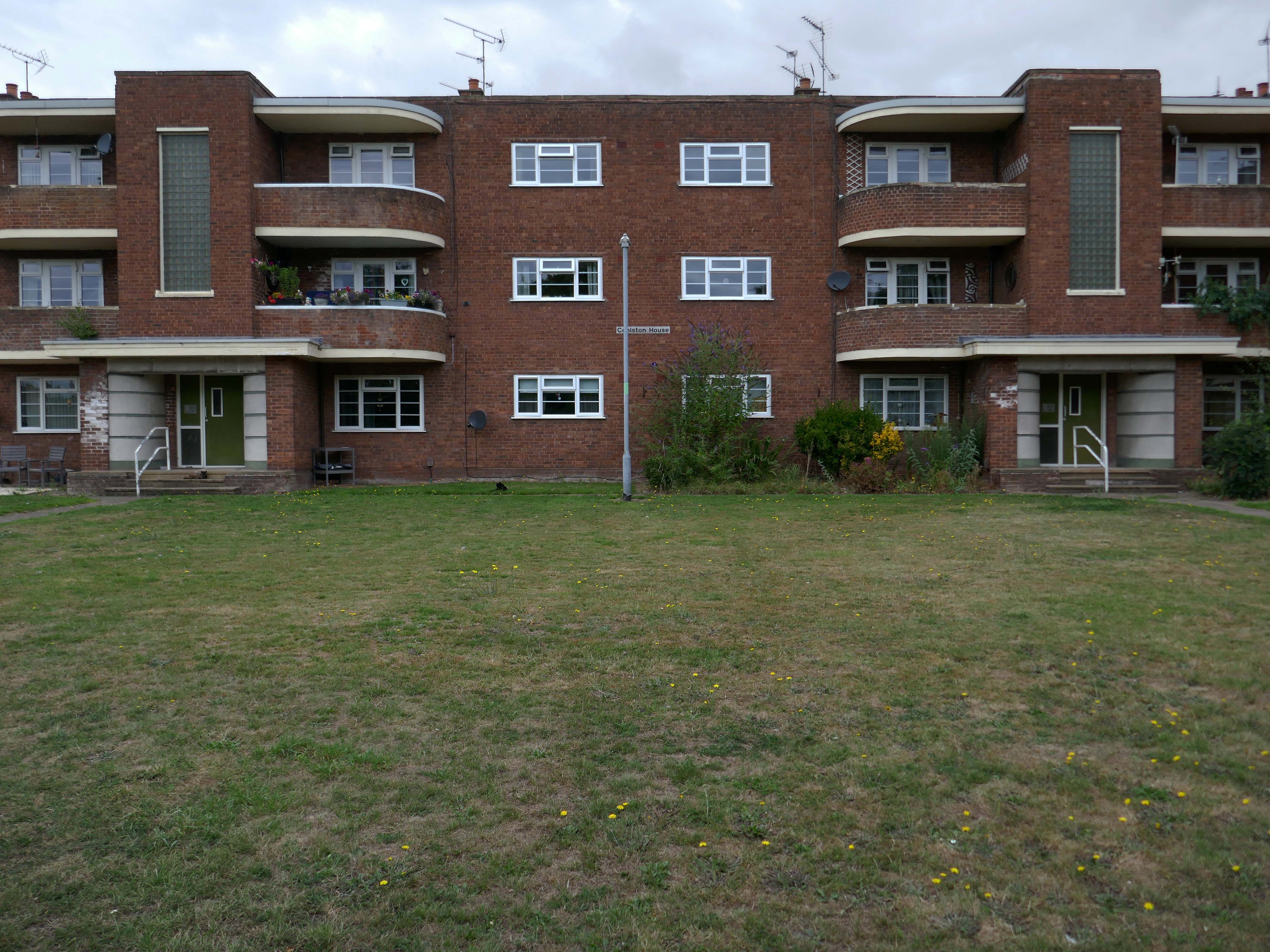
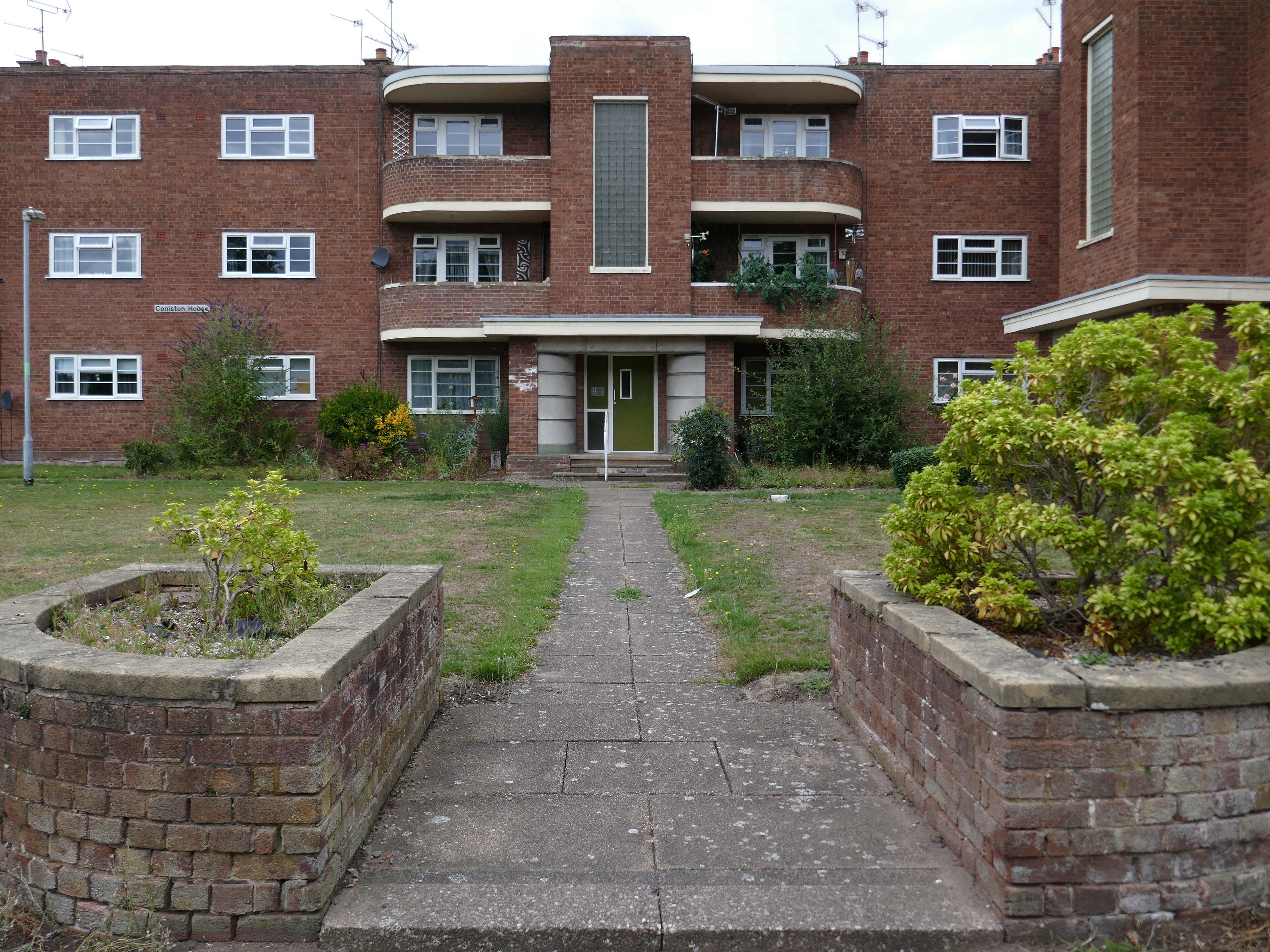
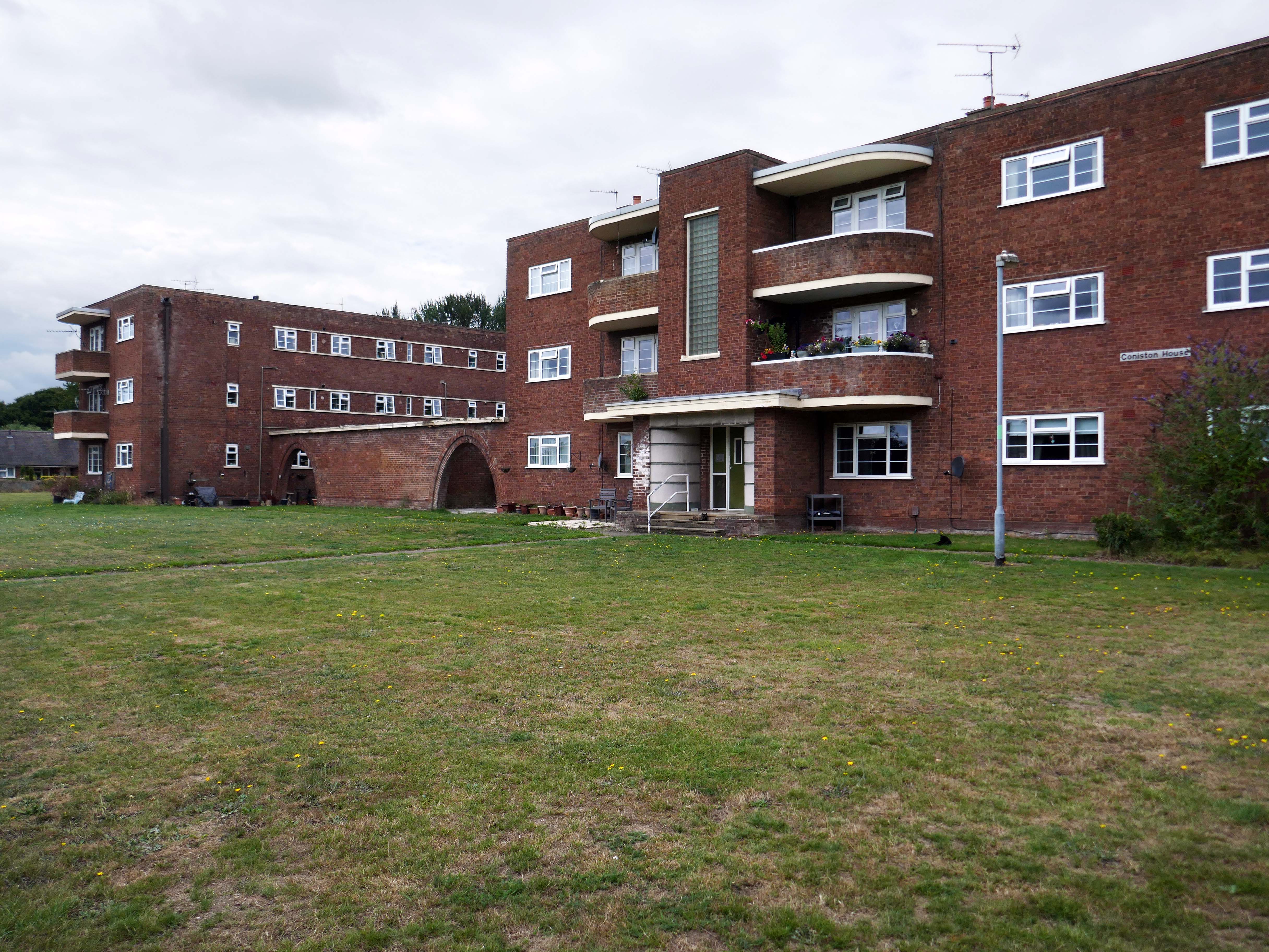
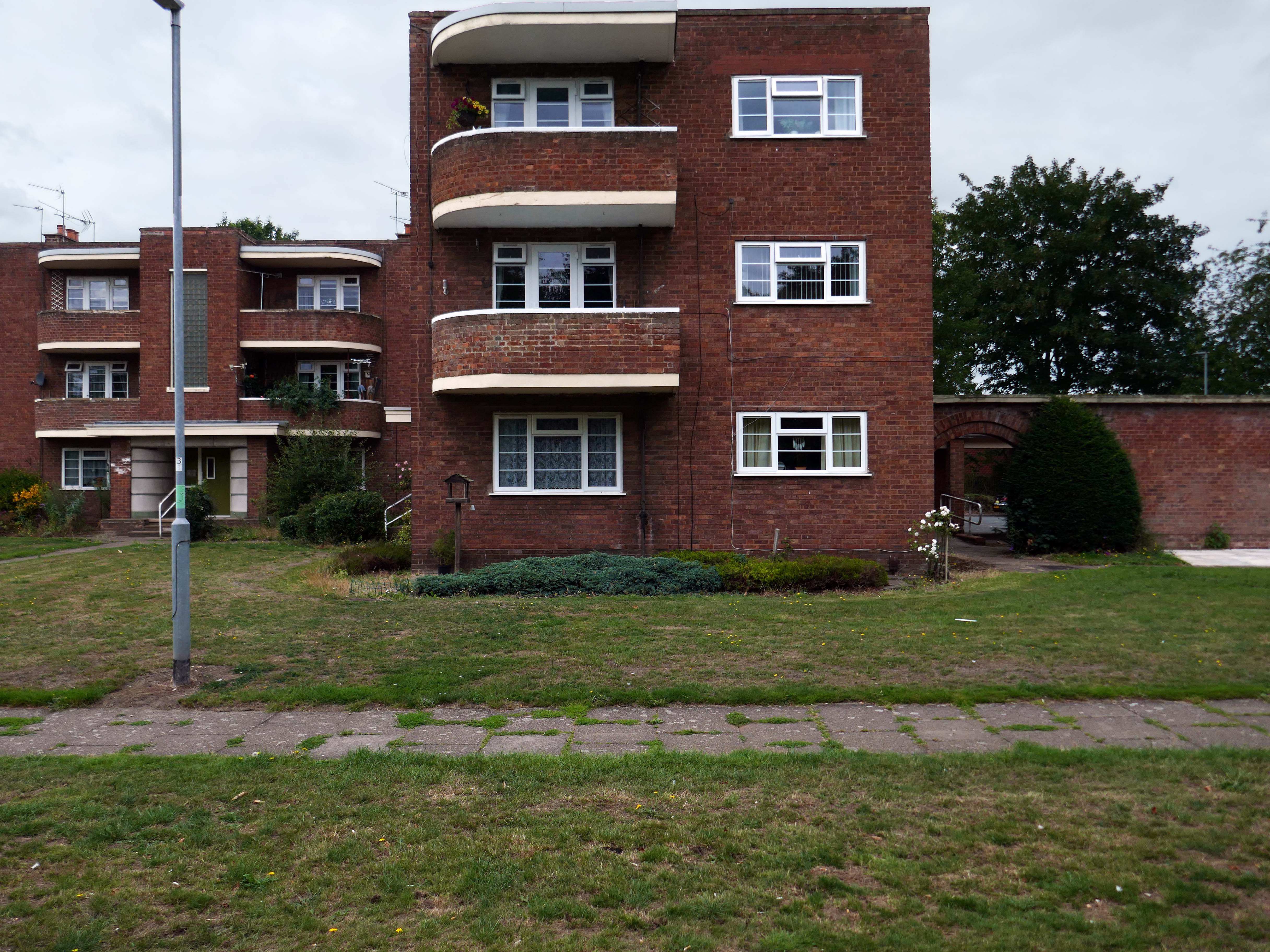
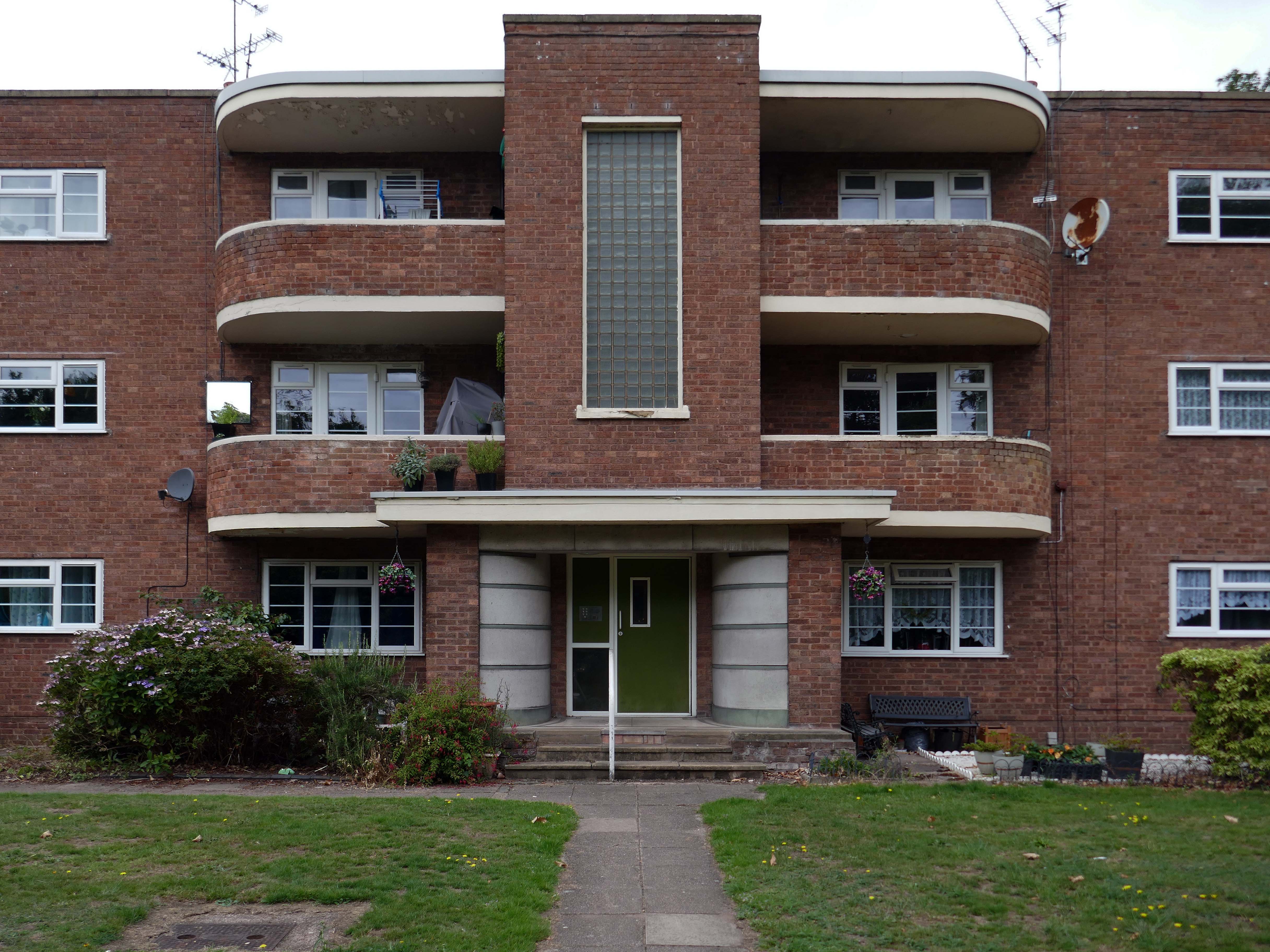
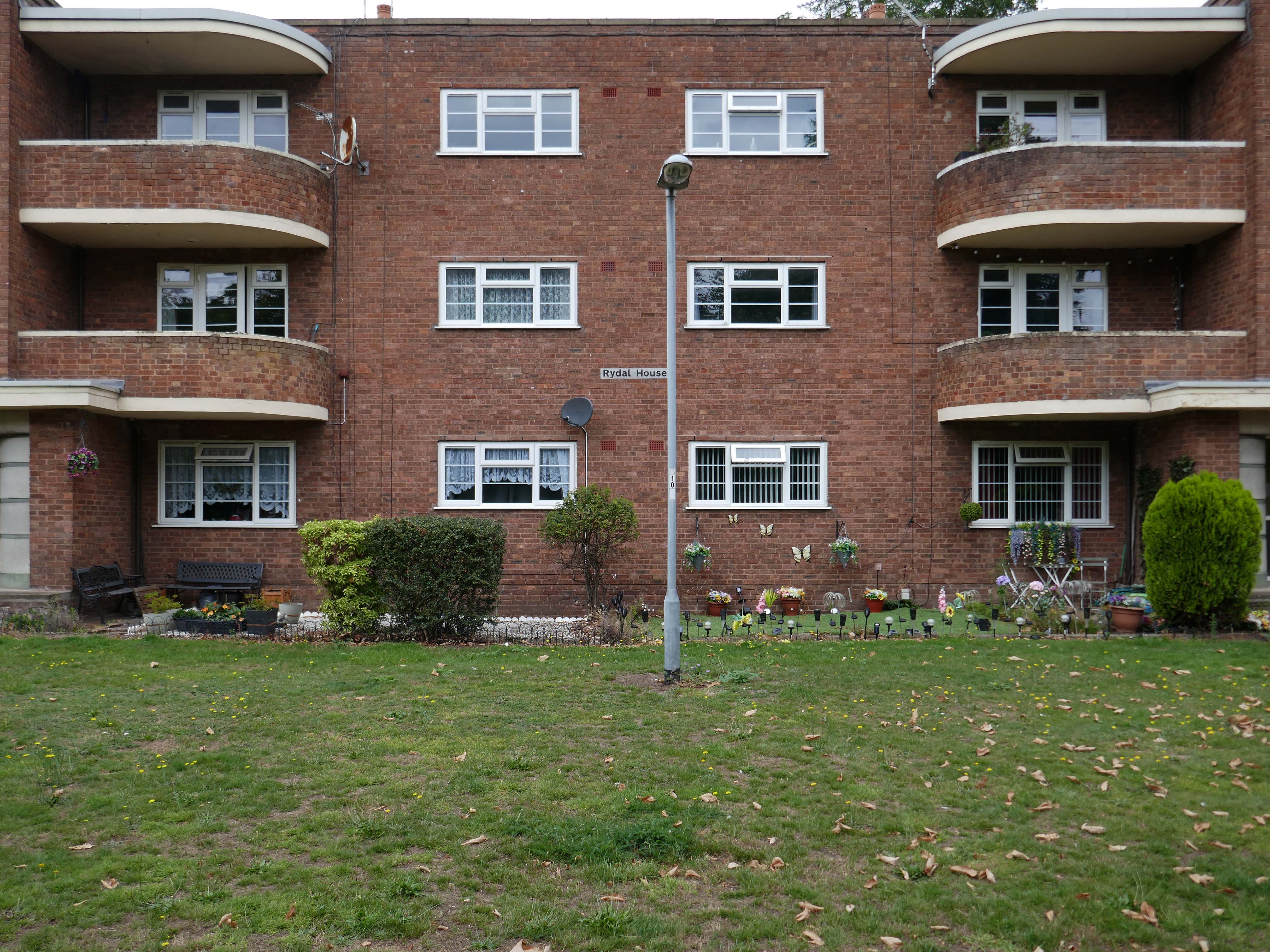
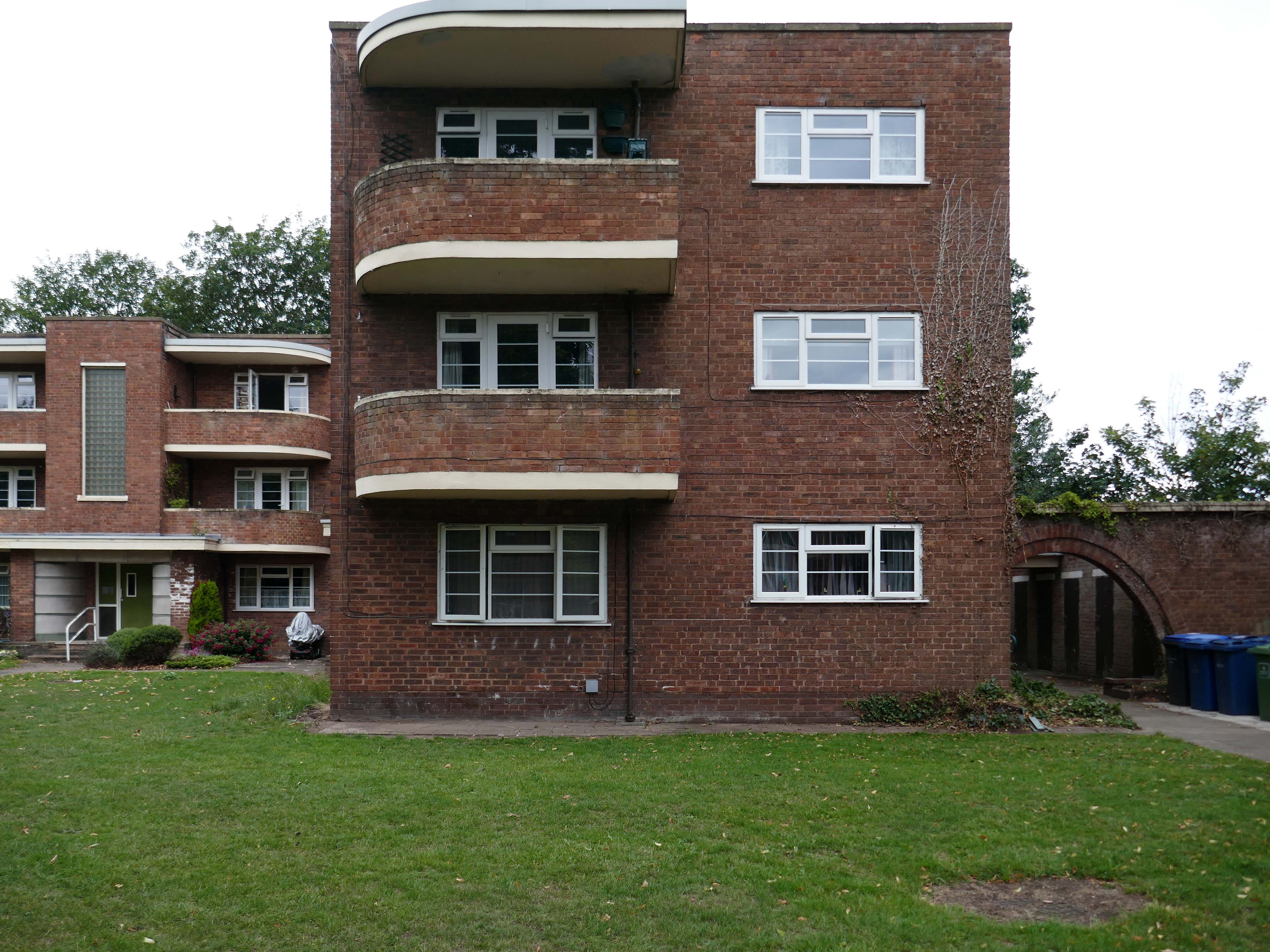
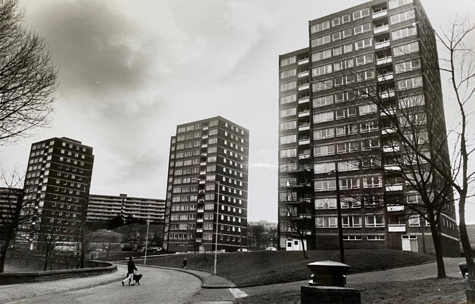
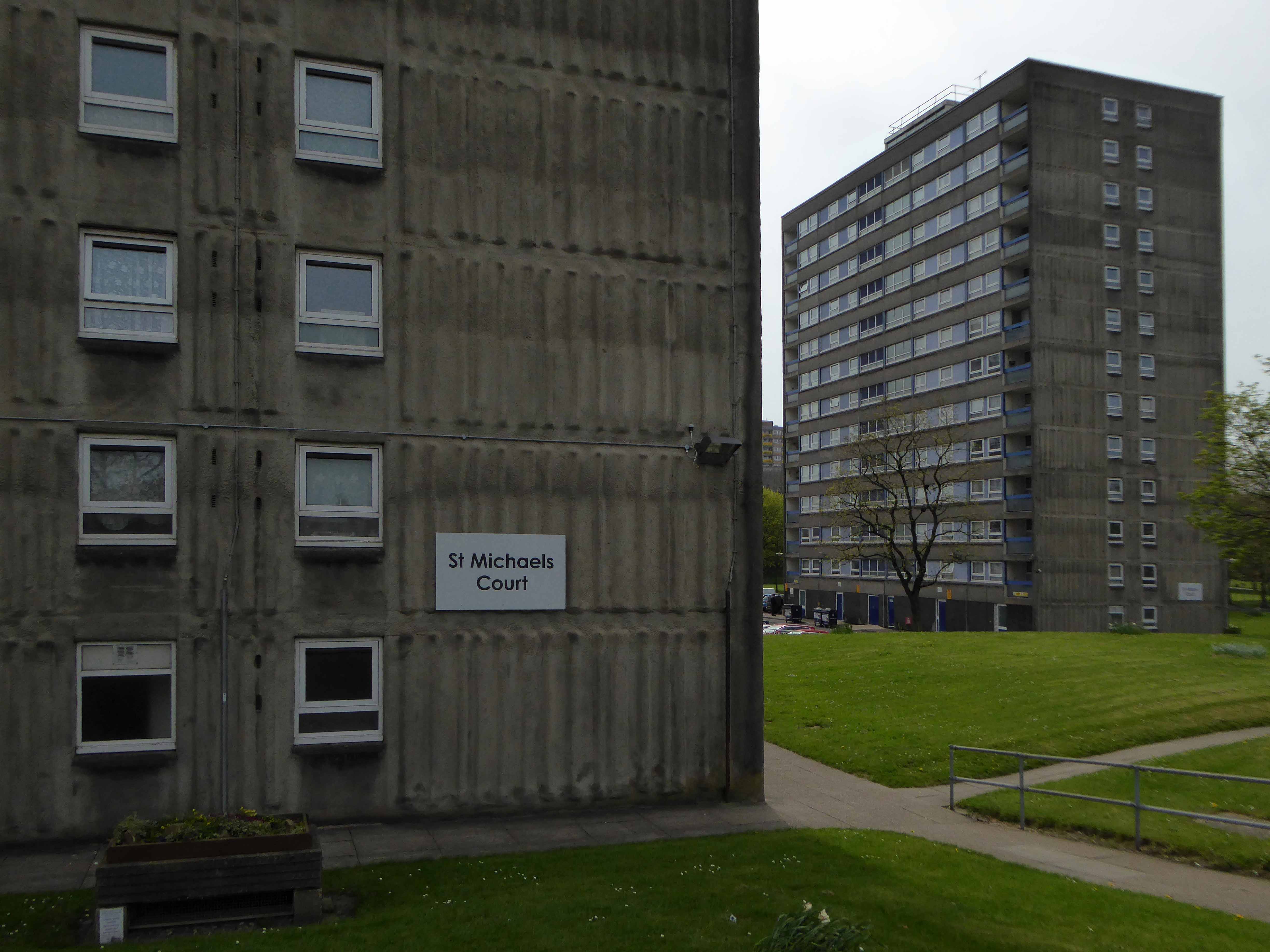
Coniston, Windemere and Rydal were among the first council homes to be built in Stafford, between 1951-52, under the direction of County Architect CM Coombes.
The flats were built as a result of The Housing – Financial and Miscellaneous Provisions Act 1946, which gave subsidies to local authorities to provide social housing. The expansion of the Borough Council’s civic duties included the employment of County Architects, in this case CM Coombes FRIBA, to whom these flats are attributed.
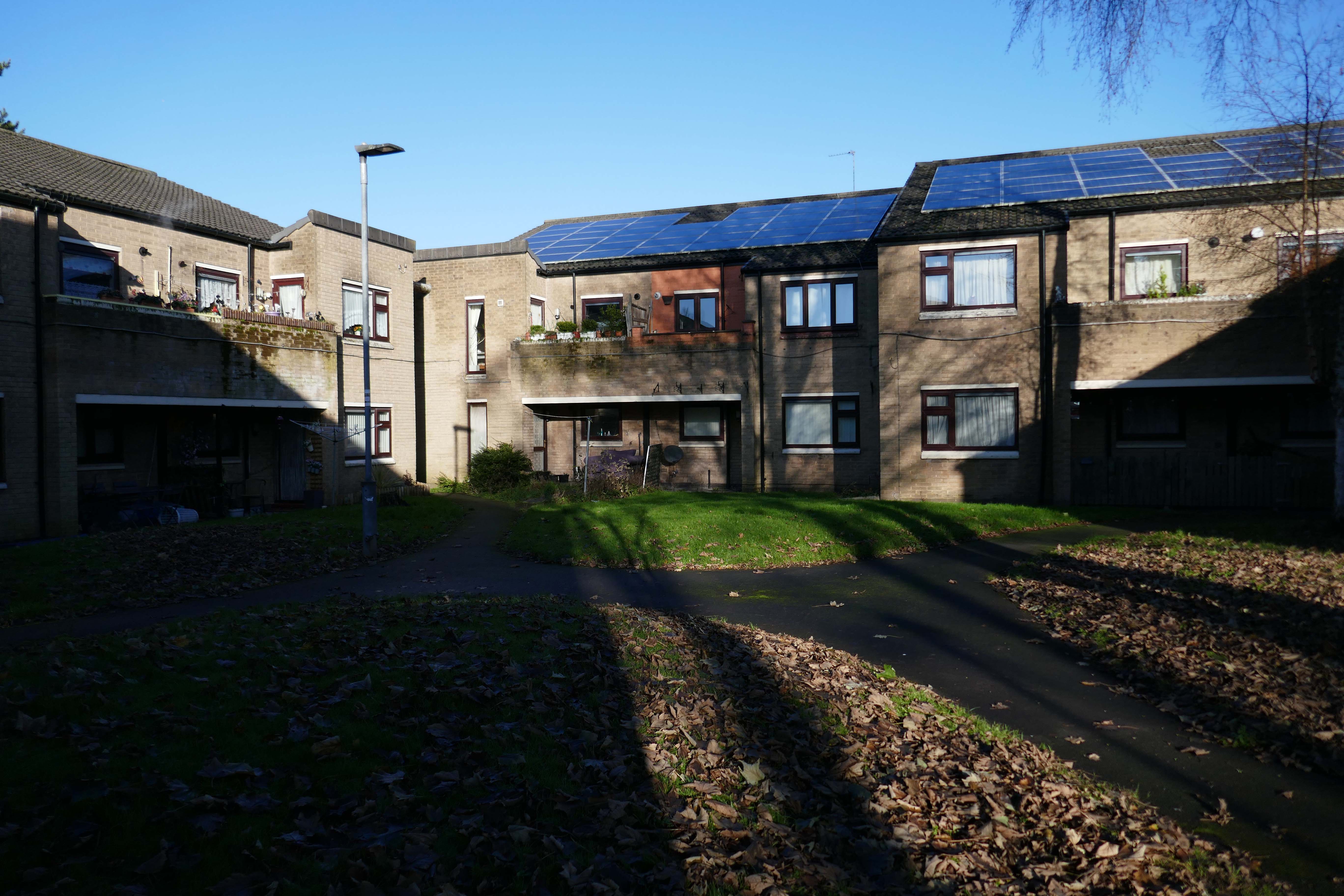
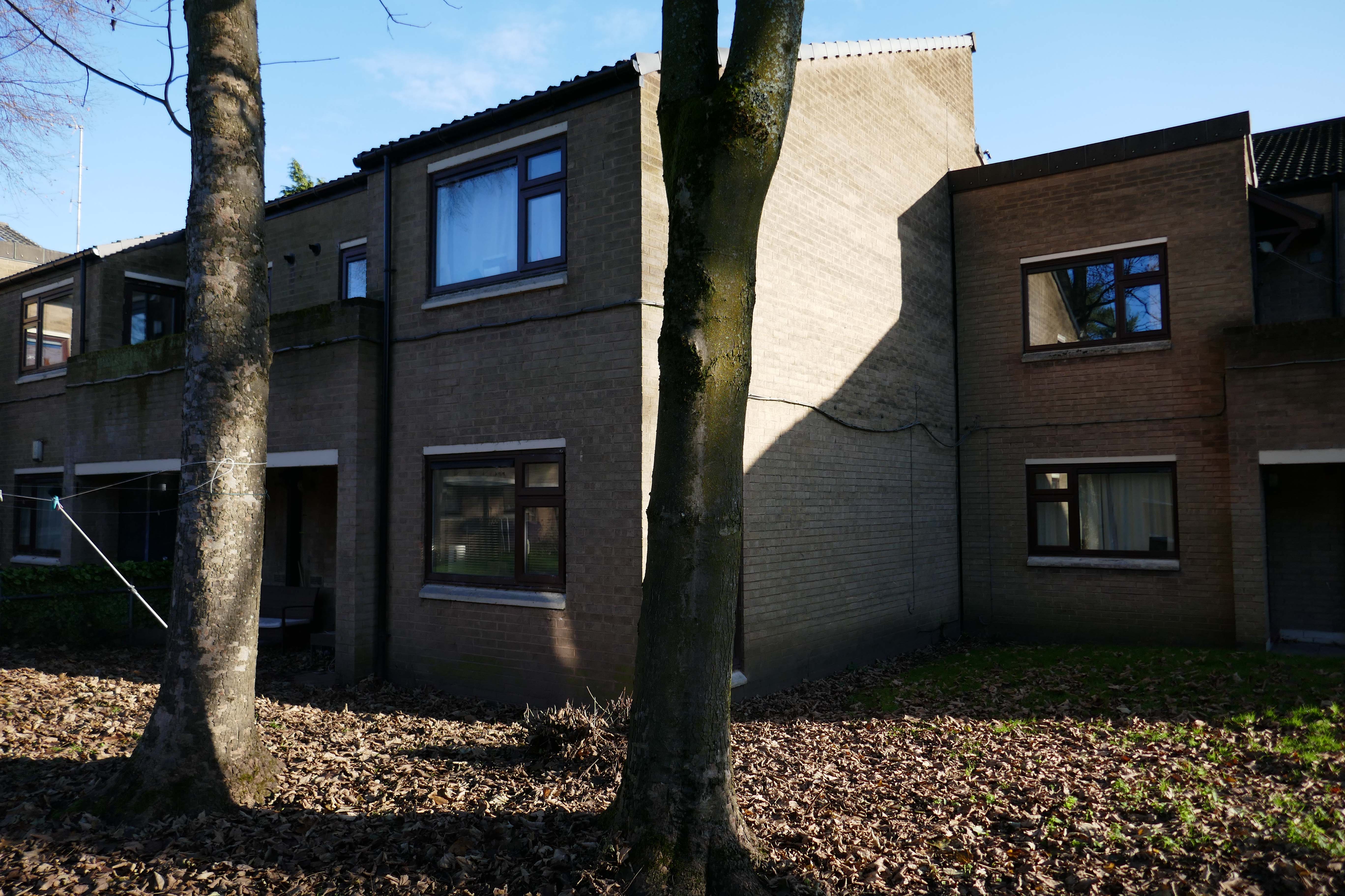
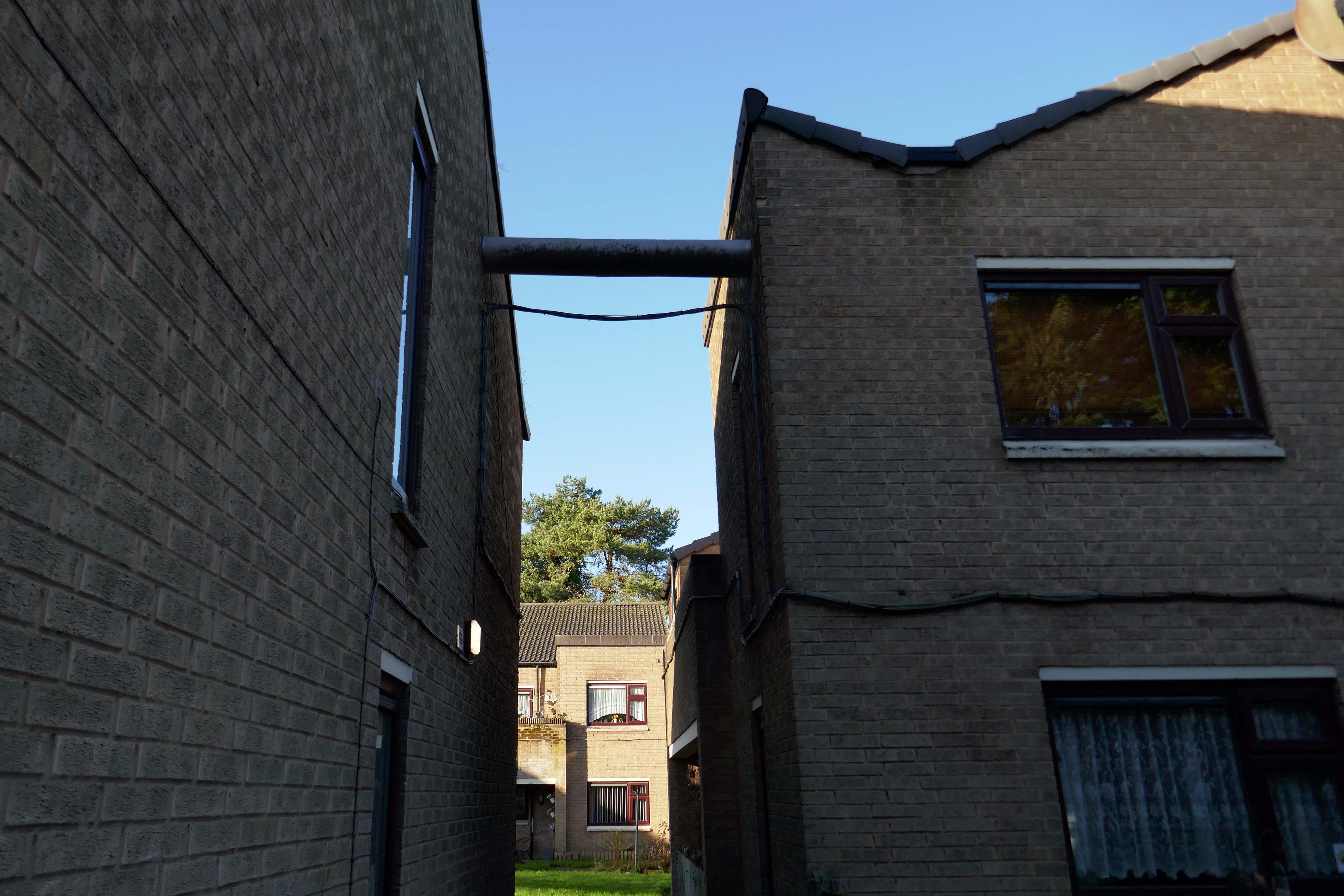
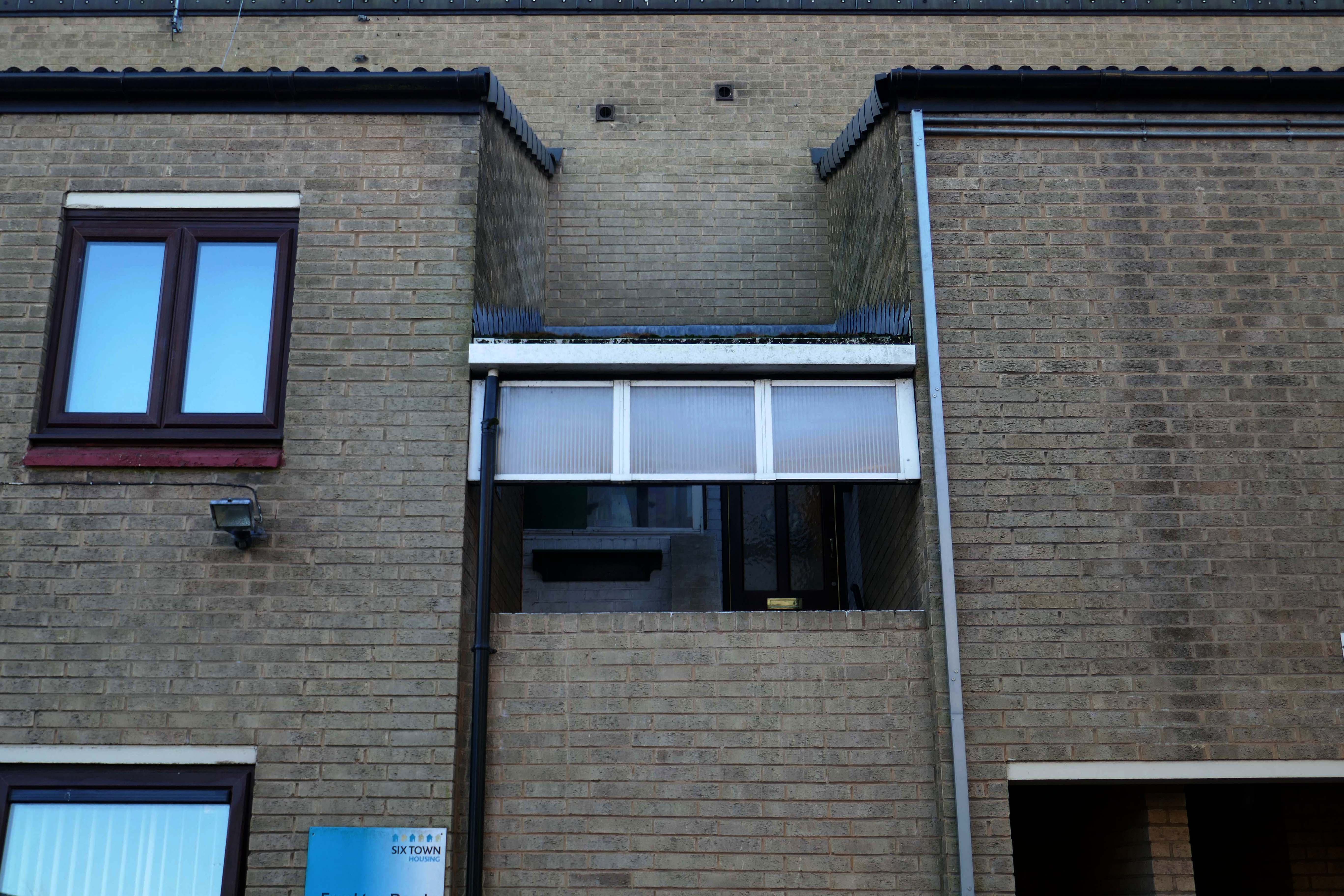
54 flats were built in total, to a distinctly Modernist design, and their appearance and setting are very well preserved.
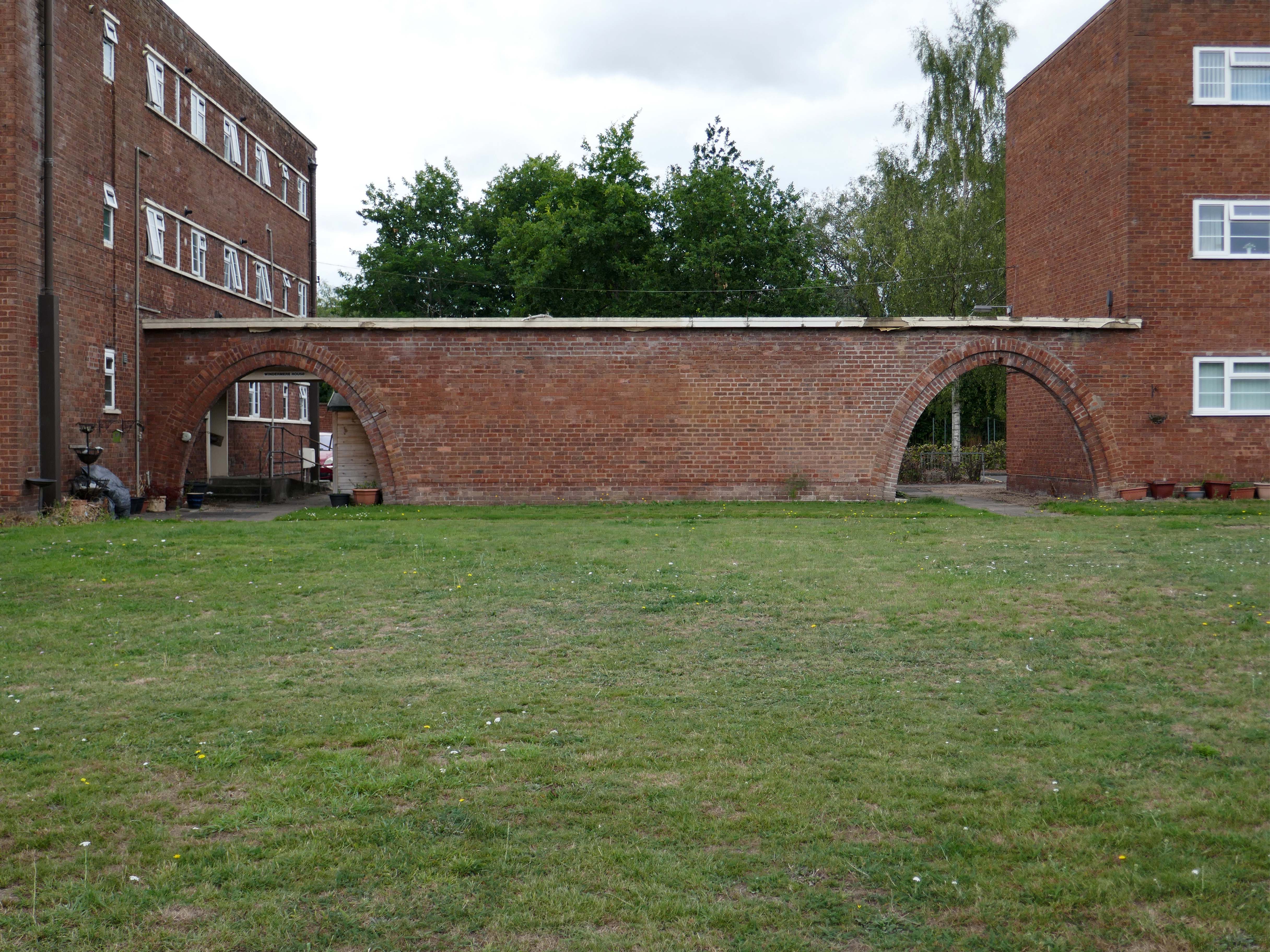
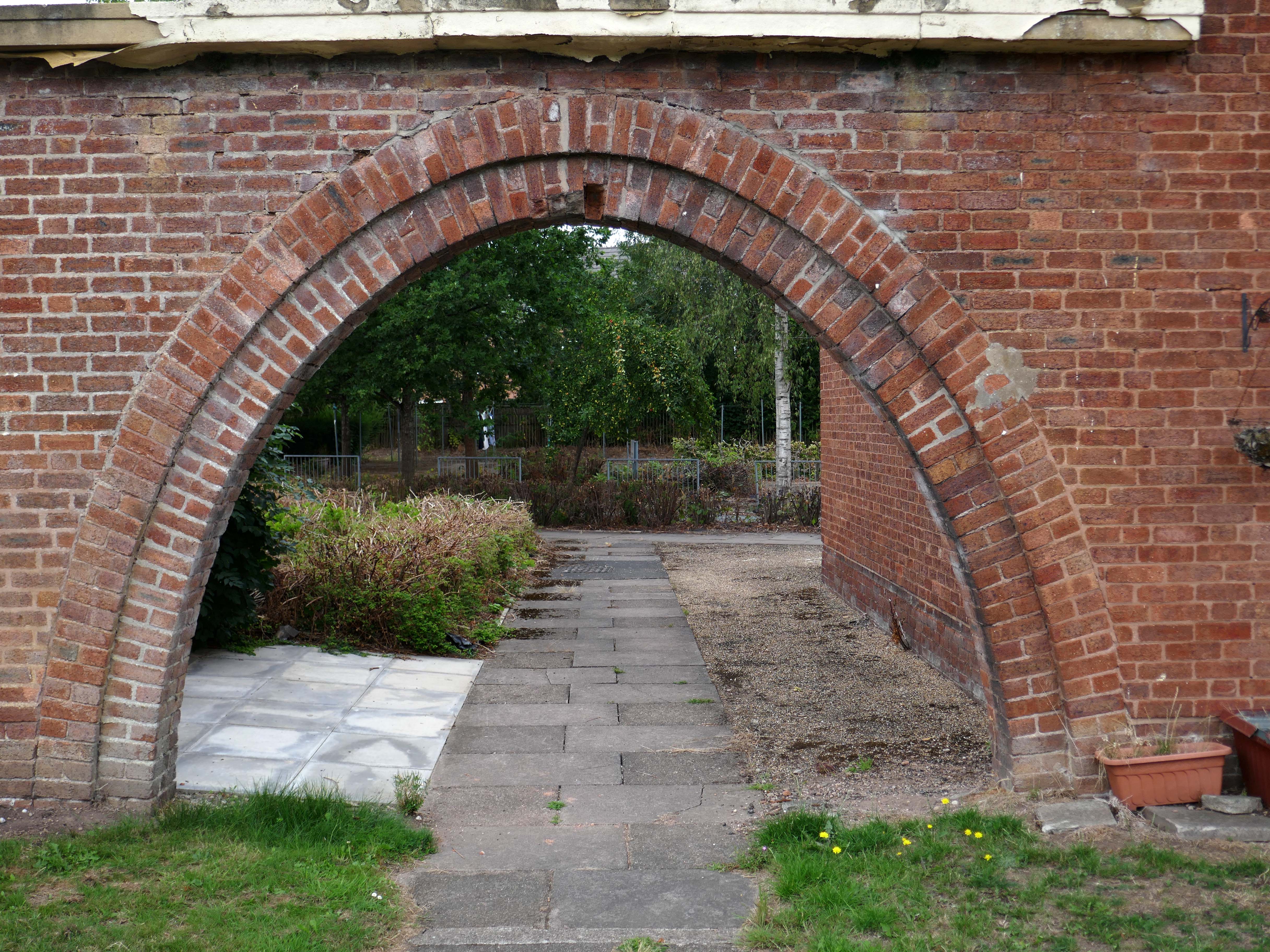
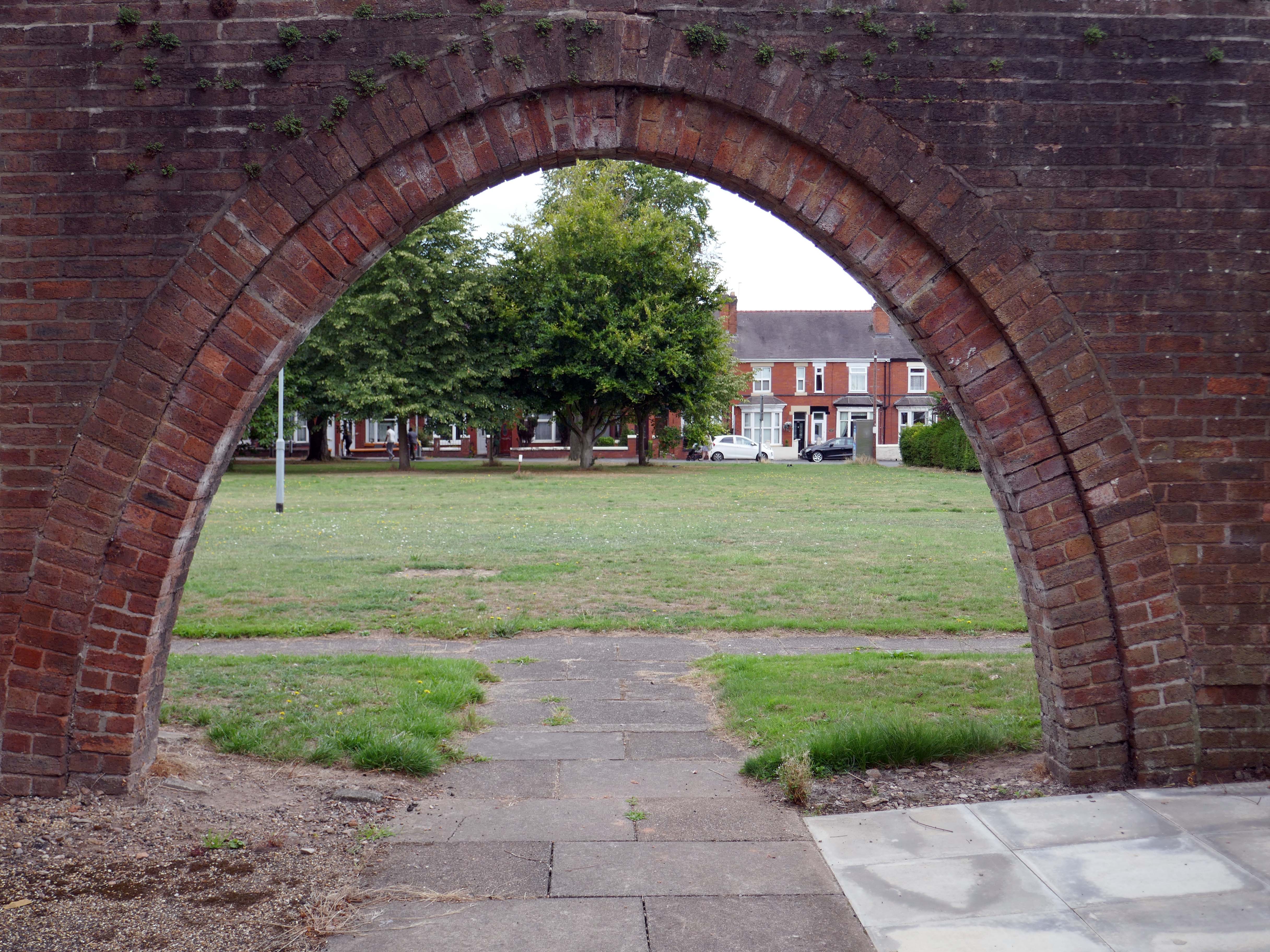
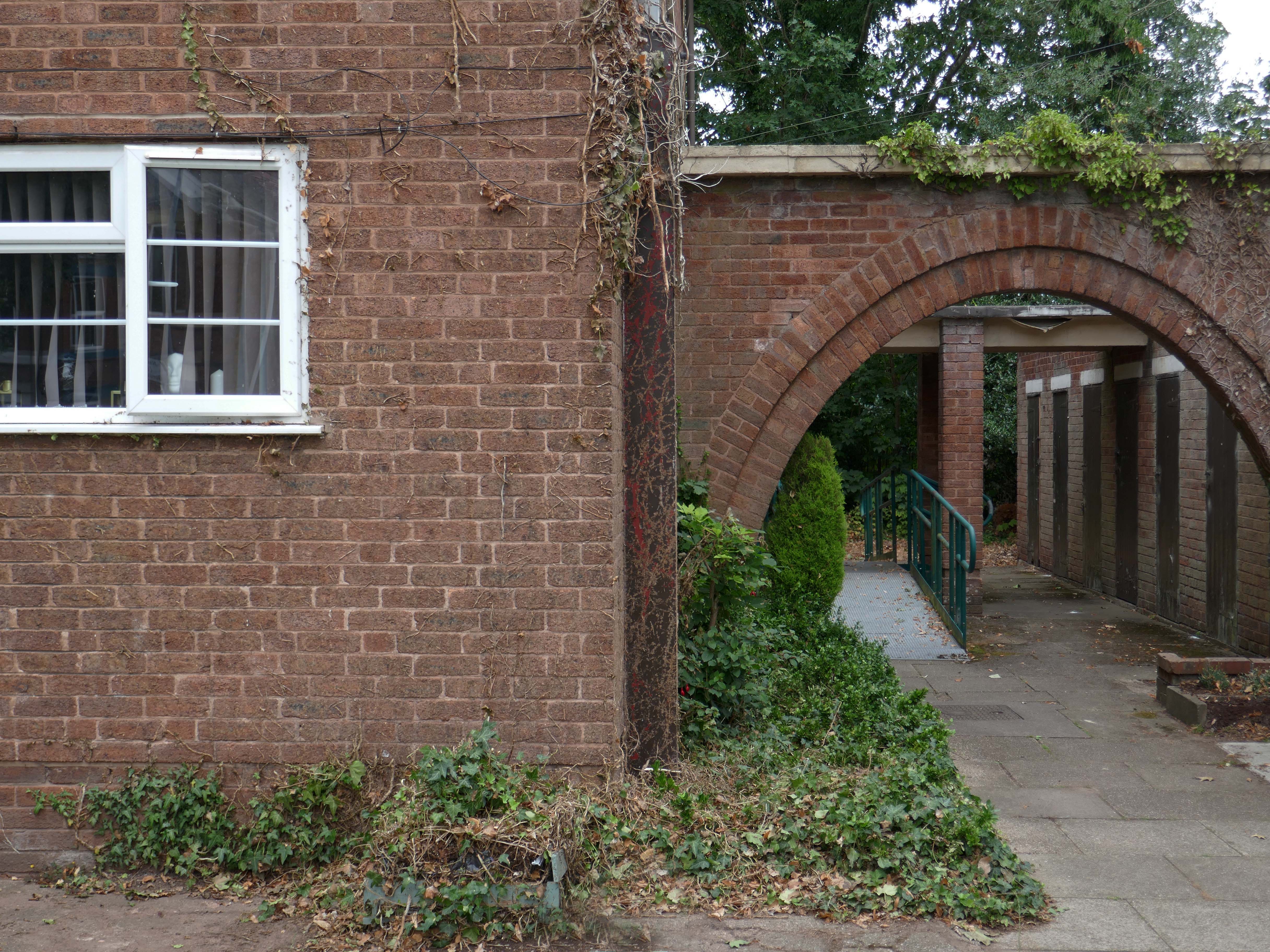
Whilst there are some common stylistic characteristics the Corporation Street Flats are of a more modest order. There are communal areas and a grassed apron, balconies and arched passages.
Over time the standard of maintenance seems to have declined, and the Crittall Windows have been replaced by white uPvc, where once there was a bowling green, this is now roughly mown and unused.
Following the rapid growth of the town of Barrow-in-Furness, the construction of the Furness Railway following the discovery of deposits of iron ore in the Furness peninsular, and the development of industries using iron as a raw material resulted in many commissions for the practice – the population of Barrow doubled between 1851 and 1861, and doubled again in the next decade.
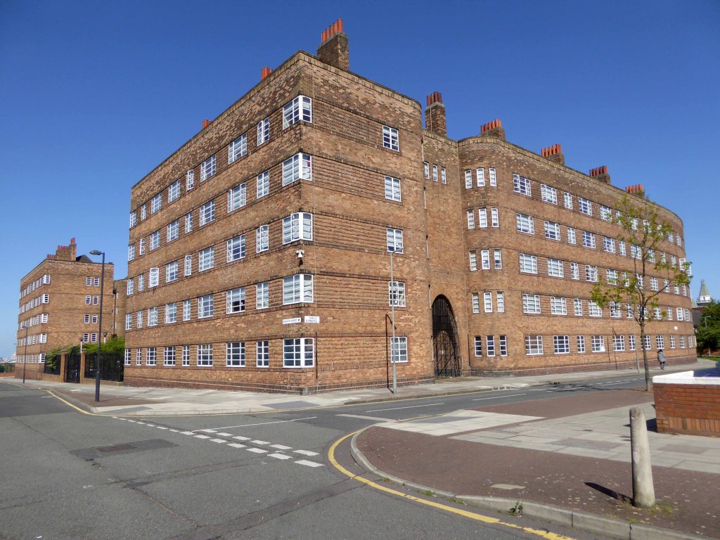
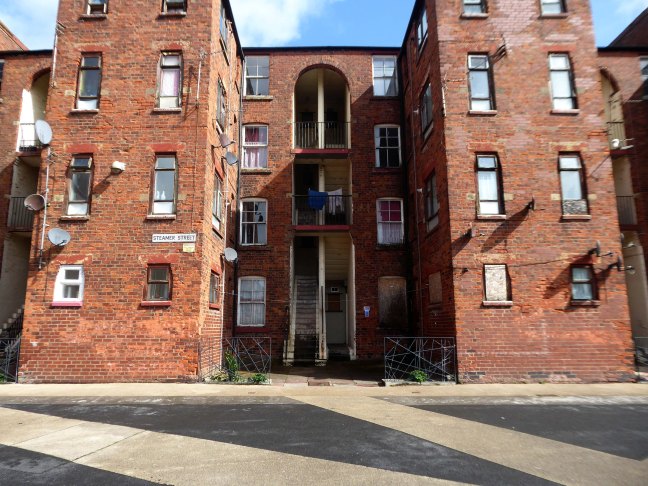
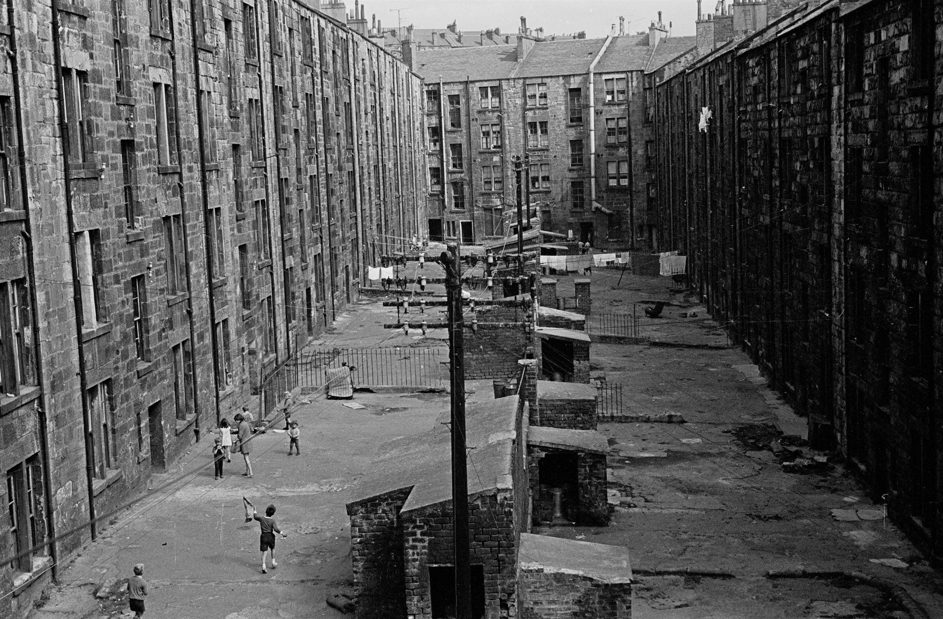
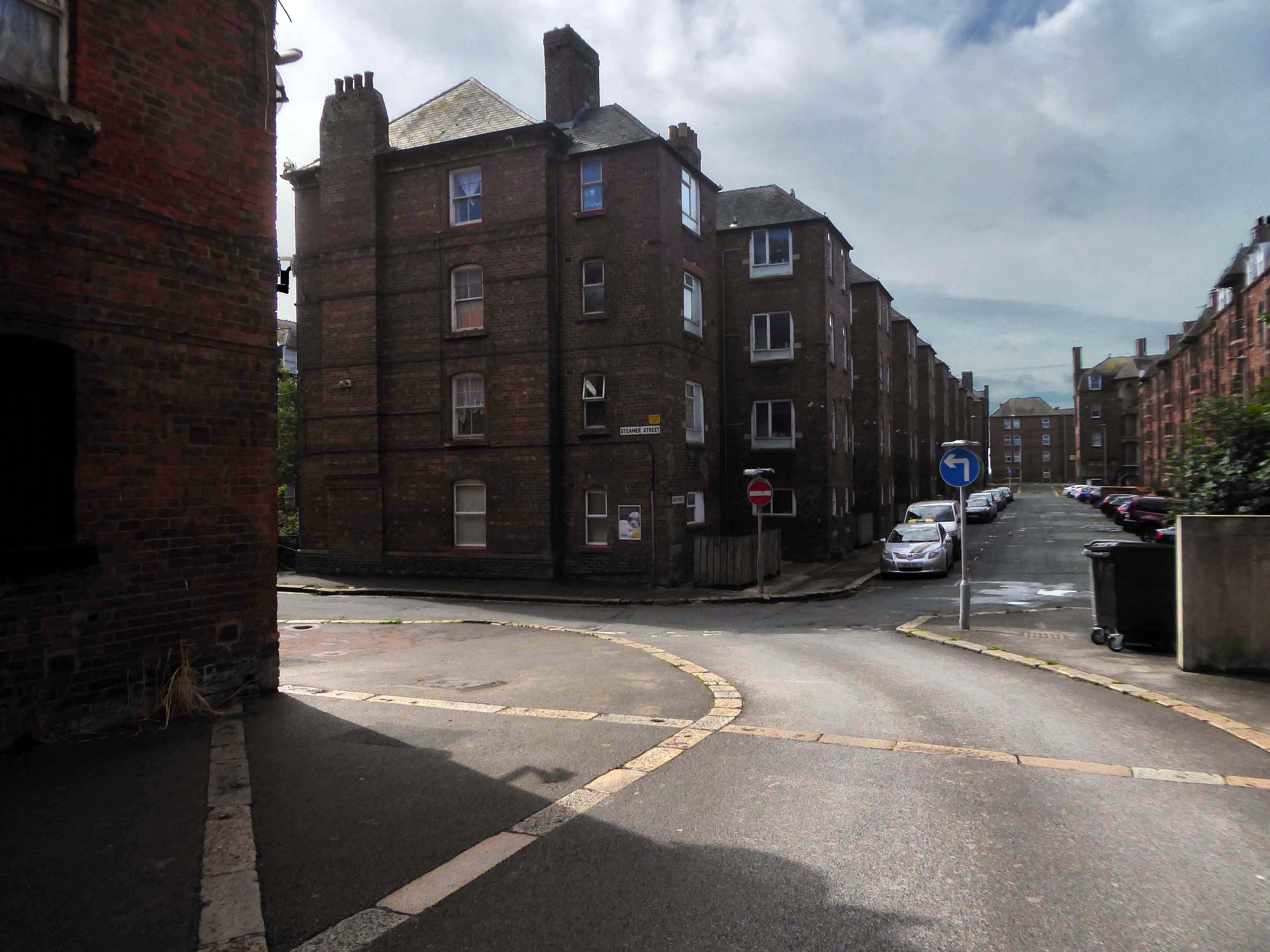
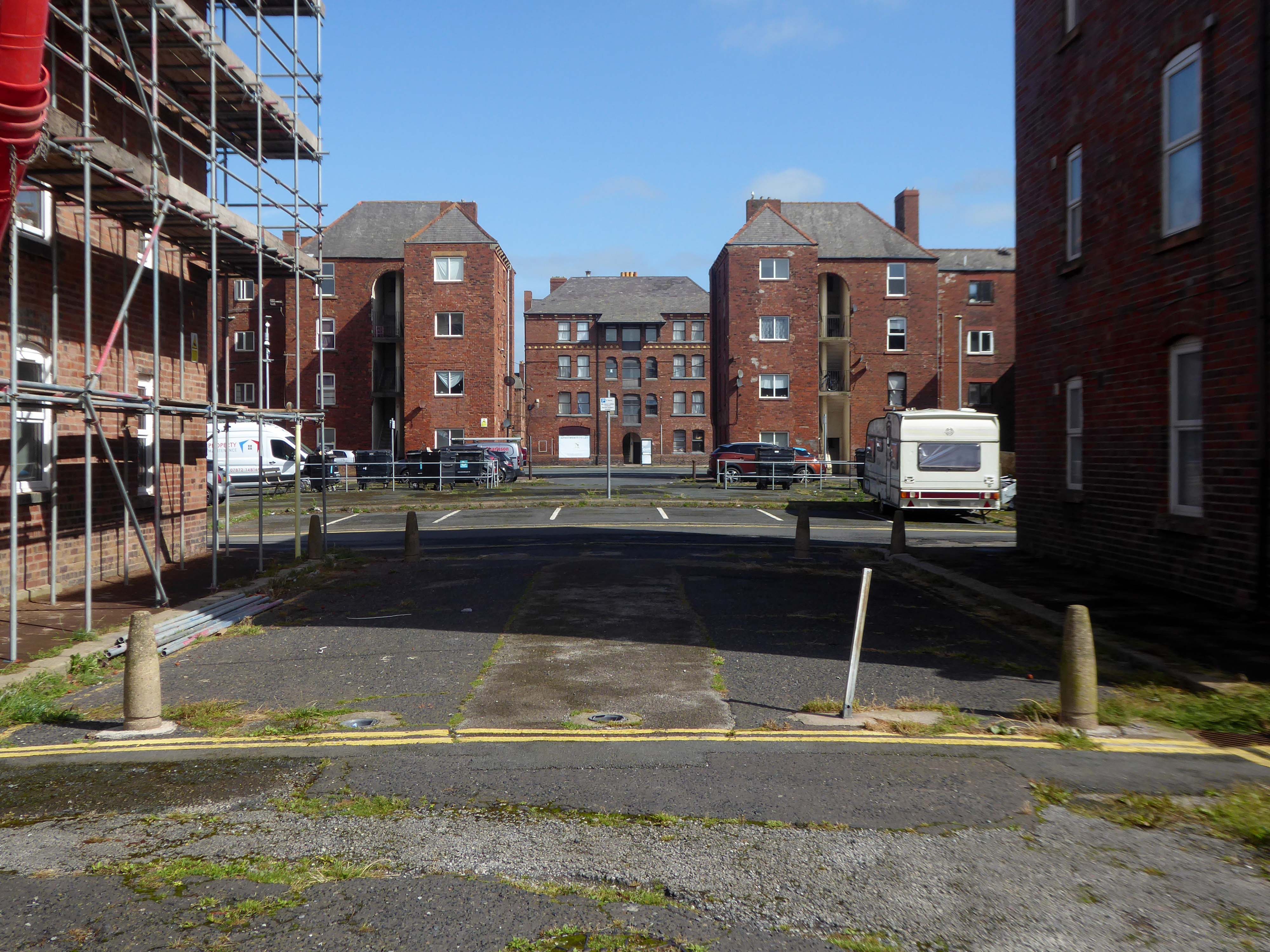
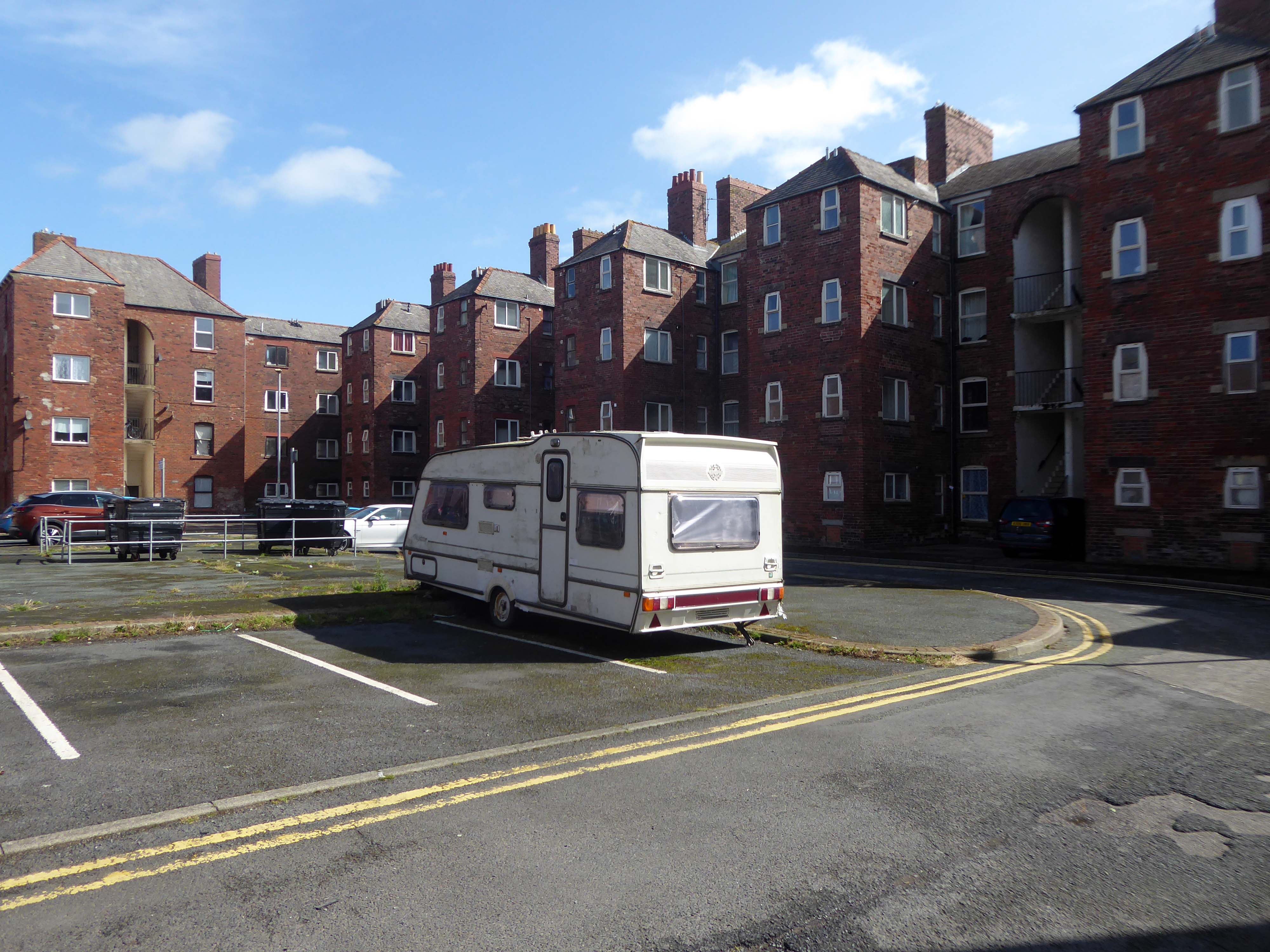
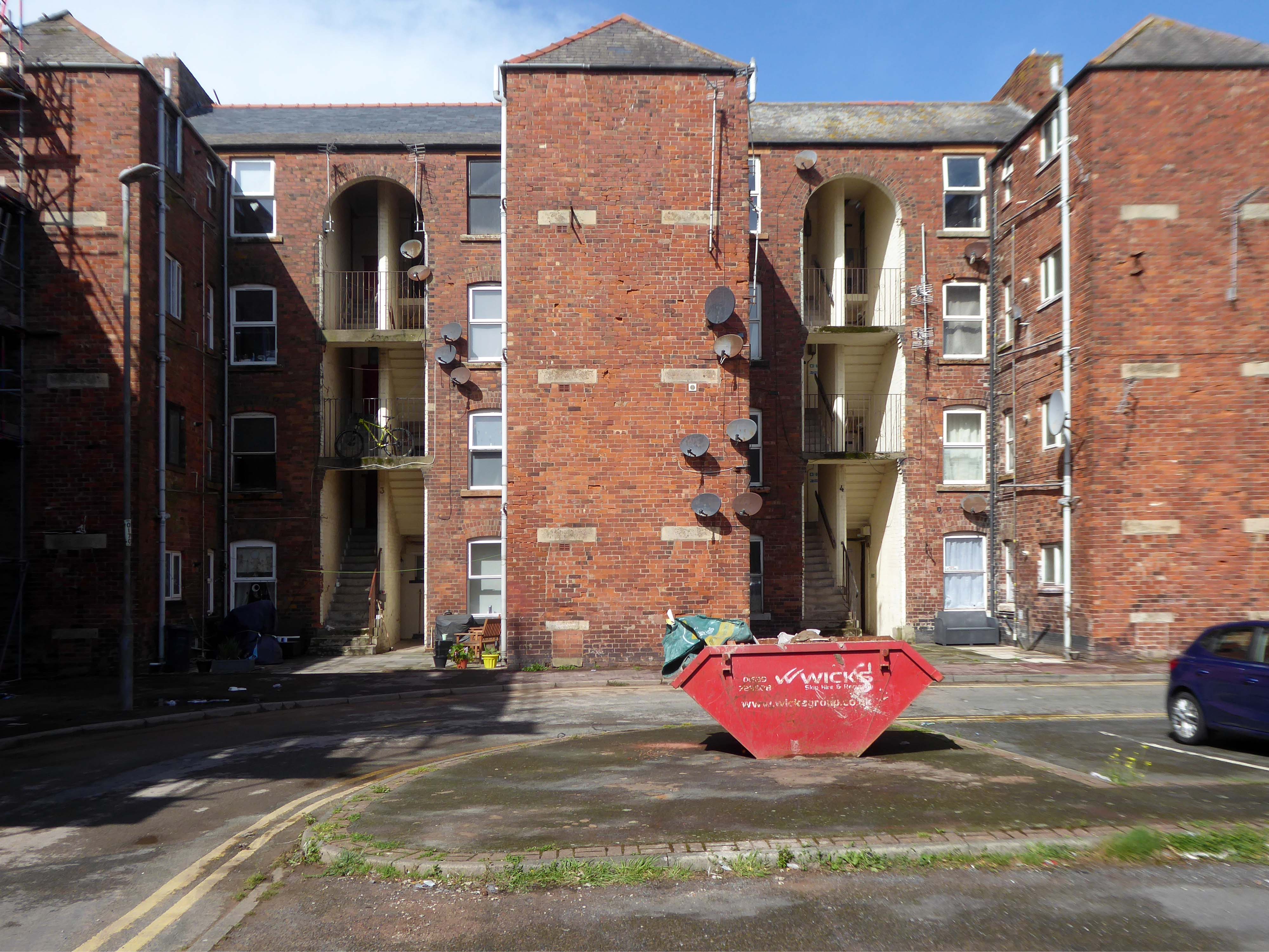
There’s a tight knit group of roads, where the housing is redolent of Scottish tenements.
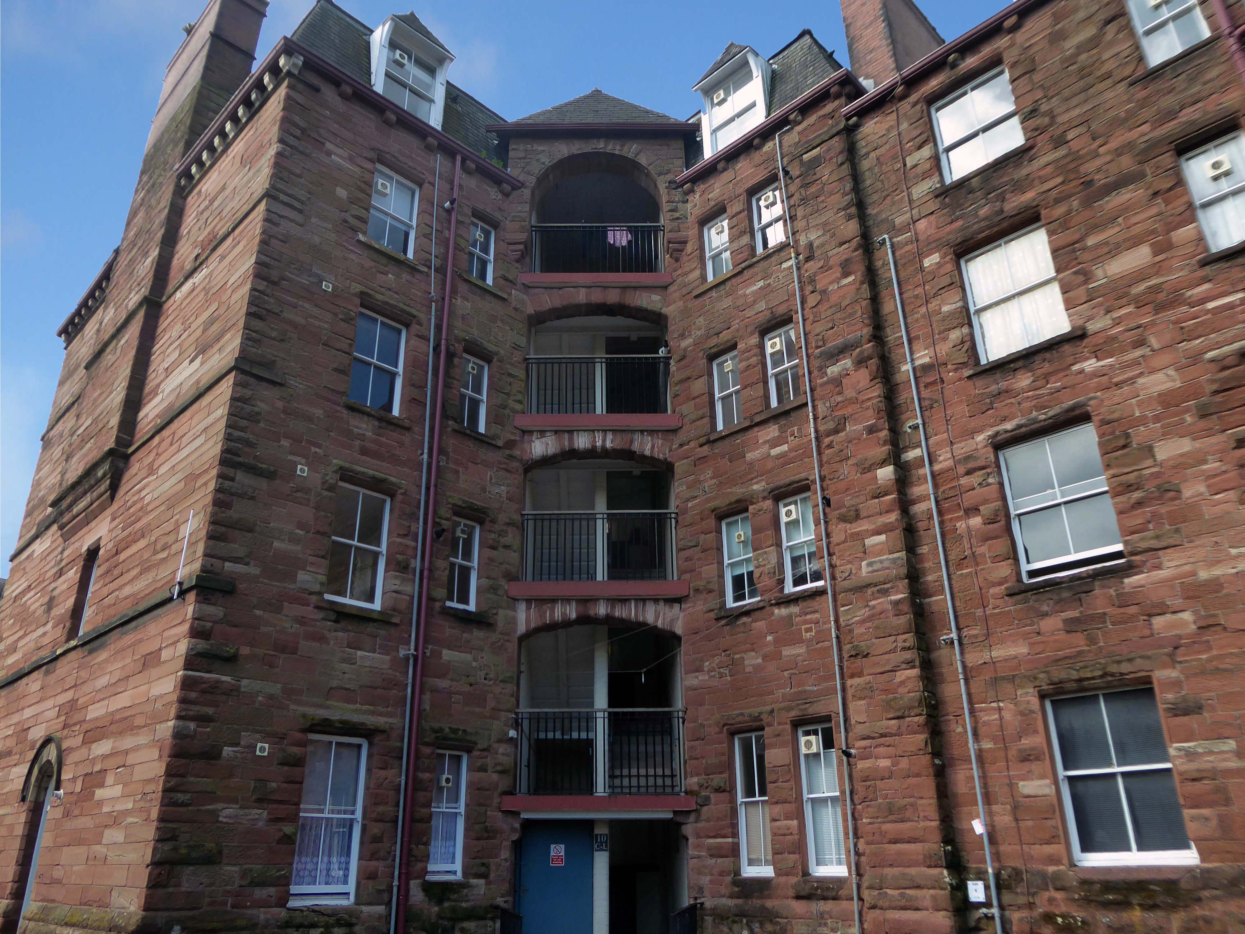
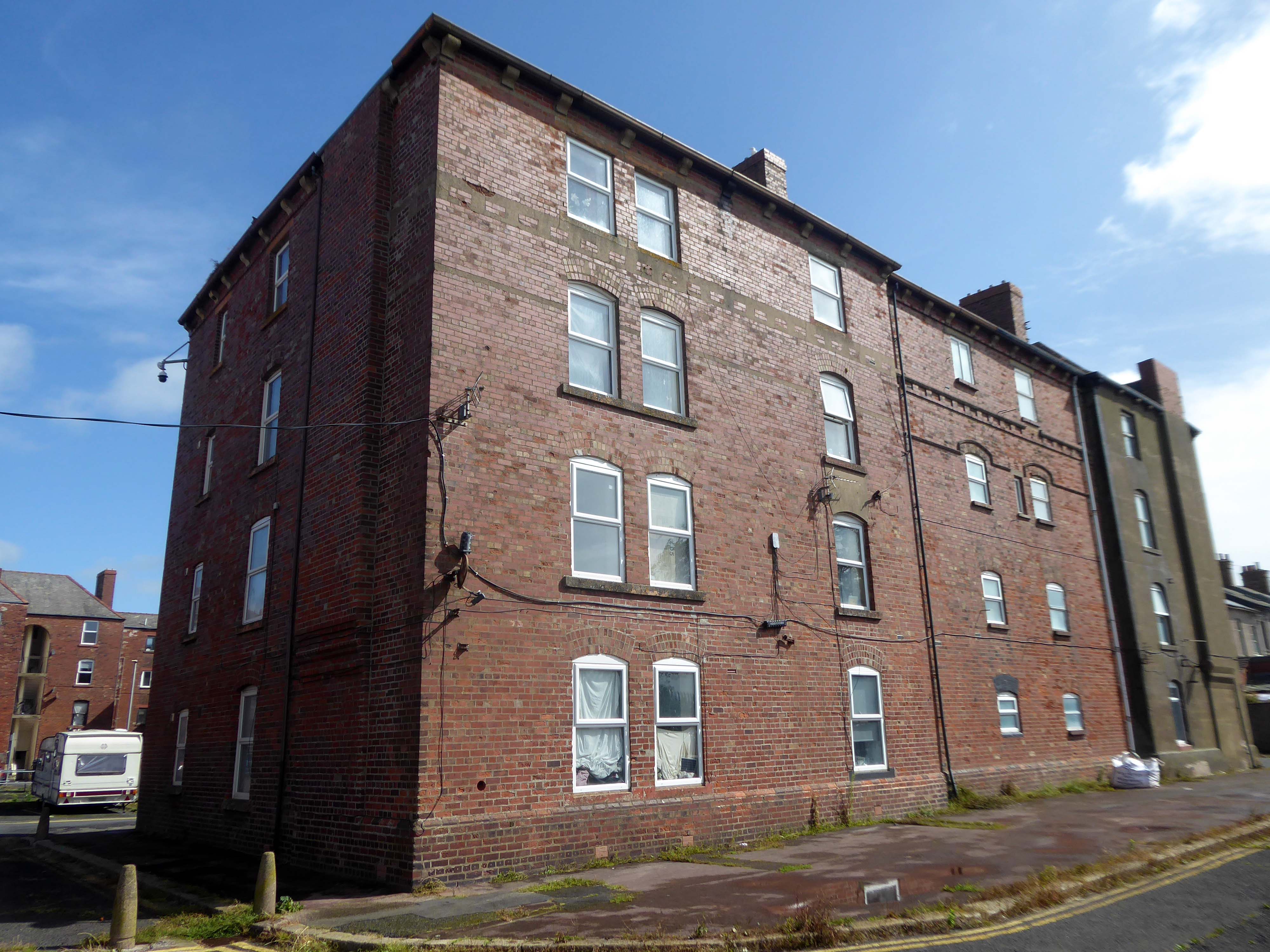
These are the Ship Street Tenements brick built in 1881-84, for the Furness Railway Company, they are Grade II Listed.
Architects Paley and Austin of Lancaster, the main contractors Smith and Caird of Dundee.
They provided accommodation for the families of employees in the Furness Railway Company’s nearby shipbuilding works, they consist of two identical four-storey blocks of nine tenements, making eighteen tenements in total.
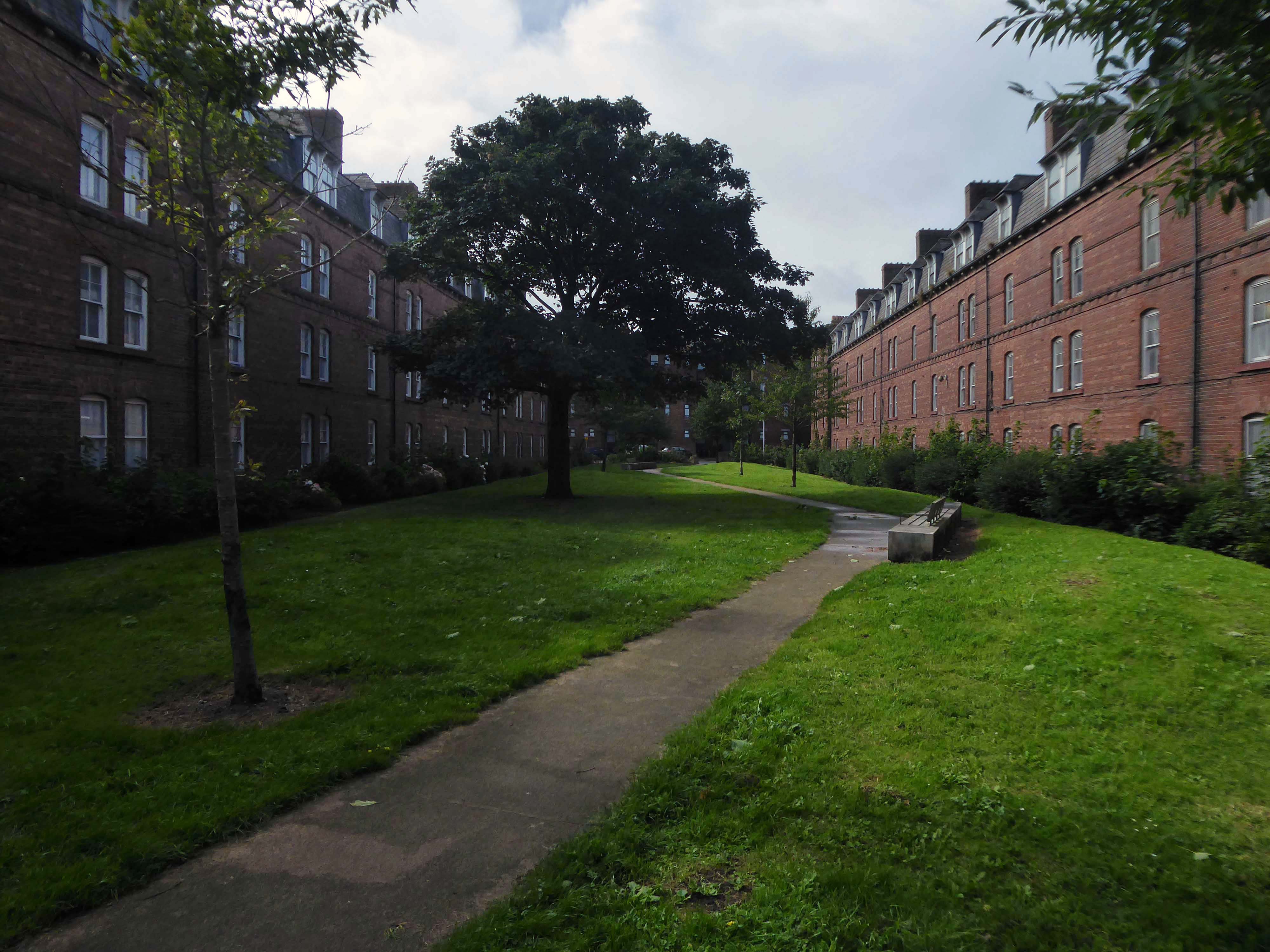
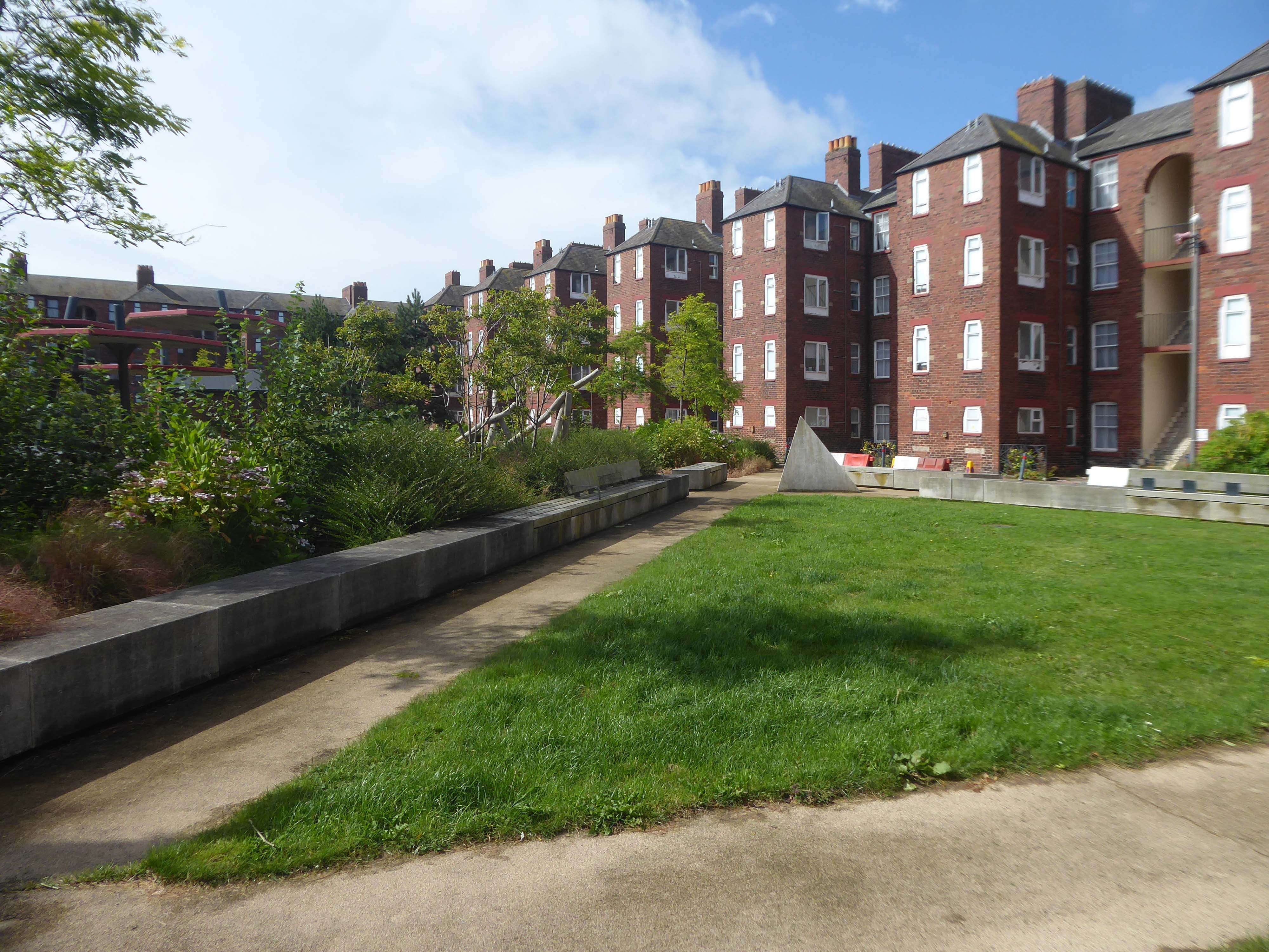
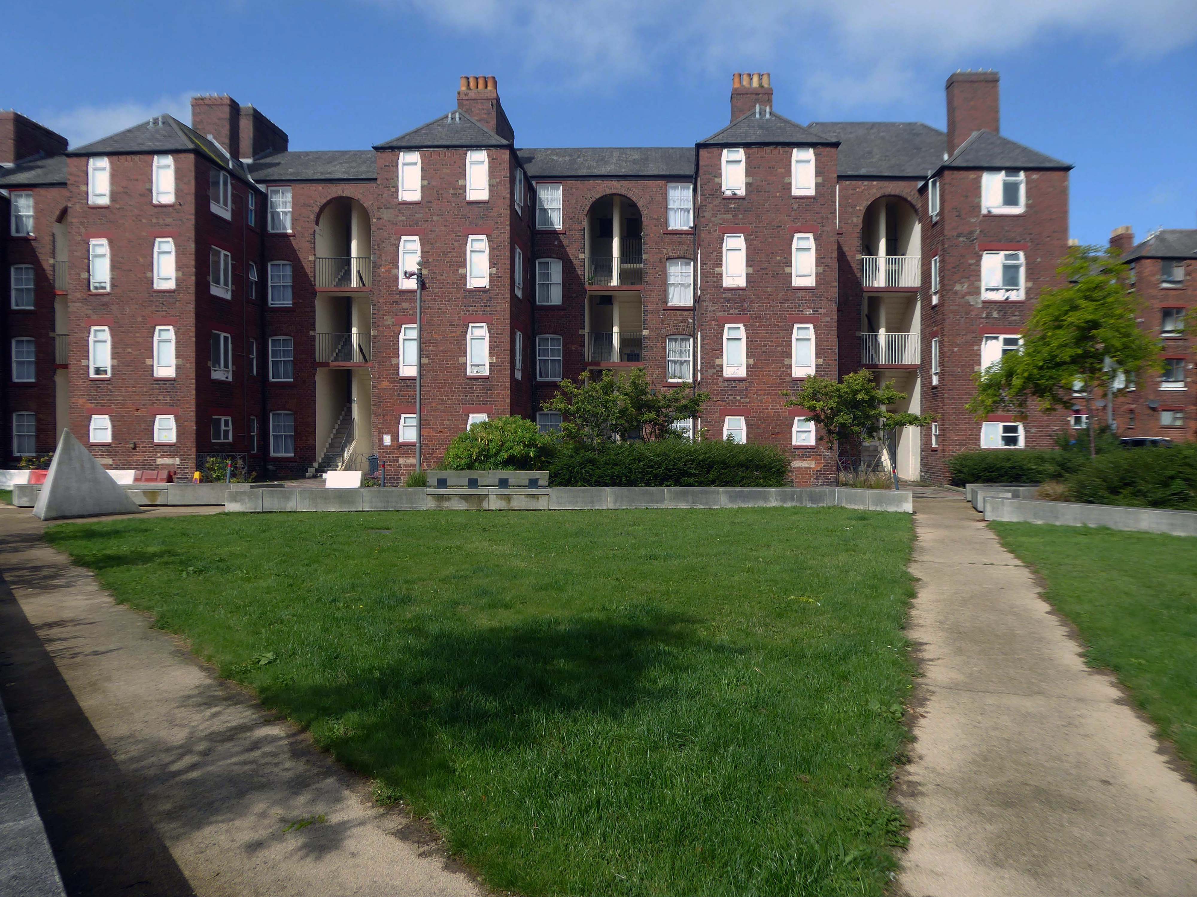
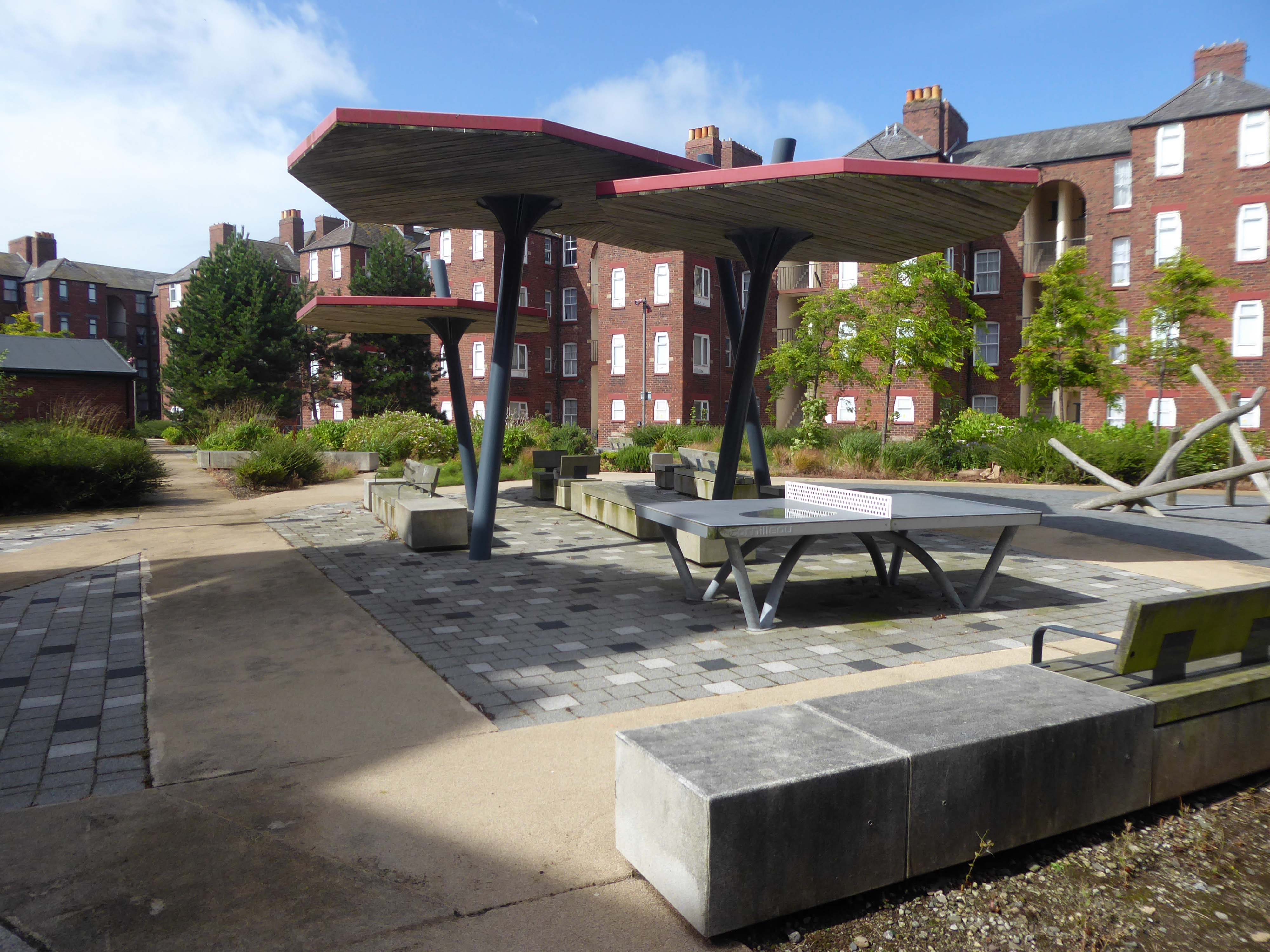
The area has been revitalised and improved in recent years and rebranded.
This beautiful and inviting public realm has acted as a catalyst for renewal of this neighbourhood in Barrow-in-Furness. The inspirational scheme won the award for Best Commercial Landscape Design at the Northern Design Awards in 2017 as well as winning the Adding Value Through Landscape award at the Landscape Institute Awards 2018 and it’s easy to see why.
The newly named Maritime Apartments are now advertised for short stays, demonstrating the increased desirability of the neighbourhood. Lisa Hart Pearce, Manager of Maritime Apartments has said: “The new landscape has transformed Maritime Streets, not only visually but holistically. People now have a happy, modern, green space to enjoy; full of colour and beauty. There is no doubt in my mind that the wellbeing of the local community has been positively encouraged by the regeneration of the area and I hope it will continue through generations.”
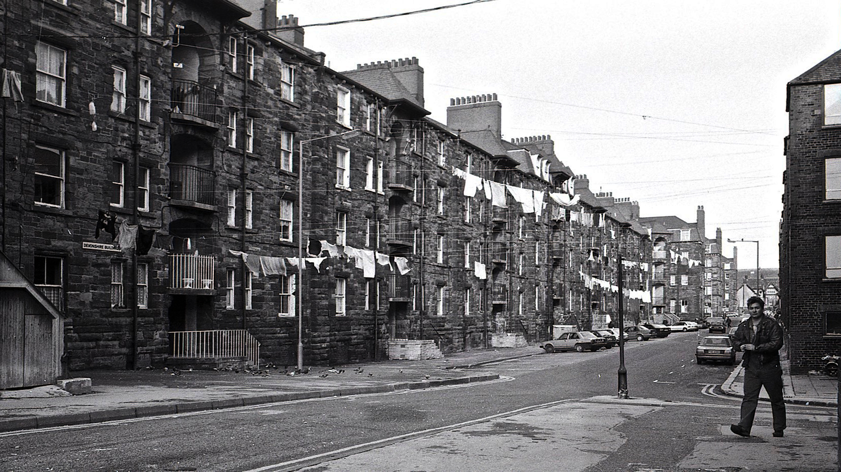
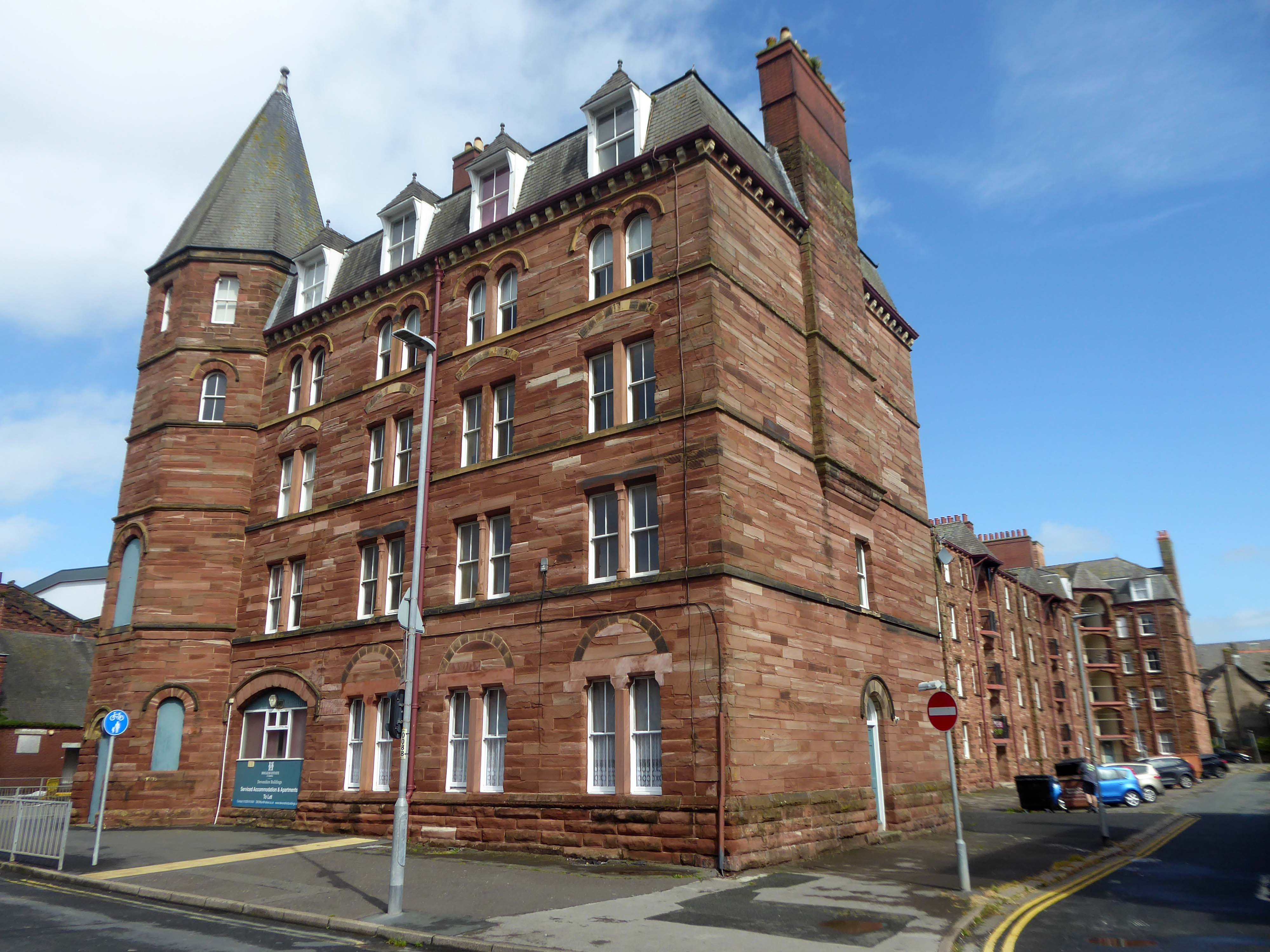
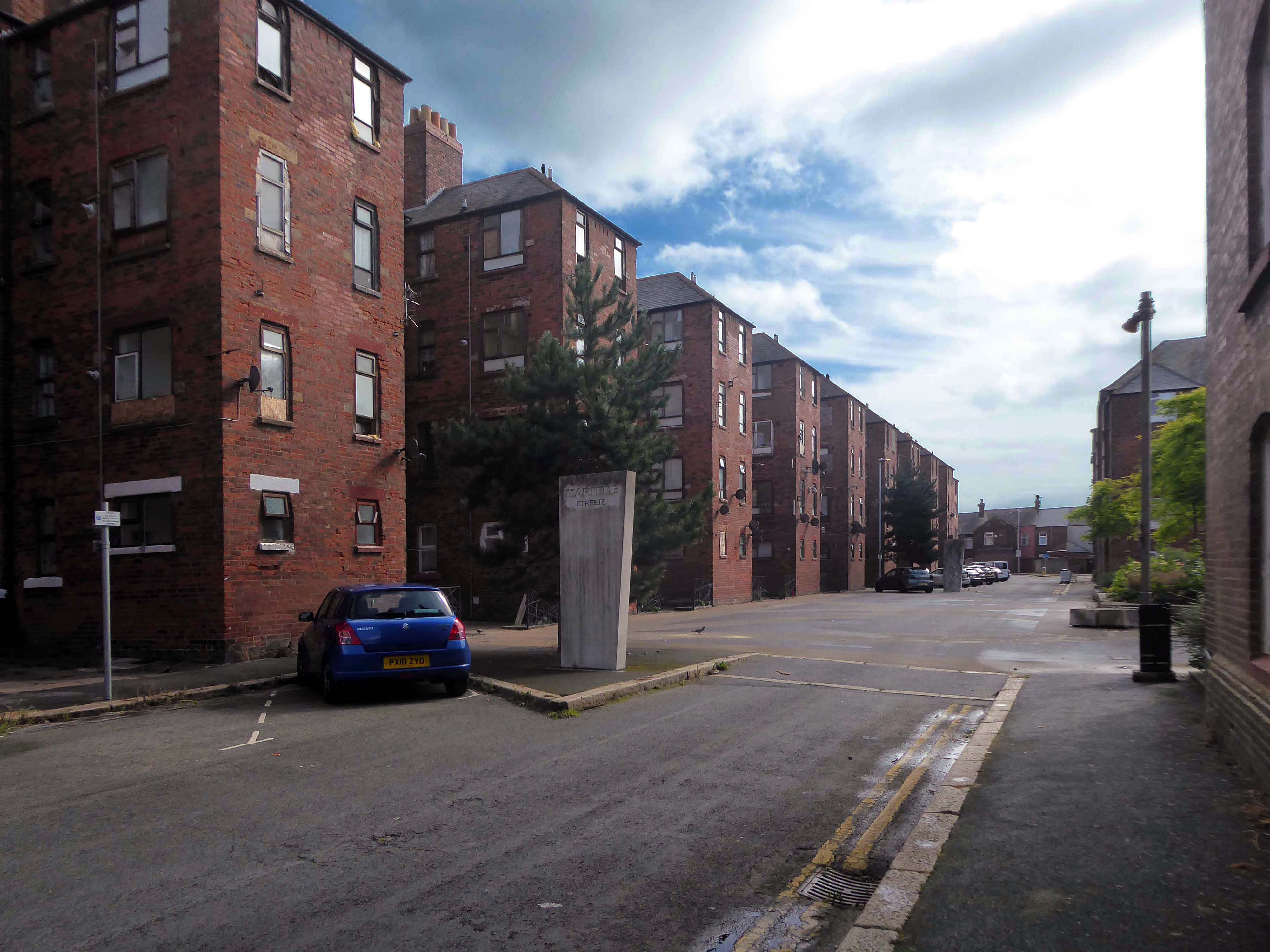
Next door are the adjacent sandstone Devonshire Buildings of old, constructed in the 1870s for the Barrow Iron Ship Building Company, by the Duke of Devonshire at a cost of £50,000, to house local shipyard workers, and recently refurbished by Holker Estate.
The buildings are currently for sale for offers in the region of £4,950,000.
Having once provided homes for the traditional shipbuilders, they now offer lets to the employers of BAE Systems.
Home to our pioneering Submarines Academy for Skills and Knowledge, Barrow-in-Furness is a hub for learning and innovation. We’re not just building the next generation of nuclear submarines here. We’re developing the next generation of engineering talent.
We’re always looking for talented individuals to join our team in Barrow-in-Furness. Whether you’re looking to start your career, or you’re an experienced professional looking for a new challenge, we might have a job for you.
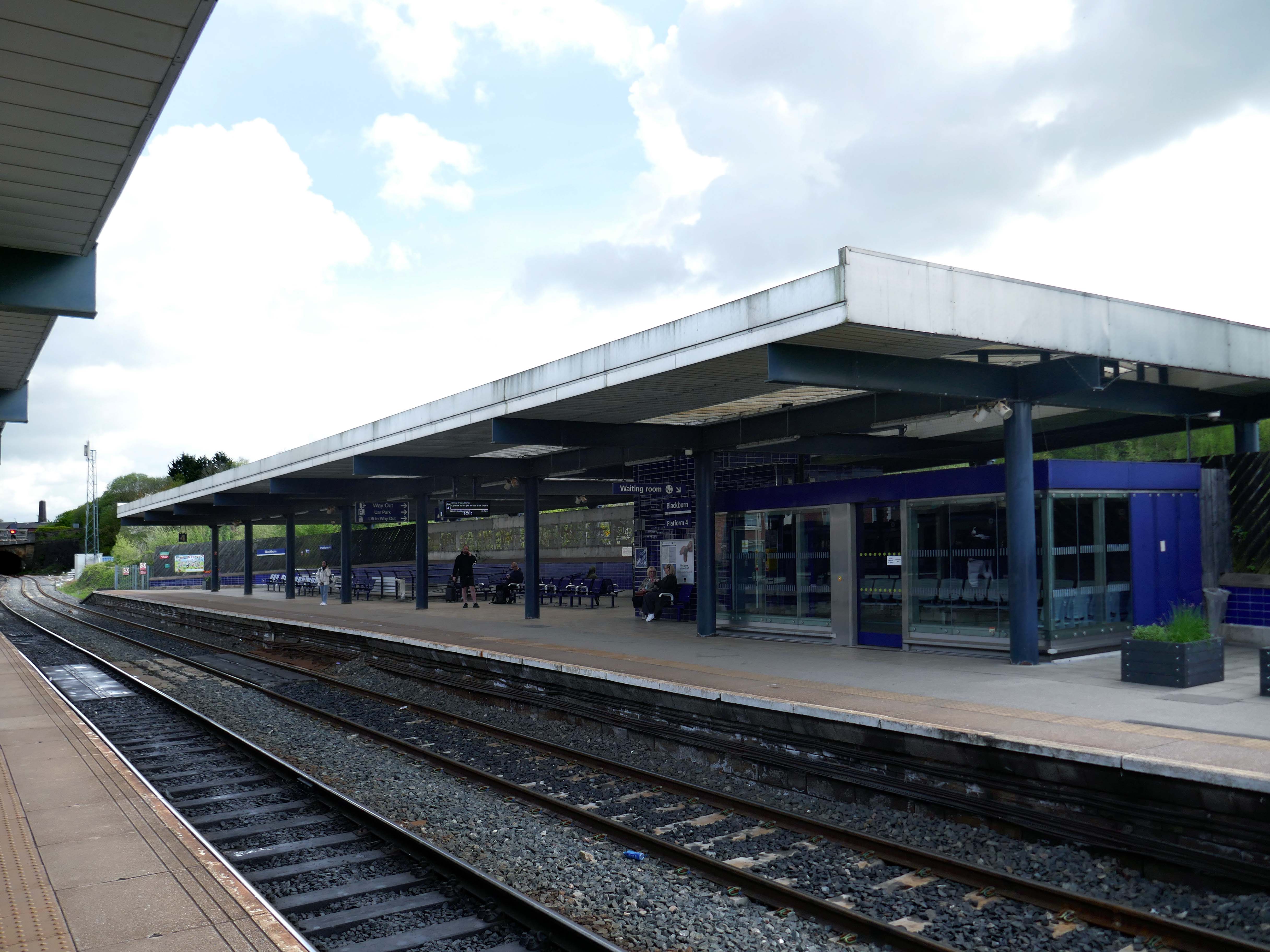
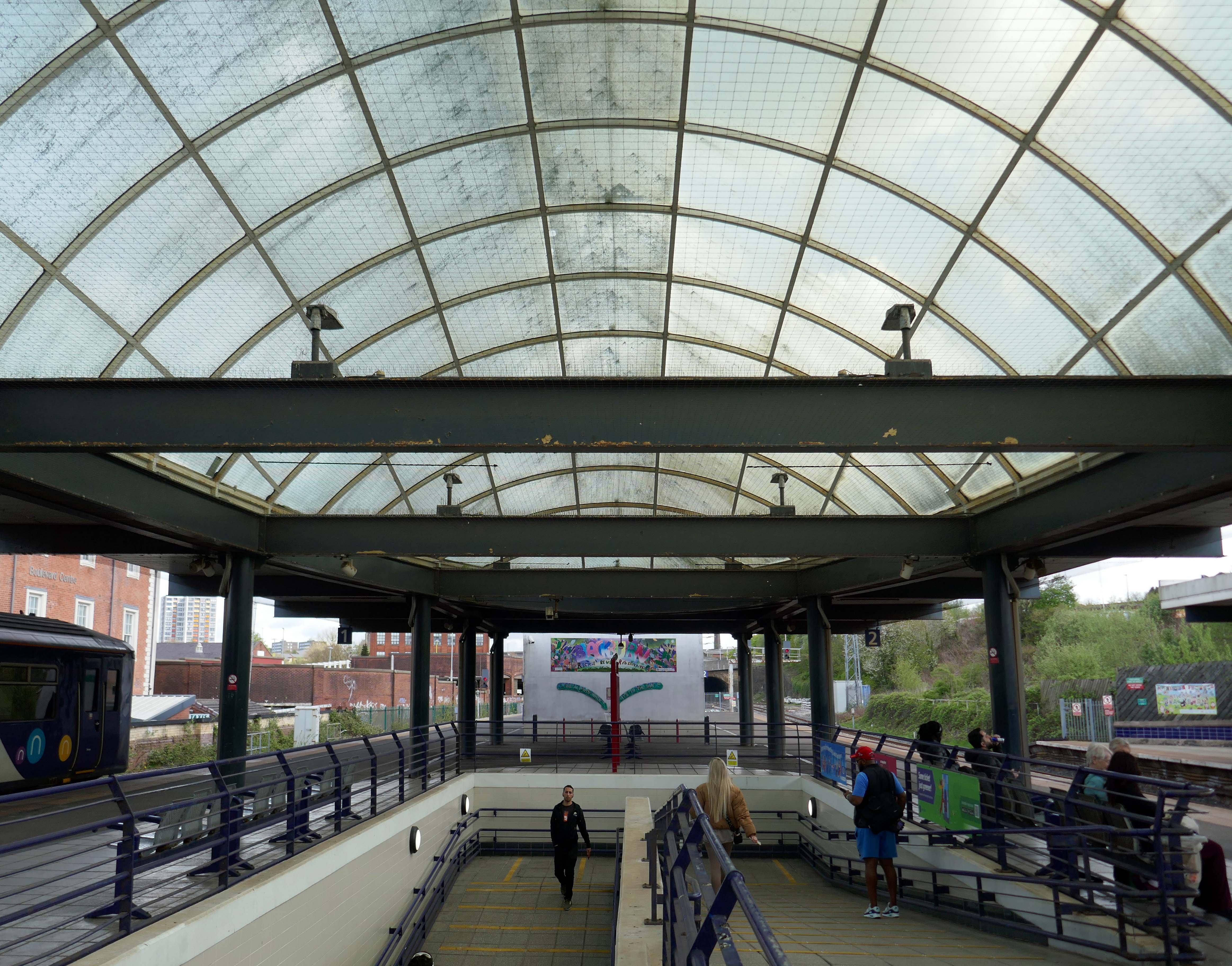
The station was covered by twin train sheds, an architecturally detailed canopy that covered all platforms. In 2000, due to its decaying state, it was removed, changing the nature of the station in a £35 million regeneration project. A new building was built on the main island platform. The Grade II listed original entrance built in the 1880s,including the station buffet and former booking hall, was retained and refurbished.
Facing the station the 2015 development of hotel and office space.
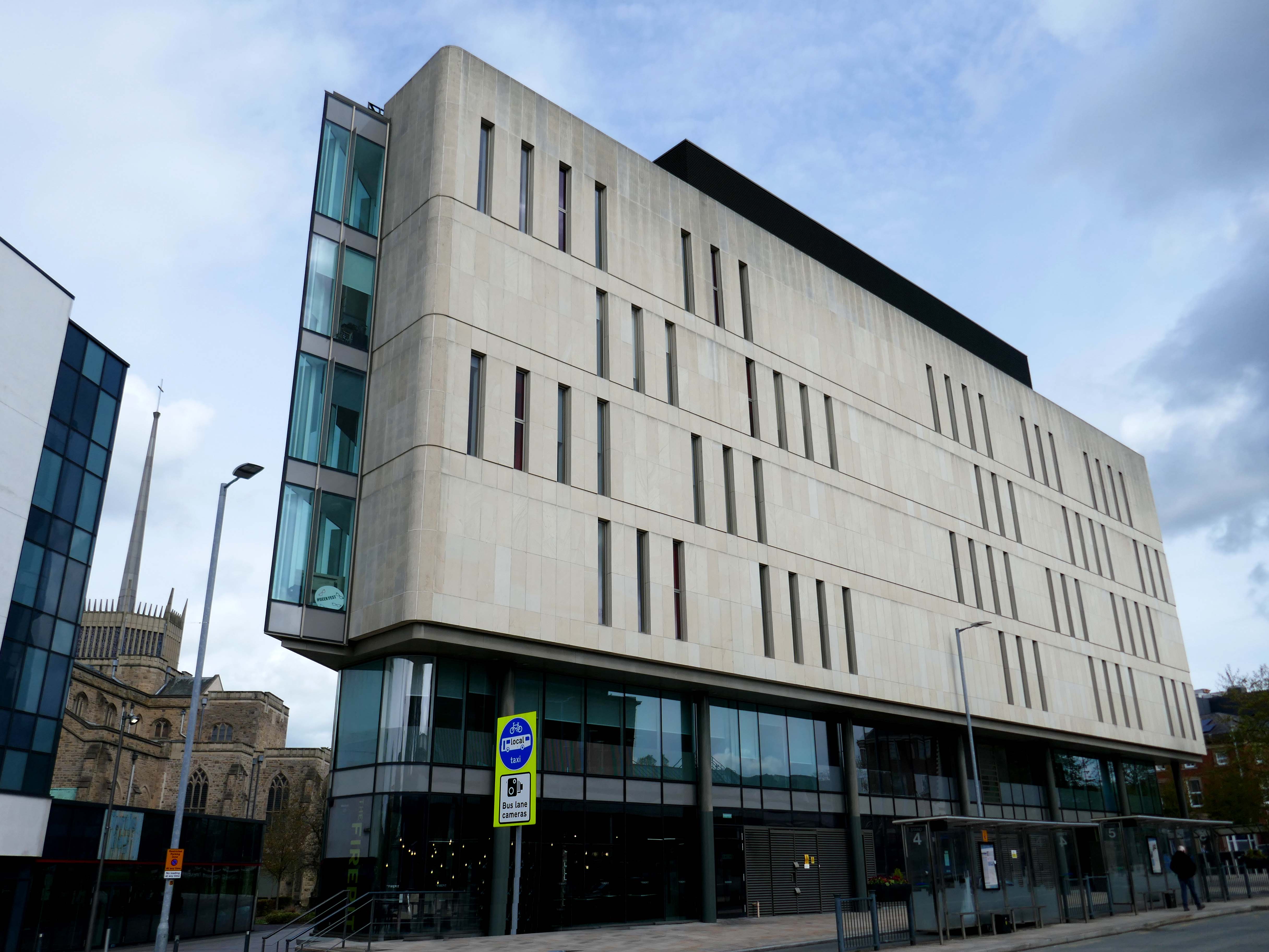
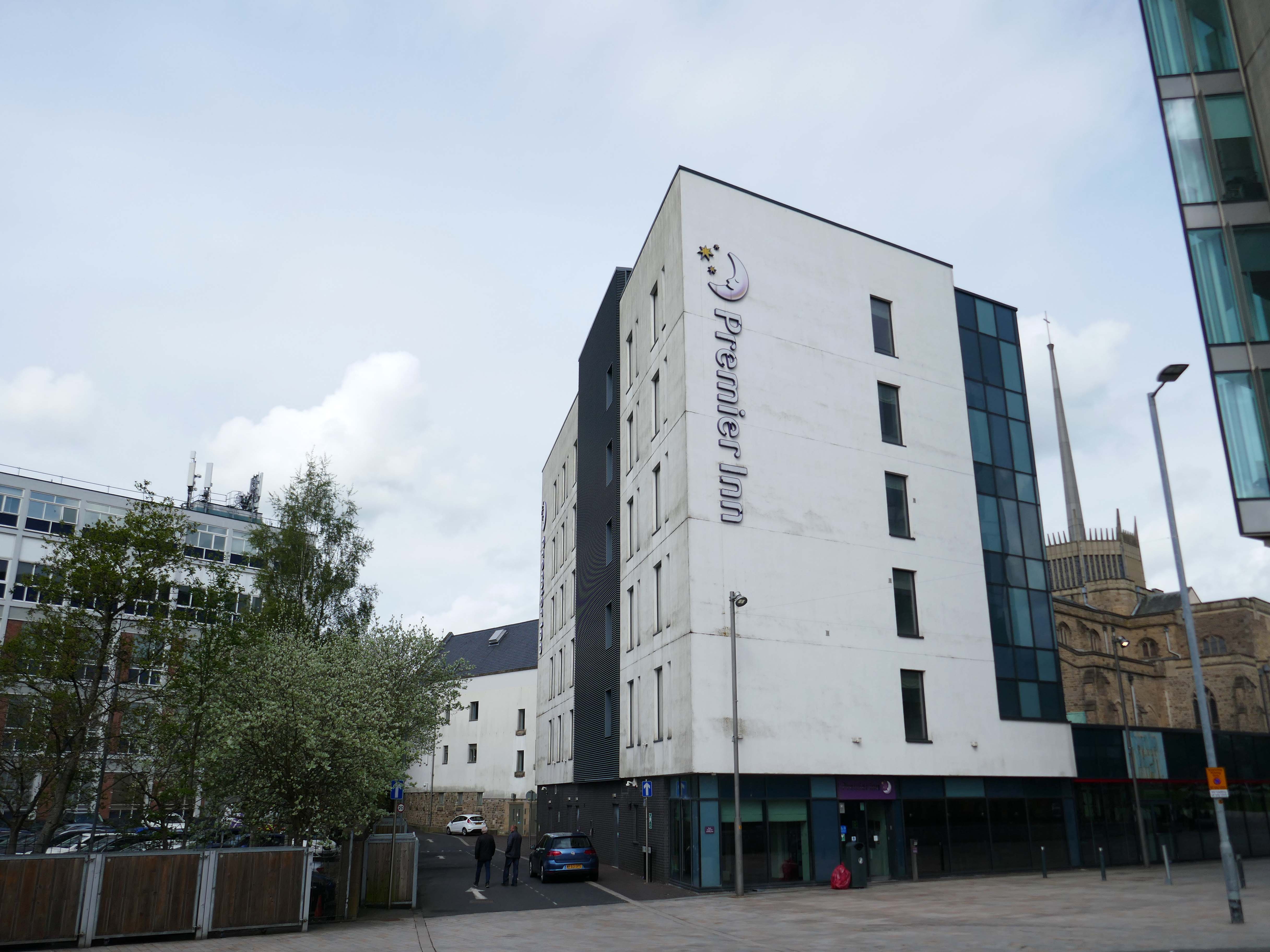
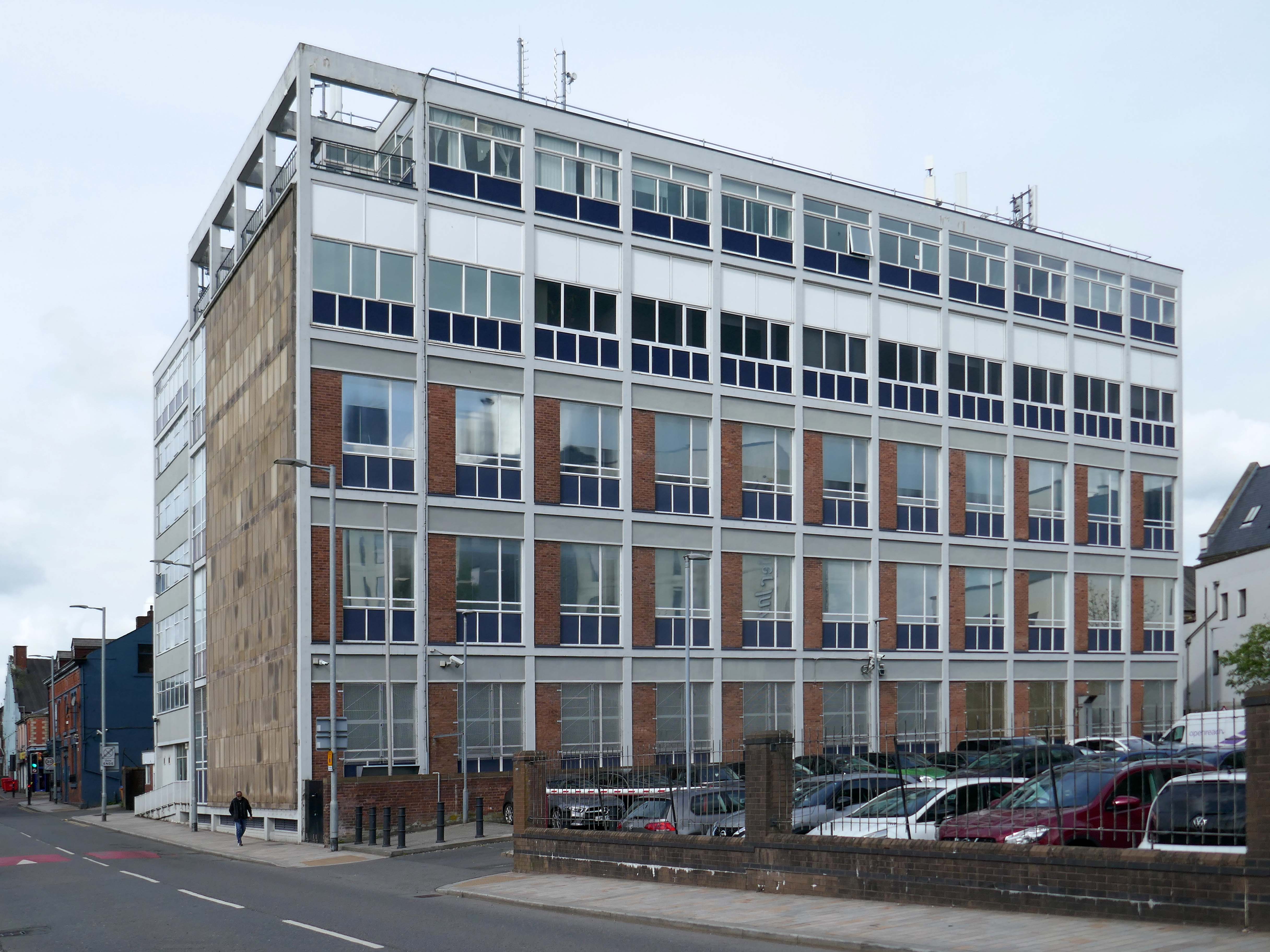
Arriving by train into Blackburn Rail Station, visitors get the full impact of this carefully planned but ambitious regeneration project. Maple Grove’s aspiration was to offer something befitting of a city centre in one of the region’s largest towns. Cathedral Square comprises a six storey BREEAM Excellent office building, designed by BDP, a Premier Inn Hotel, restaurants and cafes positioned around a new public square that acts as a link between the rail station, cathedral and beyond to the shopping centre.
Left onto Jubilee Street where we find the Telephone Exchange.
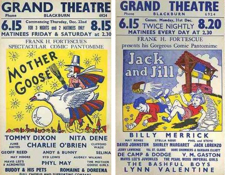
The site was formerly occupied by the Grand Theatre – in the 1950’s, Blackburn had no fewer than fourteen cinemas. The Grand carried on being a live venue until its closure in 1956, before finally being demolished in 1958.
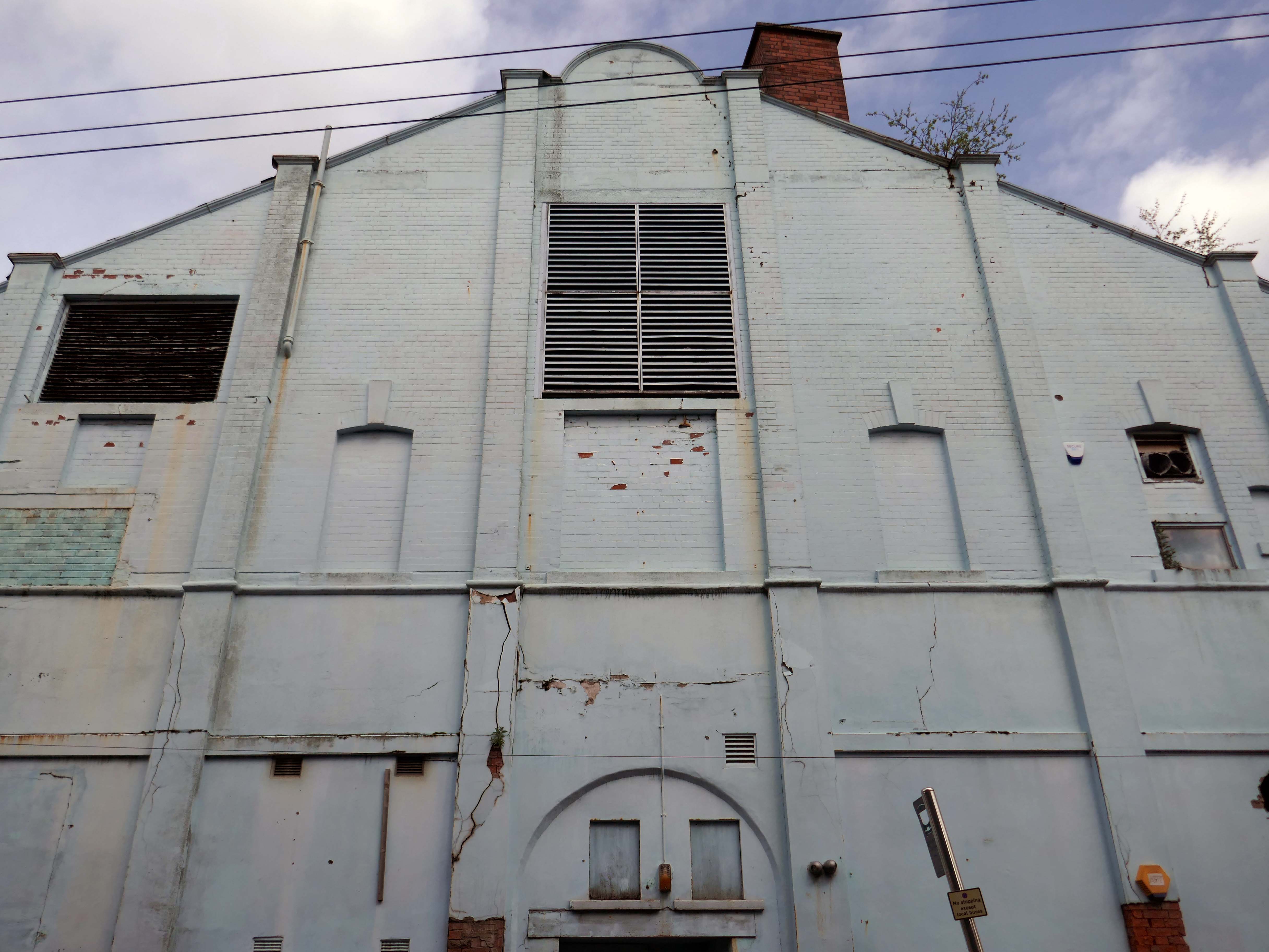
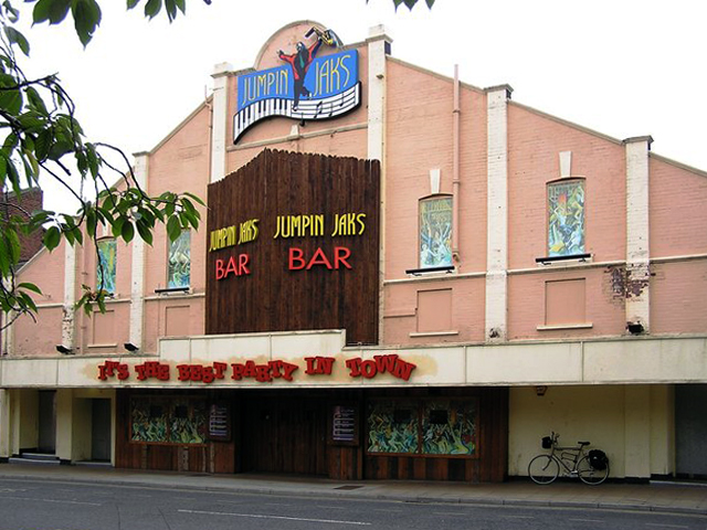
Further down the road the rear of another former cinema – The Olympia
The Olympia was opened on 19th May 1909 as a roller skating rink. It was a short lived venture and closed in November 1911. It was converted into the Olympia Theatre, presenting music hall/variety, opening on 12th December 1911. Seating was provided for 2,000, many on long wooden benches. The proscenium was 32 feet wide and the stage 50 feet deep. It was soon screening films as part of the programme.
It was converted into a full time cinema in 1921, although there were still some variety acts on the programme. All the original wooden benches used for seating in the theatre were removed and replaced by regular tip-up seats, reducing the seating capacity to 1,360. During the 1940’s, the Olympia Cinema boasted a café for the convenience of its patrons and it was operated by Jacksons’ Amusements, Ltd.
The Olympia Cinema was mainly independently operated, and closed in 1957. It stood empty for two years, then in 1959, it was taken over by Mecca Ltd, and converted into the Locarno Ballroom, later becoming a Mecca Bingo Club. It later became the Golden Palms Nightclub, Jumpin’ Jax, and since 2009 it operated as a trendy nightclub named Liquid & Envy.
Previous to 1900 the site at the corner of Mincing Lane and Mill Lane had housed a temporary circus, known as Ohmy’s Circus. The New Central Hall was built and opened in April 1900, and was used as a roller skating rink until November 1909, when it was converted into the 1,000-seat Central Hall Cinema.
Altered and enlarged to 1,372 seats in 1923, it was re-named New Central Hall Cinema. The proscenium was 20 feet wide, later enlarged to 22 feet.
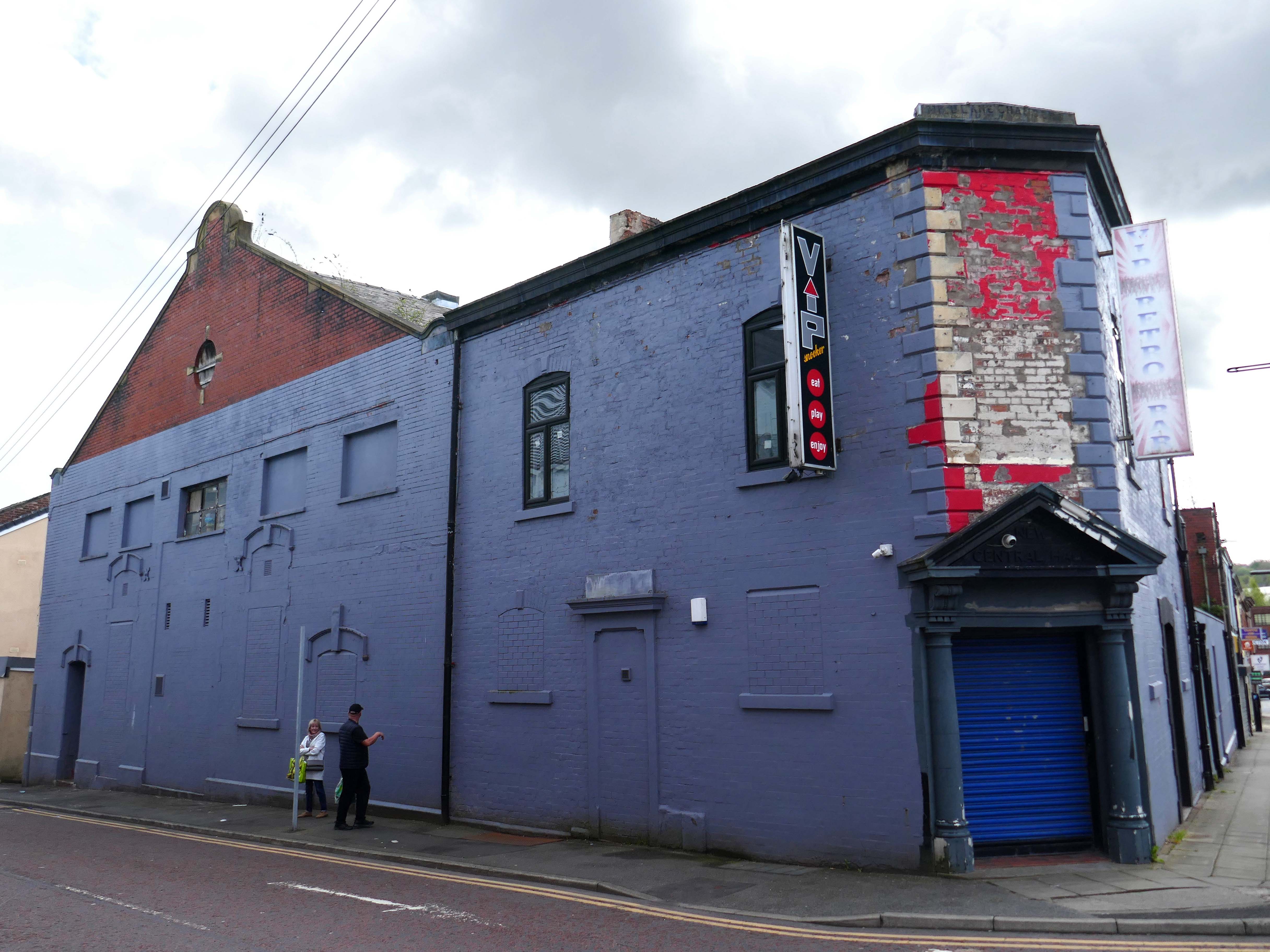
The Central Cinema was closed in January 1957. Then in 1974, it was renovated and was converted into a Walkers Bingo Club, which remained open until at least 1995. It recently operated as a Riley’s American Pool and Snooker Club until early 2009. In November 2009 after a refurbishment, it re-opened as the VIP Snooker Club.
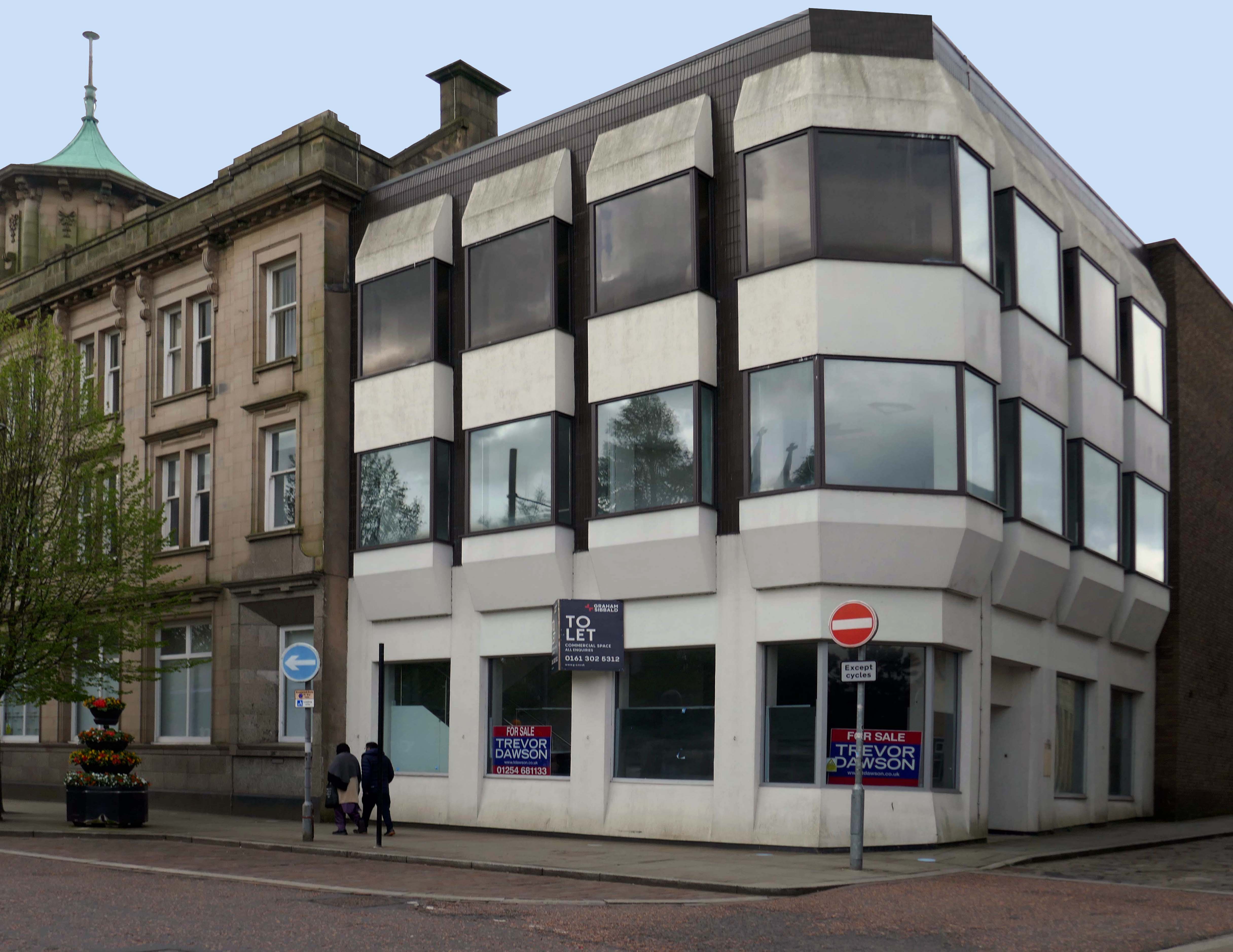
Turn right into Darwen Street along to the former Barclays Bank.
Next door Lloyd’s Bank extension.
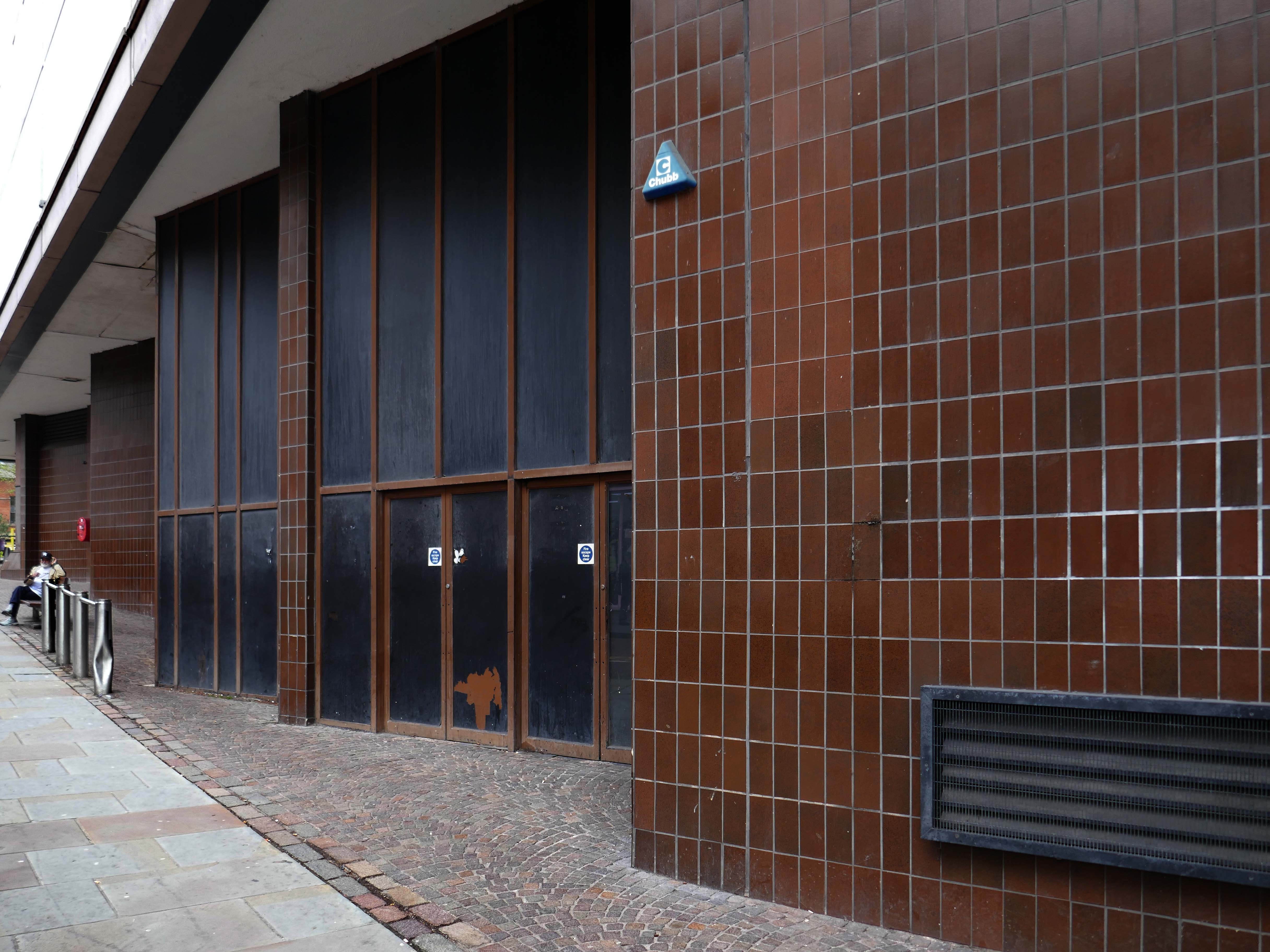
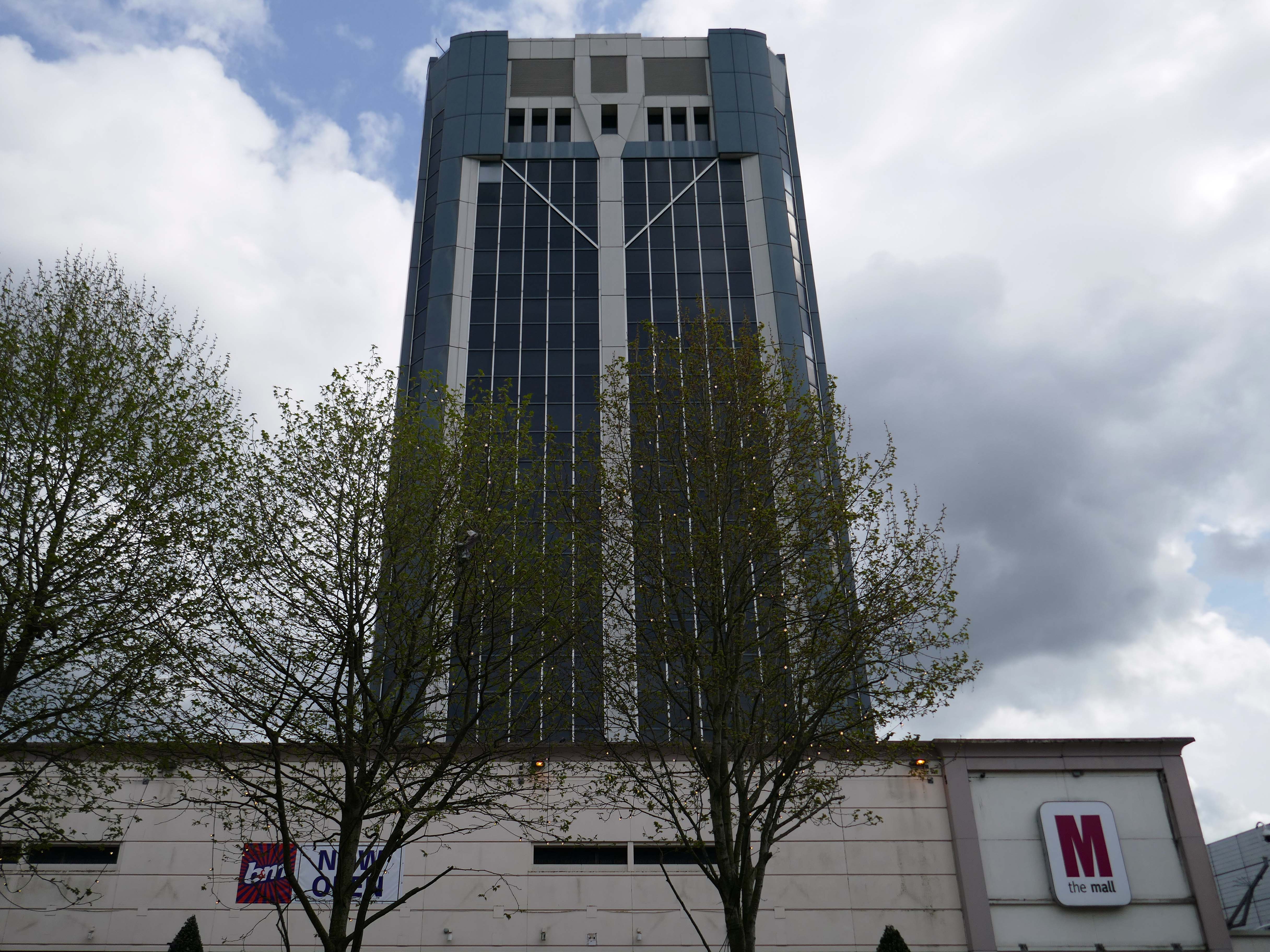
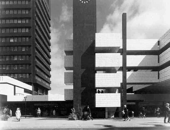
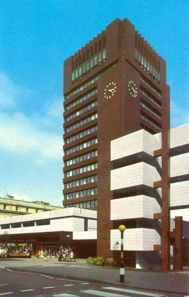
On Astley Gate the brown tiled remains of the Shopping Centre now known as The Mall.
The shopping centre was built in three phases, with the final phase opening in 1979. The centre was refurbished in 1995, during which the lower floor of the former Co-Operative Department Store was transformed into the Ainsworth Mall.
The centre was bought by Standard Life in 1993 and its name was subsequently changed to Blackburn Shopping Centre. Standard Life sold the centre in 2003 to Reit Asset Management.
In 2004, Reit Asset Management sold the centre to The Mall Fund. The centre was sold again in 2022 to the Adhan Group from The Mall Fund for £40 million.
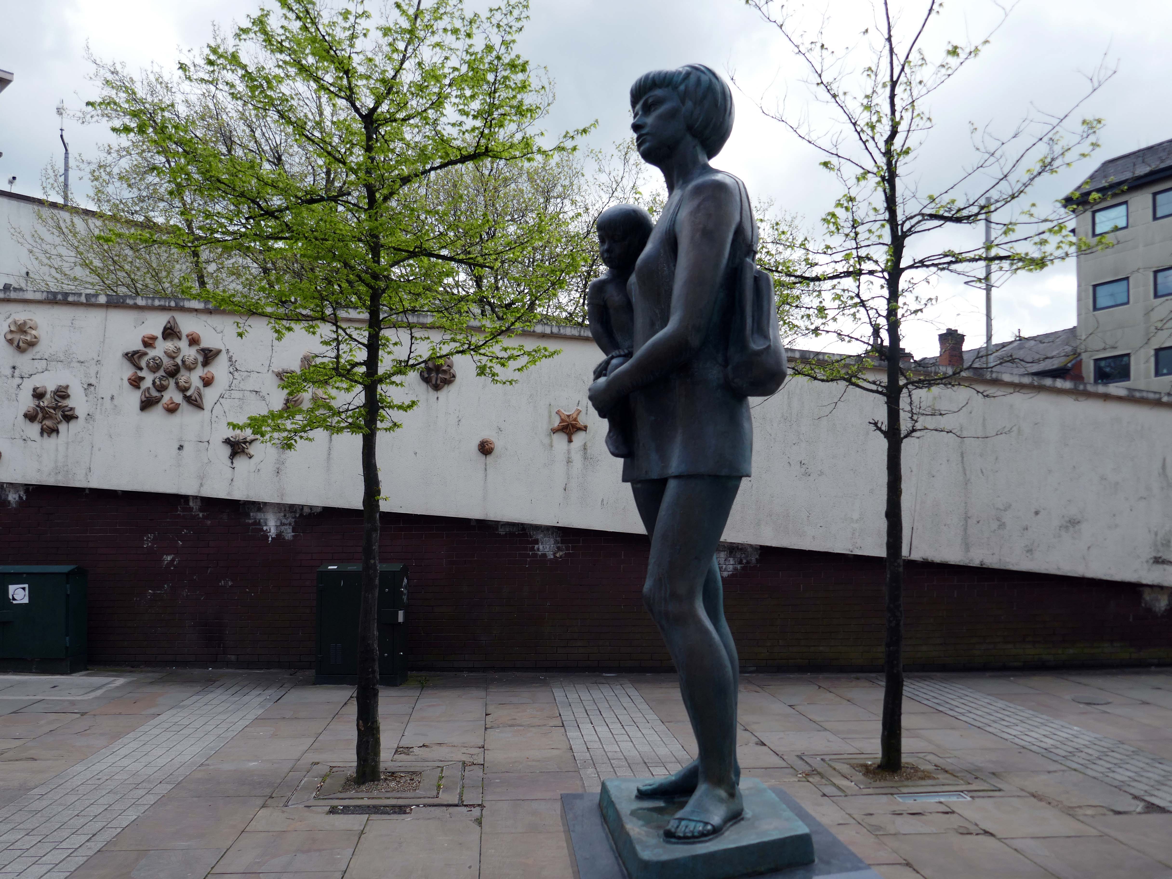
Around the corner the Mother and Child monument, created by Welsh sculptor Robert Thomas in 1974, who used his wife and child as models.
In 1974 the statue was placed in Lord Square, removed in 2007 and placed in storage, it was placed in Cardwell Place in 2012.
The Mall has been significantly remodelled, along with the adjacent Tower Block.
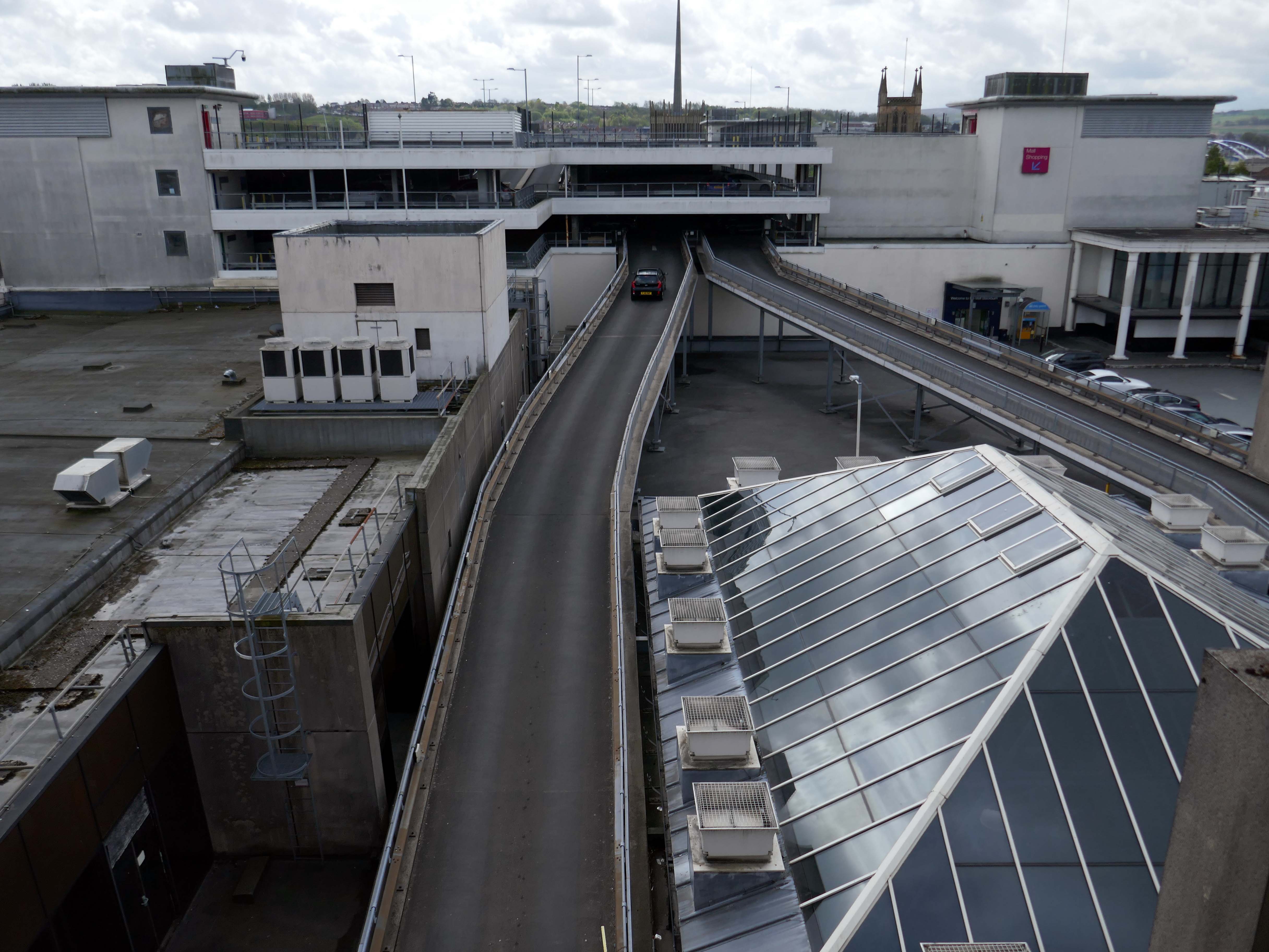
Above the Mall is a dizzying array of multi storey car parks – reflecting the various stages of development.
Next to the Central Library, the former Co-op Emporium by Walter Stirrup in Town Hall Street, opened in 1930, was converted into a £1m library by BDP, it opened on September 1st 1975.
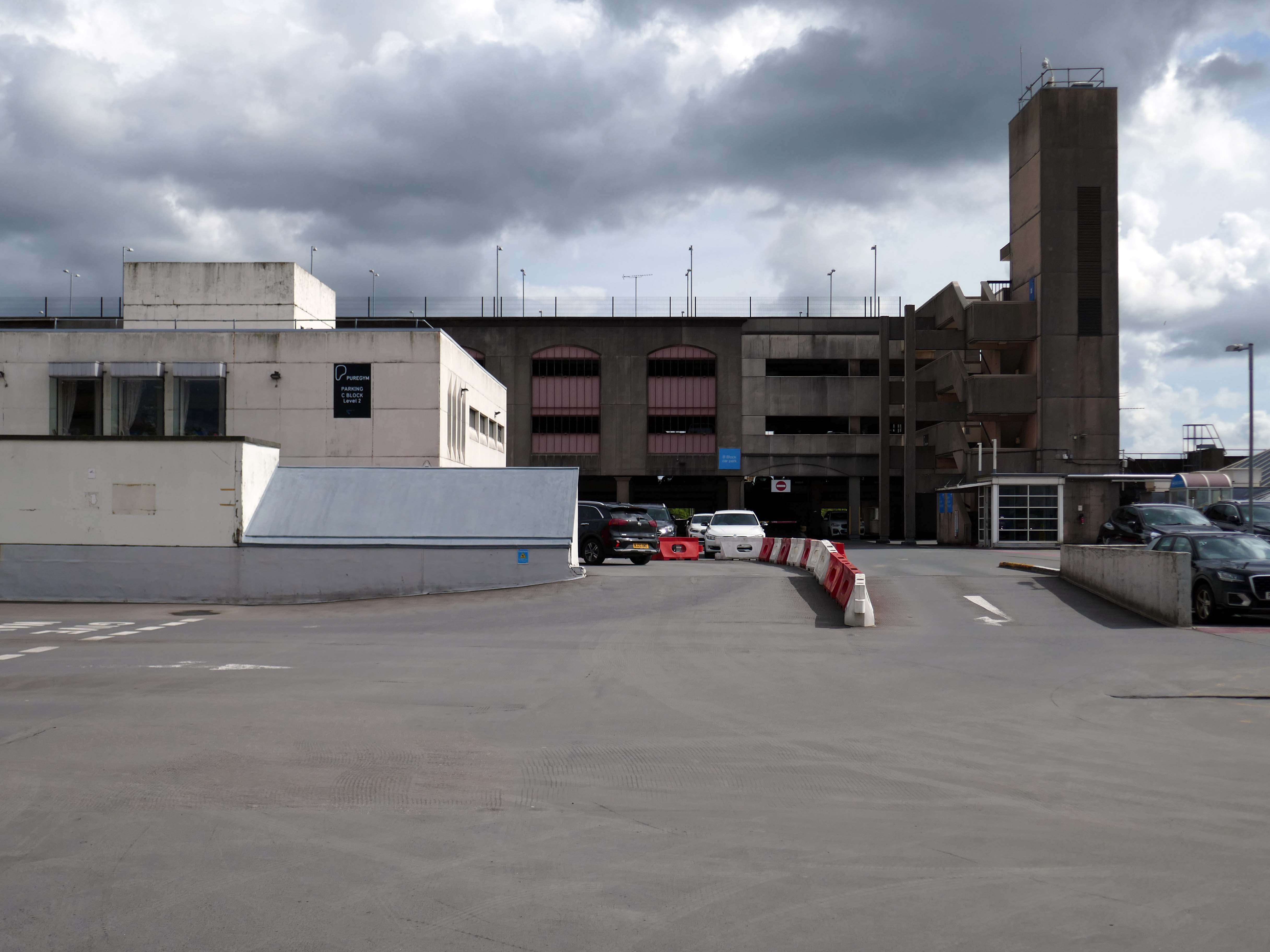
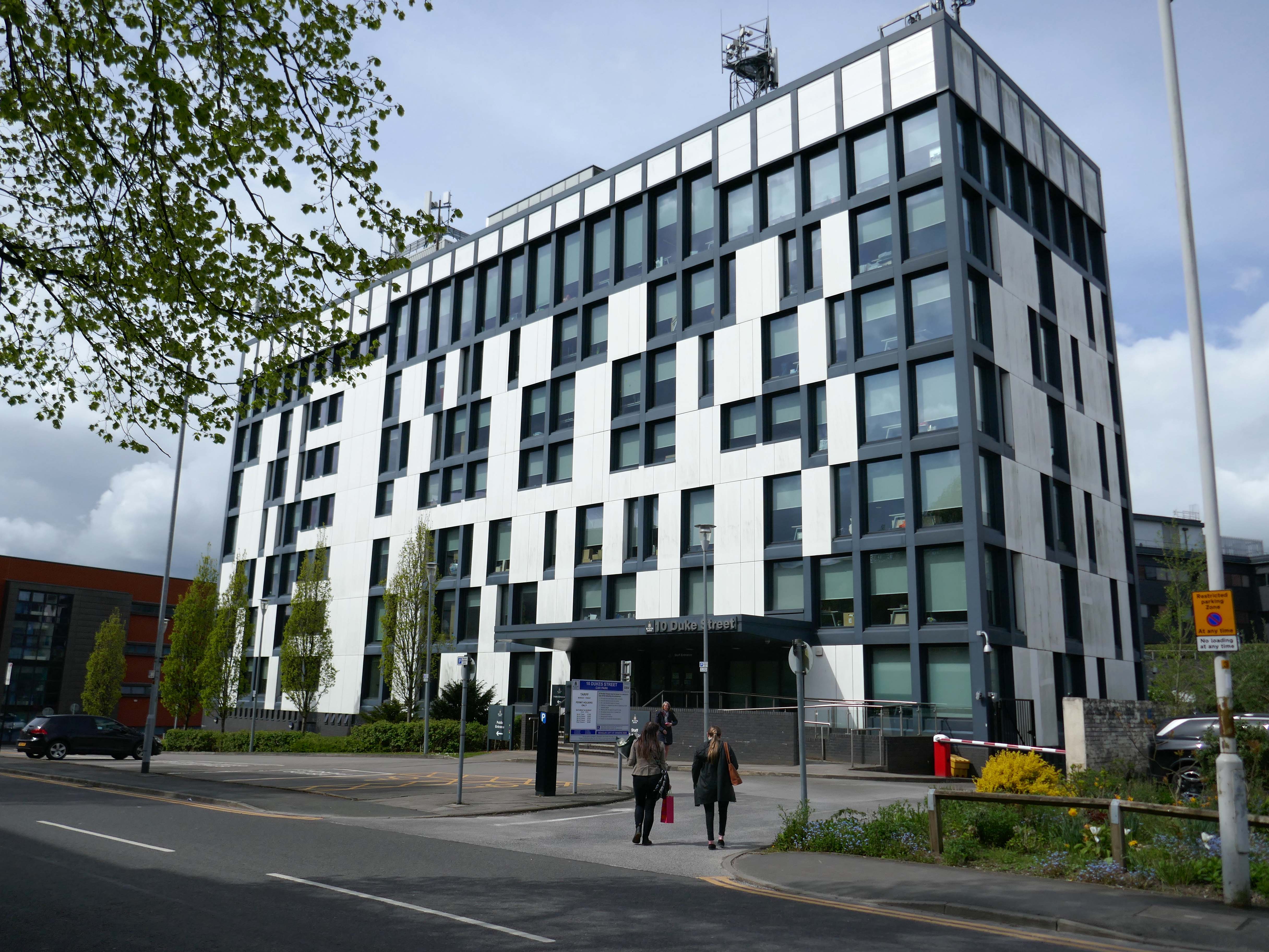
Onward to 10 Duke Street – home to council offices and the NHS, the Tower Block is now no longer in use.
Blackburn’s former town hall tower block has over the years become one of our most recognisable buildings. Sadly it is now starting to be given derogatory names, such as the ‘Big Empty’ and ‘Mothballed Monolith’. But compared to how it looked some years ago, before being reclad in today’s design, it still impresses many visitors to our town. Wouldn’t it be great if Blackburn’s ‘Big Empty’ could become full again.
These tower blocks were the flats at Queens Park and in the background you can see the co-called ‘deck-access’ flats at Shadsworth.
Bowland House was one of three tower blocks built in 1963 and the only one still standing after the others, Ribble and Pendle, were torn down in 2001 to be replaced by homes.
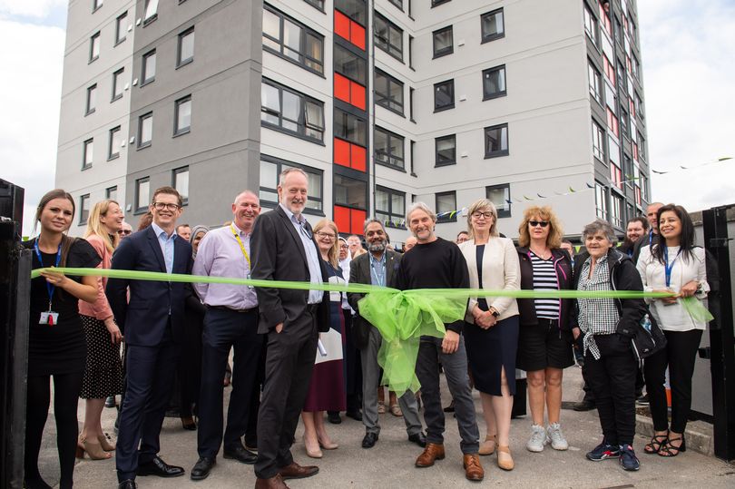
In 2022 Bowland House was refurbished.
Former four-time World Superbike champion Carl Fogarty was the guest of honour as Great Places’ Bowland House in Blackburn was officially unveiled.
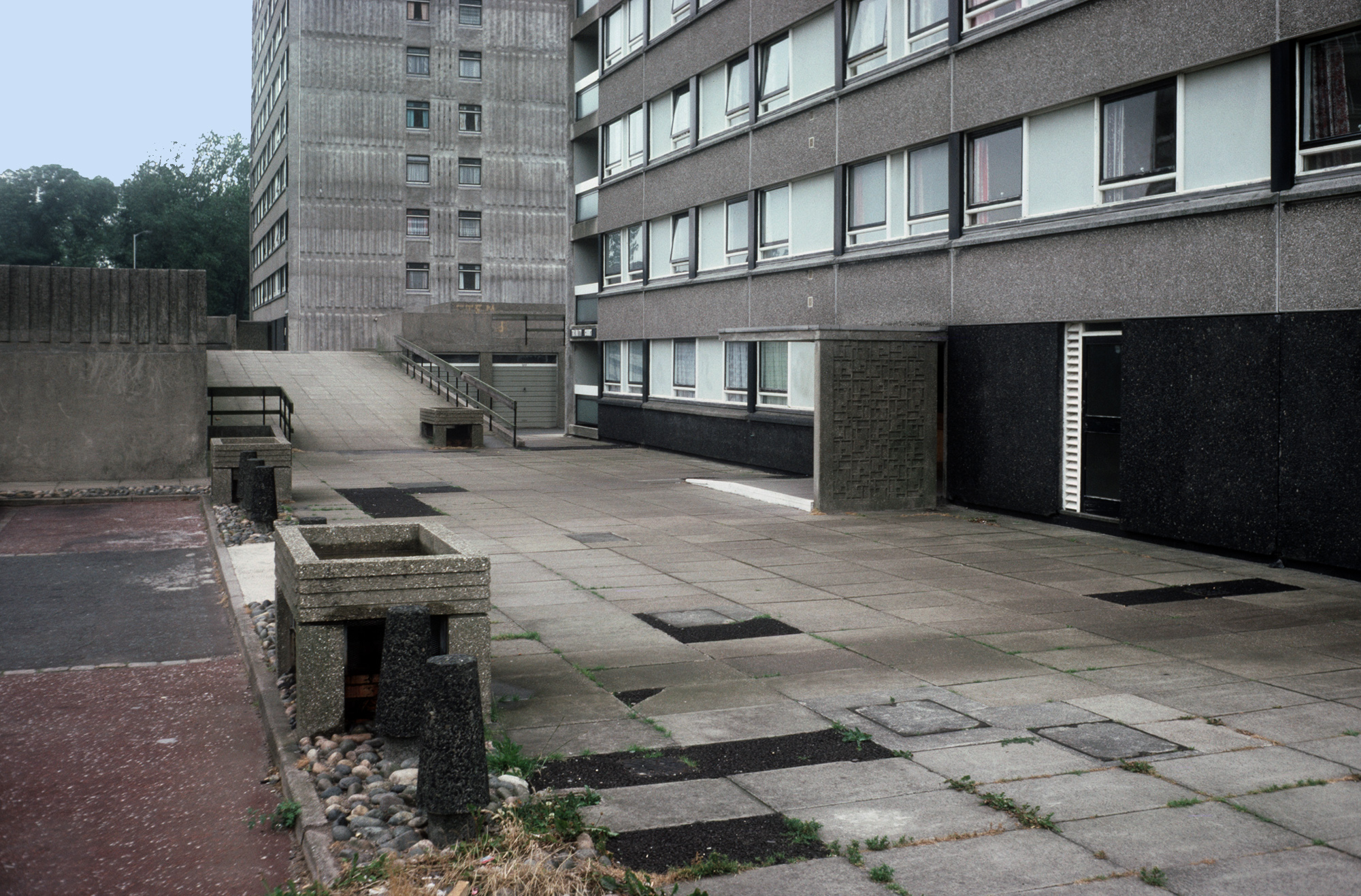
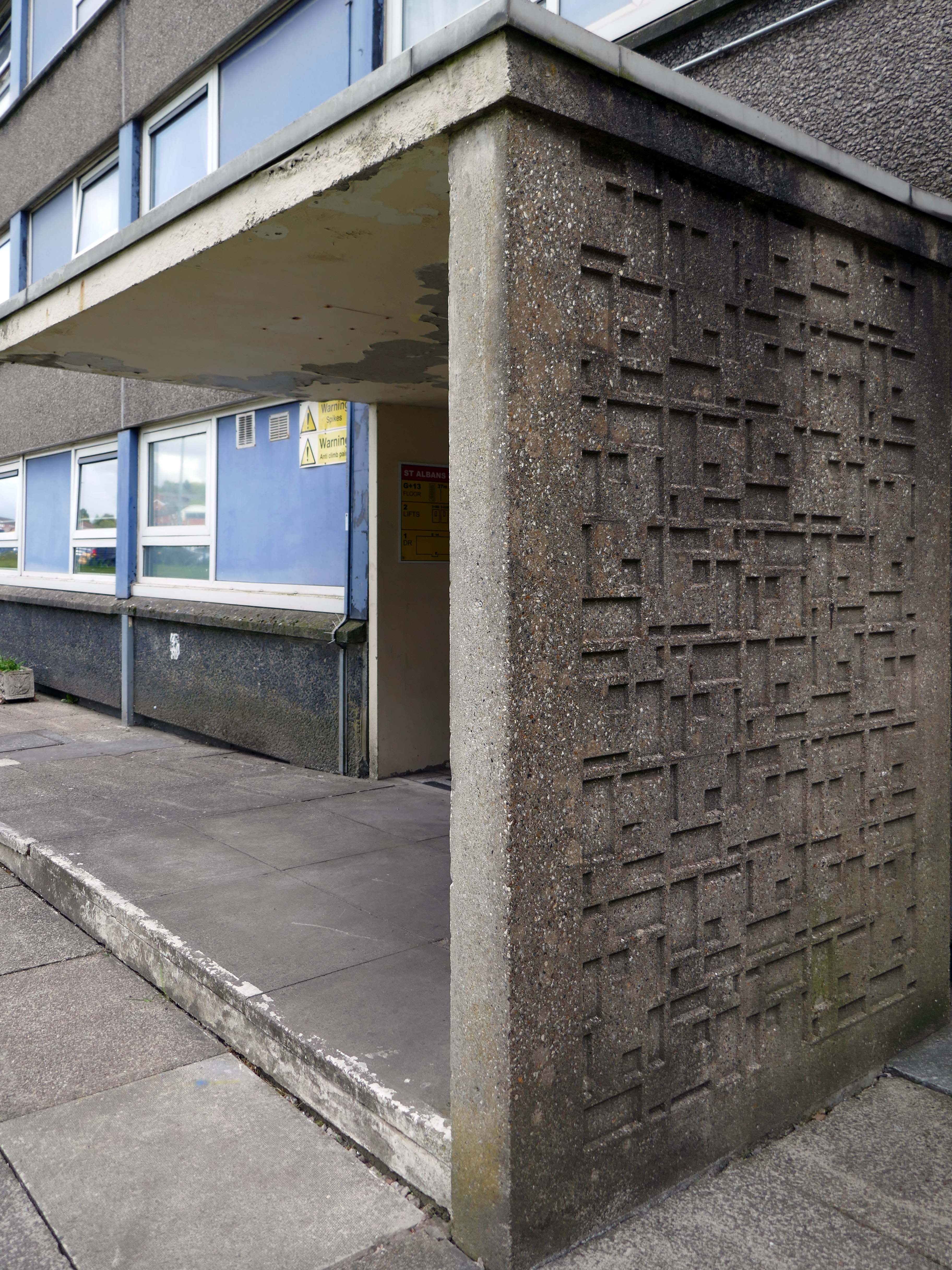
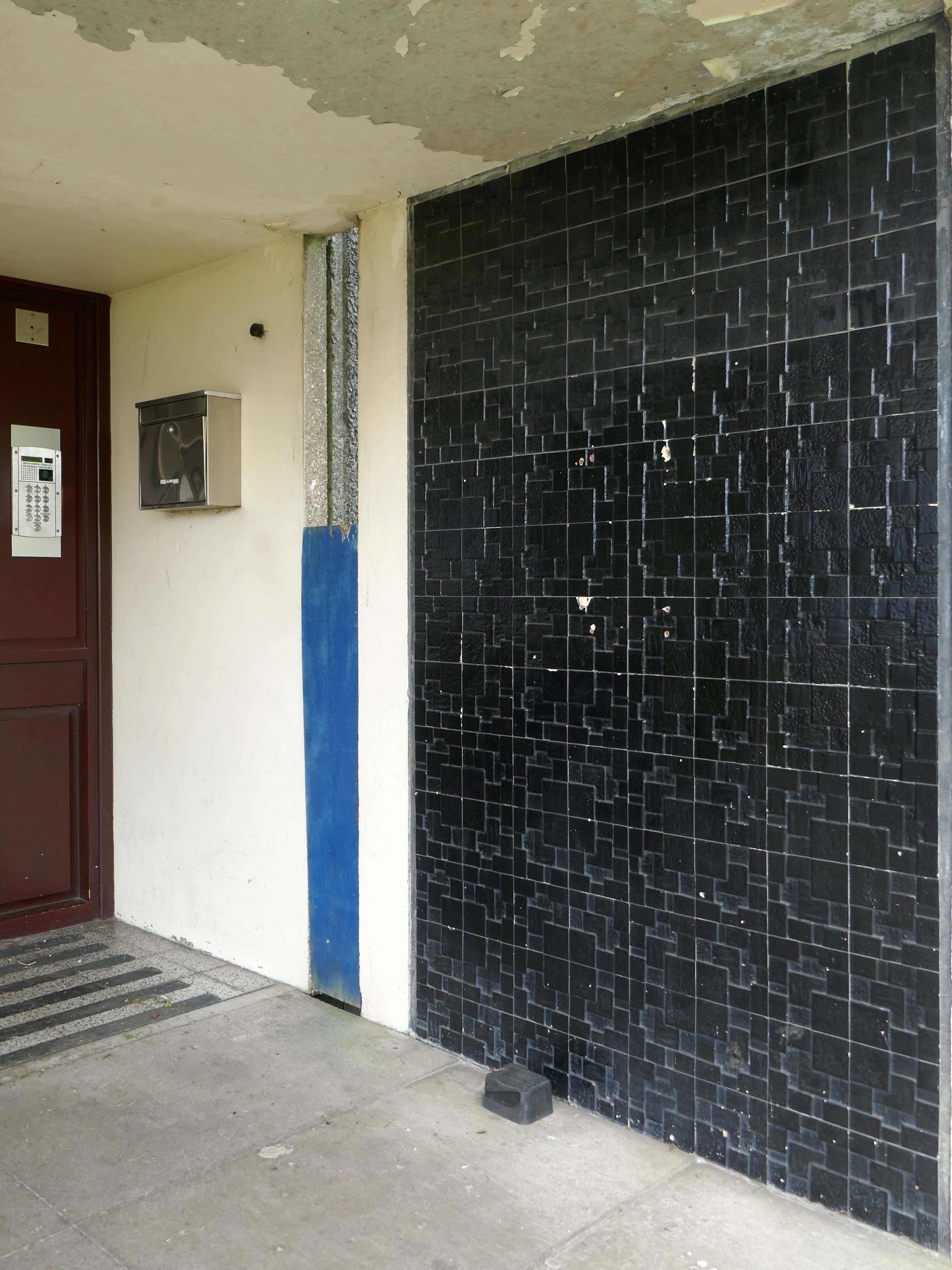
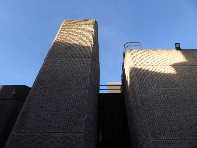
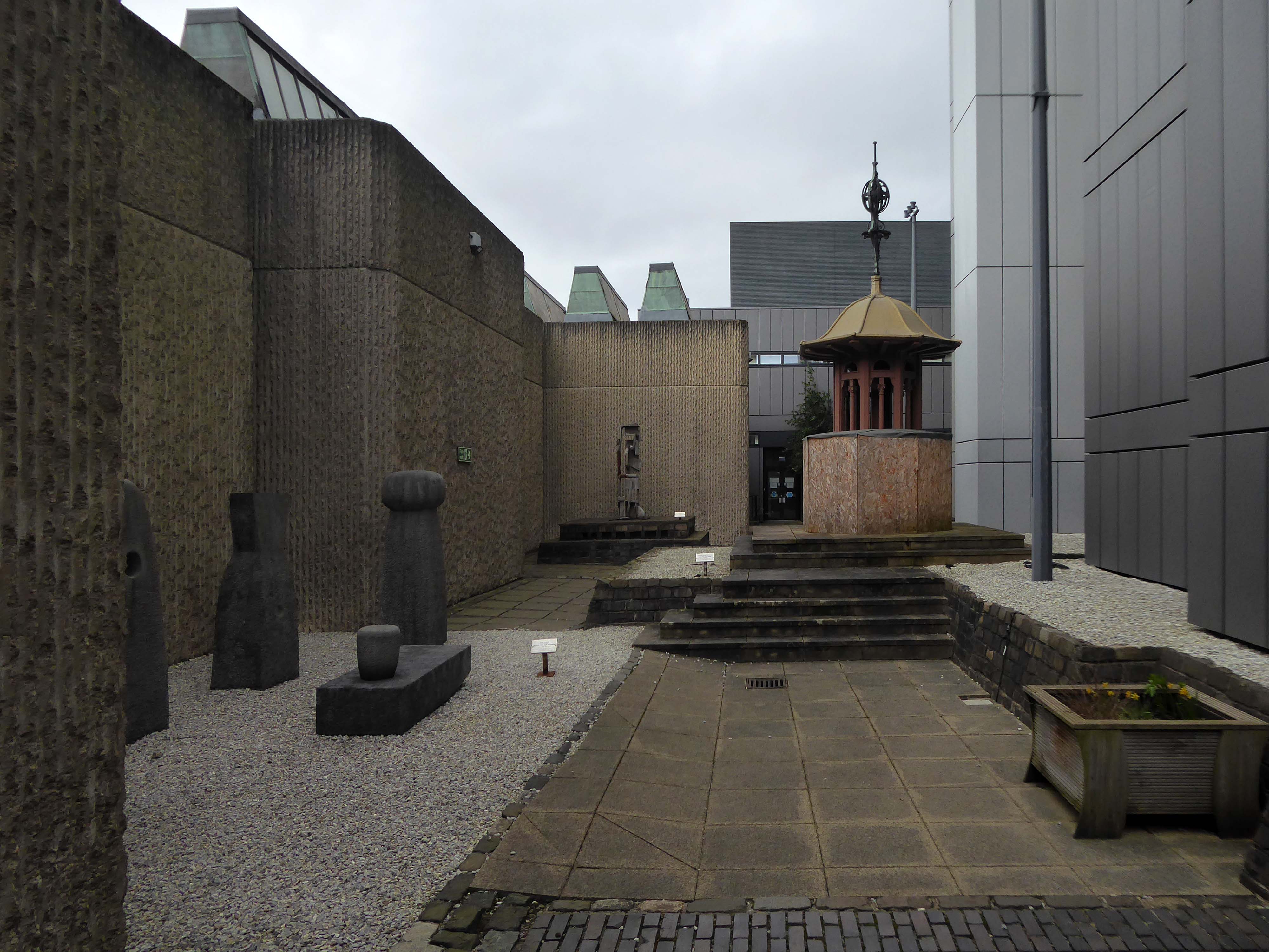
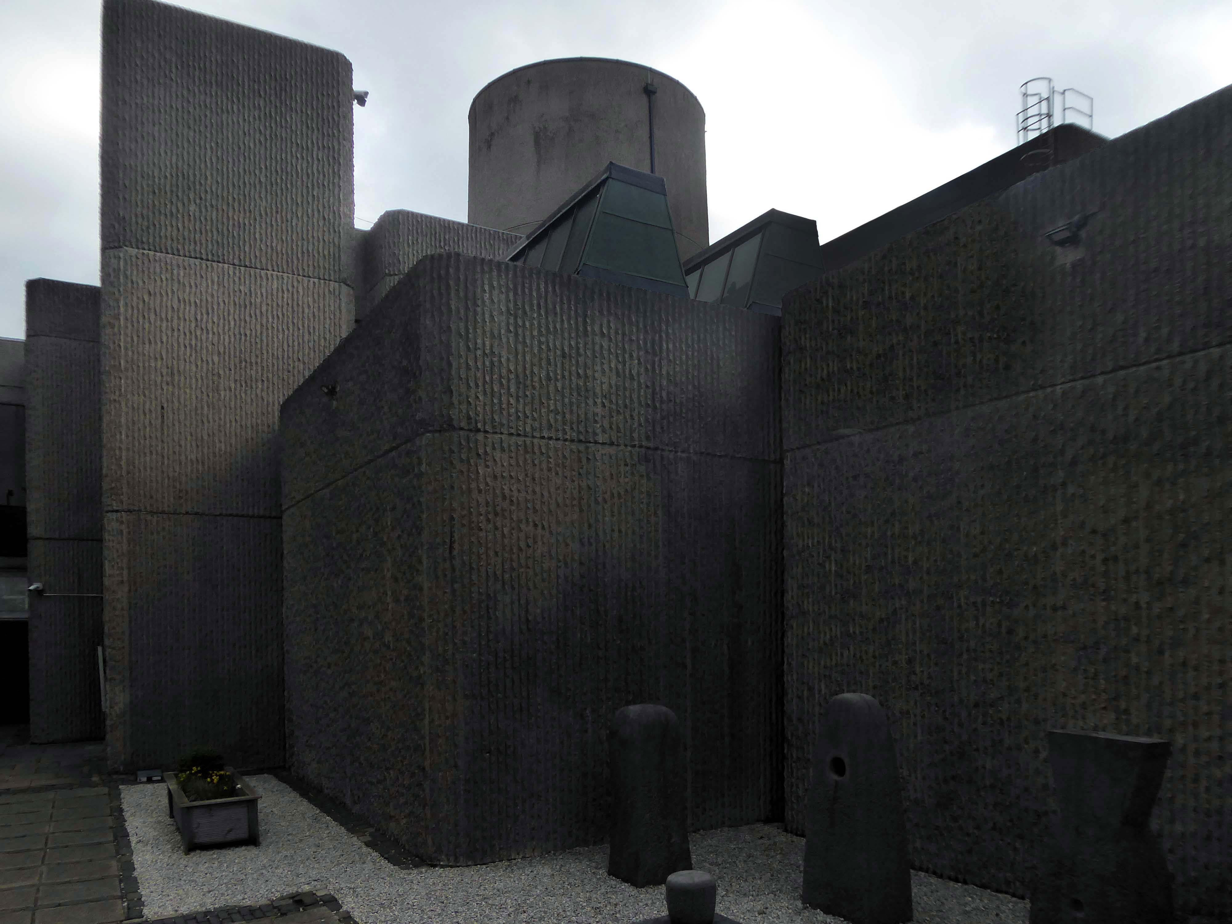
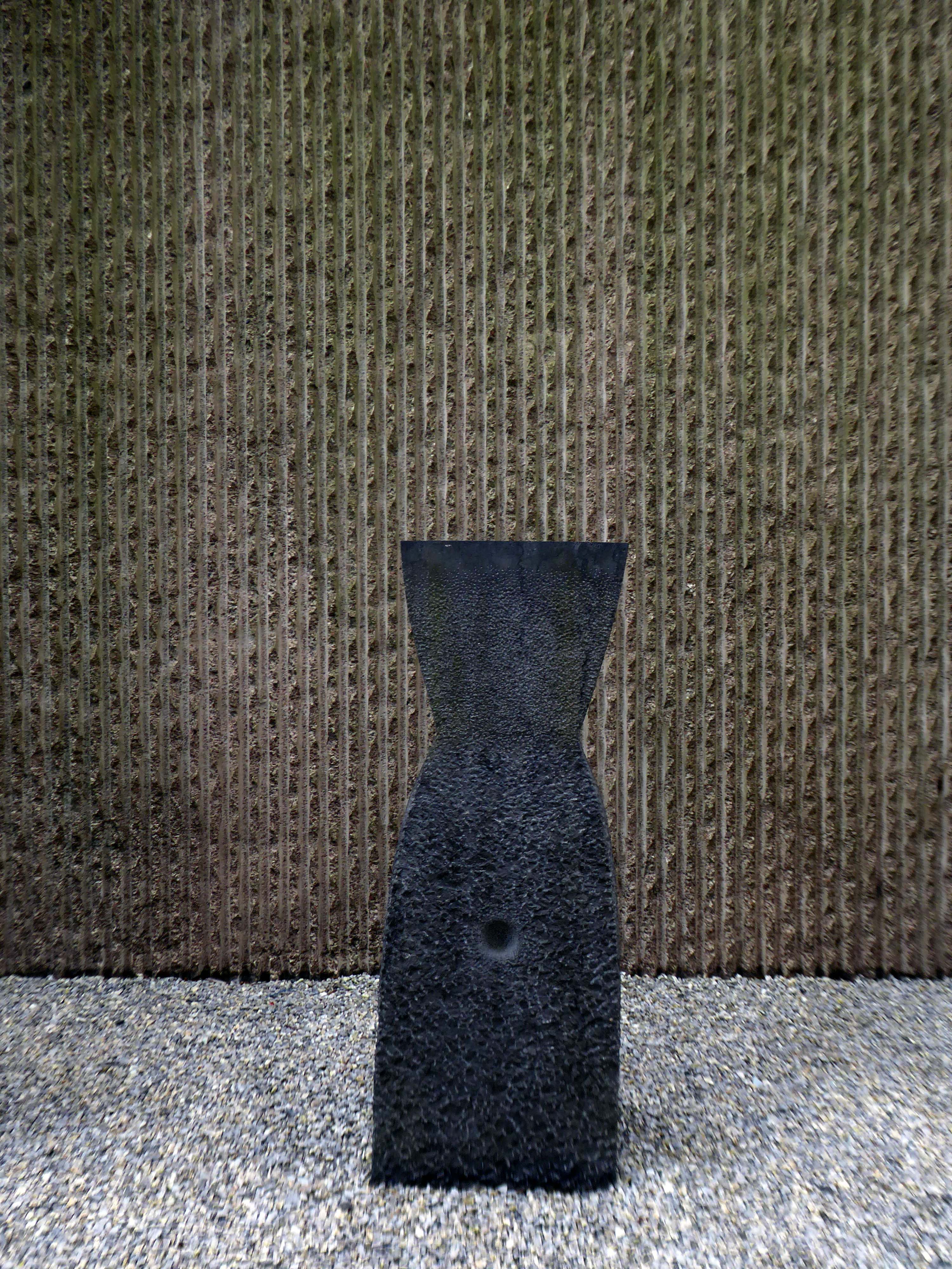
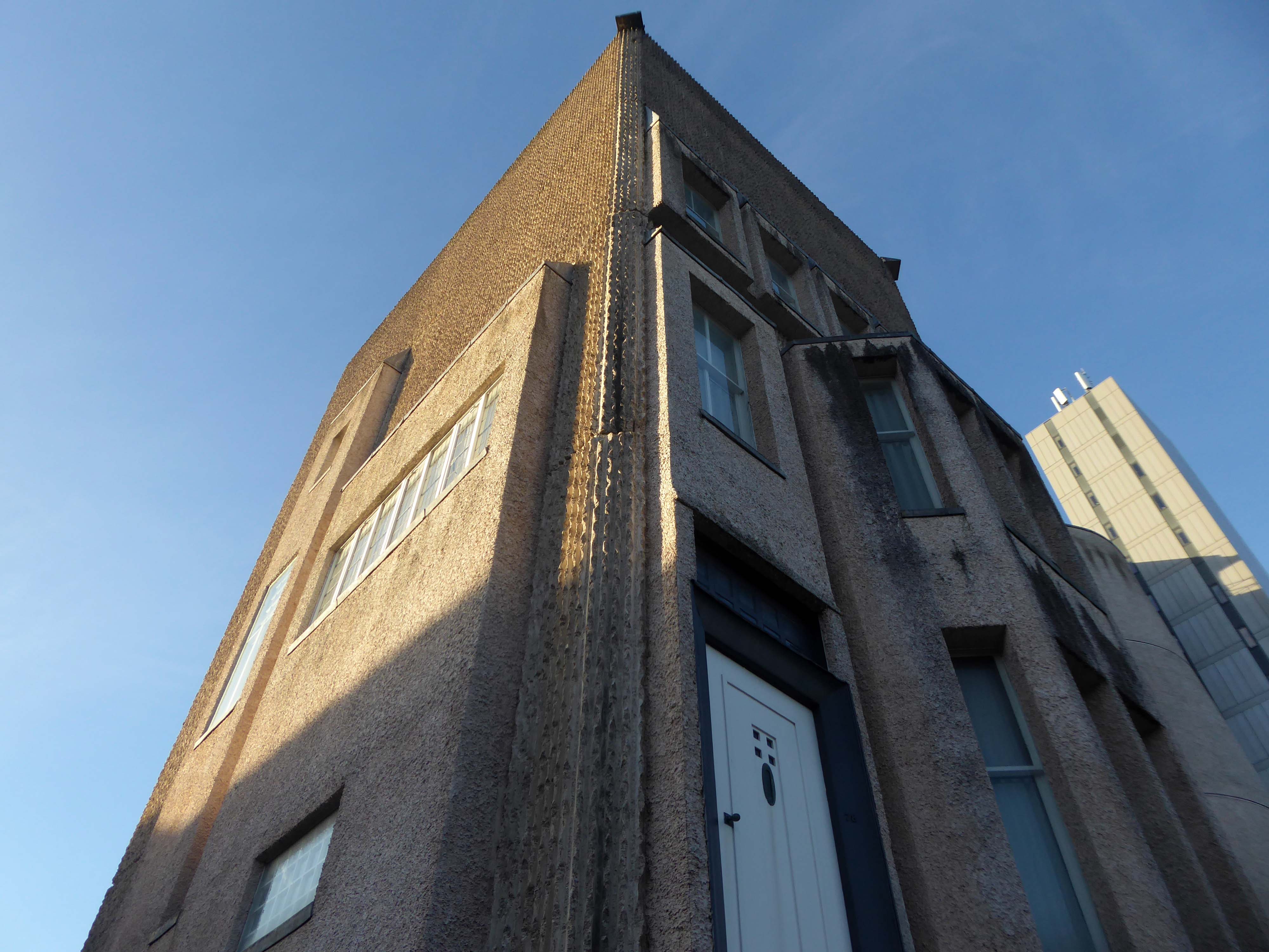
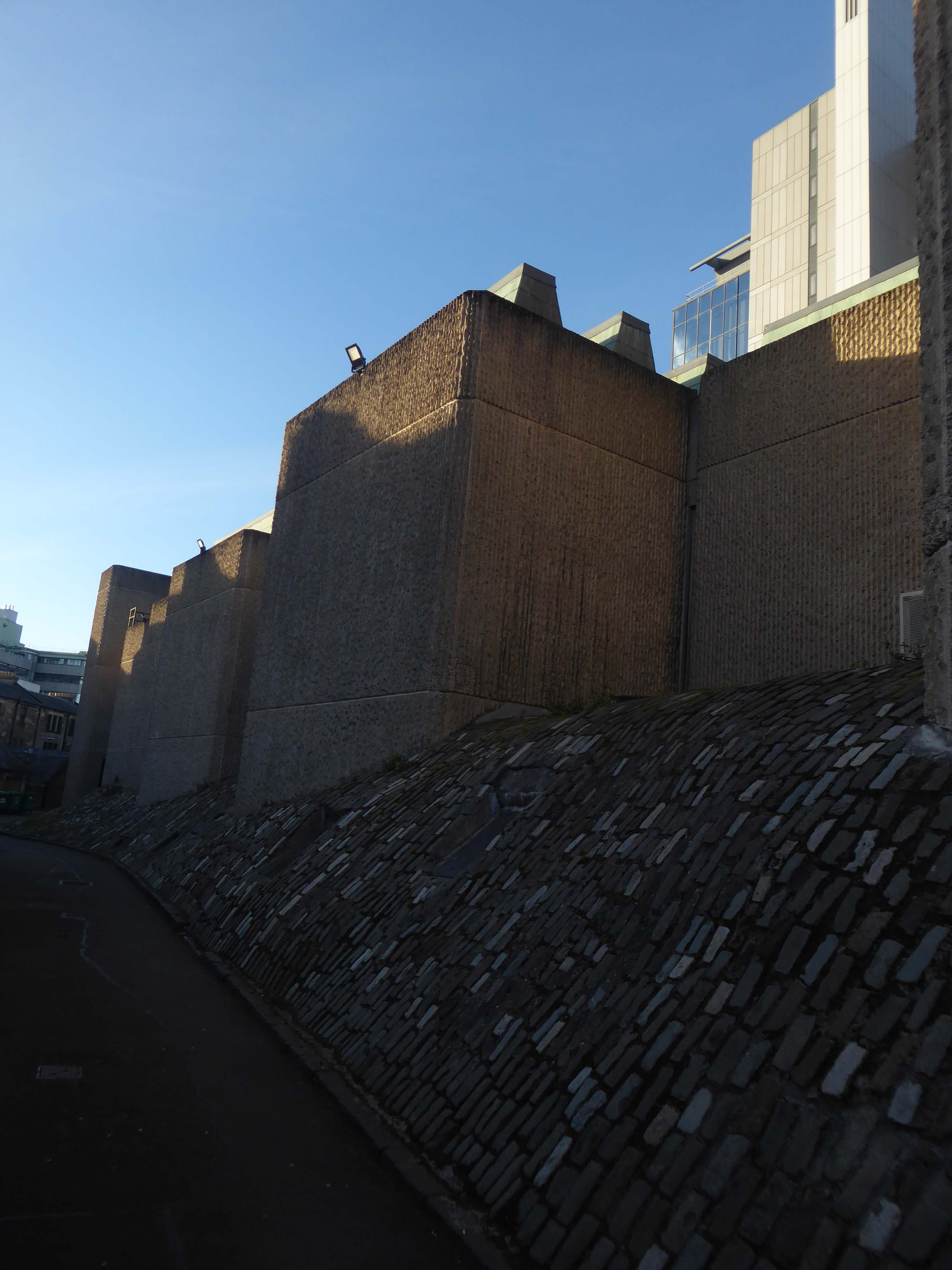
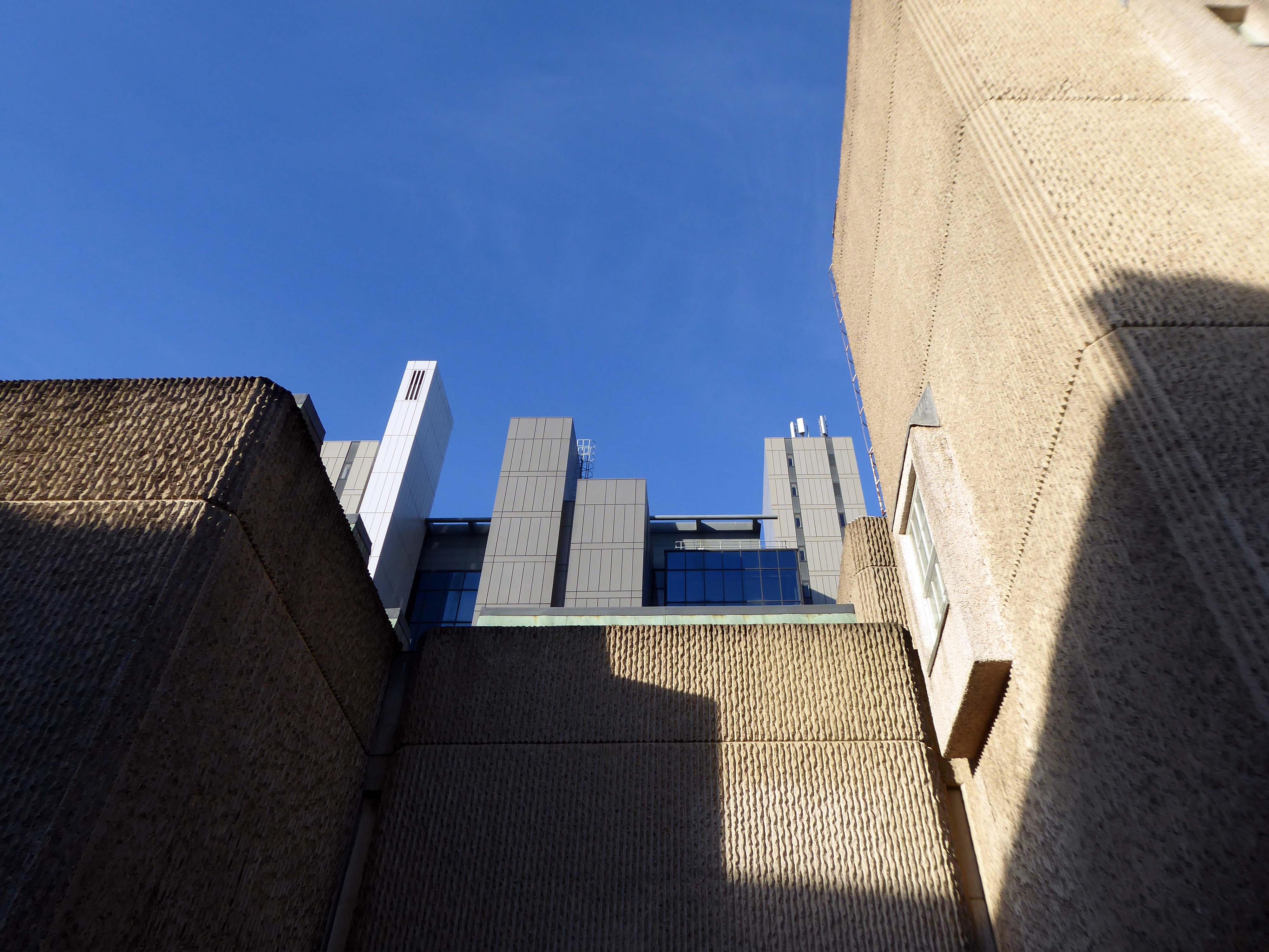
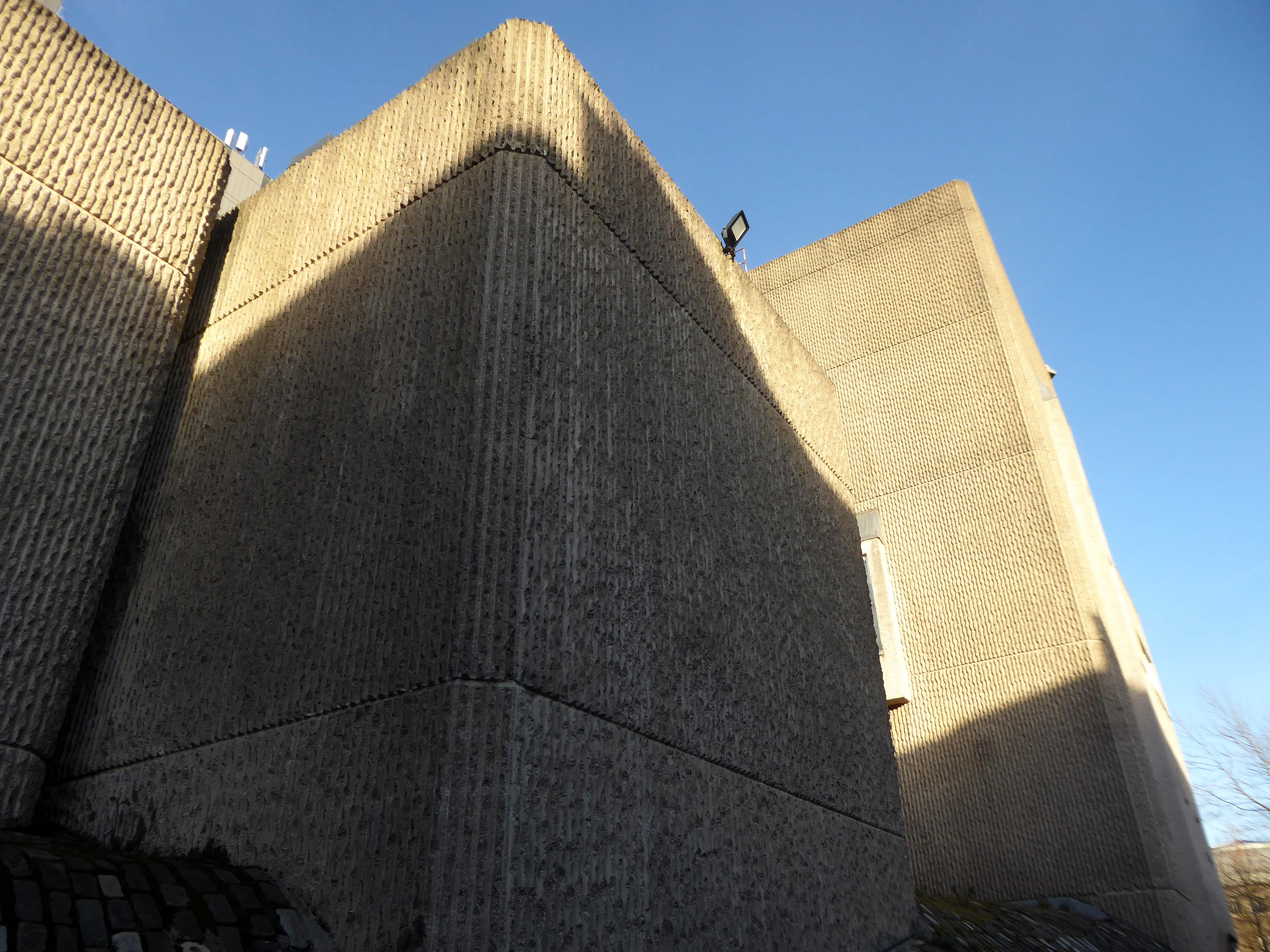
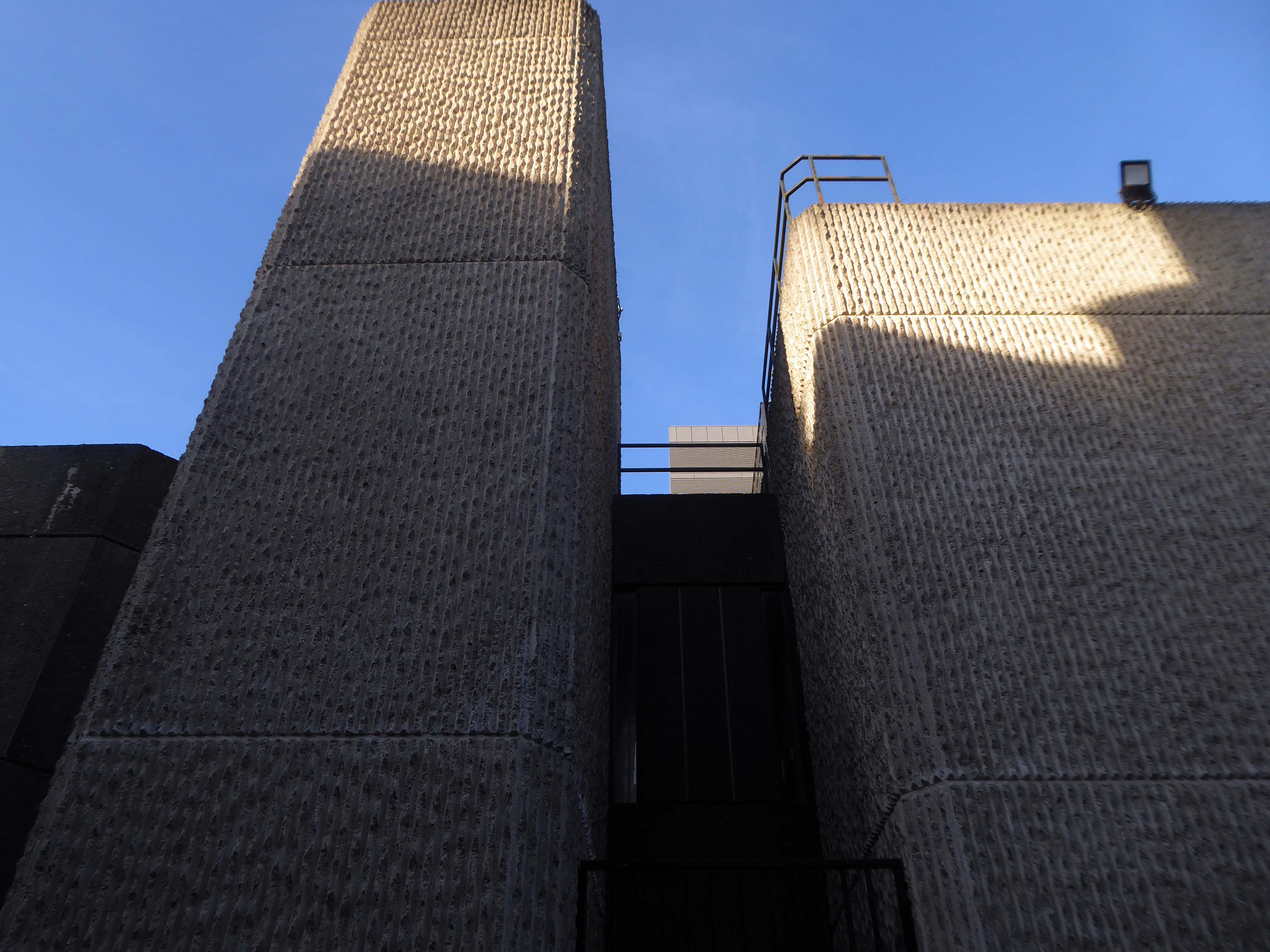
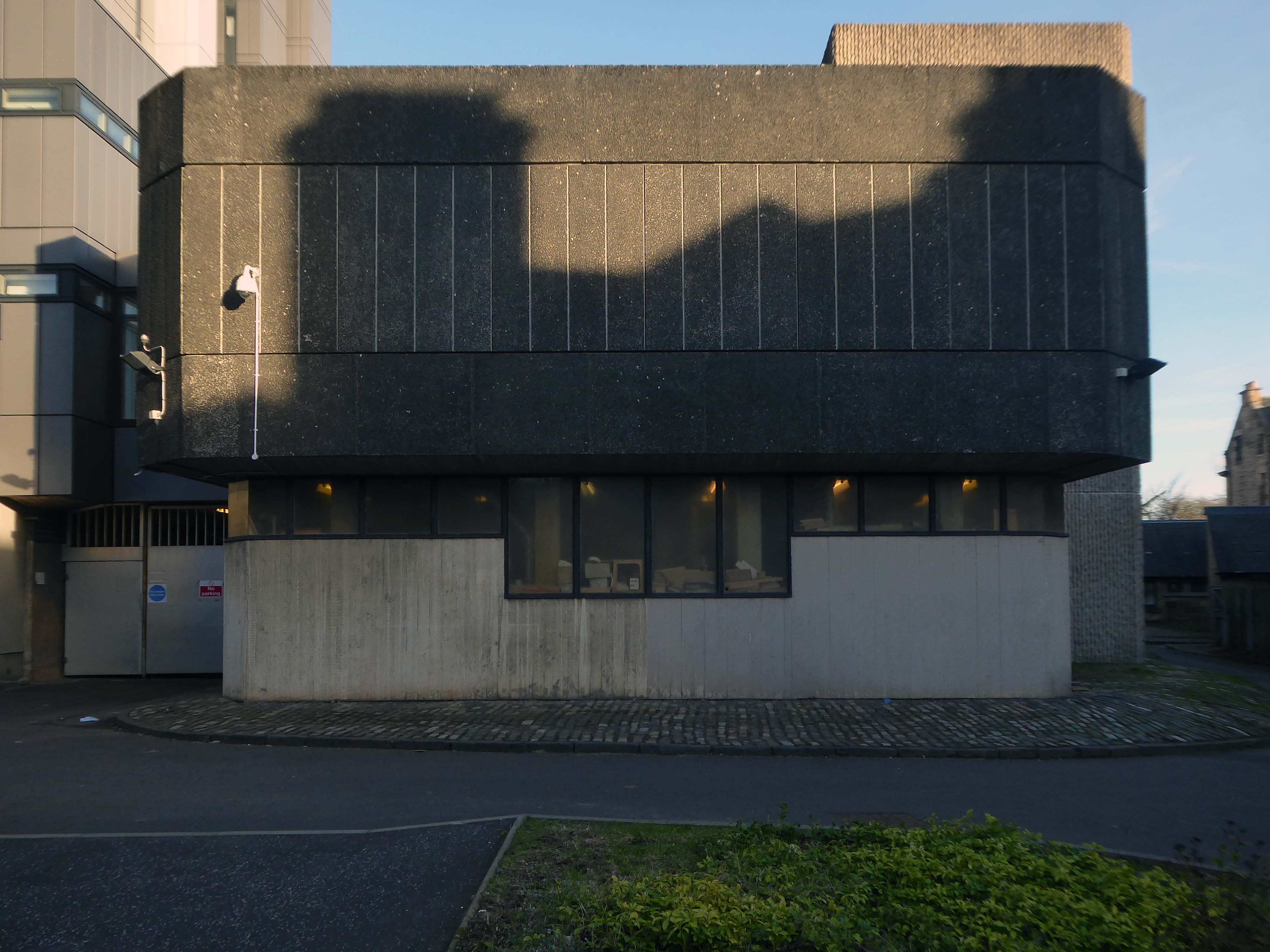
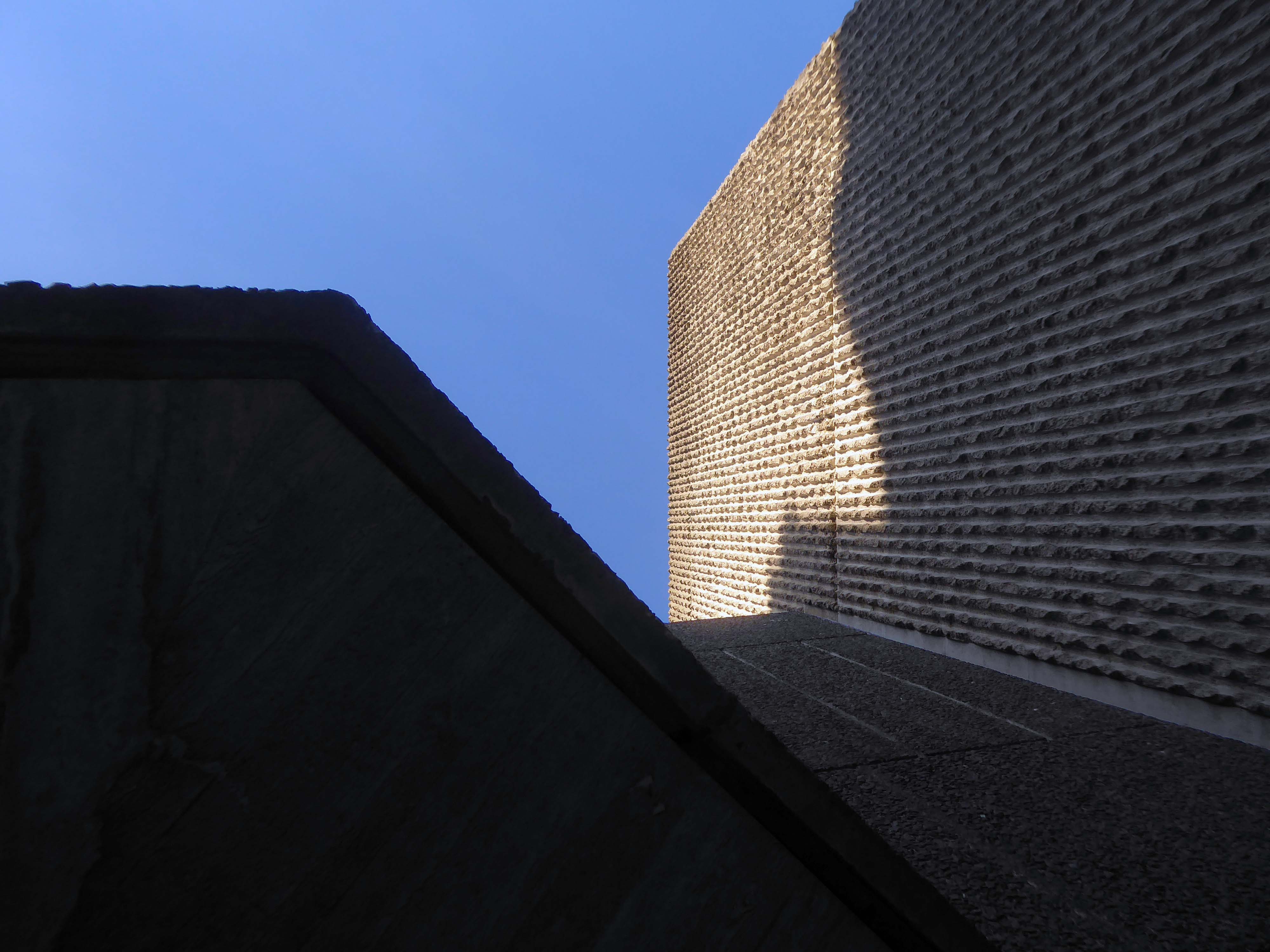
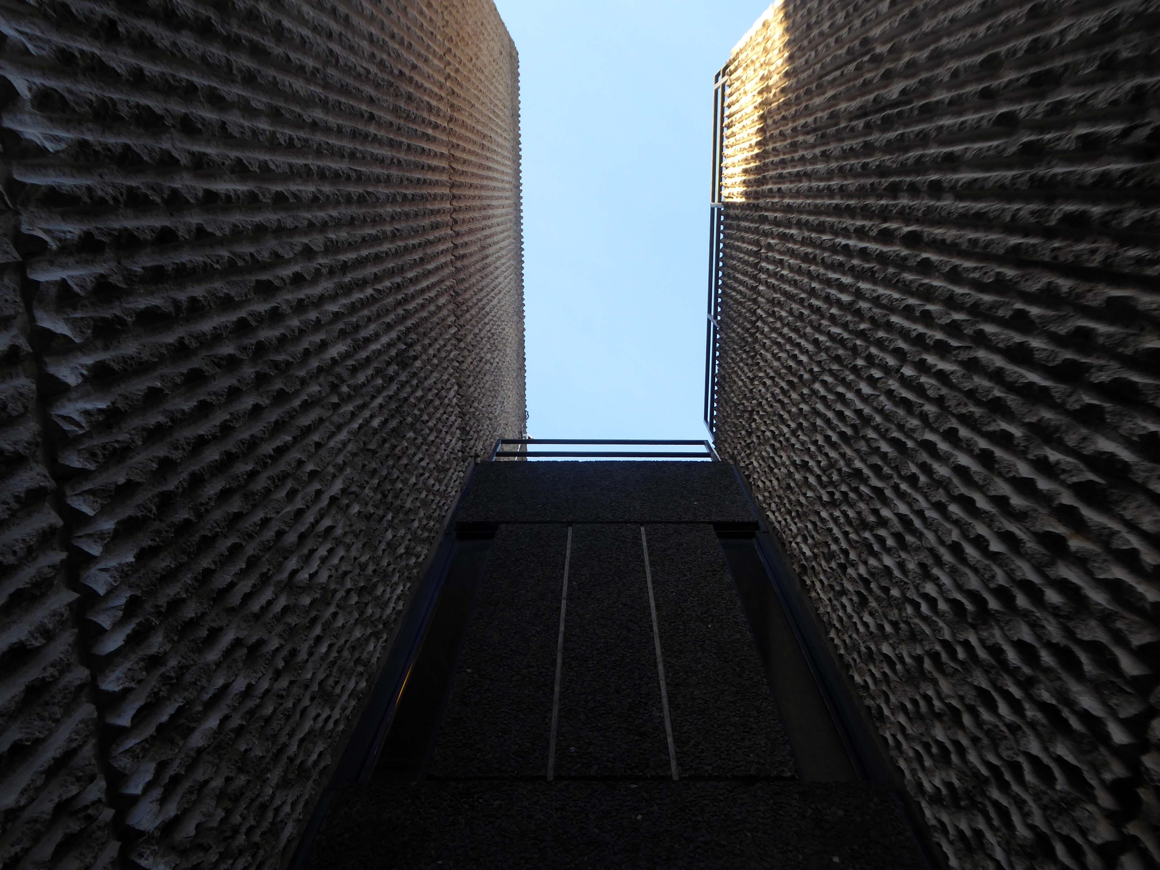
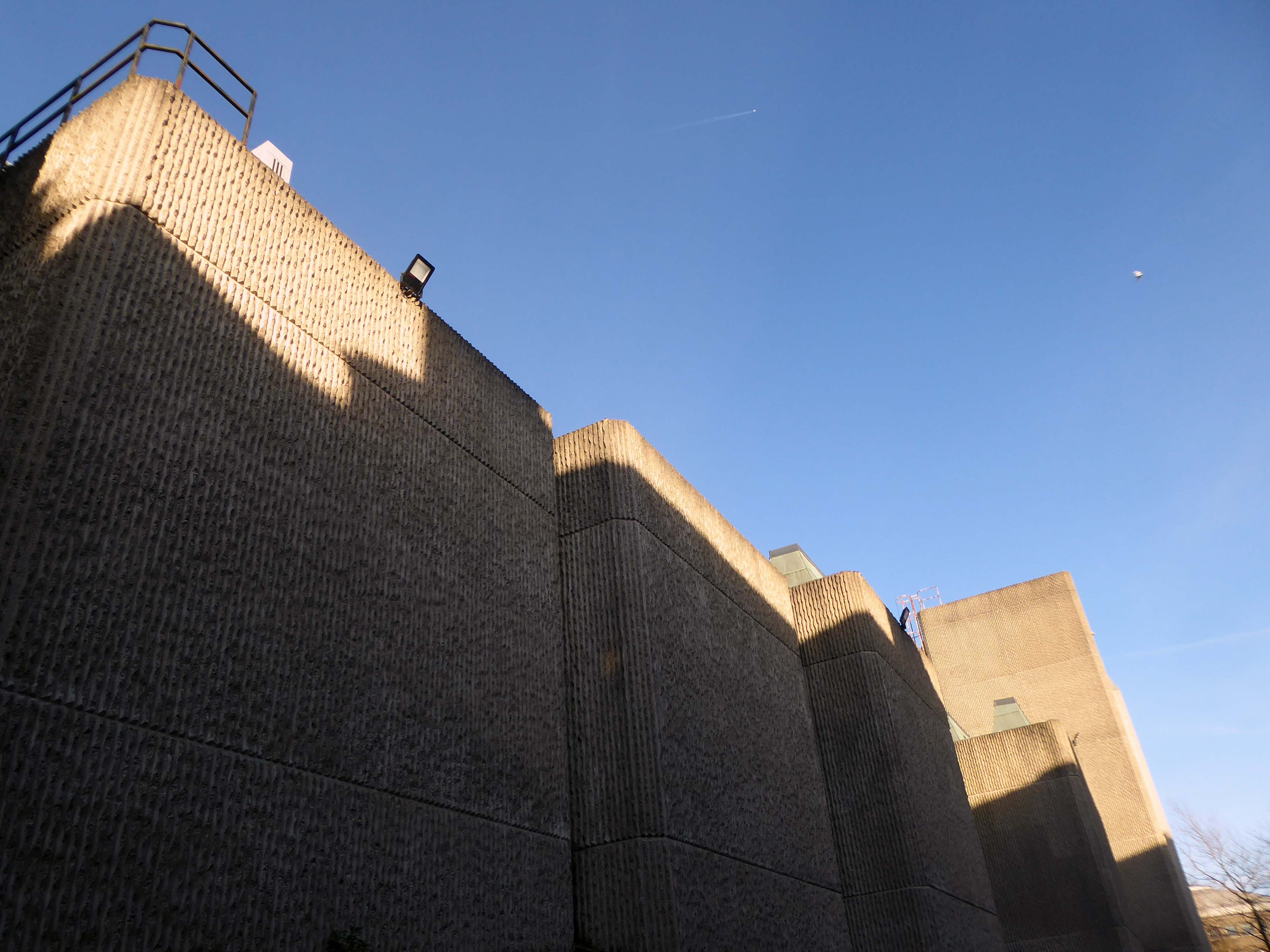
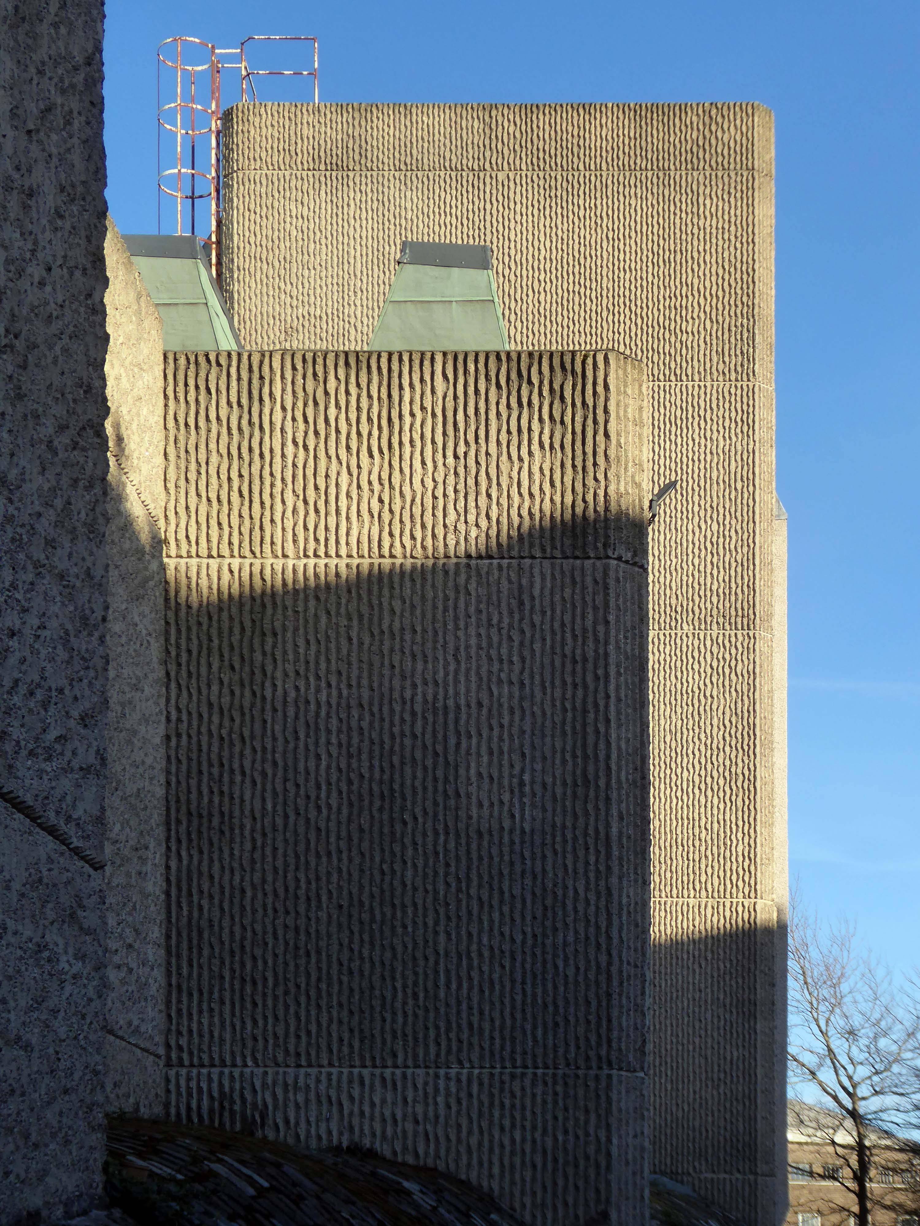
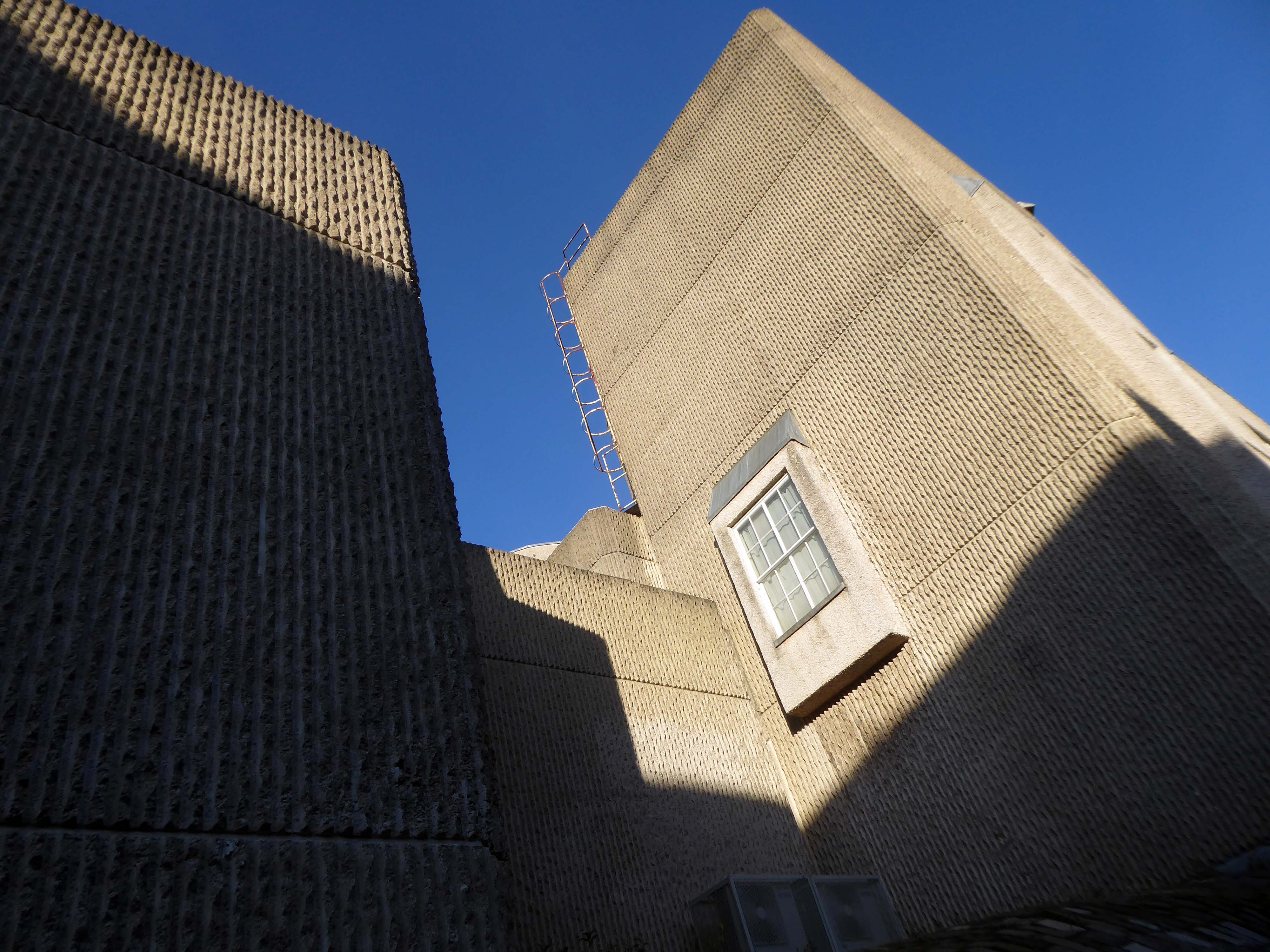
Three thirteen-storey slab blocks built as public housing using the Sectra industrialised building system. The blocks contain 183 dwellings in total, consisting of 72 one-bedroom flats and 111 two-bedroom flats. The blocks are of storiform construction clad with precast concrete panels. The panels are faced with exposed white Cornish aggregate. Spandrel panels set with black Shap granite aggregate are used under the gable kitchen windows. The blocks were designed by the Borough architect in association with Sydney Greenwood. Construction was approved by committee in 1966.
1987 view of Birley Street development, with Trinity Court in the foreground: Tower Block
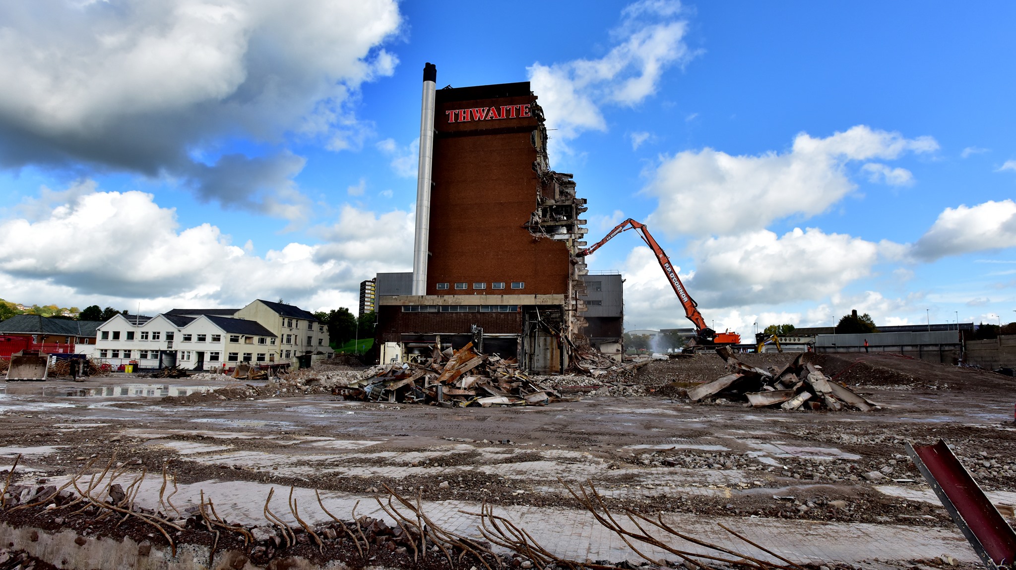
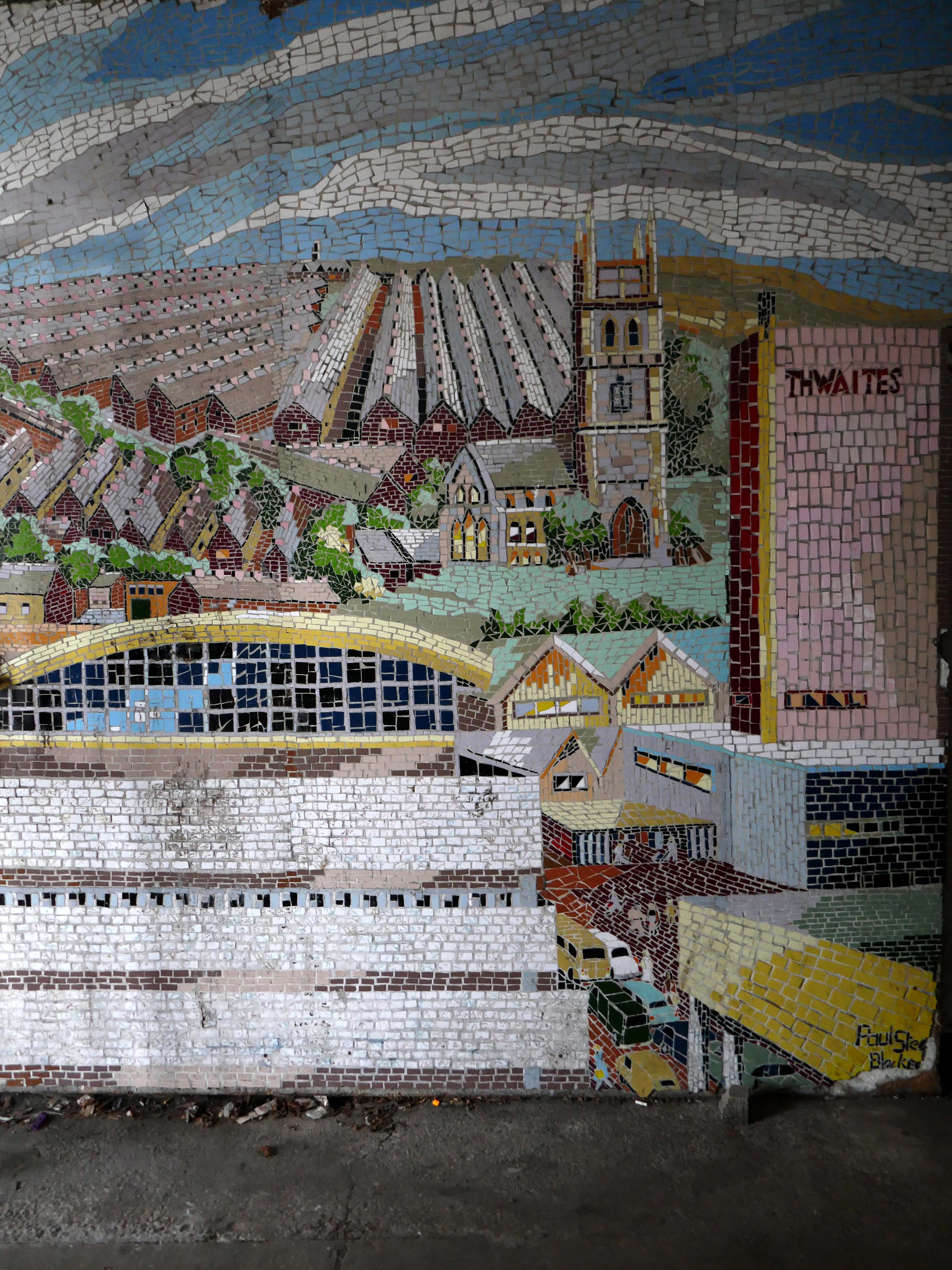
Back now into the centre – passing the now empty site of Thwaites Brewery, demolished in 2019.
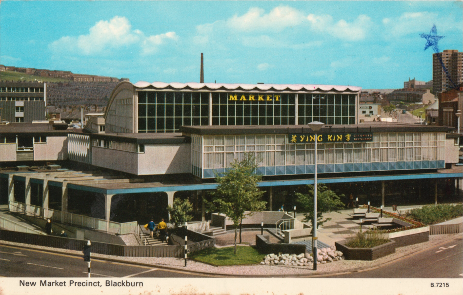
Also missing in action is the 1960’s Market Hall – architect Tom Brennan.
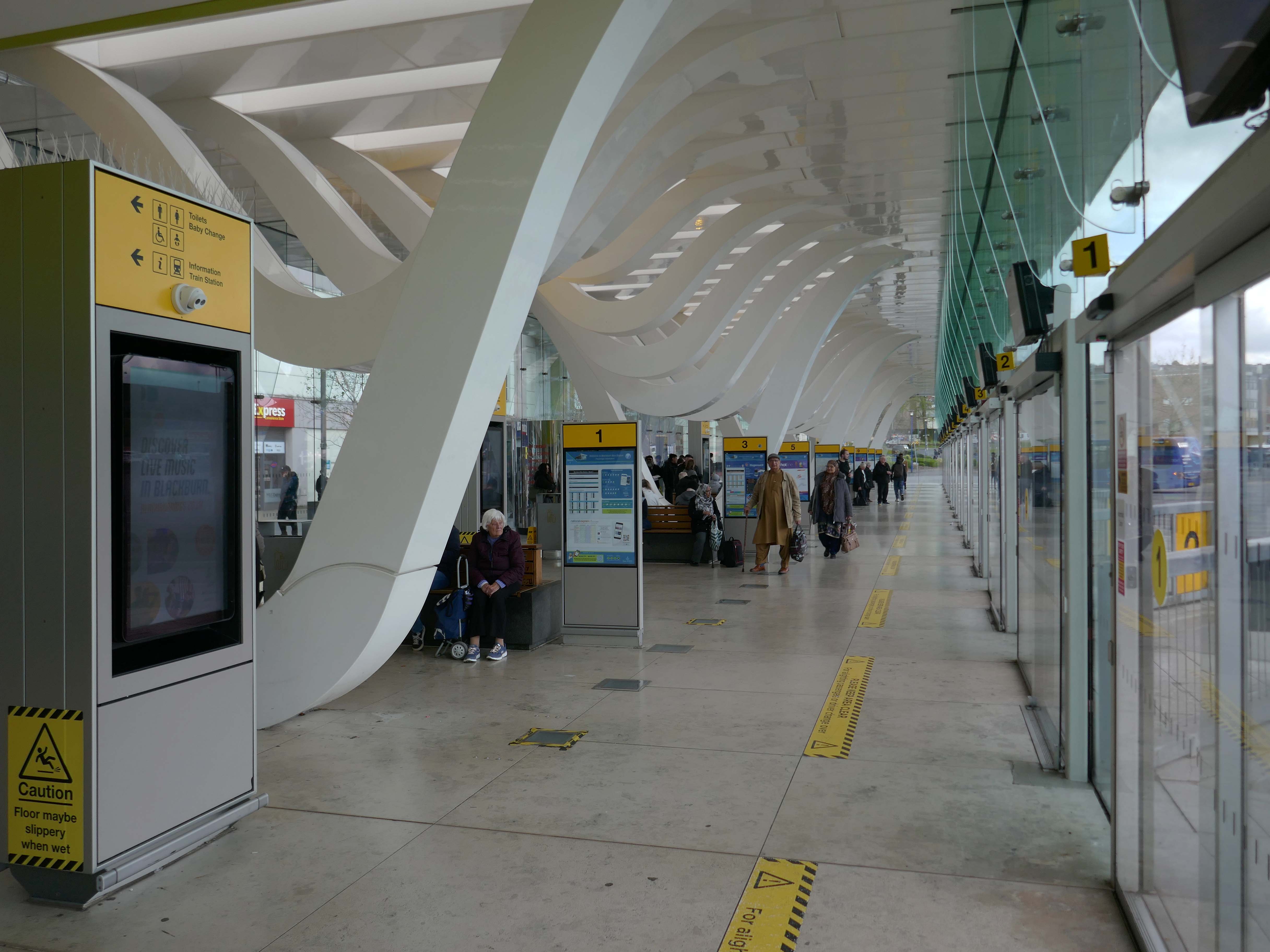
The new Bus Station designed by Capita Symonds – replacing the old bus station.
The outward facing elements of the building are flat and orthogonal. In contrast, the underside of the canopy is free flowing and consists of a number of glazed slots cut in the canopy to allow daylight to penetrate onto the concourse area. Directly below each of the slots is a hanging loop which appears to be pulled down from the canopy to reveal a glazed opening. The composition of these draws inspiration from the cotton weaving looms, and drying cotton bundles, a reference to the town’s industrial past.
There are four loop types (A, B, C & D) which are arranged to alter the scale of the concourse and create a rhythm of peaks and troughs along its length. Loop A is designed to provide support to the whole canopy allowing the canopy to appear as one floating unified element.
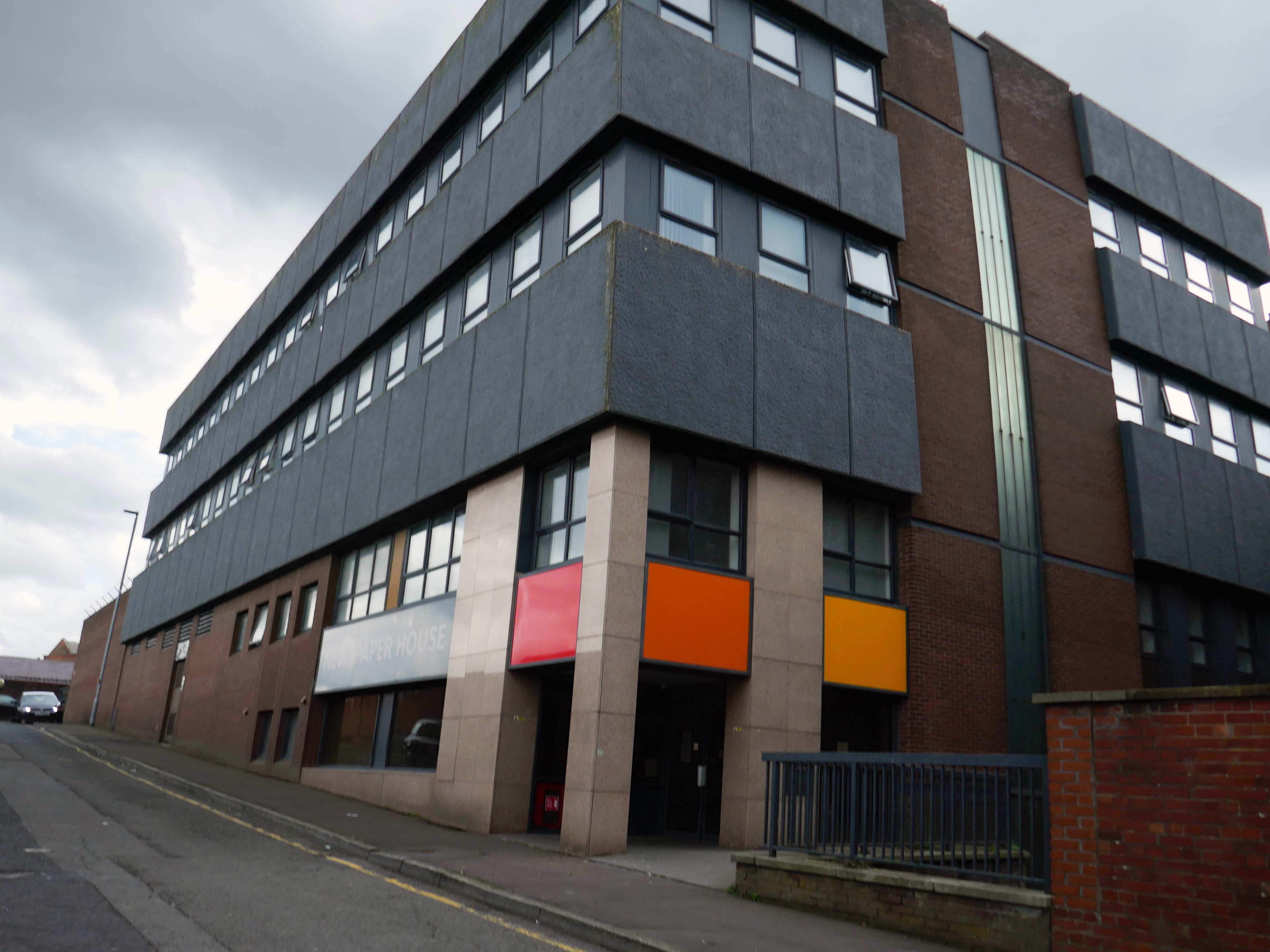
Newspaper House – once the home to the LancashireTelegraph, converted to apartments in 2017.
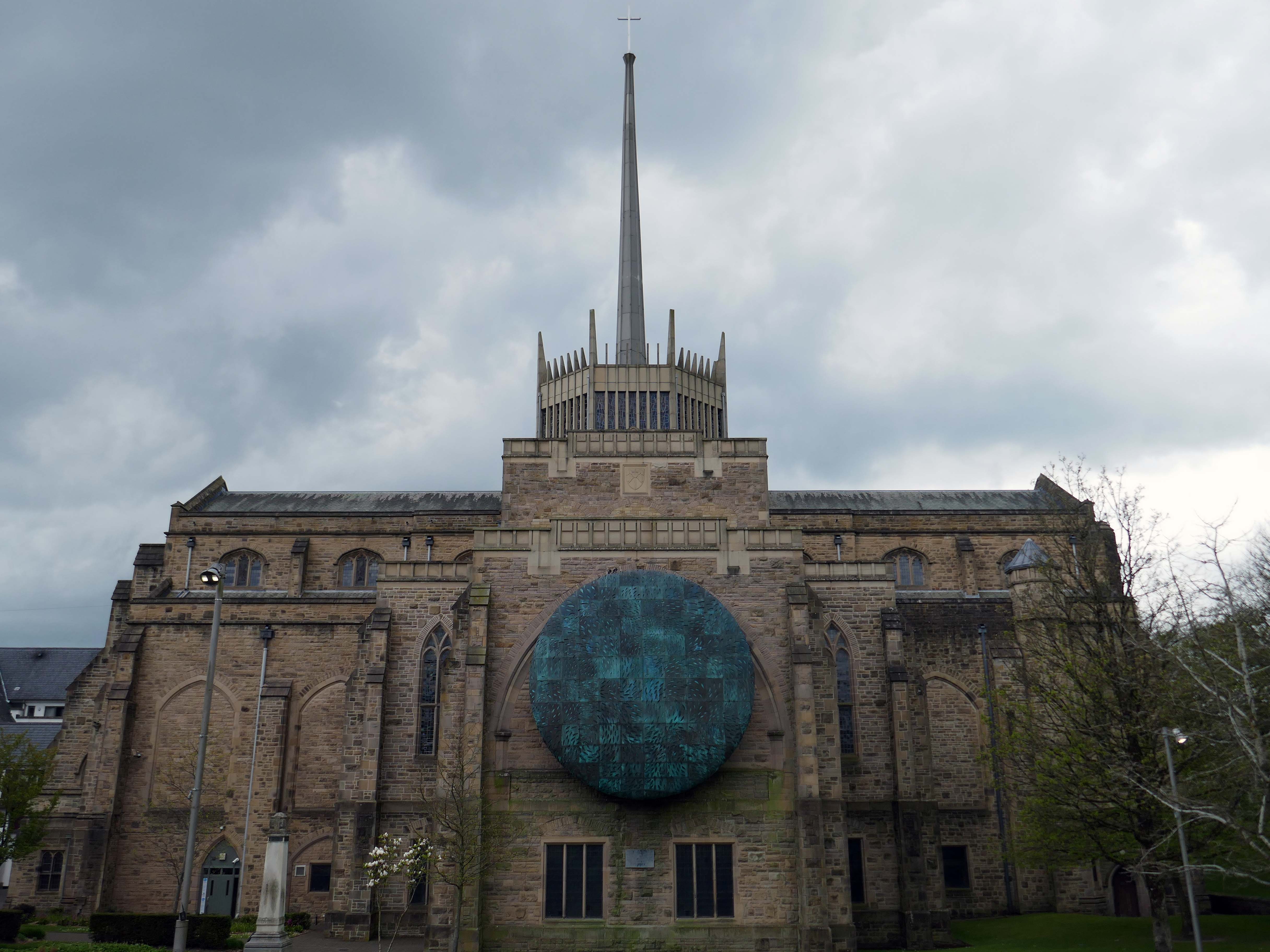
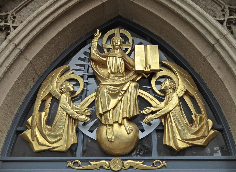
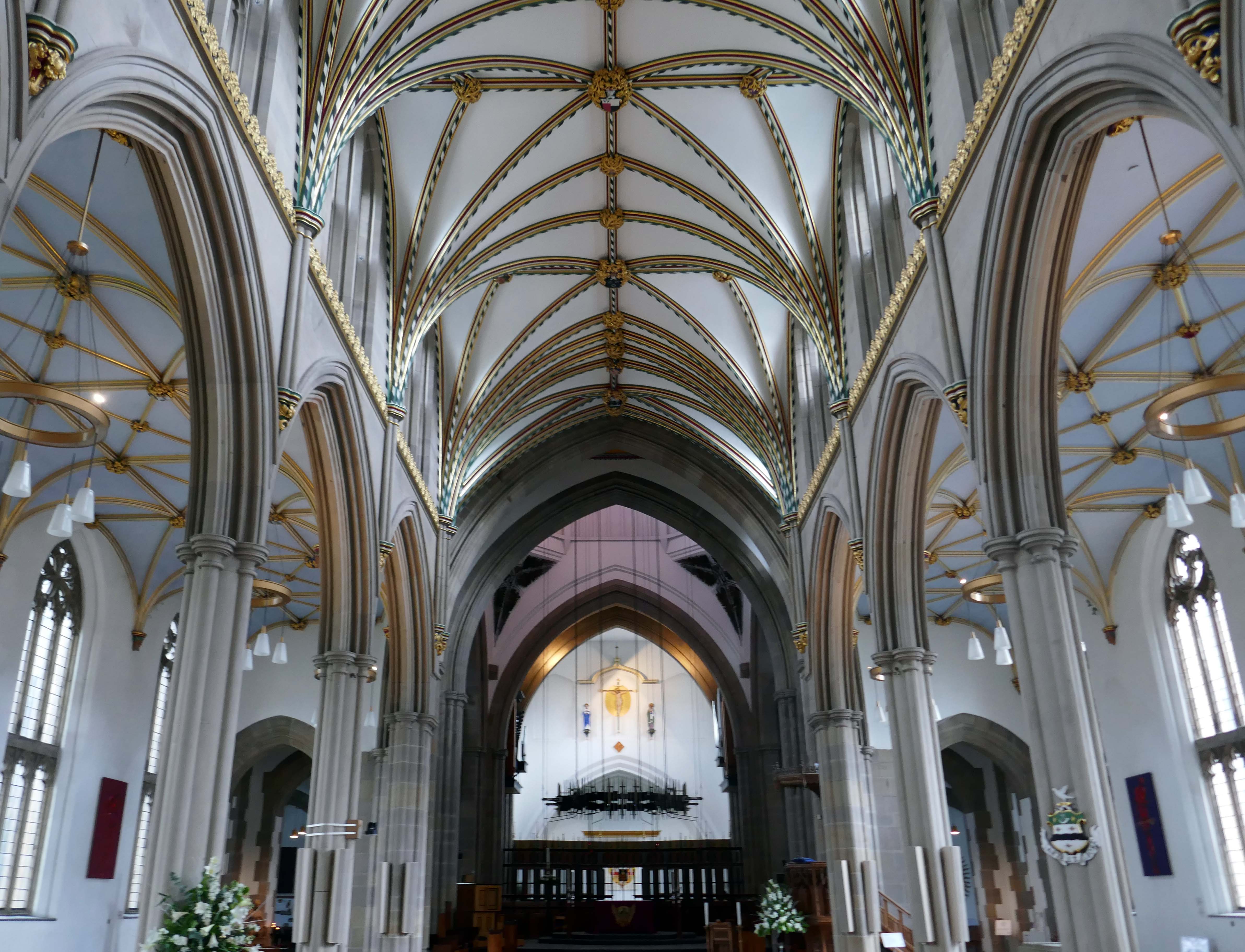
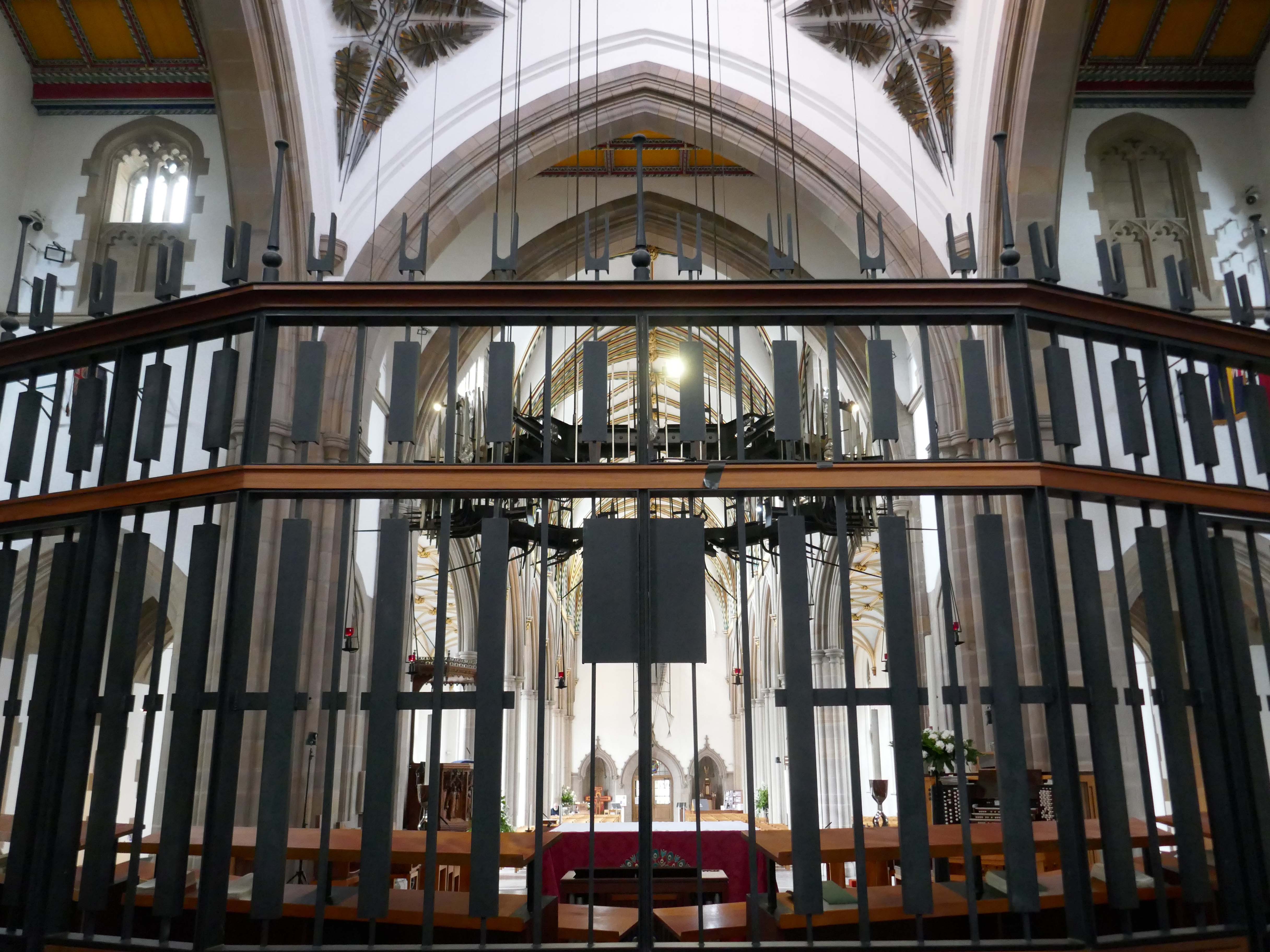
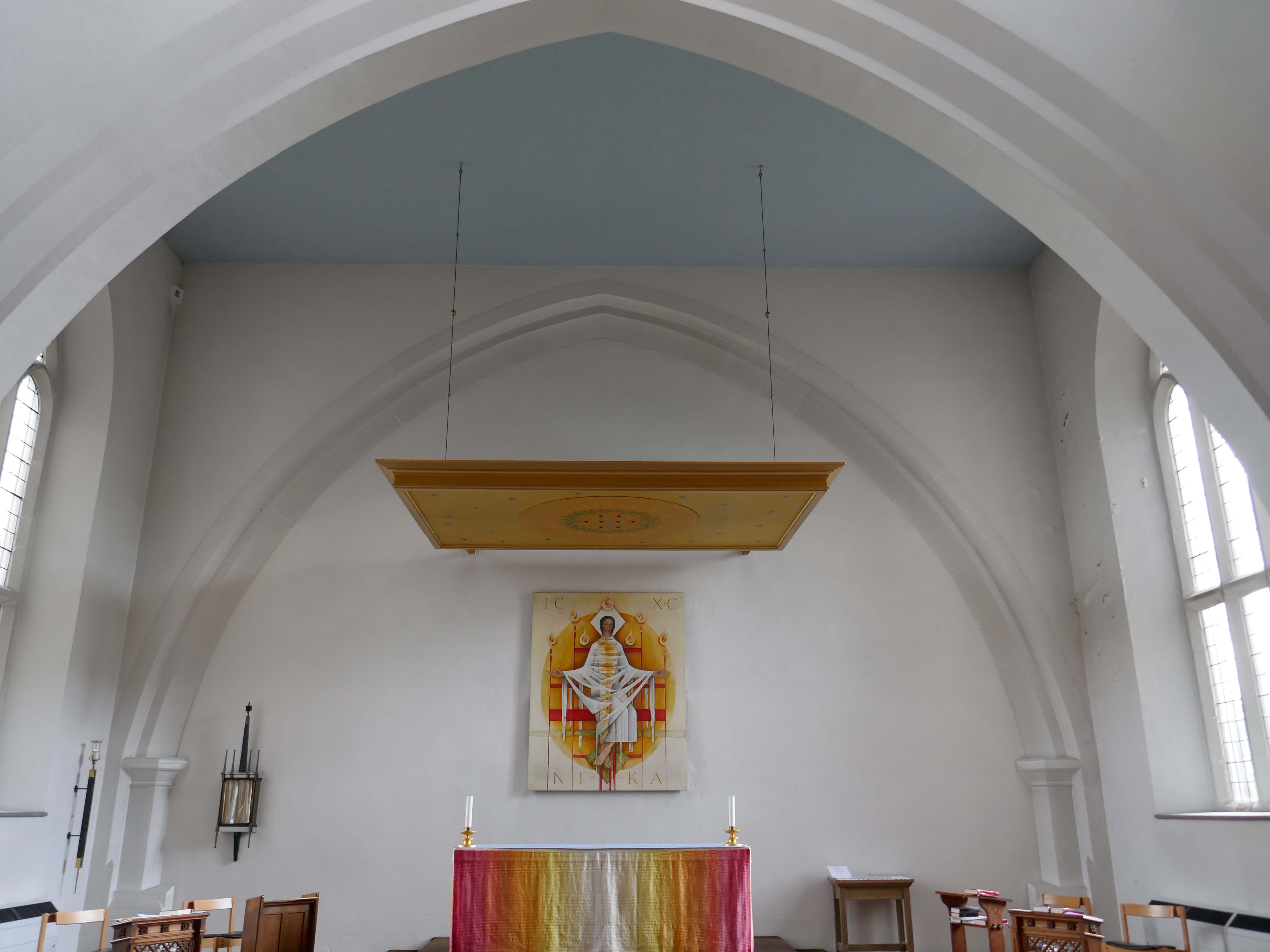
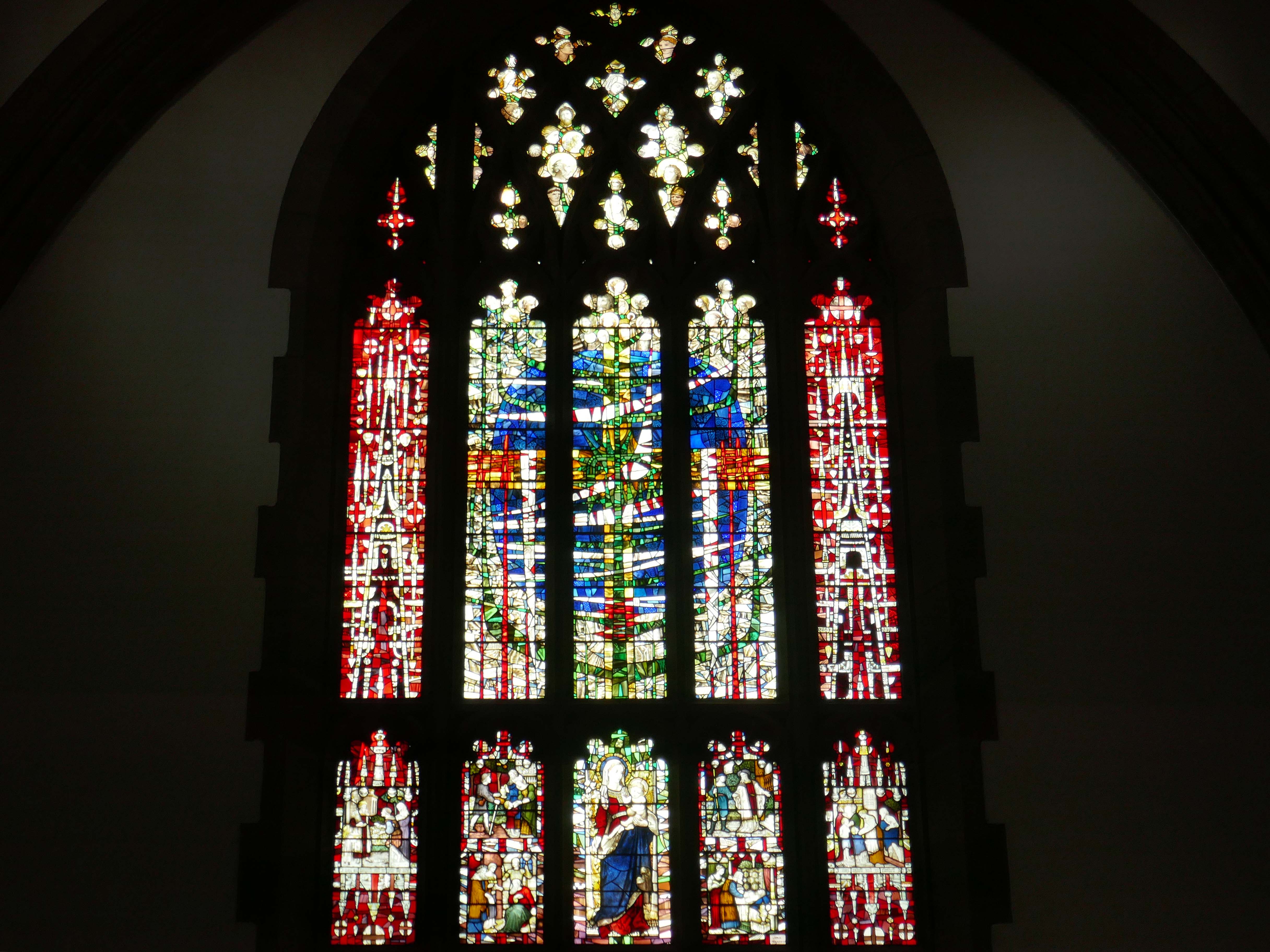
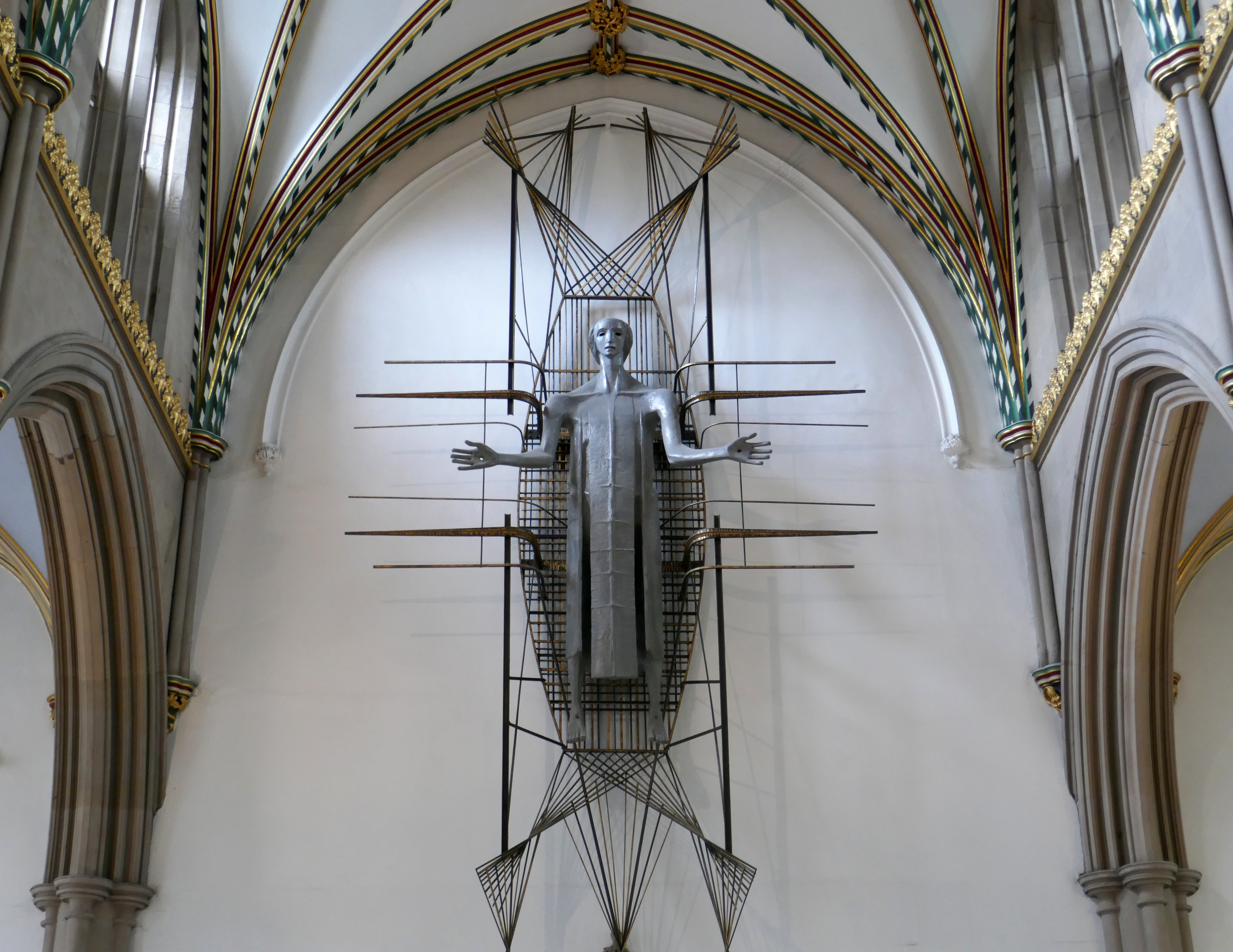
Finally to the Garde II* listed BlackburnCathedralchurch – since 1926, formerly parish church, 1820-6 by John Palmer of Manchester.
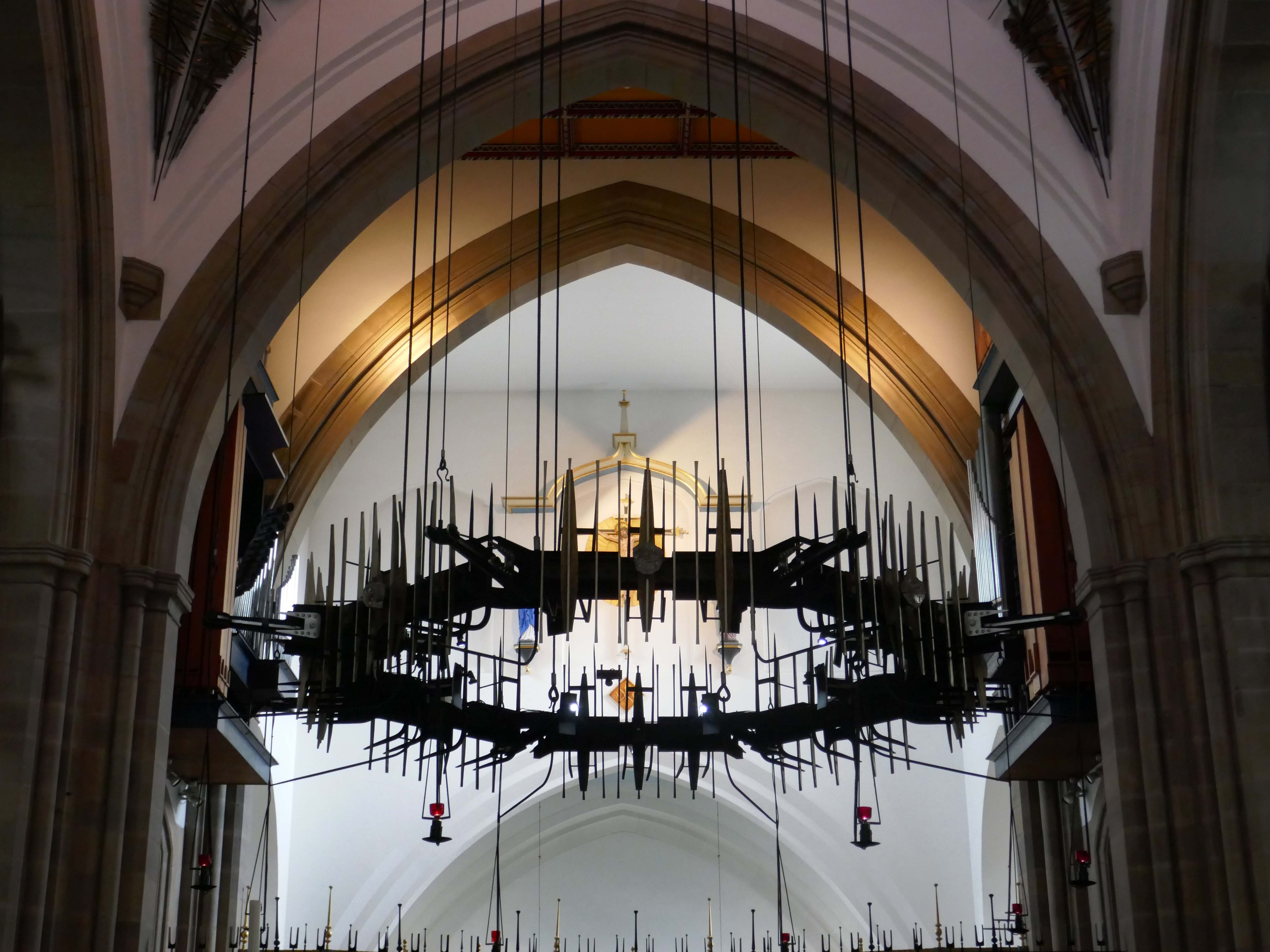
Central concrete corona by Lawrence King 1961 – it was rebuilt in stone by Brian Lowe in 1998.
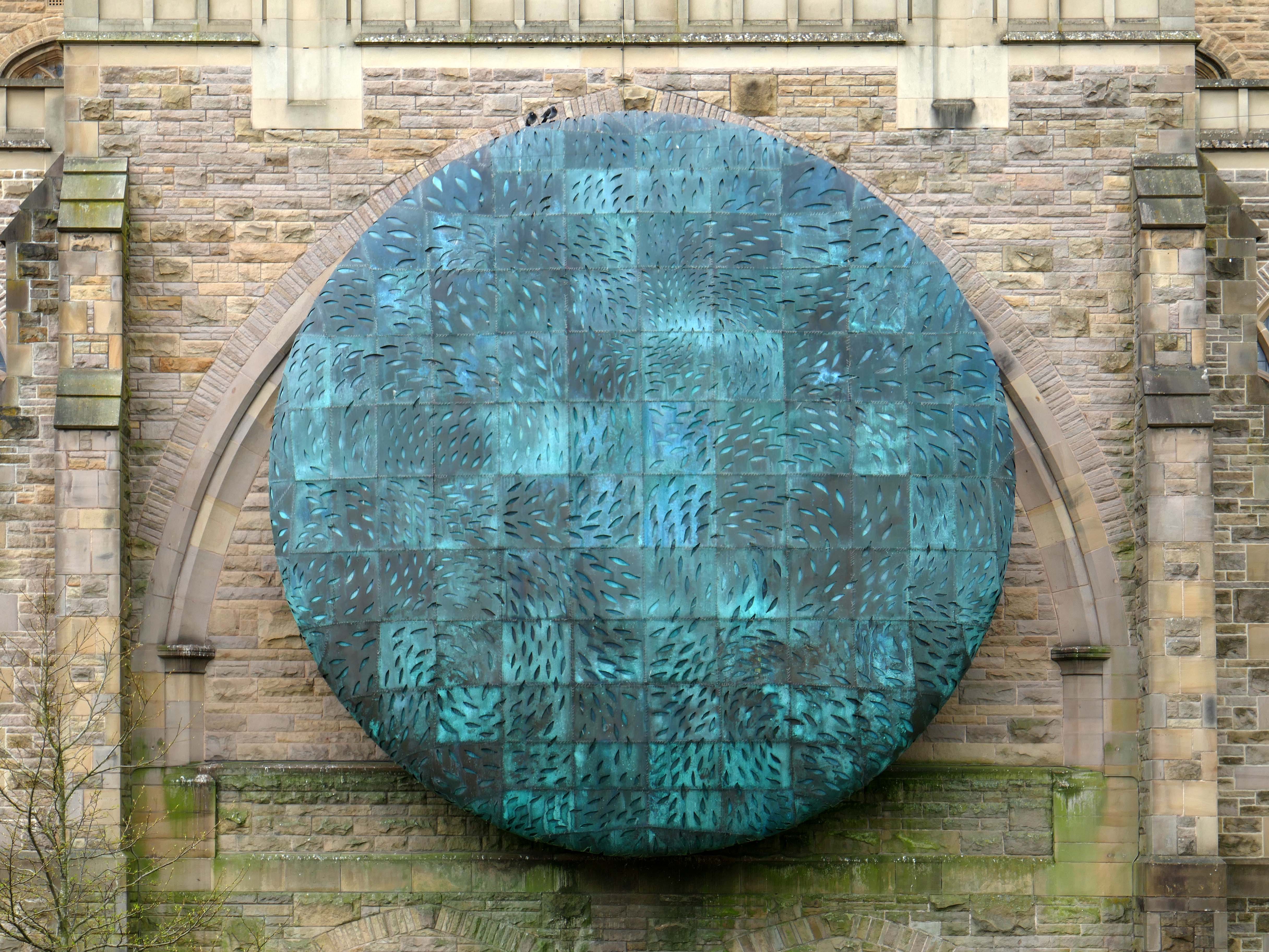
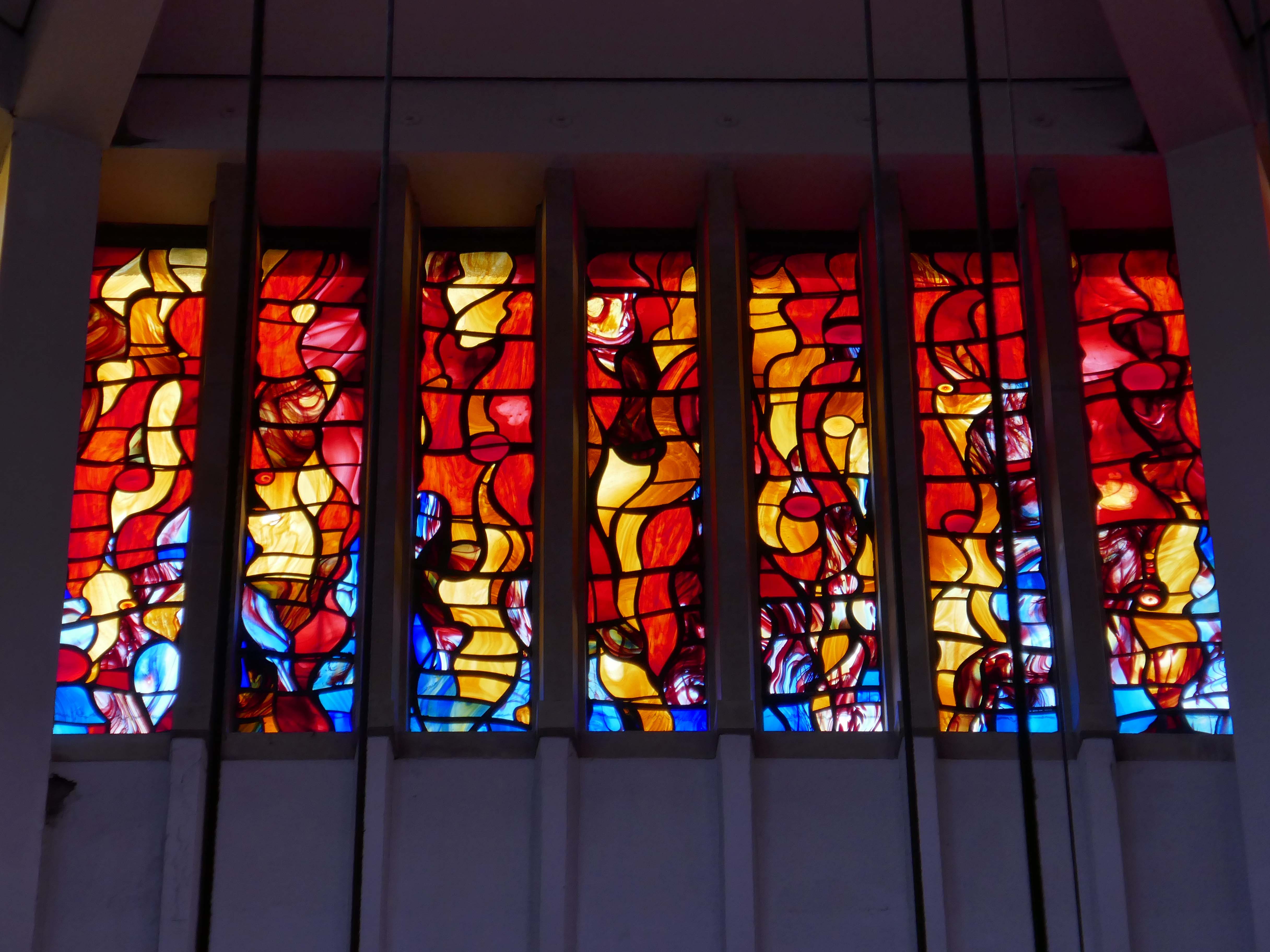
The Healing of Nations in steel and copper by Mark Jalland 2001.
It is a reflection on the opening of chapter 22 of the book of Revelation, new Jerusalem, and ‘the leaves of the tree are for the healing of the nations’.
Traditionally a stained-glass window at the east end of a cathedral would reflect a spectrum of light into the building but this sculpture projects the light out in a kaleidoscope of colour reminding us of Jesus the light of the world and the hope that we have in him.
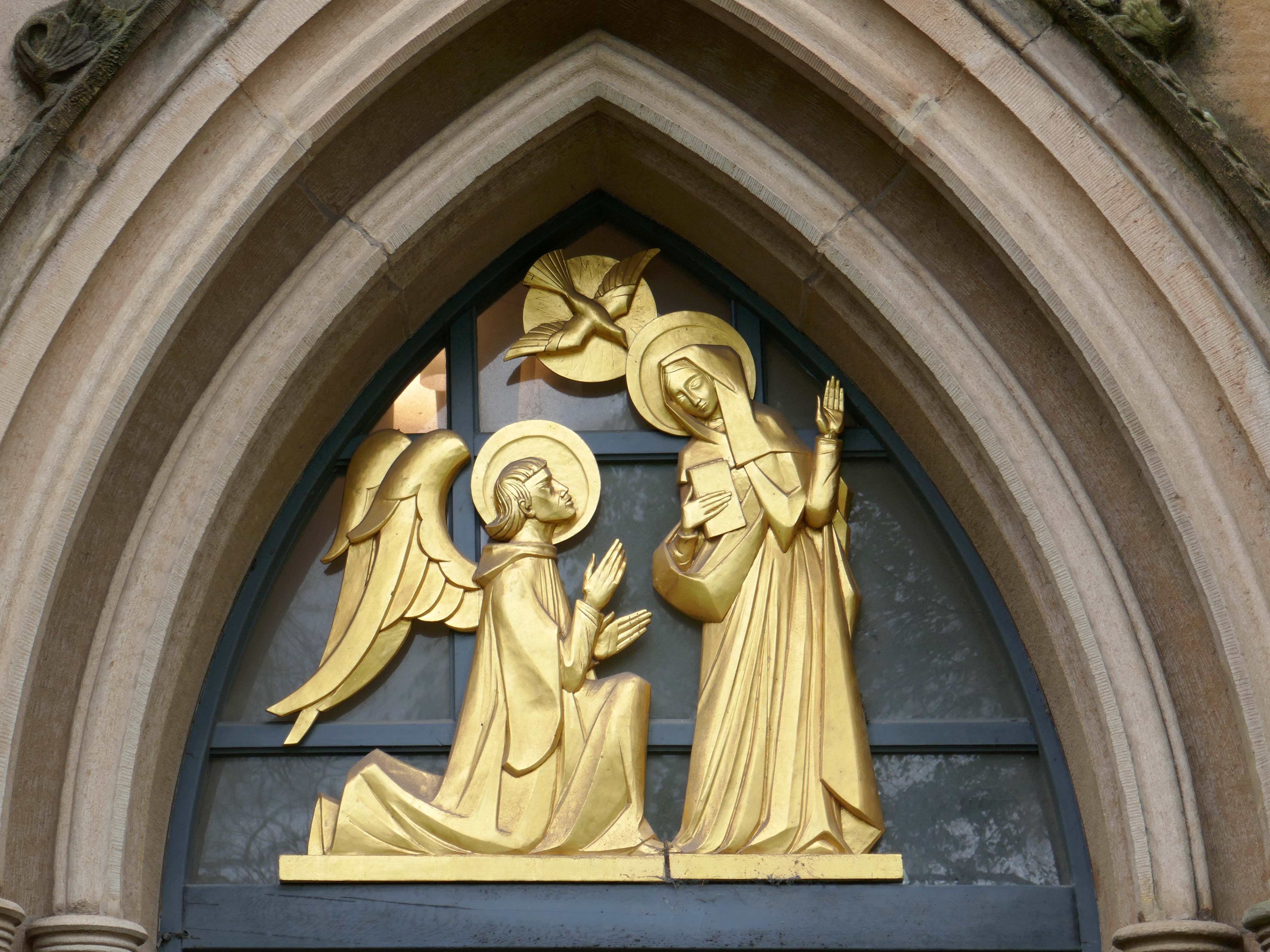
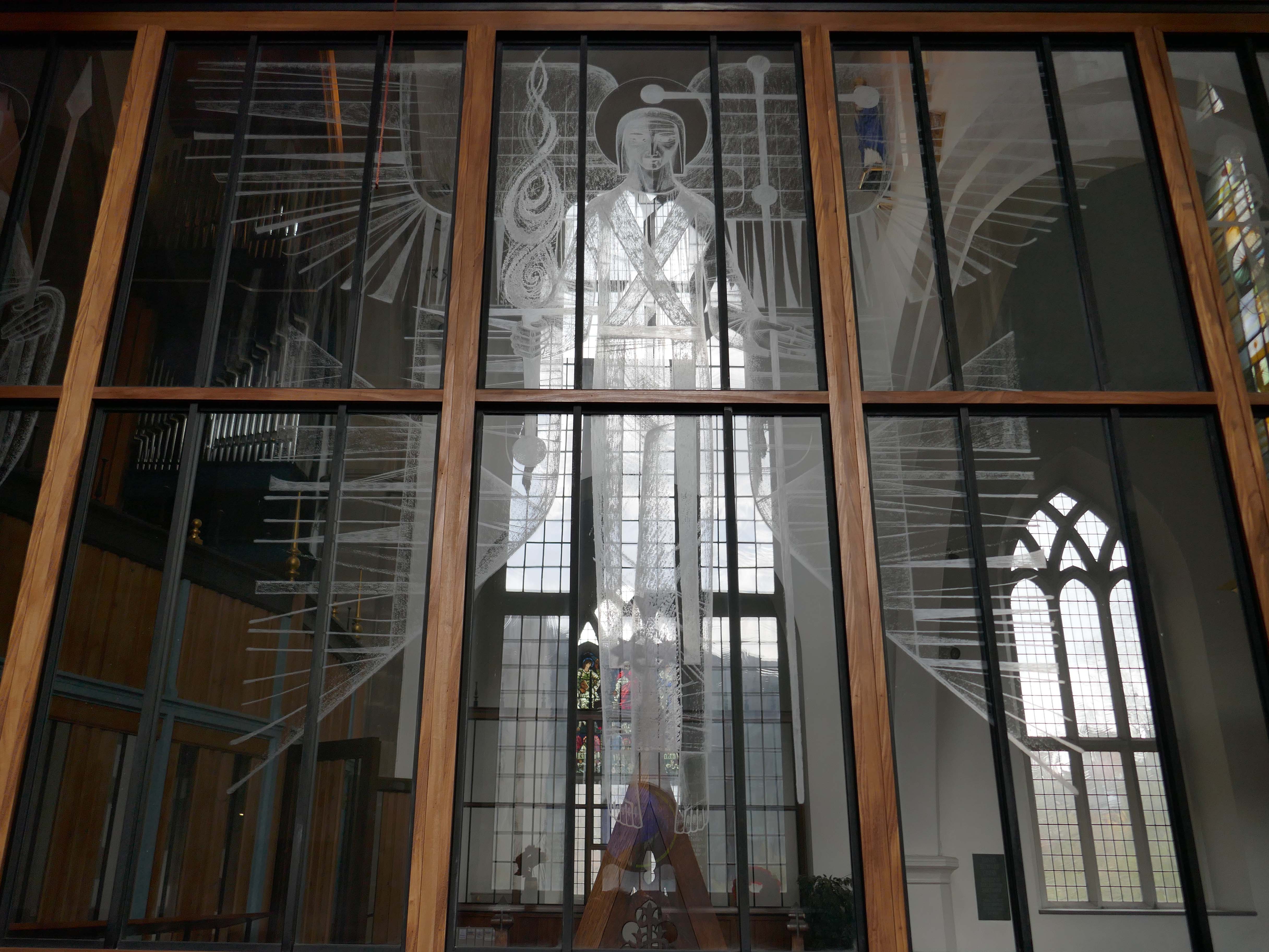
Annunciation and Christ in Majesty sculptures by Siegfried Pietsch 1965.
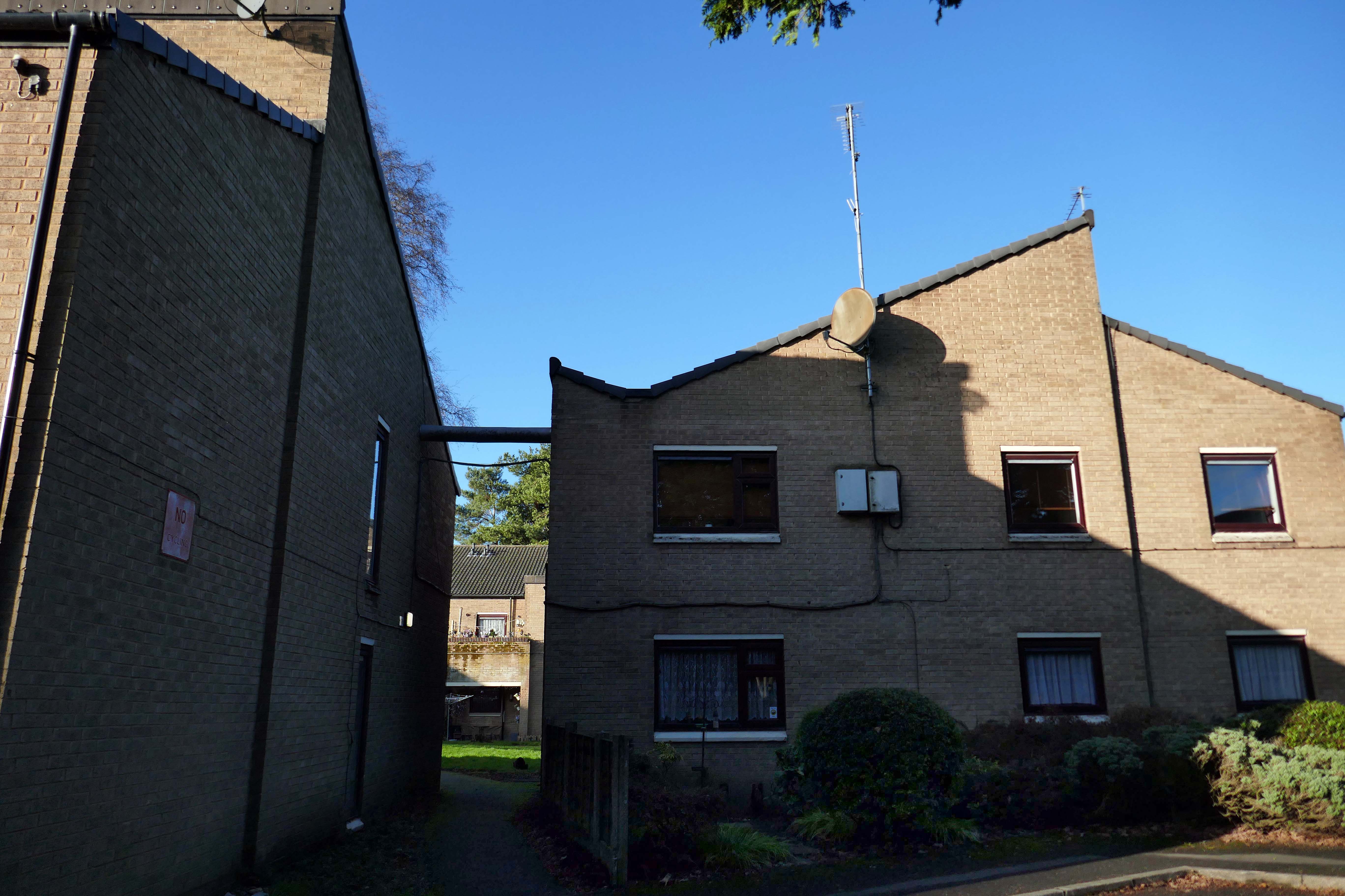
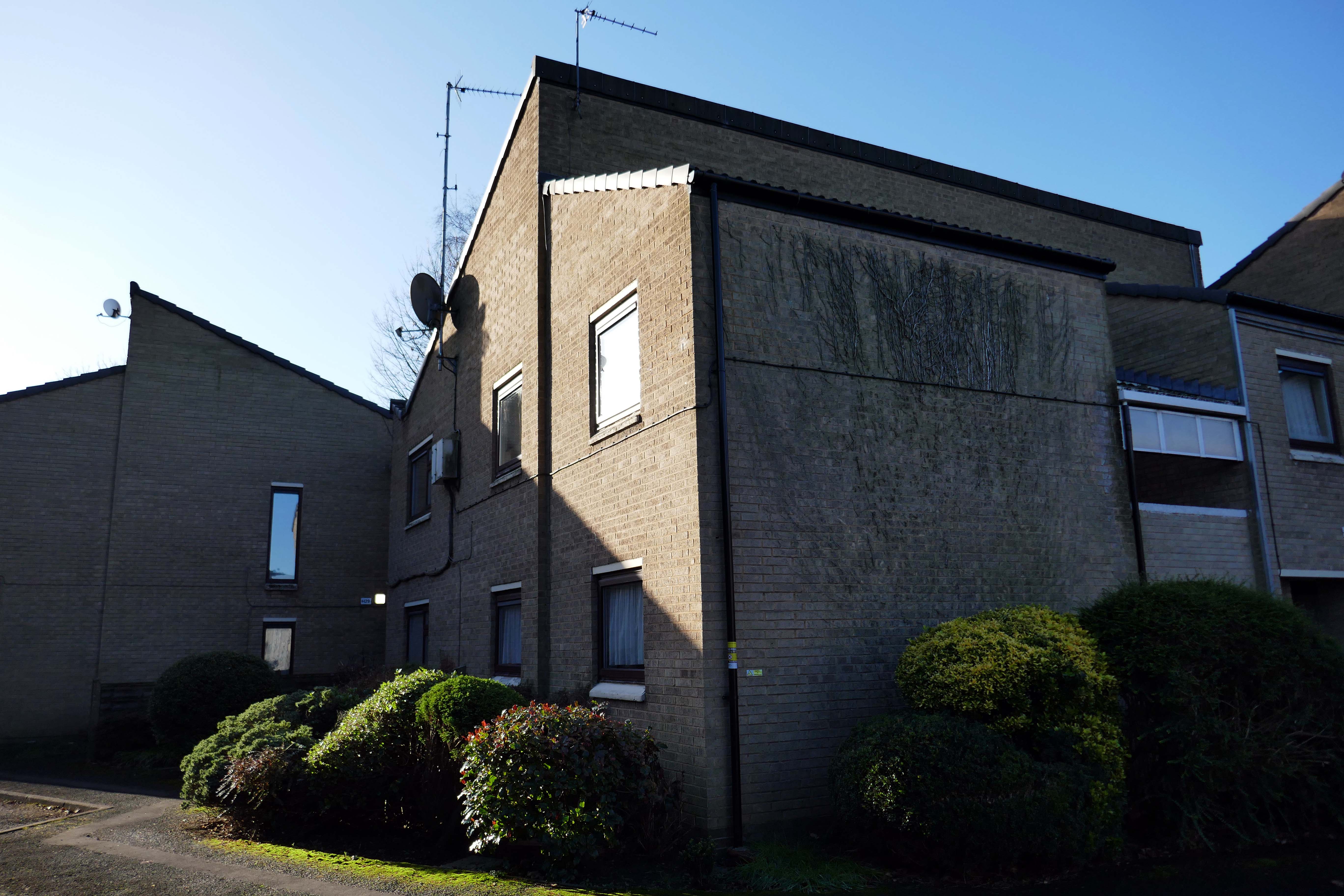
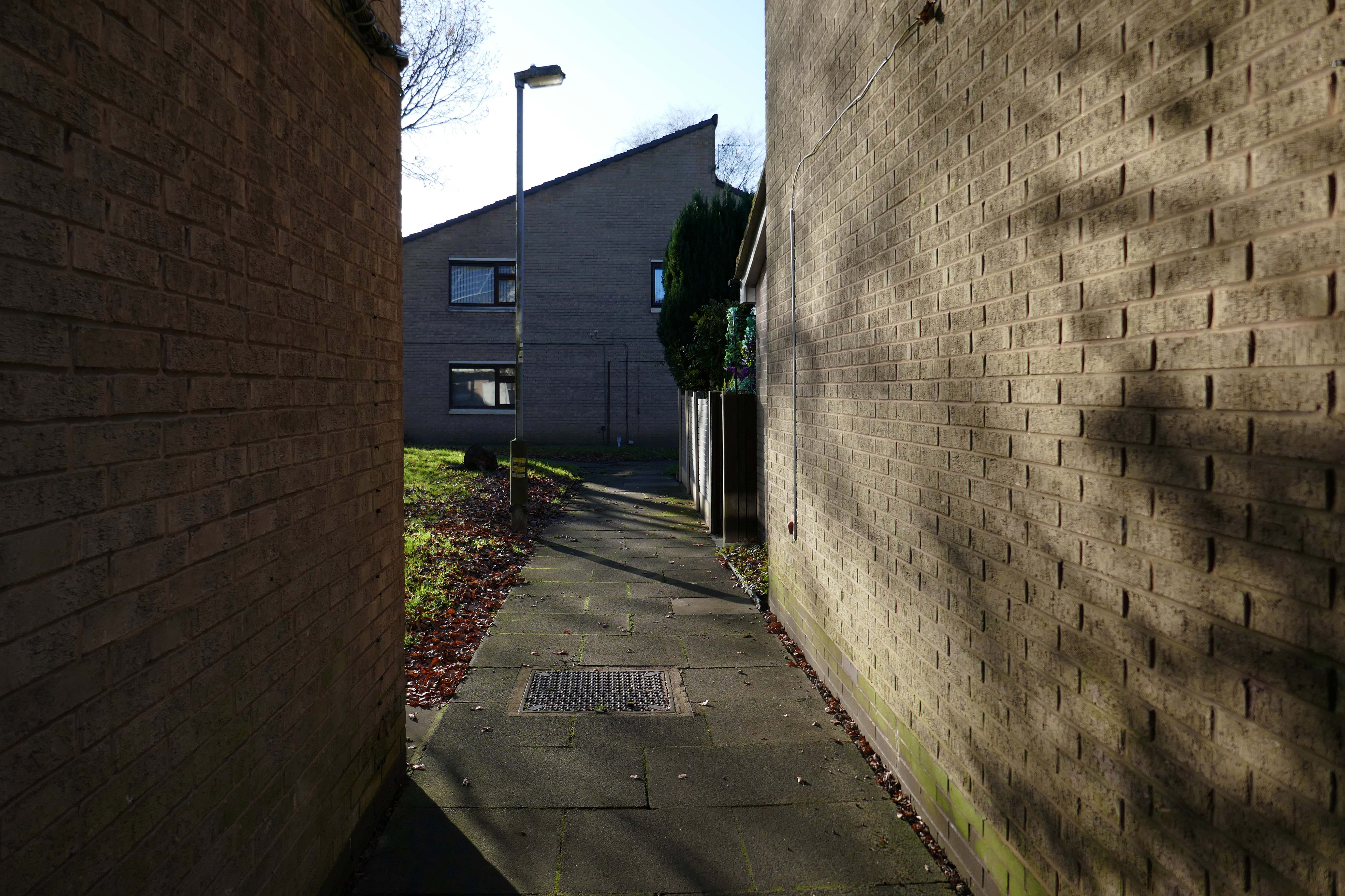
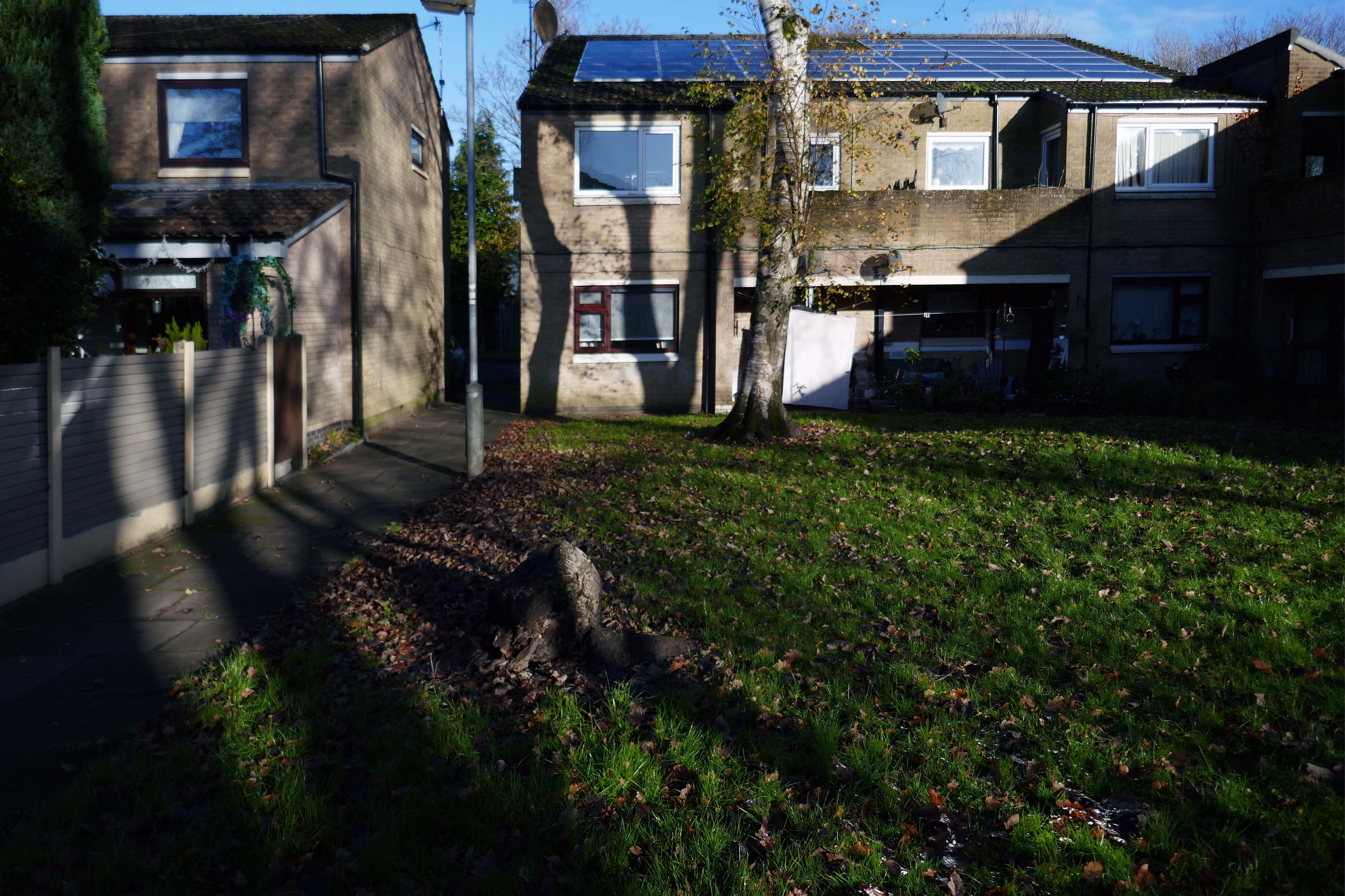
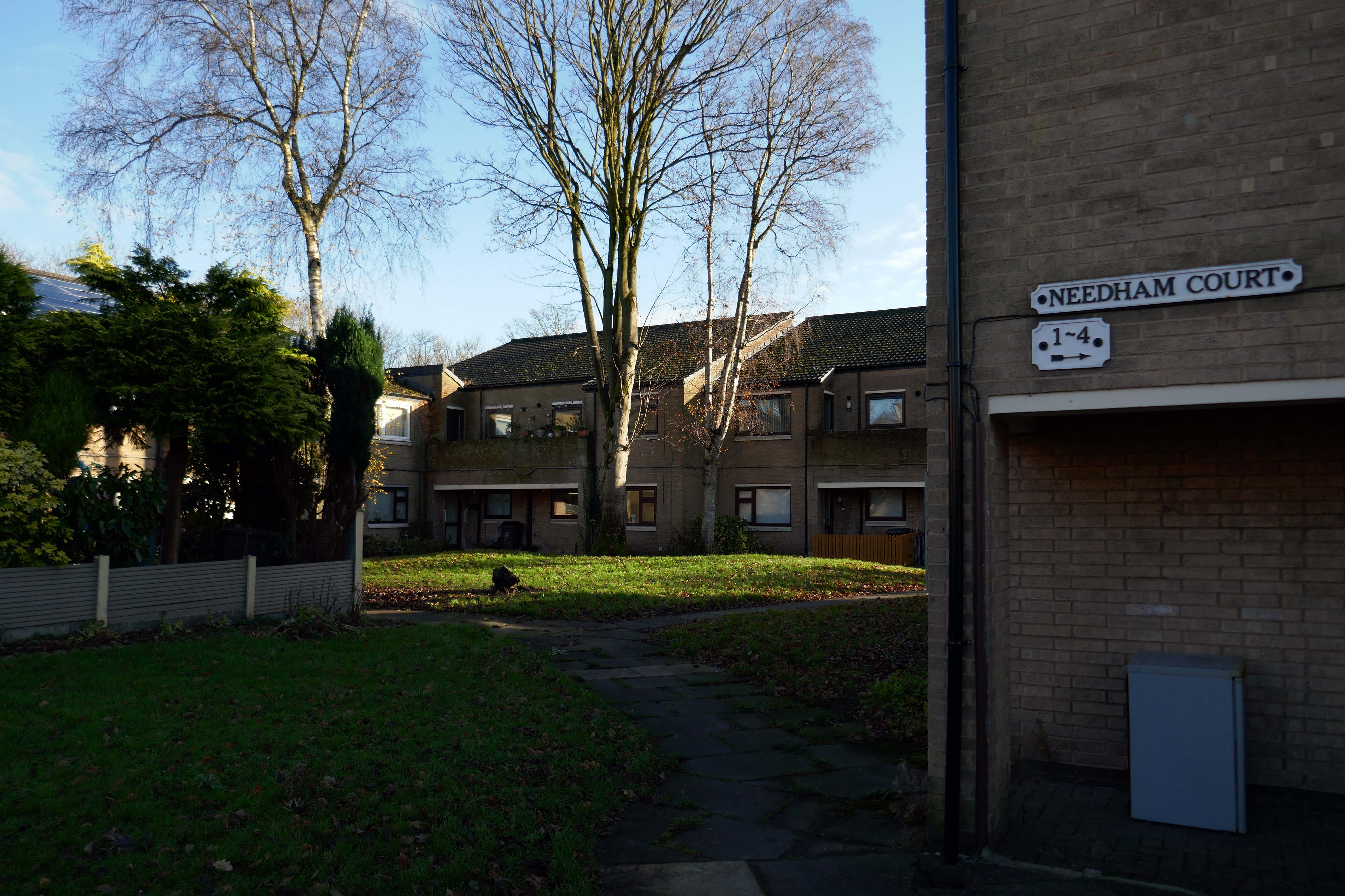
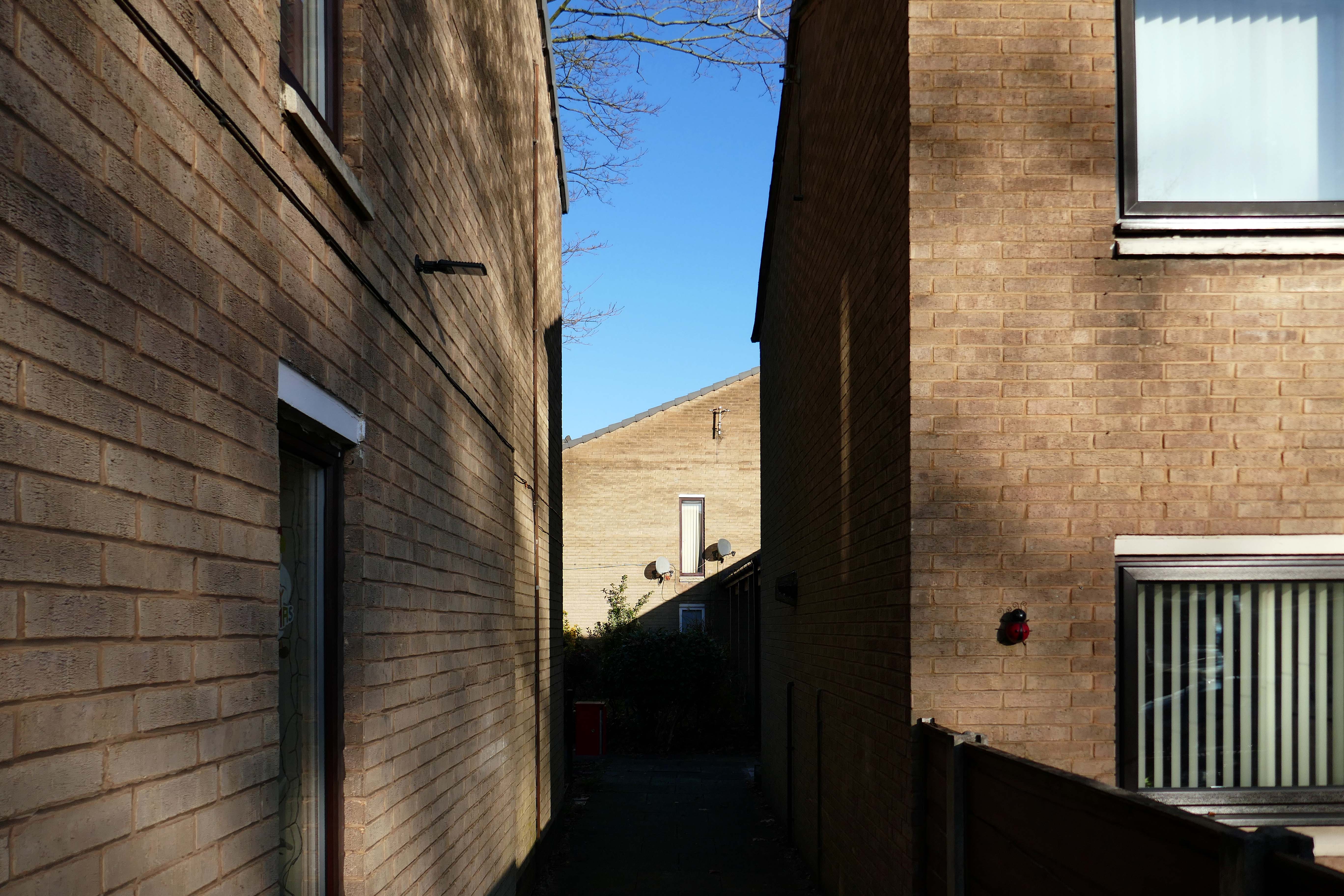
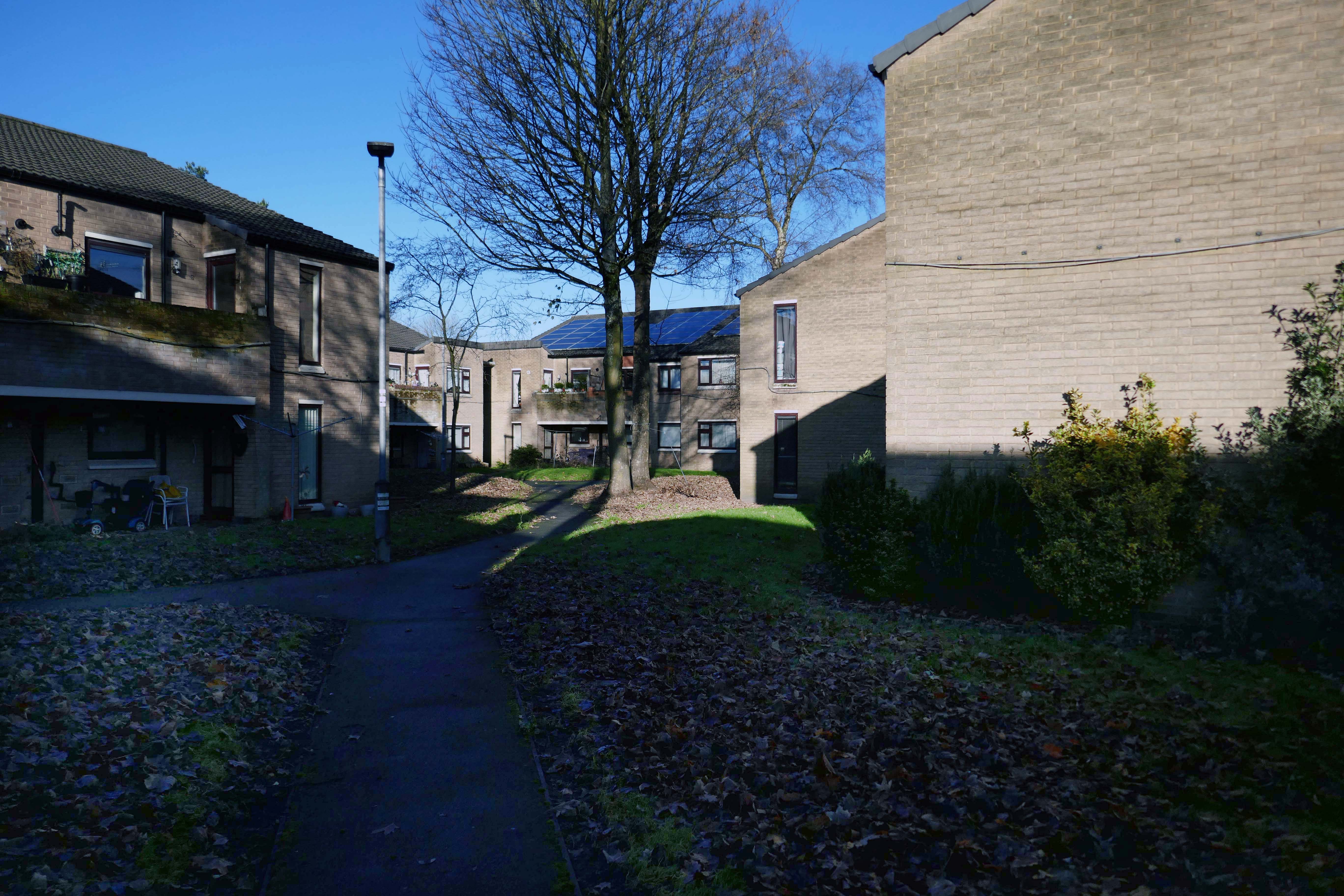
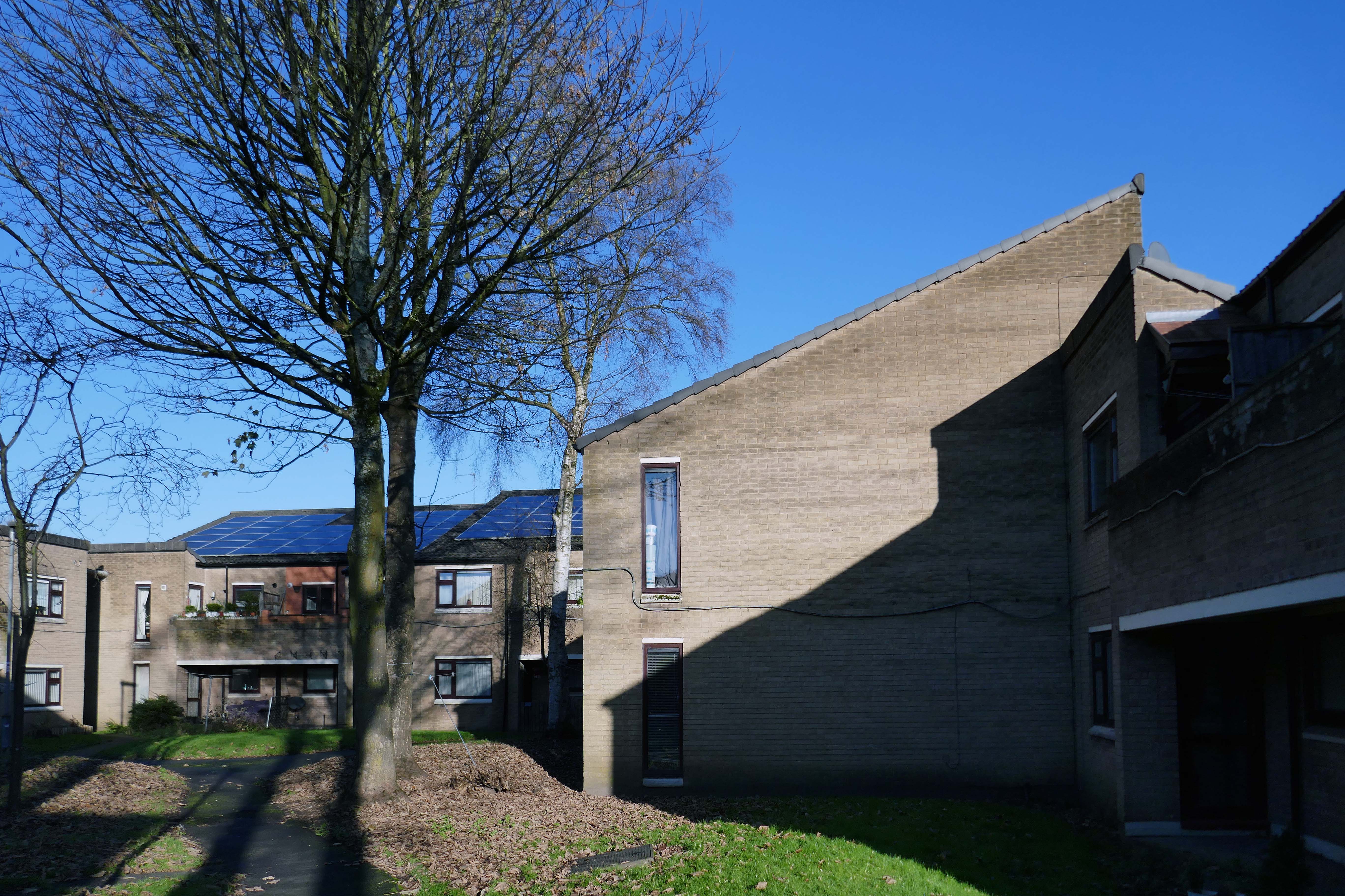
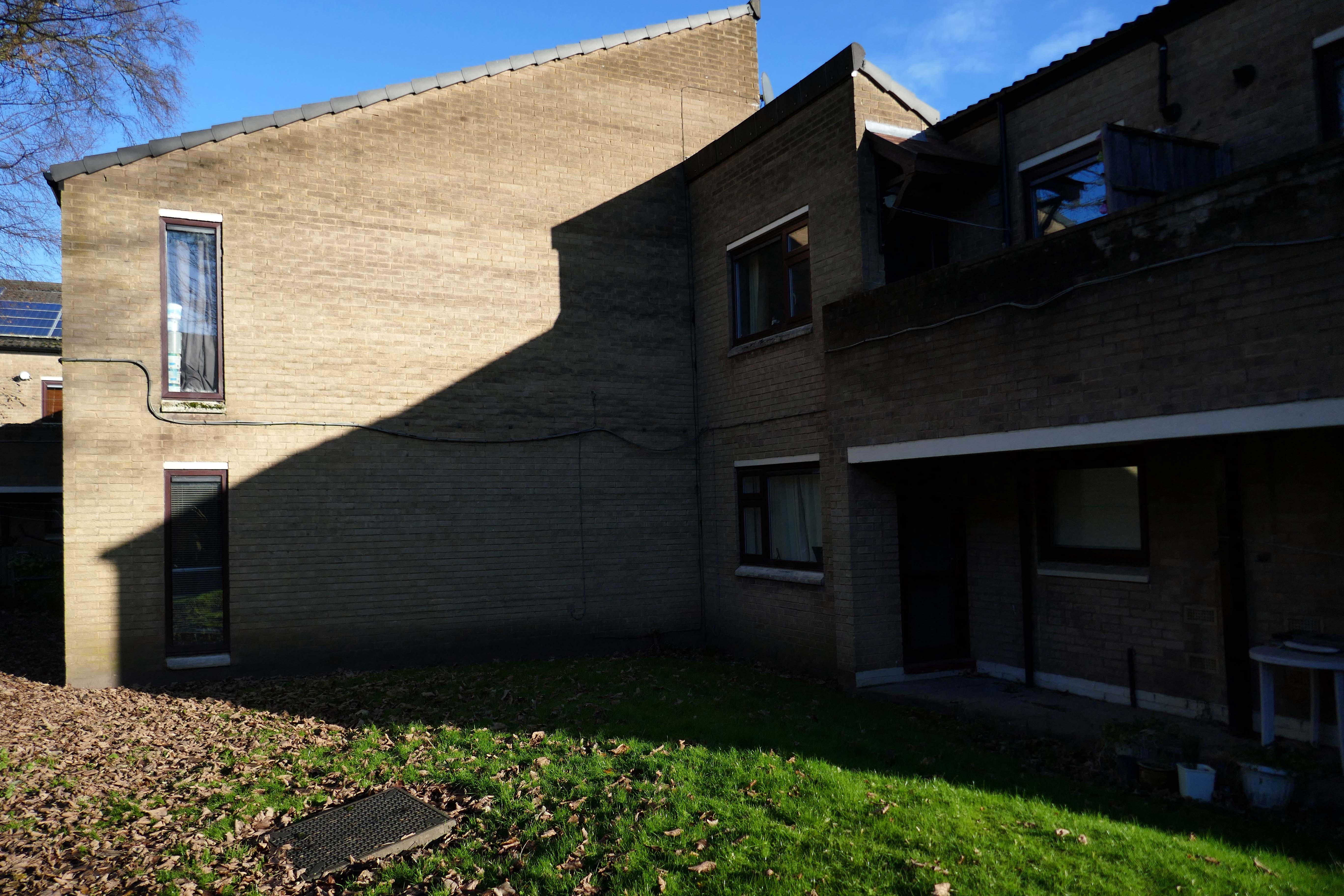
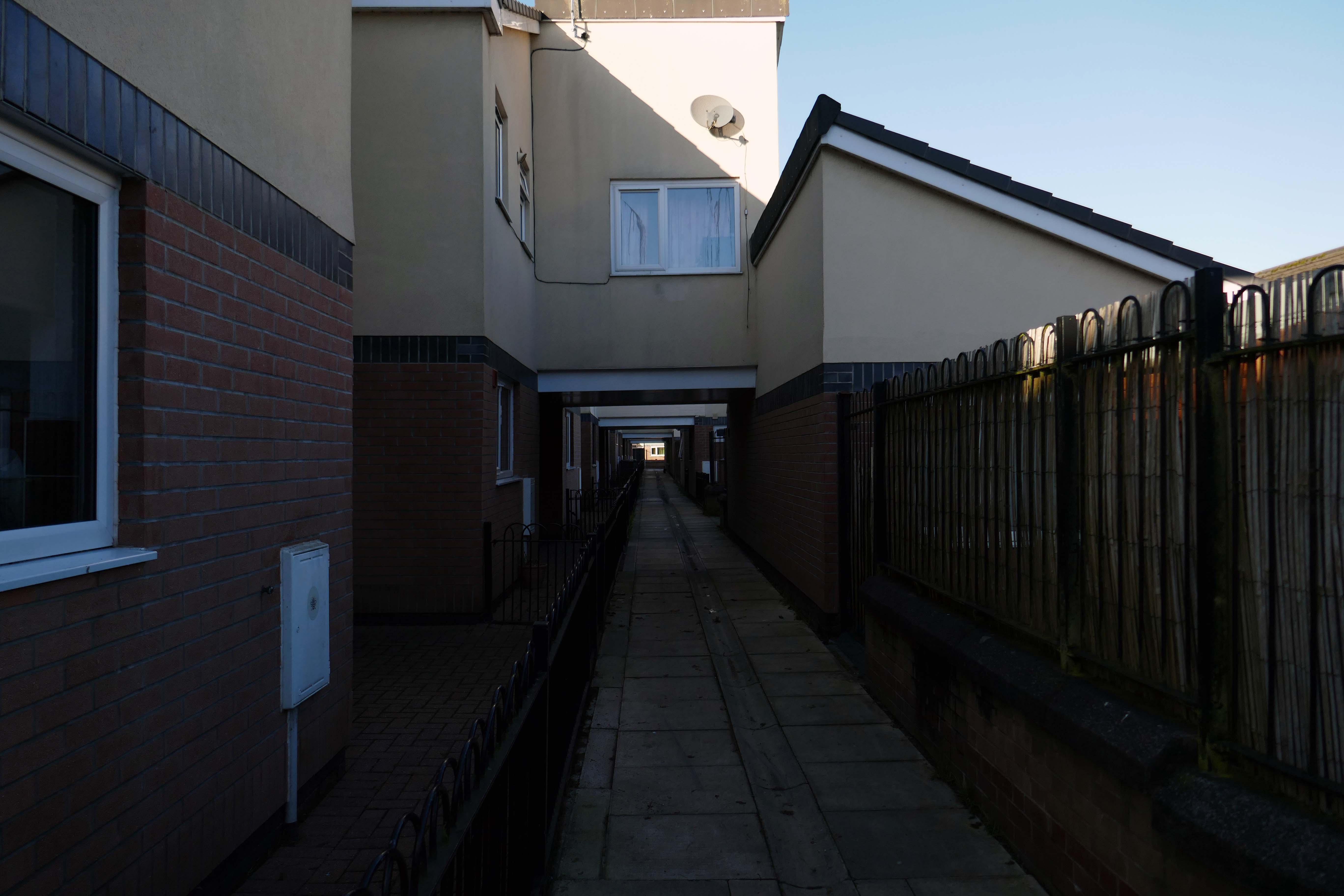
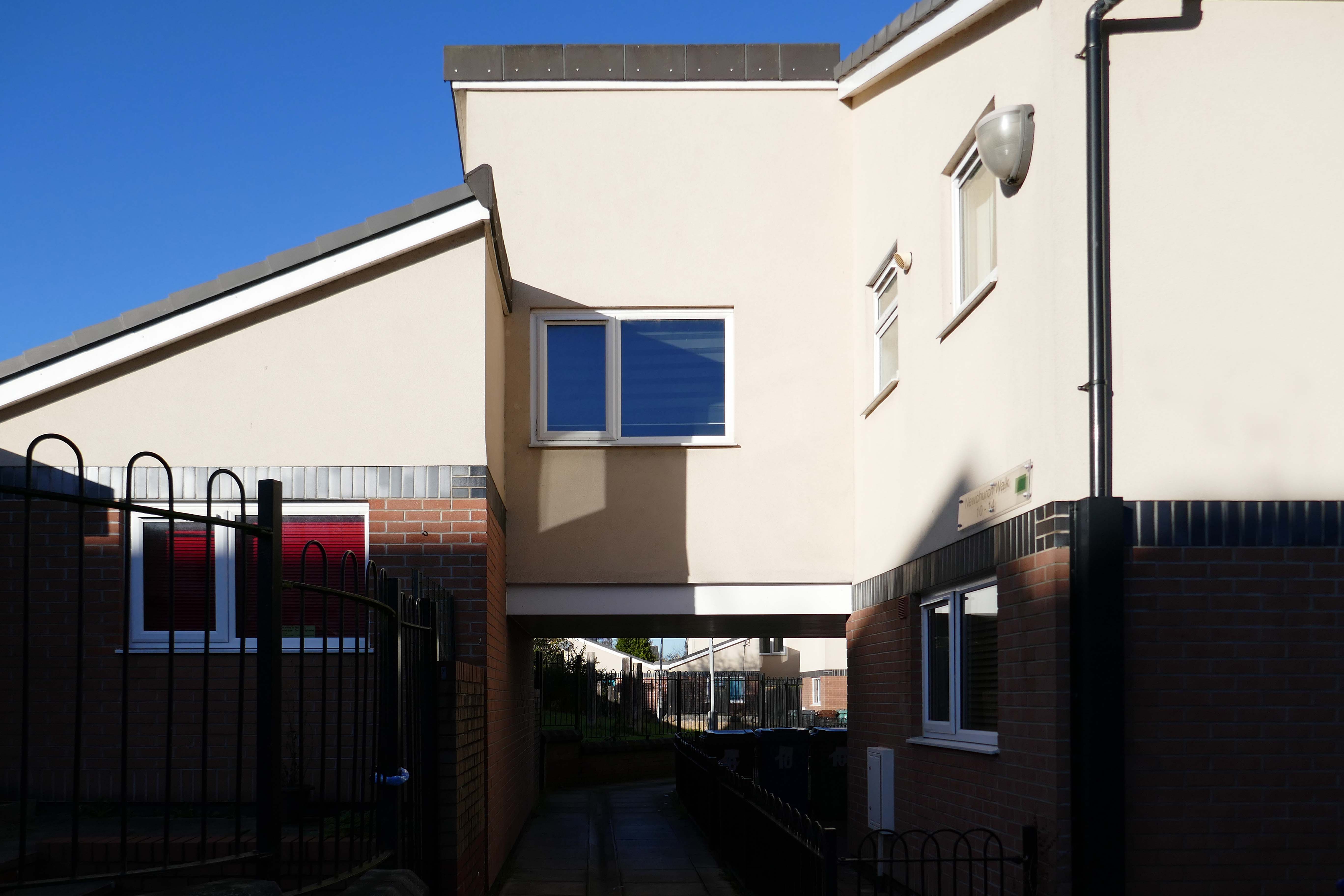
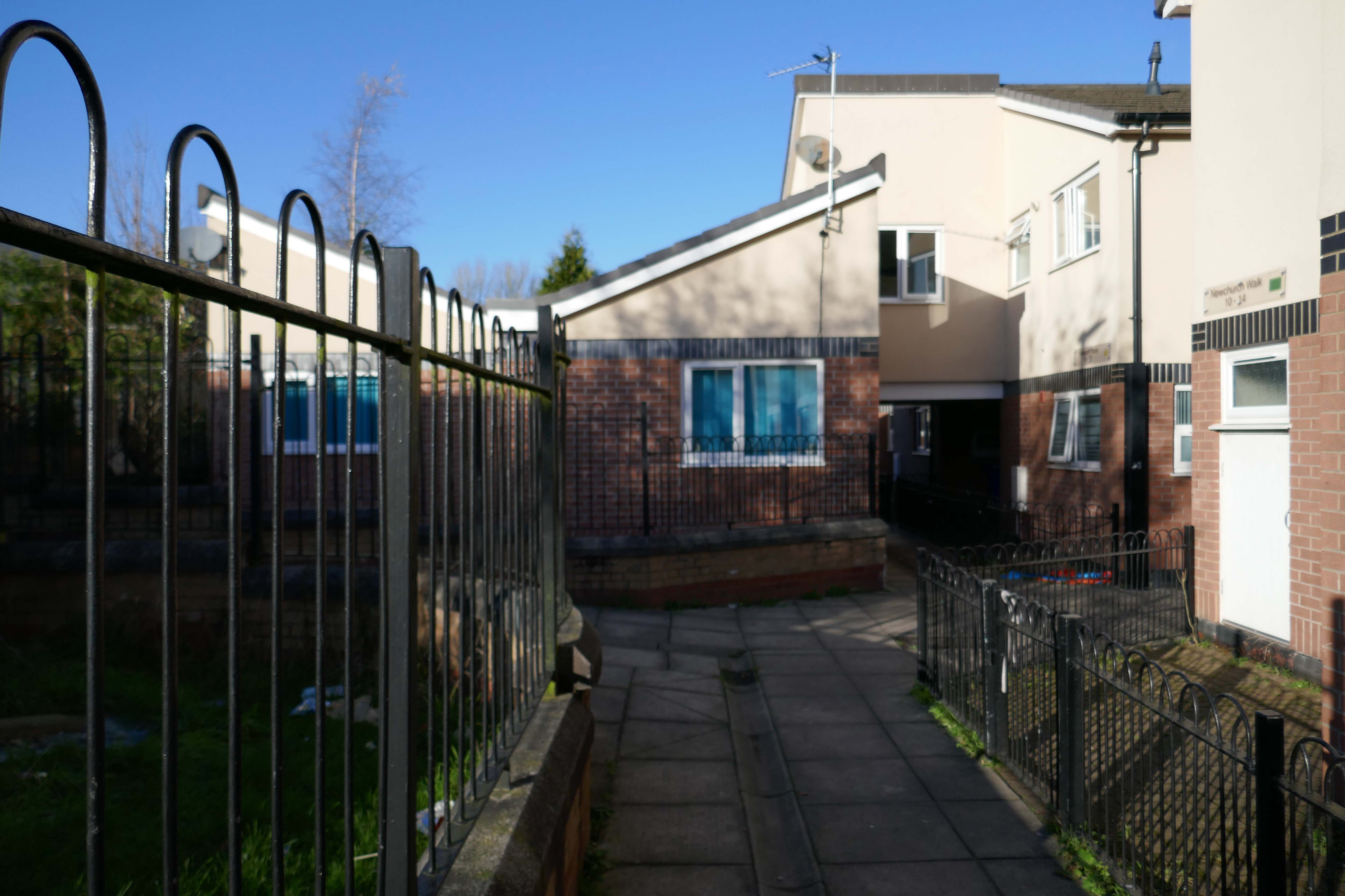
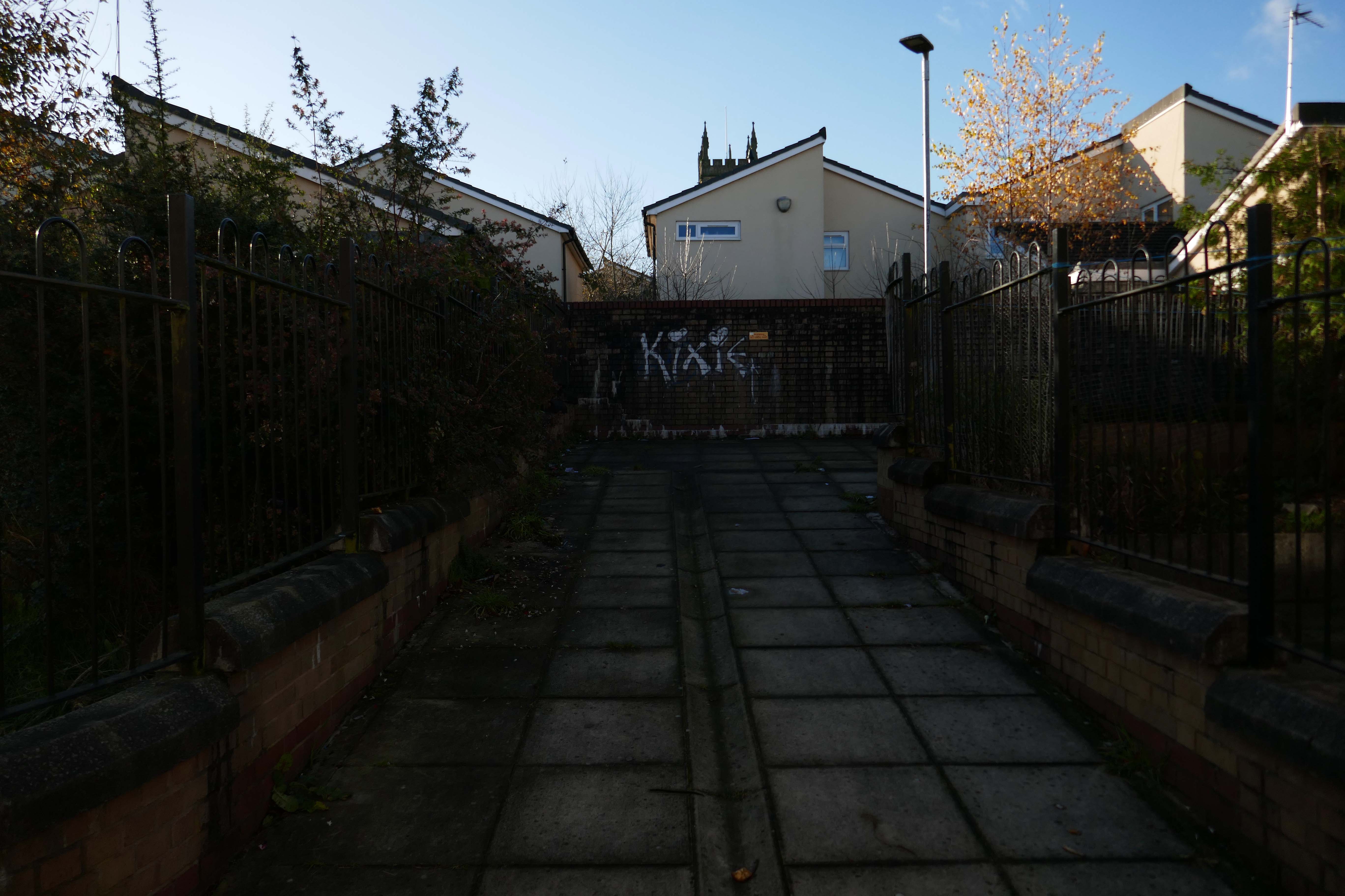
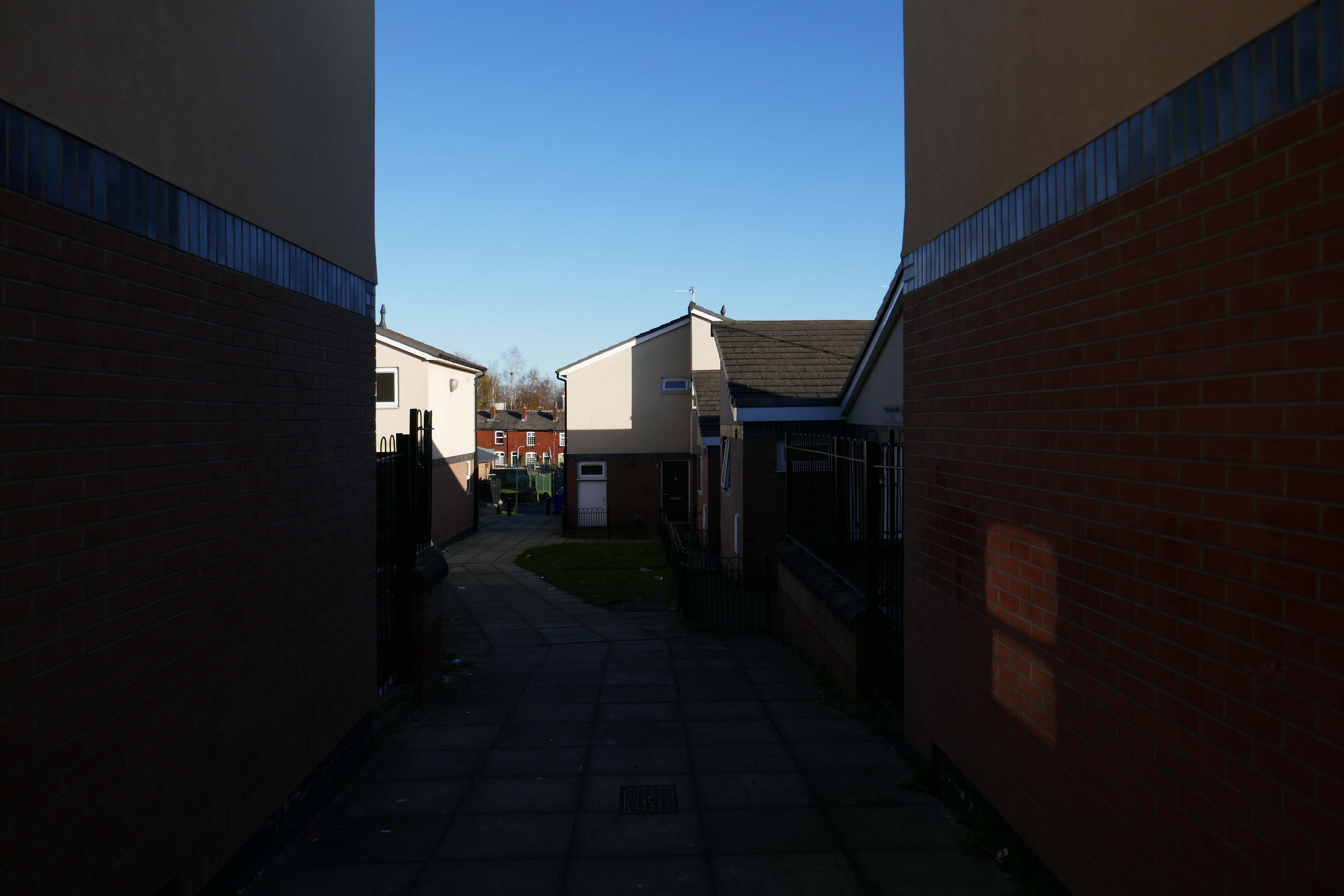
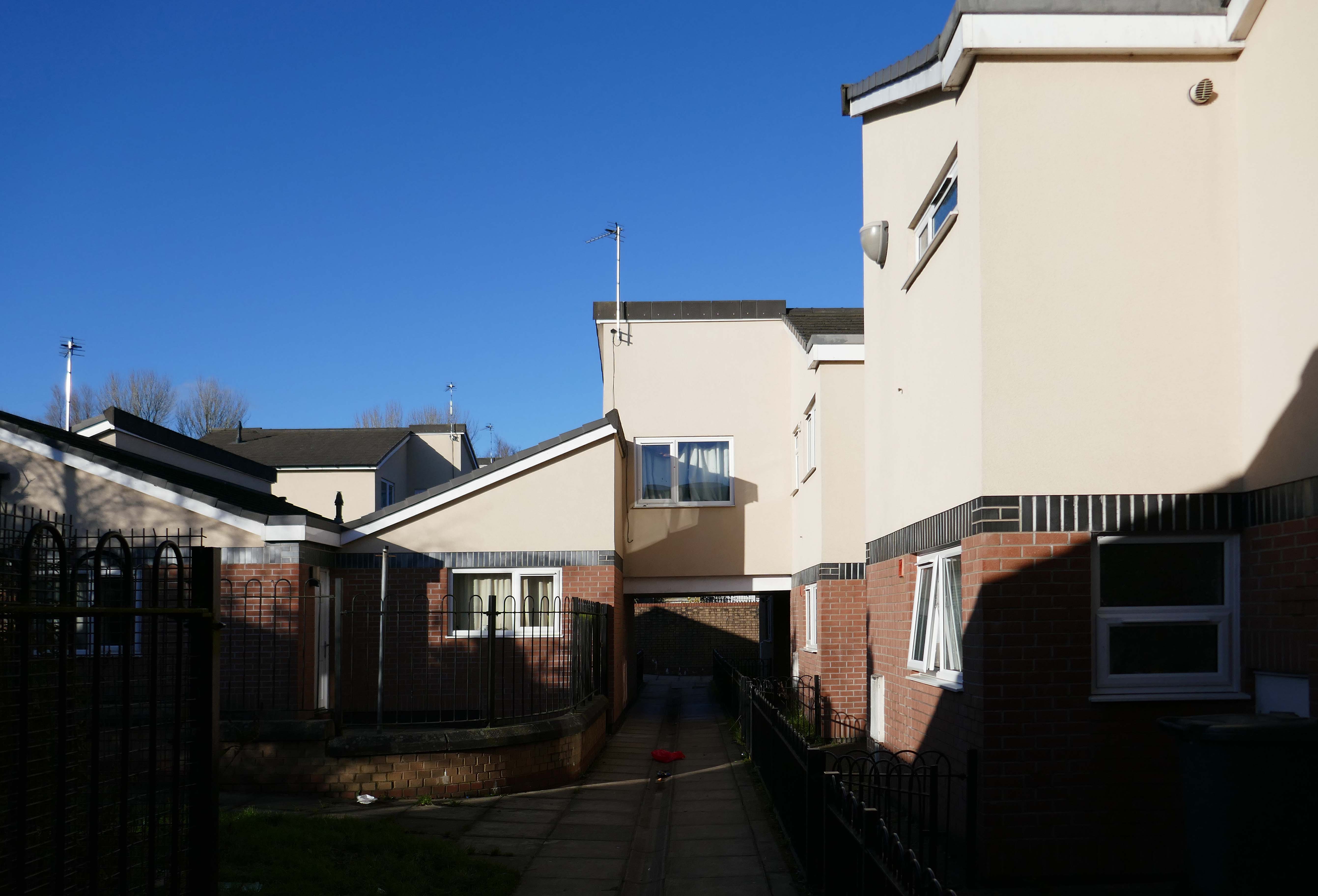
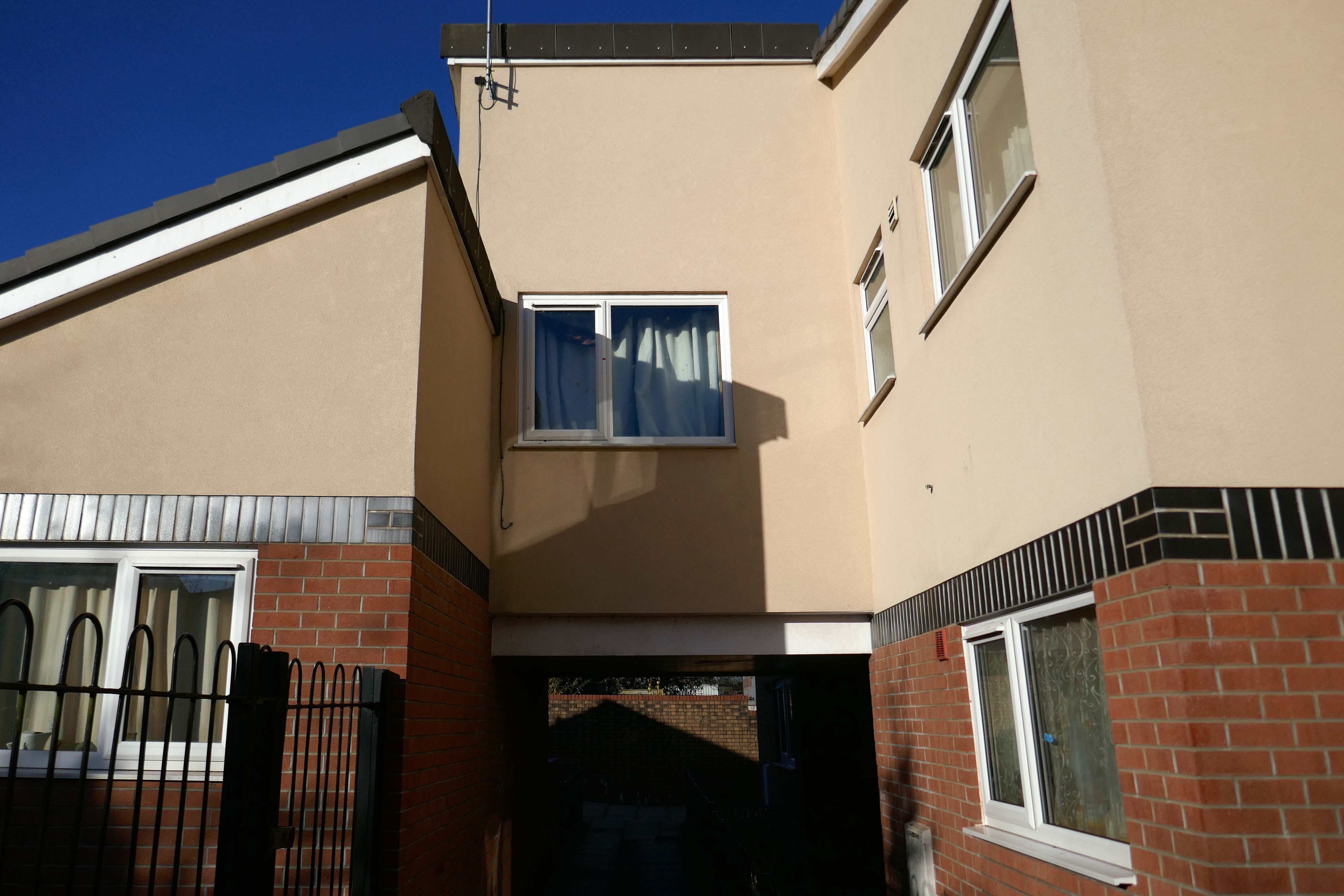
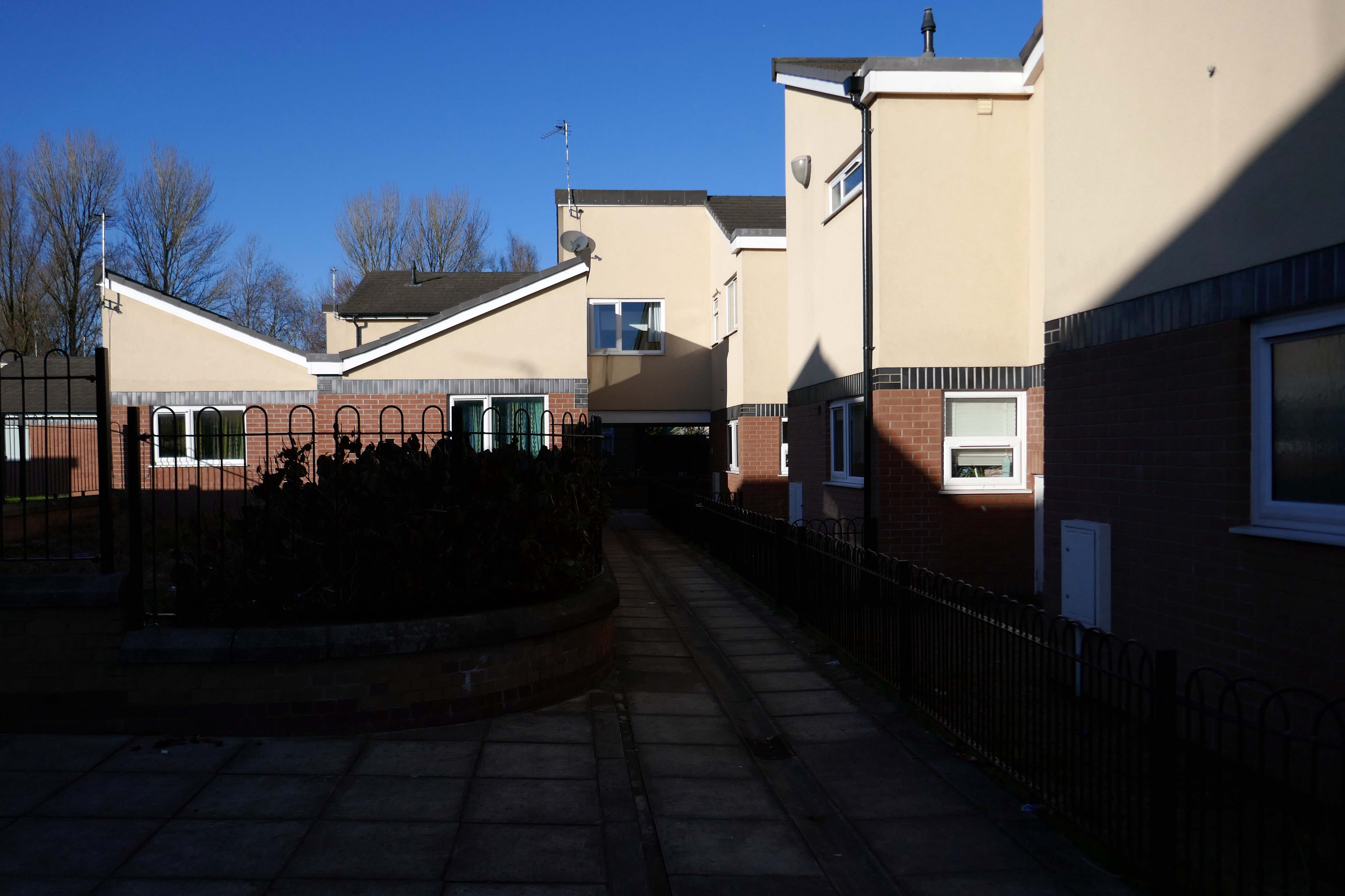
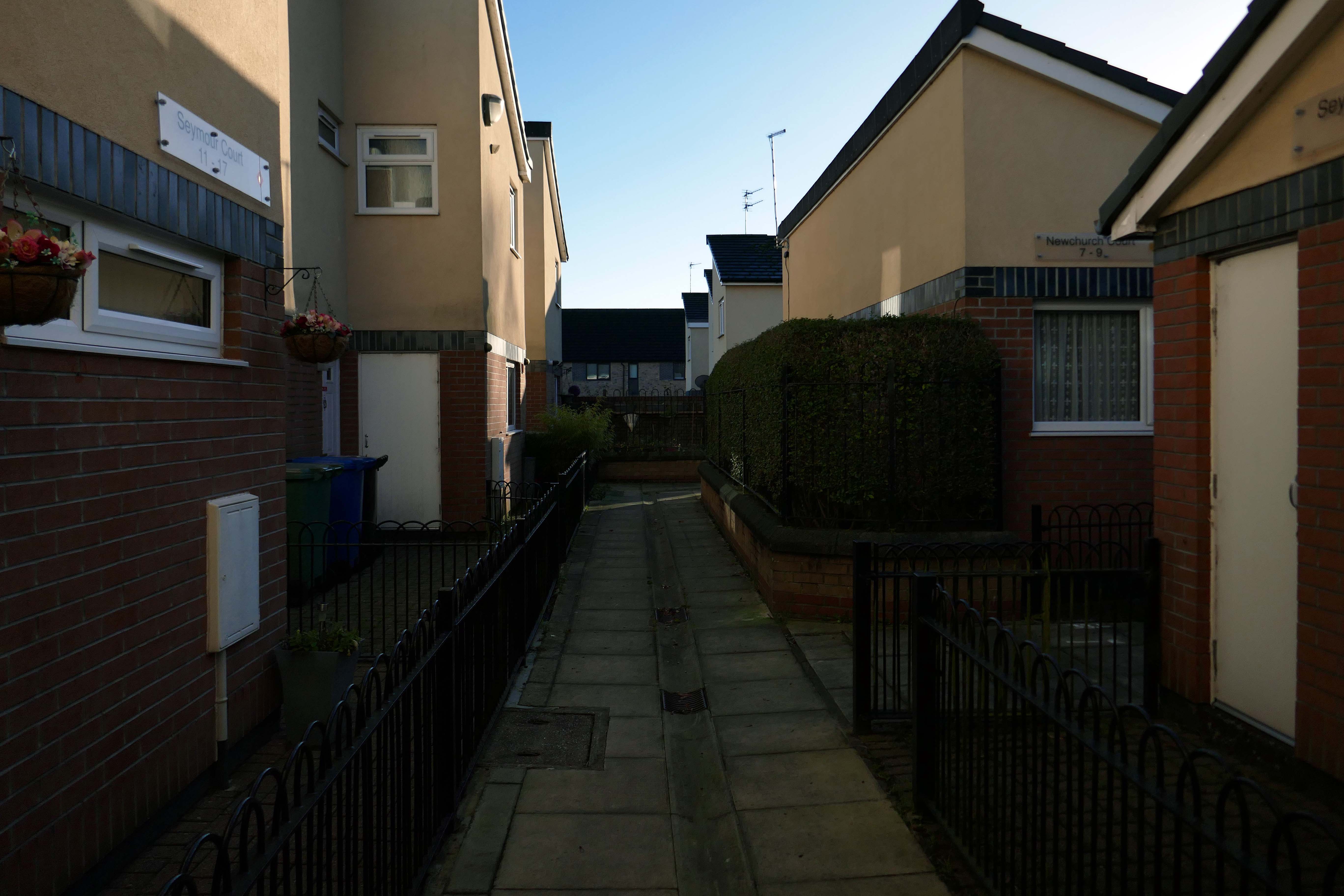
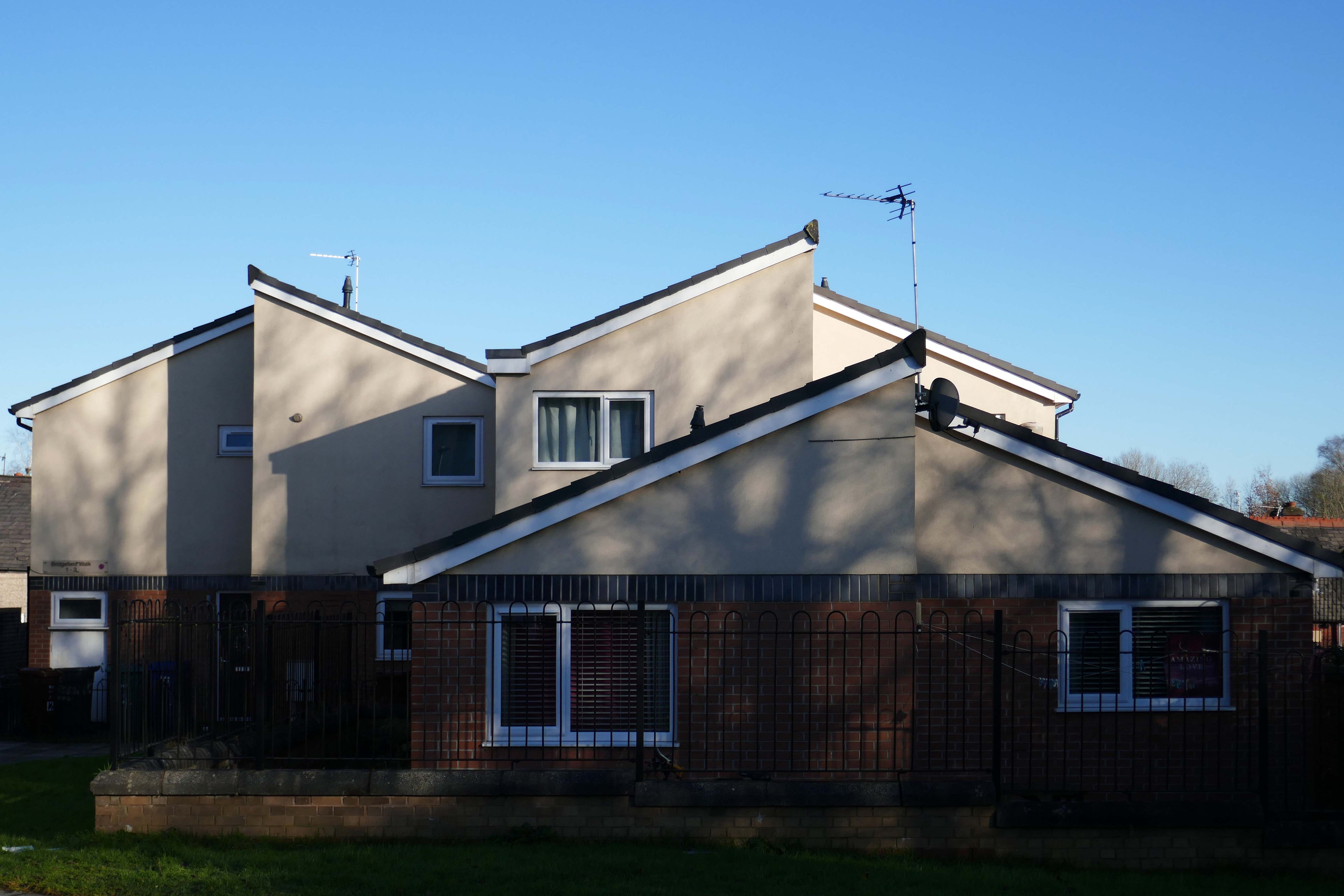
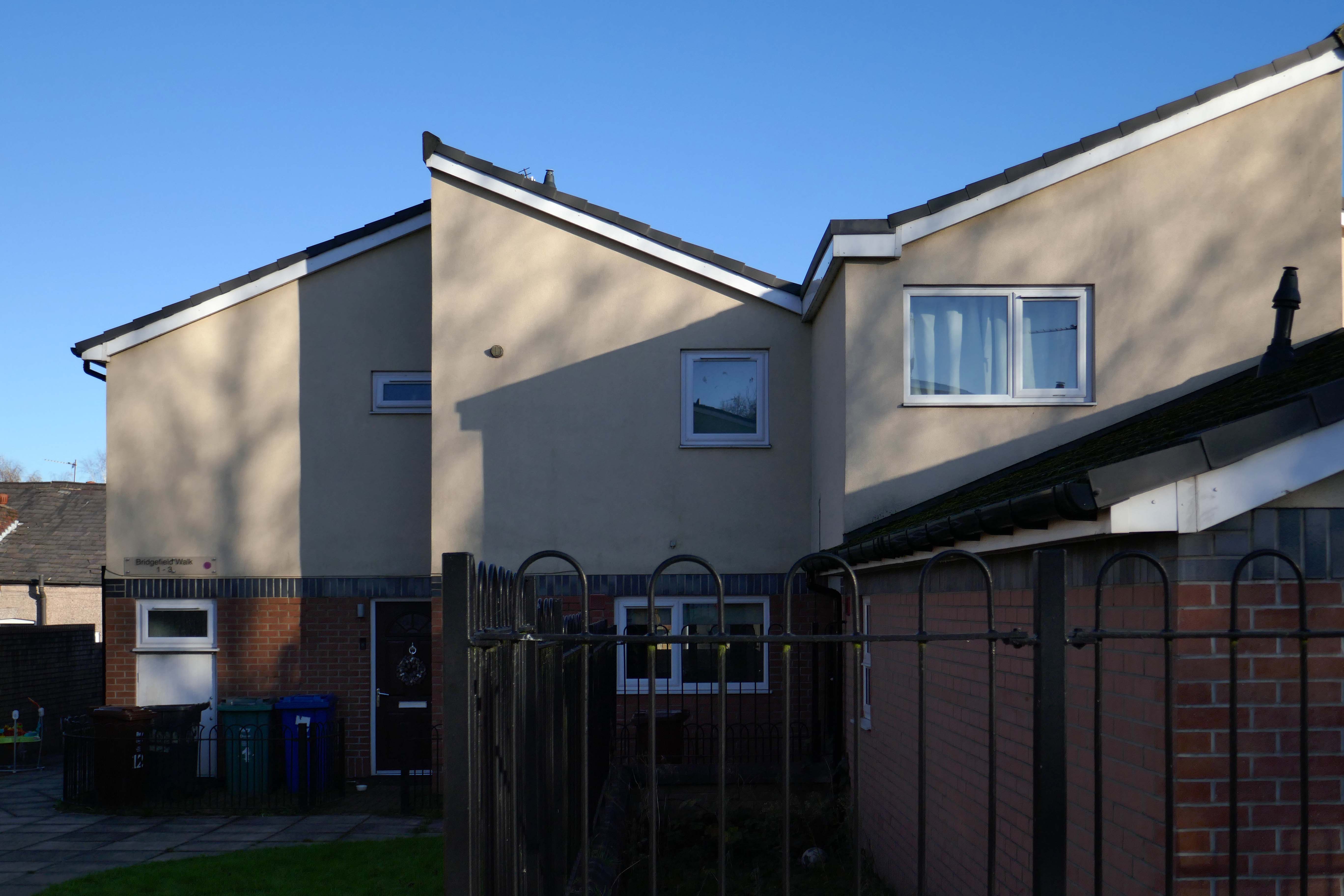
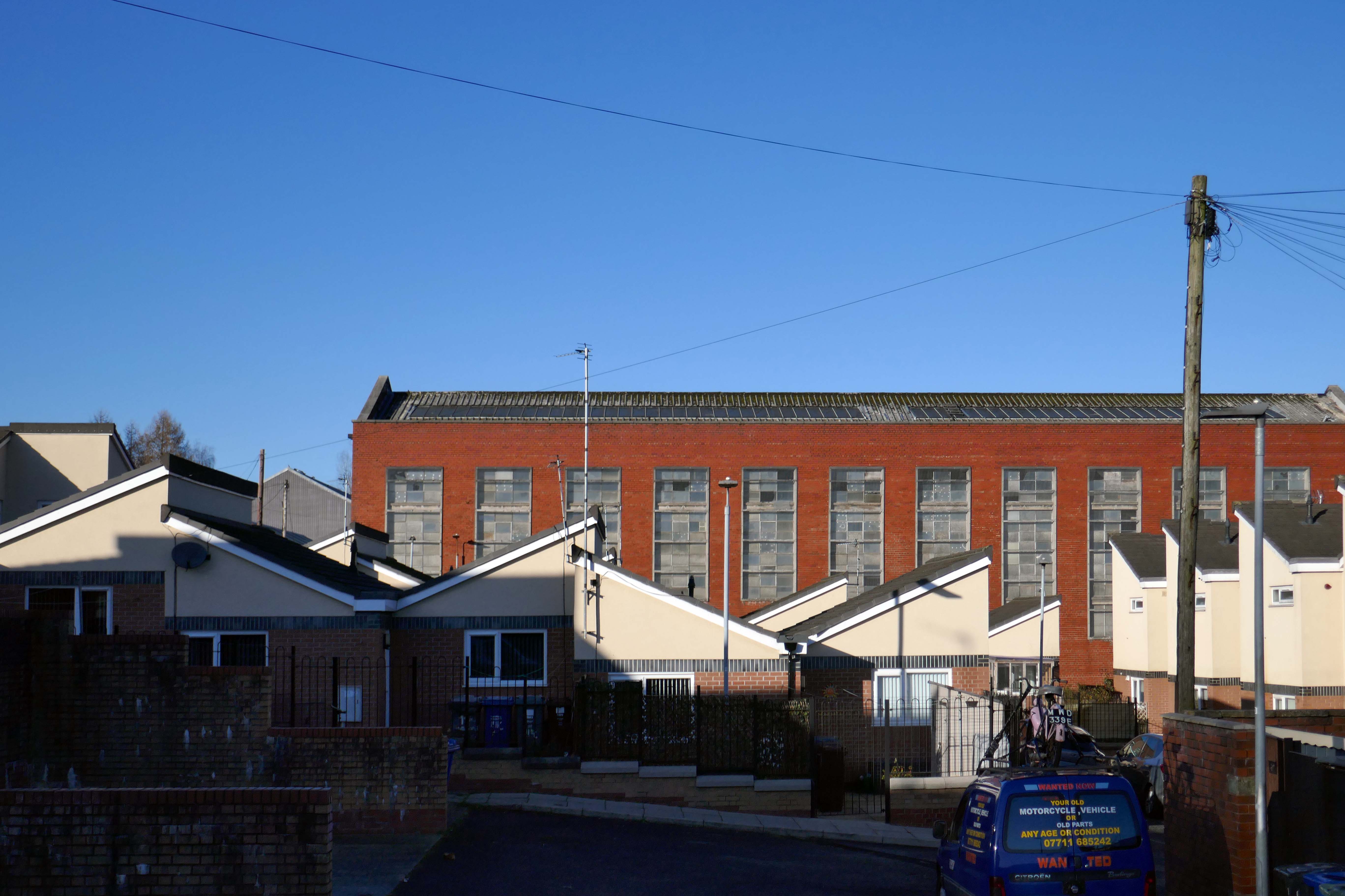
Whilst not seeking sheltered housing for my good self, I am always intrigued by small developments of interesting social housing, grouped around pedestrian walk ways and green space.
The residents with whom I chatted seems content with their homes and the management thereof.
I bade them adieu and went about my way, taking these few snaps.
I began walking when quite young, then like Felix, I kept on walking, walking still.
The photograph was taking during the Whit Walks in 1958 – aged three, I was engaged in religious pilgrimage, as we know there are many reasons for walking, this is but one.
I was fortunate to grow up at a time when youngsters were permitted to roam freely, less traffic, less anxiety, gave me access to a wider axis of exploration.
The photograph would have been taken I assume, by my mam, on the Brownie 127. When aged nine I wandered alone through the local woods and exposed twelve frames of 44mm 127 film, the prints are long gone, yet I remember each of the photographs and locations clearly.
I went to school, then I didn’t, then I went to Art School, eventually becoming a teenage Constructivist, tutored by Jeffrey Steele, a leading light in the British Systems movement.
The rigidity of the grid, symmetry and orthogonal framing have stayed with me.
Then I went to work for a very long time indeed, then all of a sudden I didn’t. Taking early retirement aged 59 some ten years ago, subsequently taking to the roads, streets and hills of Britain in search of nothing in particular.
In recent years there has been a rapid development in the culture of walking, theories, films, guides, songs and literature. I am fully cognisant of such, yet believe at heart that walking can be free of such baggage, we can stride unhindered, atavistic and carefree/less.
Walk tall, walk straight and look the world right in the eye.
Getting lost is about the unfamiliar appearing.
In my own small way, I have become part of that baggage, having been asked to lead a walk around Stockport by the the modernist neé Manchester Modernist Society.
The photograph depicts Alan Boyson’s concrete screen wall, attached to the former Cooperative super store designed by Philip Andrew. The two worked to gather on the Hull Cooperative store, which is adorned by Alan’s huge Three Ships mosaic.
Philip was a childhood friend of Alan Boyson and it was Alan’s father, manager of the Marple Co-operative Society, that recommended Philip for an apprenticeship job in 1951 to the chief architect at the CWS in Manchester HQ.
In preparation for the tour, I visited the town’s Local Heritage Library and read extensively from serendipitous charity shop finds.
The two hour route was designed around an economy of distance and elevation, allowing time for others to take in, what may be for them unfamiliar surroundings. A group of around twenty or so folk became sociable and engaged, with a suitably concise and apposite contribution from myself. There are those who busied themselves taking snaps along the way, chatting amiably or simply gazing in amazement.
The service building above the former Debenham’s store.
Famed as an imaginary TV police station, this civic building is a civic building I simply can’t resist. I return on a regular basis to wander and snap. This is an open public space that seems little loved and has few visitors.
From then onwards I have been taking folks on Modernist Mooches on a regular basis, two or so a month, during the less inclement times of year.
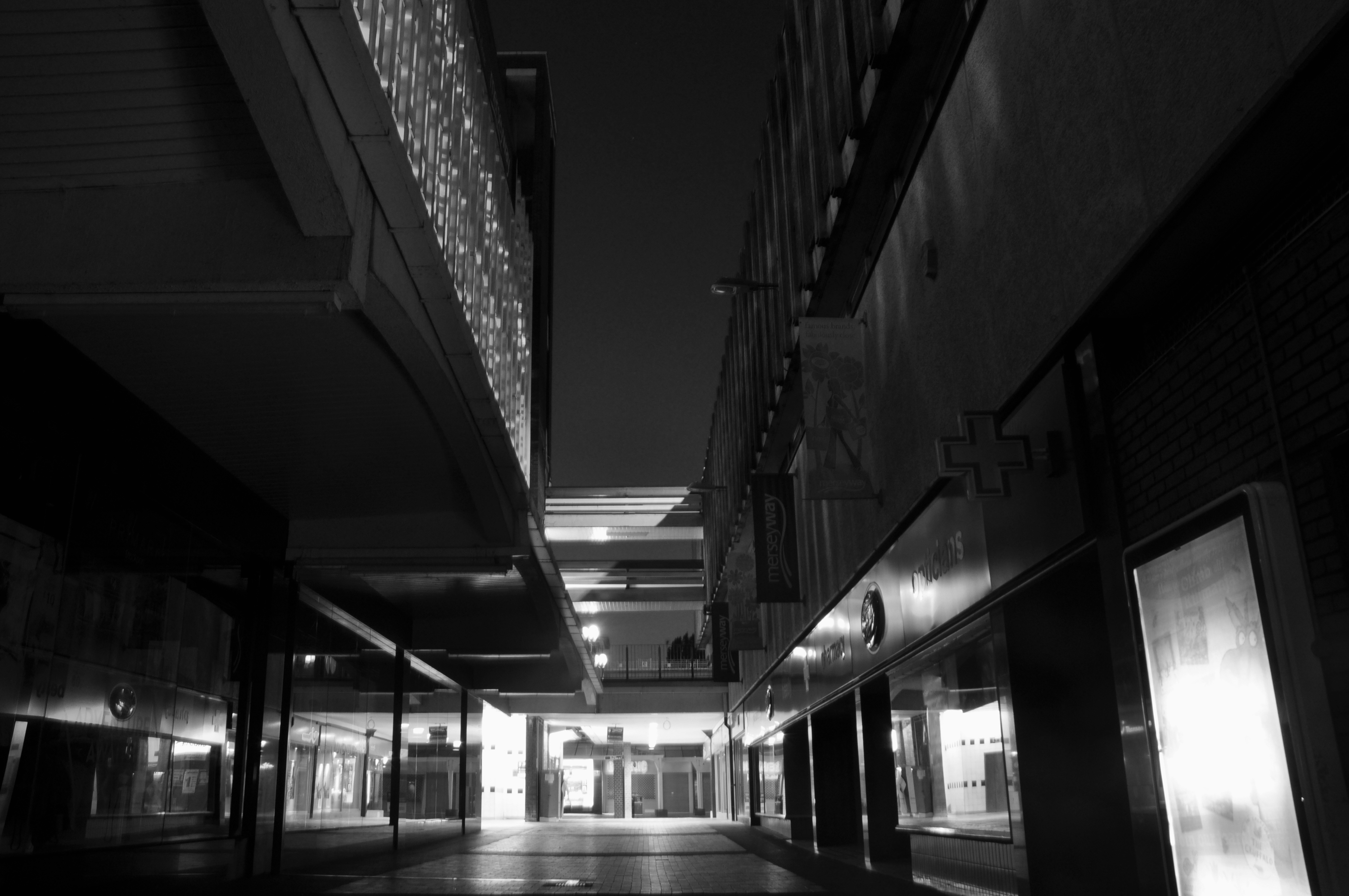
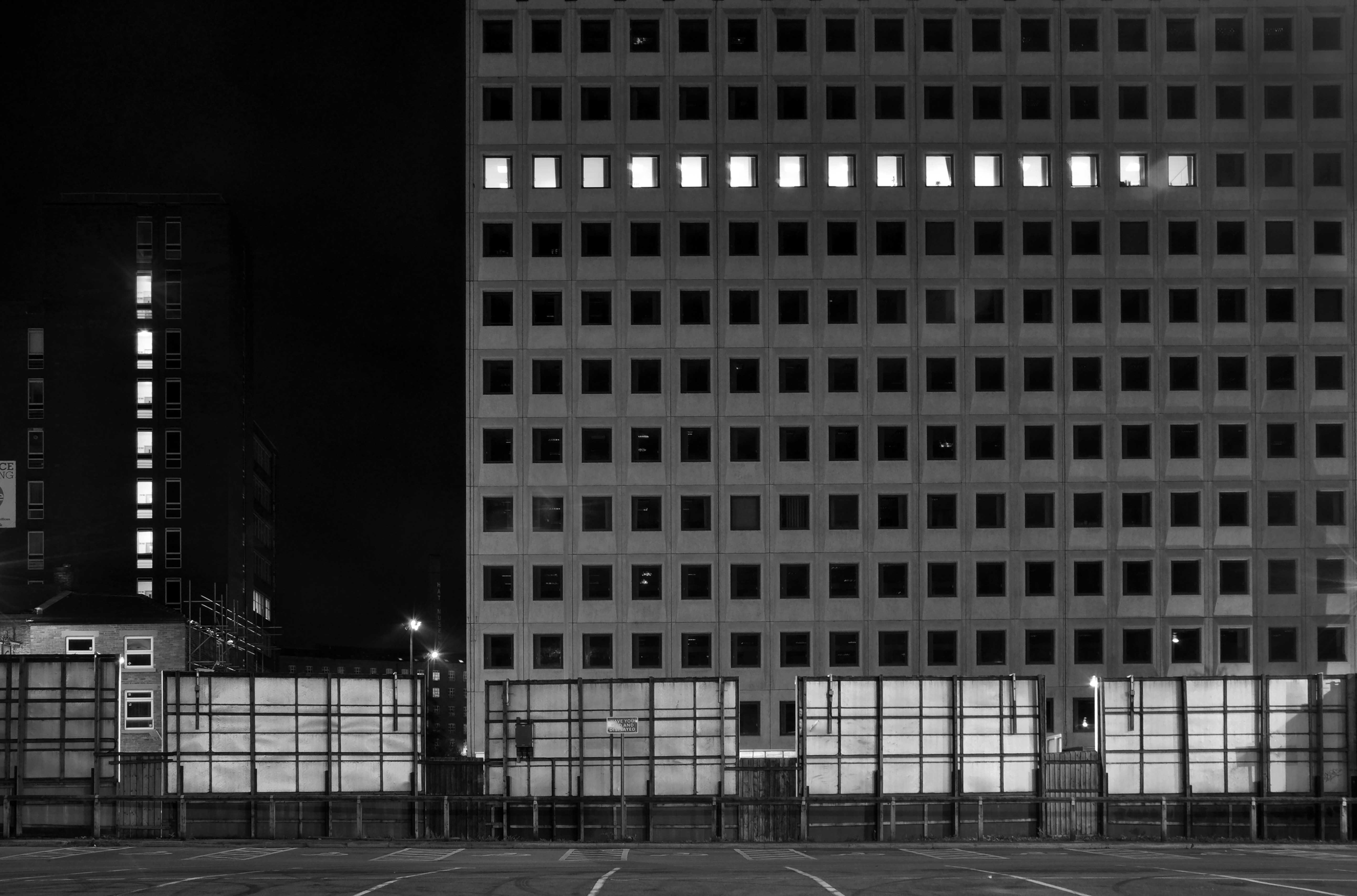
At about the same time I was asked to exhibit my photographs in Stockport, I chose to mooch about at night. Walking around an almost deserted town, avoiding the glare of streetlights, there is a mild frisson to be about when nobody else is about. The air feels different, exposures are longer, the almost waking world feels arrested, by the low available light.
My local shopping centre and as such part of my weekly walking and shopping life.
NCP Car Park located on Stockport Station approach.
Regent House
Asda superstore
I found a copy of Charlie Meecham’s book Oldham Road in a charity shop.
Inspiring me in 2014, to walk in mostly straight lines, though often as not zig zagging along the main arterial roads of Manchester.
Taking pictures on Sunday mornings, in order to avoid traffic, mildly amused to be ignoring the primary function of the routes.
This is one of the more familiar roads, having walked up and down several times over several years. It was to have been an extension of the Mancunian Way, forming a trans-pennine motorway. Much of the property lining the route was cleared in preparation, it was never built, and for years a strange semi-deserted ambience hung over the A57.
Bus Depot
Railway Bridge
The car showrooms which later became an African Evangalist church.
Having cleared away both Victorian and Sixties housing, new architectural forms arose in West Gorton.
Now, everywhere I go, I see launderettes – so arriving in Hanley with time on my hands, wandering around I found this exemplary example.
Having a blog entitled Manchester Estate Pubs, the national media became interested in my photographs. I had spent quite some time, wandering around in search of this endangered architectural typology.
This was Billy Greens in Collyhurst, named for a local boxer, now demolished.
Which in turn became the second modernist calendar.
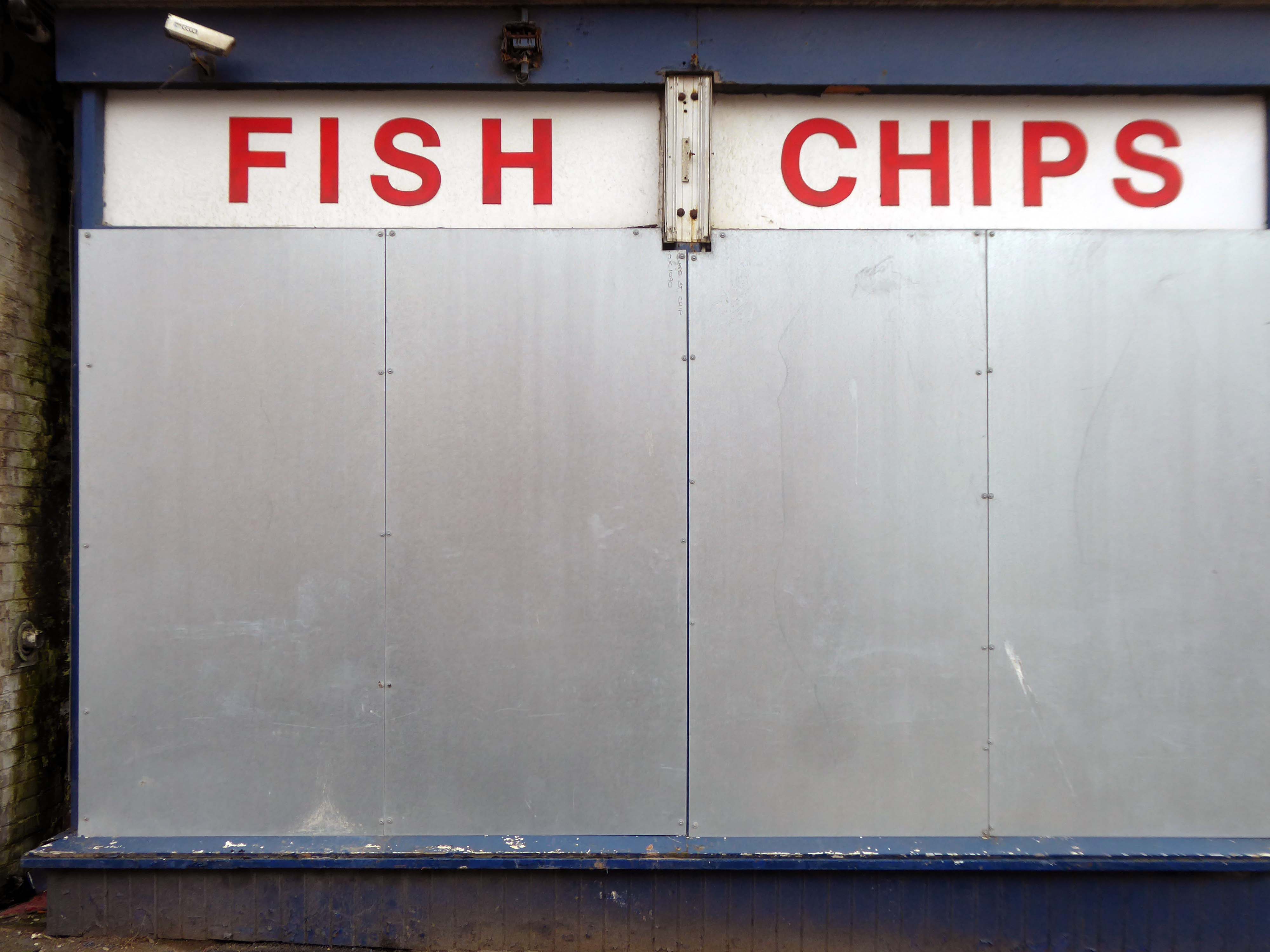
Followed the following year by fish and chip shops.
So building a vocabulary for my mooching, discovering yet another chippy, laundry, pub, Burton’s, telephone exchange, glazed stairway or underpass.
These things find you, yearning for some small amount of attention and affection.
The Trawl – my favourite peg board menu, my favourite Bridlington chippy.
We are now coming to the end of the car park year – seen here on the wall of my command centre.
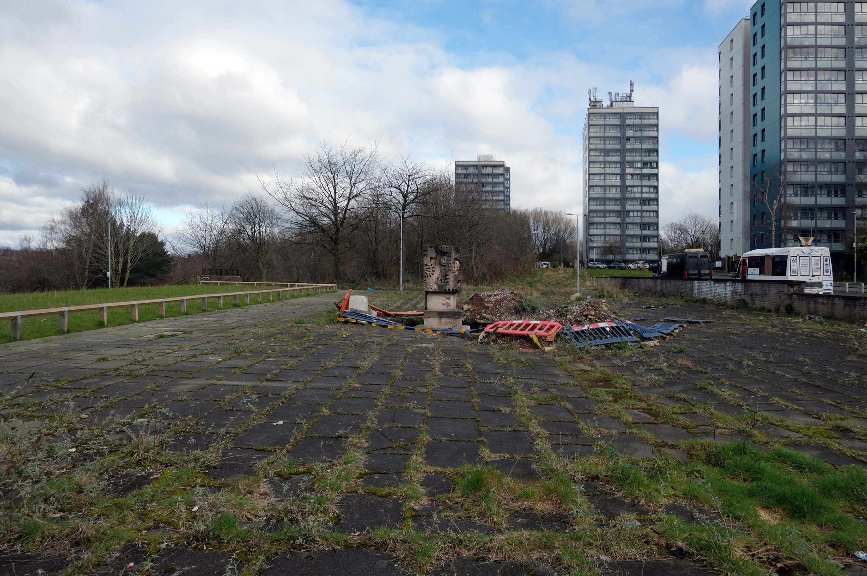
Home to William Mitchell’s Totem, the homes long gone and the Council pledged to move the totem too.
The state of play this week, the detritus removed and the base filled in, repaved and safe for a while.
Off now to the Weaver Valley another day another river, passing under Weaver Viaduct
The looking toward KouraGlobal – leader in the development, manufacture, and supply of fluoro products and technologies, opened a new HFA 152a production facility at their Runcorn site in the UK.
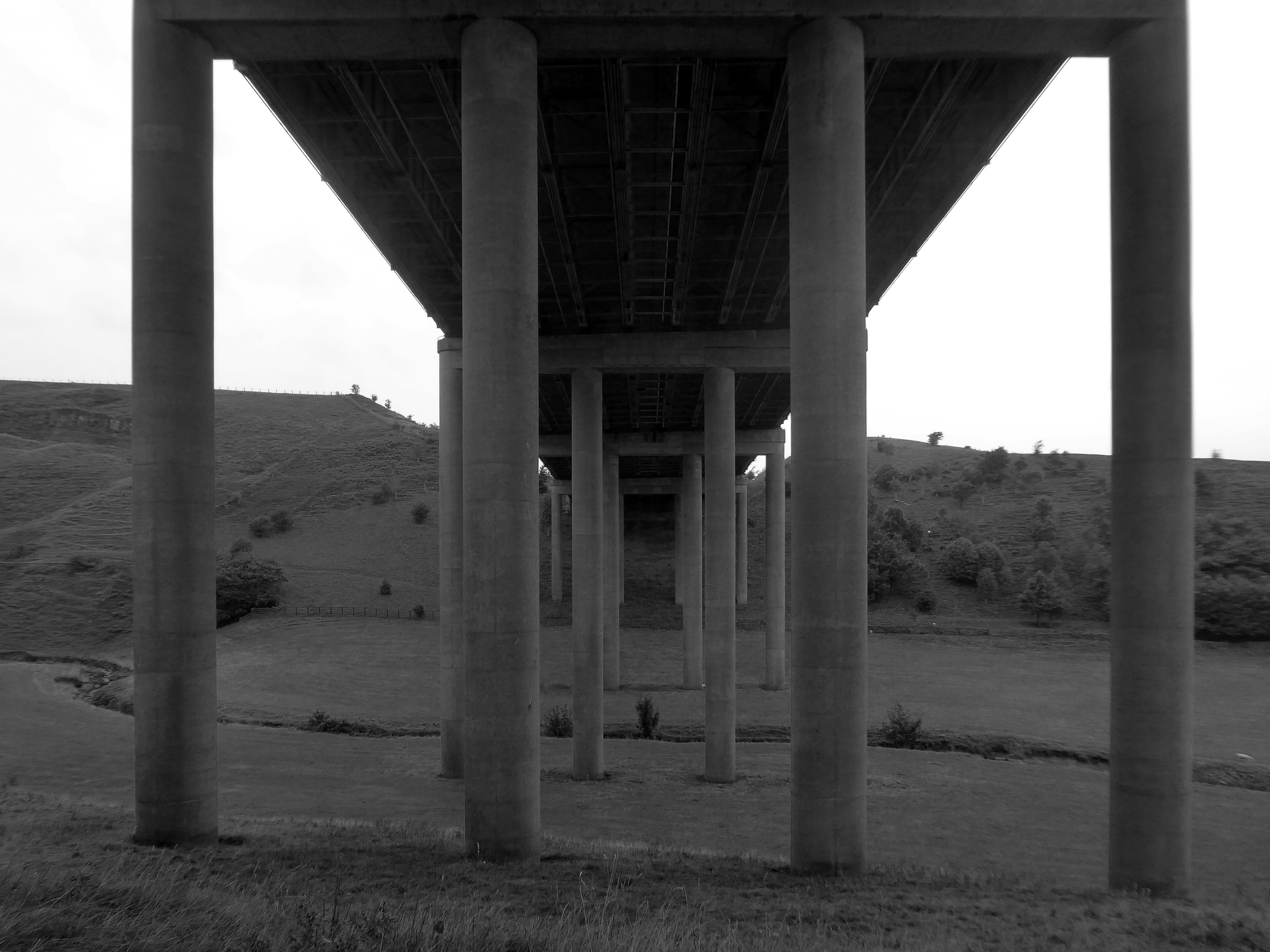
Further rural Modernism as we pass under and traverse the M62, whilst walking around the Piethorn Valley
The newest of the Modernist Mooches was to Burnley where we visited the Keirby Hotel.
The former GUS Offices with a mural by Diane and William Morris.
Plus the Charles Anderson concrete relief at the Crow Wood Hotel.
Finally a little light relief – a visit to the Boots factory in Nottingham.
Having innocently board a bus outside the station with a Boots head code , I alighted within the factory gates. Then innocently walking around taking snaps, unheeded until the men in the van stopped me in my tracks.
Who are you, what are you doing?
I am the Modern Moocher going about my business – well it turns out this was not permitted and I was red carded by the earnest security guards and asked to leave forthwith. Suitably rebuked, I politely bade them farewell and headed for the gates.
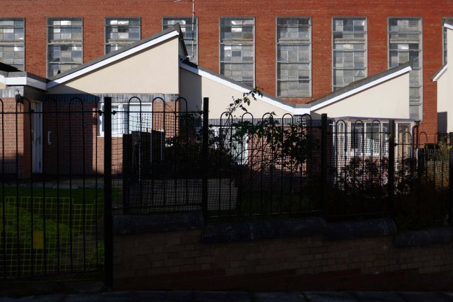
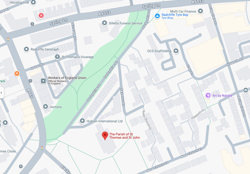
The masterplan states that Radcliffe has many unattractive buildings and few architectural assets. But this could work to its advantage as a lack of protected or noteworthy buildings makes it easier to replace them with contemporary structures.
This could include demolishing the “unwelcoming” St Thomas Estate and replacing it with a mix of private and social housing on the old street layout. Existing tenants would be rehoused in the new houses so that the community would not be broken up.
During his term, Sheffield’s housing grew upwards with multi-storey flats constructed at Low Edges, Park Hill, Hyde Park, Netherthorpe and Woodside. It was Womersley’s response to 13,000 families on the council’s waiting list and 10,000 condemned properties waiting to be demolished.
In the space of a decade they shaped Manchester’s urban fabric, leaving a questionable legacy. The technical quality of their buildings was undoubtedly poor, but their qualities – bold forms, monolithic materiality and streets-in-the-sky – were of the moment, and captured a particular brand of urban renewal, imported from North America and inflected through British post-war planning.
Social housing has been, and continues to be, a contentious arena. This seemingly well-constructed estate was once deemed unfit for habitation by its residents.
Tenants of the St Thomas’ Estate in the town centre allege they have been forgotten by Six Town Housing, which manages the properties.
Magda Csatlos, former chairman of the now disbanded Tenants and Residents Association said rotten bricks with visible gaps between them, badly-designed leaking roofs and damp and mouldy conditions plague many of the 90 homes.
Happily the Local Authority are able to remedy the problem.
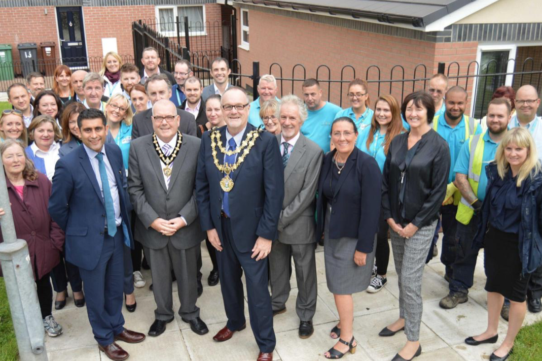
After some residents on the estate, who were visited by Bury South MP Ivan Lewis, called for the properties to be “condemned”, the Council agreed to invest £2 million to bring the homes up to standard.
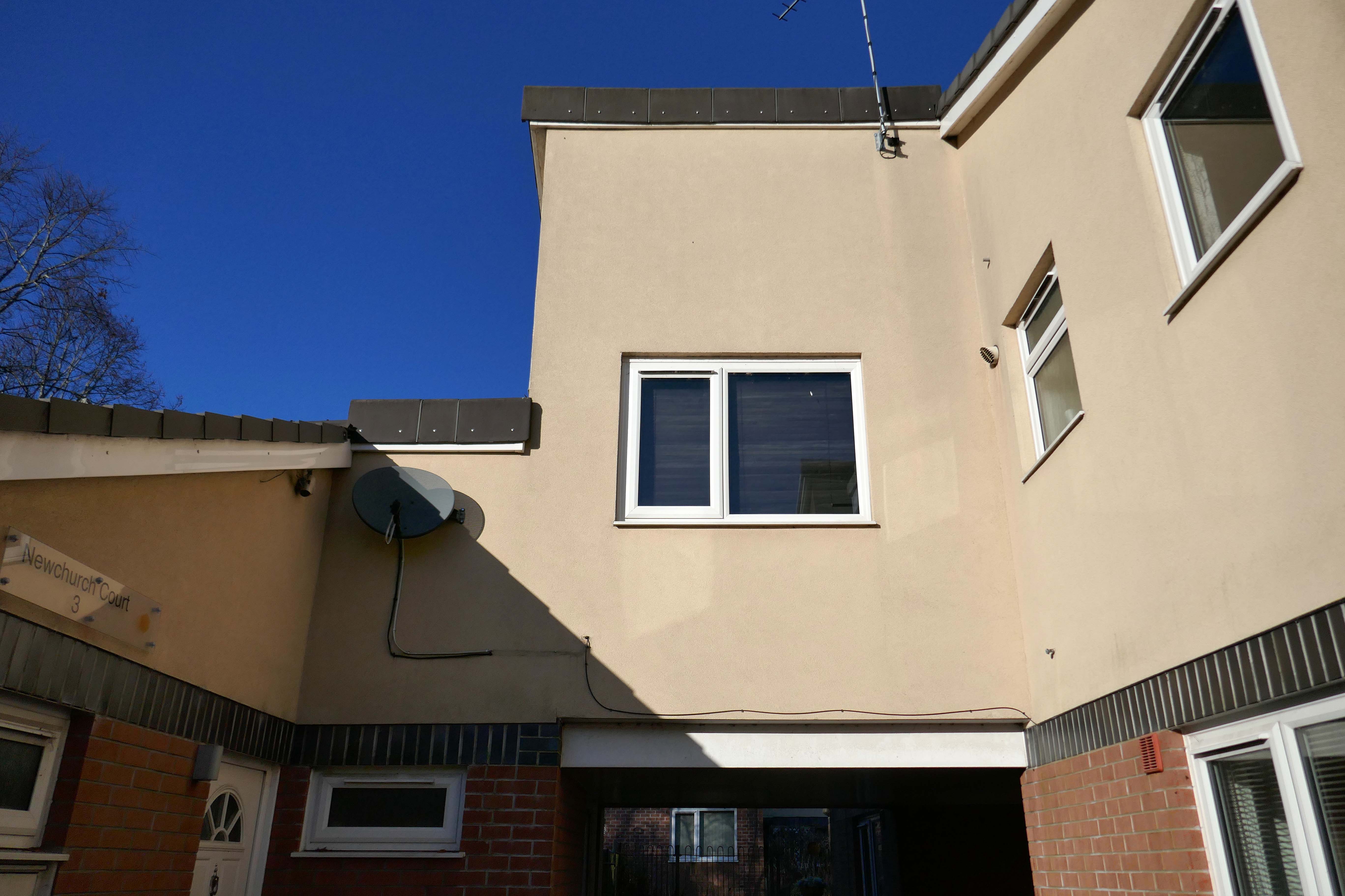
A total of 90 social housing properties on St Thomas Estate have been provided with new external rendering, roofing, windows, doors, insulation and brick cladding.
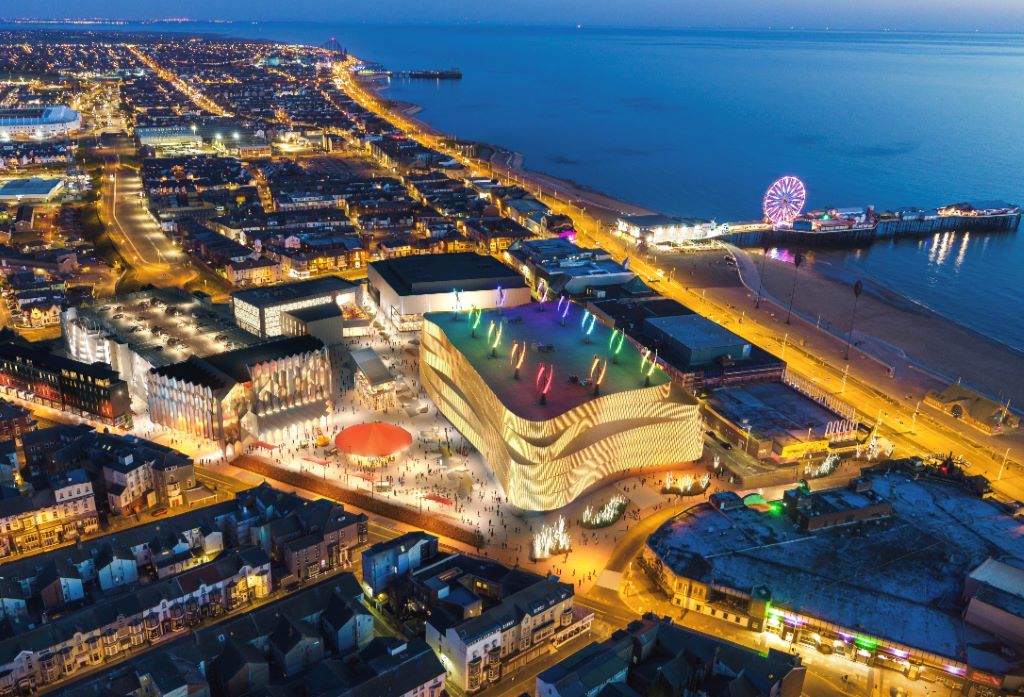
Blackpool Council says it remains committed to the Blackpool Central project amid the potential collapse of the developer leading the works.
But warning alarms sounded this week when Nikal – which was hired to oversee the project – filed a notice of intent to appoint administrators.
The £300m Blackpool Central development is billed as the biggest single investment in the town in more than a century and is planned to involve a “world-class leisure development” which would create 1,000 new jobs, bring an extra 600,000 visitors per year, and boost annual spend in the town by around £75m.
A spokesperson for Blackpool Council told the Blackpool Lead:
We have been working on the enabling phase of Blackpool Central over the last few years. The new multi-storey car park opened earlier this summer and we are currently completing preparations to demolish the old police station and courts building early in the New Year.
The proposals for the Bonny Street area can be seen here.
Plans for the area have hit further problems.
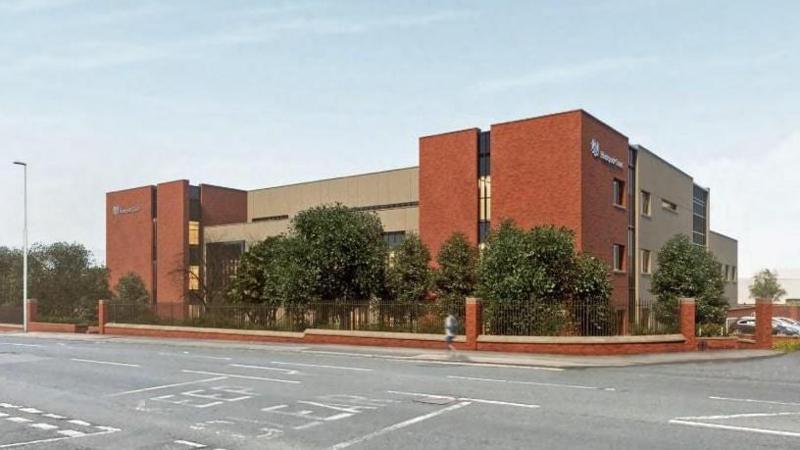
A new £40m magistrates courthouse is facing building delays after the project’s main contractor collapsed.Blackpool’s magistrates court was one of twenty two projects belonging to construction giant ISG, which was working on the scheme for the Ministry of Justice.
But the firm went into administration in September, leaving two thousand two hundred workers at risk of redundancy, the Local Democracy Reporting Service said.
Work was due to start early next year with a completion date expected in 2026.
The town needs all the help it can get, time has not been too kind, whilst efforts have been made to invigorate the area around Blackpool North and the promenade, the back streets reflect the legacy of years of deprivation.
Blackpool ranks as one of the most deprived areas in the UK. Many people were already in poverty, and the cost of living pressures are having the biggest impact on this group, who need to spend a greater proportion of their incomes on household essentials. It is also affecting people on low and middle incomes, often surviving by having several jobs, who are being pushed into poverty. More people are turning to services for support, and as the winter progresses this is a serious concern.
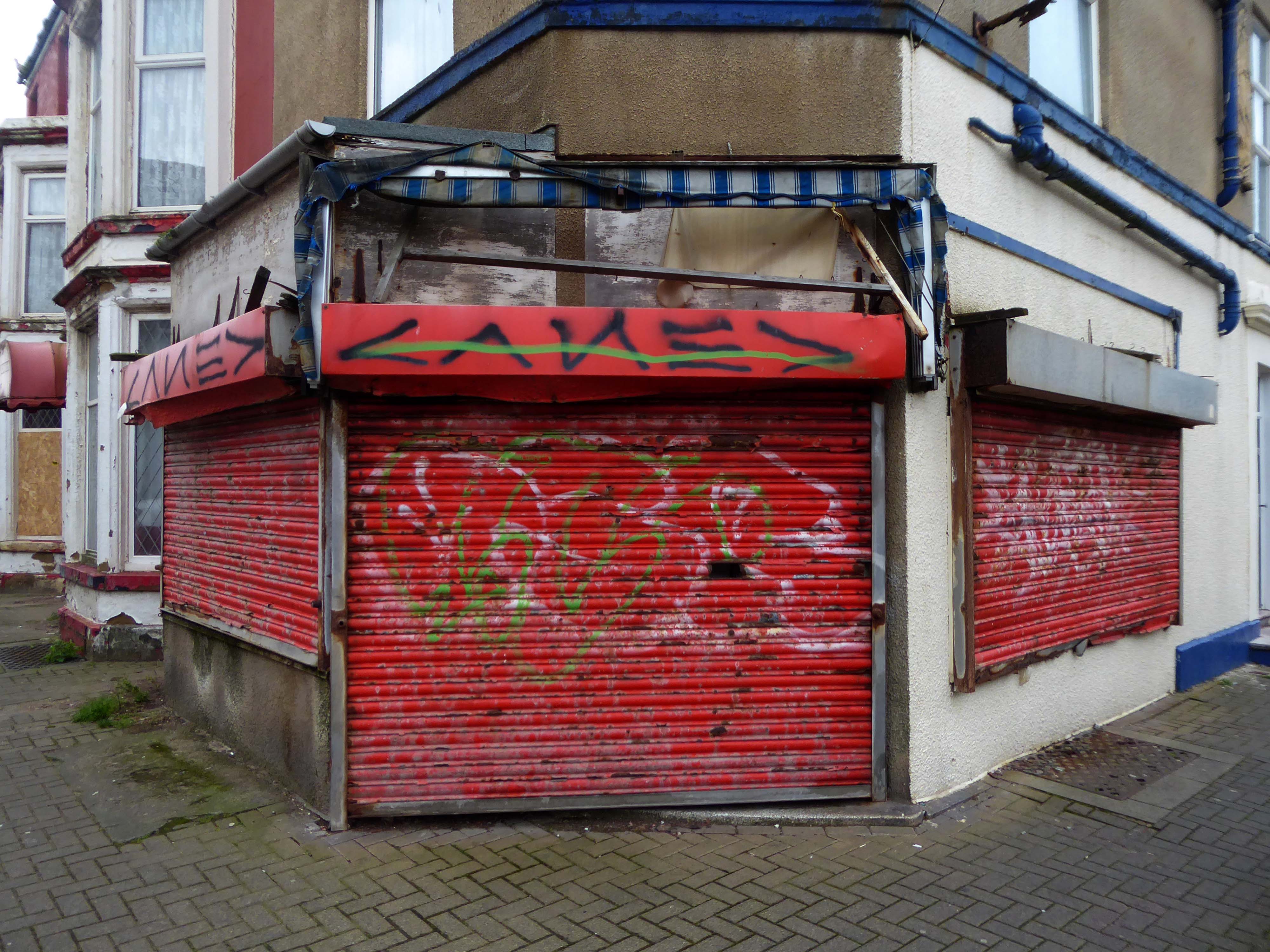
I have no wish to poor scorn on the area – but a short walk around the streets approximate to the coast tells a tale of failed businesses, decay and decline.
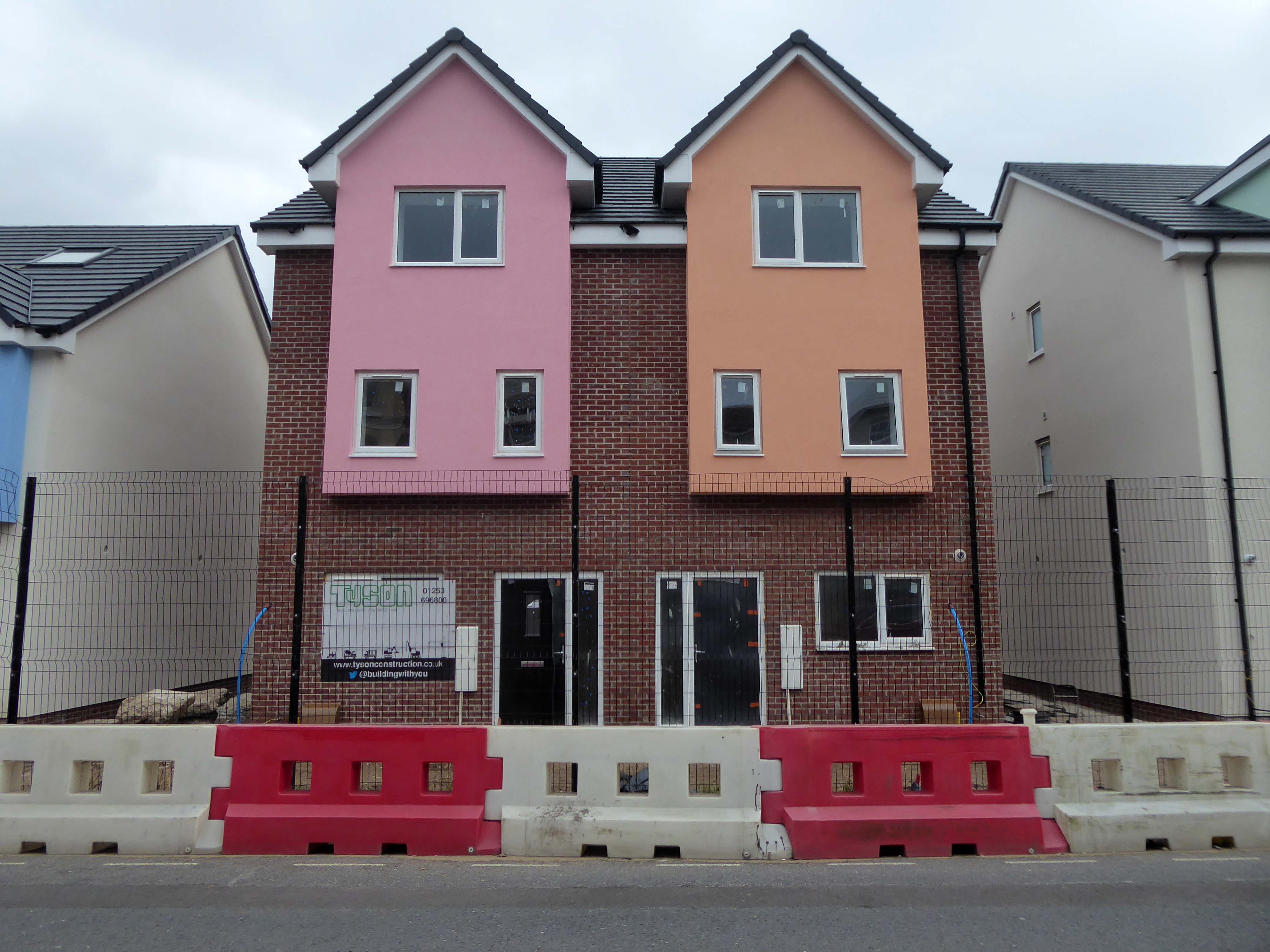
Happily there are the seeds of recovery in evidence, in the form of newly built housing.
The executive report outlines an area of regeneration to the South of the town centre. It lies broadly between Chapel Street and Rigby Road, and the Promenade and Central Drive. These have been identified as the initial areas of focus for detailed scheme development, community engagement and property acquisitions in preparation for future development.
Far, far away from the mad, rushing crowd, Please carry me with you. Again I would wander where memories enfold me, There on the beautiful Island of Dreams.
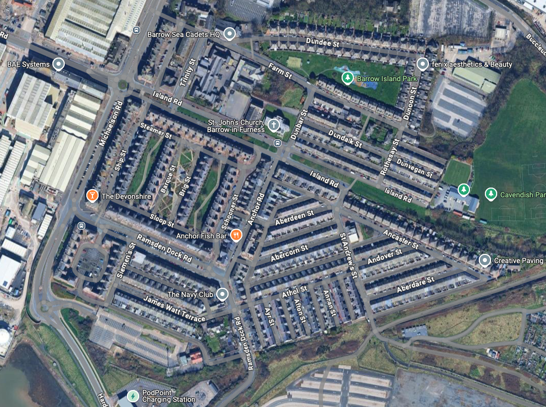
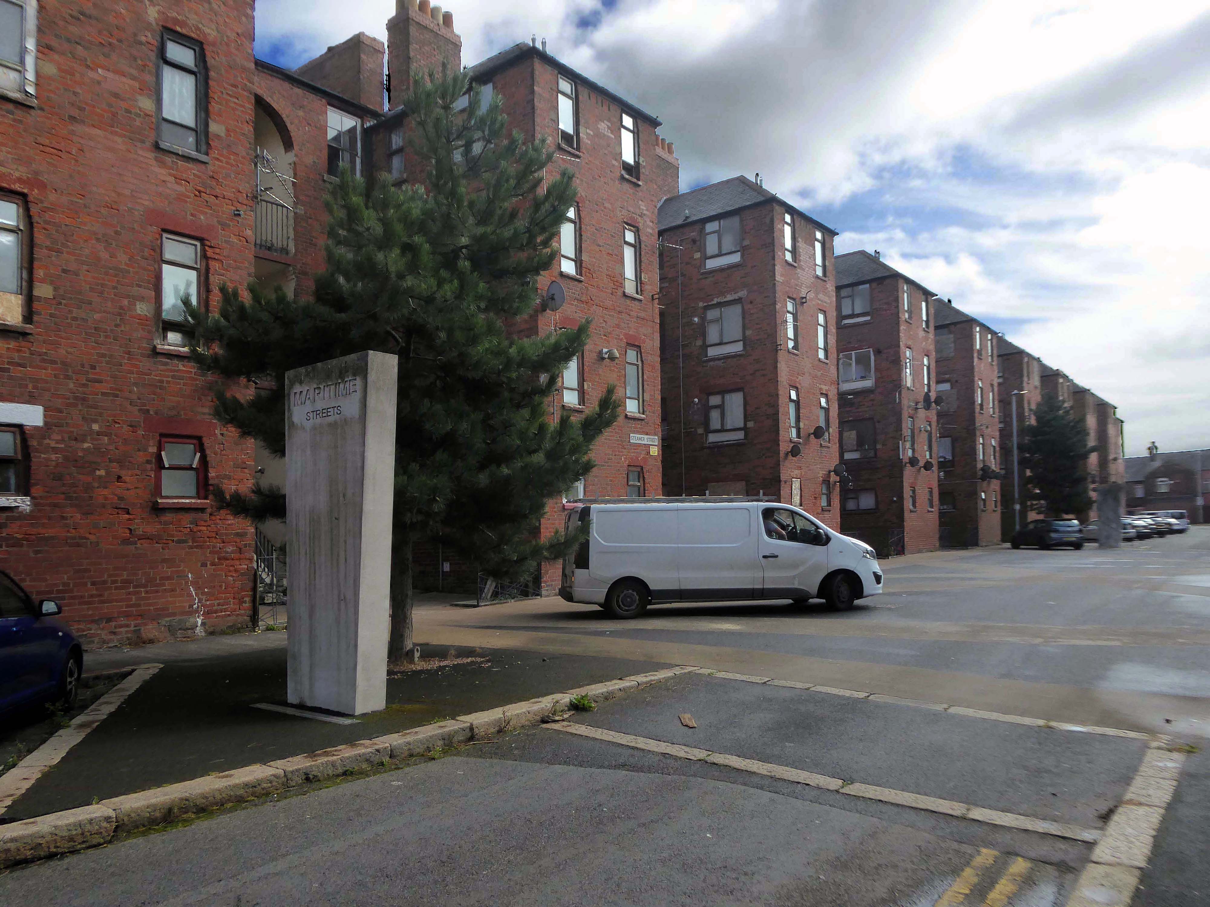
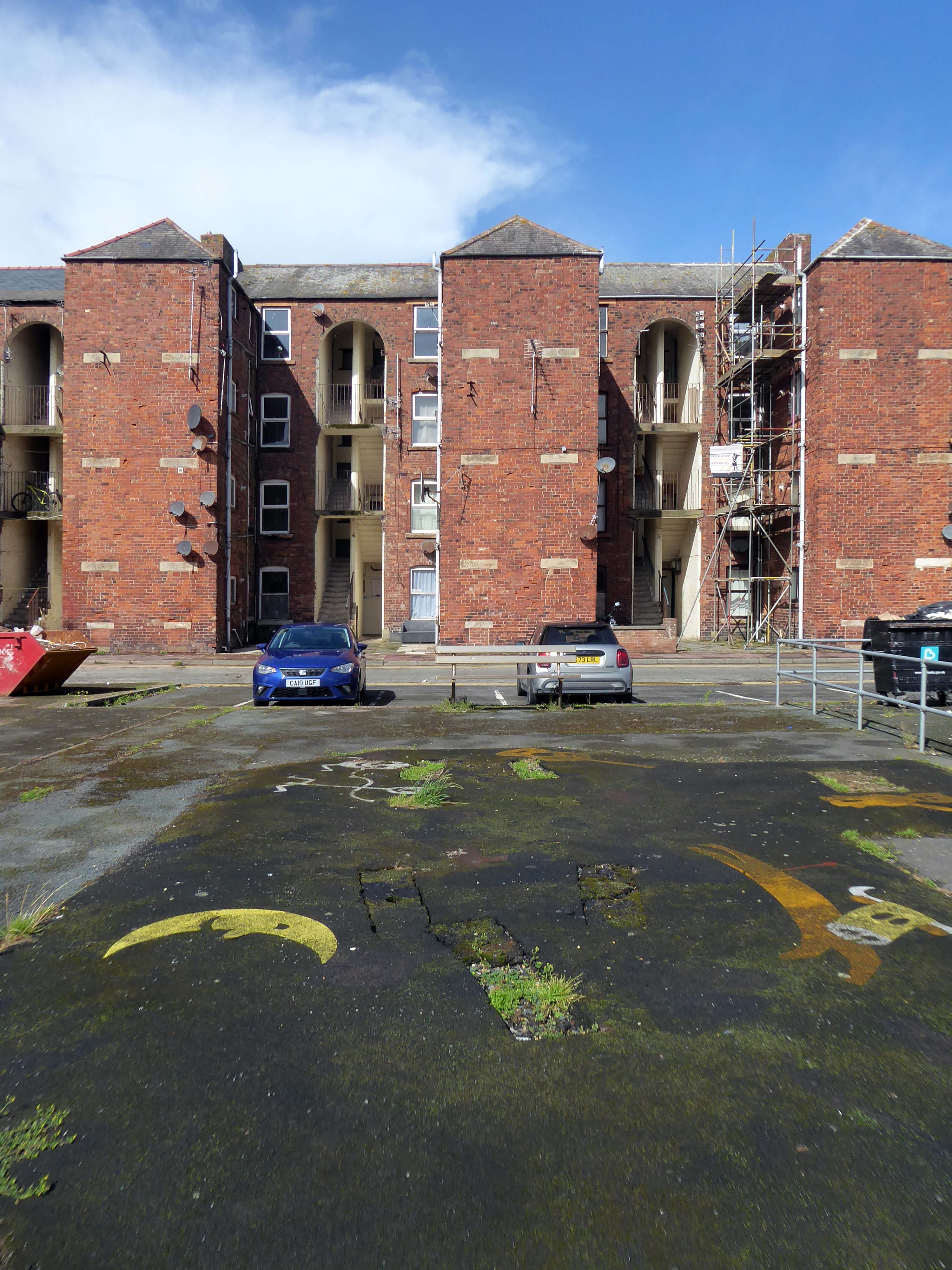
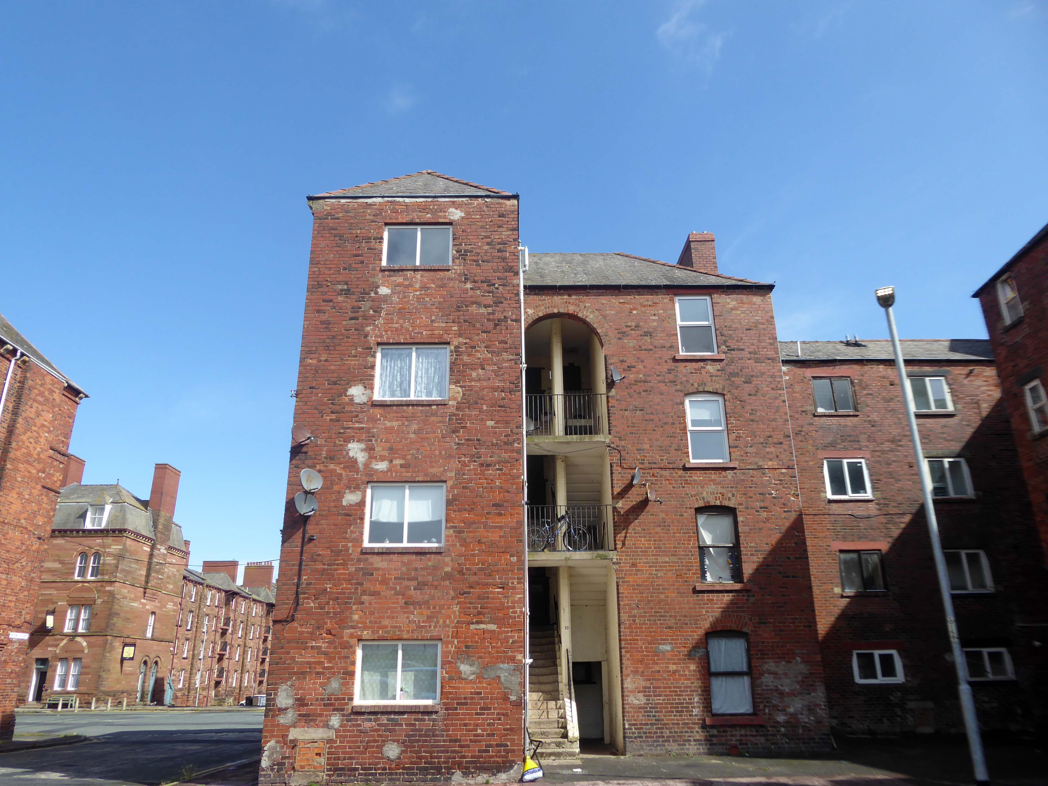
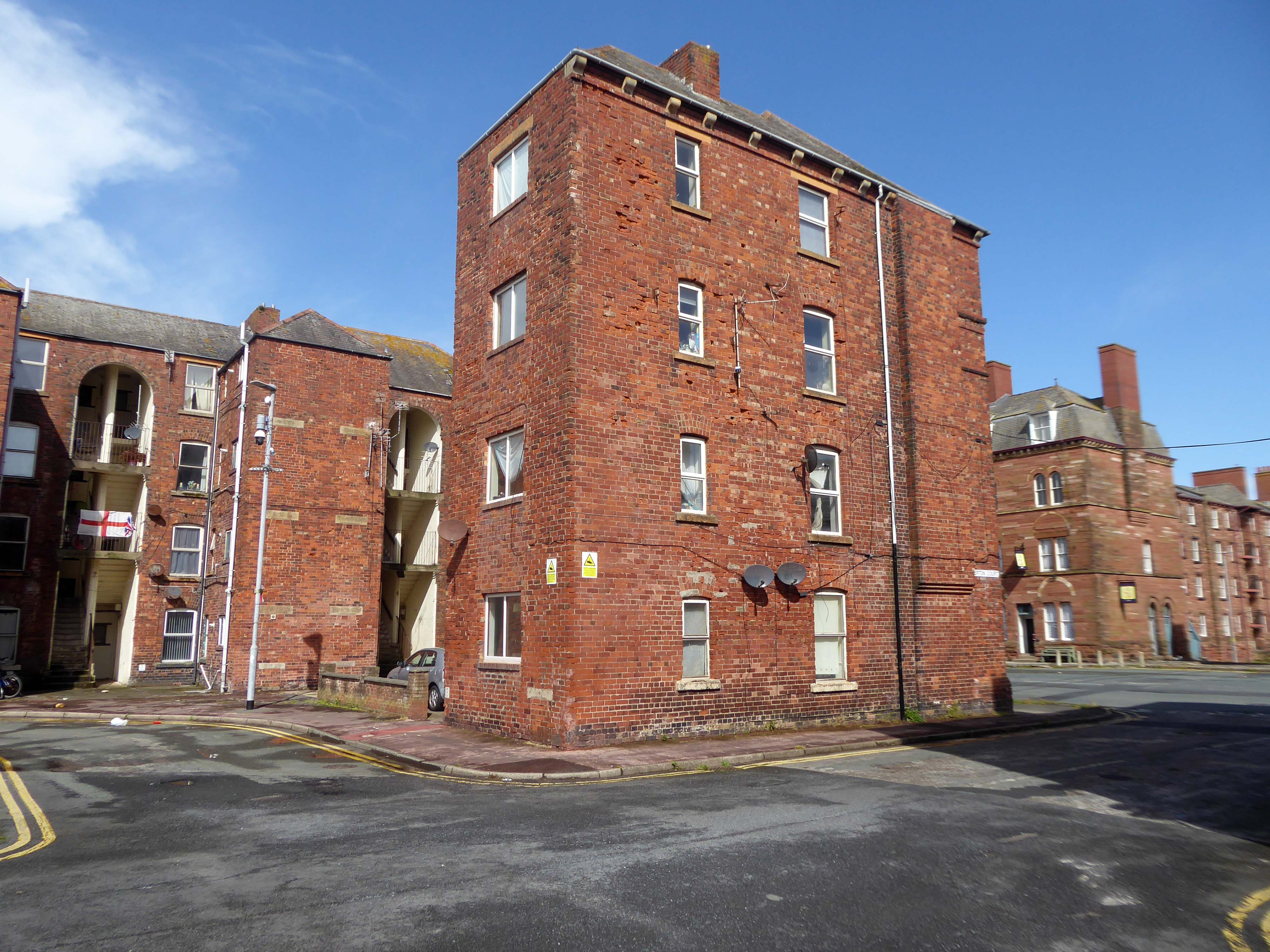
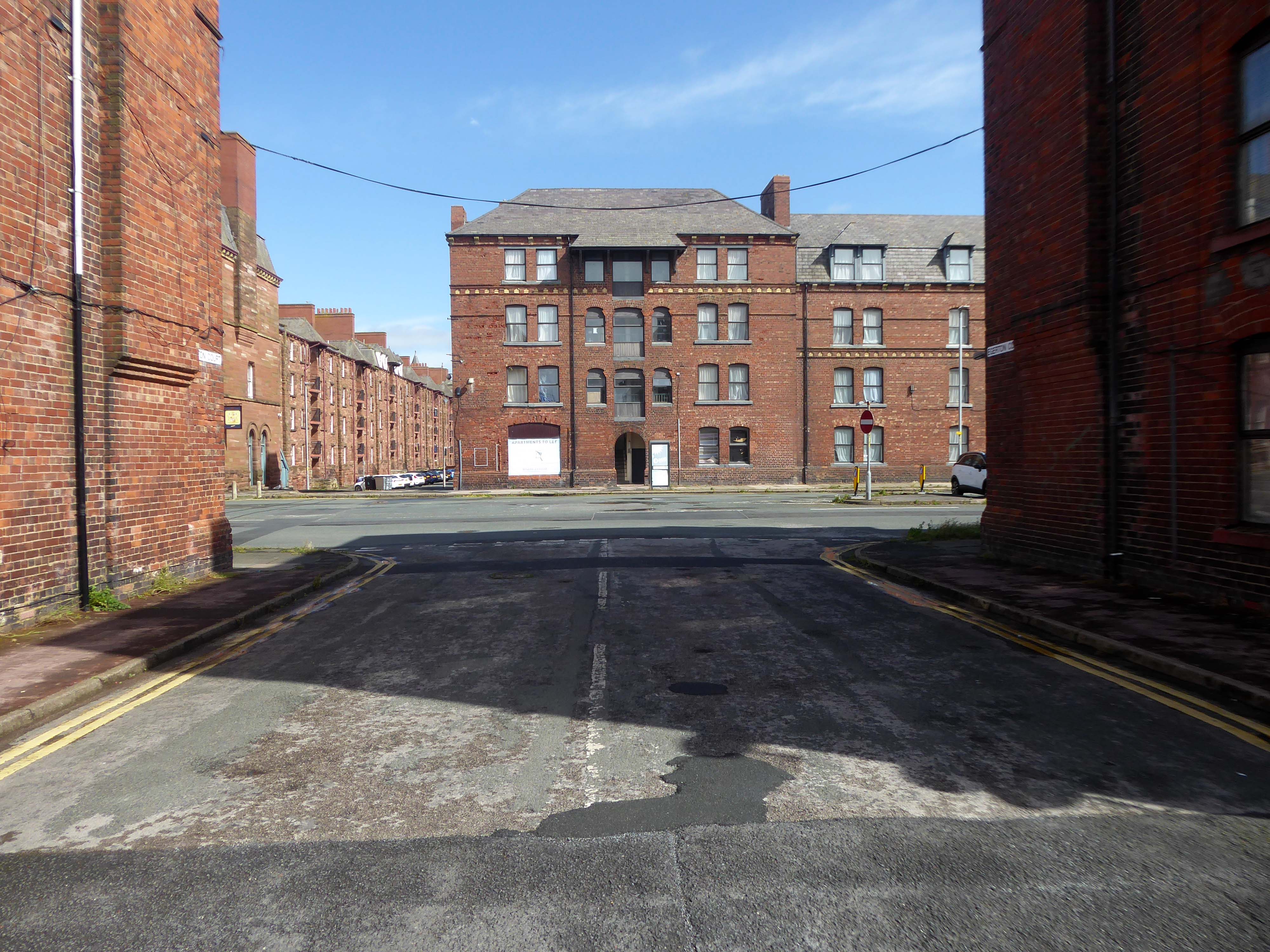
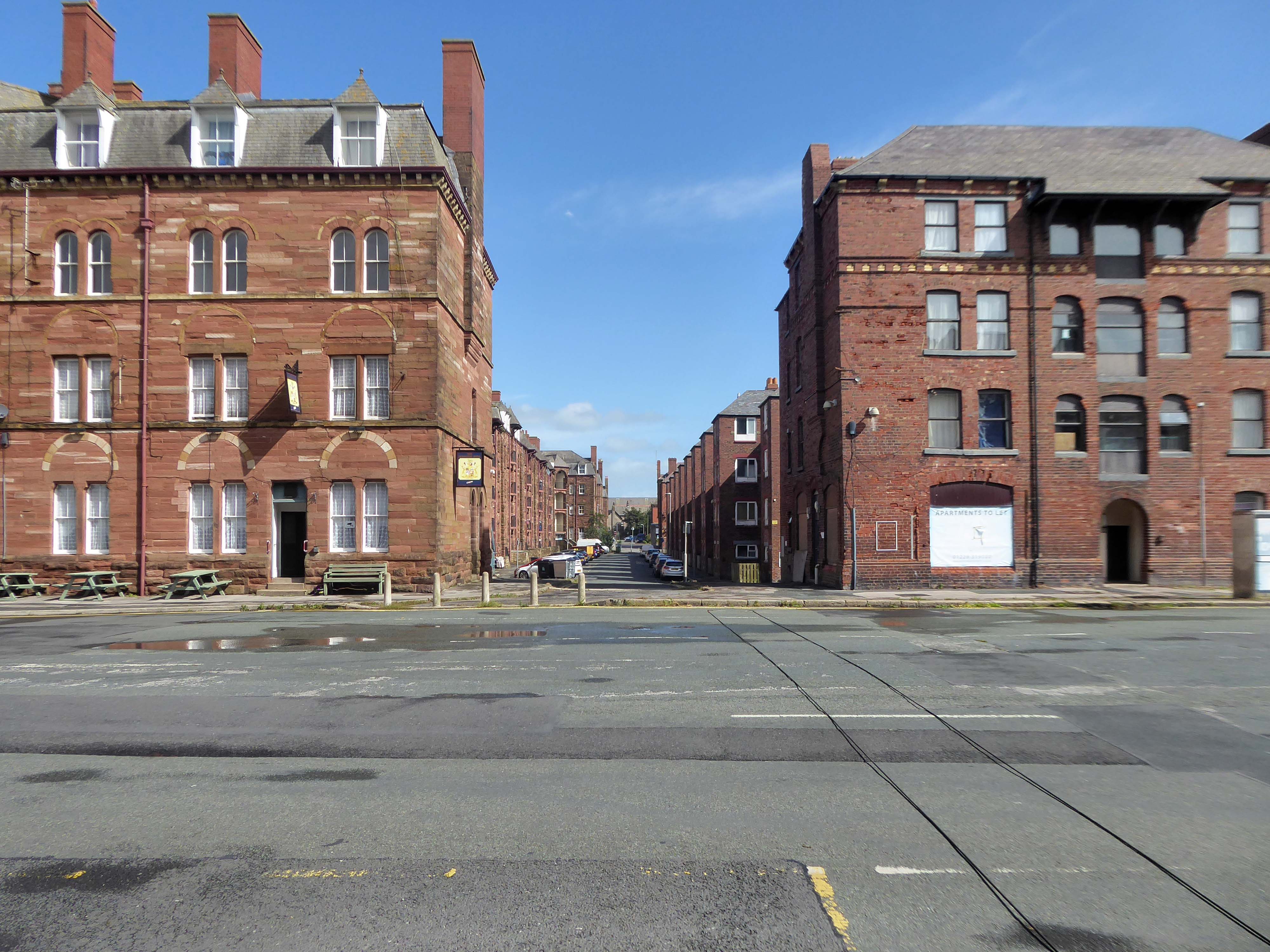
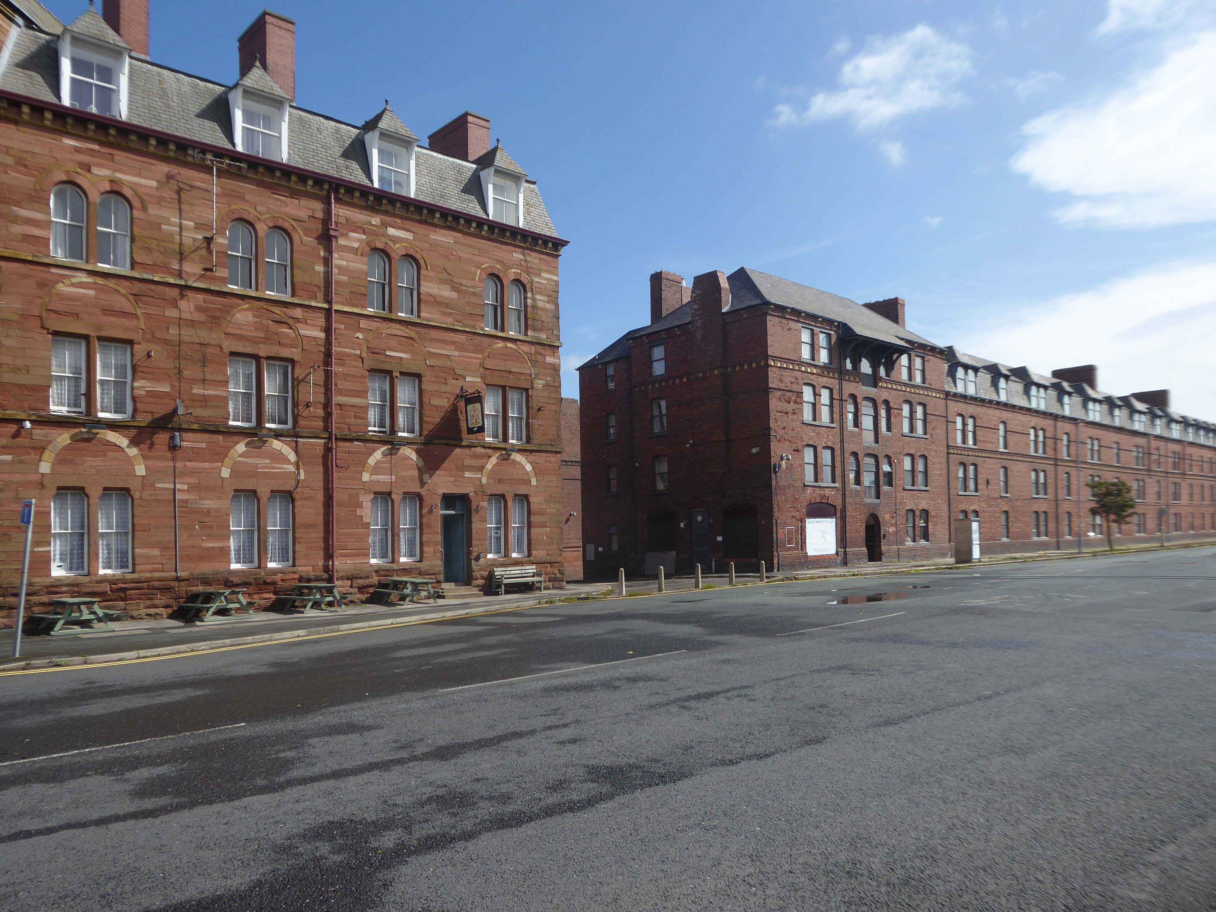
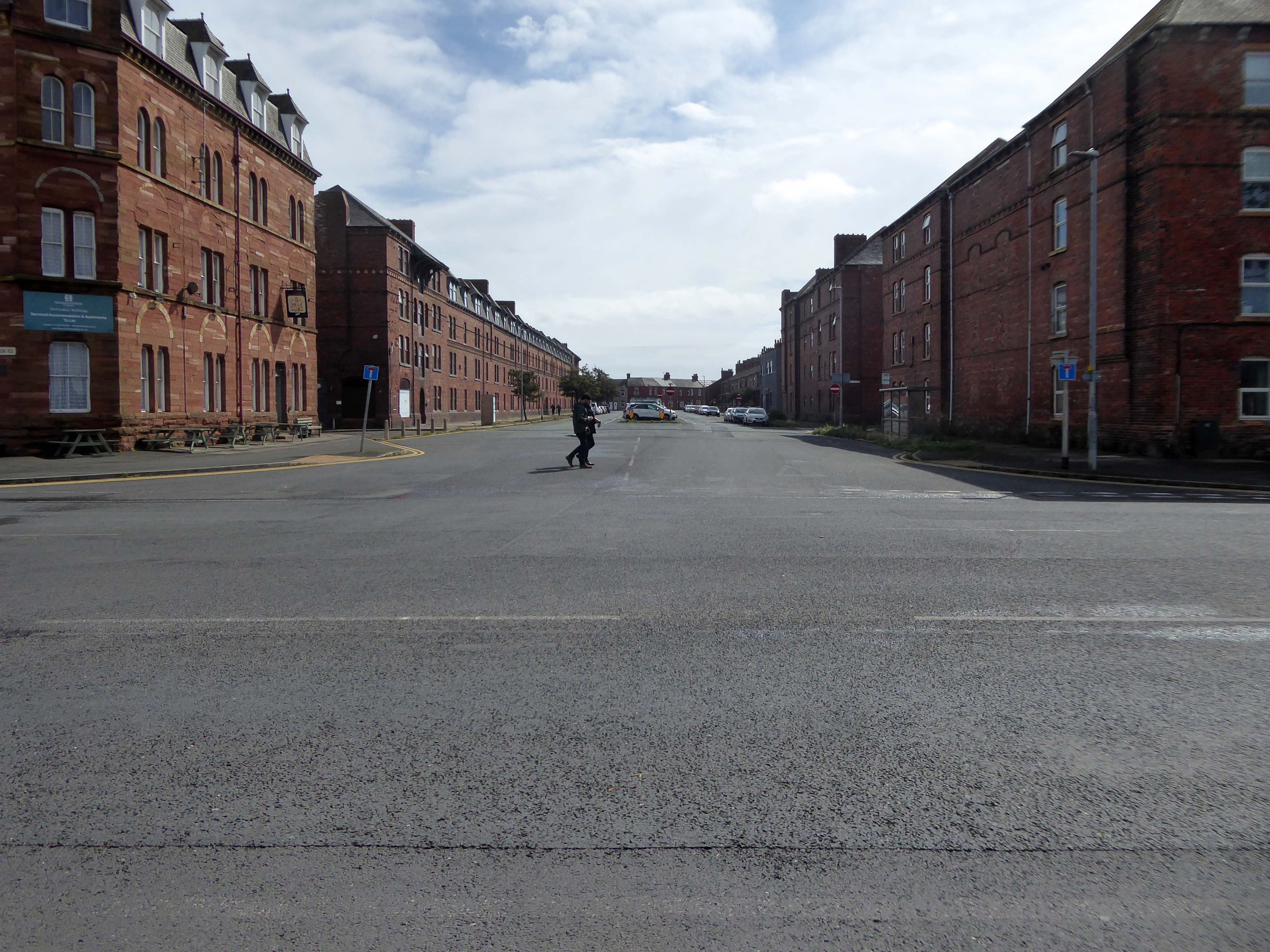
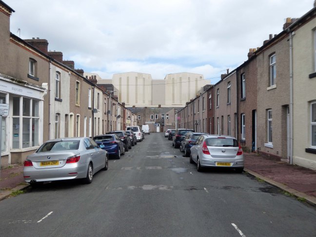
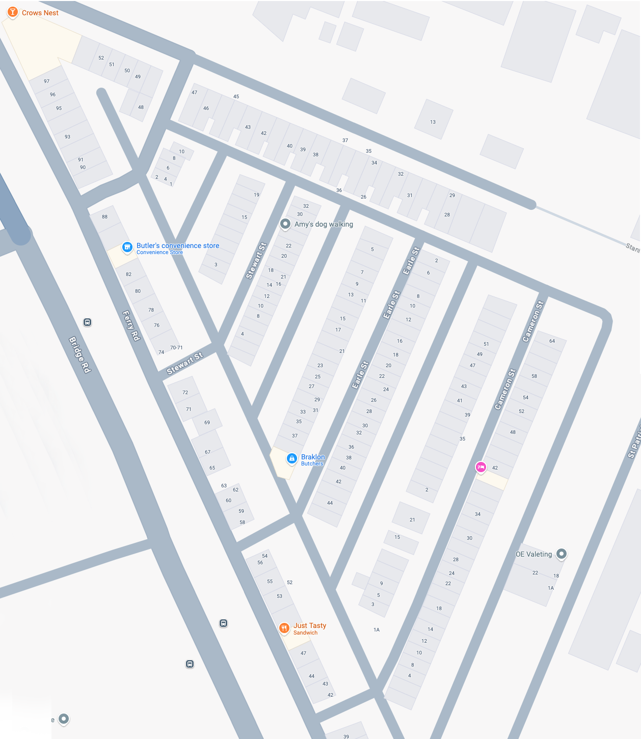
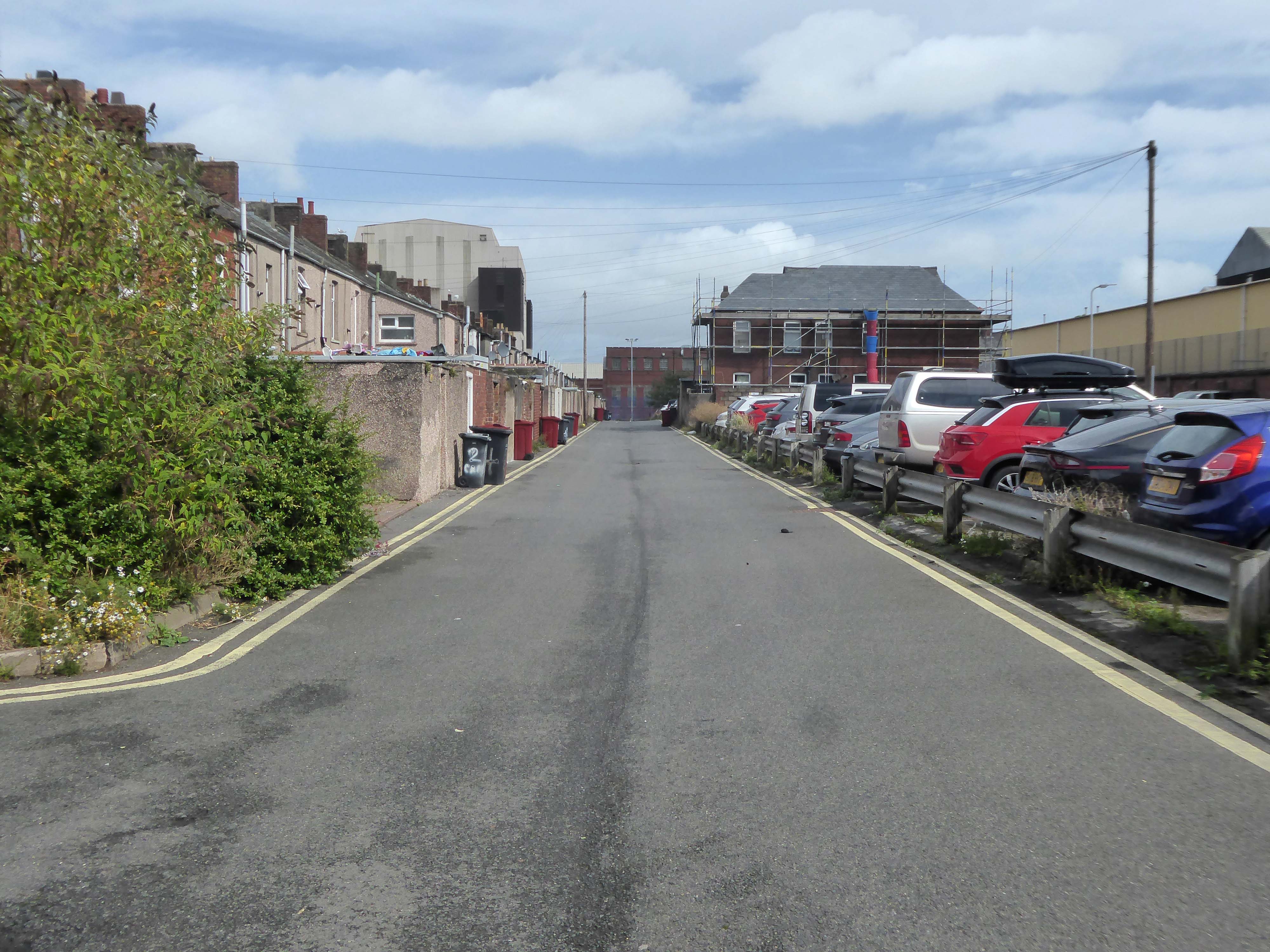
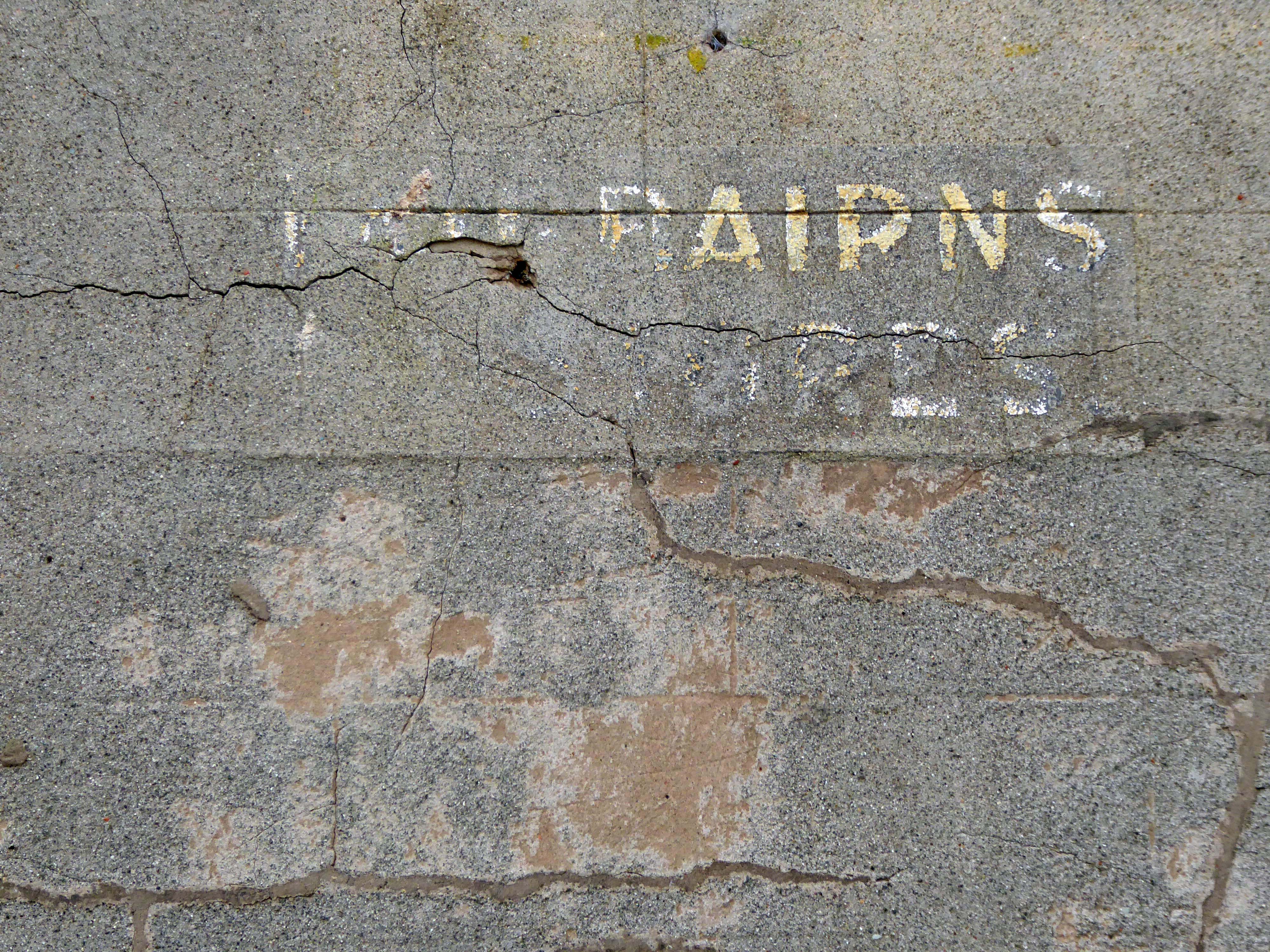
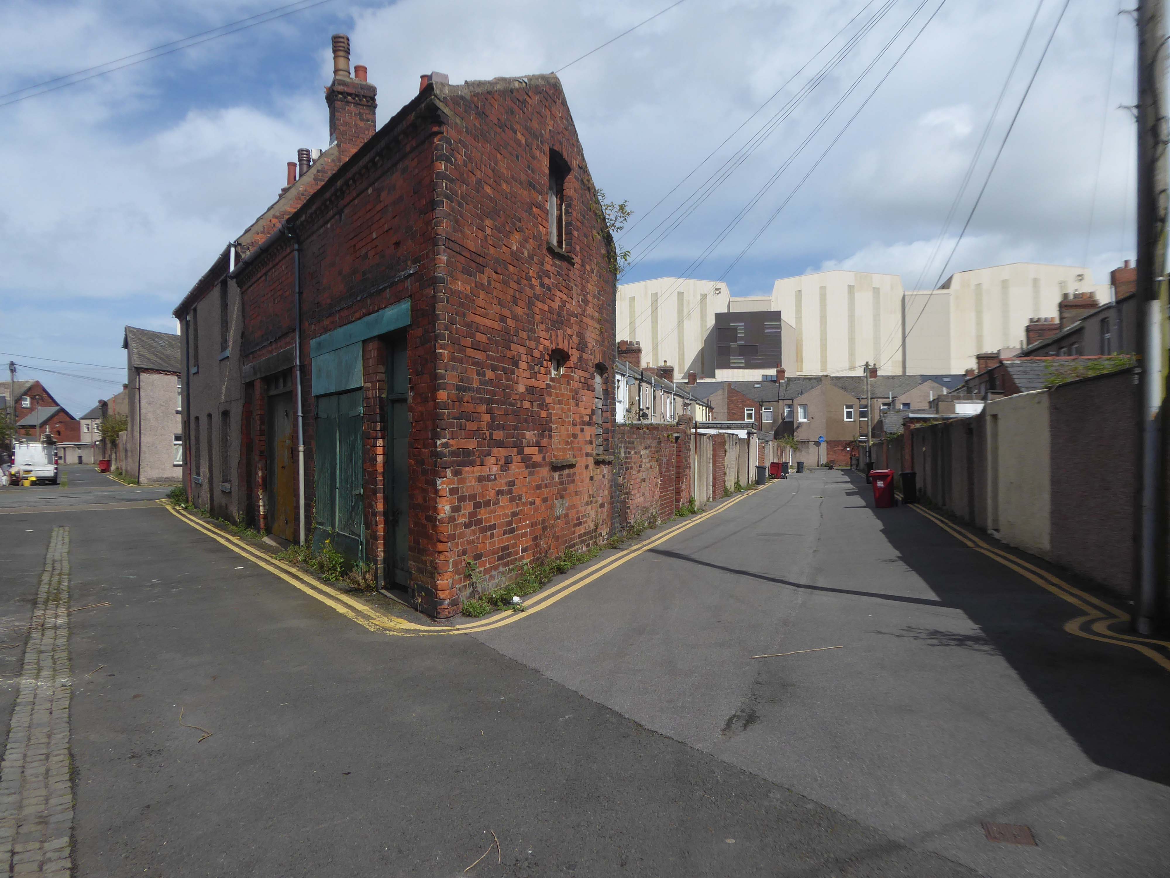
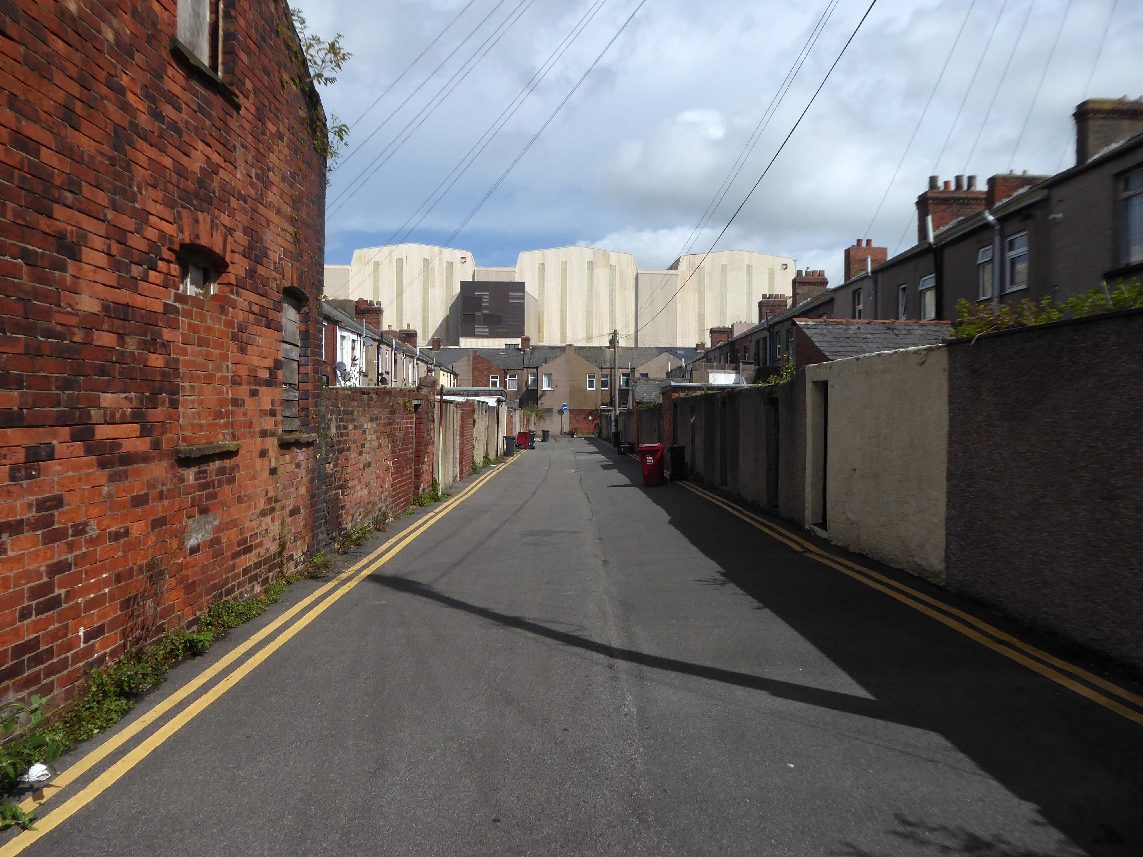
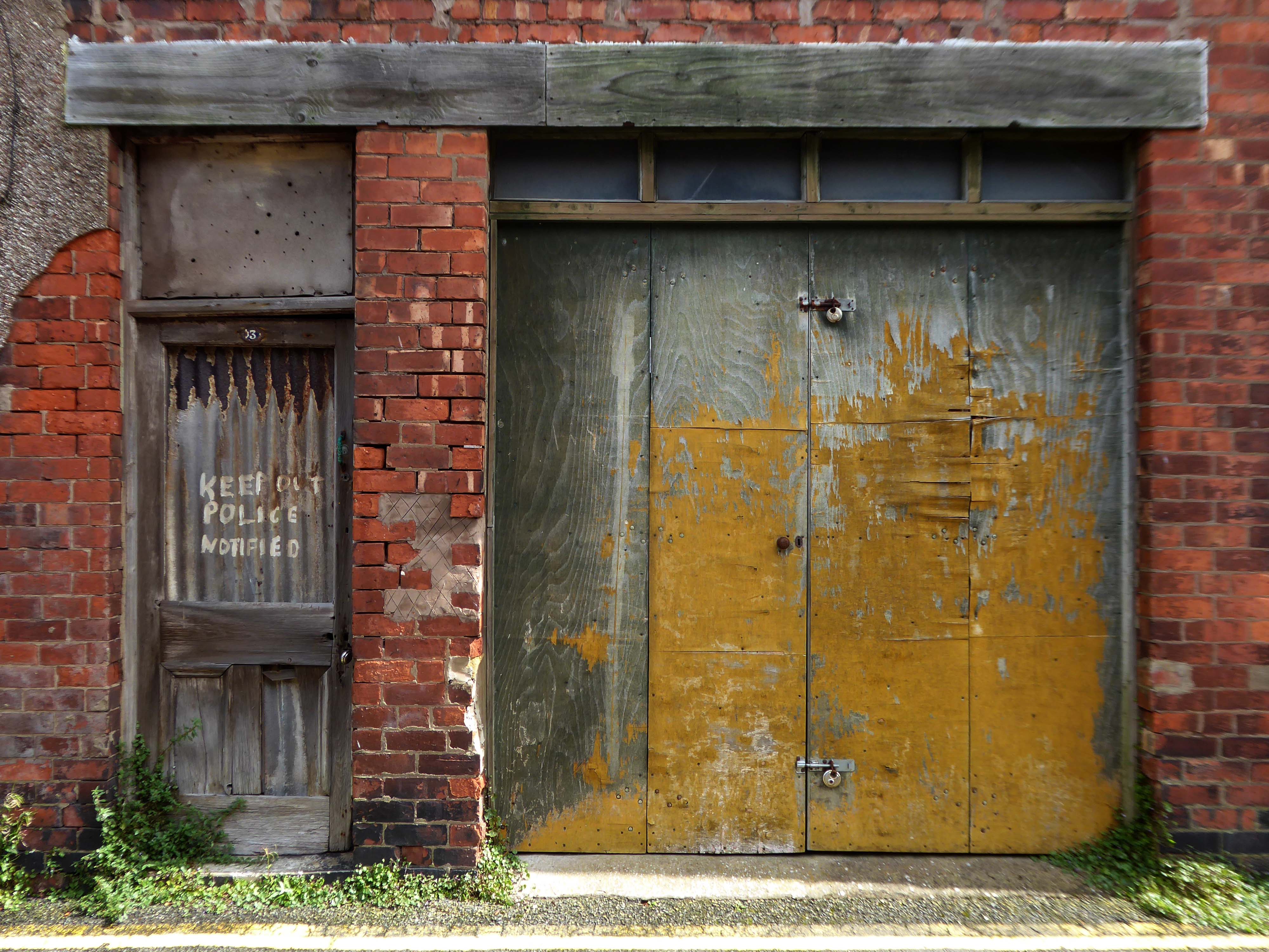
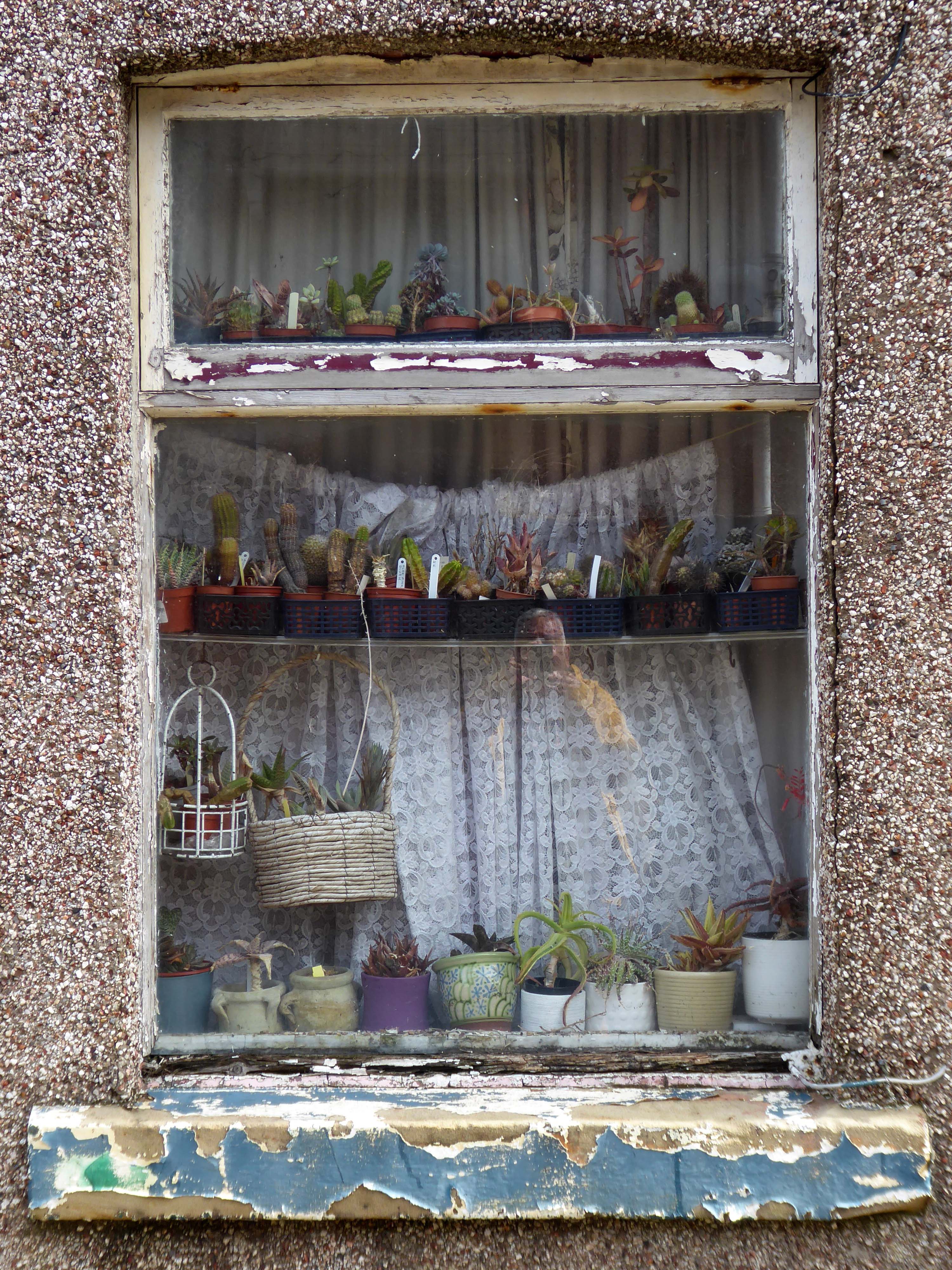
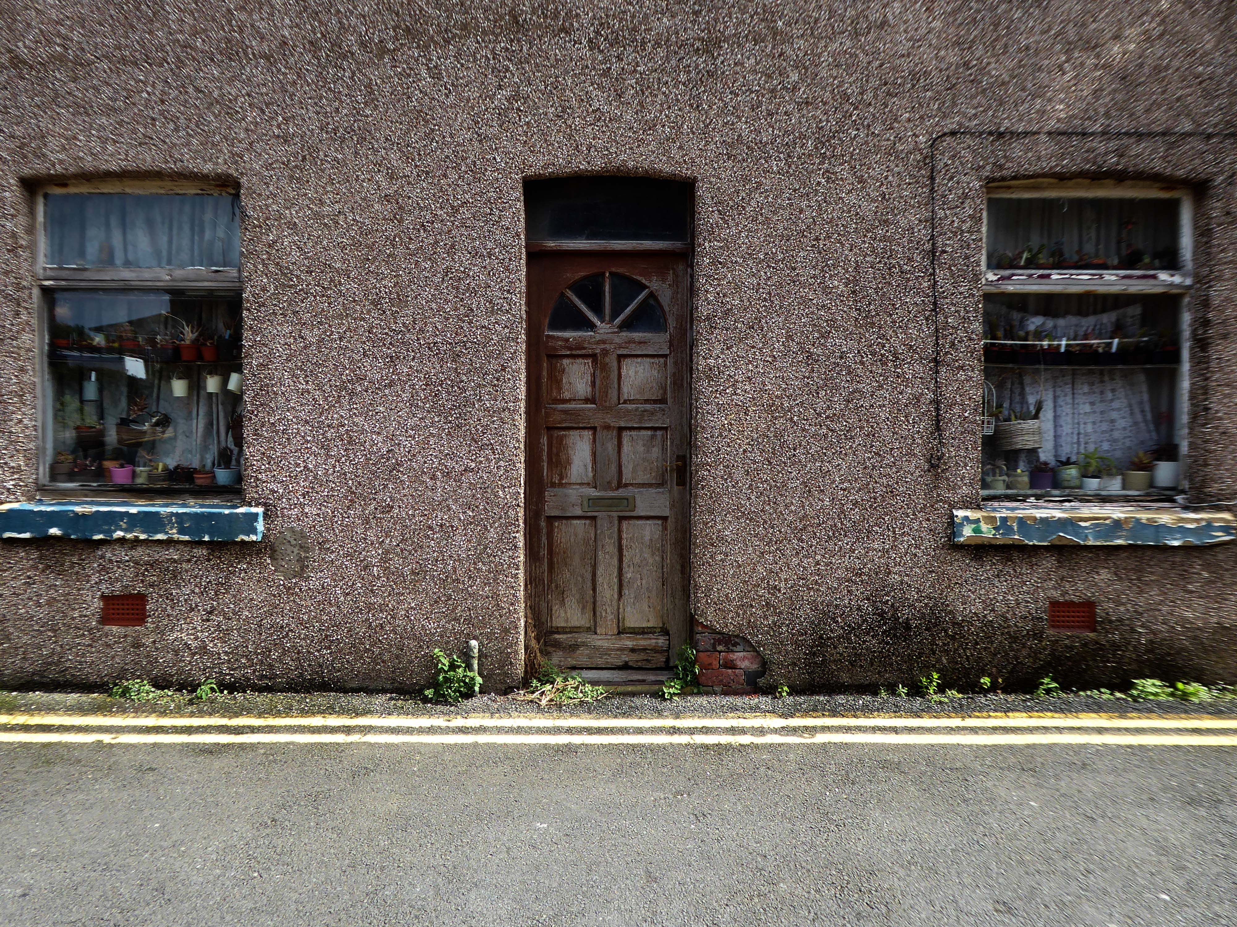
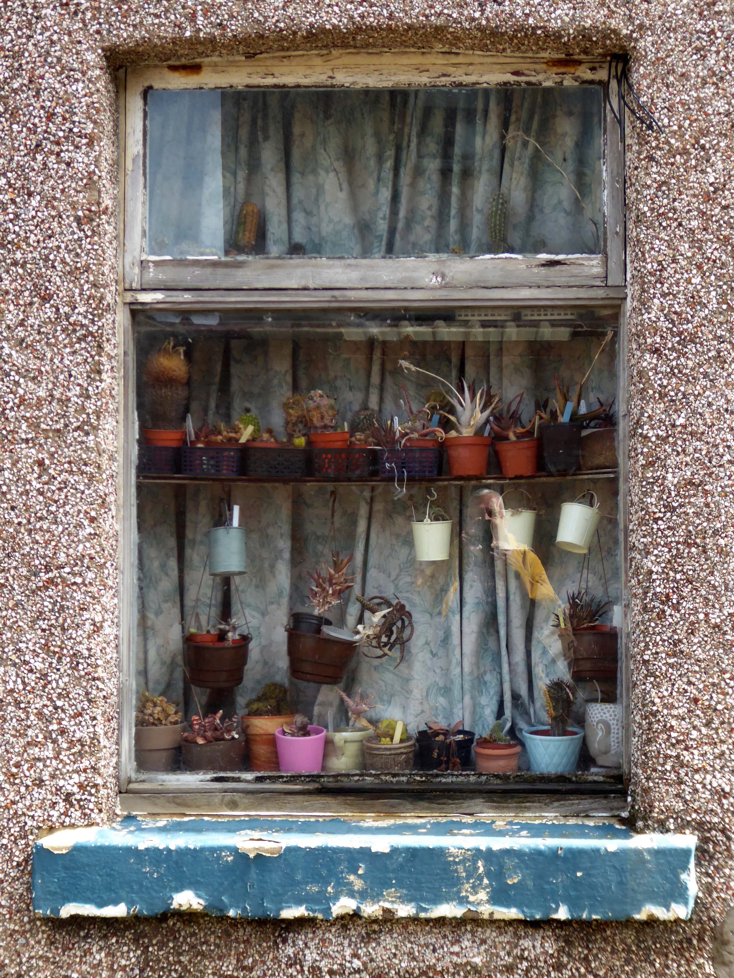
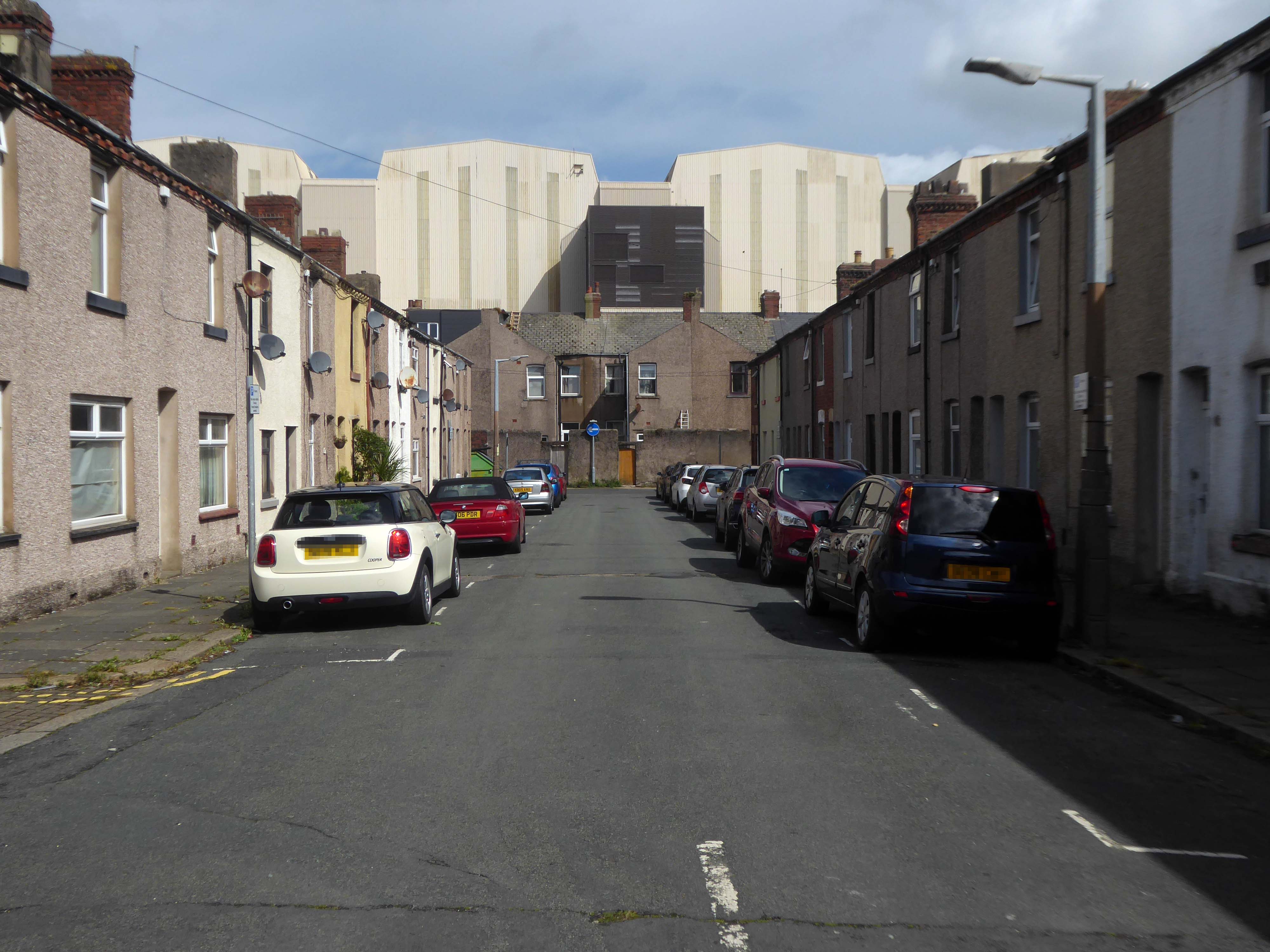
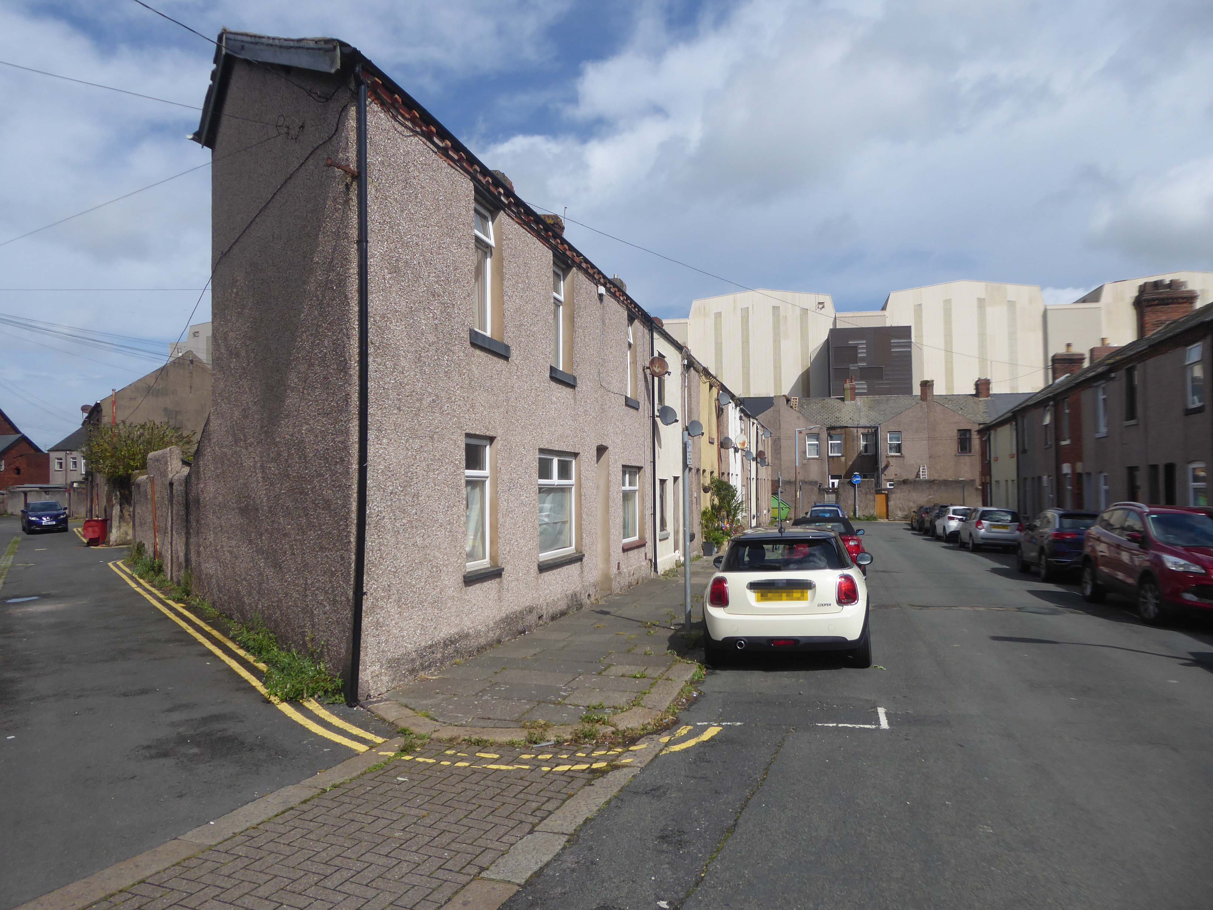
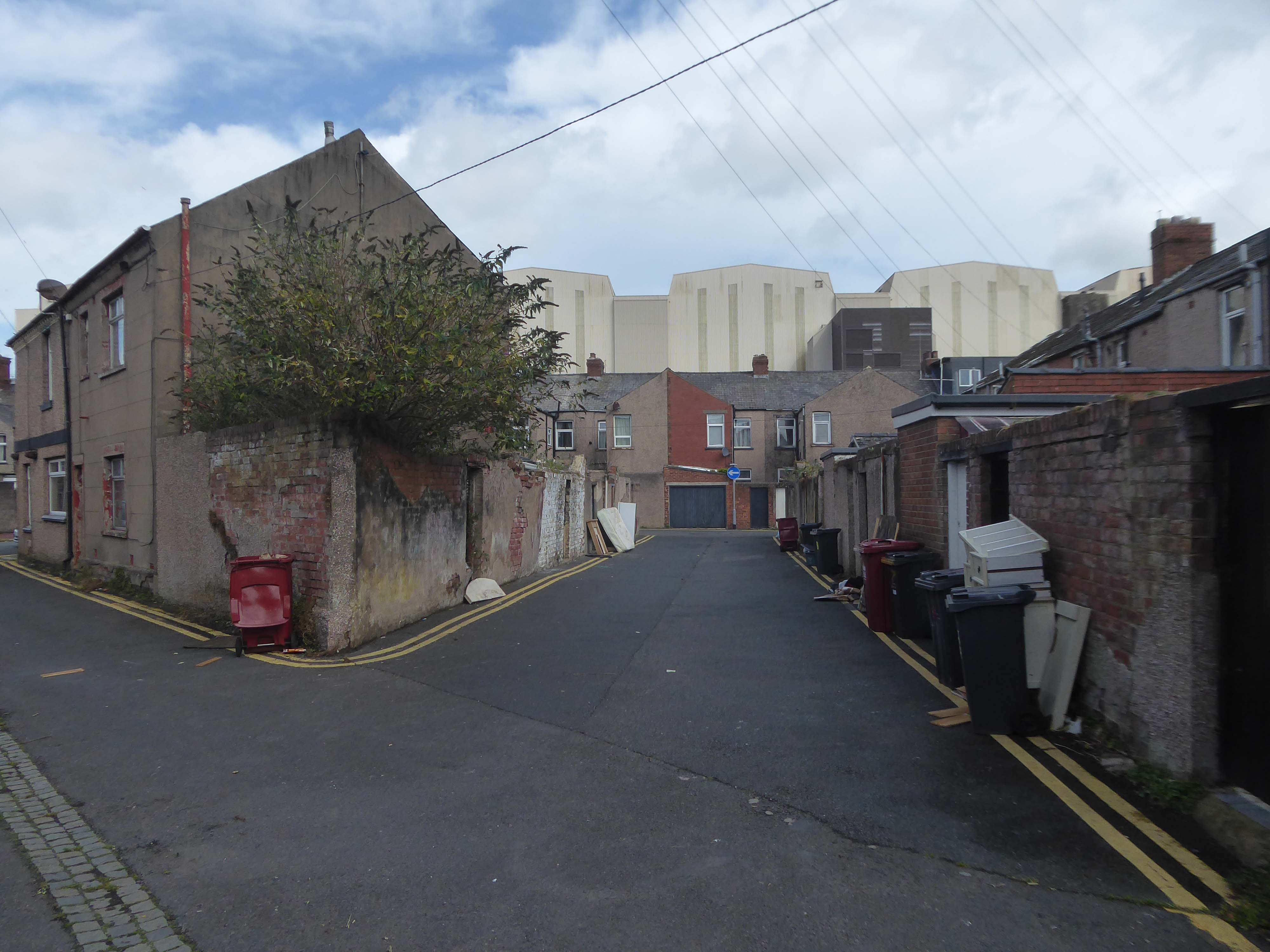
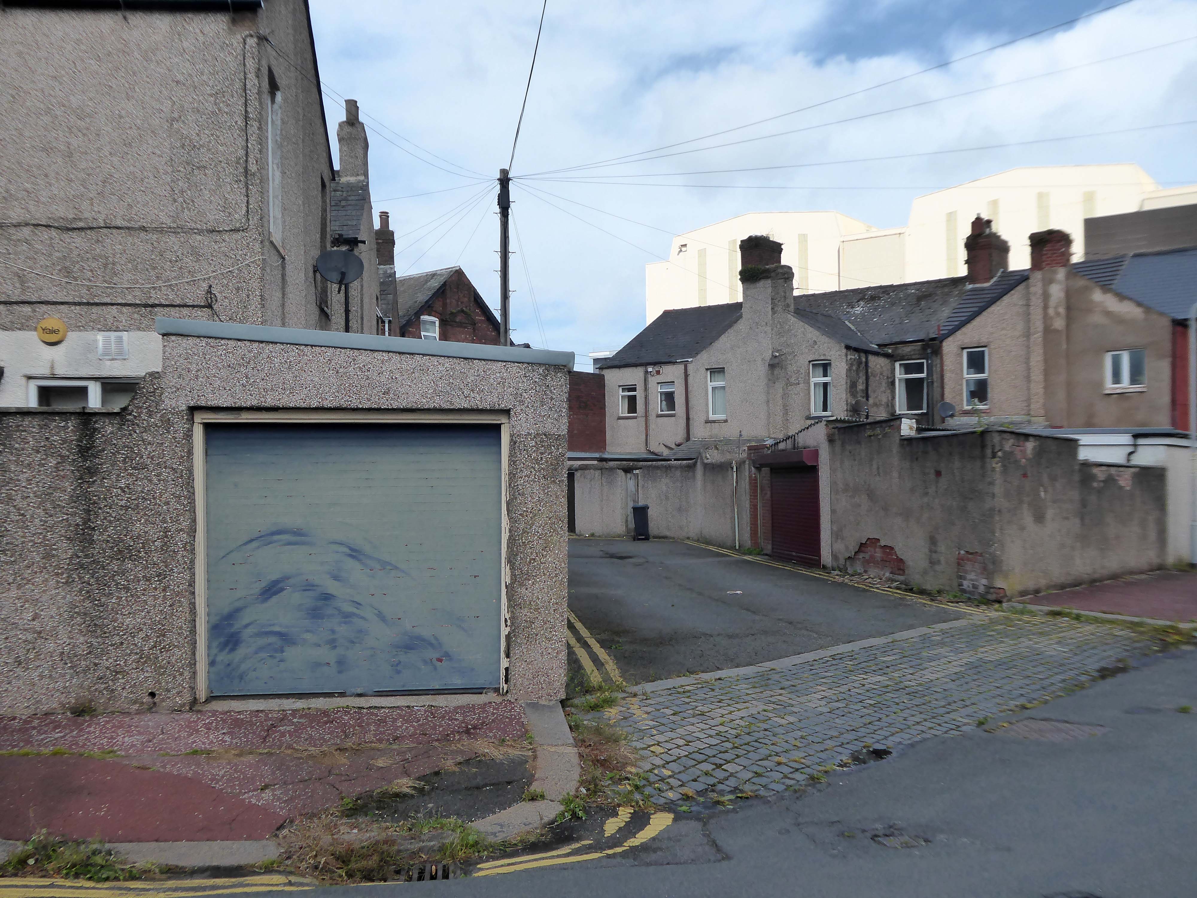
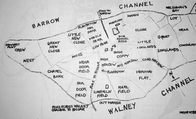
At the northern end of Barrow Island lies the Ferry Road Triangle. Covering an area formerly known by the field names, Crow Nest, Great New Close, Little New Close, Moss, Cow Park and Middle Park; the Ferry Road area has always been known as the Triangle, because the shape of the estate is truly a triangle.
I had arrived in Barrow in Furness and taken to wandering the streets, hastily in search of nothing in particular.
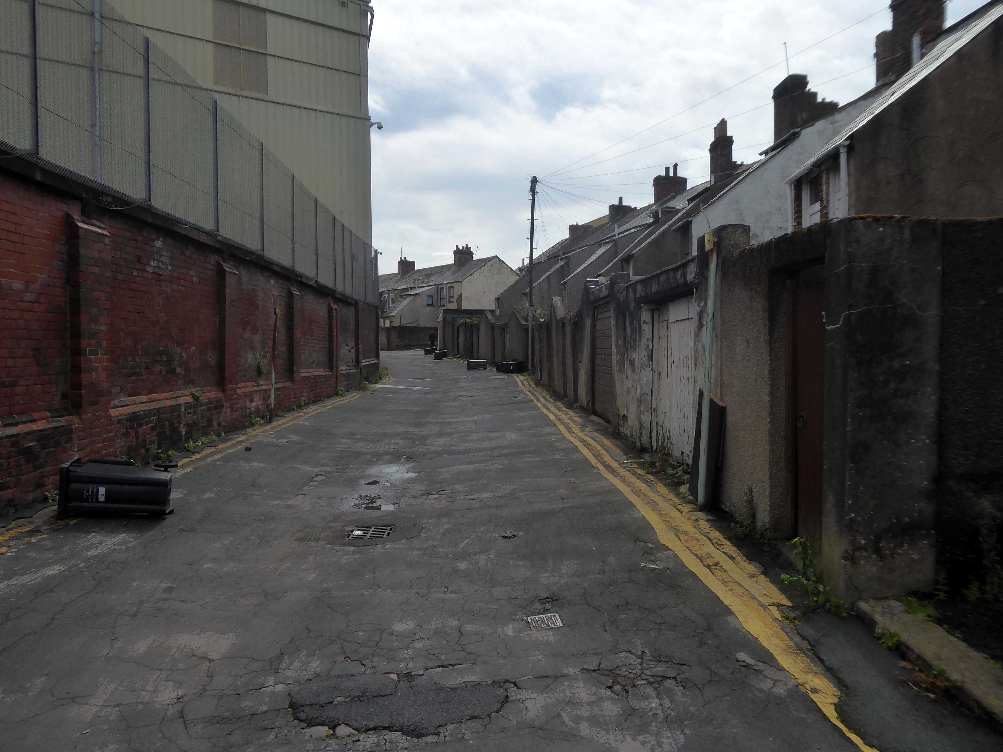
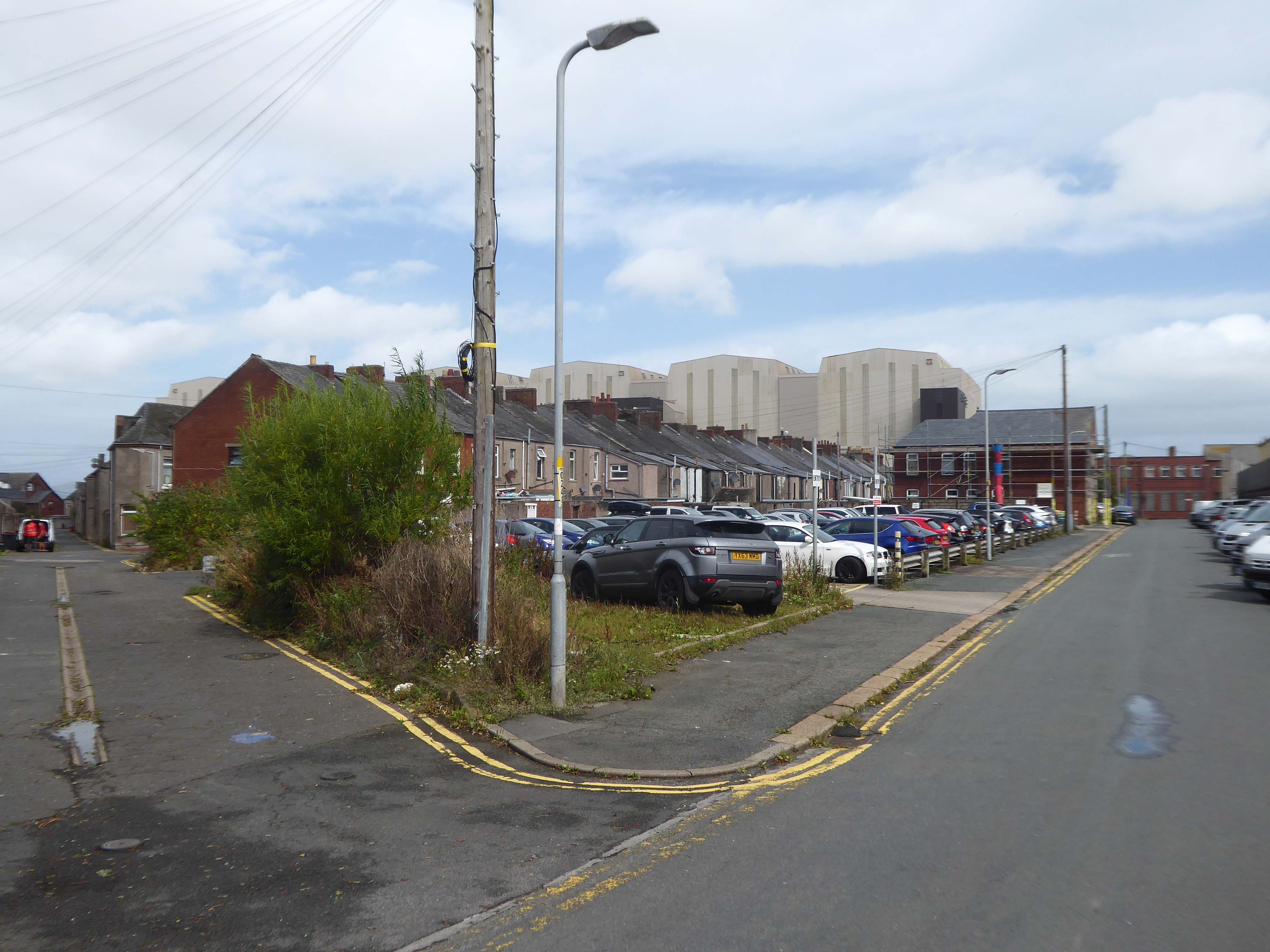
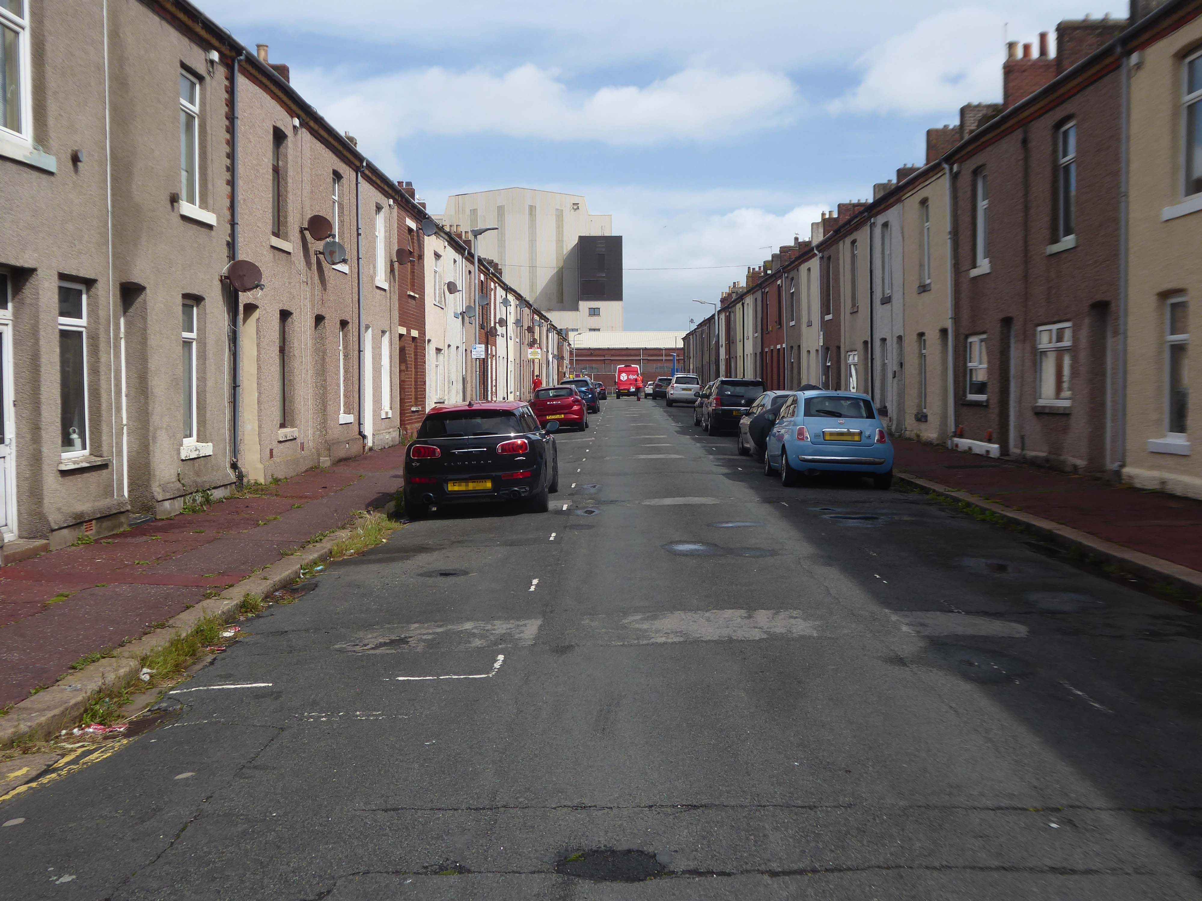
I came upon a neat triangle of terraced housing, which abutted the huge BAE Systems sheds.
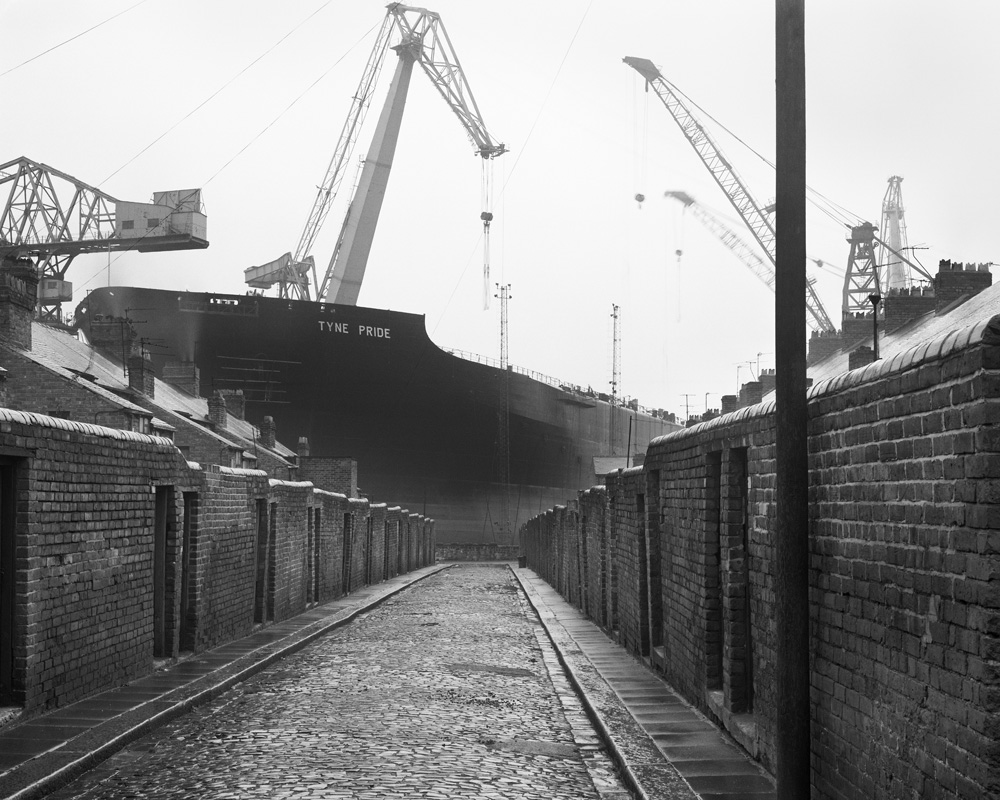
The collision of scale created by the low lying domestic buildings, and the gargantuan industrial nuclear submarine homes, immediately put me in mind of Chris Killip’s photographs.
He had recorded the last days of a dying industry, whilst the BAE contracts represent a long term lifeline to a once dying town.
The Ministry of Defence has awarded £3.95 billion of funding to BAE Systems for the next phase of the UK’s next-generation nuclear-powered attack submarine programme, known as SSN-AUKUS.
The funding follows the AUKUS announcement in March by the leaders of Australia, the UK and the United States. This will eventually see Australia and the UK operate SSN-AUKUS submarines, which will be based on the UK’s next generation design, incorporating technology from all three nations, including cutting-edge US submarine technologies.
Having started early design work in 2021, the £3.95bn funding will cover development work to 2028, enabling BAE Systems to move into the detailed design phase of the programme and begin to procure long-lead items. Manufacture will start towards the end of the decade with the first SSN-AUKUS boat due to be delivered in the late 2030s.
It has been said of Barrow: A rich mineral district was the cause, a railway was the effect, and an important manufacturing town the result.
The dramatic growth of Barrow-in-Furness in the late 19th and early 20th Centuries was fuelled by the ready availability of Furness iron ore. Significant investments were made in developing the town to exploit this resource. The various ironworks, steelworks, foundries, shipyards and docks required a huge influx of population to support them. This in turn led to the rapid building of rows of good quality mass-produced terraced housing for the workers, and substantial sandstone villas for the management.
I stopped to chat with a local lad – I had thought Barrow to be a hard town, he thought not.
There’s not much trouble, though we have hard times – how so?
The Tories – now my kids have all got jobs for the next twenty years.
There were no reported crimes in June 2024
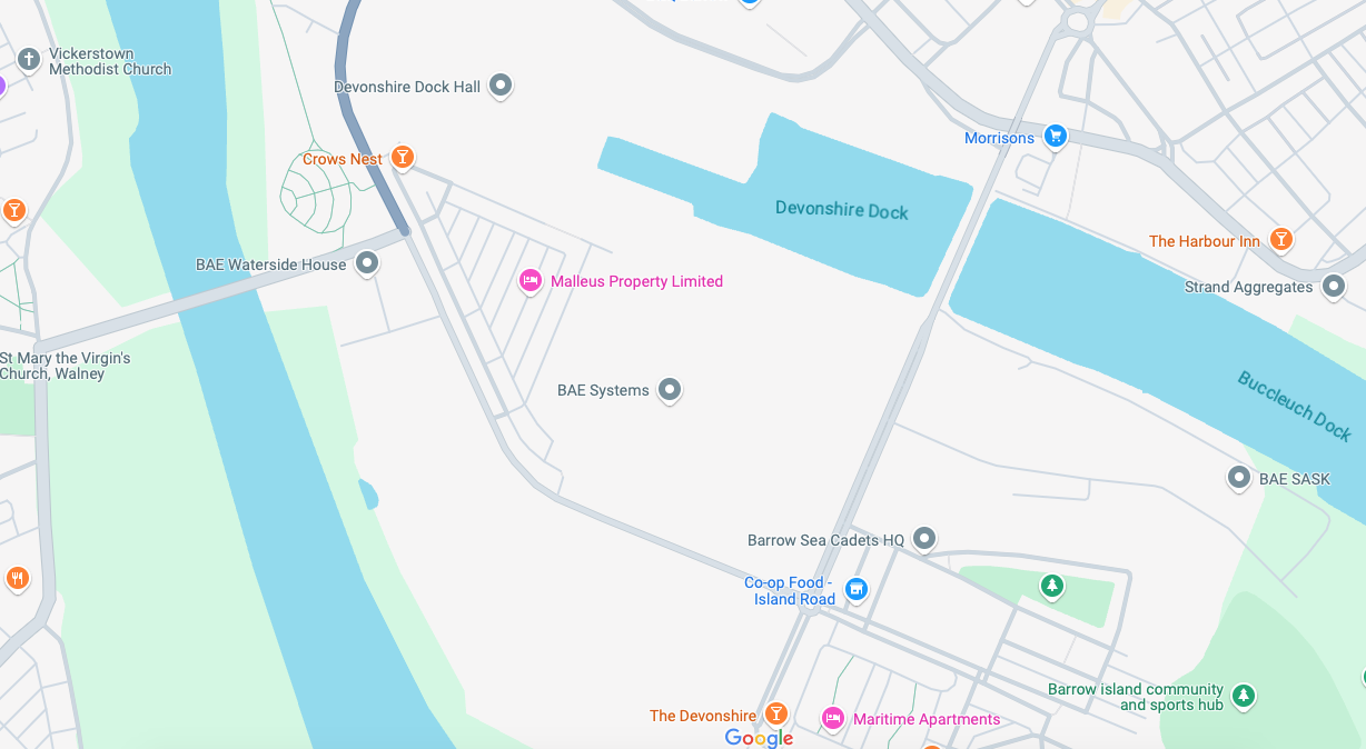
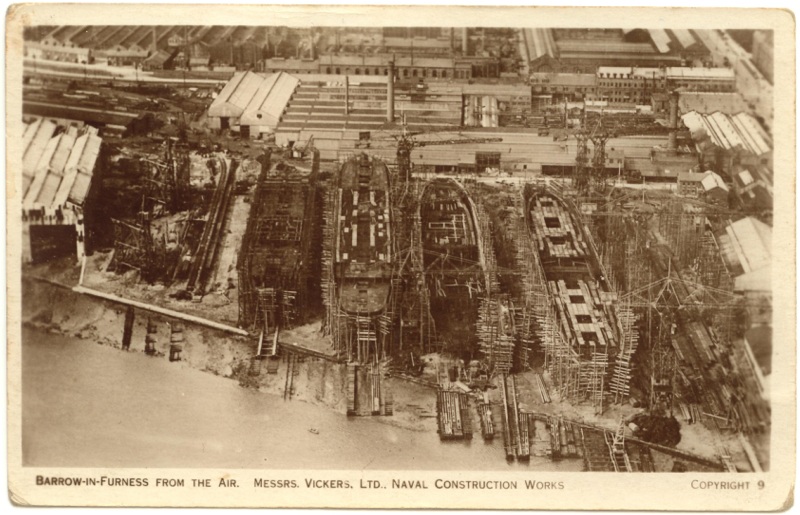
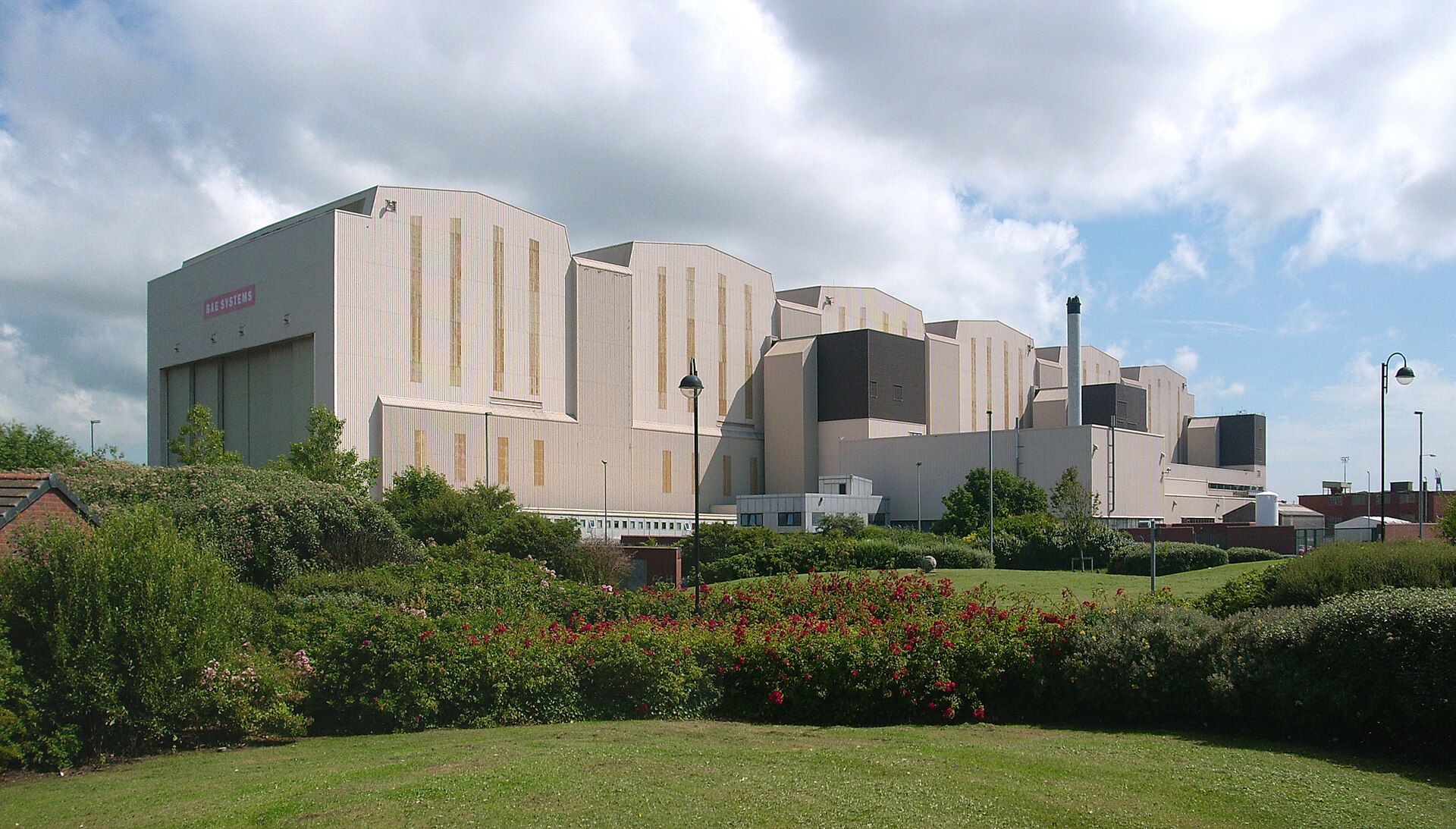
Devonshire Dock Hall is a large indoor shipbuilding and assembly complex that forms part of the BAE Systems shipyard.
Constructed between 1982 and 1986 by Alfred McAlpine plc for Vickers Shipbuilding and Engineering, DDH was built on land that was created by infilling part of Devonshire Dock with 2.4 million tonnes of sand pumped from nearby Roosecote Sands.
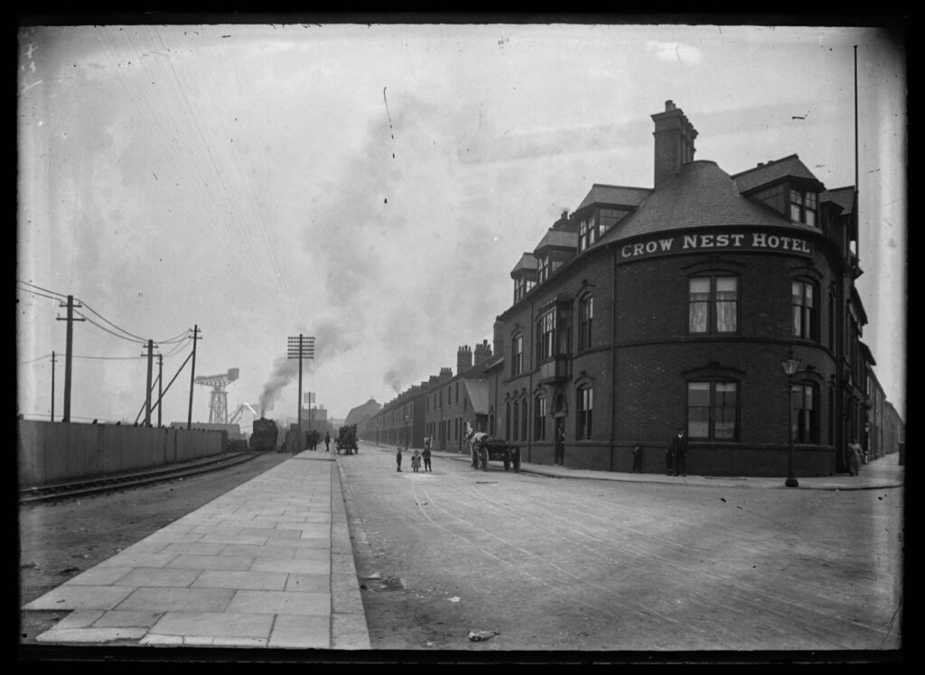
Opened in May 1888 it was described by the Barrow News as one of the best-appointed hotels in Barrow. From this start, Walton Lee, elected Town Councillor in 1886 envisaged an estate for the workers literally within spitting distance of their workplace.
A section of Career of Evil was filmed at The Crow’s Nest.
Barrow shipyard’s Devonshire Dock Hall, The Crow’s Nest pub, Barrow Island streets, including Stanley Road and Stewart Street, and Michaelson Road Bridge, all featured in episode one of Career of Evil on Sunday night.
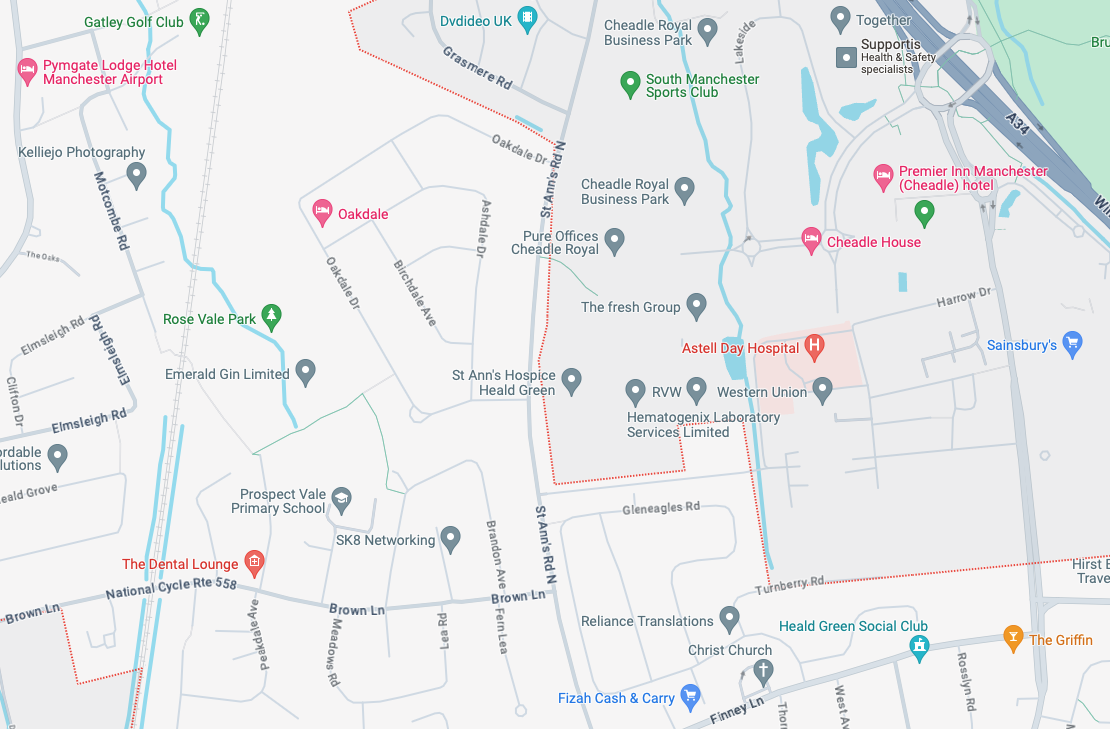
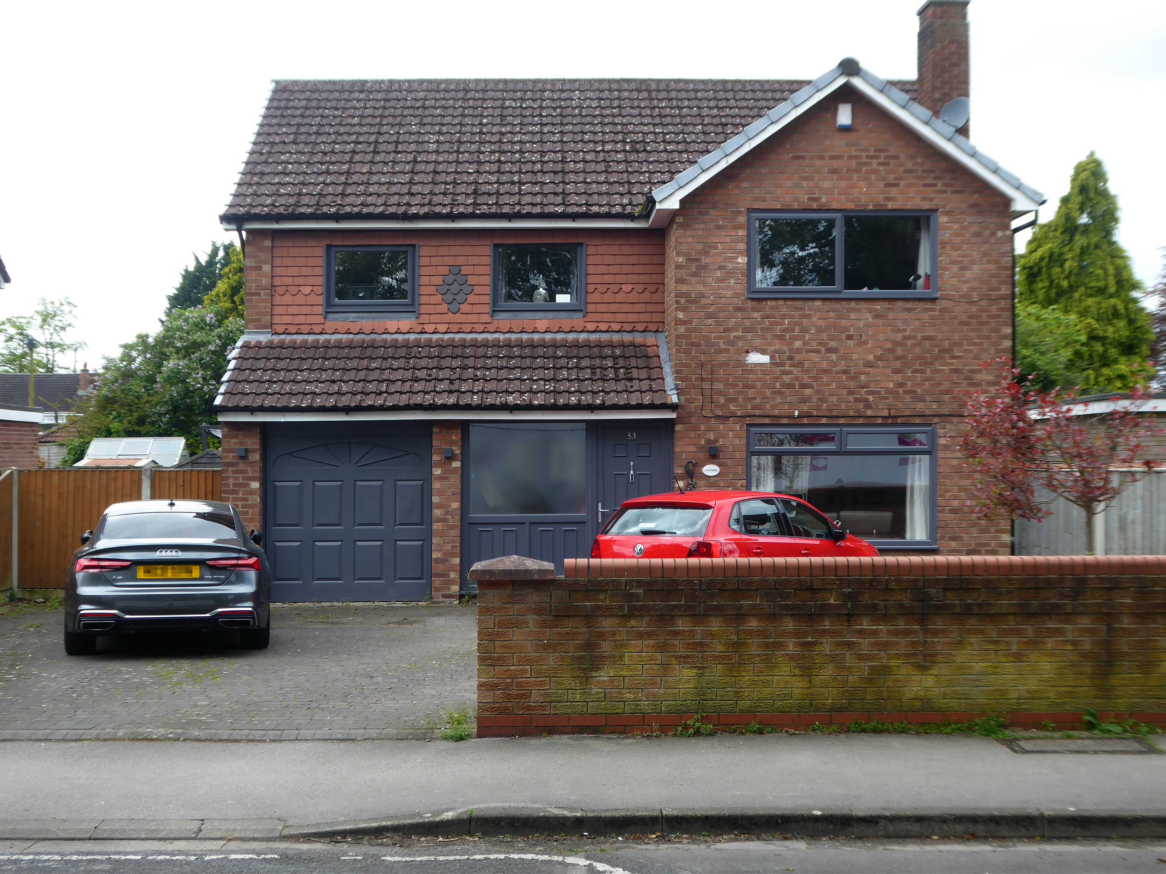
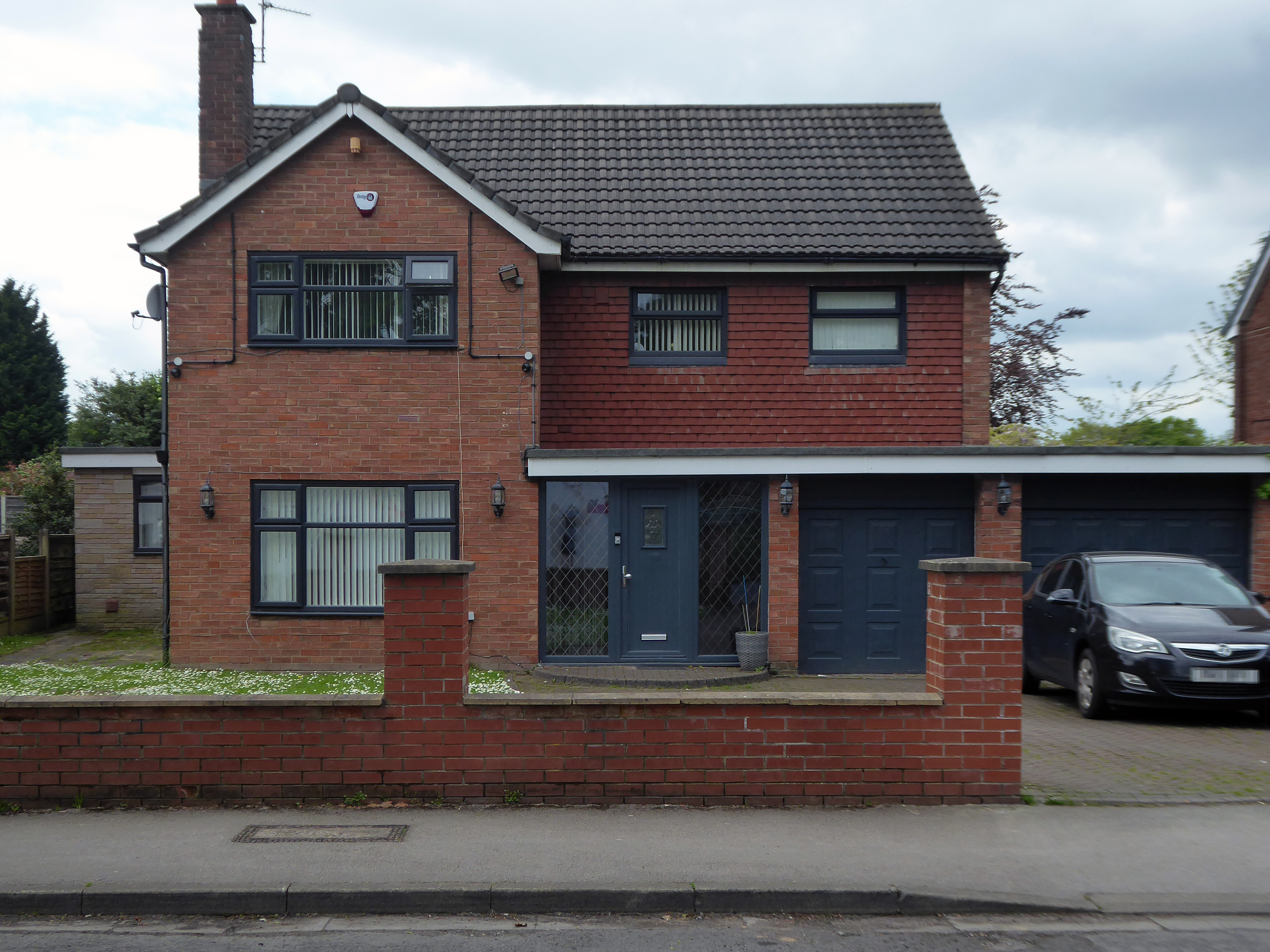
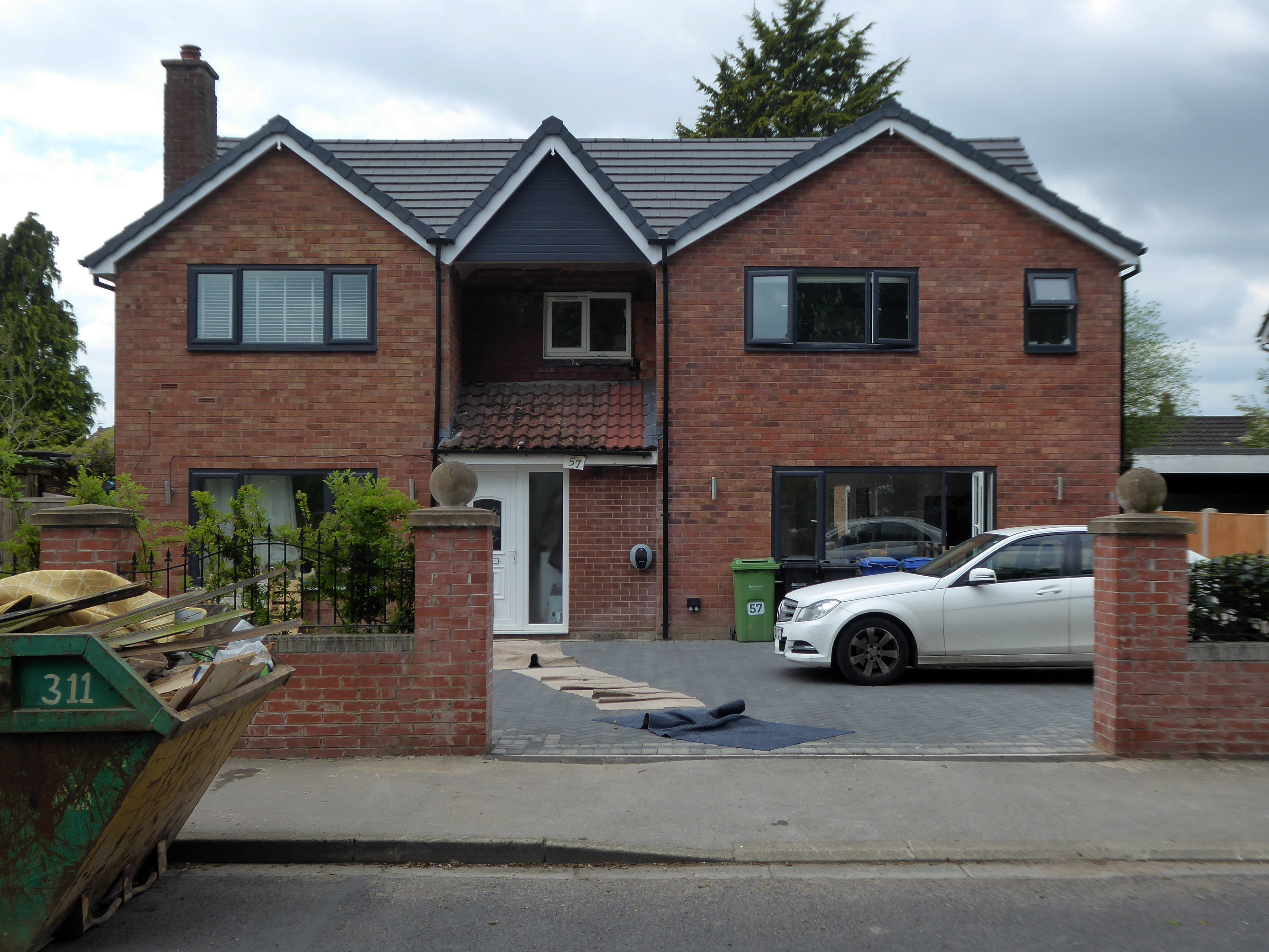
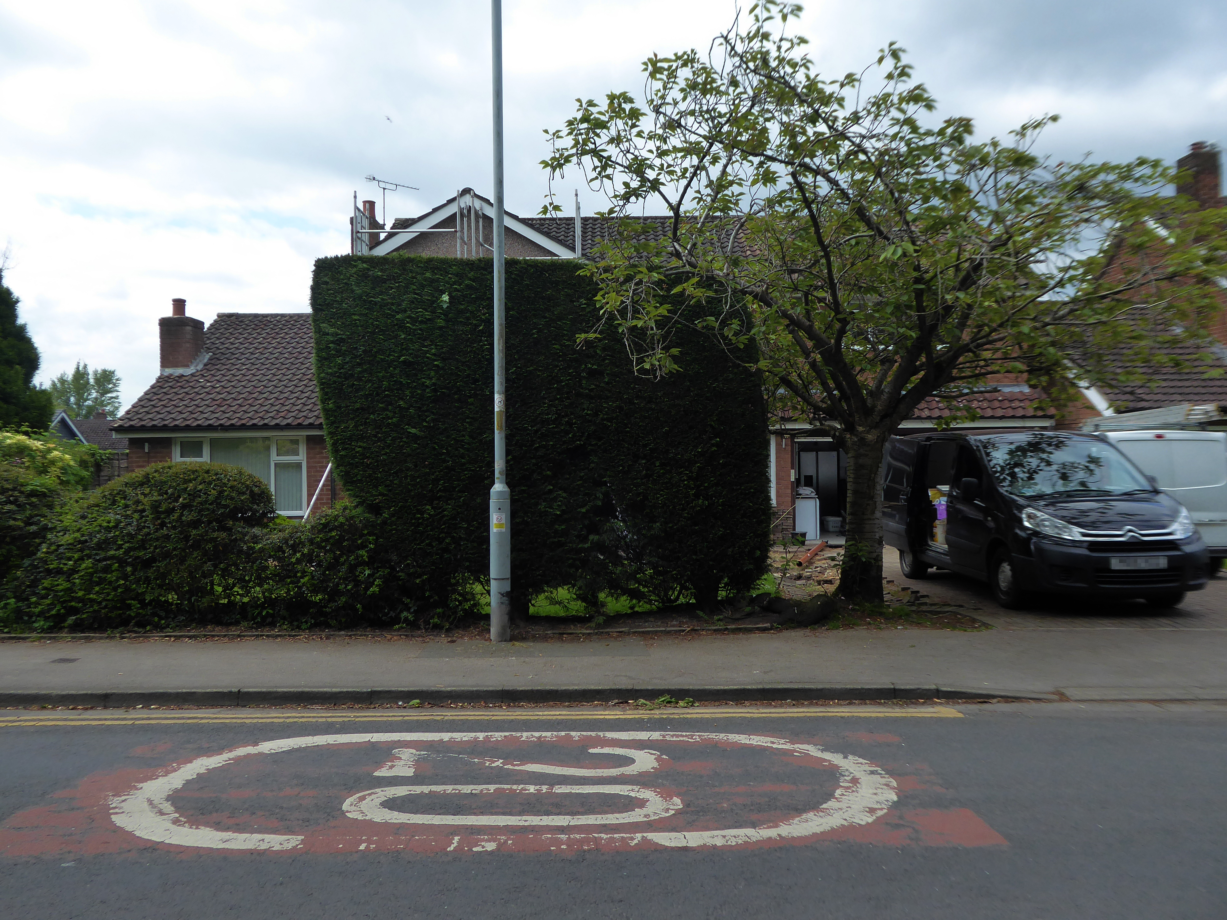
St. Anns Road North in Heald Green is in the North West region of England. The postcode is within the Heald Green ward/electoral division, which is in the constituency of Cheadle.
This area was once described to me as built by Cowboys for Indians – though statistically there are more Pakistani residents.
This is a dormitory suburb of Manchester and nearby Stockport and is oh so close to the airport, polite and professional well presented and aspirational.
Once this was a Modern paradigm.
Subsequently the plaything of the upwardly mobile – extending in all directions, adding period details way out of period, or embracing the current vogue for the refined and smoothly rendered grey-ification of their homes.
Welcome to the land of the performance vehicle, impressive impressed drive, carriage lamp and bay window, overlooking a well clipped lawn.
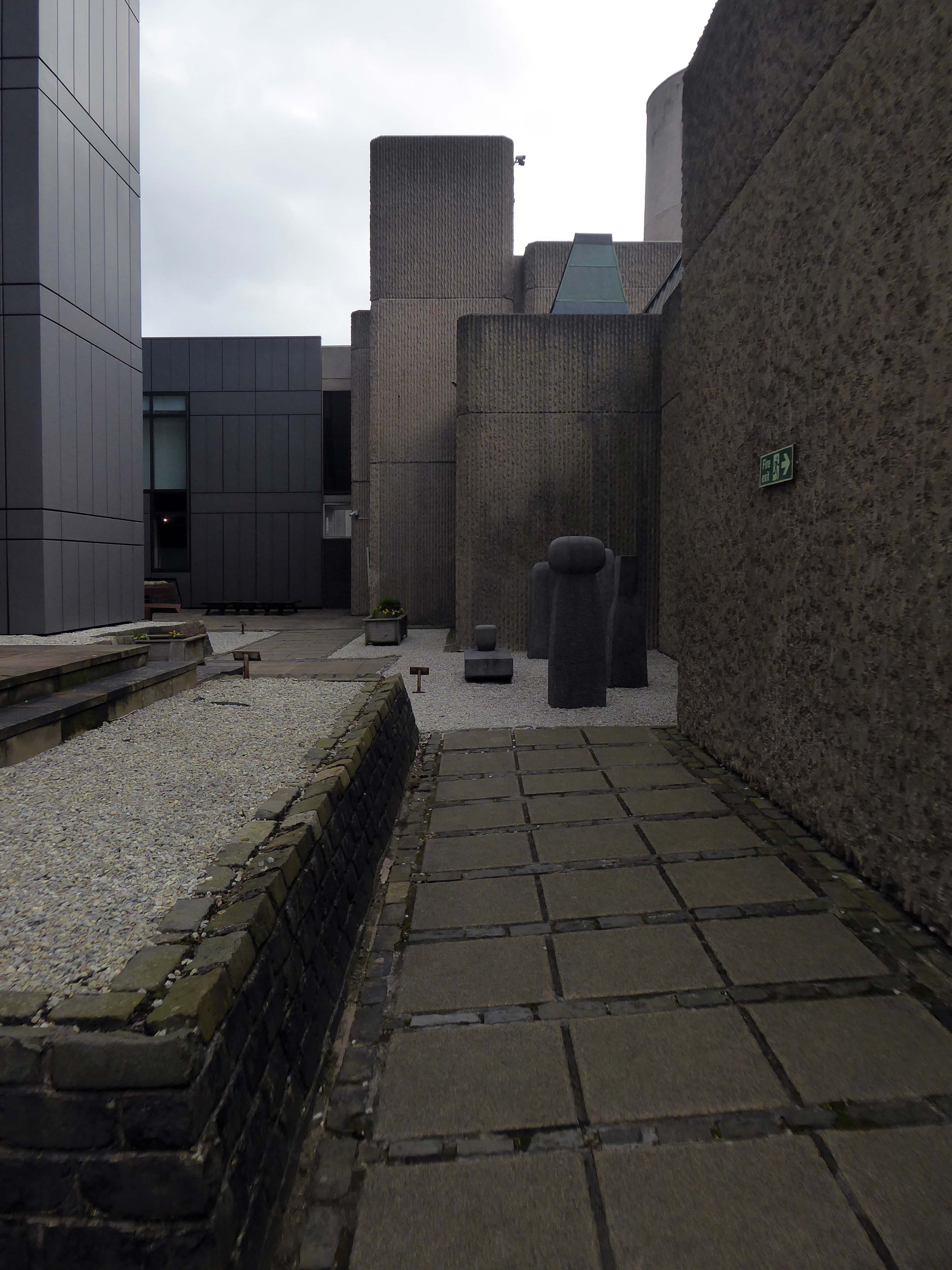
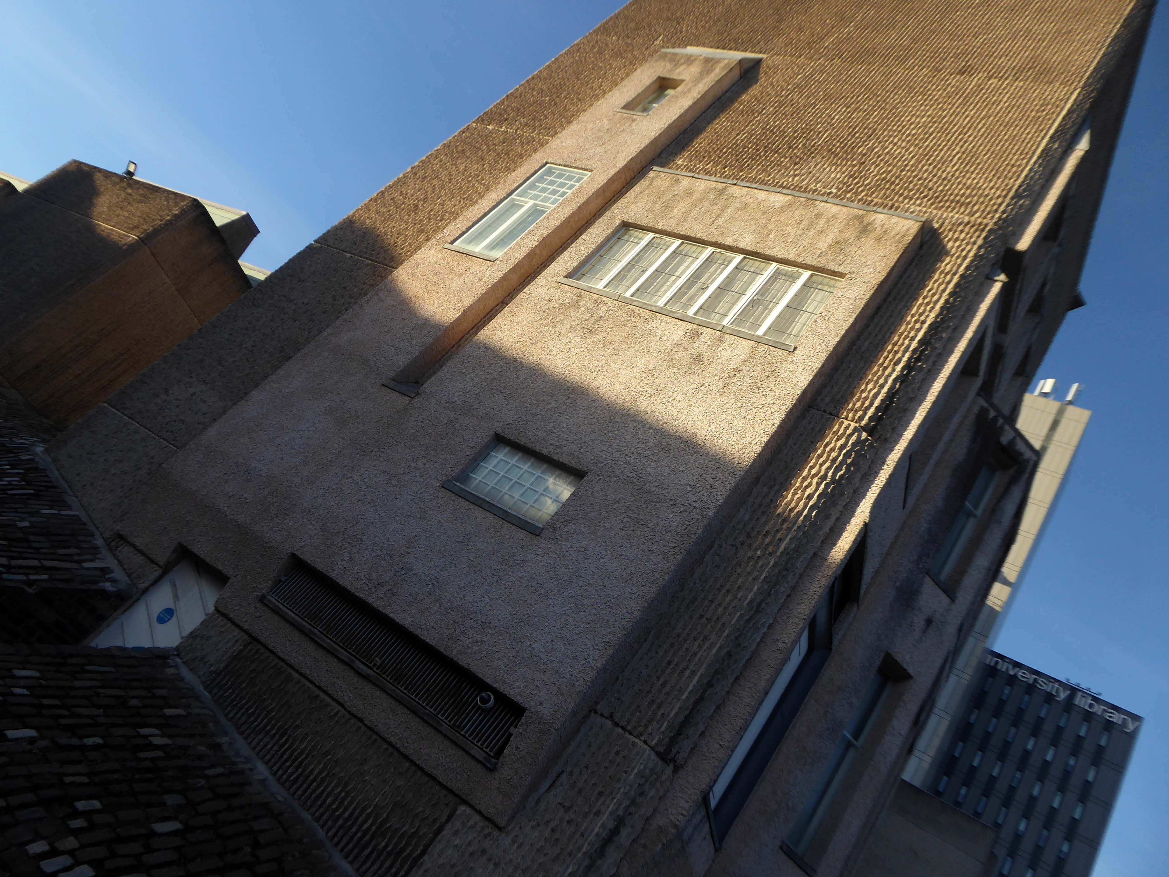
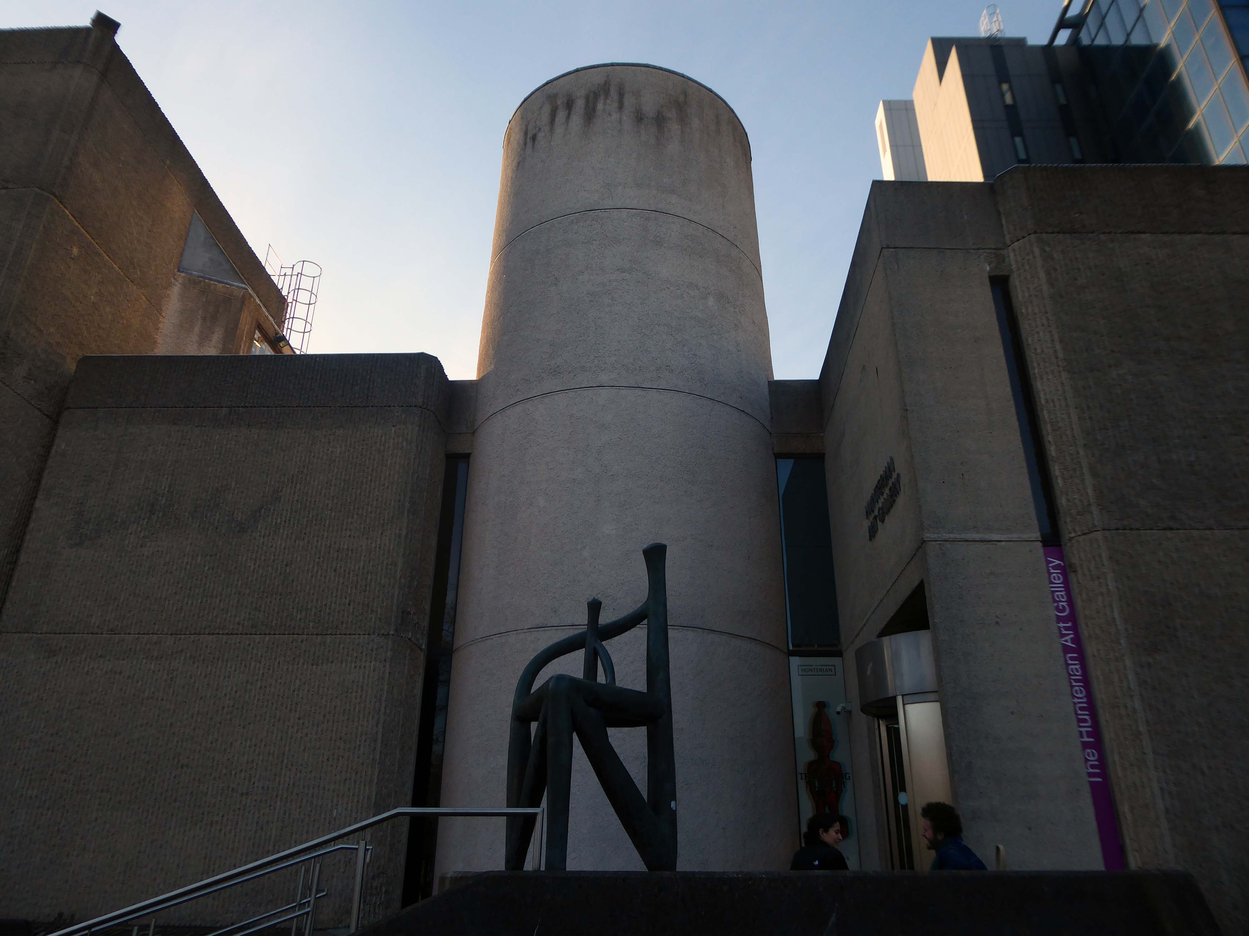
The Gallery is housed in a modern, custom-built facility that is part of the extensive Glasgow University Library complex, designed by William Whitfield.
Sir William Whitfield had roots in concrete and brick brutalism but took contextual postmodernism to a Palladian mansion that traditionalists admired. Principal of a small office for almost 50 years, his diversity of work was shot through with recurring themes and was distinguished by thoughtful synthesis of precedent.
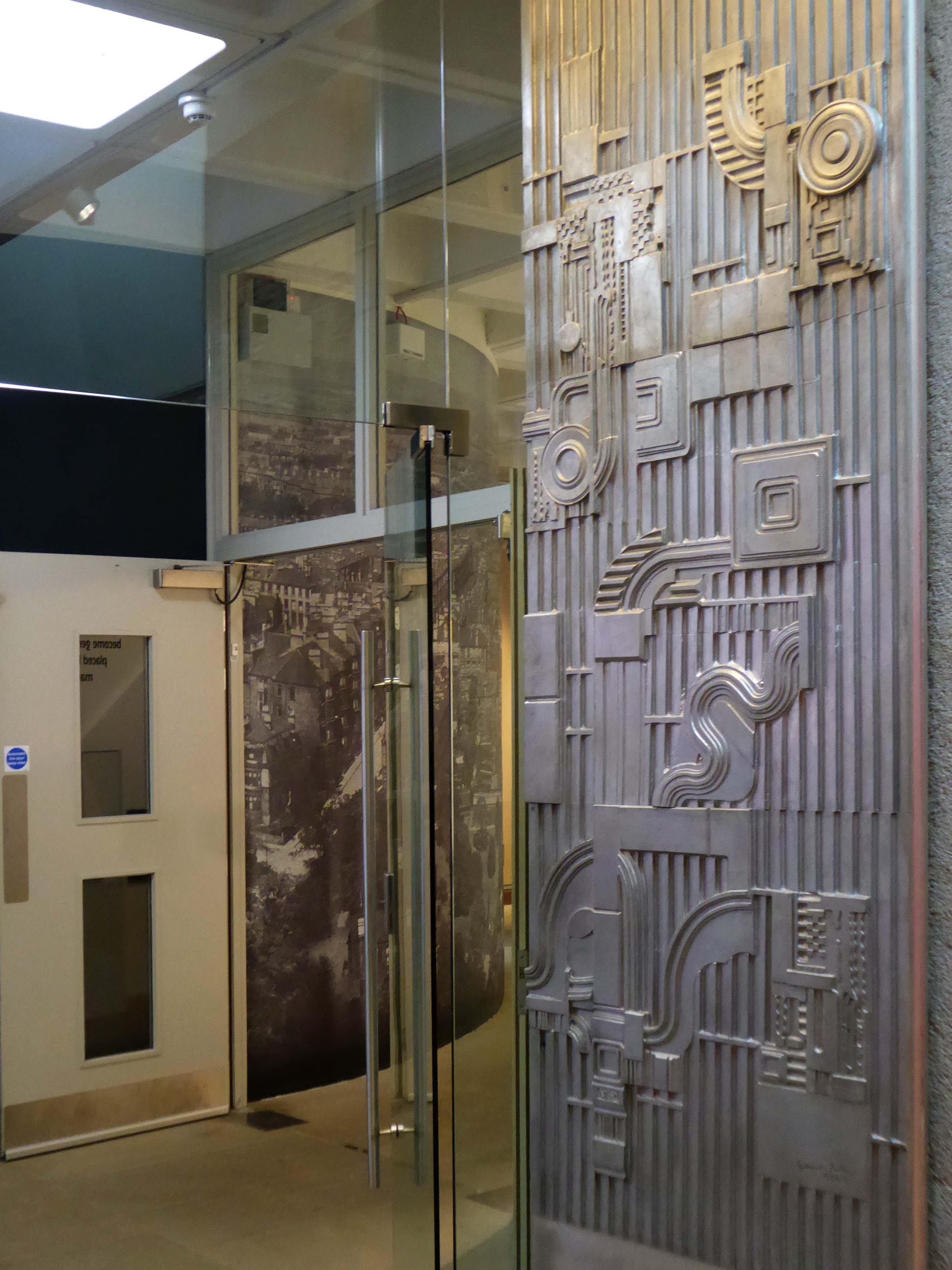
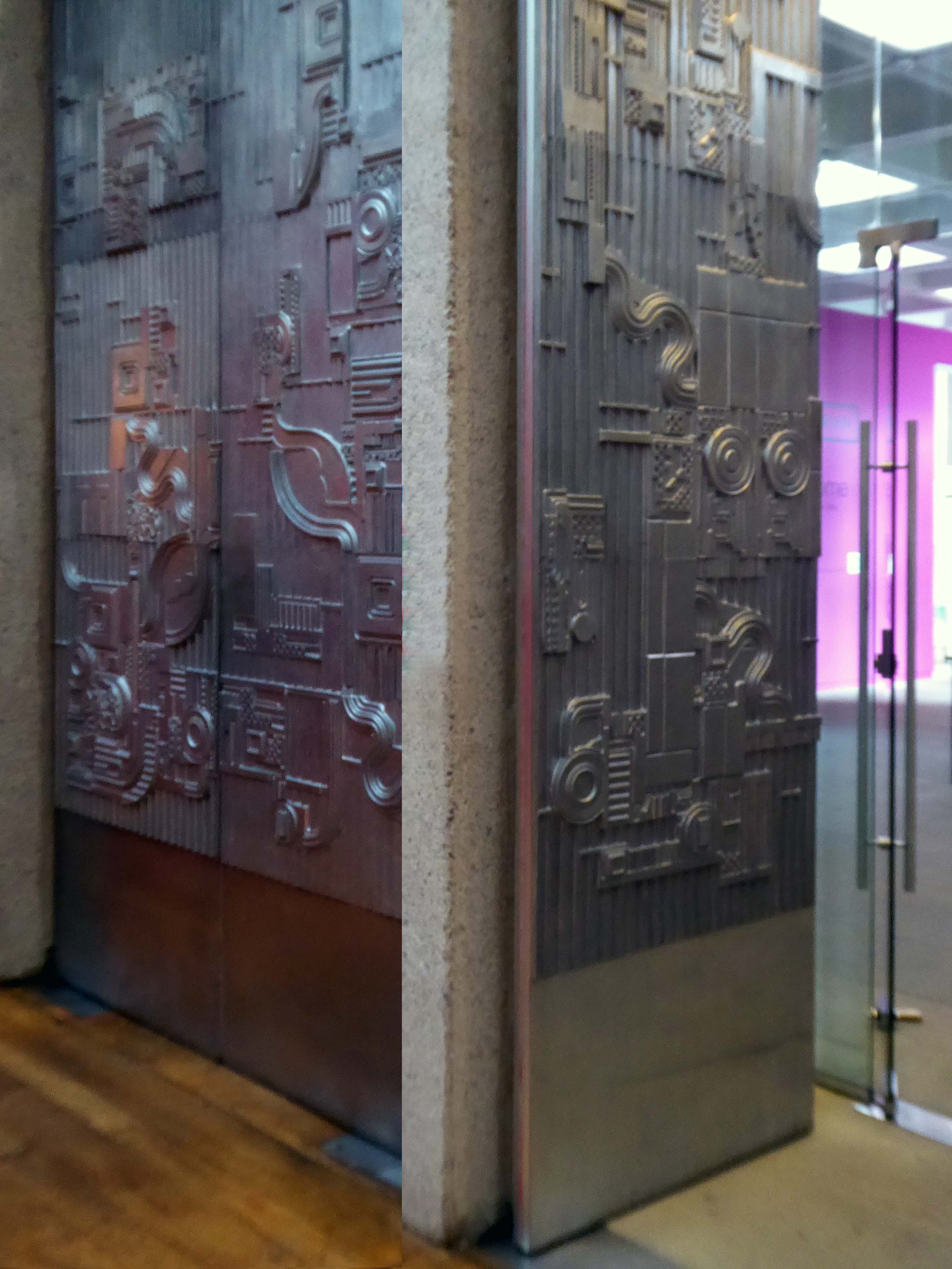
The Mackintosh House is a modern concrete building, part of the gallery-library complex.
The Mackintosh House comprises the principal interiors of the original house – including the dining room, studio-drawing room and bedroom, largely replicating the room layout of the old end-of-terrace building. It features the meticulously reassembled interiors from the Mackintoshes’ home, including items of original furniture, fitments and decorations.
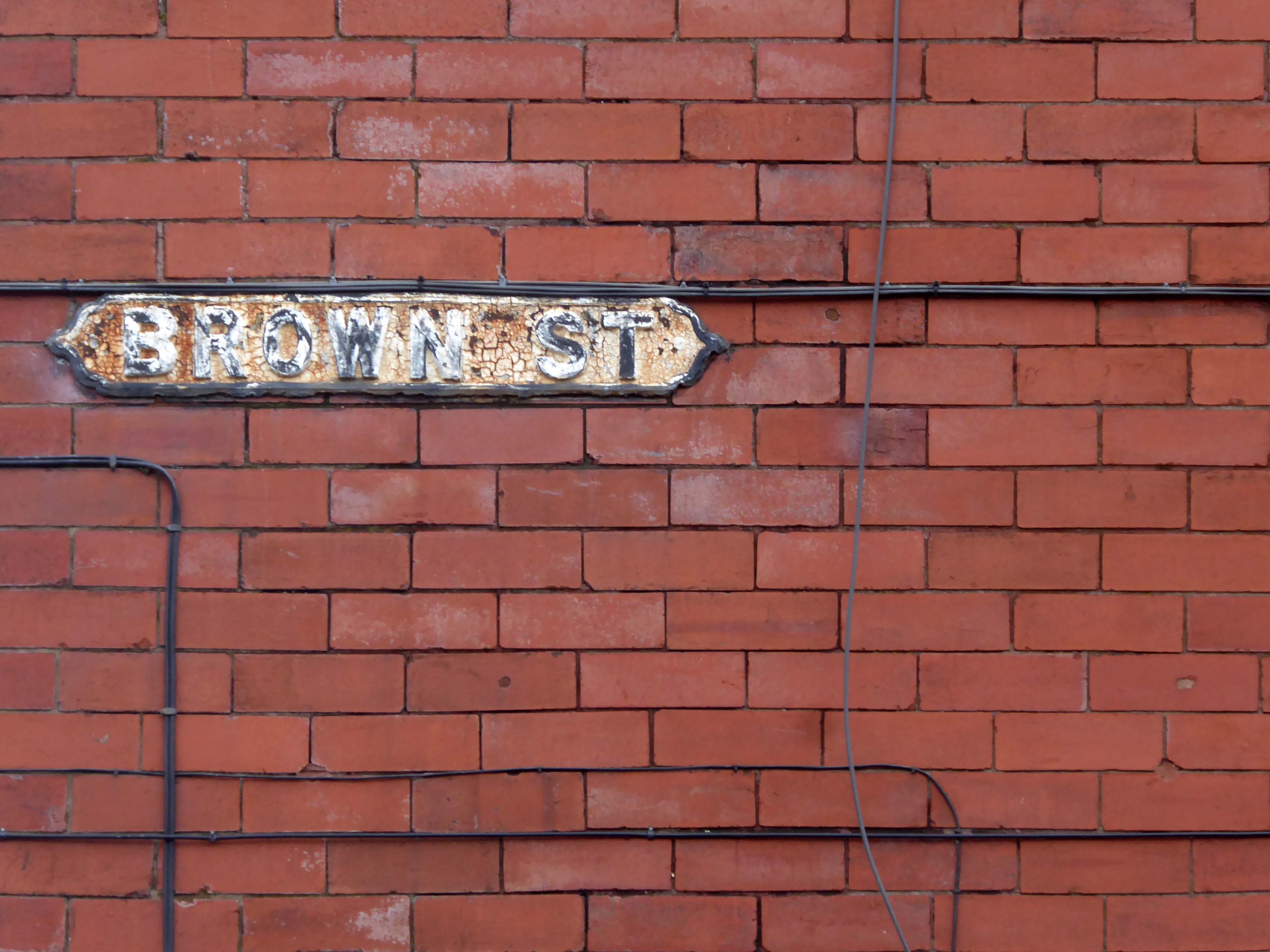
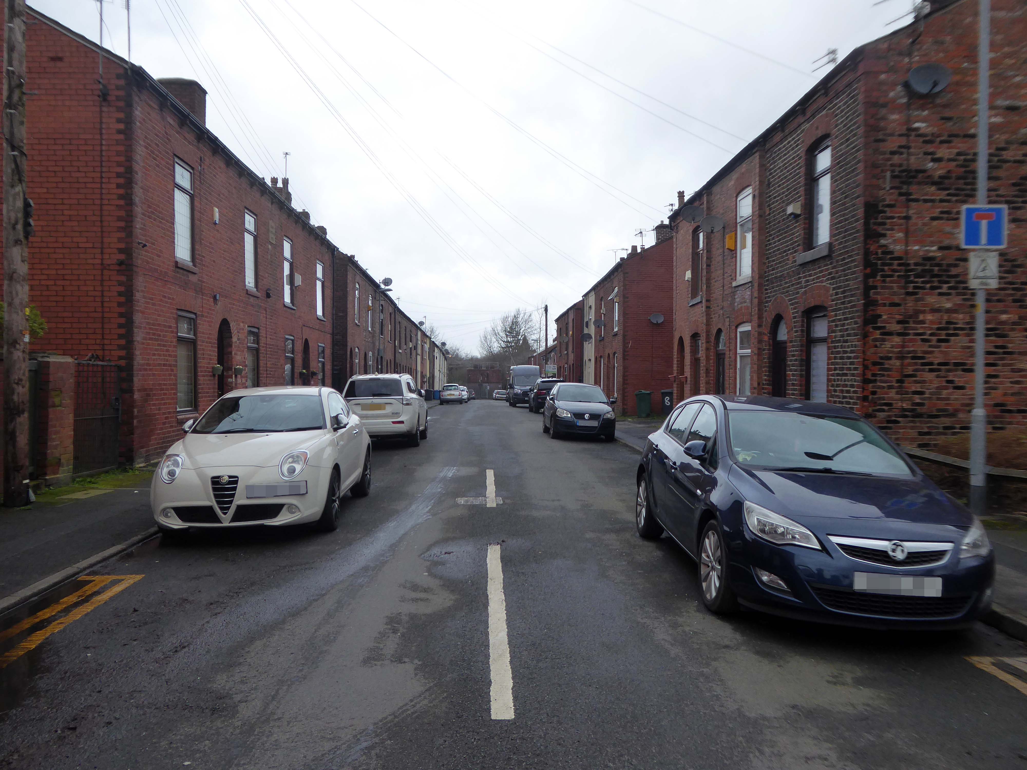
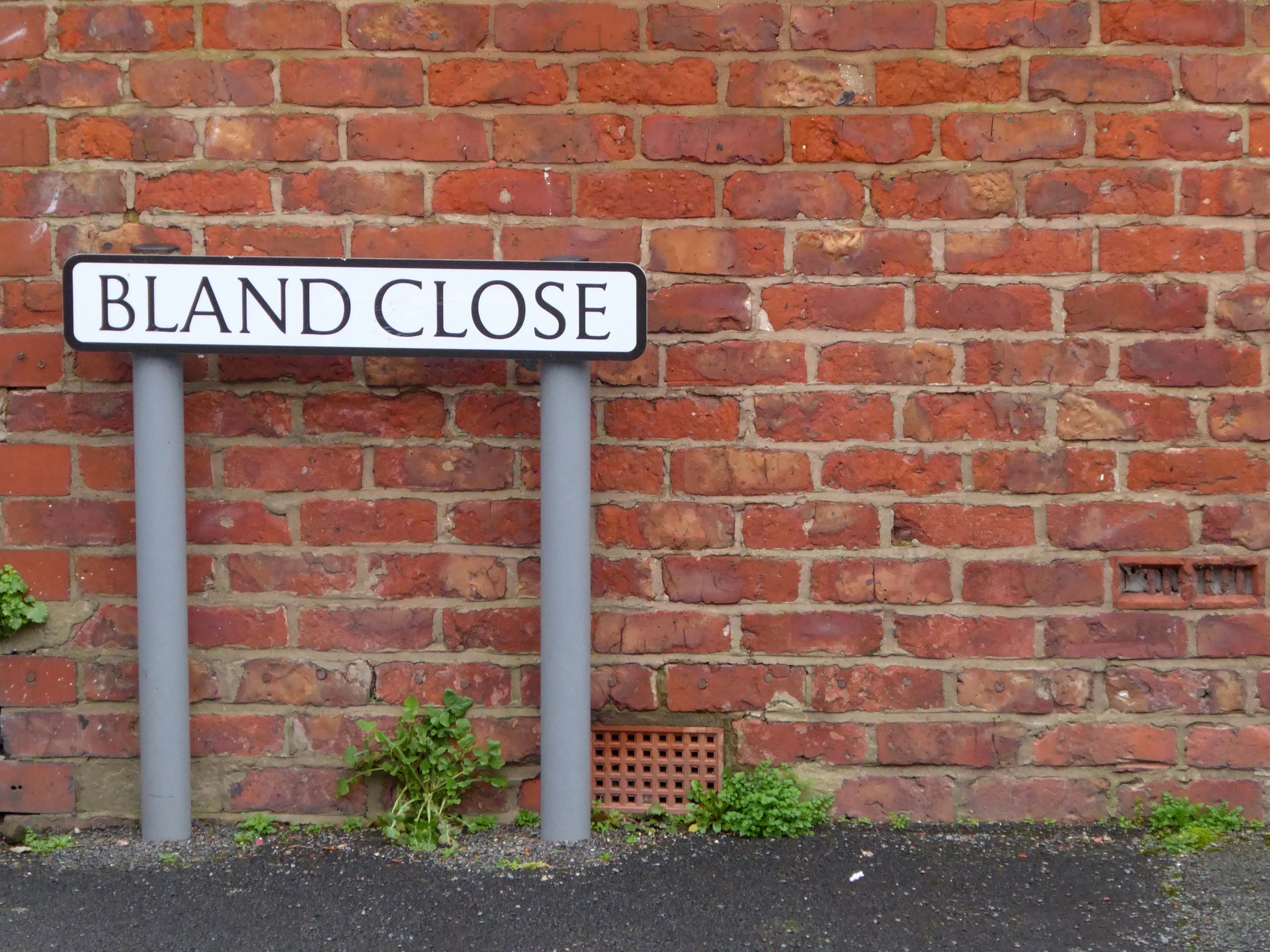
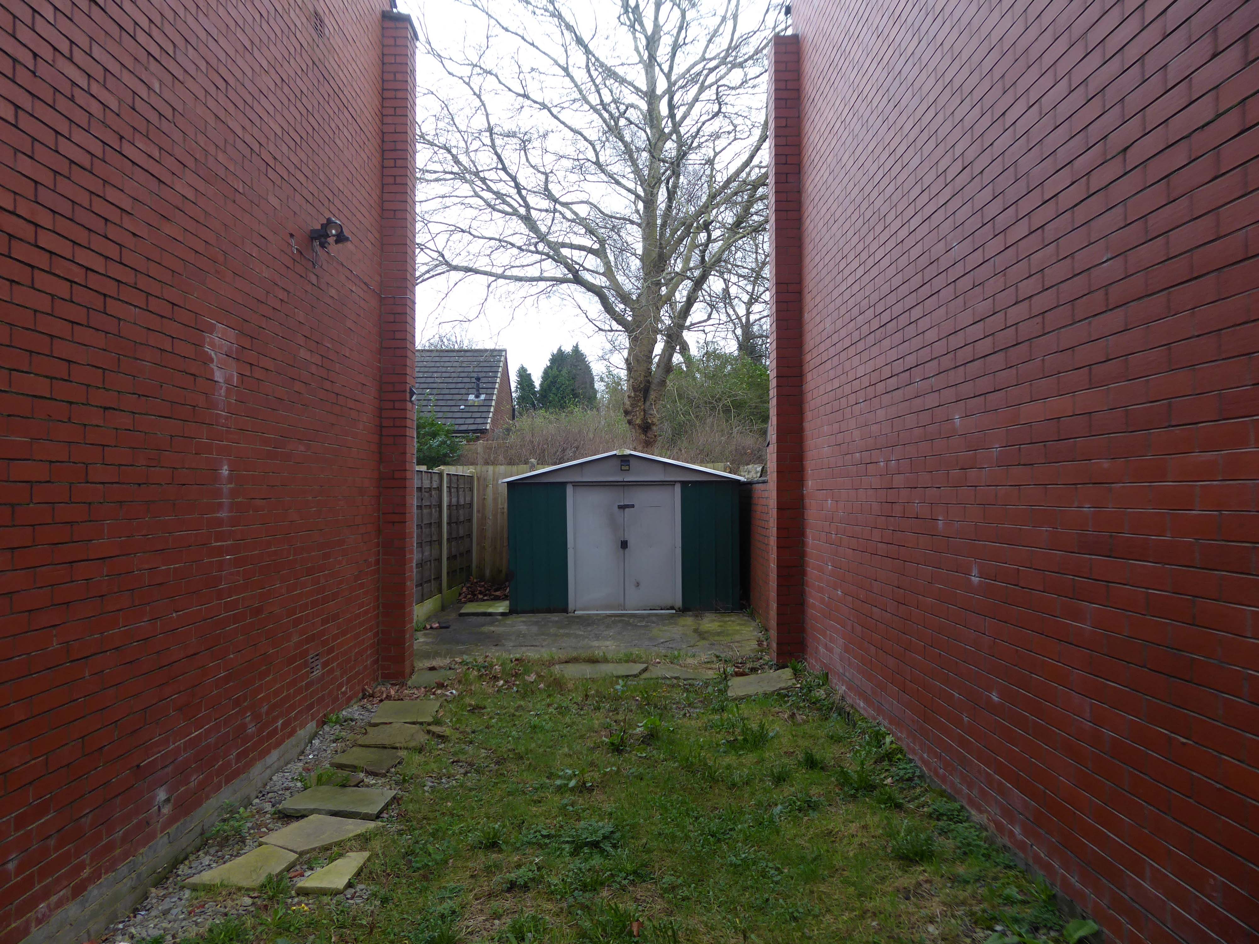
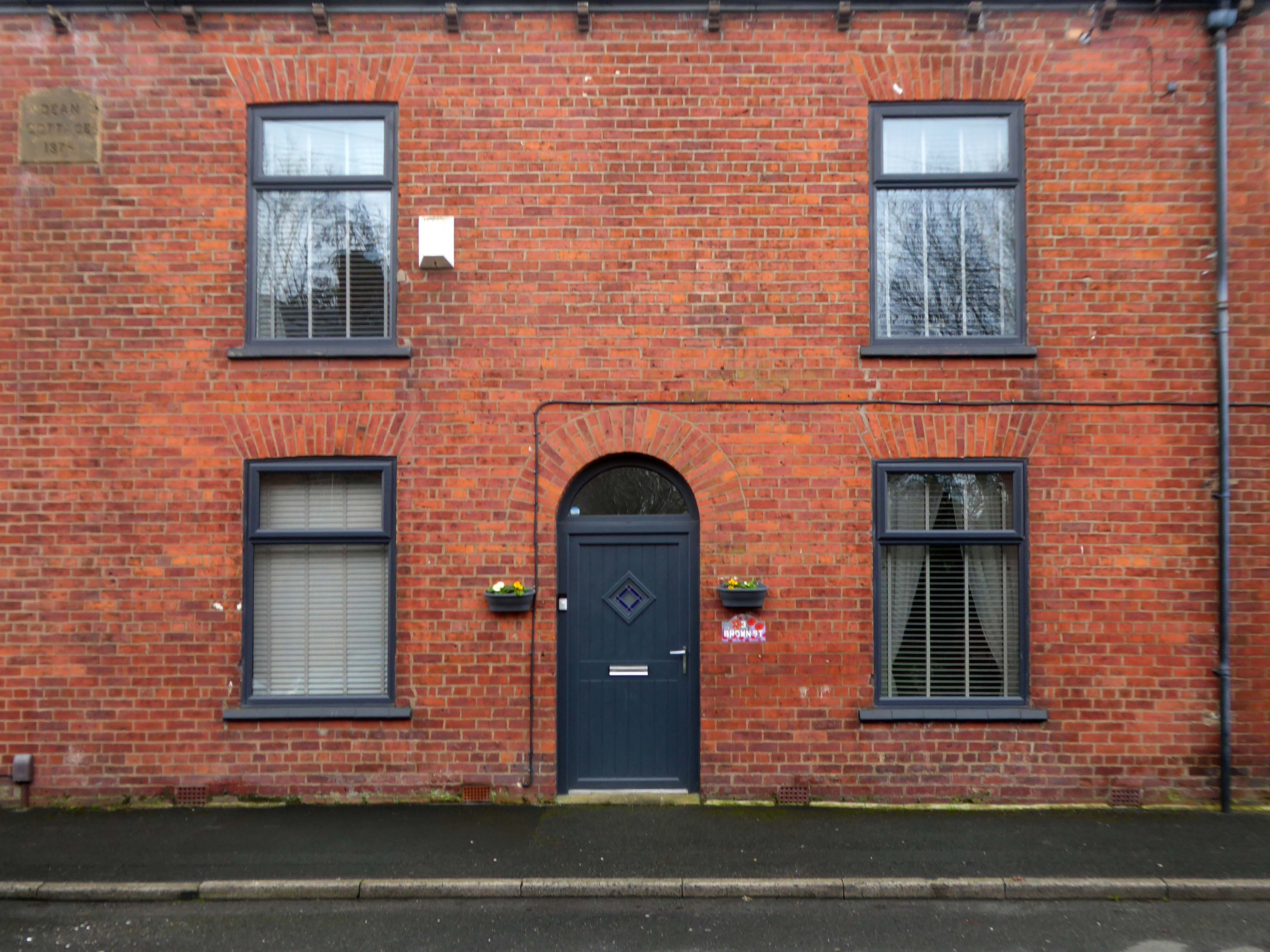
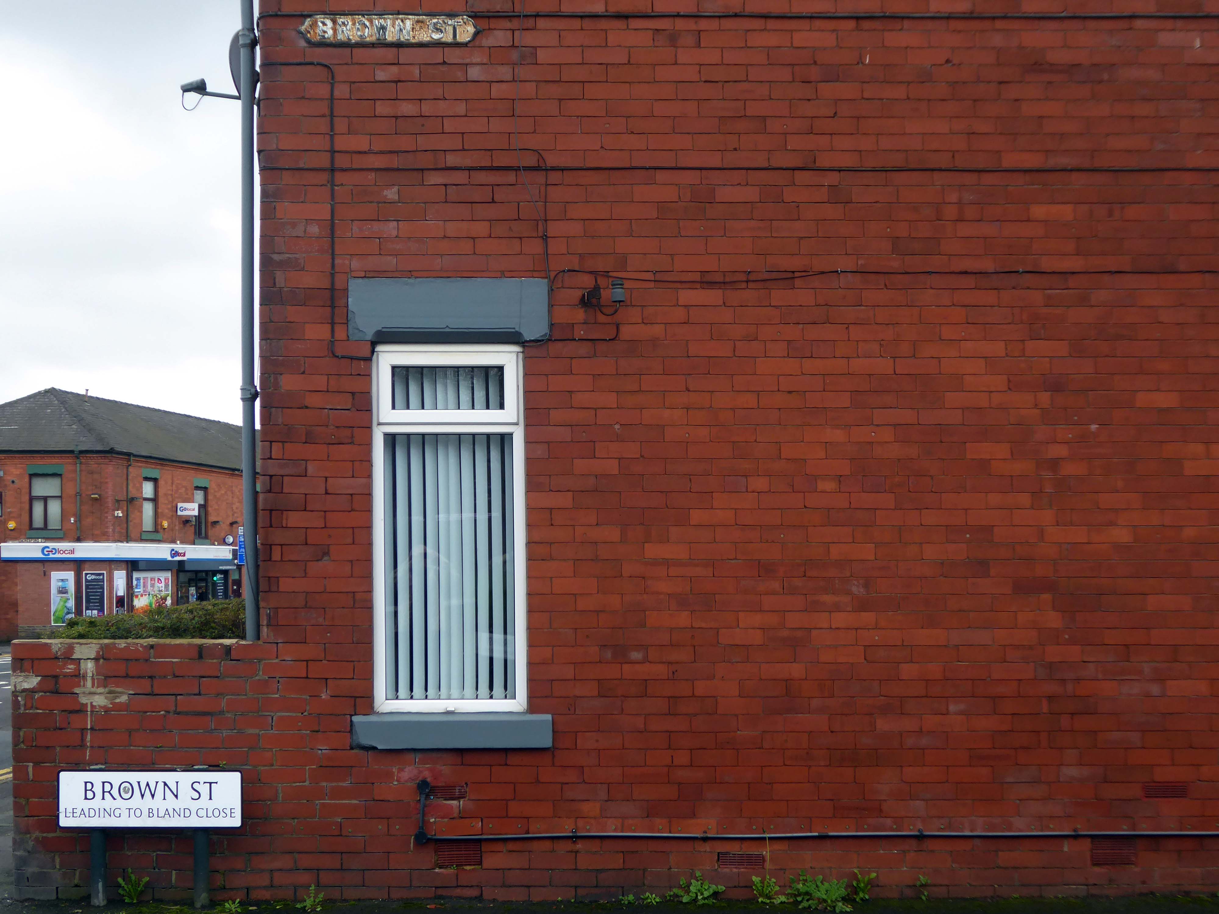
Walking along Rochdale Road yesterday, I was suddenly arrested by the Pleasant Street street sign.
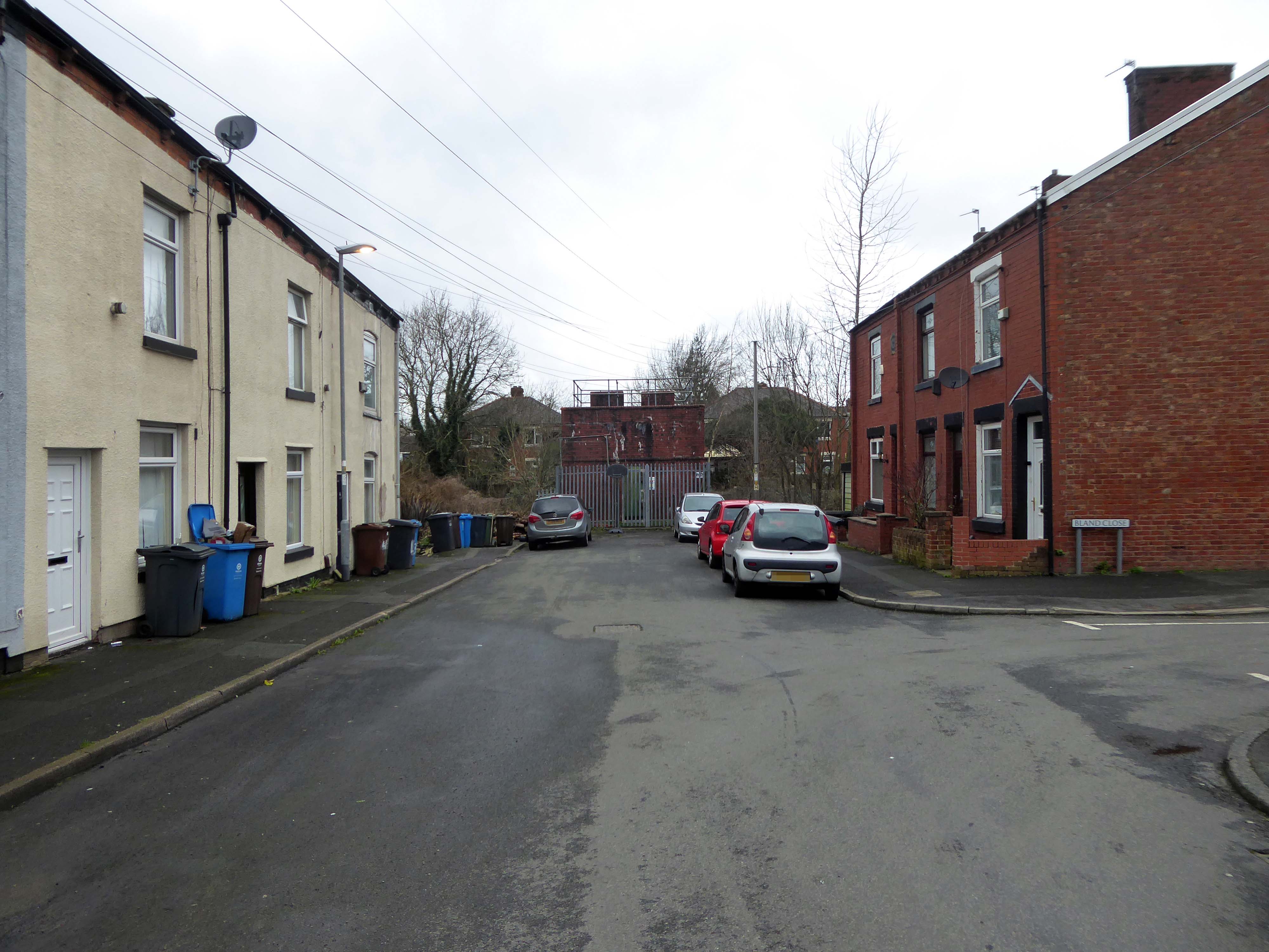
Having already been suddenly arrested last week, by the Bland Close street sign.
With my expectations defined by the above definition, I ventured along the street in search of happy satisfaction.
Coincidentally – The 18th century entrepreneur Josiah Wedgwood pioneered many of the marketing strategies used today, including the satisfaction or you money back guarantee, on the entire range of his pottery products. The money-back guarantee was also a major tool of early US mail order sales pioneers in the United States such as Richard Sears and Powel Crosley Jr. to win the confidence of consumers.
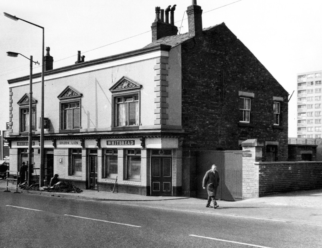
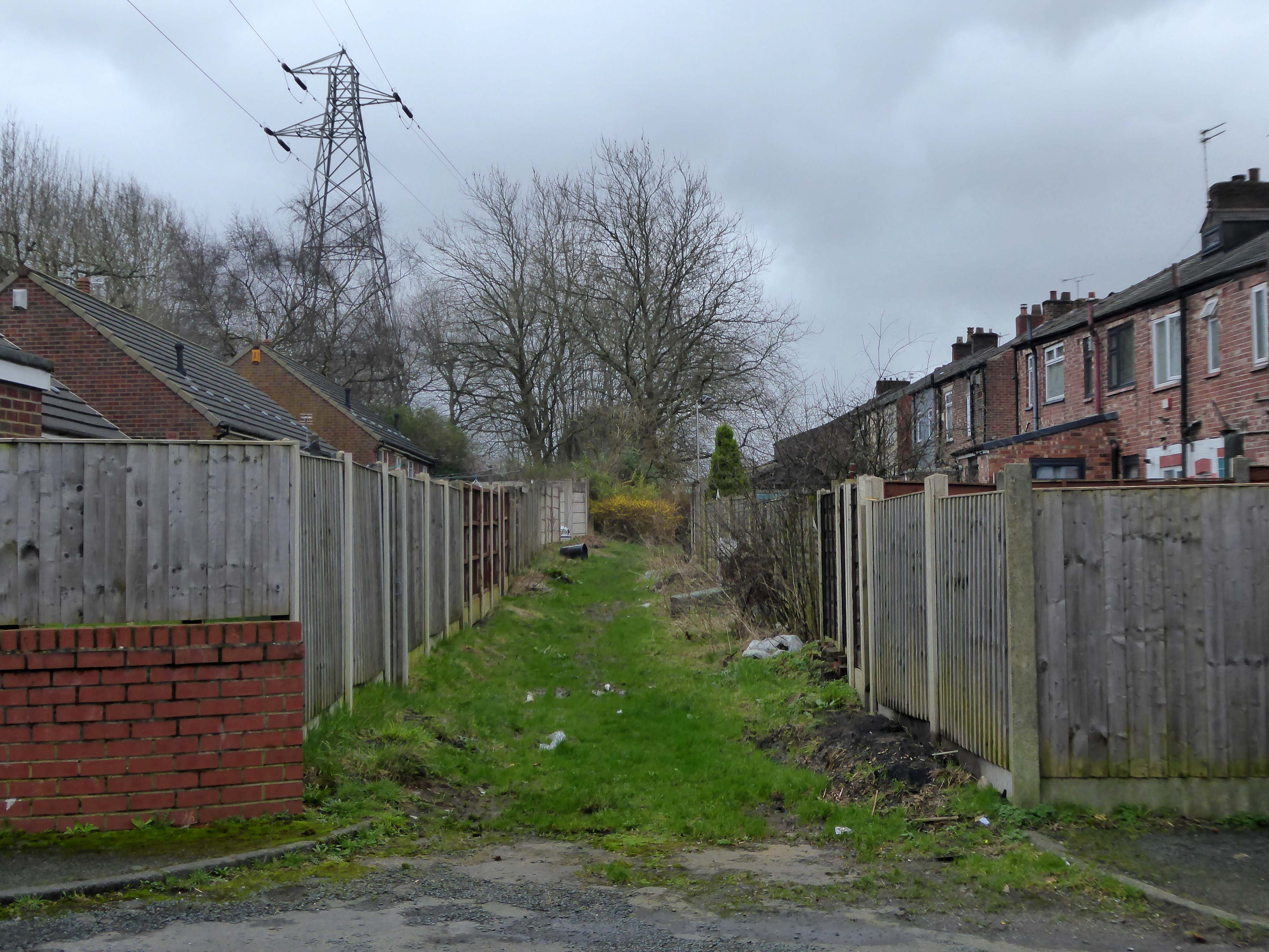
However at someone between 1968 and 2024 the housing had been cleared away – also missing in action is the Golden Lion pub adjoining Pleasant Street on Rochdale Road.
The Golden Lion was a proper old pub on the very busy rochdale road in the Harpurhey area of Manchester. Once inside there was a decent lounge and a basic bar i had a drink in the lounge and this was quite a comfy room.
This pub was a Whitbread tied house and there were two real ales on the bar I had a drink of Chesters bitter and this was a nice drink the other beer was Chesters mild. I thought this was quite a nice pub but sadly this pub has now been pulled down in the name of progress.
So here we are here today – yesterday has long gone and tomorrow never knows no how.
What’s left to see?
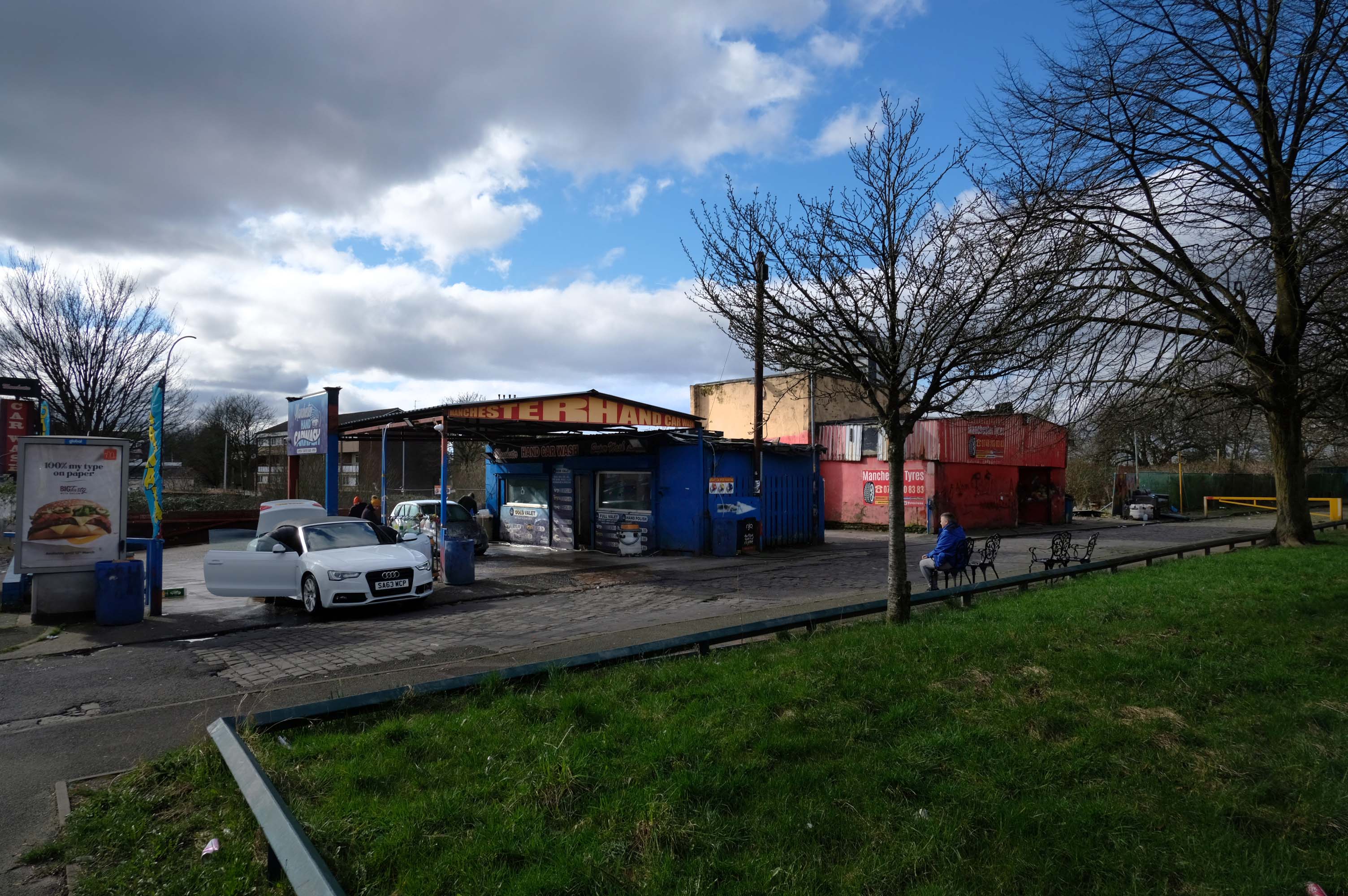
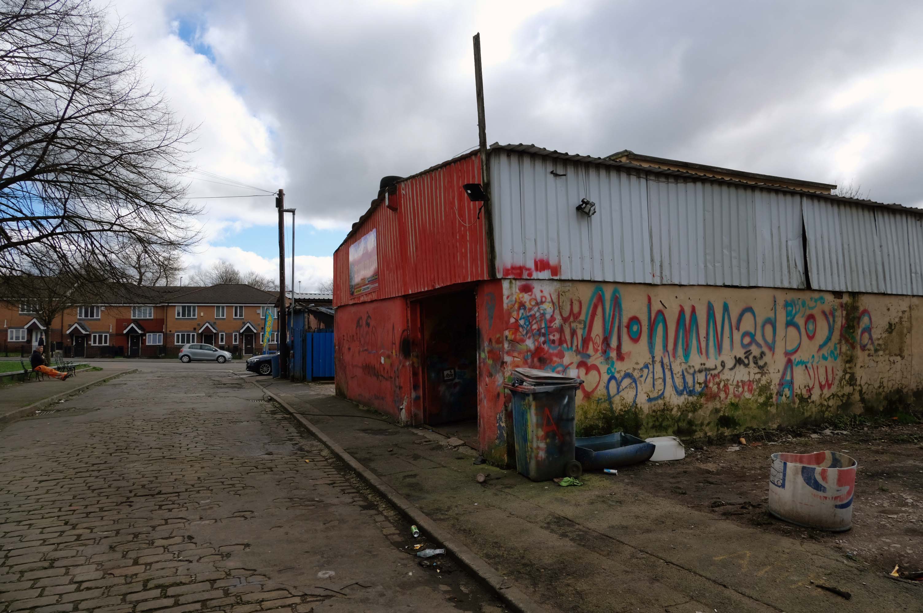
Manchester Hand Car Wash
Manchester Tyres
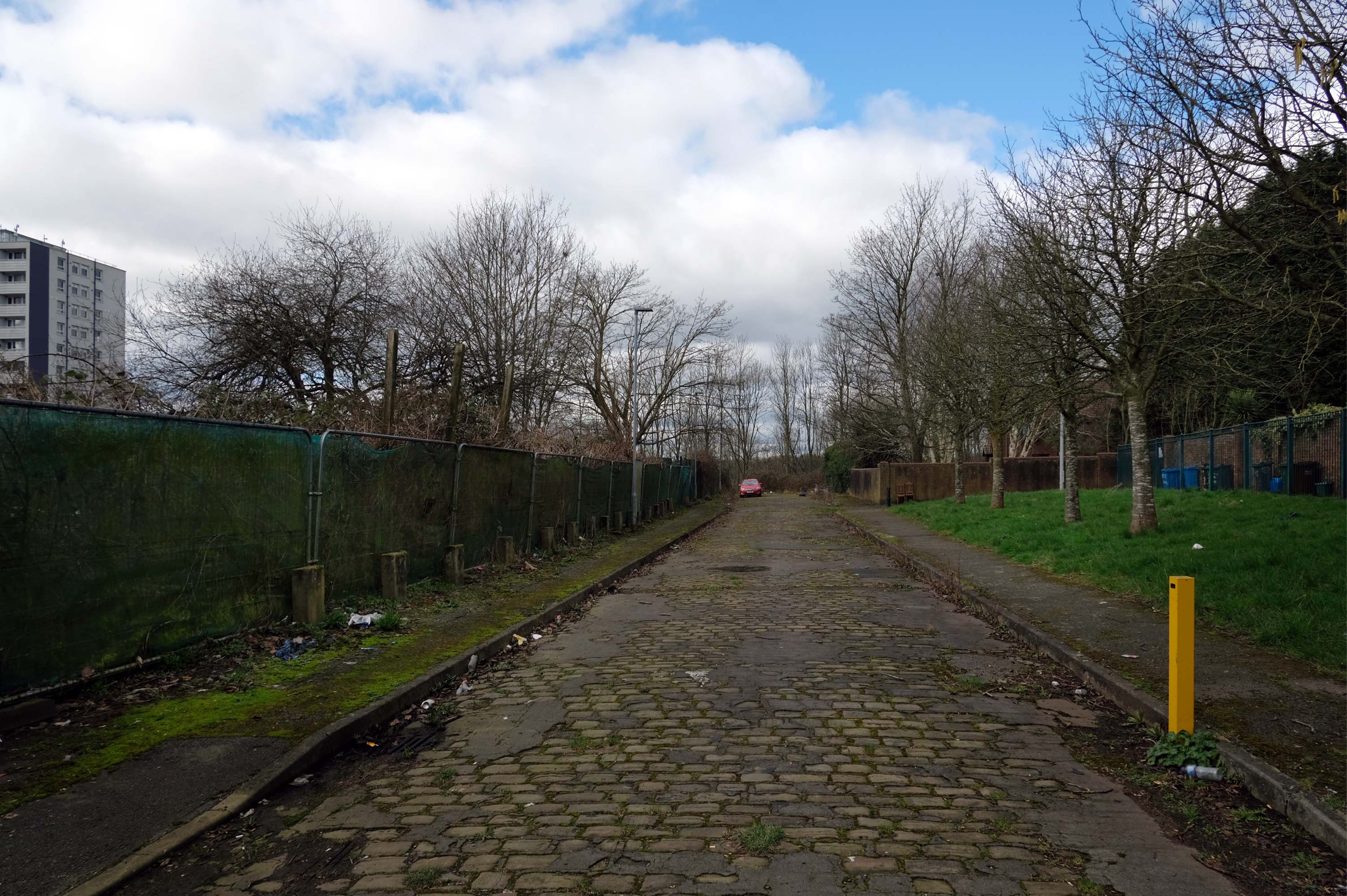
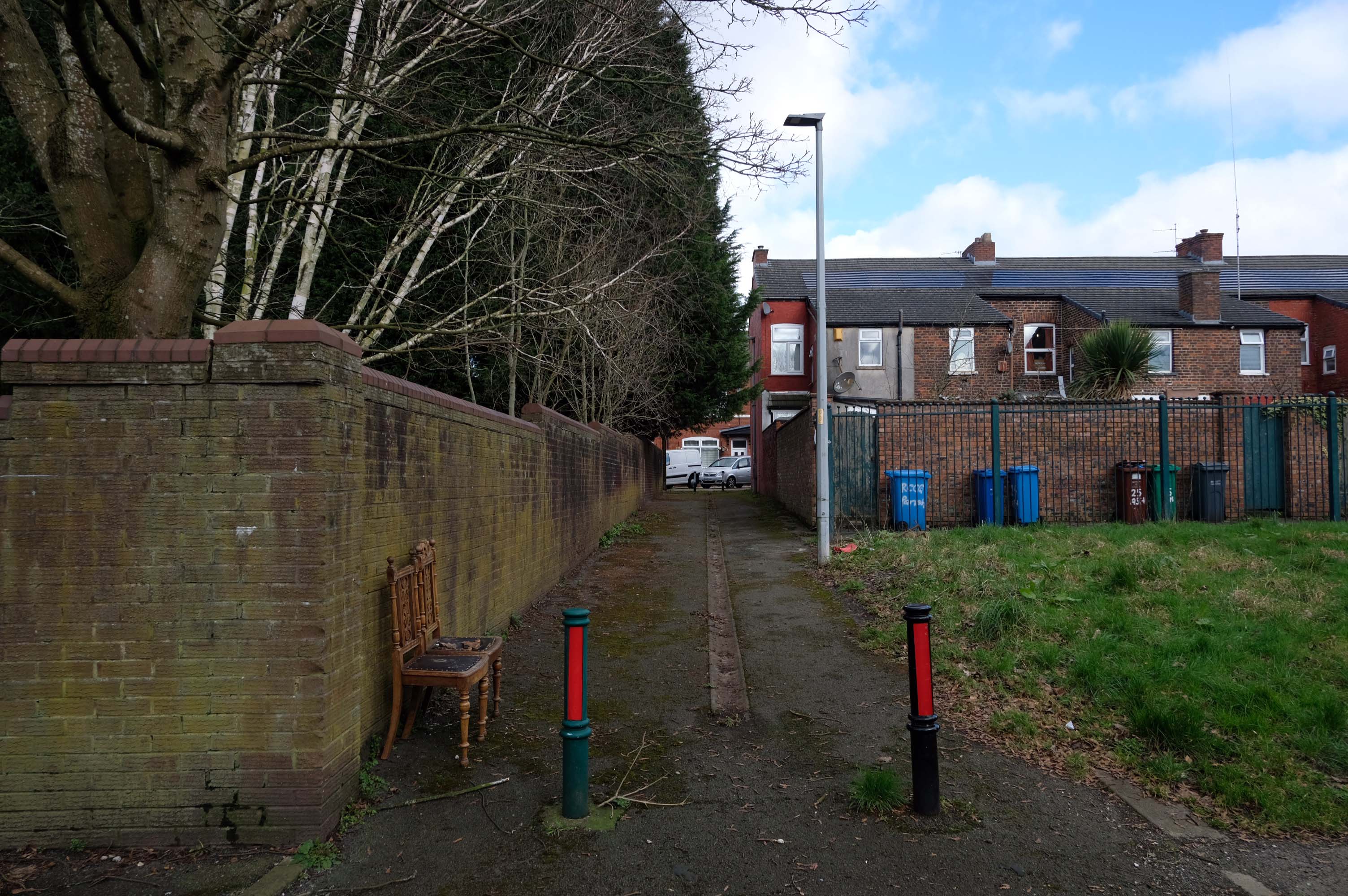
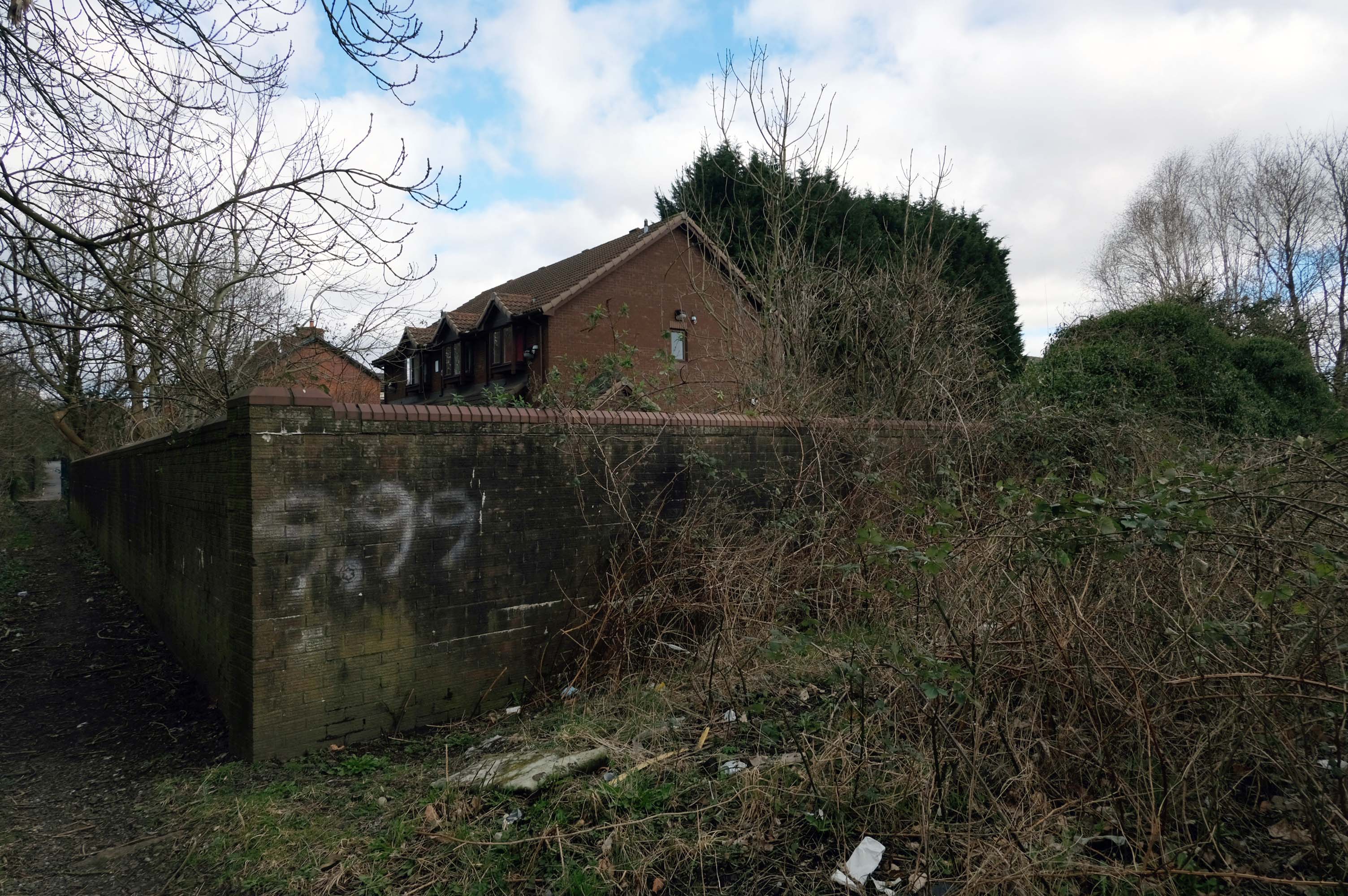
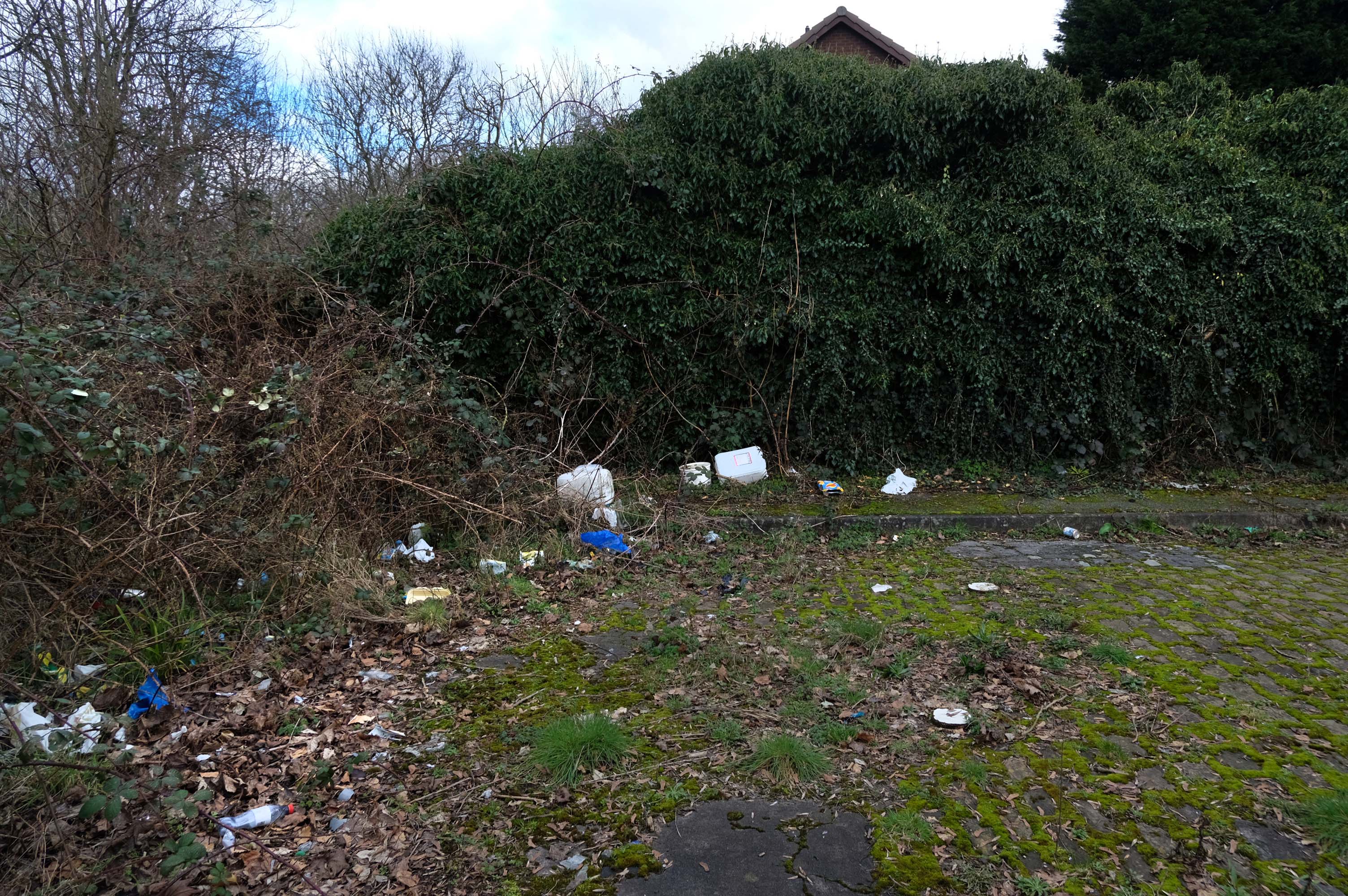
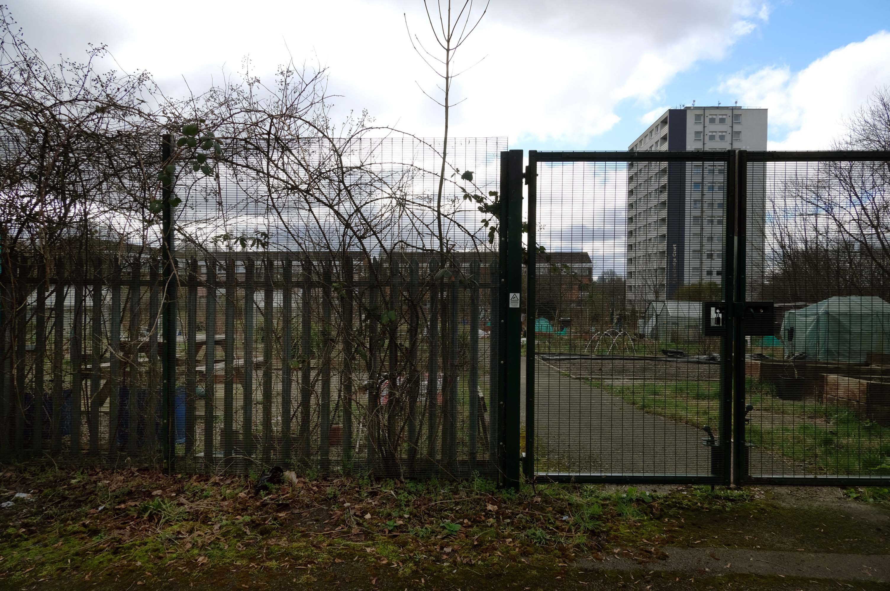
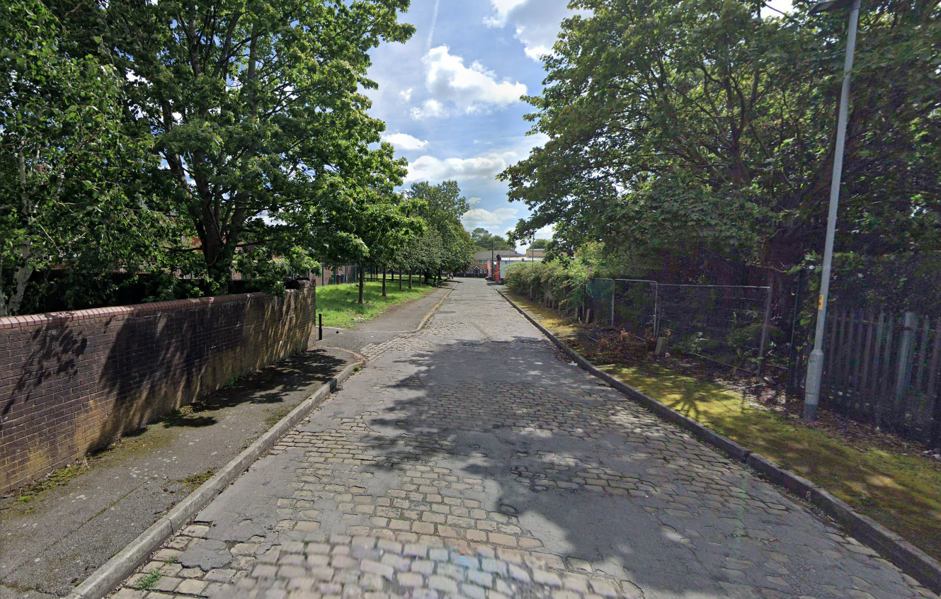
Pleasant Street Allotments
The allotments have had issues with fly tipping back in 2021.
There is now a lockable barrier in place on the cobbled cul-de-sac.
Photo – Howard Bristol
It is understood that the heaps of rubbish, including bin bags full of waste and unwanted wood and cardboard, have been growing in recent weeks.
Howard Bristol, the Secretary of the Pleasant Street allotments committee, said the situation has been ongoing for some time but has worsened since the removal of nearby CCTV cameras.
He told the Evening News that the road has been – piling high with rubbish, and that the area also had issues with the woodland behind the allotments being used for drug dealing during summer.
Pat Karney, councillor for Harpurhey tweeted about the flytipping on Sunday, calling it – unbelievable and disgraceful.
He added that those responsible should be – locked up in Strangeways for a long time, before adding that the council will – get it cleared.
On a February morning the streets were well behaved and consisted of a typical mix of nineteenth century terraces and postwar semis, the residents chatty and welcoming, whilst they went about their business.
There are different causes that can make a street name controversial:
A person, organisation or event who or which was once honoured with a street name is subsequently thought to not or no longer deserve one, for example because that person later turned out to be a criminal.
A group of street names – for example in a residential area, is deemed to be unrepresentative for the population of that place, region or country because some demographics are overrepresented and others underrepresented, for example, because a disproportionate number of streets are named after men, and few after women.
Research has found that if you live on Pear Tree Lane your property is more likely to attract potential buyers and a higher price, than those living in a similar property on Crotch Lane.
What are the guidelines for street naming?
The exclusion or inclusion of certain numbers for cultural or religious reasons
The use of building names without numbers
New building or street names should not begin with The
The use of street names which include numbers that can confuse, for example – 20 Seven Foot Lane sounds the same as 27 Foot Lane
The use of the names of deceased people in the adoption of any street names. The reason for choosing a person’s name should be established in the council’s policy
The use of the name of a living person – it’s not recommended
The adoption of historic connotations by developers – guidance on this should be provided by the council to all developers through close liaison with local historic societies.
The use of national or local historic figures or events
The use of a name with Royal connotations – the Lord Chamberlain’s office must be contacted if a name has any reference to the Royal family or if the word ‘Royal’ is suggested.
The use of names and their combination with numbers that could be considered rude, obscene, and racist or contravene any aspect of the council’s equal opportunities policies
The use of names and their combination with numbers that could be easily vandalised or changed into any of the above, for example – Canal Turn
The use of names that can cause spelling or pronunciation problems
The use of names that can be construed to be used for advertising or commercial gain
The use of names would lead to variations in the use of punctuation as these can confuse or result in early demands for a change of address from occupiers.
So in summary the name Bland does not in my opinion represent the close’s appearance and may in fact detract from the value of the property and possibly the perception of the area.
The A5103 is a major thoroughfare running south from Piccadilly Gardens in Manchester city centre to the M56 in Northenden. The road is two-lane dual carriageway with a few grade-separated junctions. It is used by many as a link to the airport and to the motorway network south.
The road starts at Piccadilly Gardens where it meets the A6. It heads along Portland Street – at one time it ran along the parallel Mosley Street, past fast-food outlets and off-licences and then meets the A34 Oxford Street. It multiplexes with that road north for 200 yards into St Peter’s Square and then turns left into Lower Mosley Street, initially alongside the tramlines and then past the former Manchester Central station, now a conference centre with the same name. The road becomes Albion Street and goes over the Bridgewater Canal and under the railway line east of Deansgate station. The road then meets the A57(M) Mancunian Way at a roundabout interchange. This is where most of the traffic joins and leaves.
The road is now 2×2 dual carriageway with the name Princess Road. It passes under the Hulme Arch, a grade-separated junction with the A5067, with an unusually large central reservation. This is presumably because of the proposed plans from the 1960s of a motorway. However, after passing under the junction, there are innumerate sets of traffic lights, with the B5219, the A6010 and the A5145, as well as many other unsigned roads. There are also many speed cameras set at 30 mph.
The road picks up pace as we exit the sprawl of South Manchester and the road becomes Princess Parkway, with a 50 mph speed limit. We cross the River Mersey and almost immediately hit the M60 at J5.
Except for the Manchester City Centre section – which was numbered A5068, this road did not exist on classification in 1922. Princess Road was built in 1932 to serve the new southwestern suburbs; initially it ran between the B5219 and A560 and was numbered B5290, with the road later extended north into the A5068 on the southern edge of the city centre and renumbered A5103.
The northern extension through Hulme initially followed previously existing roads, so followed a zigzag route. As part of the road’s upgrade and the reconstruction of Hulme in the 1970s the road was straightened and the original route can no longer be seen. The A5068 was severed around this time with the construction of the A57(M) and the A5103 took on its city-centre section, taking it to the A6.
The A34 is a major route from the ports on the South Coast of England to the Midlands and the North West, with the standard varying from rural dual carriageway sections in the south to urban single carriageway in the north, and everything else in between.
Slade Lane junction, Rushford Park to Parr’s Wood, East Didsbury – to connect to Manchester Road to Cheadle. It continued on to Laneside Road as a residential road. Opened on 11 April 1923 by Mary Cundiff, Lady Mayoress, and Margaret Turnbull, daughter of Alderman Turnbull, Chairman of Manchester Town Planning Committee. Width was 100 feet and it was designed for tram tracks in the central reservation. The dual road carriageways were 20 feet wide. Manchester’s tram system was closed in 1949. The carriageways were widened and central reservation grassed over. Originally opened as A5079.
Laneside Road, East Didsbury to Schools Hill/ Wilmslow Road junction, Cheadle. Opened on 12 October 1959. The official opening was on 15 October 1959. Planning for the bypass had been halted by the war. In December 1949 Manchester Corporation stated that it was not a priority since the Corporation was only responsible for the 200 yards to the proposed bridge over the River Mersey and Cheshire County Council had not asked for a joint approach to Ministry of Transport to build it. Work was finally authorised in January 1957 and started in the June. Width was 90 feet with dual 24 foot carriageways. Expected cost was £600,000 to £700,000.