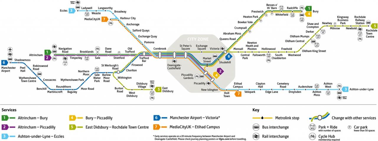
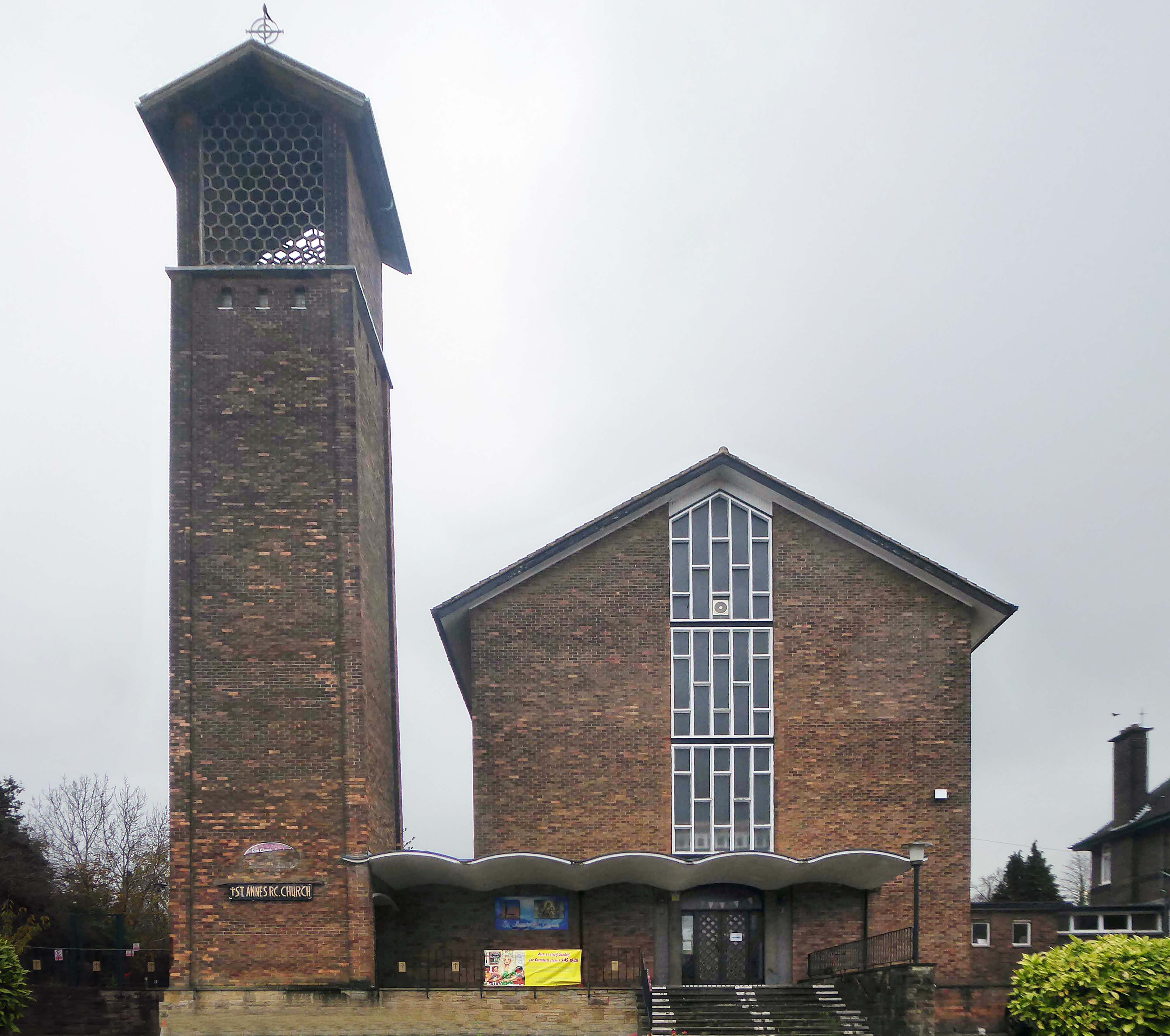
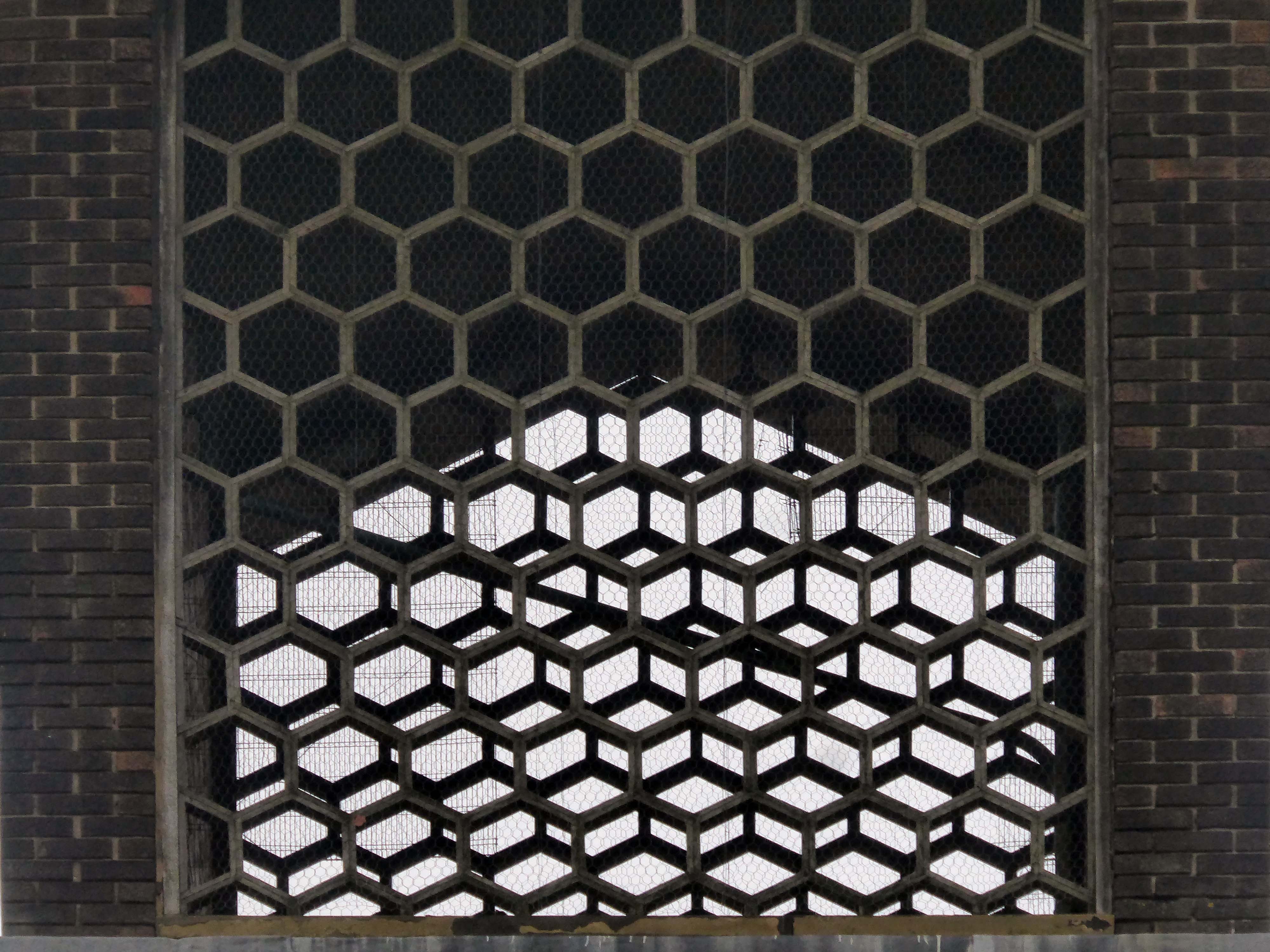
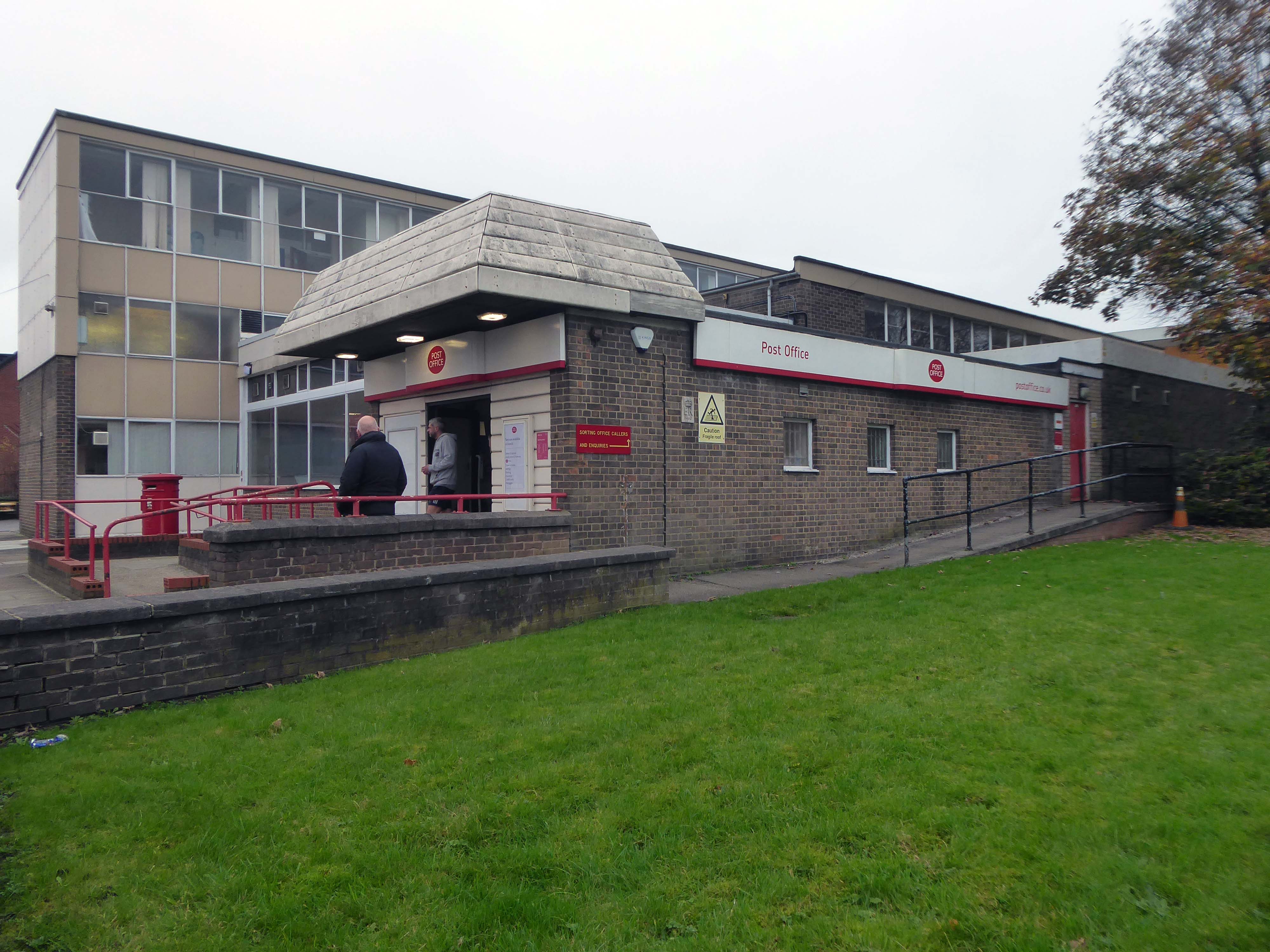
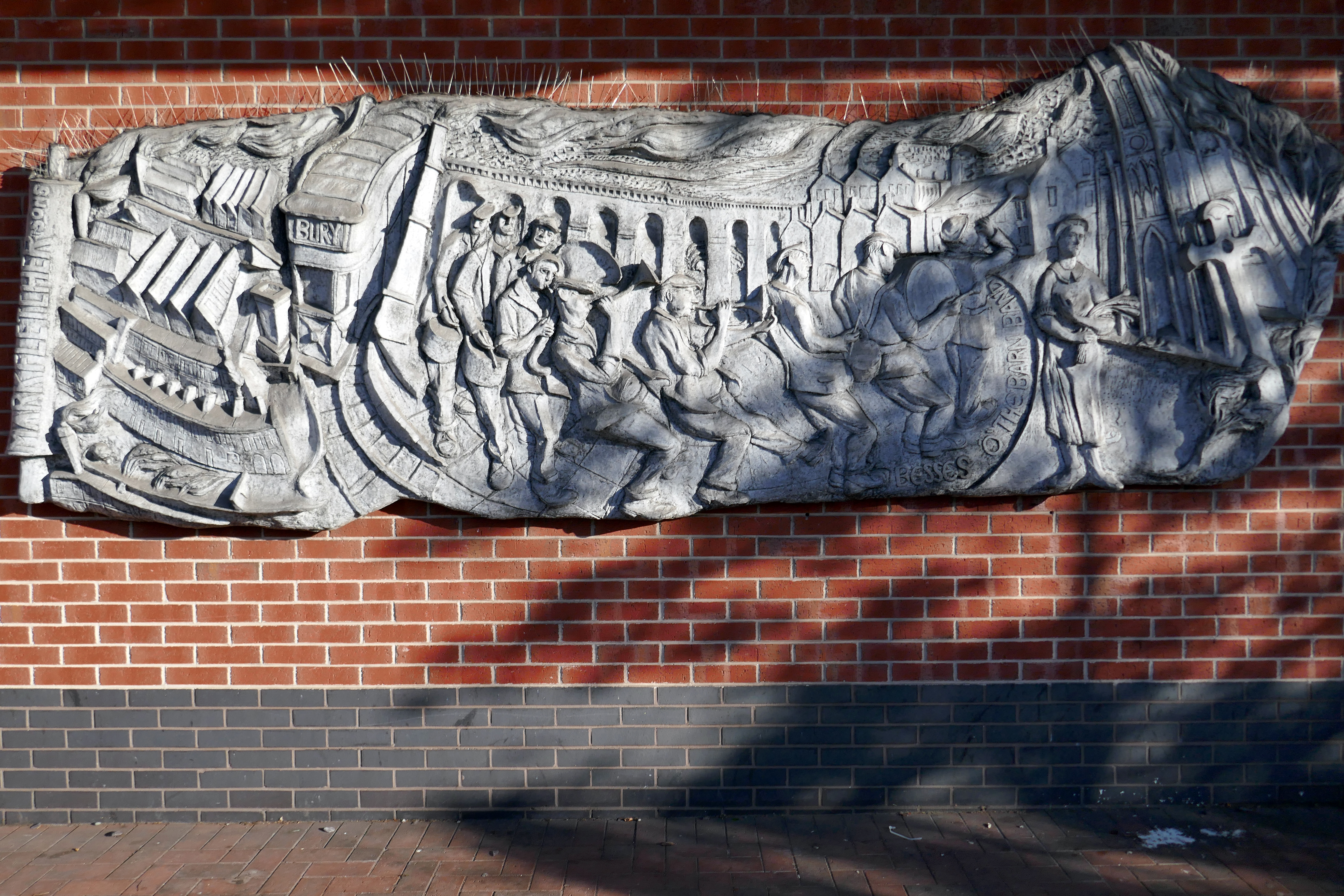
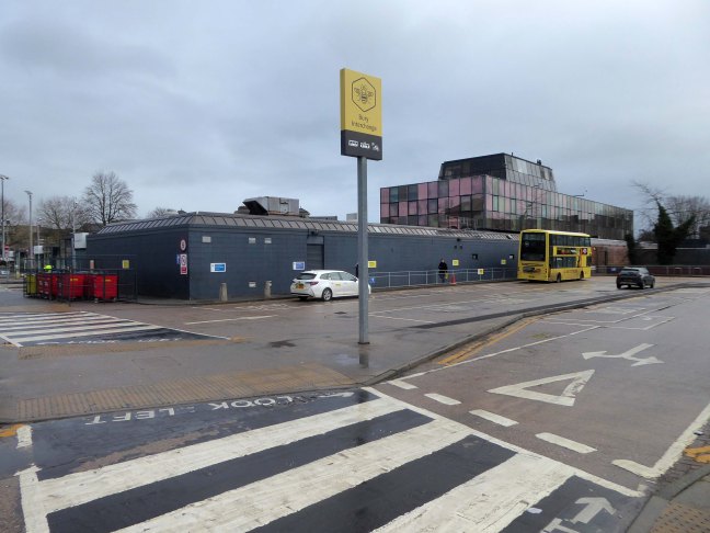
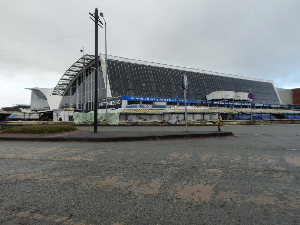
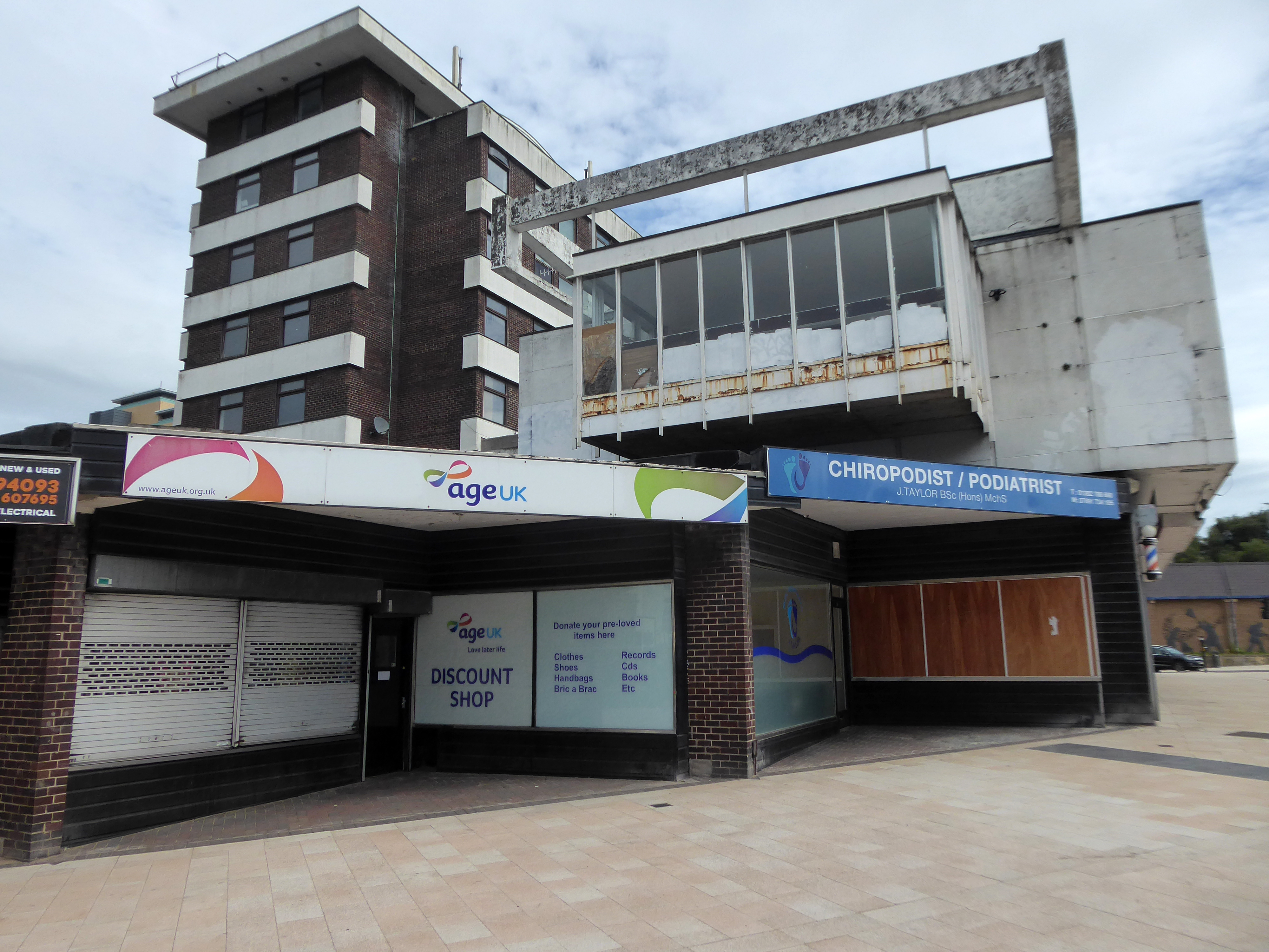
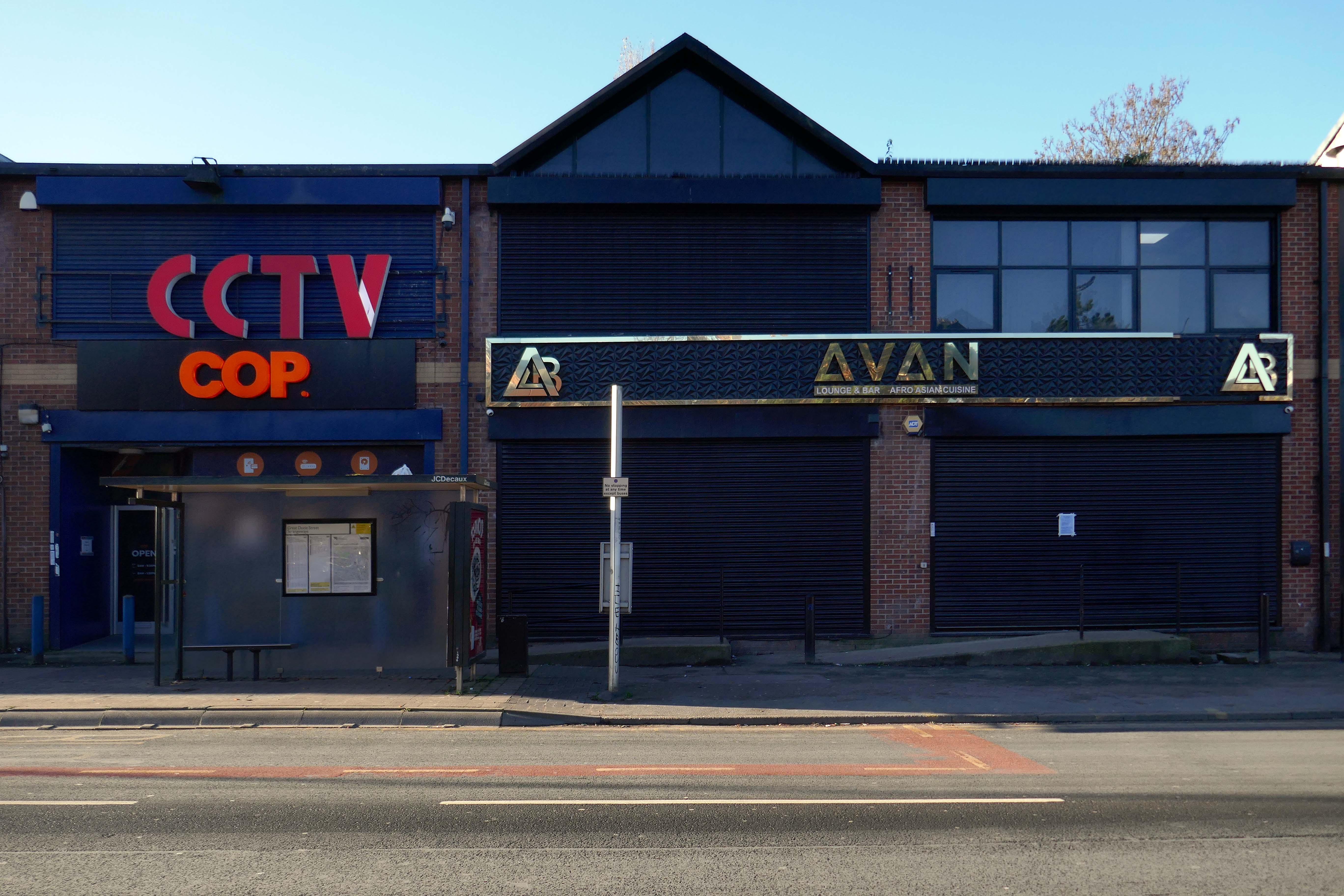
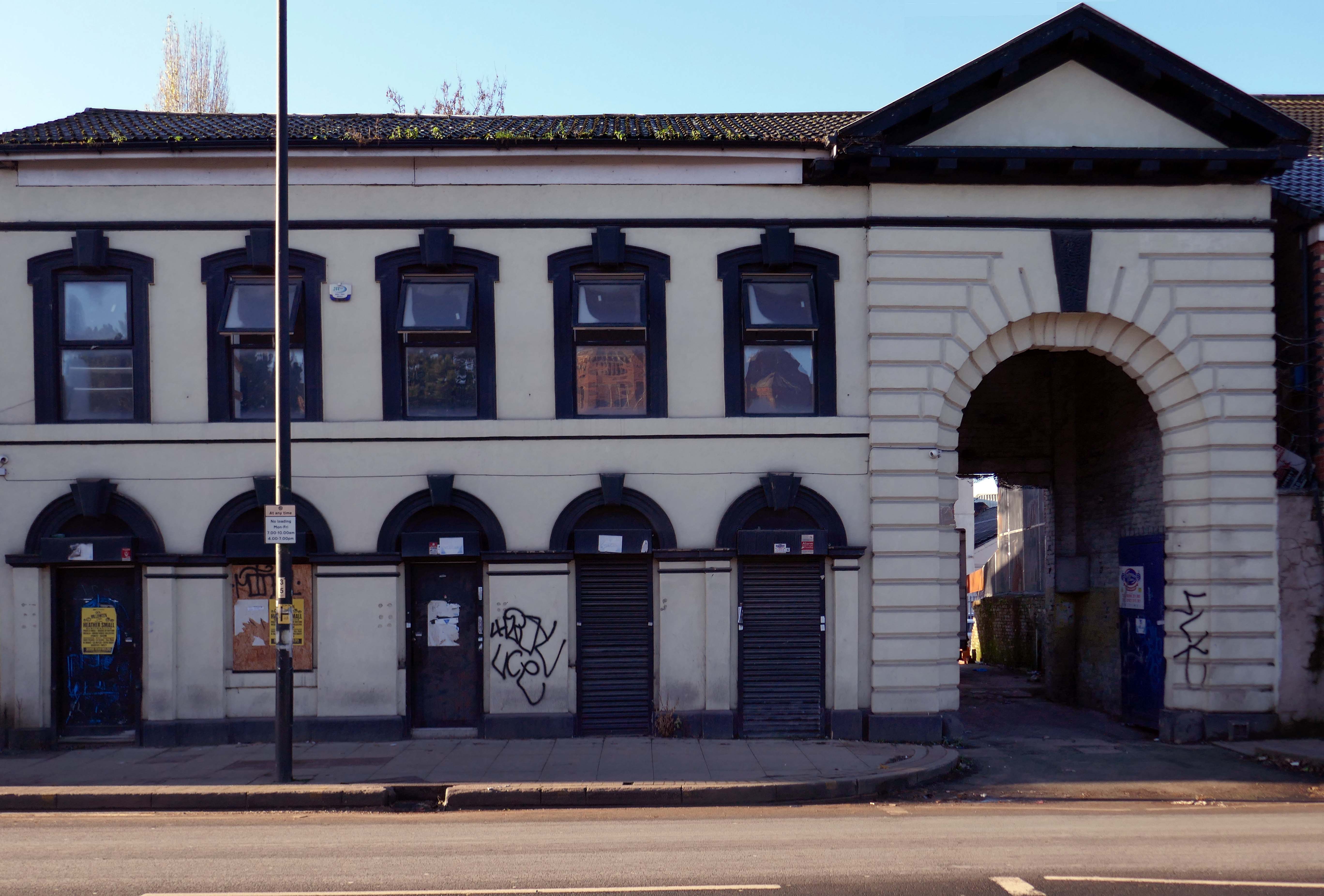
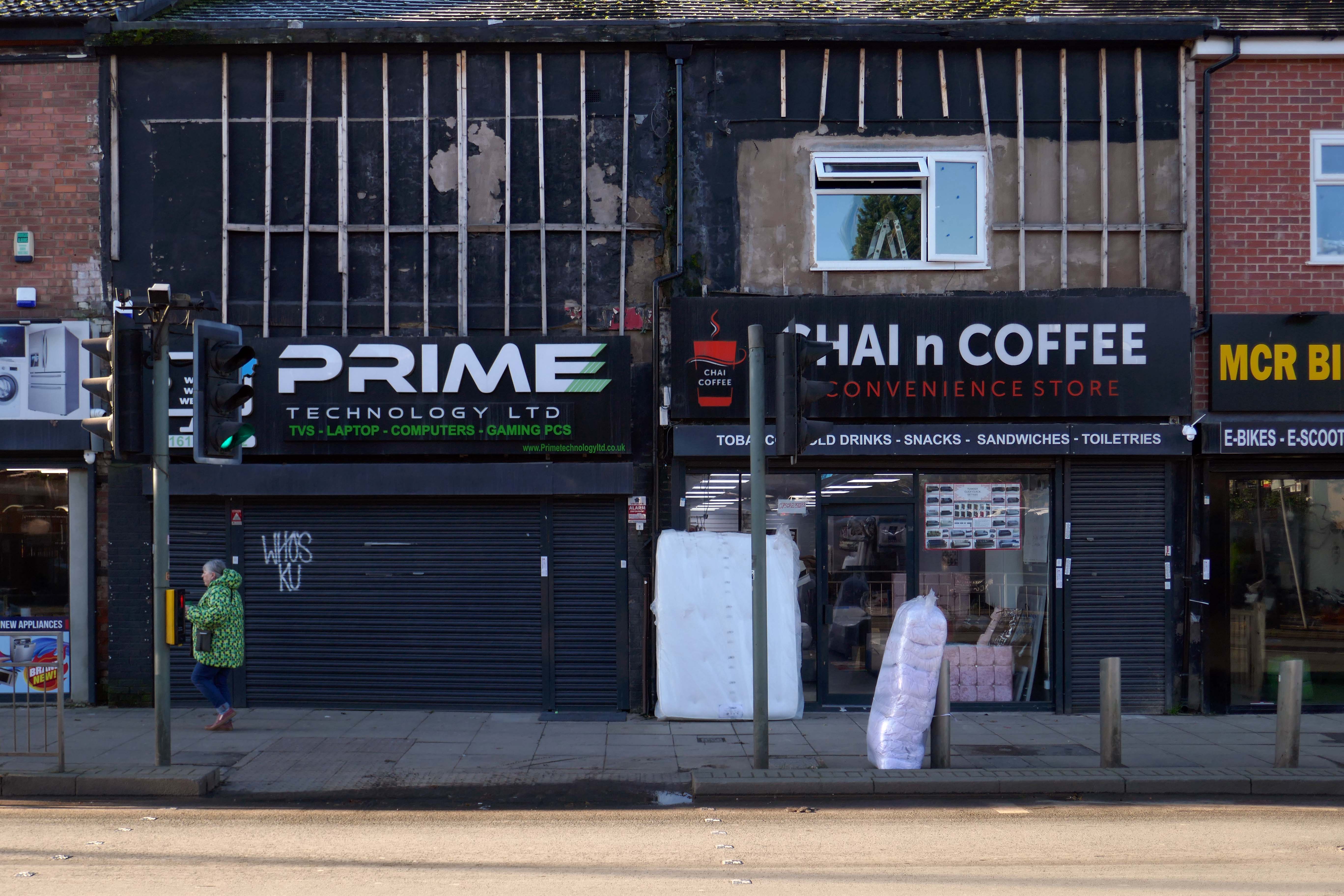
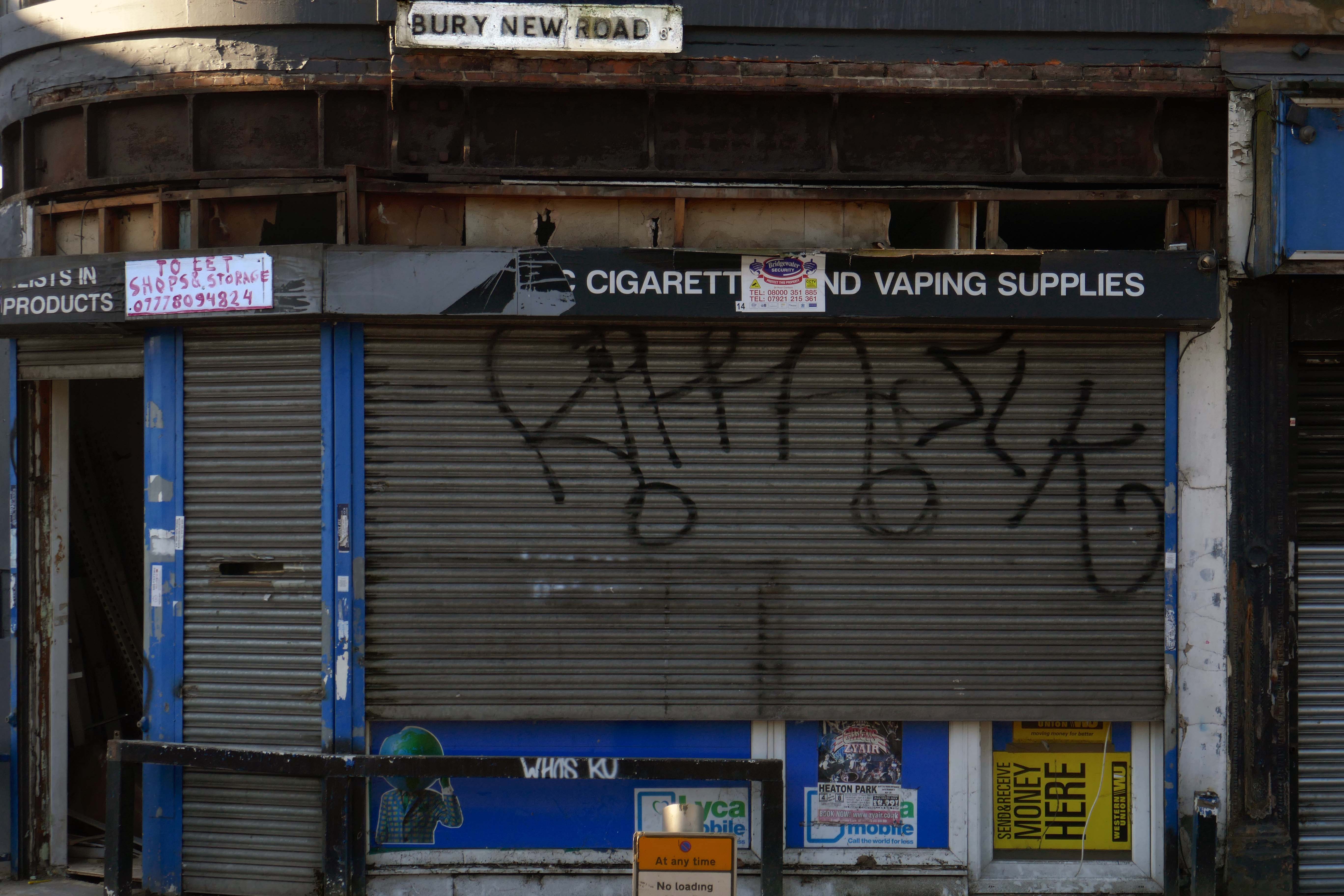
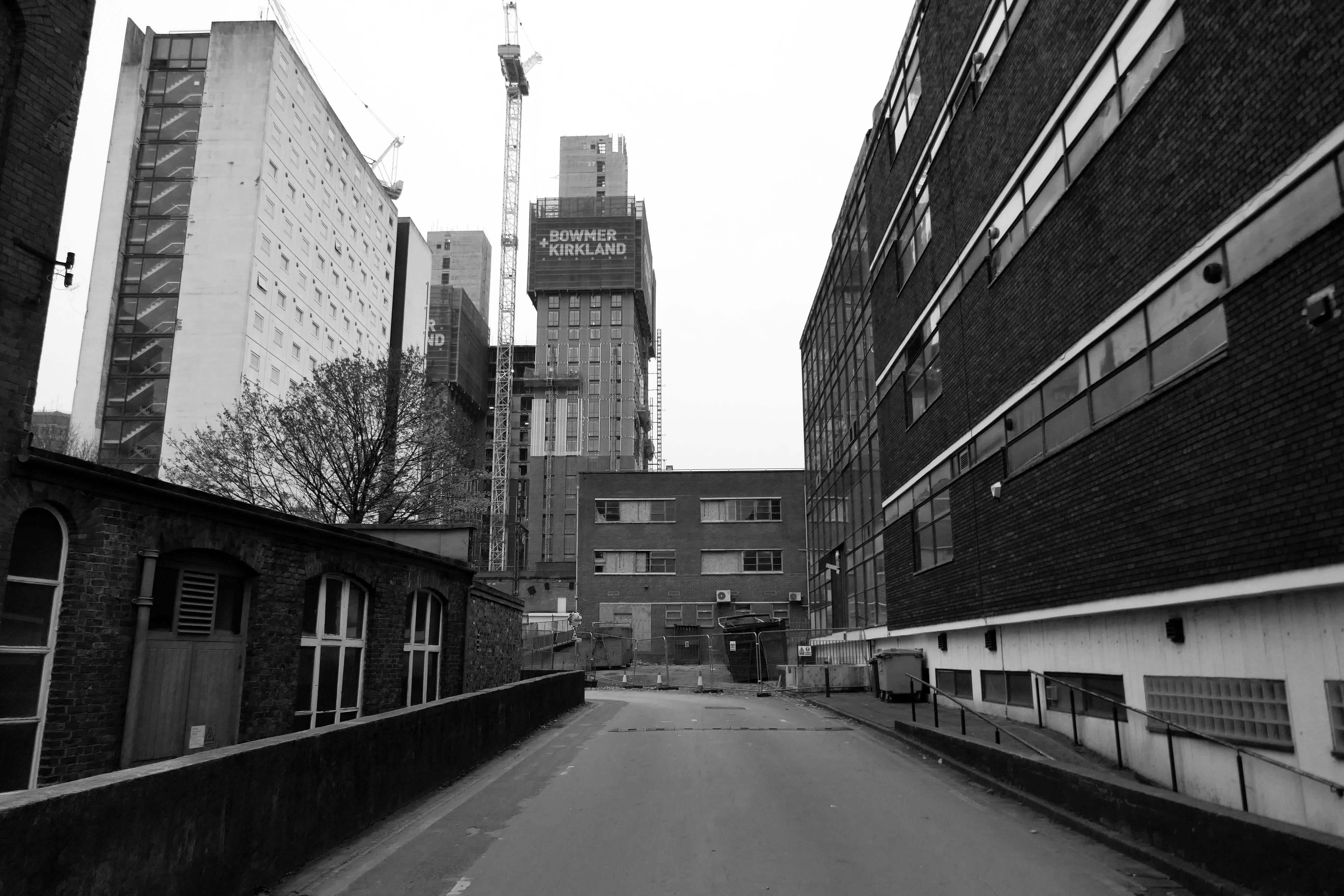
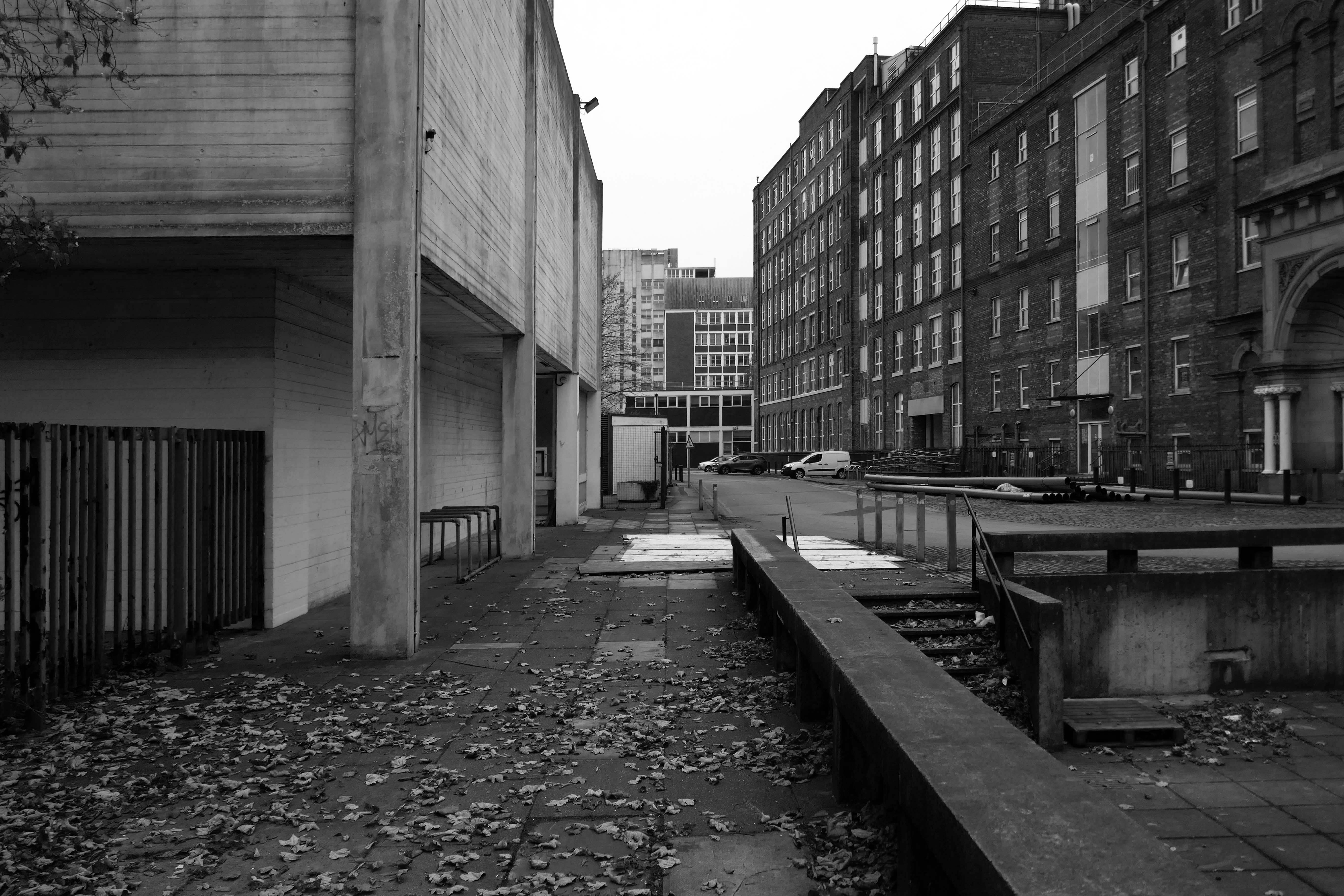
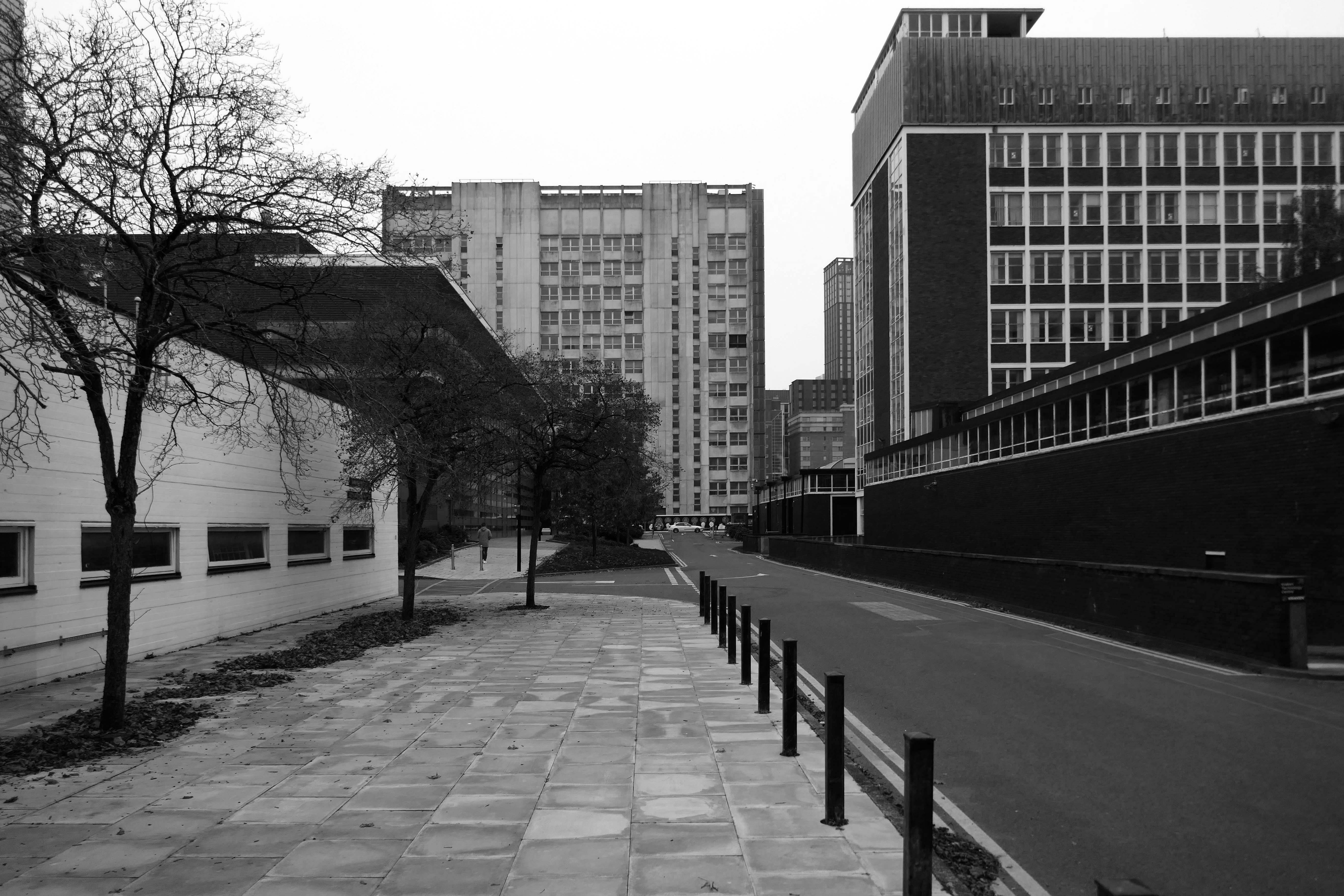
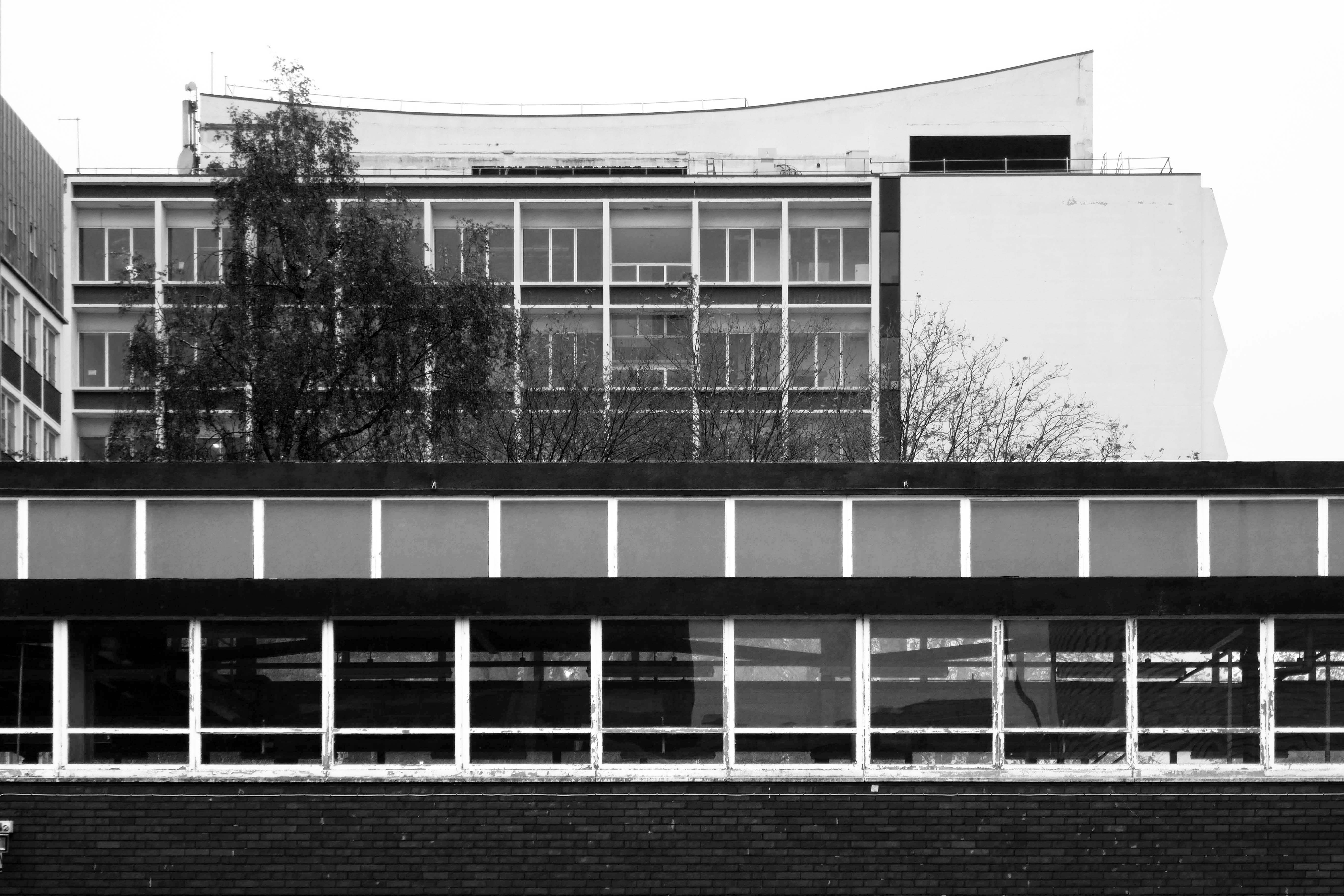
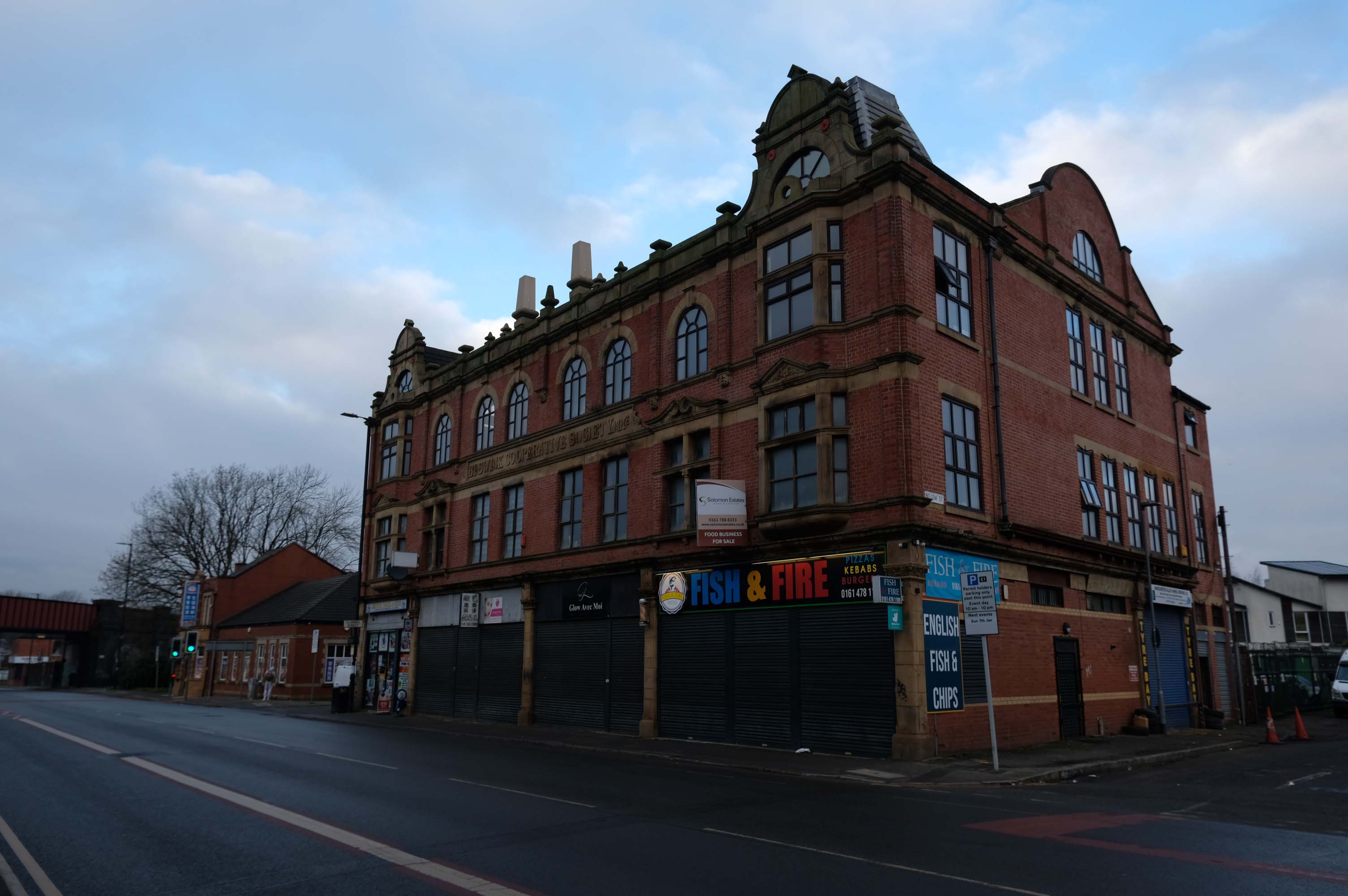
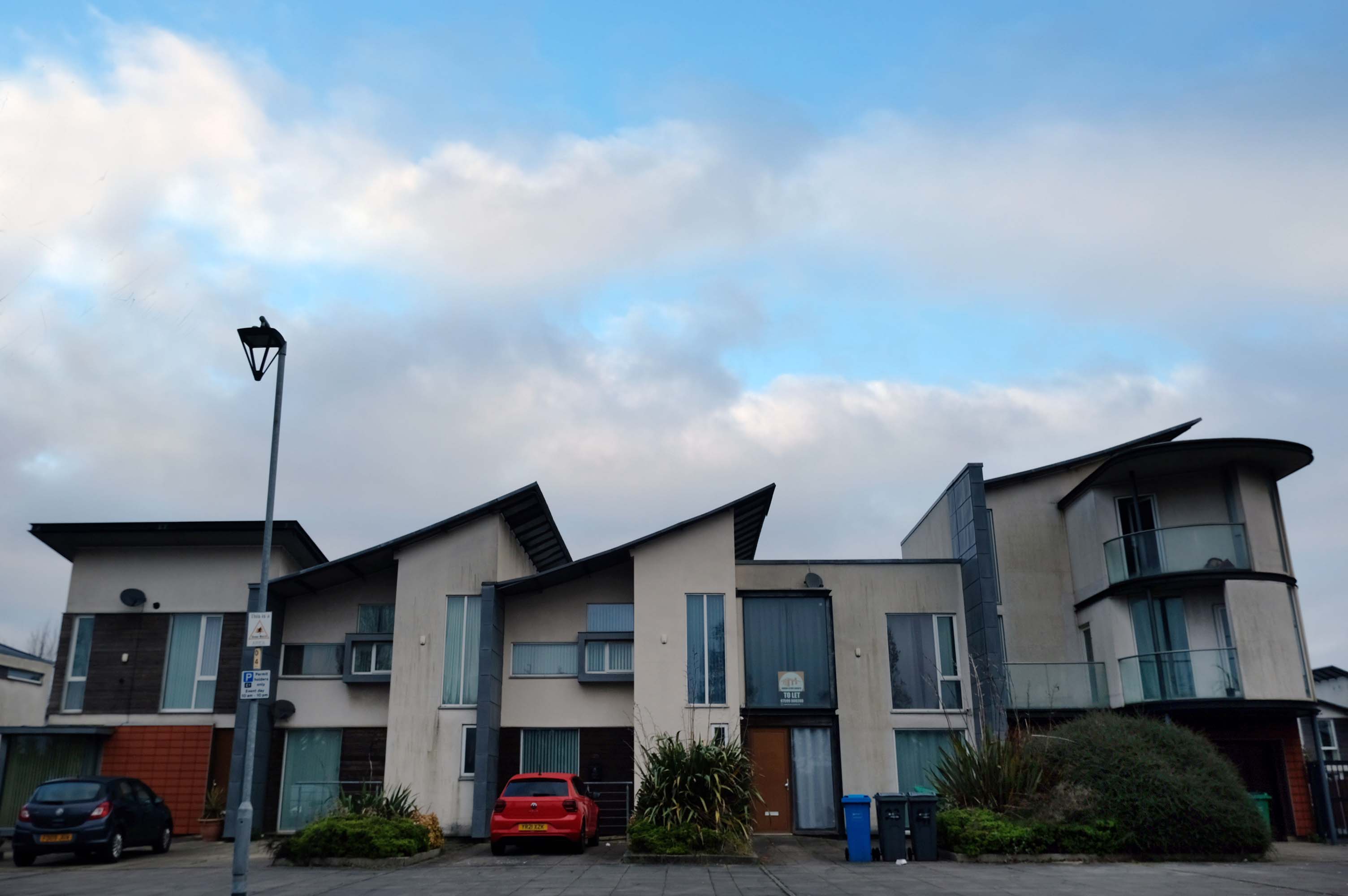
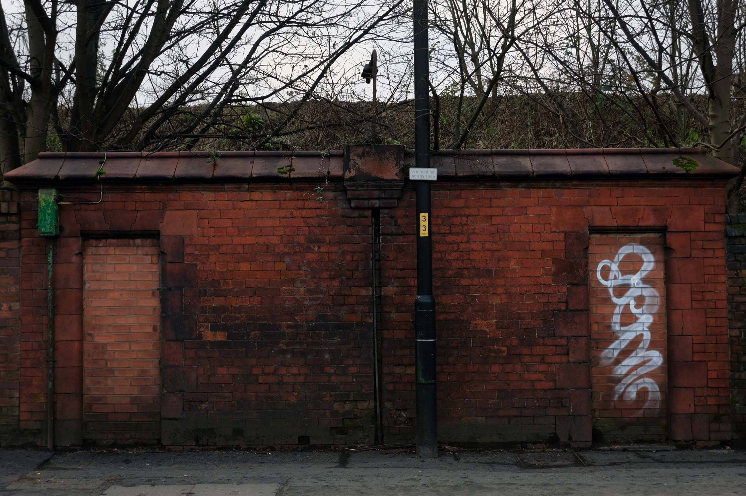
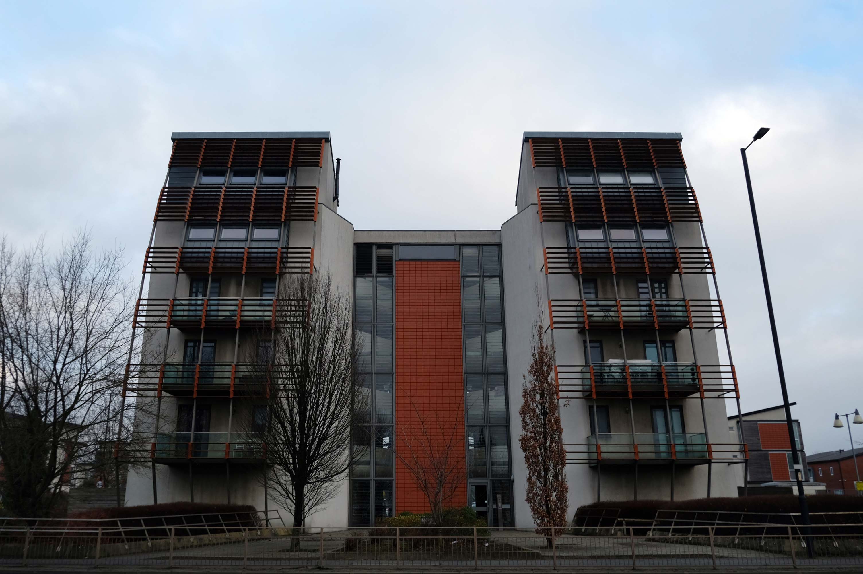
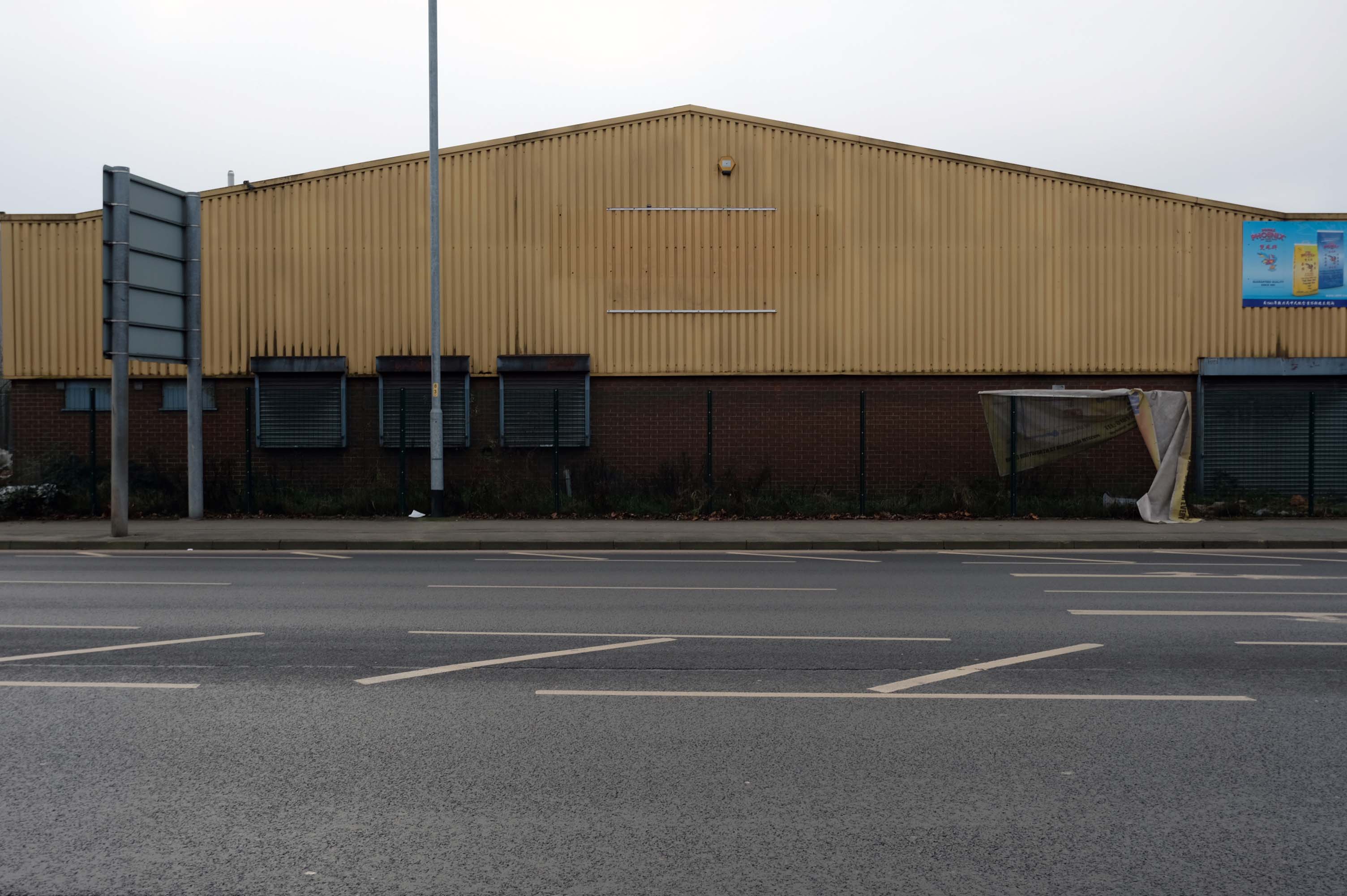
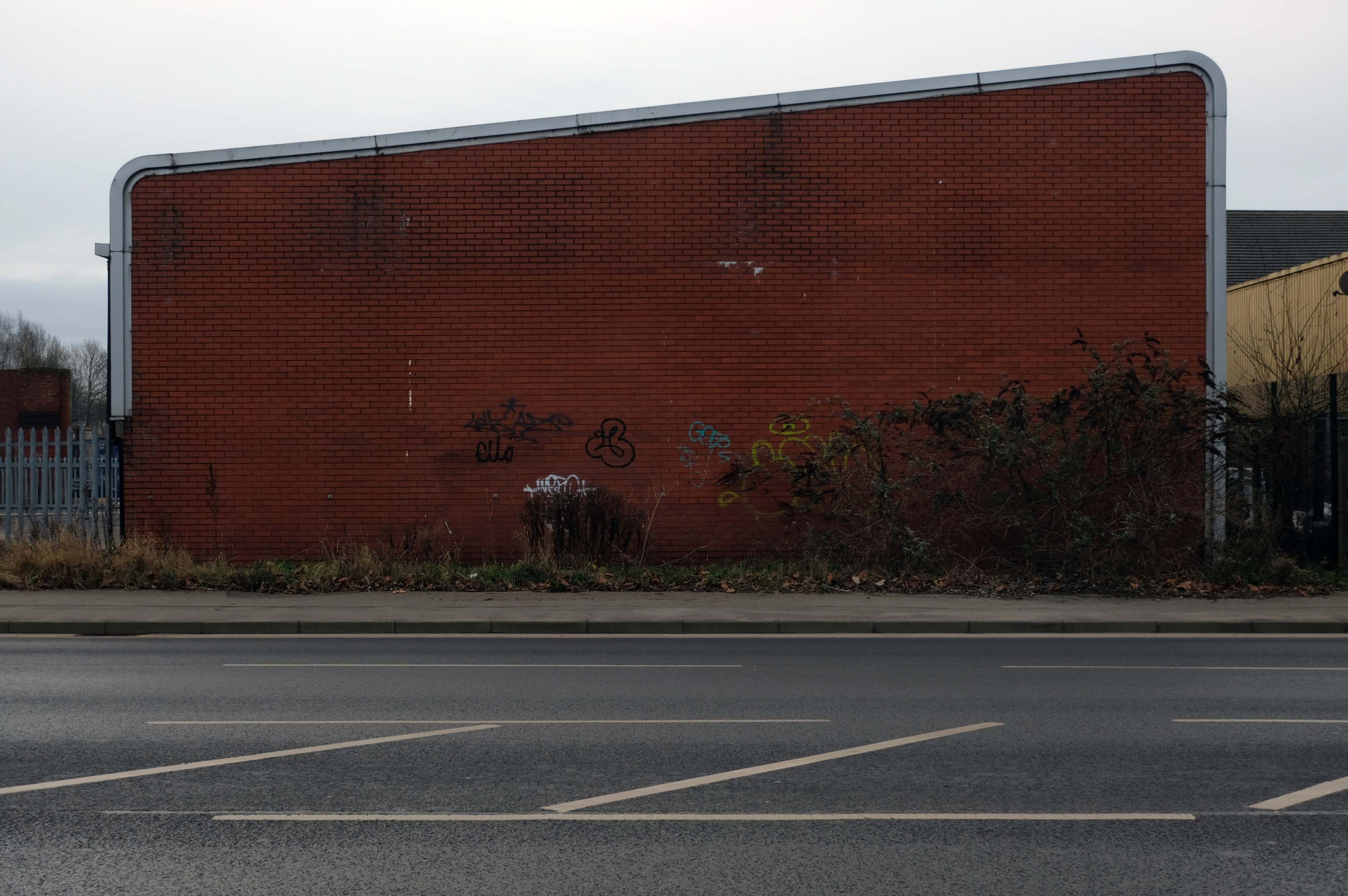
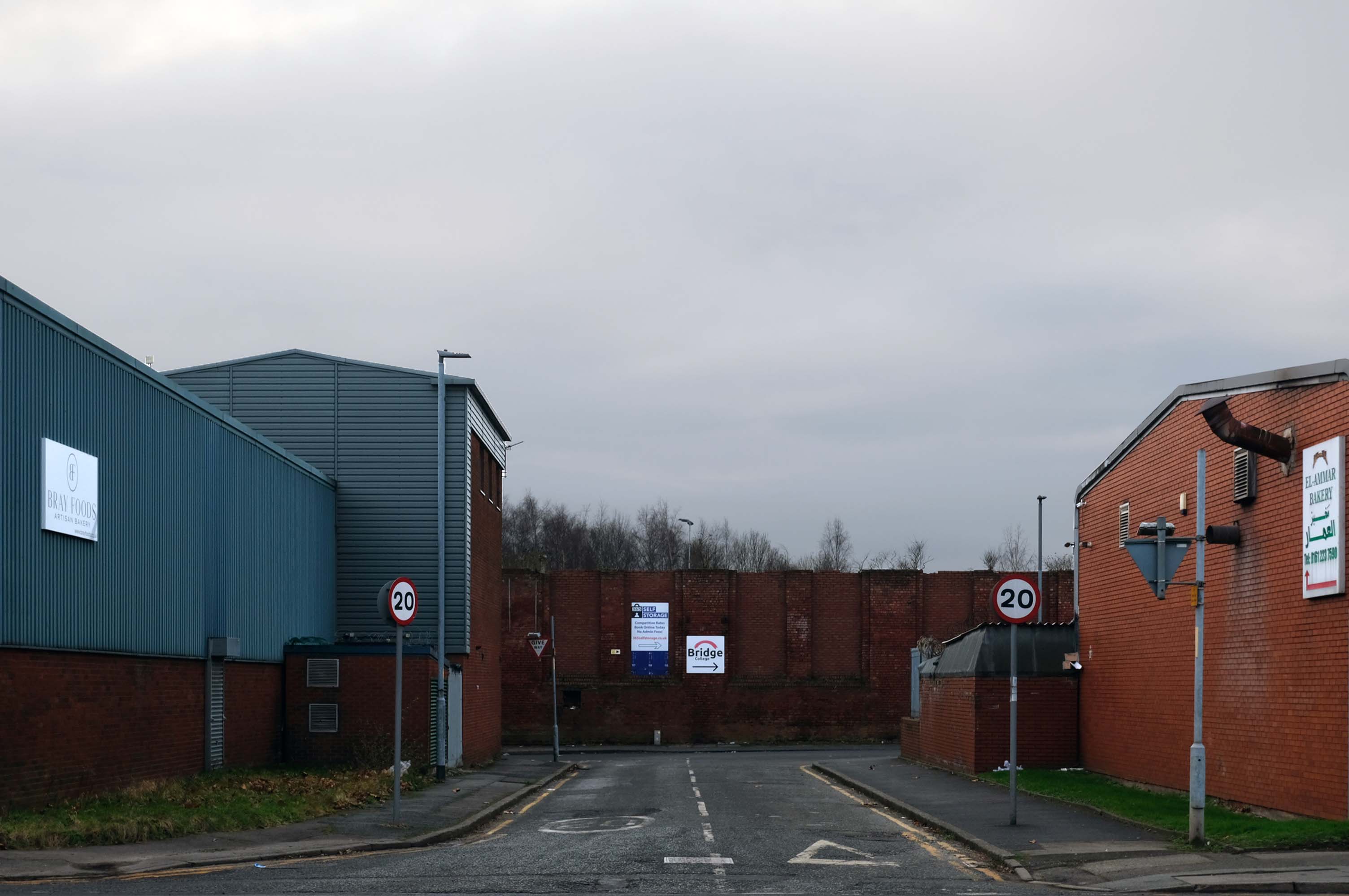
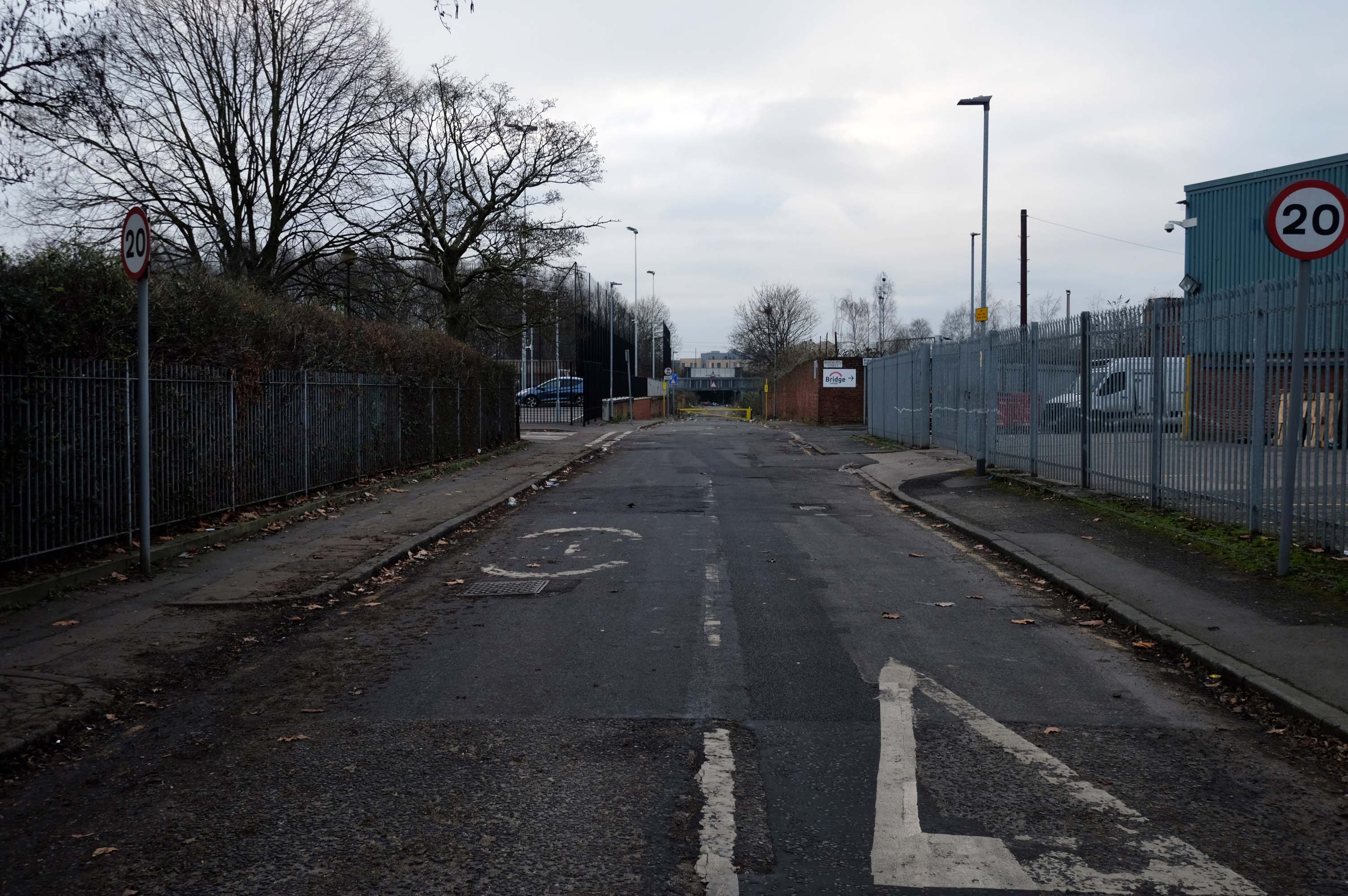
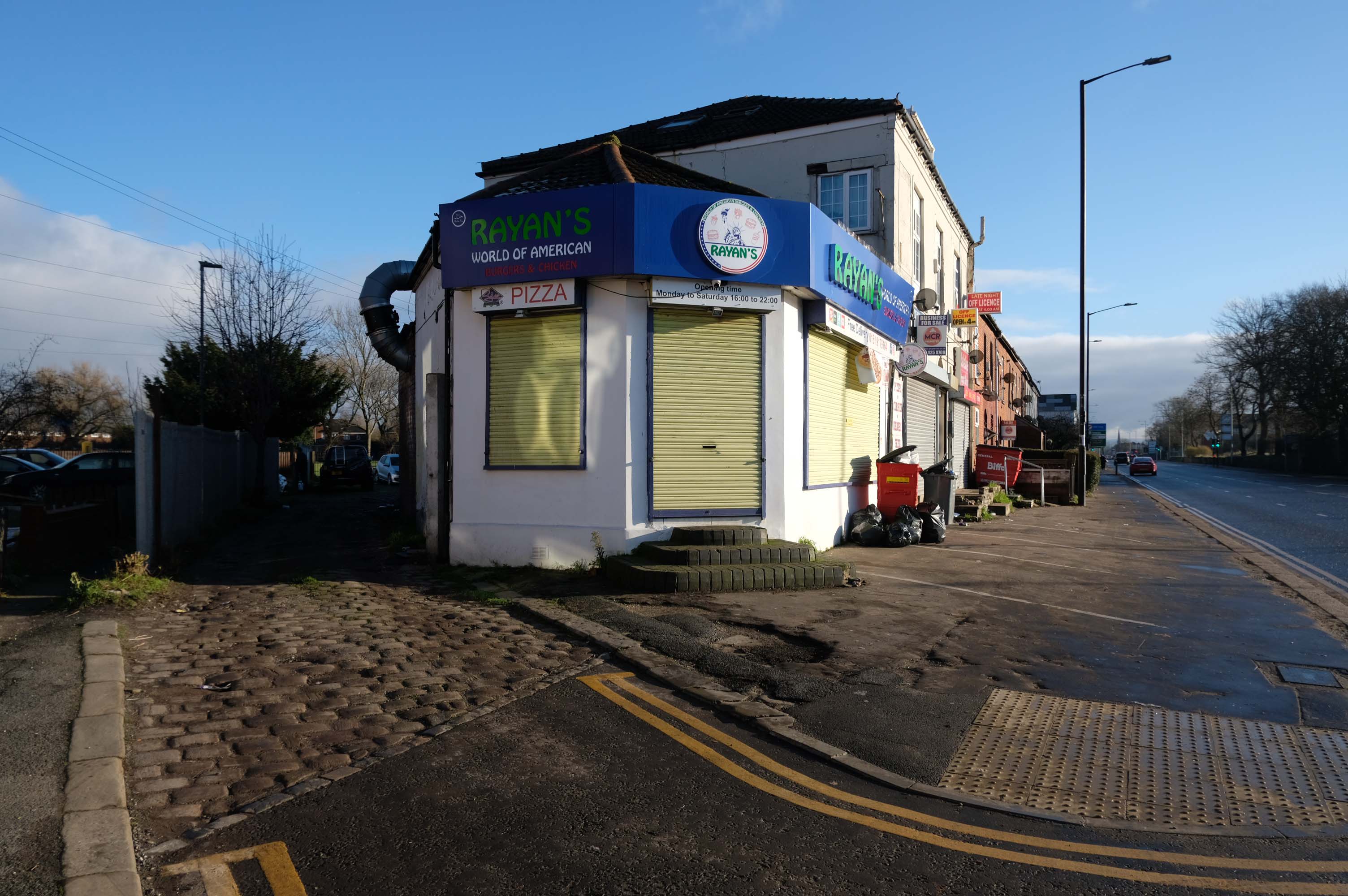
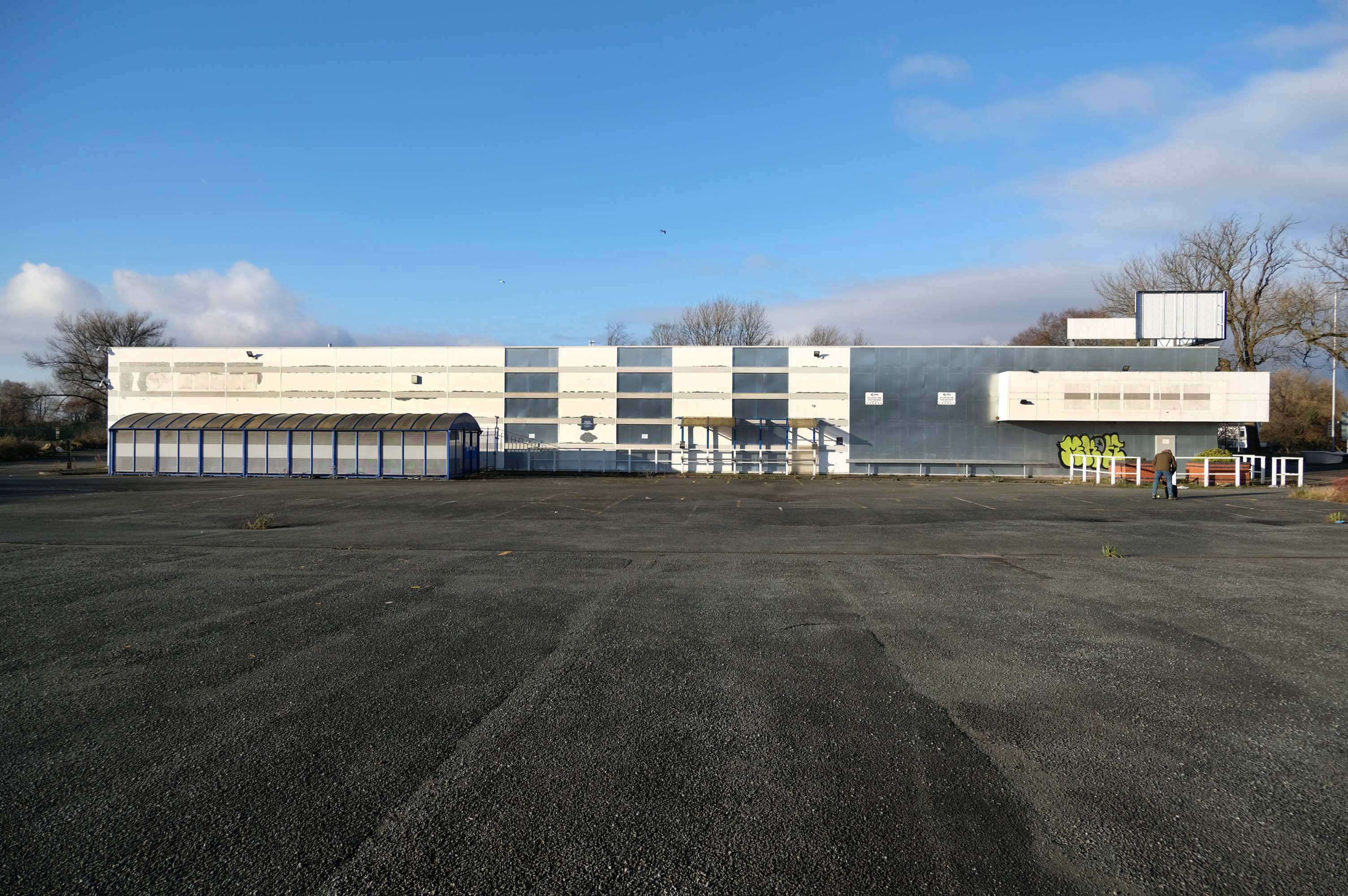
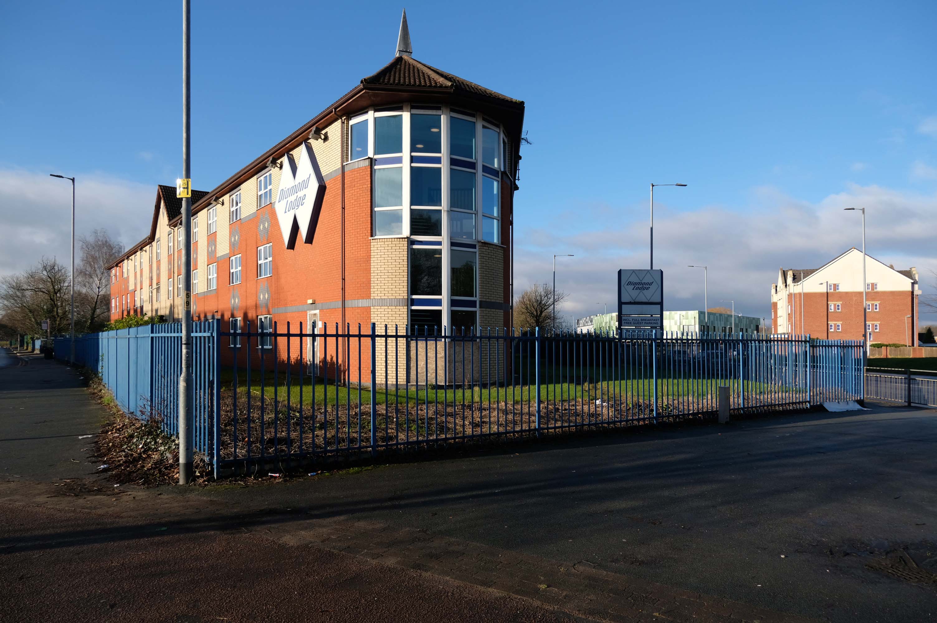
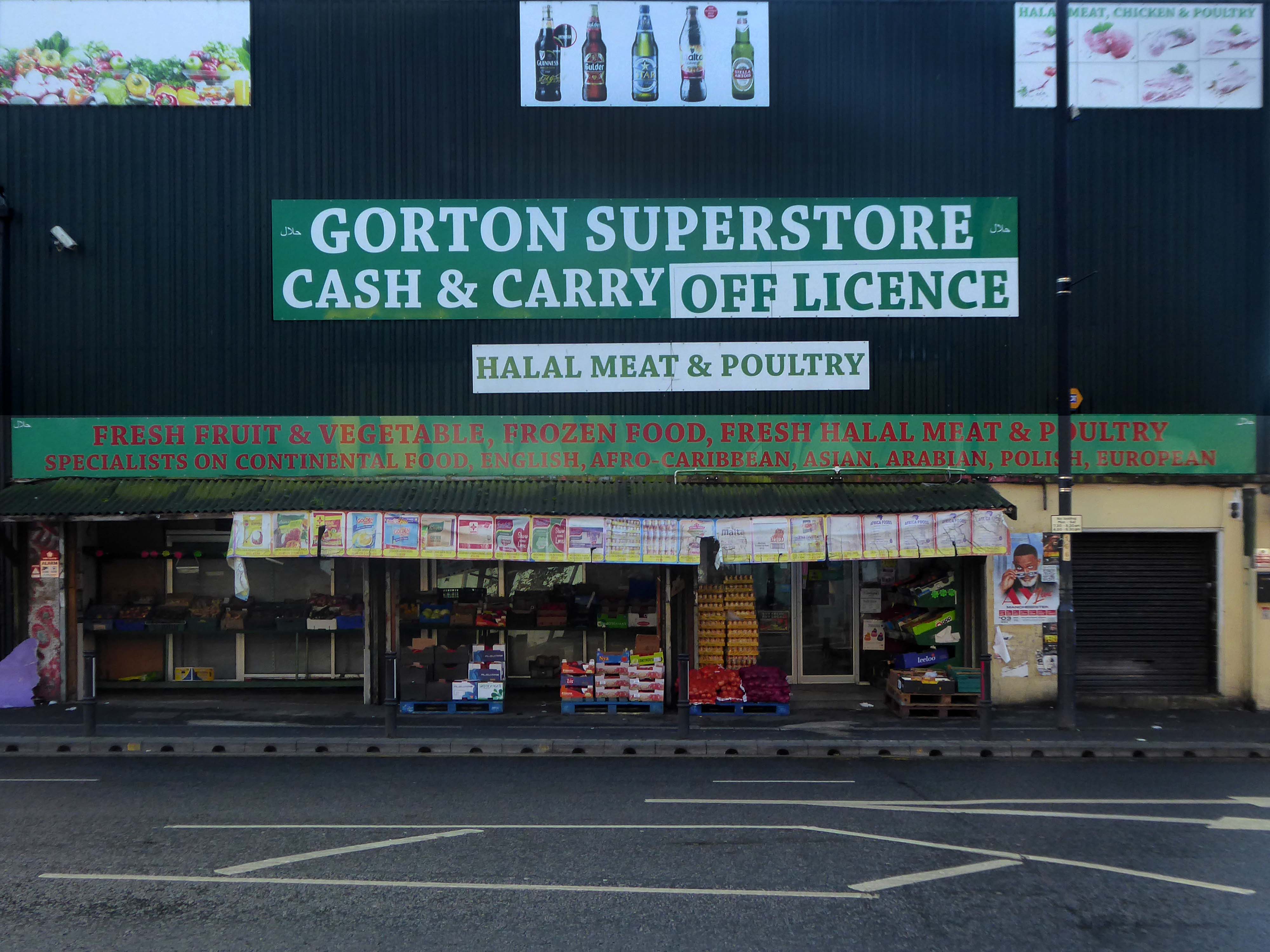
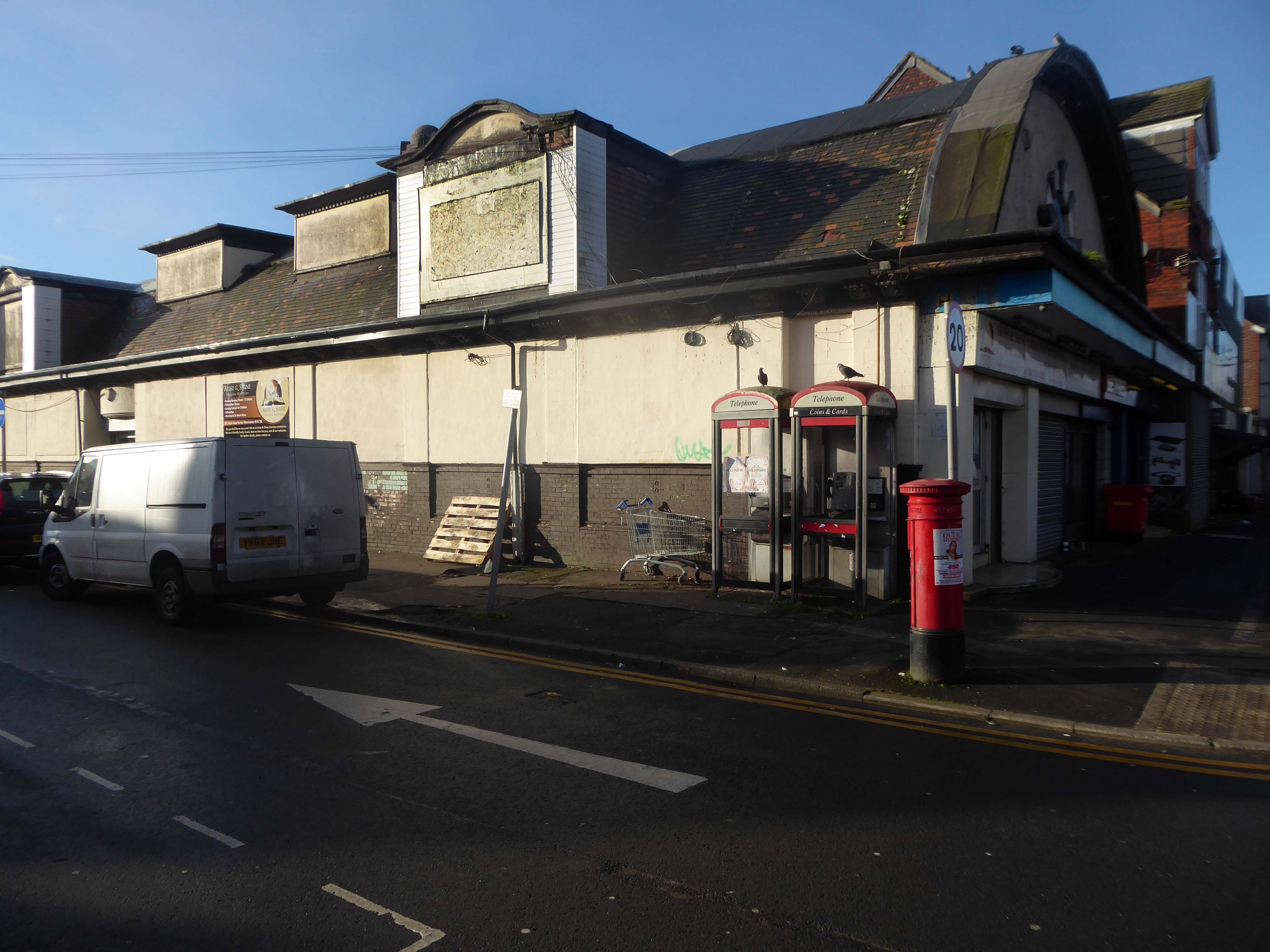
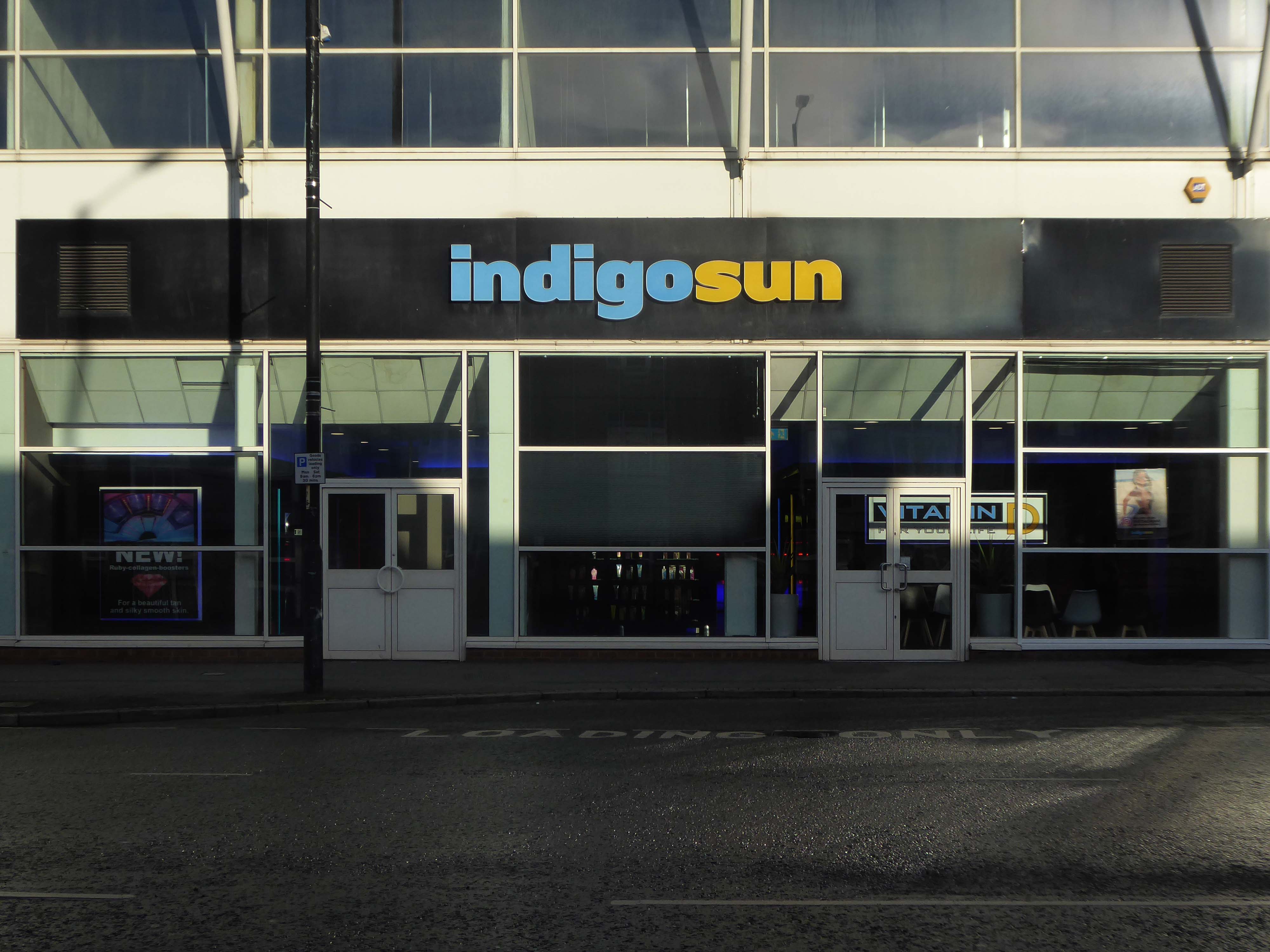
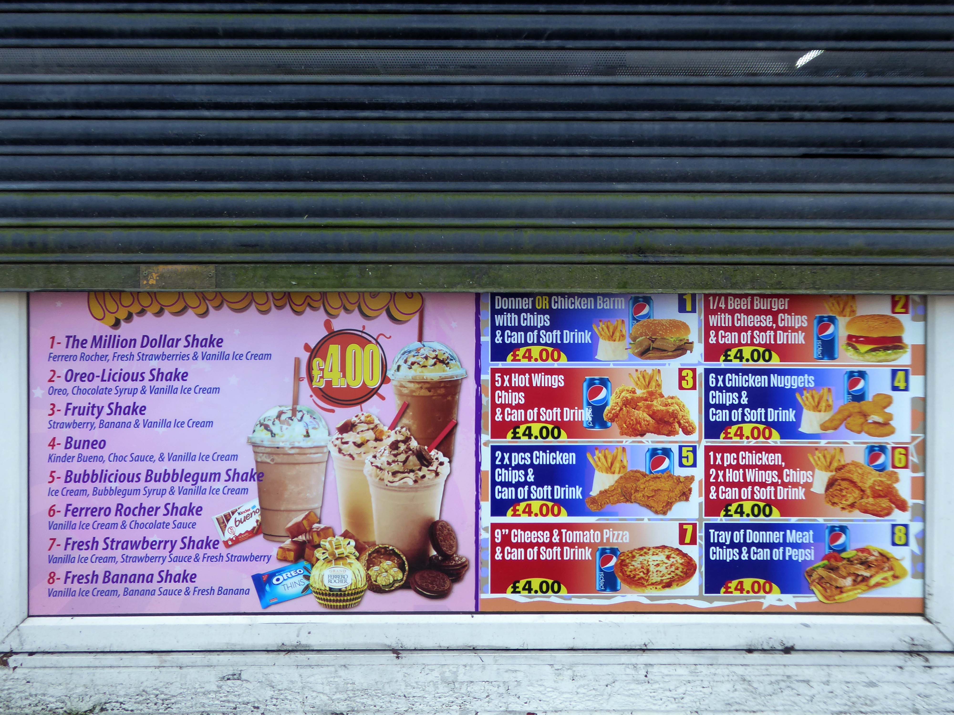
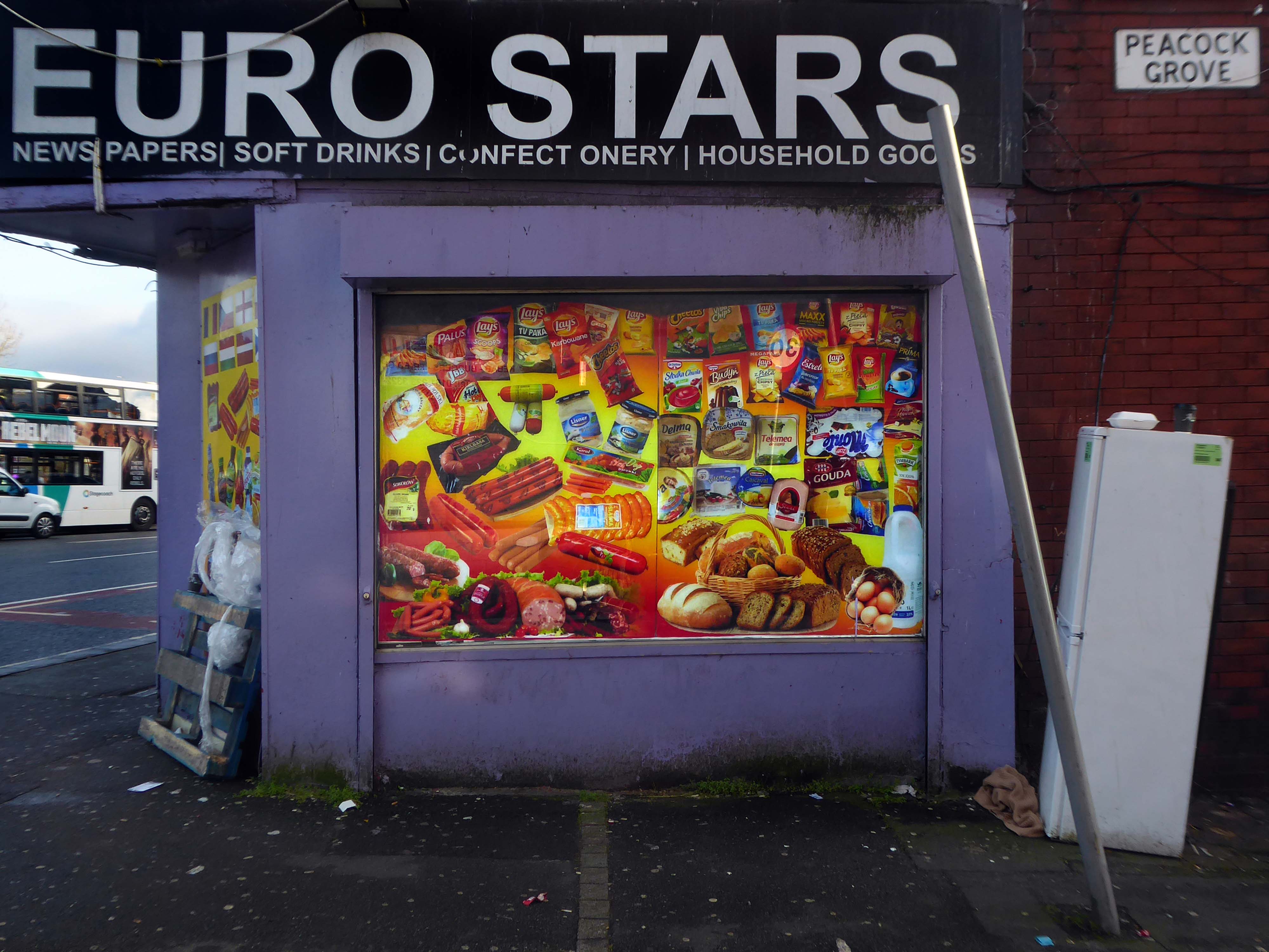
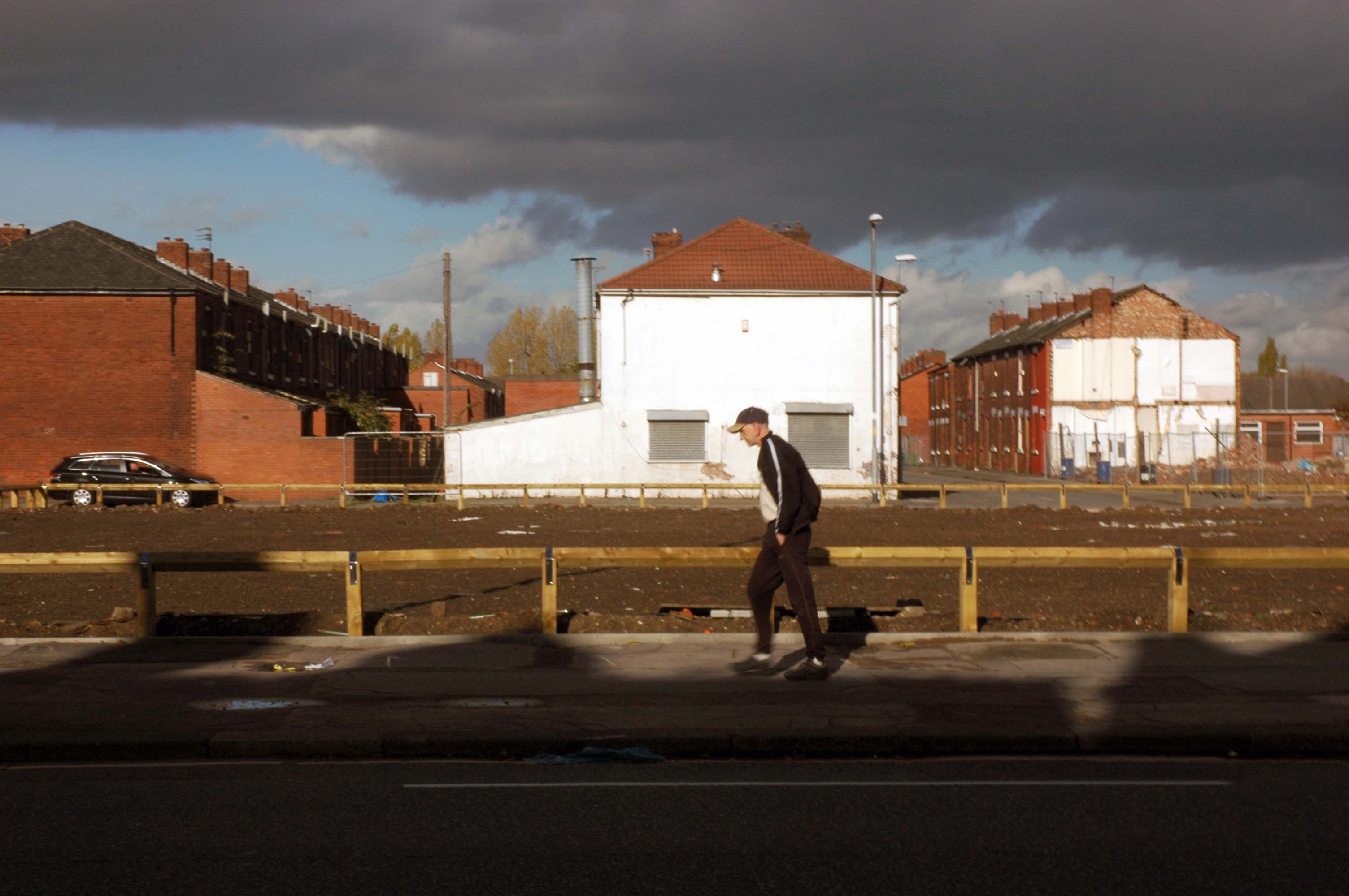
I was cordially requested to produce tram based walk, by the good folk at the modernist – travelling from Victoria Station to Bury. Alighting at each stop and seeing what could be seen, by way of modern buildings along the byways.
By the way, I do have previous experience, having undertaken a similar task travelling to Ashton.
So I set off as instructed, clutching my GMPTE senior concessionary travel pass.
Queens Road
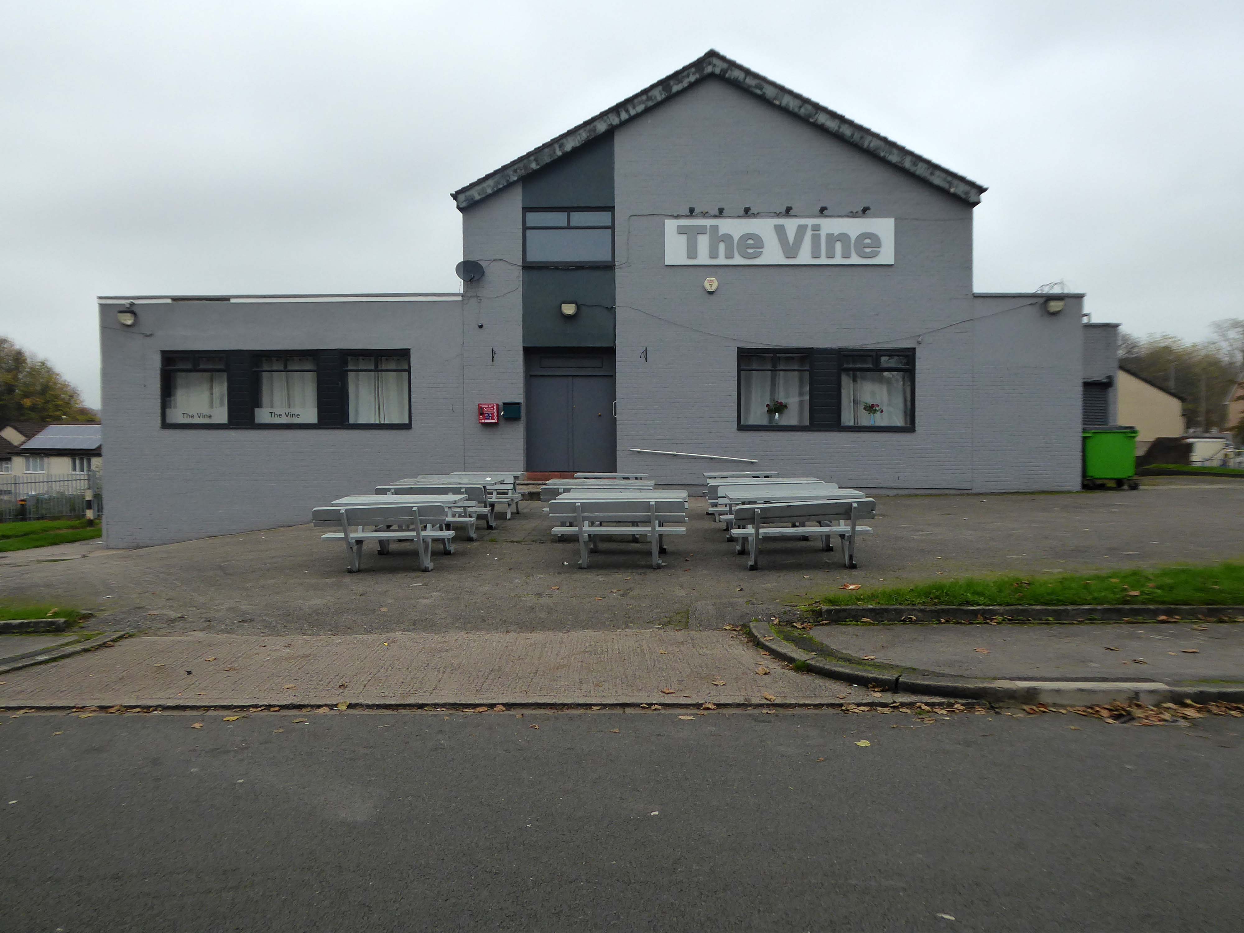
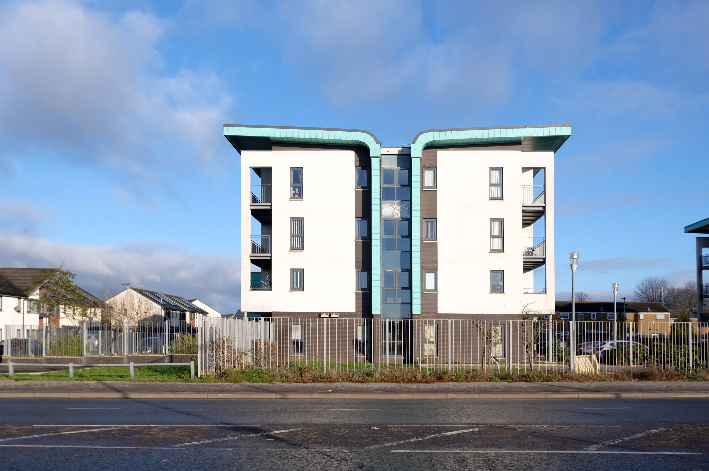
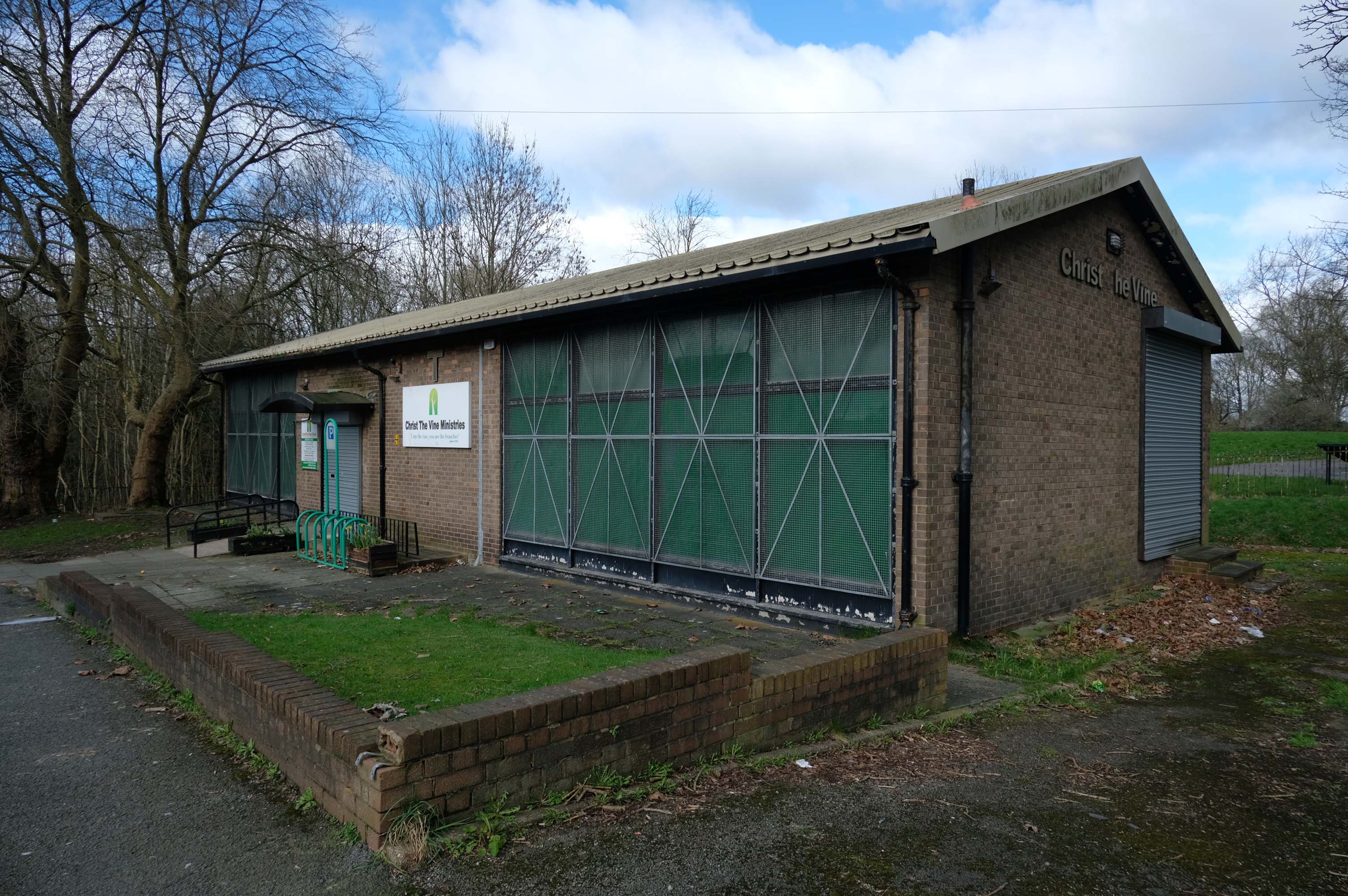
Turn right on leaving the station, right then left – you have reached The Vine.
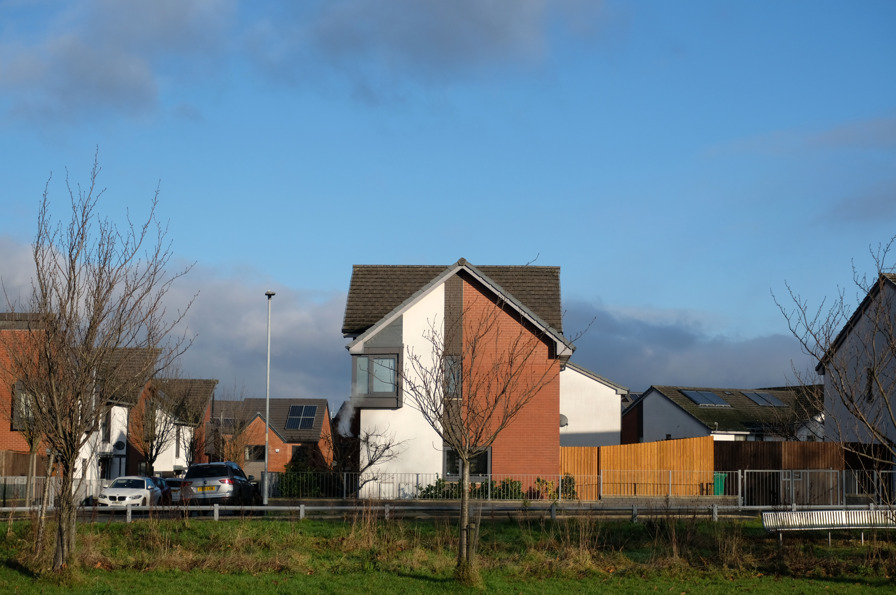
Glendower Dr, Manchester, Greater Manchester M40 7TD.
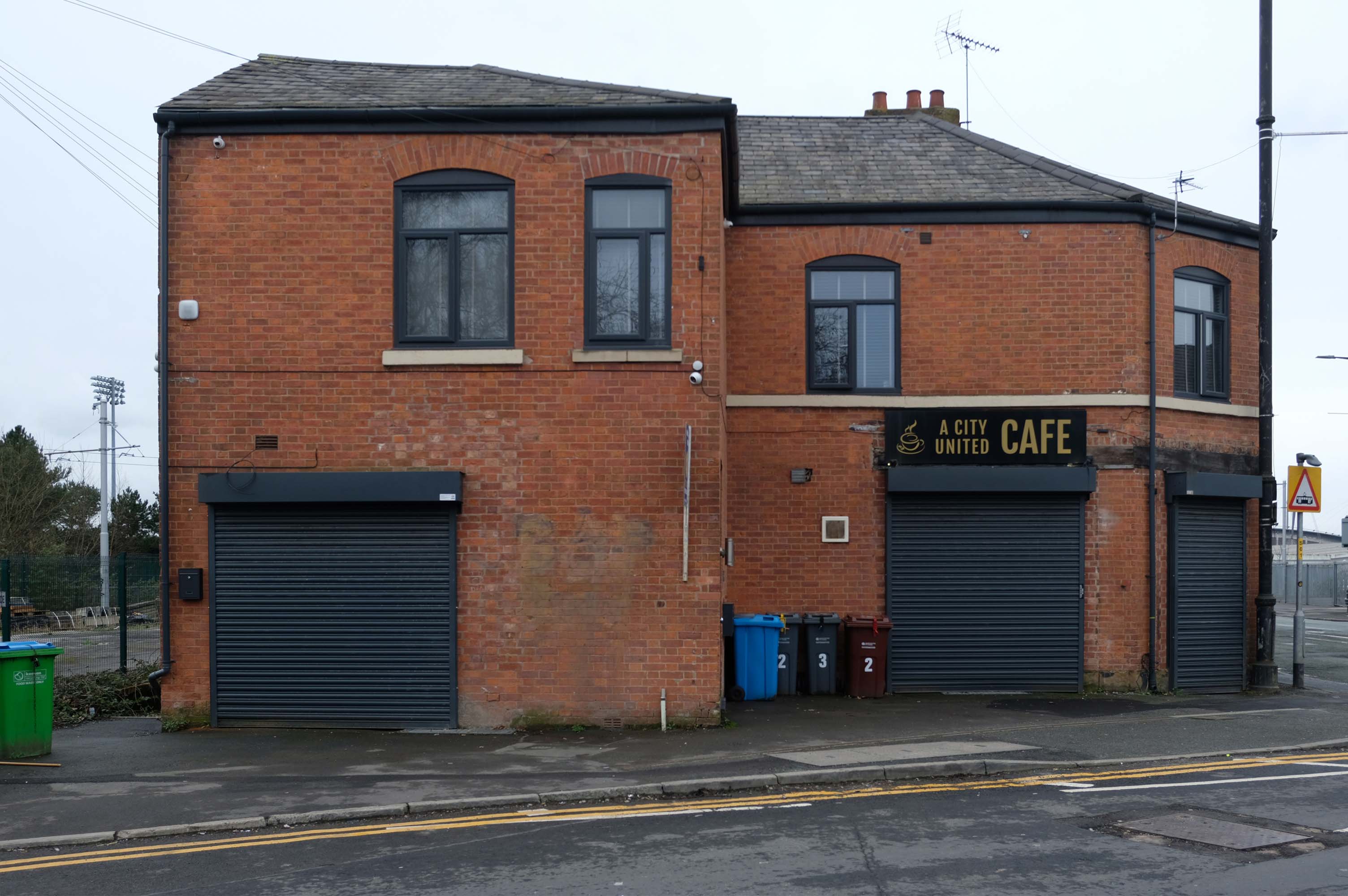
Head for Rochdale Road and turn right back toward the city centre, you have reached Eastford Square.
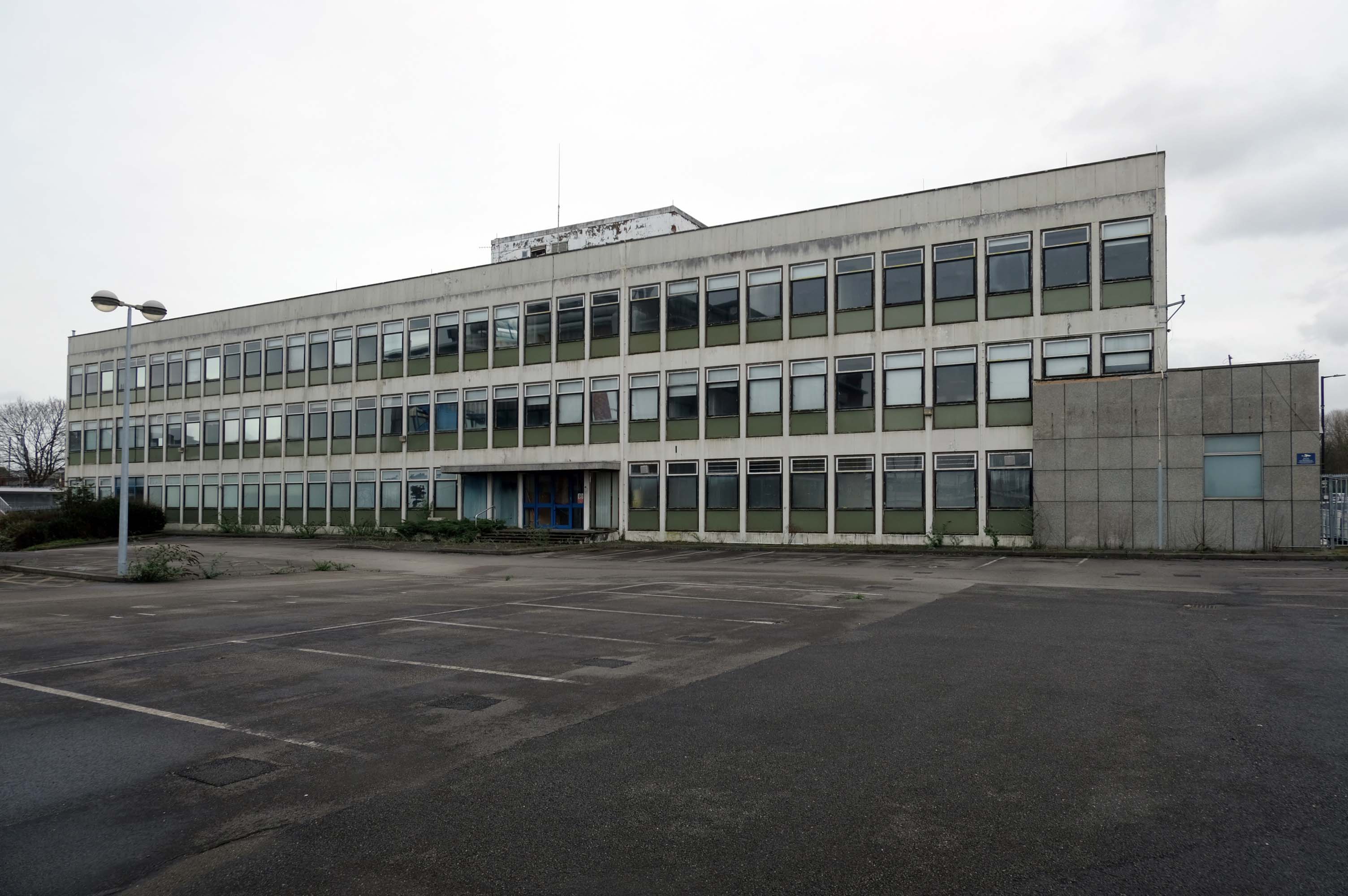
Turn left from the station along Bury Old Road until you reach Heywood Road on your right.
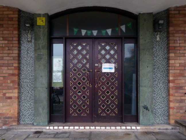
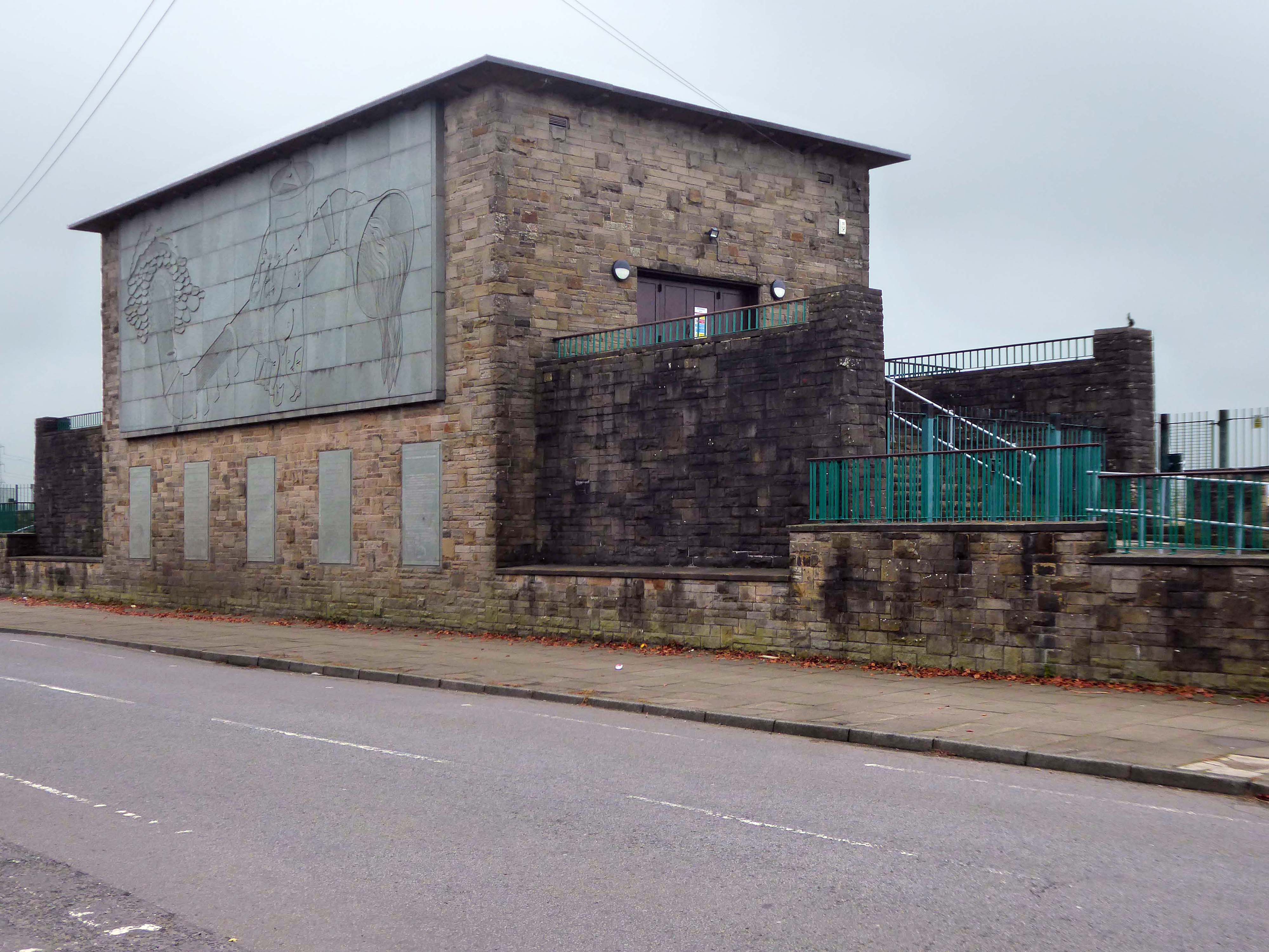
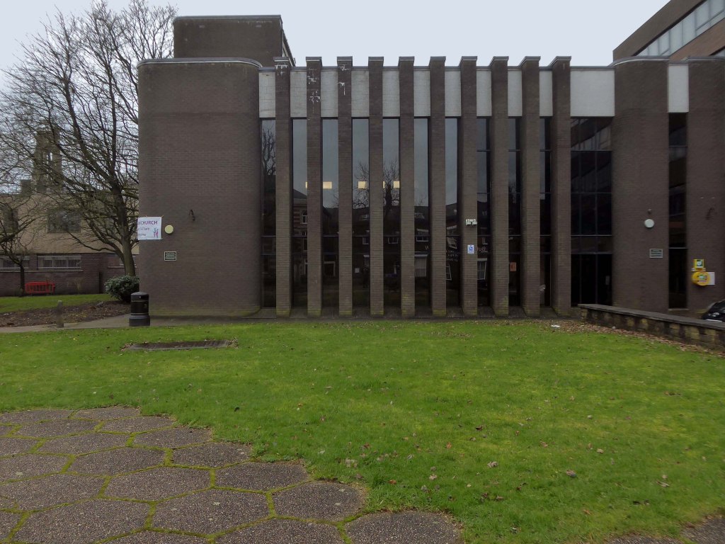
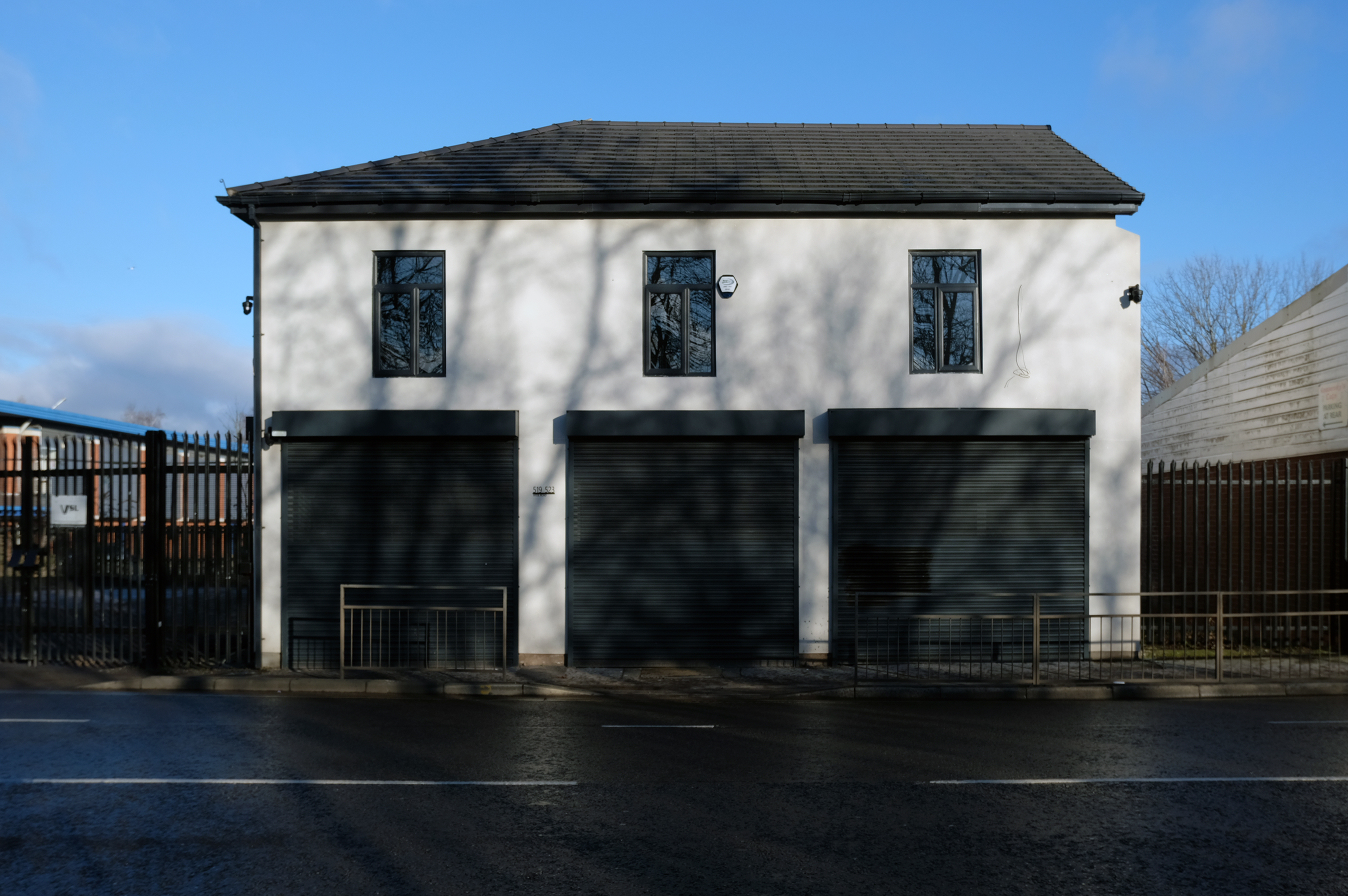
Heywood Road, Prestwich, Manchester M25 2GT
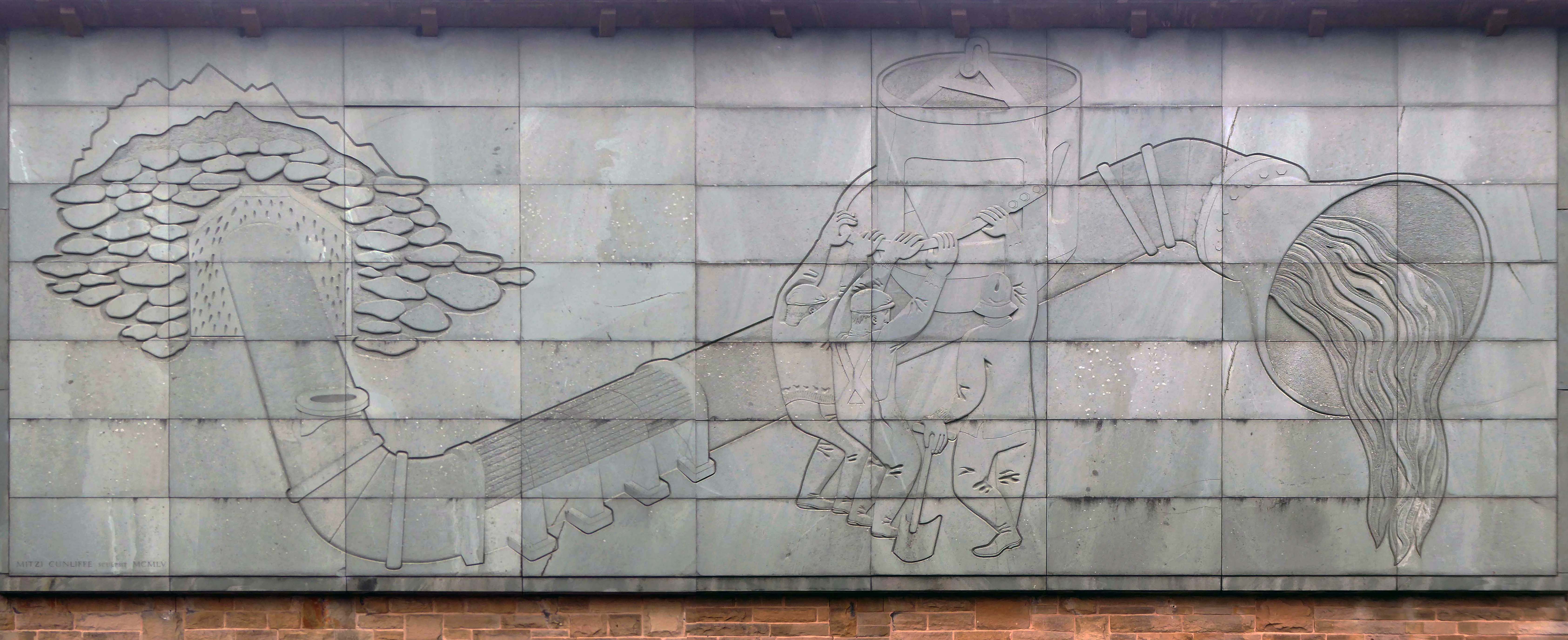
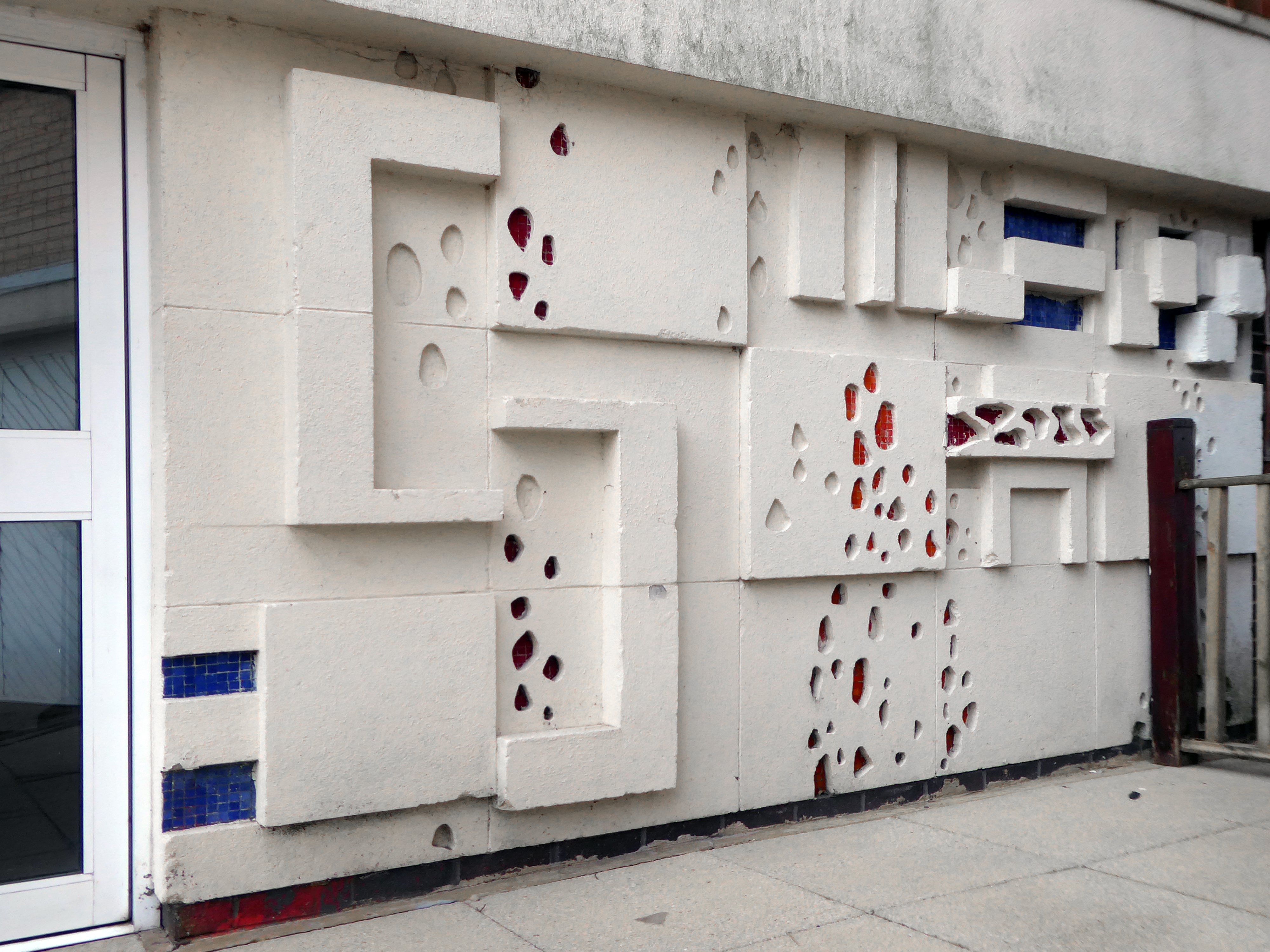
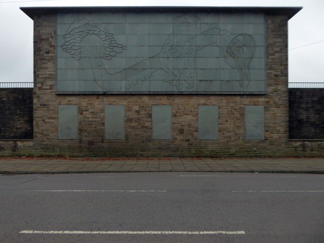
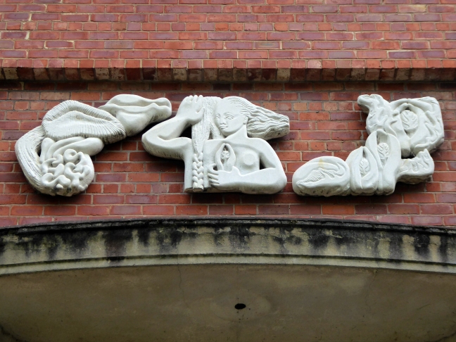
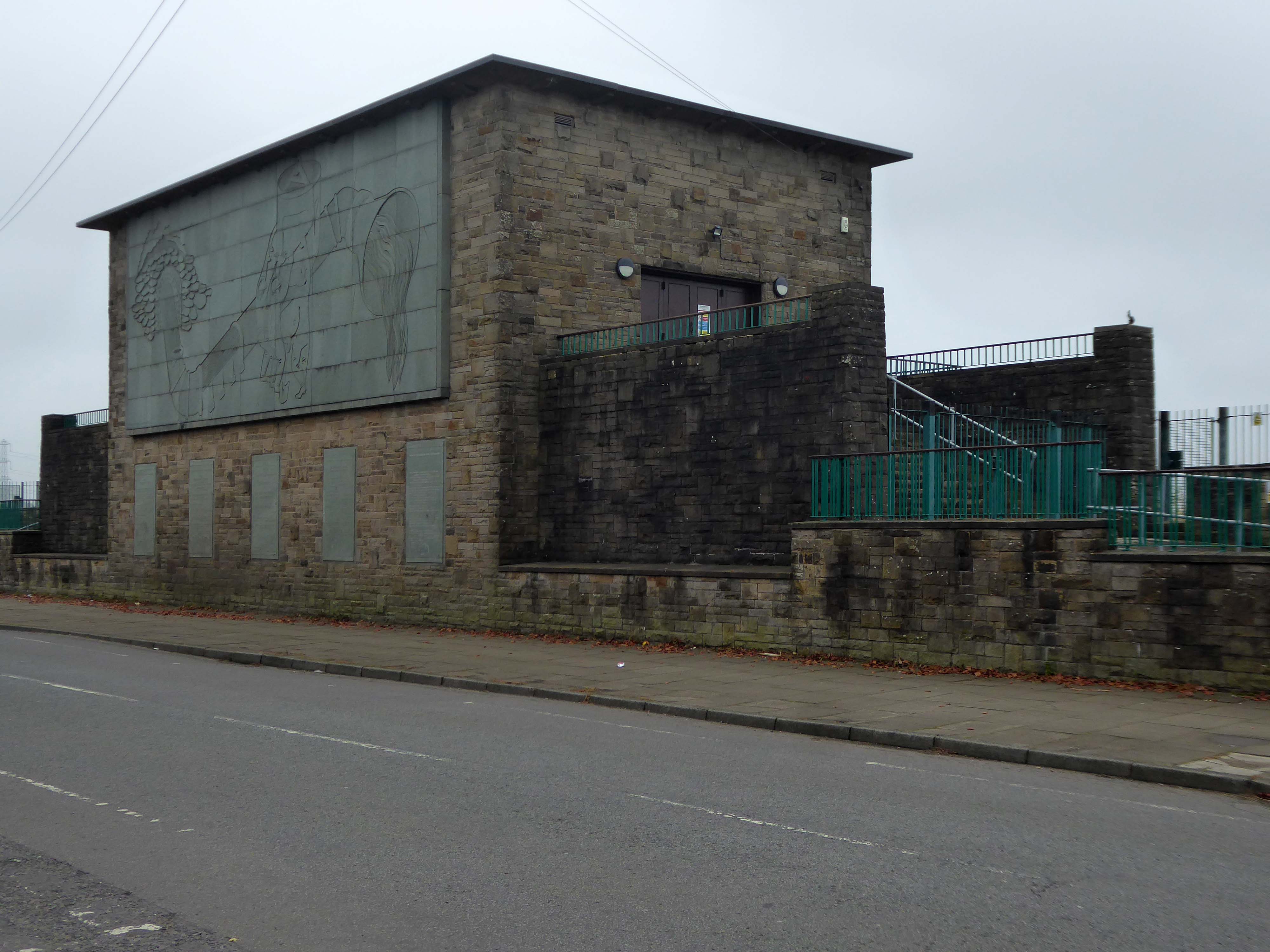
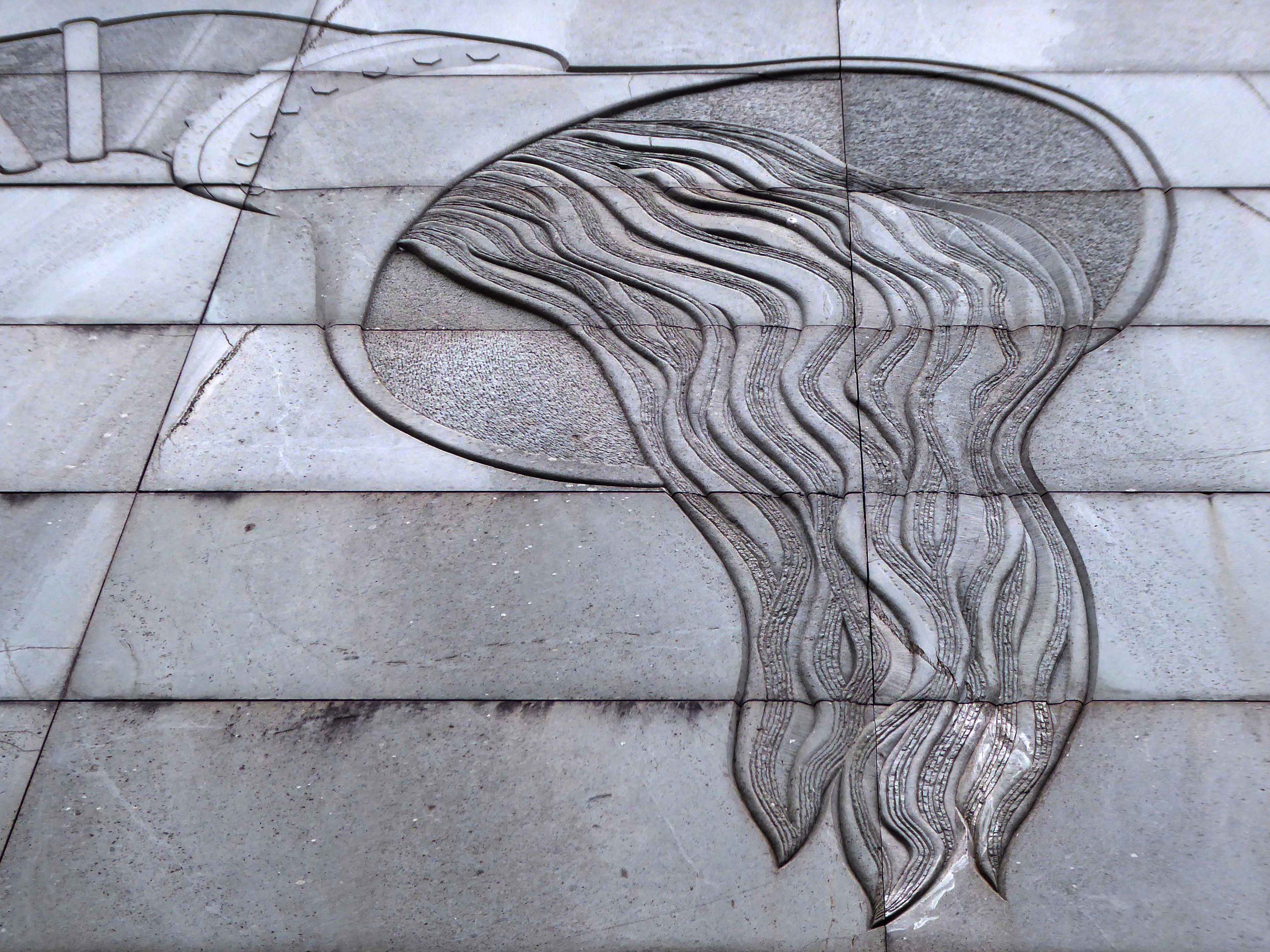
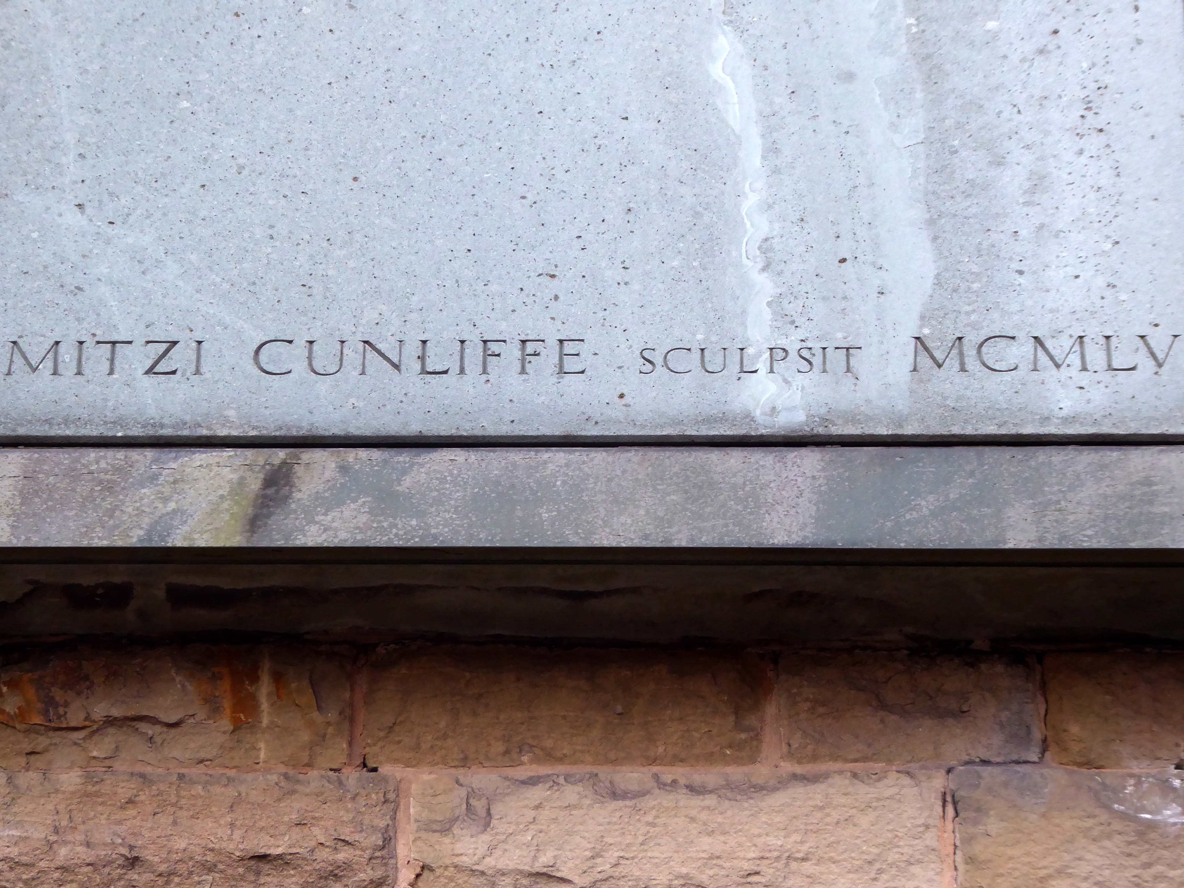
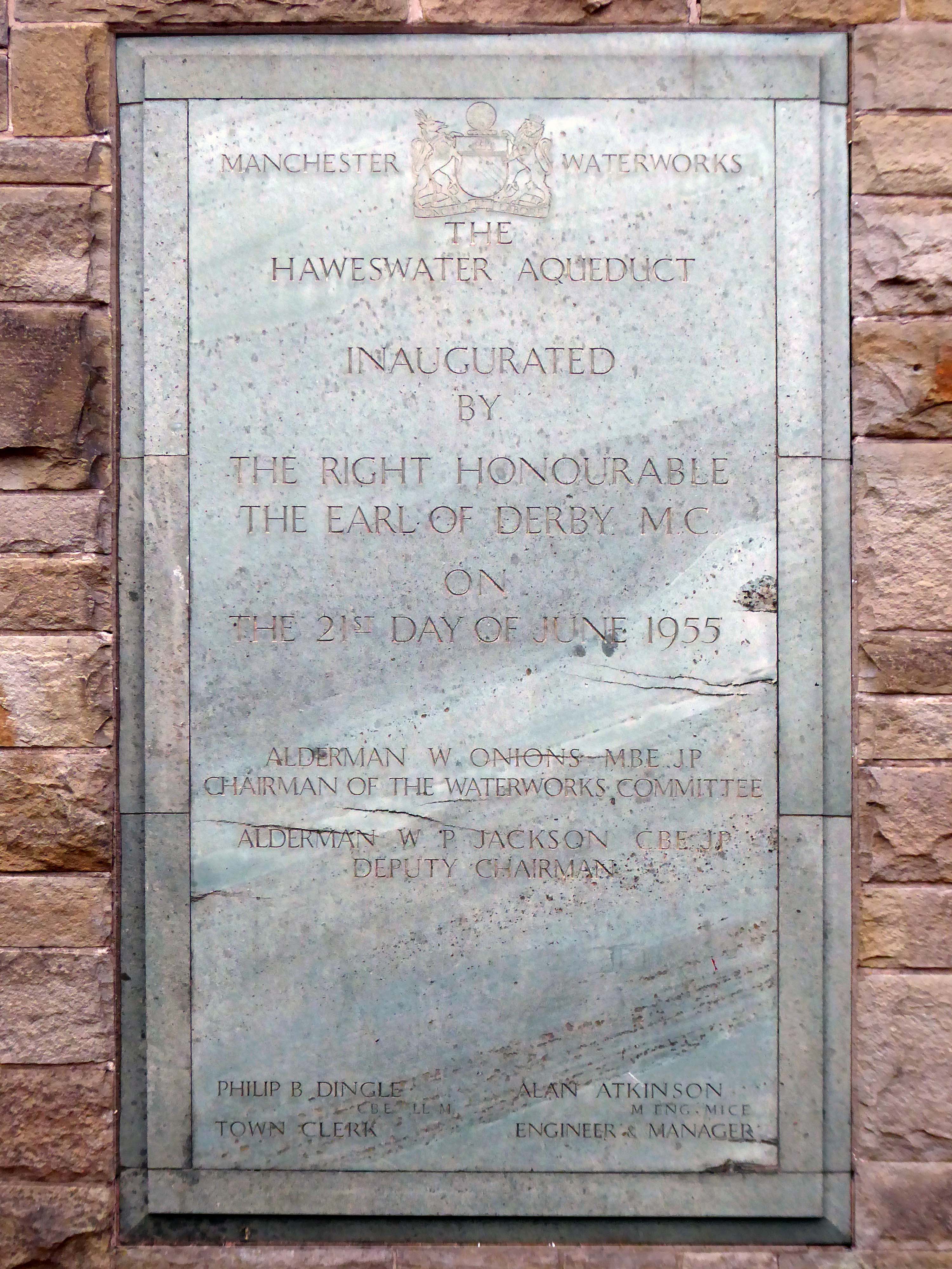
1954-5 by the Manchester City Architect’s Department, Chief Architect Leonard C Howitt, for the Manchester Corporation Waterworks. Alan Atkinson, engineer. Incorporates large relief by Mitzi Cunliffe, signed and dated 1955.
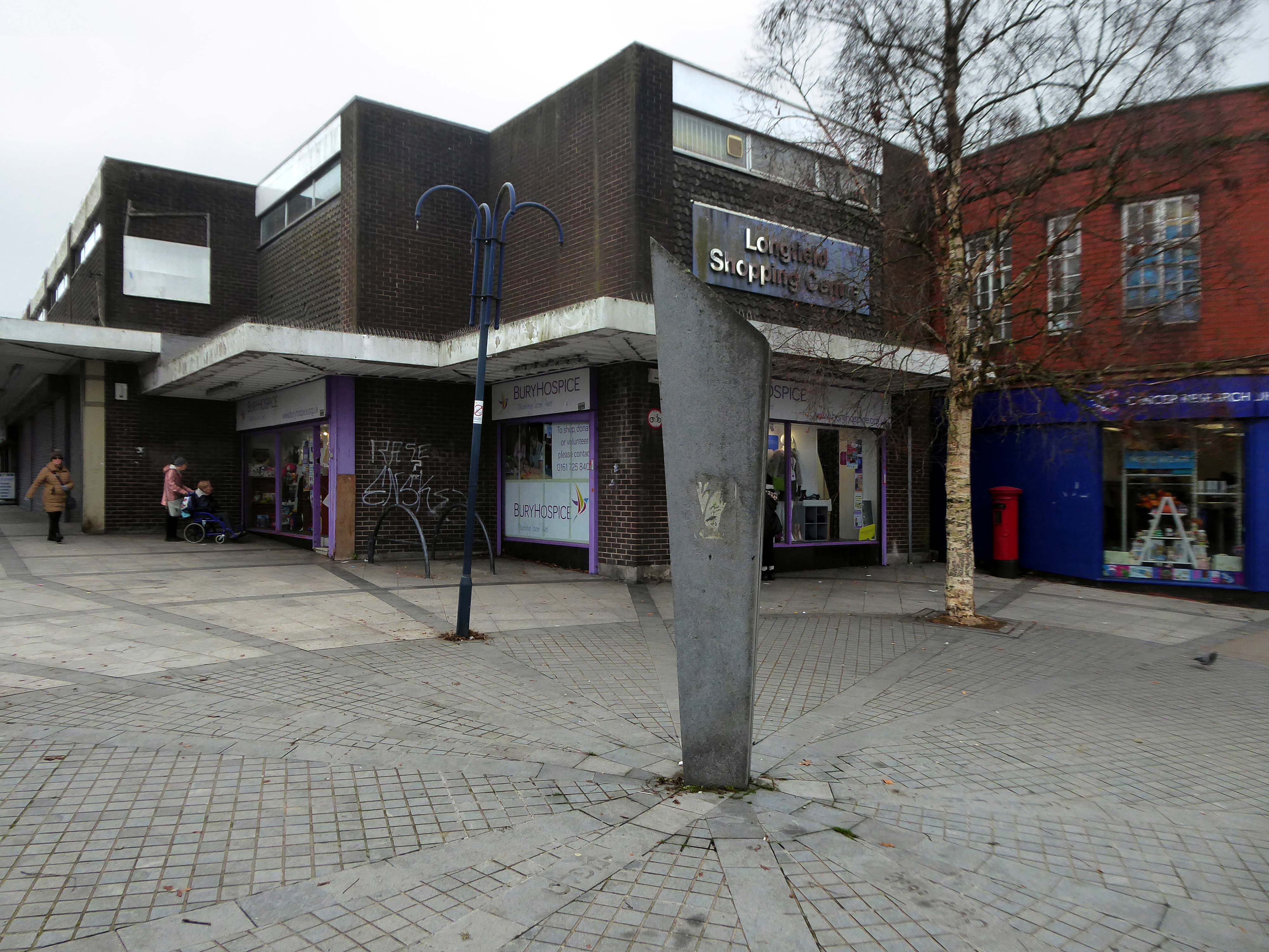
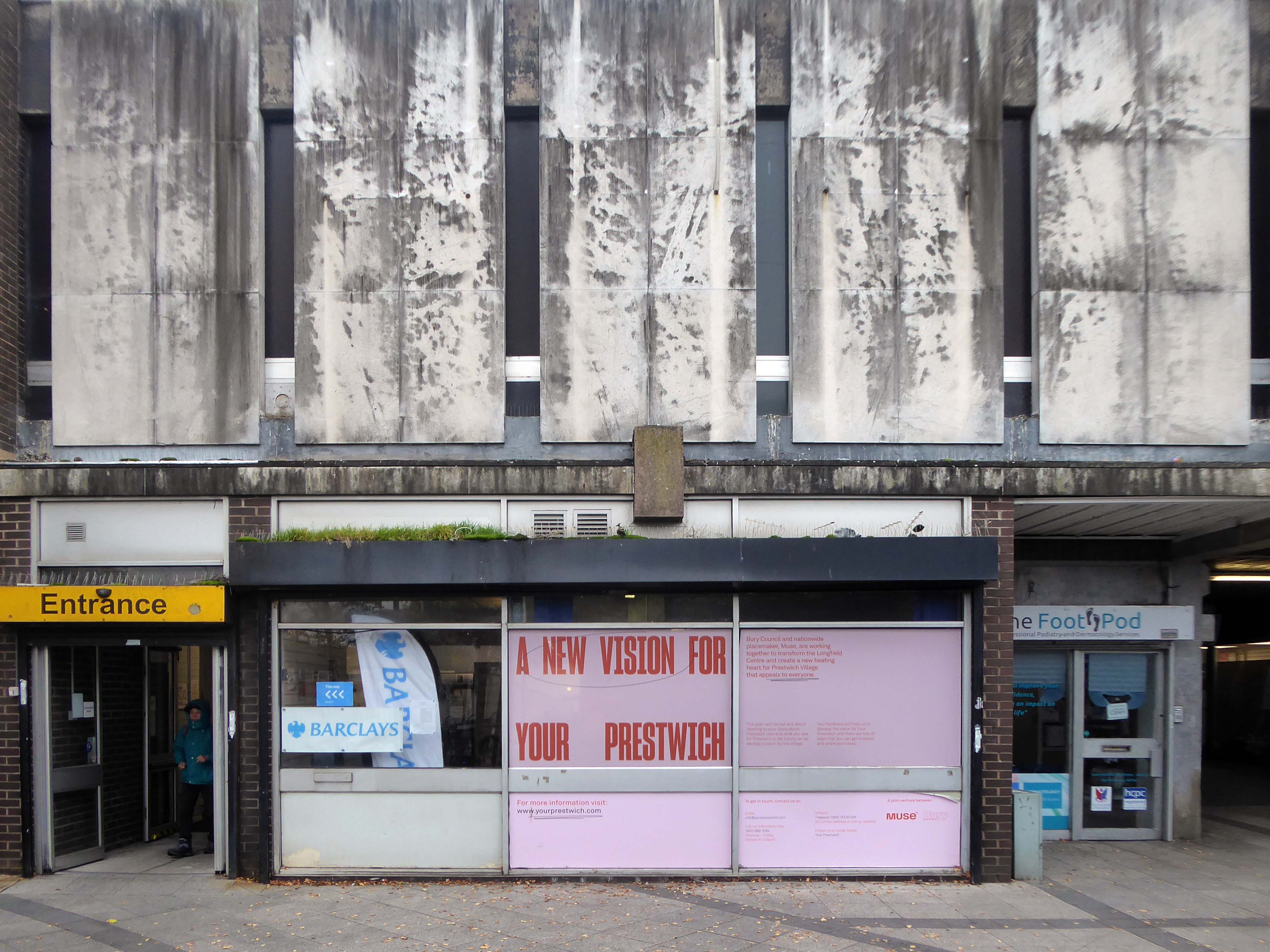
After months of public consultation, the joint venture has firmed up its proposals for the redevelopment of the Longfield Centre and is aiming to be on site before the end of the year.
Muse and Bury Council have submitted a hybrid application to transform six acres of Prestwich town centre.
The Strategic Regeneration Framework is the guide that is shaping the direction of Radcliffe’s growth over the next 15 years with a series of realistic short, medium, and longer-term actions. It is also shaping the direction of future council investment, supporting bids for central governmental funding and providing certainty for third parties wanting to invest in town.
Work has begun on Strategic Regeneration Framework’s priority projects, these include:
A new civic hub in central Radcliffe, which will bring together a mix of functions at the heart of the town
Refurbishment of the market basement and the revamping of market chambers
New leisure facilities
A secondary school on the Coney Green site
A “whole town approach” to housing, bringing forward a comprehensive approach to residential development in Radcliffe
A transportation strategy, which will consider matters such as active travel and car parking
Thanks to L Kaye and the Manchester Local Image Collection there is a photographic record of Tib Street through the years.
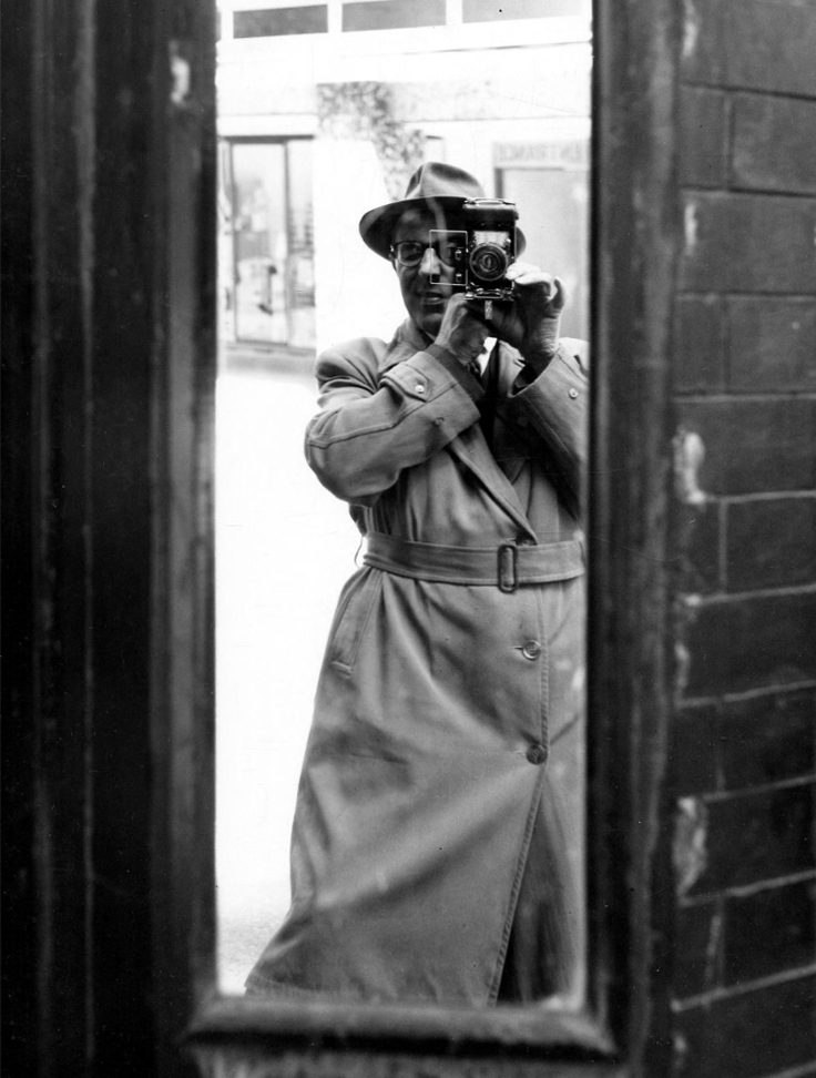
Shot on 35mm black and white film, cautiously clad in gaberdine and trilby. The legwork aside the processing and printing of a whole heap of exposures was a gargantuan task.
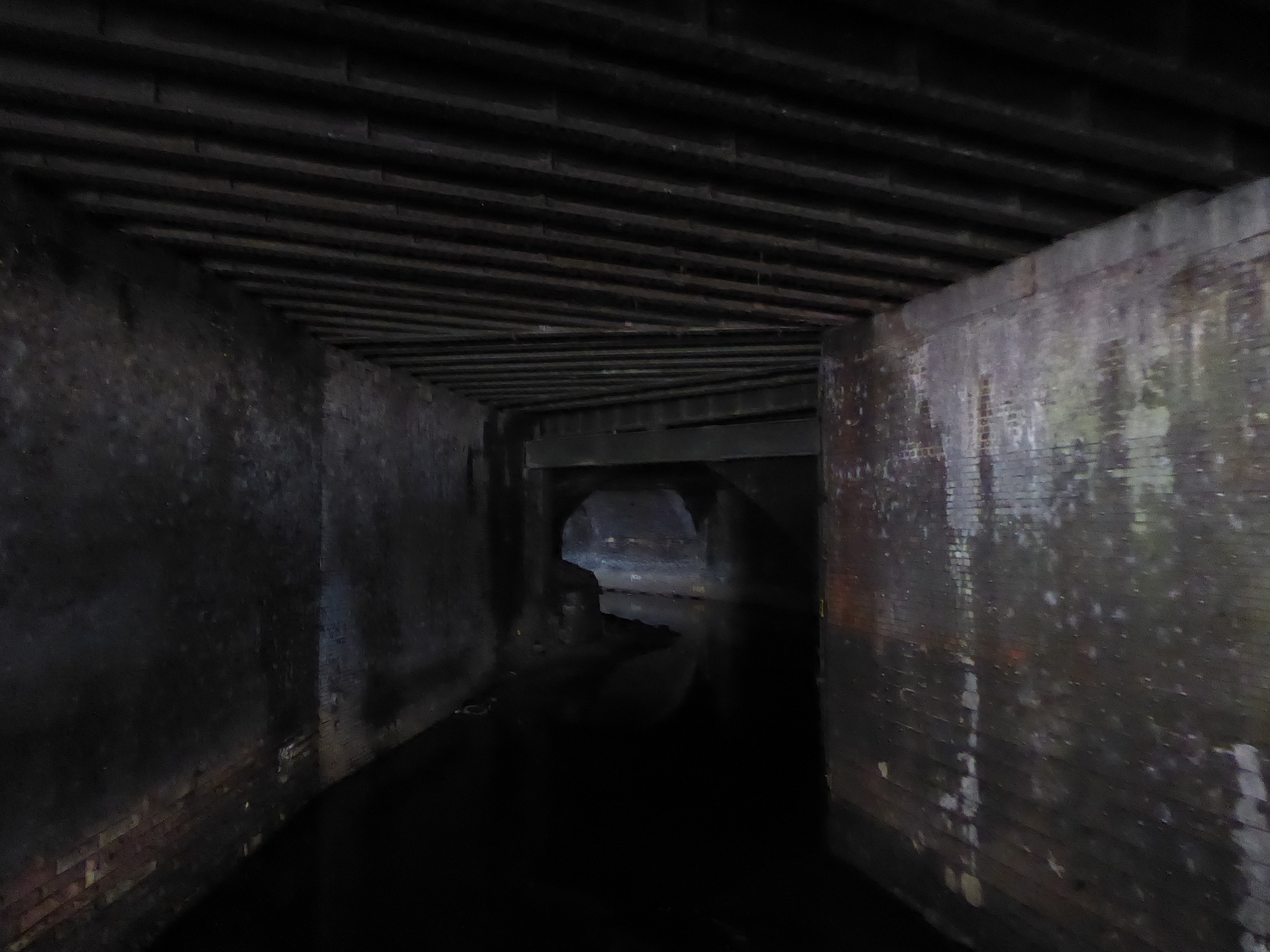
The river’s source is a spring in Miles Platting , from where it flows underneath Oldham Road and the eponymous Tib Street to reach the city centre. After flowing underneath West Mosley Street, the Tib crosses Princess Street to flow underneath the Manchester Town Hall Extension, the Central Library and the Midland Hotel’s dining room, before joining the Medlock at Gaythorn (now First Street, close to Deansgate railway station.
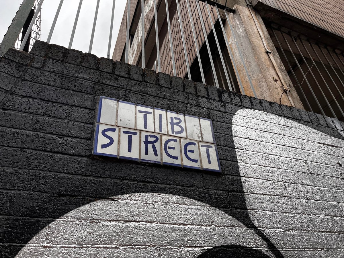
The distinctive street signs the work of my old pal Tim Rushton.
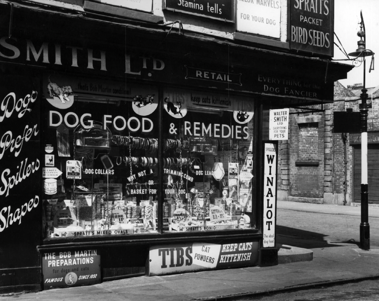
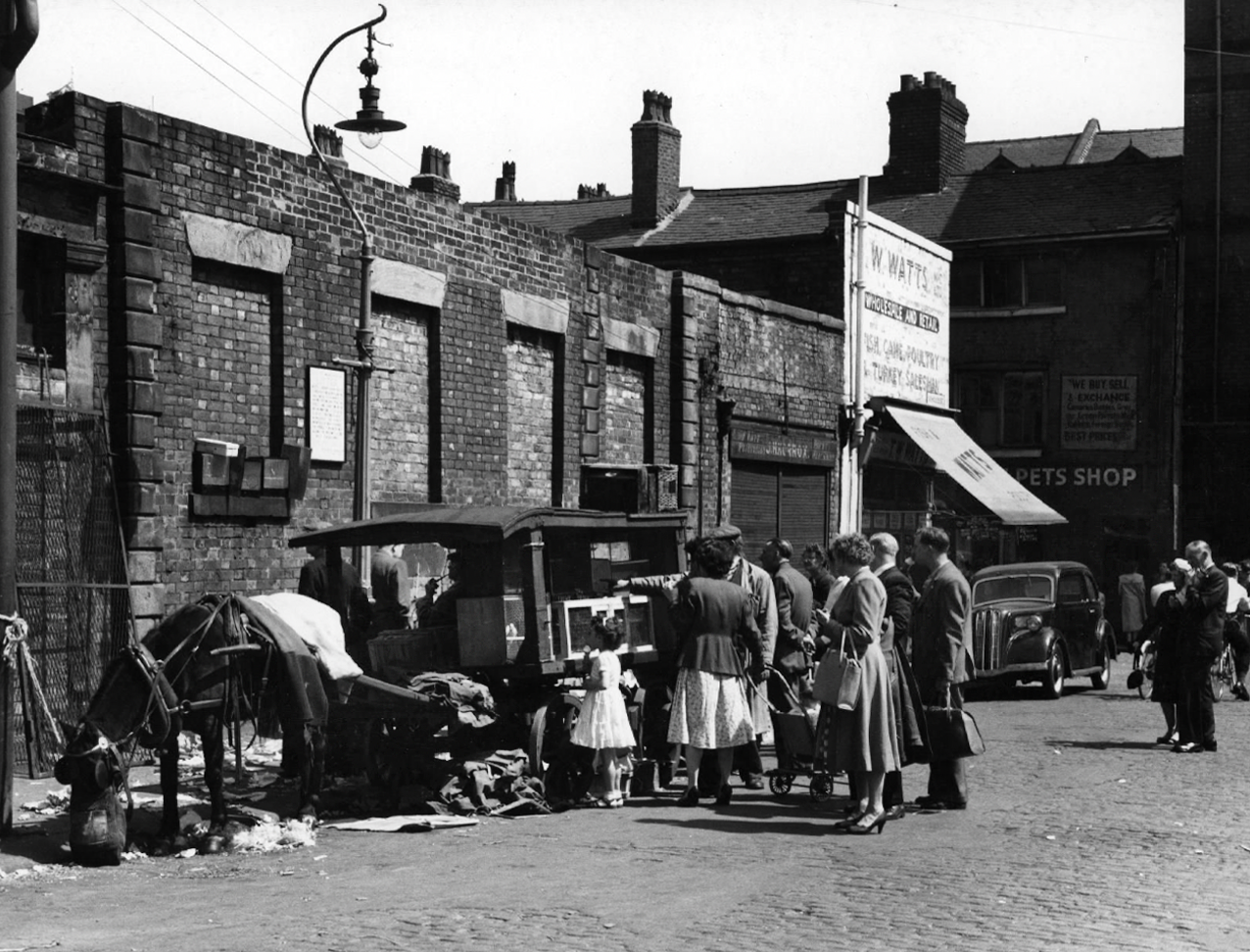
There are those who will remember Tib Street, as a street of pet shops.
Whilst on Sundays the area was transformed into an al fresco menagerie – a land of caged birds and cuddly coneys.
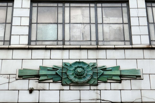
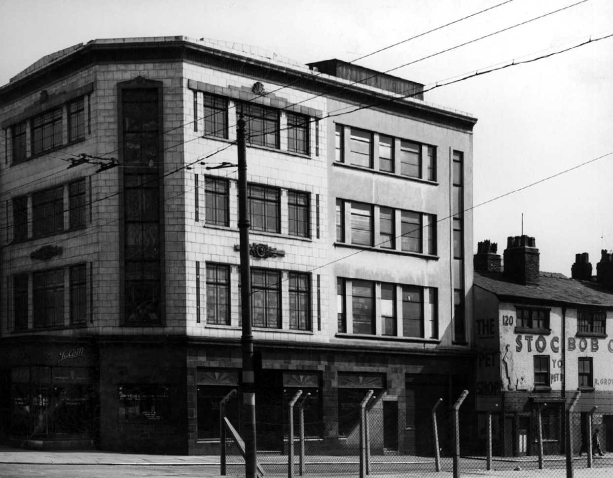
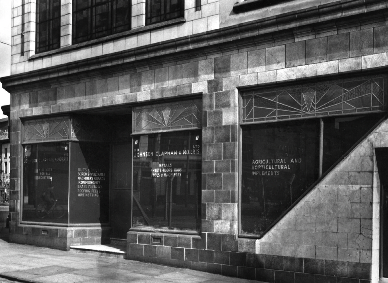
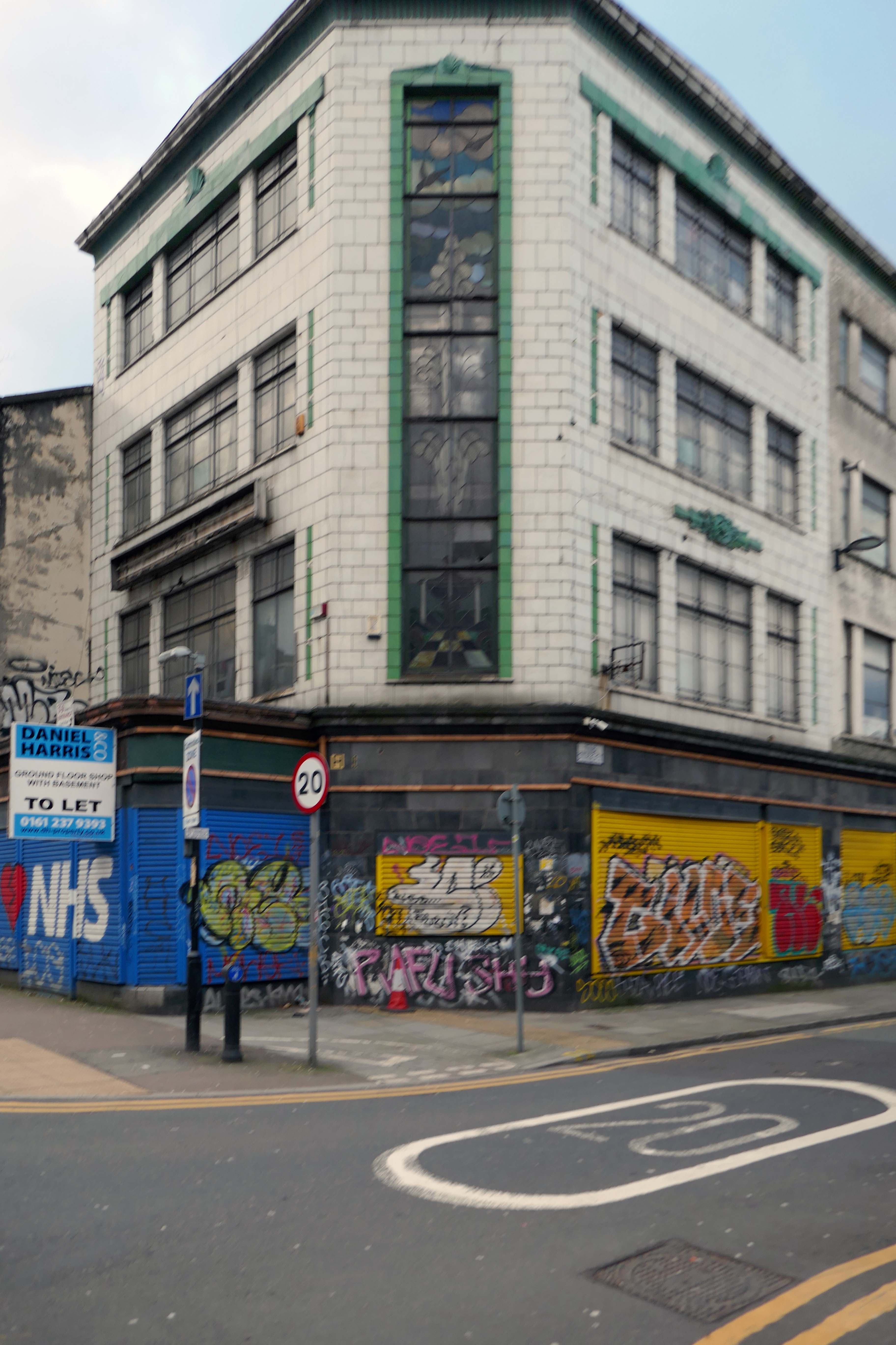
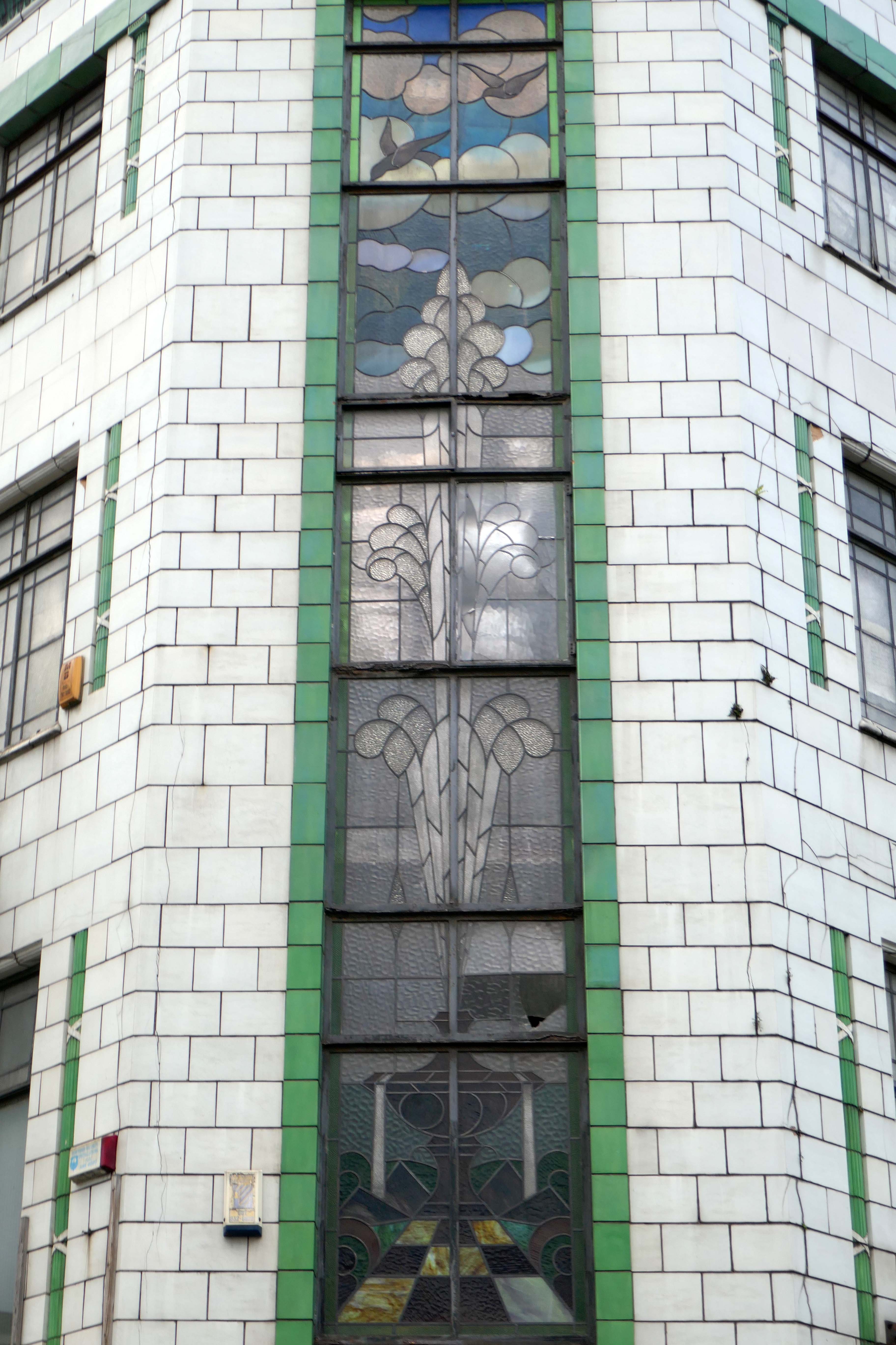
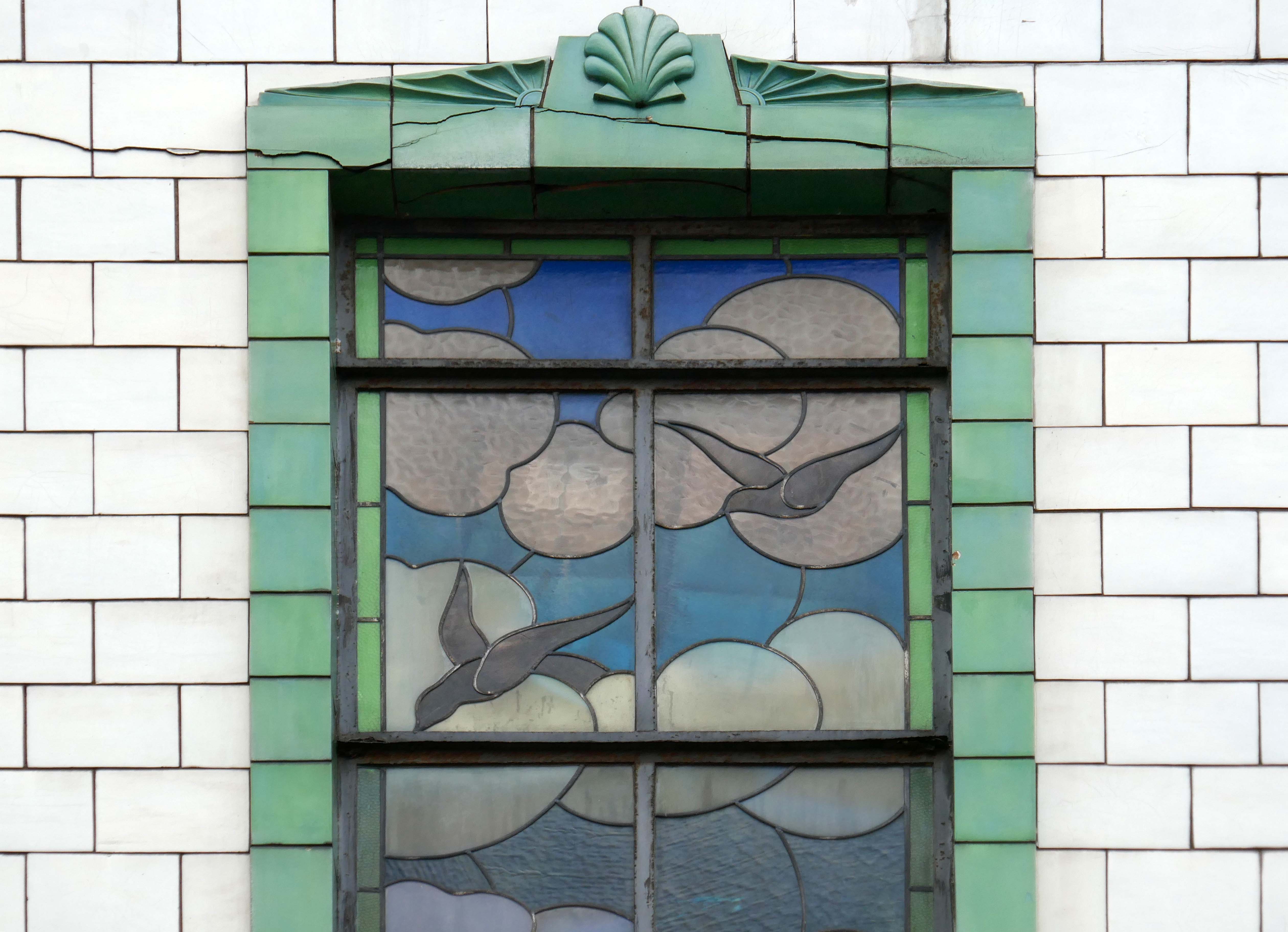
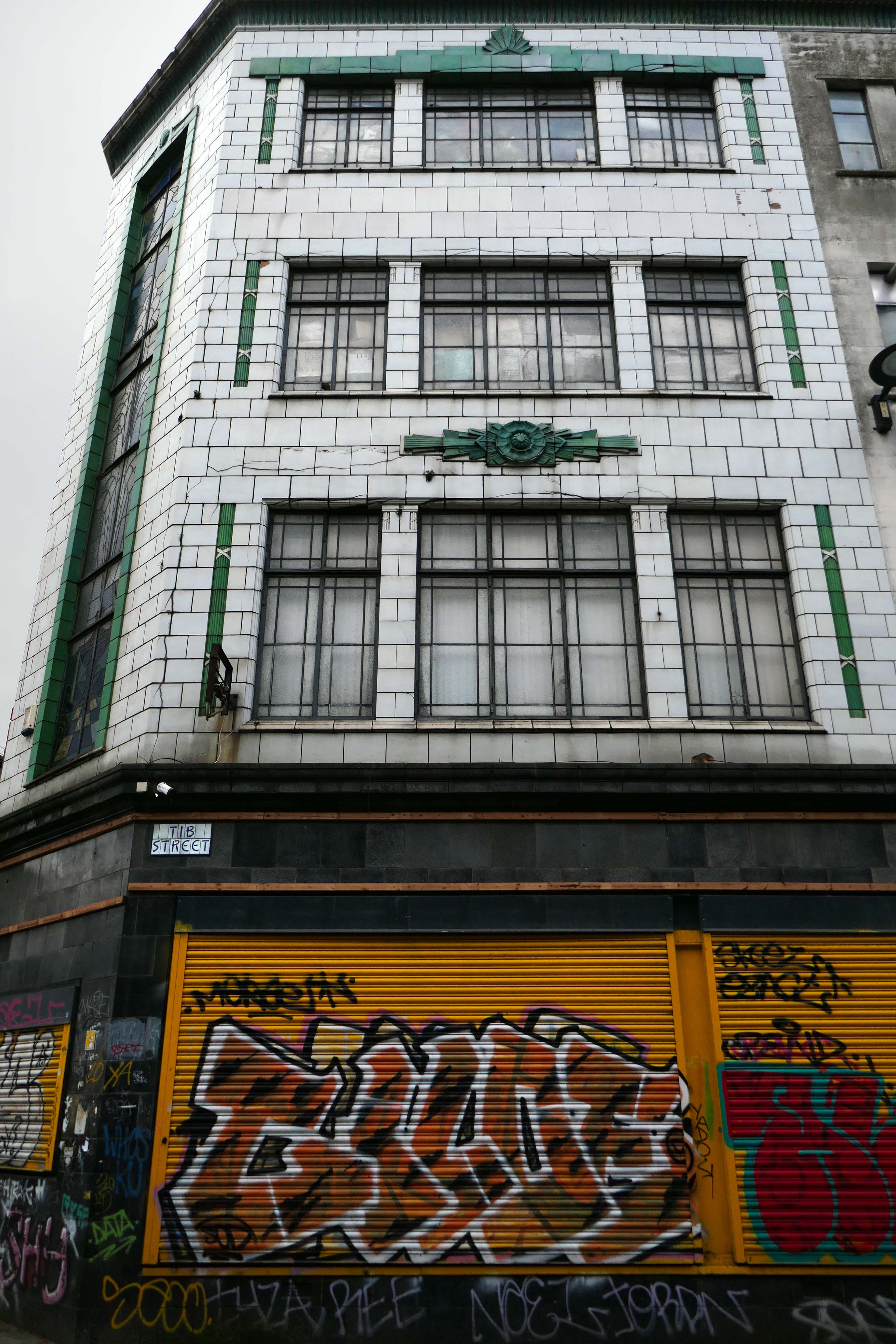
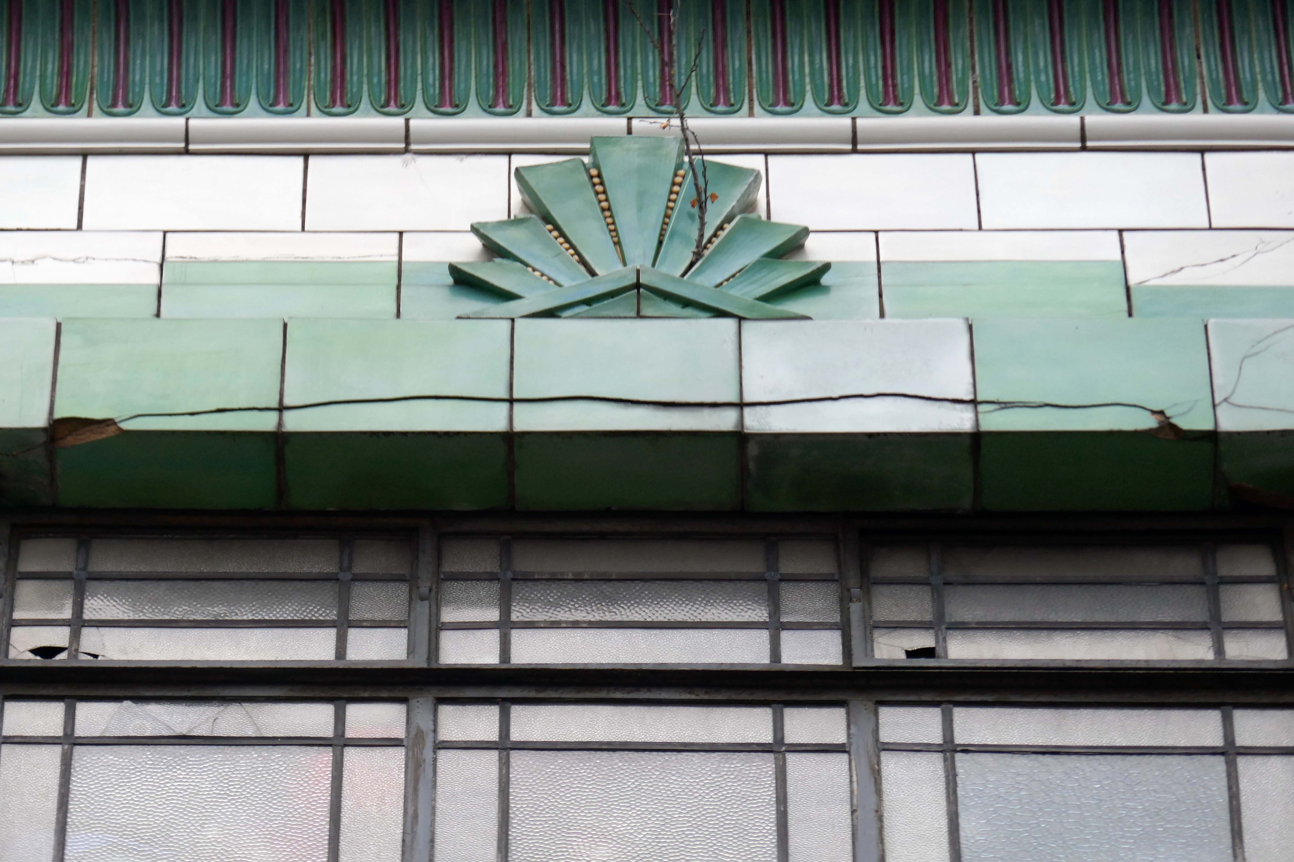
I have long been curious about the faience fronted shop on the corner of Tib and Swan Streets, it featured on my modernist mooch around the north of the city centre.
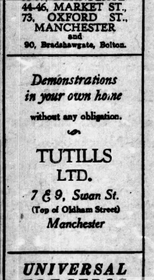
I have been informed by Lee Hutchings that it had originally been home to Tuttils Ltd.
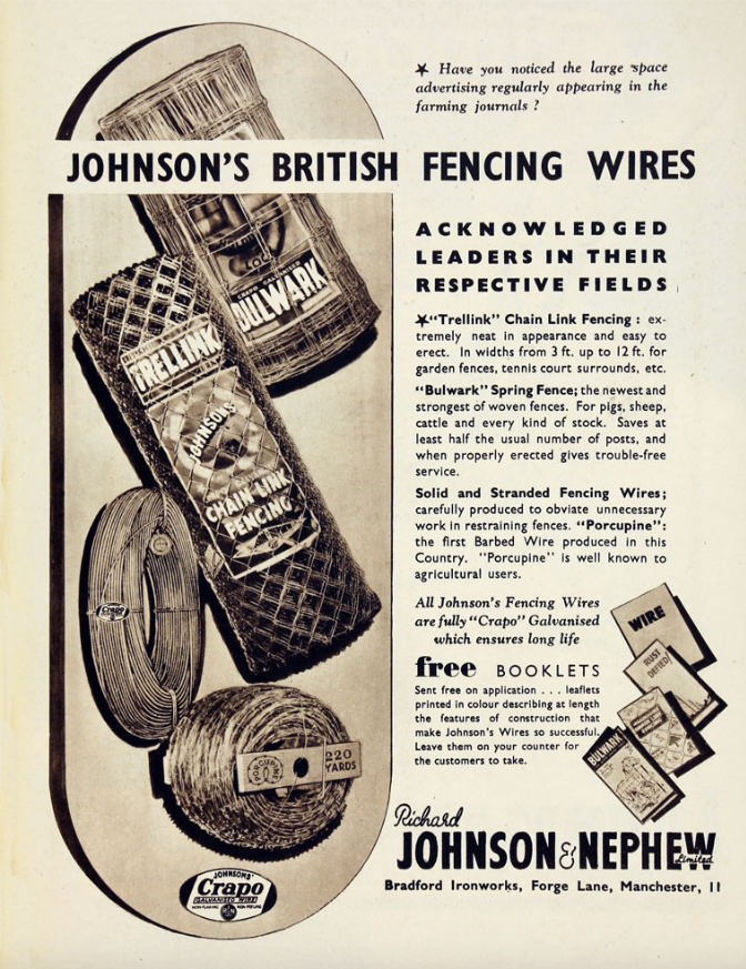
It was also, formerly the showrooms for local manufacturers Johnson & Nephew.
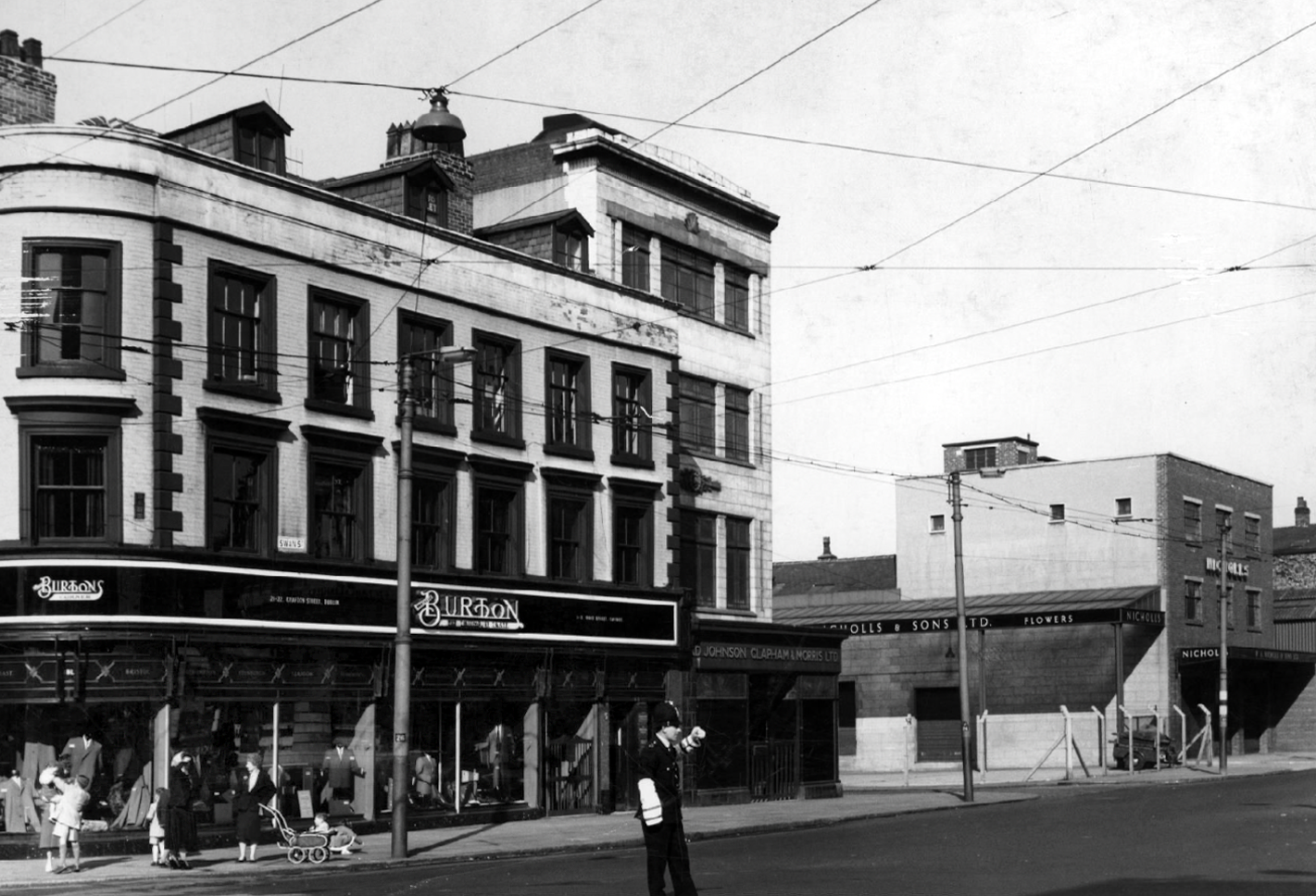
Here it is in 1959 – with a Burton’s for a neighbour.
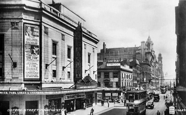
Pragmatic Manchester is far from awash with Art Deco – the lost Paramount/Odeon of Oxford Street comes to mind, demolished in 2017.
The Paramount Theatre was built in 1930 to the designs of architects Frank T. Verity & Samuel Beverley for the U.K. arm of the American Paramount Theatres Ltd. chain. The Manchester Paramount Theatre was a sumptuous American import.
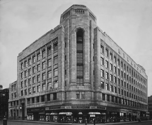
Along with the Rylands Building on High Street – currently receiving a facelift following the demise of Debenhams.
The building was originally built as a warehouse by J. Gerrard & Sons of Swinton for the Rylands textile company, which was founded by the entrepreneur John Rylands. That firm had occupied warehouses in High Street ever since 1822; its west-facing side is on High Street. The building was designed by the eminent Manchester architects, Fairhursts – Harry S. & P. G. Fairhurst, in an Art Deco style. It is clad in Portland stone and features a decorative corner tower and eclectic ‘zig zag’ window lintels. The work was completed in 1932.
Rylands will be sensitively restored to its elegant past. The building will comprise workspace, retail and leisure, creating an exciting new destination in Central Manchester.
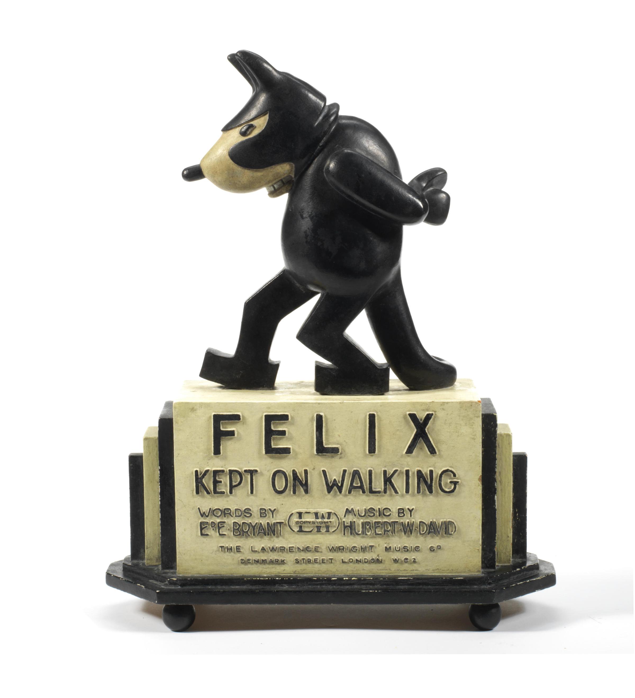
I began walking when quite young, then like Felix, I kept on walking, walking still.
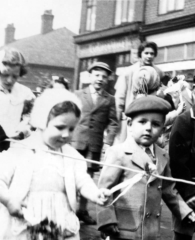
The photograph was taking during the Whit Walks in 1958 – aged three, I was engaged in religious pilgrimage, as we know there are many reasons for walking, this is but one.
I was fortunate to grow up at a time when youngsters were permitted to roam freely, less traffic, less anxiety, gave me access to a wider axis of exploration.
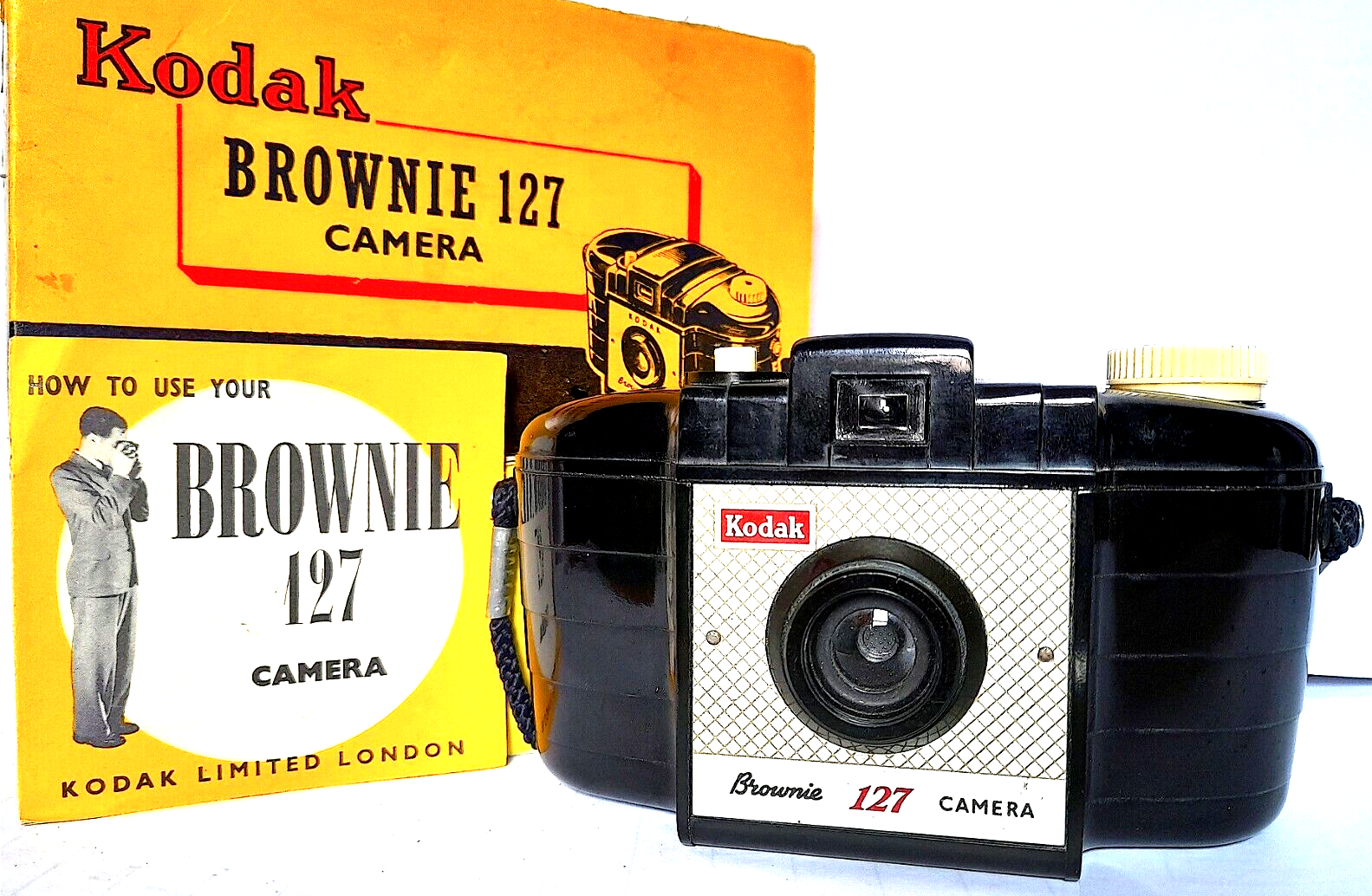
The photograph would have been taken I assume, by my mam, on the Brownie 127. When aged nine I wandered alone through the local woods and exposed twelve frames of 44mm 127 film, the prints are long gone, yet I remember each of the photographs and locations clearly.
I went to school, then I didn’t, then I went to Art School, eventually becoming a teenage Constructivist, tutored by Jeffrey Steele, a leading light in the British Systems movement.
The rigidity of the grid, symmetry and orthogonal framing have stayed with me.
Then I went to work for a very long time indeed, then all of a sudden I didn’t. Taking early retirement aged 59 some ten years ago, subsequently taking to the roads, streets and hills of Britain in search of nothing in particular.
In recent years there has been a rapid development in the culture of walking, theories, films, guides, songs and literature. I am fully cognisant of such, yet believe at heart that walking can be free of such baggage, we can stride unhindered, atavistic and carefree/less.
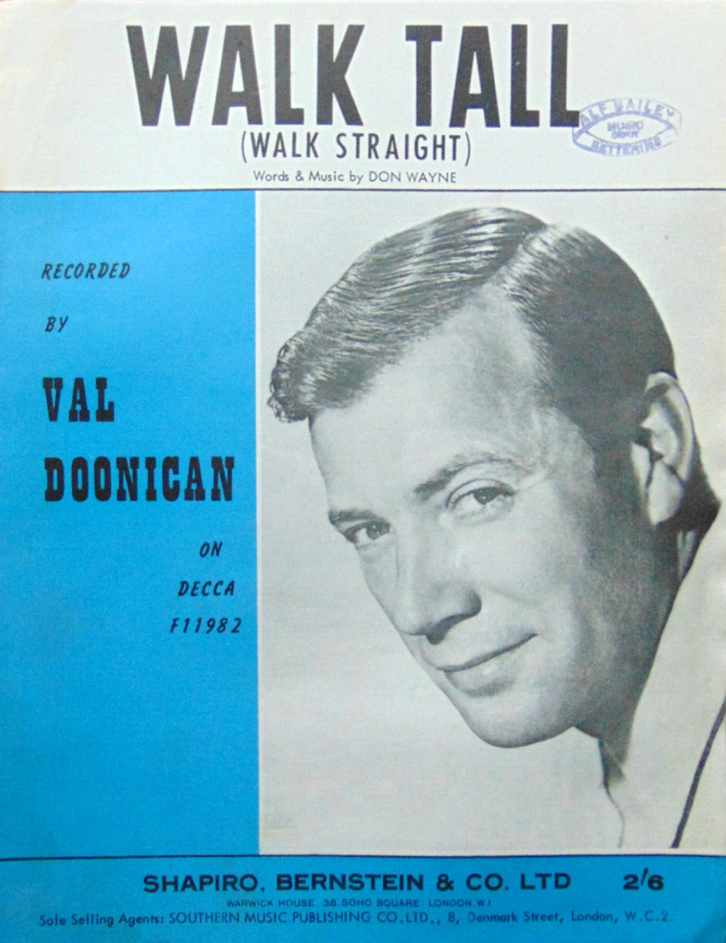
Walk tall, walk straight and look the world right in the eye.
Getting lost is about the unfamiliar appearing.
In my own small way, I have become part of that baggage, having been asked to lead a walk around Stockport by the the modernist neé Manchester Modernist Society.
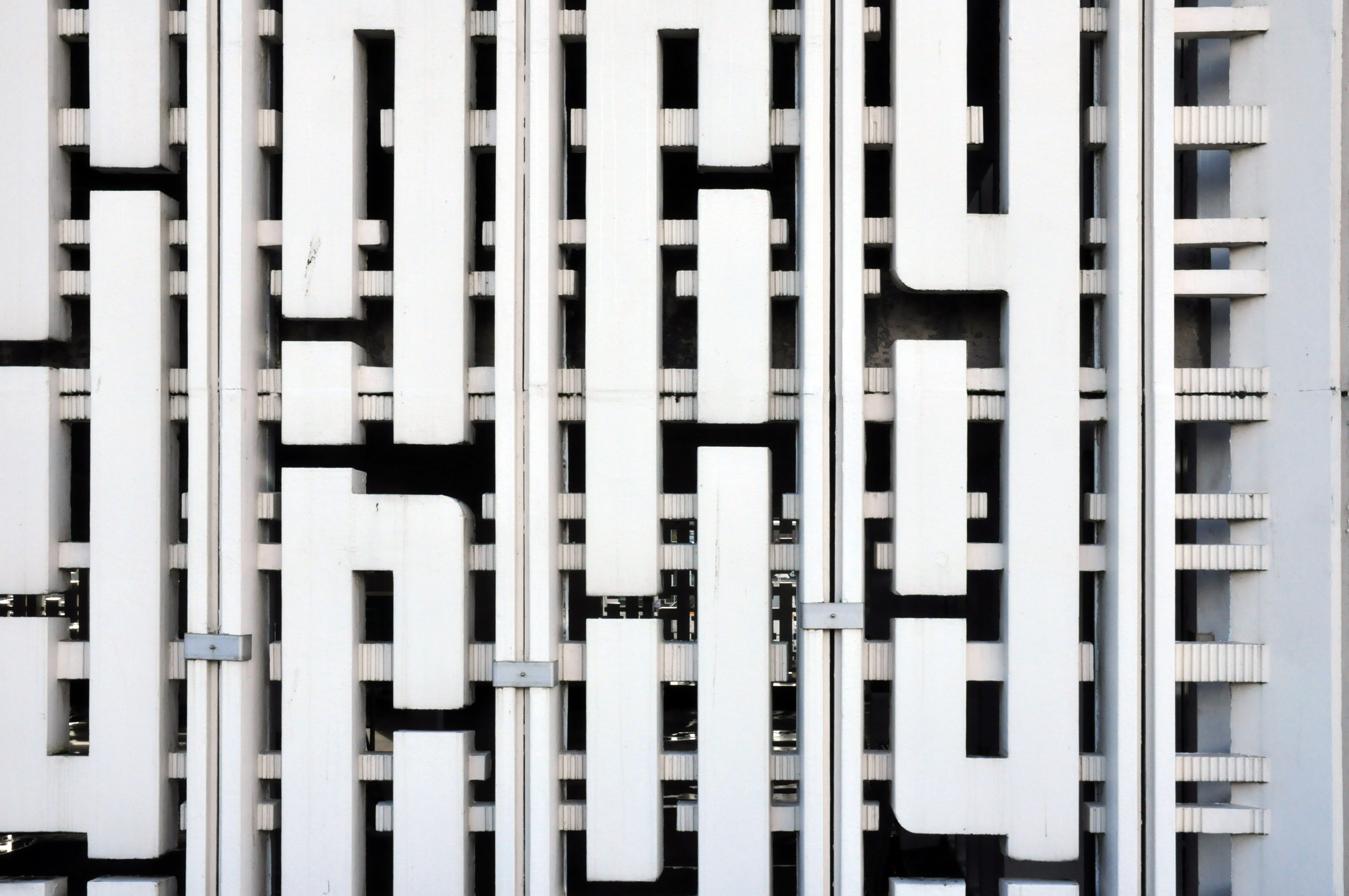
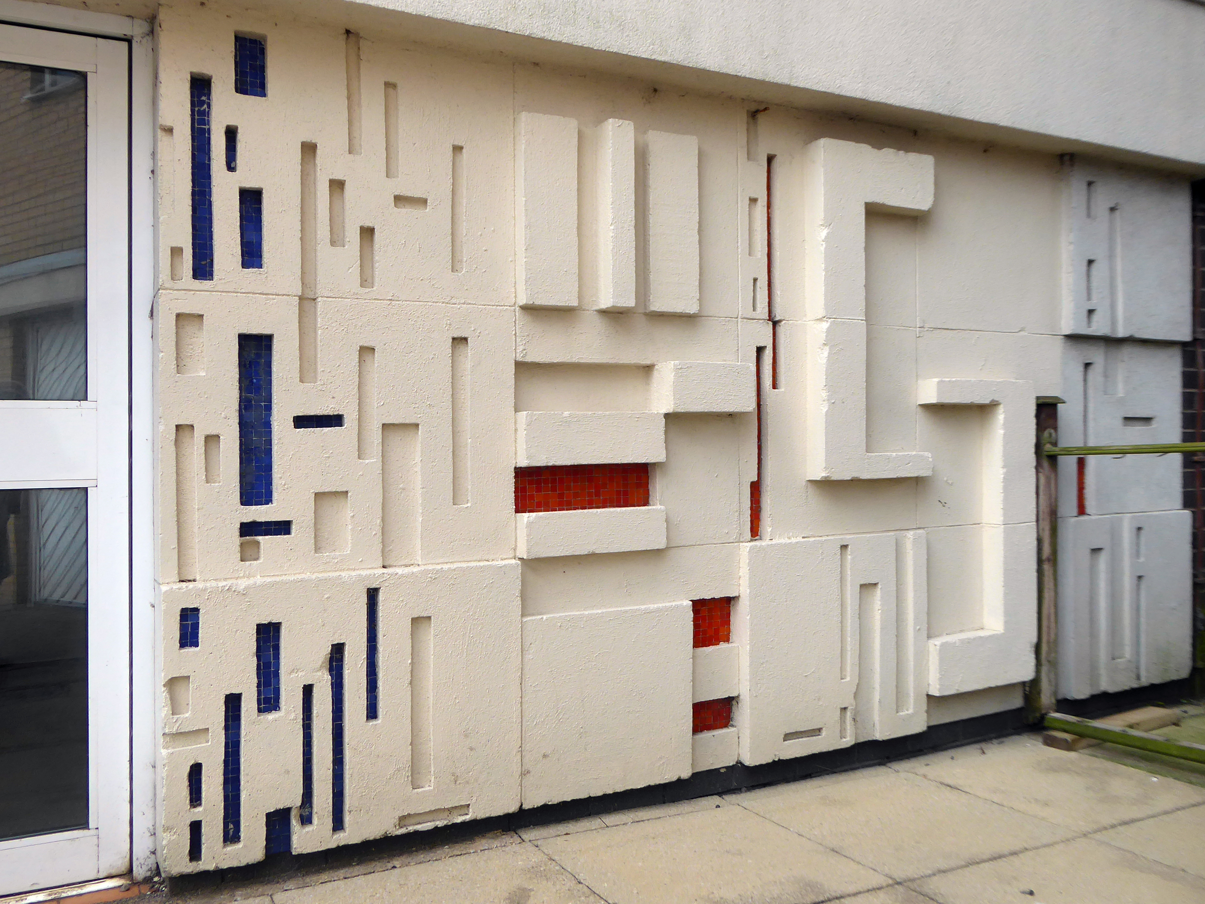
The photograph depicts Alan Boyson’s concrete screen wall, attached to the former Cooperative super store designed by Philip Andrew. The two worked to gather on the Hull Cooperative store, which is adorned by Alan’s huge Three Ships mosaic.
Philip was a childhood friend of Alan Boyson and it was Alan’s father, manager of the Marple Co-operative Society, that recommended Philip for an apprenticeship job in 1951 to the chief architect at the CWS in Manchester HQ.
In preparation for the tour, I visited the town’s Local Heritage Library and read extensively from serendipitous charity shop finds.
The two hour route was designed around an economy of distance and elevation, allowing time for others to take in, what may be for them unfamiliar surroundings. A group of around twenty or so folk became sociable and engaged, with a suitably concise and apposite contribution from myself. There are those who busied themselves taking snaps along the way, chatting amiably or simply gazing in amazement.
The service building above the former Debenham’s store.
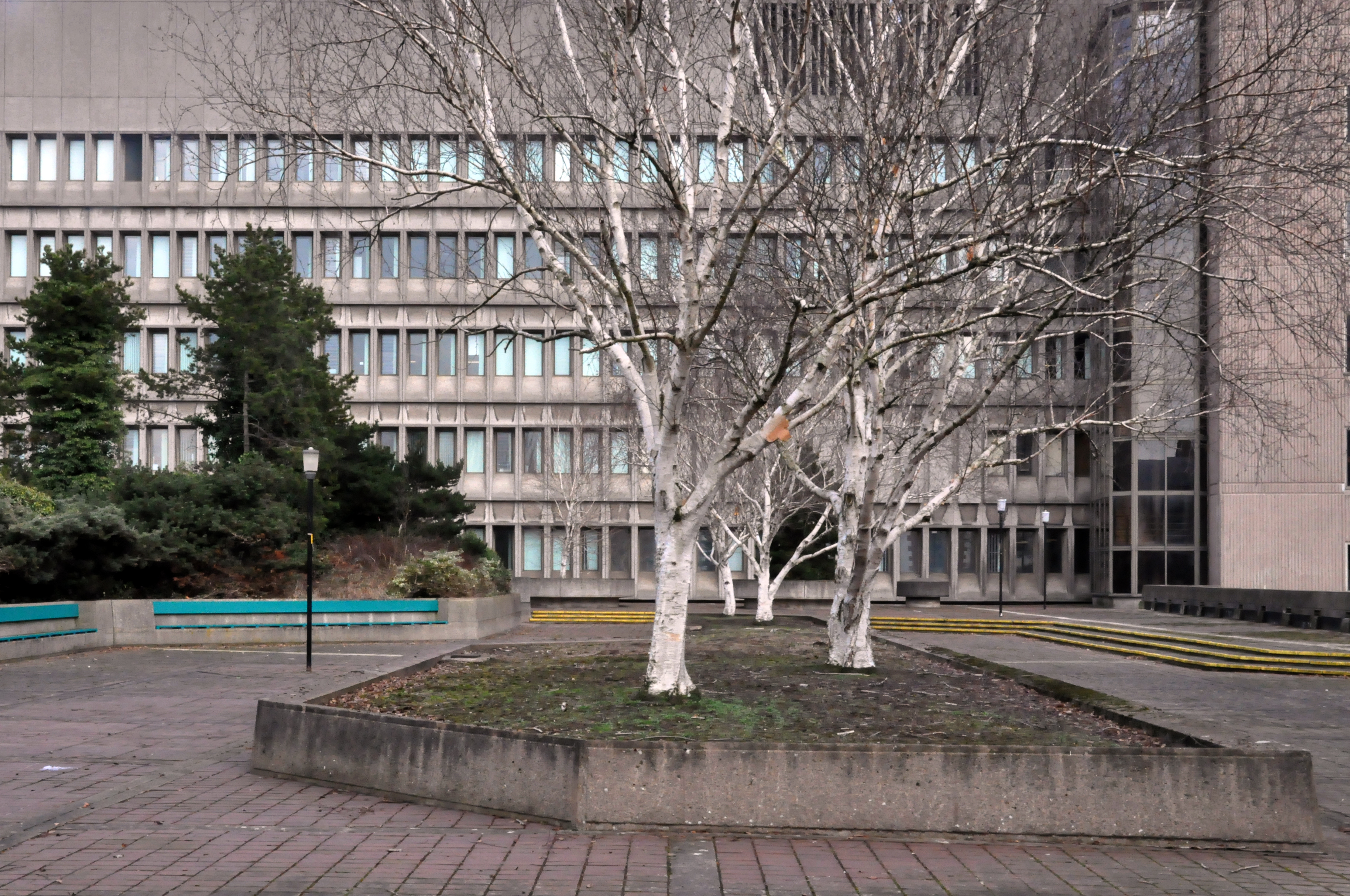
Famed as an imaginary TV police station, this civic building is a civic building I simply can’t resist. I return on a regular basis to wander and snap. This is an open public space that seems little loved and has few visitors.
From then onwards I have been taking folks on Modernist Mooches on a regular basis, two or so a month, during the less inclement times of year.
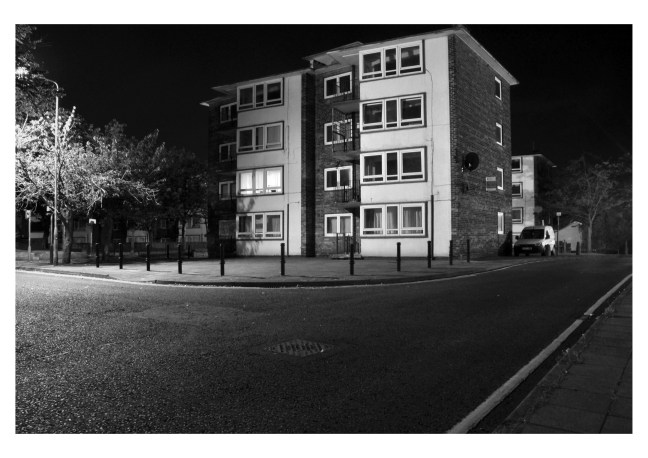
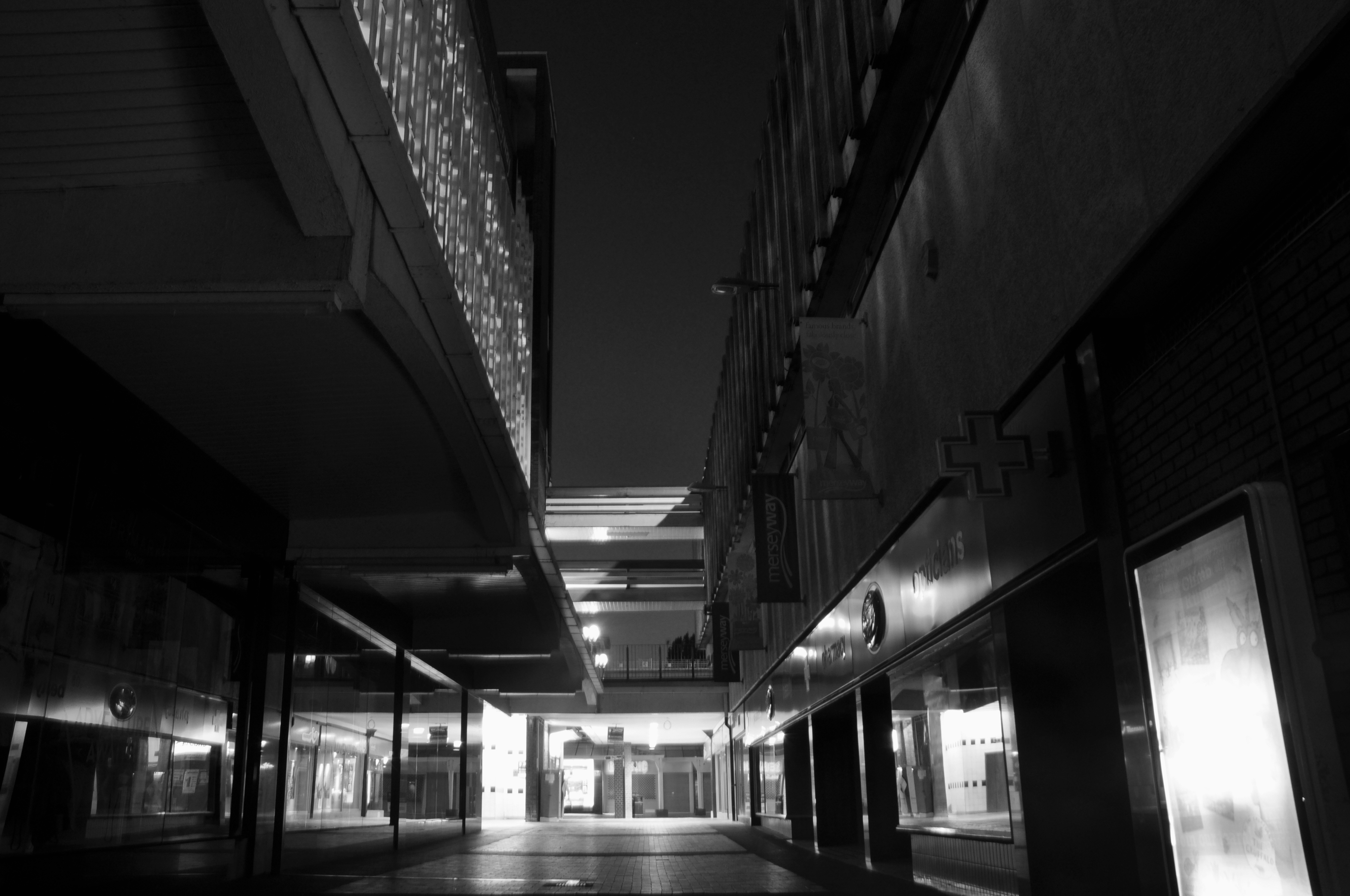
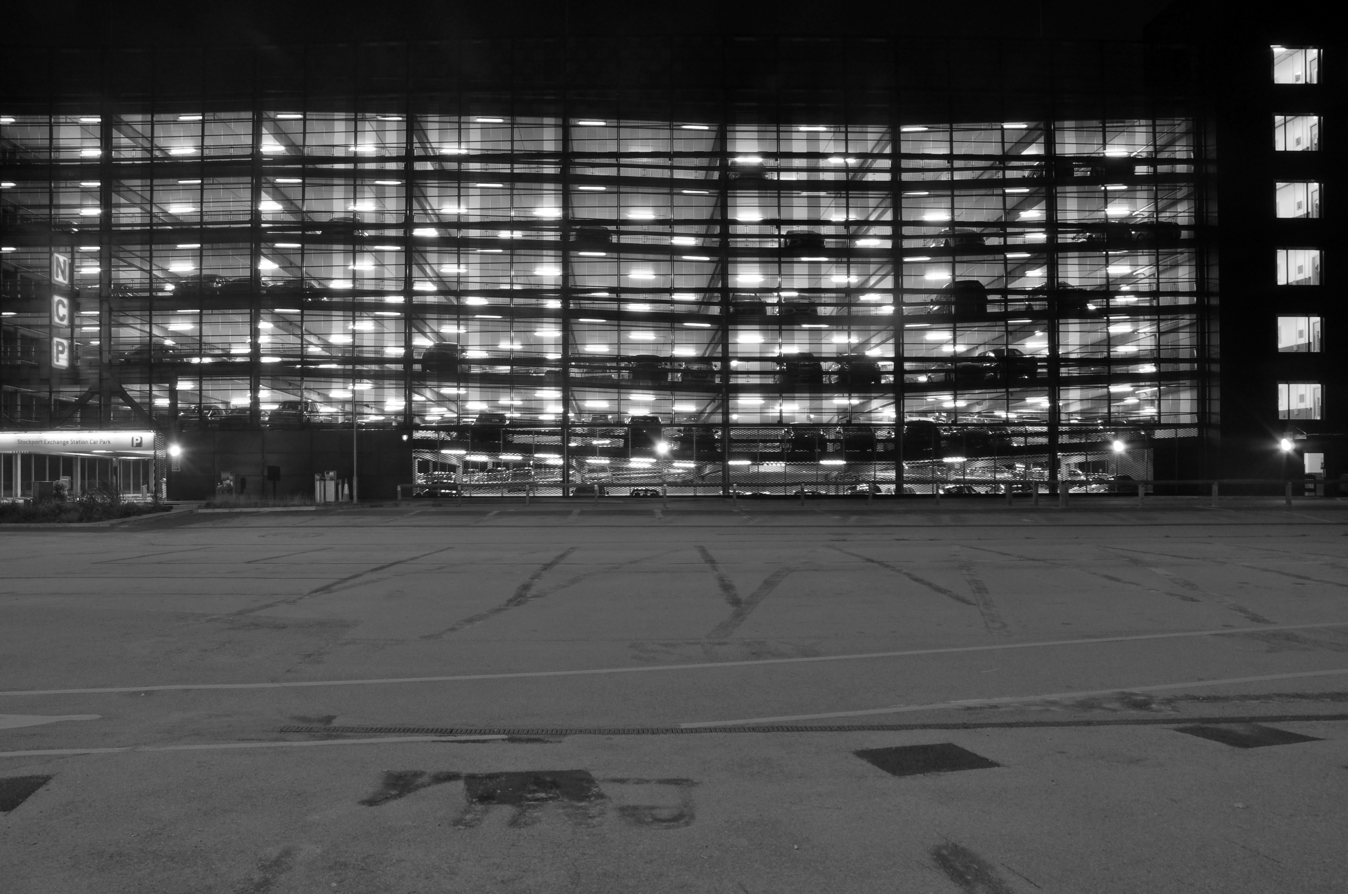
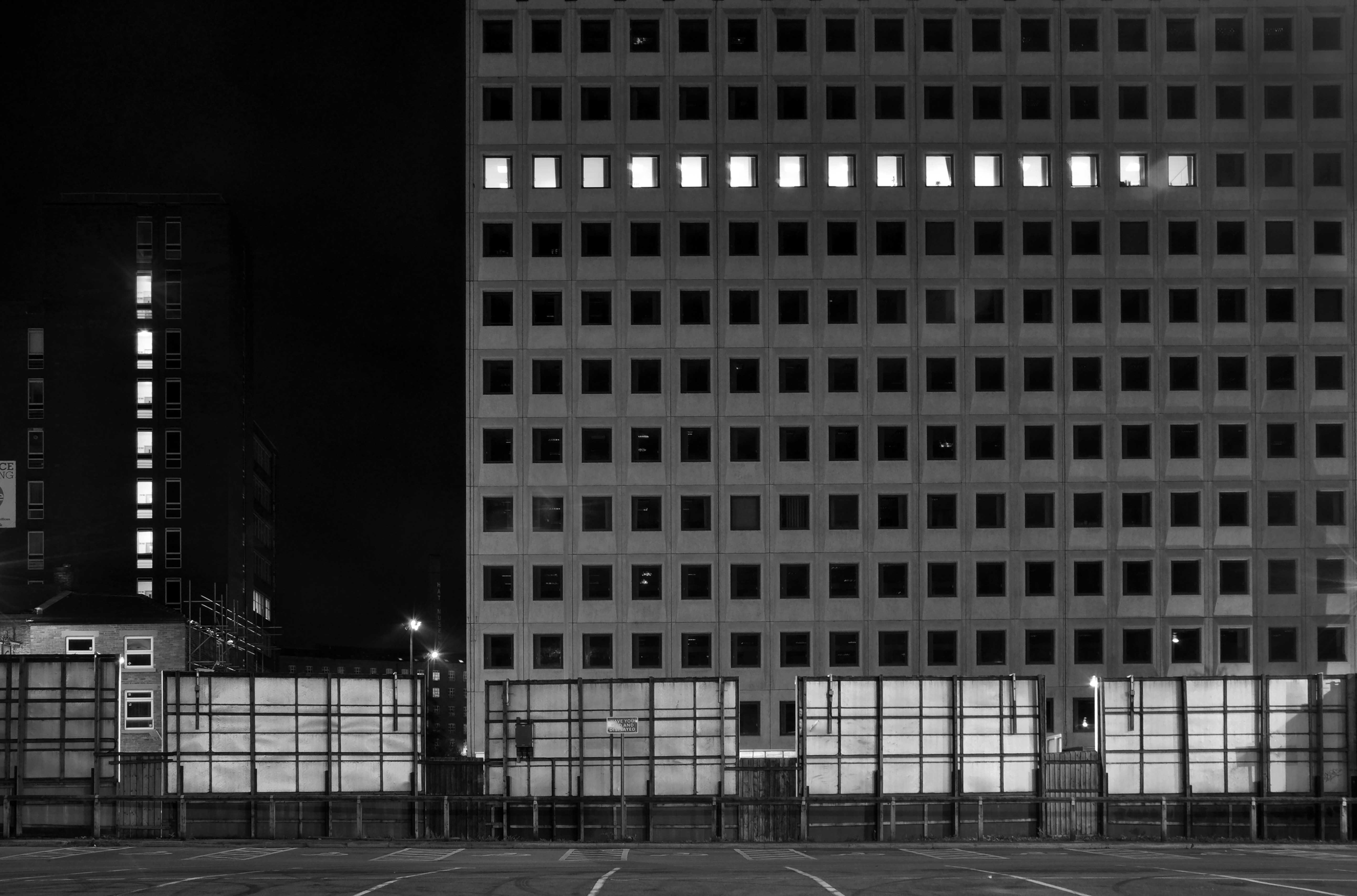
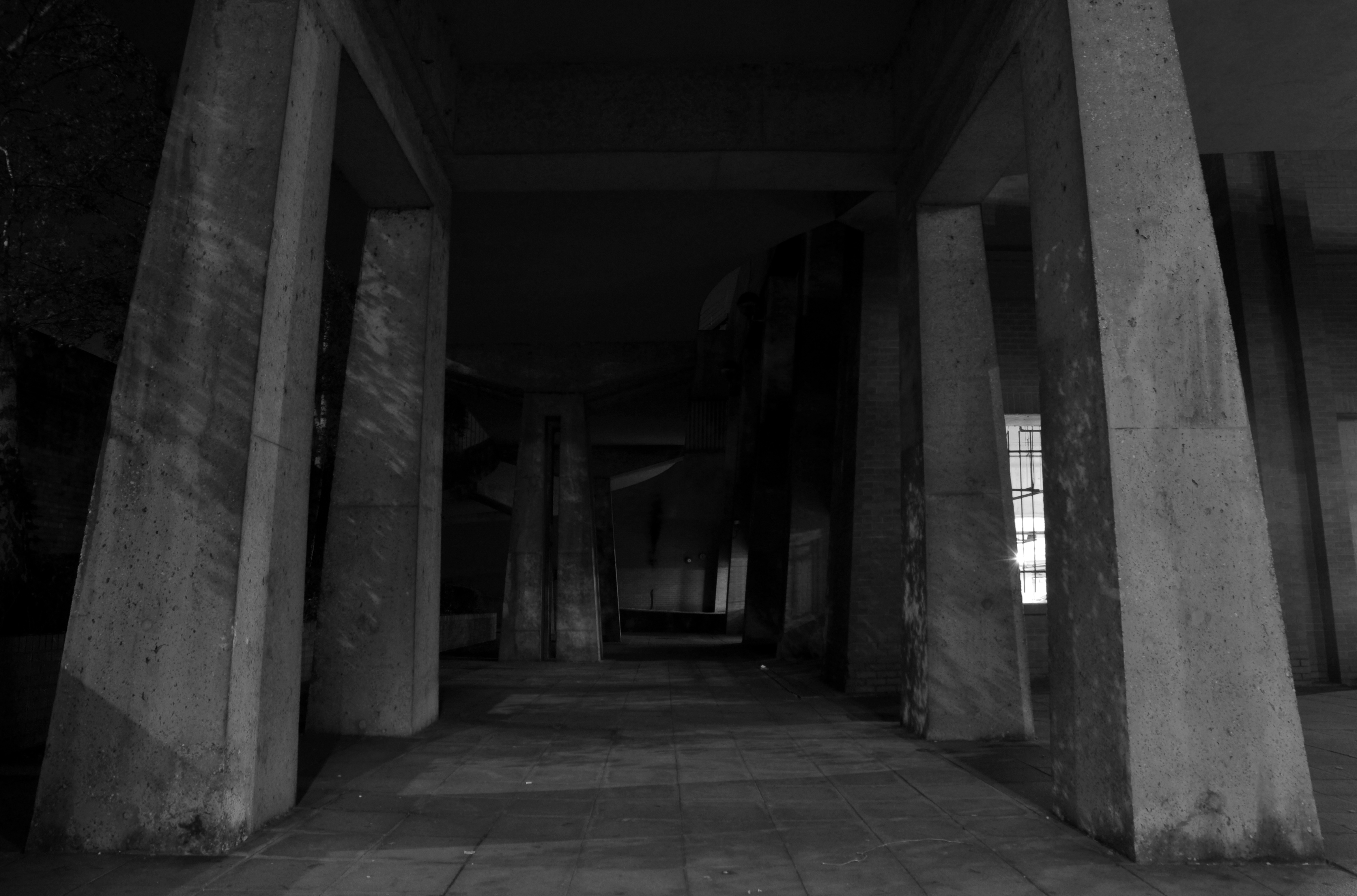
At about the same time I was asked to exhibit my photographs in Stockport, I chose to mooch about at night. Walking around an almost deserted town, avoiding the glare of streetlights, there is a mild frisson to be about when nobody else is about. The air feels different, exposures are longer, the almost waking world feels arrested, by the low available light.
My local shopping centre and as such part of my weekly walking and shopping life.
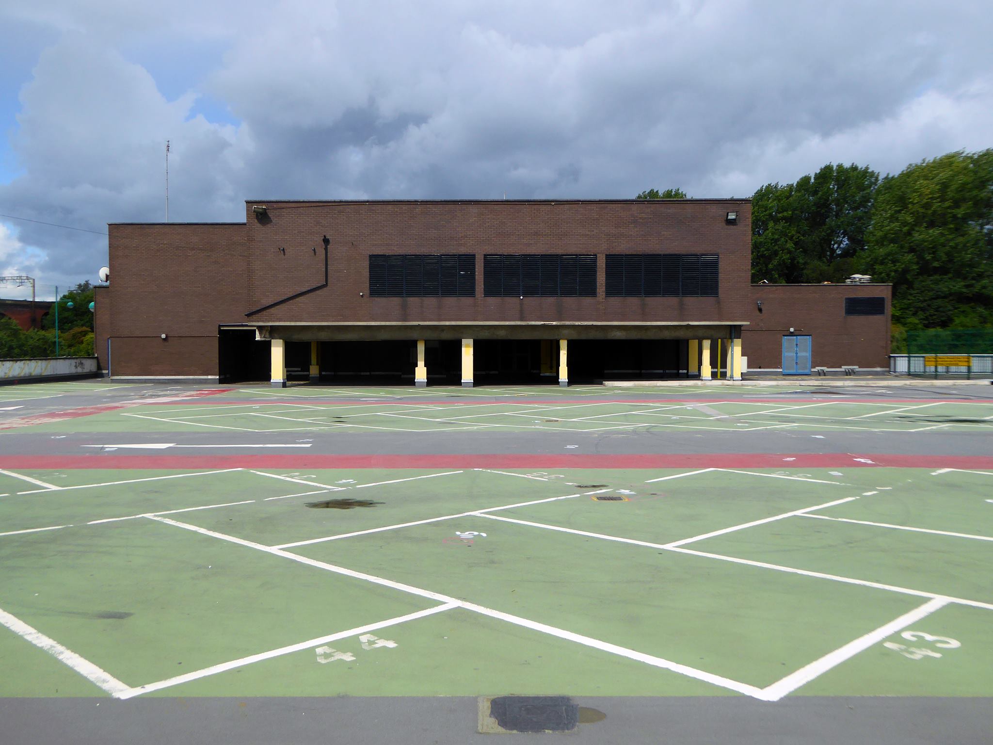
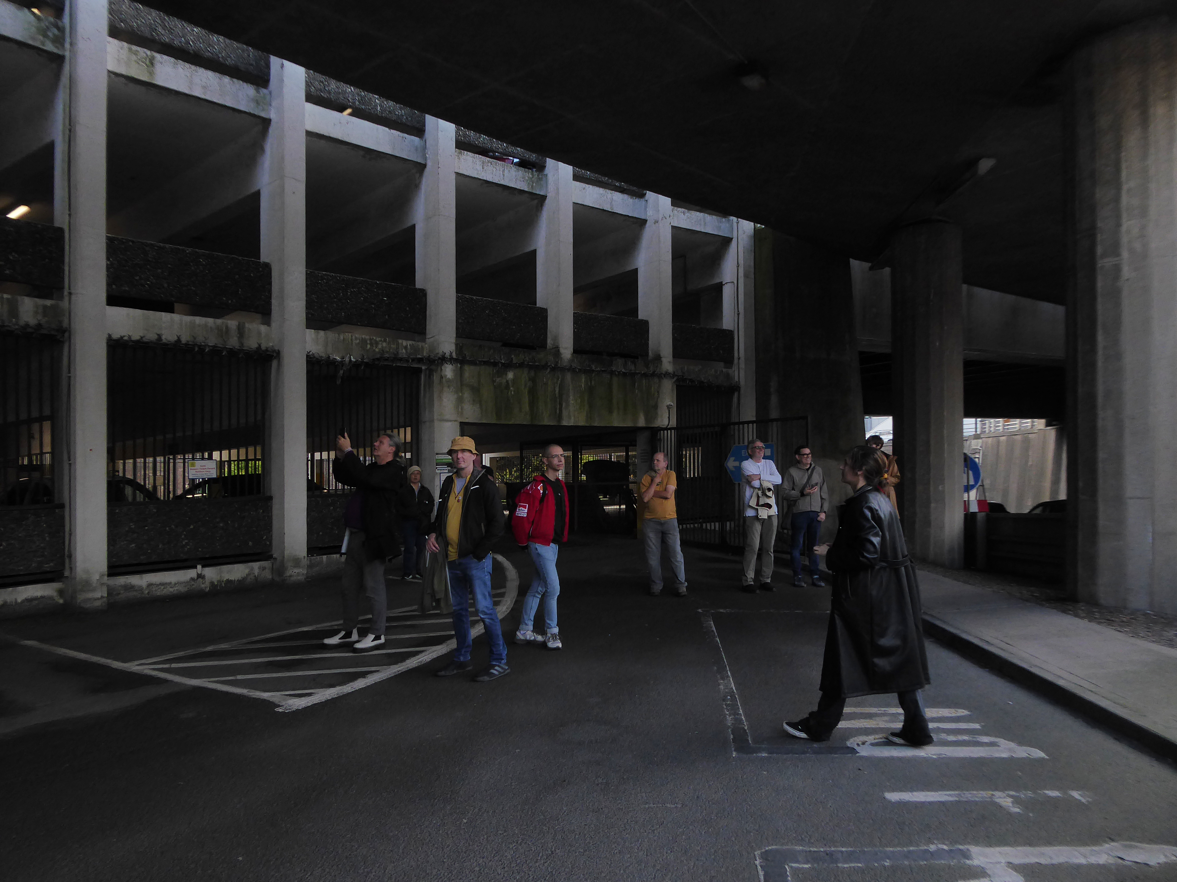
NCP Car Park located on Stockport Station approach.
Regent House
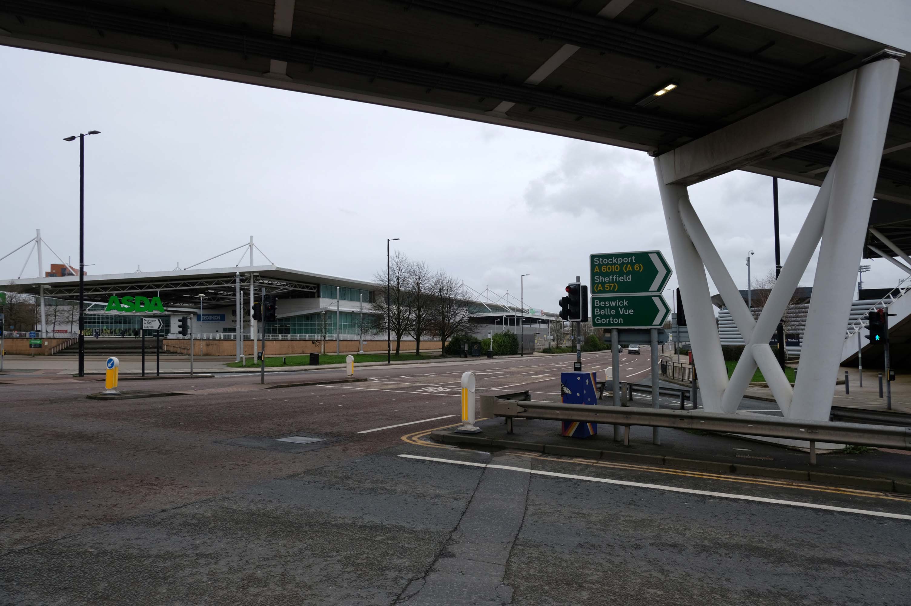
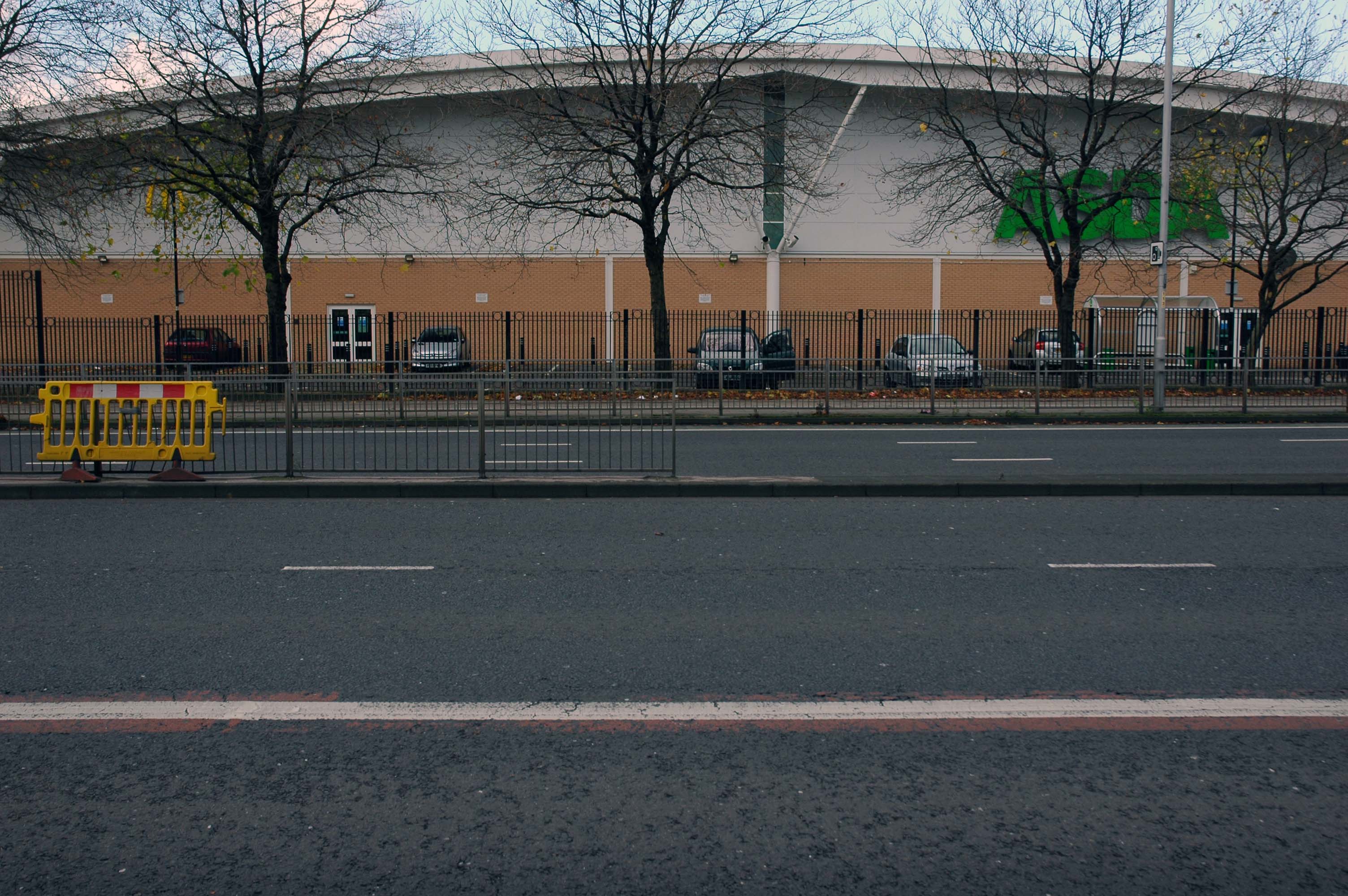
Asda superstore
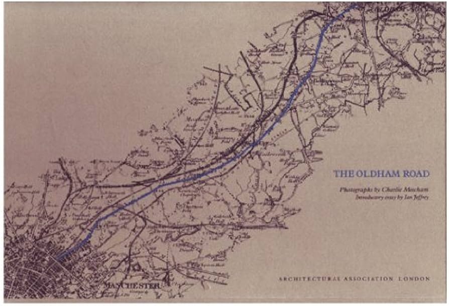
I found a copy of Charlie Meecham’s book Oldham Road in a charity shop.
Inspiring me in 2014, to walk in mostly straight lines, though often as not zig zagging along the main arterial roads of Manchester.
Taking pictures on Sunday mornings, in order to avoid traffic, mildly amused to be ignoring the primary function of the routes.
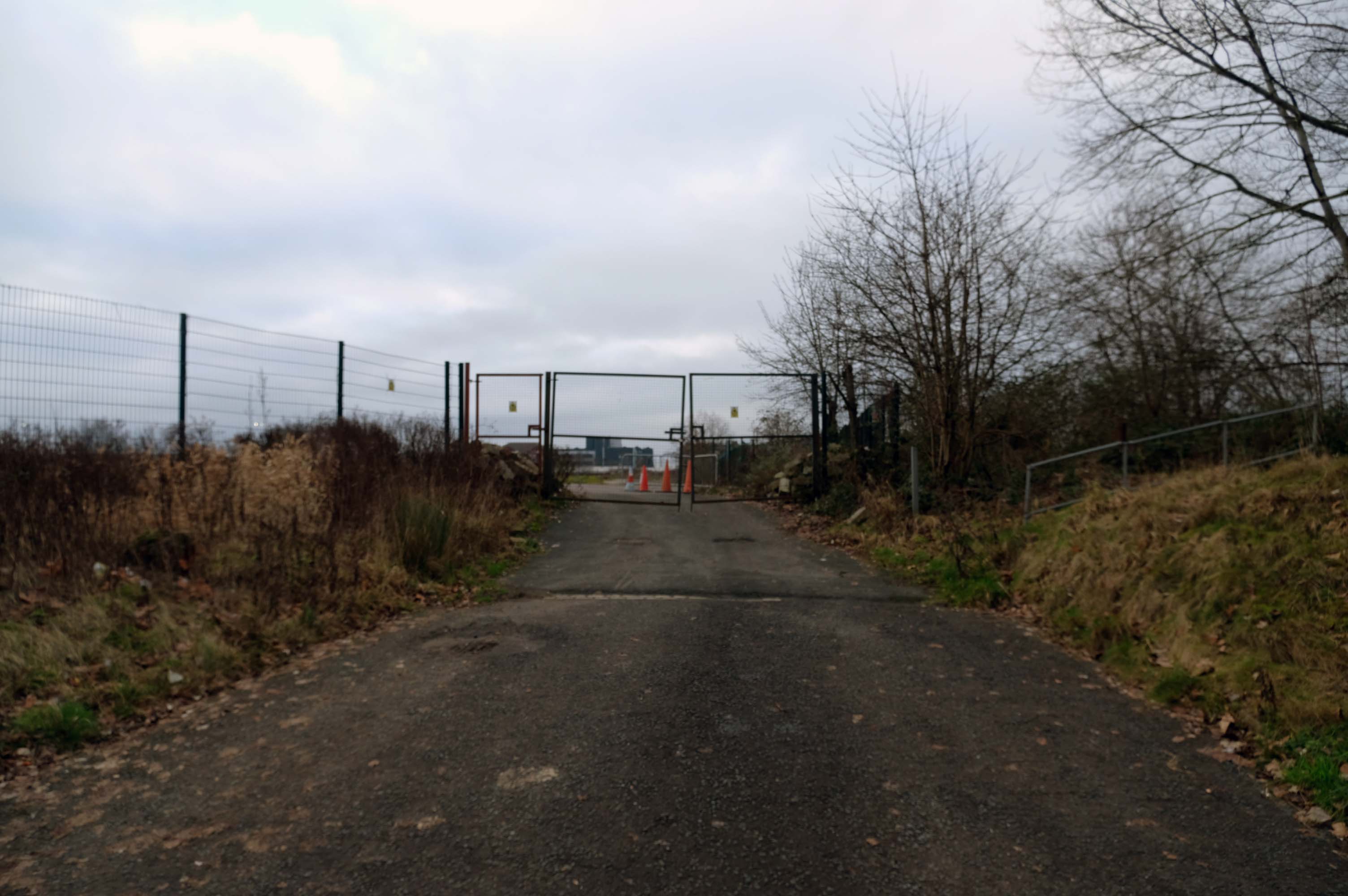
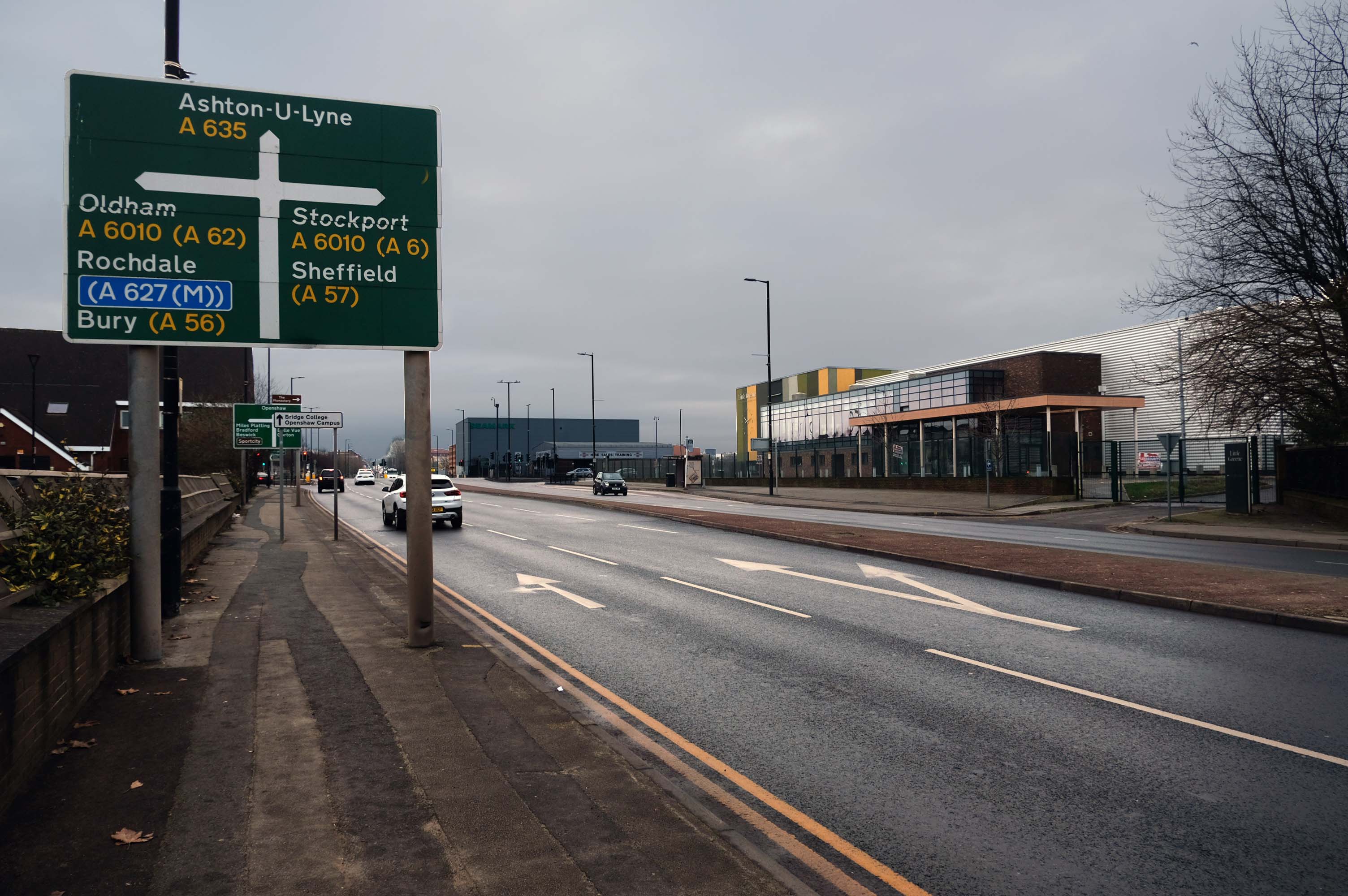
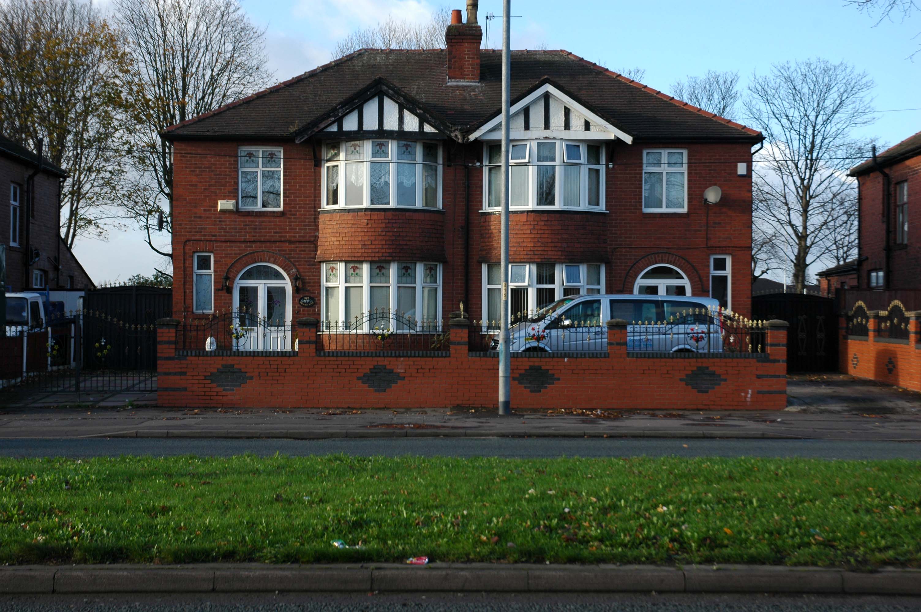
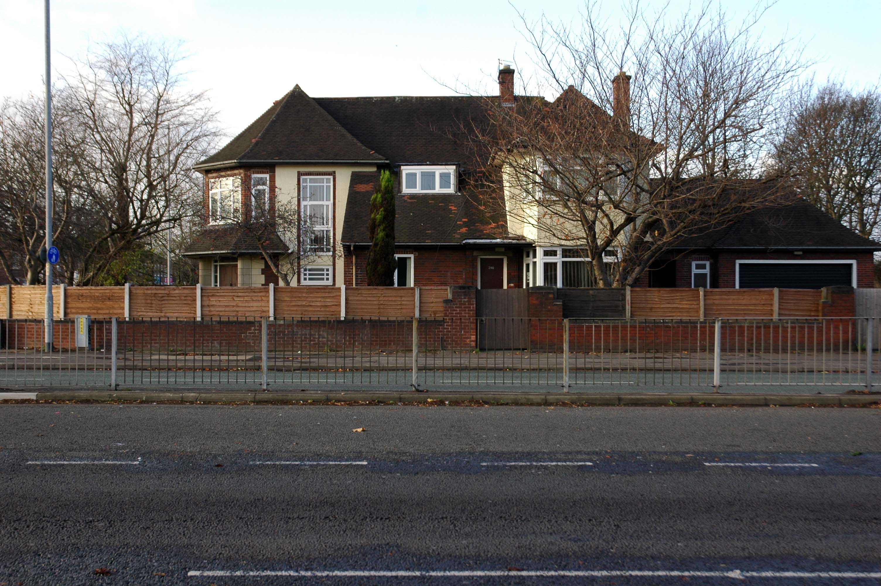
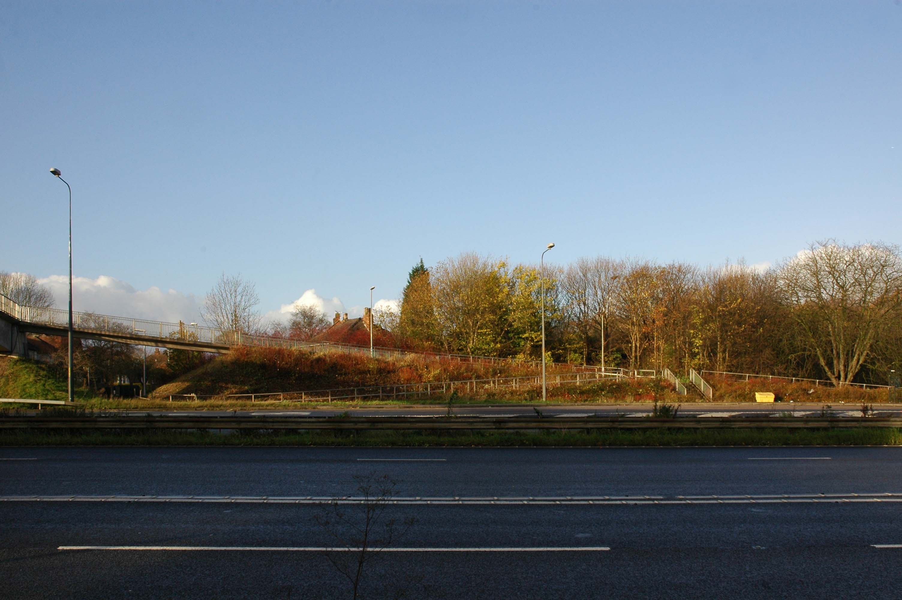
This is one of the more familiar roads, having walked up and down several times over several years. It was to have been an extension of the Mancunian Way, forming a trans-pennine motorway. Much of the property lining the route was cleared in preparation, it was never built, and for years a strange semi-deserted ambience hung over the A57.
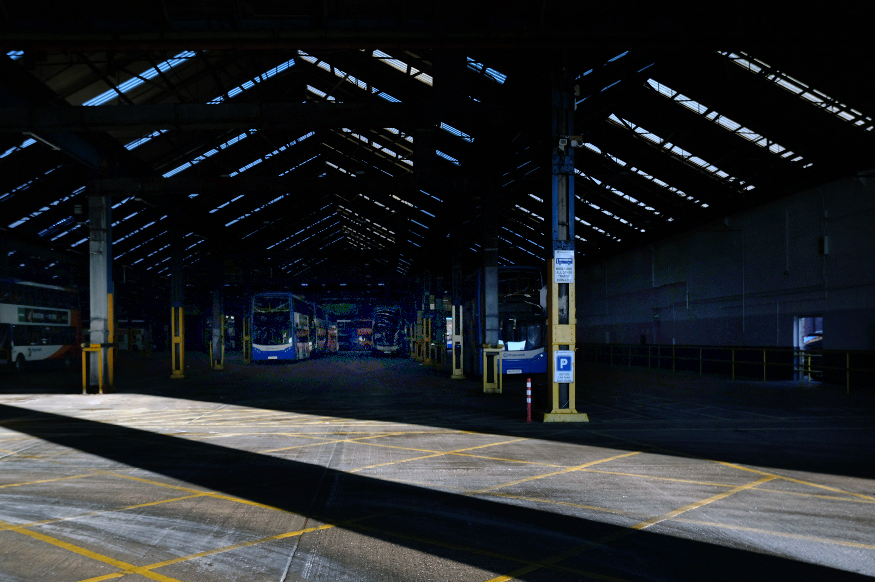
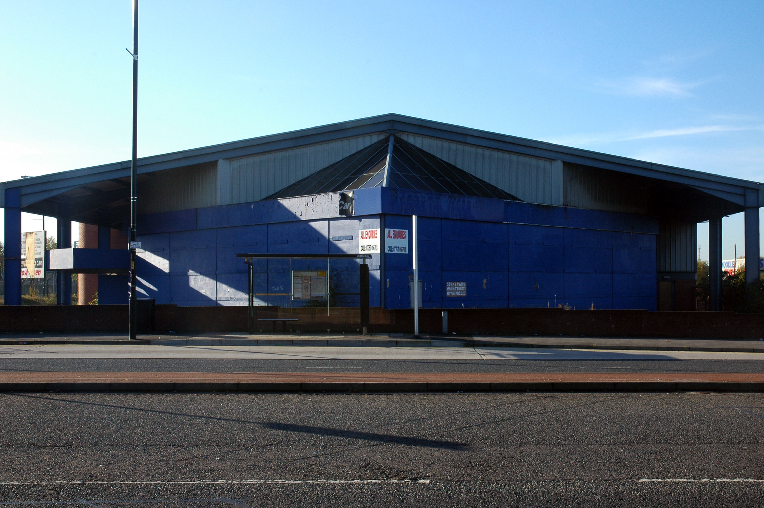
Bus Depot
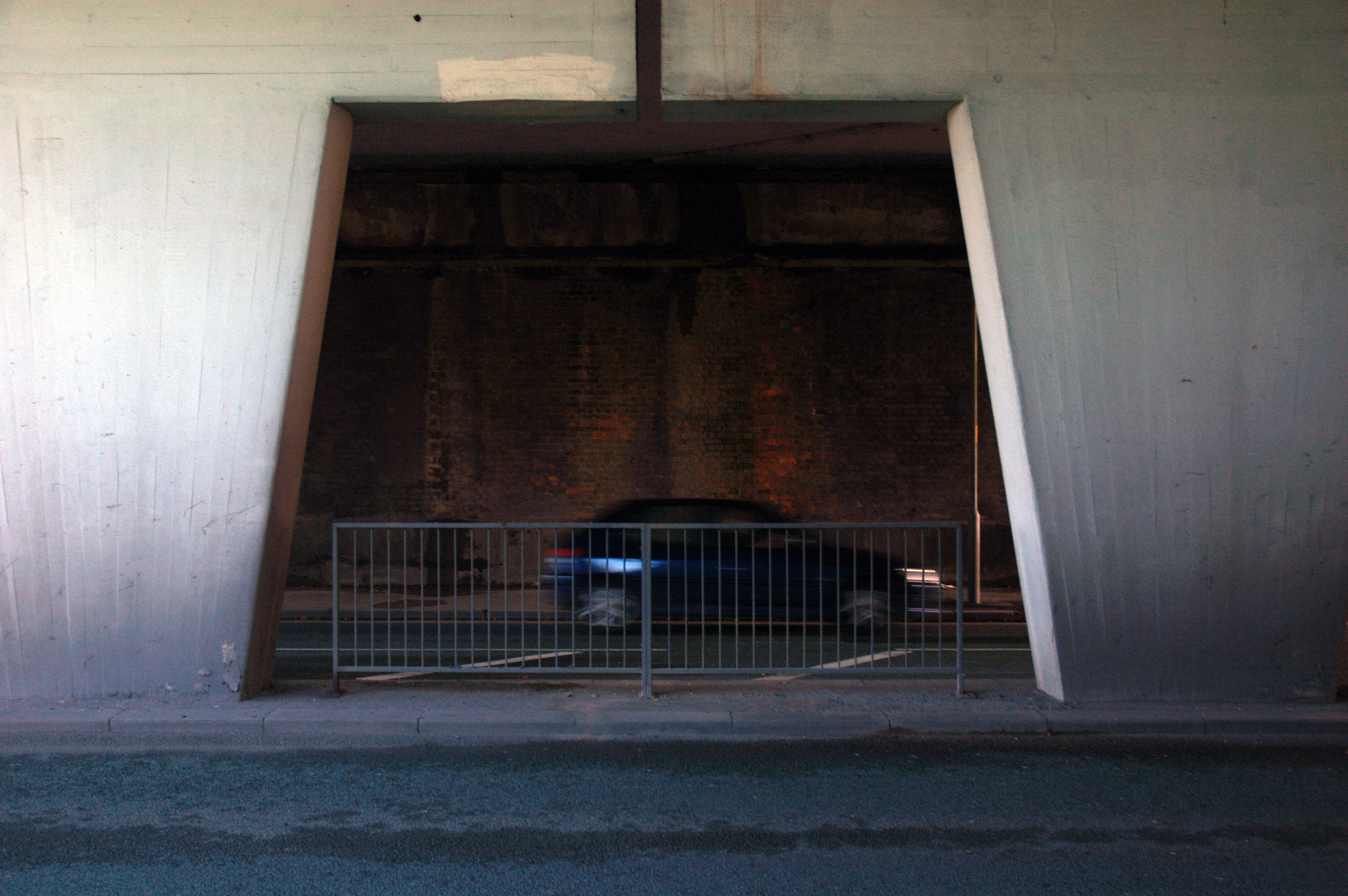
Railway Bridge
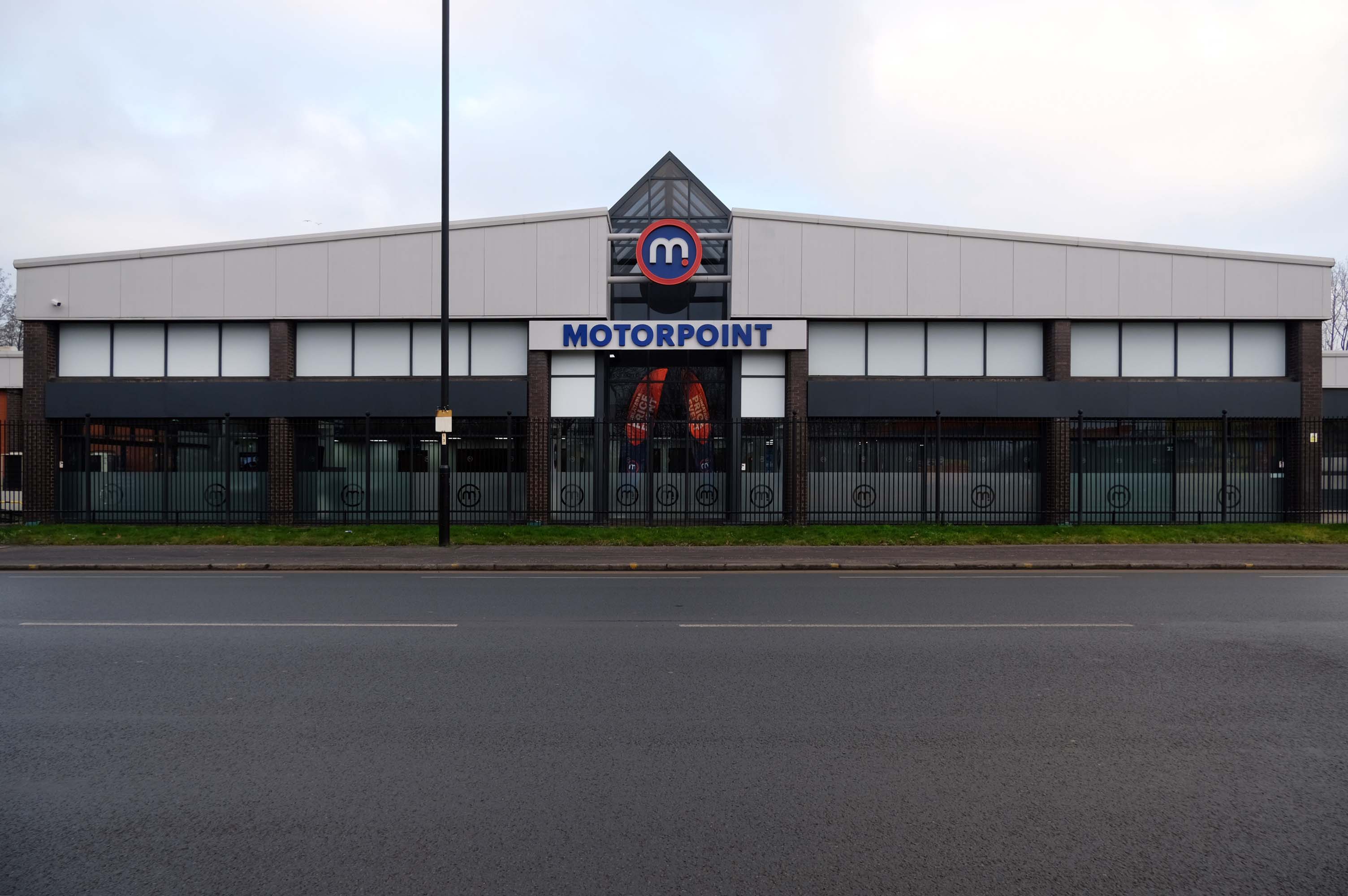
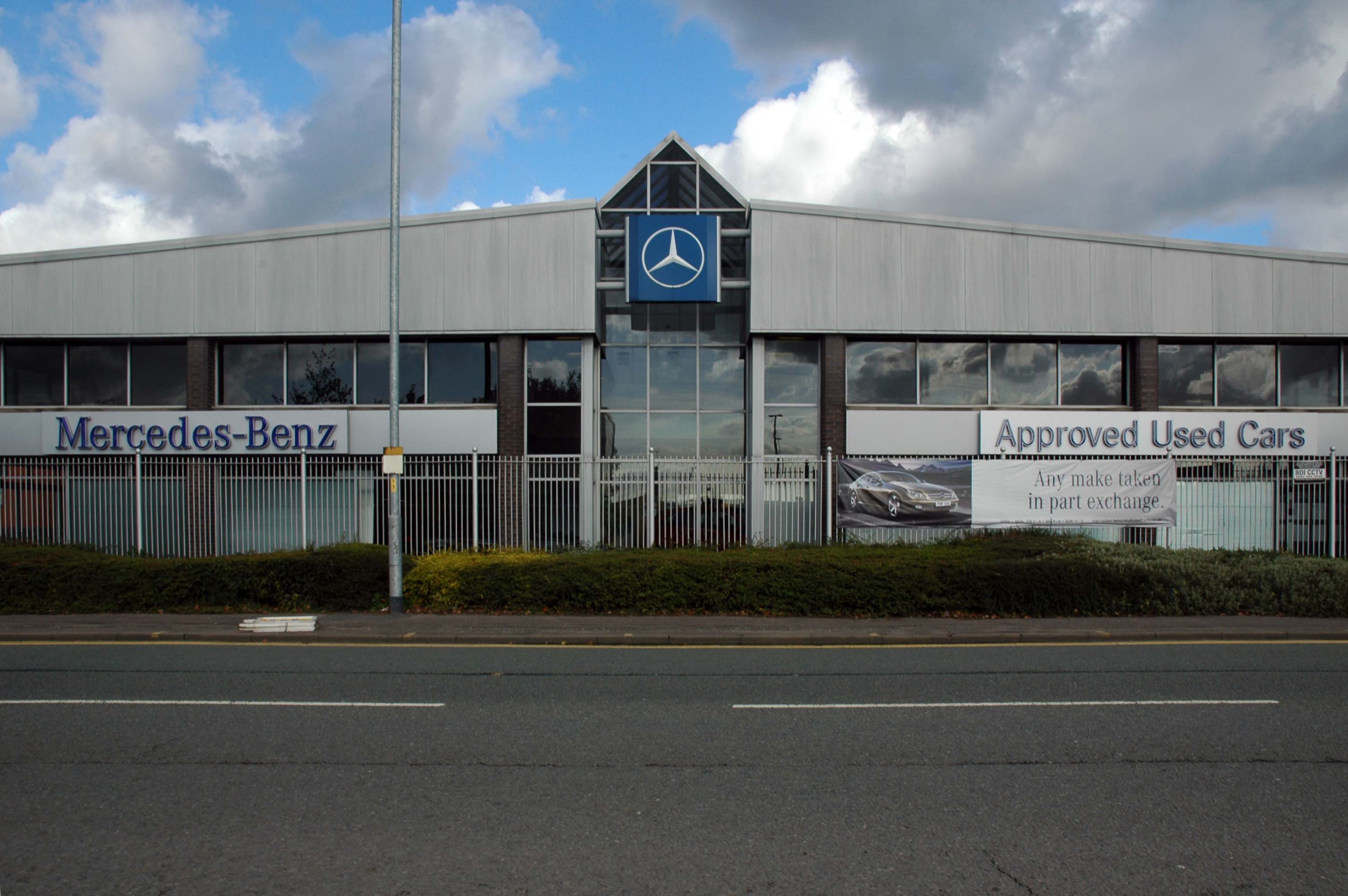
The car showrooms which later became an African Evangalist church.
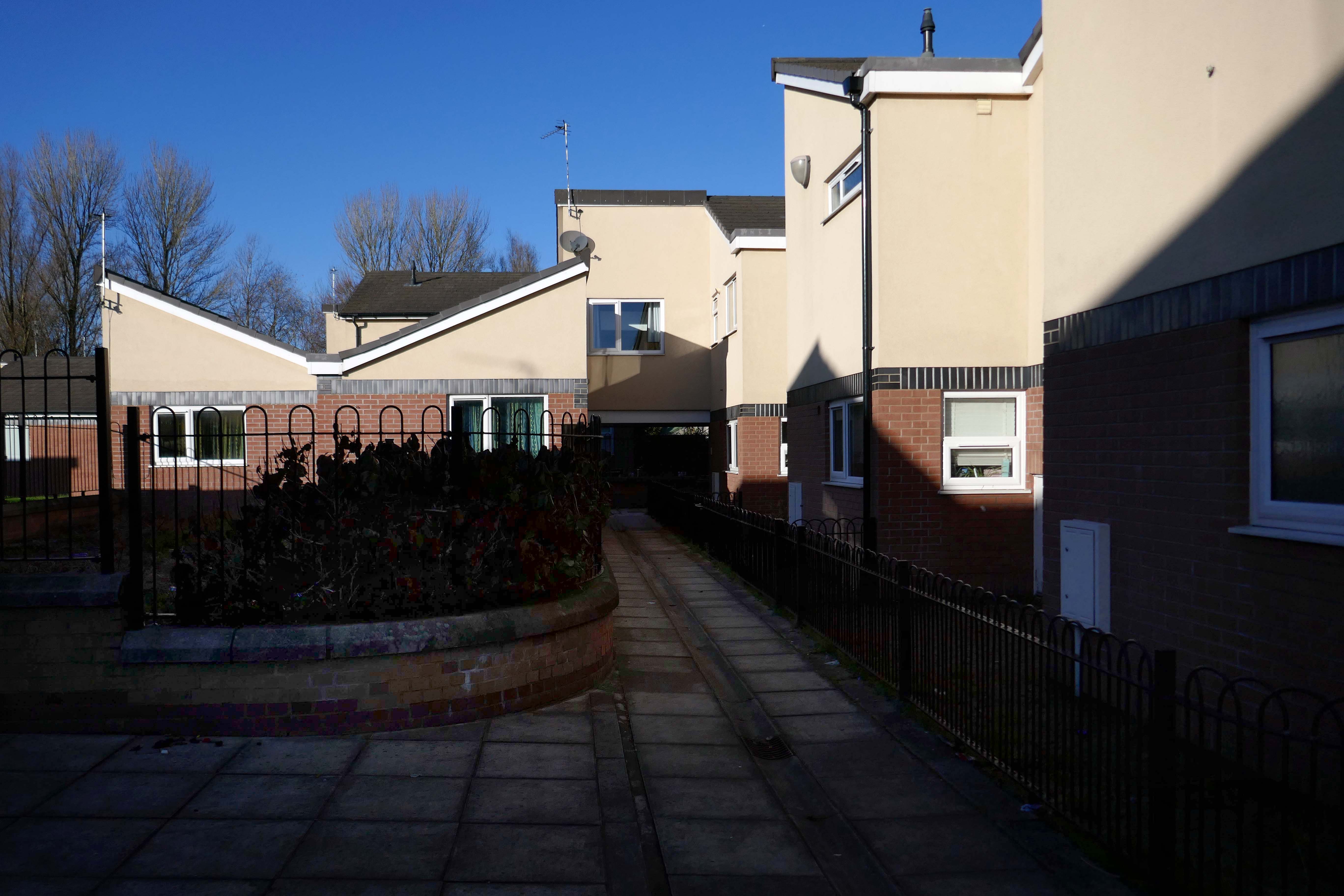
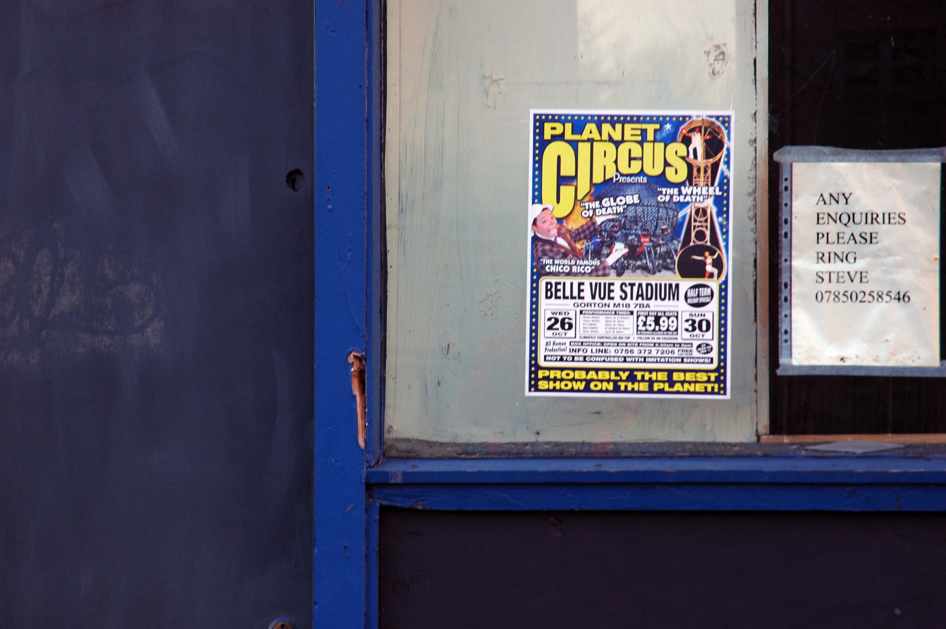
Having cleared away both Victorian and Sixties housing, new architectural forms arose in West Gorton.
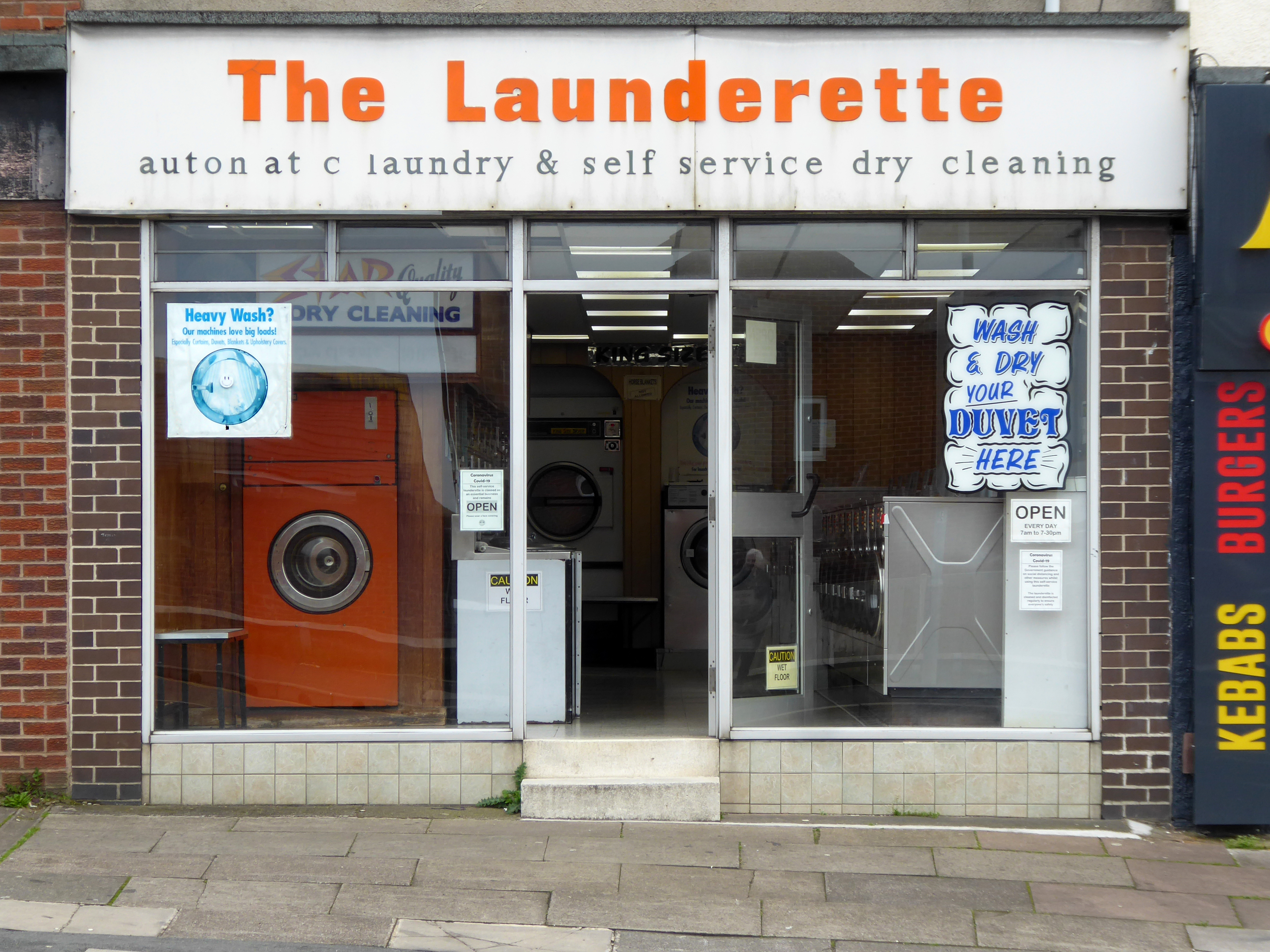
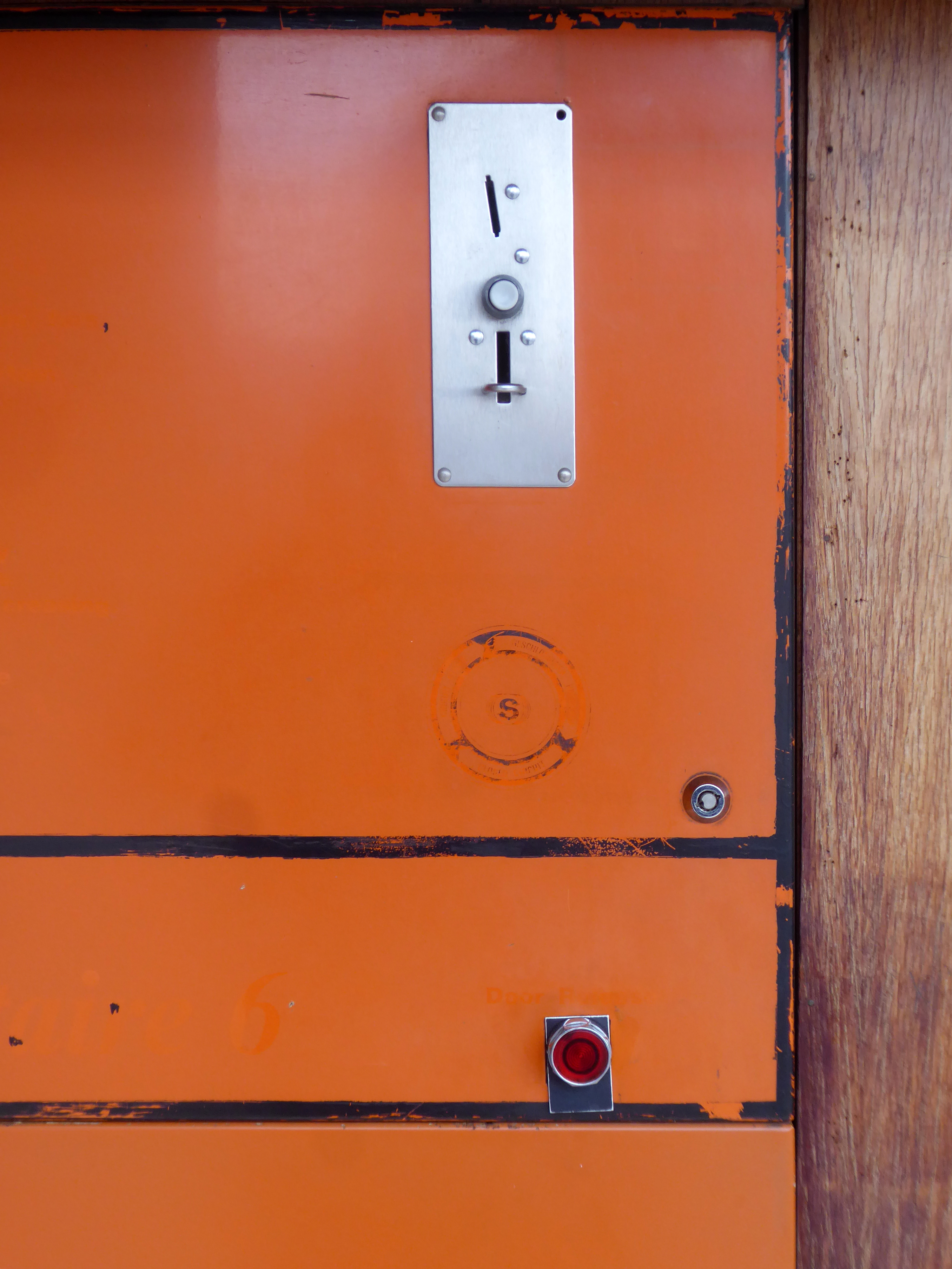
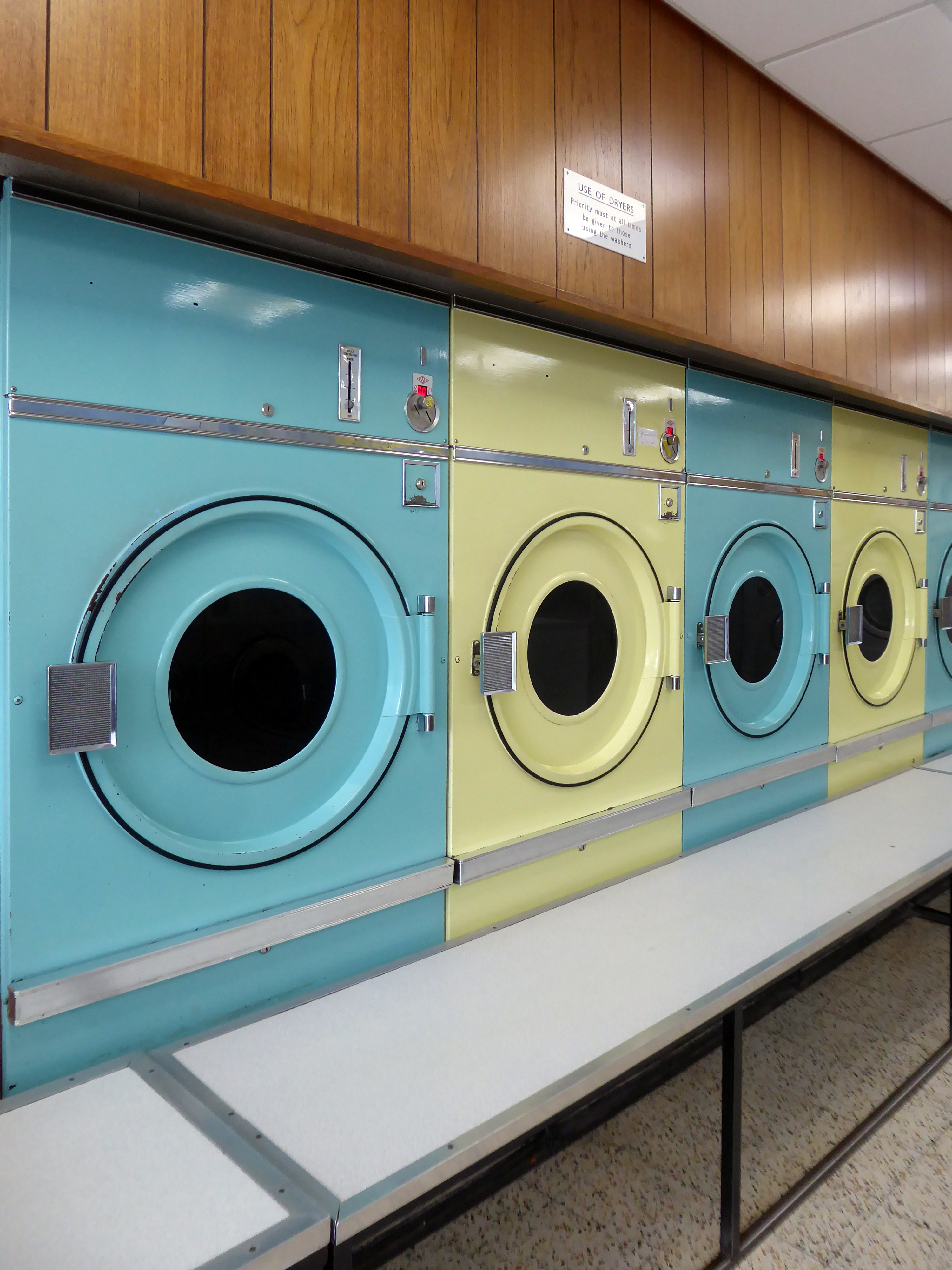
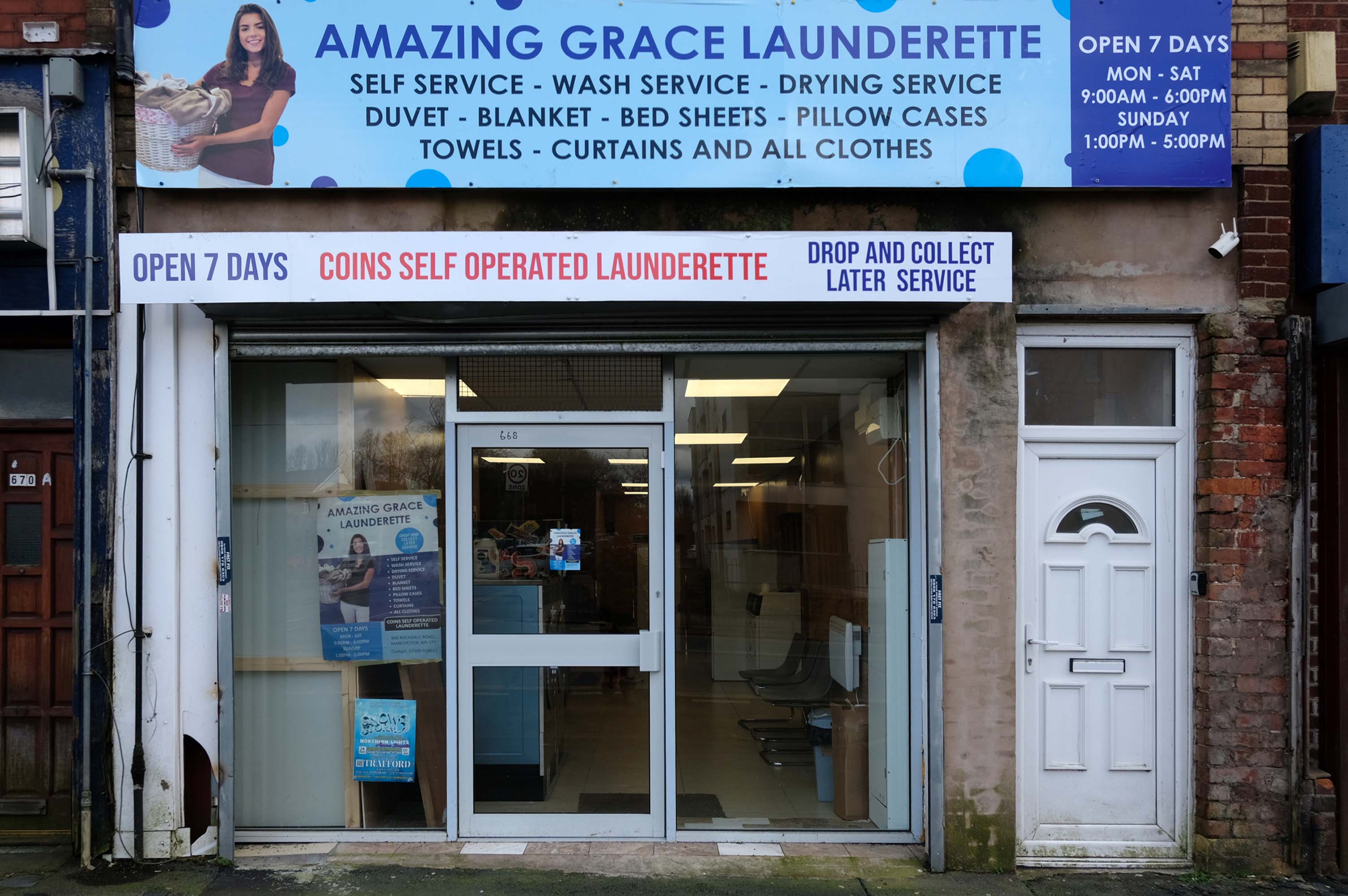
Now, everywhere I go, I see launderettes – so arriving in Hanley with time on my hands, wandering around I found this exemplary example.
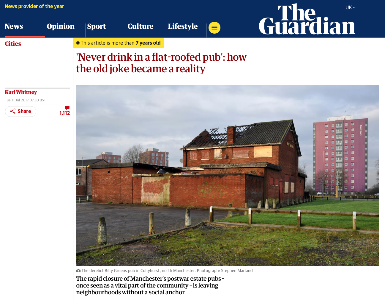
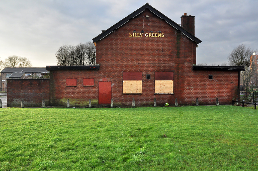
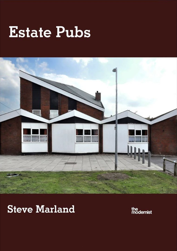
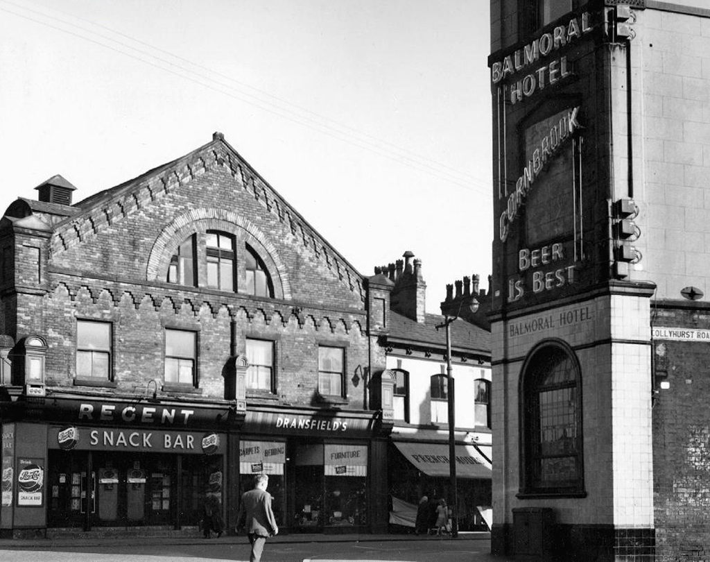
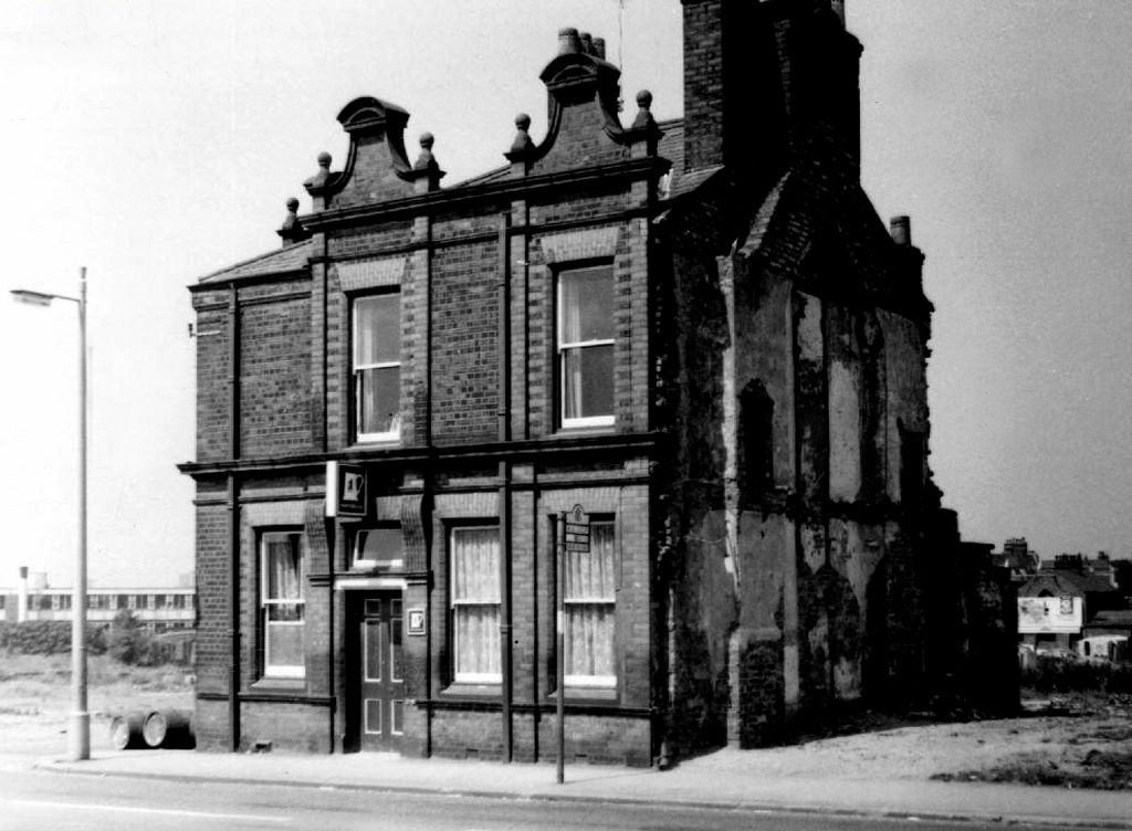
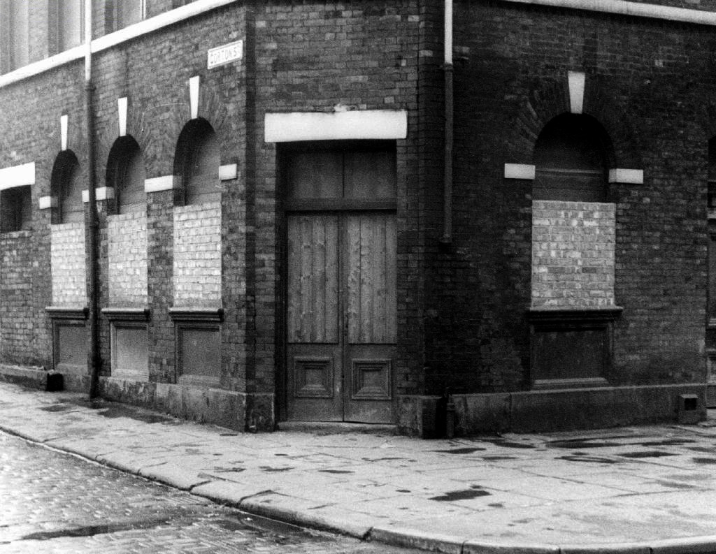
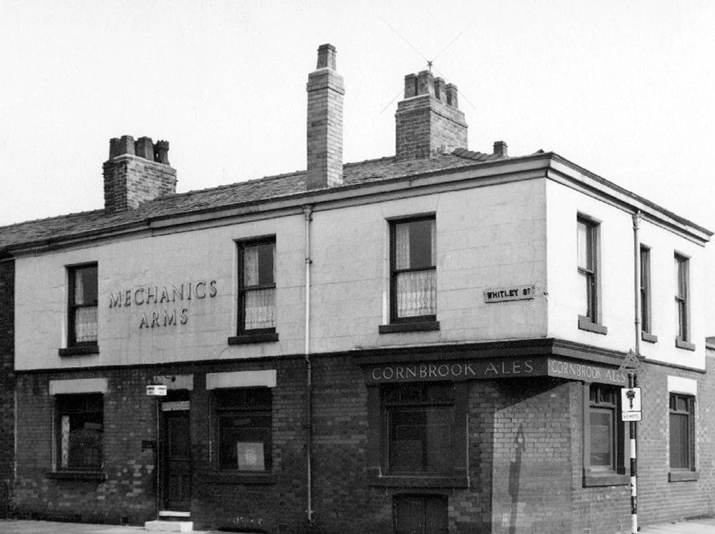
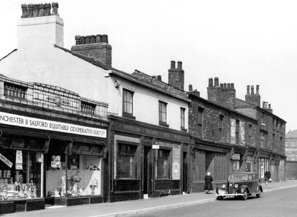
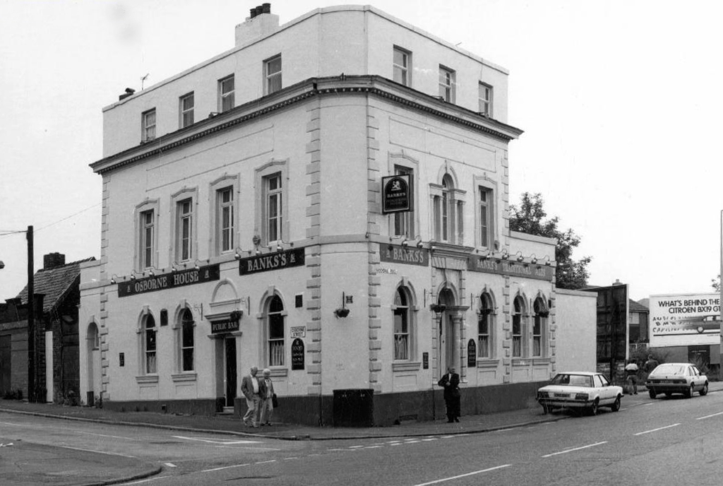
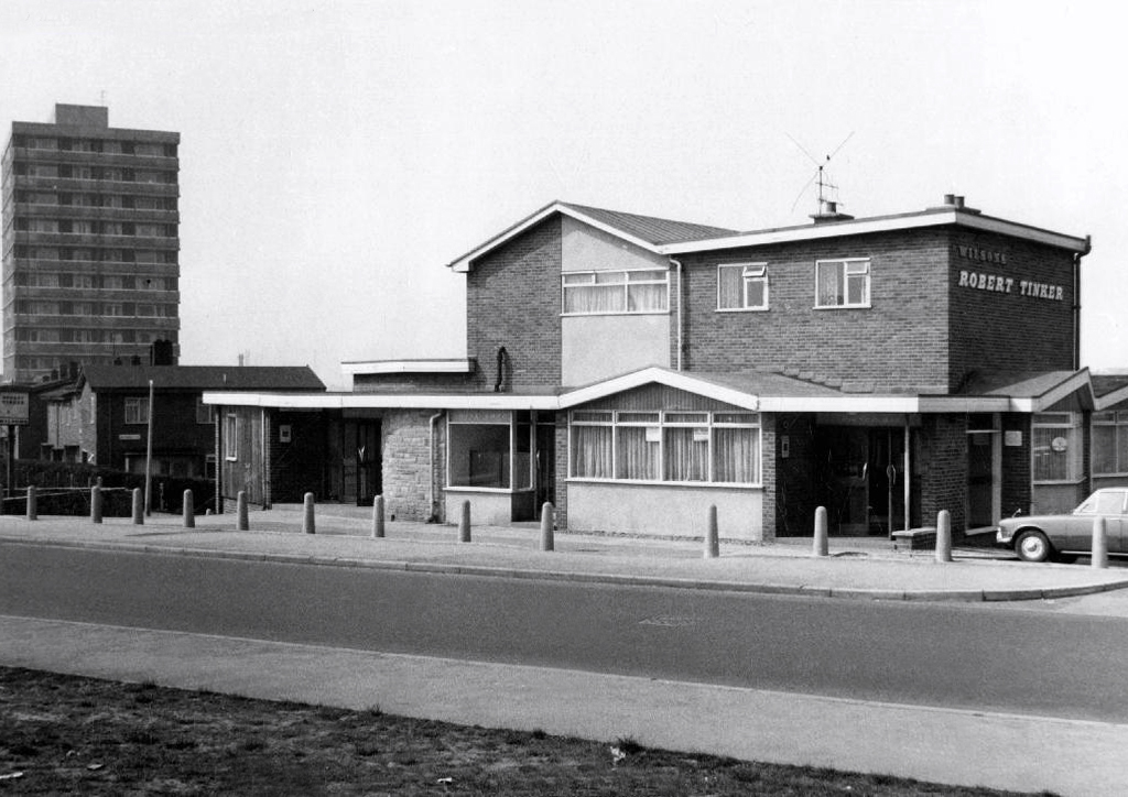
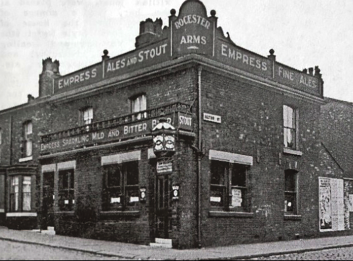
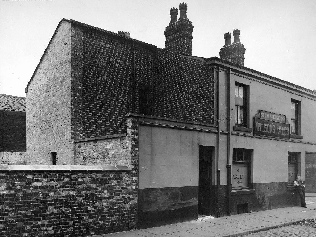
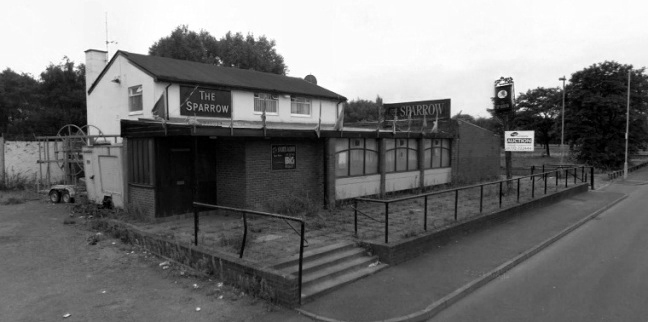
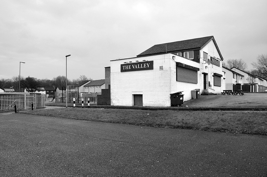
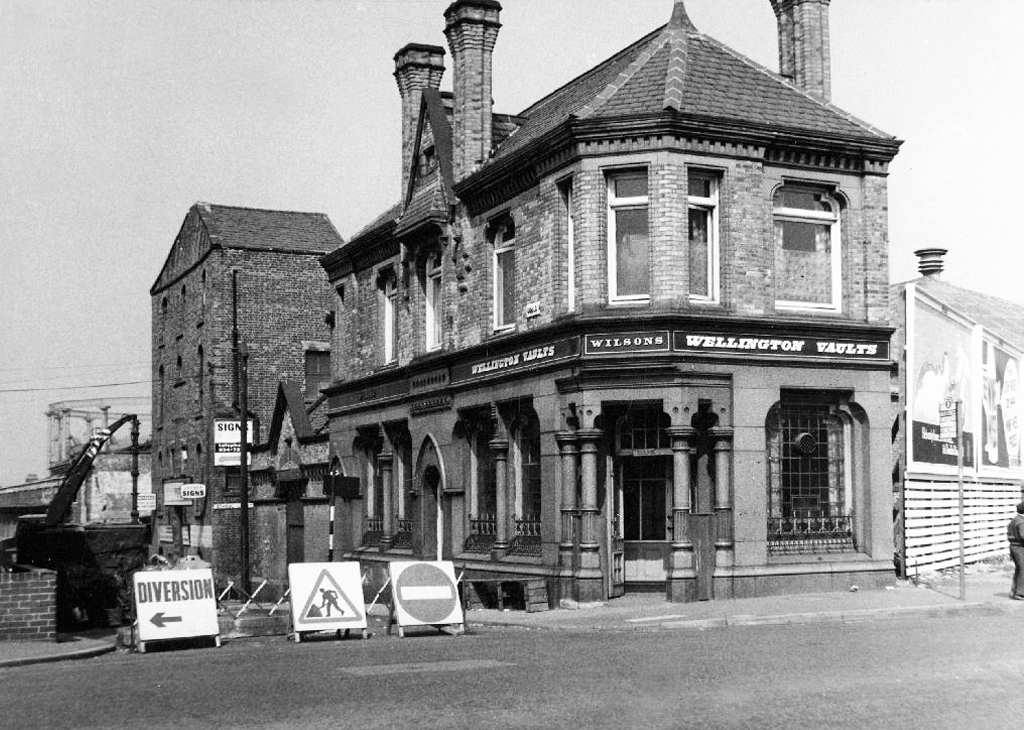
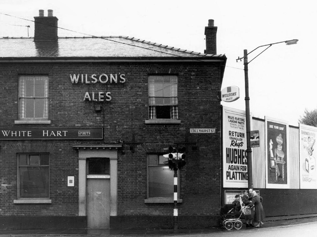
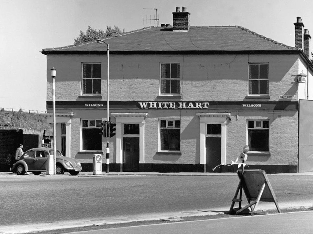
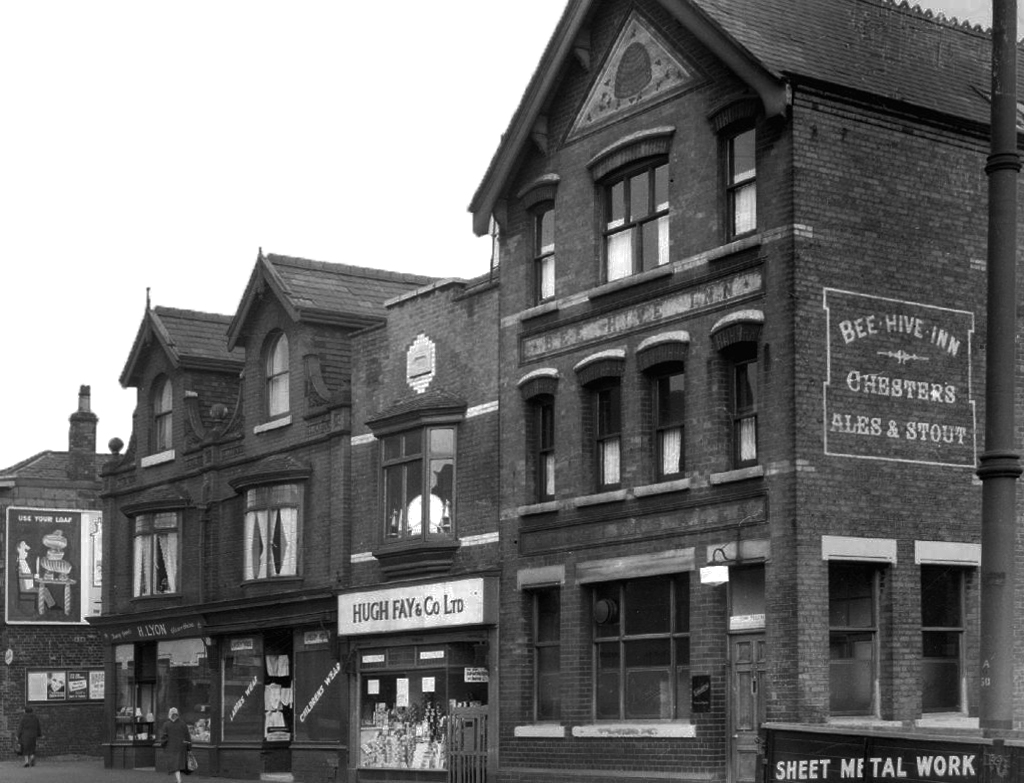
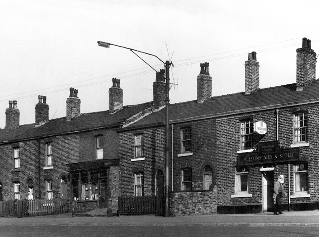
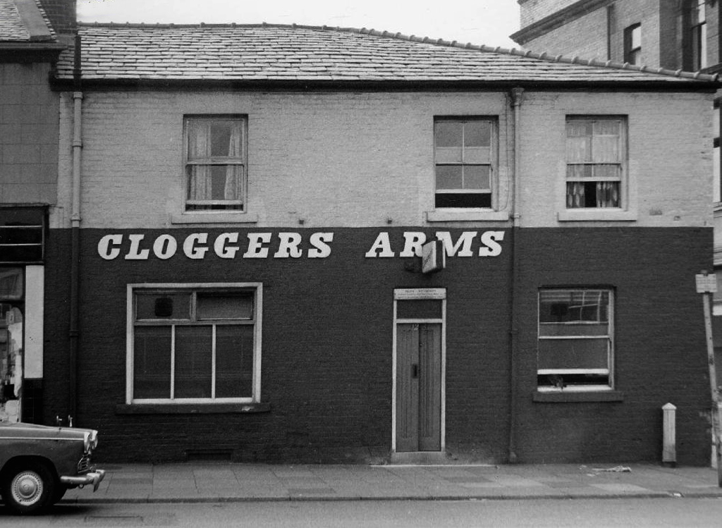
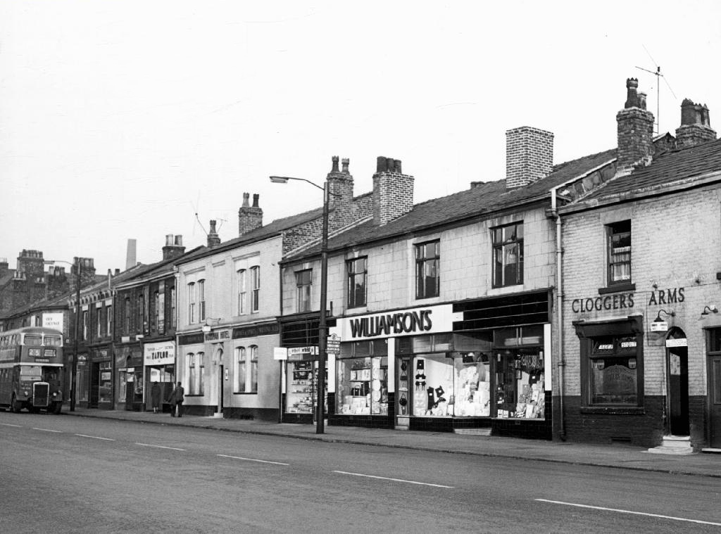
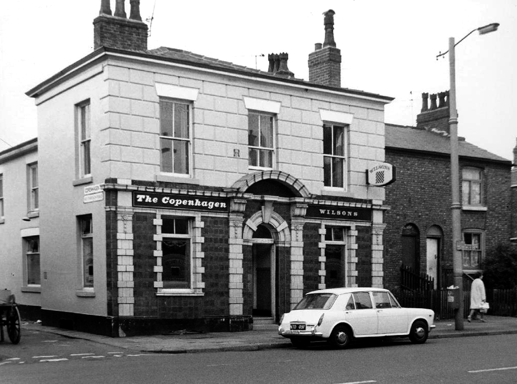
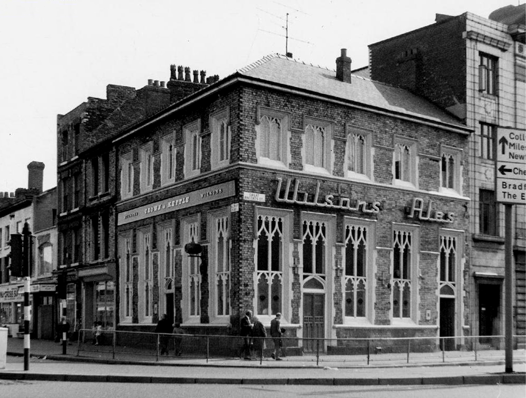
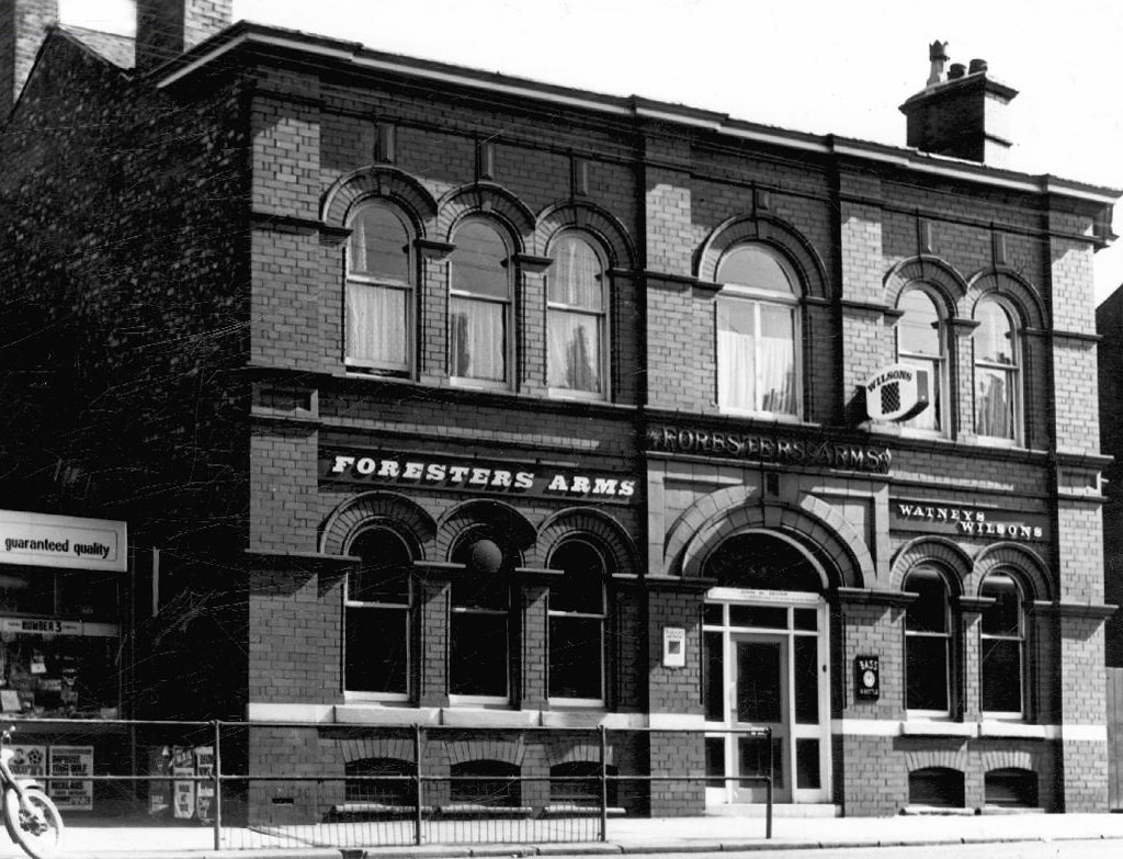
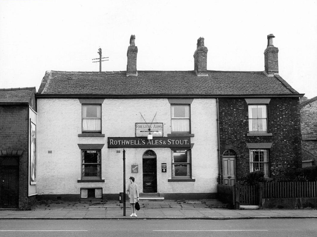
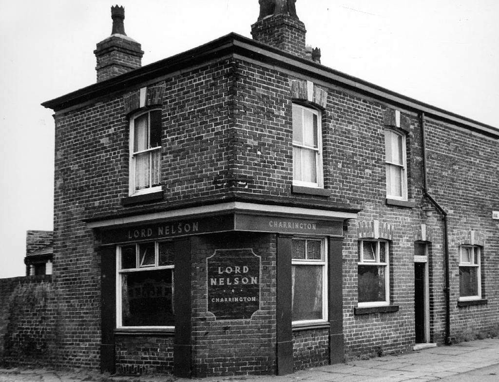
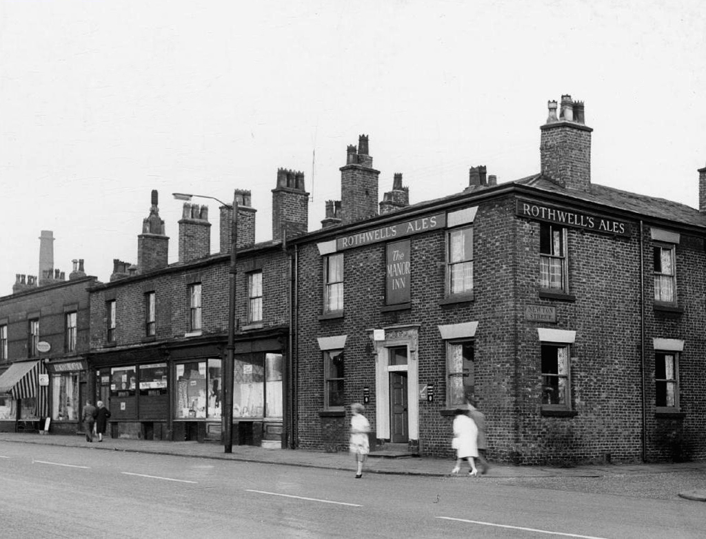
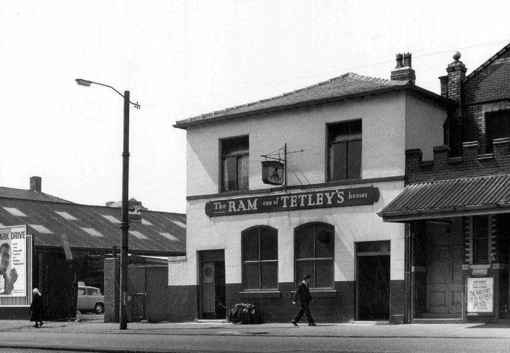
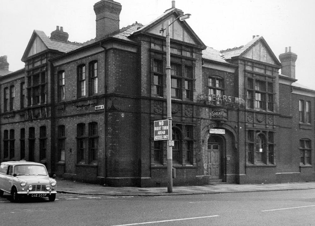
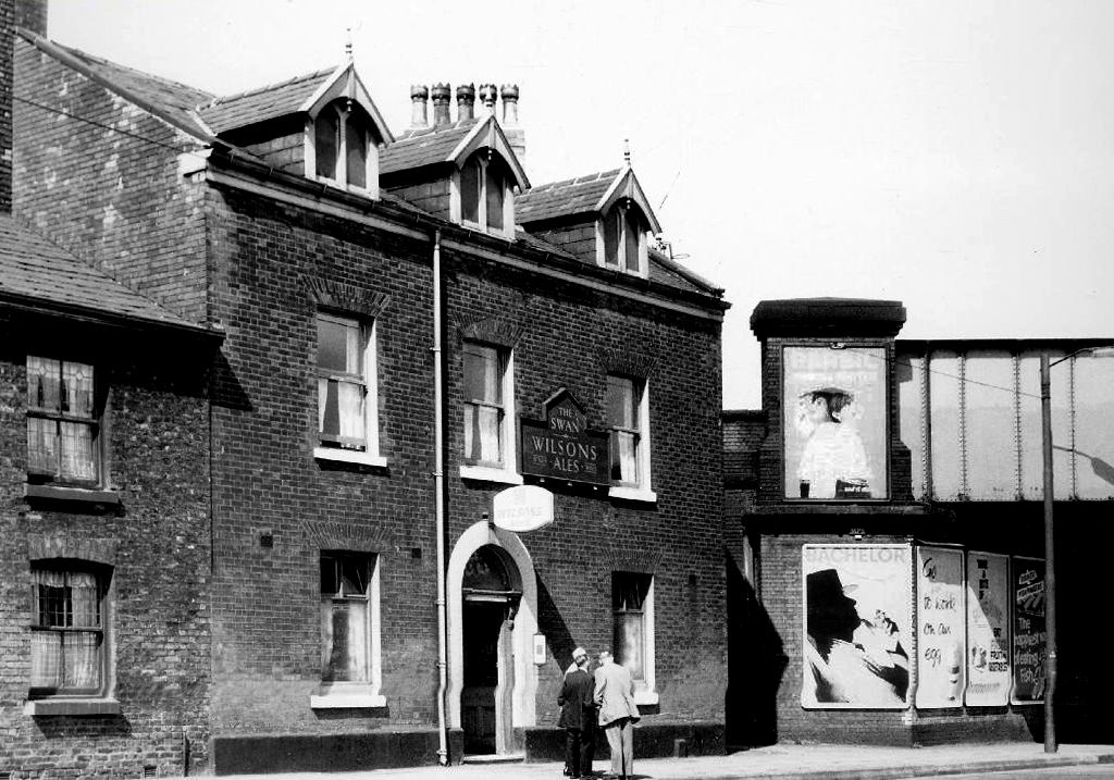
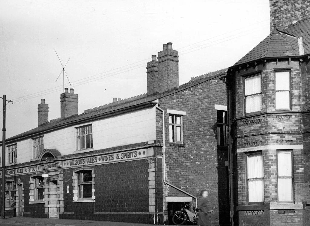
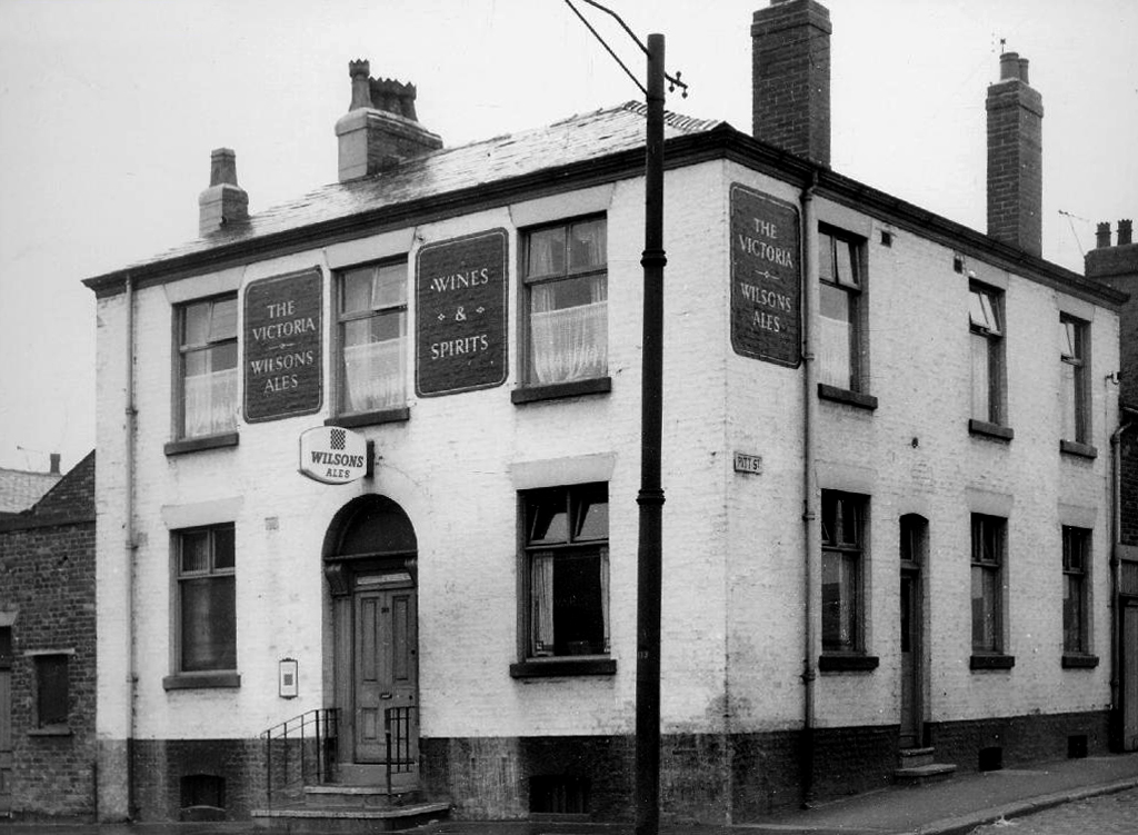
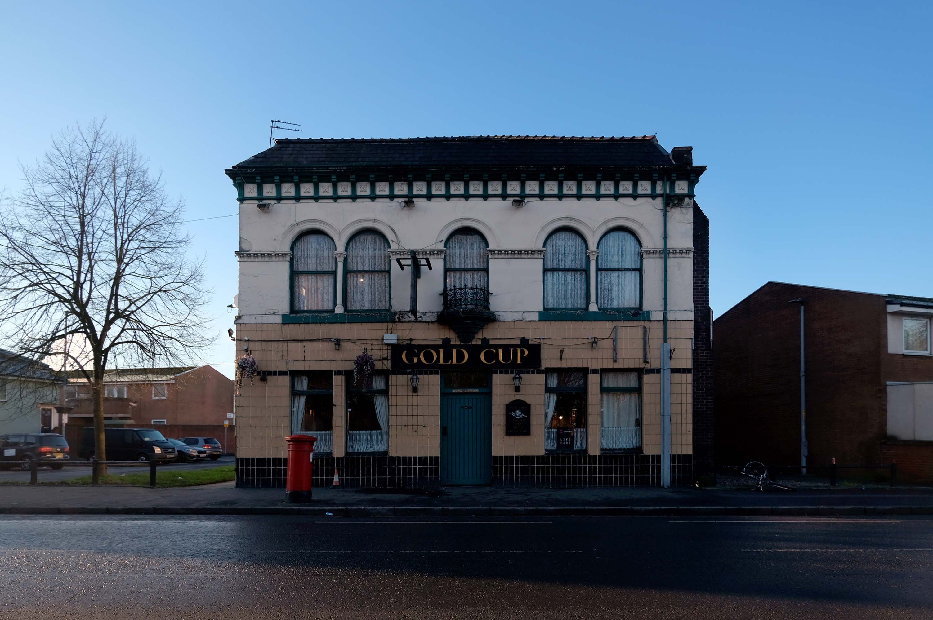
Having a blog entitled Manchester Estate Pubs, the national media became interested in my photographs. I had spent quite some time, wandering around in search of this endangered architectural typology.
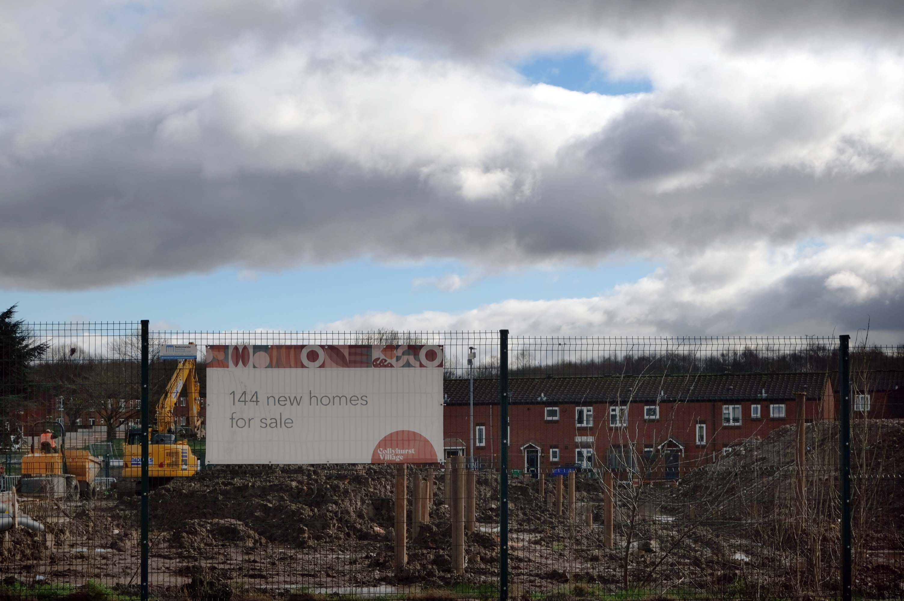
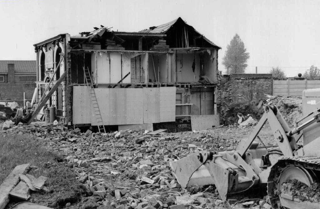
This was Billy Greens in Collyhurst, named for a local boxer, now demolished.
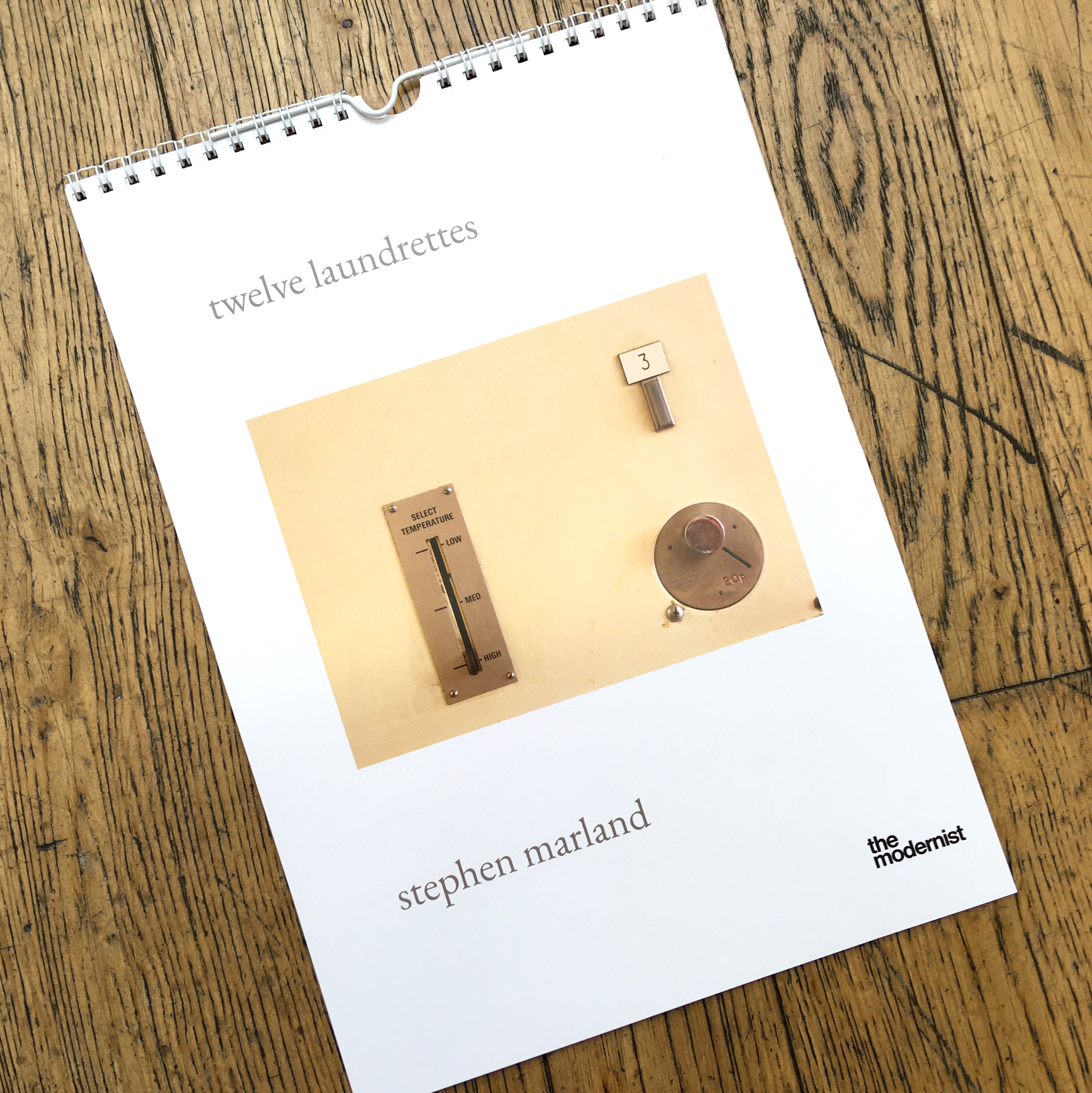
Which in turn became the second modernist calendar.
Followed the following year by fish and chip shops.
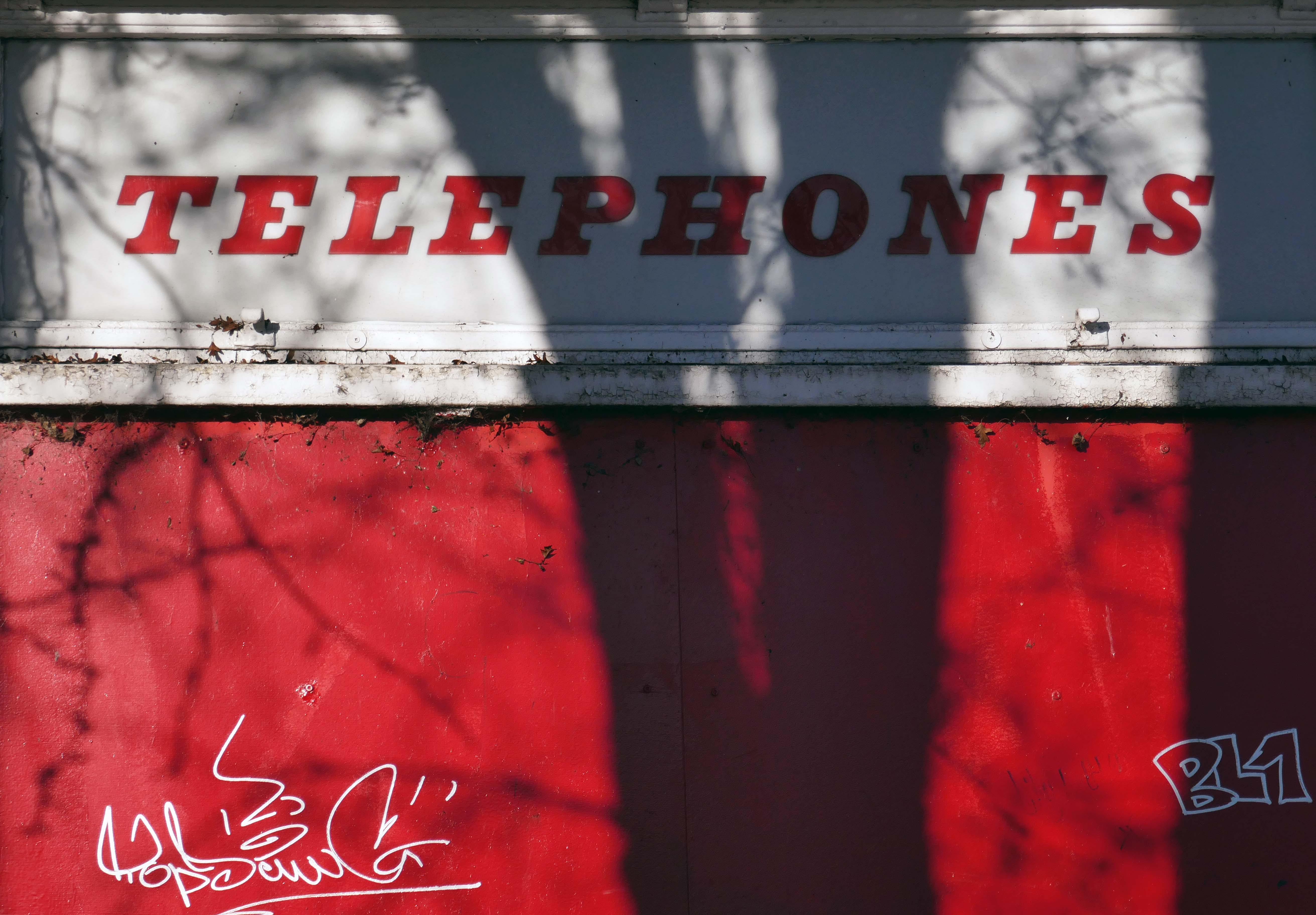
So building a vocabulary for my mooching, discovering yet another chippy, laundry, pub, Burton’s, telephone exchange, glazed stairway or underpass.
These things find you, yearning for some small amount of attention and affection.
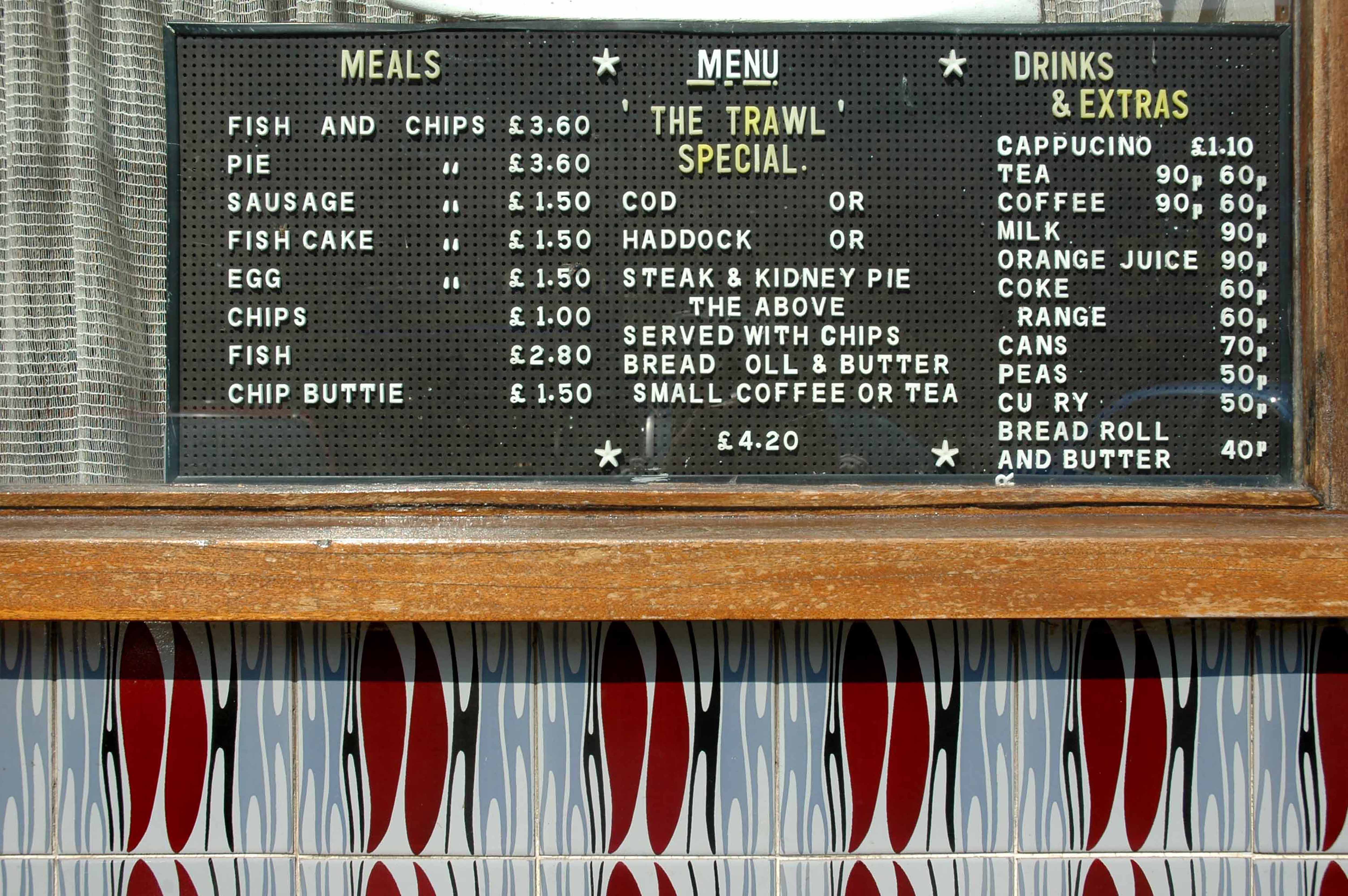
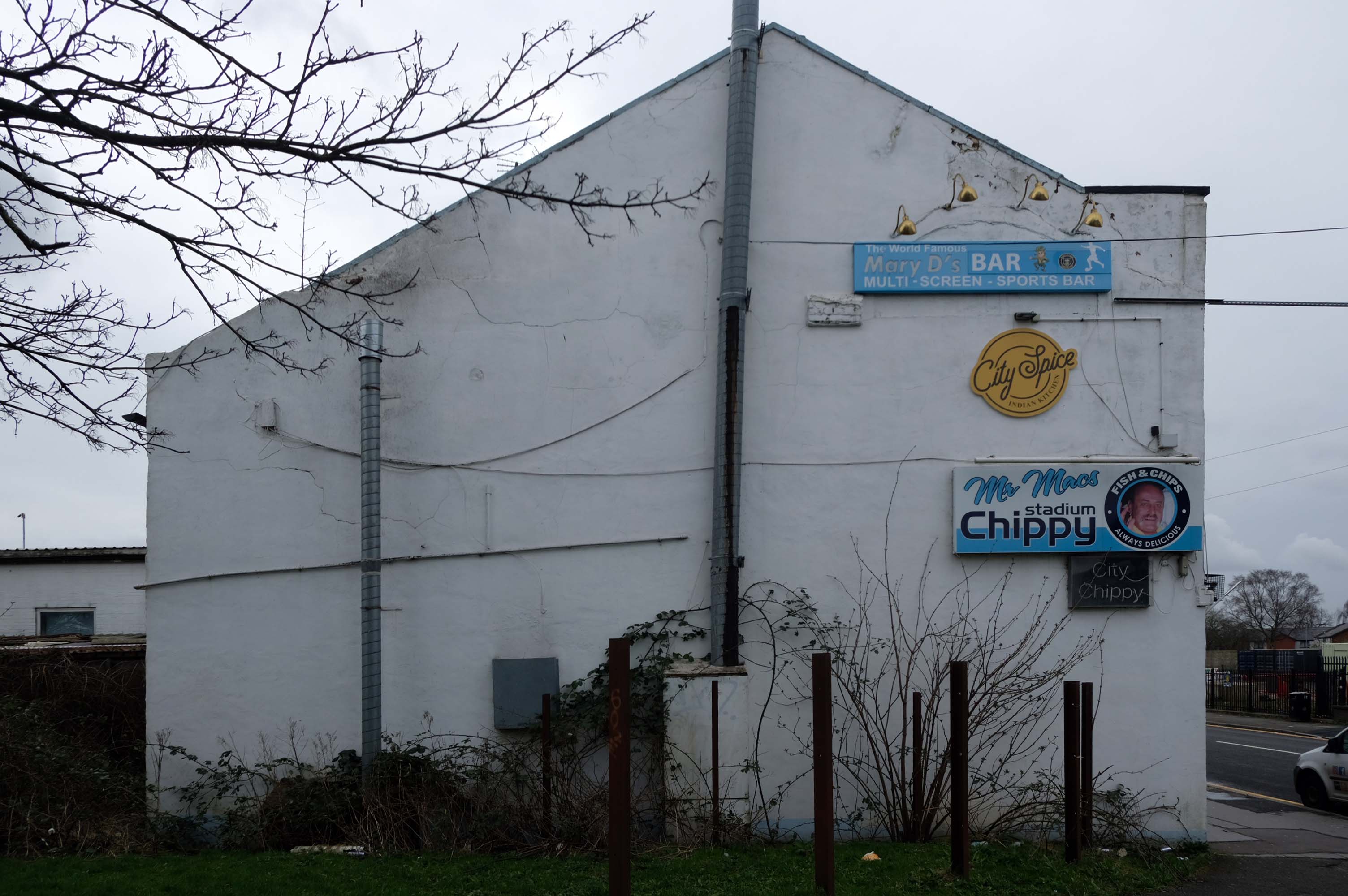
The Trawl – my favourite peg board menu, my favourite Bridlington chippy.
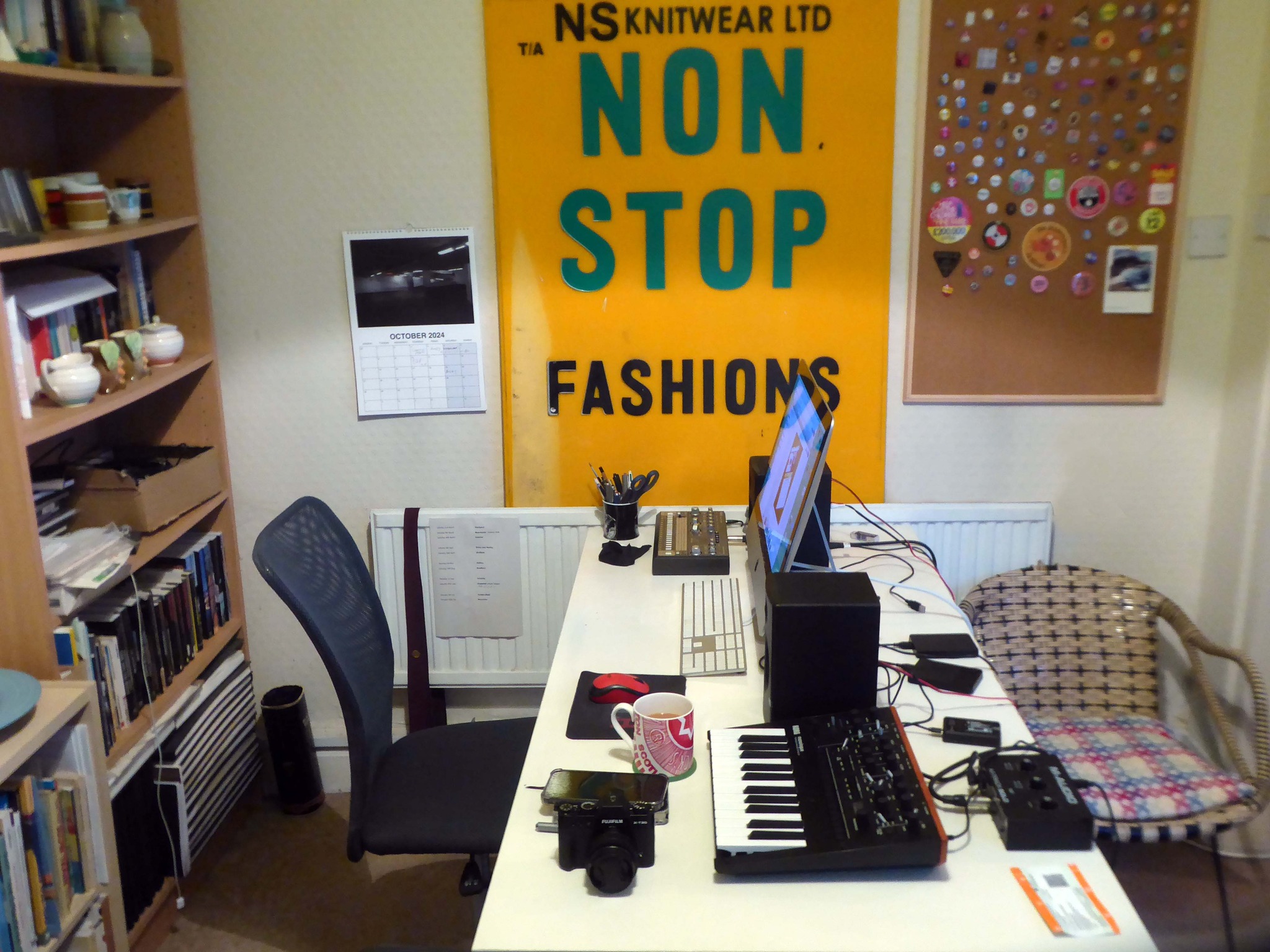
We are now coming to the end of the car park year – seen here on the wall of my command centre.
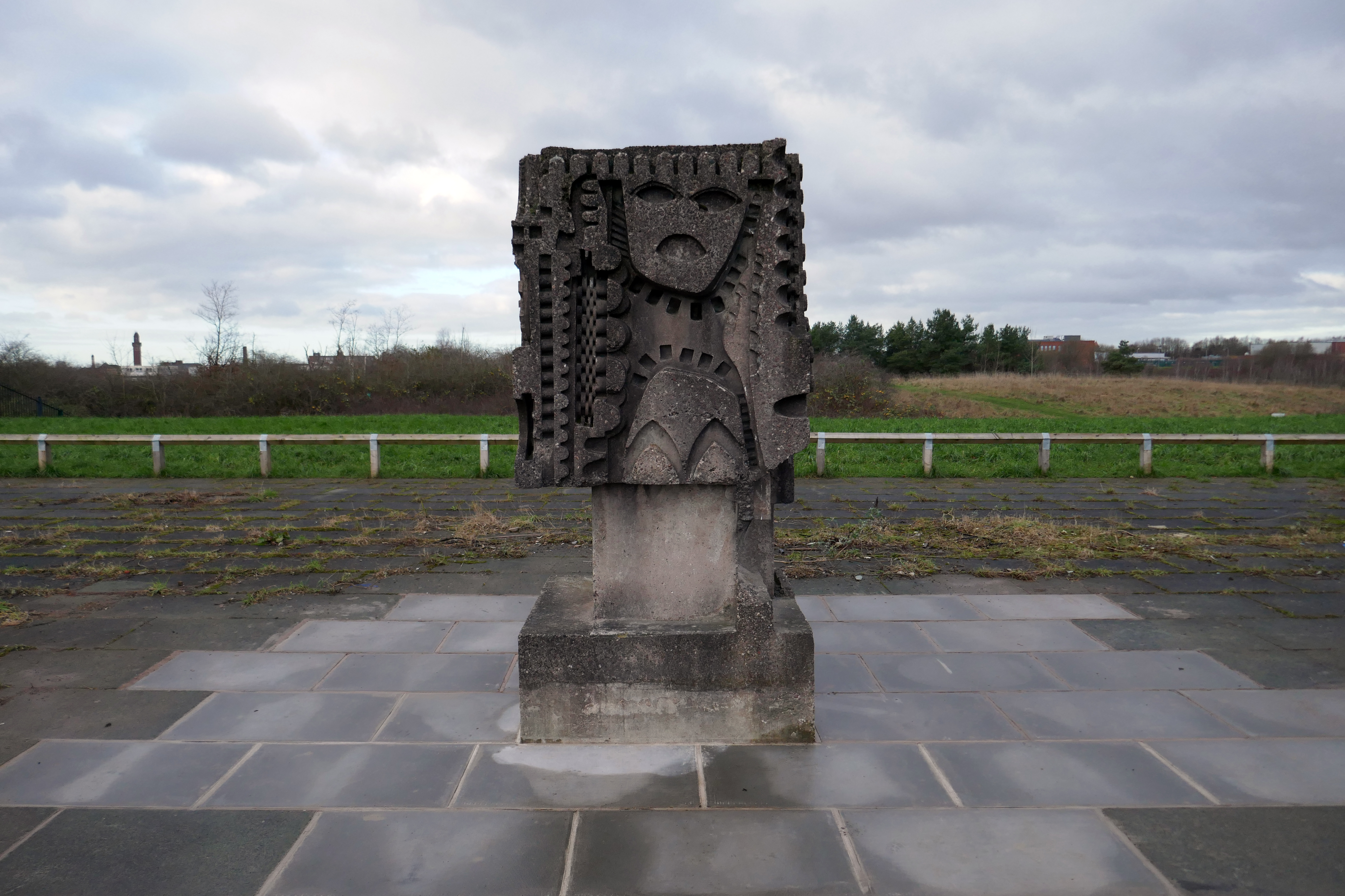
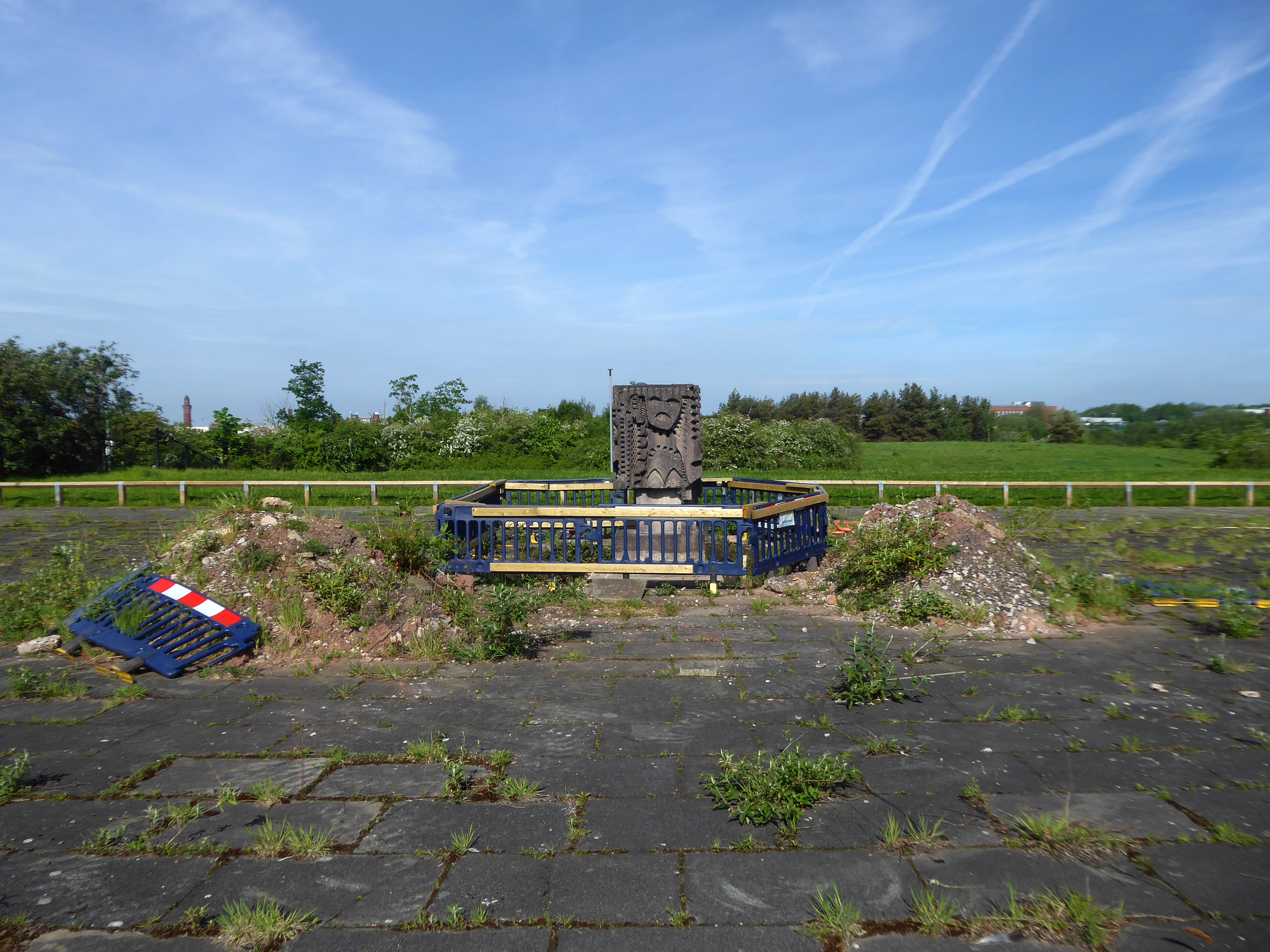
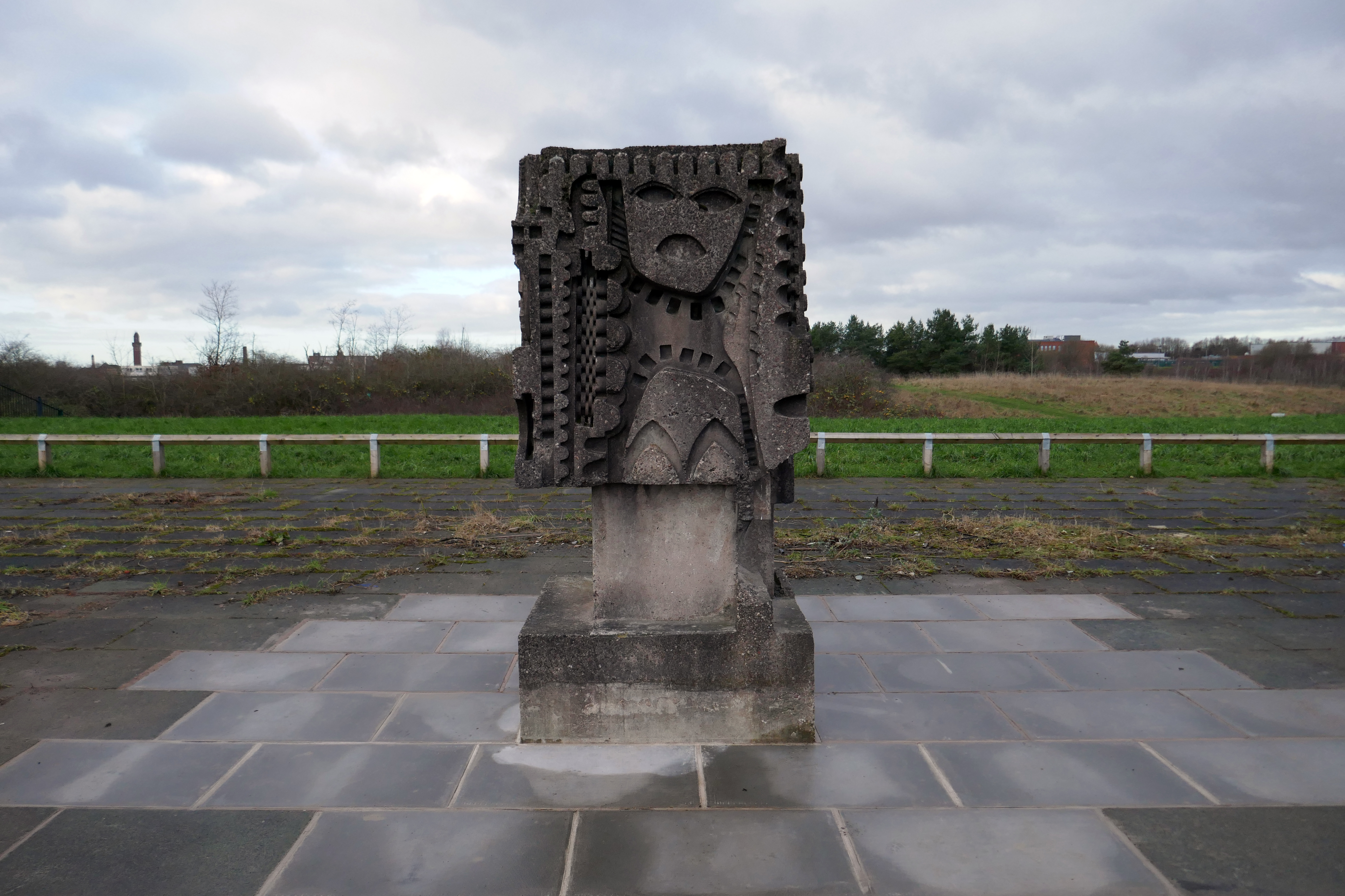
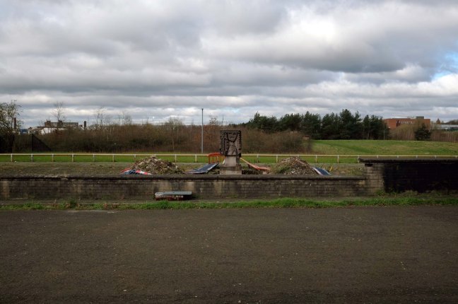
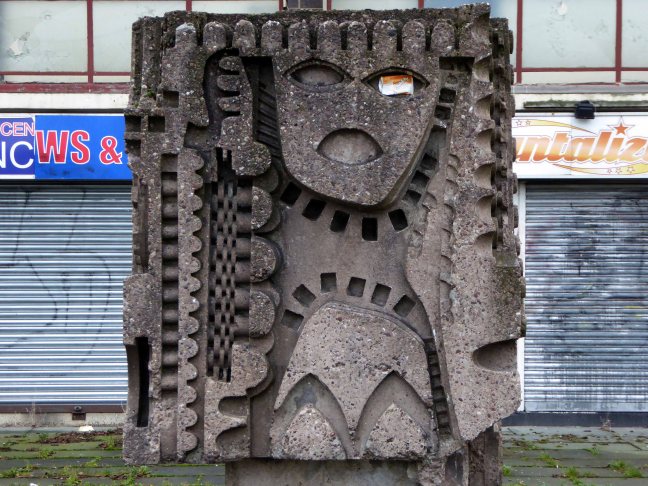
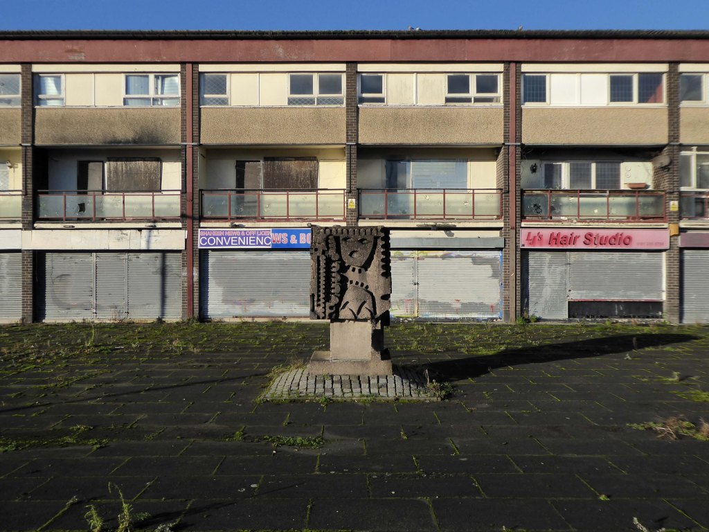
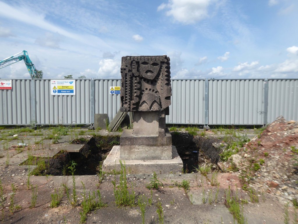
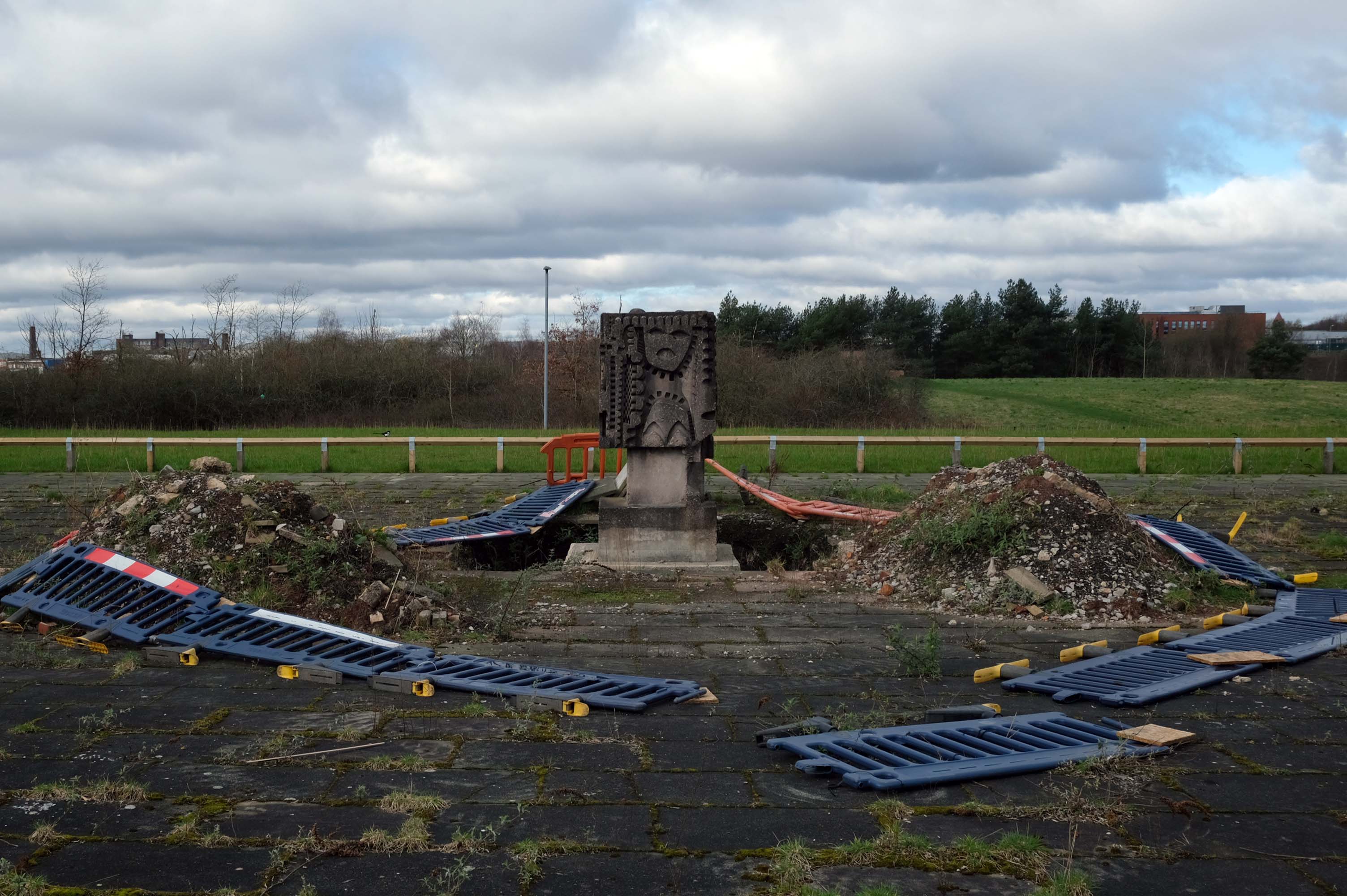
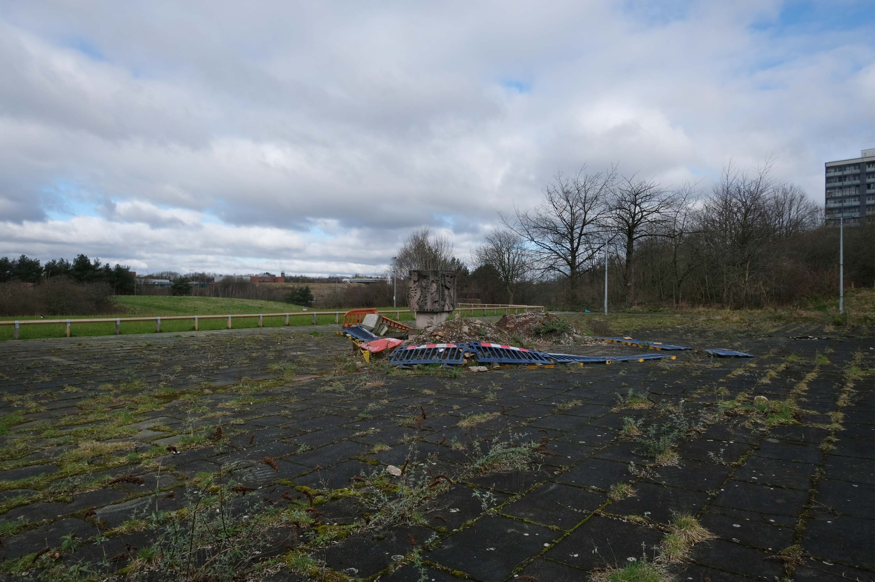
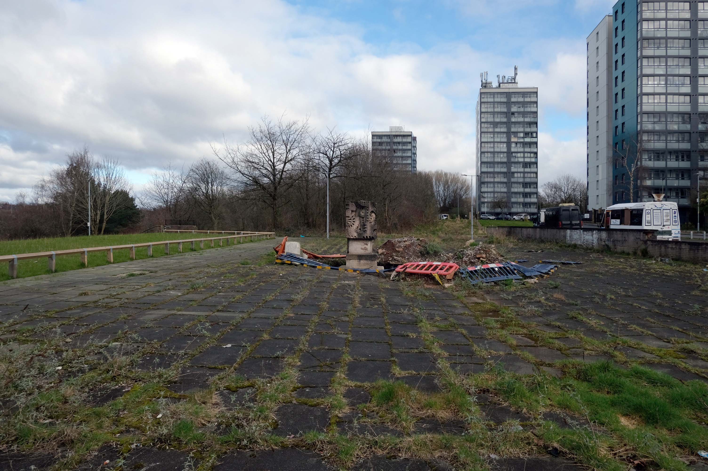
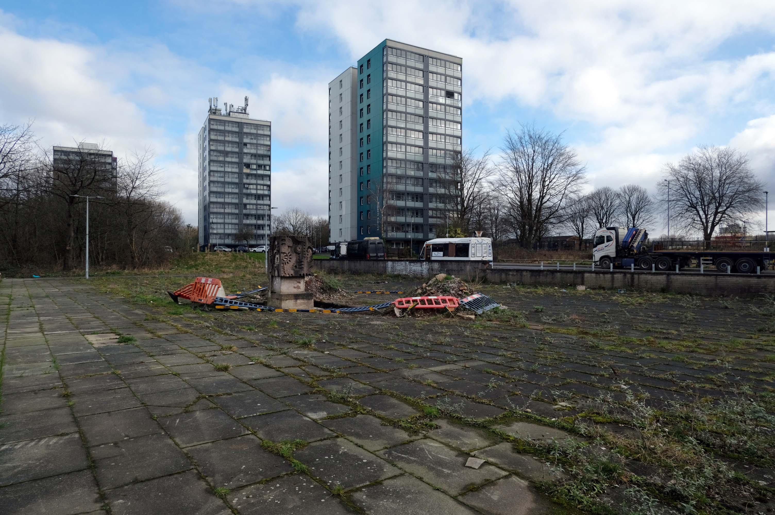
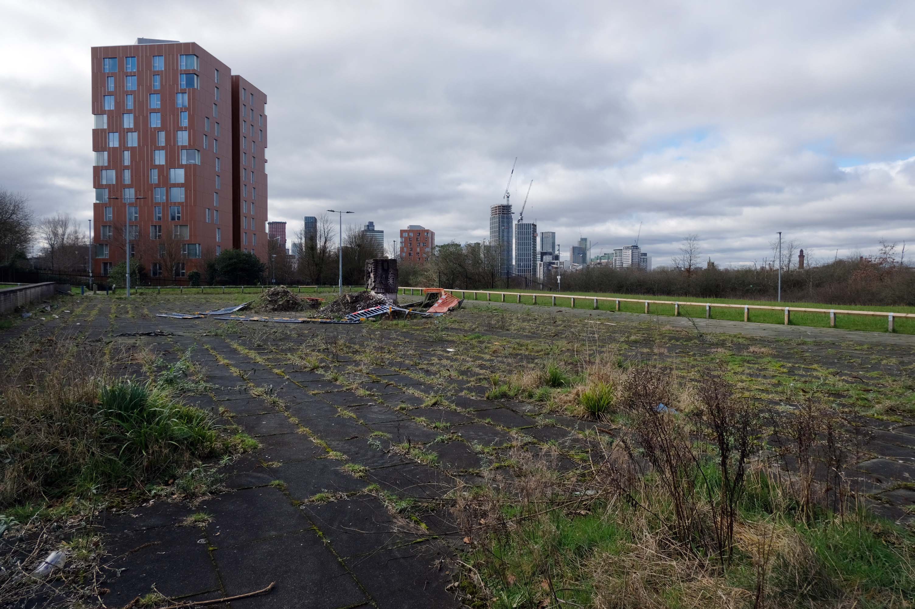
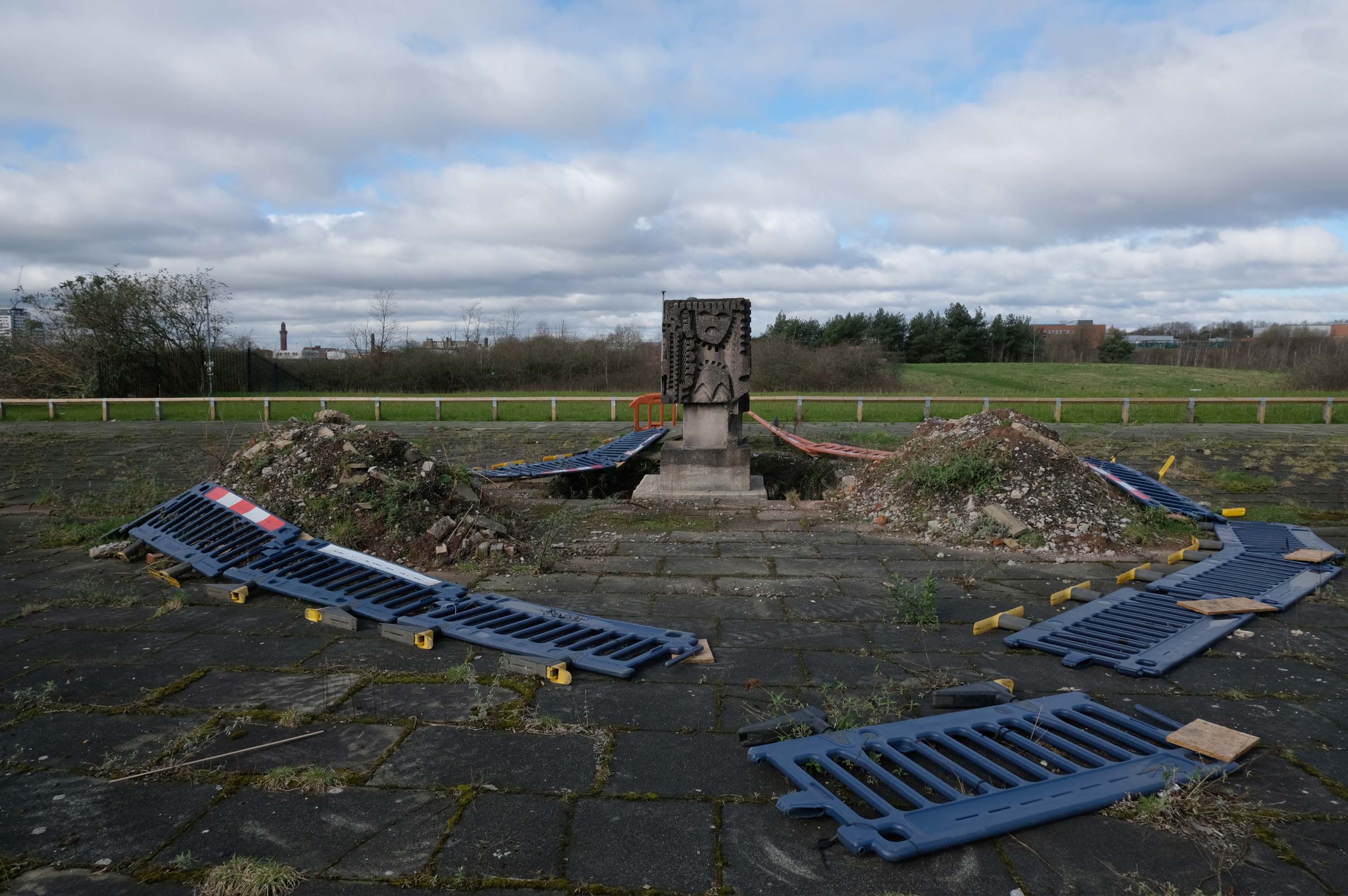
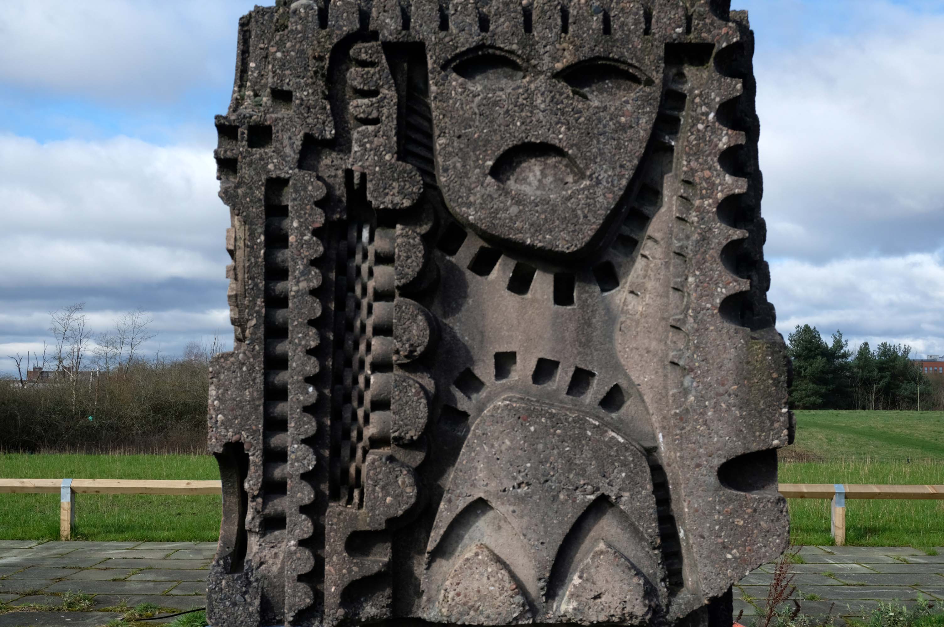
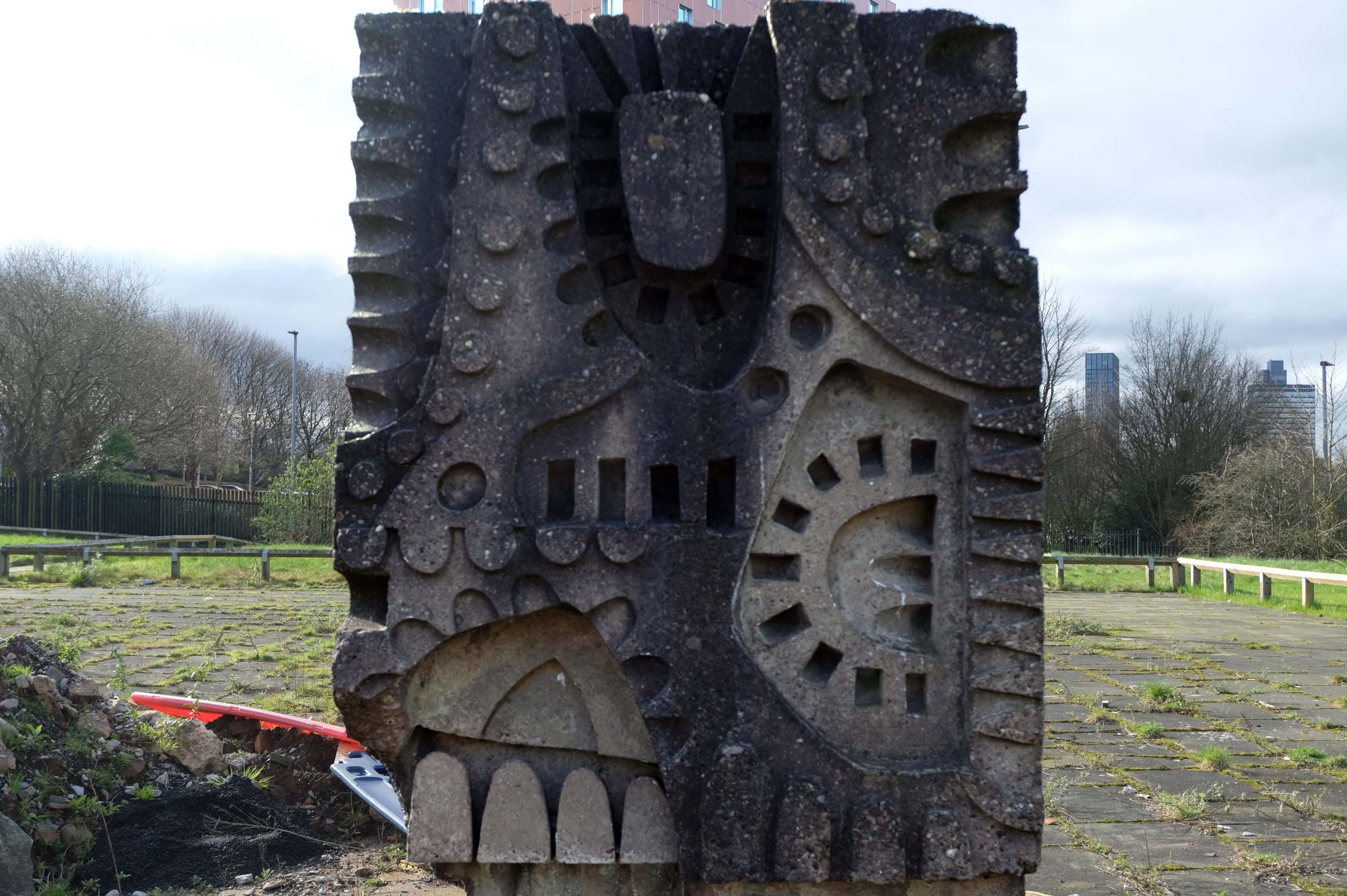
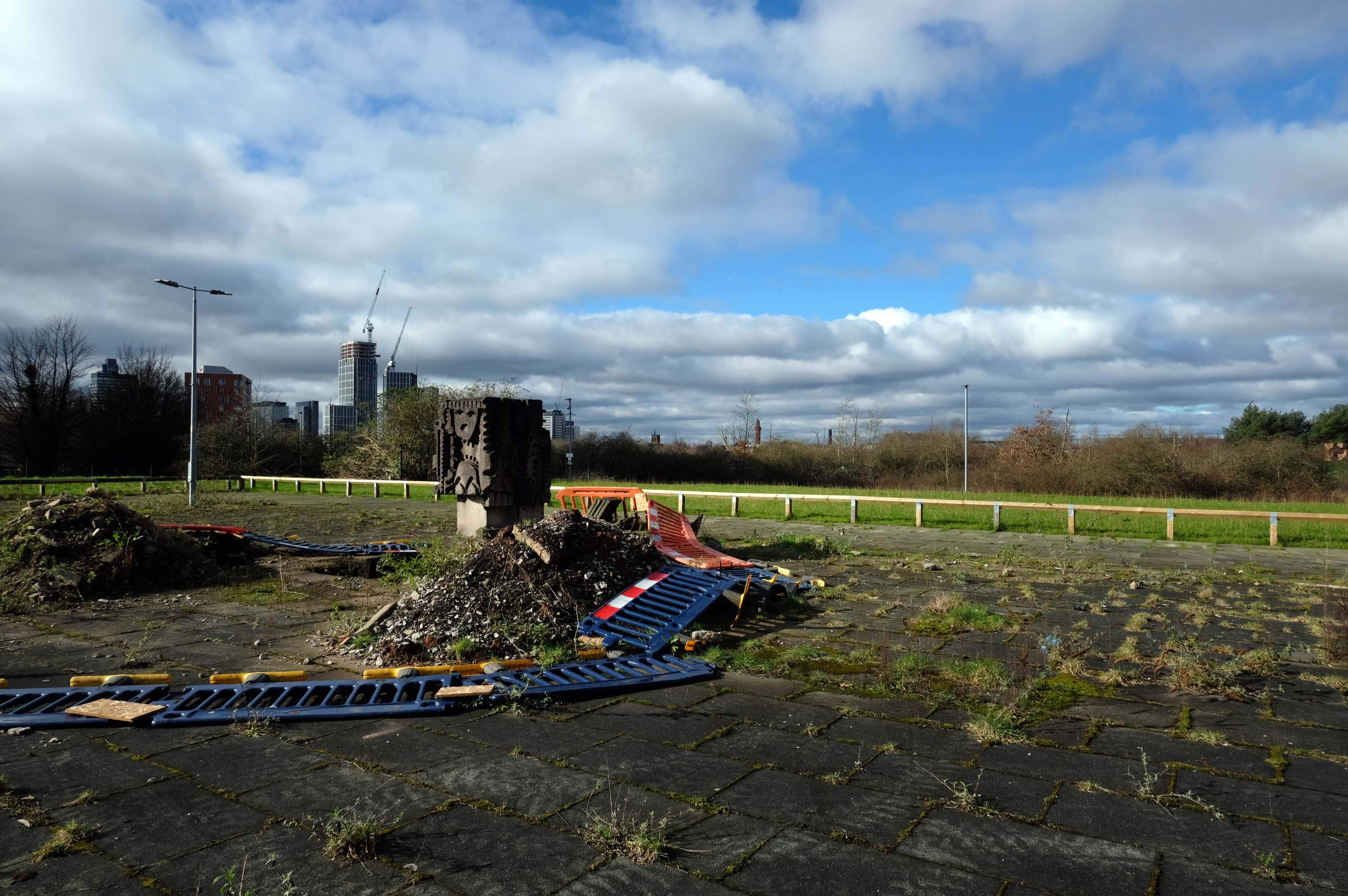
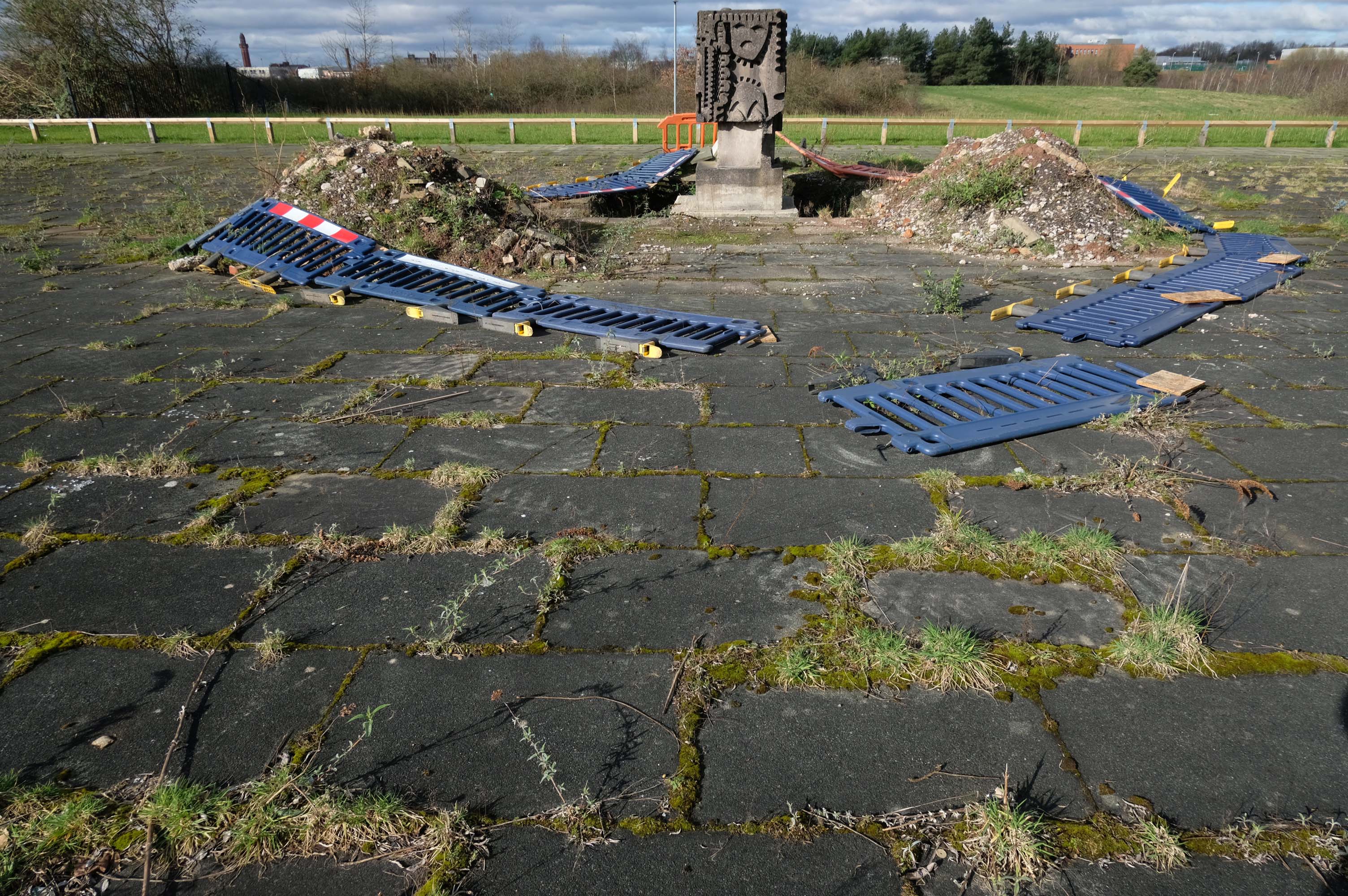
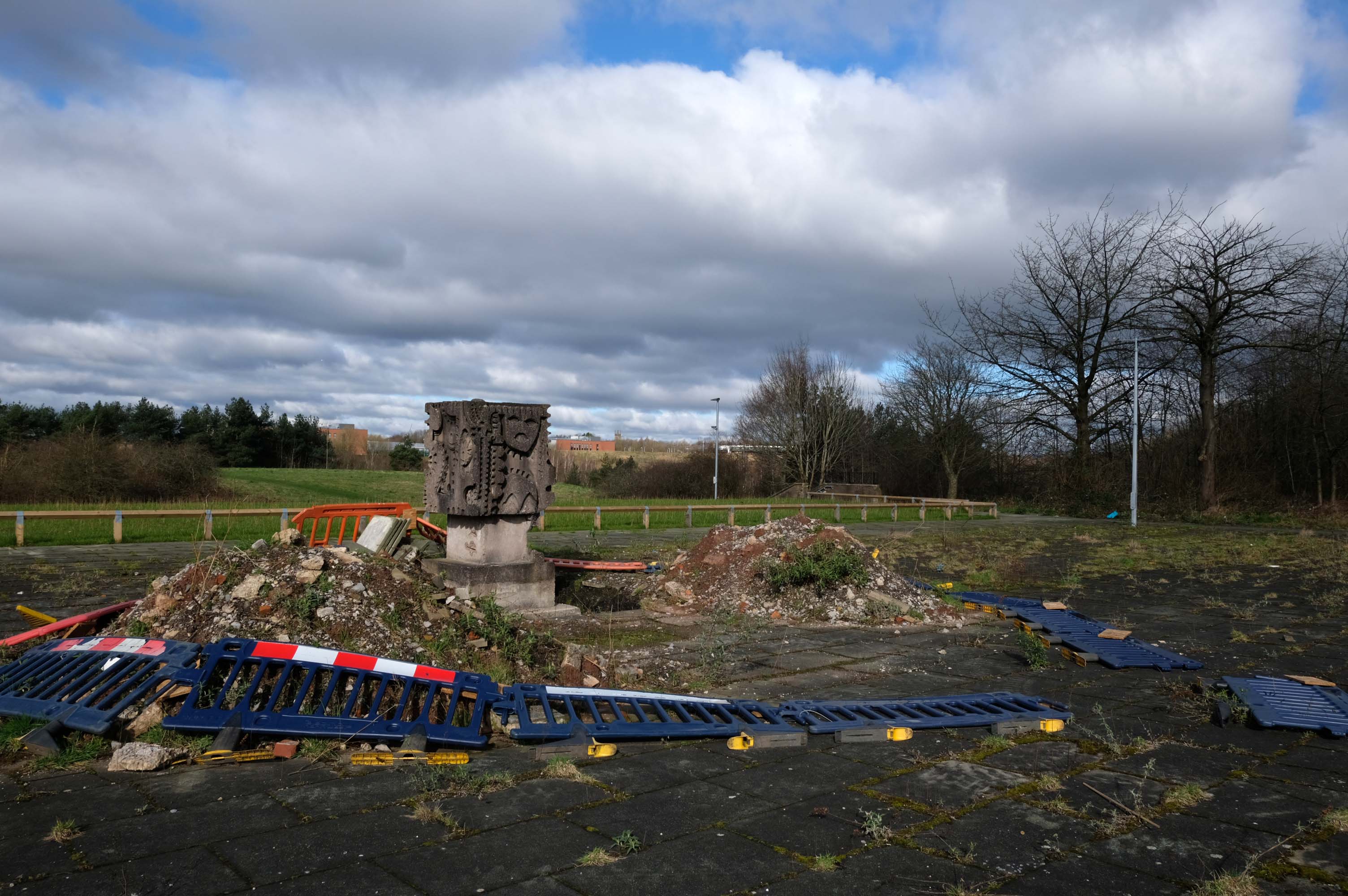
Home to William Mitchell’s Totem, the homes long gone and the Council pledged to move the totem too.
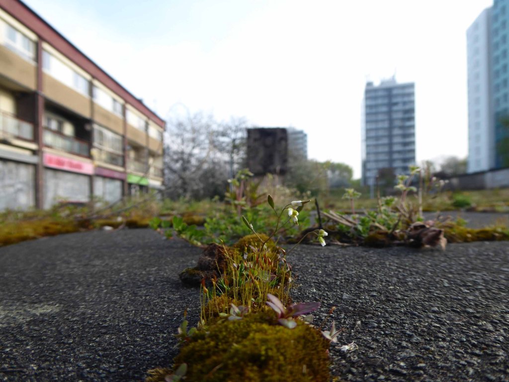
The state of play this week, the detritus removed and the base filled in, repaved and safe for a while.
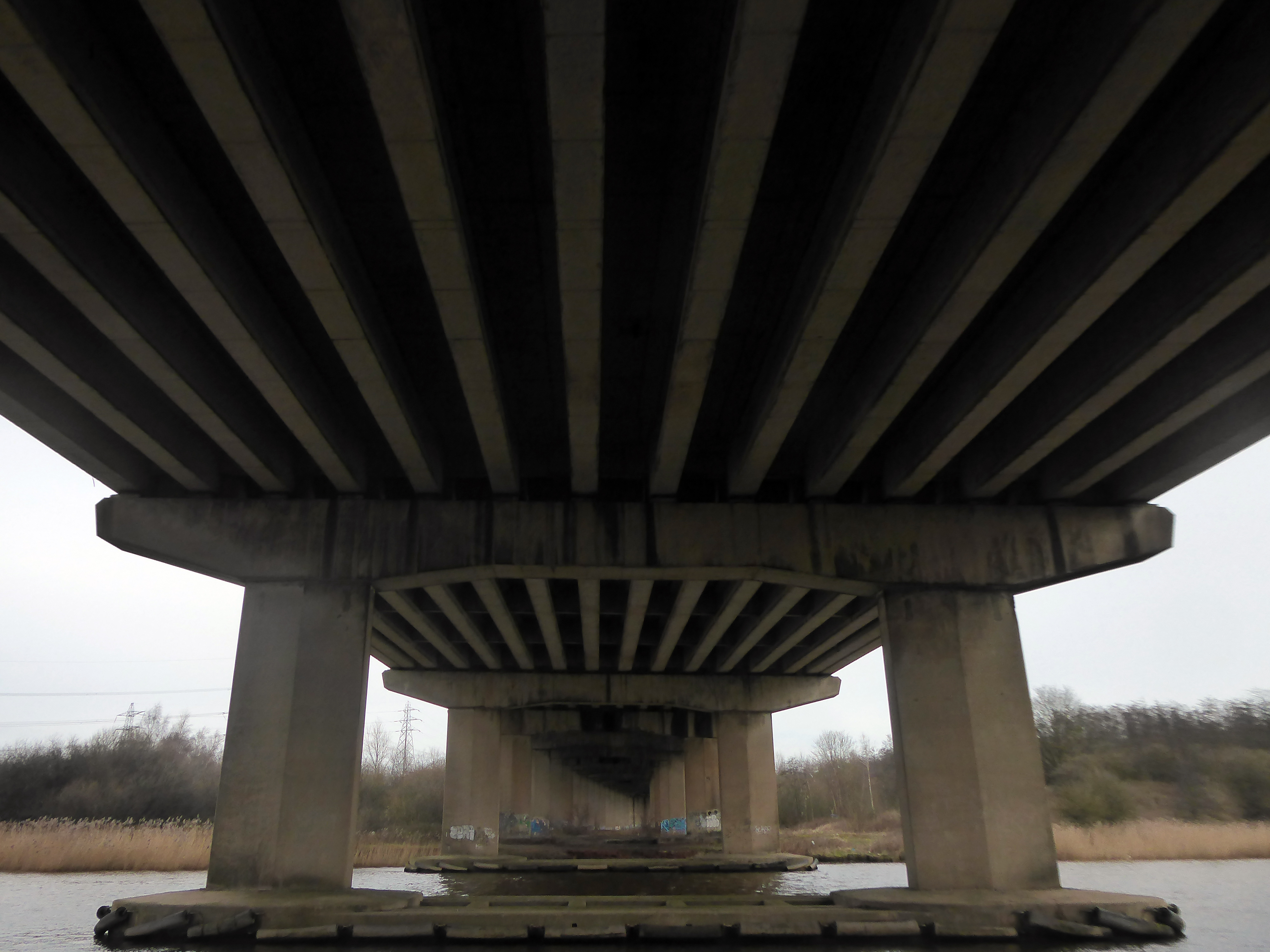
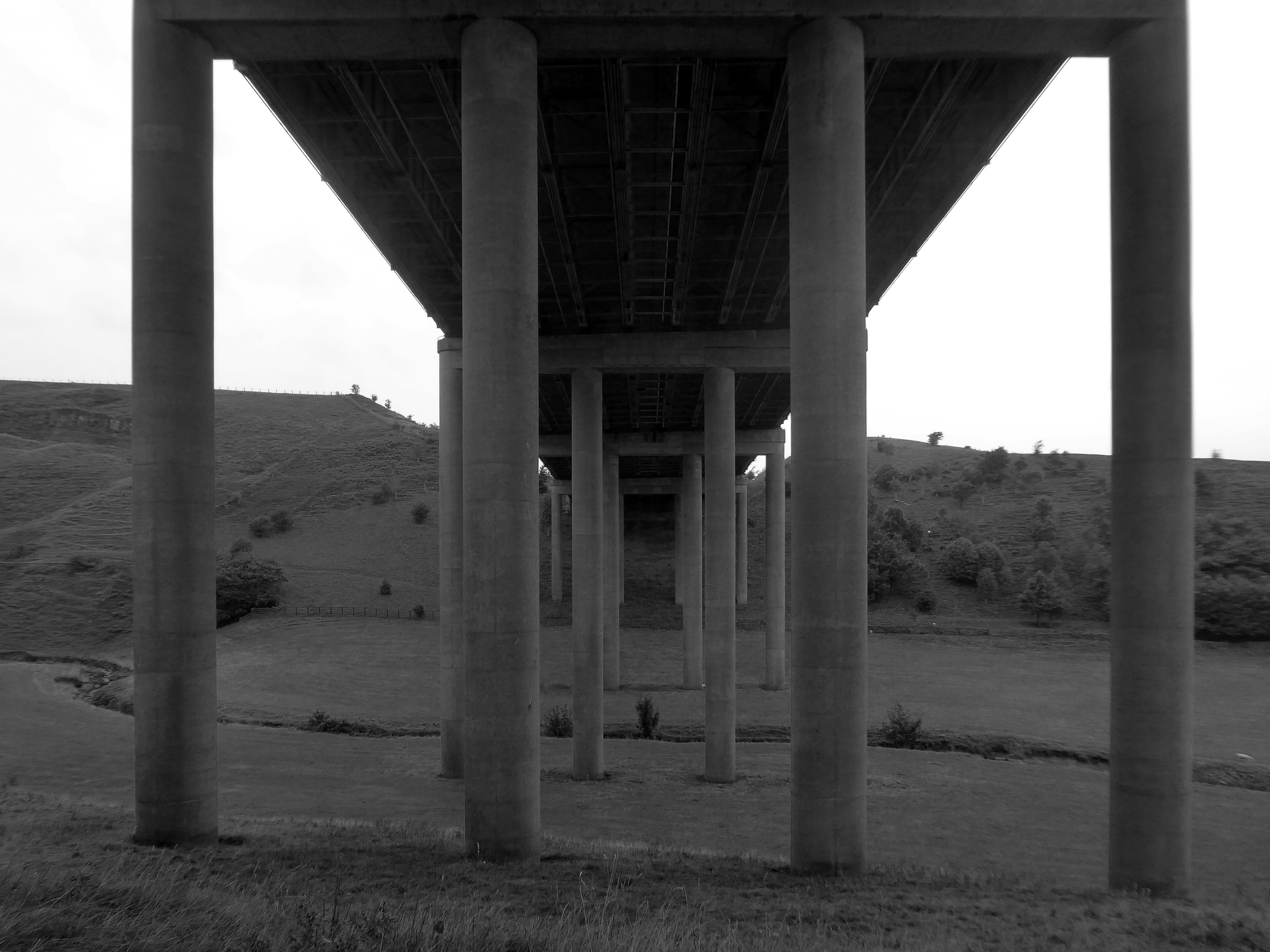
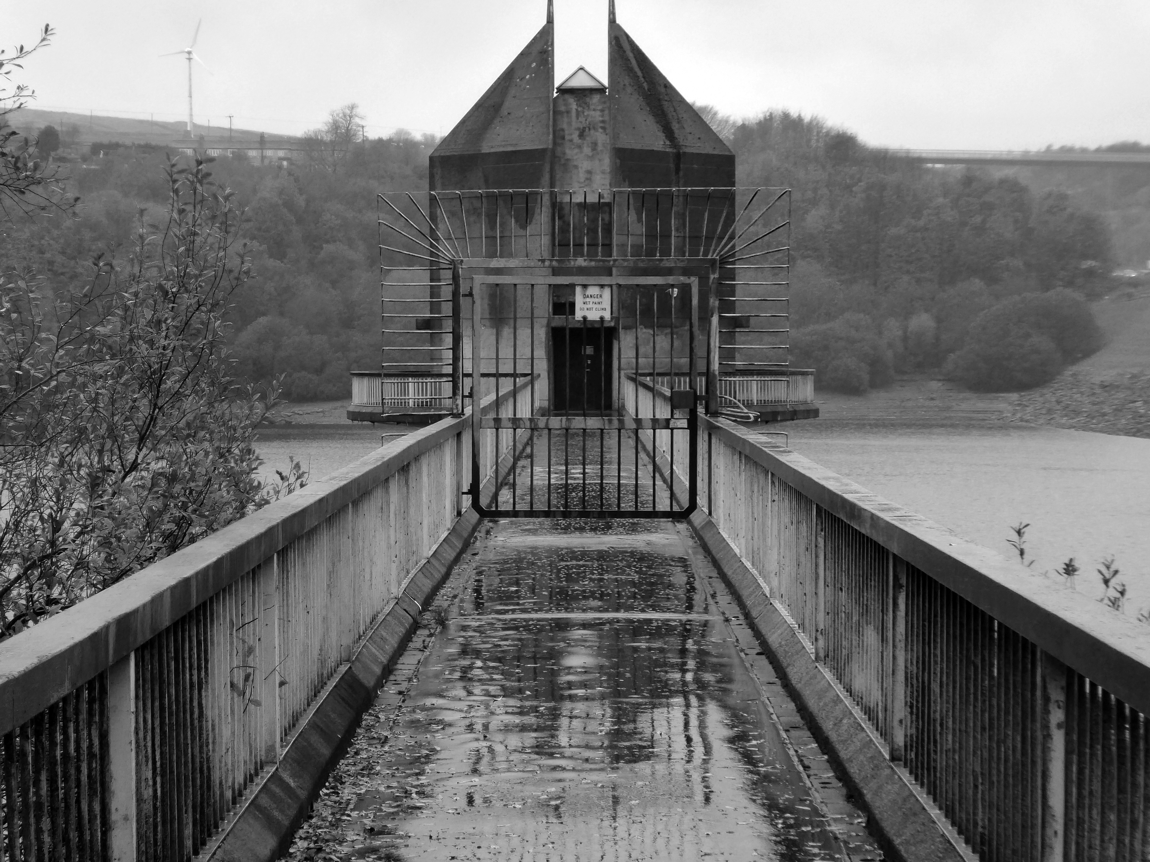
Off now to the Weaver Valley another day another river, passing under Weaver Viaduct
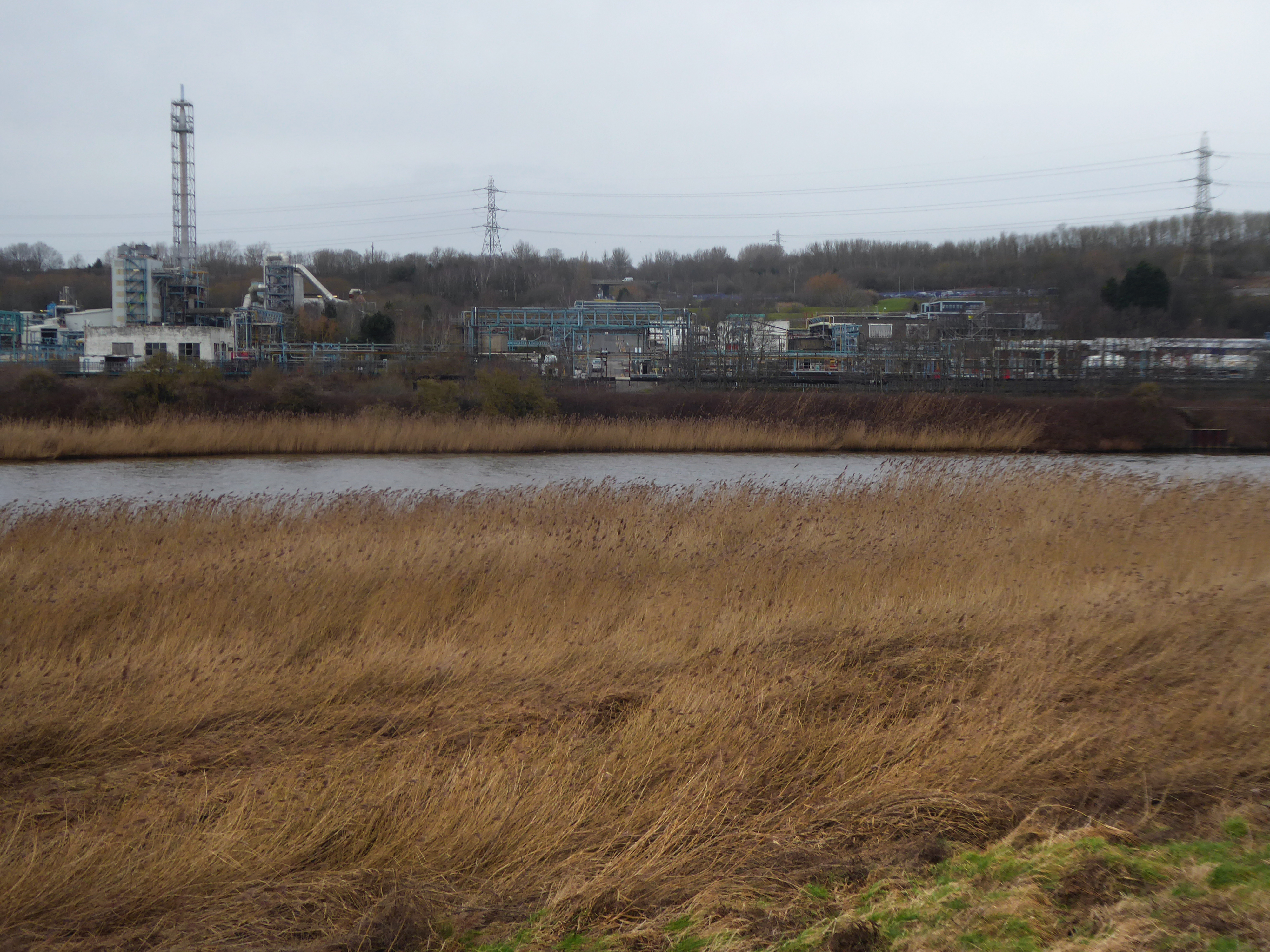
The looking toward KouraGlobal – leader in the development, manufacture, and supply of fluoro products and technologies, opened a new HFA 152a production facility at their Runcorn site in the UK.
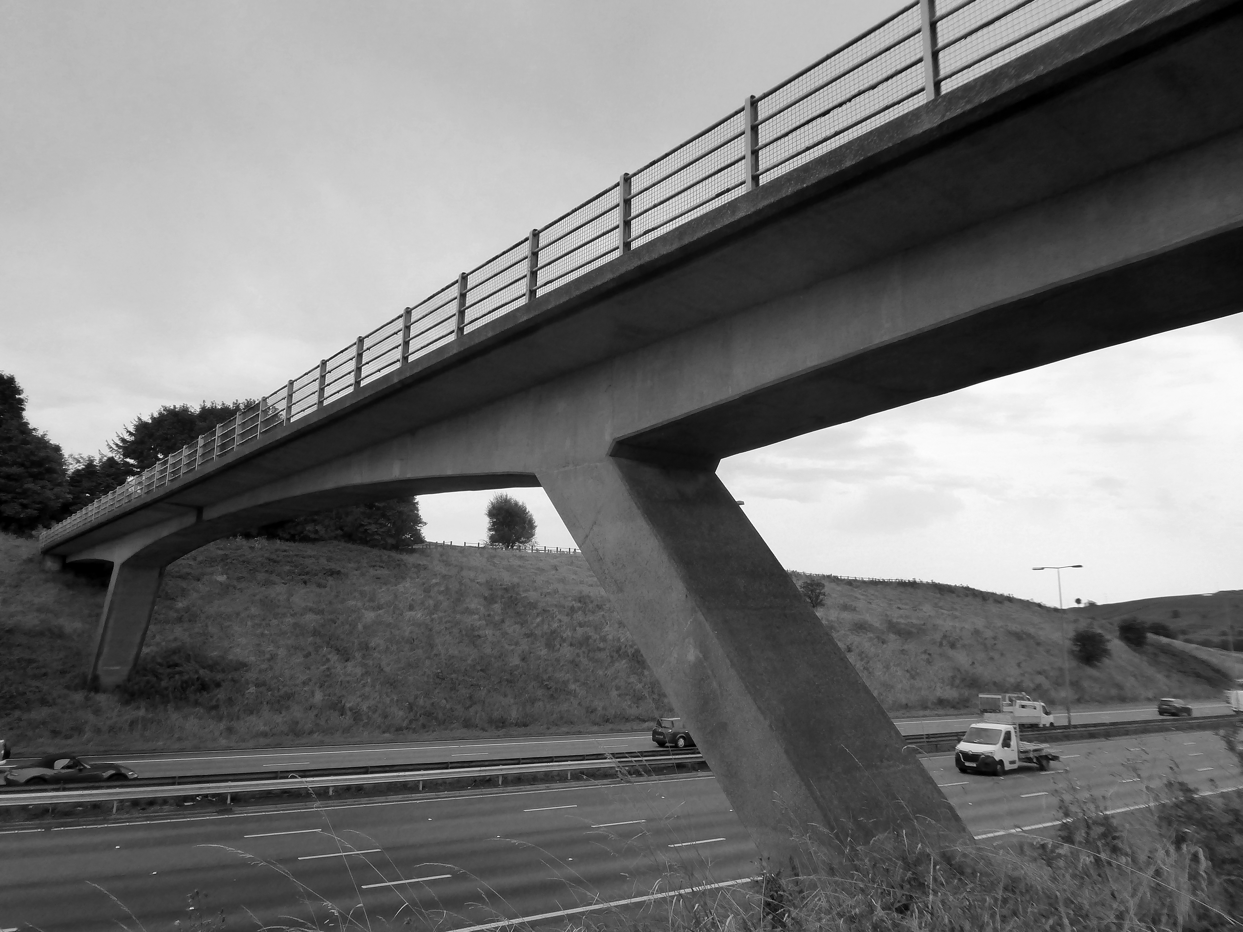
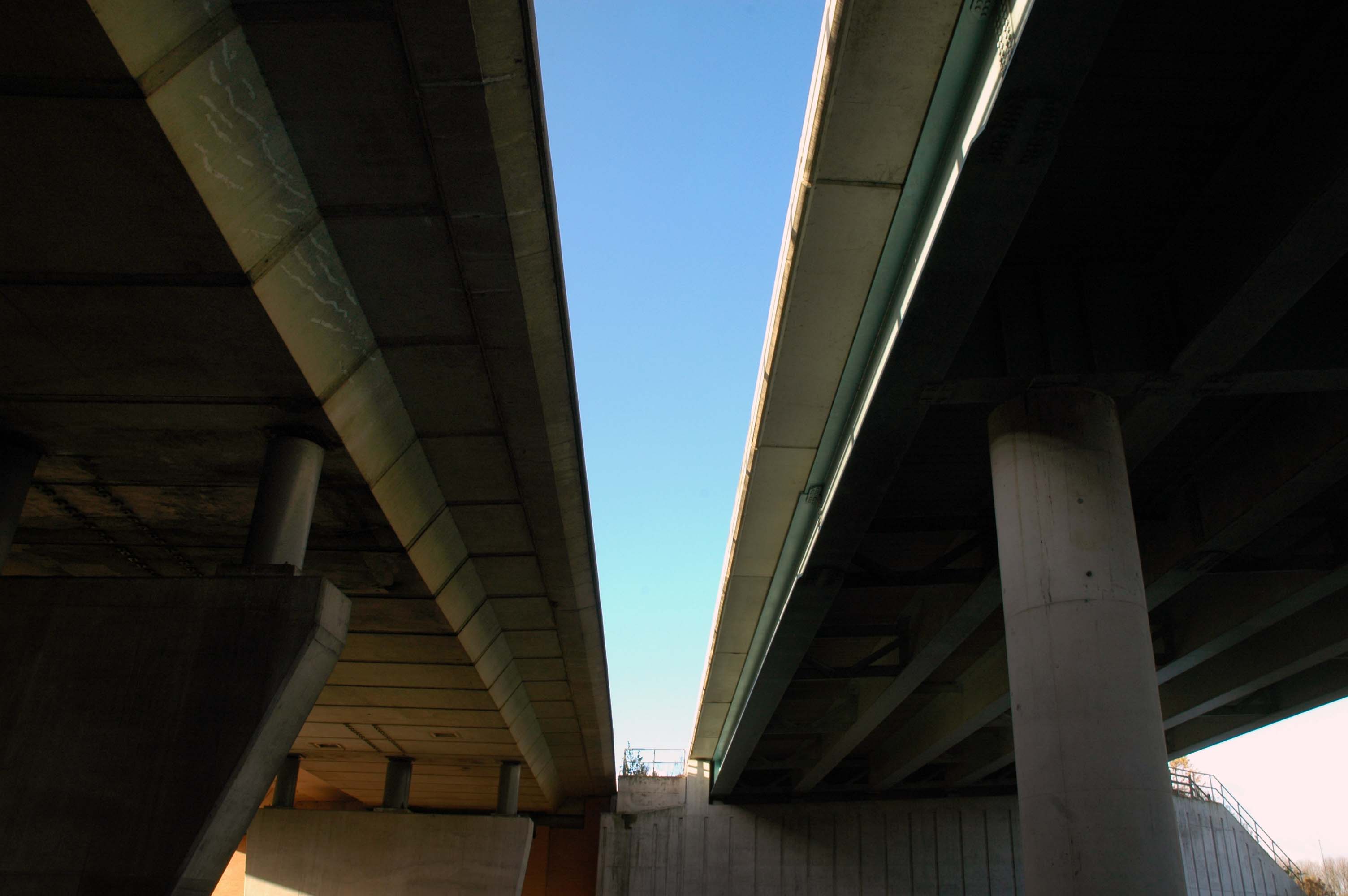
Further rural Modernism as we pass under and traverse the M62, whilst walking around the Piethorn Valley
The newest of the Modernist Mooches was to Burnley where we visited the Keirby Hotel.
The former GUS Offices with a mural by Diane and William Morris.
Plus the Charles Anderson concrete relief at the Crow Wood Hotel.
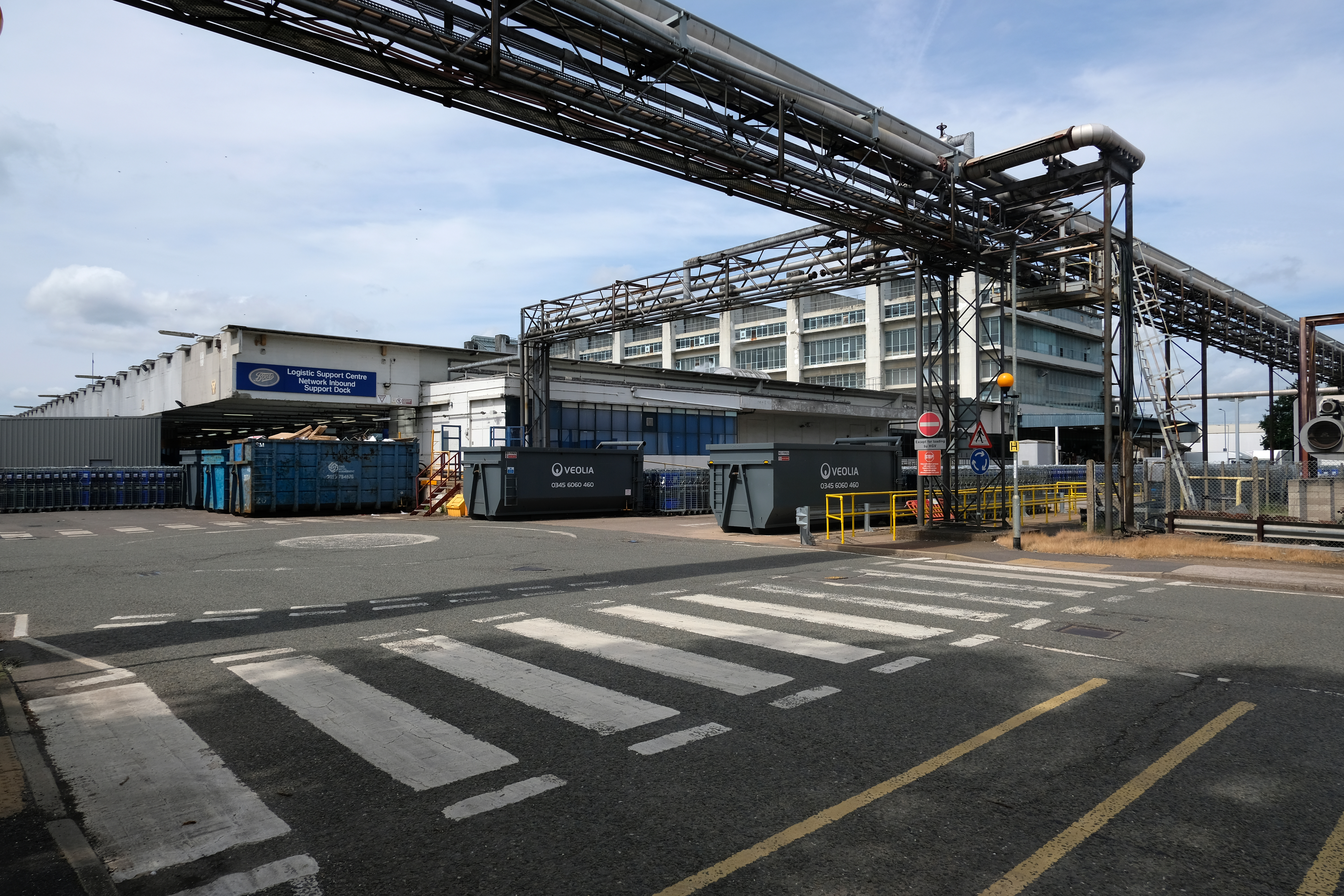
Finally a little light relief – a visit to the Boots factory in Nottingham.
Having innocently board a bus outside the station with a Boots head code , I alighted within the factory gates. Then innocently walking around taking snaps, unheeded until the men in the van stopped me in my tracks.
Who are you, what are you doing?
I am the Modern Moocher going about my business – well it turns out this was not permitted and I was red carded by the earnest security guards and asked to leave forthwith. Suitably rebuked, I politely bade them farewell and headed for the gates.
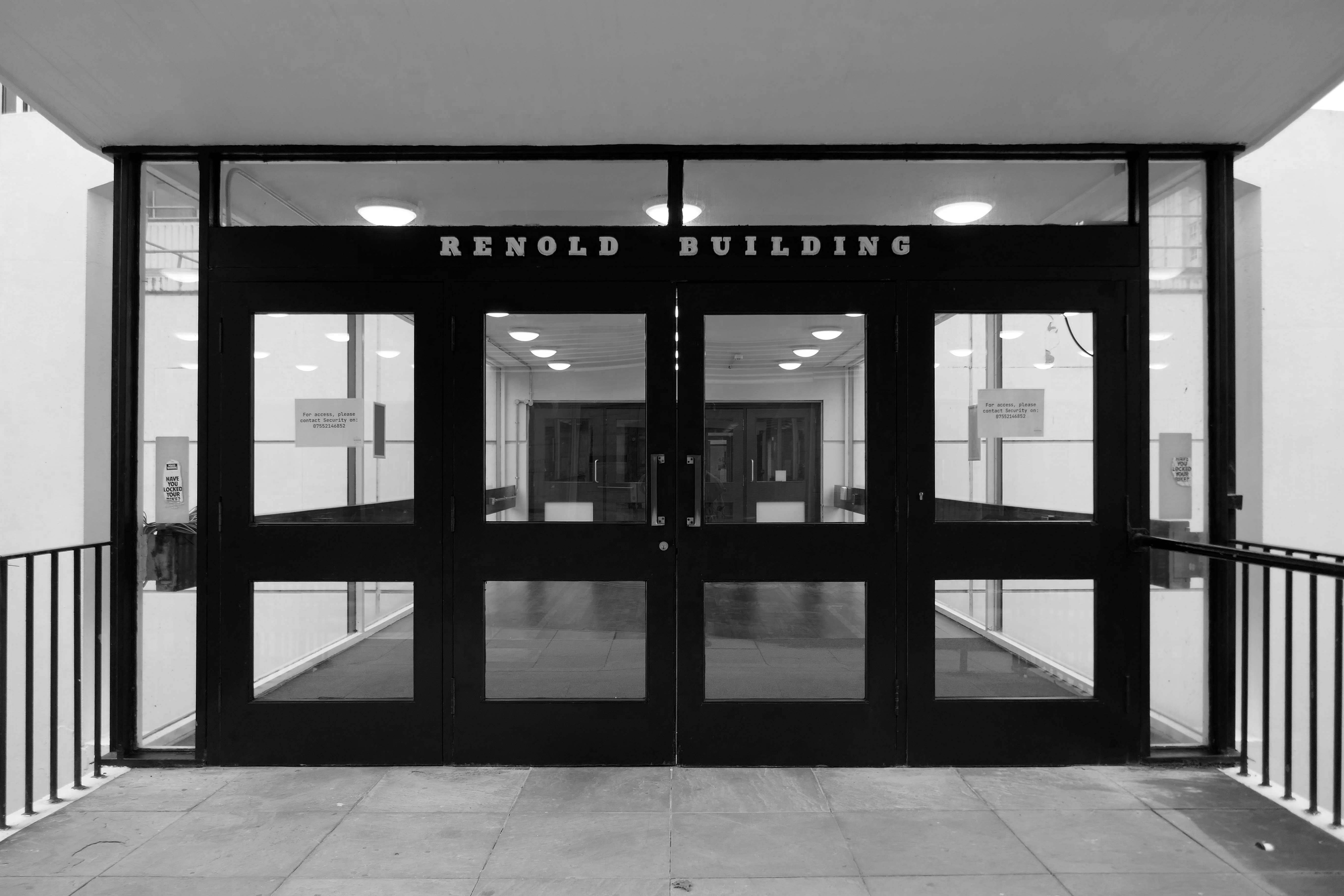
Along with the Renold Building– which is already home to start up tech businesses.
The city council has approved Bruntwood SciTech’s change of use bid to transform the 110,000 sq ft Renold building into a tech and science hub.
In a joint venture with the University of Manchester, Bruntwood will create 42,000 sq ft coworking and business incubator spaces for businesses in the sector at the Altrincham Street building.
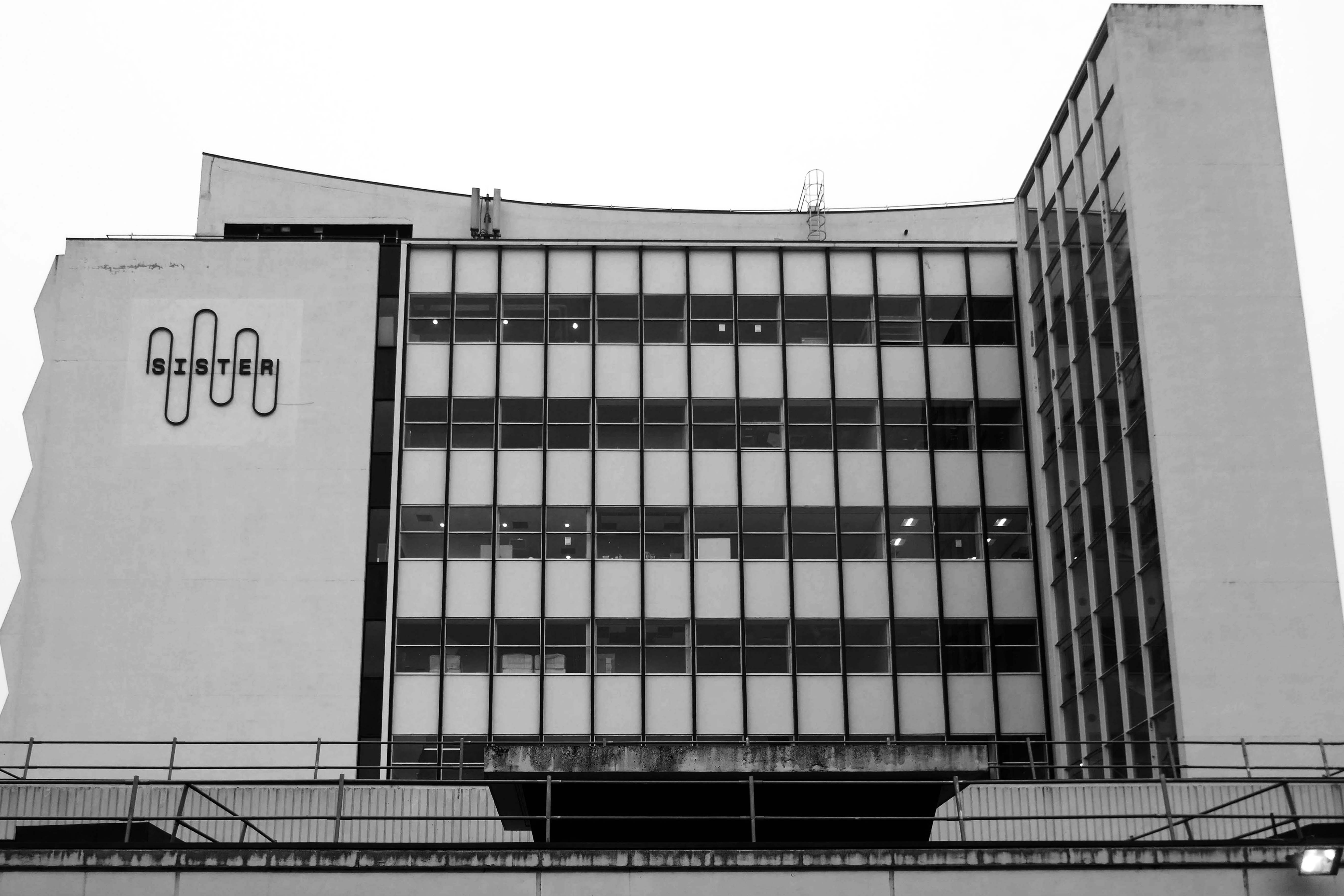
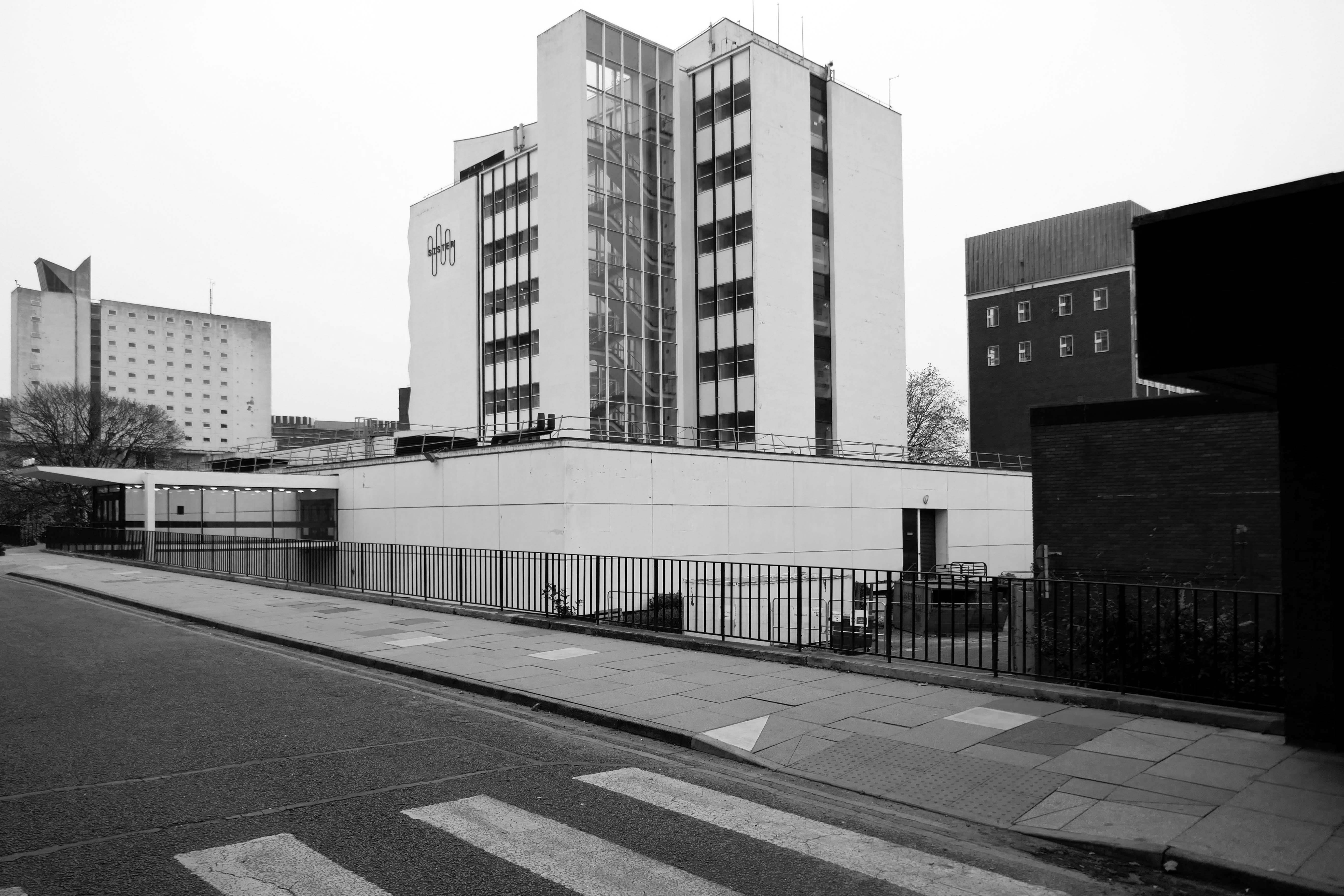
Sister is Manchester’s new innovation district. A £1.7bn investment into the city, its setting – the former University of Manchester North Campus and UMIST site – is steeped in science and engineering history. Home to the UK’s most exciting new ideas and disruptive technologies, Sister is a worldclass innovation platform in the heart of one of the most exciting global cities. It stands as the city’s symbol of a new era of discovery that promises progress against humanity’s greatest challenges.
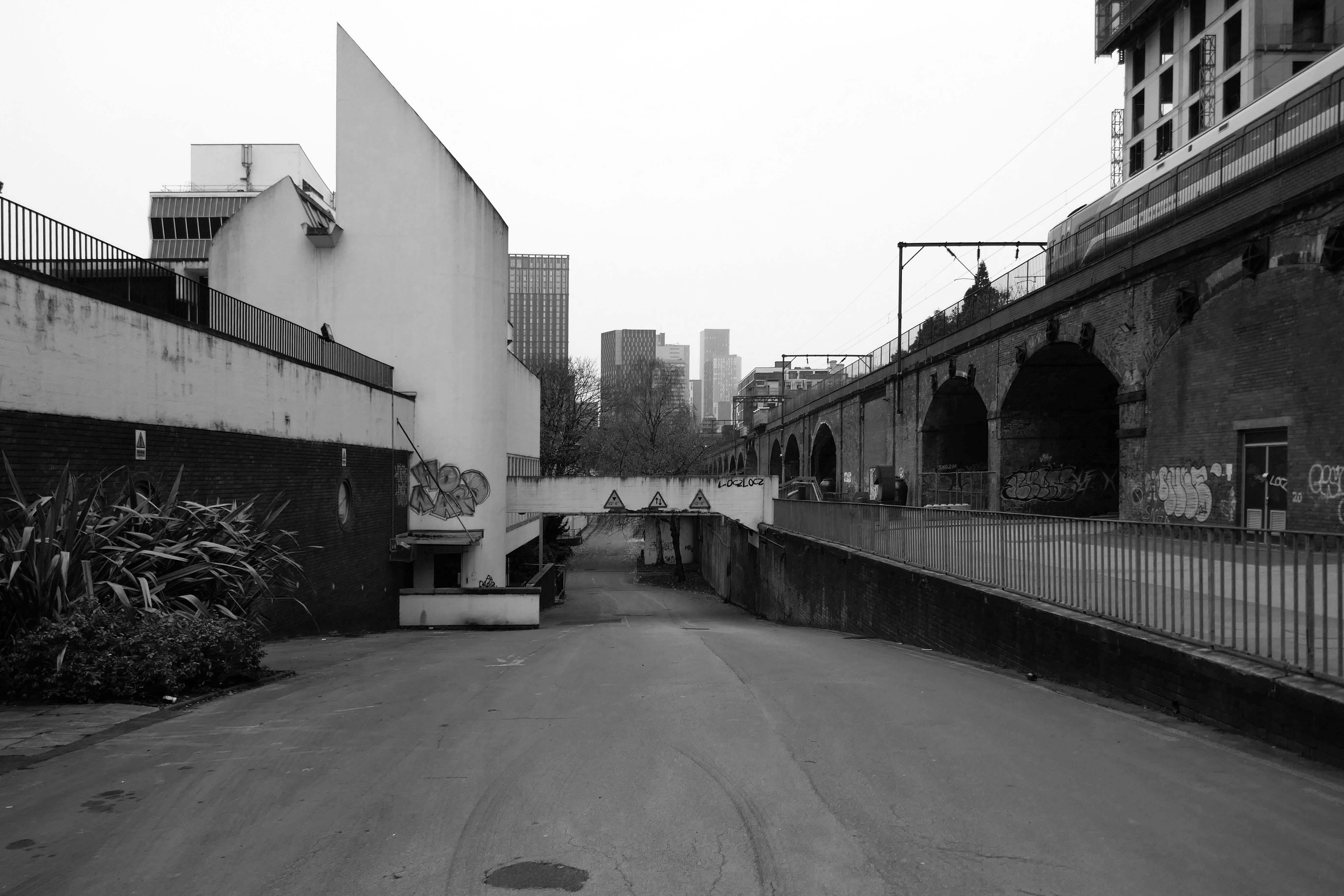
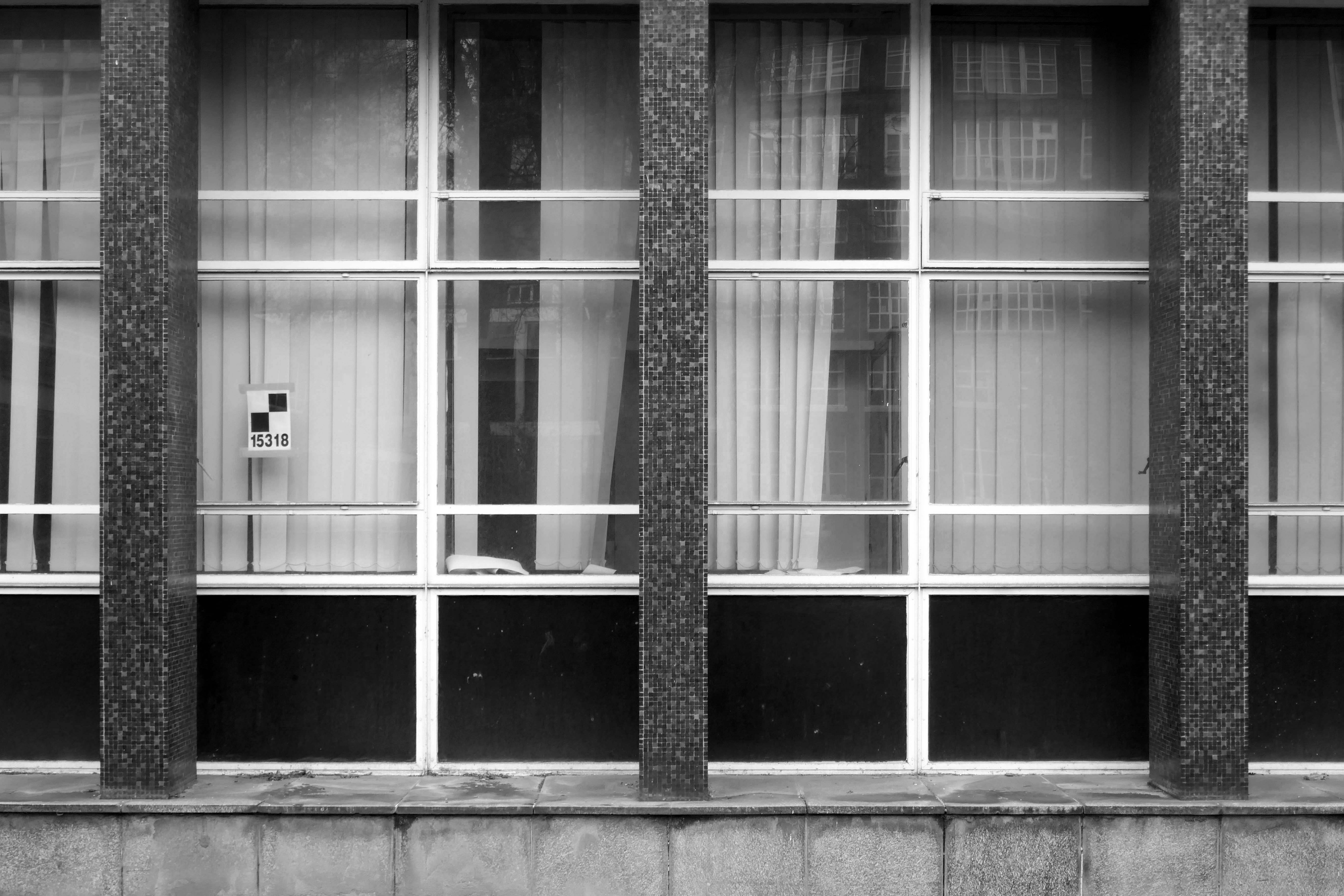
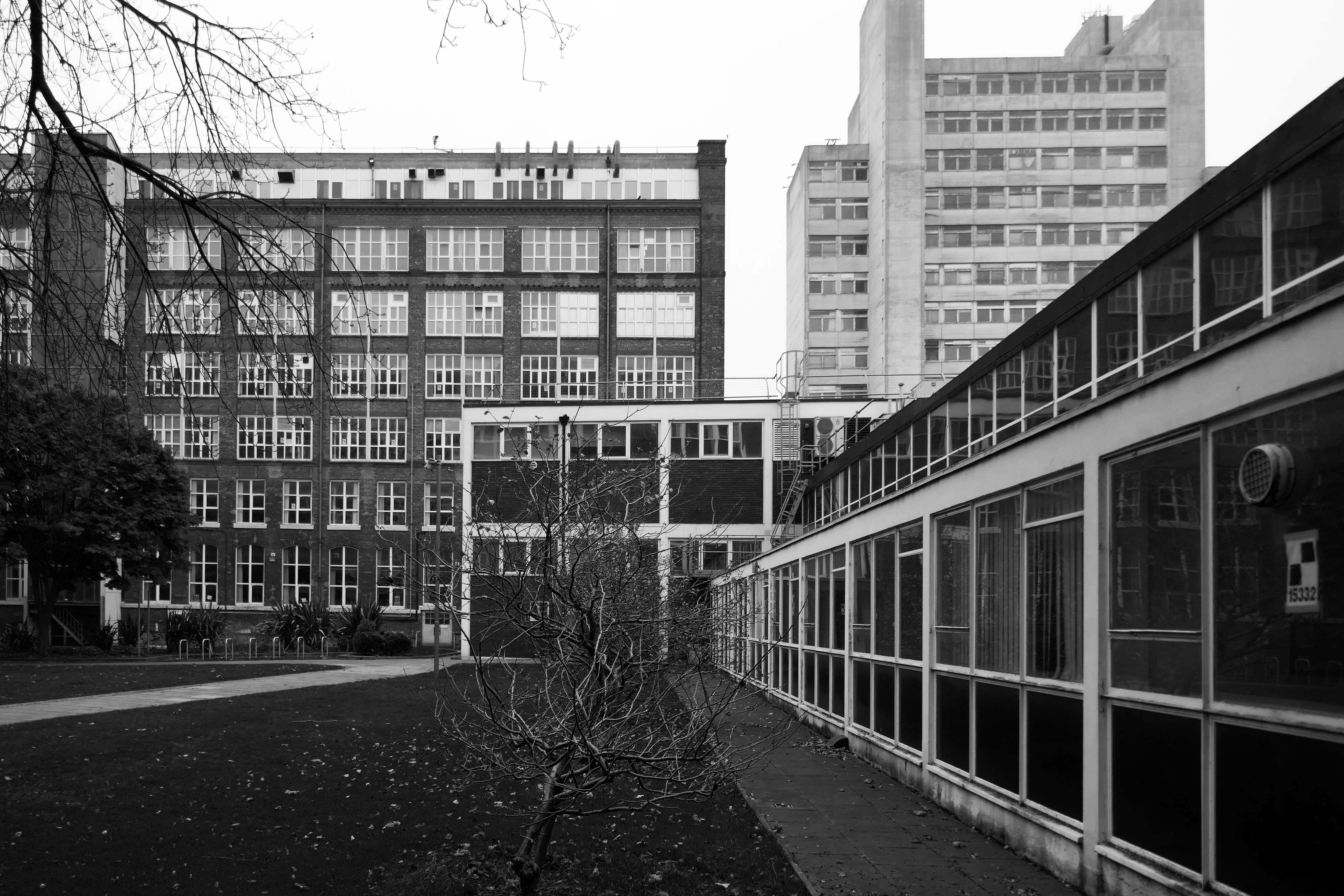
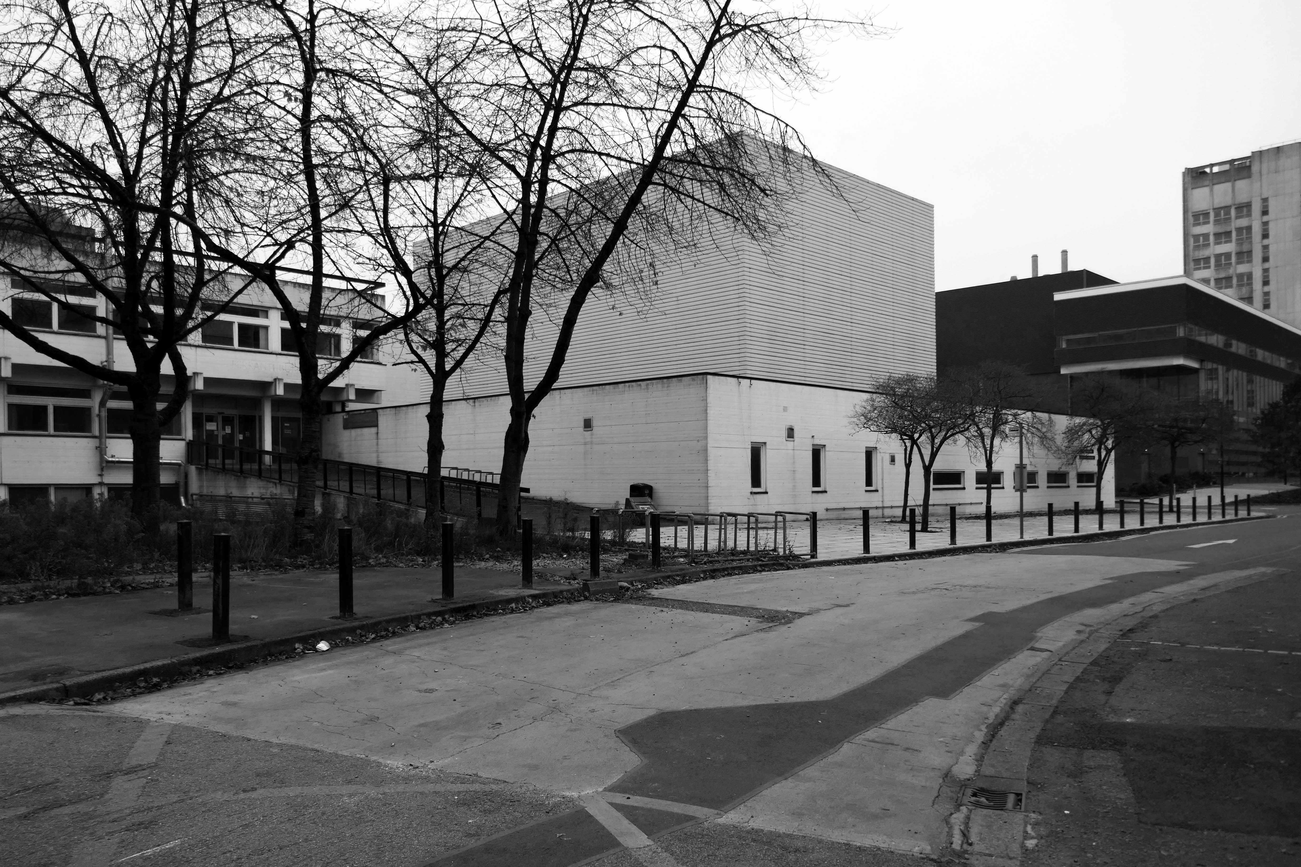
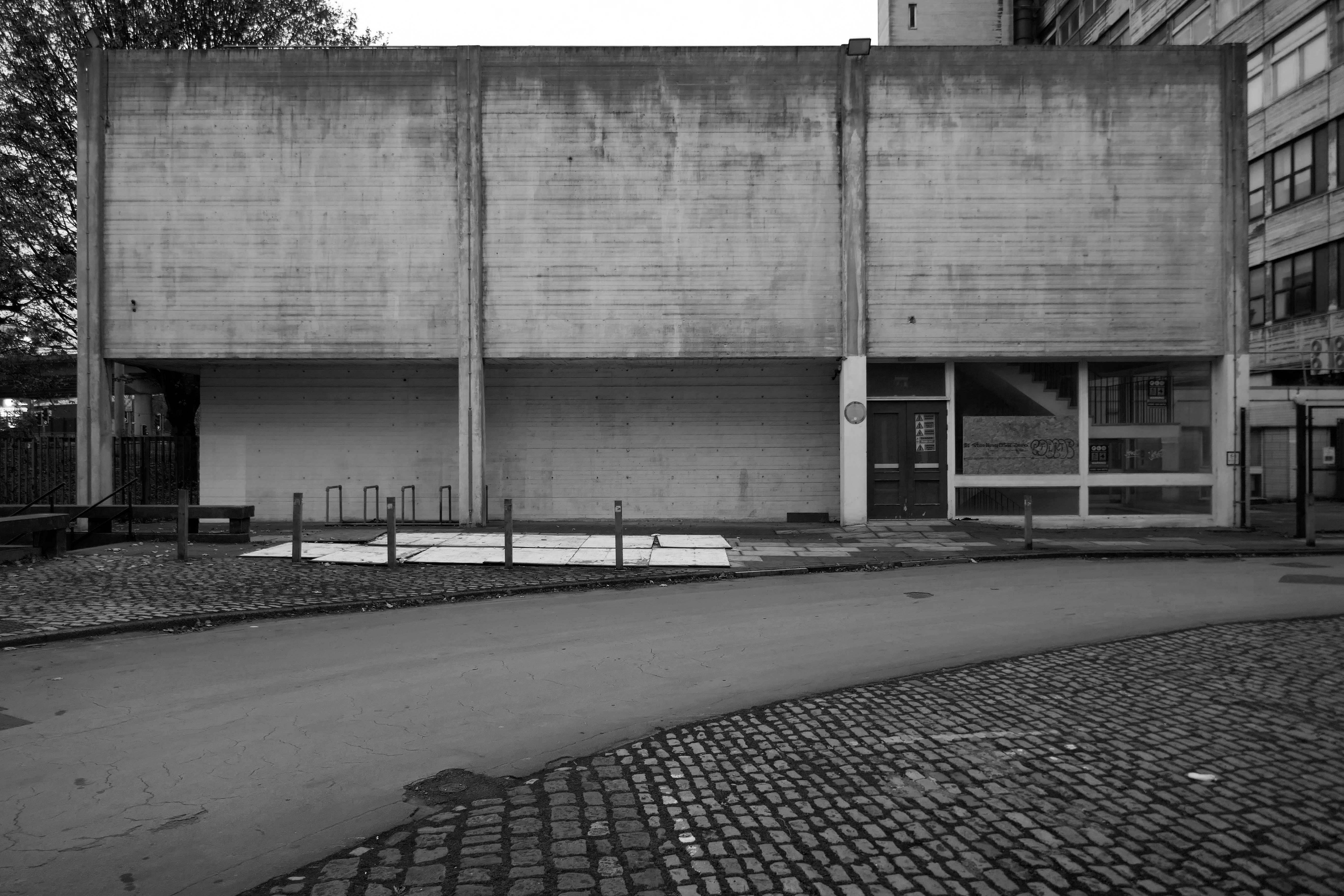
So it is with a bitter sweet feeling that I took a group of Modernist Moochers around the site this Saturday – a number of whom had been students there.
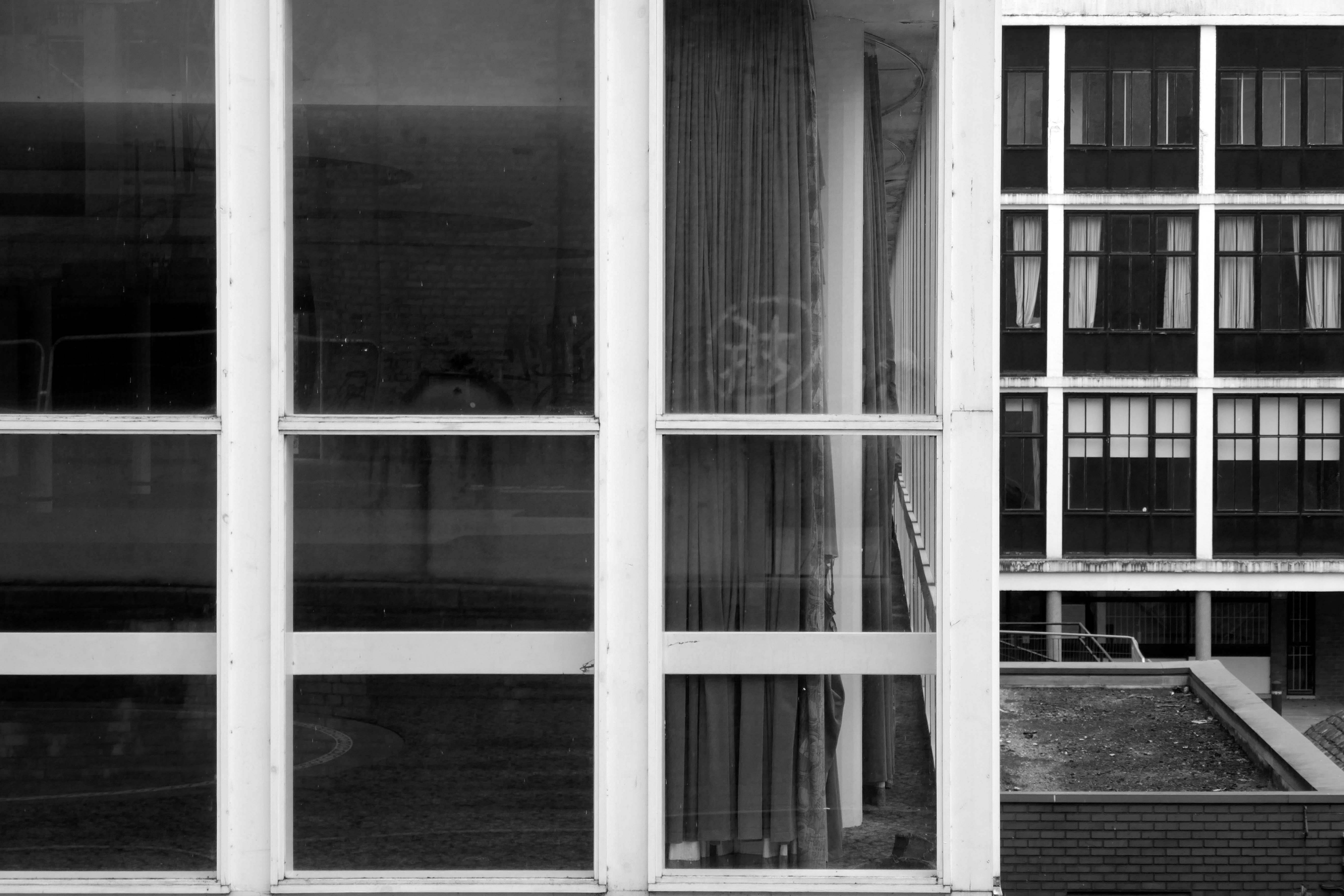
As a former UMIST student 1990-1997, I had a wander round the old site recently, sad to see it so empty and run-down.
So let’s take a look at the current state of affairs.
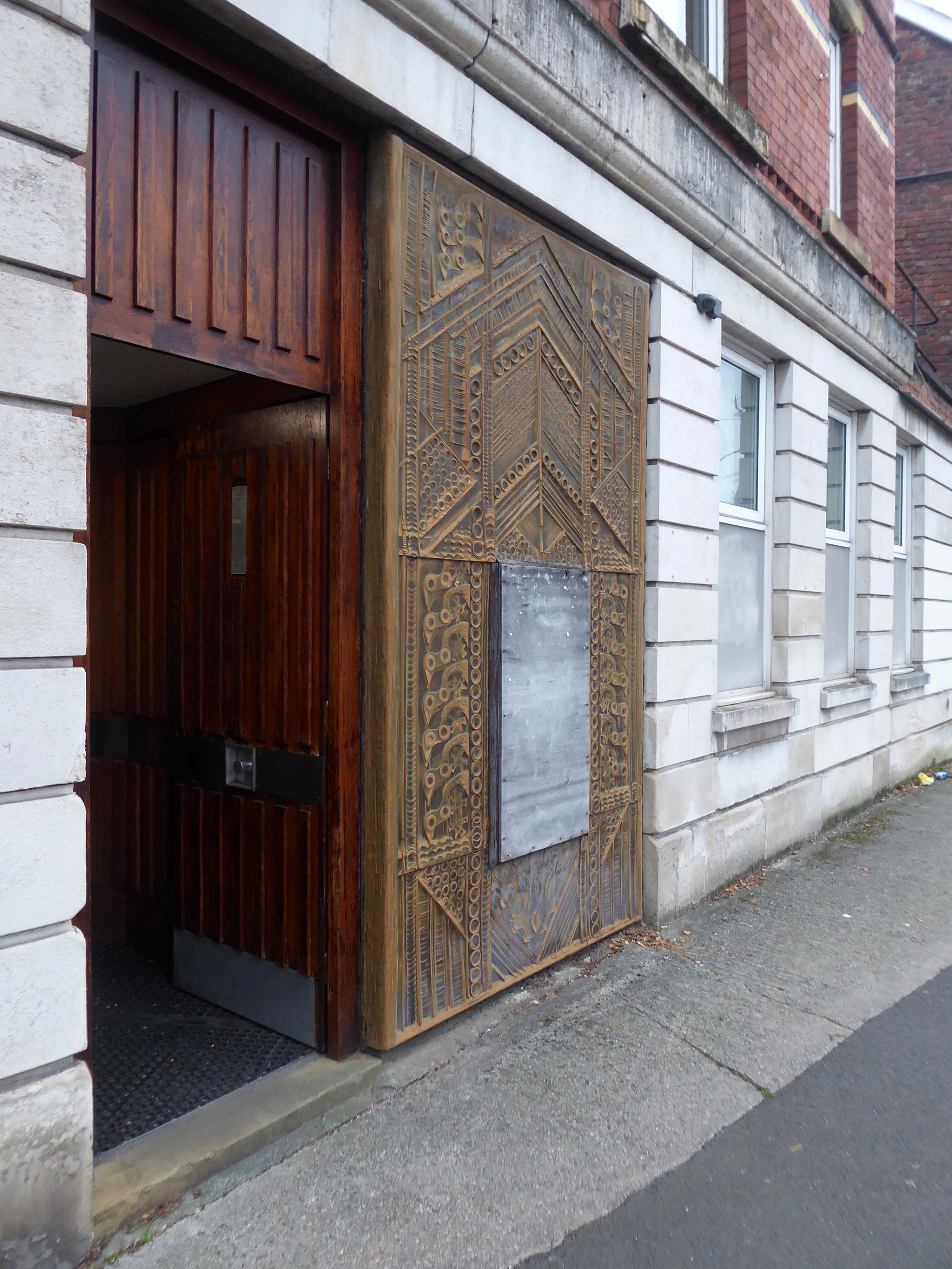
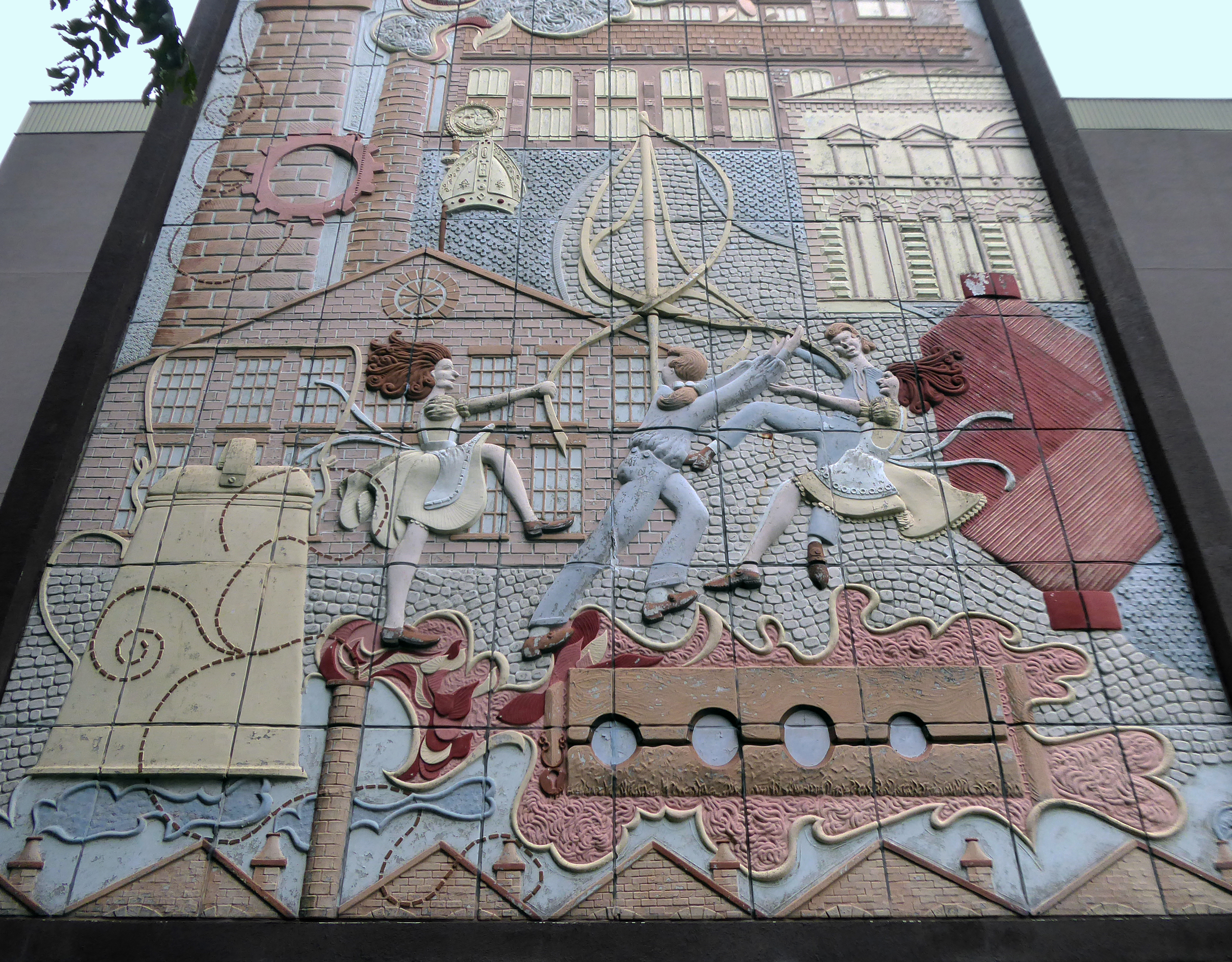
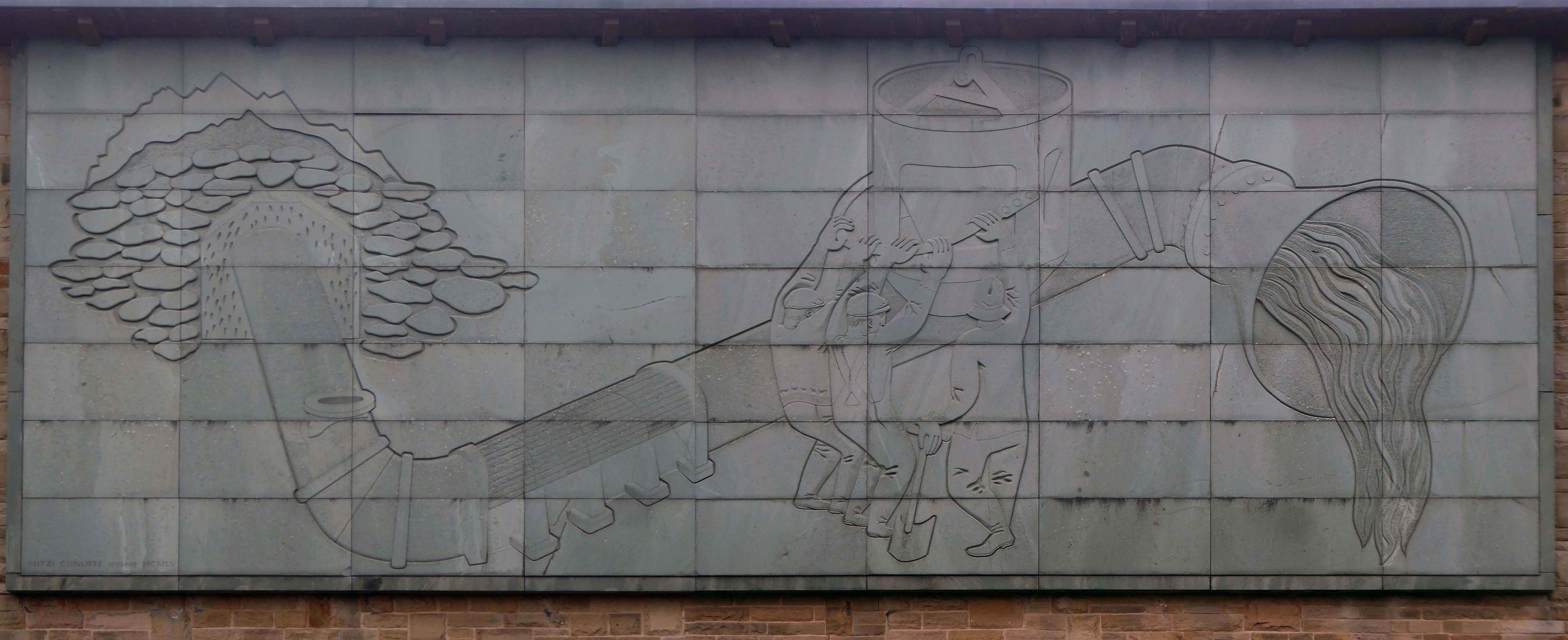
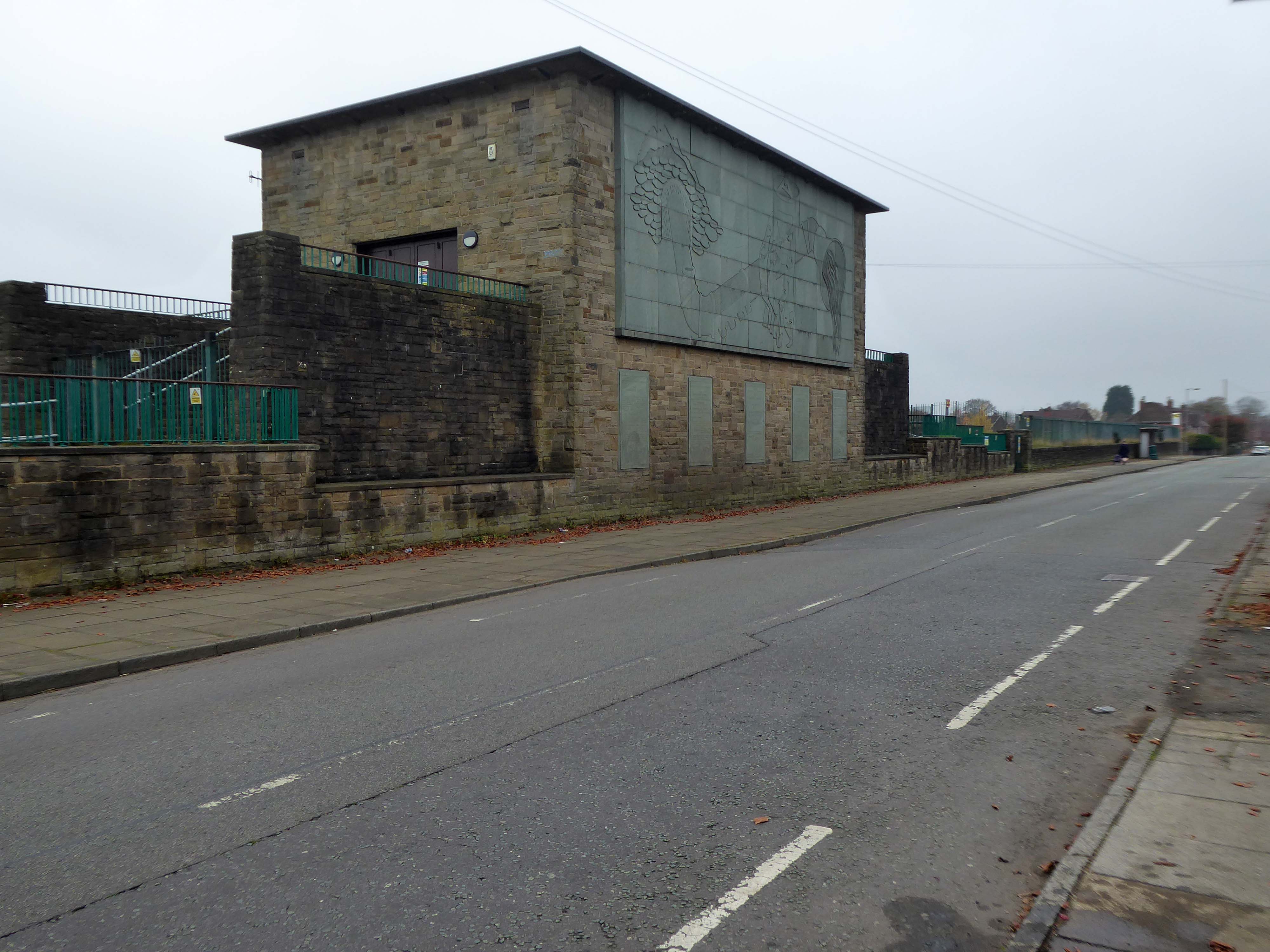
Built between1954-5 by the Manchester City Architect’s Department, Chief Architect Leonard C Howitt, for the Manchester Corporation Waterworks. Alan Atkinson, engineer. Incorporates large relief by Mitzi Cunliffe, signed and dated 1955. Yorkshire sandstone, with Westmorland greenstone from Broughton Moor used as relief. Roof not seen above dentiled overhang.
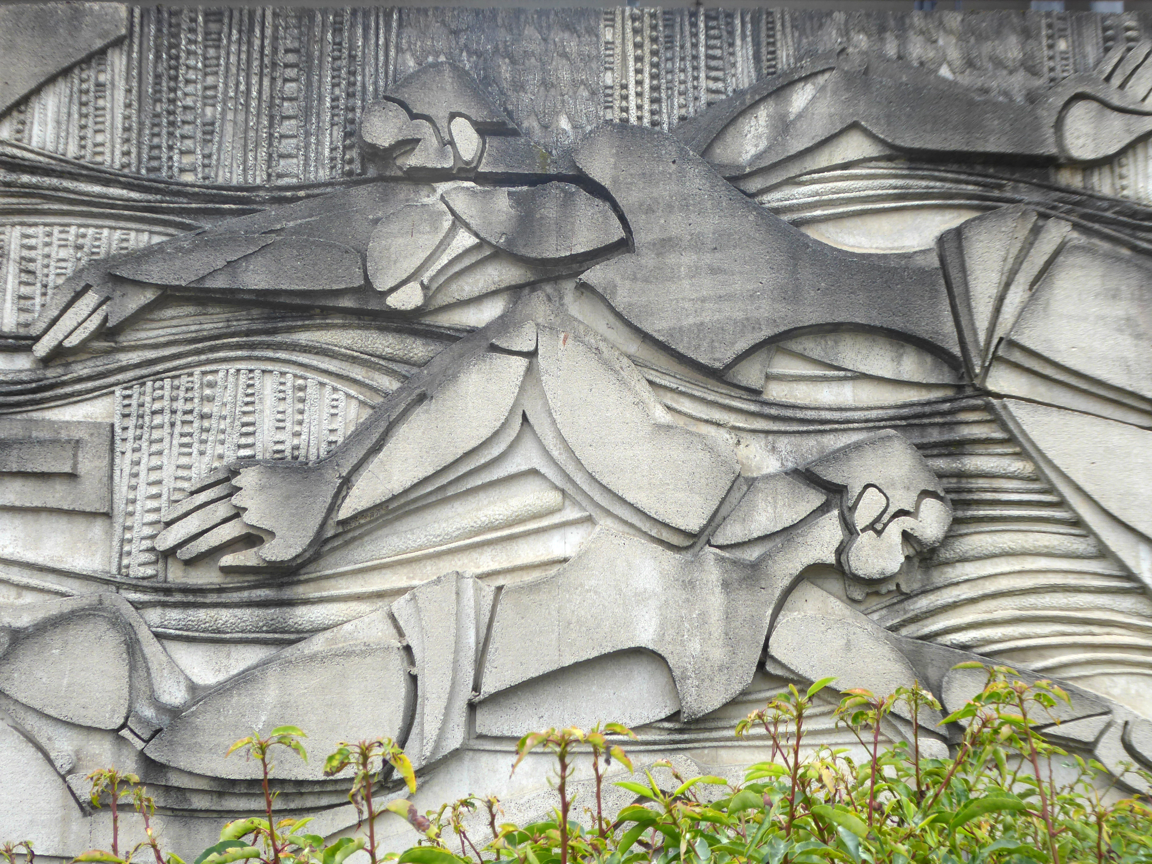
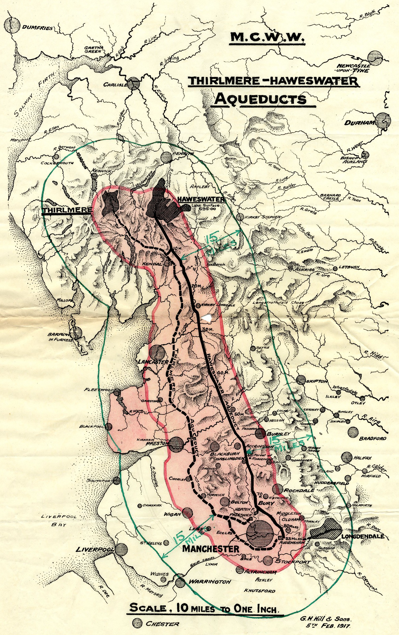
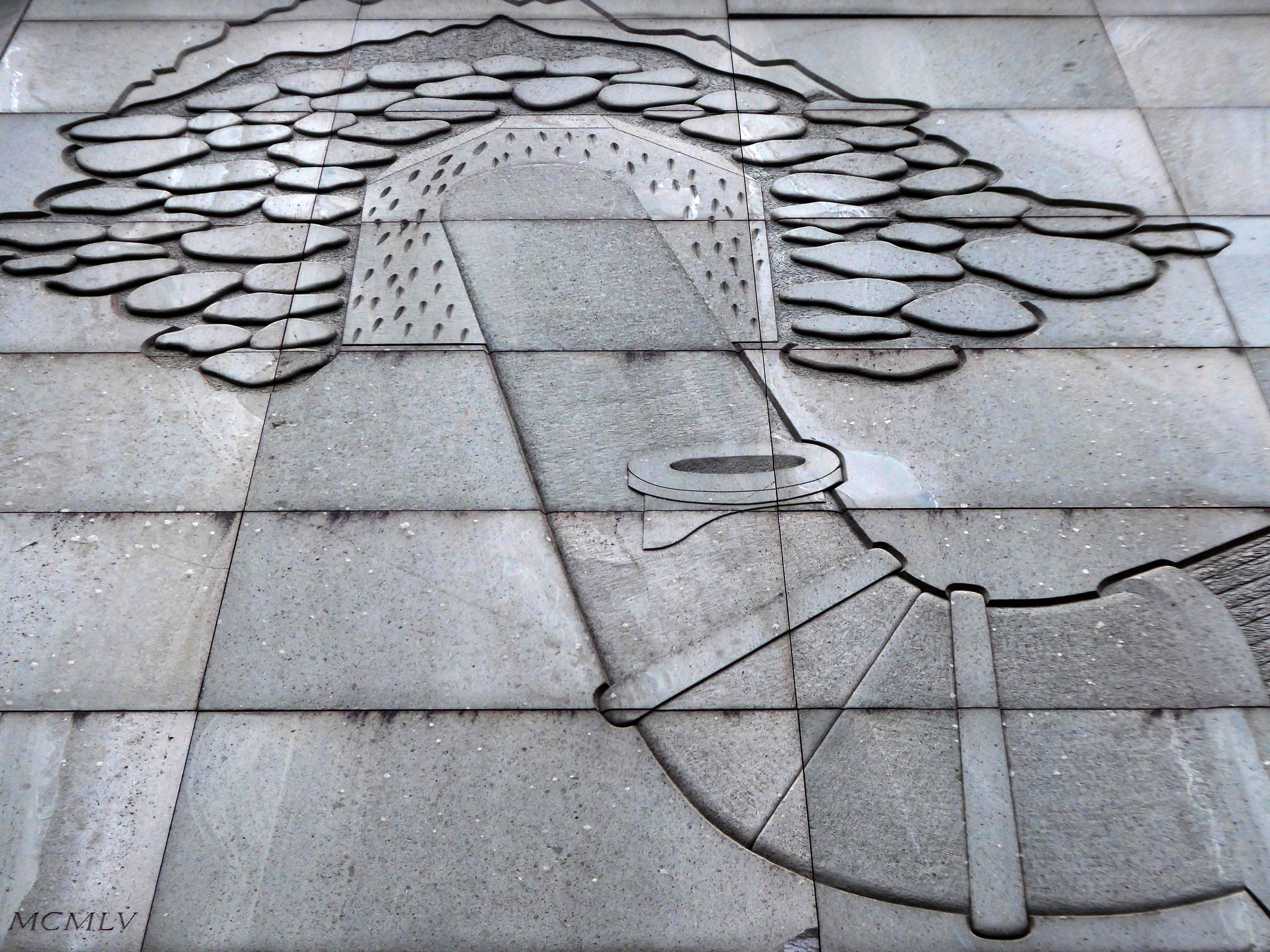
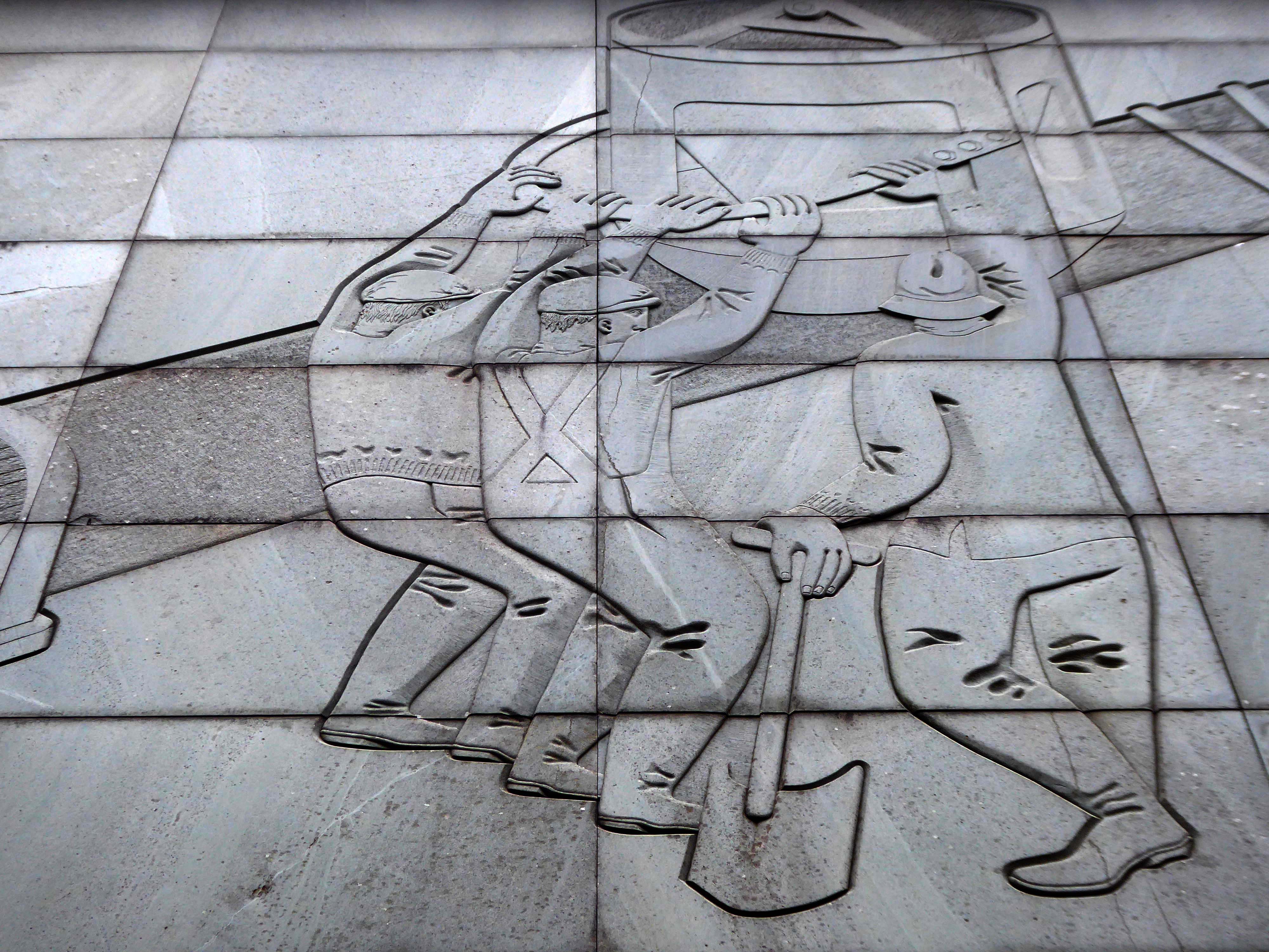
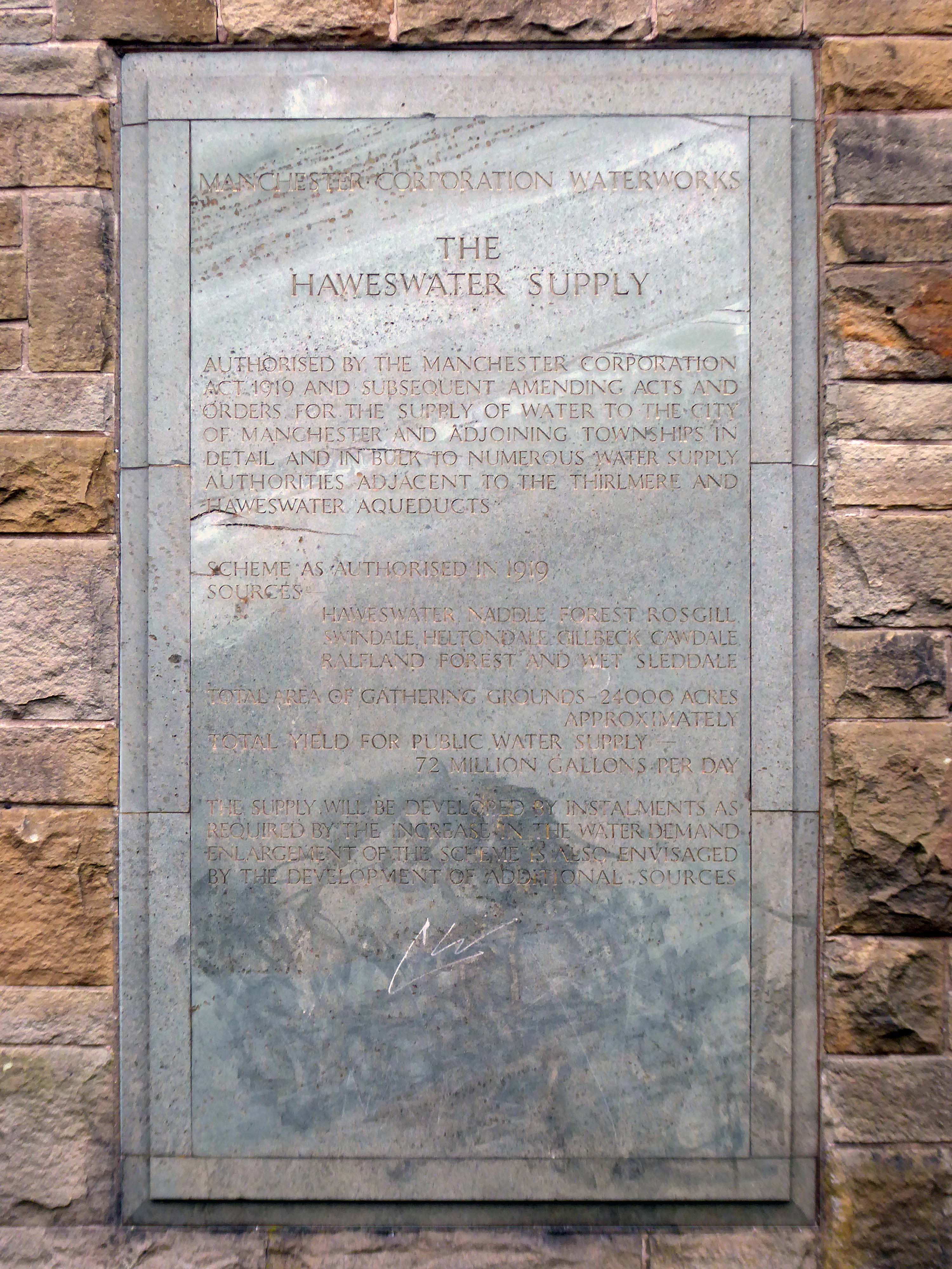
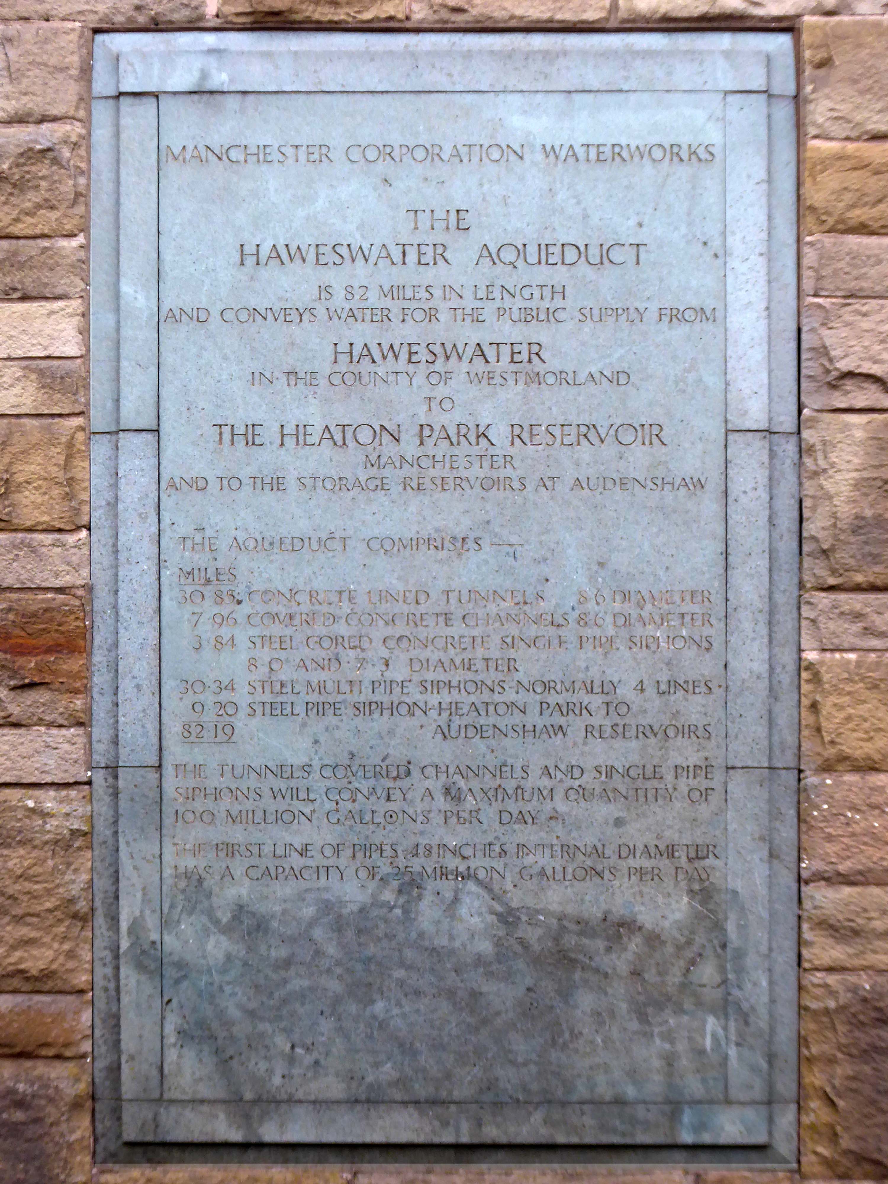
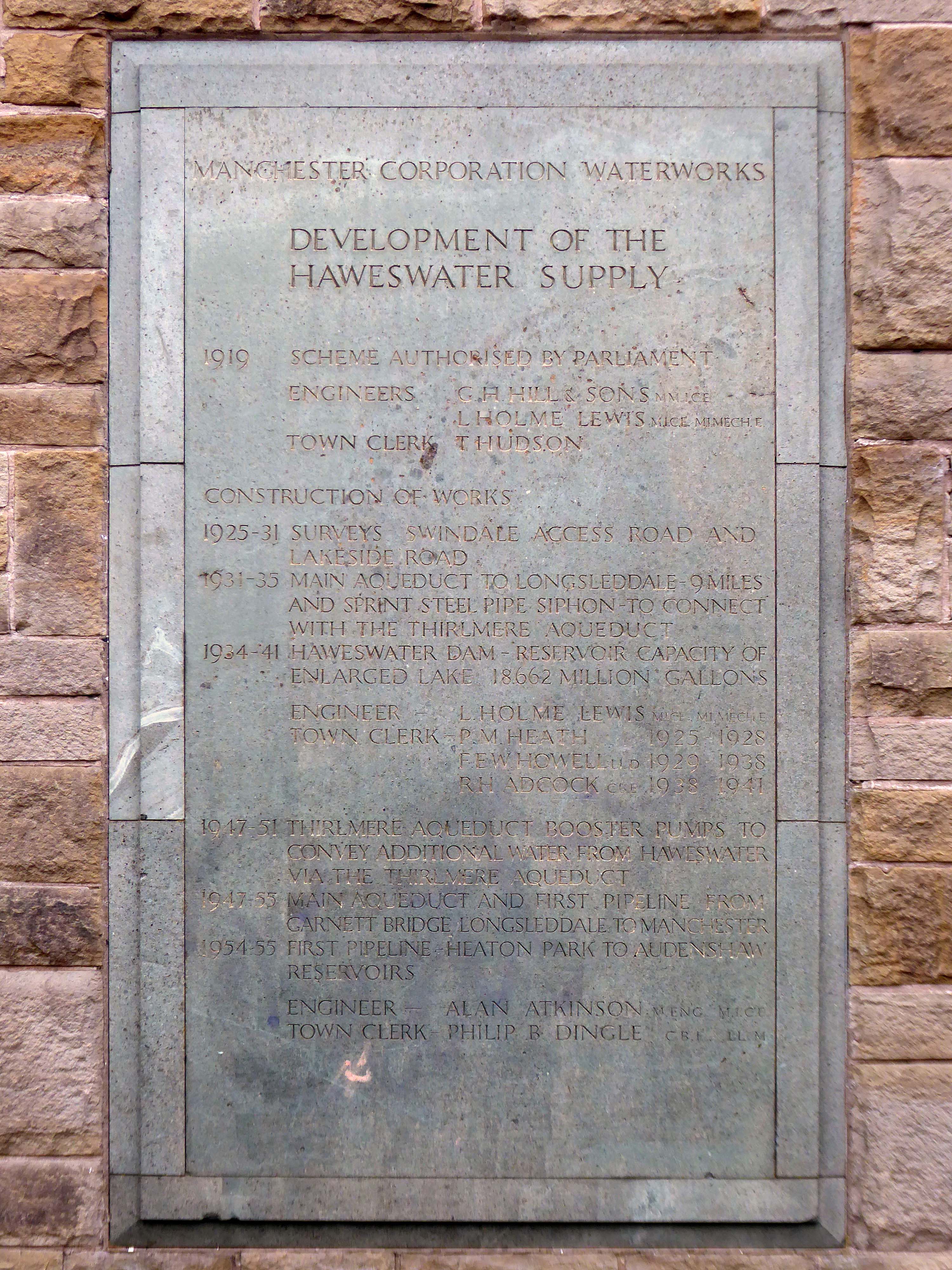
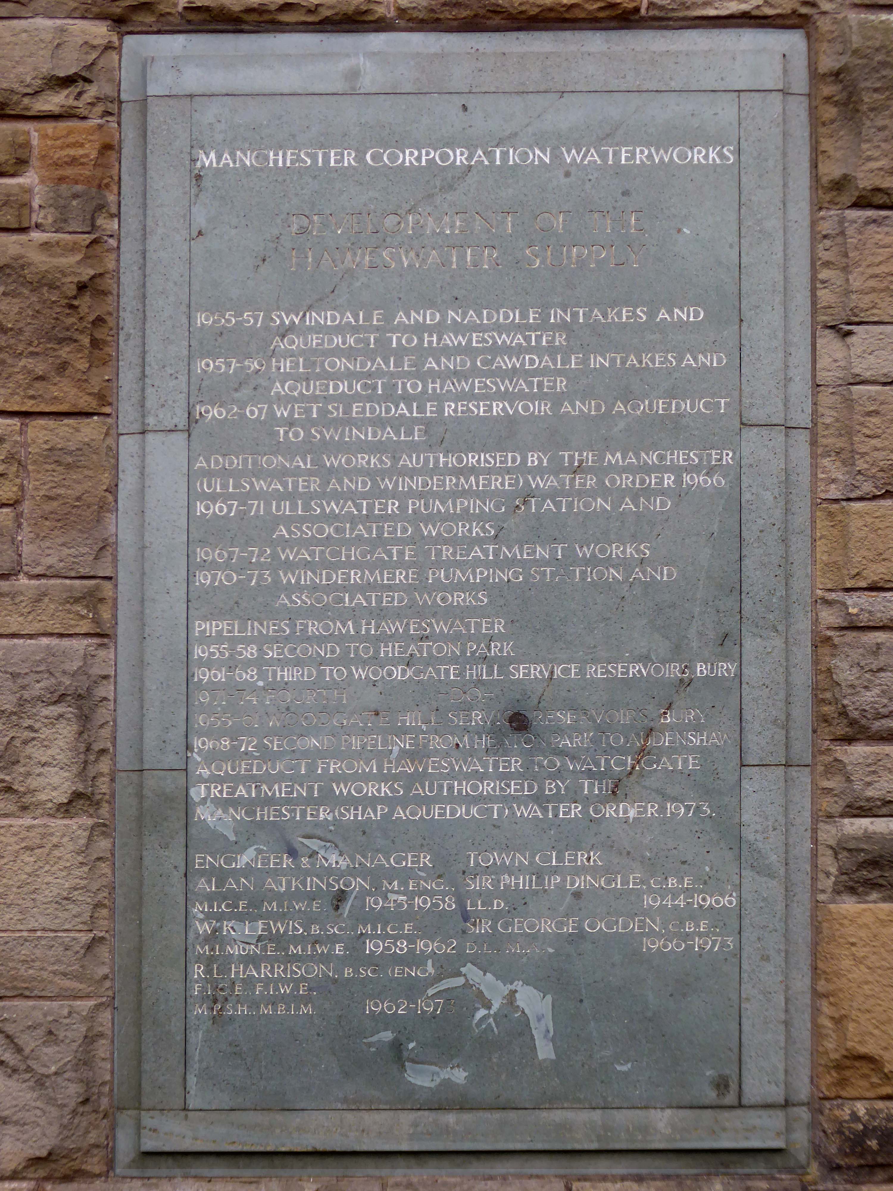
Carved relief is a highly stylised depiction of the bringing of water from Haweswater to Manchester with contemporary figures supporting the pipeline and a curious flat relief designed to be seen from below. It was designed to commemorate those who constructed it as well as the origin and course of the aqueduct. Beneath it five plaques tell the history of the Haweswater supply.
Completely preserved interior fully lined in beige marble, with contrasting green marble skirting continued as door surround. Behind the Cunliffe mural is a wood relief section in sycamore depicting the 82 mile route of the pipe.
The bringing of water to Manchester from a new reservoir at Haweswater was a major undertaking which cost £14,000,000. The sectional relief plan and the mural were conceived as part of the original brief to give a ‘monumental’ character to the city’s remarkable achievement. Included as a remarkable synthesis of architectural design and fine sculpture, with the dominance of the latter in this tiny building. The building materials and the reliefs are all symbolic of the achievement in bringing of water from the Lake District to Manchester.
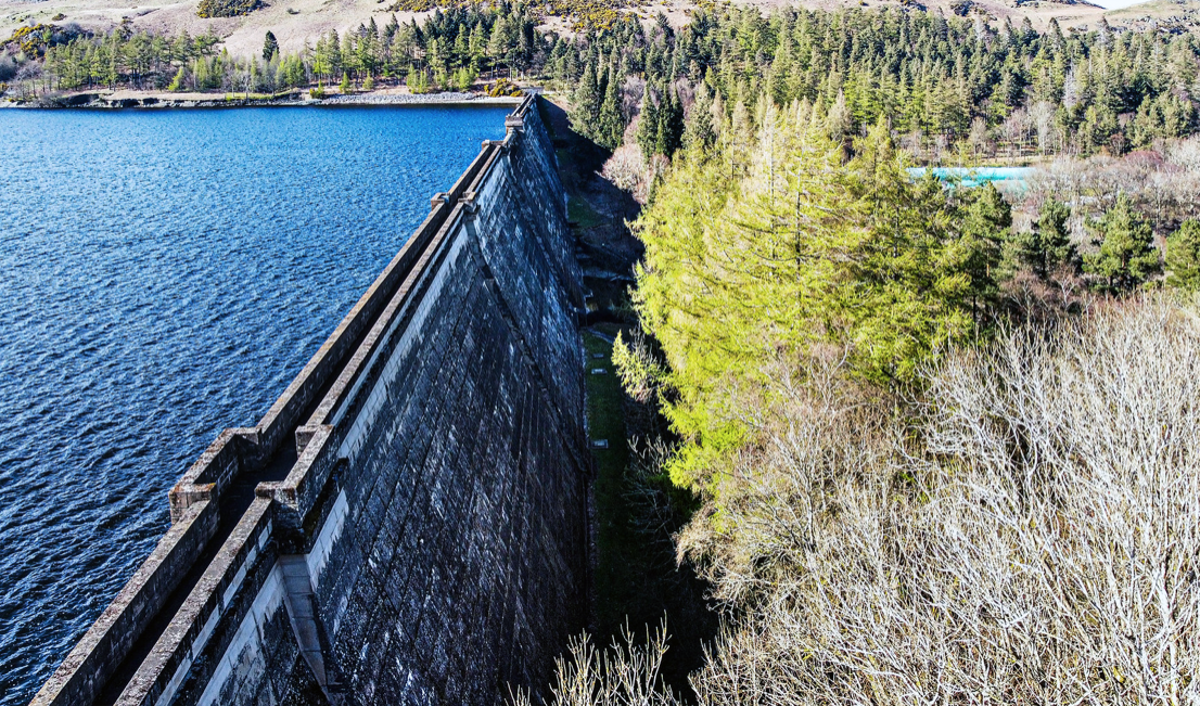
In 1929 work started to build the dam wall across the valley floor. At the time of construction, its design was considered to be at the forefront of civil engineering technology because it was the world’s first hollow buttress dam.
Before the valley was flooded in 1935, all the farms and dwellings of the villages of Mardale Green and Measand were demolished, as well as the centuries-old Dun Bull Inn at Mardale Green. The village church was dismantled and the stone used in constructing the dam; all the bodies in the churchyard were exhumed and re-buried at Shap.
I have previously led Mitzi Cunliffe walks in south Manchester – taking in her works at Owens Park and Manchester High School for Girls.
Mitzi Cunliffe is primarily known as the designer of the BAFTA Award, but her work encompasses both ceramics and textiles, in addition to her extensive public art works – as illustrated here.
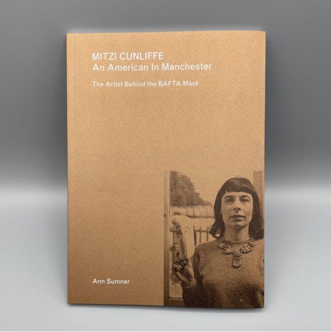
Mitzi Cunliffe – An American in Manchester is available from the Modernist Shop.
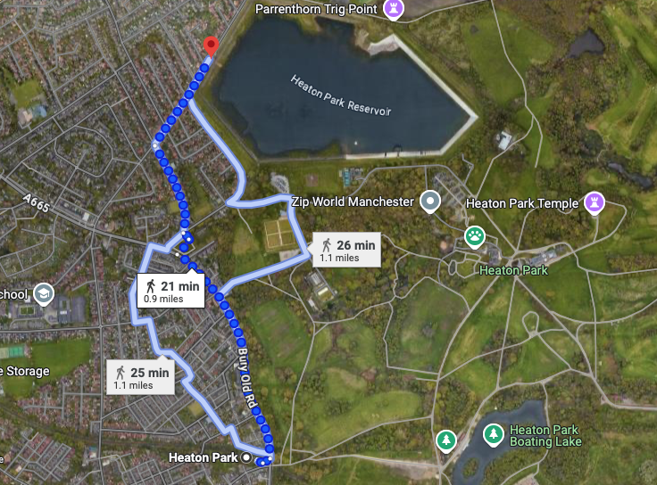
I took the tram to Heaton Park Station and walked the rest of the way.
The imposing structure, clad in the dramatic relief dominates this domesticated street of well behaved semis. As I stood admiring the work, a passerby joined me in a mutual appreciation of its beauty and significance.
Do yourself a favour – take a trip, take a look for yourself.
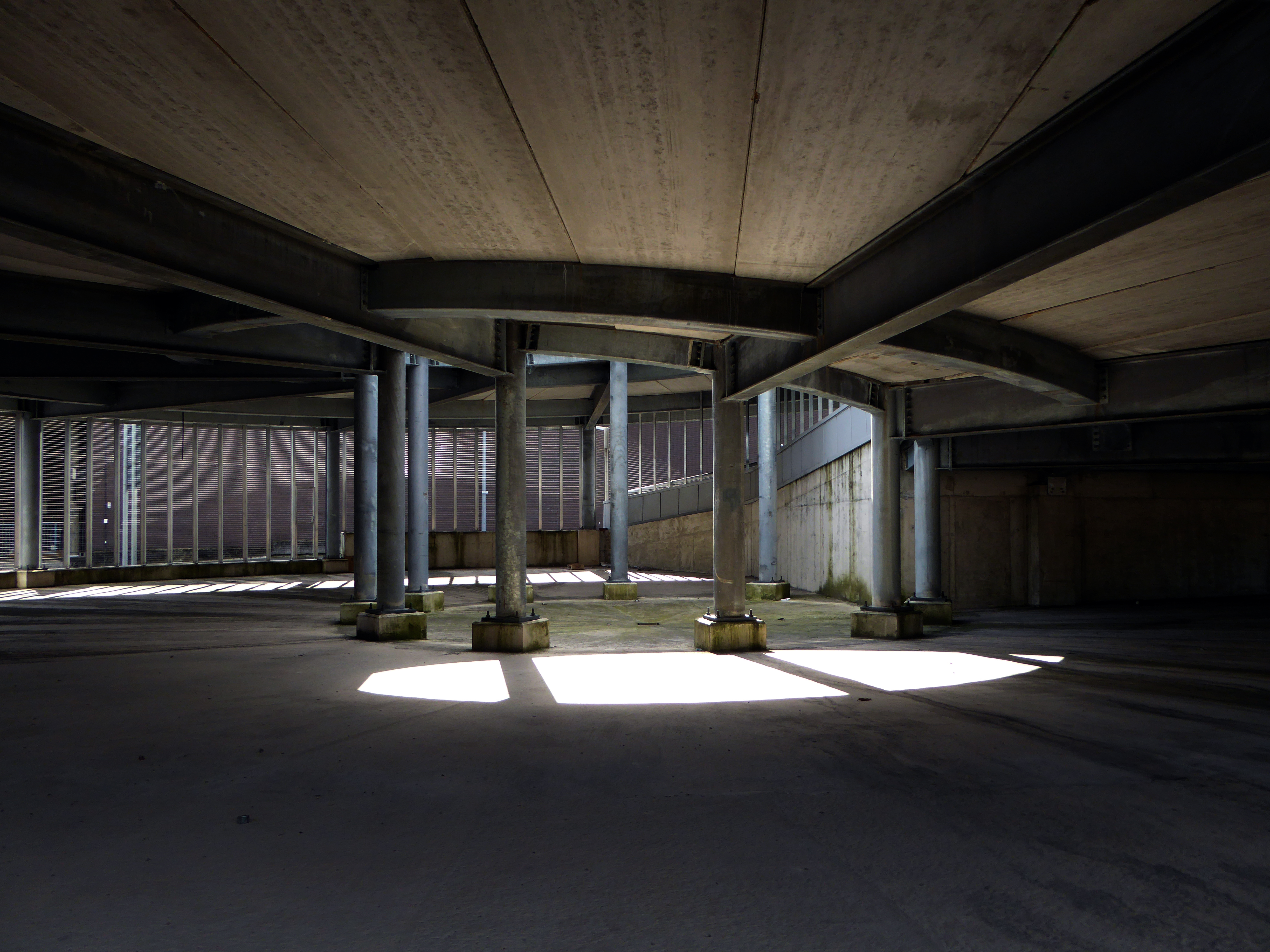
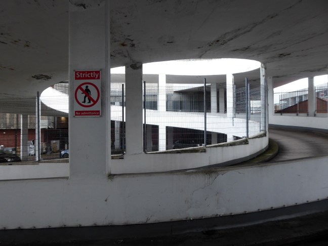
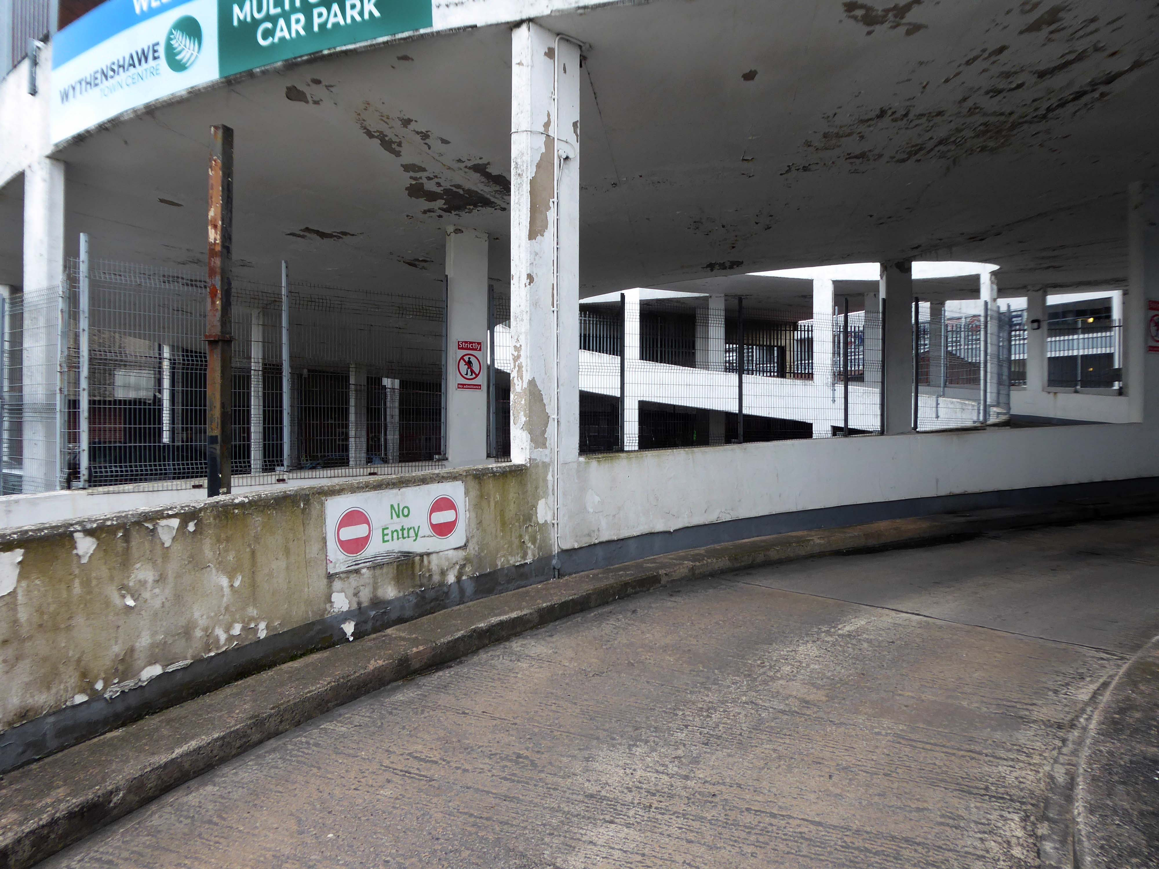
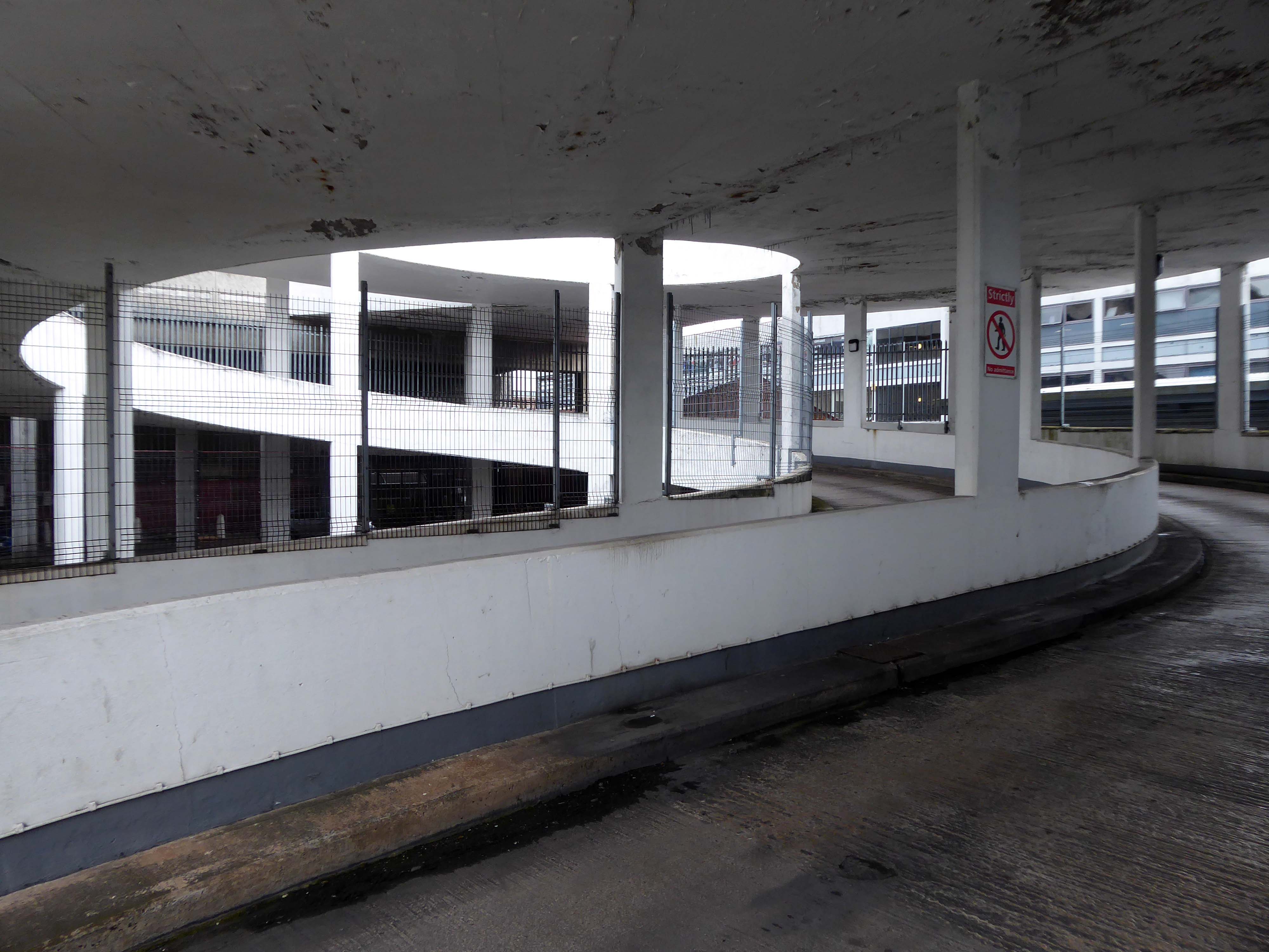
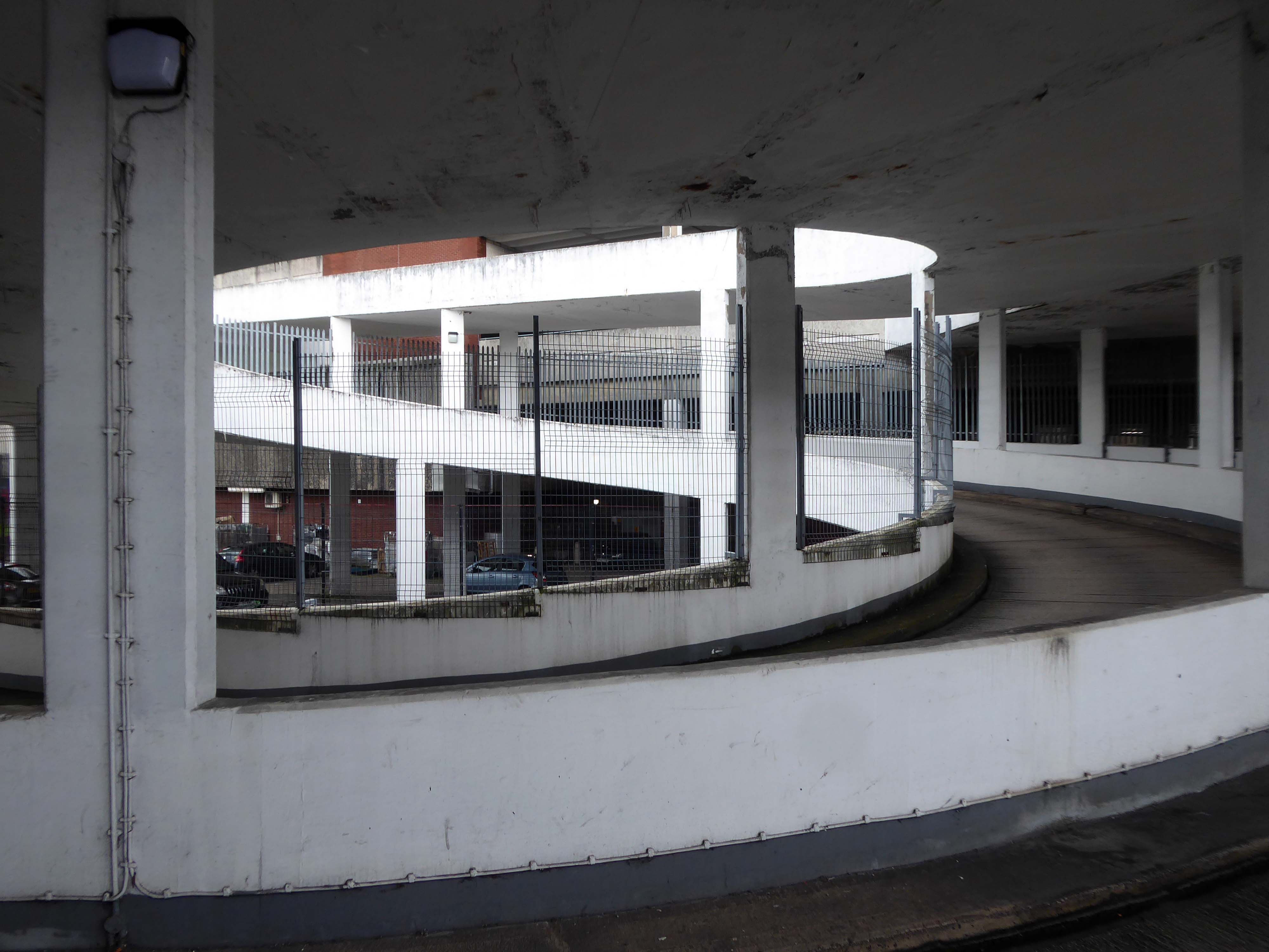
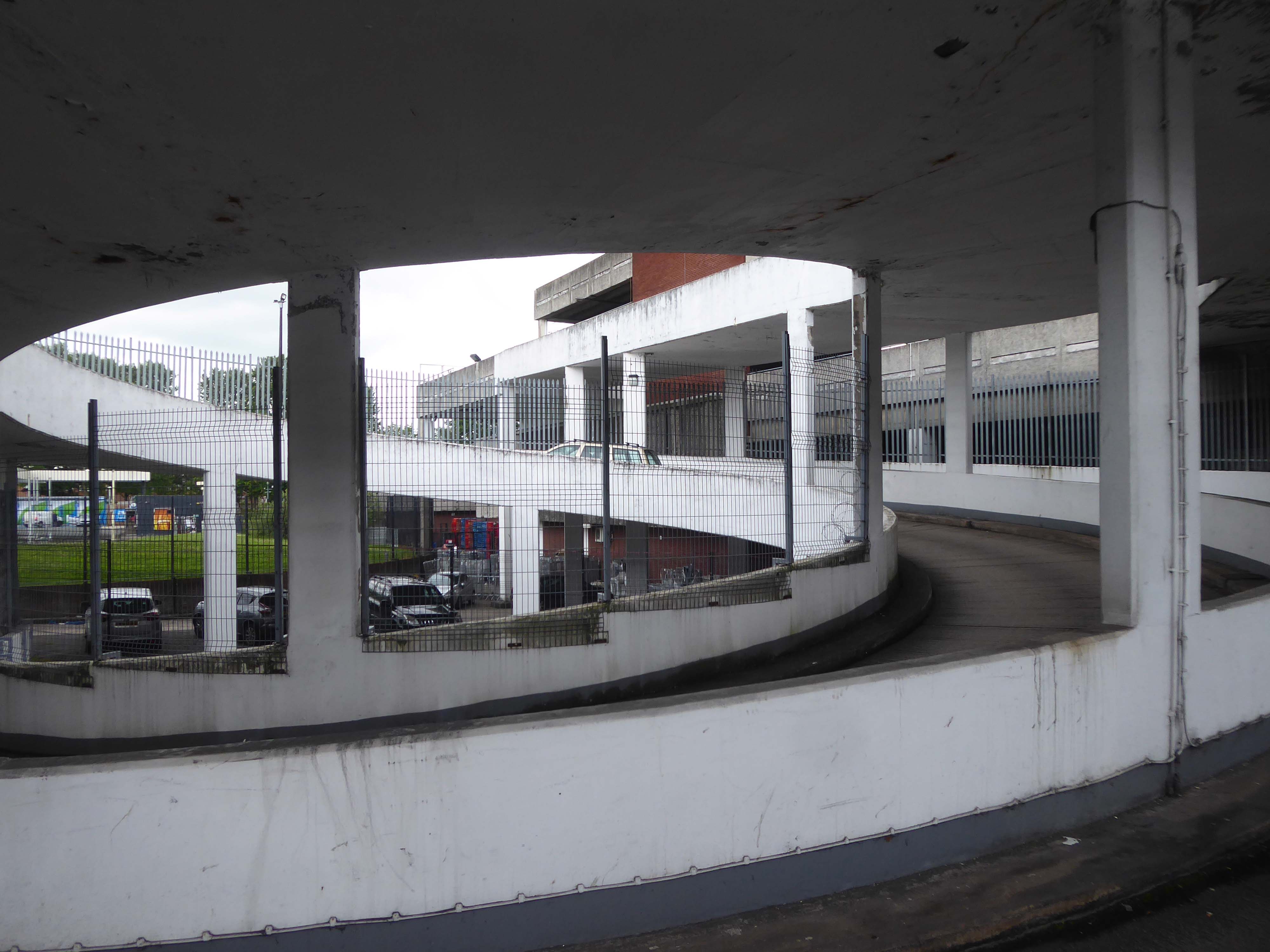
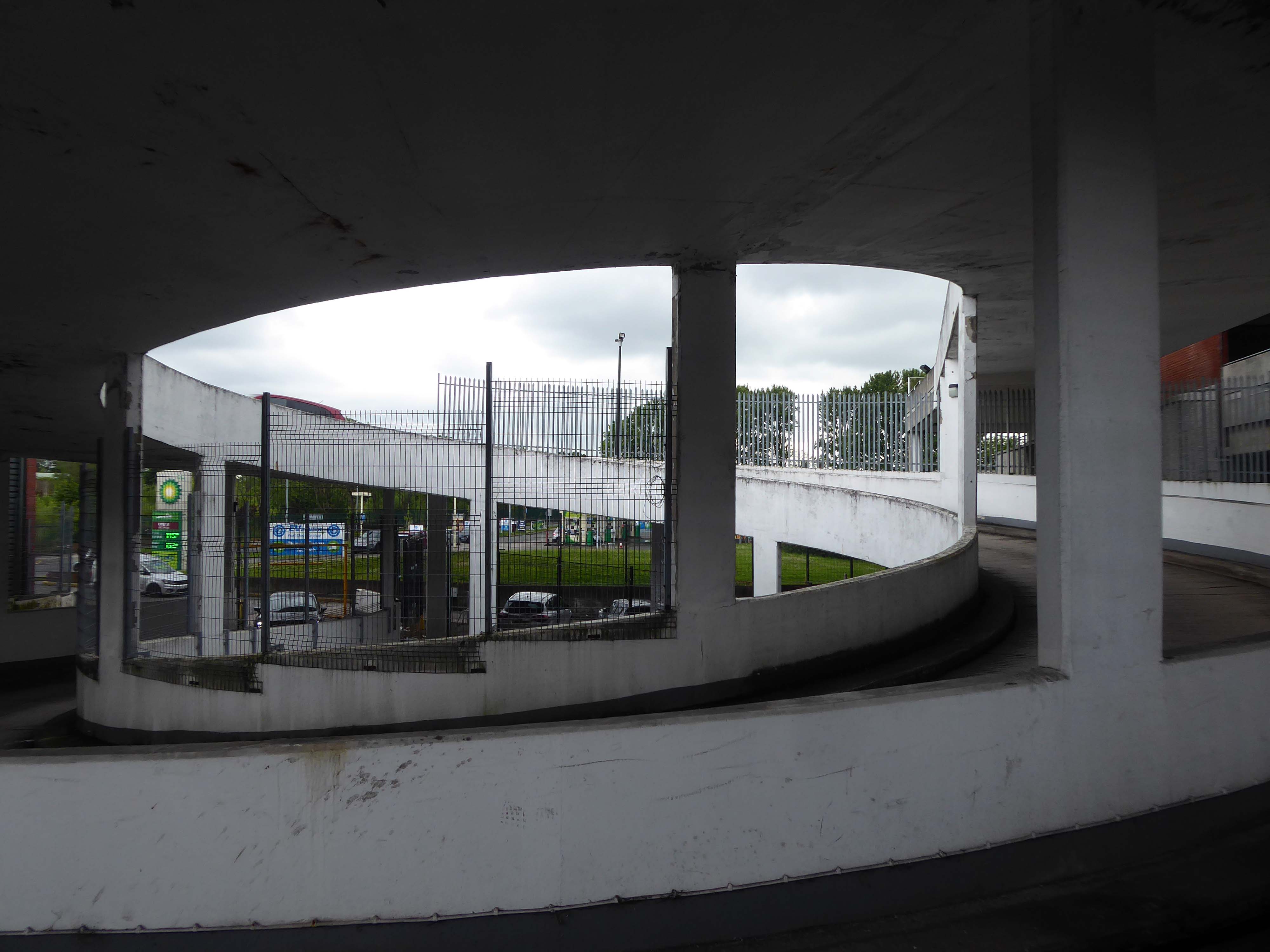
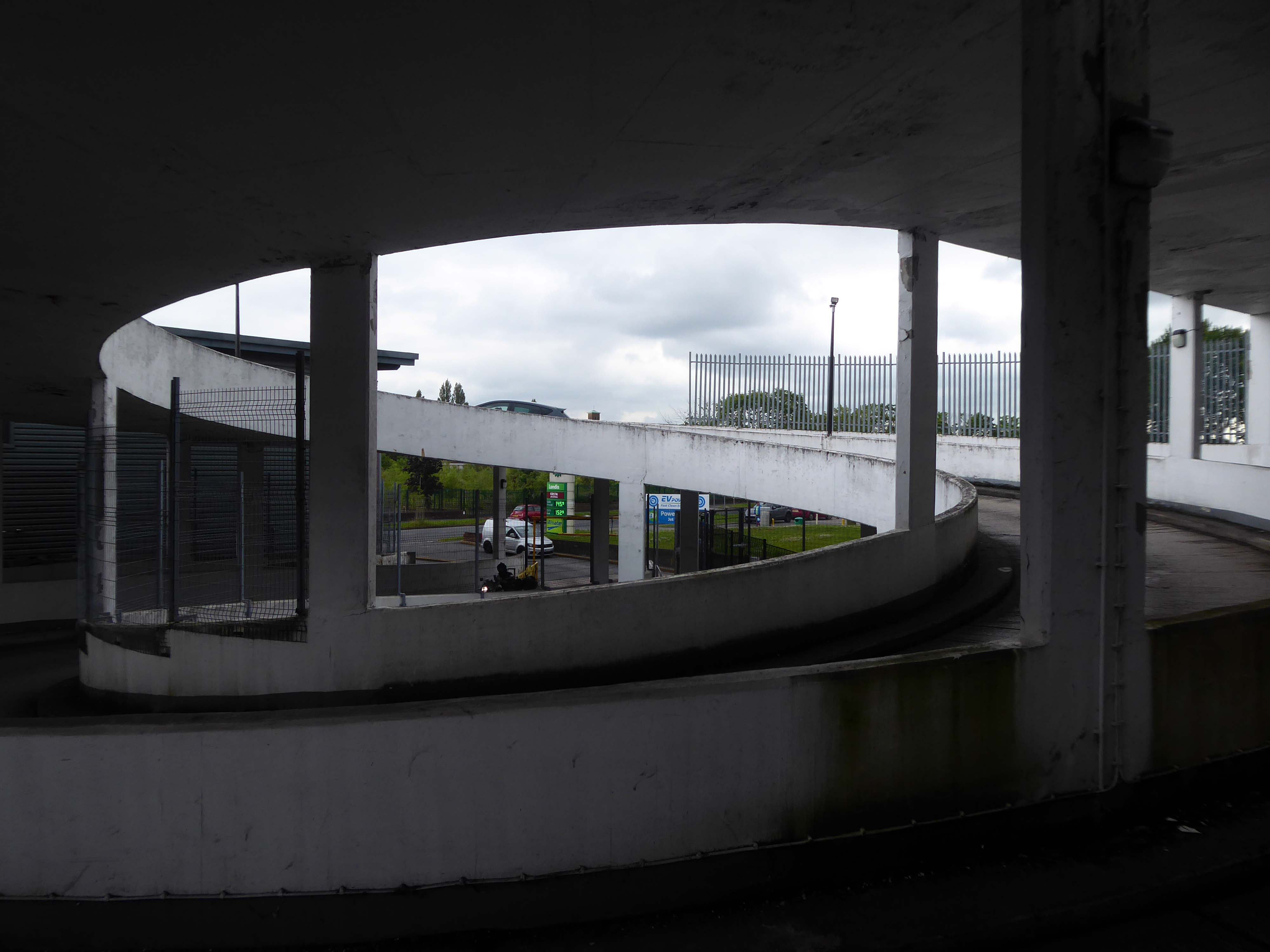
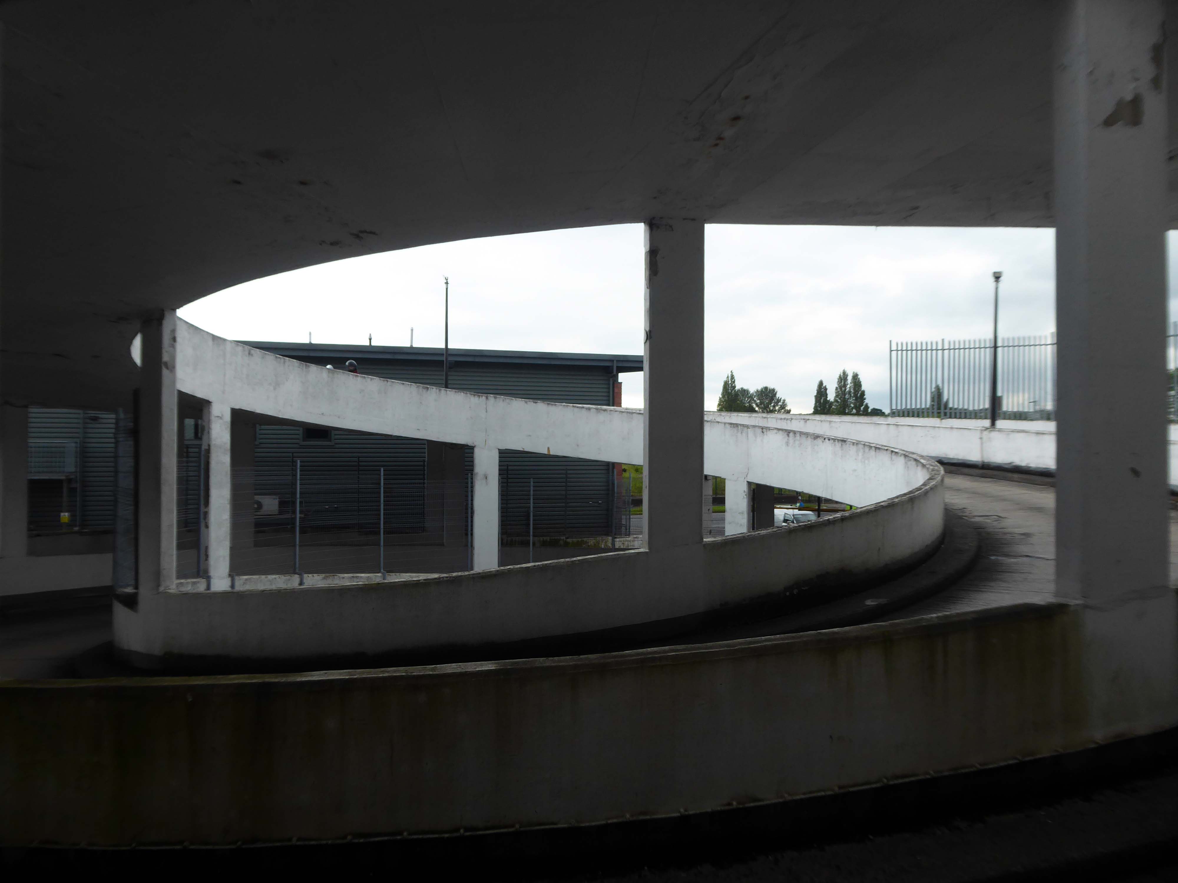
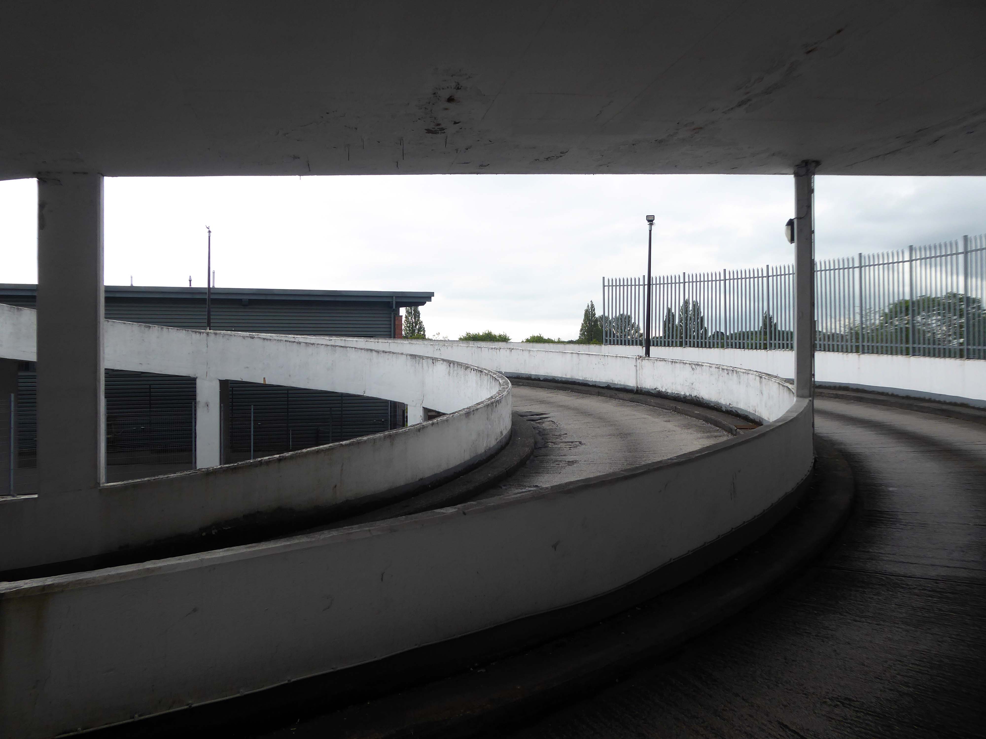
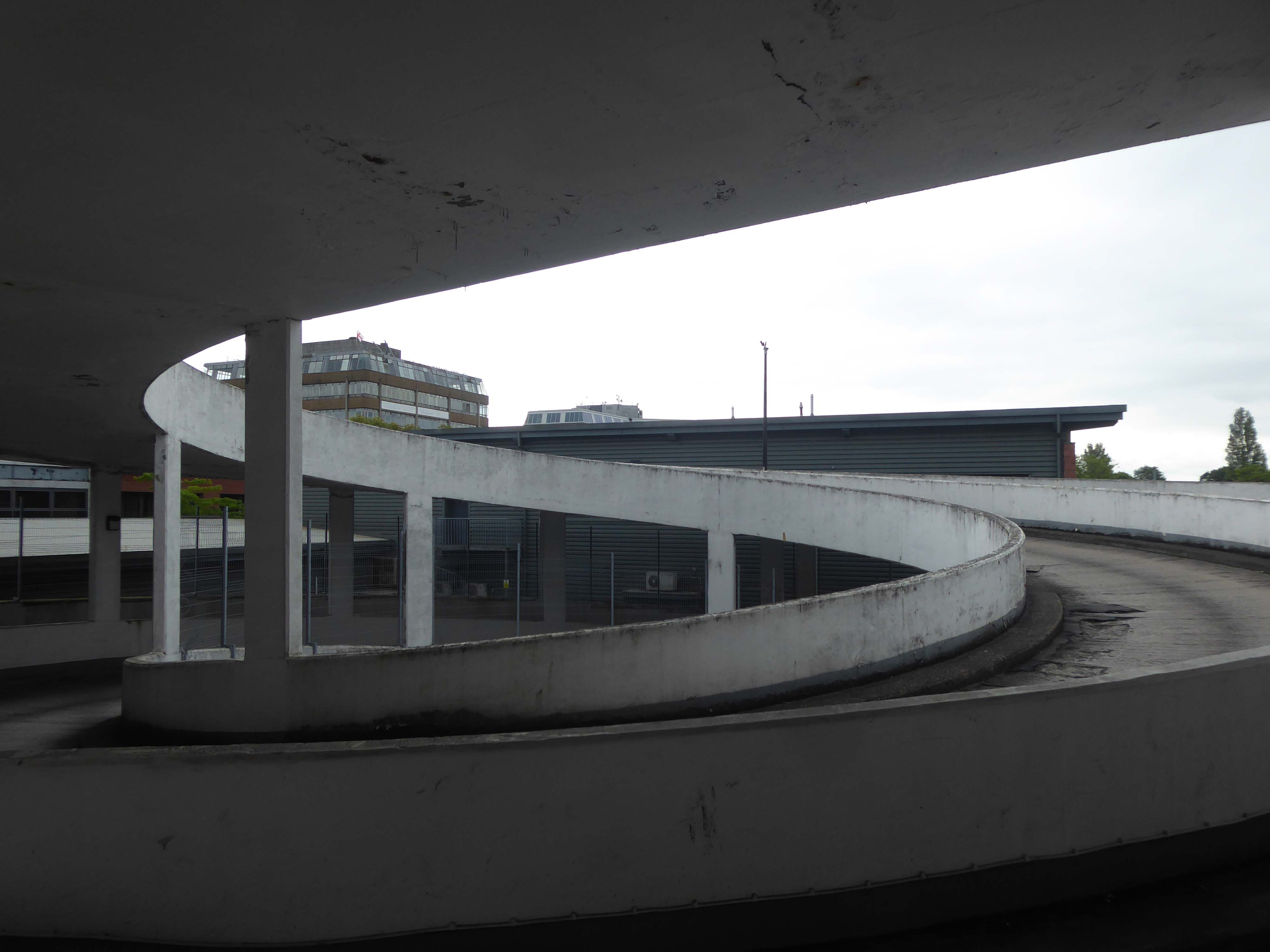
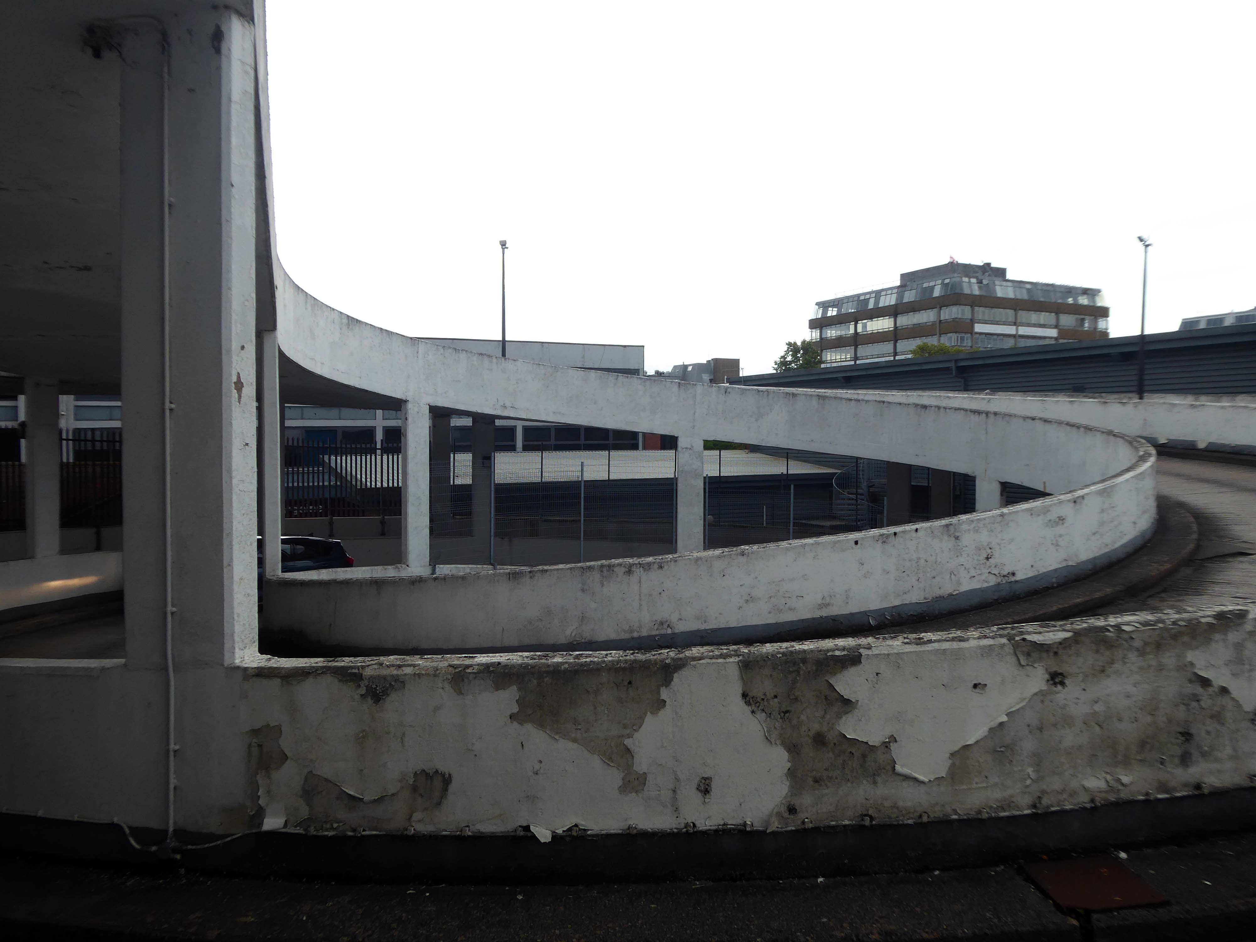
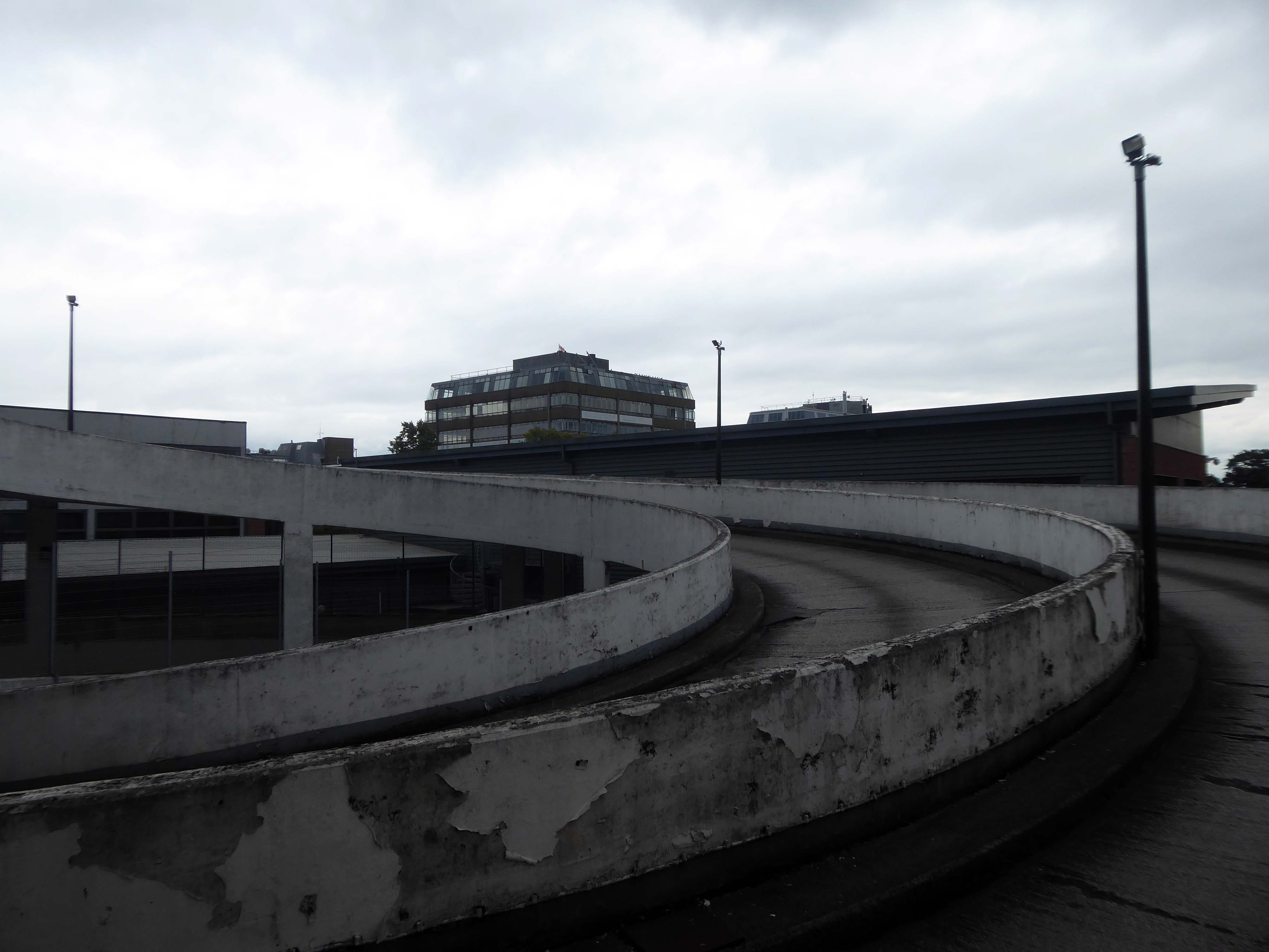
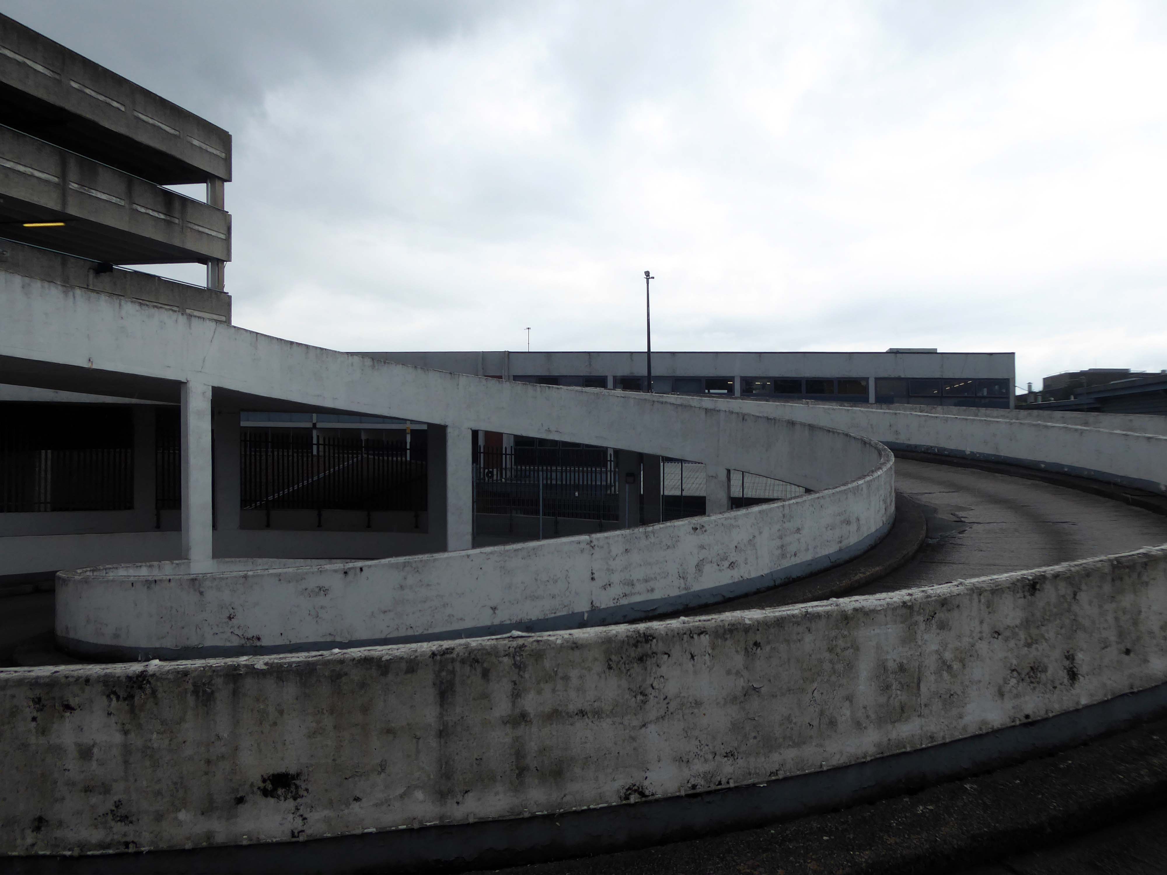
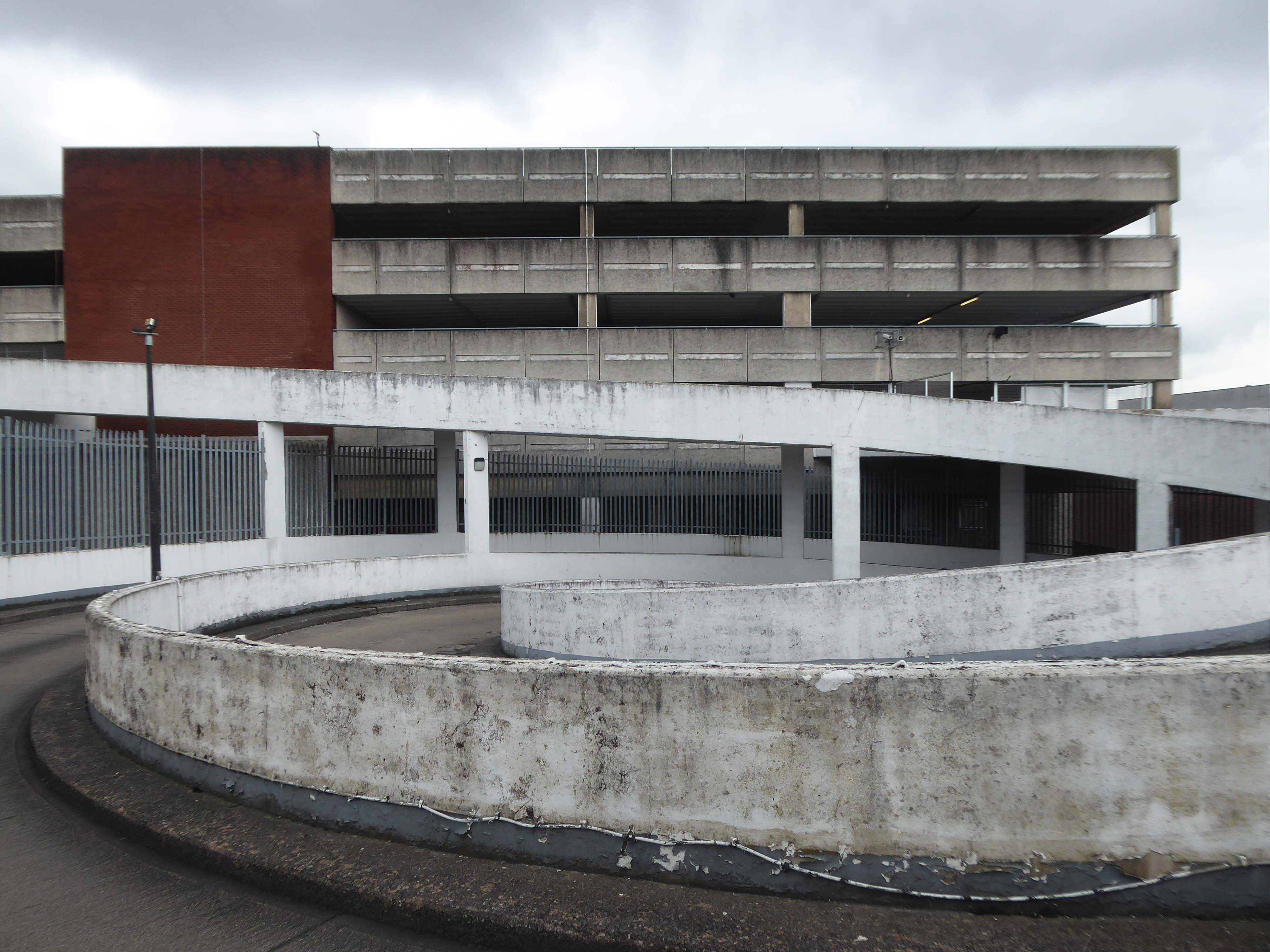
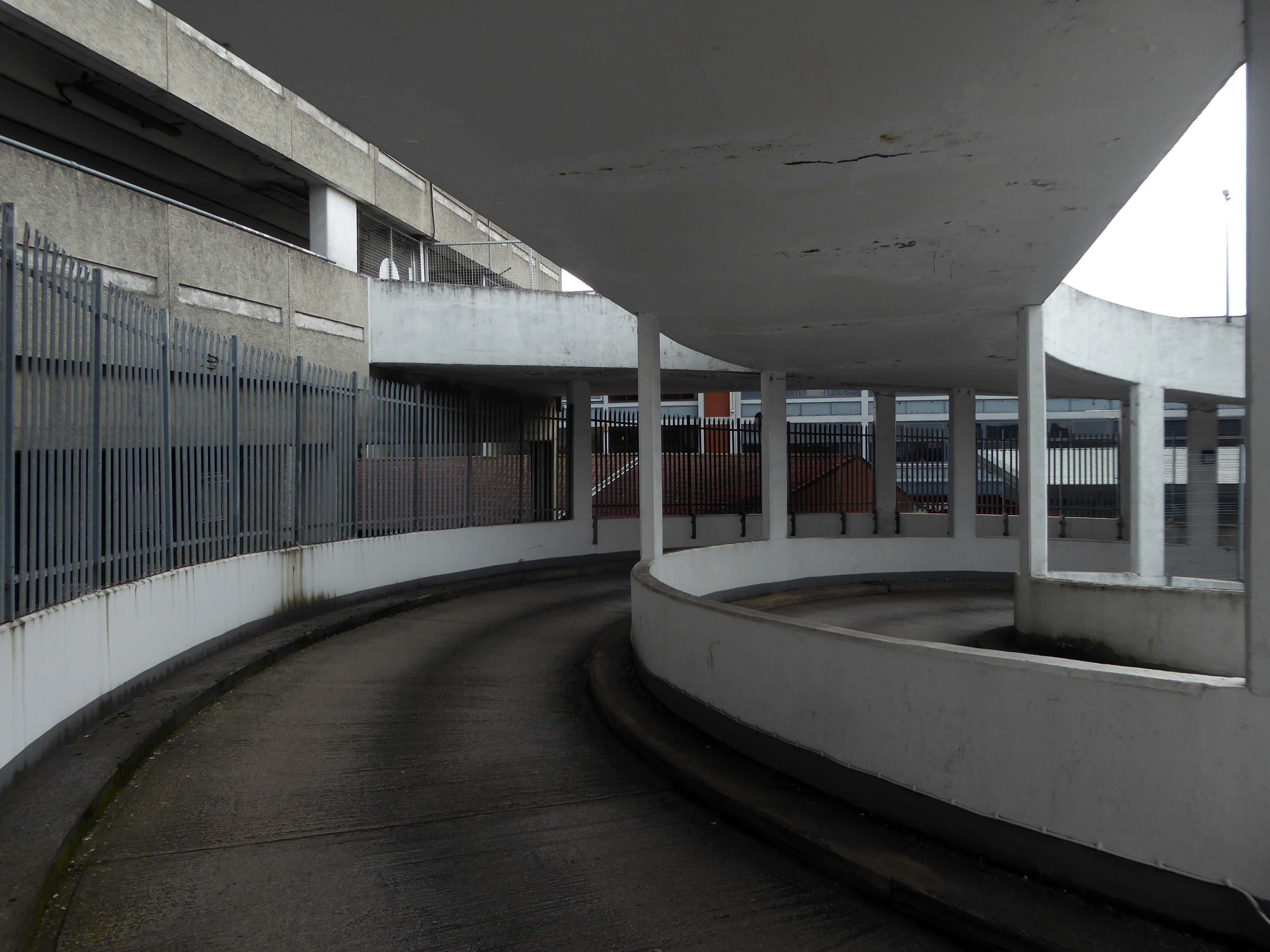
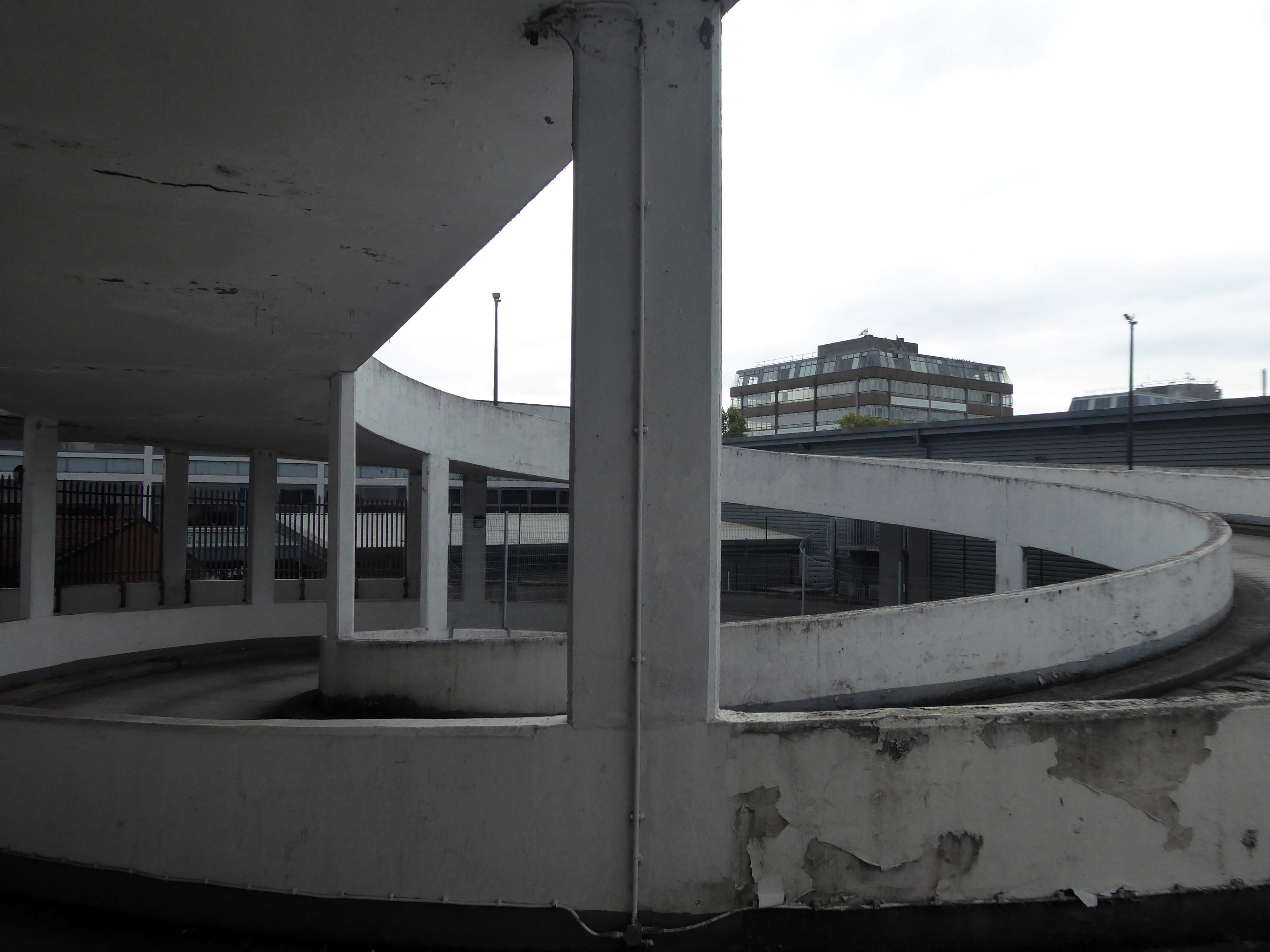
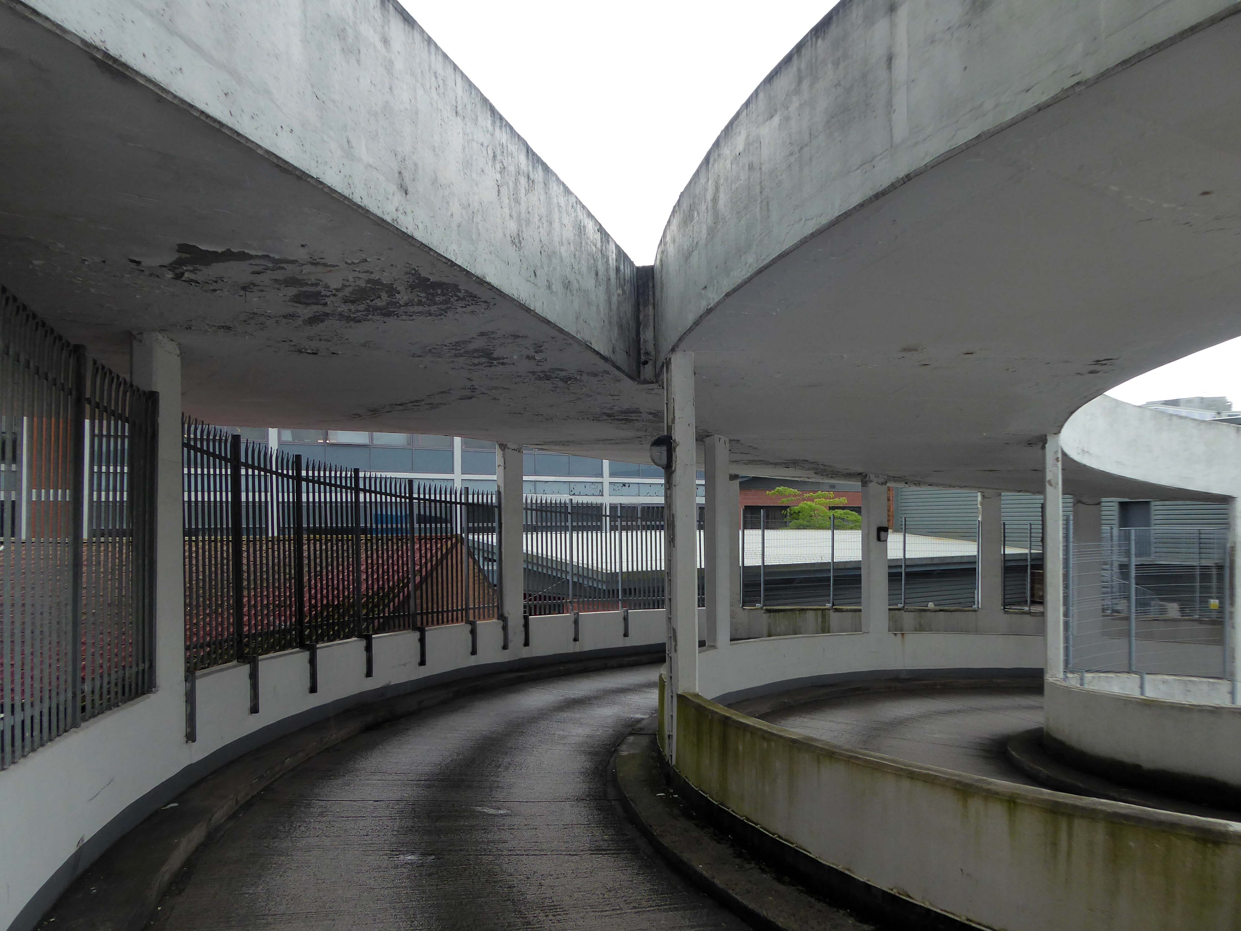
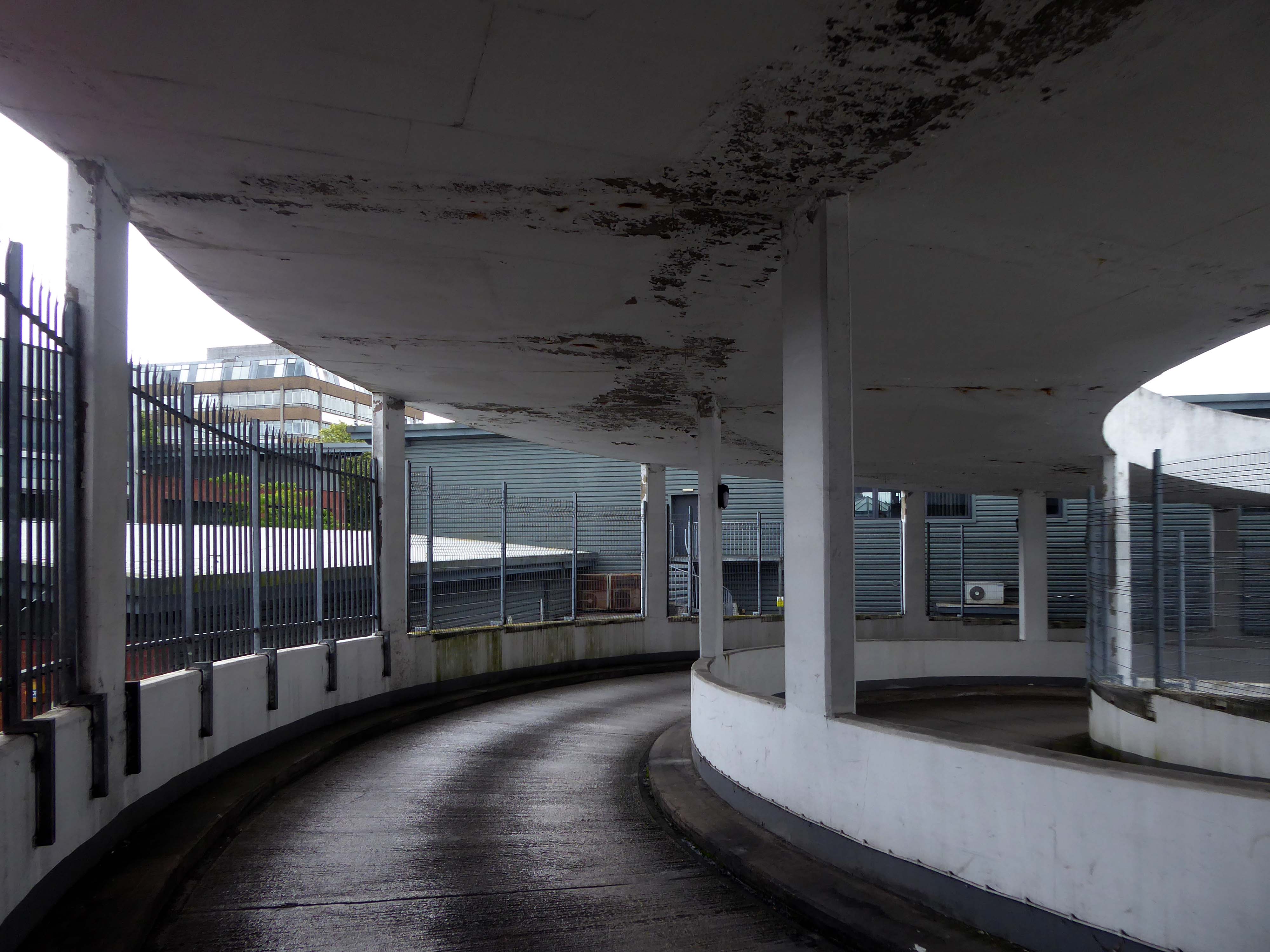
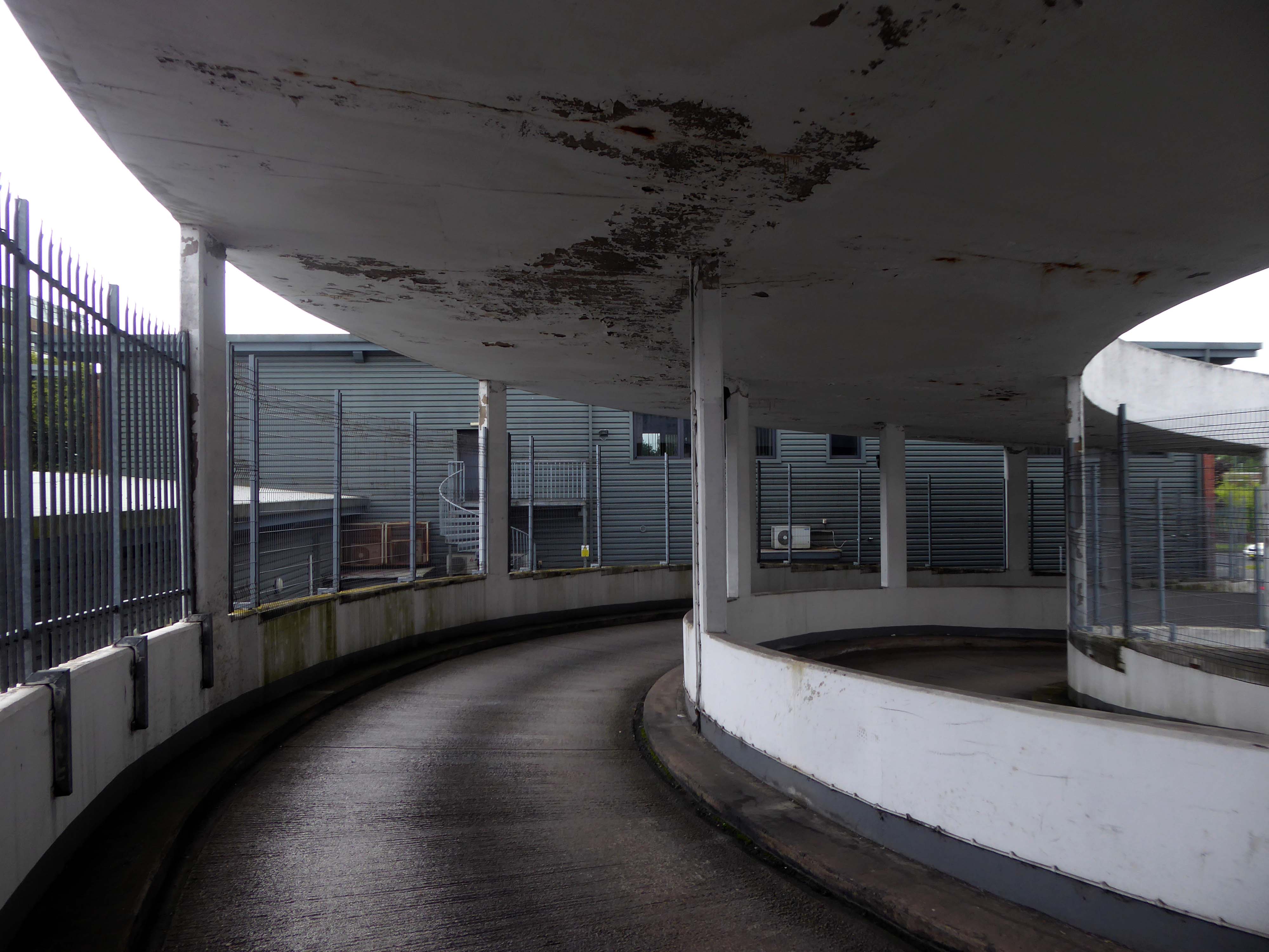
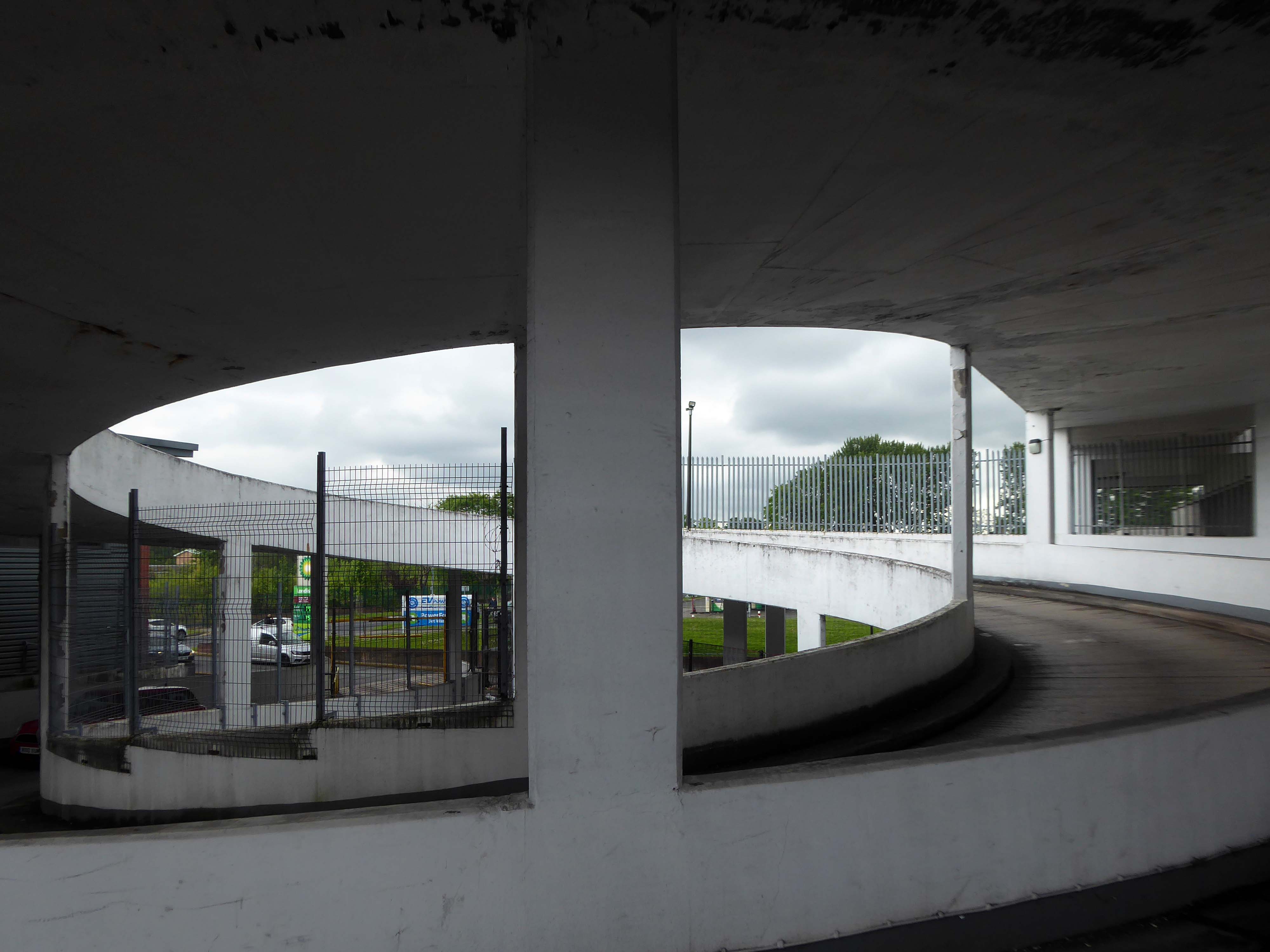
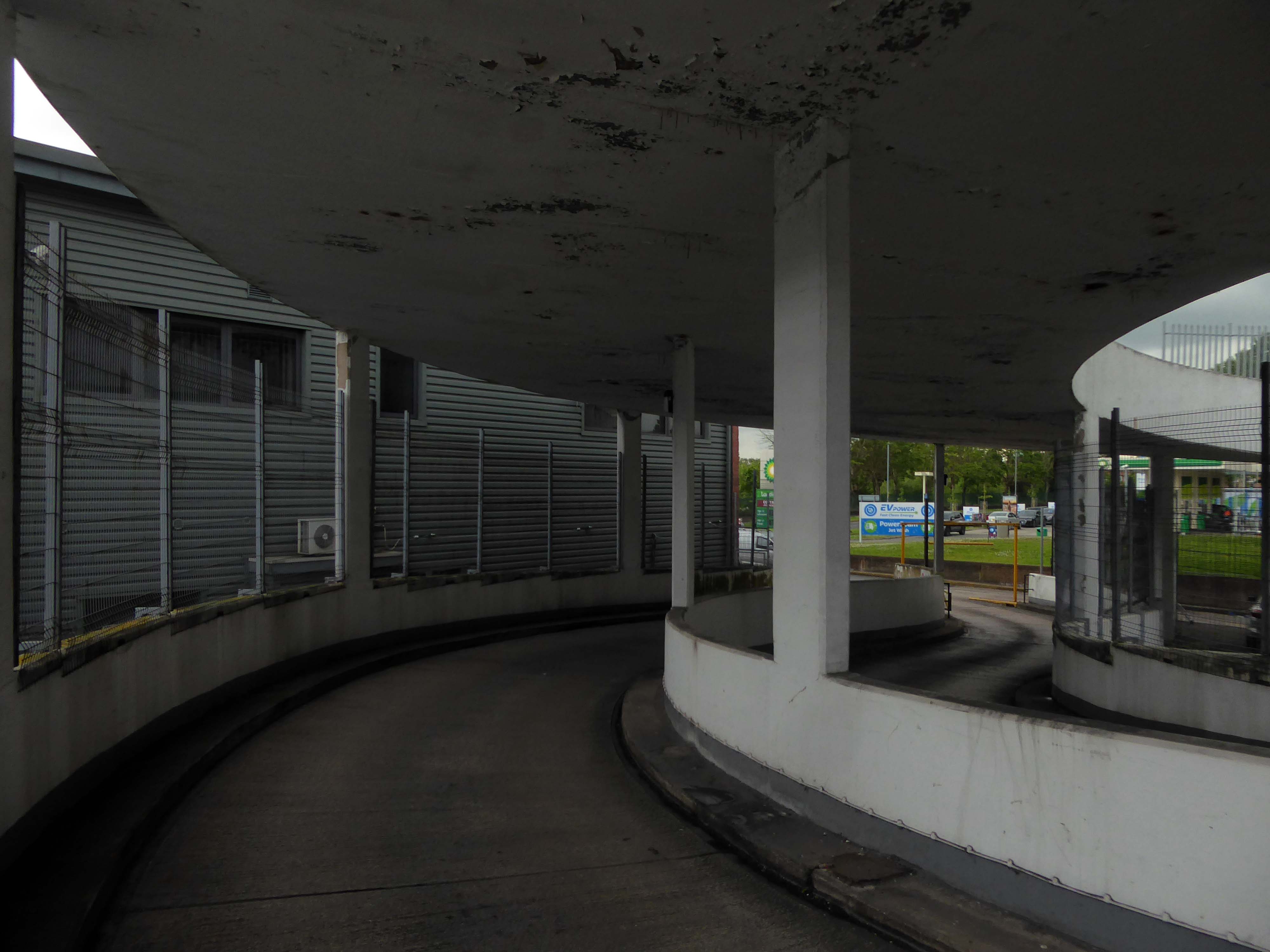
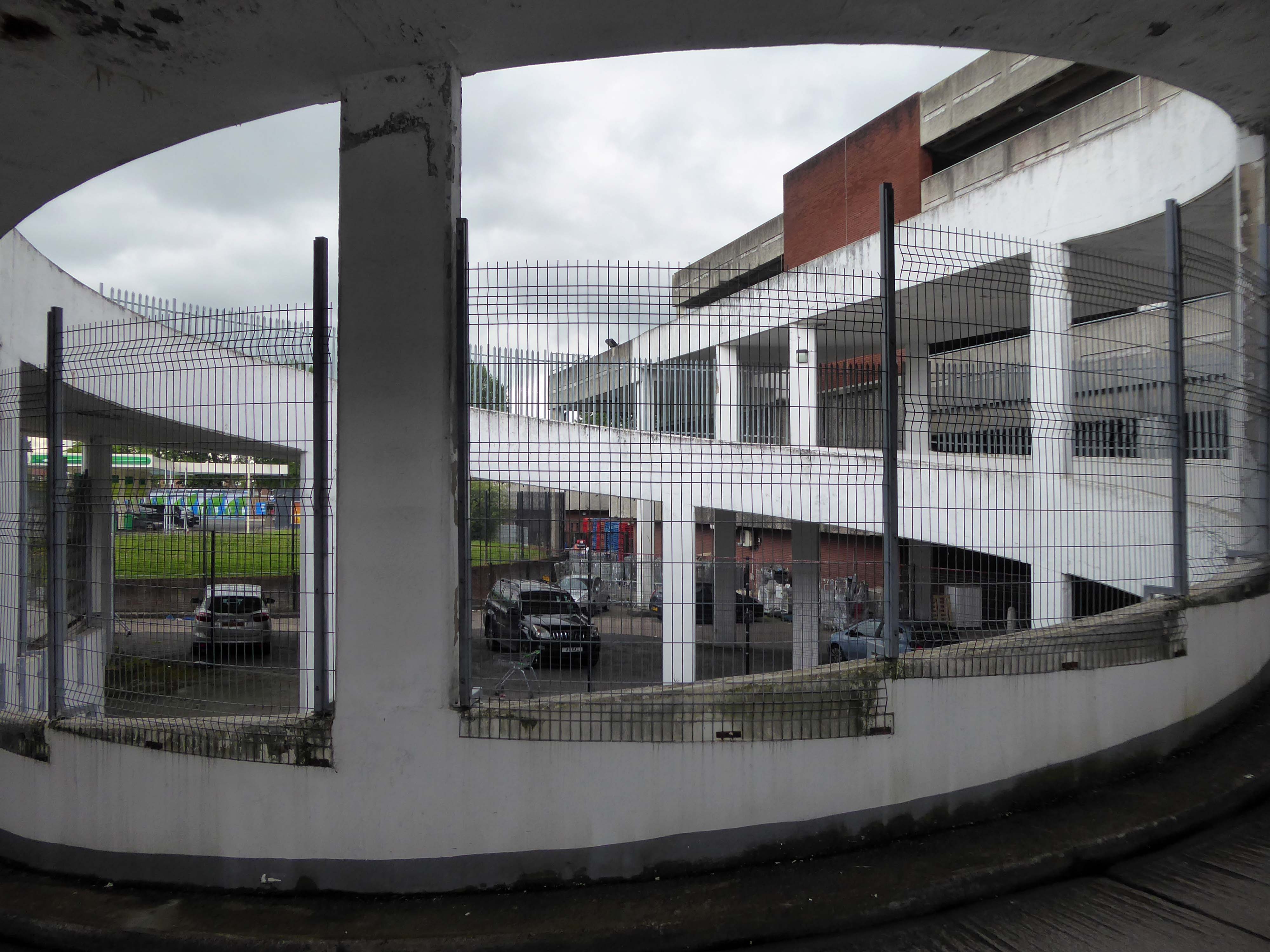
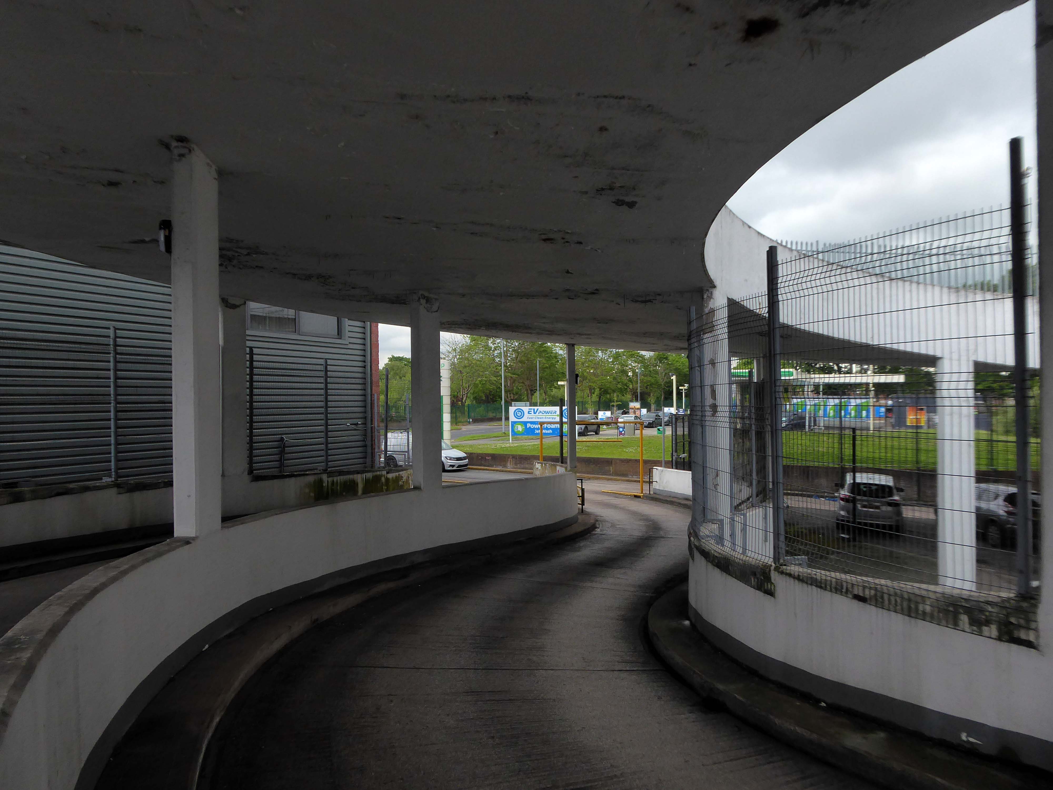
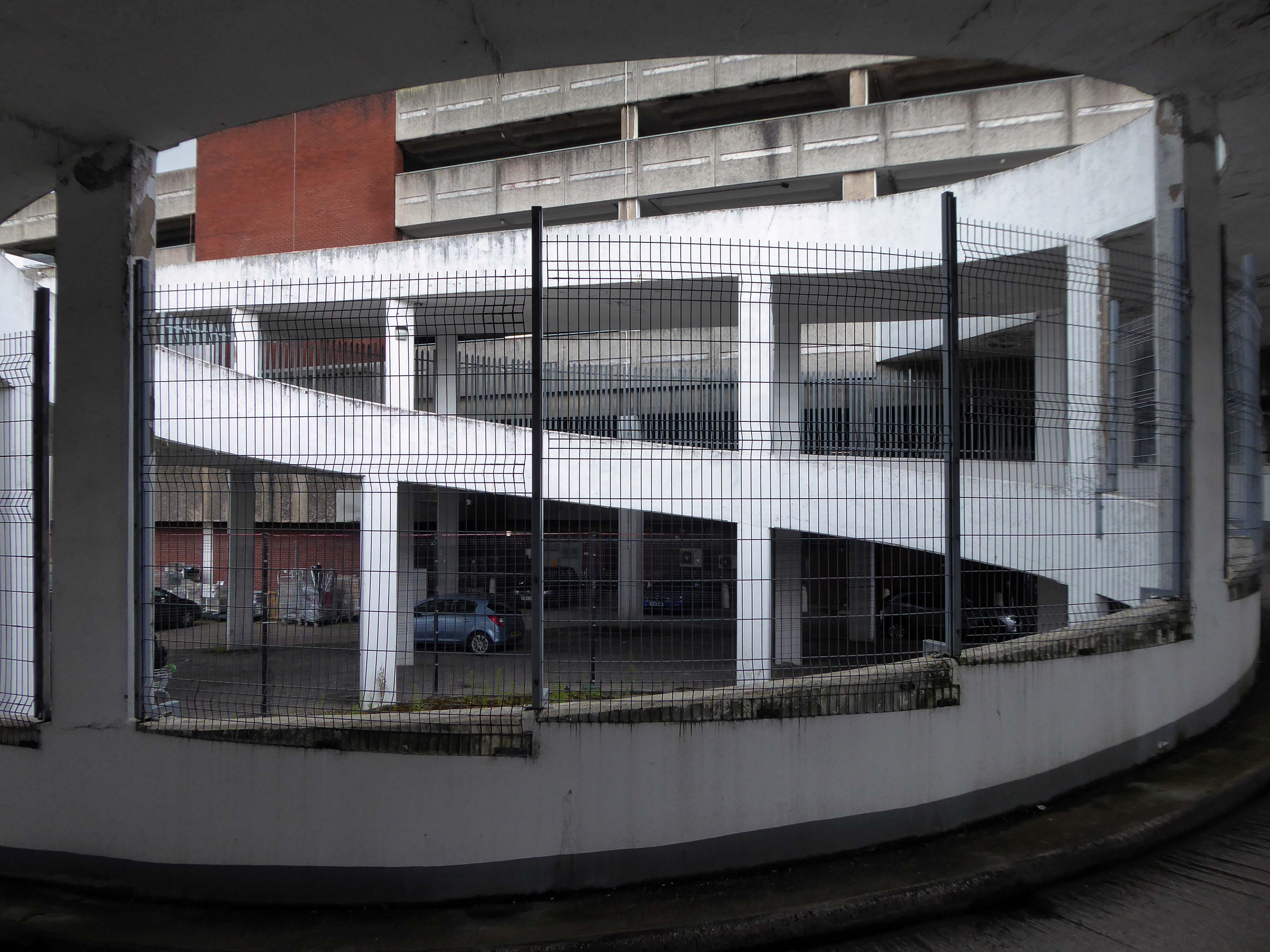
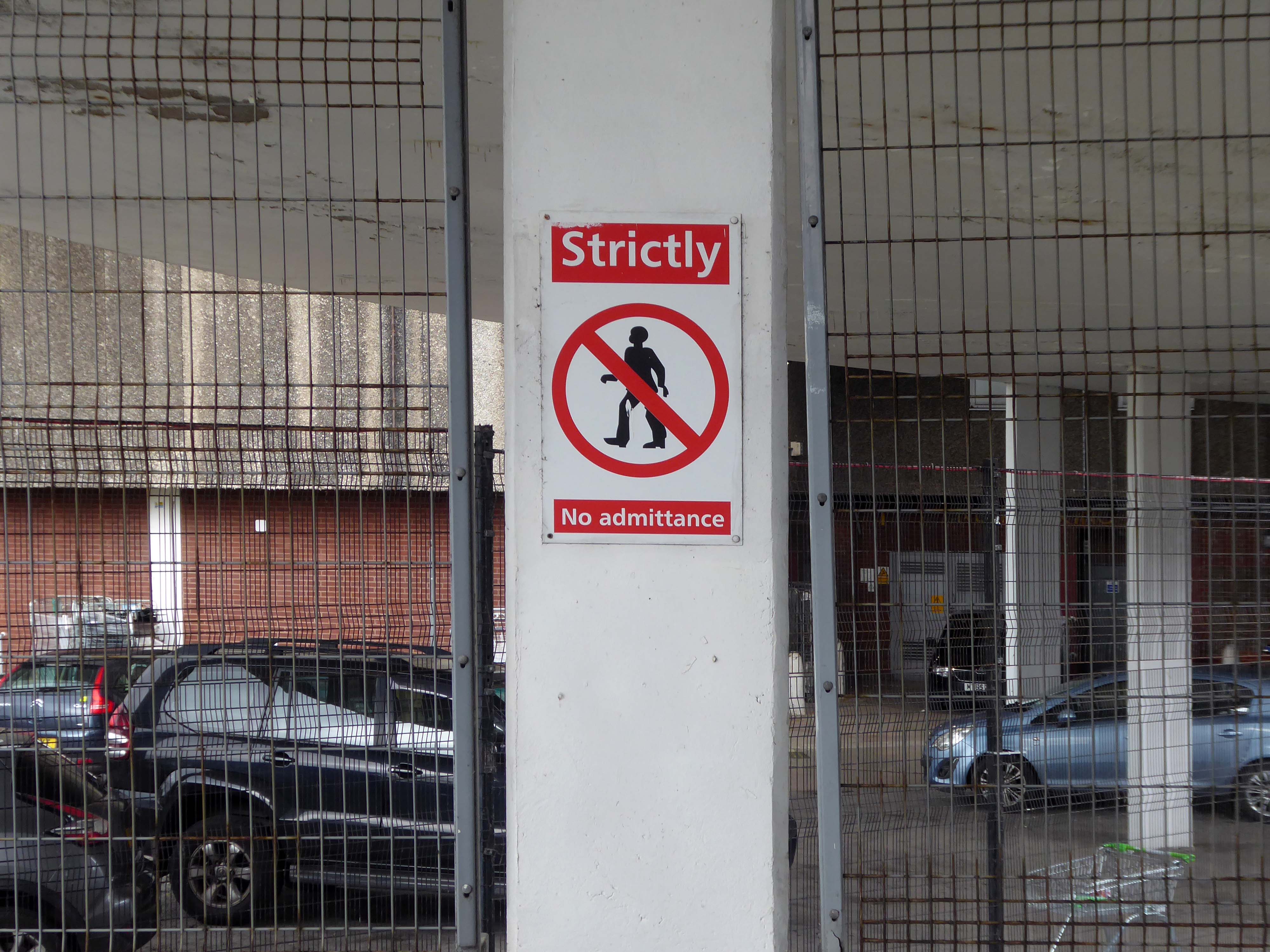
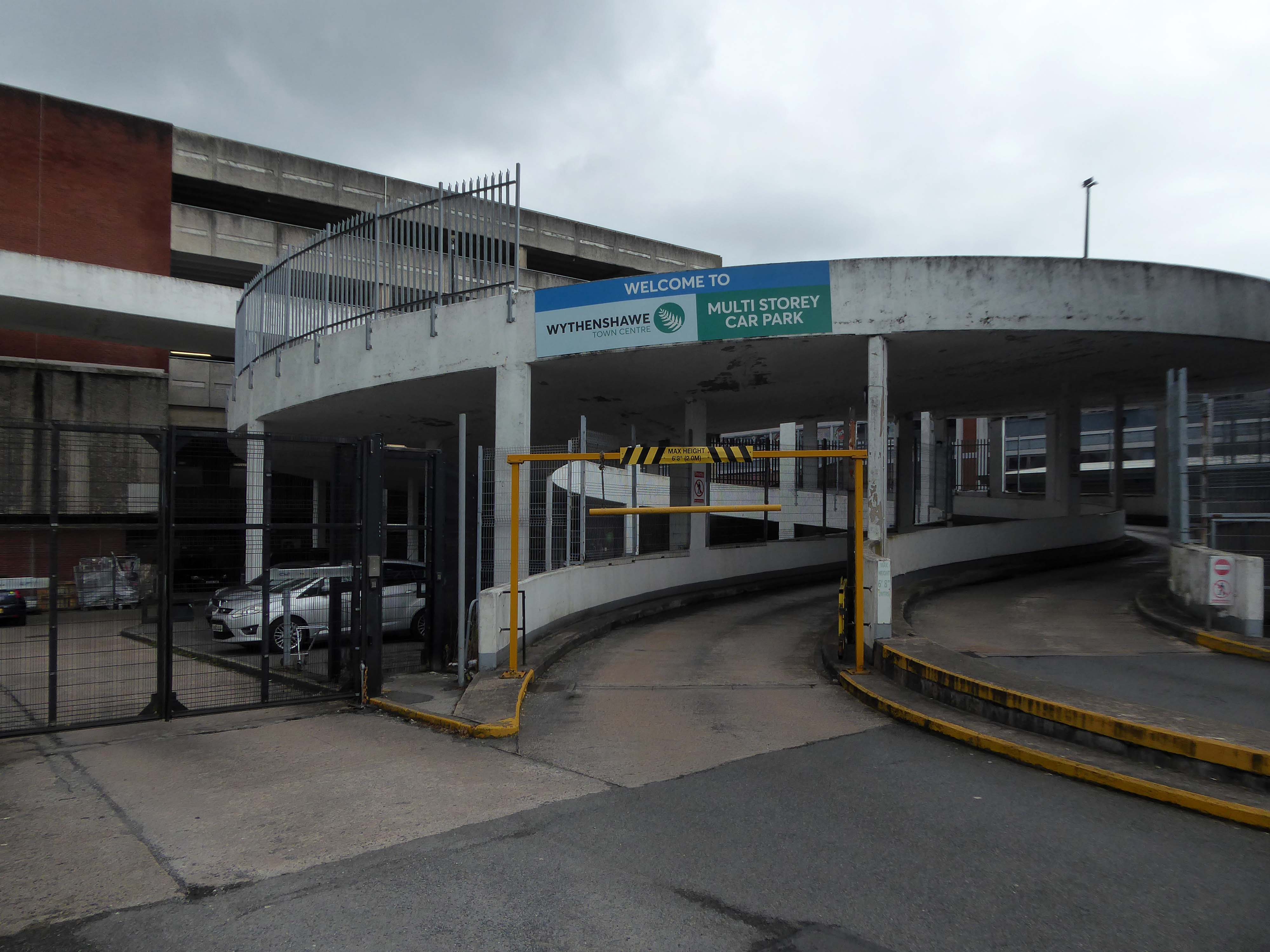
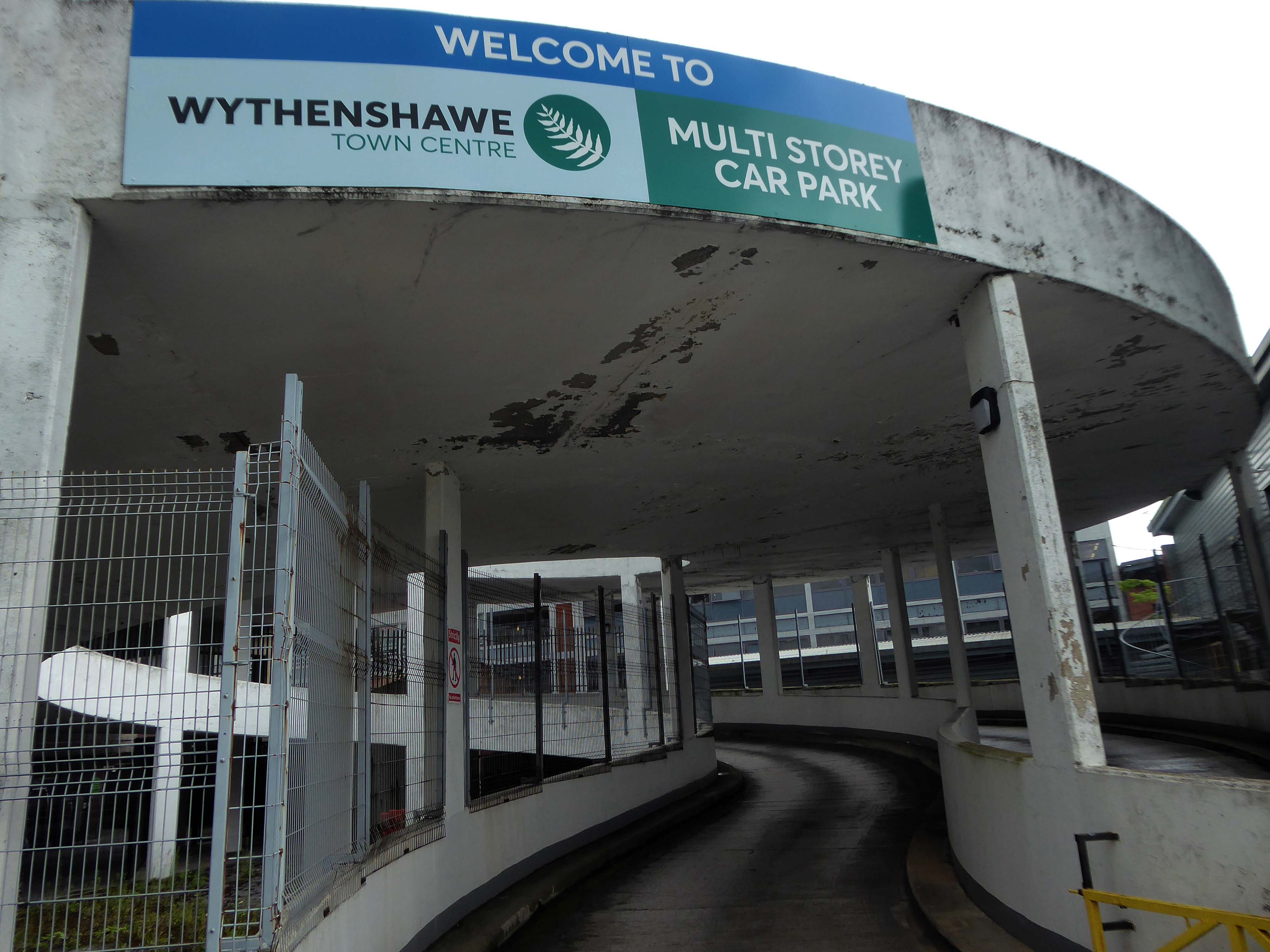
Multi Storey Car Park Rowlandsway Manchester M22 5RG
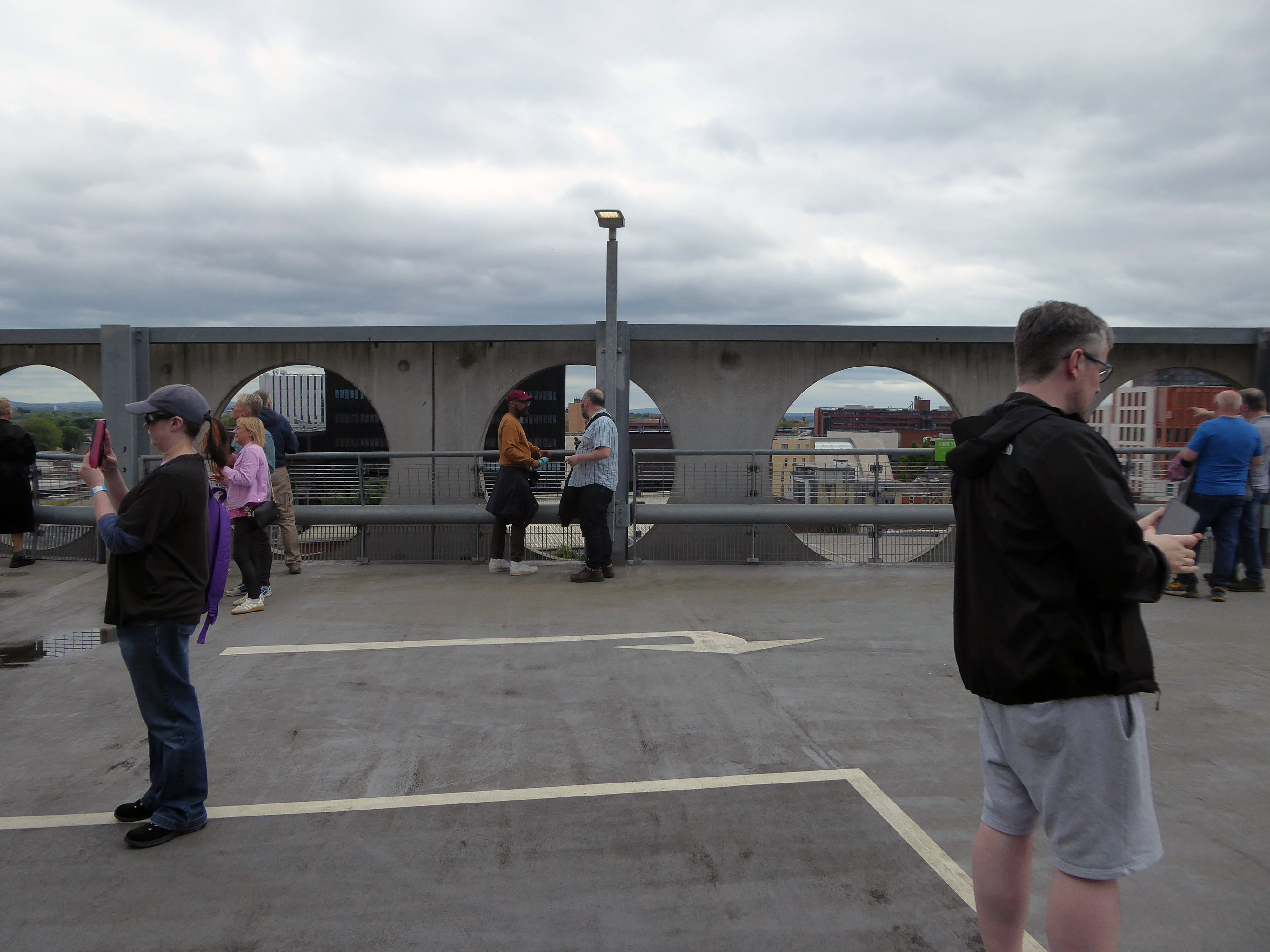
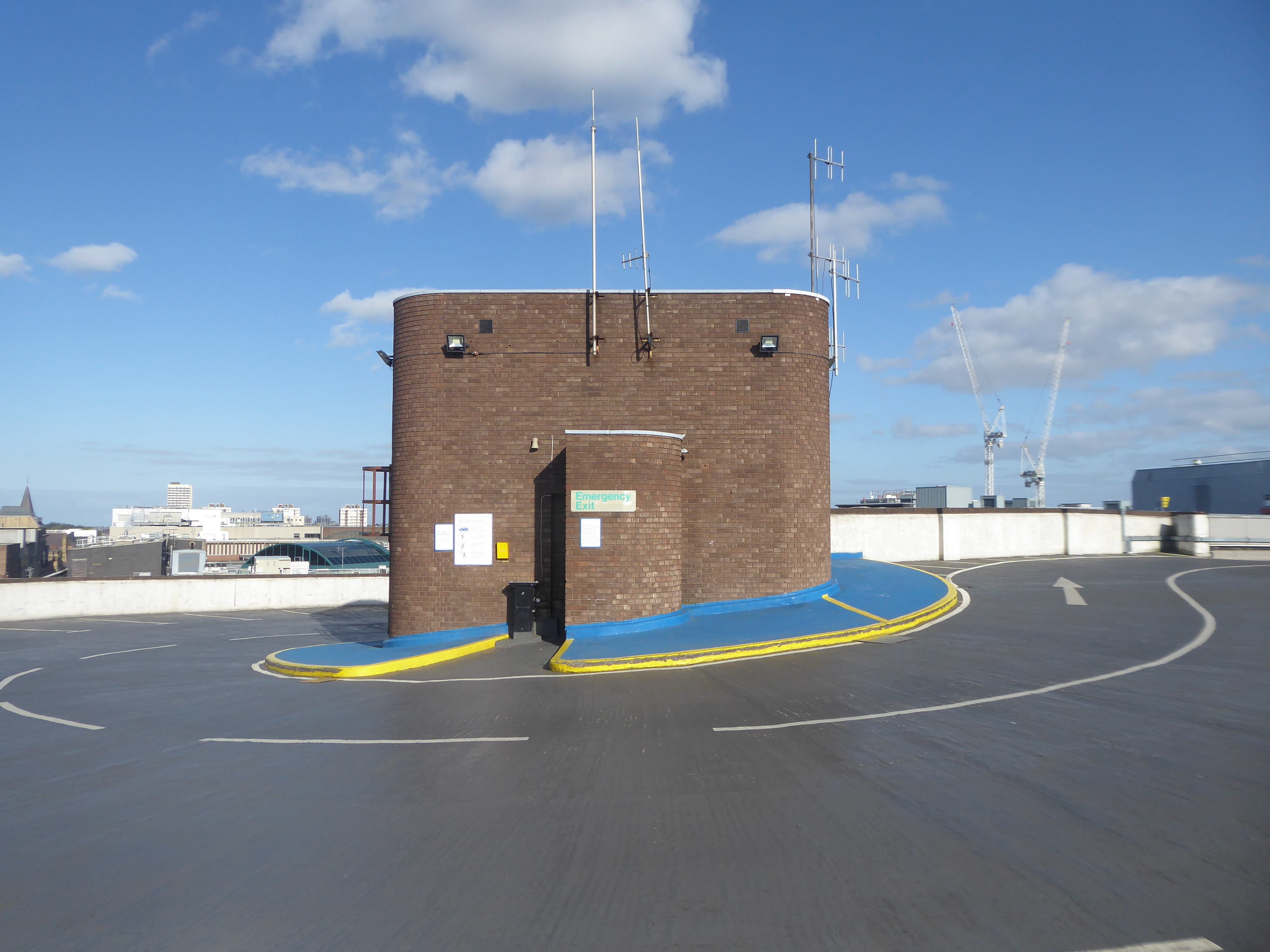
I’ve lost count of the countless times I have visited countless car parks.
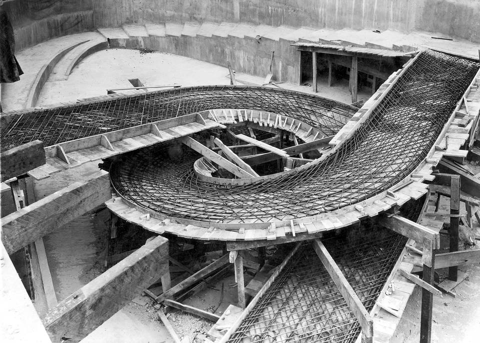
I do have a fondness for ramps – particularly helical ramps, one of my most memorable early modernist encounters, was with Lubetkin’s penguin pool.
The cast concrete taking on a truly sculptural dimension.
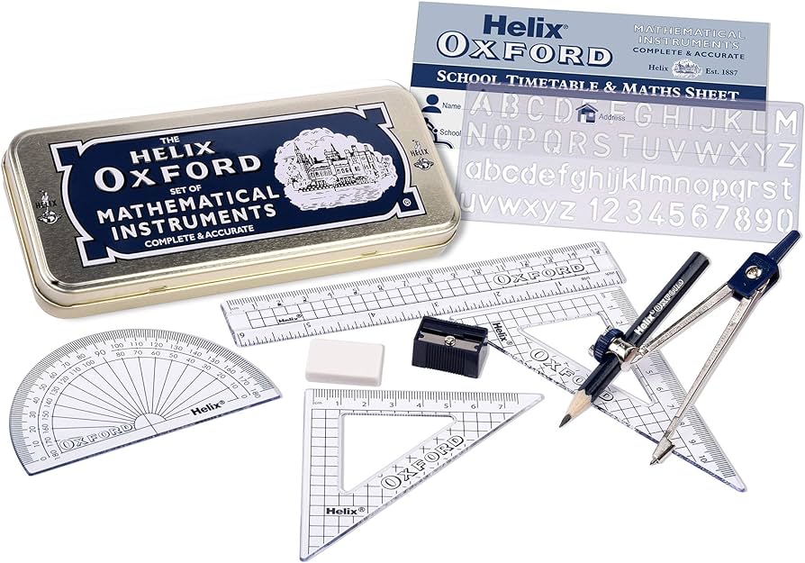
There is also the Proustian recollection of a collection of geometry lessons and Helix instruments.
It has all left a lasting impression and I have subsequently taken every opportunity to waddle penguin like up and down several concrete car park ramps.
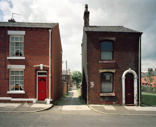
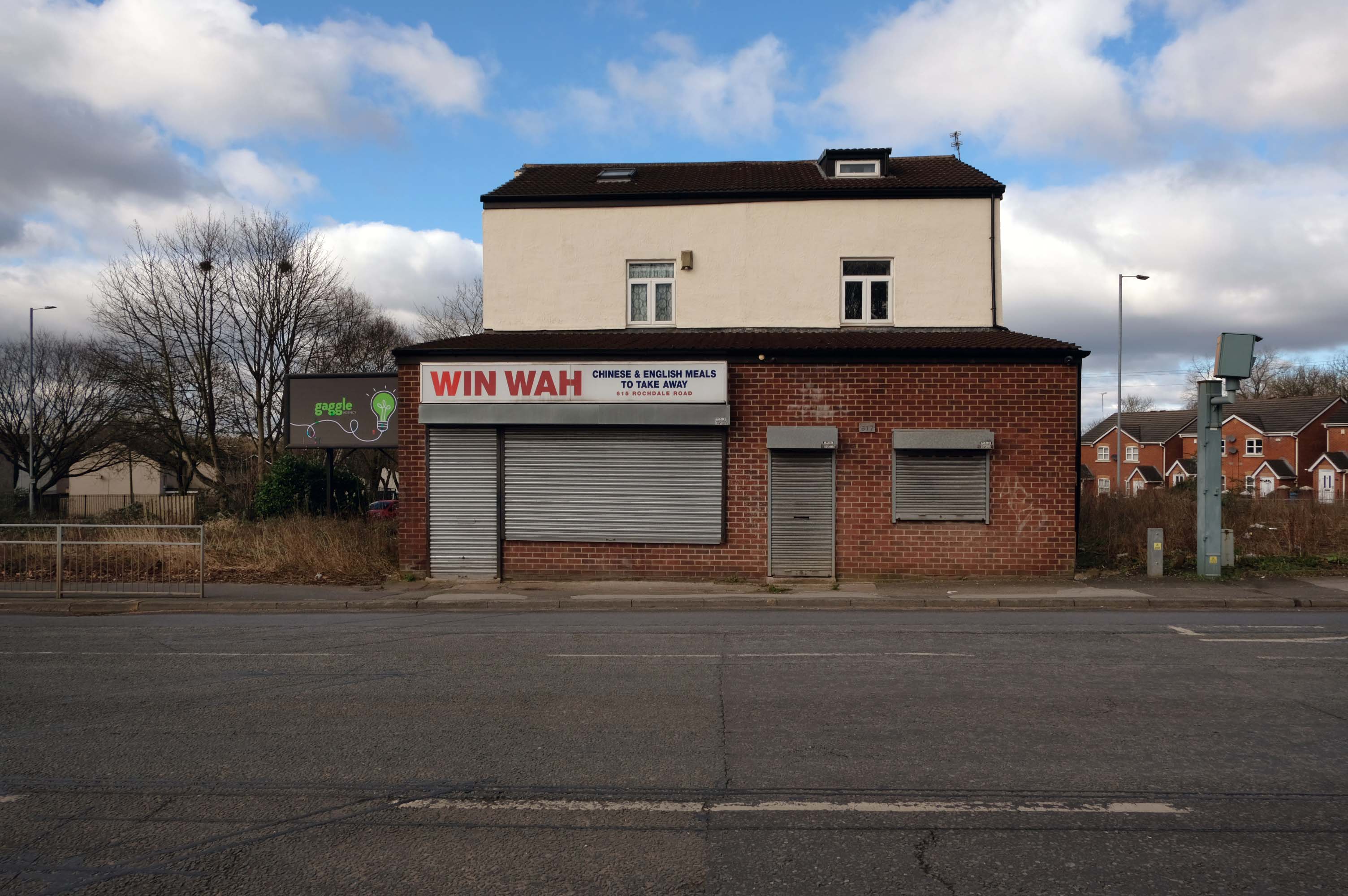
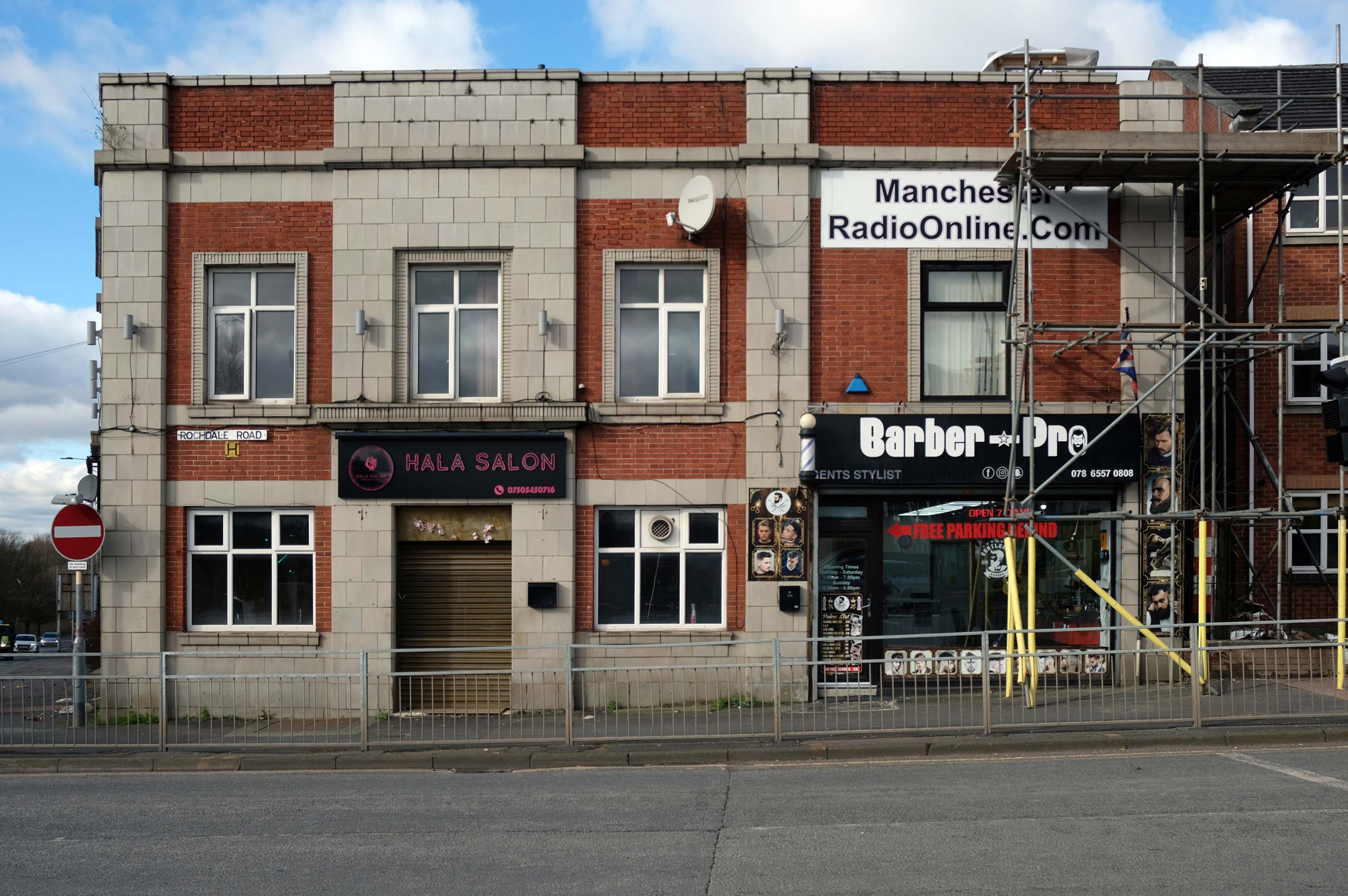
Walking along Rochdale Road yesterday, I was suddenly arrested by the Pleasant Street street sign.
Having already been suddenly arrested last week, by the Bland Close street sign.
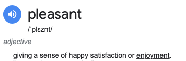
With my expectations defined by the above definition, I ventured along the street in search of happy satisfaction.
Coincidentally – The 18th century entrepreneur Josiah Wedgwood pioneered many of the marketing strategies used today, including the satisfaction or you money back guarantee, on the entire range of his pottery products. The money-back guarantee was also a major tool of early US mail order sales pioneers in the United States such as Richard Sears and Powel Crosley Jr. to win the confidence of consumers.
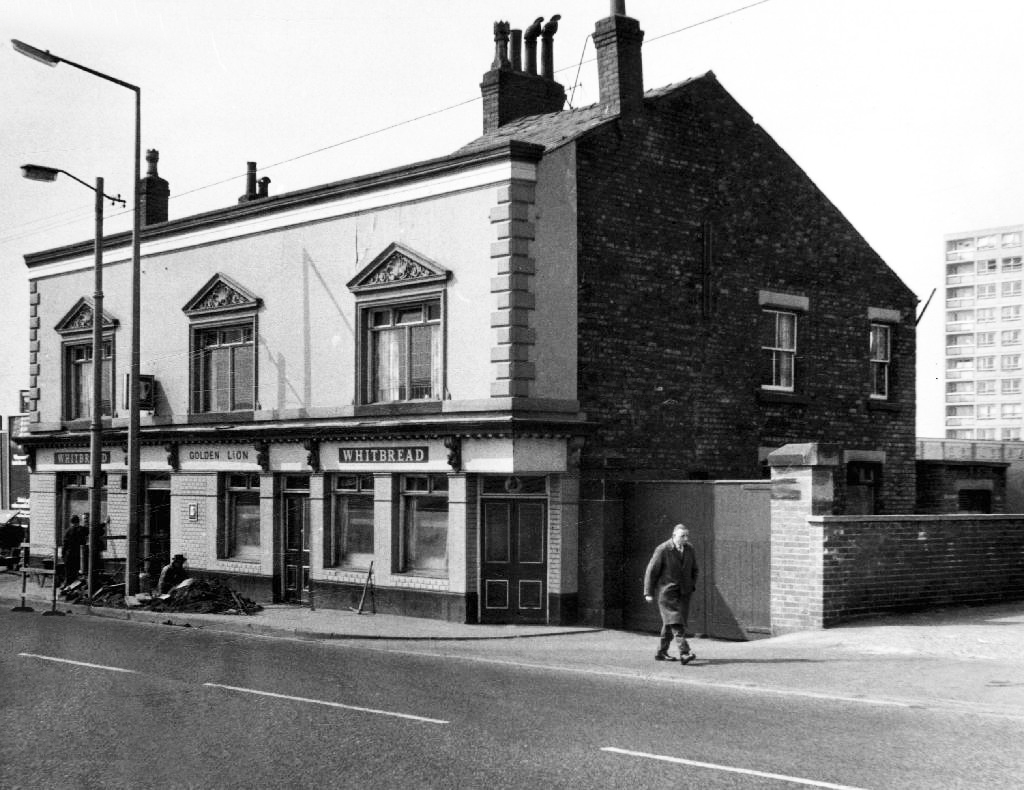
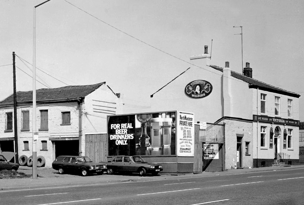
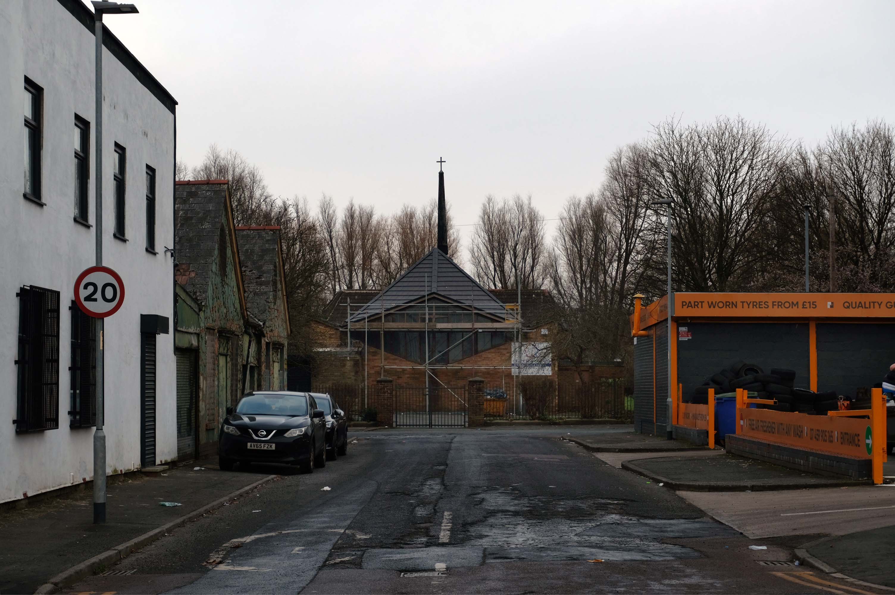
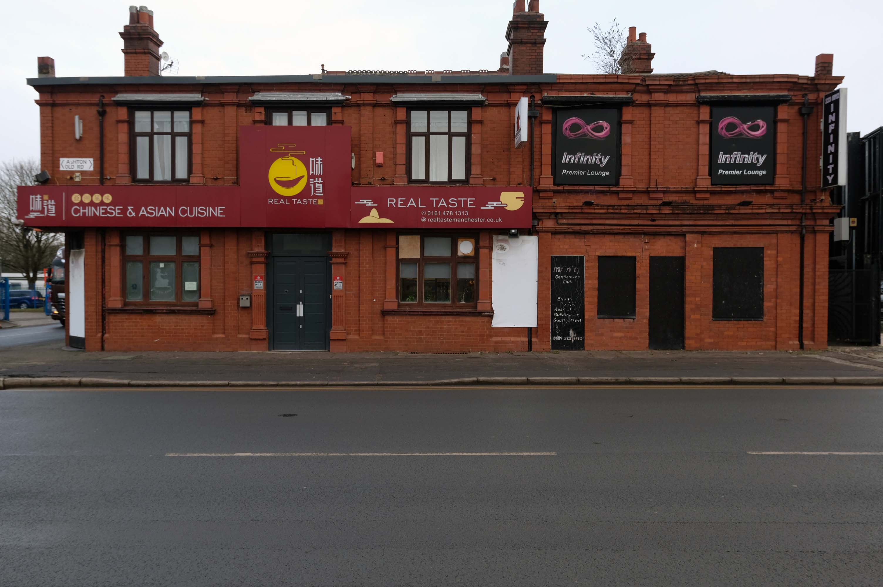
However at someone between 1968 and 2024 the housing had been cleared away – also missing in action is the Golden Lion pub adjoining Pleasant Street on Rochdale Road.
The Golden Lion was a proper old pub on the very busy rochdale road in the Harpurhey area of Manchester. Once inside there was a decent lounge and a basic bar i had a drink in the lounge and this was quite a comfy room.
This pub was a Whitbread tied house and there were two real ales on the bar I had a drink of Chesters bitter and this was a nice drink the other beer was Chesters mild. I thought this was quite a nice pub but sadly this pub has now been pulled down in the name of progress.
So here we are here today – yesterday has long gone and tomorrow never knows no how.
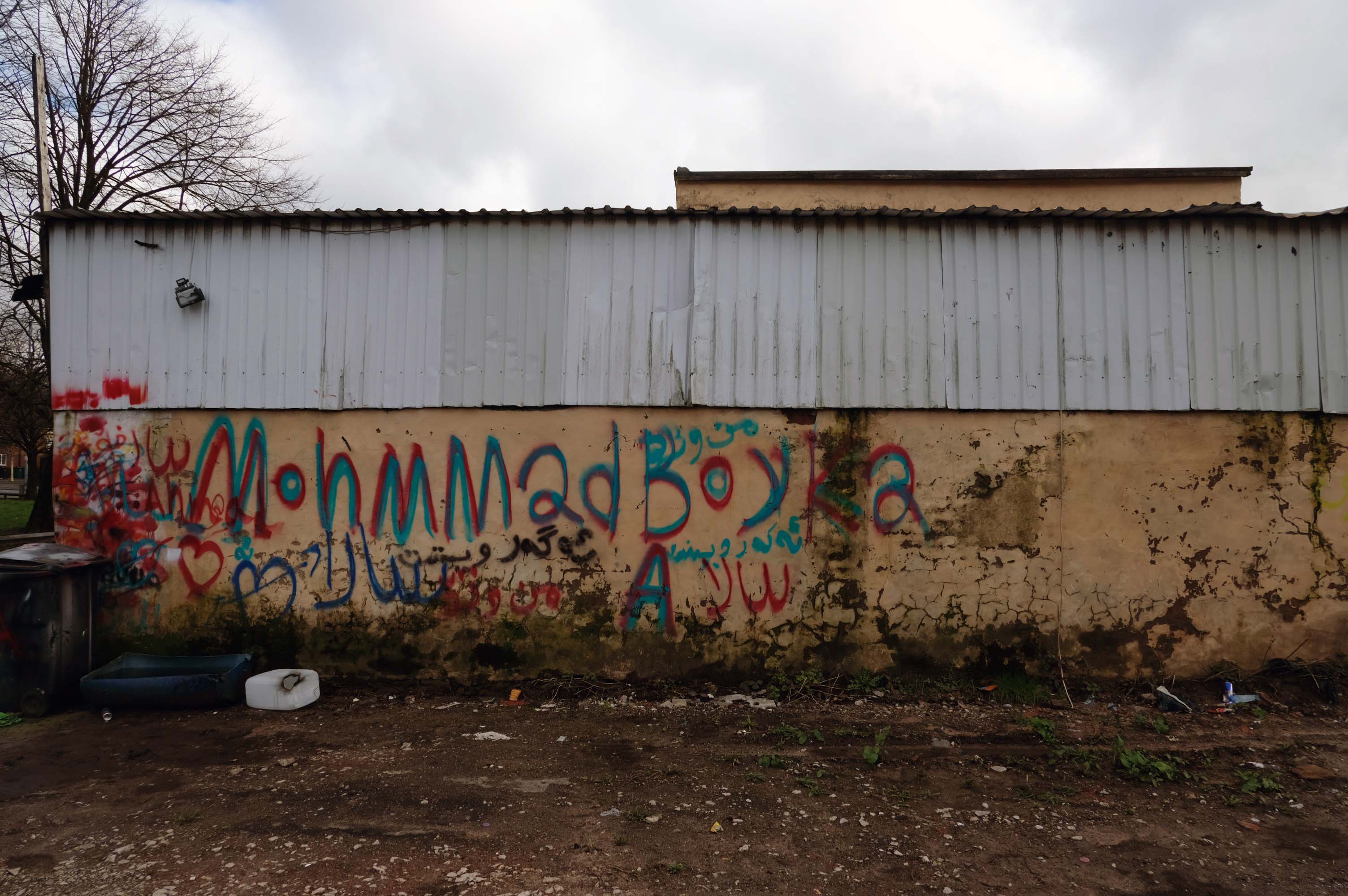
What’s left to see?
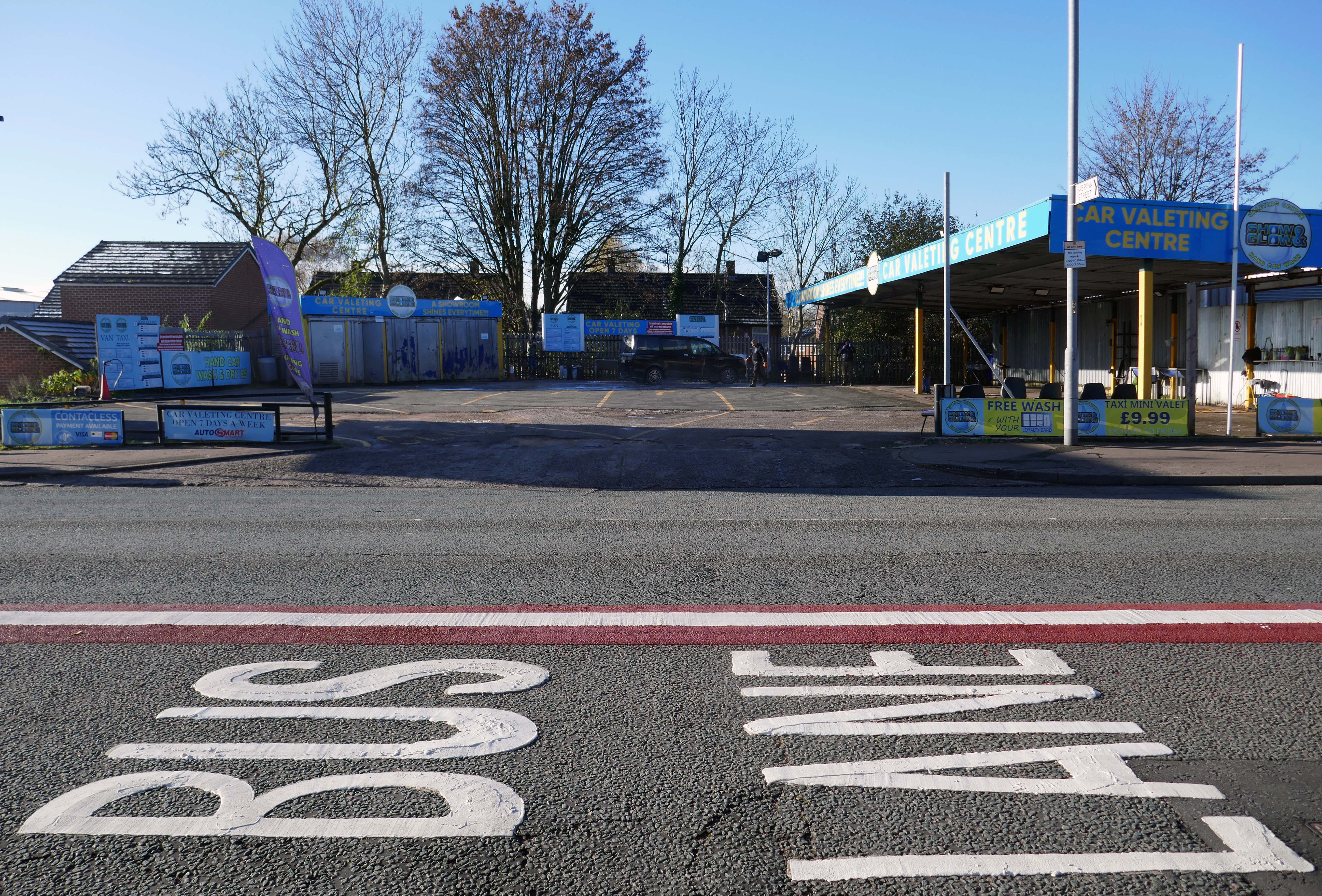
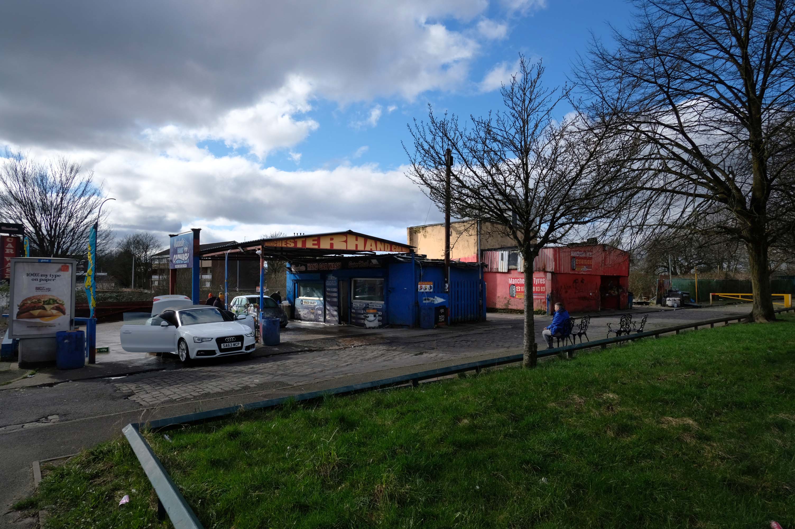
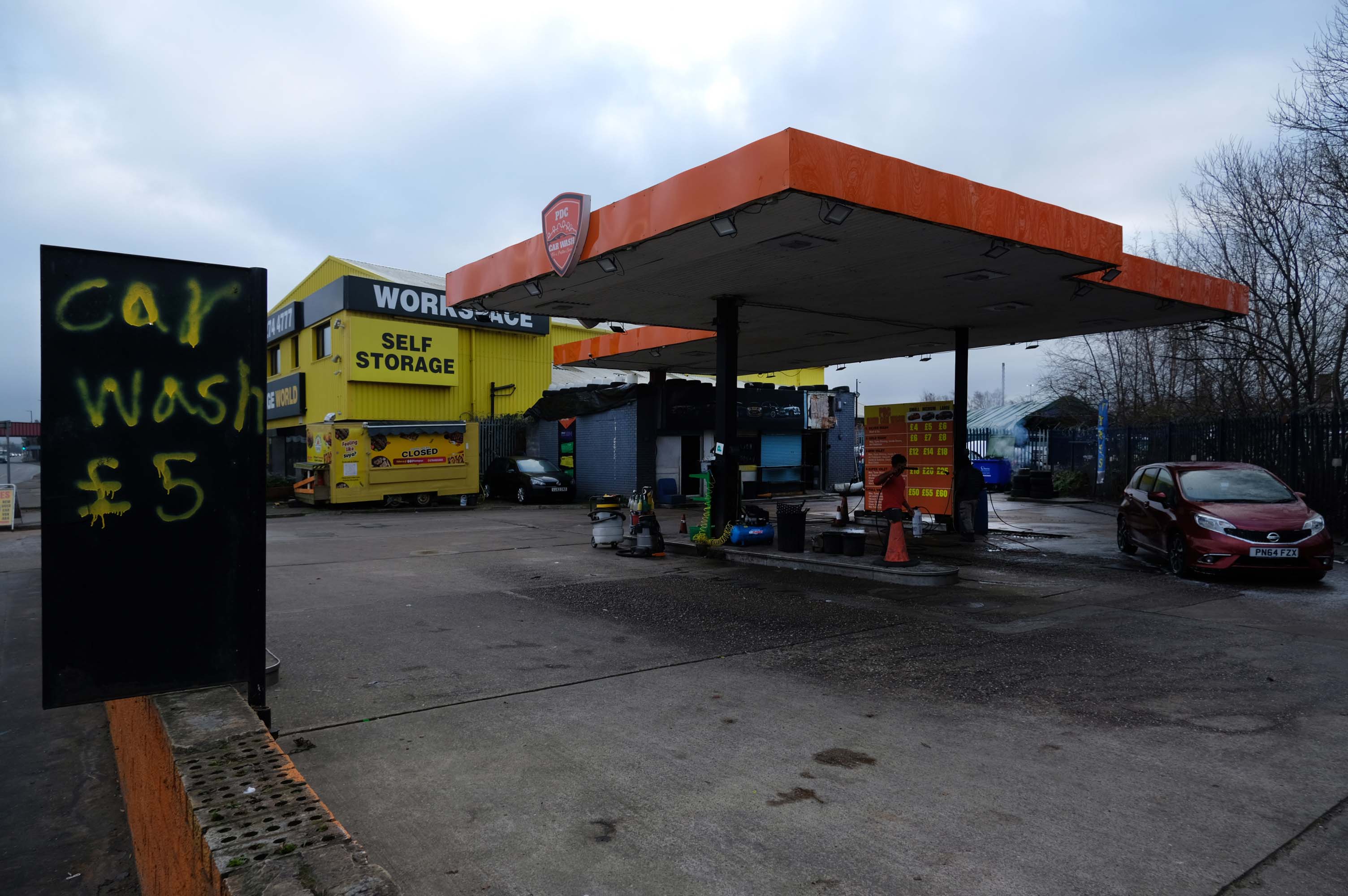
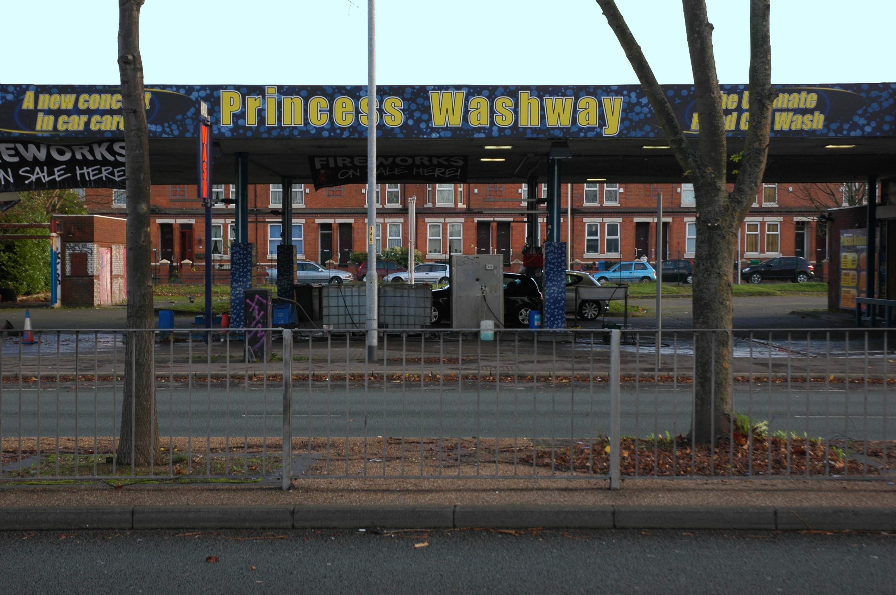
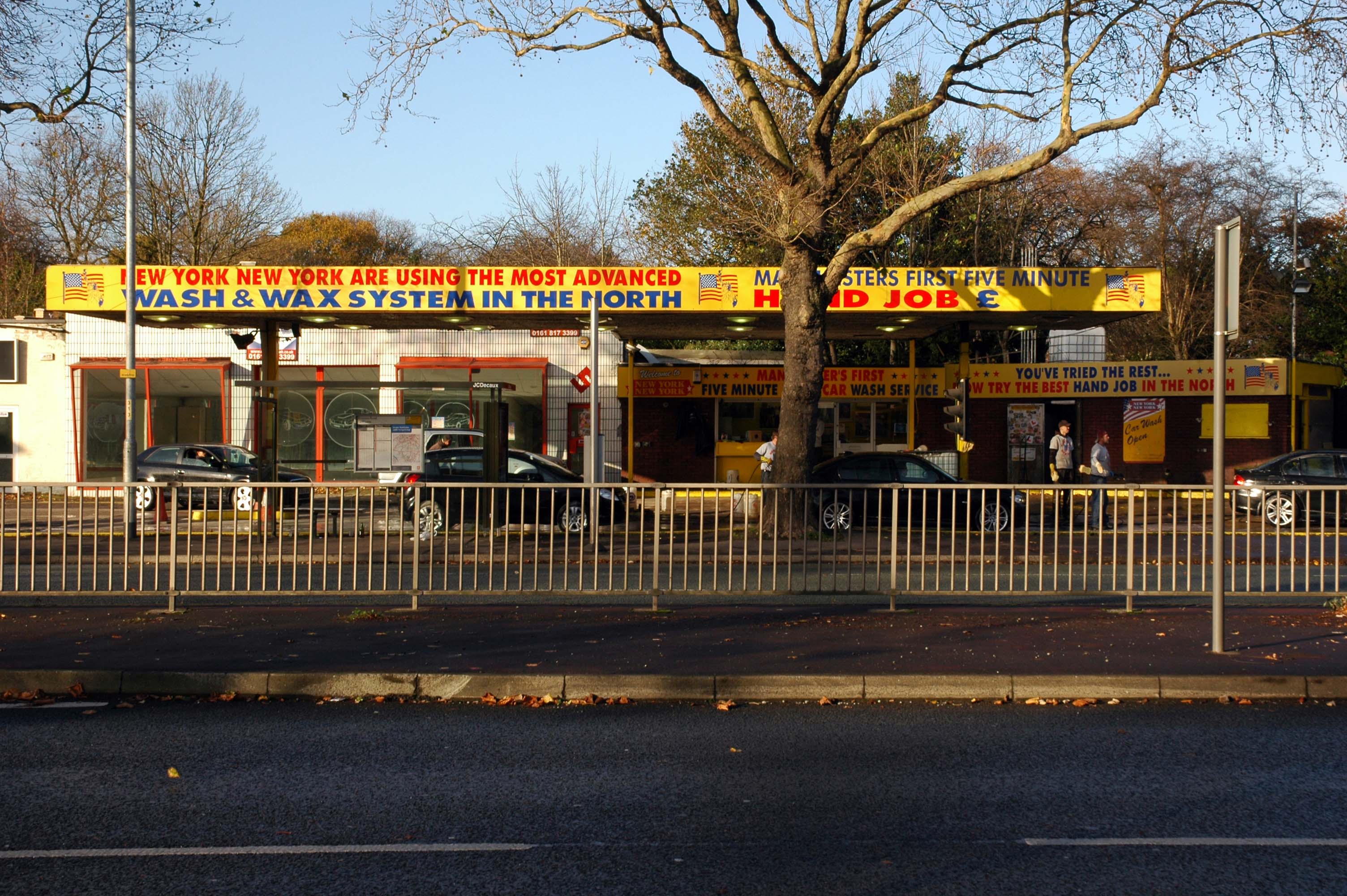
Manchester Hand Car Wash
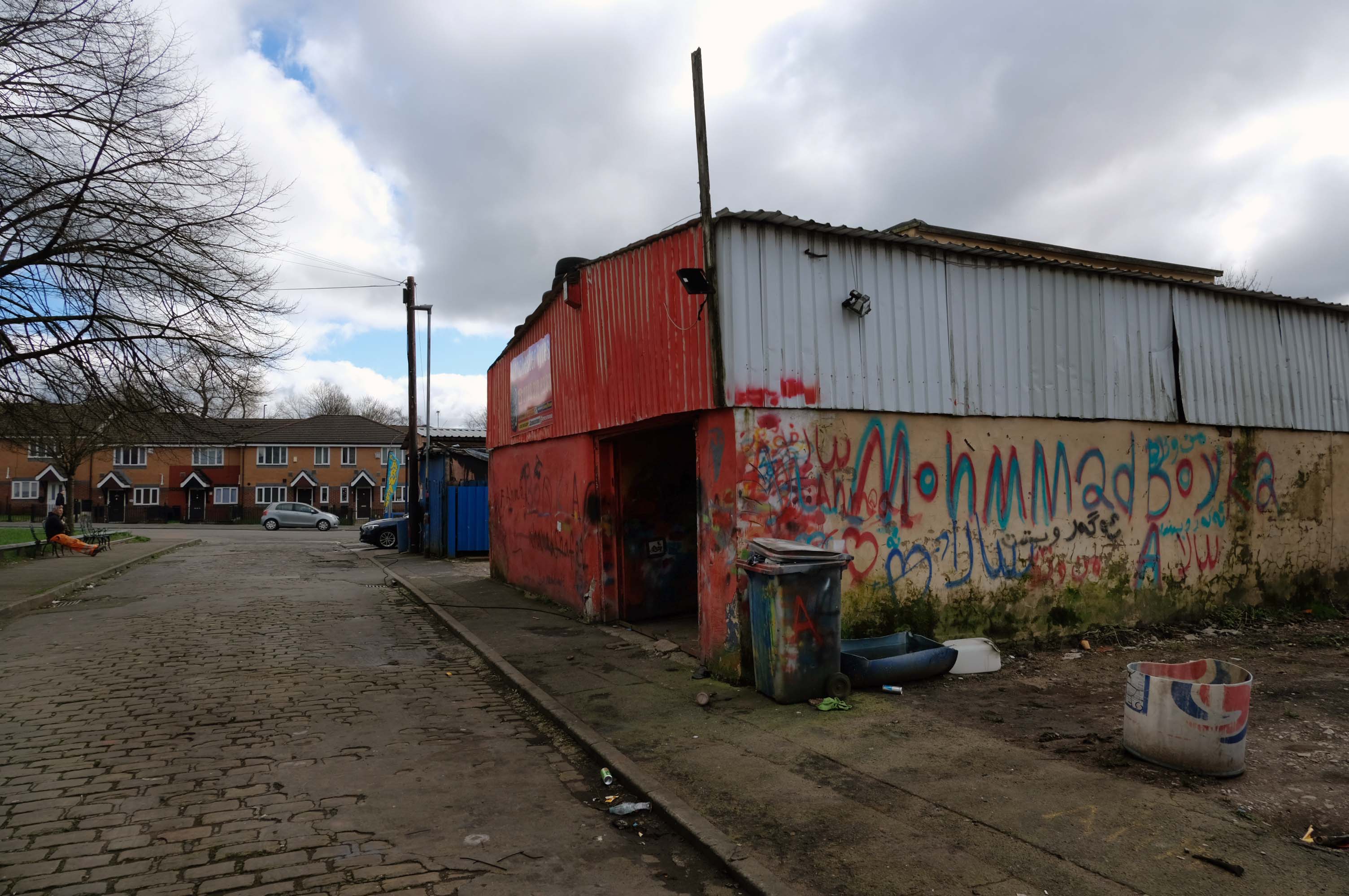
Manchester Tyres
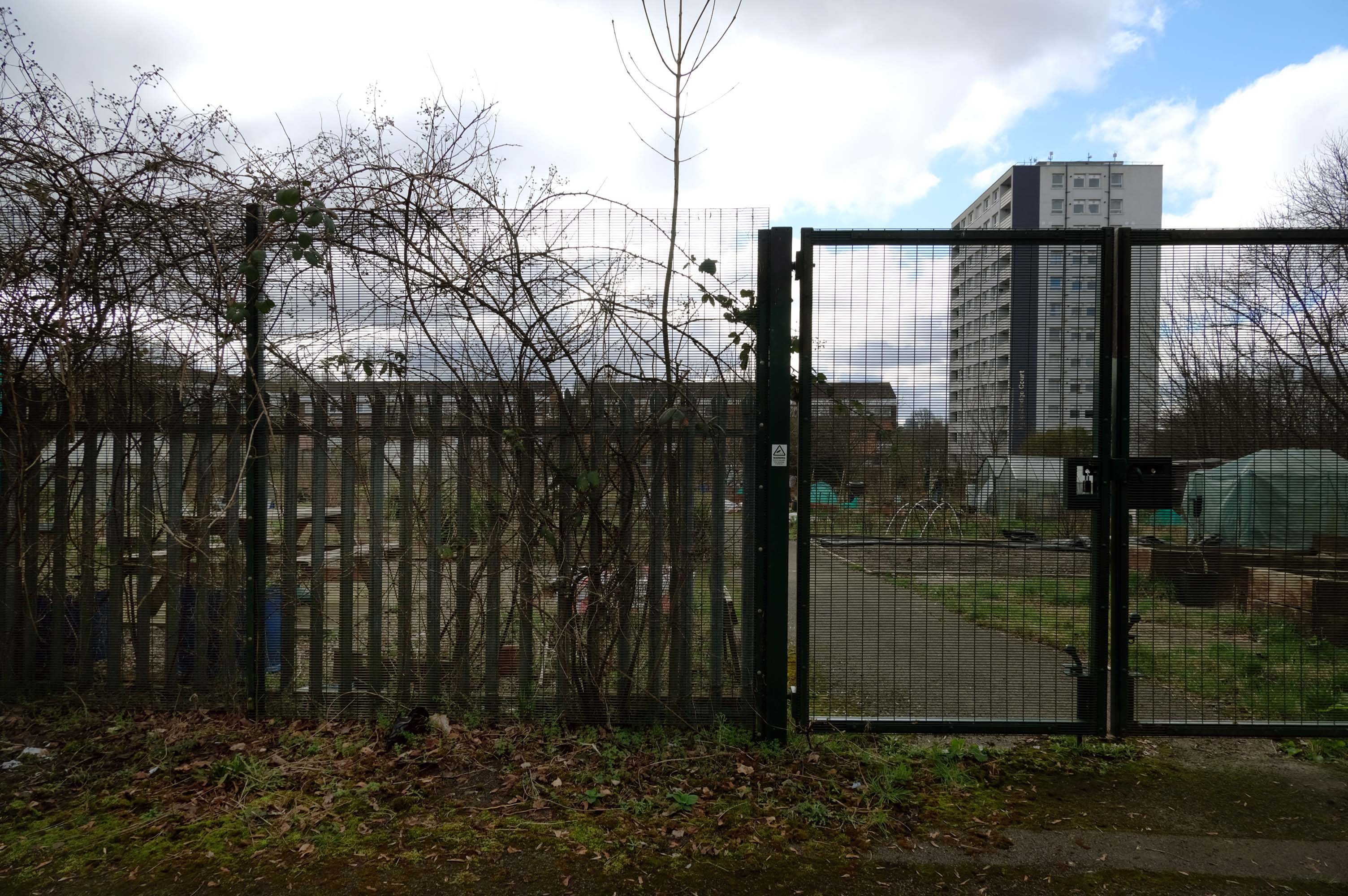
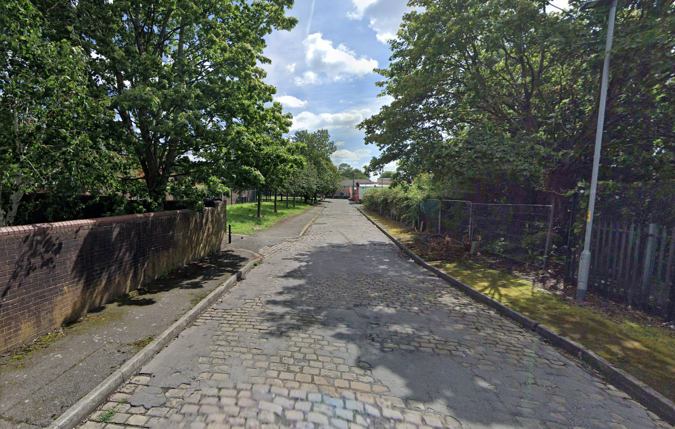
Pleasant Street Allotments
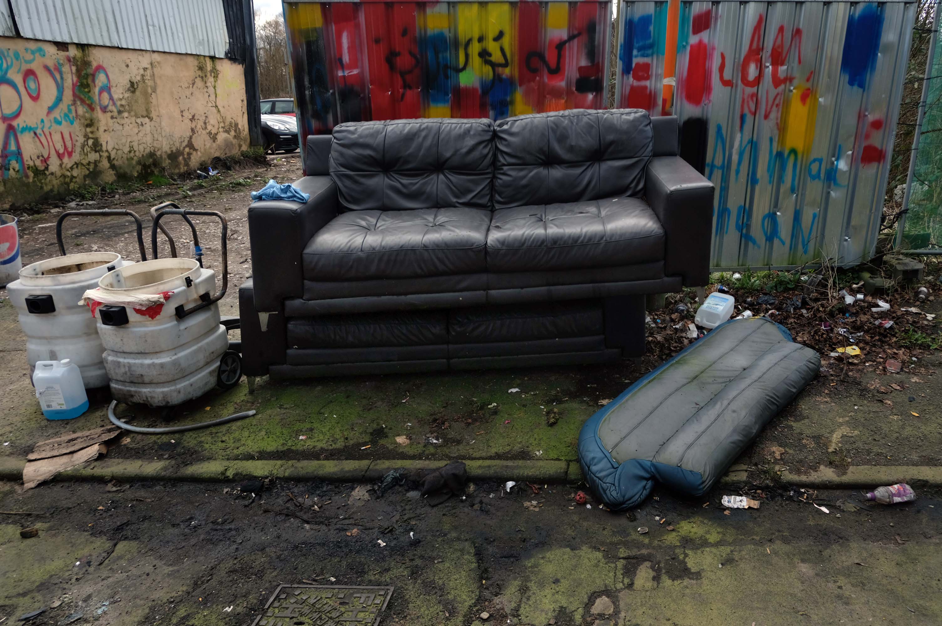
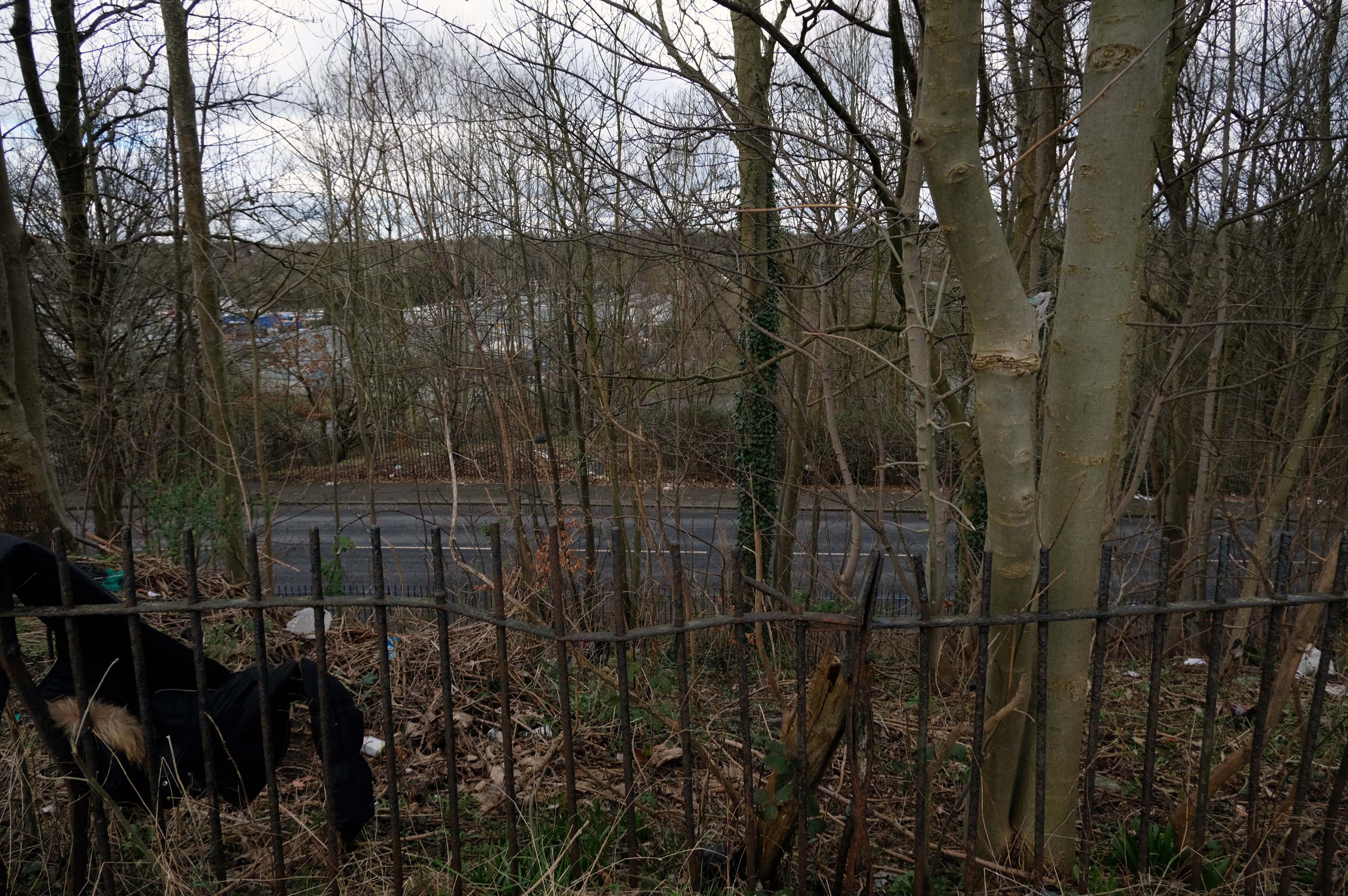
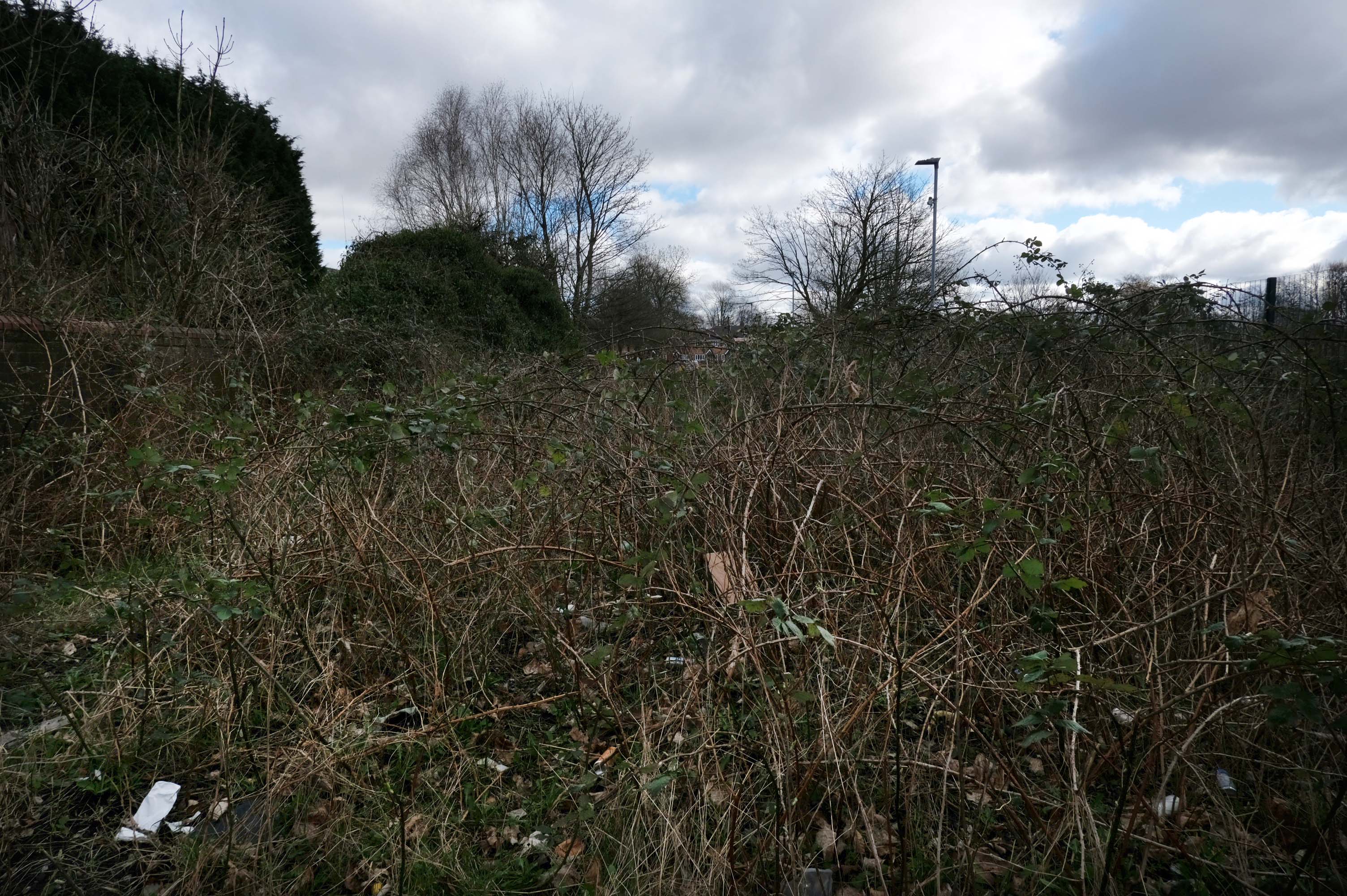
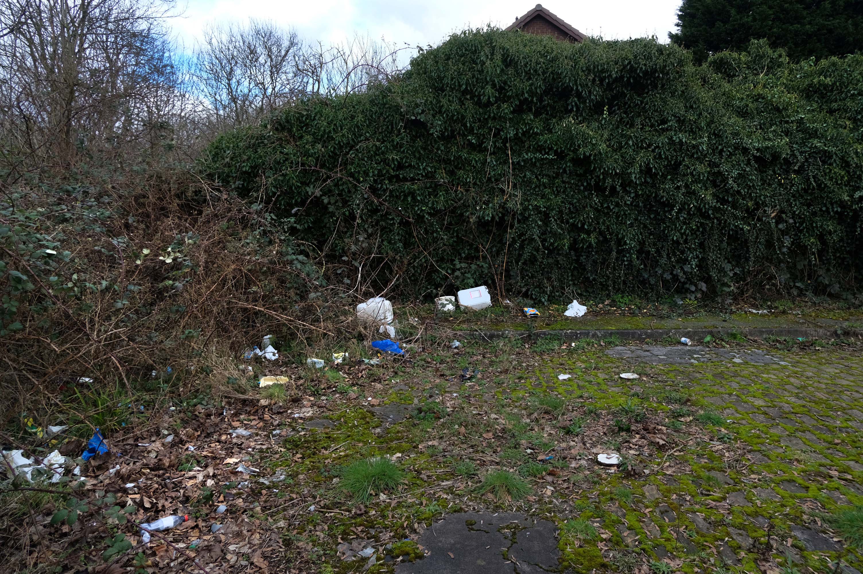
The allotments have had issues with fly tipping back in 2021.
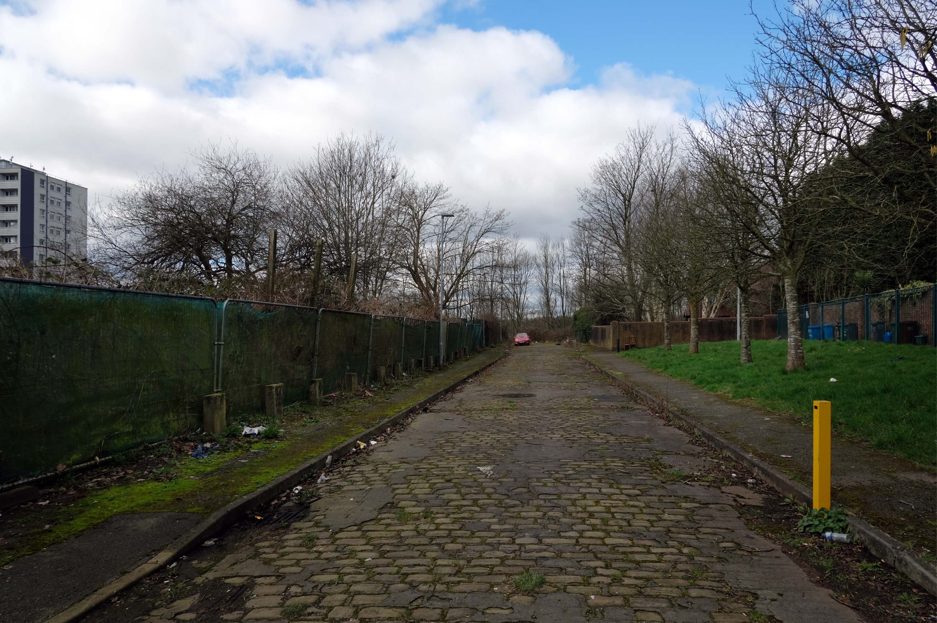
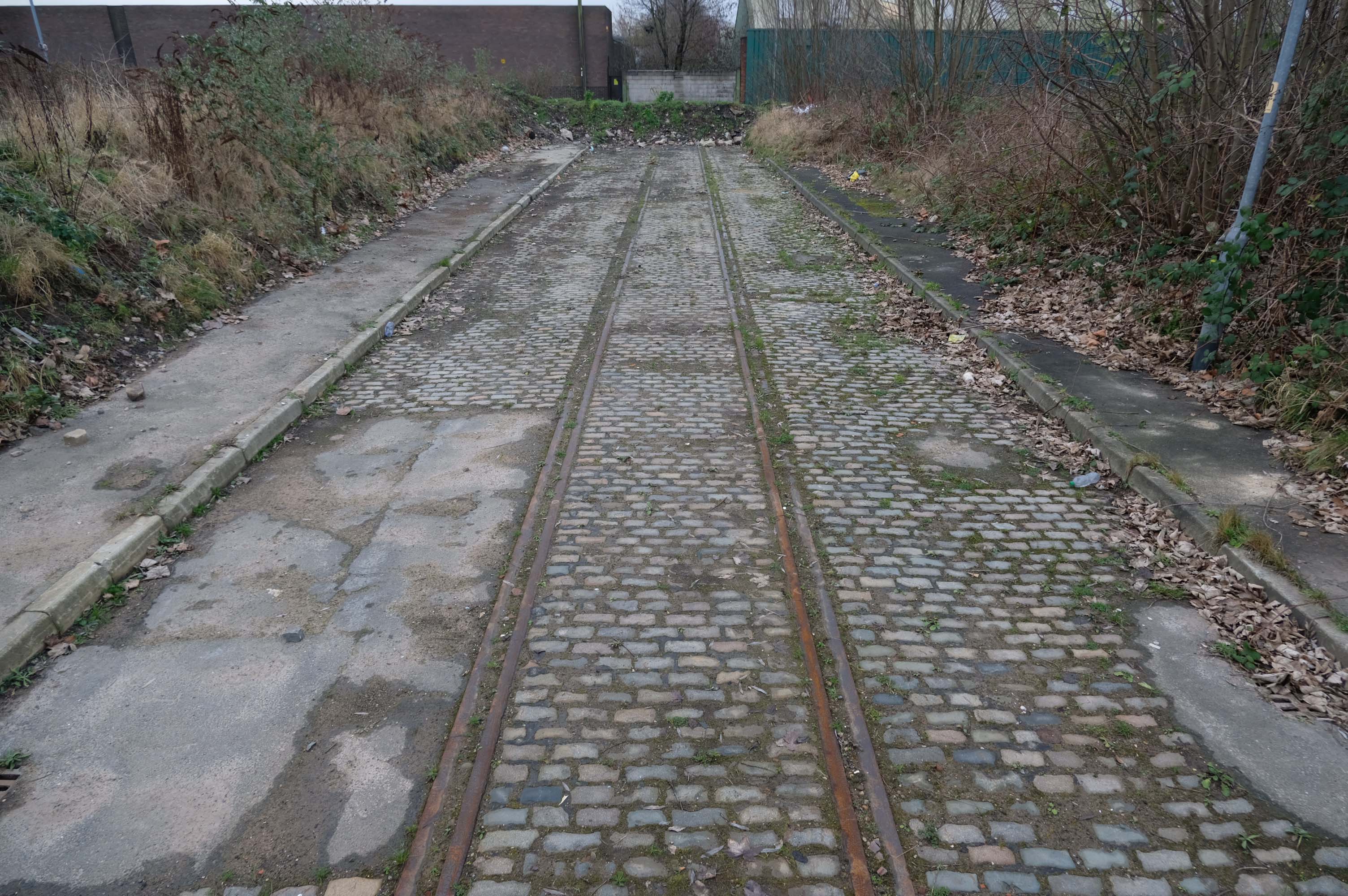
There is now a lockable barrier in place on the cobbled cul-de-sac.
Photo – Howard Bristol
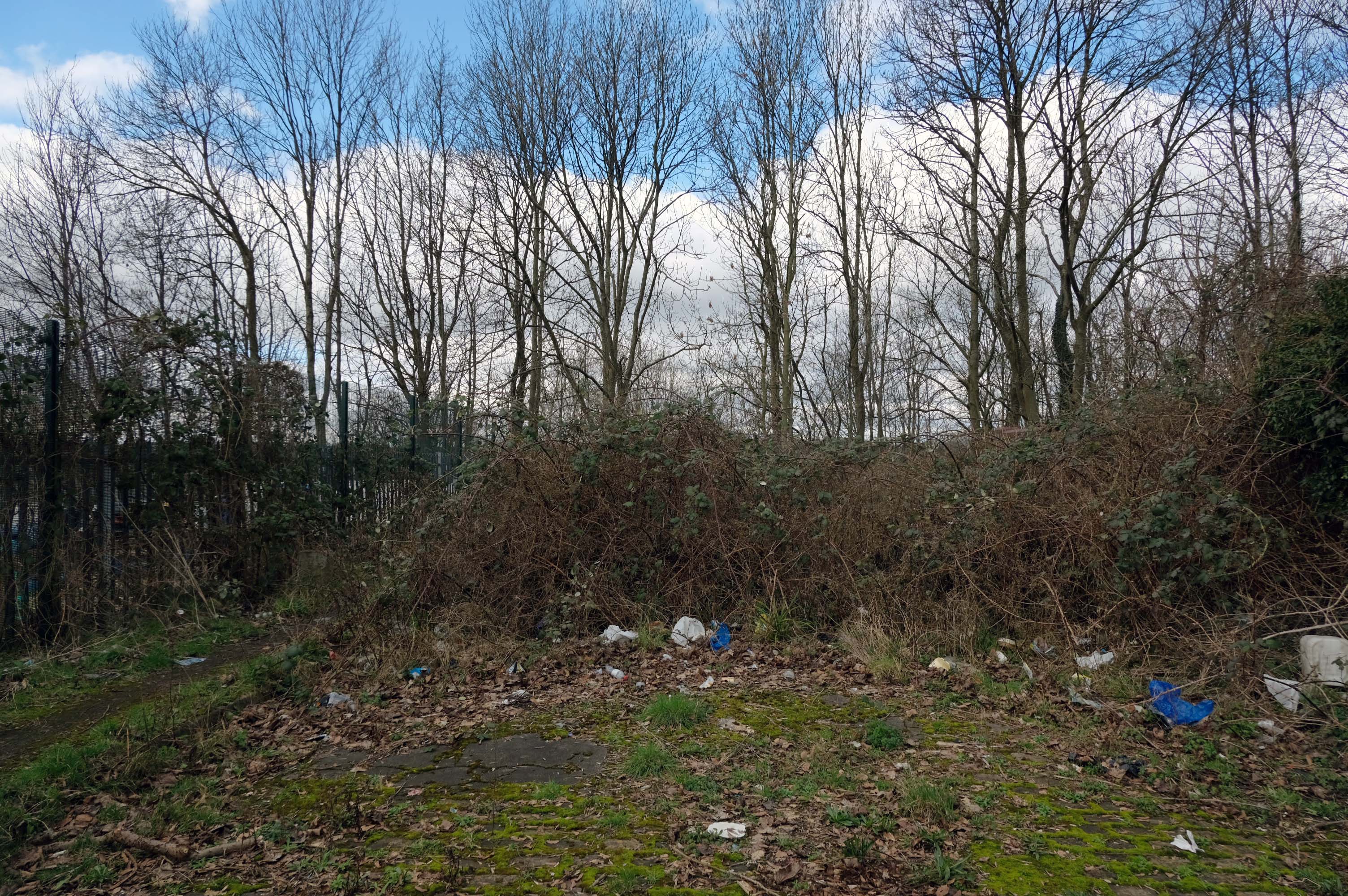
It is understood that the heaps of rubbish, including bin bags full of waste and unwanted wood and cardboard, have been growing in recent weeks.
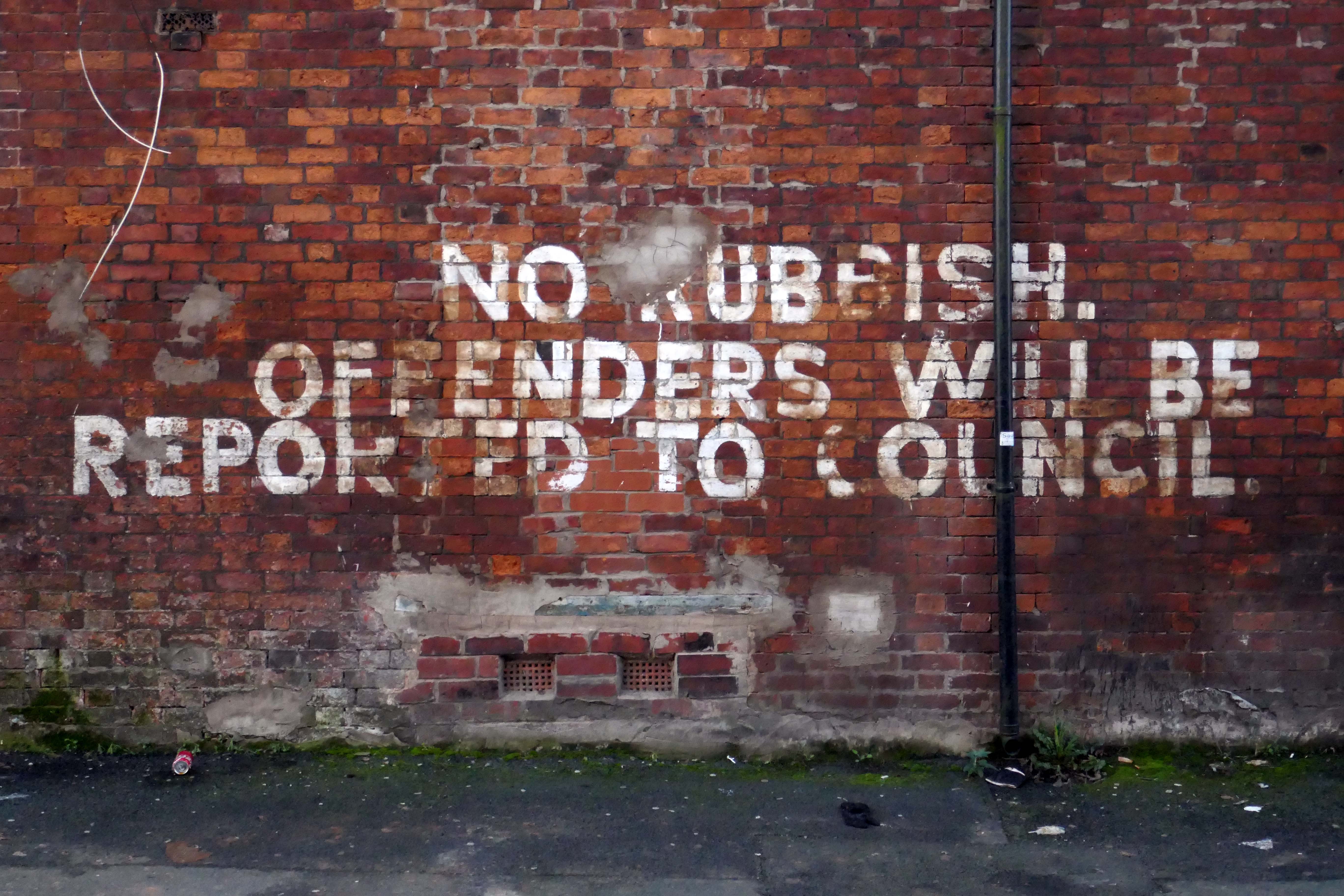
Howard Bristol, the Secretary of the Pleasant Street allotments committee, said the situation has been ongoing for some time but has worsened since the removal of nearby CCTV cameras.
He told the Evening News that the road has been – piling high with rubbish, and that the area also had issues with the woodland behind the allotments being used for drug dealing during summer.
Pat Karney, councillor for Harpurhey tweeted about the flytipping on Sunday, calling it – unbelievable and disgraceful.
He added that those responsible should be – locked up in Strangeways for a long time, before adding that the council will – get it cleared.
This is Oldham Road Manchester – this also Memory Lane.
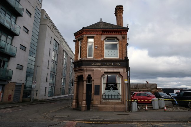
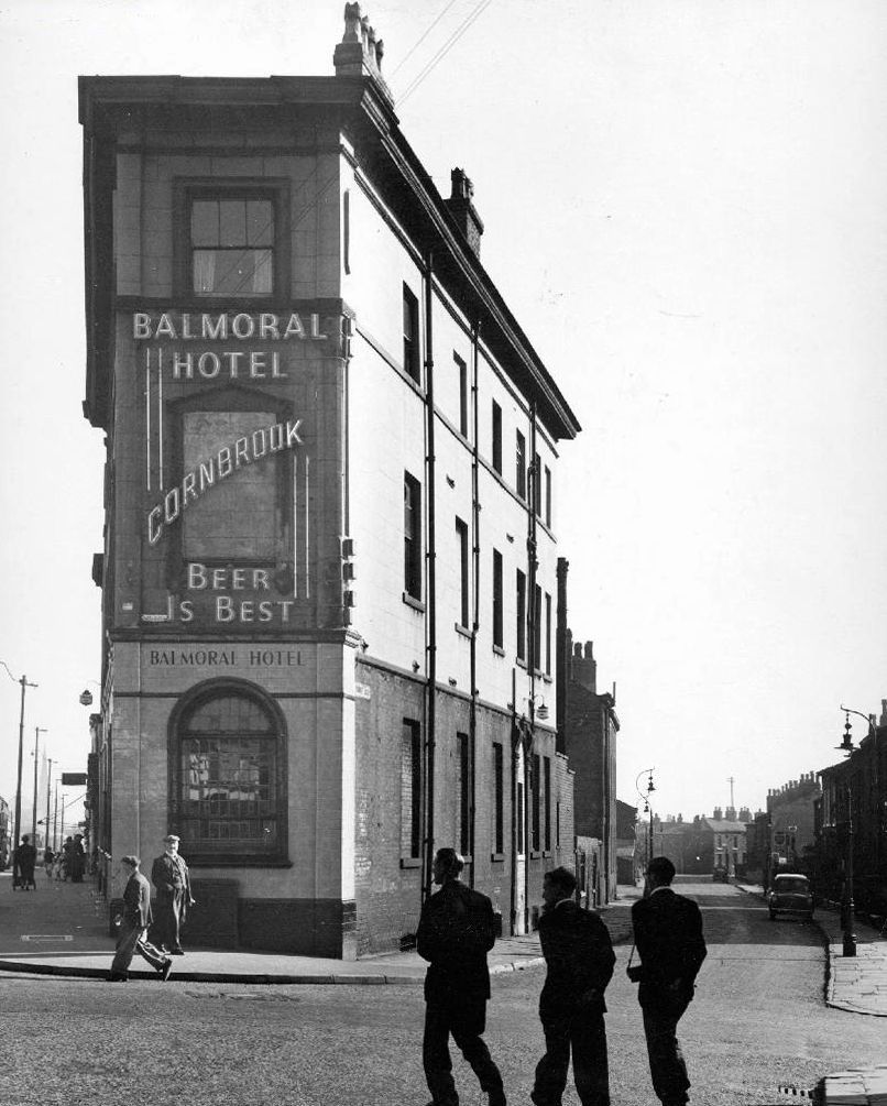
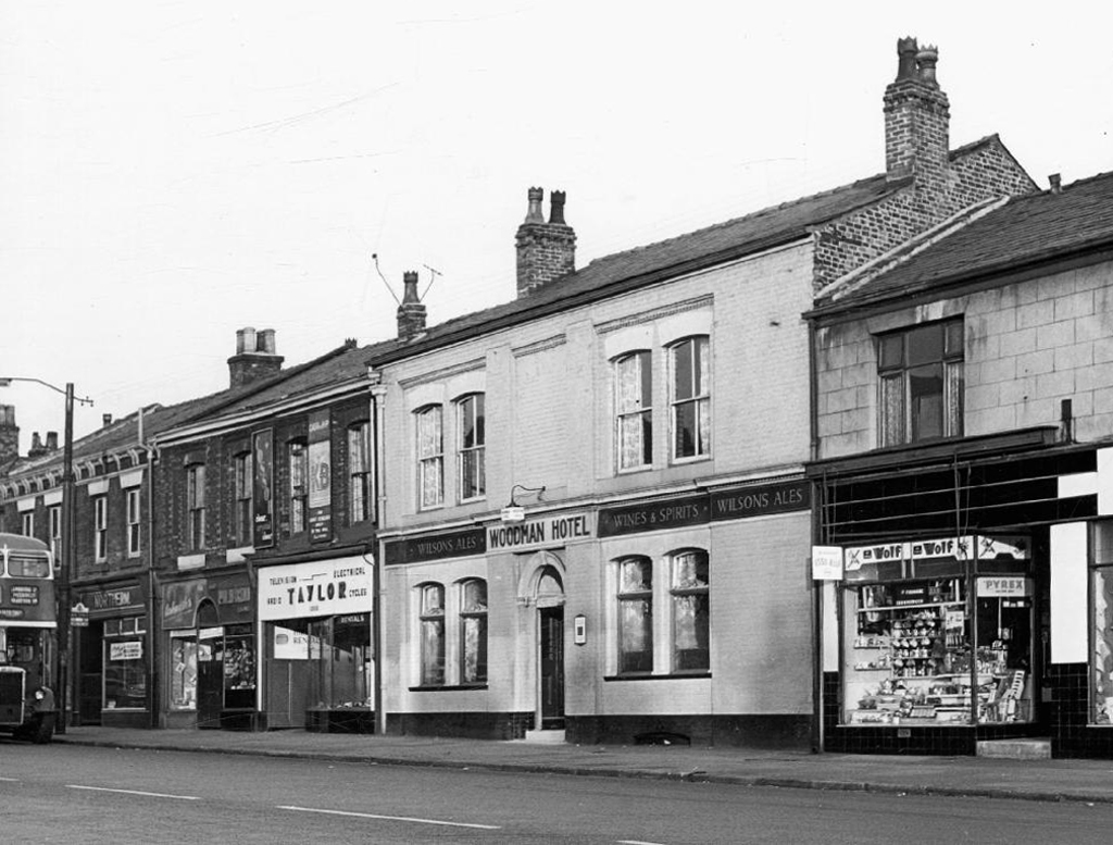
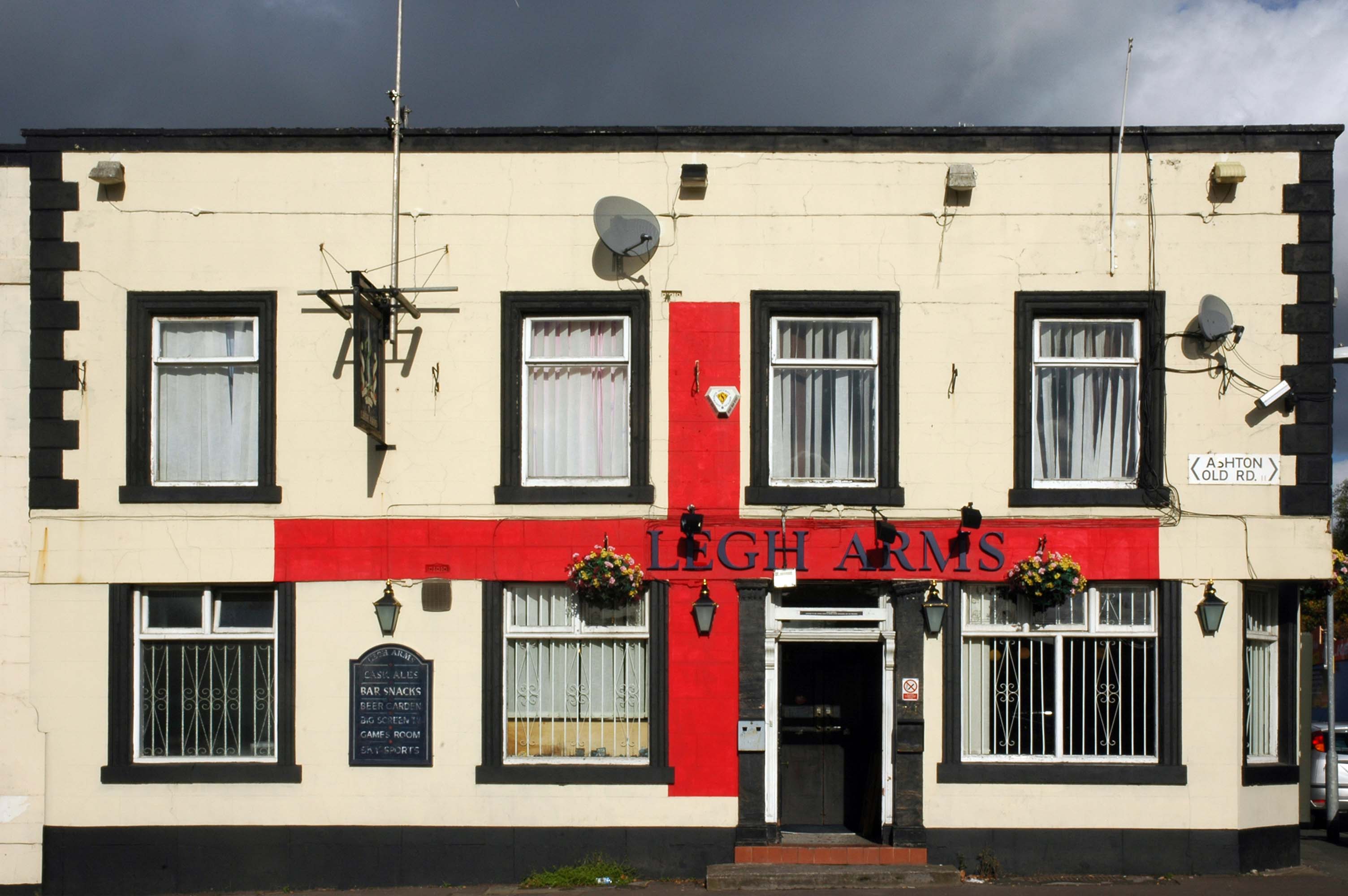
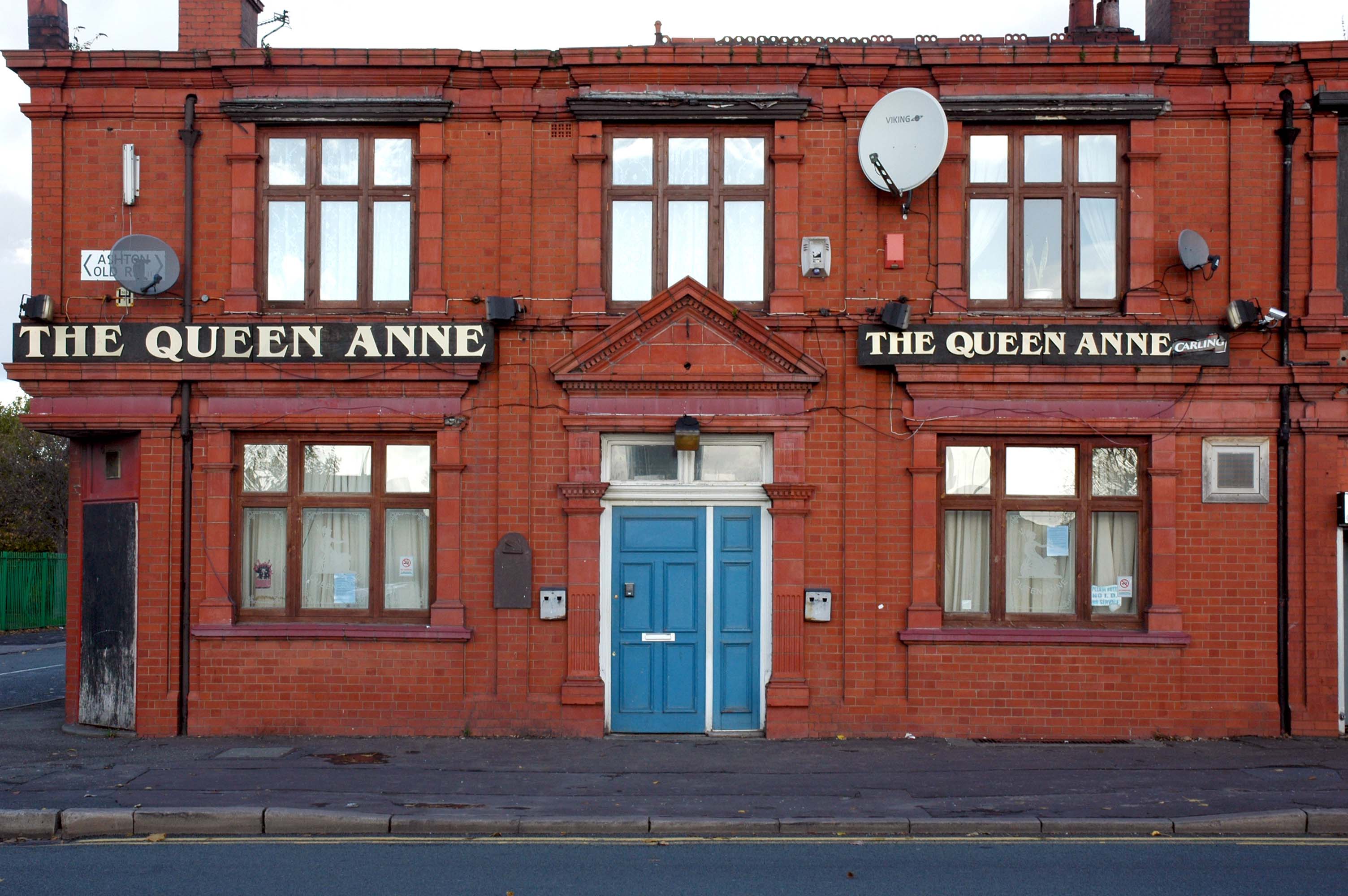
Walking from the city centre to Failsworth I noted the absence of public houses, some long since demolished, some now serving other purposes – very few open selling beer.
Many of the breweries no longer trading.
Much of this the consequence of changing economic circumstances, the decline in manufacturing and subsequent serious absence in regular drinkers.
I do remember the huge Winston Churchill relief in the Room and R100 Airship wooden panelling in the lounge. Also of note were the ornate plater work ceilings and pendulous lighting, much damaged as the pub awaited restoration.
The A5103 is a major thoroughfare running south from Piccadilly Gardens in Manchester city centre to the M56 in Northenden. The road is two-lane dual carriageway with a few grade-separated junctions. It is used by many as a link to the airport and to the motorway network south.
The road starts at Piccadilly Gardens where it meets the A6. It heads along Portland Street – at one time it ran along the parallel Mosley Street, past fast-food outlets and off-licences and then meets the A34 Oxford Street. It multiplexes with that road north for 200 yards into St Peter’s Square and then turns left into Lower Mosley Street, initially alongside the tramlines and then past the former Manchester Central station, now a conference centre with the same name. The road becomes Albion Street and goes over the Bridgewater Canal and under the railway line east of Deansgate station. The road then meets the A57(M) Mancunian Way at a roundabout interchange. This is where most of the traffic joins and leaves.
The road is now 2×2 dual carriageway with the name Princess Road. It passes under the Hulme Arch, a grade-separated junction with the A5067, with an unusually large central reservation. This is presumably because of the proposed plans from the 1960s of a motorway. However, after passing under the junction, there are innumerate sets of traffic lights, with the B5219, the A6010 and the A5145, as well as many other unsigned roads. There are also many speed cameras set at 30 mph.
The road picks up pace as we exit the sprawl of South Manchester and the road becomes Princess Parkway, with a 50 mph speed limit. We cross the River Mersey and almost immediately hit the M60 at J5.
Except for the Manchester City Centre section – which was numbered A5068, this road did not exist on classification in 1922. Princess Road was built in 1932 to serve the new southwestern suburbs; initially it ran between the B5219 and A560 and was numbered B5290, with the road later extended north into the A5068 on the southern edge of the city centre and renumbered A5103.
The northern extension through Hulme initially followed previously existing roads, so followed a zigzag route. As part of the road’s upgrade and the reconstruction of Hulme in the 1970s the road was straightened and the original route can no longer be seen. The A5068 was severed around this time with the construction of the A57(M) and the A5103 took on its city-centre section, taking it to the A6.
The A34 is a major route from the ports on the South Coast of England to the Midlands and the North West, with the standard varying from rural dual carriageway sections in the south to urban single carriageway in the north, and everything else in between.
Slade Lane junction, Rushford Park to Parr’s Wood, East Didsbury – to connect to Manchester Road to Cheadle. It continued on to Laneside Road as a residential road. Opened on 11 April 1923 by Mary Cundiff, Lady Mayoress, and Margaret Turnbull, daughter of Alderman Turnbull, Chairman of Manchester Town Planning Committee. Width was 100 feet and it was designed for tram tracks in the central reservation. The dual road carriageways were 20 feet wide. Manchester’s tram system was closed in 1949. The carriageways were widened and central reservation grassed over. Originally opened as A5079.
Laneside Road, East Didsbury to Schools Hill/ Wilmslow Road junction, Cheadle. Opened on 12 October 1959. The official opening was on 15 October 1959. Planning for the bypass had been halted by the war. In December 1949 Manchester Corporation stated that it was not a priority since the Corporation was only responsible for the 200 yards to the proposed bridge over the River Mersey and Cheshire County Council had not asked for a joint approach to Ministry of Transport to build it. Work was finally authorised in January 1957 and started in the June. Width was 90 feet with dual 24 foot carriageways. Expected cost was £600,000 to £700,000.
The A6 is Britain’s fourth longest road. Its route varies greatly from the lower lands of the South East, though the Peak District, right though the heart of Manchester city centre, then onwards towards Preston. It then goes though the historic city of Lancaster before skirting the Eastern fringe of the Lake District before ending in Carlisle, bang on the start of the A7.
North from Stockport towards Manchester, the A6 was a wide, four lane road, but still 30 mph, which usually flowed pretty well. According to Mudge, it looks like it has now been massacred by bus lanes and red paint. Shame. We meet the A57 from the east, just south of the city centre, and multiplex until we reach Mancunian Way, the A57 heading off as a short urban motorway, the A6 heading into the city centre via London Road/Piccadily, where it loses its number and vanishes. It would have gone straight down Piccadily/Market Street to meet Deansgate, and then across the River Irwell into Salford, and up Chapel Street, where the number reappears. Market Street has been pedestrianised for years, so the A6 has long ceased to be a through route.
The road now begins slightly further south than it used to. Instead of starting on Fairfield Street in Manchester city centre, it begins immediately as the Mancunian Way ends, which at this point is the unsigned A635(M). The motorway flows directly into our route. There’s a TOTSO right at a set of lights, and we pick up the old alignment, which now starts as the B6469.
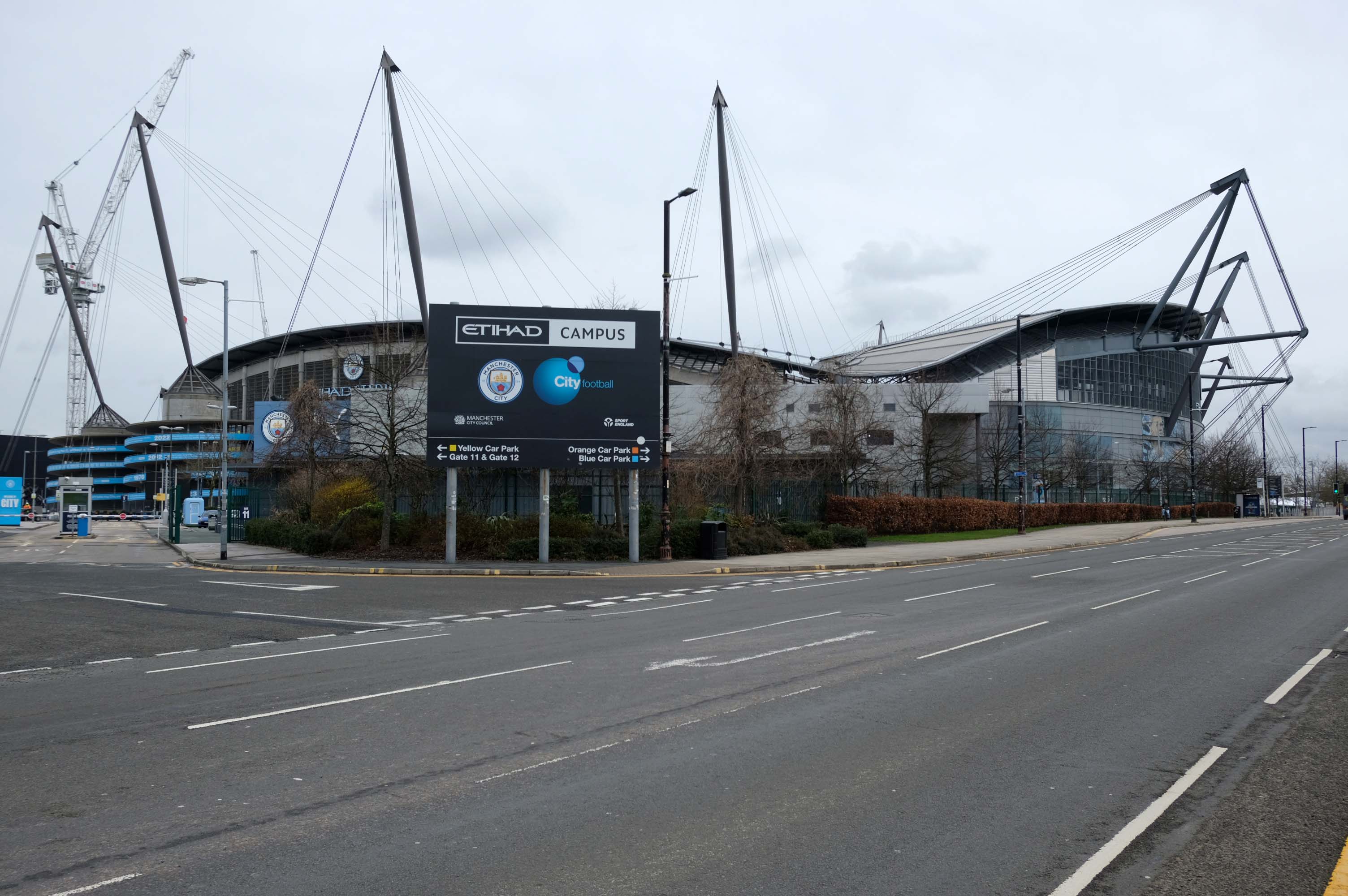
We can see the new City of Manchester Stadium on the left, site of the 2002 Commonwealth Games and now home to Manchester City FC. The road switches between S2 and S4 as it passes through the rather run-down urban areas of Ardwick and Gorton. A short one-way system at a triangular-shaped junction with the A662 leads onto a wider stretch as we near the M60 junction. This area is set to see significant industrial growth, with whole swathes of land either side of the now D3 road cleared and ready for development.