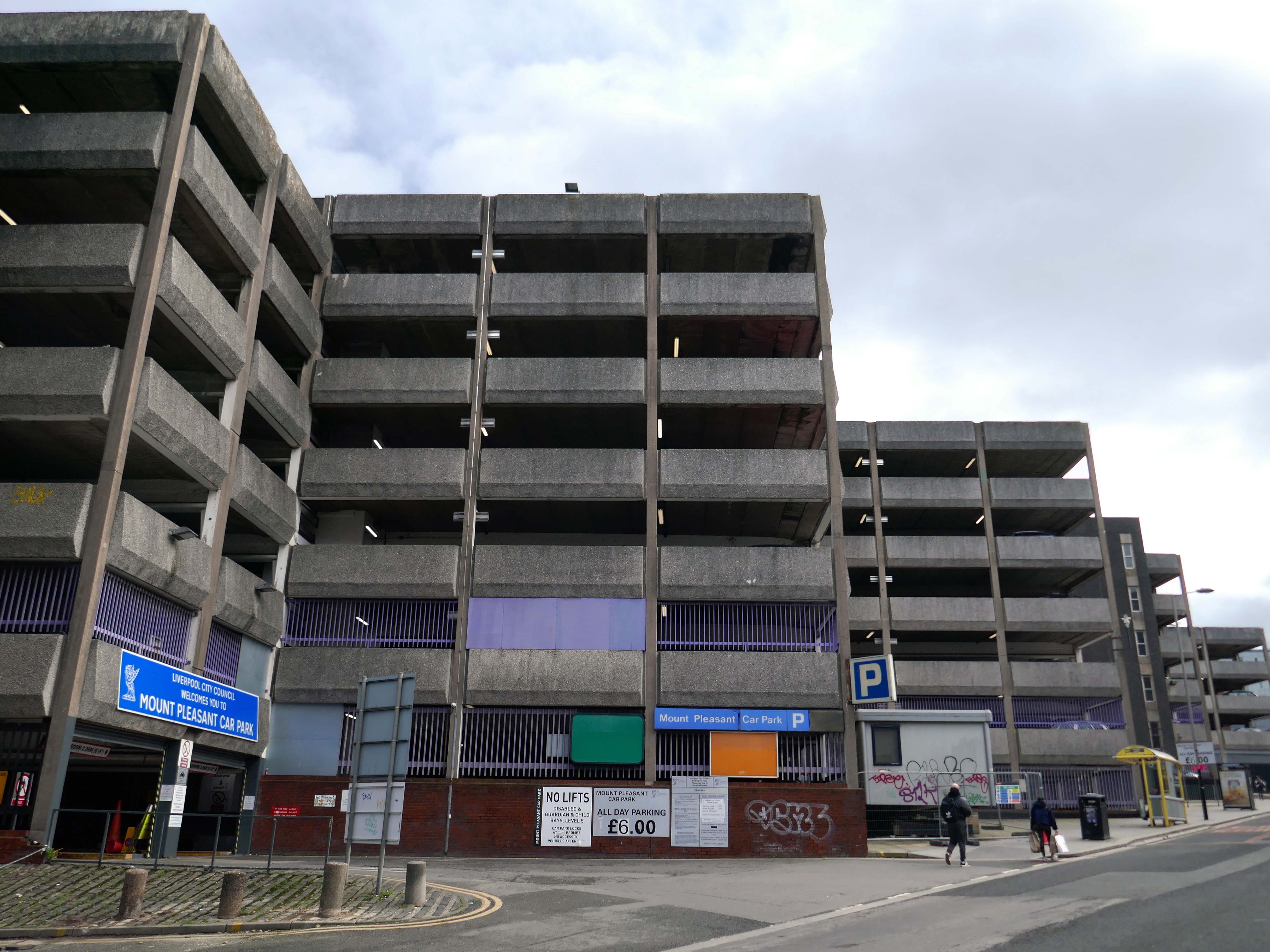
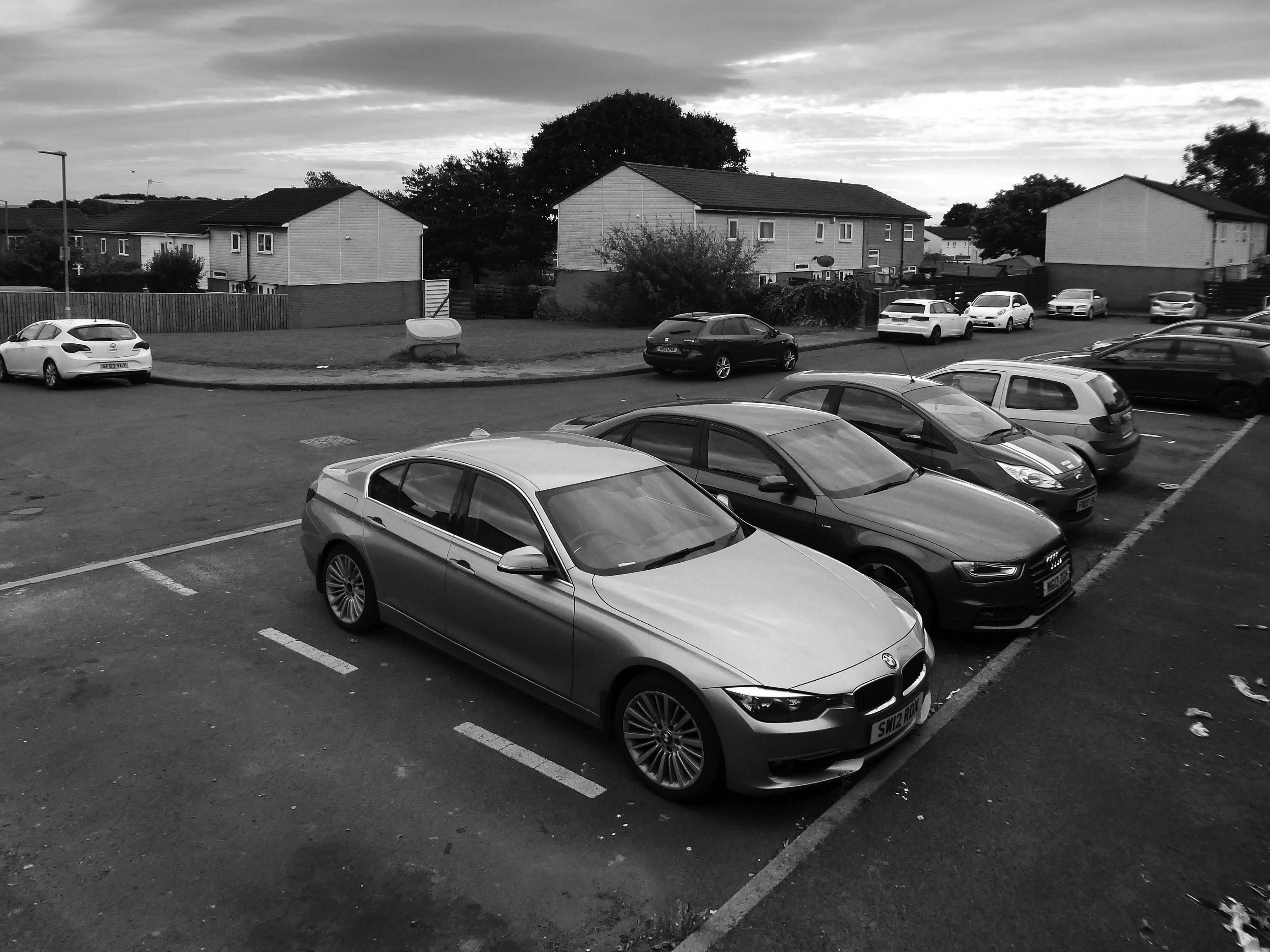
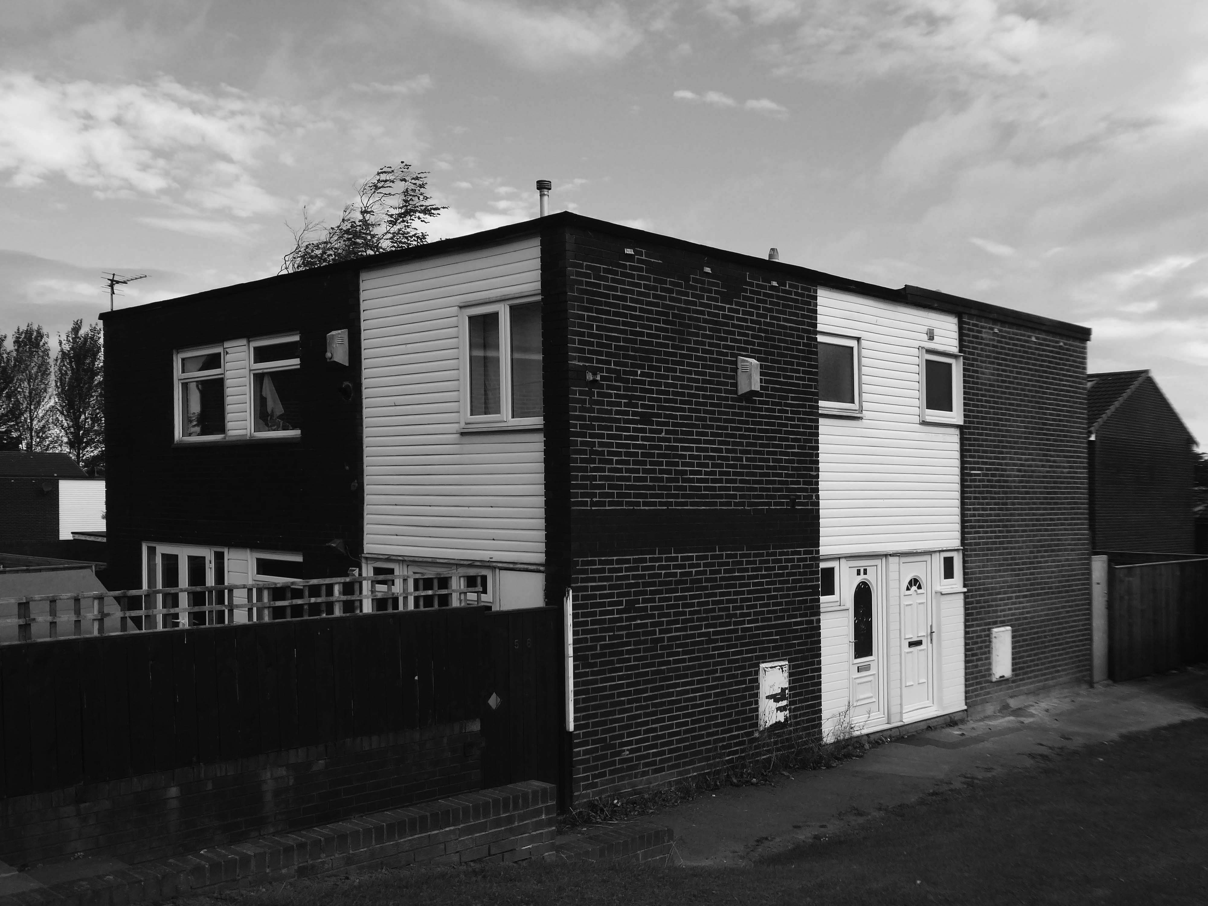
Excellent price – max £4 for whole day. Awkward to exit on foot, it needs more signage, but worth a bit of faffing around for the very reasonable cost. Really easy to pay by phone, although it costs an extra 20p to do this. As other have said, it closes at 8pm, but great for daytime adventures!
2017
Open 24 hours, no lifts but cheap. Always managed to find a space.
2023
Parkopedia
Crosville buses DVG279 and ENL826 head out of Liverpool past the multi-storey car park and AUEW offices in Mount Pleasant.
One of Liverpool’s traditional “Freddie Boswell” street sweepers is going down the hill with his dustcart.
Photo 1985 Chris Palmer
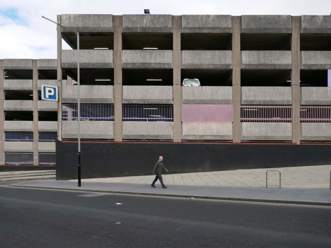
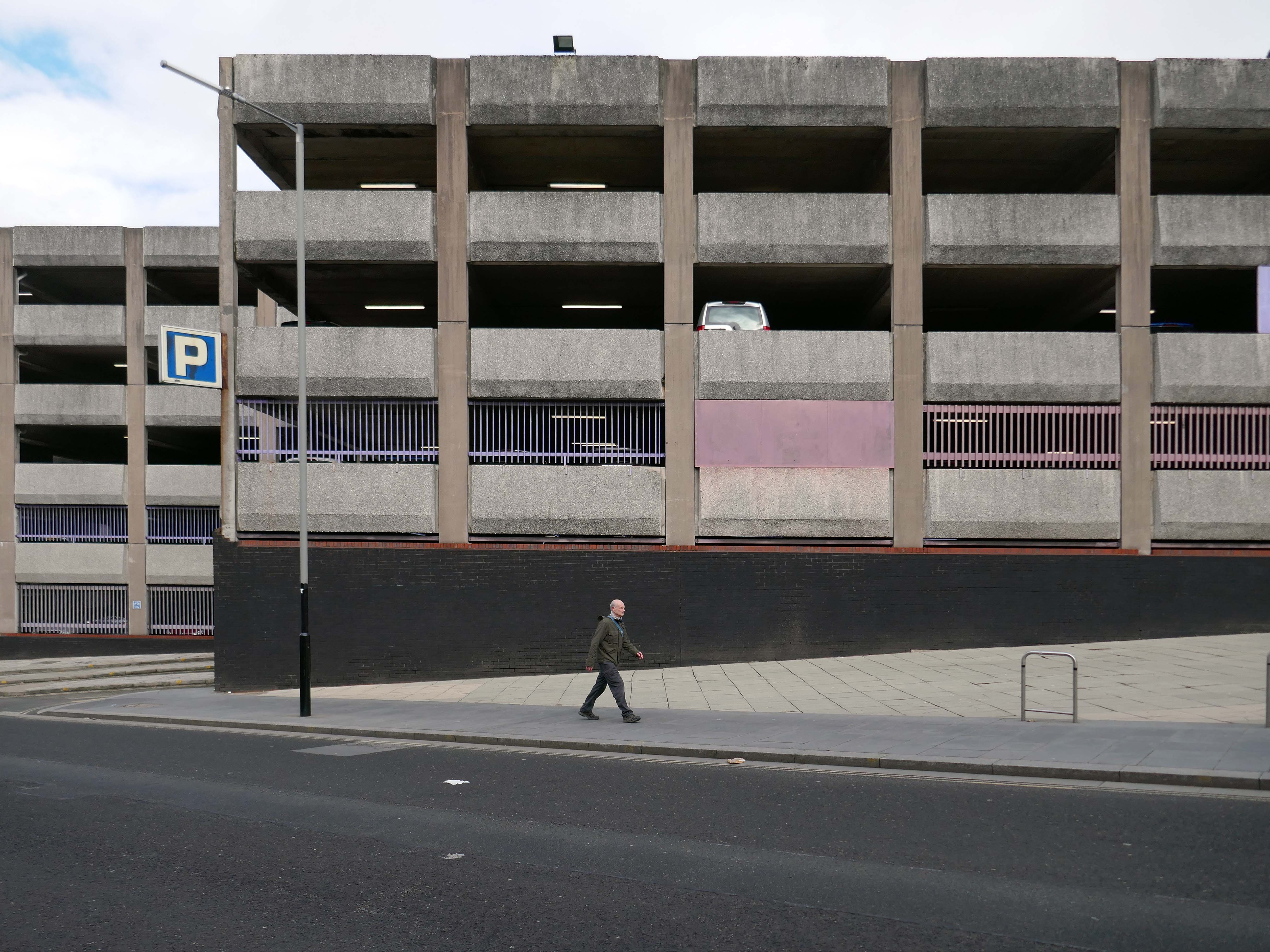
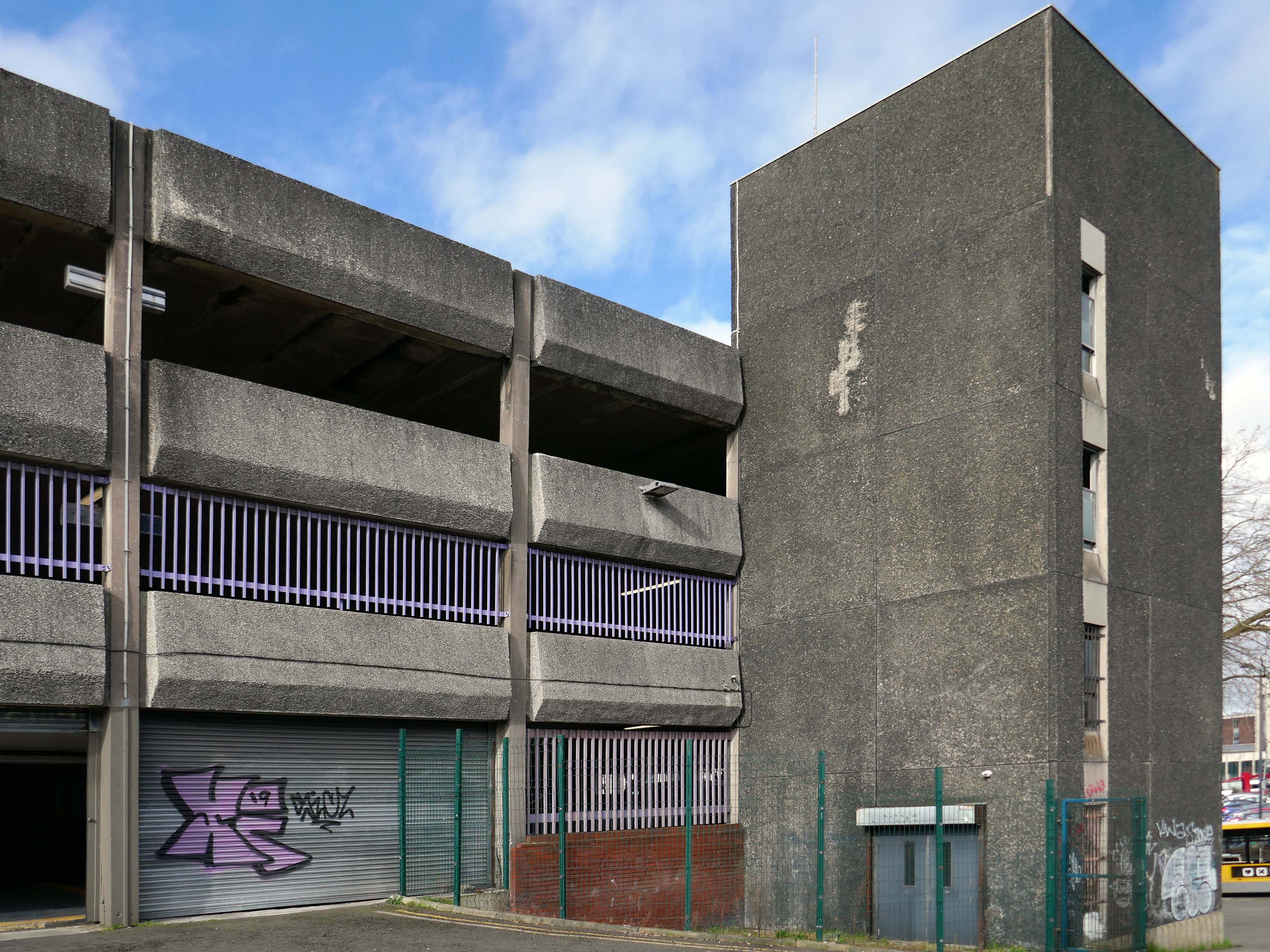
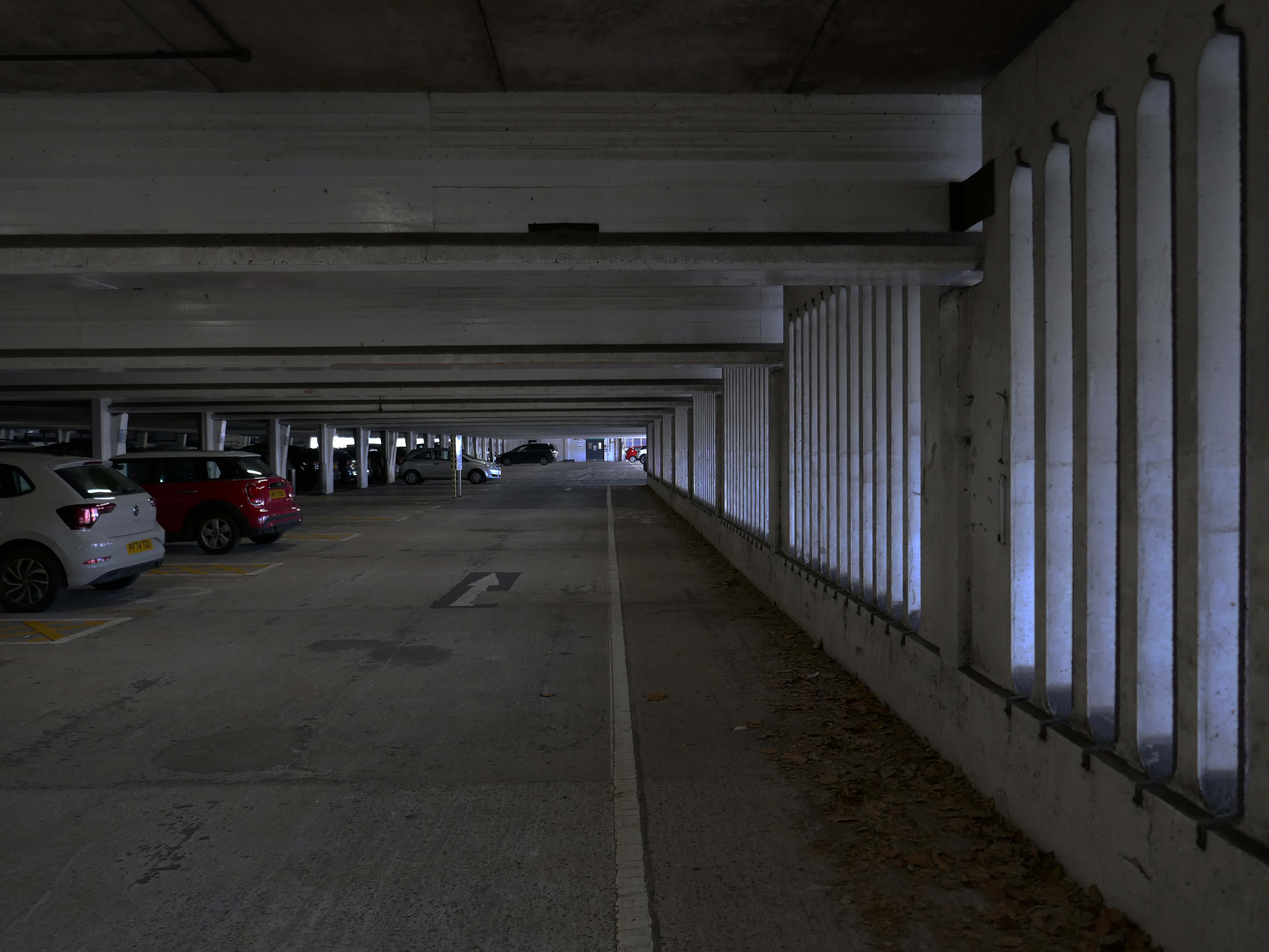
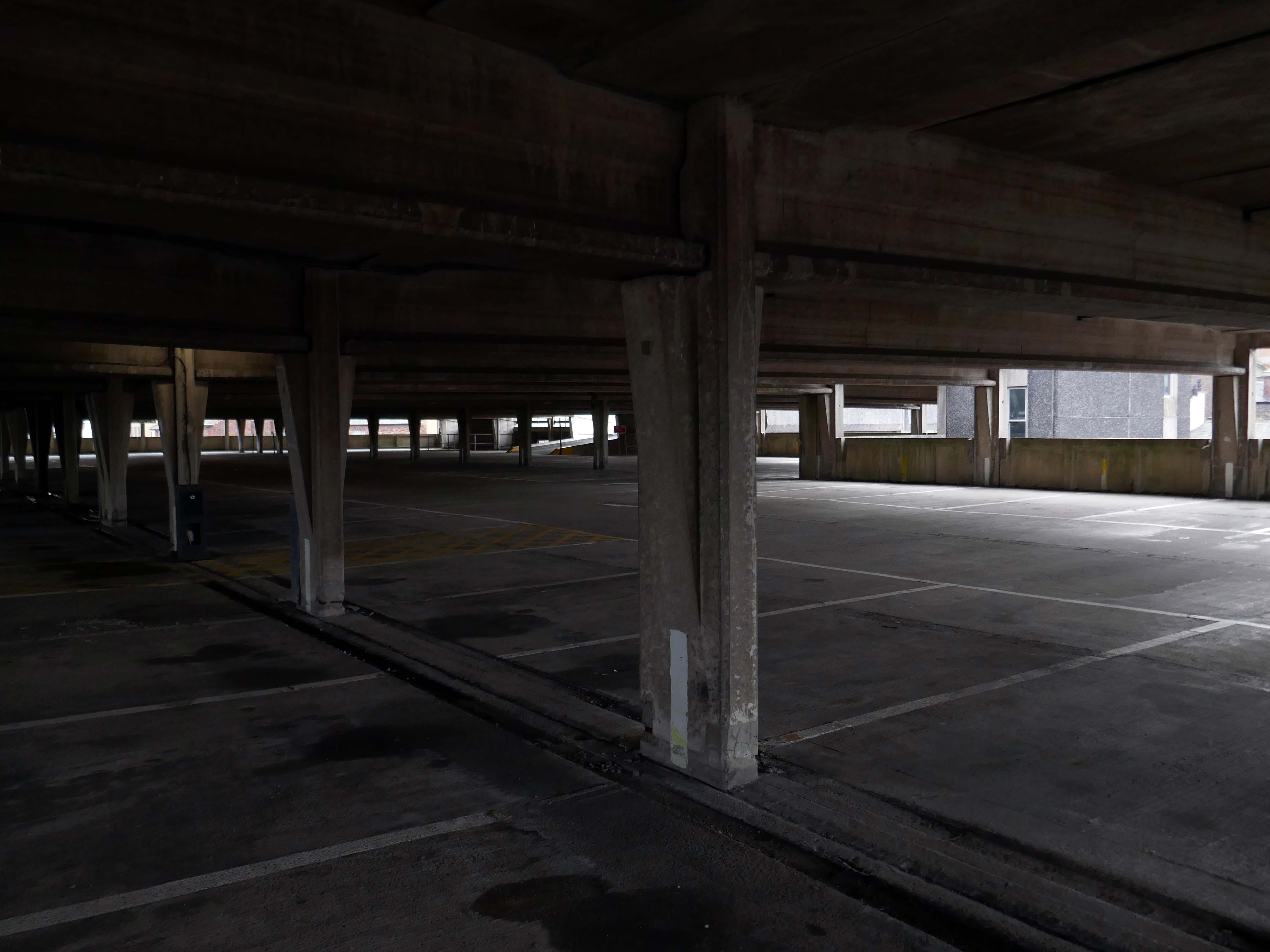
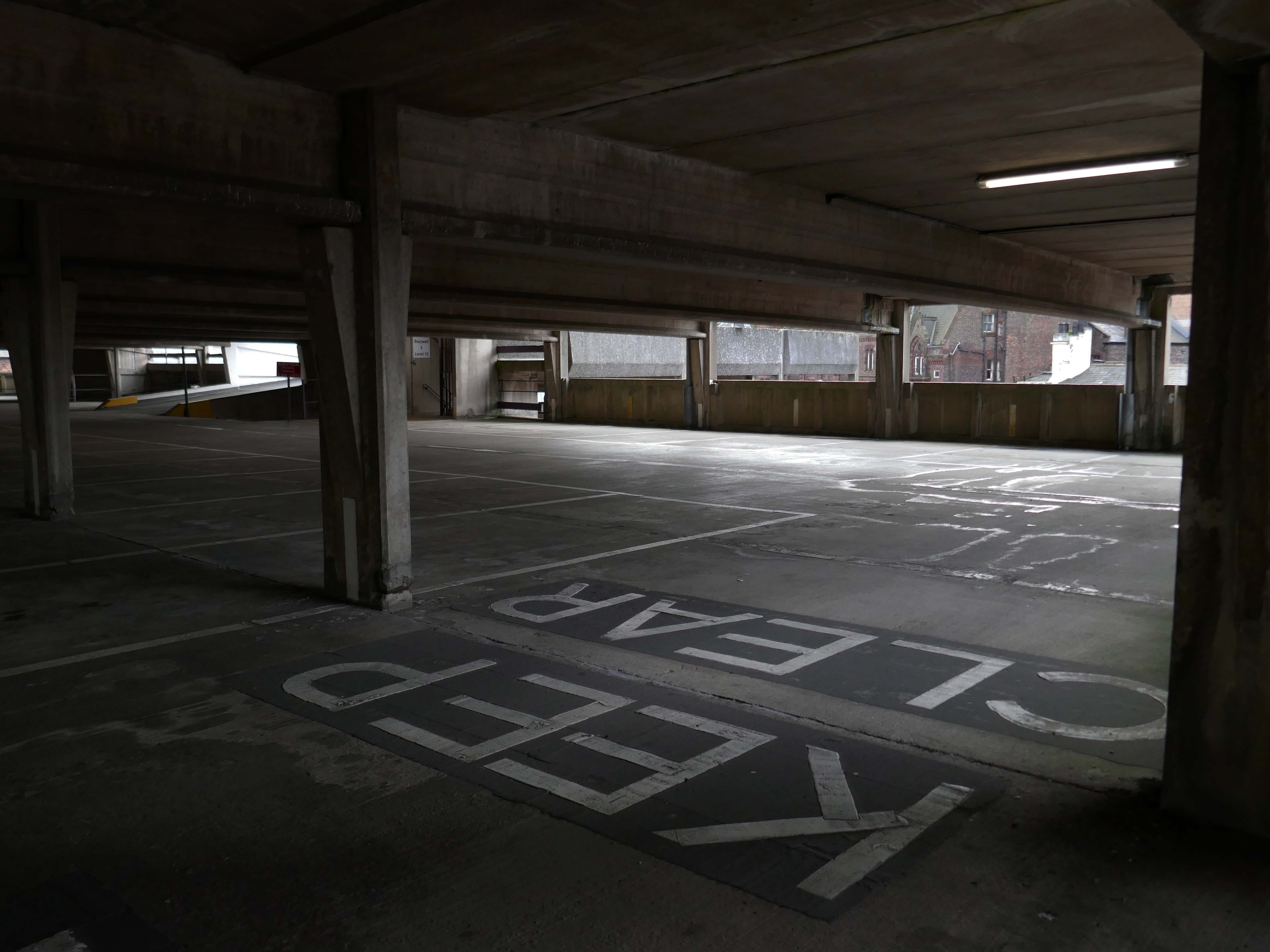
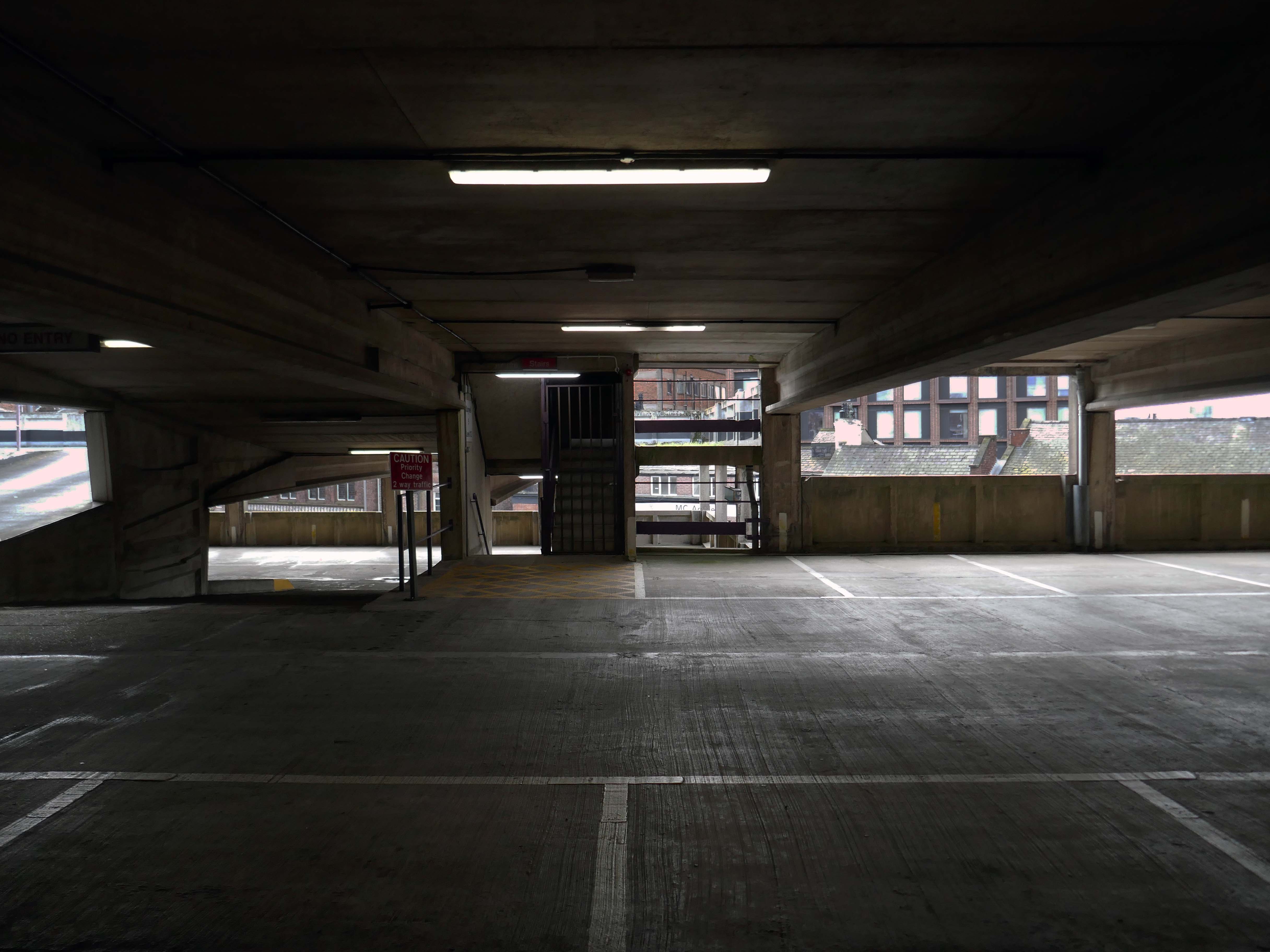
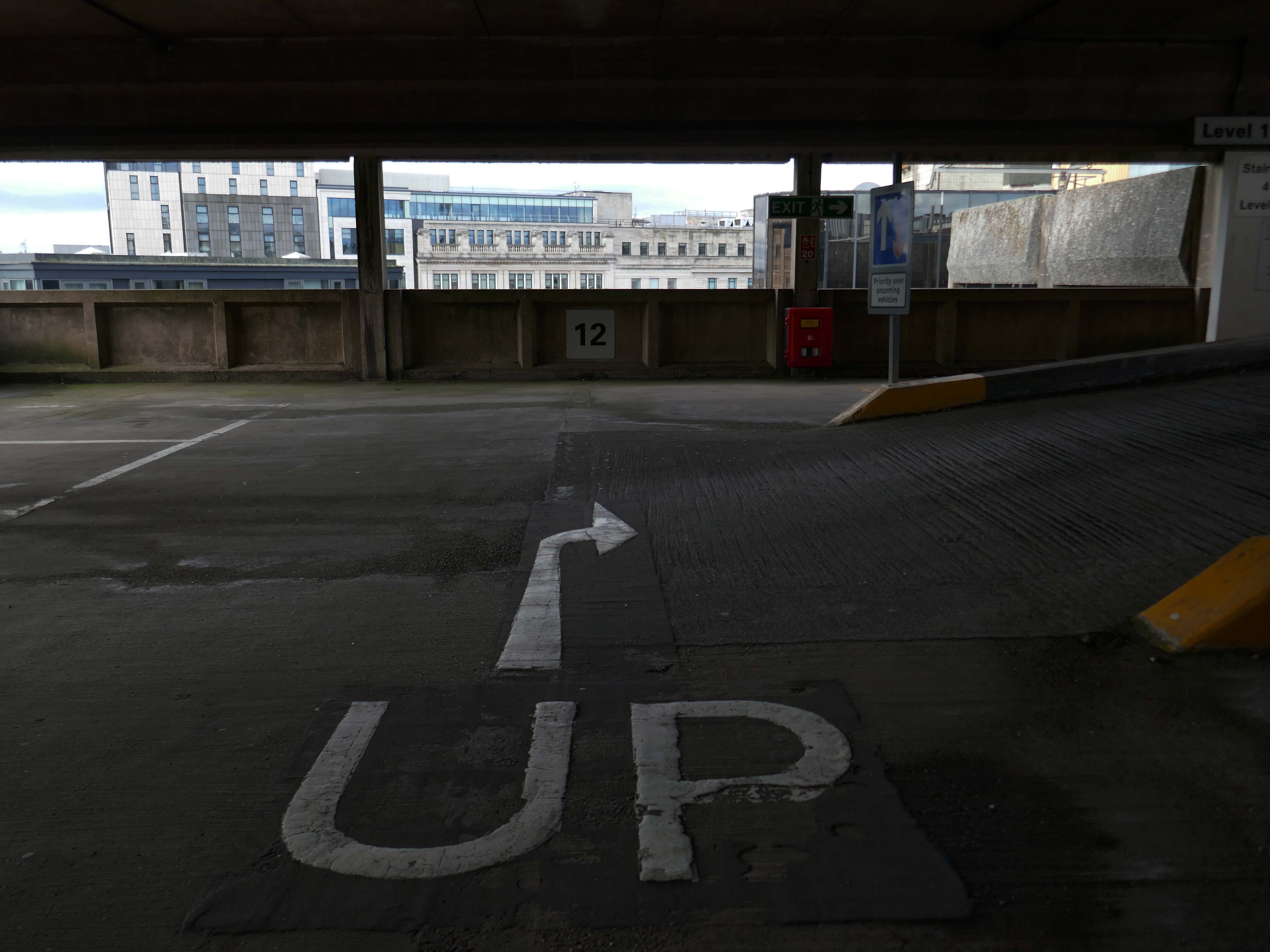
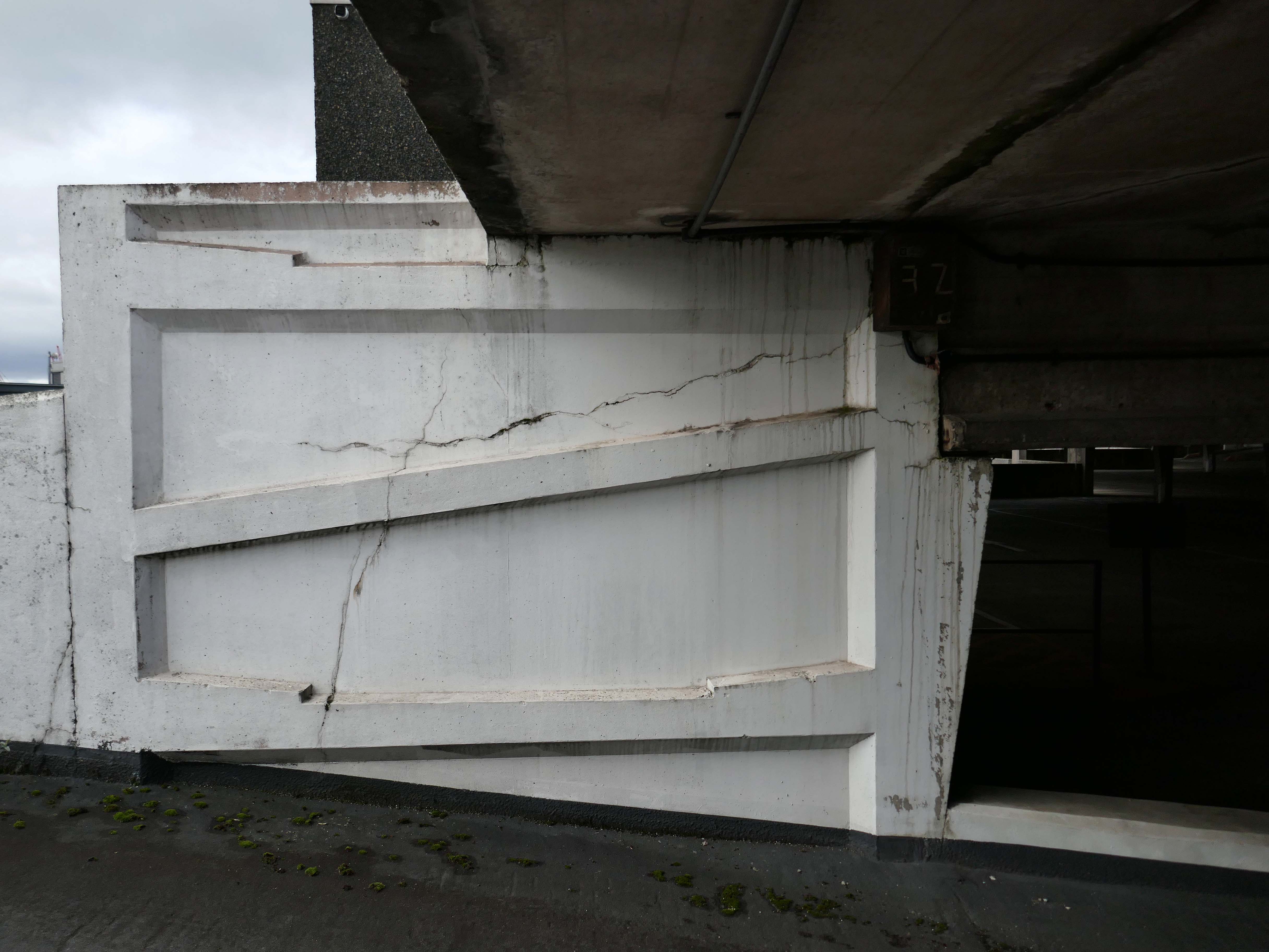
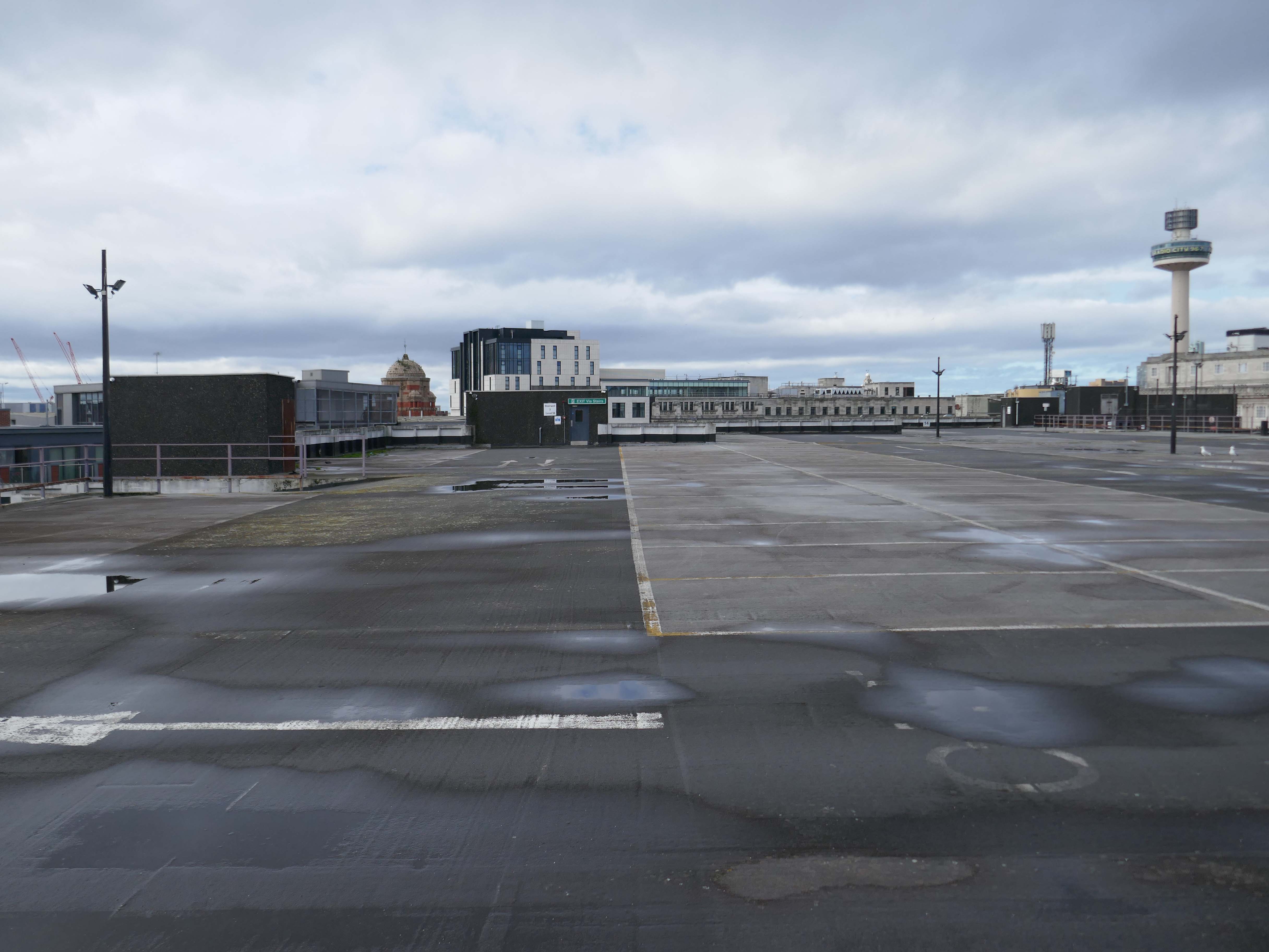
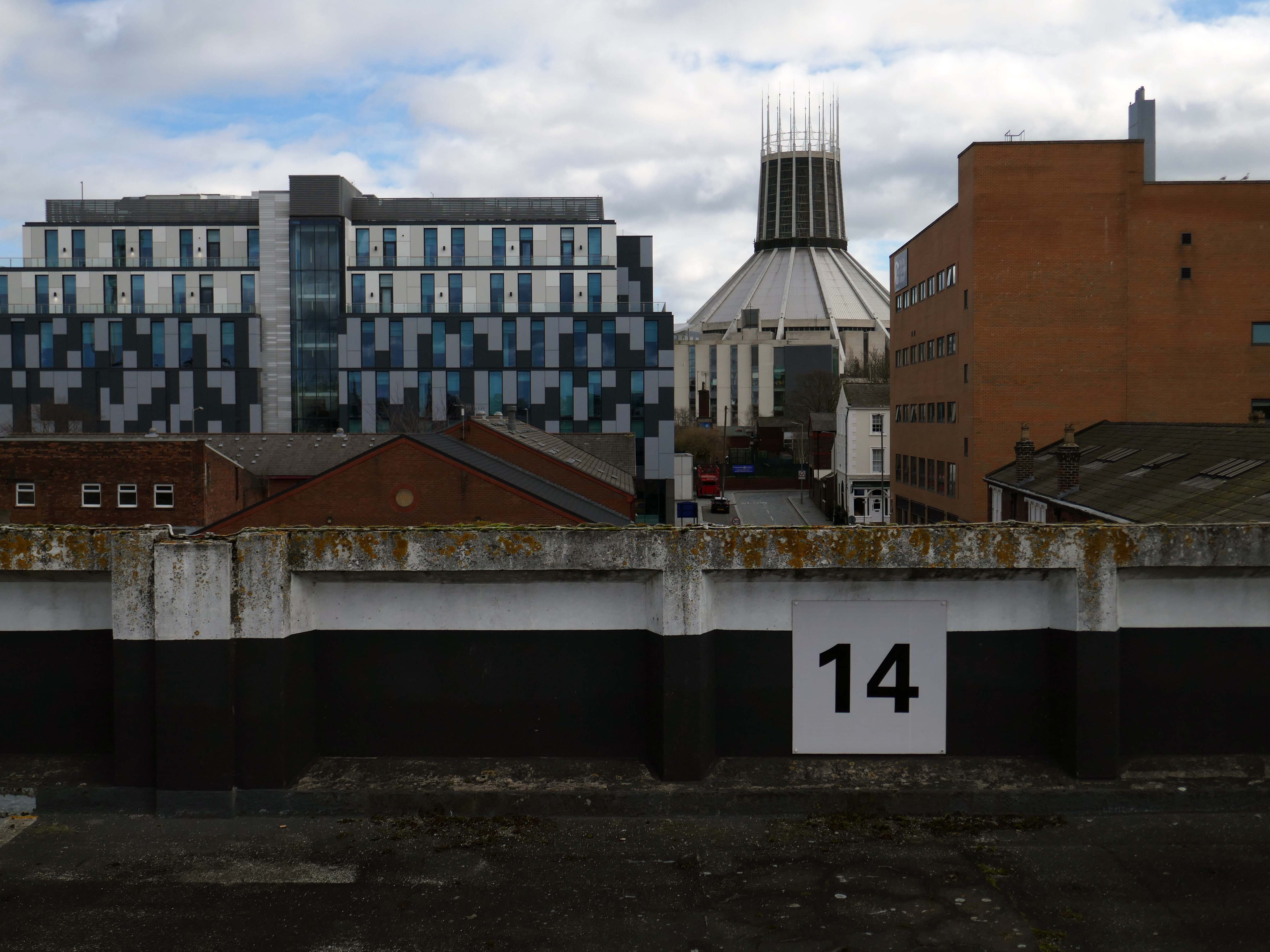
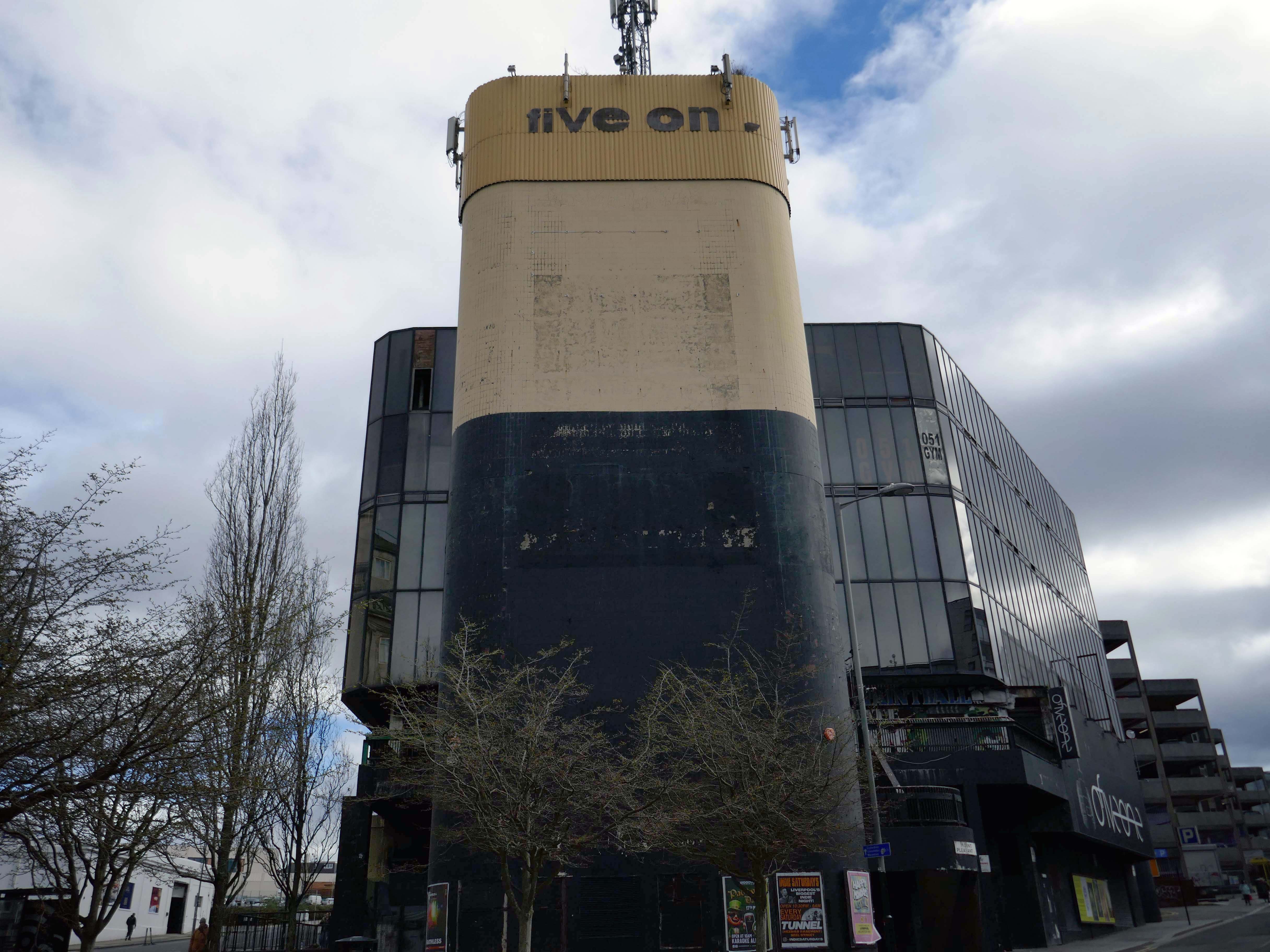
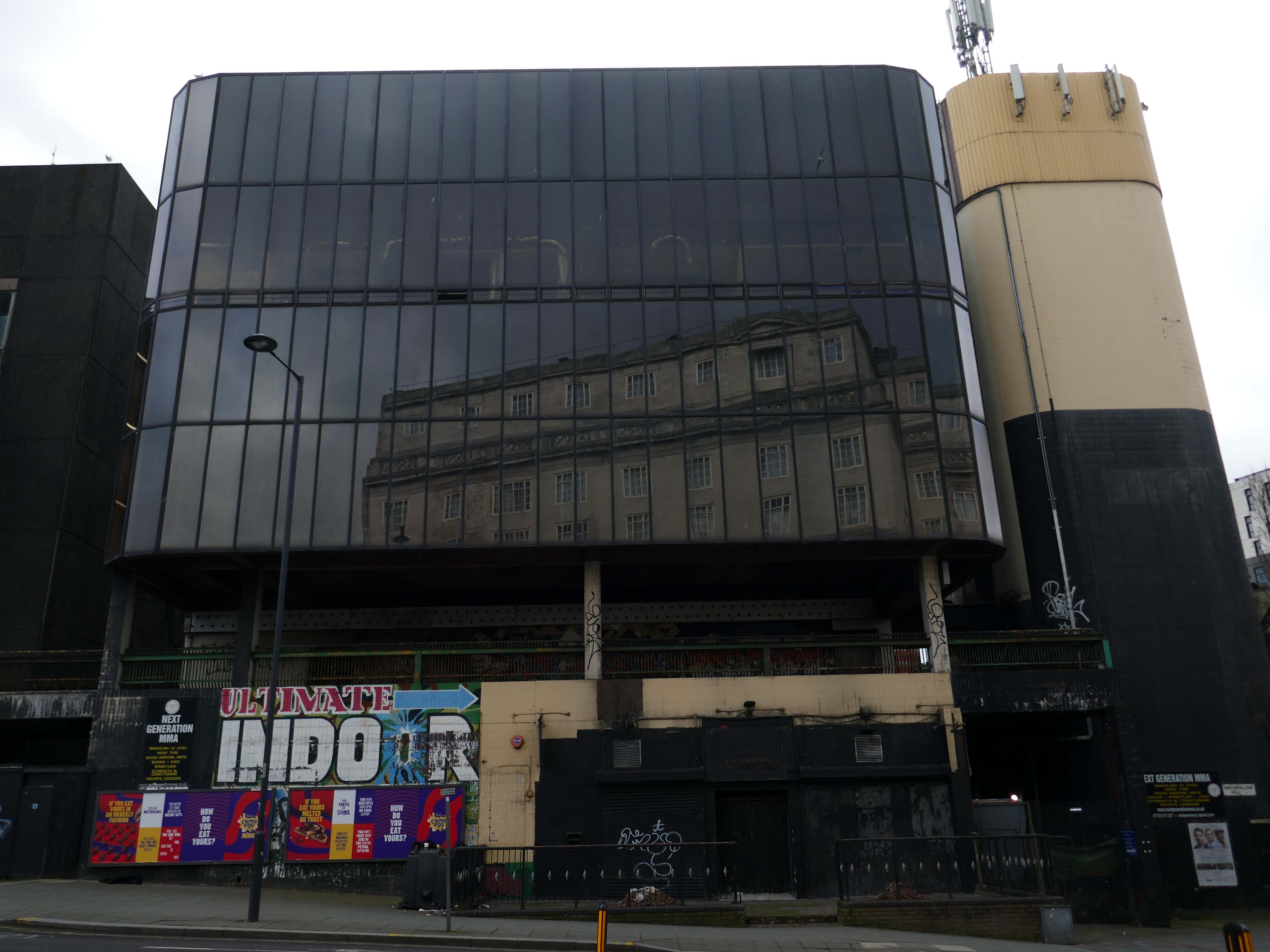
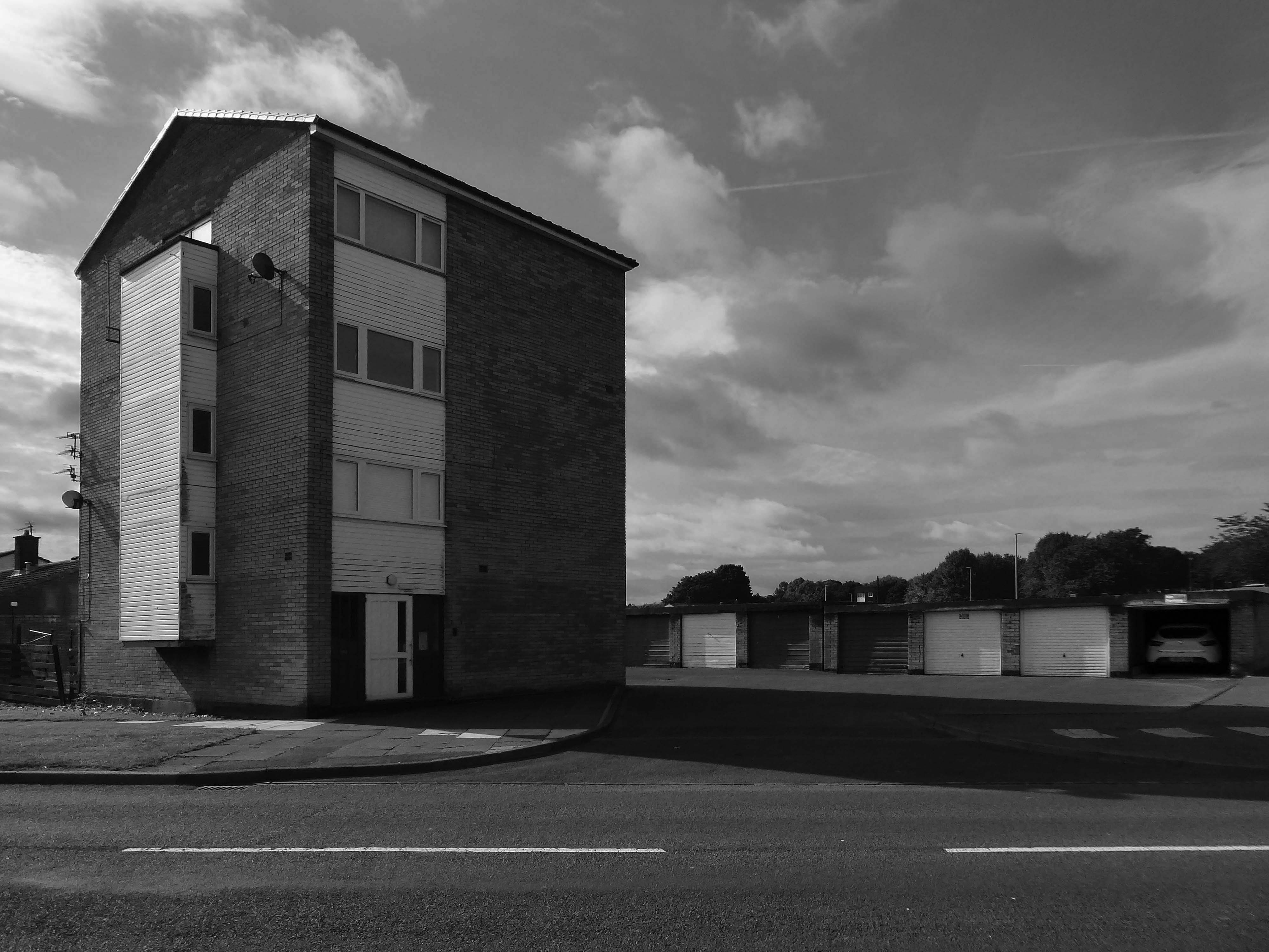
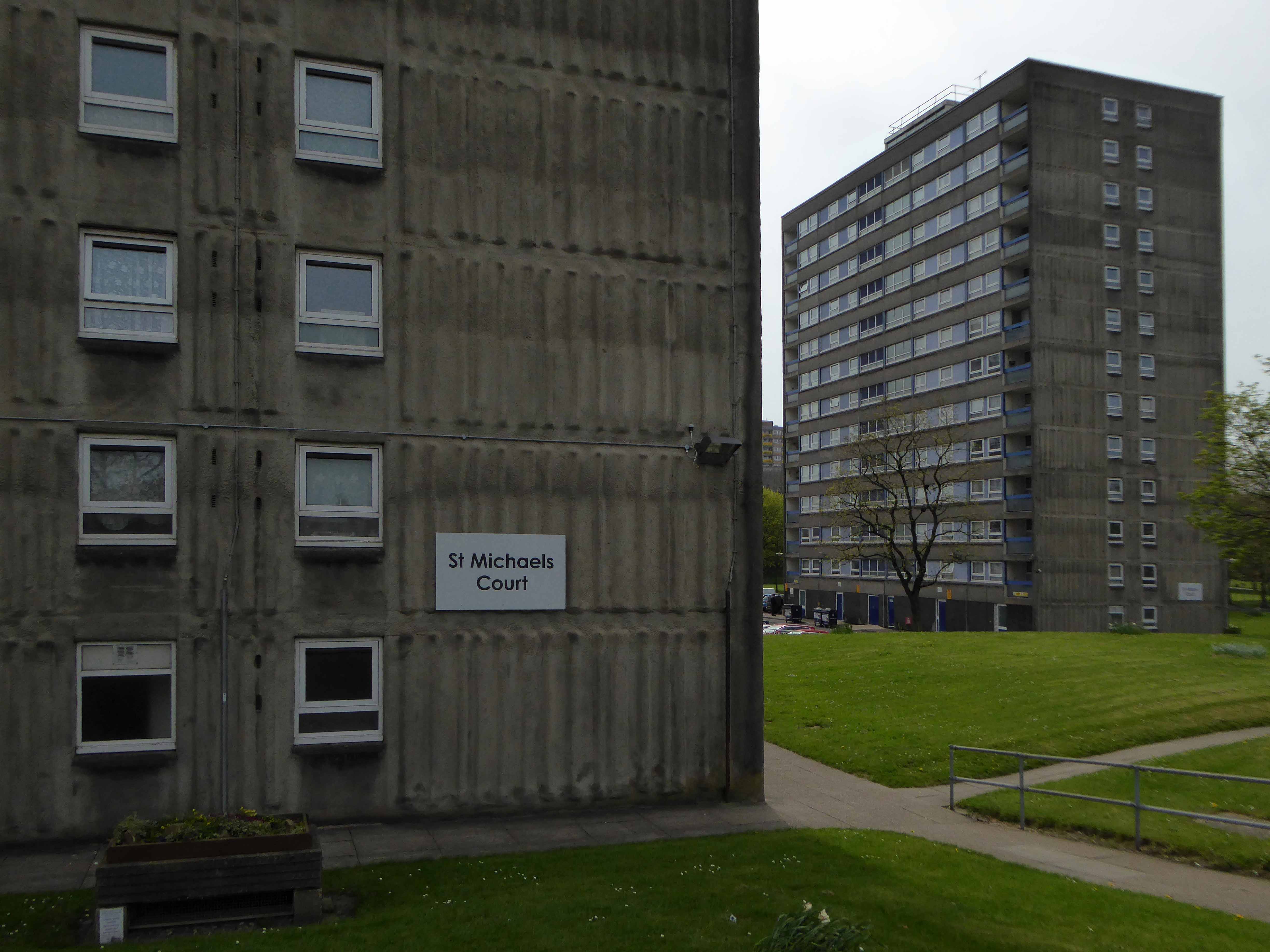
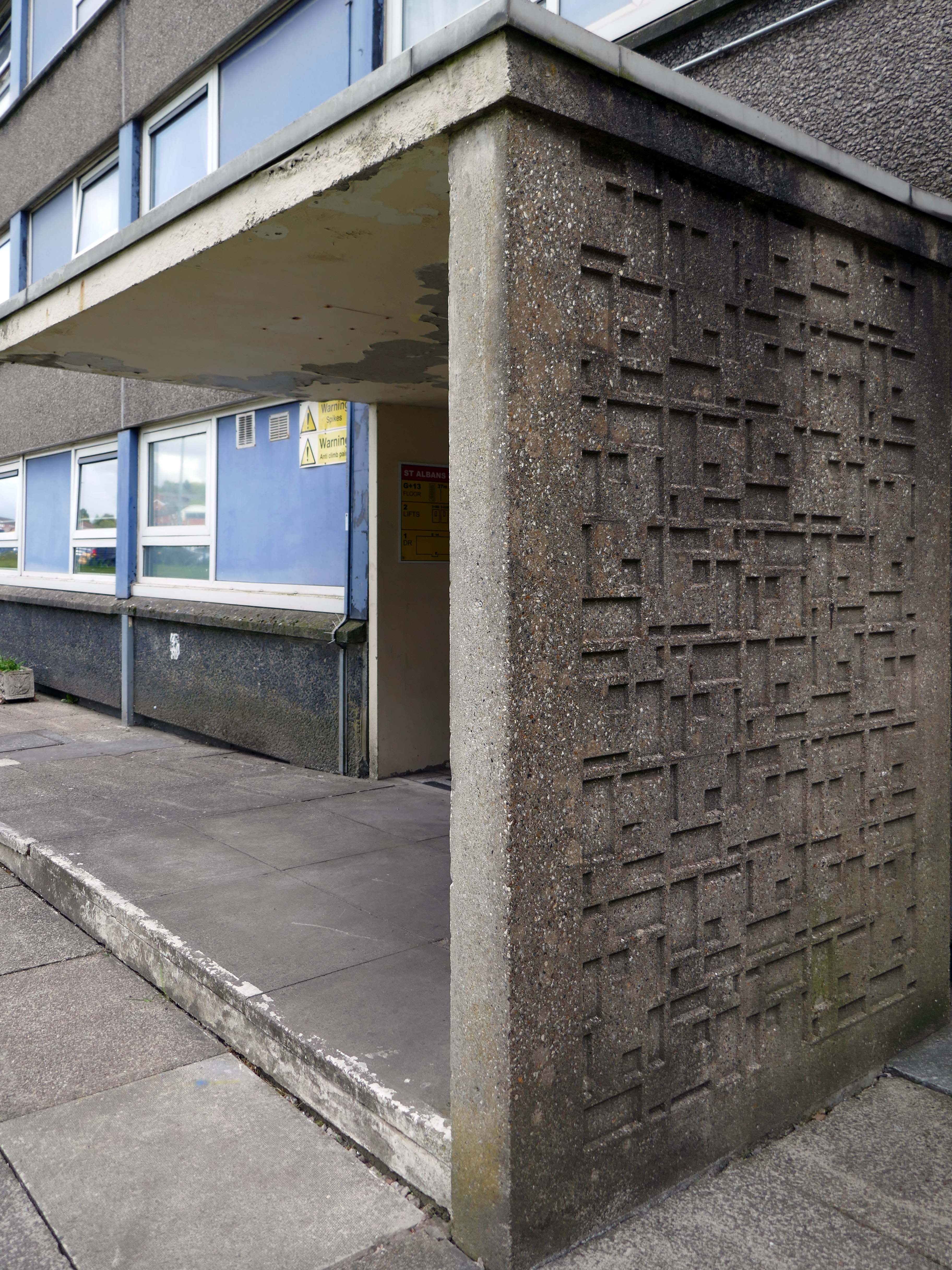
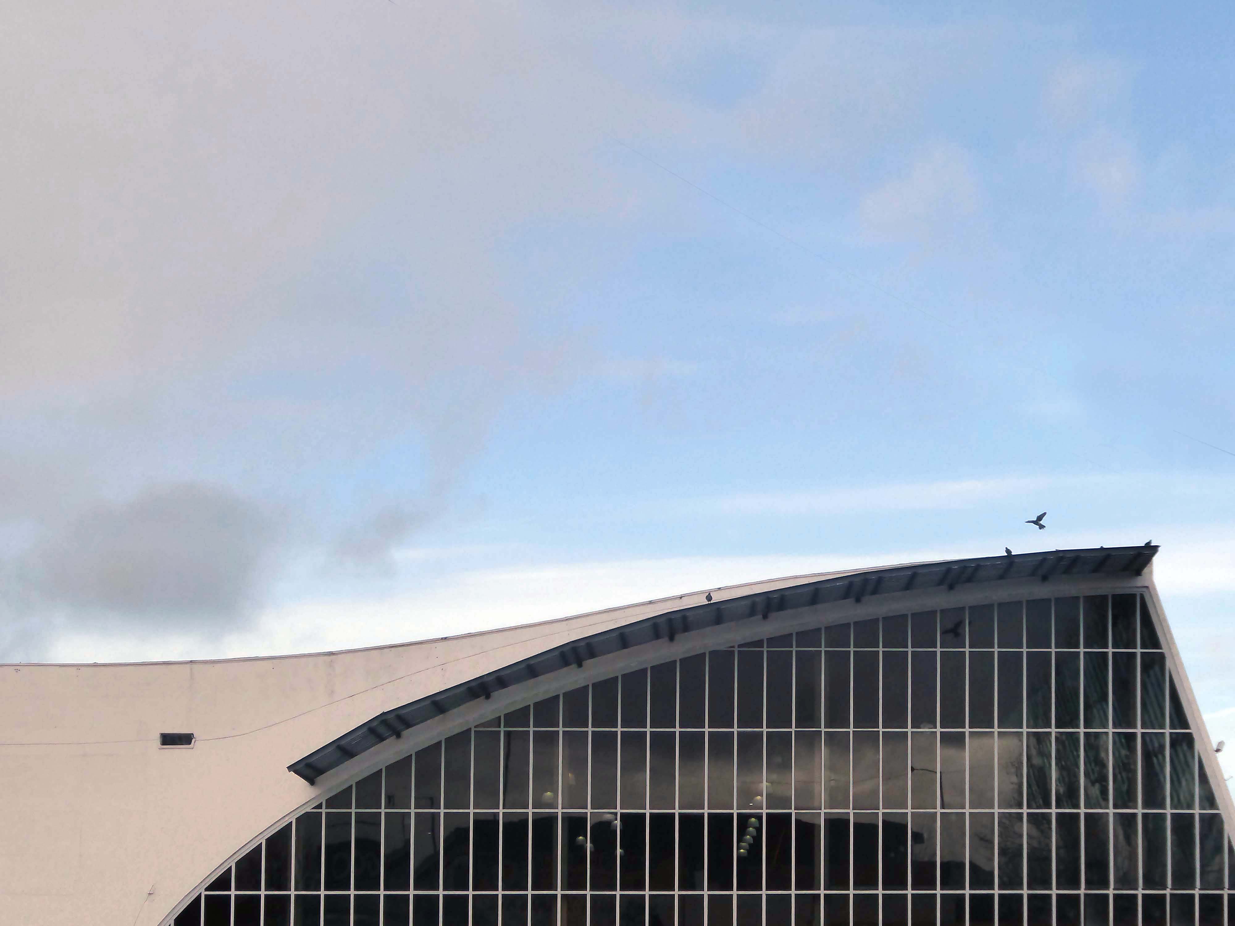
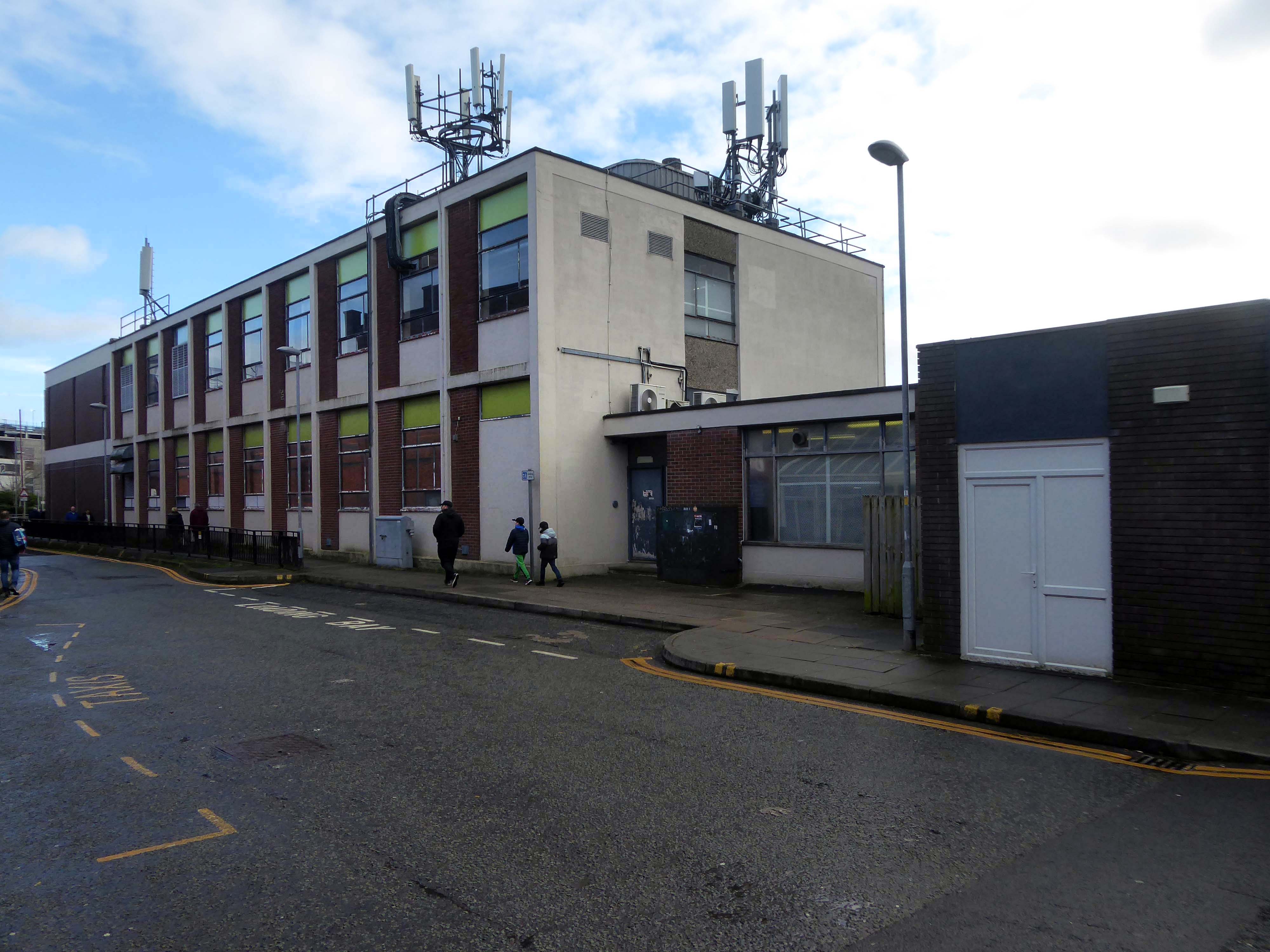
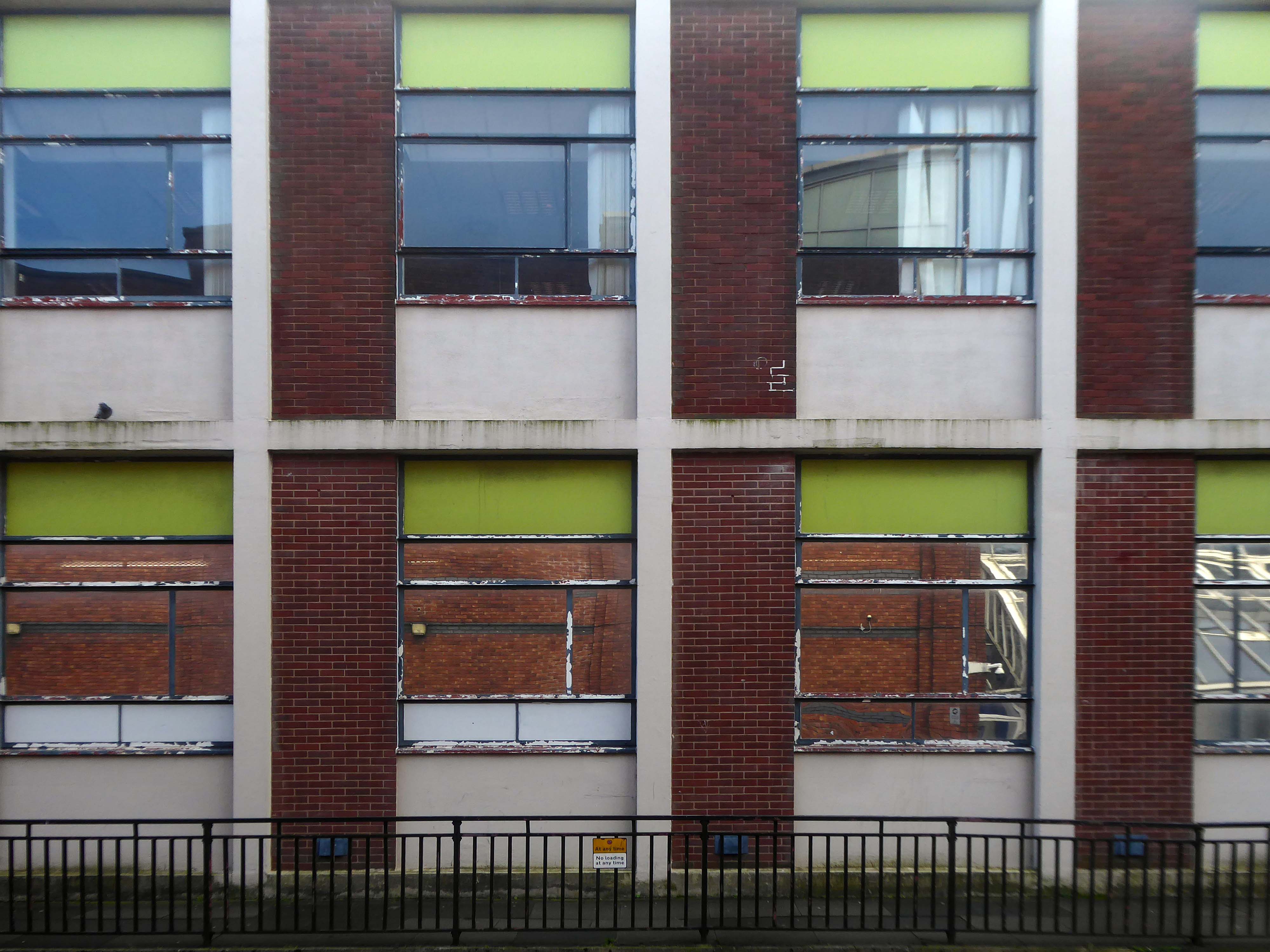
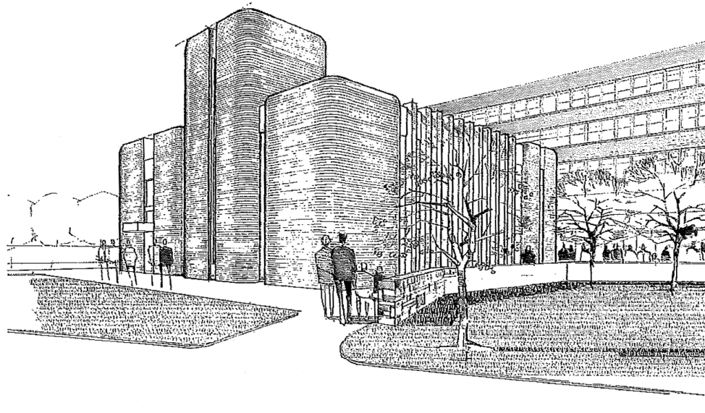
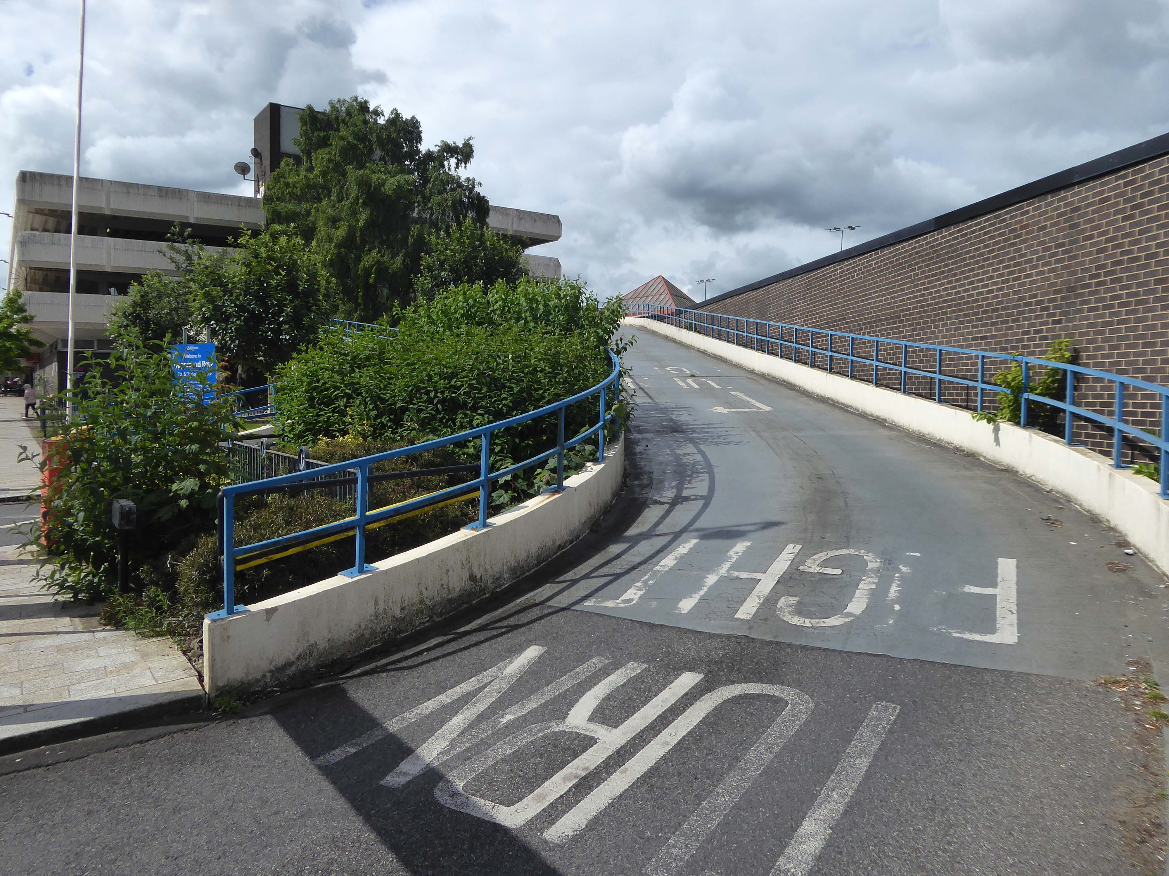
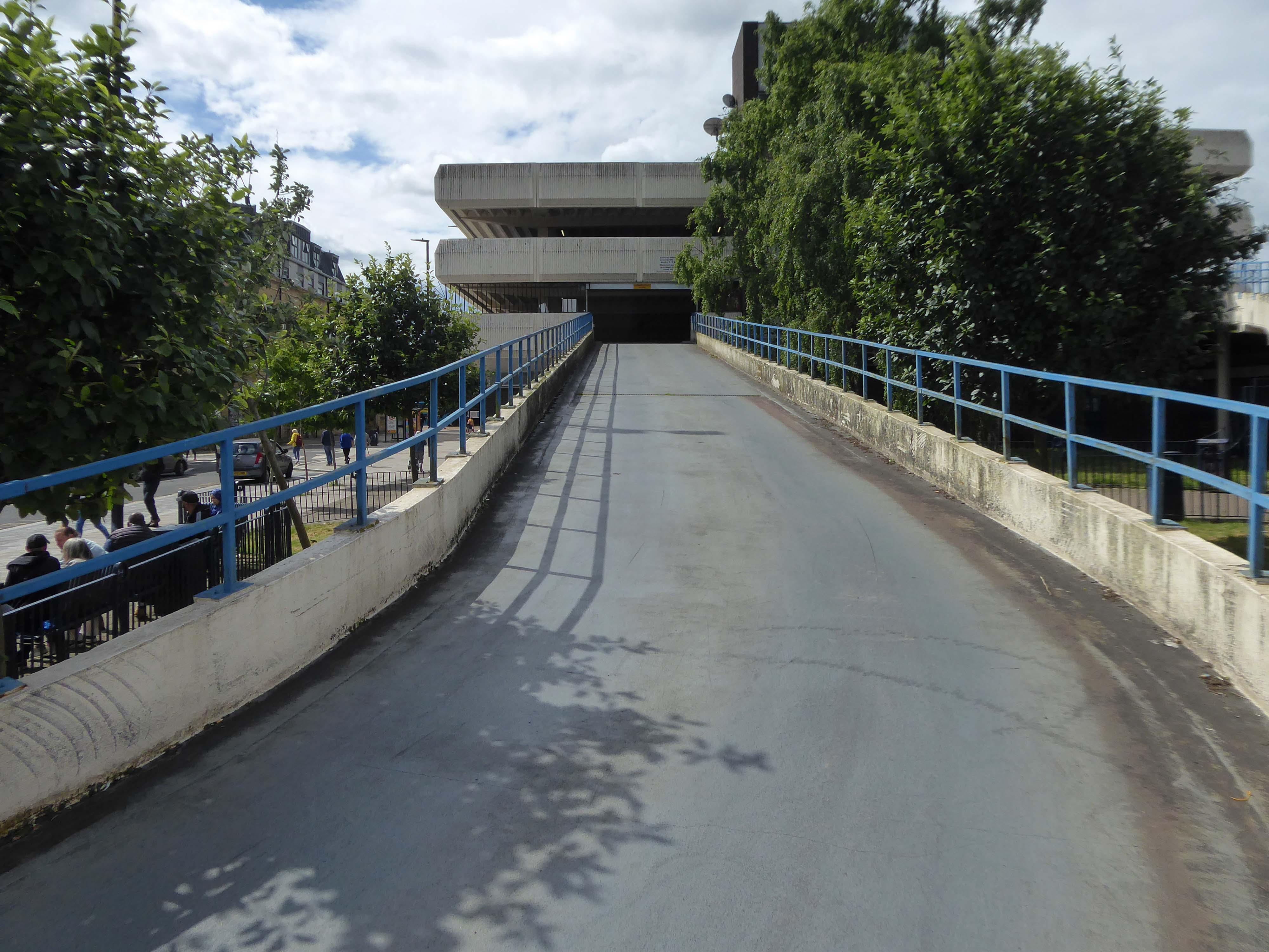
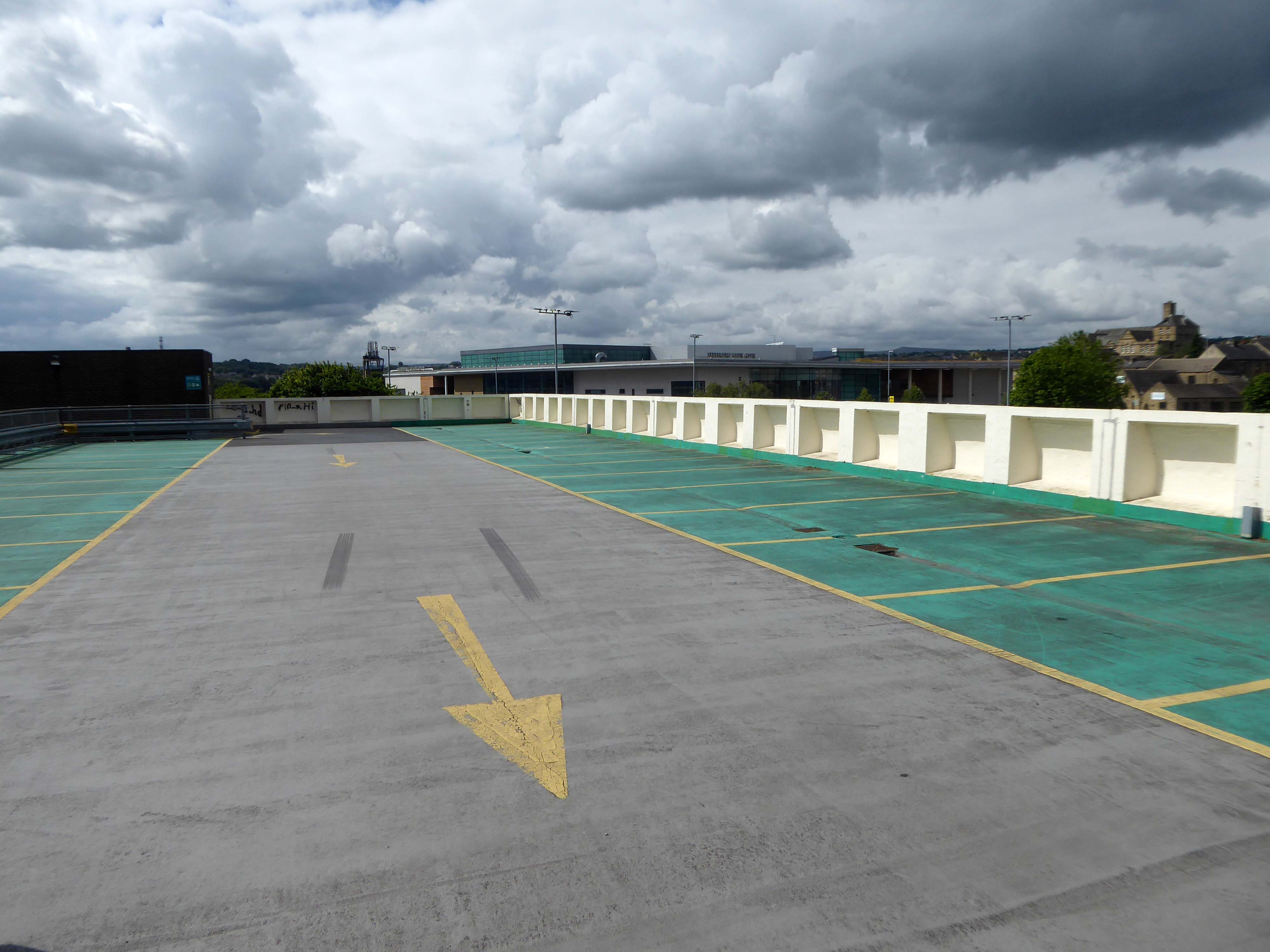
On my way somewhere else, took a left off Lime Street to walk around and about this monumental concrete car park.
I was on my way to see Ed Ruscha amongst other things.
Volare Digital Camera
I think he would have admired the view.
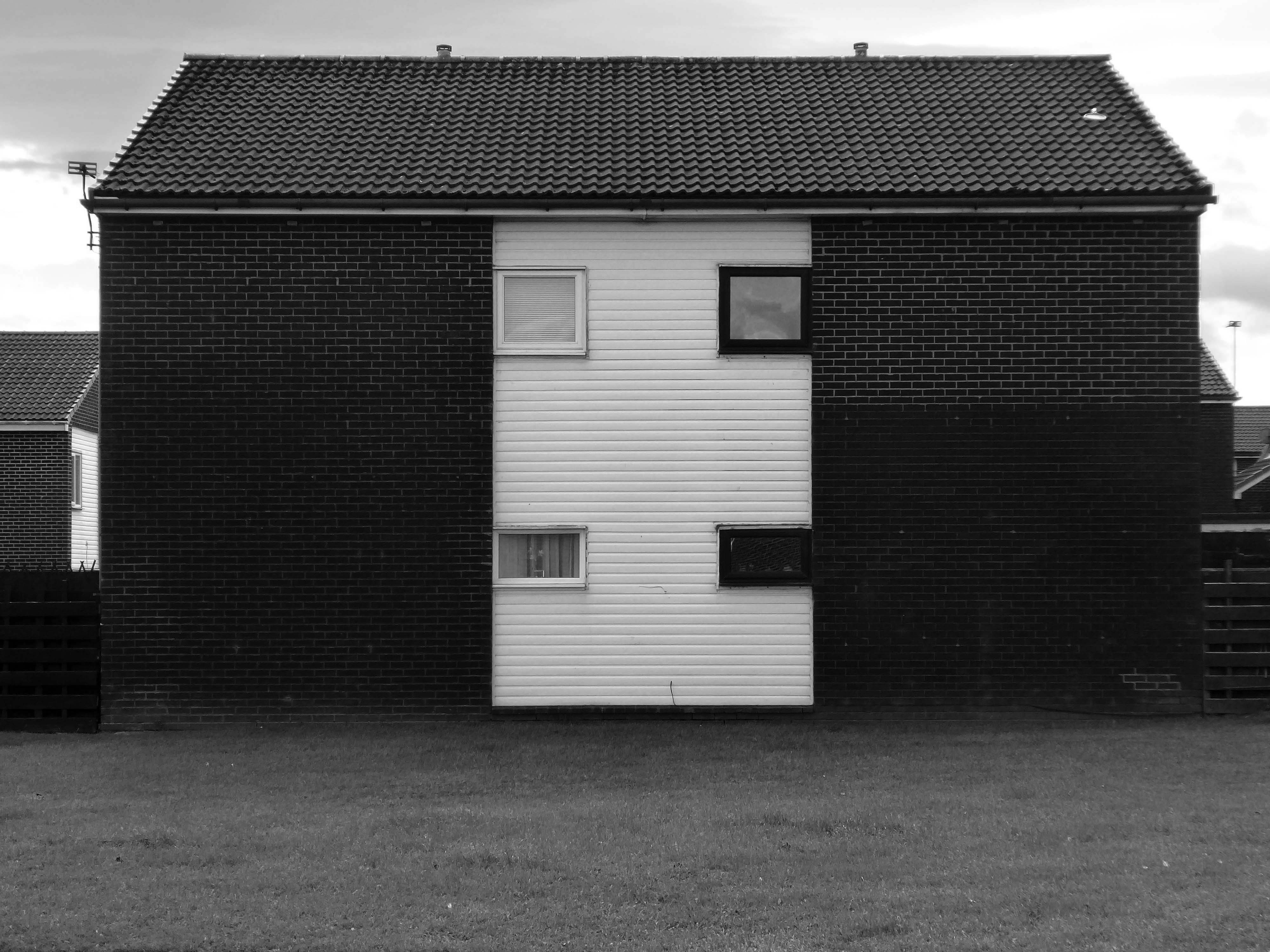
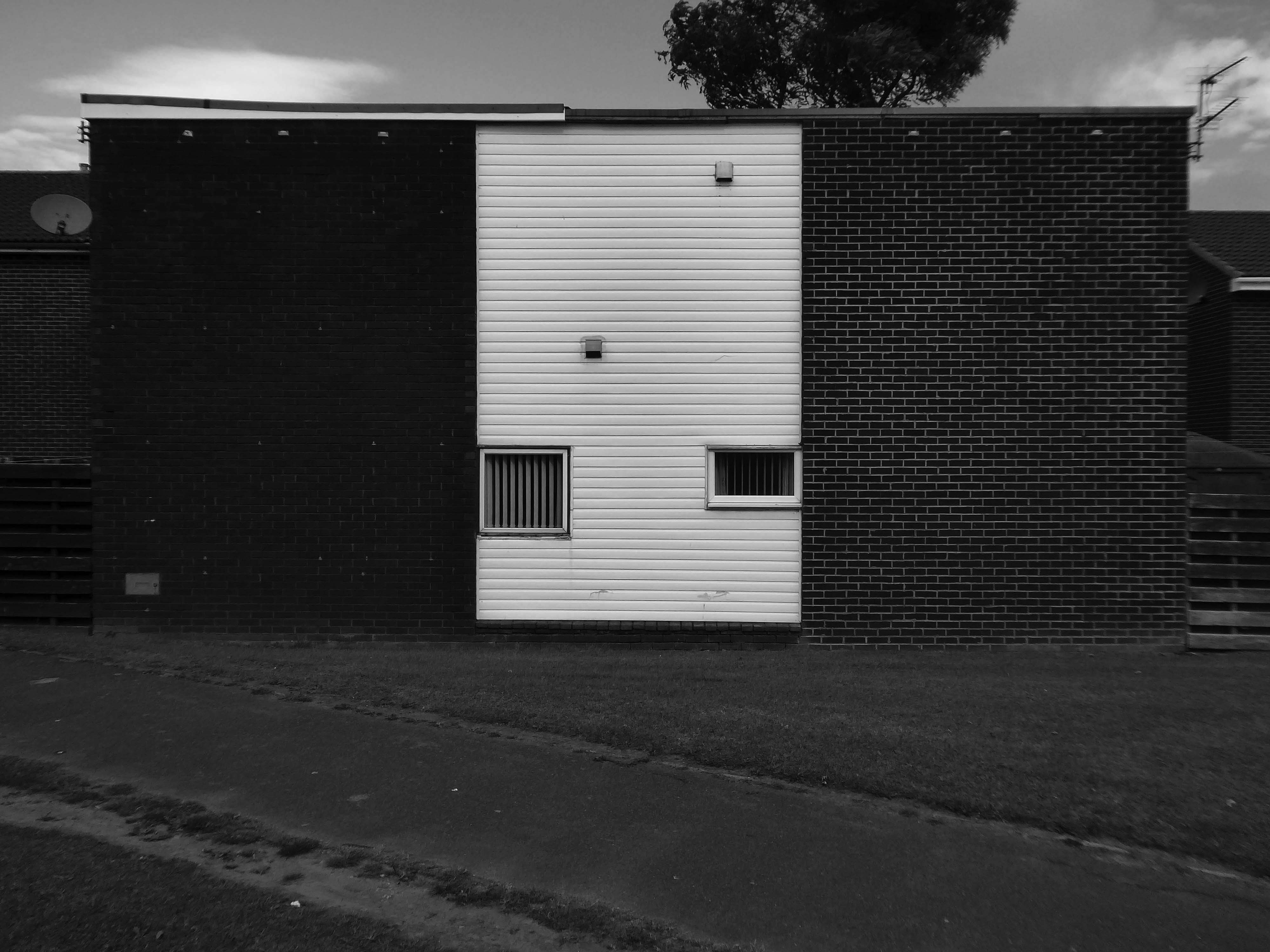
No fancy cladding and a limited pedestrian access, should you happen to be sans auto.
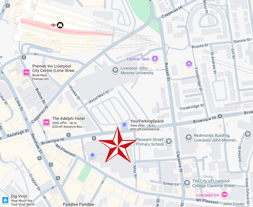
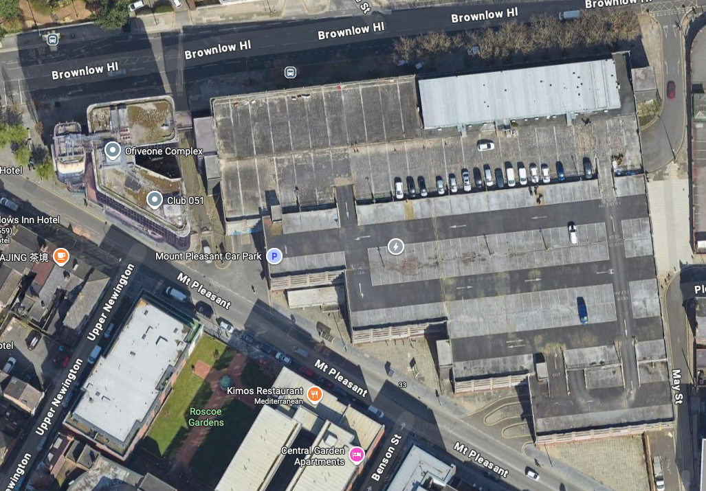
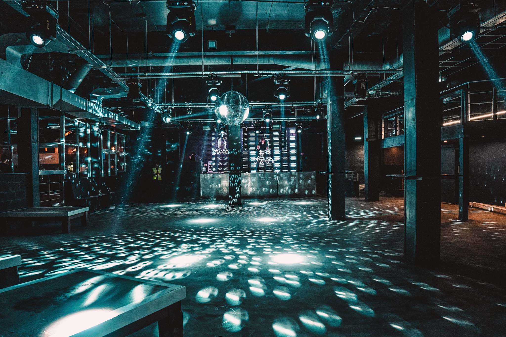
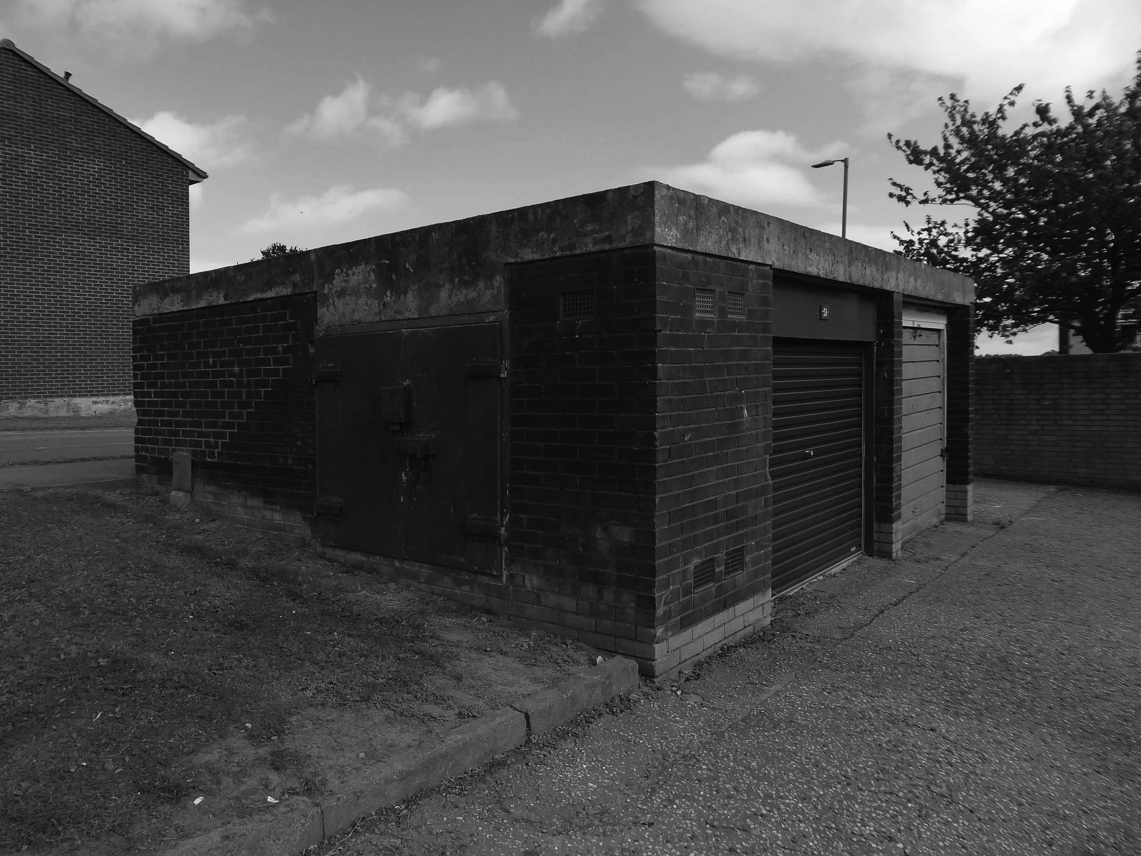
Attached to the car park is the 051 Complex – made for the Liverpool dialling code.
Club 051, ofiveone, The 05’…
Whatever you wish to call it, this iconic venue has touched the hearts of literally hundreds of thousands of clubbers spanning its illustrious history. Those infamous stairs down to the dance floor are truly part of clubbing folklore for those who have walked them, and now because of a team of people who dared to dream, you can once again enjoy the spine chilling ofiveone experience!
On Wednesday 21st January, I boarded the 9.33 for Blackpool from Platform 14 Manchester Piccadilly station.
10.35 the train terminated at Preston – thus far and no further.
Thinking on my feet, I legged it rapido to Preston Bus Station and just about caught the 68 bus to Blackpool.
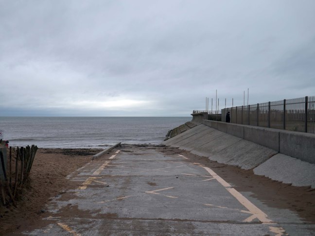
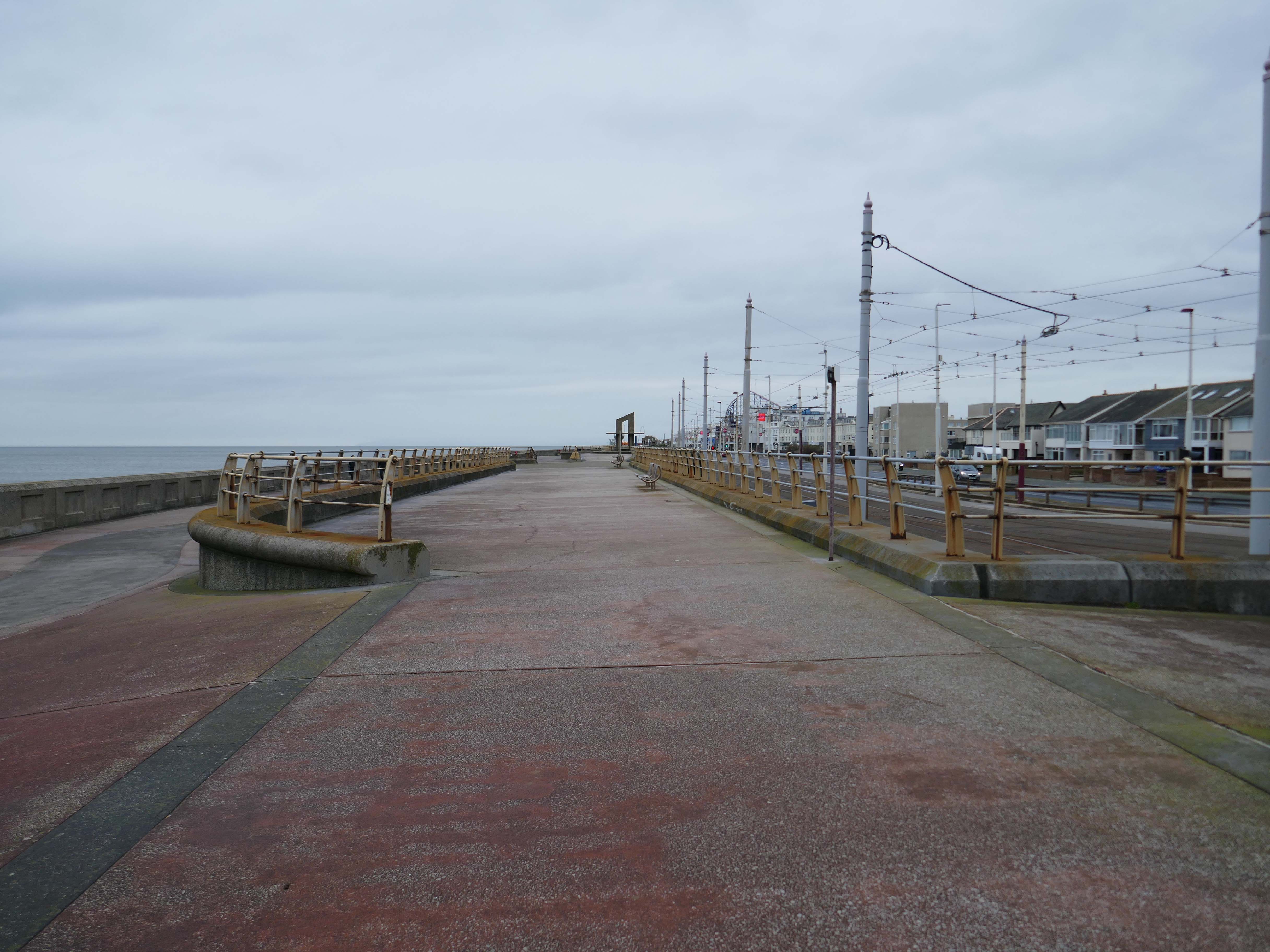
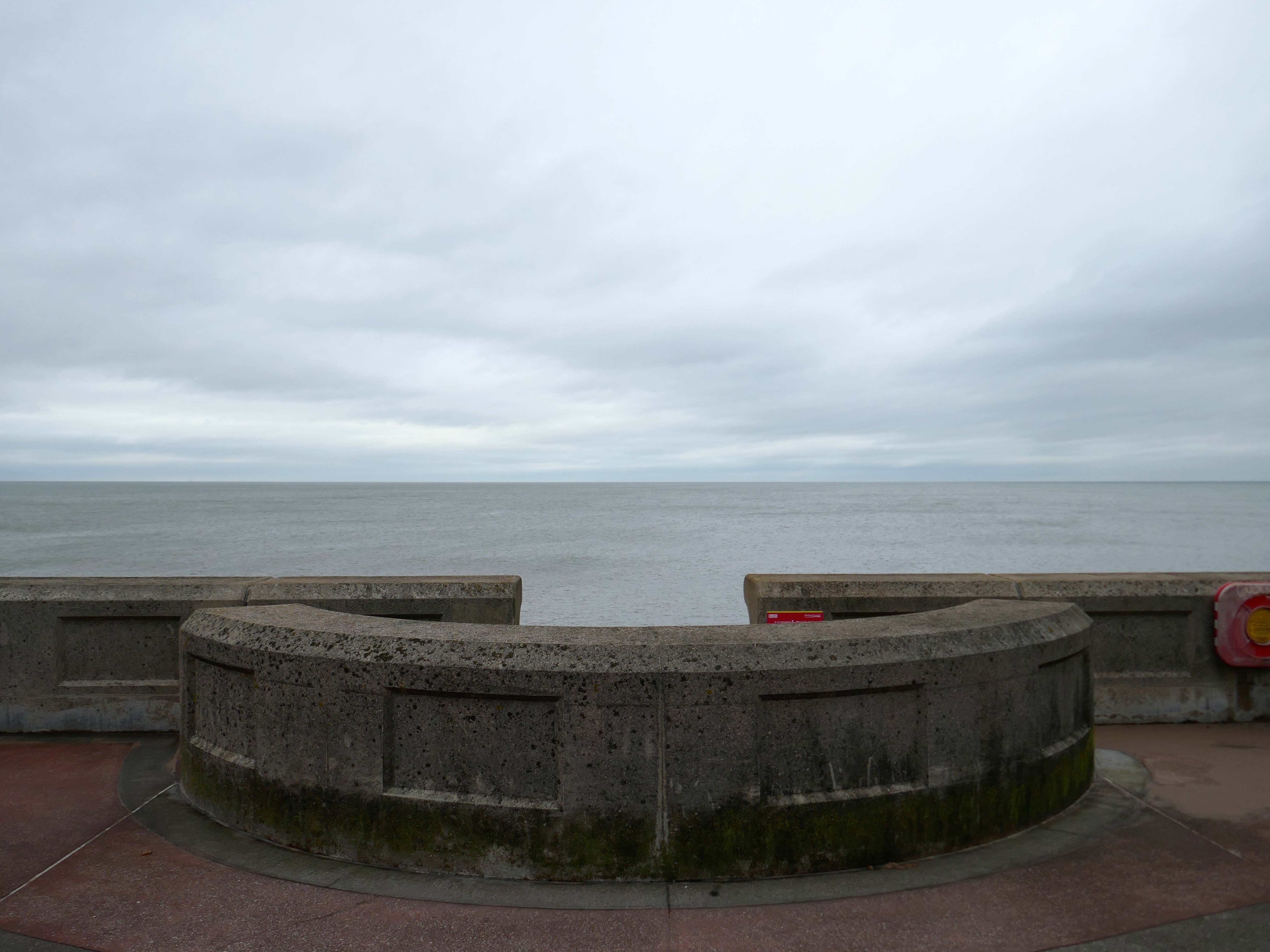
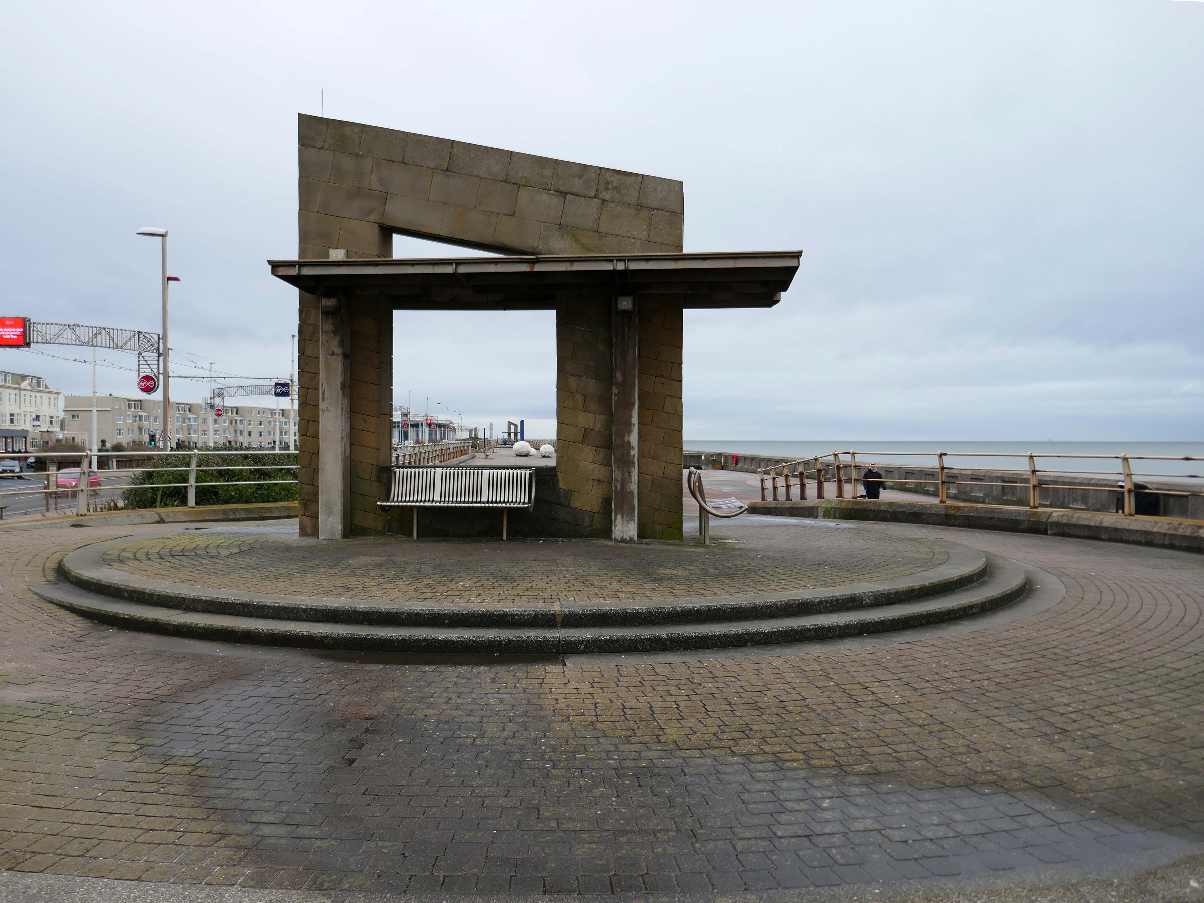
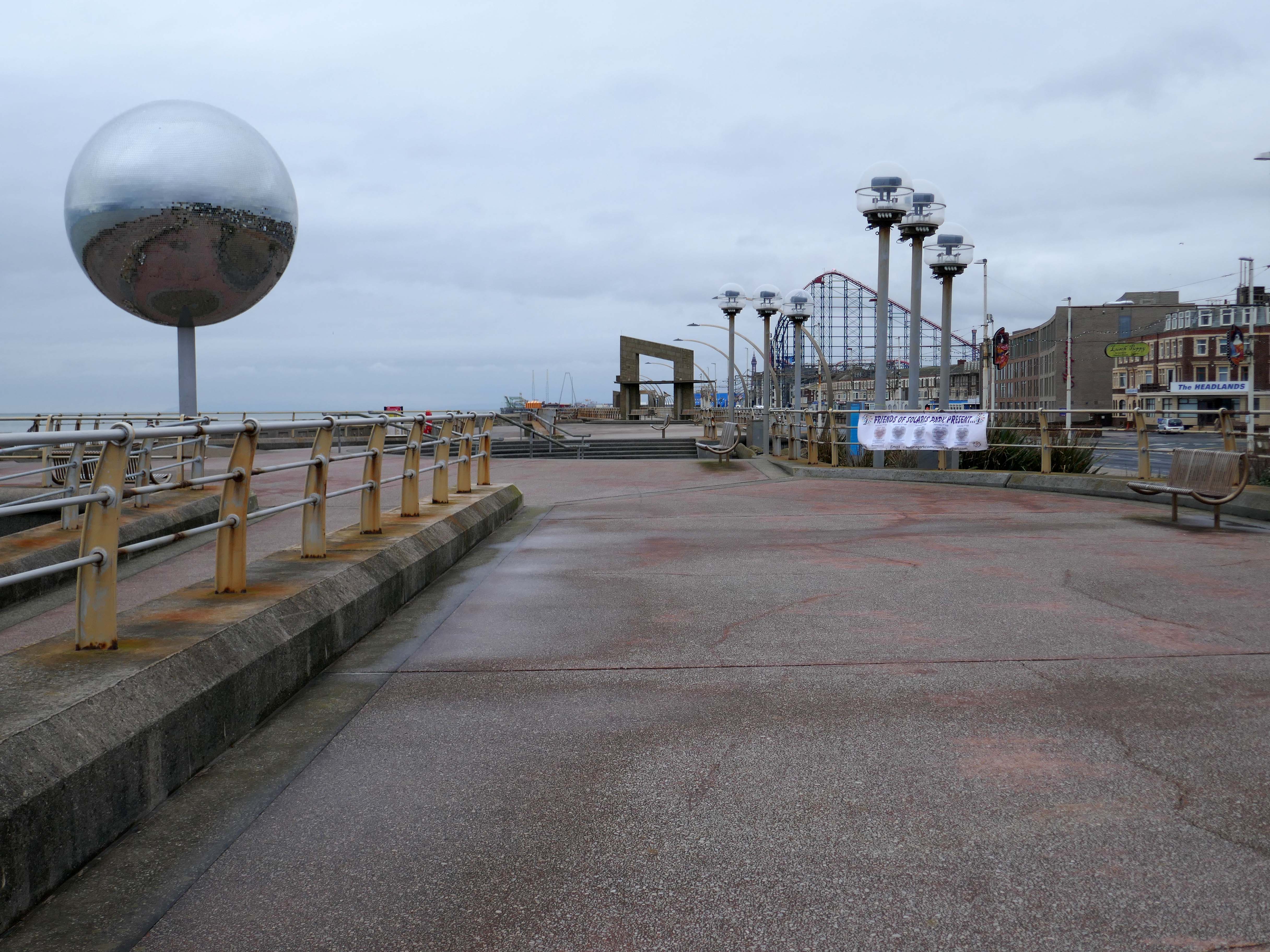
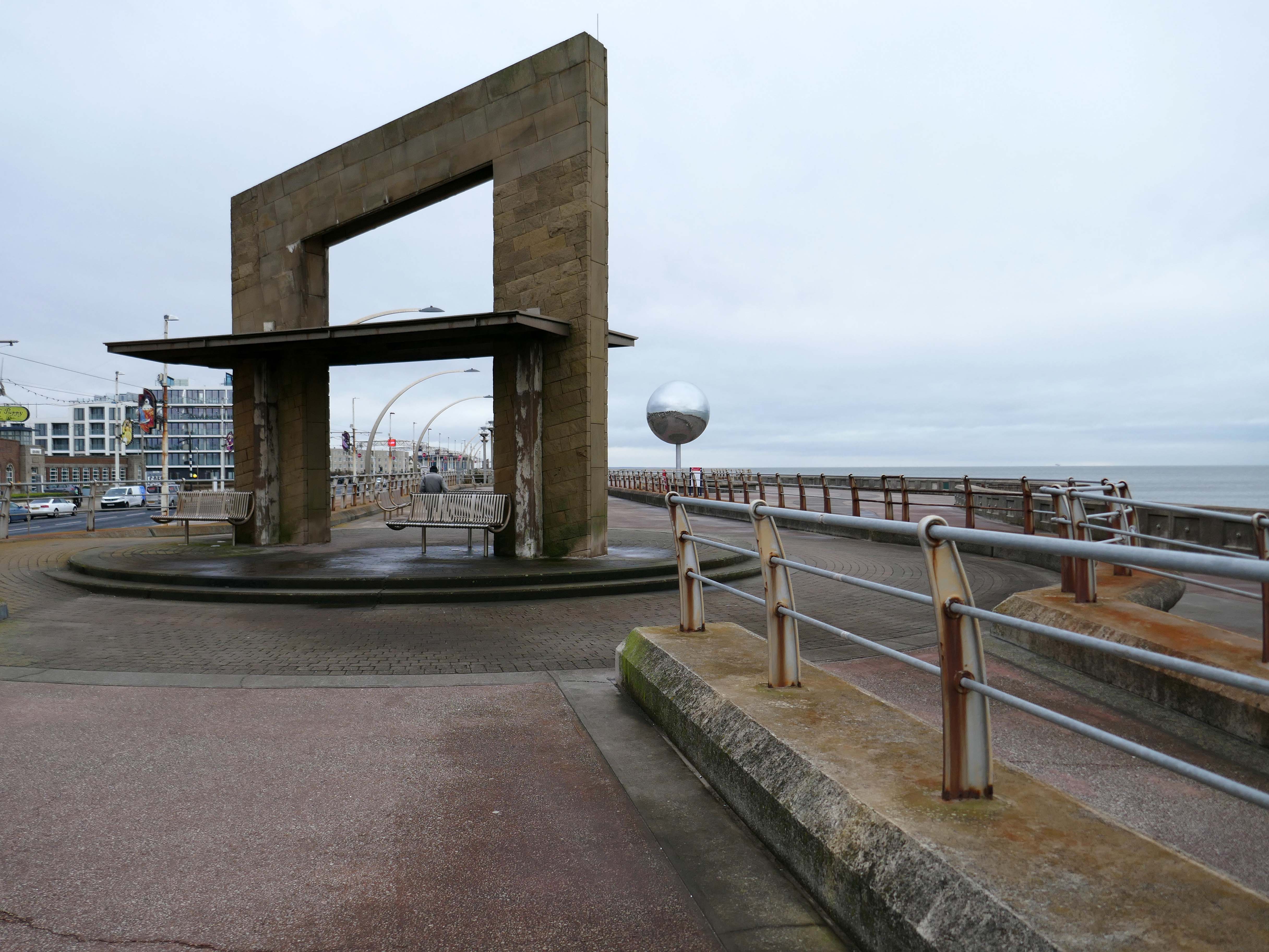
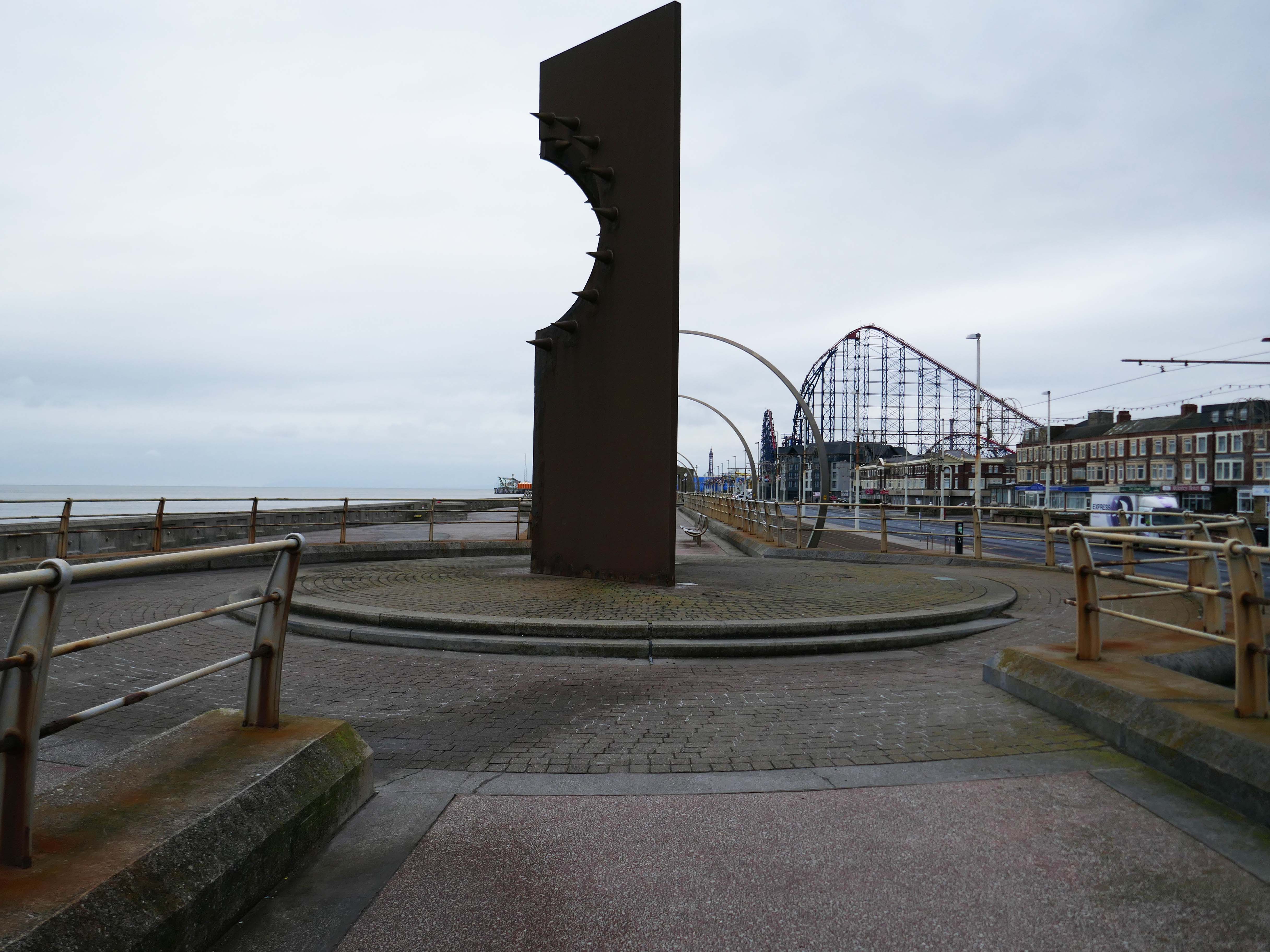
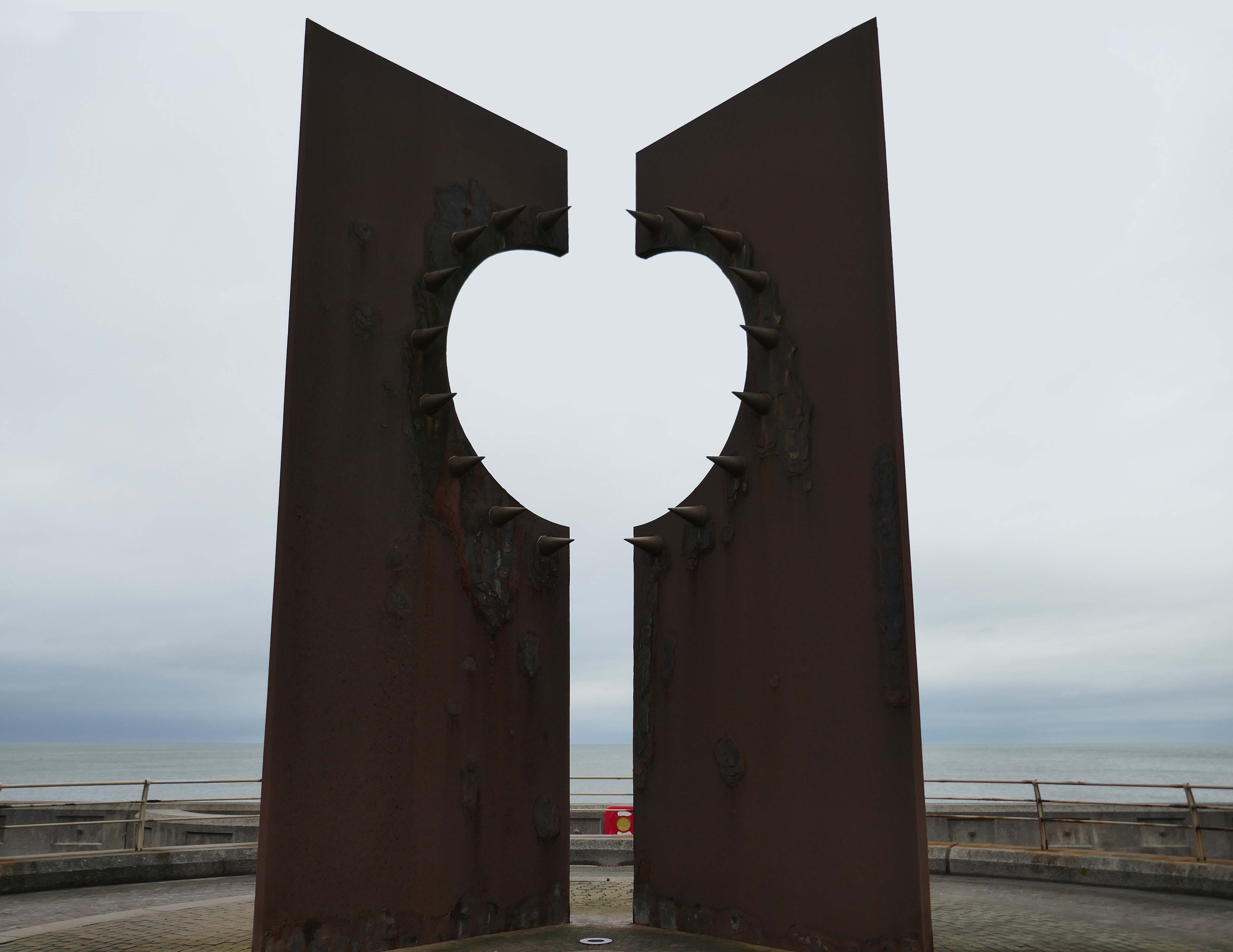
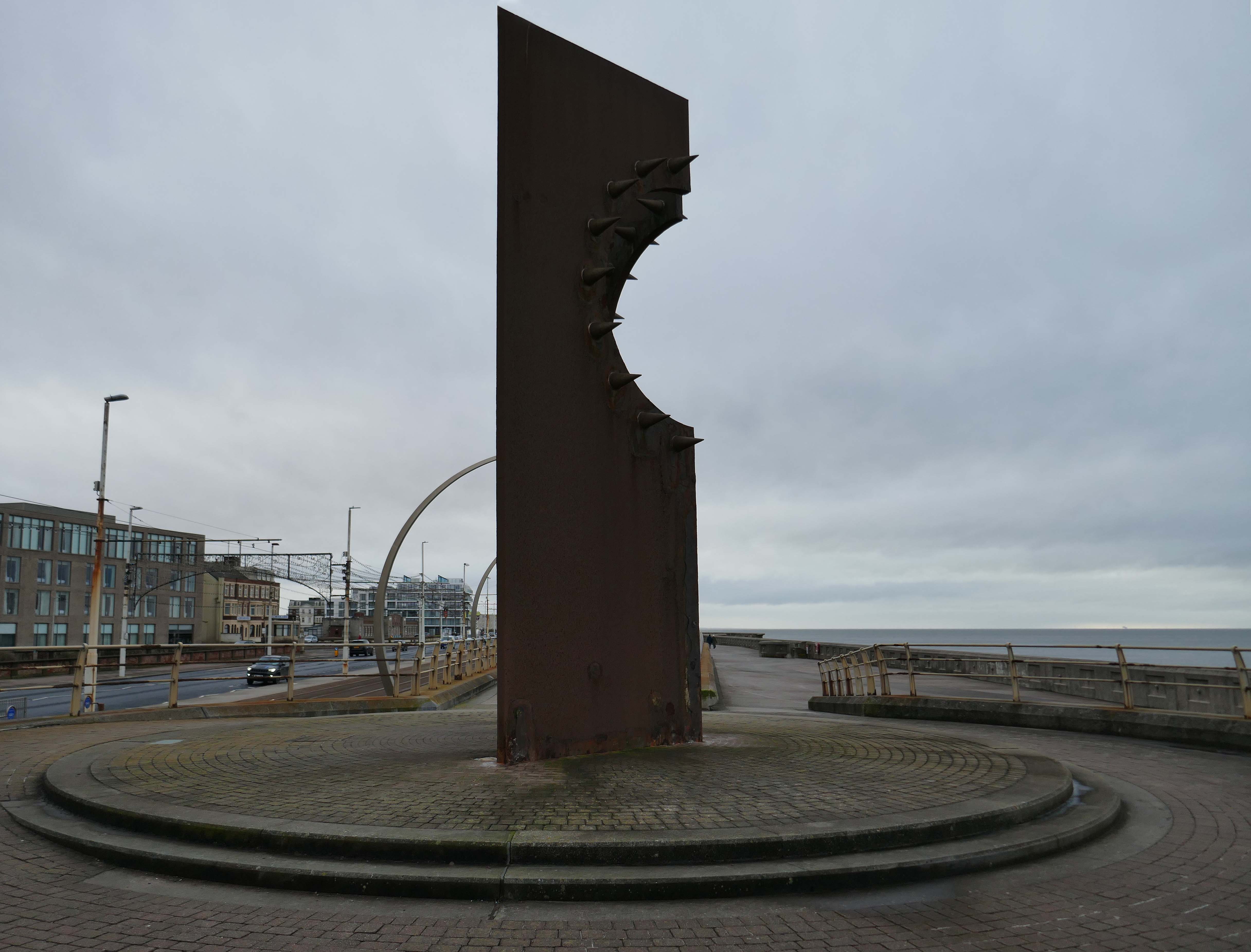
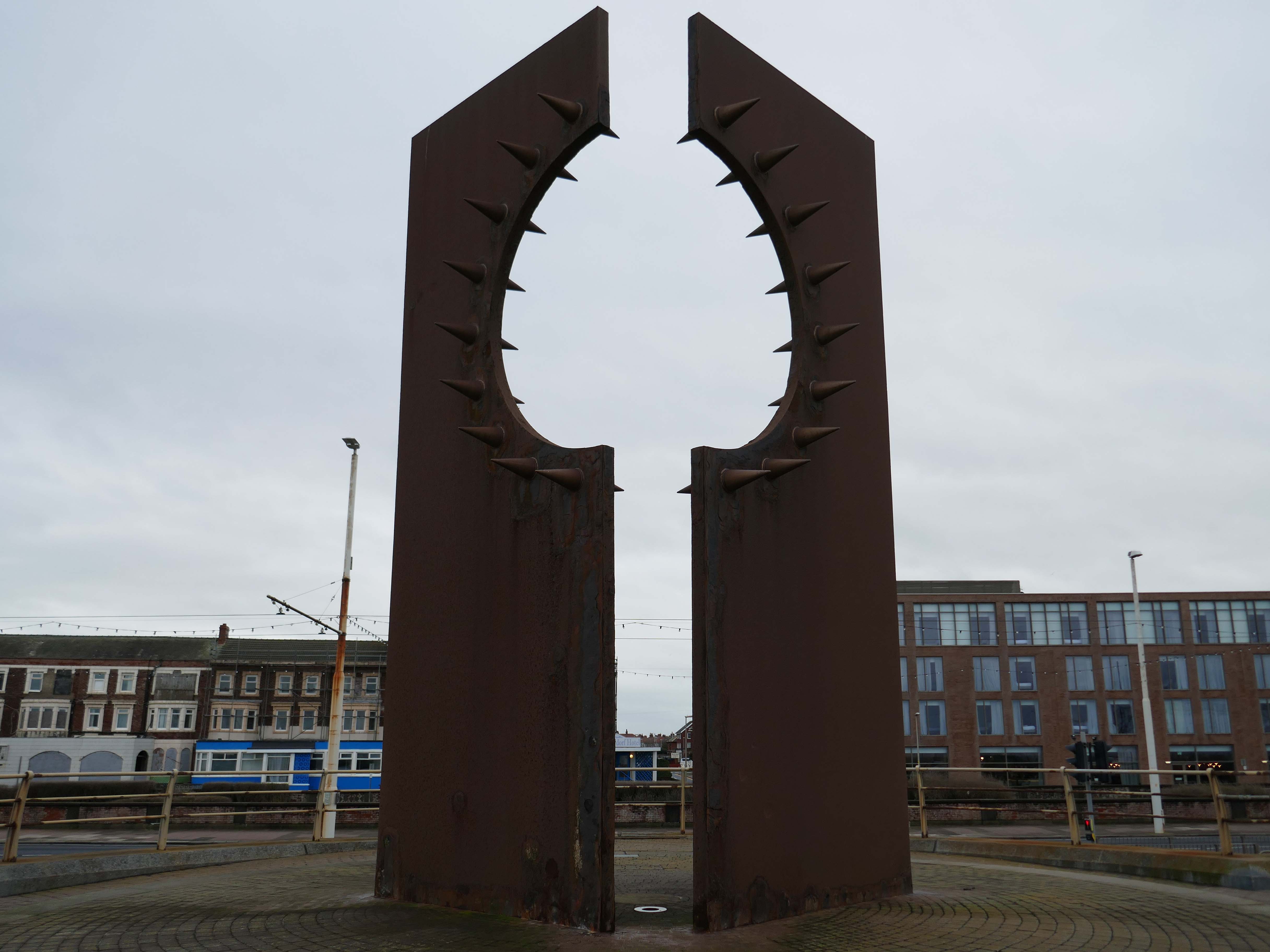
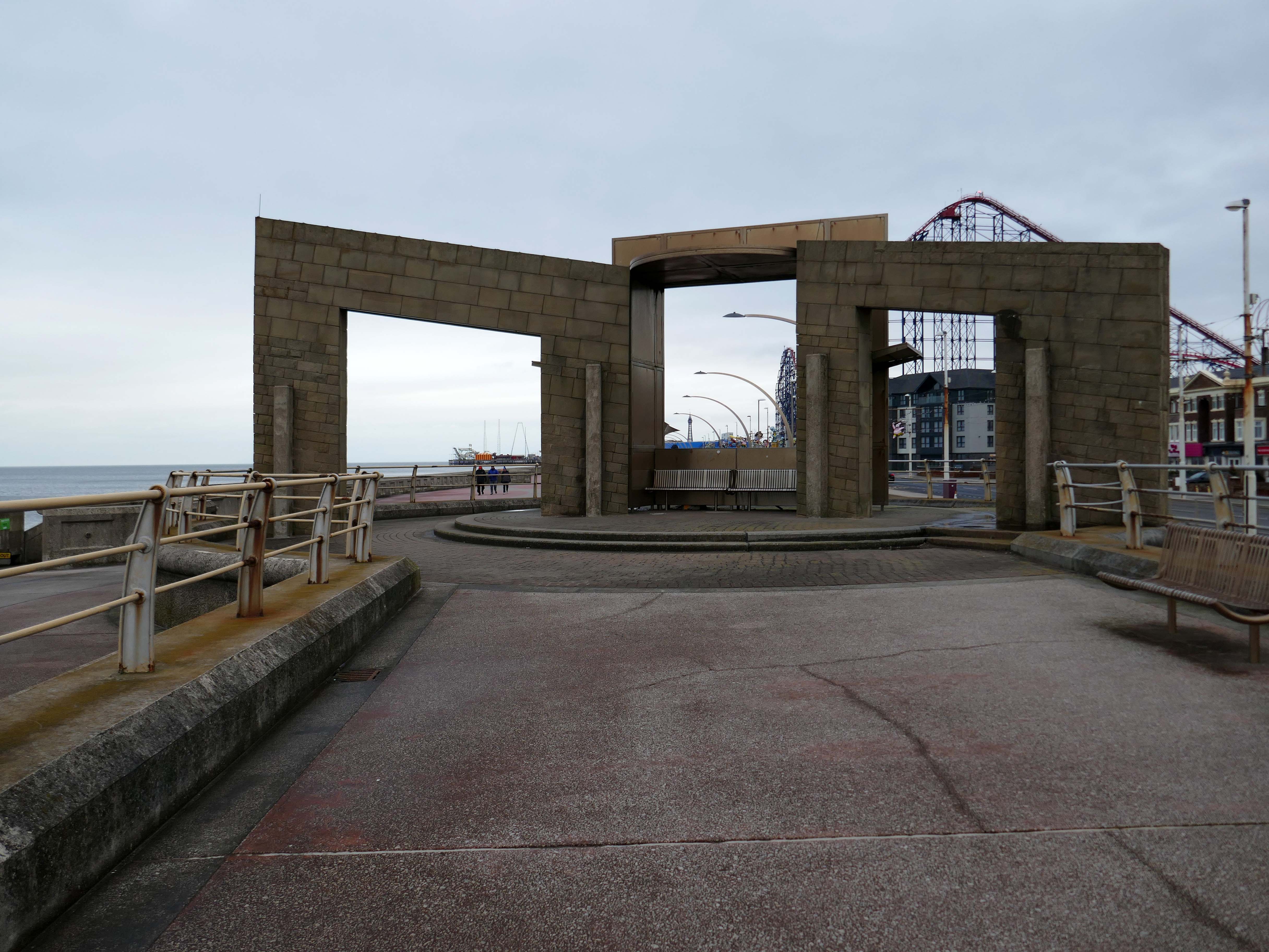
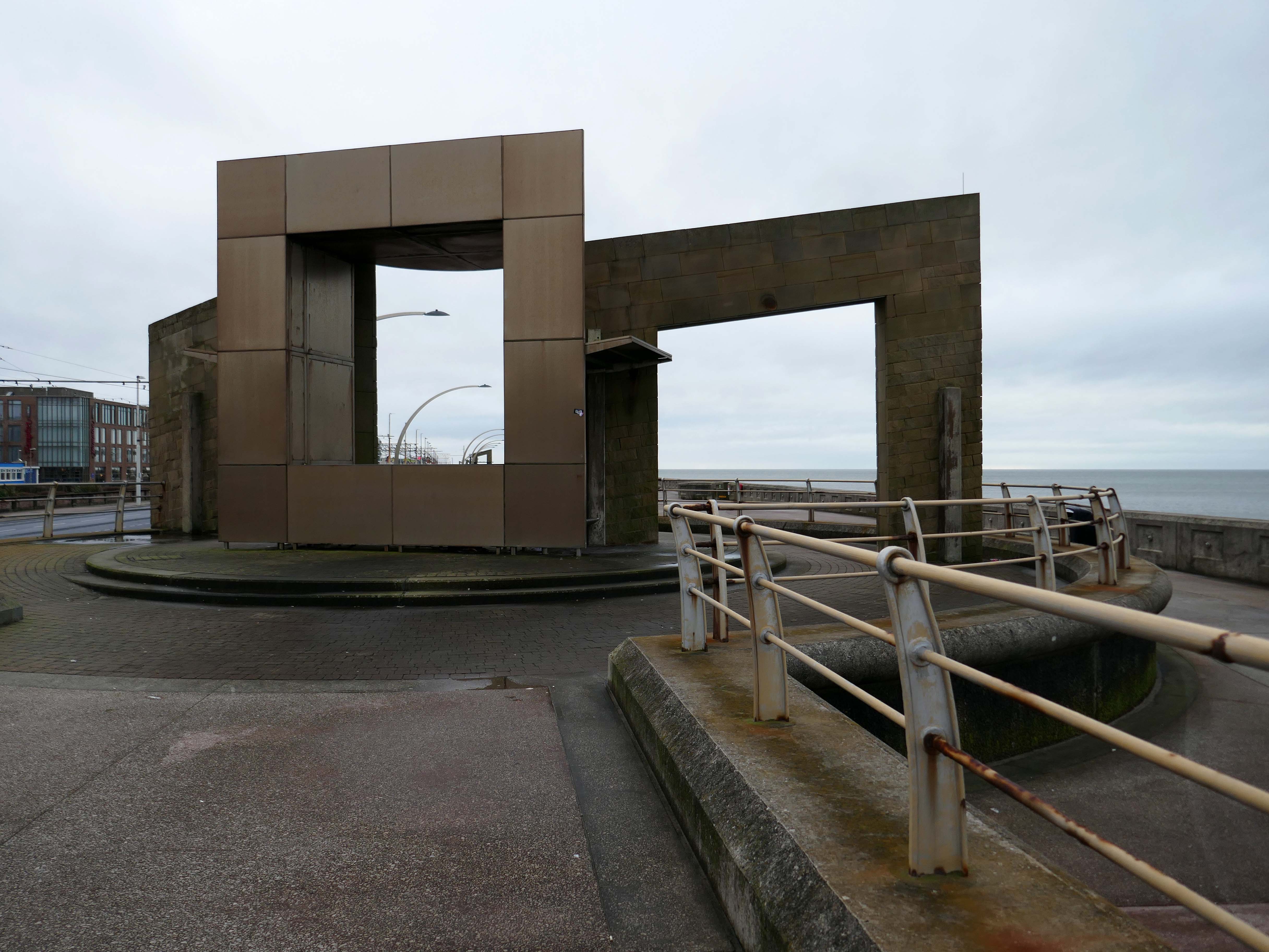
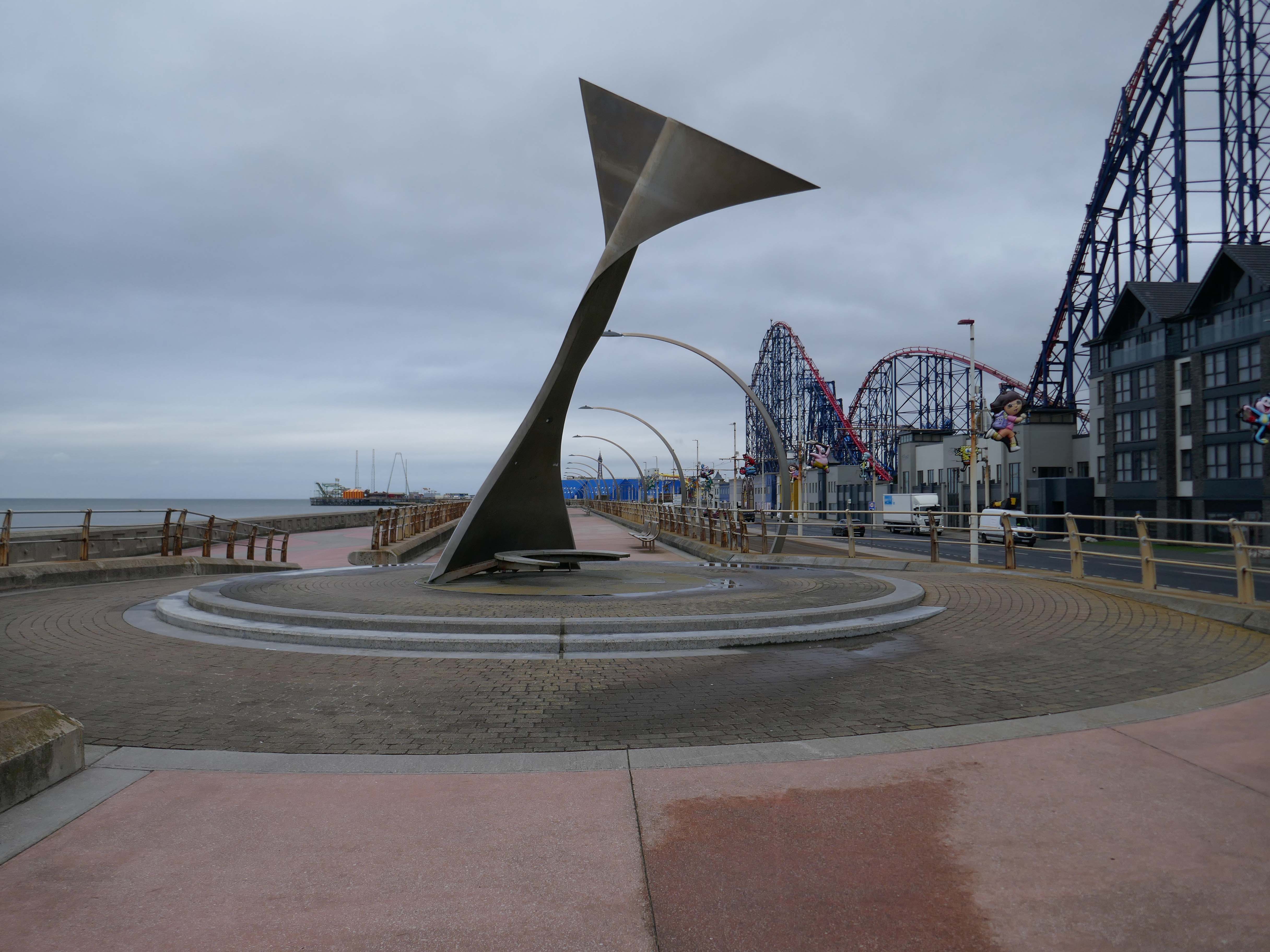
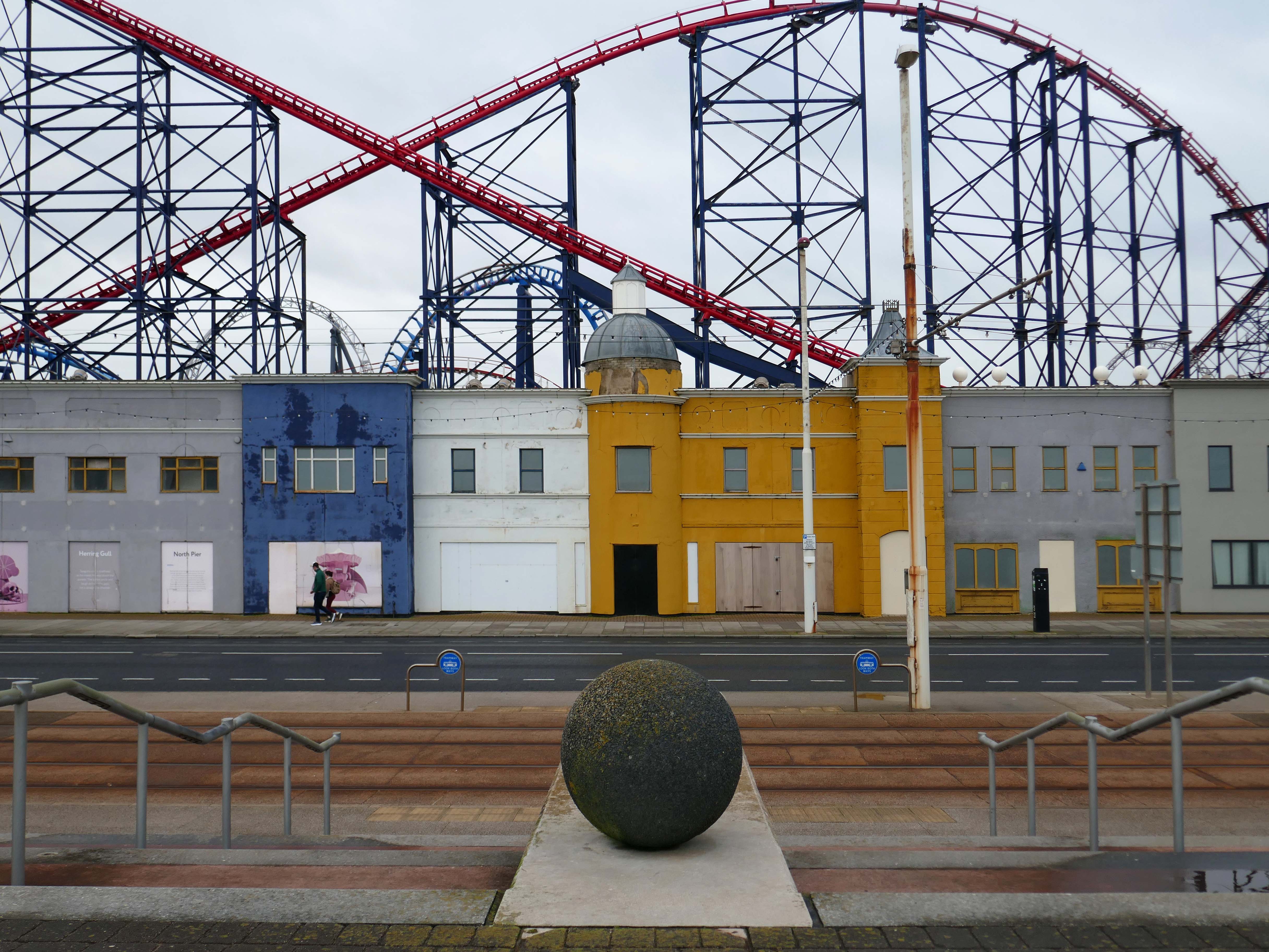
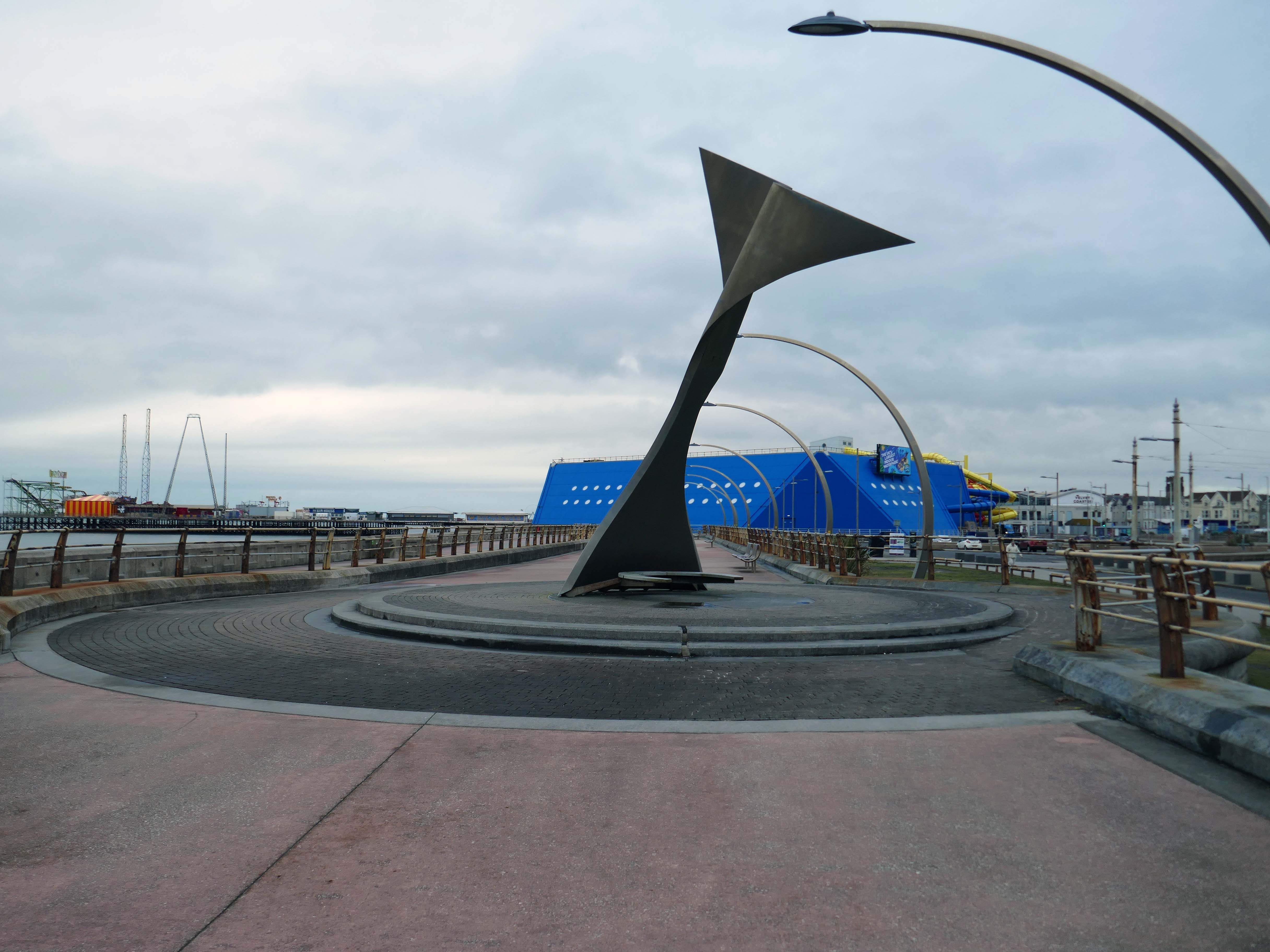
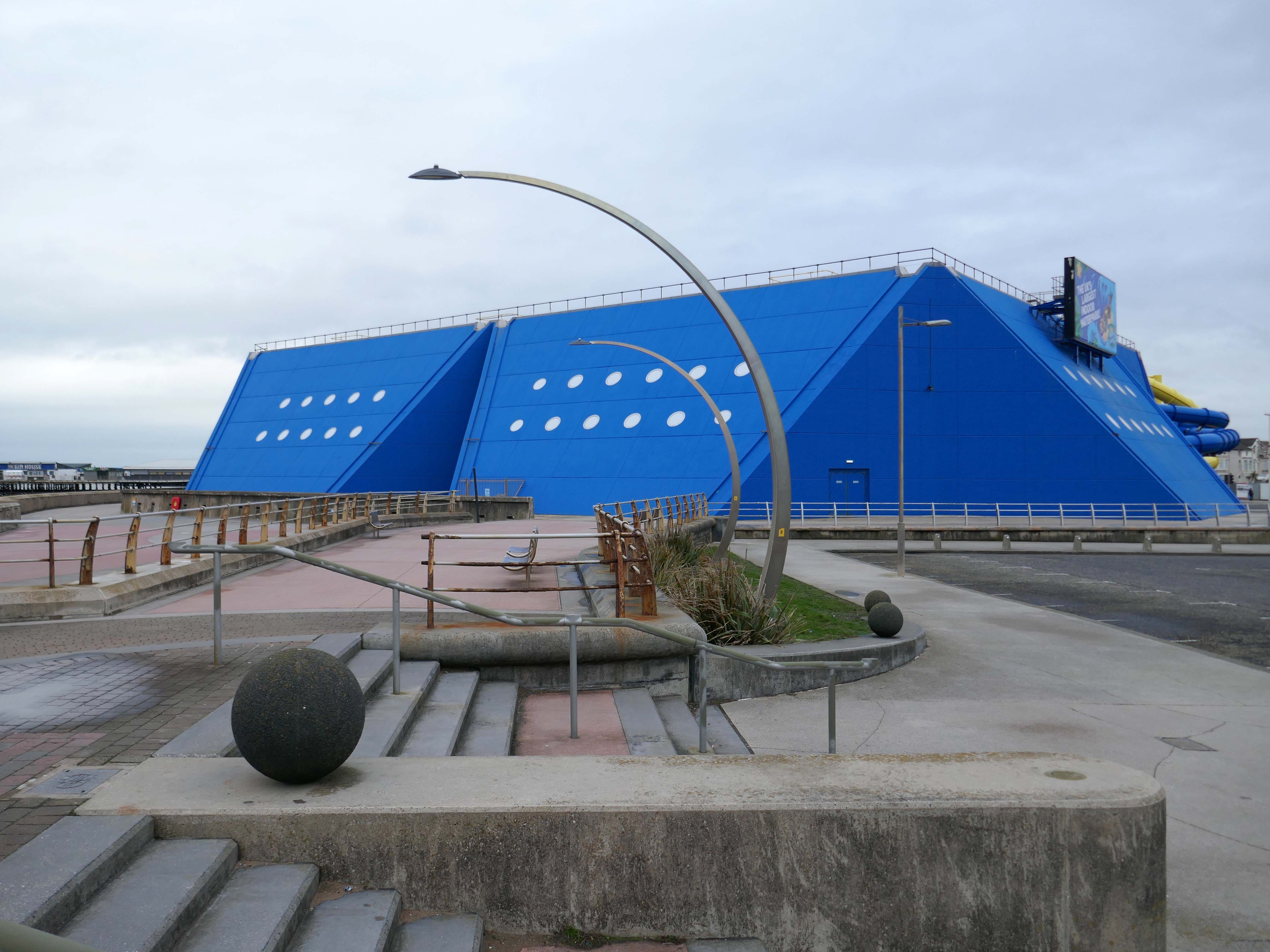
Already an hour or two behind time I elected to alight at Squires Gate, and take a walk along the South Promenade toward the town centre.
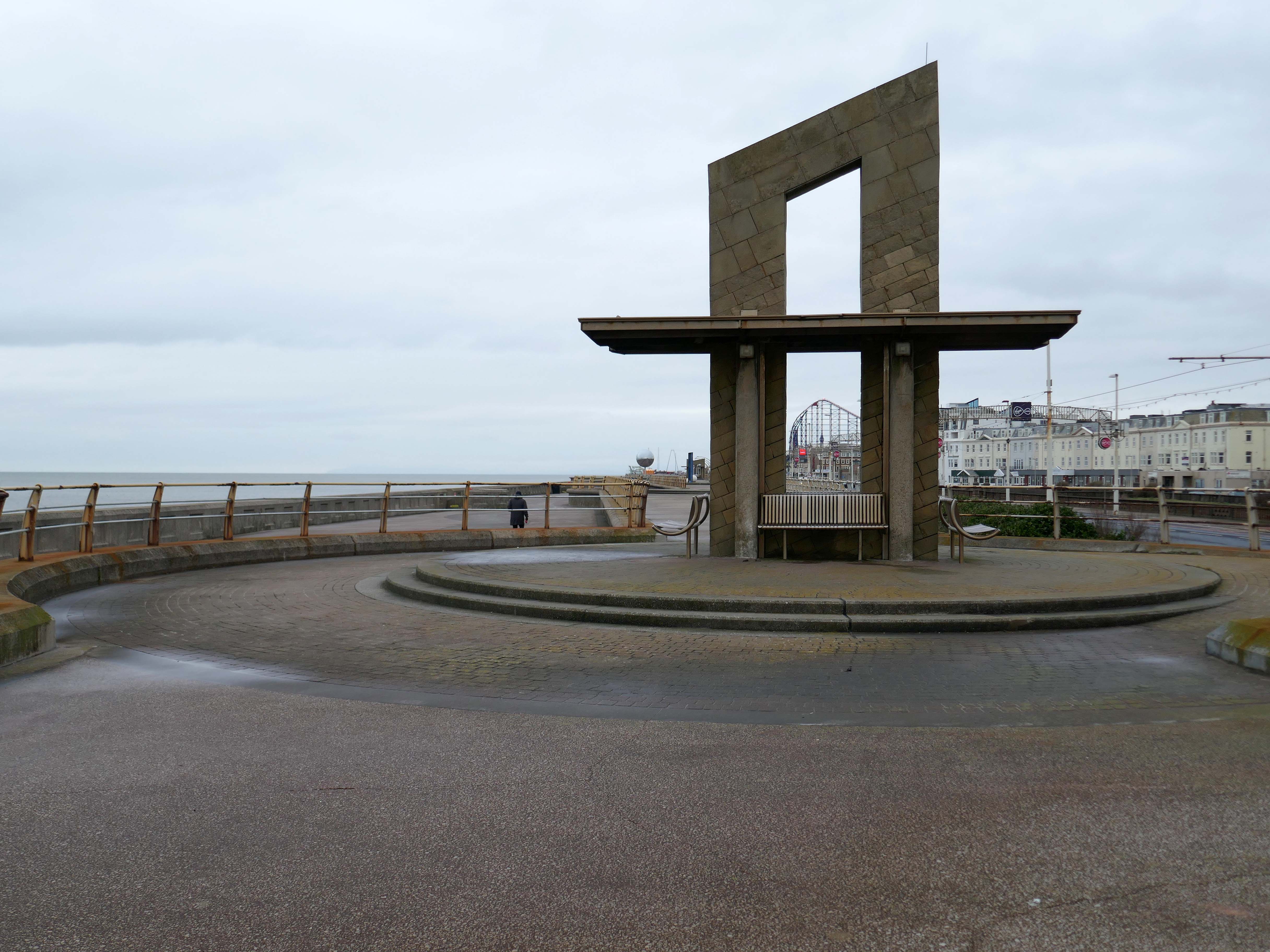
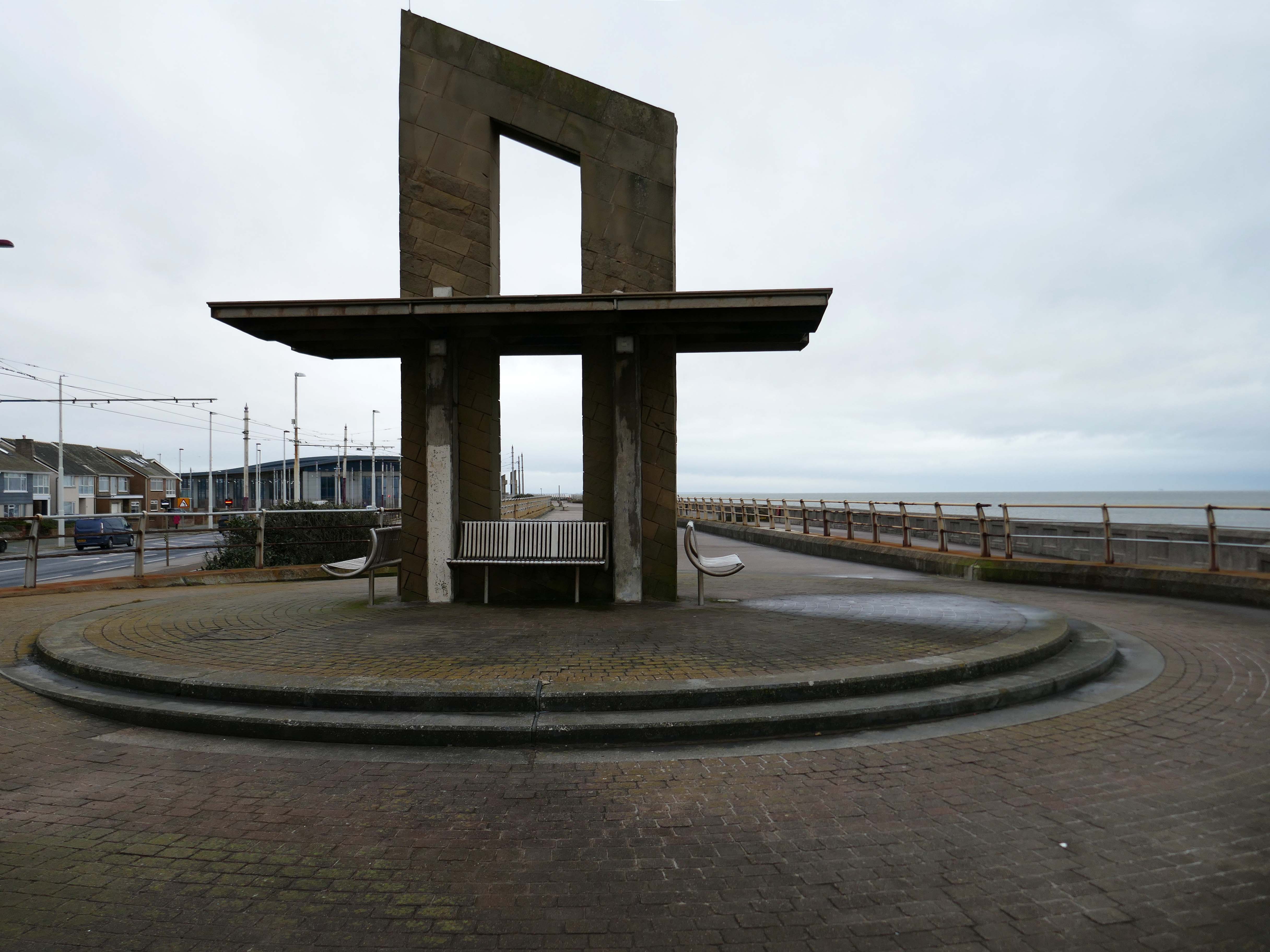
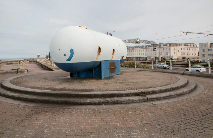
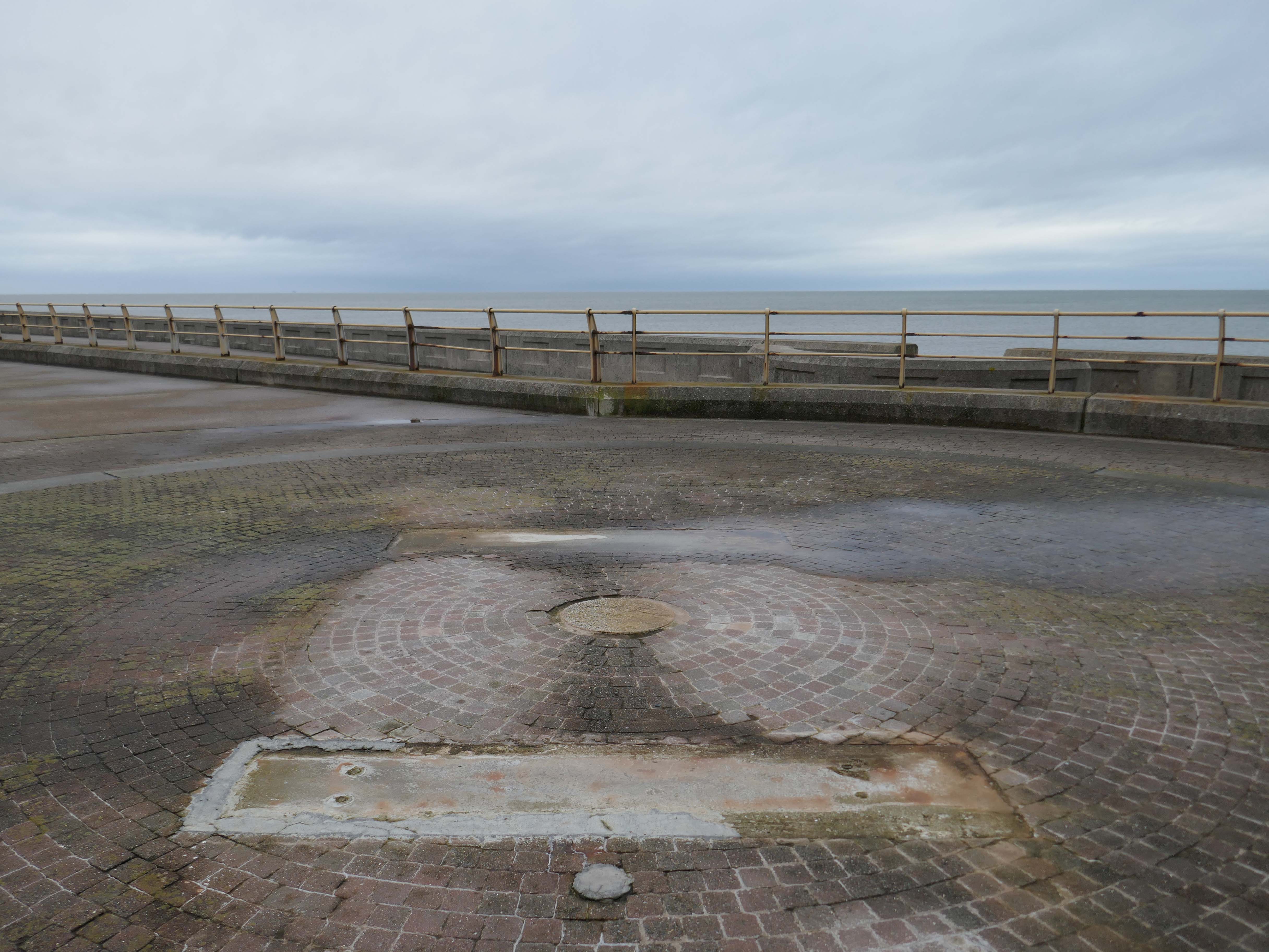
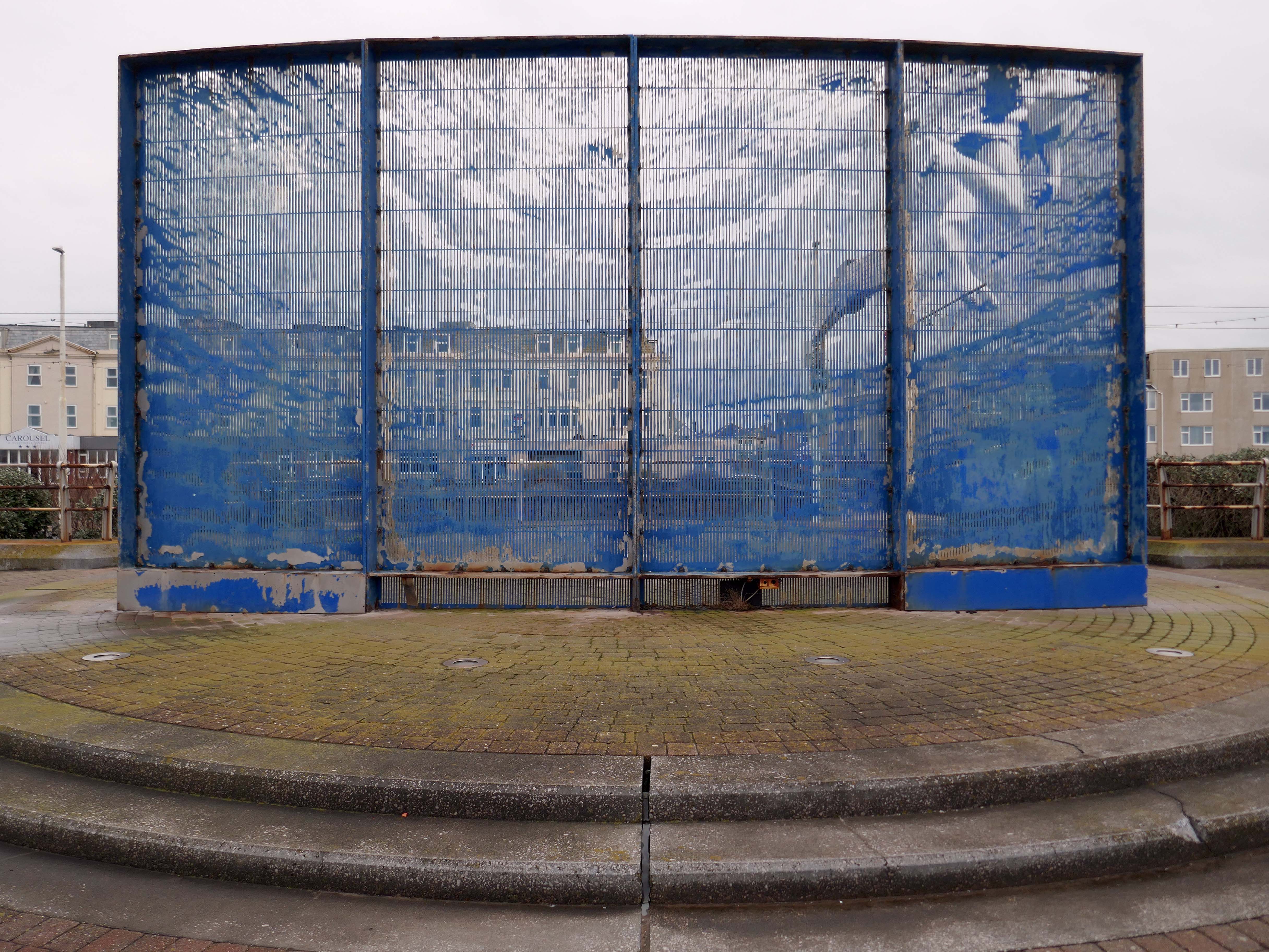
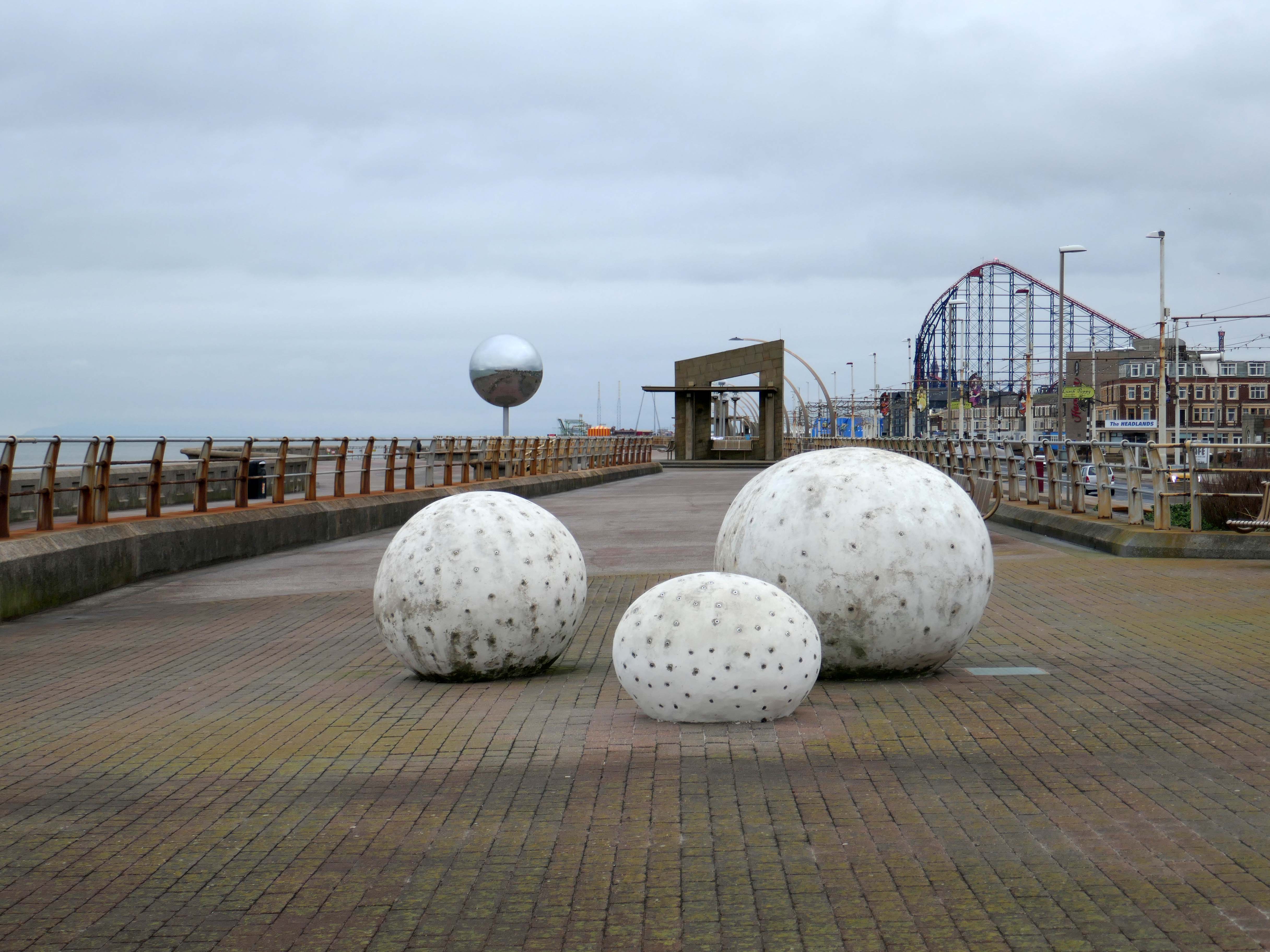
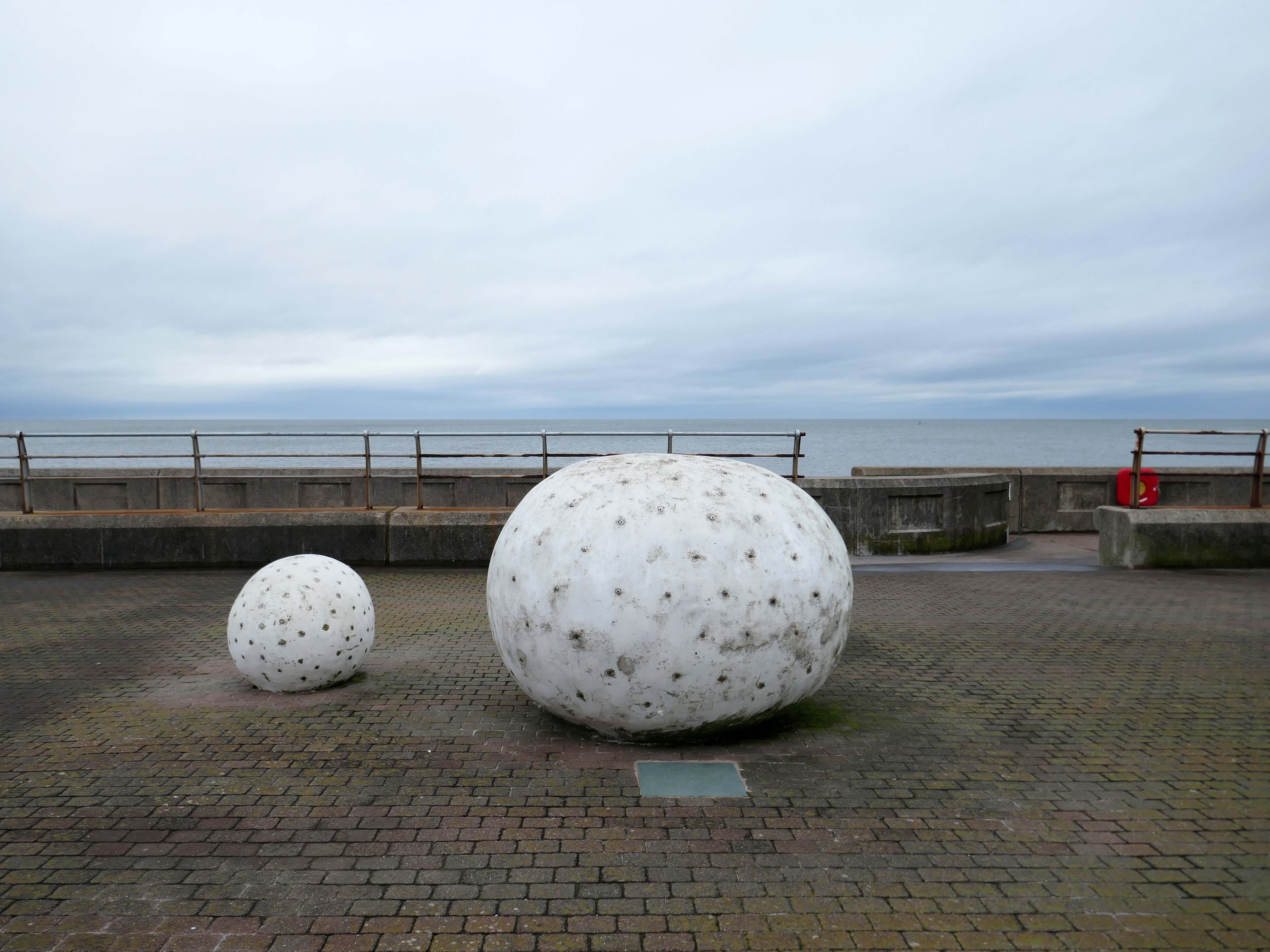
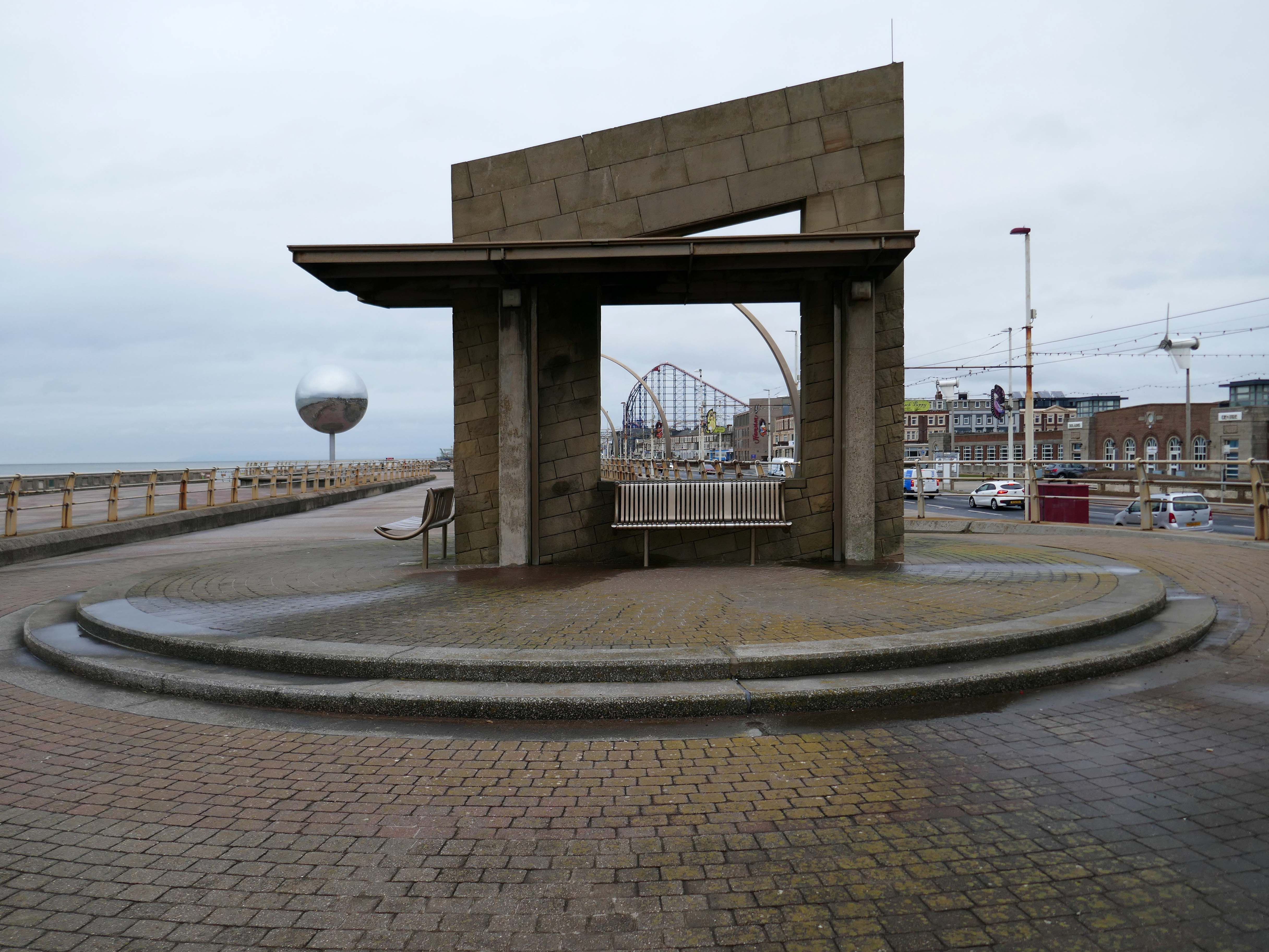
The promenade is home to a plethora of public art works and sculptural shelters.
The Great Promenade Show originated from the major redevelopment undertaken by the then Department for Environment, Food and Rural Affairs to replace and strengthen the 2km long South Promenade’s seawall flood defences. This £20 million project entailed removing the existing Victorian promenade and replacing it with a new well-designed concrete promenade on two levels. The upper level was to incorporate ’roundels’ every hundred metres, on which it was intended to site specially designed features, including wind shelters and visual displays possibly representative of the history of Blackpool. A Millennium Lottery bid was made by the Council to this end, though a commitment to start building had to be made before the outcome of the bid was known. The bid was unsuccessful, but the sites for visual features along the new promenade remained, as did the Council’s commitment to occupying them. At this point, responsibility for managing the project shifted from the Council’s Technical Services Department to its Education, Leisure and Cultural Services Division.
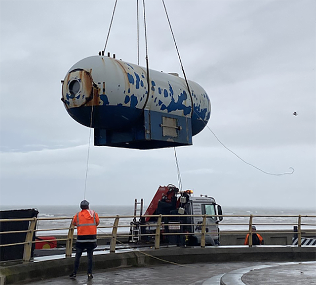
Like a sinister exhibit in one of Blackpool ‘s Victorian freak shows, the skeleton of a killer whale made from pulsating dark blue neon can be viewed through portholes within a metal tank like a decompression chamber.
The work was subsequently removed.
The structure has been on display for the public to enjoy for over 15 years and was deemed unsightly due to corrosion, which is why the decision was taken to remove it. PTSG Building Access Specialists Ltd planned the decommissioning and contract crane lift from start to completion.
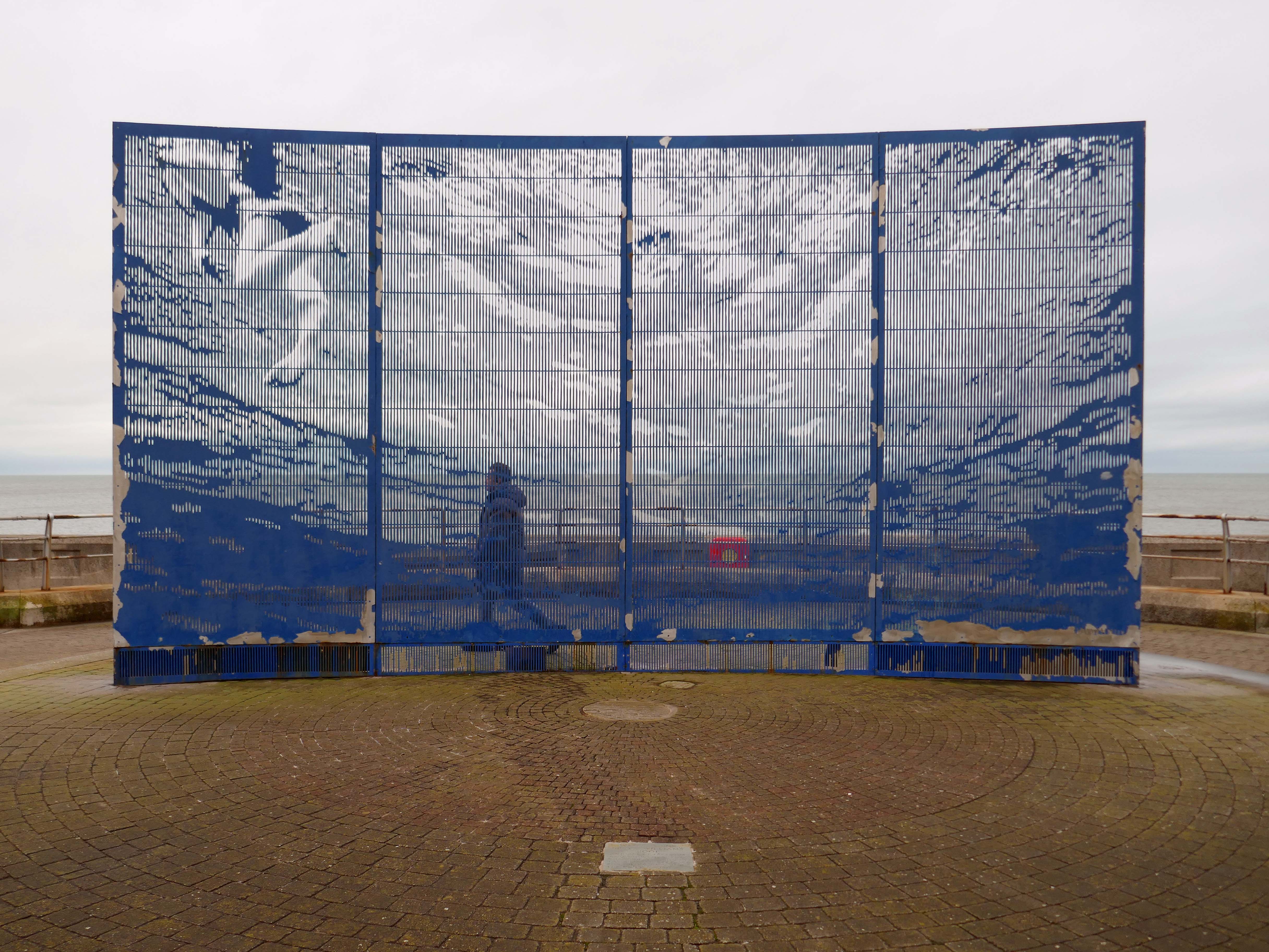
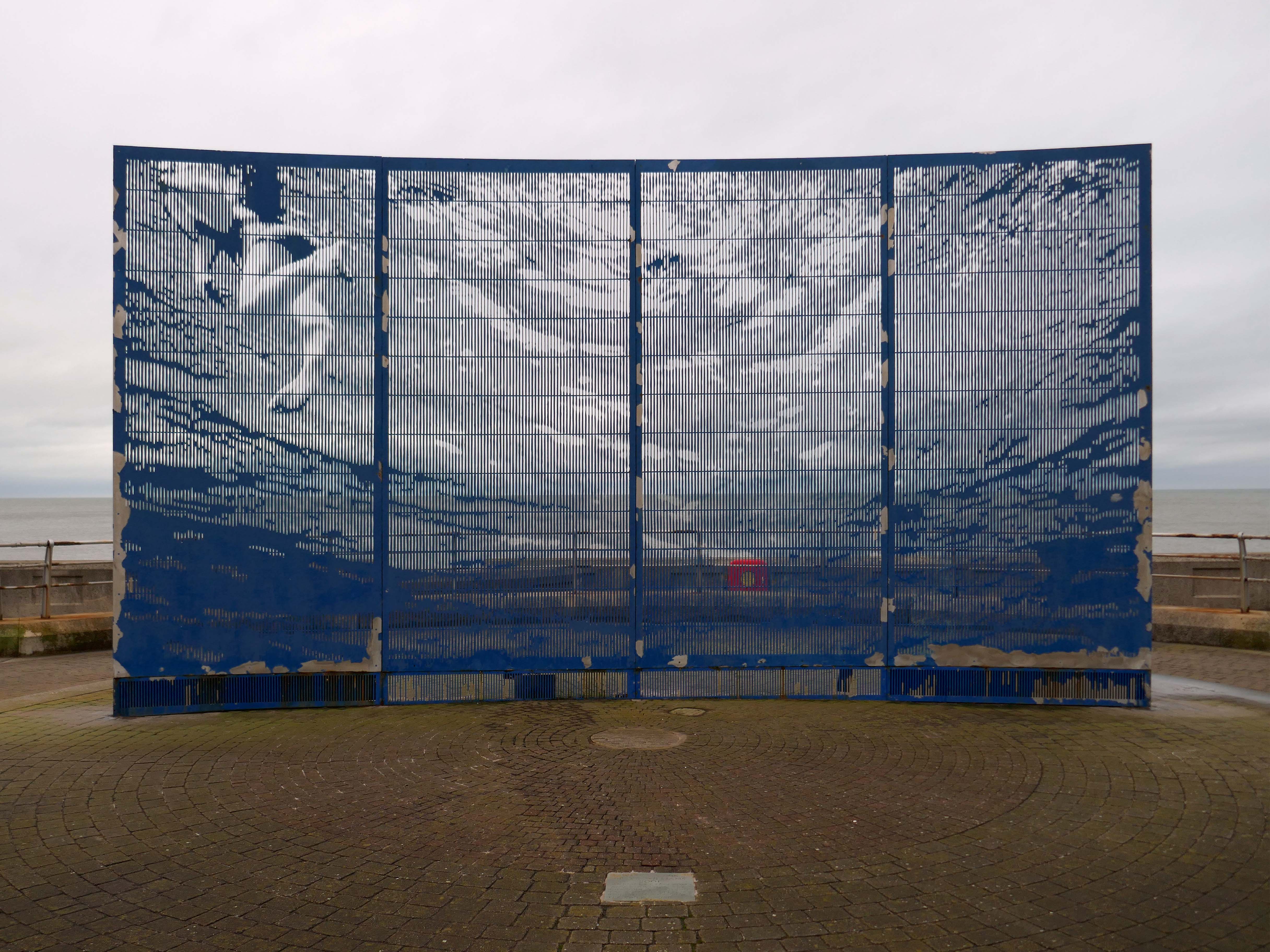
Designed to be viewed in motion from the adjacent tram track and road, the photographic image of a swimming child laser cut into an 8m long curved stainless steel screen gradually resolves and disappears again as the viewer moves past.
Glam Rocks by Peter Freeman
Inspired by Las Vegas and the Blackpool Illuminations, three large pebble-like modelled shapes glitter after dark, as hundreds of fibre optic light points on their surface slowly change colour and sparkle.
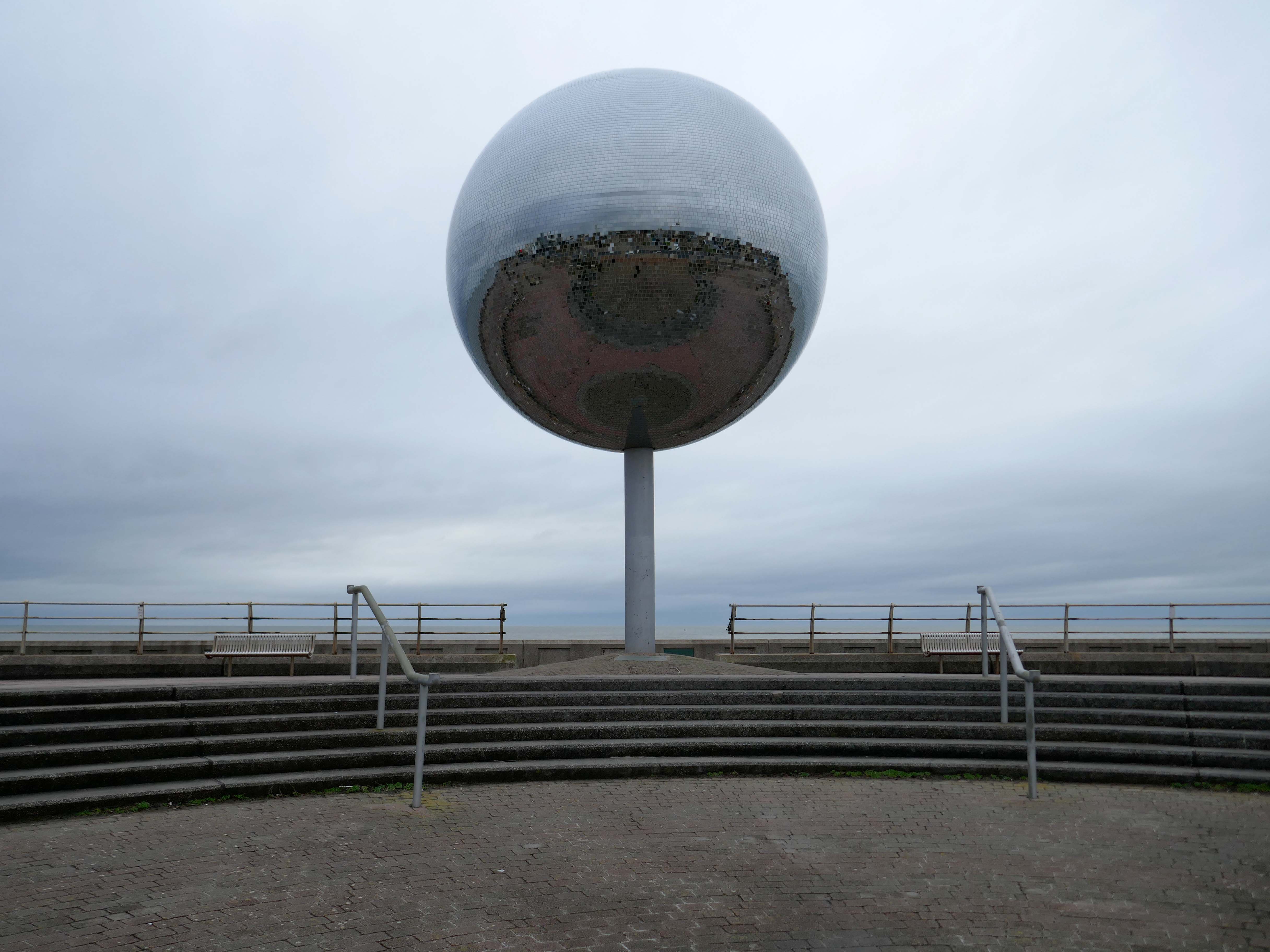
They Shoot Horses, Don’t They? by Michael Trainor and The Art Department
Blackpool is known as the “ballroom capital of Britain”. This rotating ball 6m in diameter, covered in almost 47,000 mirrors, has been claimed as the world’s largest mirror ball, and is named after the 1969 film about a depression era ballroom marathon in the USA.
Desire by Chris Knight
An abstract sculpture 8m high, contrasting rusty corten steel with shiny stainless steel spikes, inspired by the town’s reputation as a destination for ‘dirty weekends’, and its hidden ‘fetish scene’. It casts the shadow of a spiky heart on the promenade.
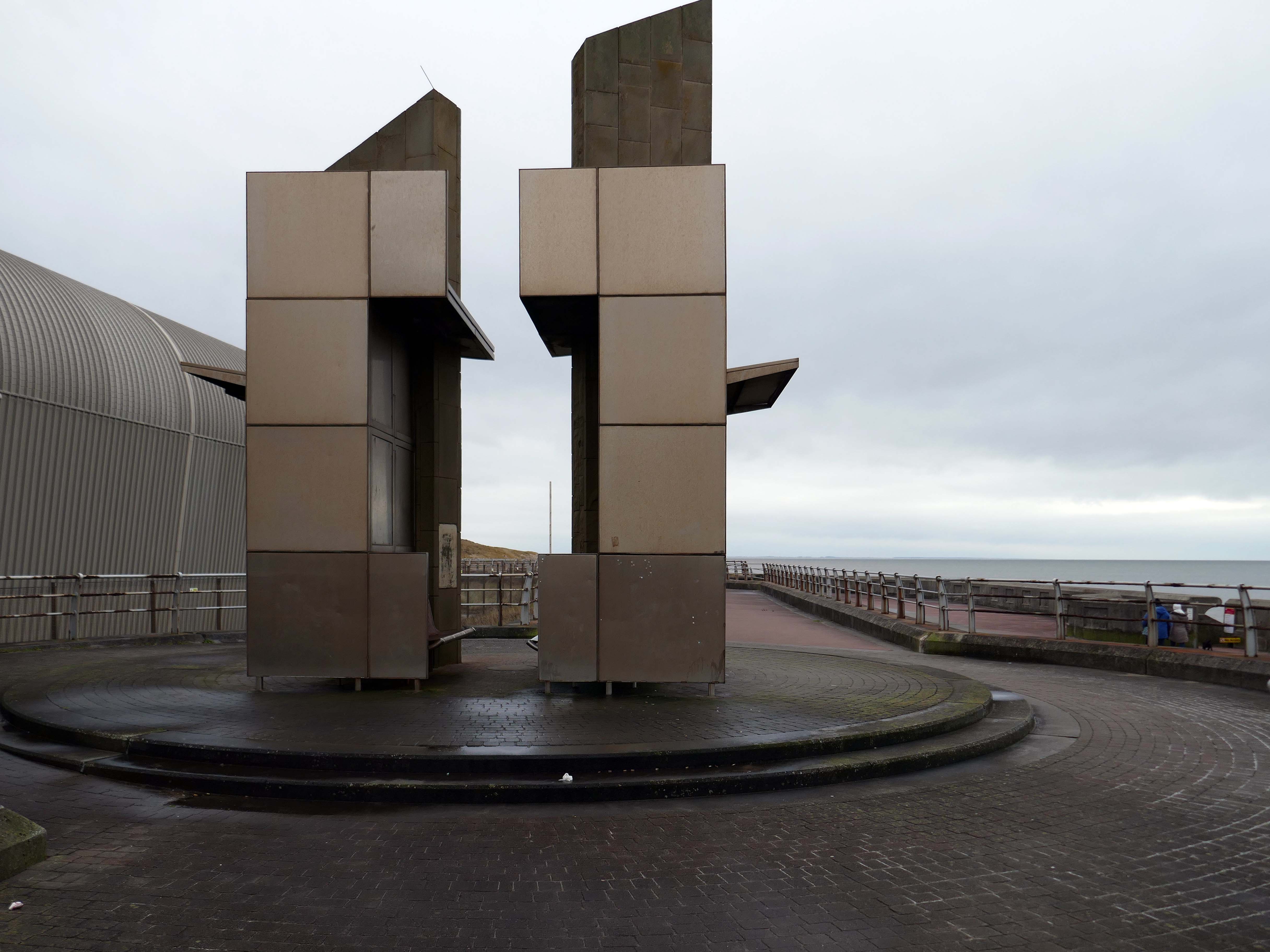
Swivelling Wind Shelters by Ian McChesney with Atelier One
Three 8m high, stainless steel shelters turn like weather vanes, keeping their occupants away from the prevailing wind. Designed by architect Ian McChesney, in collaboration with engineers Atelier One, the graceful sculptural form of the shelters, shaped like whales’ flukes, is structured like an aircraft wing, vibrating in strong gusts of wind.
Sandcastle the UK’s largest indoor water park.
Sandcastle opened on 26 June 1986 on the site of the former South Shore Open Air Baths as a joint public/private partnership. Operation of the facility was taken back into Blackpool Council ownership in 2003. A significant investment in new attractions costing £5.5M was also agreed, which was delivered in two phases, with the second opening in 2006 on time and on budget.
In 2012, Sandcastle opened two new Aztec-themed slides, one with a chamber called ‘Aztec Falls’, and a toboggan-like slide called ‘Montazooma’.
Situated adjacent to the South Pier at Blackpool was the open- air swimming bath. Elliptical in form, it was designed in the renaissance style of architecture, with white ivory terracotta, known as ‘Marmola’. It was said to be the largest and finest of its kind in the world and similar in design to the colosseum of ancient Rome.
Built at a cost of around £70,000, Designed by JC Robinson – Borough Architect, it was officially opened on the 9th June 1923, the same day as the first Blackpool Carnival, by the Mayor of Blackpool, Councillor Henry Brooks. The opening ceremony was followed by a short swimming exhibition in which Blackpool swimmer Lucy Morton took part. The following year Lucy was to win a gold medal in the 1924 Paris Olympics.
Sadly in 1983, following years of neglect and falling attendances, the bath was demolished.
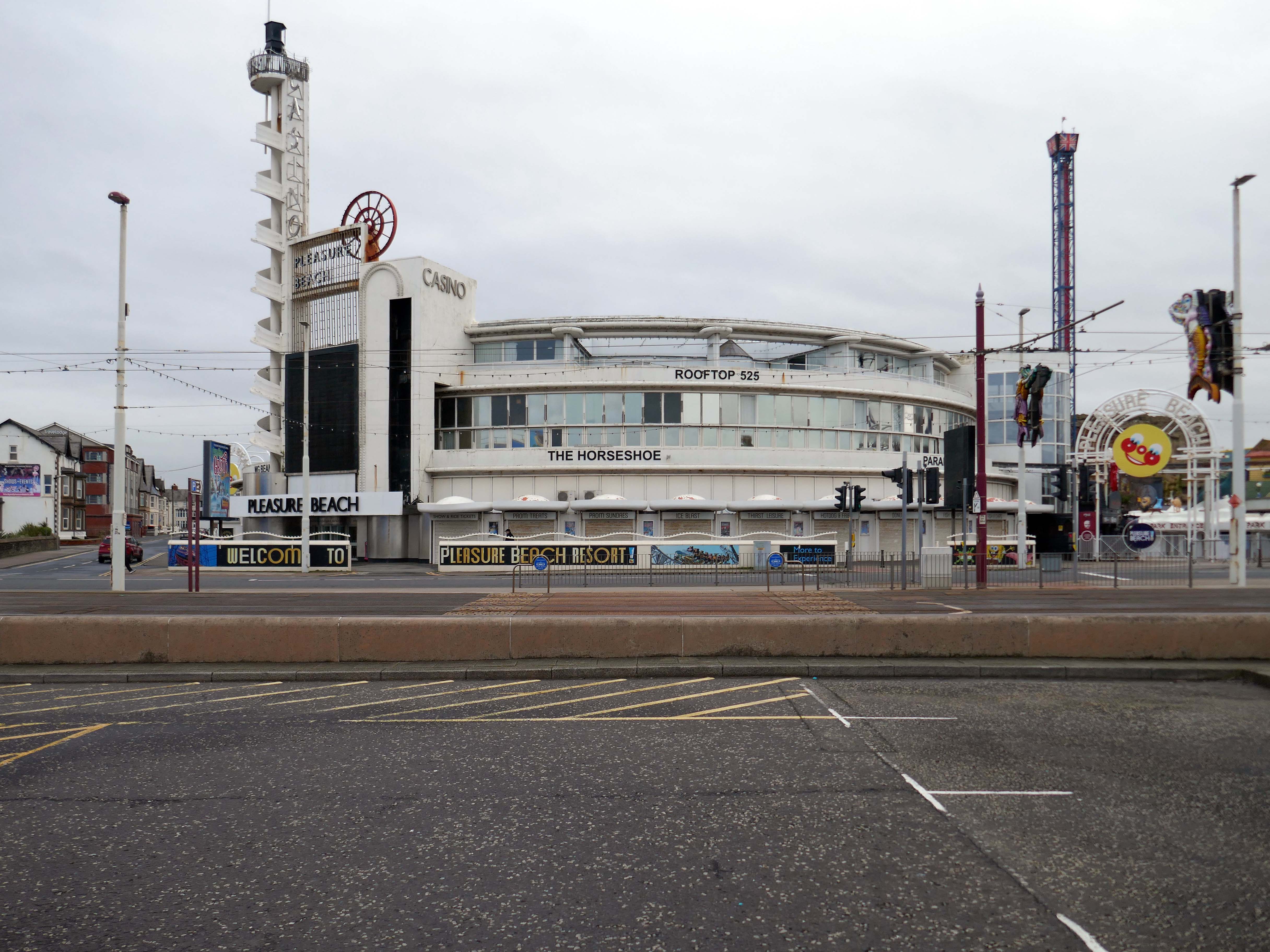
Built to the designs of Joseph Emberton for Leonard Thompson; restored and altered 1972 and 1977-9 by Keith Ingham. Reinforced concrete in the International Modern style. Circular plan, the circle broken by three principal projections marking the main entrance and foyer, the main exit and the main public stairs. The key to the plan were the central kitchens on the ground and first floors, serving (on the former) a number of restaurants and (on the latter) a banqueting room. Kitchens now on first floor only. The result is a sequence of intriguingly curved rooms; originally there was no public access to this inner core area or directly across the building, but this has now been provided. The basement contained stores, a billiard room and sports facilities, now in mixed use. Between ground and first floor is a mezzanine office range, with private flat over. Top floor built as roof garden, provided with a glazed curtain wall in c.1940 by Emberton and largely infilled as an extra floor in 1972.
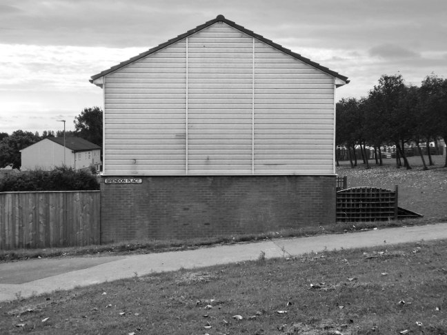
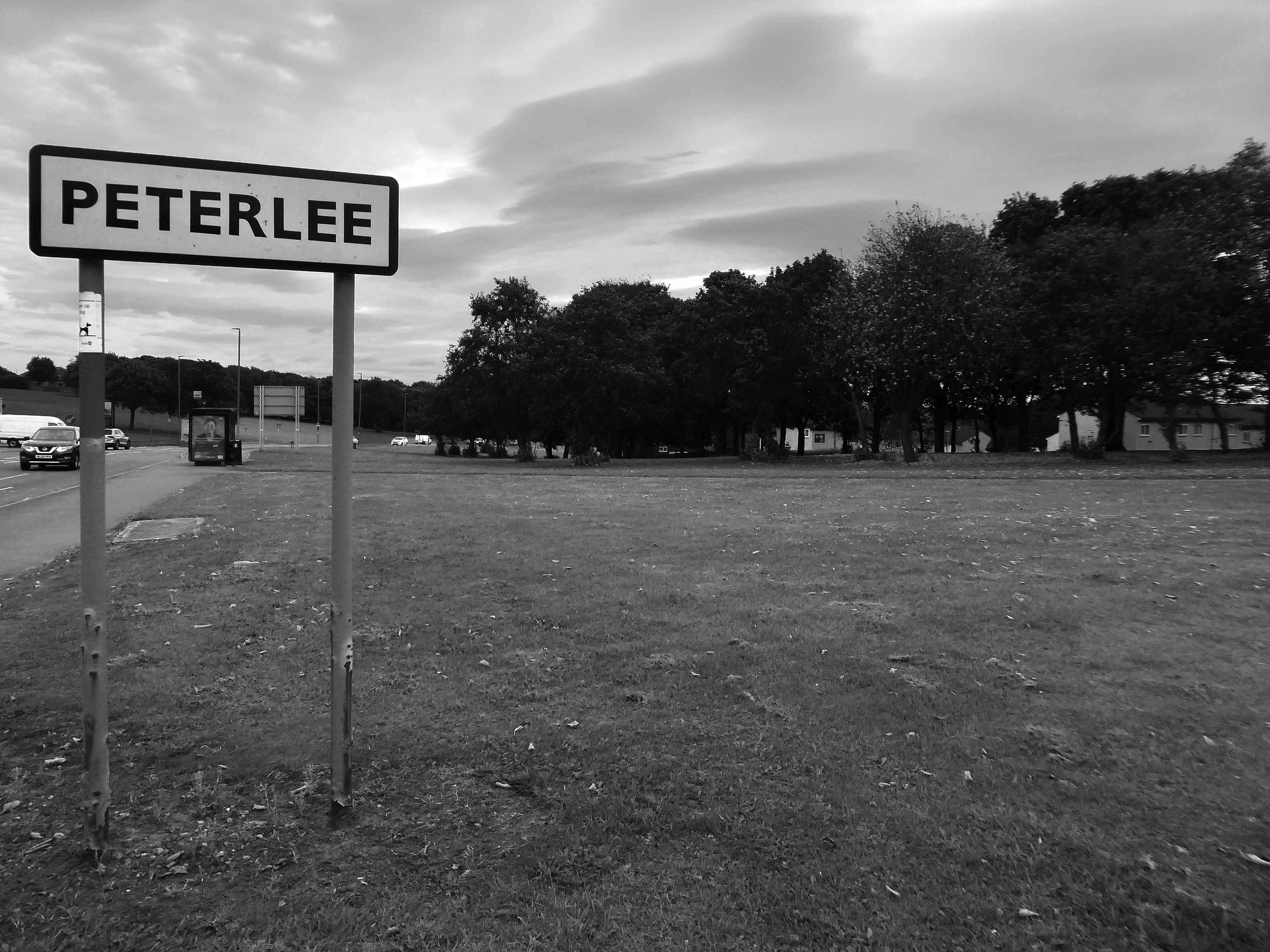
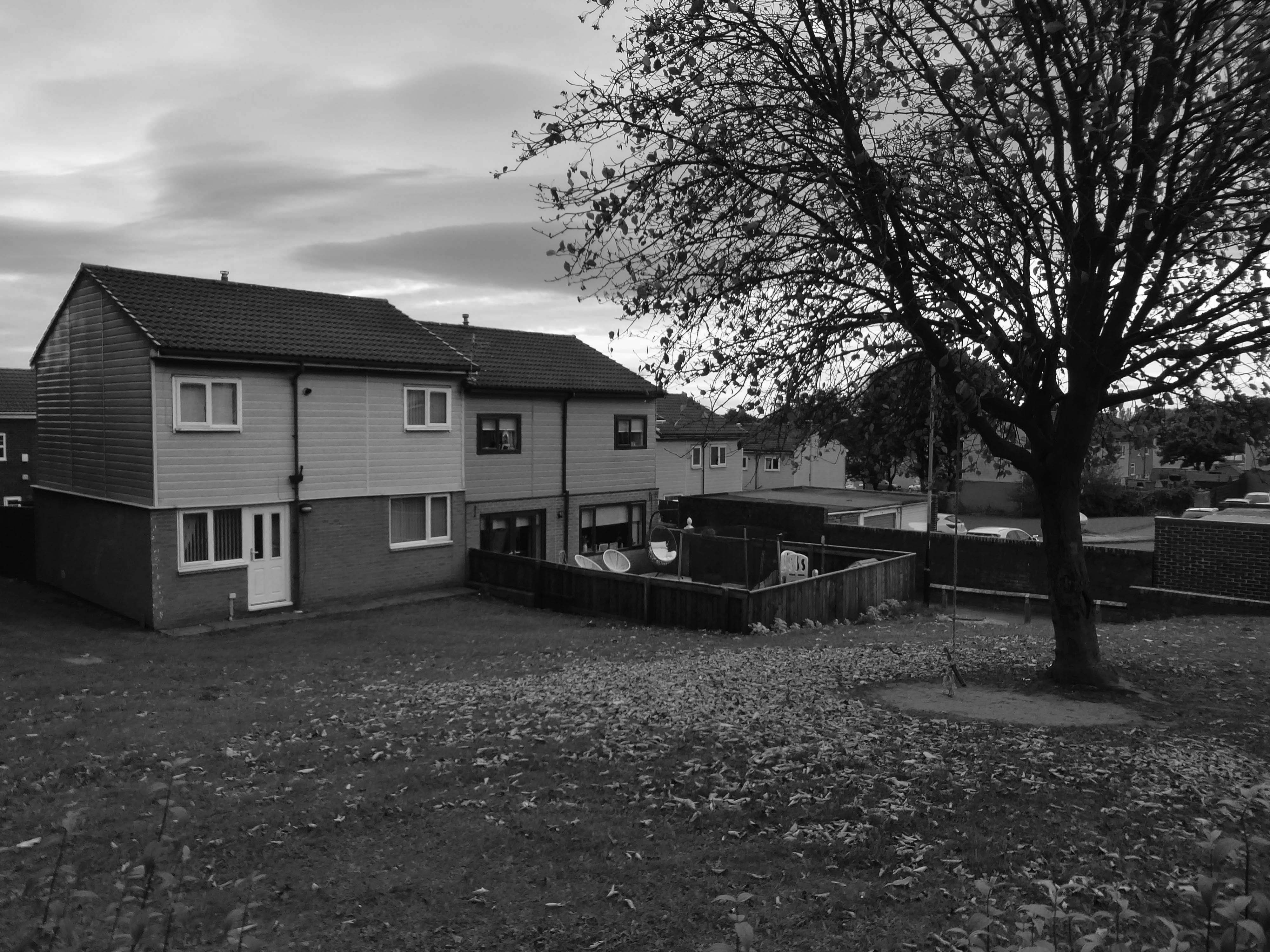
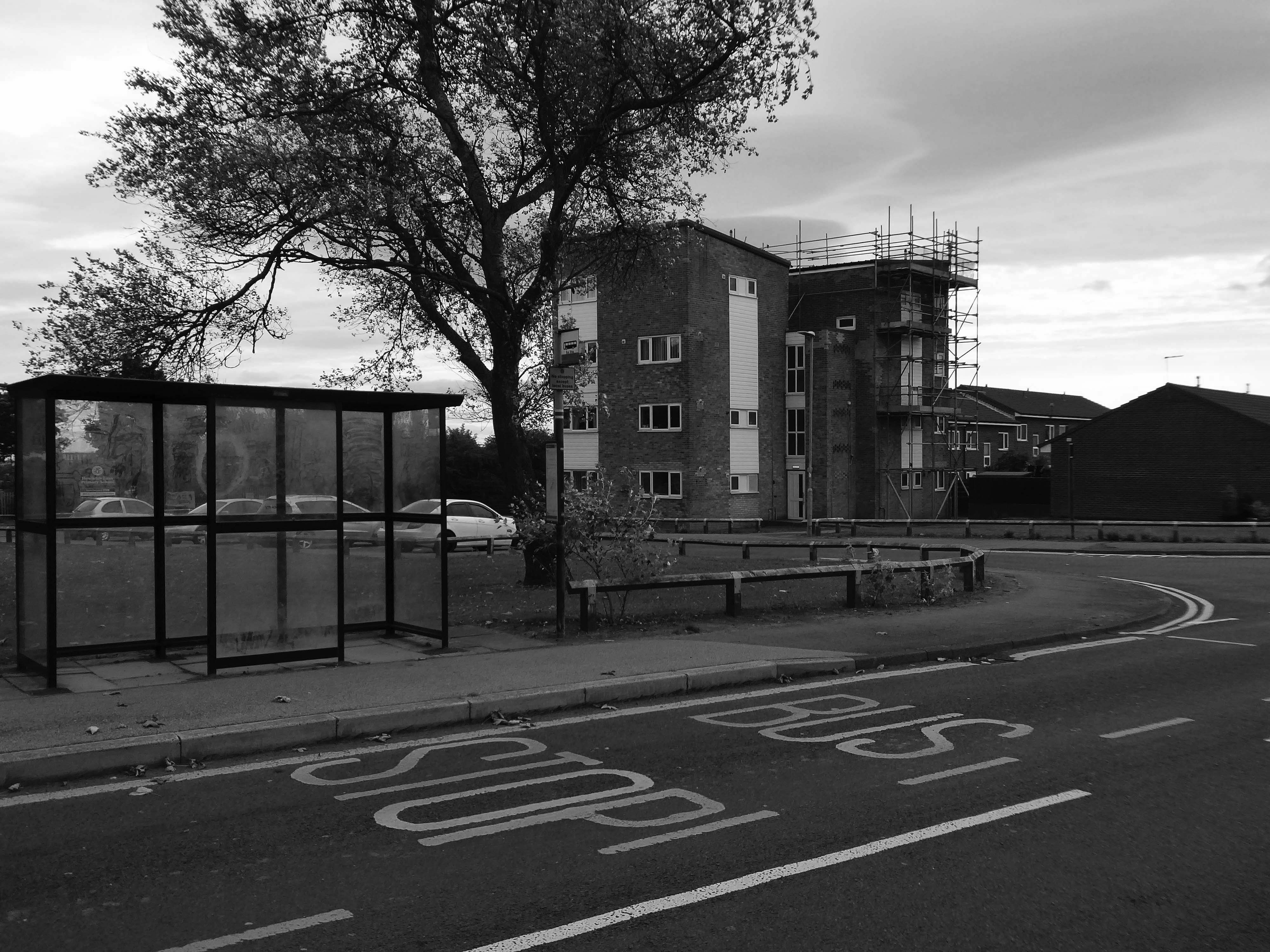
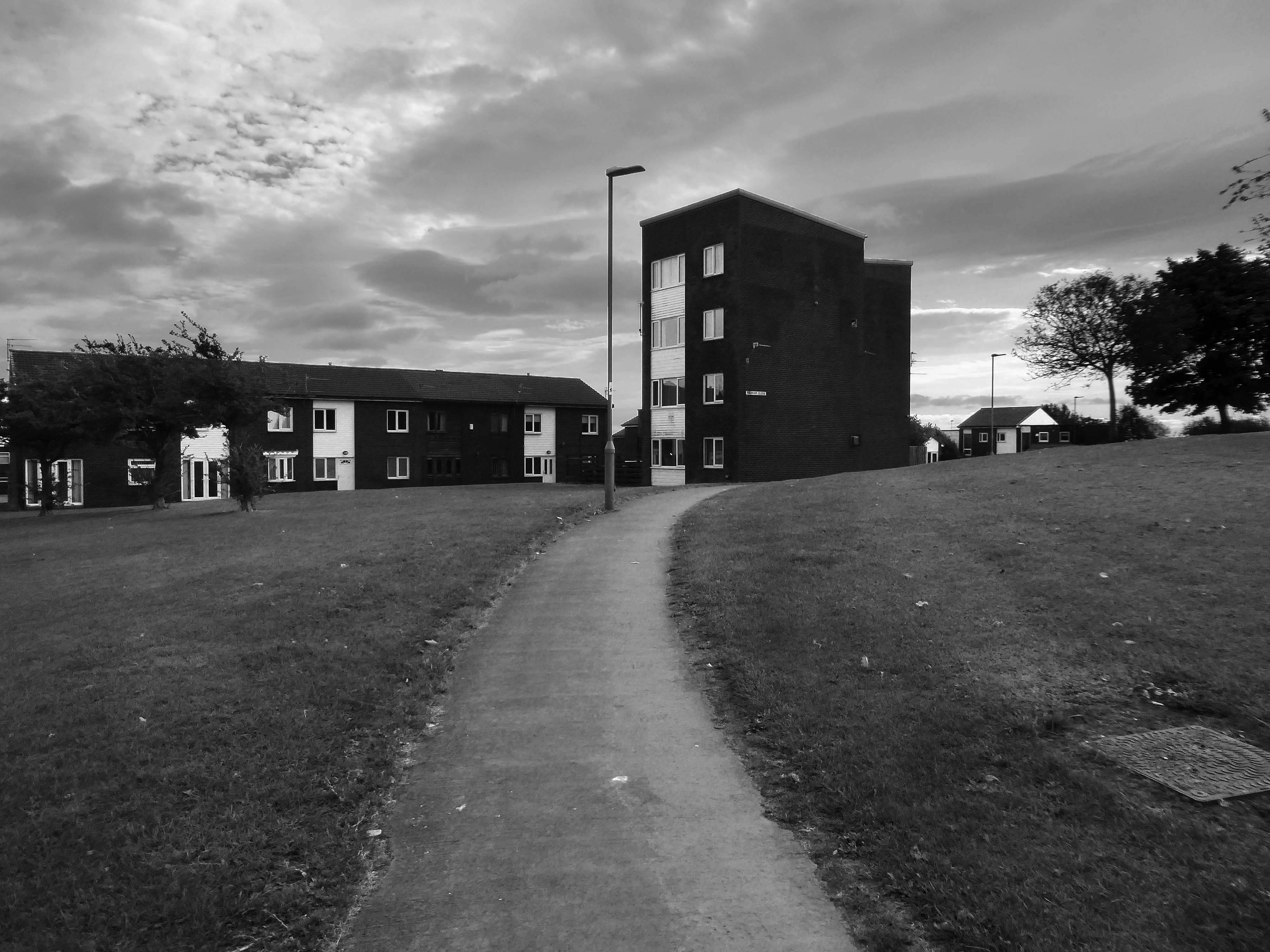
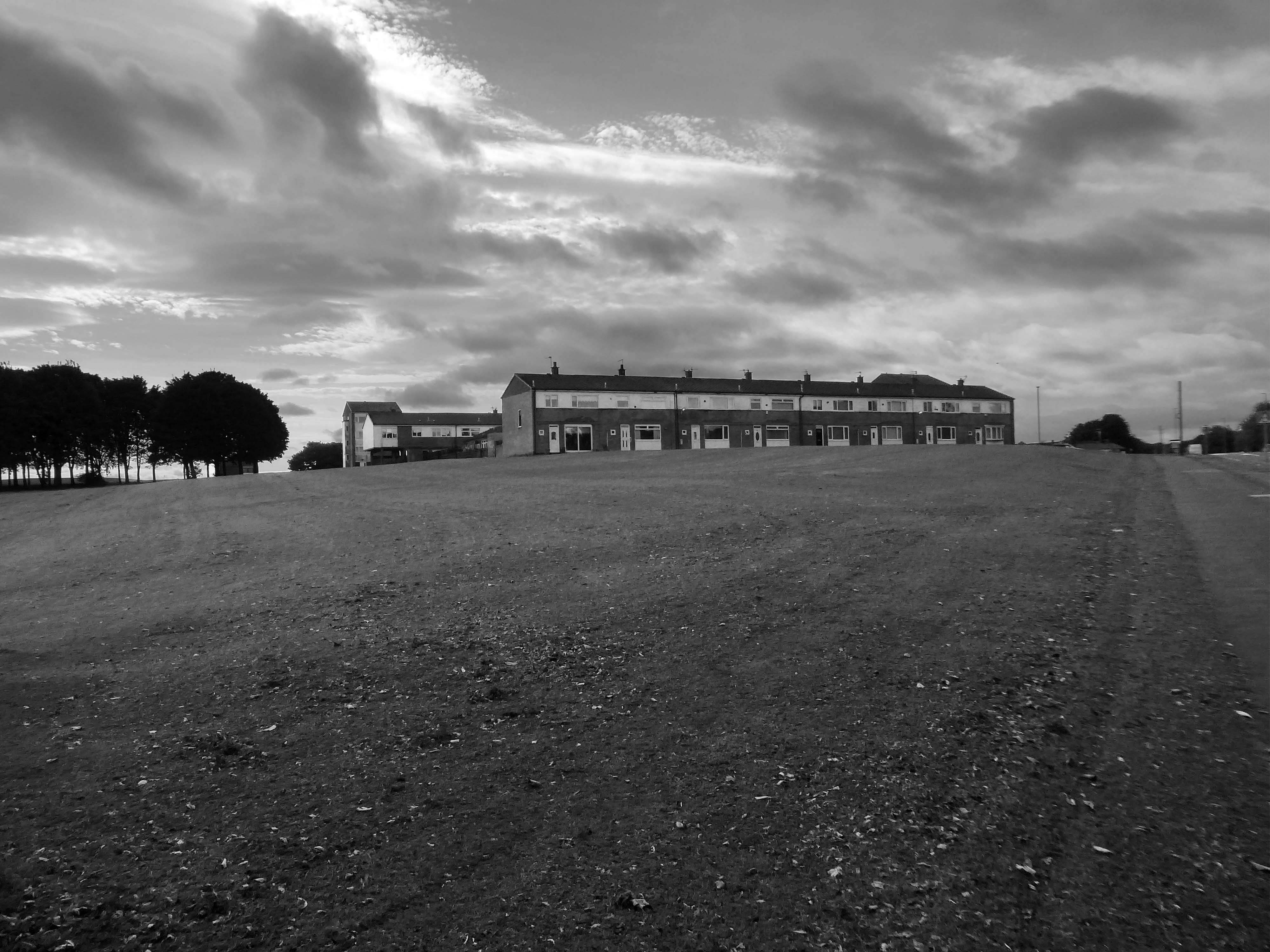
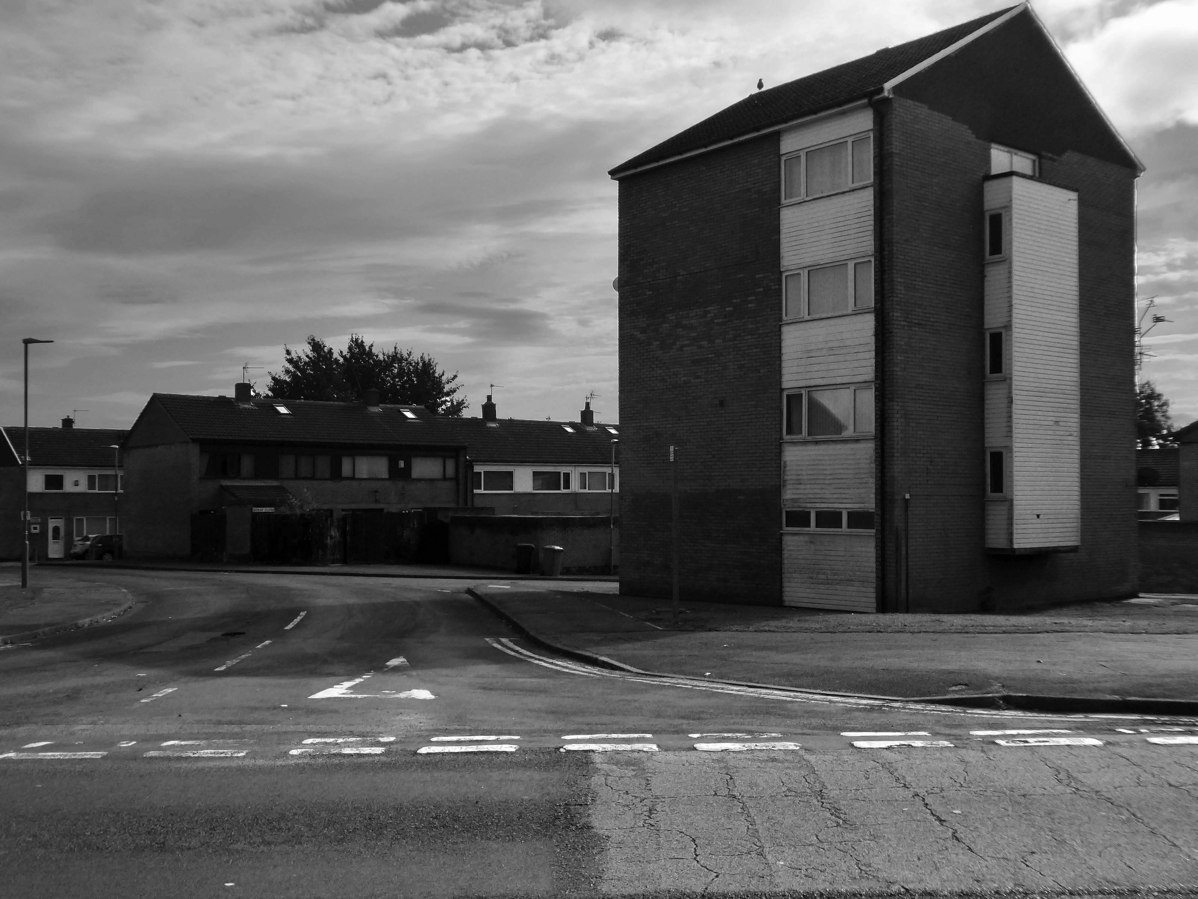
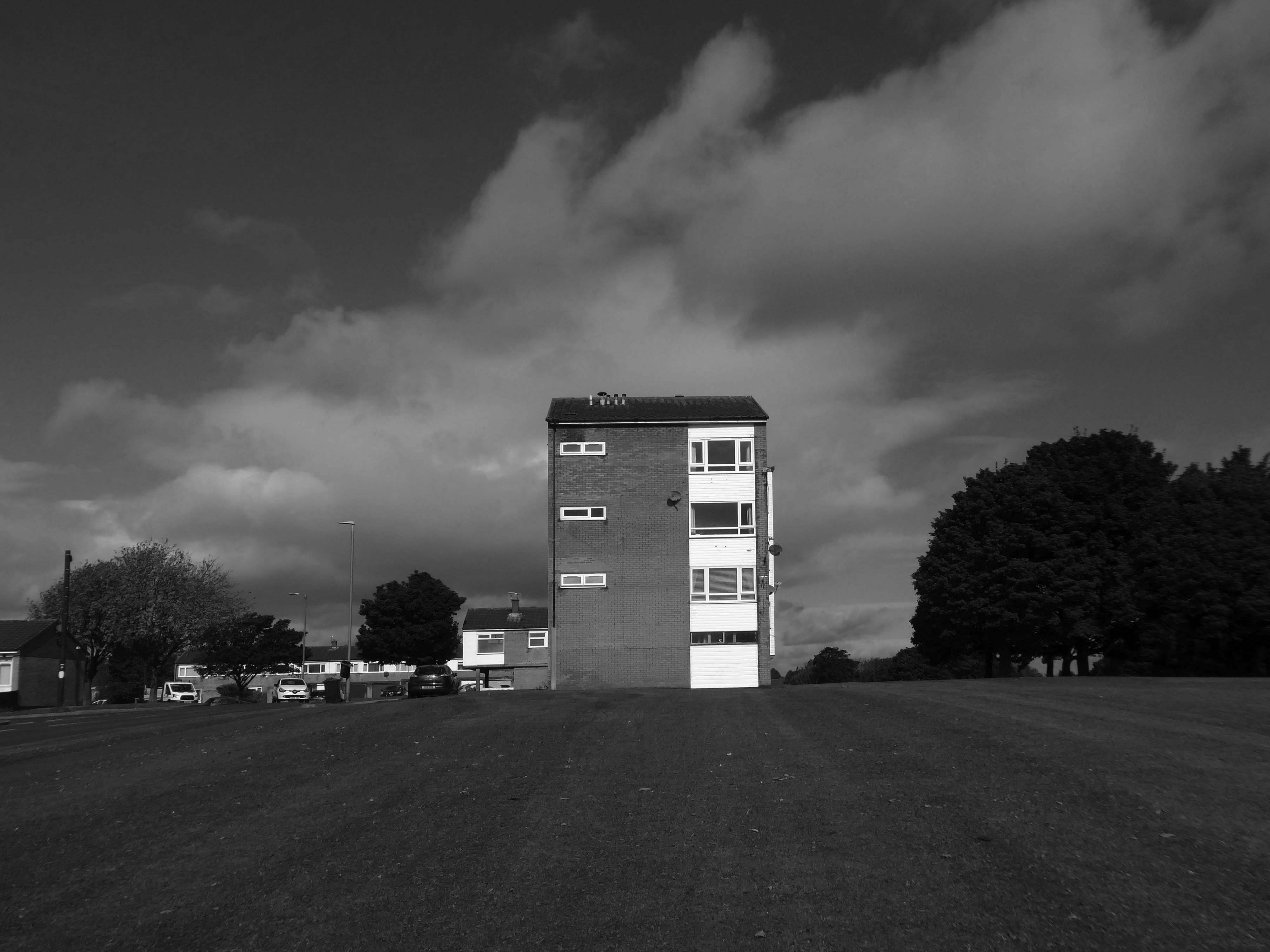
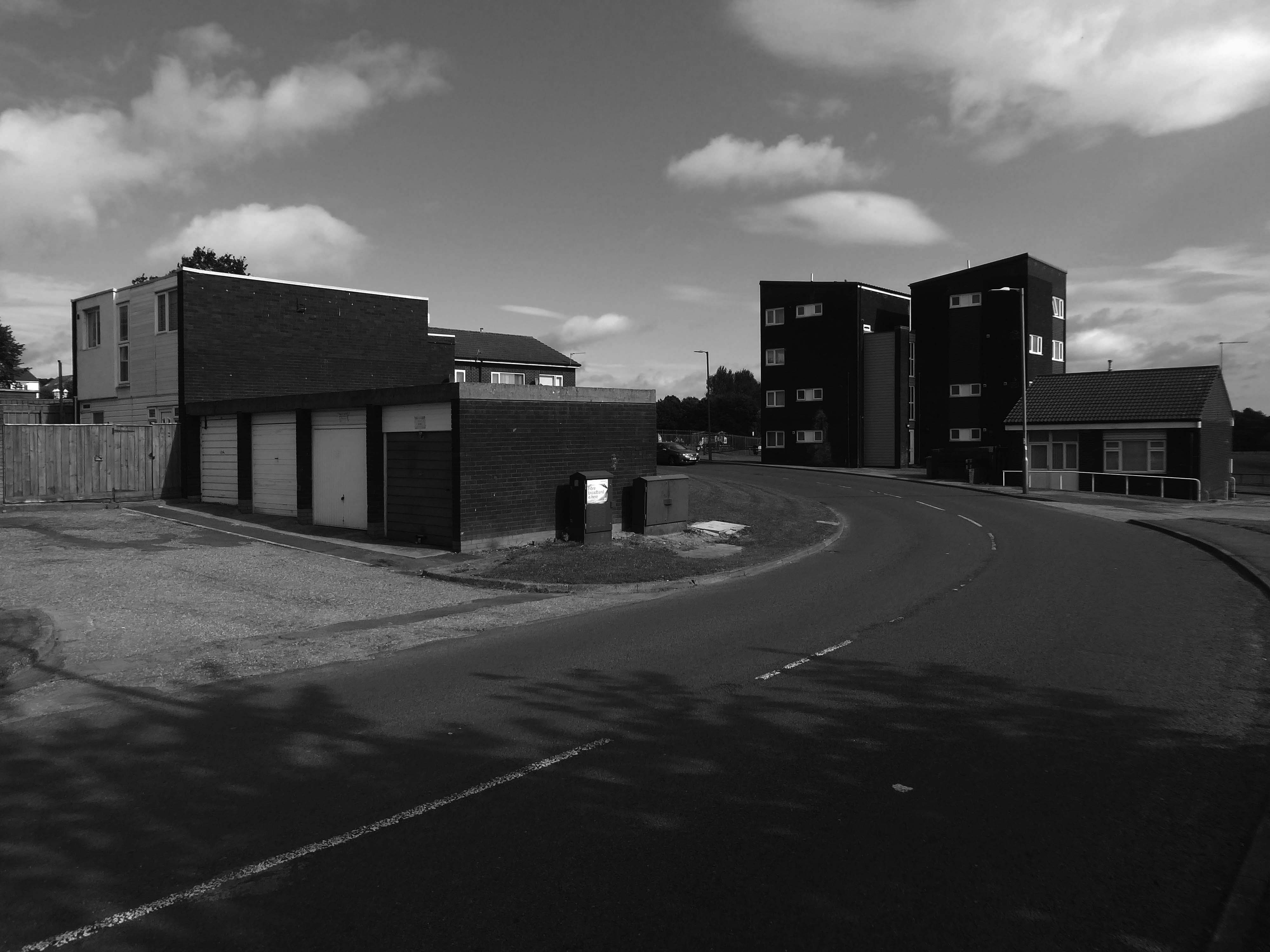
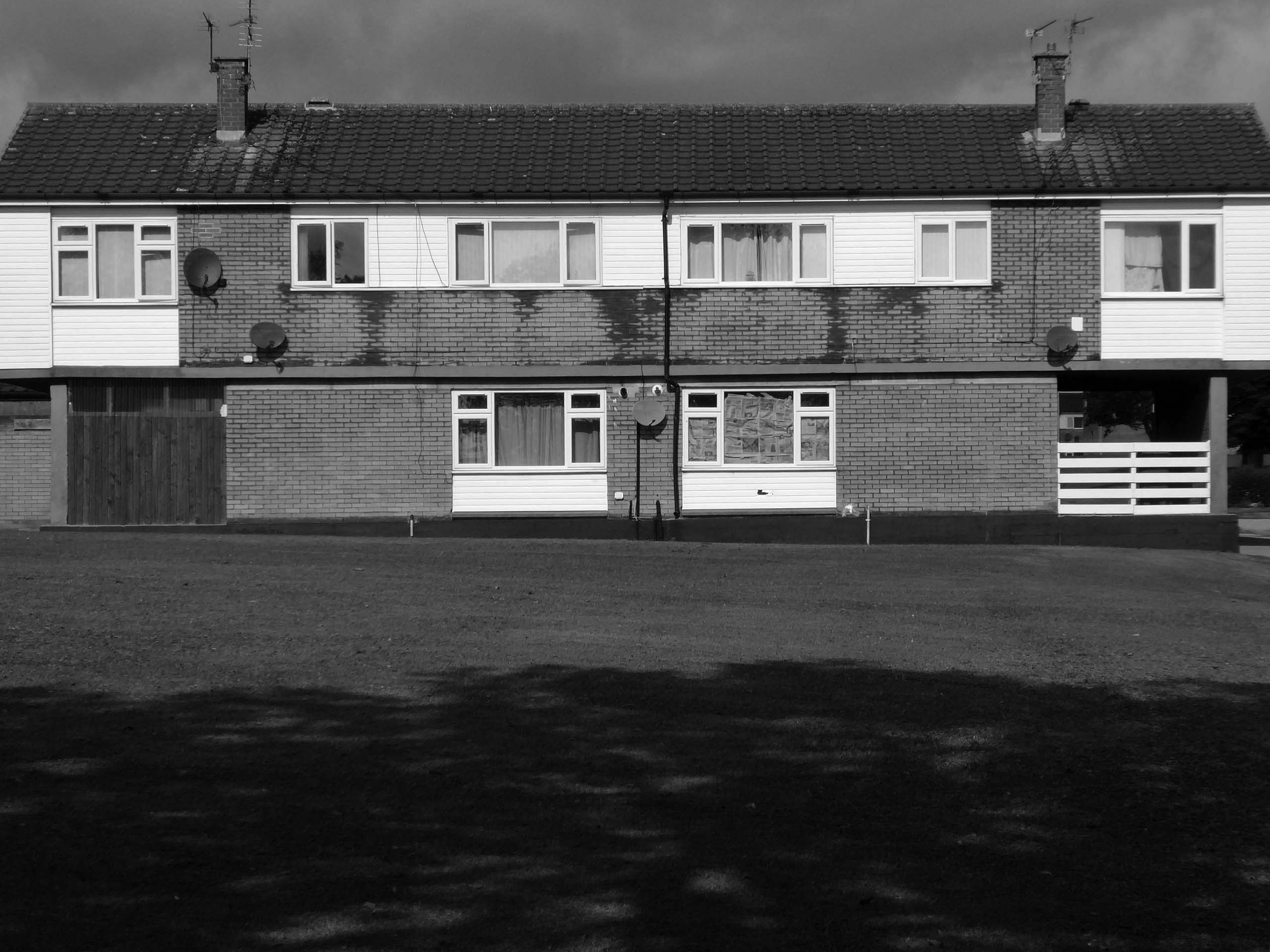
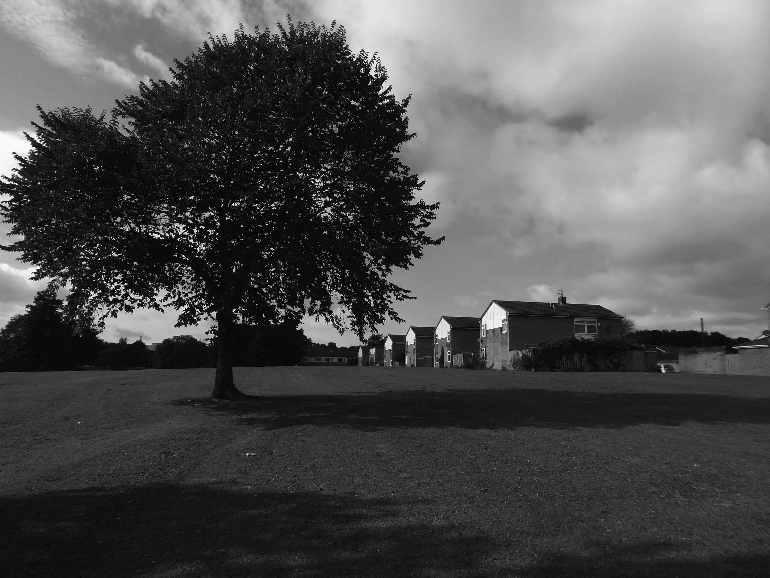
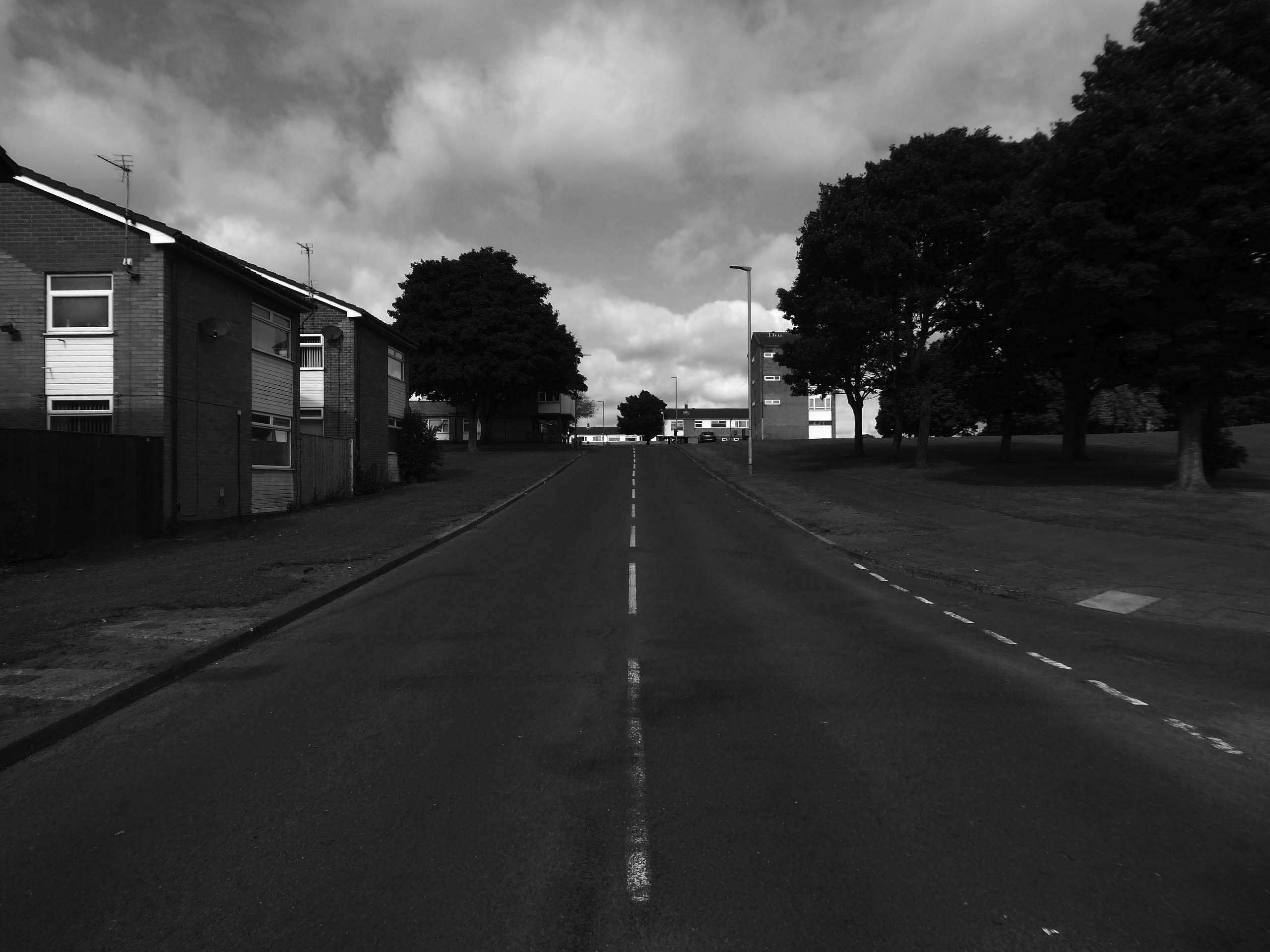
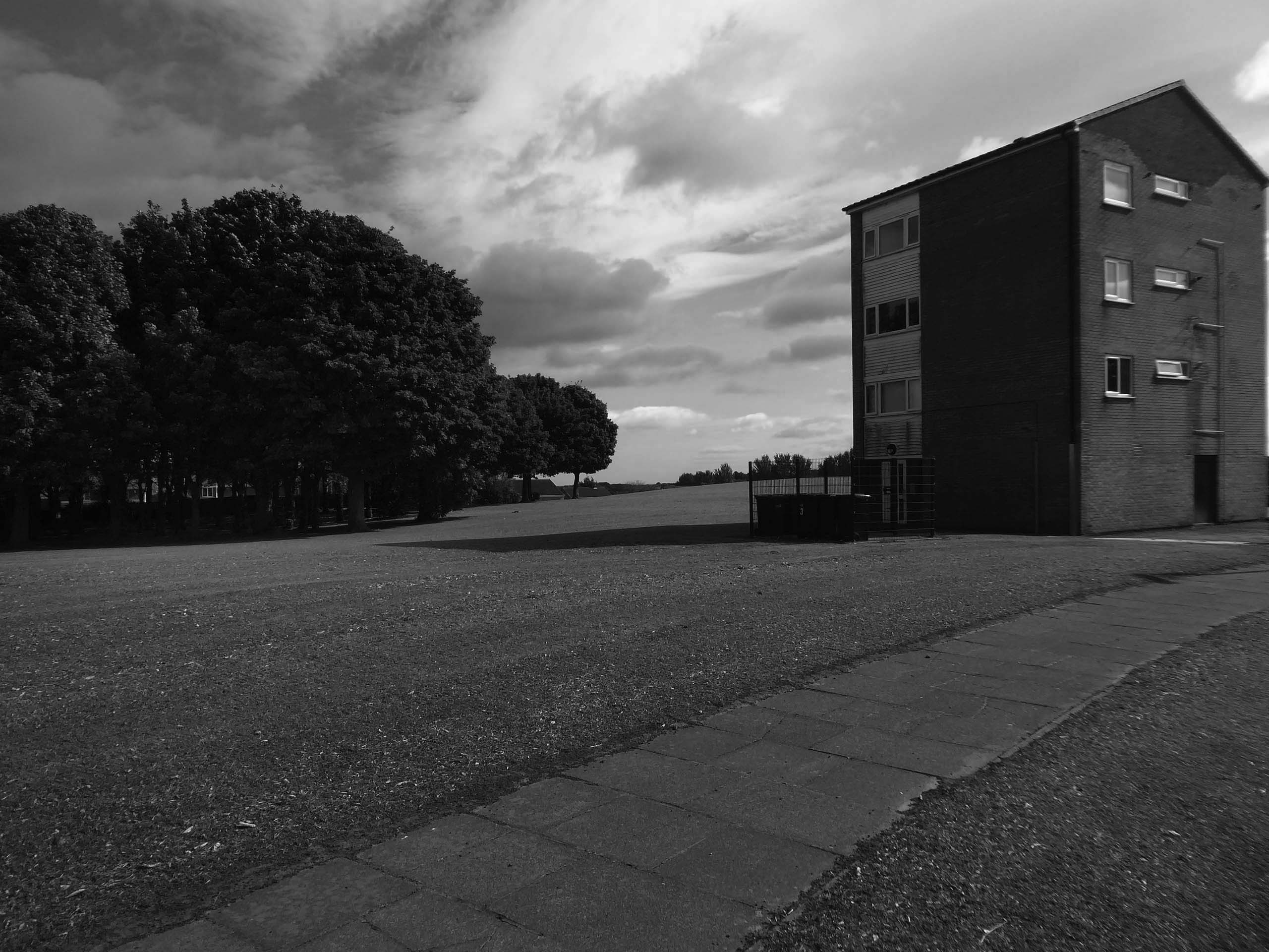
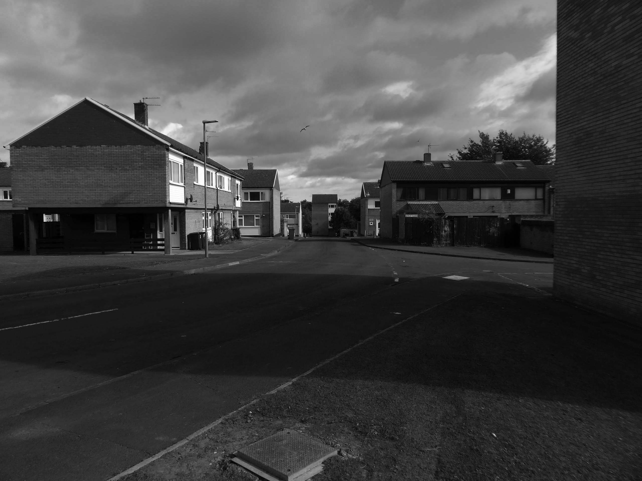
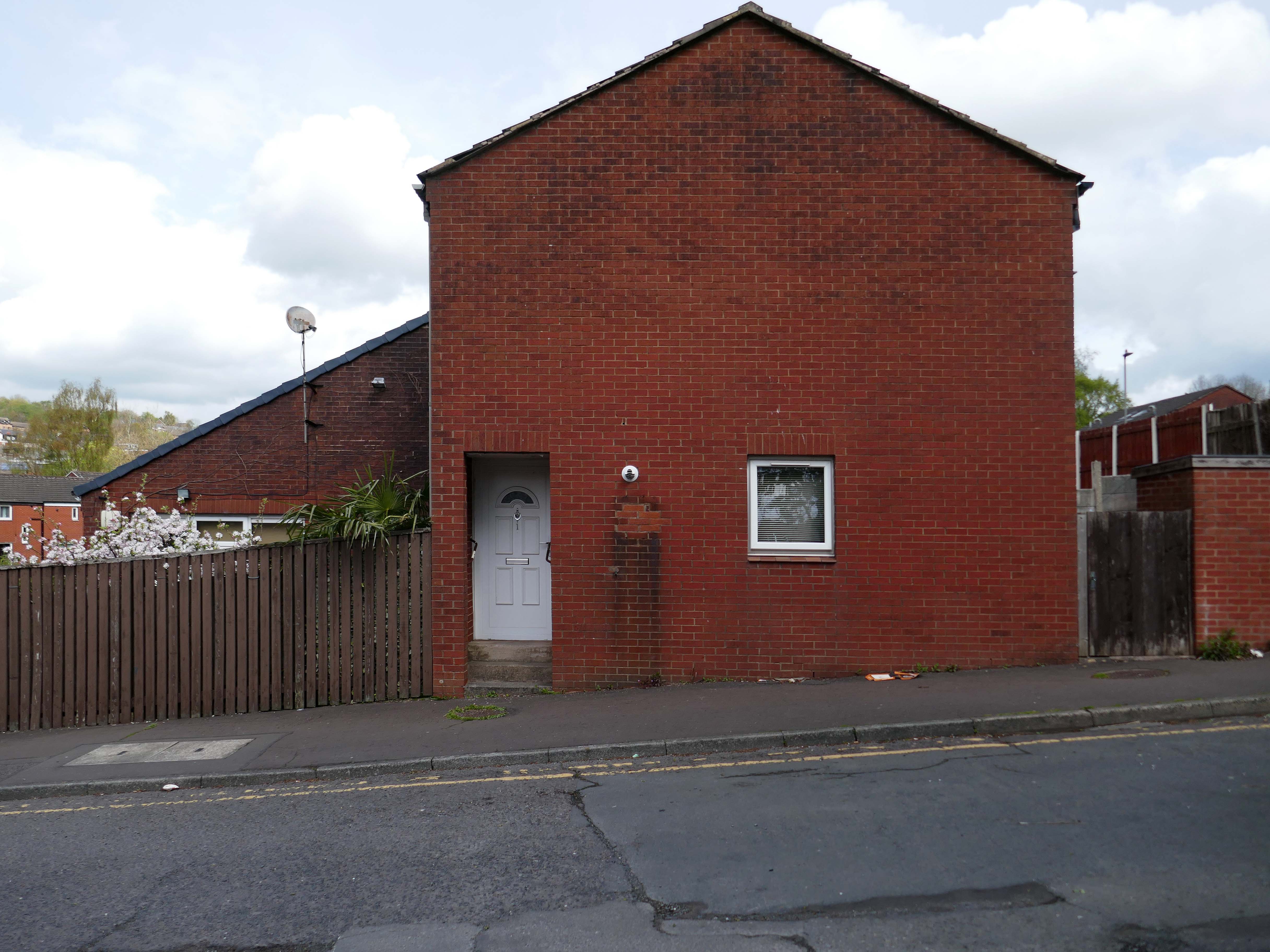
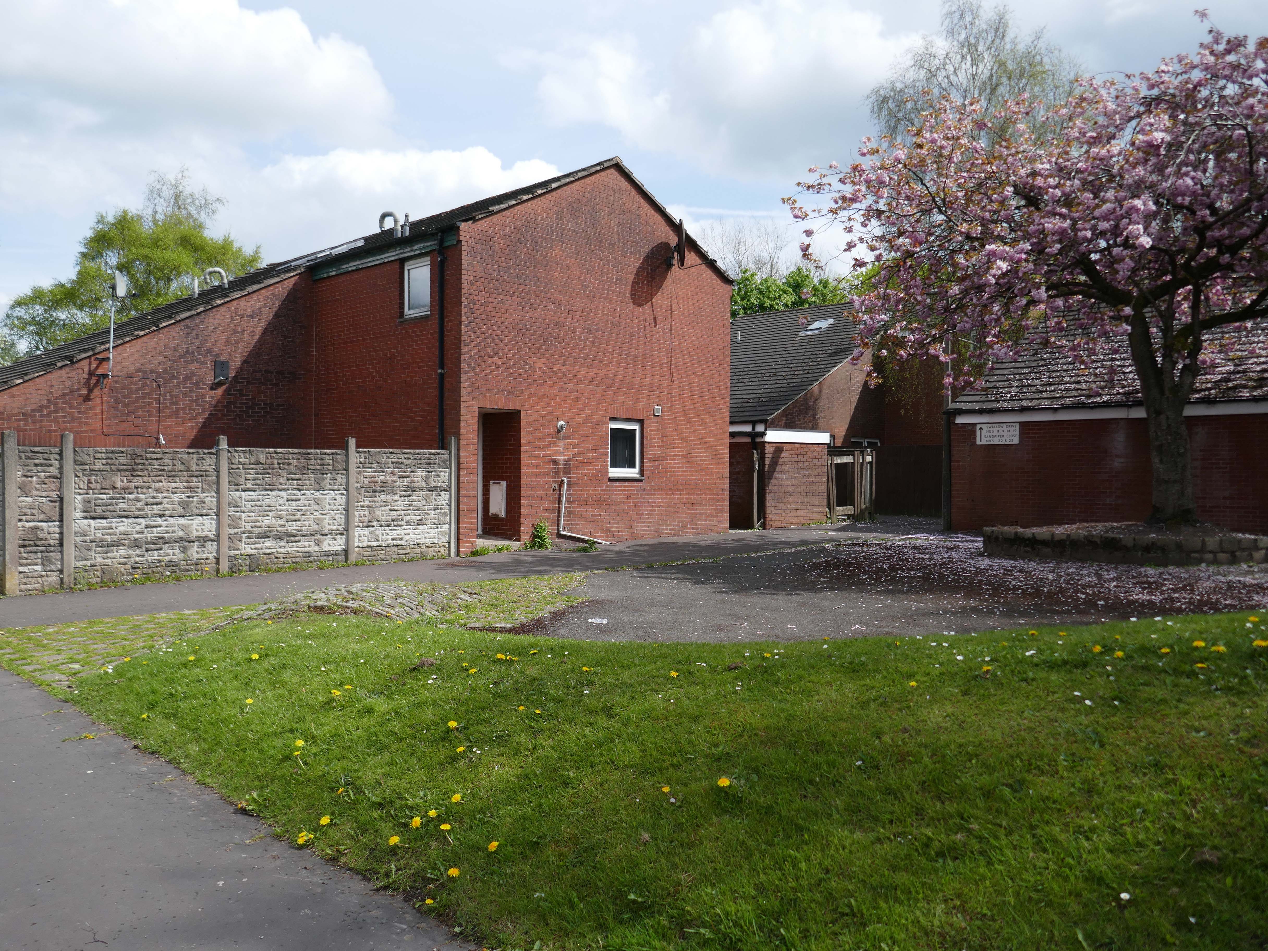
An express bus ride away from Newcastle City Centre – arriving in Peterlee, with a clear intent to wander around and look at housing.
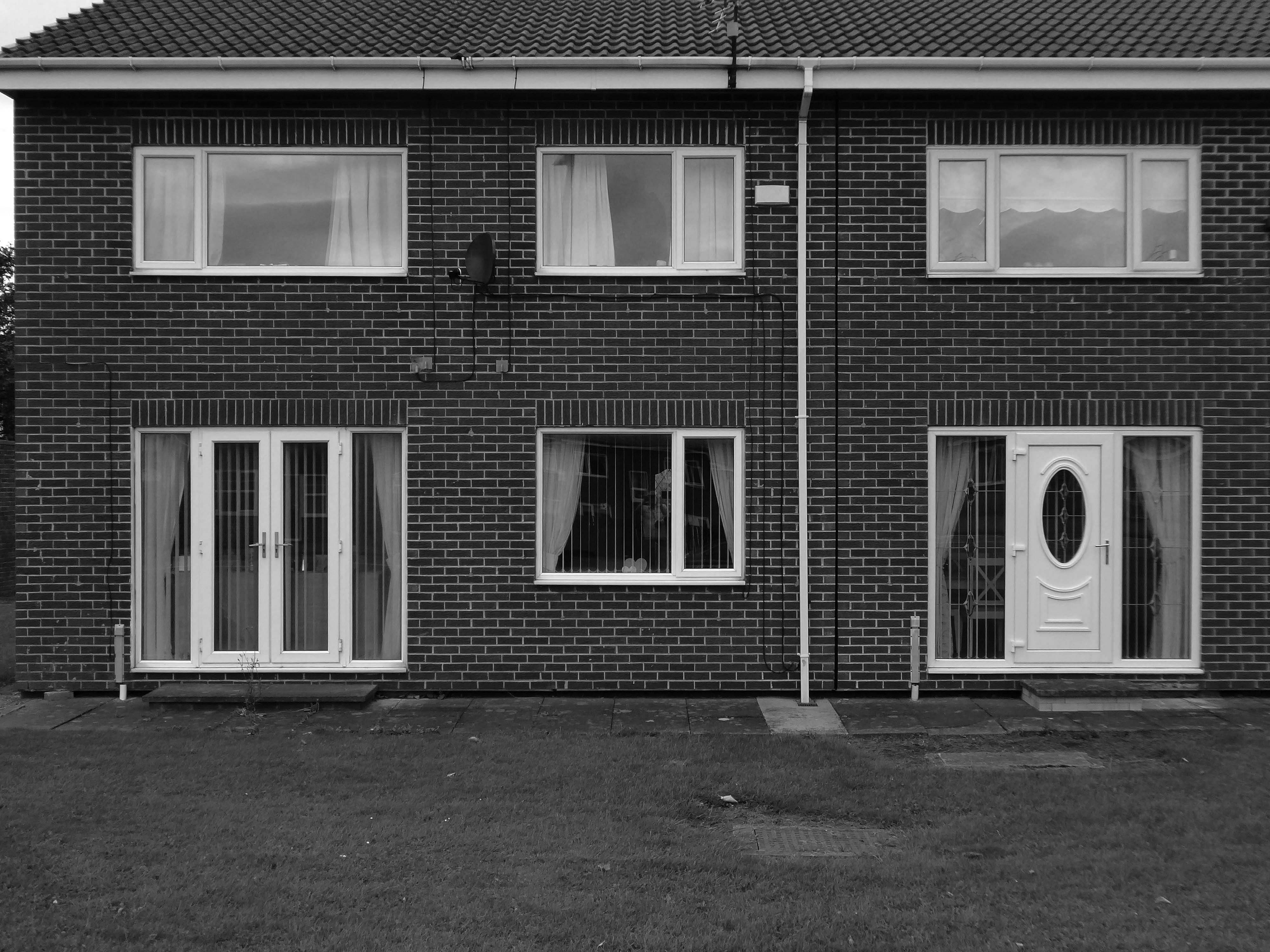
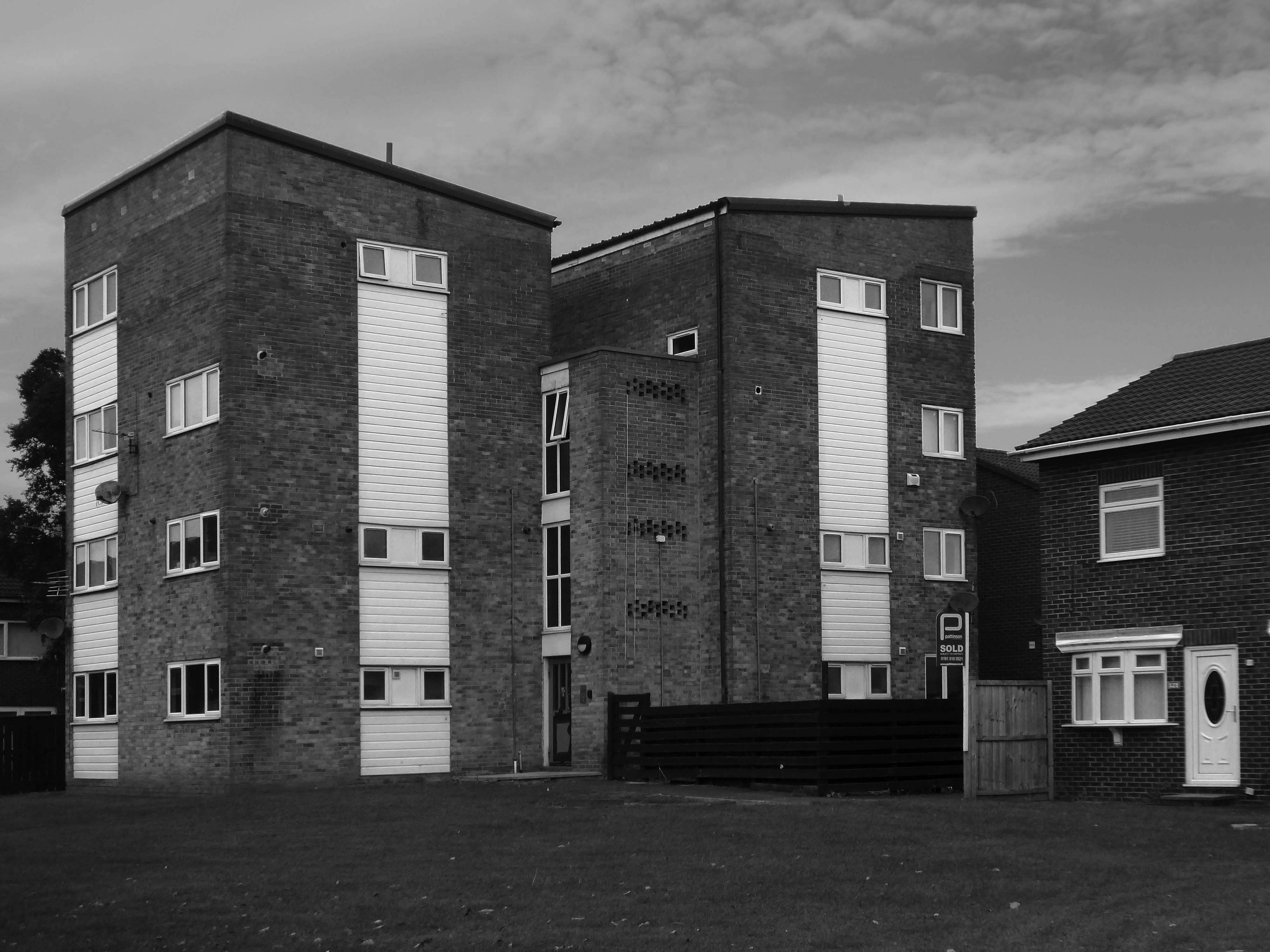
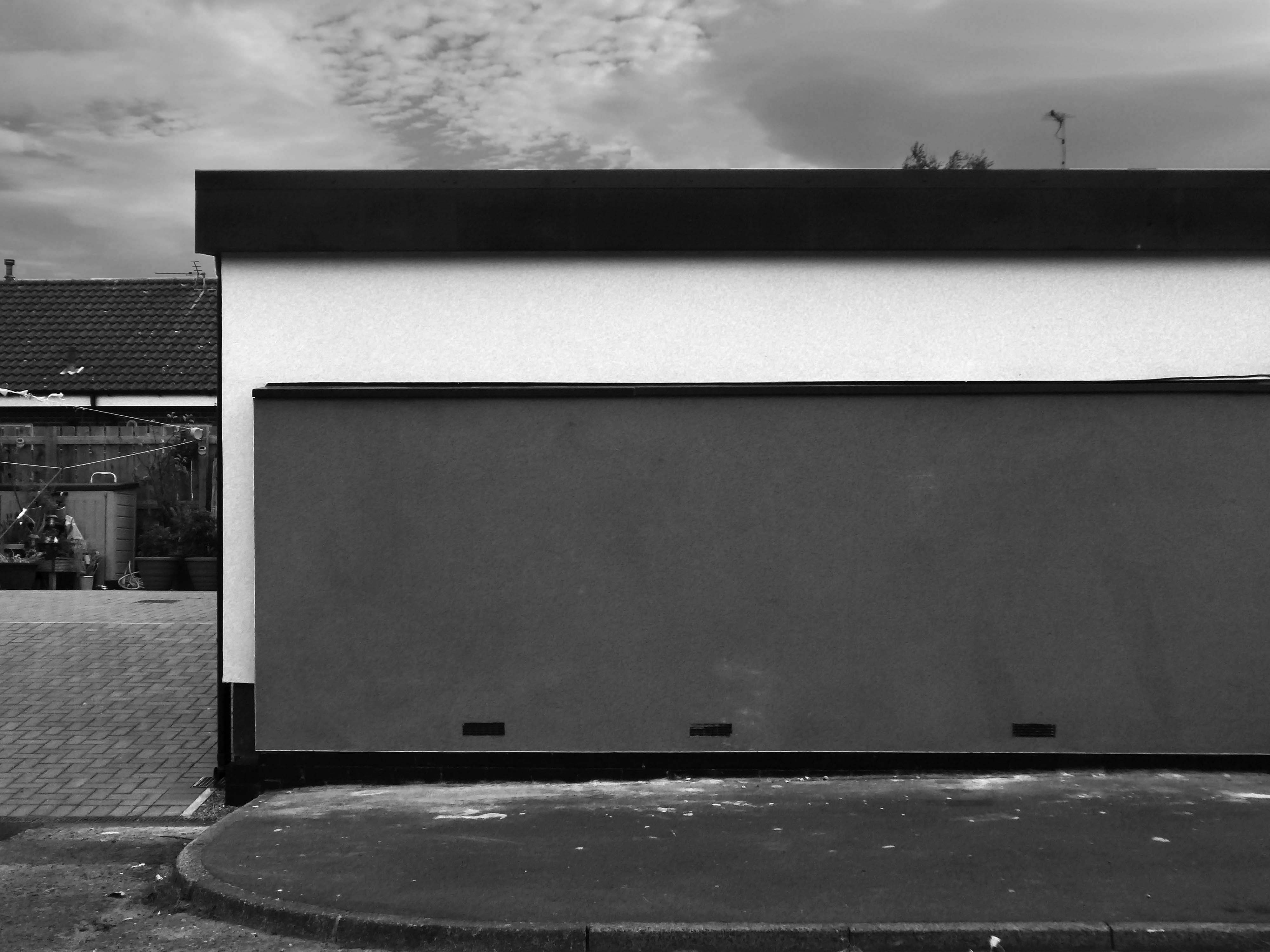
There have been many alterations and amendments made, in the short time since the inception of the Masterplan. Flat roofs have largely been and gone, timber replaced by uPVC, what remains is an interesting array of building types set in an attractive rolling landscape.
The station was covered by twin train sheds, an architecturally detailed canopy that covered all platforms. In 2000, due to its decaying state, it was removed, changing the nature of the station in a £35 million regeneration project. A new building was built on the main island platform. The Grade II listed original entrance built in the 1880s,including the station buffet and former booking hall, was retained and refurbished.
Facing the station the 2015 development of hotel and office space.
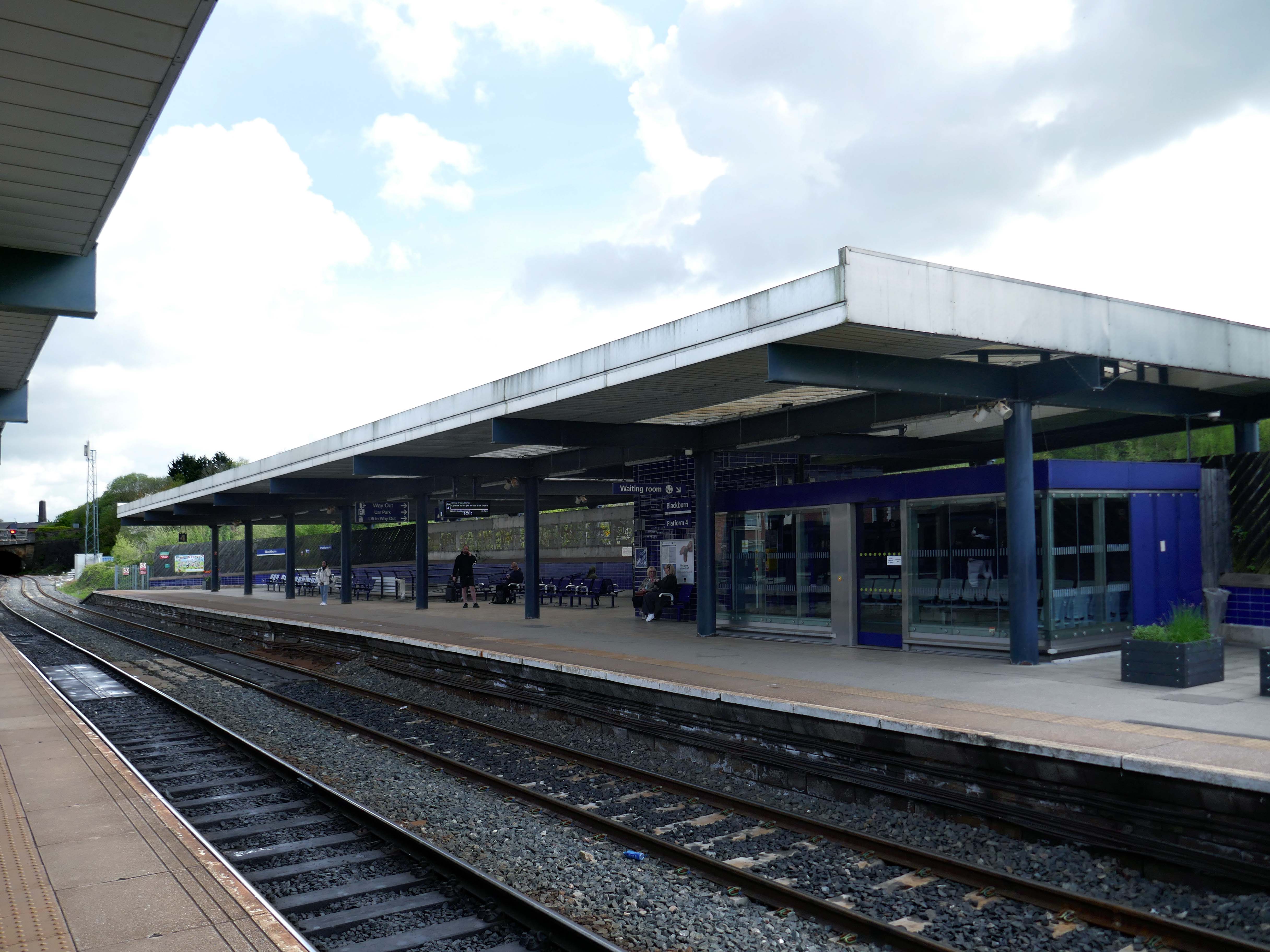
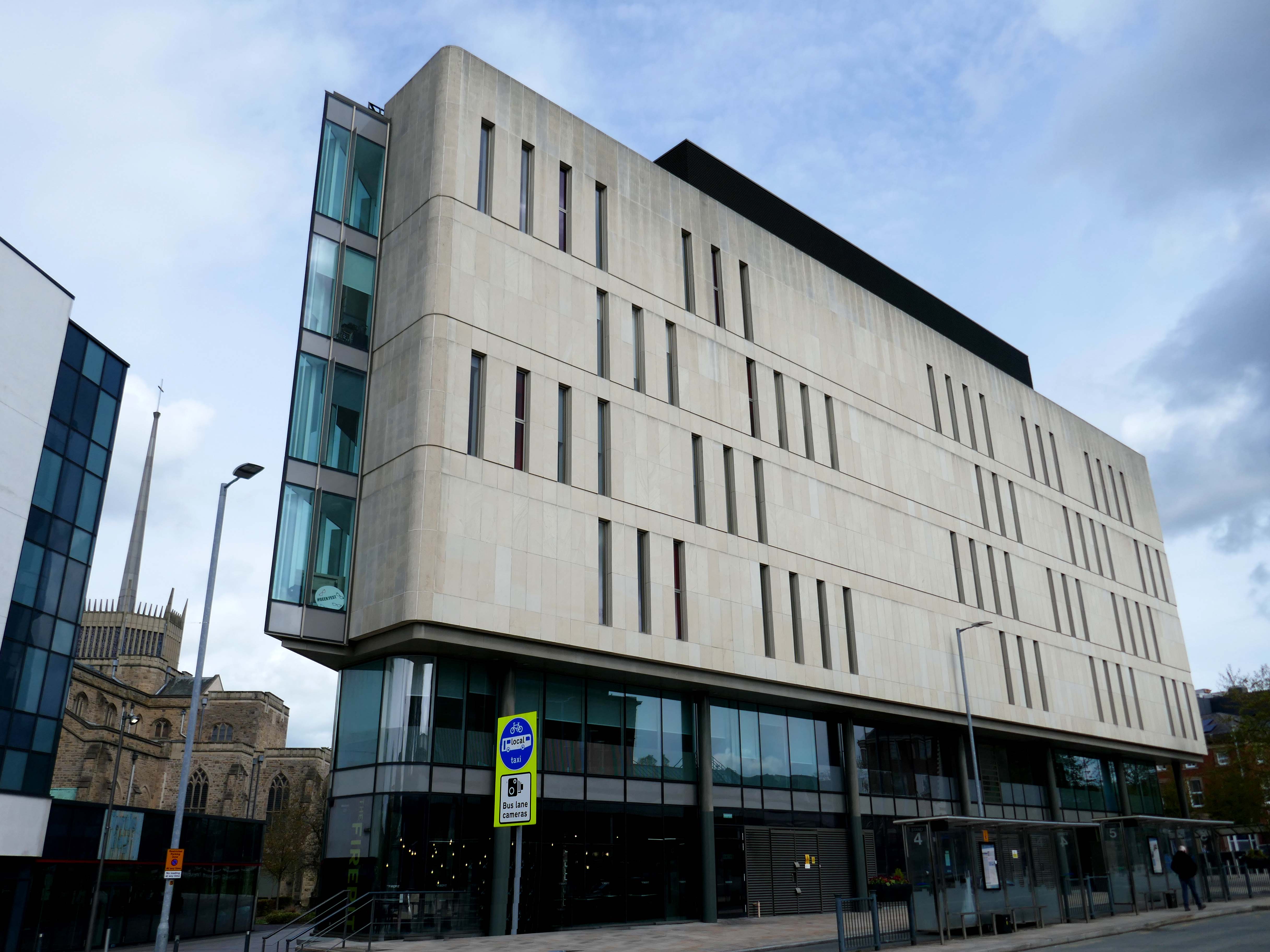
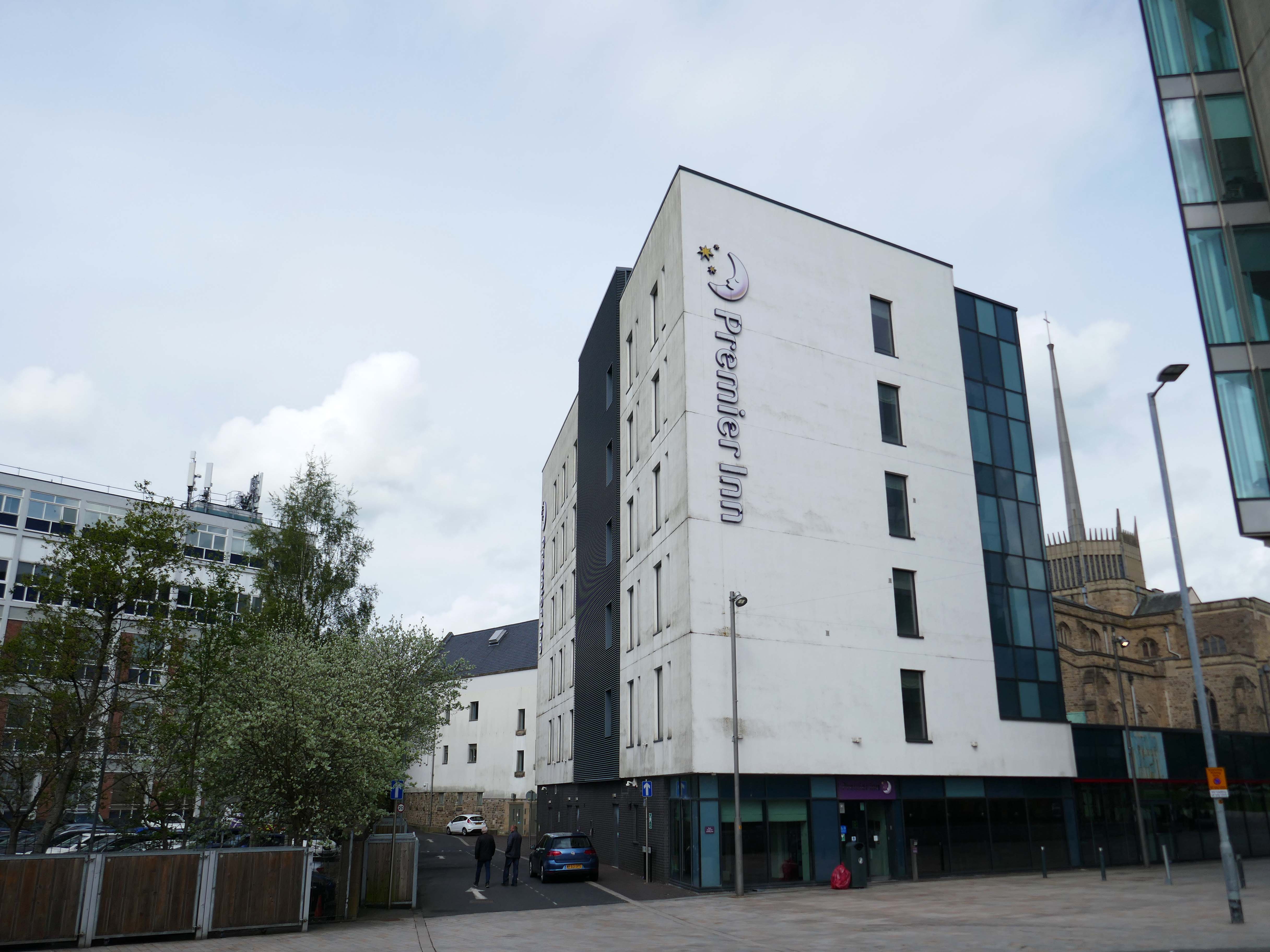
Arriving by train into Blackburn Rail Station, visitors get the full impact of this carefully planned but ambitious regeneration project. Maple Grove’s aspiration was to offer something befitting of a city centre in one of the region’s largest towns. Cathedral Square comprises a six storey BREEAM Excellent office building, designed by BDP, a Premier Inn Hotel, restaurants and cafes positioned around a new public square that acts as a link between the rail station, cathedral and beyond to the shopping centre.
Left onto Jubilee Street where we find the Telephone Exchange.
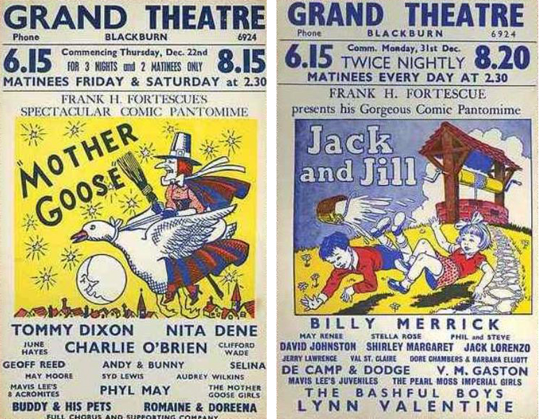
The site was formerly occupied by the Grand Theatre – in the 1950’s, Blackburn had no fewer than fourteen cinemas. The Grand carried on being a live venue until its closure in 1956, before finally being demolished in 1958.
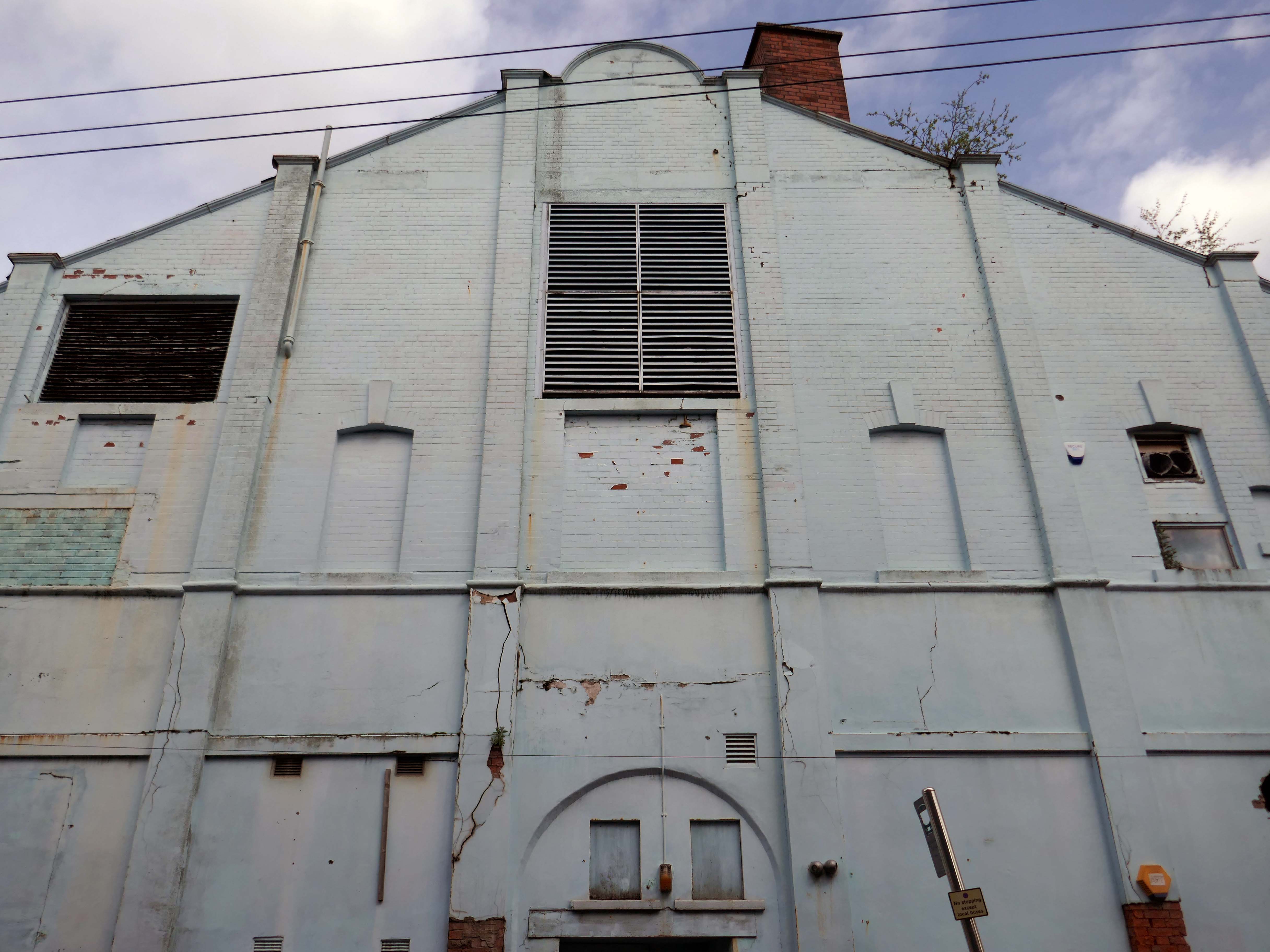
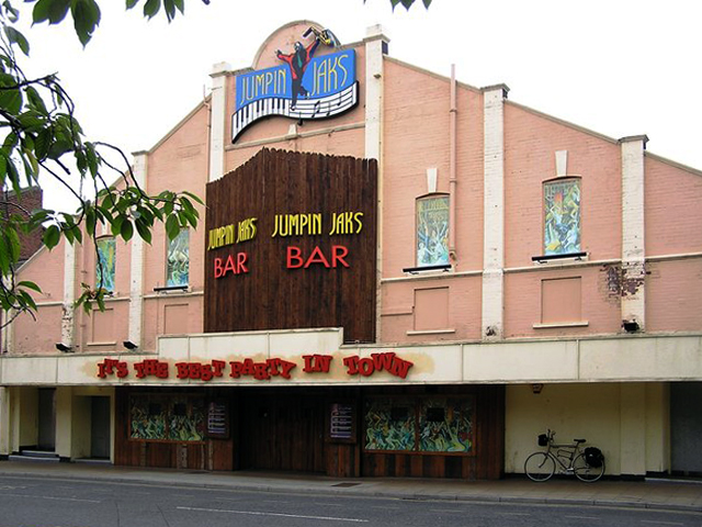
Further down the road the rear of another former cinema – The Olympia
The Olympia was opened on 19th May 1909 as a roller skating rink. It was a short lived venture and closed in November 1911. It was converted into the Olympia Theatre, presenting music hall/variety, opening on 12th December 1911. Seating was provided for 2,000, many on long wooden benches. The proscenium was 32 feet wide and the stage 50 feet deep. It was soon screening films as part of the programme.
It was converted into a full time cinema in 1921, although there were still some variety acts on the programme. All the original wooden benches used for seating in the theatre were removed and replaced by regular tip-up seats, reducing the seating capacity to 1,360. During the 1940’s, the Olympia Cinema boasted a café for the convenience of its patrons and it was operated by Jacksons’ Amusements, Ltd.
The Olympia Cinema was mainly independently operated, and closed in 1957. It stood empty for two years, then in 1959, it was taken over by Mecca Ltd, and converted into the Locarno Ballroom, later becoming a Mecca Bingo Club. It later became the Golden Palms Nightclub, Jumpin’ Jax, and since 2009 it operated as a trendy nightclub named Liquid & Envy.
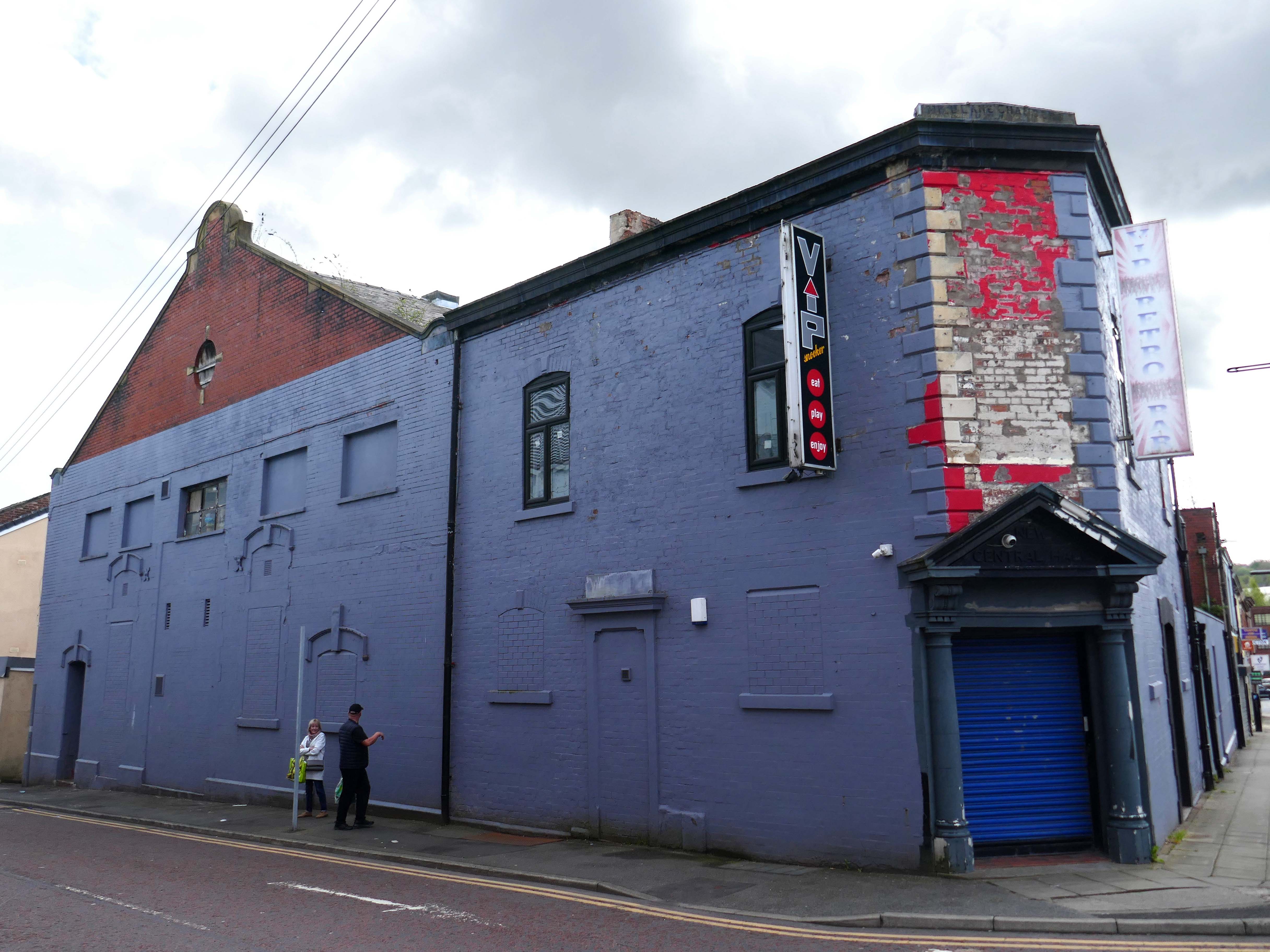
Previous to 1900 the site at the corner of Mincing Lane and Mill Lane had housed a temporary circus, known as Ohmy’s Circus. The New Central Hall was built and opened in April 1900, and was used as a roller skating rink until November 1909, when it was converted into the 1,000-seat Central Hall Cinema.
Altered and enlarged to 1,372 seats in 1923, it was re-named New Central Hall Cinema. The proscenium was 20 feet wide, later enlarged to 22 feet.
The Central Cinema was closed in January 1957. Then in 1974, it was renovated and was converted into a Walkers Bingo Club, which remained open until at least 1995. It recently operated as a Riley’s American Pool and Snooker Club until early 2009. In November 2009 after a refurbishment, it re-opened as the VIP Snooker Club.
Turn right into Darwen Street along to the former Barclays Bank.
Next door Lloyd’s Bank extension.
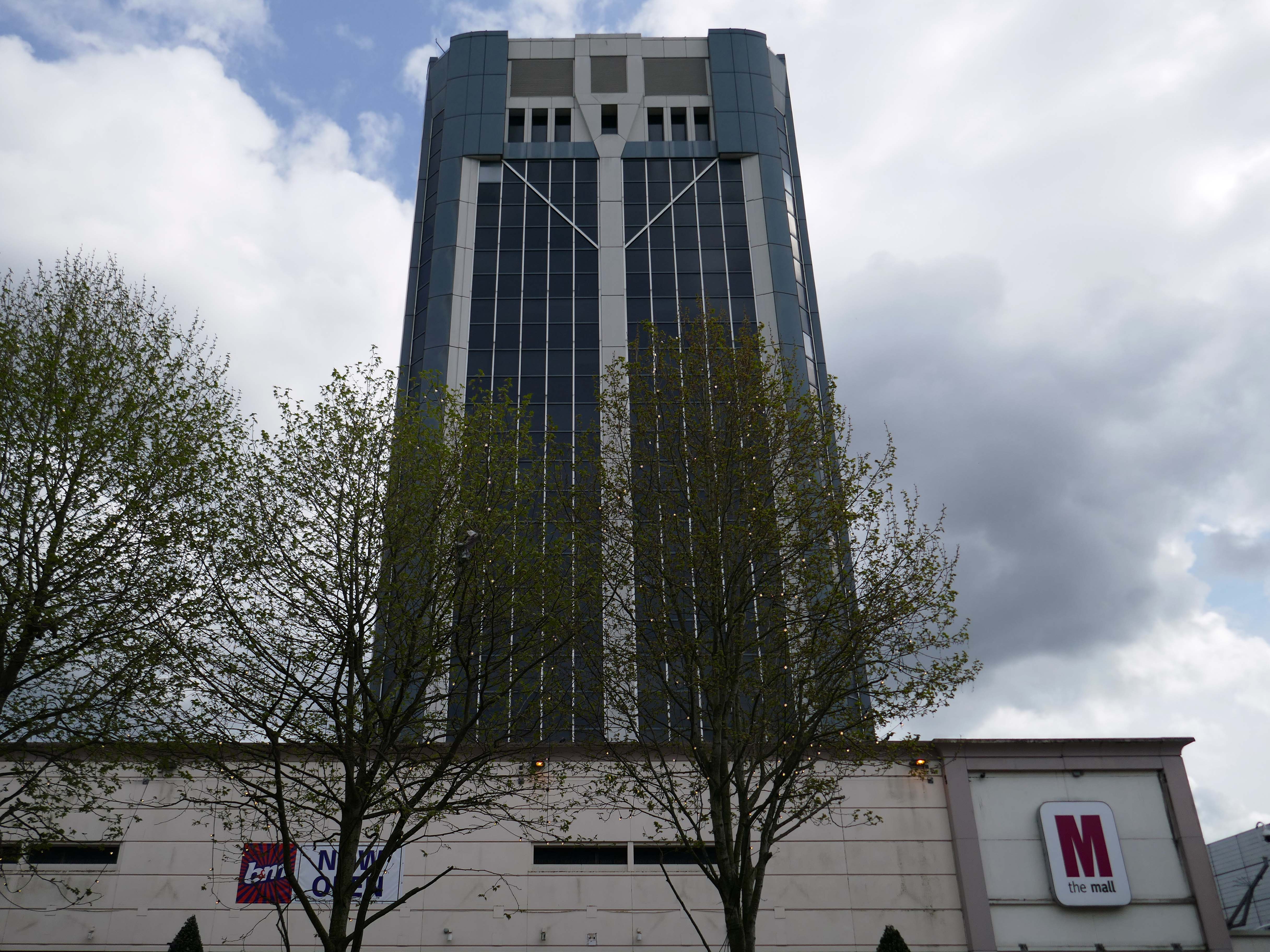
On Astley Gate the brown tiled remains of the Shopping Centre now known as The Mall.
The shopping centre was built in three phases, with the final phase opening in 1979. The centre was refurbished in 1995, during which the lower floor of the former Co-Operative Department Store was transformed into the Ainsworth Mall.
The centre was bought by Standard Life in 1993 and its name was subsequently changed to Blackburn Shopping Centre. Standard Life sold the centre in 2003 to Reit Asset Management.
In 2004, Reit Asset Management sold the centre to The Mall Fund. The centre was sold again in 2022 to the Adhan Group from The Mall Fund for £40 million.
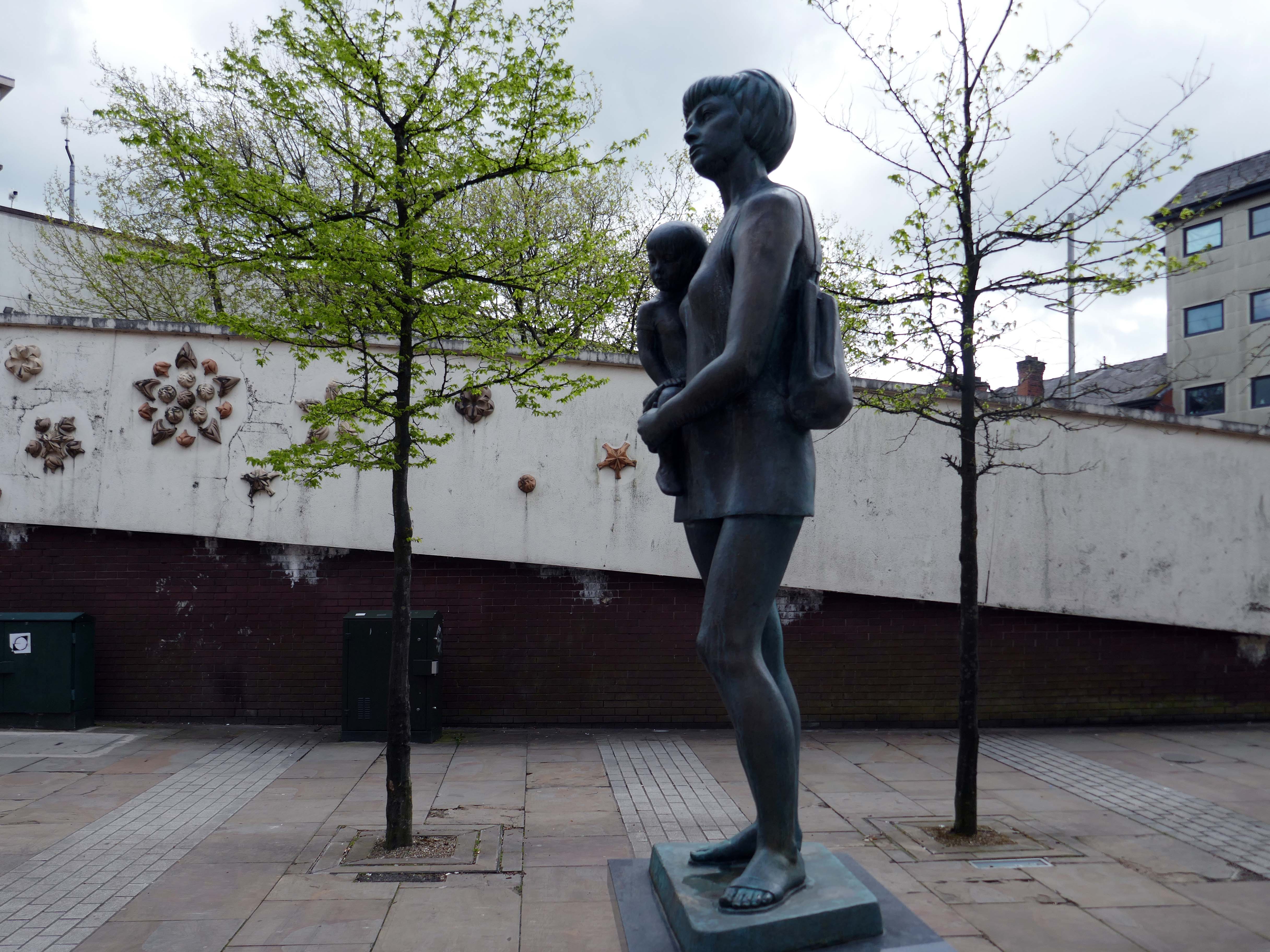
Around the corner the Mother and Child monument, created by Welsh sculptor Robert Thomas in 1974, who used his wife and child as models.
In 1974 the statue was placed in Lord Square, removed in 2007 and placed in storage, it was placed in Cardwell Place in 2012.
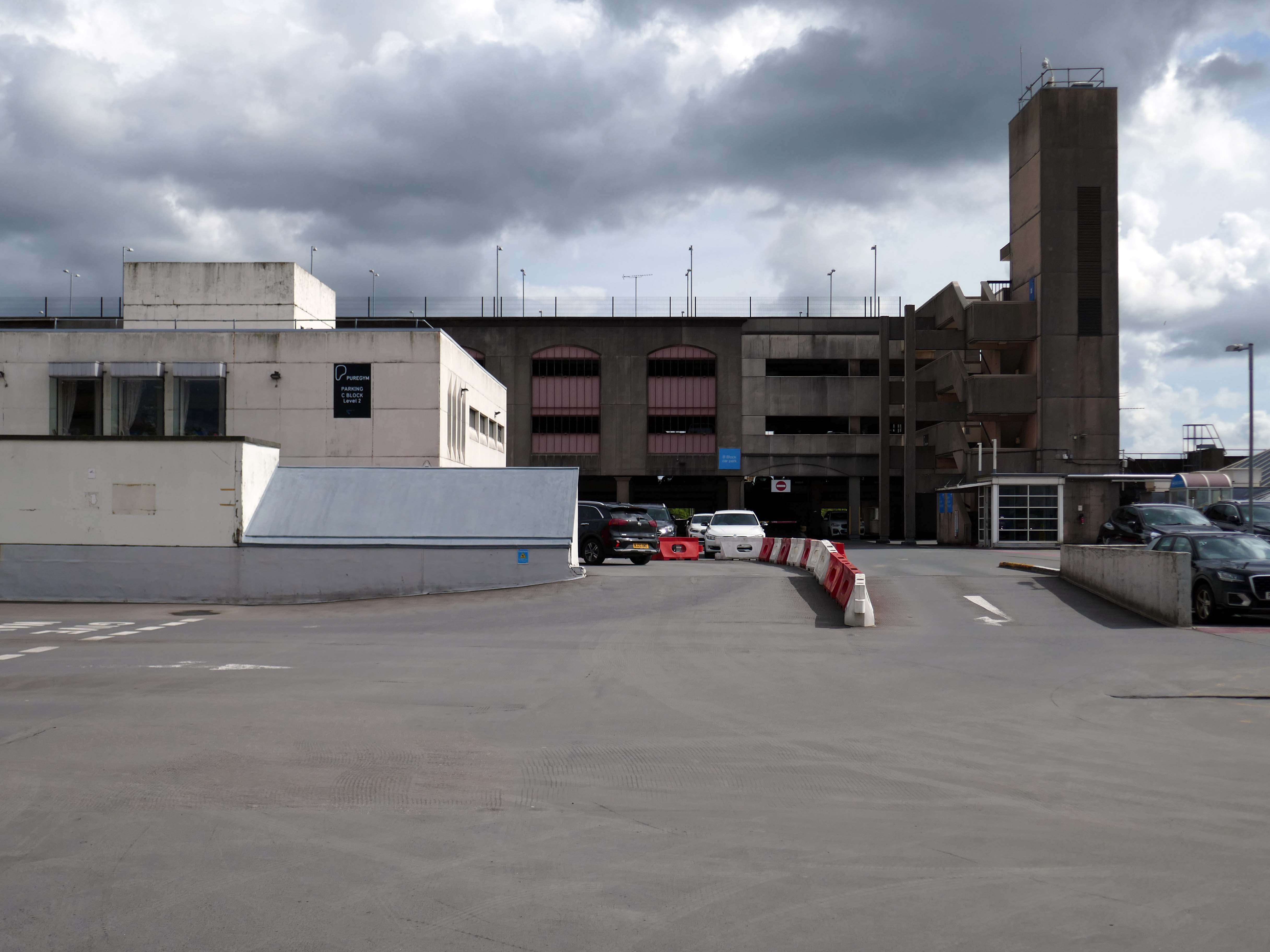
The Mall has been significantly remodelled, along with the adjacent Tower Block.
Above the Mall is a dizzying array of multi storey car parks – reflecting the various stages of development.
Next to the Central Library, the former Co-op Emporium by Walter Stirrup in Town Hall Street, opened in 1930, was converted into a £1m library by BDP, it opened on September 1st 1975.
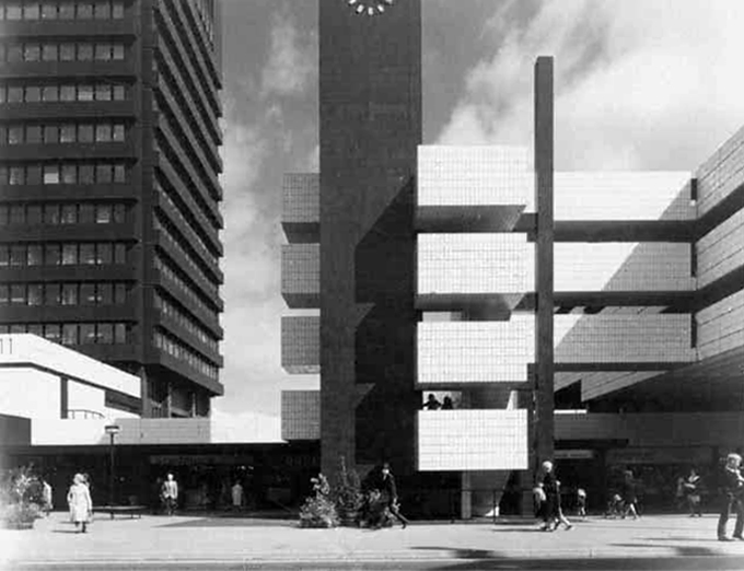
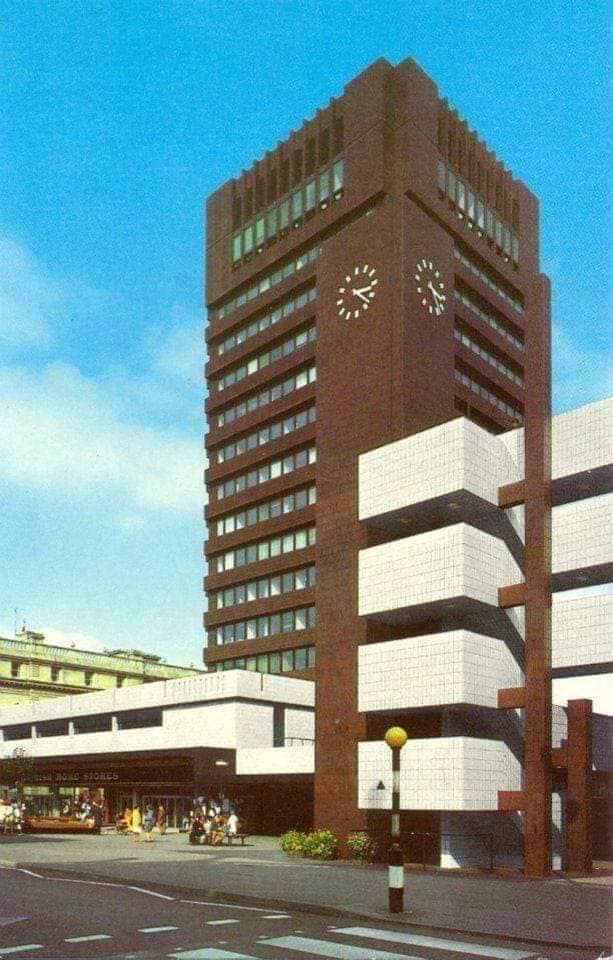
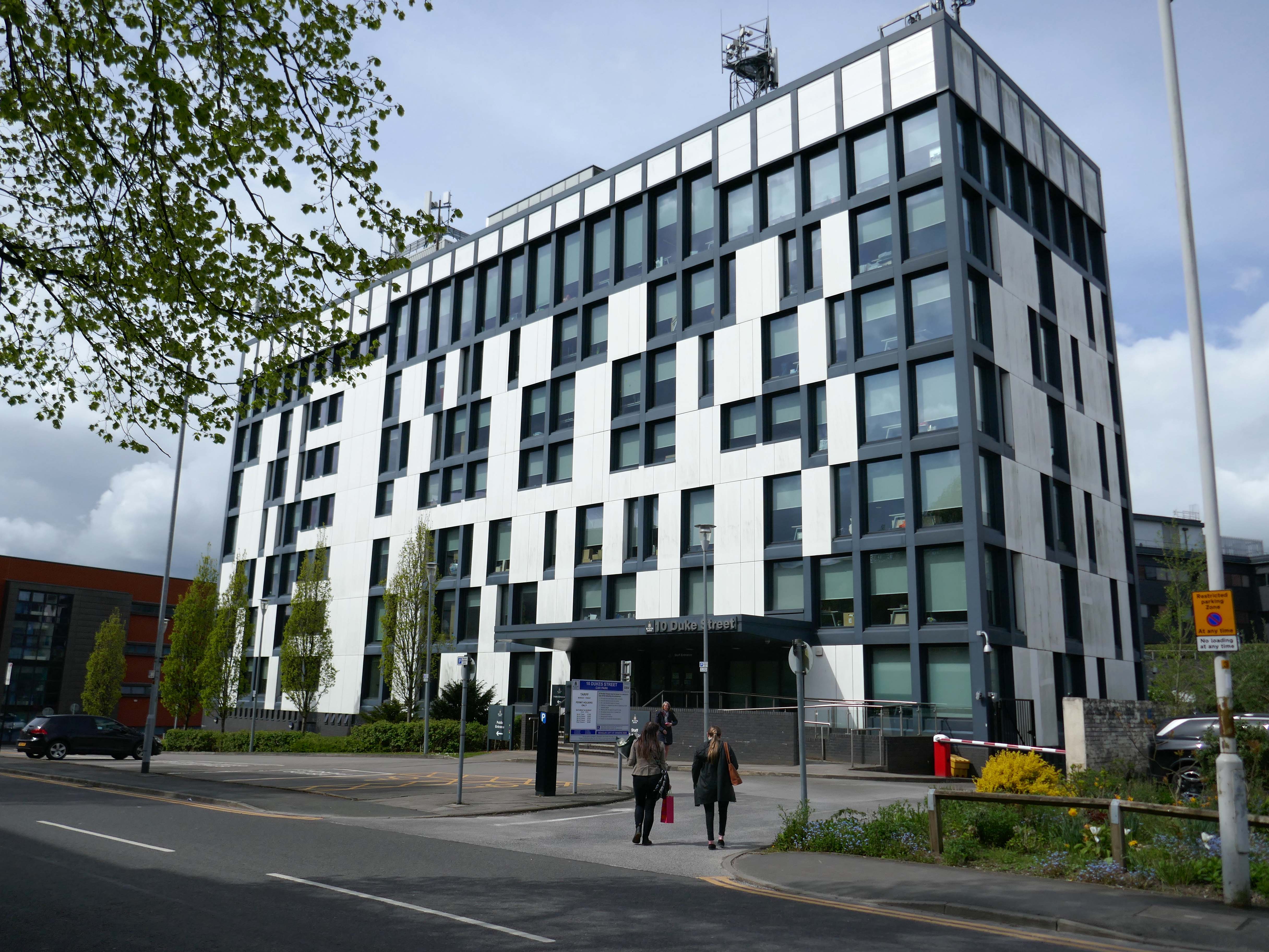
Onward to 10 Duke Street – home to council offices and the NHS, the Tower Block is now no longer in use.
Blackburn’s former town hall tower block has over the years become one of our most recognisable buildings. Sadly it is now starting to be given derogatory names, such as the ‘Big Empty’ and ‘Mothballed Monolith’. But compared to how it looked some years ago, before being reclad in today’s design, it still impresses many visitors to our town. Wouldn’t it be great if Blackburn’s ‘Big Empty’ could become full again.
These tower blocks were the flats at Queens Park and in the background you can see the co-called ‘deck-access’ flats at Shadsworth.
Bowland House was one of three tower blocks built in 1963 and the only one still standing after the others, Ribble and Pendle, were torn down in 2001 to be replaced by homes.
In 2022 Bowland House was refurbished.
Former four-time World Superbike champion Carl Fogarty was the guest of honour as Great Places’ Bowland House in Blackburn was officially unveiled.
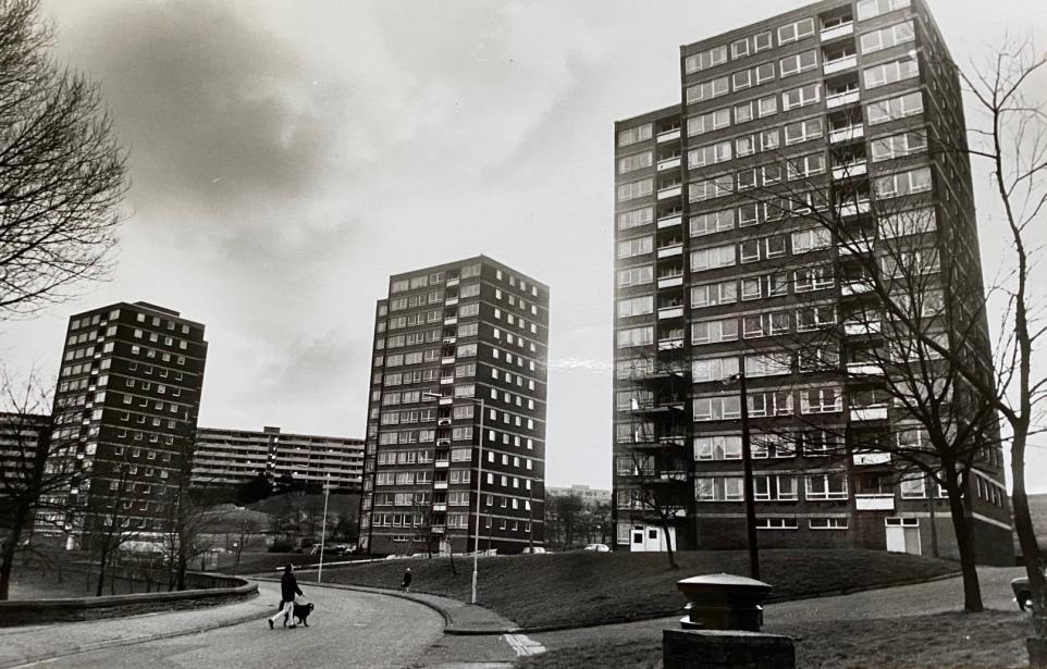
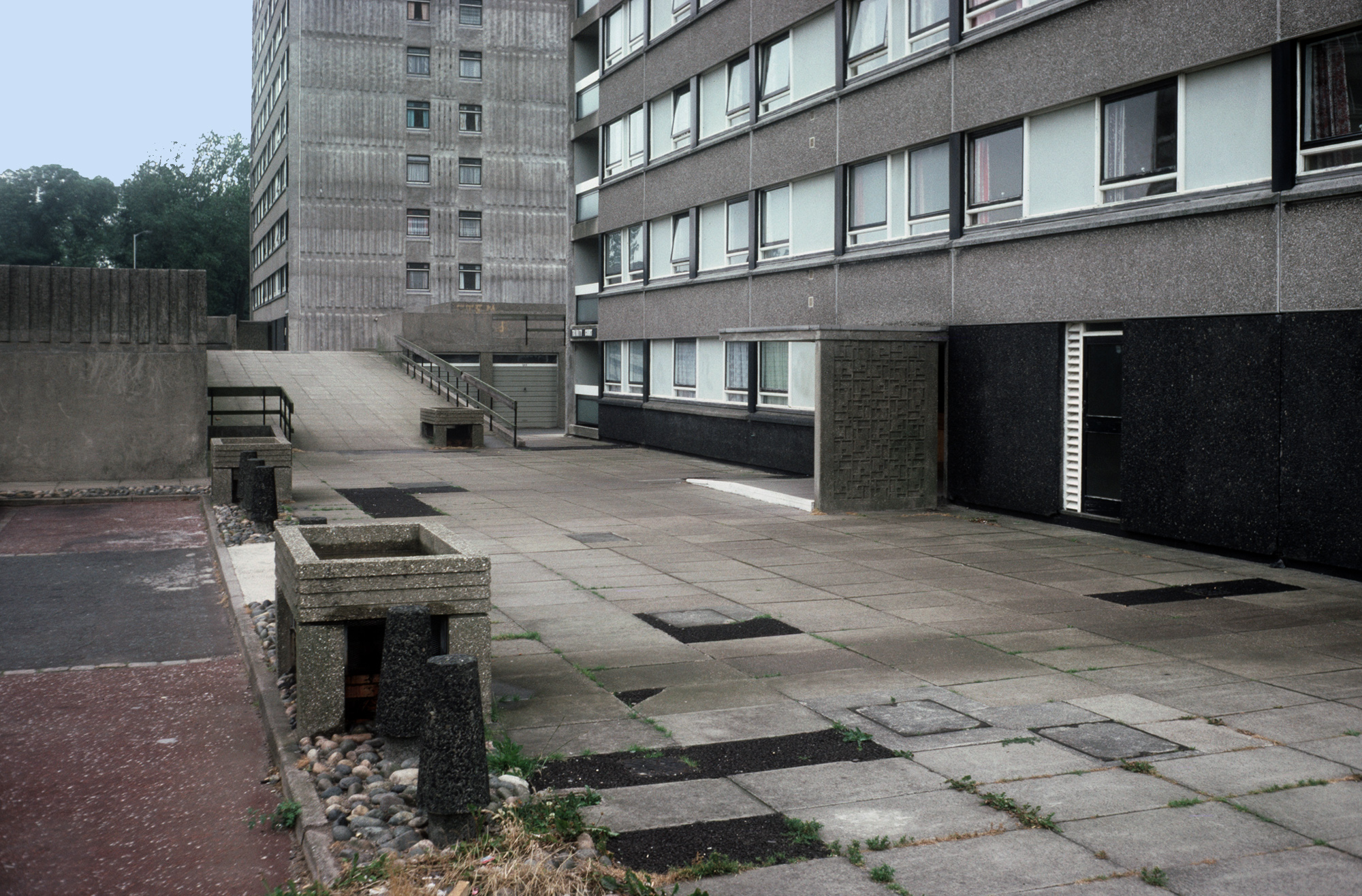
Three thirteen-storey slab blocks built as public housing using the Sectra industrialised building system. The blocks contain 183 dwellings in total, consisting of 72 one-bedroom flats and 111 two-bedroom flats. The blocks are of storiform construction clad with precast concrete panels. The panels are faced with exposed white Cornish aggregate. Spandrel panels set with black Shap granite aggregate are used under the gable kitchen windows. The blocks were designed by the Borough architect in association with Sydney Greenwood. Construction was approved by committee in 1966.
1987 view of Birley Street development, with Trinity Court in the foreground: Tower Block
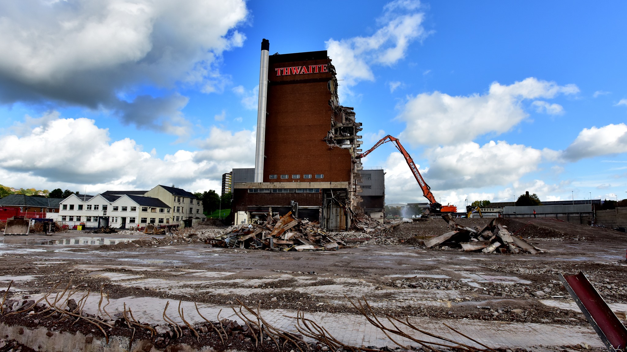
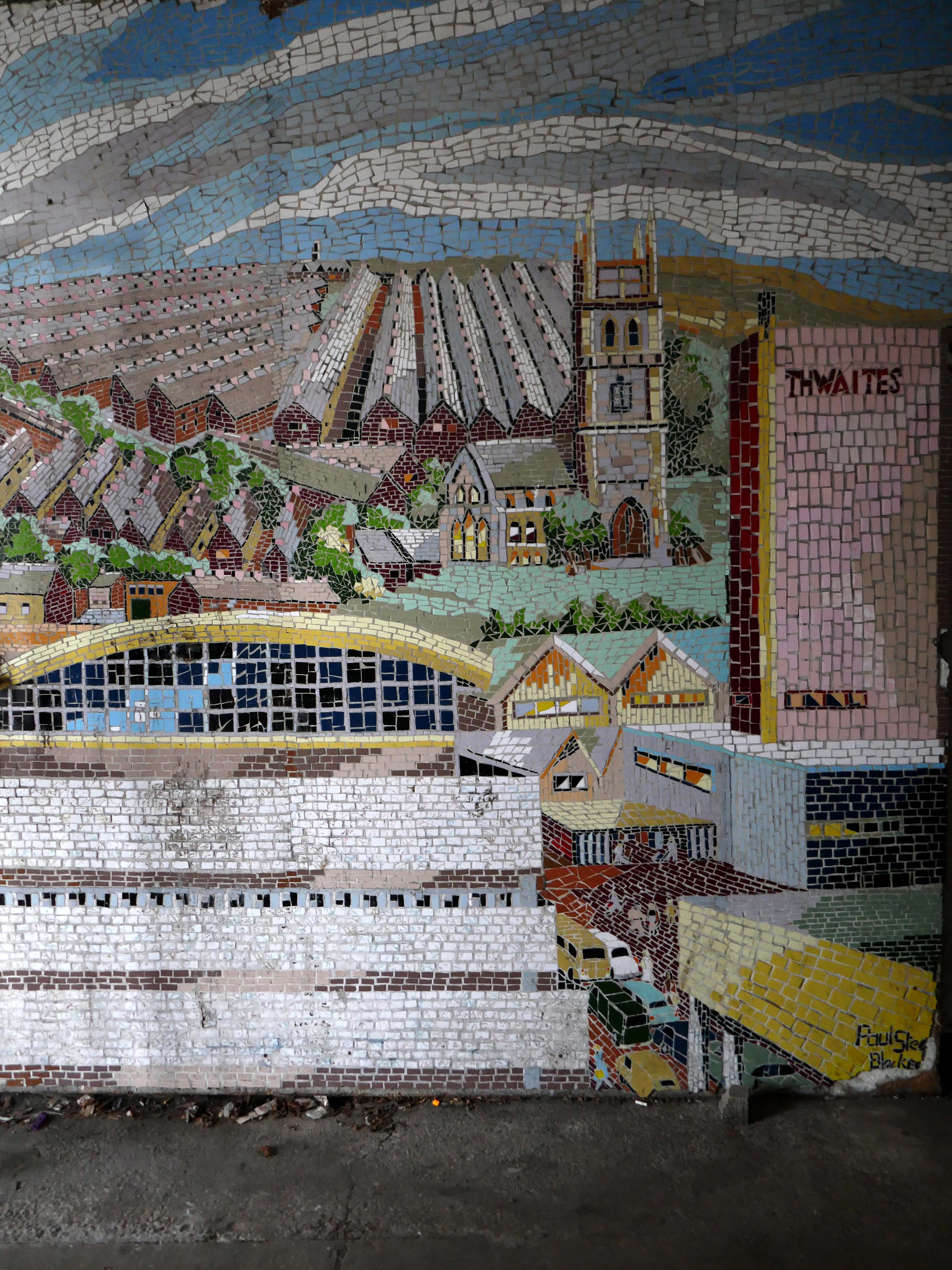
Back now into the centre – passing the now empty site of Thwaites Brewery, demolished in 2019.
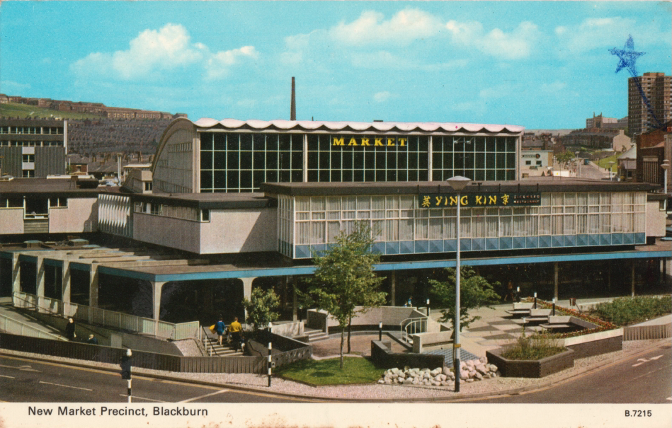
Also missing in action is the 1960’s Market Hall – architect Tom Brennan.
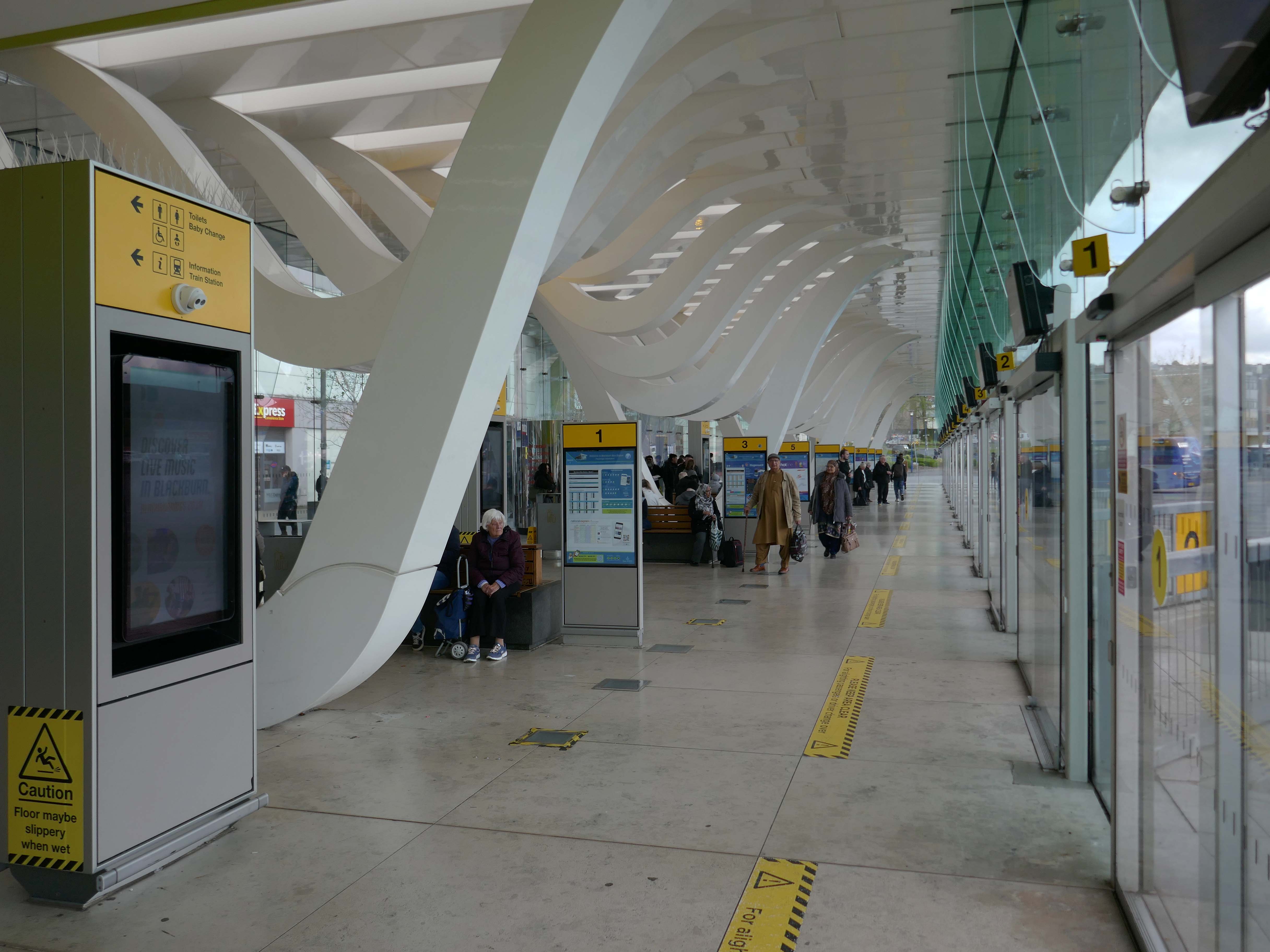
The new Bus Station designed by Capita Symonds – replacing the old bus station.
The outward facing elements of the building are flat and orthogonal. In contrast, the underside of the canopy is free flowing and consists of a number of glazed slots cut in the canopy to allow daylight to penetrate onto the concourse area. Directly below each of the slots is a hanging loop which appears to be pulled down from the canopy to reveal a glazed opening. The composition of these draws inspiration from the cotton weaving looms, and drying cotton bundles, a reference to the town’s industrial past.
There are four loop types (A, B, C & D) which are arranged to alter the scale of the concourse and create a rhythm of peaks and troughs along its length. Loop A is designed to provide support to the whole canopy allowing the canopy to appear as one floating unified element.
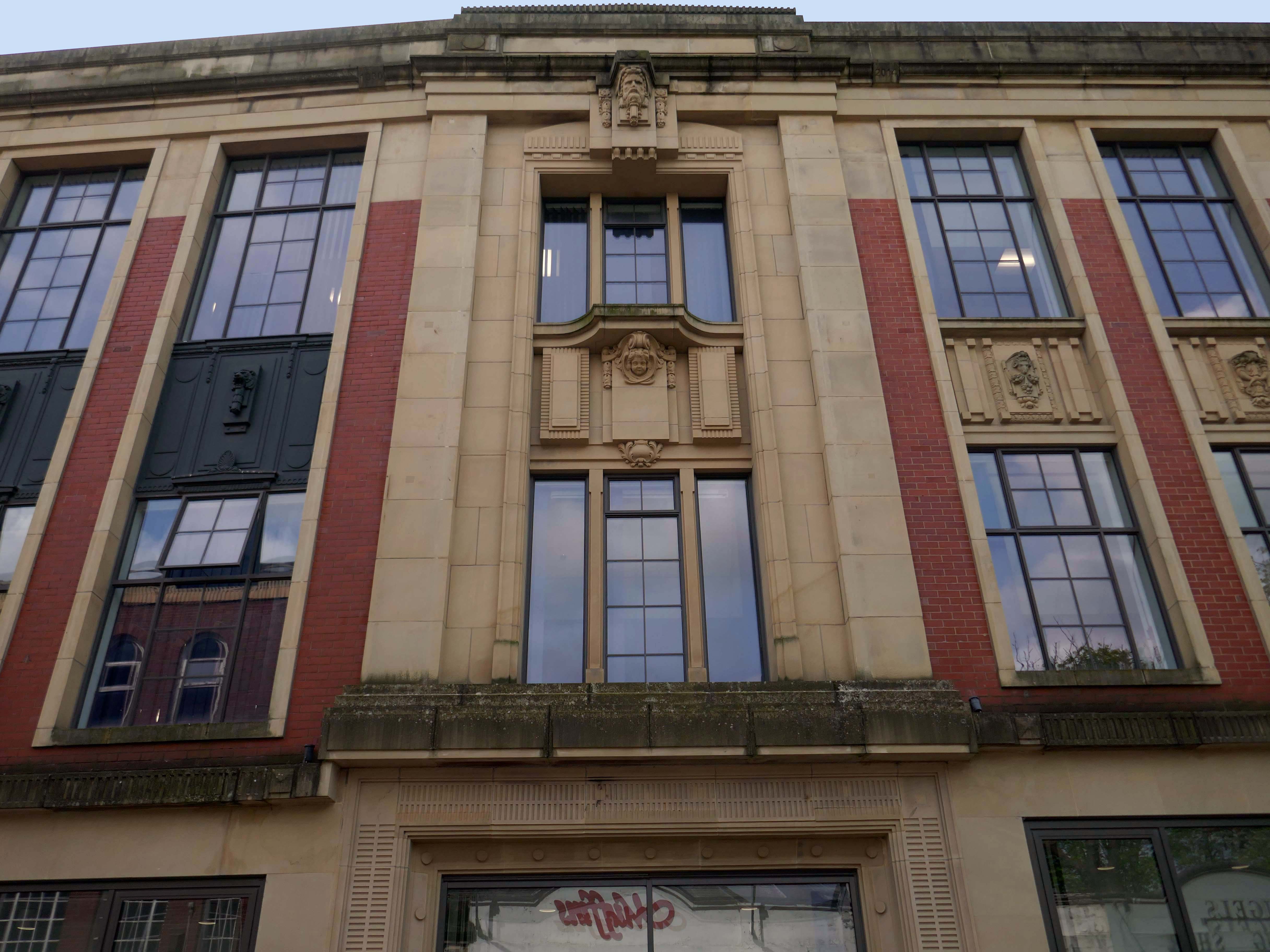
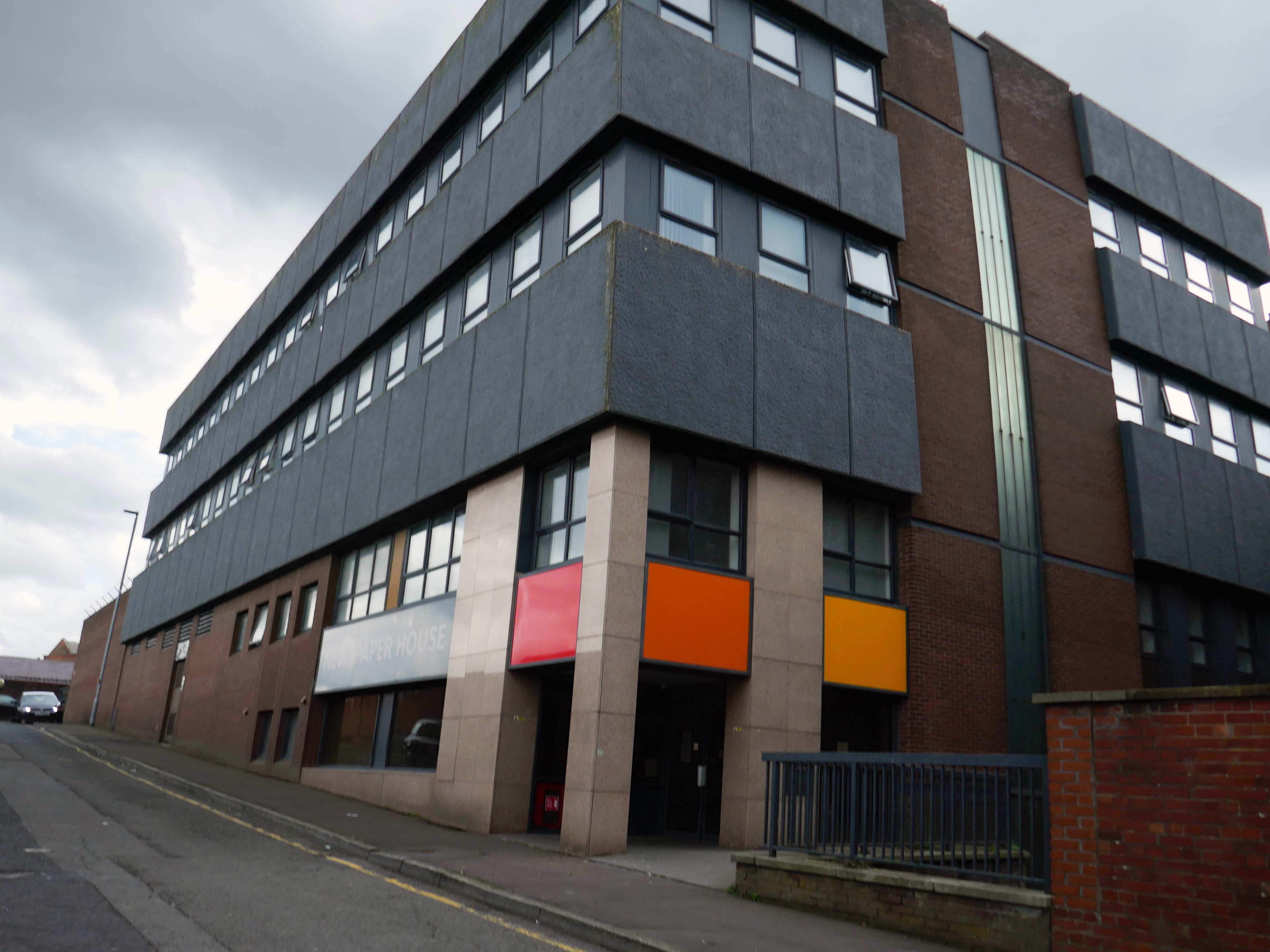
Newspaper House – once the home to the LancashireTelegraph, converted to apartments in 2017.
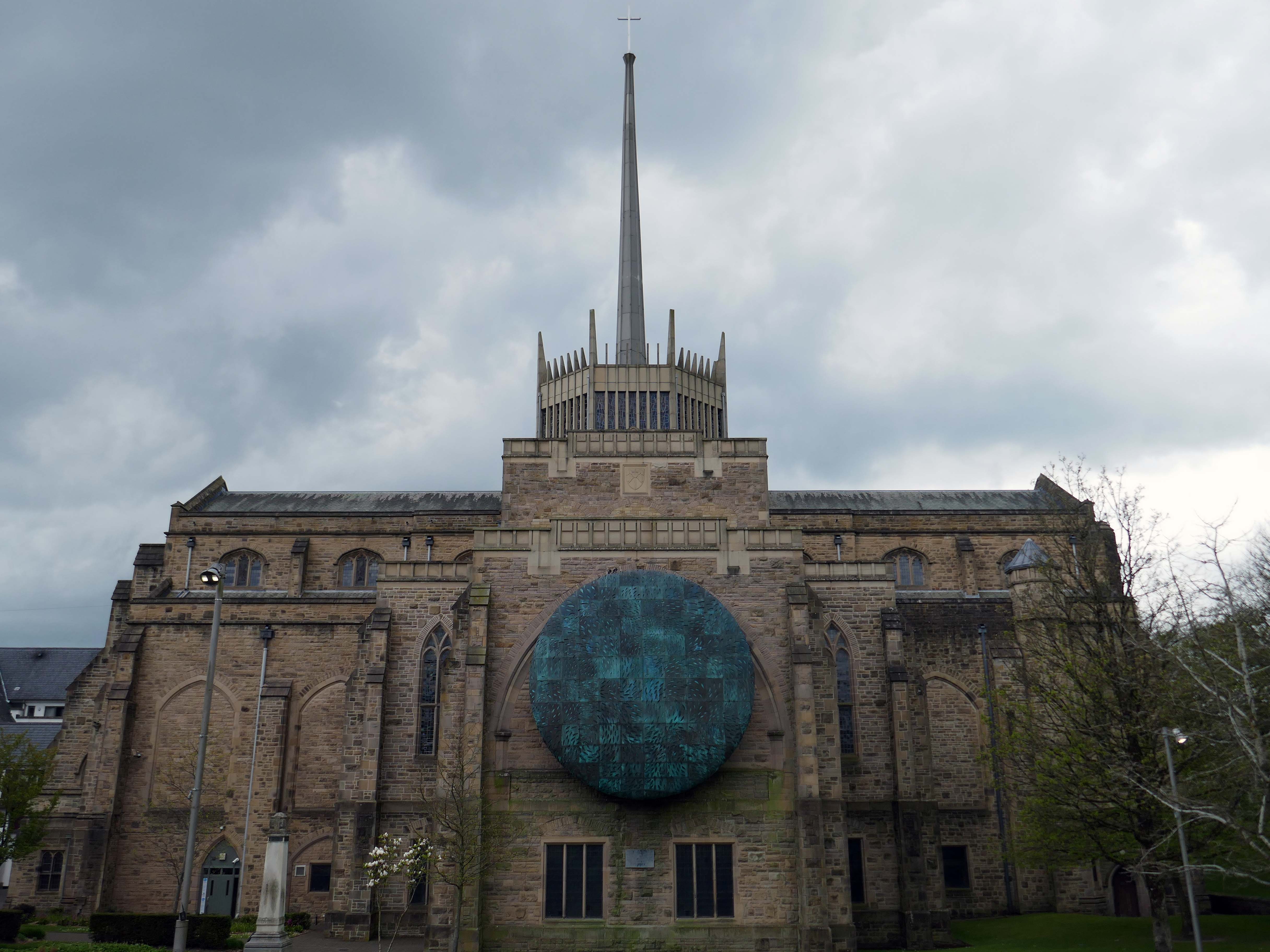
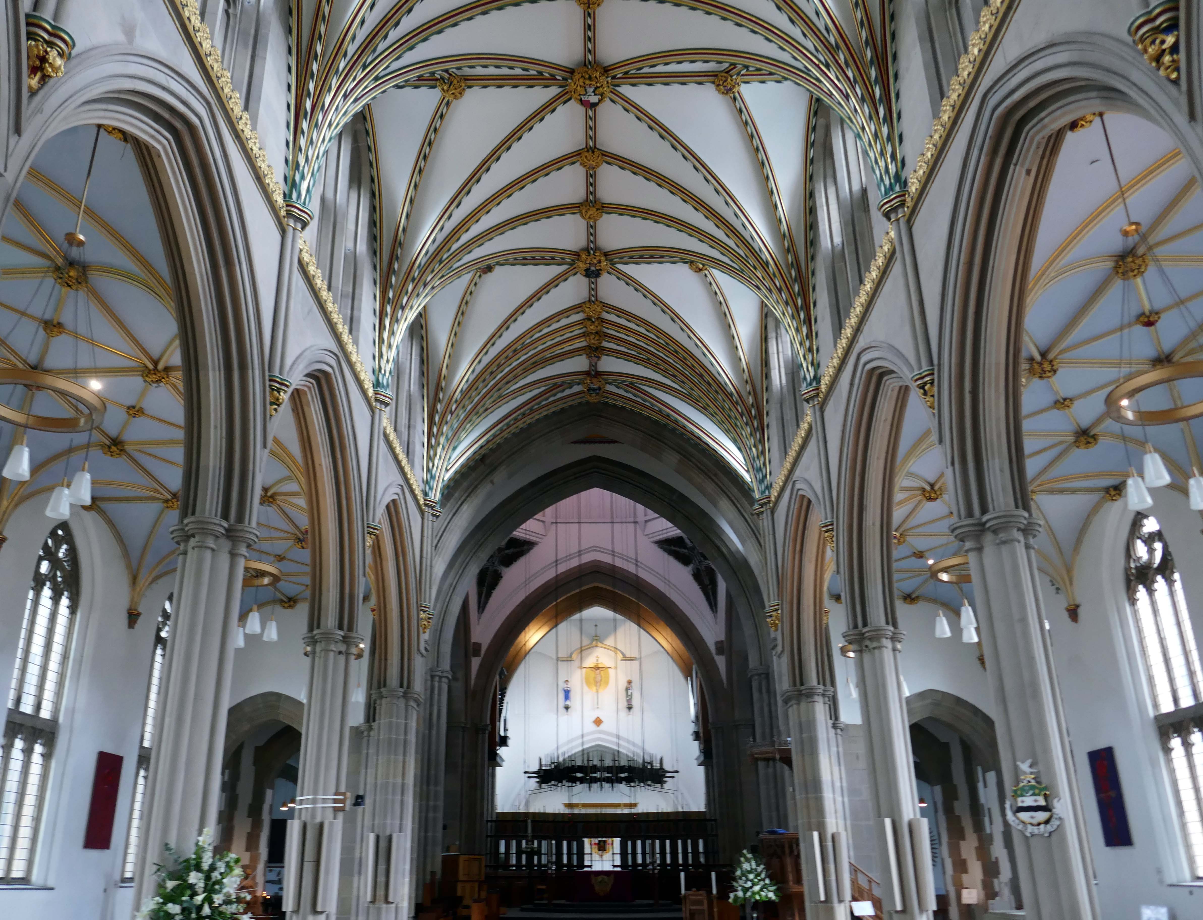
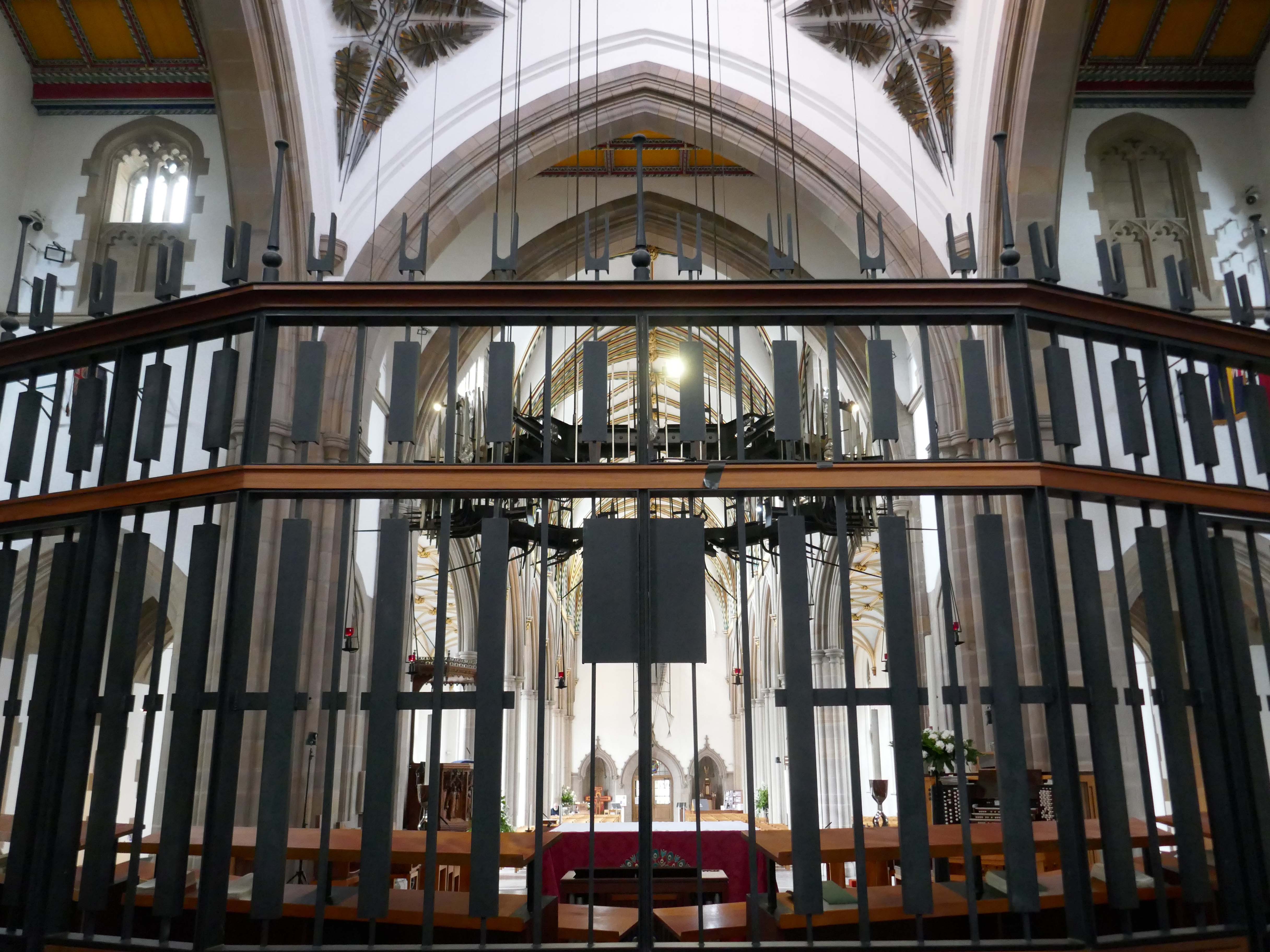
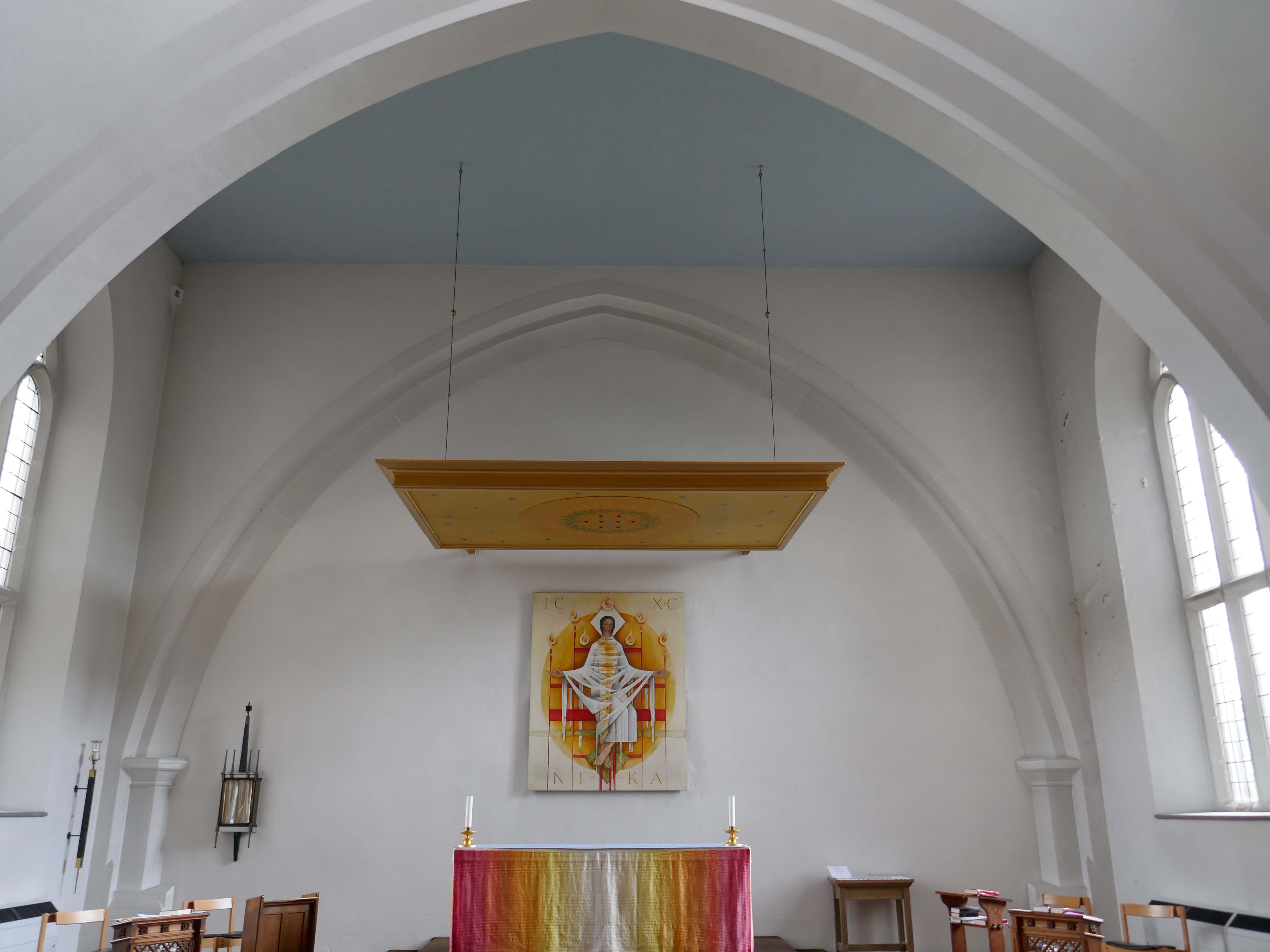
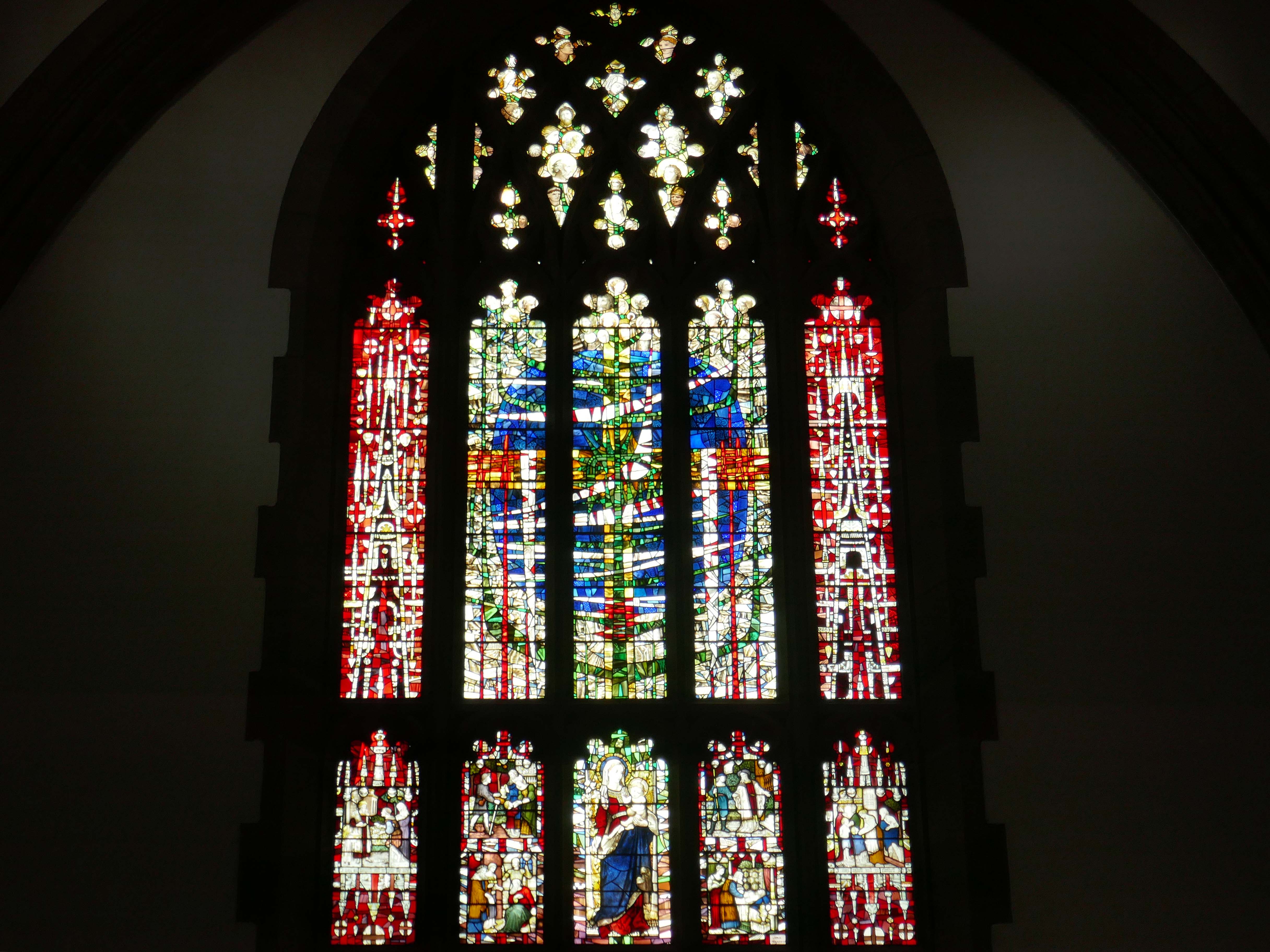
Finally to the Garde II* listed BlackburnCathedralchurch – since 1926, formerly parish church, 1820-6 by John Palmer of Manchester.
Central concrete corona by Lawrence King 1961 – it was rebuilt in stone by Brian Lowe in 1998.
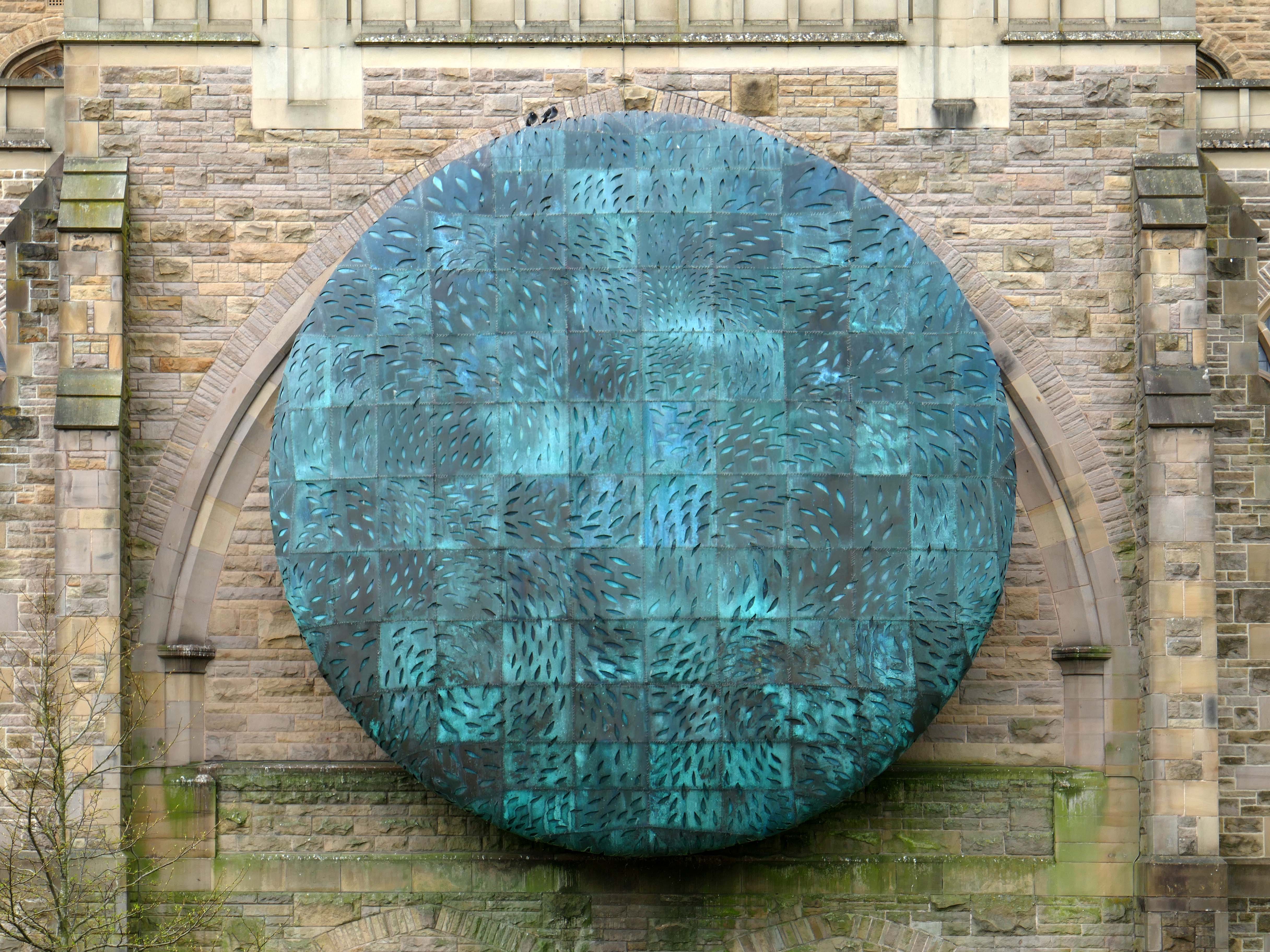
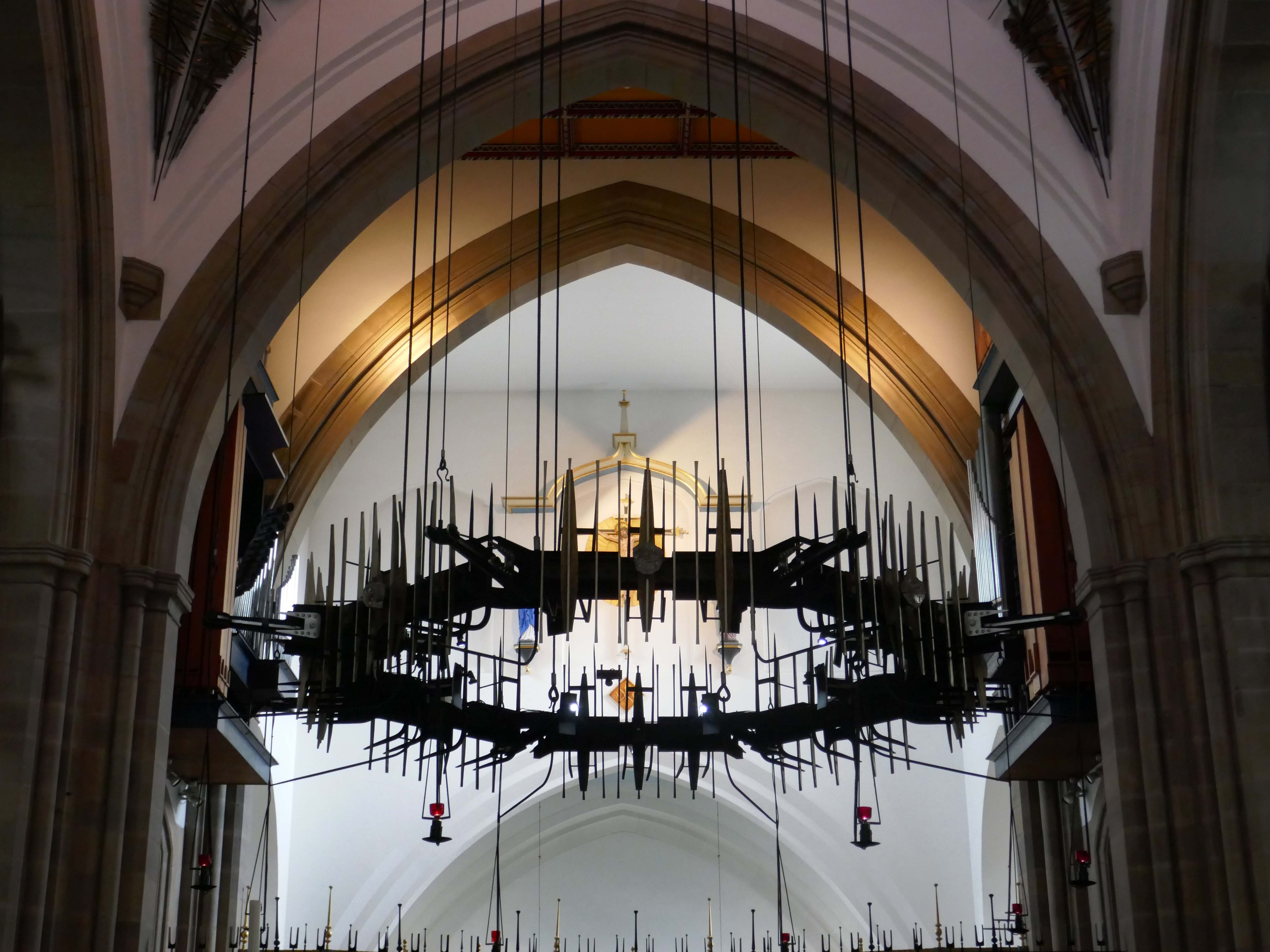
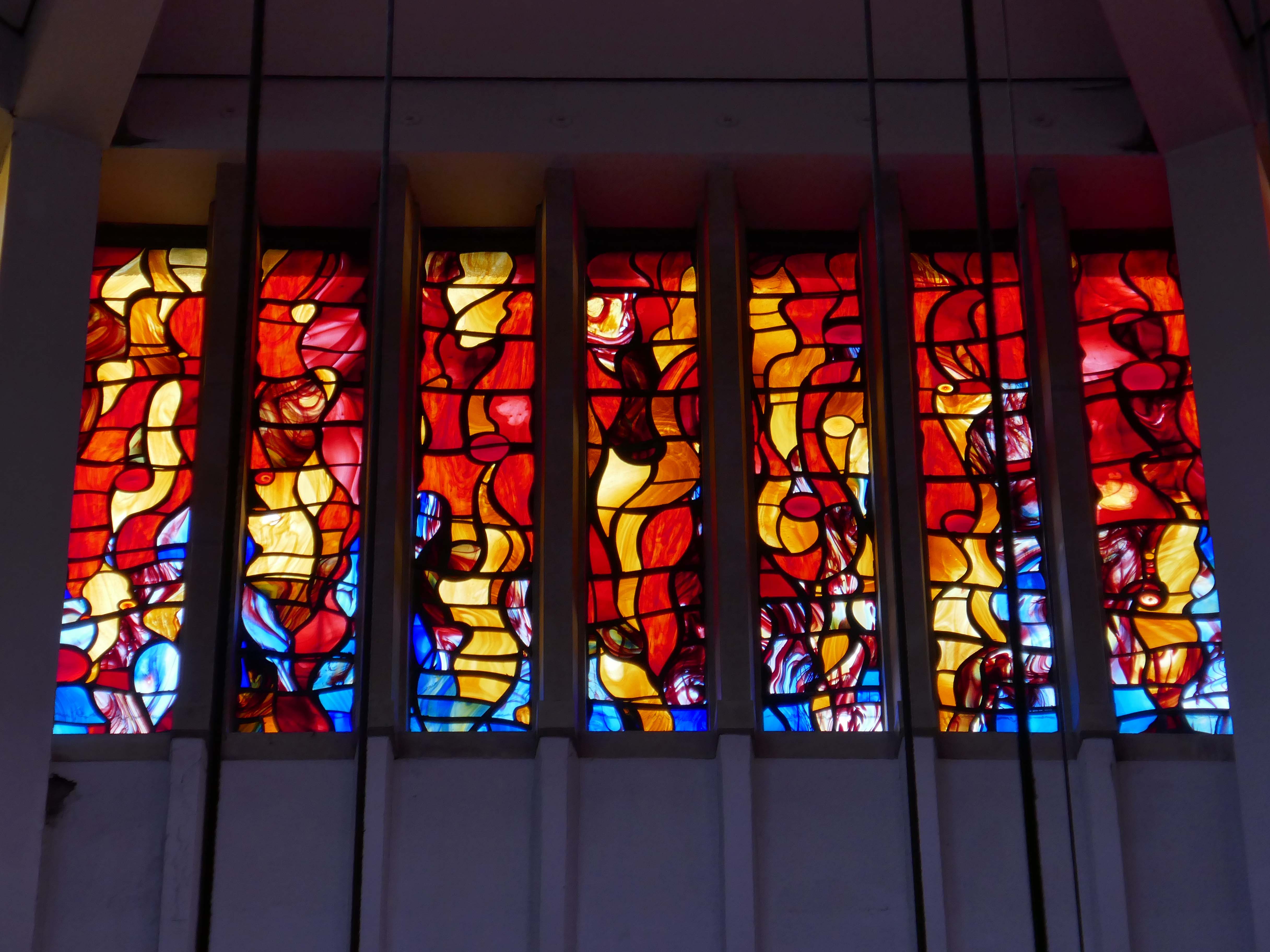
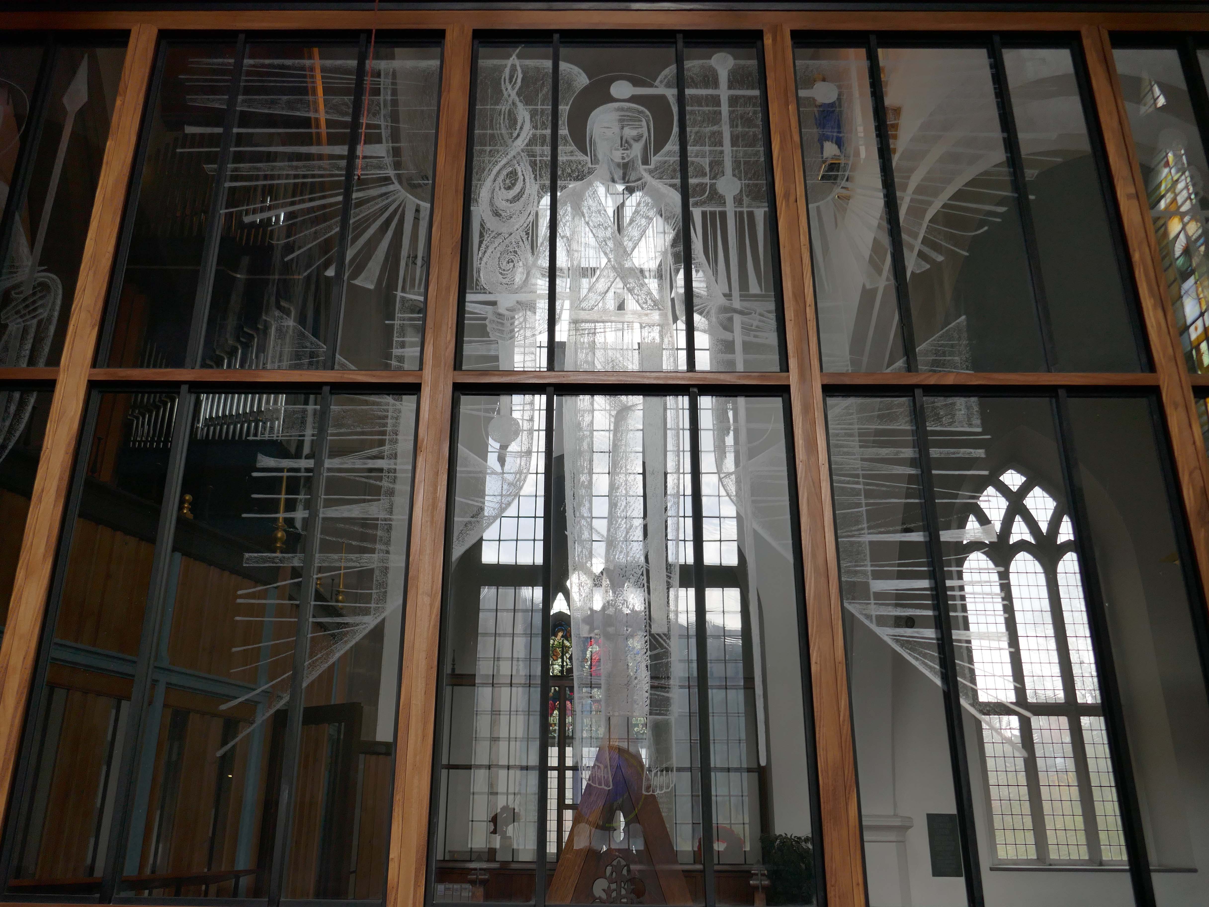
The Healing of Nations in steel and copper by Mark Jalland 2001.
It is a reflection on the opening of chapter 22 of the book of Revelation, new Jerusalem, and ‘the leaves of the tree are for the healing of the nations’.
Traditionally a stained-glass window at the east end of a cathedral would reflect a spectrum of light into the building but this sculpture projects the light out in a kaleidoscope of colour reminding us of Jesus the light of the world and the hope that we have in him.
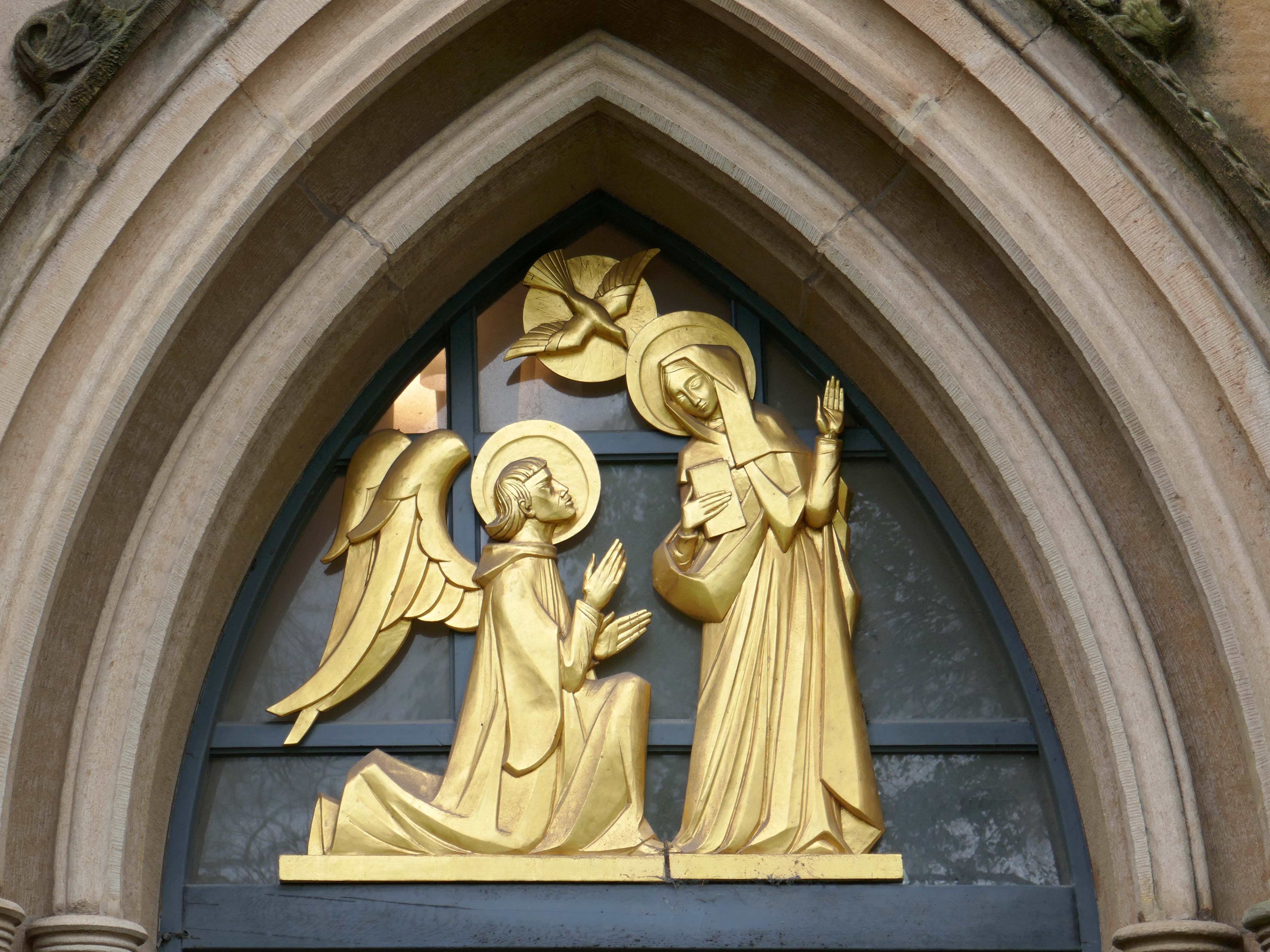
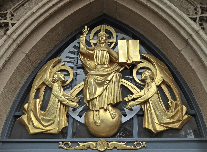
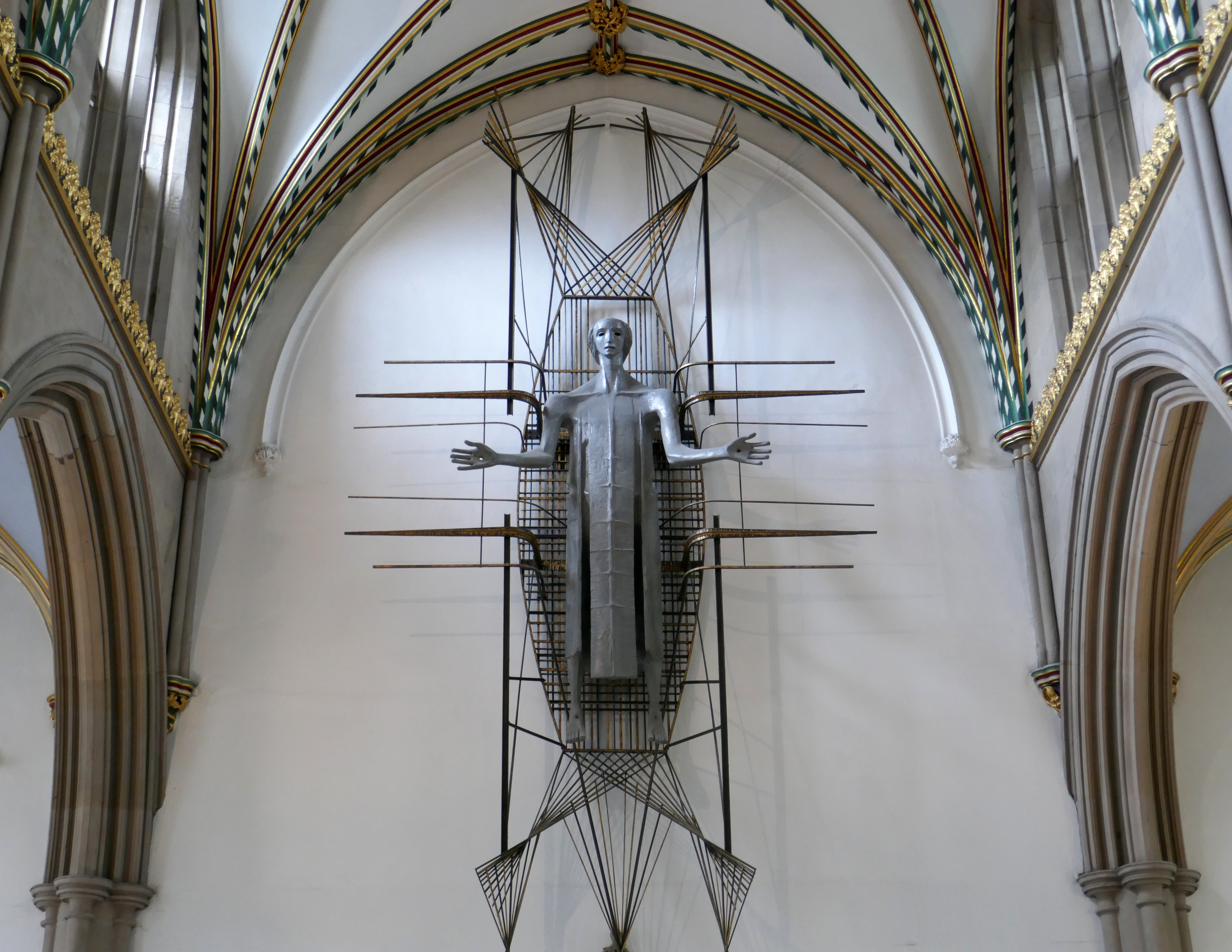
Annunciation and Christ in Majesty sculptures by Siegfried Pietsch 1965.
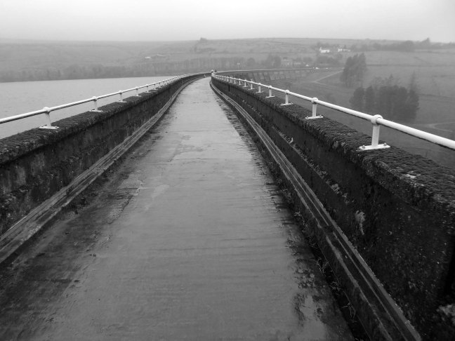
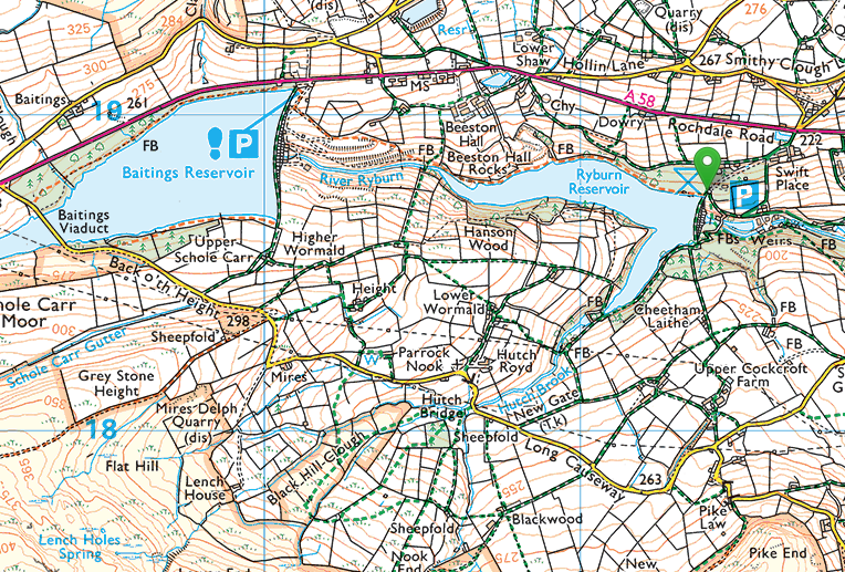
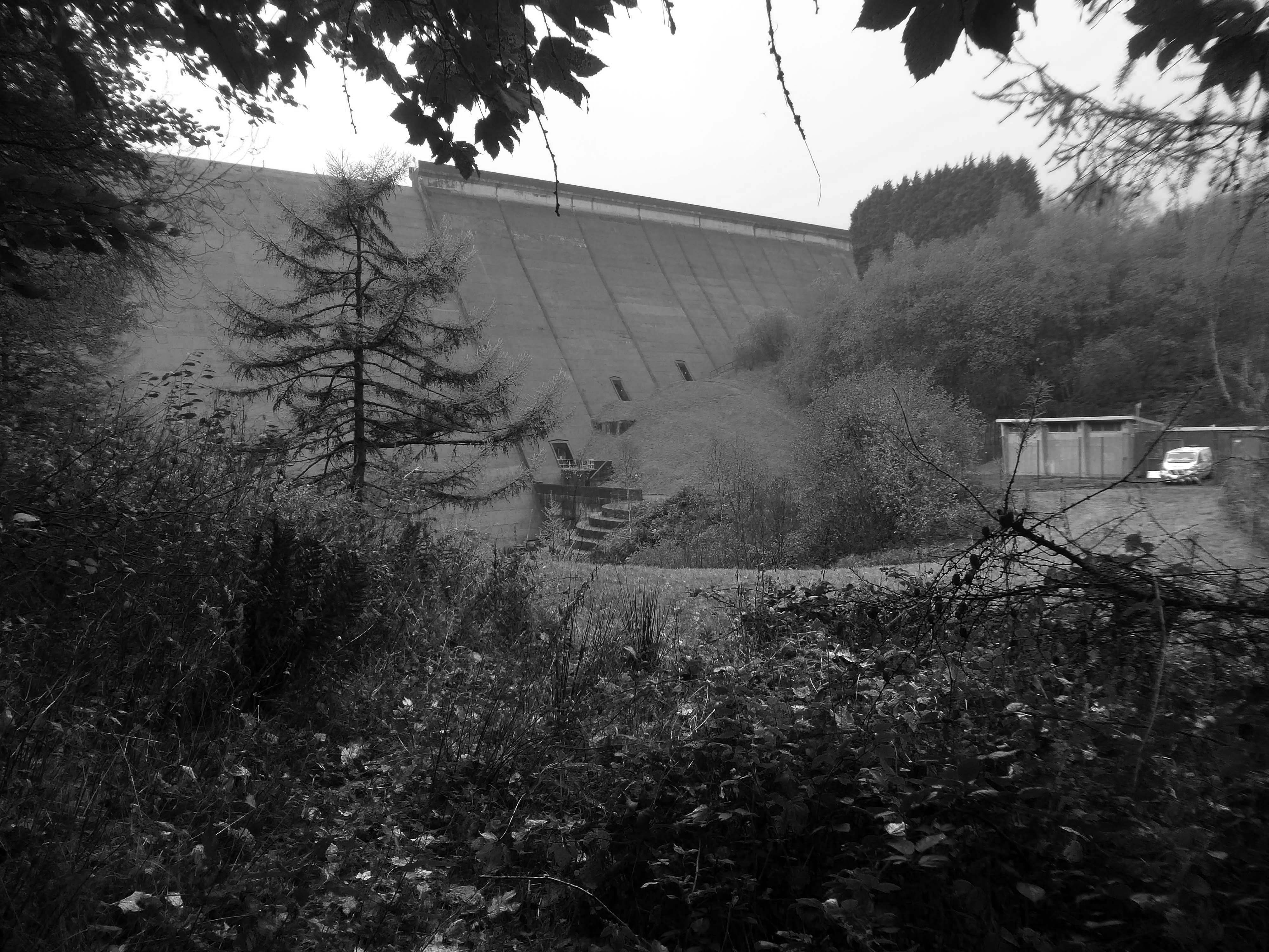
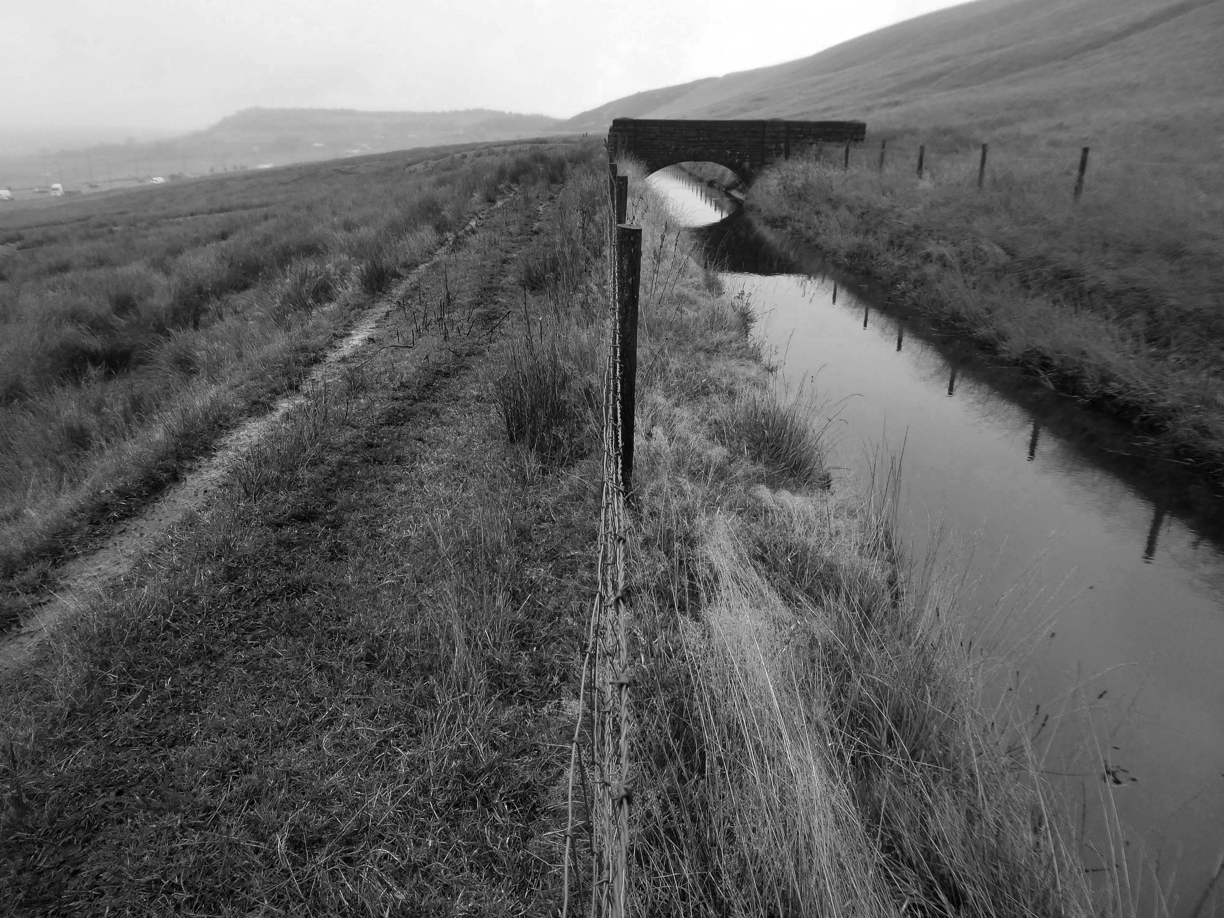
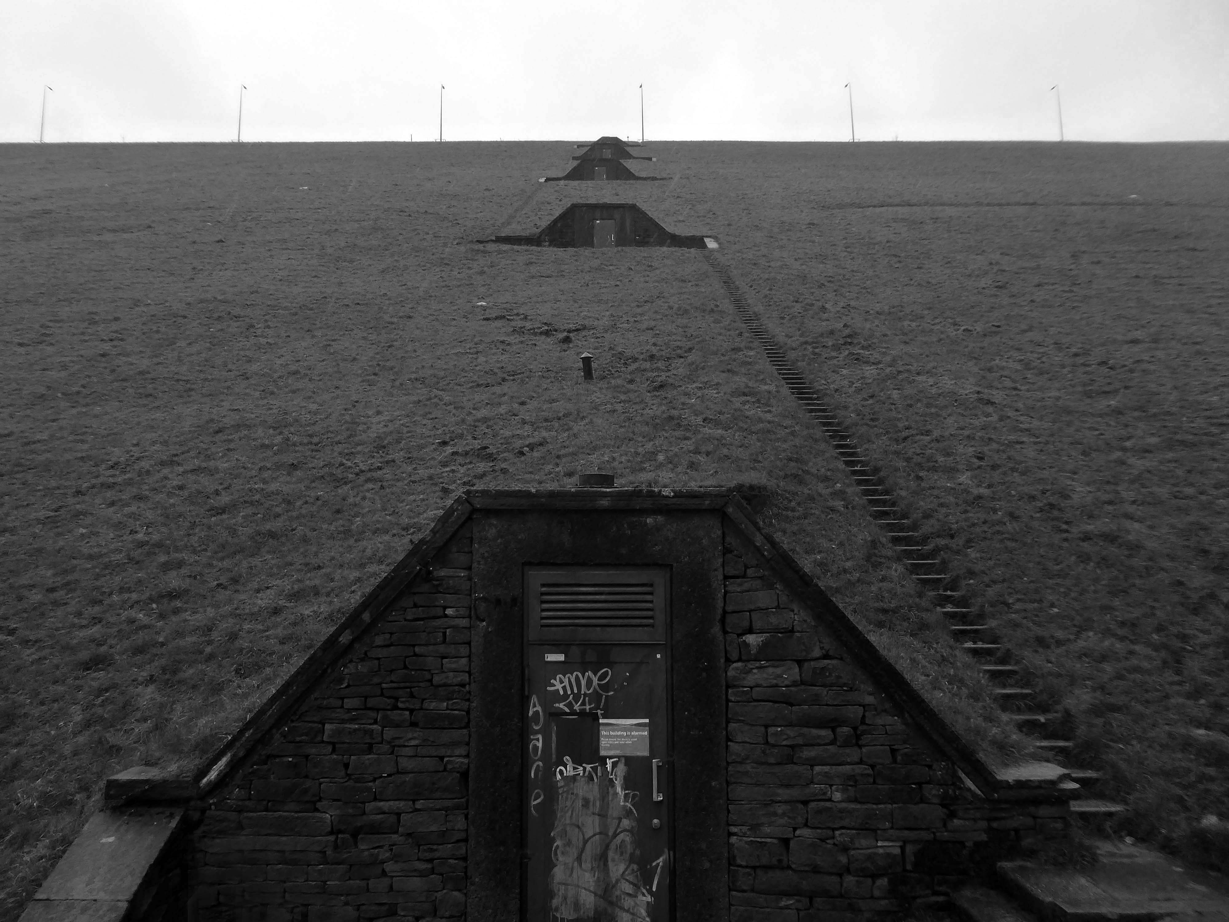
To begin at the beginning, to begin at Baitings Reservoir.
Wakefield Corporation Waterworks started impounding the valley of the River Ryburn in the 1930s, with Ryburn Reservoir being completed in 1933. Construction on Baitings took place 20 years later with completion in 1956. Baitings Bridge, on an old road linking Yorkshire and Lancashire, was to be flooded under the reservoir so a concrete viaduct was built. During spells of very hot weather and drought conditions, the old packhorse bridge is revealed.
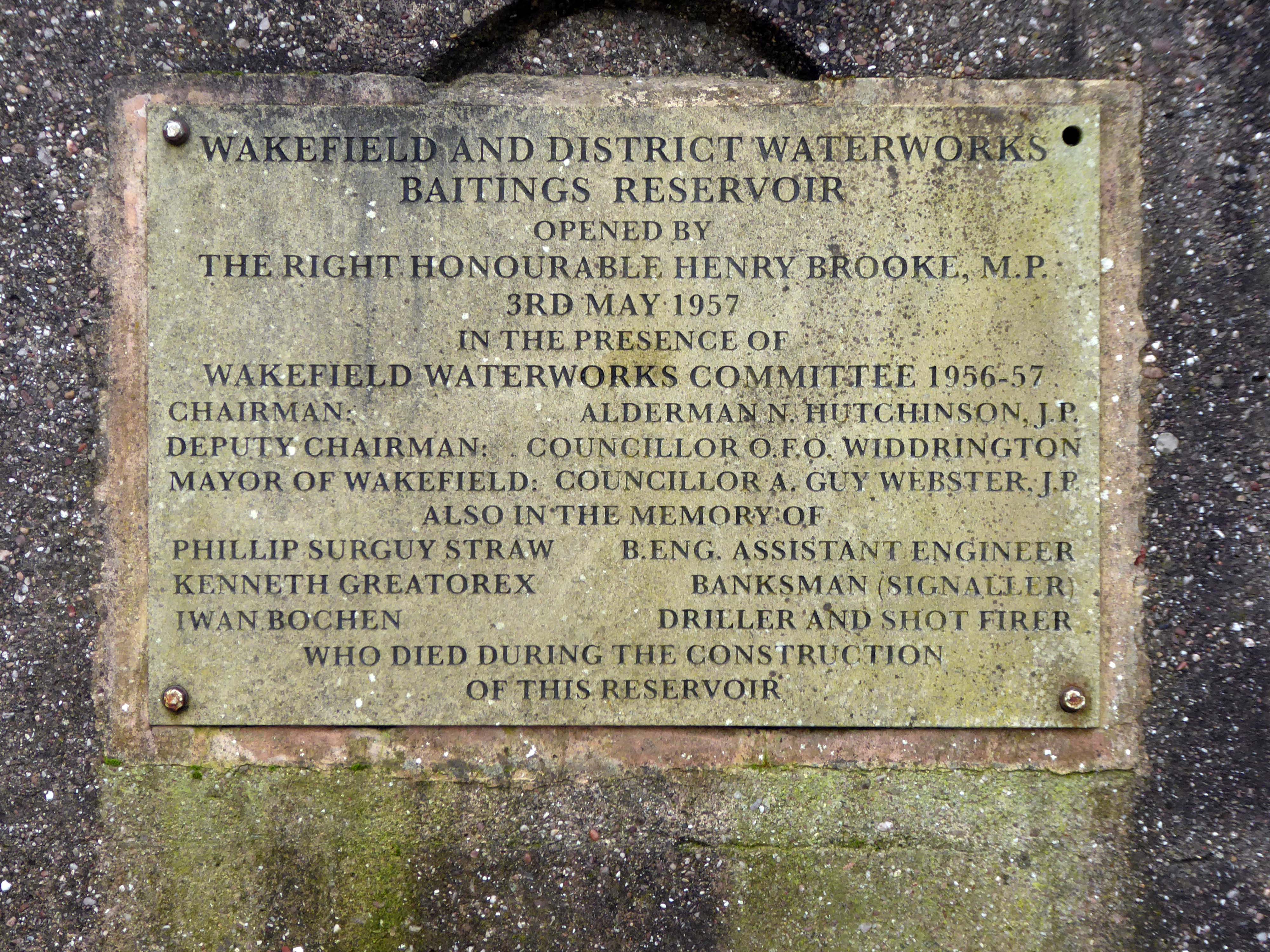
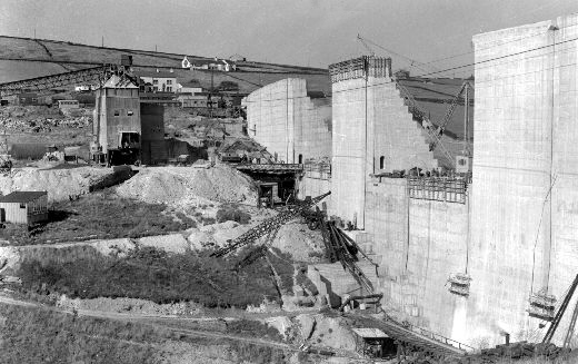
Wakefield Express: 31st August 1955
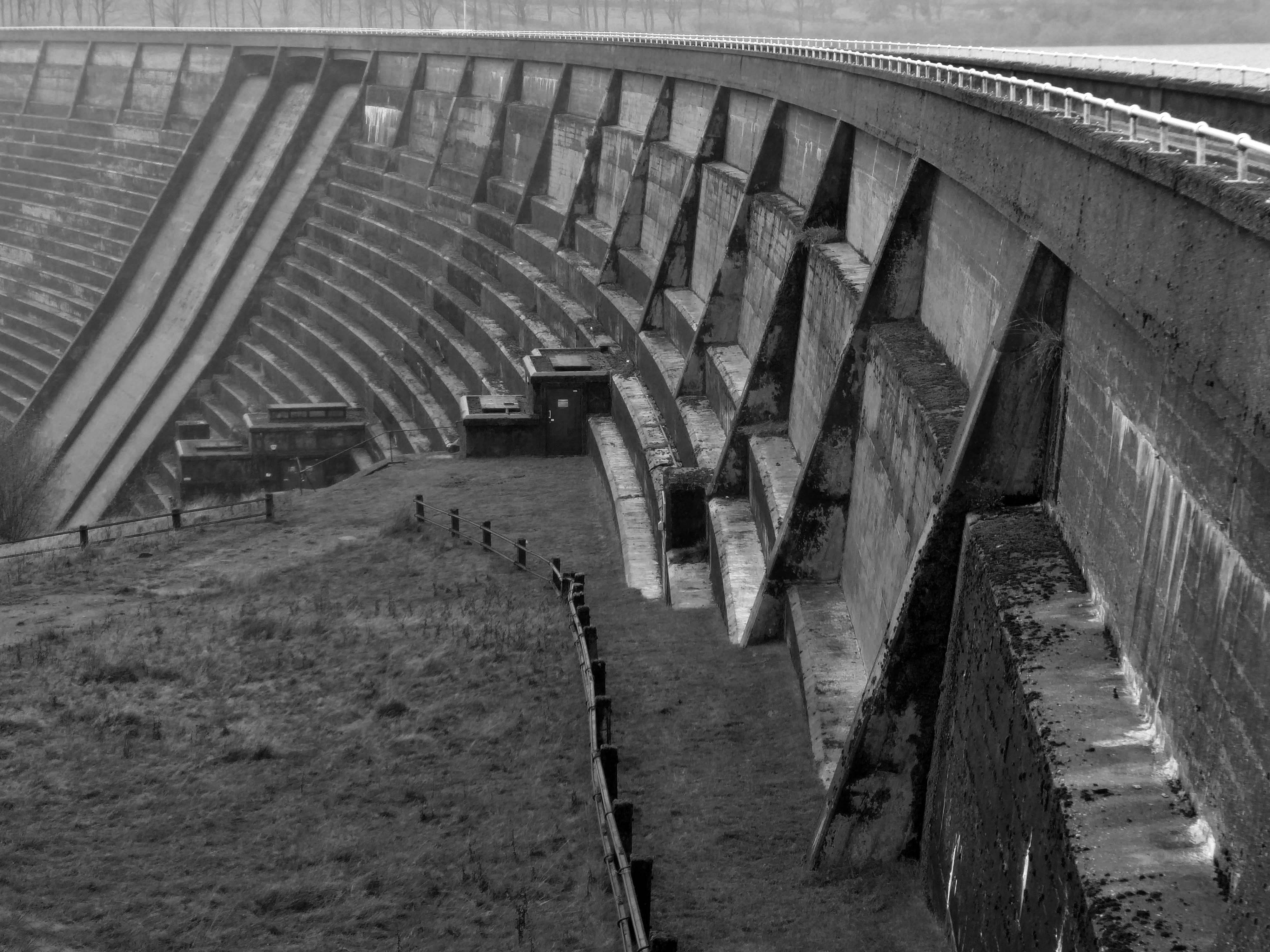
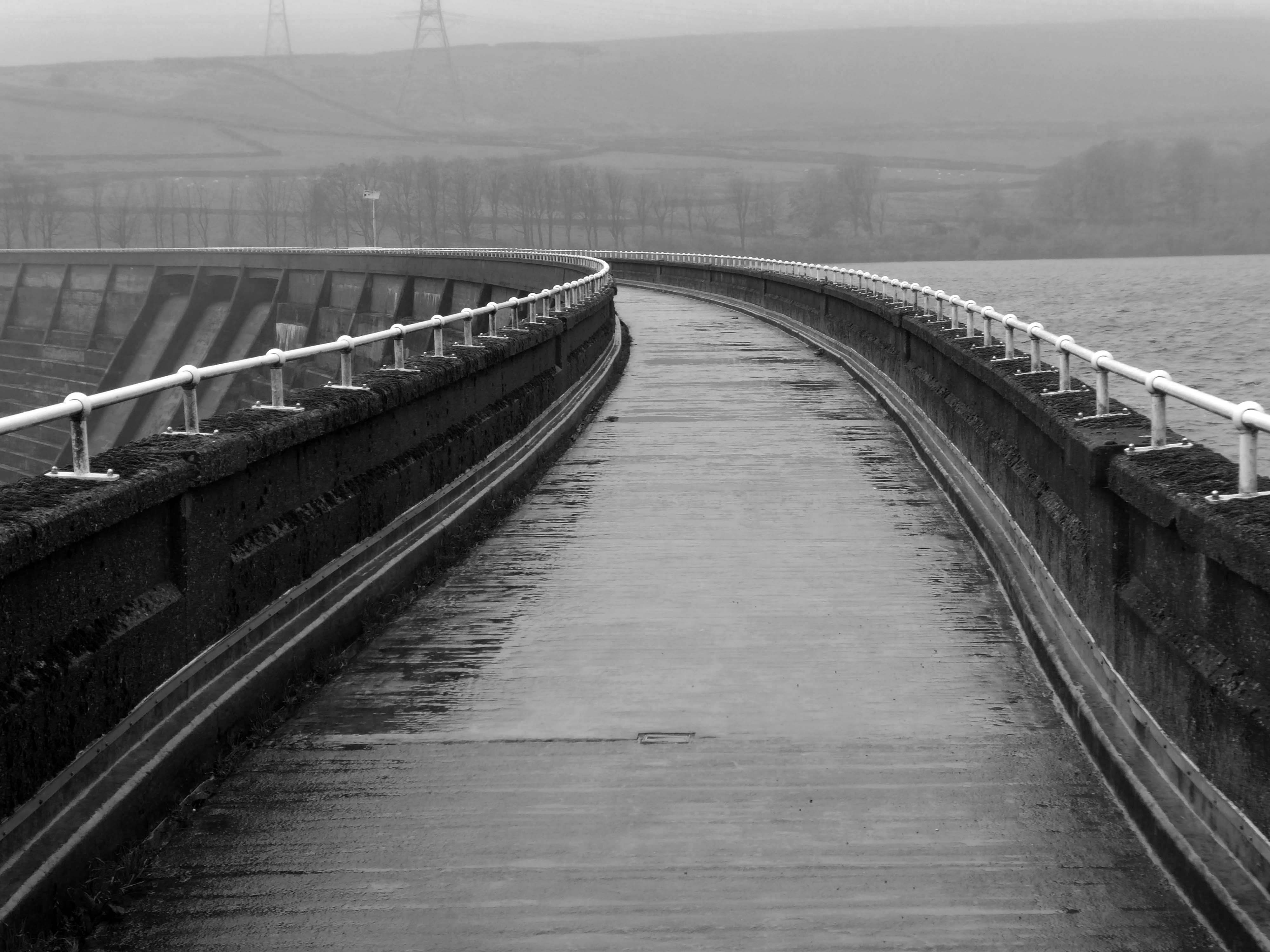
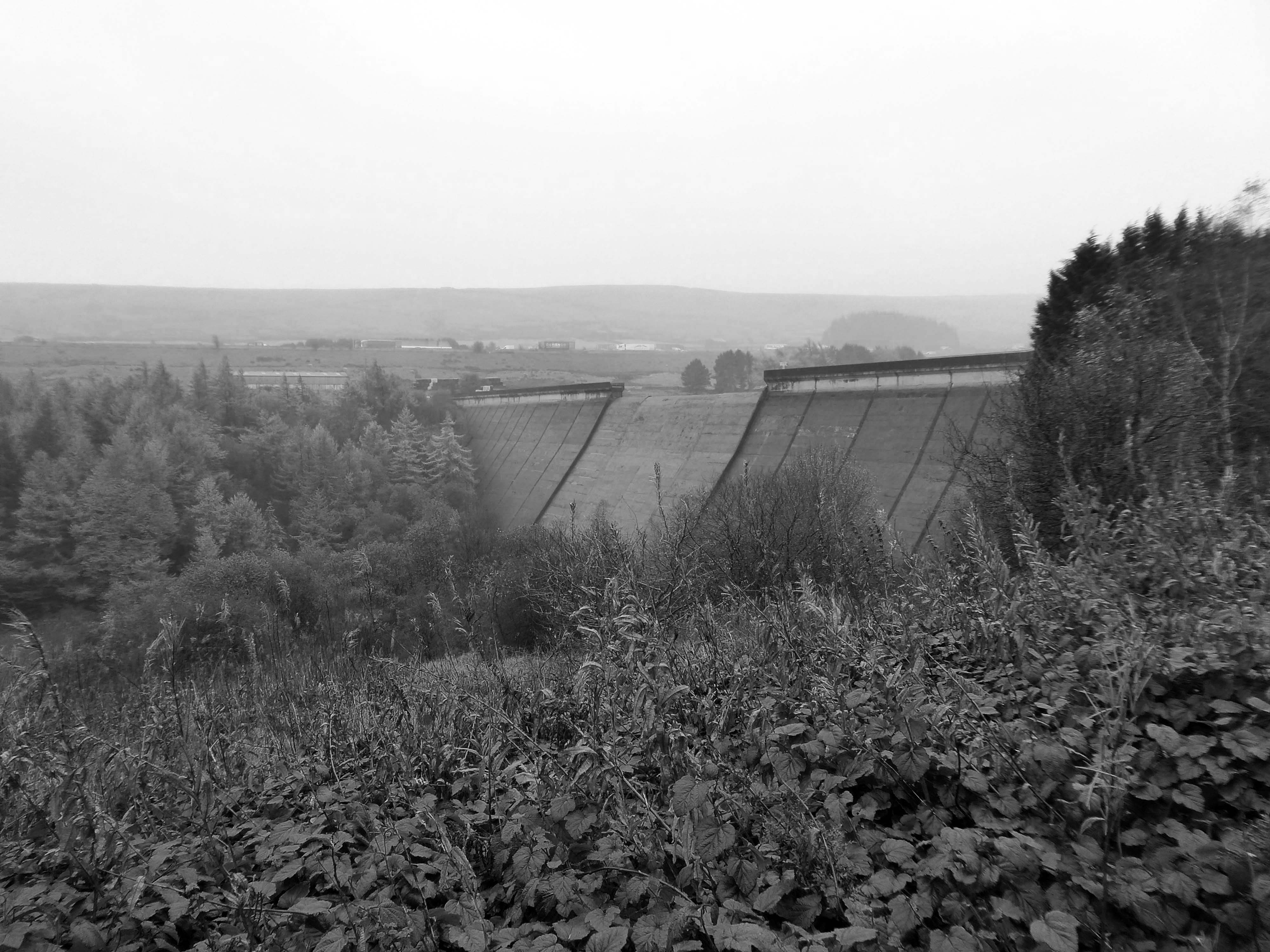
The dam head is a curved structure that is 1,540 feet long and over 160 feet high. The reservoir covers 59 acres and has a catchment of 1,830 acres , and when it is full, it holds over 113,000,000 cubic feet of water. The dam took eight years to complete at a cost of £1.4 million, and is located at 840 feet above sea level. A tunnel connects reservoirs in valleys to the north with Baitings to allow for the transfer of water. Manshead Tunnel is 8,000 feet long and was opened in 1962.
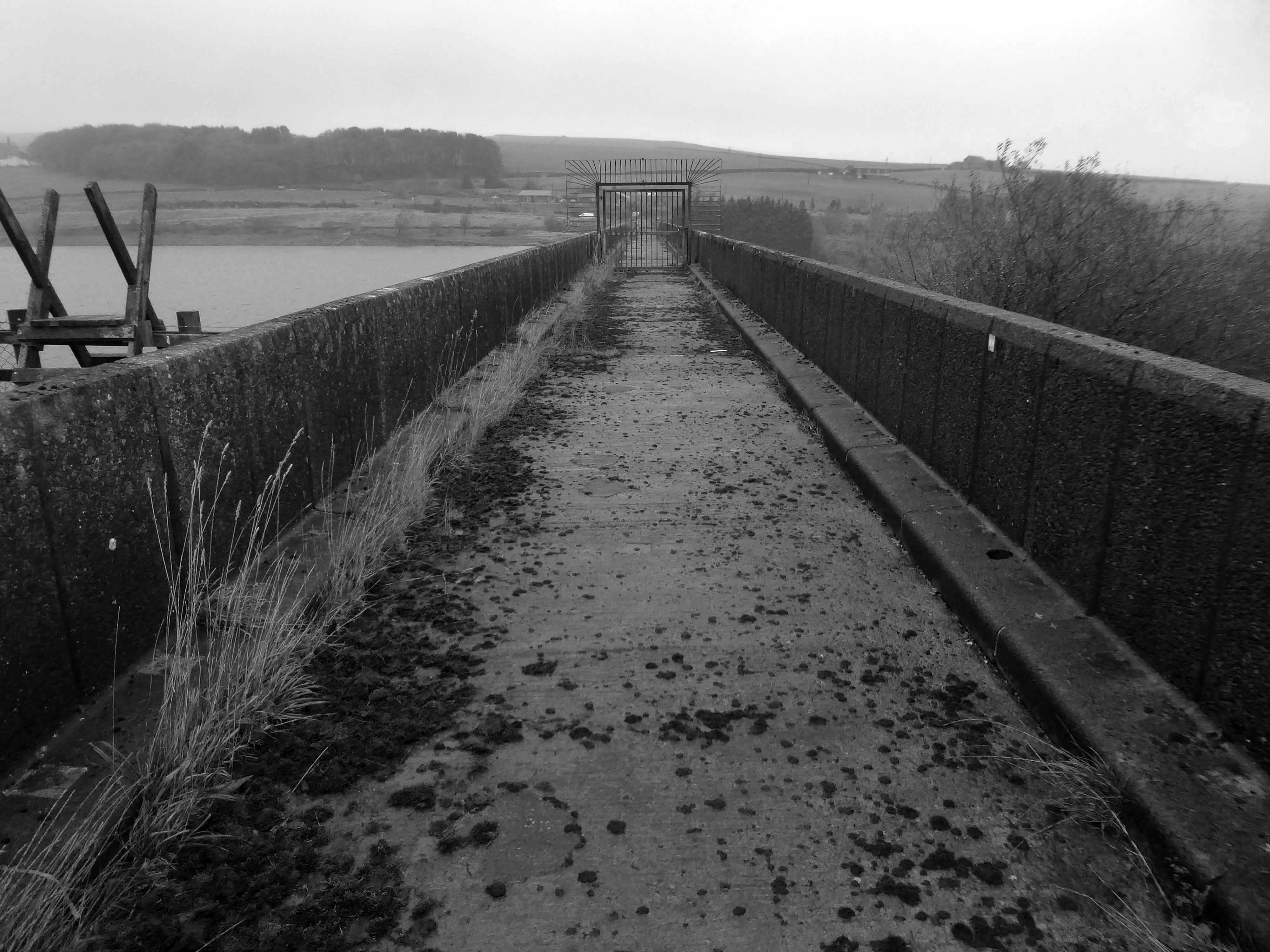
Inconveniently, the footpath to the lower Ryburn Reservoir was closed – we were diverted over the dam.
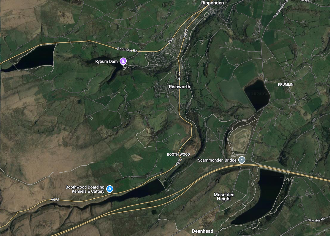
We took the pathway to Booth Wood Reservoir – over Pike End and beyond.
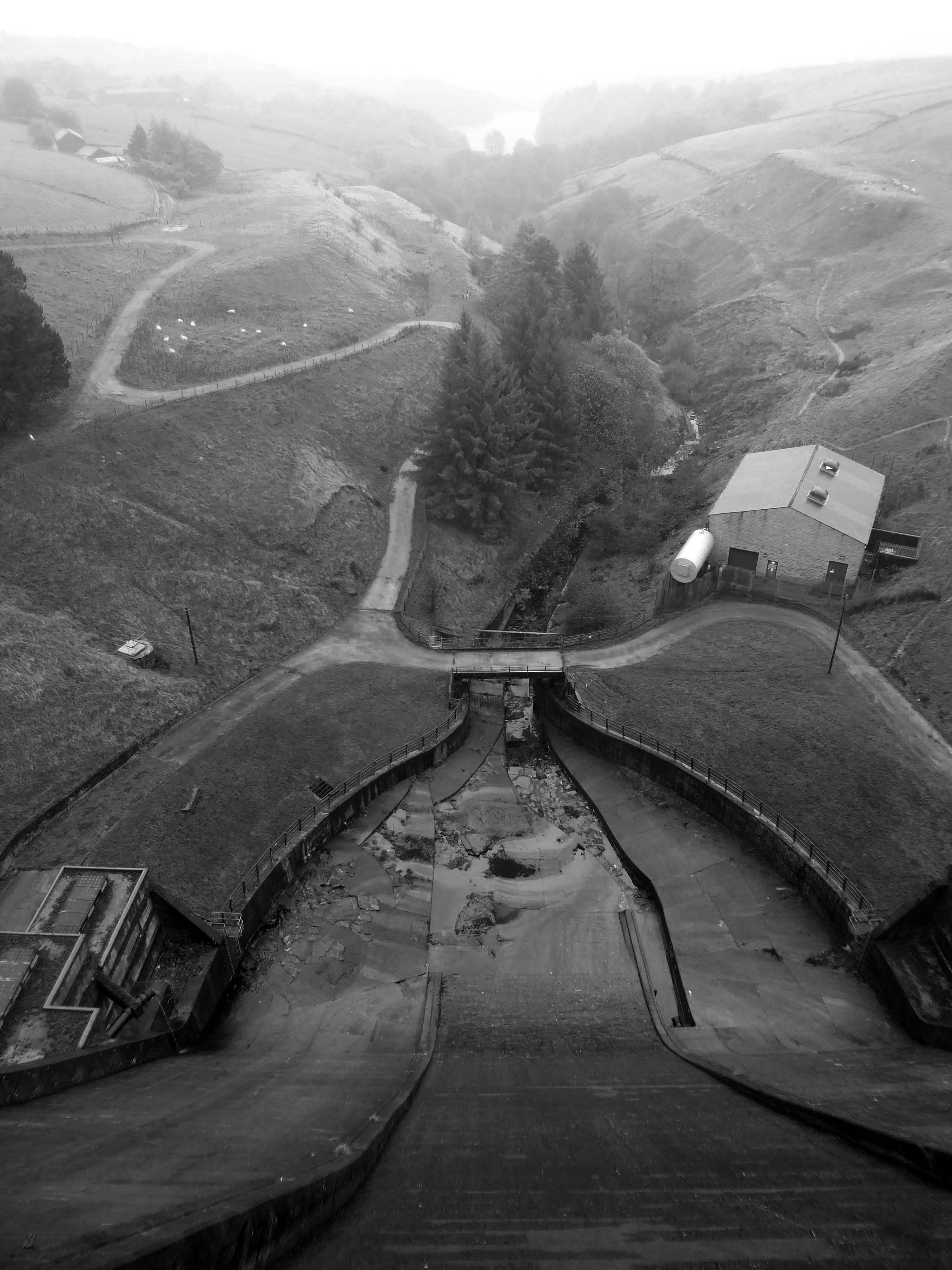
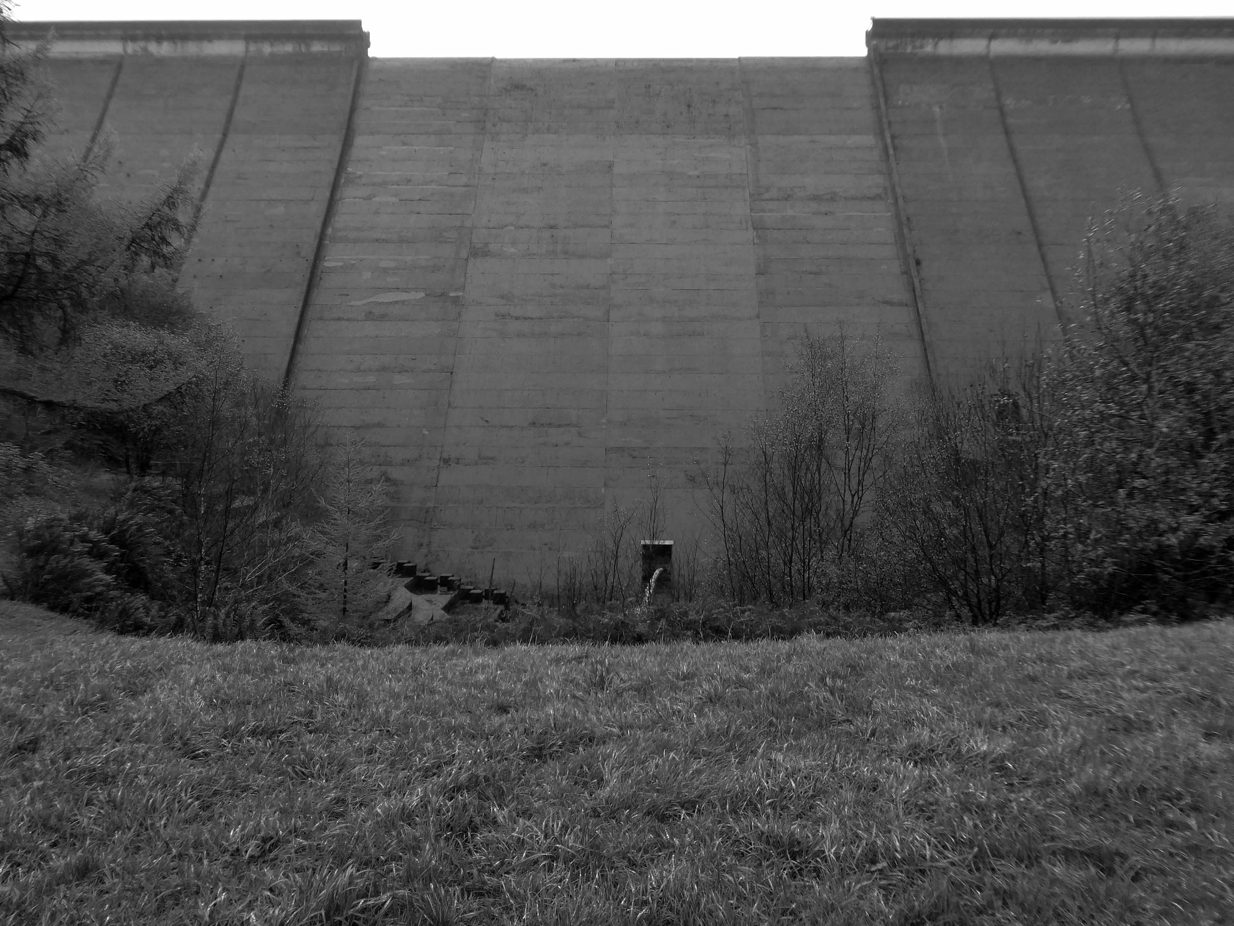
We dropped down beneath the Booth WoodDam.
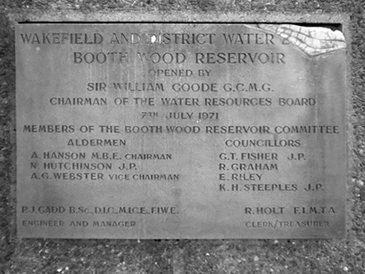
Booth Wood Reservoir is a man-made upland reservoir that lies north of the M62 motorway and south of the A672 road near to Rishworth and Ripponden in Calderdale, West Yorkshire. The reservoir was approved for construction in 1966 and completed in 1971.
It supplies water to Wakefield.
The reservoir dams the Booth Dean Clough watercourse and takes water directly from the surrounding moorland. It has a plain concrete crest on the dam head which is straight and extends to a length of 1,150 feet and a height of 157 feet.
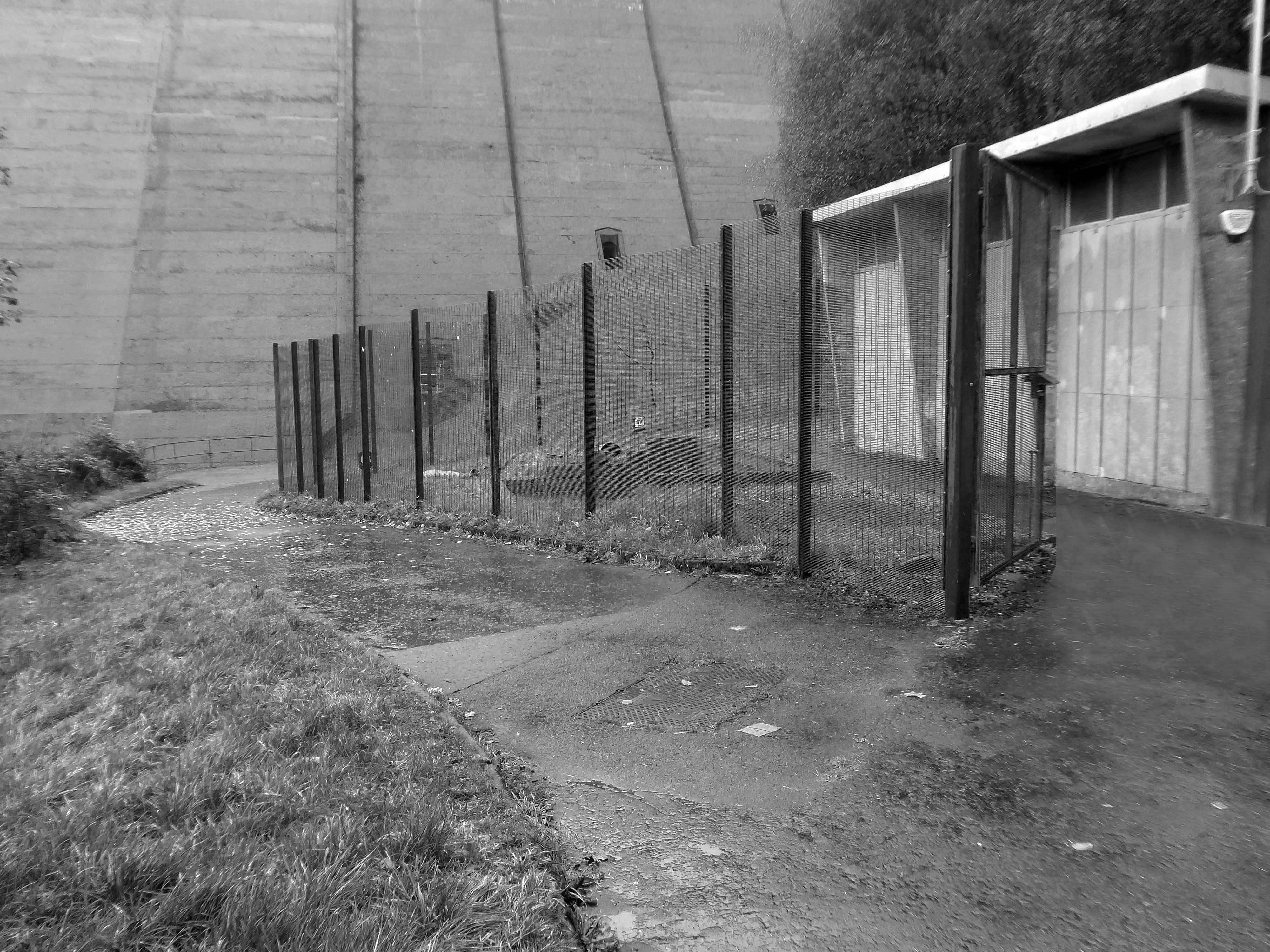
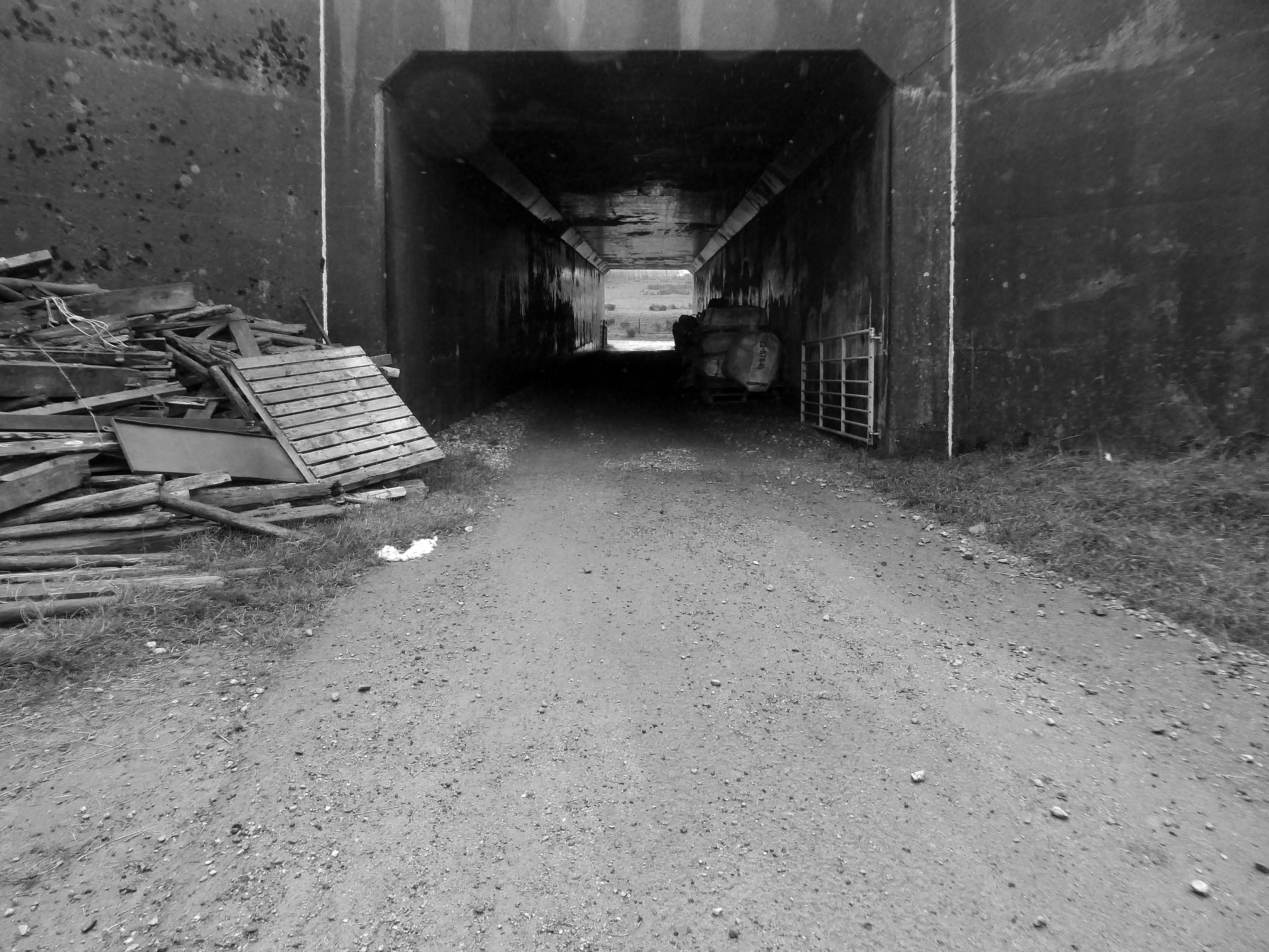
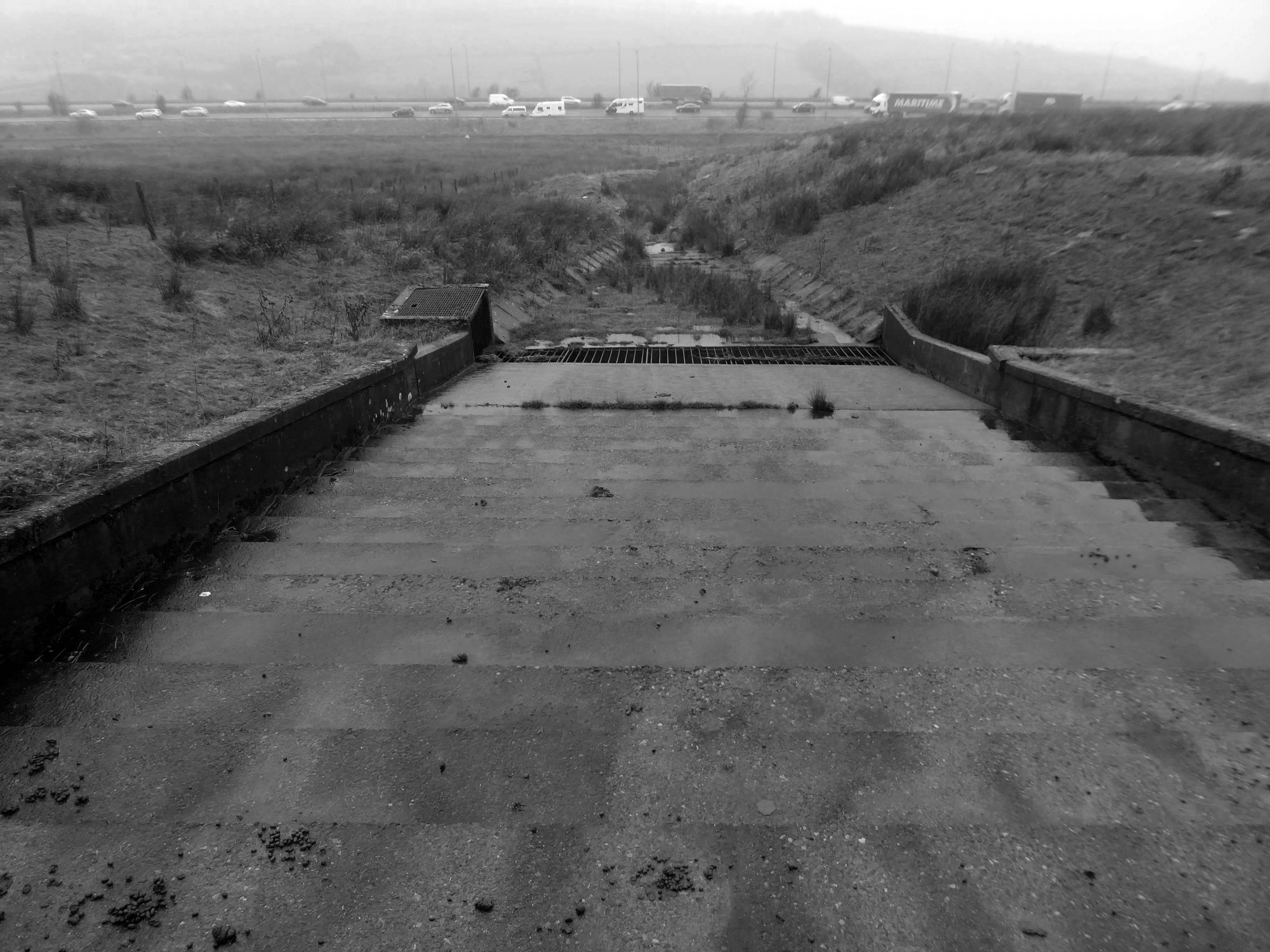
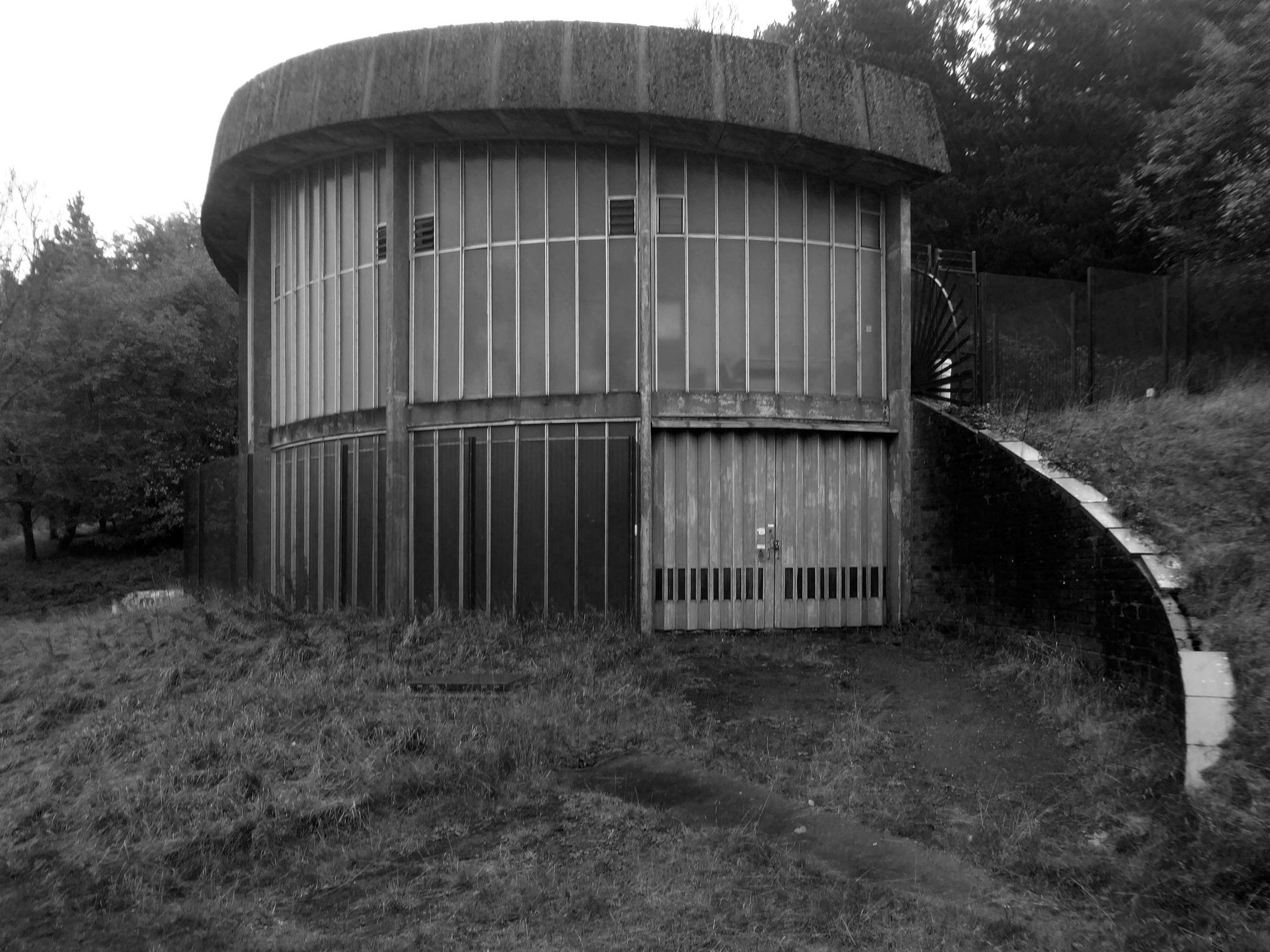
Below is a dinky pumping station, tucked beneath the dam.
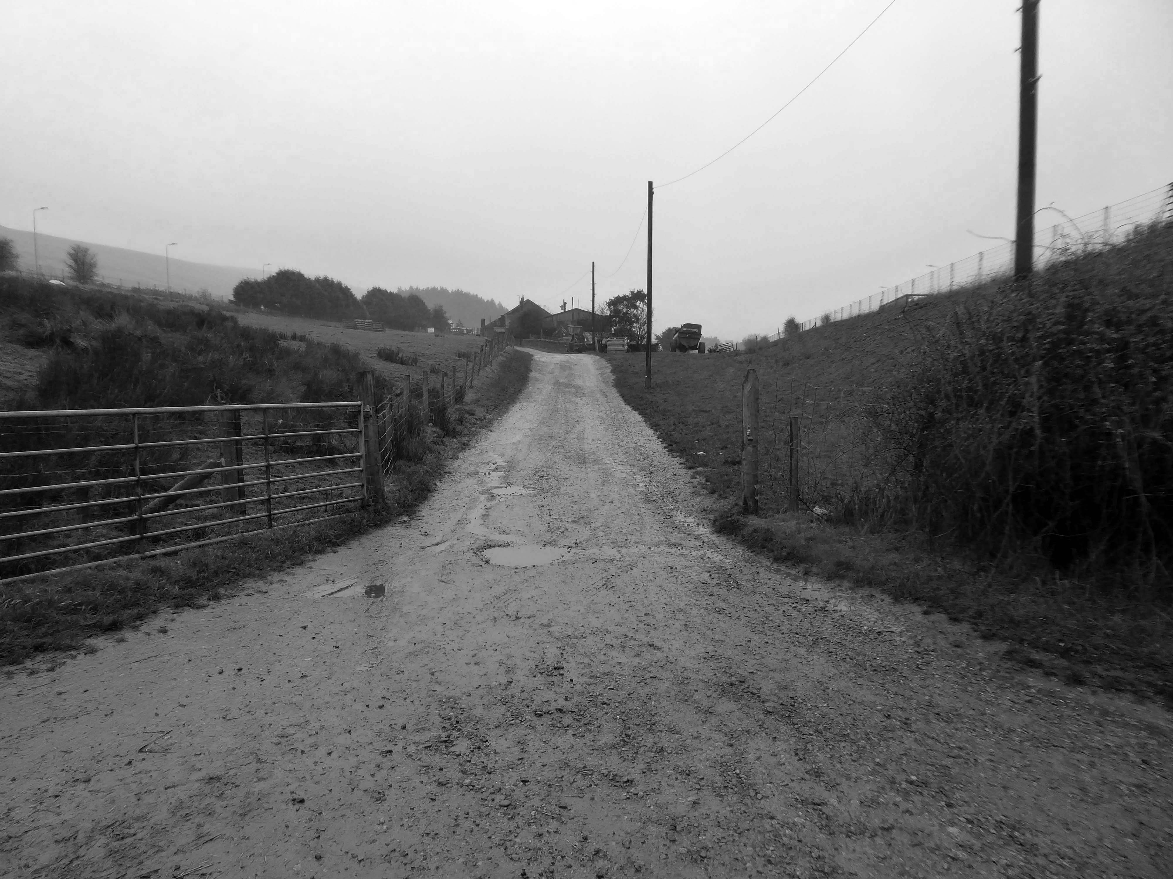
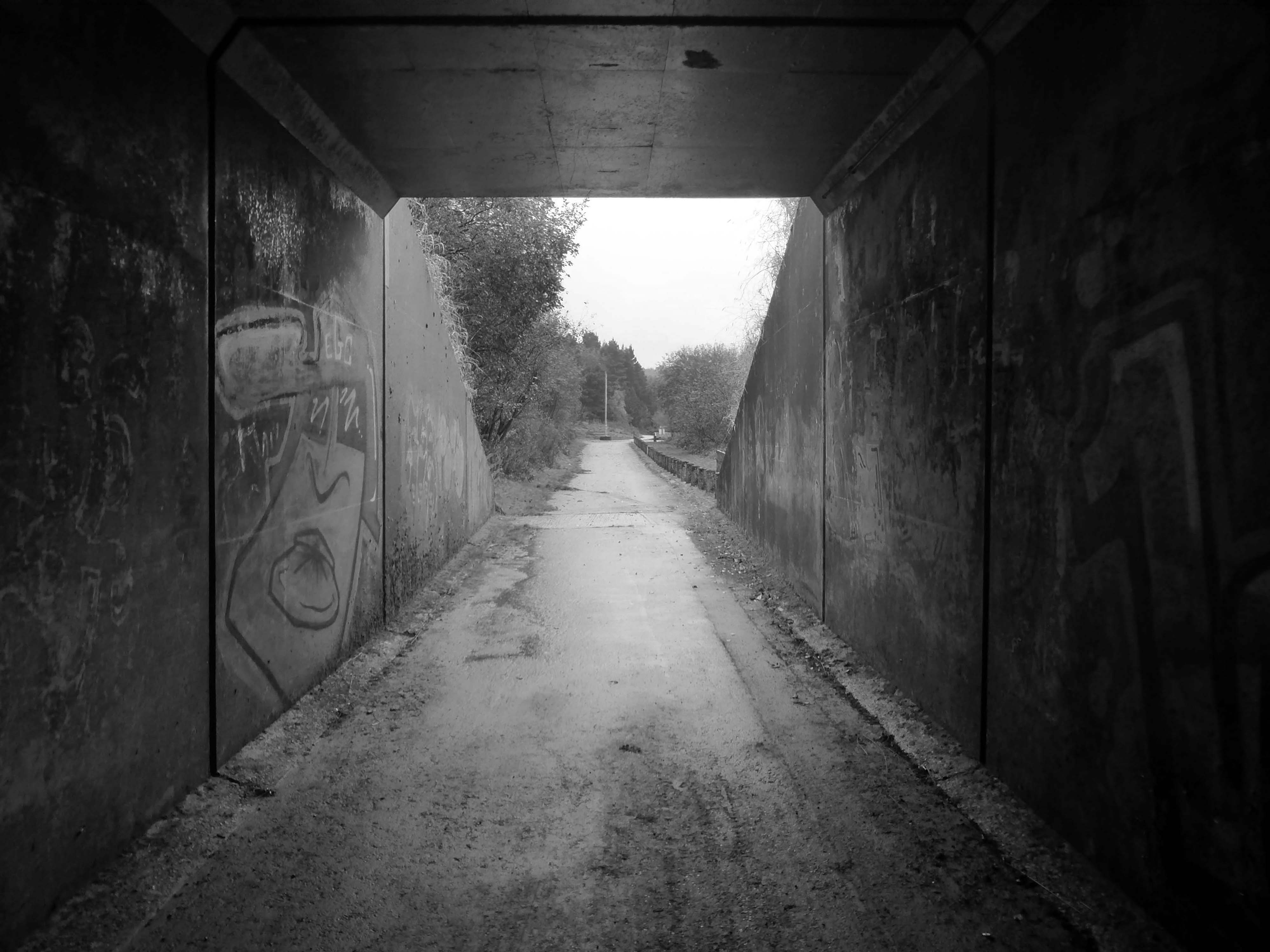
We took a precipitous path through the wood – up to the level of the reservoir.
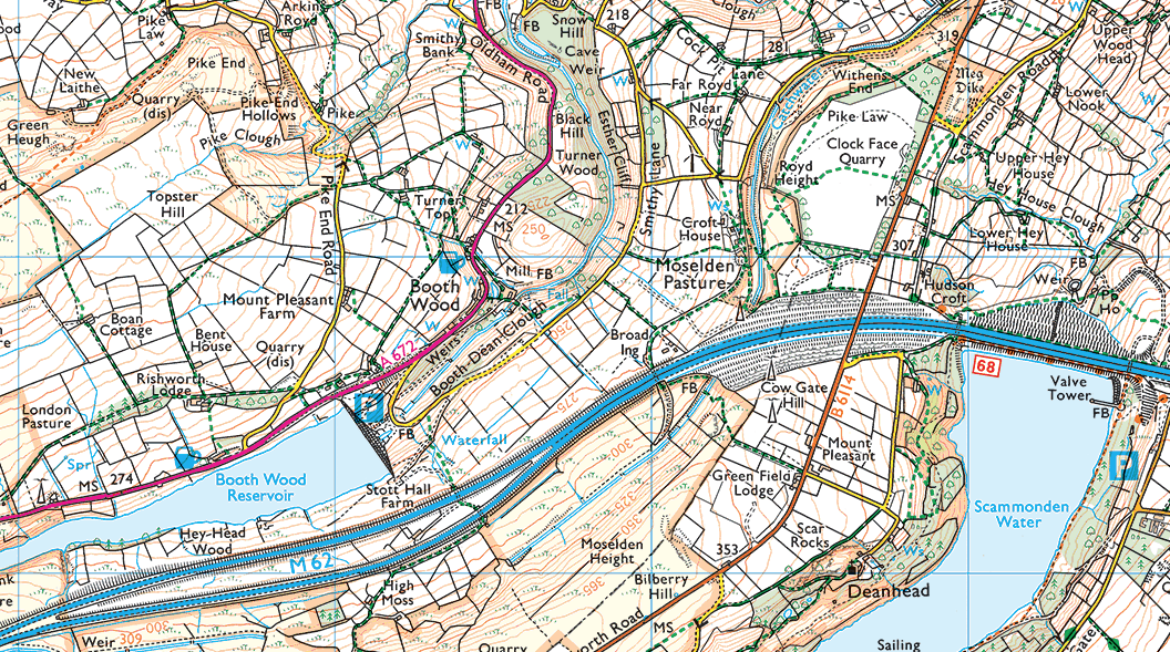
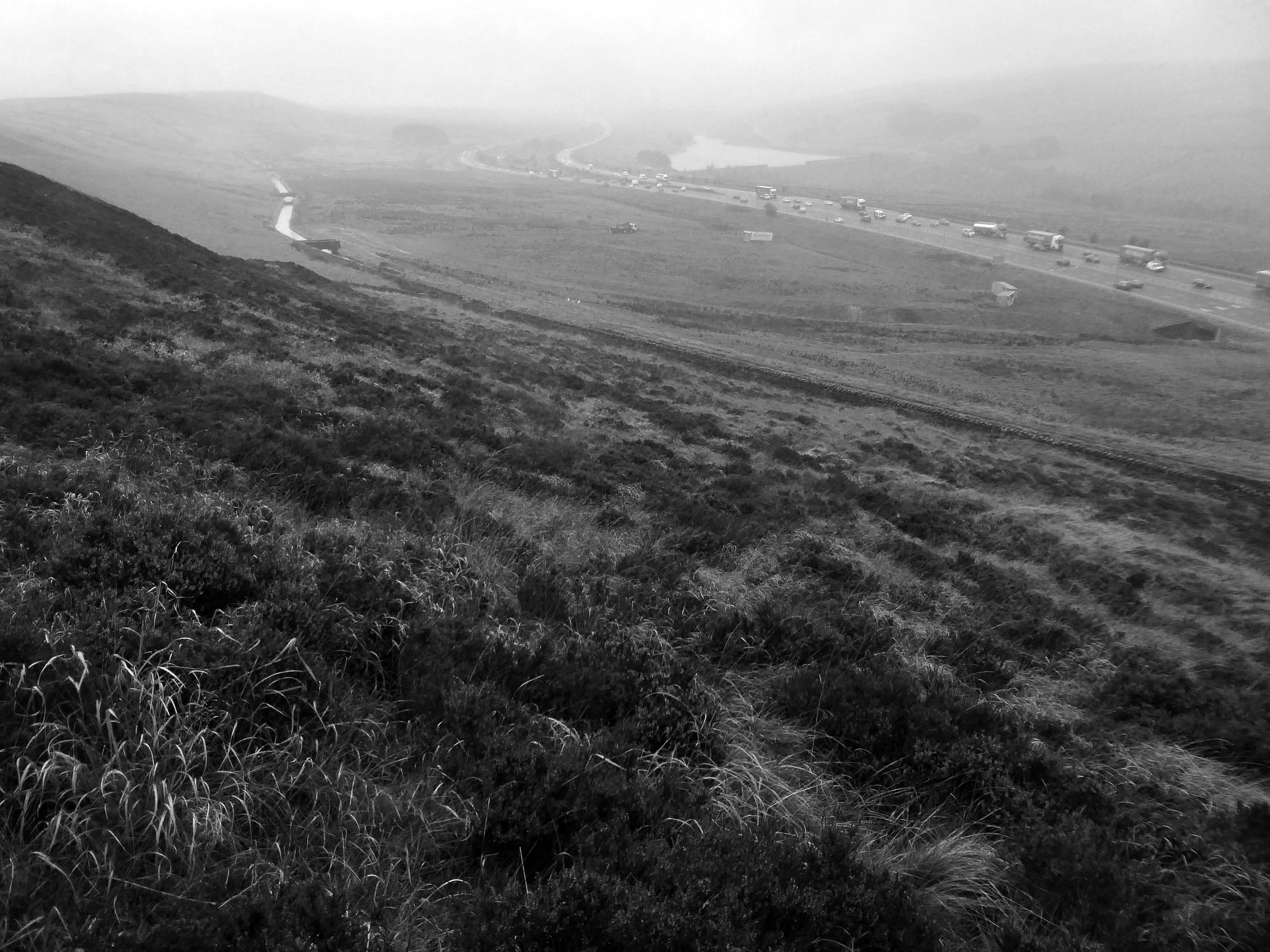
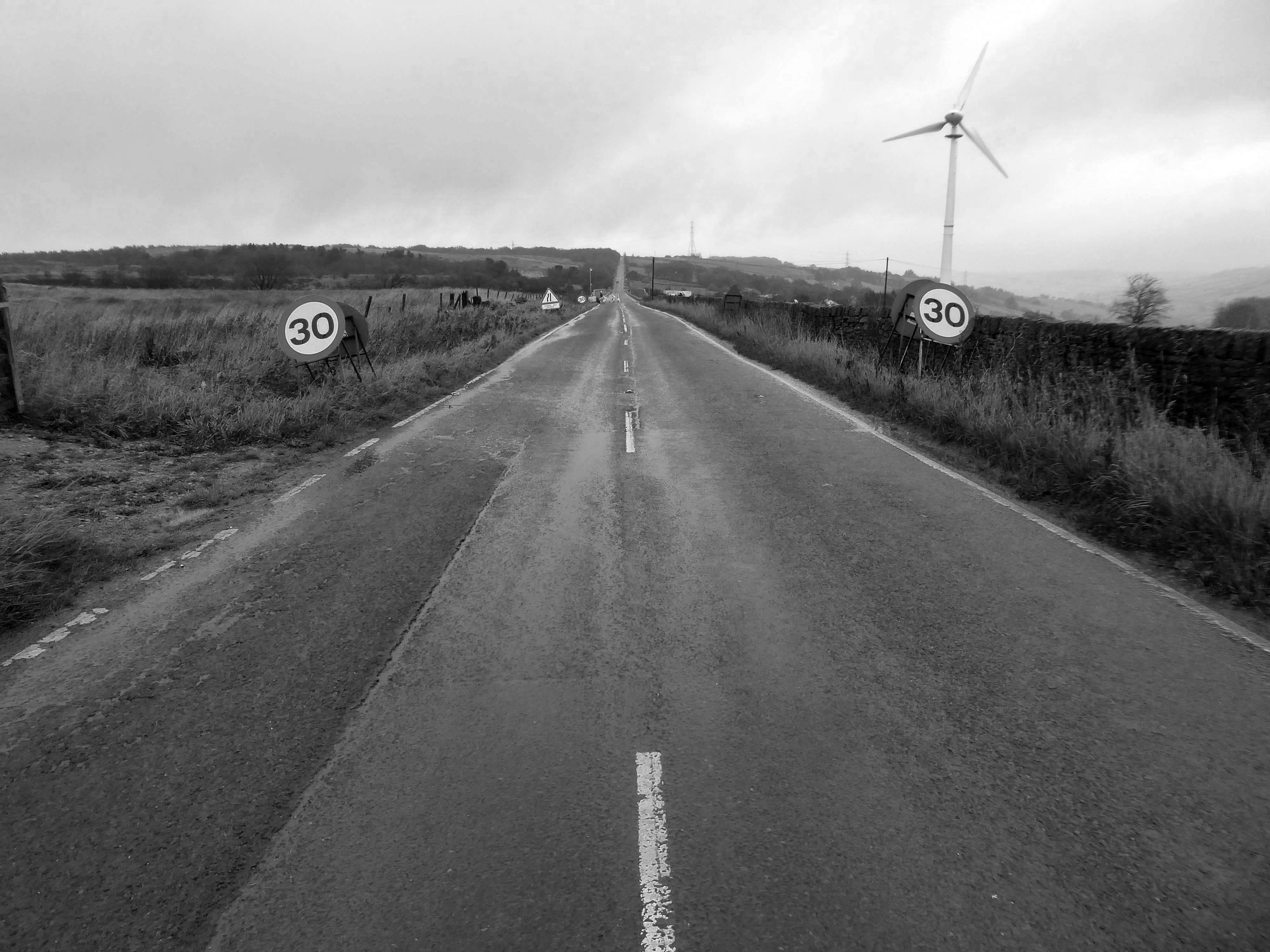
Under the the M62 and past the infamous Stott Hall Farm.
Stott Hall Farm is a farm located between the eastbound and westbound carriageways of the M62 motorway in Calderdale. It is the only farm in the UK situated in the middle of a motorway and was built in the 18th century on Moss Moor. It lies south of Booth Wood Reservoir where the carriageways are separated between junctions 22 and 23. The road divides for much of its length between the Windy Hill and Deanhead cuttings because of the surrounding geography; but a myth persists that it was split because Ken and Beth Wild refused to sell. However, the farm was actually owned by Yorkshire Water at the time the M62 was built.
We walked over the upland moors to meet with the Catchwater, which formerly fed the Ringstone Edge Reservoir, prior to the construction of the motorway cutting.
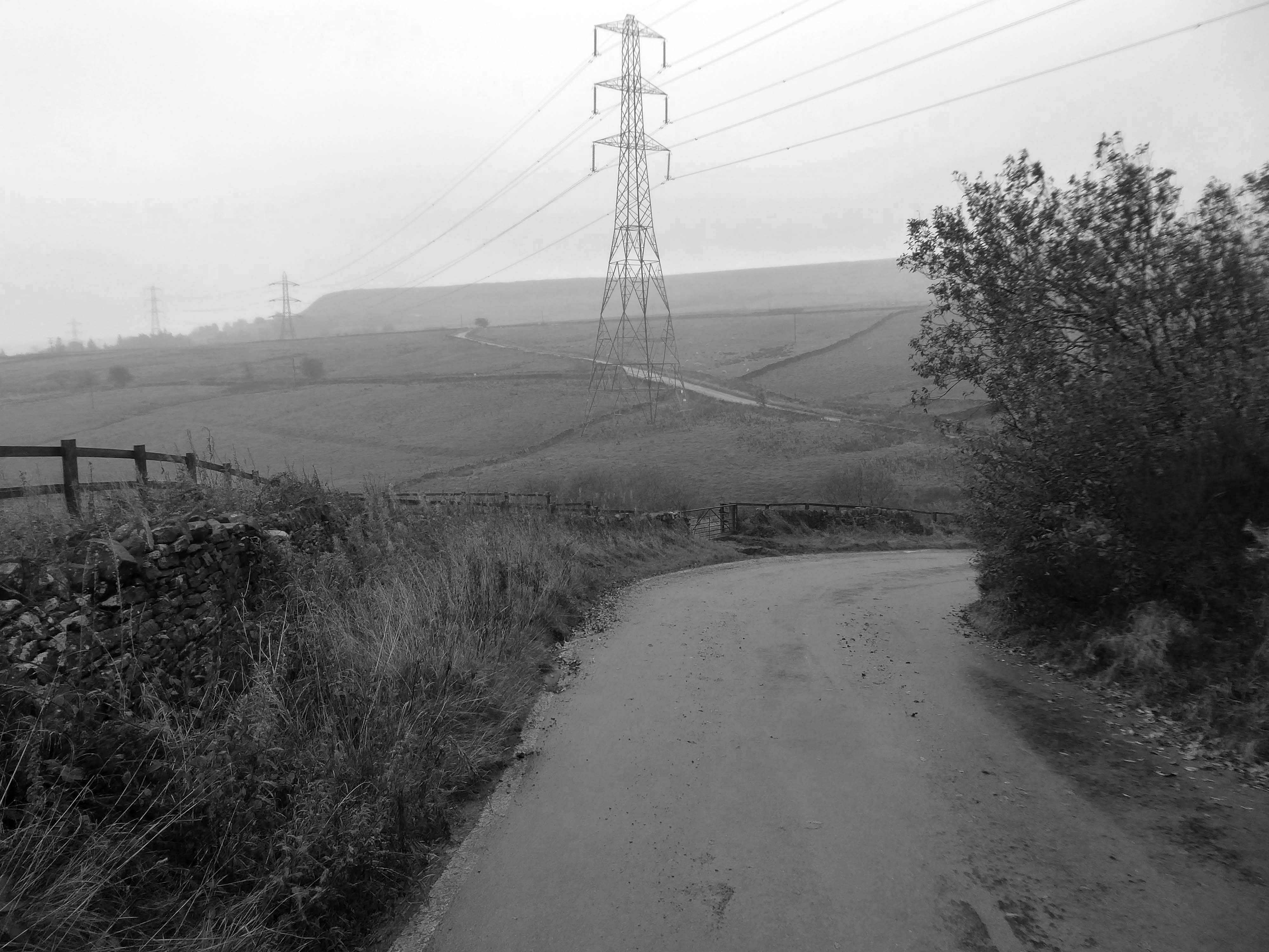
Climbing again over Cow Gate Hill to meet the Saddleworth Road.
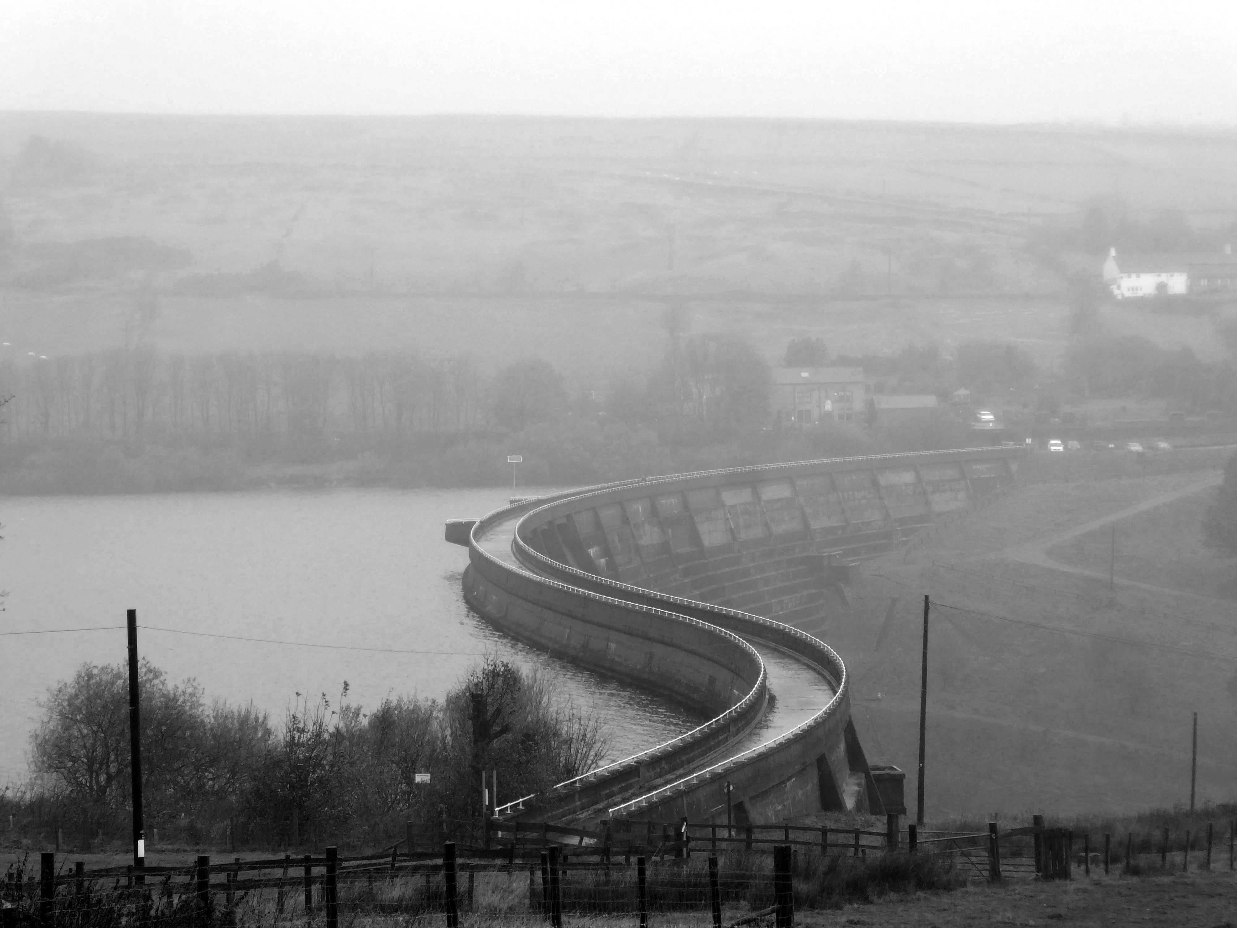
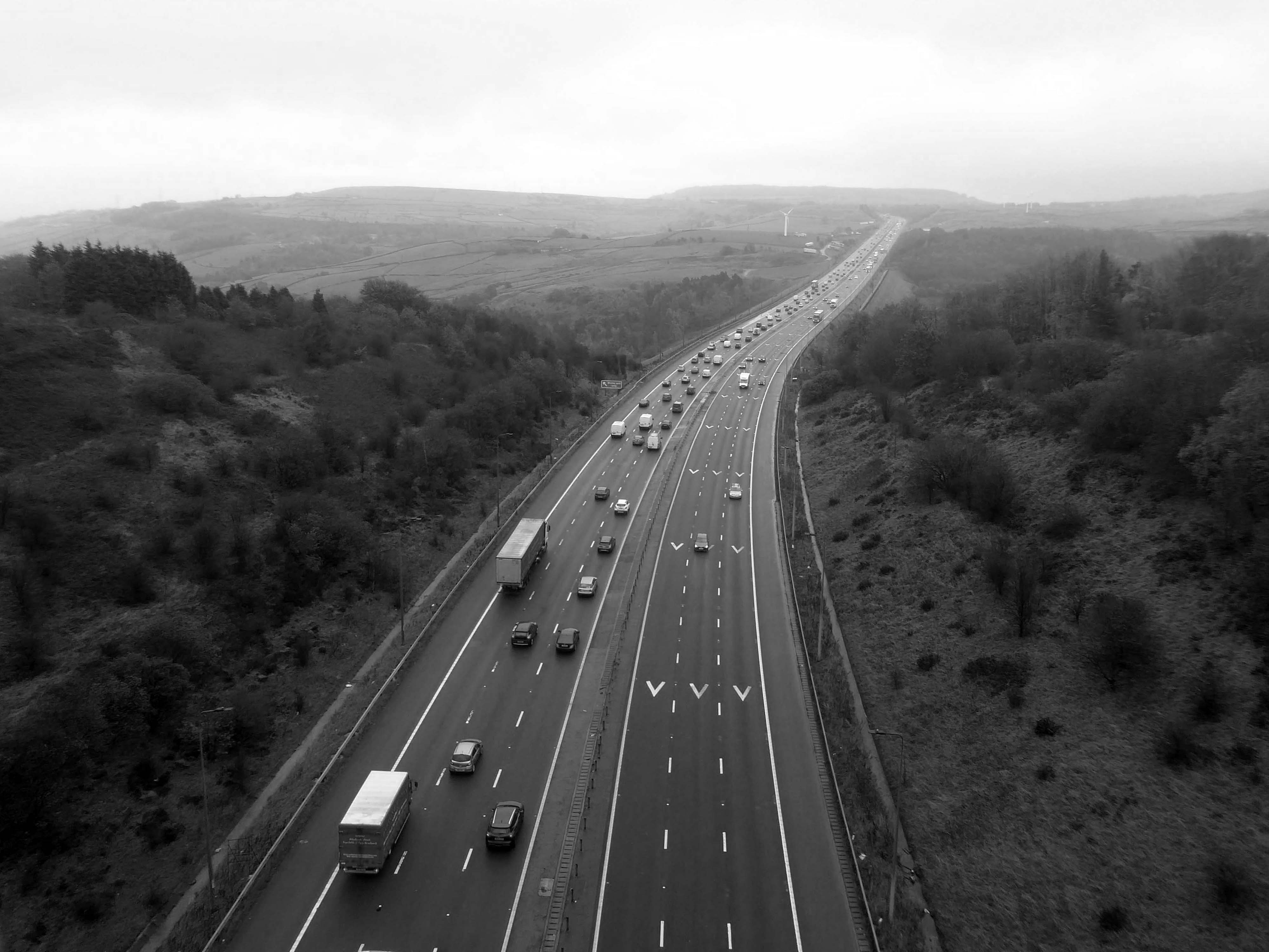
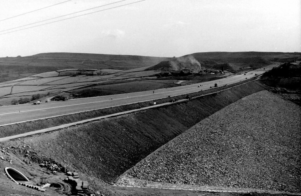
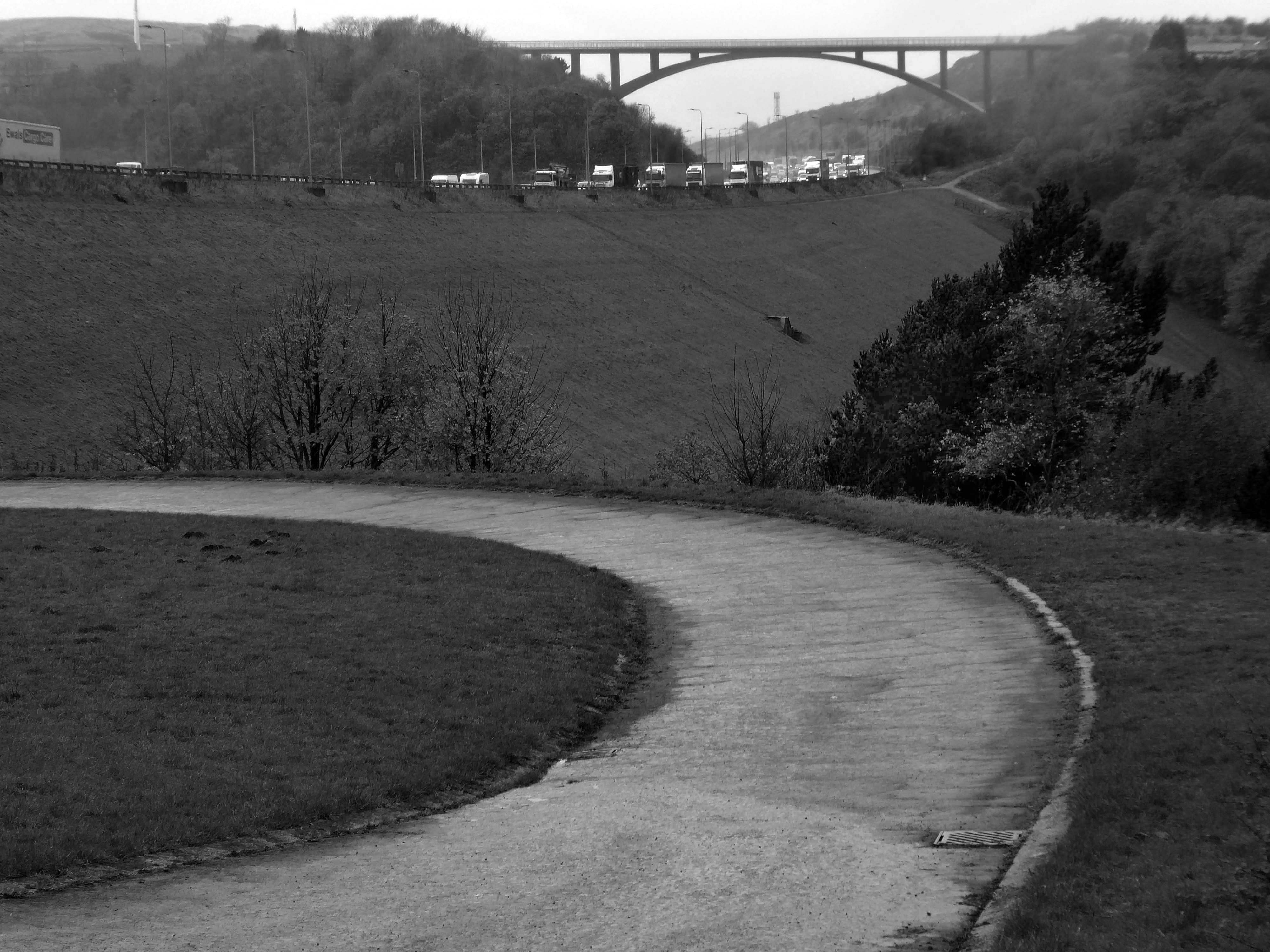
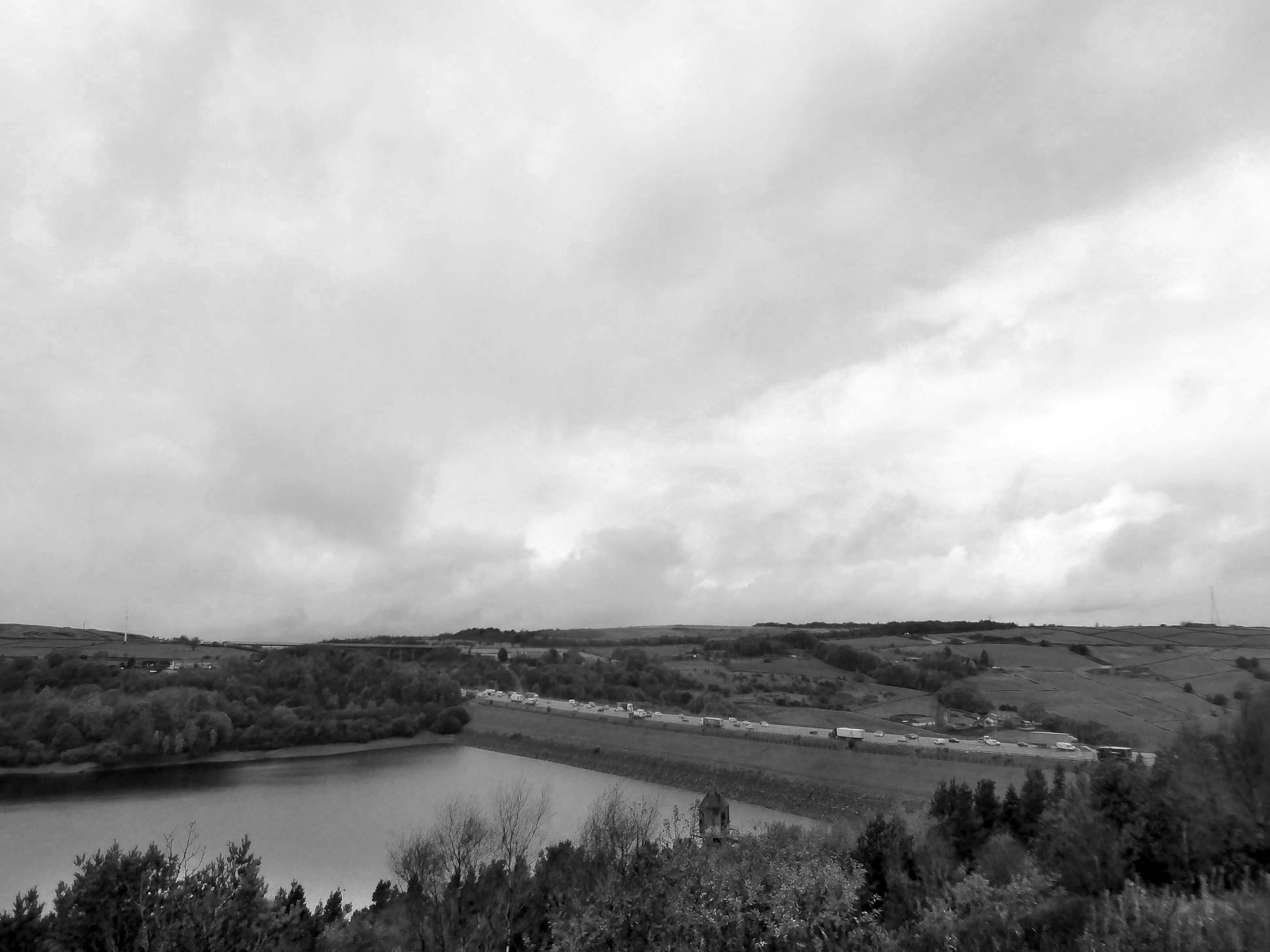
Crossing the motorway and dropping down to meet the Scammonden Dam.
Scammonden Dam is part of the M62 motorway between junctions 22 and 23, the only such structure in Britain. Its construction by the Ministry of Transport and Huddersfield Corporation Waterworks required the passing of the Huddersfield Corporation Act 1965. The motorway dam spans the Deanhead Valley in the Pennines between Huddersfield and Rochdale and the main contractor for the project was Sir Alfred McAlpine & Sons.
It was designed by Rofe, Kennard and Lapworth
Surveying began in November 1961 and the route of the carriageway was determined in mid 1963. Excavation in the Deanhead Valley commenced the following year and for the dam in 1966. This required the removal of 25,200,000 cu ft of peat bog to reach the solid rock base nearly 43 ft below ground level. Material excavated elsewhere on the line of the motorway, clay from cuttings between Lofthouse and Gildersome, and 3.4 million cubic metres from the Deanhead excavations was used to build the dam’s embankment which is 2,051 ft in length and 207 ft above the original valley floor. The embankment is 1,427 ft wide at its base and 180 ft at road level.
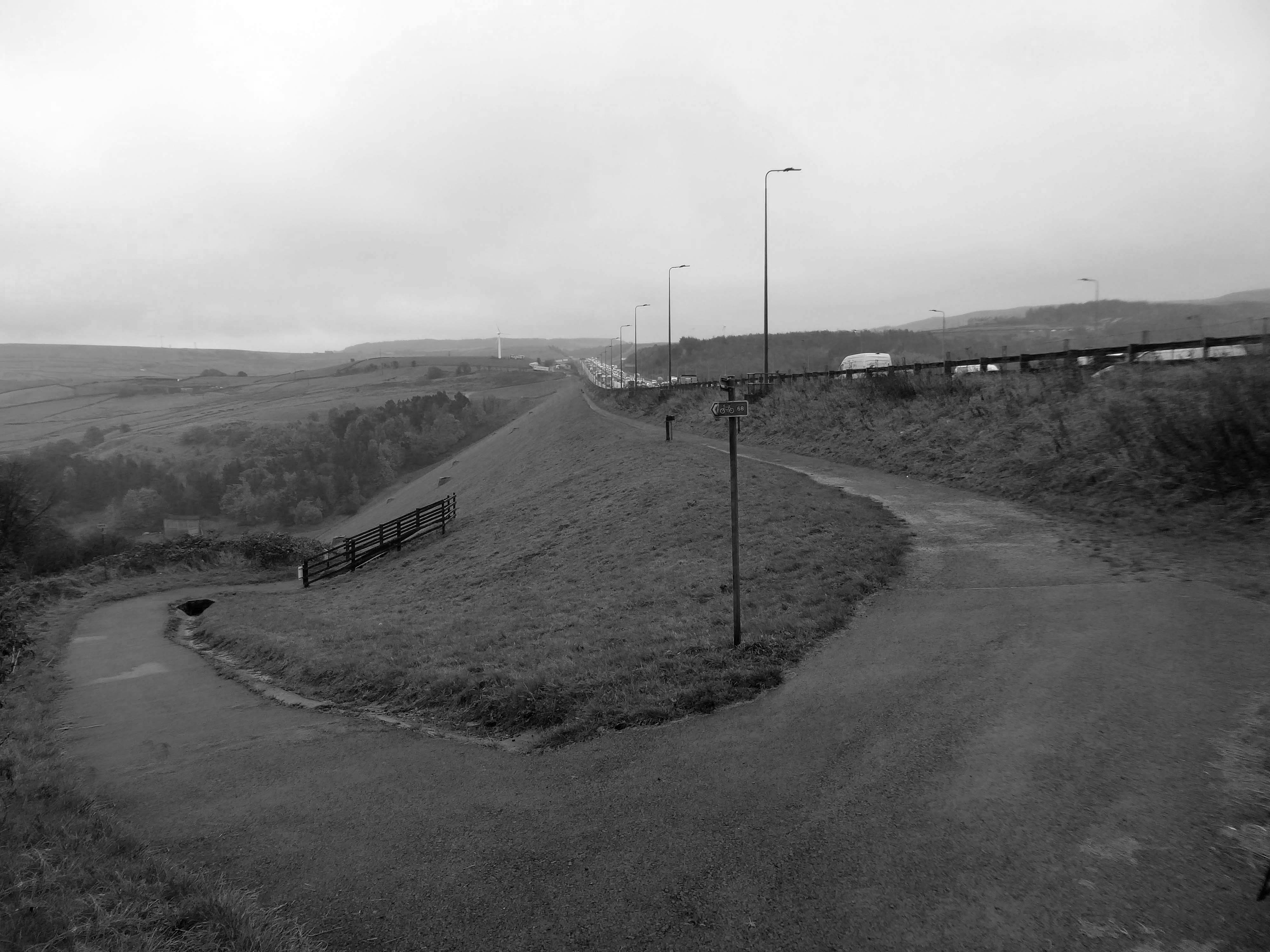
Scammonden steps comprises five flights of steps up the hillside from the valley below. Totaling 458 steps, the cumulative step count when ascending each of the five flights is 95, 200, 287, 363 then 458.
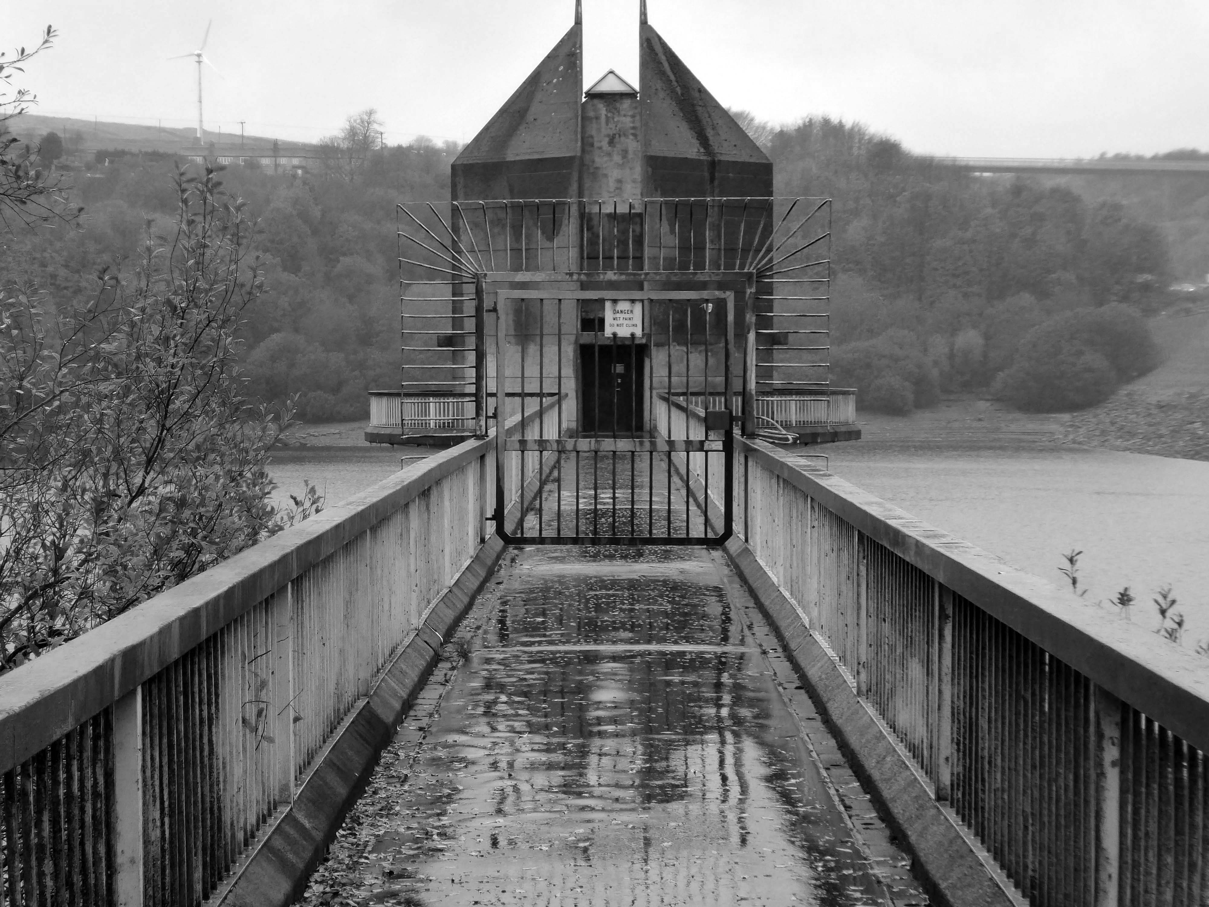
At the base of the dam is this delightful Pumping House.
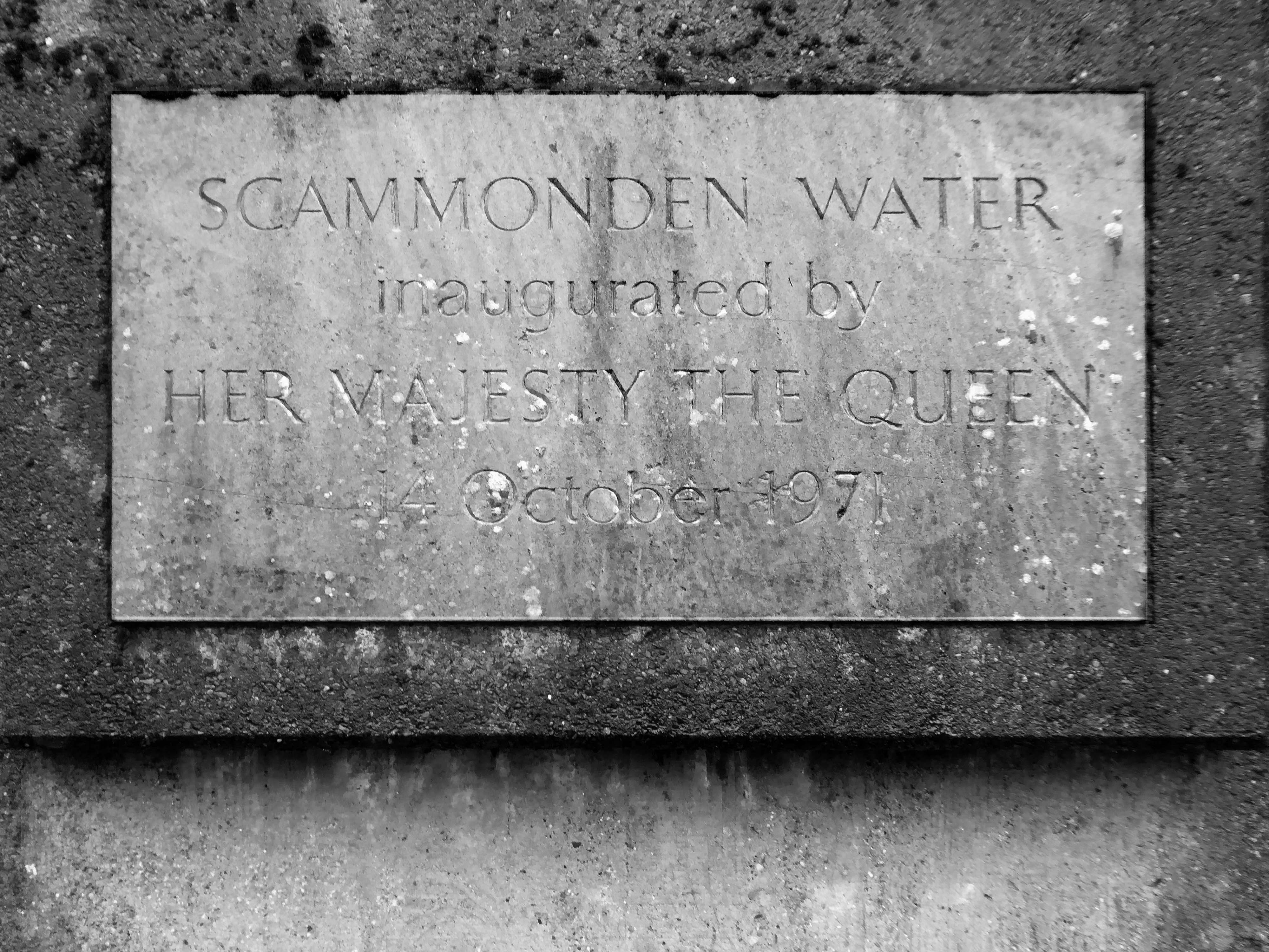
The motorway, which was dependent on the completion of the dam, was opened to traffic on 20th December 1970 and officially opened by Queen Elizabeth II who unveiled a plaque near the valve tower of Scammonden Water on 14 October 1971.
Ascending and looking back toward Scammonden Bridge also known locally as the Brown Cow Bridge – after the nearby Brown Cow Inn, now closed, spans the Deanhead cutting carrying the B6114.
The bridge was built for the West Riding County Council to the designs of the county surveyor, Colonel S Maynard Lovell.
It opened to traffic on Monday 18 May 1970 by Major Bruce Eccles – Huddersfield Transport ran buses to see the bridge.
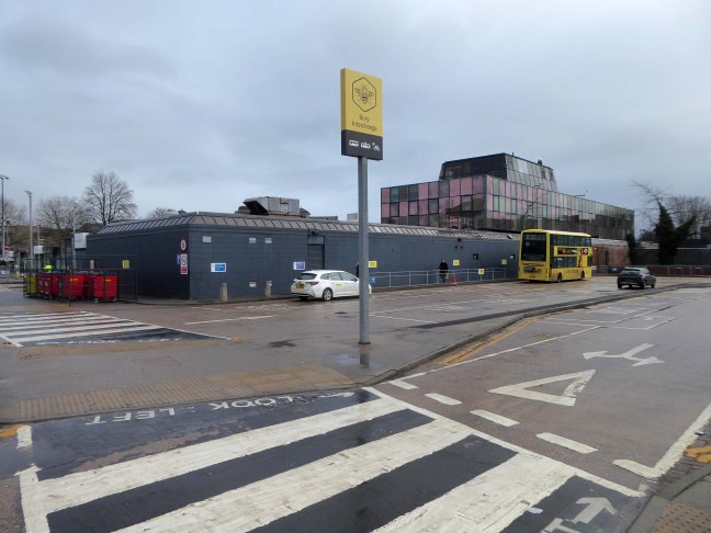
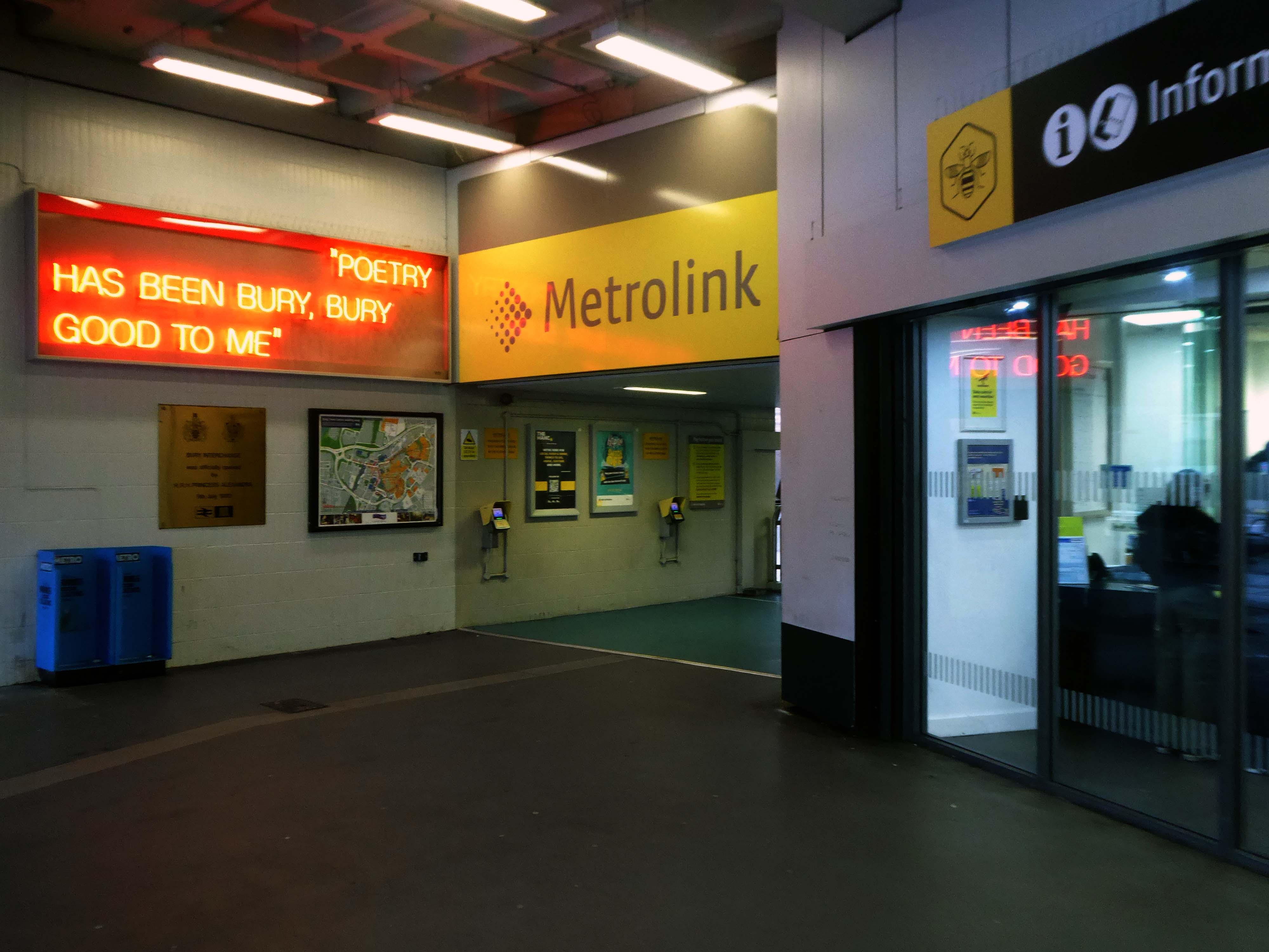
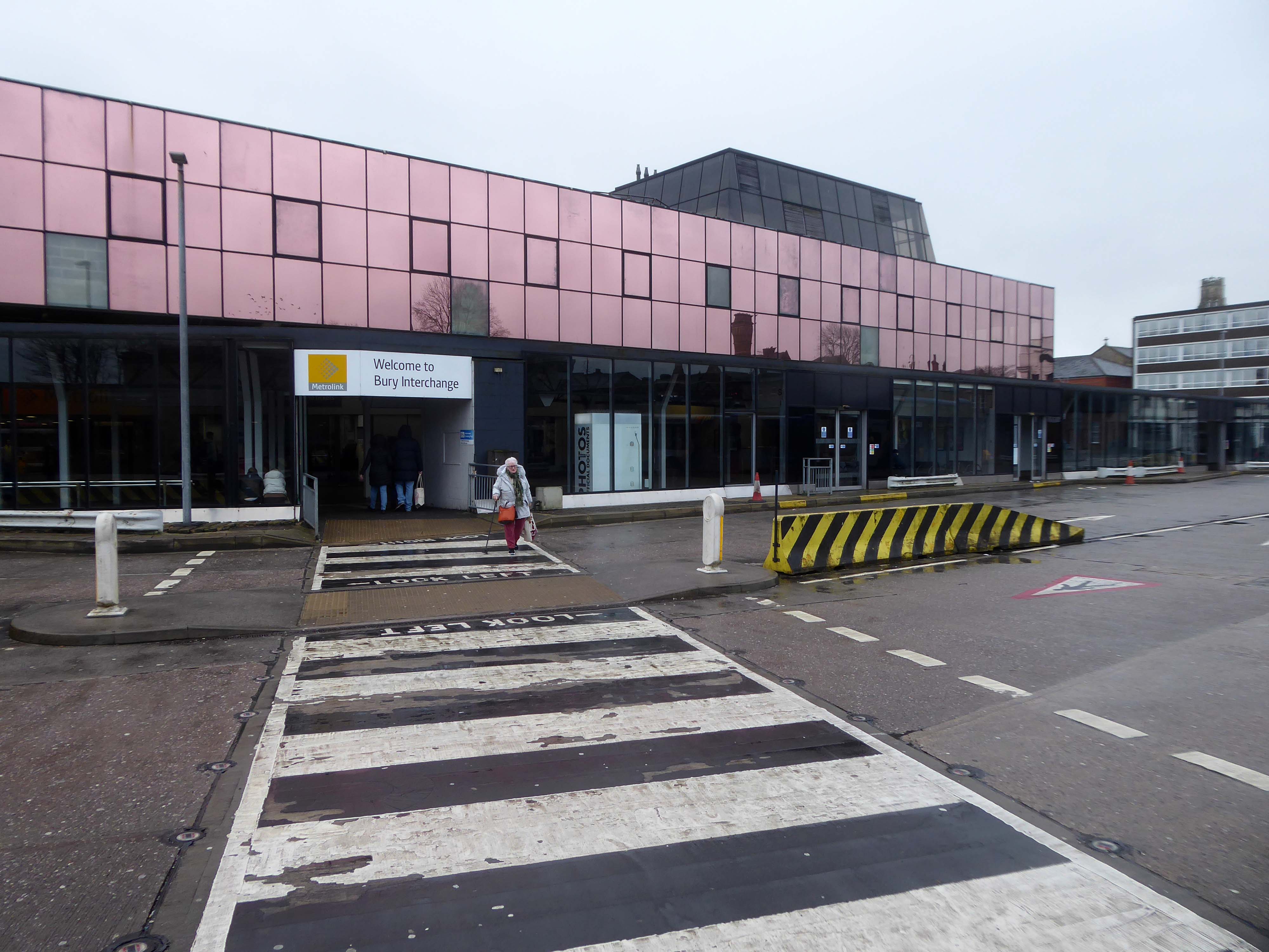
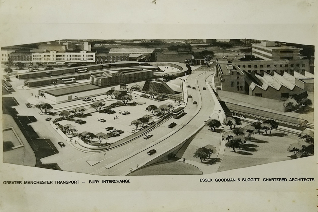
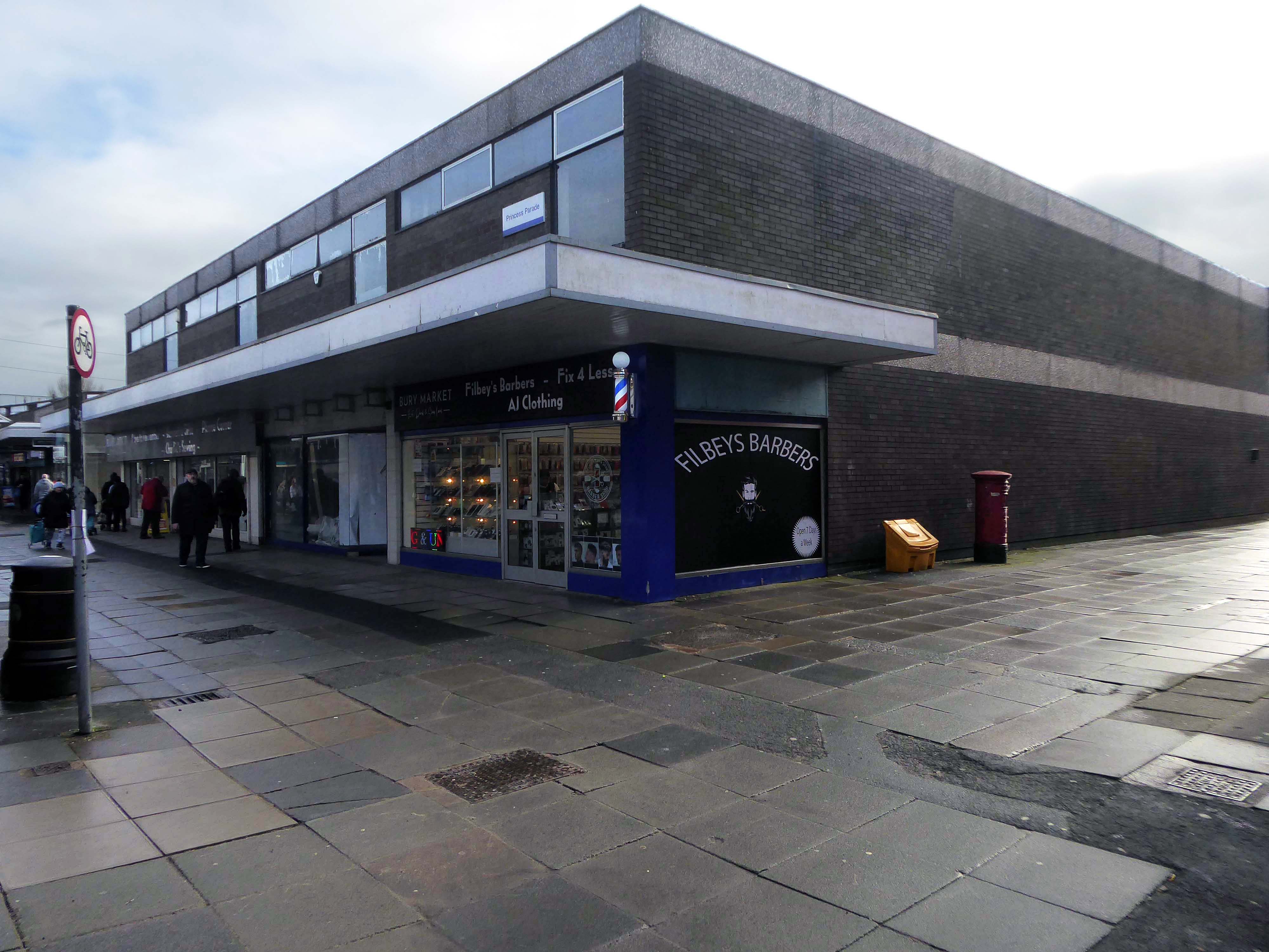
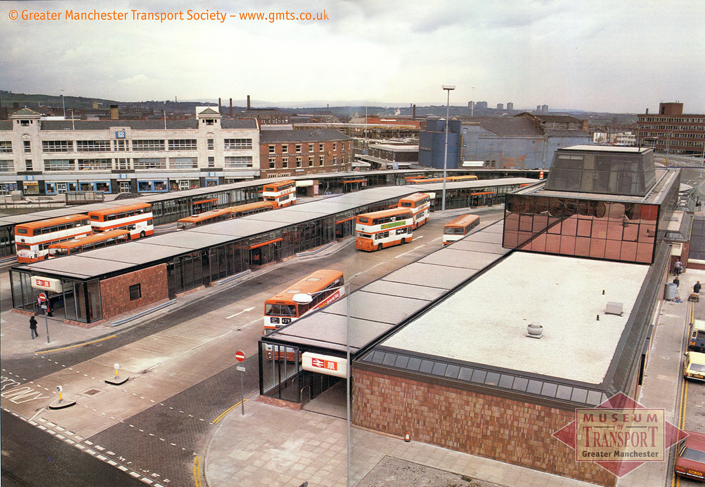
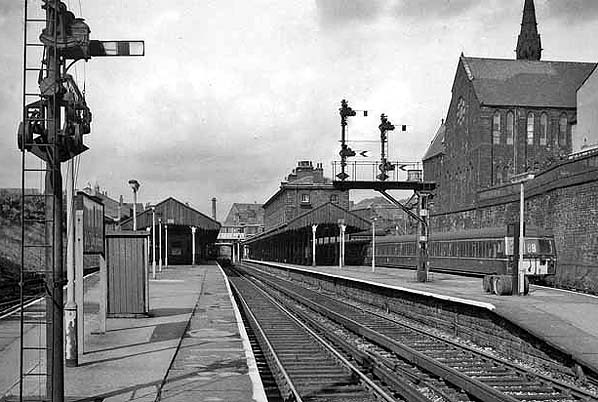
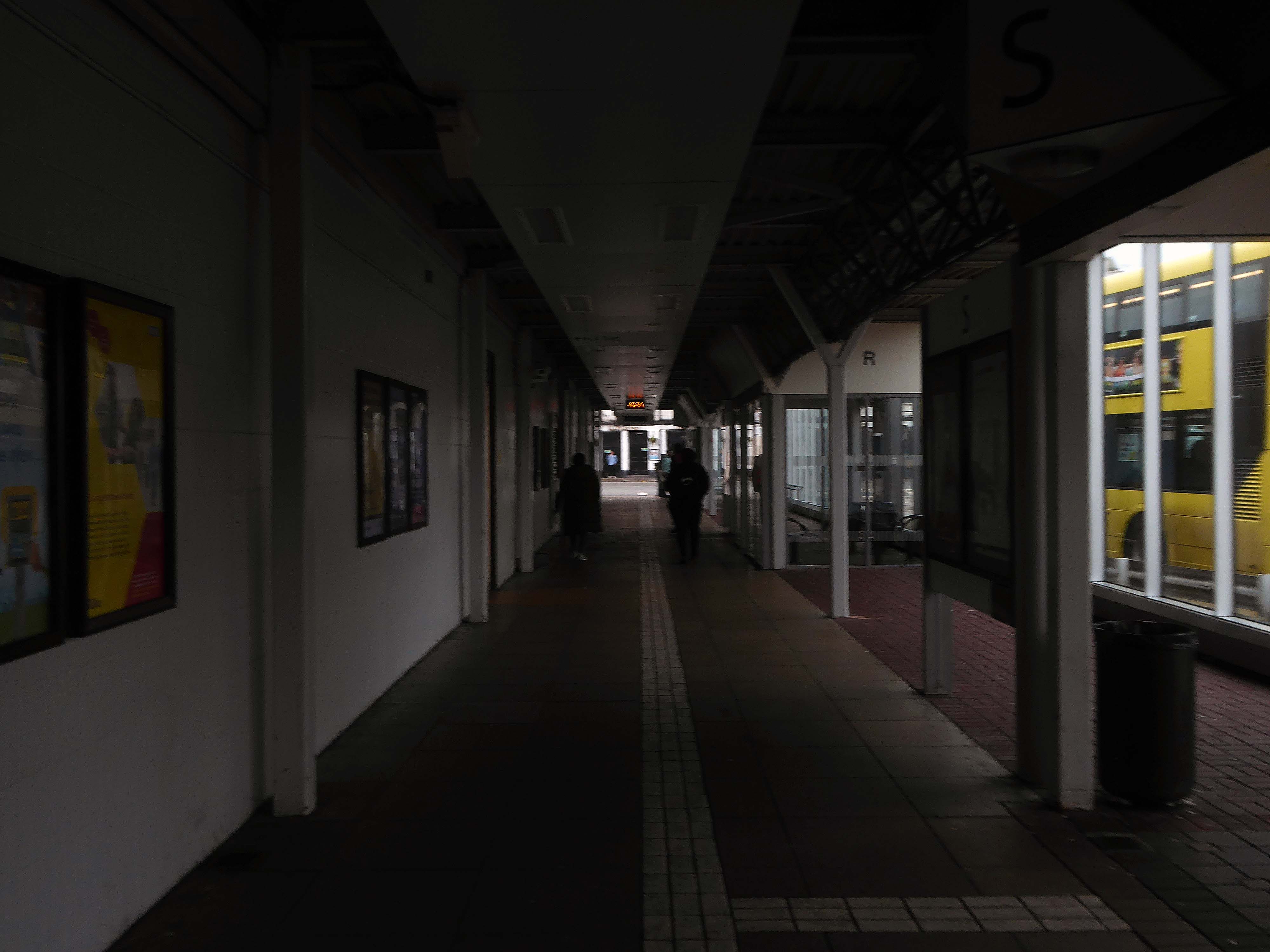
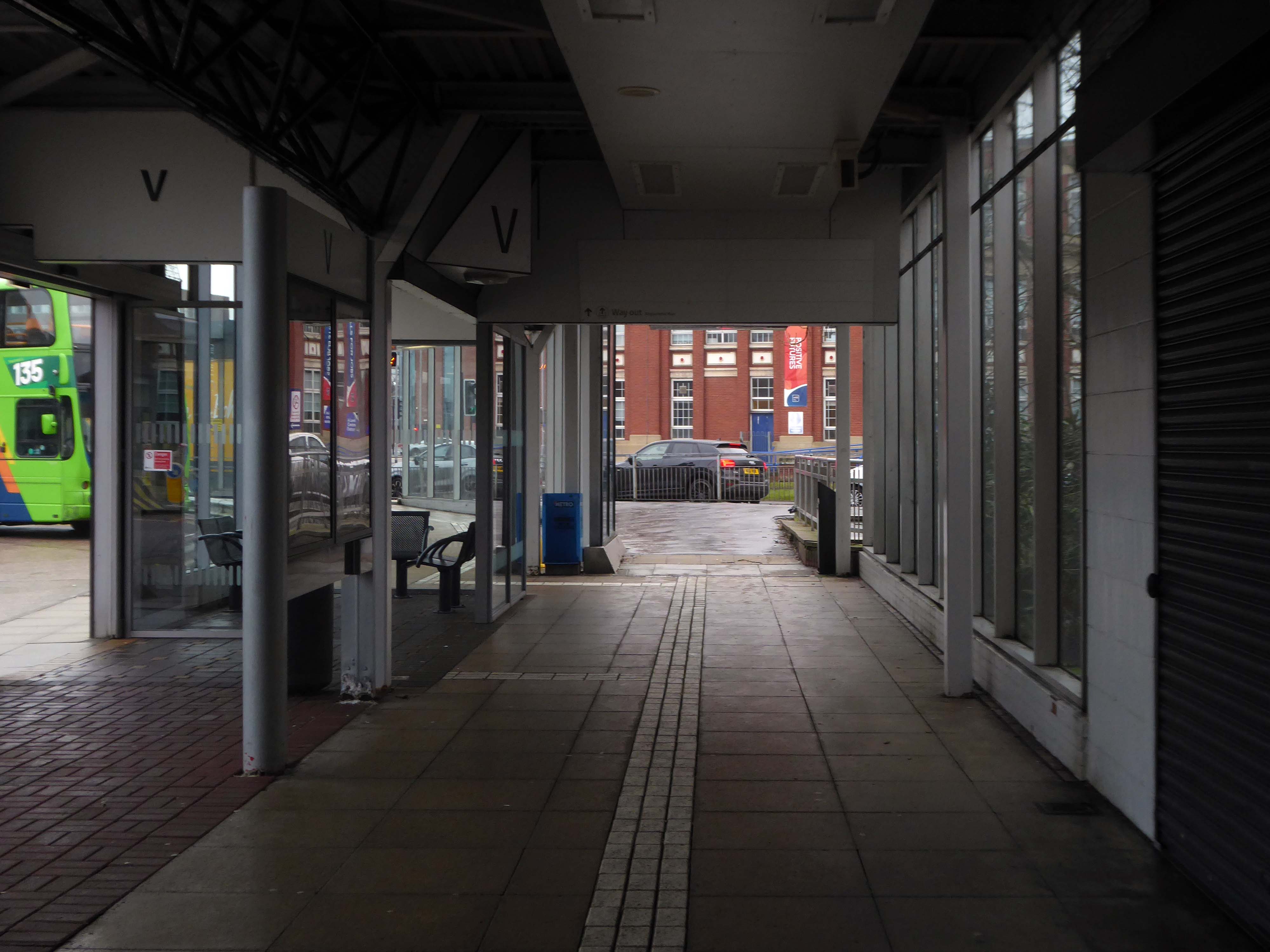
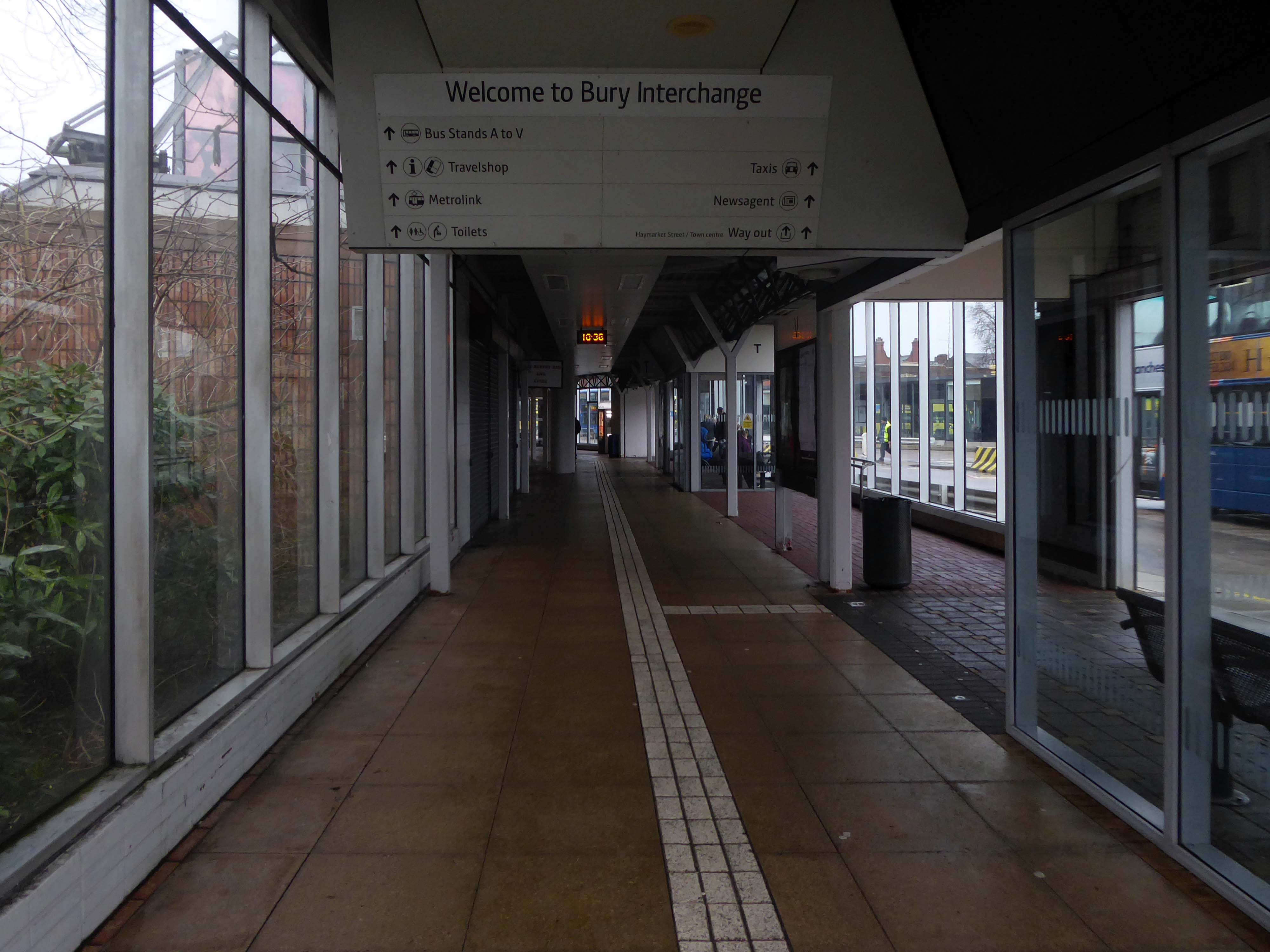
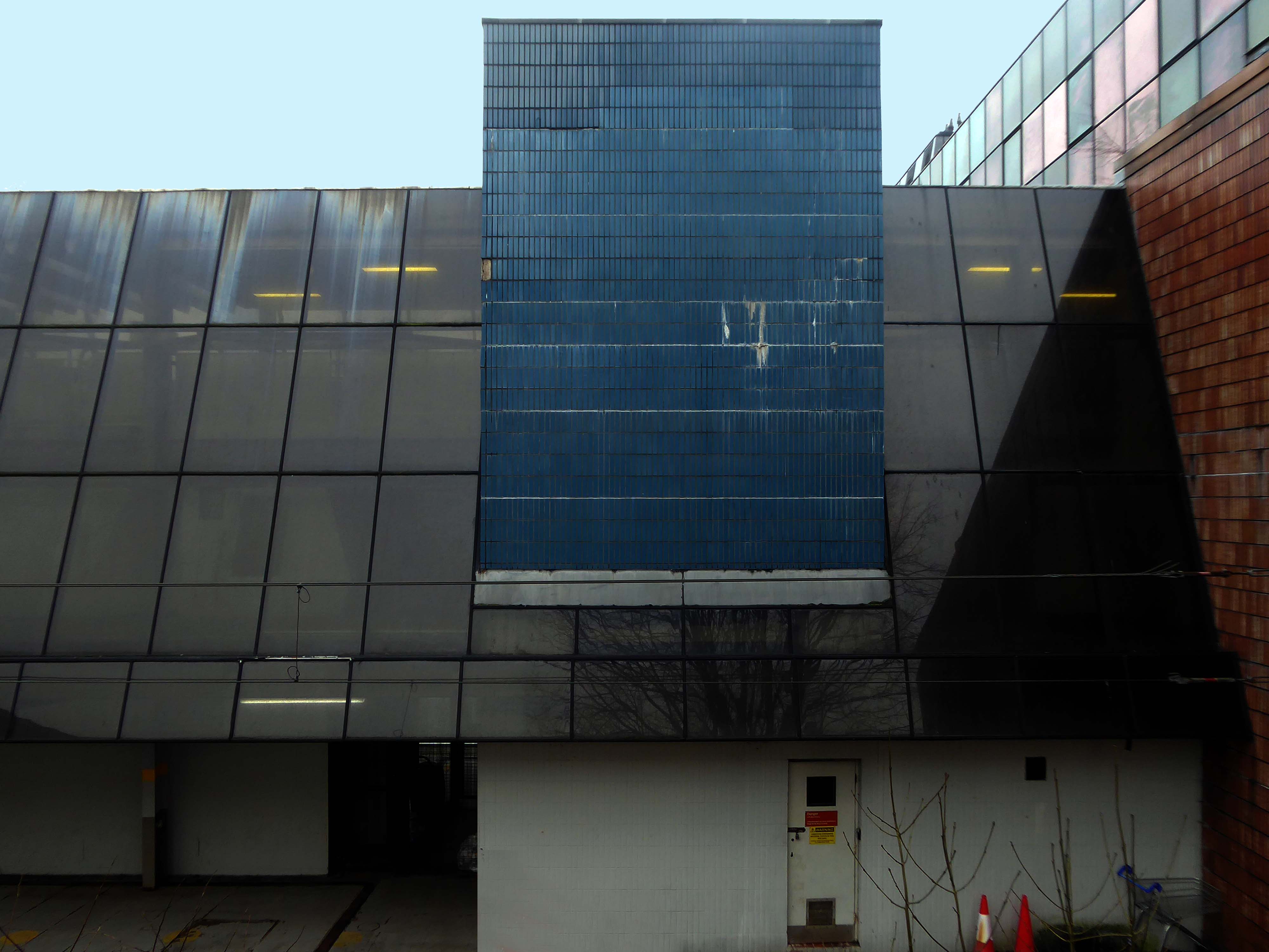
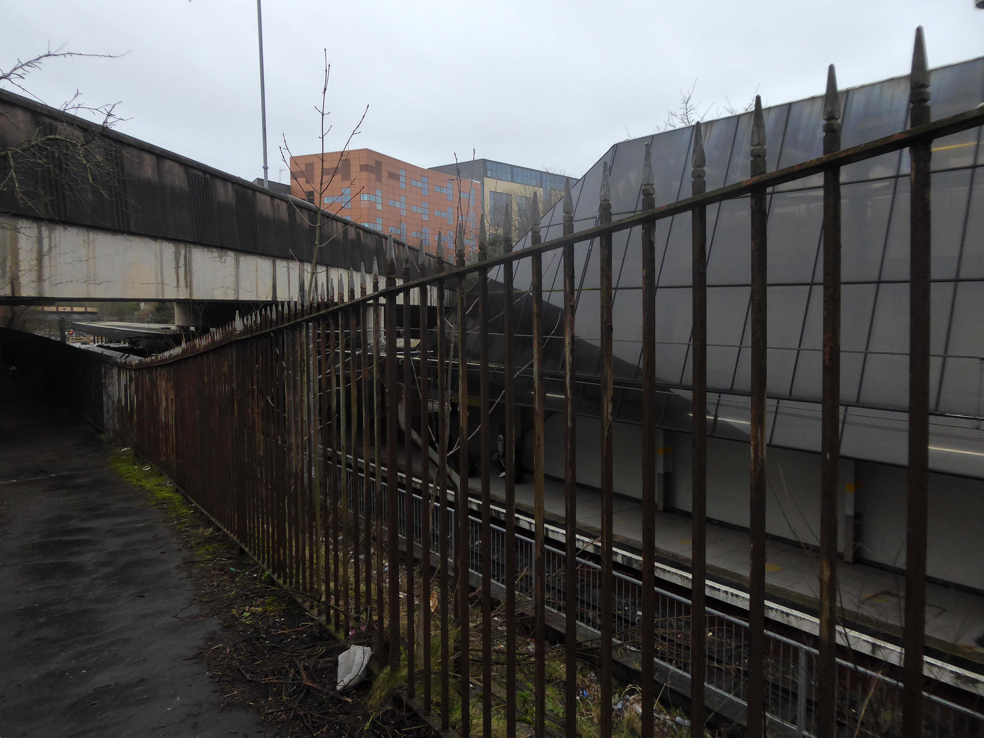
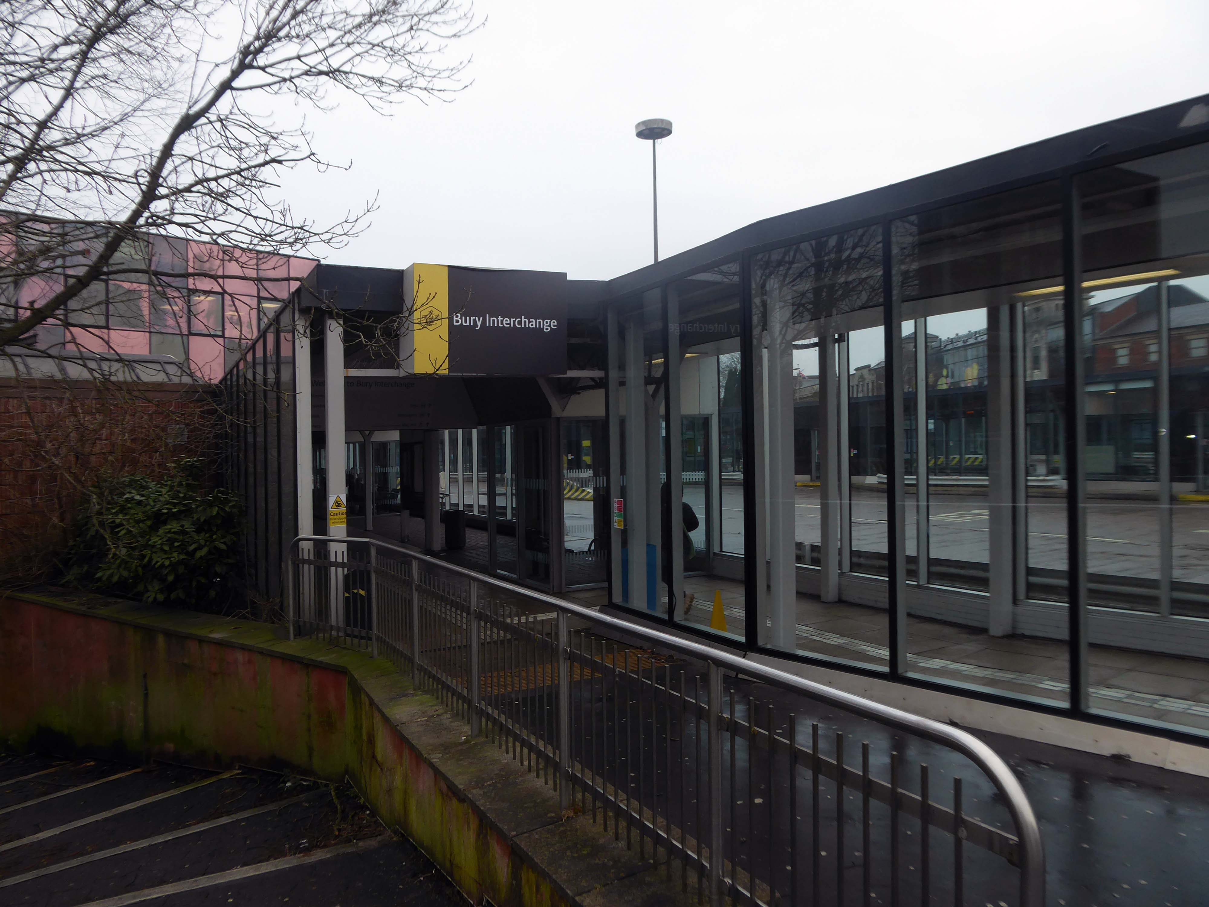
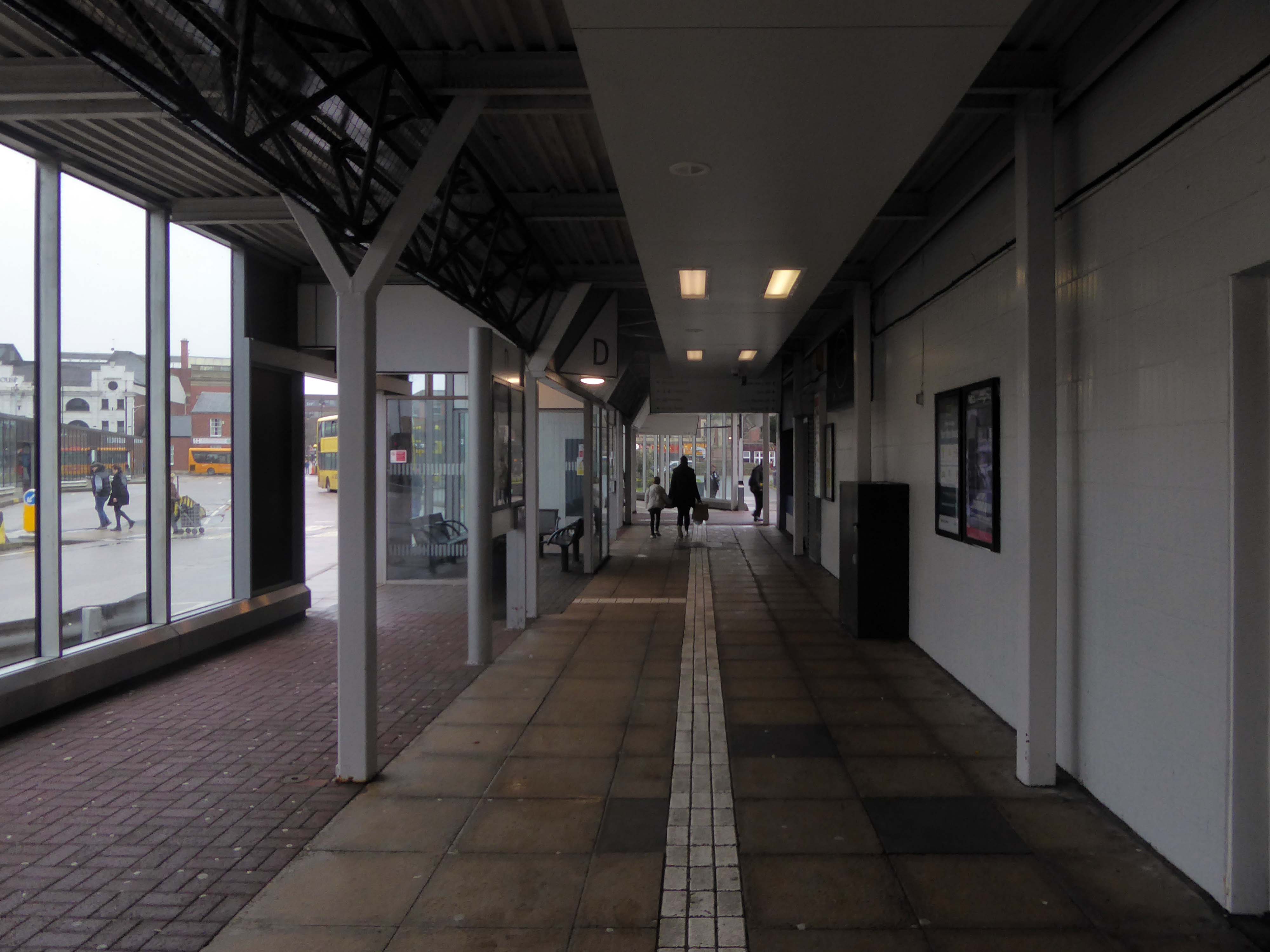
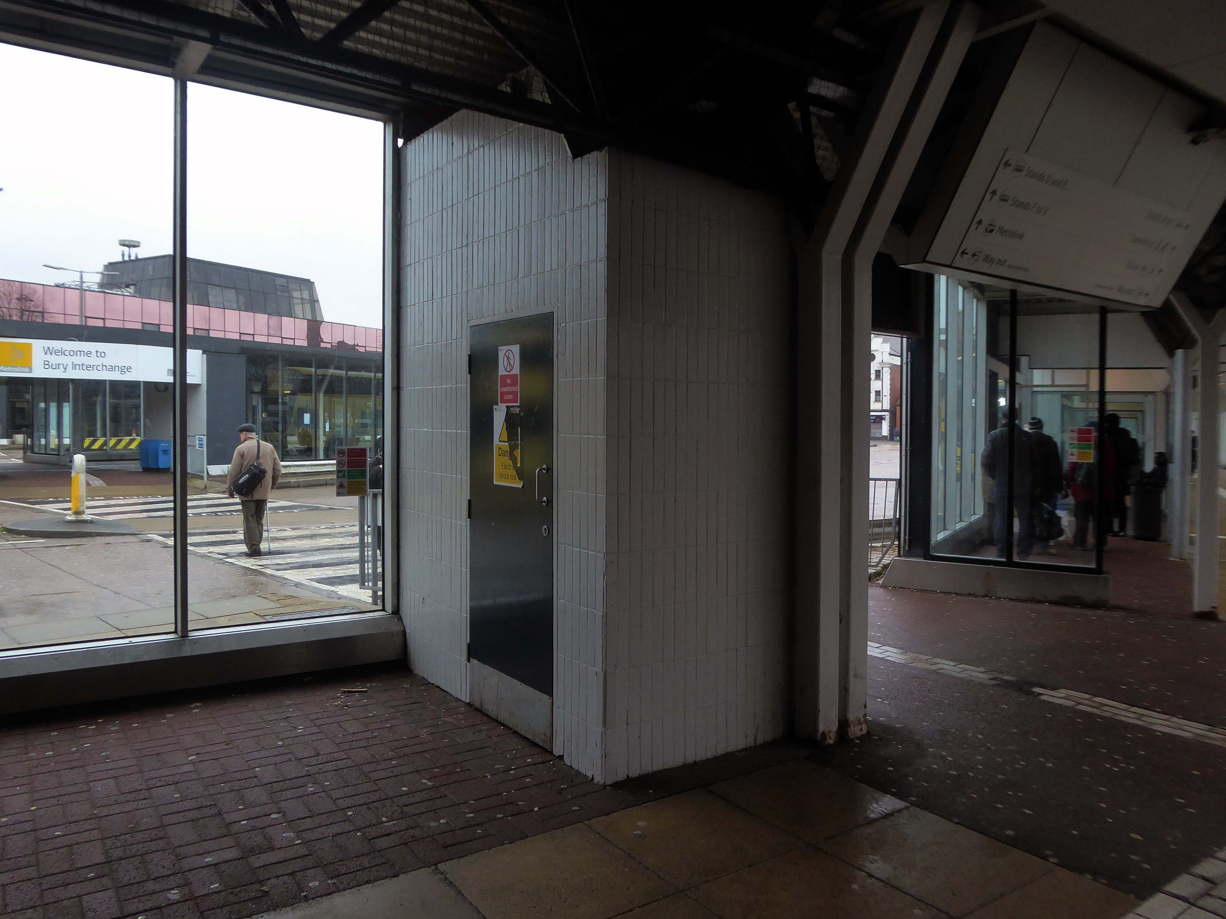
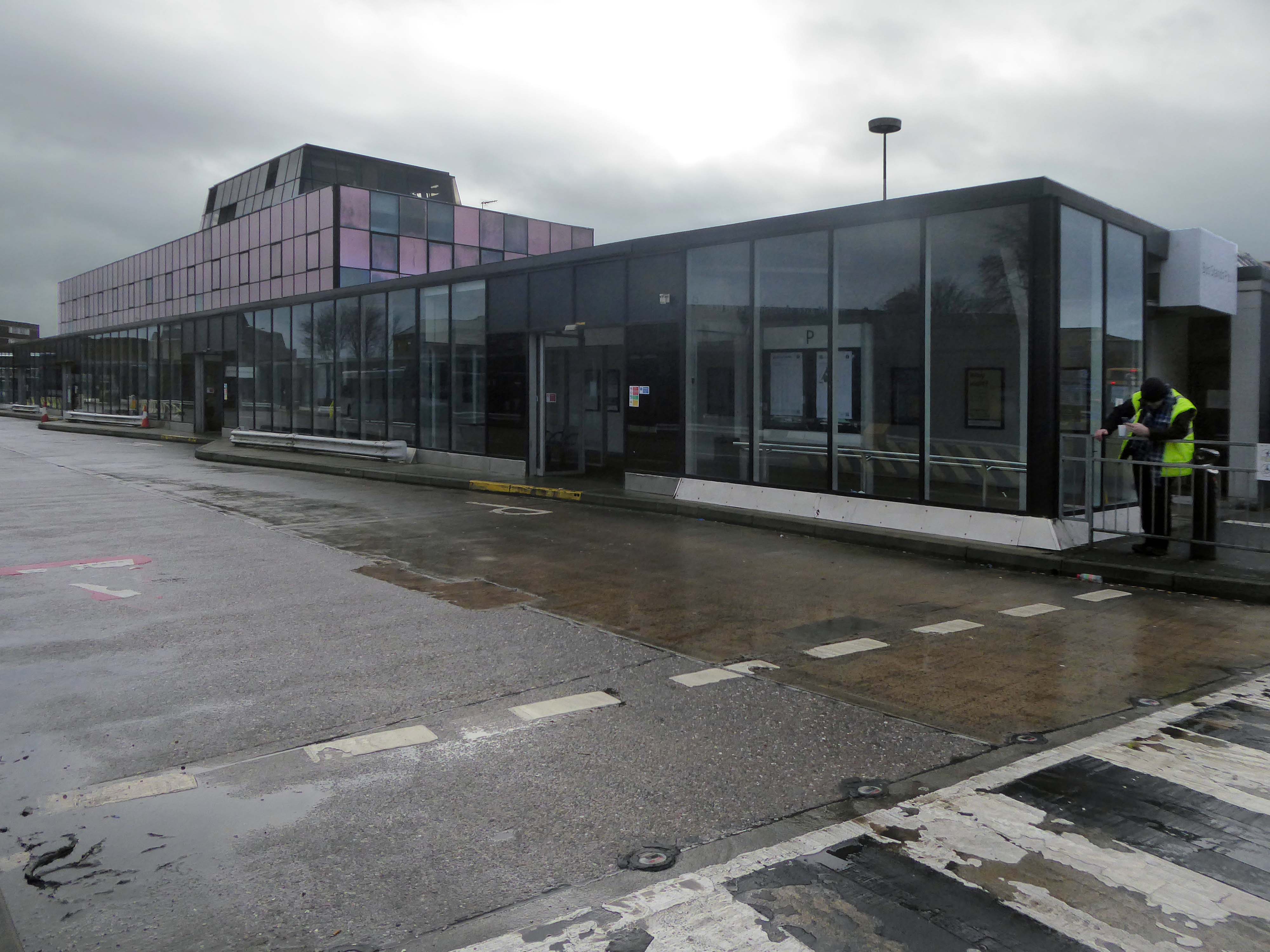
Arriving at and looking around the Interchange – 1980 architects: Essex Goodman & Suggitt
It is the northern terminus of the Manchester Metrolink’s Bury Line, which prior to 1992 was a heavy-rail line.
A new short spur line was constructed to connect the new station. The railway had originally run into Bury Bolton Street which was further away from the town centre, and was closed by British Rail on the same day that Bury Interchange opened.
It also incorporates a bus station.
Bury Interchange replaced the bus termini scattered around Bury town centre, notably around Kay Gardens.
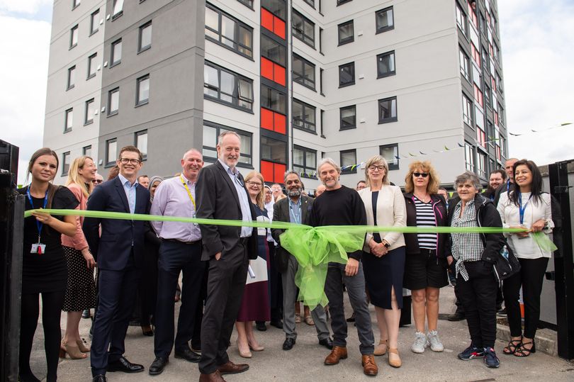
An £80m transformation is coming to the Bury Interchange, which will see step-free access at the Metrolink, a “vertical circulation core” to better connect the Metrolink with the bus facility, and an integrated travel hub with spaces for cycle storage.
The work is much-needed, explained Transport for Greater Manchester’s Alan Lowe, he said that the interchange was built in the 1980s and very much is of its time.
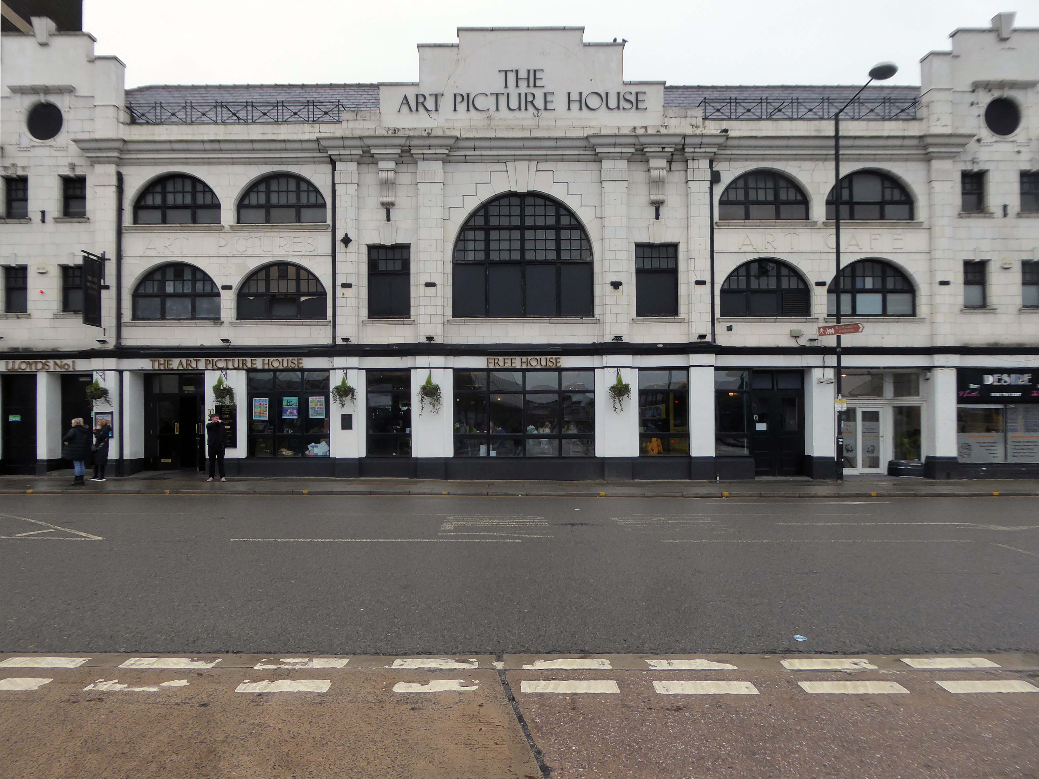
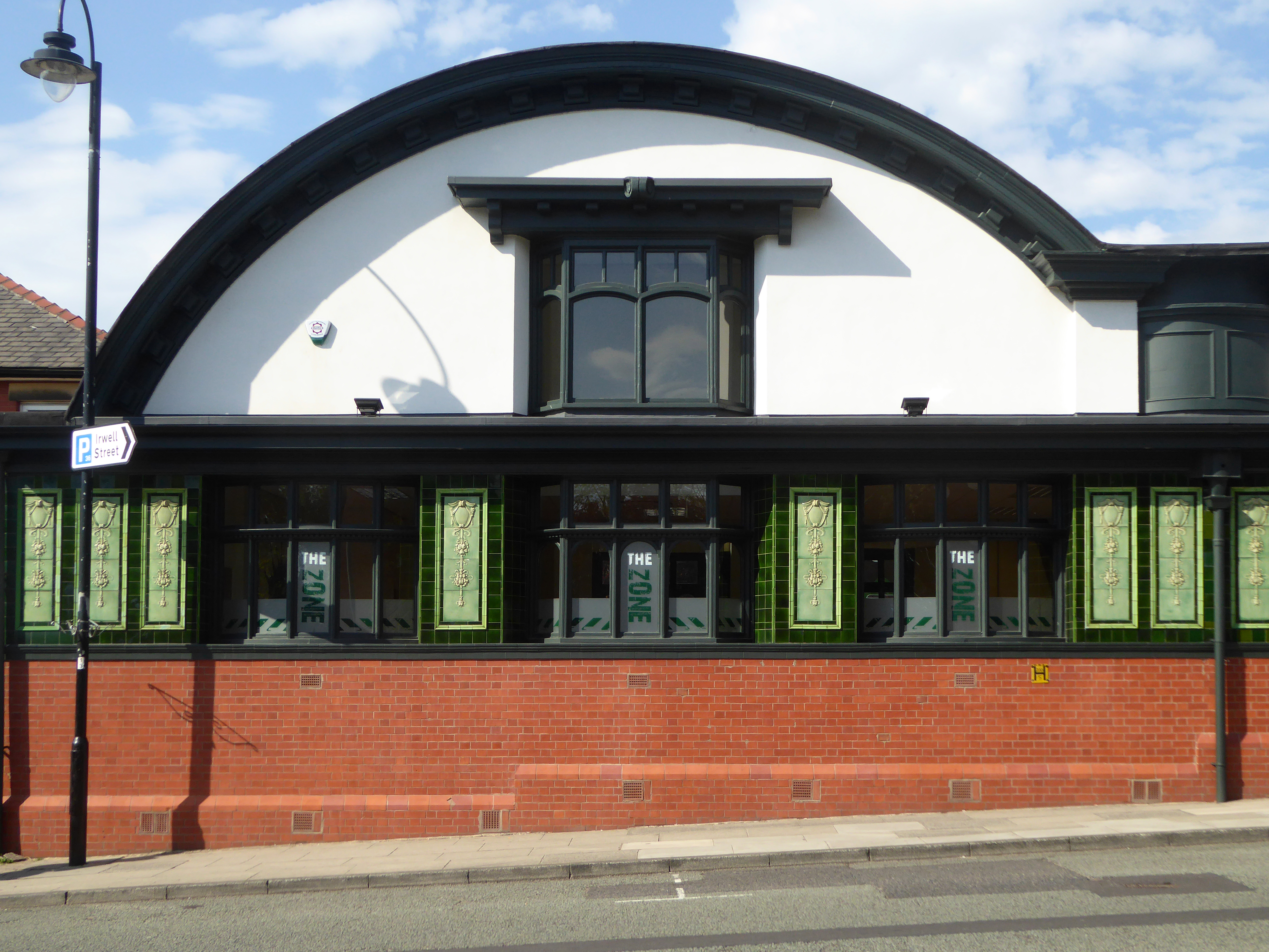
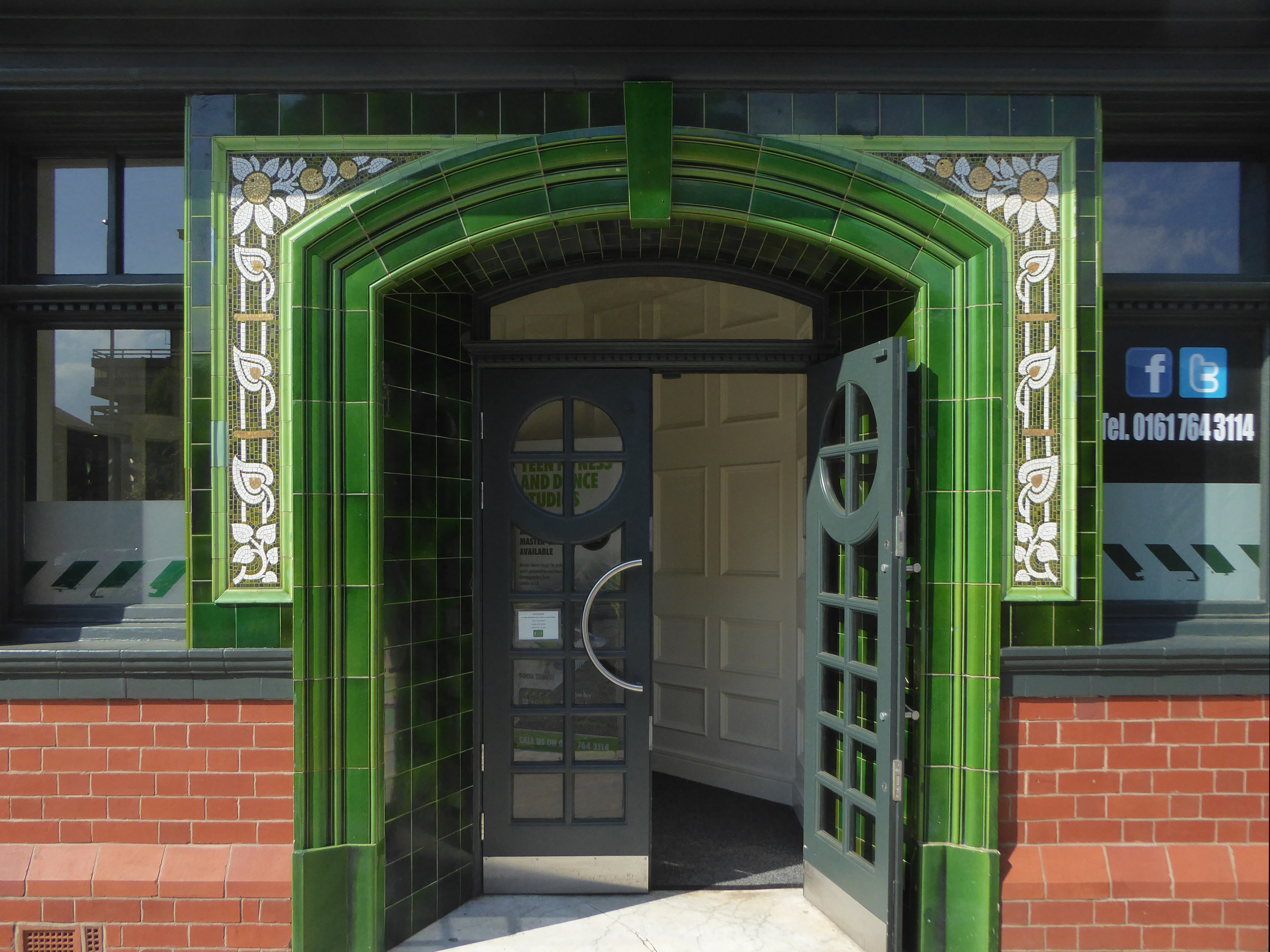
The Art Picture Palace was a 1923 rebuild of the earlier Art Picture Hall both designed by architect Albert Winstanley. The Art Picture Palace was opened on 26th January 1923. A remarkably complete survivor of a 1920’s cine-variety house executed in an elaborate style.
Films ceased in February 1965 and it became a bingo club. Later converted into a billiard hall until 19th May 1991 when it became a bingo club again, it later became a Chicago Rock Cafe.
Cinema Treasures
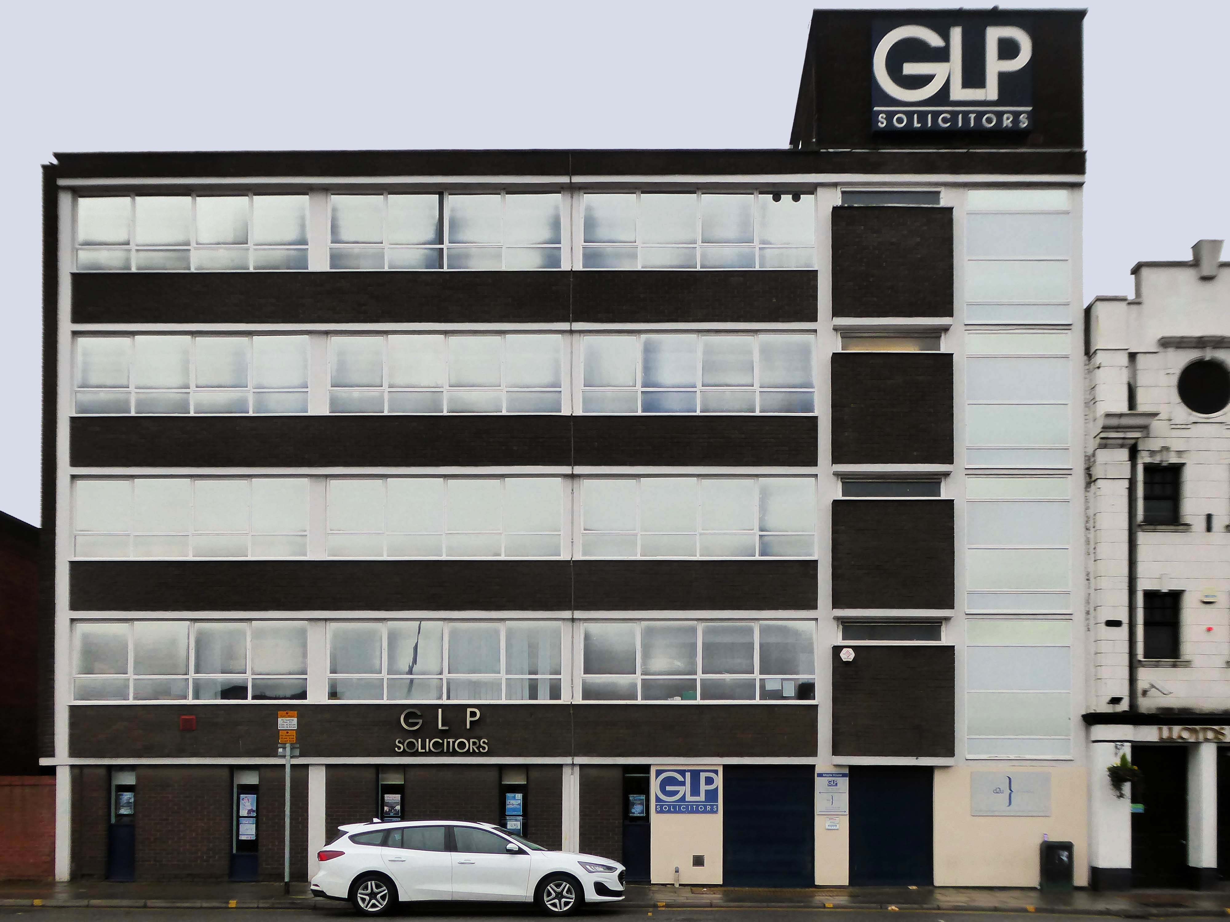
Next door a typical steel glass and brick banded office block Maple House.
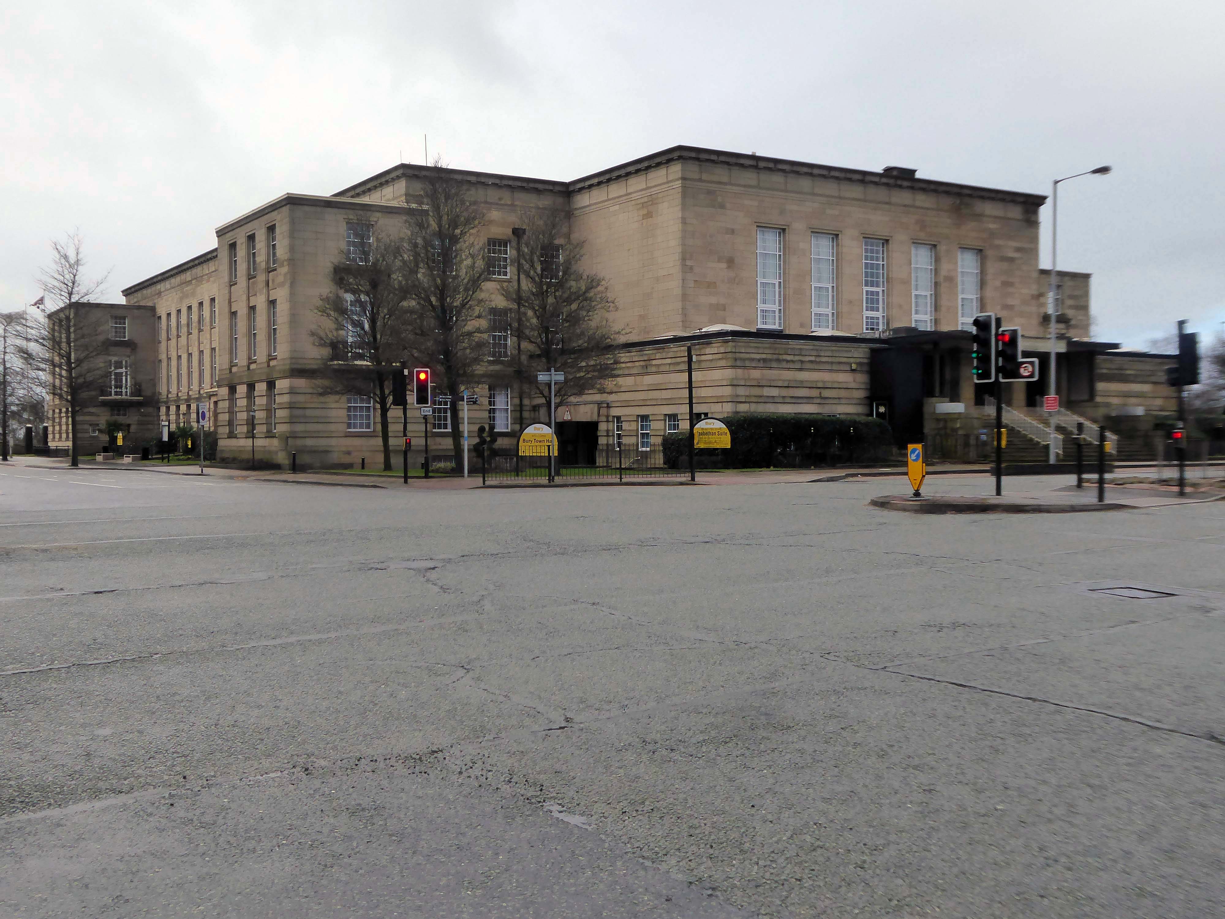
Around the corner and over the road to the Town Hall 1939-40 architects: Reginald Edmonds of Jackson & Edmonds then 1947-54.
Large and Dull – Niklaus Pevsner.
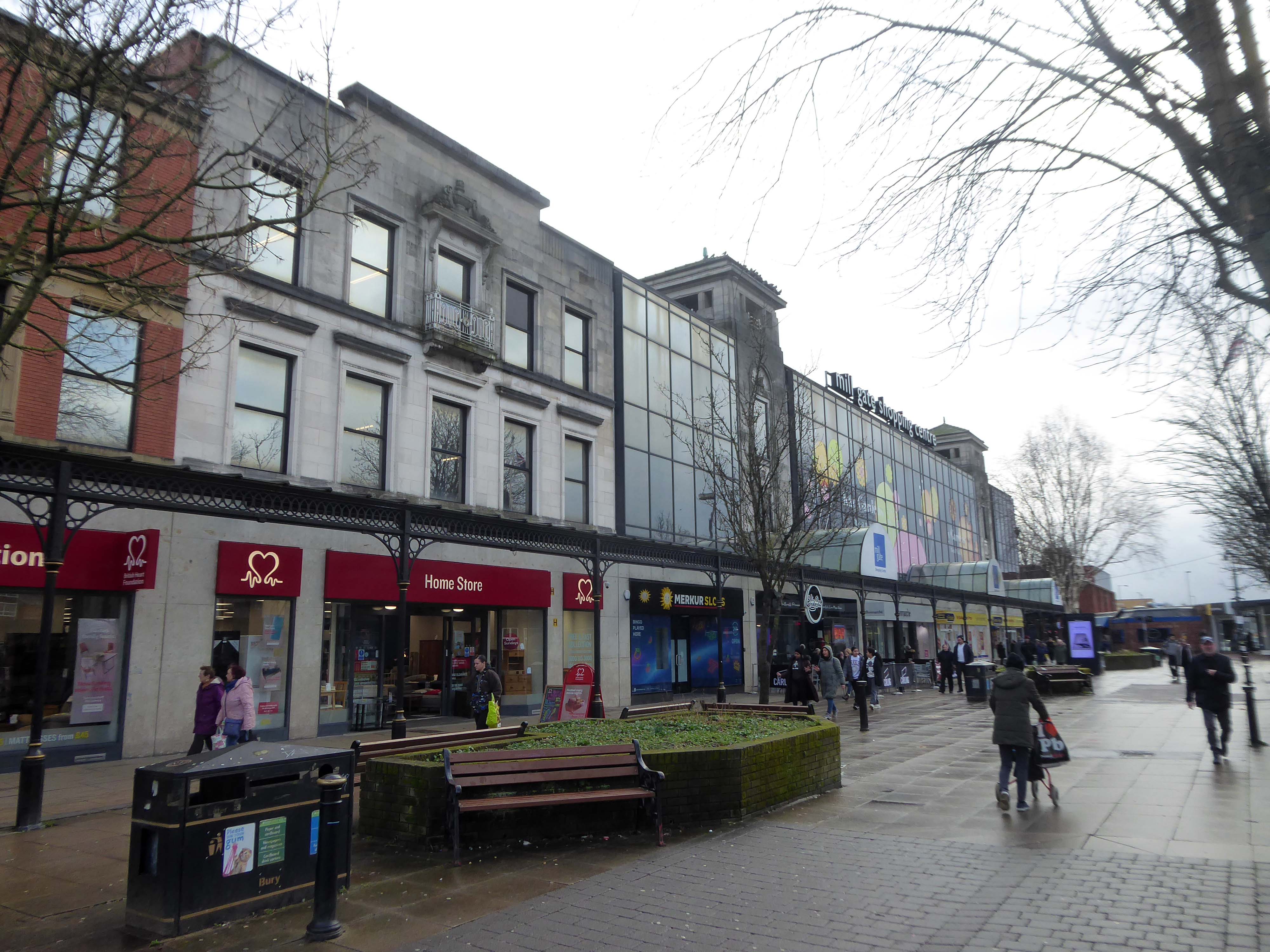
Back through the Interchange to the former Cooperative Store of the 1930’s.
The Portland Stone towers still visible – the elevation largely retro-clad in glass.
Passing through the Millgate Shopping Centre of the 1980’s.
Unambitious but successful, the floors cheerfully tiled – Niklaus Pevsner.
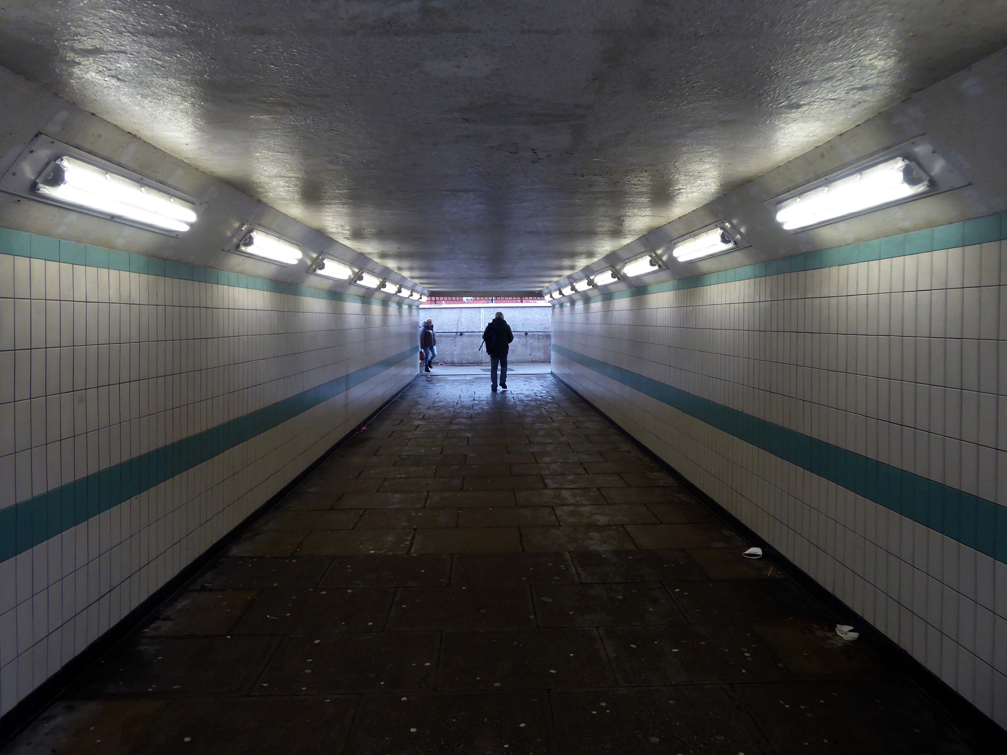
Down in the subway at midday.
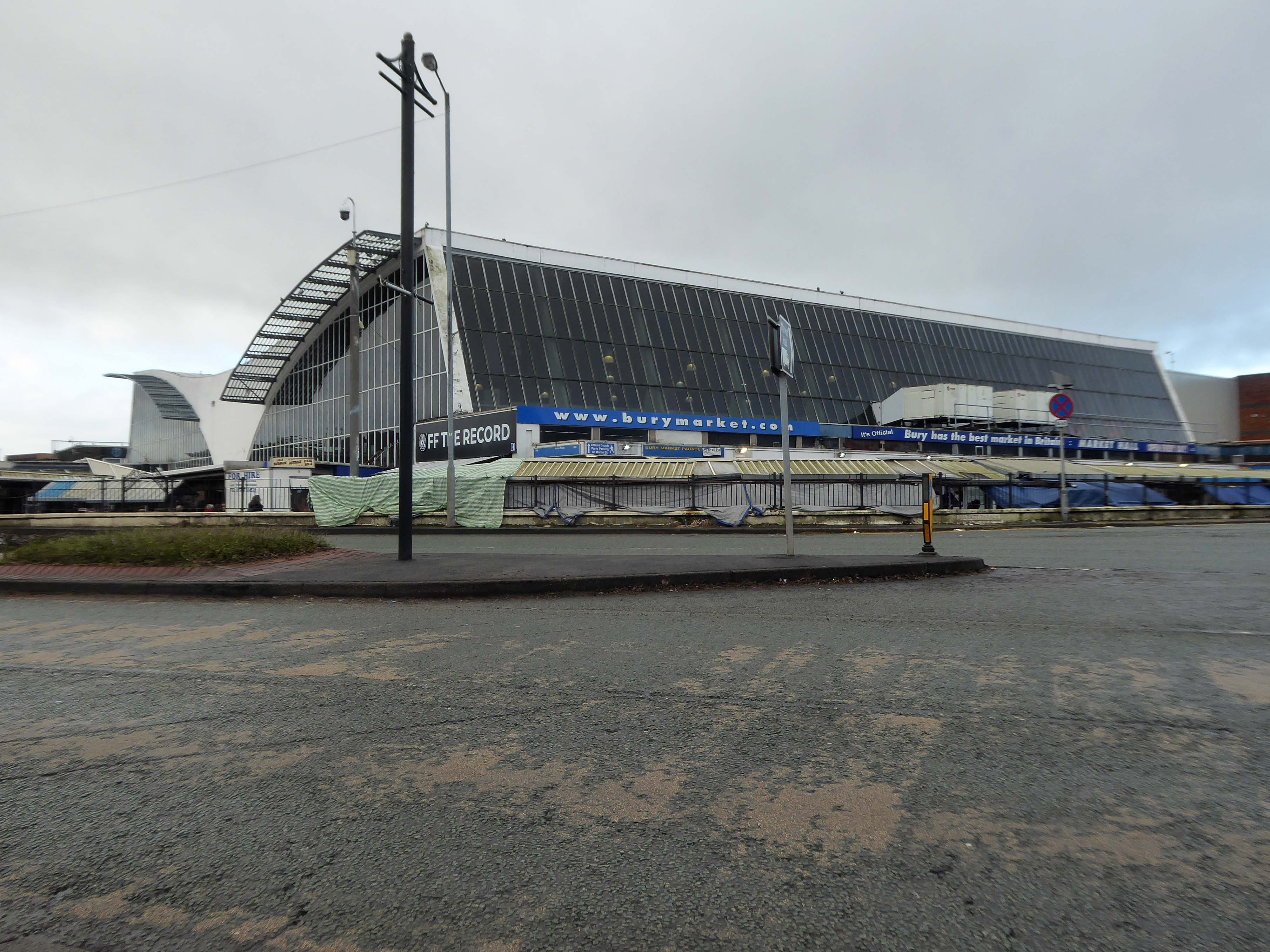
The better to get a view of the Market Hall 1971 – architects: Harry S Fairhurst.
The Indoor Market Hall is currently closed due to the discovery of Reinforced Autoclaved Aerated Concrete – within the building structure. RAAC is a lightweight type of building material that was used between the 1950s and 1990s.
Back under the road – where we find a delightful Telephone Exchange.
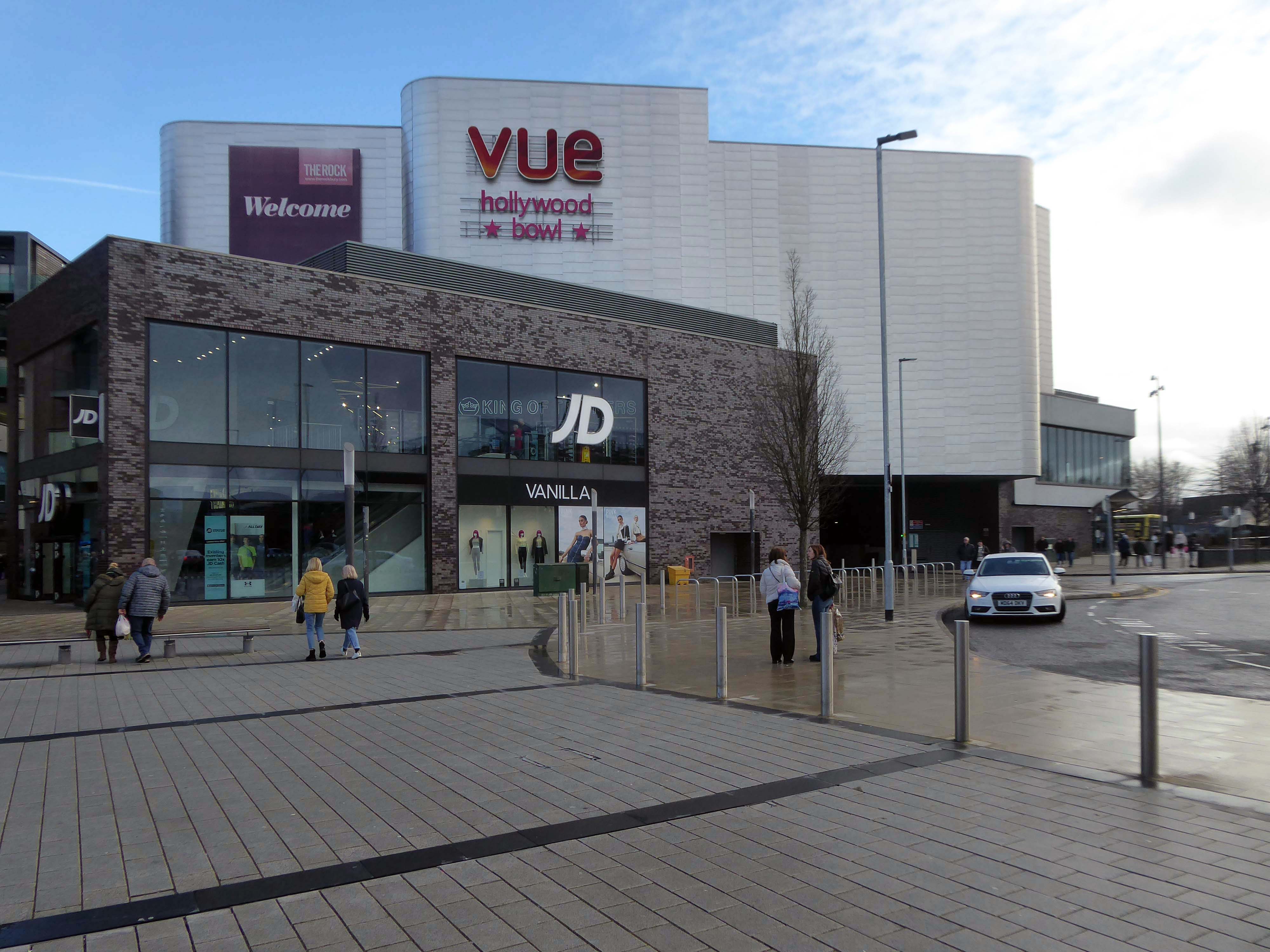
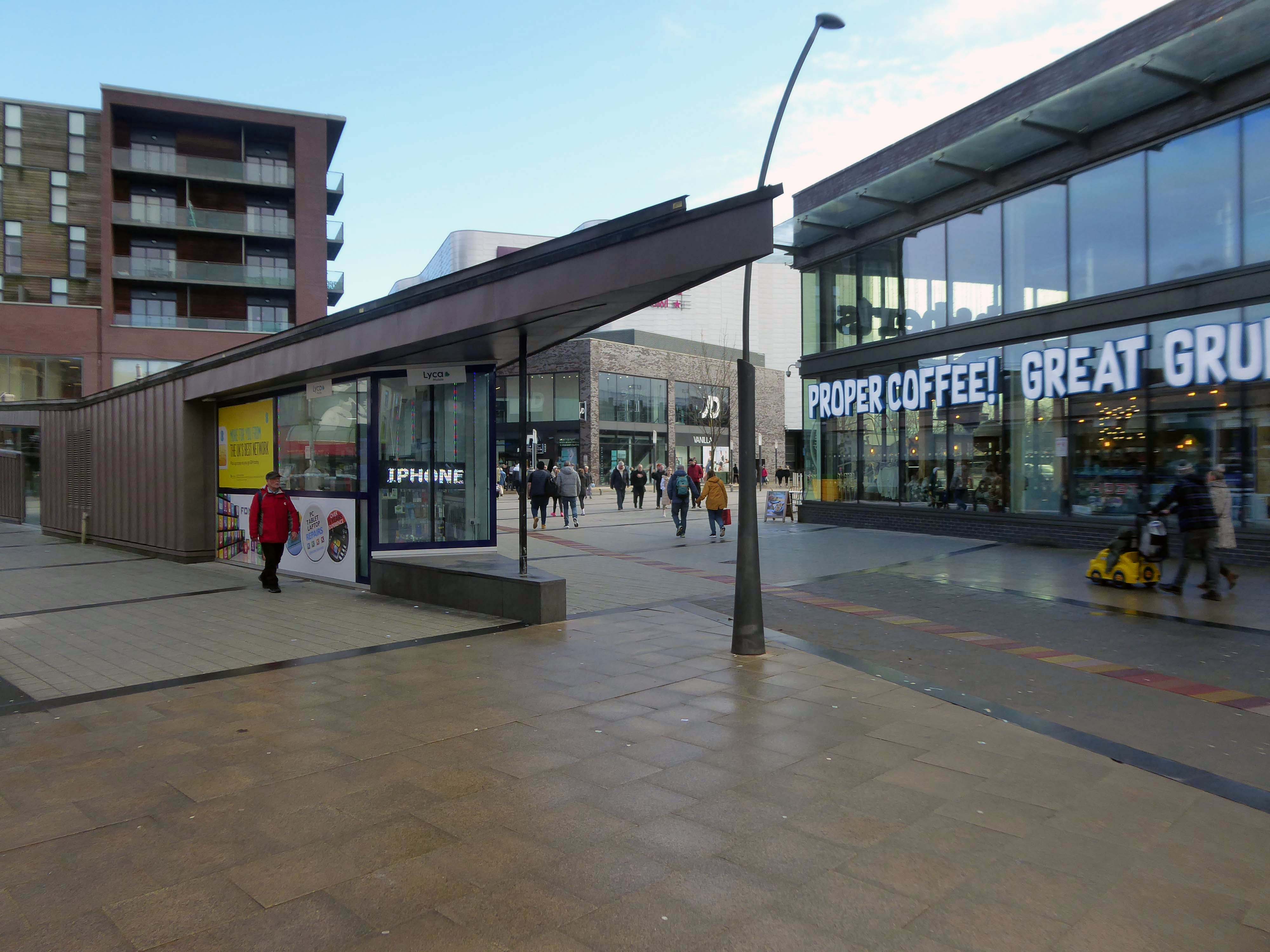
The Rock is a vibrant retail and leisure centre which is home to a range of high street fashion brands, independent retailers, tantalising eateries and fantastic entertainment – it’s the perfect place to visit any day of the week.
It is the work of architects BDP – completed in 2010 at a cost of £350 million.
Our masterplan for The Rock took into account the historical street pattern and public realm context to give the scheme its own identity, and make visual connections to local landmarks.
The retail and leisure scheme brings many exciting brands to Bury for the first time.
New pedestrian streets rejuvenate and improve connections to adjacent areas stitching the town back together.
The development will also contain 408 one and two-bedroom apartments.
Back to basics at a former Burton’s hiding its faience facade.
Typical inter-war infill on our crazy mixed up mongrel high streets.
Ribblesdale House
Application by Shop and Store Developments Ltd submitted August 1965. Architect on application was Samuel Jackson and Son of Ocean Chambers in Bradford but during the application process this changed to John Brunton & Partners – Brunton was a partner in Jackson’s firm, at the same address. It had a restaurant and shops on the first floor.
The street level buildings were destroyed by fire on 14 May 1947 and were replaced with a new brick and concrete entrance and footbridge in 1952.
British Rail closed the station on 17 March 1980, when it was replaced by a new bus/rail interchange station further east into the town centre. Bury Interchange railway station served up until 1991 before the entire Bury Line was converted to light rail operation. It reopened in 1992 for Metrolink operation.
Bury was once the centre of multiple train links and the lost station of Knowsley Street.
Over the road the former Temperance Billiard Hall 1910 architect Norman Evans.
Planning application January 1965 – work started in June 1965. The architectural firm was Richard Byrom, Hill and partners. Richard Byrom was submitting building applications in the 1930s in Bury and locally.
The rendering on the building is original but the windows have been changed. The Job Centre took over the building in 1993. It is in a conservation area and the Civic Trust had some concerns!
Many thanks to David French for the above information.
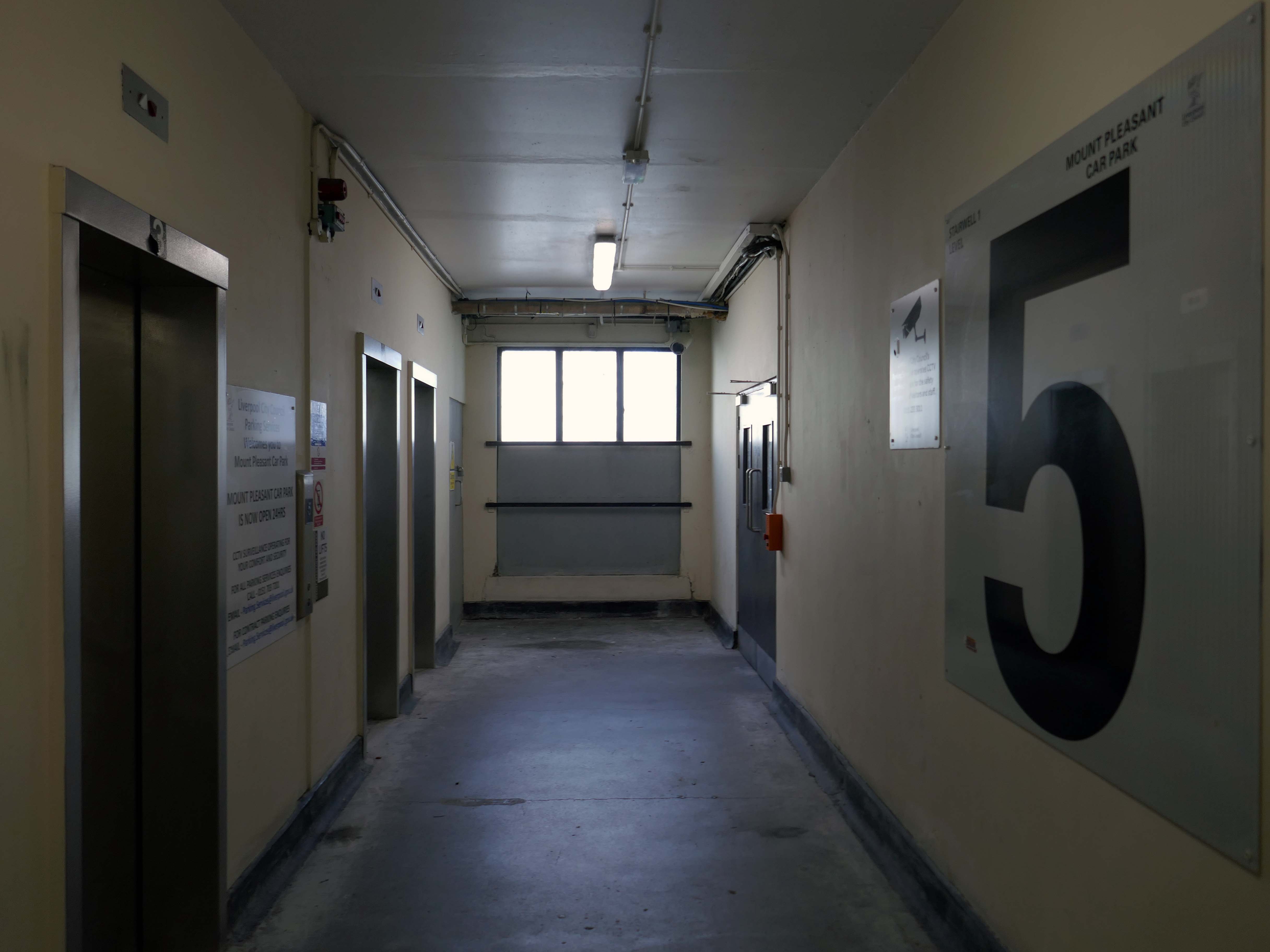
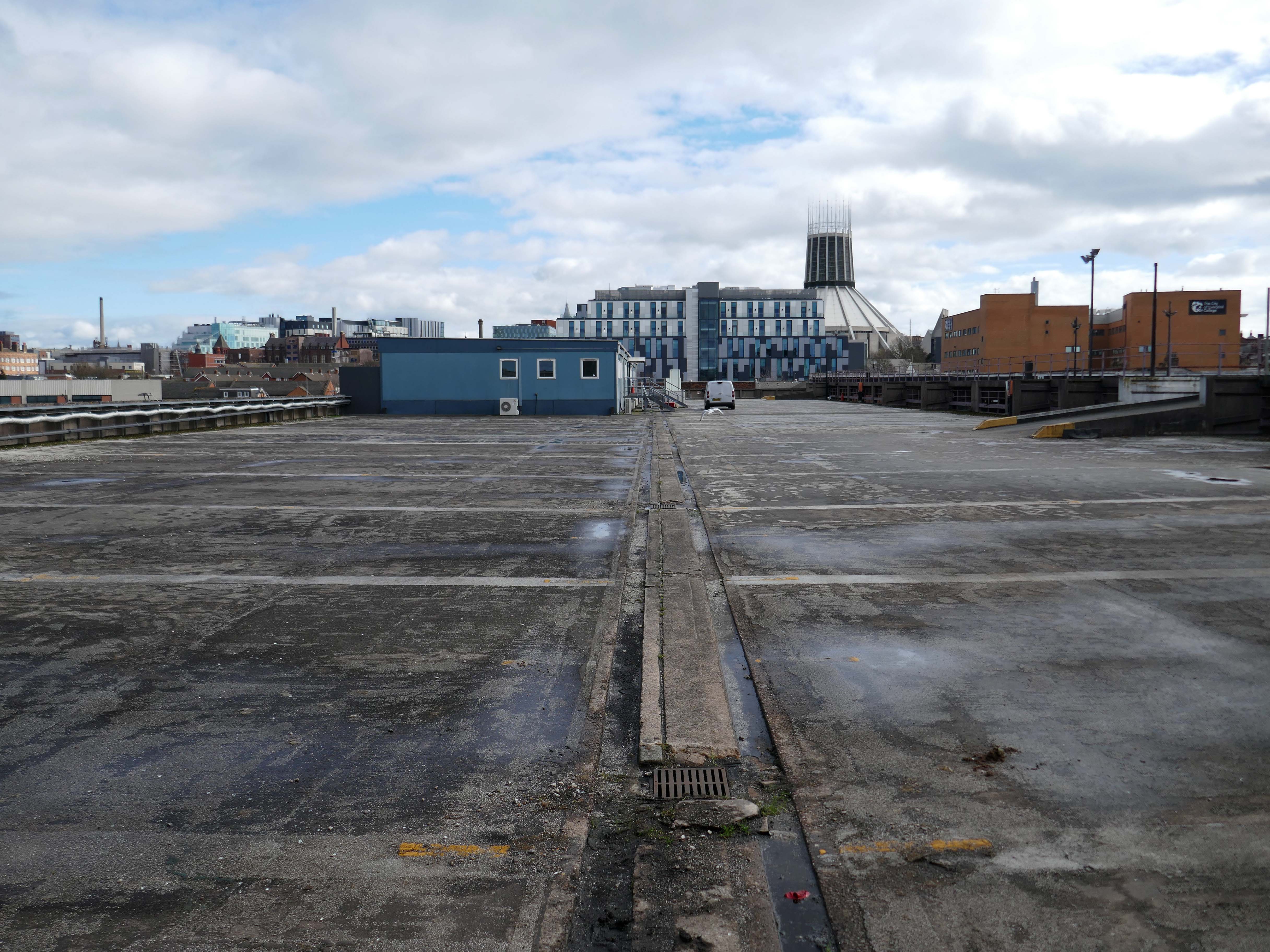
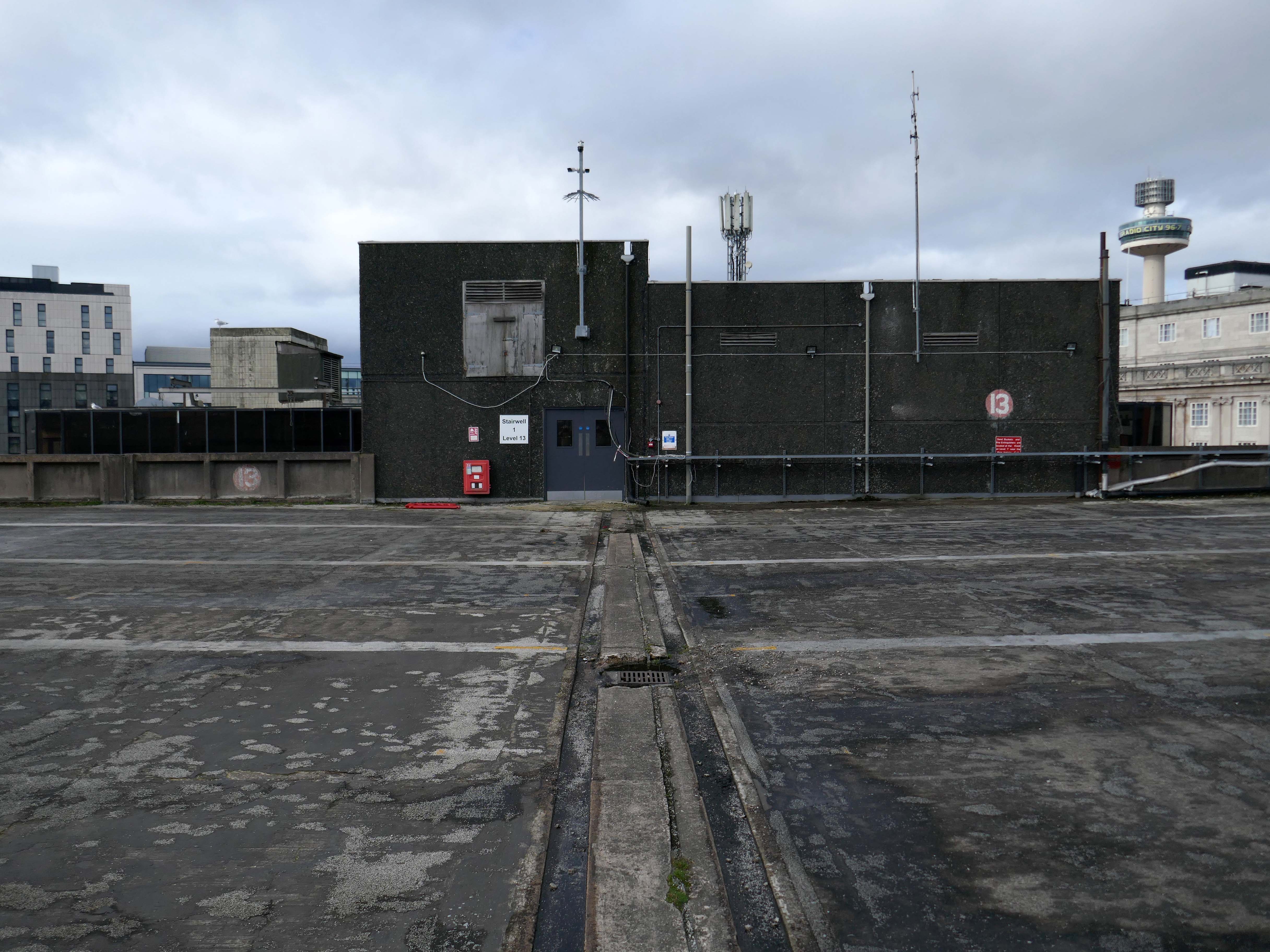
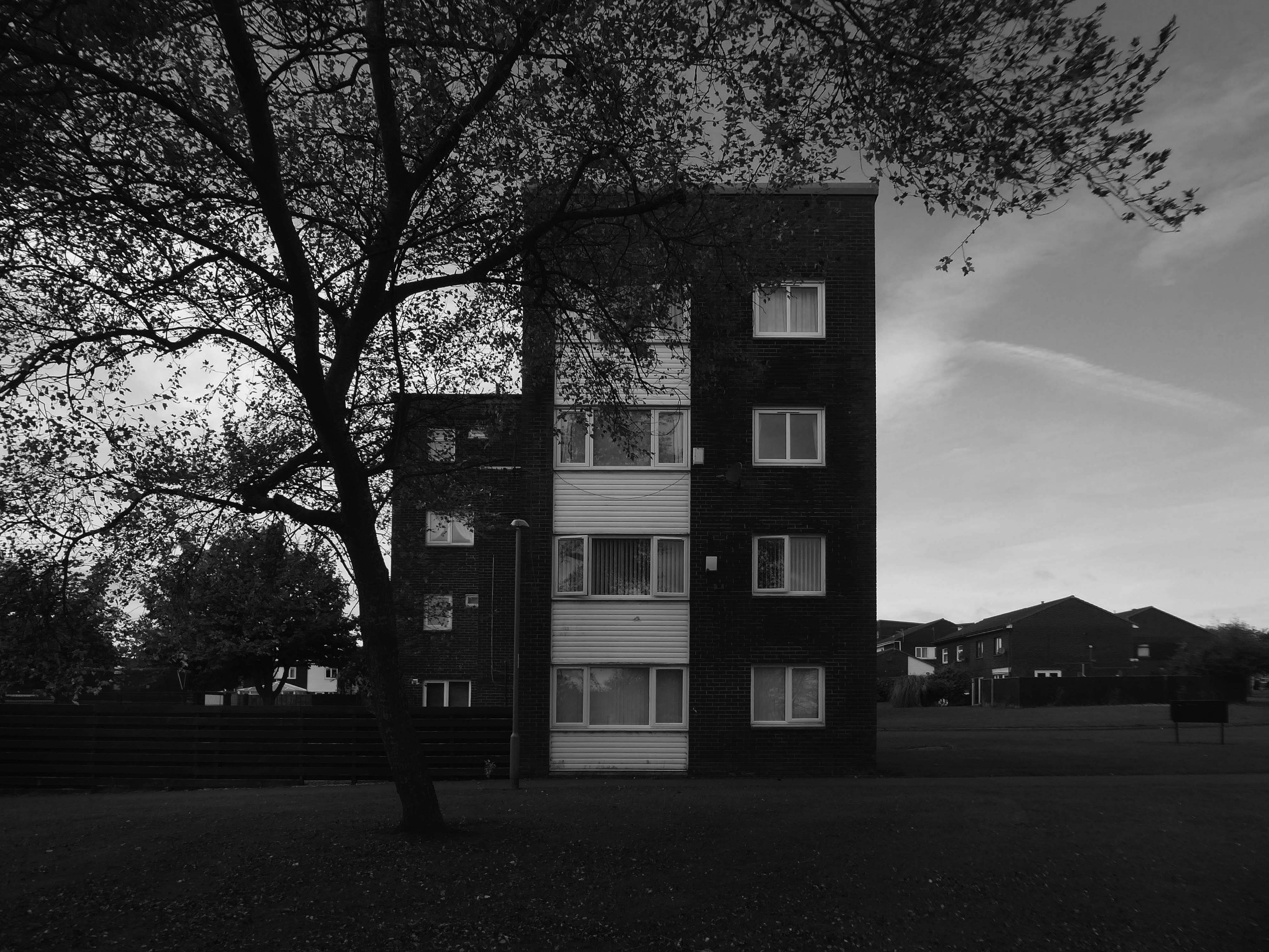
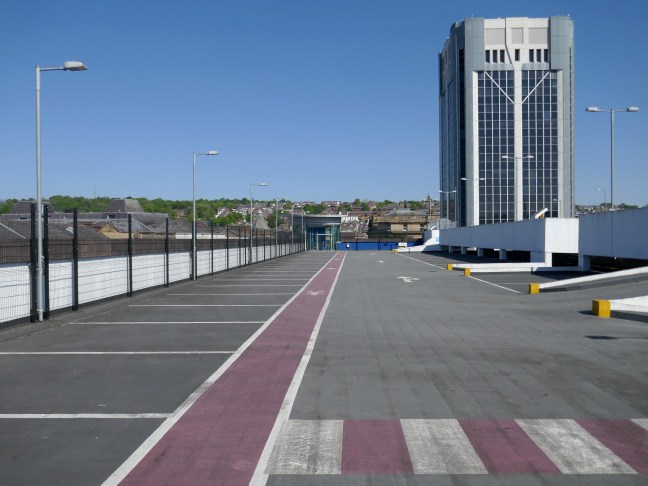
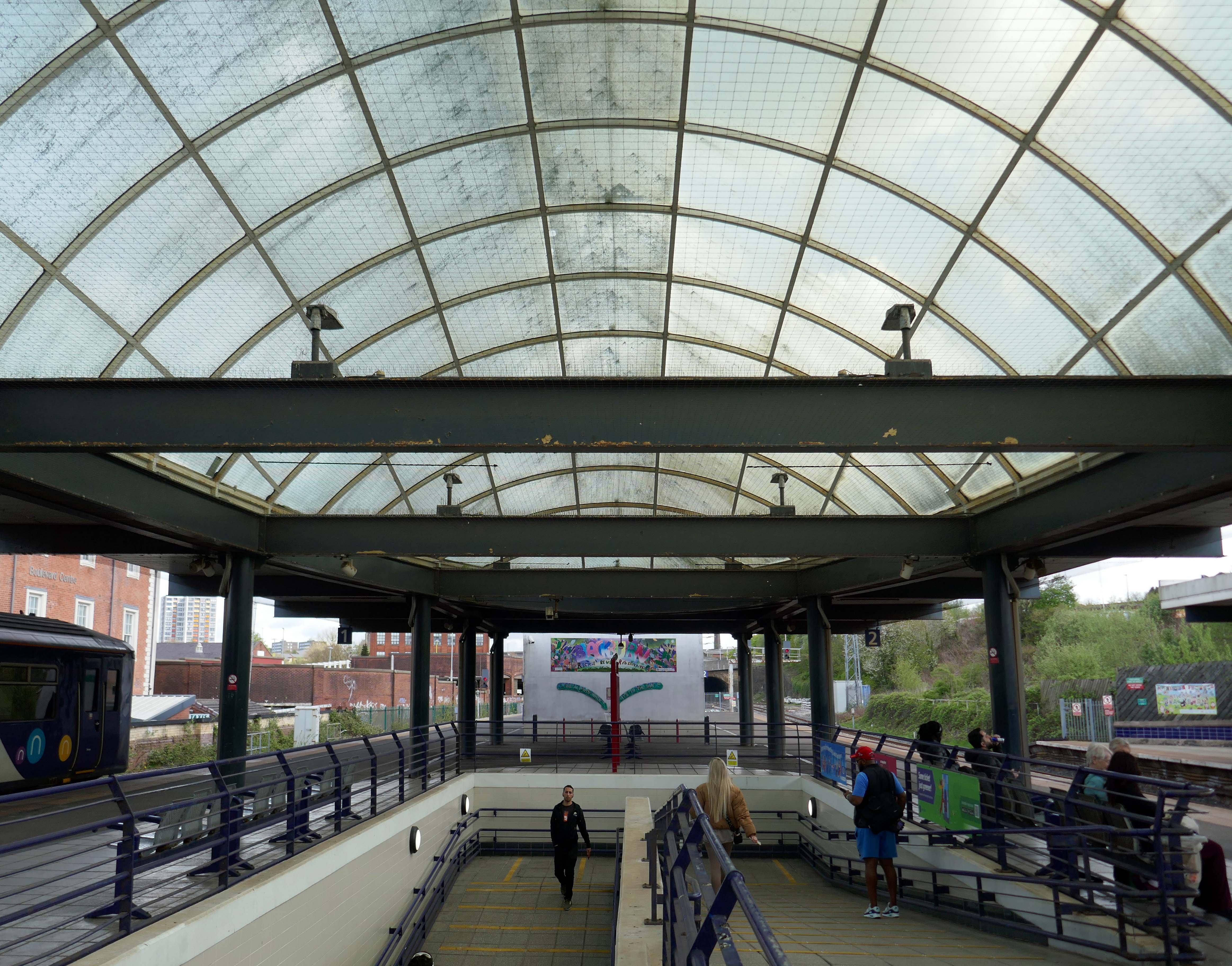
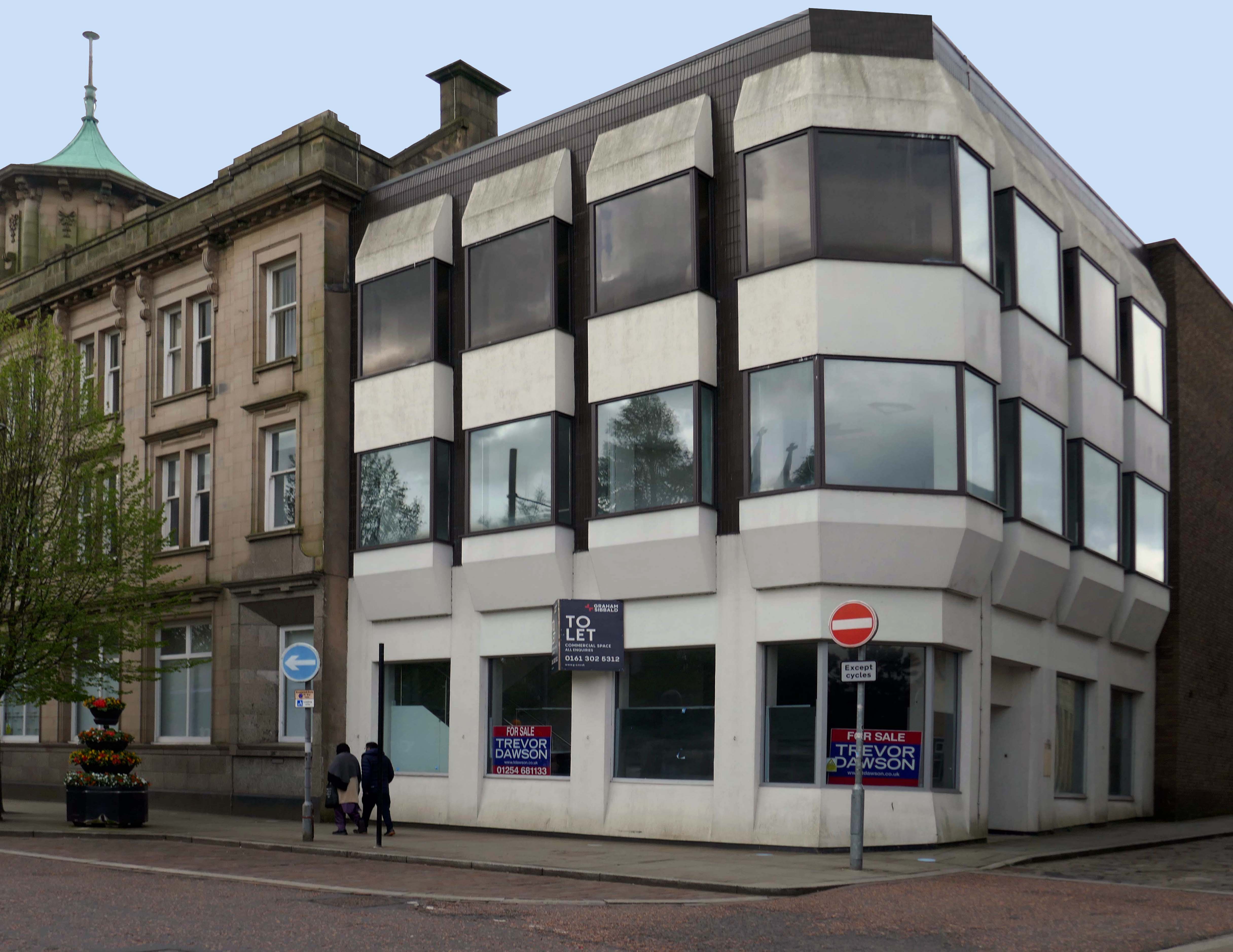
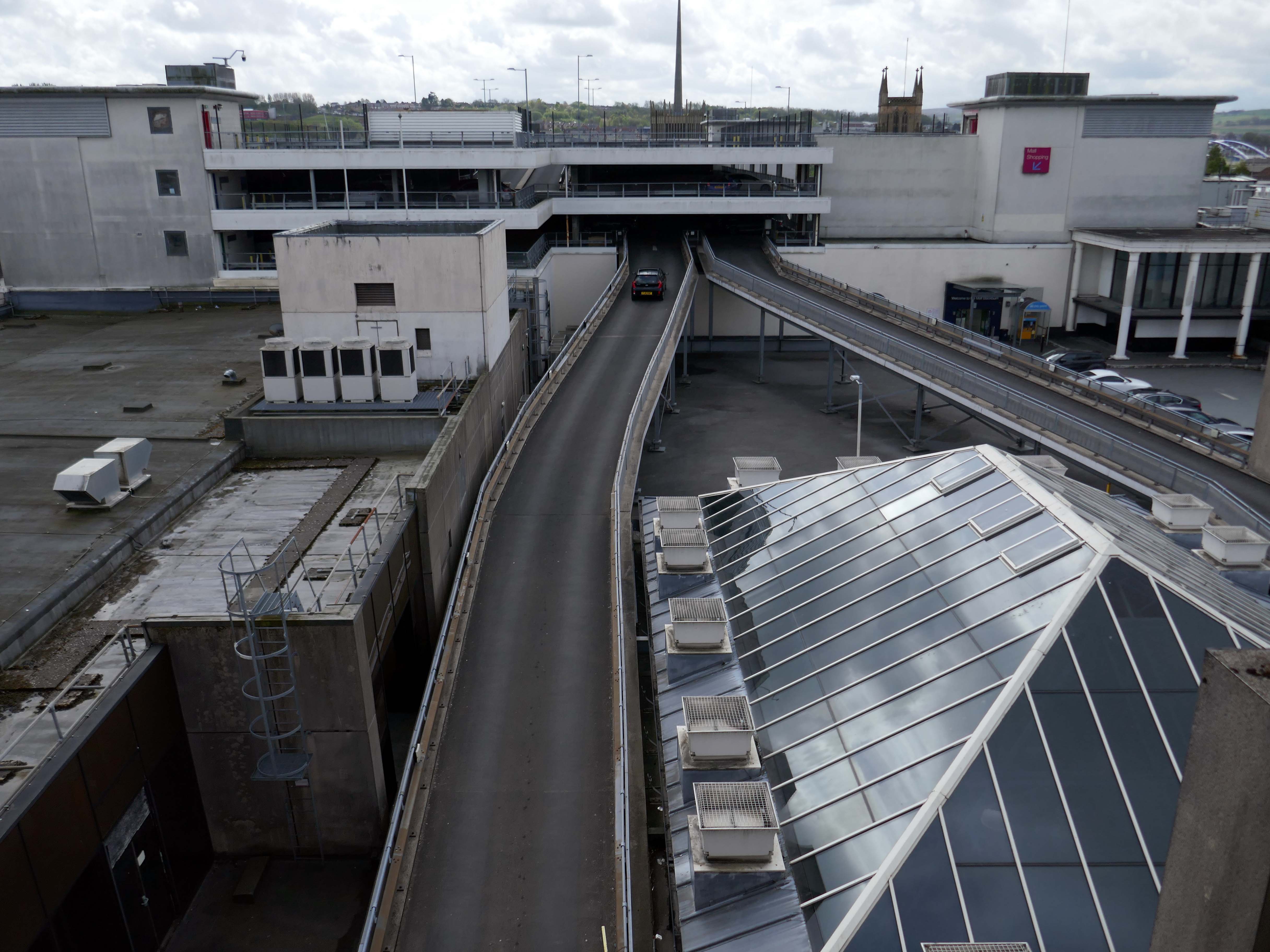
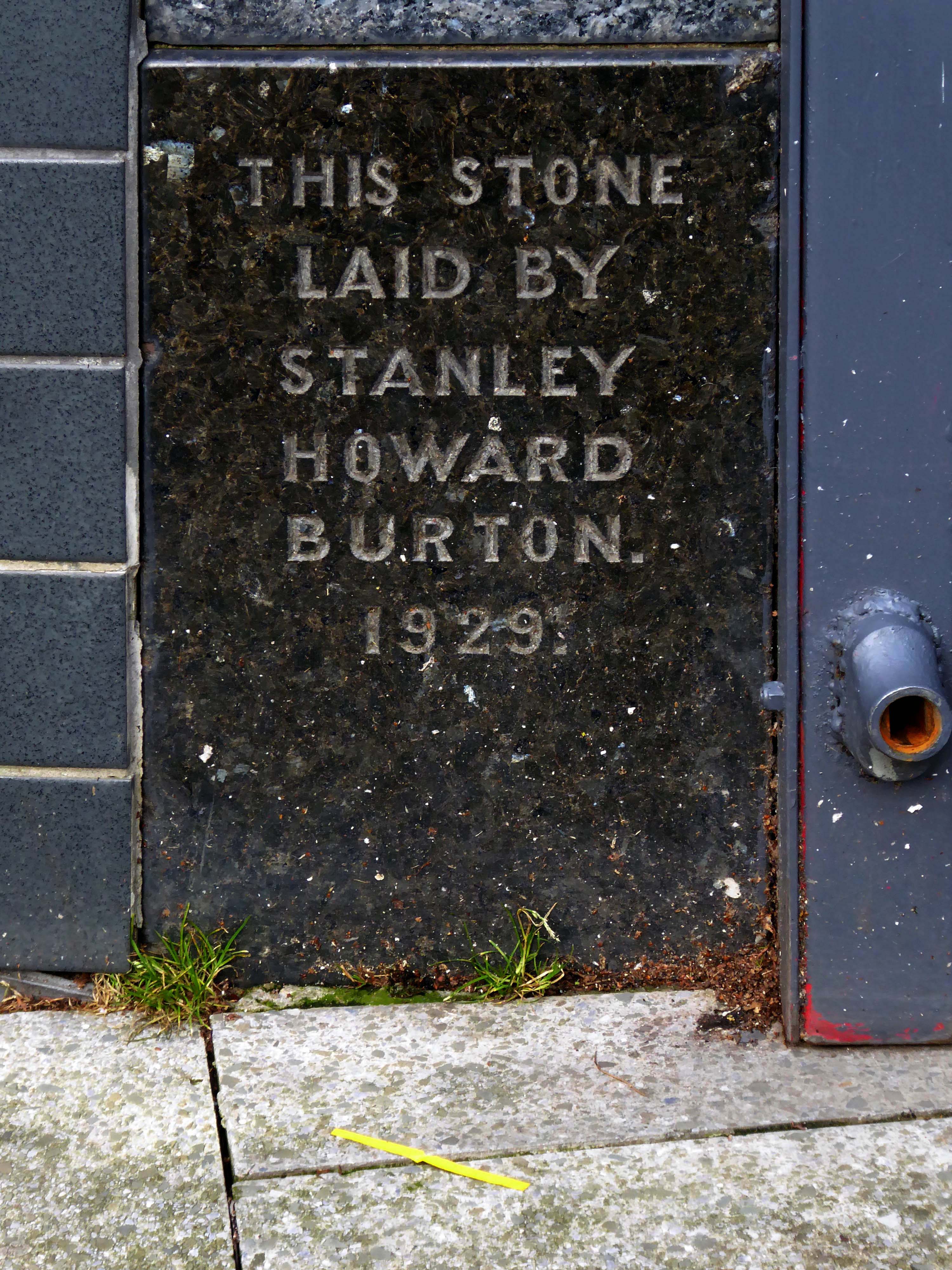
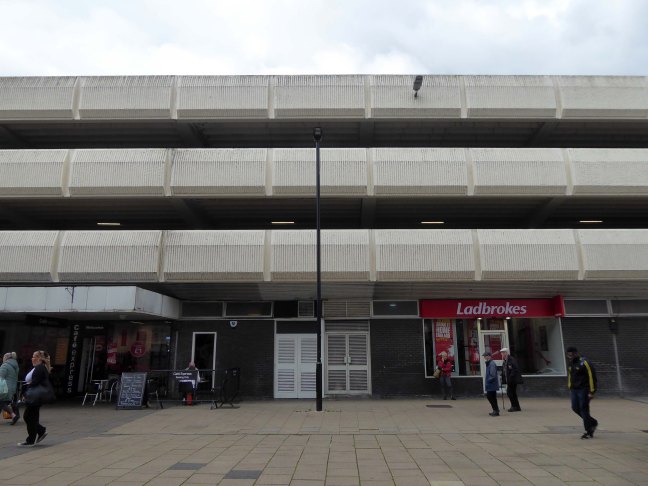
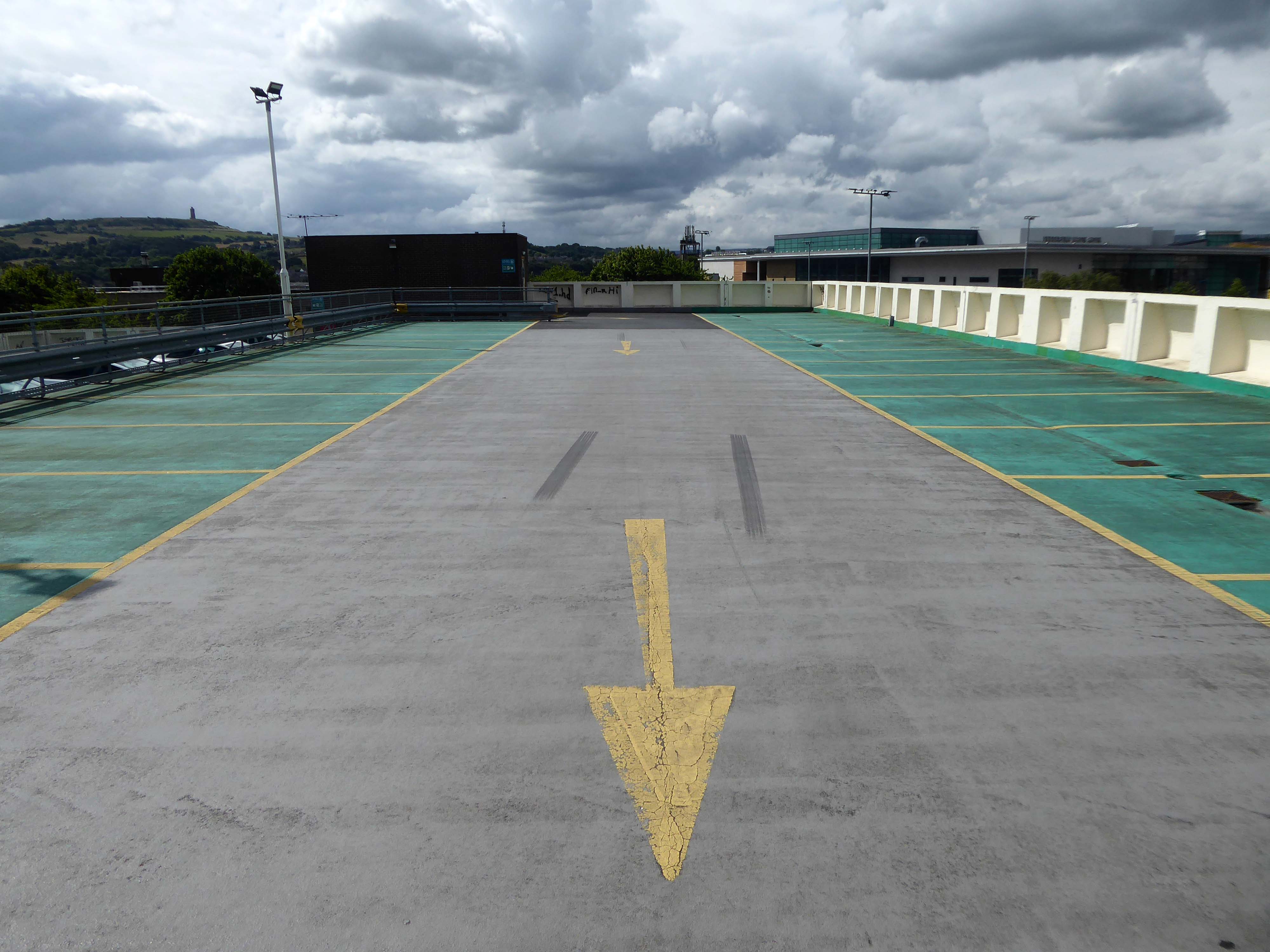
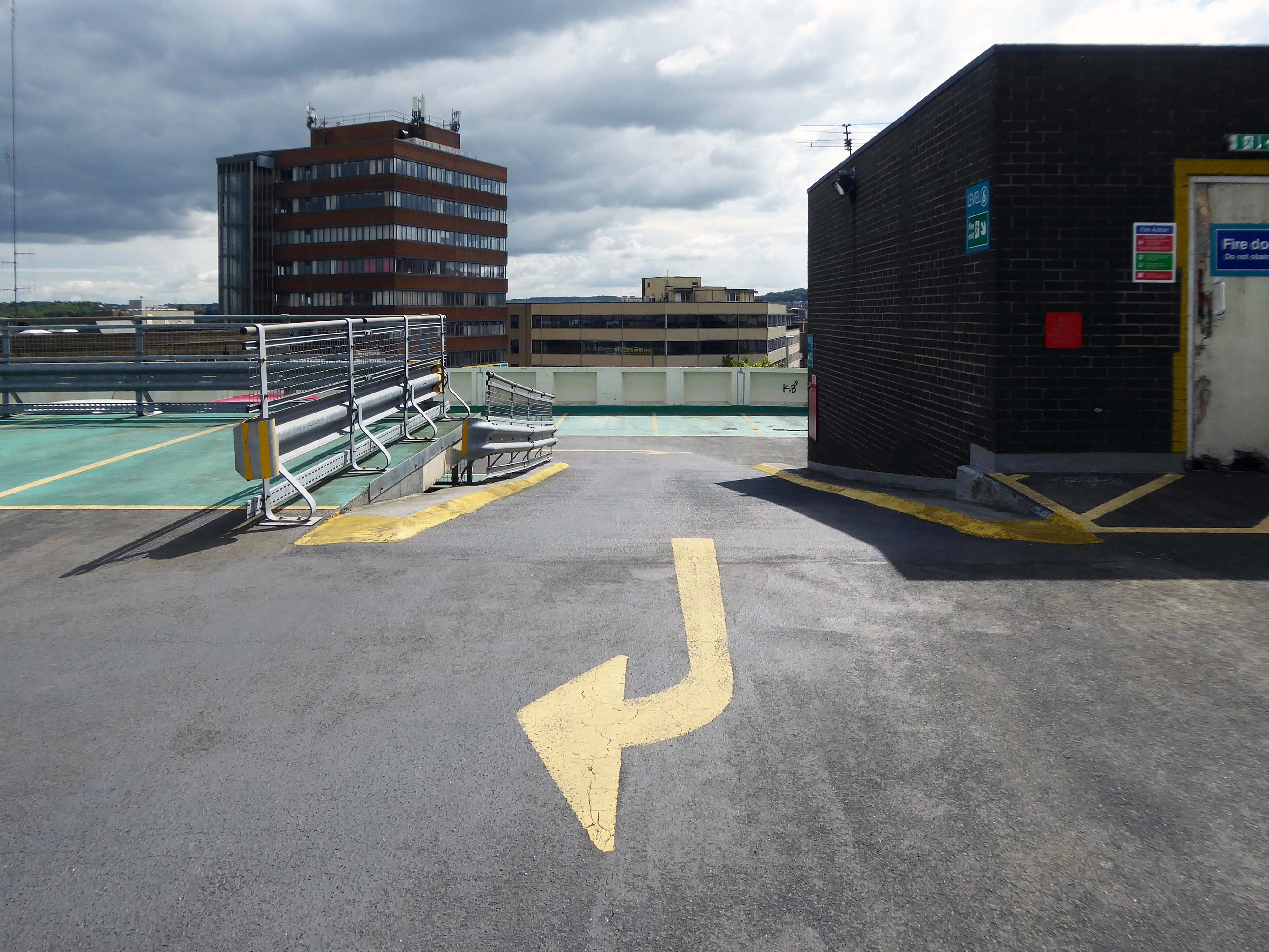
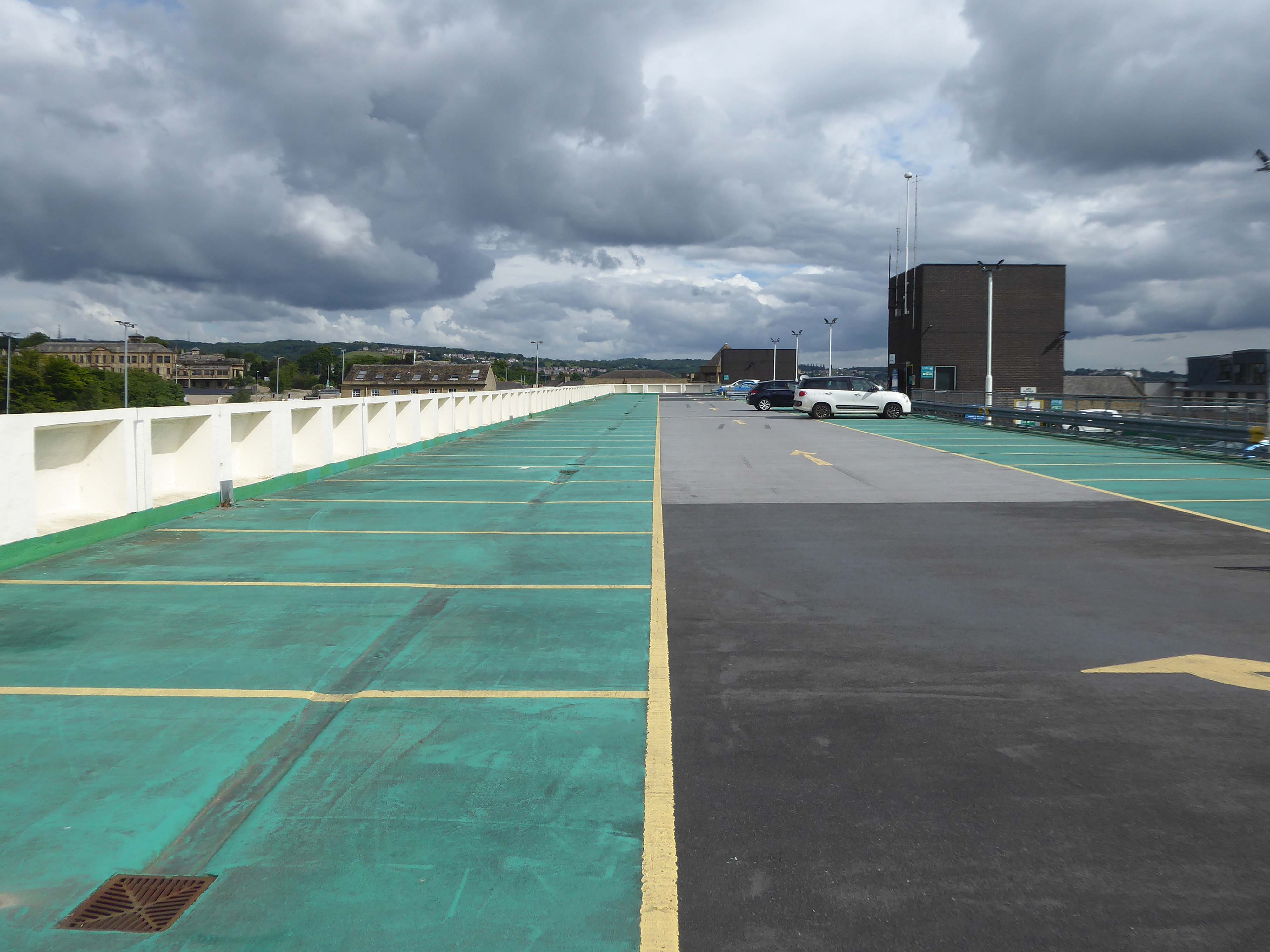
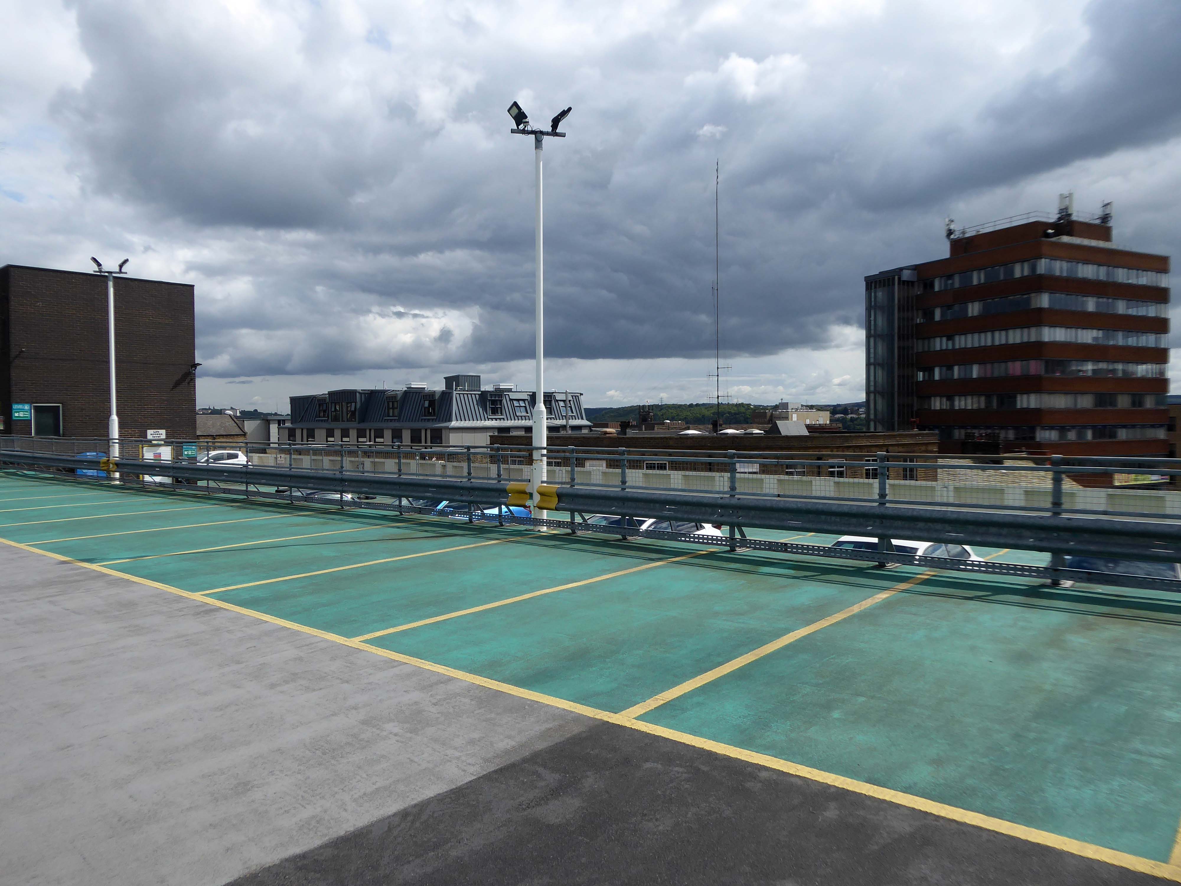
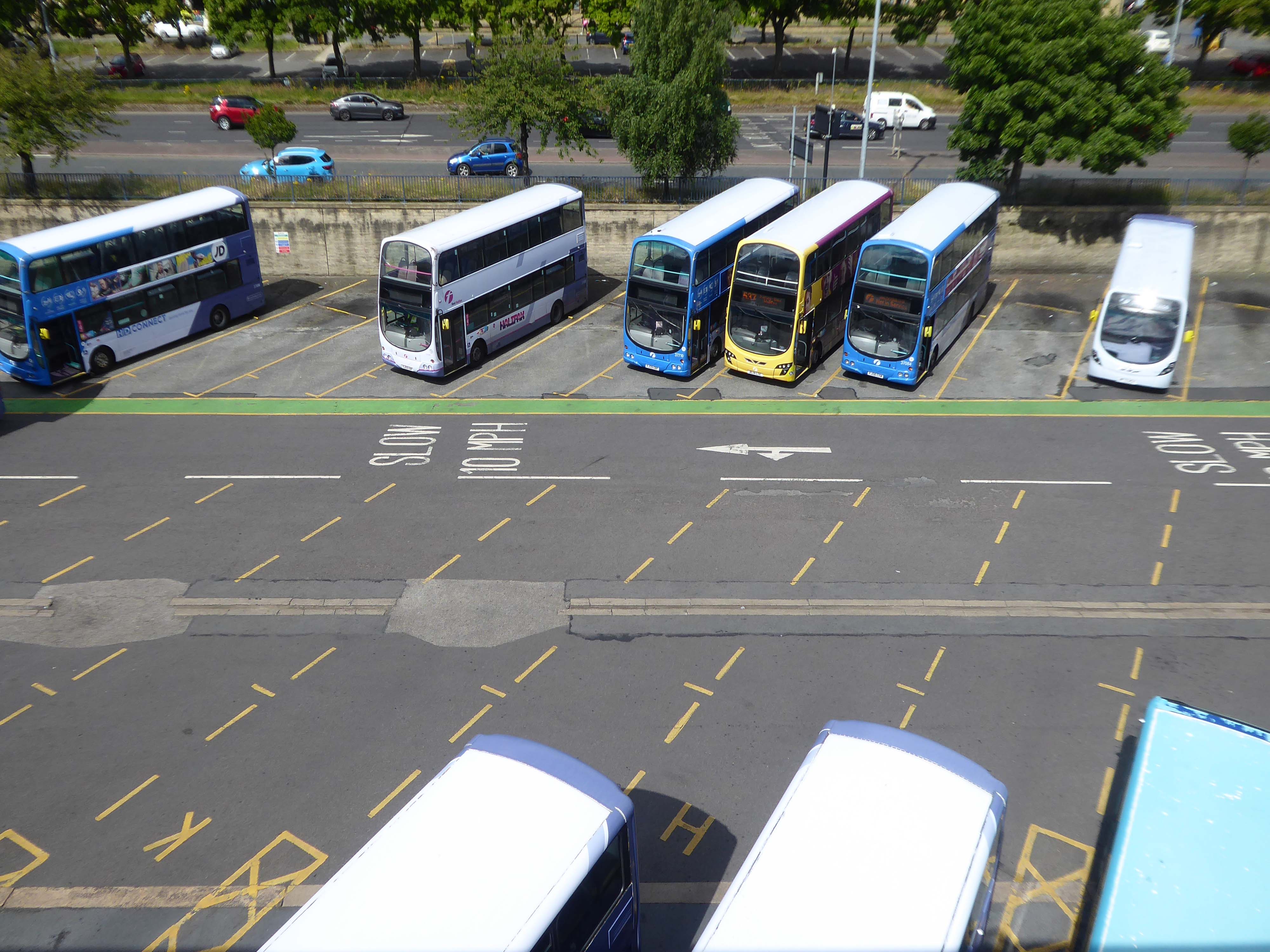
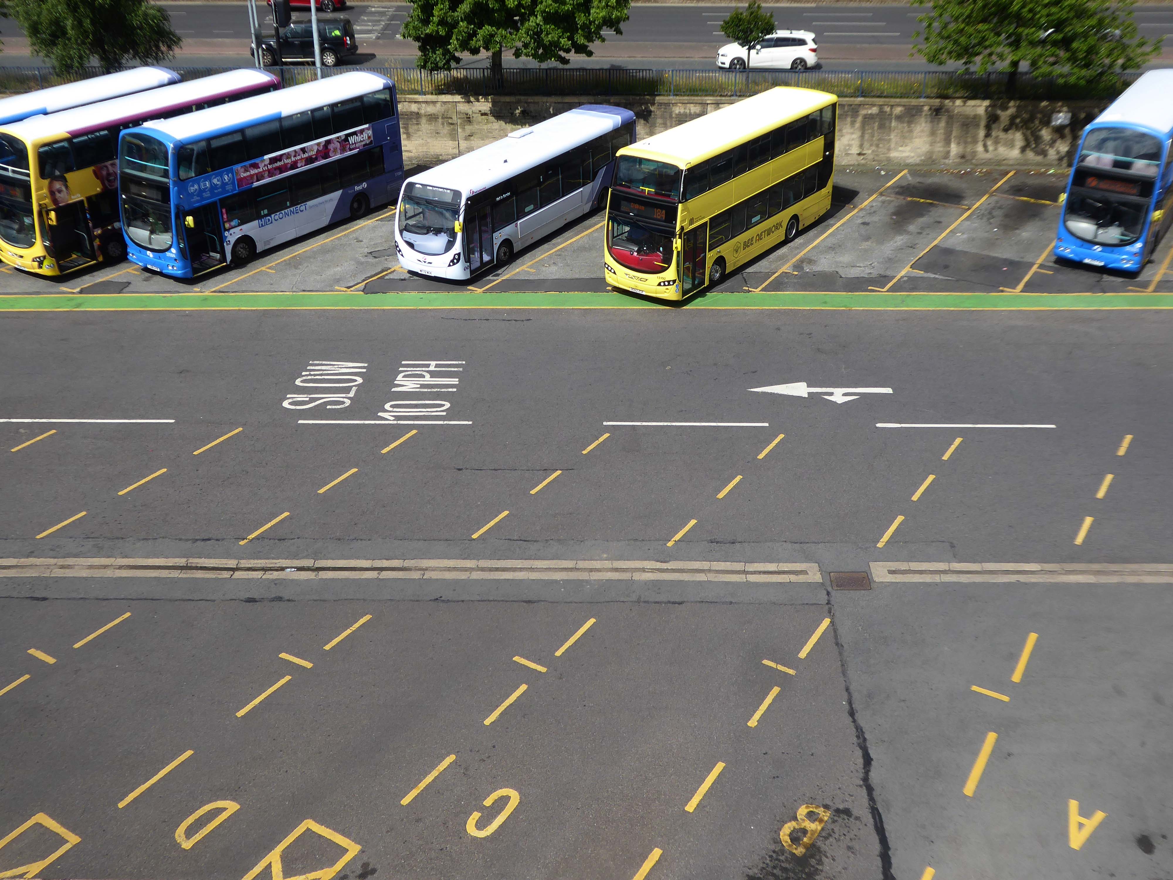
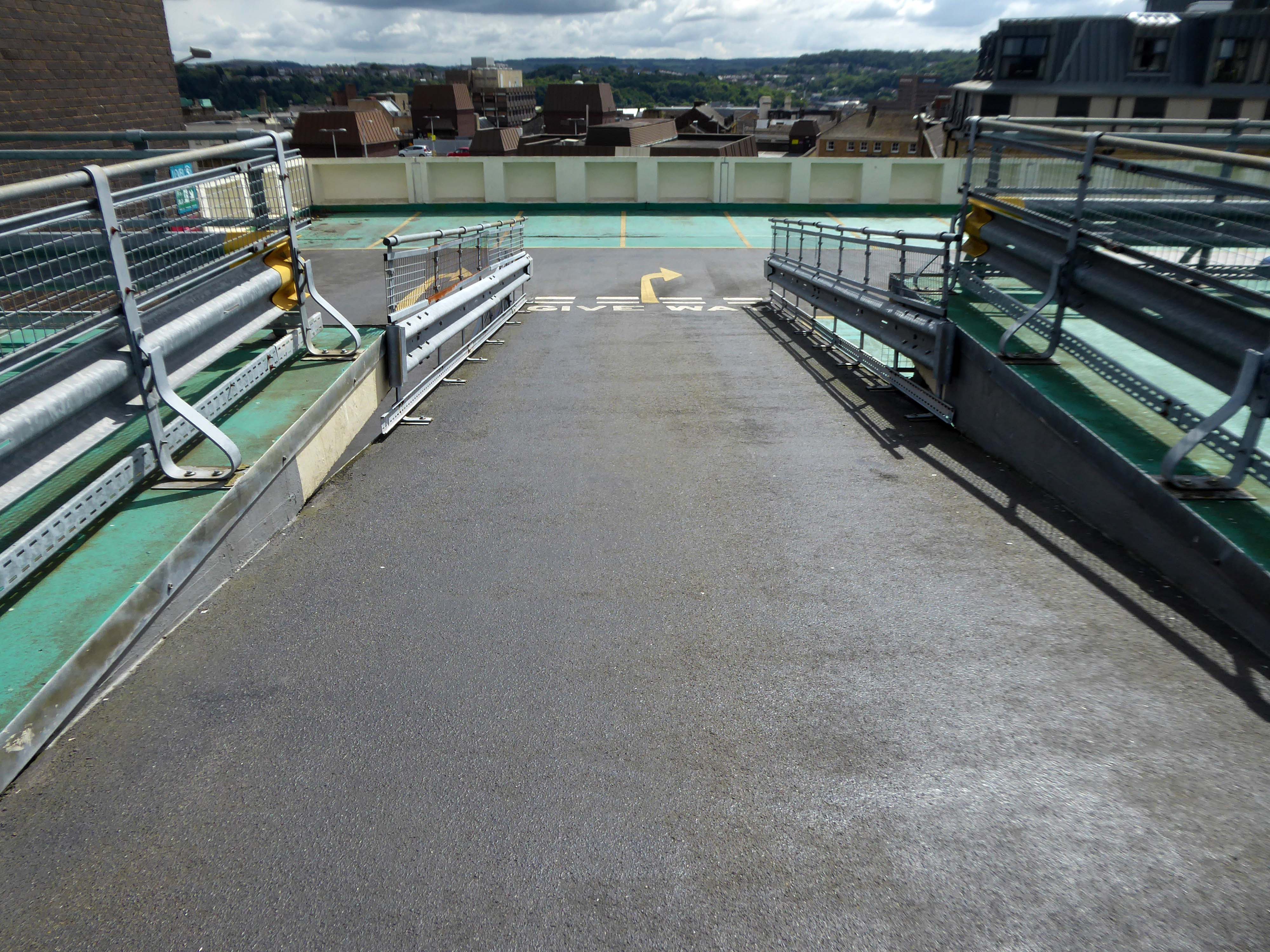
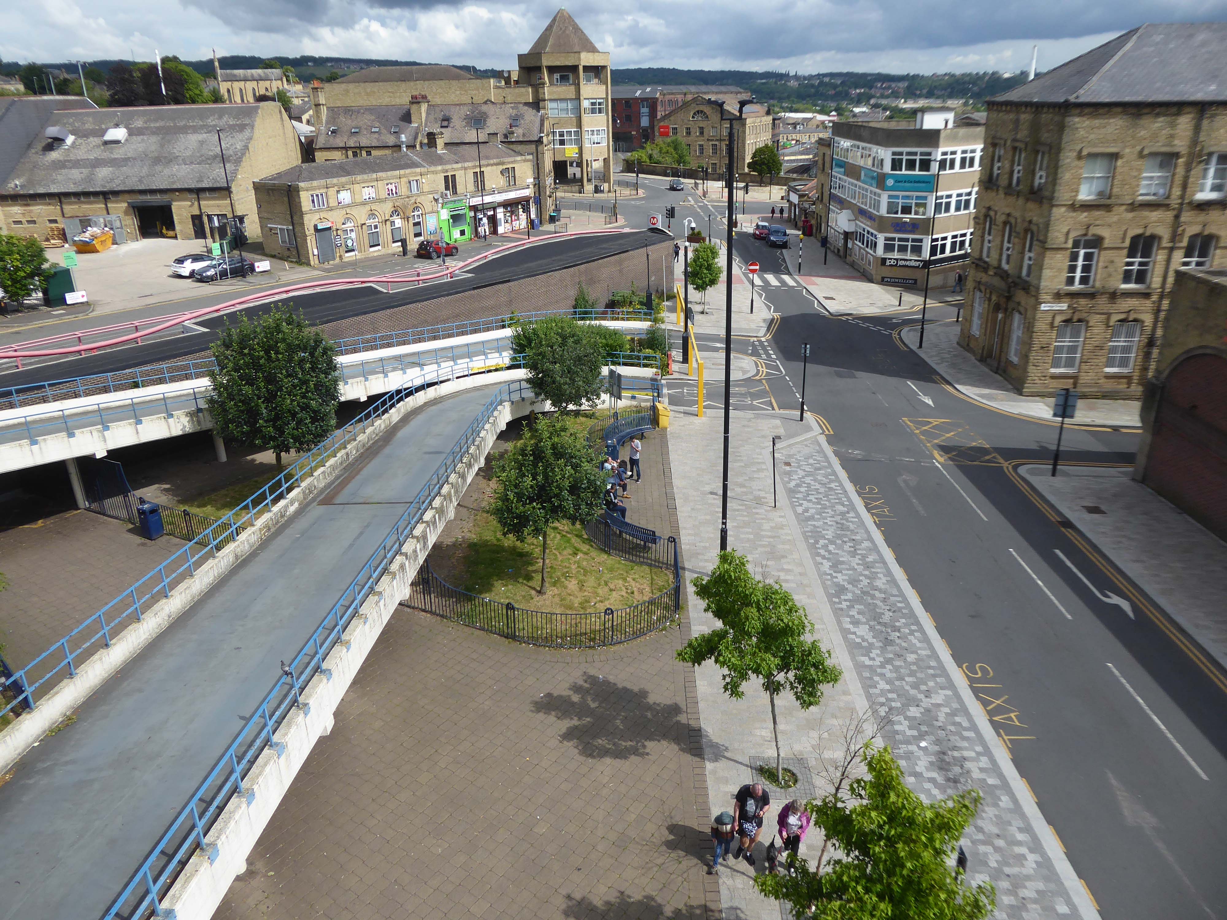
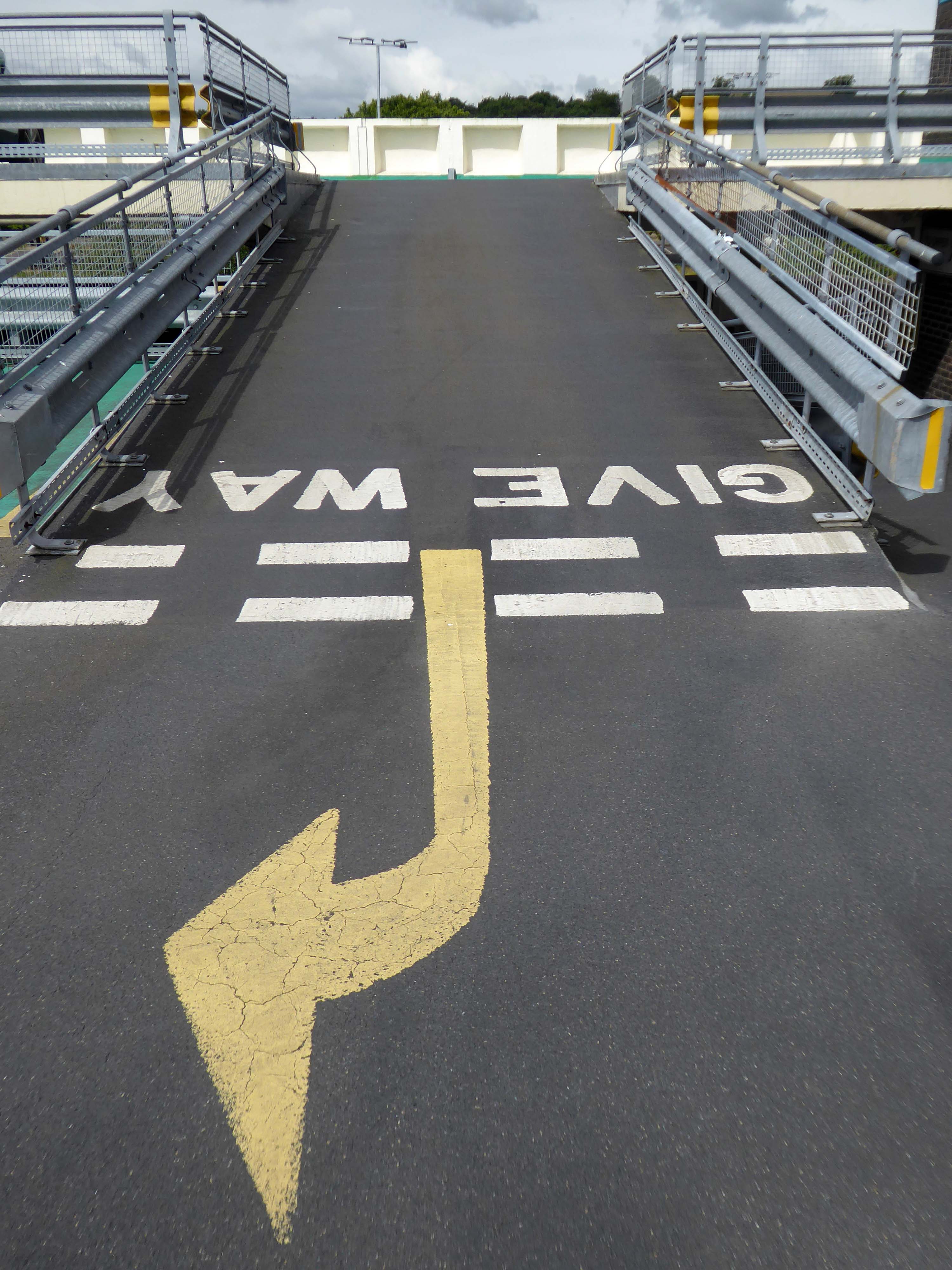
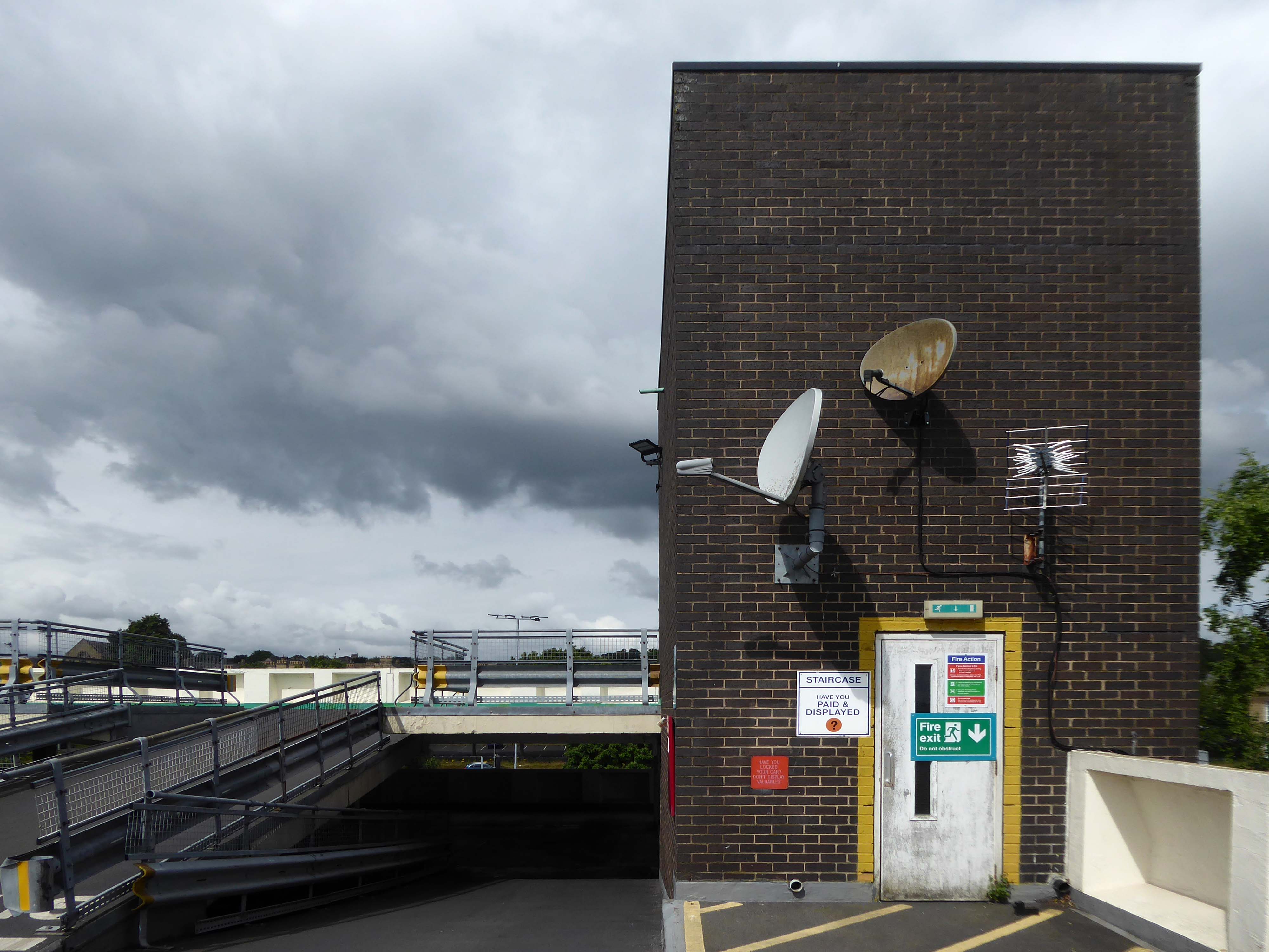
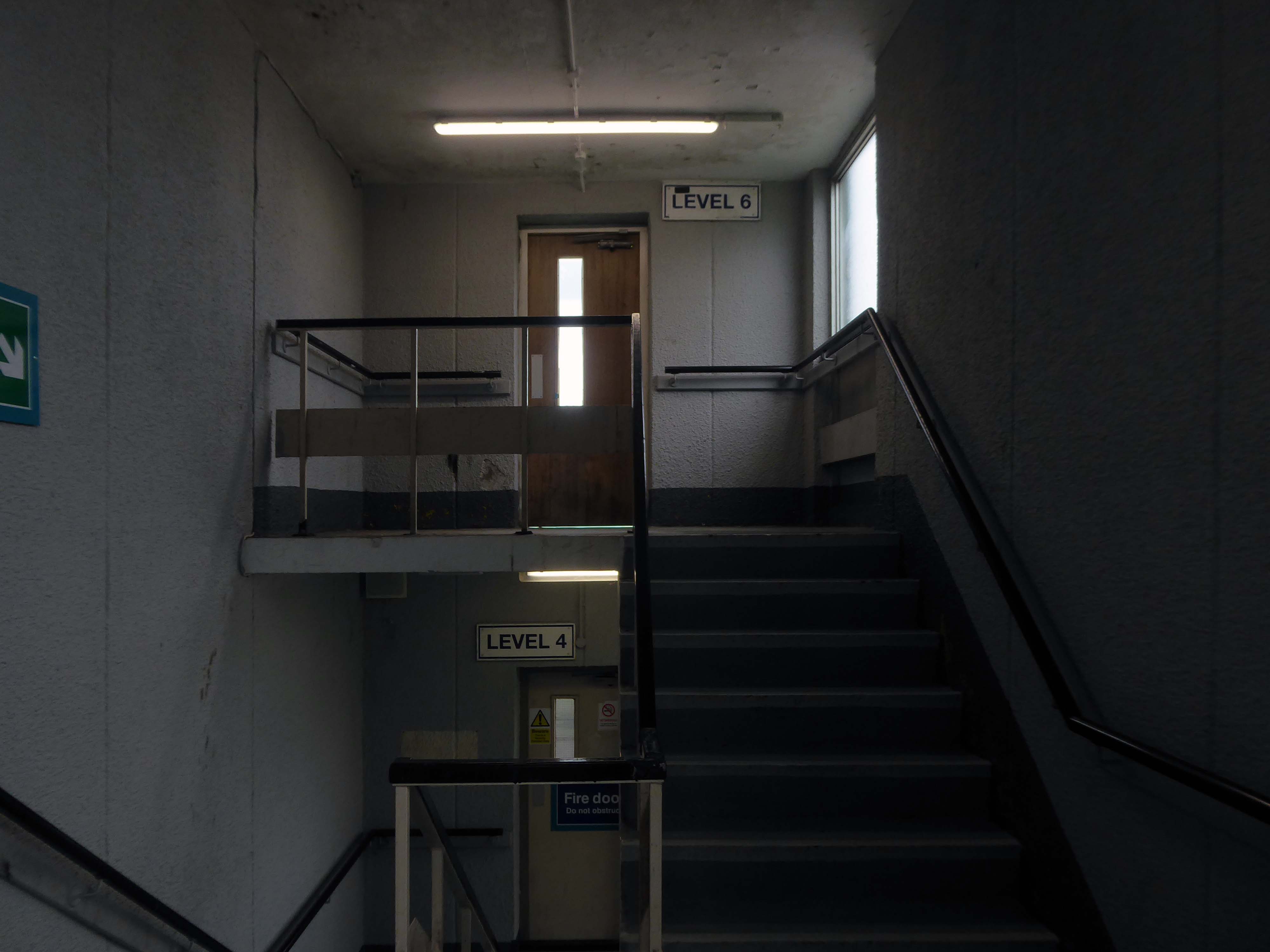
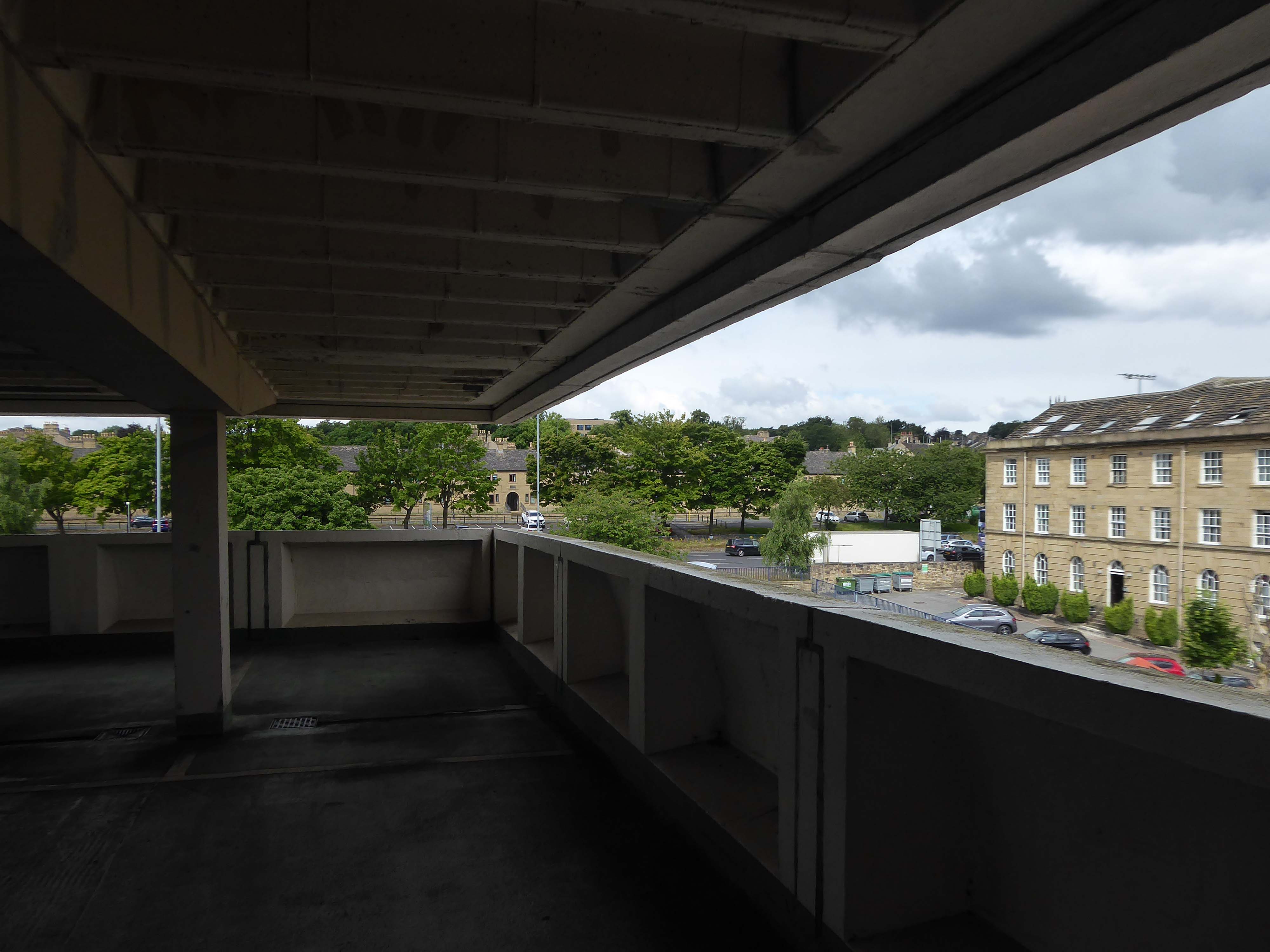
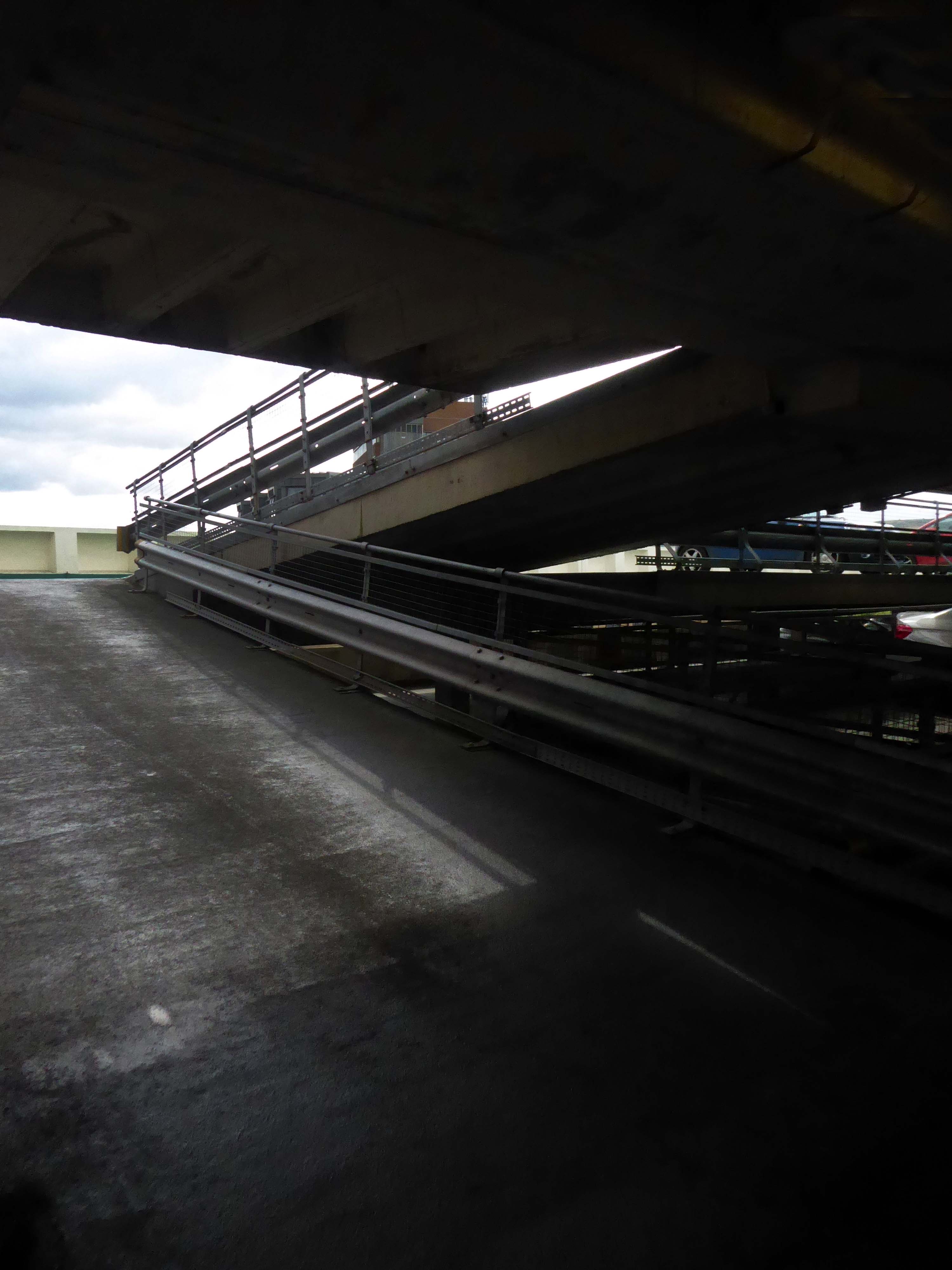
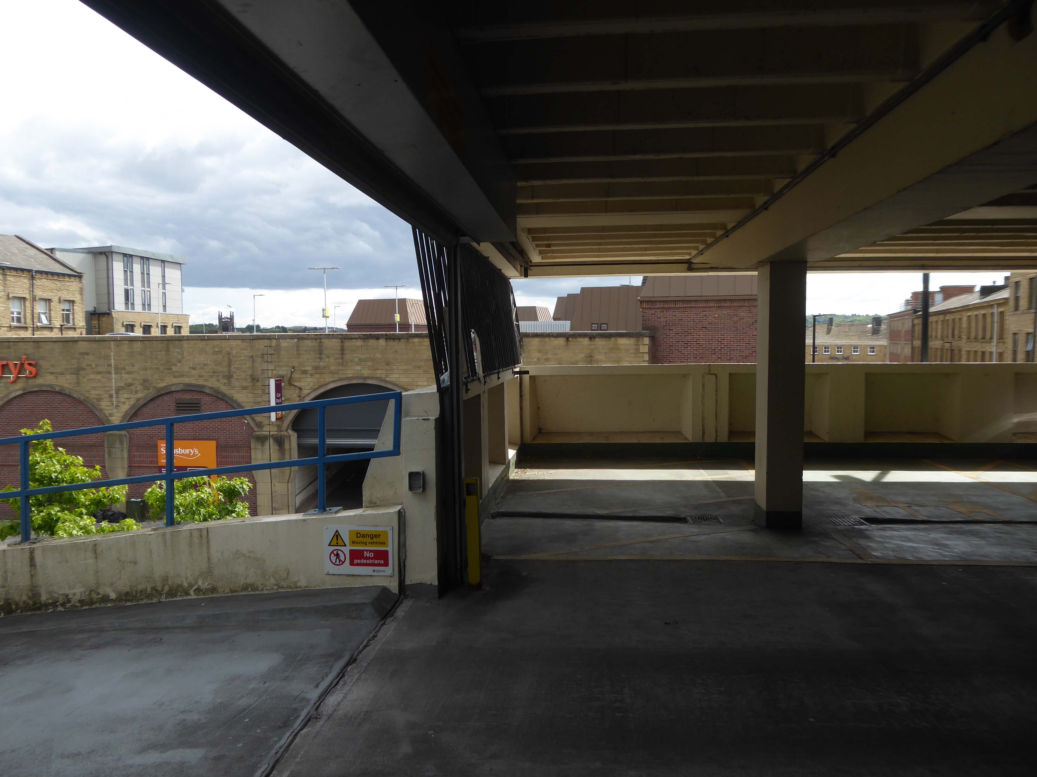
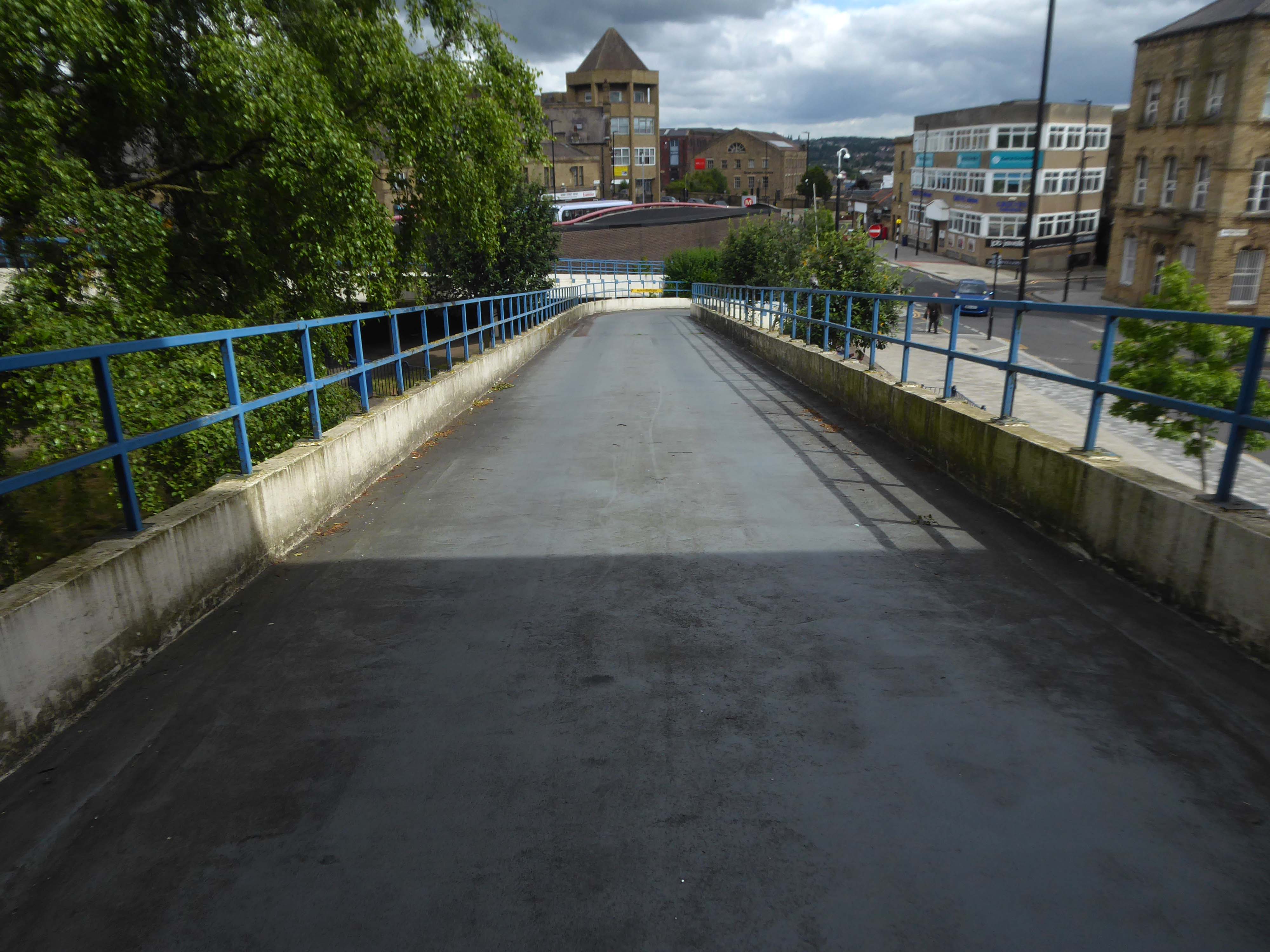
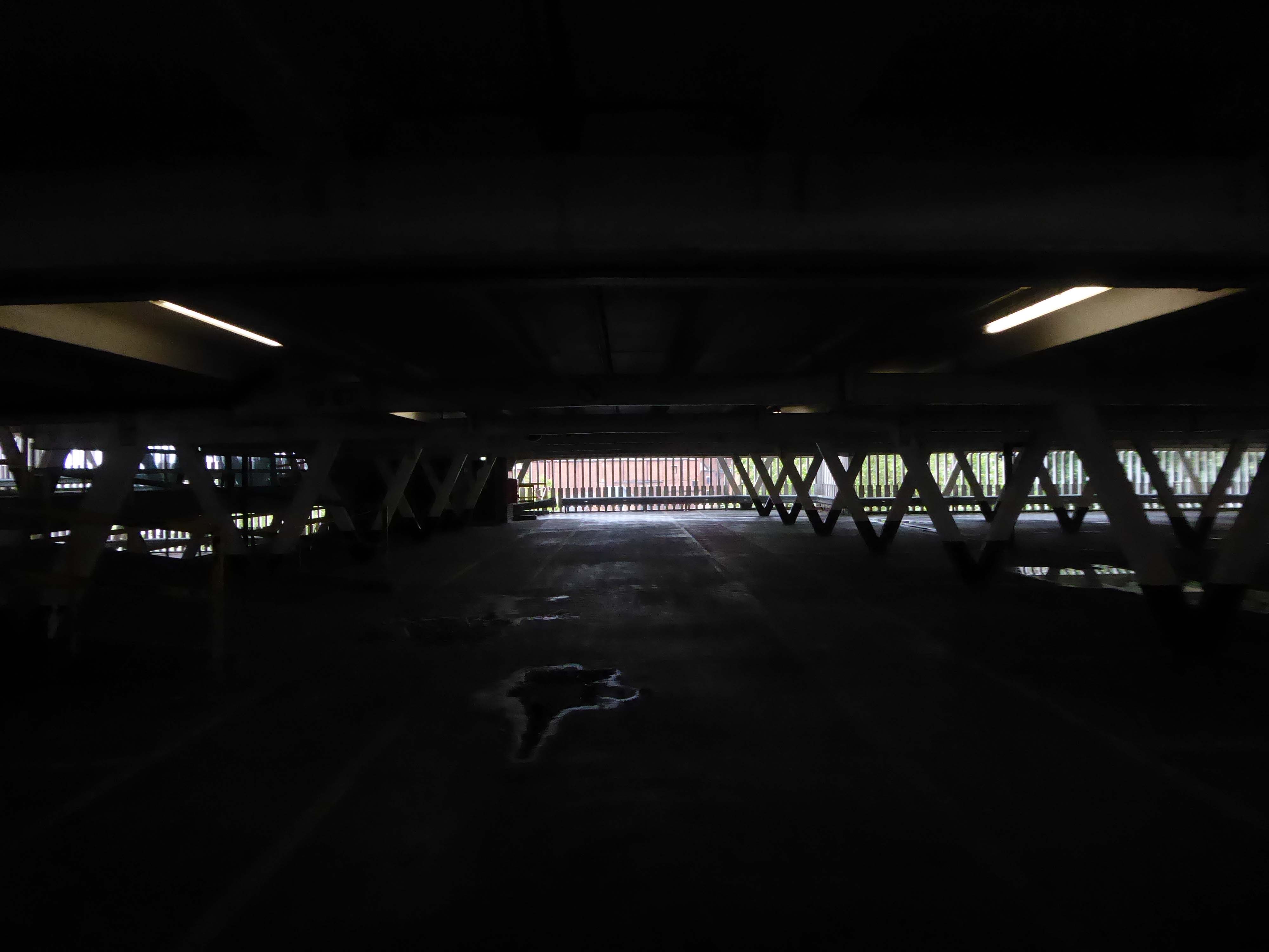
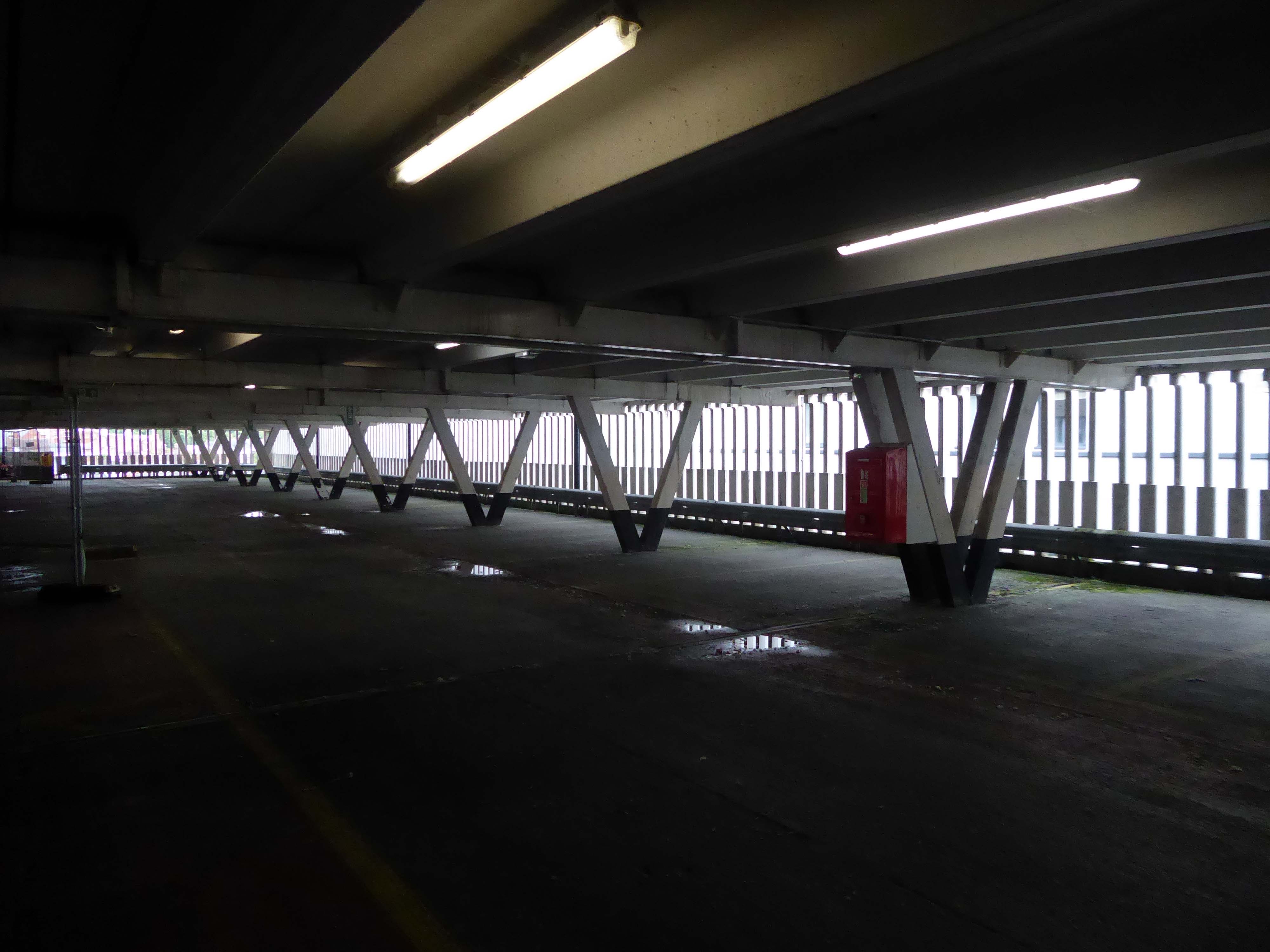
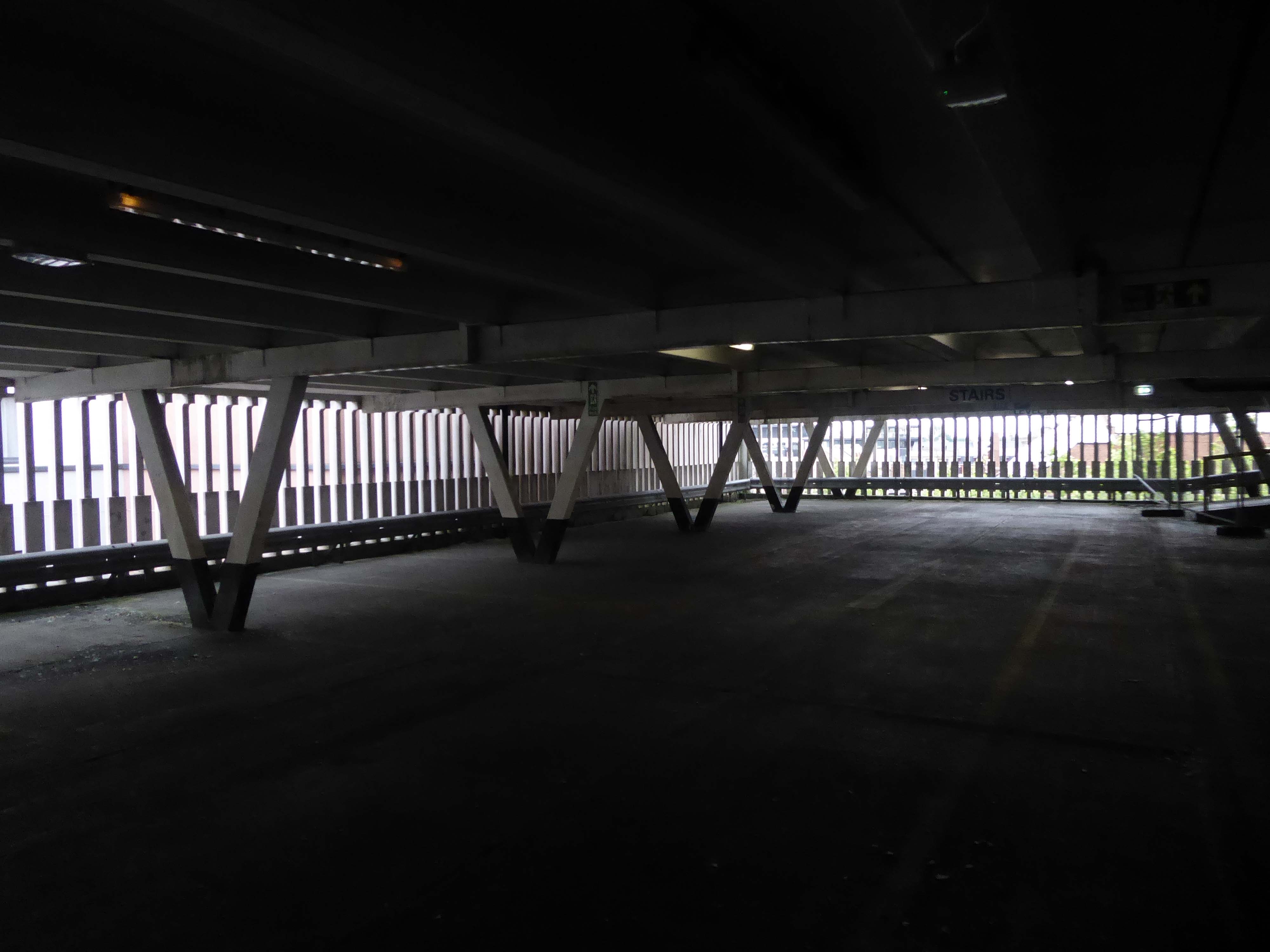
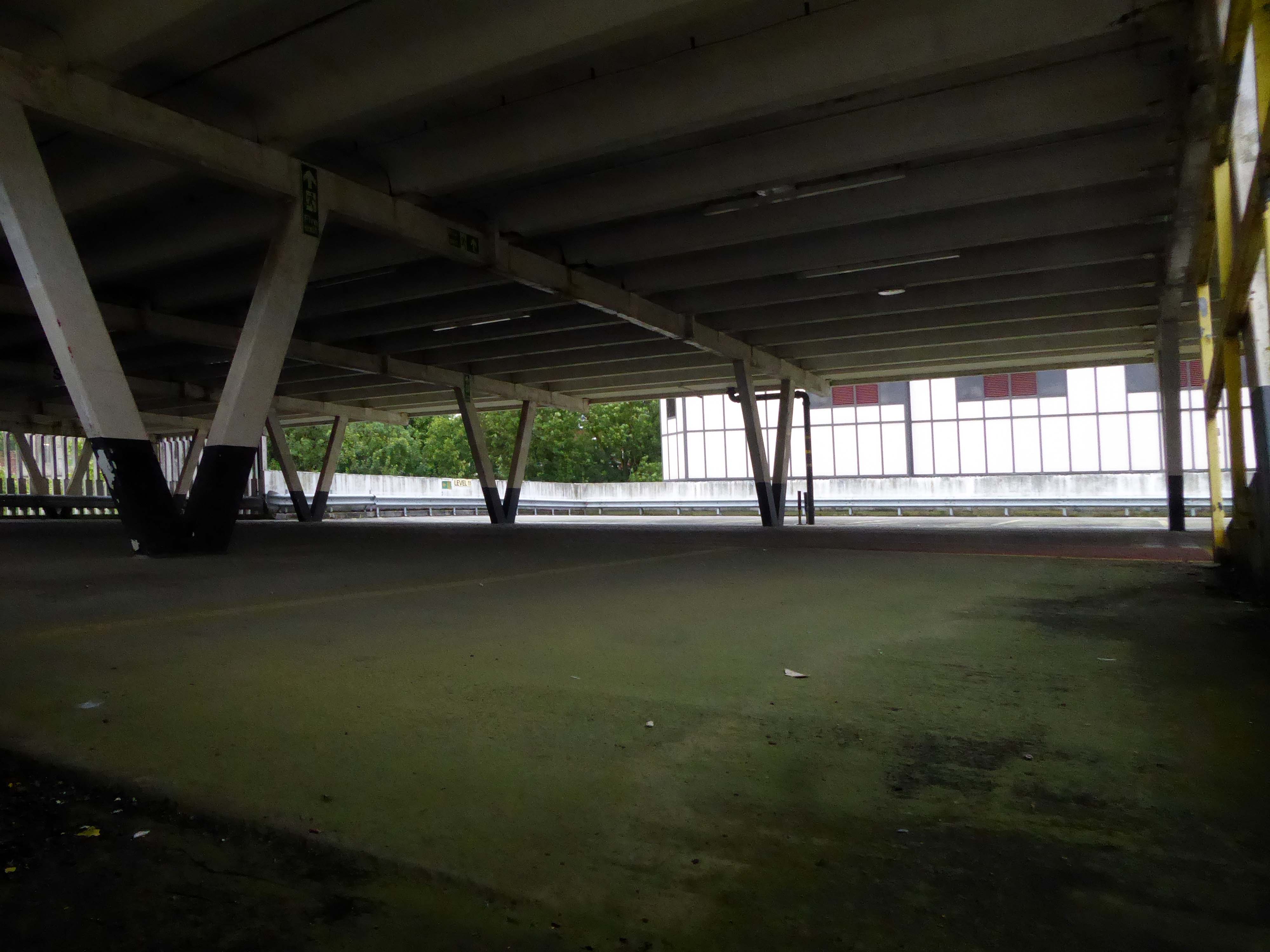
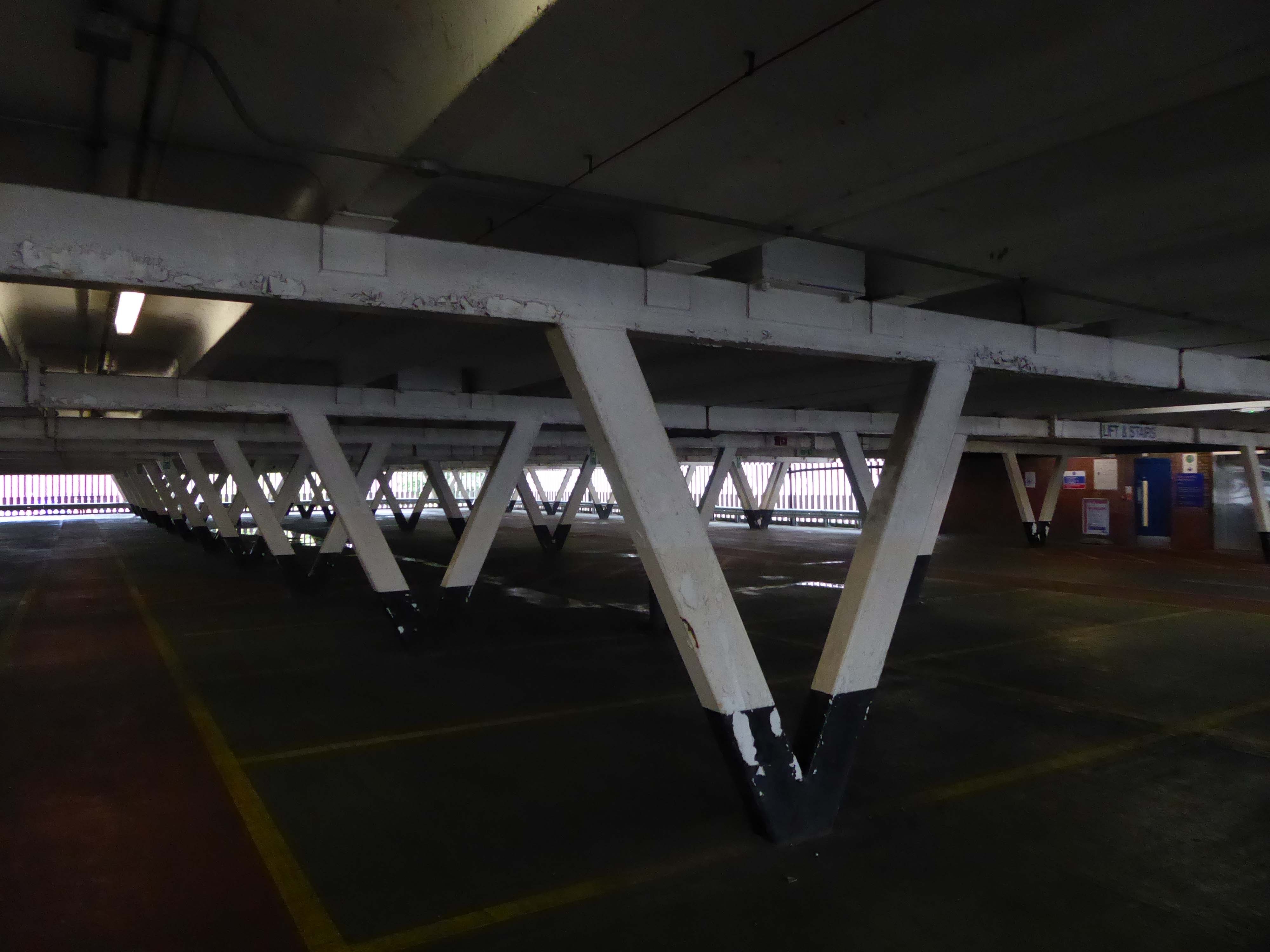
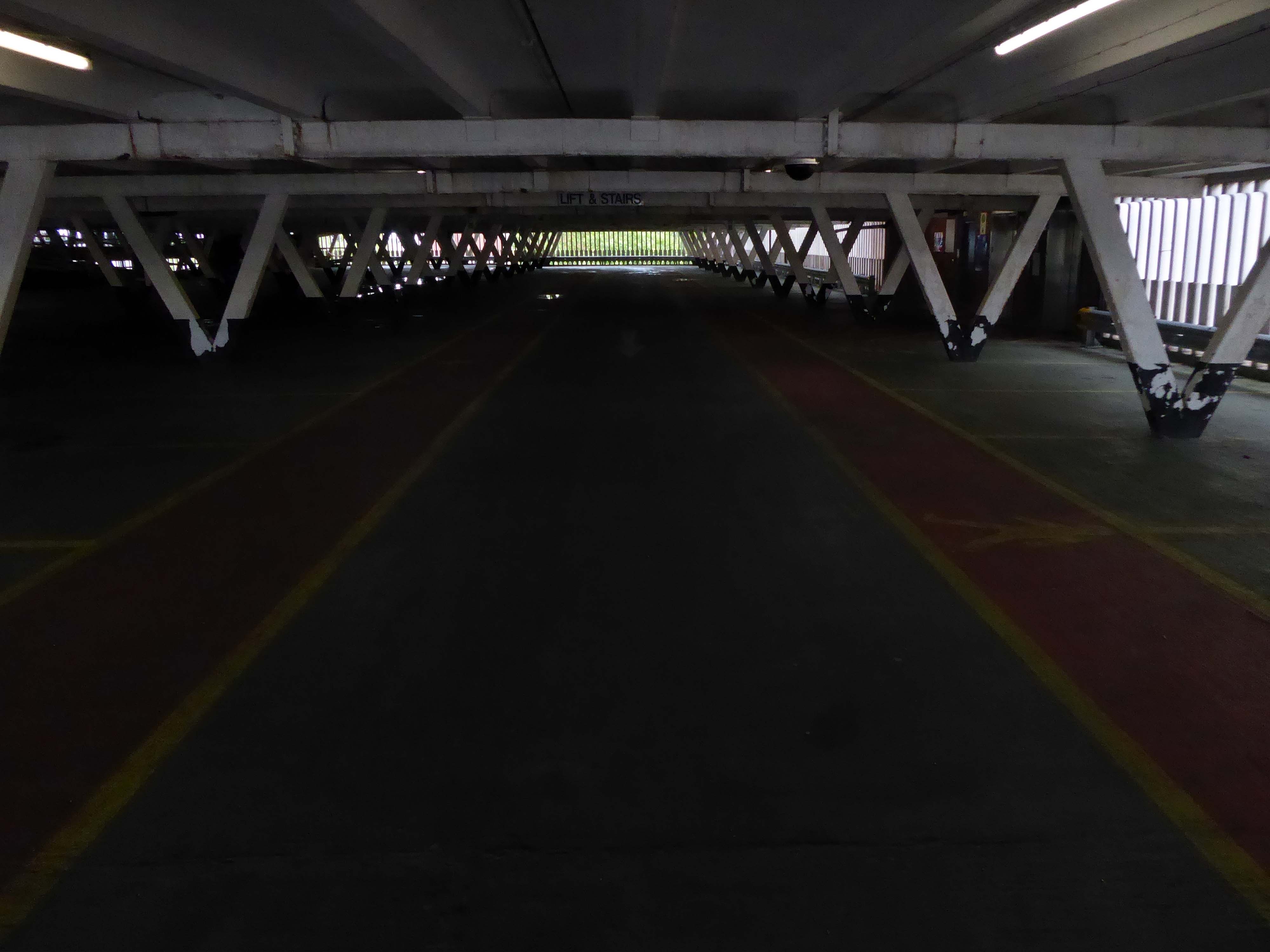
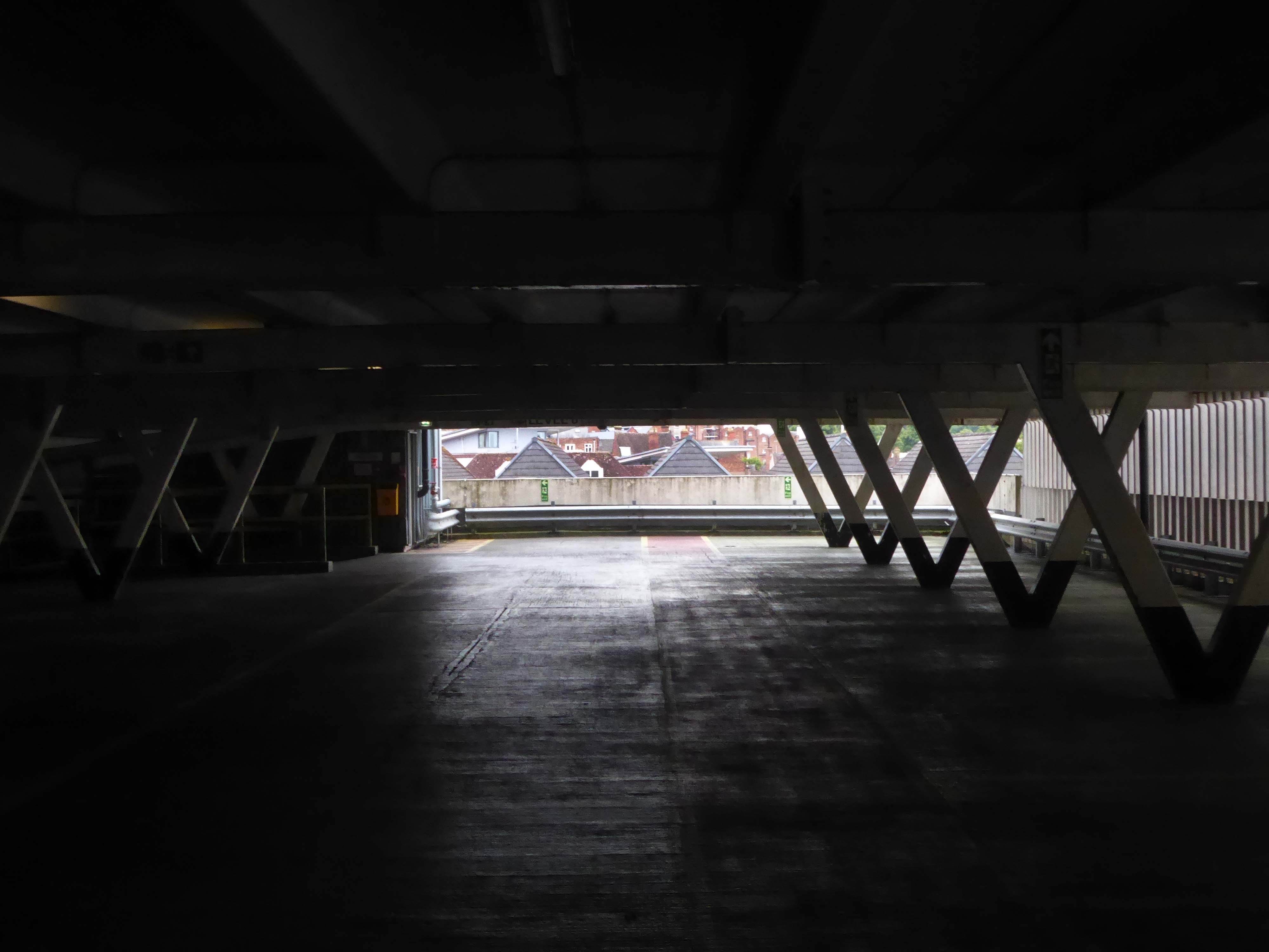
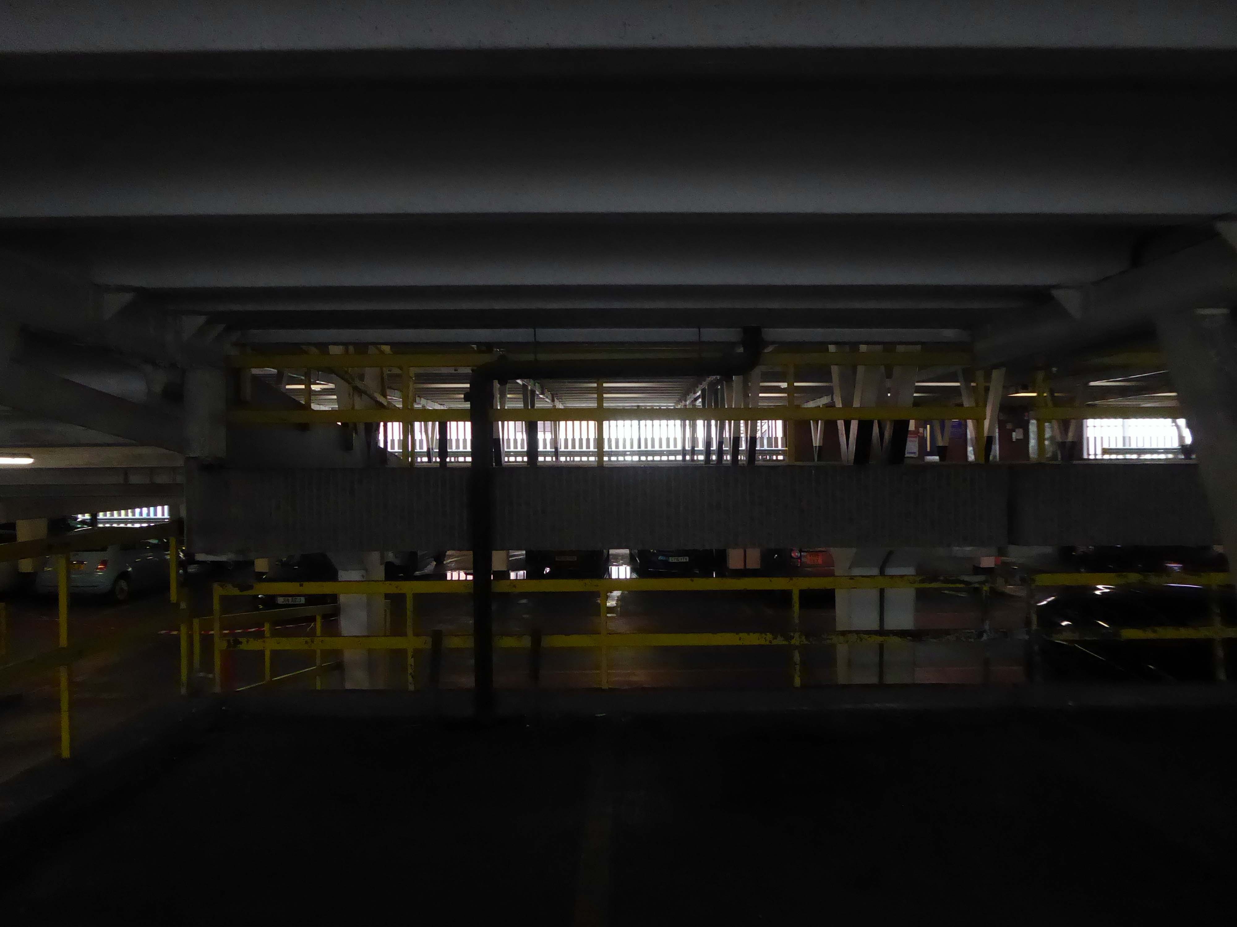
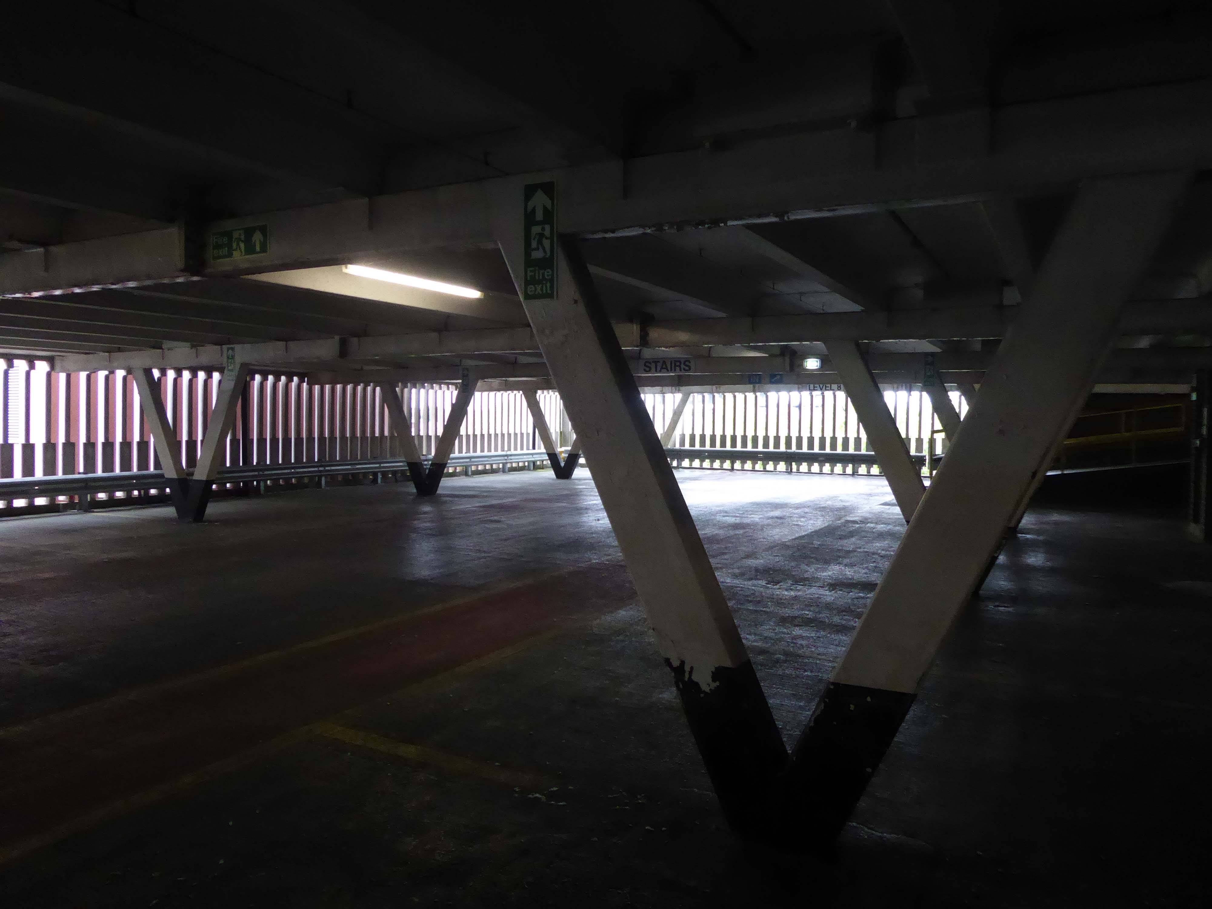
I was informed by the seriously erudite Christopher Marsden that the bus station and car park were the work of Derek C W Vane: Borough Architect 1972-1974.
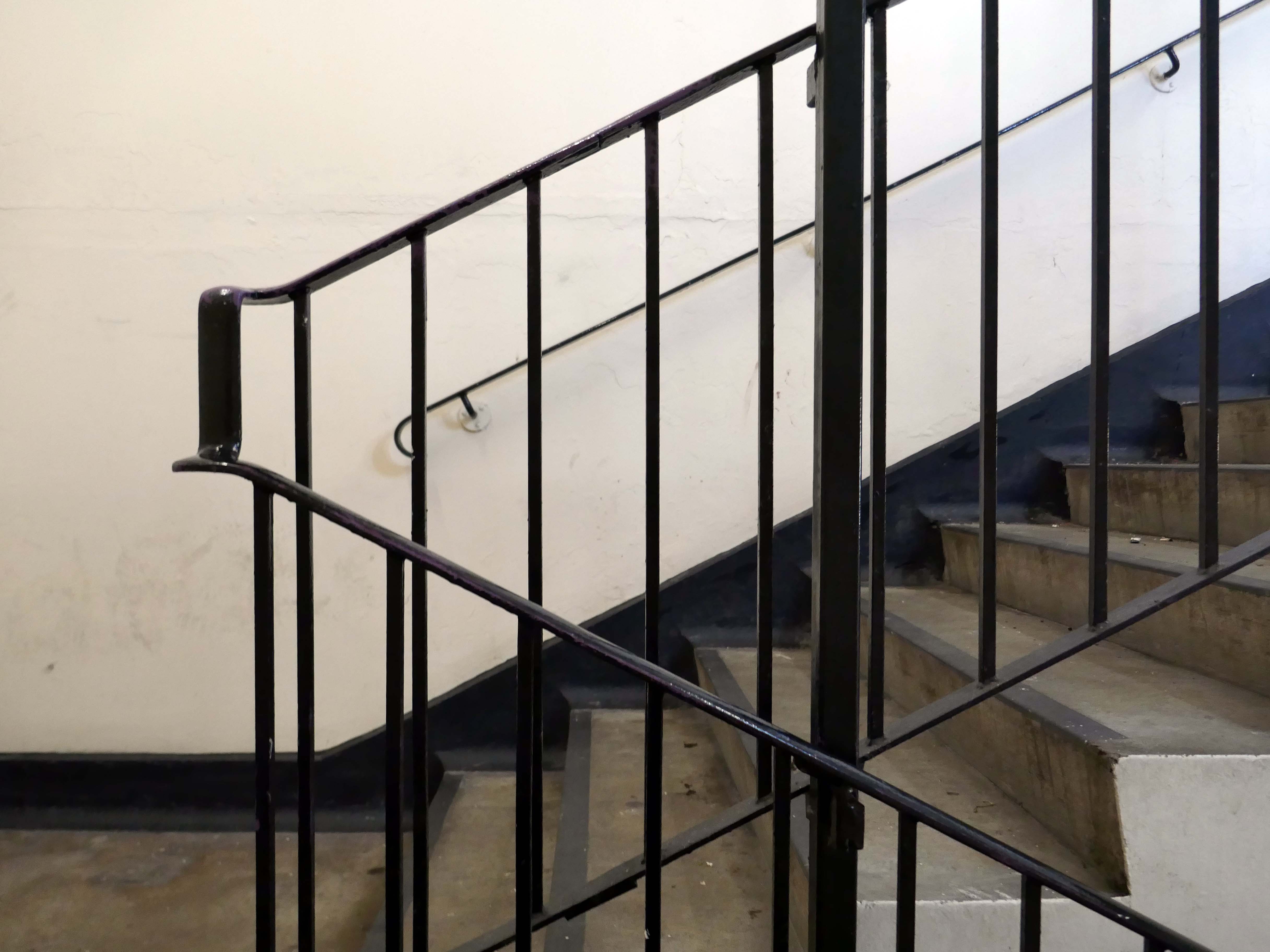
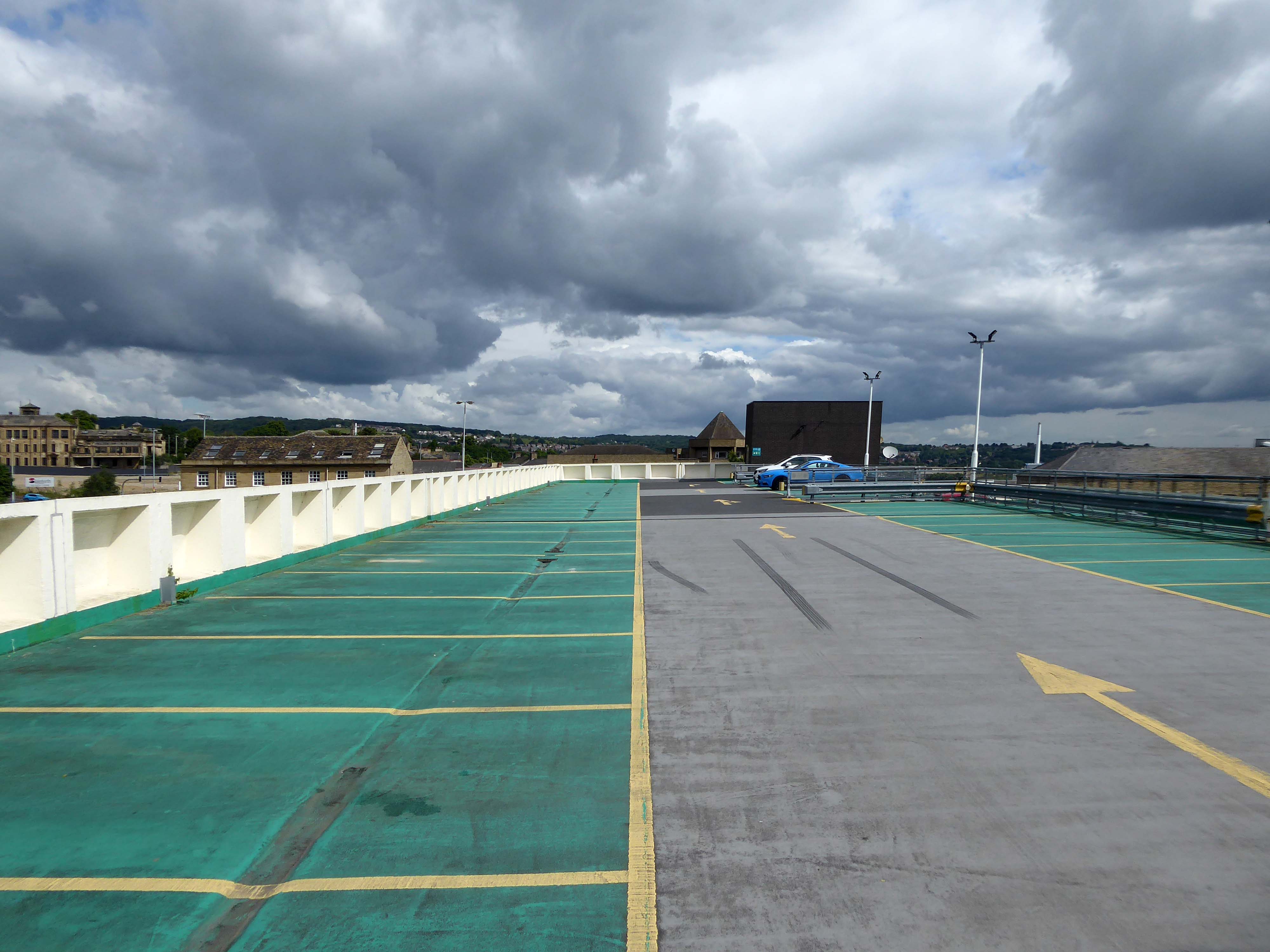
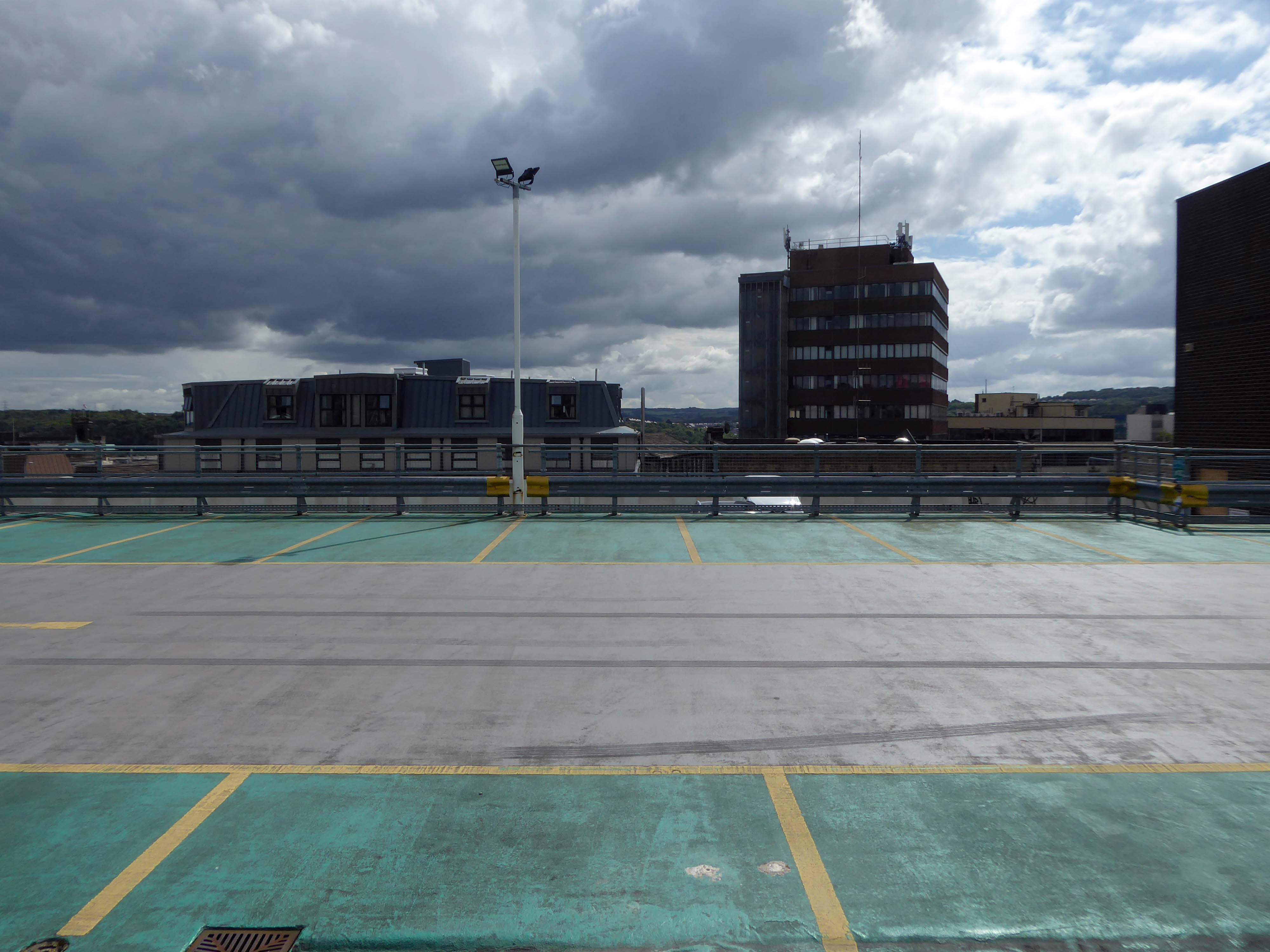
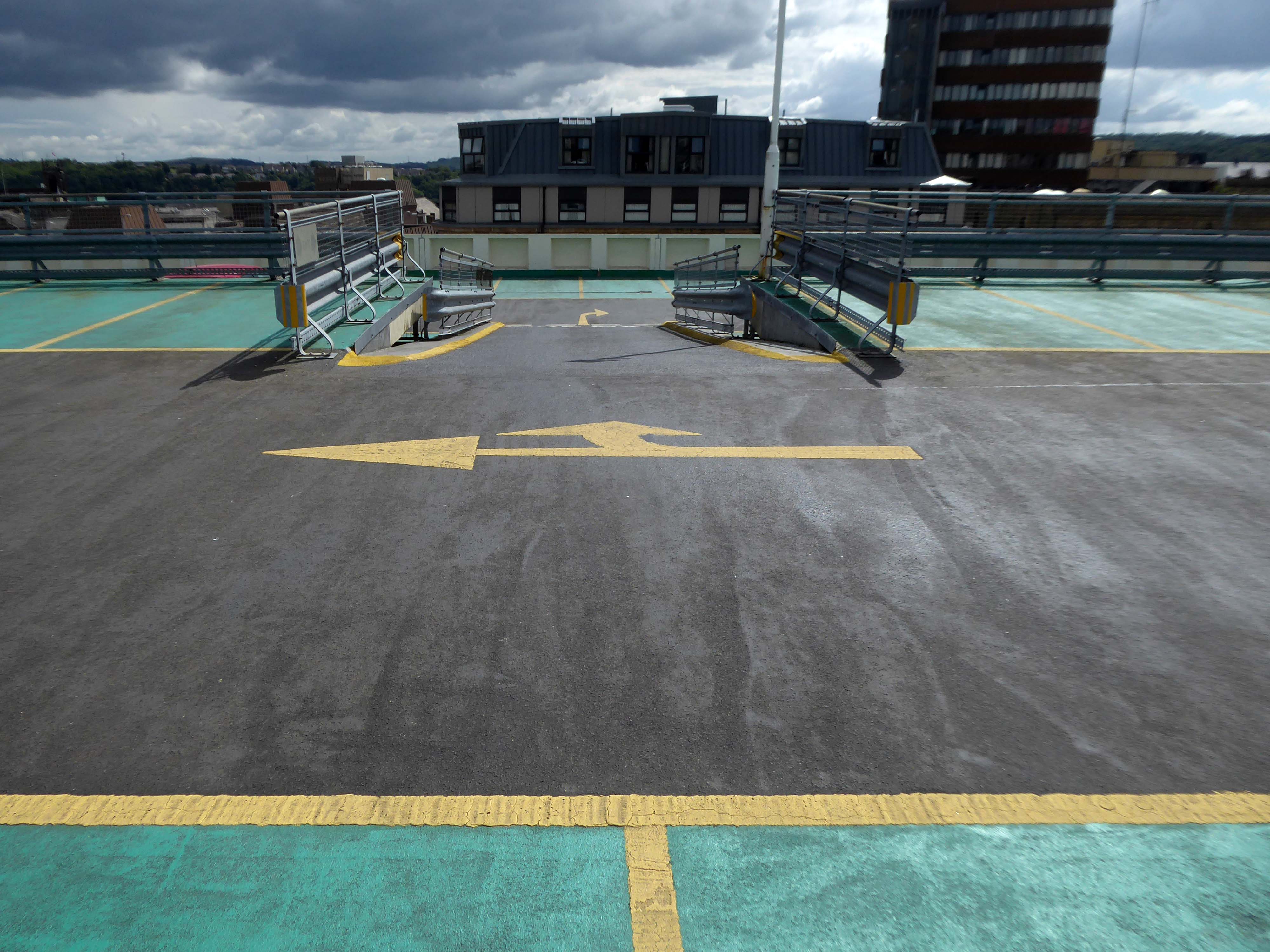
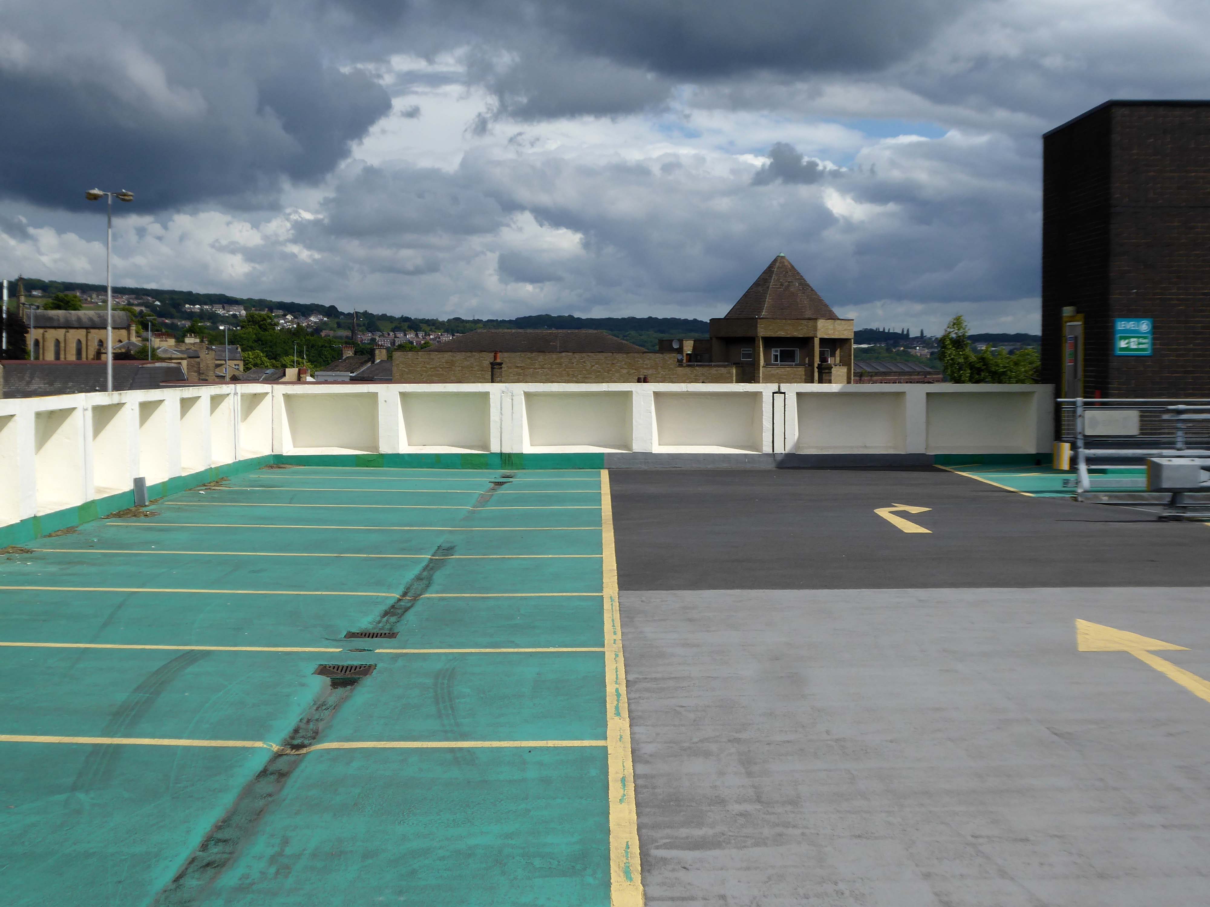
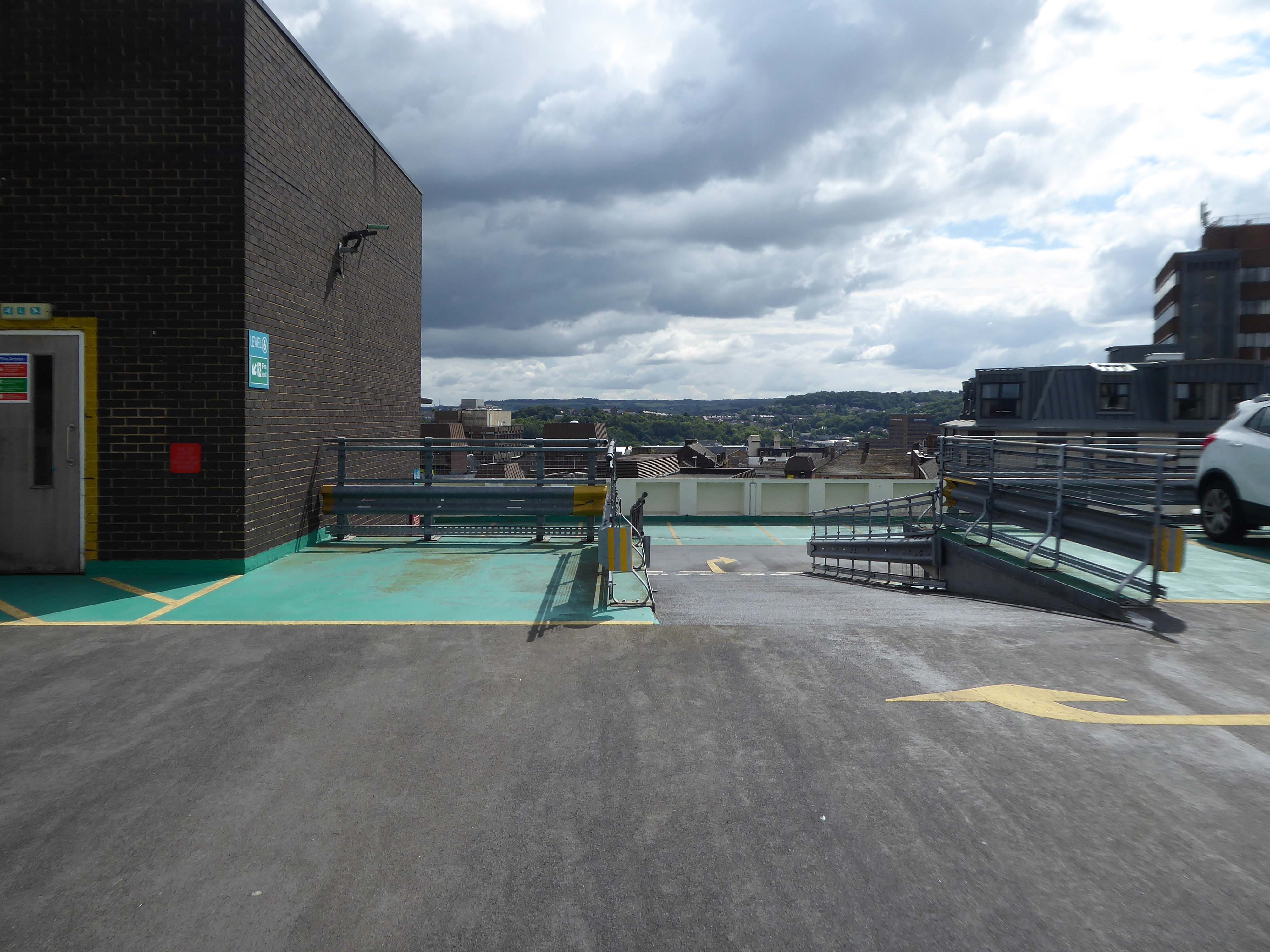
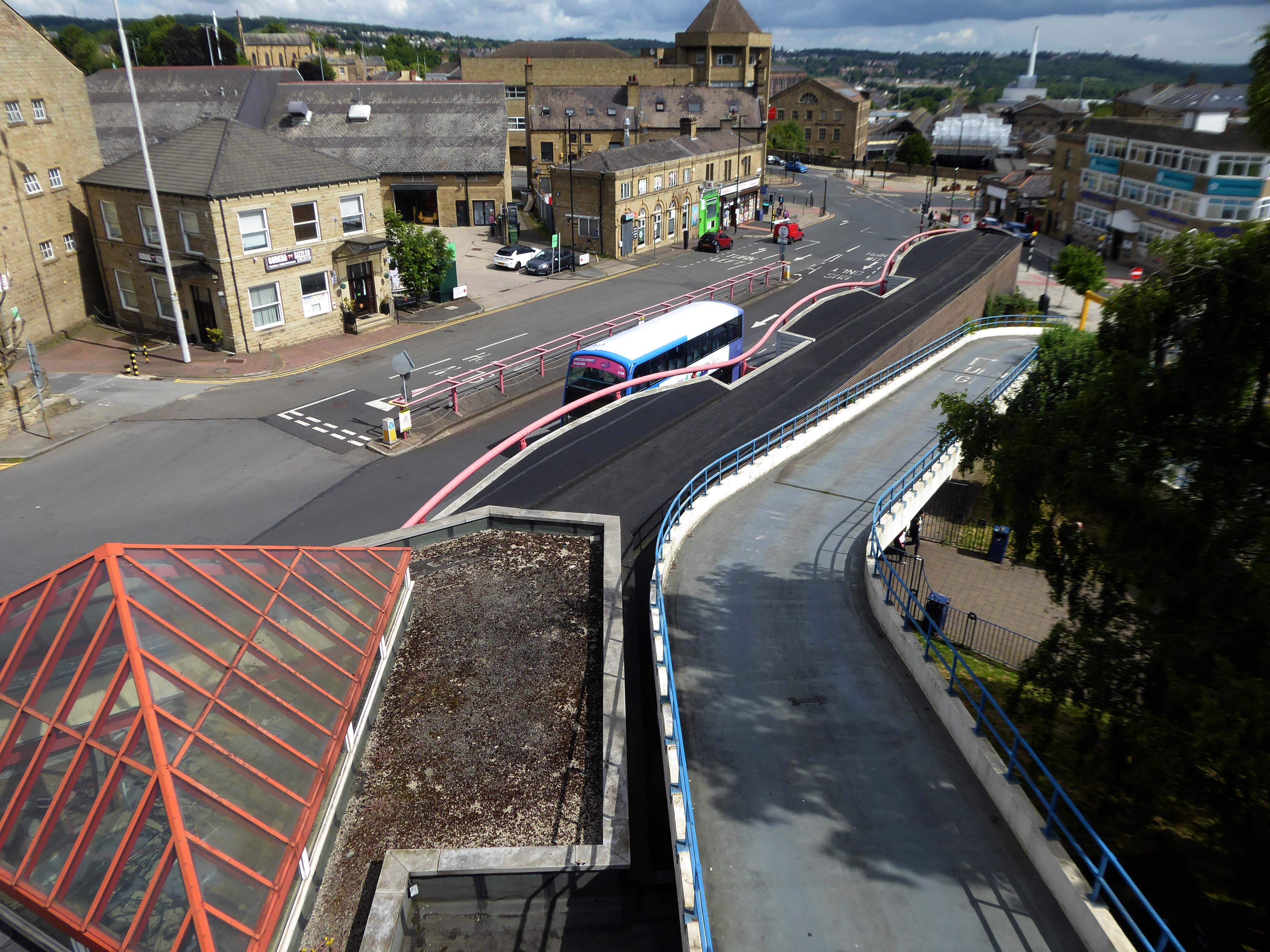
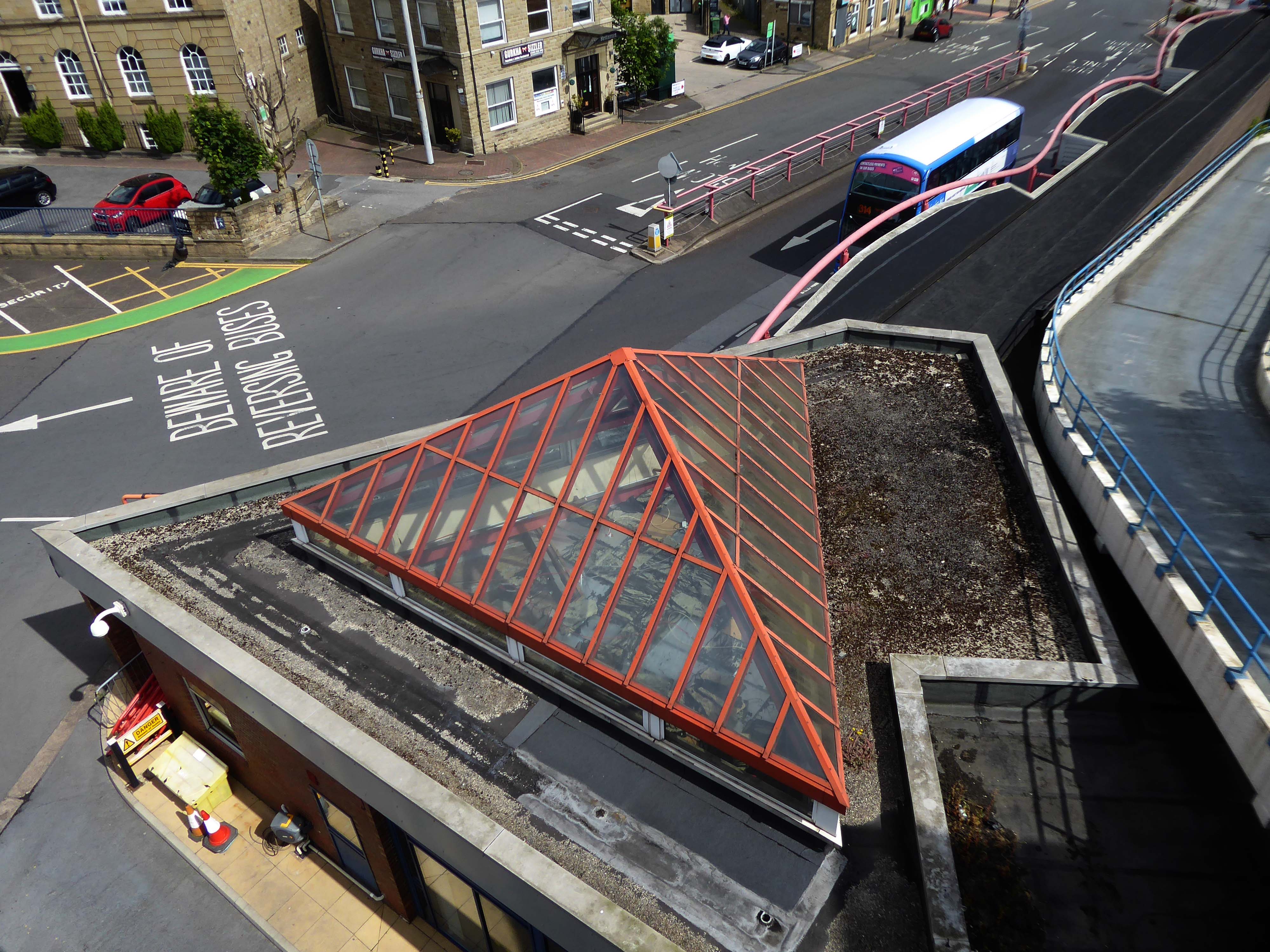
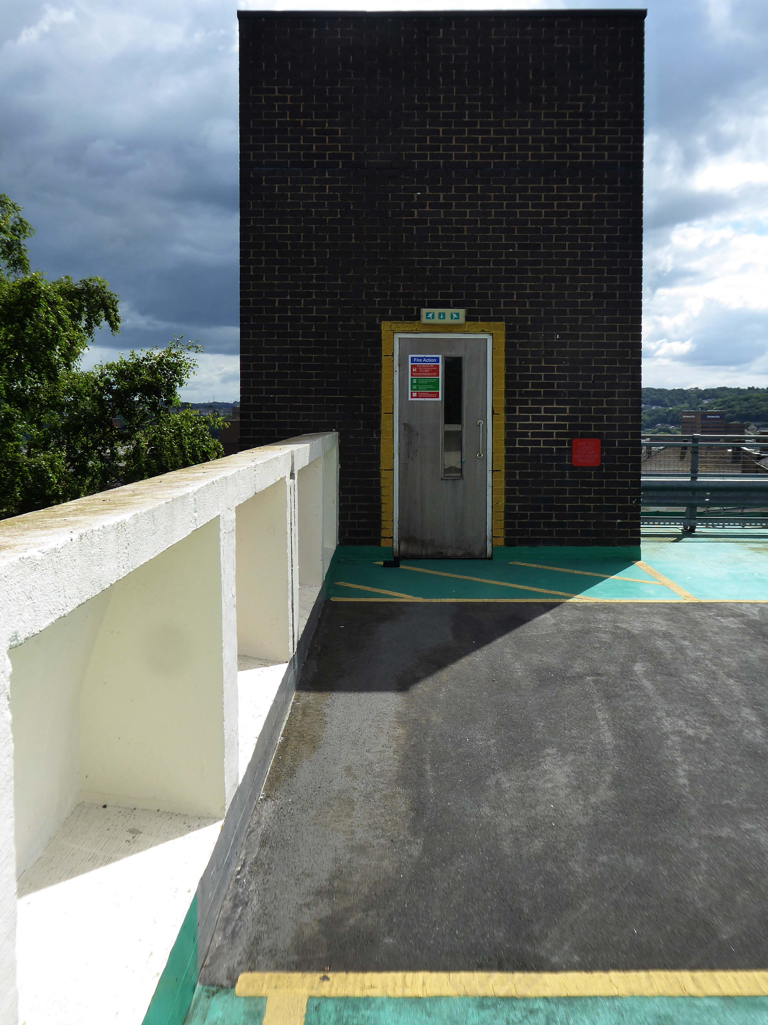
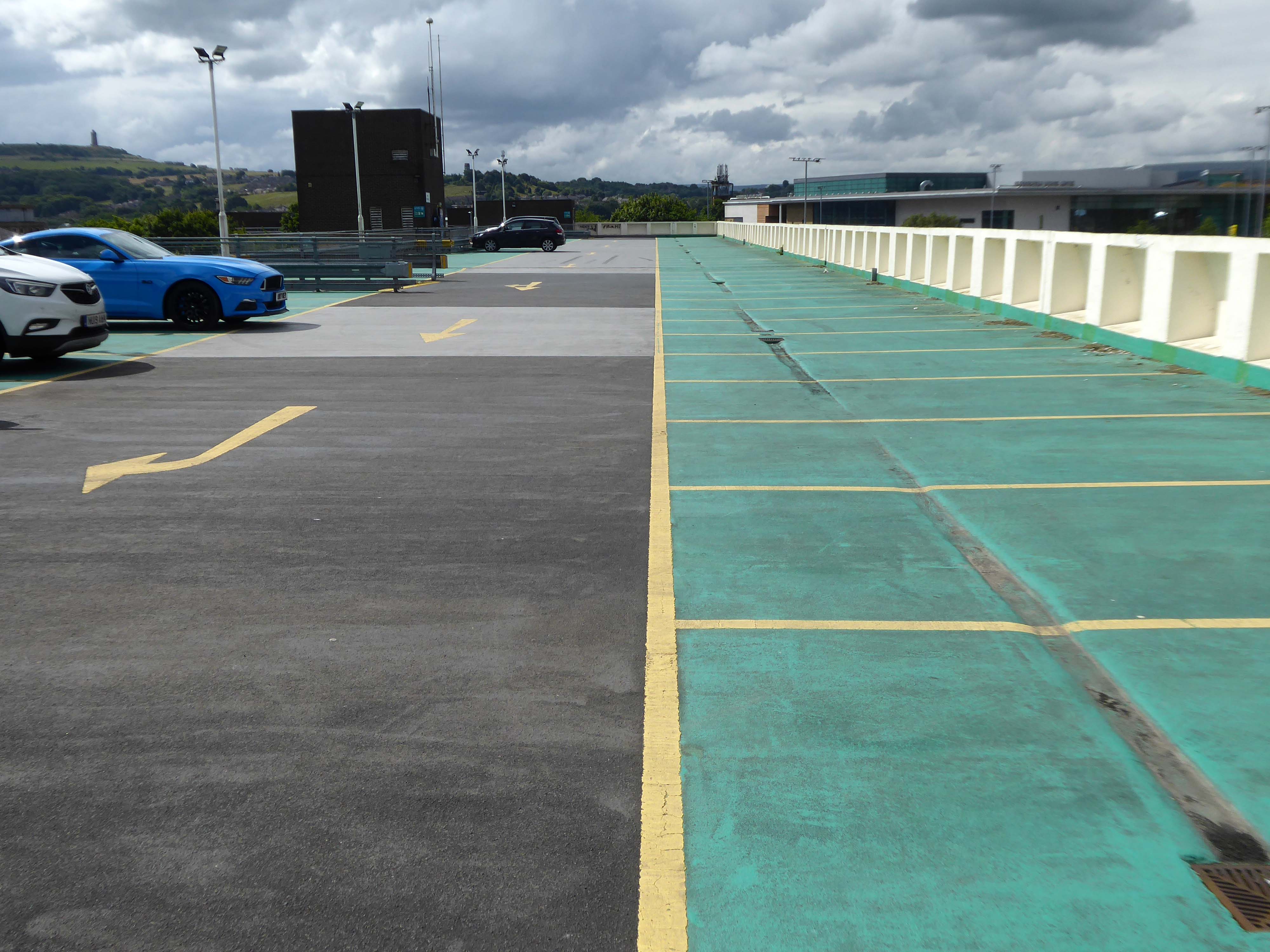
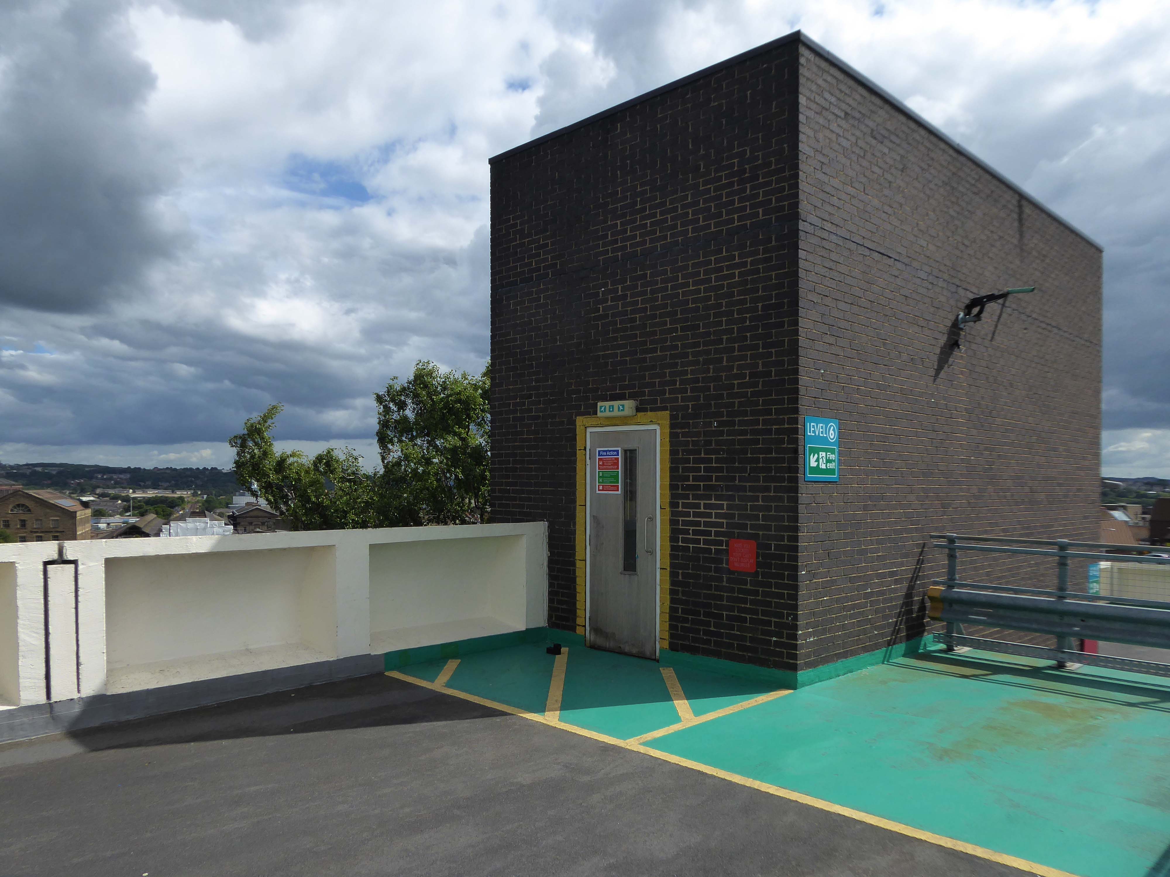
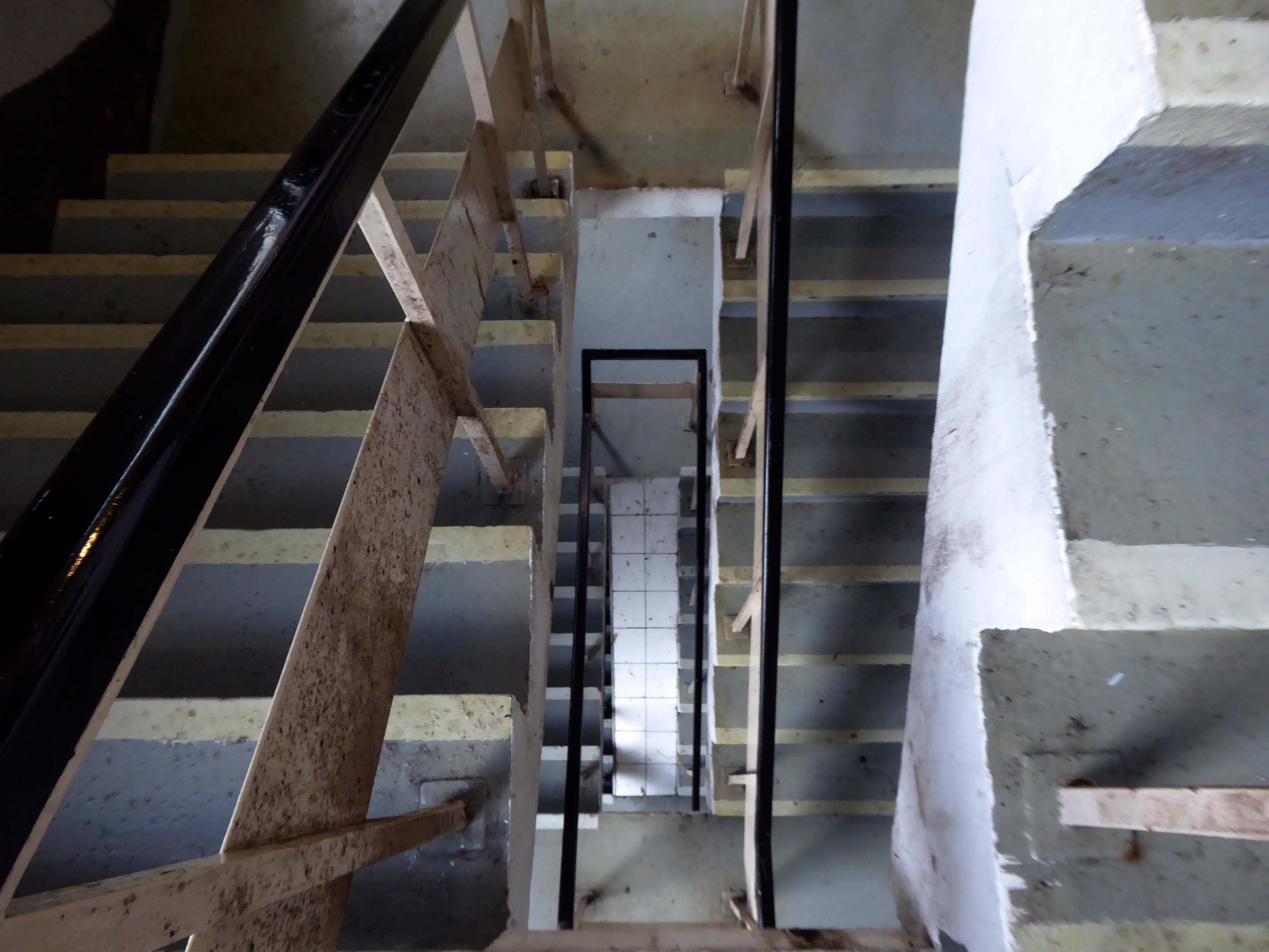
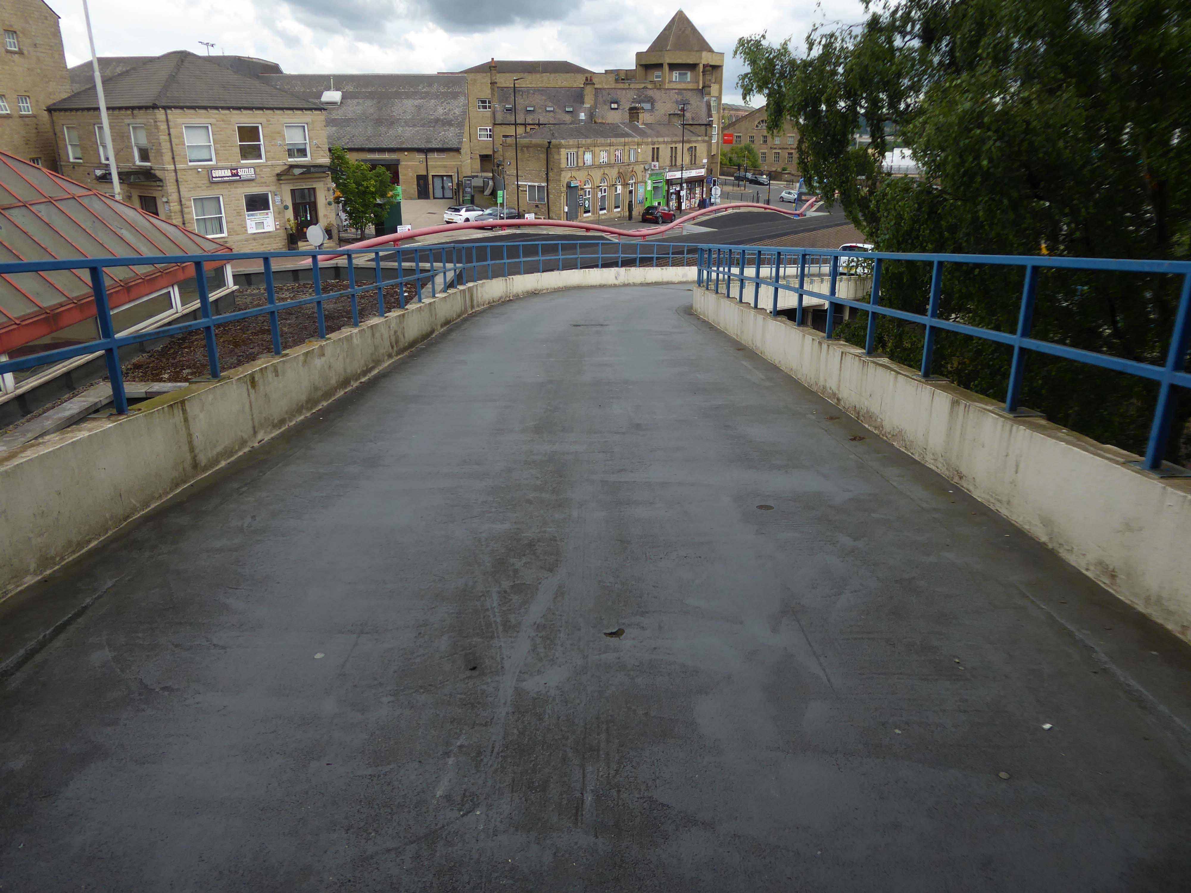
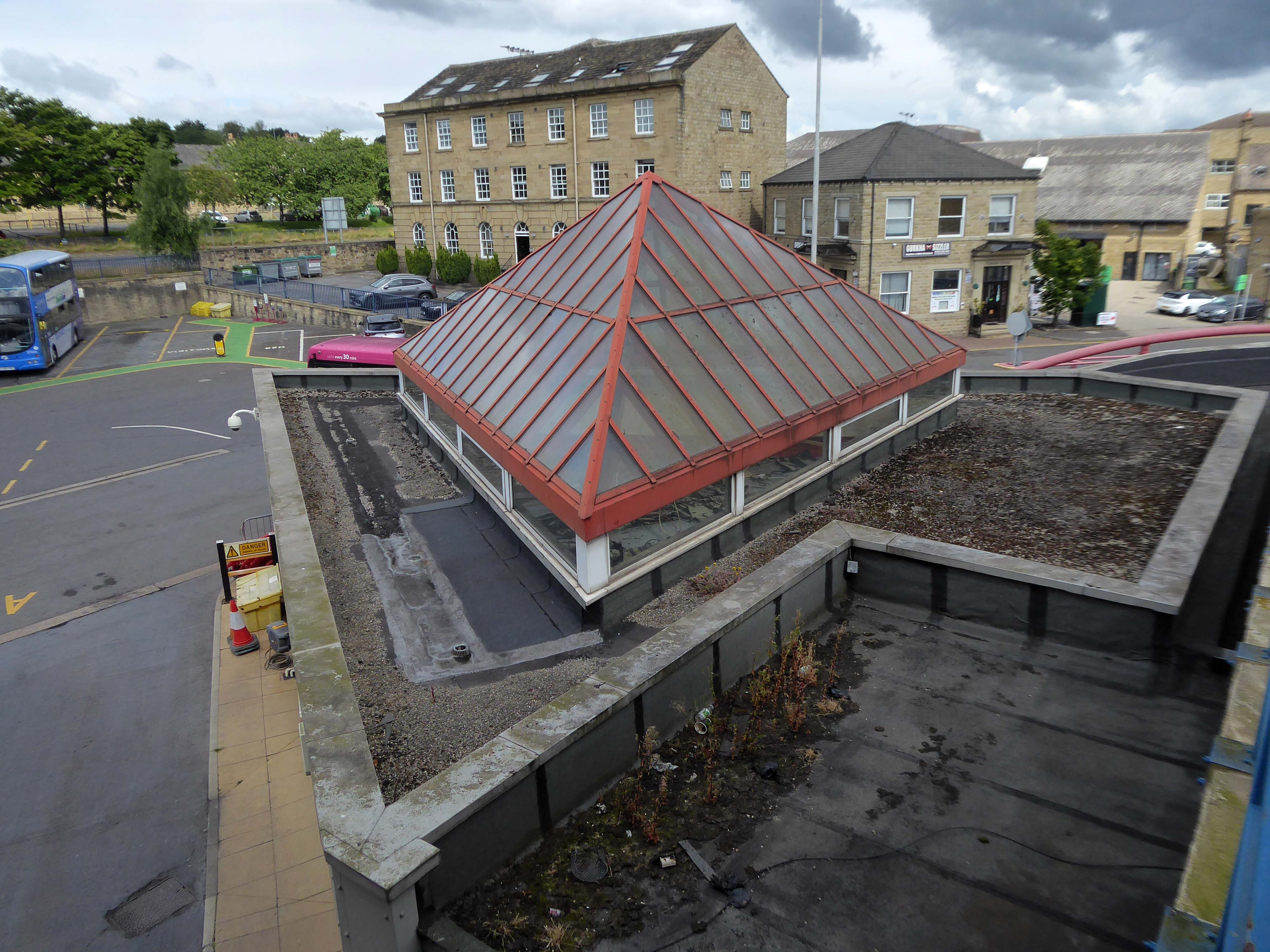
Having visited and photographed the bus station in 2016 I thought that it was about time I went up in the world, to the top level of the car park.
Mixed opinions from Parkopedia reviewers – let’s take a look around.
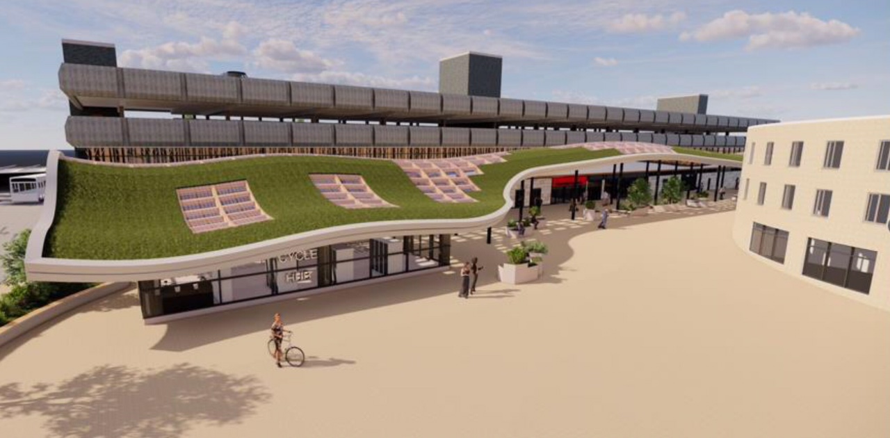
There are plans for refurbishment outlined in 2022 in the Huddersfield Hub.
The bus station will undergo a major revamp both inside and out and the most striking feature will be a sweeping canopy with a living grass roof which will run right across the main frontage from Macaulay Square to Upperhead Row.
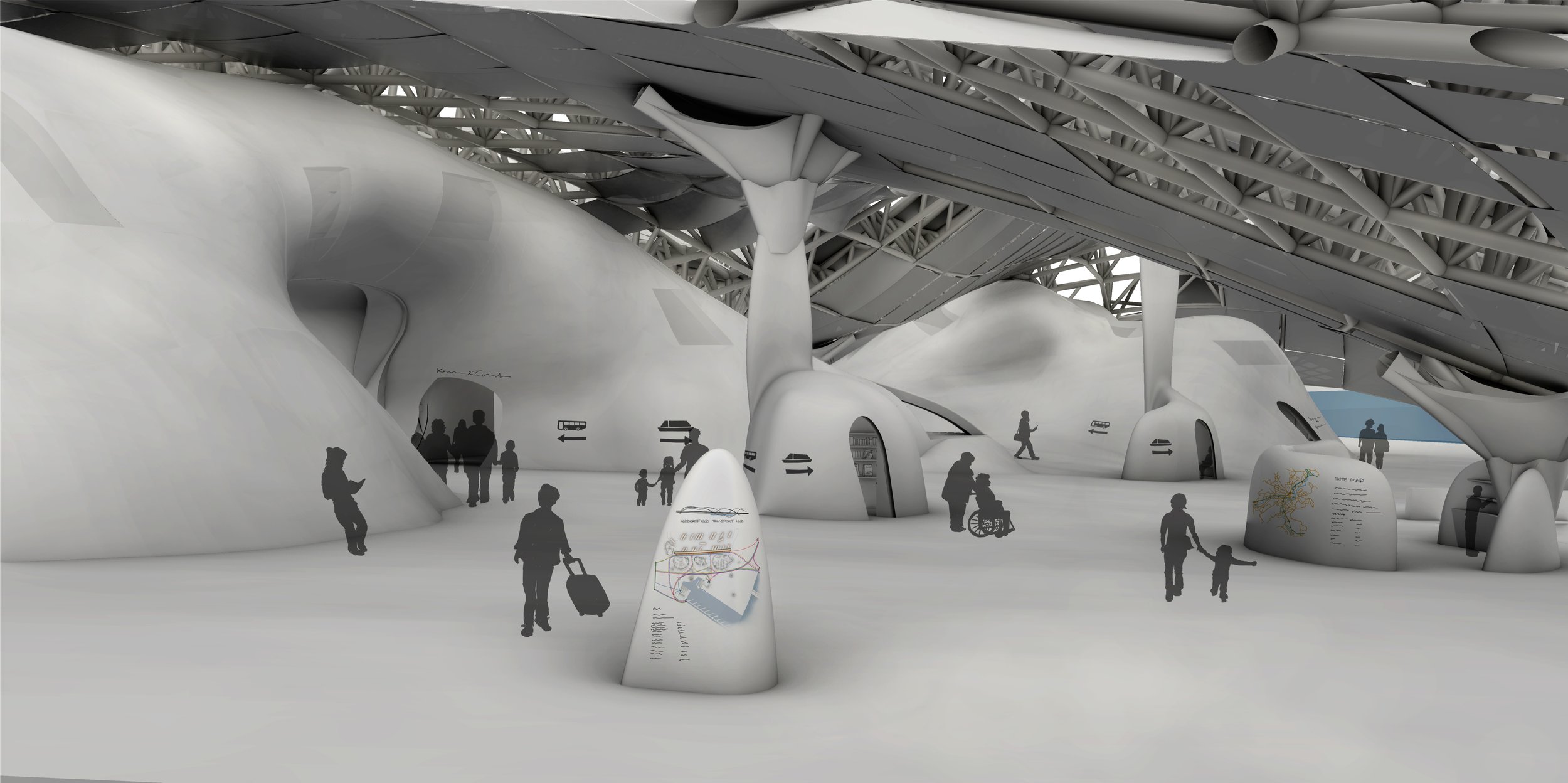
Also of note a project by Kate Matthews to seriously rethink the role and design of the space.
The starting point for this project was the Welcoming Water group scenario, involving the controlled flooding of areas of the town.
The new interchange includes facilities for cycling, walking, and public transit. The basin and marina on the new lake allow for an increased focus on water-based transport, including a new bus-boat. The main Transport Hub sits below an undulating roof and contains not only the bus bays and ticketing facilities, but also co-working and relaxation spaces. The curves of the roof, trying to confuse the binary of floor and ceiling, are just one example of the ambiguity throughout the scheme.
This project was nominated for the Architects for Health Student Design Award in 2021.
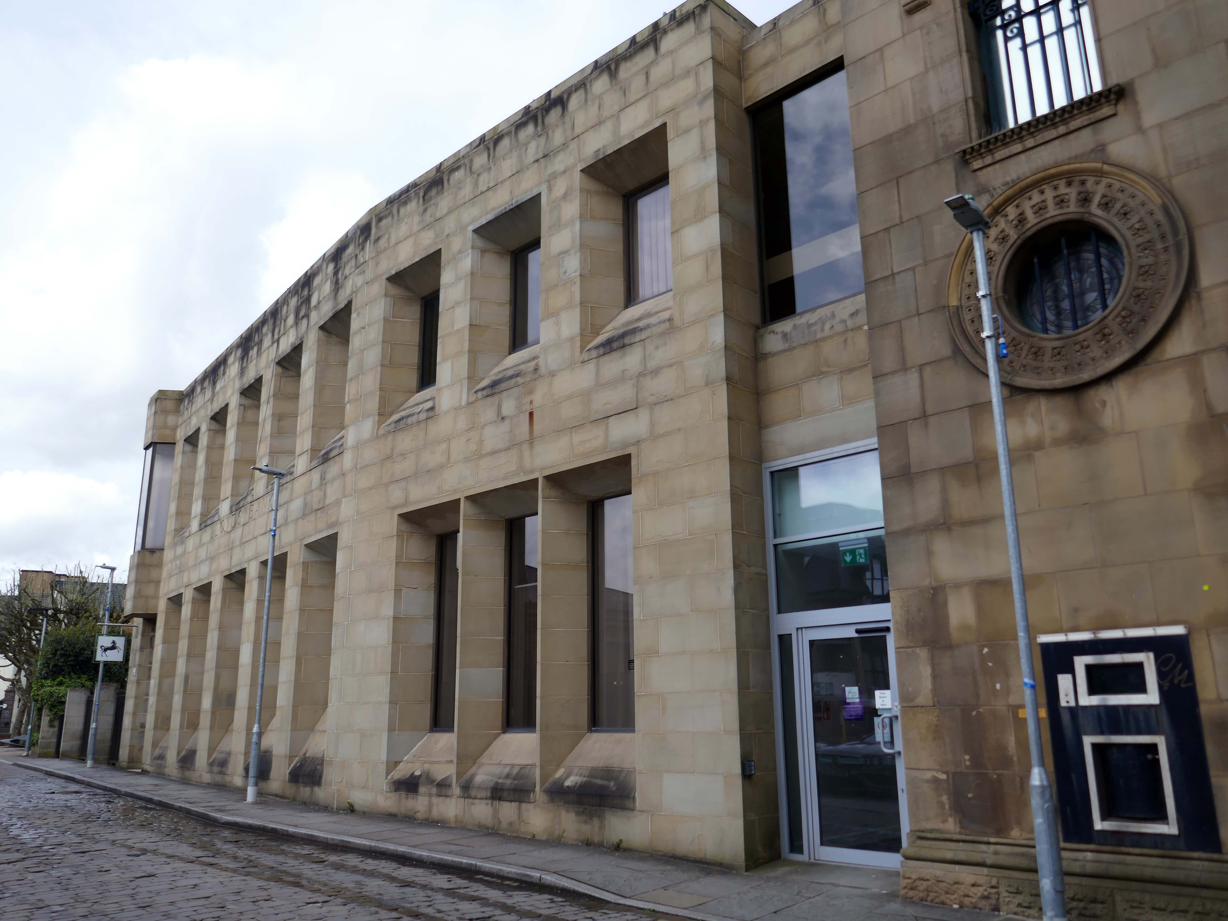
Shropshire Council Raven Meadows Shrewsbury SY1 1PL
Built by Truscon Ltd. – 1969
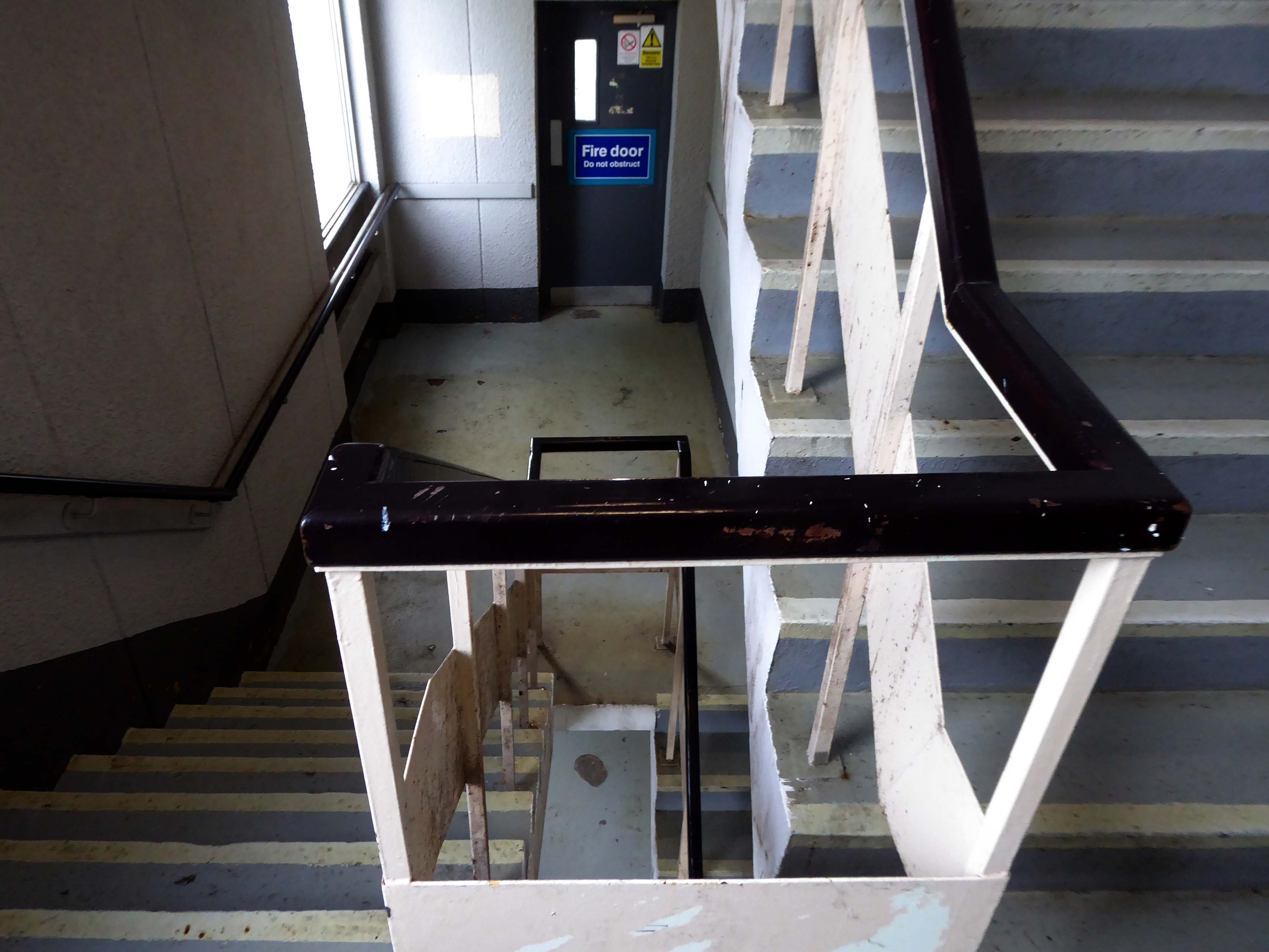
I am a disabled driver and found a lot of the direction signs worn away. When I came to leave I wanted to use the machine on the ground floor. This was out of order, as a lot of other people found. The office was empty as the staff were outside smoking. I then had to negotiate stars back to the 7th floor where the next machine was located. There was no sign on the ground floor machine telling it was out of use and where the next machine was located.
If staff want to have a smoke they should at least leave someone in the office.
Most of the parking spaces are very tight and I would not recommend the use of this car park unless you have a small car and a crystal ball to find the disabled parking and the payment meters.
The rudest man at the kiosk, that I have ever had an encounter with, over a ticket that was blurred. He had a go at me for not going to him straight away – I went when I went to leave and it wouldn’t work. He also had a go at me because I pressed the buzzer on the intercom. Very strange unhelpful man. Made an issue for no reason! Awful to deal with I never write reviews, but I hope this gets back to him and with hope he will gain some manners.
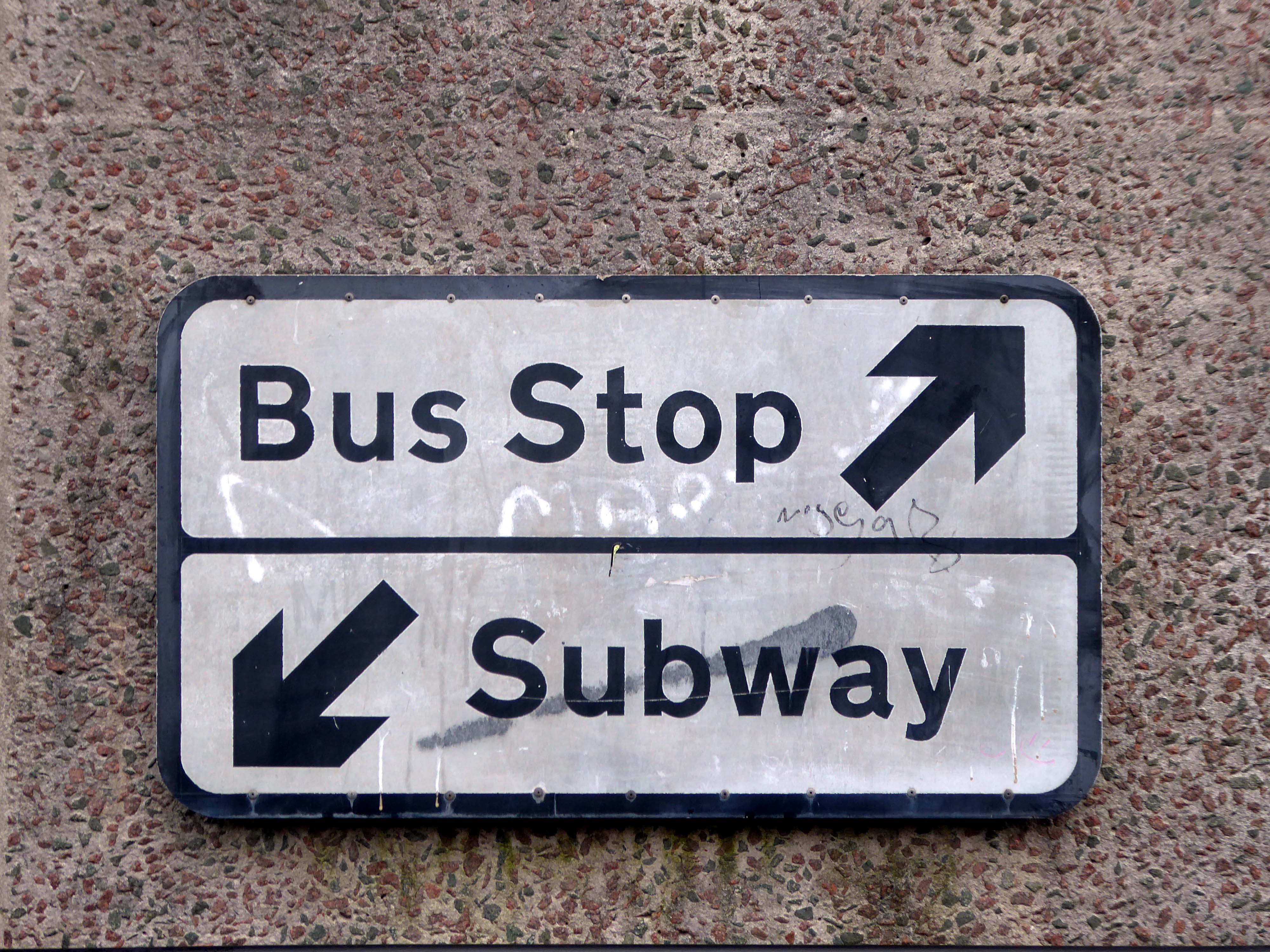
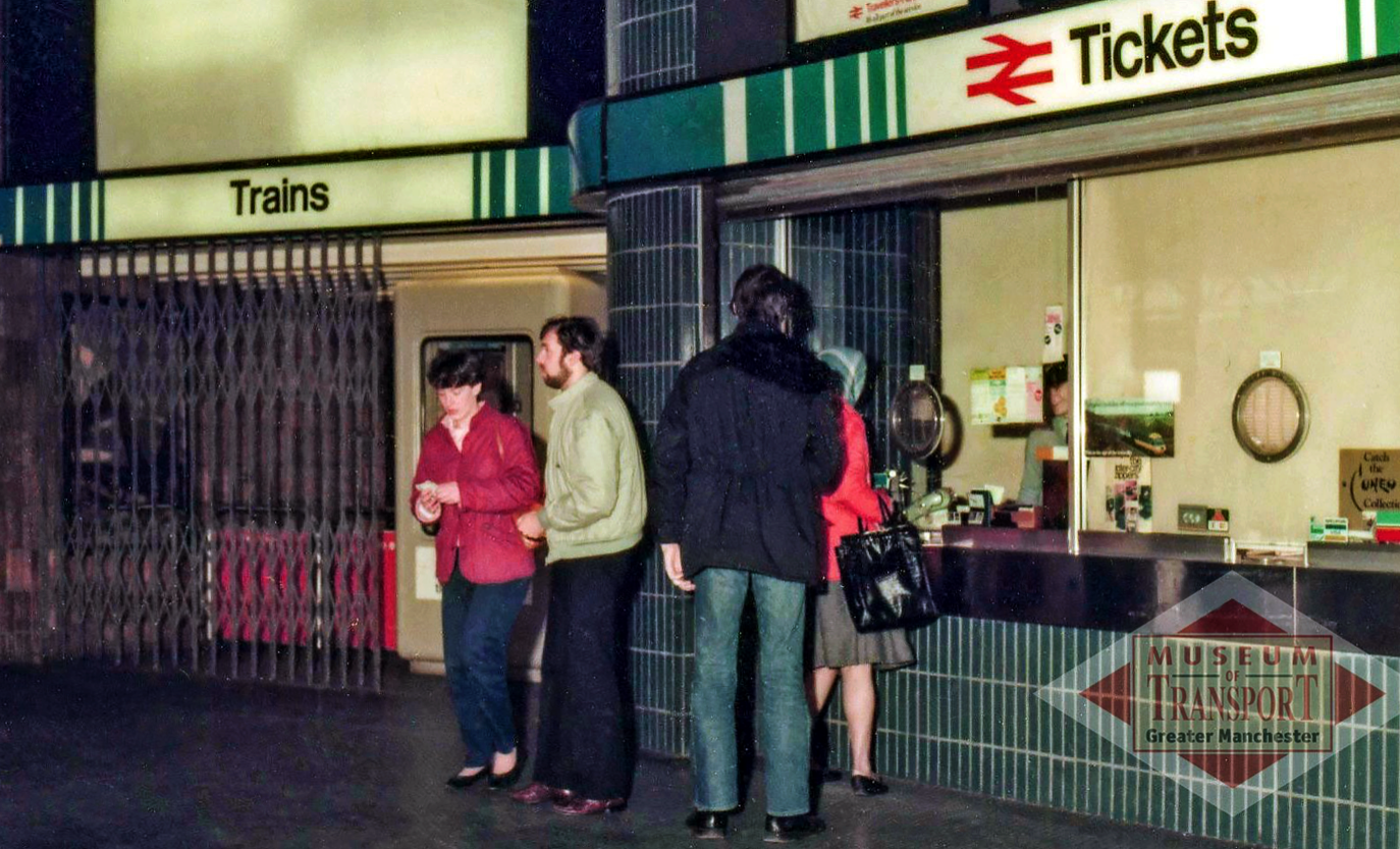
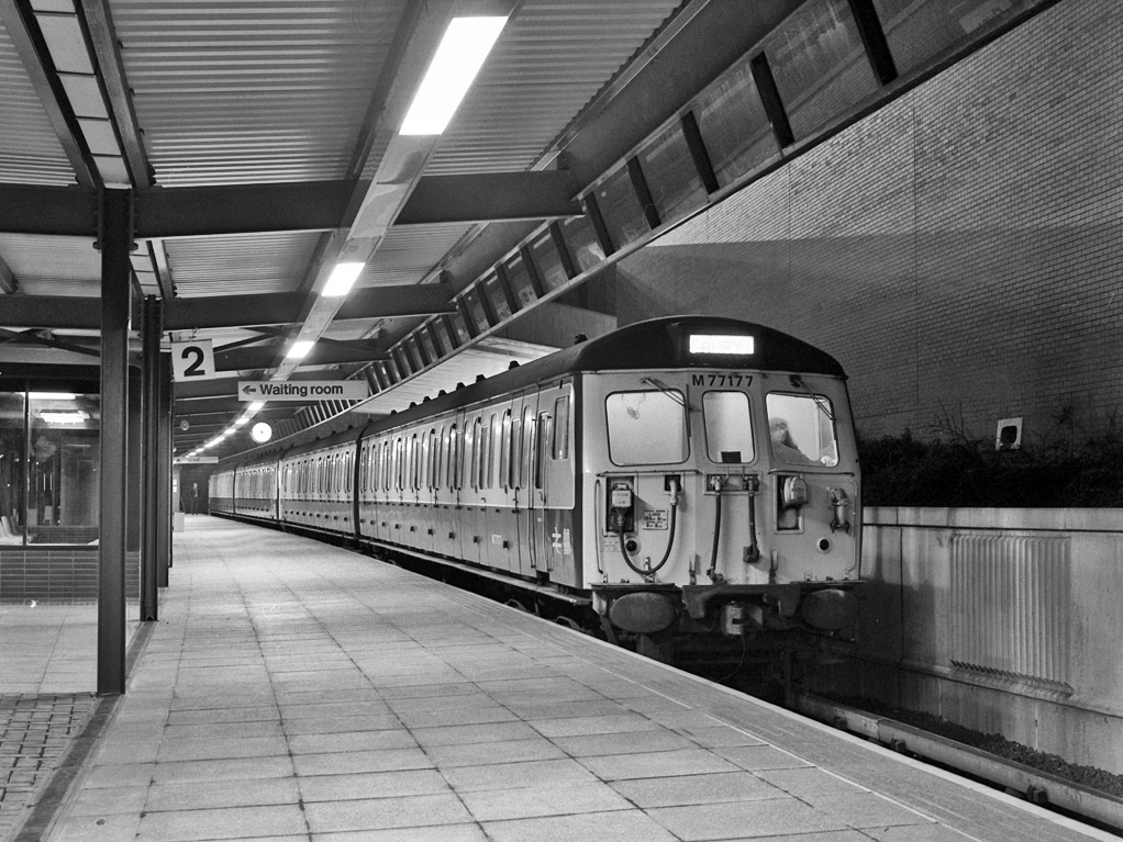
Being a pedestrian, I entered through the bus station on foot.
The station is considered to be dated due to its 1980s architecture partially under a 1960s multi-storey car park. There have been plans for the station to be modernised and rebuilt, or even demolished completely, as part of the town’s Big Town Plan. The demolition of the station would mean the town would not have a central bus terminus and would instead use smaller sites on the town’s Park and Ride routes.
Shrewsbury Bus Station is a disgrace. I am embarrassed to use it. I don’t feel comfortable with using it. Yet, it is the bus hub for our county. It is one of the main gateways into Shrewsbury and Shropshire for those travelling by public transport.
New bus hubs and interchanges have been developed around the country. Shropshire Council meanwhile ignores Shrewsbury Bus Station. It promises a new bus interchange, but that is in Phase 4 of its plans to redevelop Shrewsbury town centre between Pride Hill and the riverfront. In the current financial climate and with the council stretched to the limit on existing funding, Phase 4 is probably more than a decade away.
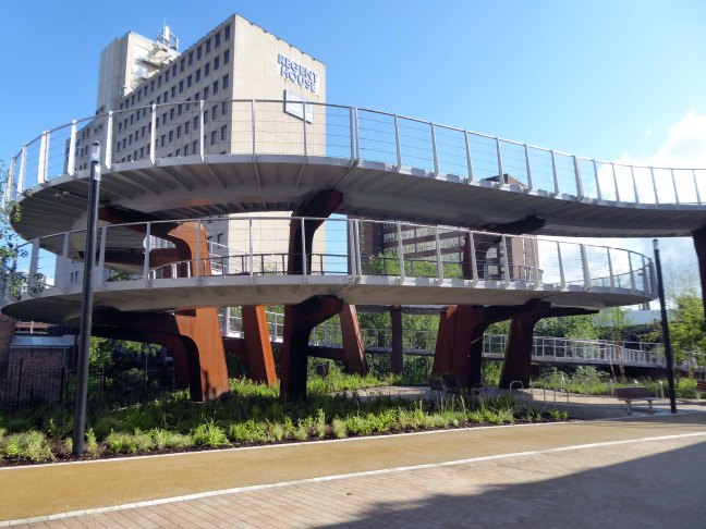
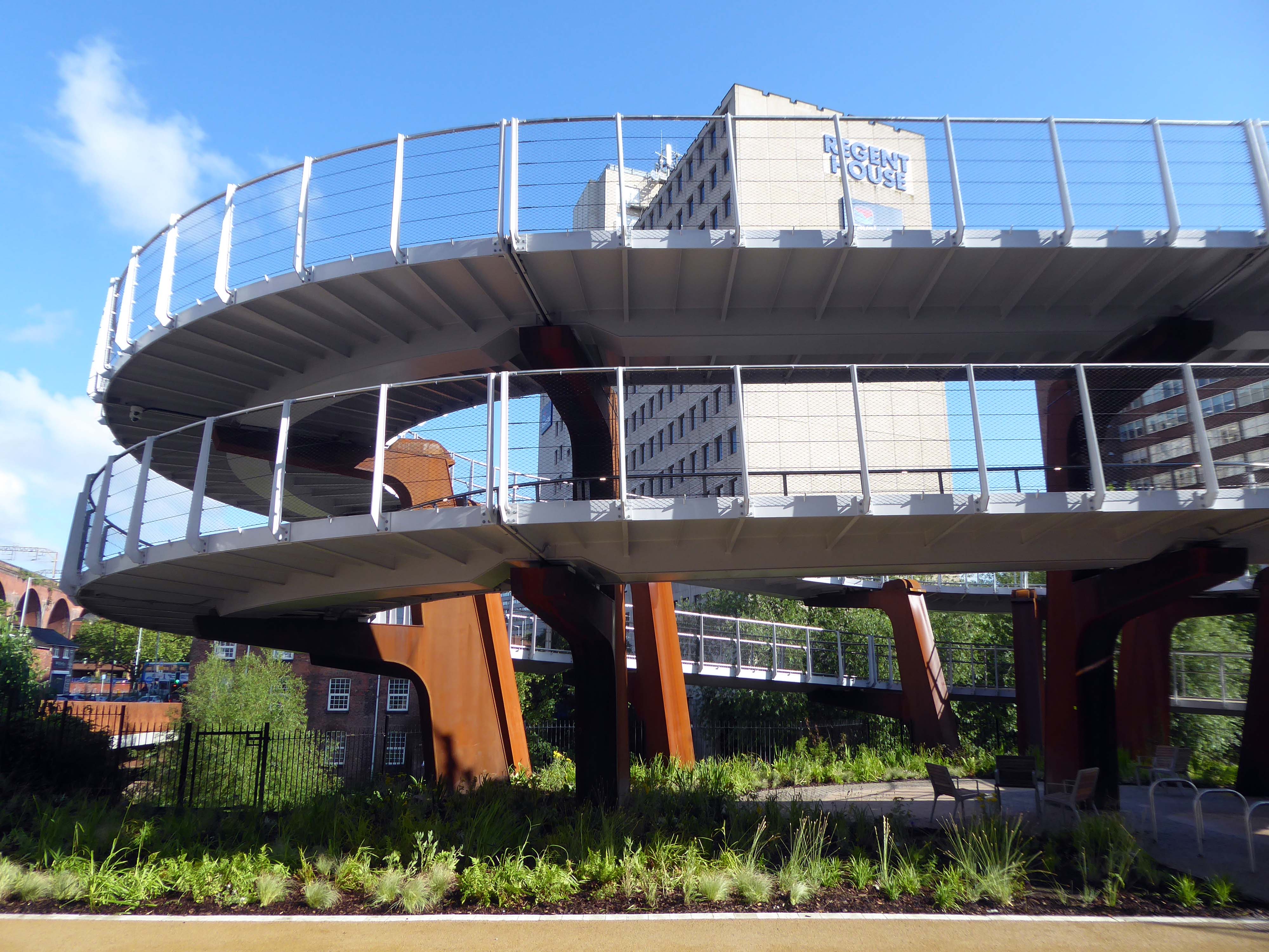
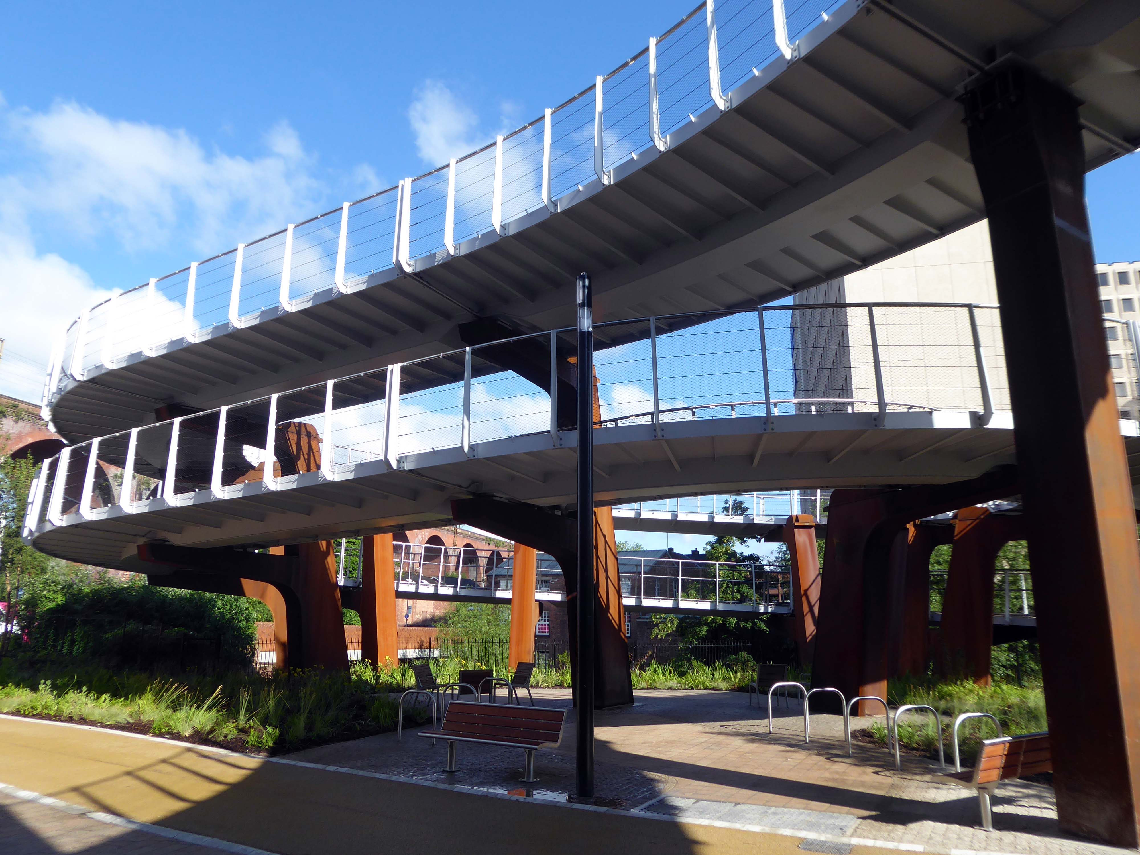
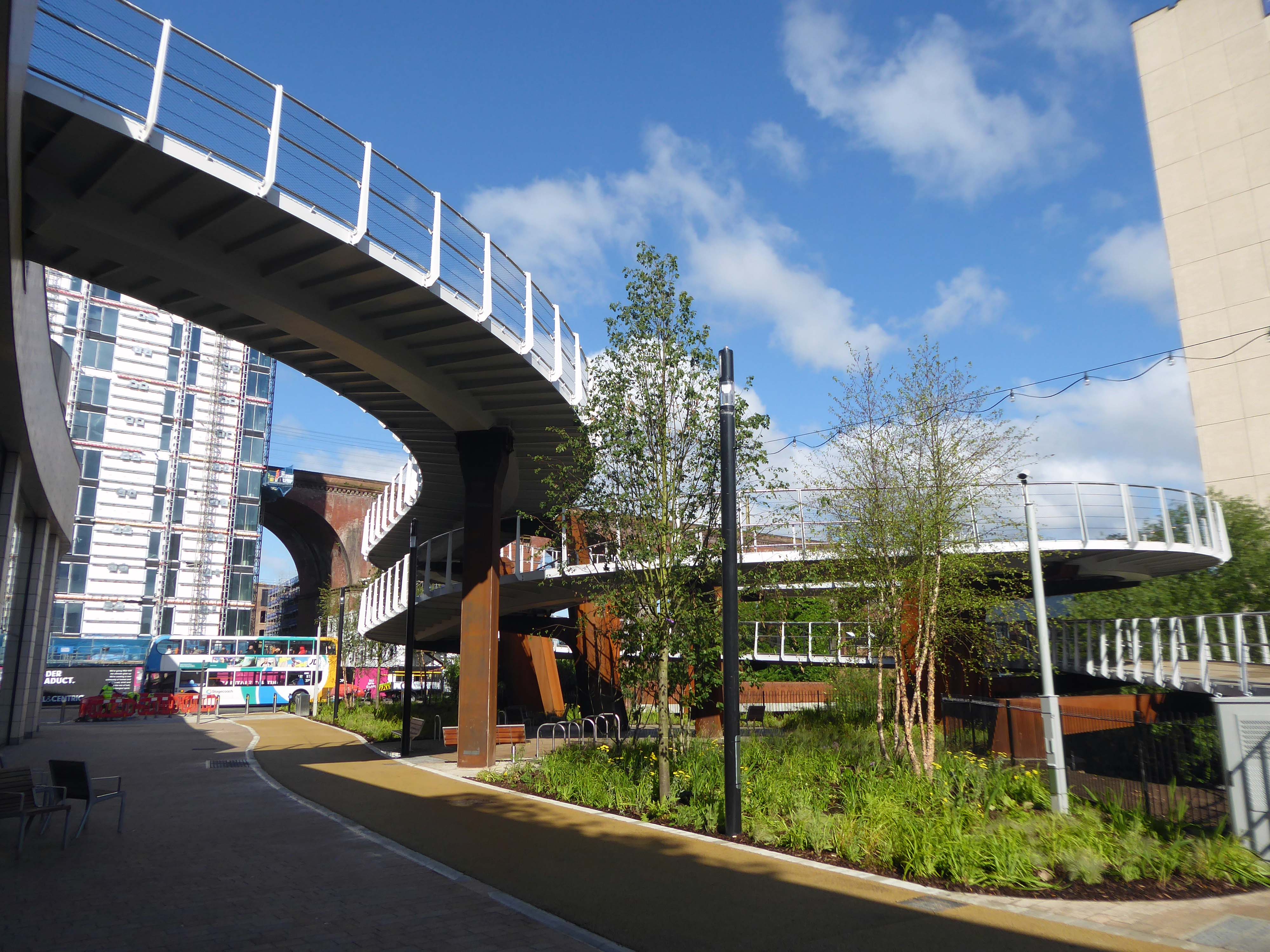
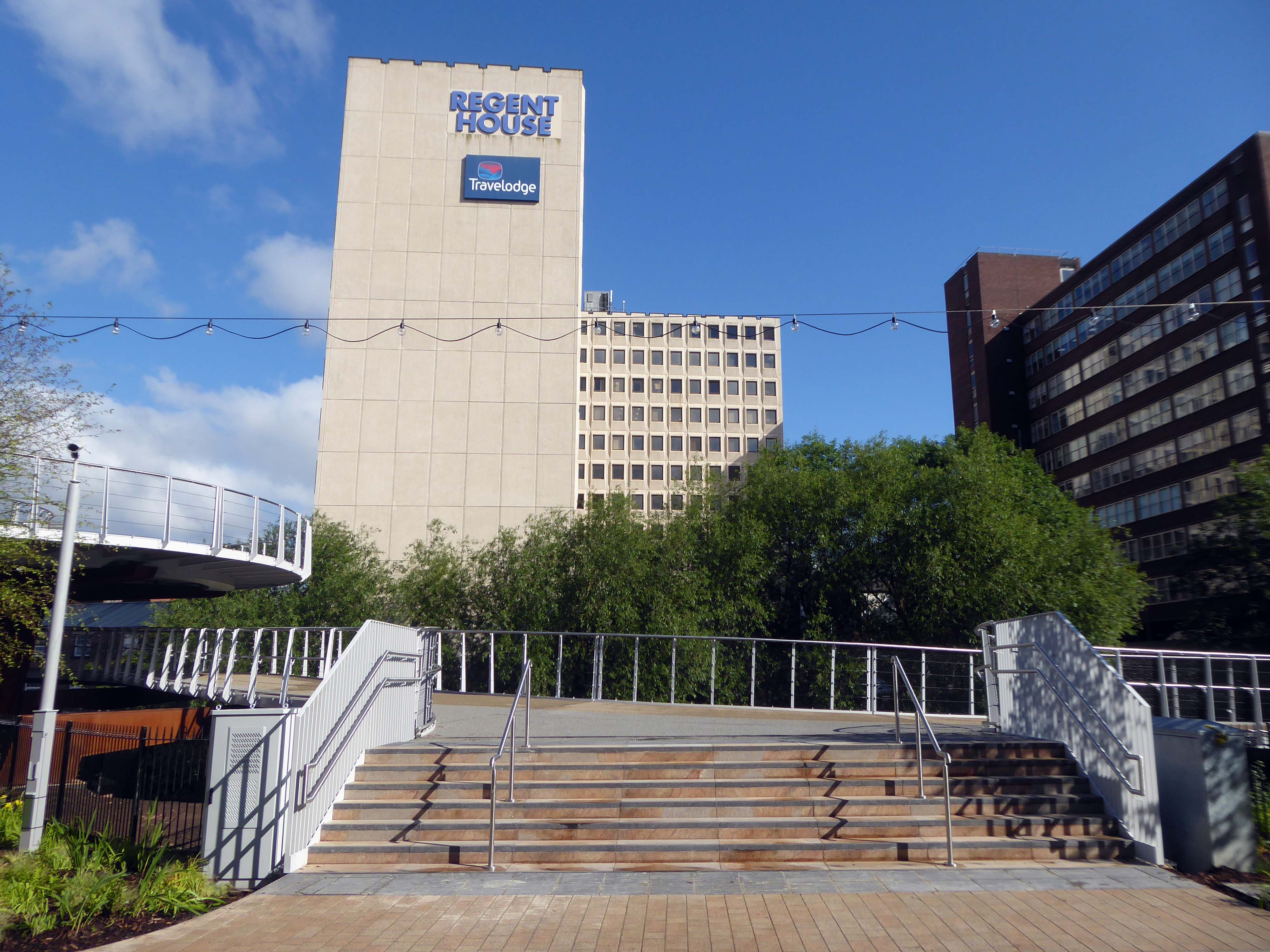
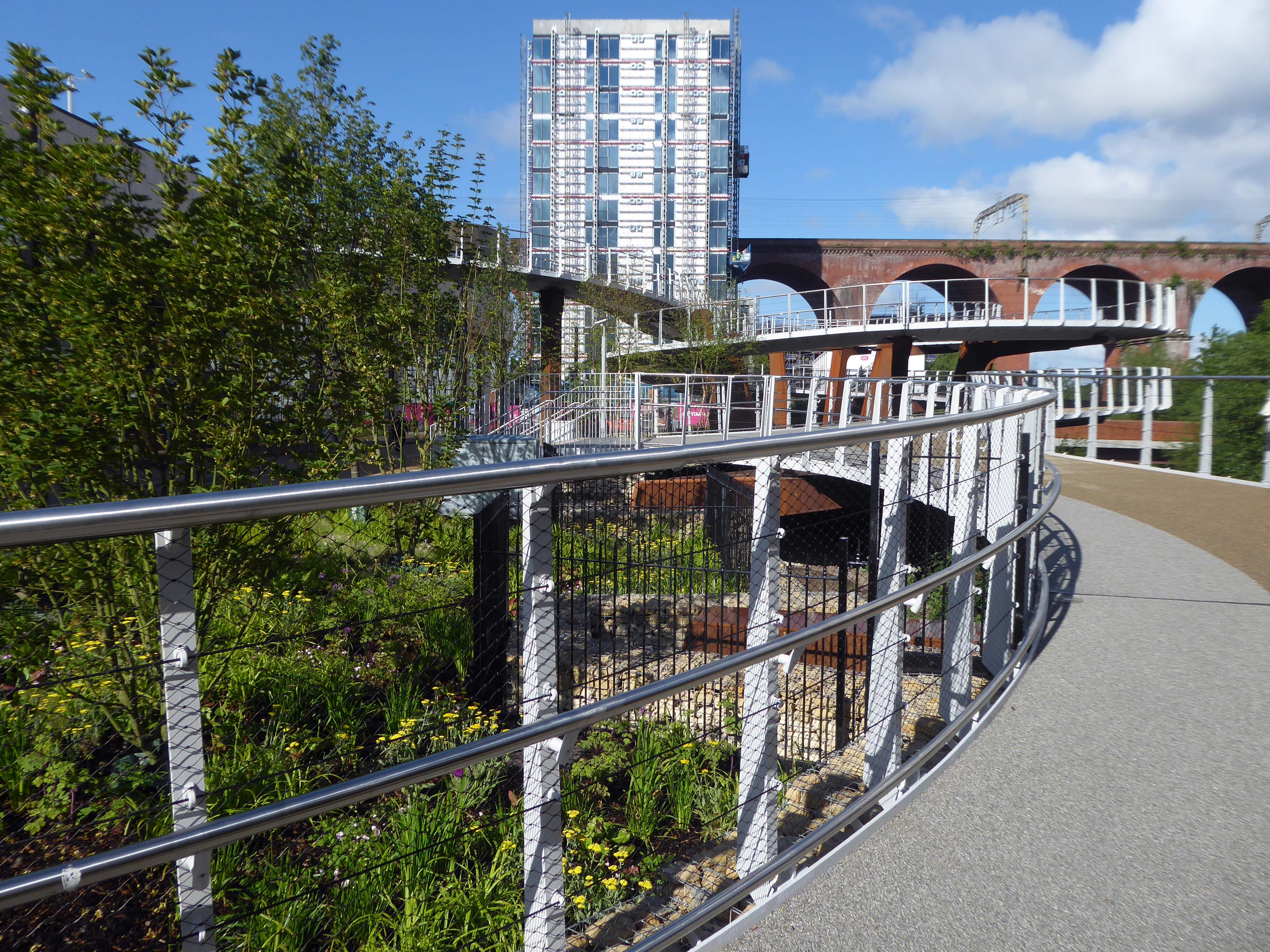
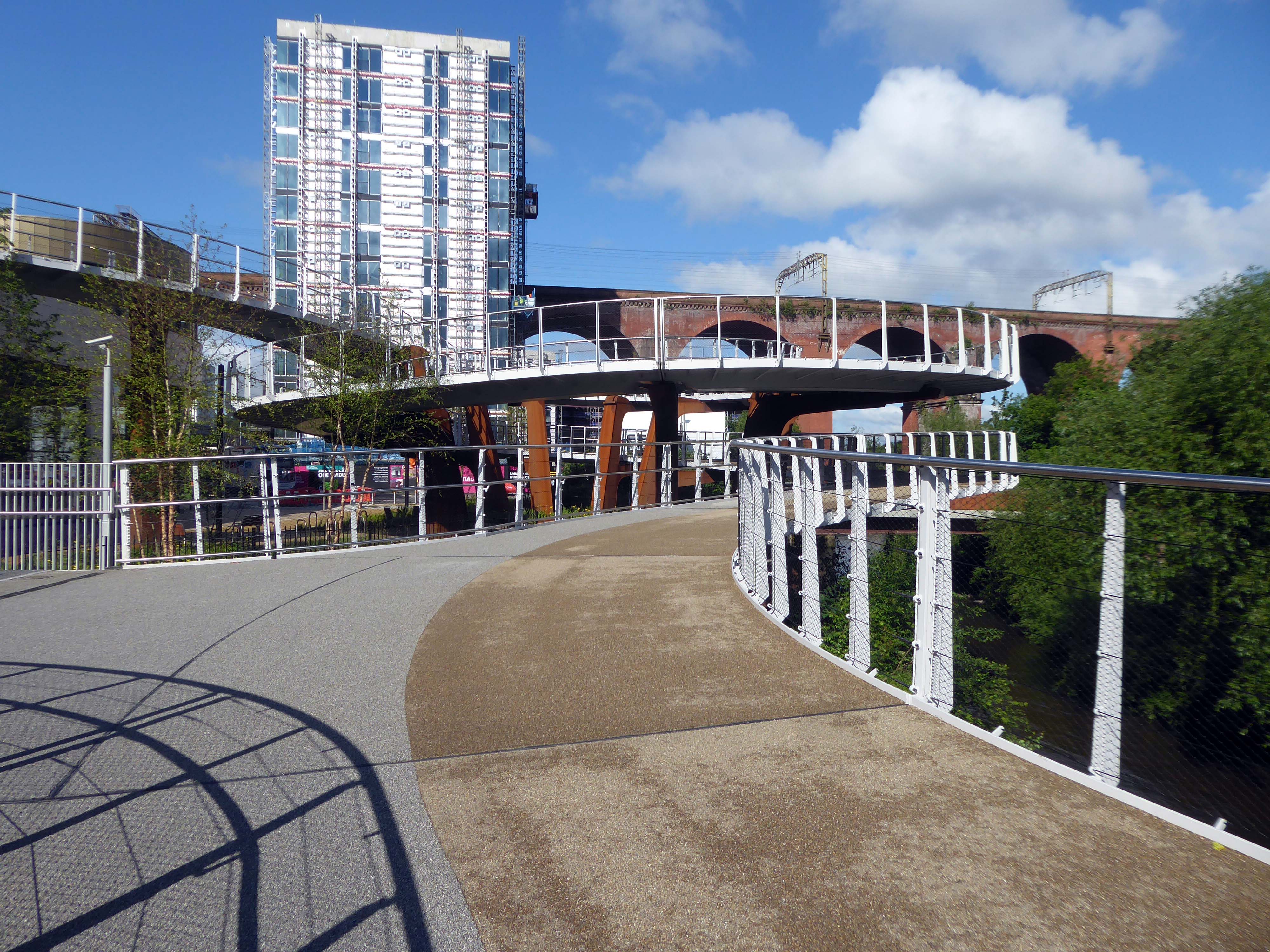
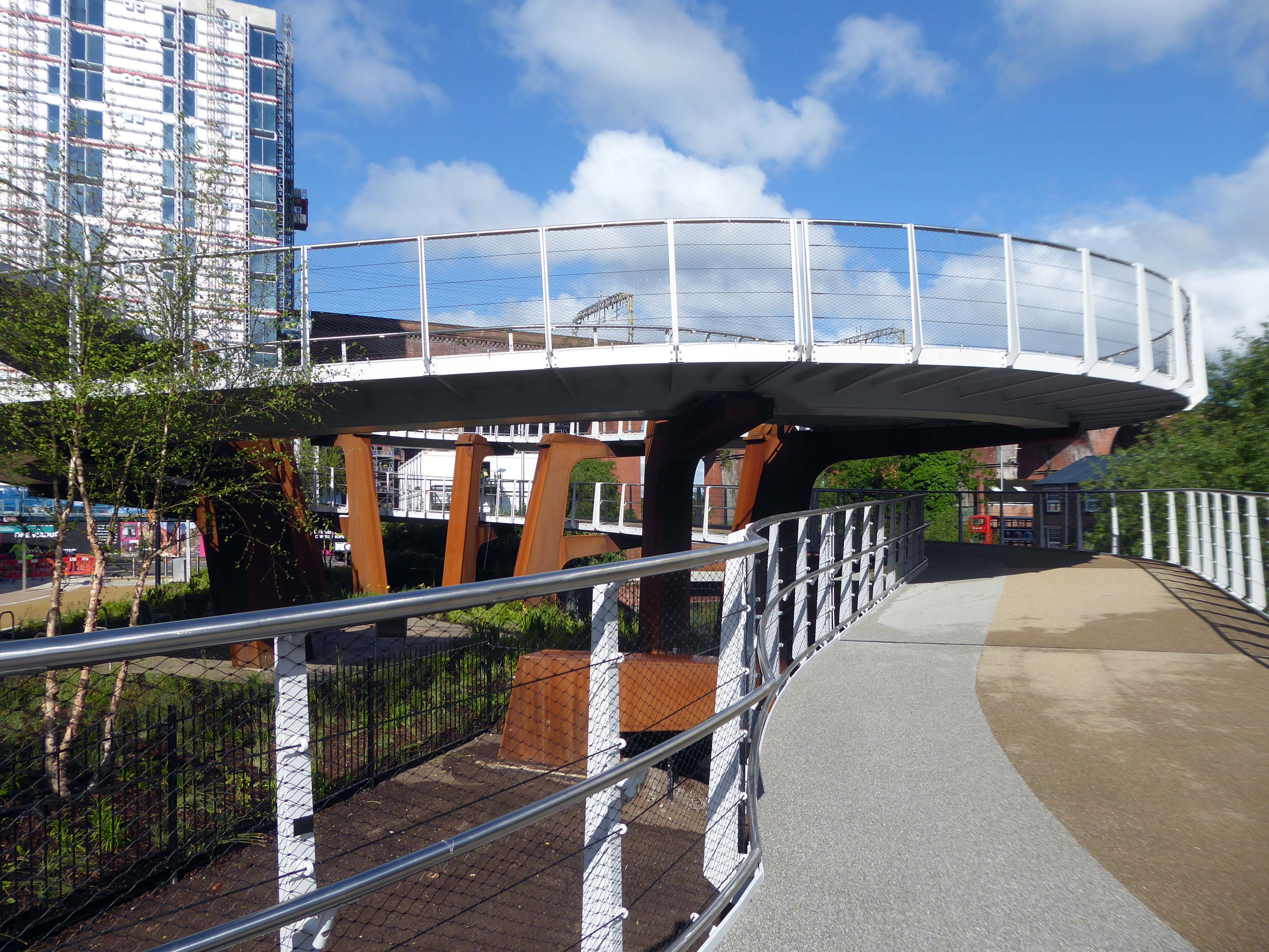
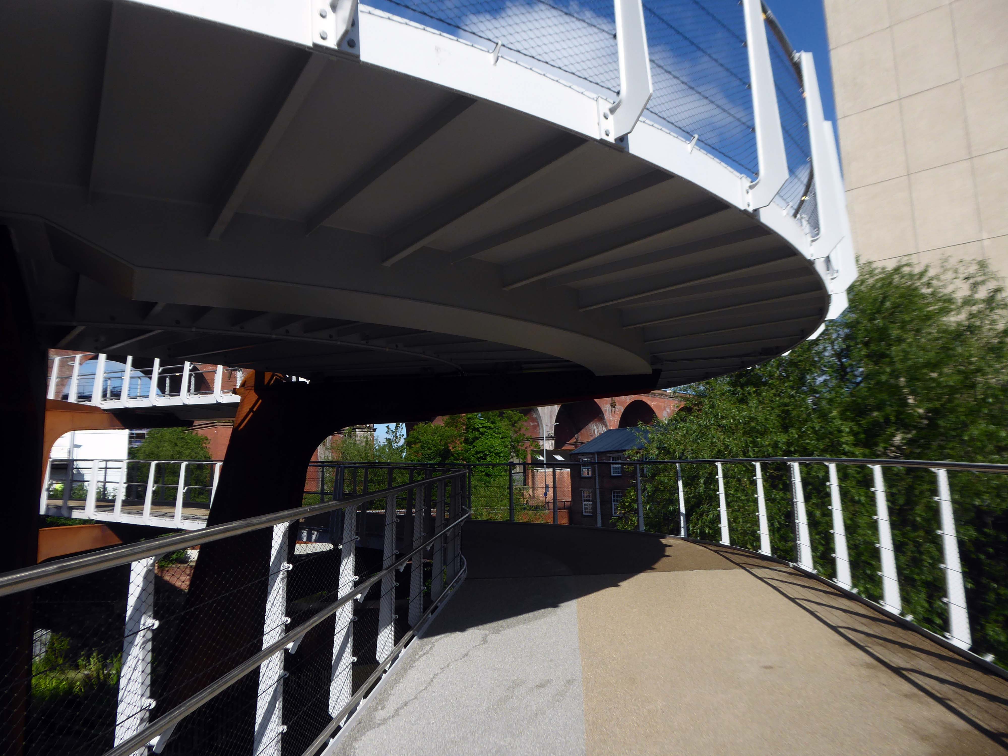
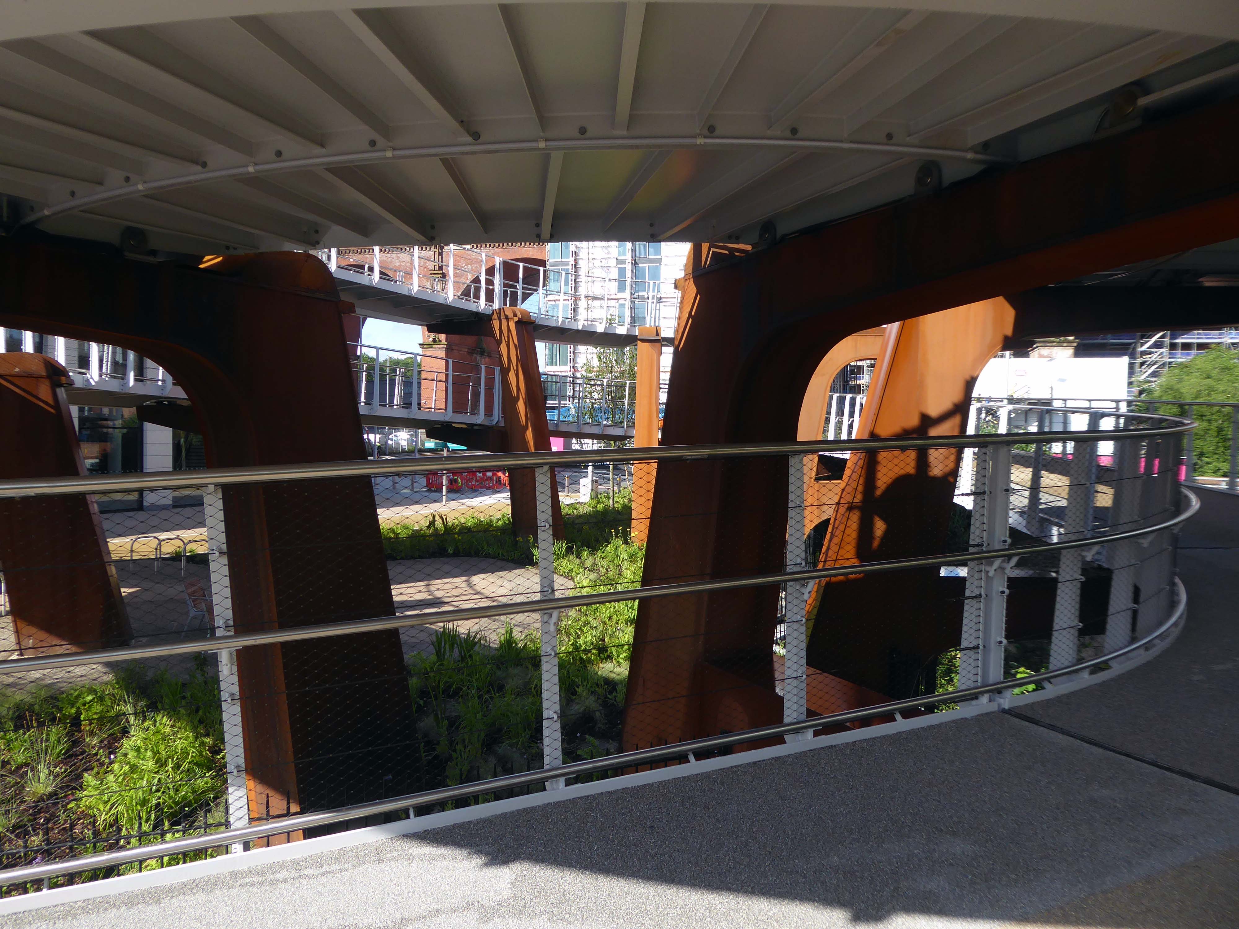
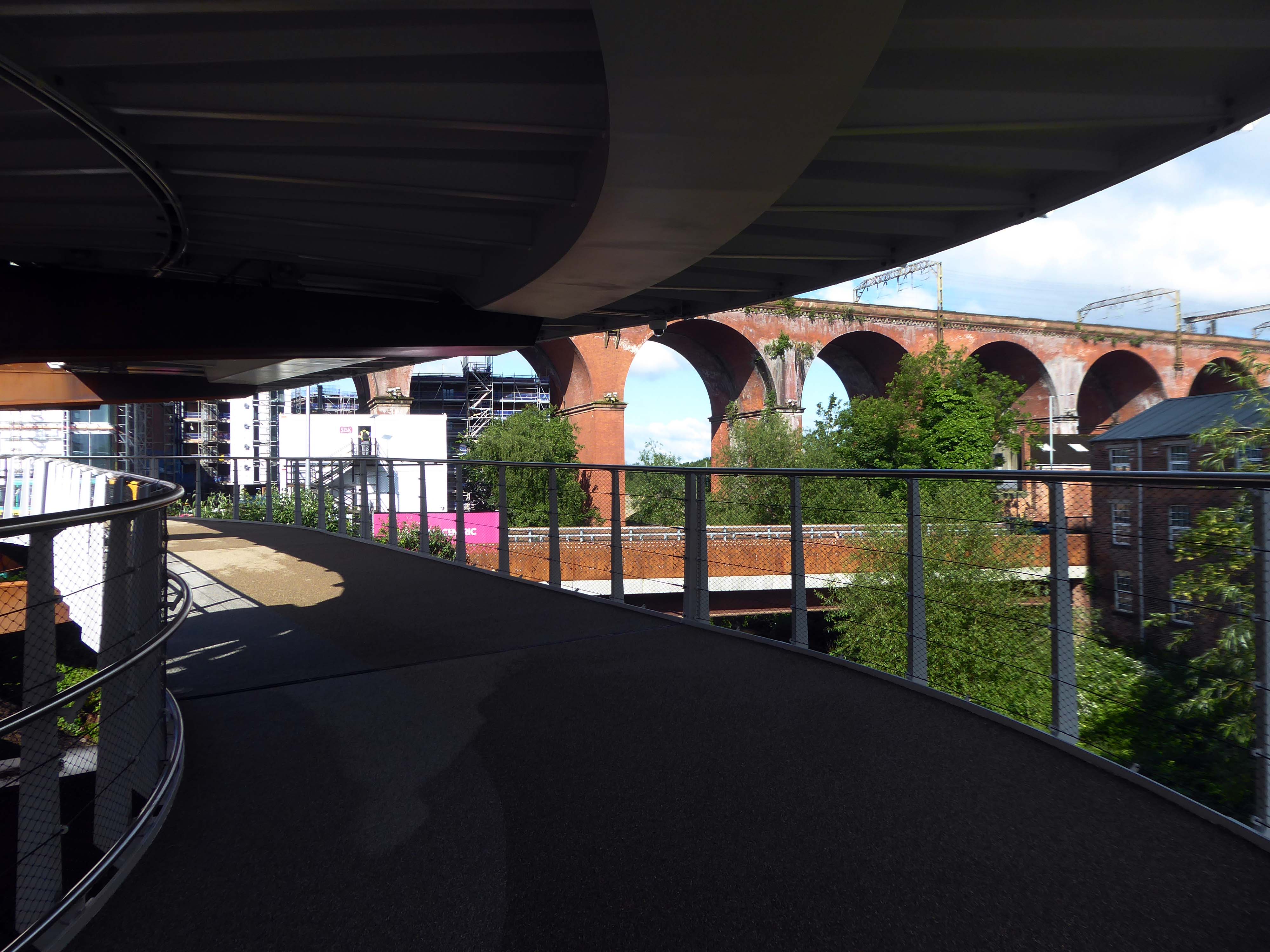
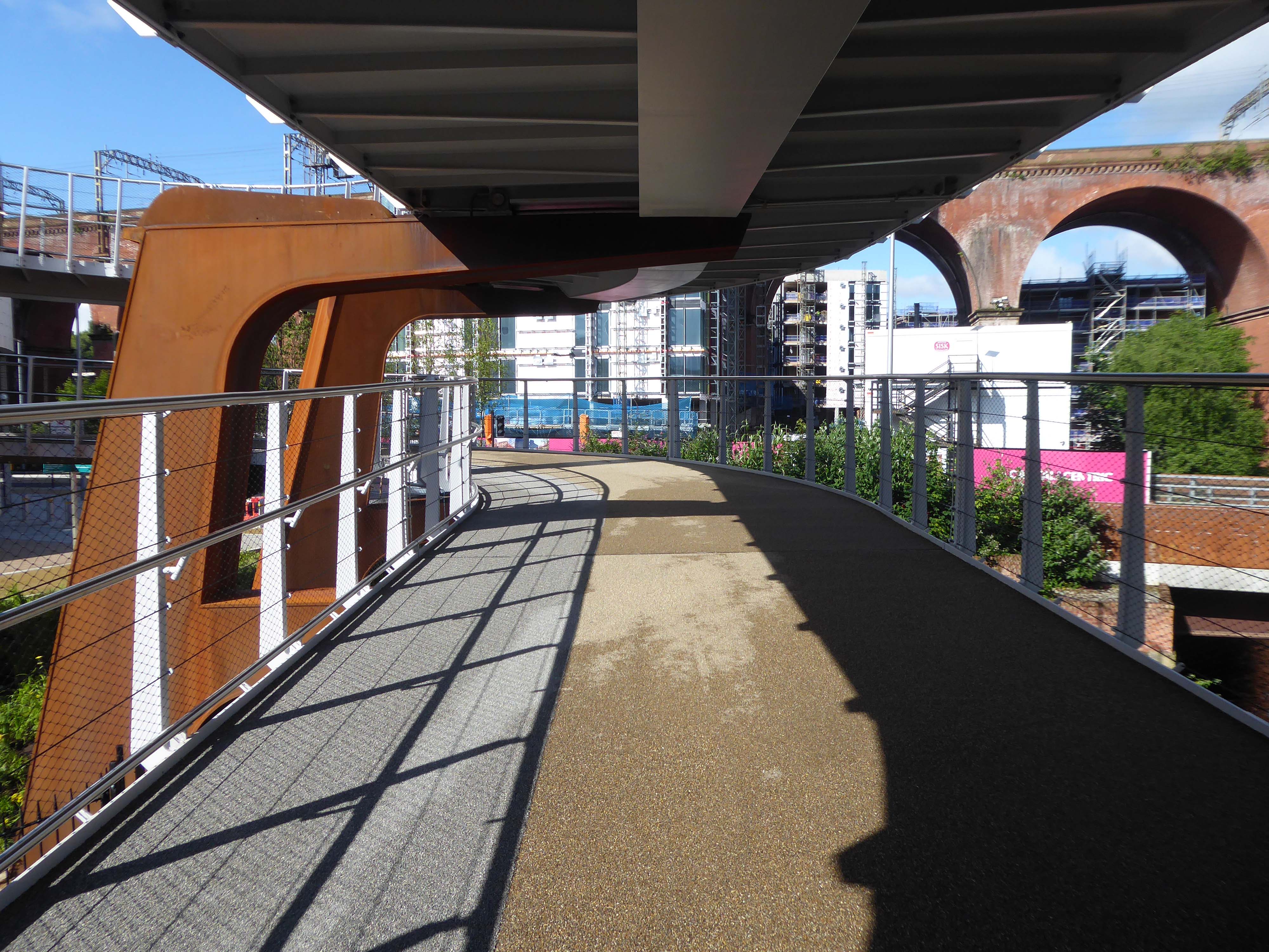
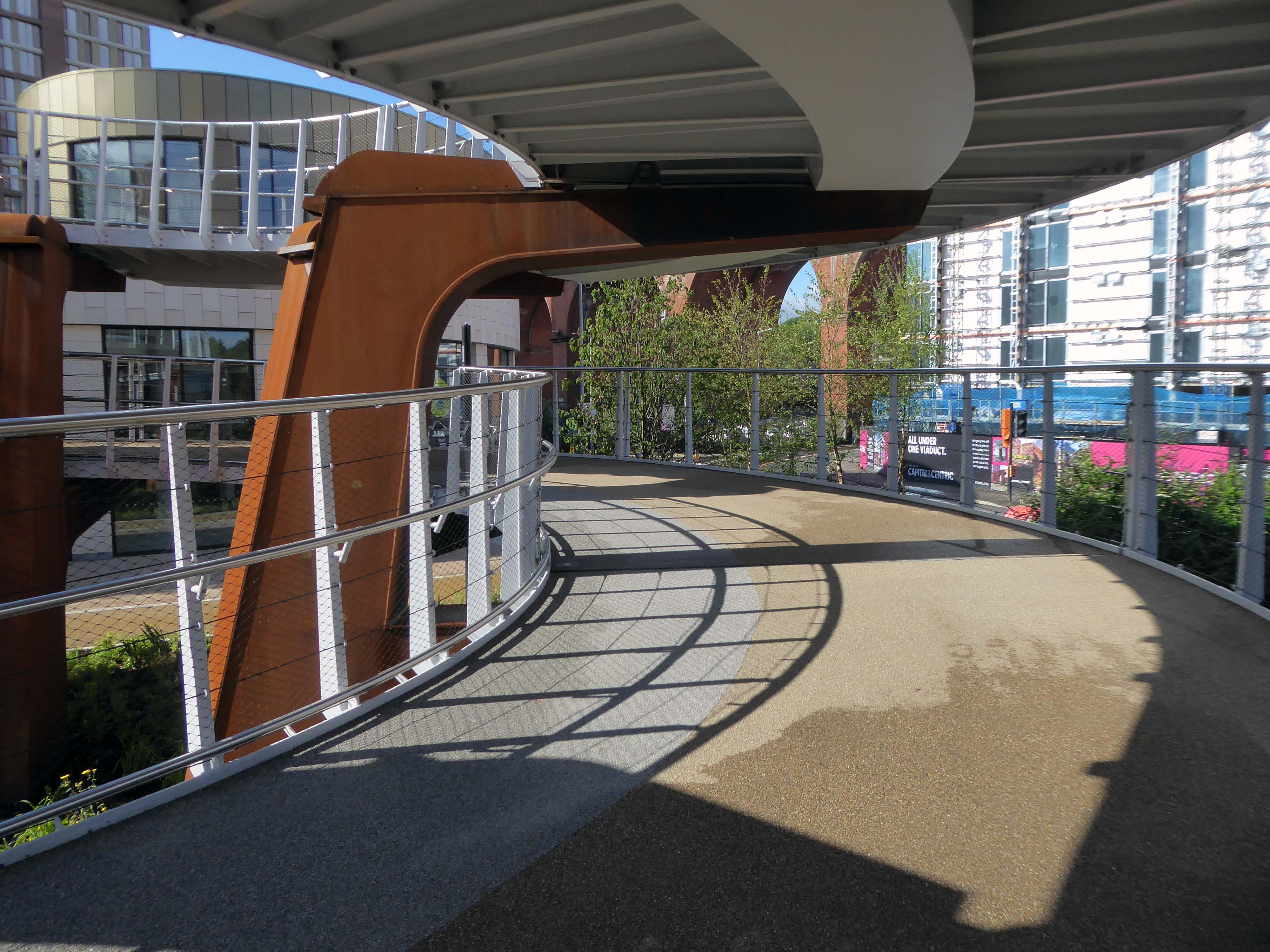
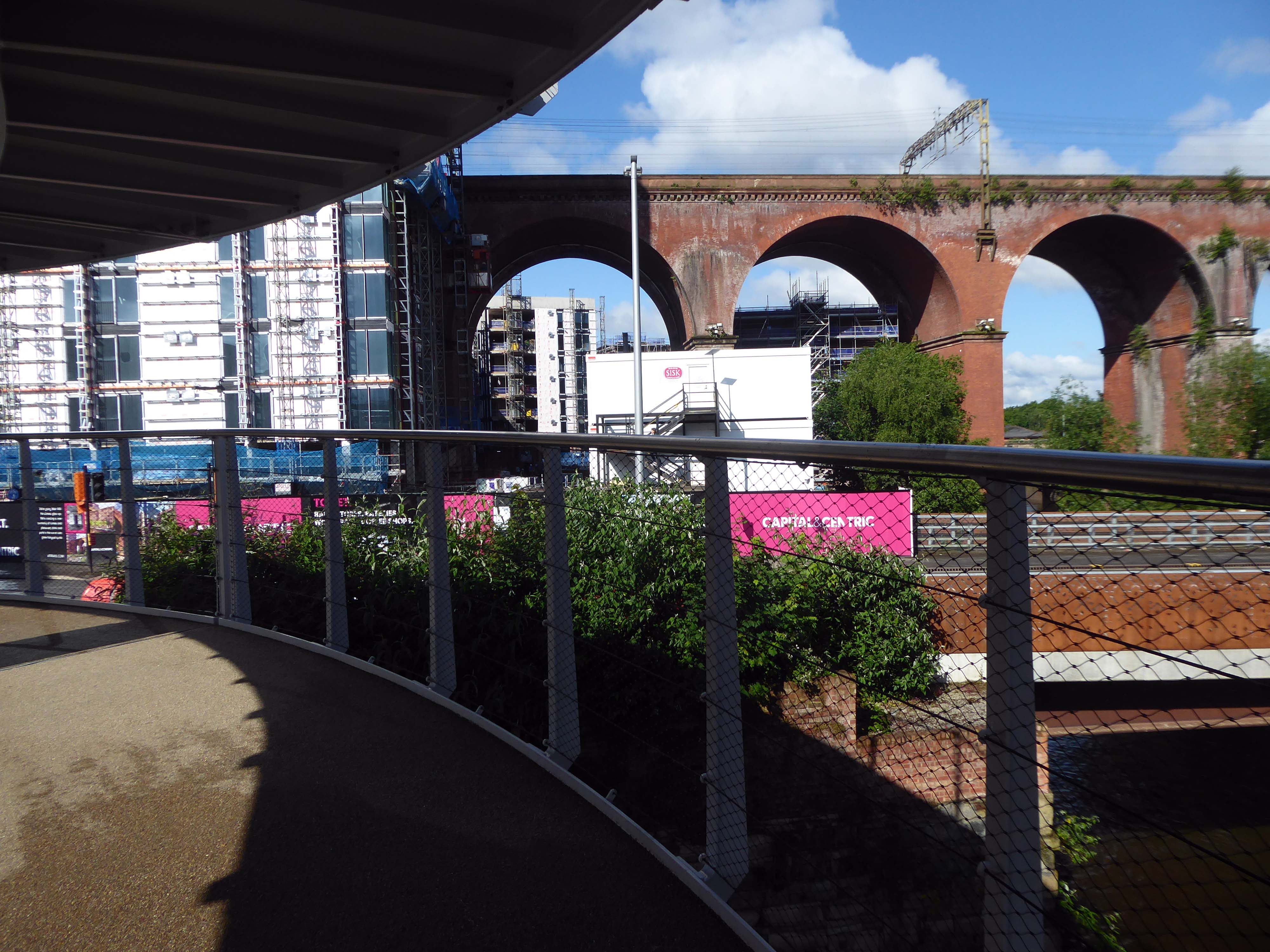
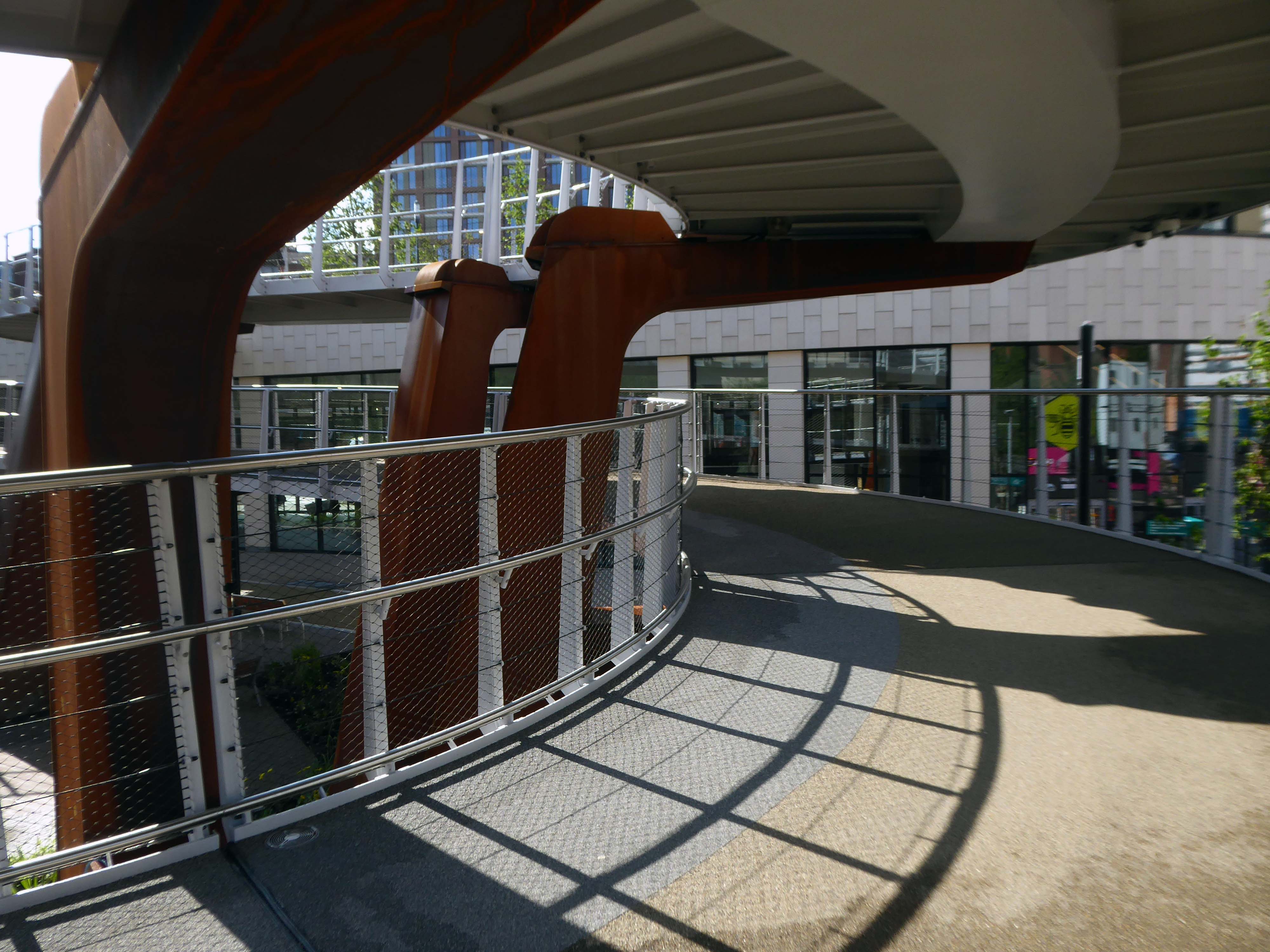
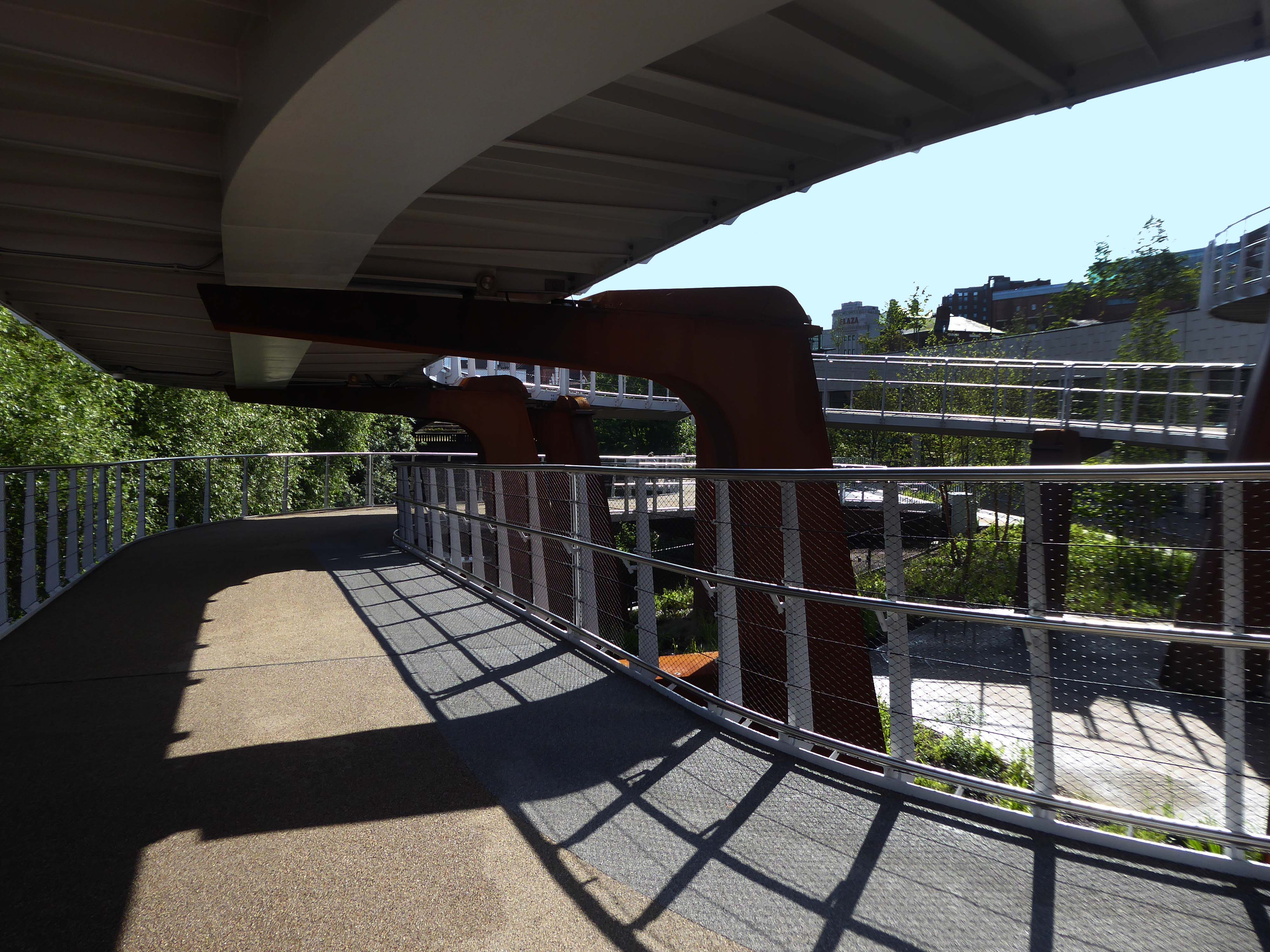
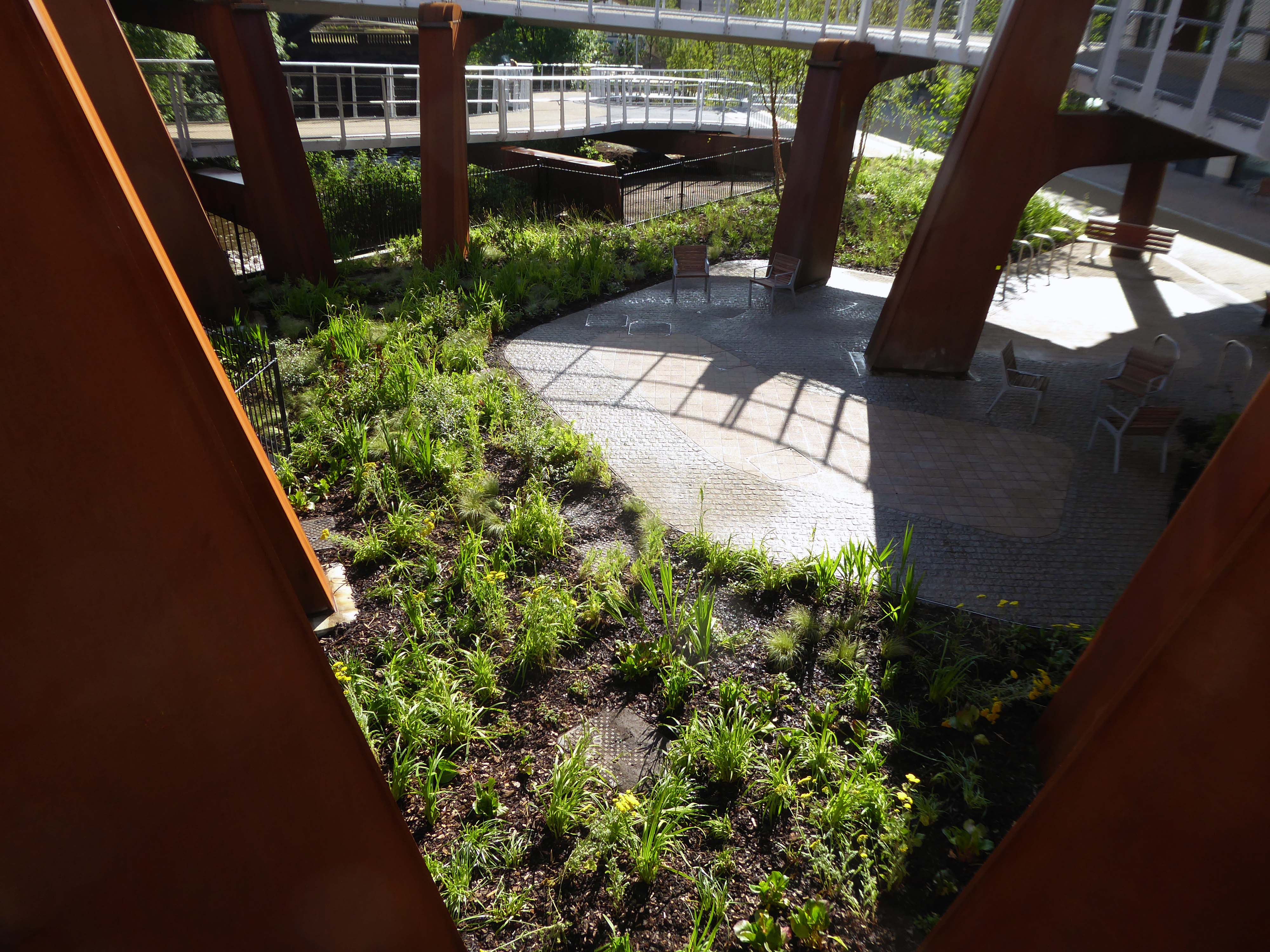
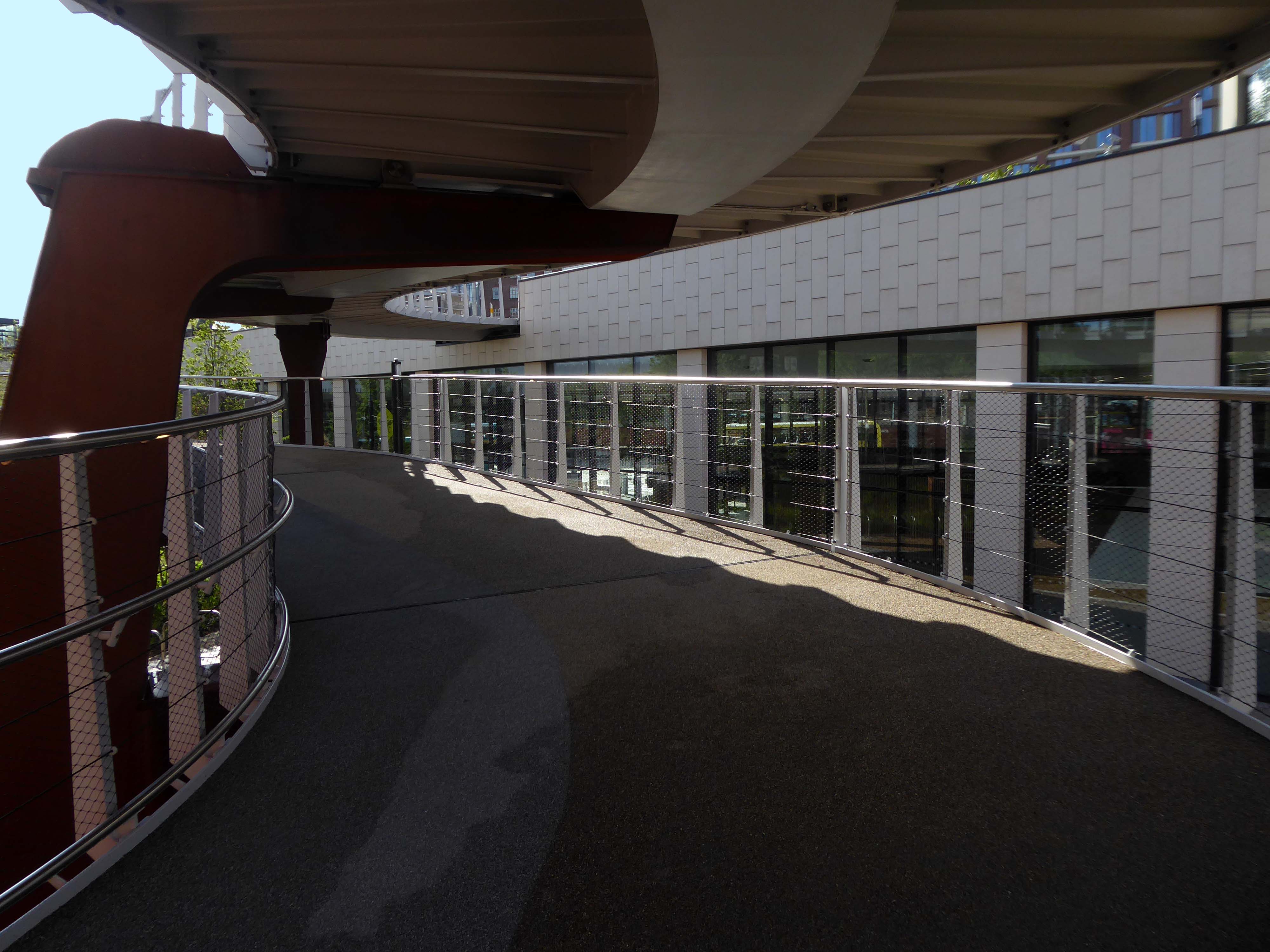
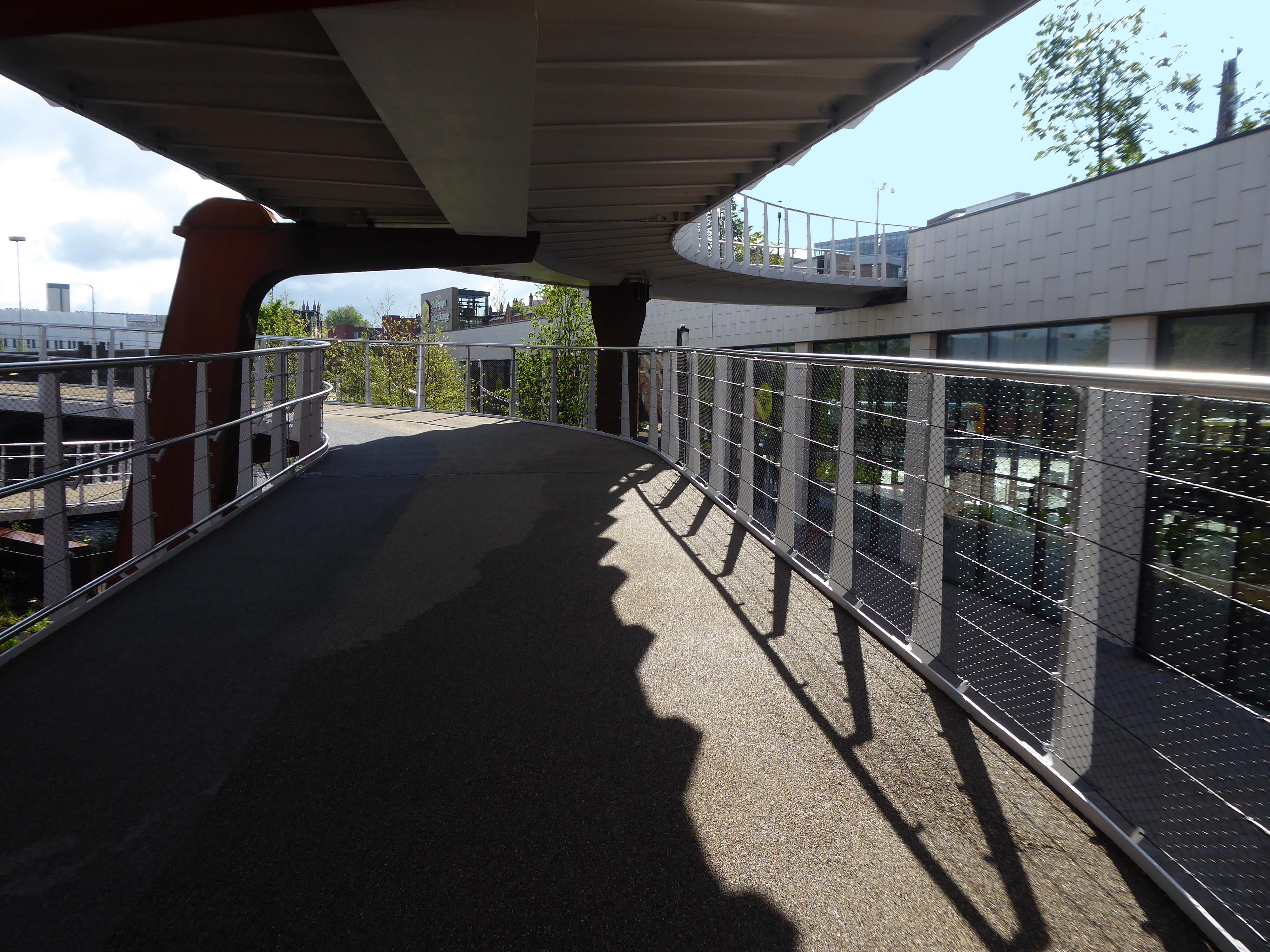
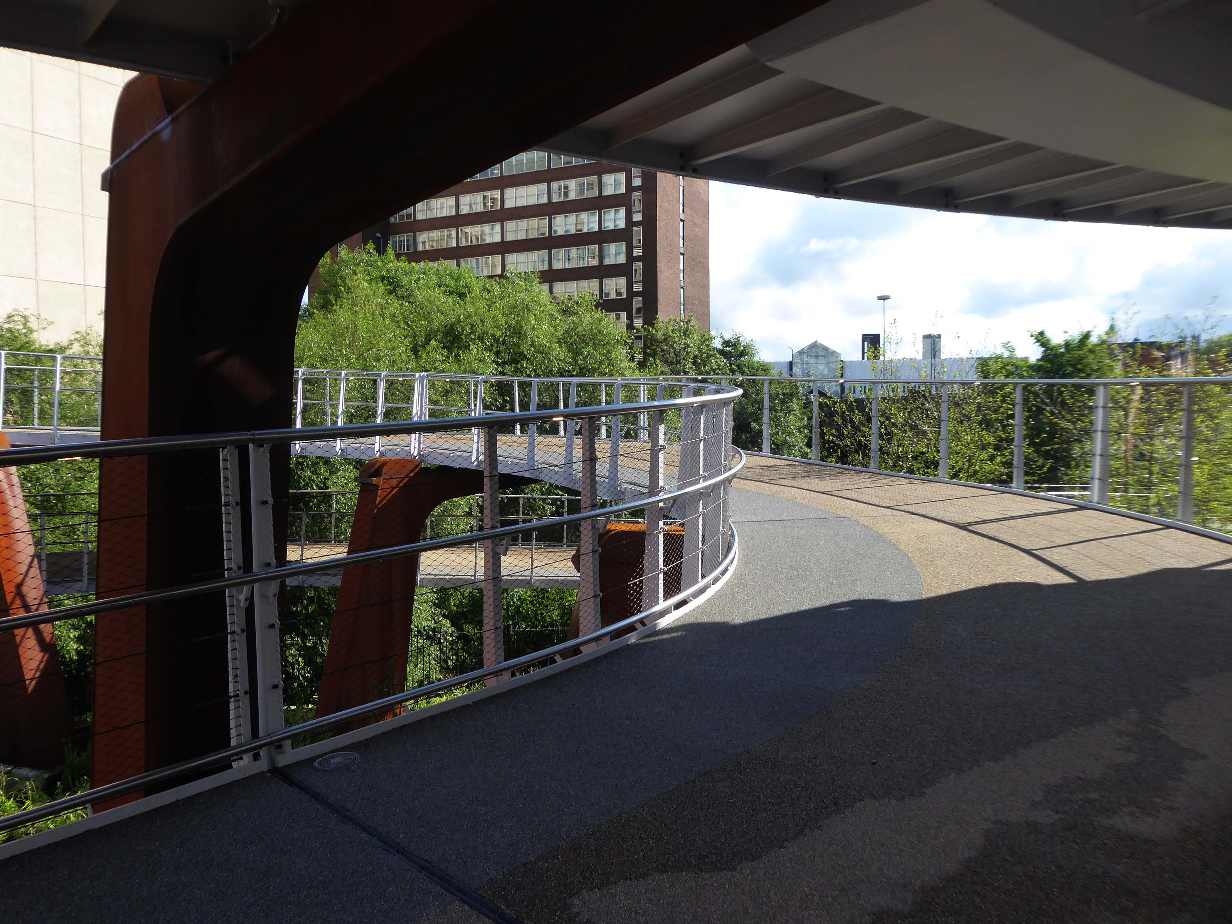
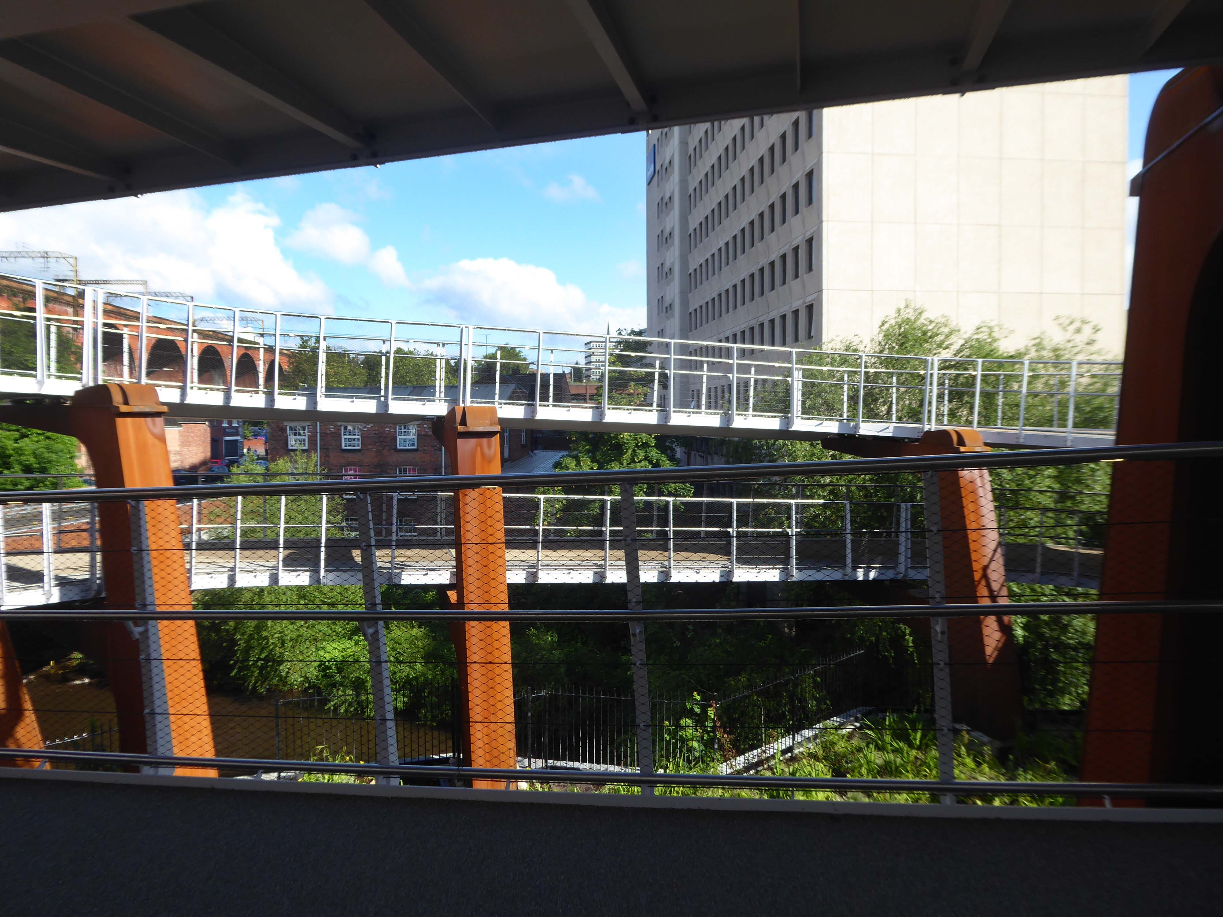
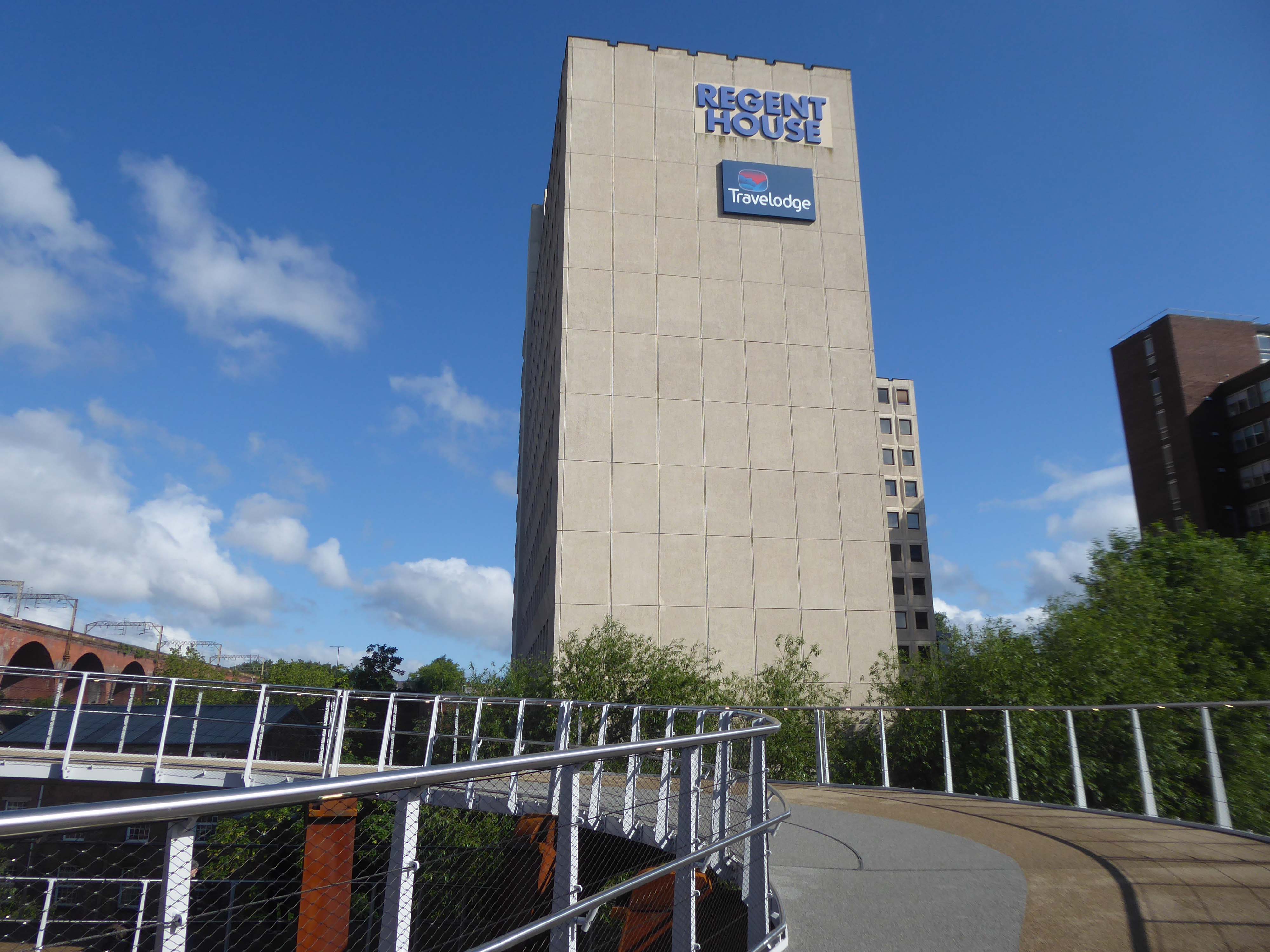
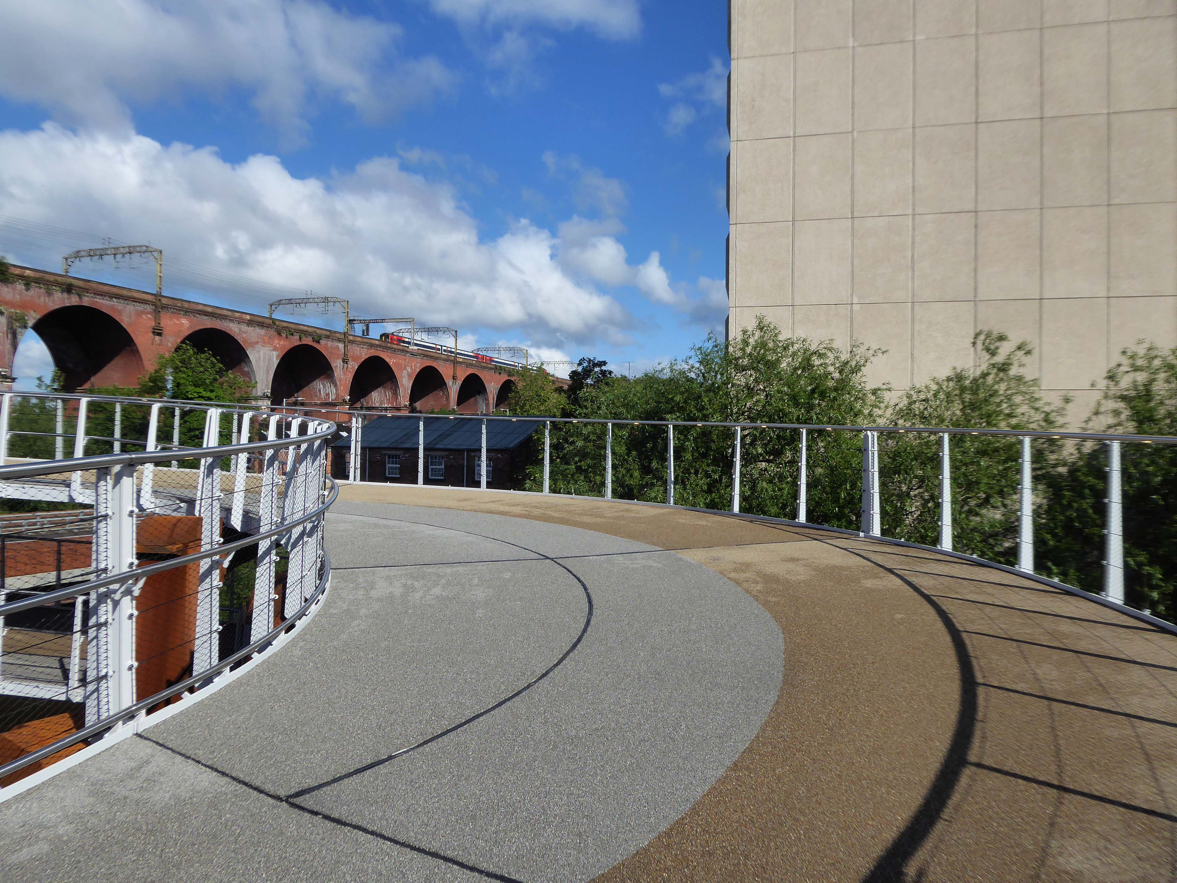
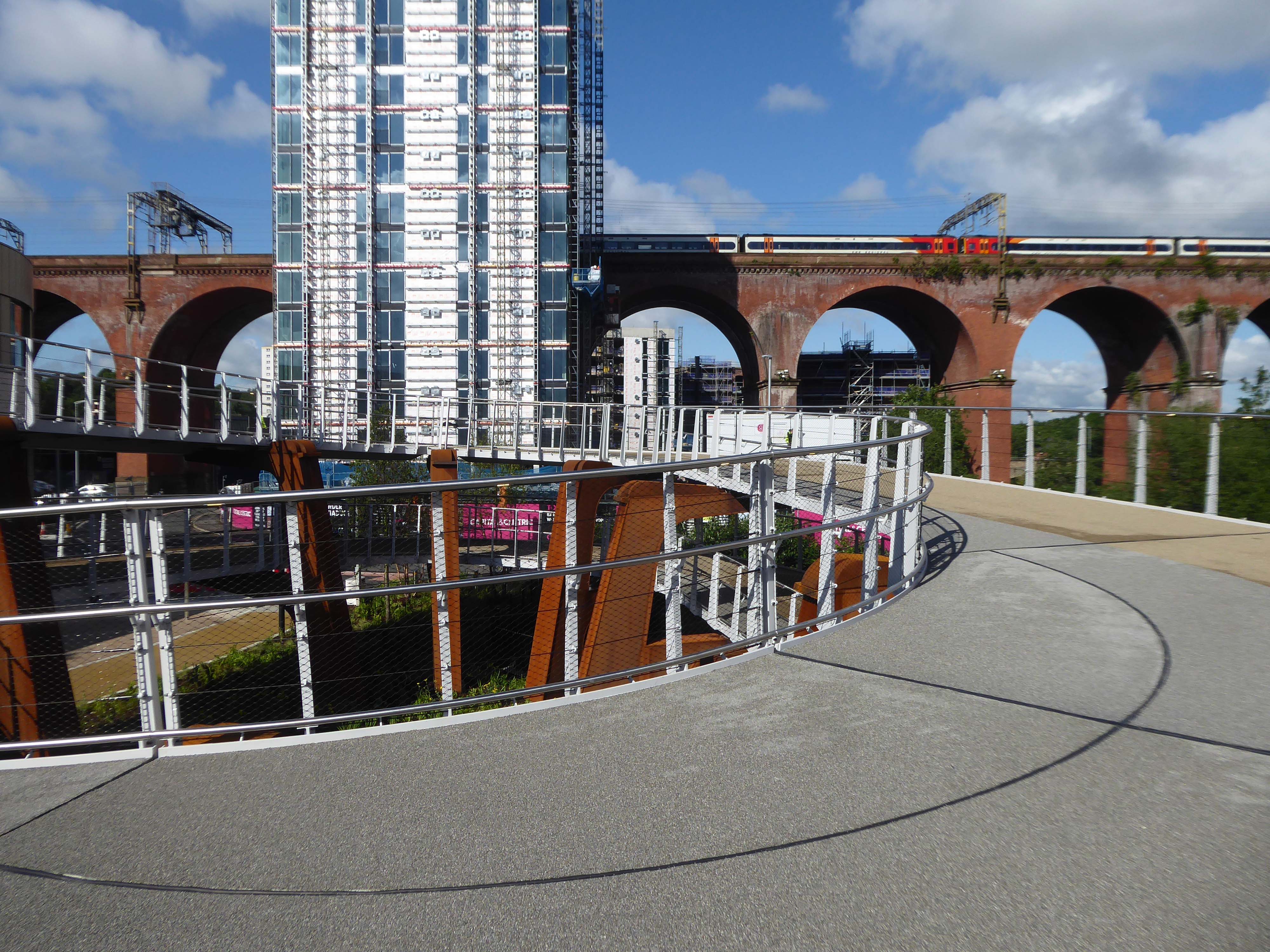
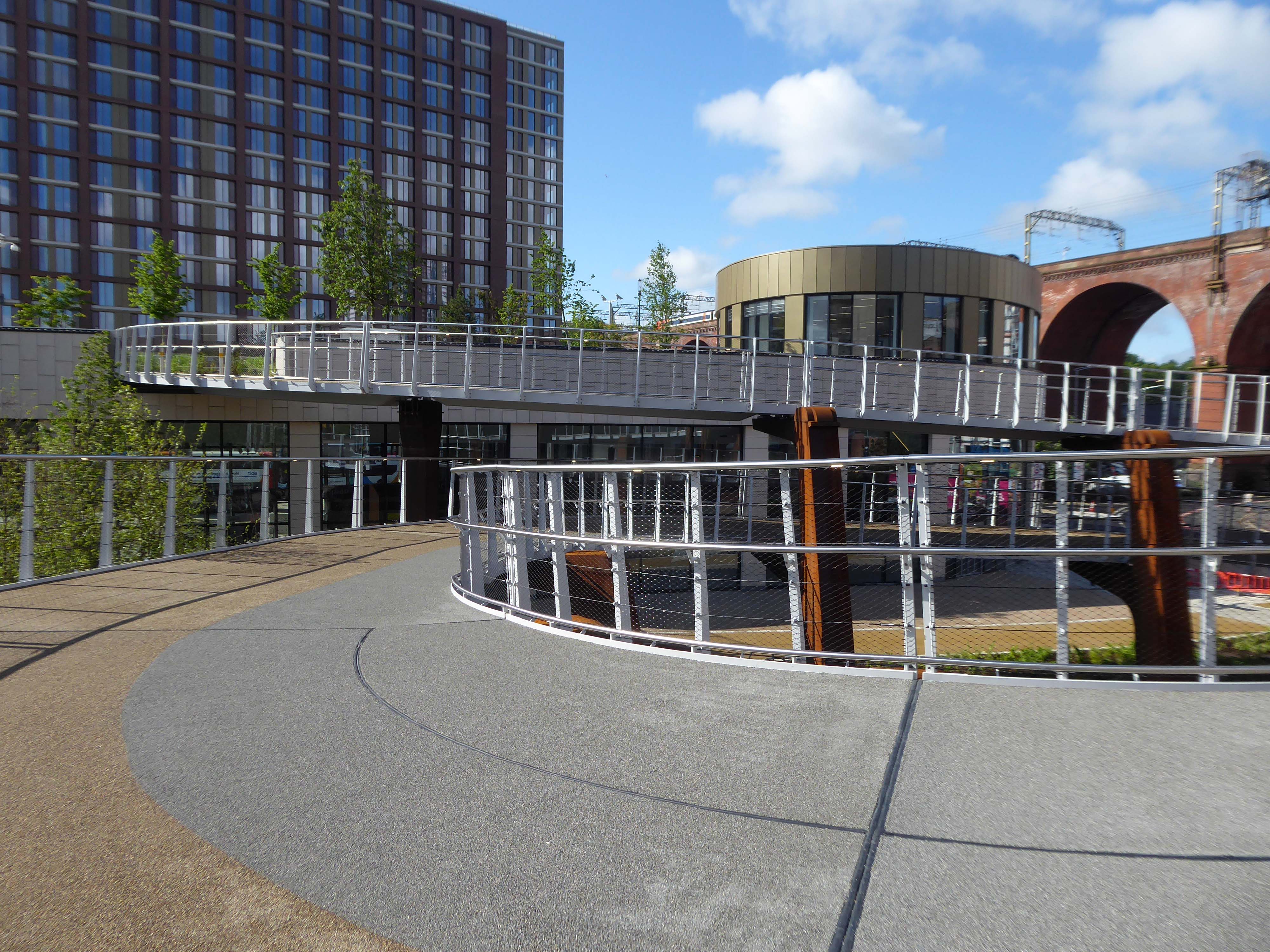
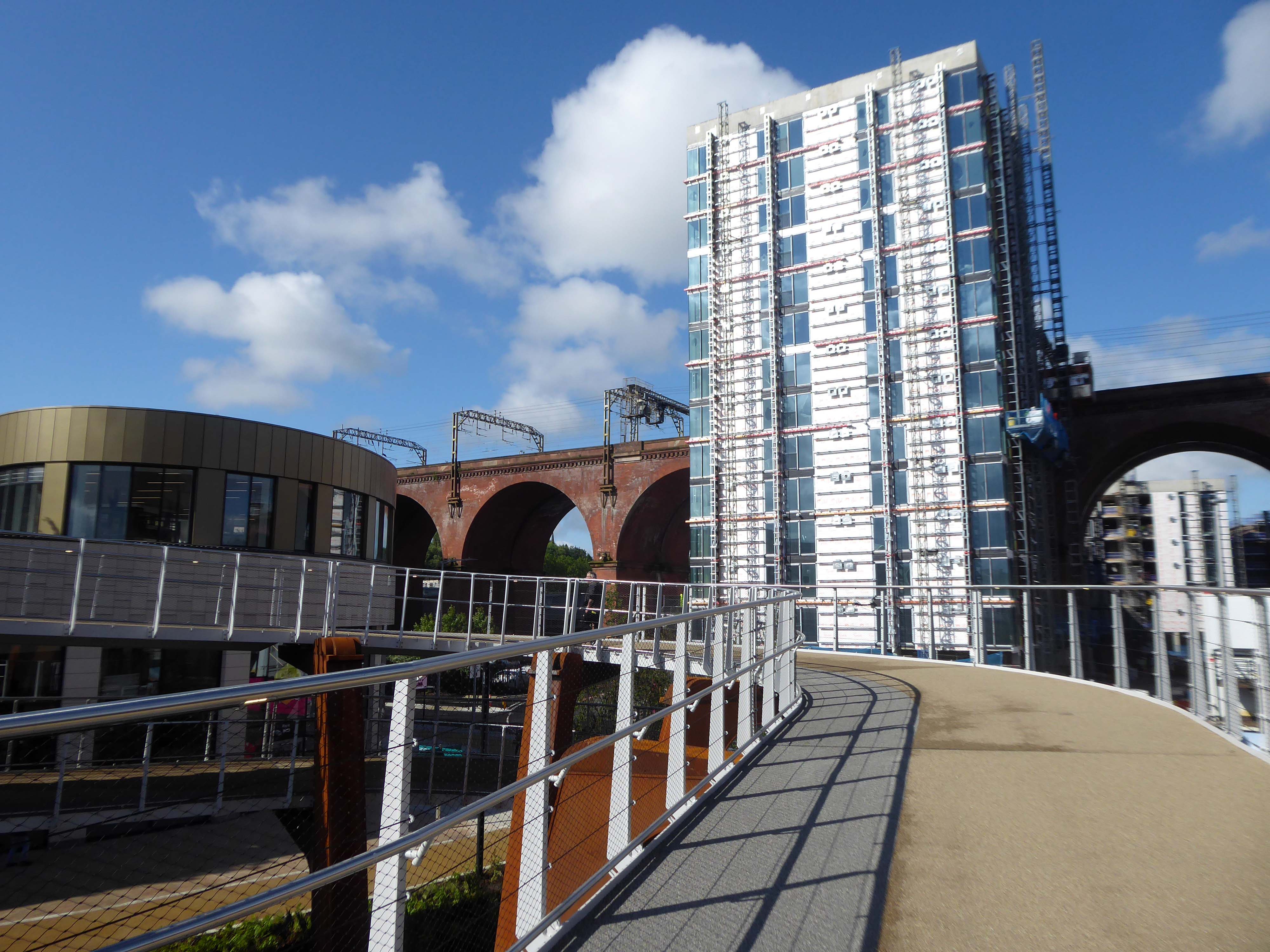
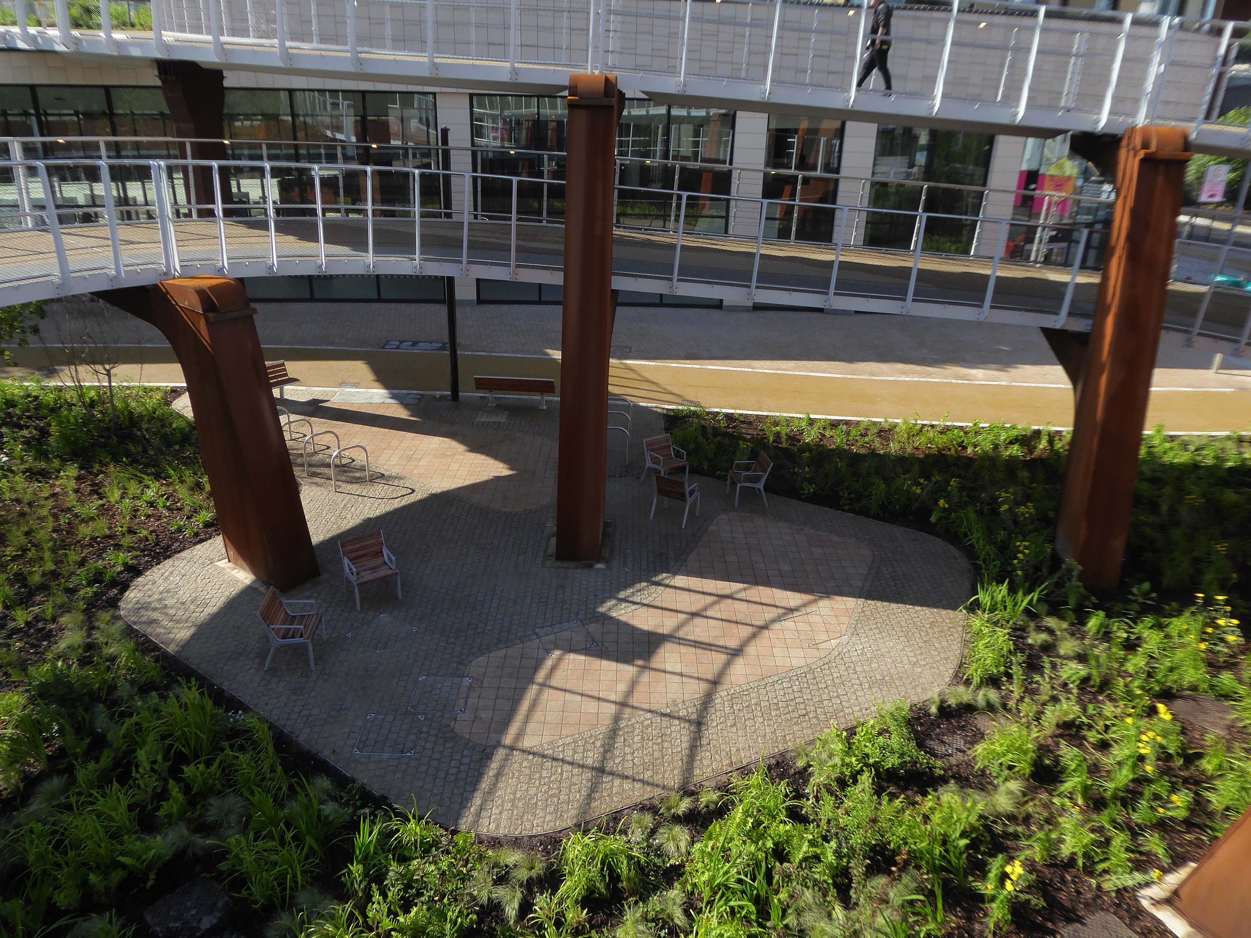
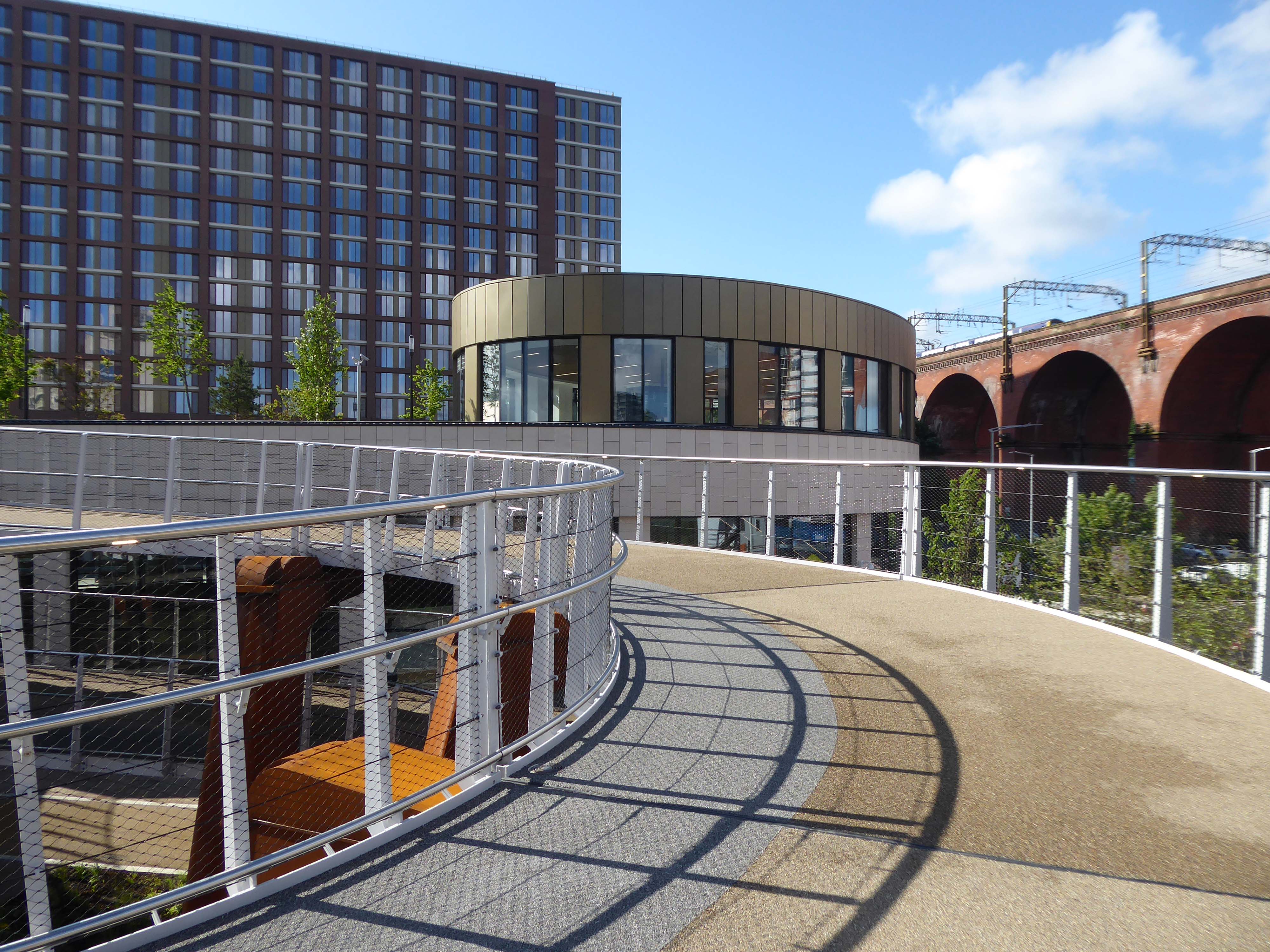
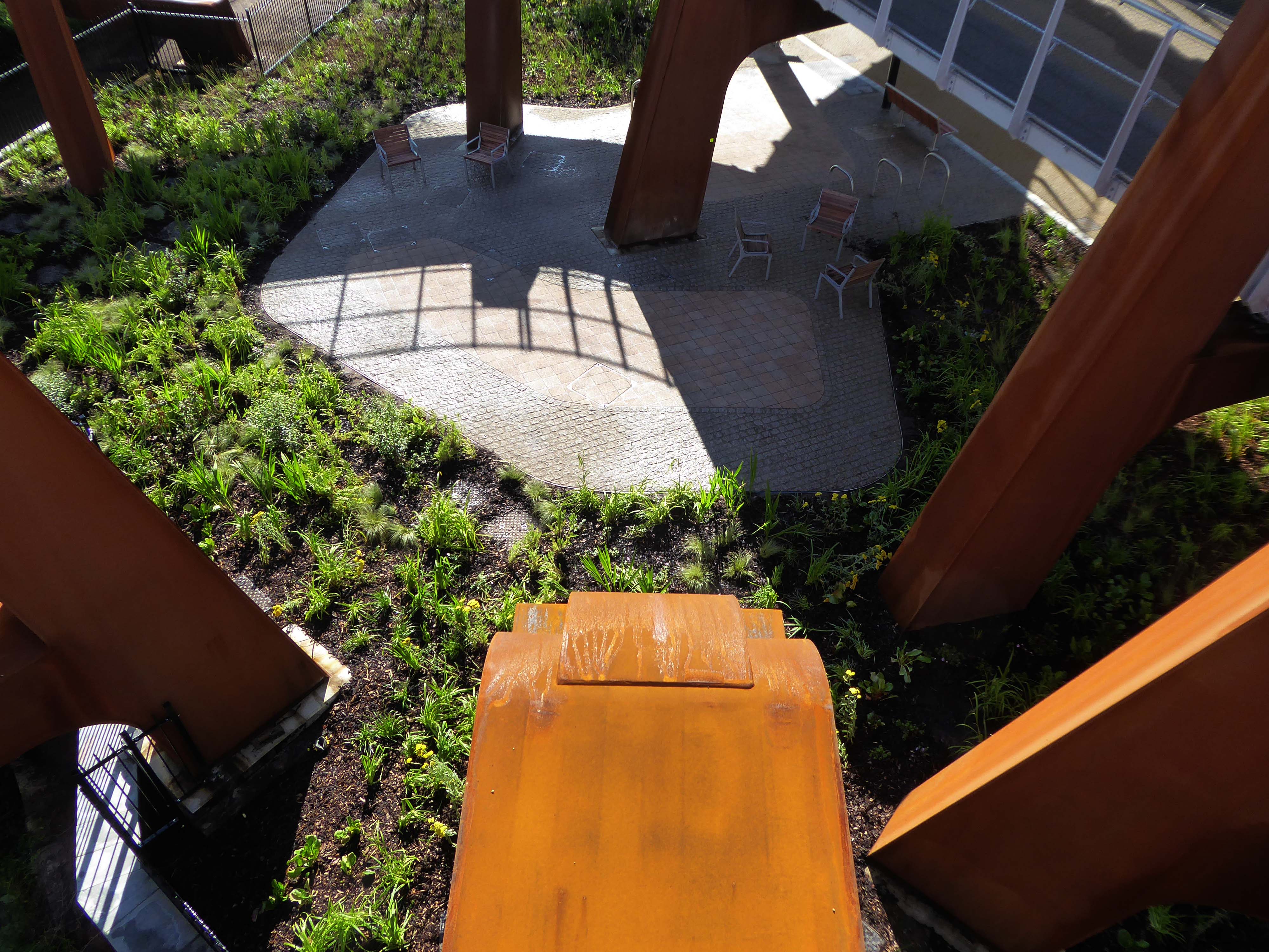
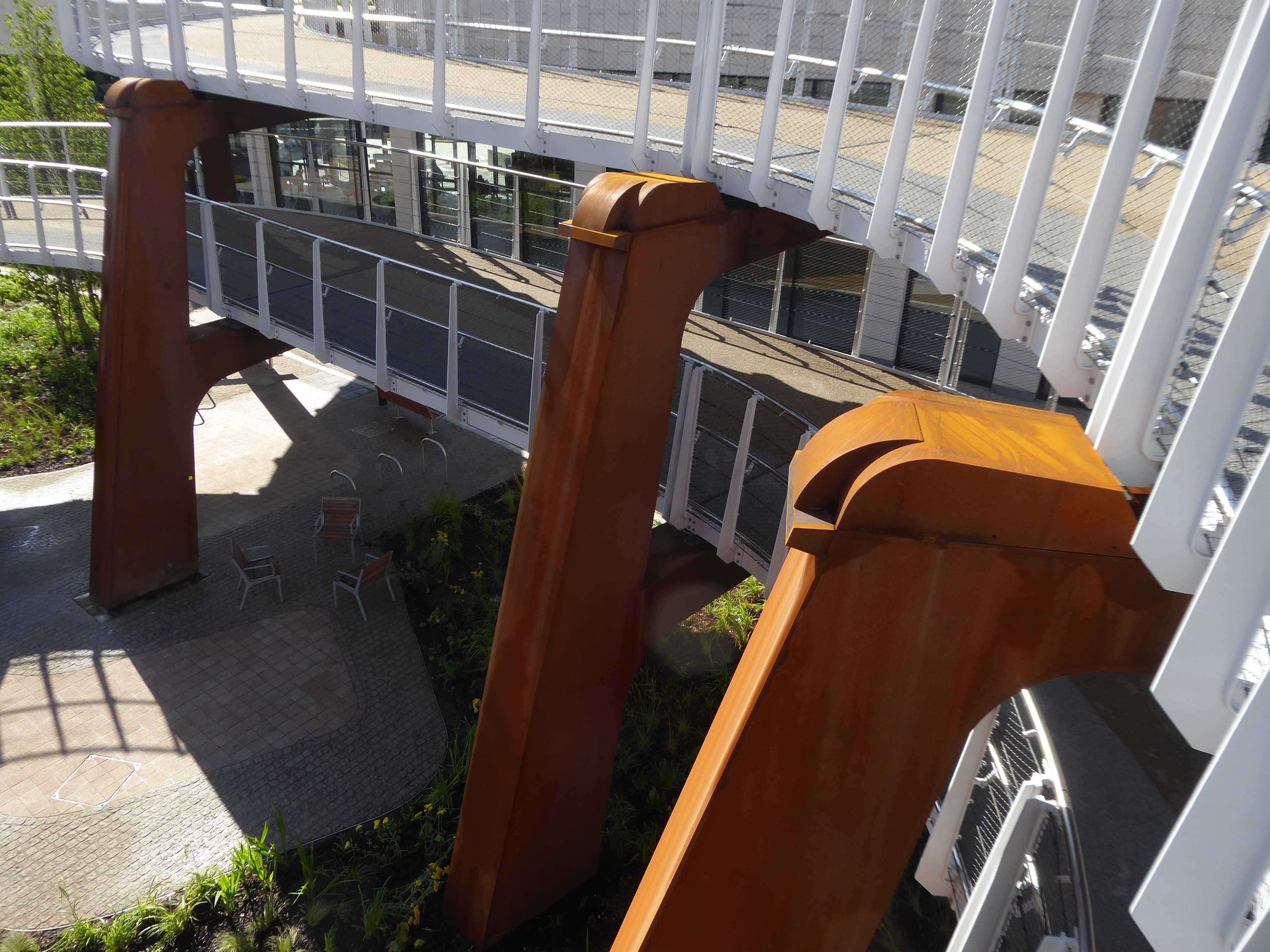
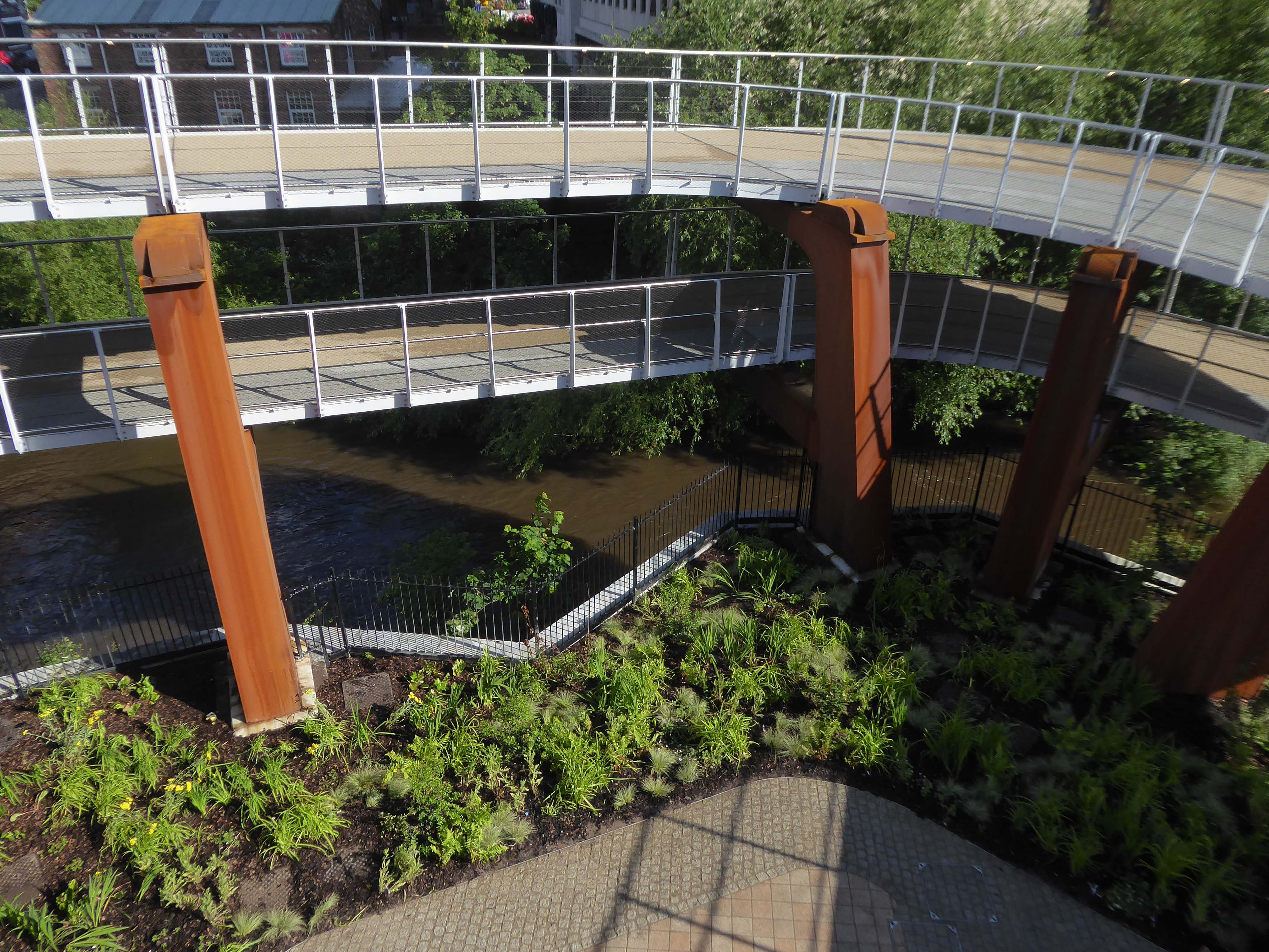
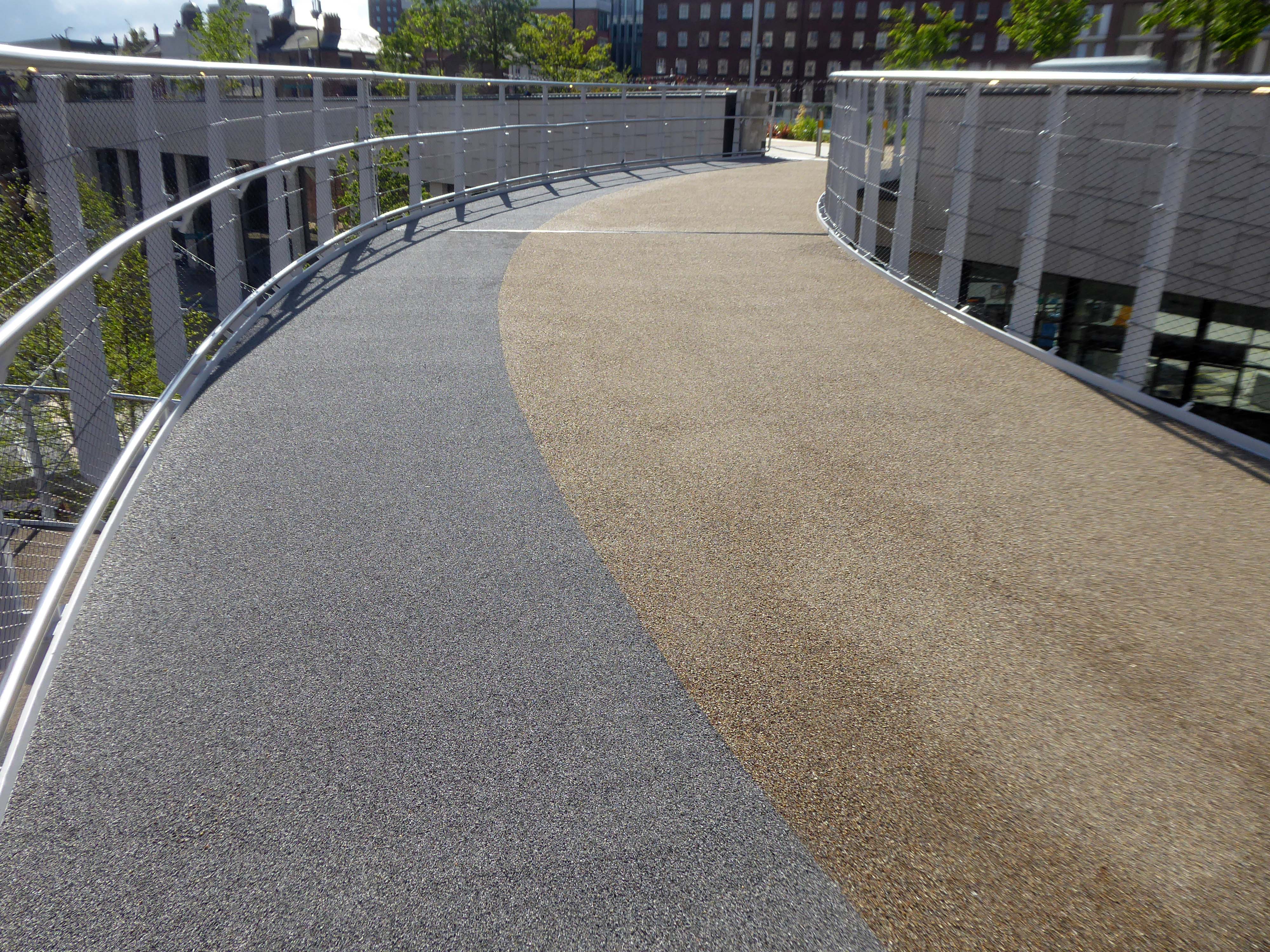
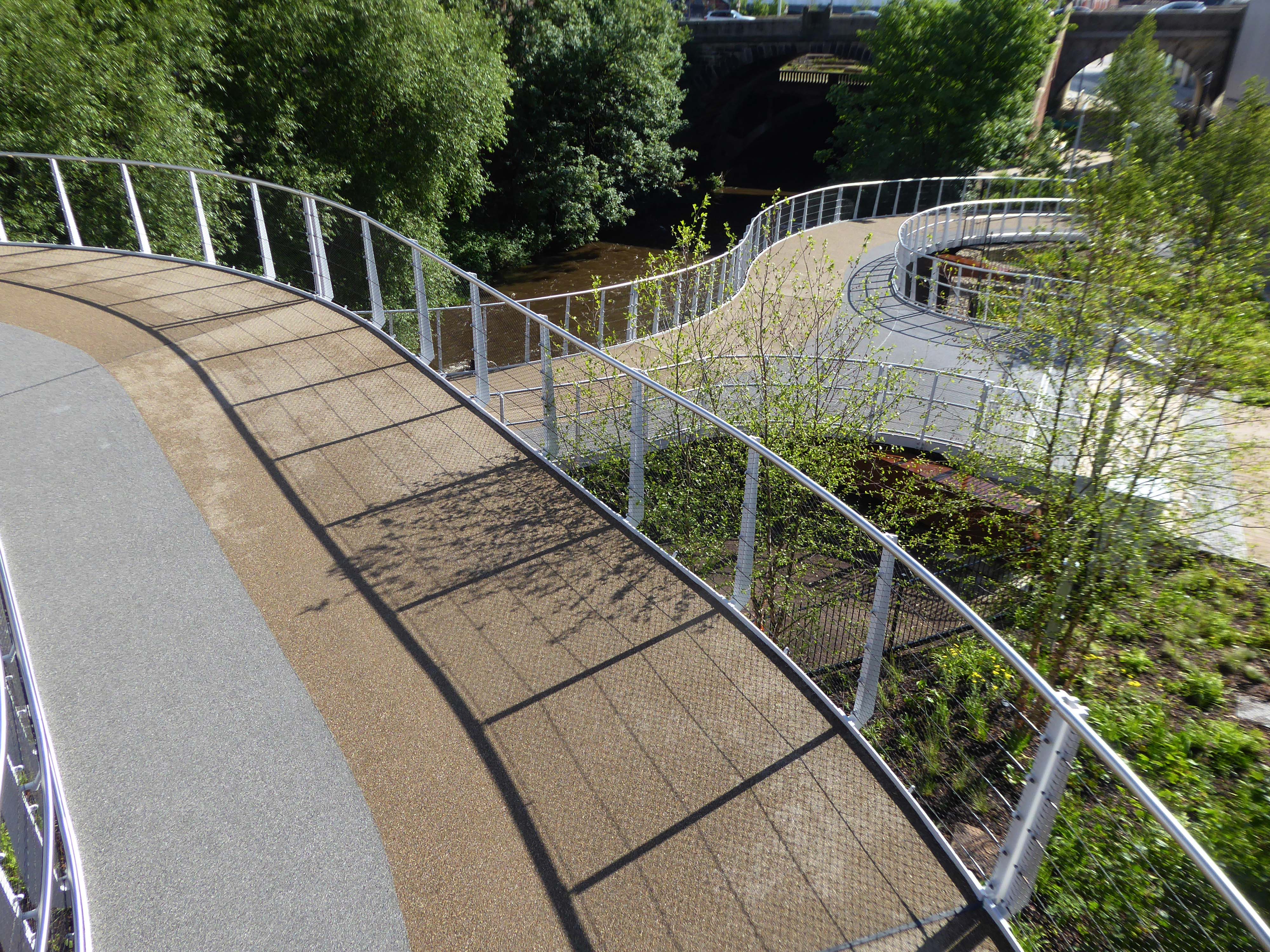
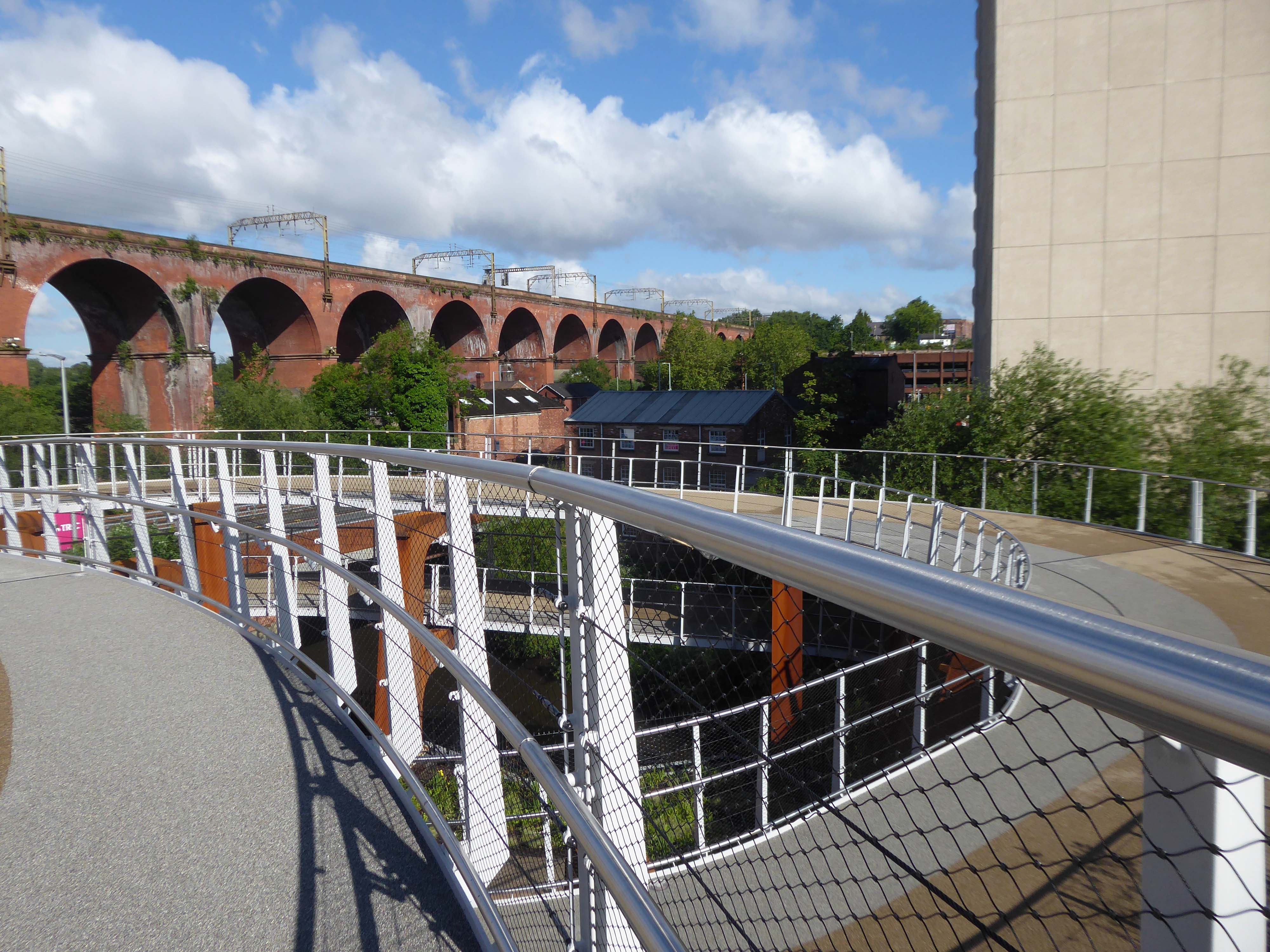
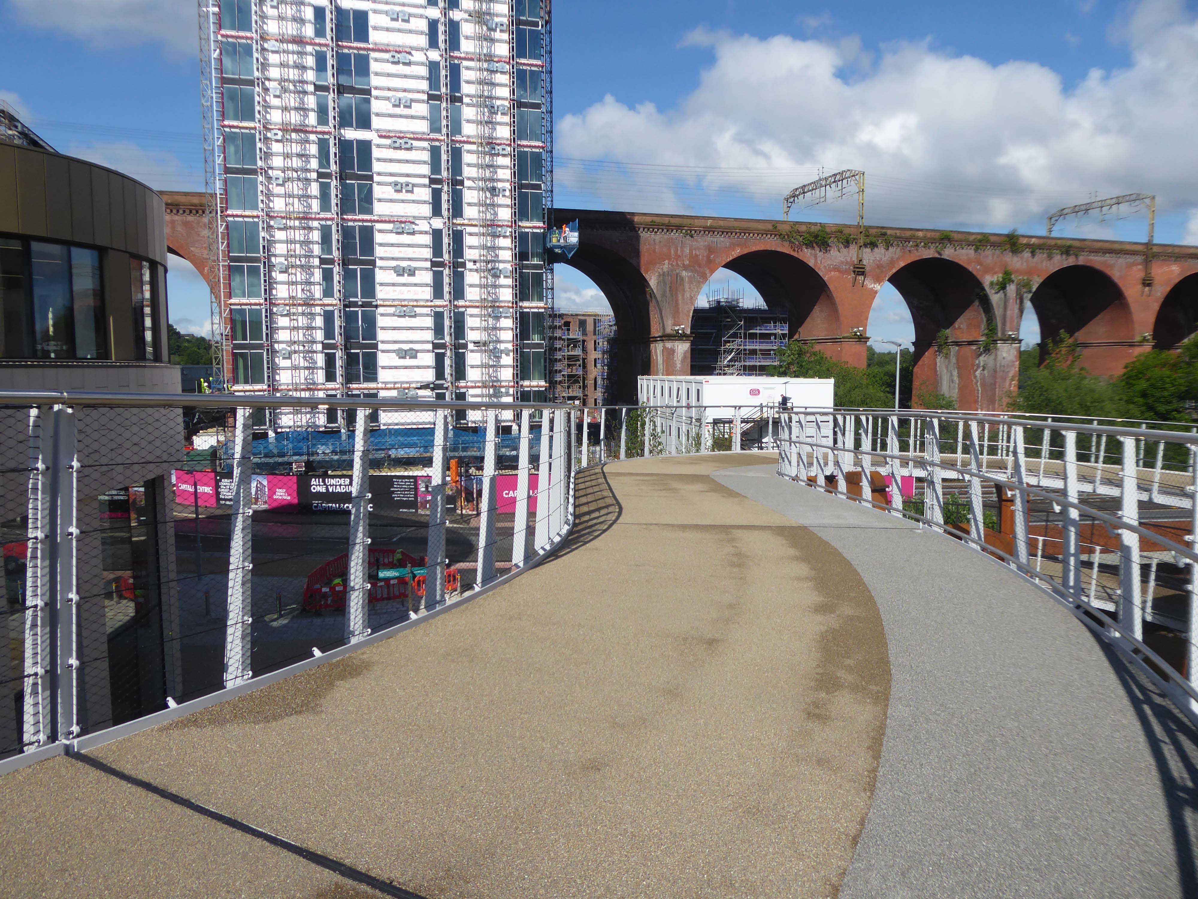
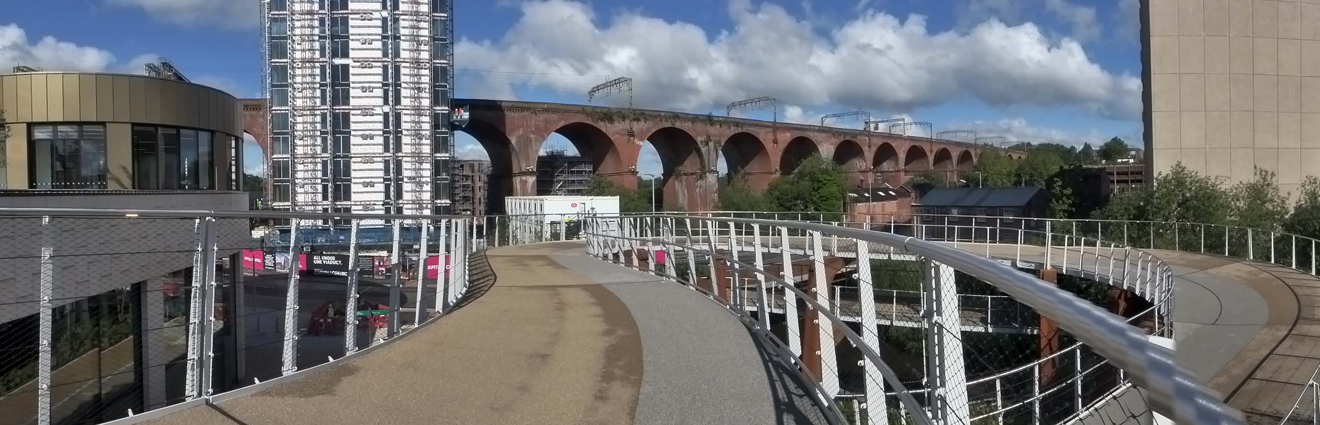
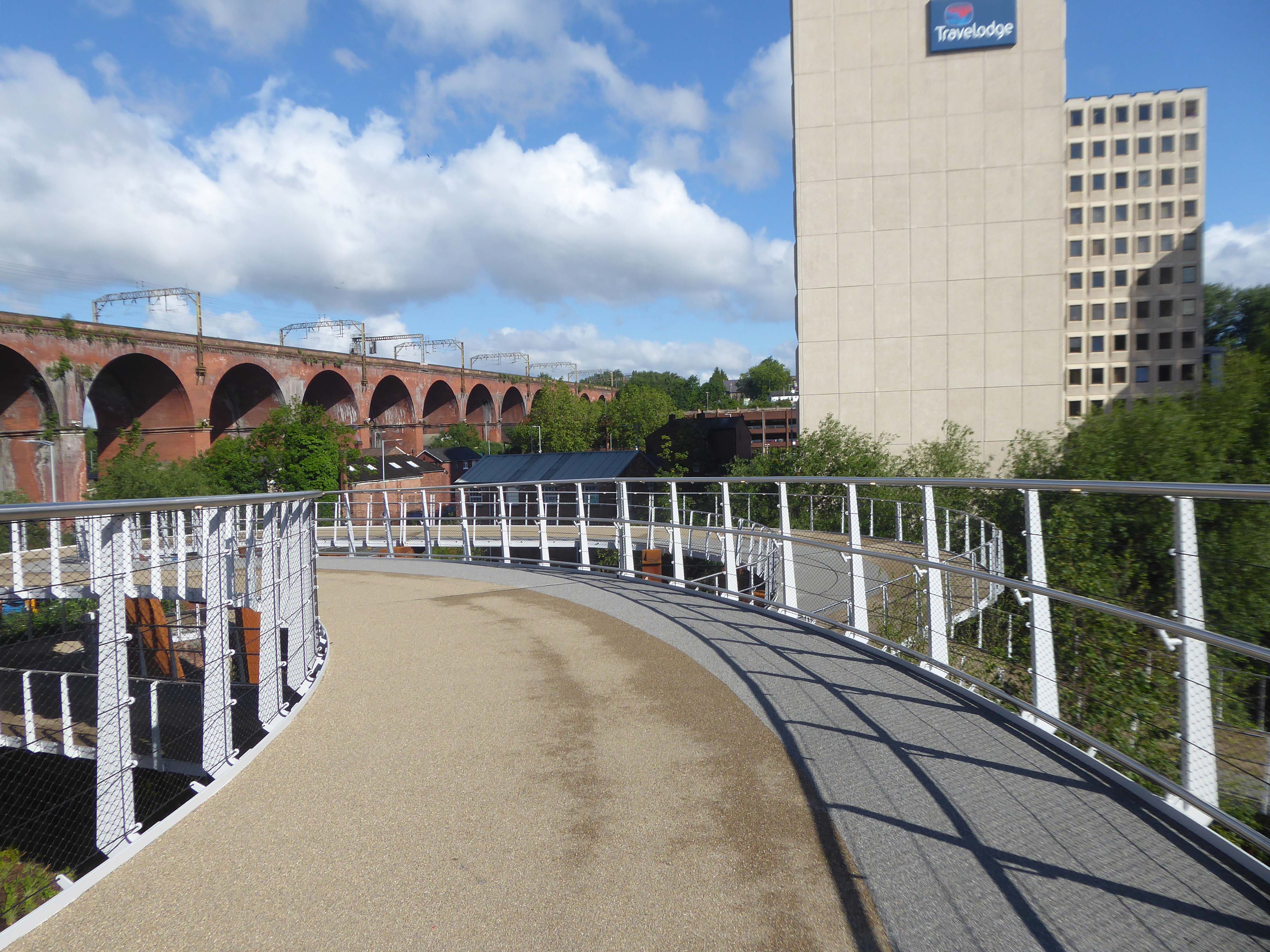
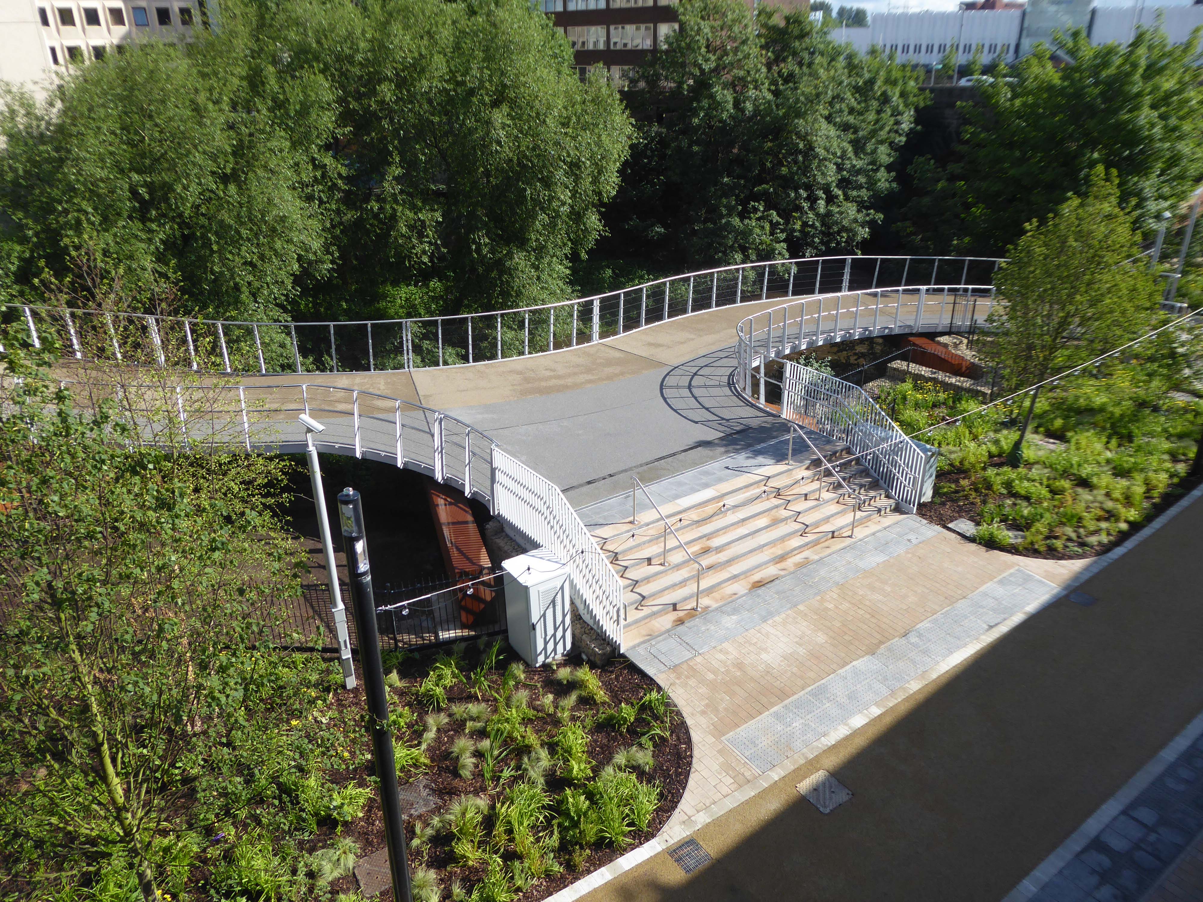
It’s now all grown up into a fully fledged transport interchange – with its very own pedestrian and cycling ramp.
The 189-metre ramp provides a seamless and accessible route to navigate the level change from the rooftop park to the river Mersey frontage, leading to the Trans Pennine Trail route.
Forming part of the Stockport Interchange Mixed Use development scheme, and which also includes a new cycle and pedestrian link from Stockport rail station to the new park, as well as connecting the new facility to the wider Bee Network cycling and walking infrastructure, which is designed to encourage more people to make journeys on foot or by bike.
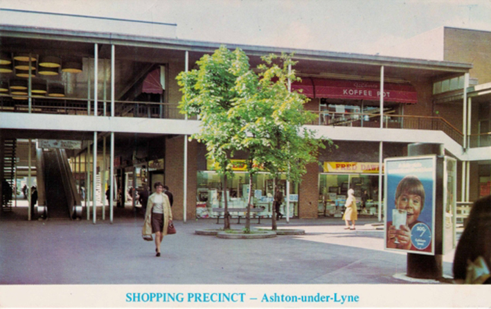
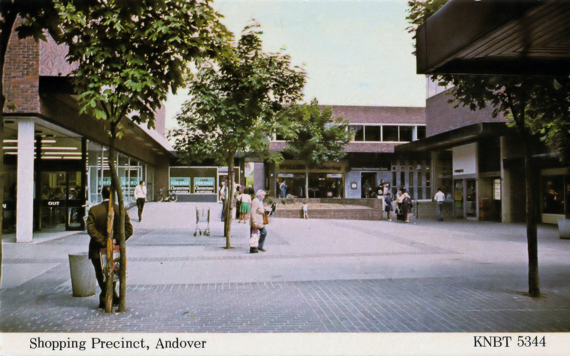
It all began way back when I was a raw youth living in Ashton under Lyne – the precinct was our playground, cycling and running, often against the grain, up and down the travelator.
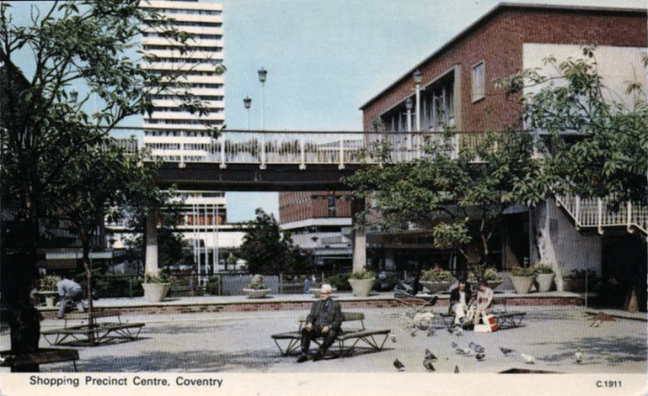
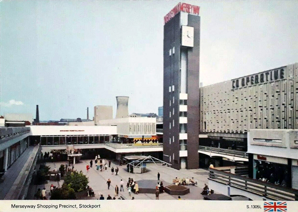
Some sixty years later I am still enthralled by the nation’s shopping precincts – including the very local Merseyway.
Bury Interchange is a transport hub opened in 1980, it is the northern terminus of the Manchester Metrolink’s Bury Line, which prior to 1992 was a heavy-rail line.
It also incorporates a bus station.
Bury Interchange replaced the bus termini scattered around Bury town centre, notably around Kay Gardens.
Bury Interchange was opened by British Rail in March 1980, integrating a new bus station with the northern terminus of the Bury-to-Manchester heavy railway line, a new short spur line was constructed to connect the new station.
The railway had originally run into Bury Bolton Street which was further away from the town centre, and was closed by British Rail on the same day that Bury Interchange opened.
An £80m transformation is coming to the Bury Interchange, which will see step-free access at the Metrolink, a “vertical circulation core” to better connect the Metrolink with the bus facility, and an integrated travel hub with spaces for cycle storage.
The work is much-needed, explained Transport for Greater Manchester’s Alan Lowe, he said that the interchange was built in the 1980s and very much is of its time.
It’s not what we need for our customers need.
The new Bury Interchange project is expected to complete at the end of the decade.
The line and station were closed on 5 October 1970 as part of continuing cutbacks in British Rail services and the line west to Bolton subsequently dismantled.
The A5103 is a major thoroughfare running south from Piccadilly Gardens in Manchester city centre to the M56 in Northenden. The road is two-lane dual carriageway with a few grade-separated junctions. It is used by many as a link to the airport and to the motorway network south.
The road starts at Piccadilly Gardens where it meets the A6. It heads along Portland Street – at one time it ran along the parallel Mosley Street, past fast-food outlets and off-licences and then meets the A34 Oxford Street. It multiplexes with that road north for 200 yards into St Peter’s Square and then turns left into Lower Mosley Street, initially alongside the tramlines and then past the former Manchester Central station, now a conference centre with the same name. The road becomes Albion Street and goes over the Bridgewater Canal and under the railway line east of Deansgate station. The road then meets the A57(M) Mancunian Way at a roundabout interchange. This is where most of the traffic joins and leaves.
The road is now 2×2 dual carriageway with the name Princess Road. It passes under the Hulme Arch, a grade-separated junction with the A5067, with an unusually large central reservation. This is presumably because of the proposed plans from the 1960s of a motorway. However, after passing under the junction, there are innumerate sets of traffic lights, with the B5219, the A6010 and the A5145, as well as many other unsigned roads. There are also many speed cameras set at 30 mph.
The road picks up pace as we exit the sprawl of South Manchester and the road becomes Princess Parkway, with a 50 mph speed limit. We cross the River Mersey and almost immediately hit the M60 at J5.
Except for the Manchester City Centre section – which was numbered A5068, this road did not exist on classification in 1922. Princess Road was built in 1932 to serve the new southwestern suburbs; initially it ran between the B5219 and A560 and was numbered B5290, with the road later extended north into the A5068 on the southern edge of the city centre and renumbered A5103.
The northern extension through Hulme initially followed previously existing roads, so followed a zigzag route. As part of the road’s upgrade and the reconstruction of Hulme in the 1970s the road was straightened and the original route can no longer be seen. The A5068 was severed around this time with the construction of the A57(M) and the A5103 took on its city-centre section, taking it to the A6.
The A34 is a major route from the ports on the South Coast of England to the Midlands and the North West, with the standard varying from rural dual carriageway sections in the south to urban single carriageway in the north, and everything else in between.
Slade Lane junction, Rushford Park to Parr’s Wood, East Didsbury – to connect to Manchester Road to Cheadle. It continued on to Laneside Road as a residential road. Opened on 11 April 1923 by Mary Cundiff, Lady Mayoress, and Margaret Turnbull, daughter of Alderman Turnbull, Chairman of Manchester Town Planning Committee. Width was 100 feet and it was designed for tram tracks in the central reservation. The dual road carriageways were 20 feet wide. Manchester’s tram system was closed in 1949. The carriageways were widened and central reservation grassed over. Originally opened as A5079.
Laneside Road, East Didsbury to Schools Hill/ Wilmslow Road junction, Cheadle. Opened on 12 October 1959. The official opening was on 15 October 1959. Planning for the bypass had been halted by the war. In December 1949 Manchester Corporation stated that it was not a priority since the Corporation was only responsible for the 200 yards to the proposed bridge over the River Mersey and Cheshire County Council had not asked for a joint approach to Ministry of Transport to build it. Work was finally authorised in January 1957 and started in the June. Width was 90 feet with dual 24 foot carriageways. Expected cost was £600,000 to £700,000.
The A57 was nearly a coast to coast route. It passes through three major city centres (Liverpool, Manchester, and Sheffield – with elevated sections in each) and several smaller ones, multiplexes with the A6 and the A1, follows the banks of two canals and negotiates the remotest part of the Peak District. In one city it part of it is a tram route, whilst in another its former route is also a tram route. After all these adventures, it sadly gives up just 40 miles short of the east coast, Lincoln apparently proving too big an obstacle.
The A57 crosses the River Irwell at Regent Bridge before entering its moment of motorway glory as the A57(M) Mancunian Way skirting the south of Manchester’s city centre on an elevated section and crossing the A56 and A34. This includes a half-completed exit that goes the wrong way up Brook Street – a one way street. The original A57 ran further north through the city centre along Liverpool Road (now the A6143) and Whitworth Street – B6469 as far as the A6 London Road which marked the start of a multiplex.
At the end of Mancunian Way, we reach a TOTSO, straight on being the short unsigned A635(M) and thence the A635 – for Saddleworth Moor, Barnsley and Doncaster whilst the A57 turns south, briefly multiplexing with the A6, and then branching off along Hyde Road. This section of road was extensively cleared for the westward extension for the M67, and consequently has seen a lot of redevelopment.
The road now begins slightly further south than it used to. Instead of starting on Fairfield Street in Manchester city centre, it begins immediately as the Mancunian Way ends, which at this point is the unsigned A635(M). The motorway flows directly into our route. There’s a TOTSO right at a set of lights, and we pick up the old alignment, which now starts as the B6469.
We can see the new City of Manchester Stadium on the left, site of the 2002 Commonwealth Games and now home to Manchester City FC. The road switches between S2 and S4 as it passes through the rather run-down urban areas of Ardwick and Gorton. A short one-way system at a triangular-shaped junction with the A662 leads onto a wider stretch as we near the M60 junction. This area is set to see significant industrial growth, with whole swathes of land either side of the now D3 road cleared and ready for development.
Starting at traffic lights on the A665 the road heads northeastwards, initially with the Metrolink on the left and a factory building on the right. The road then bears right at traffic lights marking the first section of on-street running for the trams, which lasts until just before a bridge over the River Medlock, after which the road passes to the south of the Sportcity complex whilst the tram line runs through the middle.
The A6010 is crossed at traffic lights, after which we see the tram lines on the left once more. We go over the Ashton Canal, then the tram lines at grade before bearing to the right to pass Clayton Park before another section of on-street running for the Metrolink begins, which continues for some distance. Just after crossing the Manchester city limit there is a set of traffic lights, after which the road becomes D2 for a short distance to allow a tram stop – Edge Lane, to be located in the central reservation. The tram leaves the road to the right for the next stop – Cemetery Road, and the stop in Droylsden town centre is once again in the central reservation. In all three cases the street running recommences after the stop.
The A62, which runs from Manchester to Leeds, via Oldham and Huddersfield, was once the main route across the Pennines, connecting the largest city in Lancashire with Yorkshire’s largest city. However with the completion of the M62 towards Leeds in the early 1970s it lost much of its importance and traffic to the motorway, which runs a few miles to the north. These days, the A62 serves as a busy primary route between Manchester and Oldham, an extremely very quiet route over the Pennines, and then a fairly busy local road linking Huddersfield with Leeds.
Most maps show that the A62 starts its journey in the middle of Manchester by leaving the A6 Piccadilly and running along Lever Street – the original route was the parallel Oldham Street. However, owing to a bus gate Lever Street is not generally accessible from Piccadilly. We head out easterly on a busy street – non–primary, until we meet the Ring Road where we pick up primary status that we retain until Oldham. We turn left at this point and then immediately right to start the A62 proper.
In 2014, having taken early retirement from teaching photography, I embarked on a series of walks along the arterial roads of Manchester.
This whole undertaking was prompted in part by Charlie Meecham’s 1980’s Oldham Road project.
The work questions whether a sense of local identity can be maintained in an area of constant redevelopment and community displacement.
This area was first developed in the 19th century for cotton manufacture, coal extraction and later electrical and heavy engineering. The road was lined with shops and there was a vibrant community.
When I first started working on the project, most of the early industry had ceased operating and the mills were either abandoned or being dismantled. However, some had been refurbished either for new industrial use or later, made into apartments. Some run down areas were cleared making way for new housing. Clearance also provided opportunity to build new schools, trading estates and create green space. Most of the older community centres such as theatres and cinemas along the road were also abandoned and later cleared.
Cheetham Hill Road is part of the designated A665. Cheetham Hill Road starts at the junction of the A6042 Corporation Street and the A665 Miller Street. It crosses the culverted River Irk to the east of Victoria Station. At its junction with New Bridge Street, it turns north-northeast and is straight for 1 km, to the A6010 Queen’s Road . This stretch was called York Street until about 1900. Cheetham Hill Road leads from here to the community of Cheetham Hill, where at Bourget Street and Crescent Road – formerly Sandy Lane, Cheetham Hill Road becomes Bury Old Road.