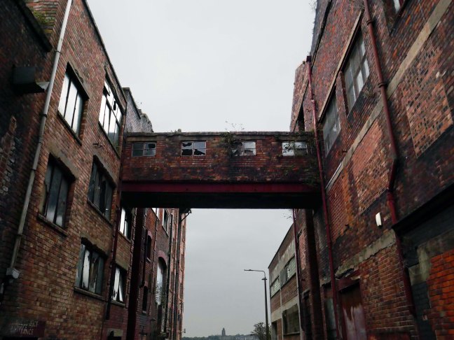
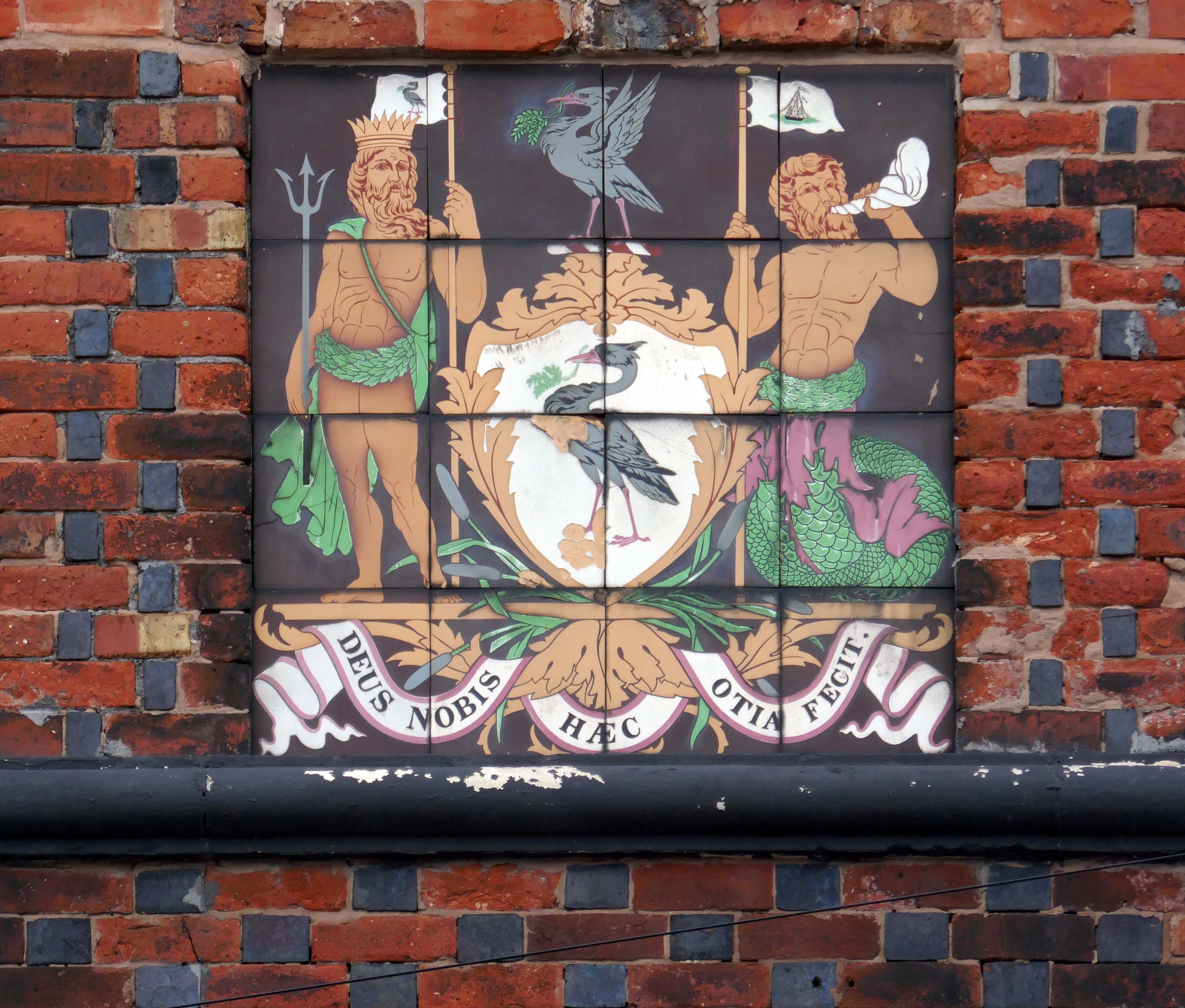
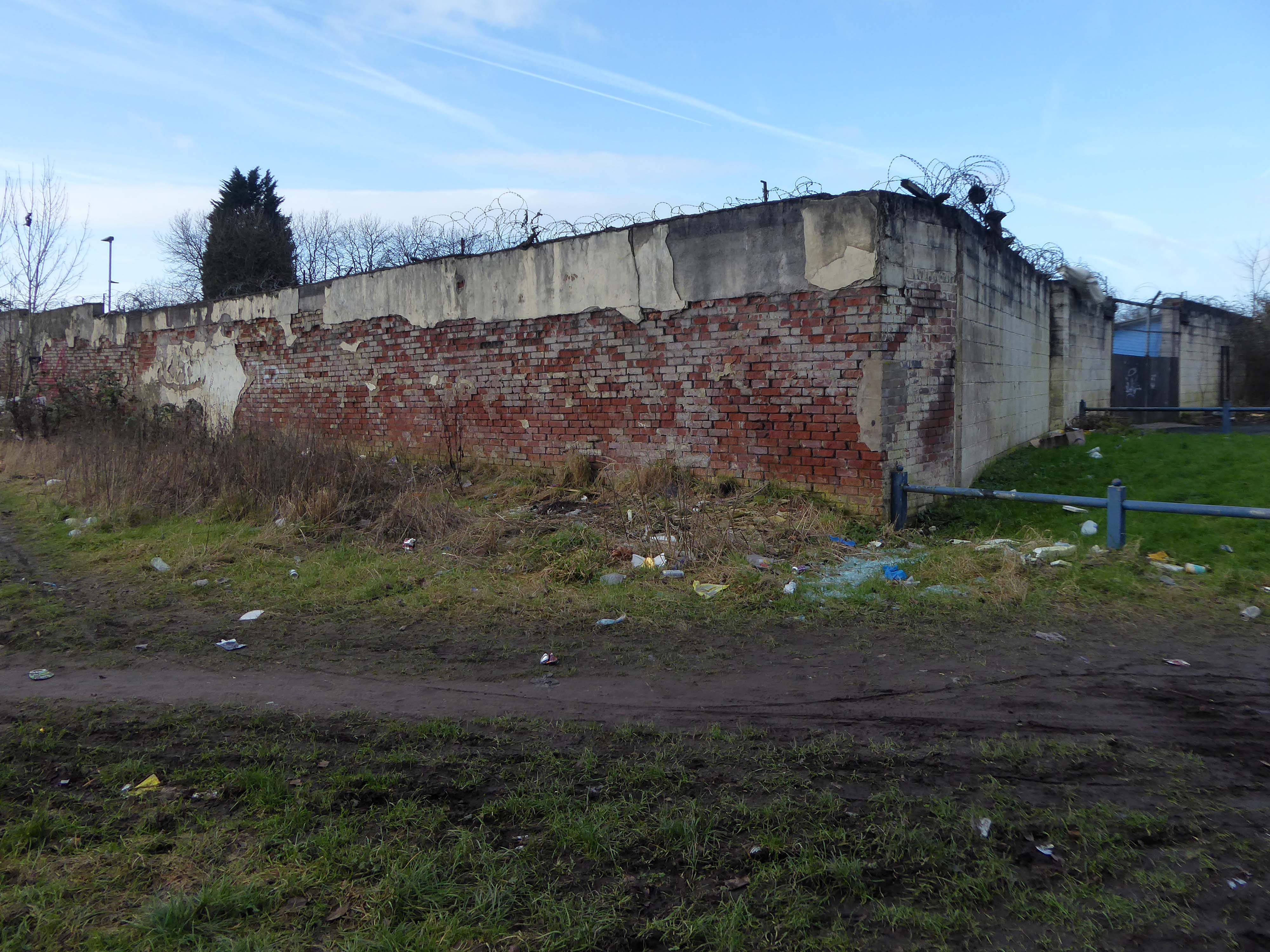
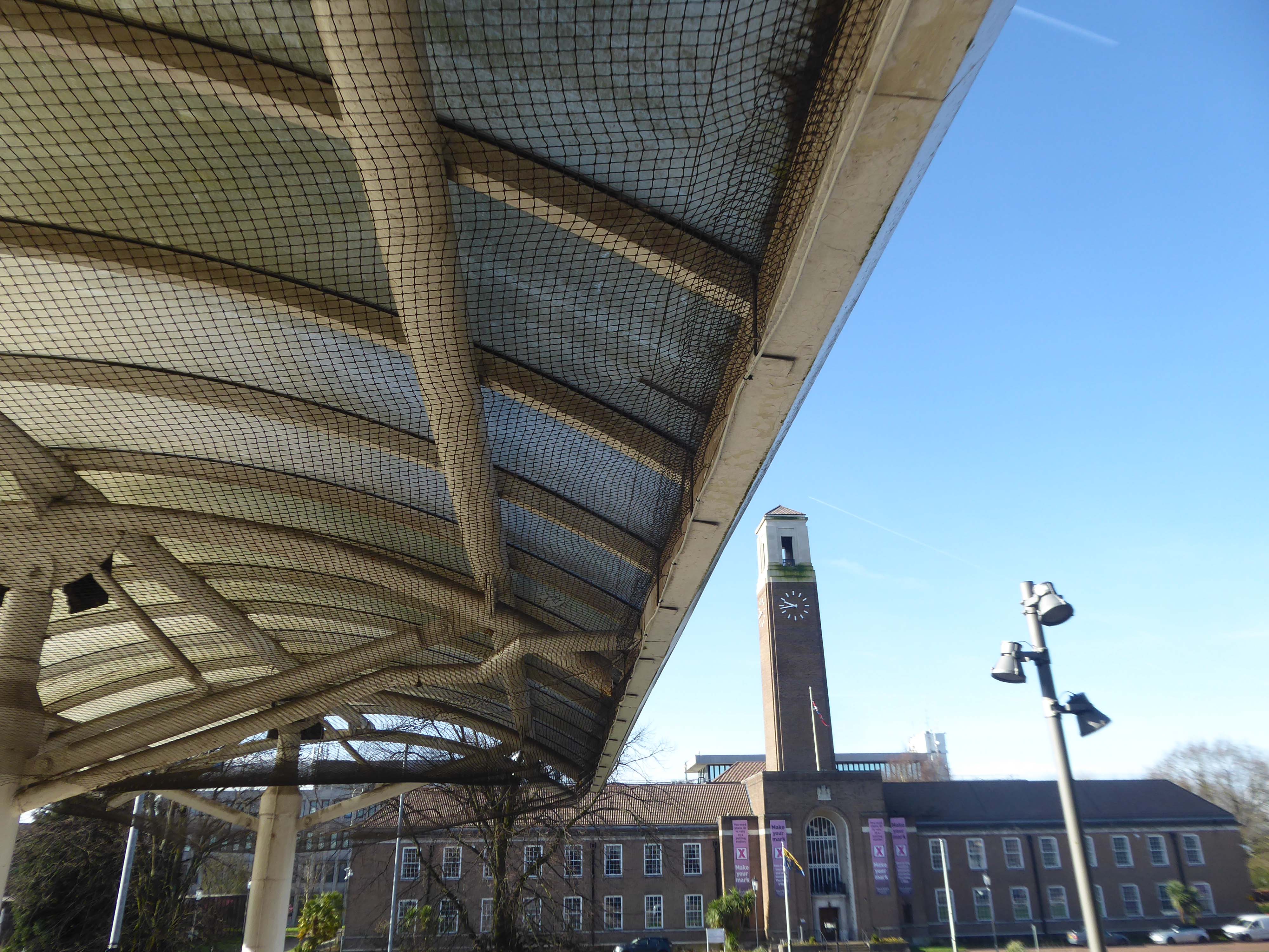
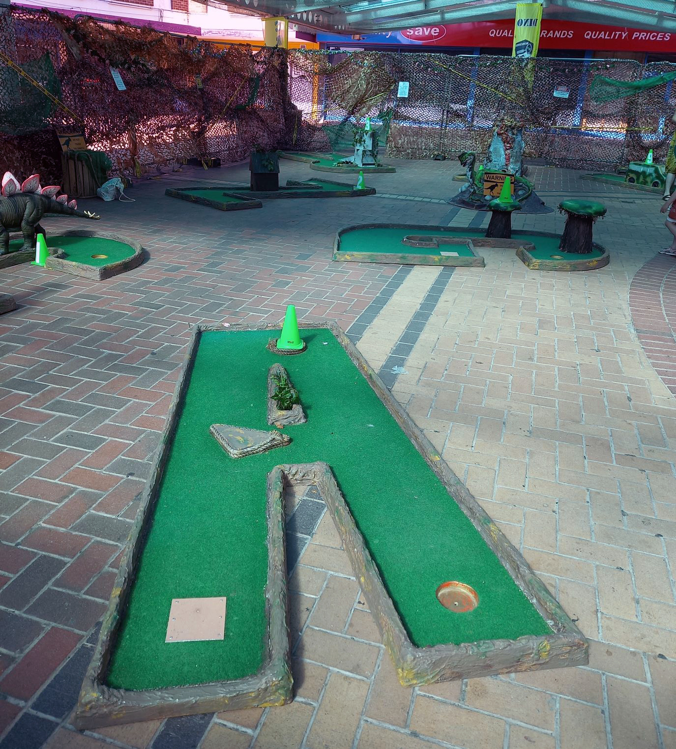
The days when a vast multitude of things came and went have been and gone.
The docks as they were are no more.
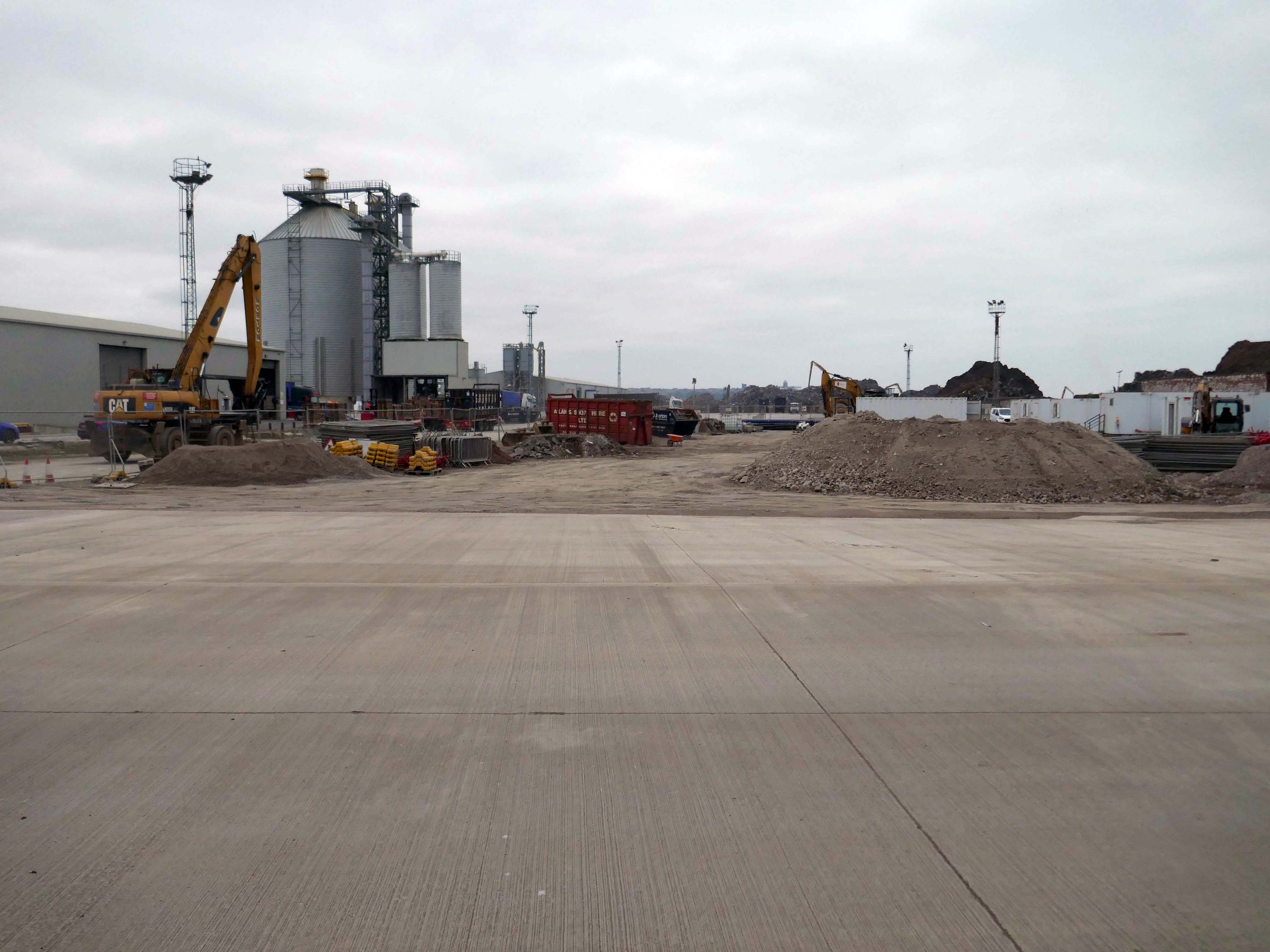
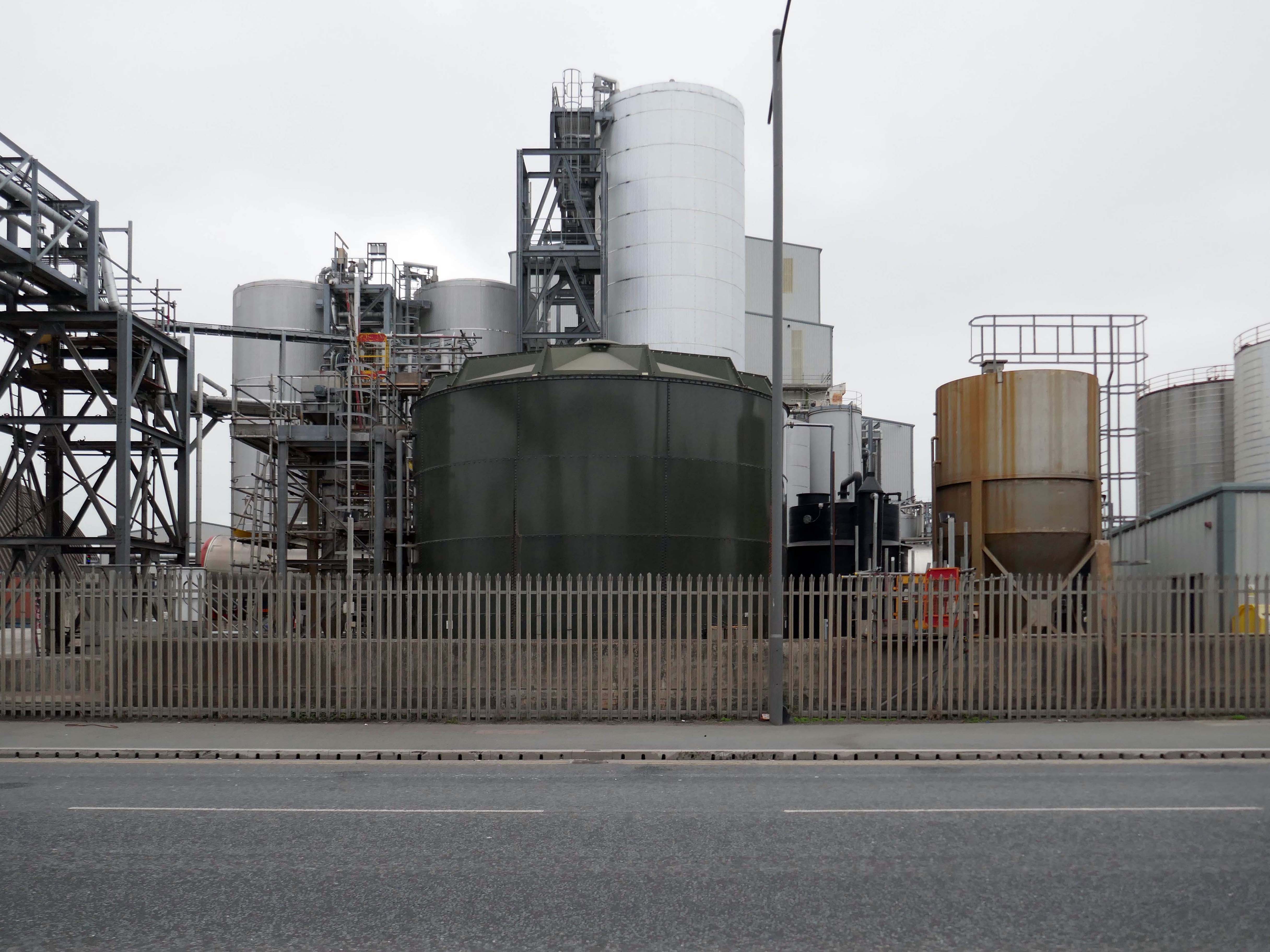
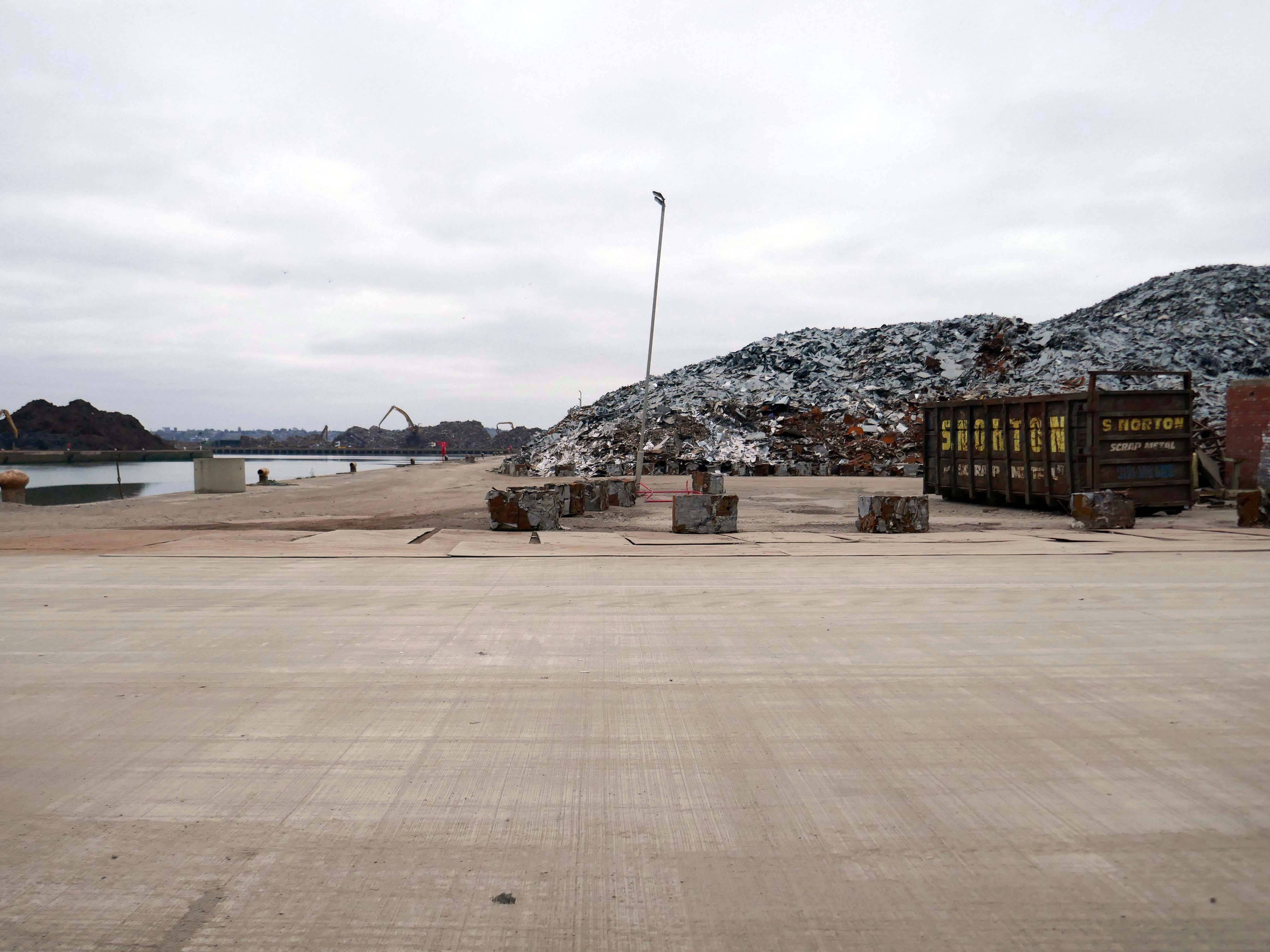
Yet in 2023, the Port of Liverpool was the UK’s fourth busiest container port, handling over 30 million tonnes of freight per annum. It handles a wide variety of cargo, including containers, bulk cargoes such as coal, grain and animal feed, and roll-on/roll-off cargoes such as cars, trucks and recycled metals. The port is also home to one of the largest cruise terminals in the UK which handles approximately 200,000 passengers and over 100 cruise ships each year.
Now with the opening of the Titanic Hotel in the Stanley Dock and the arrival of the Toffees just up the road at the Hill Dickinson Stadium, the whole area is slowly being transformed into a destination, as they say in modern parlance.
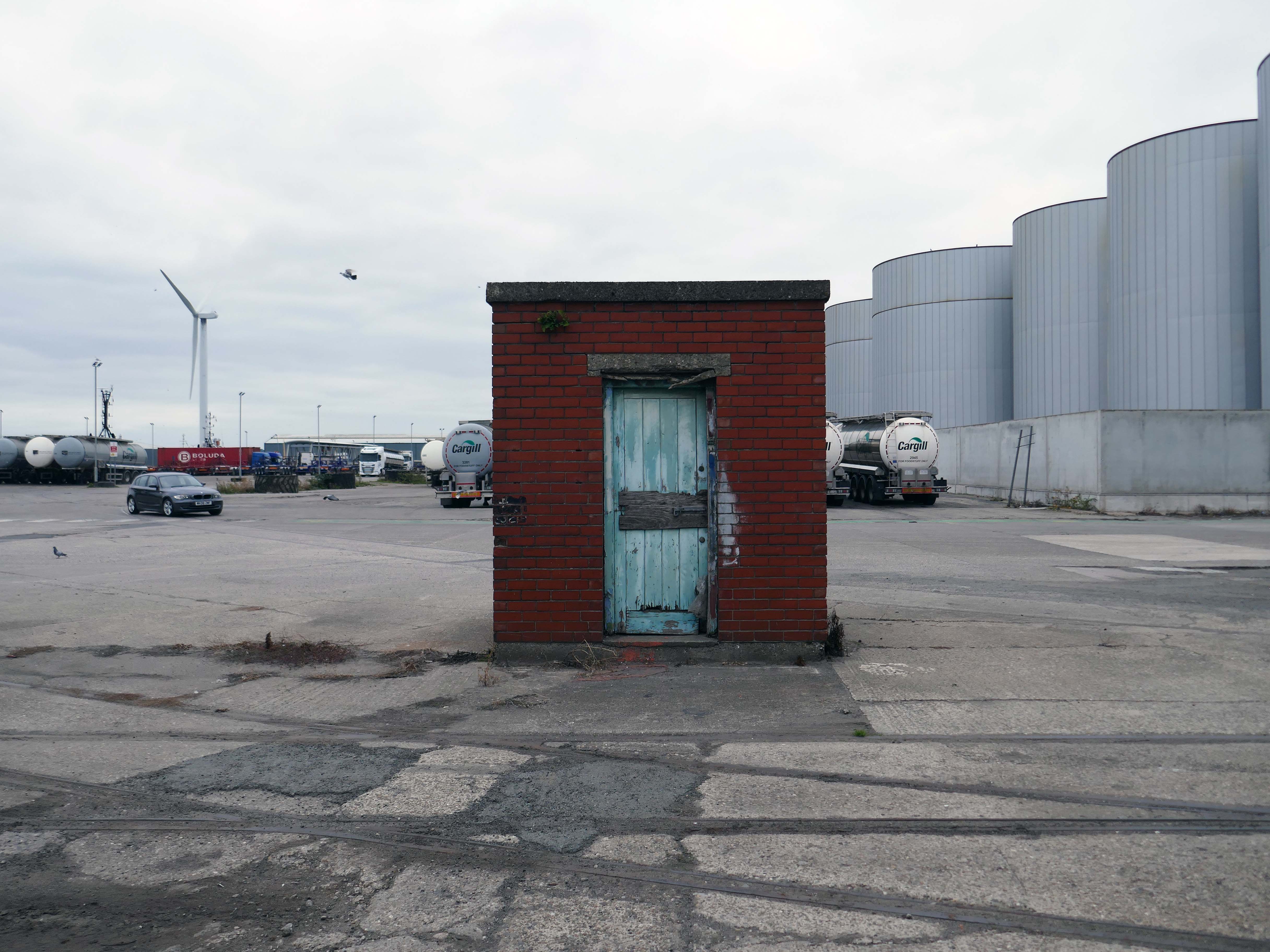
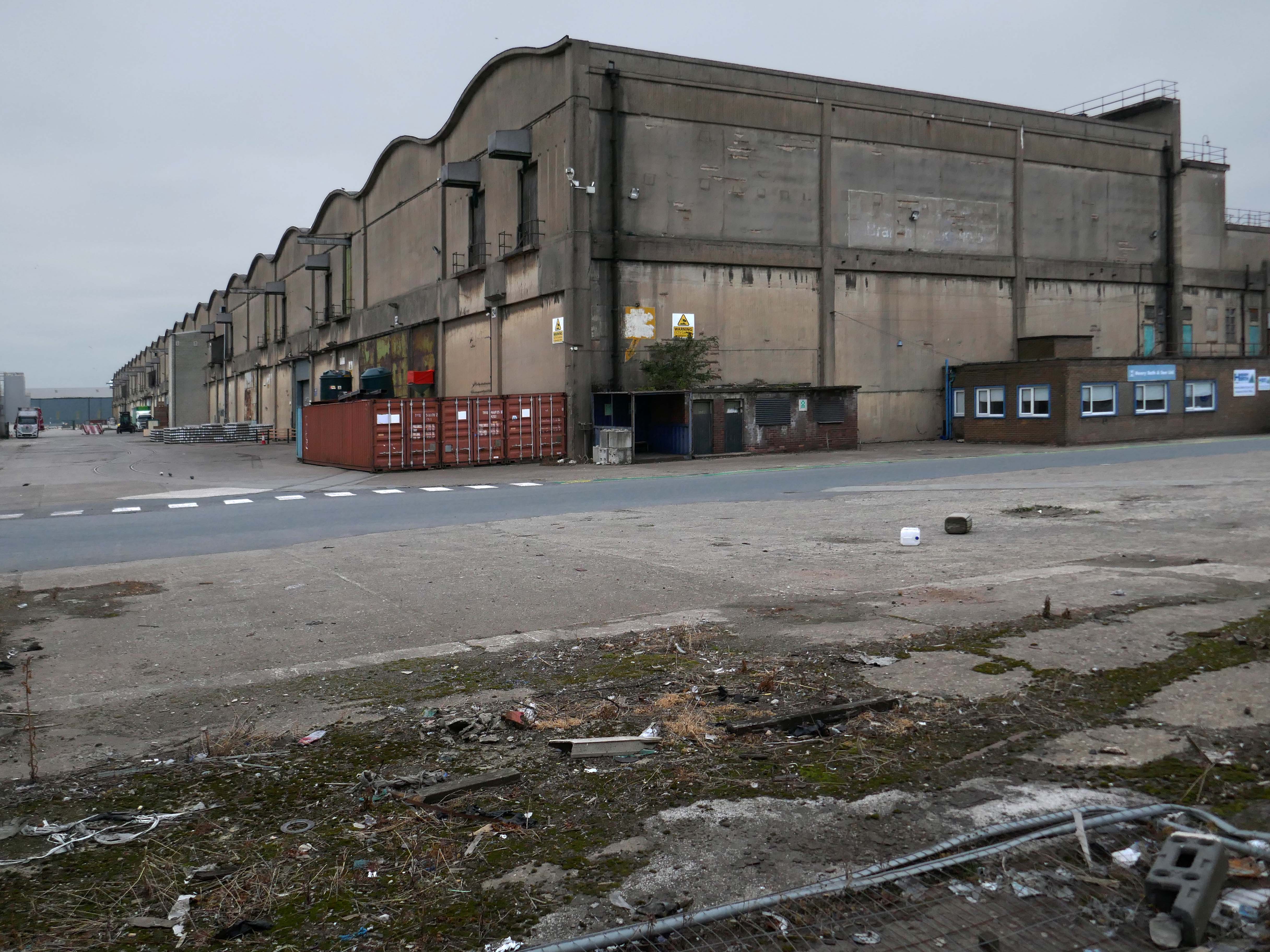
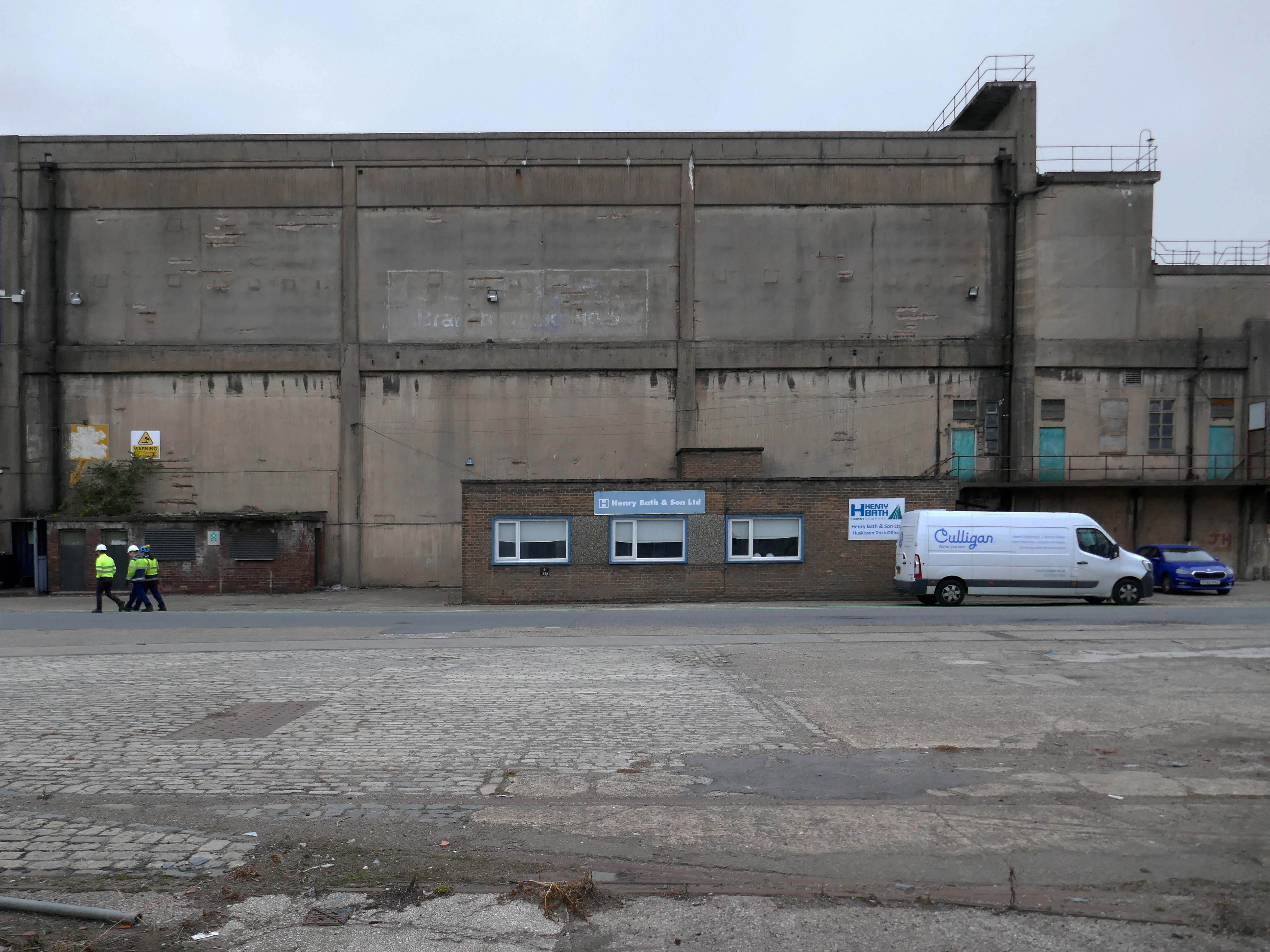
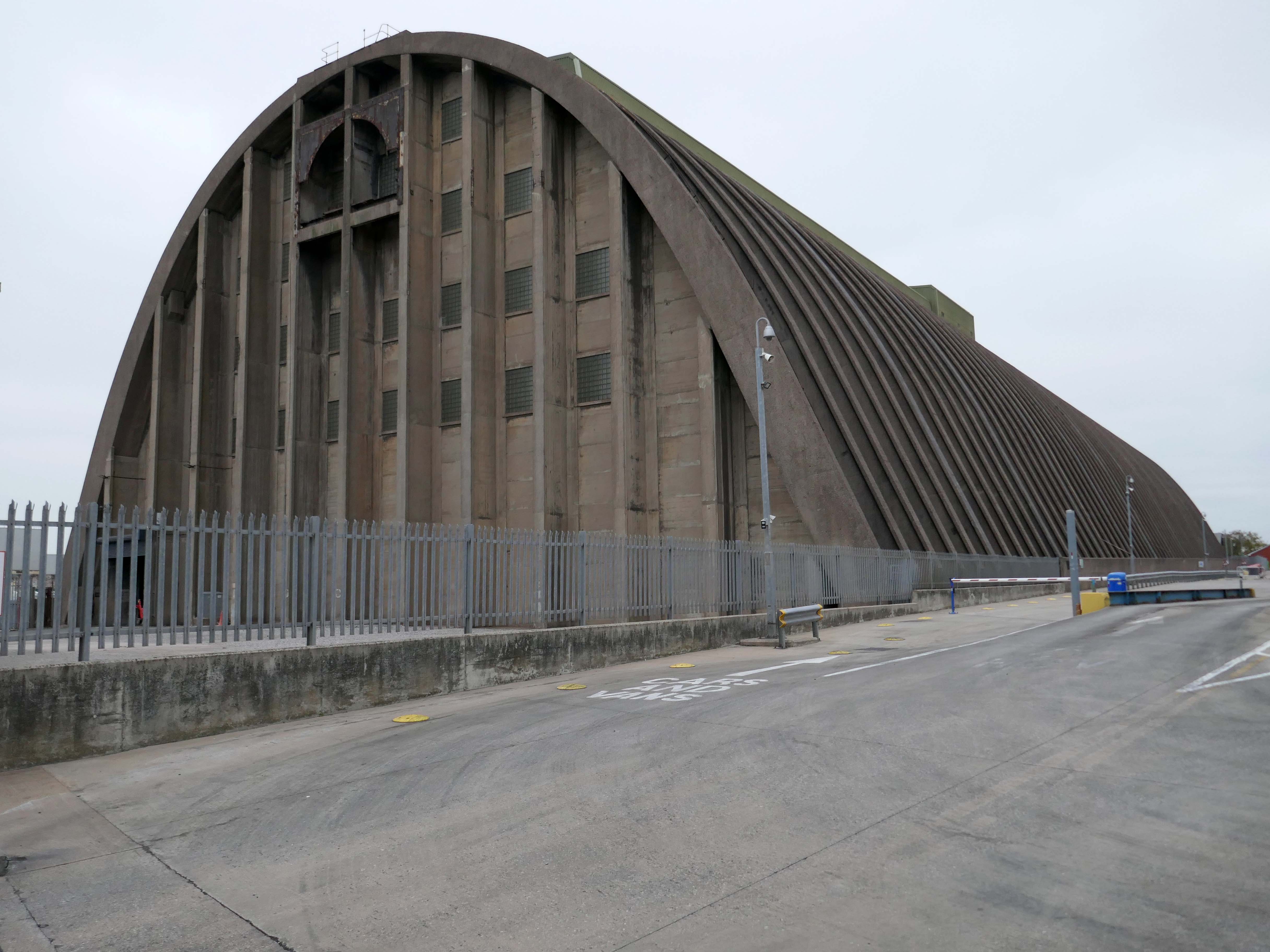
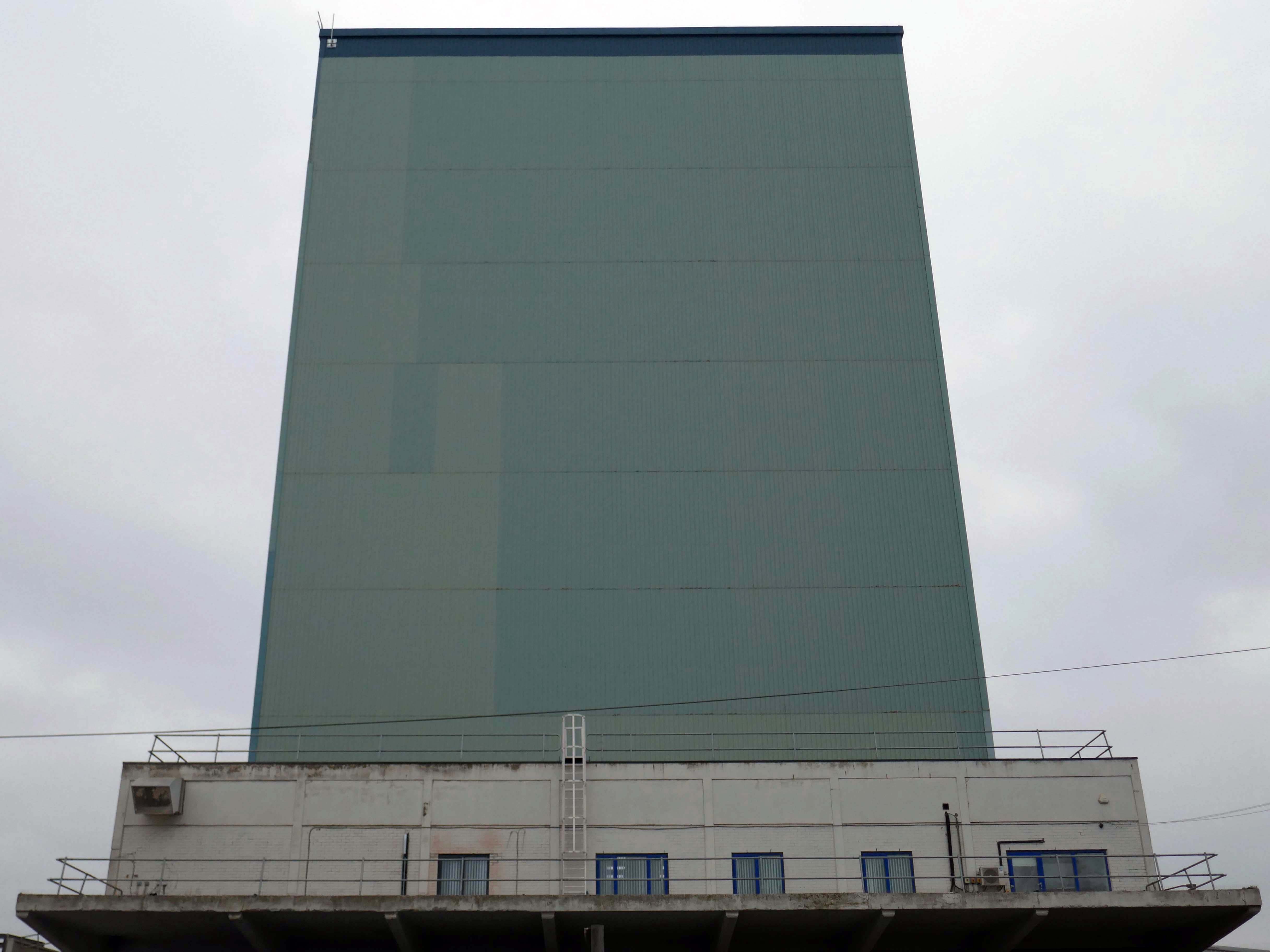
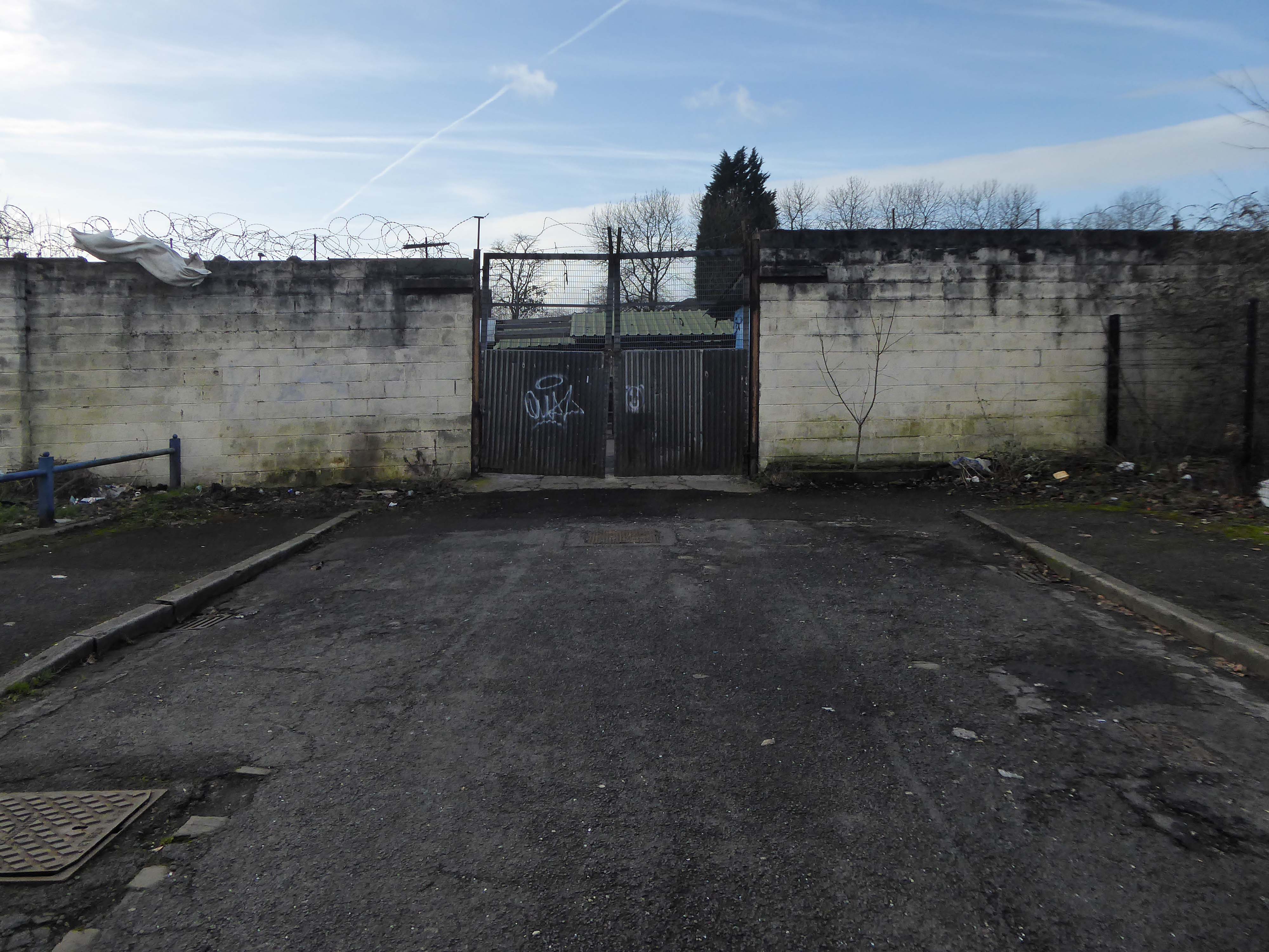
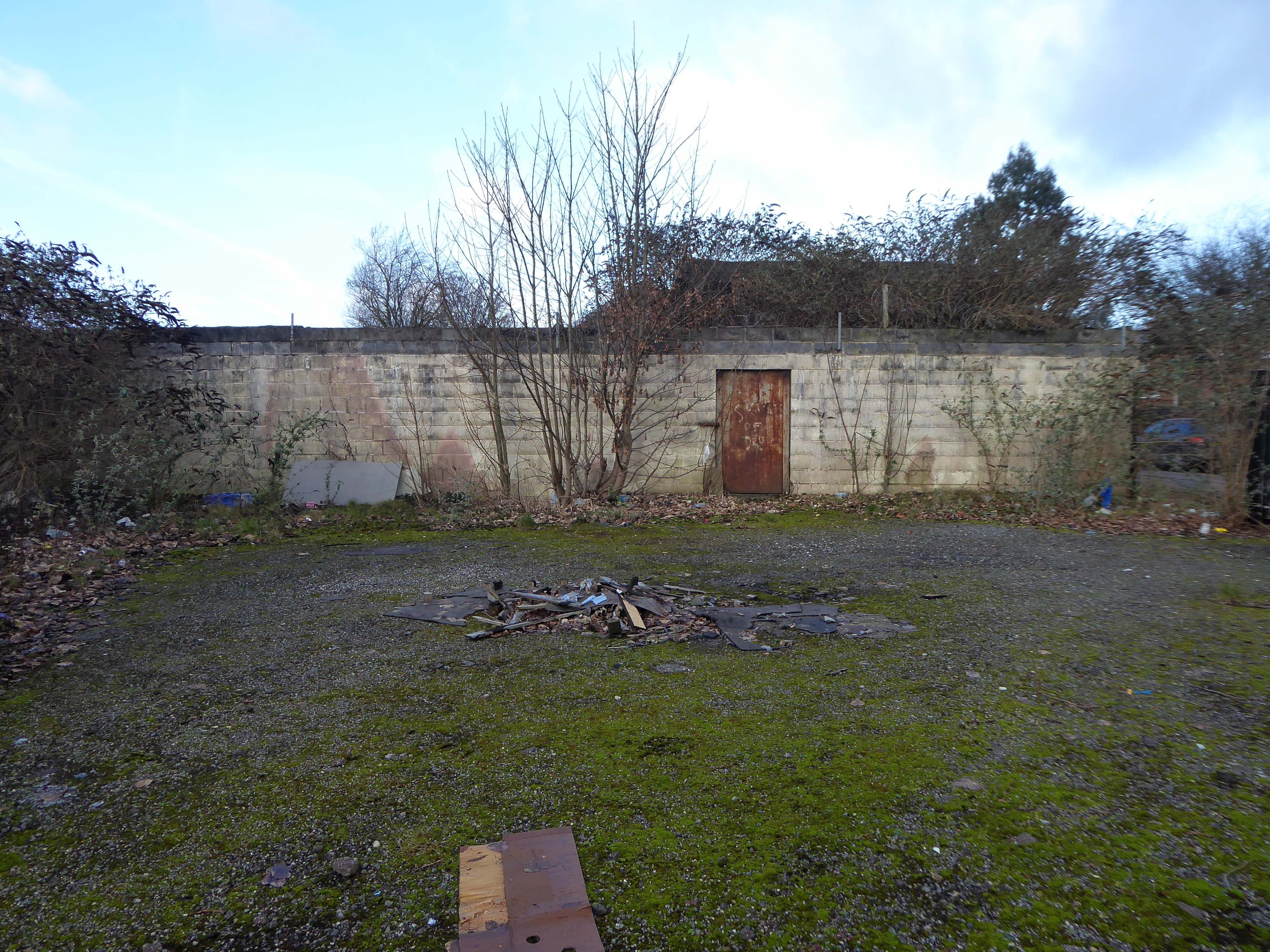
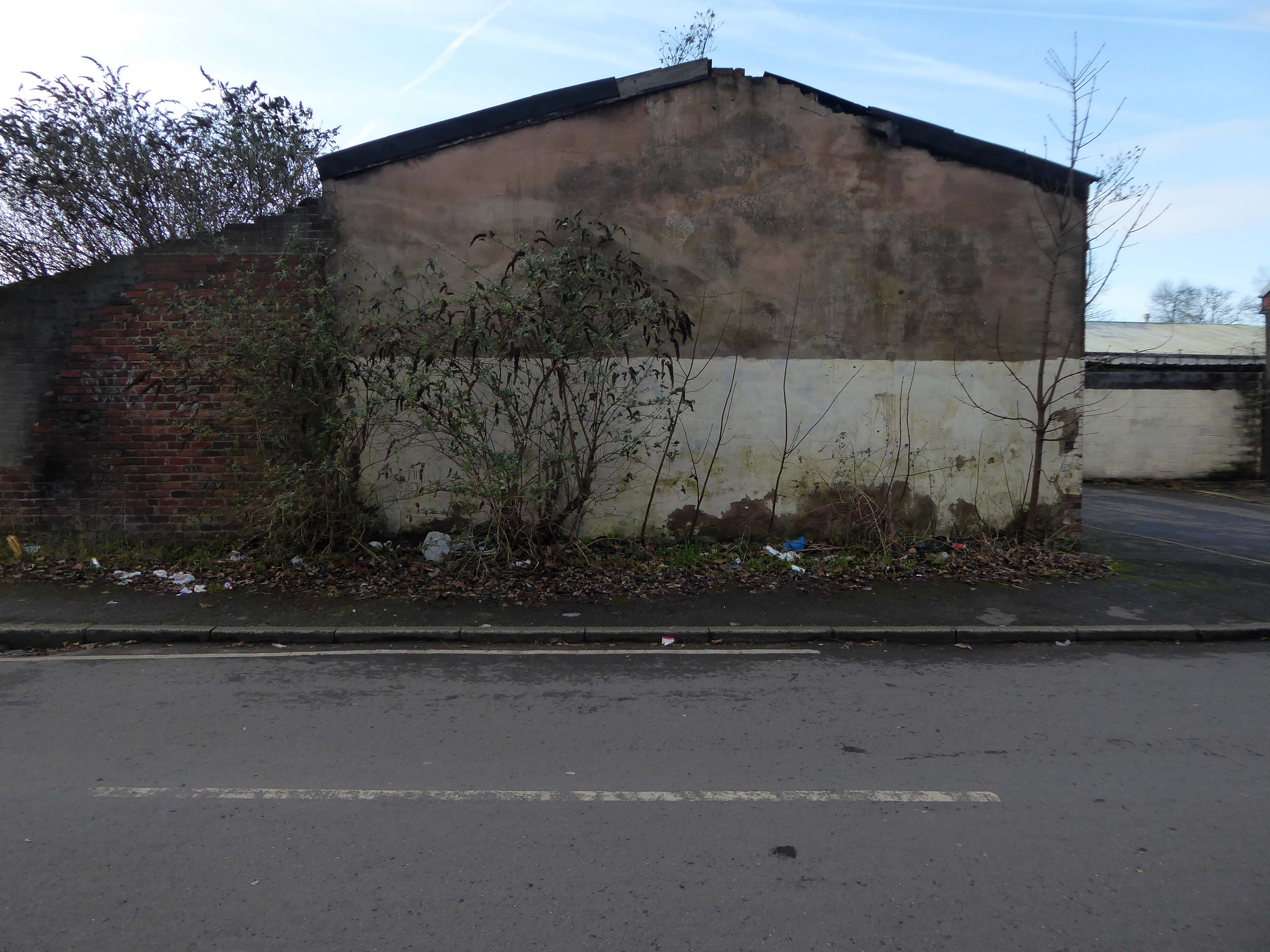
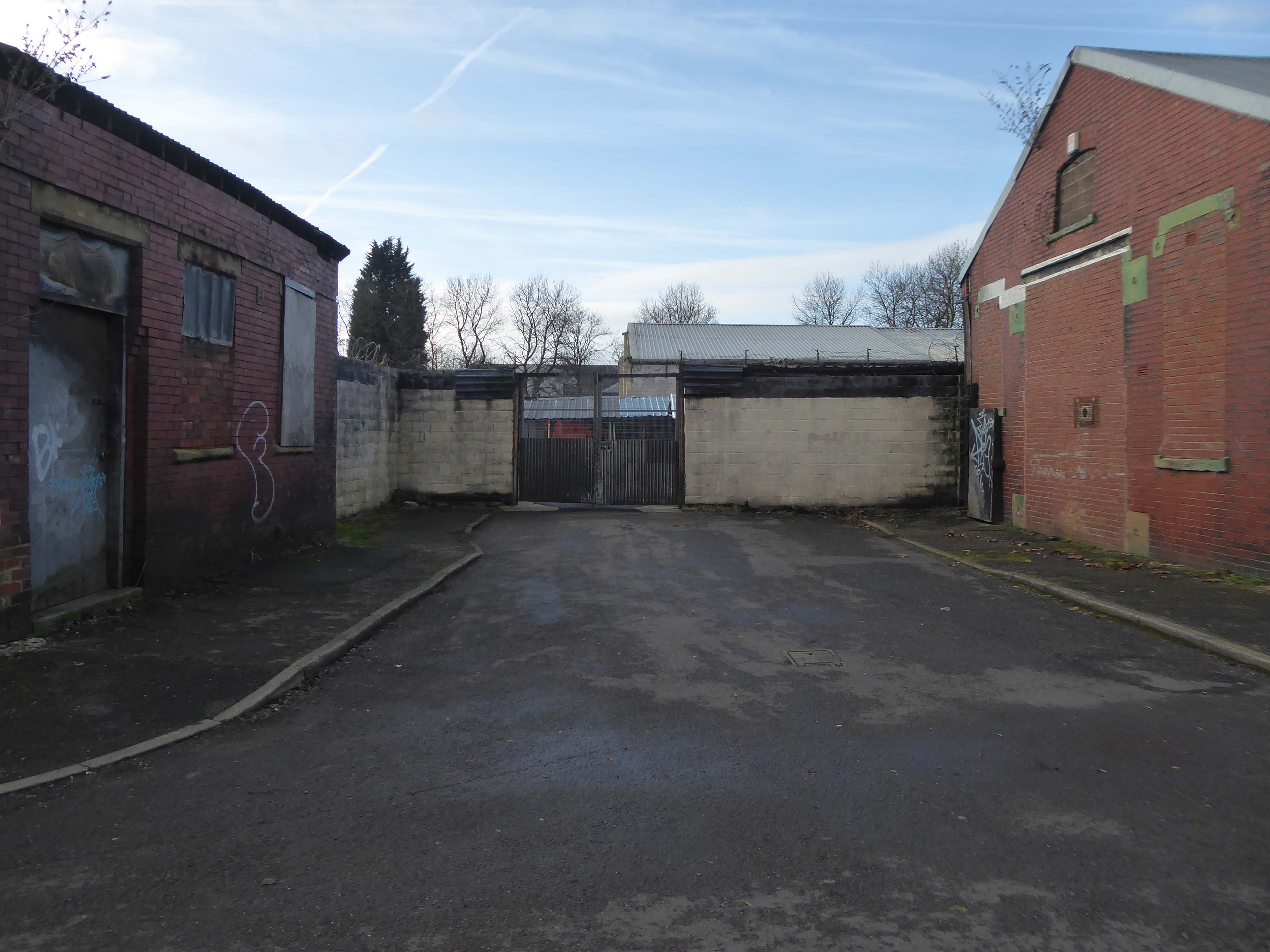
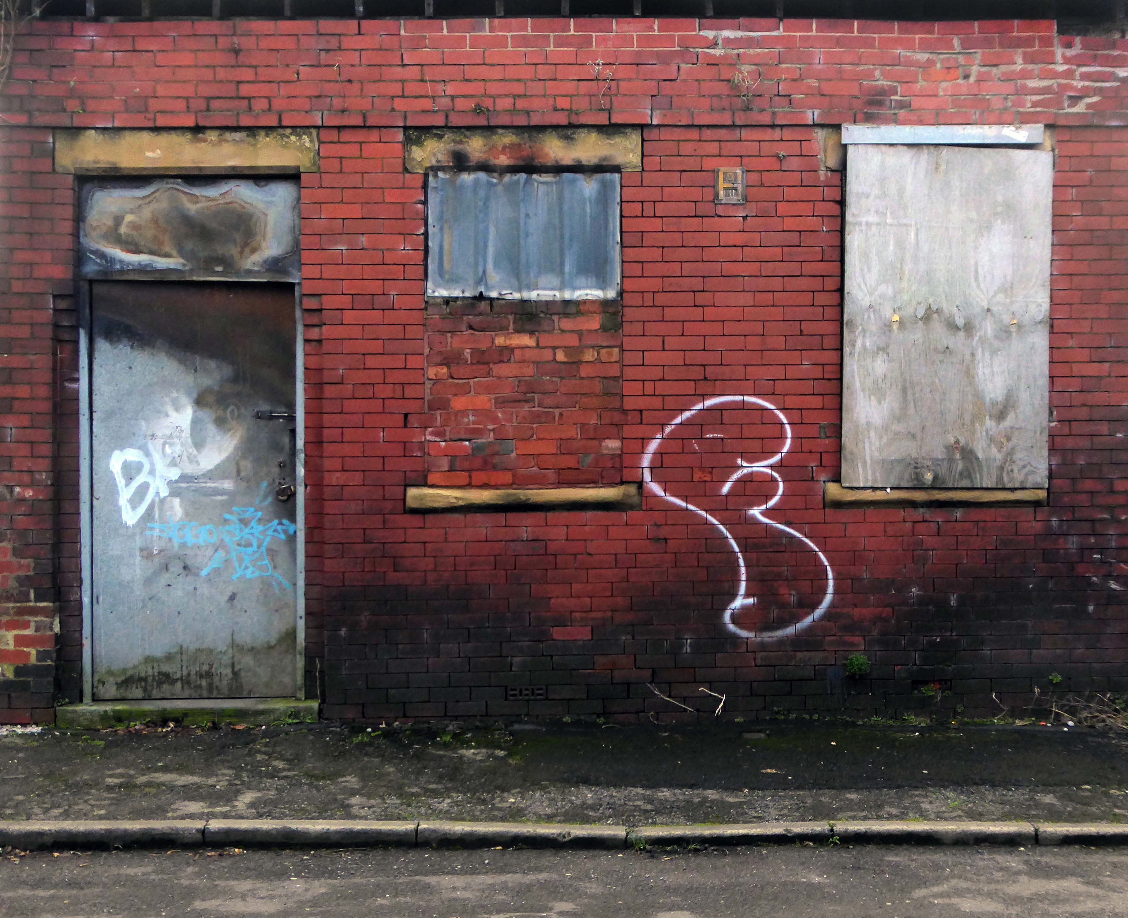
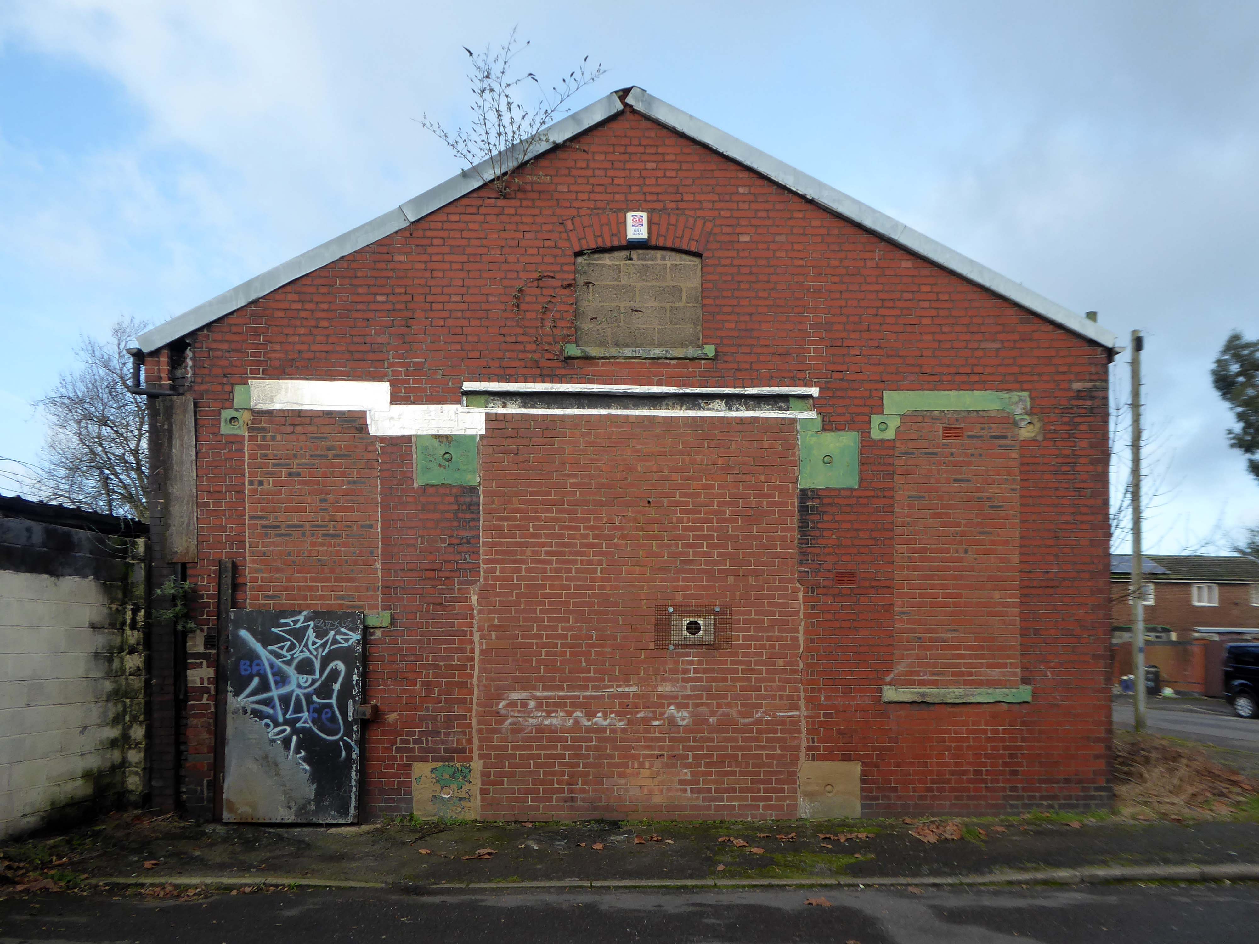
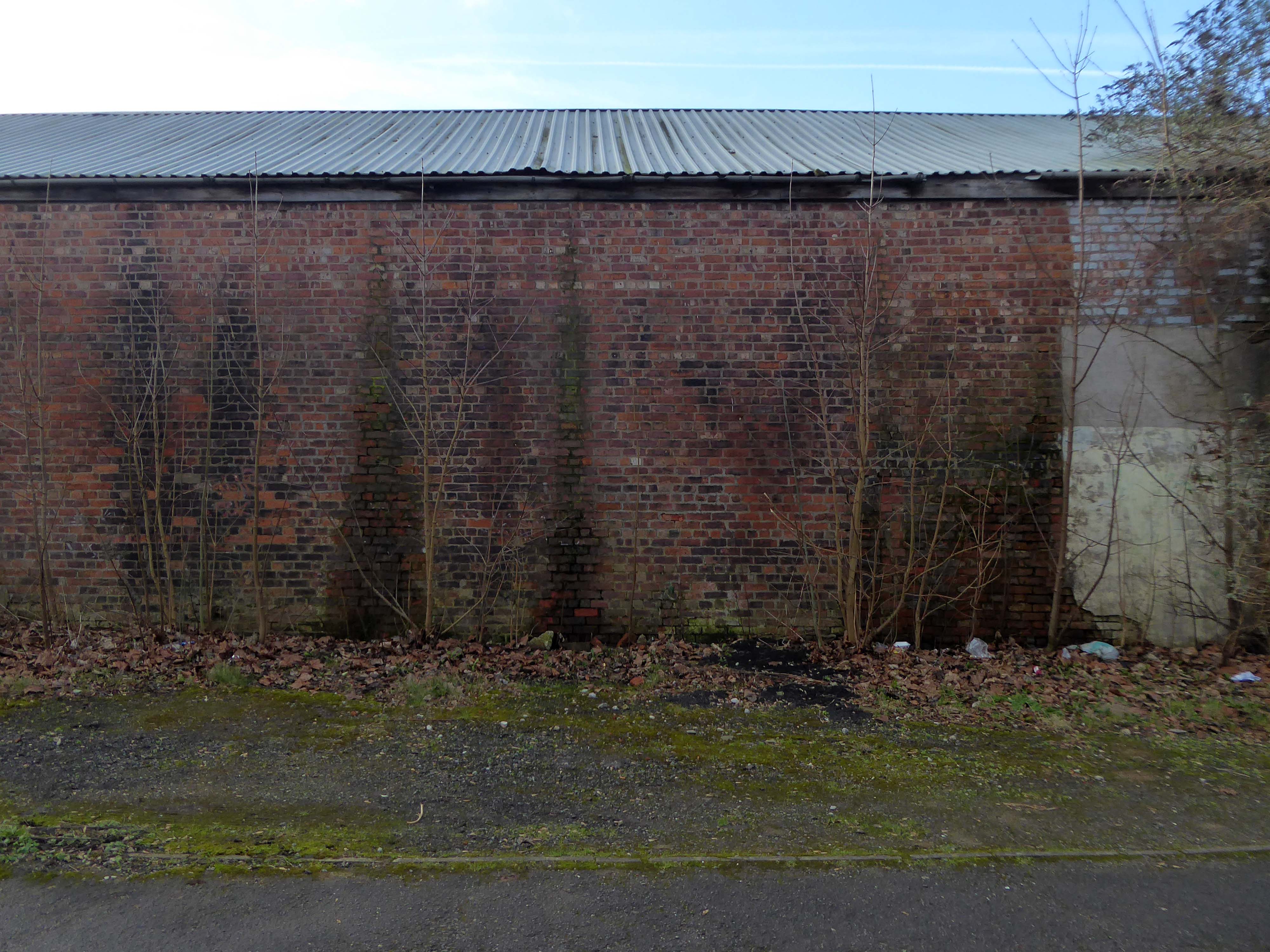
However much of the Industrial heritage remains in various states of disarray, used and possibly disabused, but hanging on in there.
Time for the train home to Stockport – but you can bet I’ll be back.
And true to my word I have been back, several times – on this occasion alone and on foot.
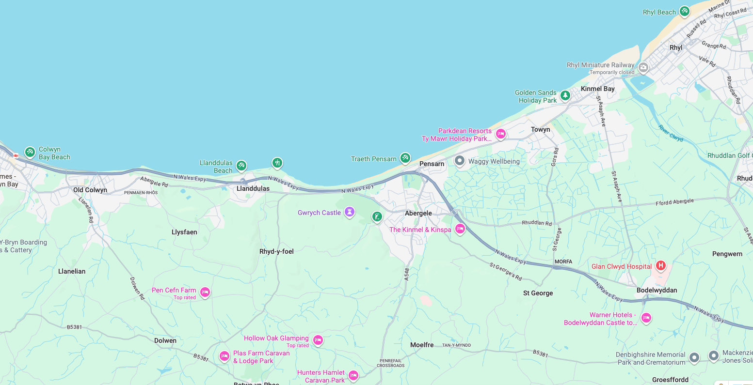
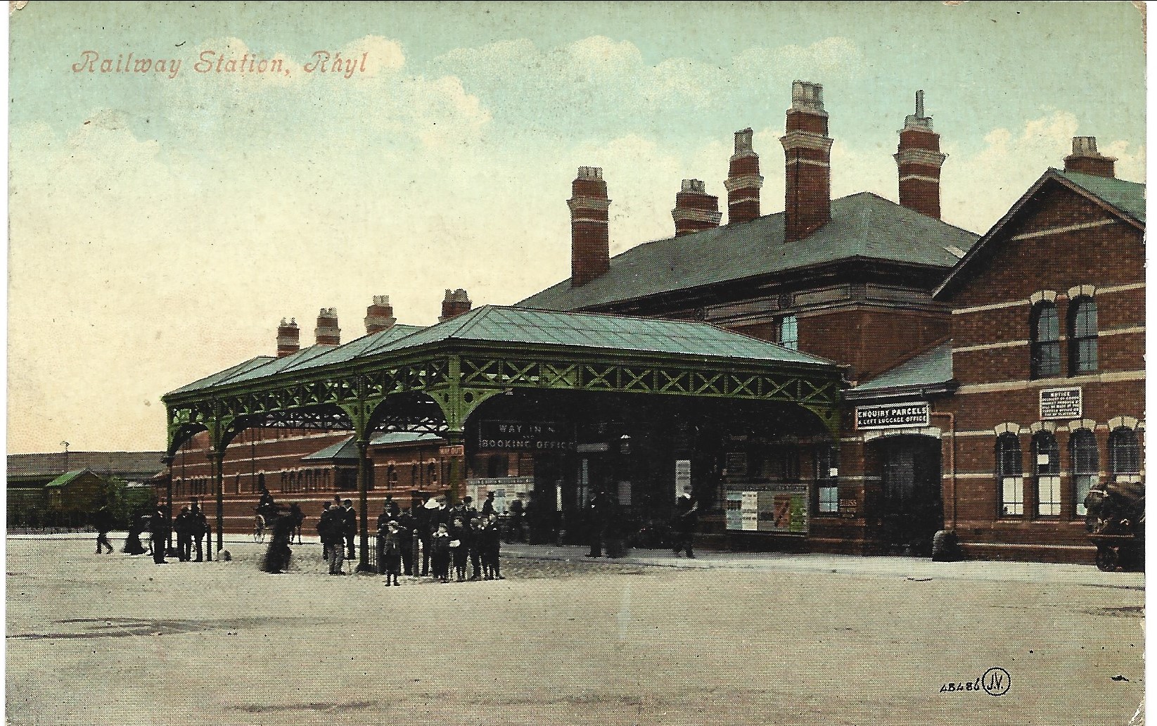
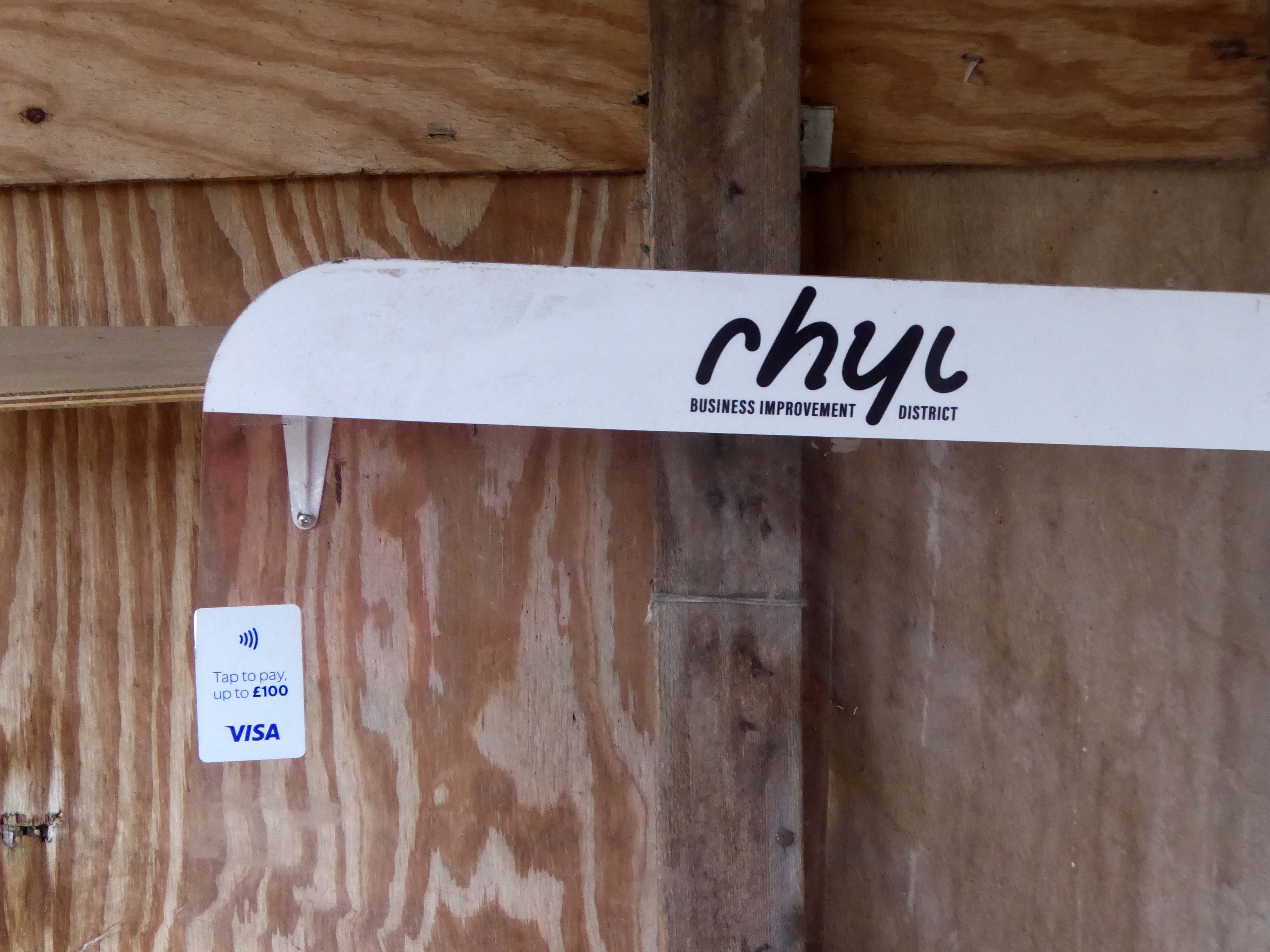
An almost overcast mid-grey day in November, alighting at Rhyl Station and loafing along to Colwyn Bay – this what I done seen.
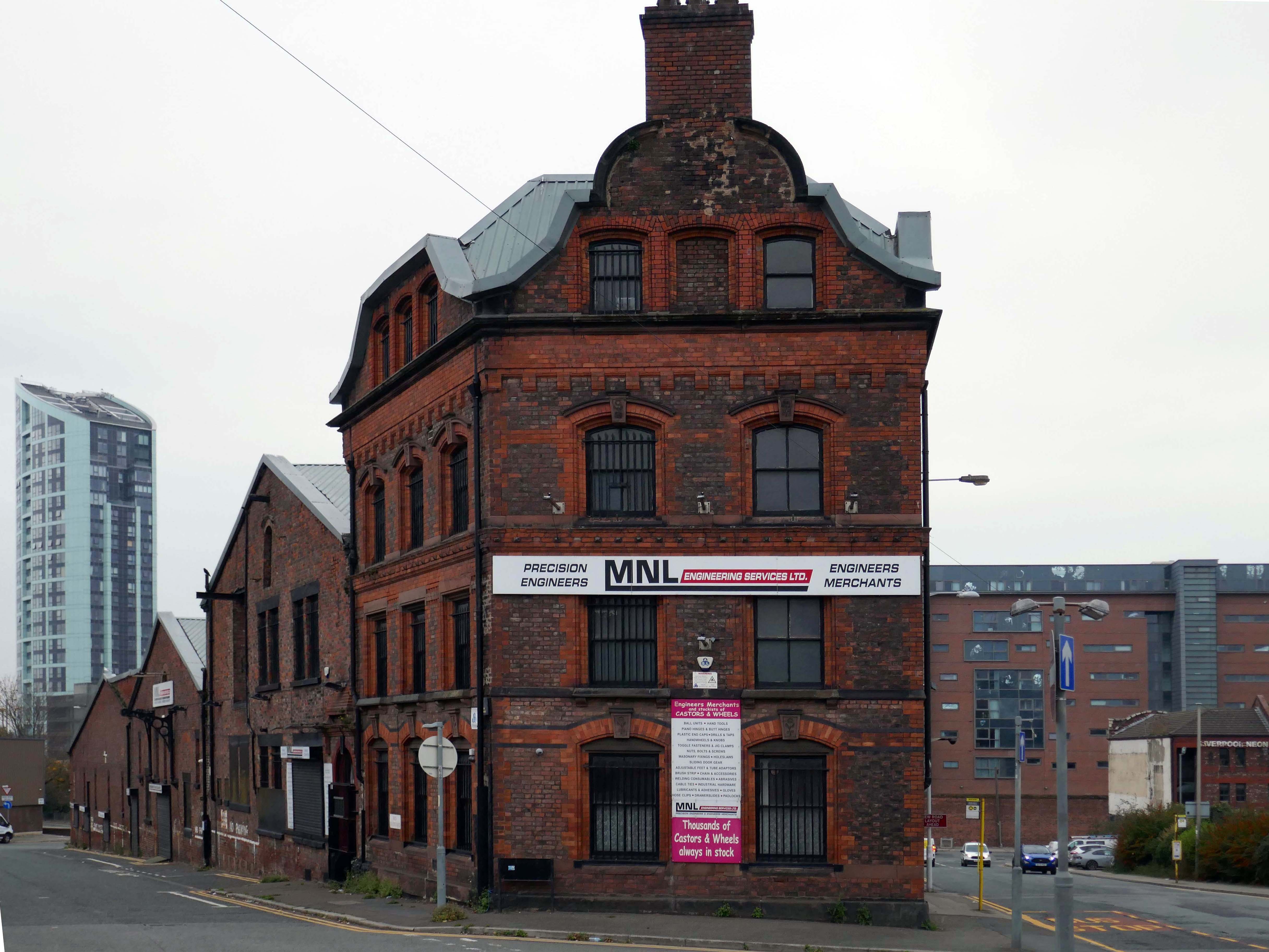
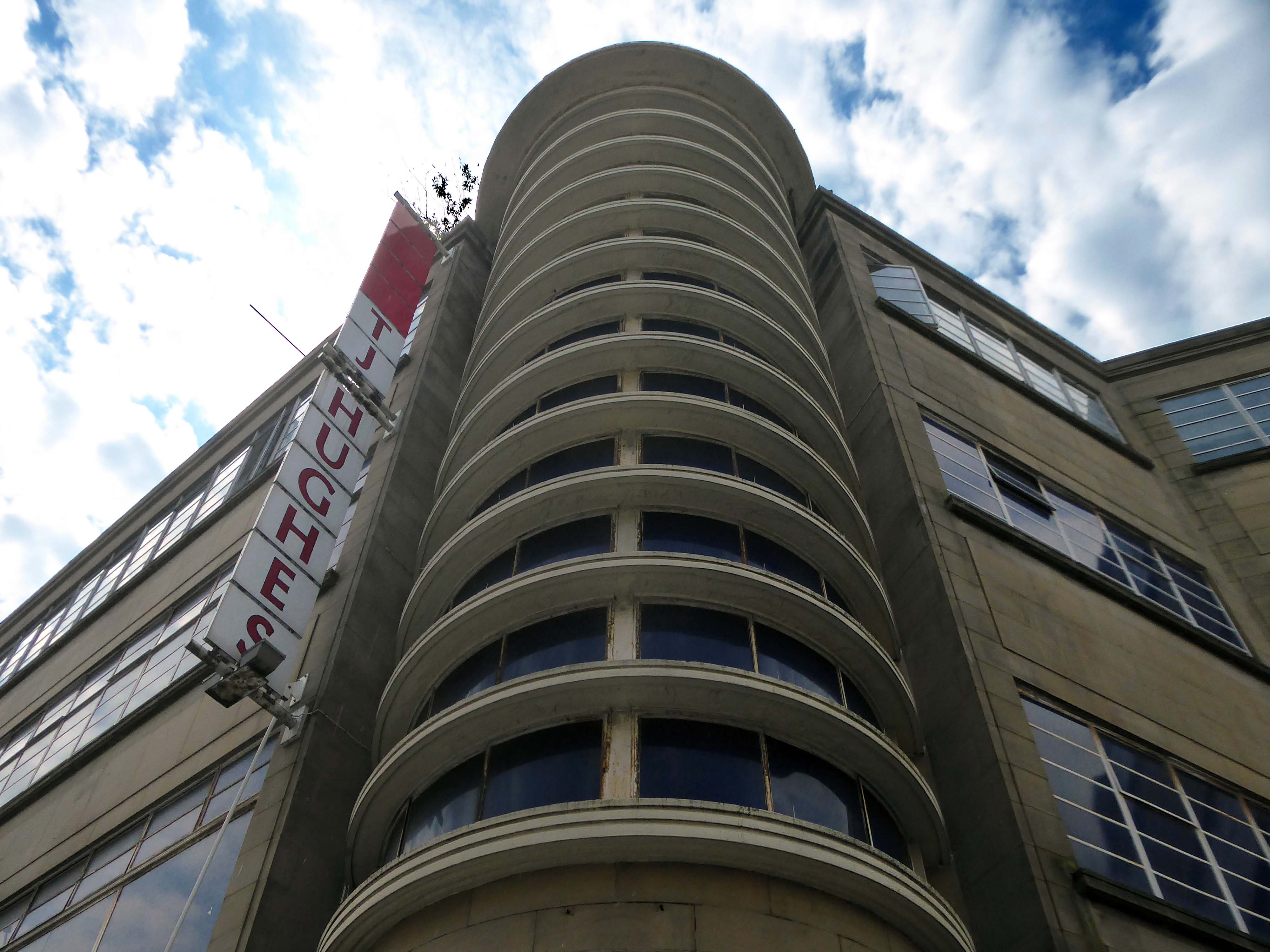
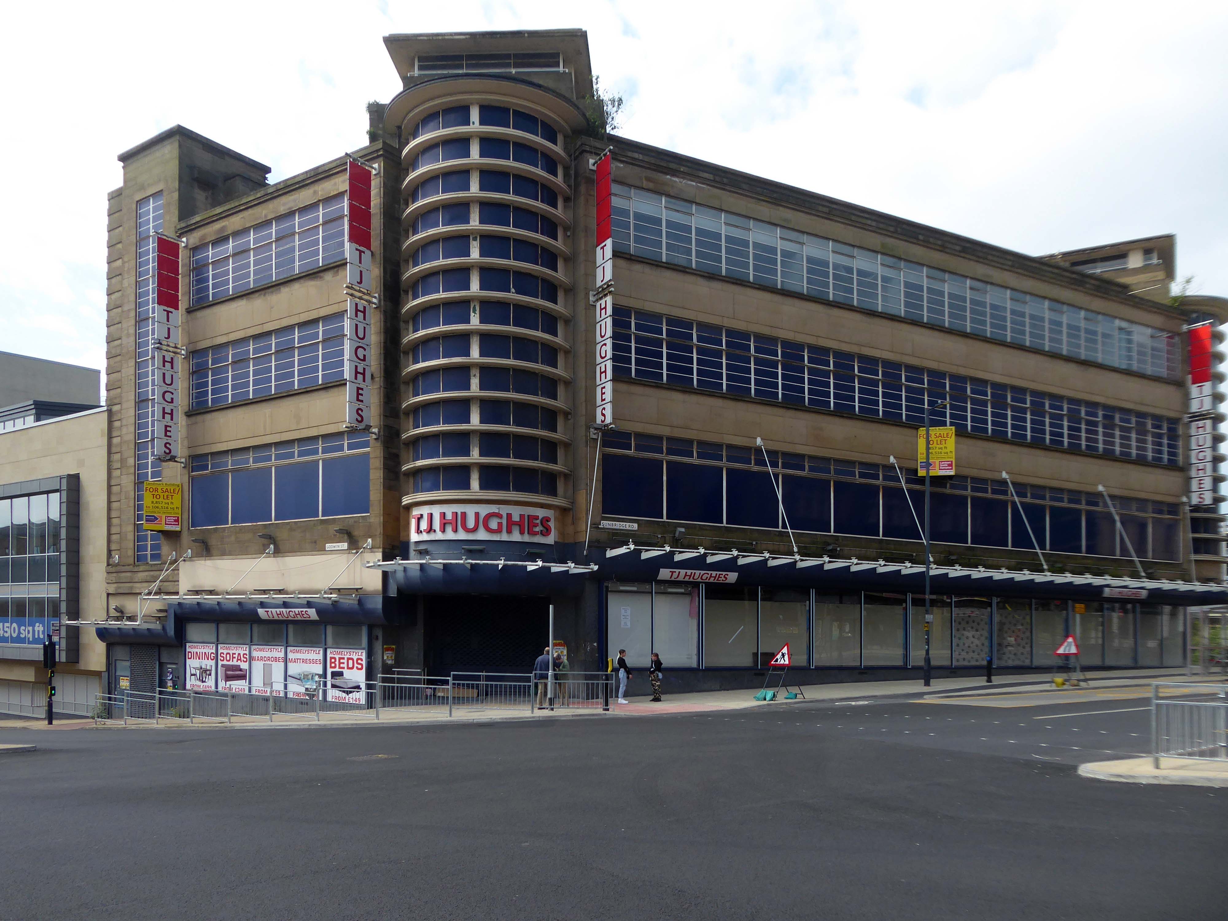
1907
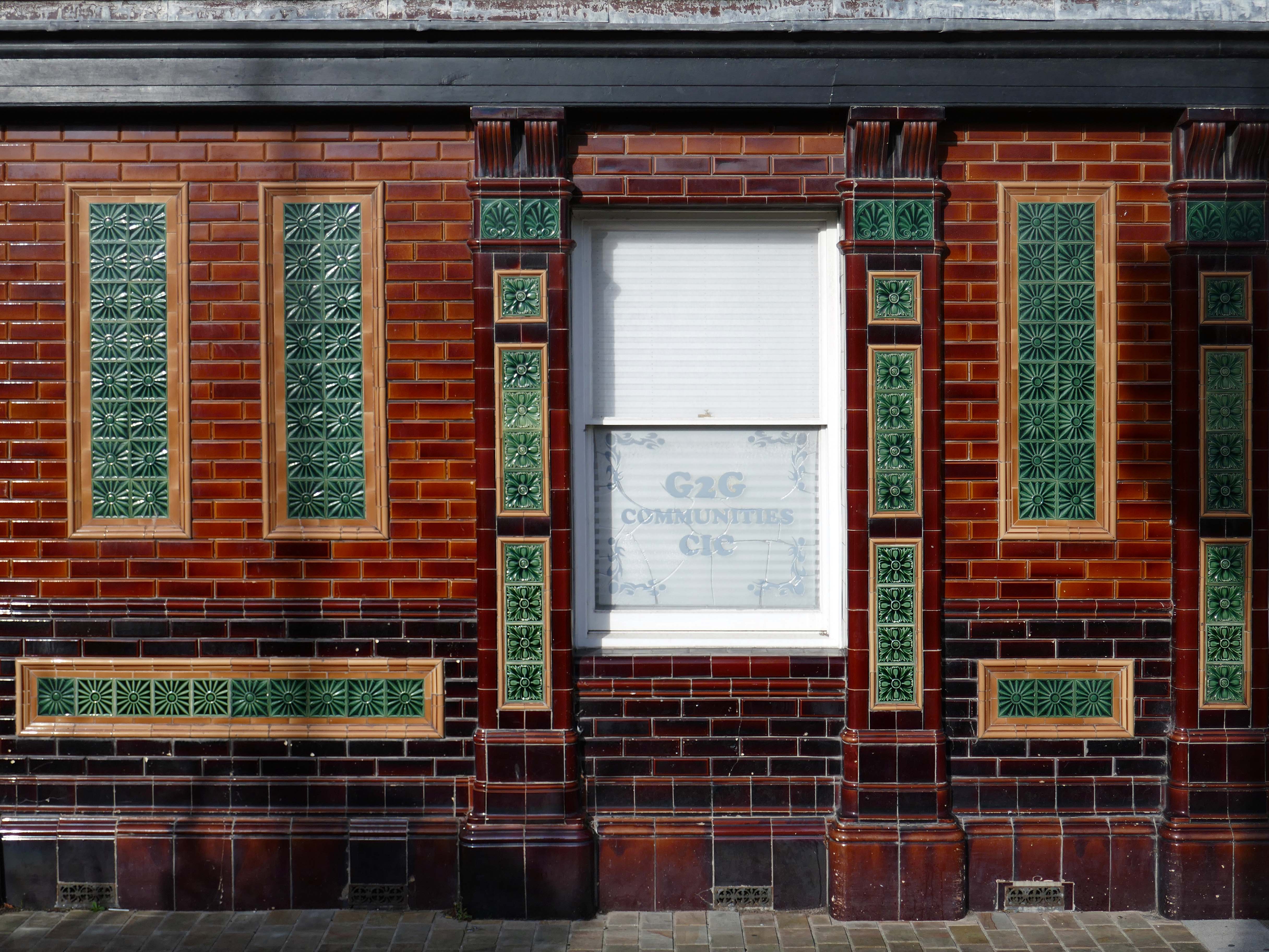
Former Bee and Station Hotel immediately opposite the Station.
The Bee and Station Hotel was built in the 1860s. The decorative tile work of the exterior was probably added during remodelling c.1890. Inside, the lobby is also richly decorated with brightly coloured tiling. The building was listed in 1991 as an excellent example of pub of the late 19th century with a complete tiled frontage and a rare surviving internal layout throughout.
The pub closed in 2005. The building reopened in 2013 after being refurbished and given a modern extension by Denbighshire County Council, under the Townscape Heritage Initiative, to provide new offices for small businesses
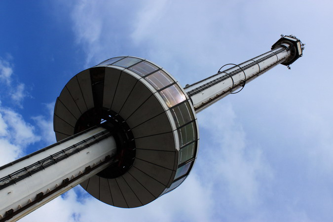
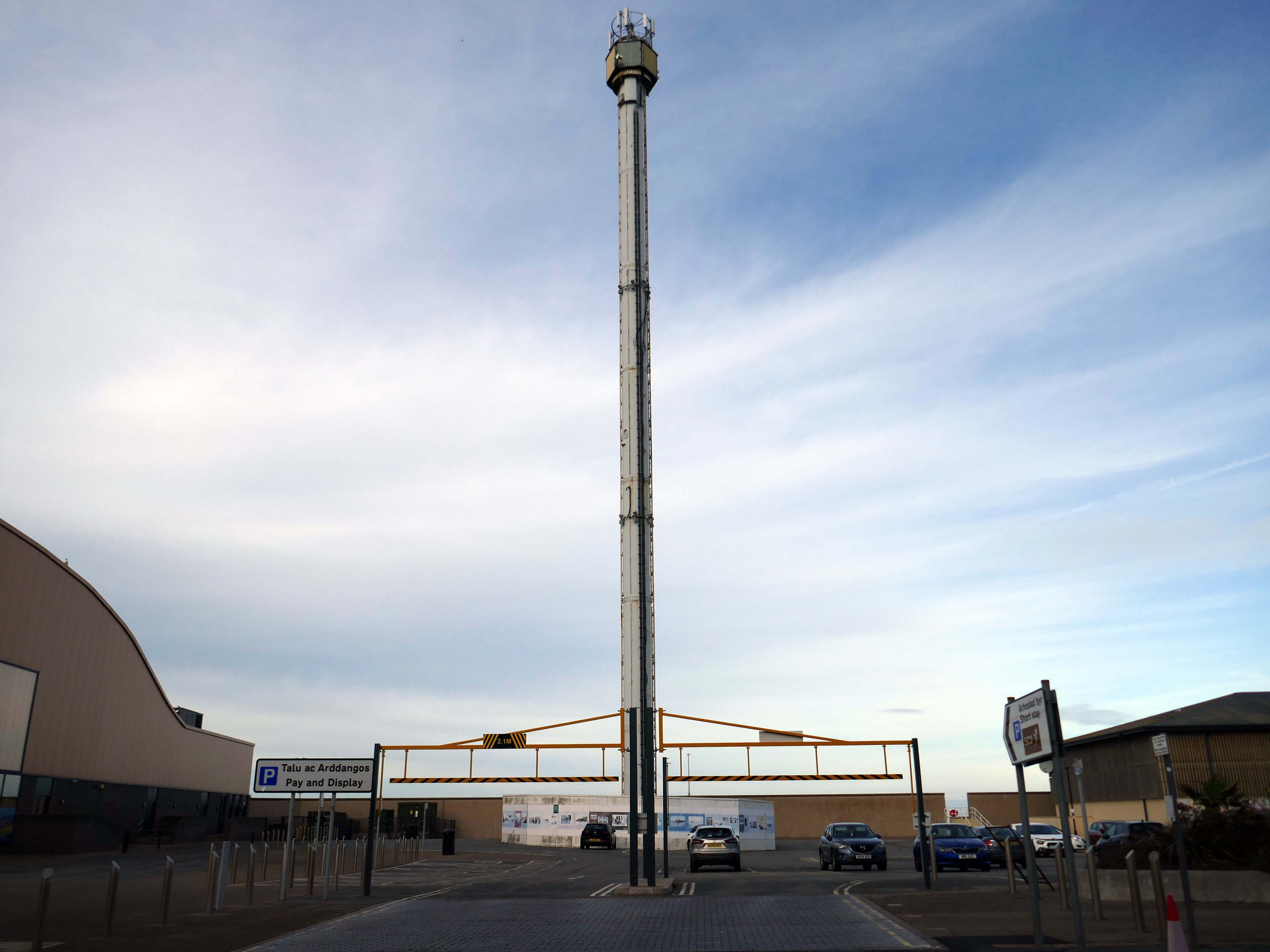
Onward to the seafront, home to the defunct Skytower.
The tower first operated at the 1988 Glasgow Garden Festival, where it was known as the Clydesdale Bank Tower and was opened by Prince Charles and Princess Diana. Following the festival, it was dismantled and reassembled on the Rhyl seafront.
The tower last operated in 2010. The following year, a safety report found that £400,000 worth of repairs were required to keep the ride operational. After standing but not operating for seven years, in 2017 work was carried out to turn the tower into a beacon.
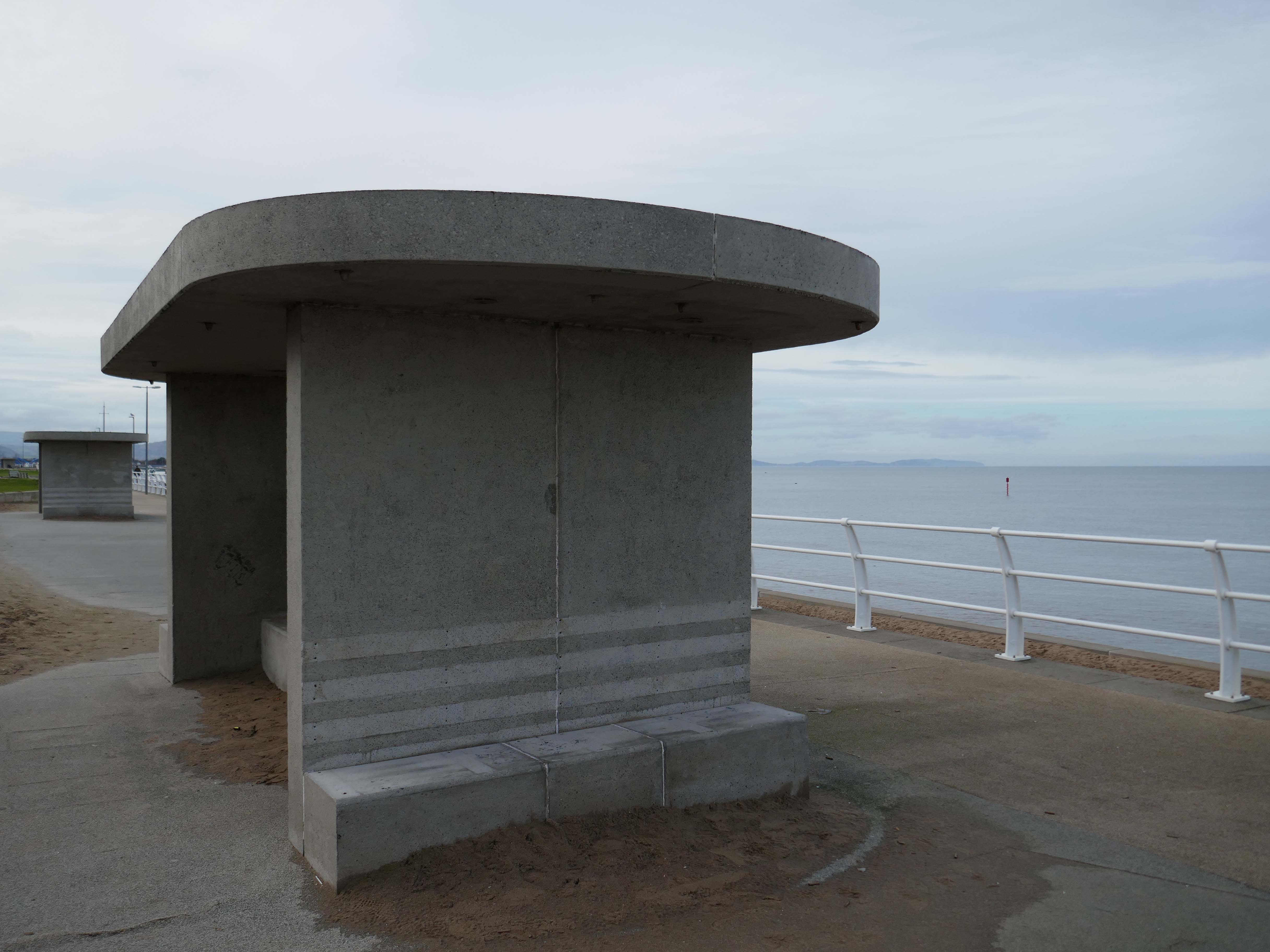
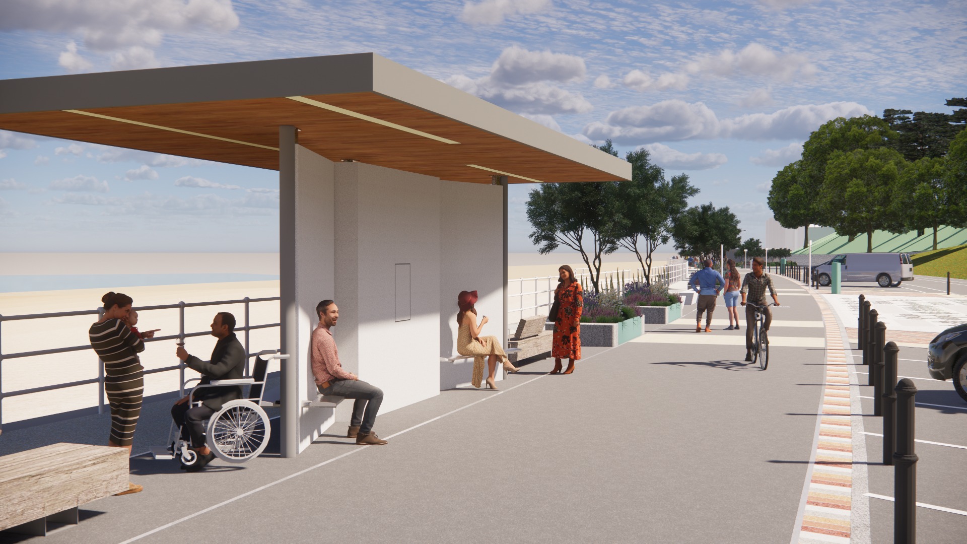
Much has been done to improve the promenade, with sumptuous hard landscaping, coastal defences and seafront shelters.
The £66m Central Rhyl Coastal Defences Scheme will protect almost 600 properties in Rhyl from flooding and coastal erosion for decades to come.
85% of the construction costs have been funded by the Welsh Government, with the Deputy First Minister labelling the project a ‘significant milestone’ in efforts to protect Welsh communities from the growing threats of climate change. Denbighshire County Council contributed the remaining 15%.
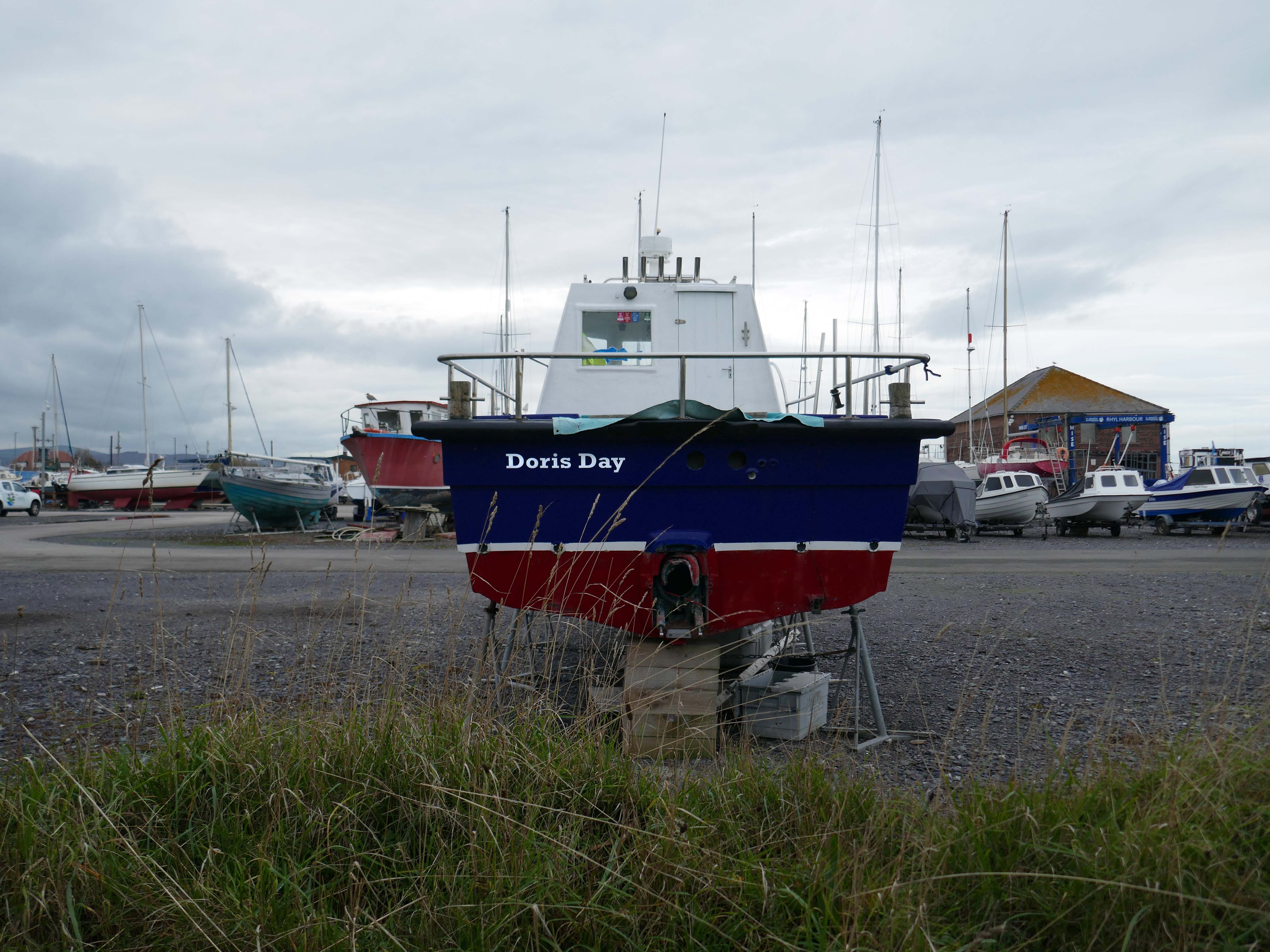
Over the estuary to Rhyl Harbour home to Doris Day.
Rhyl Harbour is located on the spectacular North Wales Coast and has undergone a dramatic refurbishment which has hugely improved the facilities on offer. The original timber yard which was used by sailing ships up until the Second World War, has been redeveloped and now offers storage for over 150 boats.
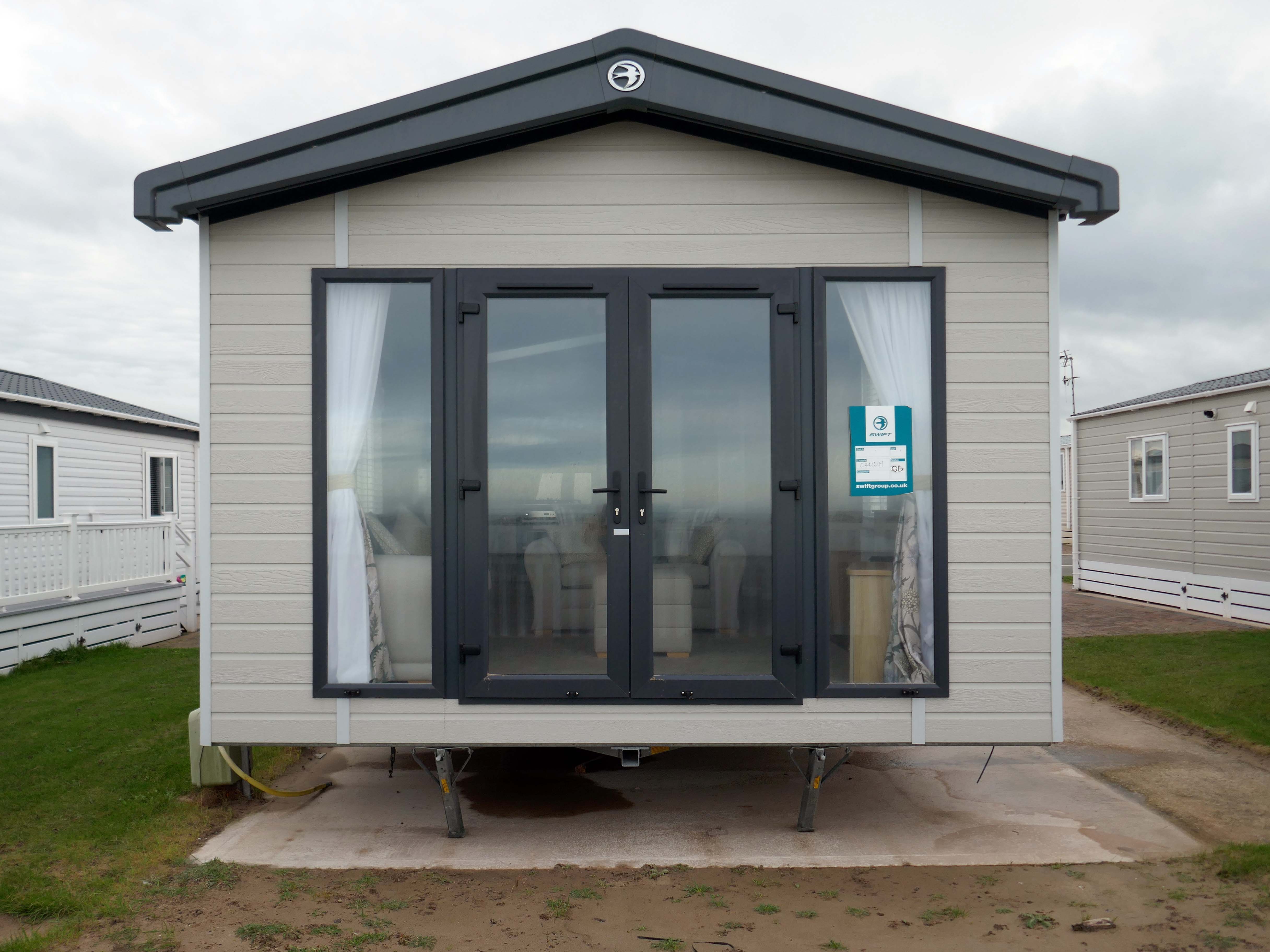
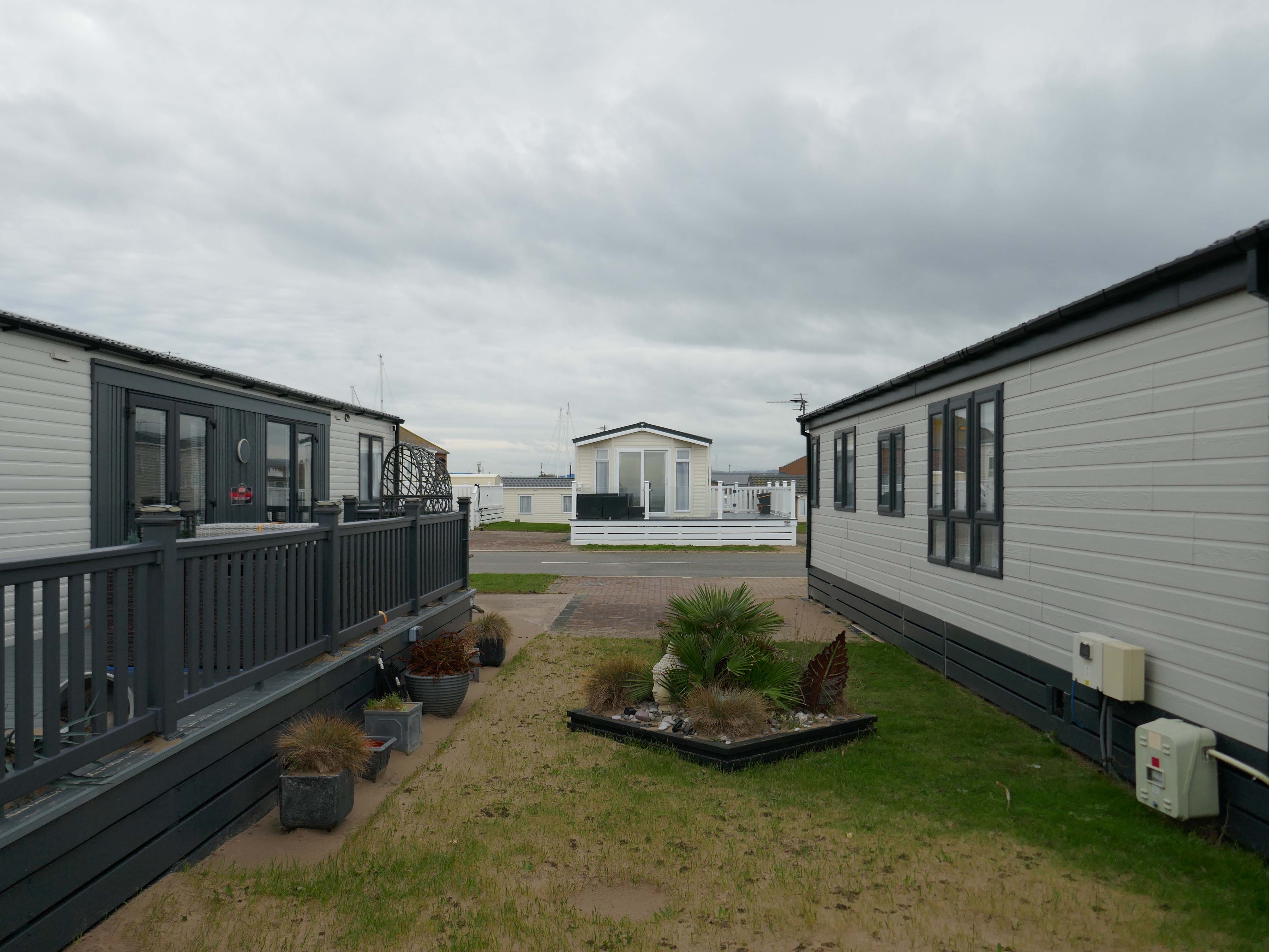
The foreshore home from home for thousands of caravan dwellers.
Golden Sands Holiday Park Rhyl has over 85 years history of fun filled holidays. Wonderfully located right next to the beach in Kinmel Bay in North Wales, it’s the perfect place for a family seaside holiday. It’s also an excellent base for exploring the beauty of North Wales. The town of Rhyl is closest, though also nearby are Prestatyn, Colwyn Bay and Llandudno – with the Great Orme. Blue Flag beaches offering wonderful seaside holiday traditions along with stunning Snowdonia National Park are within an easy drive.
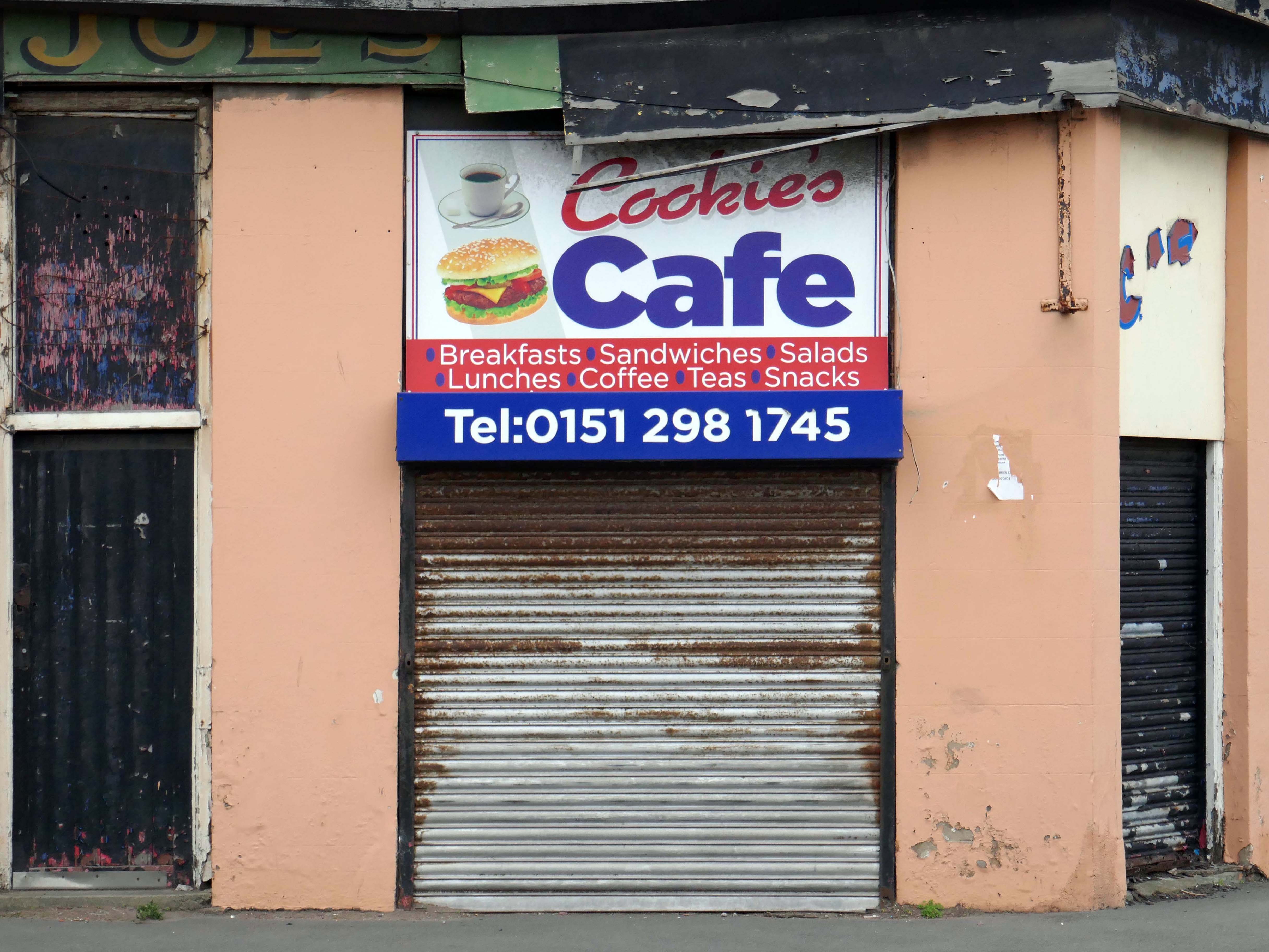
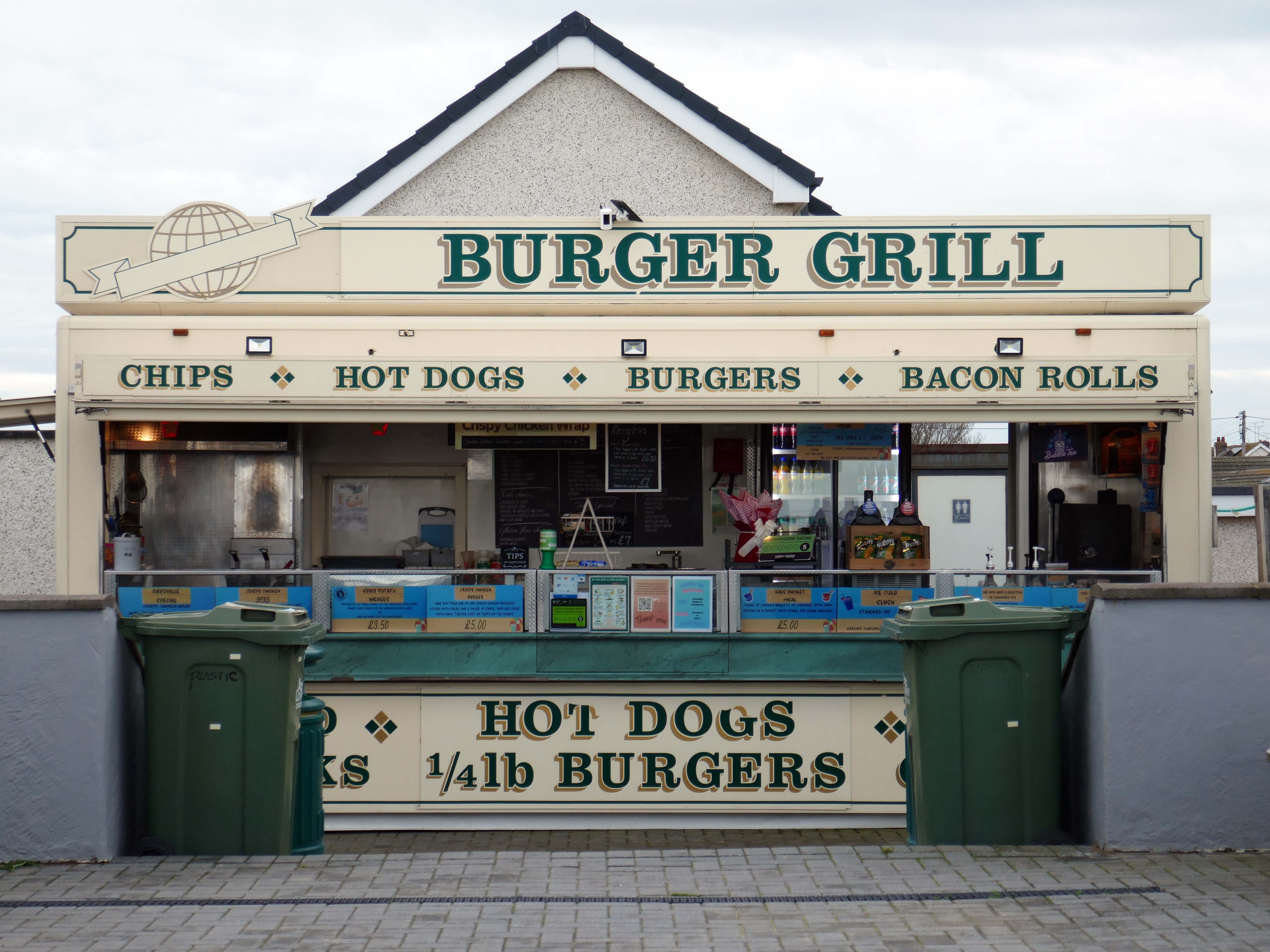
Fast food is often nutritionally poor and high in calories. Evidence demonstrates that overeating commercial fast food products can negatively impact health in both the short and long term.
However:
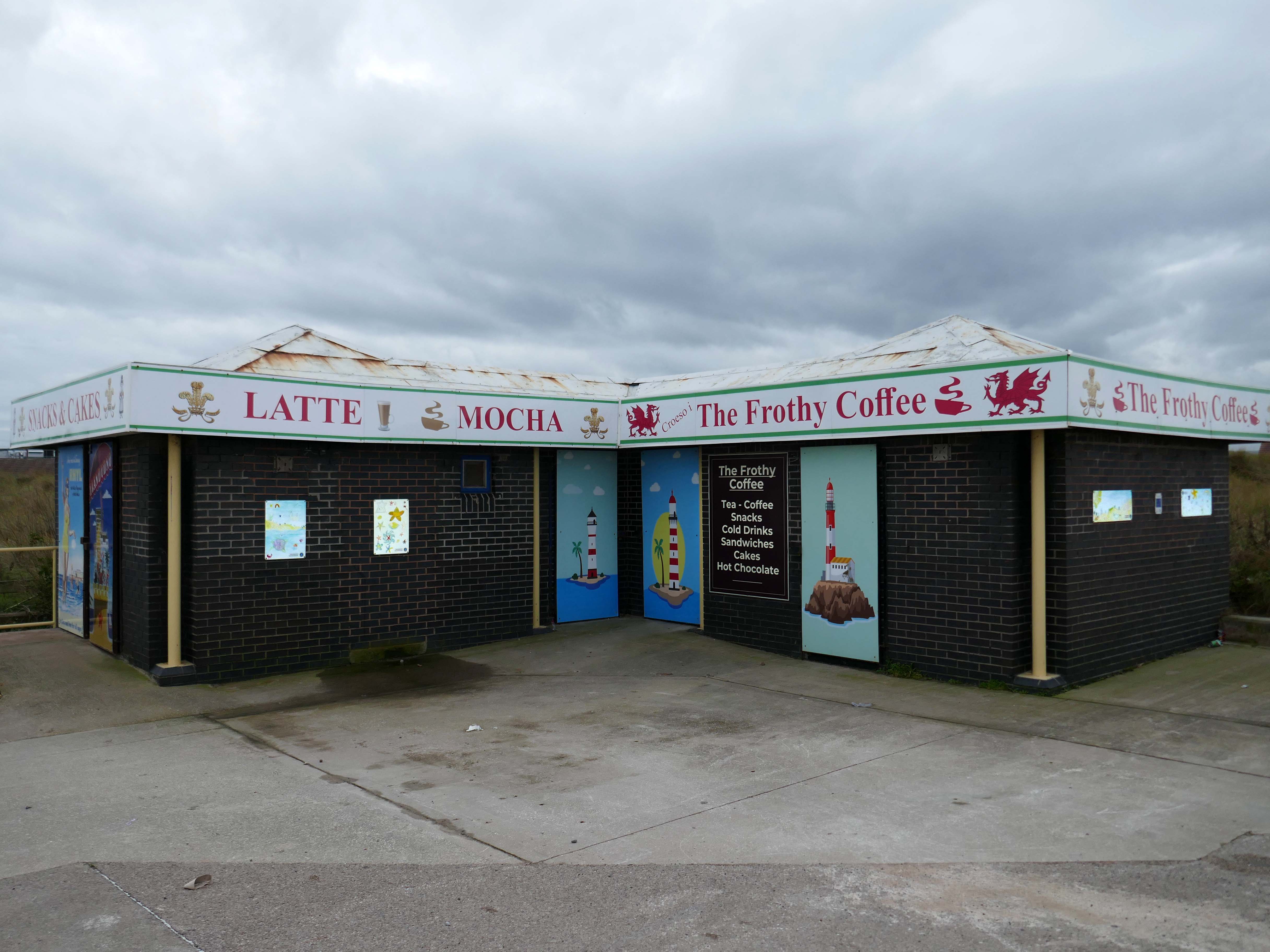
Baysville is lovely and clean, lots of tables and a good choice of foods from ice cream, donuts, burgers, hot and cold drinks and a bar. The staff are pleasant and welcoming.
Researchers have found people who drink up to three cups of coffee a day could have a healthier heart and a lower risk of dying of any cause.
But too much caffeine can produce anxiety, sleeplessness, agitation, palpitations, diarrhoea and restlessness. In individuals with a mental health condition caffeine can worsen psychosis and result in the need for higher amounts of medication.
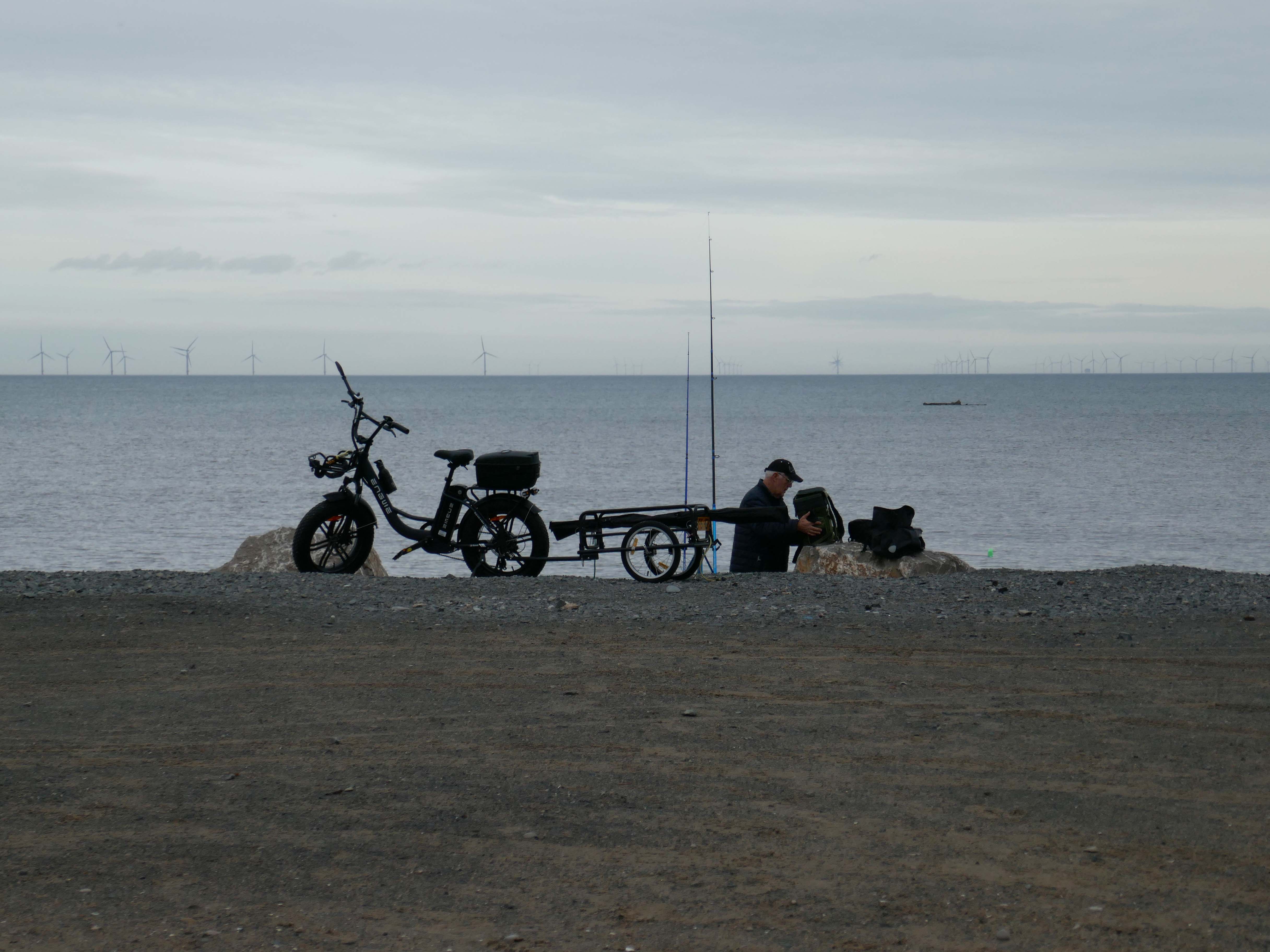
Possibly wiser to take a leisurely ride on your electric bicycle, followed by an hour or two of beach casting .
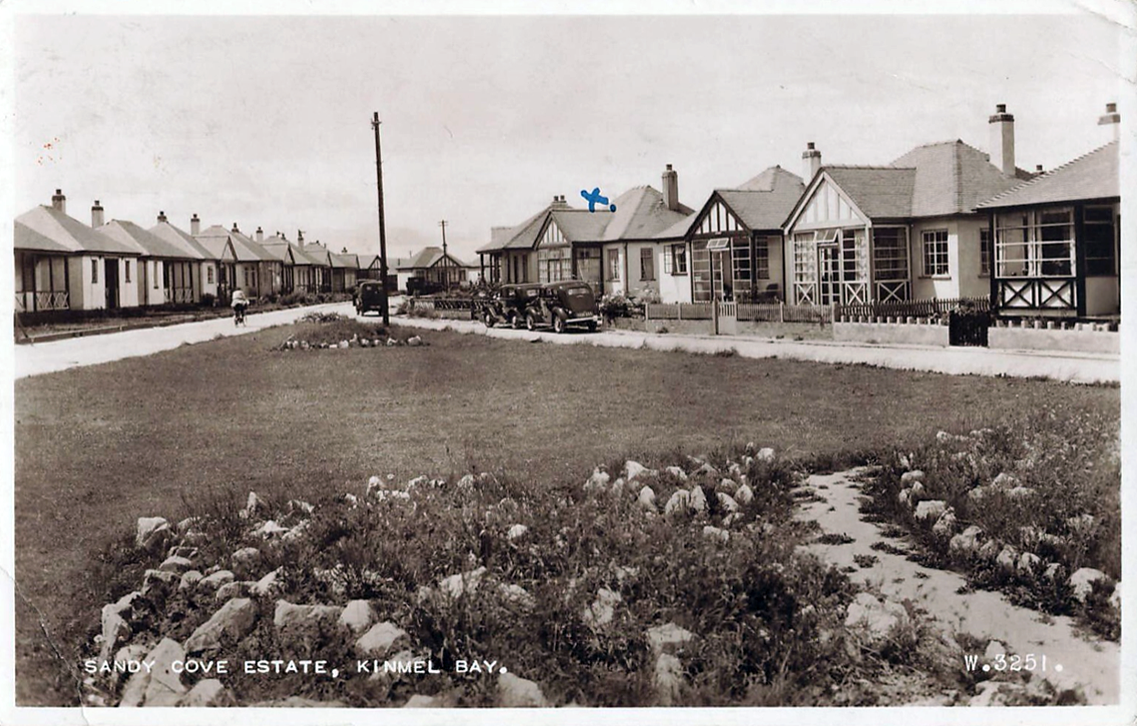
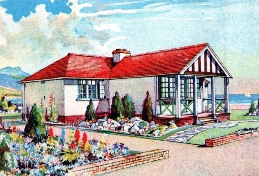
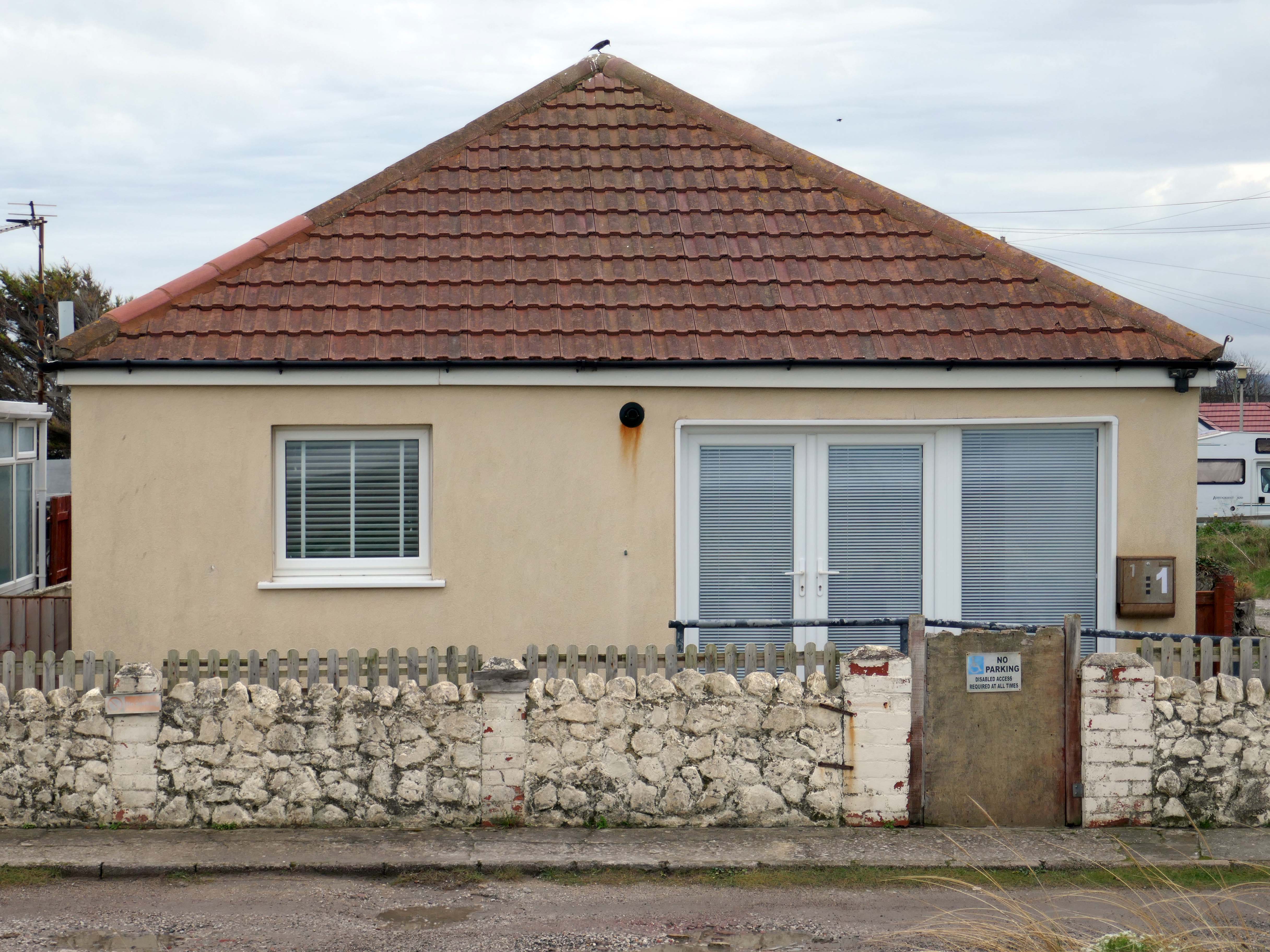
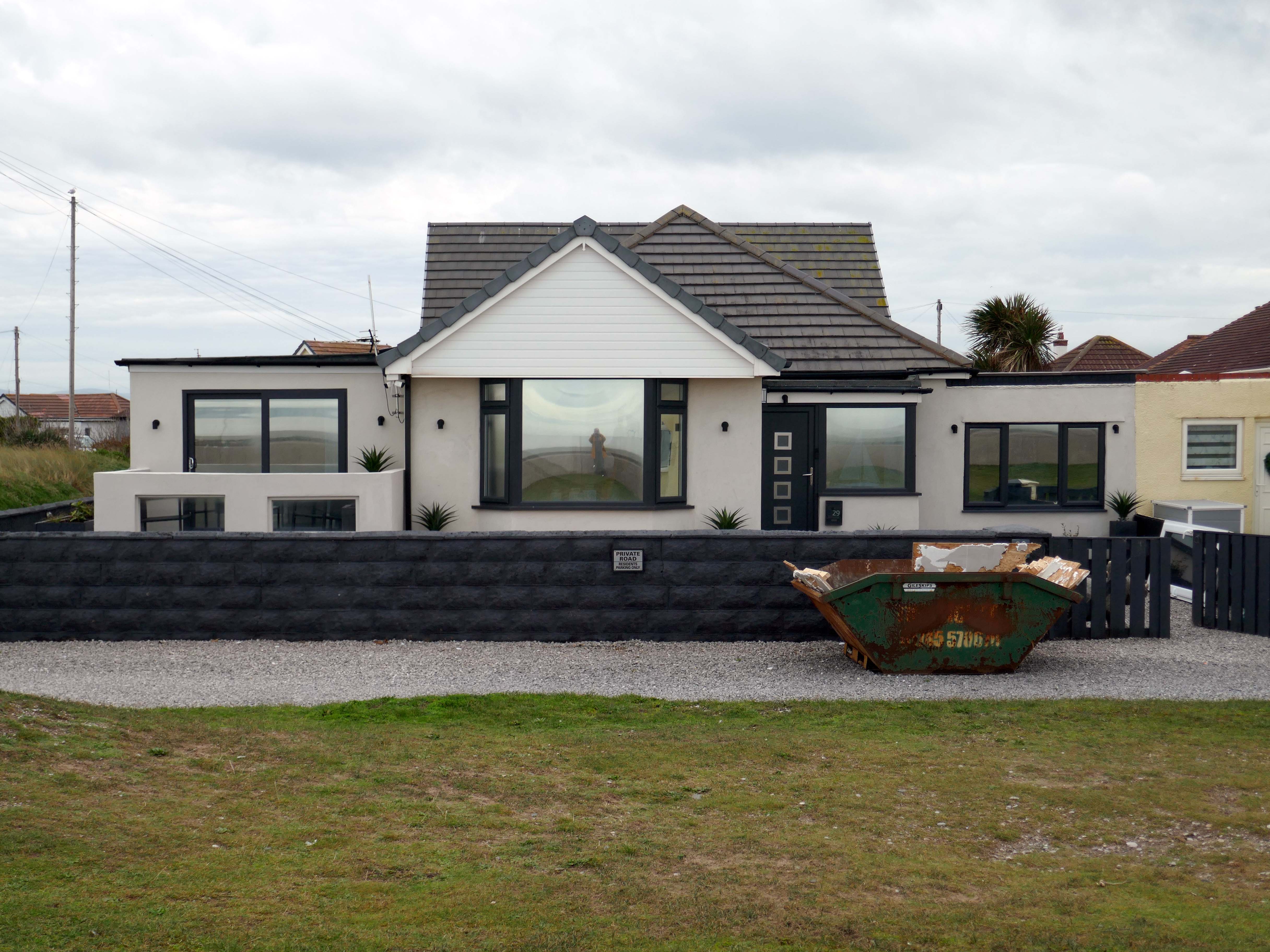
The coastal housing at Kinmel bay is undergoing a cosmetic upheaval, the determinedly down home bungalow swamped by the relentless monotone tide of home improvements.
The Sandy Cove Estate consists of 250 bungalows that were built in the 1930s by the Kinmel Estates Ltd, who sadly went into liquidation around 1947, before the estate was completed. This left the estate with only dirt tracks for roads with no sidewalks or pavements, no drainage for surface water or any adequate street lighting. After the liquidation of the company the roads and communal greens were escheated to the Crown who then offered the land free of charge to successive Councils for the to incorperate into the towns that were developing. This was refused by the Councils.
Fifty or more homes are ready for you to choose from, gardens and tennis courts have been provided for the sole use, in perpetuity of residents.
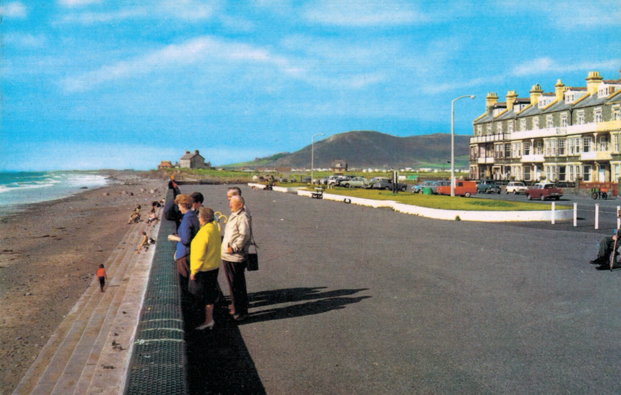
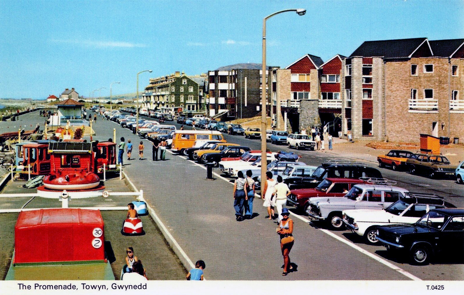
Onward now to Towyn.
The town made national headlines in 1990 when a combination of gale-force winds, a high tide and rough seas caused Towyn’s flood defences to be breached at about 11.00am on 26 February. 4 square miles of land was flooded, affecting 2,800 properties and causing areas of the resort to be evacuated. Further flooding occurred later the same week, on 1 March, shortly after the site of the disaster was visited by Prince Charles and Princess Diana.
Scientific experts also believe that the silt left behind from the flooding had left the town with a higher concentration of radioactivity, over ten times the governmental safety limits, most likely originating from the nuclear processing plant at Sellafield which had been dispersed into the Irish Sea over many years since its construction. The National Radiological Protection Board stated that there was a “small risk” to the people there, while the Welsh Office claimed there was no danger to the public. The coastal defences have since been reconstructed and significantly enhanced.
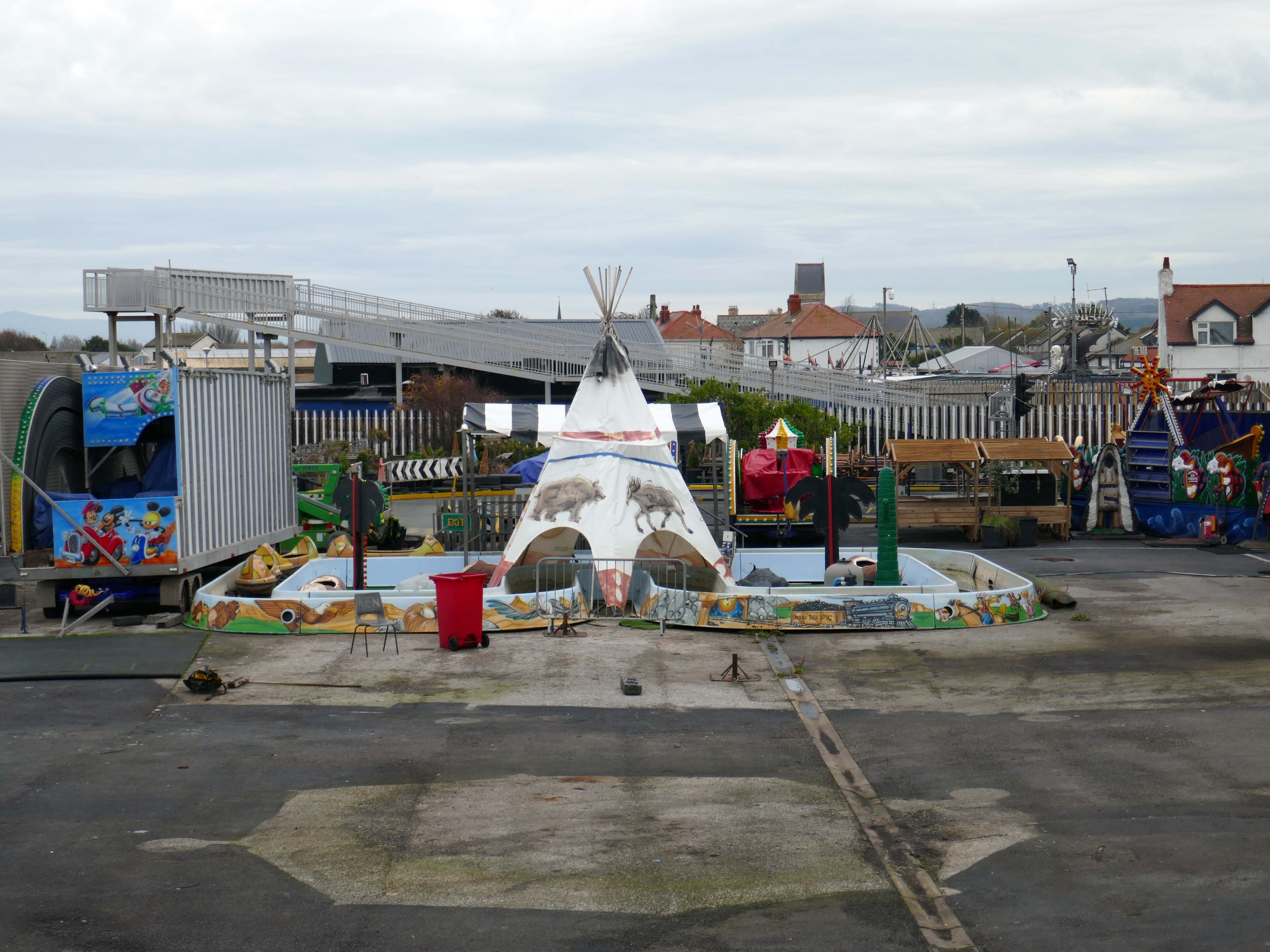
The People of the First Nation here at Knightly’s Fun Park are now safe from the threat of flood.
Knightly’s Funfair has a fantastic range of rides for the whole family! Experience high speed thrills and heart pumping excitement! We’ve got rides for the little ones too as well as games and food stalls to keep the whole family entertained all day!
We also welcome dogs, so you don’t have to leave your furry friends behind!
The monotone gentrified home is accompanied by the monotone SUV – the Land Rover Discovery Sport.
The joy of Discovery Sport is in finding that no adventure is out of reach. Offering the ultimate in comfort, while having the toughness to cope with family life.
According to a Europe-wide study, which included the UK, when vehicles are 300kg heavier, the risk of fatal injuries is 30% higher for vulnerable road users.
Pedestrians and cyclists are also 30% more likely to be killed if they’re hit by a car with a bonnet that’s 10cm higher than average.
E25 is Spirulina Extract Phycocyanin, when taken as directed, Spirulina generally doesn’t cause side effects. In some people, it may cause mild side effects, including headaches, diarrhoea, bloating and gas.
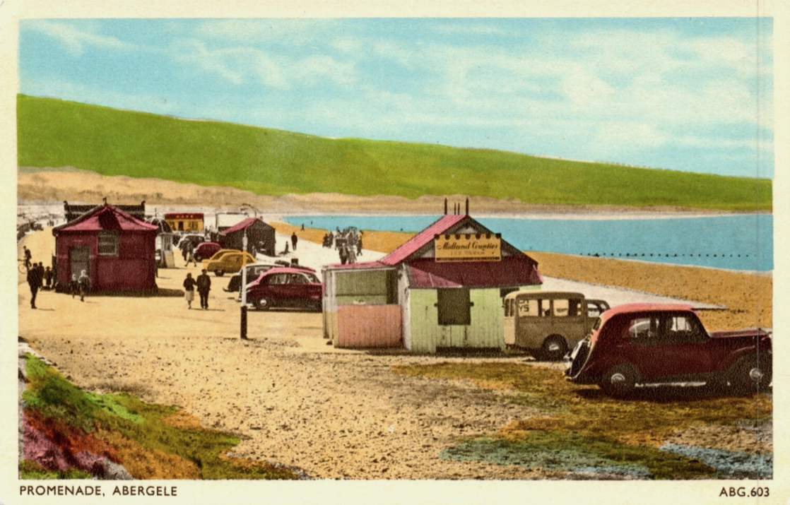
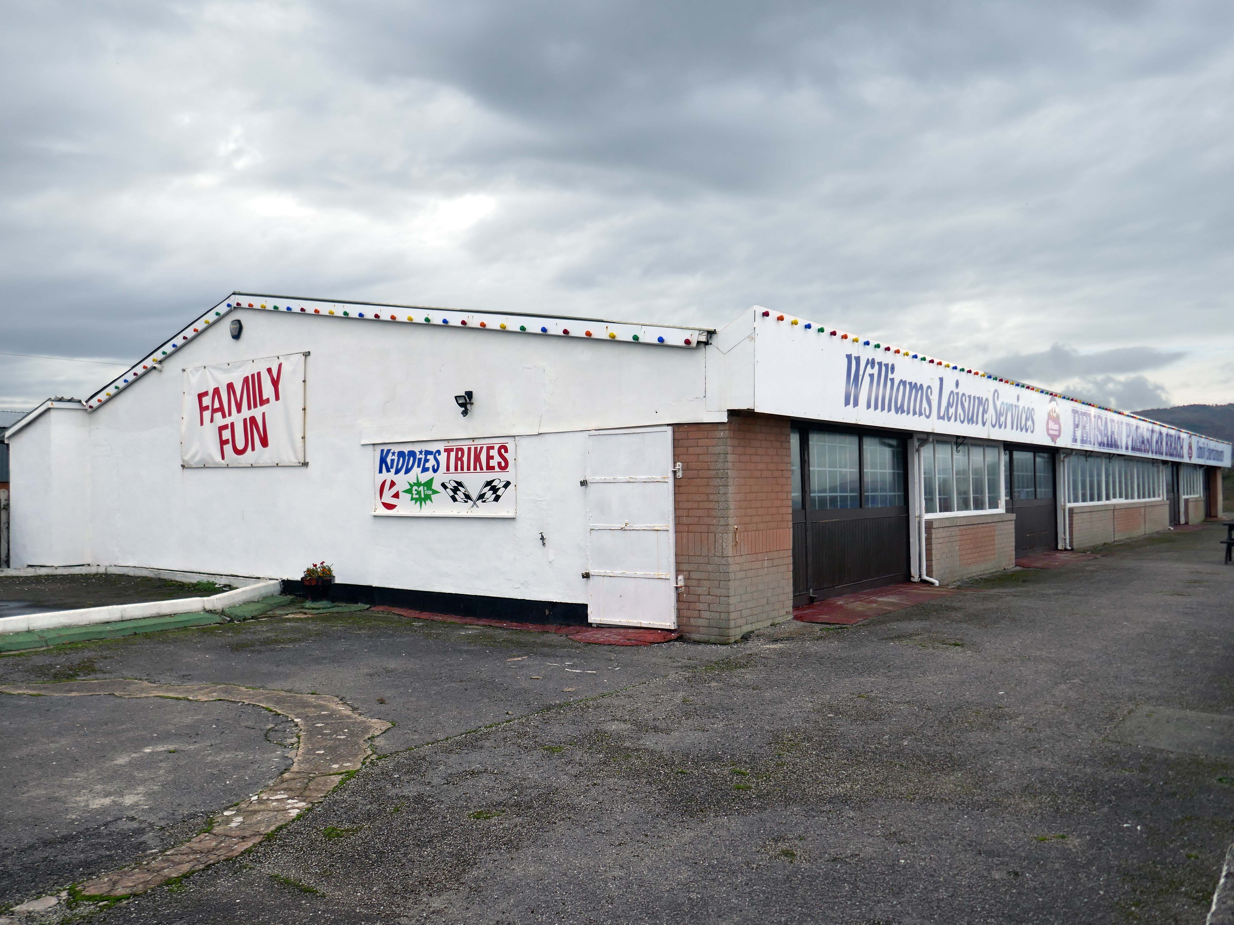
Here we are now at Abergele and Pensarn which have quiet sandy beaches close to historic sites and wooded hills. From here, you can escape the stresses of everyday life. Enjoy sea views, historic places such as Gwrych Castle – home to ITV’s I’m a Celebrity 2020 and 2021 TV series, and a range of things to do providing fun for all the family.
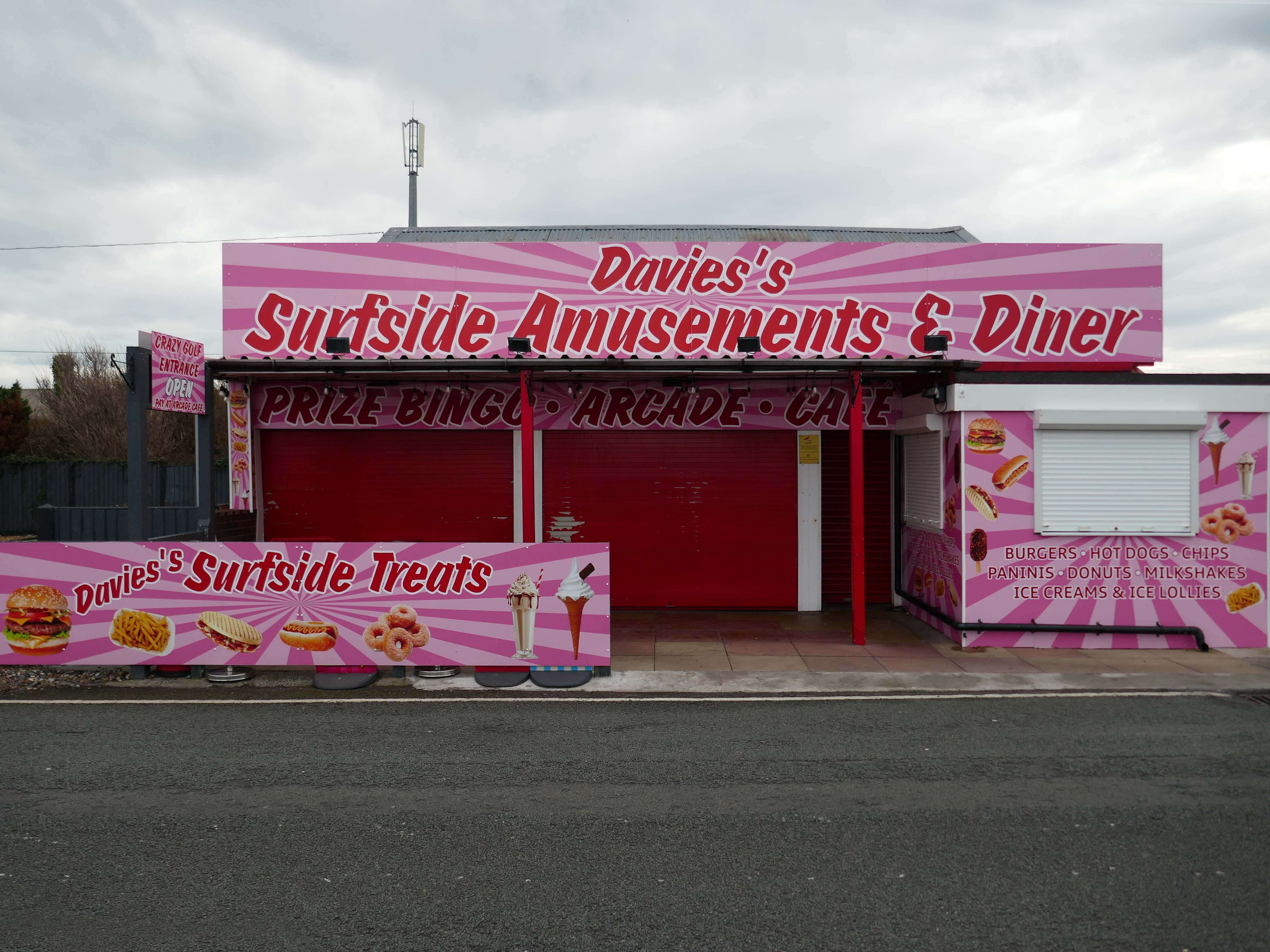
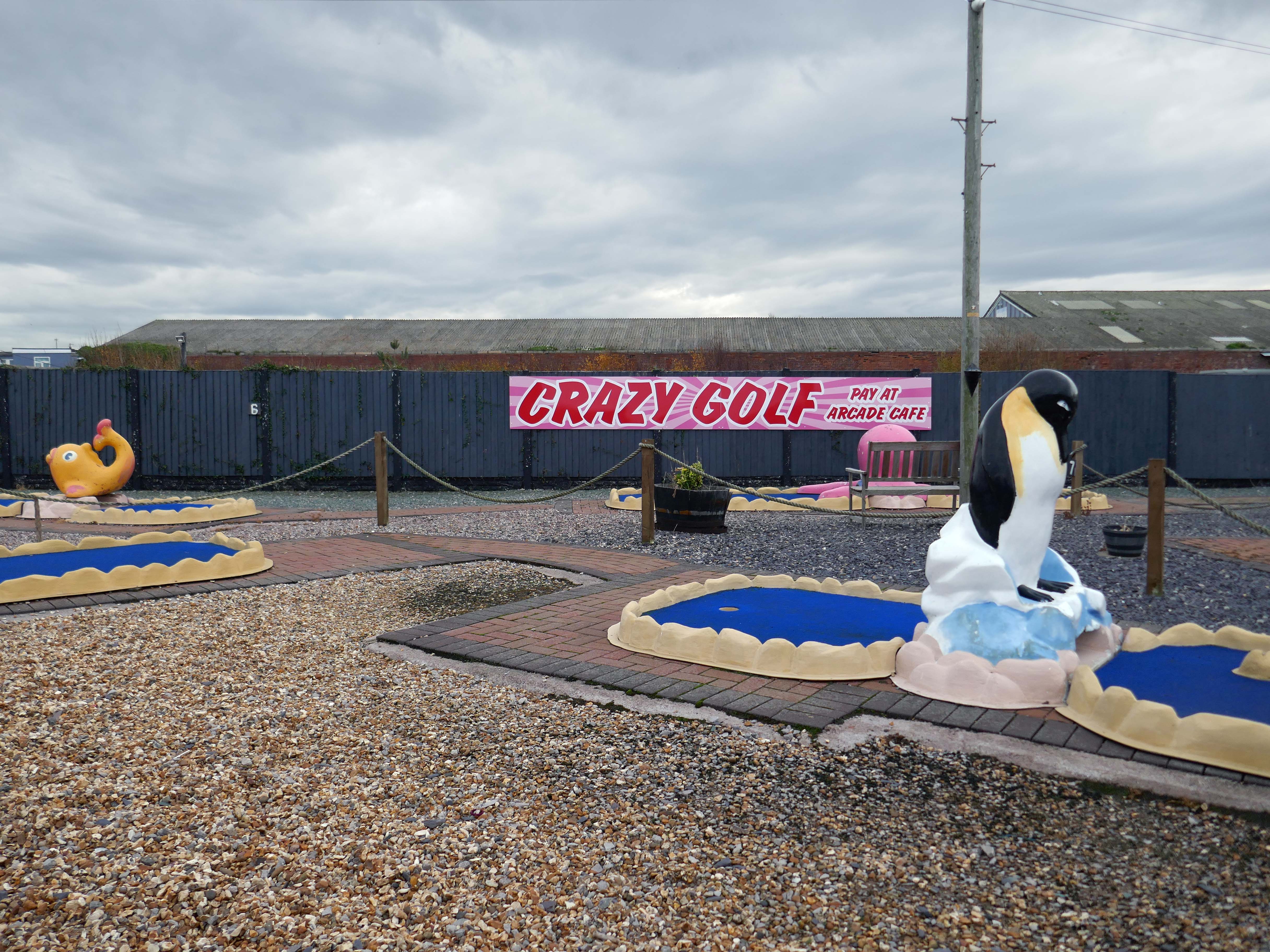
Pensarn Pleasure Beach Amusement Arcade, operated by Laurence Williams Amusements, offers a charming family-friendly experience. Visitors often highlight its nostalgic appeal with fun penny machines and small shops selling drinks and handmade goods.
While many appreciate the charm of the arcade, some mention that certain machines are quite dated and do not work properly, this aspect may affect overall enjoyment for some users.
The reviews indicate a good variety of activities including classic penny slots and local shops offering food and unique handmade items like dog harnesses, catering to diverse interests.
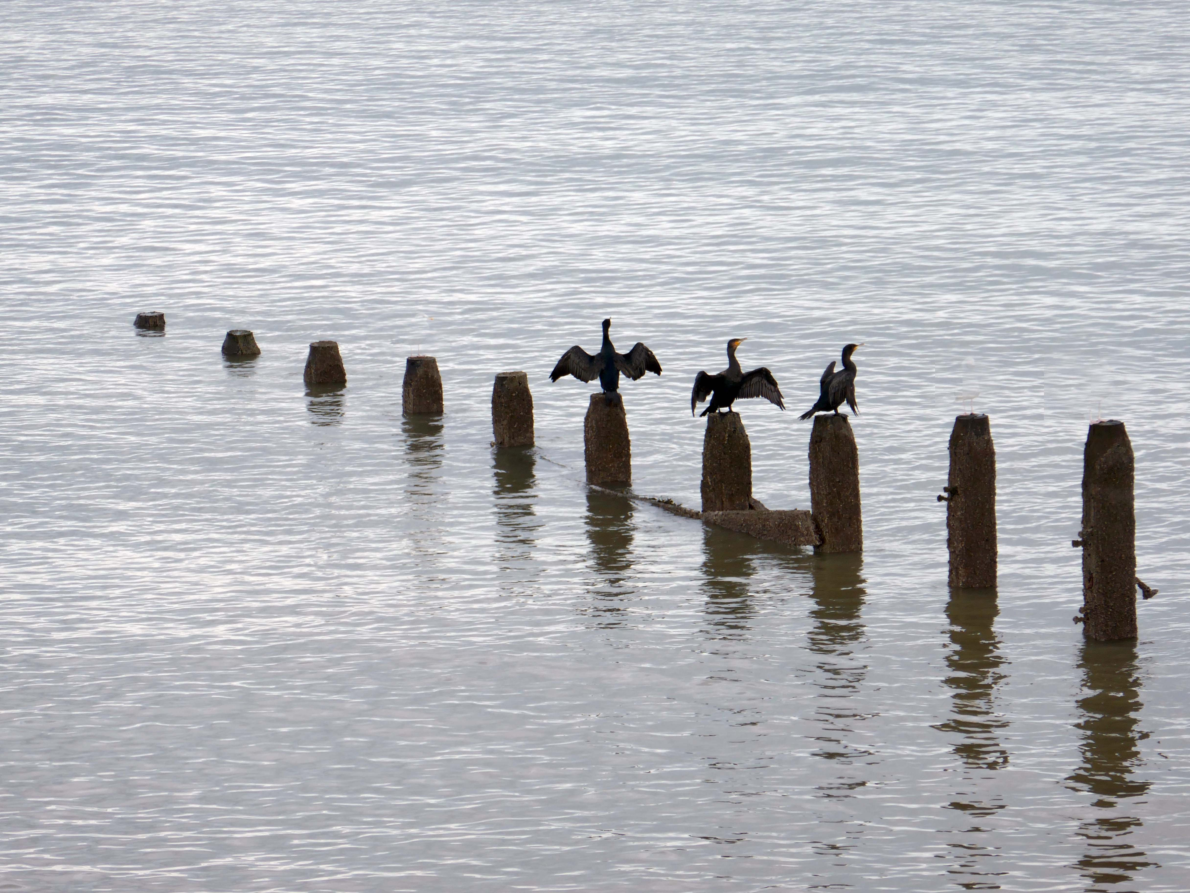
Such a pleasant stretch of coast to stretch your legs along.
Or to stretch your wings for that matter, should you happen to be a cormorant.
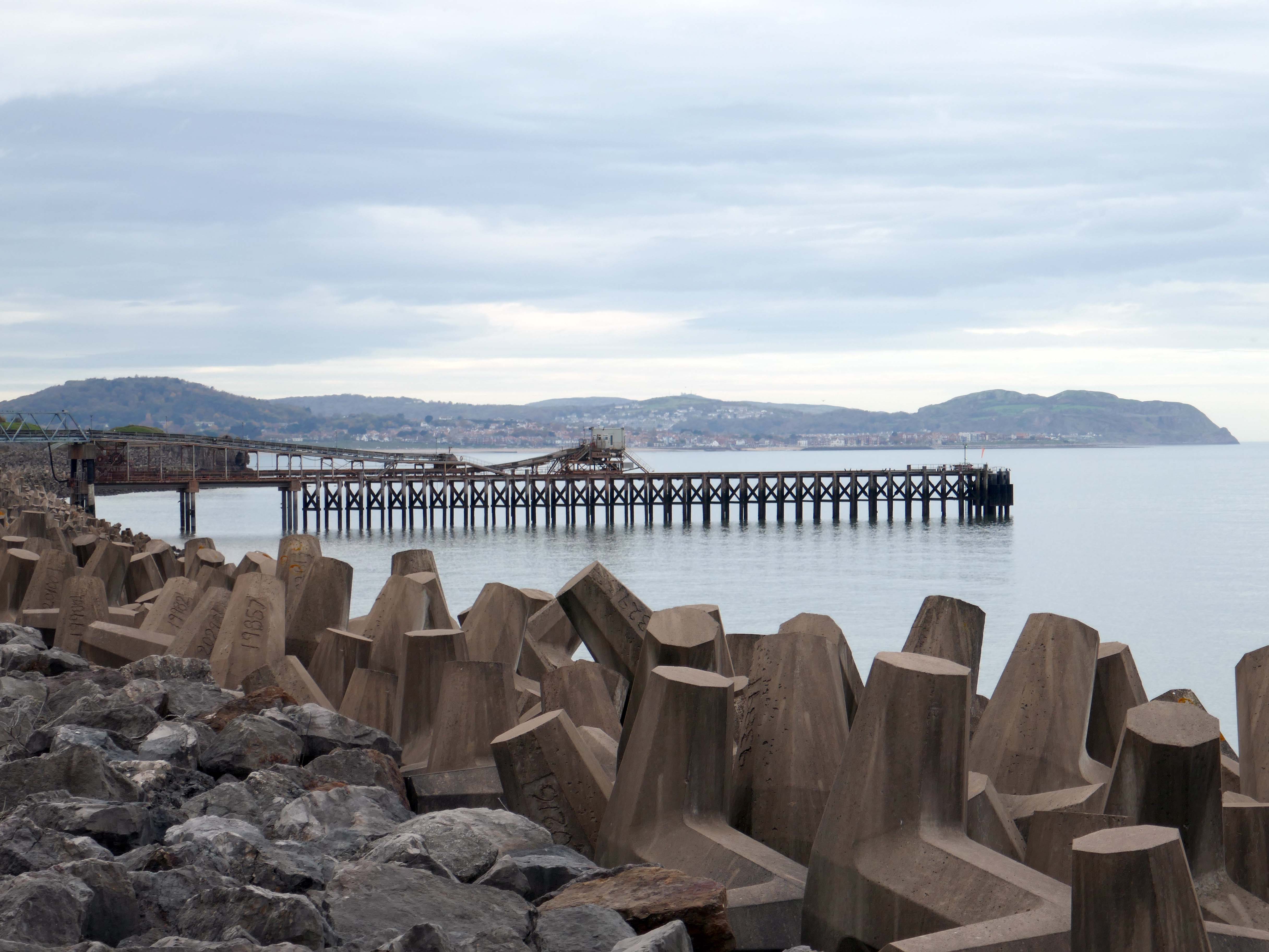
Coastal defences from the giant concrete bobbers and jacks.
A tetrapod is a form of wave-dissipating concrete block used to prevent erosion caused by weather and longshore drift, primarily to enforce coastal structures such as seawalls and breakwaters. Tetrapods are made of concrete, and use a tetrahedral shape to dissipate the force of incoming waves by allowing water to flow around rather than against them, and to reduce displacement by interlocking.
Tetrapods were originally developed in 1950 by Pierre Danel and Paul Anglès d’Auriac of Laboratoire Dauphinois d’Hydraulique in Grenoble,who received a patent for the design. The French invention was named tétrapode, derived from Greek tetra ‘four’ and pode ‘foot’.
Tetrapods were first used at the thermal power station in Roches Noires in Casablanca, to protect the sea water intake.
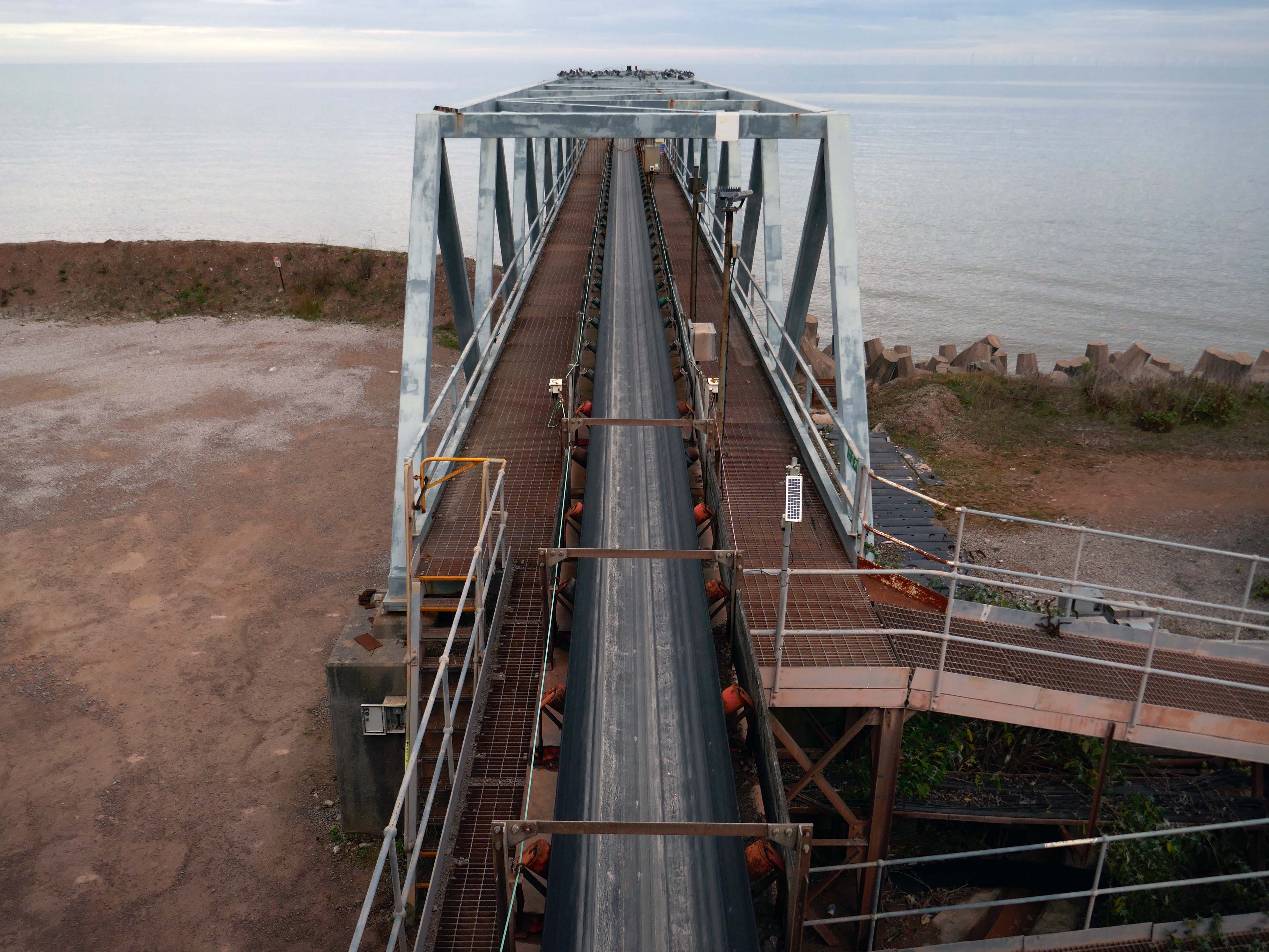
Next we pass Raynes Jetty the quarry conveyor belt – shifting and shipping limestone out to sea.
Limestone from Raynes quarry, to the south, is transported by conveyor belts to the jetty, crossing the A55 Expressway and railway. From the jetty it is loaded into coastal freighters which take it to other parts of the British Isles. Limestone from this quarry is a pure form of the rock, making it ideal for the chemical and cement industries.
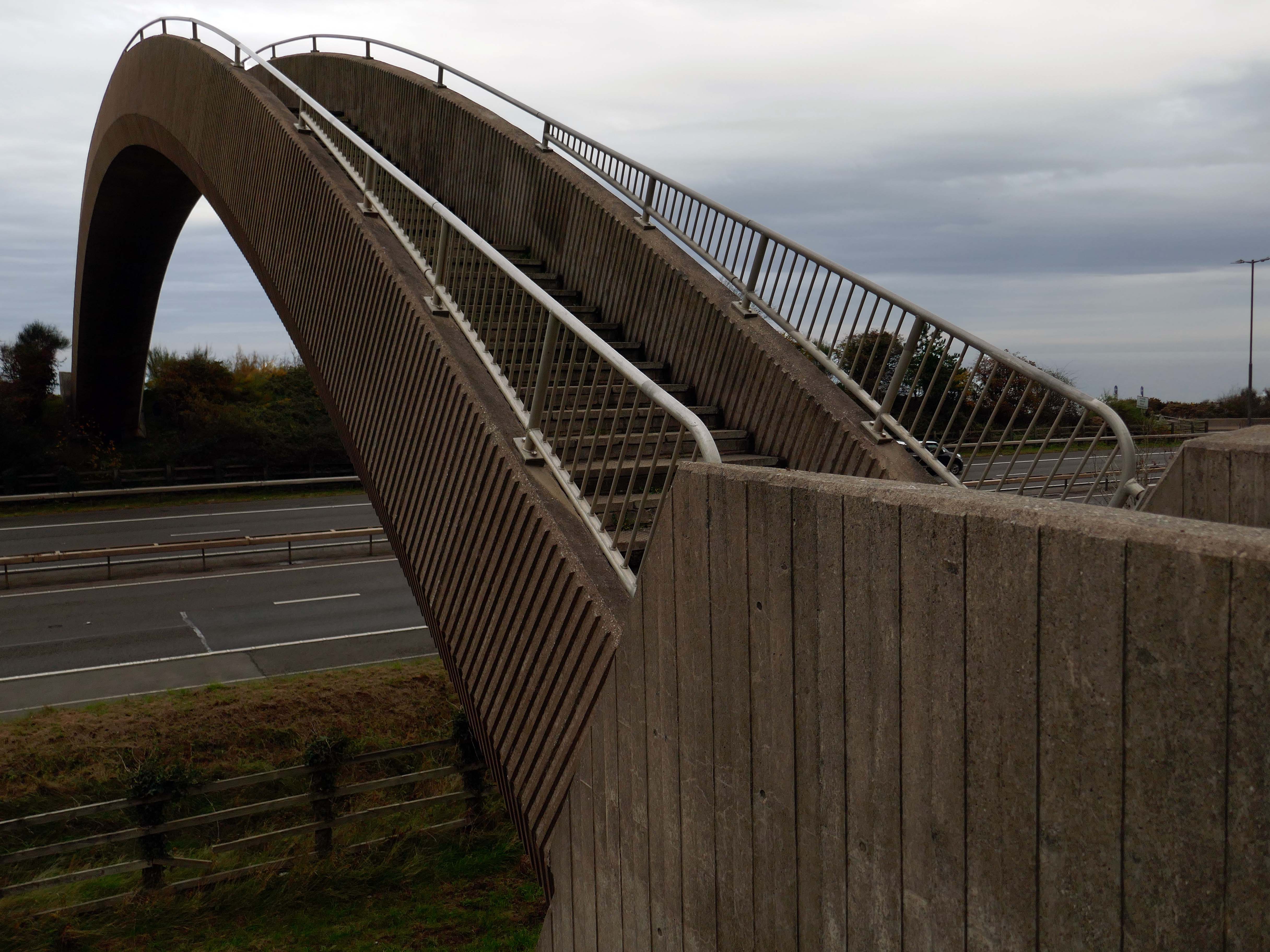
Limestone forming an important constituent part of the nearby concrete Rainbow Bridge – linking Old Colwyn’s pedestrians to the shore.
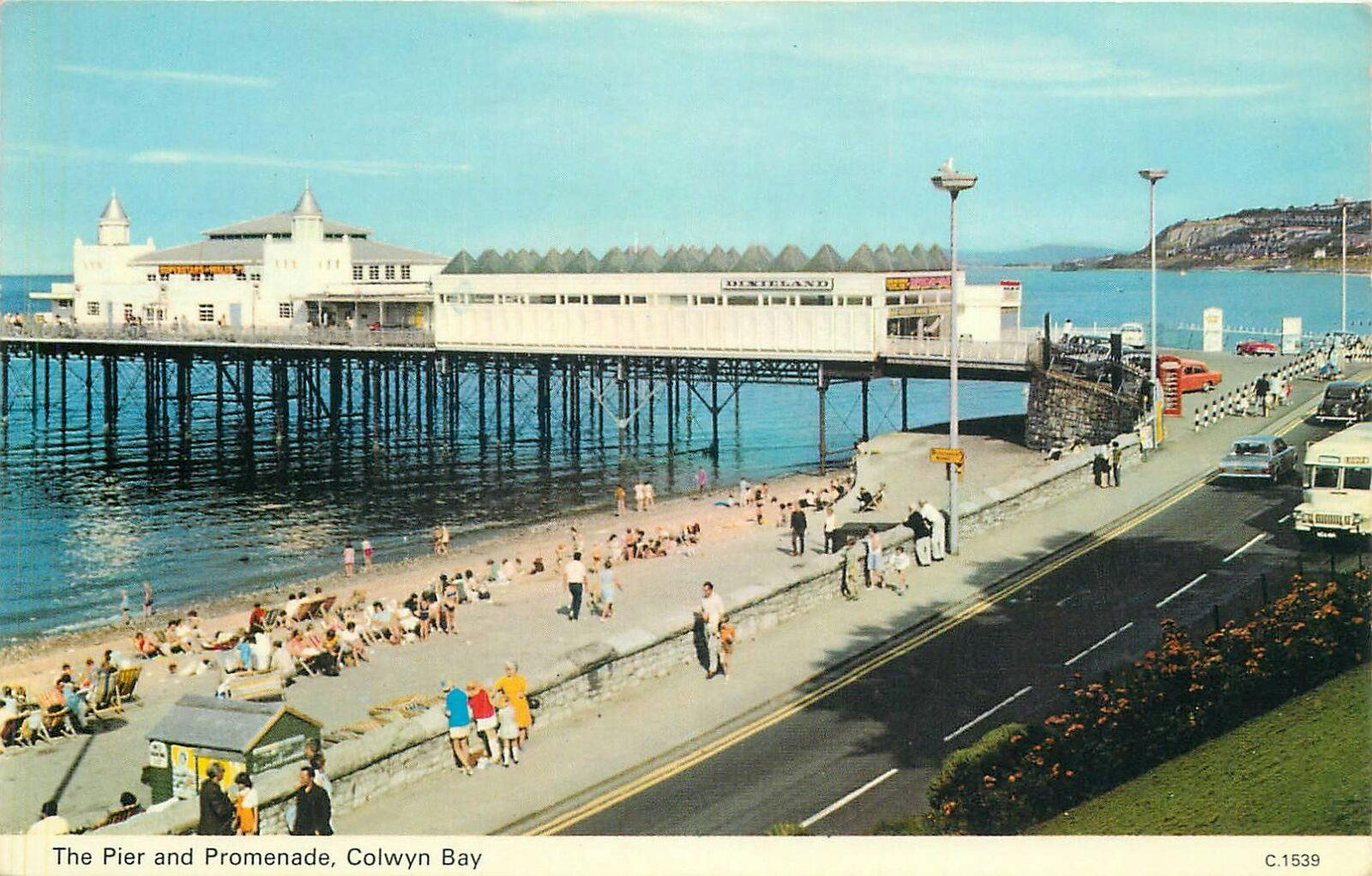
On the site of Colwyn Bay Pier is a seriously truncated pier.
It was conceived in the late 19th century, when Colwyn Bay wanted to catch up with other towns which had piers where steamers deposited and collected passengers. However, it was found that the proposed pier would have to extend almost half a mile to reach the area where the water was deep enough for ships. This was too costly, so the pier was built purely for entertainments. The councillors saved face by saying this would avoid day trippers arriving by steamer and lowering the tone of Colwyn Bay!
The pier was less than 100 metres long when it opened in 1900. The pavilion had a 2,500-seat theatre, shops and a restaurant. The opening performance featured Adelina Patti, one of the world’s most renowned operatic sopranos in her day.
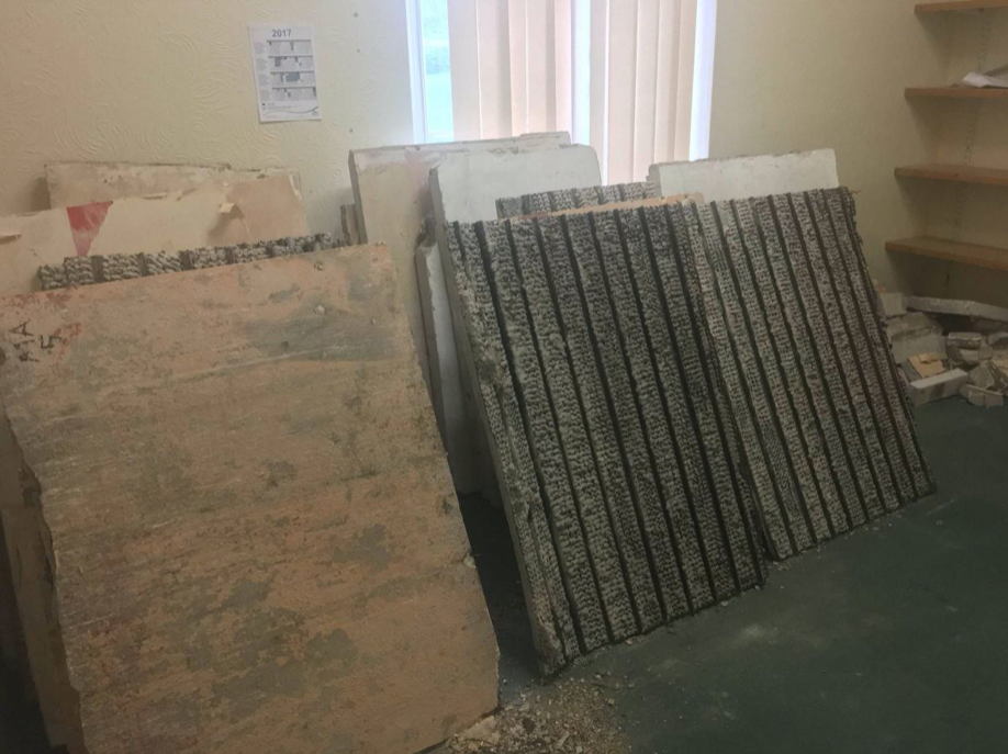
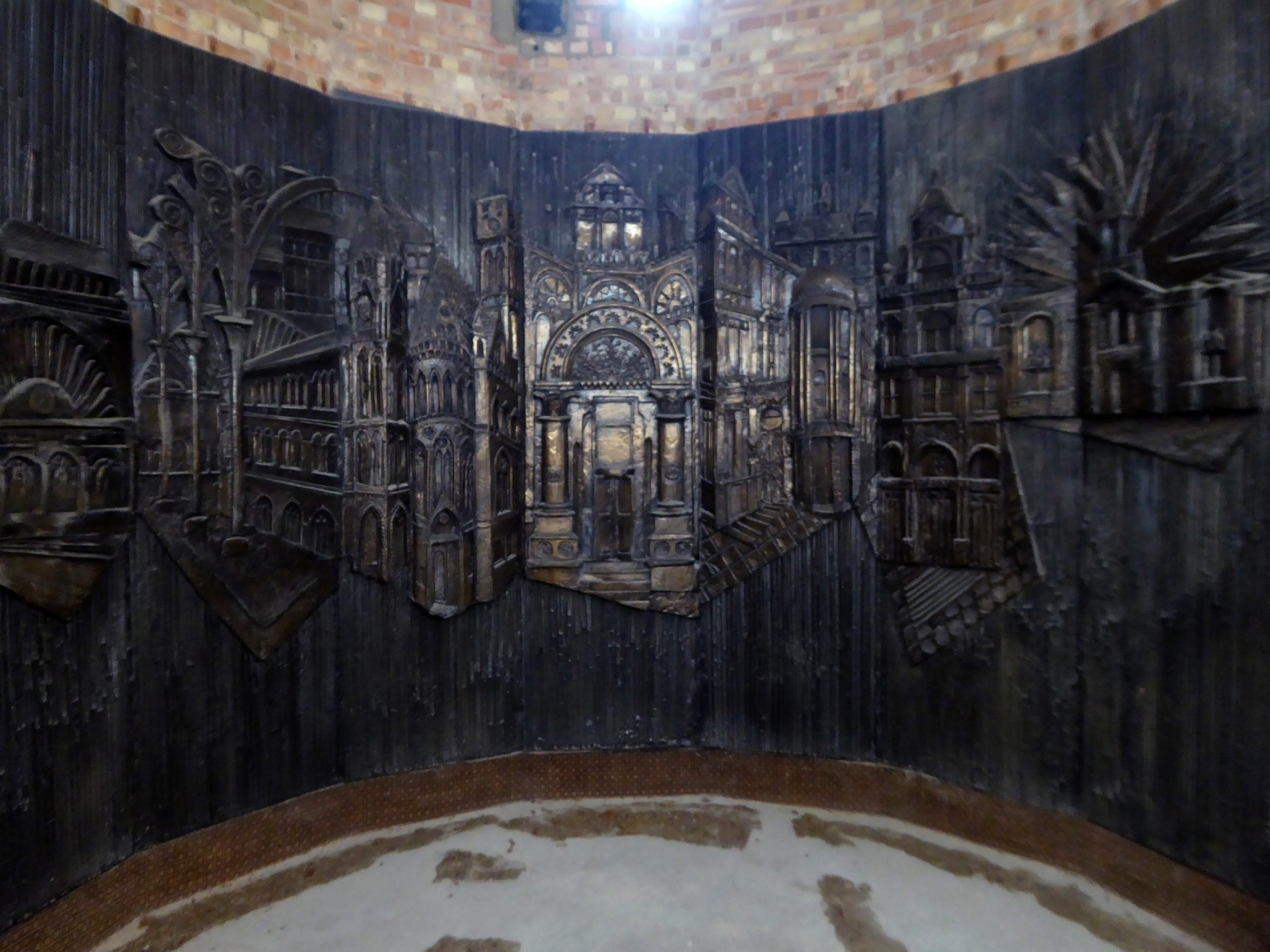
The final pavilion, opened in 1934, incorporated Art Deco features and murals by Eric Ravilious and Mary Adshead.
Both walls of the last remaining Eric Ravilious mural have been successfully removed, and were placed safely in storage. But with CCBC staff set to relocate to new Colwyn Bay offices a more permanent home is needed for the murals.
Many of those features were destroyed or obscured in post-war refurbishments. Entertainers who performed at the pier in this period included comedians Ken Dodd and Morecambe and Wise, and singers Harry Secombe and Elvis Costello.
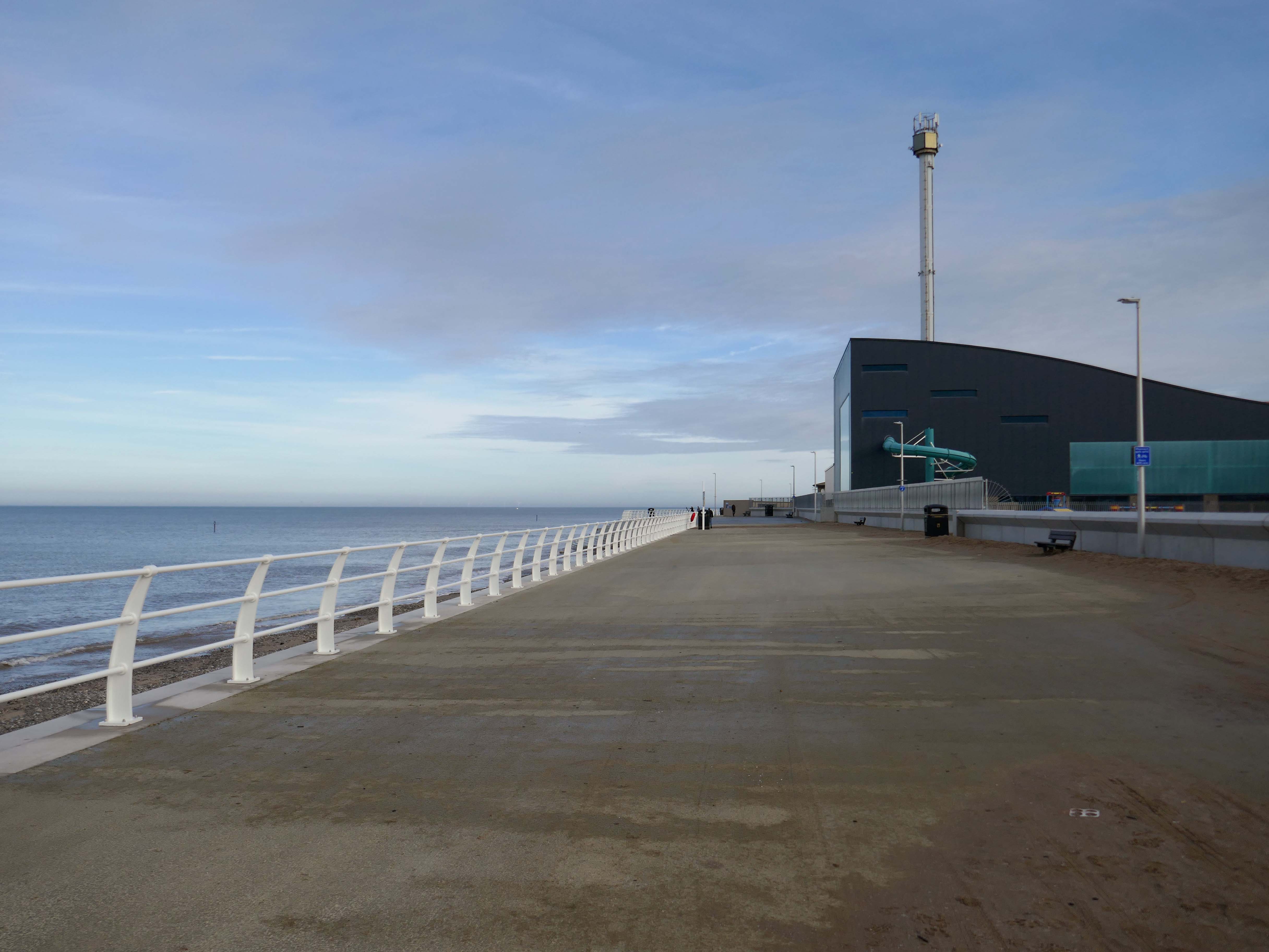
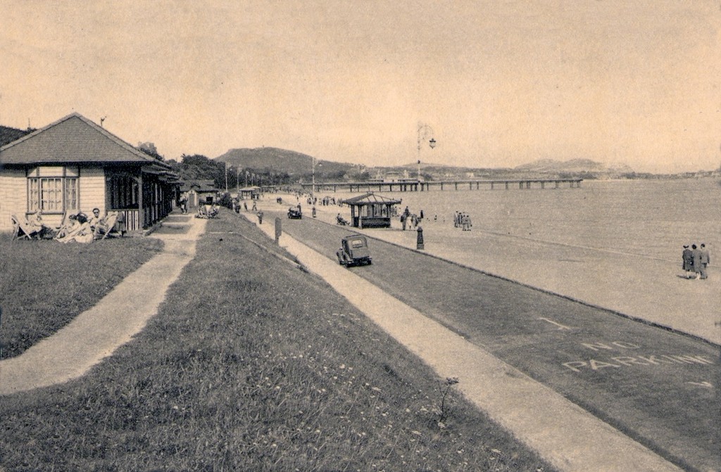
The new promenade, measuring 2.3 miles long, has been designed to protect the town and its infrastructure from the effects of the sea. The project was split into two phases; the first, to remove what was originally there and to construct the new raised promenade including a road, cycleway and car parking. The second phase was to transform the promenade with further development as well as reinforce the defence structures.
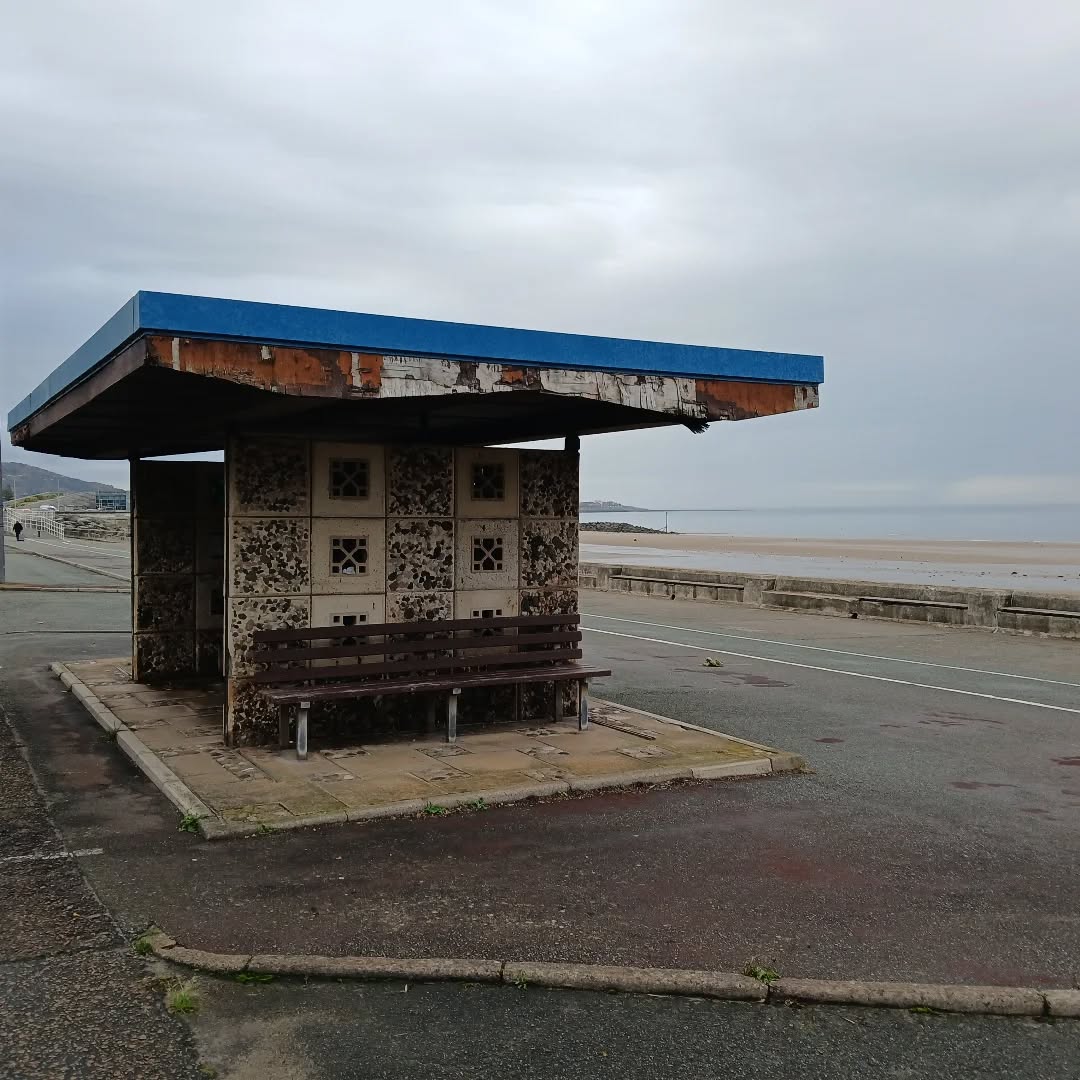
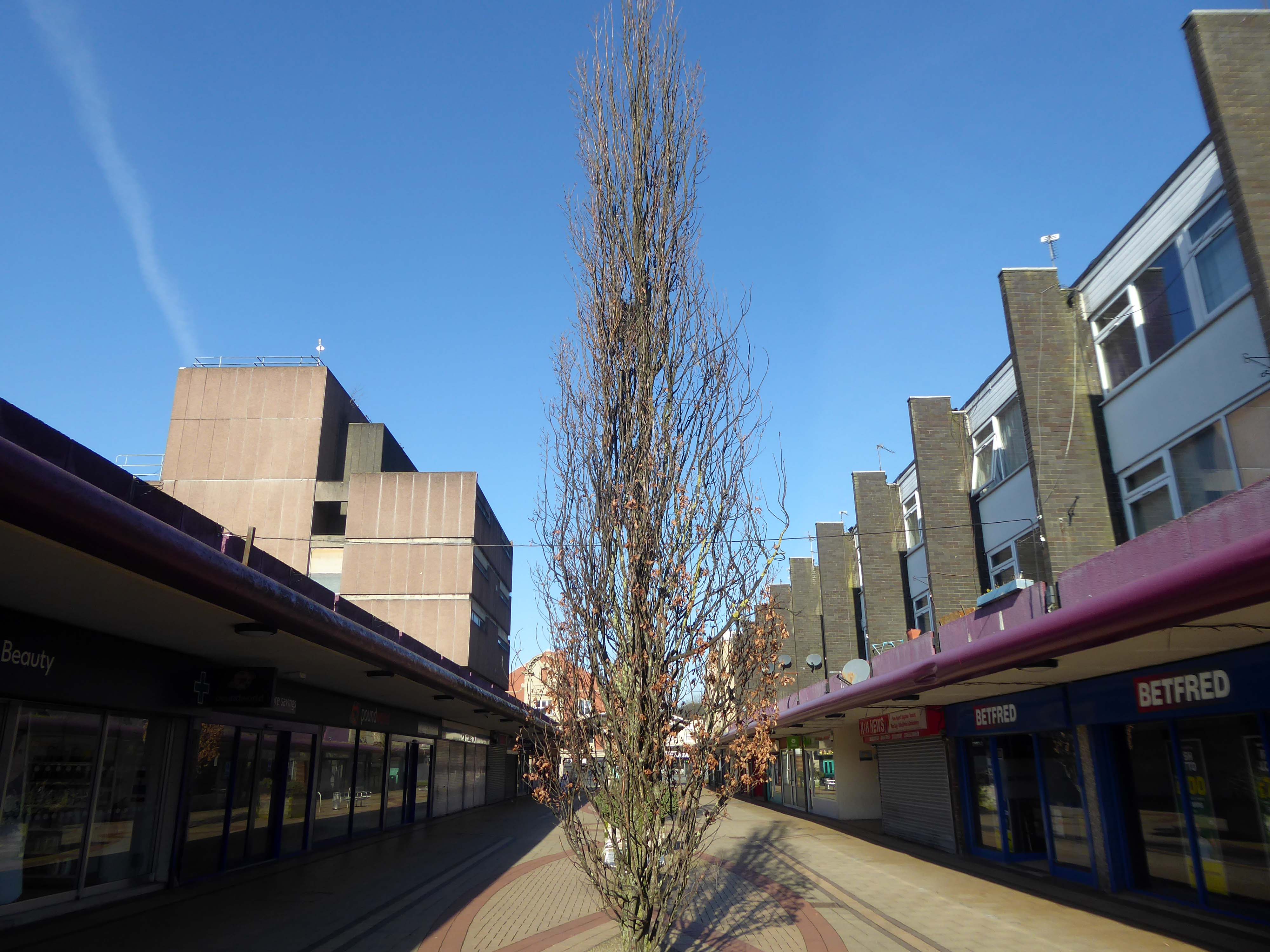
This is the last of the Sixties concrete shelters – which once stretched all the way to Rhos on Sea.
New shelters have appeared
A Conwy County Borough Council spokesperson said:
The shelters include new features such as solar power lighting and are designed to be accessible for wheelchair and mobility scooter users.
The closed design of the old shelters made anti-social behaviour easier and led to their condition deteriorating.
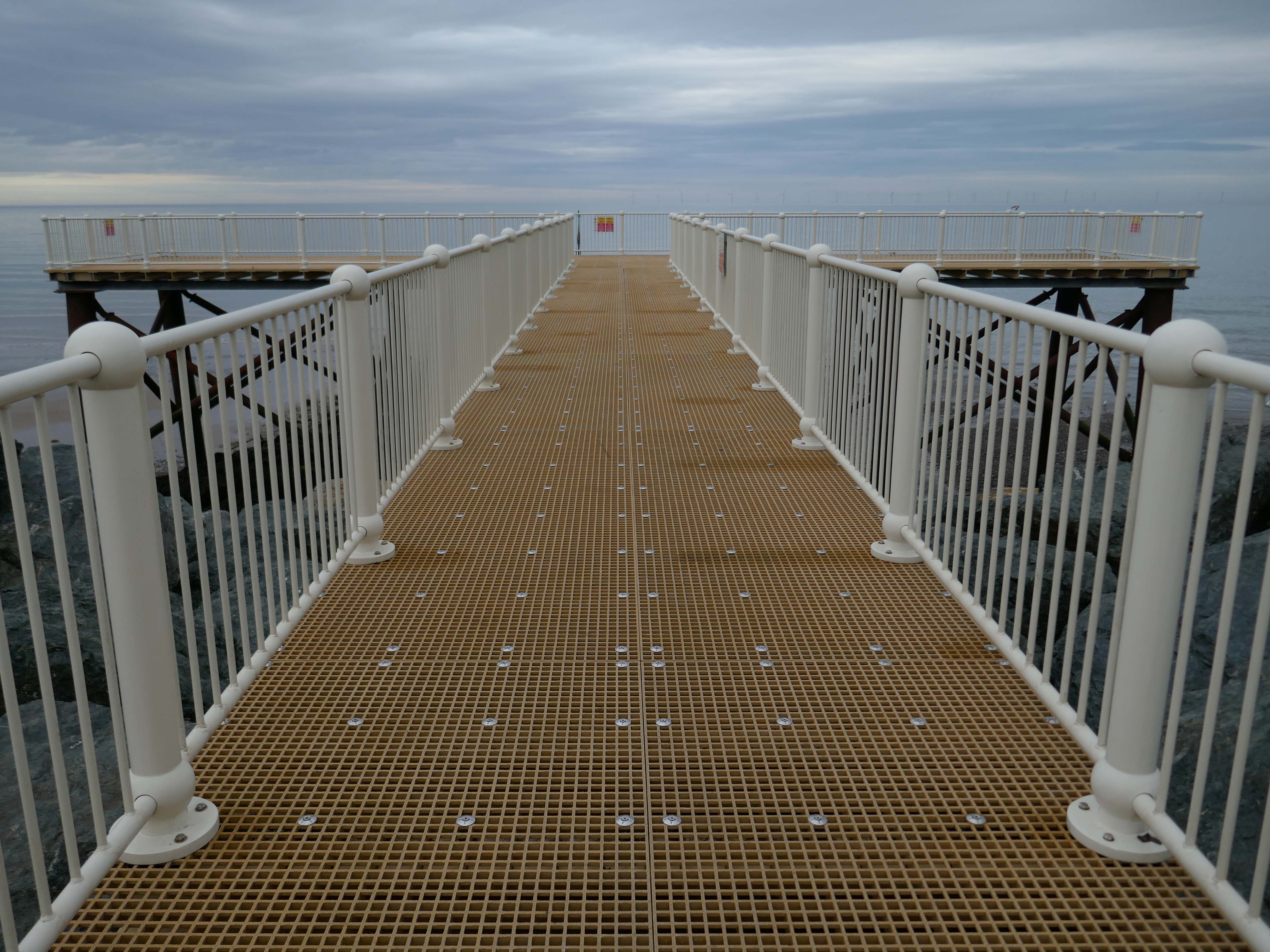
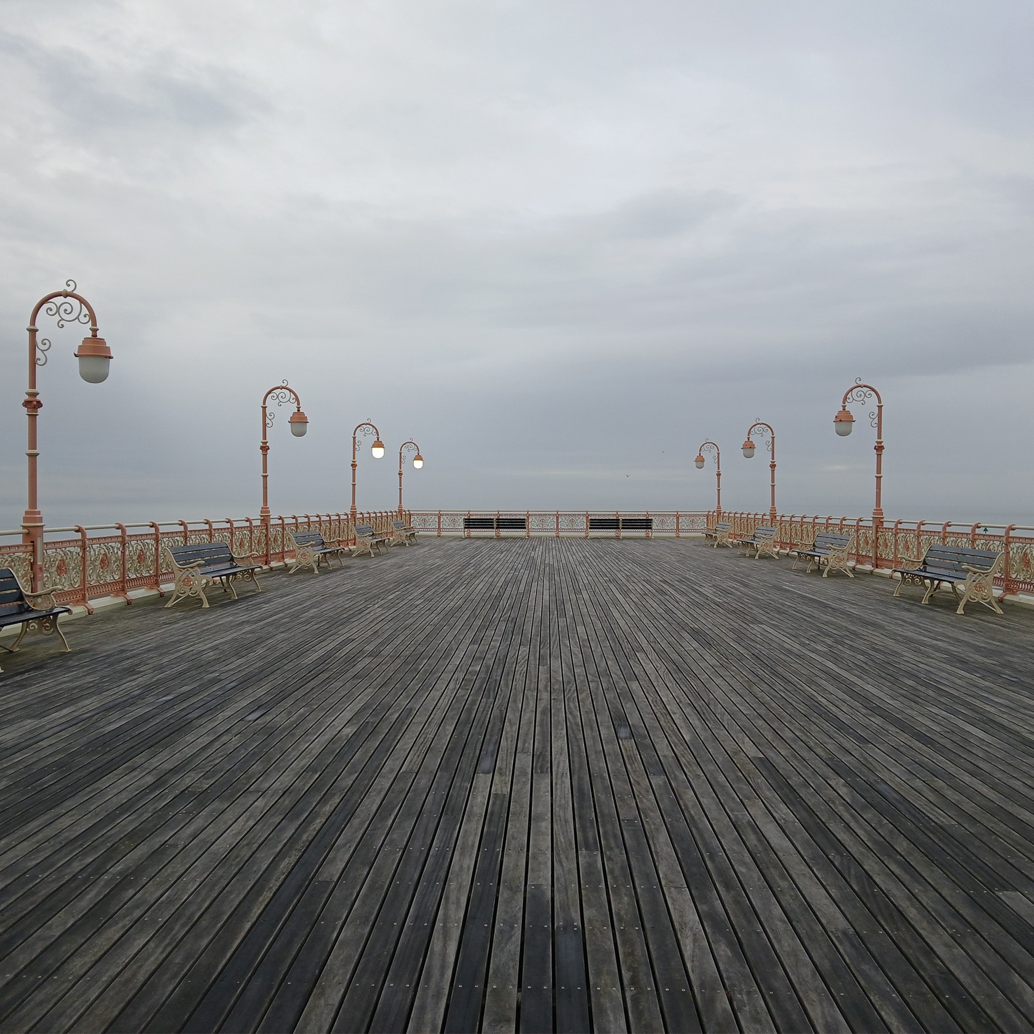
And a new pier has appeared.
Construction on the new Pier at Colwyn Bay commenced in July 2020. Despite being initially slated for completion in the summer, the erection of scaffolding and subsequent work on the 45-meter truncated Colwyn Bay pier were delayed. However, the project timeline was expedited, and the construction was successfully finished in July 2021.
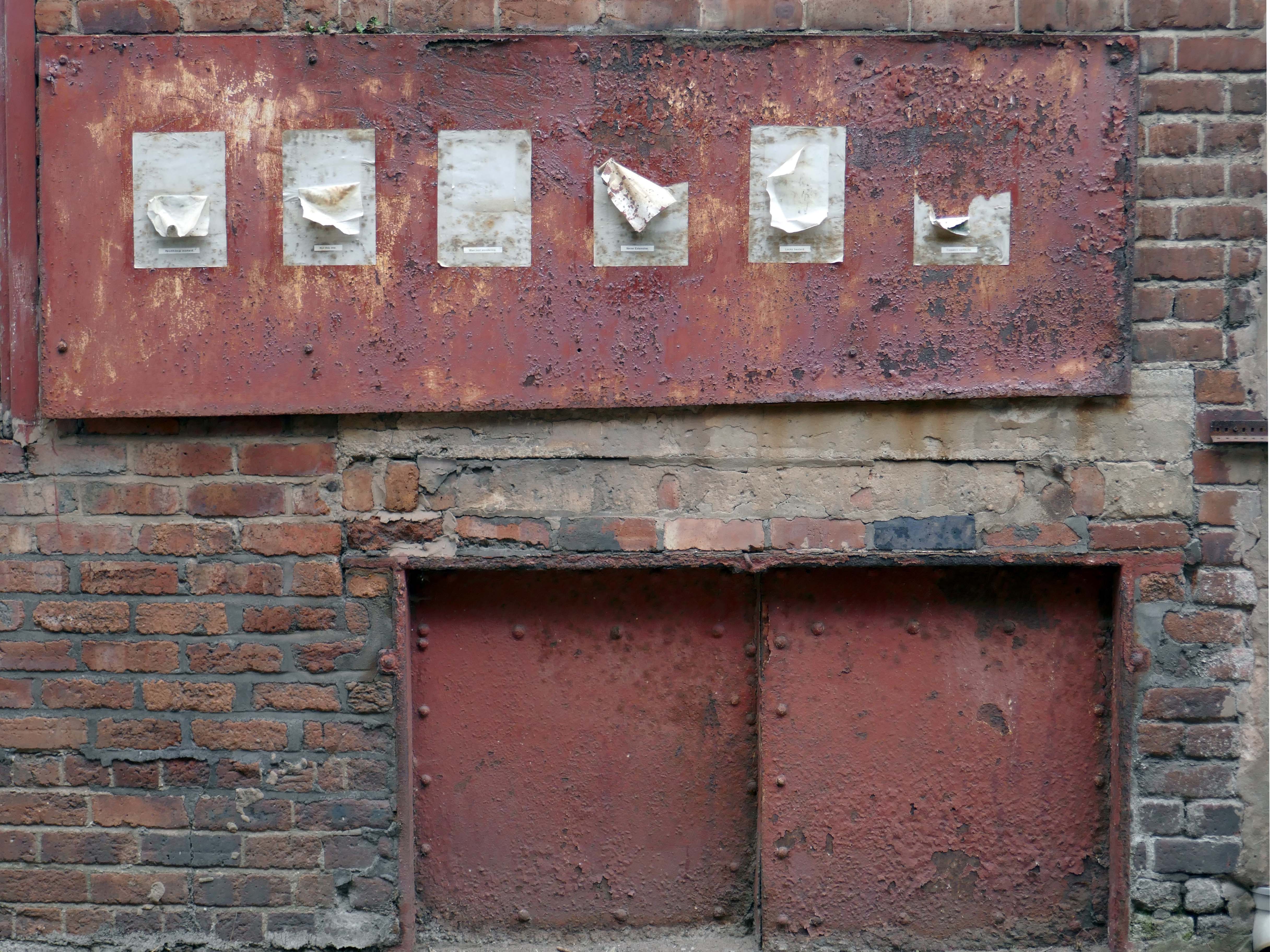
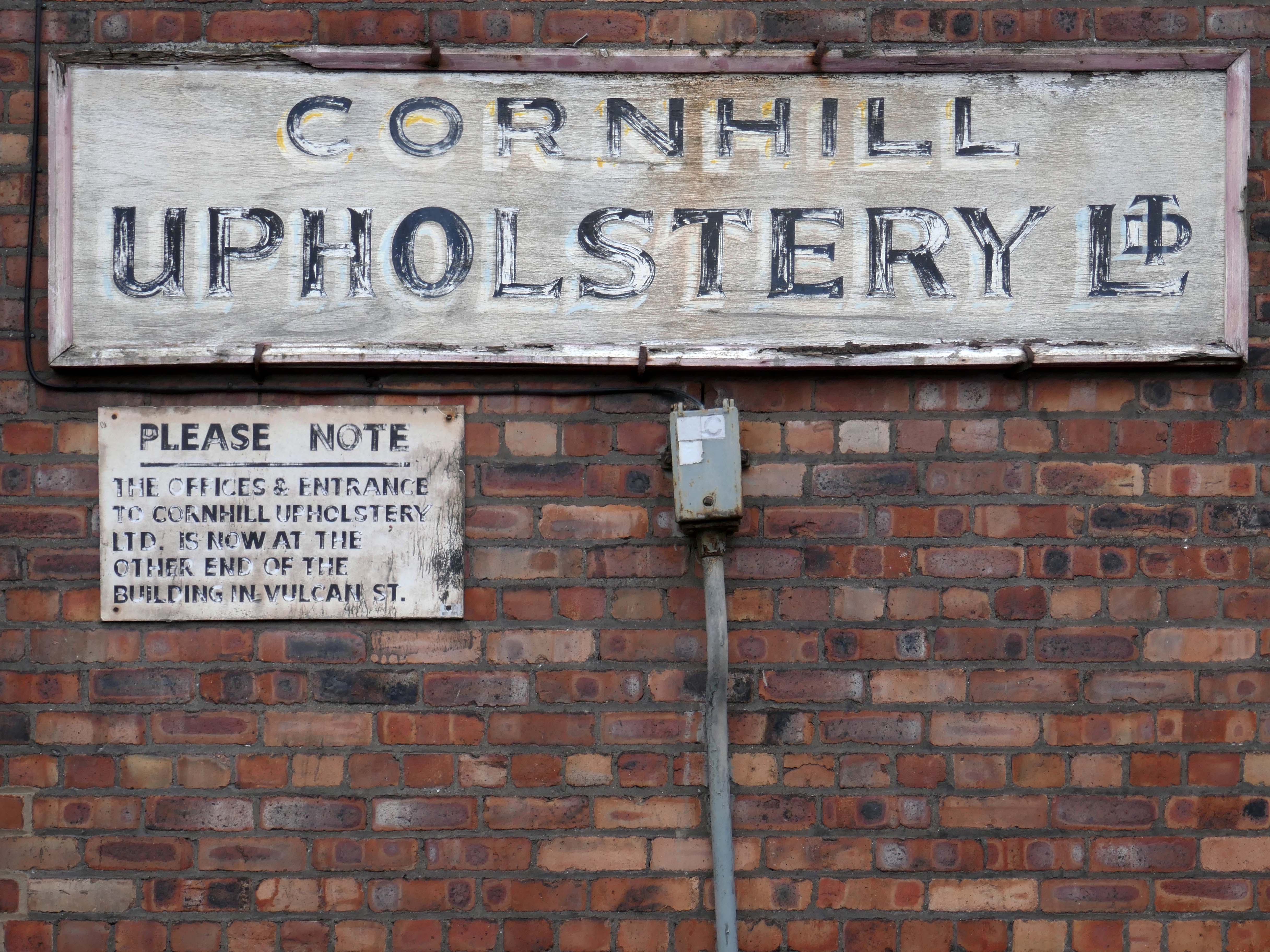
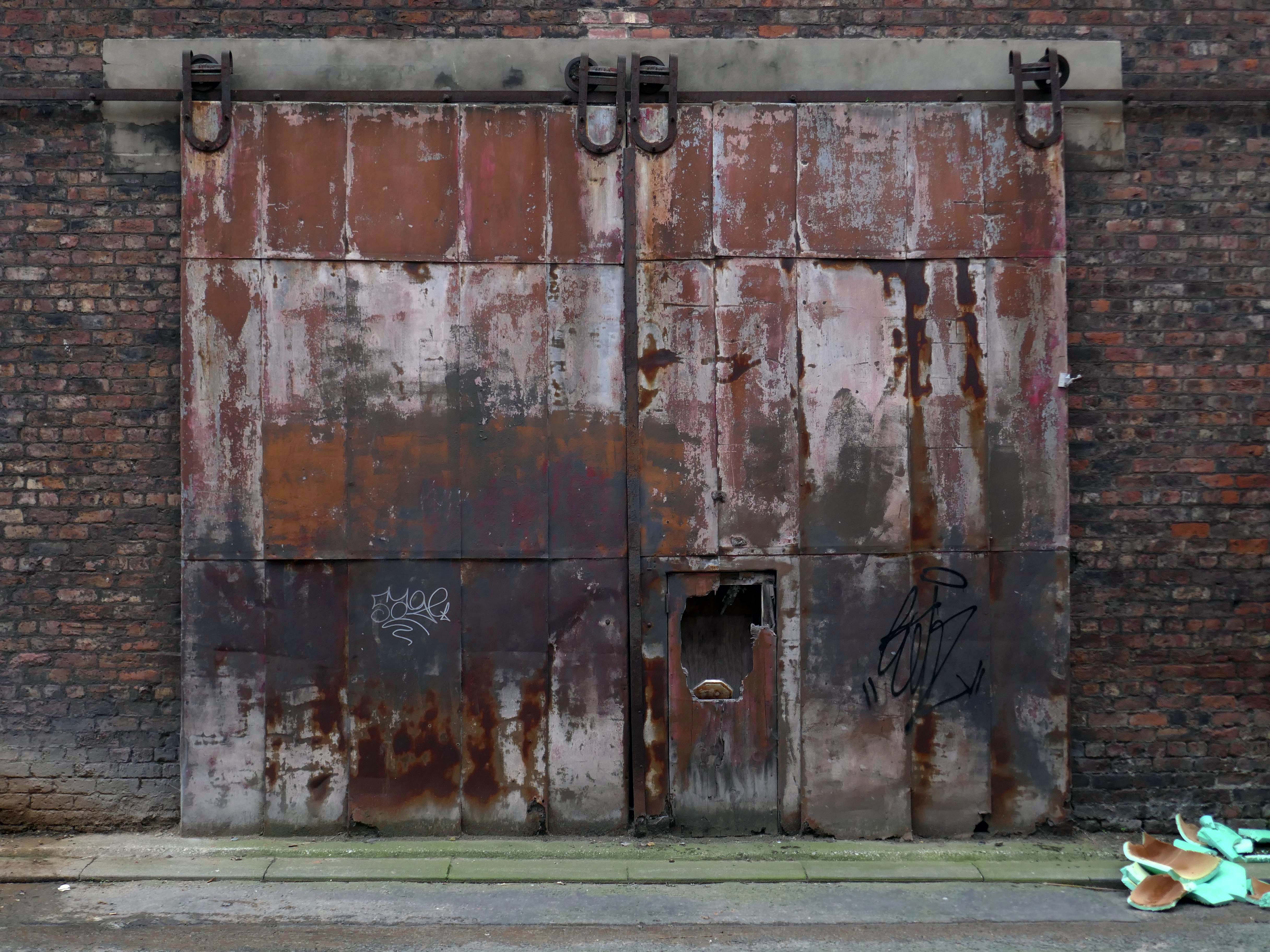
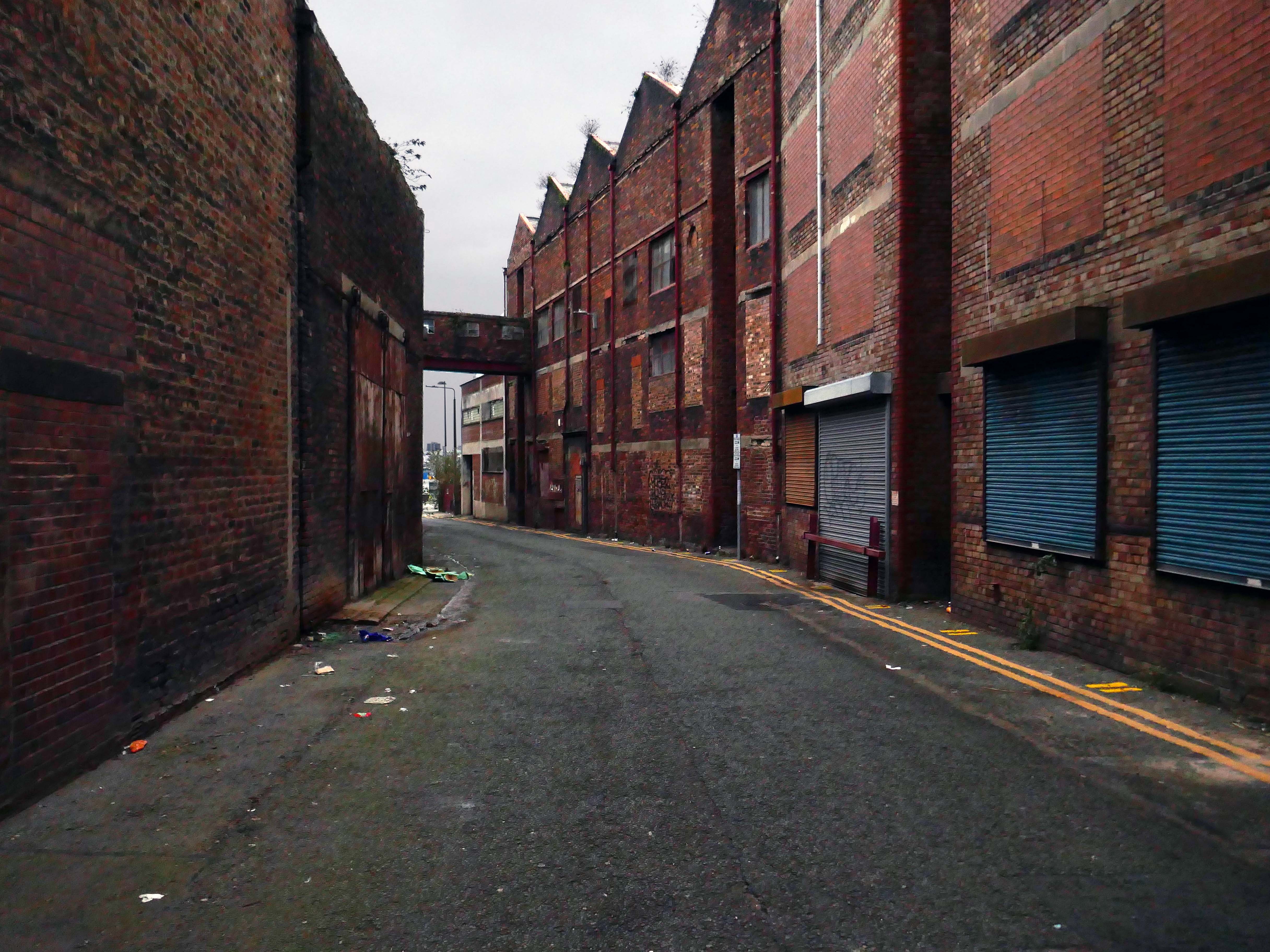
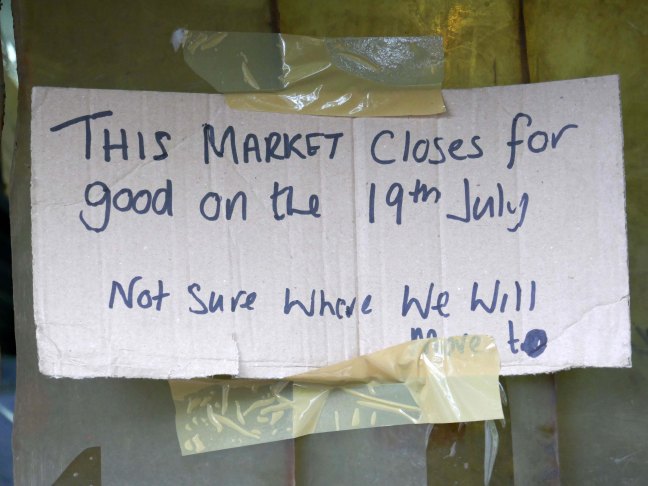
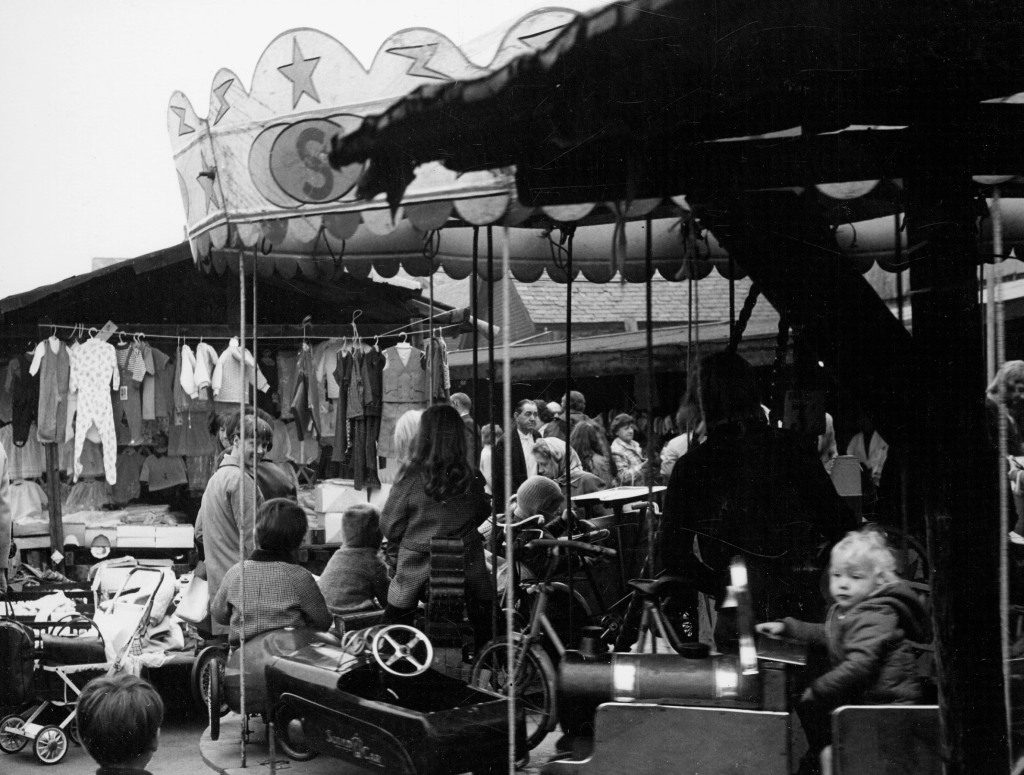
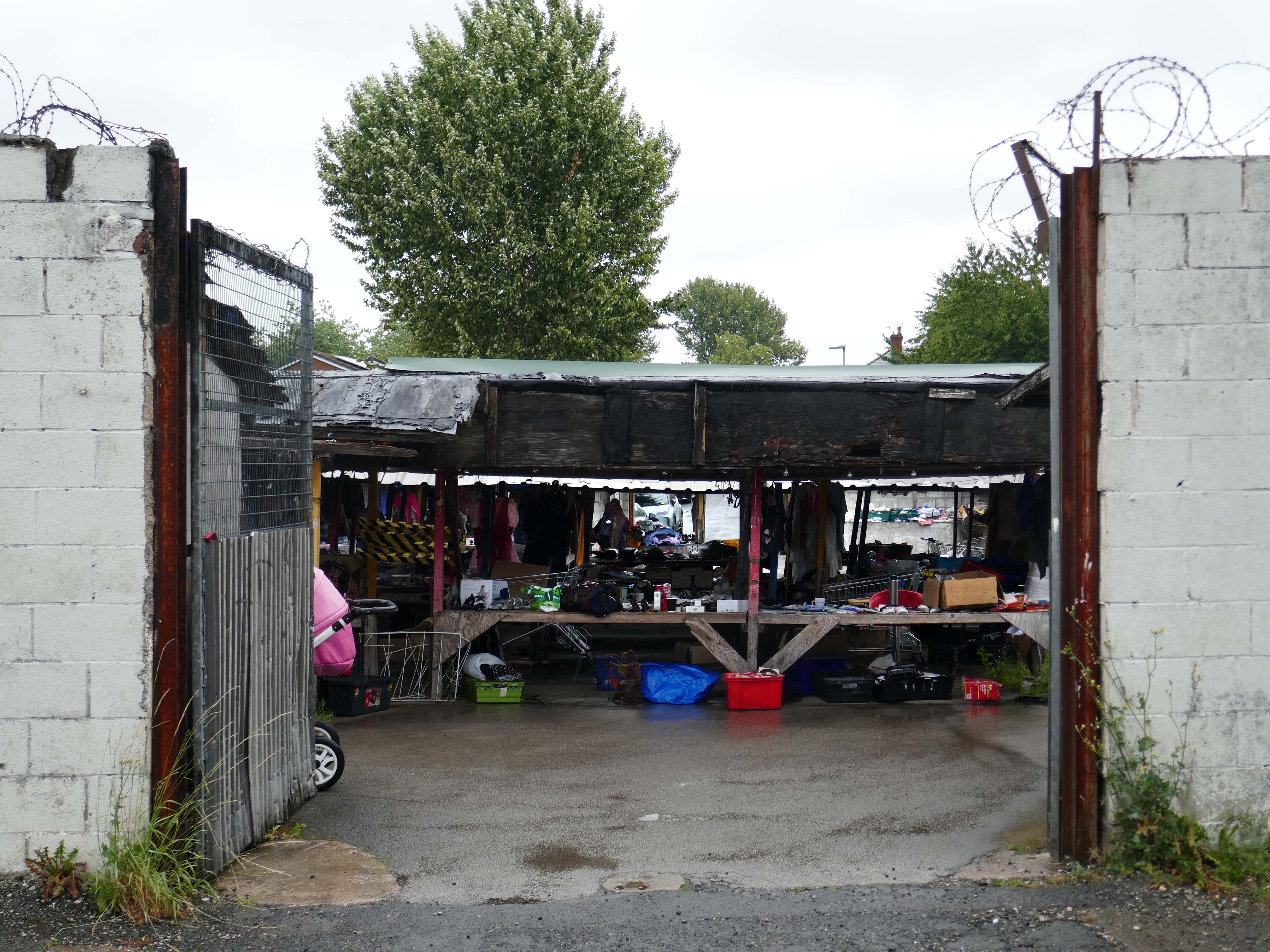
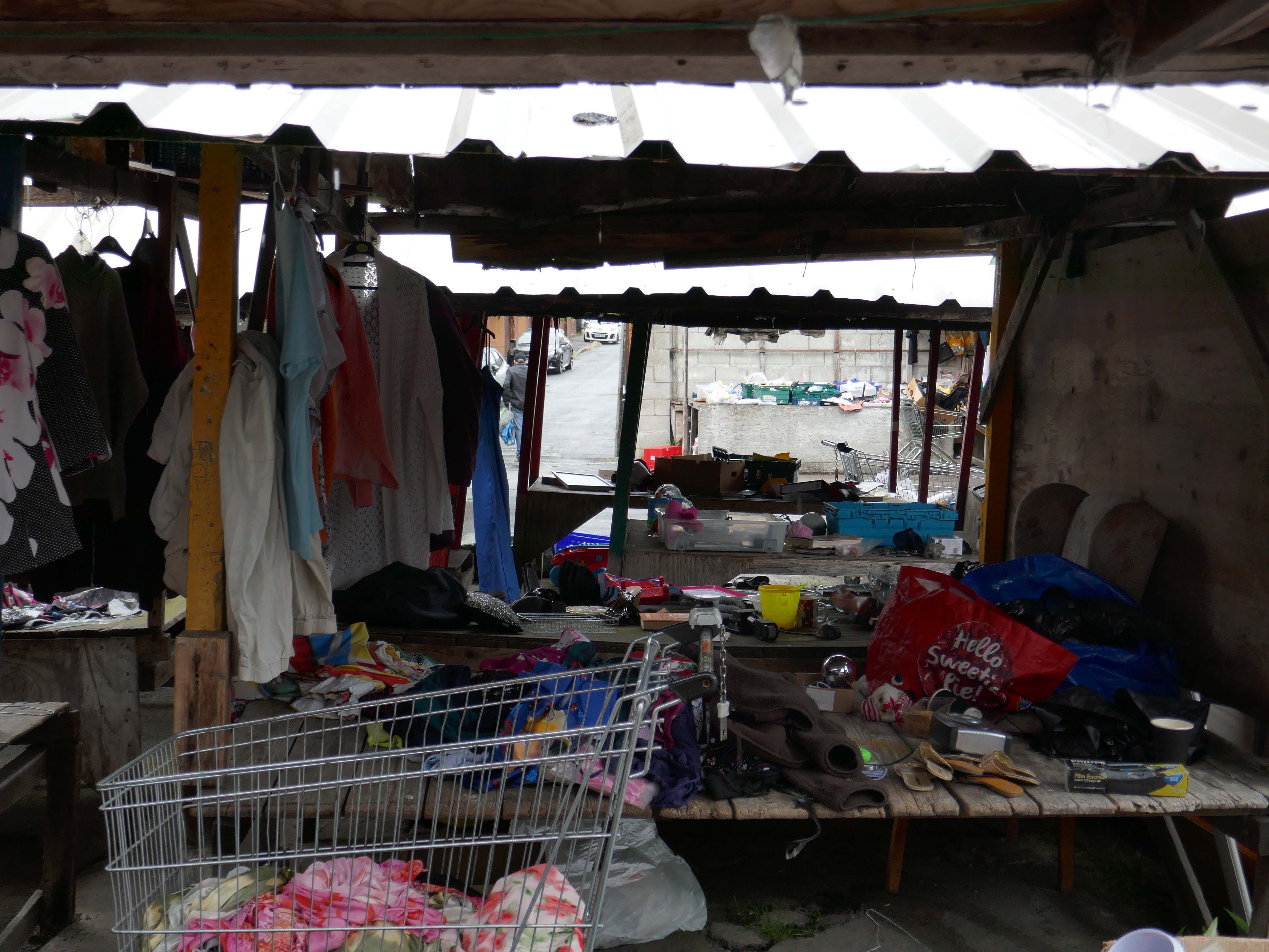
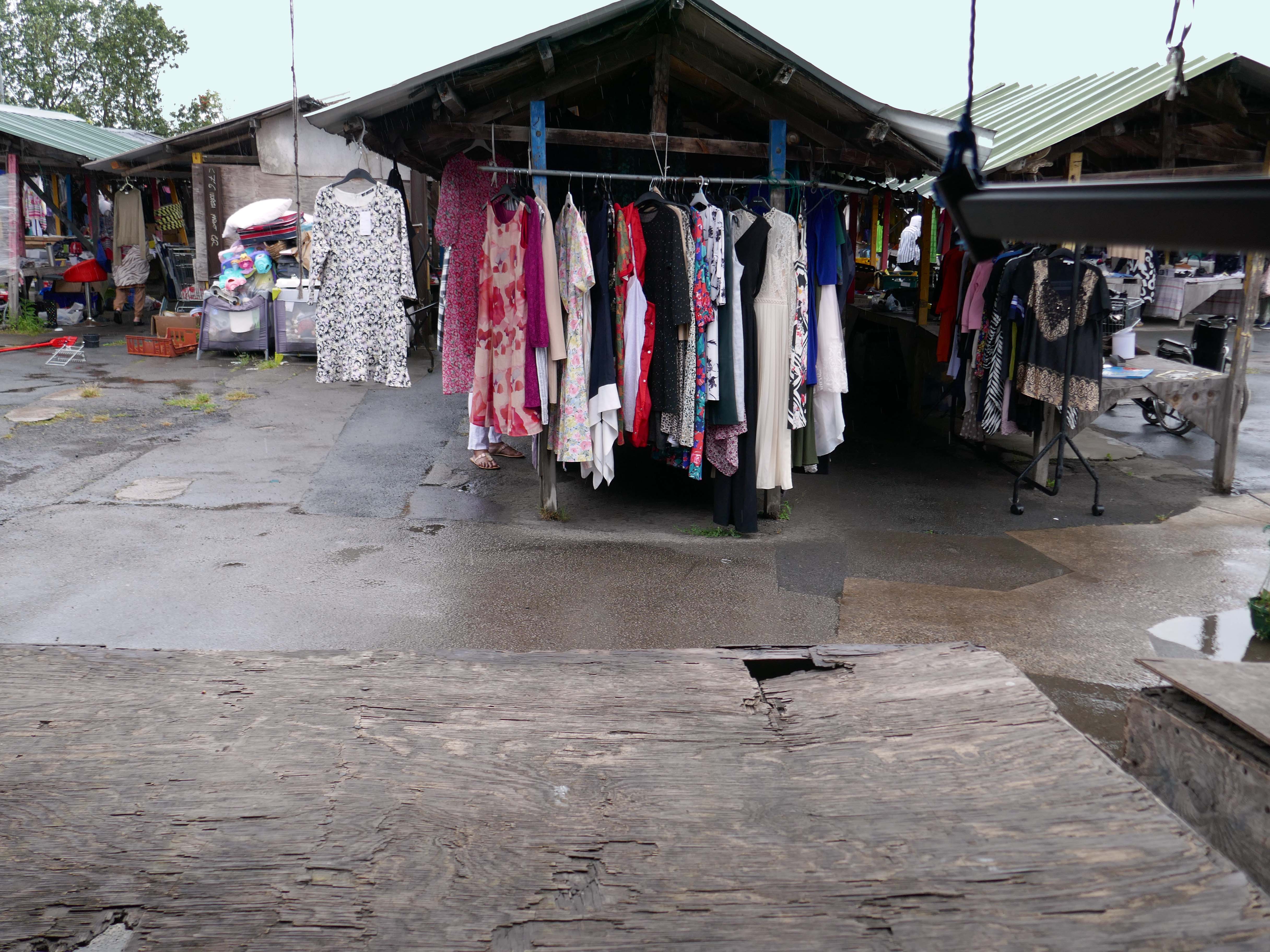
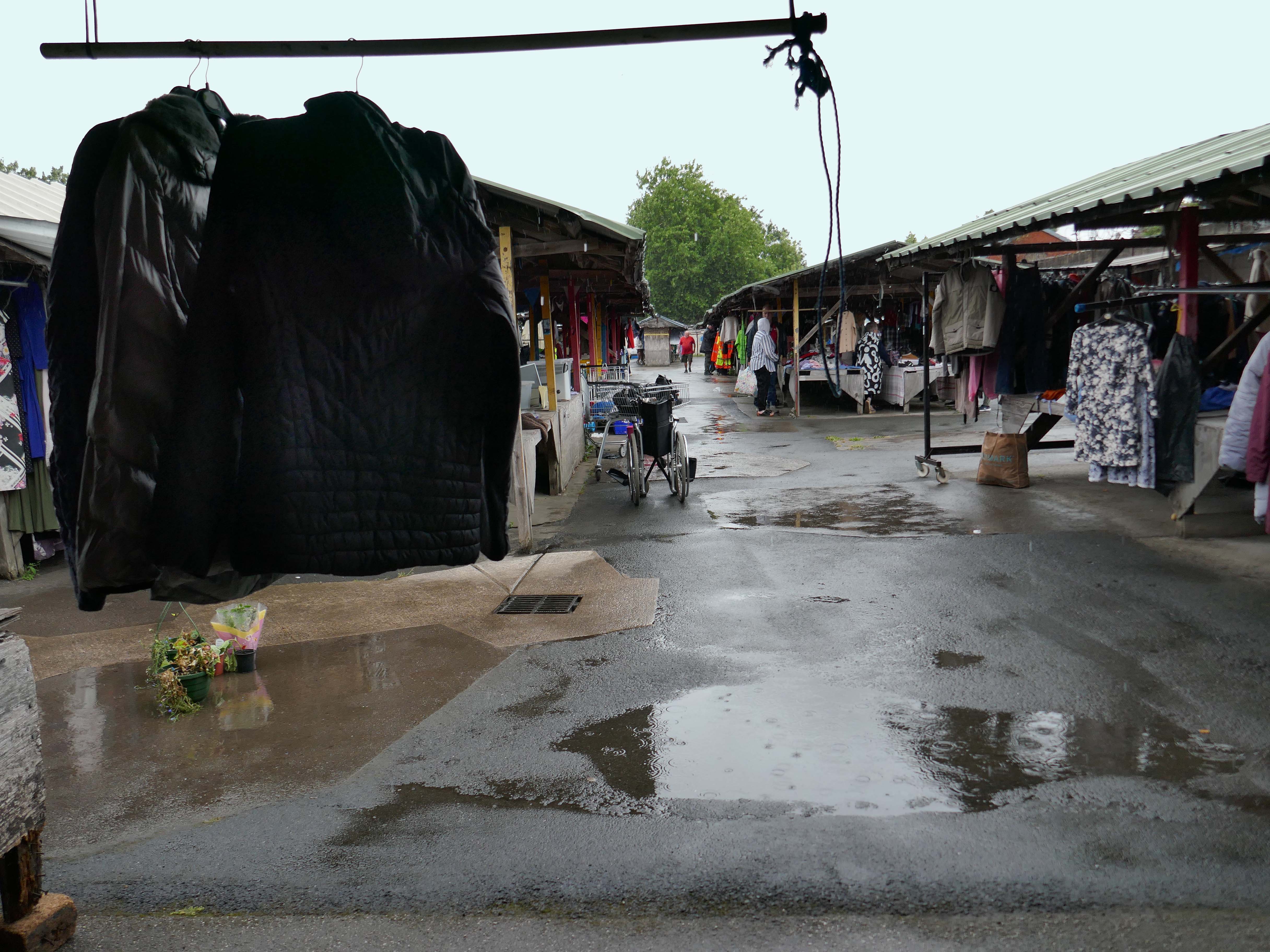
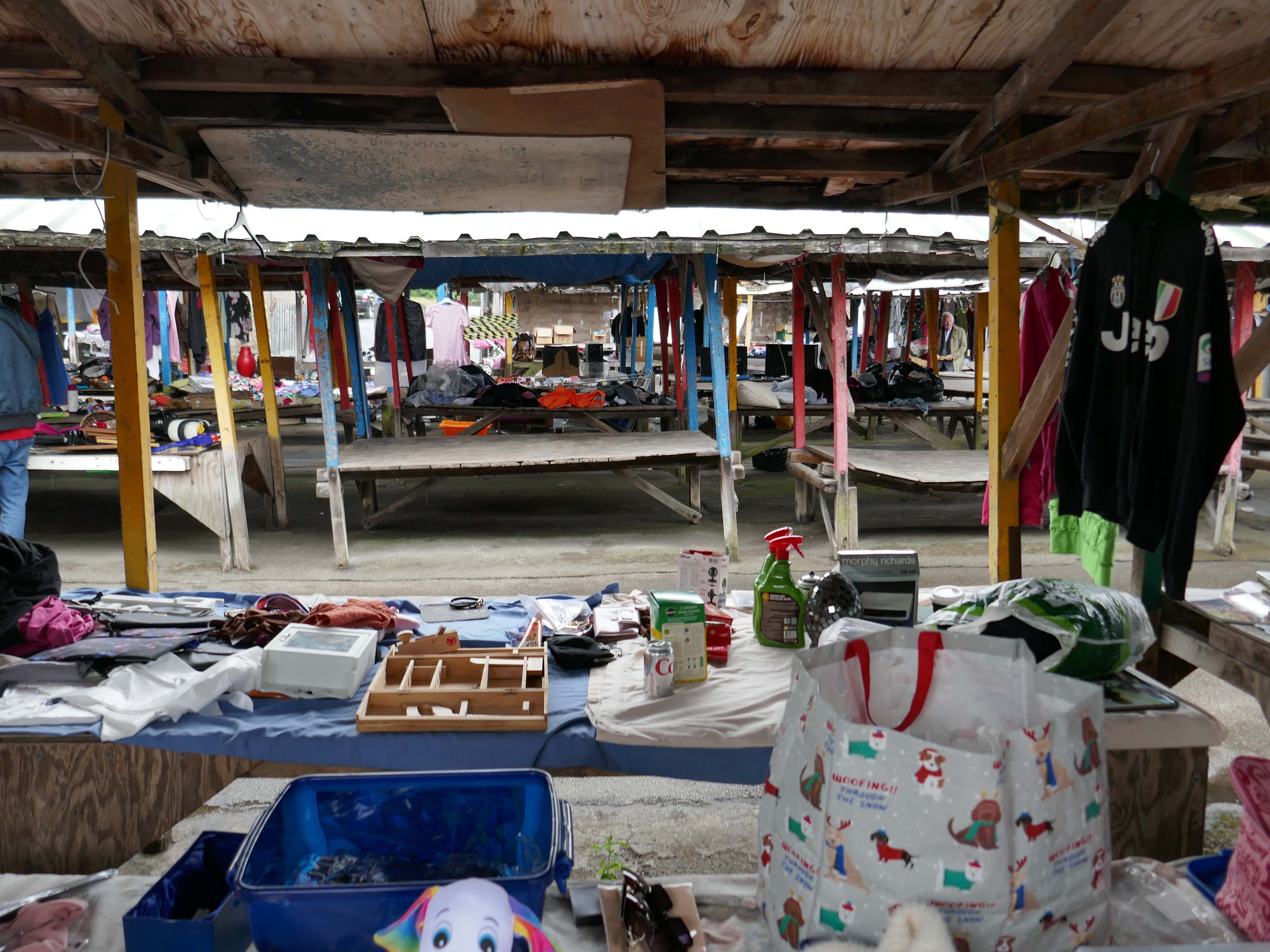
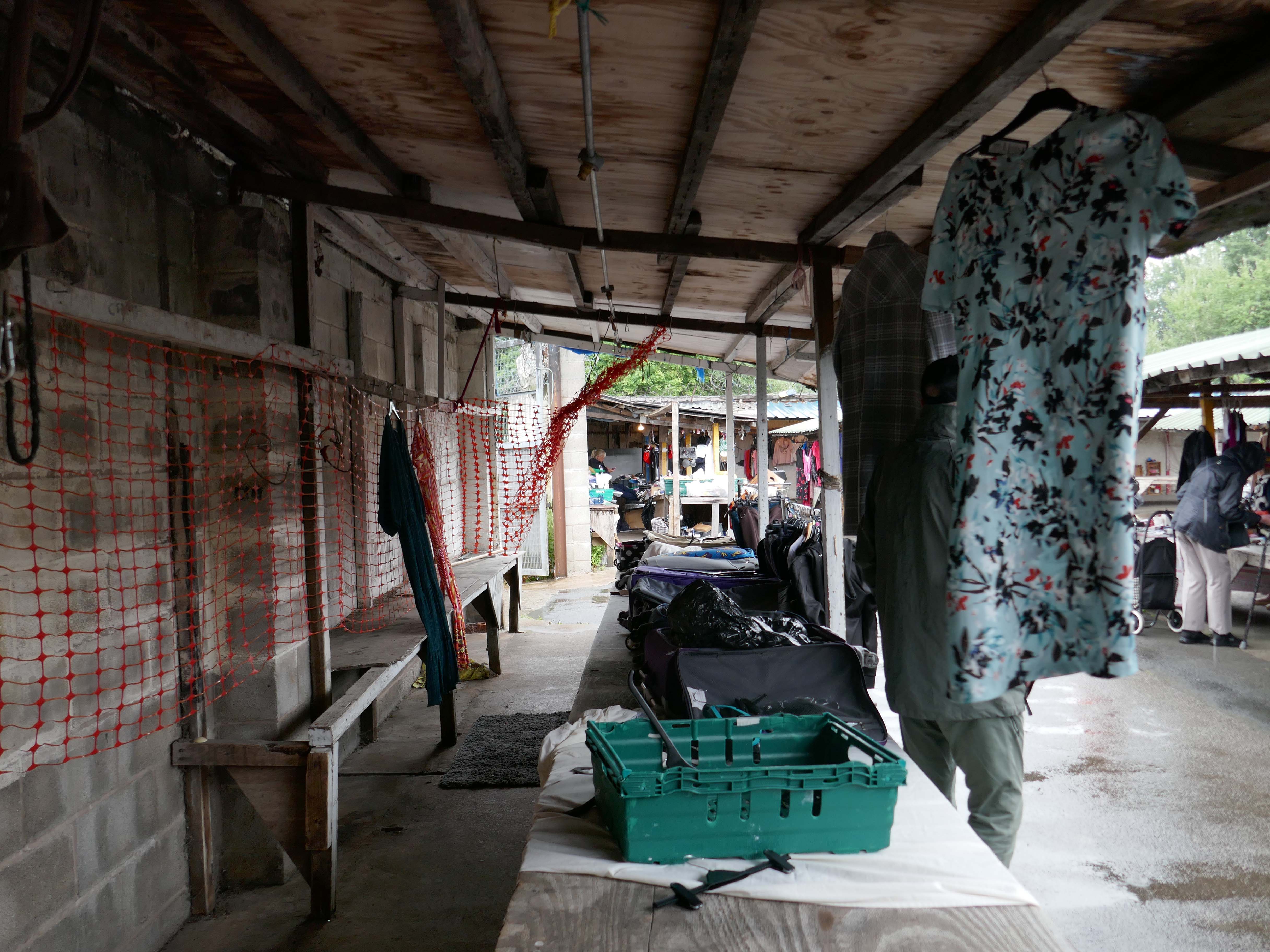
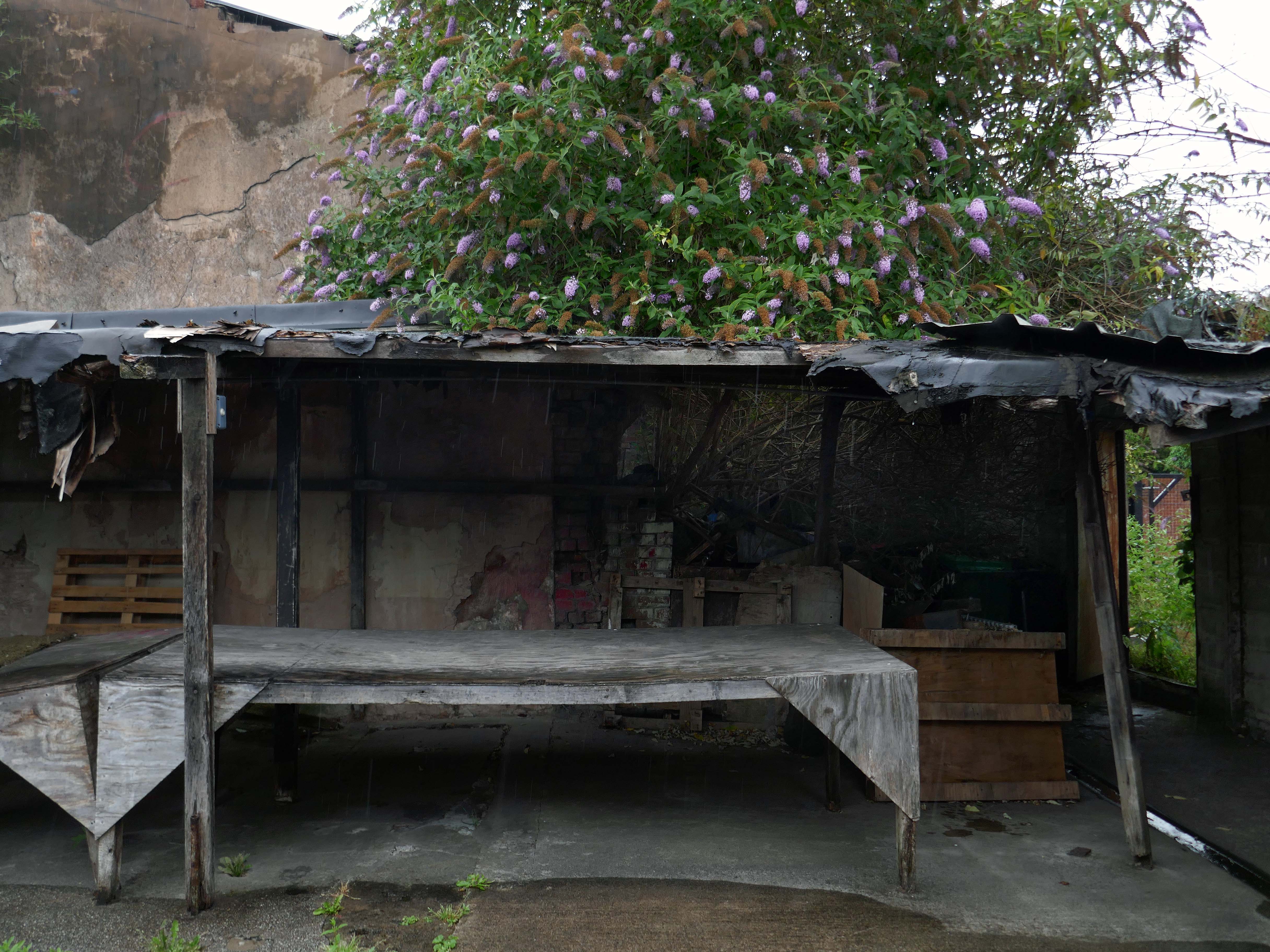
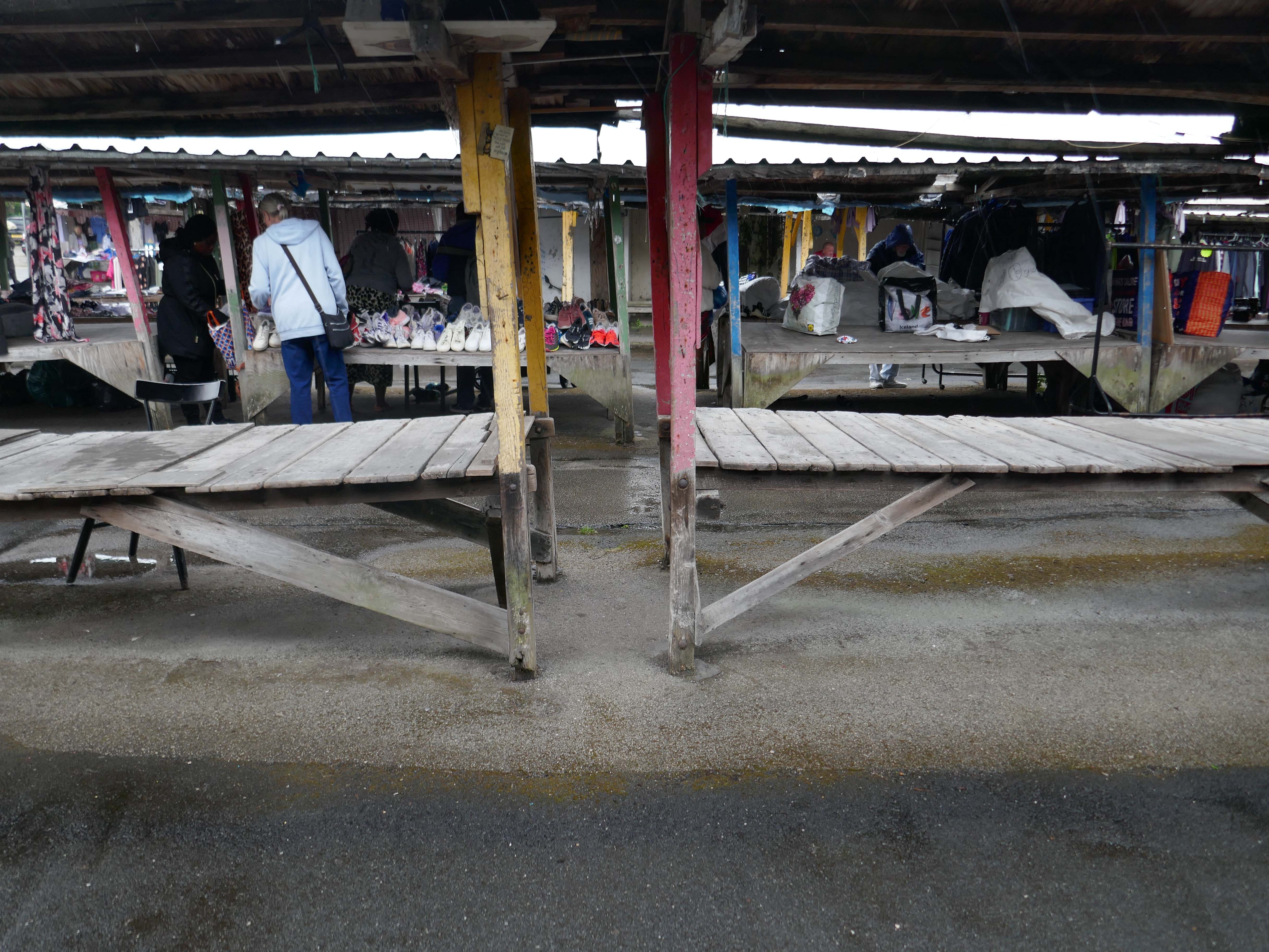
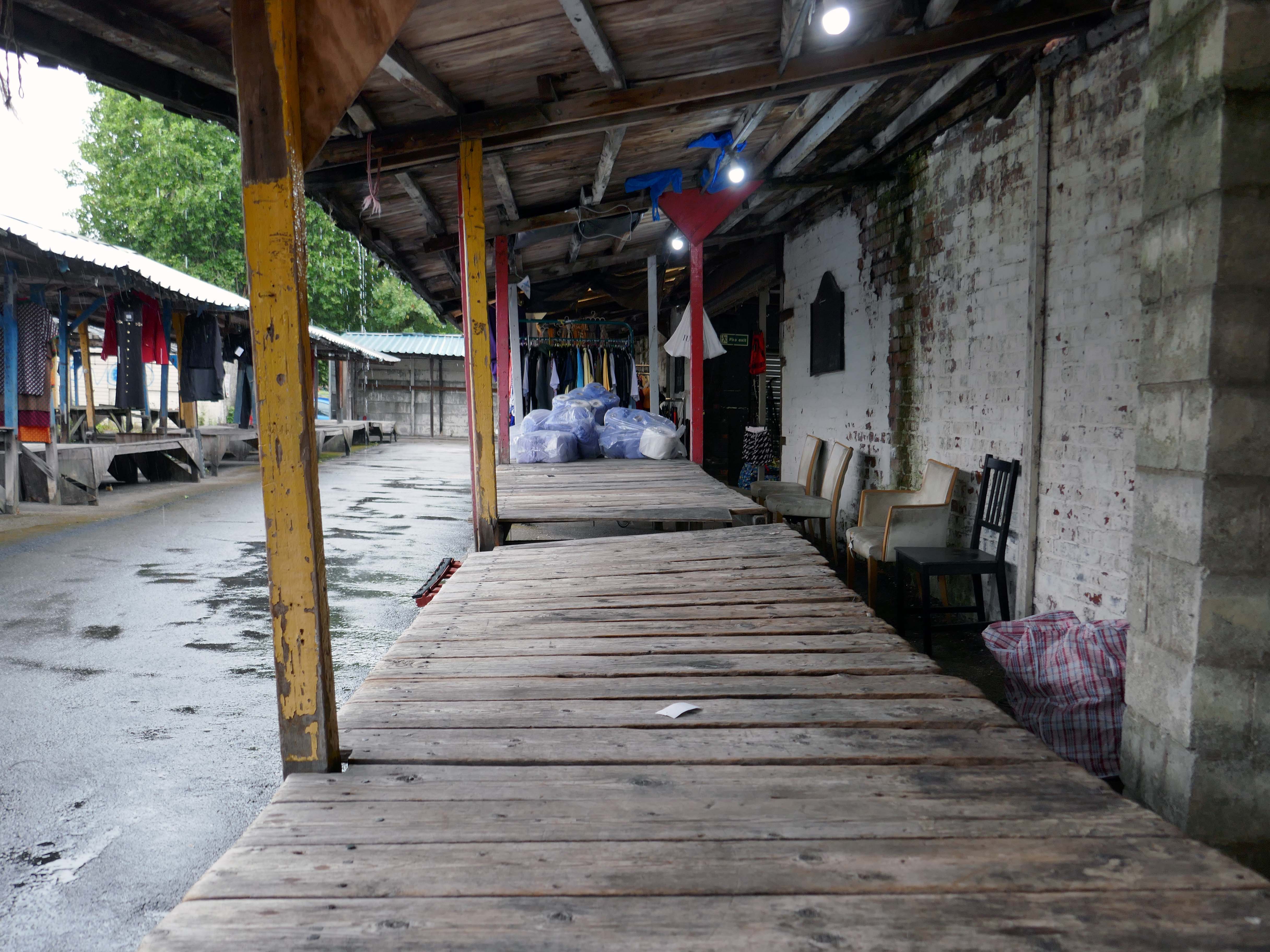
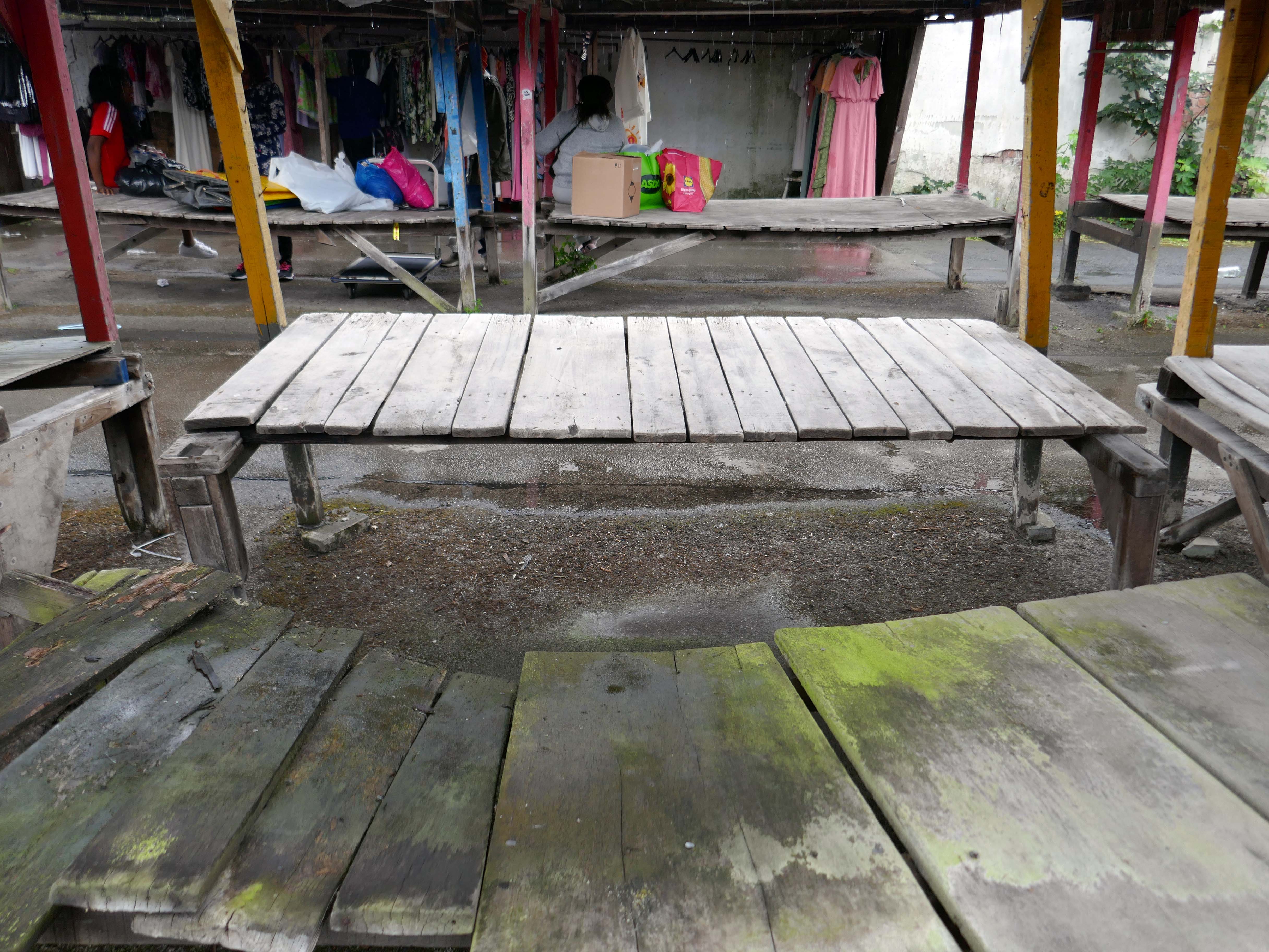
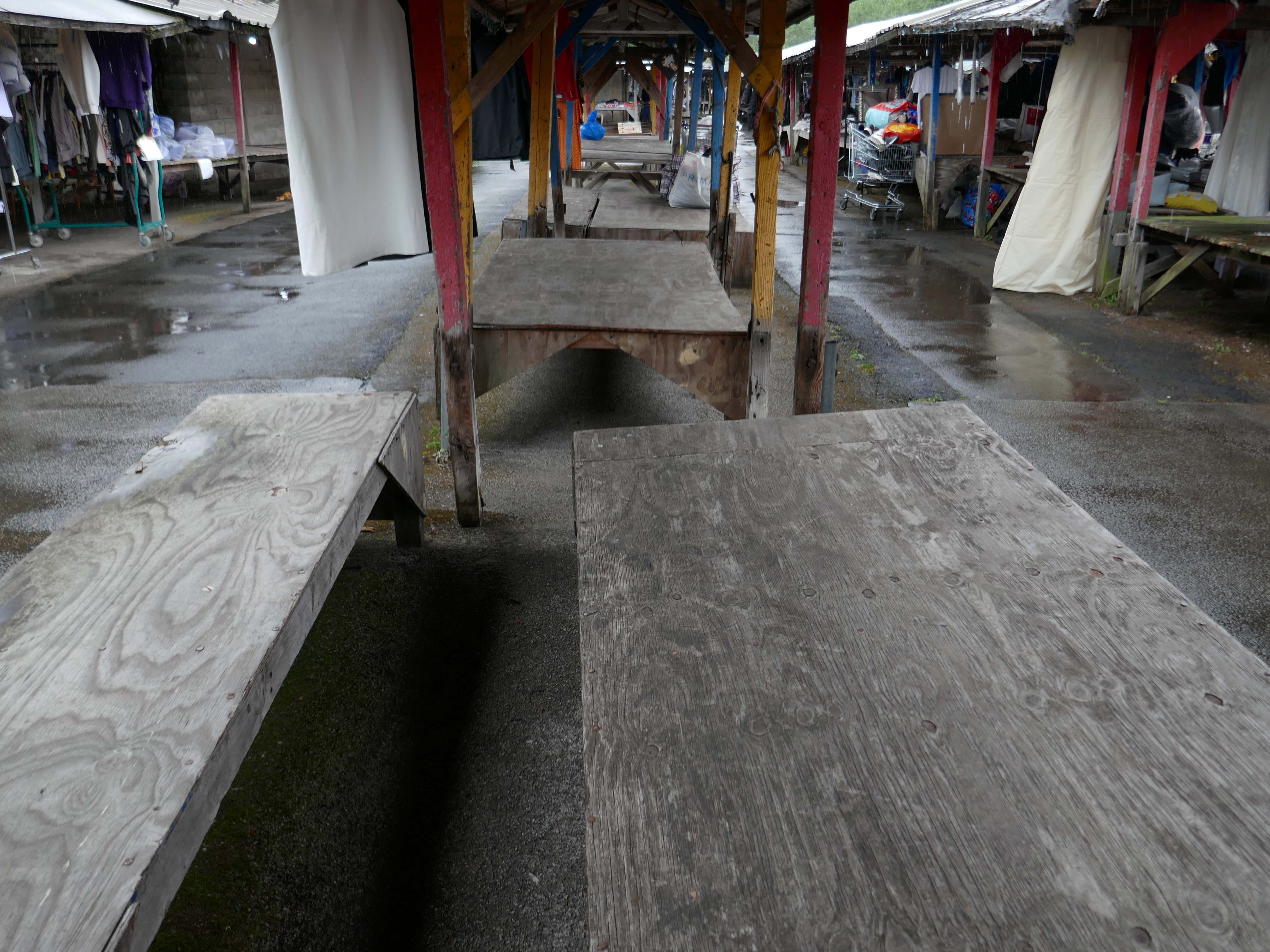
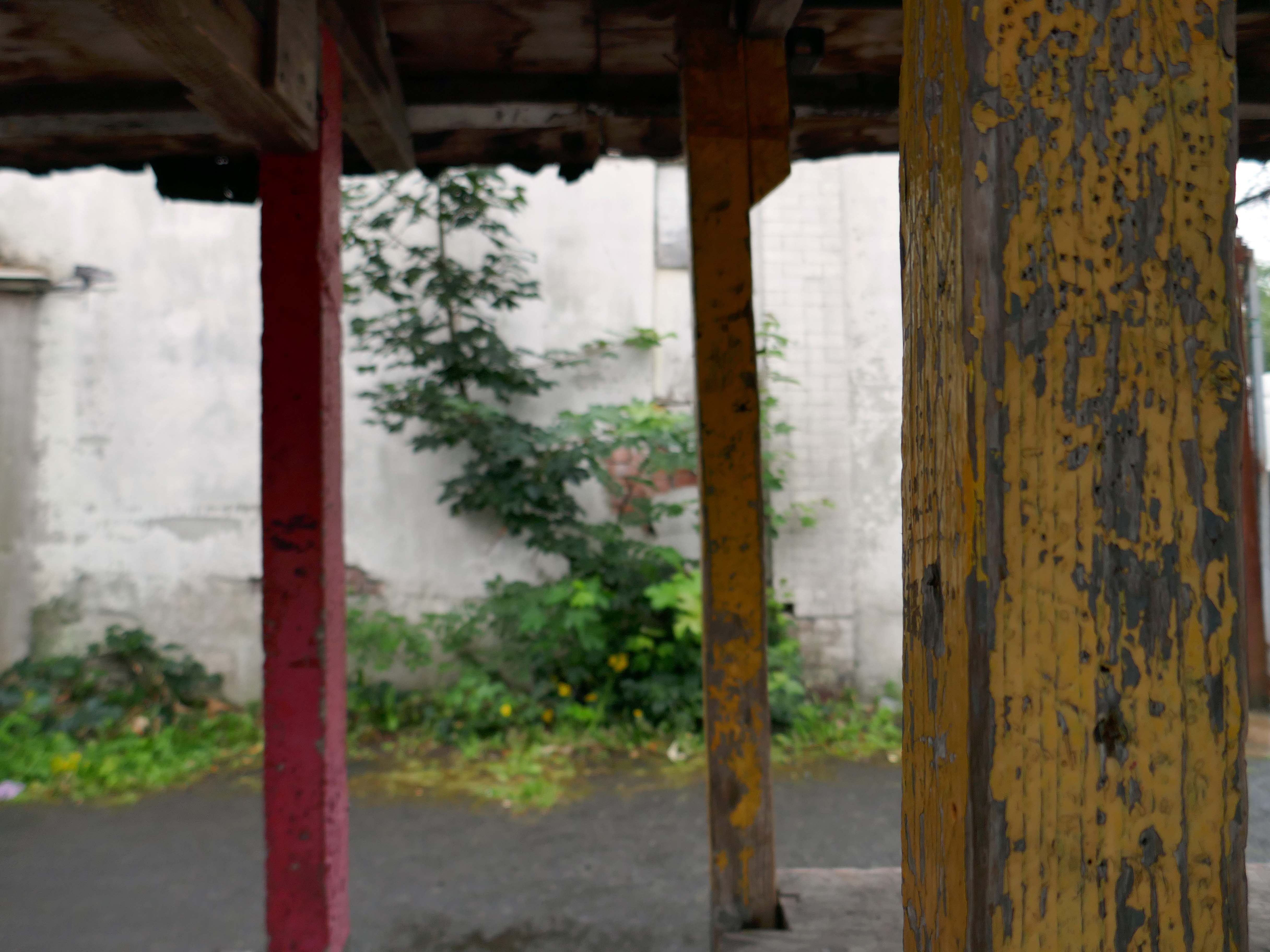
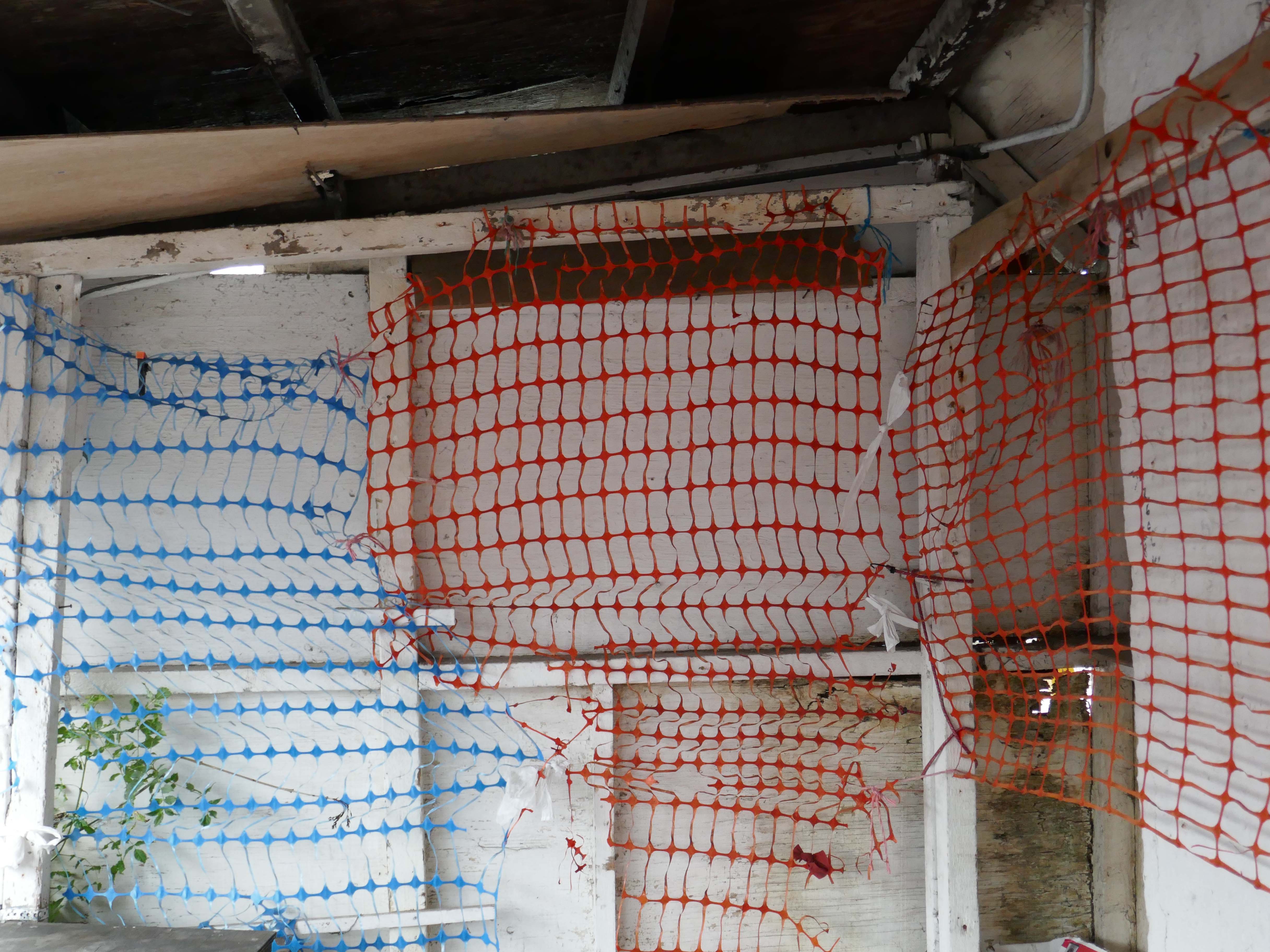
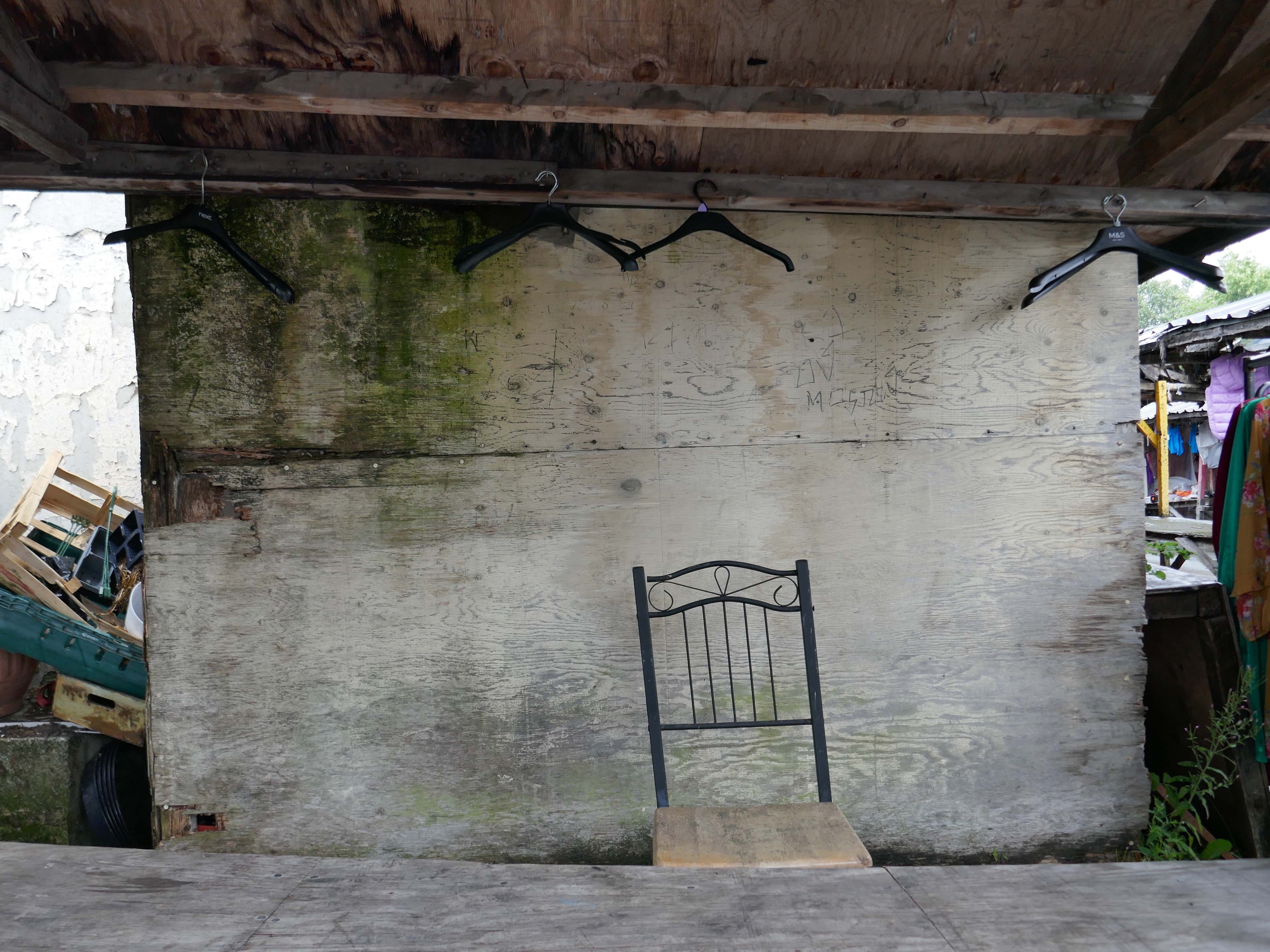
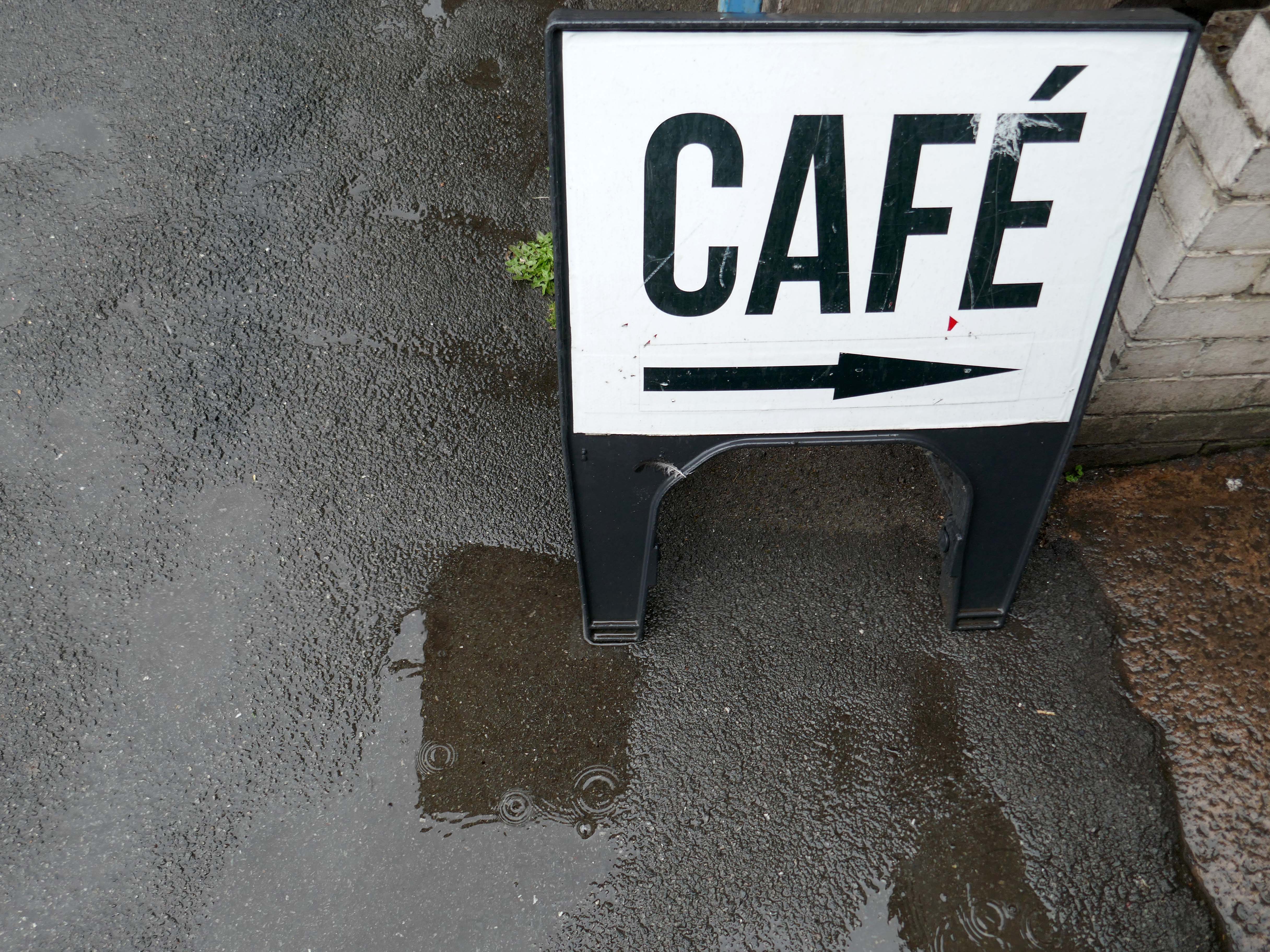
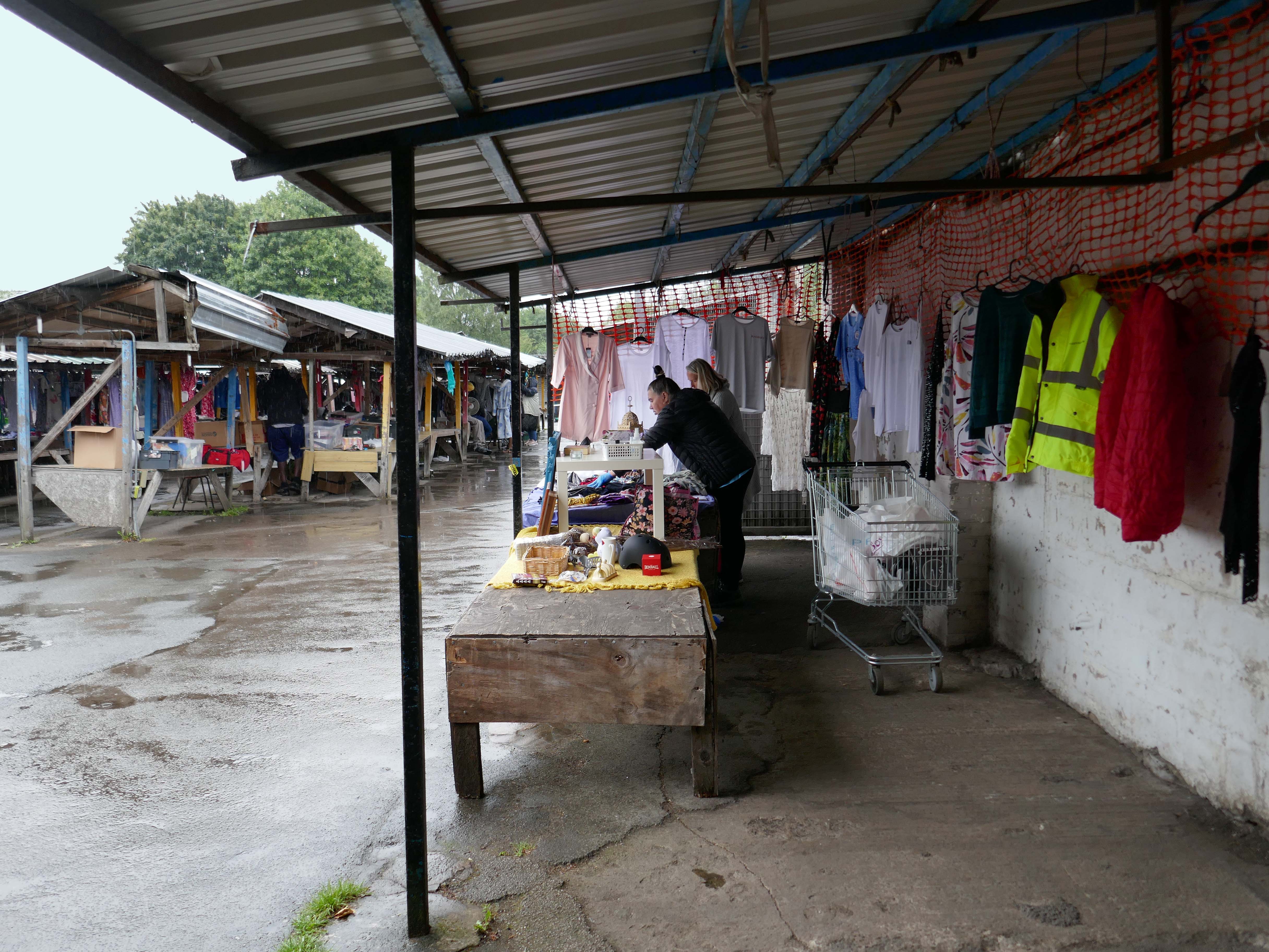
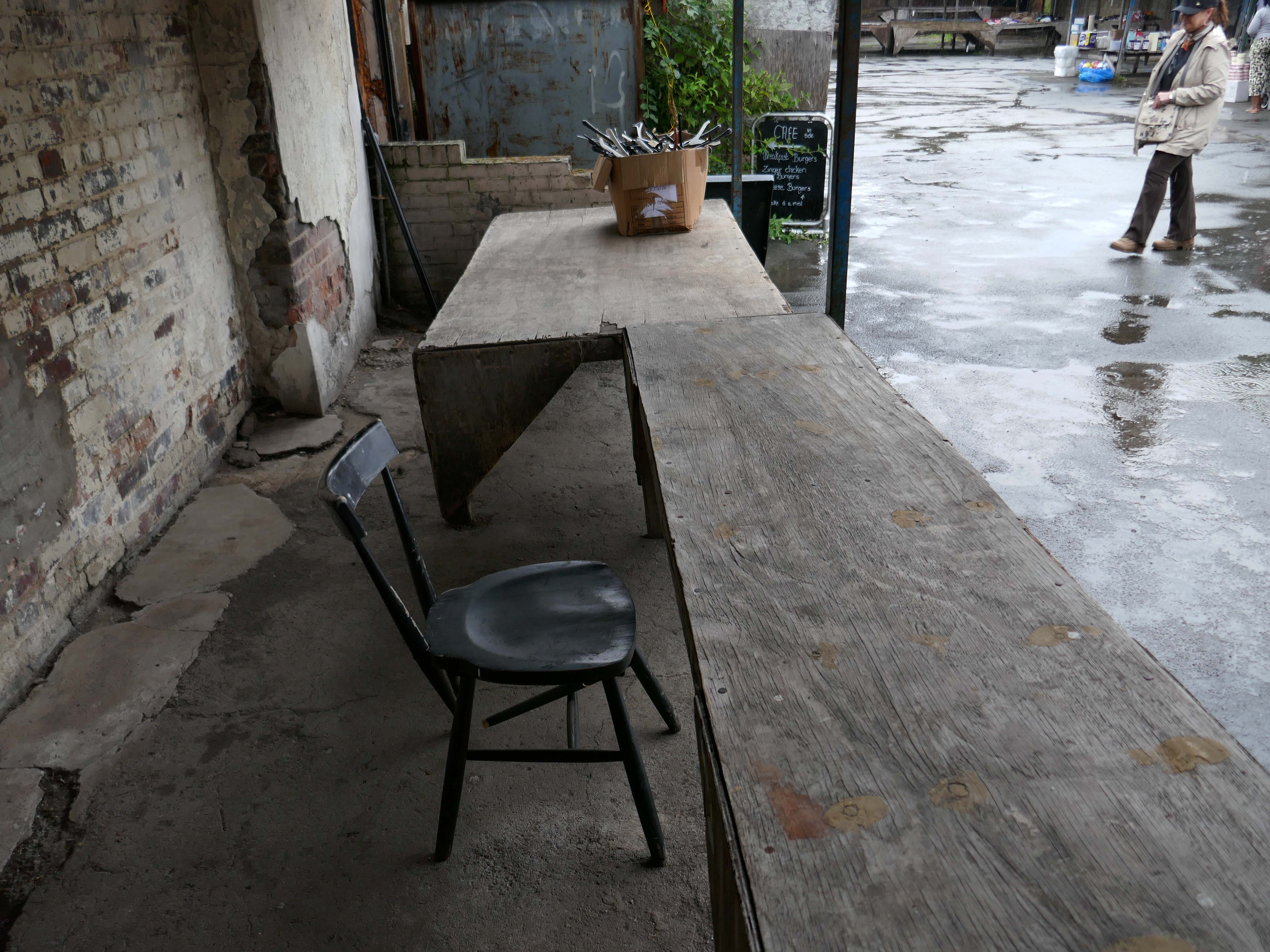
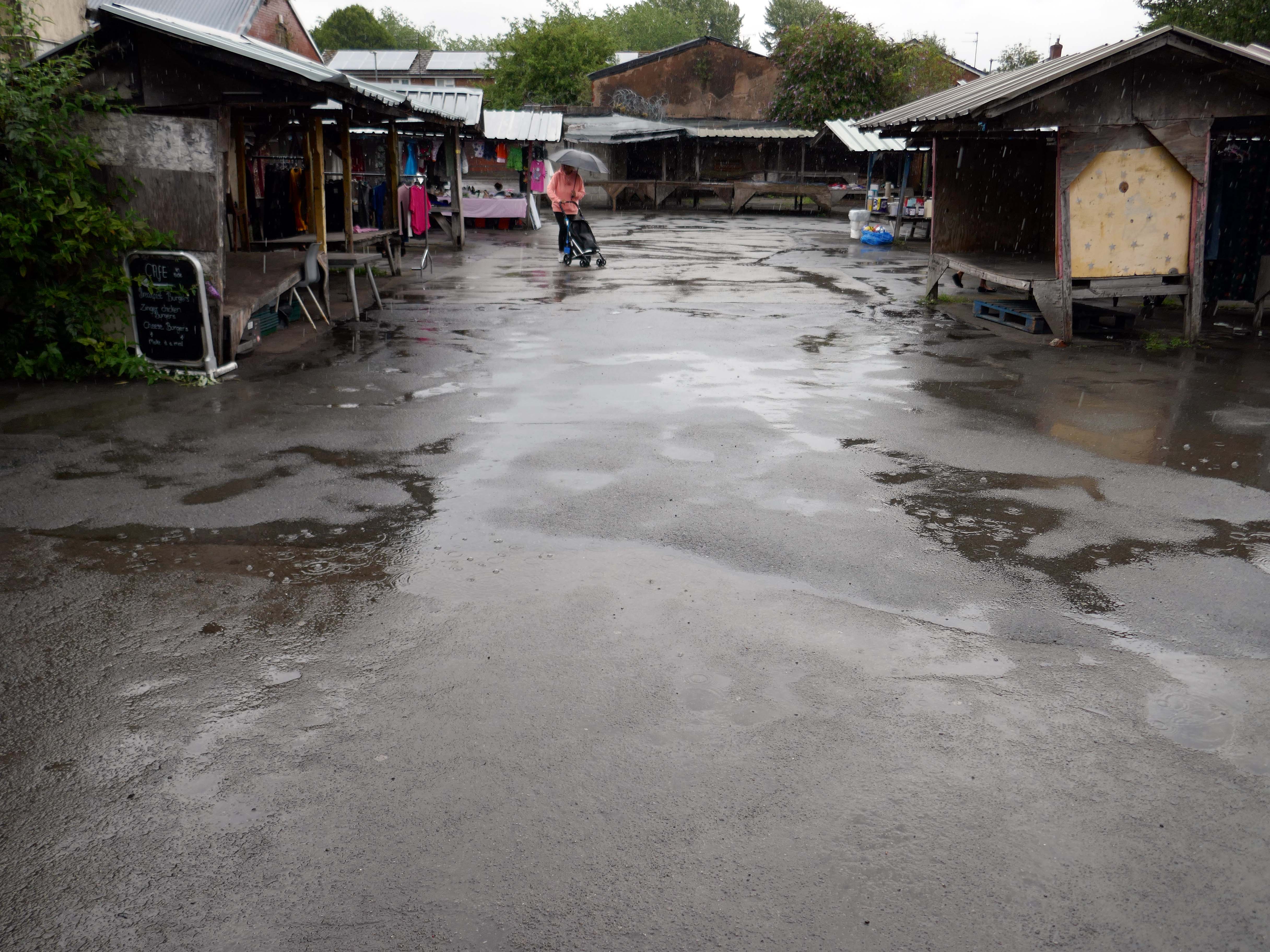
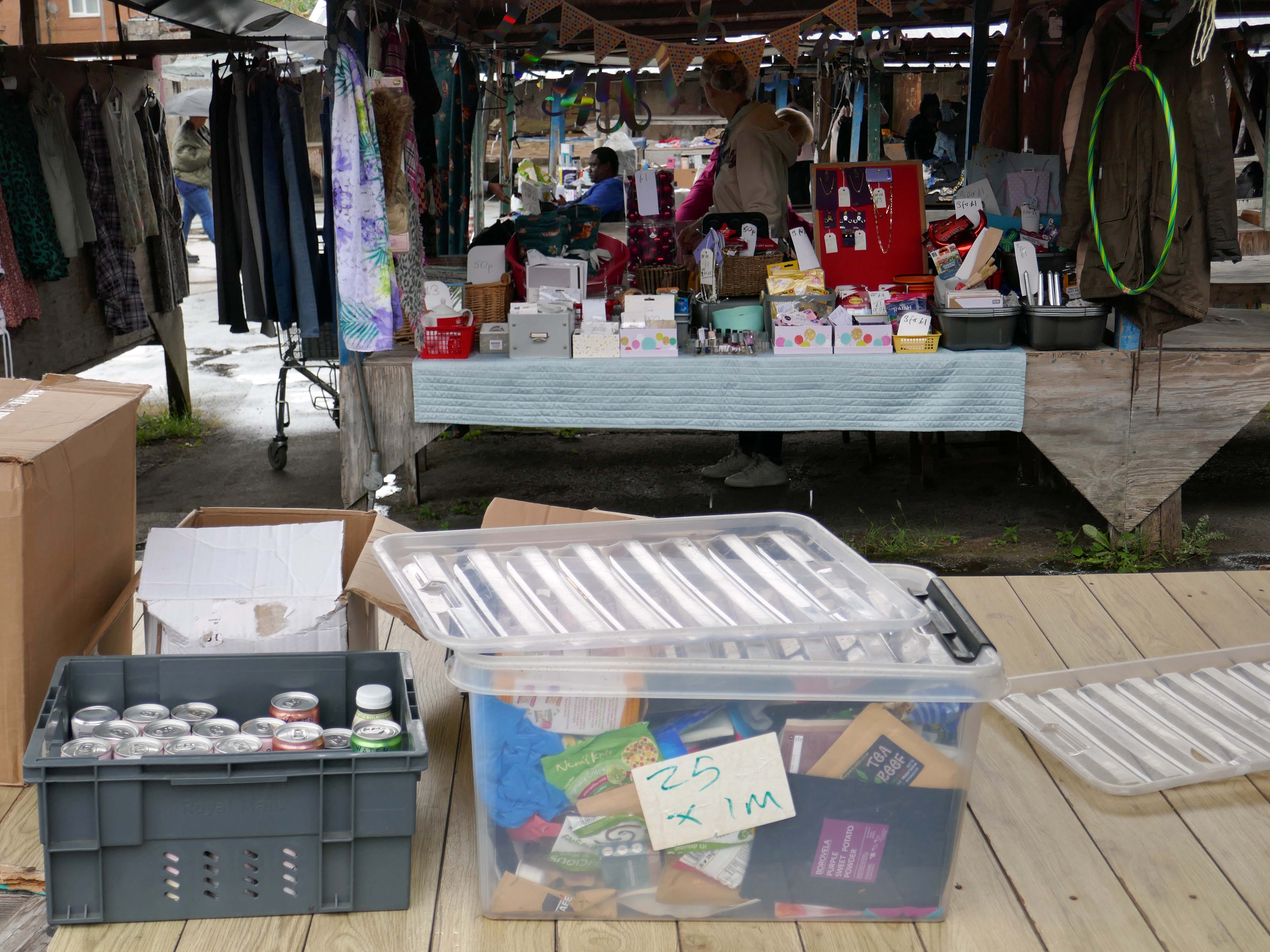
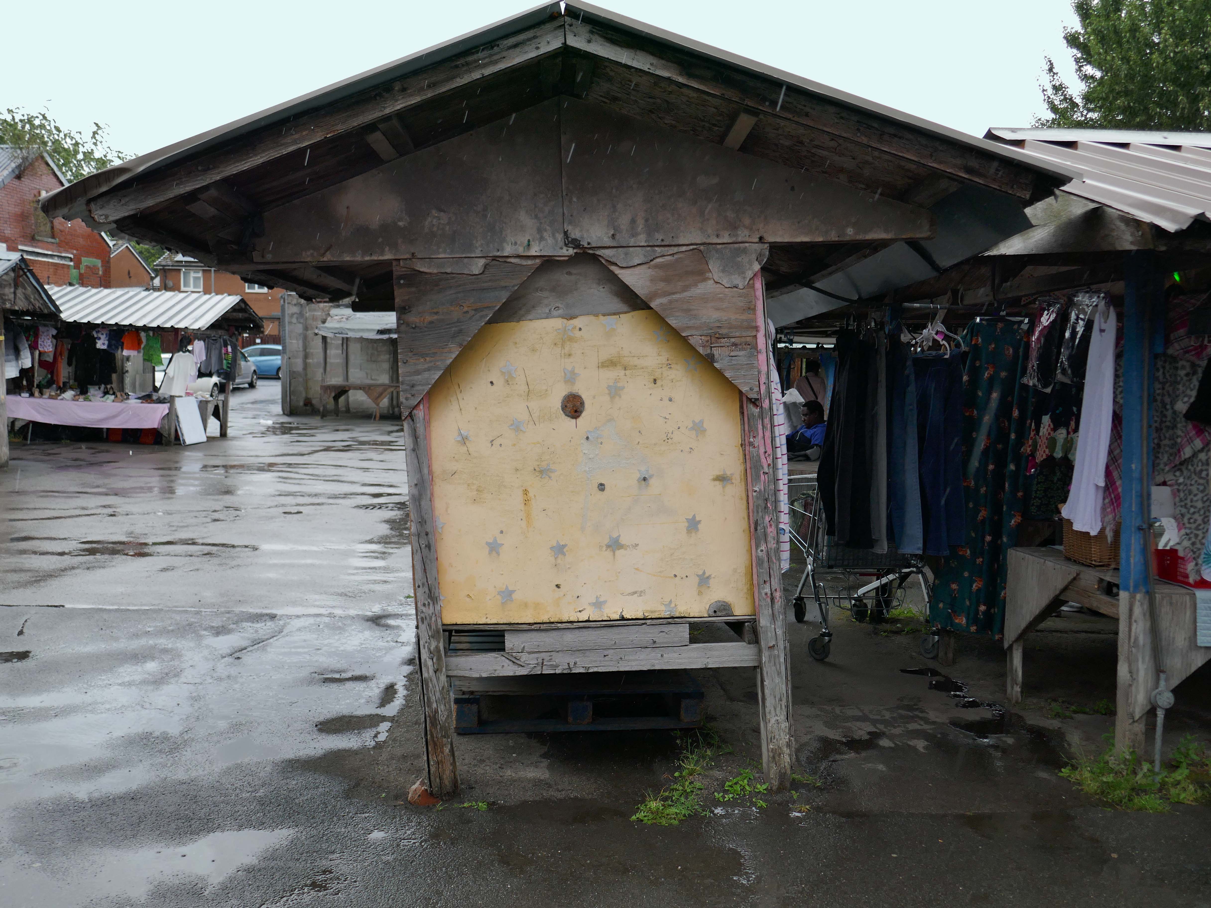
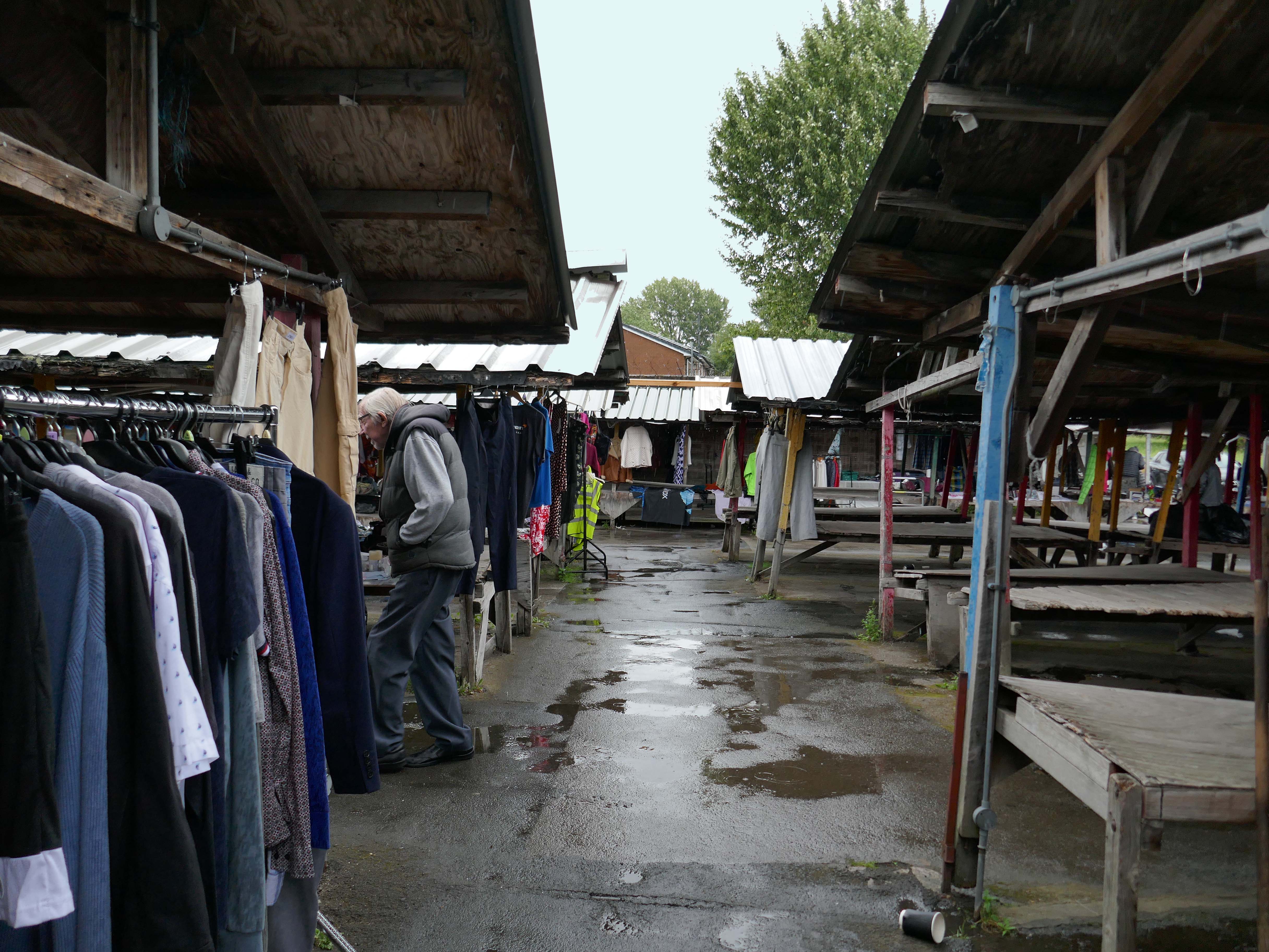
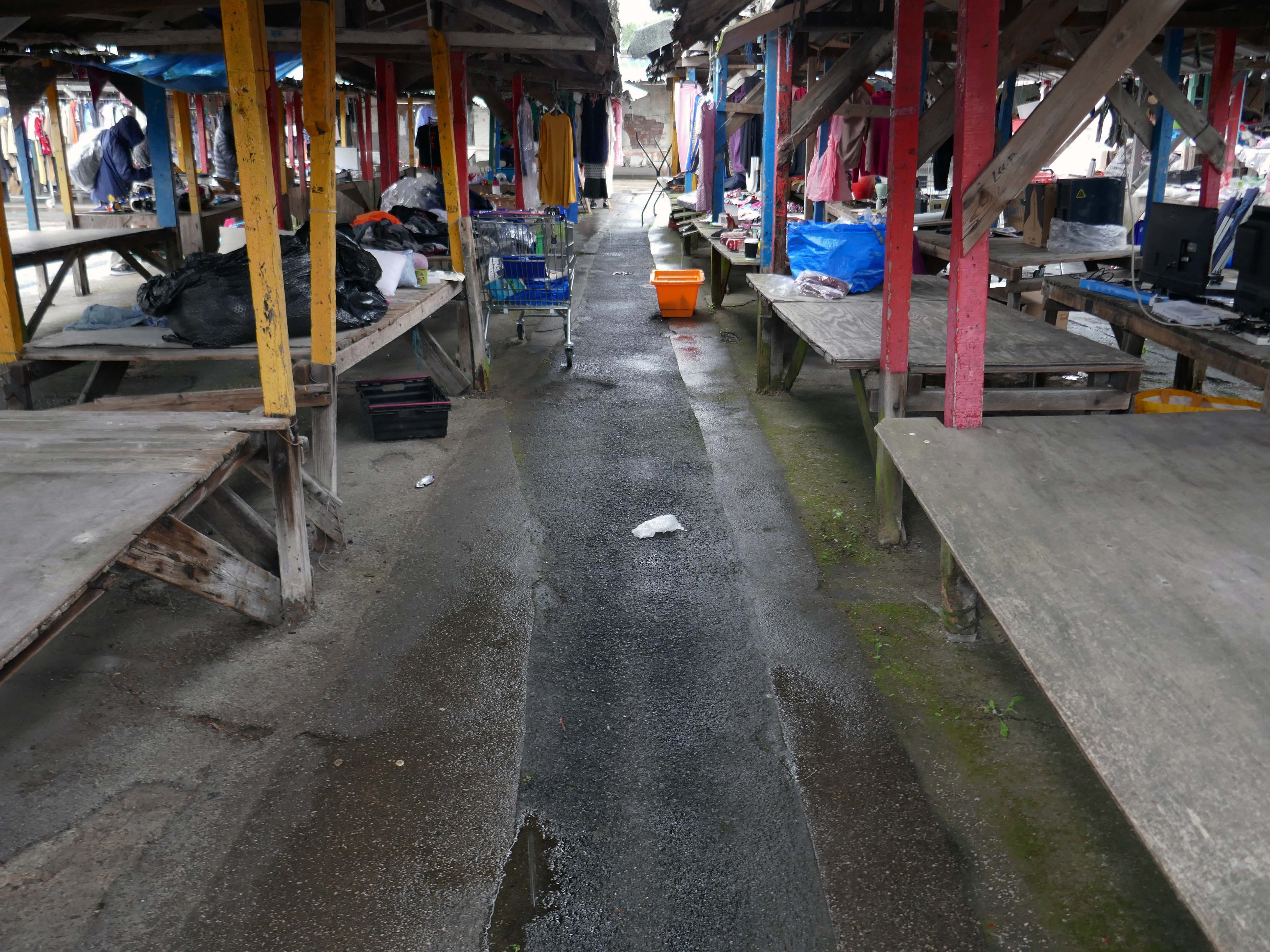
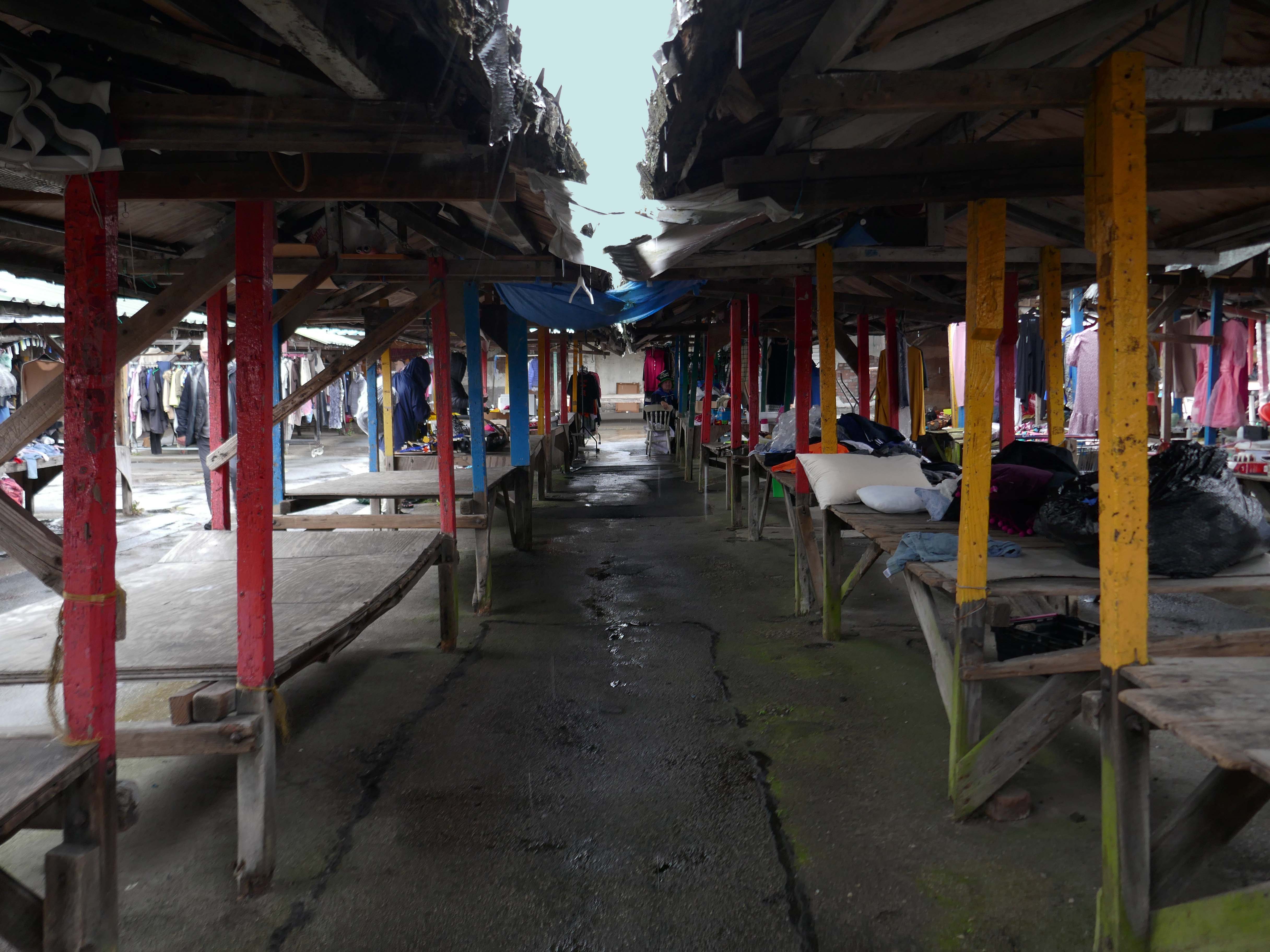
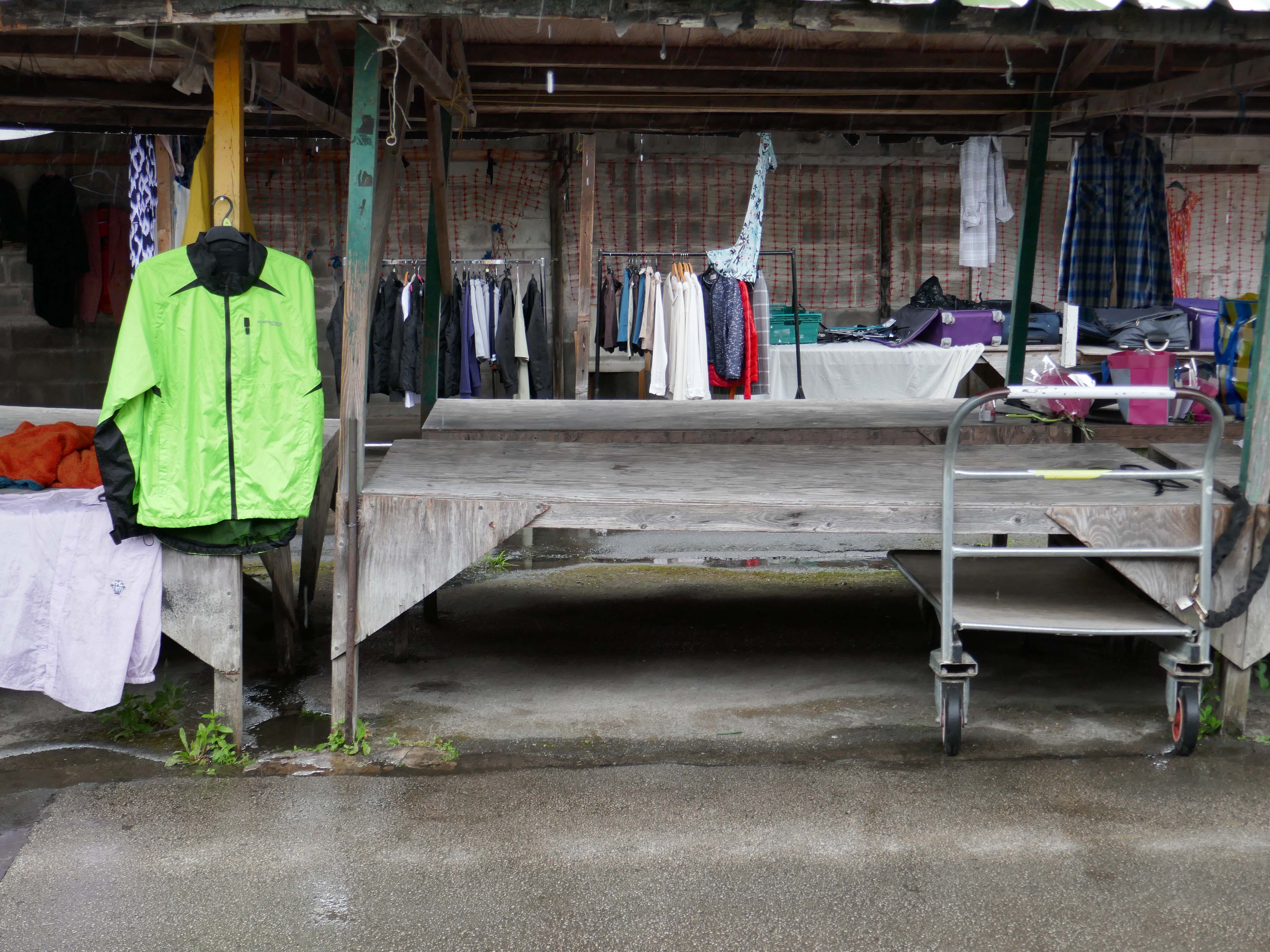
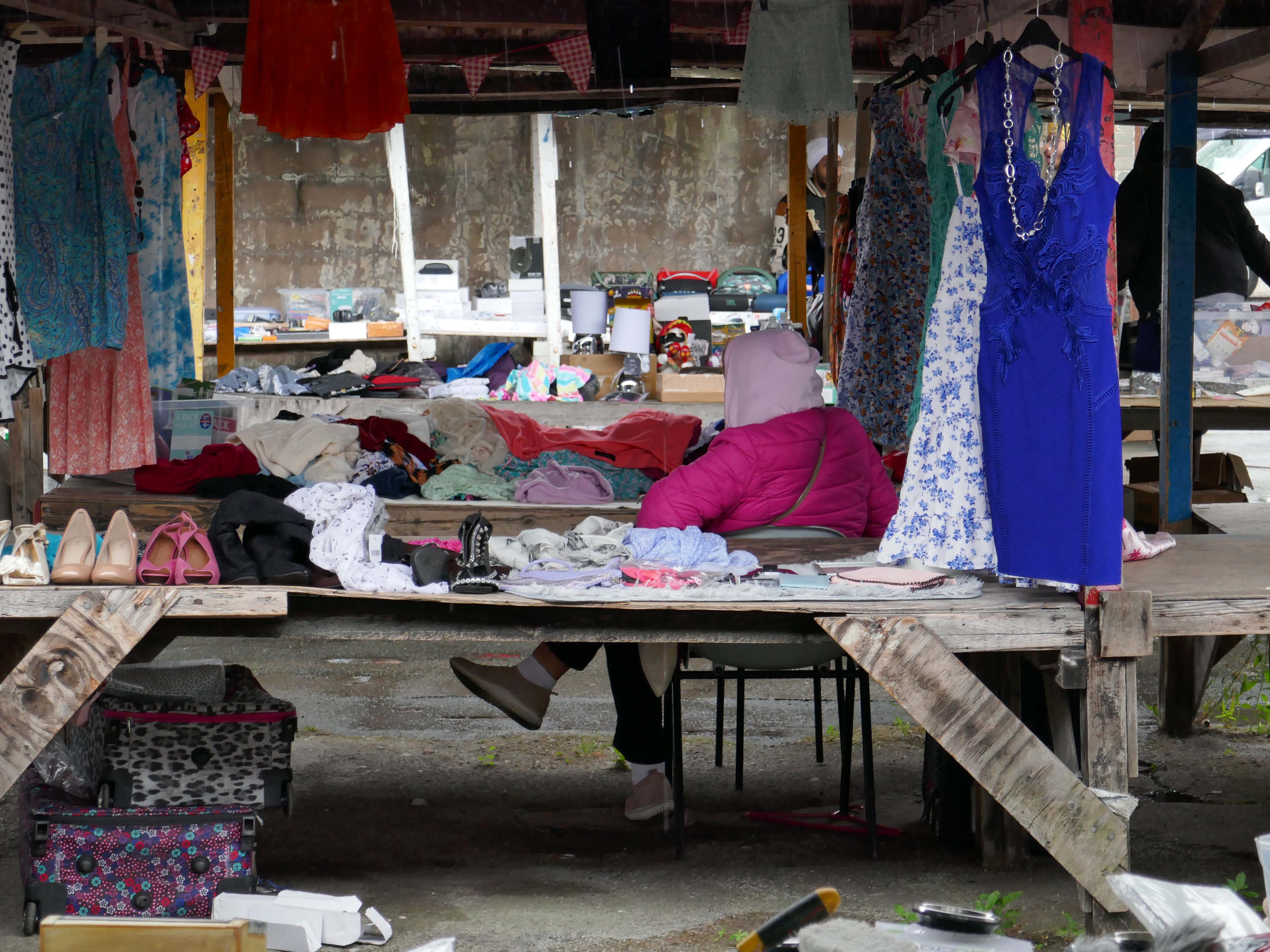
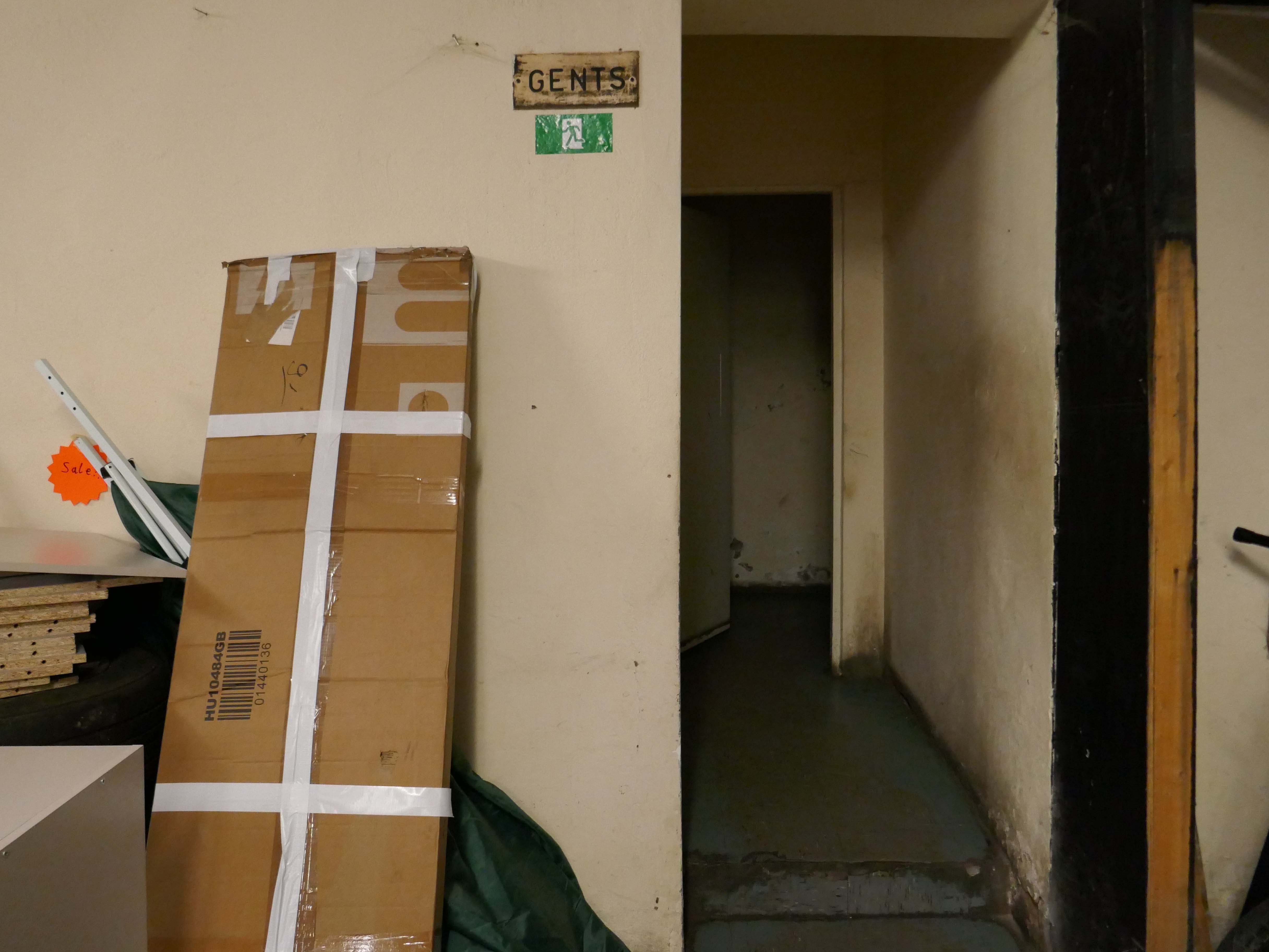
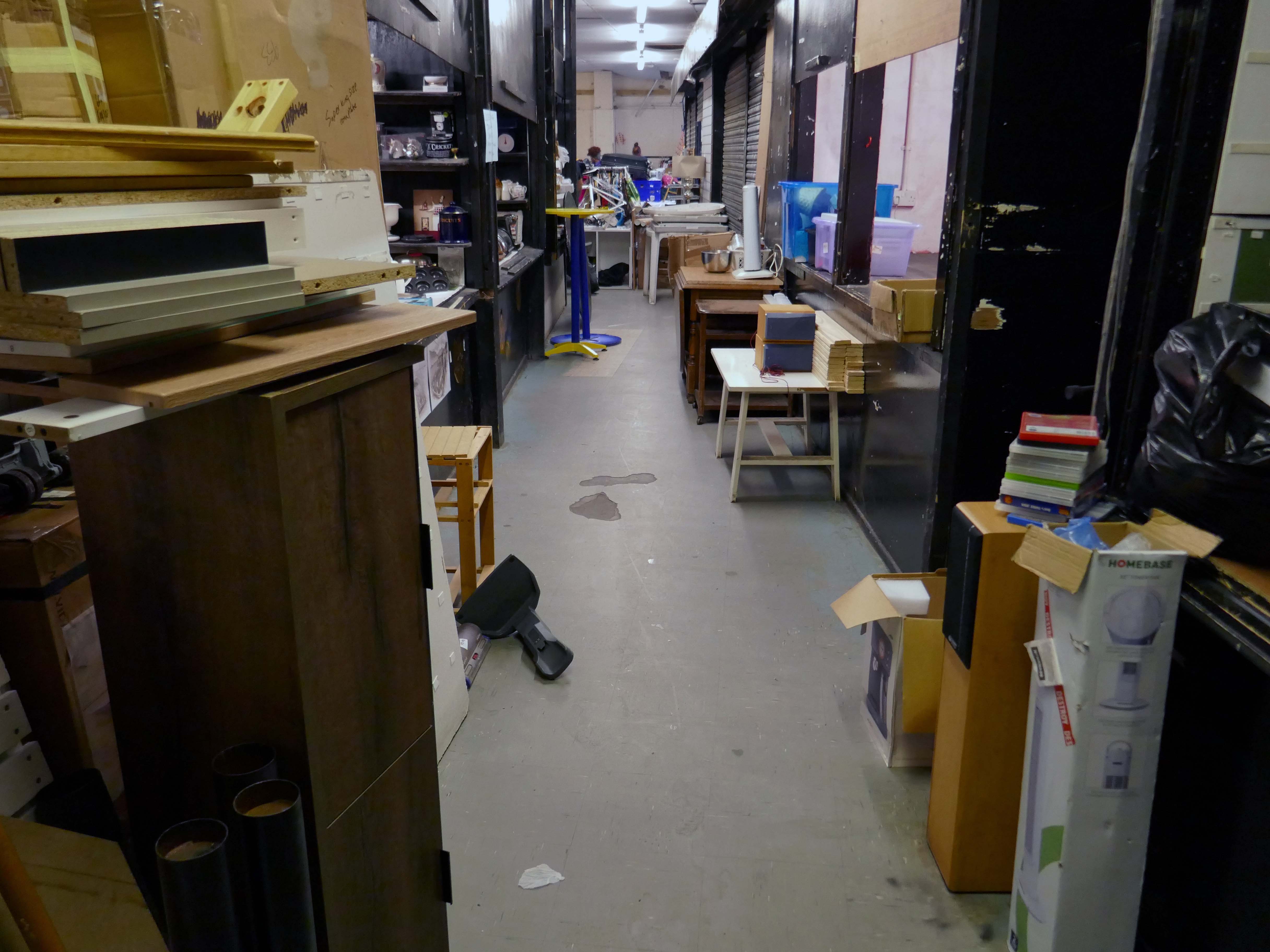
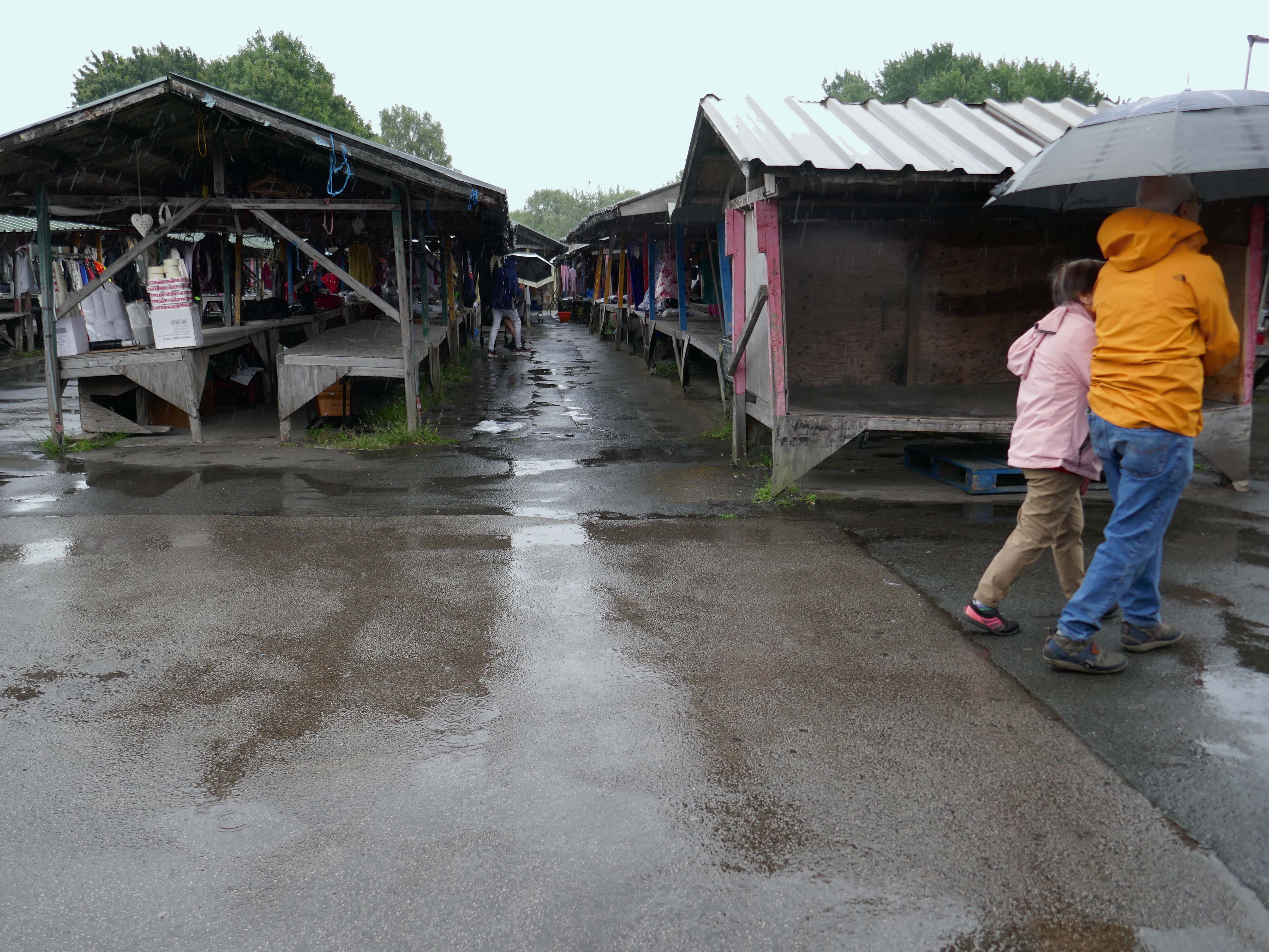
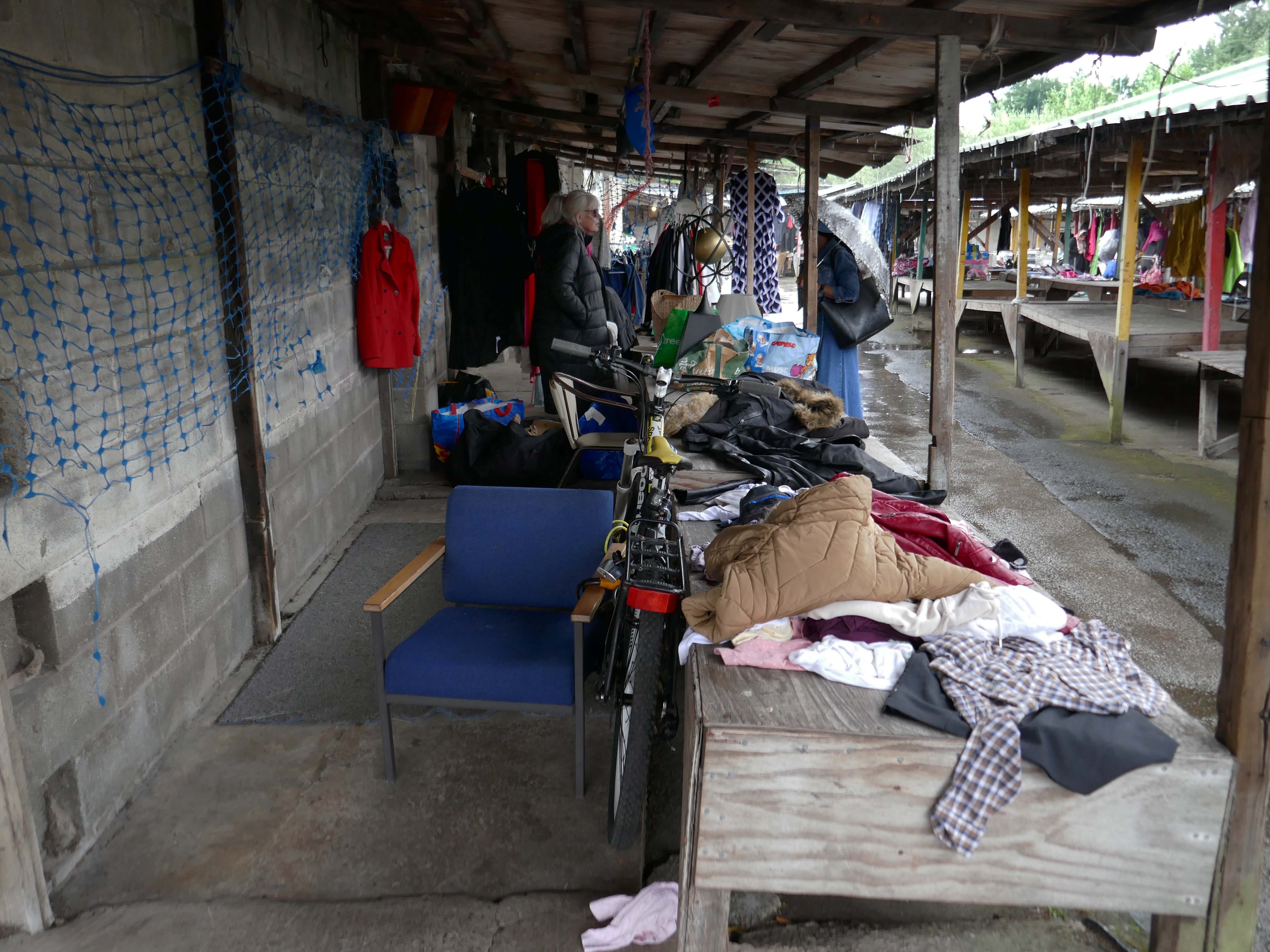
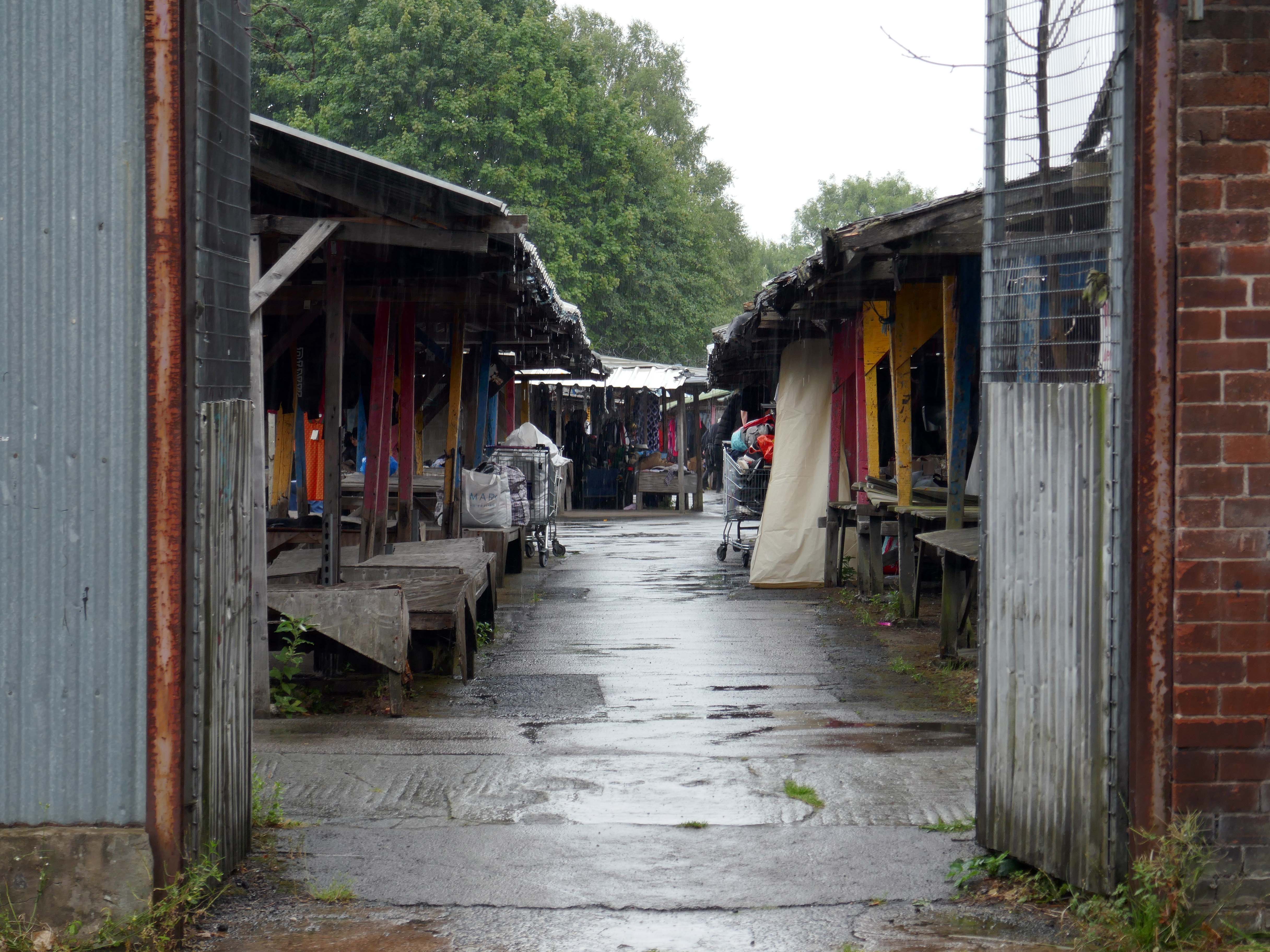
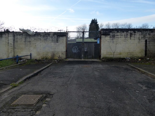
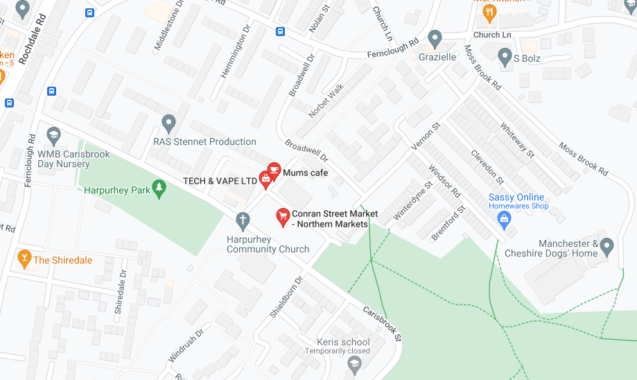
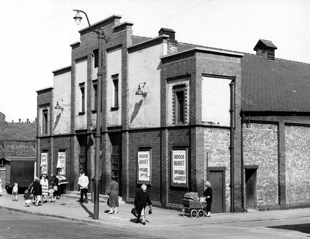
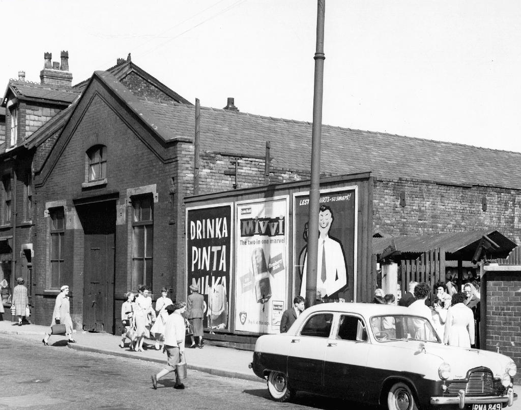
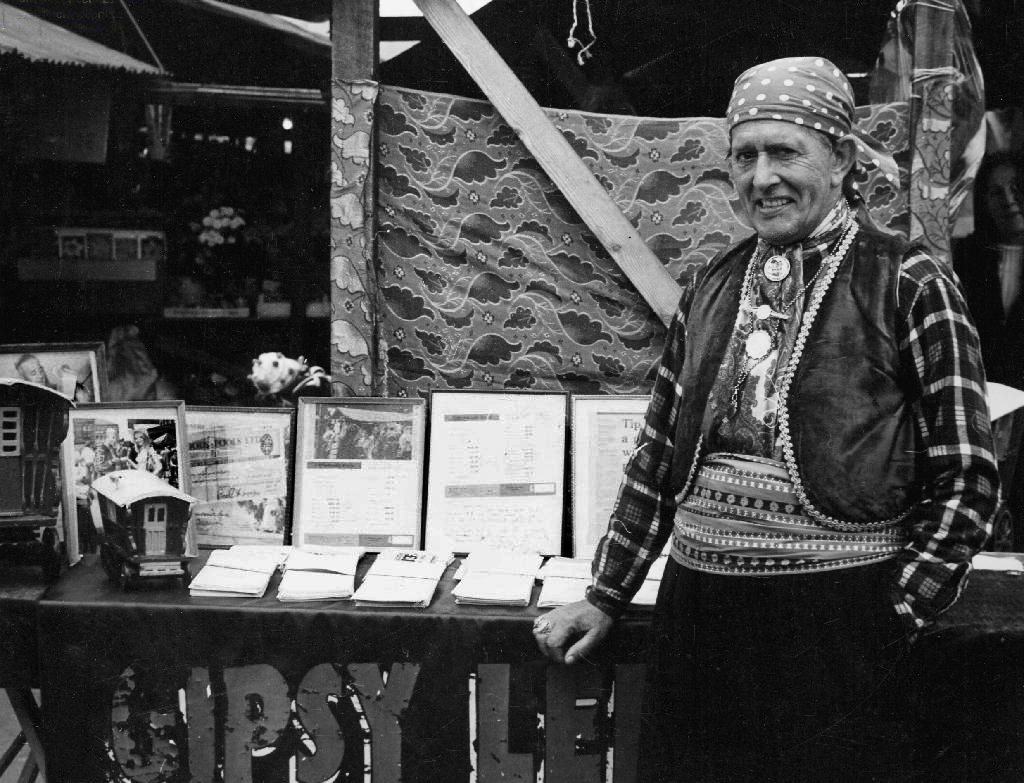
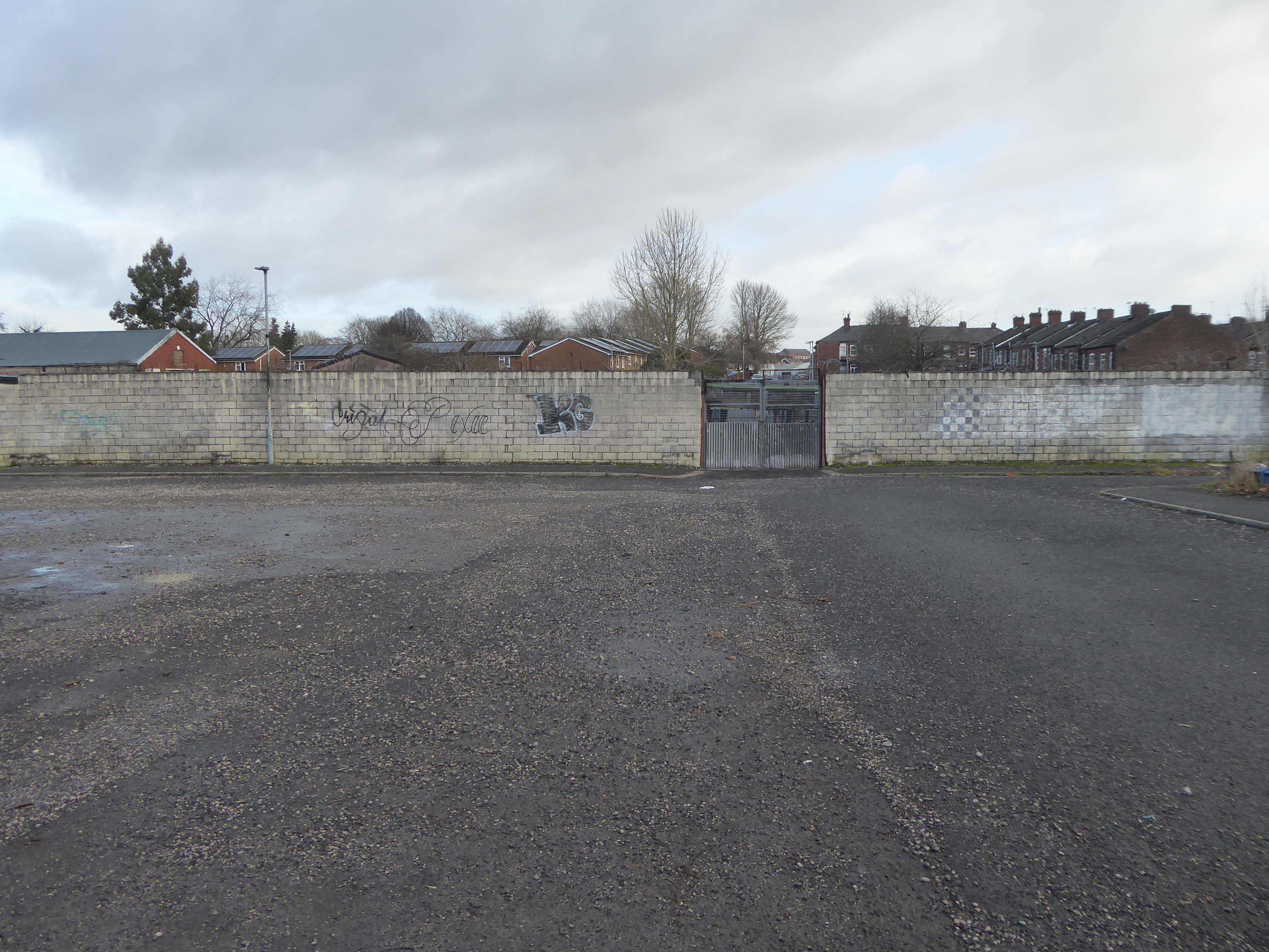
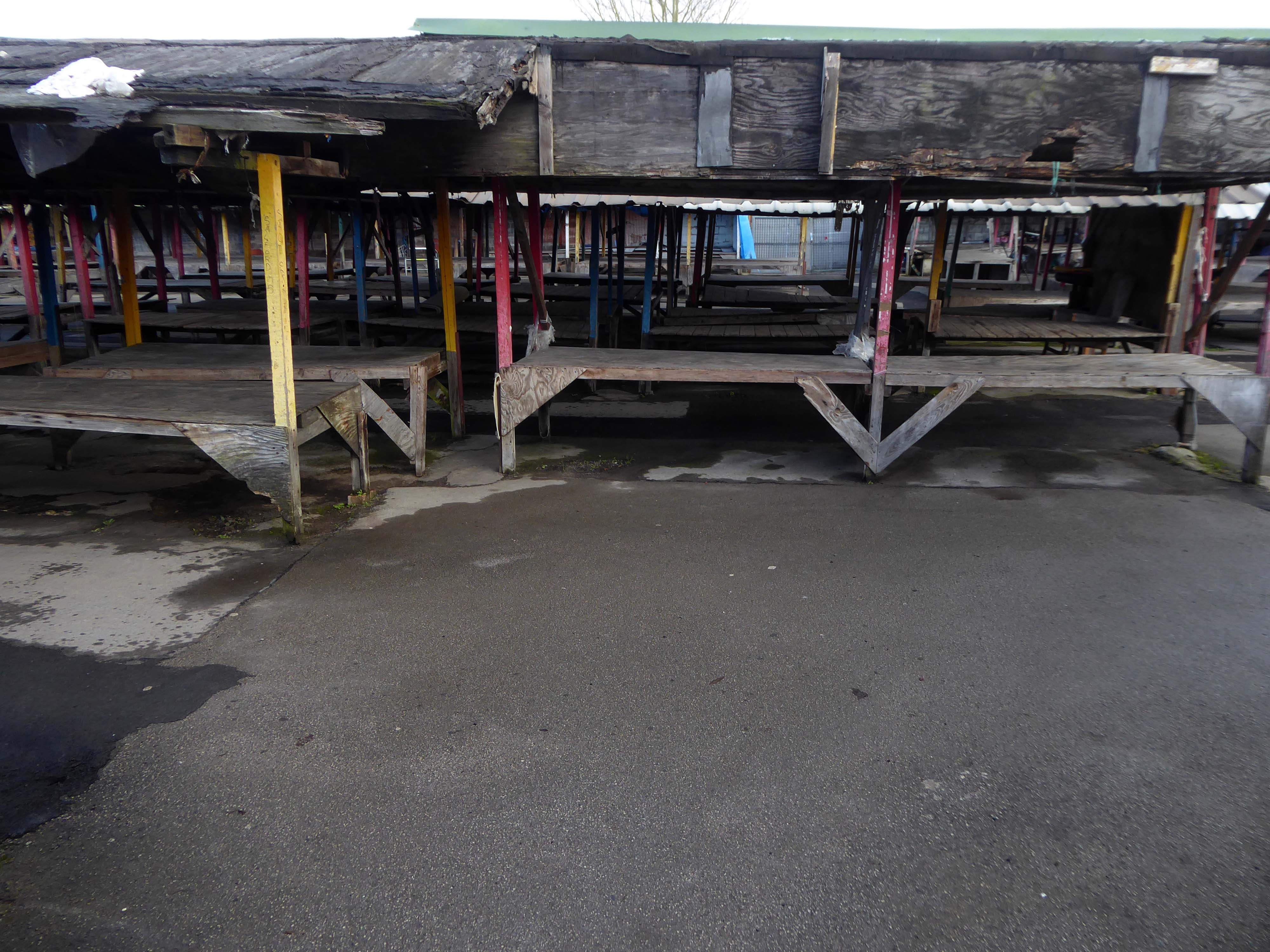
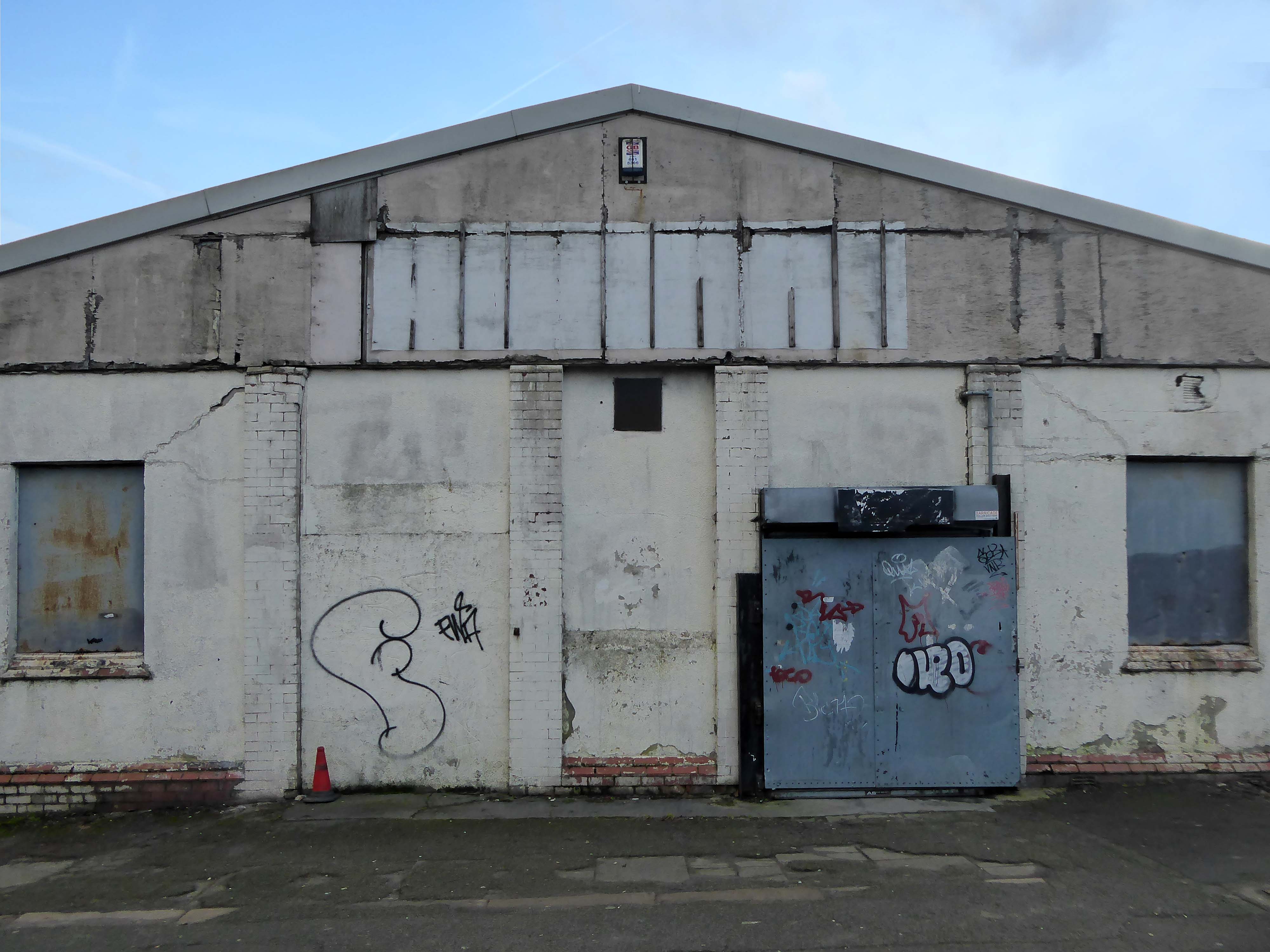
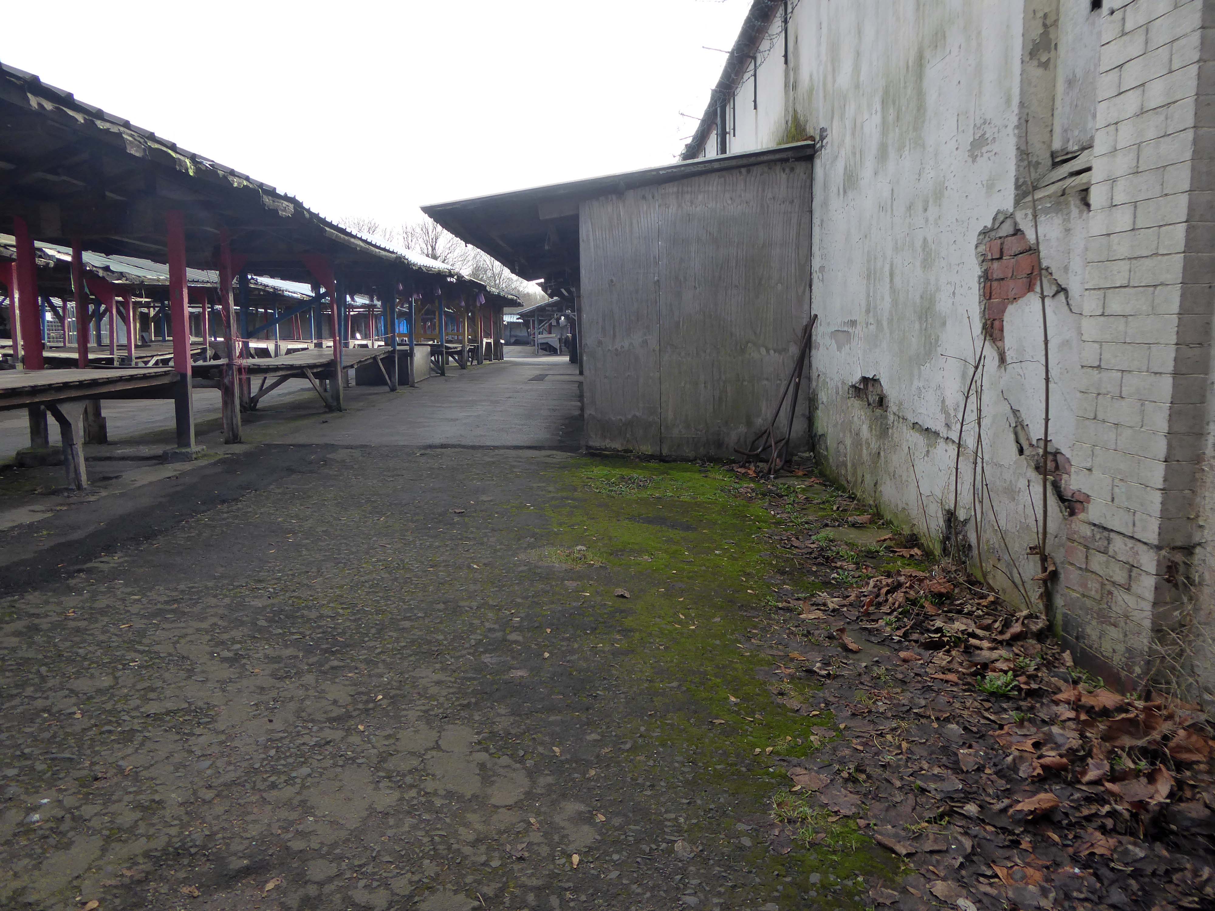
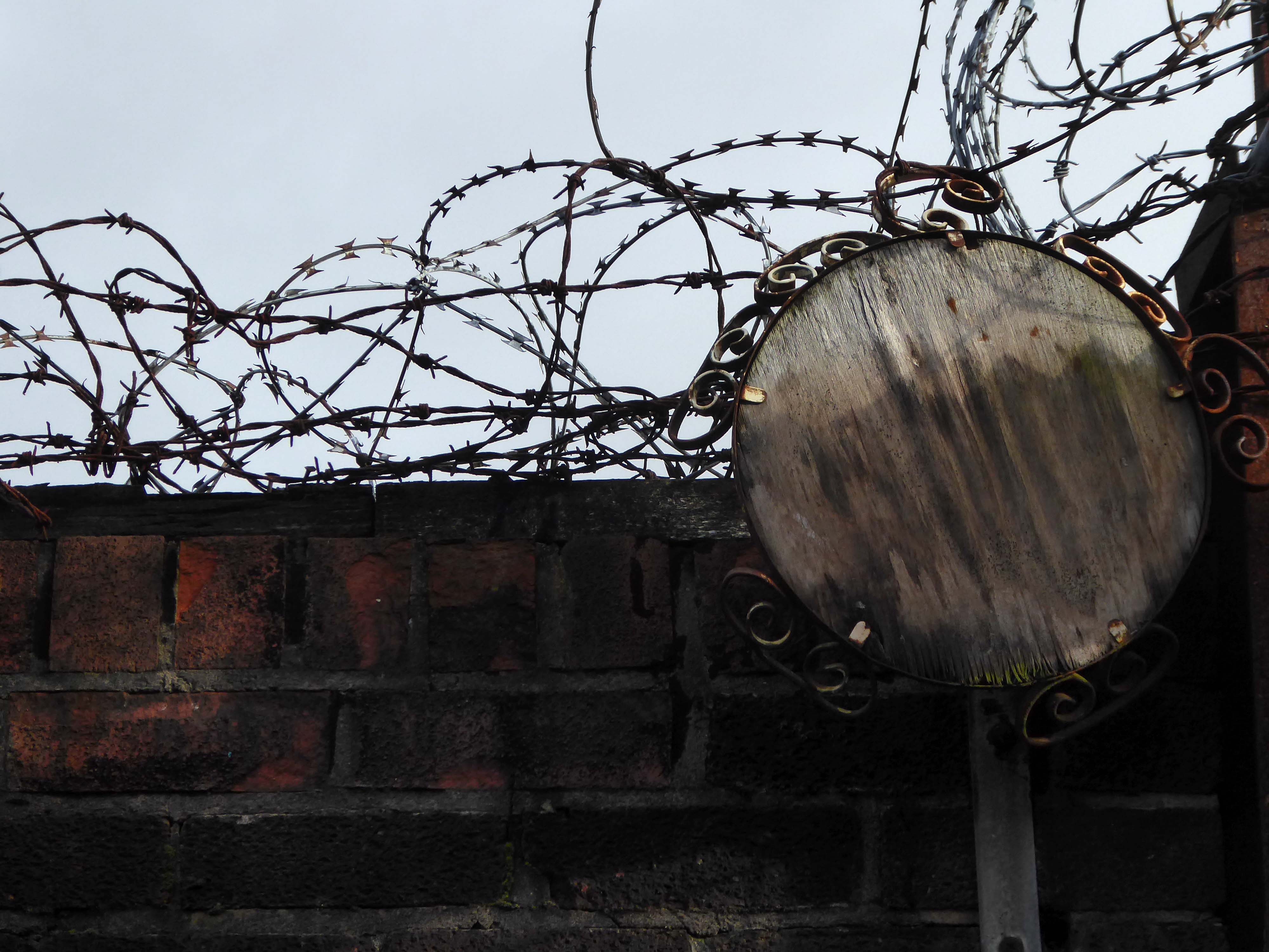
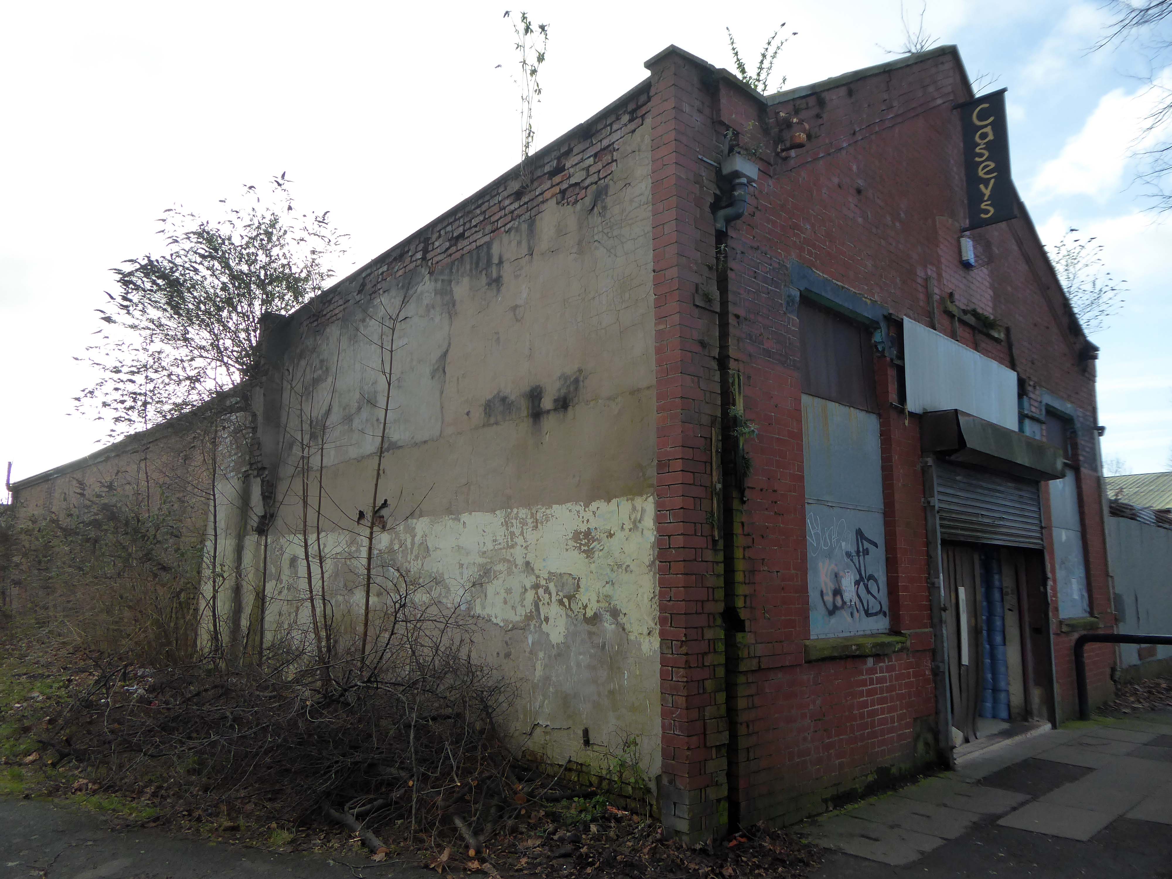
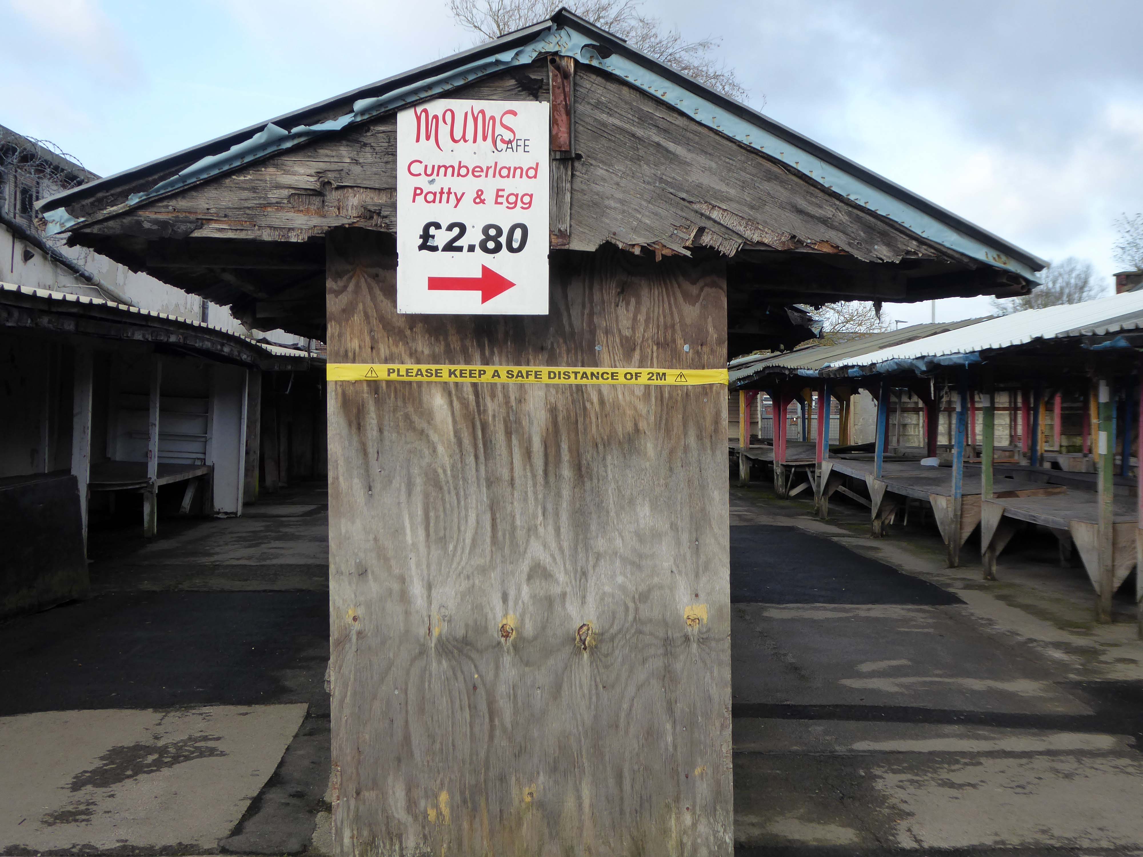
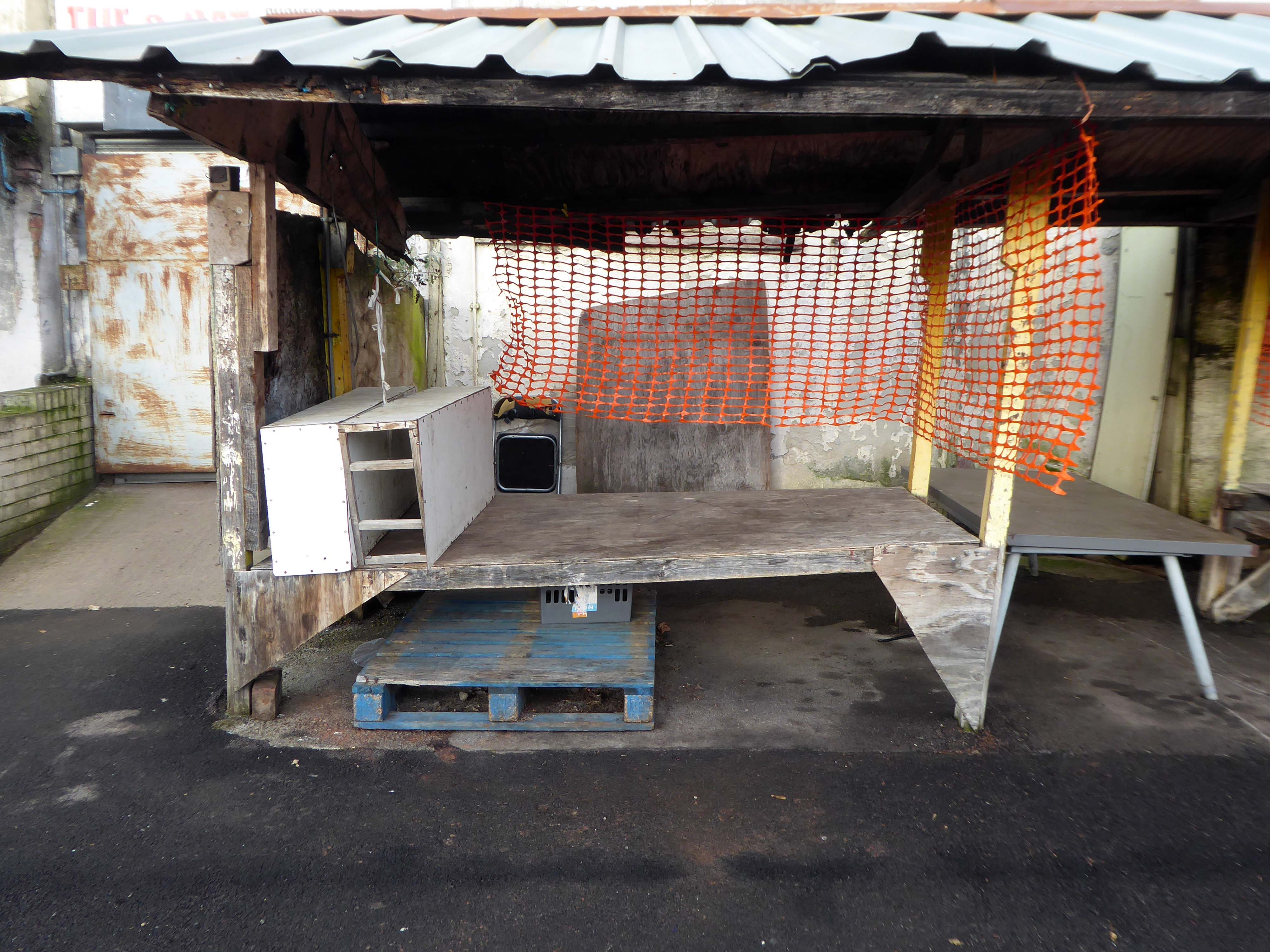
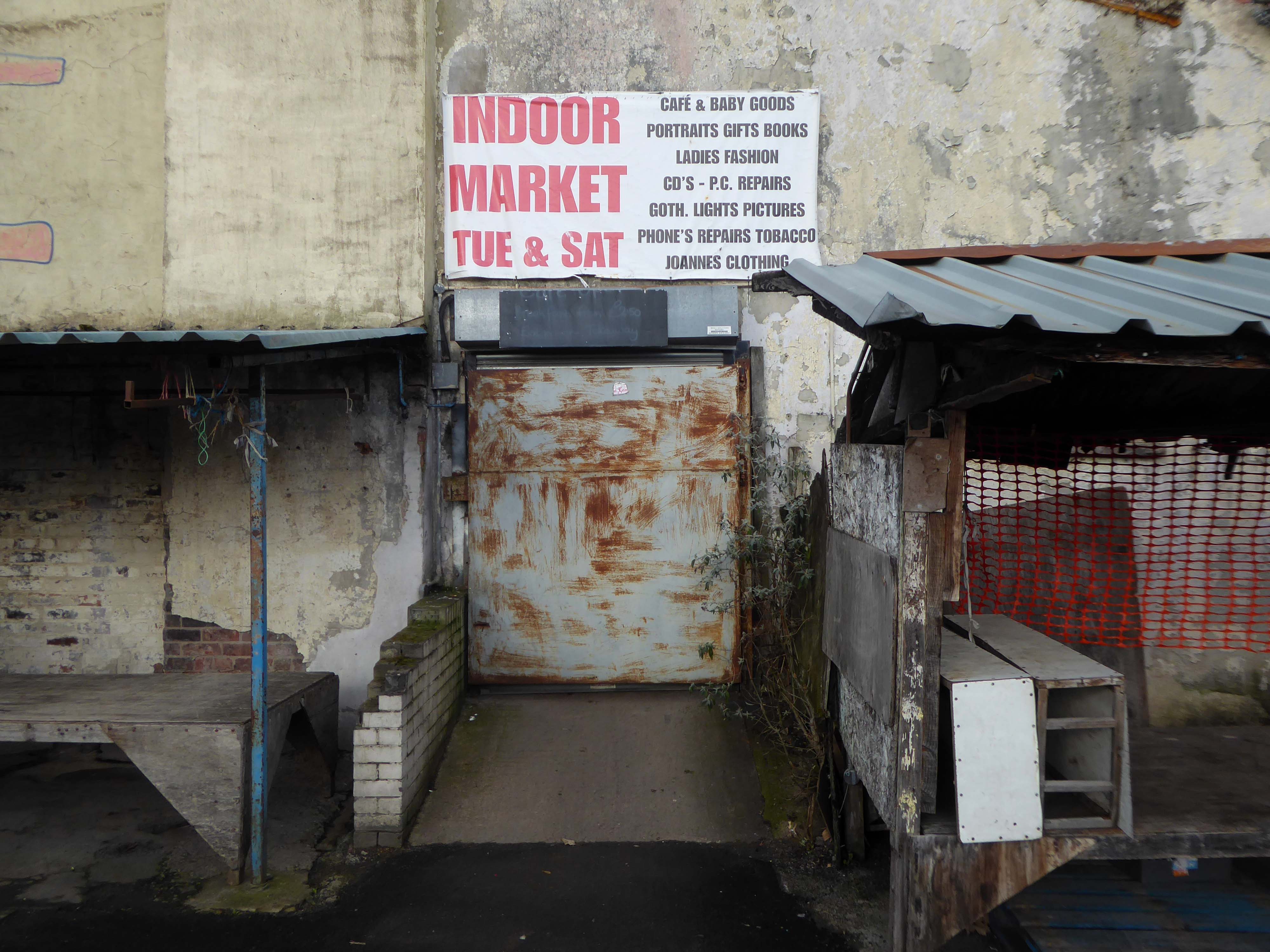
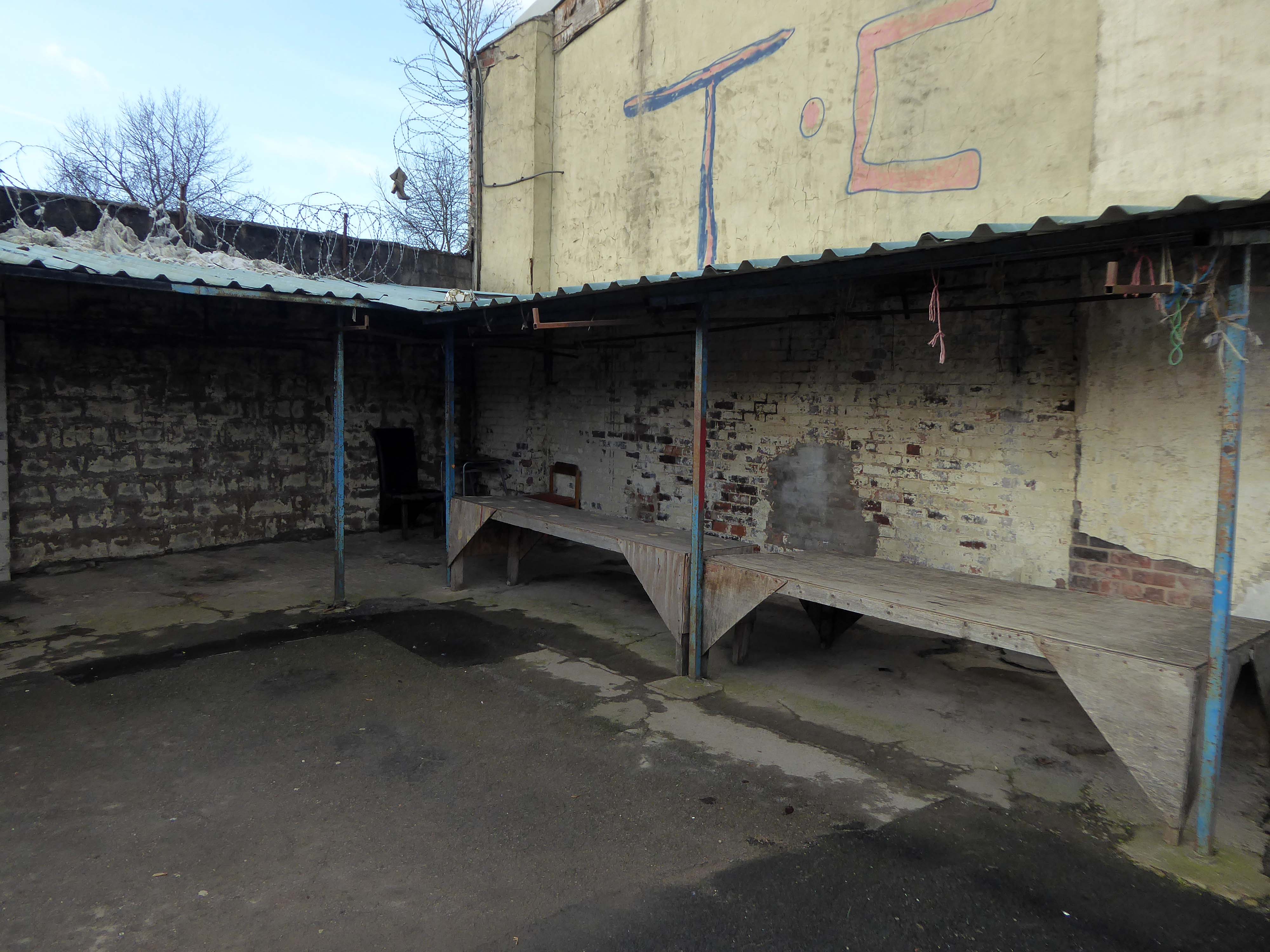
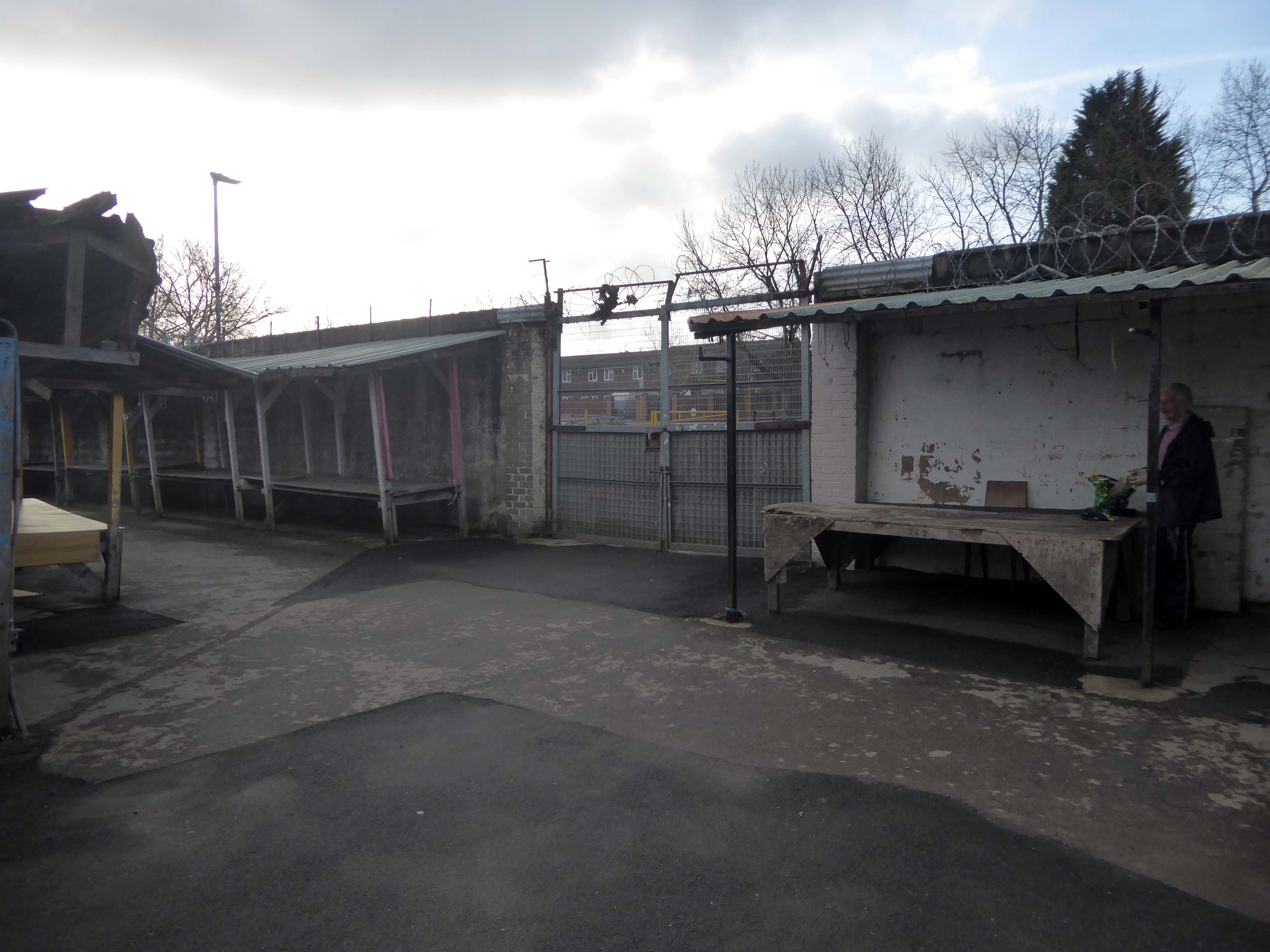
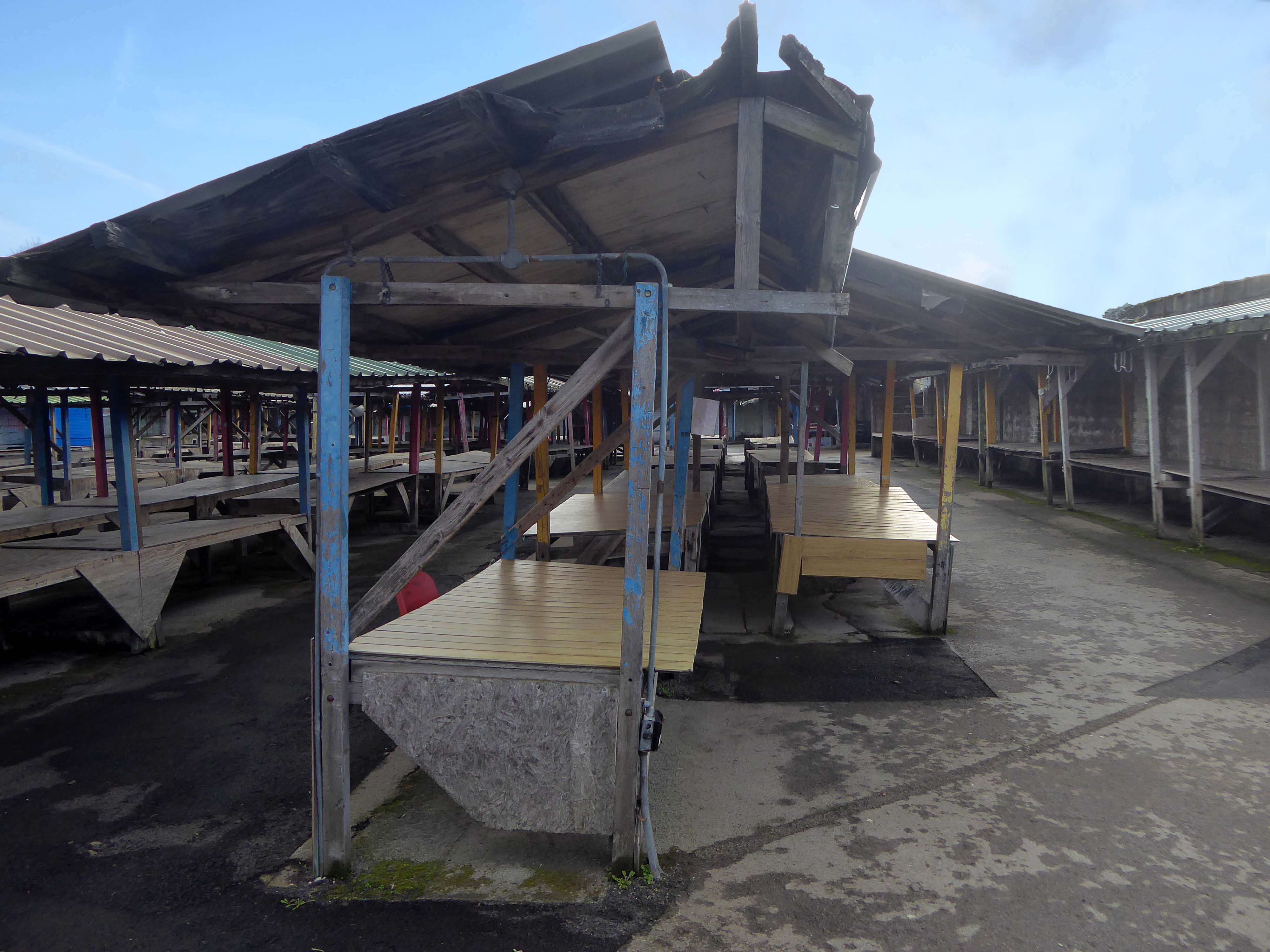
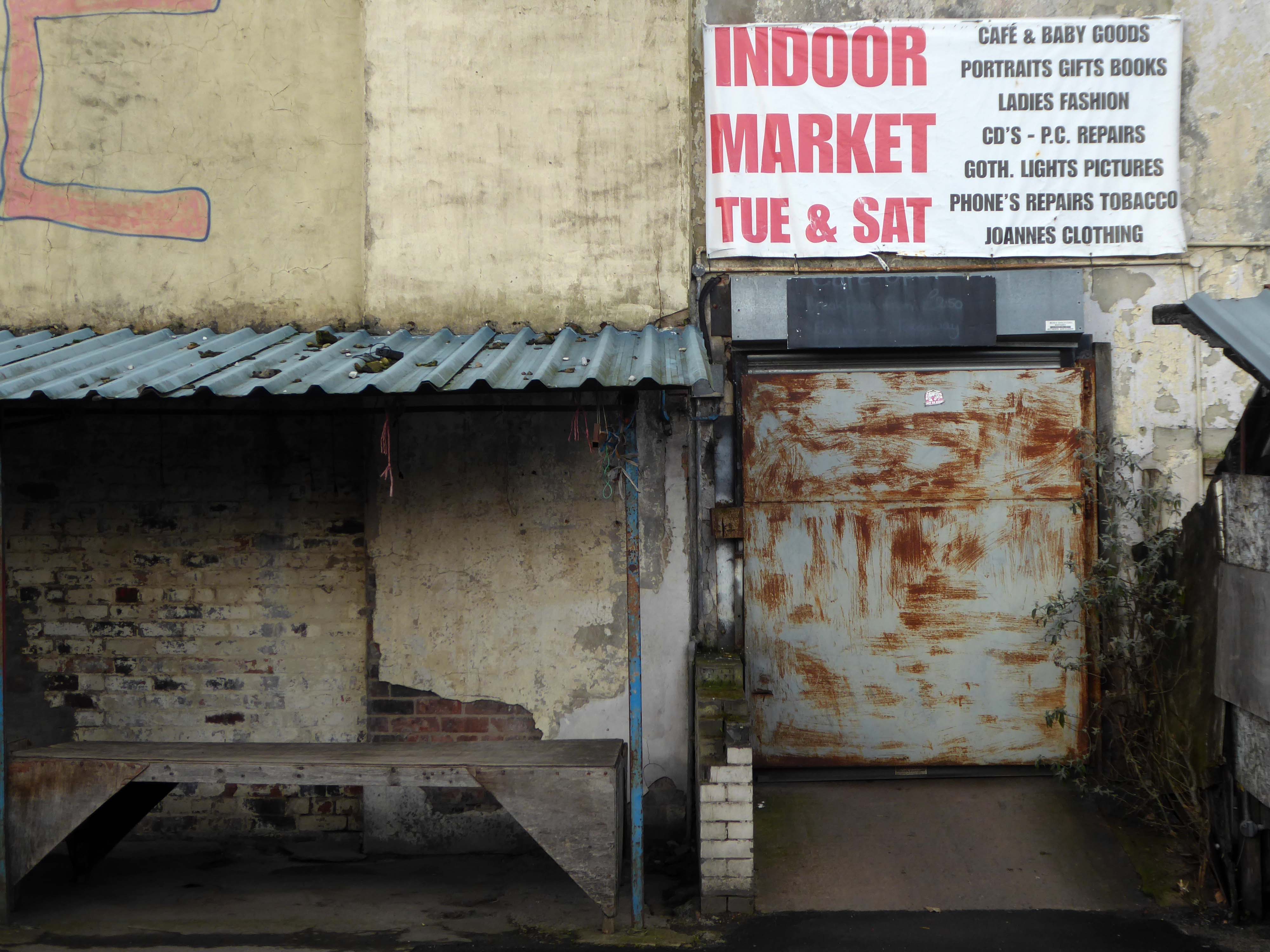
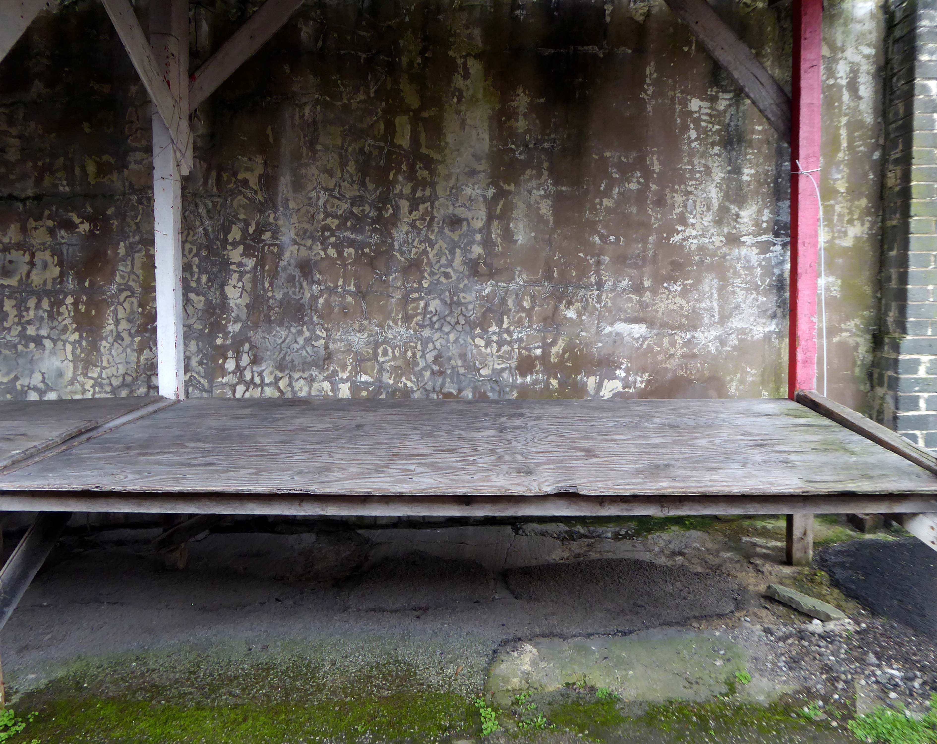
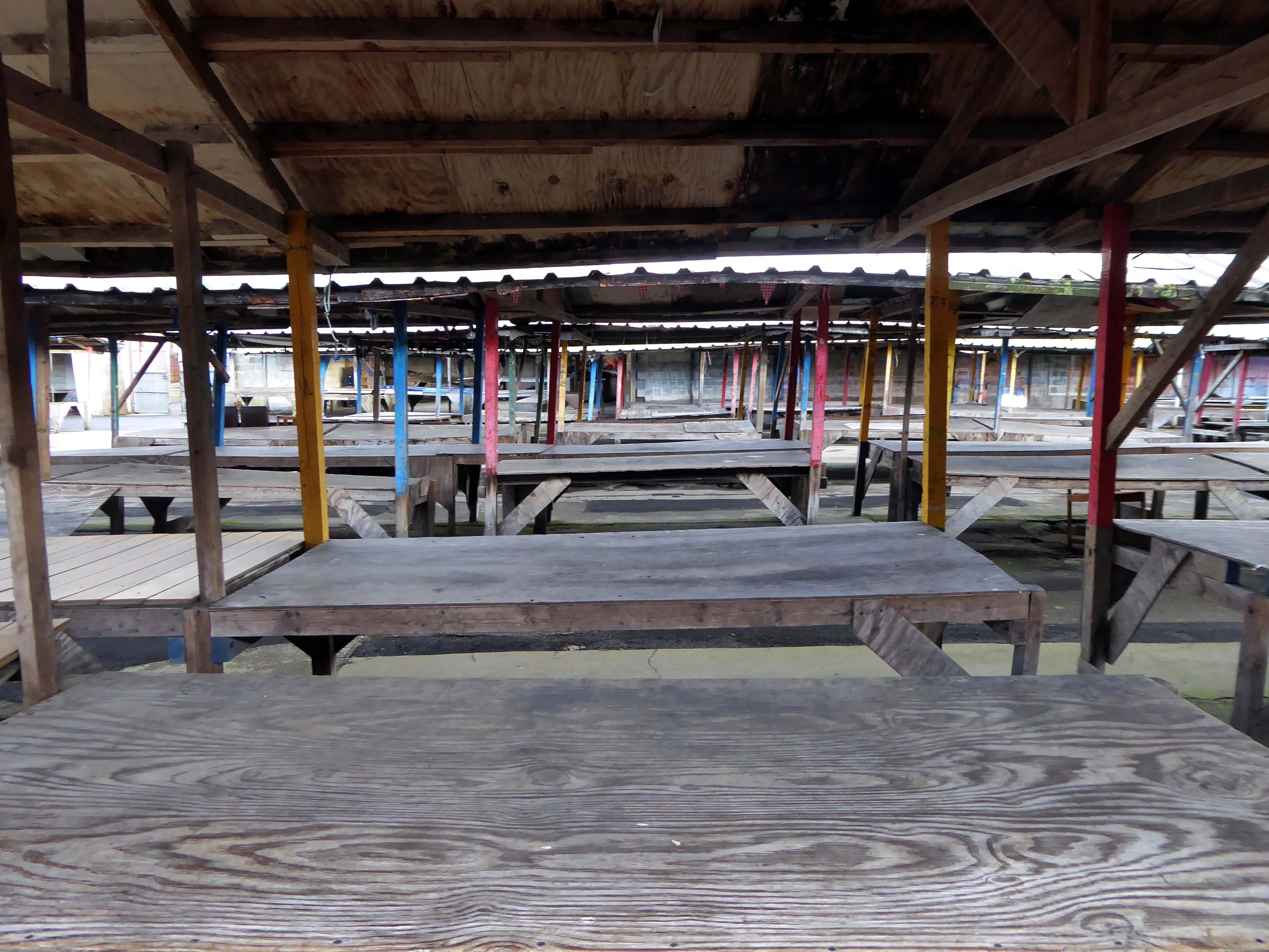
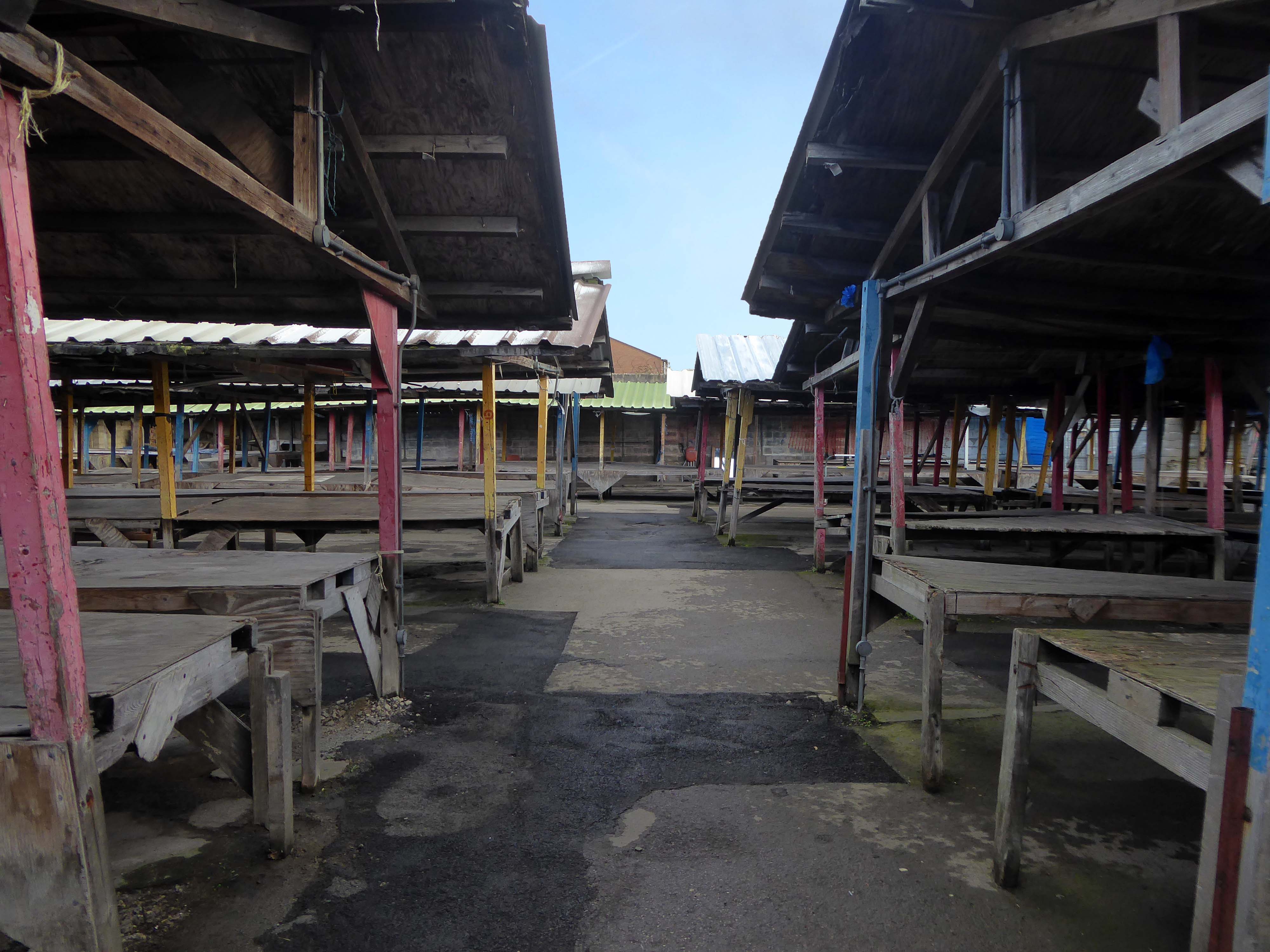
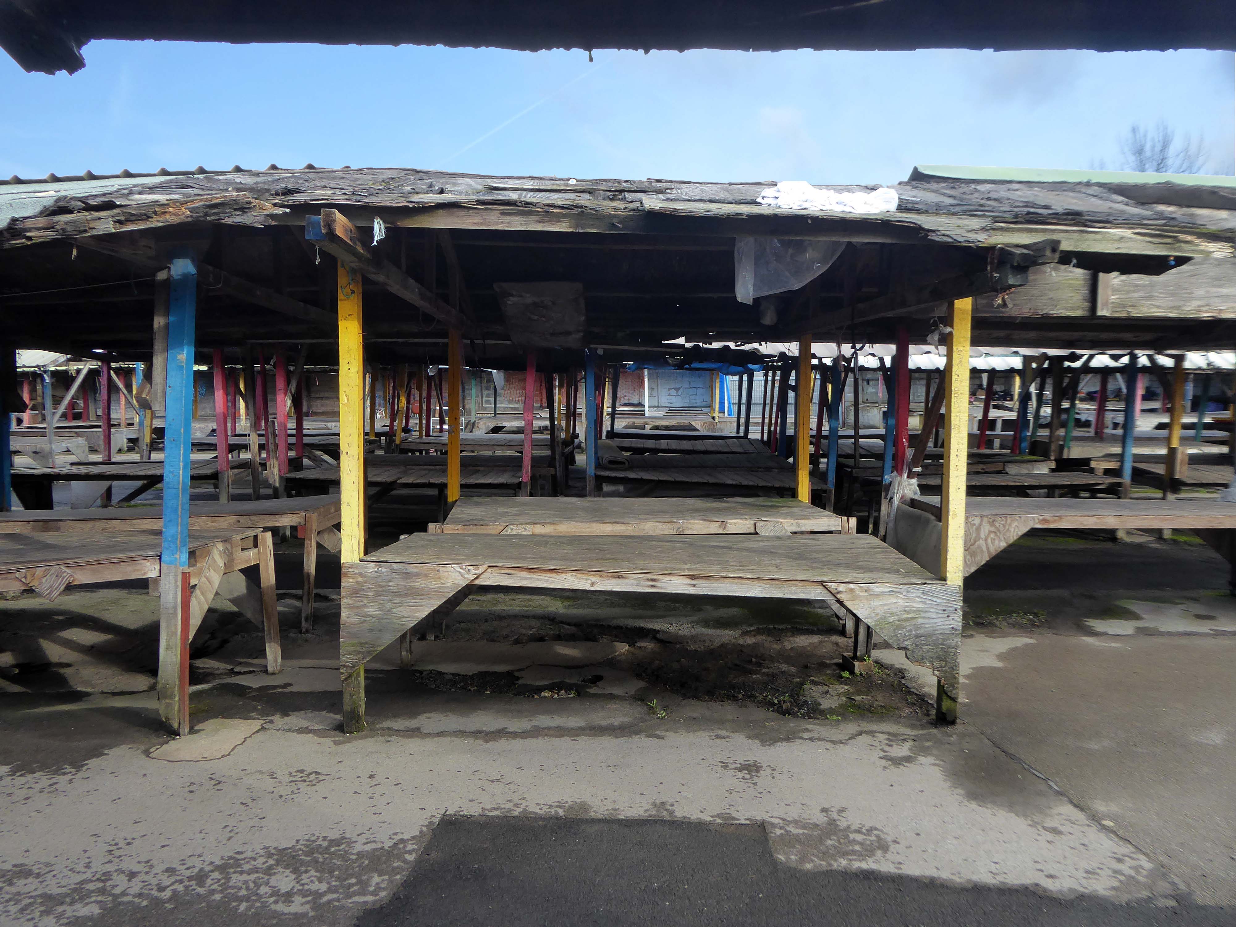
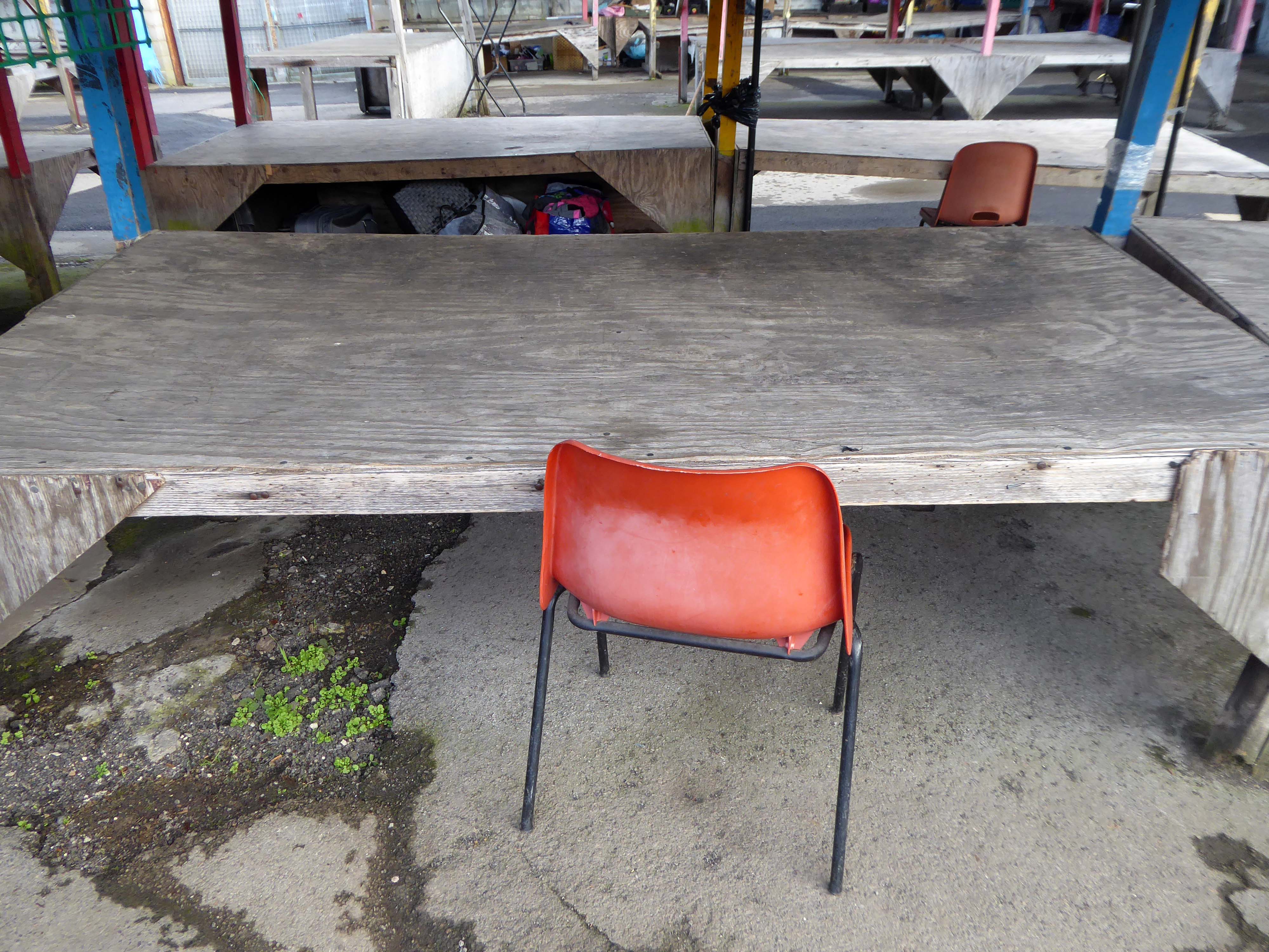
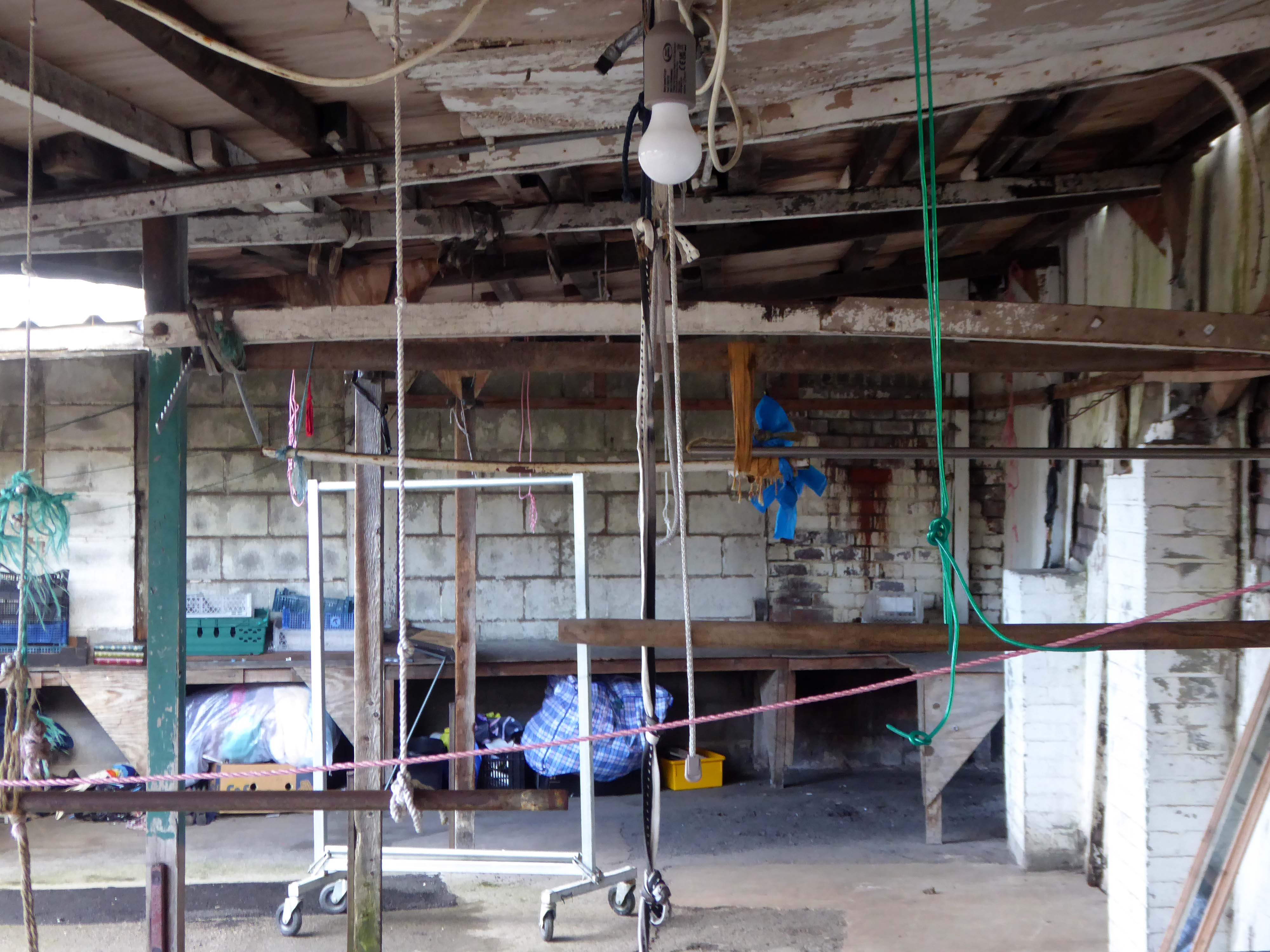
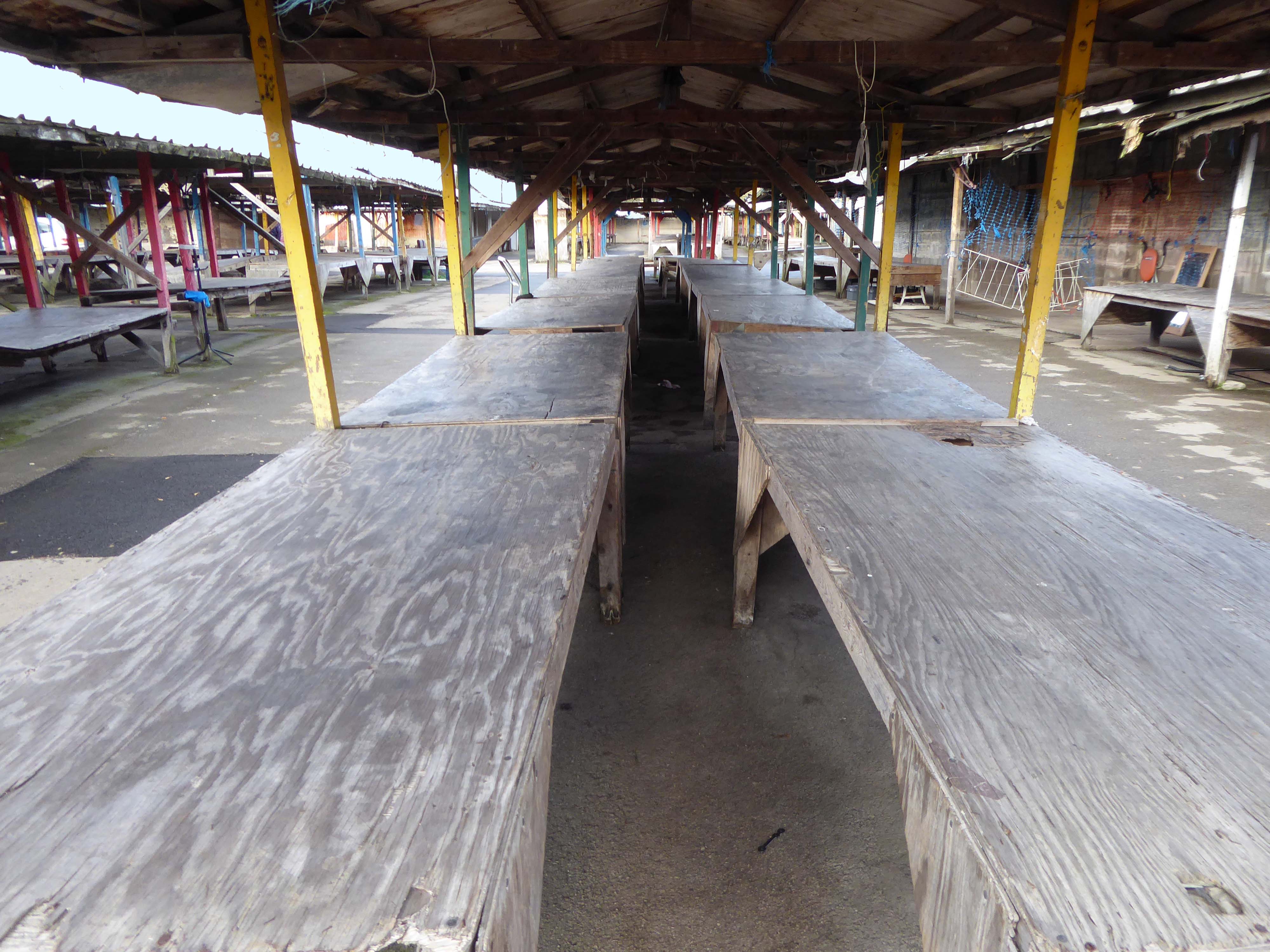
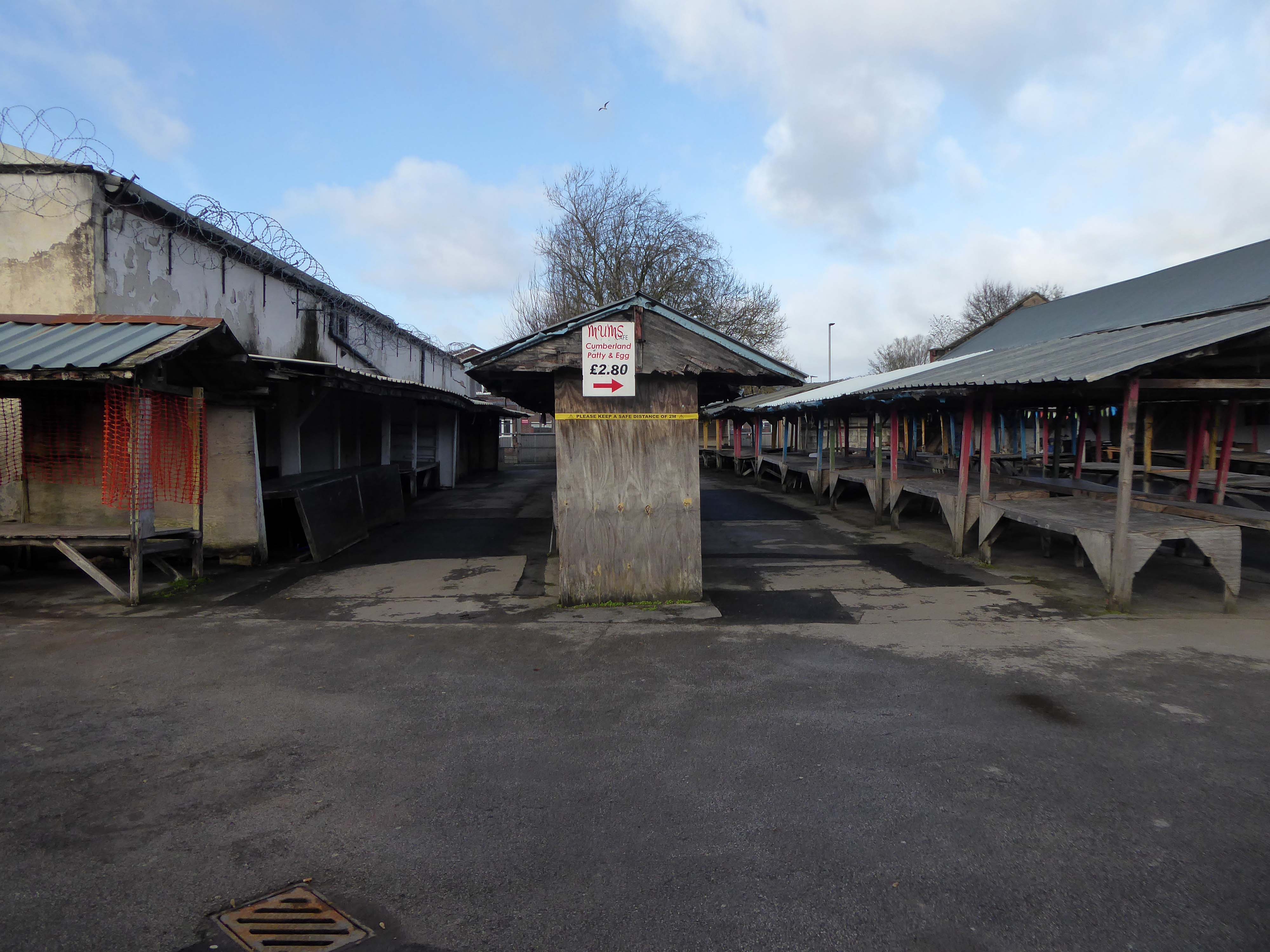
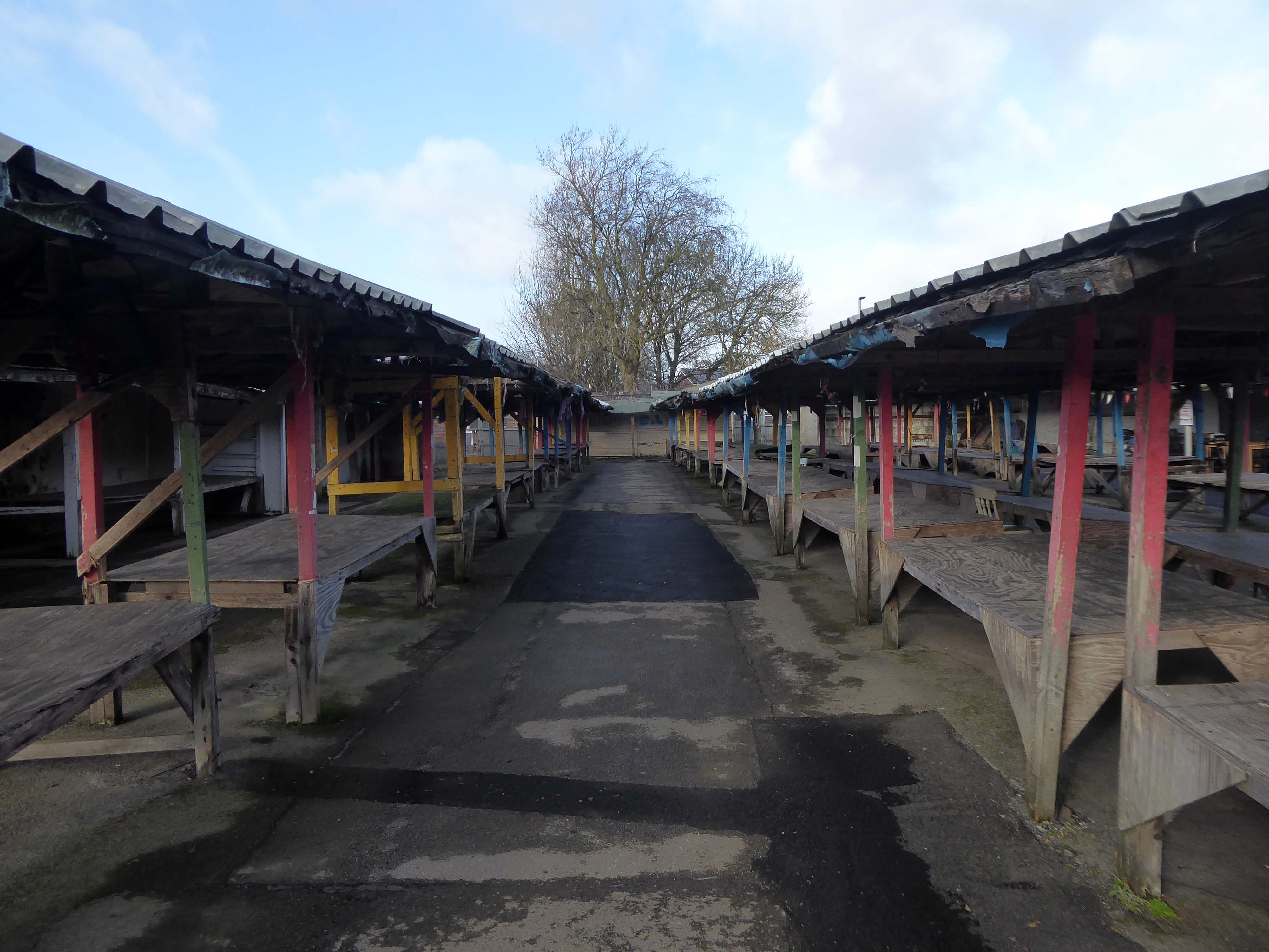
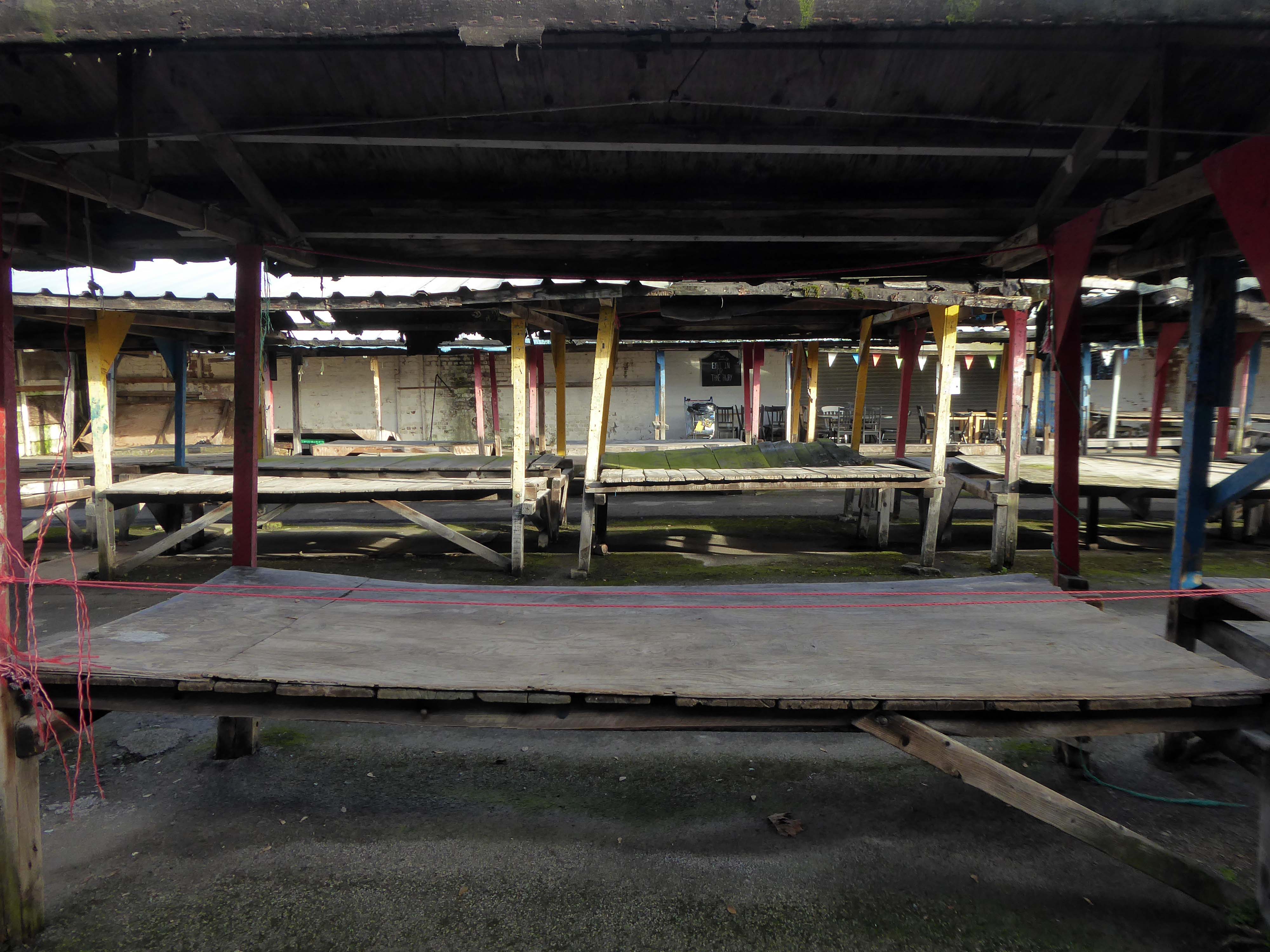
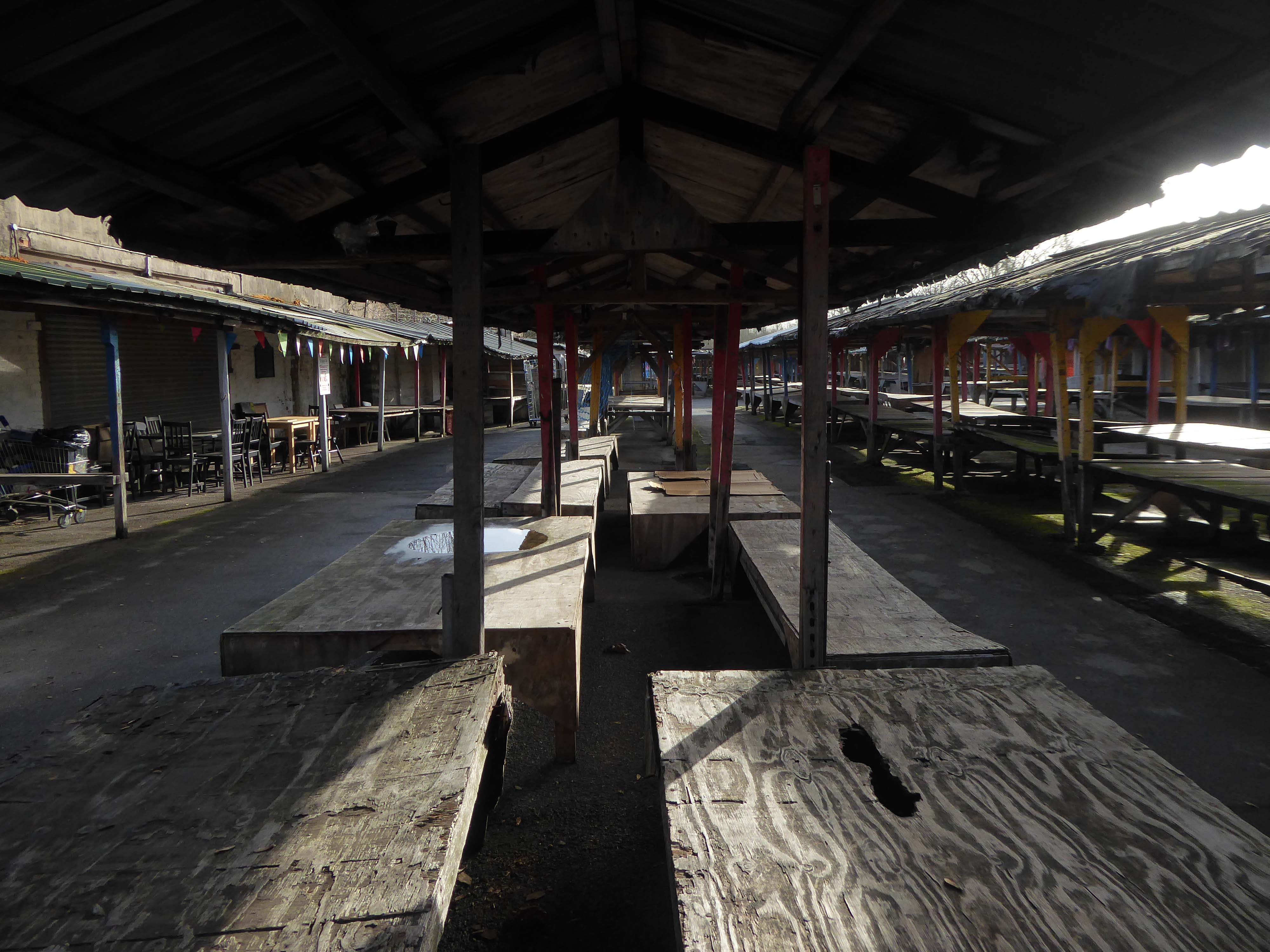
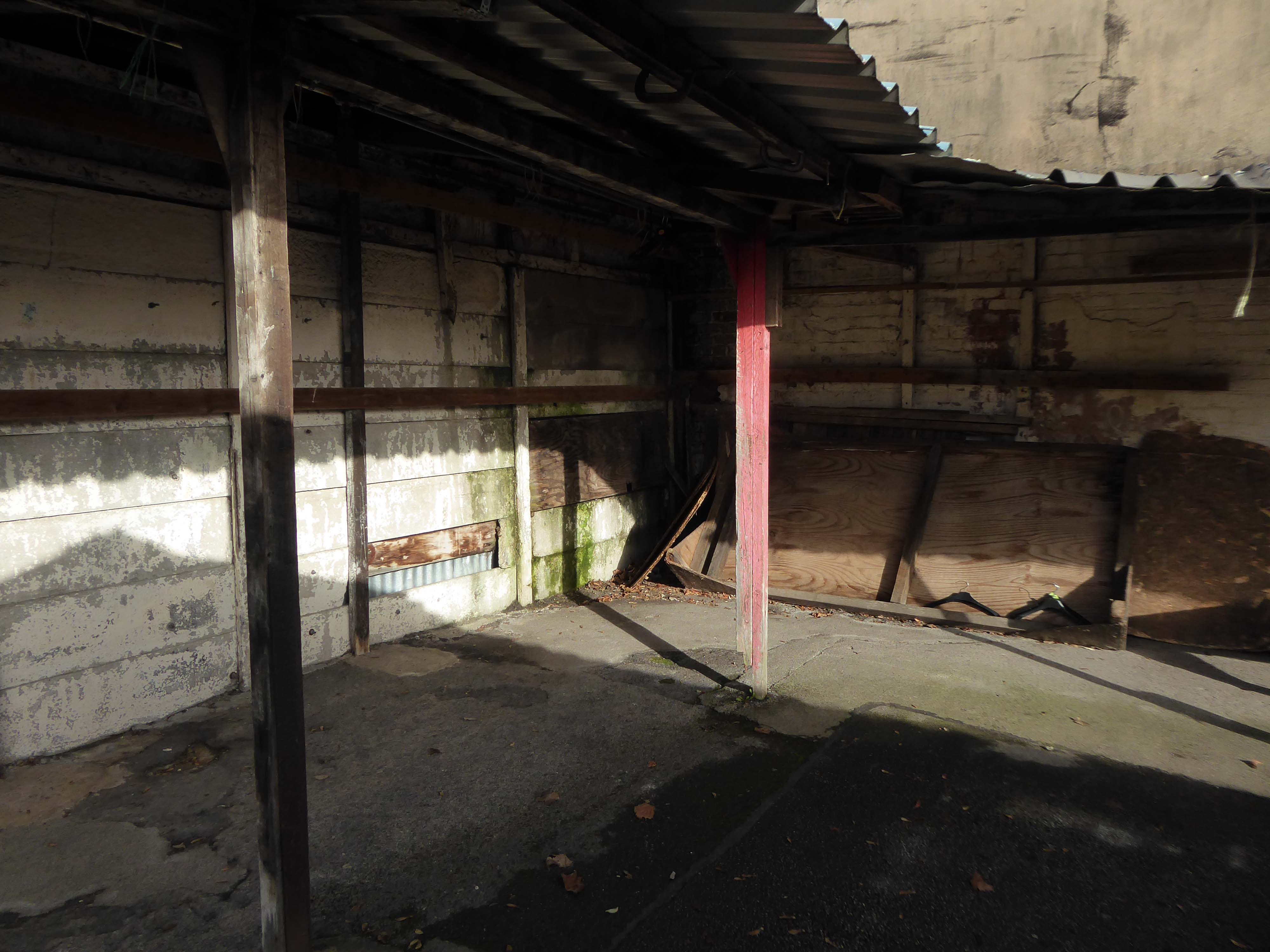
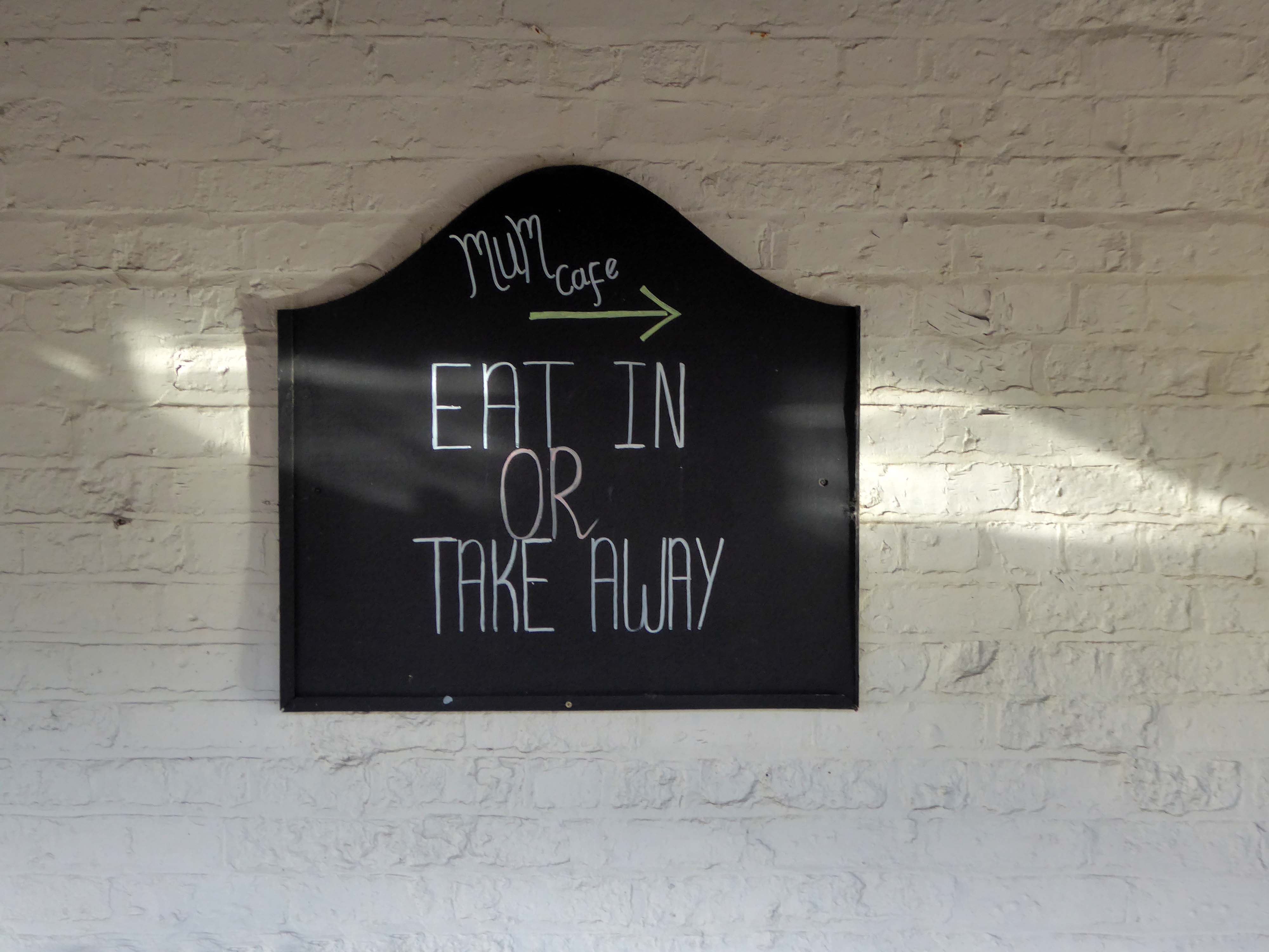
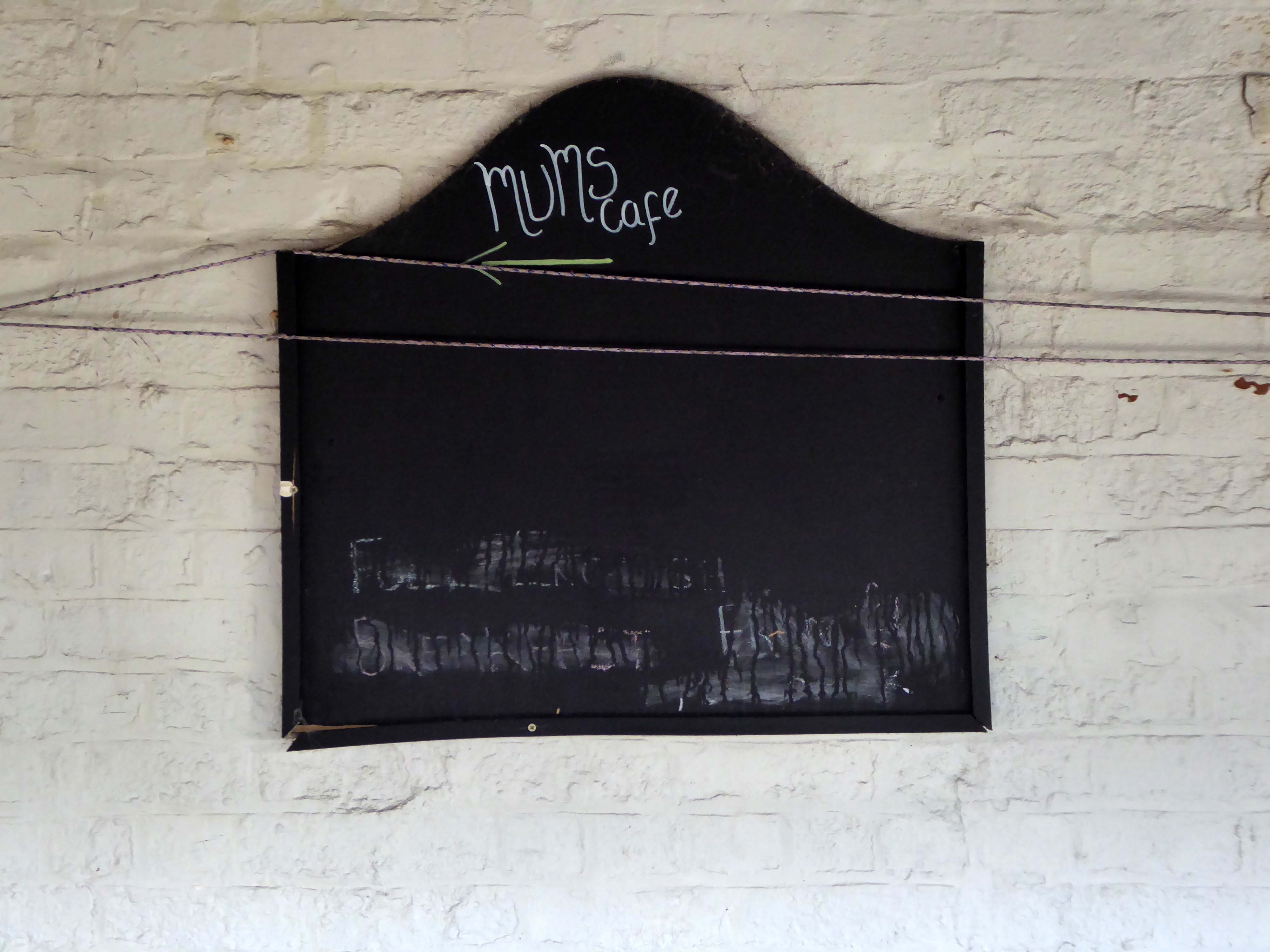
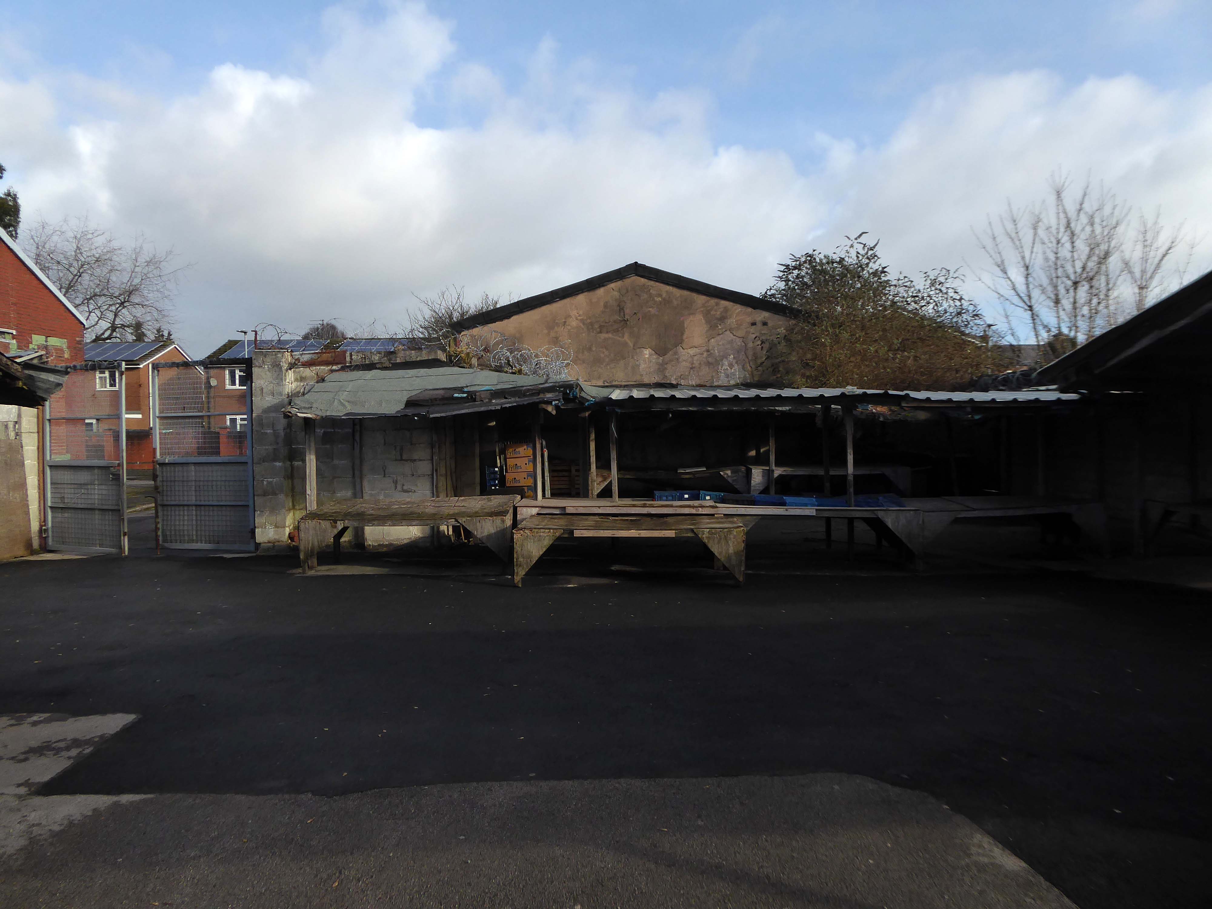
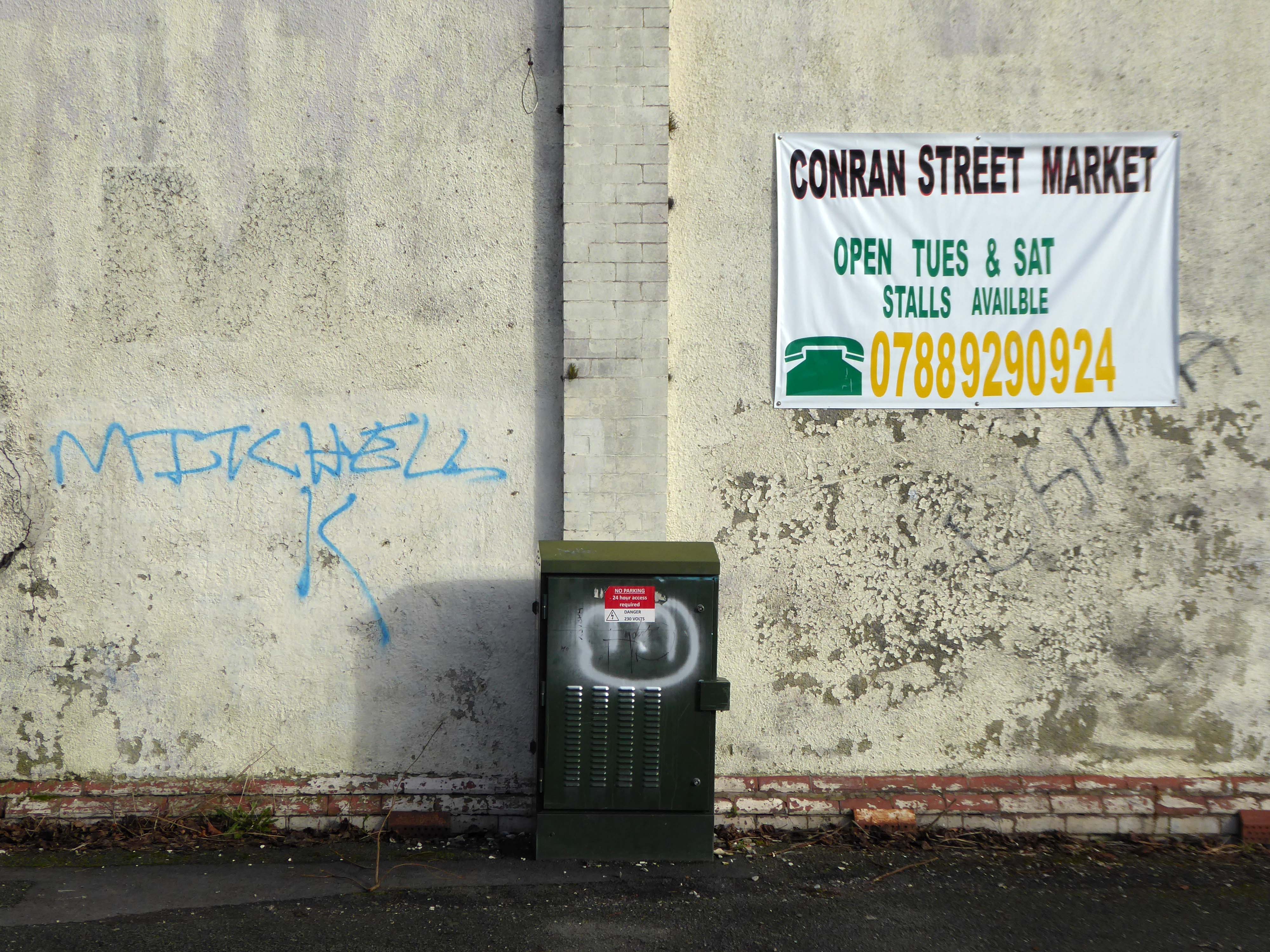
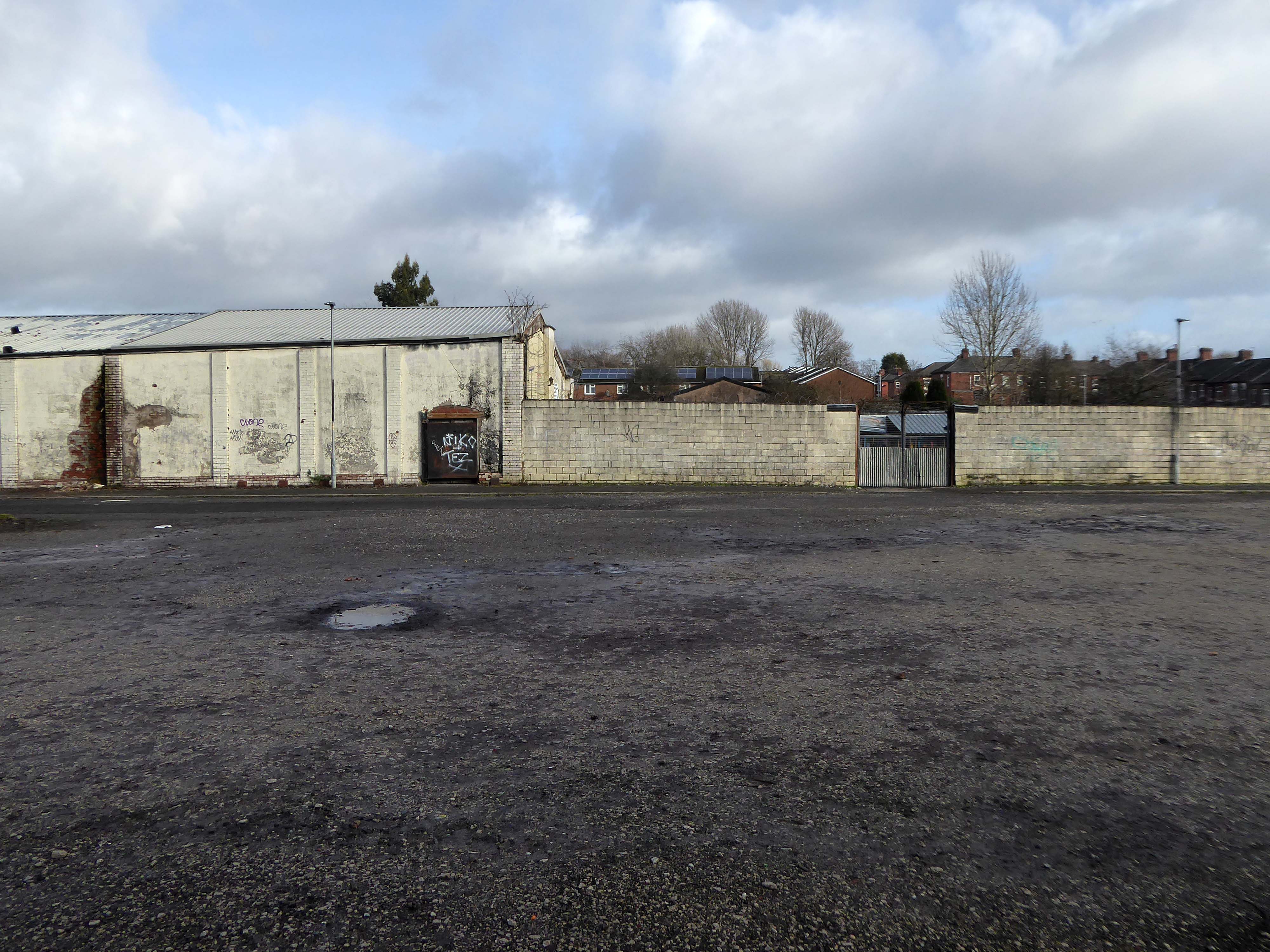
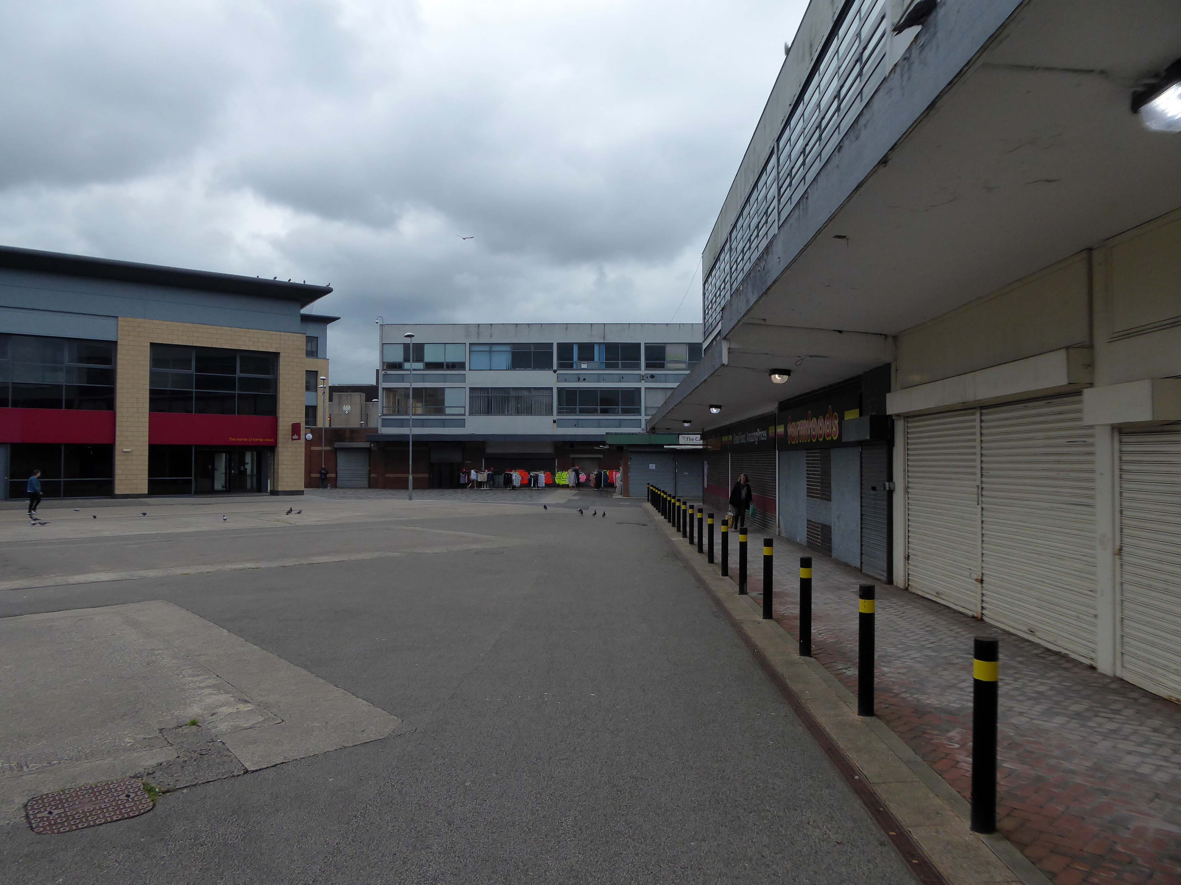
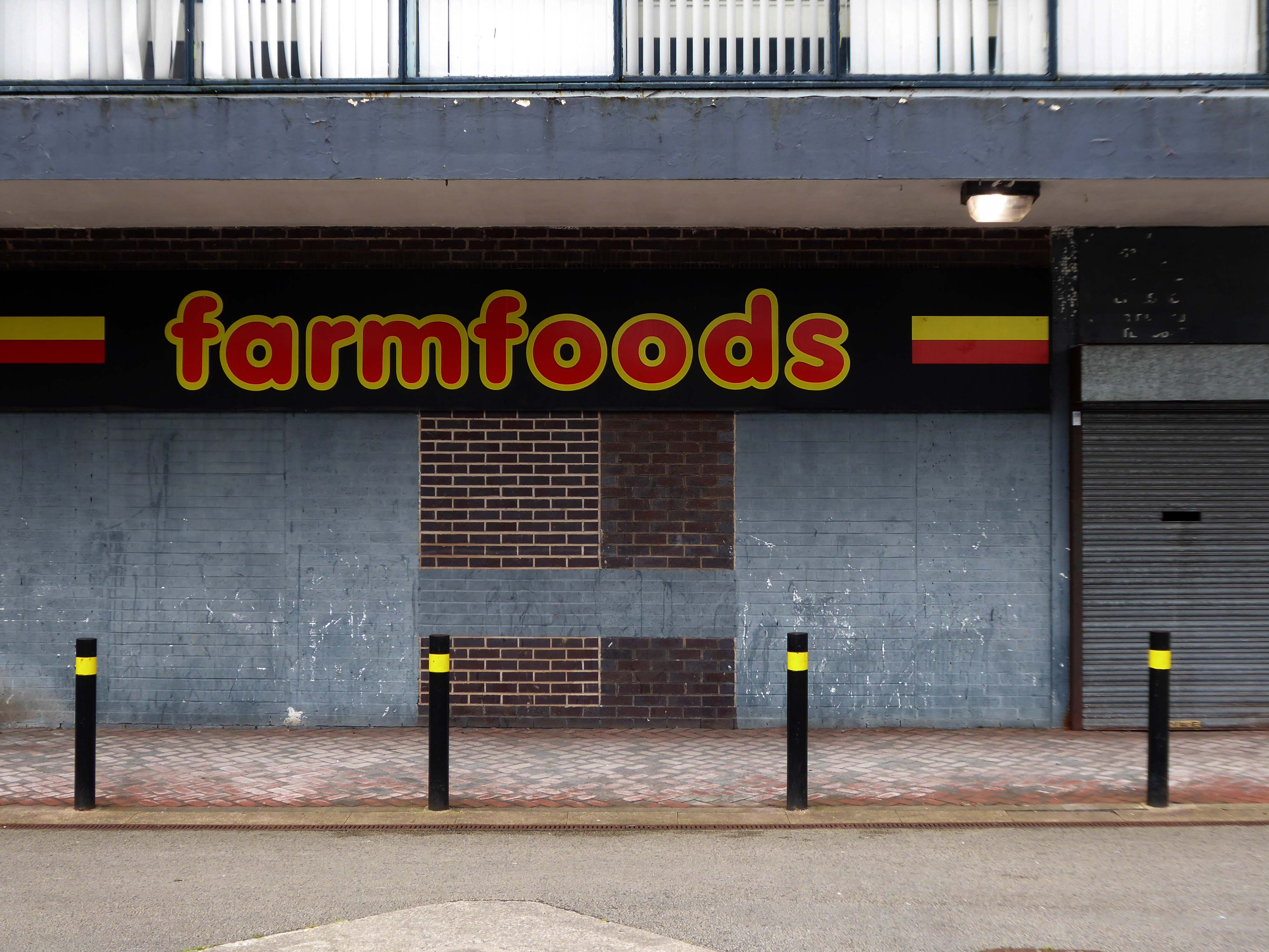
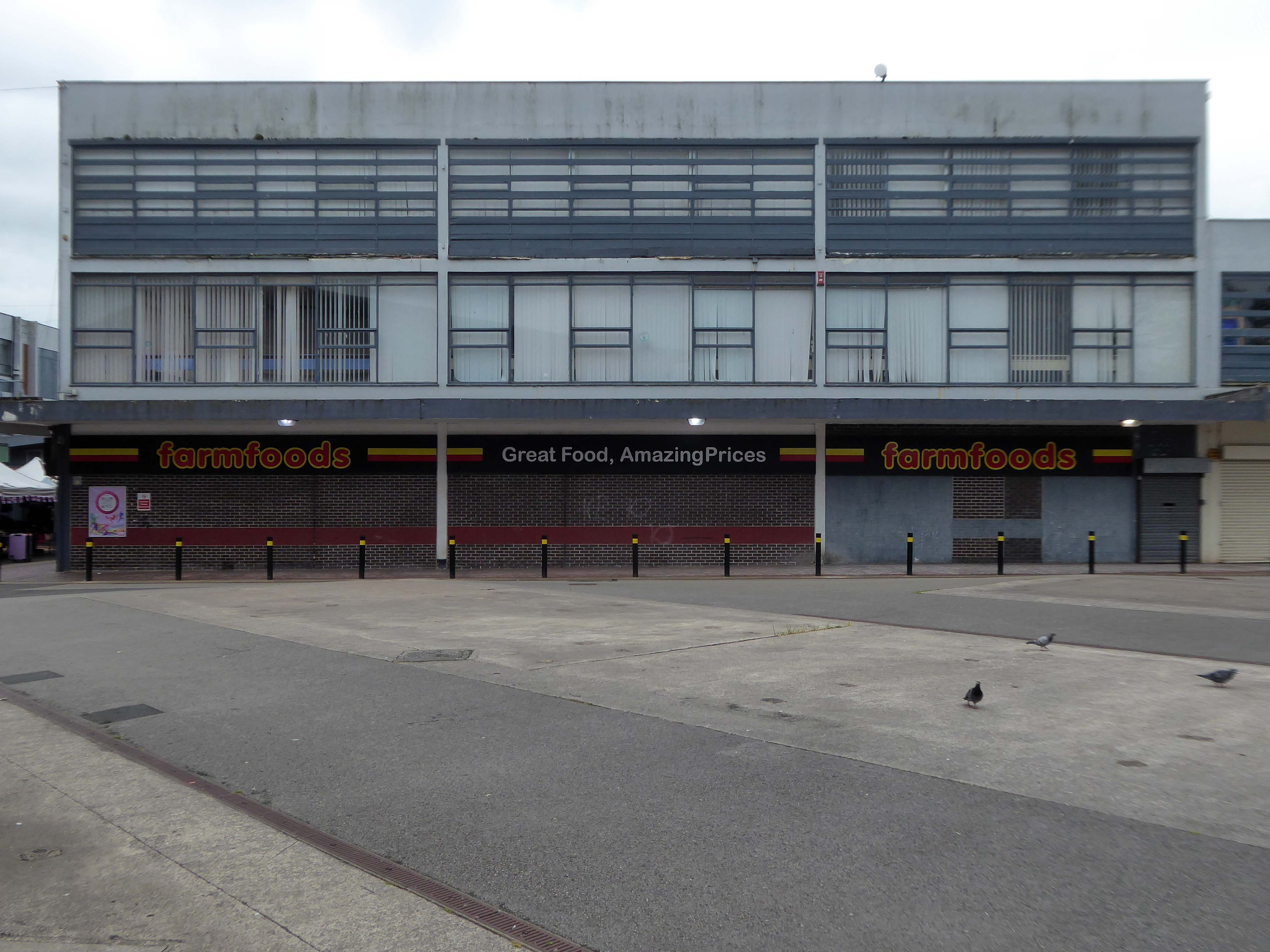
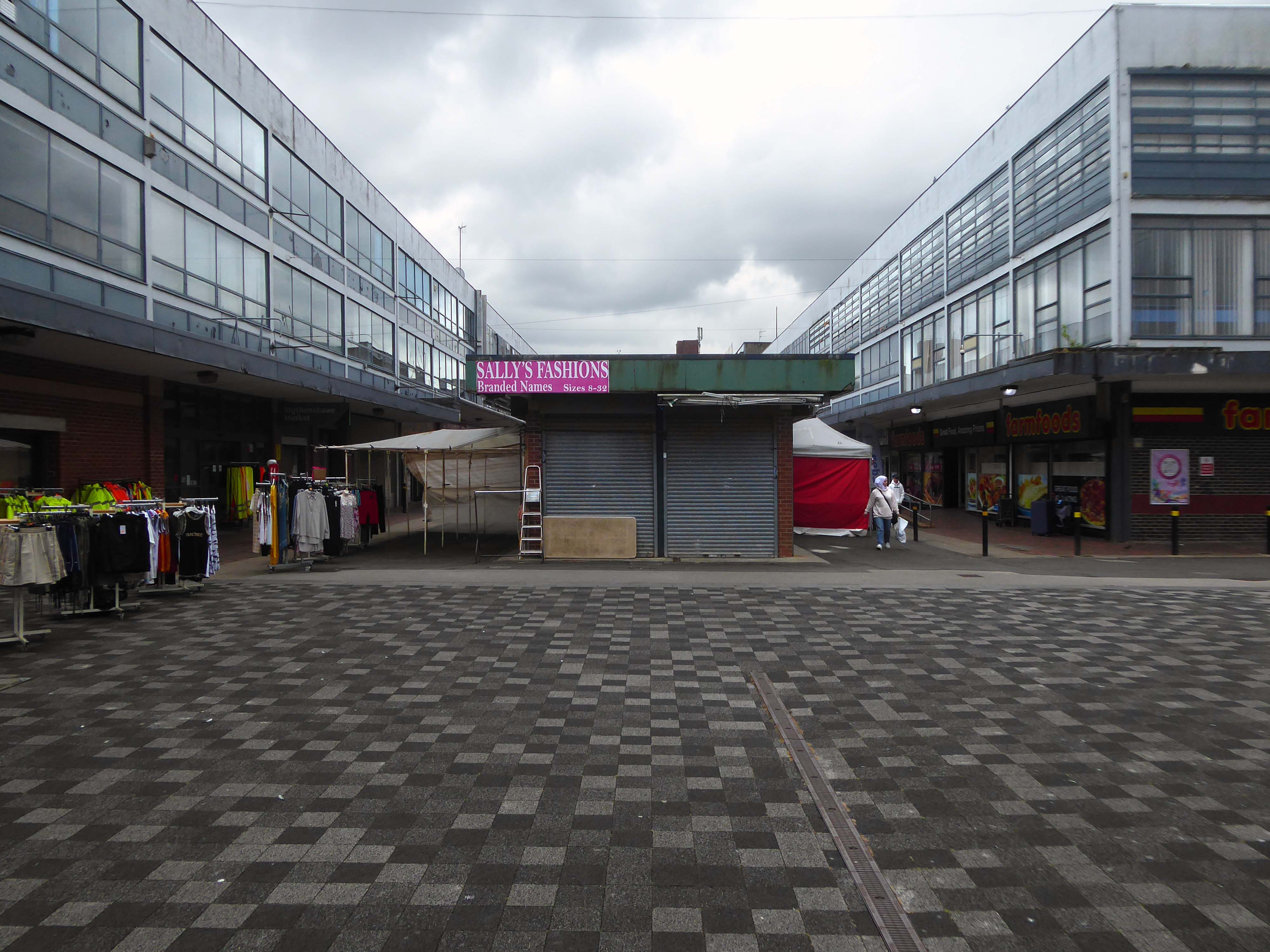
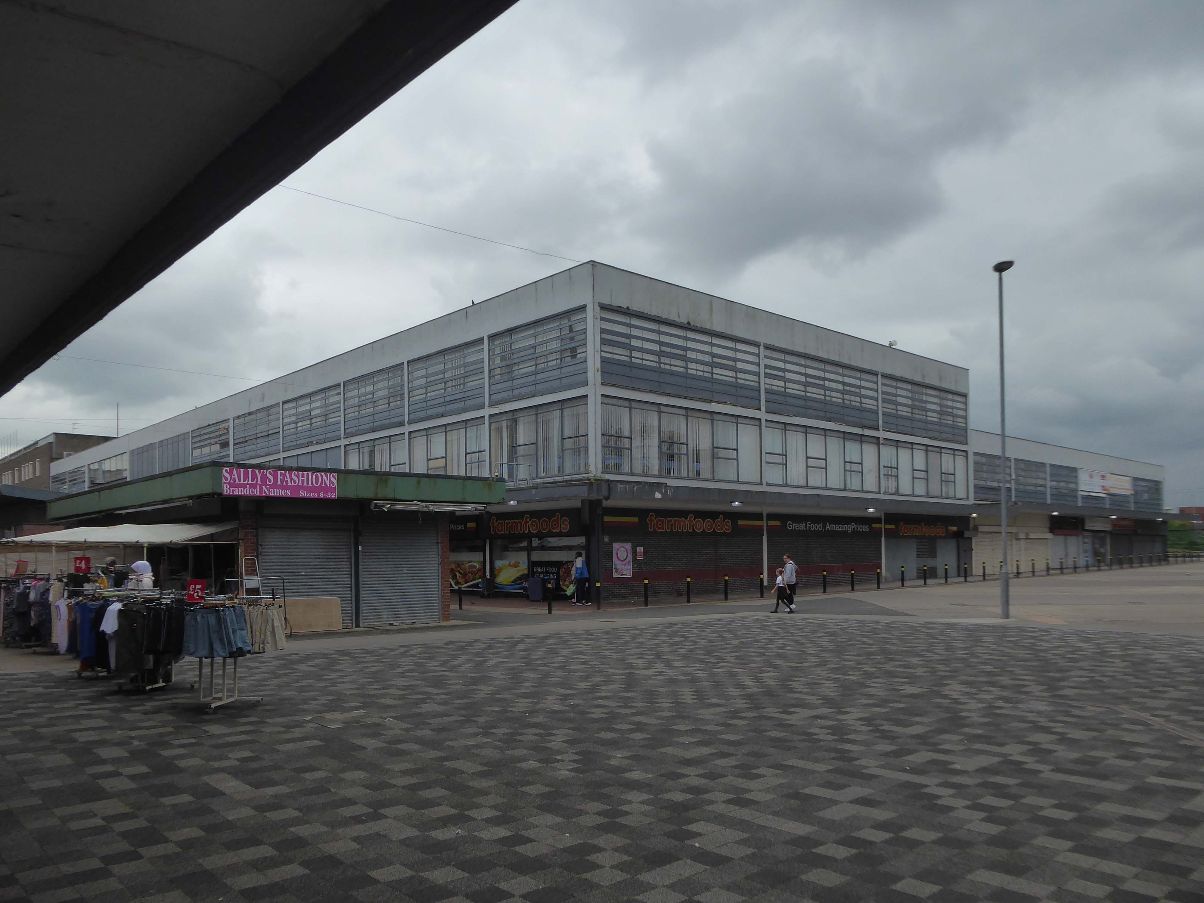
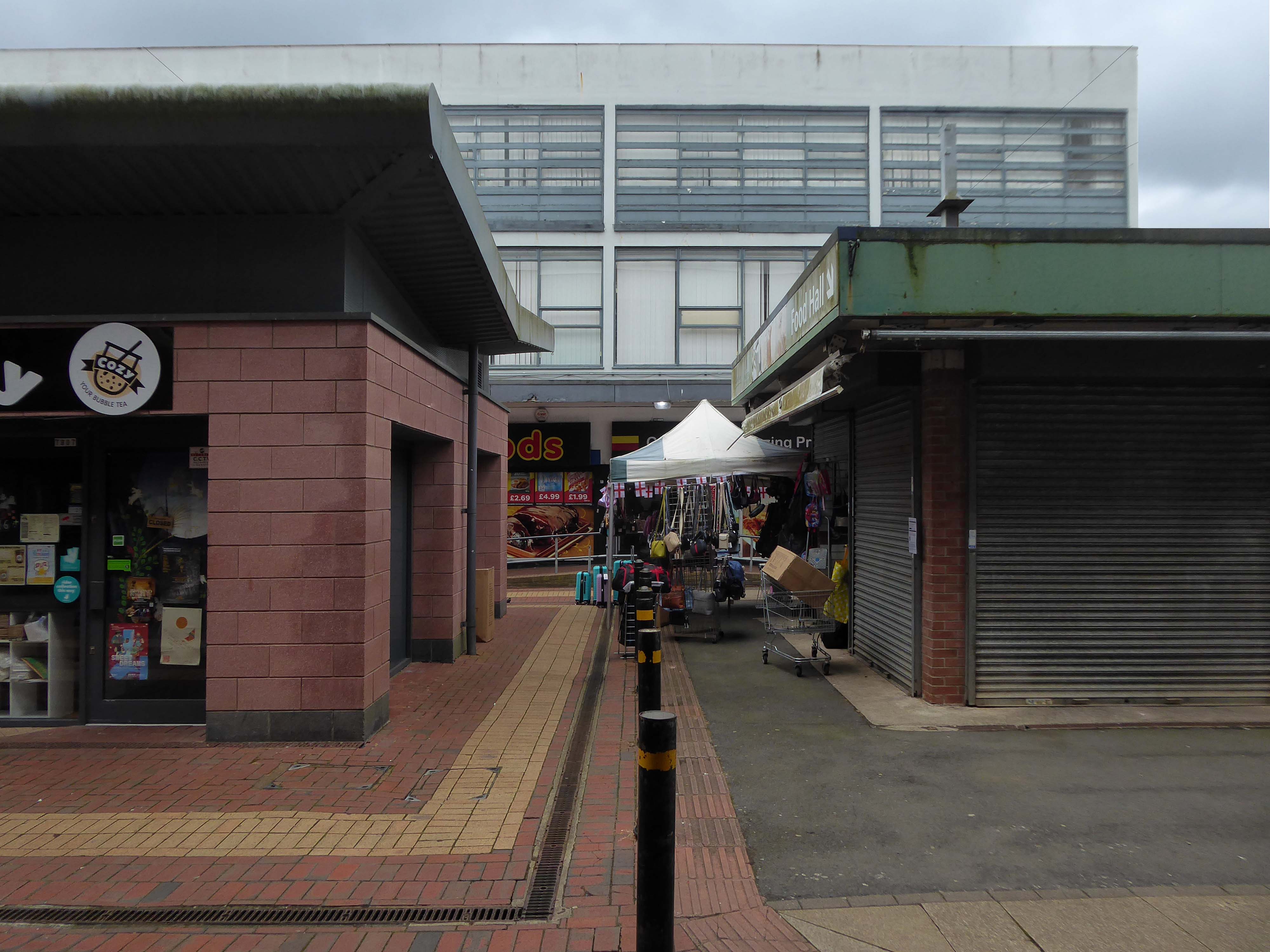
On my previous photographic visit to Conran Street Market the place was deserted, the cleaner had kindly let me in to take some snaps.
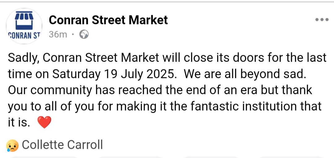
It is due to close this coming Saturday 19th July, after more than a century of trading.
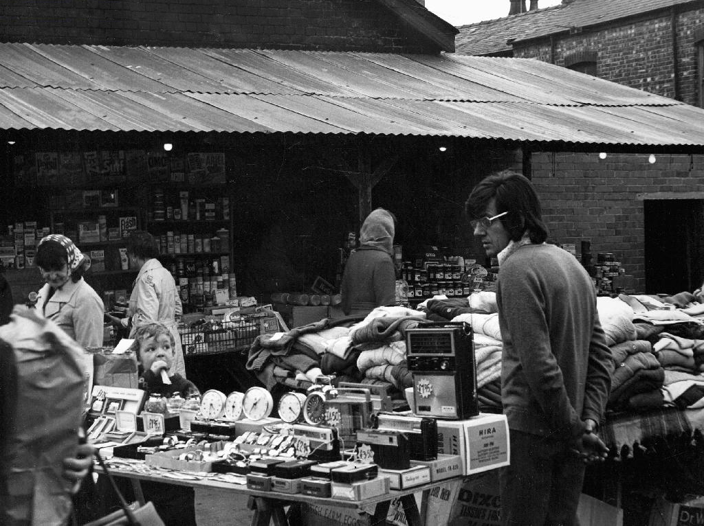
Archives+ 1972
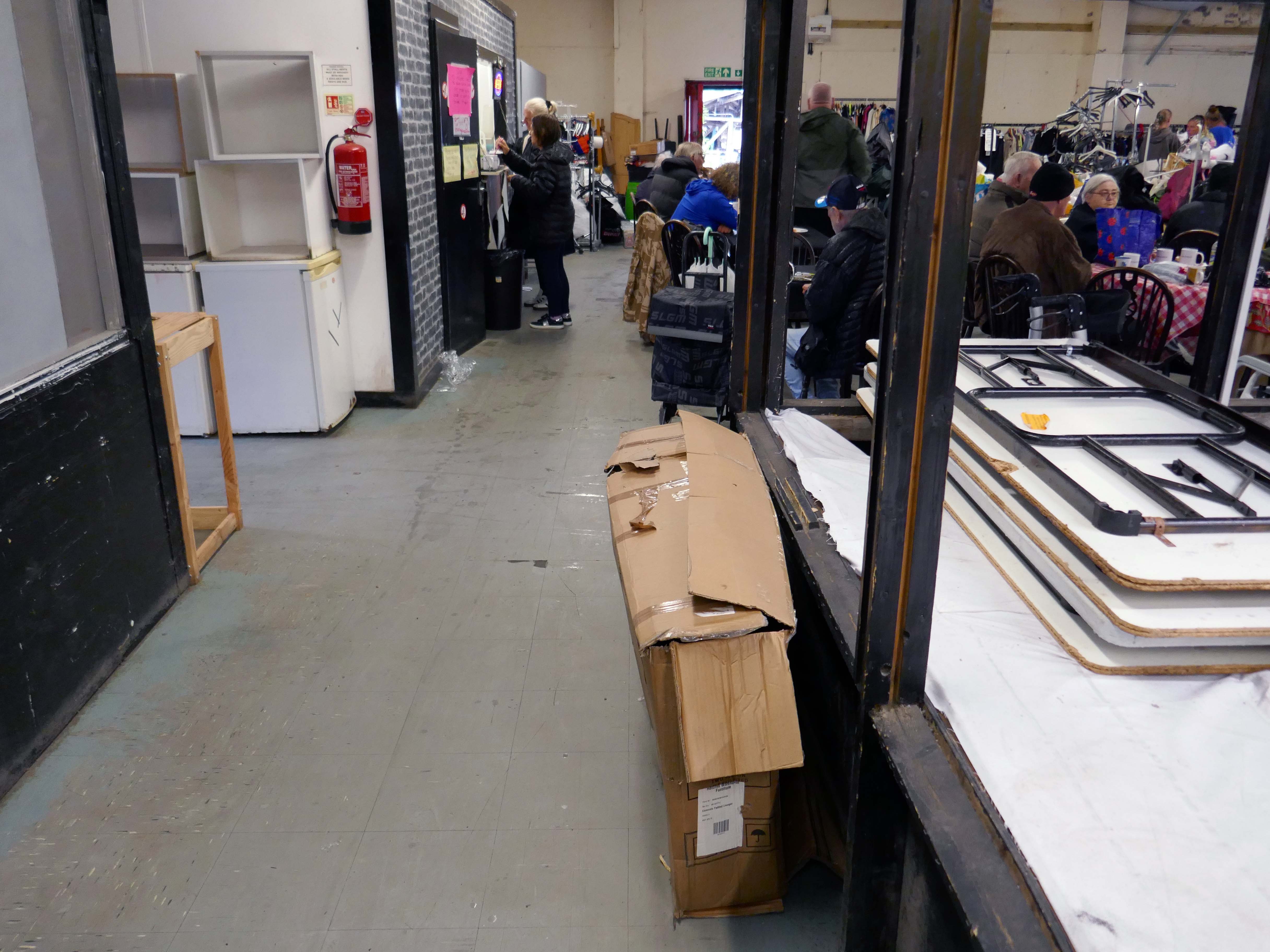
I absolutely love Conran Street Market. I have been going for years, I honestly wished I would have taken a photograph on every visit. It’s my feel good place that brings back so many memories, friendly, funny, a look at life in every visit. What an absolute pleasure to have experienced it as long as I can remember.
Mo A
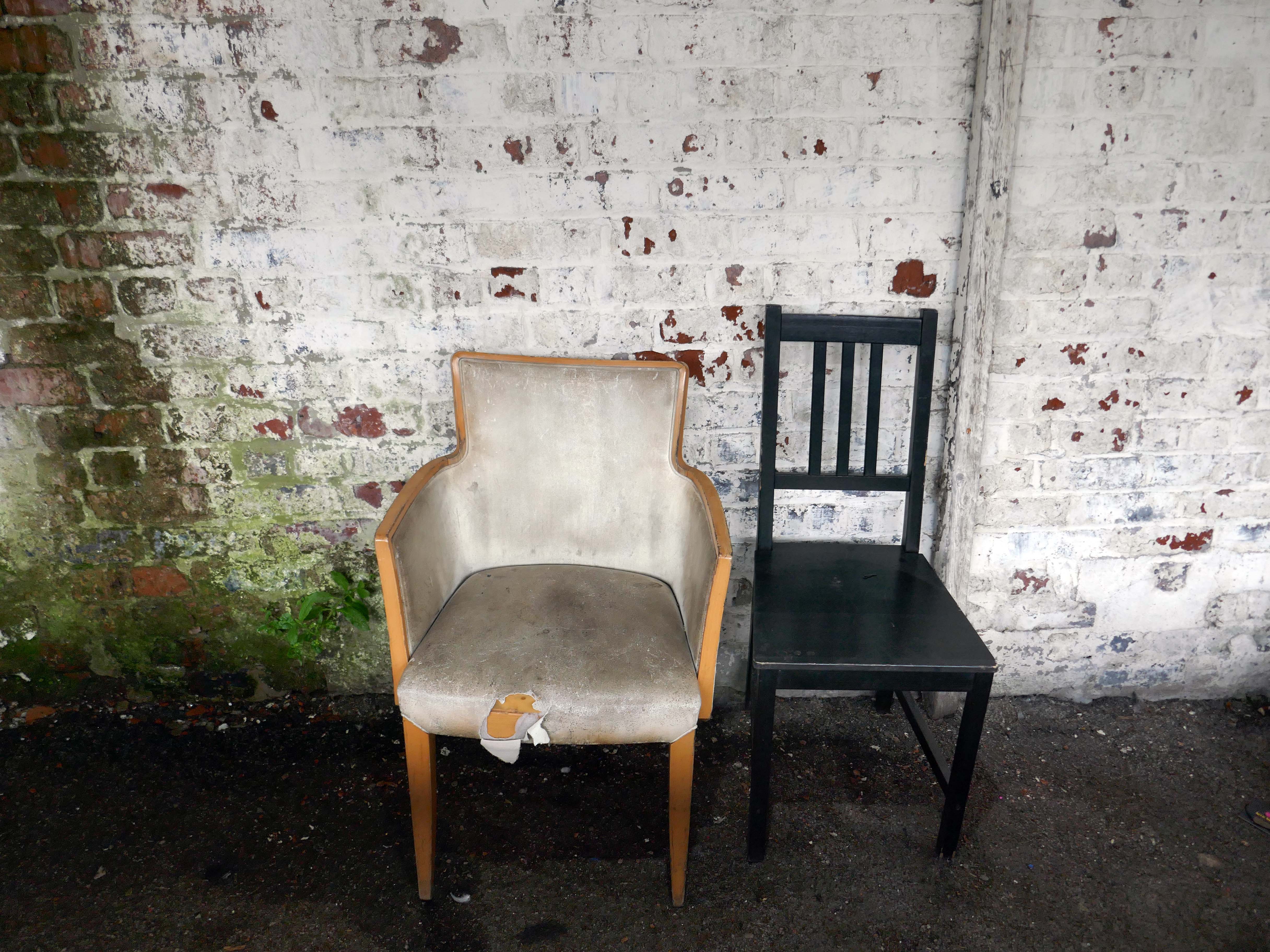
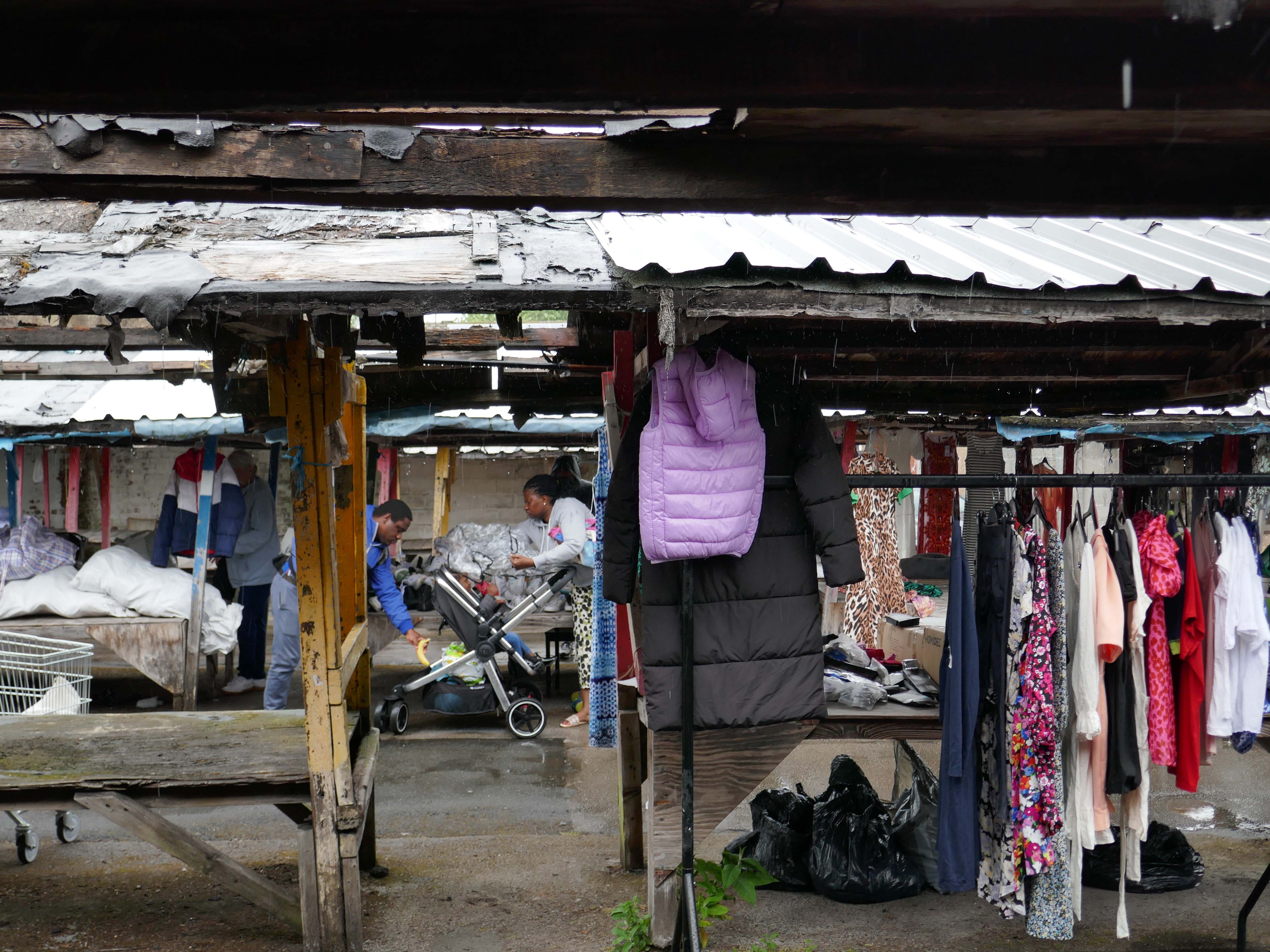
This is a local basic market with few modern amenities and no access considerations. You may find some bargains on a good day but many of the stalls stand empty, and the general disrepair all around is grim. One word about the toilets: don’t.
Judy S
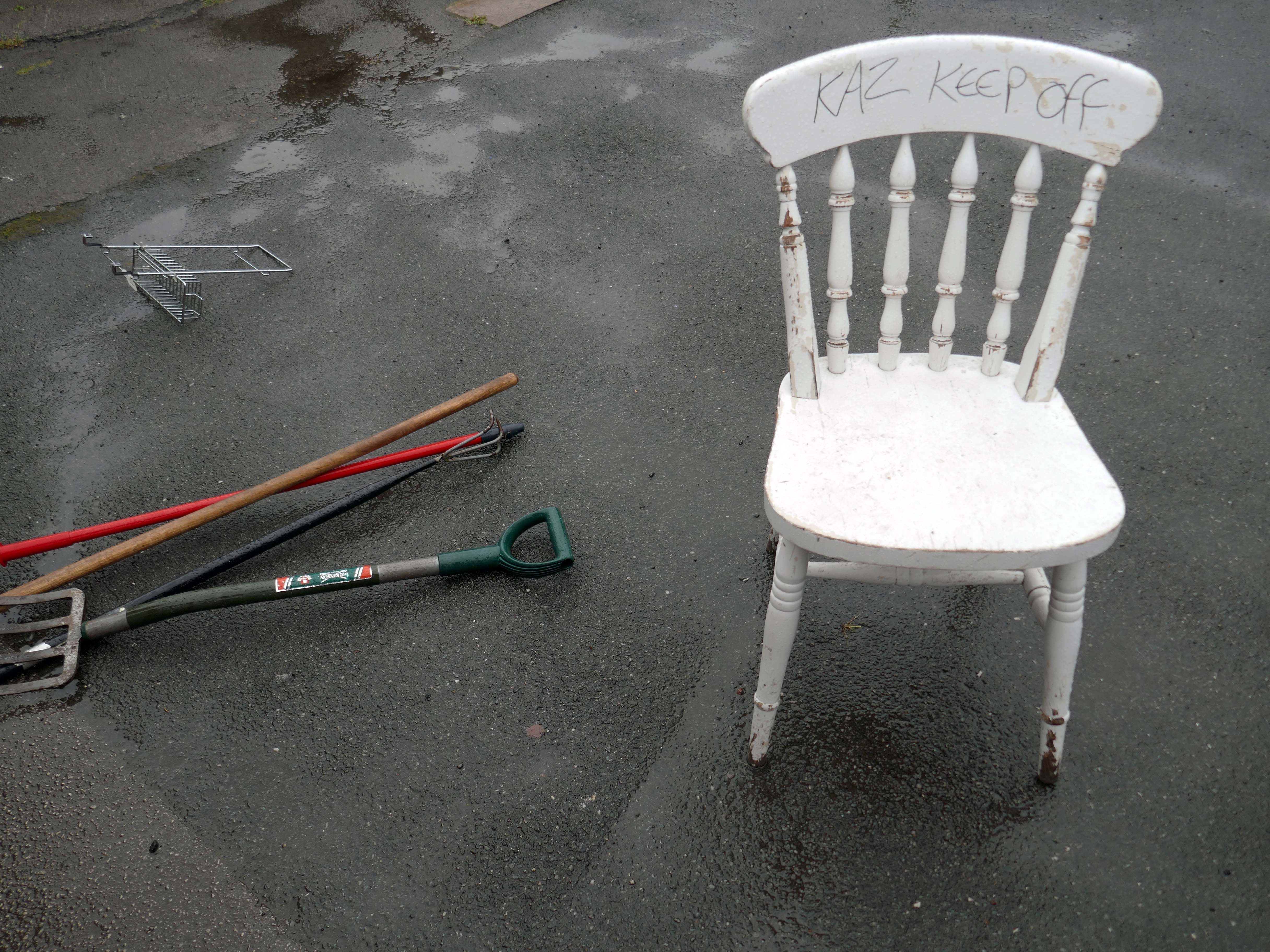
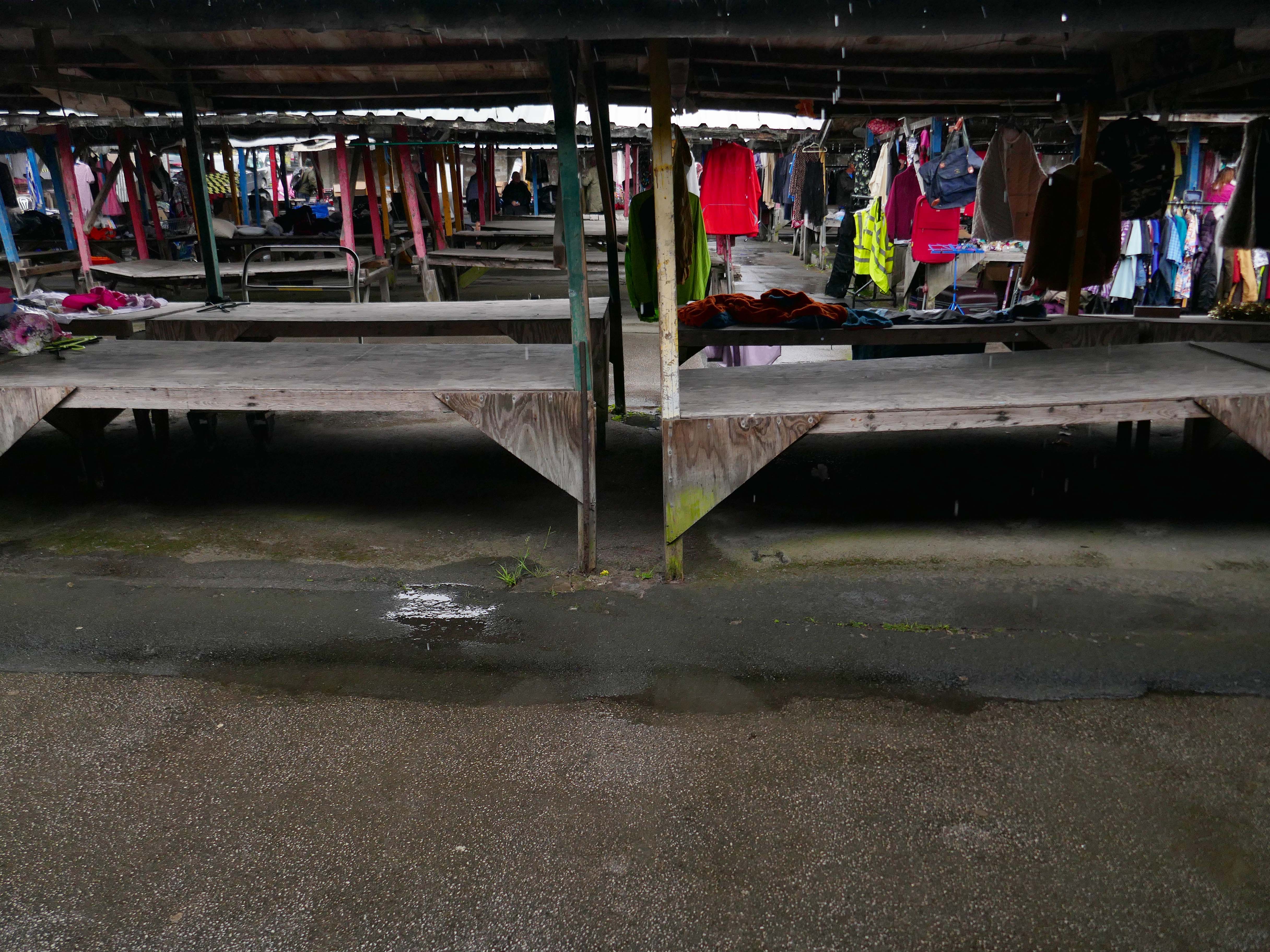
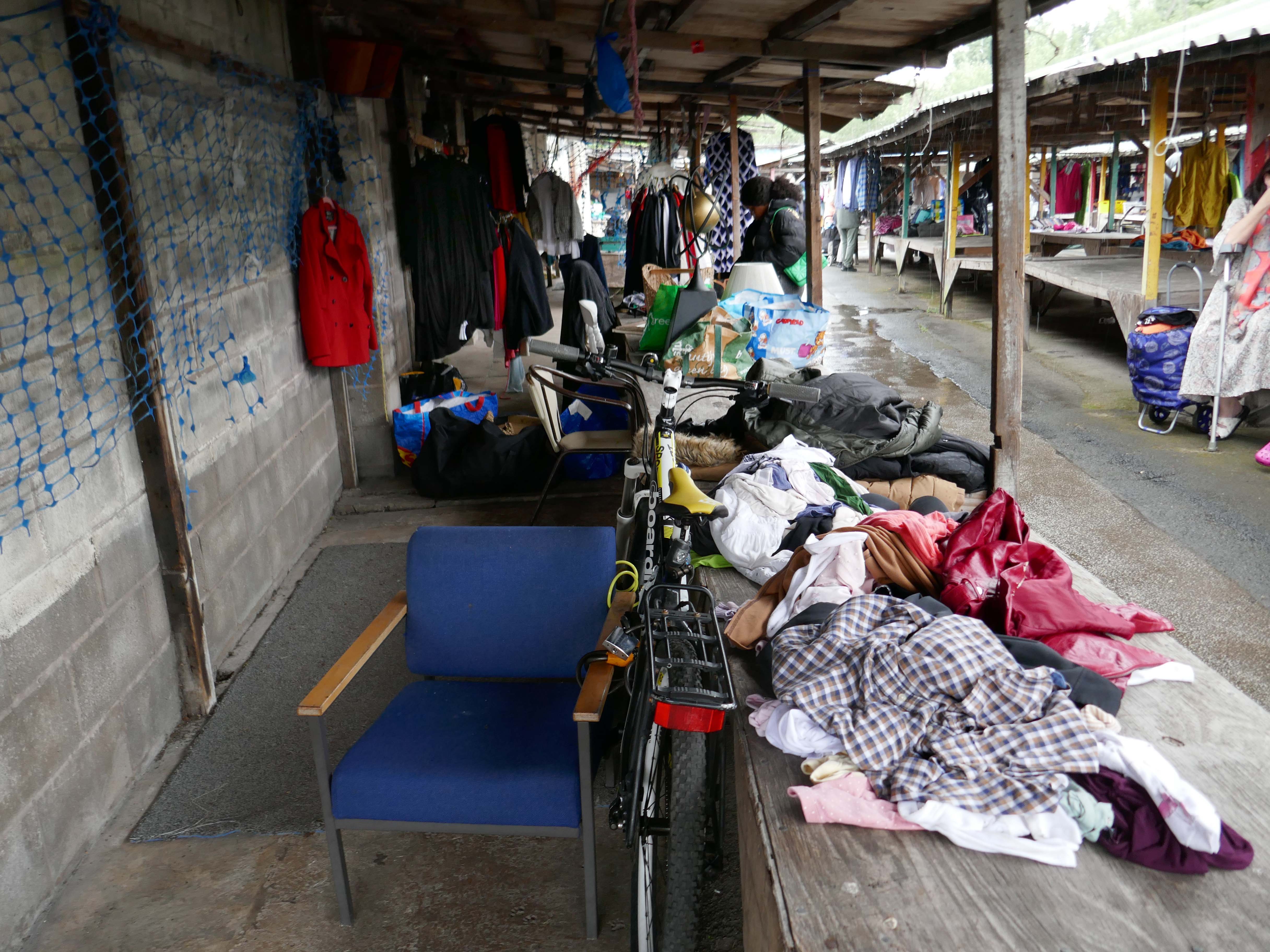
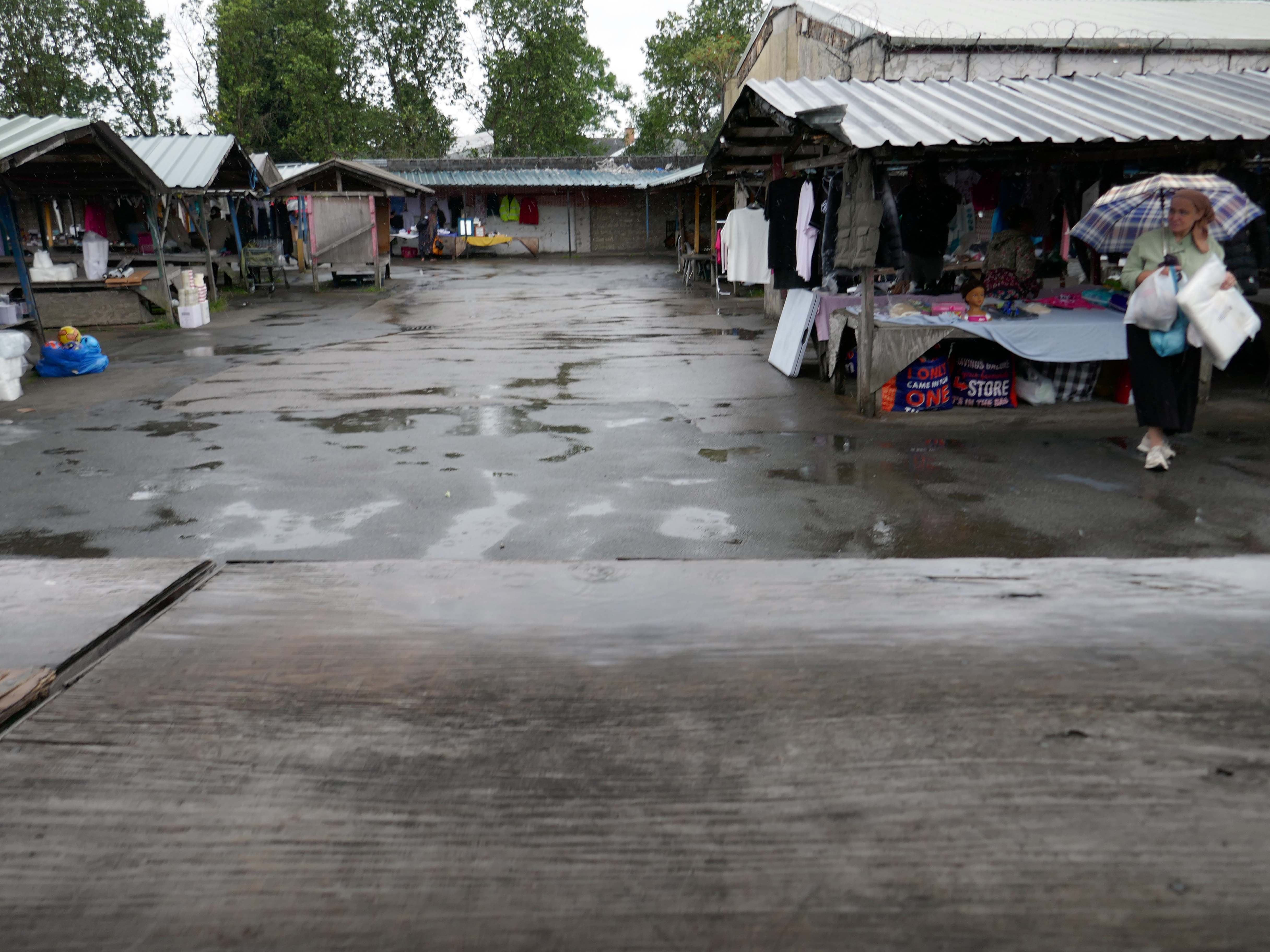
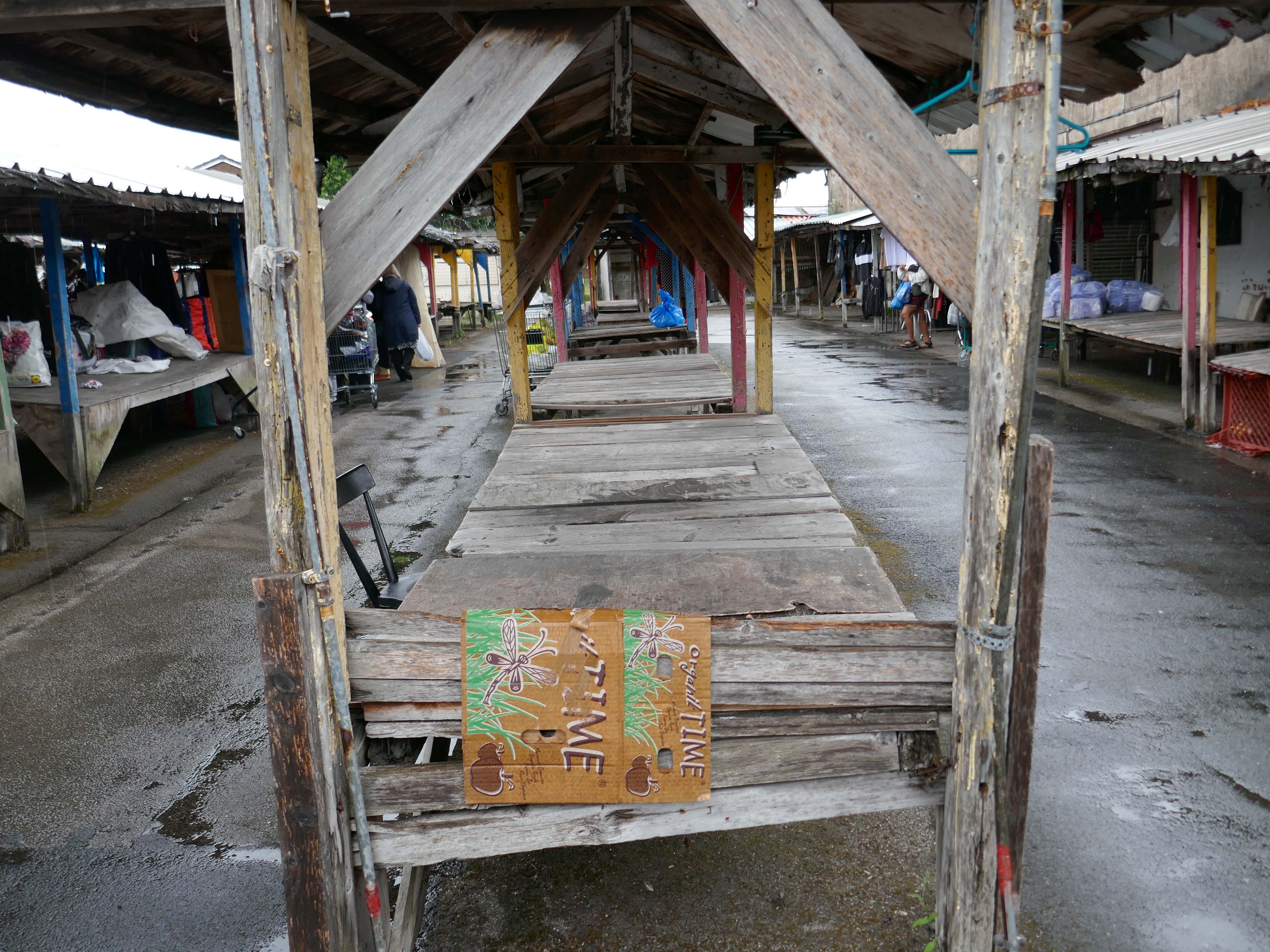
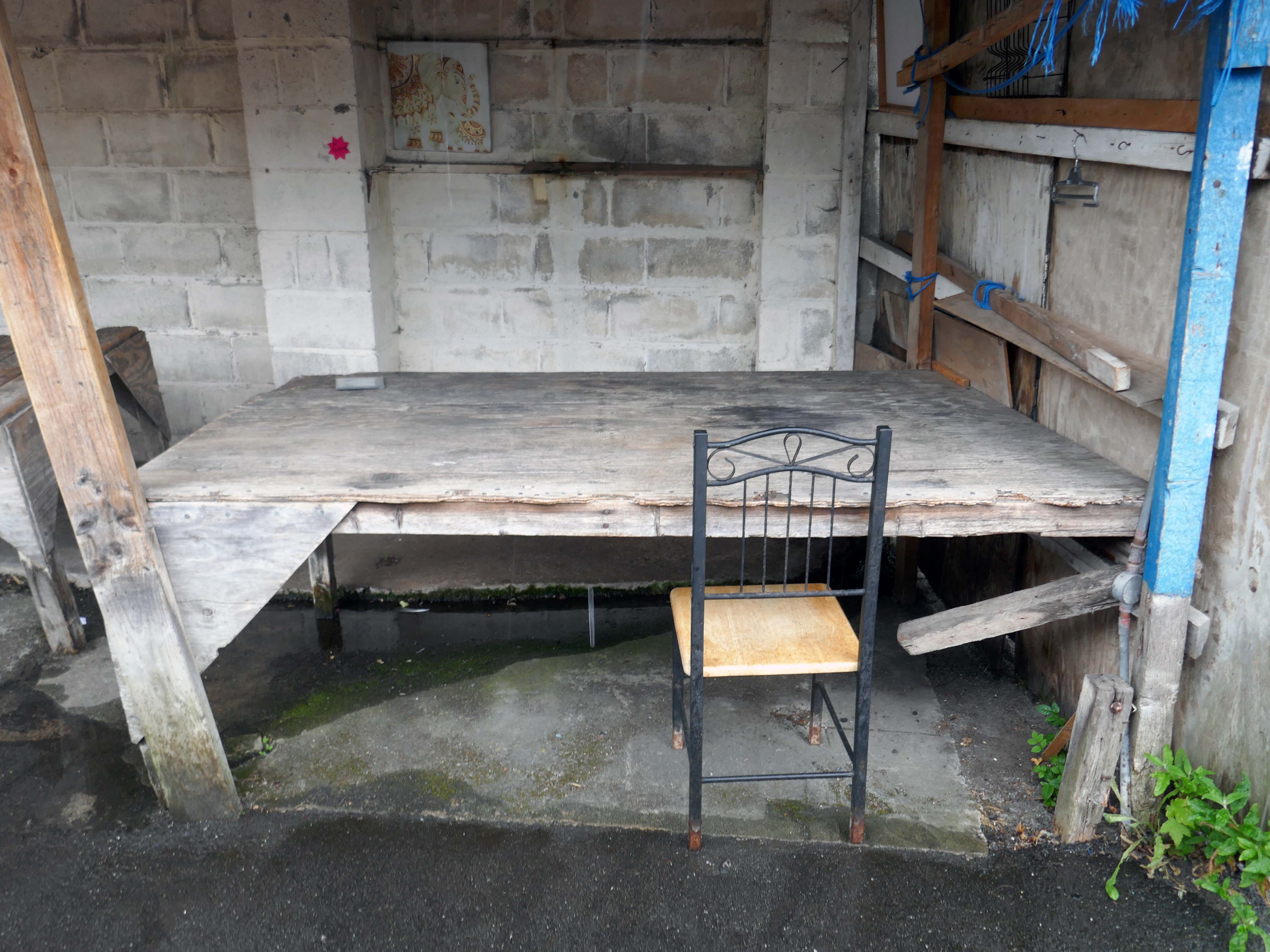
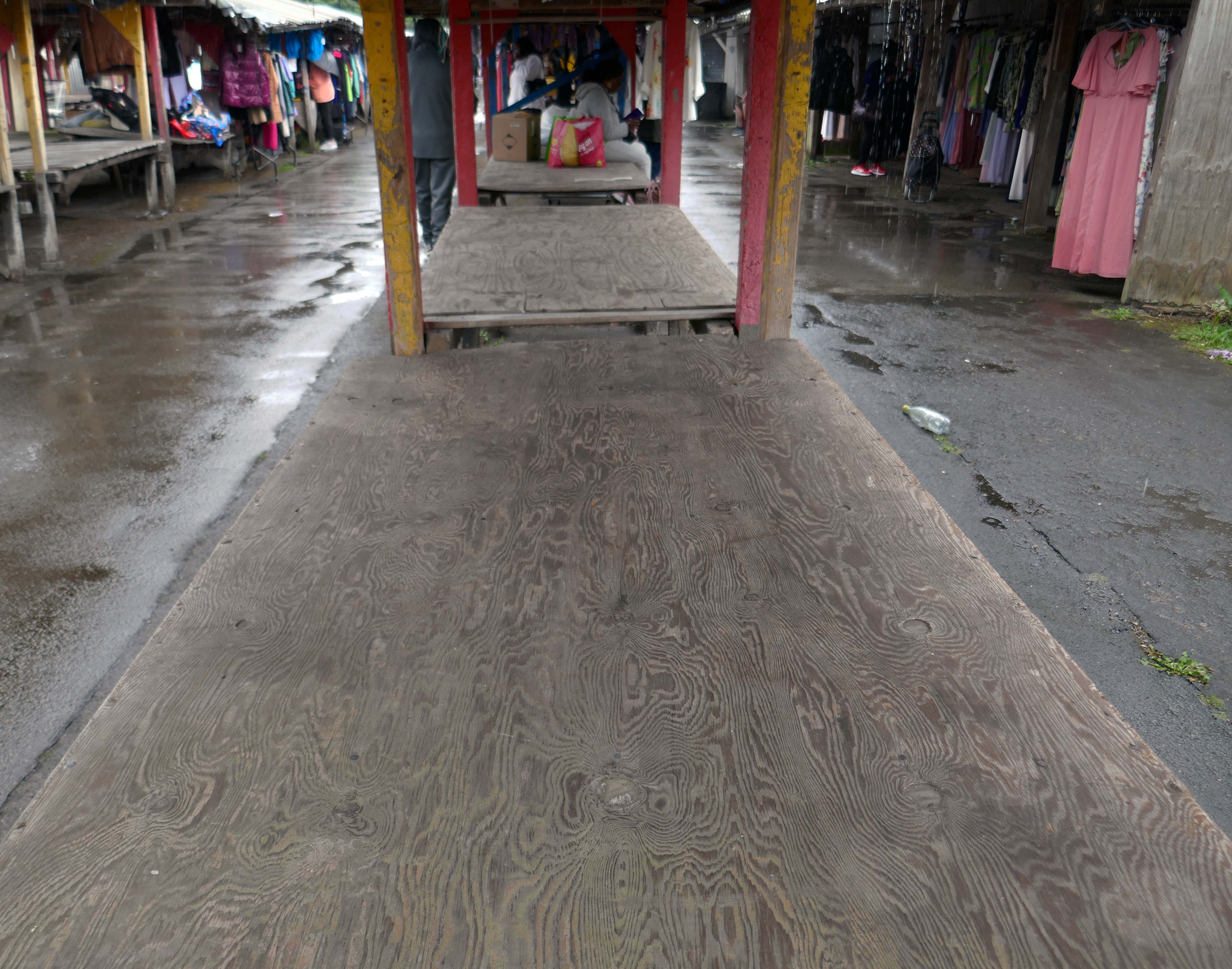
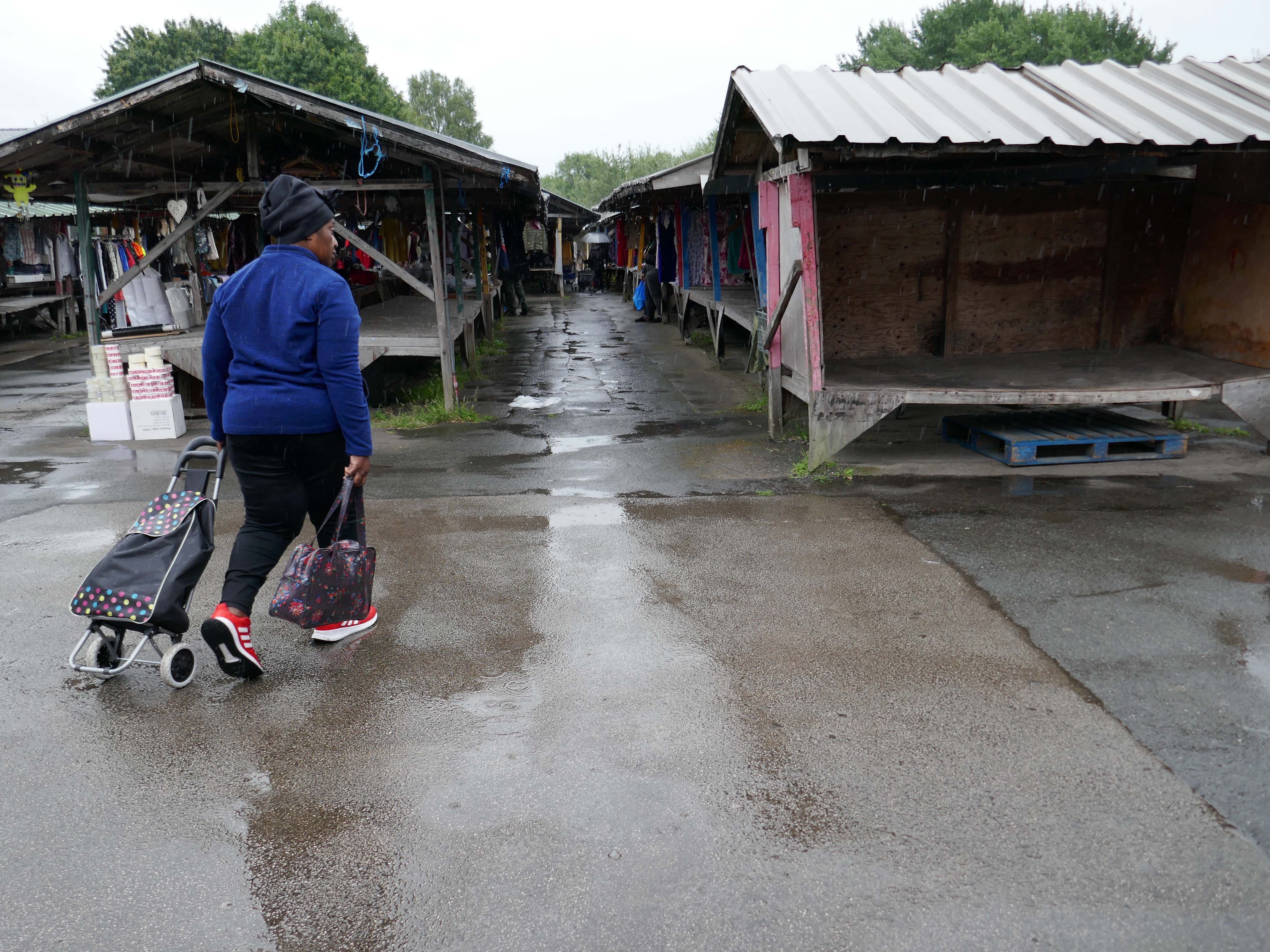
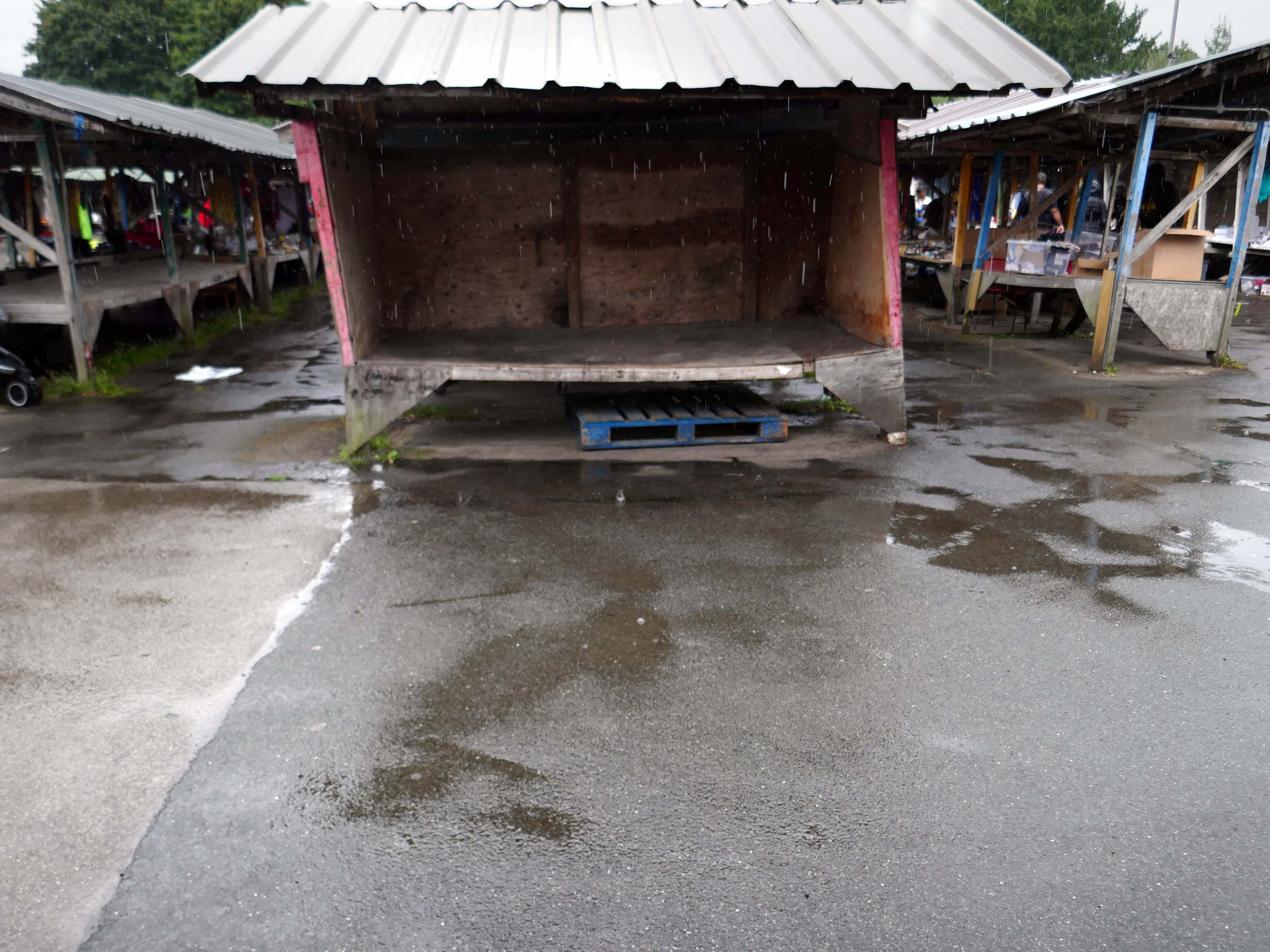
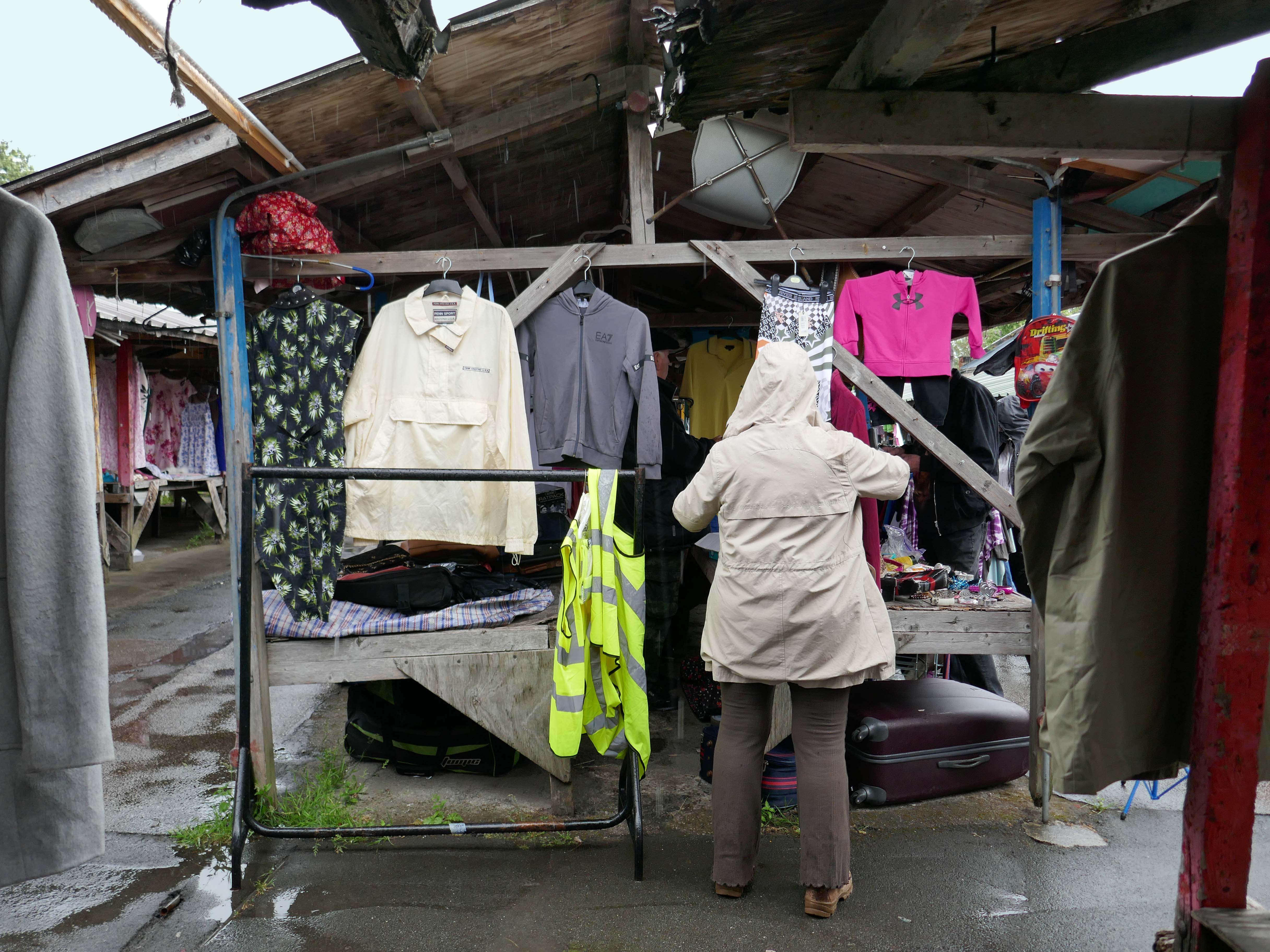
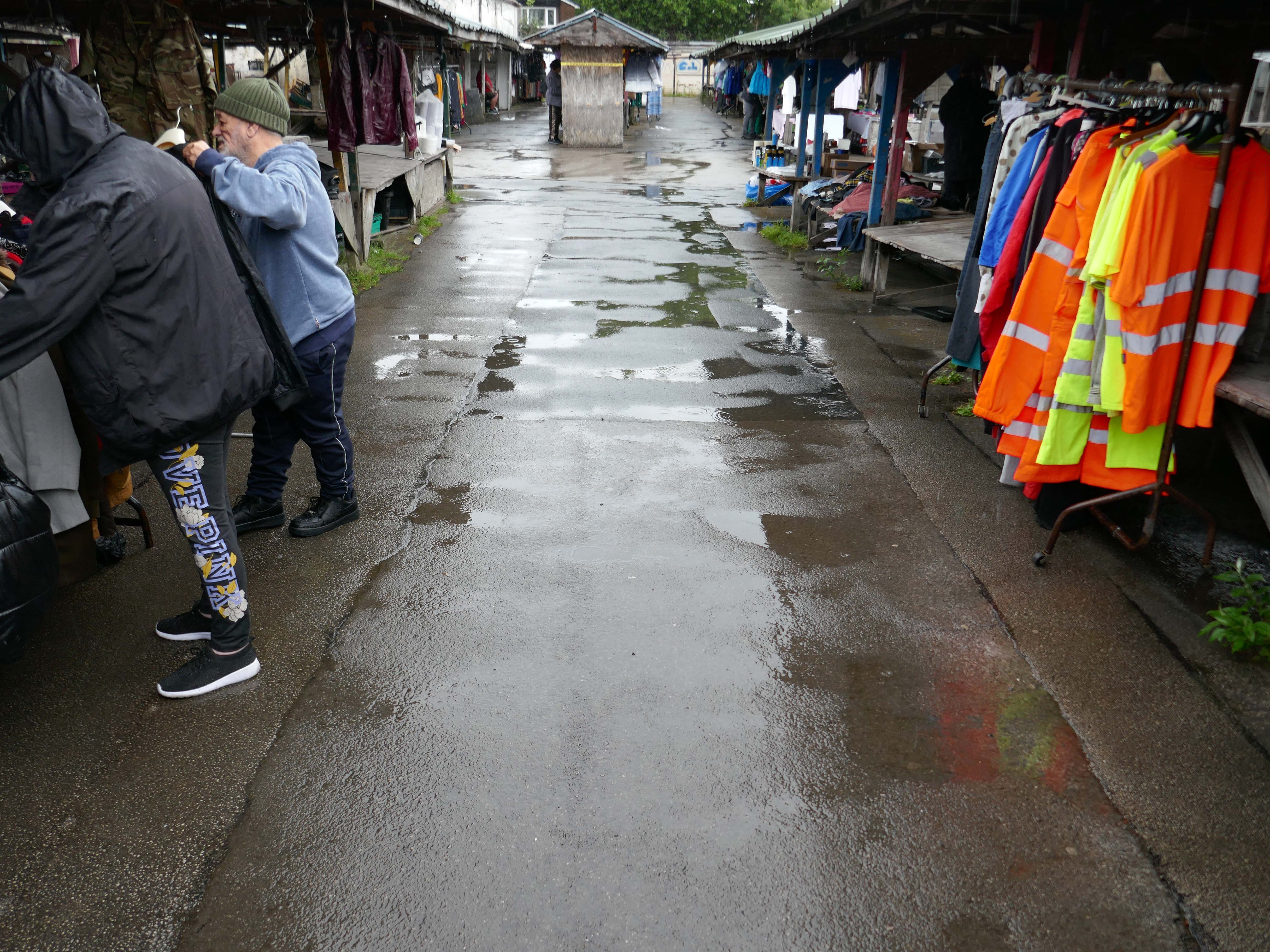
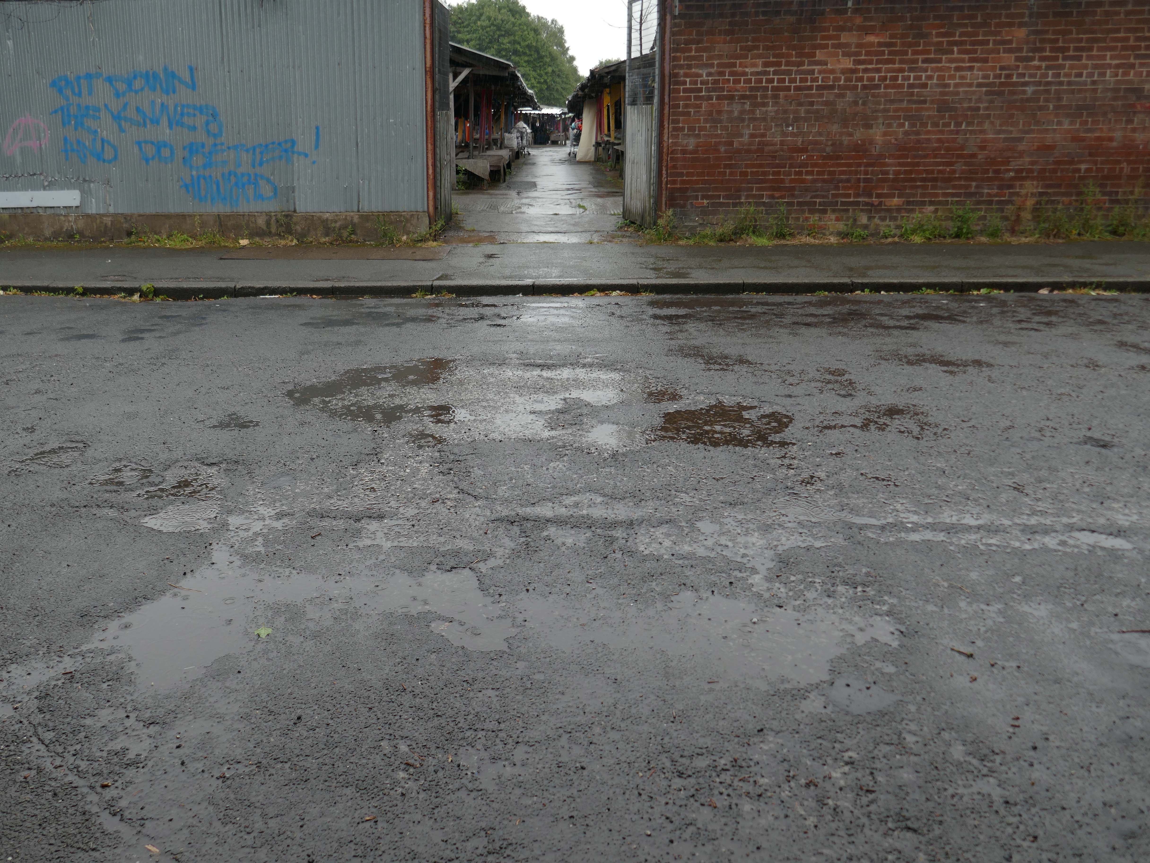
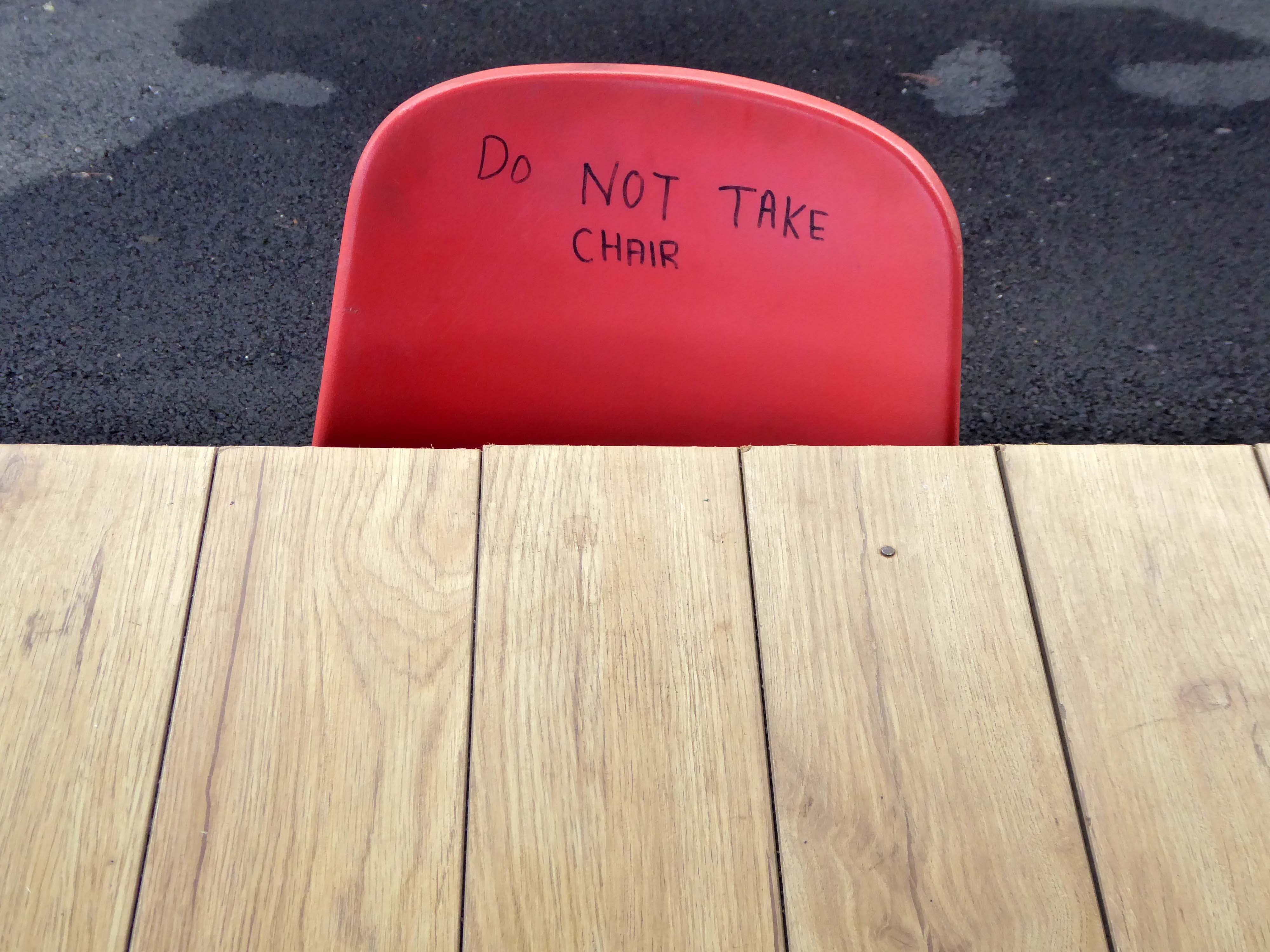
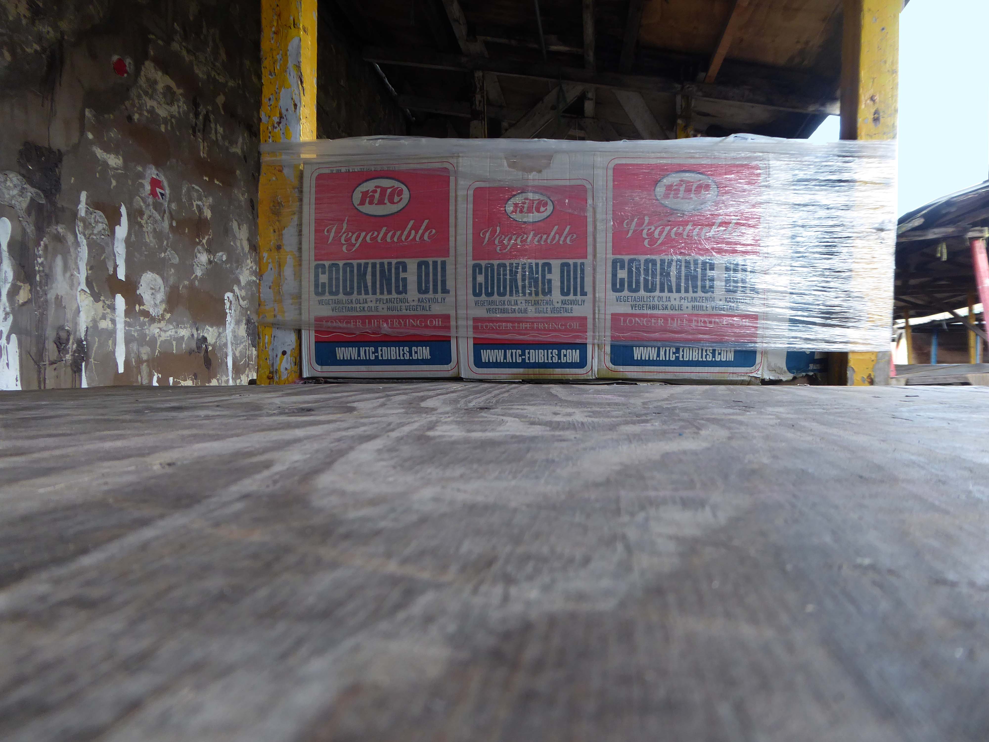
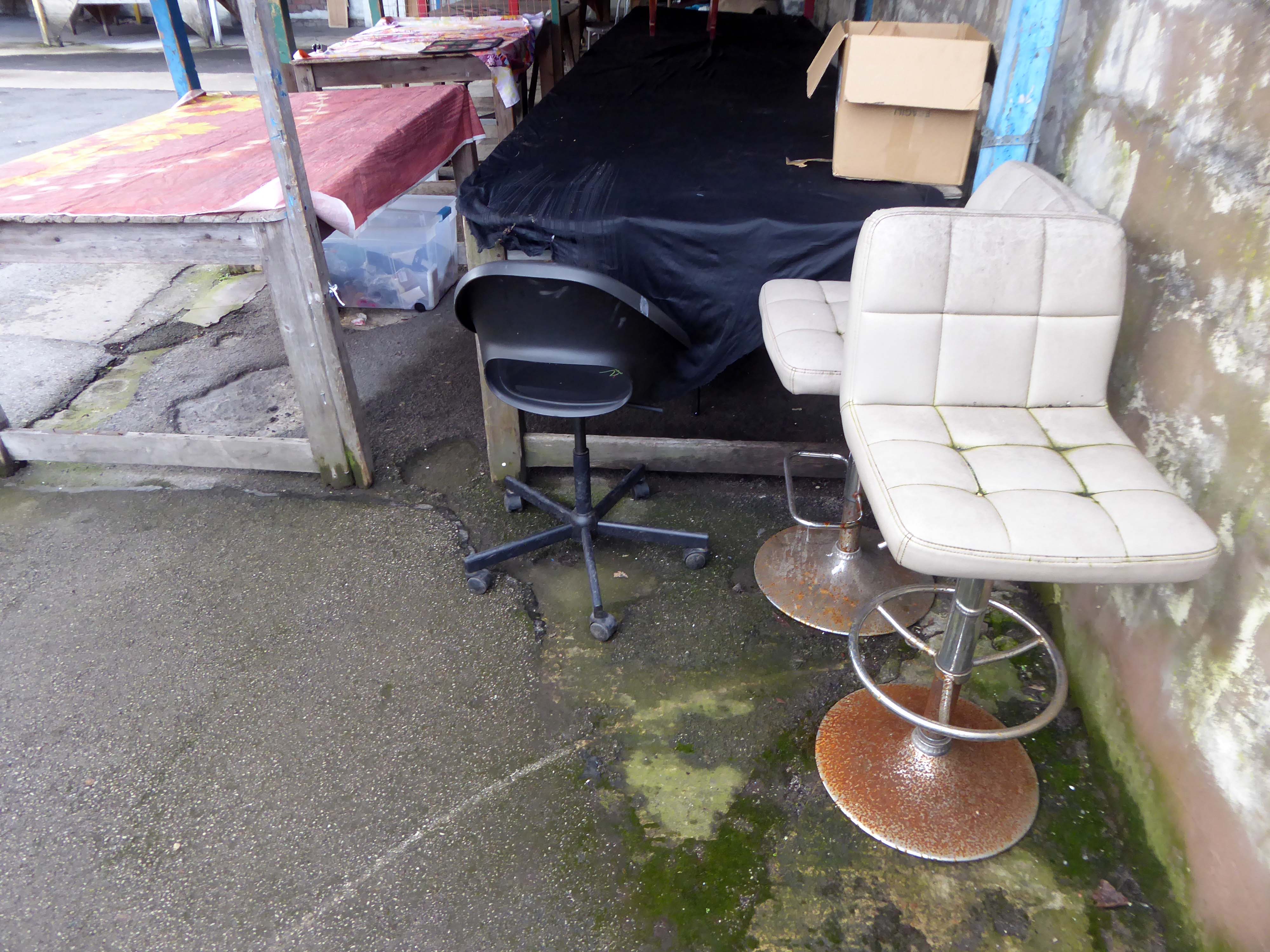
So it goes – a rainy Tuesday, following days of summer sunshine, paddling in puddles, as the drips dripped off the stalls’ sagging roofs, some empty some laden, with this that and the other.
Upright citizens at large in a skewed world, hi vis, low cost goods with nowhere else to go.
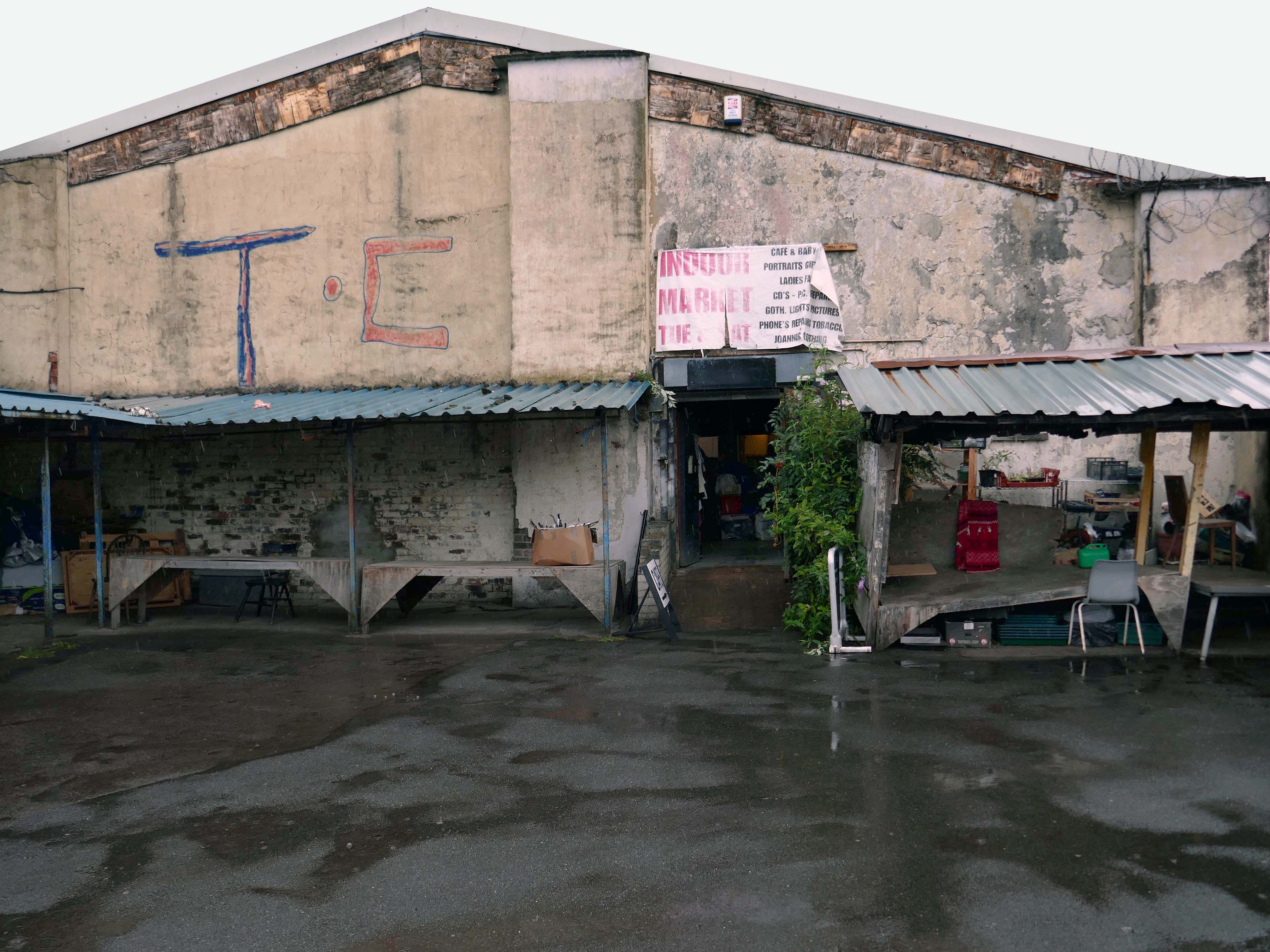
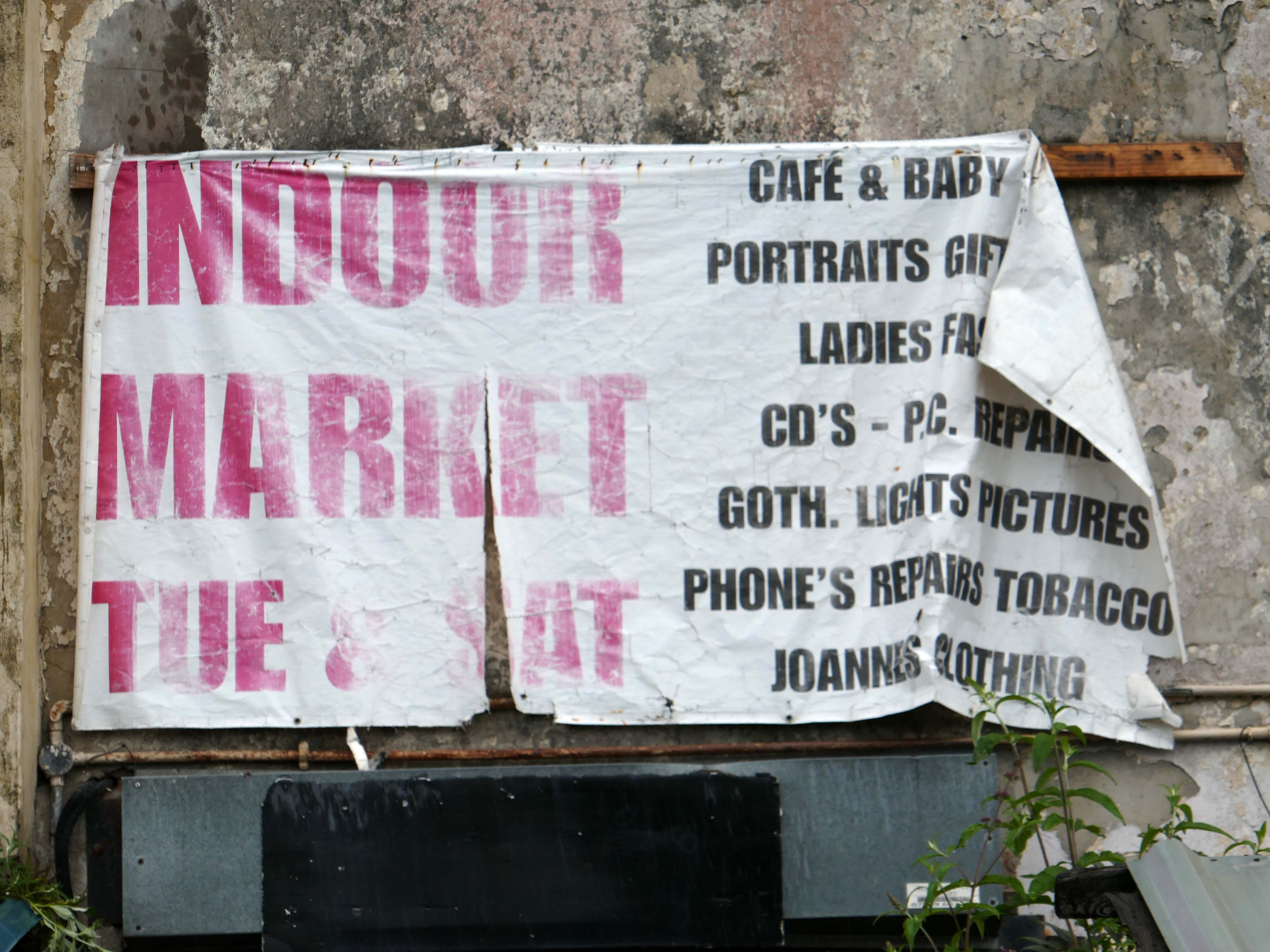
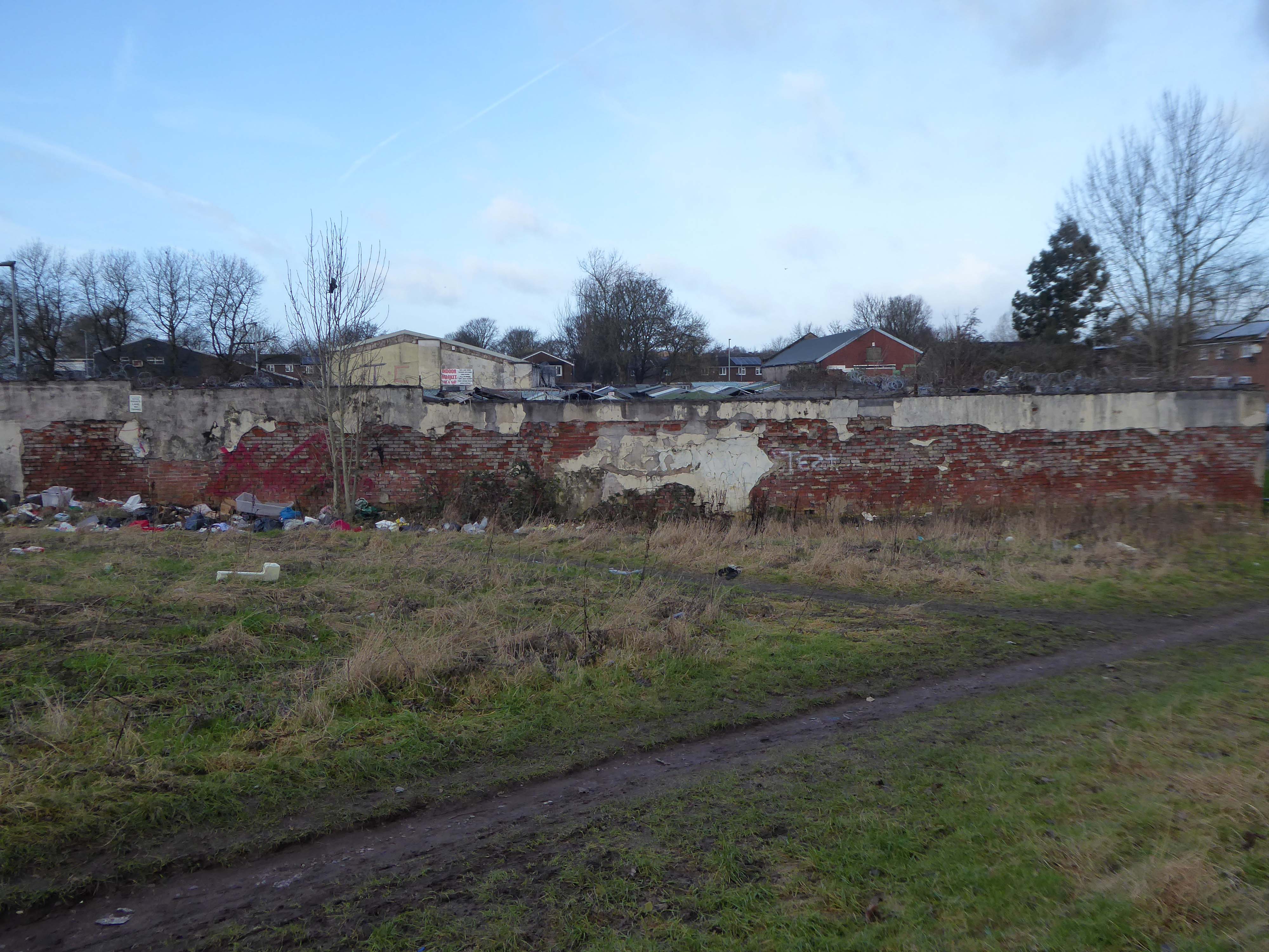
One of the last privately owned markets in the city, is to close on July 19th 2025, after serving the area for over a century.
The family which owns the Harpurhey site has decided to put the acre of land and its existing redbrick buildings up for sale. It will be auctioned off with a guide price of £450,000.
It’s so sad the stall holders, and the community that surrounds the market, have lost their place to go on weekly basis, meeting friends for brew and bacon butty, chats and last minute buys, rummaging around in boxes finding treasures. The previous owner Mike, would have fought tooth and nail to keep this beloved market open, he would be turning in his grave.
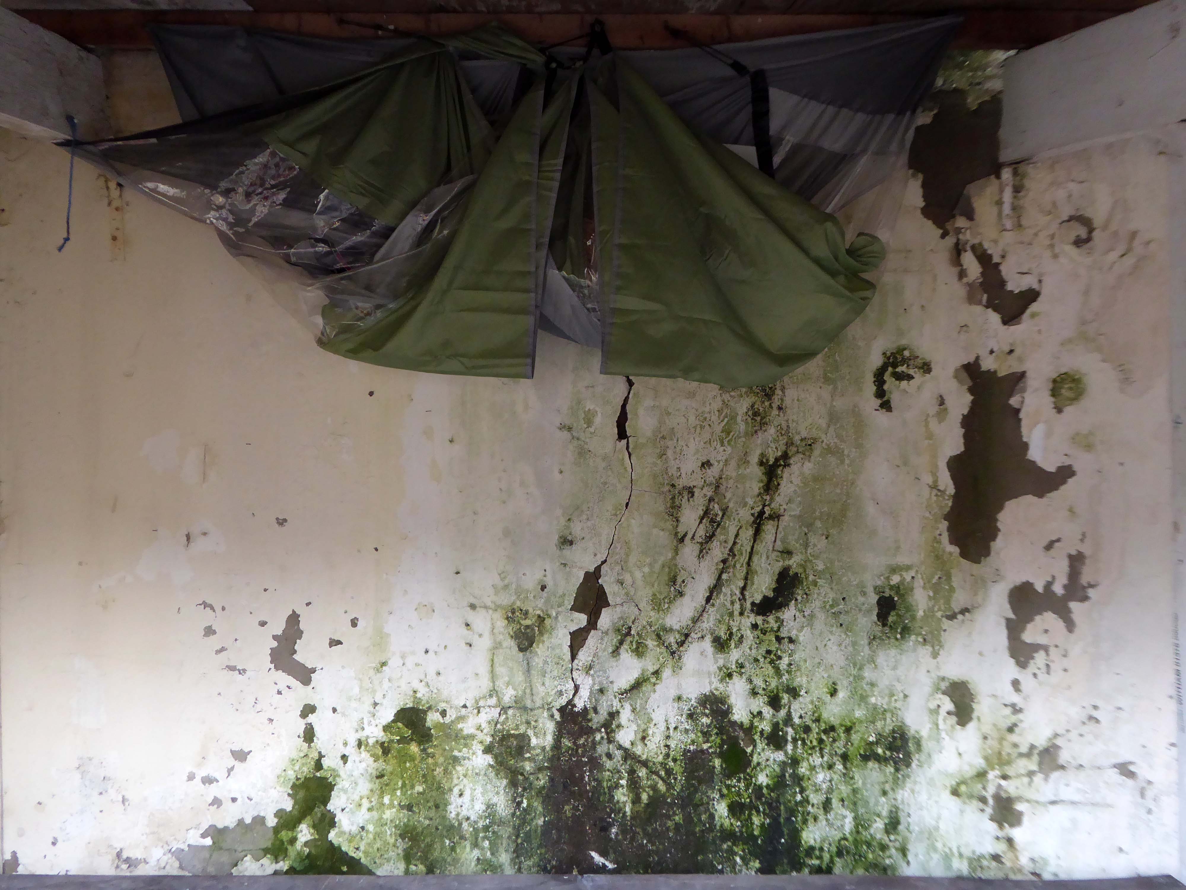
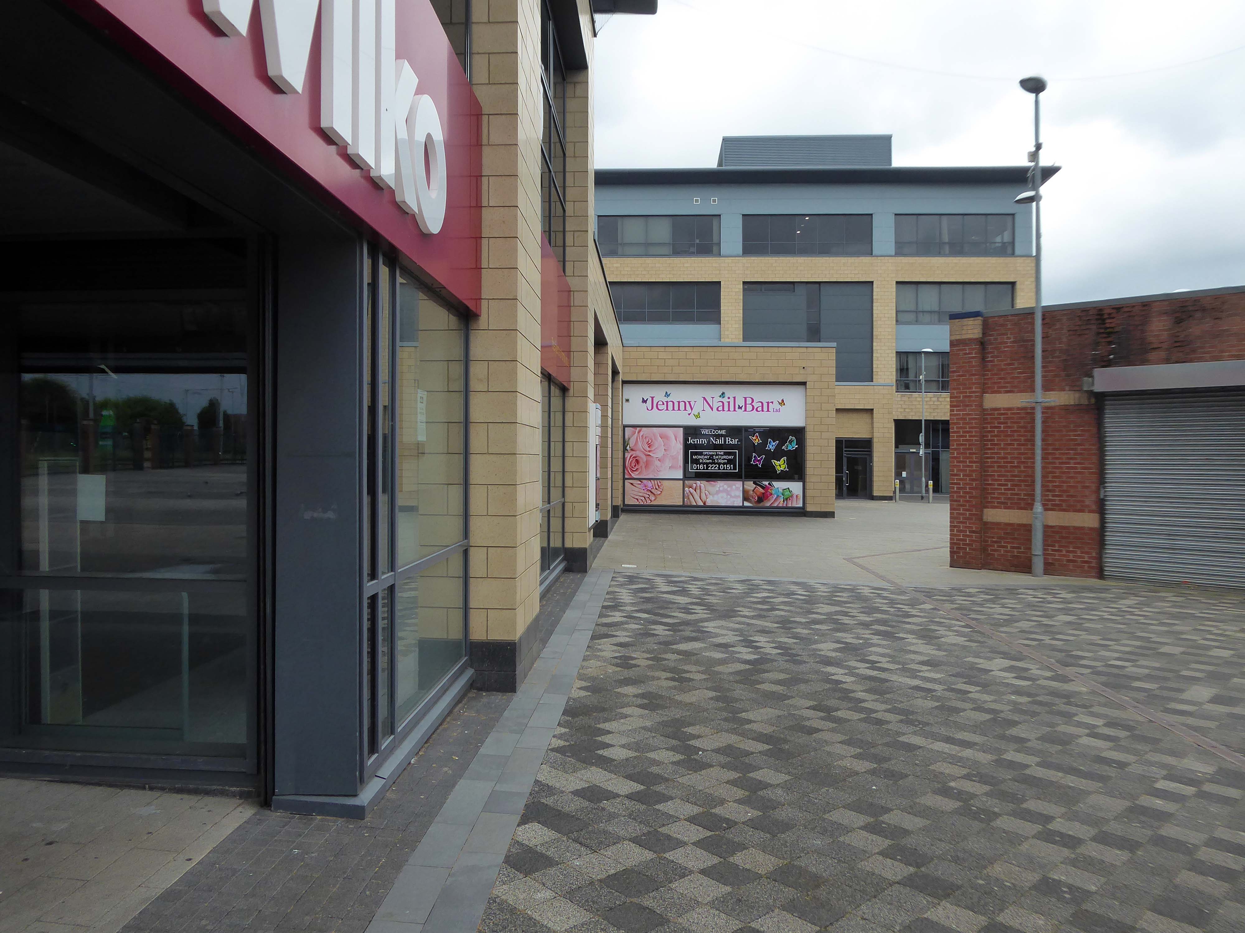
I visited on 30th January 2023 – the gate was open there was nobody home, except the cleaner and me.
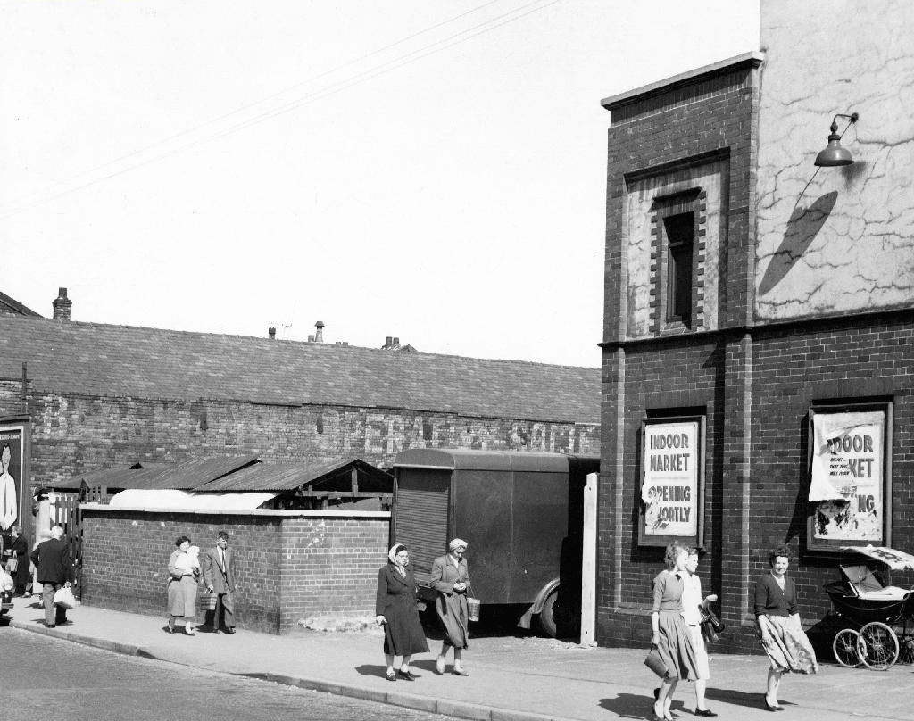
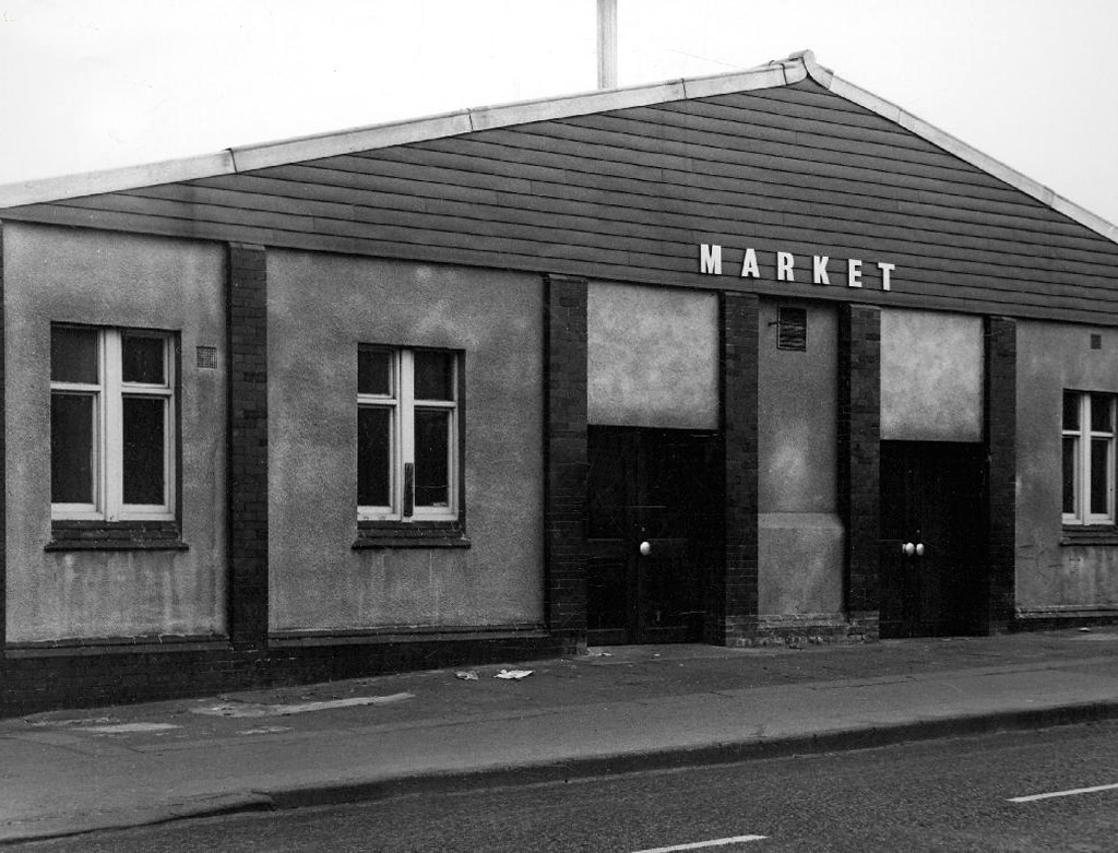
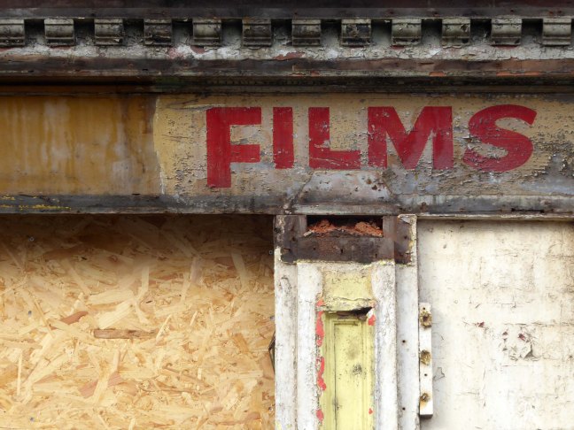
Princess Cinema It is listed in Kinematograph Year Books from 1927 to 1954, but had gone from listings by 1962. It had a Western Electricsound system. The upper part was later removed after a serious fire and the remainder became an indoor market.
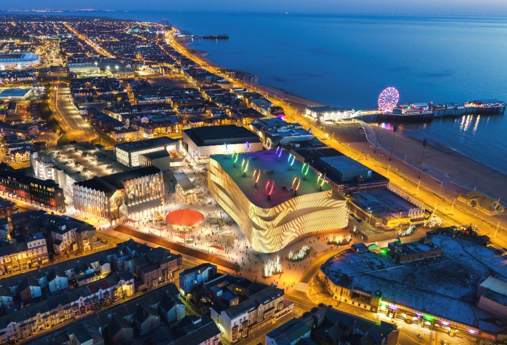
Blackpool Council says it remains committed to the Blackpool Central project amid the potential collapse of the developer leading the works.
But warning alarms sounded this week when Nikal – which was hired to oversee the project – filed a notice of intent to appoint administrators.
The £300m Blackpool Central development is billed as the biggest single investment in the town in more than a century and is planned to involve a “world-class leisure development” which would create 1,000 new jobs, bring an extra 600,000 visitors per year, and boost annual spend in the town by around £75m.
A spokesperson for Blackpool Council told the Blackpool Lead:
We have been working on the enabling phase of Blackpool Central over the last few years. The new multi-storey car park opened earlier this summer and we are currently completing preparations to demolish the old police station and courts building early in the New Year.
The proposals for the Bonny Street area can be seen here.
Plans for the area have hit further problems.
A new £40m magistrates courthouse is facing building delays after the project’s main contractor collapsed.Blackpool’s magistrates court was one of twenty two projects belonging to construction giant ISG, which was working on the scheme for the Ministry of Justice.
But the firm went into administration in September, leaving two thousand two hundred workers at risk of redundancy, the Local Democracy Reporting Service said.
Work was due to start early next year with a completion date expected in 2026.
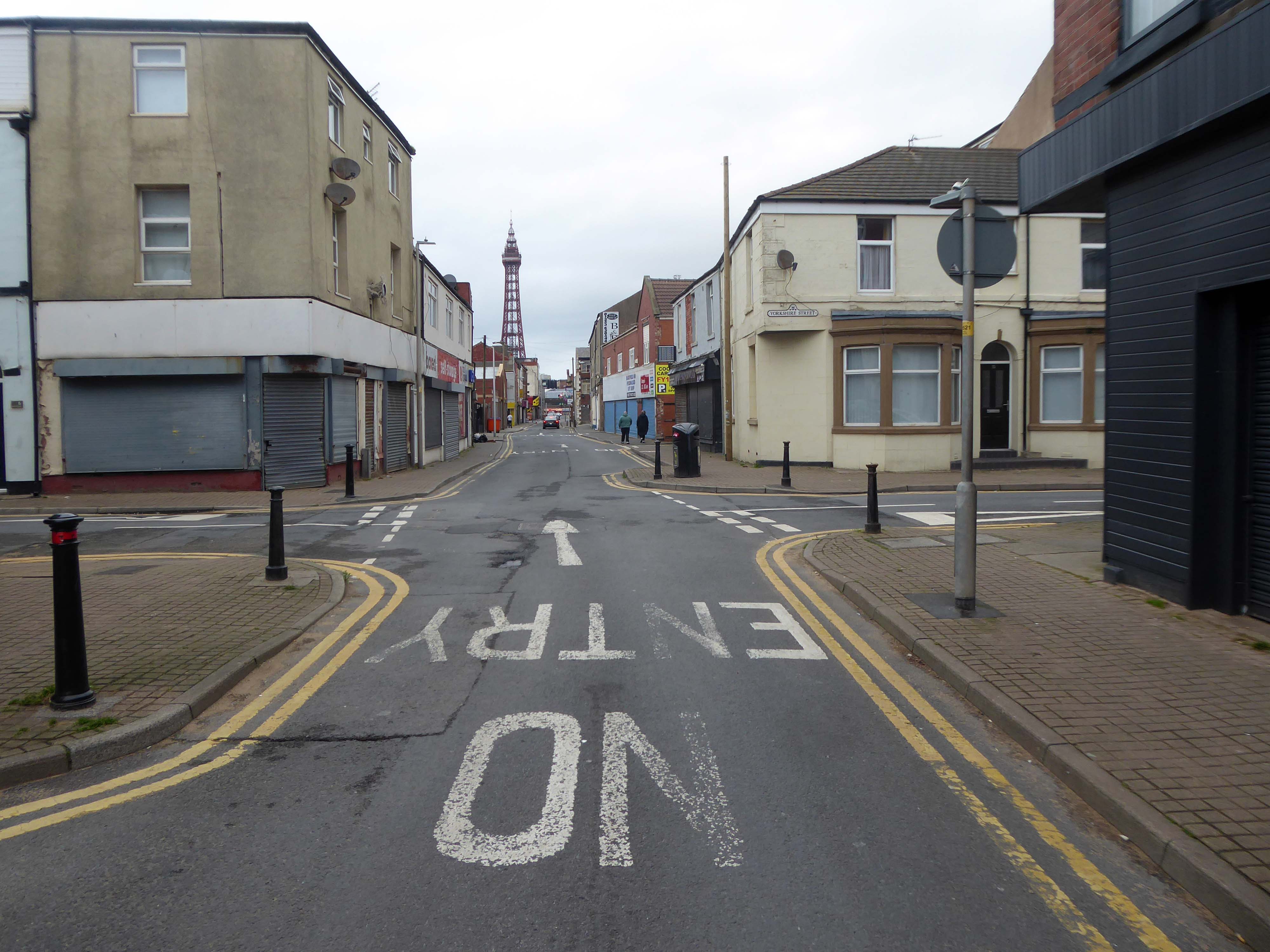
The town needs all the help it can get, time has not been too kind, whilst efforts have been made to invigorate the area around Blackpool North and the promenade, the back streets reflect the legacy of years of deprivation.
Blackpool ranks as one of the most deprived areas in the UK. Many people were already in poverty, and the cost of living pressures are having the biggest impact on this group, who need to spend a greater proportion of their incomes on household essentials. It is also affecting people on low and middle incomes, often surviving by having several jobs, who are being pushed into poverty. More people are turning to services for support, and as the winter progresses this is a serious concern.
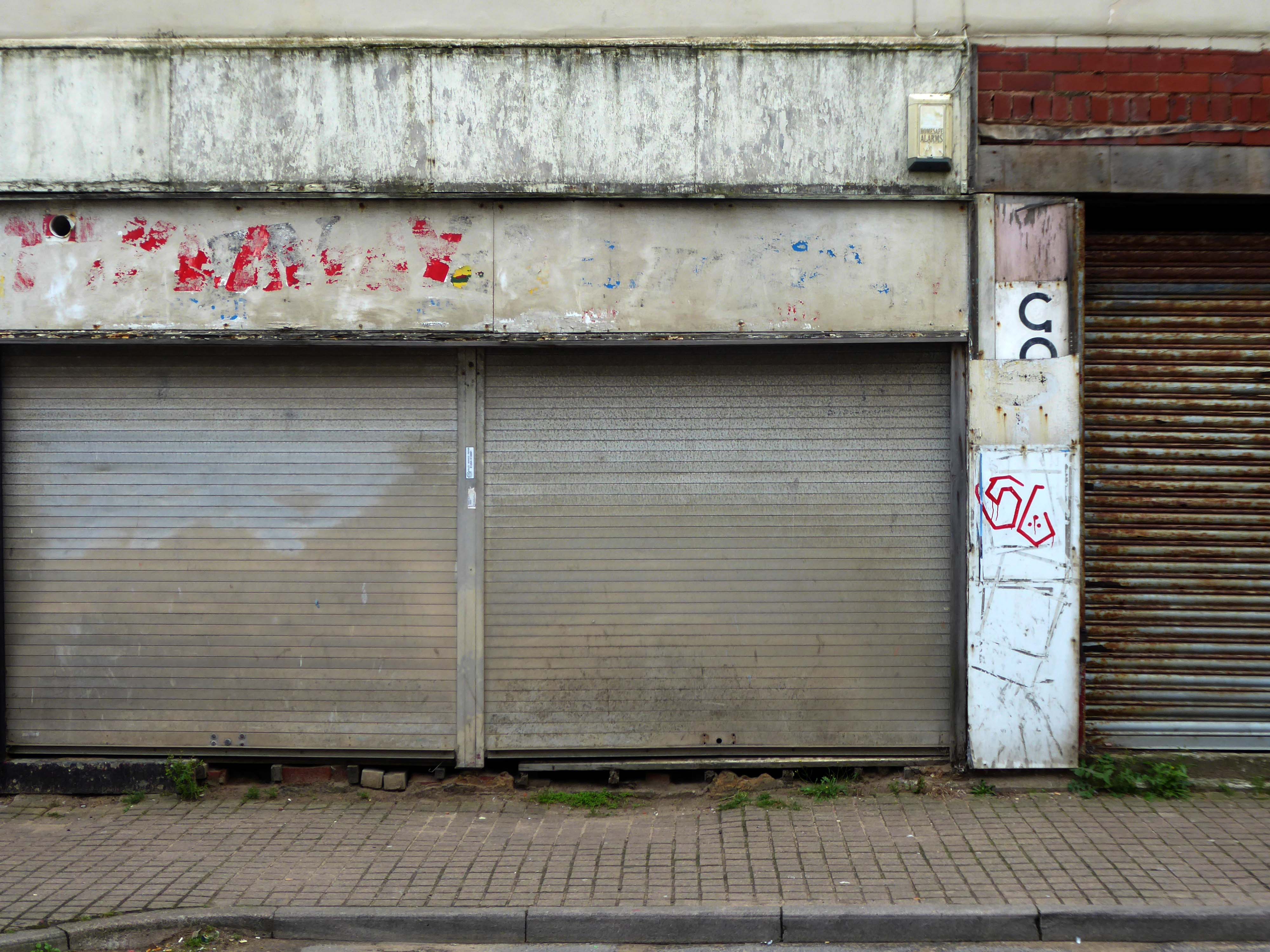
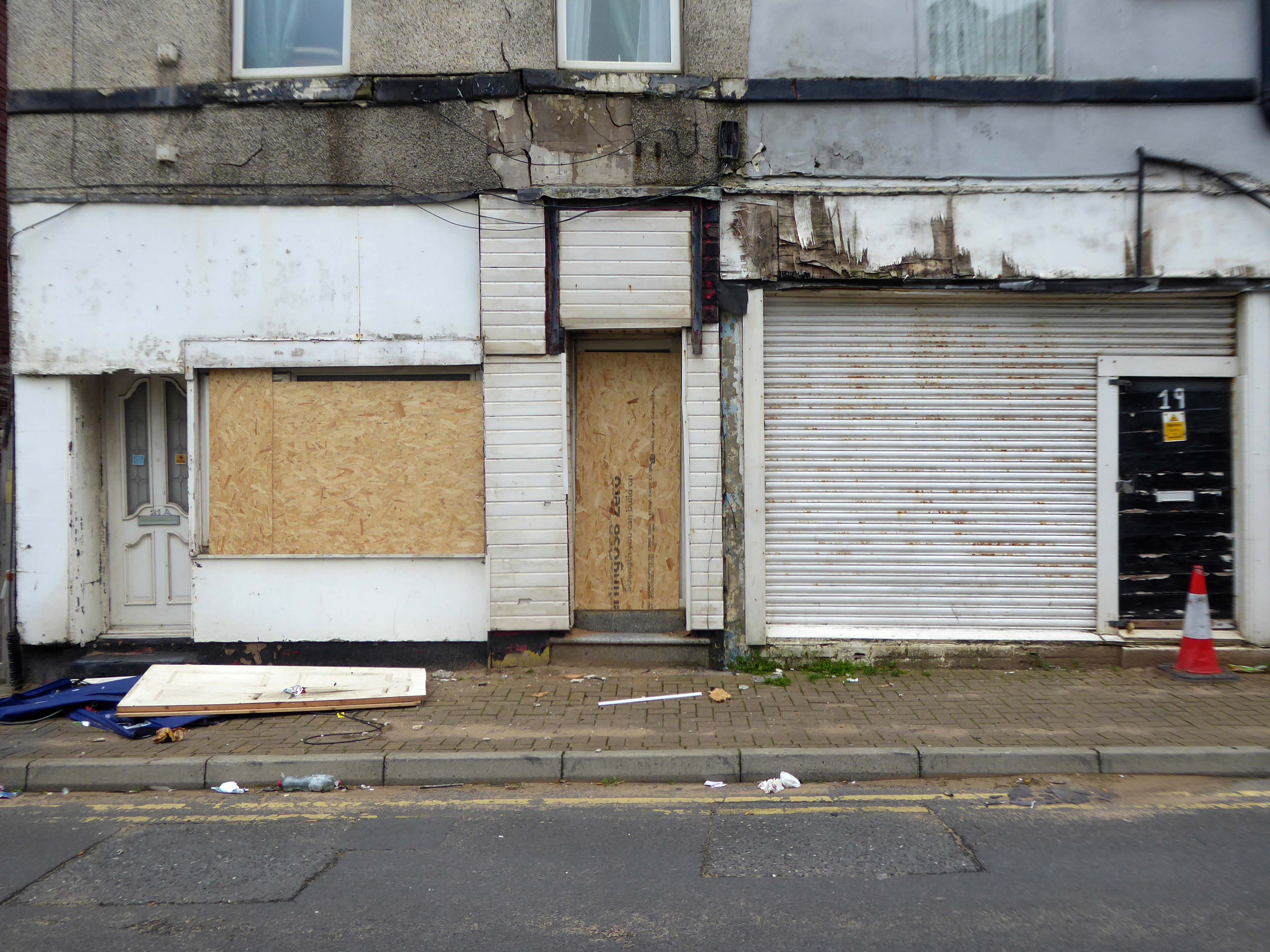
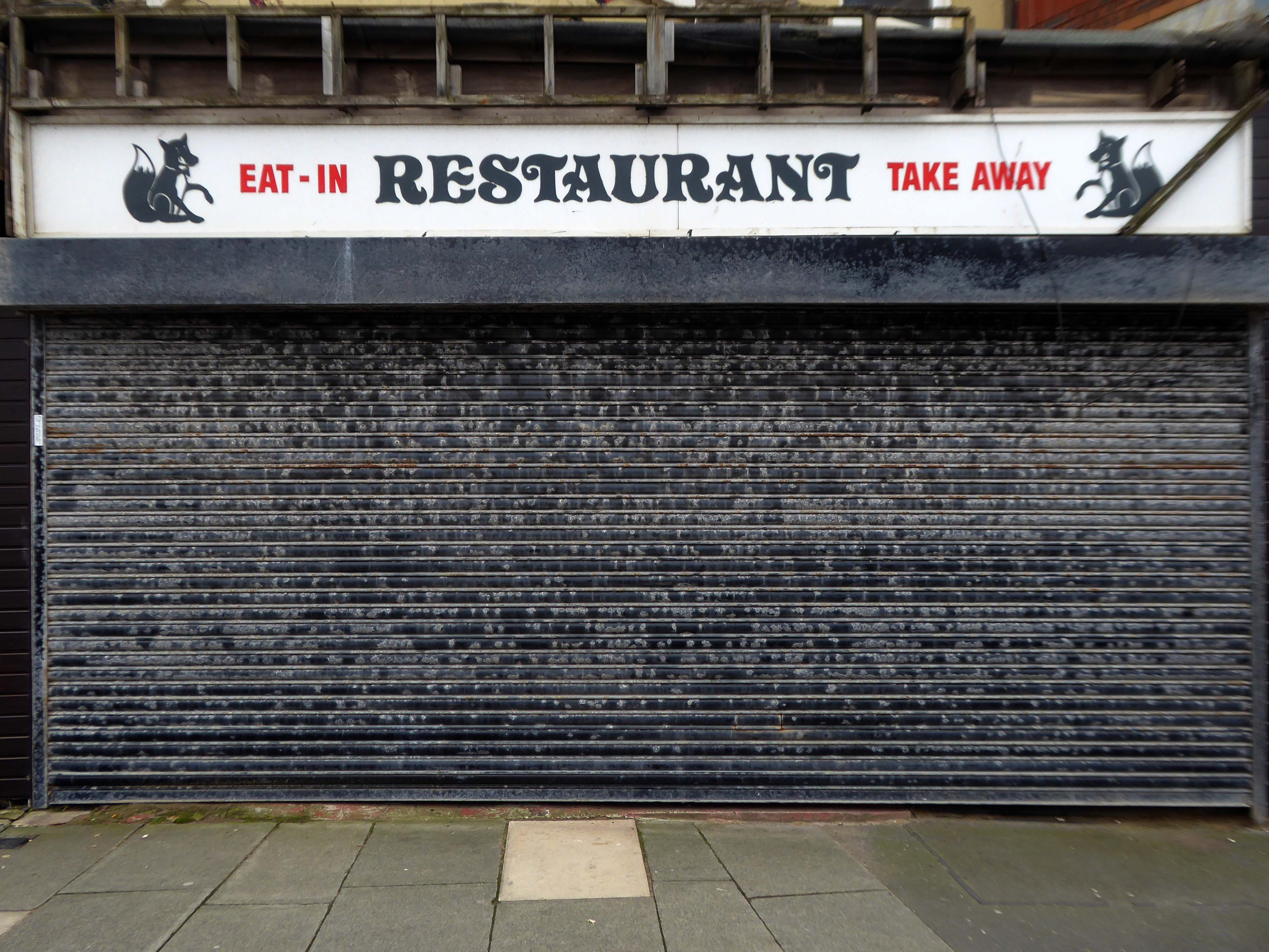
I have no wish to poor scorn on the area – but a short walk around the streets approximate to the coast tells a tale of failed businesses, decay and decline.
Happily there are the seeds of recovery in evidence, in the form of newly built housing.
The executive report outlines an area of regeneration to the South of the town centre. It lies broadly between Chapel Street and Rigby Road, and the Promenade and Central Drive. These have been identified as the initial areas of focus for detailed scheme development, community engagement and property acquisitions in preparation for future development.
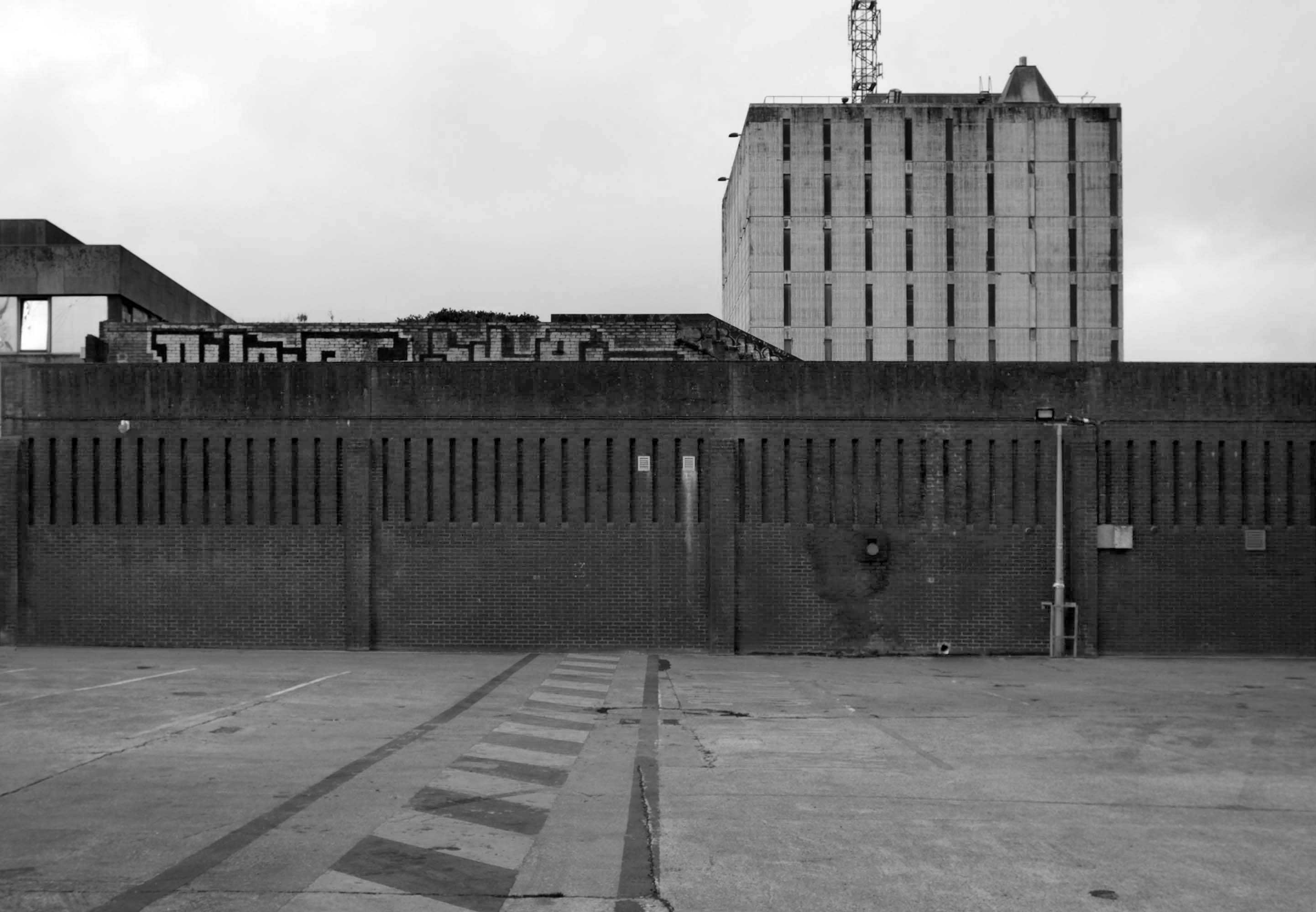
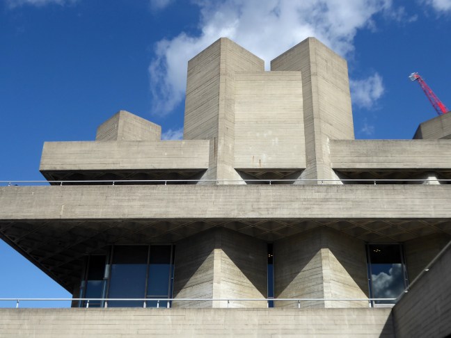
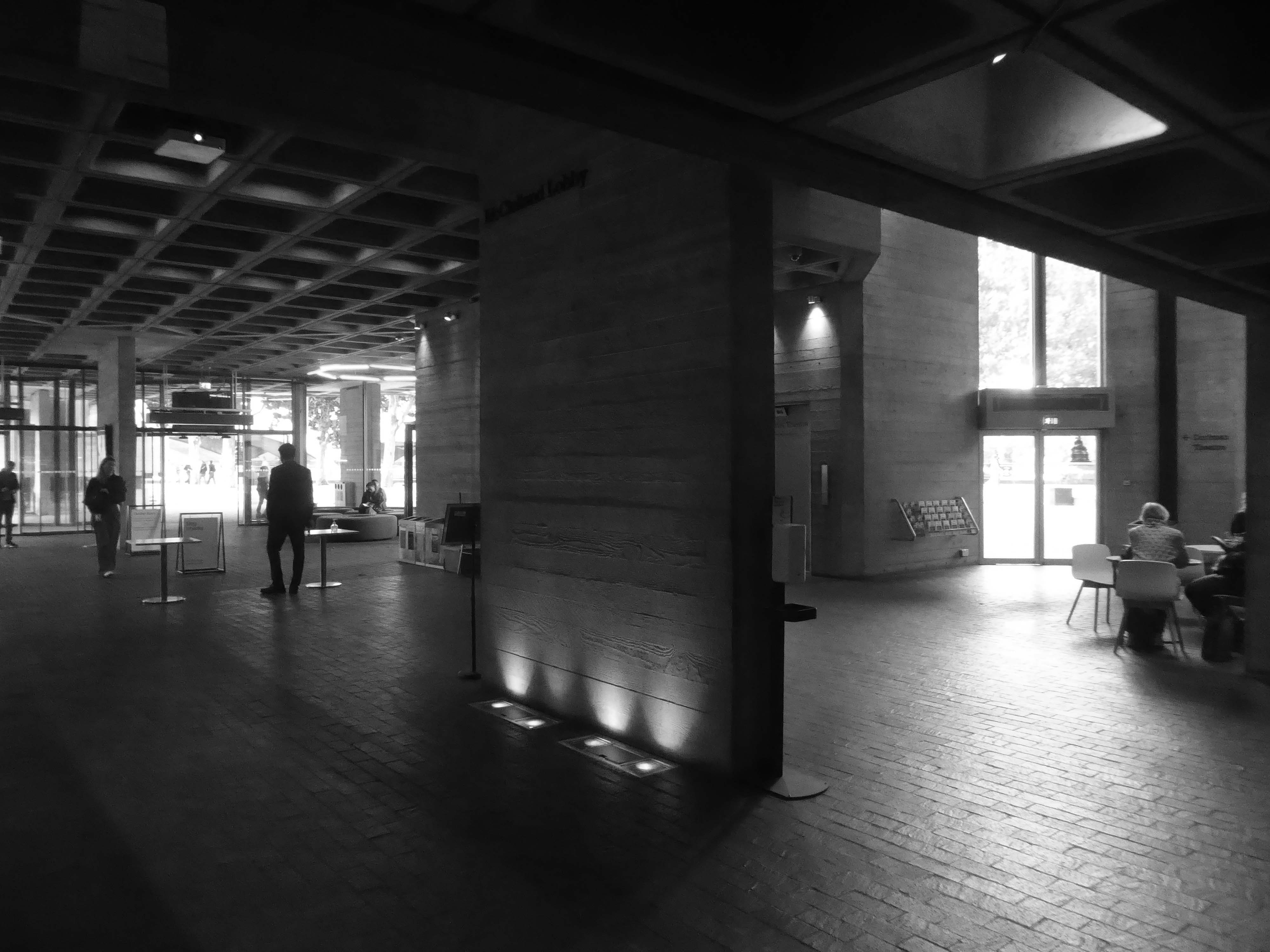
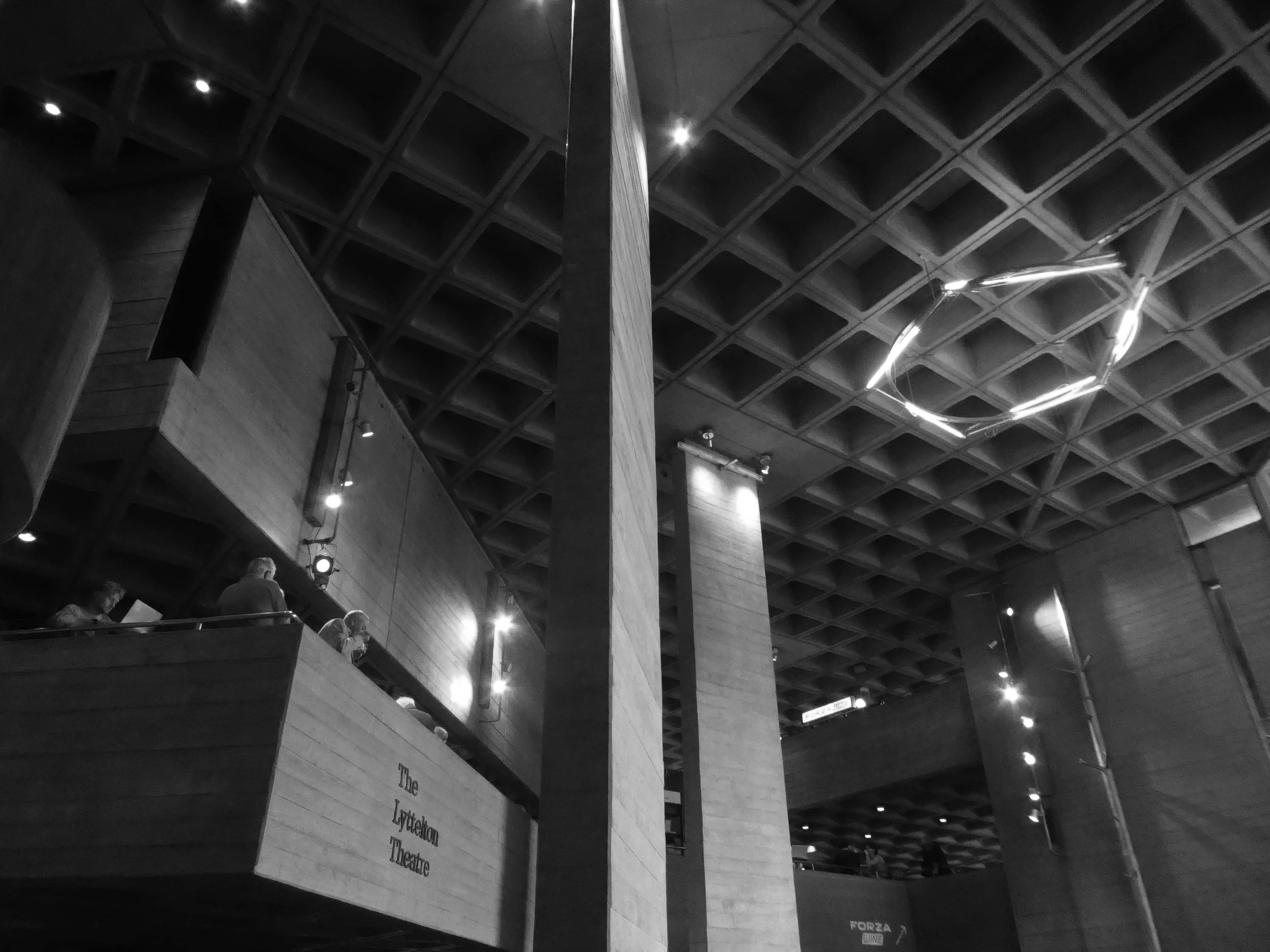
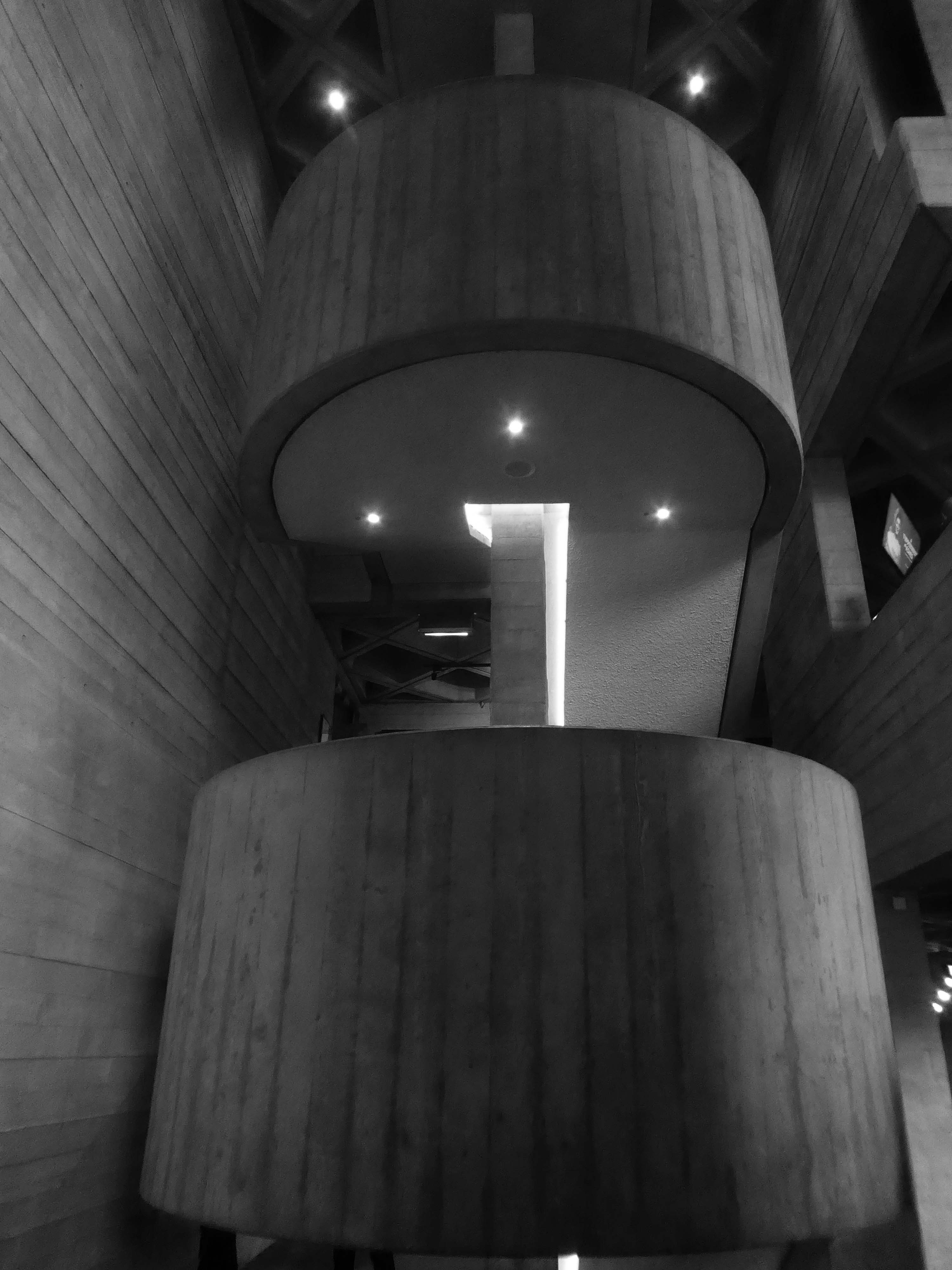
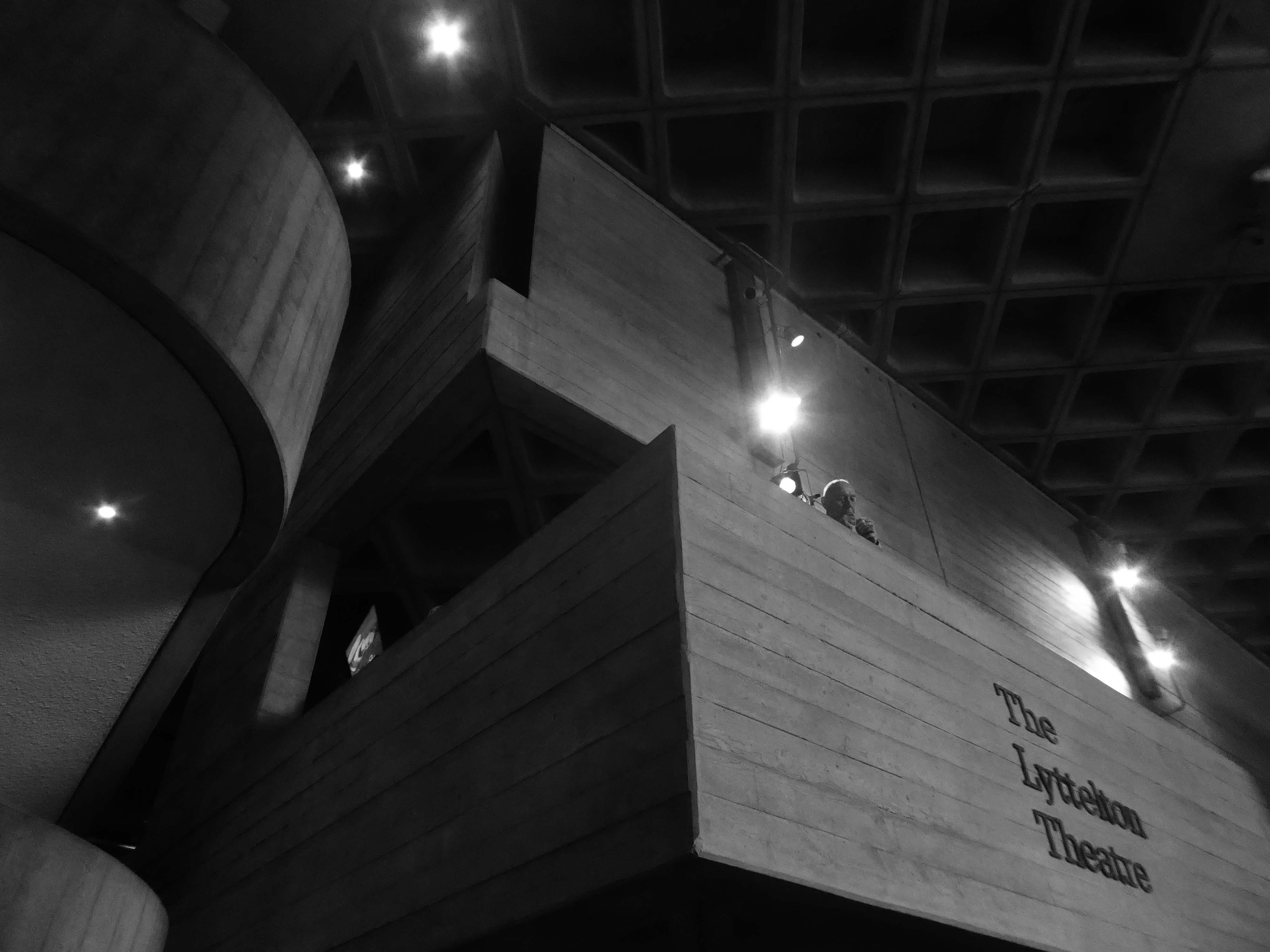
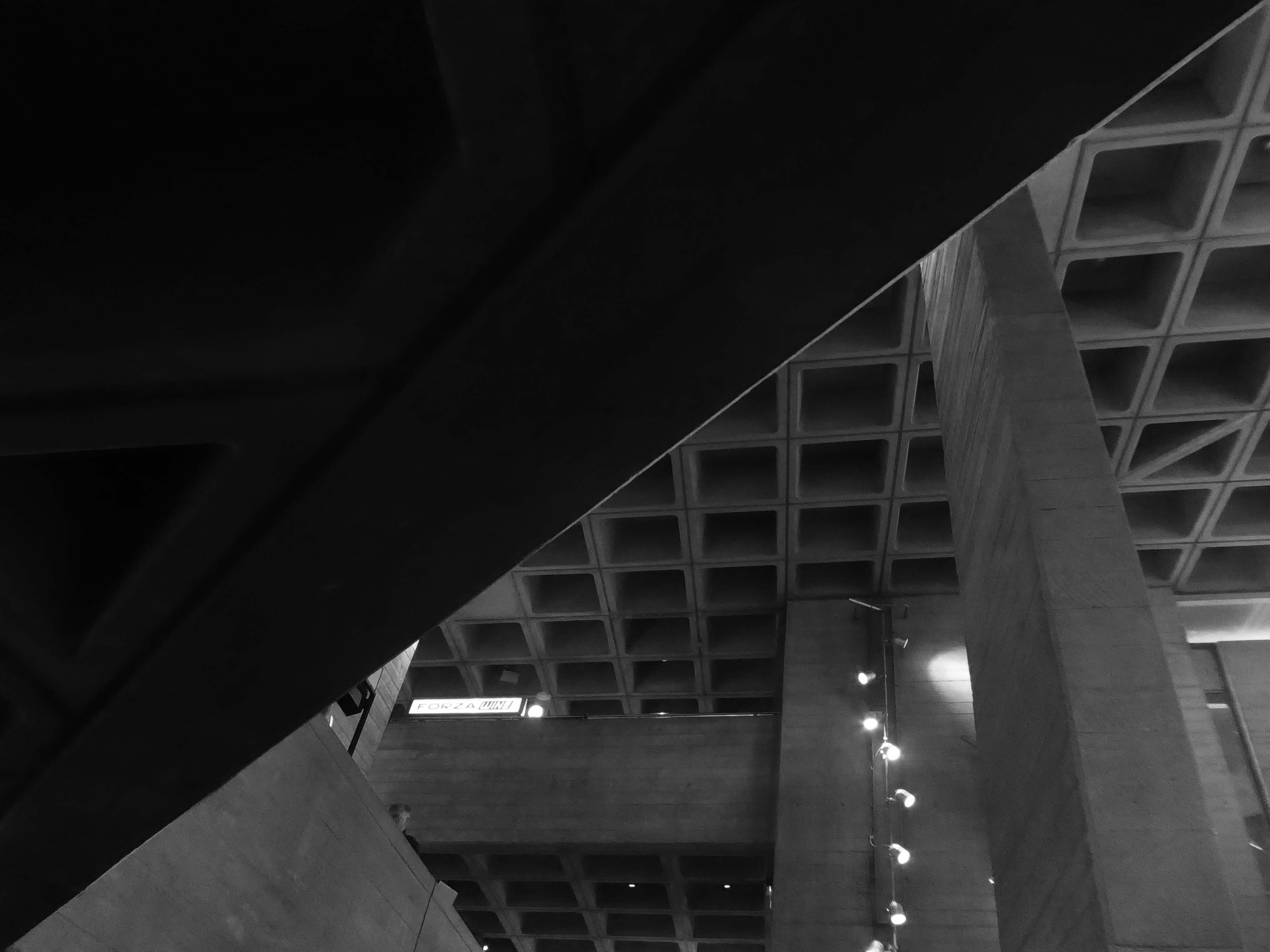
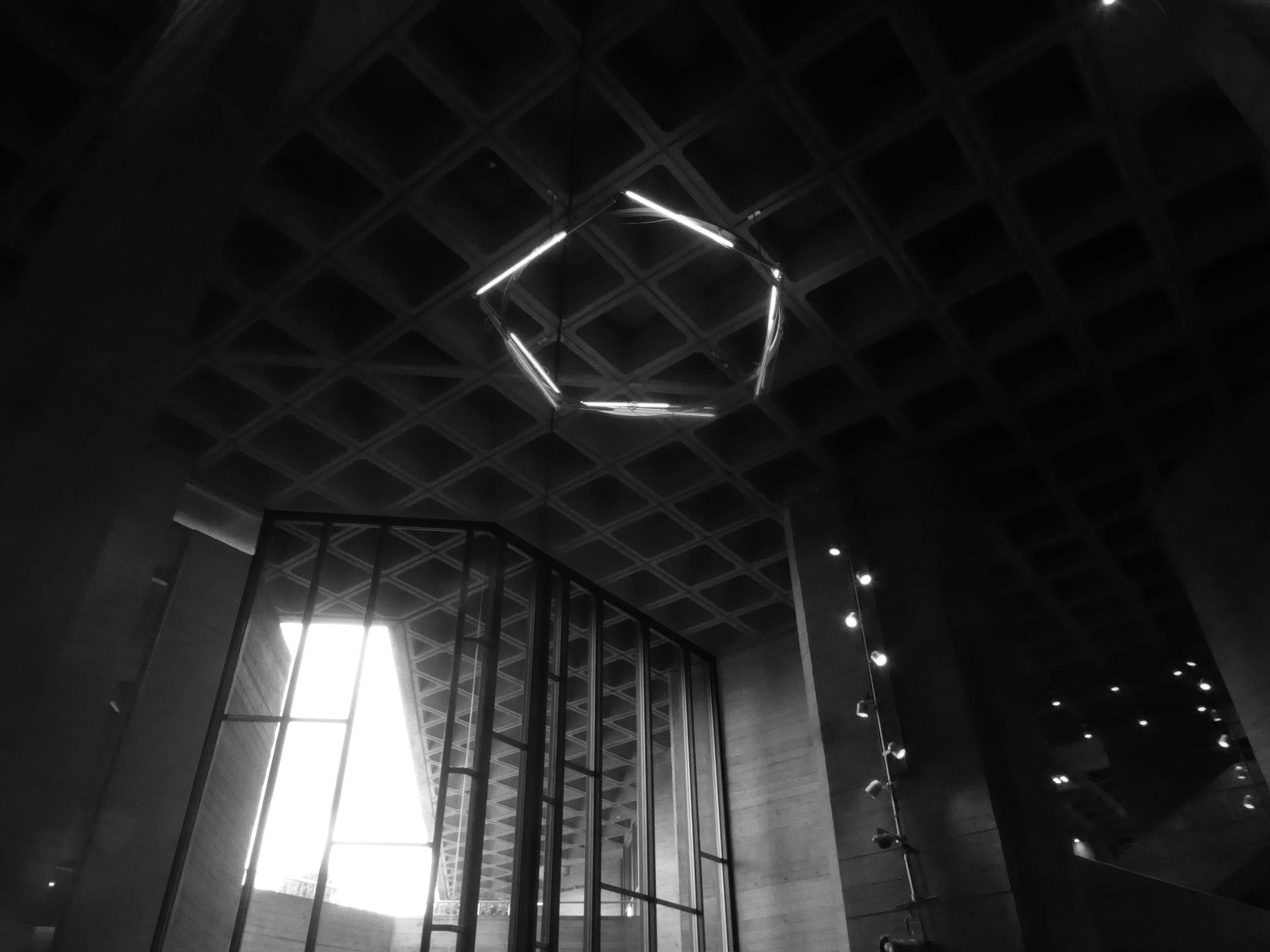
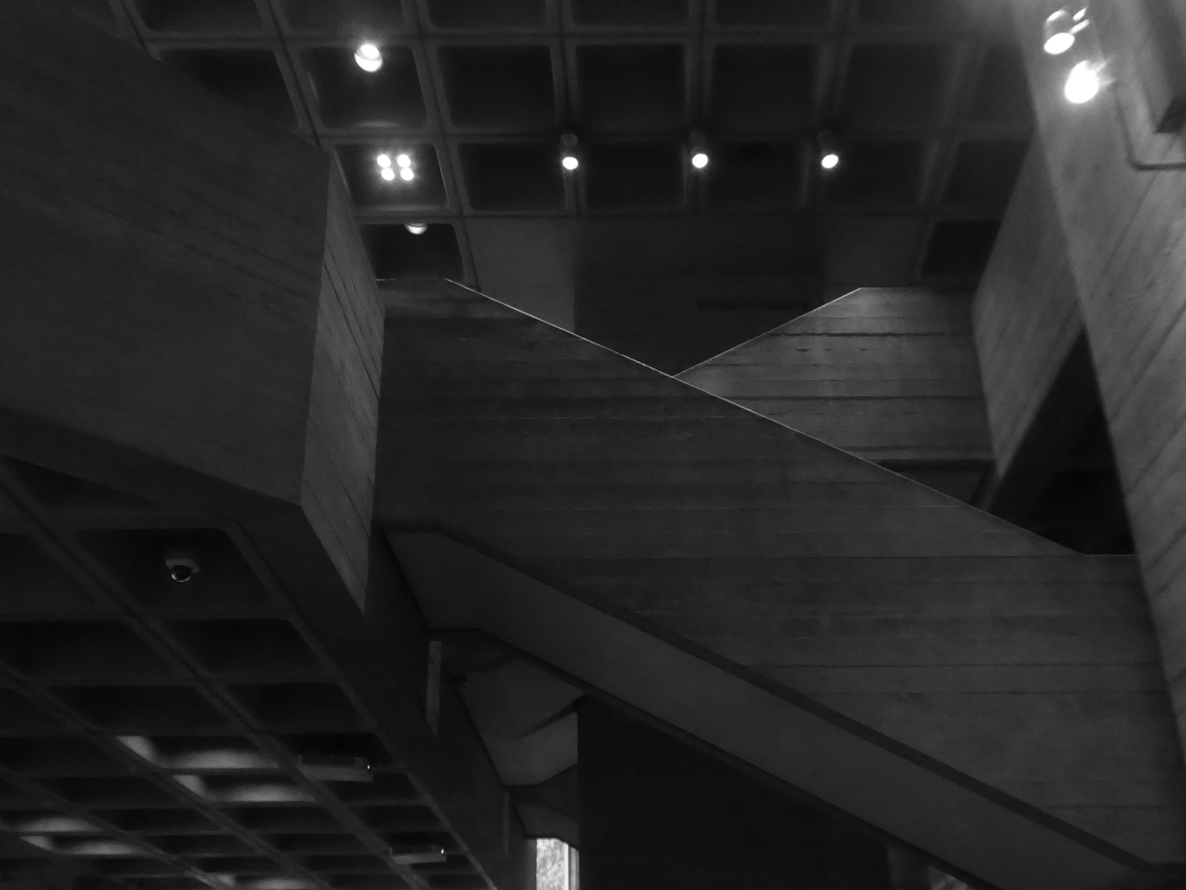
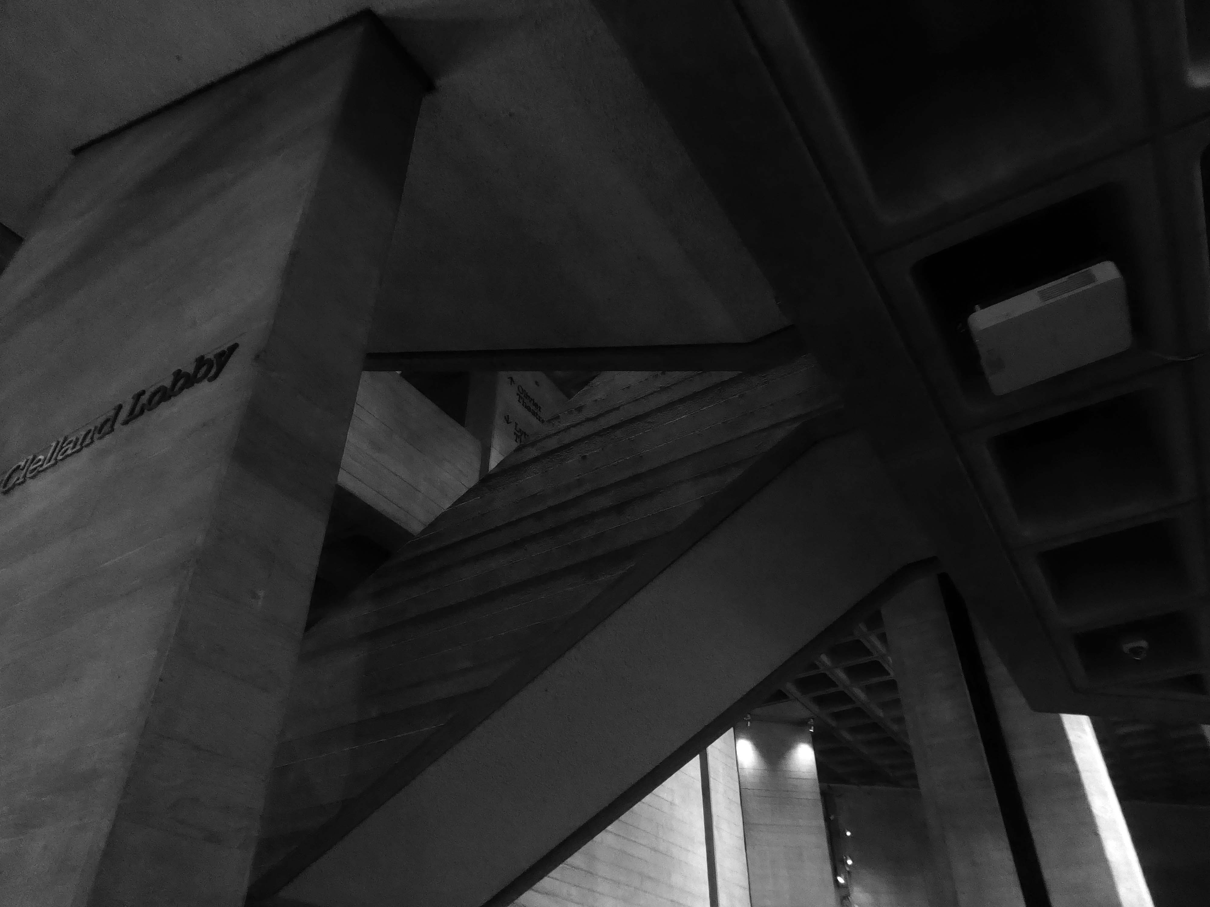
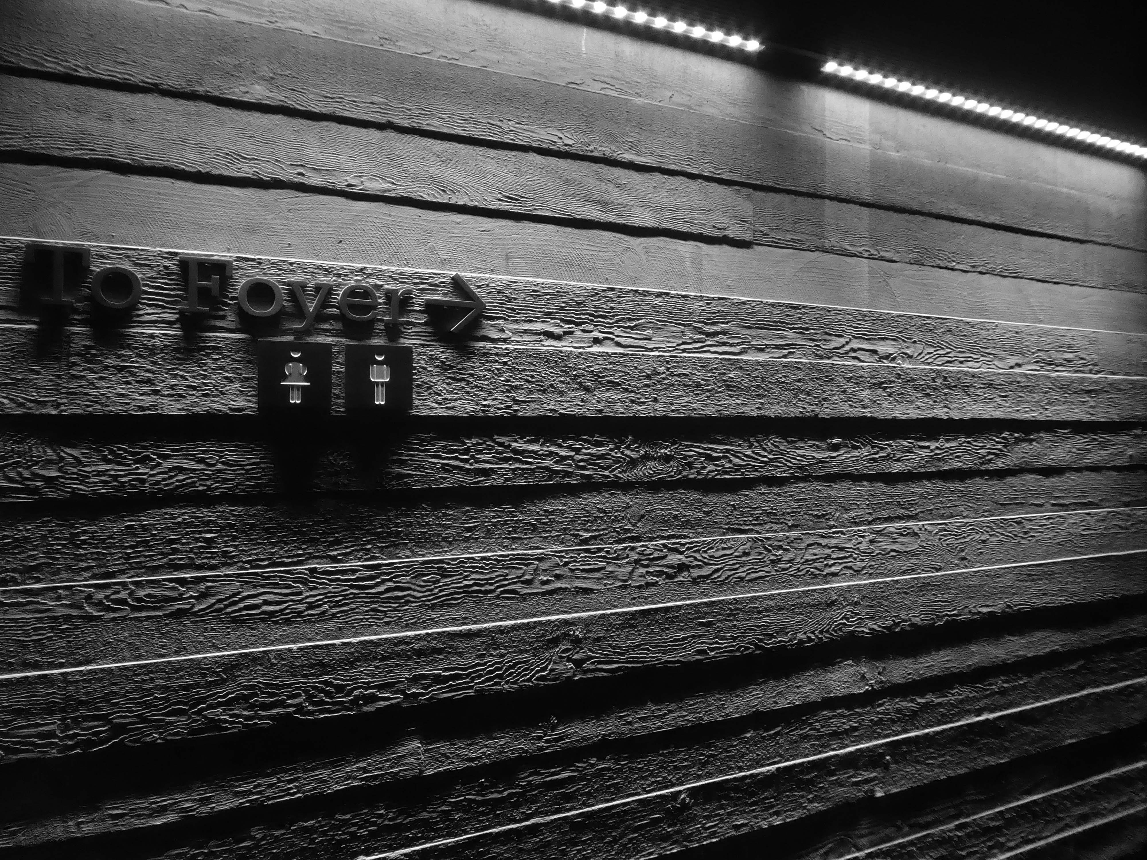
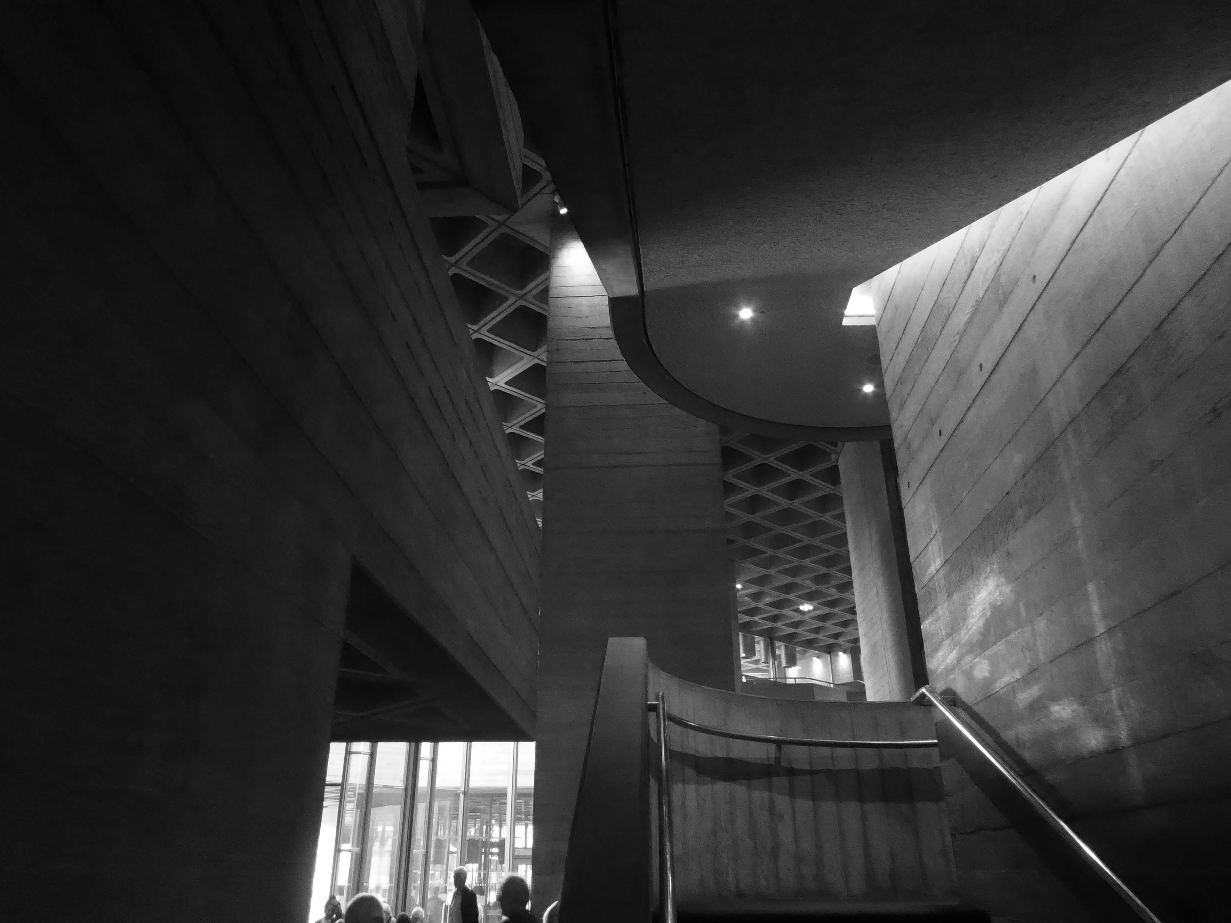
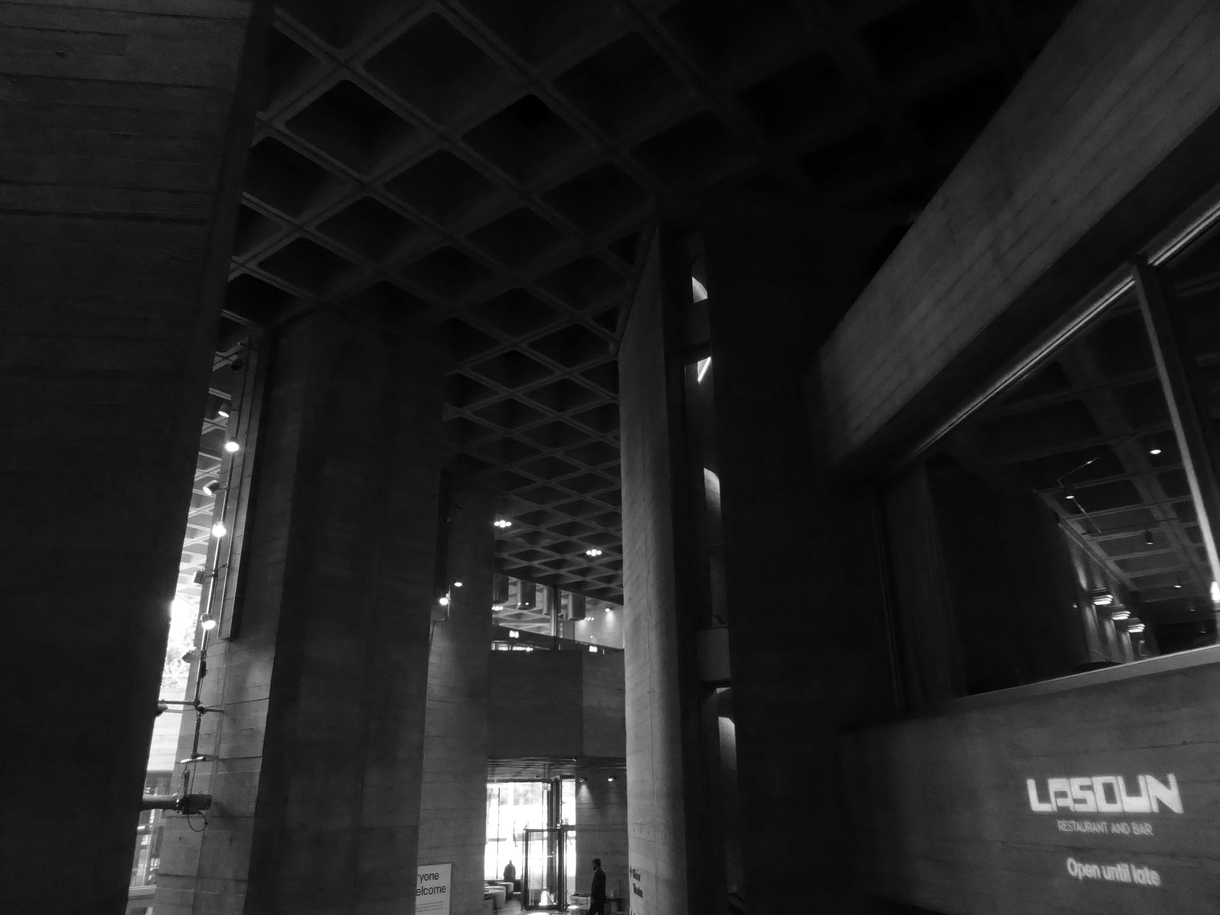
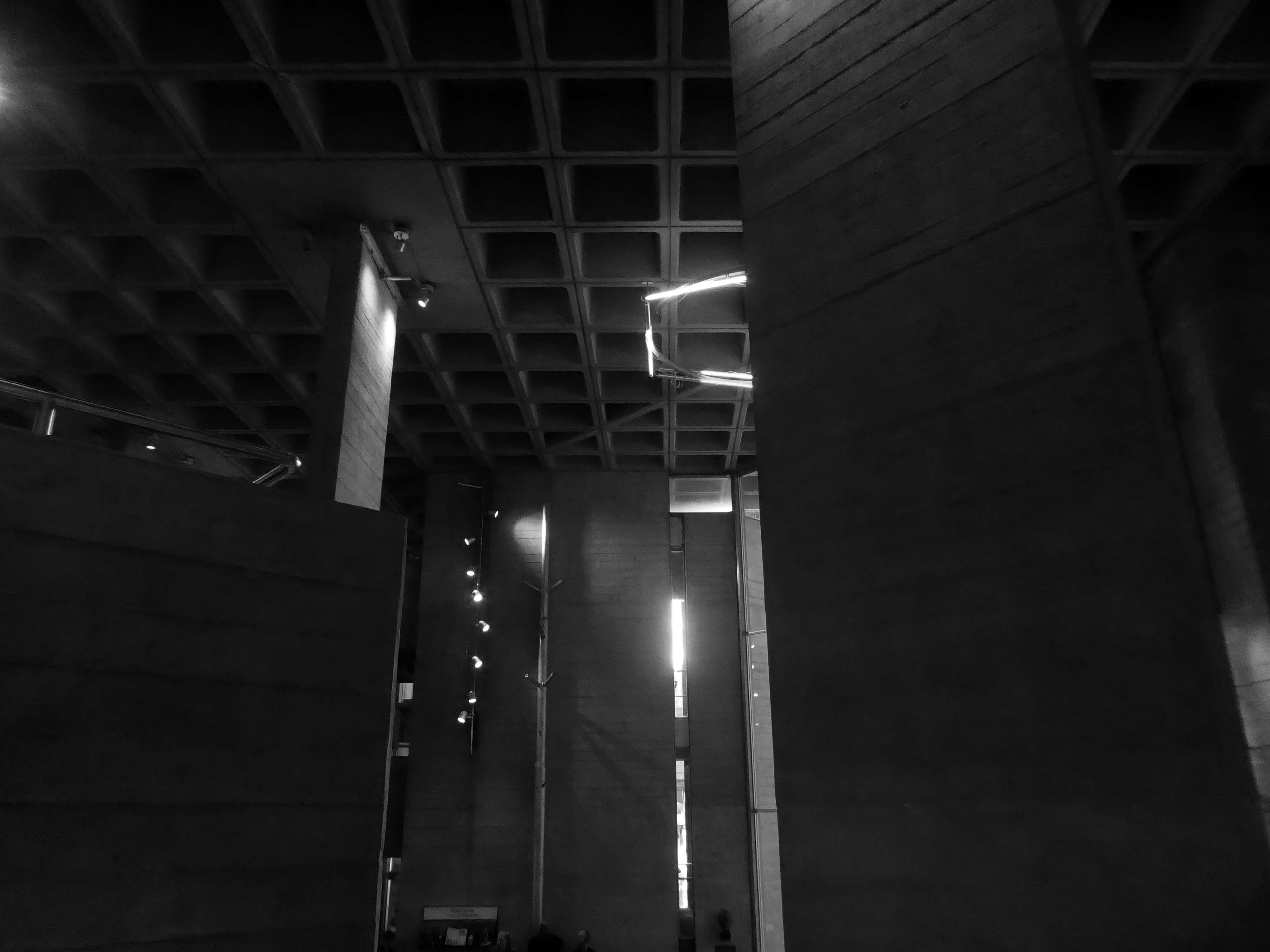
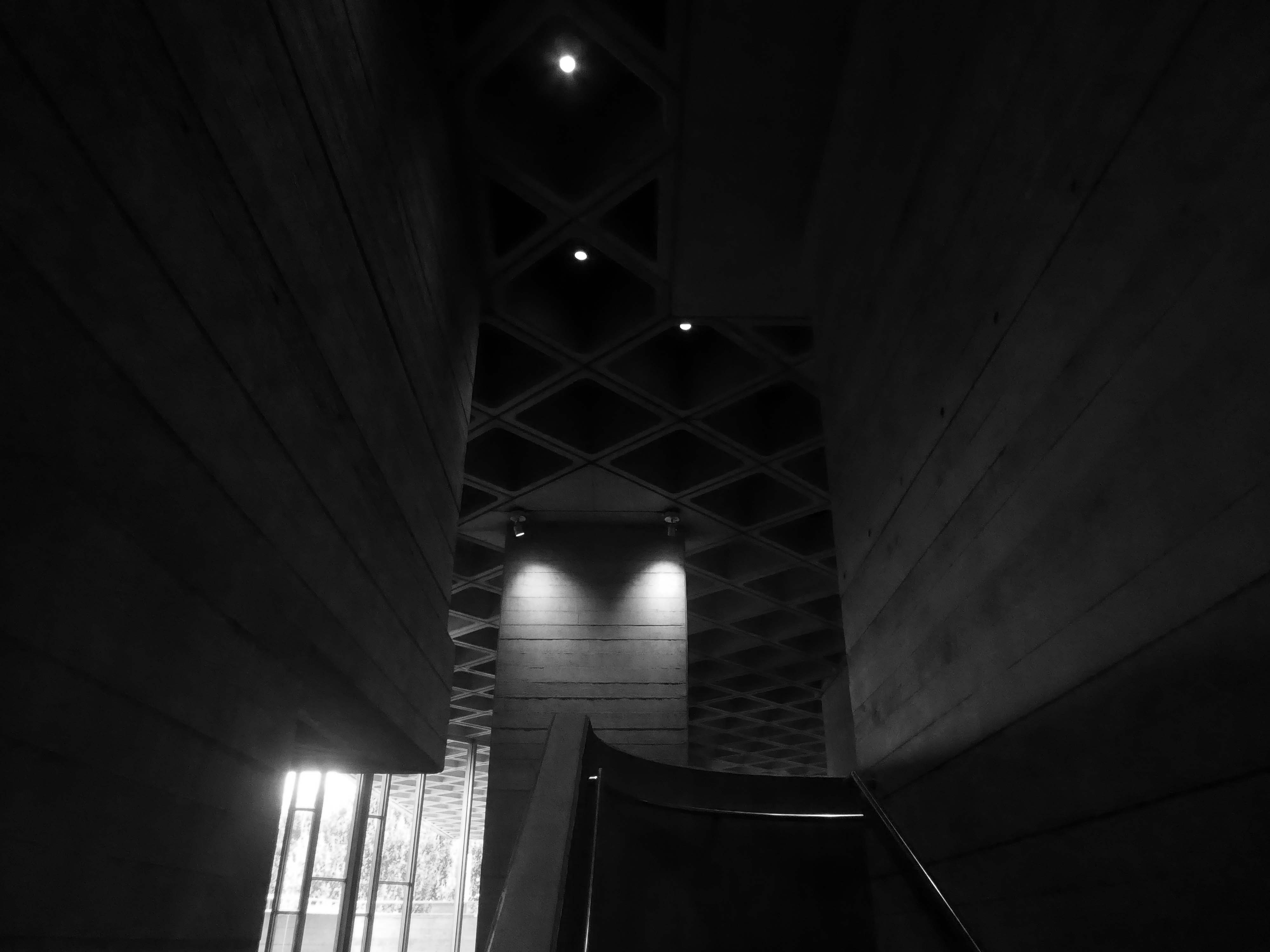
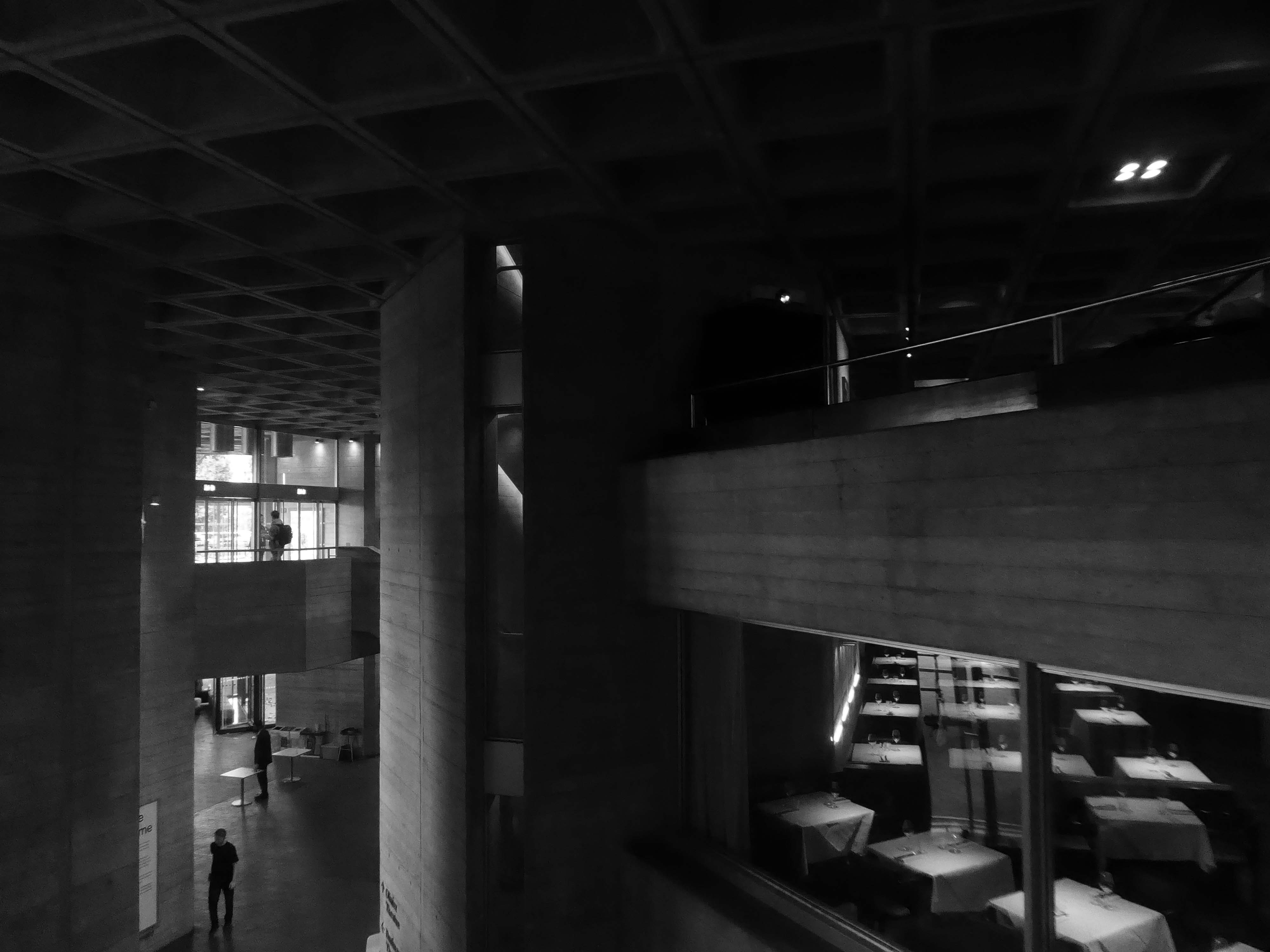
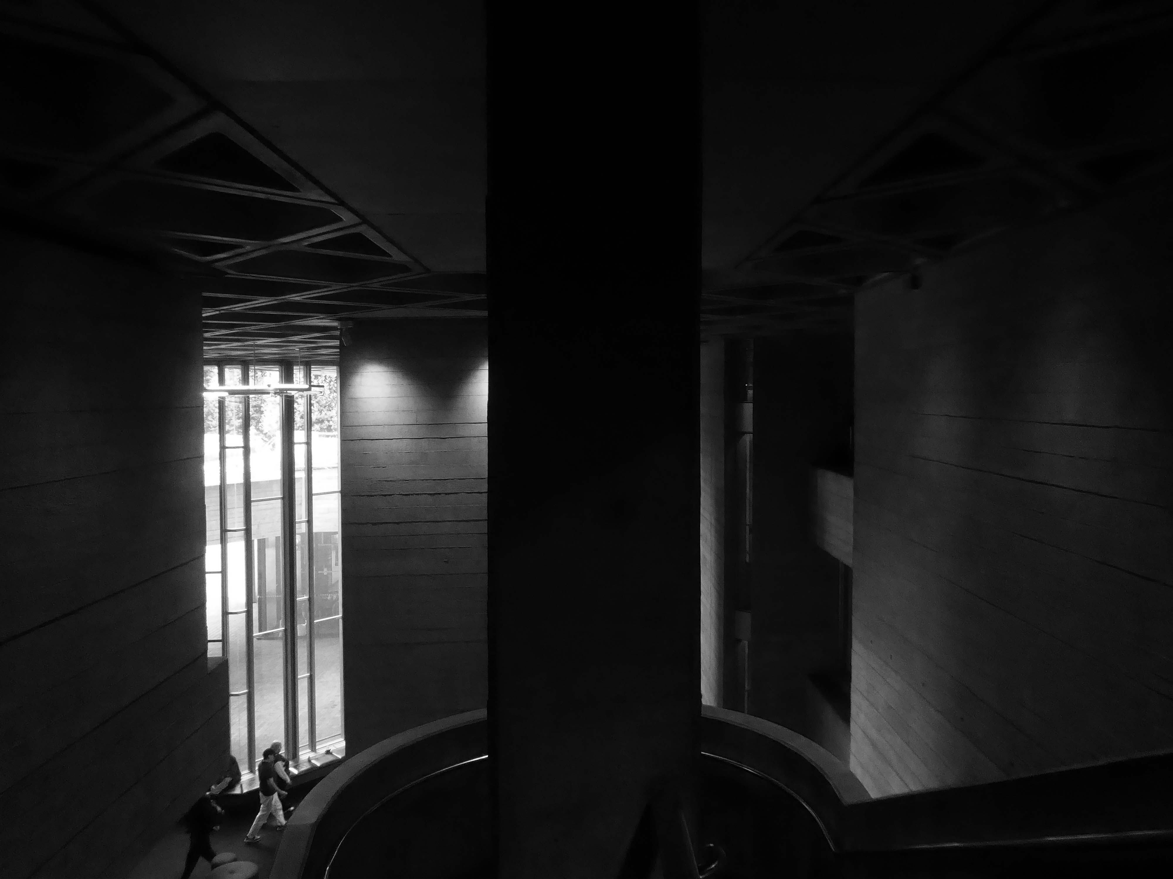
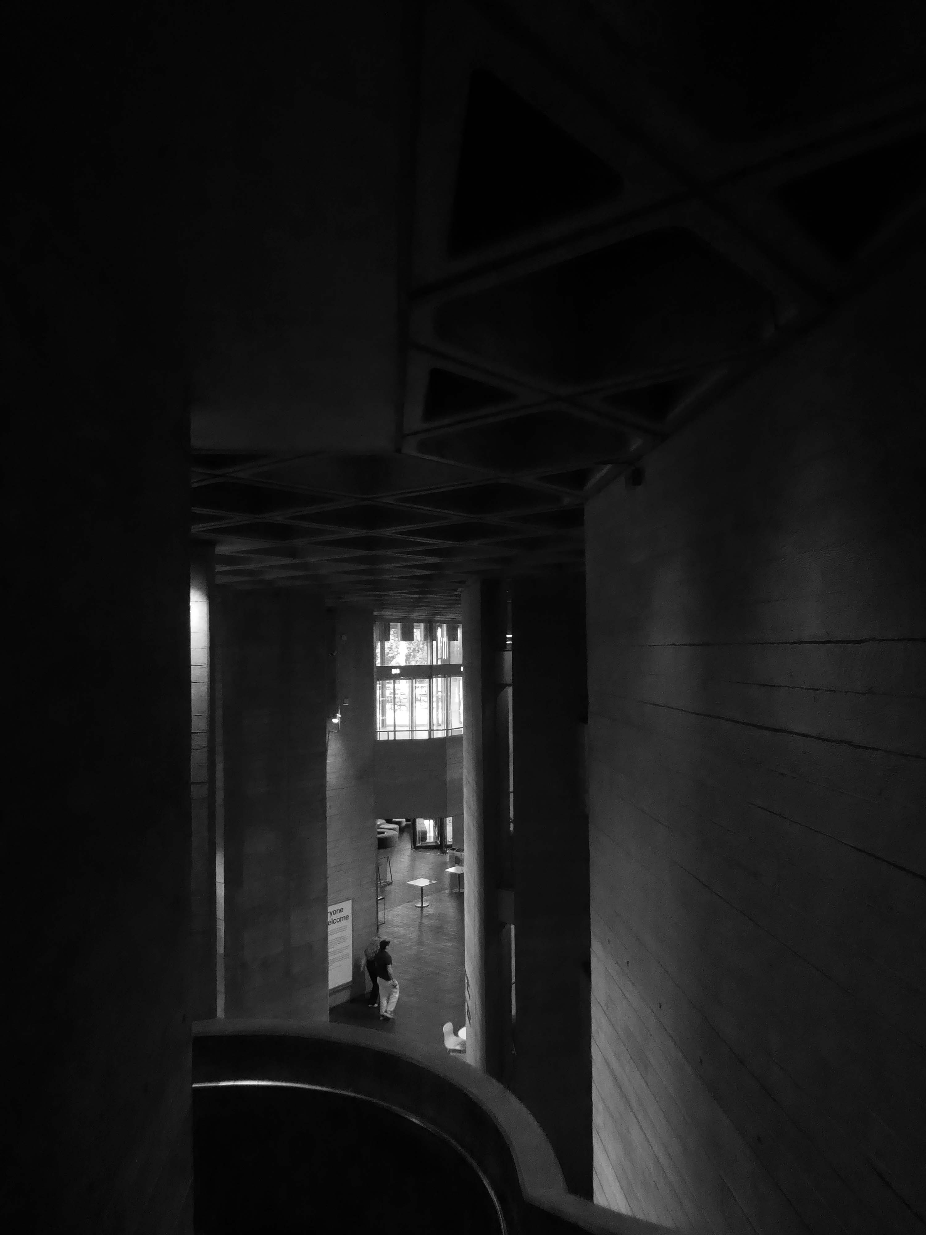
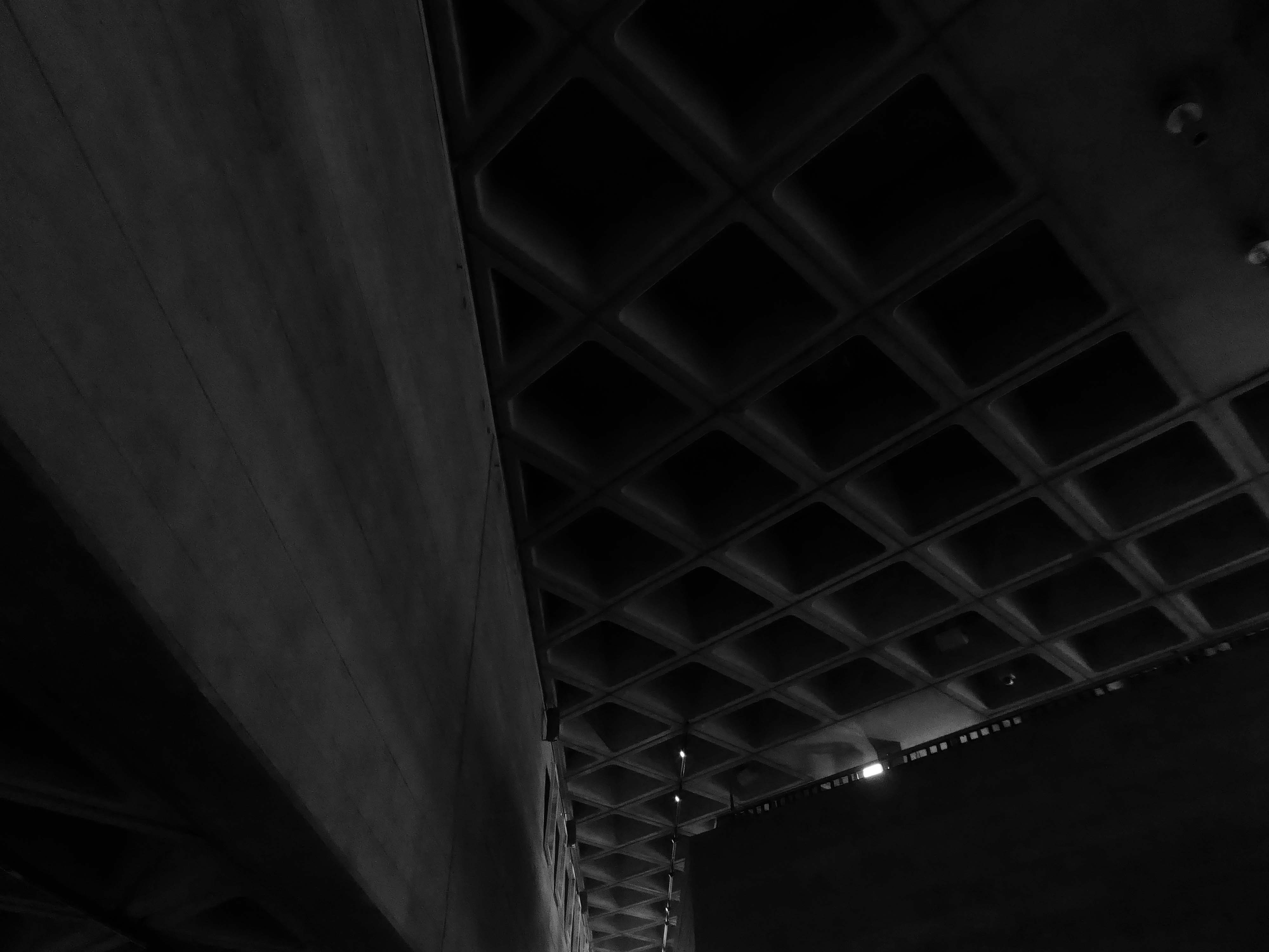
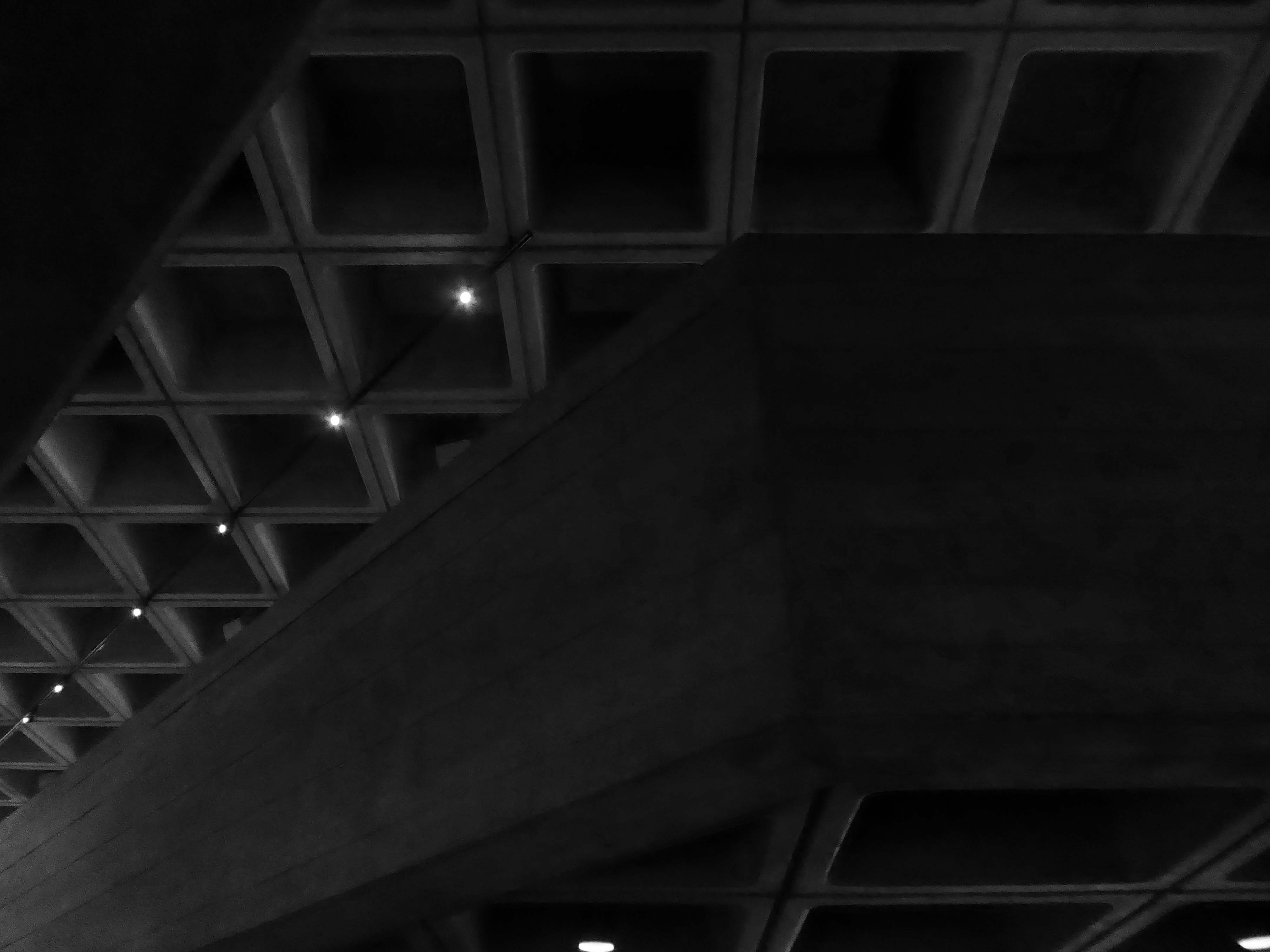
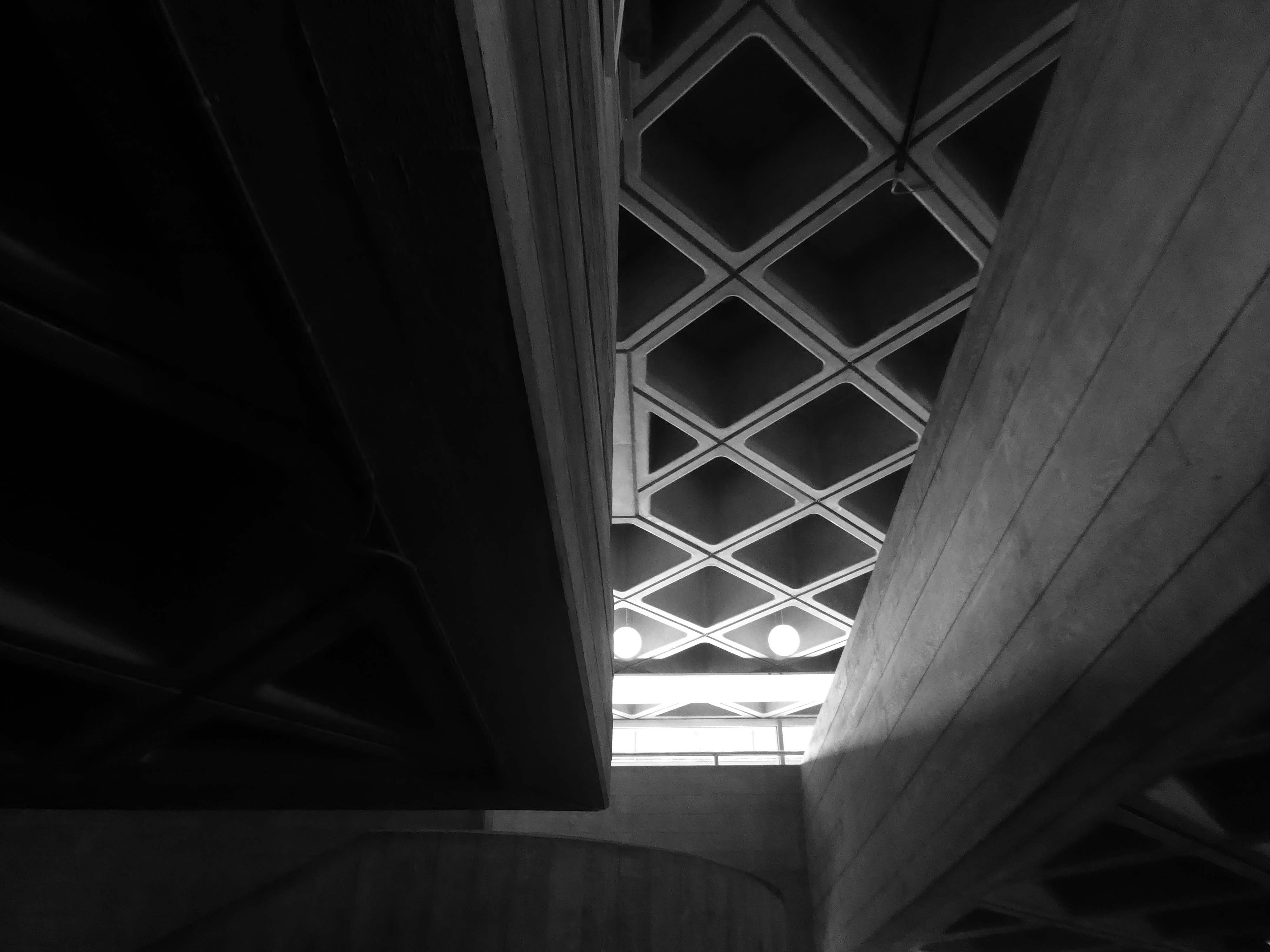
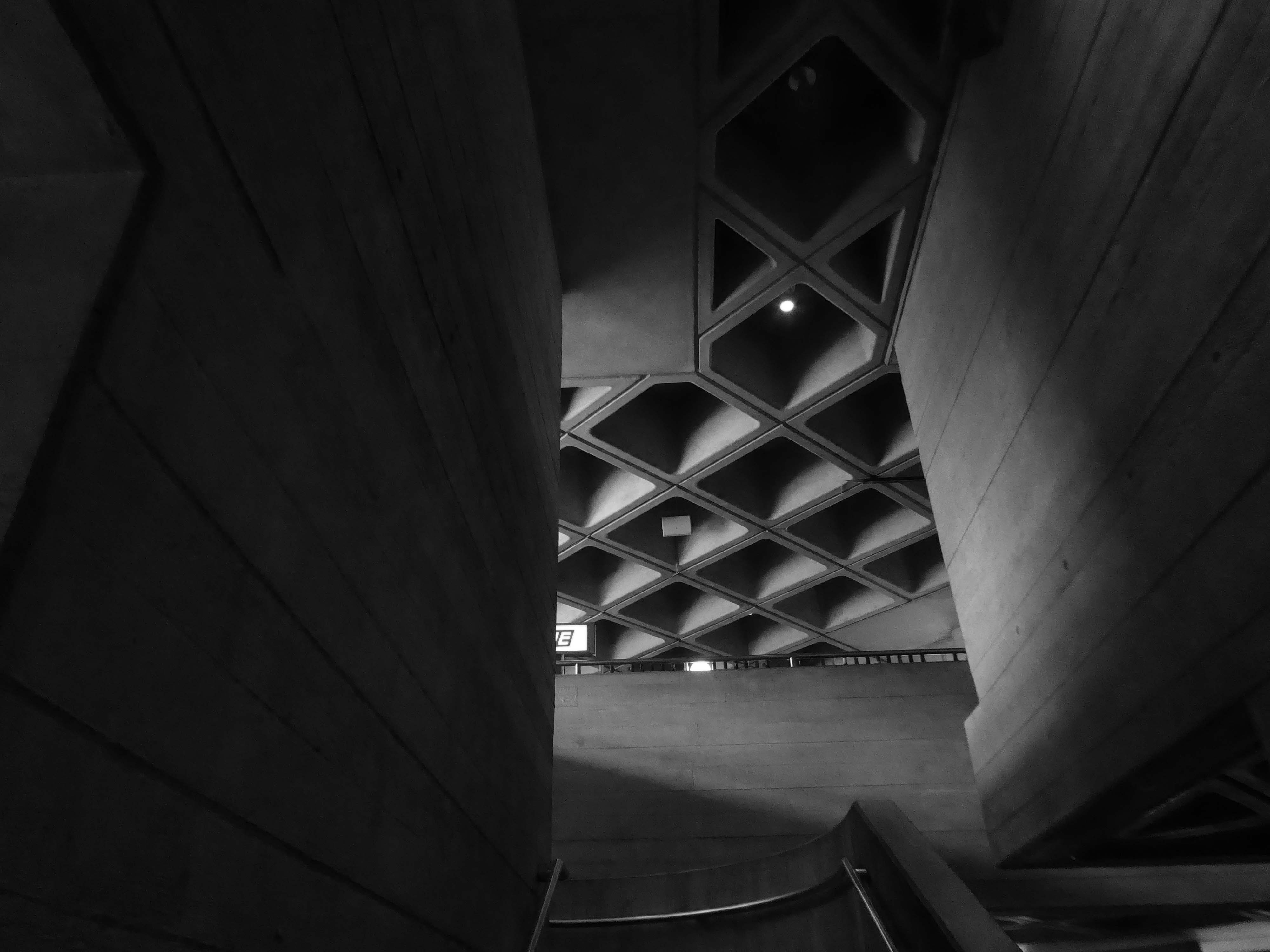
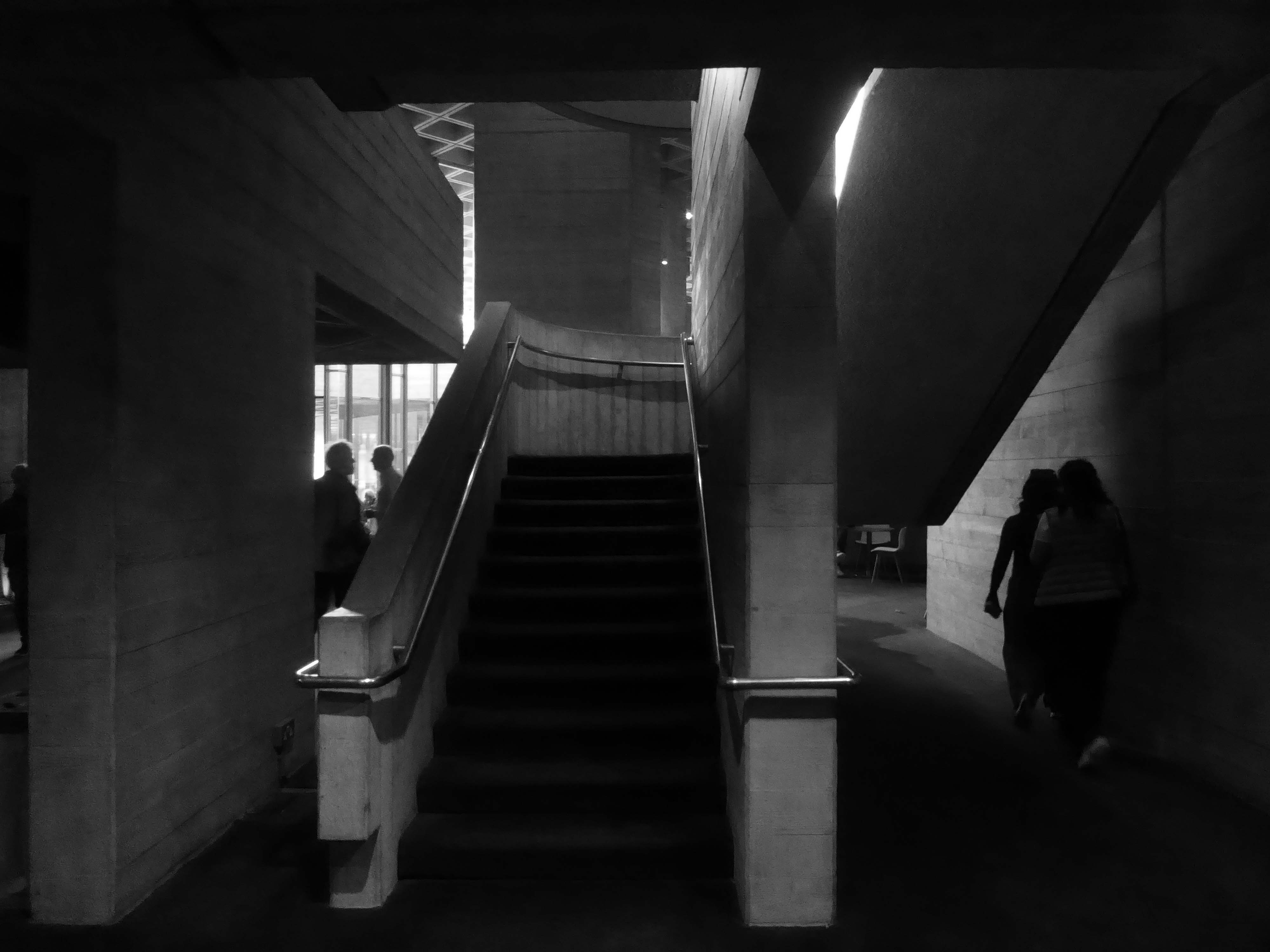
Denys Lasdun was chosen by a jury, which included actor Sir Lawrence Olivier, to design the building. In spite of Lasdun’s fine modernist credentials he was to many a surprising choice – he had never designed a theatre. Within the National Theatre are three separate and very distinct auditoriums. Symbolically and practically they are loosely modelled on theatre designs from the three greatest periods of western drama: the Olivier on classical Greek theatres, the Lyttelton on the proscenium-arch theatres of the past three centuries, and the Cottesloe on Tudor inn-yards. The building has become a national landmark in Great Britain and has been listed Grade II* since 1994.
I have several Brutalist badges, yet feel disinclined to badge myself a Brutalist, with or without a capital B.
Me, I’m a little more Polyarchitectural by nature.
Less seduced by Edmund Burke’s ideas of the sublime than others.
The passion caused by the great and sublime in nature, when those causes operate most powerfully is Astonishment, and astonishment is that state of the soul in which all its motions are suspended, with some degree of horror … No passion so effectually robs the mind of all its powers of acting and reasoning as fear. For fear, being an apprehension of pain or death, operates in a manner that resembles actual pain. Whatever therefore is terrible, with regard to sight, is sublime too … Indeed terror is in all cases whatsoever, either more openly or latently, the ruling principle of the sublime.
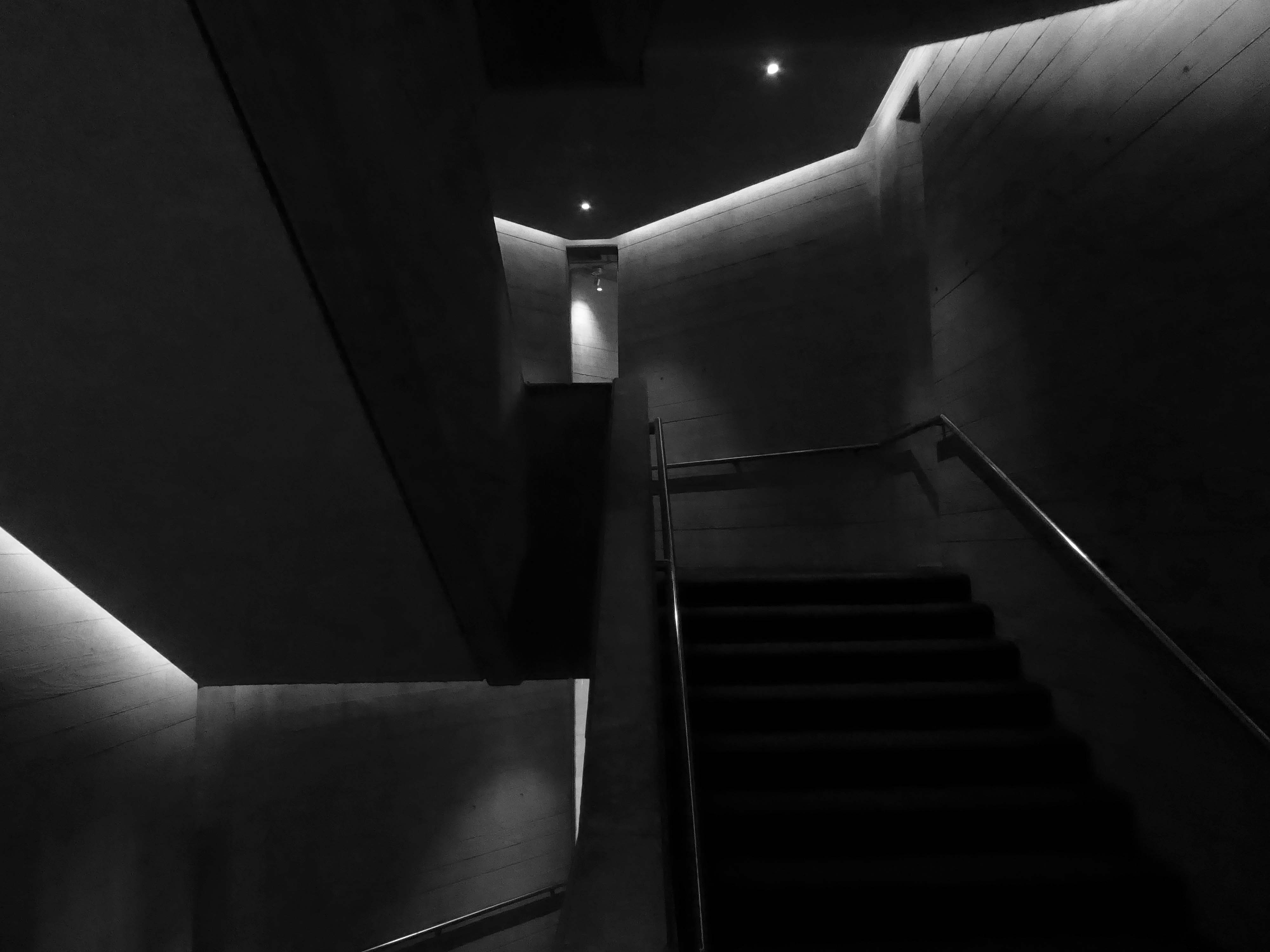
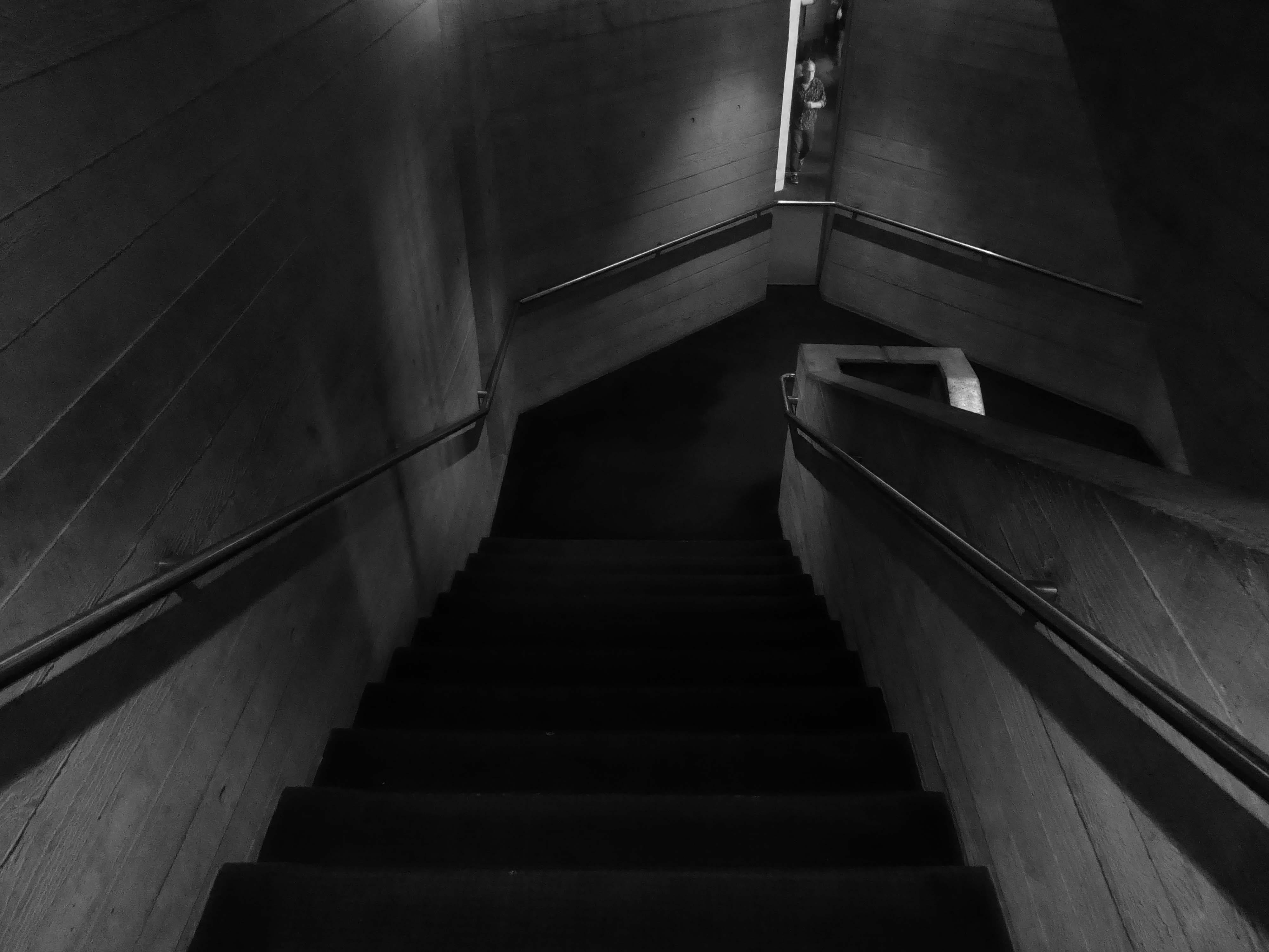
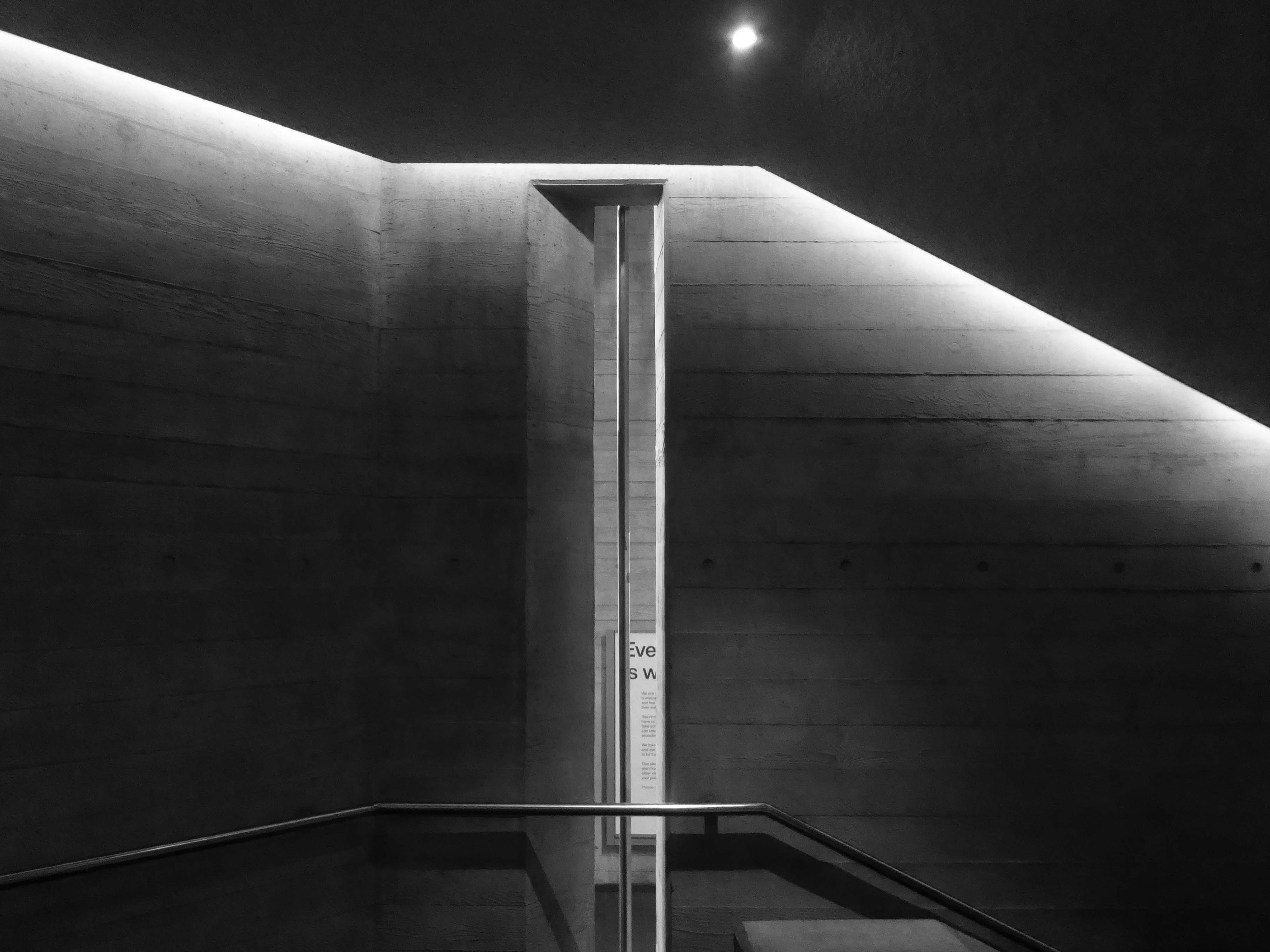
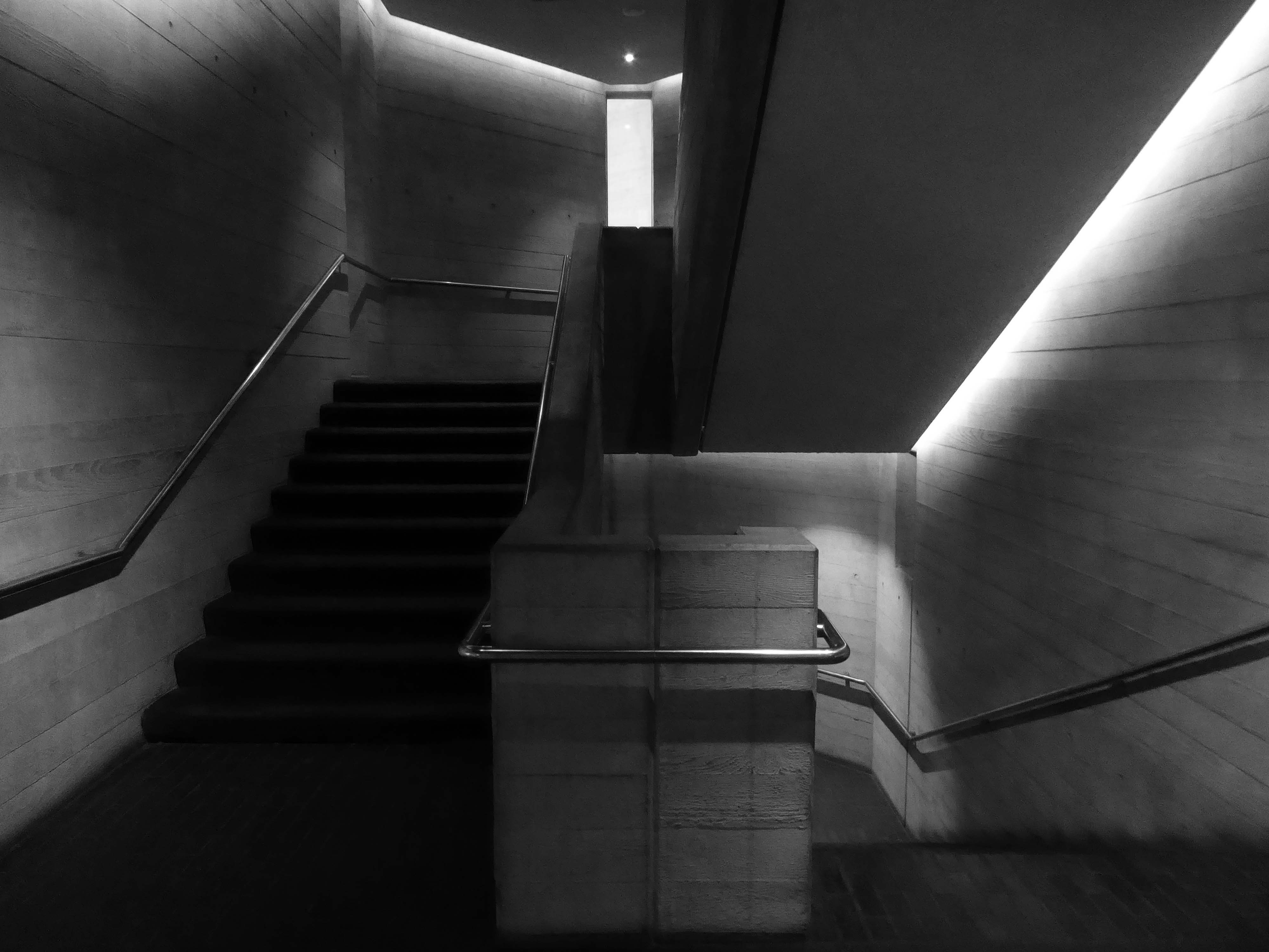
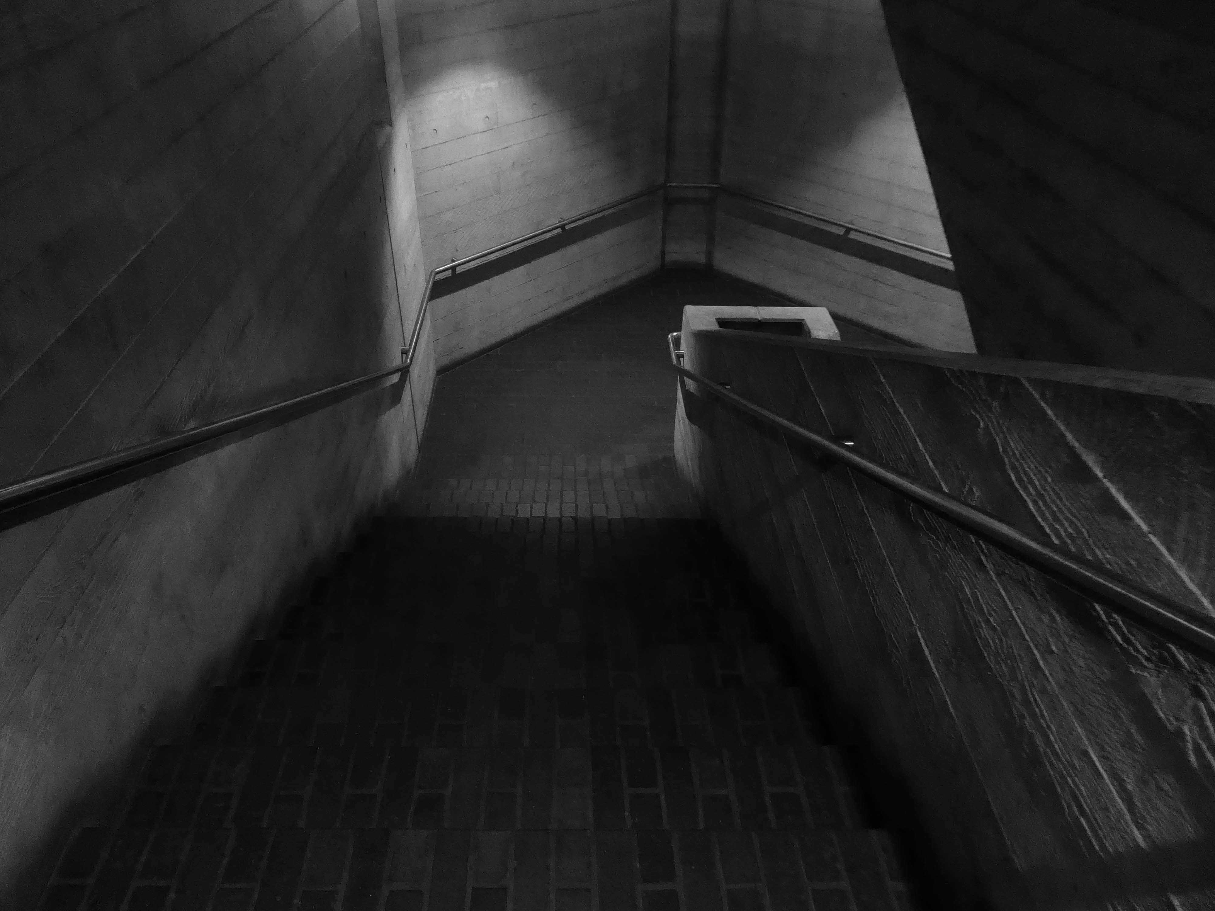
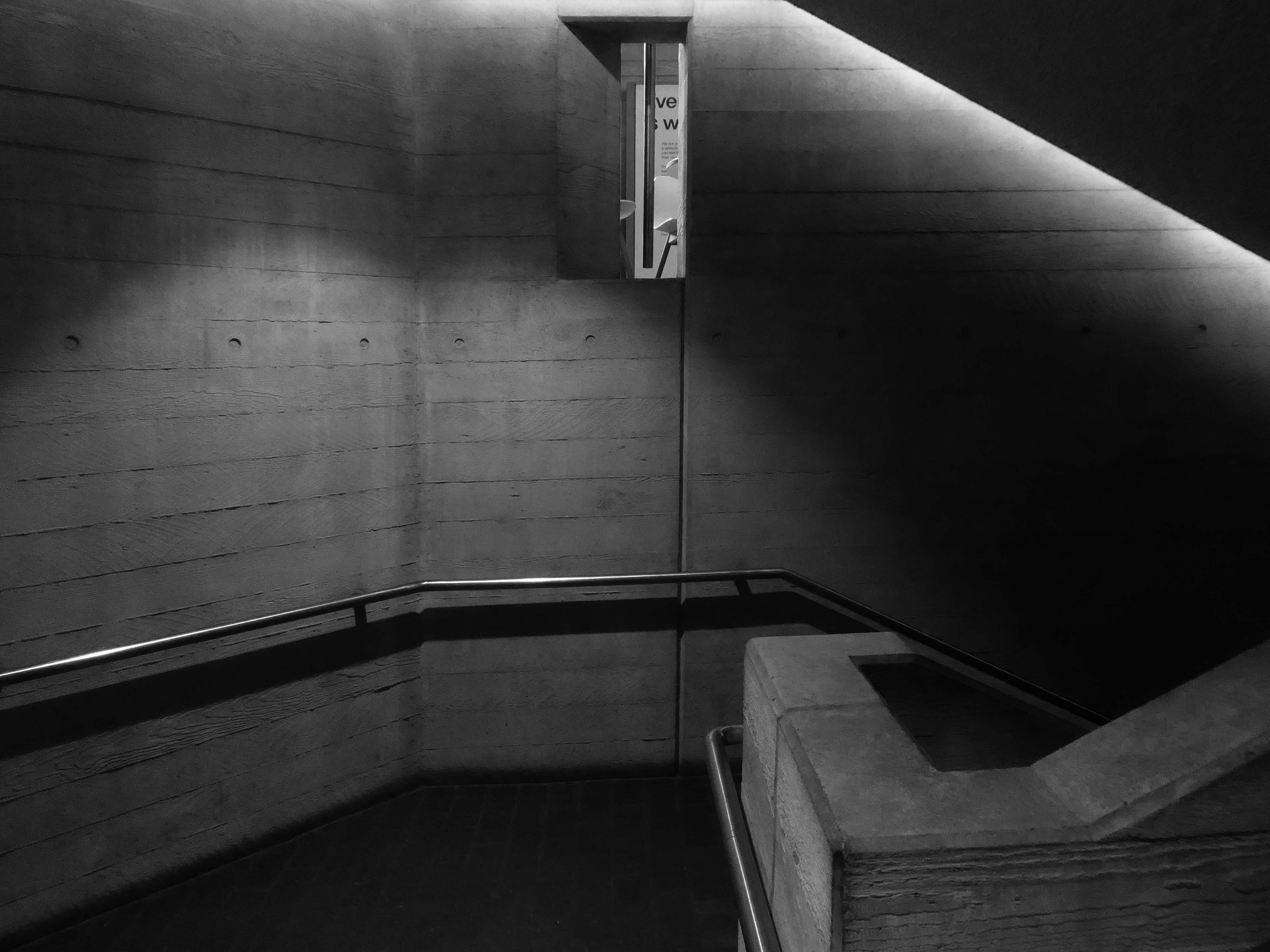
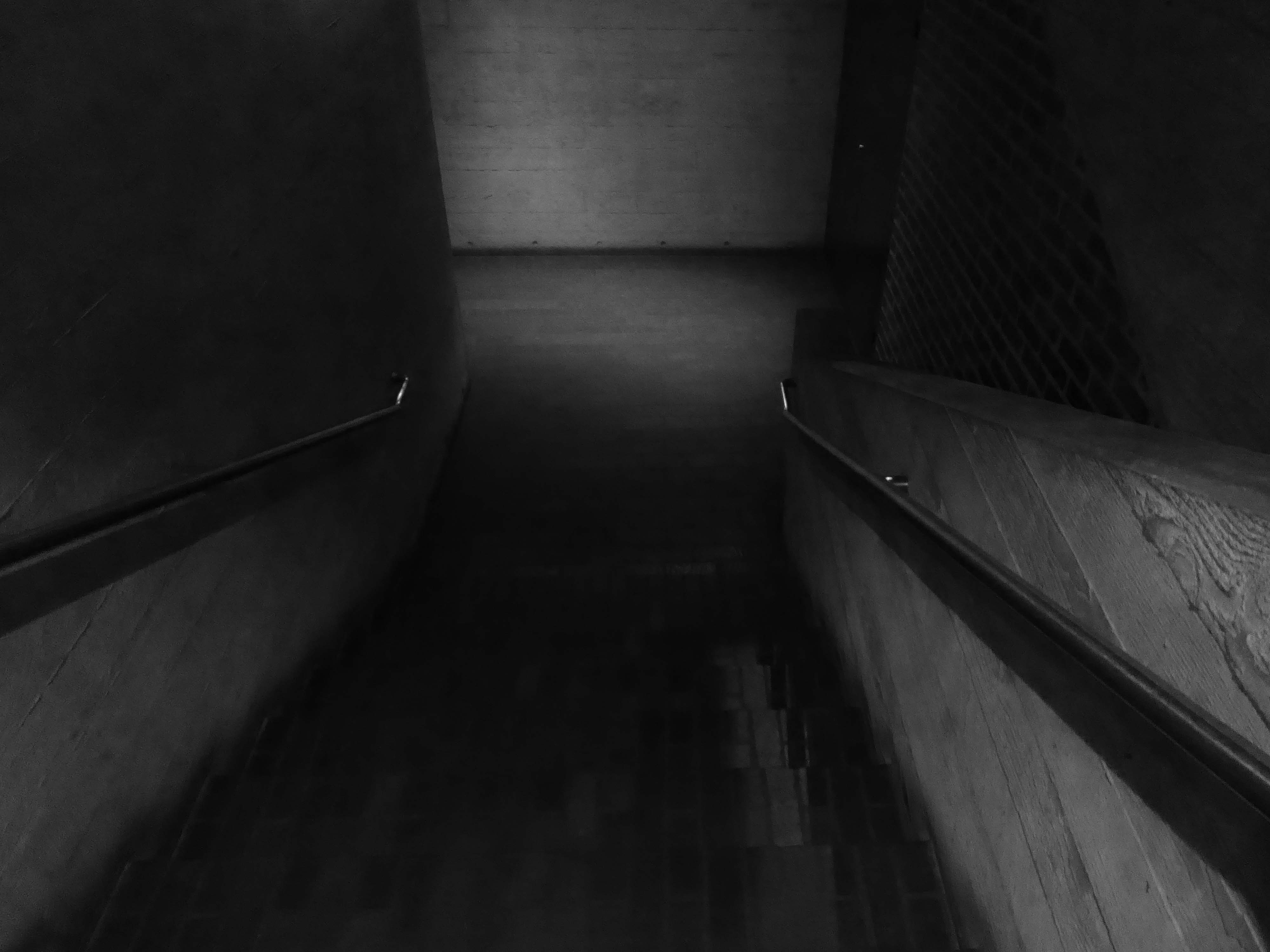
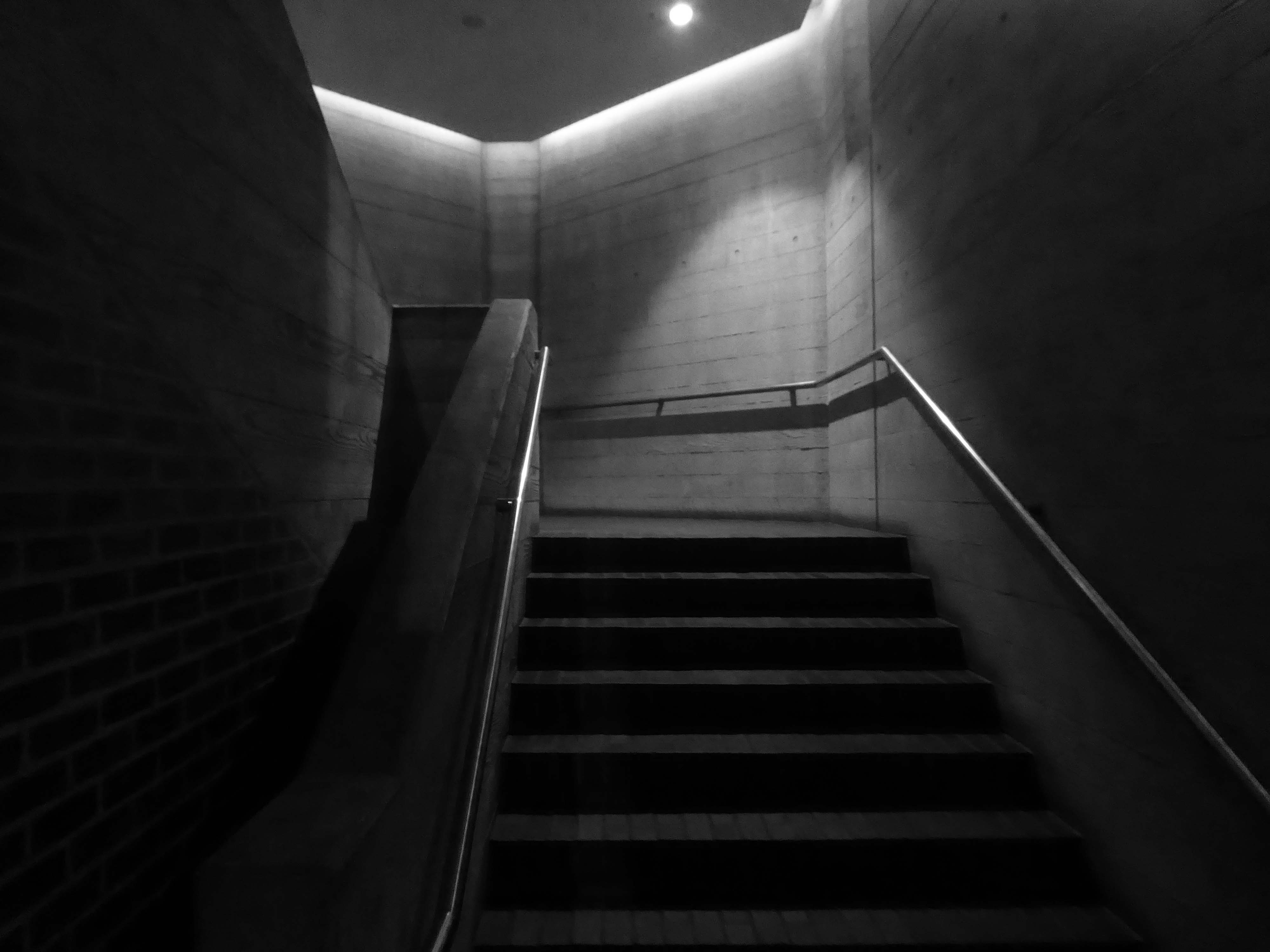
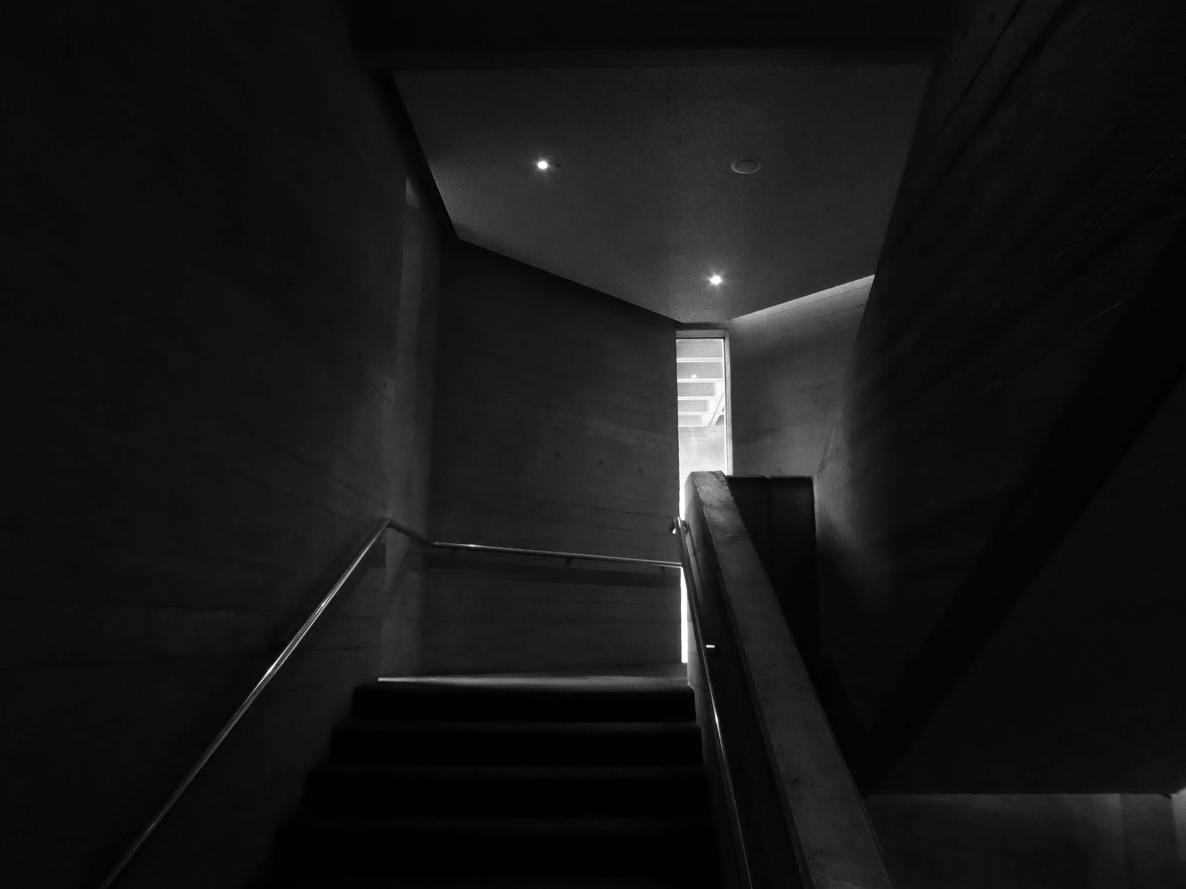
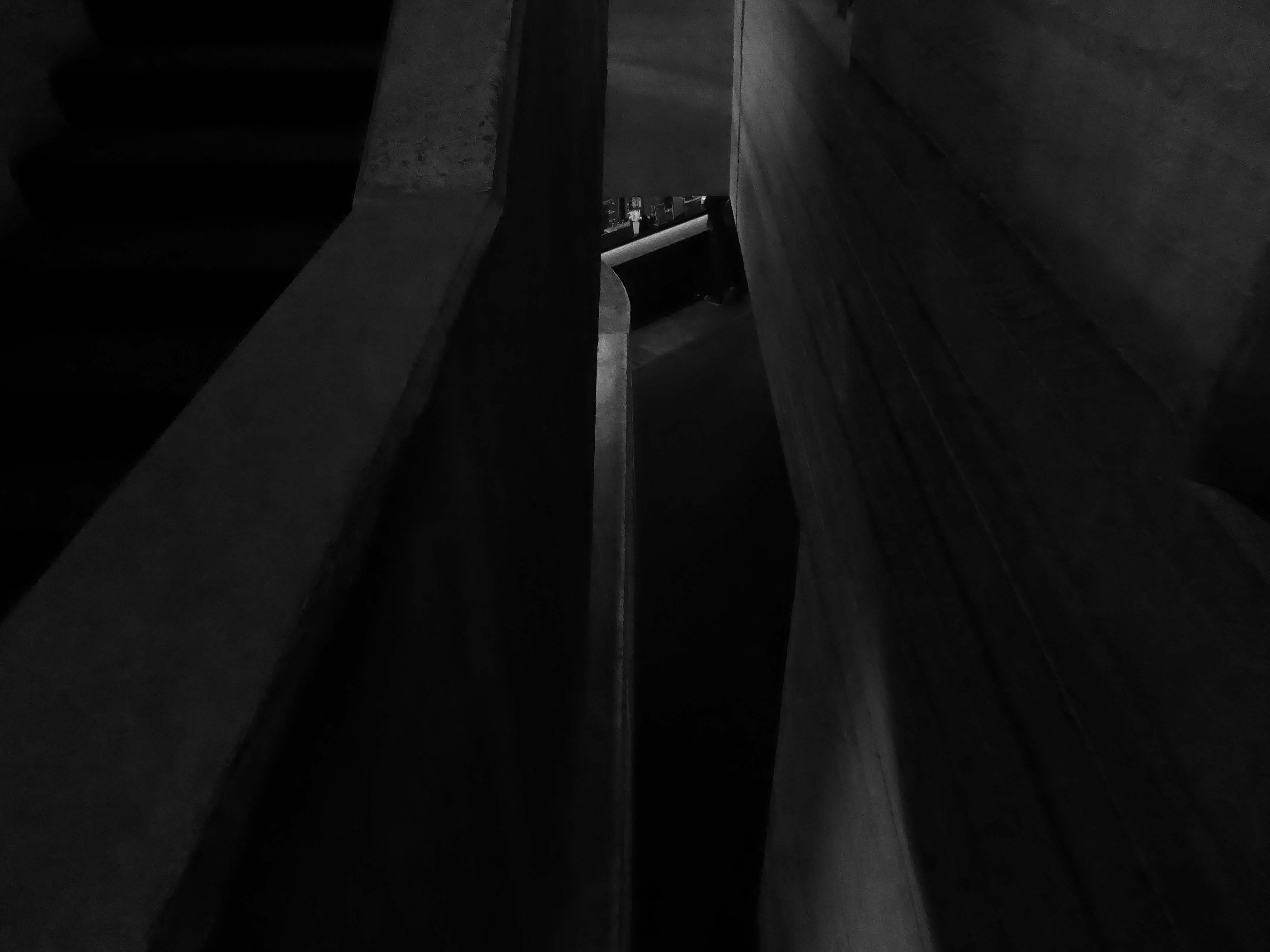
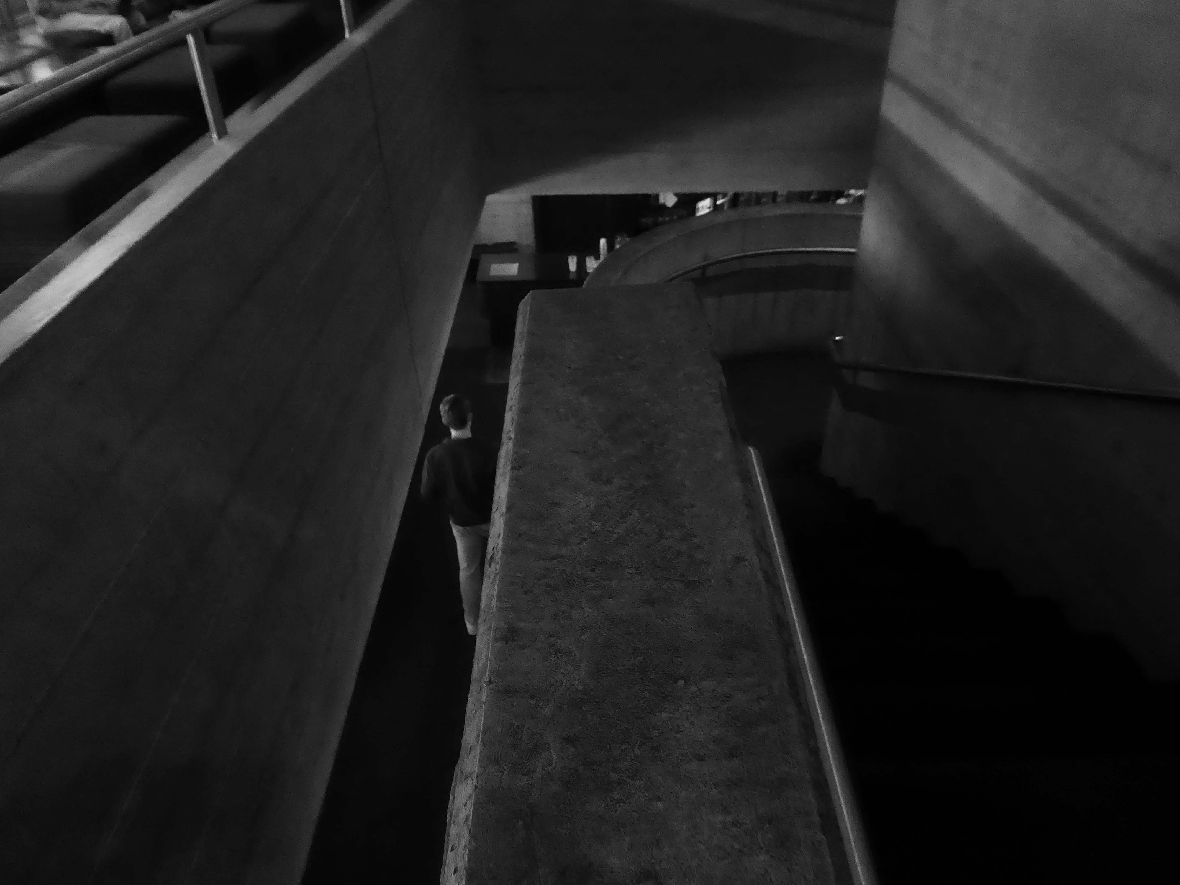
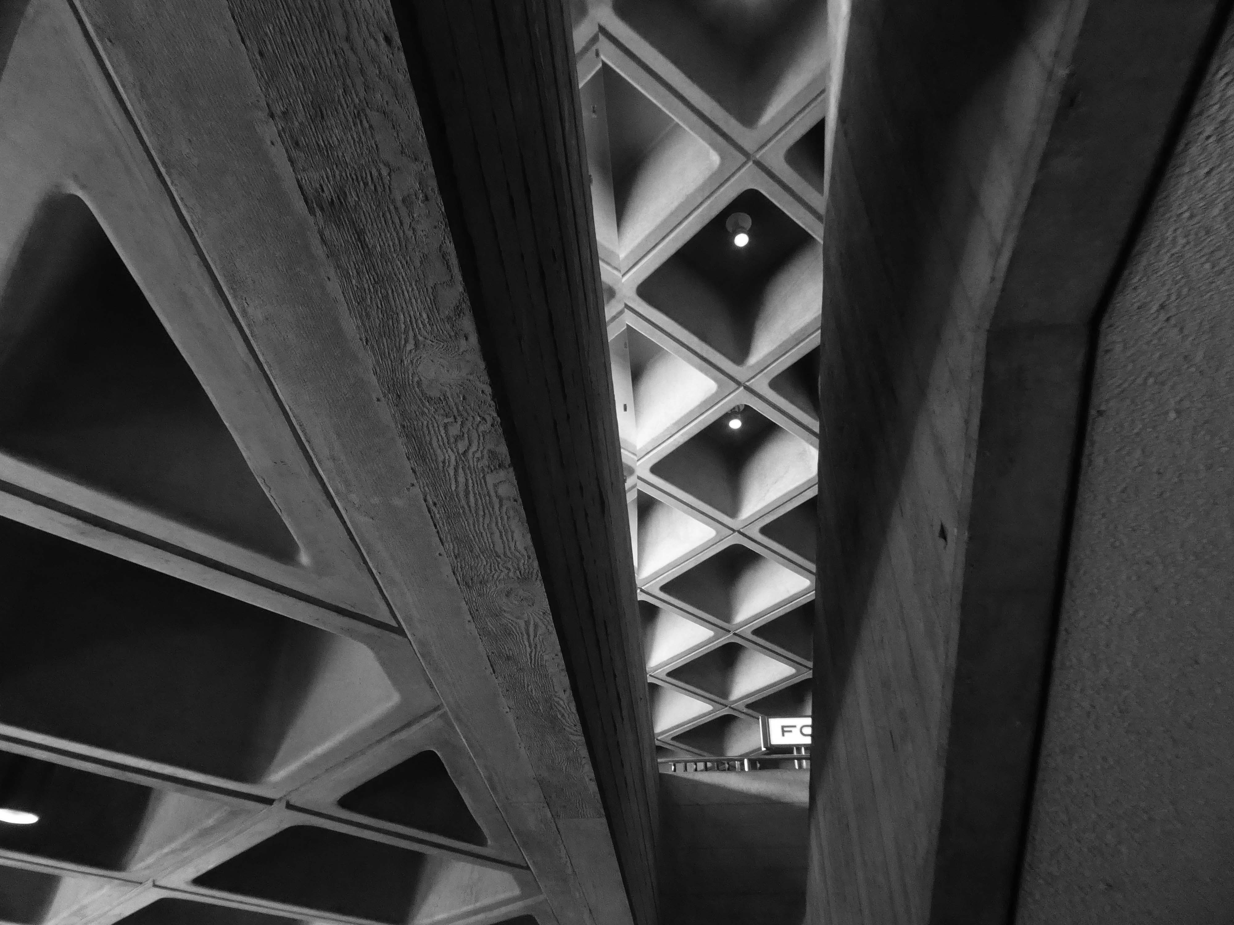
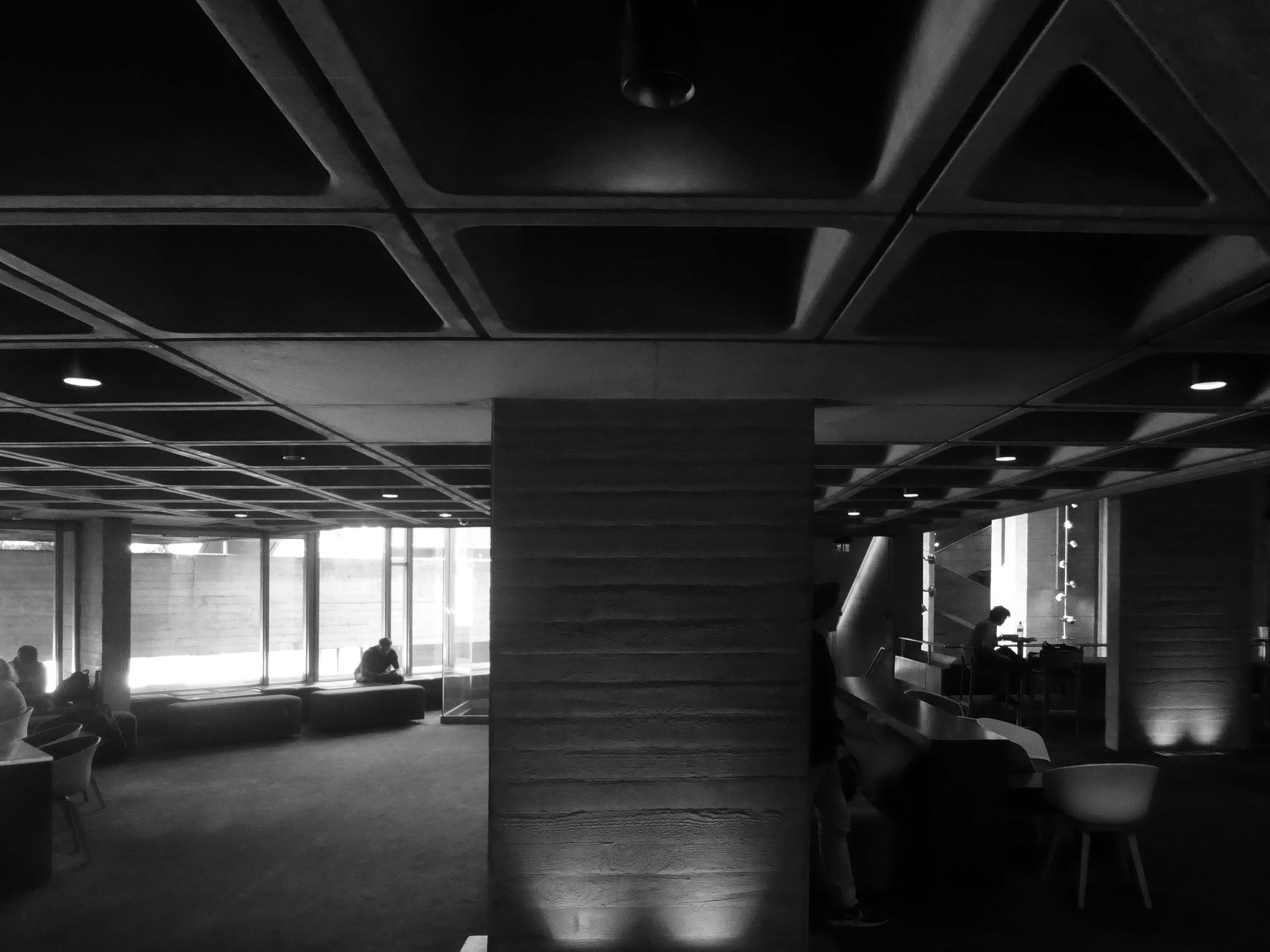
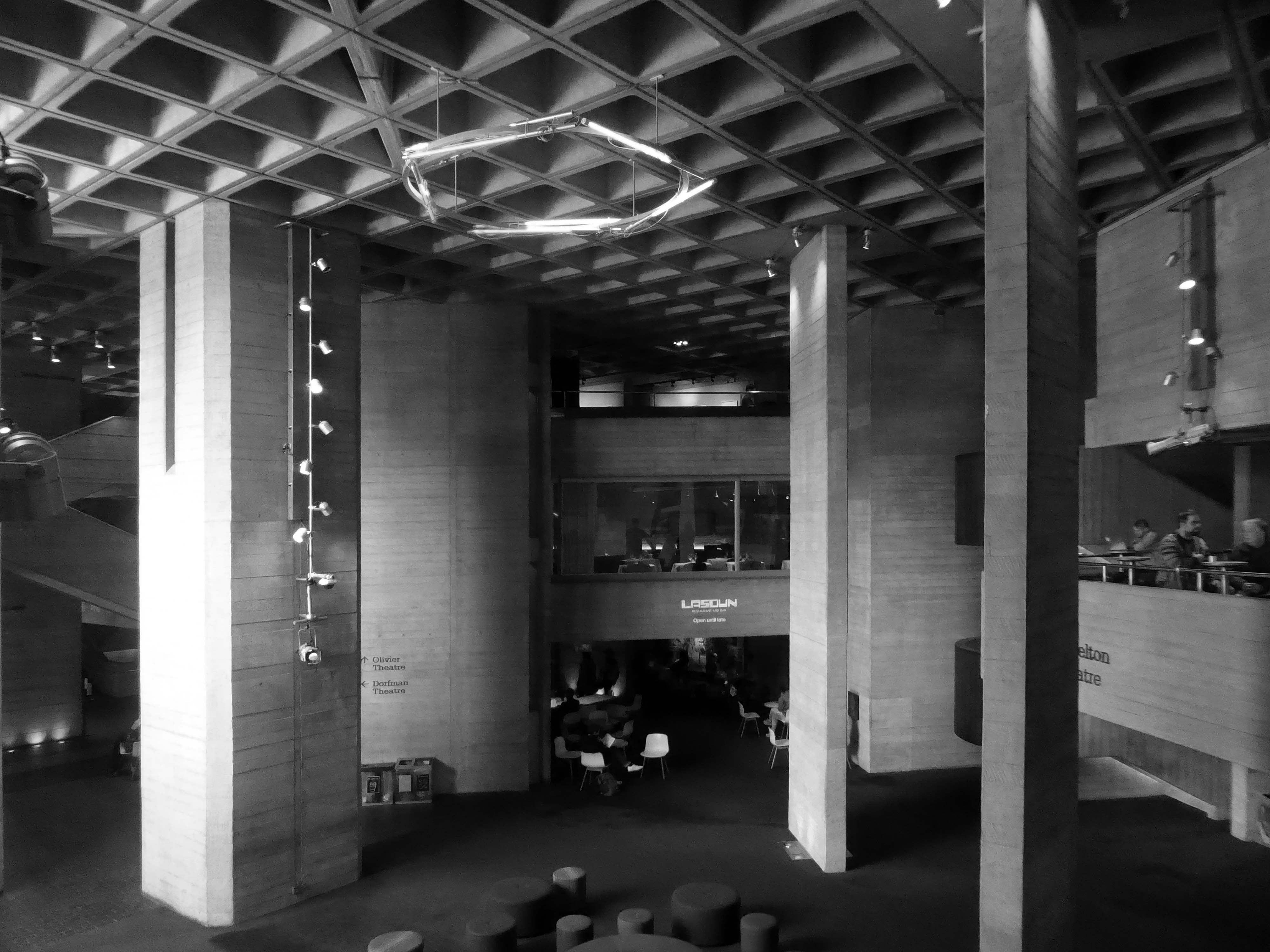
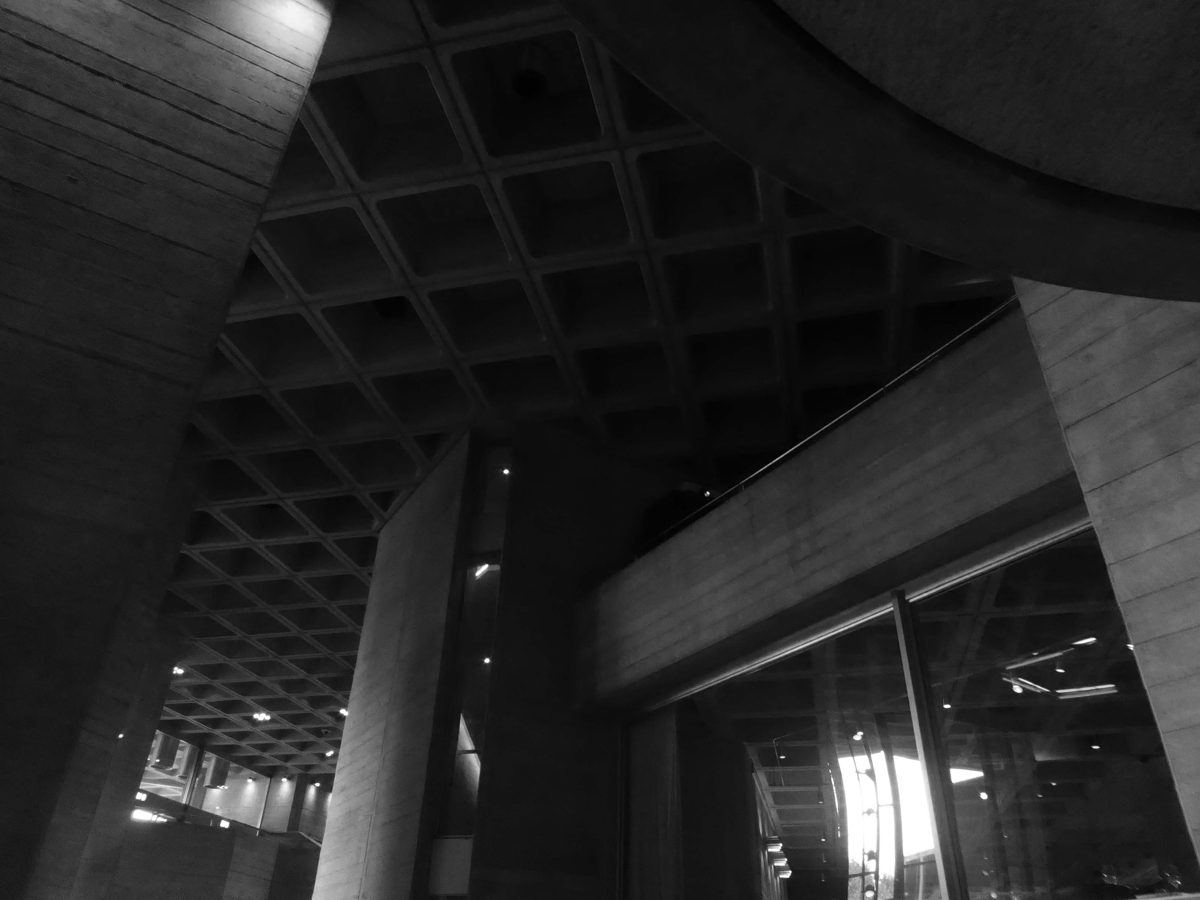
Furthermore, whilst the exterior of the National Theatre may well induce fear, and in some loathing, the interior feels both human and secure. When I explored the ins and outs of the public spaces, the monumental seems to be held carefully in check, despite the challenging contrasts in mass and volume. The exposed concrete surfaces and angular forms are softened by sensitive lighting and the presence of people, in motion and at rest.
So at a loose end on a showery day on the Southbank I caught shelter and solace within.
Previously on Modern Mooch – we encounter Mr Lasdun in Leeds and Liverpool
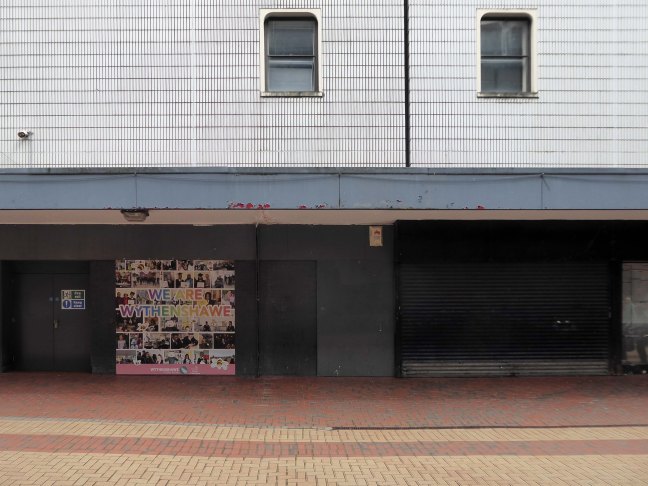
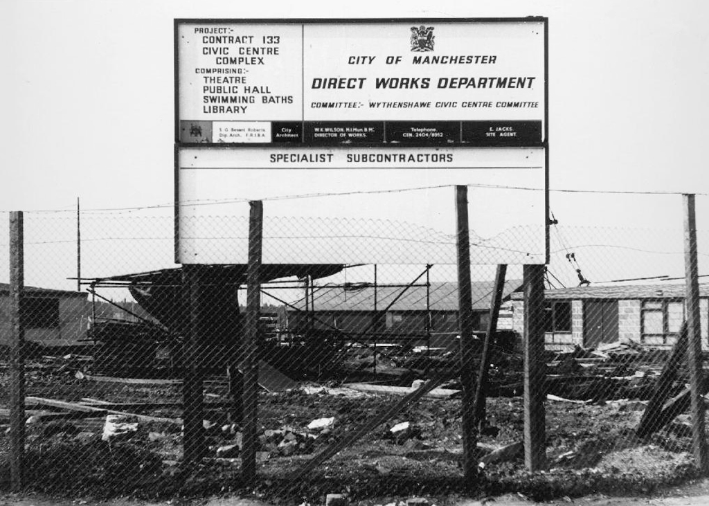
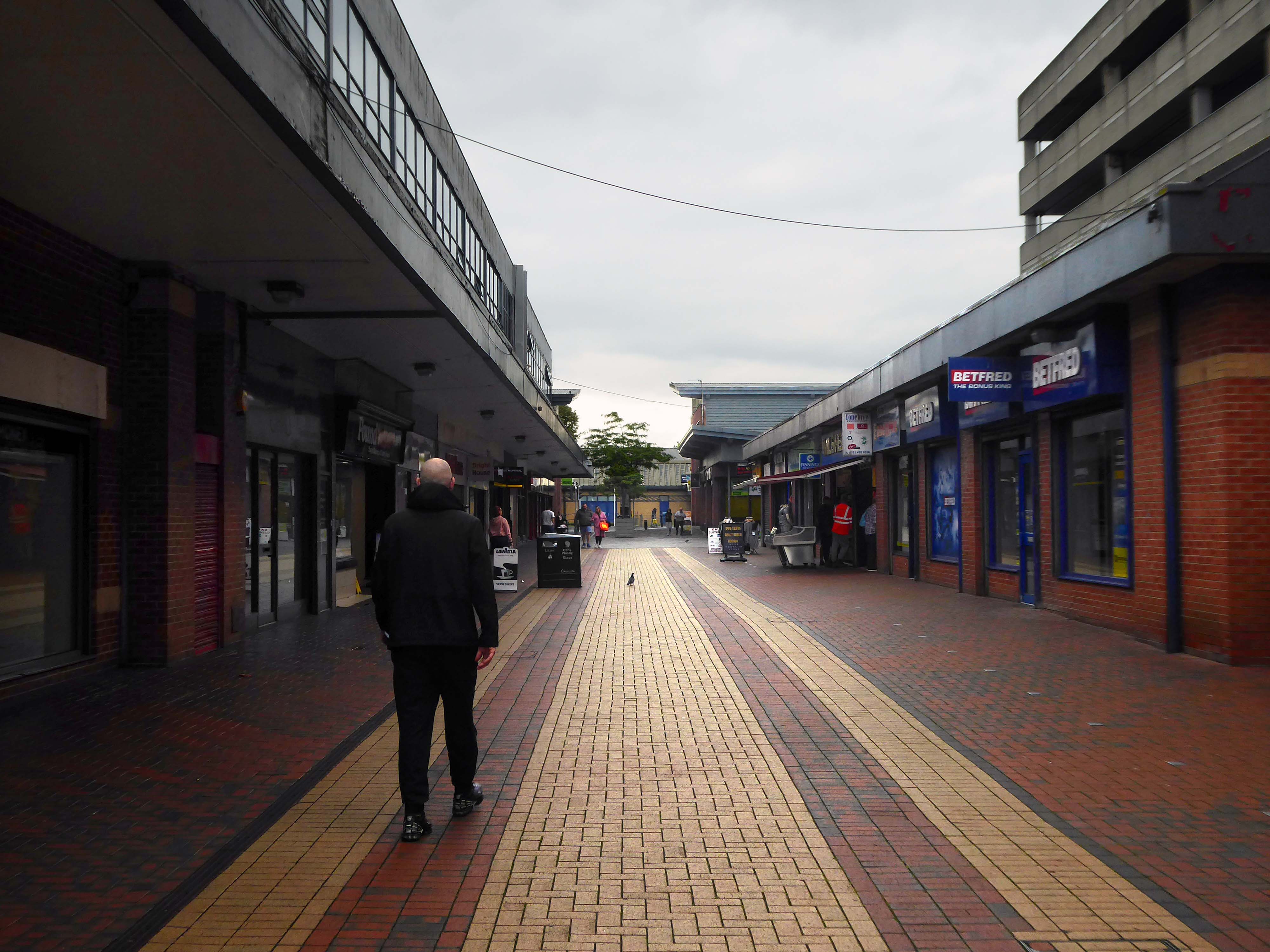
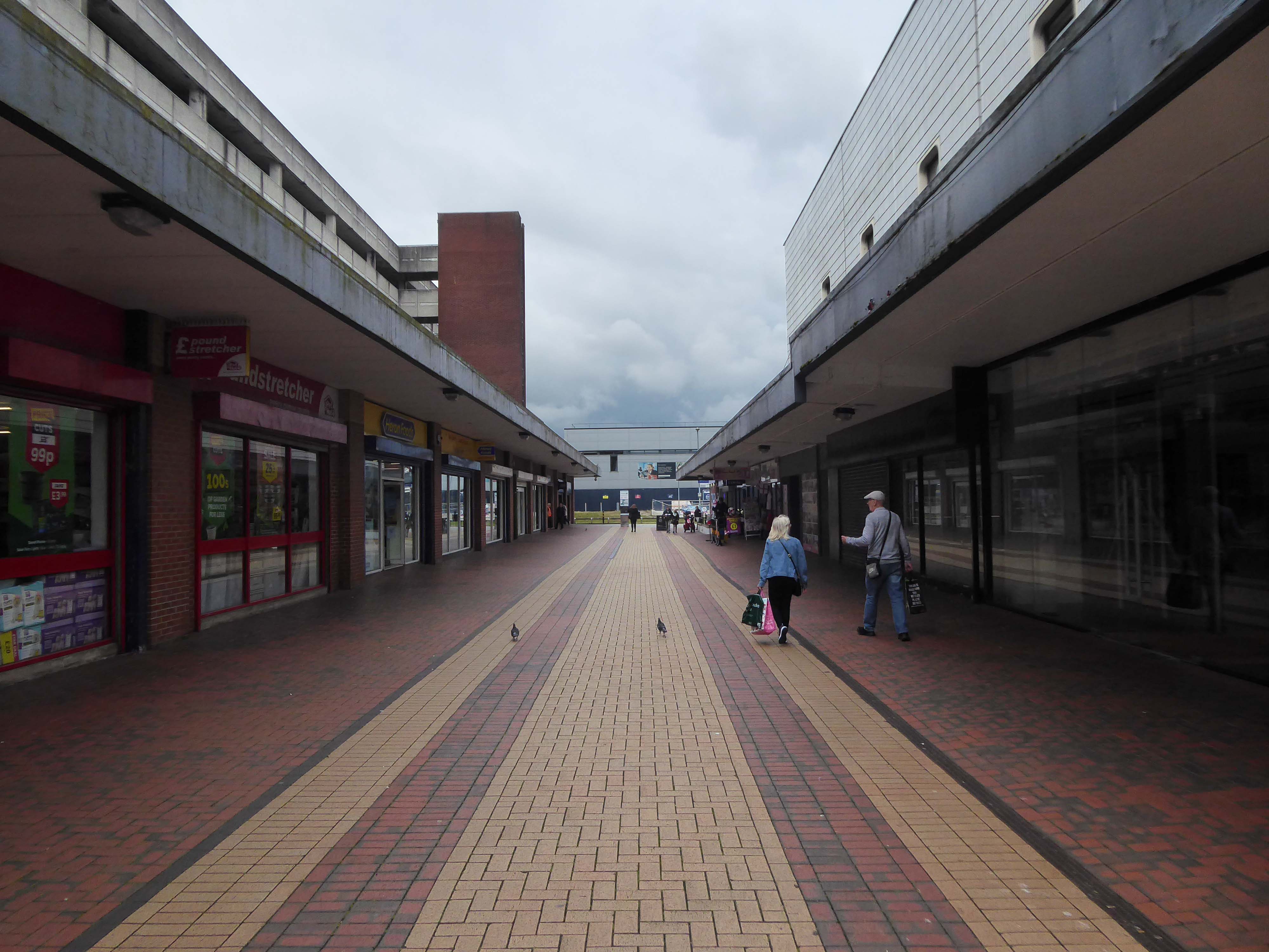
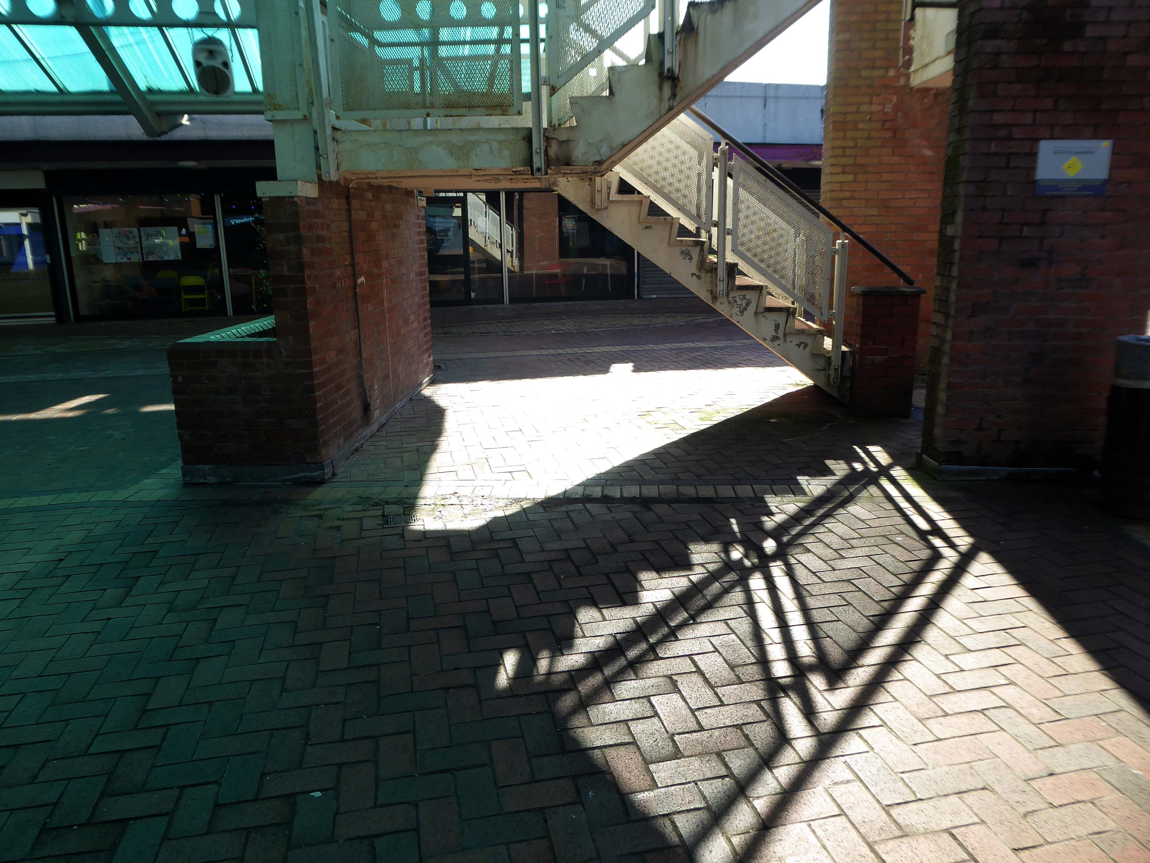
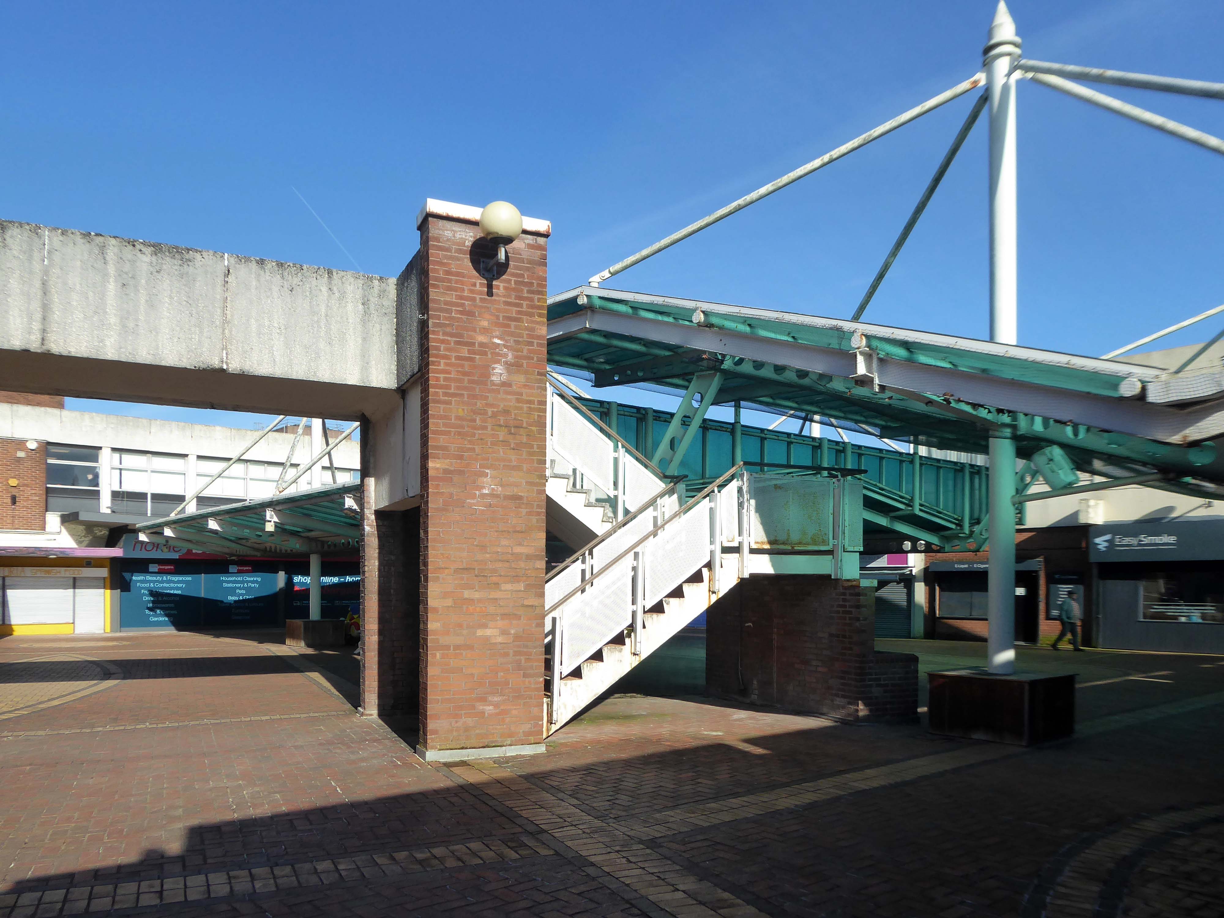
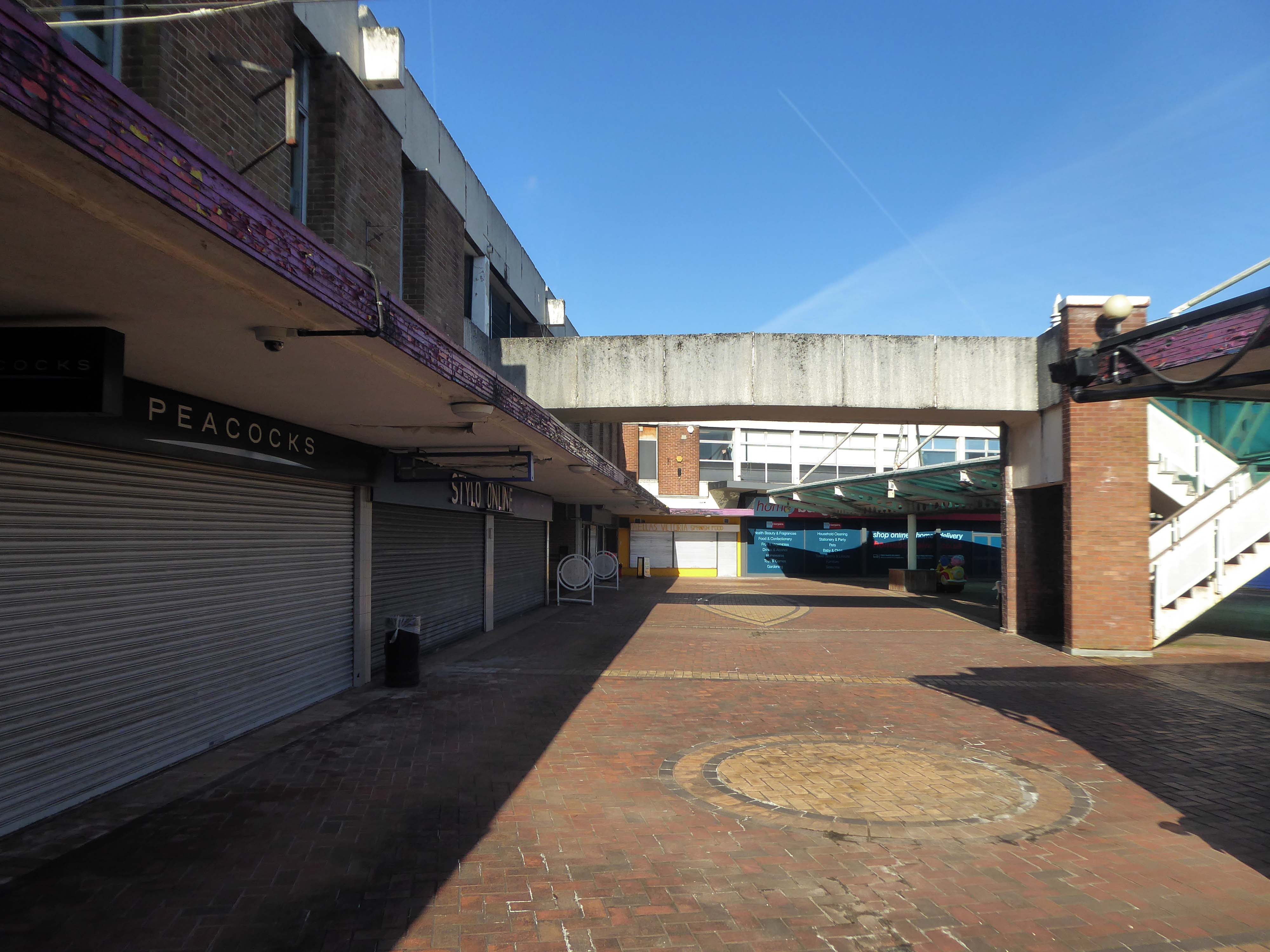
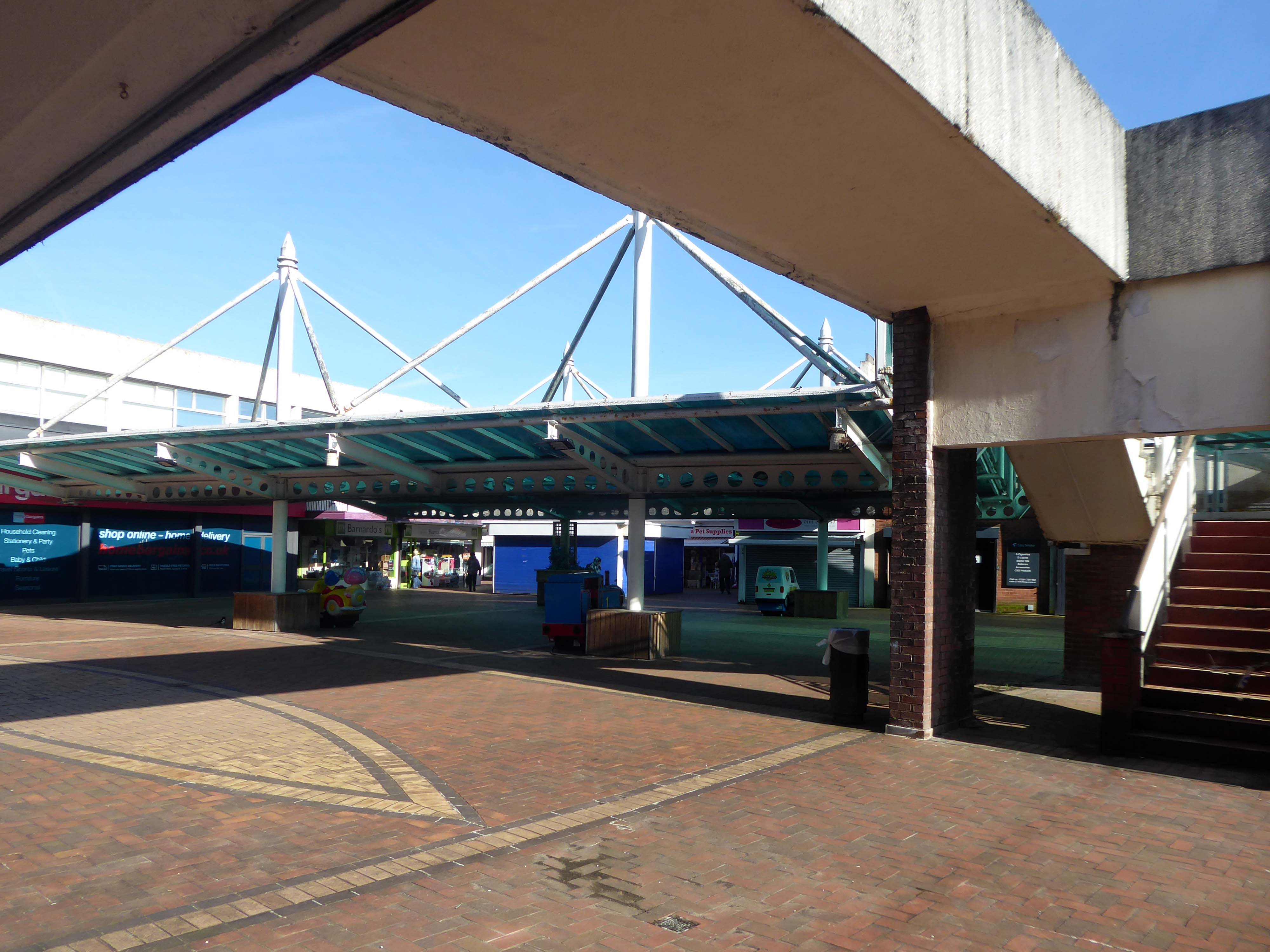
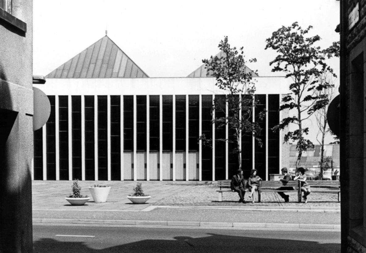
Work began in the interwar years, and continued following the hiatus of 1939-45. The shopping centre named the Civic Centre was open in 1963, the actual Civic Centre containing a swimming pool, theatre, public hall and library in 1971.
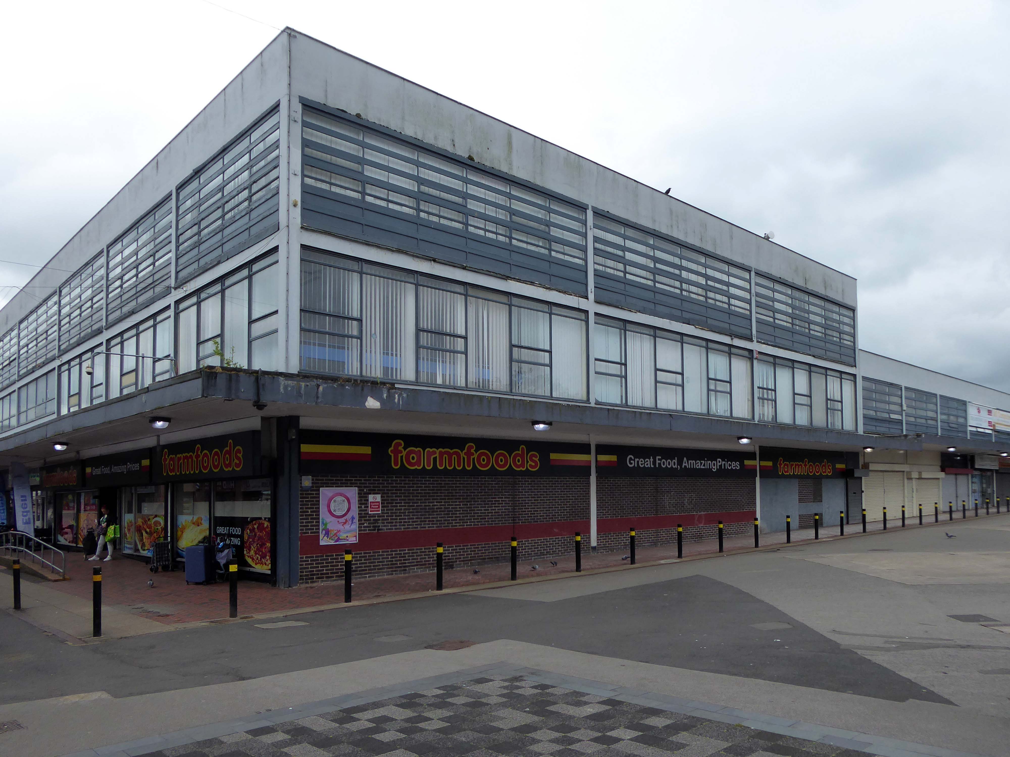
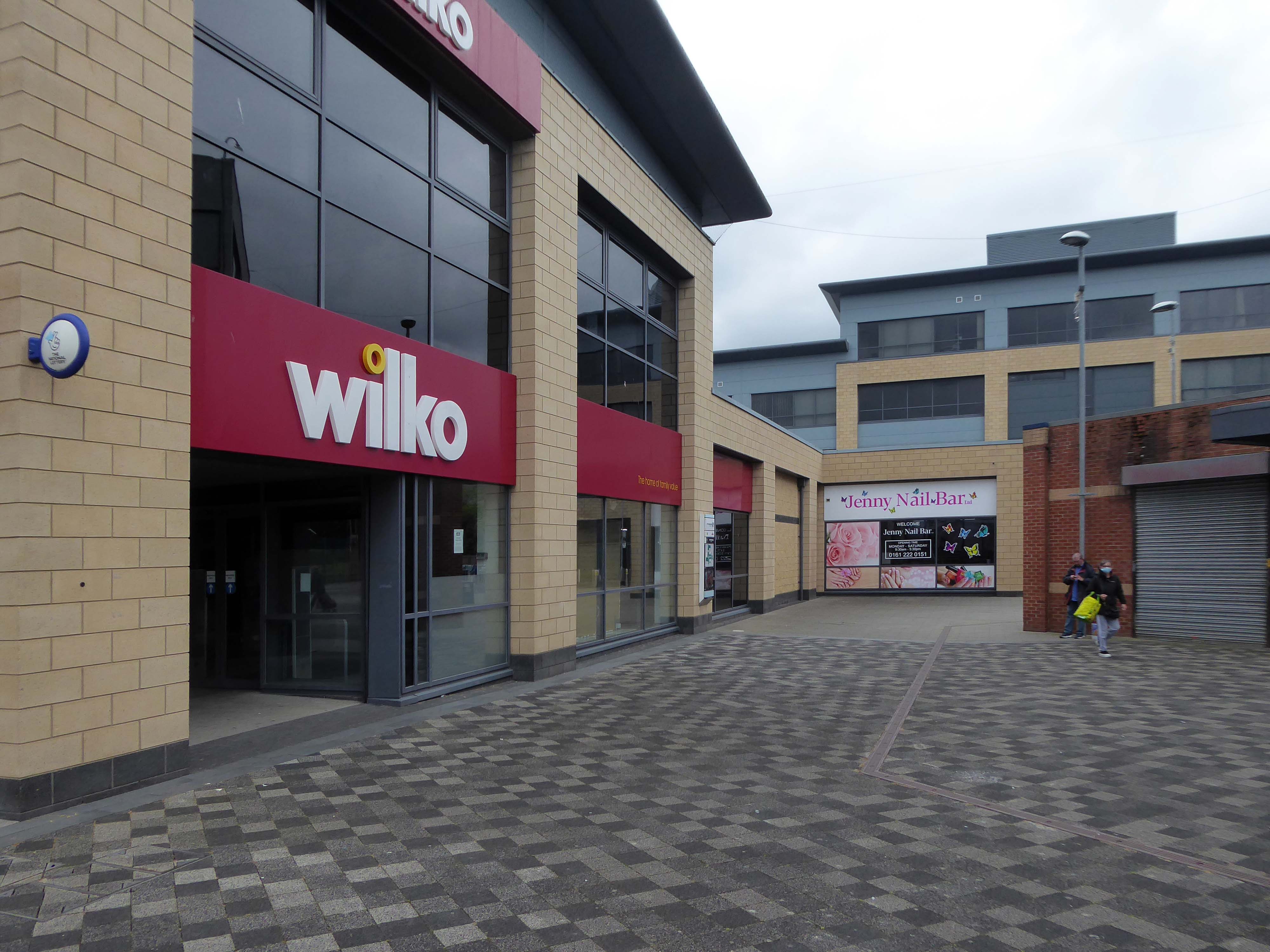
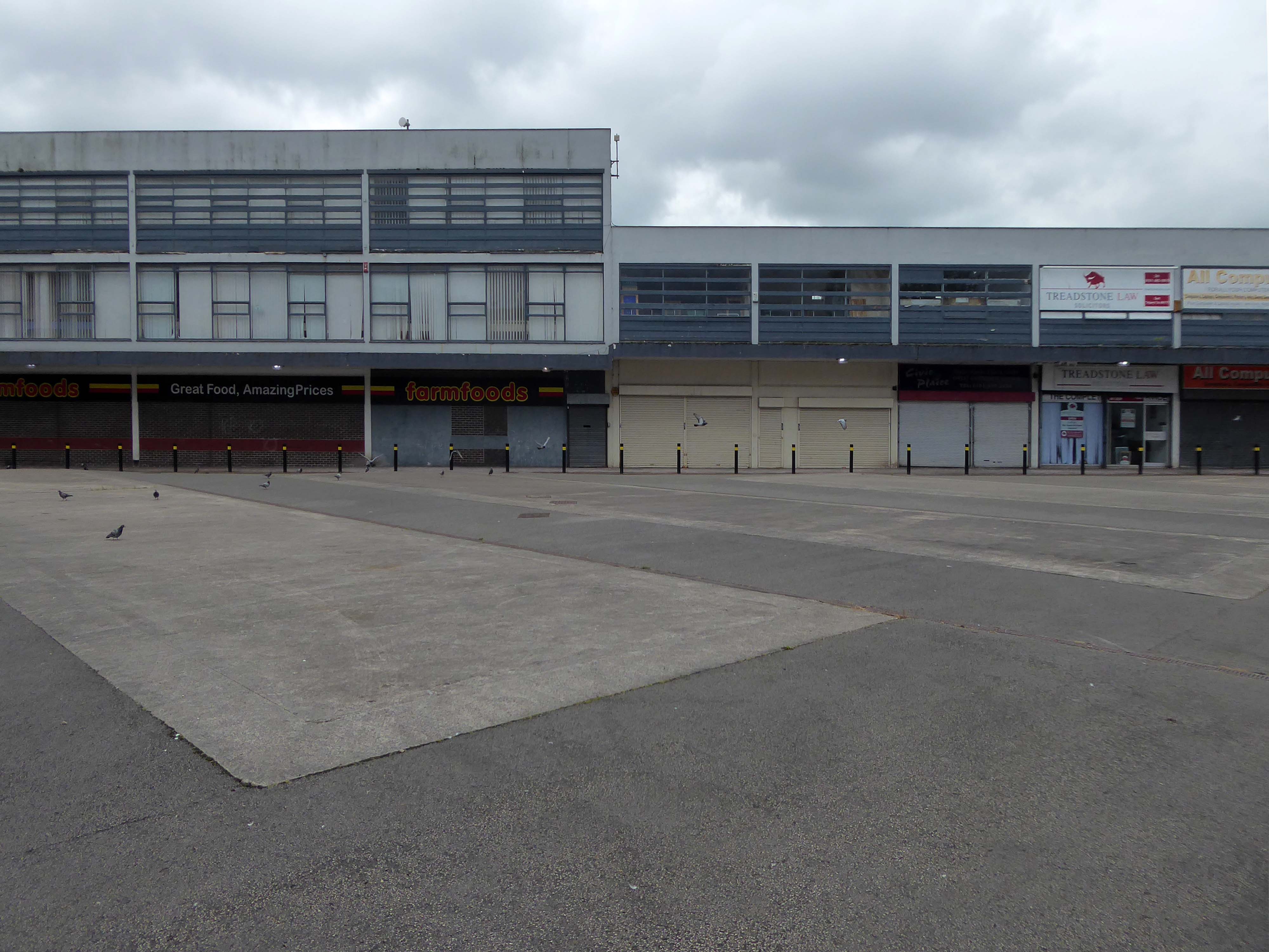
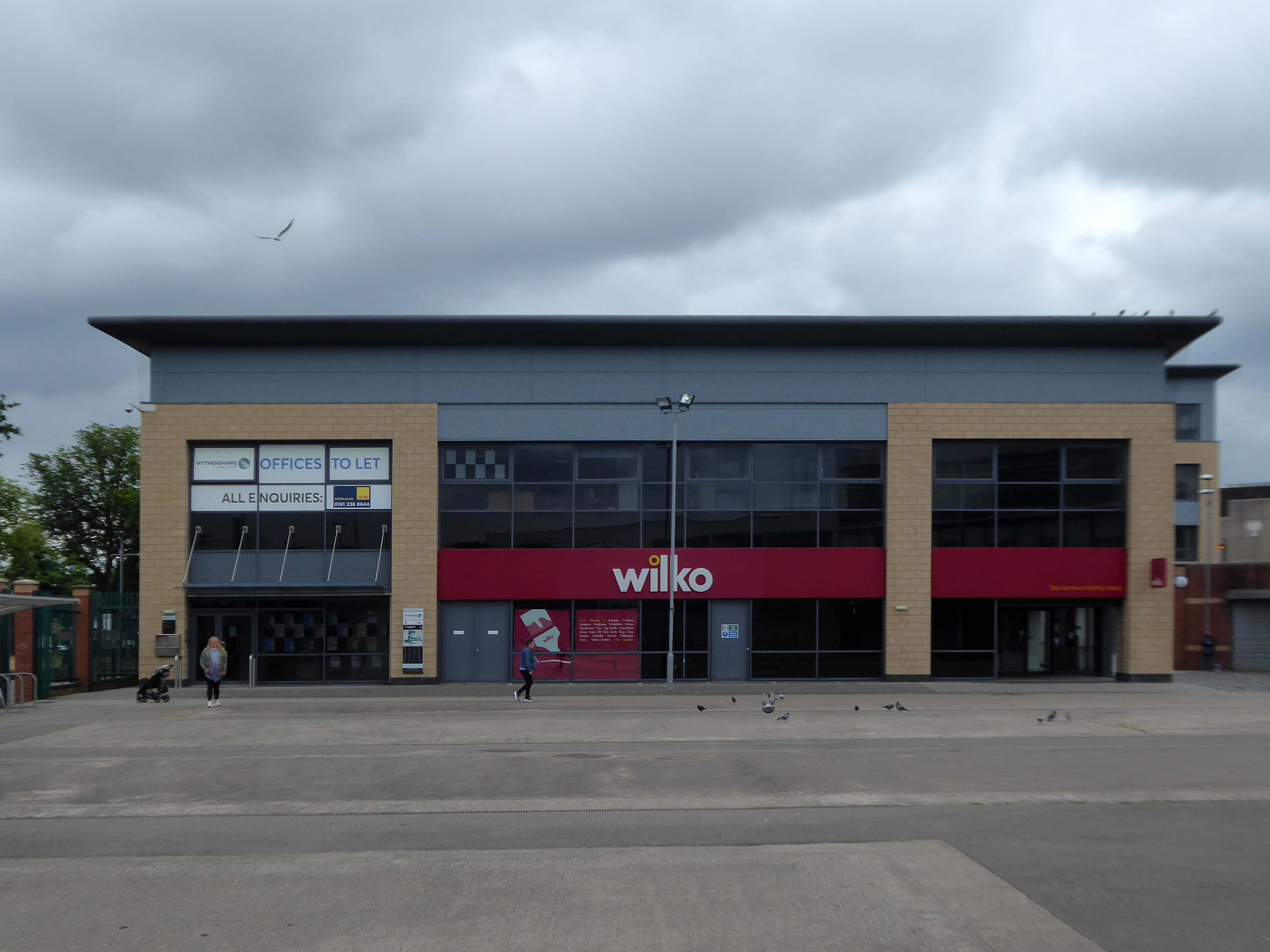
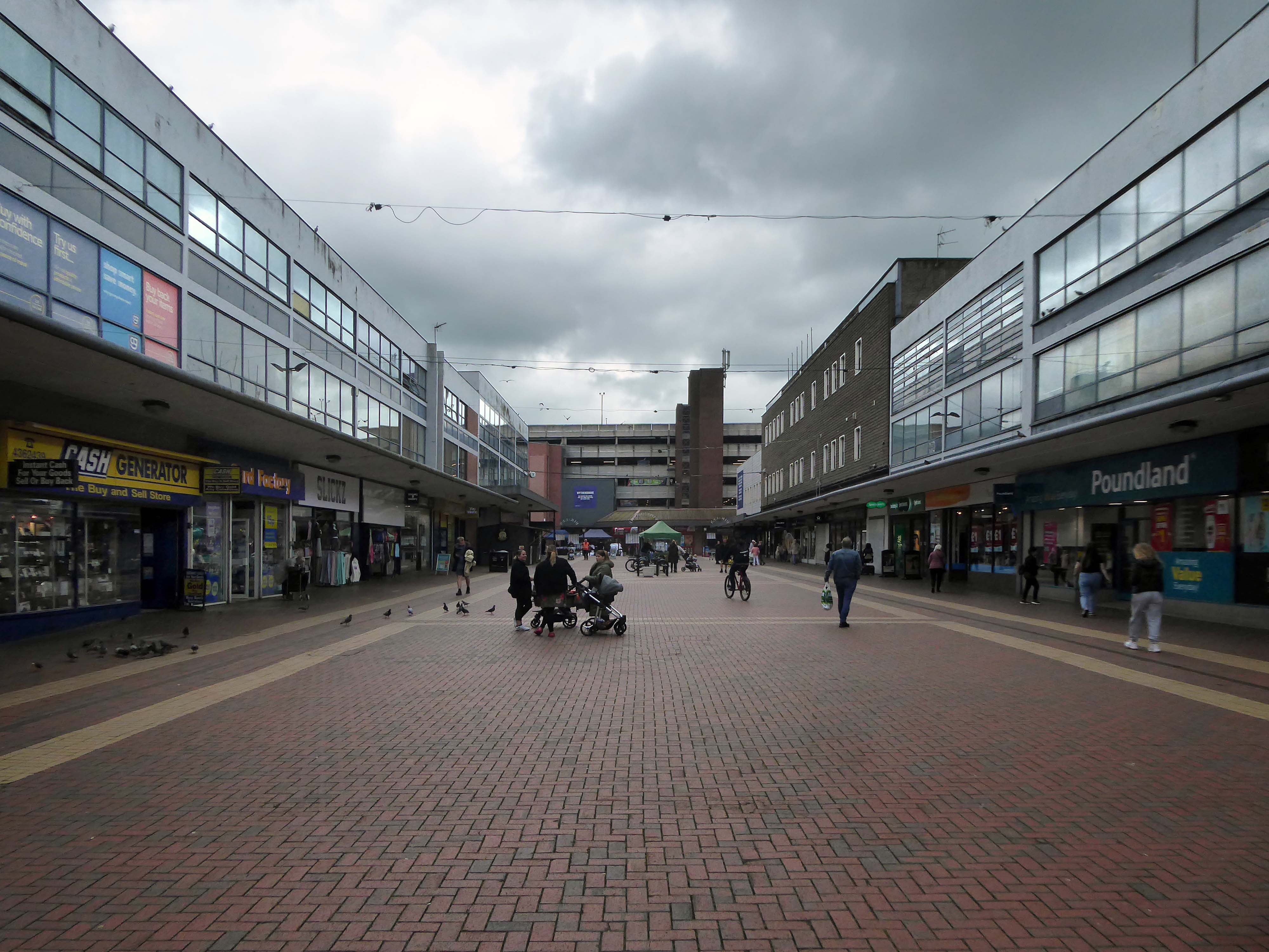
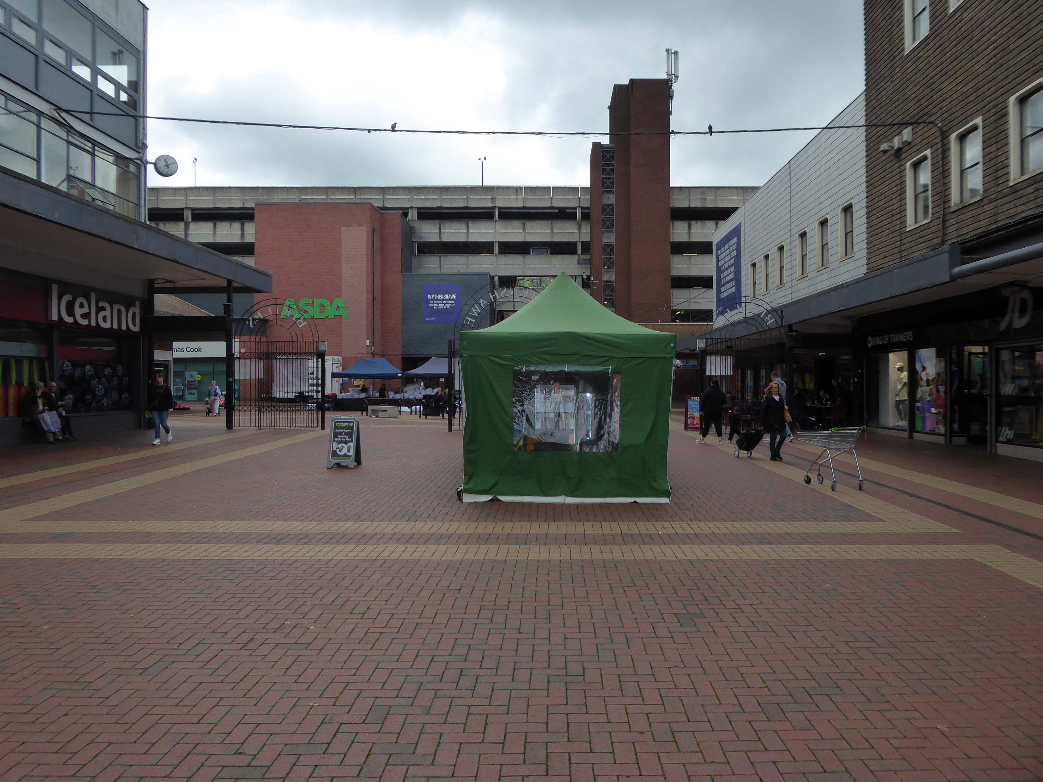
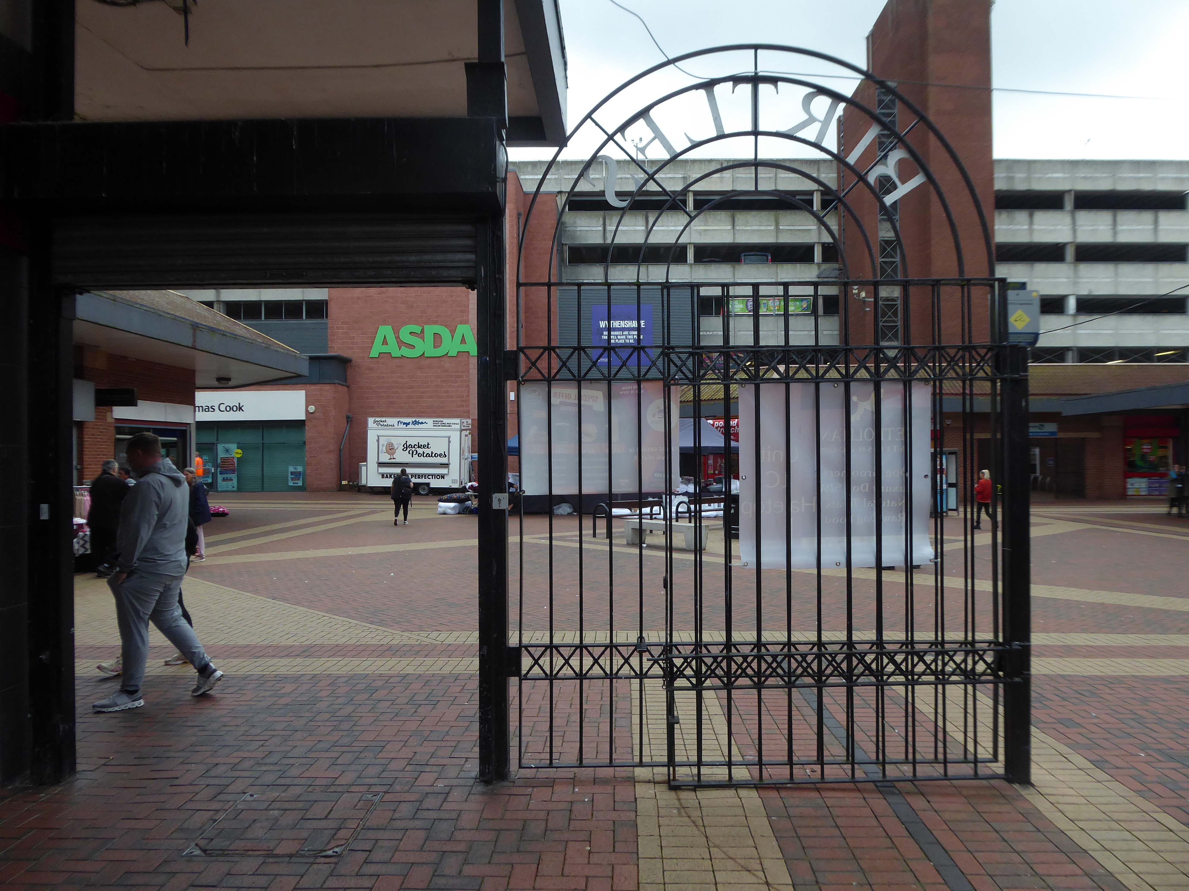
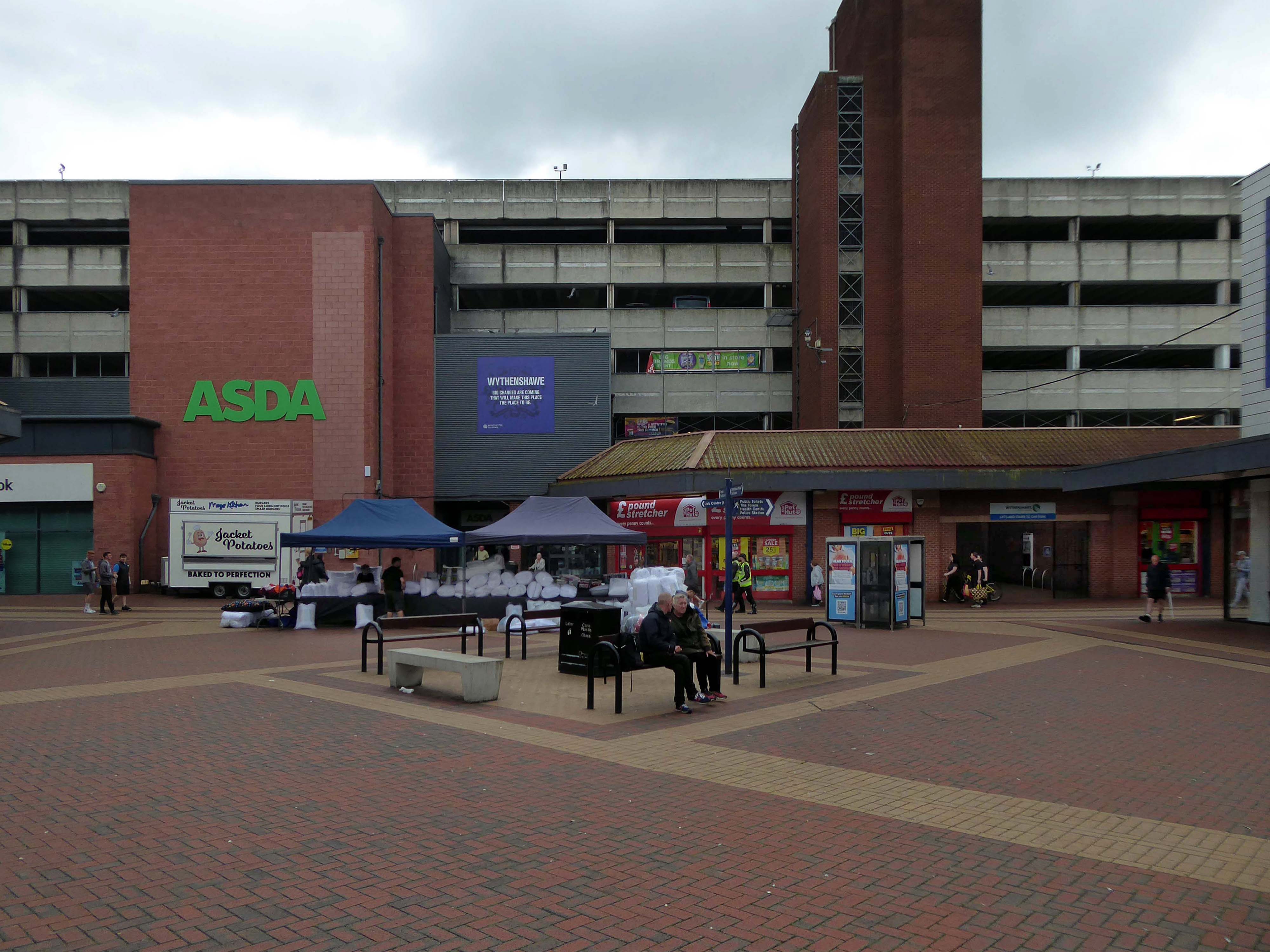
Here I am again four years later, taking a look at how it looks today.
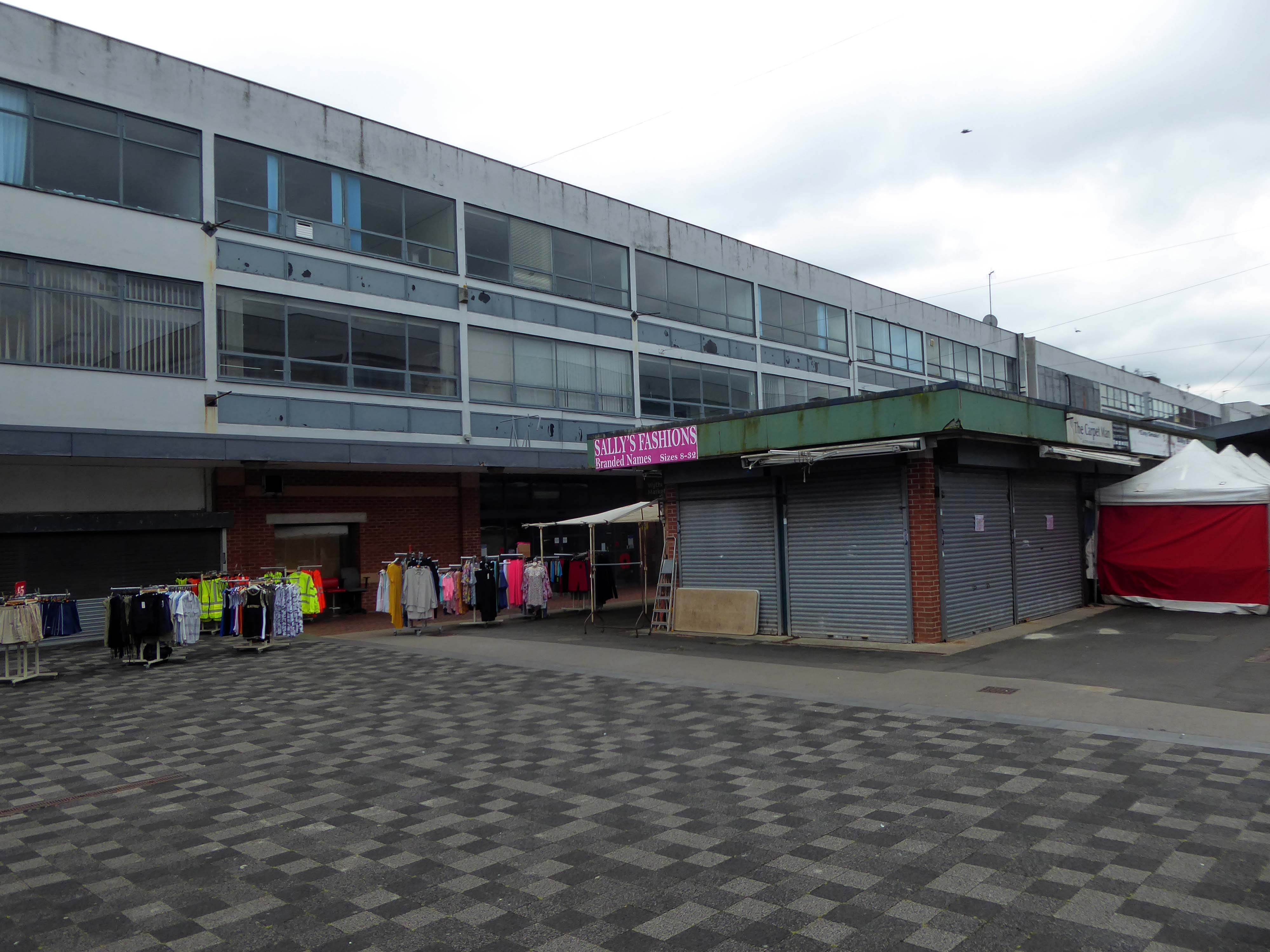
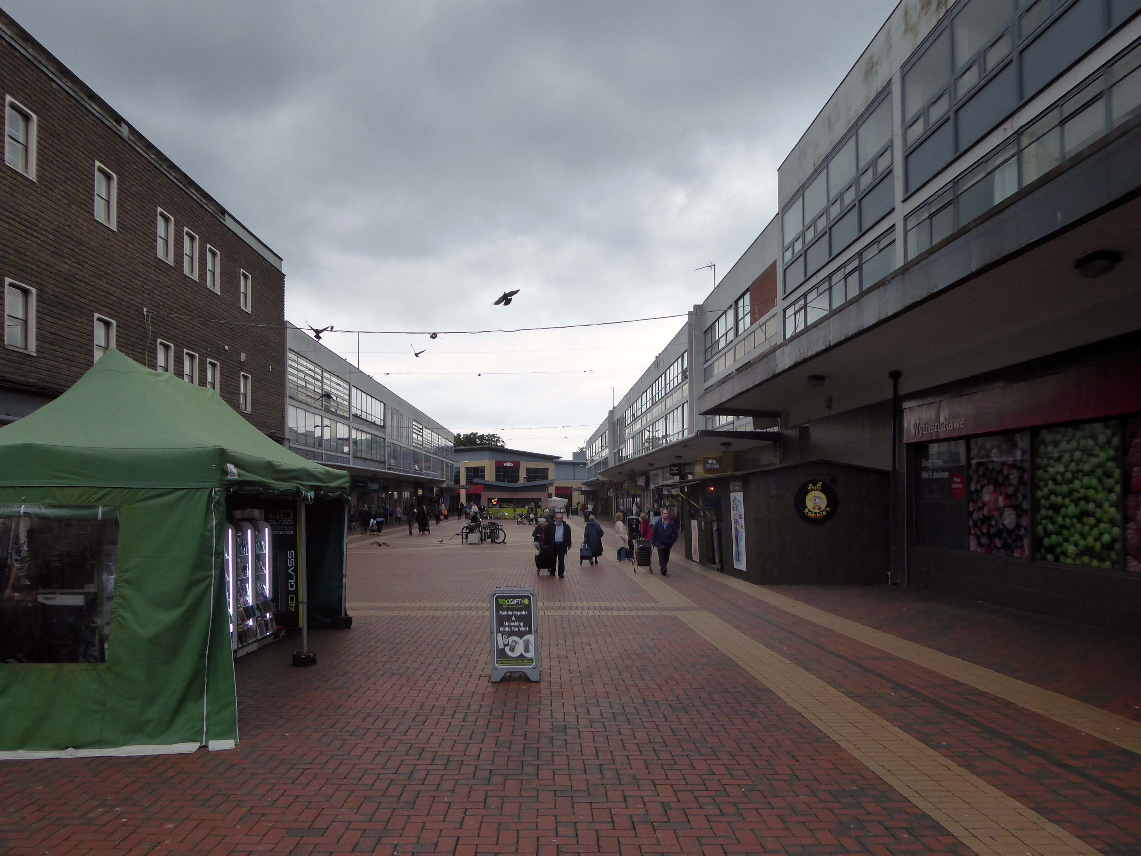
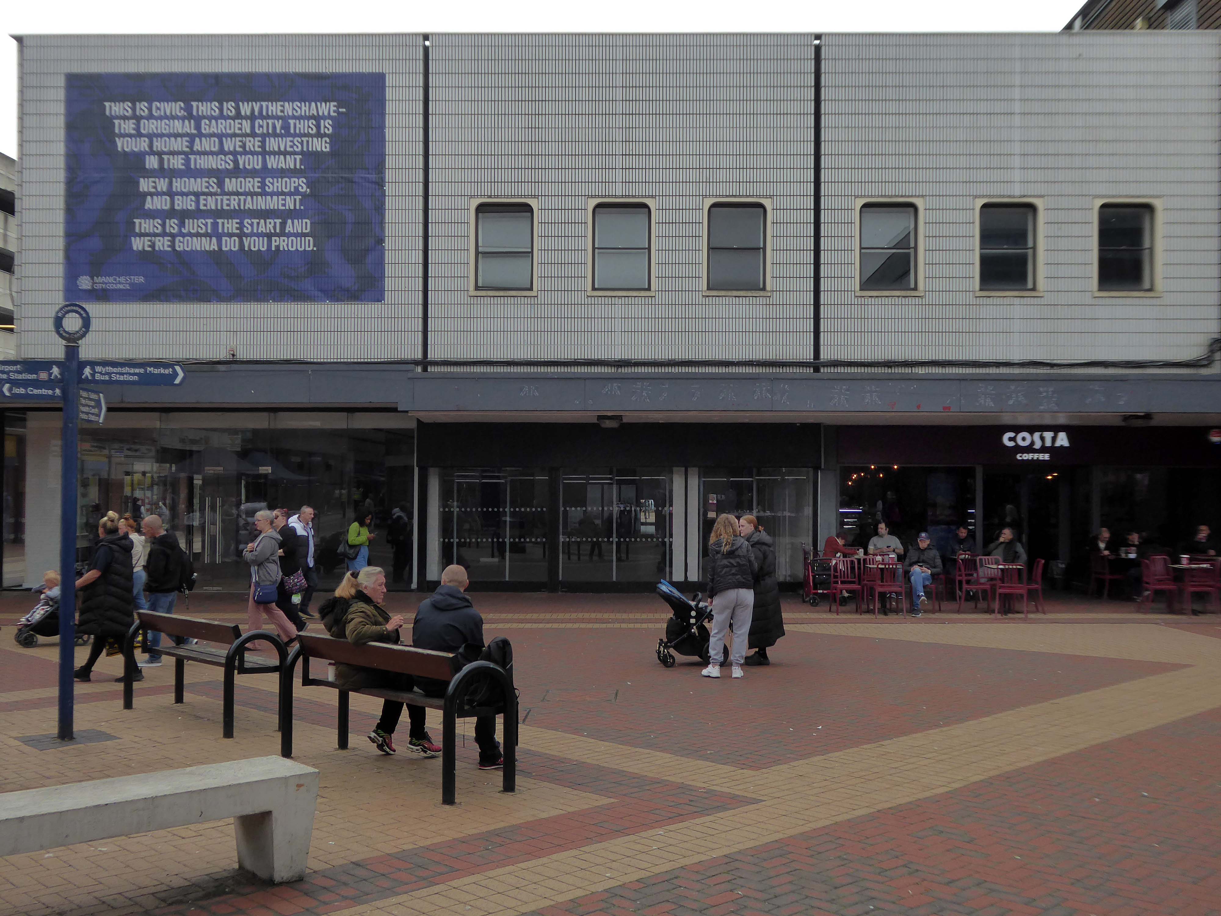
ASDA remains the anchor store, Wilko having left a Wilko sized hole in the precinct. On an overcast Friday morning there was sufficient footfall to sustain the wide variety of smaller shops and larger retail chains. As with many other towns within the central Manchester orbit, the easy proximity fills those busy trams and buses, which are leaving the area.
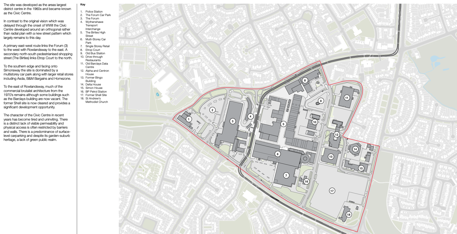
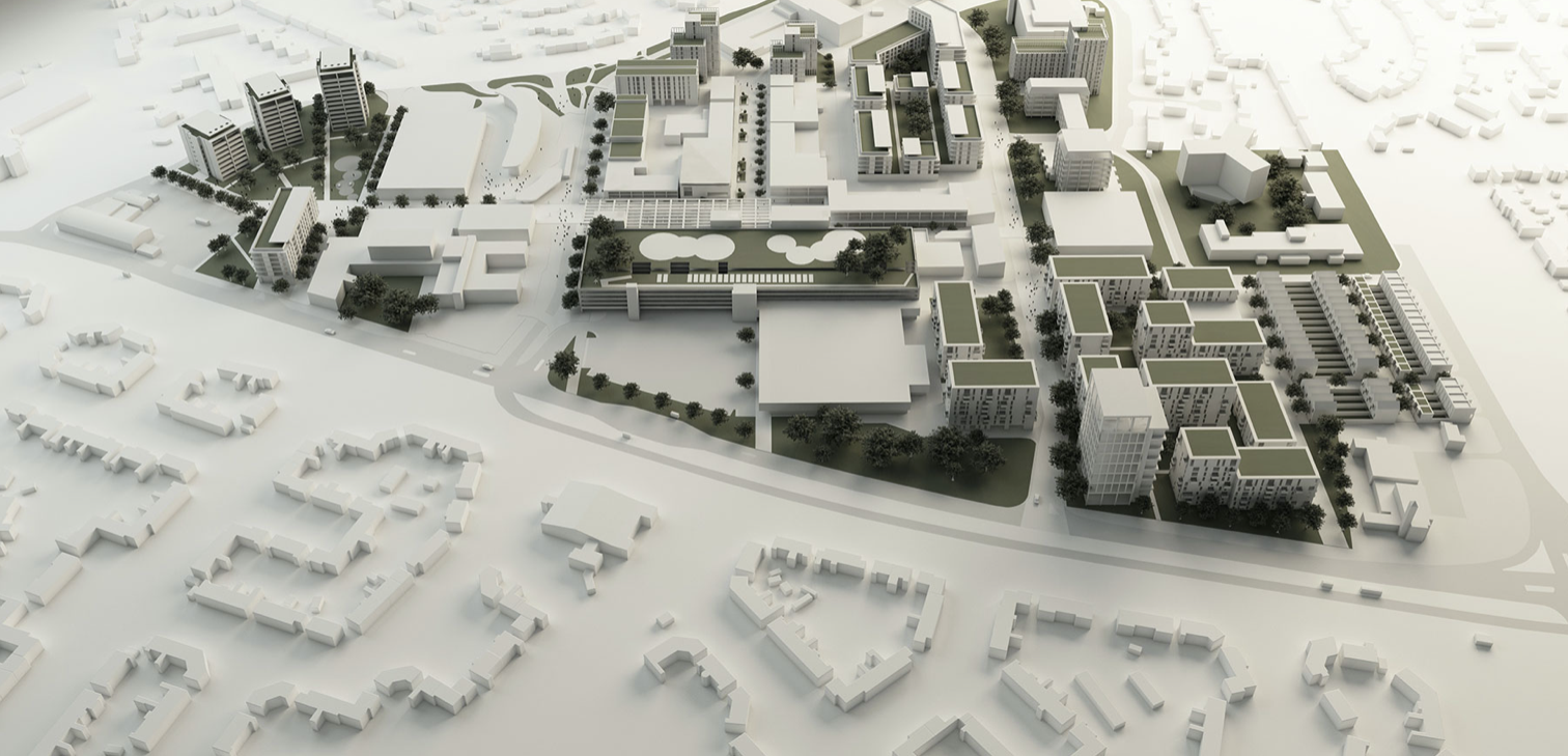
There are plans in place to regenerate the area, in the form of a Masterplan – which can be downloaded here.
Between 1991-2002 there have been some architectural changes, including new stores and office developments. Some of the interventions included significant adaptions which further increased retail into the existing buildings high street.
The interventions included significant adjustments to the multi-storey car park with the aim of reducing parking numbers whilst providing additional lettable space. Further Transport Hub Arrival commercial development was created to the north of the site with the construction of Etrop Court, despite there being significant commercial vacancy across other parts of the estate.
Whilst there has been significant incremental intervention, the character of the area has not fundamentally changed from its founding concept. However the cumulative impact of the various changes have had a negative impact on the functionality and suitability of place, so much so that the centre is in many ways no longer fit- for purpose.
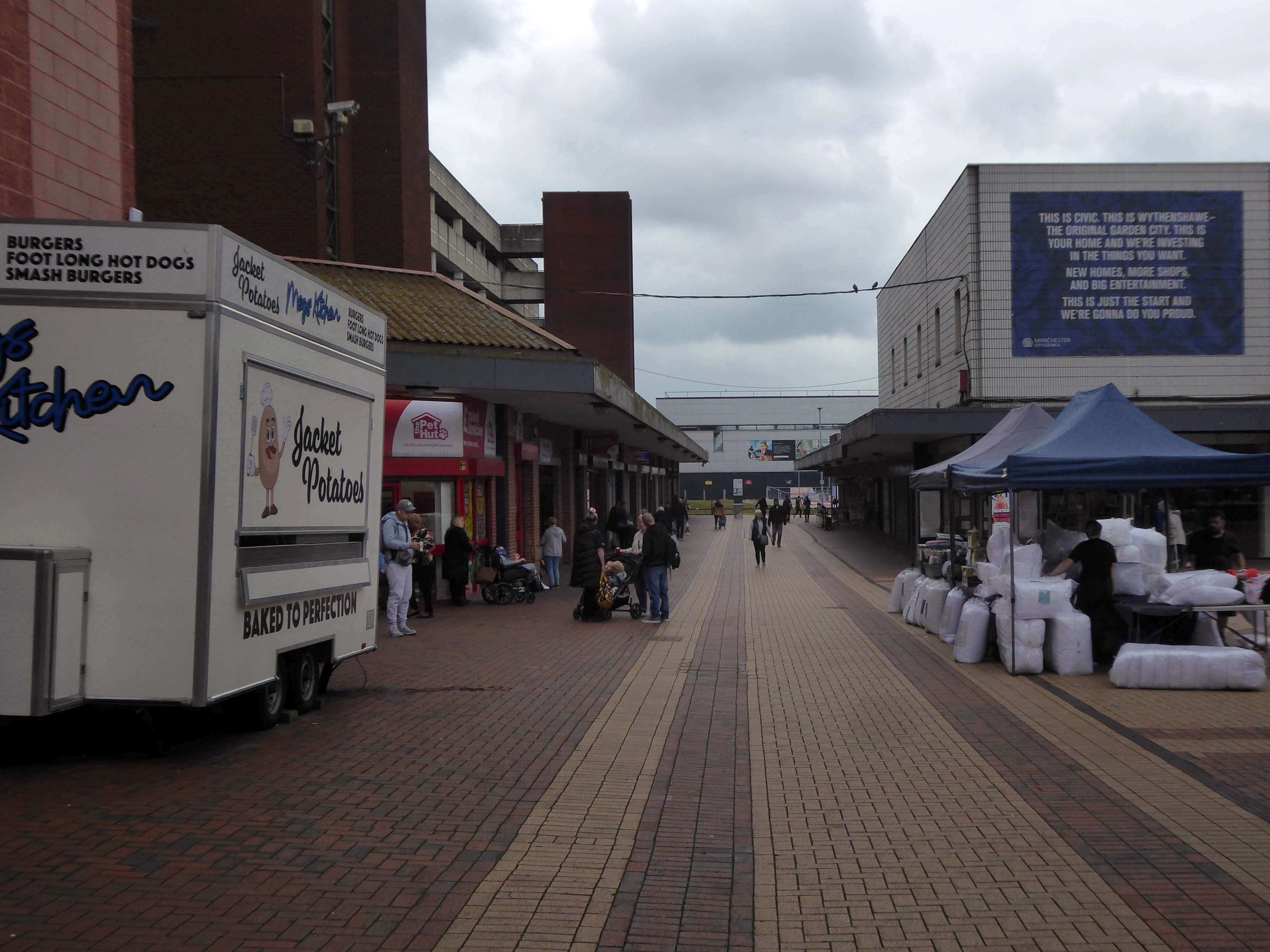
The site today is surrounded by surface car parks, with a total of around 2,500 car parking spaces, 1,700 of which are contained within the multi-storey car park. Many of the retail units, the upper floor office spaces along the Birtles and Hale Top, and buildings to the east are vacant.
Typically, the levels of vacancy are consistent with the changing demands of the high street, where typically modern and successful retail centres are now more diversified and focussed on creating a visitor or destination-based experience. In this sense, we anticipate a need to diversify the high street and to promote a smaller more concentrated retail core, whilst supplementing the offer with more meanwhile and permanent uses and activities based on culture, food and creative workplace.
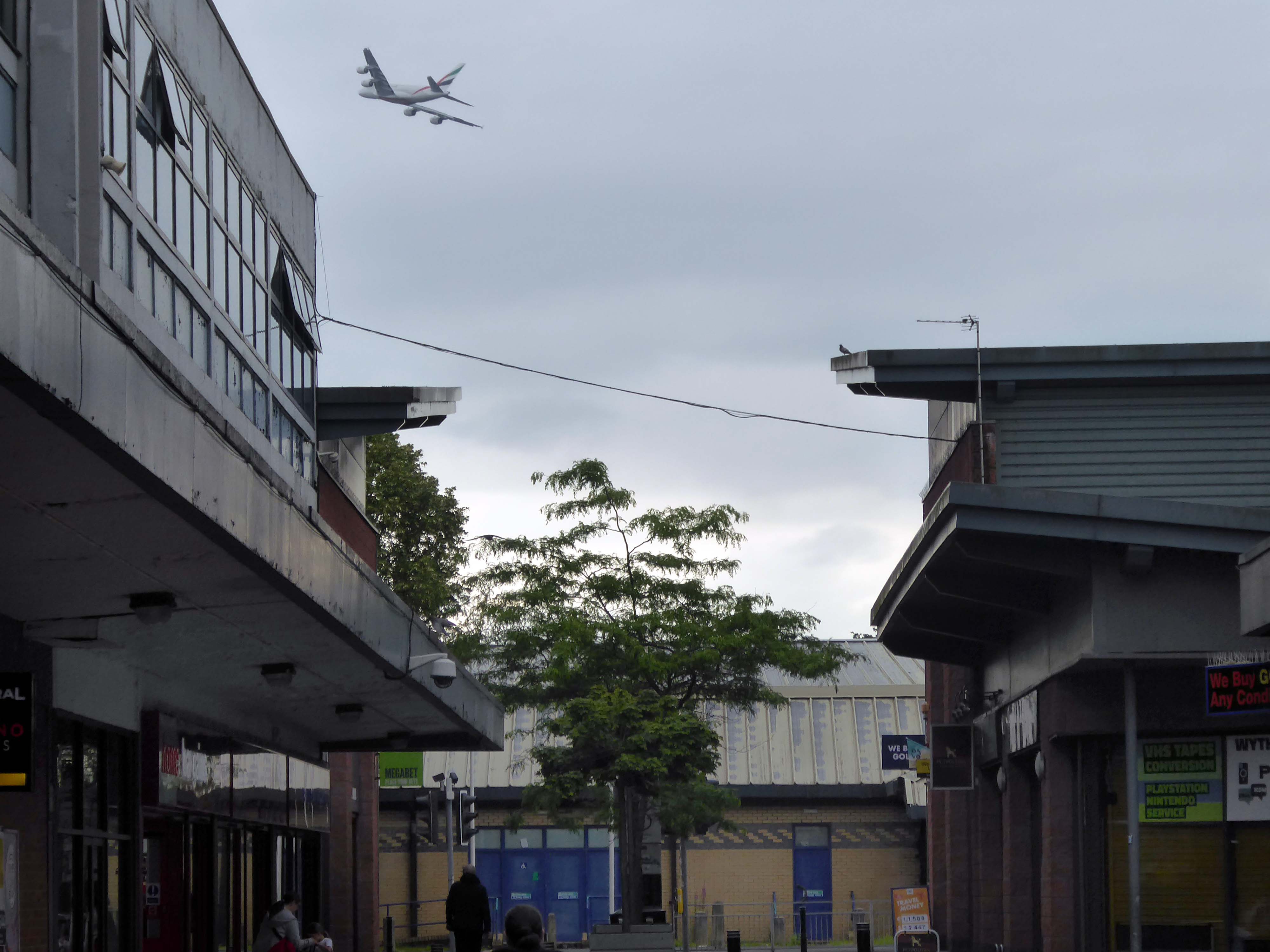
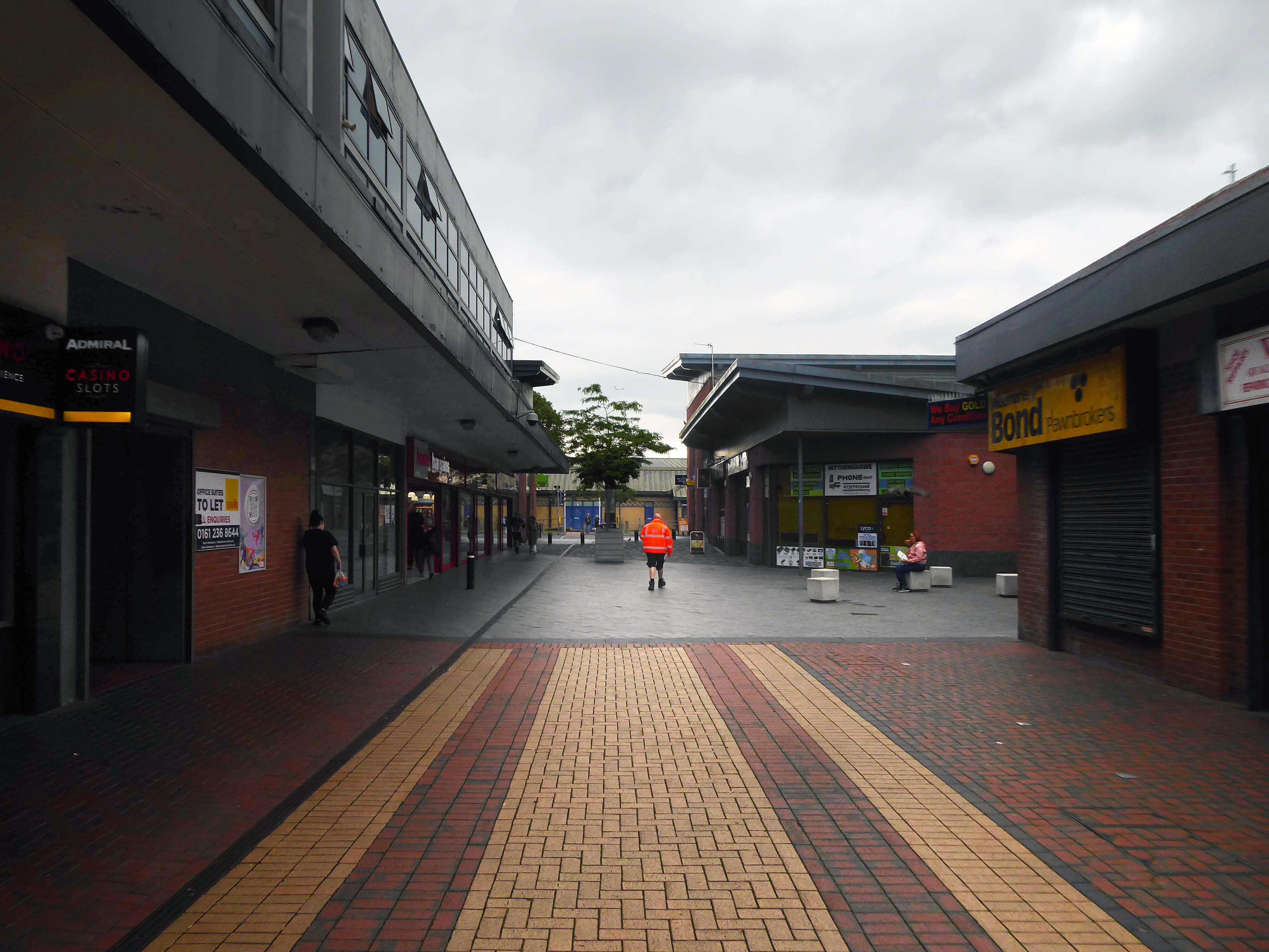
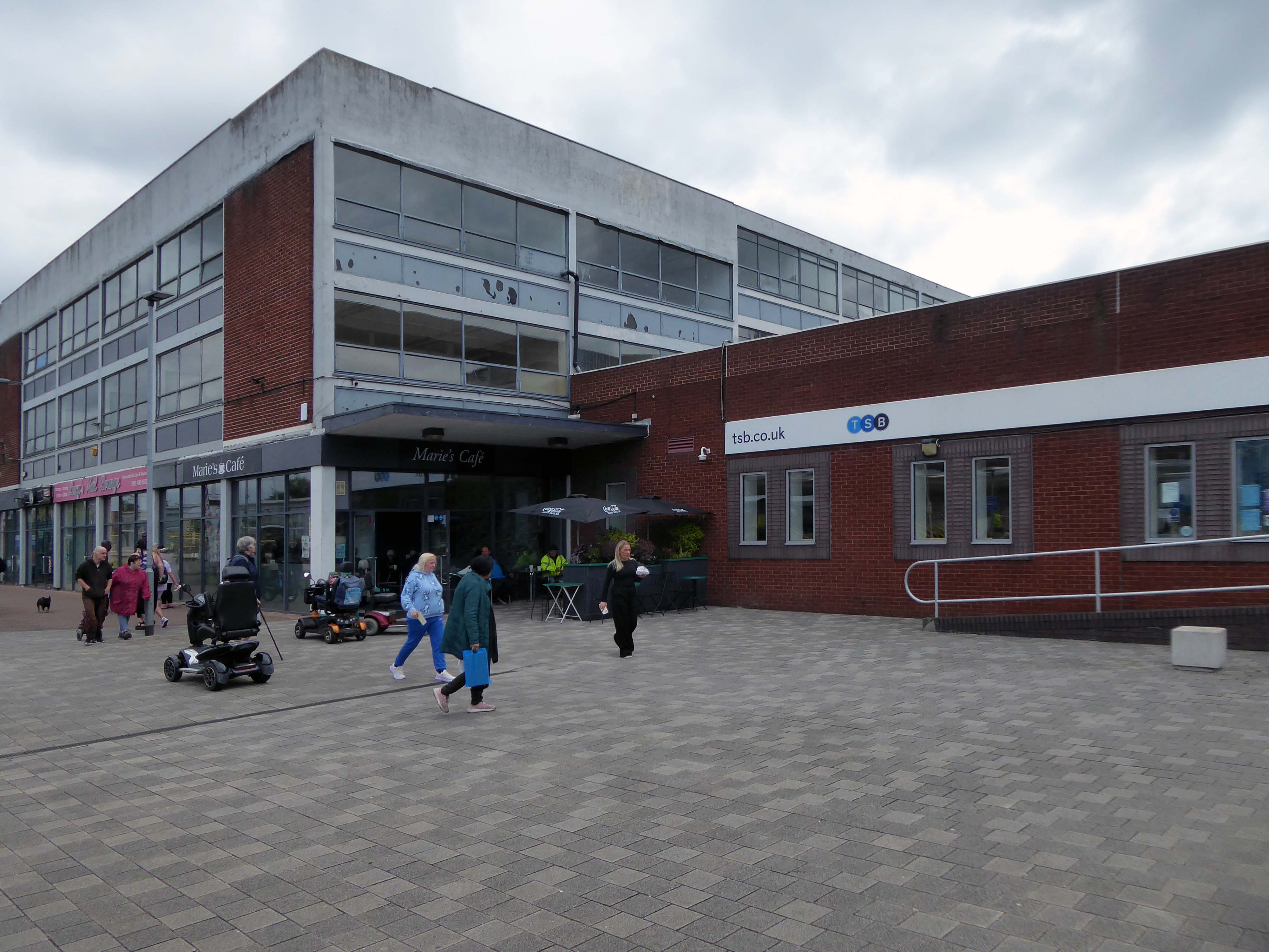
The gateway to the Civic Centre on arrival from the Transport Interchange is very poor. Access to the high street isn’t obvious and the route through to the high street isn’t clear. Much of the site is surrounded by fencing, barrier and gates and whilst they are open during the day, they are locked at night to prevent vandalism. This barricaded aesthetic does nothing to promote an easily accessible and family friendly environment as well as preventing any opportunity to promote a much needed night- time economy.
Currently, the Civic Centre appears to only cater for those with a need to visit for a particular purpose, rather than capitalising on an opportunity to create a place to visit and dwell.
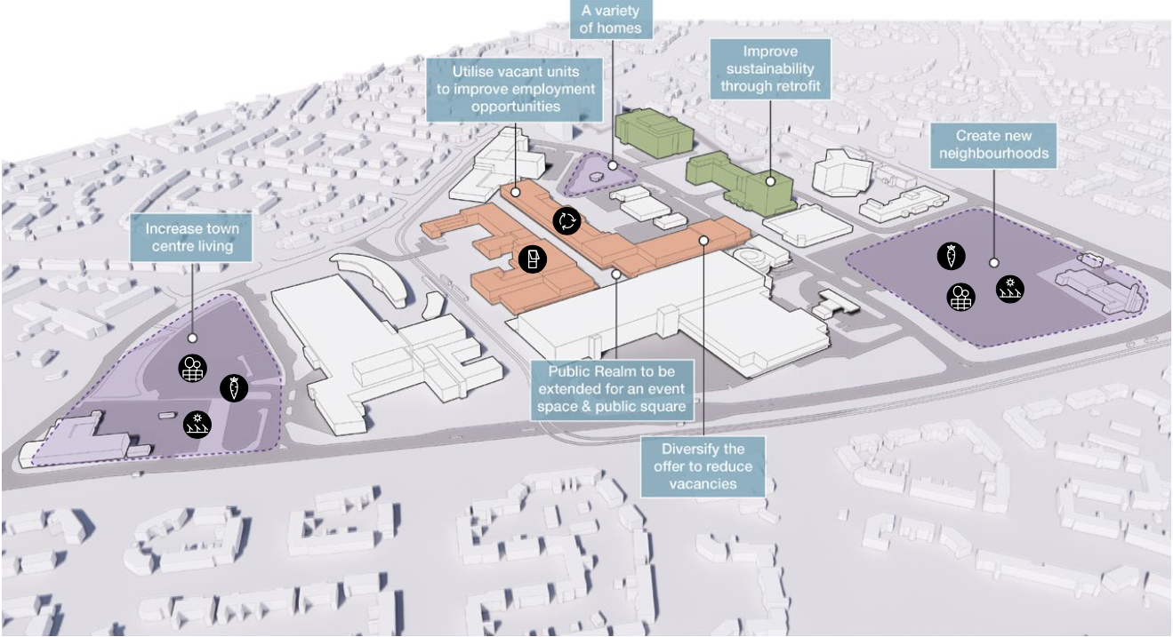
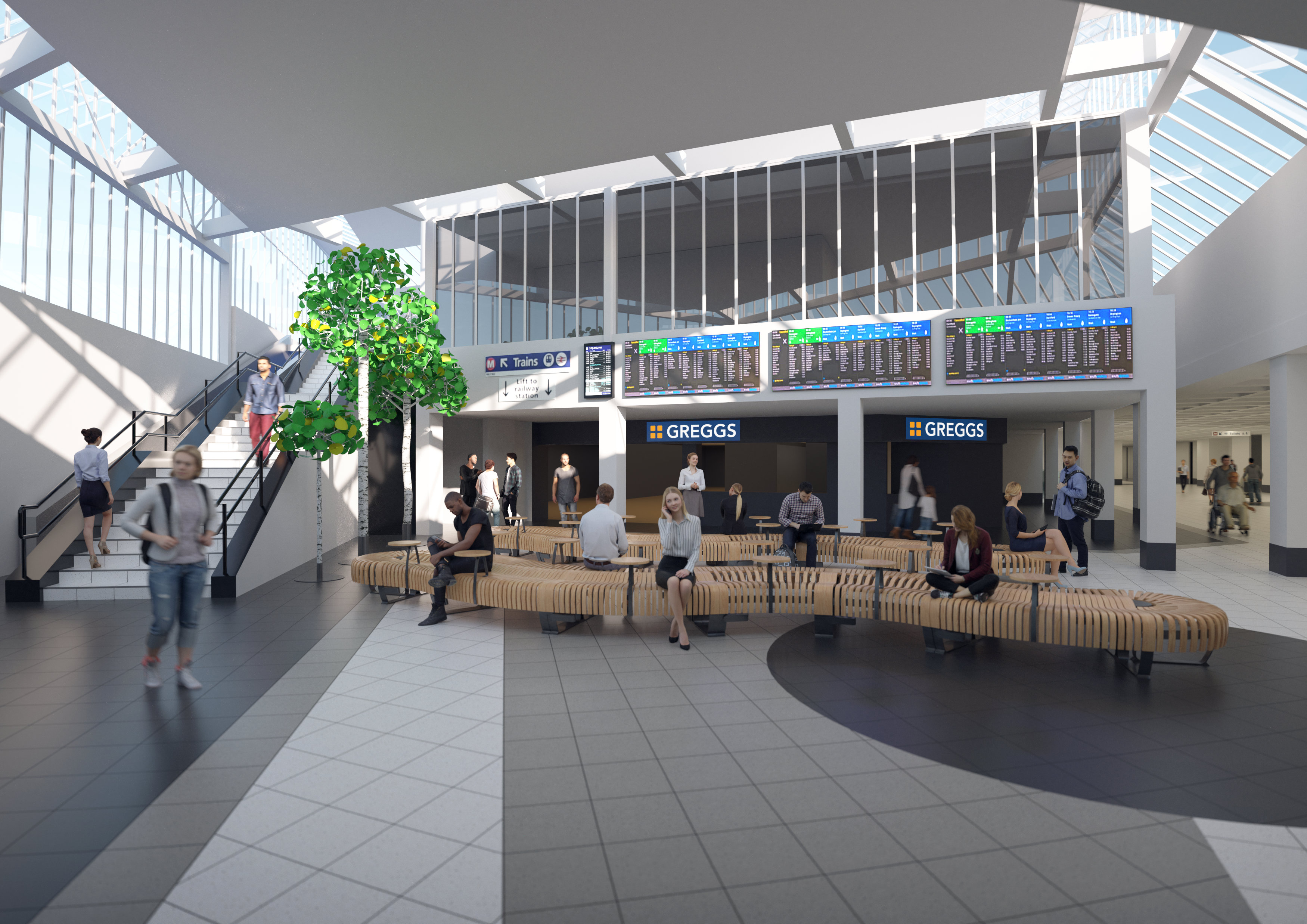
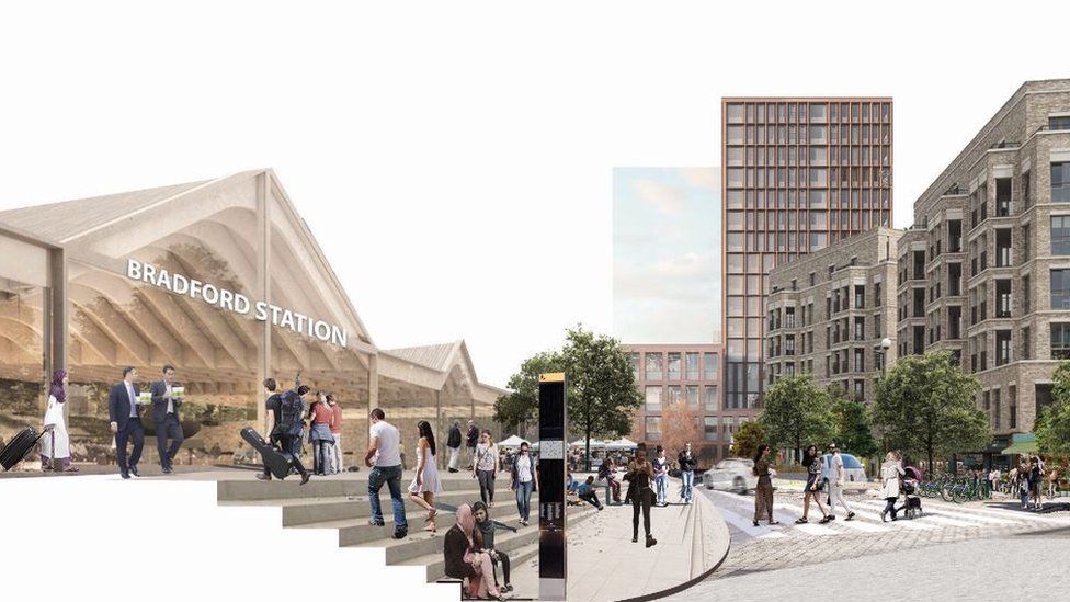
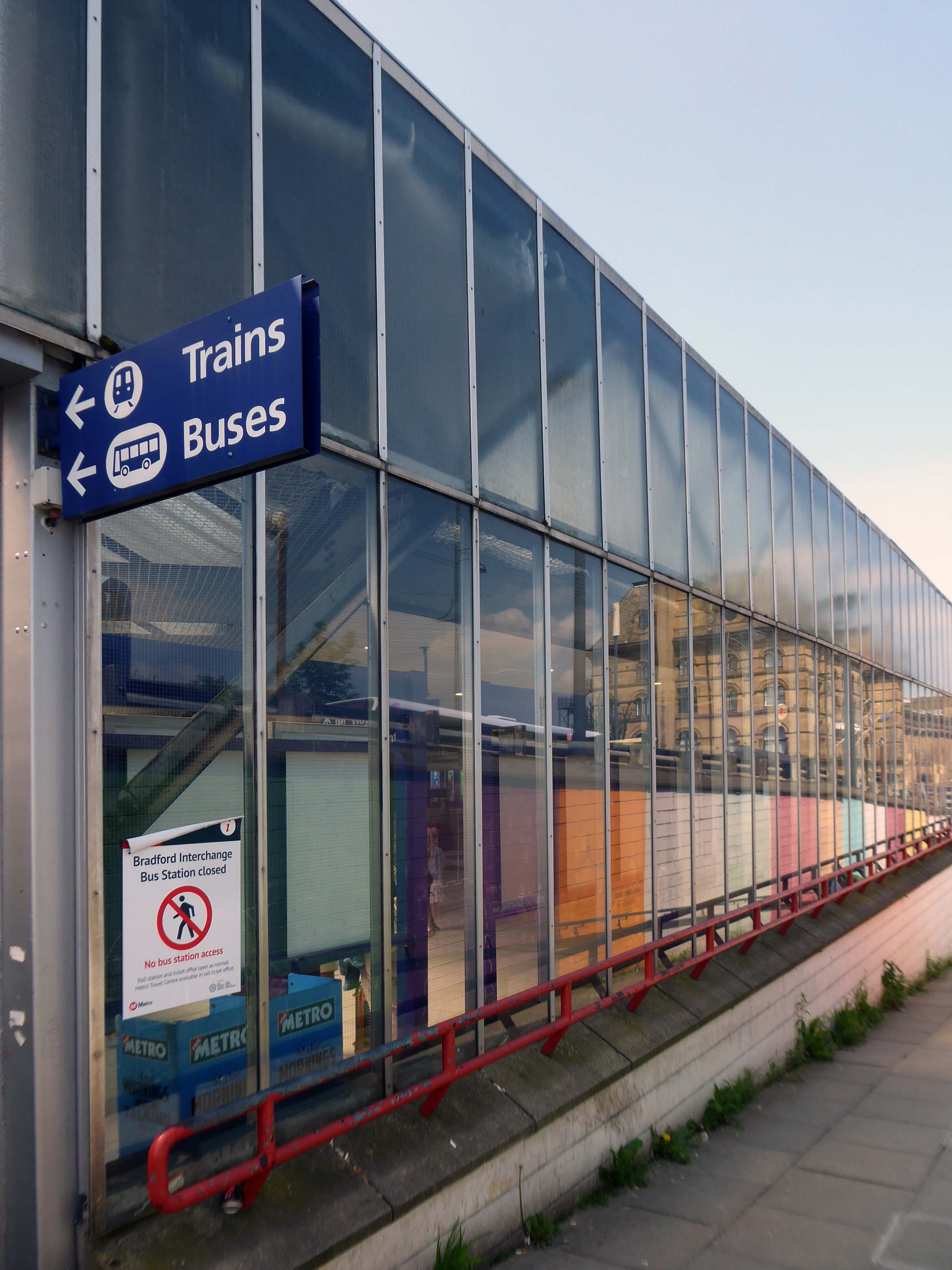
We arrive at and begin our journey at the Interchange – the bus station is closed, along with the station entrance.
Bradford accepts that it is a part of the Northern Supercity stretching from Coast to Coast – Liverpool to Hull. Every existing town and new settlement must be unique. People belong to their own hotspot as well as Coast to Coast. Bradford as a dispersed centre will give it individuality as well as becoming synonymous with the whole new city. Bradford is a mini version of the whole. It is composed of a series of mini hotspots which will each act as a focus for each square kilometre.
Bradford has the topography to allow every citizen to wake up to a view – both physical and mental. Their collective ambition can create a place of extraordinary difference.
The Interchange opened in 1971 was the first of its kind in the country, designed by the BR regional team headed by RL Moorcroft and the City Architect.
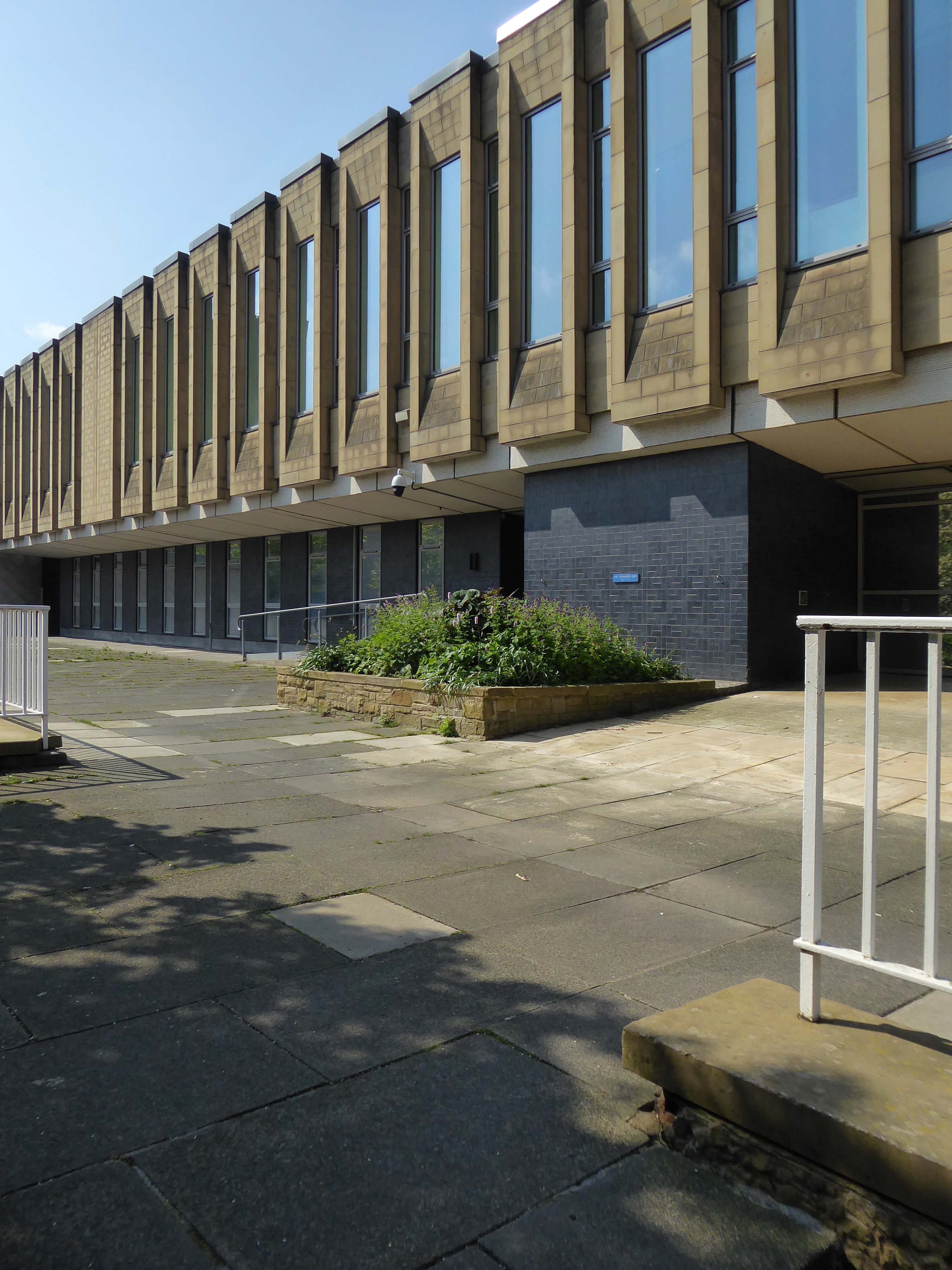
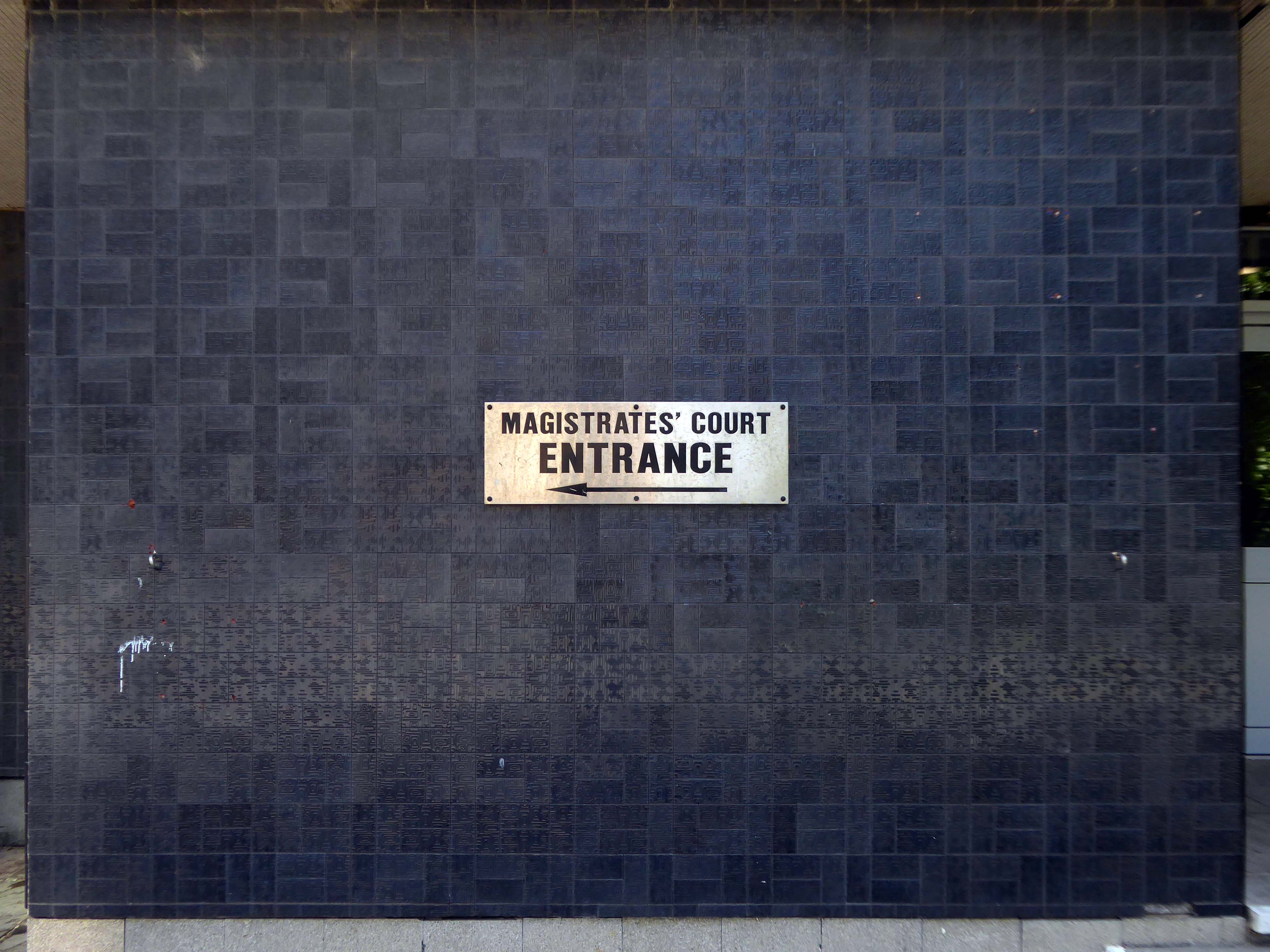
Onward to the Magistrates’ Courts designed by City Architect Clifford Brown in 1972.
Bradford is in the process of paving and puzzling pedestrians, as it becomes City of Culture in 2025.
So we wind our way over the inner ring road, advisedly avoiding the filled in underpasses.
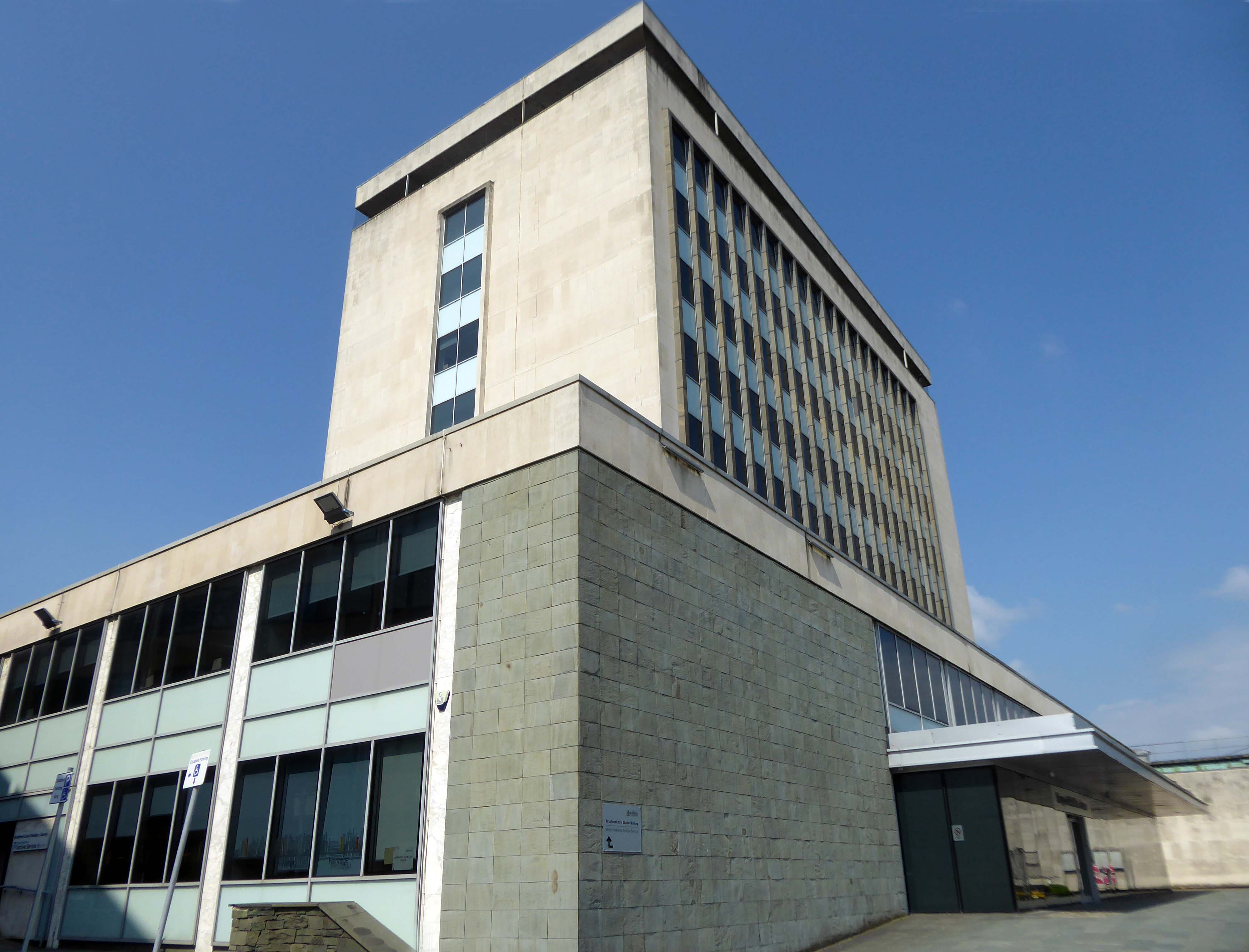
The former Central Library awaits us, designed in 1965 by Clifford Brown – a striking podium and tower, currently home to council offices.
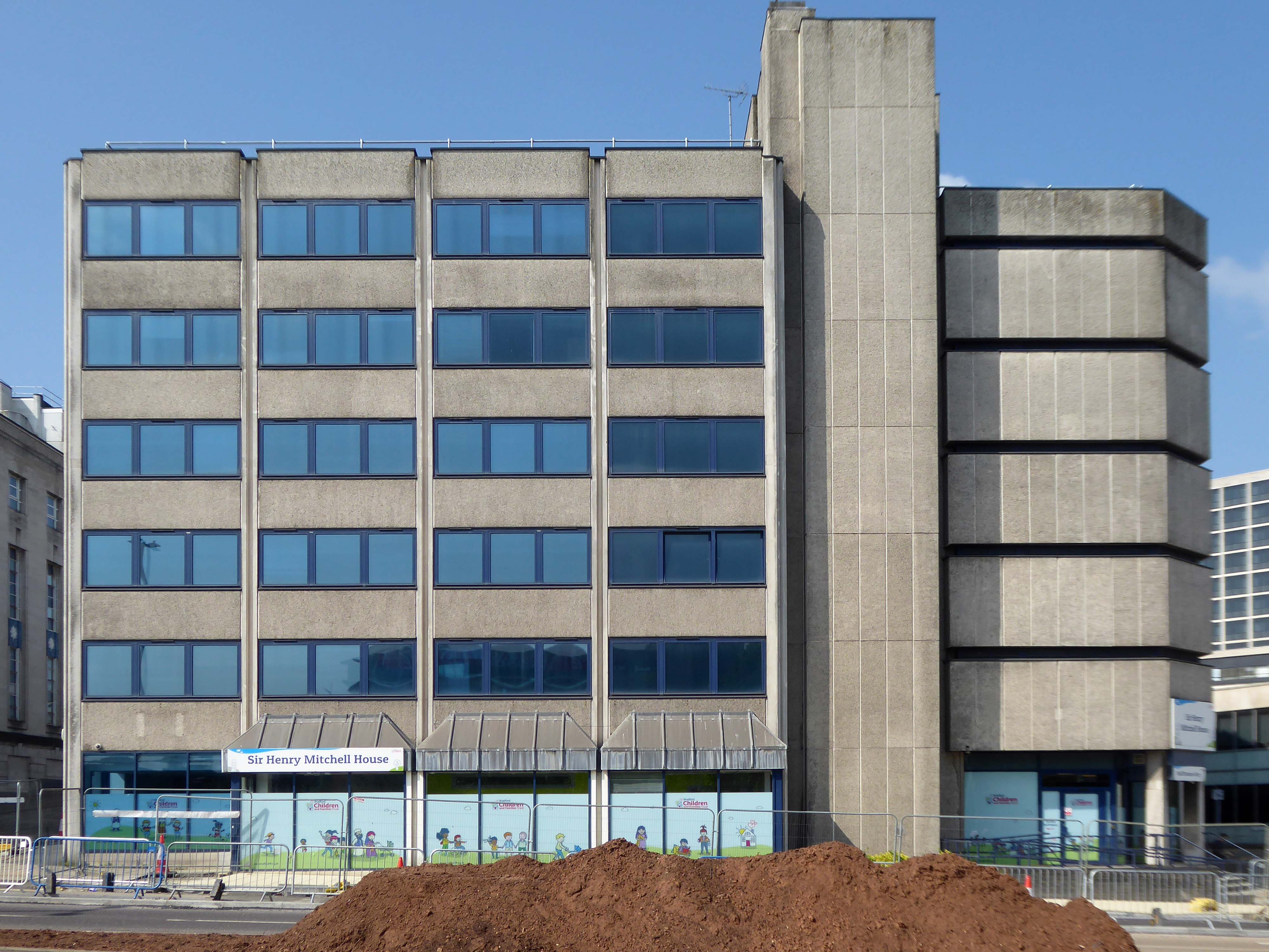
Next door the Sir Henry Mitchell House home to the Children’s Services.
Sir Henry Mitchell 1824 1898 was a mill owner and Mayor.
Moving further along the Telephone Exchange of 1936, design by architect FA Key.
Partner to the Telephone Exchange of 1976 by architect Trevor H Hanson for PSA
The gates were open and we were afforded a view of these delightful vents.
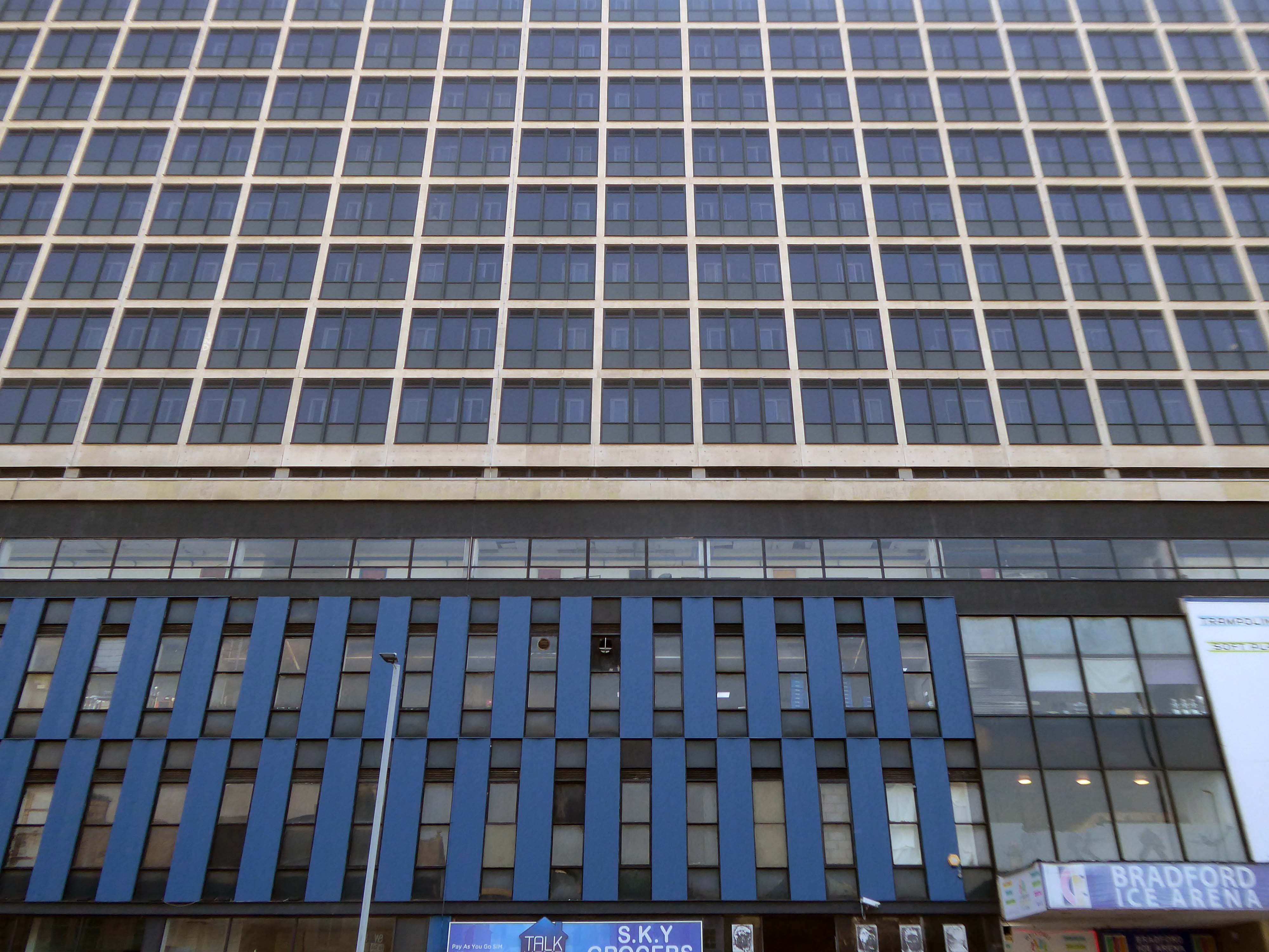
Next to the Ice Arena topped off with Wardley House – Sanctuary accommodation for key workers and students.
Wardley House is equipped with all the modern amenities you need for a comfortable and connected life as a key worker. The rent includes high-speed broadband and building-wide Wi-Fi, utility bills, and contents insurance. Our top-notch facilities comprise a large common room with a pool table, flat-screen TV, and live BT Sport – the perfect social space.
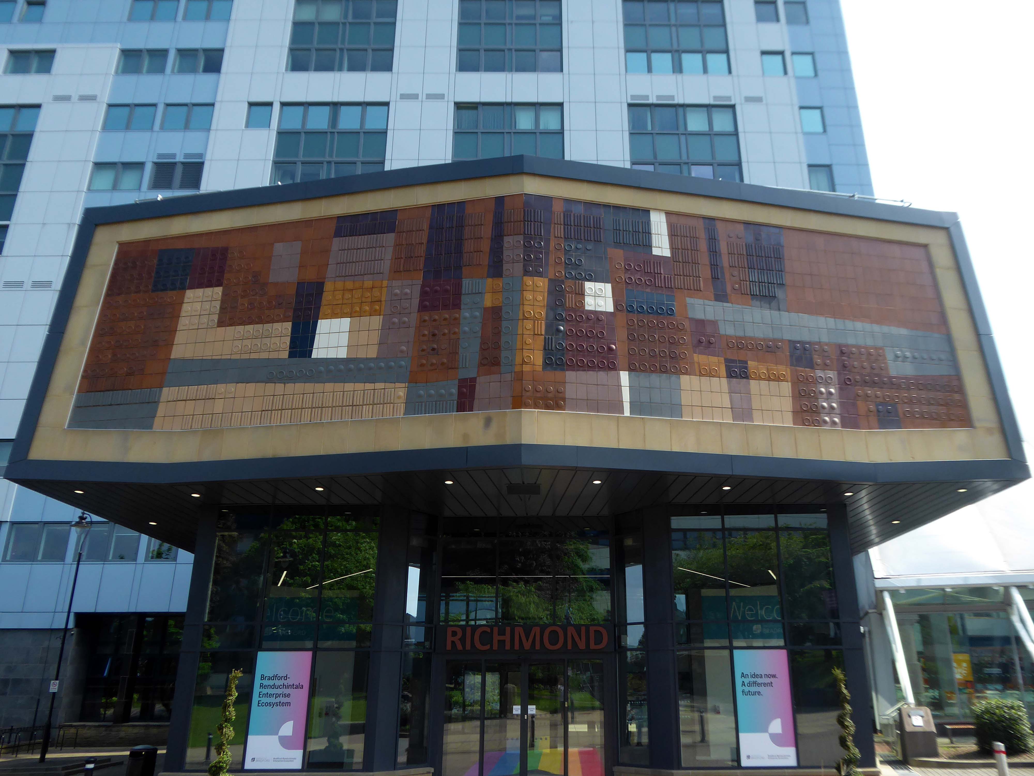
Up the hill and around the bend totheUniversity of Bradford – the main Richmond Building fronted by Joe Mayo’s tiles.
At the University of Bradford our focus is oncreating the conditions for social, cultural and economic impact. We will achieve this by using our proud heritage as a springboard and remaining steadfast in our commitment to equality, diversity and inclusion. We will harness our strengths in research, innovation, teaching and partnerships to extend our reputation, influence and impact. All of this will create a values-led culture that is inclusive and effective in enriching lives and benefitting society.
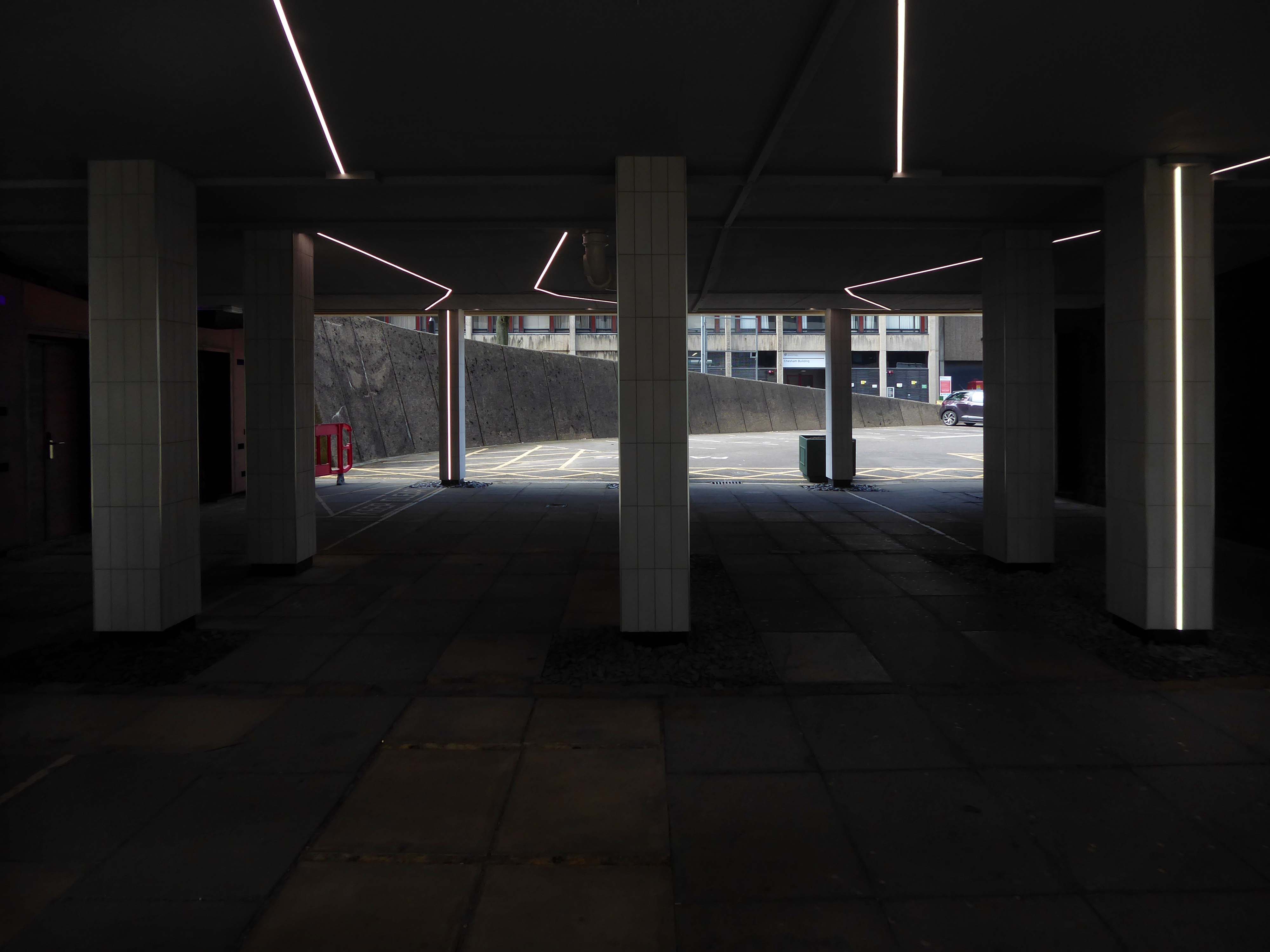
The undercroft has undergone a major refurb rethink – transformed into a Goth Disco.
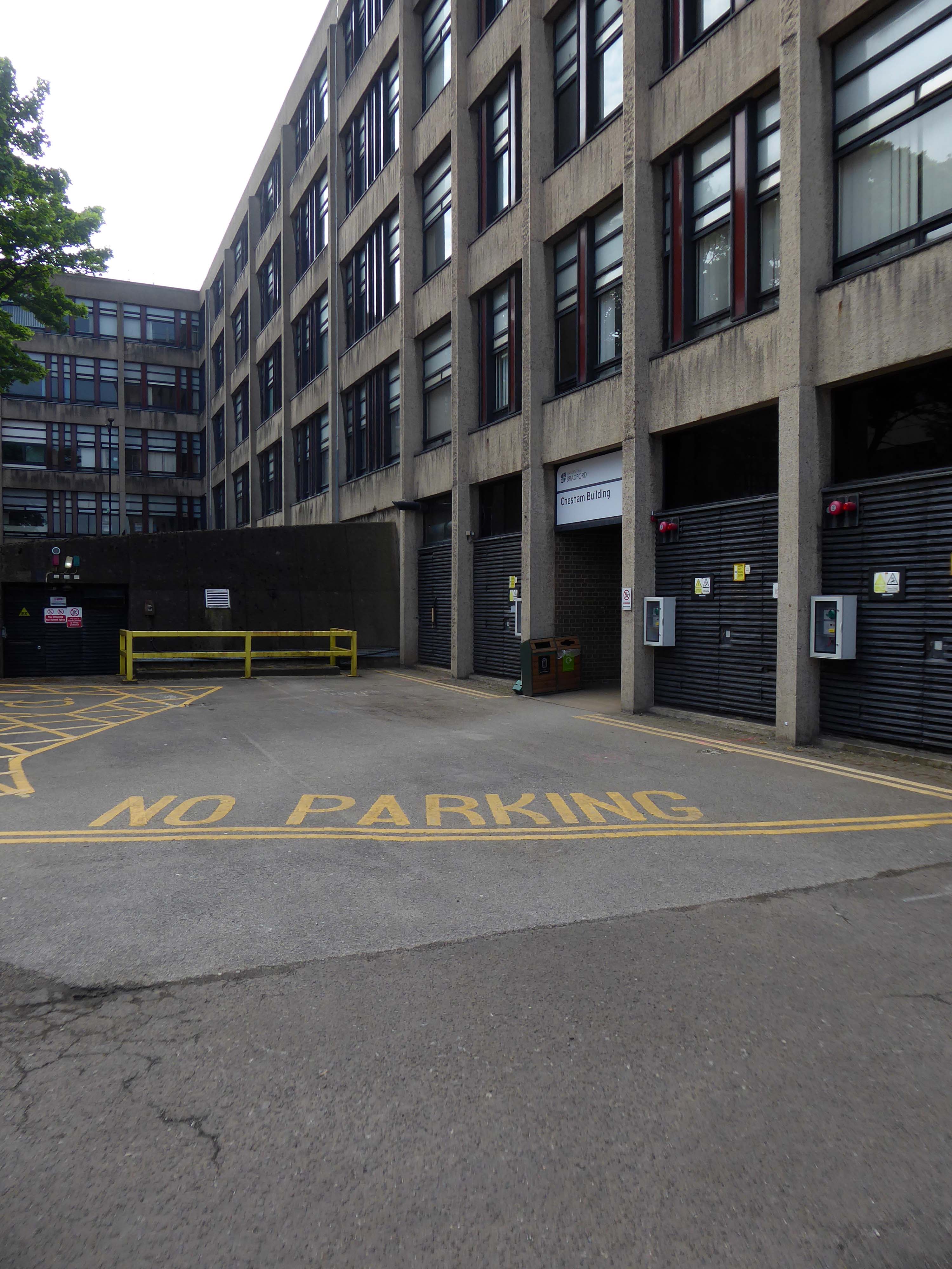
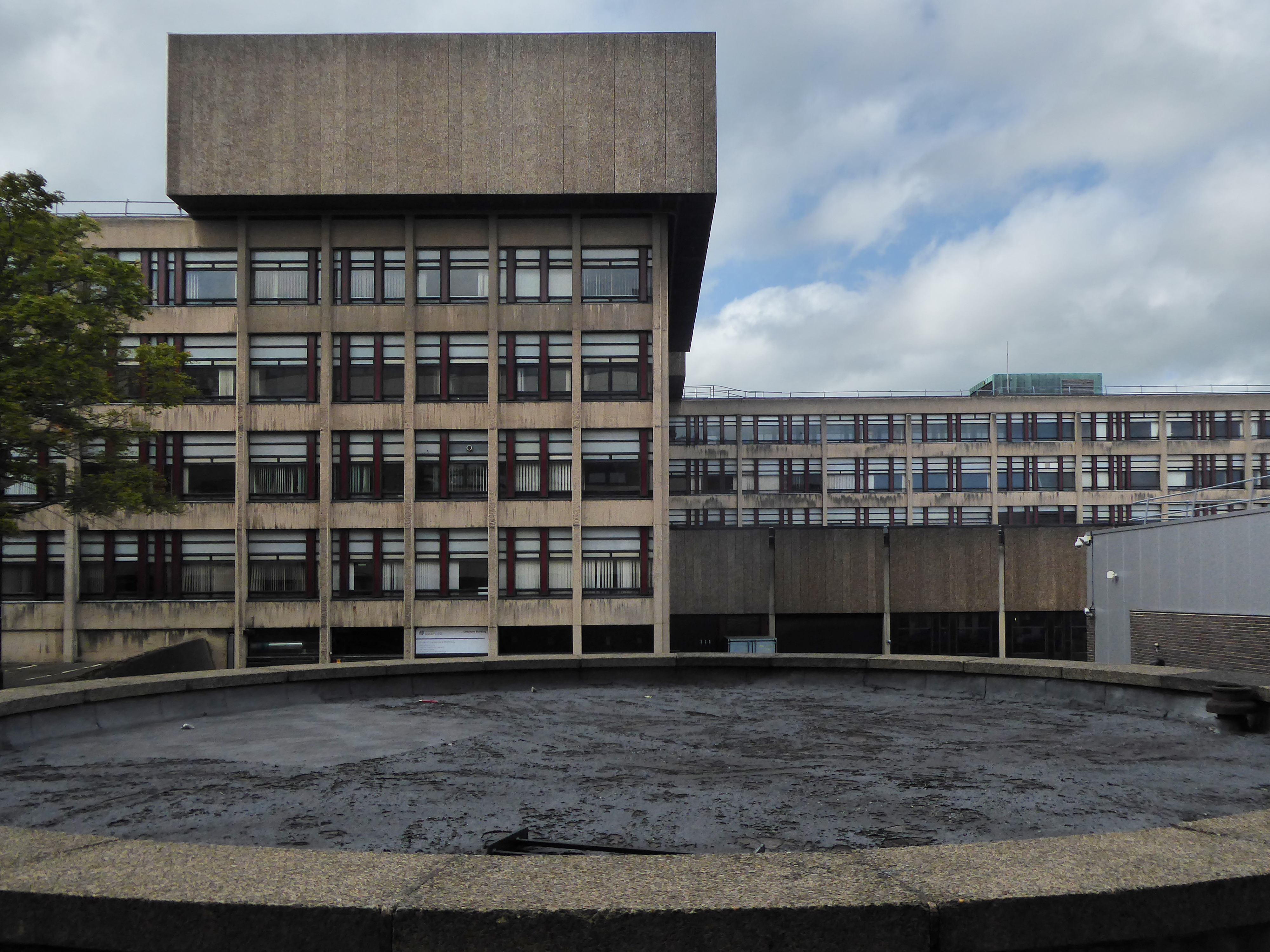
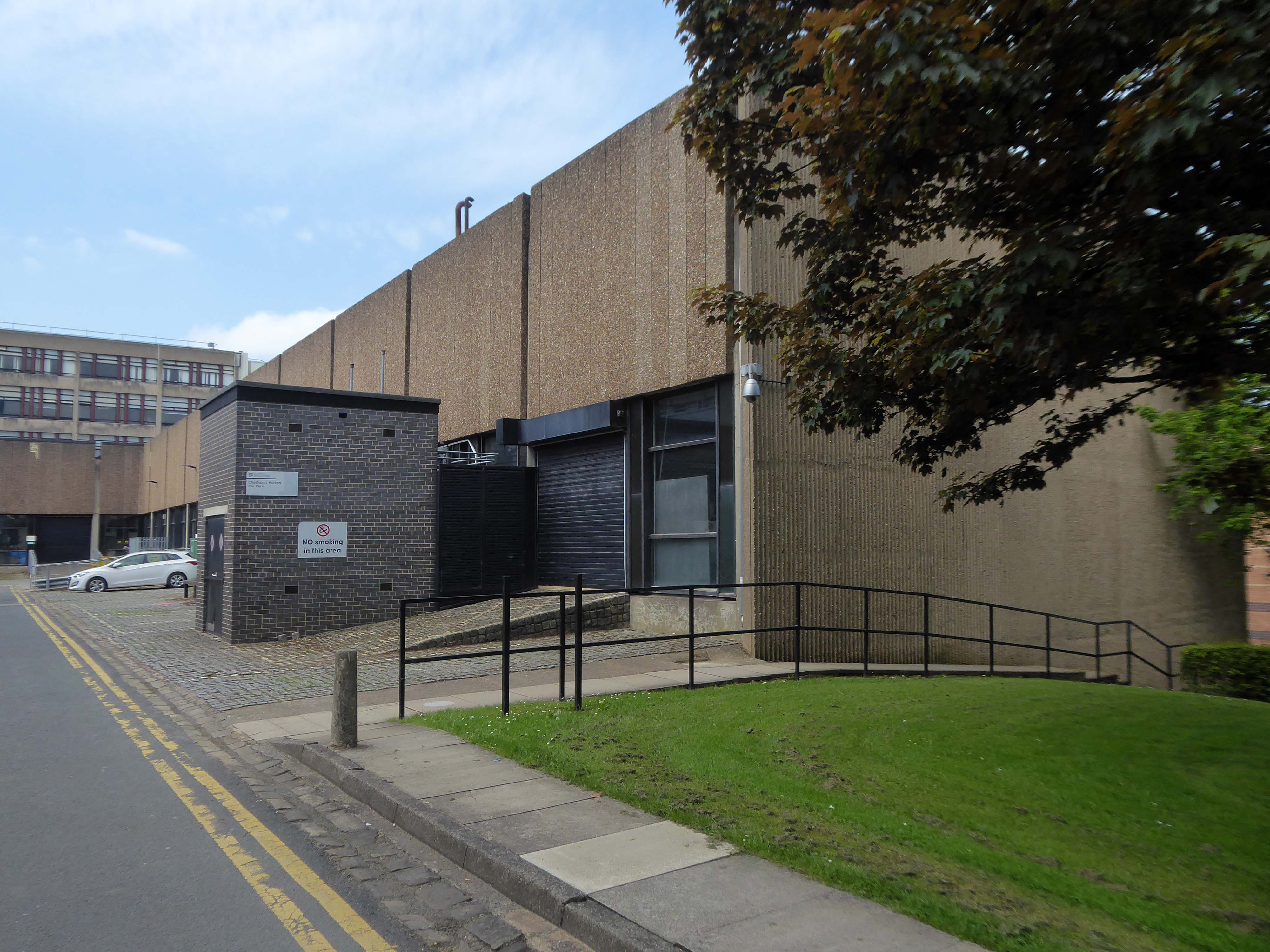
We emerge unscathed into the clear light of day and the BDP designed Chesham and Horton blocks.
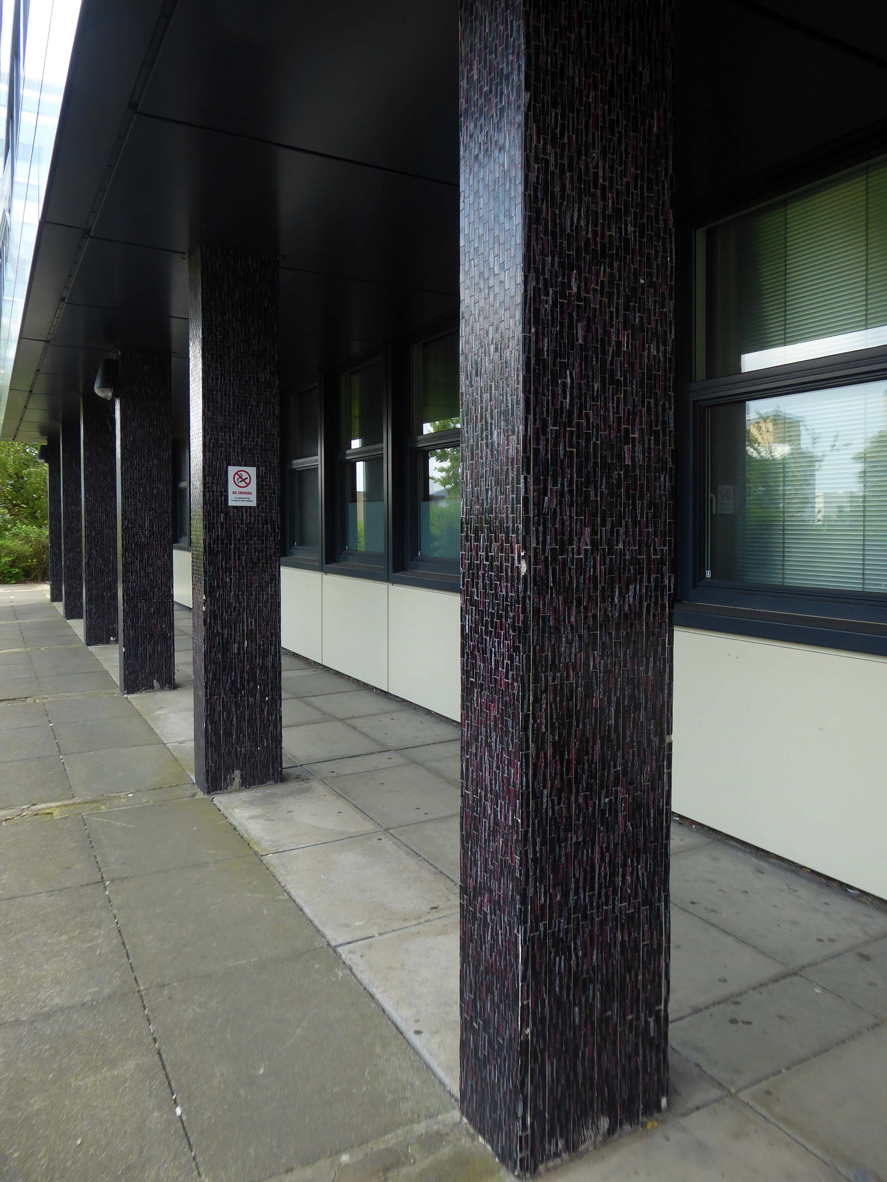
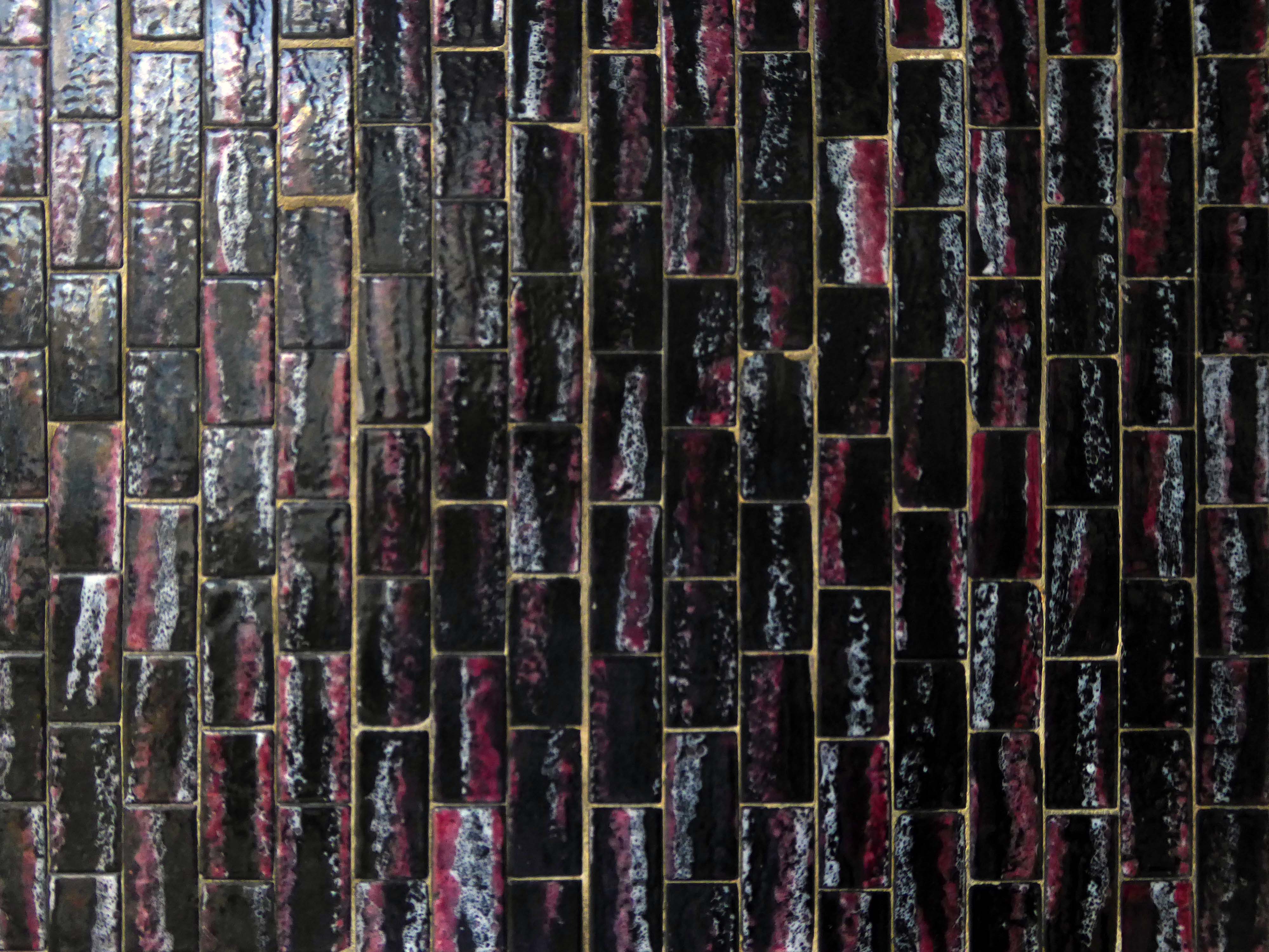
The mosaic covered columns remain unclad.
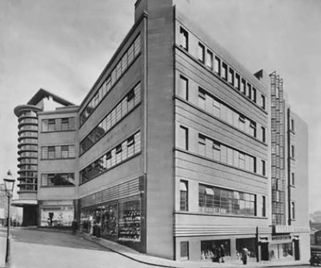
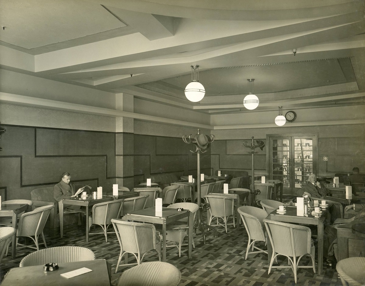
Let’s hop to the Grade II-listedCo-op designed by CWS in house architect WA Johnson and JW Cropper in 1935.
Architect W A Johnson worked for the Cooperative Wholesale Society from 1899 until 1950. He was heavily influenced by the German architect Erich Mendelsohn after 1930, evident in his embrace of the International Modernist style. Johnson travelled widely in Germany and Holland, and Mendelsohn’s Schocken store in Stuttgart 1928 is quoted as being a particular inspiration for the Bradford Co-op.
Demolished despite protests in 1960.
In 2019 the Architectural Heritage Fund announced a £5,000 Project Viability Grant to Freedom Studios Ltd.
The money funded a viability study to investigate the potential of building becoming a multi-use cultural hub.
In 1979, the building won a European award from the International Council of Shopping Centres.
But the Historic England report described its design as mundane and repetitive.
Janice Ivory and Lisa Donison didn’t hold back in their criticism of the centre in its current state.
Thank God for that, was Janice’s reaction to the news the building was set to be bulldozed, although an exact date for its closure remains unknown.
It’s just a concrete monstrosity, she said of its design, which Historic England said was lacking architectural flair.
It’s just an ugly building, added Lisa.
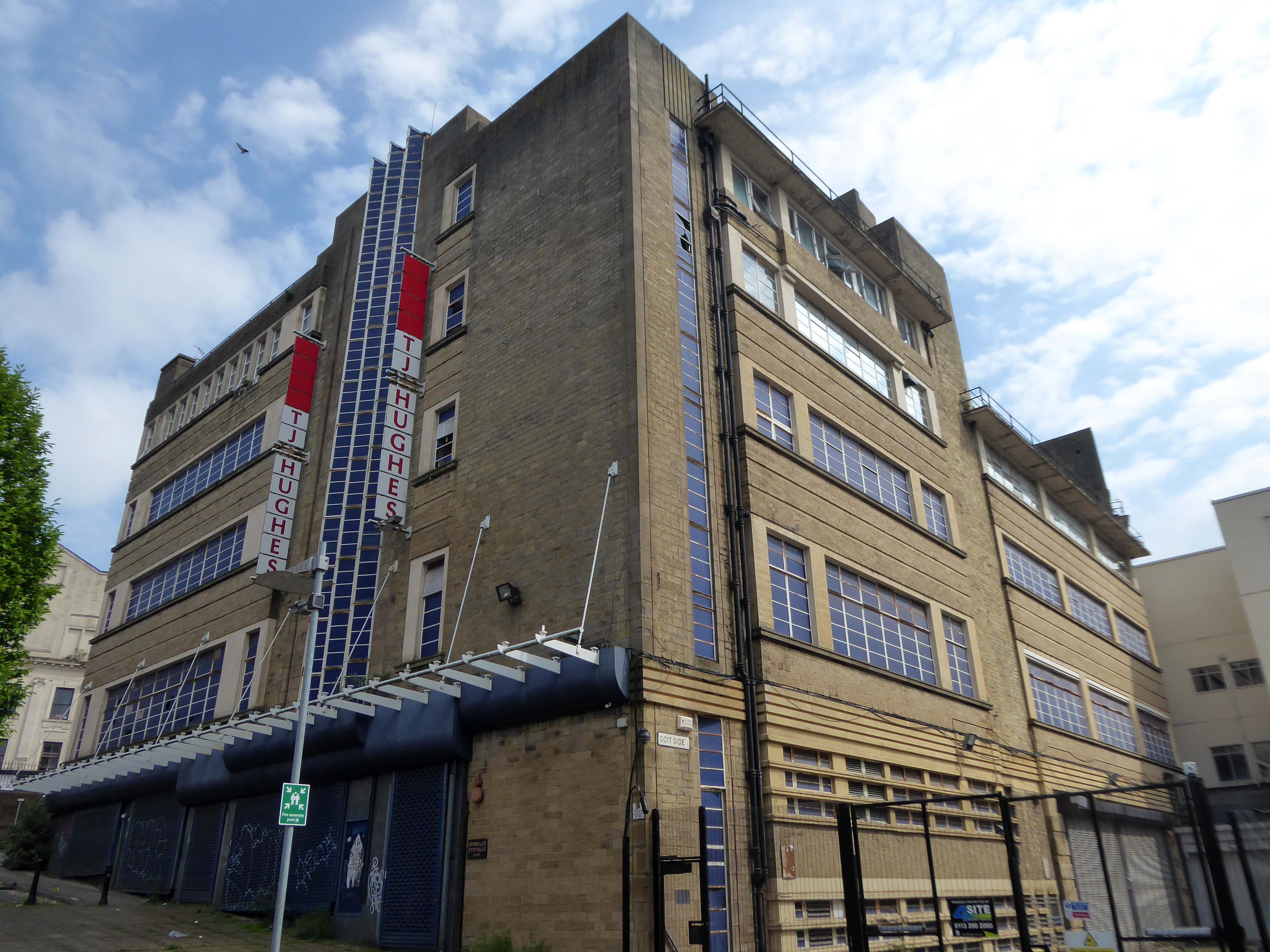
Once dubbed Bradford’s space age retail destination, Kirkgate Shopping Centre will soon be no more.
The city centre landmark, which opened for business as an Arndale in 1976, has been denied listed status by Historic England – paving the way for its demolition.
Geoffrey Cowley from Wibsey, who was in town for an eye appointment, said demolishing it:
Might be the right thing to do.
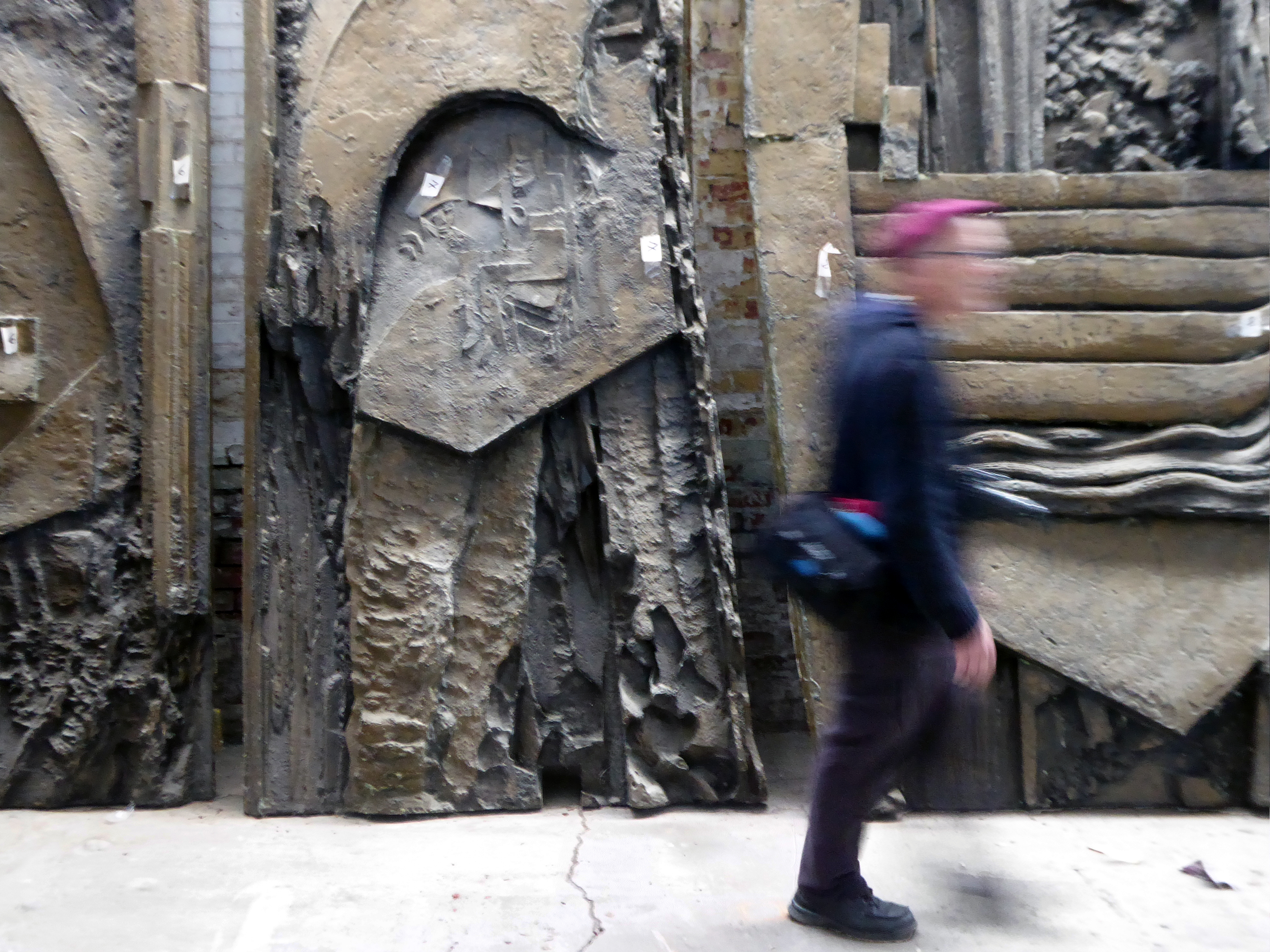
There are plans to remove and display the William Mitchell panels along with these other examples of his work.
In-situ at Highpoint.
In storage – removed from the Bradford And Bingley Building Society.
Artist Bernd Trasberger plans an artistic project, which involves repurposing Fritz Steller’s tile works.
As Ken Kesey so rightly said – Further!
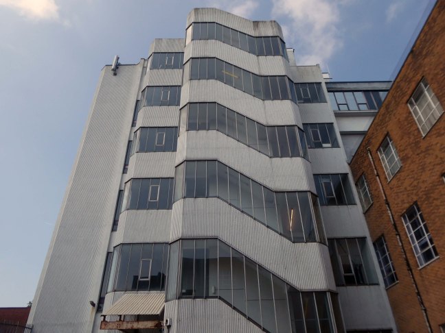
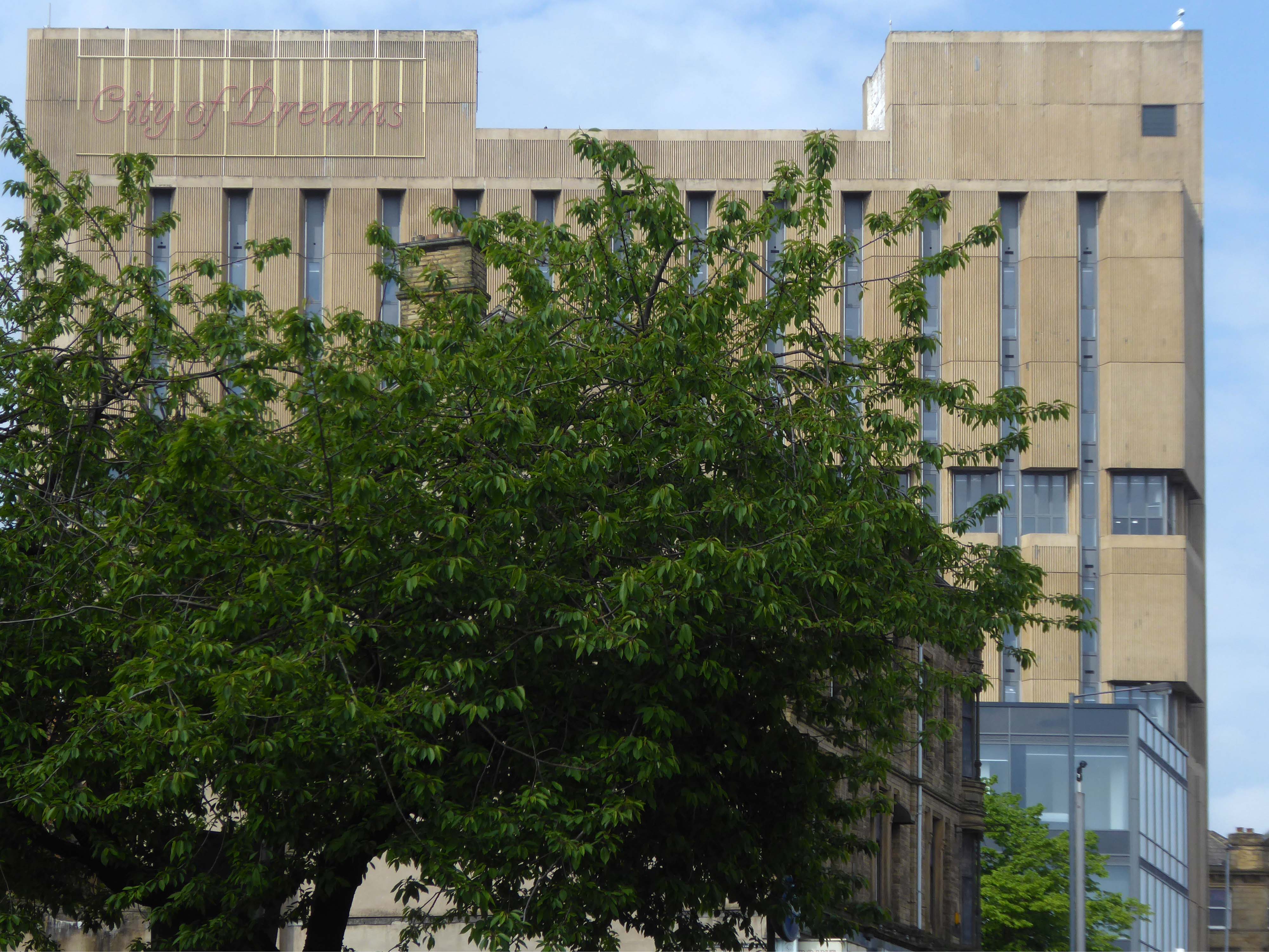
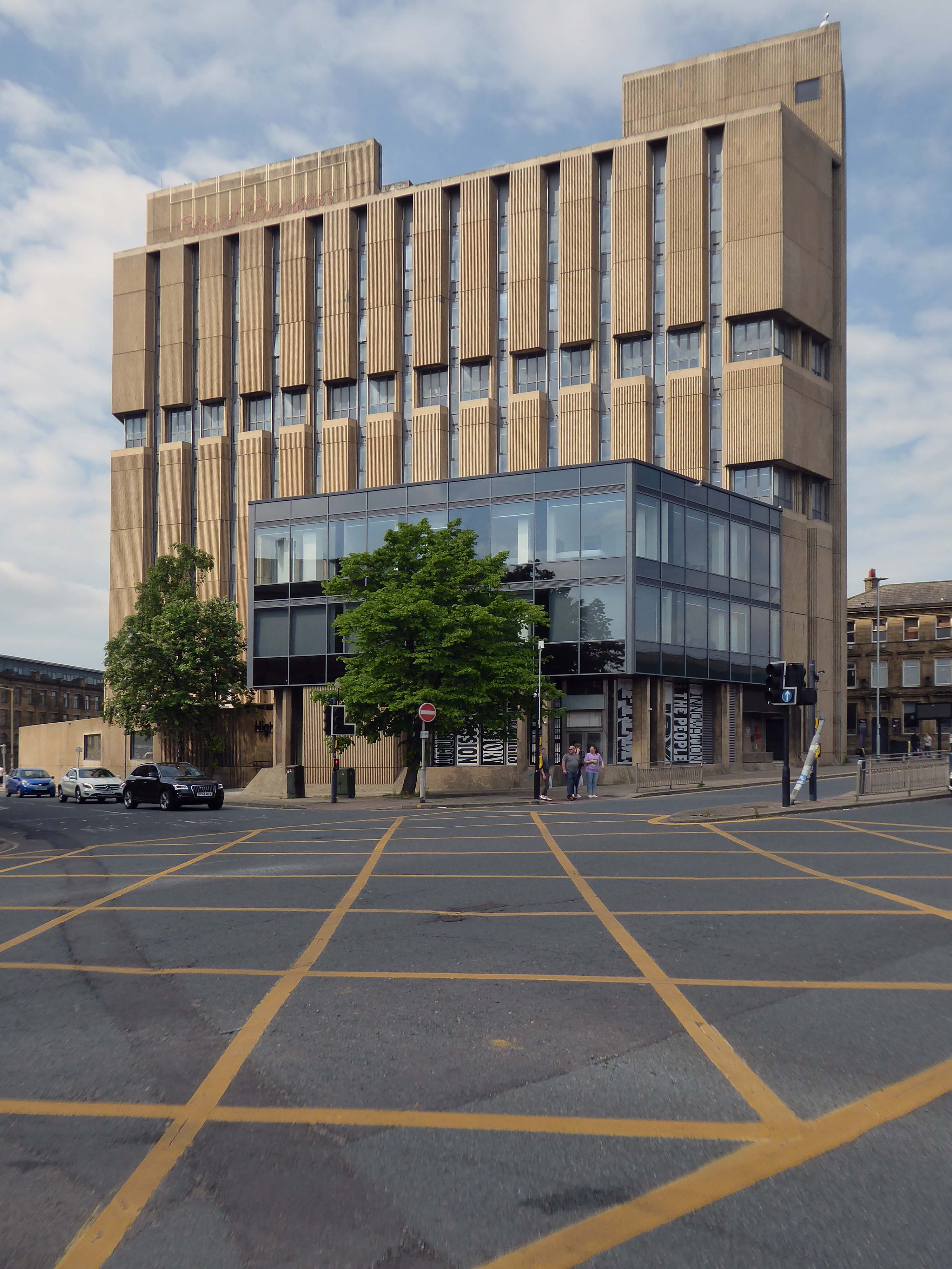
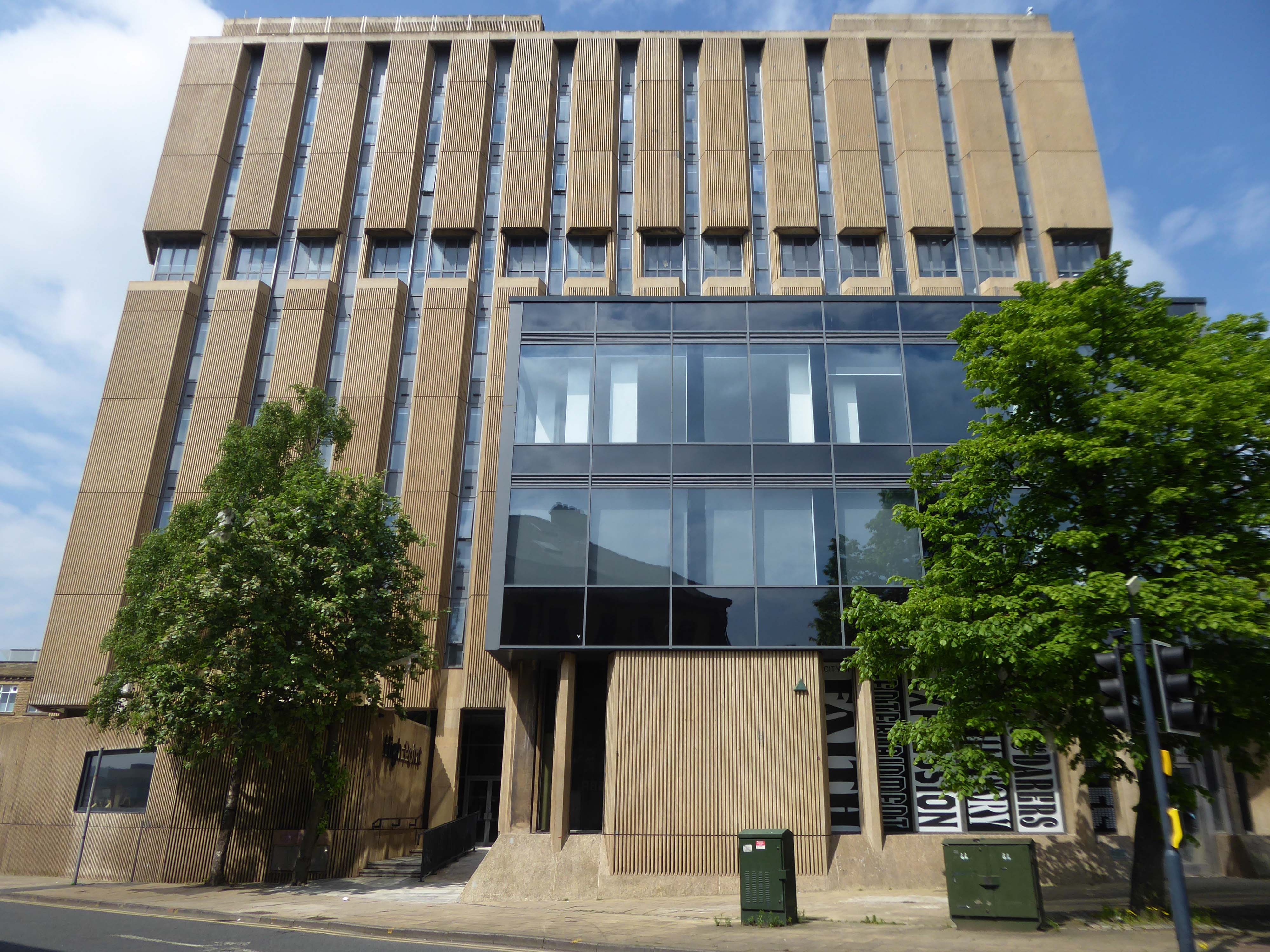
Up to Highpoint designed by John Brunton and Partners 1973.
The derelict former headquarters of Yorkshire Building Society, on one of the highest parts of the city centre, looms over the city centre, and to many people is the city’s ugliest building.
High Point is the perfect site for the first Radii development. Now perceived as an exemplar of the Brutalist style, this eight-storey titan, has languished derelict and in disrepair for many years in the heart of Bradford City Centre.
Our regeneration of High Point into an innovative residential apartment complex with a community at its heart, embraces ideas of sustainability, preservation, and rejuvenation that will bring a new lease of life to this abandoned landmark.
Sharp, chic and spacious apartments available. Furnished to the highest standards throughout and with the flex to provide you with office space if required – this is modern city living that’s easy on your eye and your pocket.
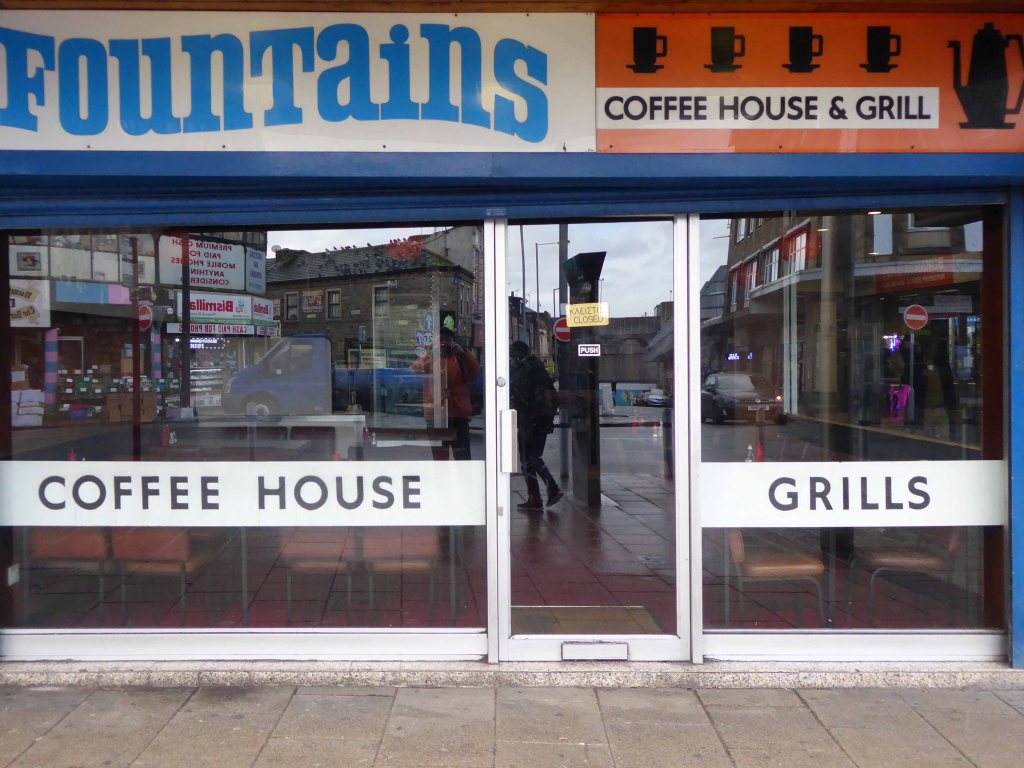
And finally the cafe that is not a cafe – Fountains, where the griddle no longer grills, the lights are always out and the shutters tightly shut, ain’t nobody home.
Wishing nothing but well for this West Riding gem – Bradford City of Culture and cultures and culture.
So on a light bright sunny day, I took another look around.
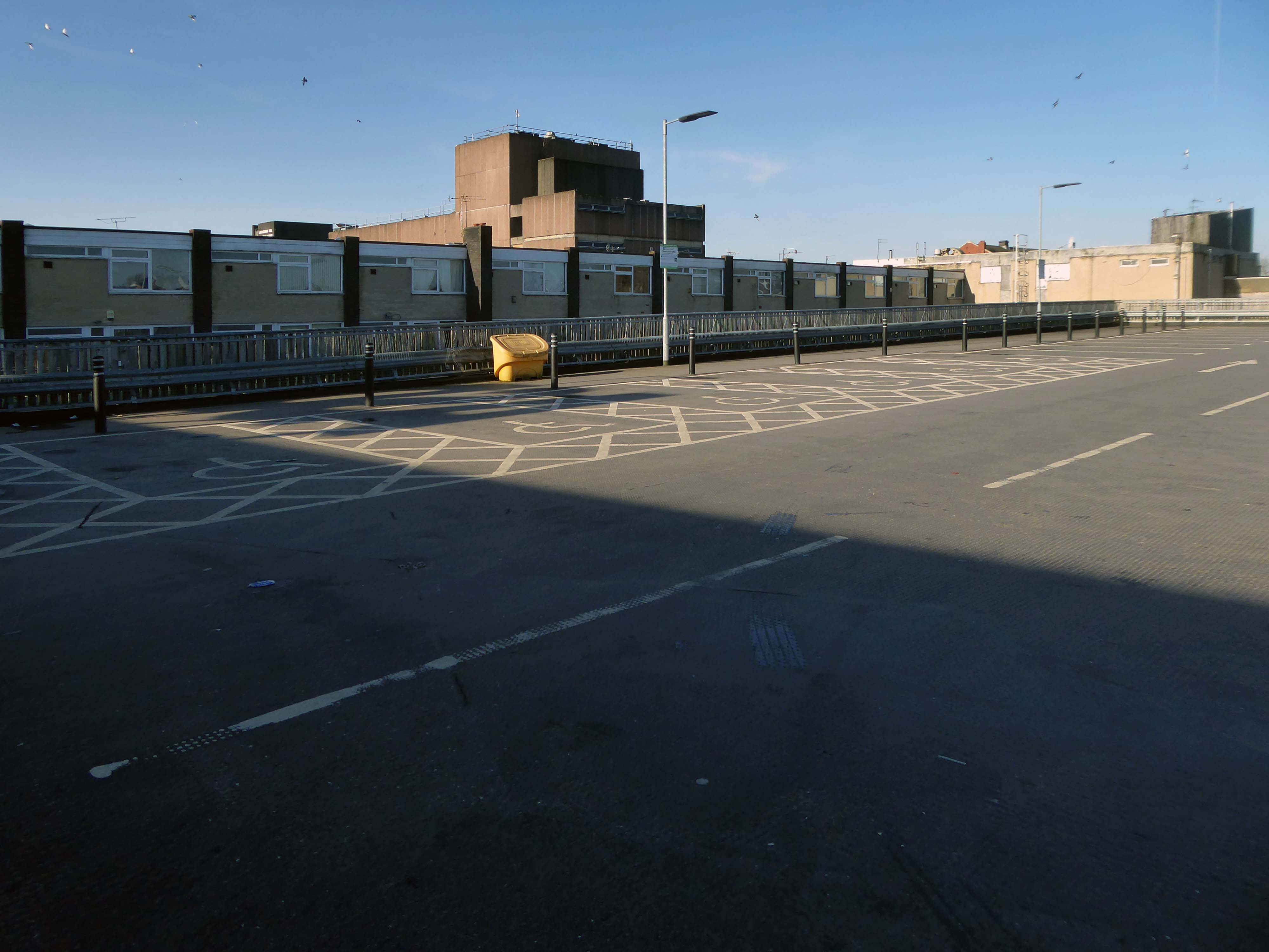
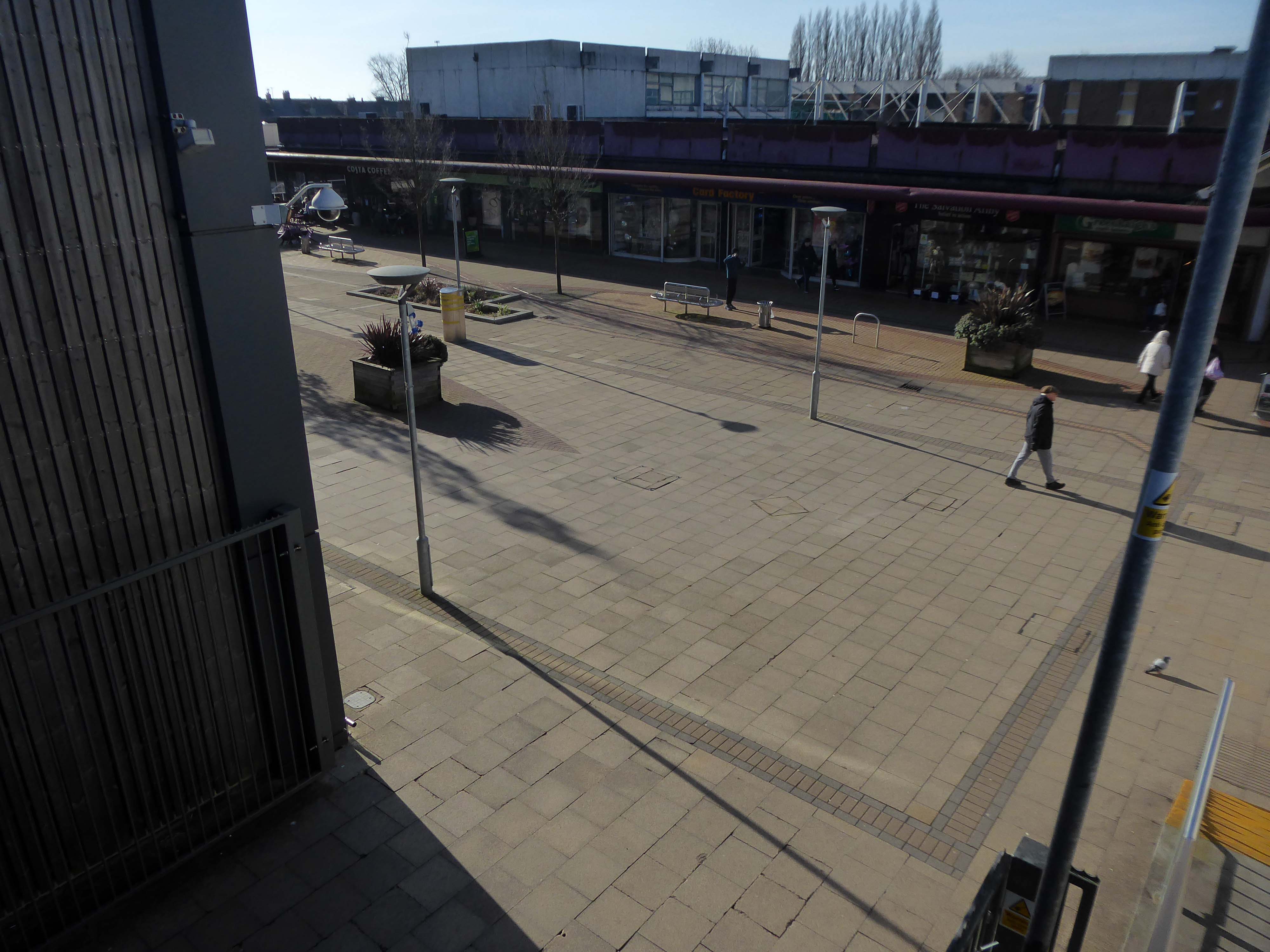
Salford’s town centres are important to the city’s future. They provide employment for local people, retail and leisure opportunities, homes, a sense of community, and a place for local people to interact. However, it is well known that town centres are changing and that they need to adapt and reposition themselves so that they can thrive and meet the needs of the local communities.
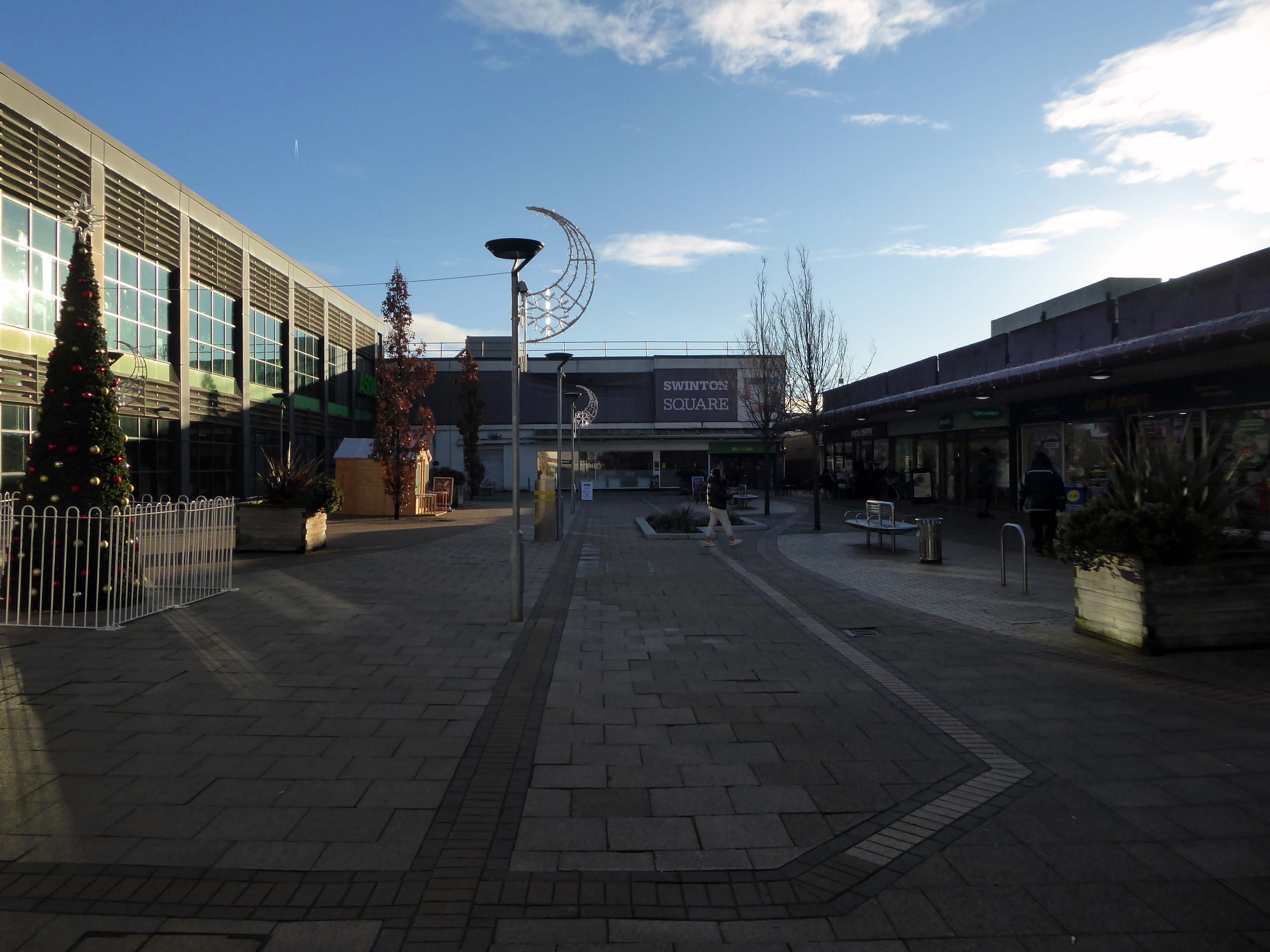
Despite Swinton’s many strengths, it faces similar challenges to other towns. The shopping centre and other buildings in the town centre are dated and in need of investment. Demand for local housing has grown by 23% in the last five years, but there is a lack of high-quality family and affordable housing in the right locations in the area.
The city council has identified Swinton town centre – along with Eccles, as a priority area for regeneration. On that basis, the council has engaged with the community and local stakeholders to establish a clear vision for the town that will help to guide change and future investment, whilst protecting what local people consider important for Swinton.
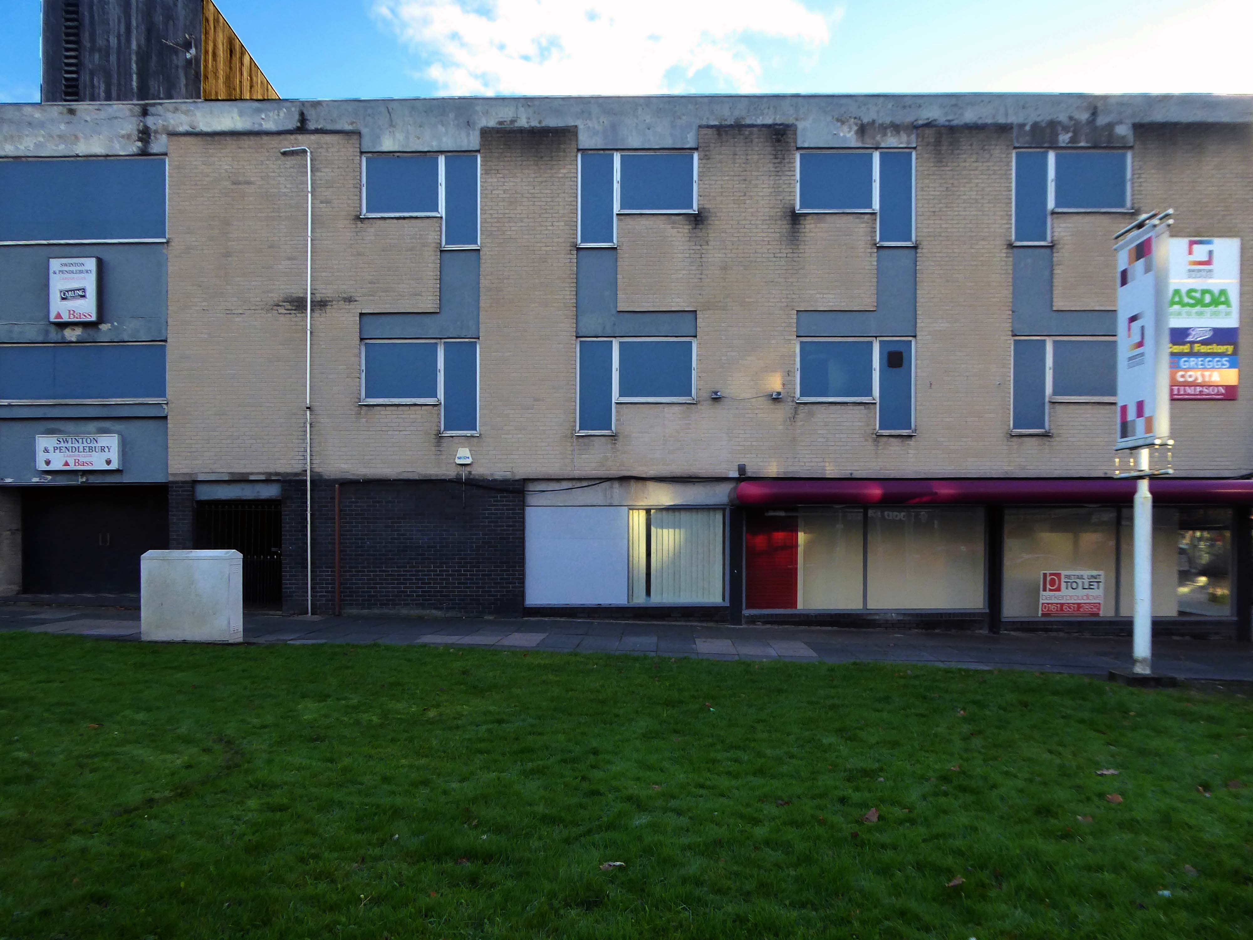
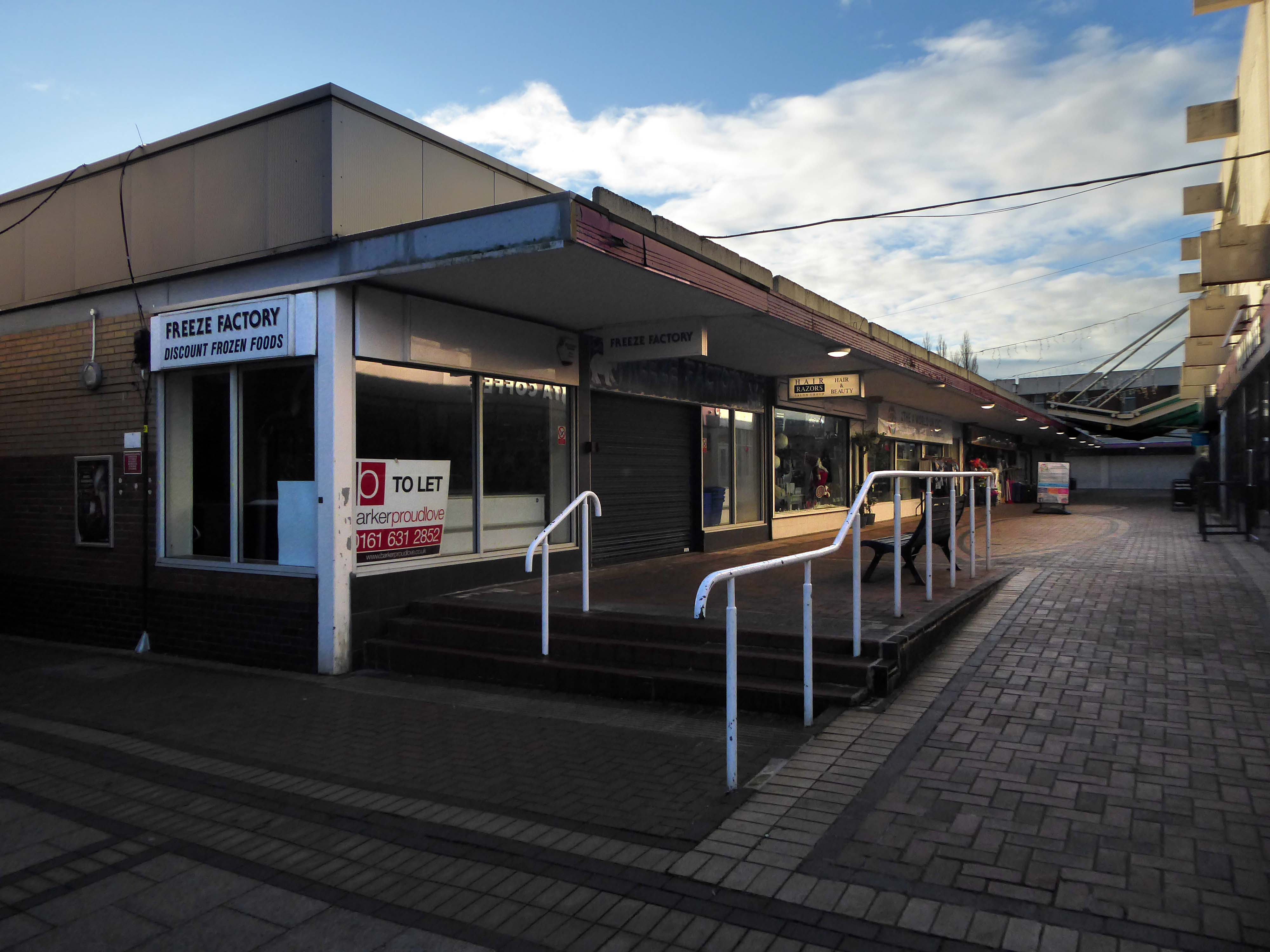
Swinton Square is in private ownership and therefore not something that the council has any direct control over. It is also important to acknowledge that the issues facing Swinton precinct are not unique to Swinton and those challenges are varied but linked to changing shopping habits, decline in the retail offer, competition from out-of-town centres as well as changes in the wider economy.
We do have an open dialogue with the owners of Swinton Square, the West Bromwich Building Society, who are aware of the vision and aspiration for Swinton.
One of the aims of the council’s events and animation programme is to encourage additional footfall and dwell time within the town centre.
The A34 is a major route from the ports on the South Coast of England to the Midlands and the North West, with the standard varying from rural dual carriageway sections in the south to urban single carriageway in the north, and everything else in between.
Slade Lane junction, Rushford Park to Parr’s Wood, East Didsbury – to connect to Manchester Road to Cheadle. It continued on to Laneside Road as a residential road. Opened on 11 April 1923 by Mary Cundiff, Lady Mayoress, and Margaret Turnbull, daughter of Alderman Turnbull, Chairman of Manchester Town Planning Committee. Width was 100 feet and it was designed for tram tracks in the central reservation. The dual road carriageways were 20 feet wide. Manchester’s tram system was closed in 1949. The carriageways were widened and central reservation grassed over. Originally opened as A5079.
Laneside Road, East Didsbury to Schools Hill/ Wilmslow Road junction, Cheadle. Opened on 12 October 1959. The official opening was on 15 October 1959. Planning for the bypass had been halted by the war. In December 1949 Manchester Corporation stated that it was not a priority since the Corporation was only responsible for the 200 yards to the proposed bridge over the River Mersey and Cheshire County Council had not asked for a joint approach to Ministry of Transport to build it. Work was finally authorised in January 1957 and started in the June. Width was 90 feet with dual 24 foot carriageways. Expected cost was £600,000 to £700,000.
The A6 is Britain’s fourth longest road. Its route varies greatly from the lower lands of the South East, though the Peak District, right though the heart of Manchester city centre, then onwards towards Preston. It then goes though the historic city of Lancaster before skirting the Eastern fringe of the Lake District before ending in Carlisle, bang on the start of the A7.
North from Stockport towards Manchester, the A6 was a wide, four lane road, but still 30 mph, which usually flowed pretty well. According to Mudge, it looks like it has now been massacred by bus lanes and red paint. Shame. We meet the A57 from the east, just south of the city centre, and multiplex until we reach Mancunian Way, the A57 heading off as a short urban motorway, the A6 heading into the city centre via London Road/Piccadily, where it loses its number and vanishes. It would have gone straight down Piccadily/Market Street to meet Deansgate, and then across the River Irwell into Salford, and up Chapel Street, where the number reappears. Market Street has been pedestrianised for years, so the A6 has long ceased to be a through route.
The A57 was nearly a coast to coast route. It passes through three major city centres (Liverpool, Manchester, and Sheffield – with elevated sections in each) and several smaller ones, multiplexes with the A6 and the A1, follows the banks of two canals and negotiates the remotest part of the Peak District. In one city it part of it is a tram route, whilst in another its former route is also a tram route. After all these adventures, it sadly gives up just 40 miles short of the east coast, Lincoln apparently proving too big an obstacle.
The A57 crosses the River Irwell at Regent Bridge before entering its moment of motorway glory as the A57(M) Mancunian Way skirting the south of Manchester’s city centre on an elevated section and crossing the A56 and A34. This includes a half-completed exit that goes the wrong way up Brook Street – a one way street. The original A57 ran further north through the city centre along Liverpool Road (now the A6143) and Whitworth Street – B6469 as far as the A6 London Road which marked the start of a multiplex.
At the end of Mancunian Way, we reach a TOTSO, straight on being the short unsigned A635(M) and thence the A635 – for Saddleworth Moor, Barnsley and Doncaster whilst the A57 turns south, briefly multiplexing with the A6, and then branching off along Hyde Road. This section of road was extensively cleared for the westward extension for the M67, and consequently has seen a lot of redevelopment.
Starting at traffic lights on the A665 the road heads northeastwards, initially with the Metrolink on the left and a factory building on the right. The road then bears right at traffic lights marking the first section of on-street running for the trams, which lasts until just before a bridge over the River Medlock, after which the road passes to the south of the Sportcity complex whilst the tram line runs through the middle.
The A6010 is crossed at traffic lights, after which we see the tram lines on the left once more. We go over the Ashton Canal, then the tram lines at grade before bearing to the right to pass Clayton Park before another section of on-street running for the Metrolink begins, which continues for some distance. Just after crossing the Manchester city limit there is a set of traffic lights, after which the road becomes D2 for a short distance to allow a tram stop – Edge Lane, to be located in the central reservation. The tram leaves the road to the right for the next stop – Cemetery Road, and the stop in Droylsden town centre is once again in the central reservation. In all three cases the street running recommences after the stop.
Cheetham Hill Road is part of the designated A665. Cheetham Hill Road starts at the junction of the A6042 Corporation Street and the A665 Miller Street. It crosses the culverted River Irk to the east of Victoria Station. At its junction with New Bridge Street, it turns north-northeast and is straight for 1 km, to the A6010 Queen’s Road . This stretch was called York Street until about 1900. Cheetham Hill Road leads from here to the community of Cheetham Hill, where at Bourget Street and Crescent Road – formerly Sandy Lane, Cheetham Hill Road becomes Bury Old Road.
Like many of the original Odeon Theatres built by Oscar Deutsch, the site chosen was a little out of the main town centre – where land prices were cheaper, and the Odeon Morecambe is a good example of this. It is located at the corner of Euston Road and Thornton Road in this Lancashire seaside town. The Odeon was opened on 2nd September 1937 with Sandy Powell in “It’s a Grand Old World”. It had seating provided for 1,084 in the stalls and 476 in the circle.
Taken over by the Classic Cinemas chain in December 1967, it was re-named Classic Cinema, and was closed on 28th February 1976 with Kenneth Williams in “Carry On Behind”.
The stunning Moderne style exterior much of which including the projectionists walkway is now much deteriorated.
Next to the Police Station another Roger Booth building – recently seen on the small screen in The Bay.
Backtracking to take in the Crescent Café entrance.
Which became Hart’s Restaurant now trading as the Black Thai.
Into the town centre to look at the former Centenary HouseCo-op 1927.
Bought by the city council as part of the West-End Masterplan, the intention is to refurbish the building’s upper floors to provide affordable housing and accommodation for local arts businesses, retaining the Co-op late shop that occupies one-half of the ground floor.
Let’s take a look along the front – where we find a former Woolworths.
Along with other stores from the same period.
Alongside sits the former Littlewoods.
By 1939 there were 24 stores. A number of these were purpose-built for Littlewoods to designs by J S Quilter & Son. John Salmon Quilter – 1841-1907 was, in fact, long dead, but his architectural practice had been continued by his son Cecil Molyneux Quilter – 1879-1951. Quilter specialised in commercial architecture, notably public houses. He designed a new Blackpool store for Littlewoods, on the corner of Church Street and Corporation Street, which was faced in Empire stone. He also designed a store in Chester, and may have been responsible for the one in Morecambe. This faience-clad art deco building is the best surviving example of a pre-war Littlewoods store – indeed, it may be the best surviving Littlewoods of all time – even preserving diamond L motifs on the entrance lobby floors. These clearly copied Woolworth’s diamond W.
Finally to the Midland Hotel 1932-3 by Oliver Hill
Concrete and rendered brickwork, painted white. Curved plan, with convex side facing west towards the sea. Three storeys. Windows are steel-framed casements with rendered surrounds. Above each storey are projecting horizontal bands. The entrance front has a rounded left-hand corner, and a convex central staircase projection rising above roof level. This projection has a tall window of steel casements above the doorway, divided into three by mullions, both of which are capped by sea horses, painted red, which were carved by Eric Gill. Projecting at the right is a single-storey cafe of circular plan, now known as the Ravilious Restaurant. The west side has a single-storey projecting sun lounge, which is an addition, its windows replaced in PVC-coated steel. Between the solid centre and ends of the facade the 1st and 2nd floors have their walls recessed to form balconies.
Interior: above the cantilevered circular open-well staircase is a ceiling panel carved in low relief by Eric Gill and painted by Denis Tegetmeier. They were also responsible for the pictorial map of north-west England in what was originally the children’s room at the south end of the building. Also in this room is Eric Gill’s Portland stone panel, originally in the lounge, carved in low relief with a representation of Odysseus and Nausicaa. It was moved to its present position when internal walls were demolished during the 1970s. The cafe walls were originally painted with frescoes by Eric Ravilious, representing morning and evening in an idyllic seascape setting. These deteriorated rapidly because the plaster and paint used were incompatible and were obliterated within 2 years of completion, but were repainted in the late 1980s using photographic evidence.
The Super Swimming Stadium at Morecambe, Lancashire, was one of the grandest of the 1930s modernist seaside lidos. This massive structure measuring 396ft. by 110ft. was said to be the largest outdoor pool in Europe when it opened in 1936, accommodating some 1200 bathers and 3000 spectators. Unusually for an inter-war lido, it was designed not in-house by a Borough Engineer but by two architects, Kenneth MB Cross and Cecil Sutton, who styled it to harmonise with the Streamline Moderne of Oliver Hill’s adjacent Midland Hotel.
The stadium was closed down in 1975 on grounds of structural problems and demolished just a year later.
Having taken a particular interest in this particular piece of public art for some time – I need to go and take a little look.
But what will we see along the way, as we hasten along Rochdale Road?
Which once looked like this, way back when in 1904.
Though some things inevitably come and go, as some things are prone to do.
The city is undergoing yet another reinvention as Manchester becomes – an attractive place to invest and do business.
See, I am doing a new thing!
Now it springs up; do you not perceive it?
I am making a way in the wilderness and streams in the wasteland.
Isaiah 43:19
Once there was a gas works here – adjoining Gould Street, seen here in 1958.
The Gould Street Gas Works was a gas manufacturing plant located in Manchester, England. Originally built in 1824, the plant was operated by the Manchester Corporation Gas Department and was in operation from 1833 to 1969. It was named after the street on which it was located, which was named after John Gould, who was a prominent Manchester businessman in the 19th century.
The Gasworks New Town neighbourhood is one of seven envisioned by the £4bn Victoria North masterplan. It will feature nine buildings ranging from 8 to 34 storeys. The 6.6-acre site has most recently been home to a car park but the green development will overwhelmingly prioritise walking and cycling over driving. It will result in tens of millions of pounds being pumped into the city’s economy over the lifetime of the development.
Plans for a trailblazing city centre regeneration scheme that will create more than 1200 homes has been approved by Manchester City Council.
A total of 85 of the 1200, will be affordable homes available through Shared Ownership.
Though as of March 31st 2023 ground is yet to be broken, no signs of the:
New centre of gravity for central Manchester that will create thousands of jobs and inject tens of millions of pounds into the city’s economy.
So you zig-zag wanderers, make the most of these wide open expanses of affordable car parking, while you can.
The future may yet be here today – or the next.
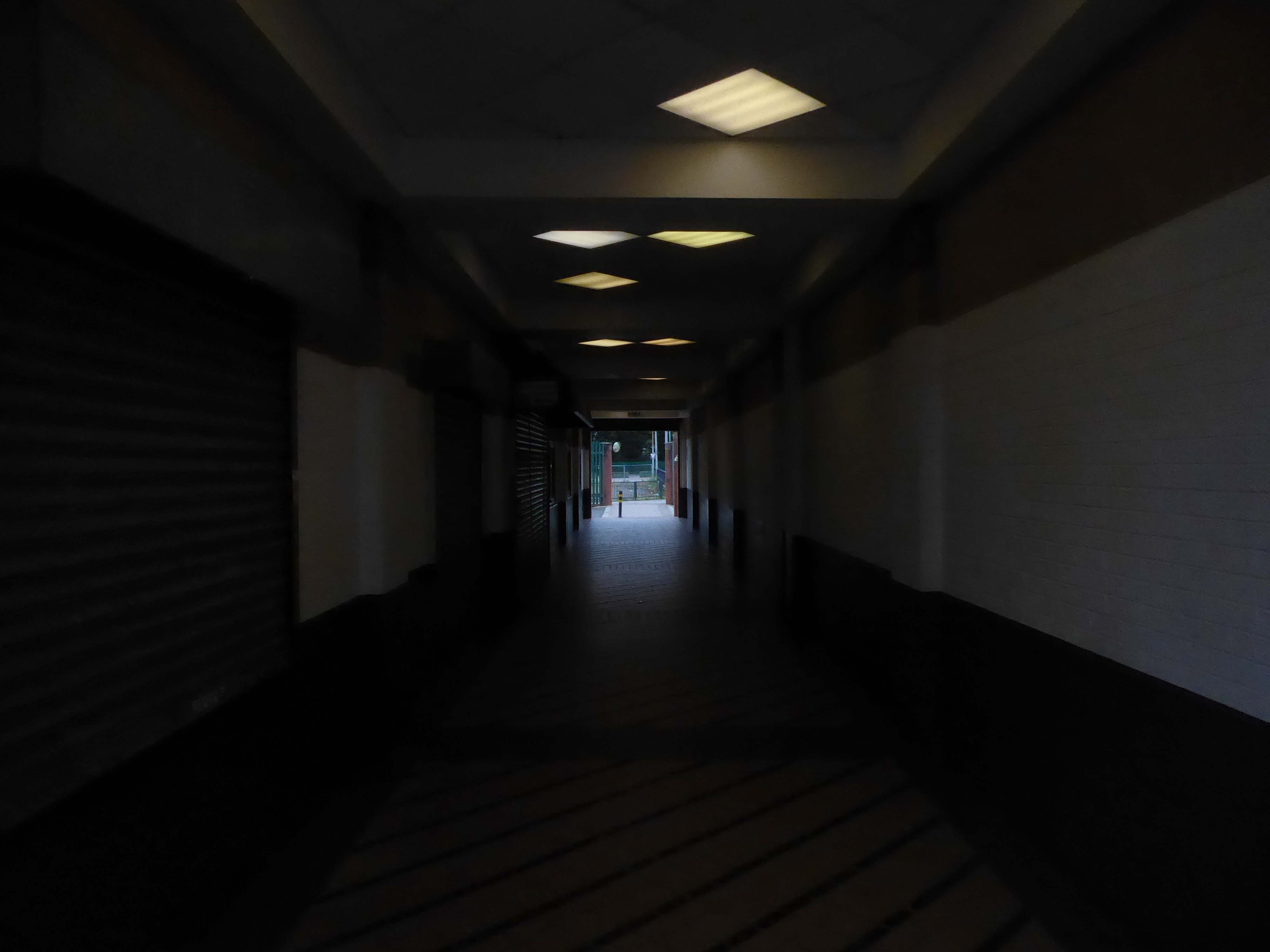
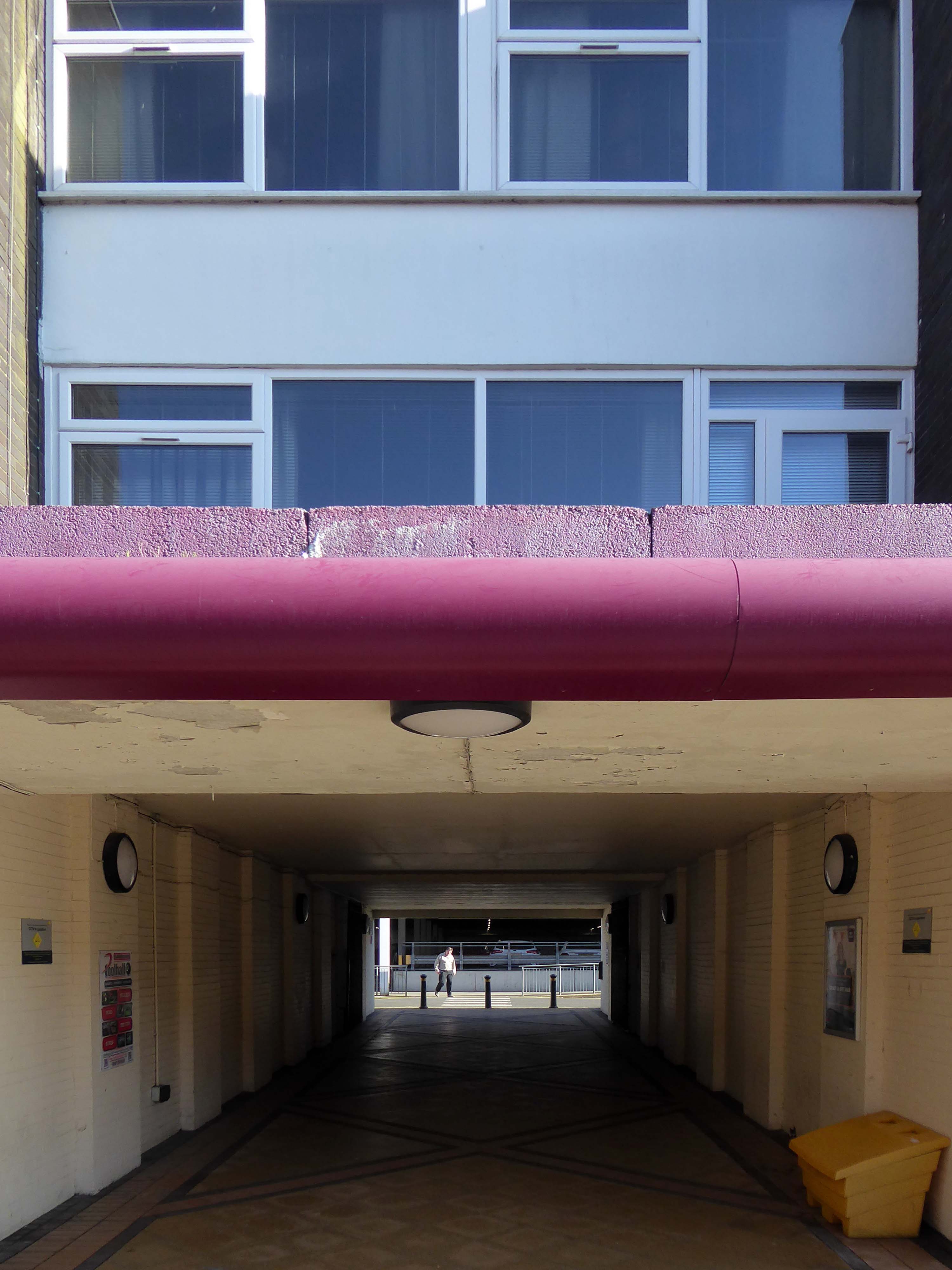
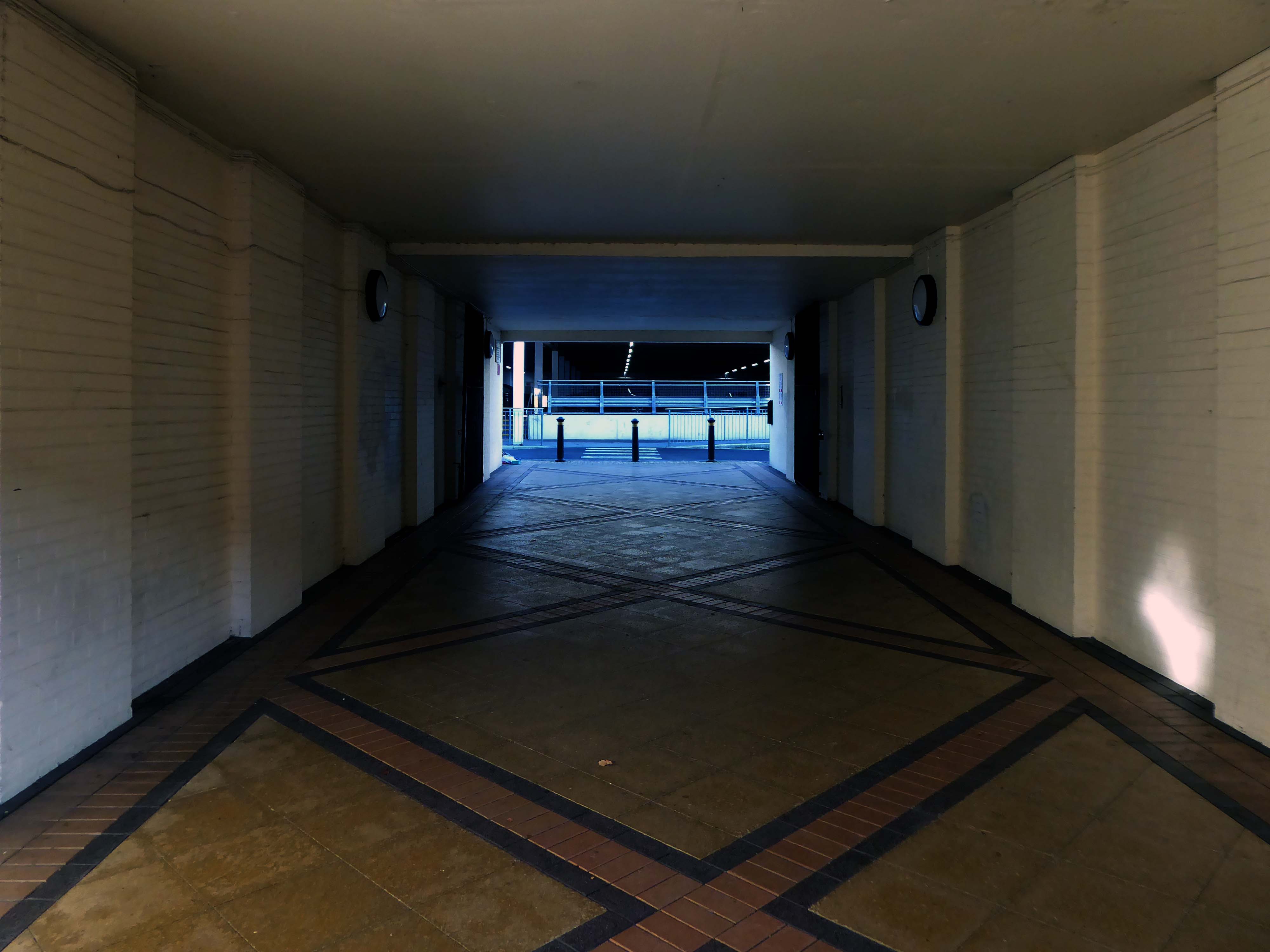
Let’s duck under the railway, through this sad damp pedestrian tunnel – the domain of the cash strapped daytime drinker, transient tagger and disaffected leaflet distributor.
Next thing you know you have emerged into the daylight on Dalton Street – we have been here before seeking the Collyhurst Cowboy.
Photograph: Dennis Hussey
Onwards to Eastford Square.
The shops and maisonettes are due to be demolished any day now – no longer to gaze open-eyed upon the former quarry of Sandhills.
Around the front the diggers have been a digging – digging up around the base of the totem.
The work is to be re-sited by the nearby tower blocks.
The end is nigh.
Heading now for Collyhurst Road and the Irk Valley – seen here in 1960.
Looking back on the Square and the Dalton Street flats – Humphries, Dalton, Roach, Vauxhall and Moss Brook Courts under construction.
Vauxhall Street now but a shadow of its former self – the last traces of industry long gone.
Reclaimed over time by trees and dense underbrush.
Crossing Collyhurst Road and up and over the railway via Barney’s Steps also known as the Lowry Steps.
LS Lowry
By the late 1950’s the whole of this area which we called Barney’s Tip became a refuse tip for Manchester City Council.
The area is in the process of being reconfigured as a delightful country park.
The investment will also help develop an initial phase of the planned City River Park incorporating St Catherine’s Wood as part of a network of public open space, including improvements along the River Irk and works to improve flood resilience, unlocking the potential of the Irk Valley that will characterise the wider Northern Gateway project.
The first phase of the City River Park will begin work to transform former railway architecture to develop the new Viaduct Linear Park north of Victoria Train Station, new stepped public realm space – Red Bank Terraces, along with new green space by the River Irk and the key improvements to St Catherine’s Wood.
Collingham Street is lined with trucks, trailers, stalls and mobile homes.
But there’s nothing temporary about this Cheetham Hill neighbourhood; most residents have lived here for years and many plan to spend the rest of their lives here.
Founded more than forty years ago, it was created by the Showman’s Guild of Great Britain – and it’s reserved exclusively for fairground workers both retired and current.
Built on Queens Road tip, a former rubbish dump, and rented out by Manchester Council, many of the 52 homes belong to older retired showmen or families for whom an itinerant lifestyle has become more challenging.
It’s a close-knit community with a unique shared history.
Though not without its own particular issues it would seem, according to the MEN.
The licensing out of hours team has received noise complaints relating to the premises which was found to be open beyond permitted hours when visited. Officers also identified breaches of the Health Act during inspections in which people were seen smoking shisha pipes in an enclosed extension at the back.
We will leave the Flamingo be and head back into town – but not without giving a nod to this confusing collision between this self-made scrapyard-man chic gate and the ever changing skyline of overheated urban regeneration.
The new creation has come: The old has gone, the new is here!
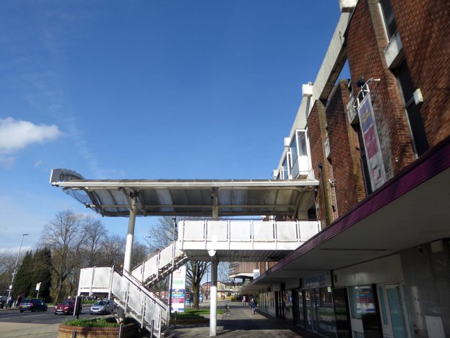
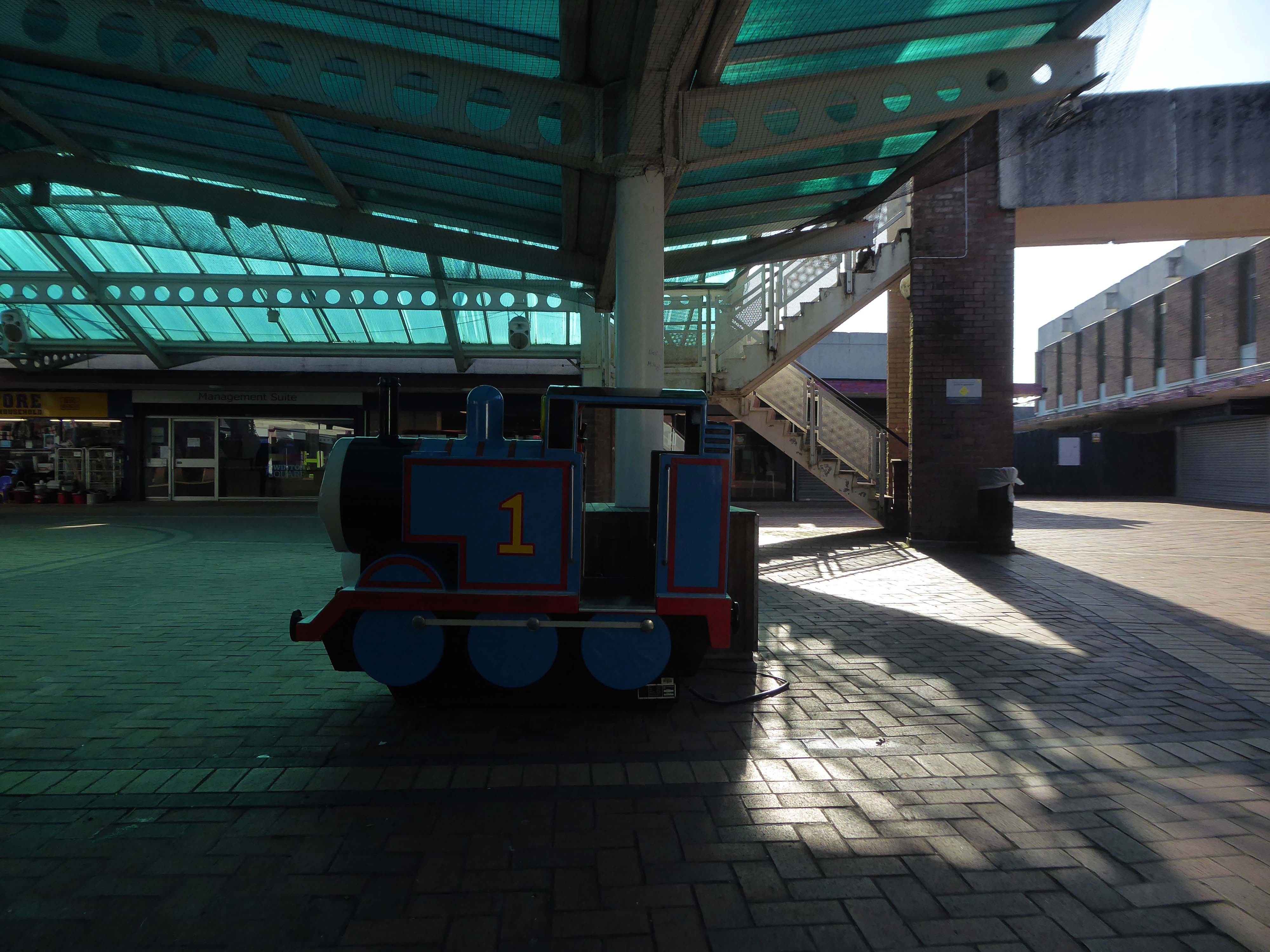
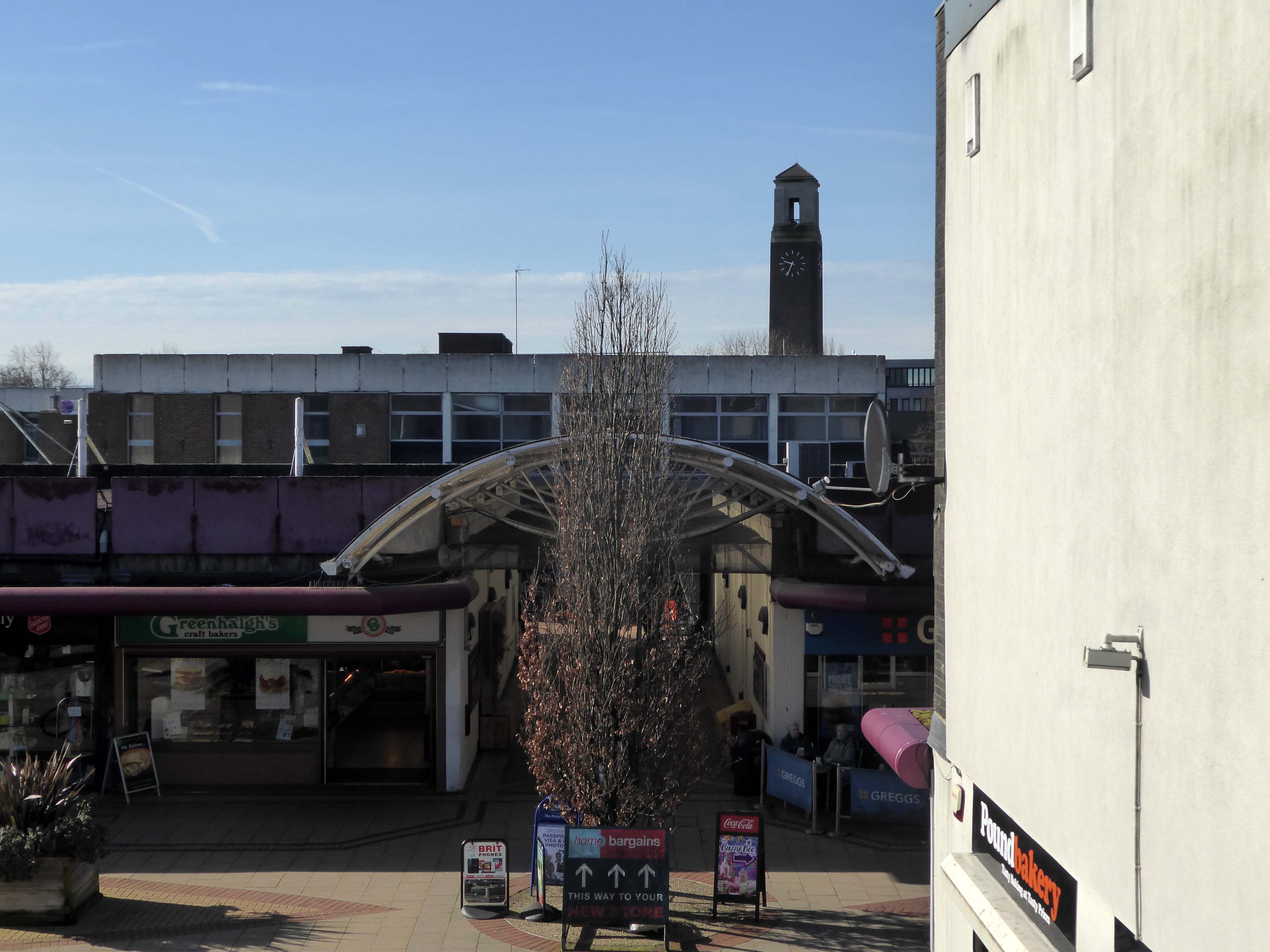
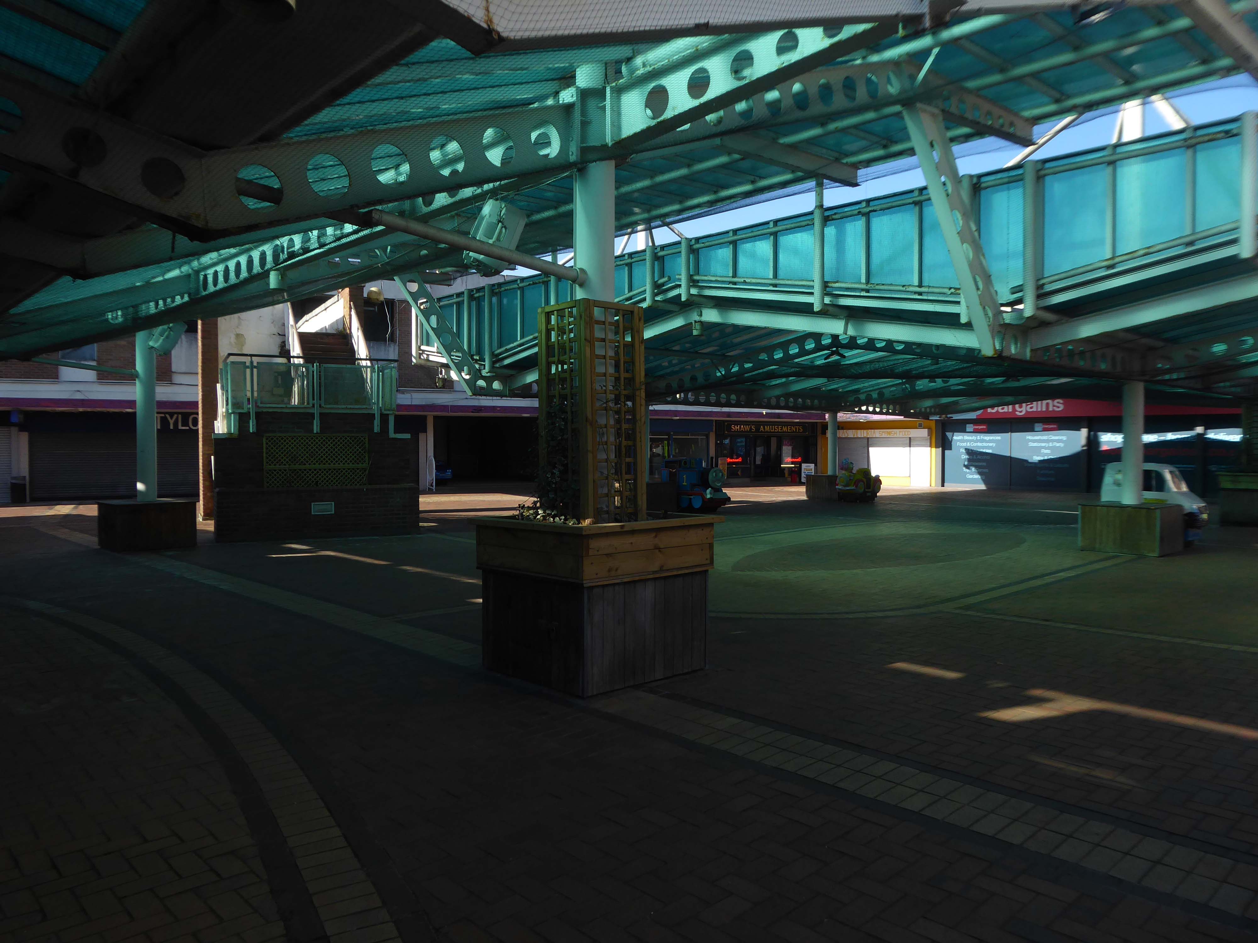
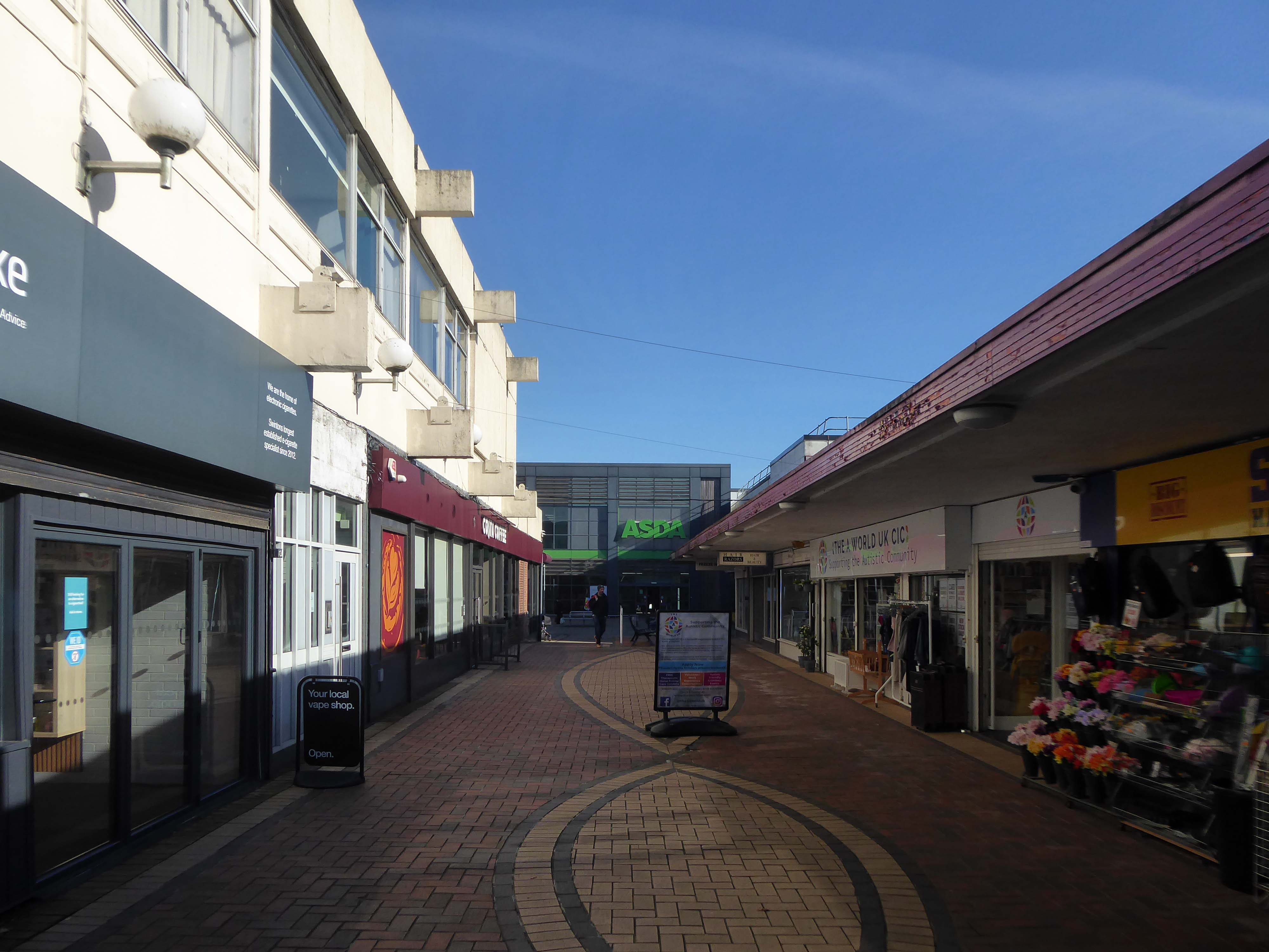
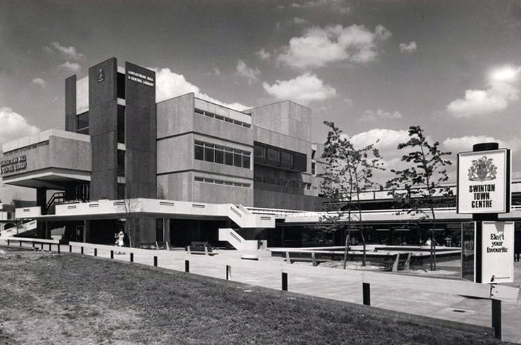
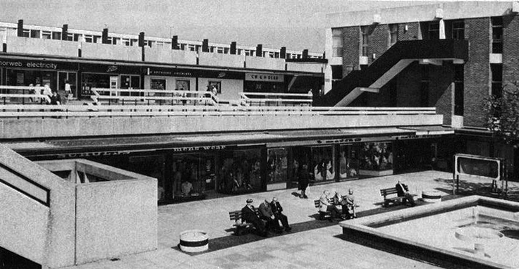
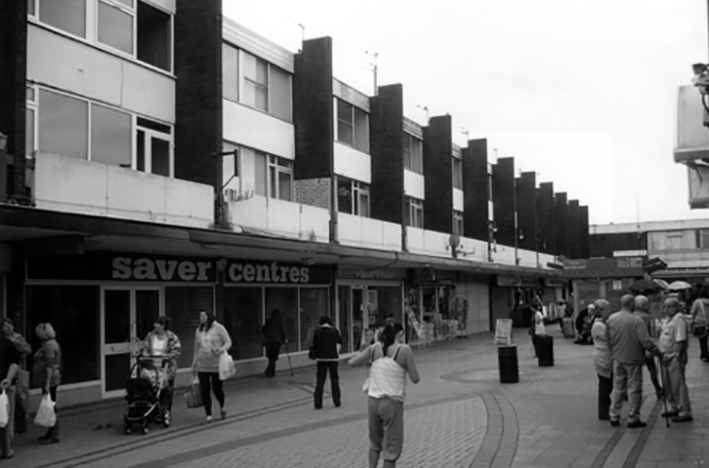
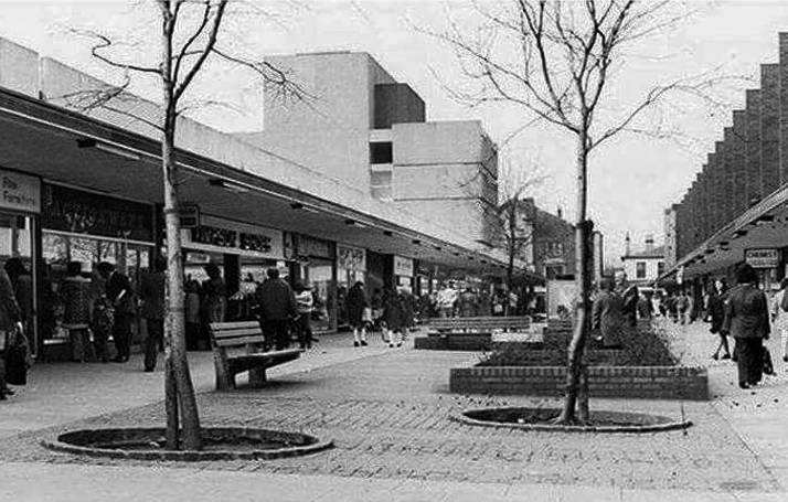
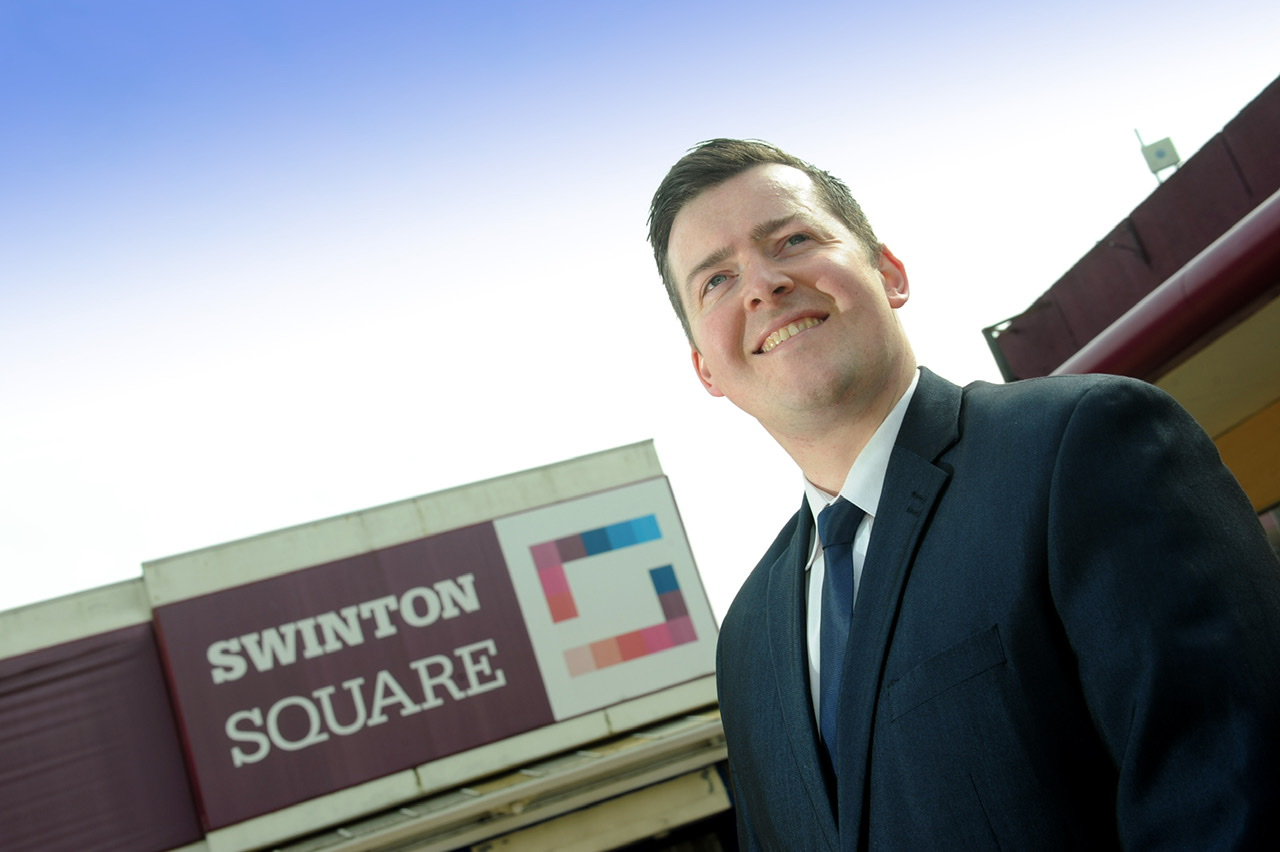
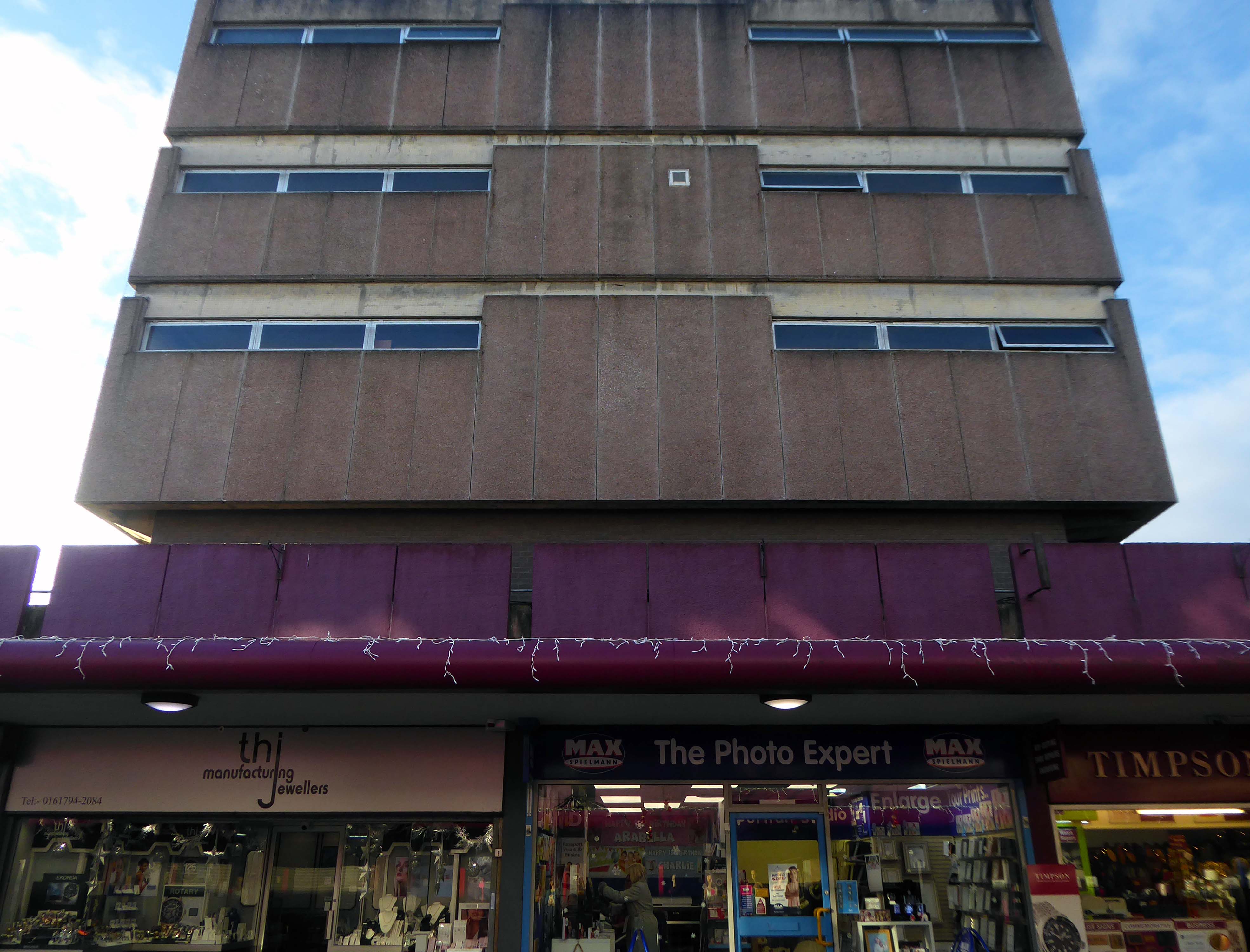
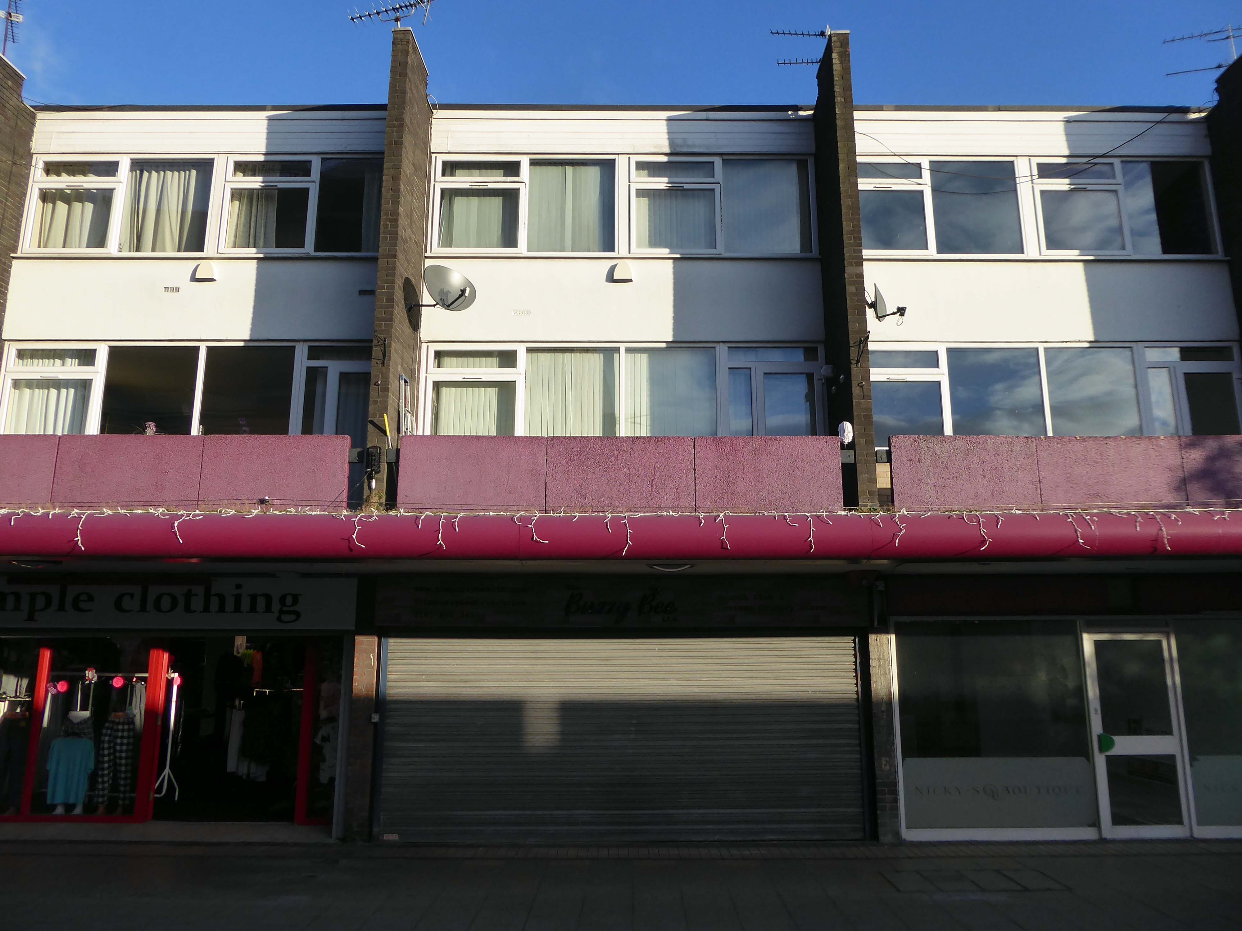
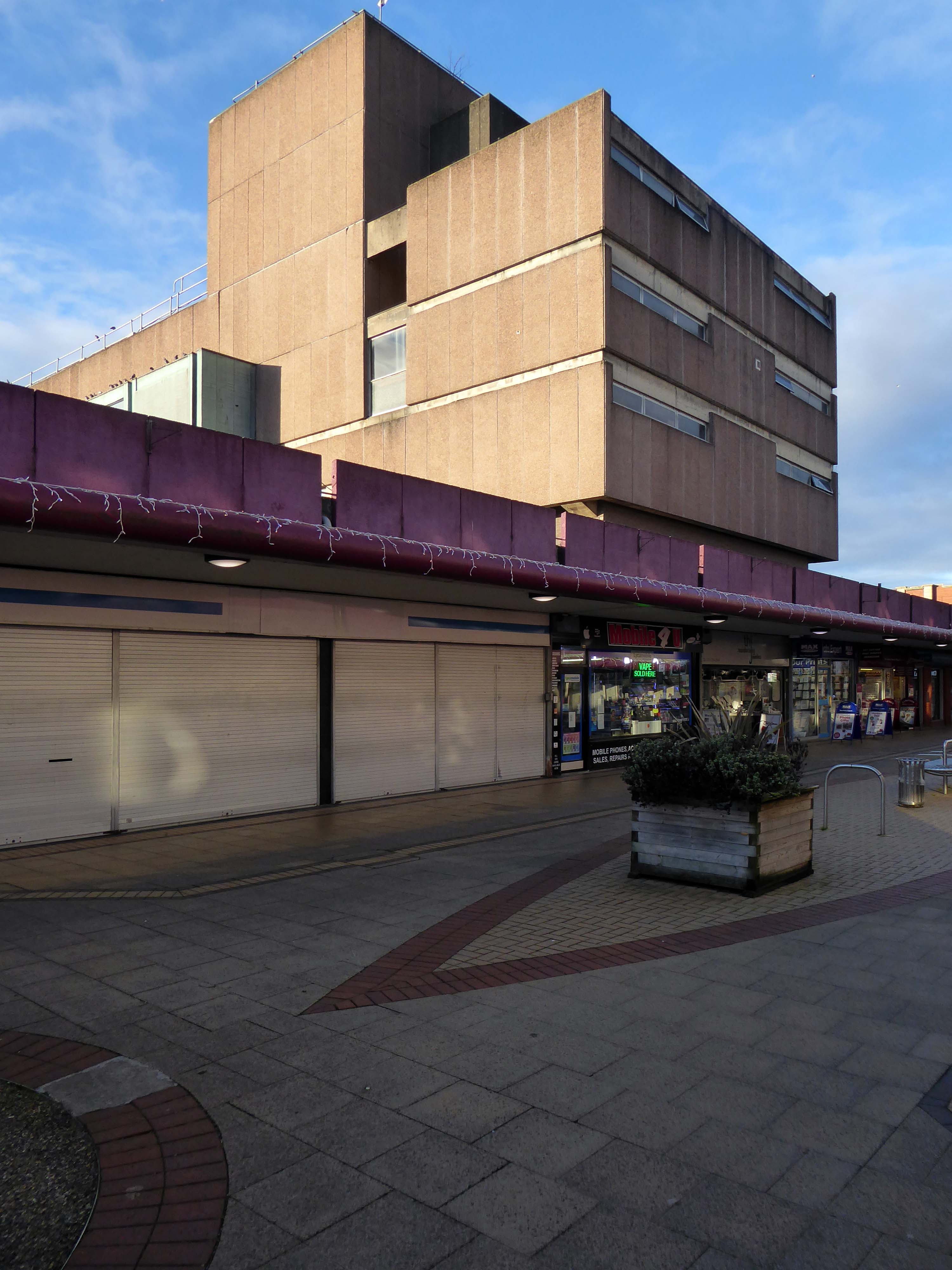
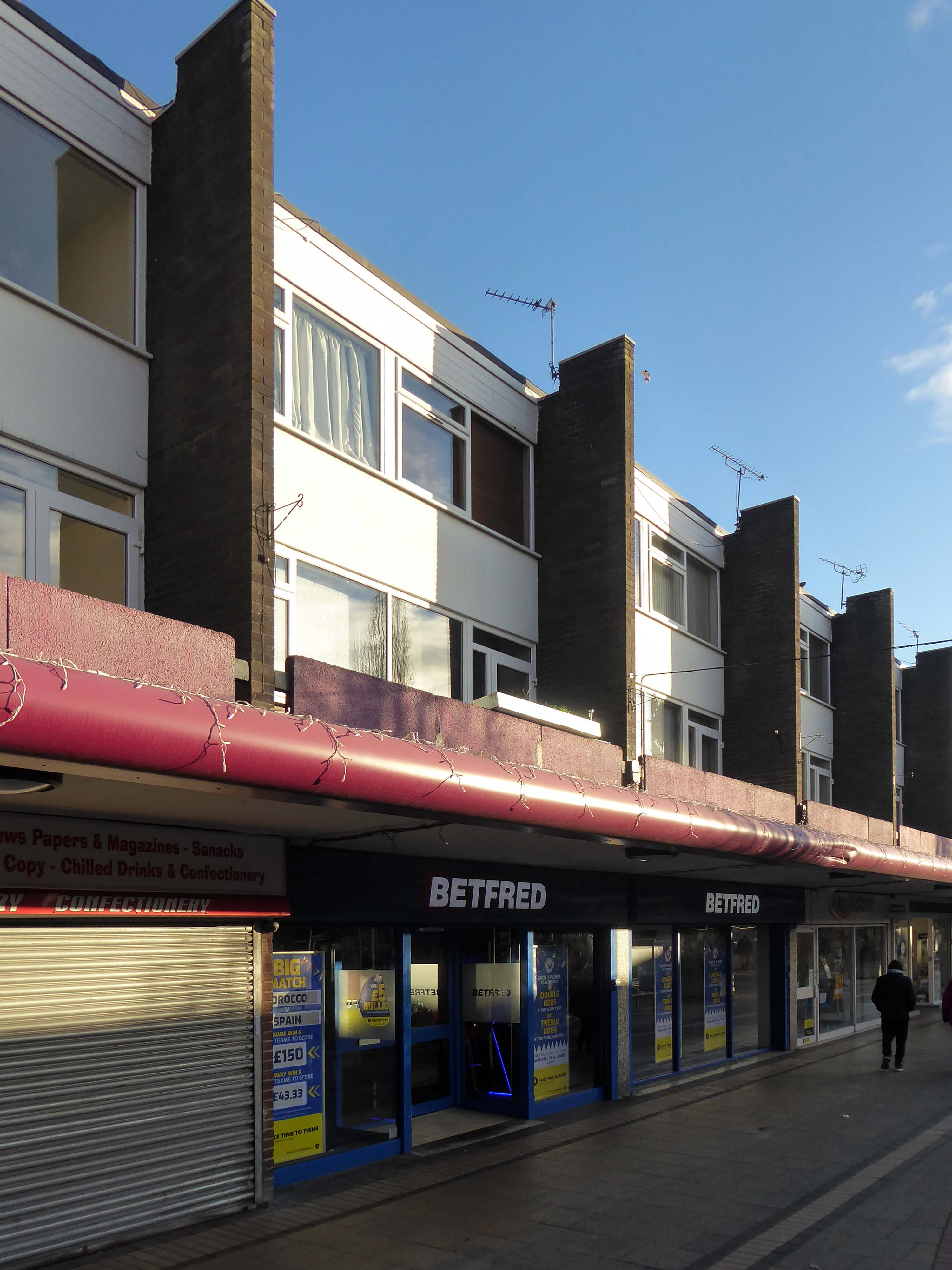
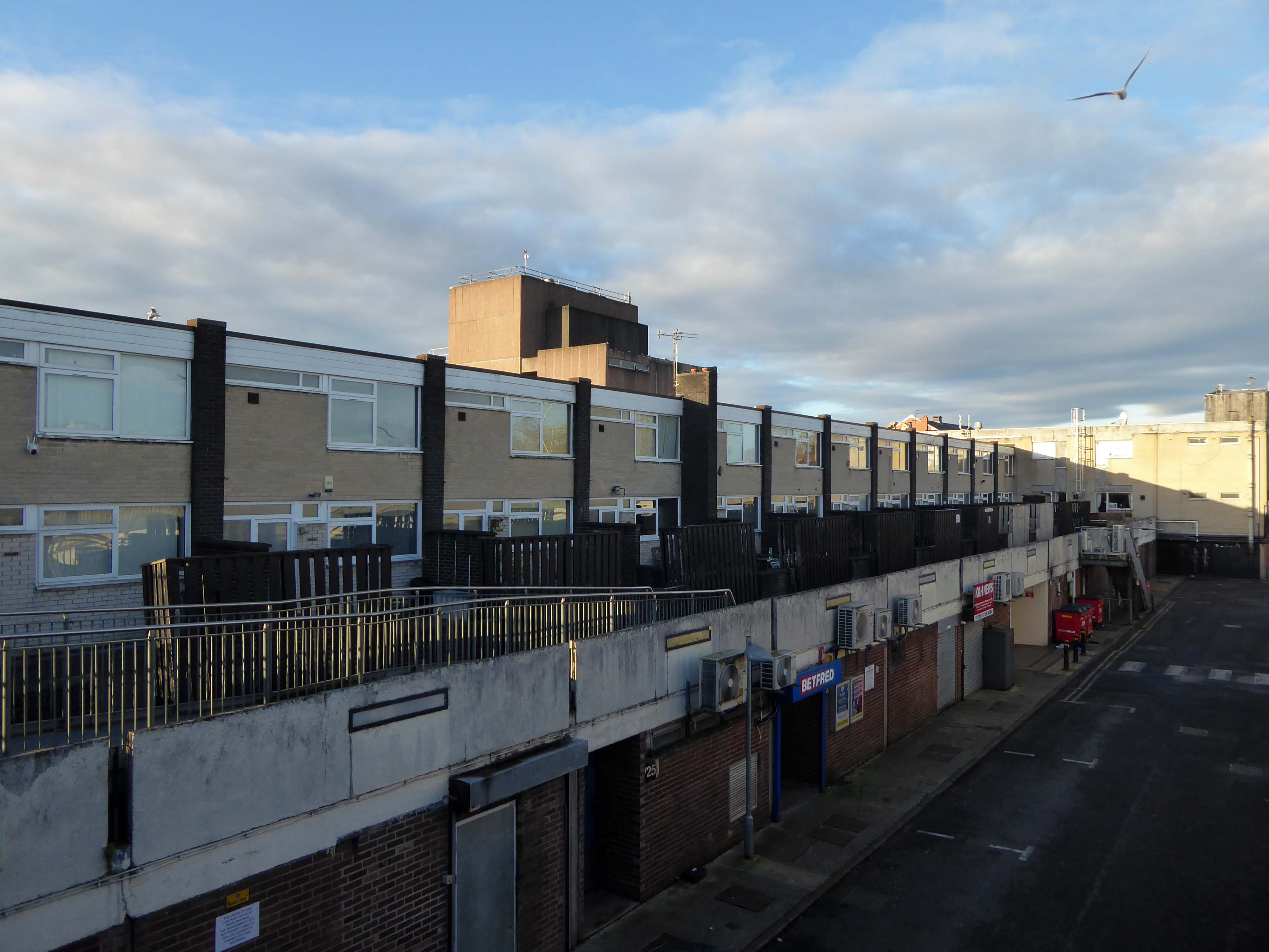
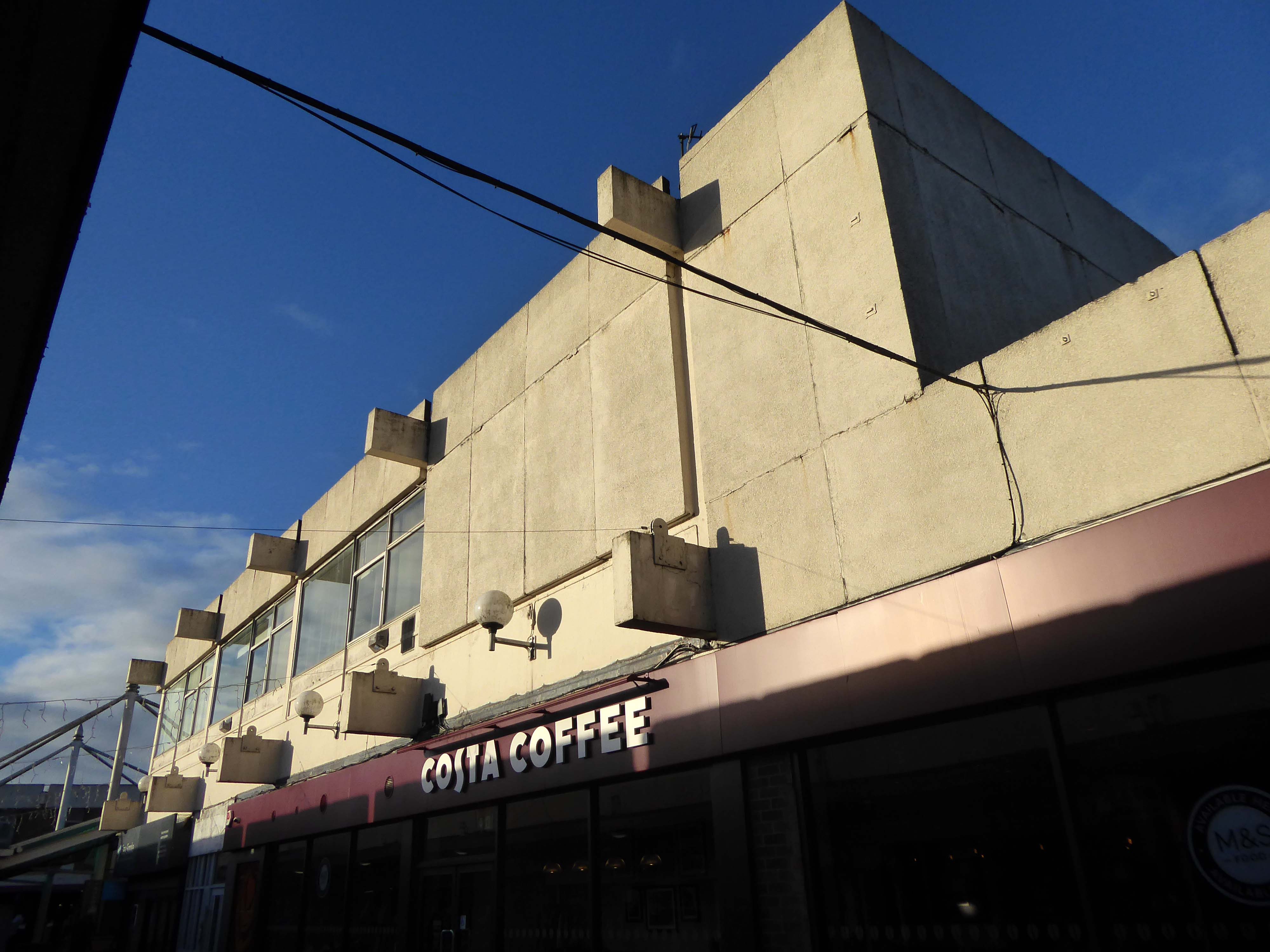
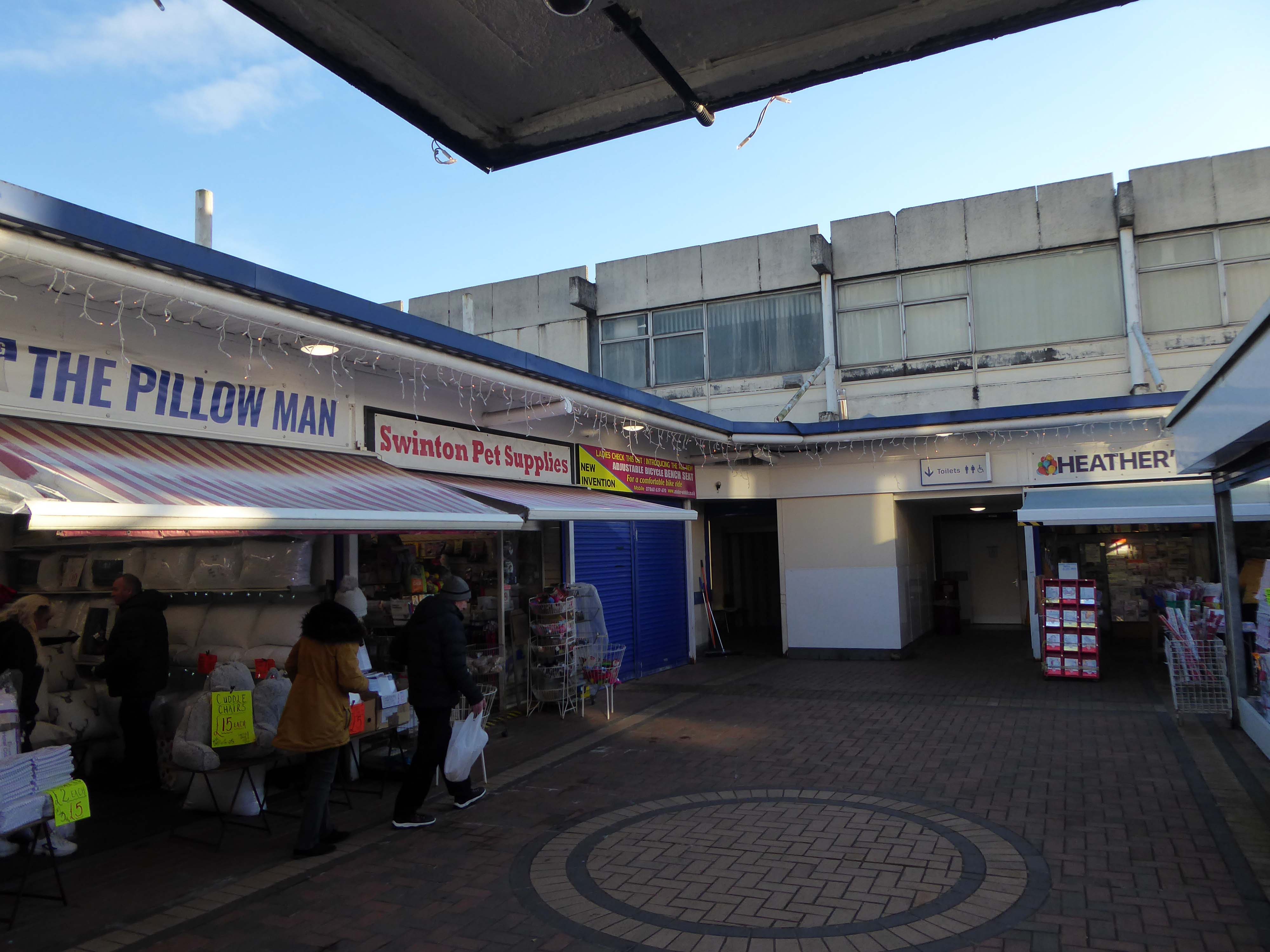
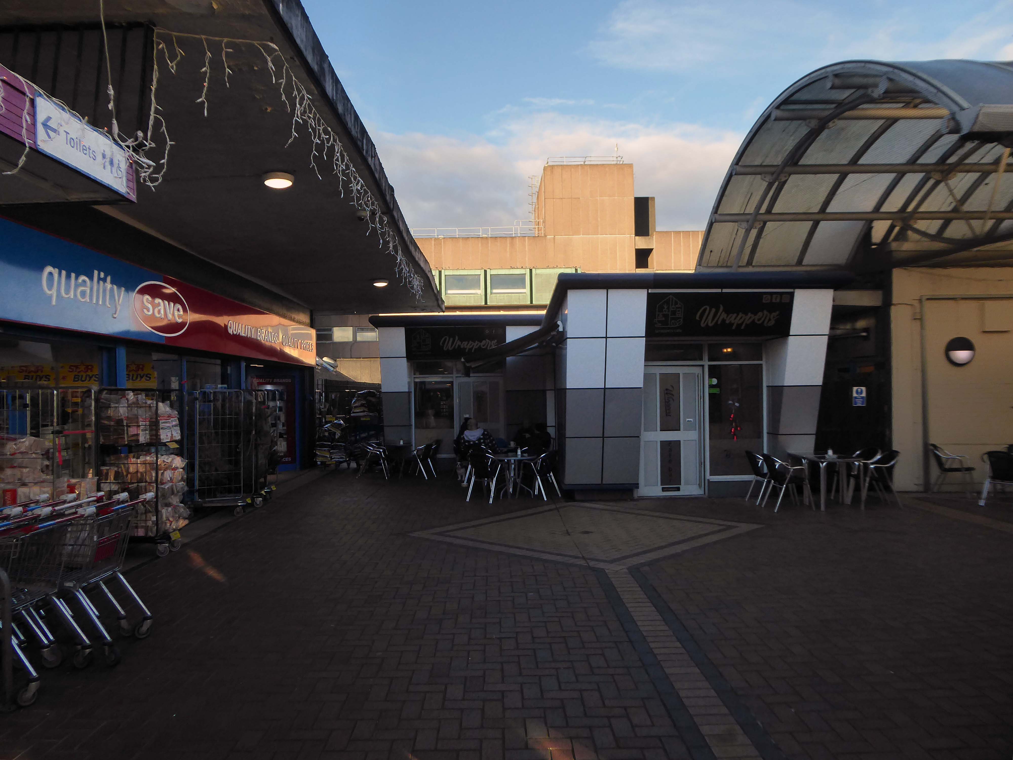
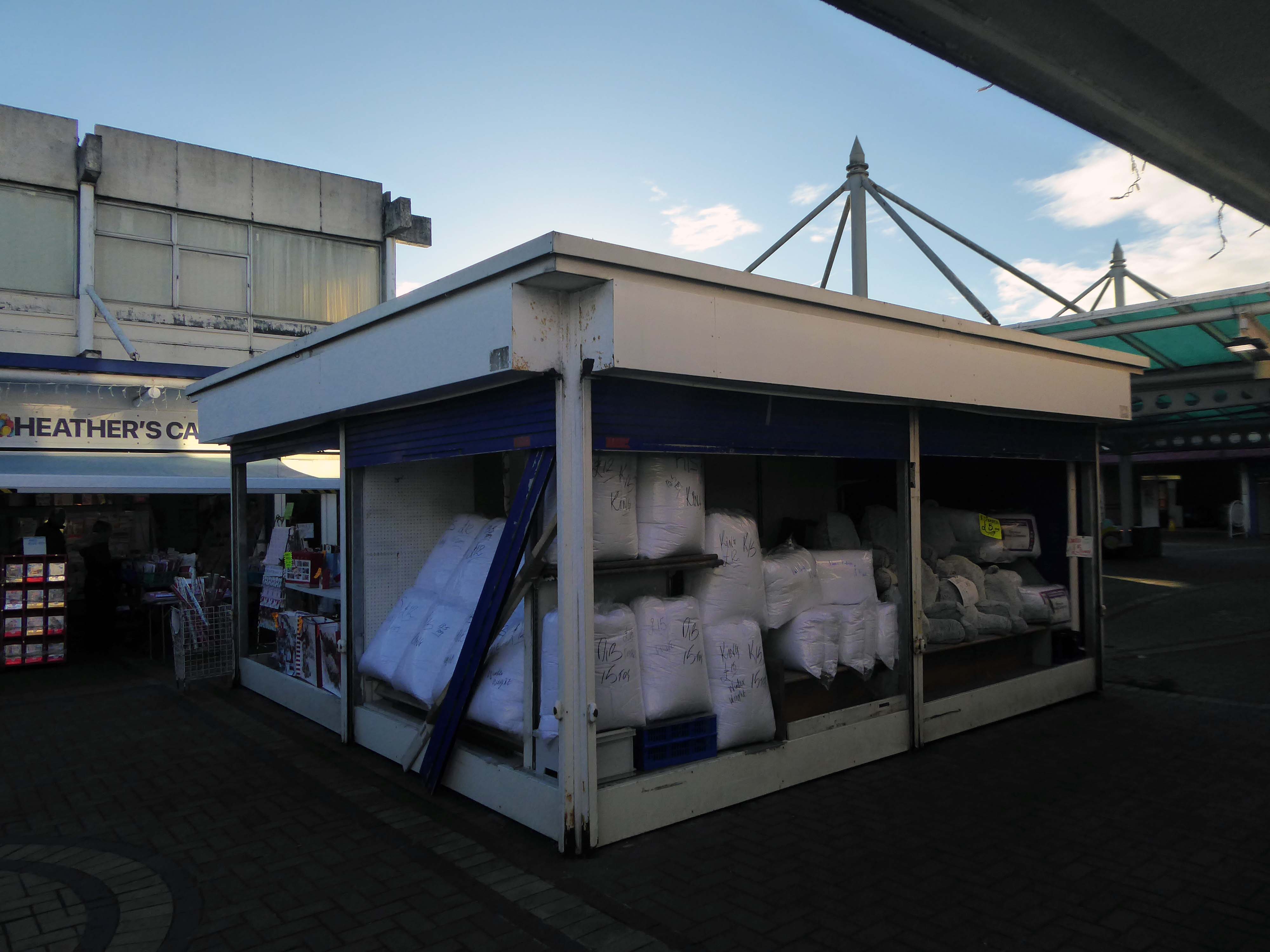
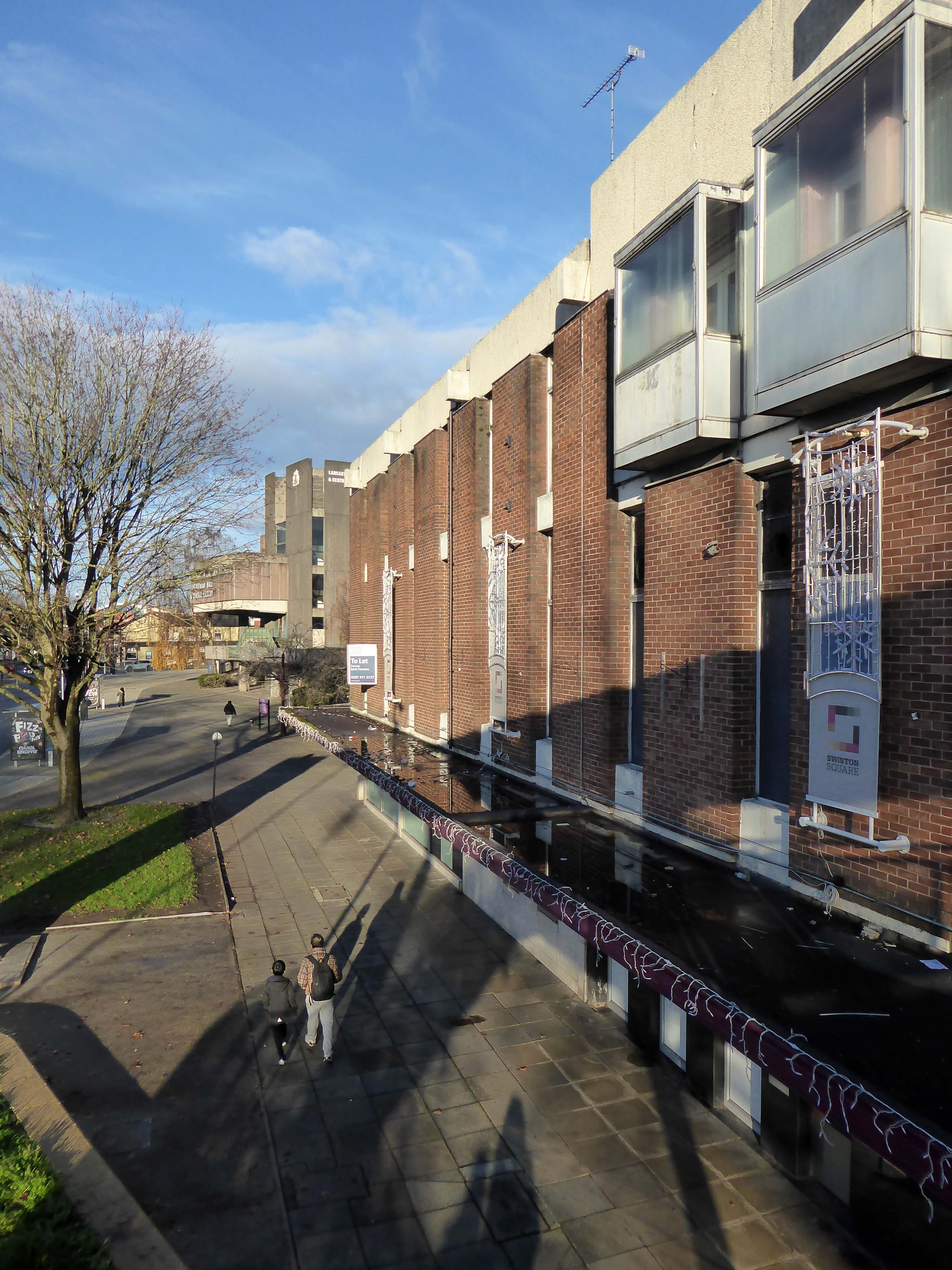
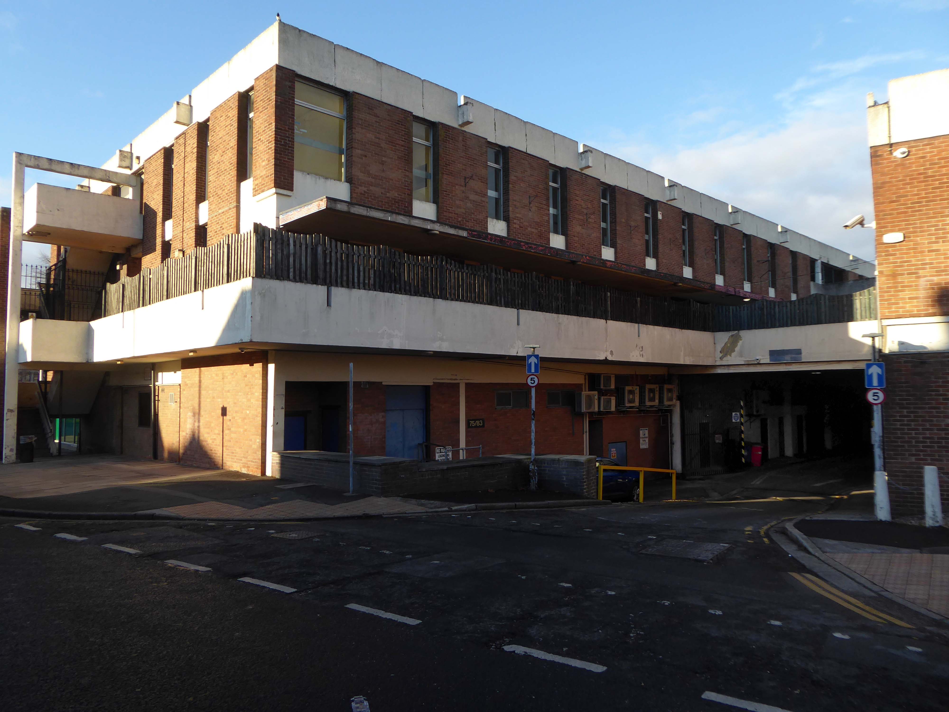
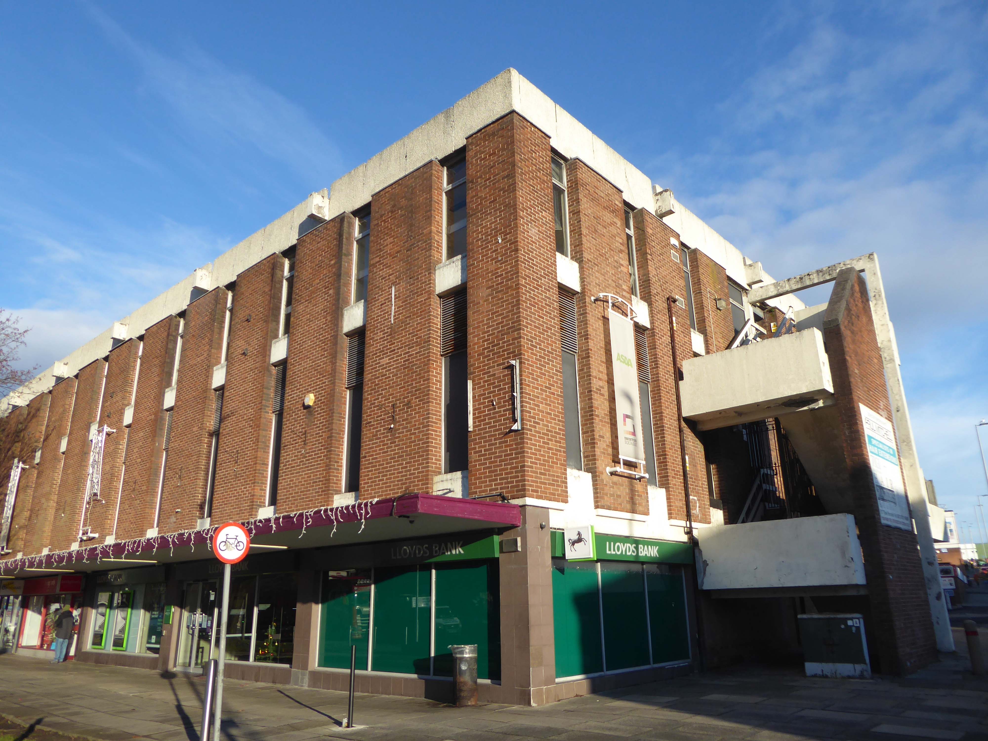
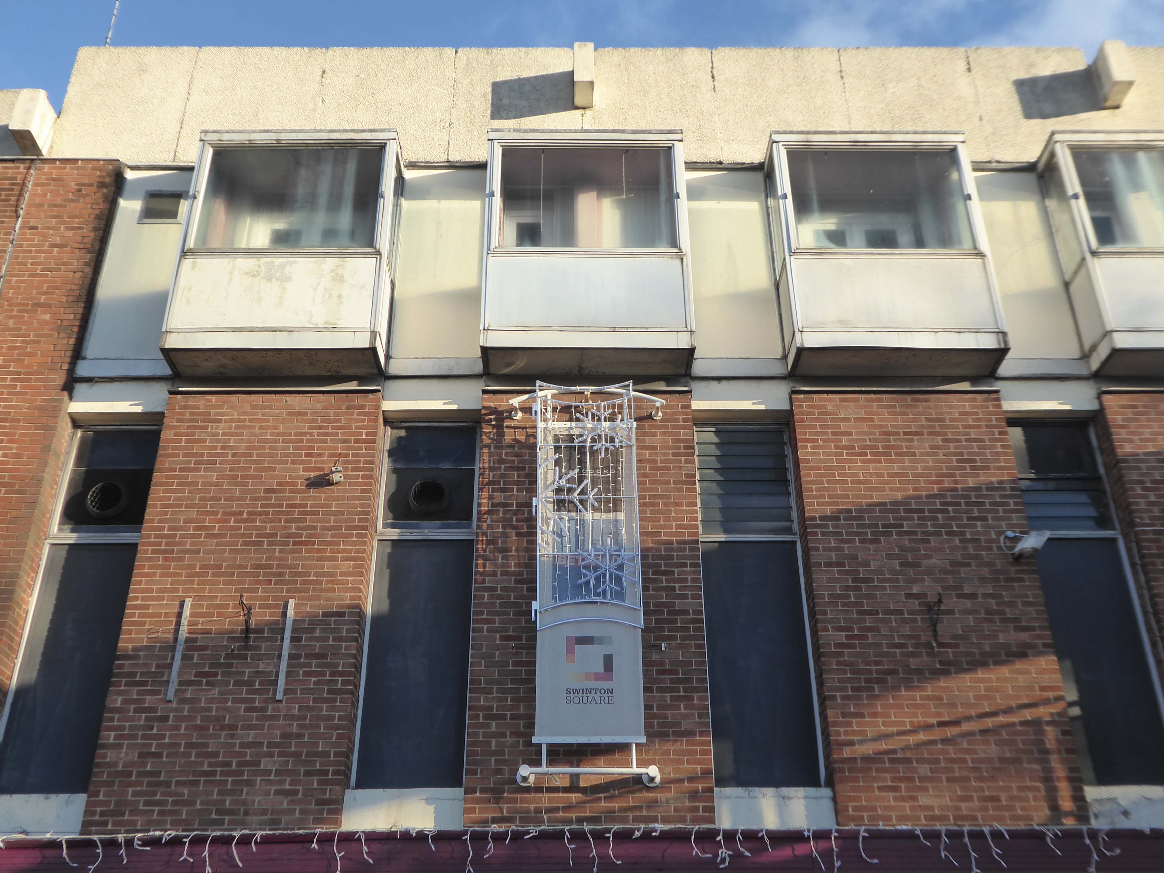
Opened in 1966 along with the slightly later Lancastrian Hall and Library, the Swinton Square shopping precinct provided an integrated modern setting for shopping, living, learning and entertainment.
The late 60s and early 70s was a time of general prosperity – and the hard landscaping offered a soft option for the local folk.
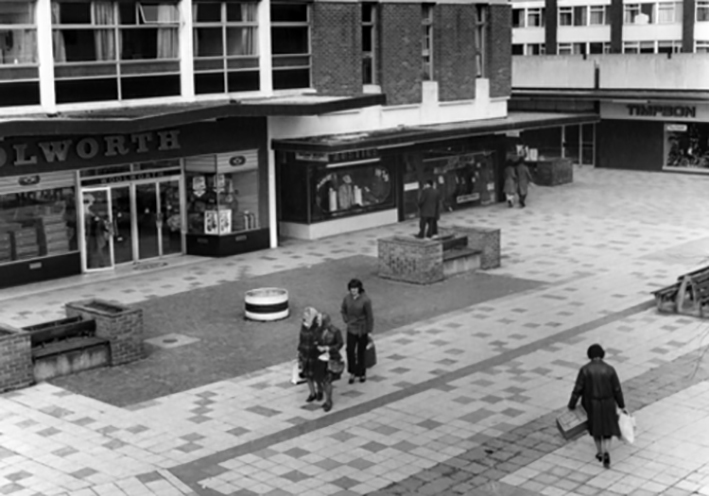
This was the age of the Precinct, celebrated nationally with postcard after postcard.
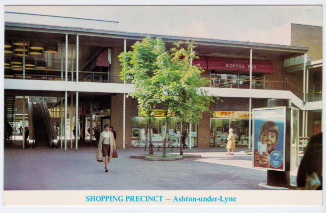
My local haunt in Ashton under Lyne.
Local traders and national chains rubbed shoulders.
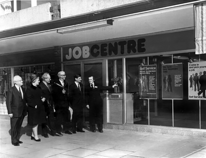
There was even a Job Centre opening- there was even a wide range of vacancies.
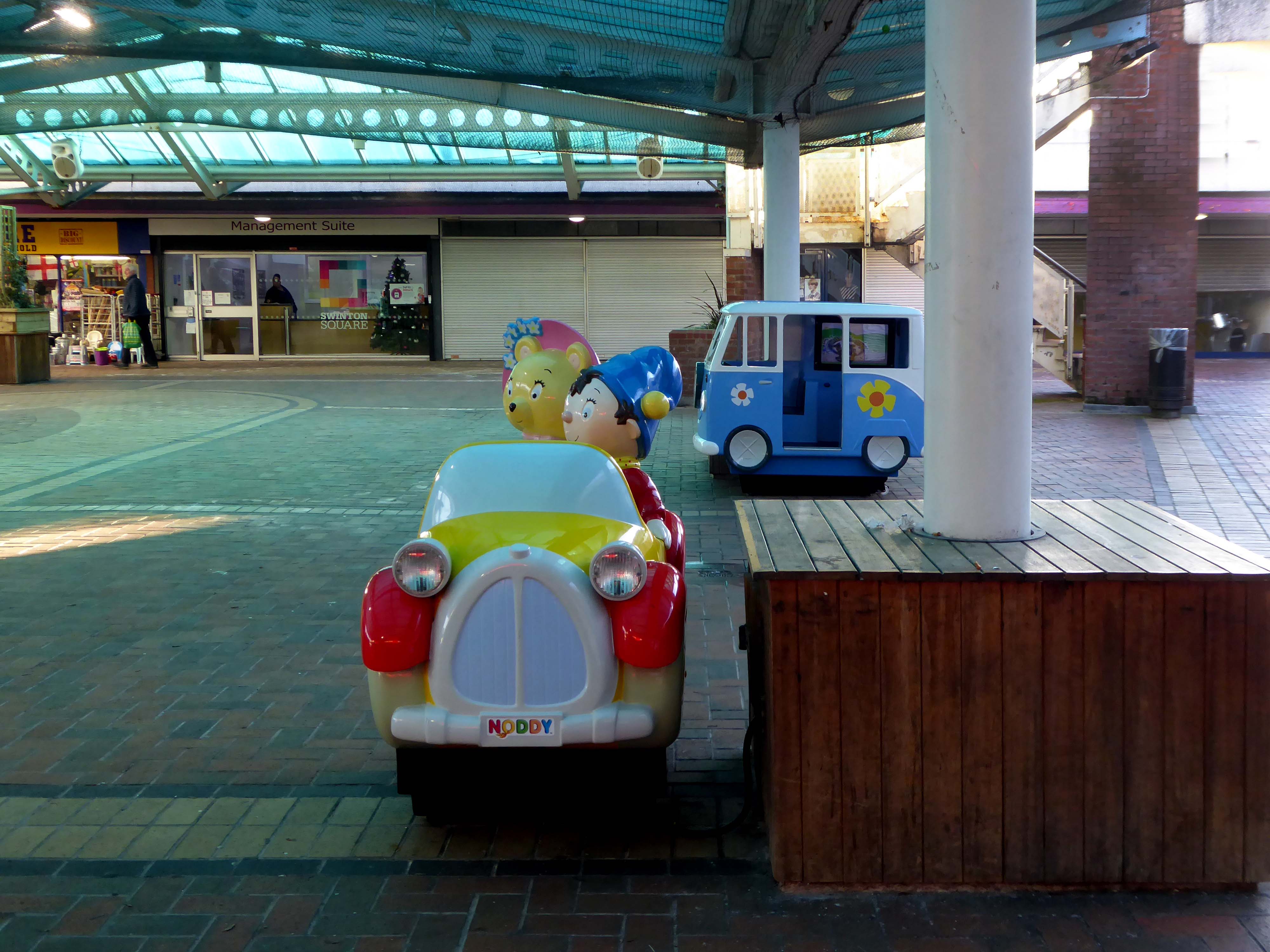
Following a challenging year, the letting reinforces Swinton Square as a pillar in the local community. Whilst retail has been heavily affected throughout the Covid-19 pandemic, footfall at the scheme has remained buoyant, with shoppers staying local, favouring the convenience and independent retailers of Swinton Square. Renovations began on the site of the new, temporary job centre at the beginning of the year and is due to be completed in May. The centre is expected to boost footfall and support for local, independent businesses.
Despite Swinton’s many strengths, it faces similar challenges to other towns. The shopping centre and other buildings in the town centre are dated and in need of investment. Demand for local housing has grown by 23% in the last five years, but there is a lack of high-quality family and affordable housing in the right locations in the area.
The vision is just the first step of the journey, the next is to appoint a developer partner who can take this vision and help shape it, through ongoing consultation and engagement with the community, into a framework and plan for Swinton that will guide future investment.
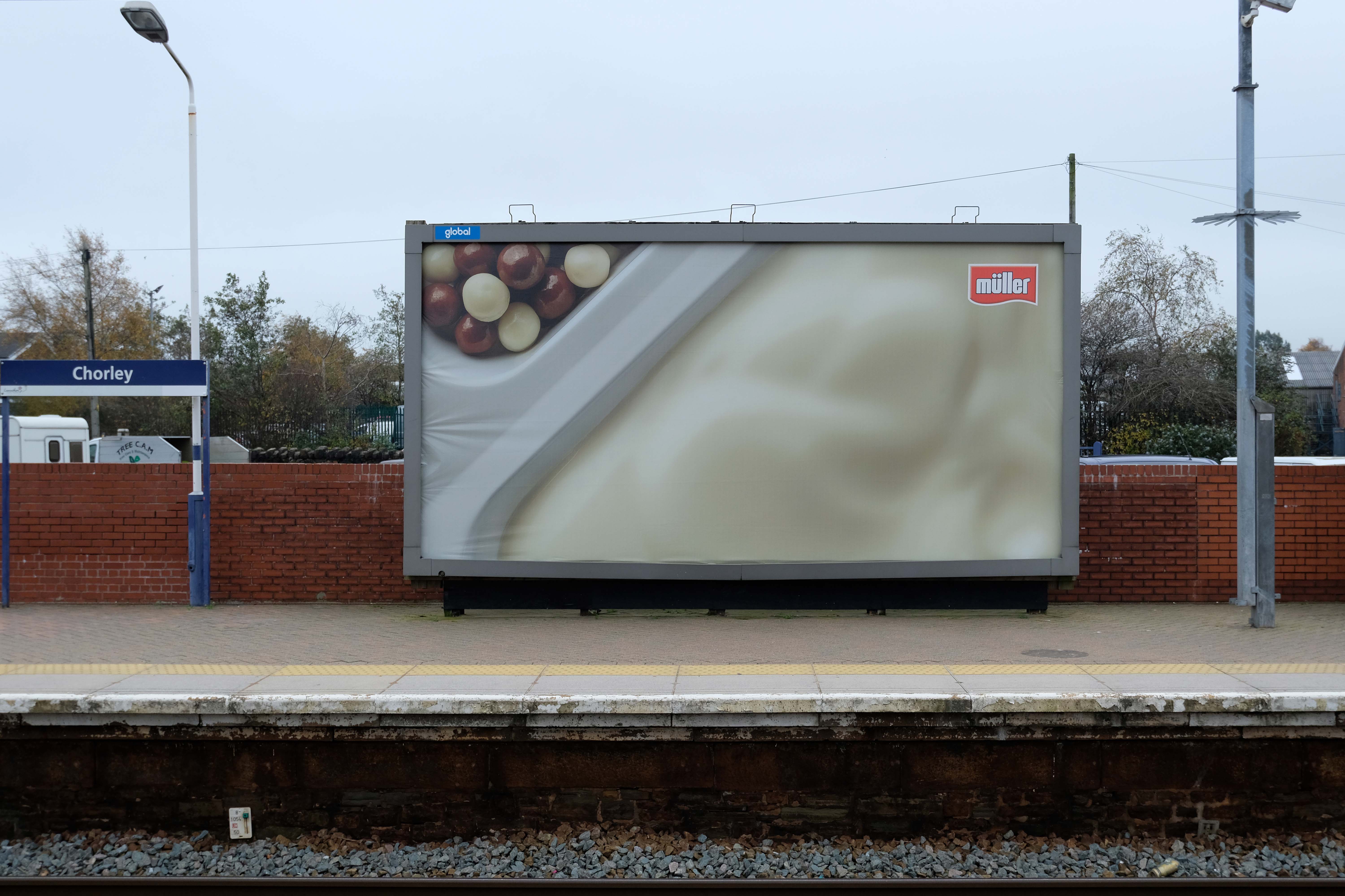
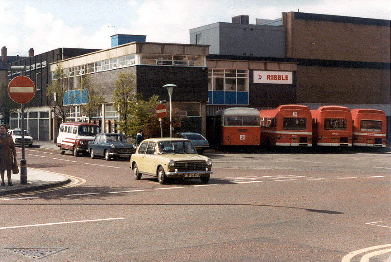
The current railway station is a modern version from the 1980s that was built on top of the original station. The level of the old platforms can be seen under the existing station’s two platforms which are connected by underpass. The initial station was opened on 22 December 1841 by the Bolton and Preston Railway – which later became part of the Lancashire and Yorkshire Railway and was subsequently served by the Lancashire Union Railway between St Helens, Wigan North Western and Blackburn from 1869.
Passenger trains over this route between Blackburn & Wigan were however withdrawn in January 1960. Further work was done in 2016 and 2017 in connection with the electrification of the line between Euxton Junction and Manchester.
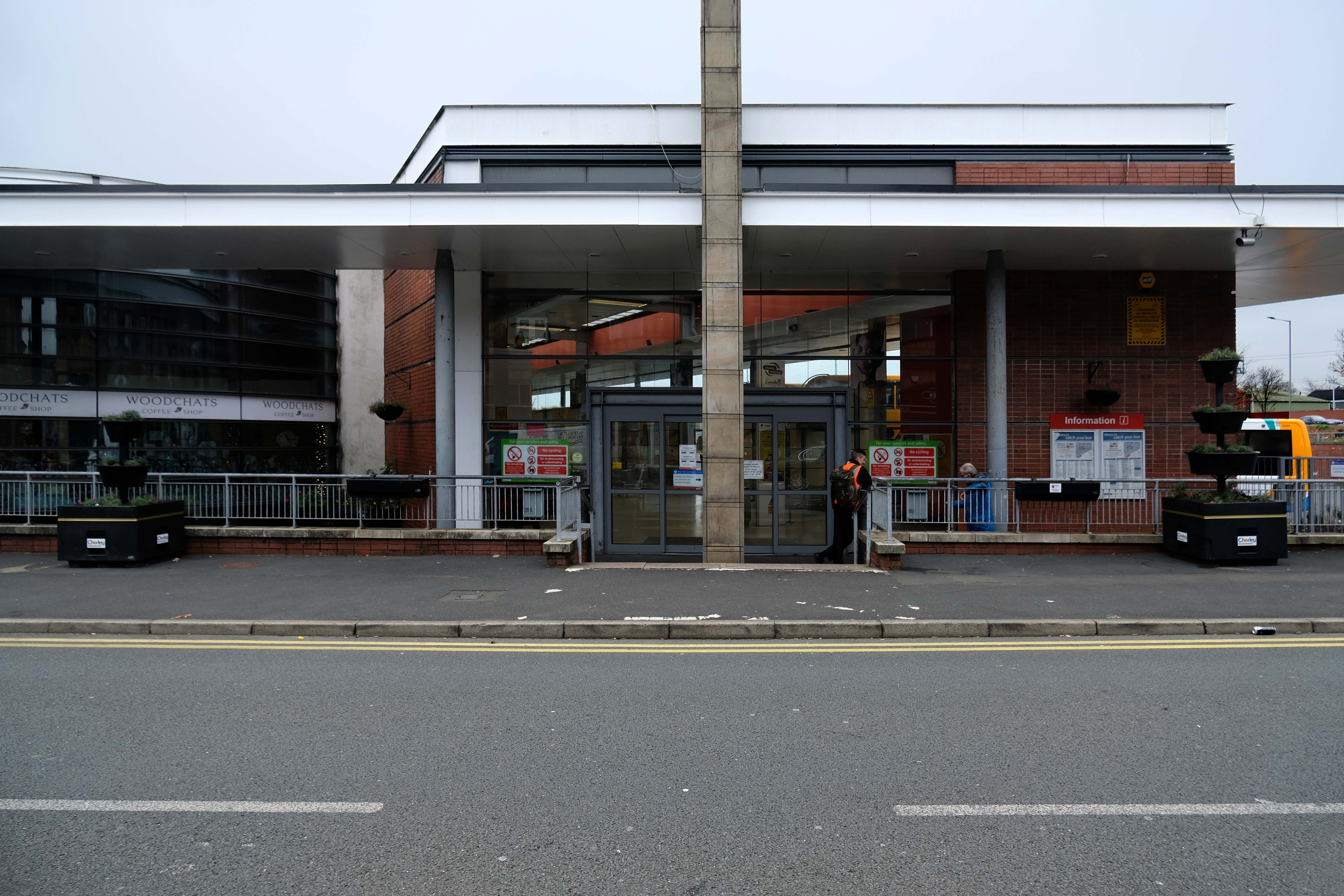
Crossed over to the Interchange – which was formerly a humble bus station, opened in February 2003 replacing the previous structure.
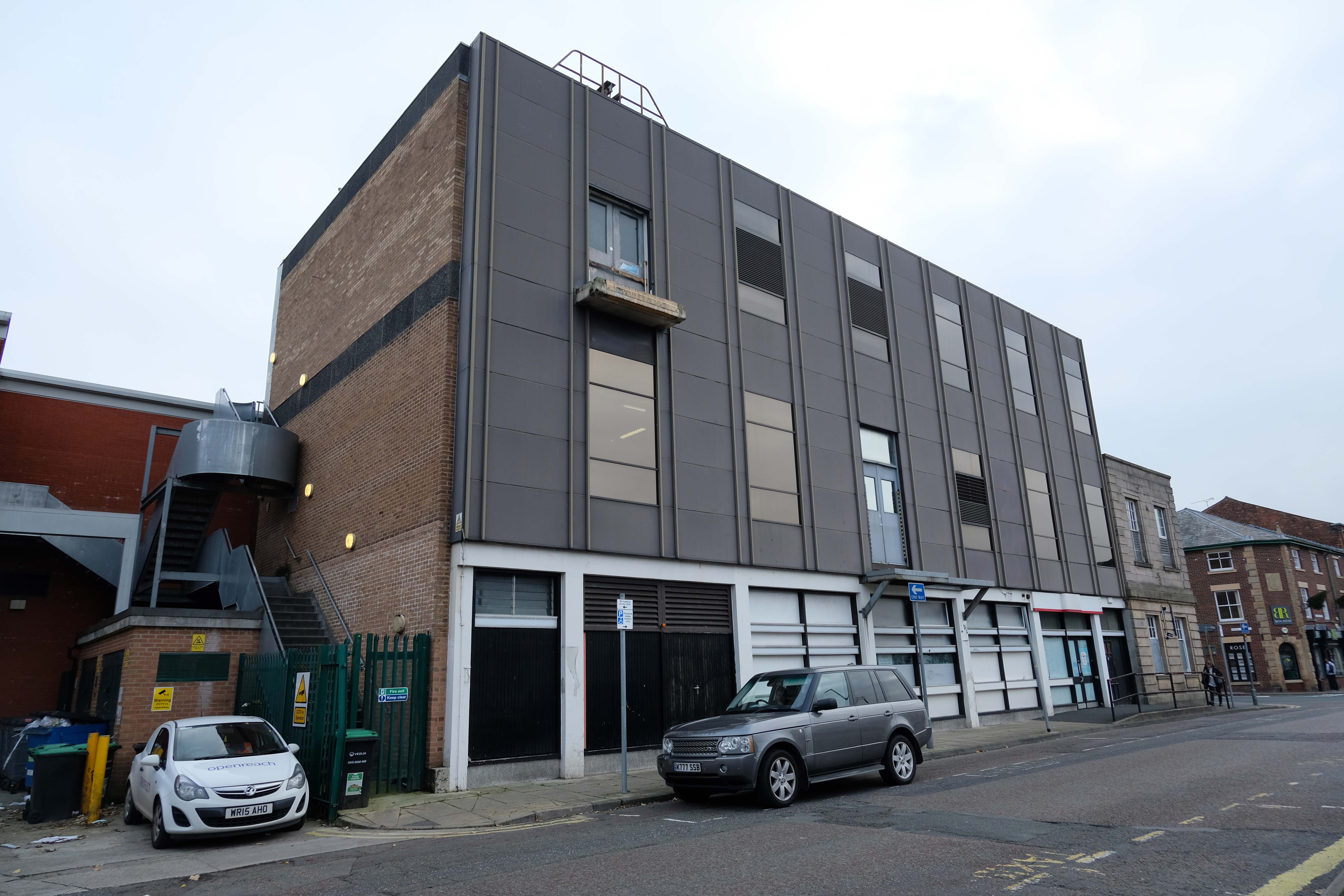
Across the way a stand of shops with distinctive faience fascias.
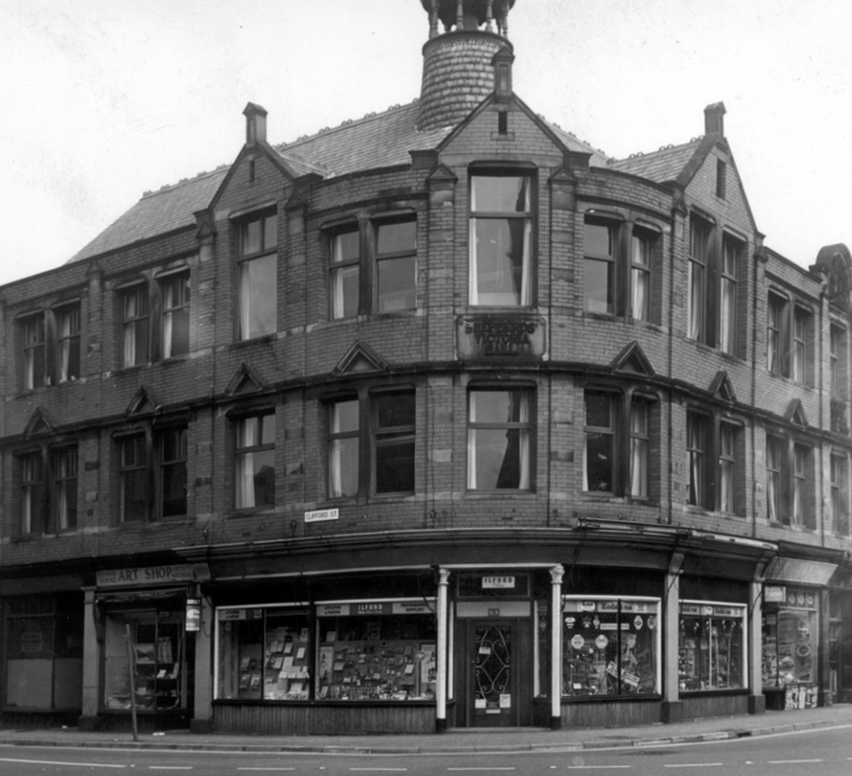
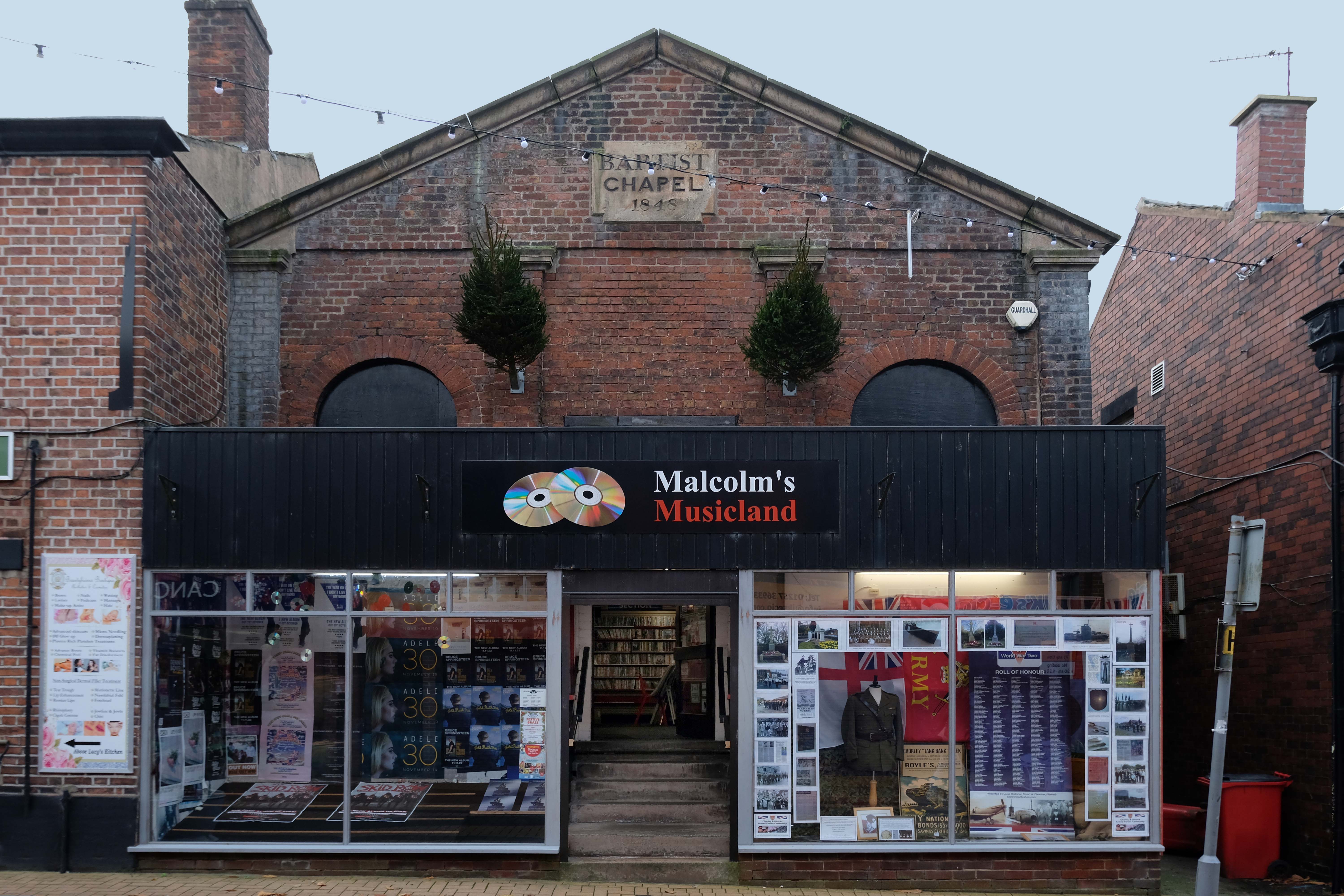
Further along the Shepherds’ Victoria Hall – once home to the Jubilee of the Ancient Order of Shepherds’ Friendly Society which was quite prominent in Chorley in the late 1800’s and early 1900’s
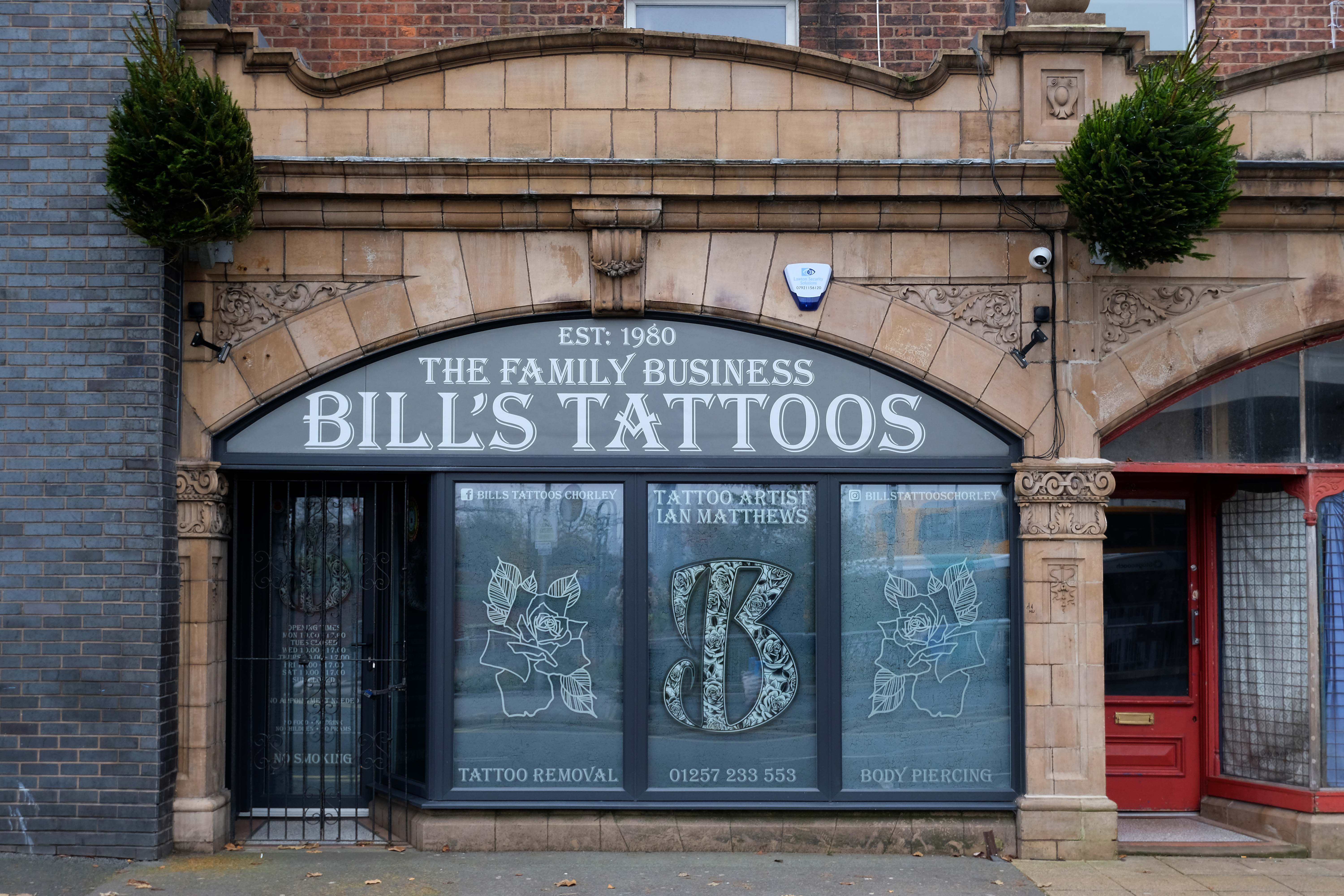
Down the way a ways a Baptist Chapel of 1845 on Chapel Street – currently trading as Malcolm’s Musicland.
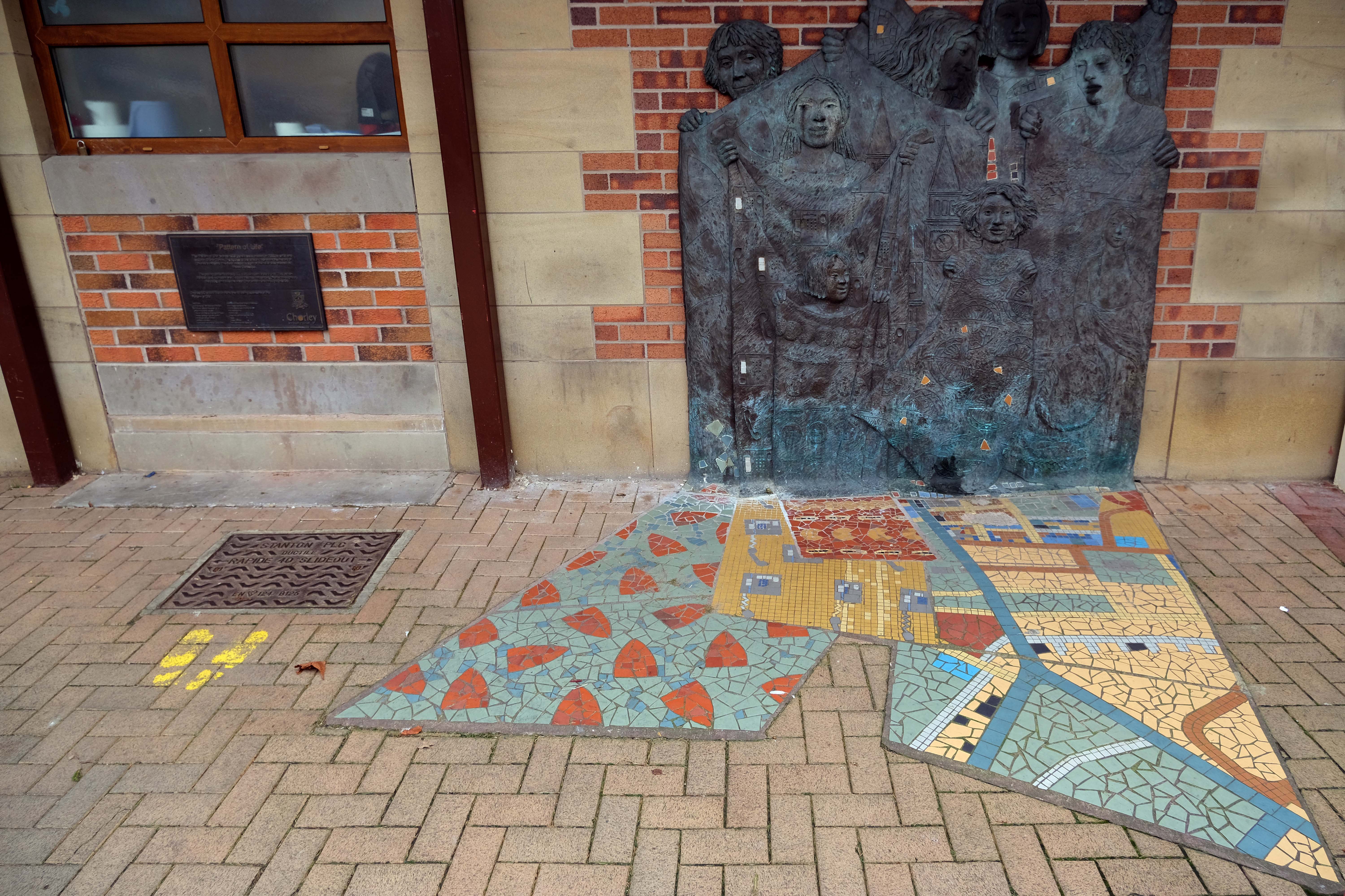
Hang a sharp right to the Market – where there is this newish piece of public art Pattern of Life a bronze relief by Diane Gorvin and mosaic work by Tracey Cartledge
This piece involves an innovative combination of cast bronze and ceramic mosaic. Two bronze relief panels display female figures holding out rolls of fabric, each decorated with patterns and images that are particular to the town of Chorley. Payphones, for example were invented and manufactured in Chorley, the crested newt is protected here and you might also notice the famous Chorley Cakes. As the fabrics tumble down, the designs are translated from bronze relief on the wall surface into 2D mosaic in the pavement.
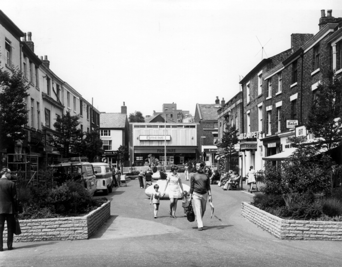
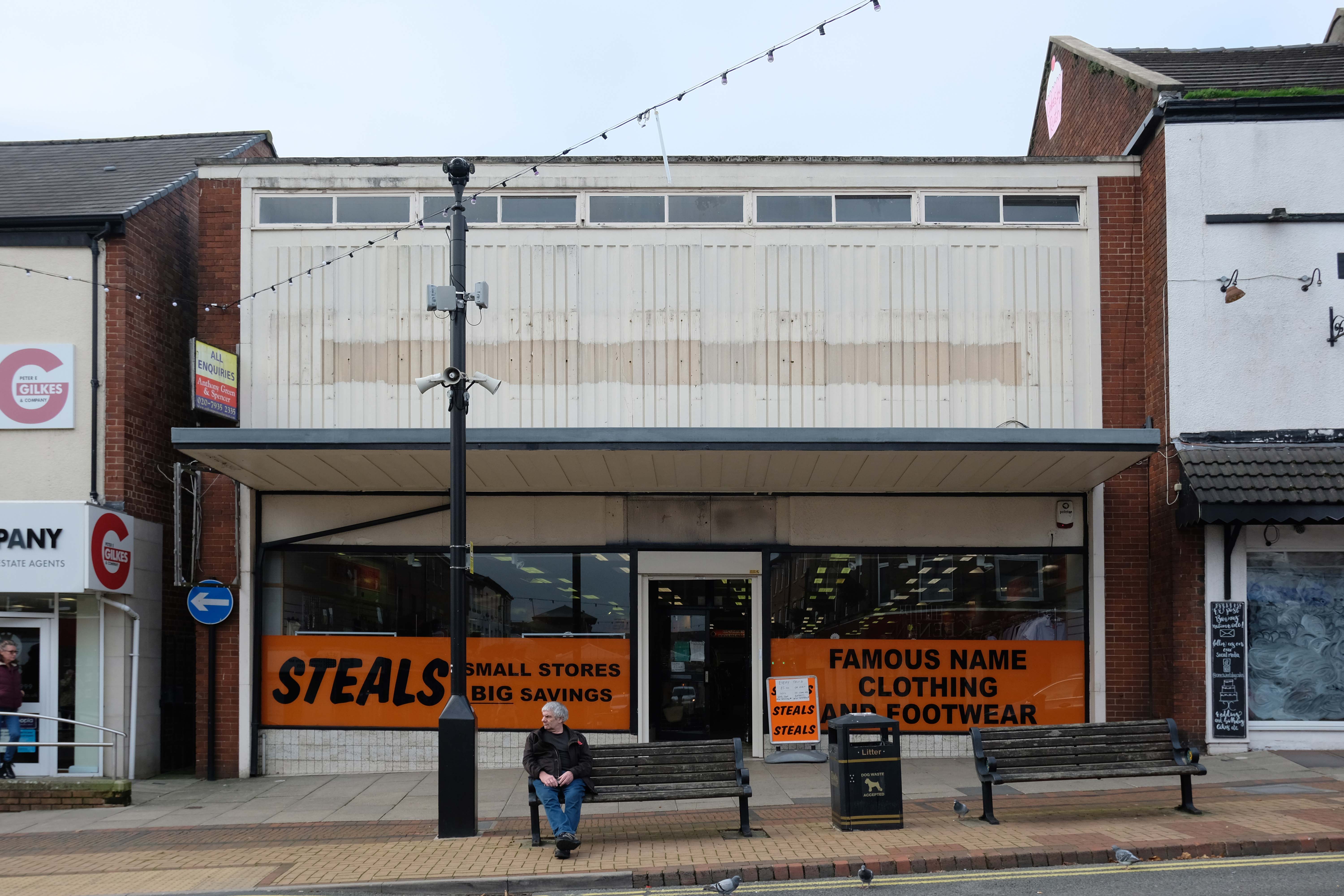
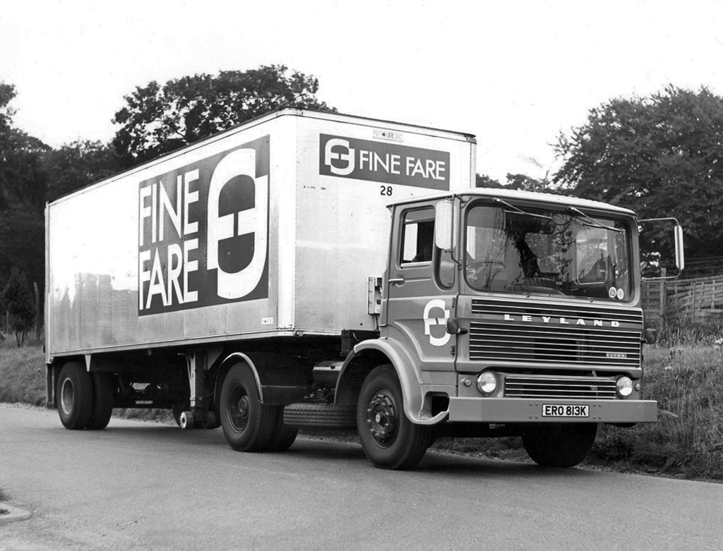
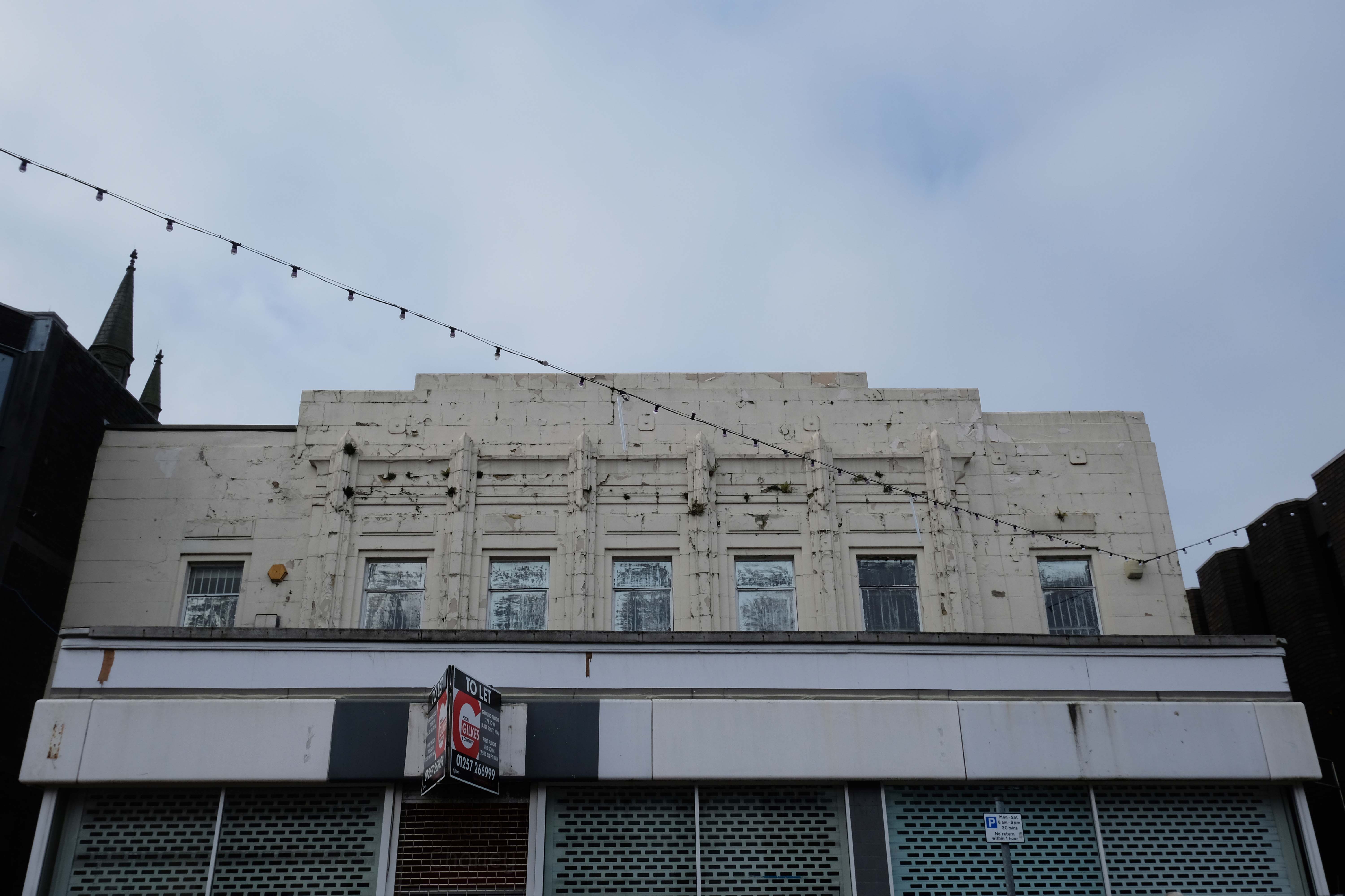
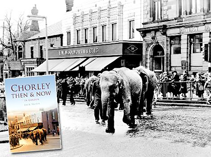
Looking down Fazakerley Street to where Fine Fare once was.
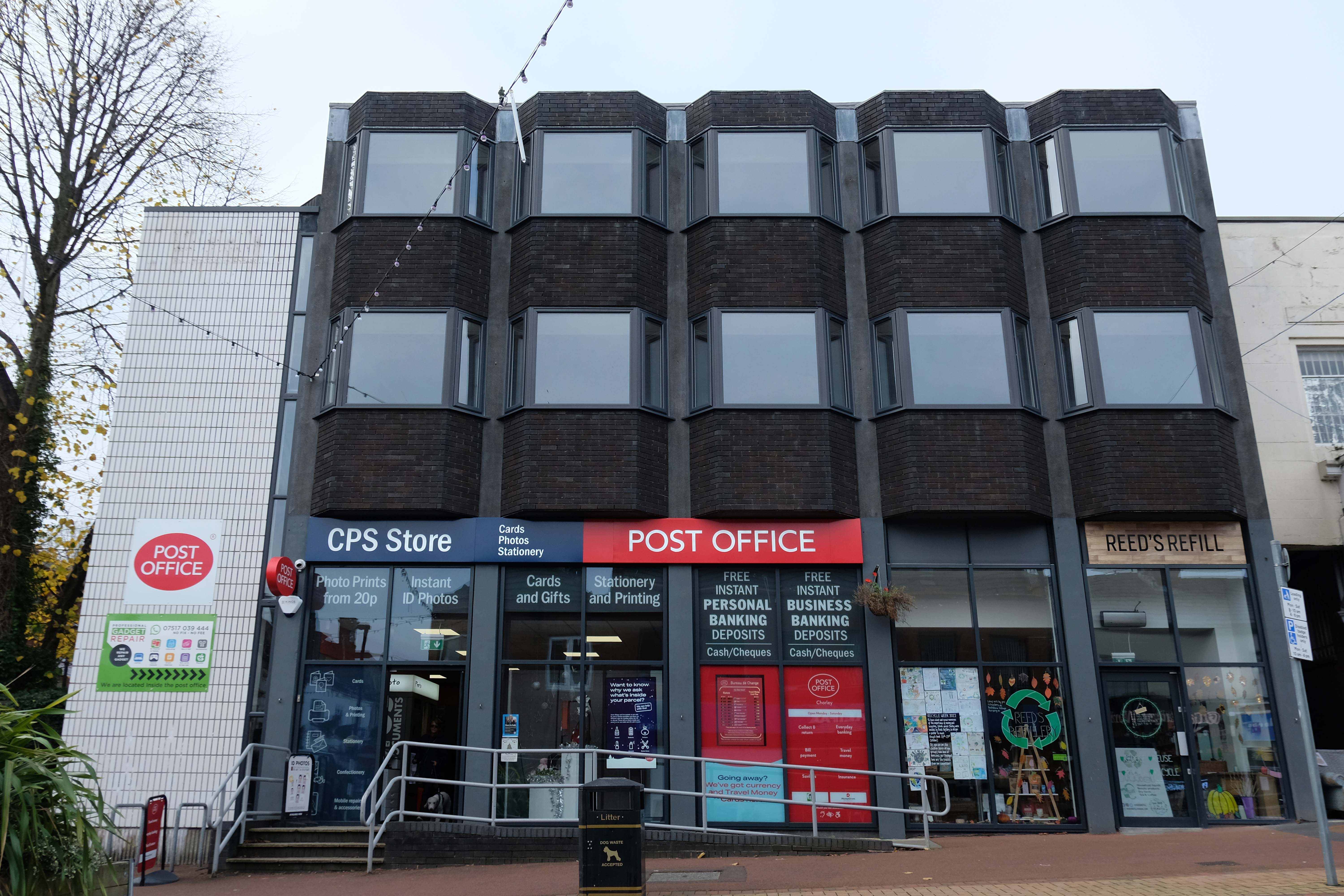
We’ll return to such matters in a moment – we have to get to the Post Office – which is no longer a Post Office.
It was a Post Office in 1935 – it also has a later extension.
The local list declares that the post office dates from 1935. This is almost certainly erroneous since the contract documents date from 1924, and from contract to completion the average construction and fitting-out time was about 18 months.
Plans supplied by the Architects Messrs. Cheers & Smith of Blackburn which were approved by the Education Committee on the 18th August 1904 – design proposals for the new Technical School entitled Light and Air.
The considerable task of erecting the school was given to the local builder Mr. William Hampson of Pall Mall.
Surely the envy of his trade, the total contract was worth a mouth- watering £10,041 15s. 9d. – approx. £720,000 today.
The building was officially opened by the 16th Earl of Derby on September 24th 1906.
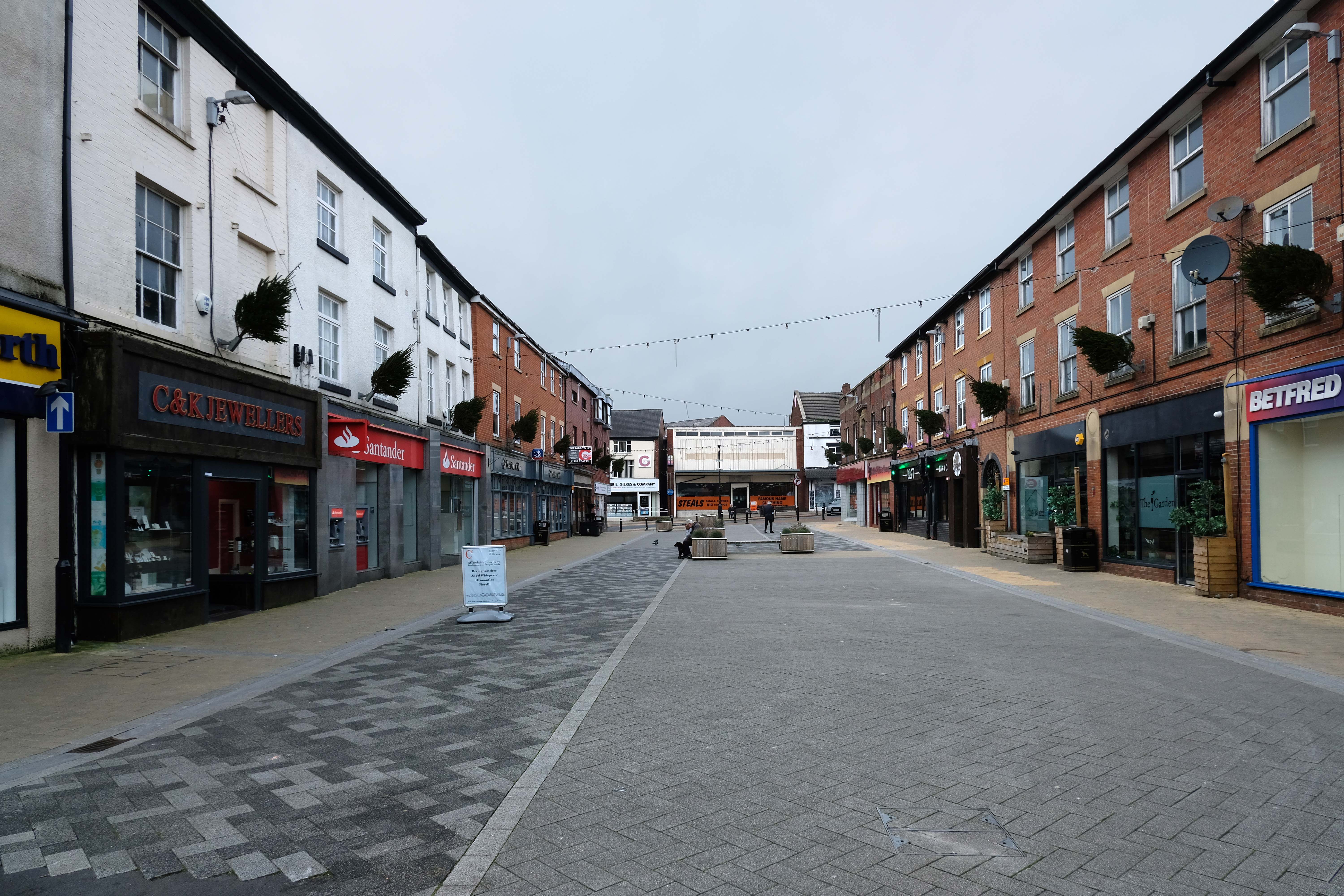
Over the road the town’s newest retail development Market Walk – the work of AEW Architects.
Chorley Council bought the shopping centre from Orchard Street Investments for £23m in 2013 and commenced a large-scale regeneration scheme in 2018 involving a £15m, 79,000 sq ft retail and leisure extension led by main contractor Eric Wright Group and designed by AEW Architects. Here, Conrad Heald of Chorley Council tells his interviewer, AEW director Phil Hepworth, how the scheme came to fruition and has rejuvenated the town centre.
The memorial re-sited in 2018 commemorates the Chorley Pals.
In less than 20 minutes, 235 of the 720 men from the 11th East Lancs. were killed. Another 350 were wounded, of which 17 would eventually succumb to their wounds. Many of the Battalion died where they fell, in No Man’s Land.
As a result of the attack on the morning of the 1st July, the Chorley Pals – Y Company, had 31 men killed and three died within a month of their wounds received on that day. 21 have no known graves and their names are transcribed on the Thiepval memorial to the Missing on the Somme battlefield. A further 59 were wounded, making a total of 93 casualties out of approximately 175 men from Chorley who went over the top that morning.
Reversing now to the former Barclays Bank – which closed earlier in 2022.
We return now to the former Fine Fare.
The company began as one single supermarket in Welwyn Garden City in 1951, as an offshoot of the Welwyn Department Store, owned by Howardsgate Holdings, the company of Ebenezer Howard, the founder of the garden city movement.
Now here’s a thing a bank which is a bank NatWest not gone west.
Next to the former Woolworths, opened in Chorley in 1930 on Market Street, with its pale Deco faience fascia.
They traded from this building for sixty five years, before closing in March 1995 in order to move to a new store on Market Walk – it became an Argos, then it didn’t.
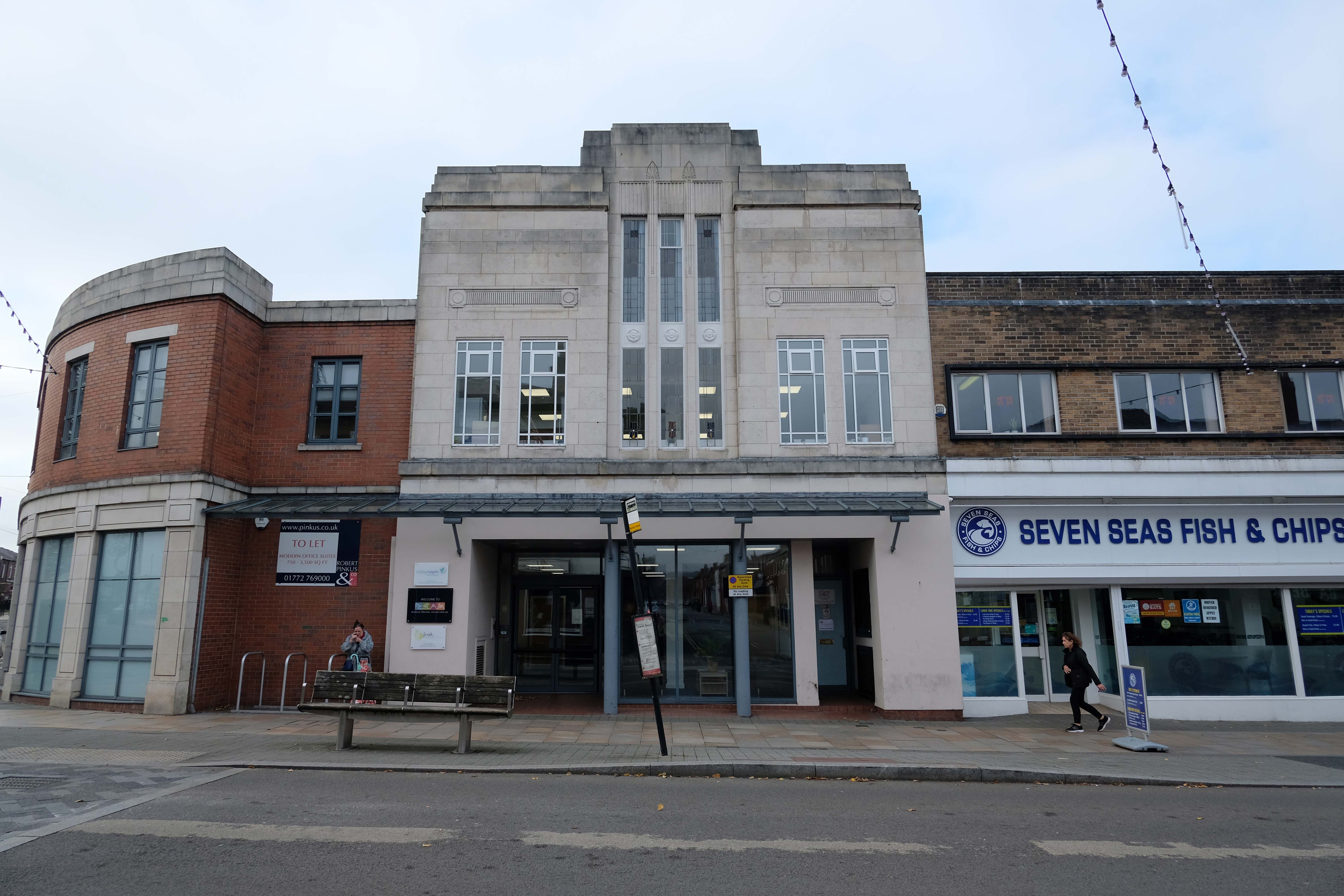
Here we are now at a Post Office that is a Post Office but was an RBS Bank.
The new location is at the former Royal Bank of Scotland on Market Street in the town centre.
Since the Post Office that was based at WH Smith on New Market Street came to an end, when that store closed in January, it relocated to a temporary unit in Market Walk until a permanent solution could be found.
The unit, which had been provided by the postmaster from Burscough Bridge Post Office, closed on Tuesday.
Kenny Lamont, Post Office Network Provision Manager, said a Post Office is important to a community.
This had been a Methodist Church – then, it became the HQ of the Lancashire Electric Power Company.
The Lancashire Electric Power Company was one of the largest private electricity companies in the UK. It was established in 1900 and generated and supplied electricity to 1,200 squares miles of Lancashire from 1905 until its abolition under nationalisation in 1948.
Time to back track to the Cop Shop – the work of County Architect Roger Booth and crew.
The Magistrates’ Courts are closed and up for sale.
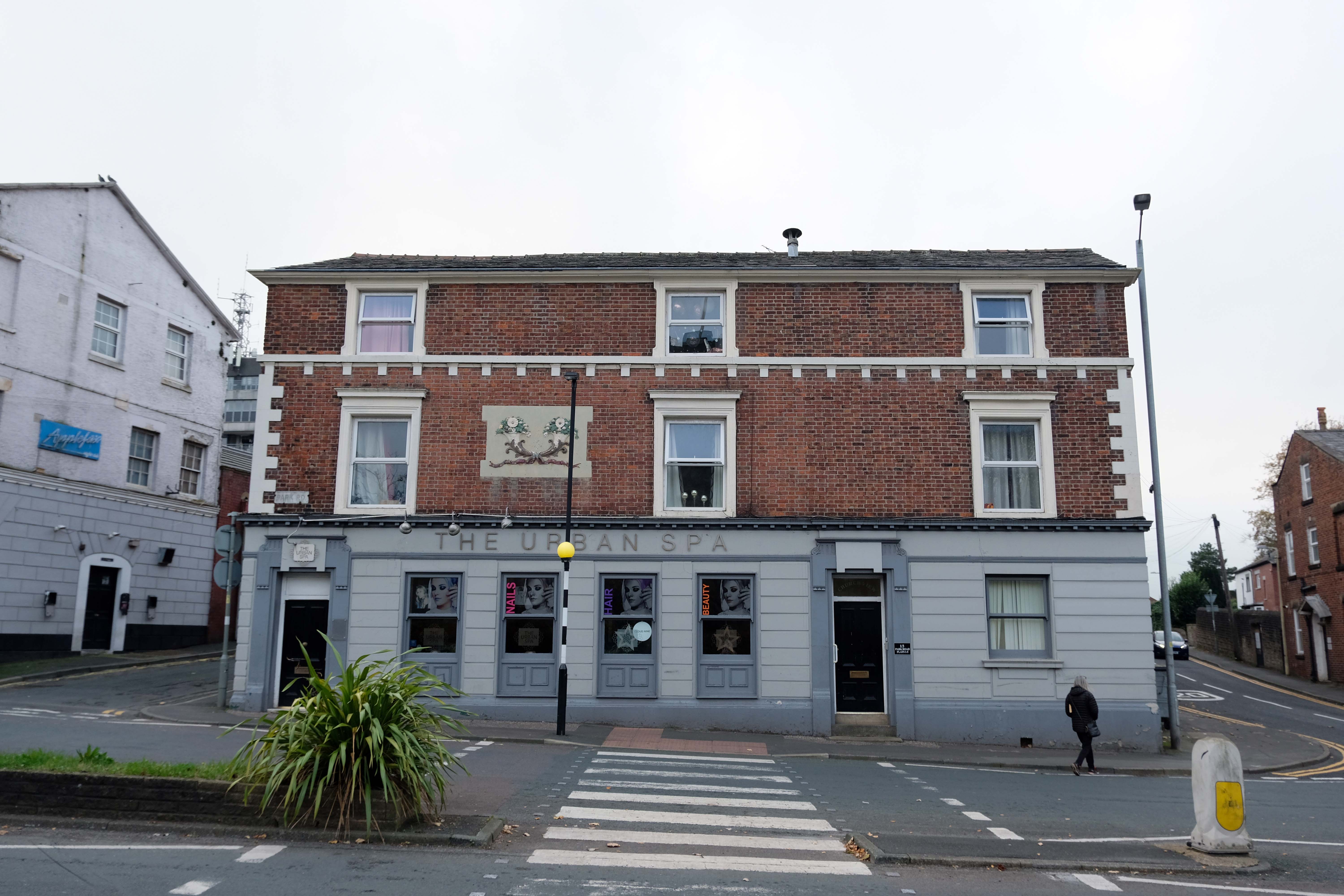
Next door the White Hart once upon a time the Snooty Fox, a pub with an up and down trajectory – currently open and described online as plush.
Down the road a pub no longer a pub but an Urban Spa.
We offer you a full range of professional treatments tailored to your own personal needs. We treat every client as an individual and offer an extensive range of treatments and professional products making your visit one to remember.
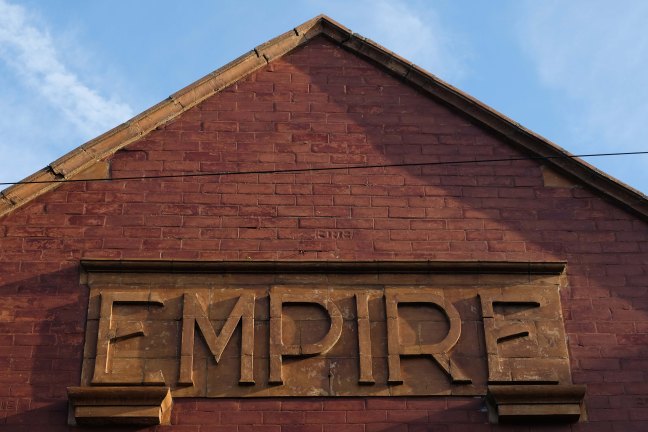
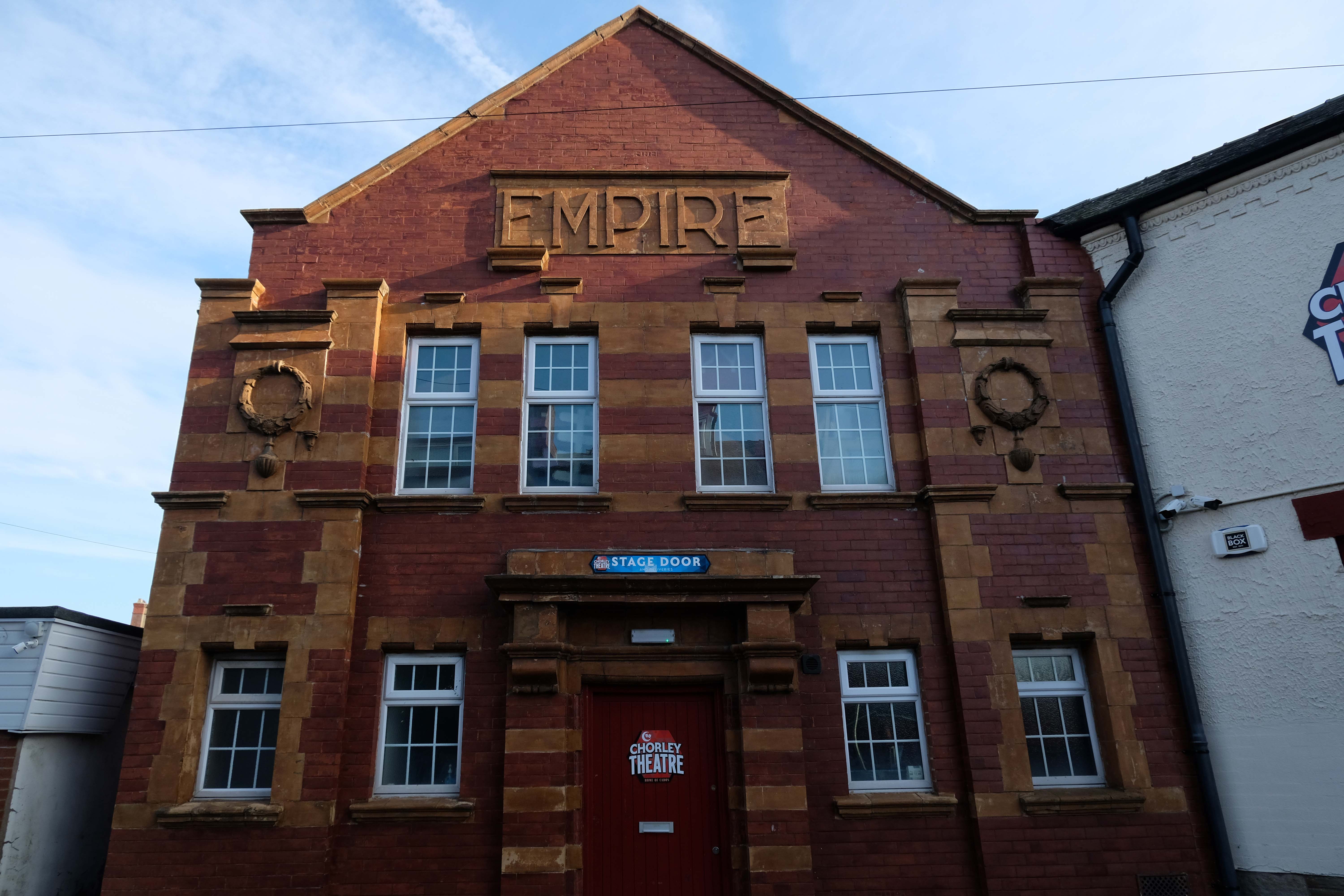
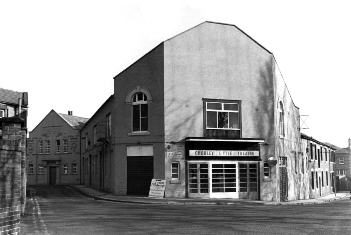
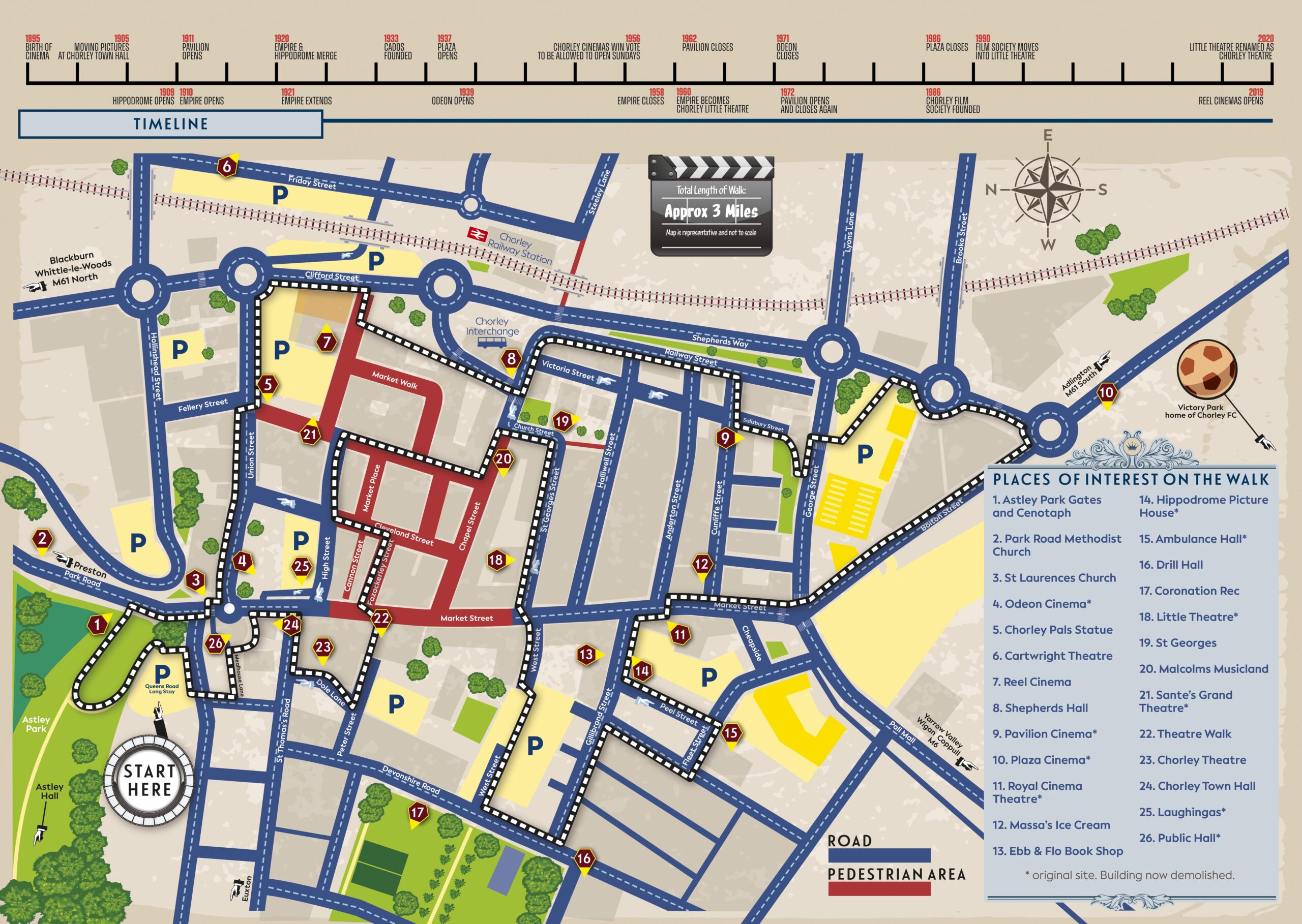
Let’s go to the theatre – The Empire tucked away at the back of town.
The Empire Electric Theatre opened, as the town’s first purpose-built cinema, on 3rd September 1910. In 1912 Archie Hooley began his connection with the cinema business at the Empire Electric Theatre. By 1927 it had been re-named Empire Cinema and by 1930 it was equipped with a Western Electricsound system and was operated by the Perfecto Filmograph Co. Ltd. By 1939 it was operated by the Snape & Ward chain. According to the Kine Year Books, in 1940 the seating was for 800, while by 1952 it had been reduced to 679 – still a far cry from today’s 236 seats. 3D films were shown in the early-1950’s. Archie had died in 1944; his son Selwyn closed the cinema in 1957, apparently “because of the taxes”.
1959
Wrestling took over for a while before Chorley Amateur Dramatic and Operatic Society – CADOS acquired the building and renamed it the Chorley Little Theatre. Since 1960 CADOS have been putting on high-quality productions, presenting at least six productions per season – from September to July. It is also the home of the award-winning Chorley Youth Theatre who meet every Saturday, putting on shows throughout the year; and Chorley Empire Community Cinema who present the cinema experience on their 21ft wide screen with 8-Speaker Surround Sound. Run entirely by volunteers the theatre has state-of-the-art sound systems and a full range of lighting equipment. There are two spacious dressing rooms, space for costumes and props and the Empire Bar. The building has disabled access throughout the public area, including a toilet, and the auditorium is fitted with a hearing loop. There are three spaces for wheelchairs in the auditorium. It was re-named Chorley Empire Cinema at Chorley Theatre in October 2019 and films are still part of the programming.
The Odeon Market Street was built for and operated by Oscar Deutsch’s Odeon Theatres Ltd. chain, it opened on 21st February 1938 with Jack Buchanan in The Sky’s the Limit.
Architect Harry Weedon was assisted by PJ Price.
It was closed by the Rank Organisation on 6th February 1971 with George Lazenby in “On Her Majesty’s Secret Service”. After laying closed and un-used for over two years it was sold to an independent bingo operator and re-opened on 9th August 1973 as a Tudor Bingo Club. It later became a Gala Bingo Club which was renamed Buzz Bingo Club in June 2018. It was closed on March 21, 2020 due to the Covid-19 Pandemic. On 15th July 2020 it was announced that the closure would be permanent.
The building was handed over to Chorley Council who decided that asbestos removal would be too costly and the building was demolished in August 2021.
Located on Salisbury Street, off Cunliffe Street, built in 1888 as a military warehouse, it was converted into a roller skating rink around 1909. It opened as the Pavilion Picture Palace on 14th September 1911, operated by George Testo Sante, a music hall strong man, who also operated the Grand Theatre as a cinema. By 1915, music hall acts were also part of the programme. After the end of World War I, the flat floor of the cinema was raked, allowing for better viewing of the screen. The proscenium was 30ft wide, the stage was 16 feet deep and there were two dressing rooms.
The Pavilion Cinema was the first in town to screen ‘talkies, when an Electrochord sound system was installed in 1929. It was taken over by the J.F. Emery Circuit in 1932 and they operated it until the end of 1933. The sound system was upgraded to a British Talking Pictures sound system. In 1954 it was the first cinema in town to be fitted with CinemaScope and the proscenium was widened to 36 feet.
The Pavilion Cinema was closed by 1962 and converted into a bingo club. In 1972 it was re-opened as a cinema again, but due to Star Cinemas chain barring it from showing first run features – they operated the Plaza Cinema, it was closed after 5 months of operation. It was later demolished and the area was redeveloped for housing.
No trace of The Hippodrome Theatre on Gillibrand Street, which was built and opened in 1909, or the Theatre Royal, opened on 30th September 1911, It was demolished in 1959.
A supermarket was built on the site which later became a McDonalds, which is now a Pizza Hut.
Last but not least – located on the Flat Iron Parade, aka Cattle Market, The Grand Theatre was a wooden building built in 1885, which presented melodramas and plays. In June 1909 it was taken over by George Testo Santo, who had been a music hall strongman, and his family. It went over to operating as a Picture Palace for a short season.
By 1914 it was operating as a full time cinema, but was destroyed by fire in 1914.