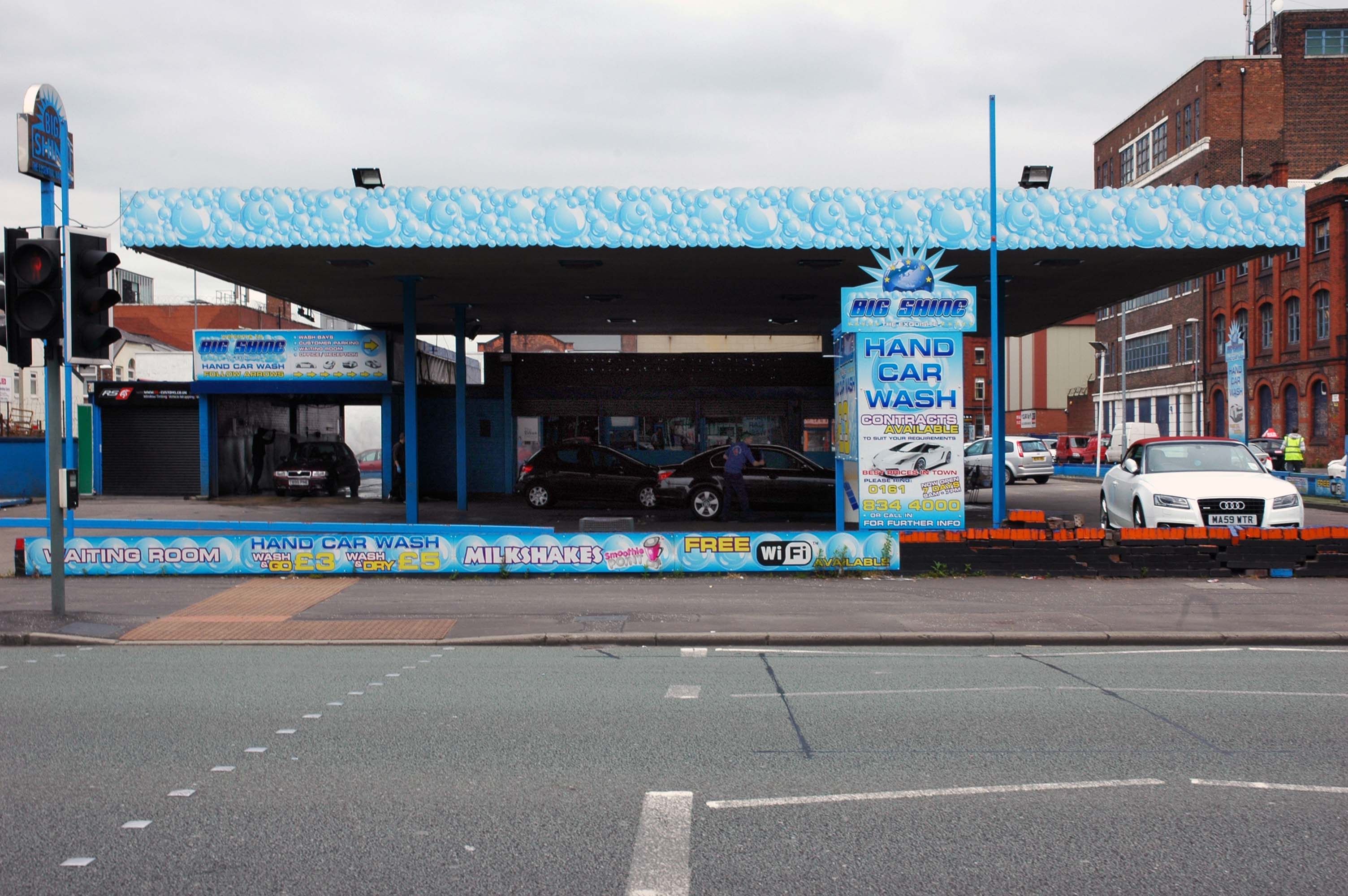
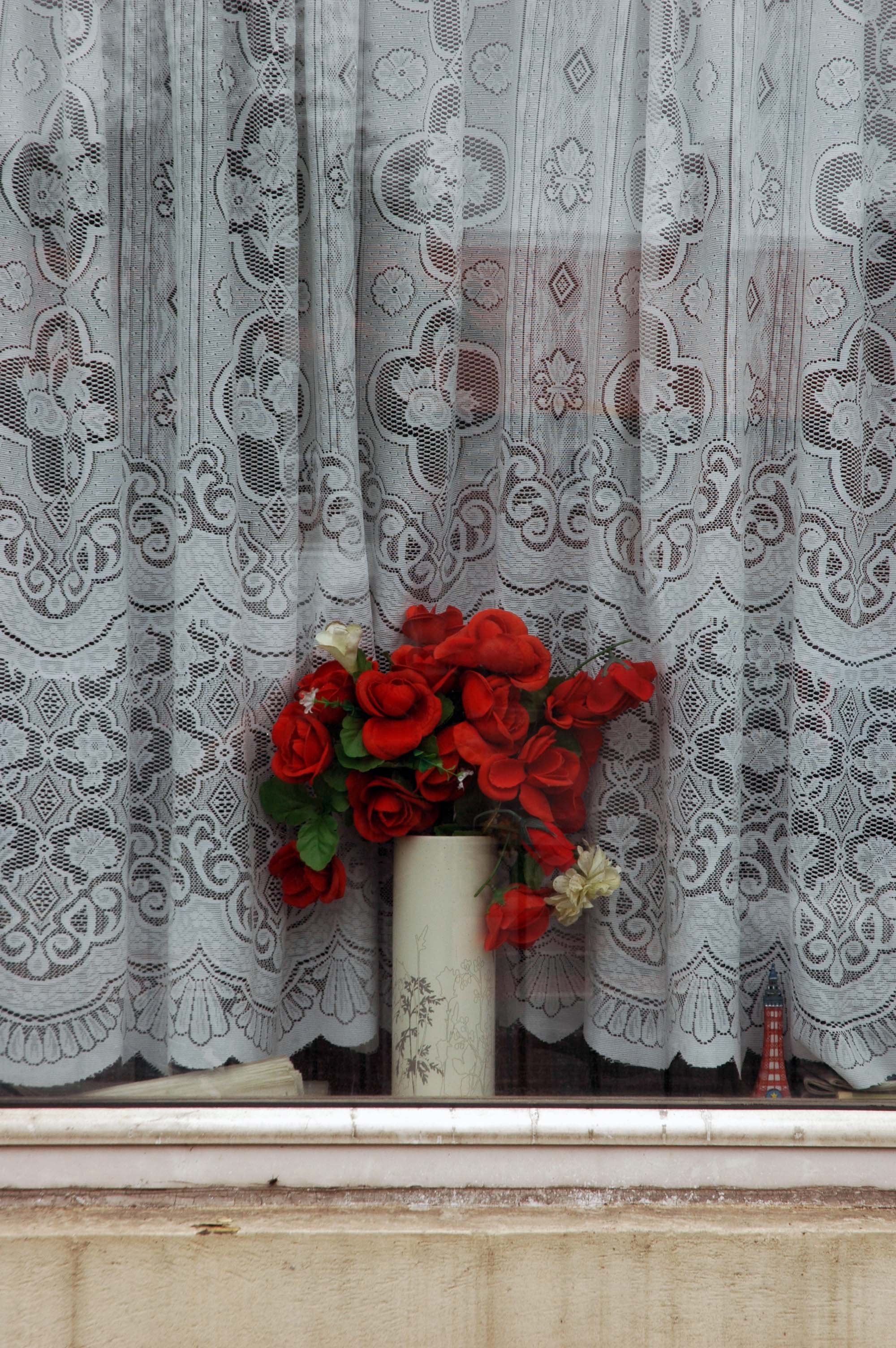
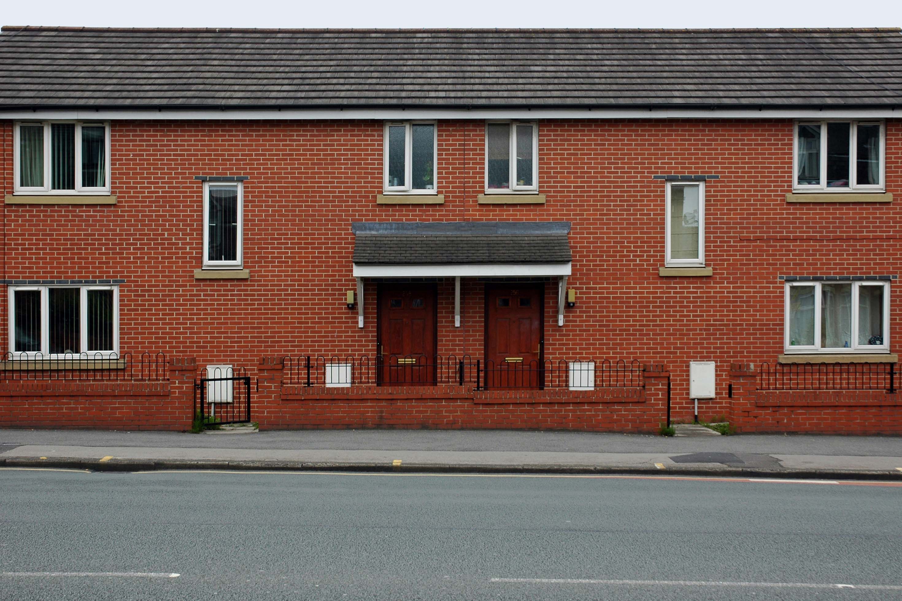
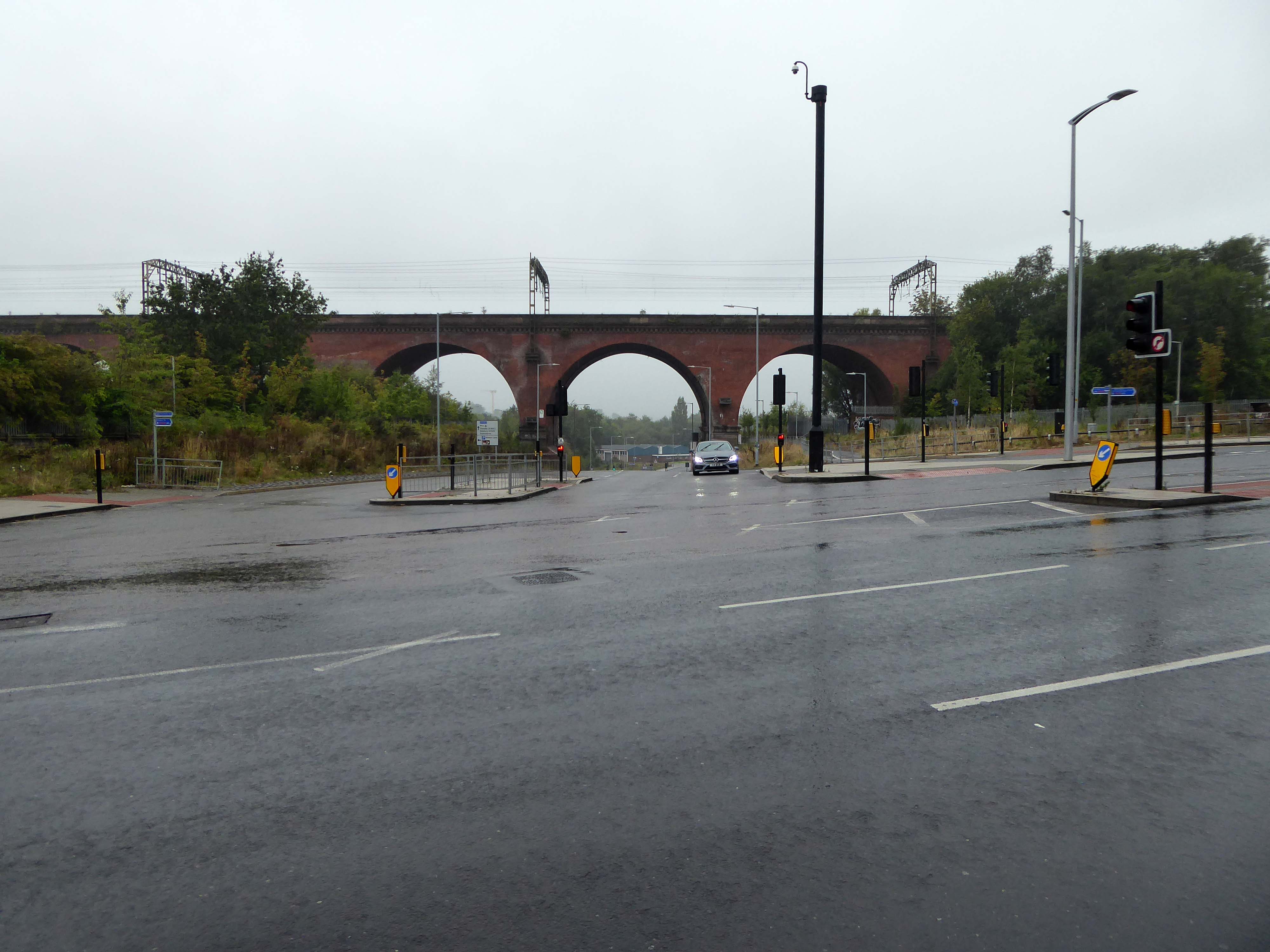
The A6 is Britain’s fourth longest road. Its route varies greatly from the lower lands of the South East, though the Peak District, right though the heart of Manchester city centre, then onwards towards Preston. It then goes though the historic city of Lancaster before skirting the Eastern fringe of the Lake District before ending in Carlisle, bang on the start of the A7.
North from Stockport towards Manchester, the A6 was a wide, four lane road, but still 30 mph, which usually flowed pretty well. According to Mudge, it looks like it has now been massacred by bus lanes and red paint. Shame. We meet the A57 from the east, just south of the city centre, and multiplex until we reach Mancunian Way, the A57 heading off as a short urban motorway, the A6 heading into the city centre via London Road/Piccadily, where it loses its number and vanishes. It would have gone straight down Piccadily/Market Street to meet Deansgate, and then across the River Irwell into Salford, and up Chapel Street, where the number reappears. Market Street has been pedestrianised for years, so the A6 has long ceased to be a through route.
The A57 was nearly a coast to coast route. It passes through three major city centres (Liverpool, Manchester, and Sheffield – with elevated sections in each) and several smaller ones, multiplexes with the A6 and the A1, follows the banks of two canals and negotiates the remotest part of the Peak District. In one city it part of it is a tram route, whilst in another its former route is also a tram route. After all these adventures, it sadly gives up just 40 miles short of the east coast, Lincoln apparently proving too big an obstacle.
The A57 crosses the River Irwell at Regent Bridge before entering its moment of motorway glory as the A57(M) Mancunian Way skirting the south of Manchester’s city centre on an elevated section and crossing the A56 and A34. This includes a half-completed exit that goes the wrong way up Brook Street – a one way street. The original A57 ran further north through the city centre along Liverpool Road (now the A6143) and Whitworth Street – B6469 as far as the A6 London Road which marked the start of a multiplex.
At the end of Mancunian Way, we reach a TOTSO, straight on being the short unsigned A635(M) and thence the A635 – for Saddleworth Moor, Barnsley and Doncaster whilst the A57 turns south, briefly multiplexing with the A6, and then branching off along Hyde Road. This section of road was extensively cleared for the westward extension for the M67, and consequently has seen a lot of redevelopment.
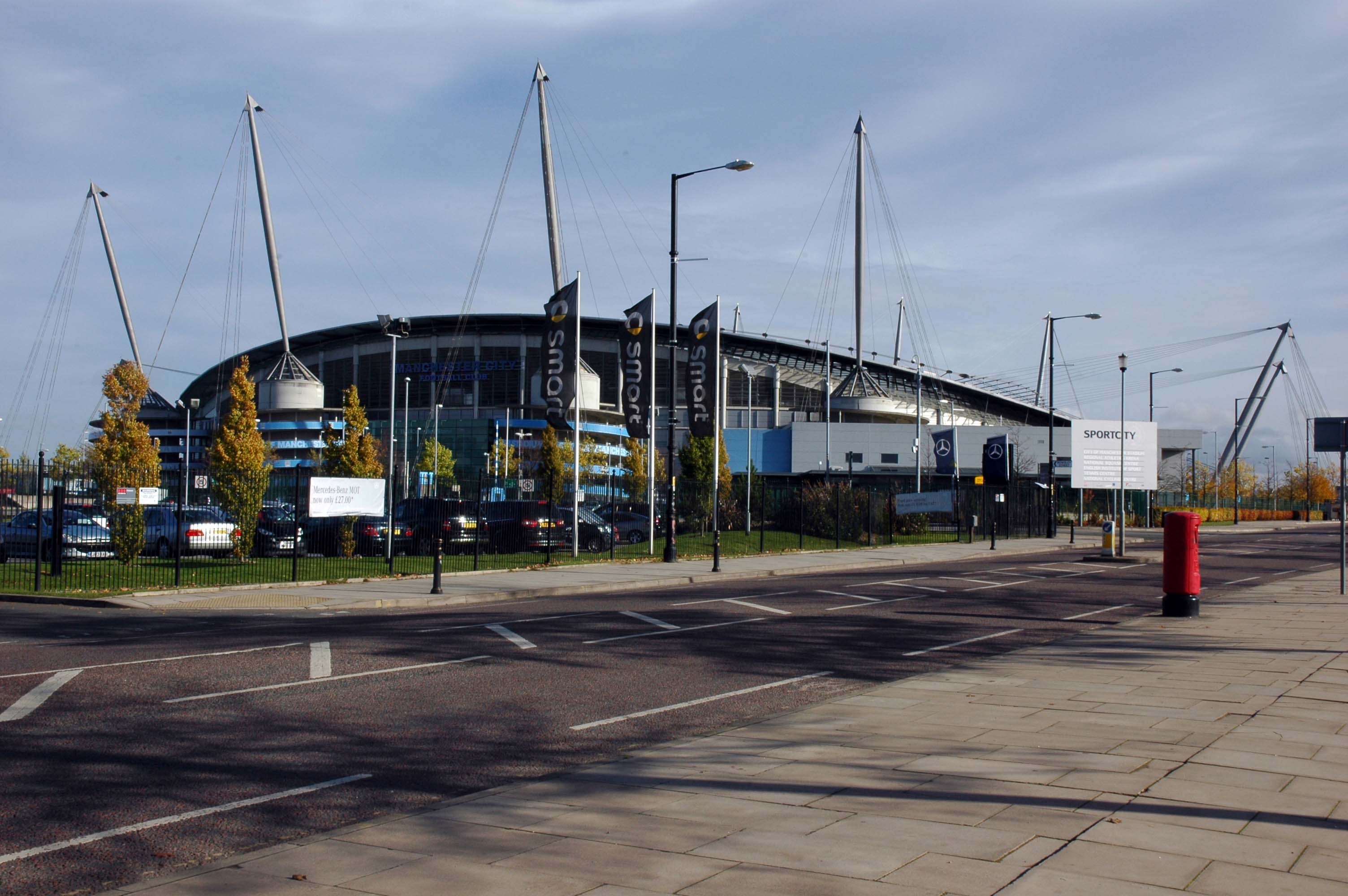
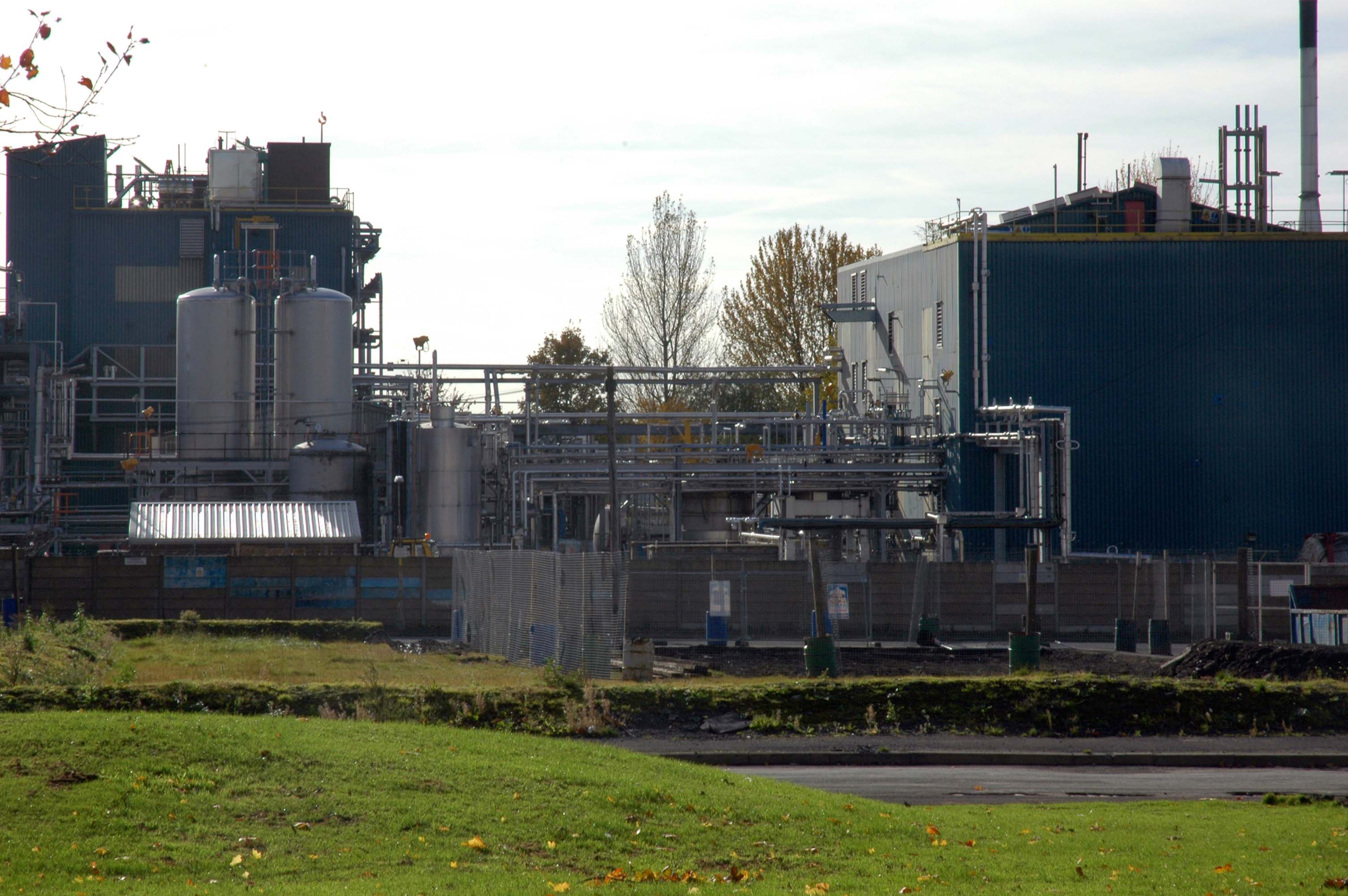
Starting at traffic lights on the A665 the road heads northeastwards, initially with the Metrolink on the left and a factory building on the right. The road then bears right at traffic lights marking the first section of on-street running for the trams, which lasts until just before a bridge over the River Medlock, after which the road passes to the south of the Sportcity complex whilst the tram line runs through the middle.
The A6010 is crossed at traffic lights, after which we see the tram lines on the left once more. We go over the Ashton Canal, then the tram lines at grade before bearing to the right to pass Clayton Park before another section of on-street running for the Metrolink begins, which continues for some distance. Just after crossing the Manchester city limit there is a set of traffic lights, after which the road becomes D2 for a short distance to allow a tram stop – Edge Lane, to be located in the central reservation. The tram leaves the road to the right for the next stop – Cemetery Road, and the stop in Droylsden town centre is once again in the central reservation. In all three cases the street running recommences after the stop.
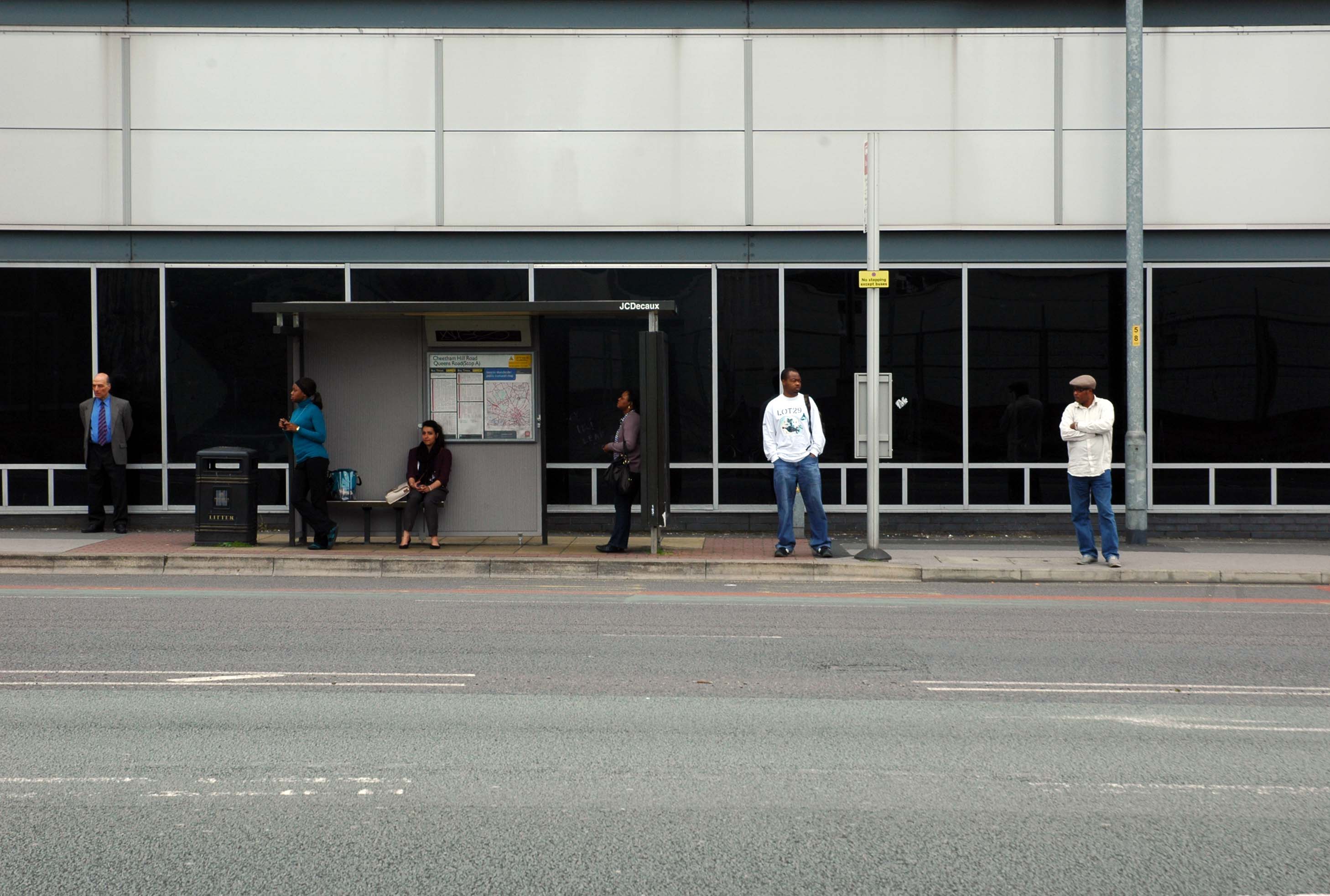
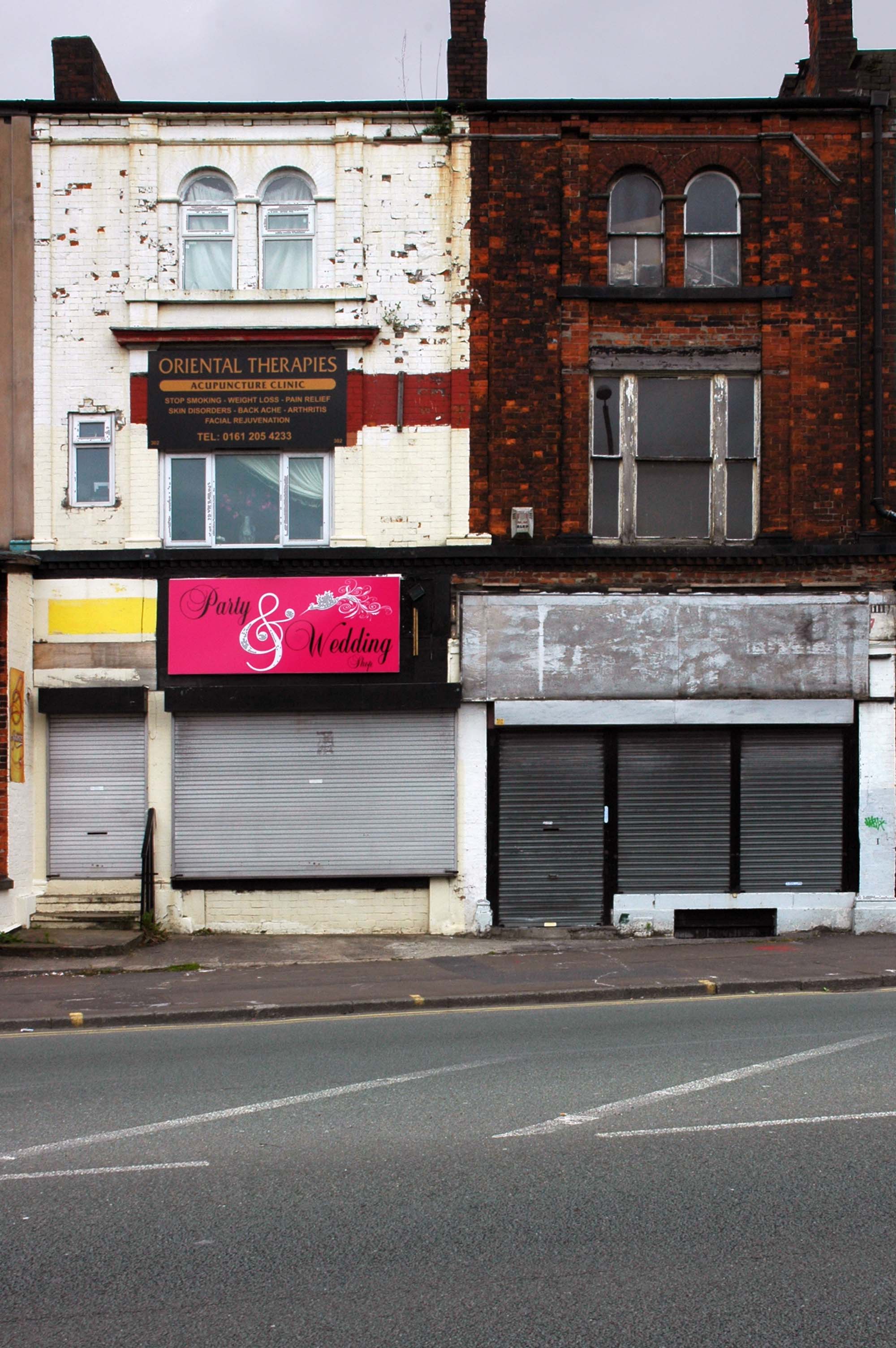
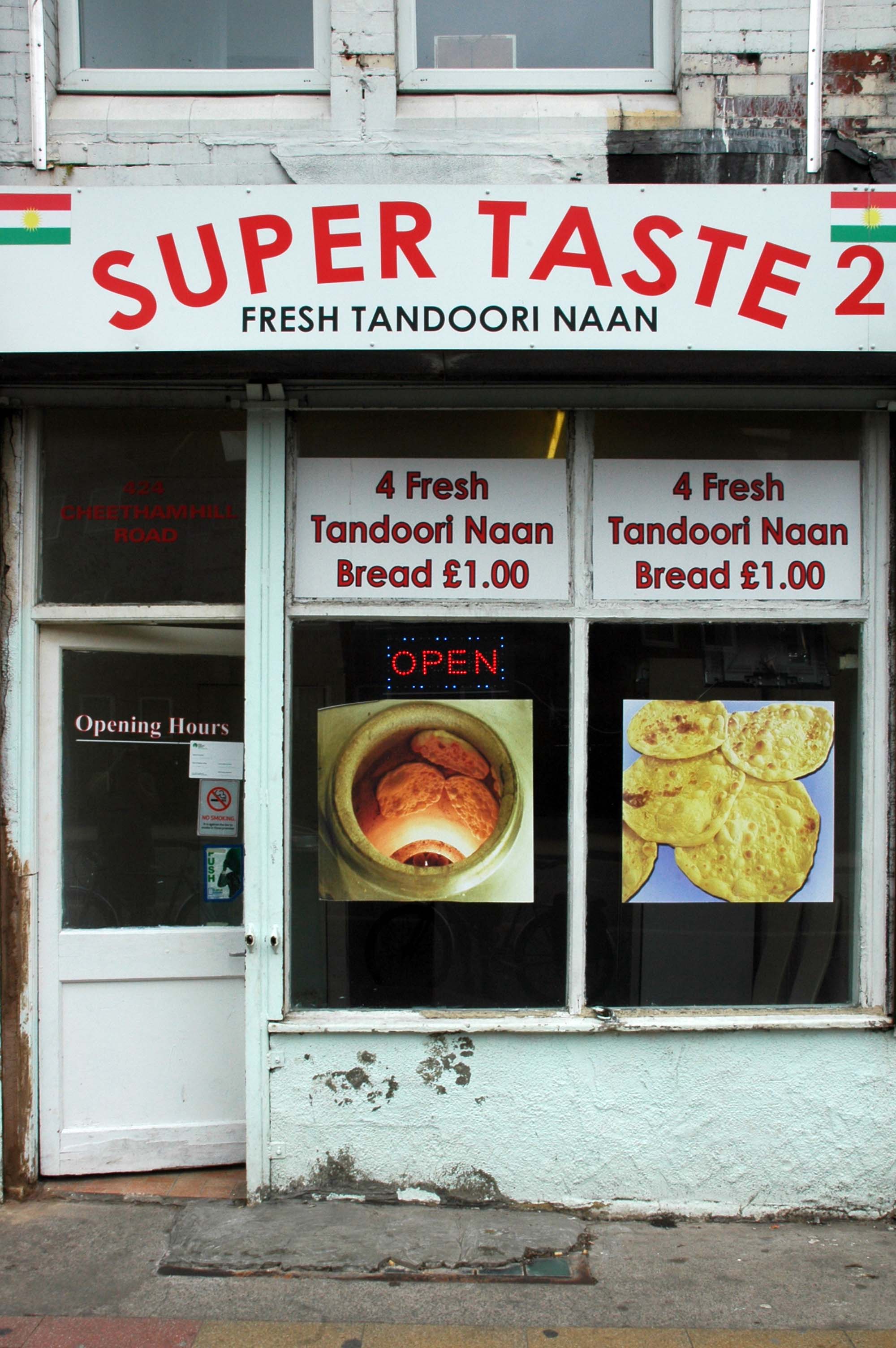
Cheetham Hill Road is part of the designated A665. Cheetham Hill Road starts at the junction of the A6042 Corporation Street and the A665 Miller Street. It crosses the culverted River Irk to the east of Victoria Station. At its junction with New Bridge Street, it turns north-northeast and is straight for 1 km, to the A6010 Queen’s Road . This stretch was called York Street until about 1900. Cheetham Hill Road leads from here to the community of Cheetham Hill, where at Bourget Street and Crescent Road – formerly Sandy Lane, Cheetham Hill Road becomes Bury Old Road.
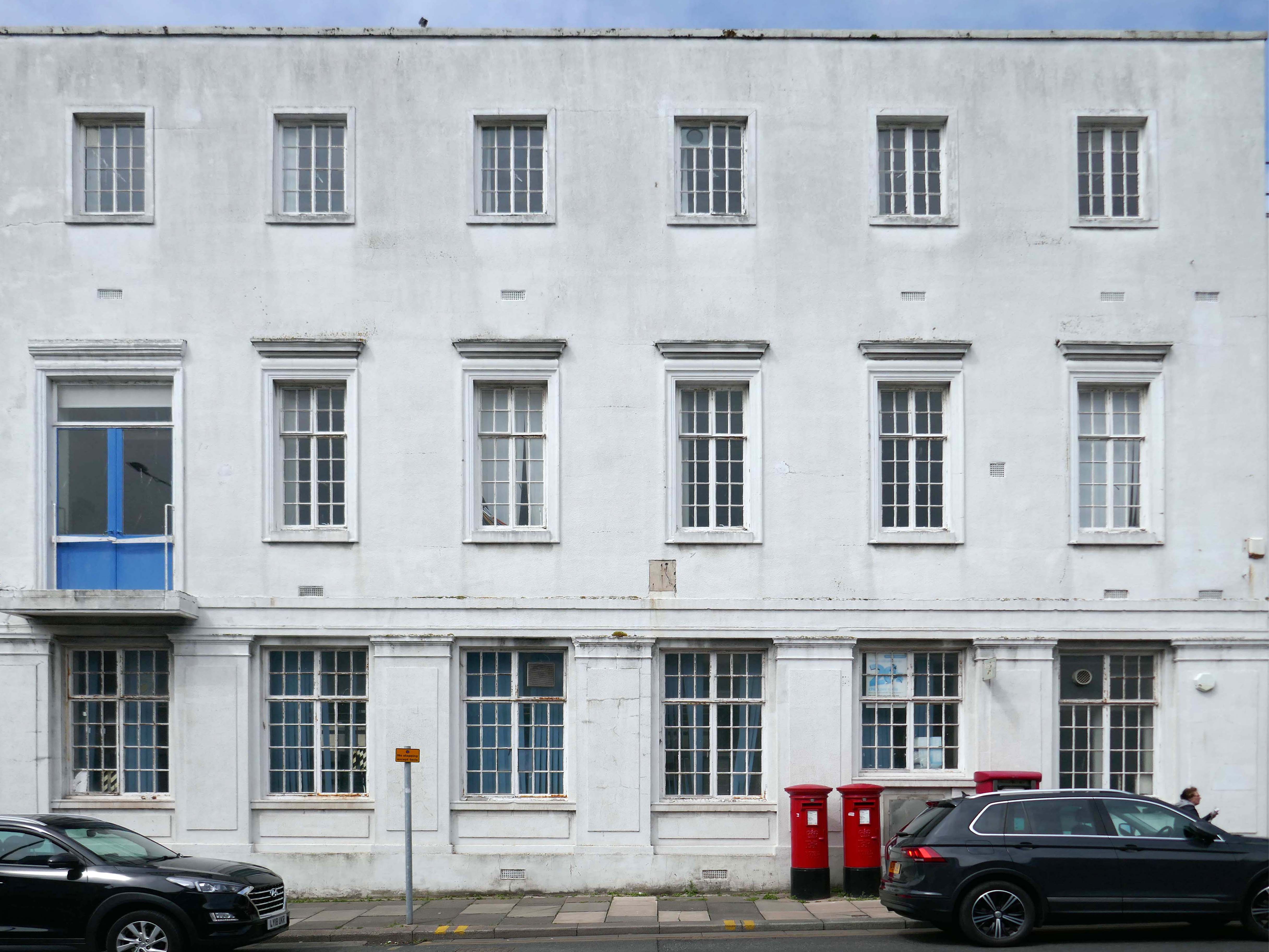
The entrance to Morecambe’s Arndale Centre opposite the library is flanked by two shields, each with a crown and three lions. The shields were salvaged from Morecambe’s first police station which stood on Cheapside, demolished to make way for the new shopping centre. A similar shield as well as more elaborate heraldic beasts can be found over the doorway to Morecambe’s second police station at the corner of Kensington Road and Euston Road.
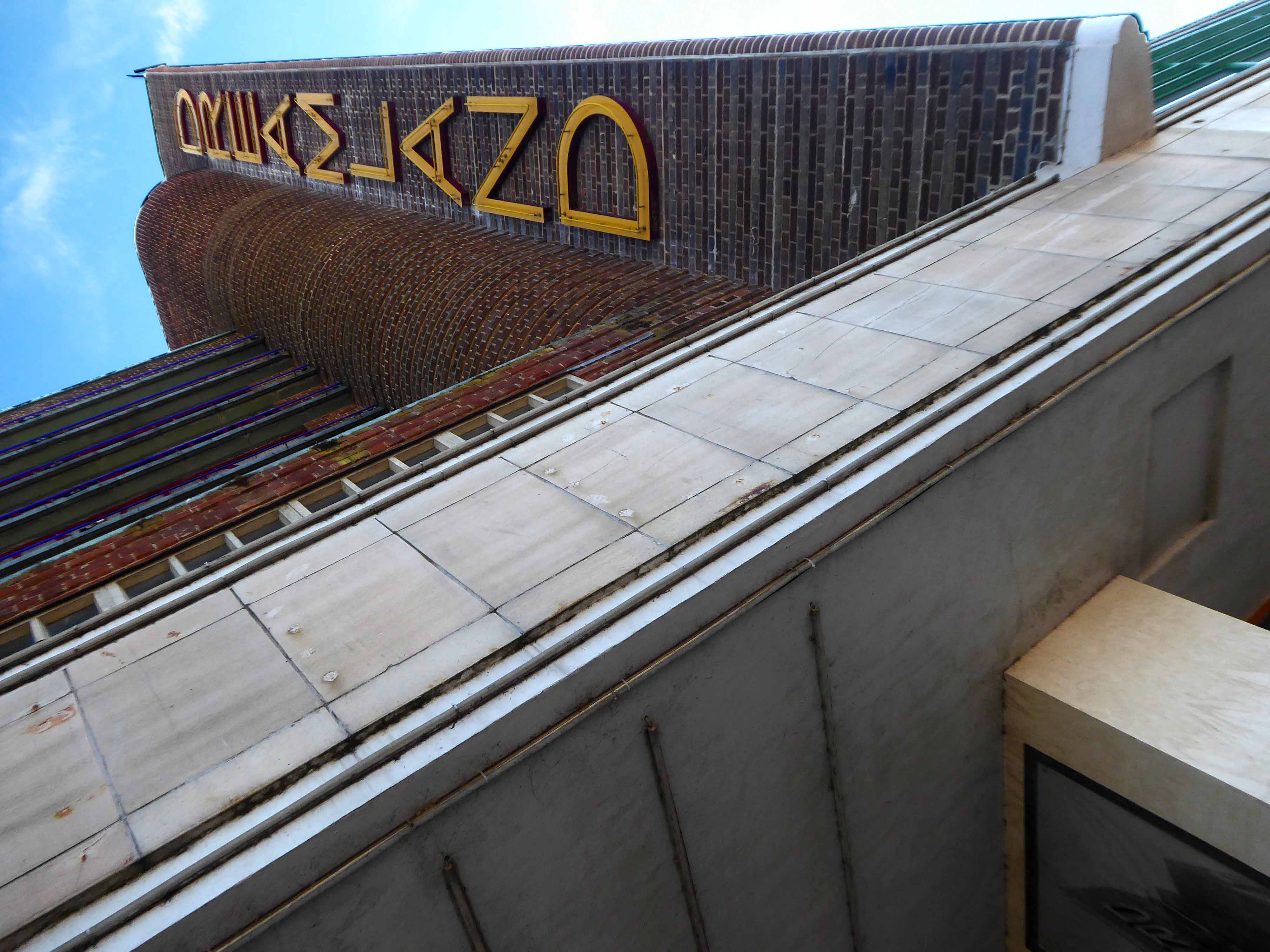
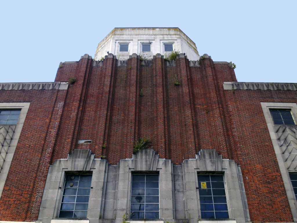
Like many of the original Odeon Theatres built by Oscar Deutsch, the site chosen was a little out of the main town centre – where land prices were cheaper, and the Odeon Morecambe is a good example of this. It is located at the corner of Euston Road and Thornton Road in this Lancashire seaside town. The Odeon was opened on 2nd September 1937 with Sandy Powell in “It’s a Grand Old World”. It had seating provided for 1,084 in the stalls and 476 in the circle.
Taken over by the Classic Cinemas chain in December 1967, it was re-named Classic Cinema, and was closed on 28th February 1976 with Kenneth Williams in “Carry On Behind”.
The stunning Moderne style exterior much of which including the projectionists walkway is now much deteriorated.
Next to the Police Station another Roger Booth building – recently seen on the small screen in The Bay.
Backtracking to take in the Crescent Café entrance.
Which became Hart’s Restaurant now trading as the Black Thai.
Into the town centre to look at the former Centenary HouseCo-op 1927.
Bought by the city council as part of the West-End Masterplan, the intention is to refurbish the building’s upper floors to provide affordable housing and accommodation for local arts businesses, retaining the Co-op late shop that occupies one-half of the ground floor.
Let’s take a look along the front – where we find a former Woolworths.
Along with other stores from the same period.
Alongside sits the former Littlewoods.
By 1939 there were 24 stores. A number of these were purpose-built for Littlewoods to designs by J S Quilter & Son. John Salmon Quilter – 1841-1907 was, in fact, long dead, but his architectural practice had been continued by his son Cecil Molyneux Quilter – 1879-1951. Quilter specialised in commercial architecture, notably public houses. He designed a new Blackpool store for Littlewoods, on the corner of Church Street and Corporation Street, which was faced in Empire stone. He also designed a store in Chester, and may have been responsible for the one in Morecambe. This faience-clad art deco building is the best surviving example of a pre-war Littlewoods store – indeed, it may be the best surviving Littlewoods of all time – even preserving diamond L motifs on the entrance lobby floors. These clearly copied Woolworth’s diamond W.
Finally to the Midland Hotel 1932-3 by Oliver Hill
Concrete and rendered brickwork, painted white. Curved plan, with convex side facing west towards the sea. Three storeys. Windows are steel-framed casements with rendered surrounds. Above each storey are projecting horizontal bands. The entrance front has a rounded left-hand corner, and a convex central staircase projection rising above roof level. This projection has a tall window of steel casements above the doorway, divided into three by mullions, both of which are capped by sea horses, painted red, which were carved by Eric Gill. Projecting at the right is a single-storey cafe of circular plan, now known as the Ravilious Restaurant. The west side has a single-storey projecting sun lounge, which is an addition, its windows replaced in PVC-coated steel. Between the solid centre and ends of the facade the 1st and 2nd floors have their walls recessed to form balconies.
Interior: above the cantilevered circular open-well staircase is a ceiling panel carved in low relief by Eric Gill and painted by Denis Tegetmeier. They were also responsible for the pictorial map of north-west England in what was originally the children’s room at the south end of the building. Also in this room is Eric Gill’s Portland stone panel, originally in the lounge, carved in low relief with a representation of Odysseus and Nausicaa. It was moved to its present position when internal walls were demolished during the 1970s. The cafe walls were originally painted with frescoes by Eric Ravilious, representing morning and evening in an idyllic seascape setting. These deteriorated rapidly because the plaster and paint used were incompatible and were obliterated within 2 years of completion, but were repainted in the late 1980s using photographic evidence.
The Super Swimming Stadium at Morecambe, Lancashire, was one of the grandest of the 1930s modernist seaside lidos. This massive structure measuring 396ft. by 110ft. was said to be the largest outdoor pool in Europe when it opened in 1936, accommodating some 1200 bathers and 3000 spectators. Unusually for an inter-war lido, it was designed not in-house by a Borough Engineer but by two architects, Kenneth MB Cross and Cecil Sutton, who styled it to harmonise with the Streamline Moderne of Oliver Hill’s adjacent Midland Hotel.
The stadium was closed down in 1975 on grounds of structural problems and demolished just a year later.
Having taken a particular interest in this particular piece of public art for some time – I need to go and take a little look.
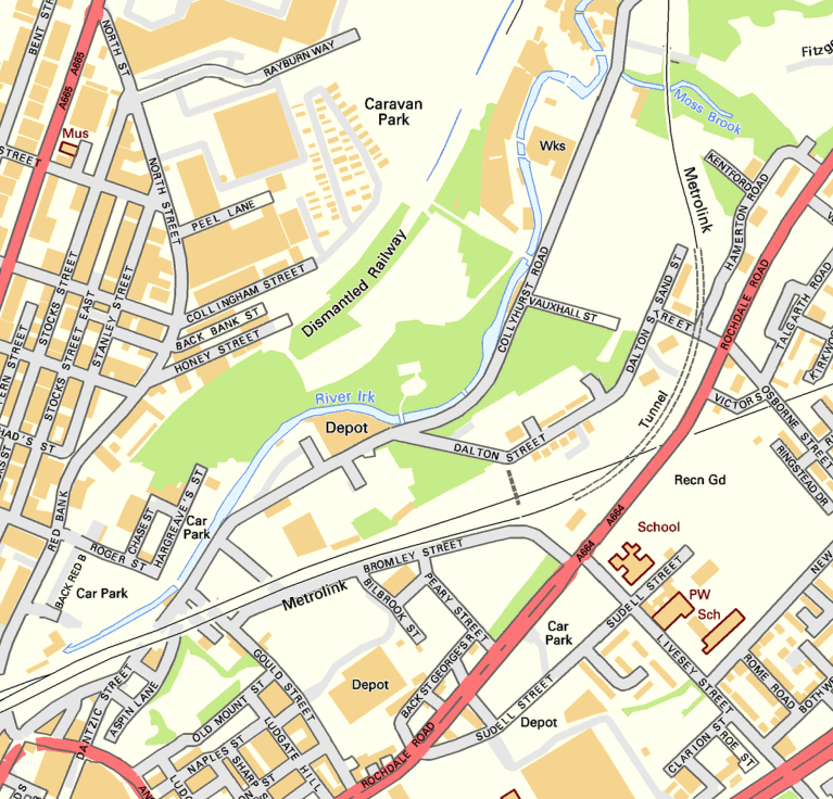
But what will we see along the way, as we hasten along Rochdale Road?
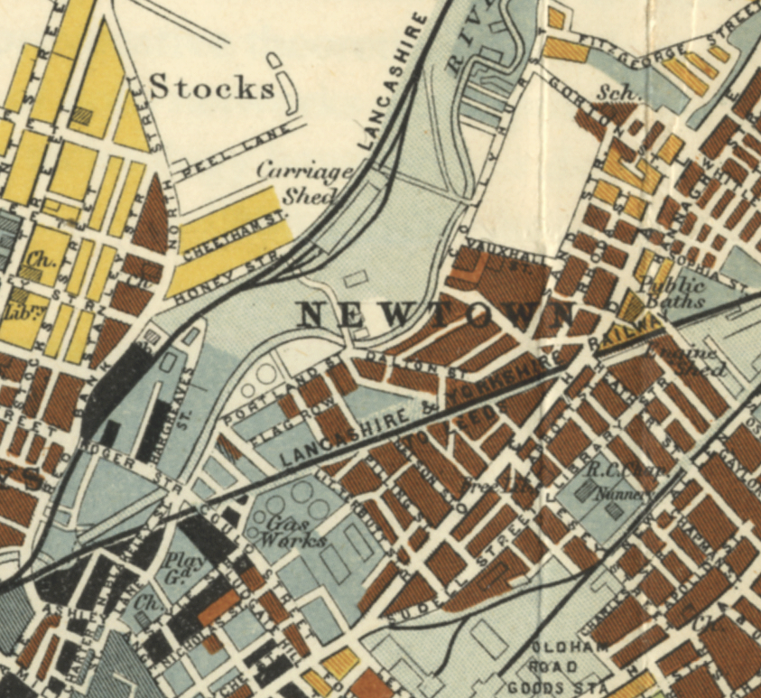
Which once looked like this, way back when in 1904.
Though some things inevitably come and go, as some things are prone to do.
The city is undergoing yet another reinvention as Manchester becomes – an attractive place to invest and do business.
See, I am doing a new thing!
Now it springs up; do you not perceive it?
I am making a way in the wilderness and streams in the wasteland.
Isaiah 43:19
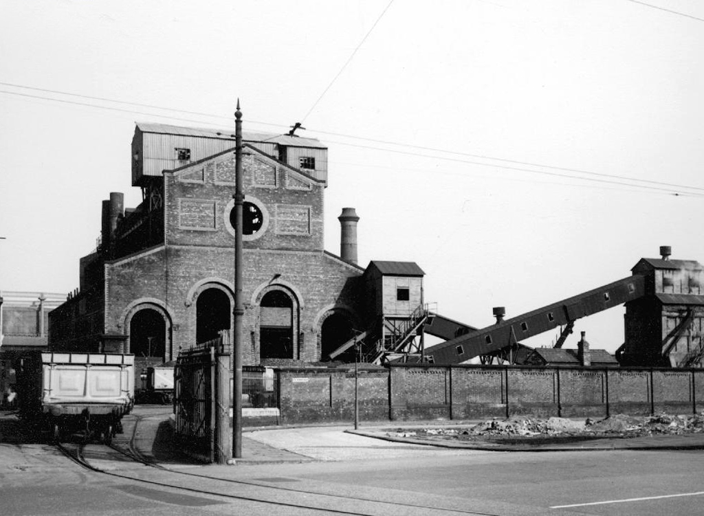
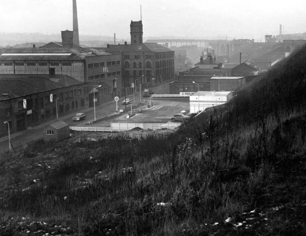
Once there was a gas works here – adjoining Gould Street, seen here in 1958.
The Gould Street Gas Works was a gas manufacturing plant located in Manchester, England. Originally built in 1824, the plant was operated by the Manchester Corporation Gas Department and was in operation from 1833 to 1969. It was named after the street on which it was located, which was named after John Gould, who was a prominent Manchester businessman in the 19th century.
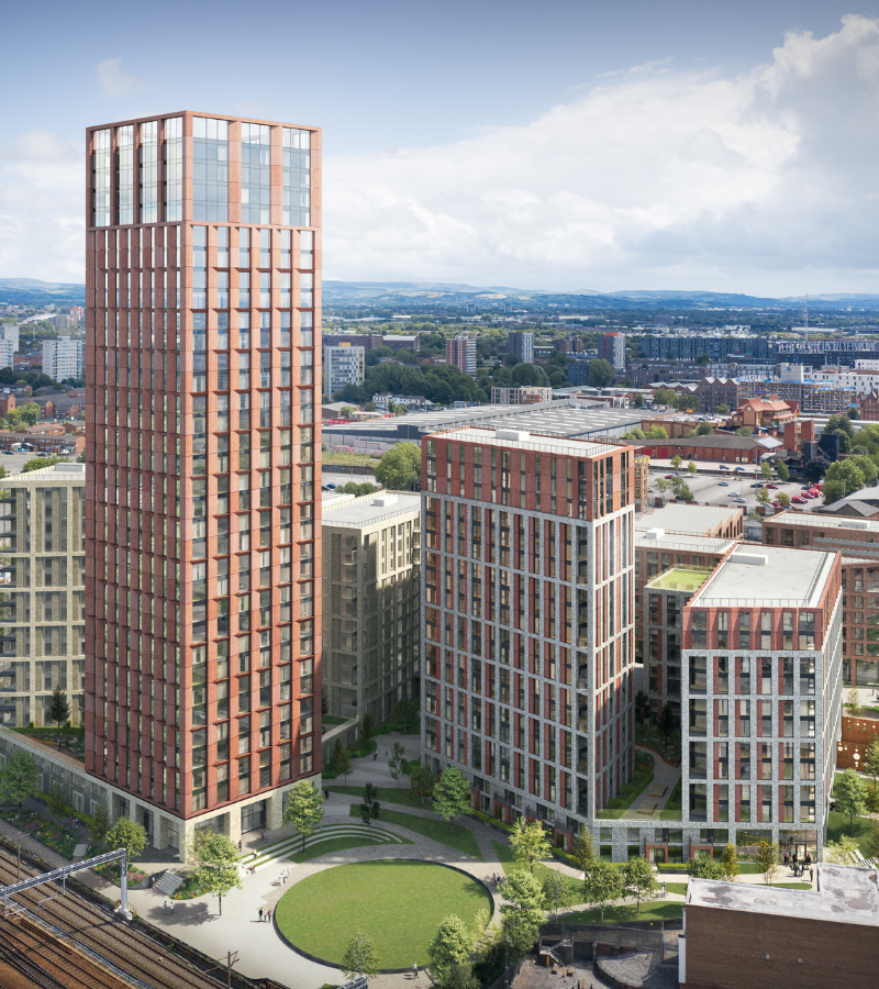
The Gasworks New Town neighbourhood is one of seven envisioned by the £4bn Victoria North masterplan. It will feature nine buildings ranging from 8 to 34 storeys. The 6.6-acre site has most recently been home to a car park but the green development will overwhelmingly prioritise walking and cycling over driving. It will result in tens of millions of pounds being pumped into the city’s economy over the lifetime of the development.
Plans for a trailblazing city centre regeneration scheme that will create more than 1200 homes has been approved by Manchester City Council.
A total of 85 of the 1200, will be affordable homes available through Shared Ownership.
Though as of March 31st 2023 ground is yet to be broken, no signs of the:
New centre of gravity for central Manchester that will create thousands of jobs and inject tens of millions of pounds into the city’s economy.
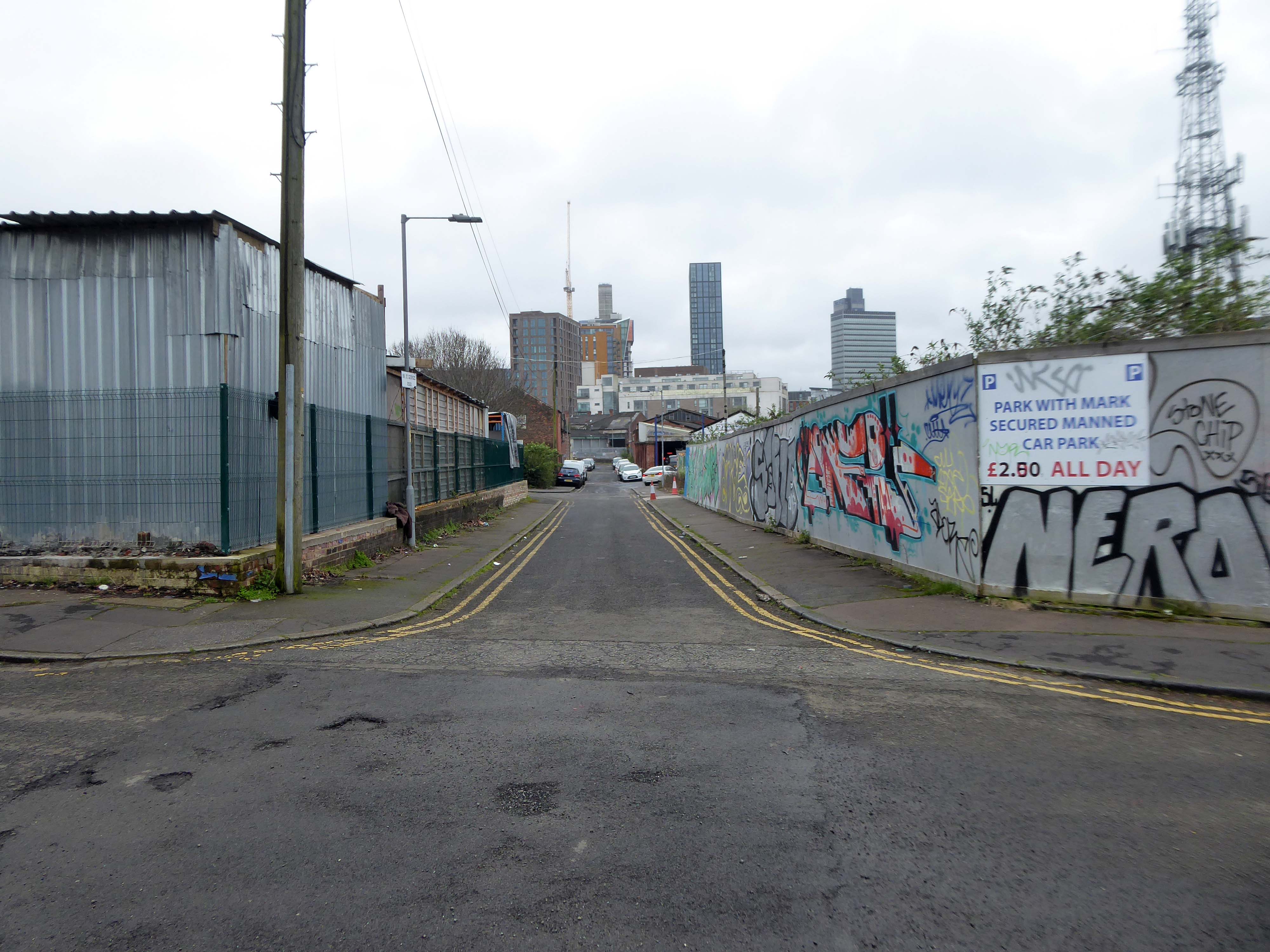
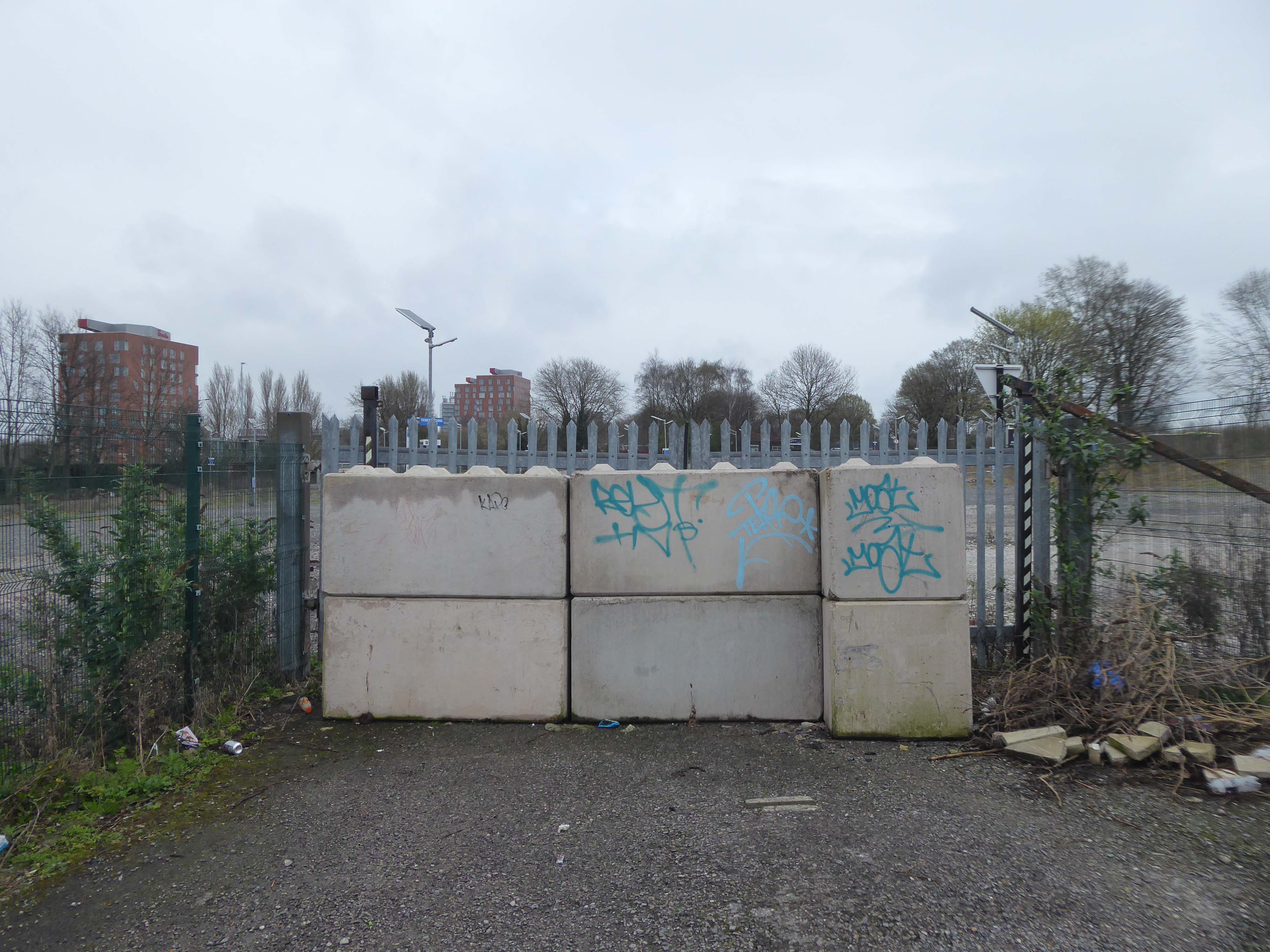
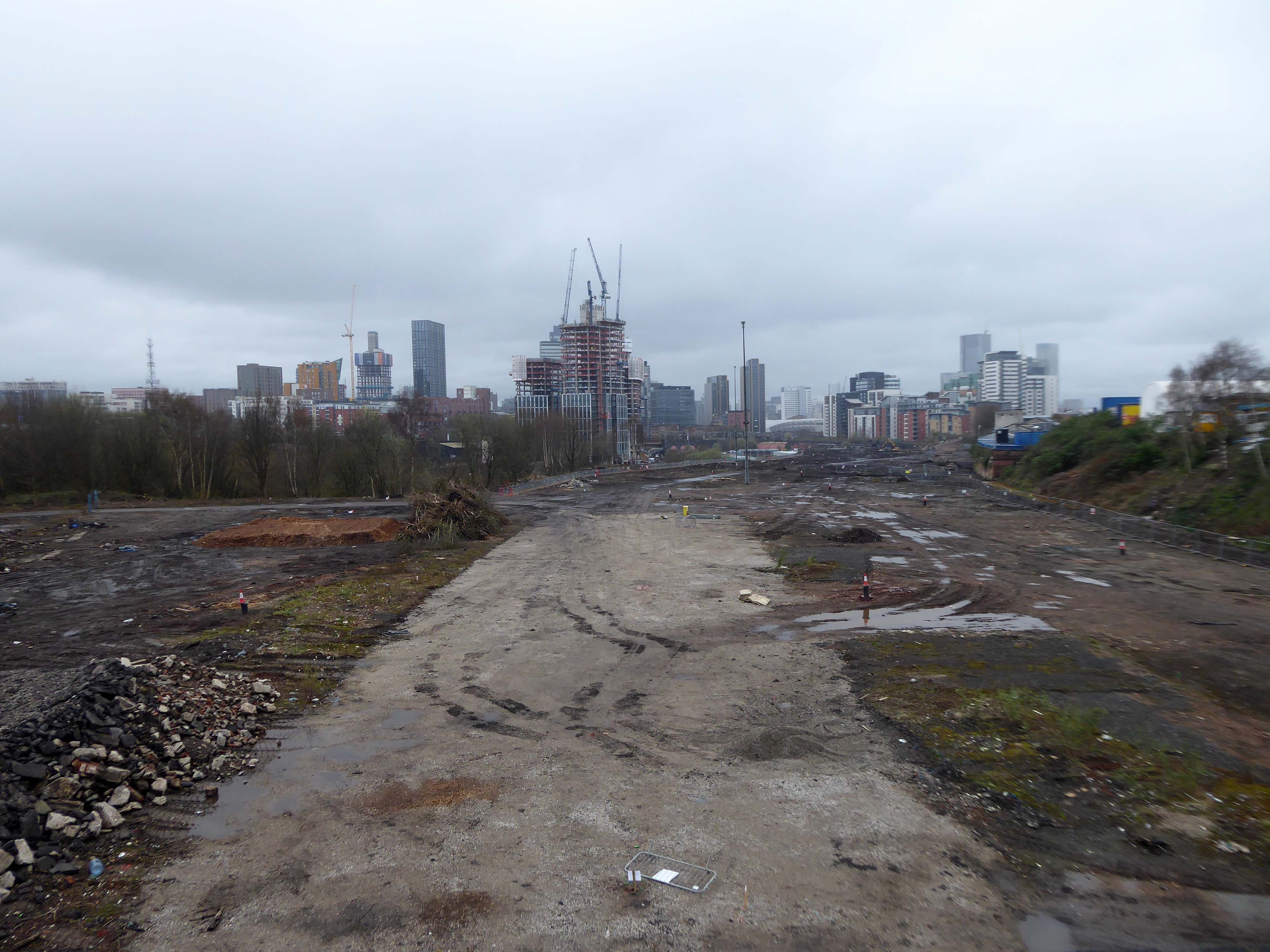
So you zig-zag wanderers, make the most of these wide open expanses of affordable car parking, while you can.
The future may yet be here today – or the next.
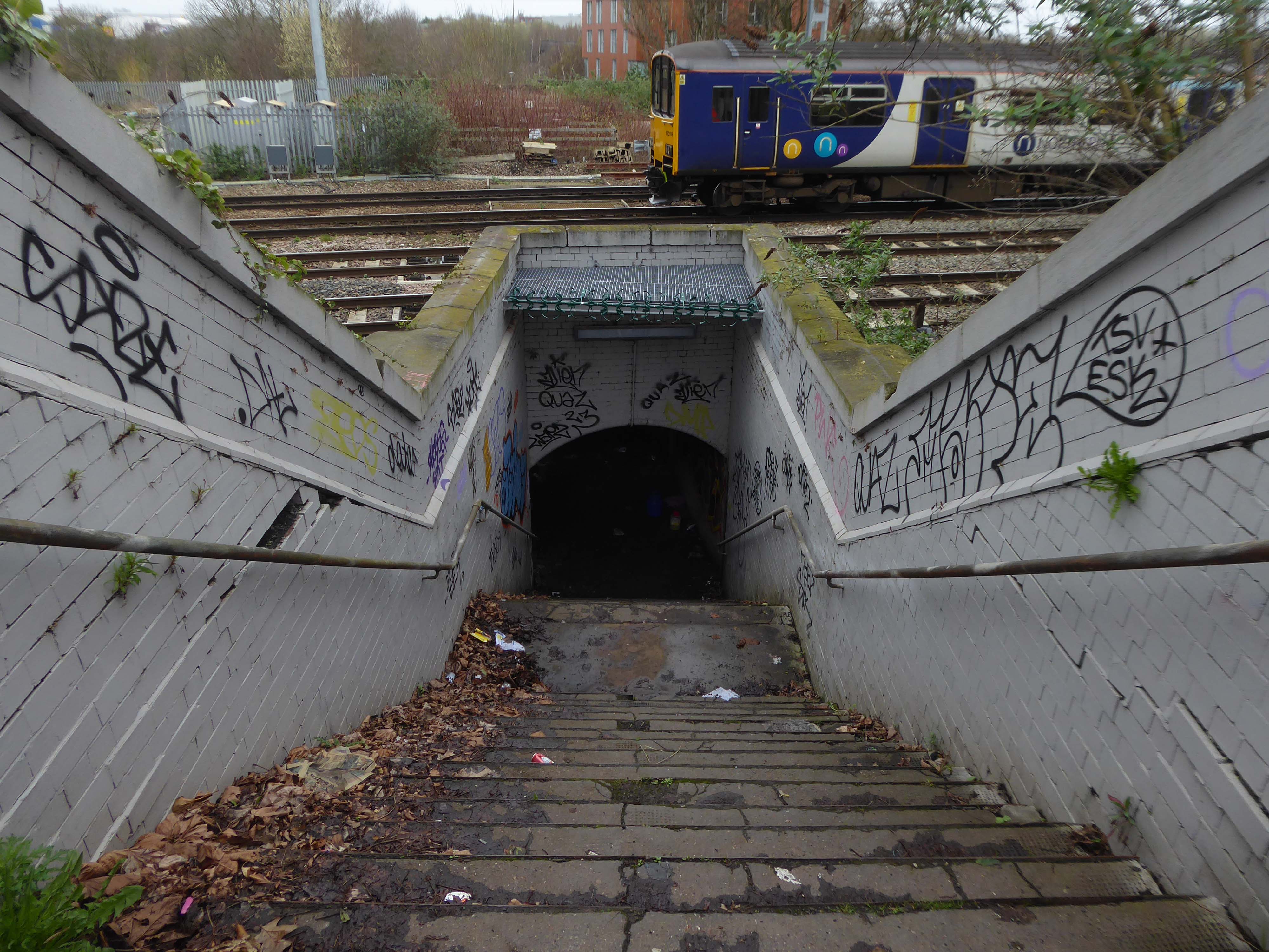
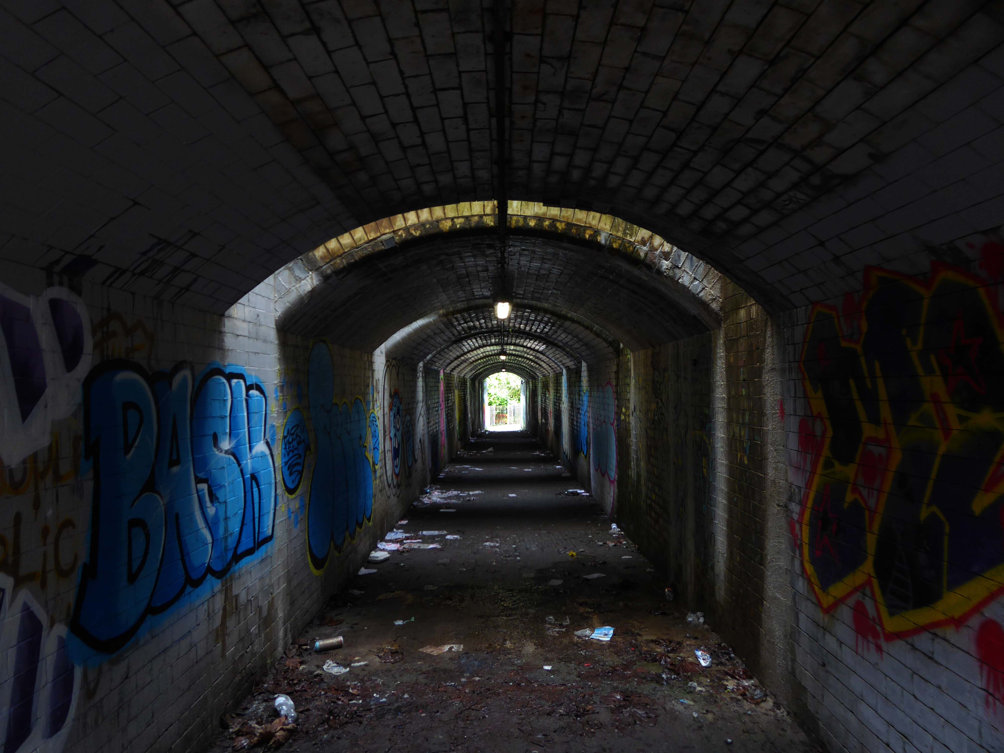
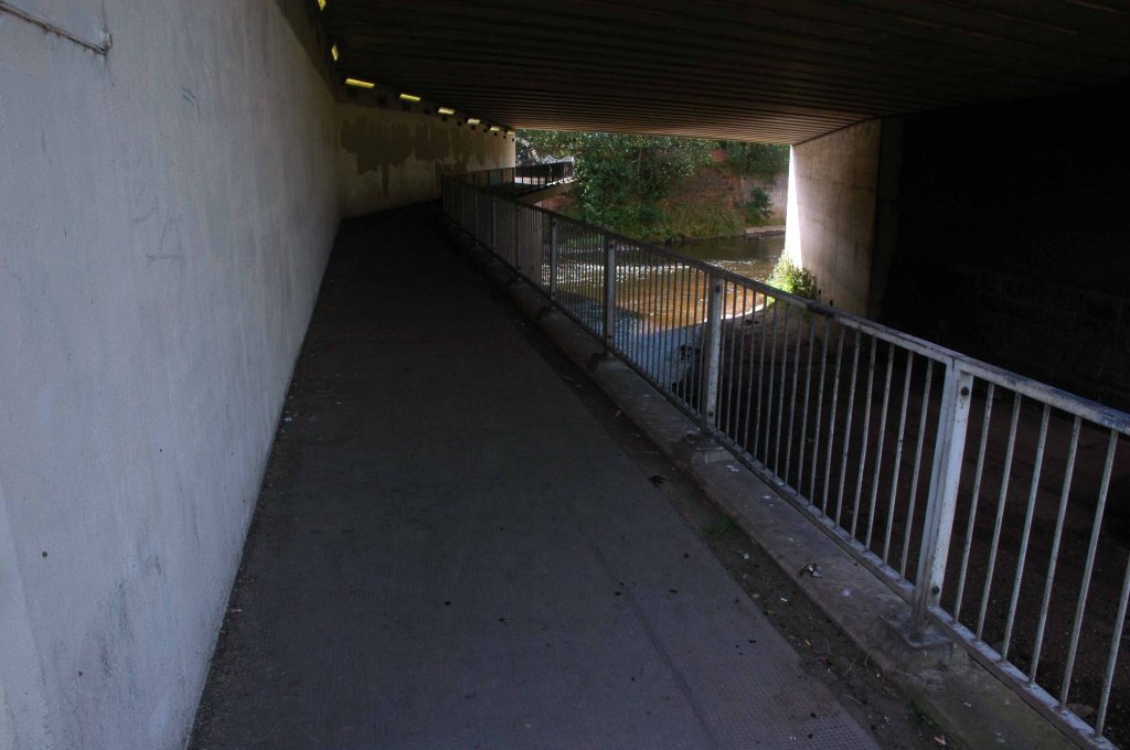
Let’s duck under the railway, through this sad damp pedestrian tunnel – the domain of the cash strapped daytime drinker, transient tagger and disaffected leaflet distributor.
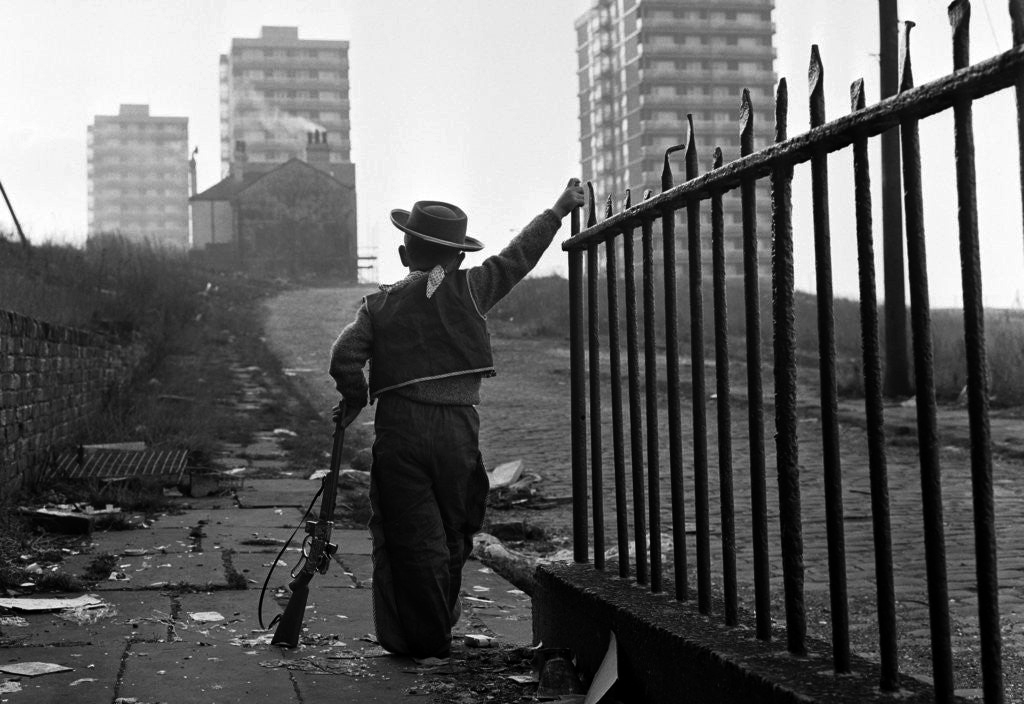
Next thing you know you have emerged into the daylight on Dalton Street – we have been here before seeking the Collyhurst Cowboy.
Photograph: Dennis Hussey
Onwards to Eastford Square.
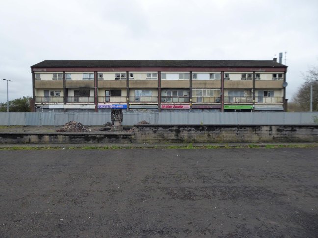
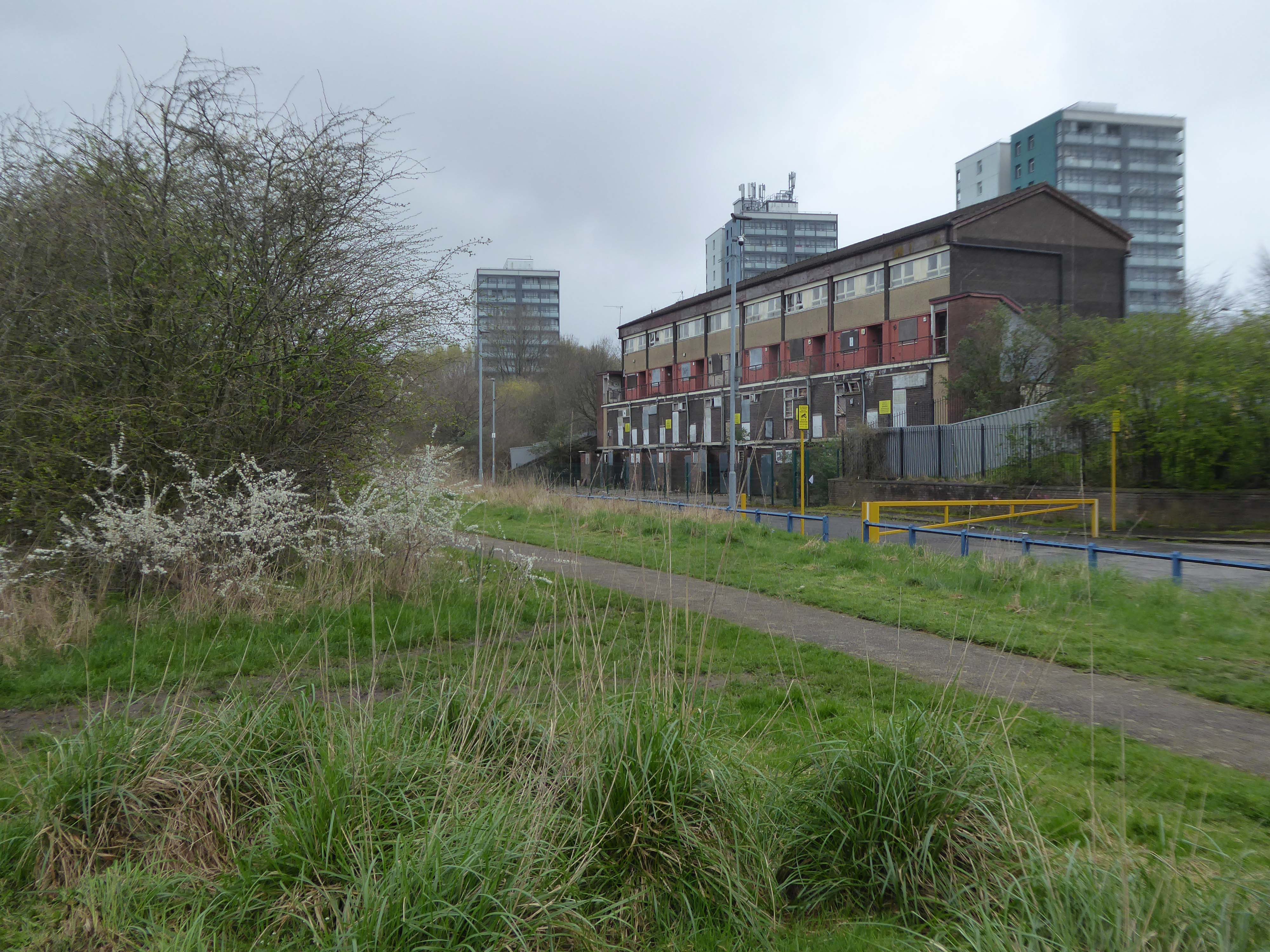
The shops and maisonettes are due to be demolished any day now – no longer to gaze open-eyed upon the former quarry of Sandhills.
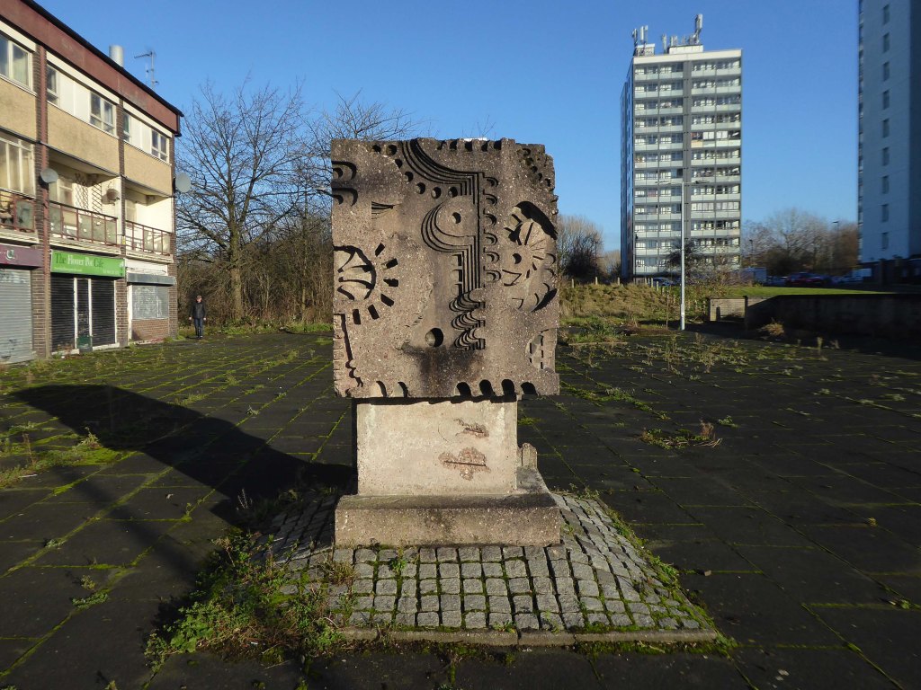
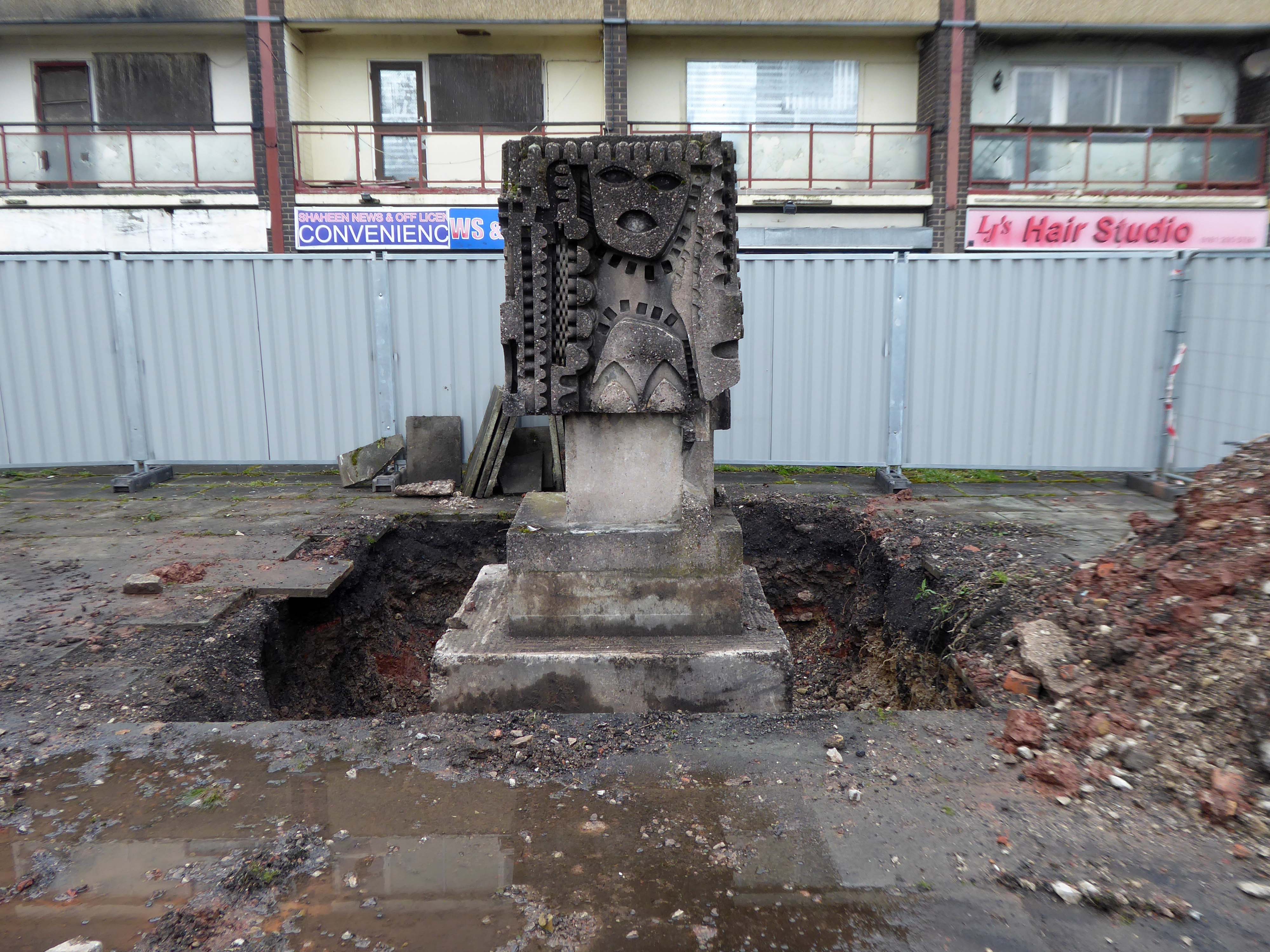
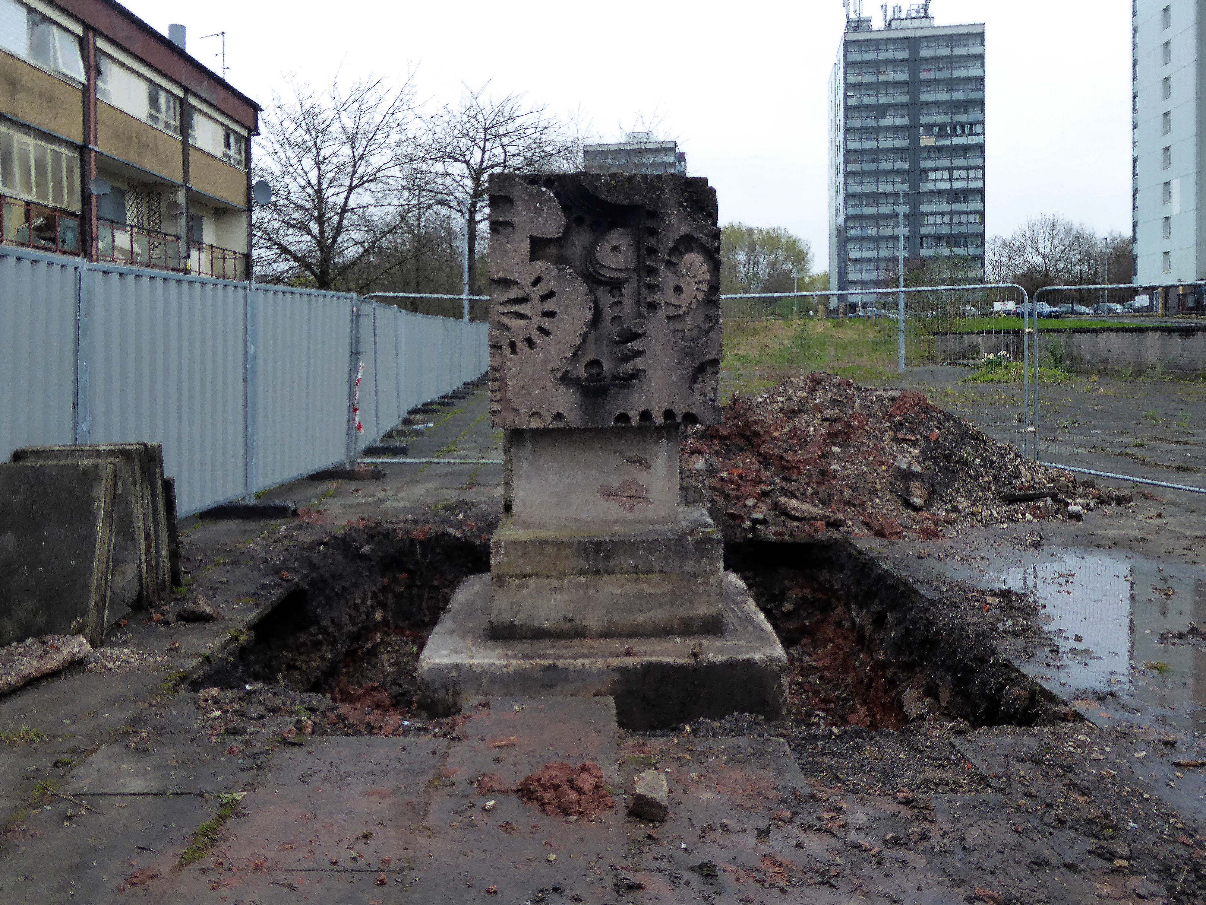
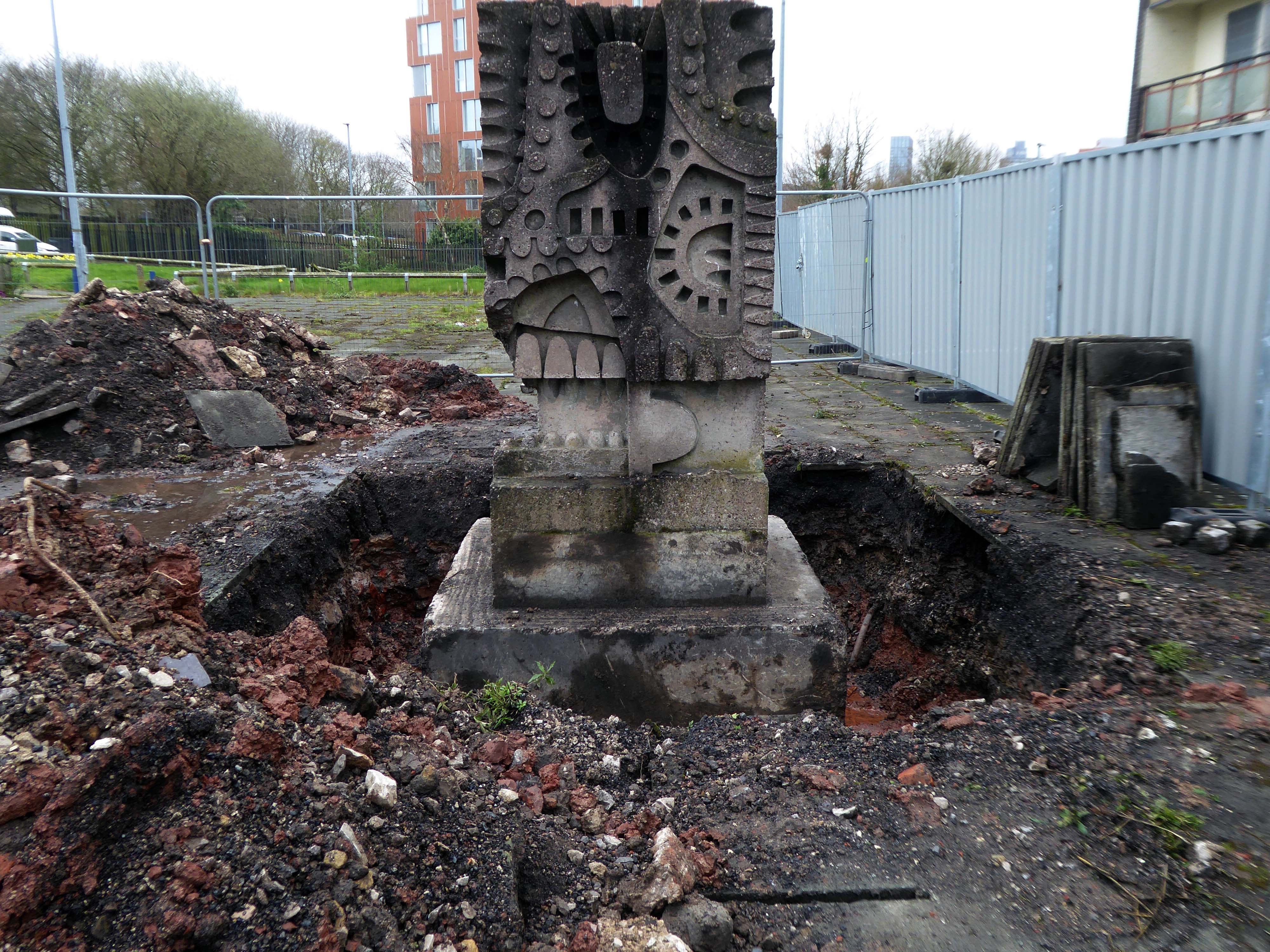
Around the front the diggers have been a digging – digging up around the base of the totem.
The work is to be re-sited by the nearby tower blocks.
The end is nigh.
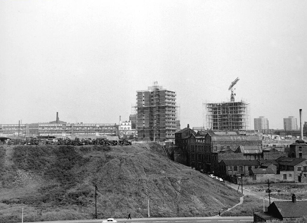
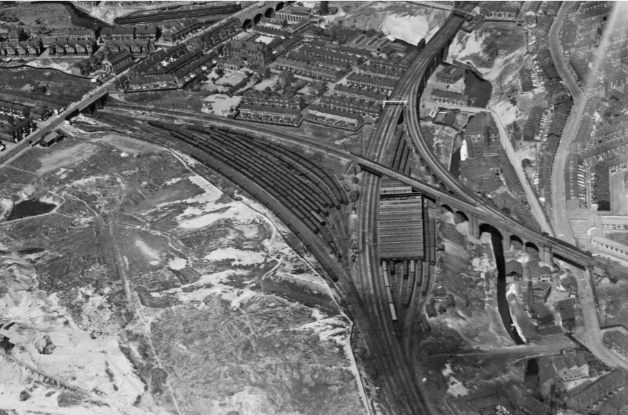
Heading now for Collyhurst Road and the Irk Valley – seen here in 1960.
Looking back on the Square and the Dalton Street flats – Humphries, Dalton, Roach, Vauxhall and Moss Brook Courts under construction.
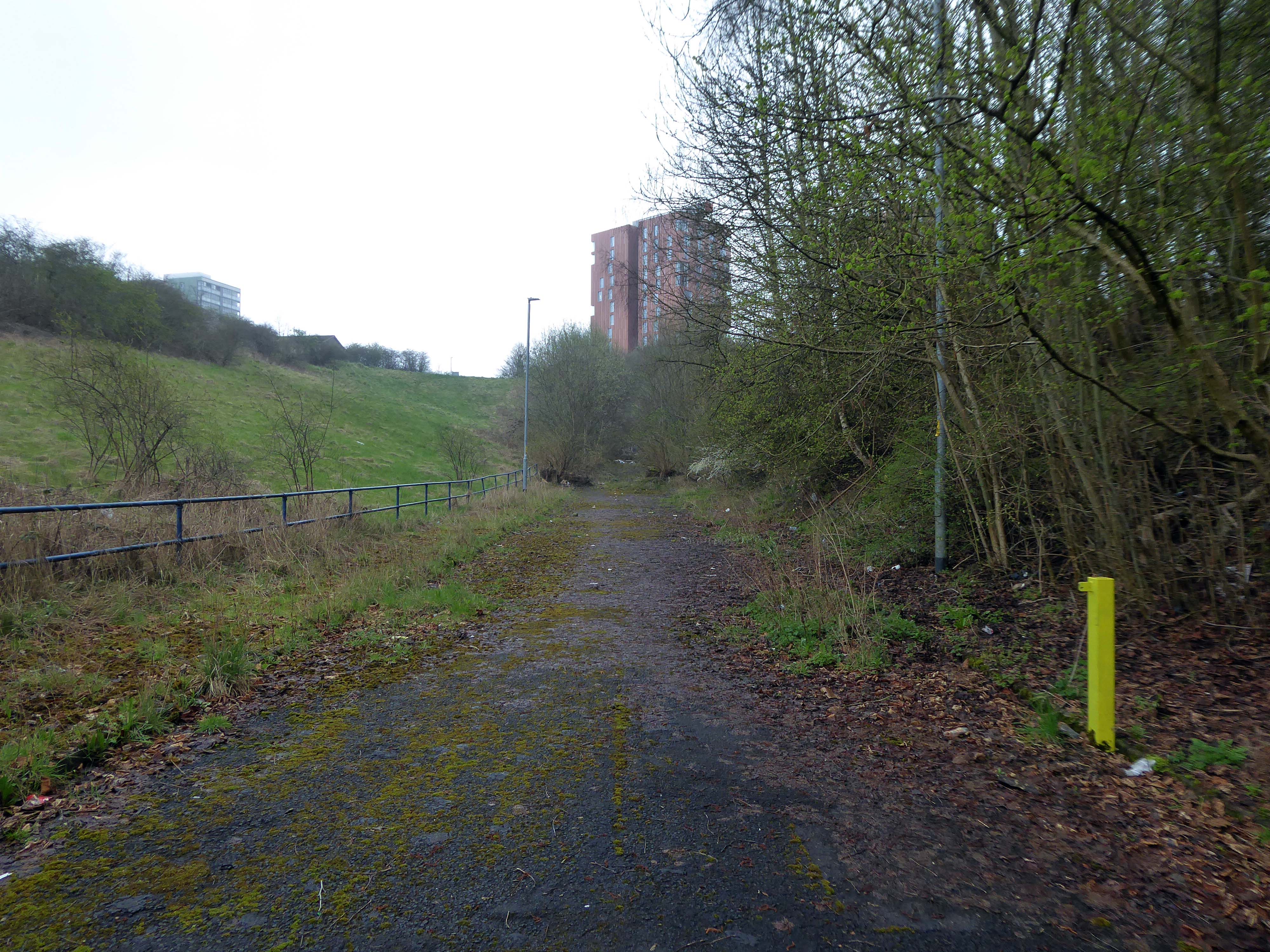
Vauxhall Street now but a shadow of its former self – the last traces of industry long gone.
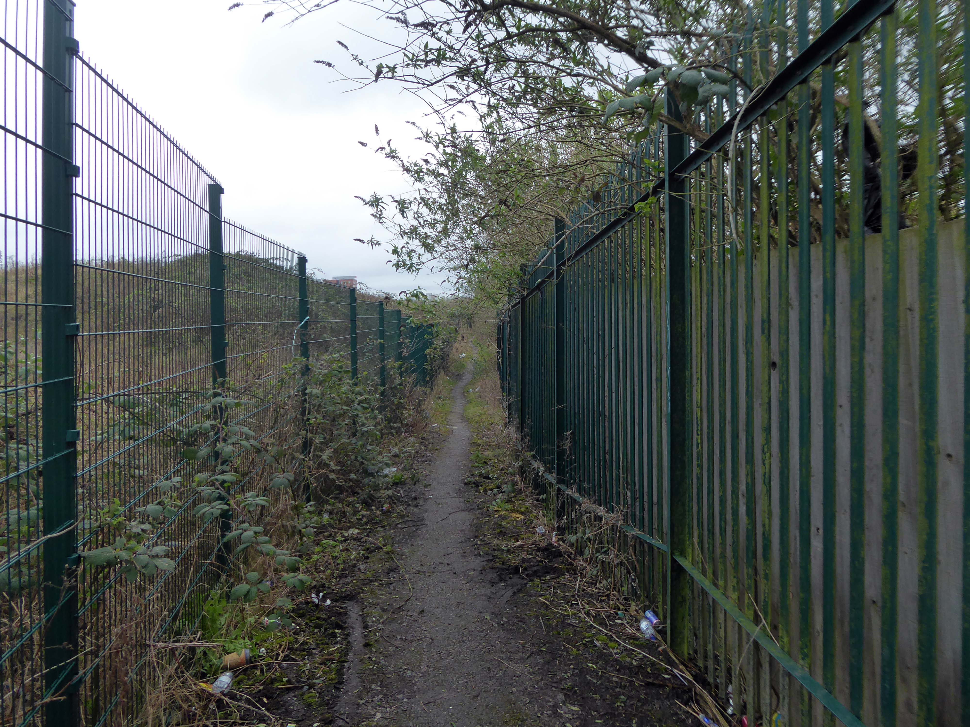
Reclaimed over time by trees and dense underbrush.
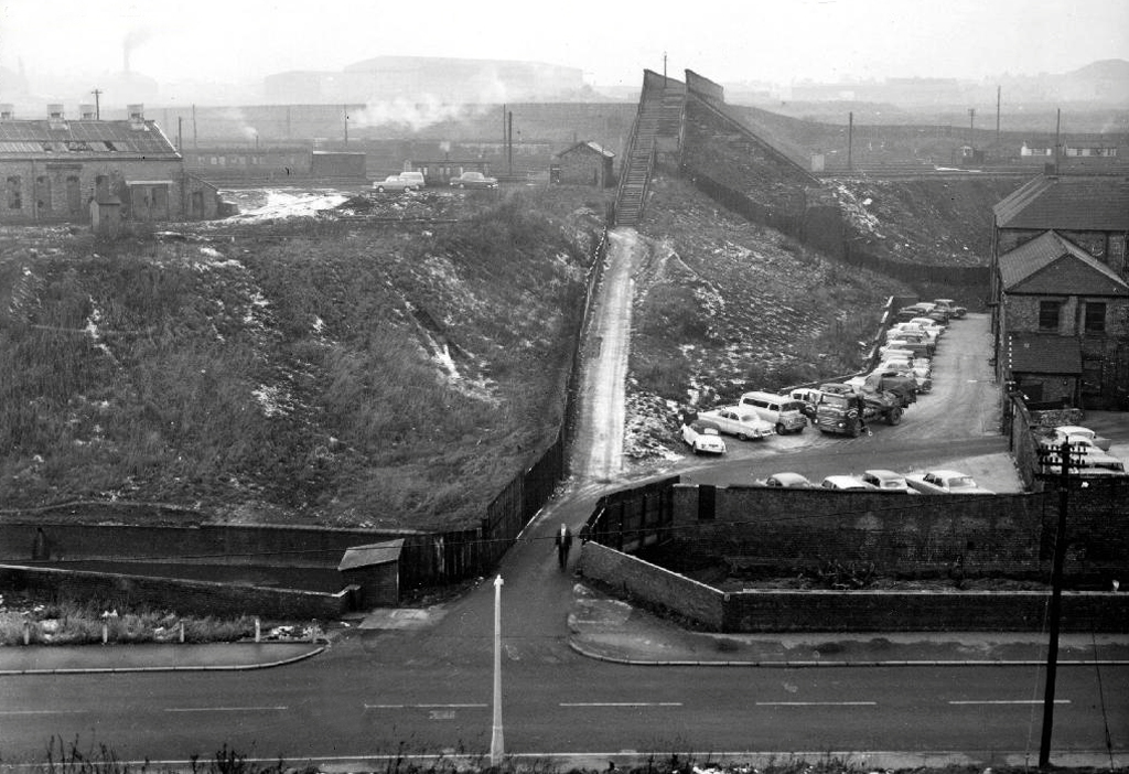
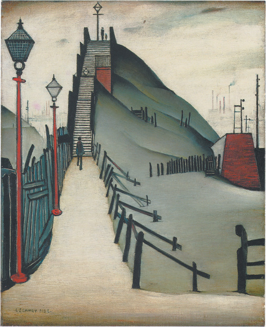
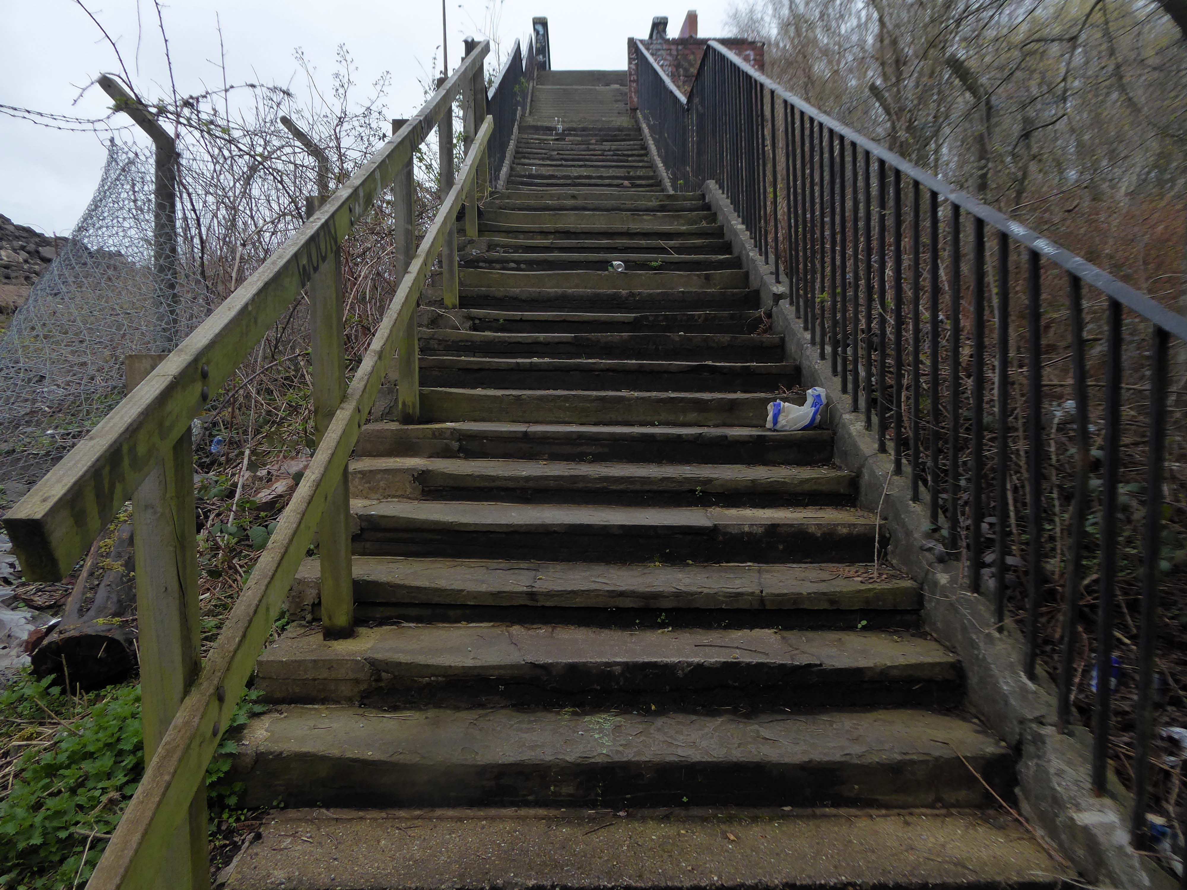
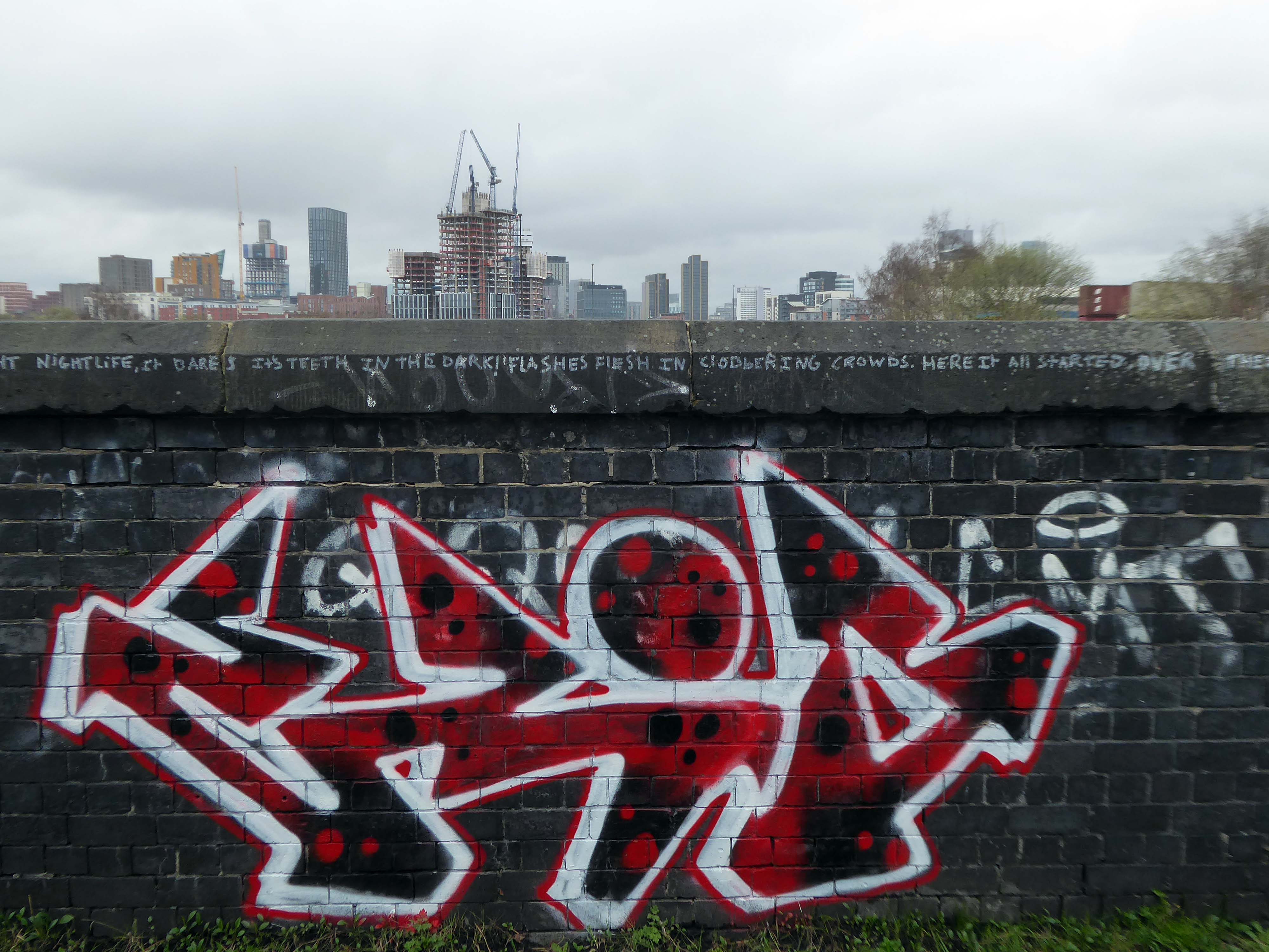
Crossing Collyhurst Road and up and over the railway via Barney’s Steps also known as the Lowry Steps.
LS Lowry
By the late 1950’s the whole of this area which we called Barney’s Tip became a refuse tip for Manchester City Council.
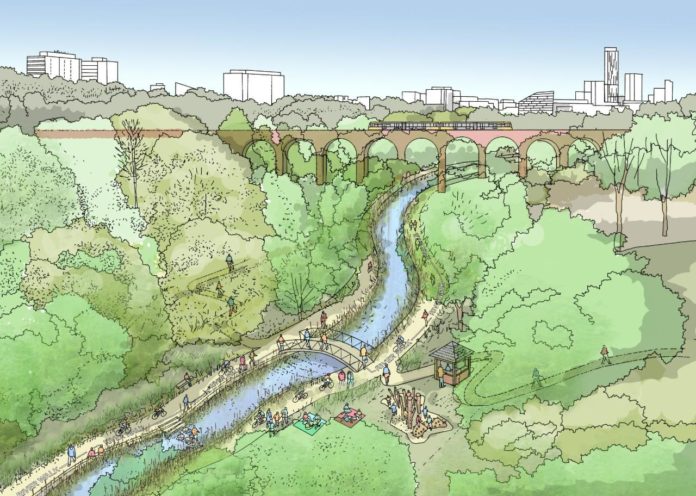
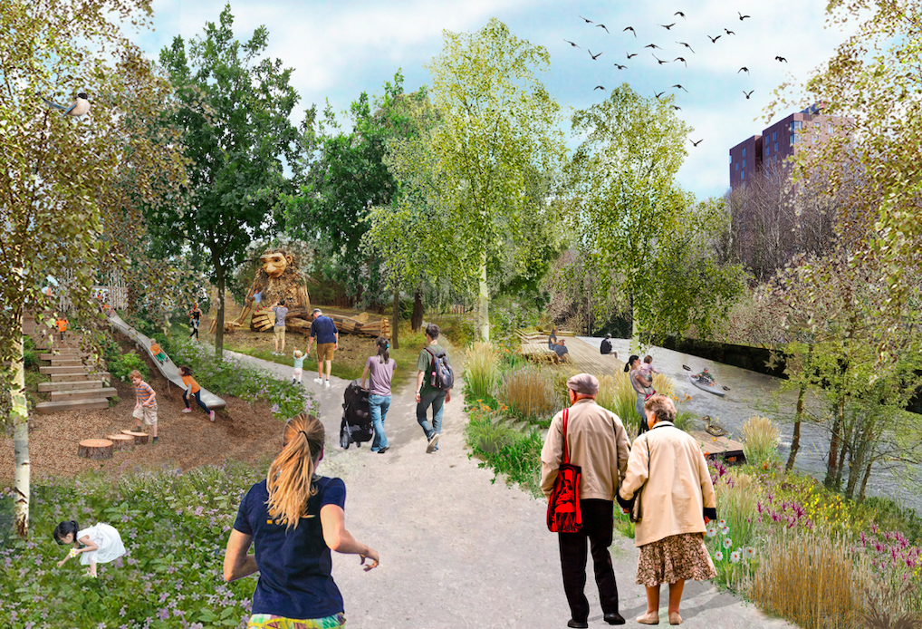
The area is in the process of being reconfigured as a delightful country park.
The investment will also help develop an initial phase of the planned City River Park incorporating St Catherine’s Wood as part of a network of public open space, including improvements along the River Irk and works to improve flood resilience, unlocking the potential of the Irk Valley that will characterise the wider Northern Gateway project.
The first phase of the City River Park will begin work to transform former railway architecture to develop the new Viaduct Linear Park north of Victoria Train Station, new stepped public realm space – Red Bank Terraces, along with new green space by the River Irk and the key improvements to St Catherine’s Wood.
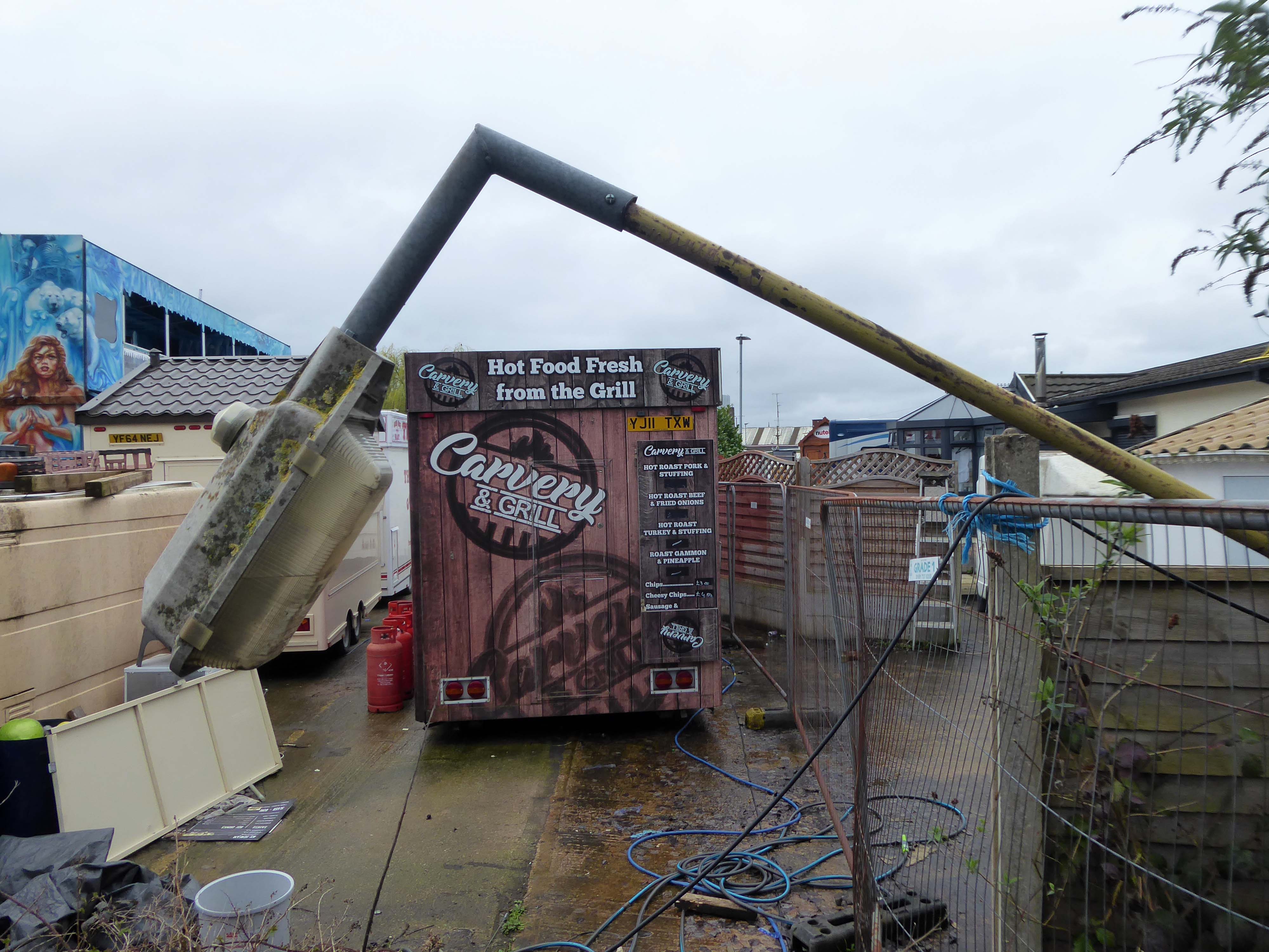
Collingham Street is lined with trucks, trailers, stalls and mobile homes.
But there’s nothing temporary about this Cheetham Hill neighbourhood; most residents have lived here for years and many plan to spend the rest of their lives here.
Founded more than forty years ago, it was created by the Showman’s Guild of Great Britain – and it’s reserved exclusively for fairground workers both retired and current.
Built on Queens Road tip, a former rubbish dump, and rented out by Manchester Council, many of the 52 homes belong to older retired showmen or families for whom an itinerant lifestyle has become more challenging.
It’s a close-knit community with a unique shared history.
Though not without its own particular issues it would seem, according to the MEN.
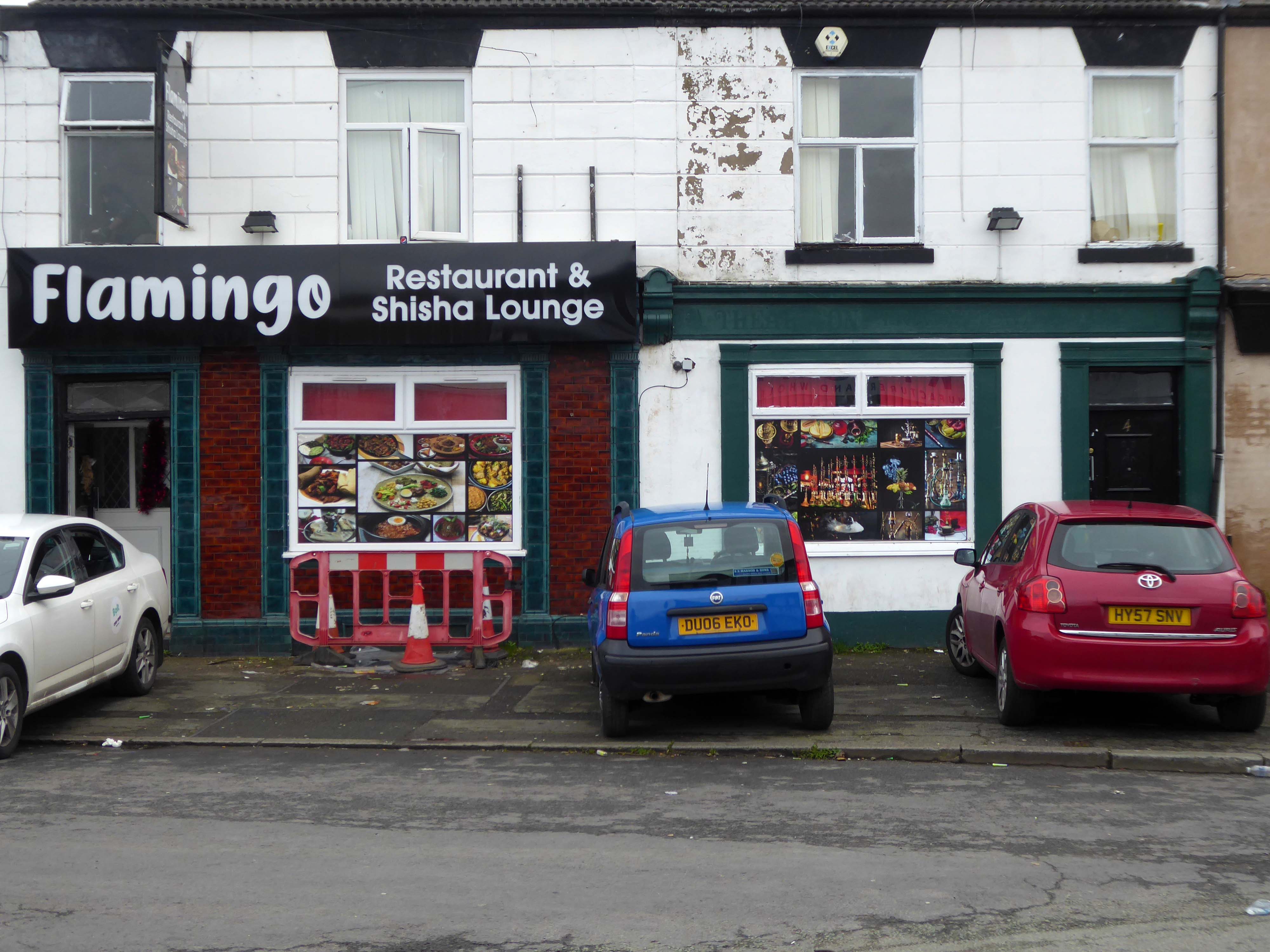
The licensing out of hours team has received noise complaints relating to the premises which was found to be open beyond permitted hours when visited. Officers also identified breaches of the Health Act during inspections in which people were seen smoking shisha pipes in an enclosed extension at the back.
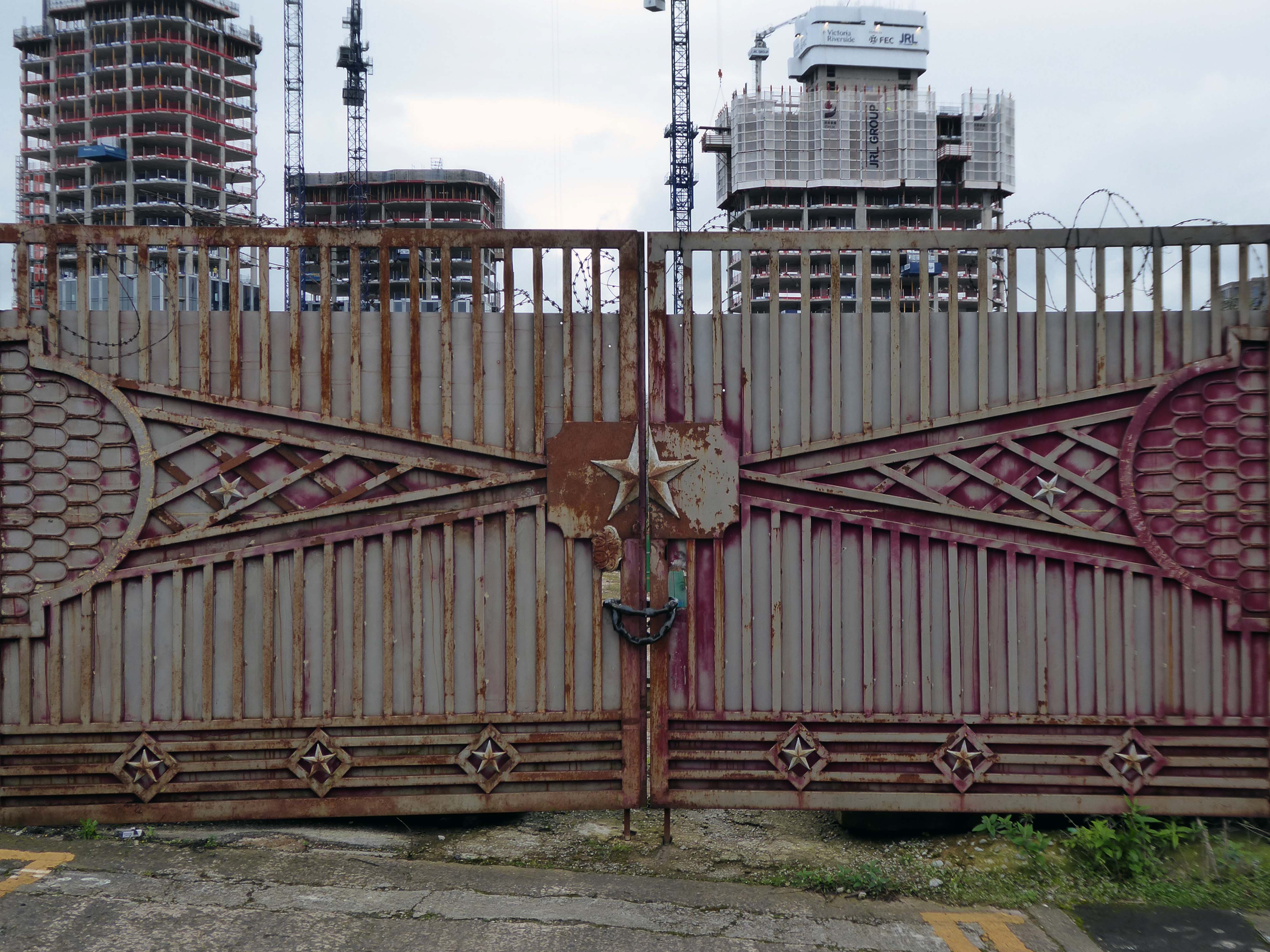
We will leave the Flamingo be and head back into town – but not without giving a nod to this confusing collision between this self-made scrapyard-man chic gate and the ever changing skyline of overheated urban regeneration.
The new creation has come: The old has gone, the new is here!
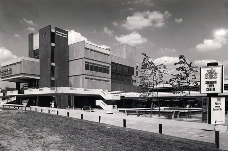
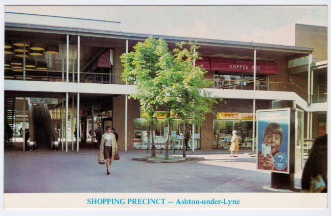
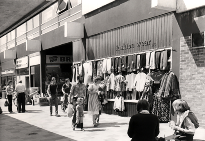
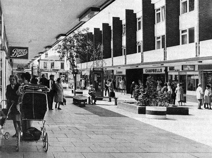
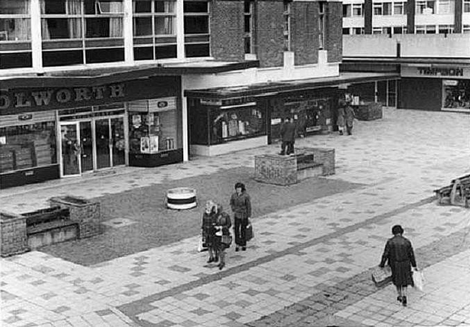
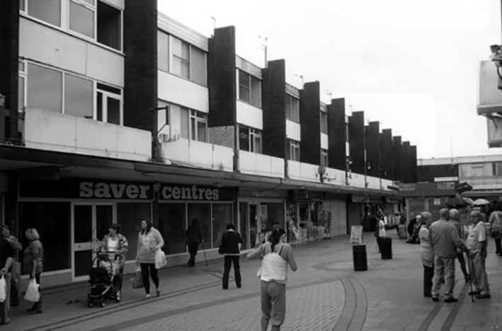
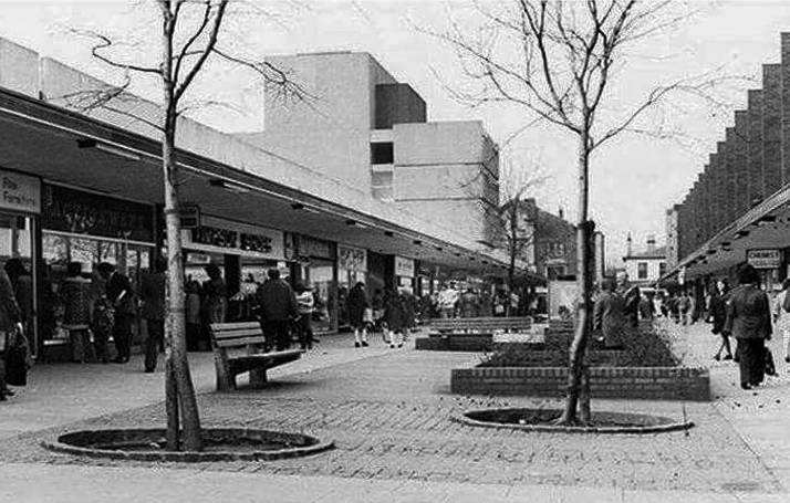
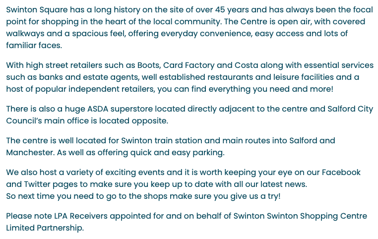
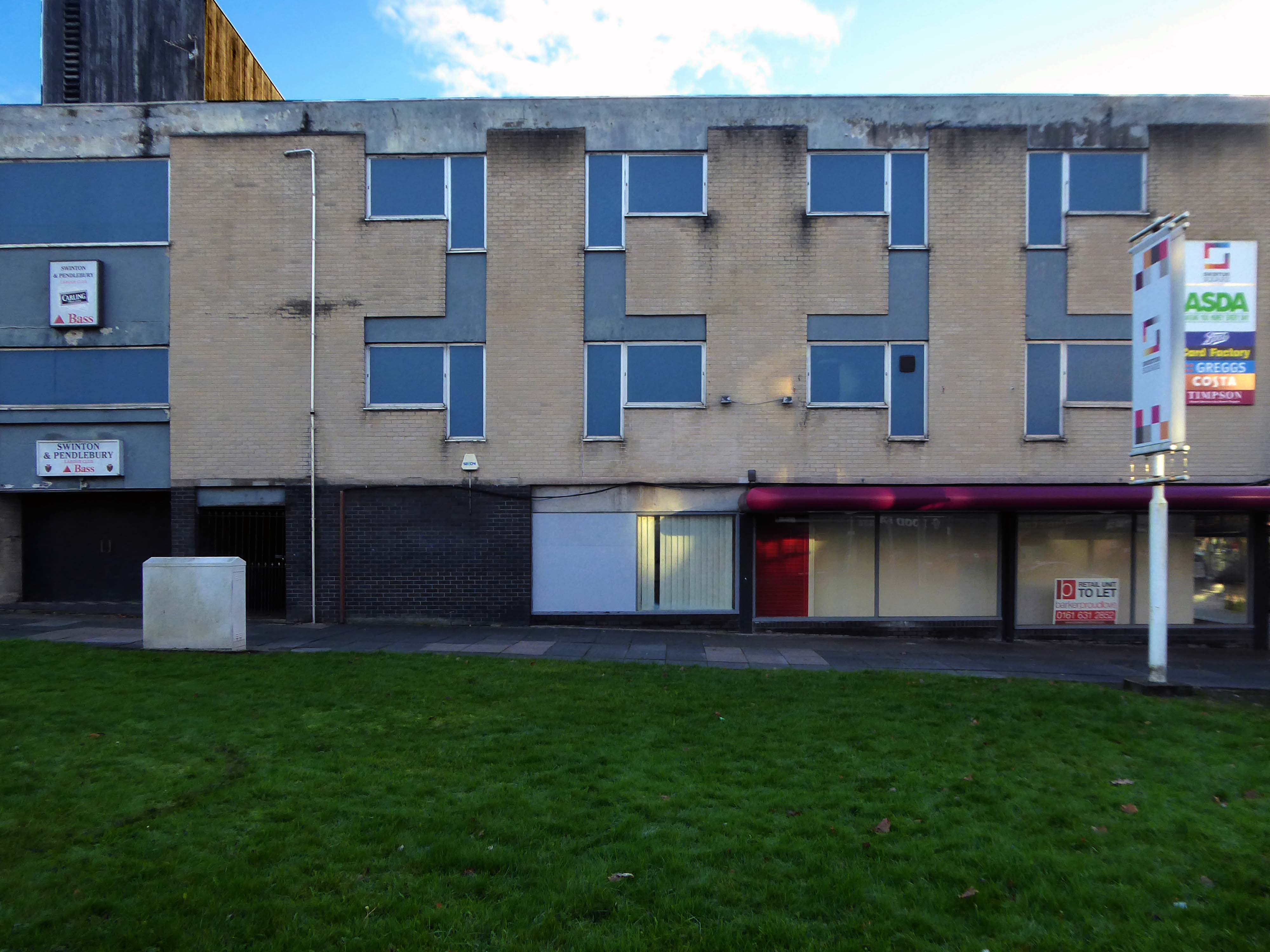
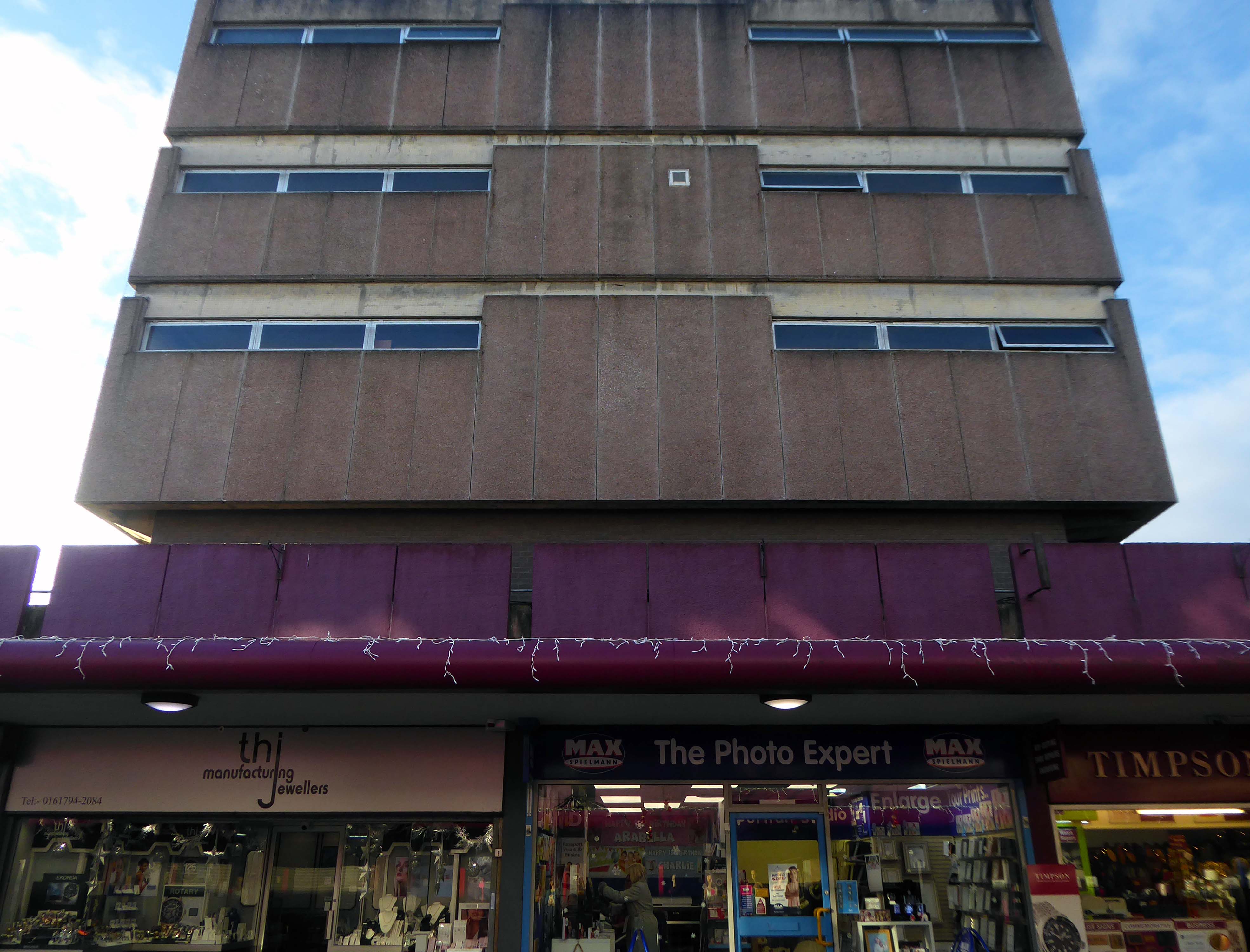
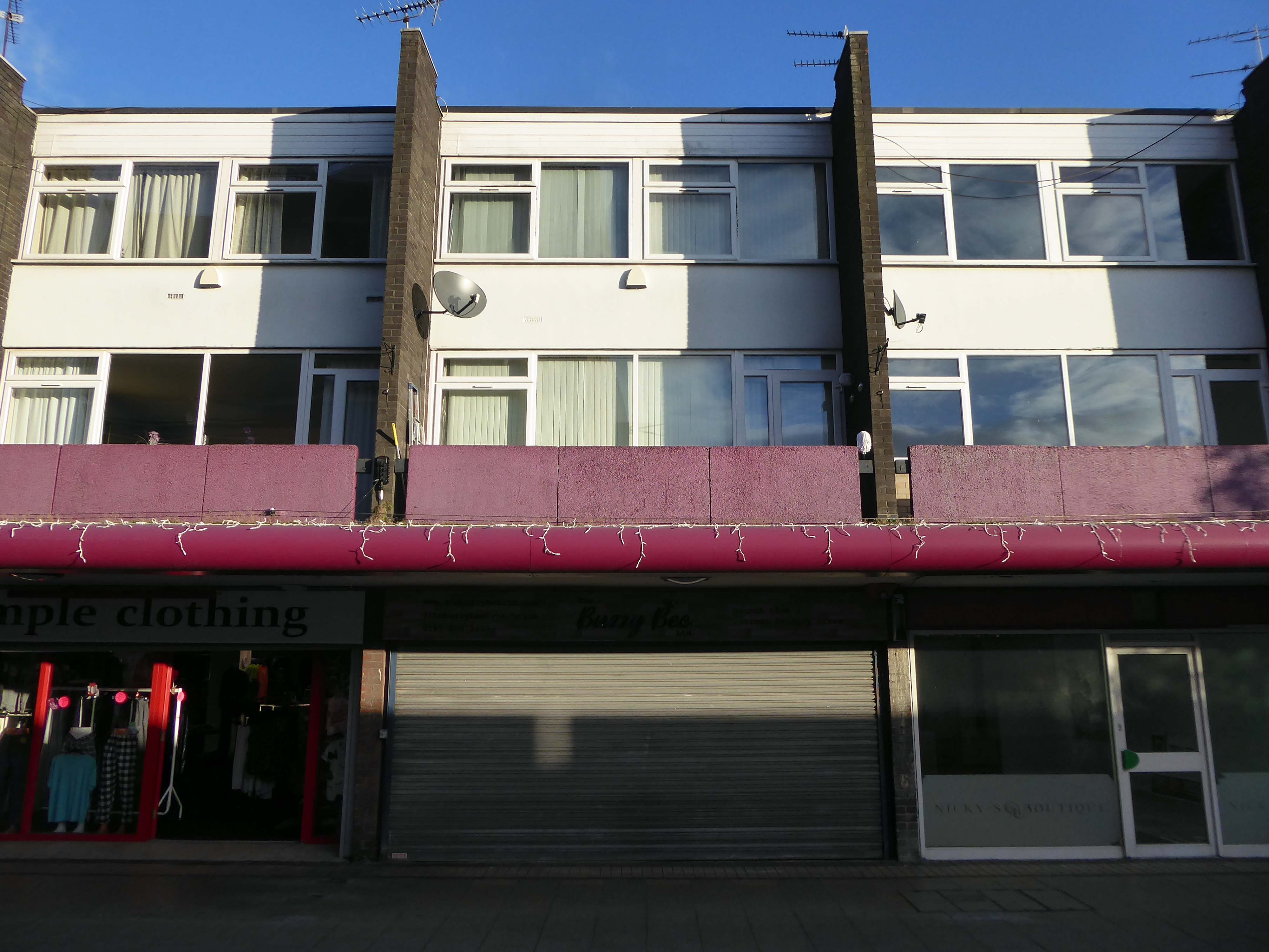
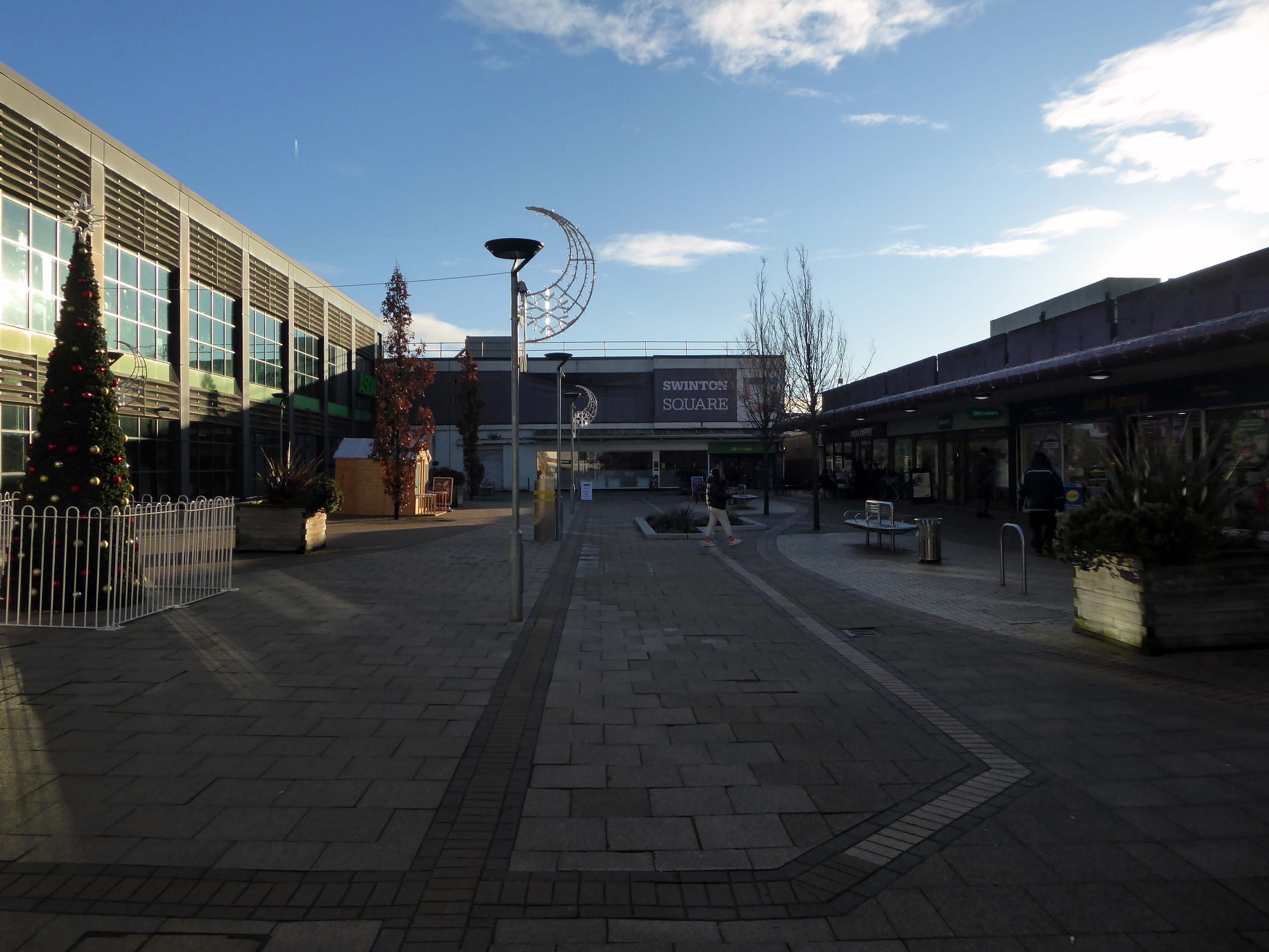
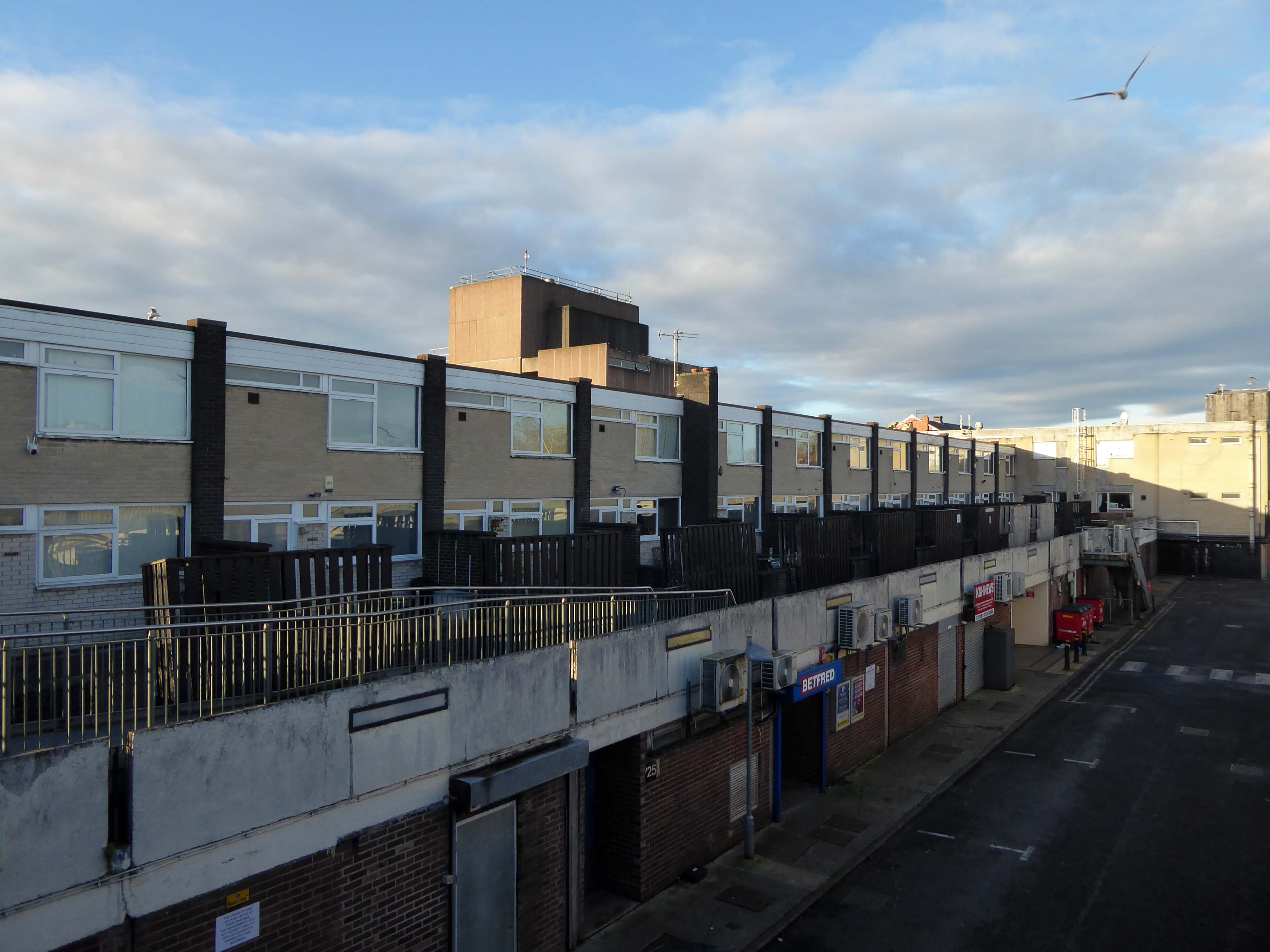
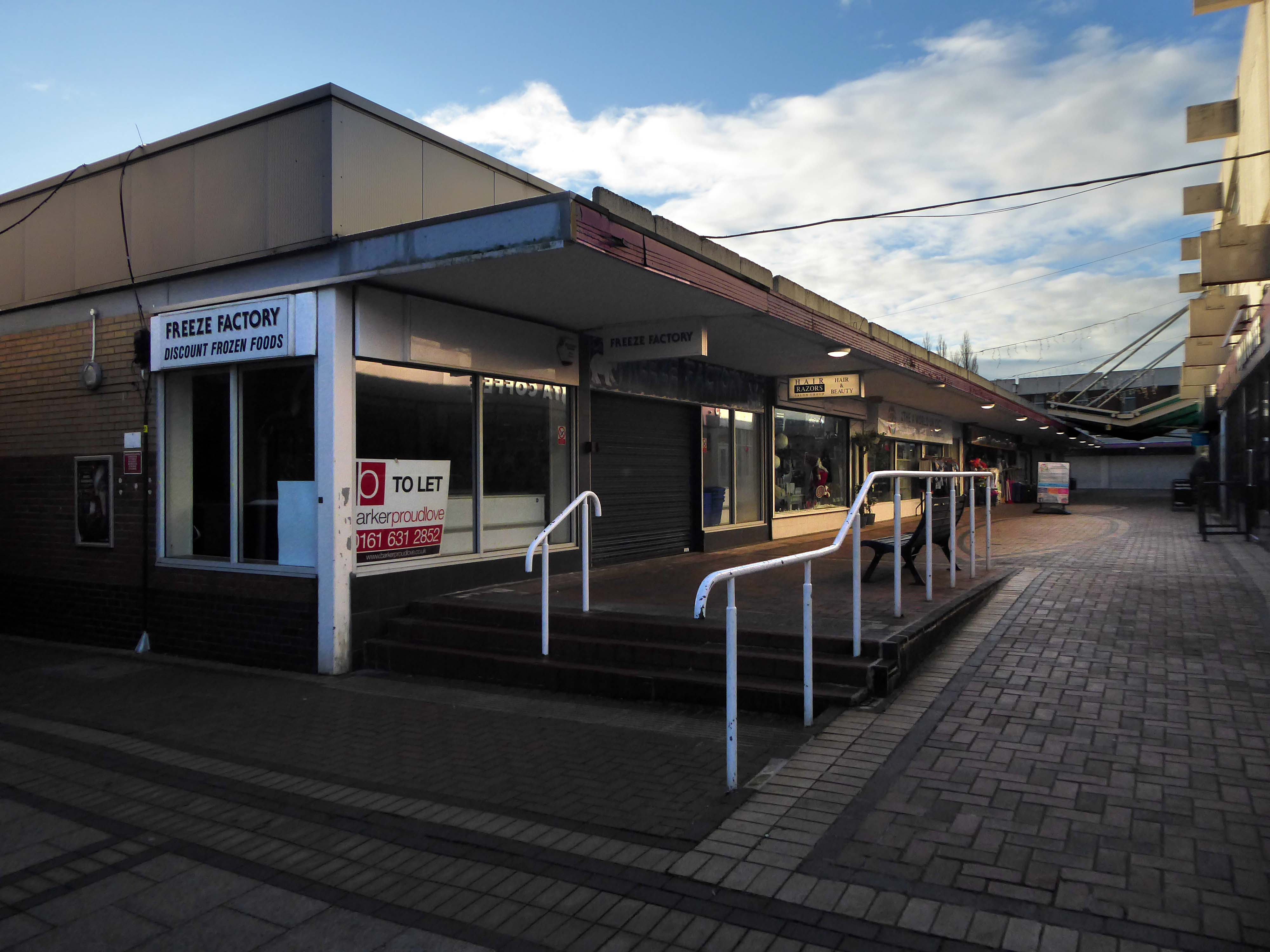
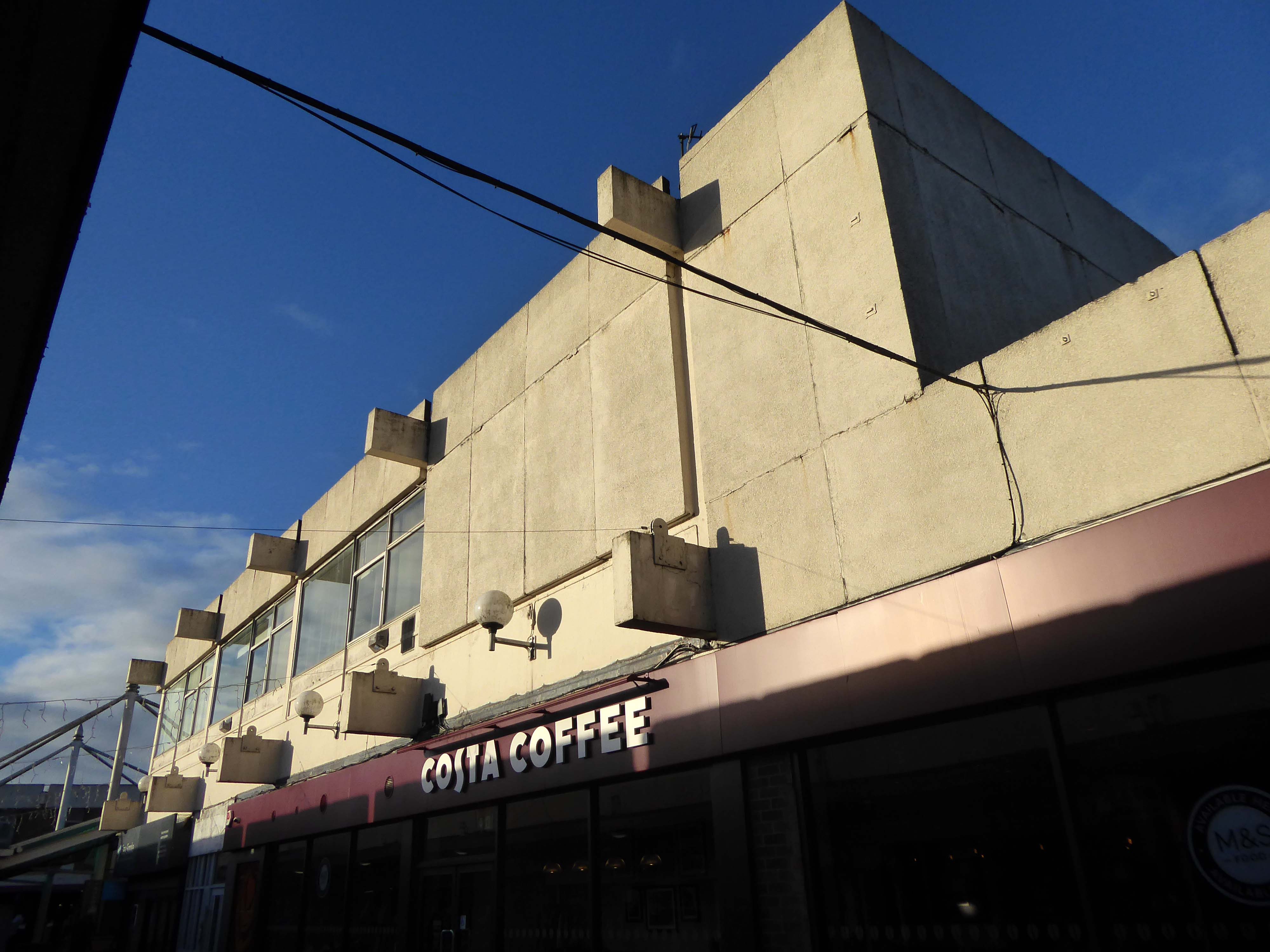
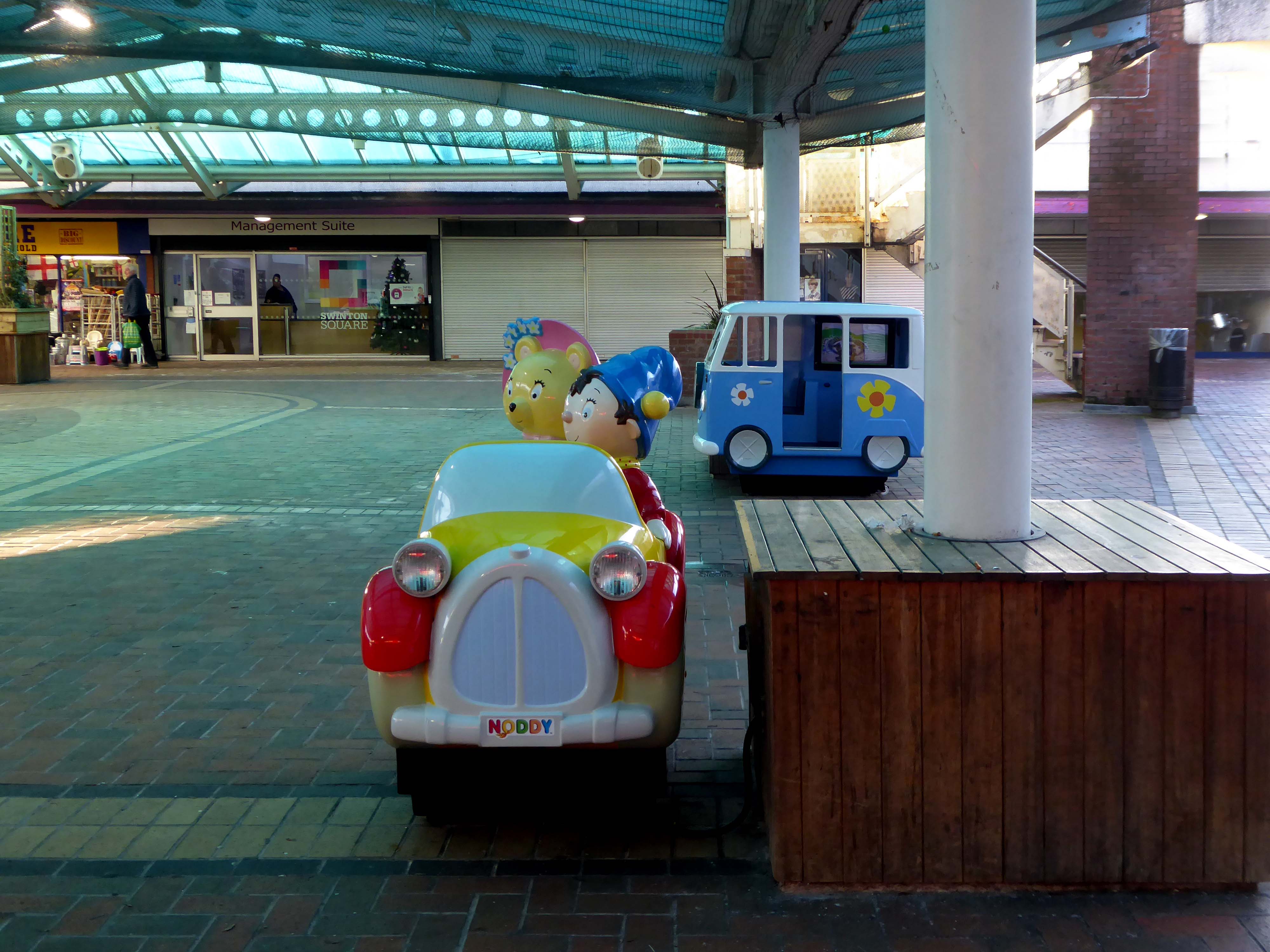
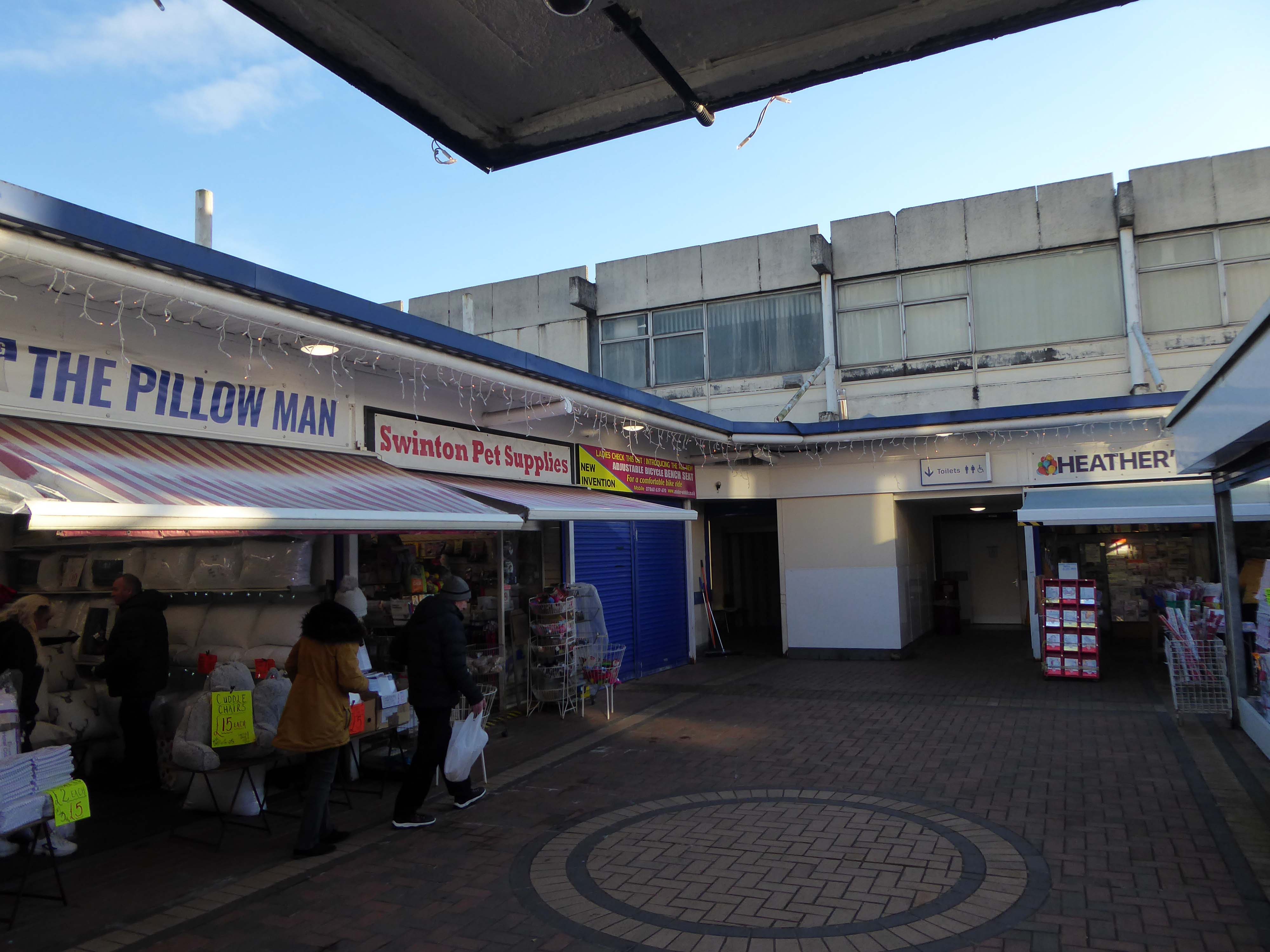
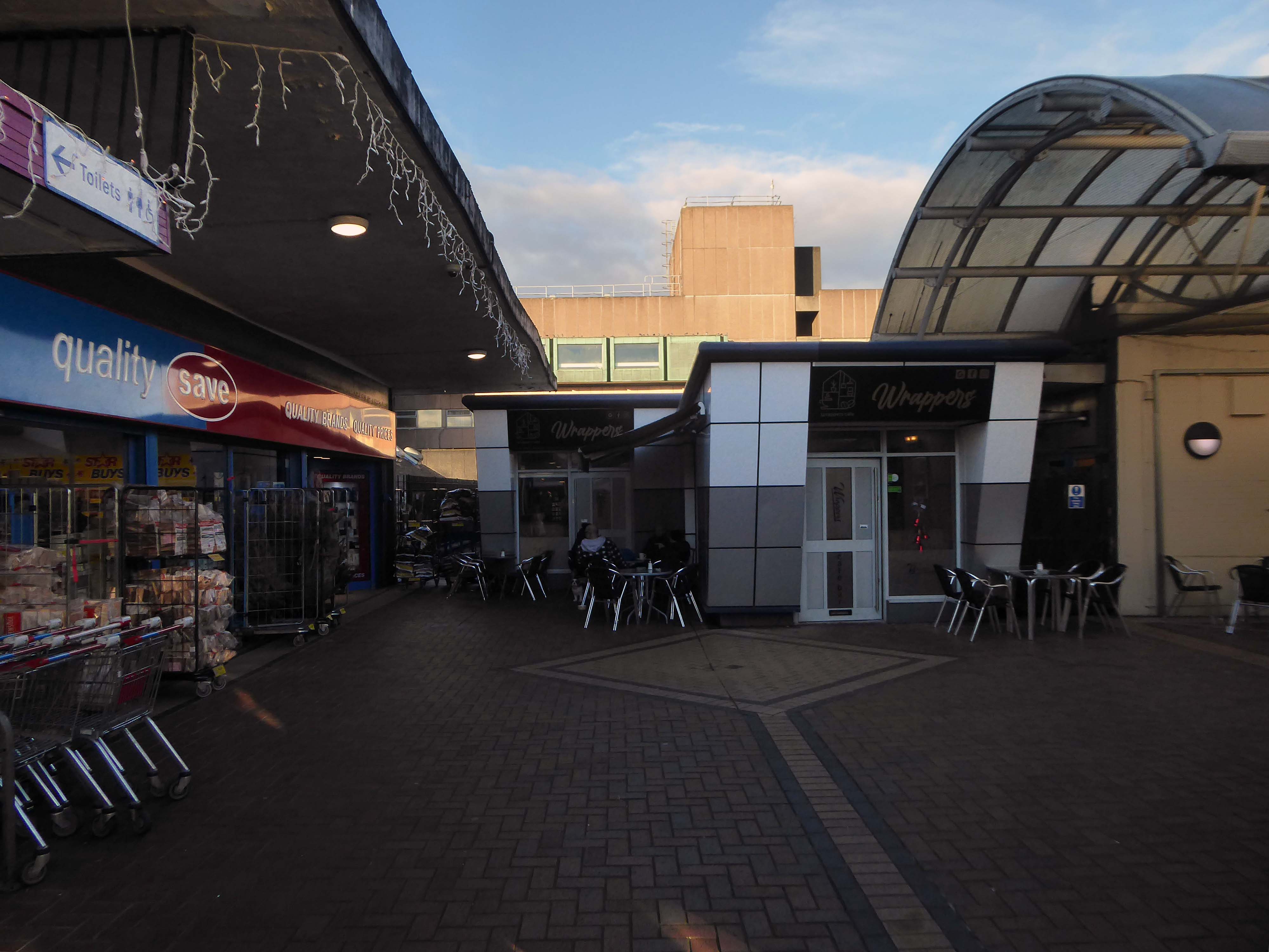
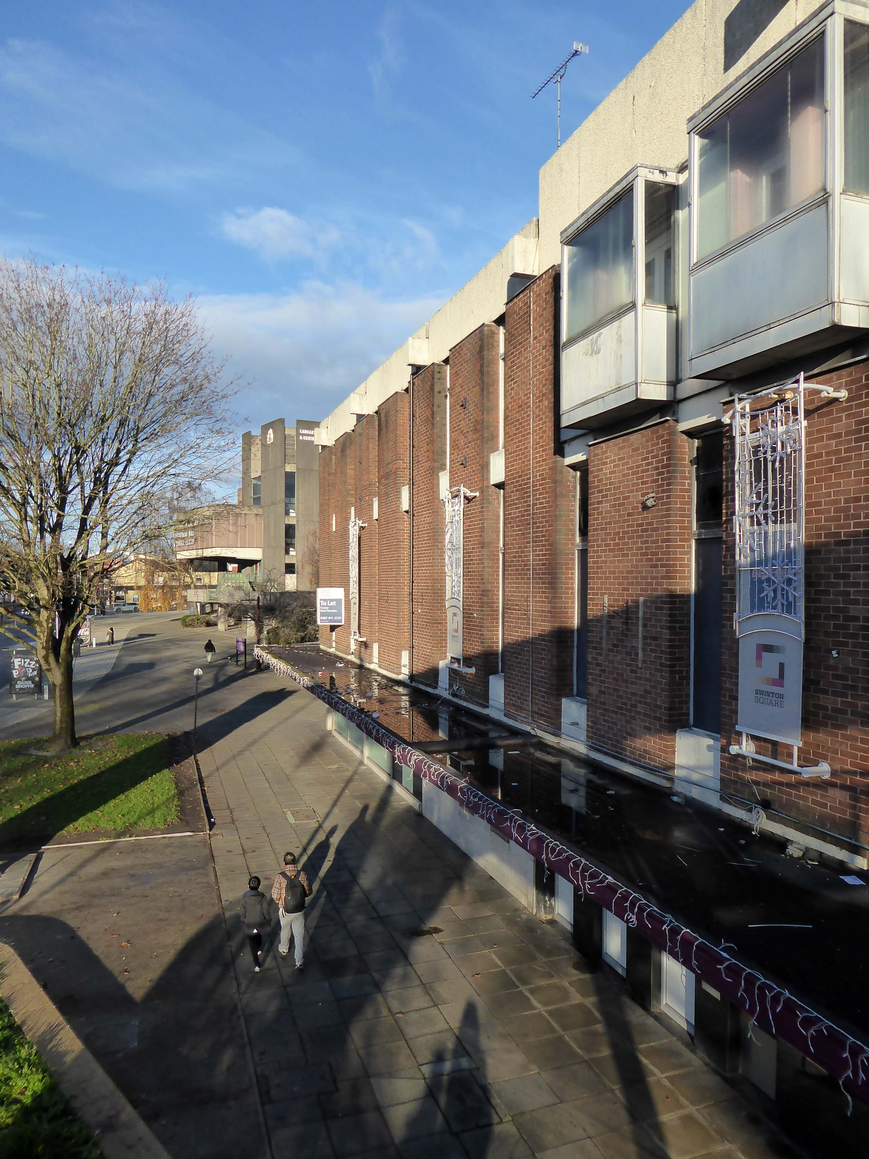
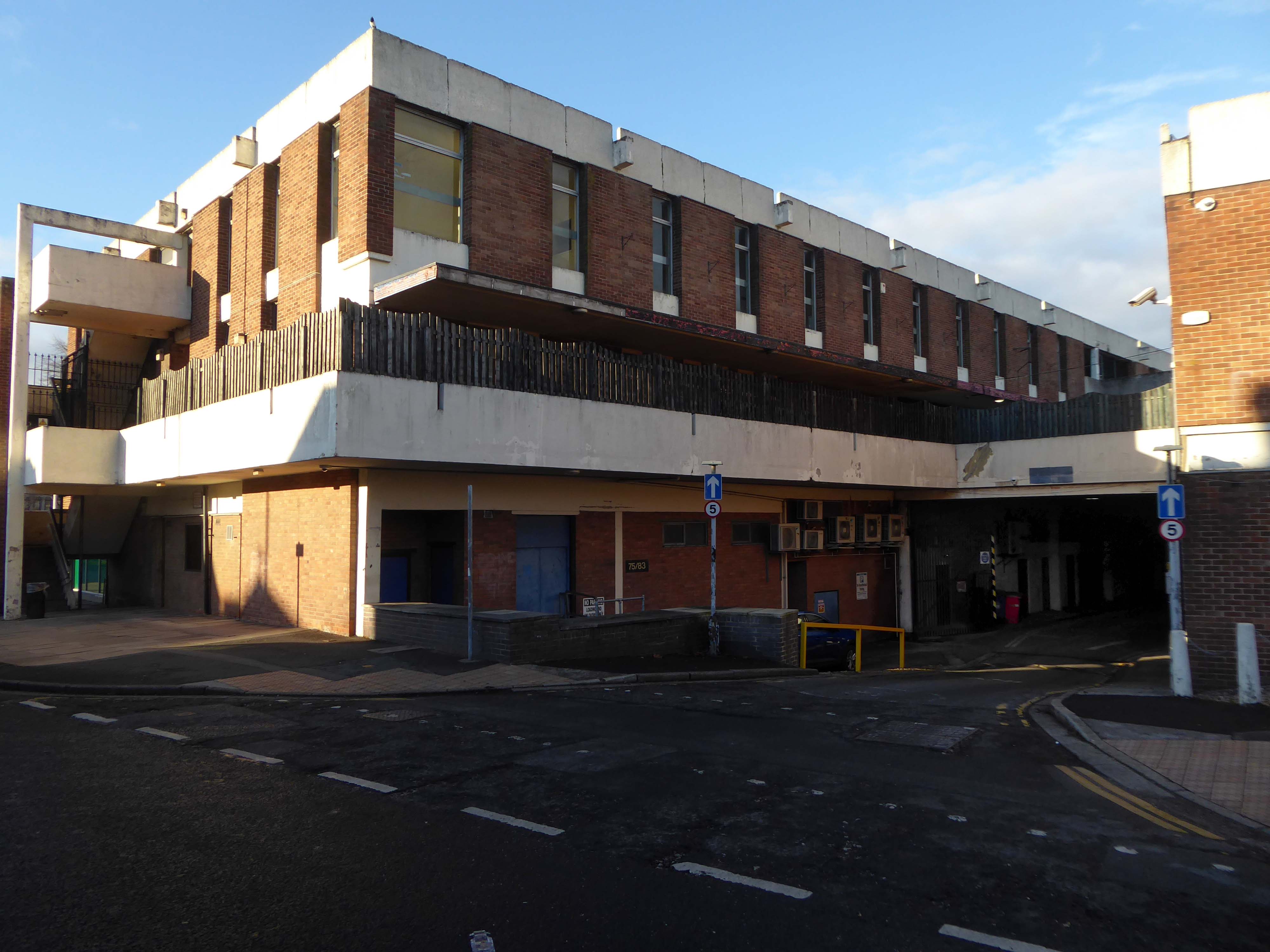
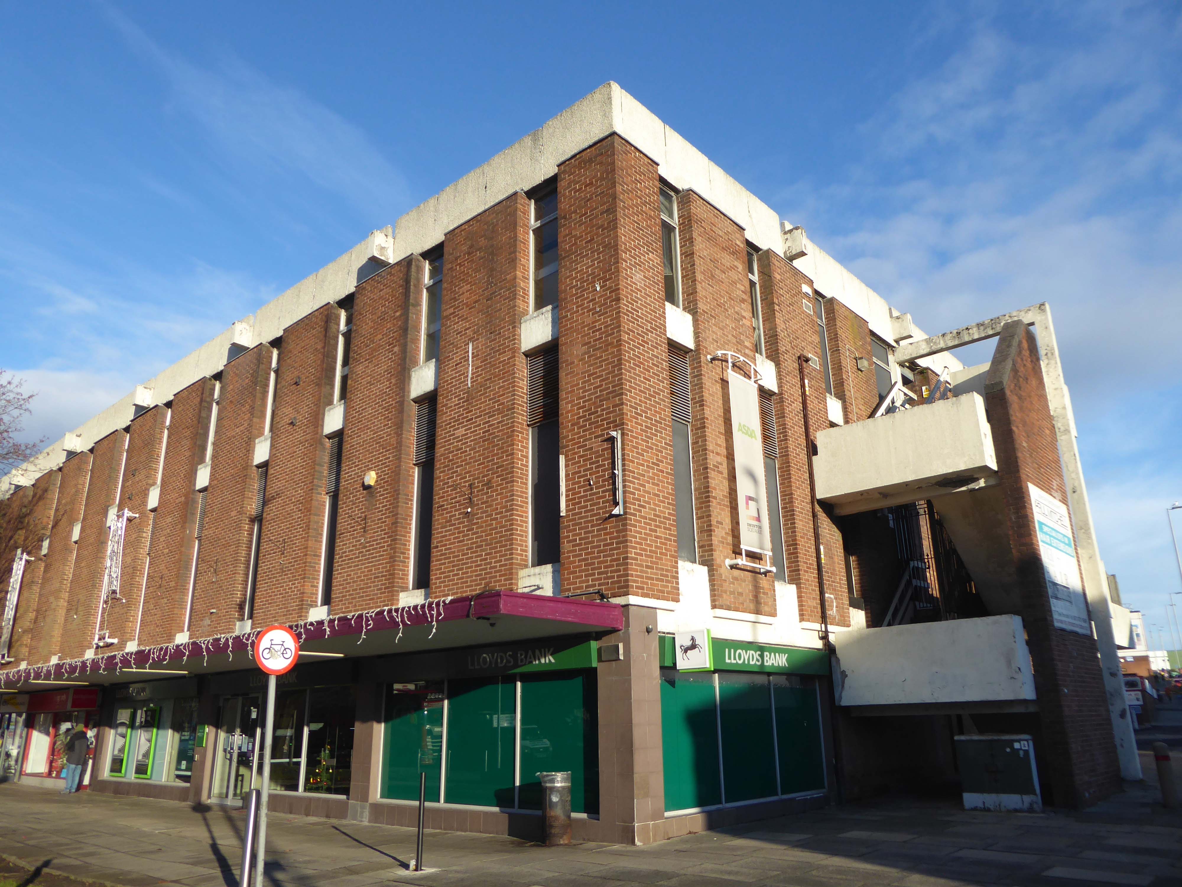
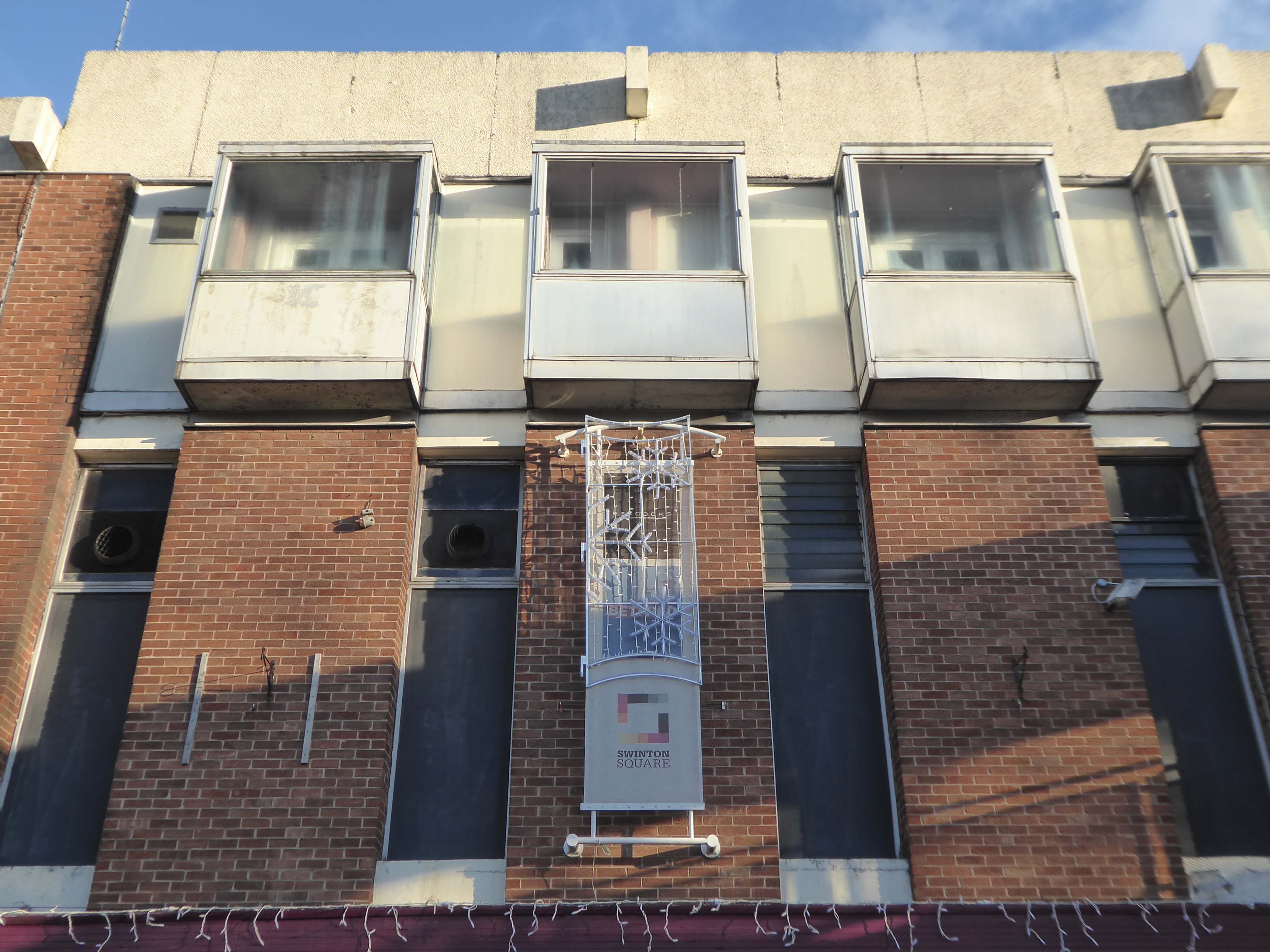
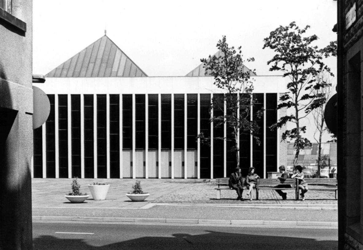
Opened in 1966 along with the slightly later Lancastrian Hall and Library, the Swinton Square shopping precinct provided an integrated modern setting for shopping, living, learning and entertainment.
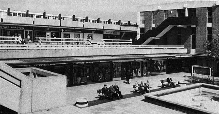
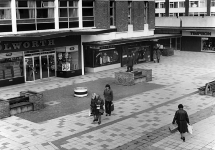
The late 60s and early 70s was a time of general prosperity – and the hard landscaping offered a soft option for the local folk.
This was the age of the Precinct, celebrated nationally with postcard after postcard.
My local haunt in Ashton under Lyne.
Local traders and national chains rubbed shoulders.
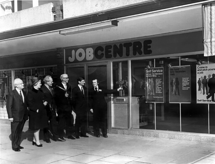
There was even a Job Centre opening- there was even a wide range of vacancies.
Following a challenging year, the letting reinforces Swinton Square as a pillar in the local community. Whilst retail has been heavily affected throughout the Covid-19 pandemic, footfall at the scheme has remained buoyant, with shoppers staying local, favouring the convenience and independent retailers of Swinton Square. Renovations began on the site of the new, temporary job centre at the beginning of the year and is due to be completed in May. The centre is expected to boost footfall and support for local, independent businesses.
Despite Swinton’s many strengths, it faces similar challenges to other towns. The shopping centre and other buildings in the town centre are dated and in need of investment. Demand for local housing has grown by 23% in the last five years, but there is a lack of high-quality family and affordable housing in the right locations in the area.
The vision is just the first step of the journey, the next is to appoint a developer partner who can take this vision and help shape it, through ongoing consultation and engagement with the community, into a framework and plan for Swinton that will guide future investment.
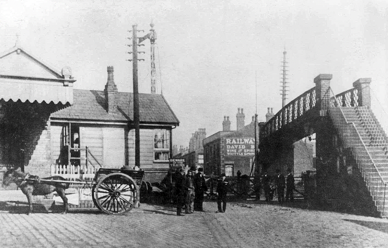
The current railway station is a modern version from the 1980s that was built on top of the original station. The level of the old platforms can be seen under the existing station’s two platforms which are connected by underpass. The initial station was opened on 22 December 1841 by the Bolton and Preston Railway – which later became part of the Lancashire and Yorkshire Railway and was subsequently served by the Lancashire Union Railway between St Helens, Wigan North Western and Blackburn from 1869.
Passenger trains over this route between Blackburn & Wigan were however withdrawn in January 1960. Further work was done in 2016 and 2017 in connection with the electrification of the line between Euxton Junction and Manchester.
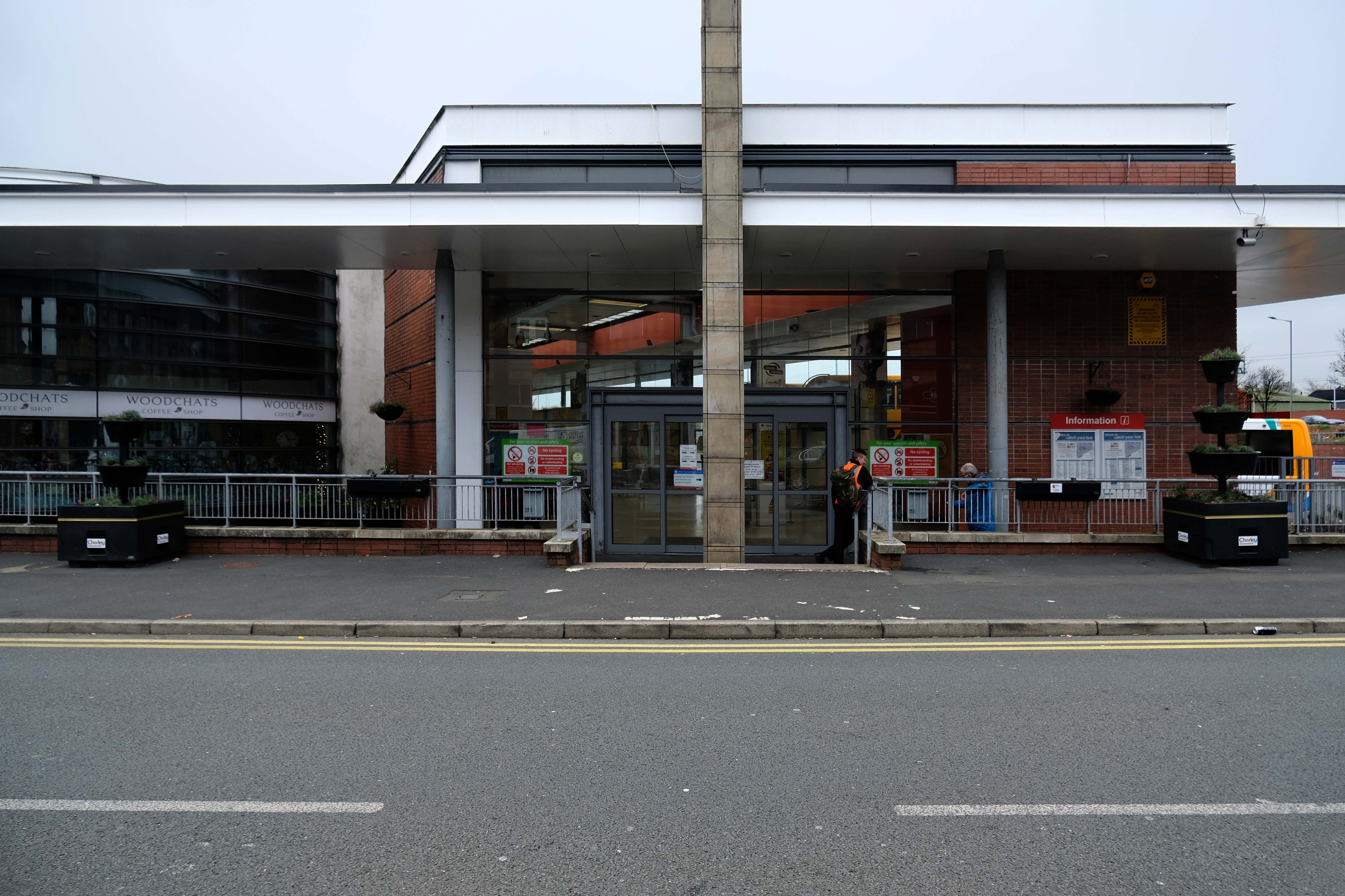
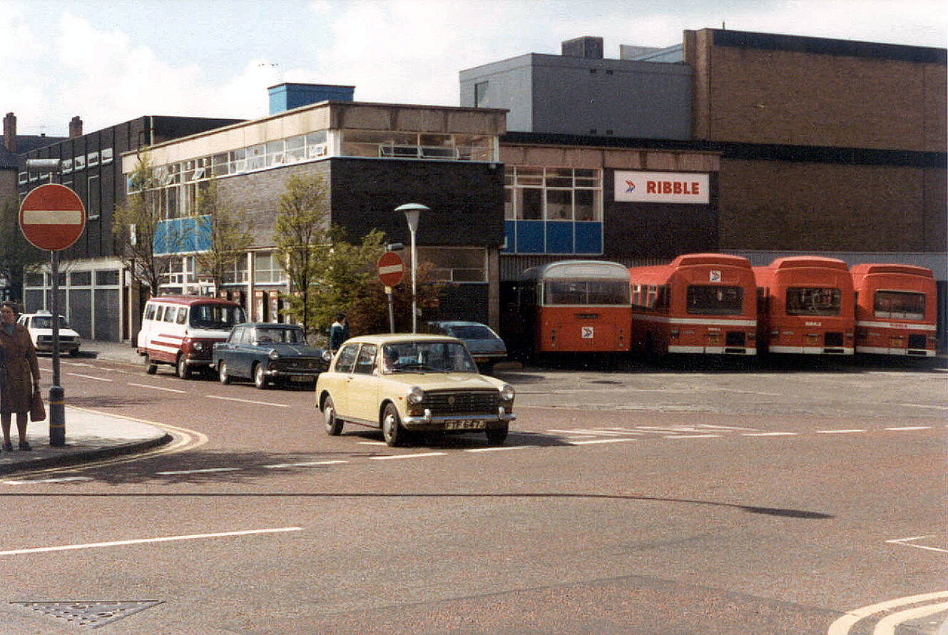
Crossed over to the Interchange – which was formerly a humble bus station, opened in February 2003 replacing the previous structure.
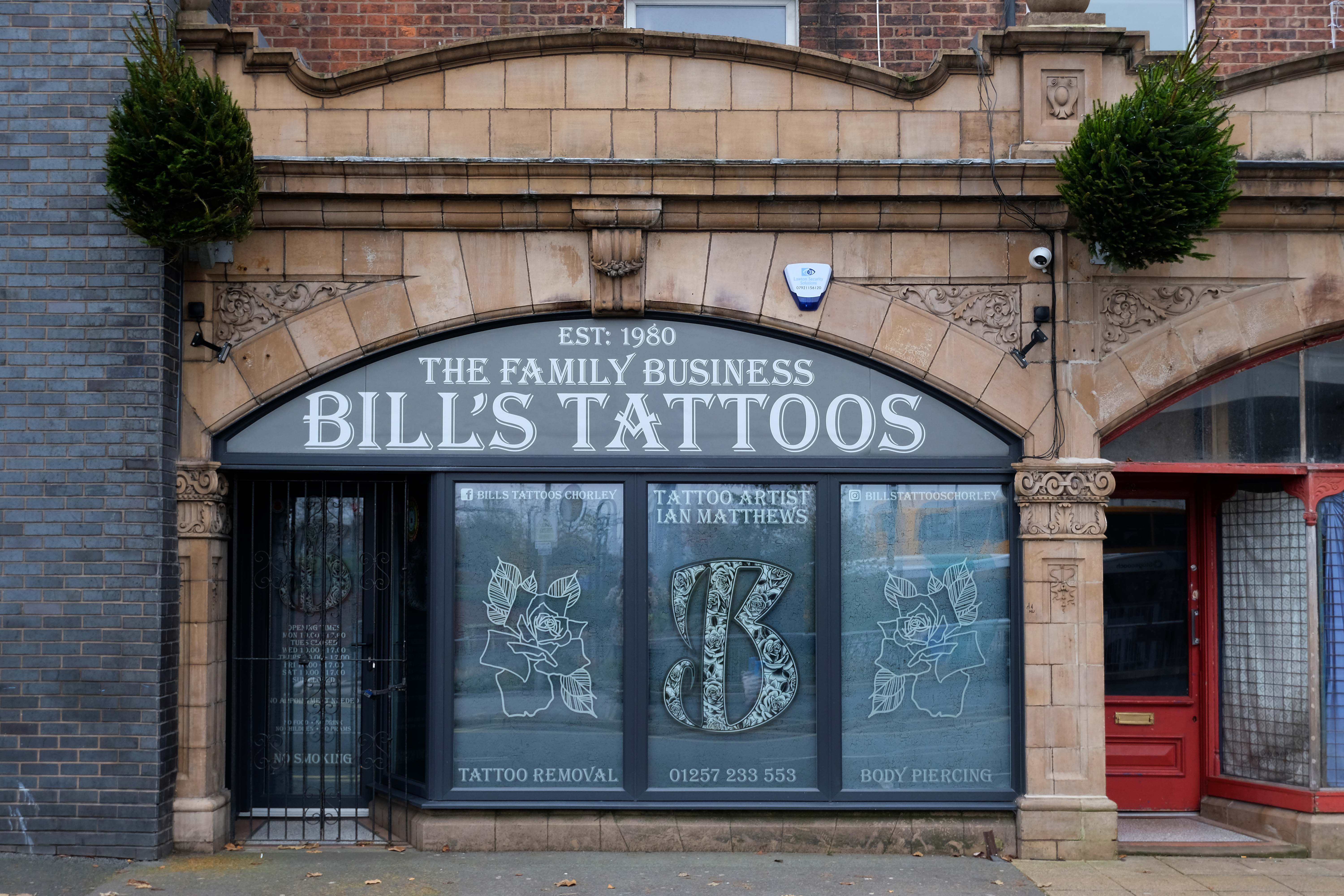
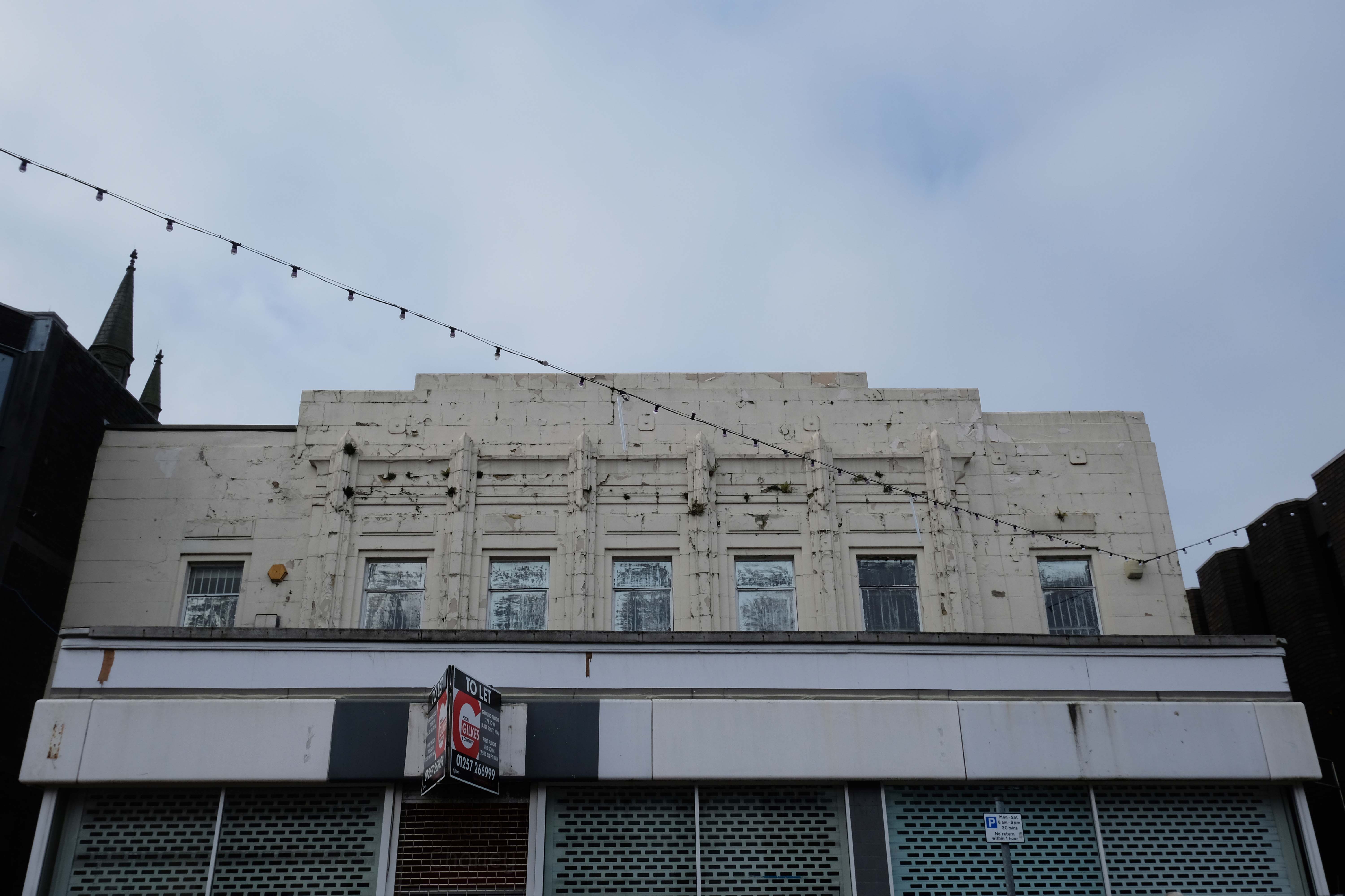
Across the way a stand of shops with distinctive faience fascias.
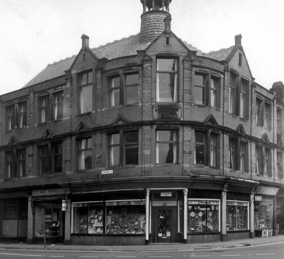
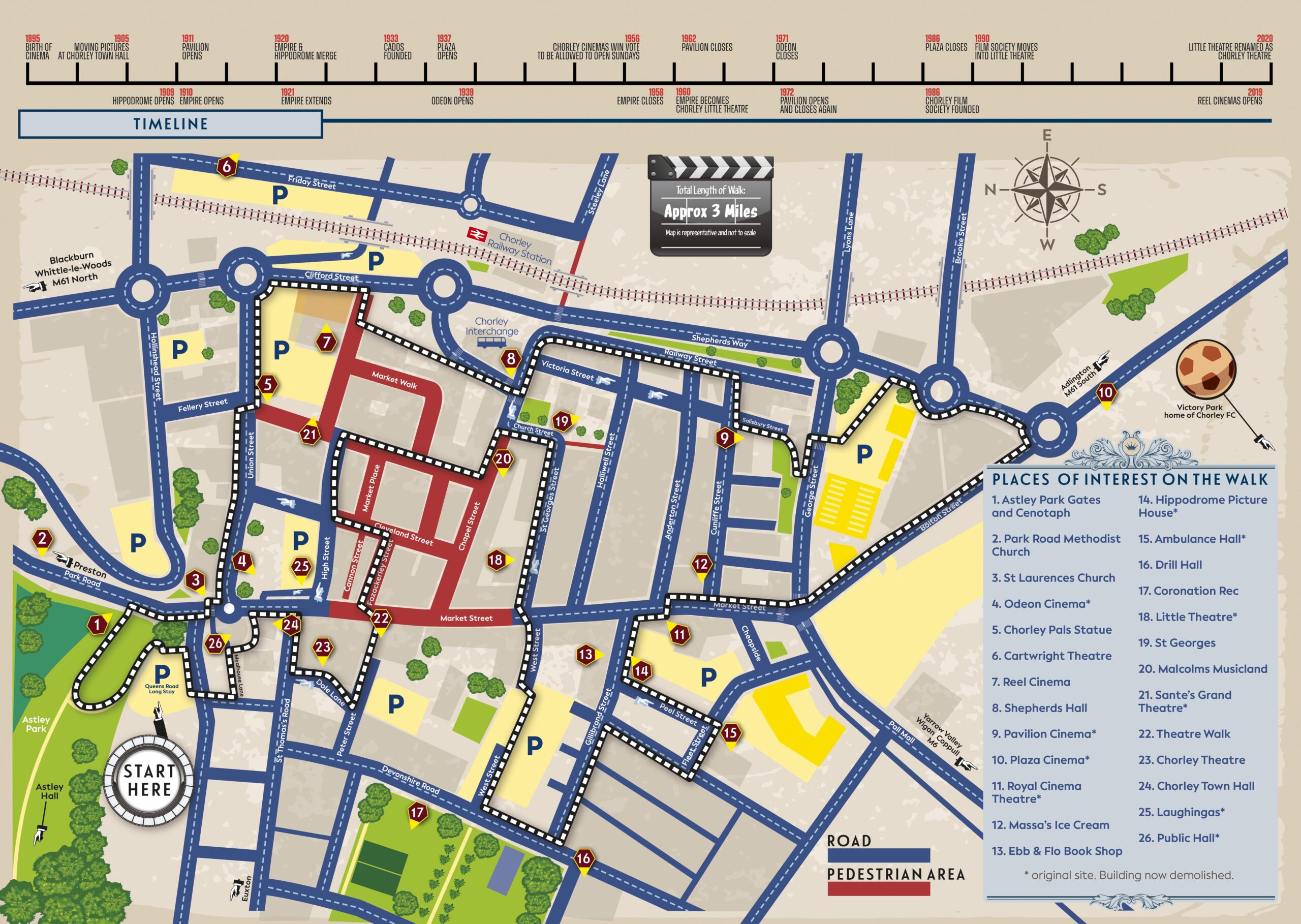
Further along the Shepherds’ Victoria Hall – once home to the Jubilee of the Ancient Order of Shepherds’ Friendly Society which was quite prominent in Chorley in the late 1800’s and early 1900’s
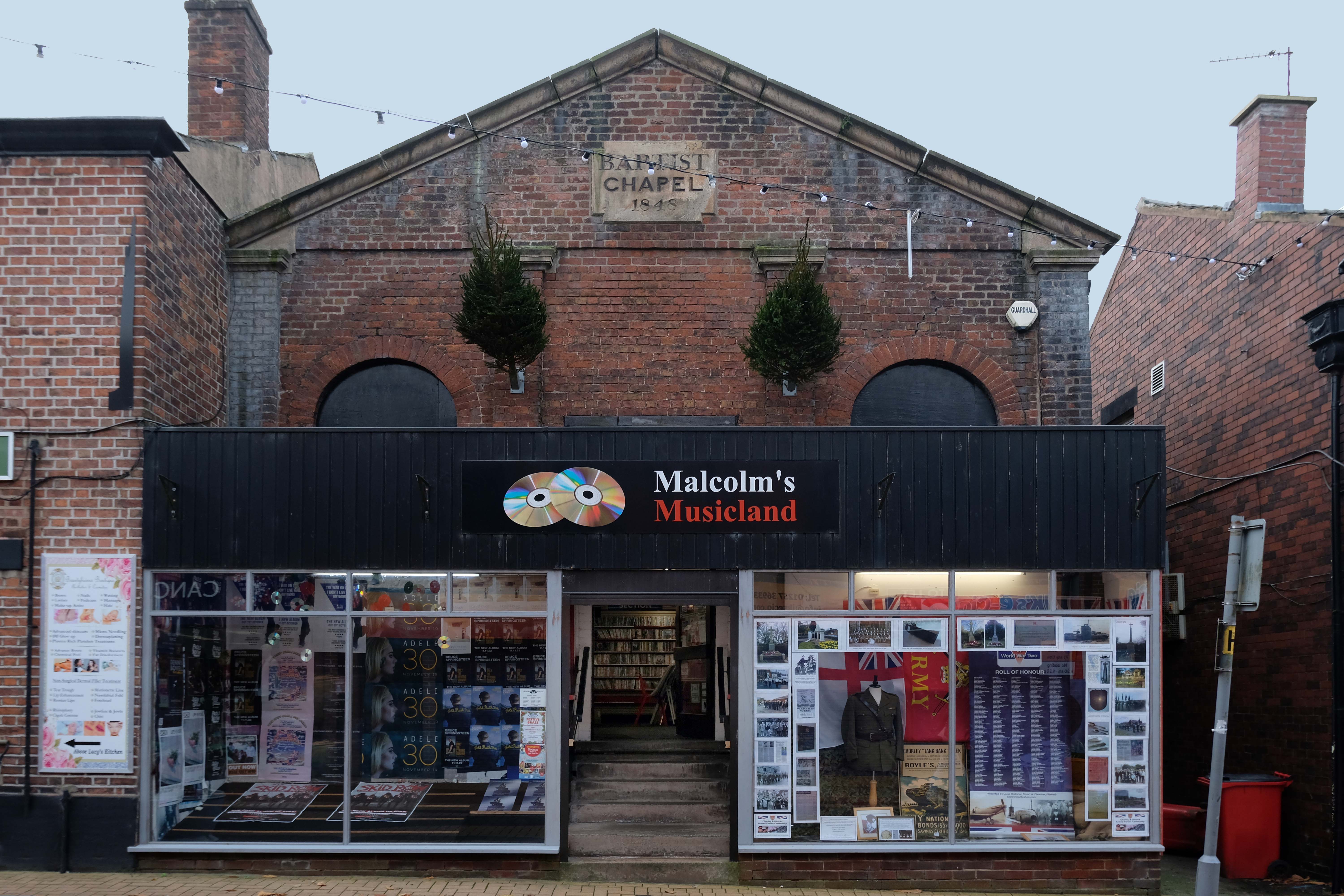
Down the way a ways a Baptist Chapel of 1845 on Chapel Street – currently trading as Malcolm’s Musicland.
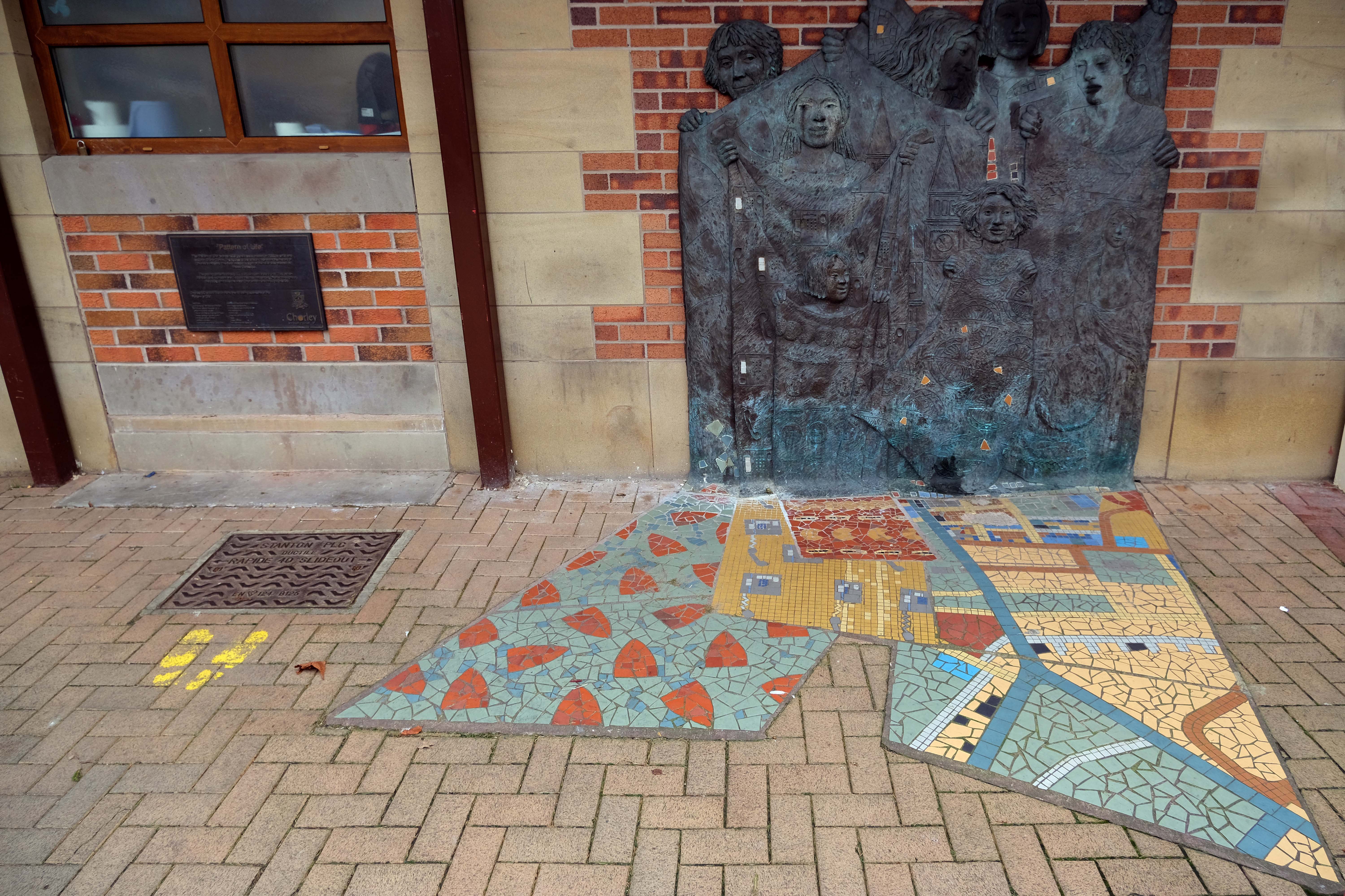
Hang a sharp right to the Market – where there is this newish piece of public art Pattern of Life a bronze relief by Diane Gorvin and mosaic work by Tracey Cartledge
This piece involves an innovative combination of cast bronze and ceramic mosaic. Two bronze relief panels display female figures holding out rolls of fabric, each decorated with patterns and images that are particular to the town of Chorley. Payphones, for example were invented and manufactured in Chorley, the crested newt is protected here and you might also notice the famous Chorley Cakes. As the fabrics tumble down, the designs are translated from bronze relief on the wall surface into 2D mosaic in the pavement.
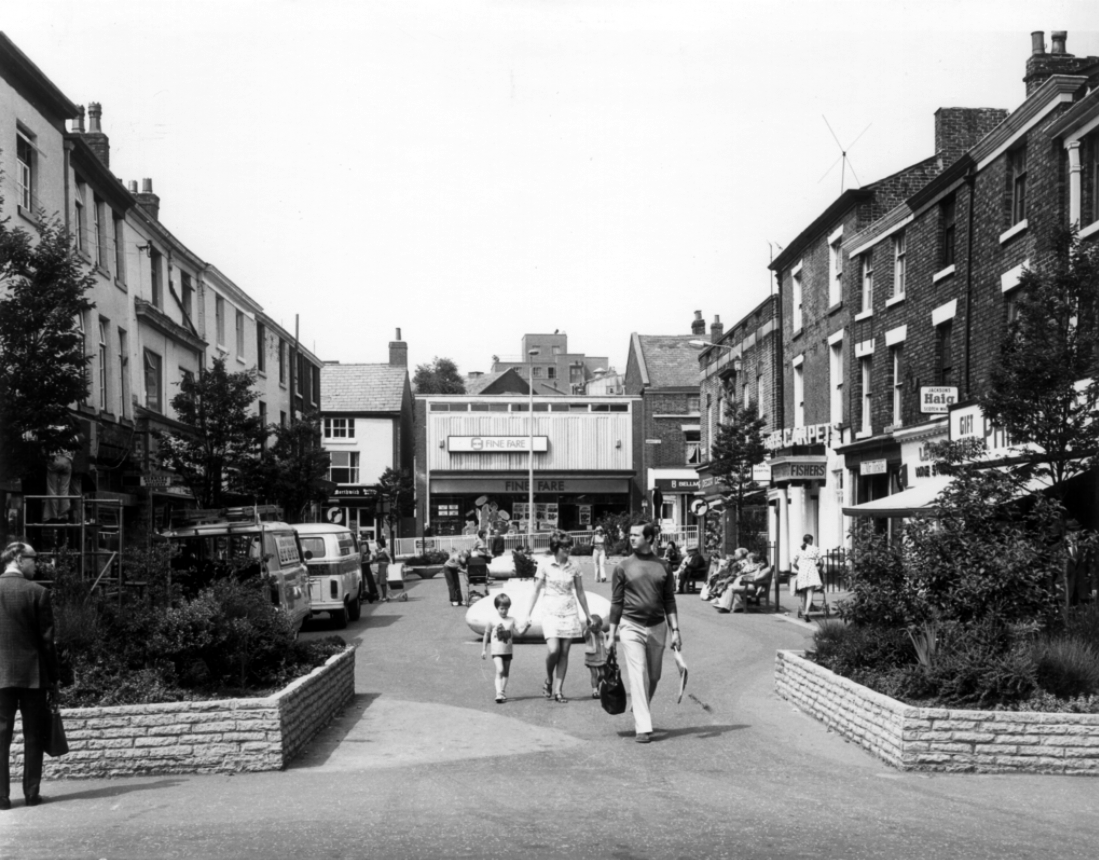
Looking down Fazakerley Street to where Fine Fare once was.
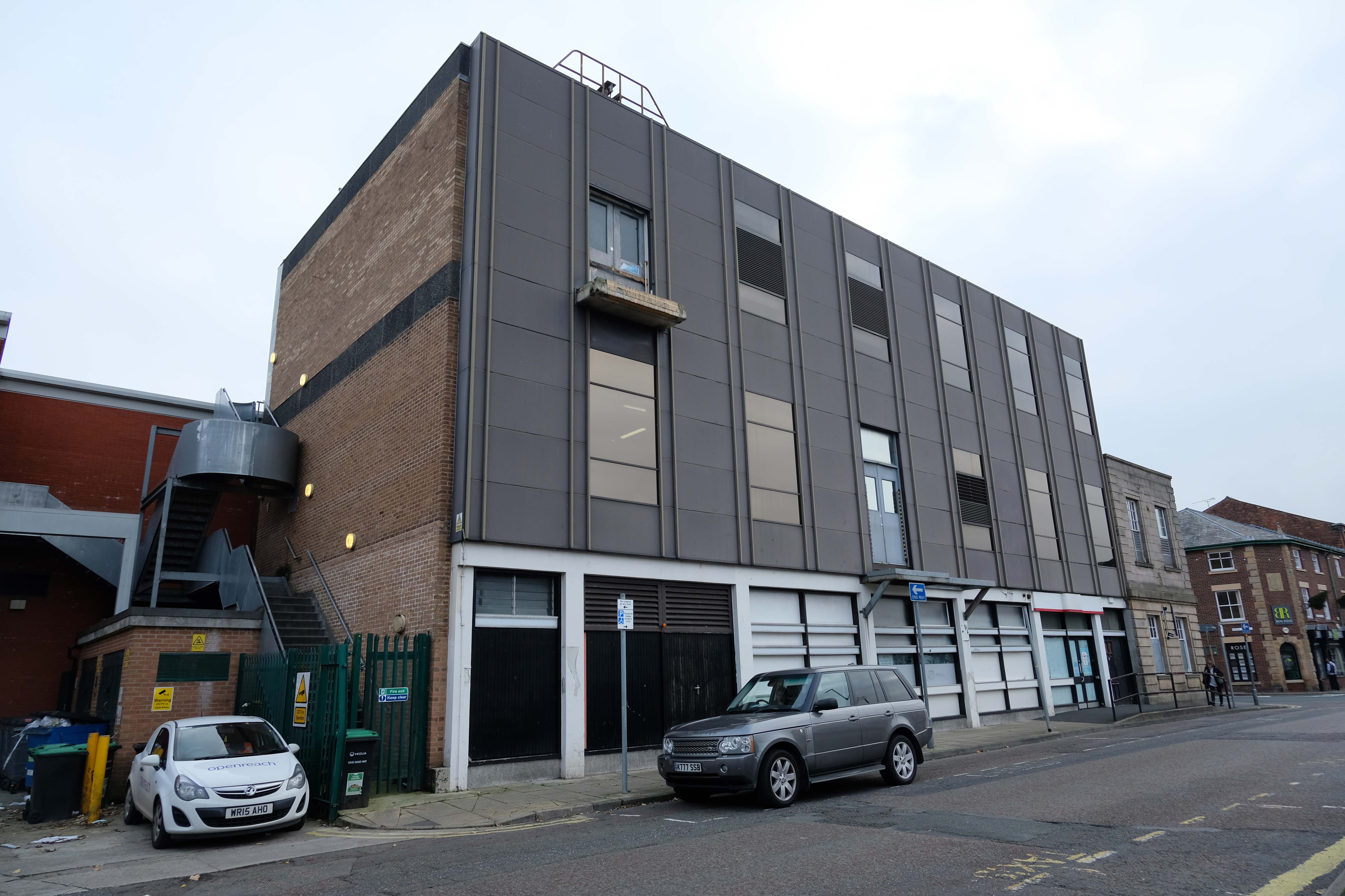
We’ll return to such matters in a moment – we have to get to the Post Office – which is no longer a Post Office.
It was a Post Office in 1935 – it also has a later extension.
The local list declares that the post office dates from 1935. This is almost certainly erroneous since the contract documents date from 1924, and from contract to completion the average construction and fitting-out time was about 18 months.
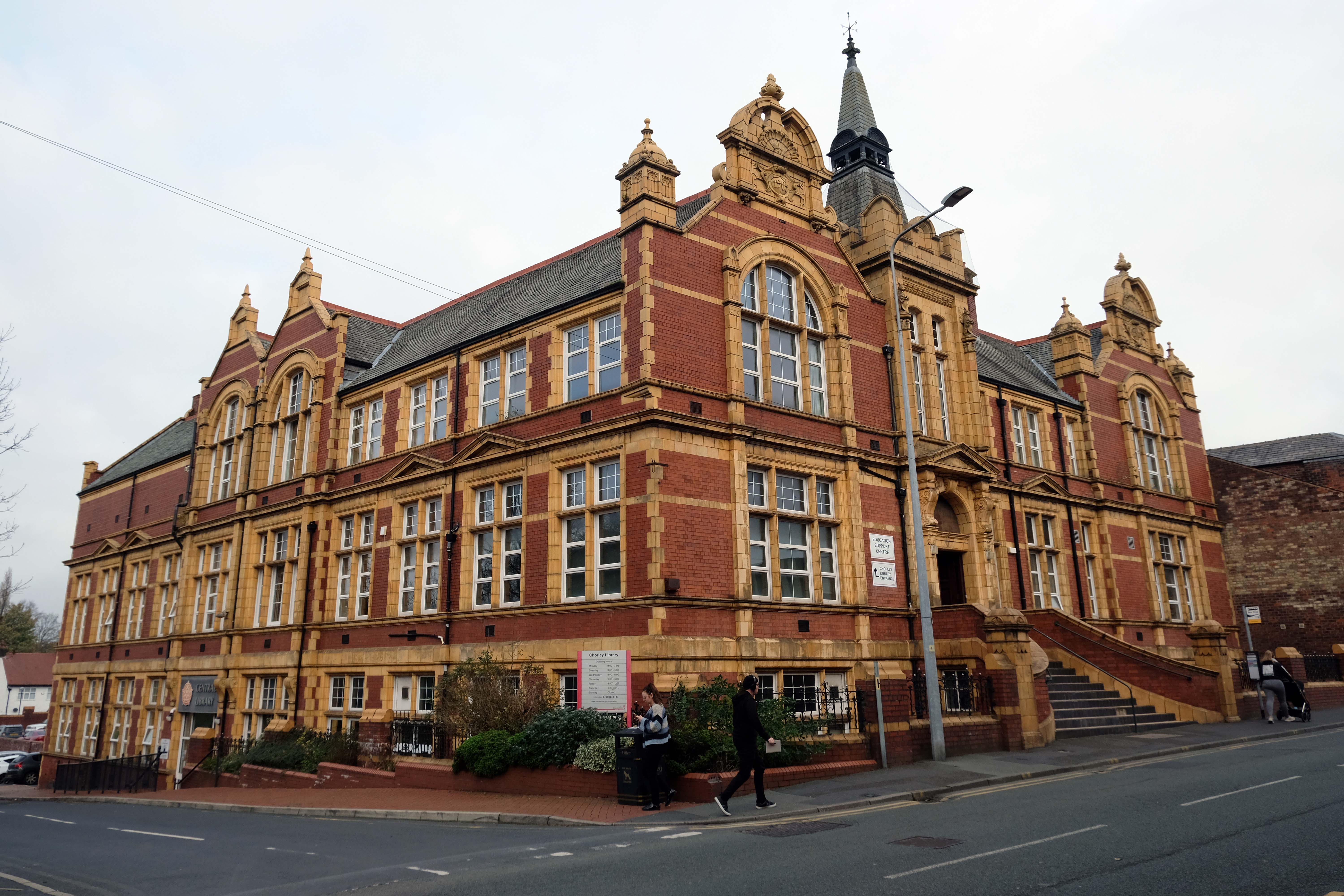
Plans supplied by the Architects Messrs. Cheers & Smith of Blackburn which were approved by the Education Committee on the 18th August 1904 – design proposals for the new Technical School entitled Light and Air.
The considerable task of erecting the school was given to the local builder Mr. William Hampson of Pall Mall.
Surely the envy of his trade, the total contract was worth a mouth- watering £10,041 15s. 9d. – approx. £720,000 today.
The building was officially opened by the 16th Earl of Derby on September 24th 1906.
Over the road the town’s newest retail development Market Walk – the work of AEW Architects.
Chorley Council bought the shopping centre from Orchard Street Investments for £23m in 2013 and commenced a large-scale regeneration scheme in 2018 involving a £15m, 79,000 sq ft retail and leisure extension led by main contractor Eric Wright Group and designed by AEW Architects. Here, Conrad Heald of Chorley Council tells his interviewer, AEW director Phil Hepworth, how the scheme came to fruition and has rejuvenated the town centre.
The memorial re-sited in 2018 commemorates the Chorley Pals.
In less than 20 minutes, 235 of the 720 men from the 11th East Lancs. were killed. Another 350 were wounded, of which 17 would eventually succumb to their wounds. Many of the Battalion died where they fell, in No Man’s Land.
As a result of the attack on the morning of the 1st July, the Chorley Pals – Y Company, had 31 men killed and three died within a month of their wounds received on that day. 21 have no known graves and their names are transcribed on the Thiepval memorial to the Missing on the Somme battlefield. A further 59 were wounded, making a total of 93 casualties out of approximately 175 men from Chorley who went over the top that morning.
Reversing now to the former Barclays Bank – which closed earlier in 2022.
We return now to the former Fine Fare.
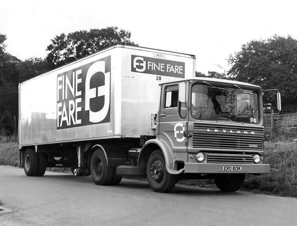
The company began as one single supermarket in Welwyn Garden City in 1951, as an offshoot of the Welwyn Department Store, owned by Howardsgate Holdings, the company of Ebenezer Howard, the founder of the garden city movement.
Now here’s a thing a bank which is a bank NatWest not gone west.
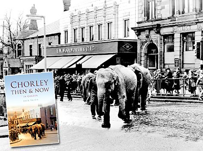
Next to the former Woolworths, opened in Chorley in 1930 on Market Street, with its pale Deco faience fascia.
They traded from this building for sixty five years, before closing in March 1995 in order to move to a new store on Market Walk – it became an Argos, then it didn’t.
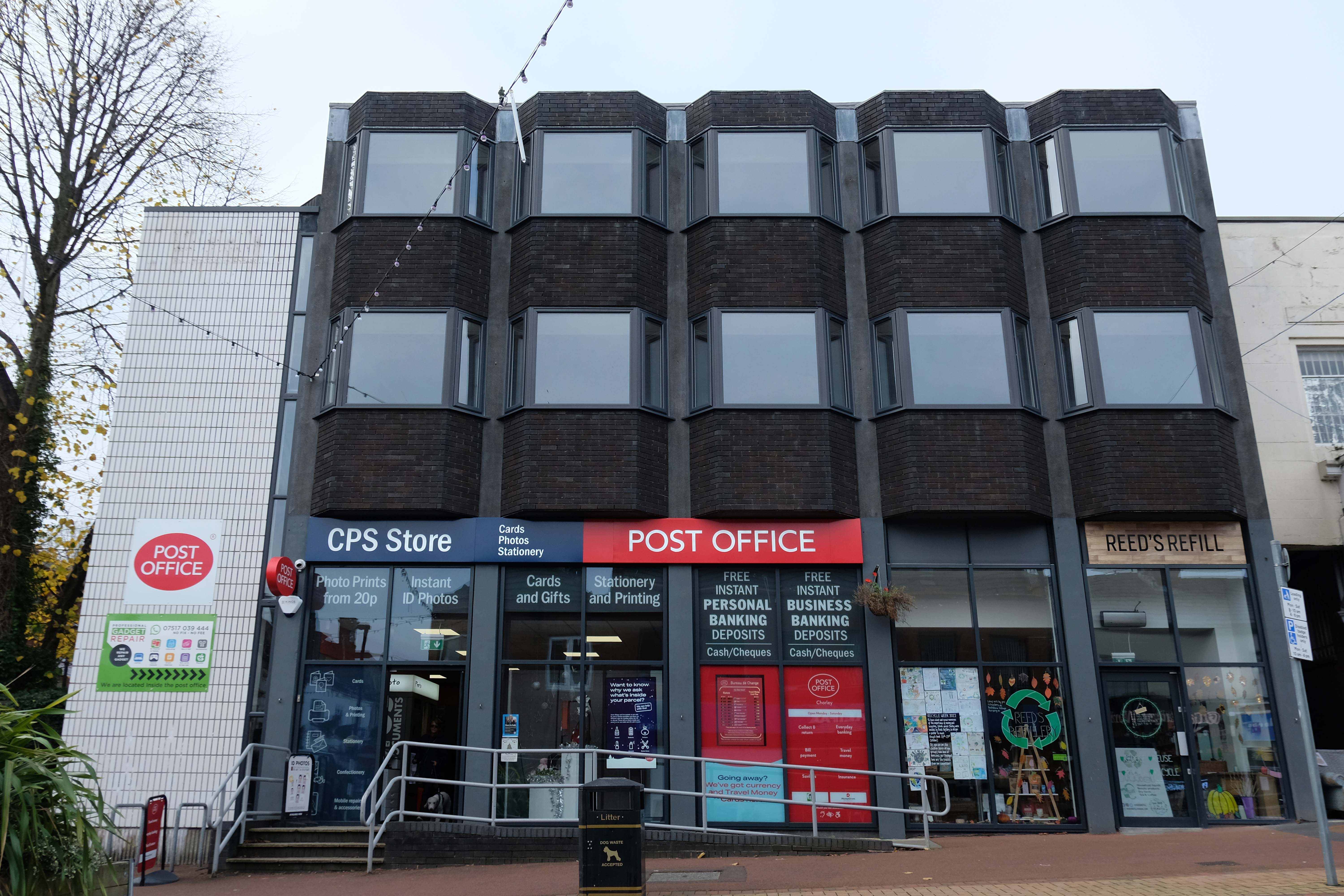
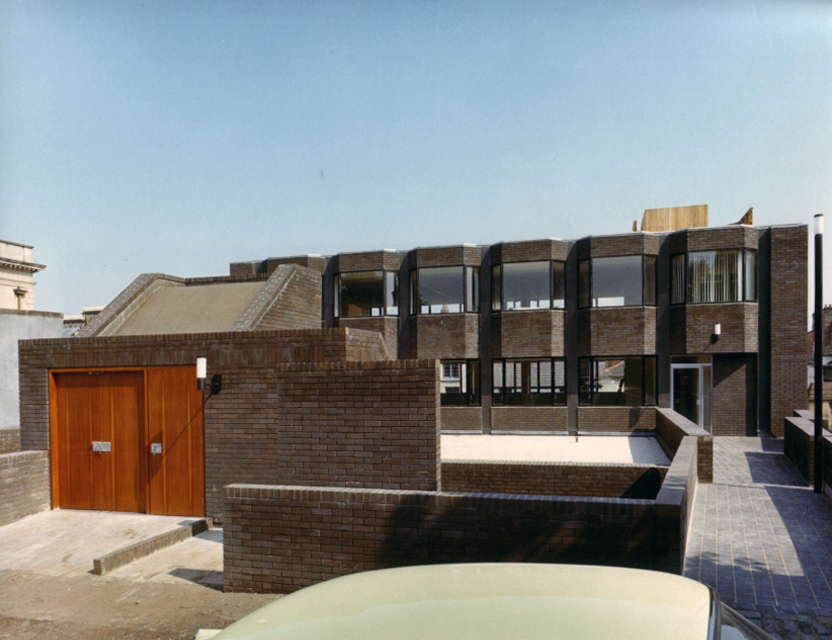
Here we are now at a Post Office that is a Post Office but was an RBS Bank.
the Bank was the work of Cruickshank & Seward – thanks to Mainstream Modern for these archive images.
The new location is at the former Royal Bank of Scotland on Market Street in the town centre.
Since the Post Office that was based at WH Smith on New Market Street came to an end, when that store closed in January, it relocated to a temporary unit in Market Walk until a permanent solution could be found.
The unit, which had been provided by the postmaster from Burscough Bridge Post Office, closed on Tuesday.
Kenny Lamont, Post Office Network Provision Manager, said a Post Office is important to a community.
This had been a Methodist Church – then, it became the HQ of the Lancashire Electric Power Company.
The Lancashire Electric Power Company was one of the largest private electricity companies in the UK. It was established in 1900 and generated and supplied electricity to 1,200 squares miles of Lancashire from 1905 until its abolition under nationalisation in 1948.
Time to back track to the Cop Shop – the work of County Architect Roger Booth and crew.
The Magistrates’ Courts are closed and up for sale.
Next door the White Hart once upon a time the Snooty Fox, a pub with an up and down trajectory – currently open and described online as plush.
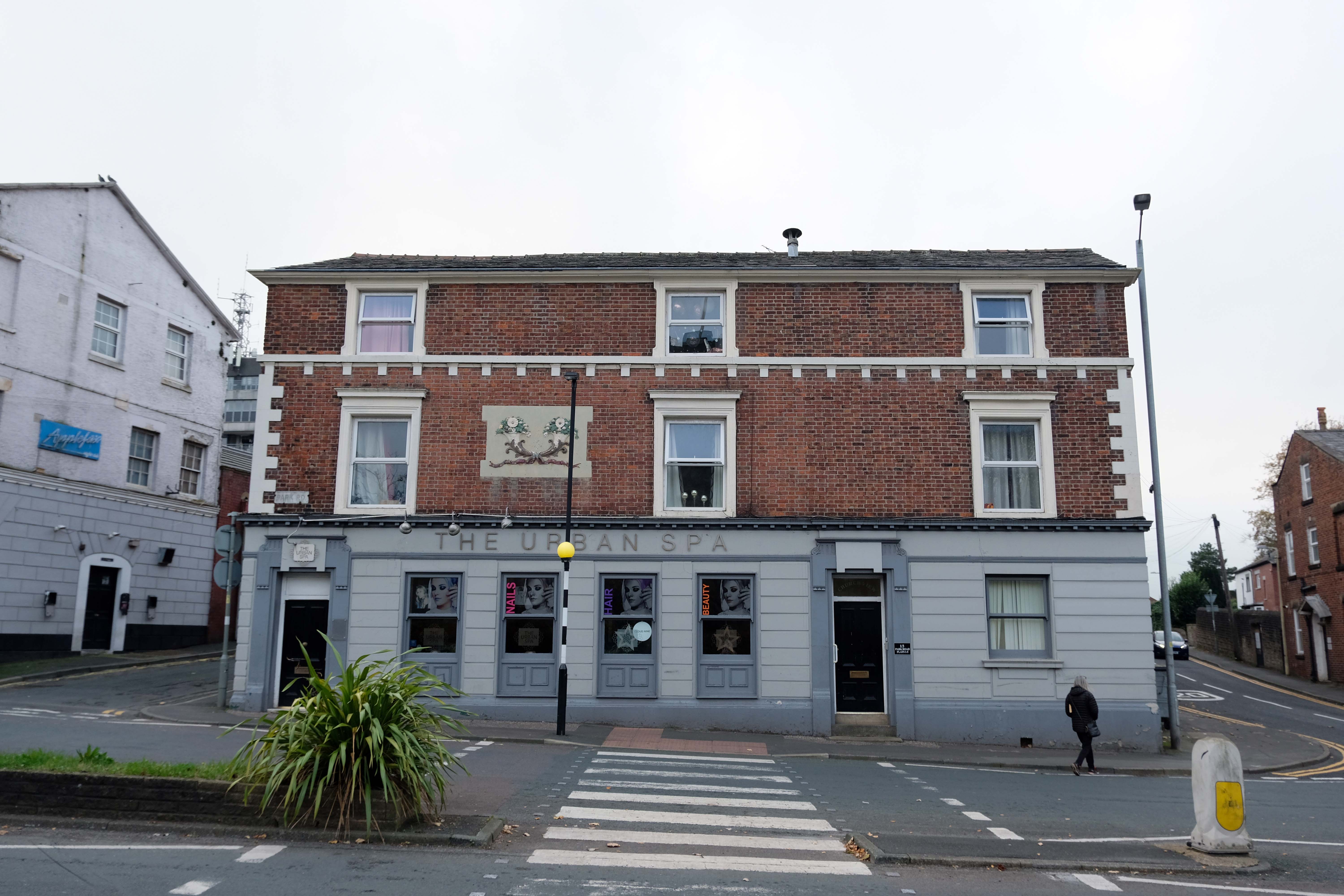
Down the road a pub no longer a pub but an Urban Spa.
We offer you a full range of professional treatments tailored to your own personal needs. We treat every client as an individual and offer an extensive range of treatments and professional products making your visit one to remember.
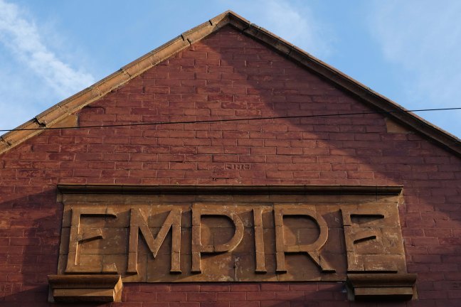
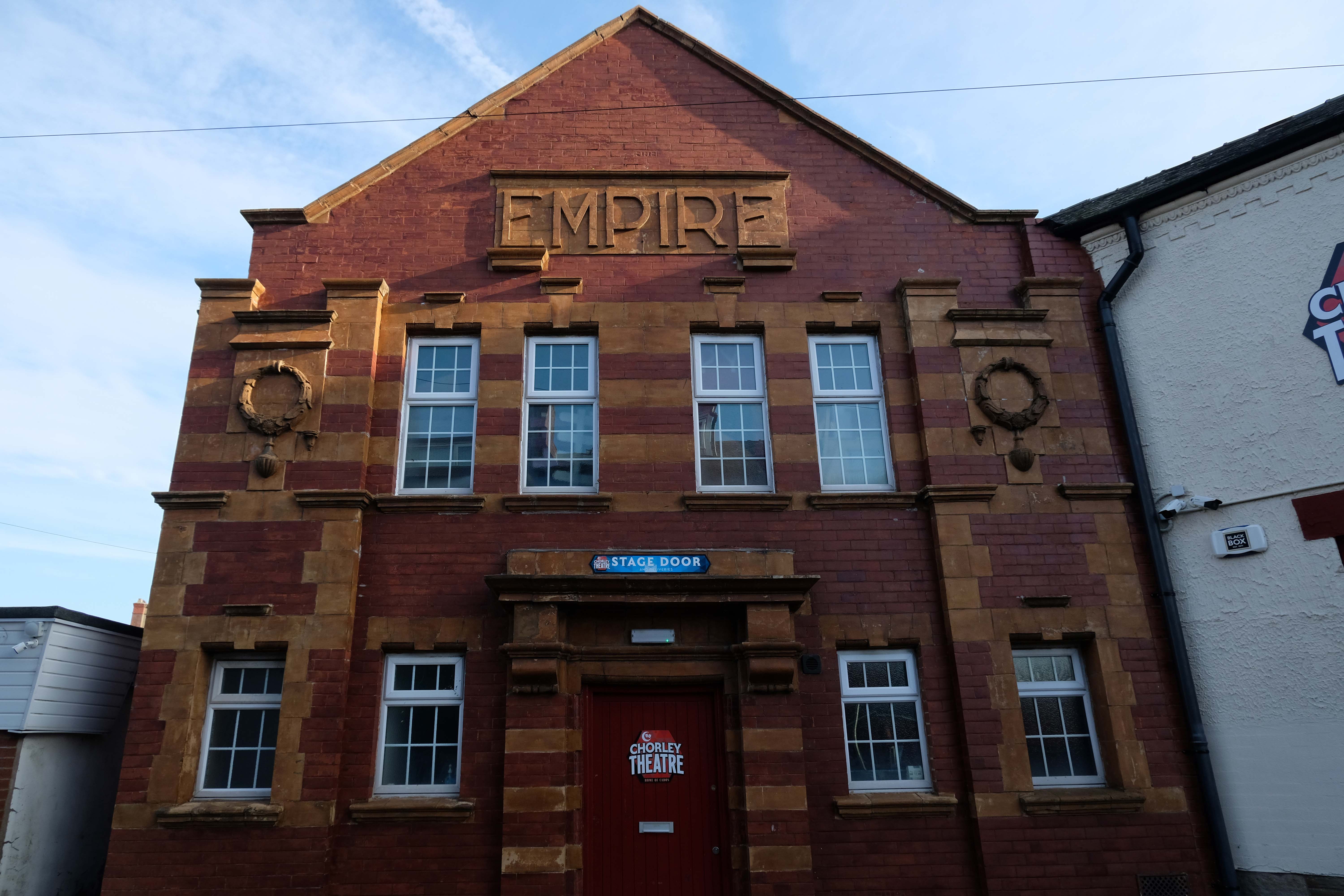
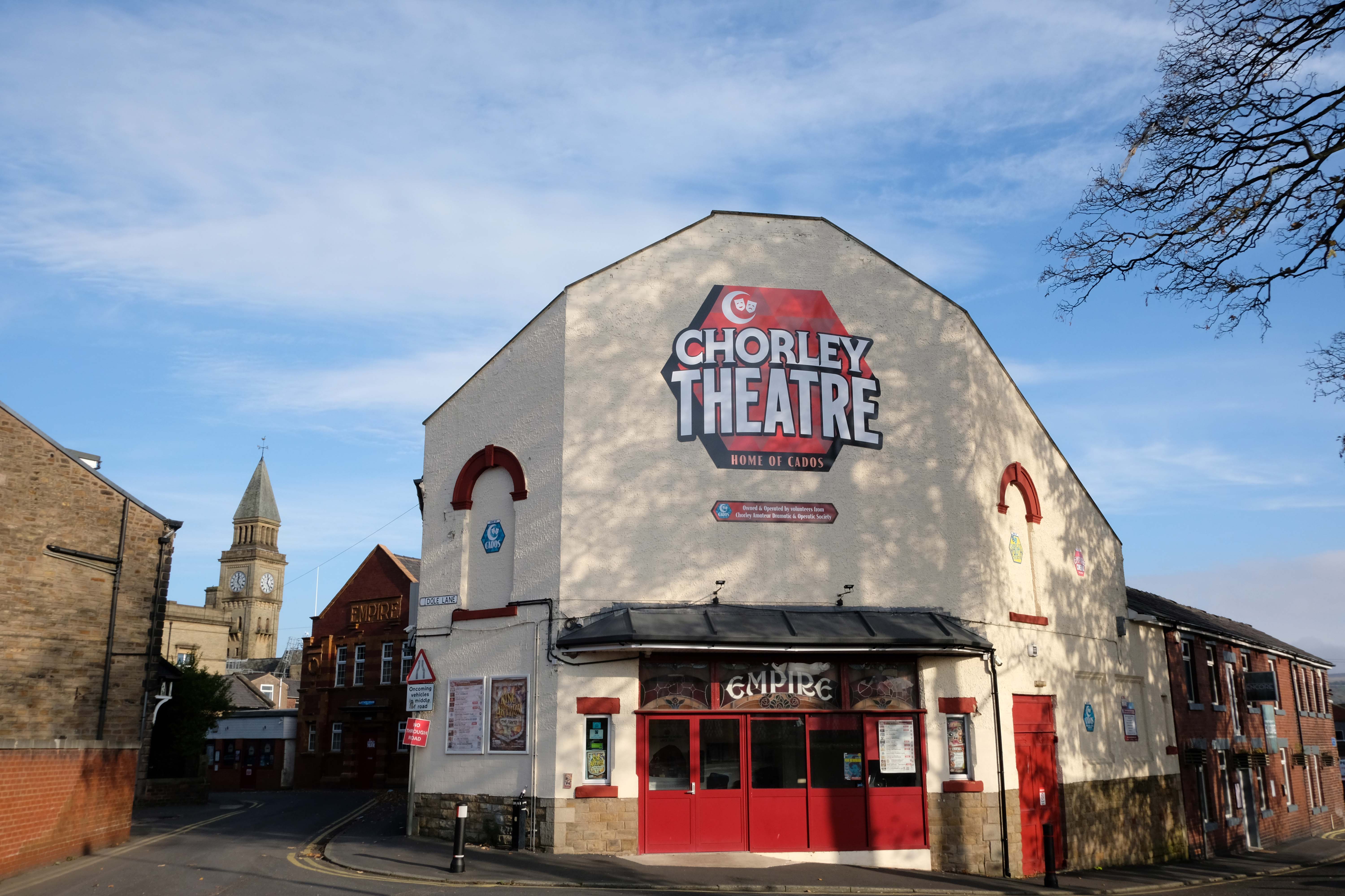
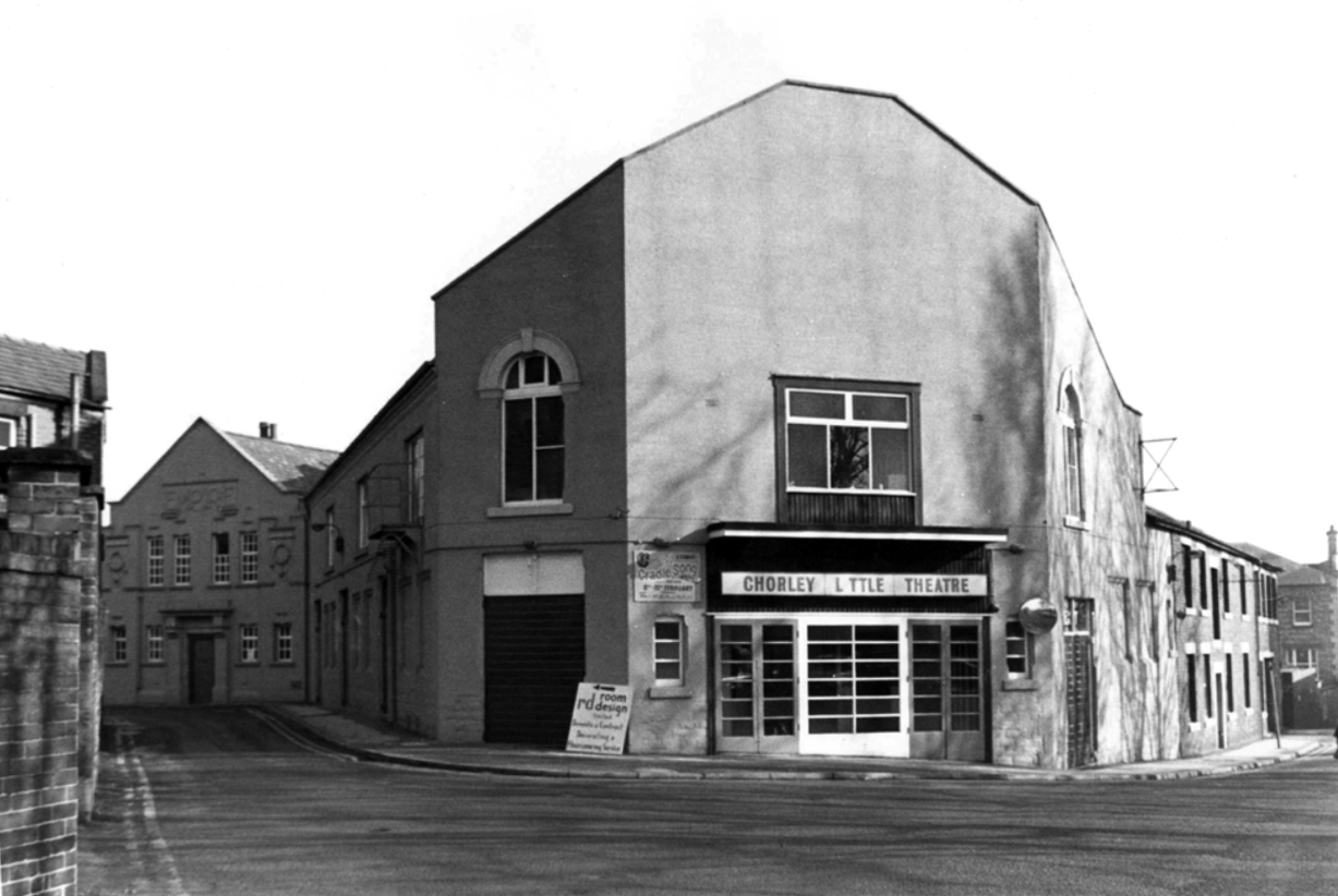
Let’s go to the theatre – The Empire tucked away at the back of town.
The Empire Electric Theatre opened, as the town’s first purpose-built cinema, on 3rd September 1910. In 1912 Archie Hooley began his connection with the cinema business at the Empire Electric Theatre. By 1927 it had been re-named Empire Cinema and by 1930 it was equipped with a Western Electricsound system and was operated by the Perfecto Filmograph Co. Ltd. By 1939 it was operated by the Snape & Ward chain. According to the Kine Year Books, in 1940 the seating was for 800, while by 1952 it had been reduced to 679 – still a far cry from today’s 236 seats. 3D films were shown in the early-1950’s. Archie had died in 1944; his son Selwyn closed the cinema in 1957, apparently “because of the taxes”.
1959
Wrestling took over for a while before Chorley Amateur Dramatic and Operatic Society – CADOS acquired the building and renamed it the Chorley Little Theatre. Since 1960 CADOS have been putting on high-quality productions, presenting at least six productions per season – from September to July. It is also the home of the award-winning Chorley Youth Theatre who meet every Saturday, putting on shows throughout the year; and Chorley Empire Community Cinema who present the cinema experience on their 21ft wide screen with 8-Speaker Surround Sound. Run entirely by volunteers the theatre has state-of-the-art sound systems and a full range of lighting equipment. There are two spacious dressing rooms, space for costumes and props and the Empire Bar. The building has disabled access throughout the public area, including a toilet, and the auditorium is fitted with a hearing loop. There are three spaces for wheelchairs in the auditorium. It was re-named Chorley Empire Cinema at Chorley Theatre in October 2019 and films are still part of the programming.
The Odeon Market Street was built for and operated by Oscar Deutsch’s Odeon Theatres Ltd. chain, it opened on 21st February 1938 with Jack Buchanan in The Sky’s the Limit.
Architect Harry Weedon was assisted by PJ Price.
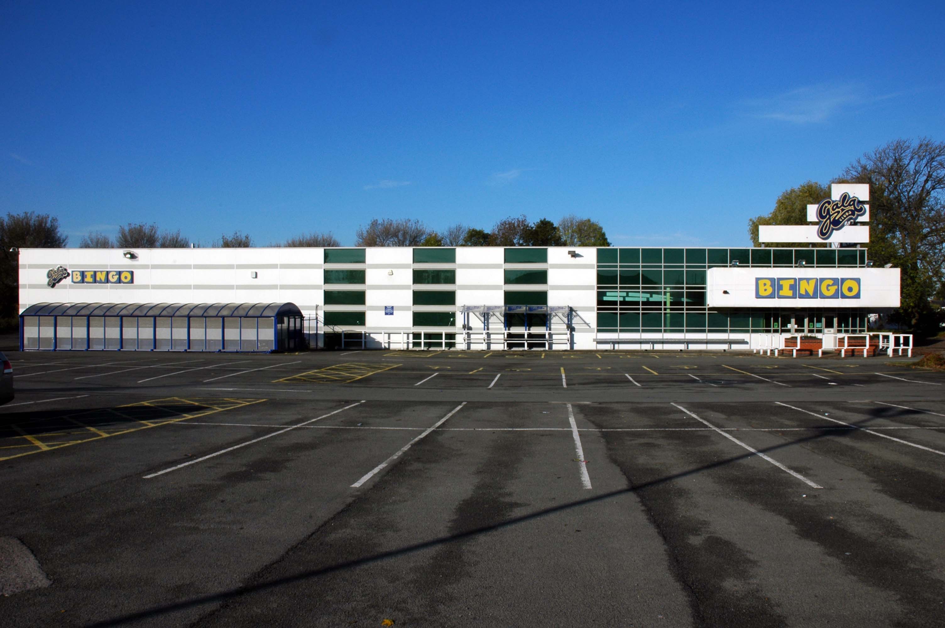
It was closed by the Rank Organisation on 6th February 1971 with George Lazenby in “On Her Majesty’s Secret Service”. After laying closed and un-used for over two years it was sold to an independent bingo operator and re-opened on 9th August 1973 as a Tudor Bingo Club. It later became a Gala Bingo Club which was renamed Buzz Bingo Club in June 2018. It was closed on March 21, 2020 due to the Covid-19 Pandemic. On 15th July 2020 it was announced that the closure would be permanent.
The building was handed over to Chorley Council who decided that asbestos removal would be too costly and the building was demolished in August 2021.
Located on Salisbury Street, off Cunliffe Street, built in 1888 as a military warehouse, it was converted into a roller skating rink around 1909. It opened as the Pavilion Picture Palace on 14th September 1911, operated by George Testo Sante, a music hall strong man, who also operated the Grand Theatre as a cinema. By 1915, music hall acts were also part of the programme. After the end of World War I, the flat floor of the cinema was raked, allowing for better viewing of the screen. The proscenium was 30ft wide, the stage was 16 feet deep and there were two dressing rooms.
The Pavilion Cinema was the first in town to screen ‘talkies, when an Electrochord sound system was installed in 1929. It was taken over by the J.F. Emery Circuit in 1932 and they operated it until the end of 1933. The sound system was upgraded to a British Talking Pictures sound system. In 1954 it was the first cinema in town to be fitted with CinemaScope and the proscenium was widened to 36 feet.
The Pavilion Cinema was closed by 1962 and converted into a bingo club. In 1972 it was re-opened as a cinema again, but due to Star Cinemas chain barring it from showing first run features – they operated the Plaza Cinema, it was closed after 5 months of operation. It was later demolished and the area was redeveloped for housing.
No trace of The Hippodrome Theatre on Gillibrand Street, which was built and opened in 1909, or the Theatre Royal, opened on 30th September 1911, It was demolished in 1959.
A supermarket was built on the site which later became a McDonalds, which is now a Pizza Hut.
Last but not least – located on the Flat Iron Parade, aka Cattle Market, The Grand Theatre was a wooden building built in 1885, which presented melodramas and plays. In June 1909 it was taken over by George Testo Santo, who had been a music hall strongman, and his family. It went over to operating as a Picture Palace for a short season.
By 1914 it was operating as a full time cinema, but was destroyed by fire in 1914.
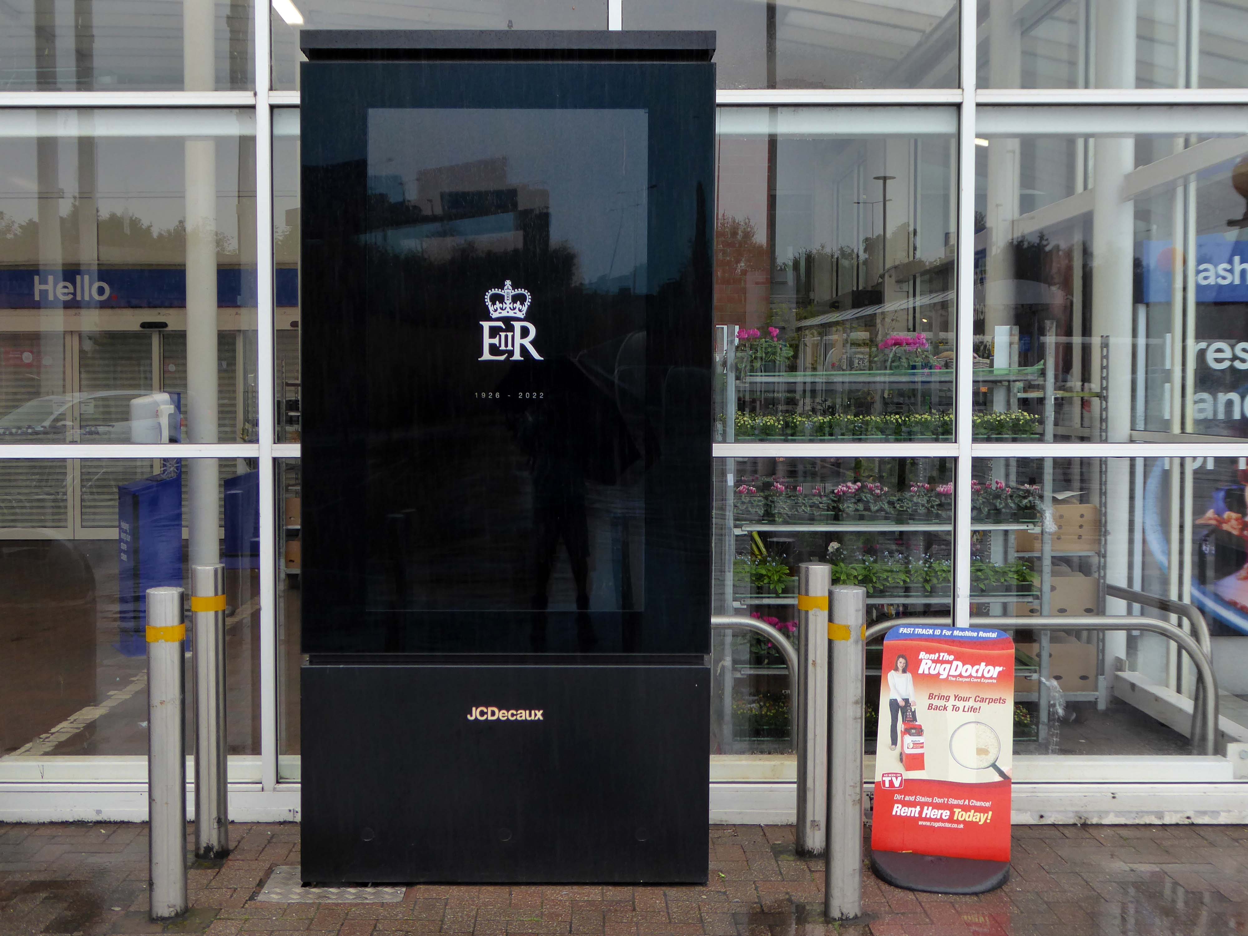
On the day of HM Queen Elizabeth II’s Diamond Jubilee, I cycled around Ashton under Lyne in search of landmarks of her sixty year reign.
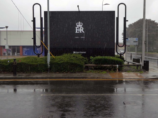
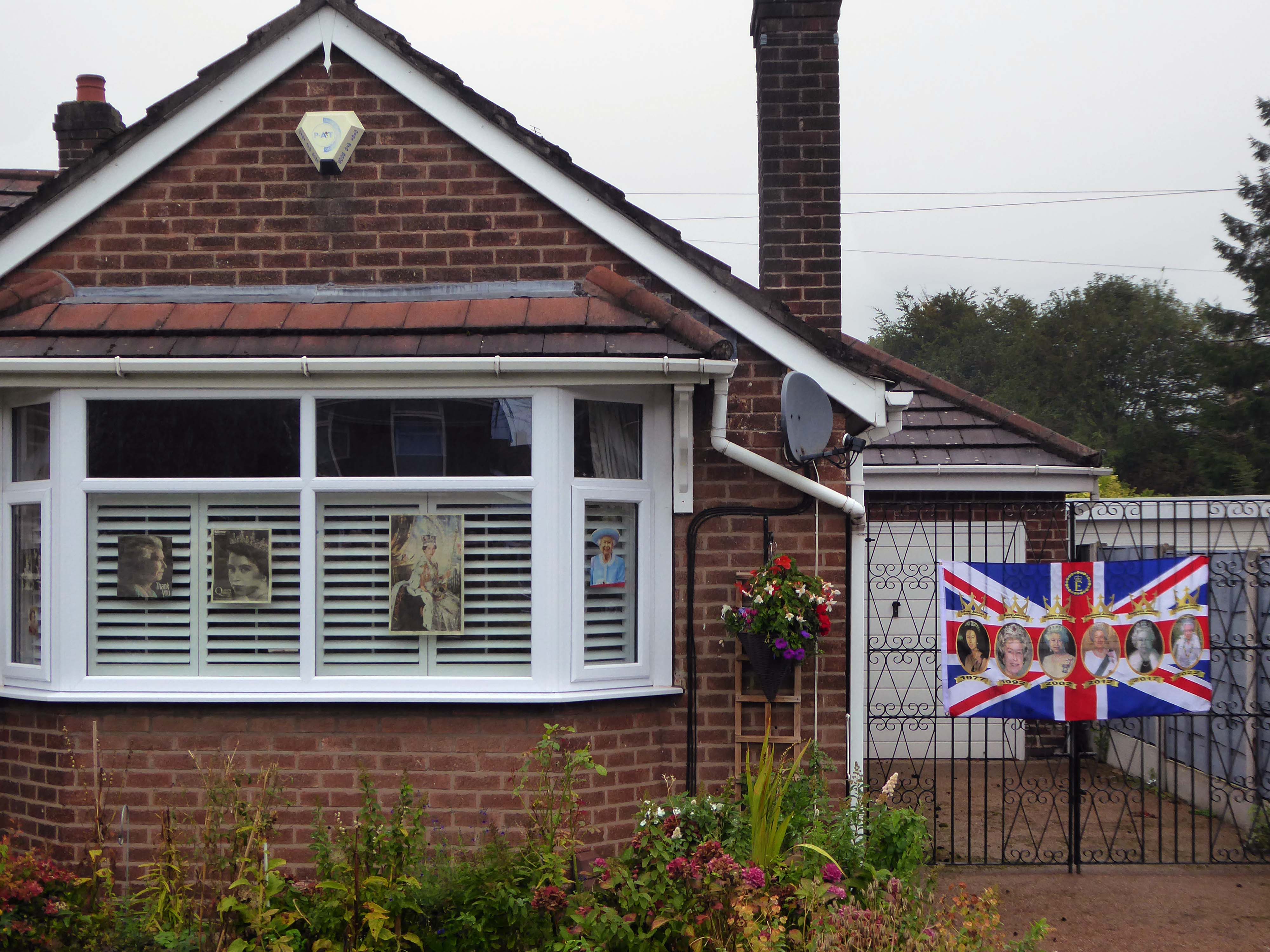
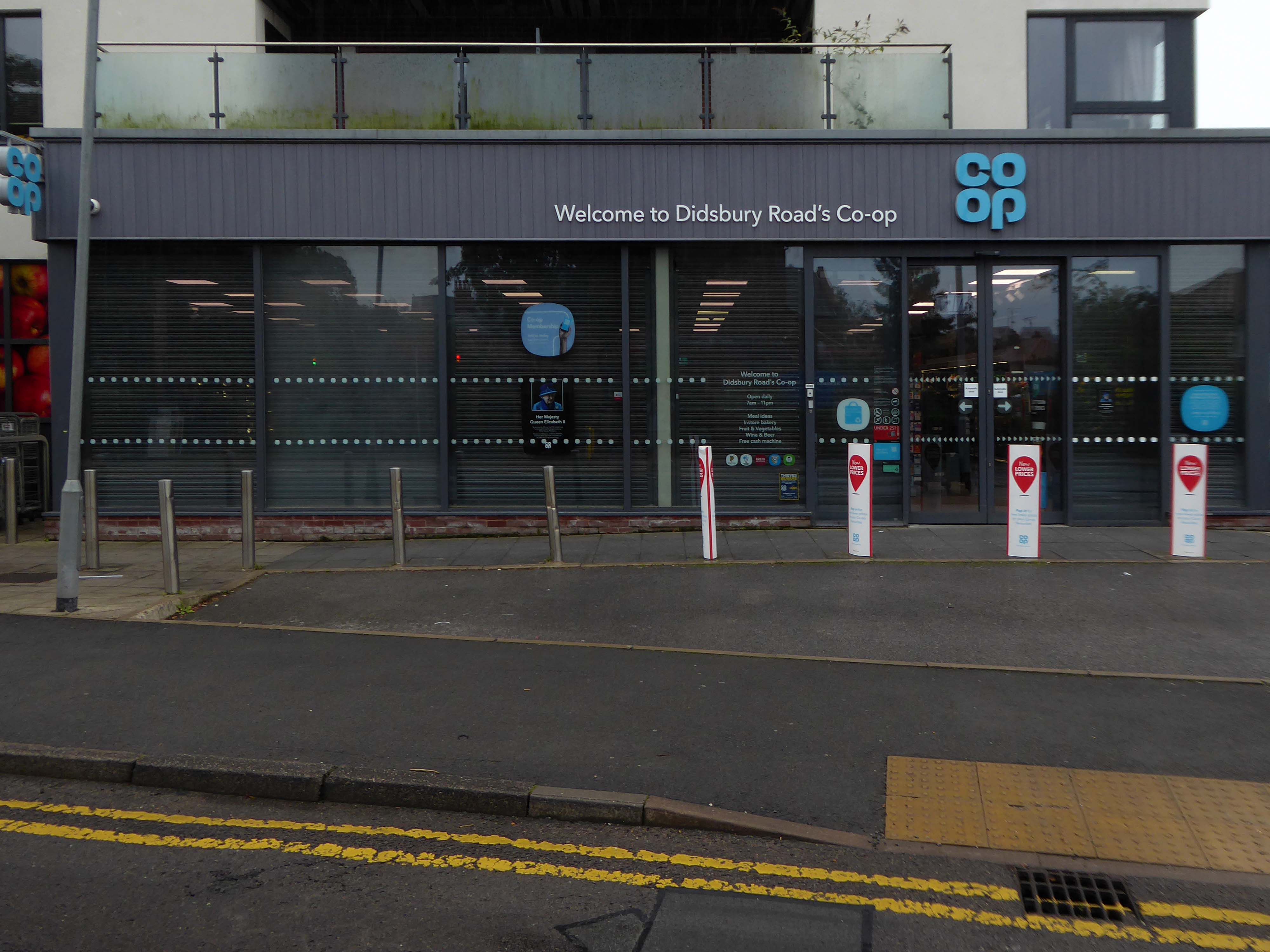
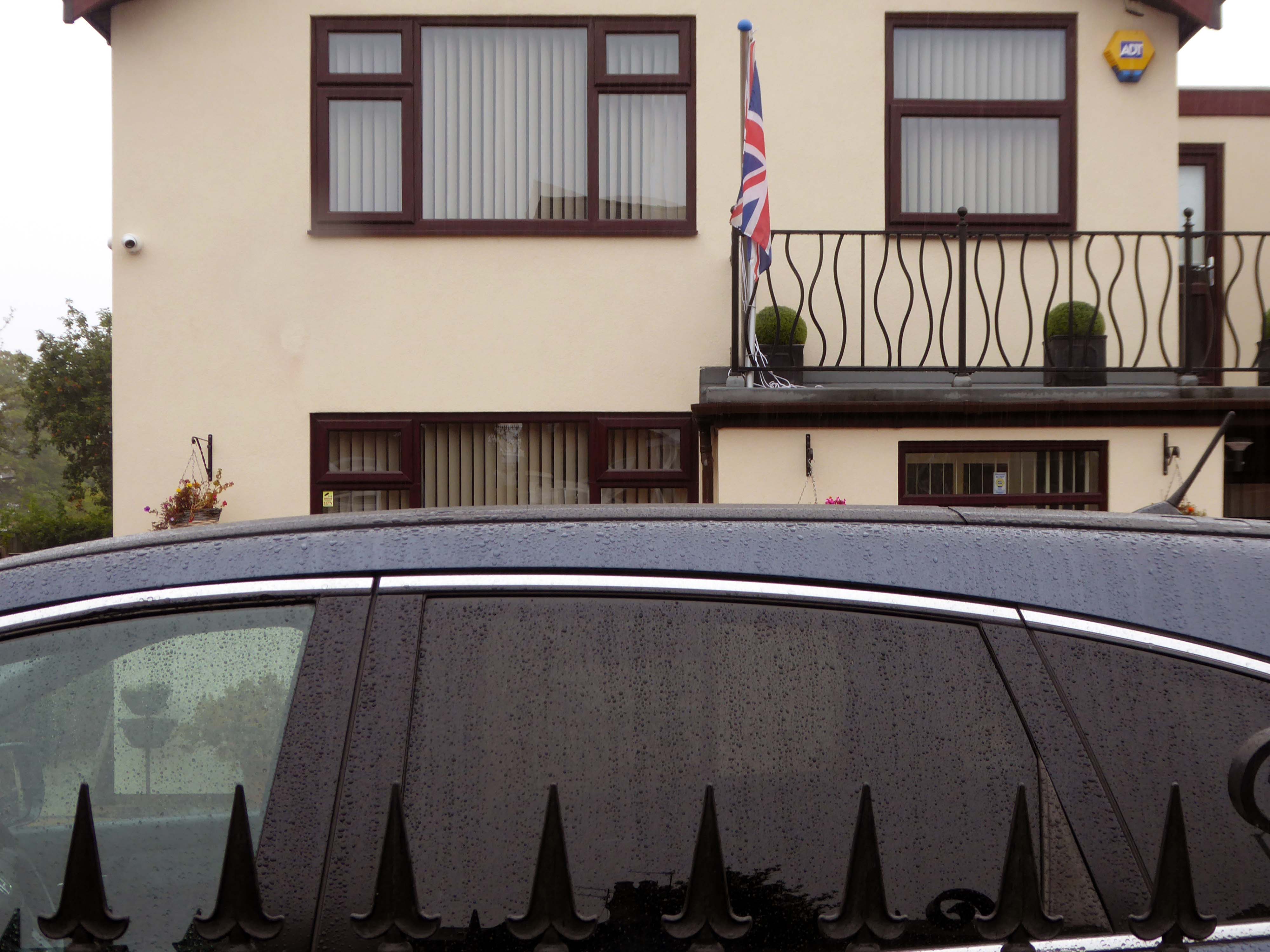
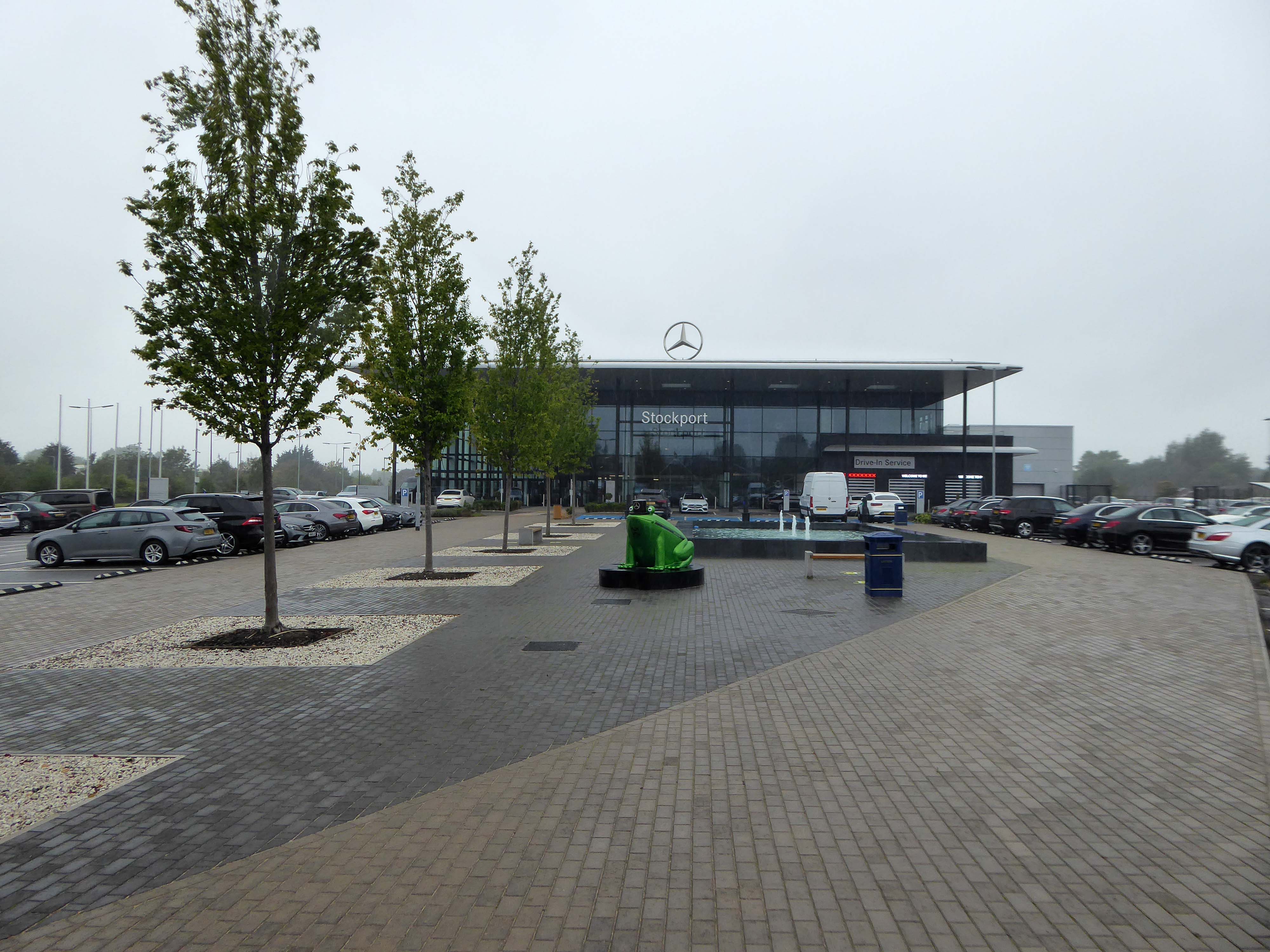
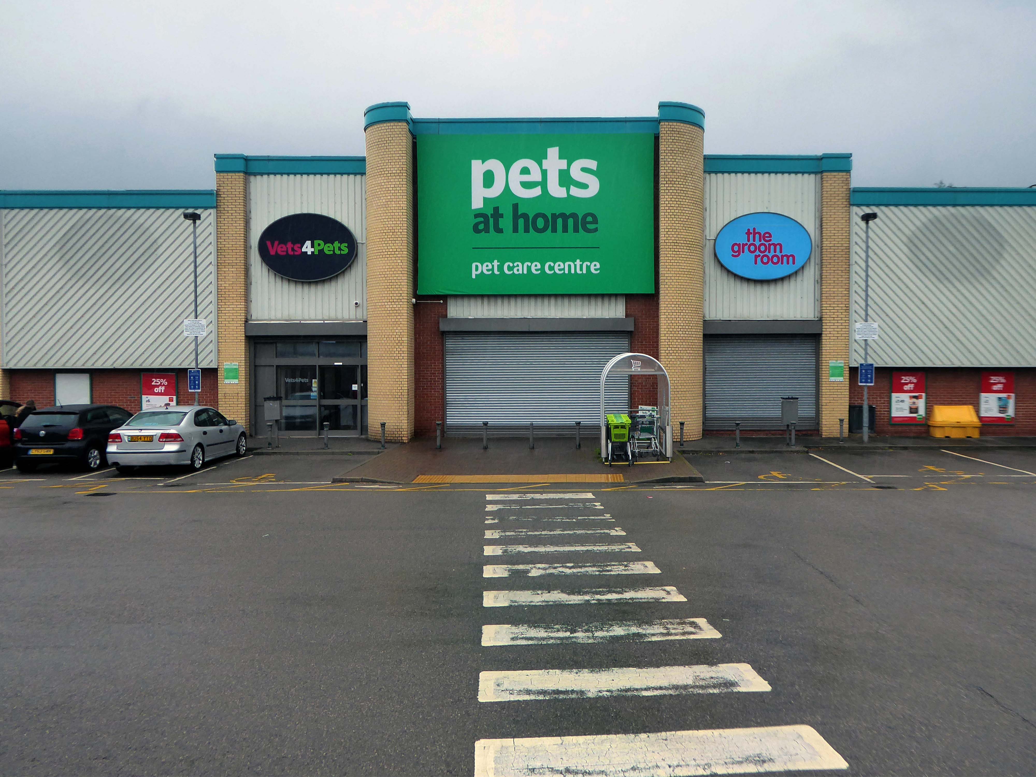
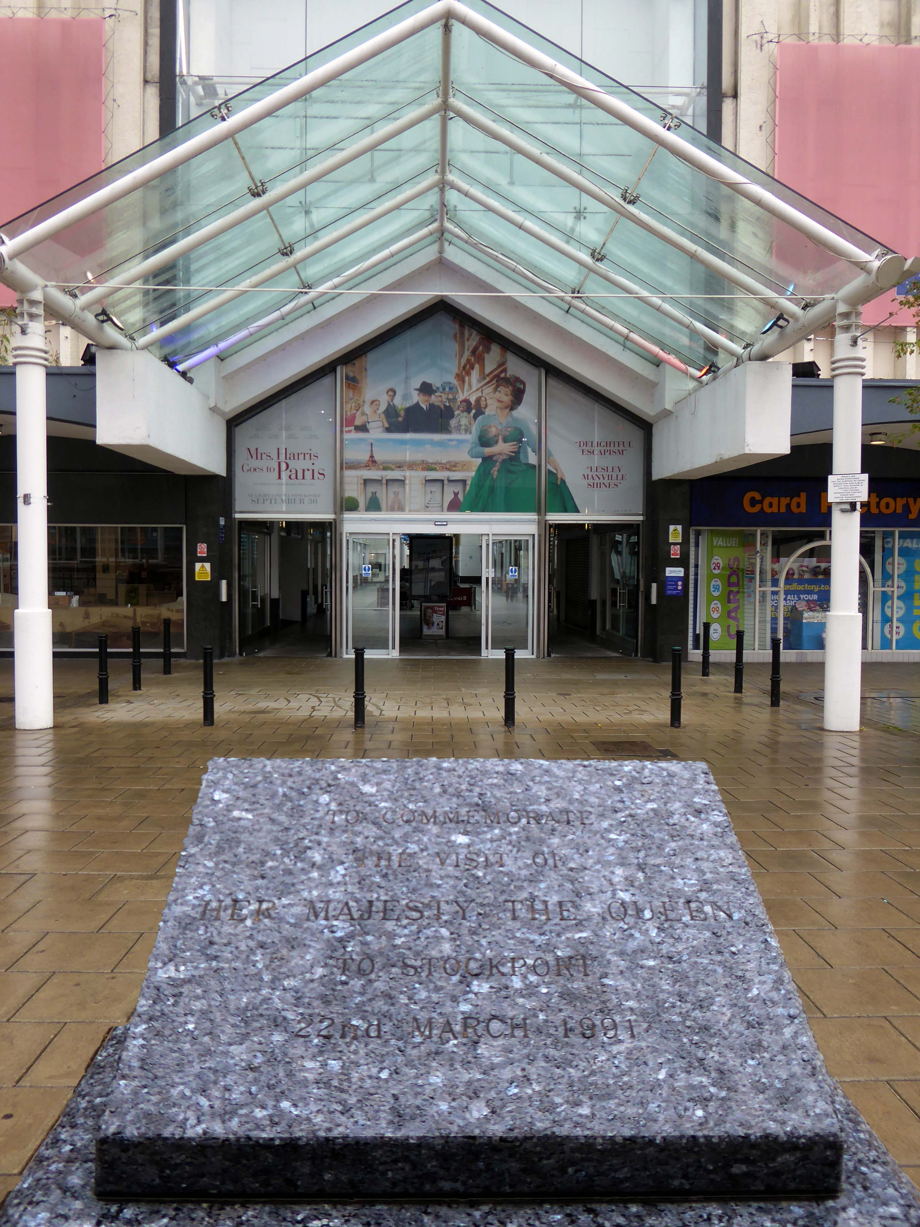
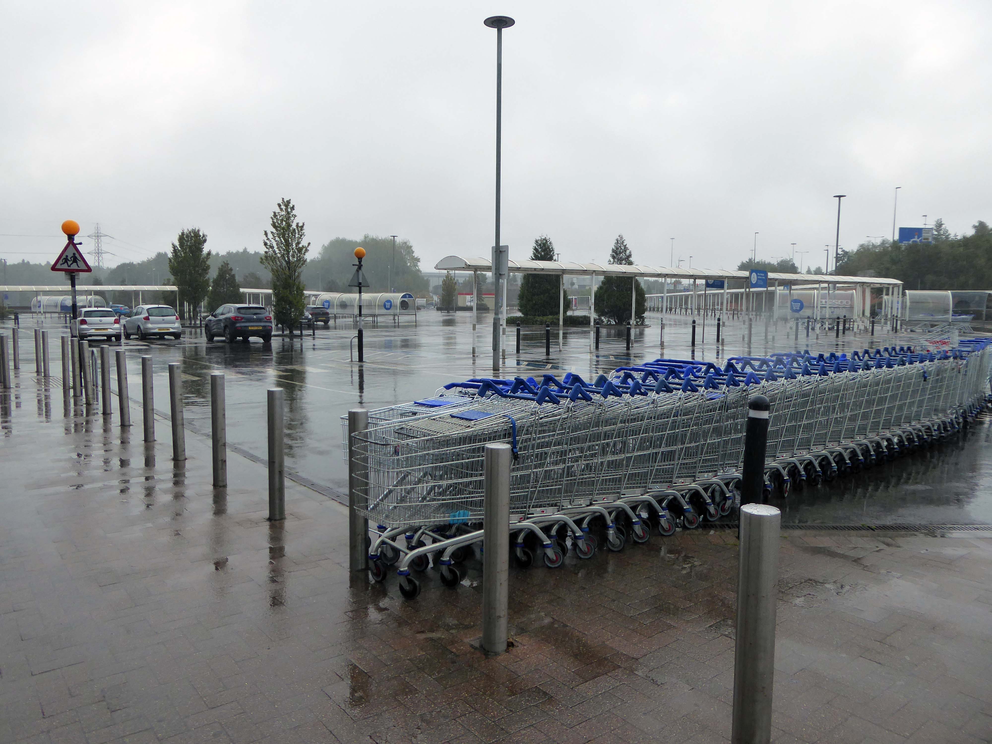
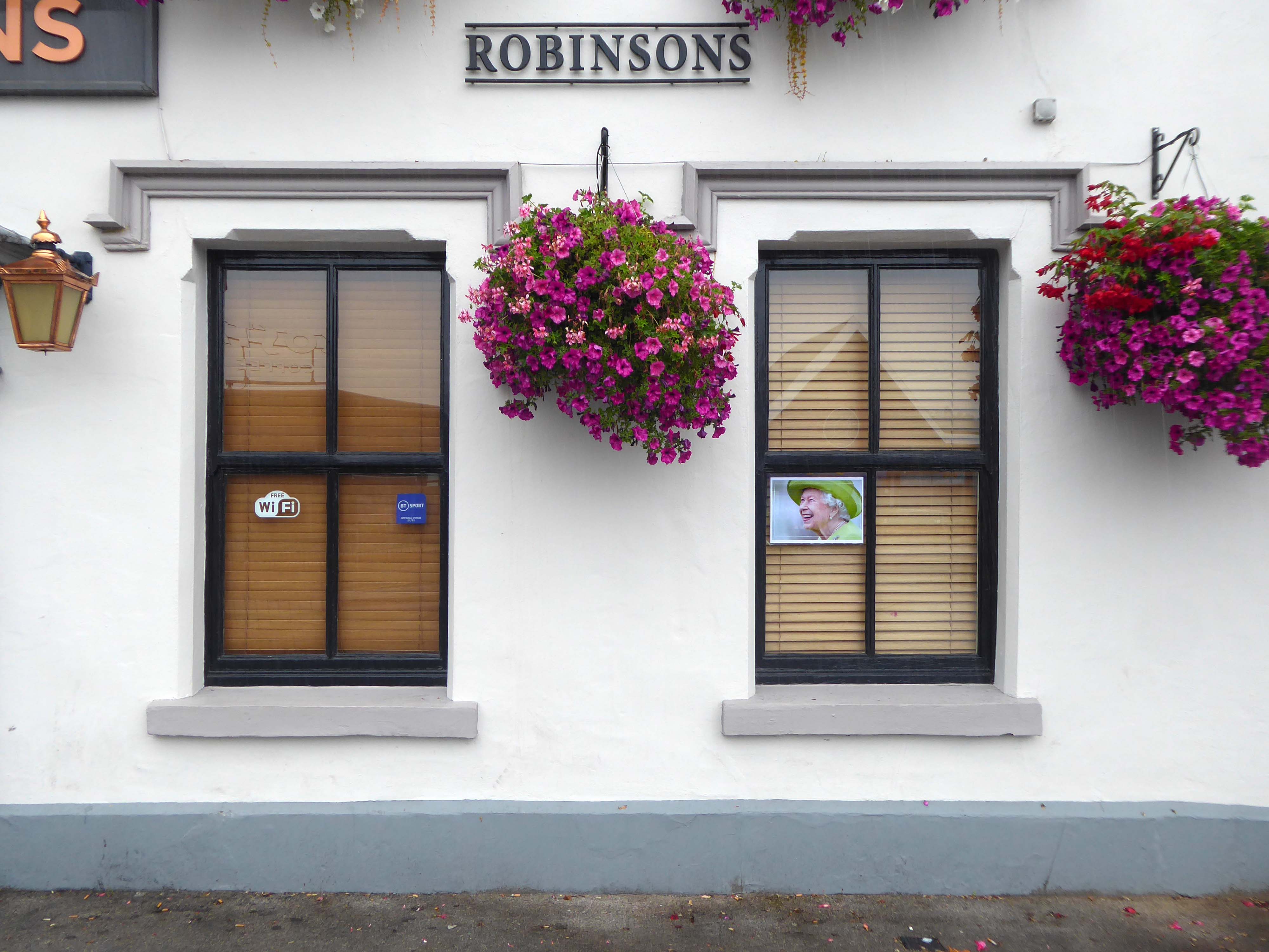
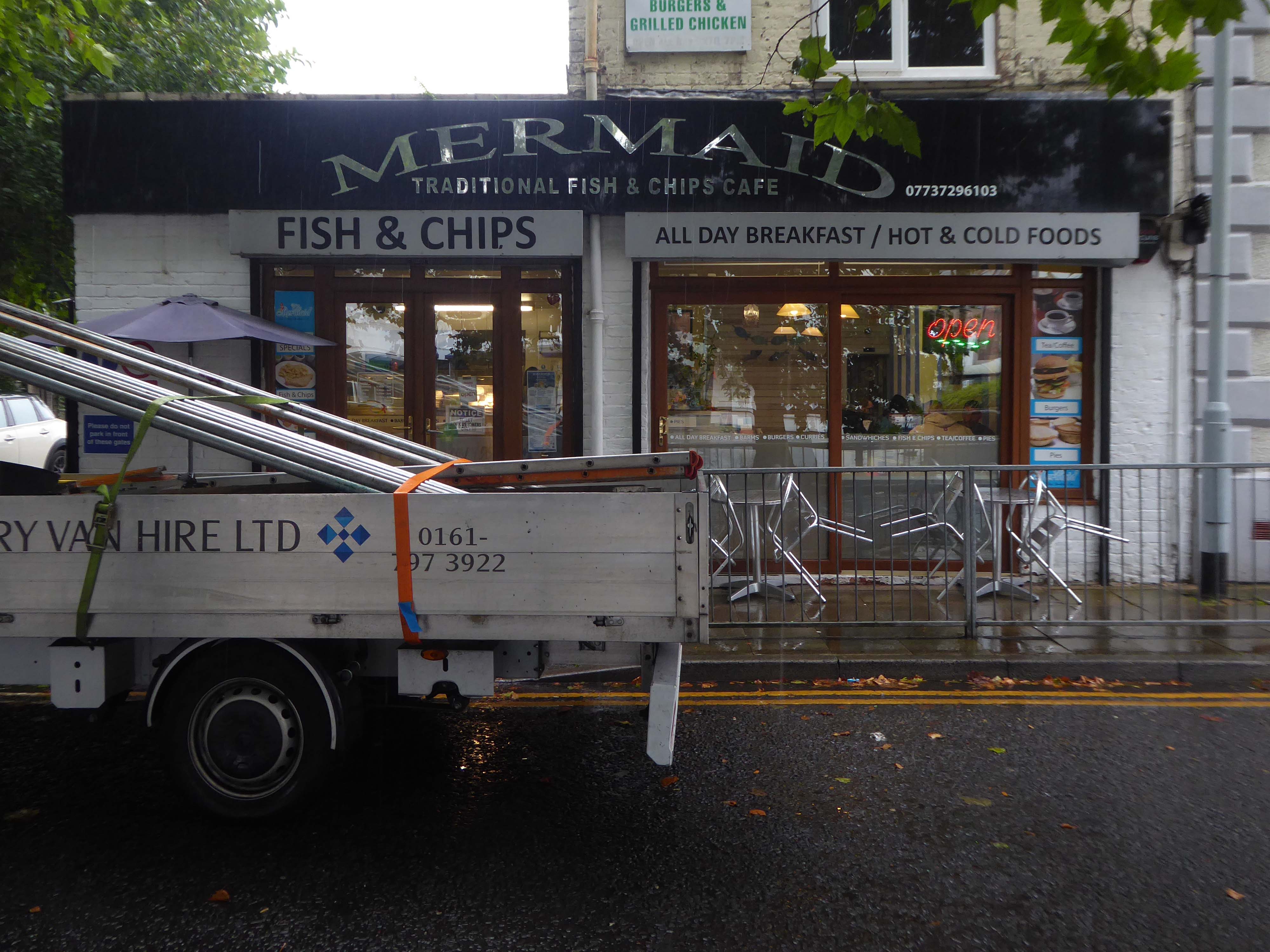
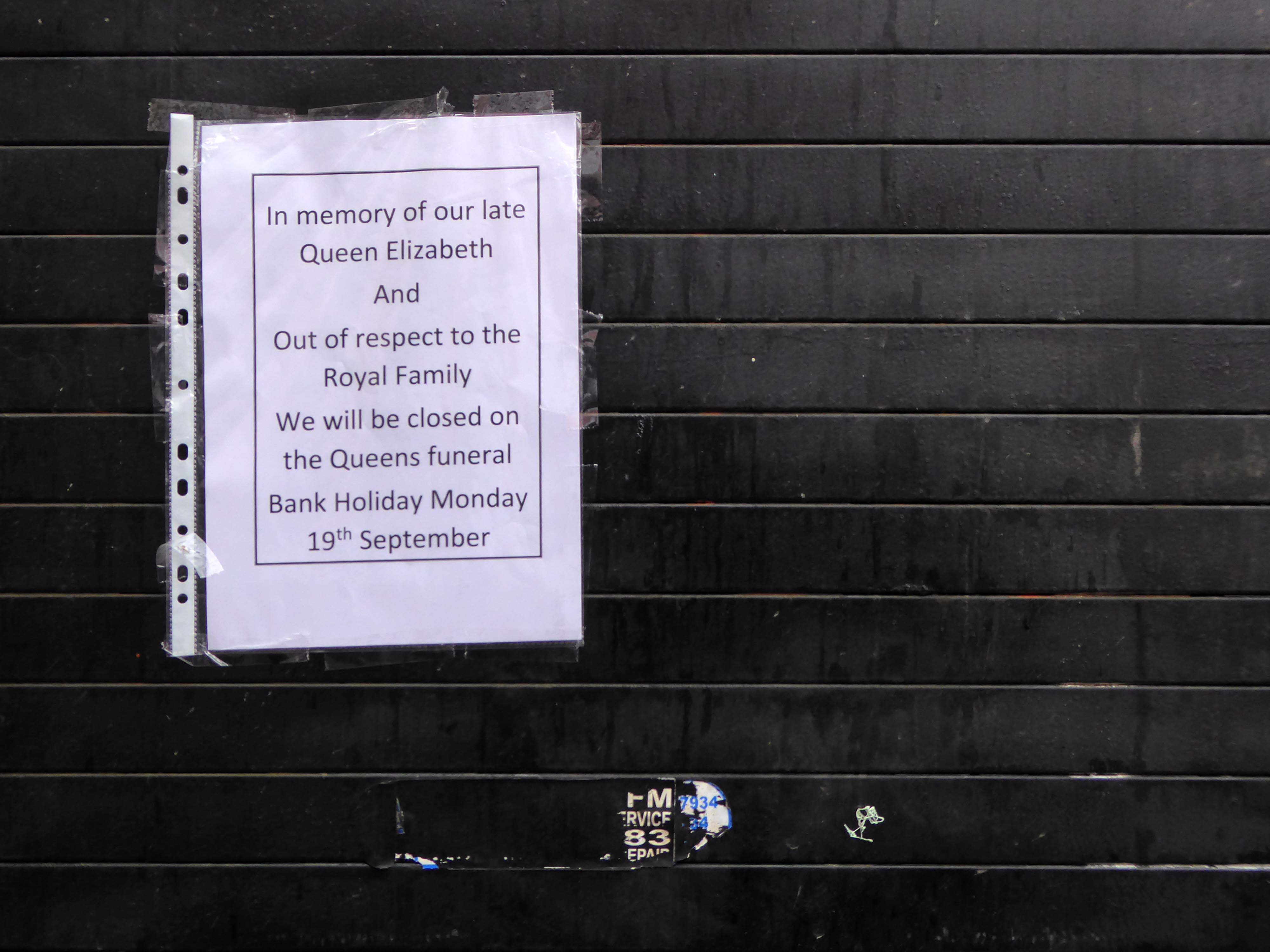
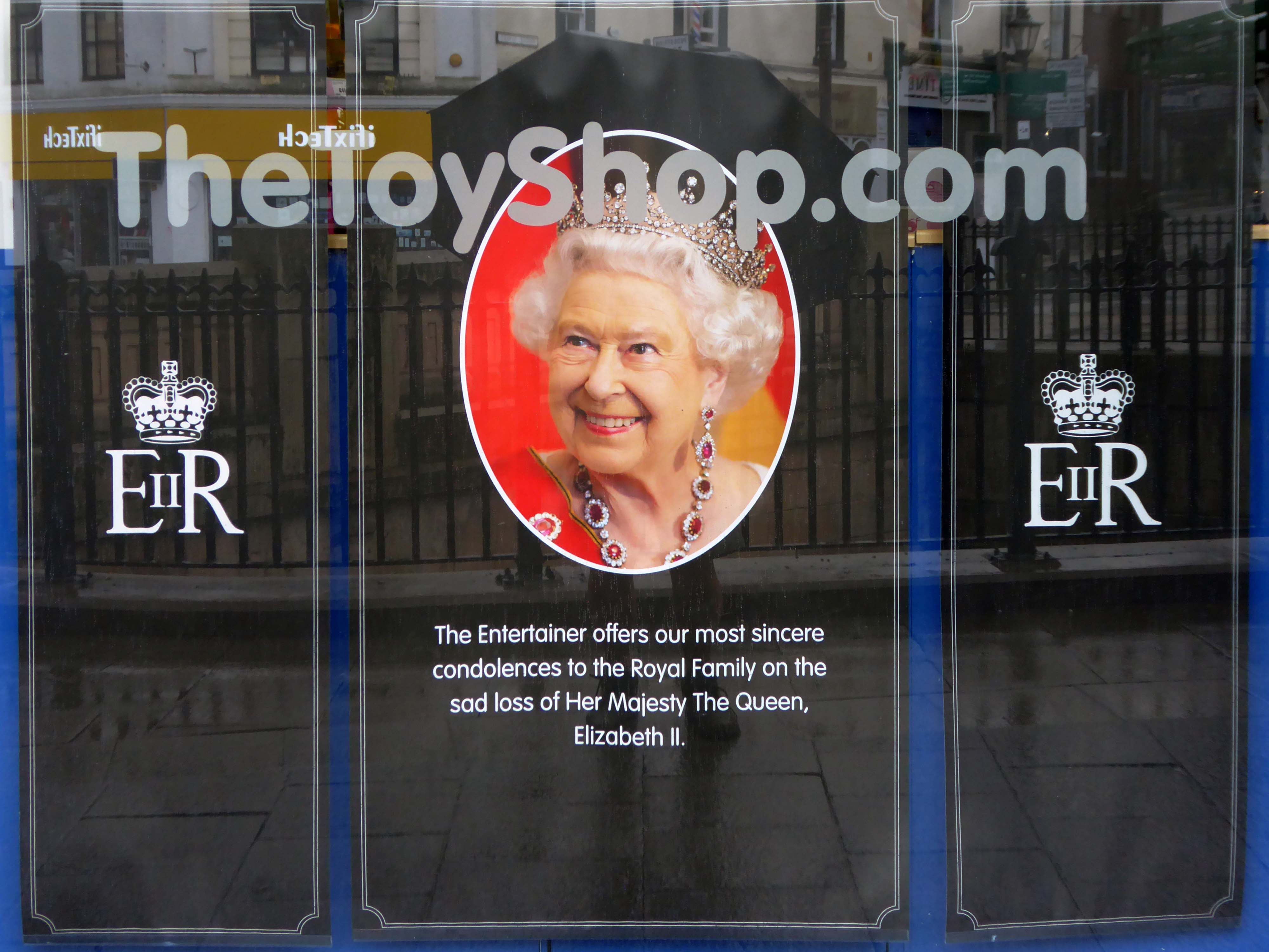
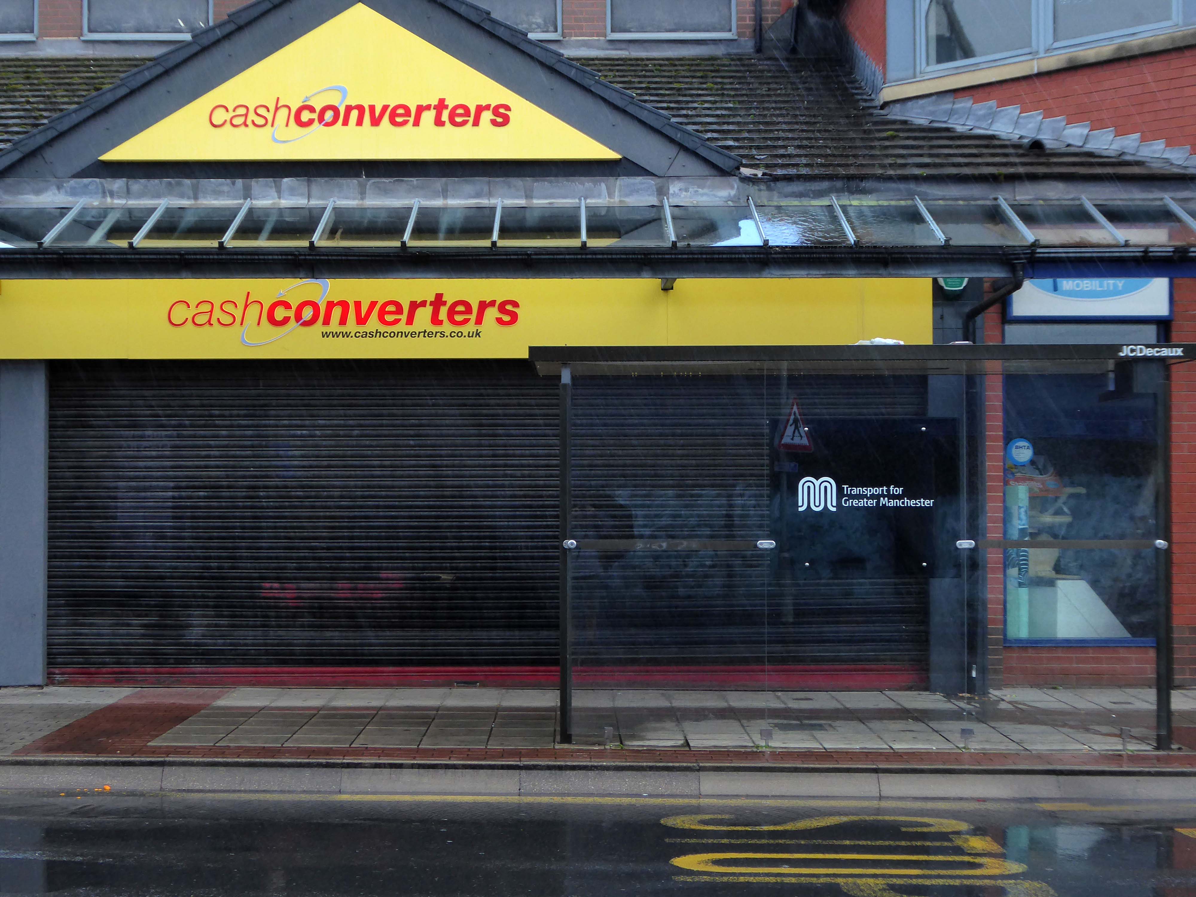
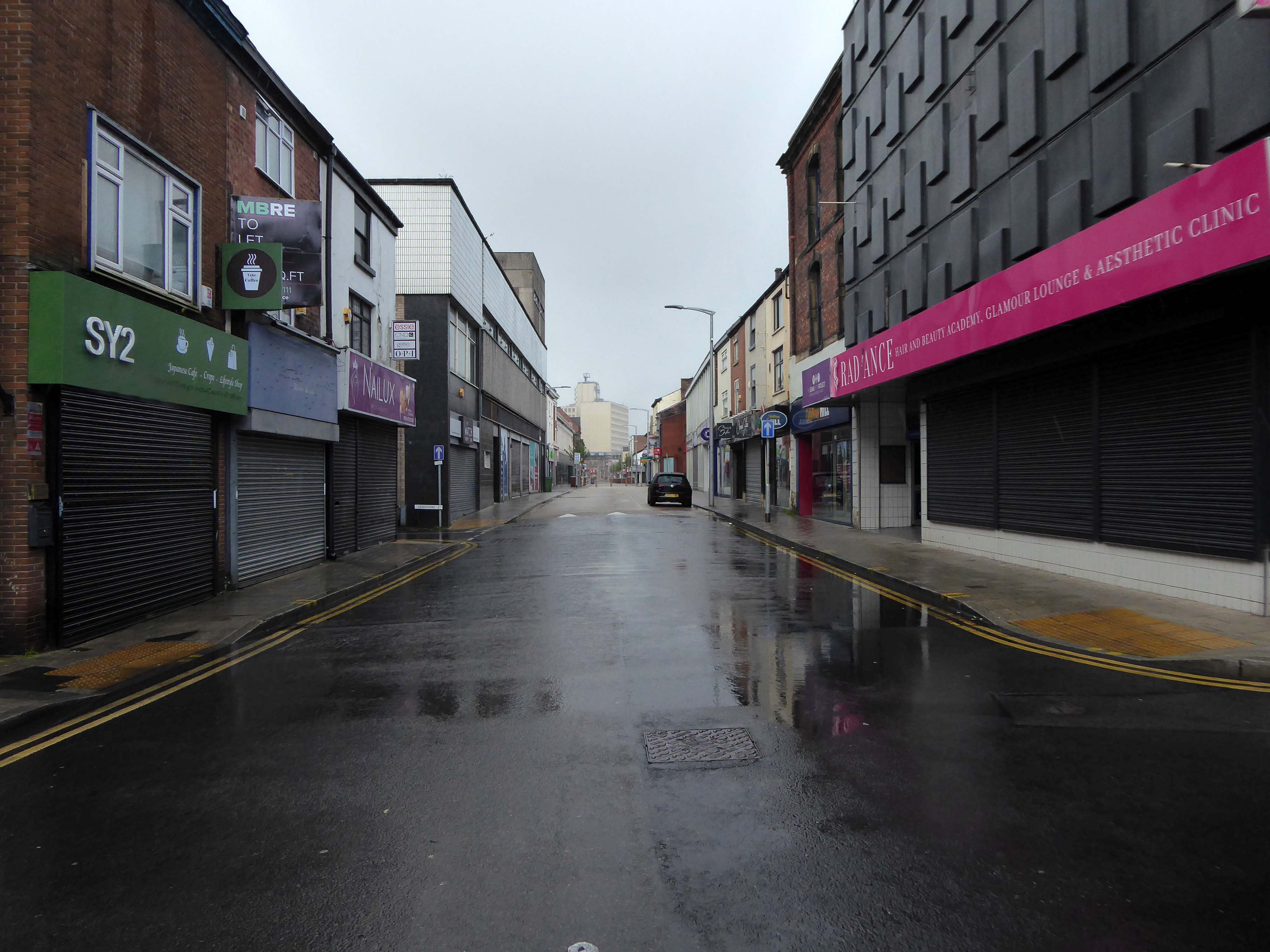
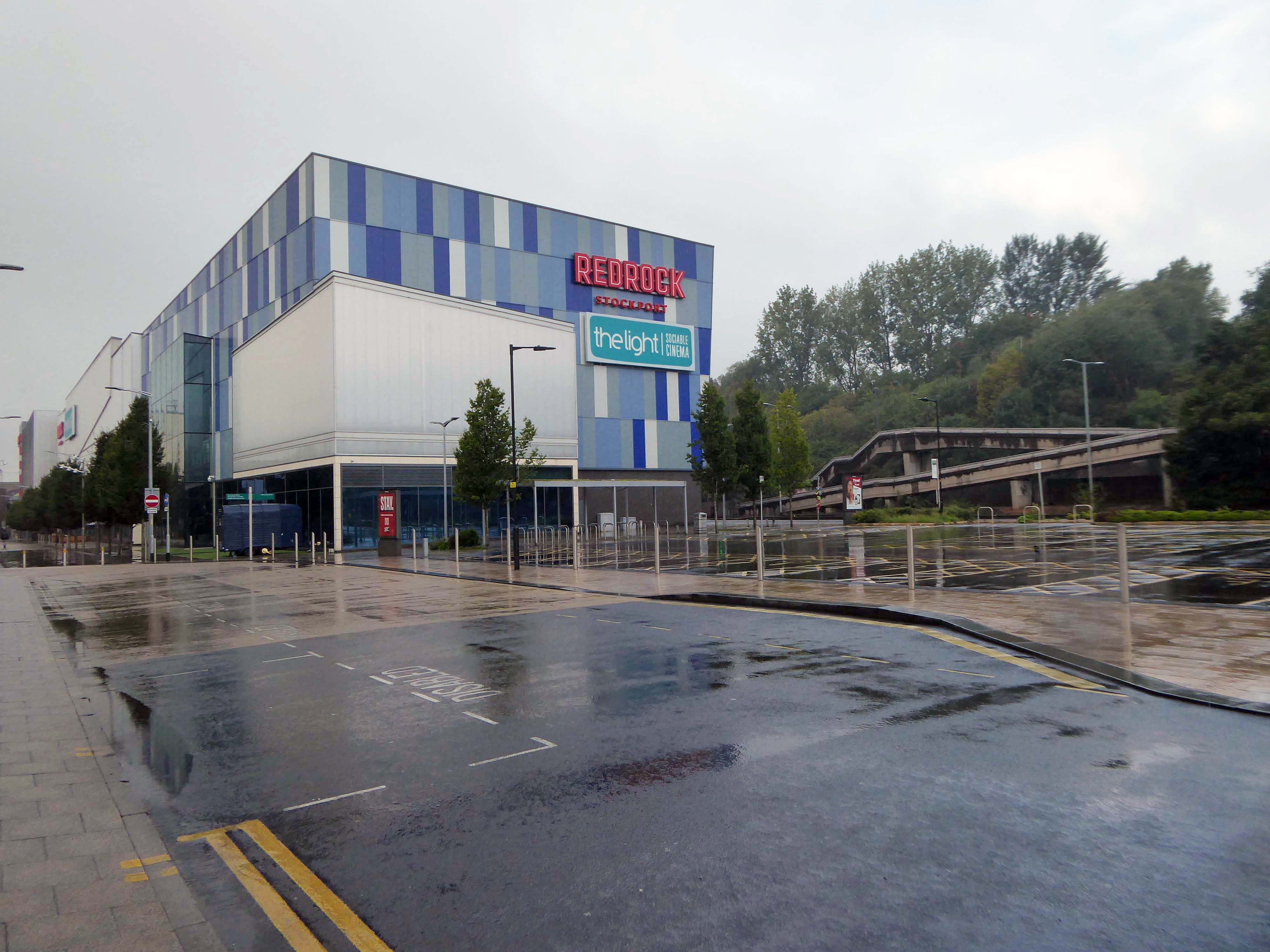
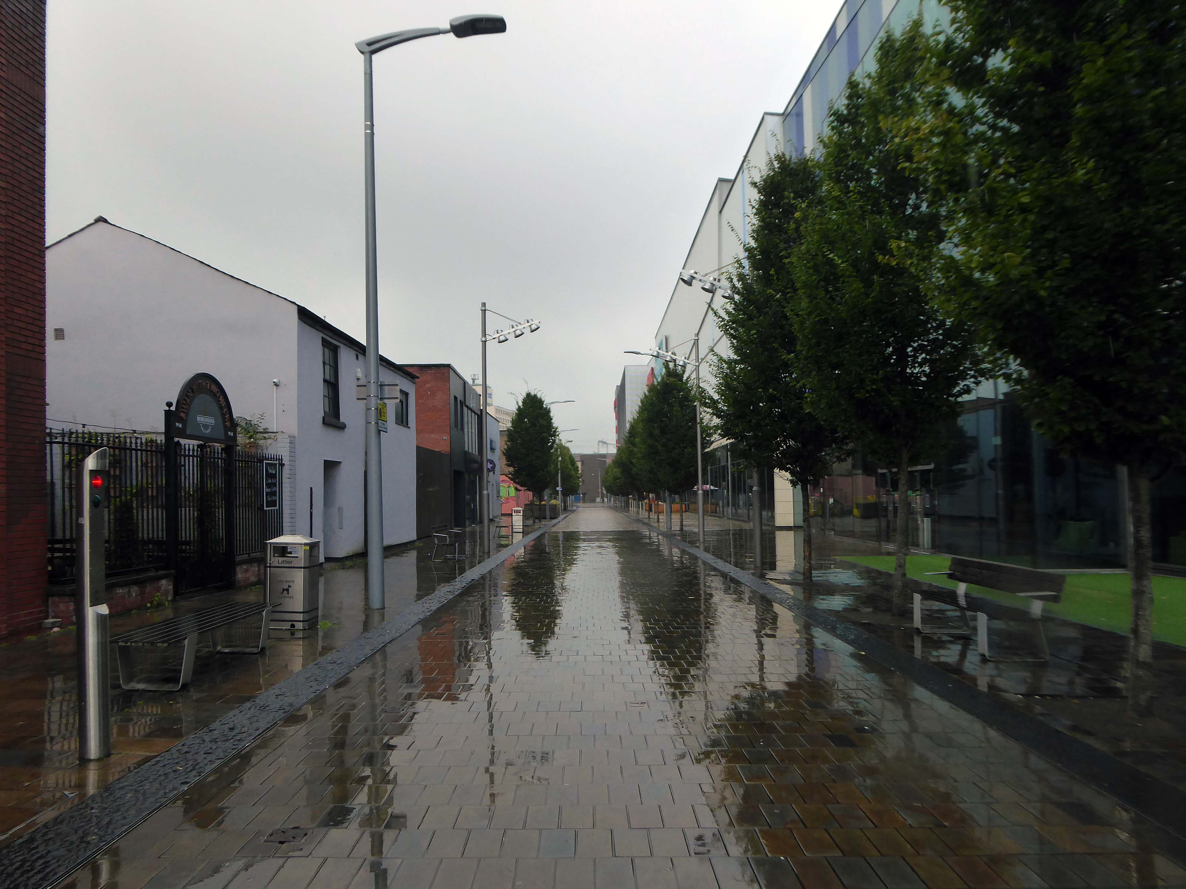
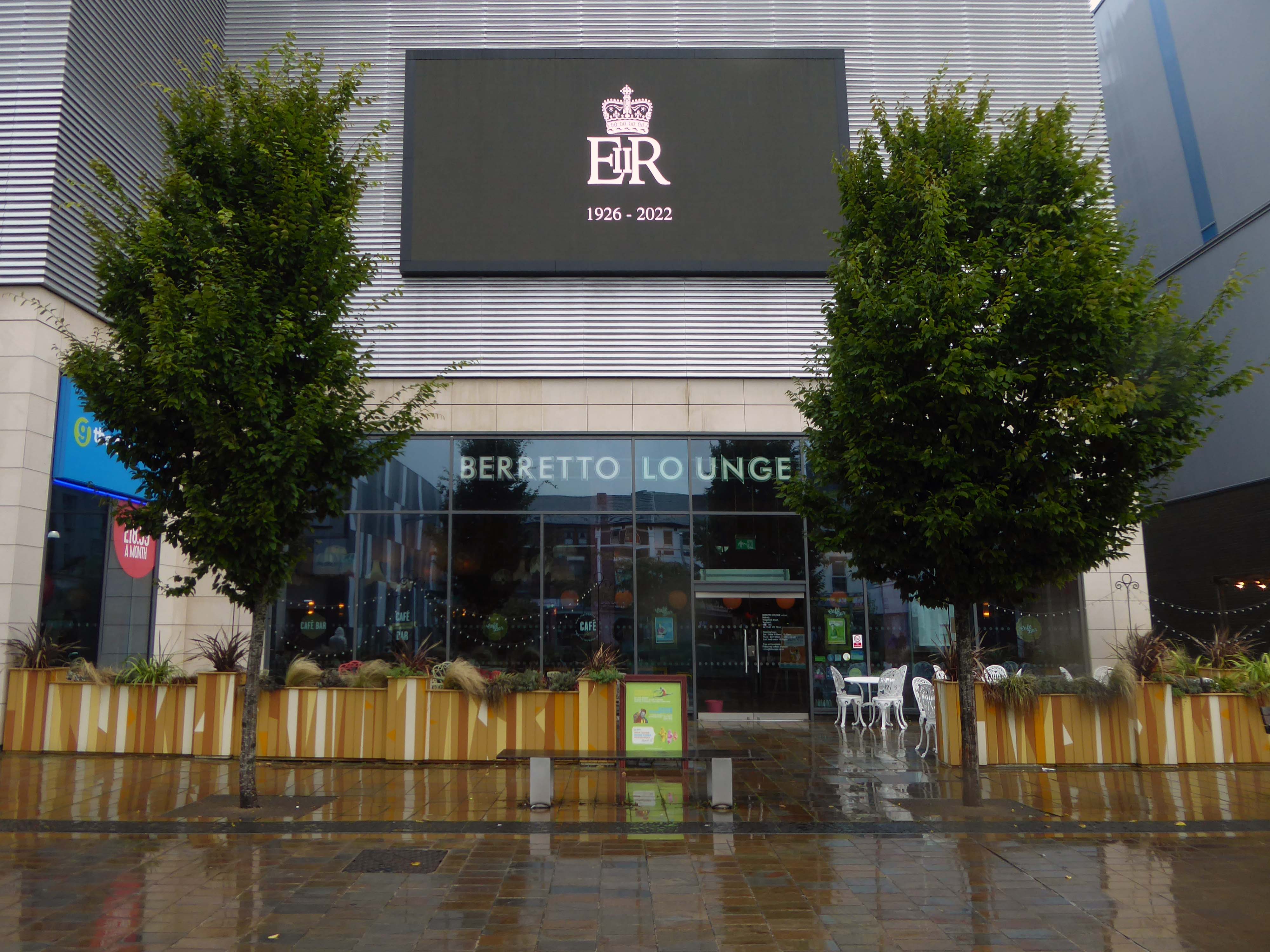
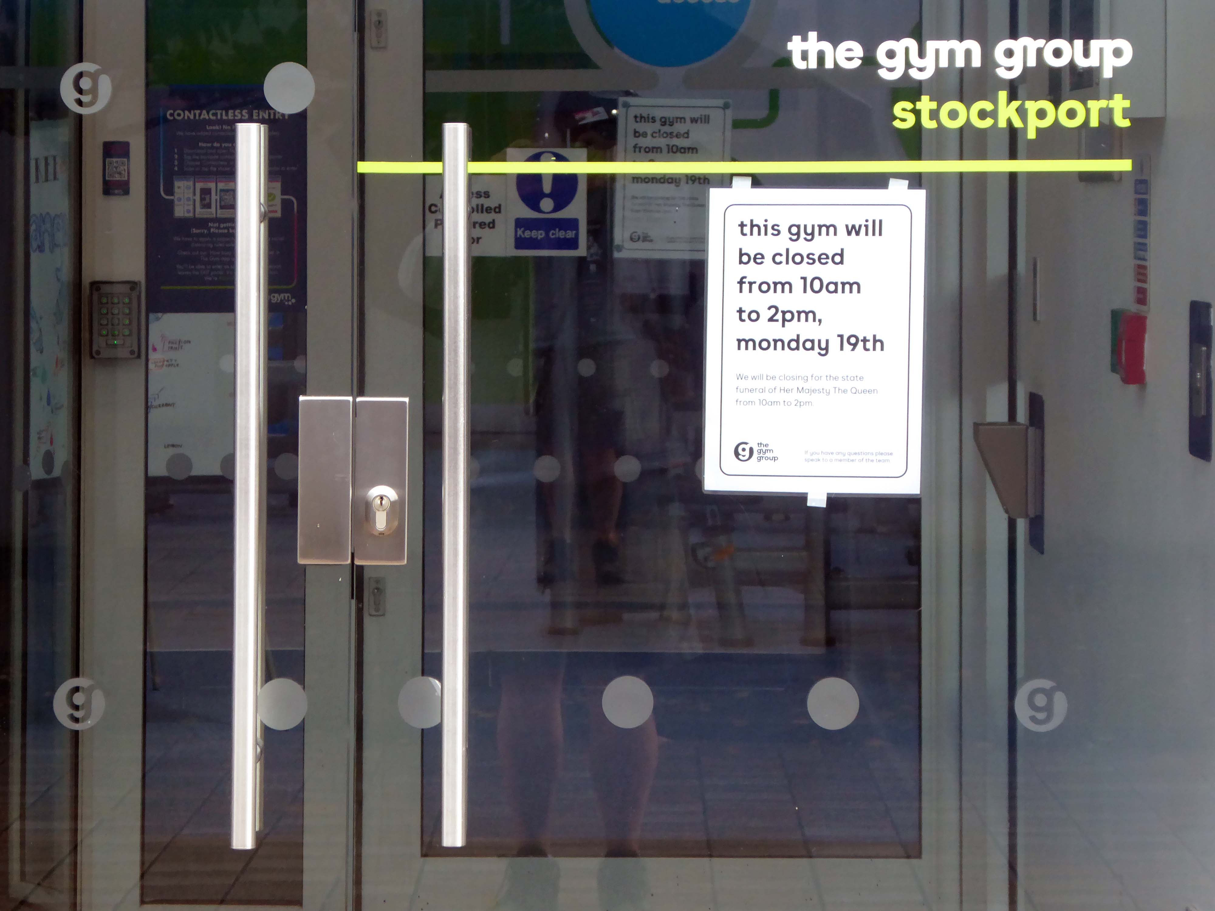
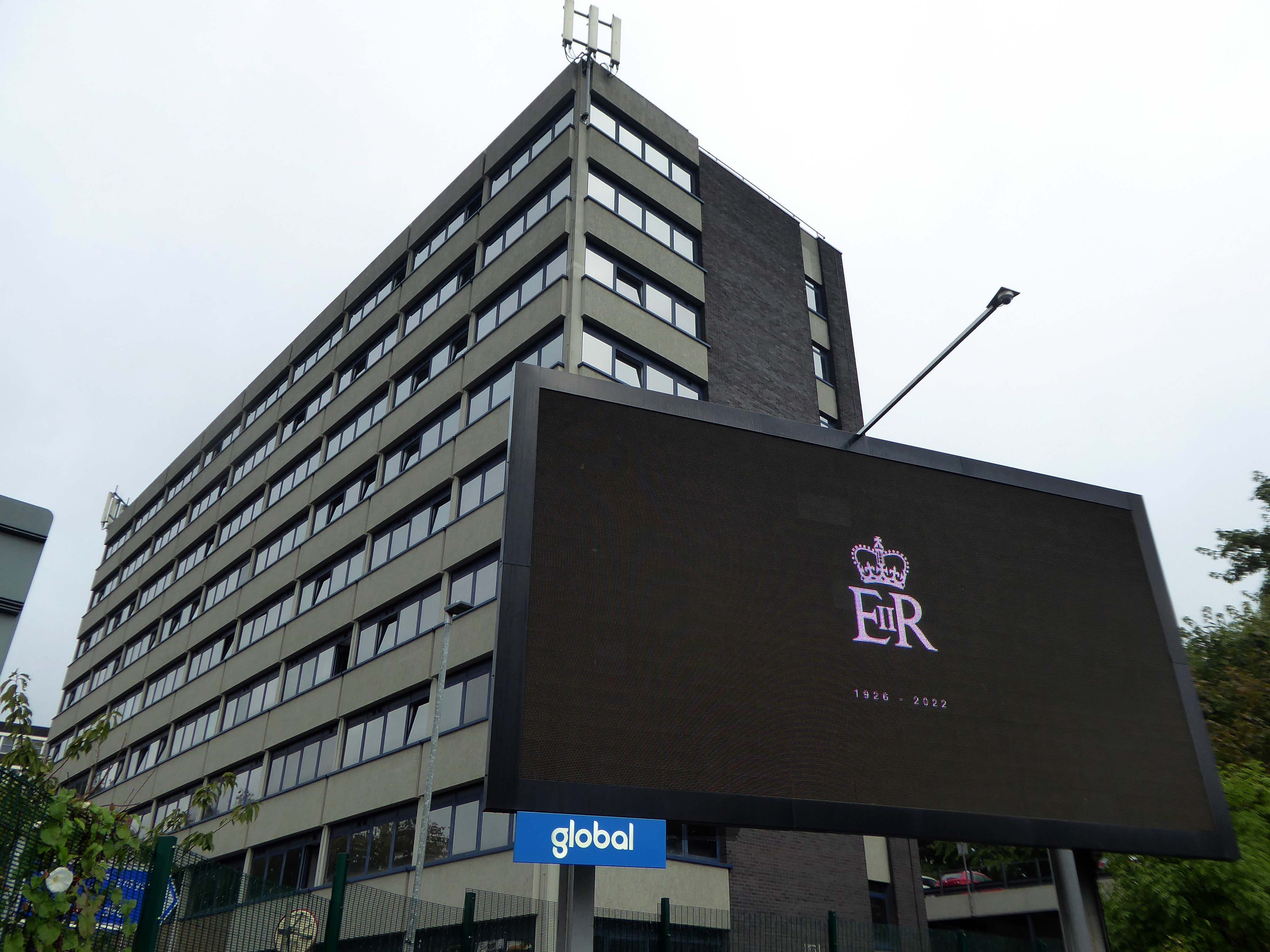
Today, on the day of her funeral, I set out for a walk around Stockport, to record a town largely closed for business. Overcast but far from downcast, I defied the almost persistent fine rain and these are the pictures that I took.
Many of the subjects are products of her time on the throne.
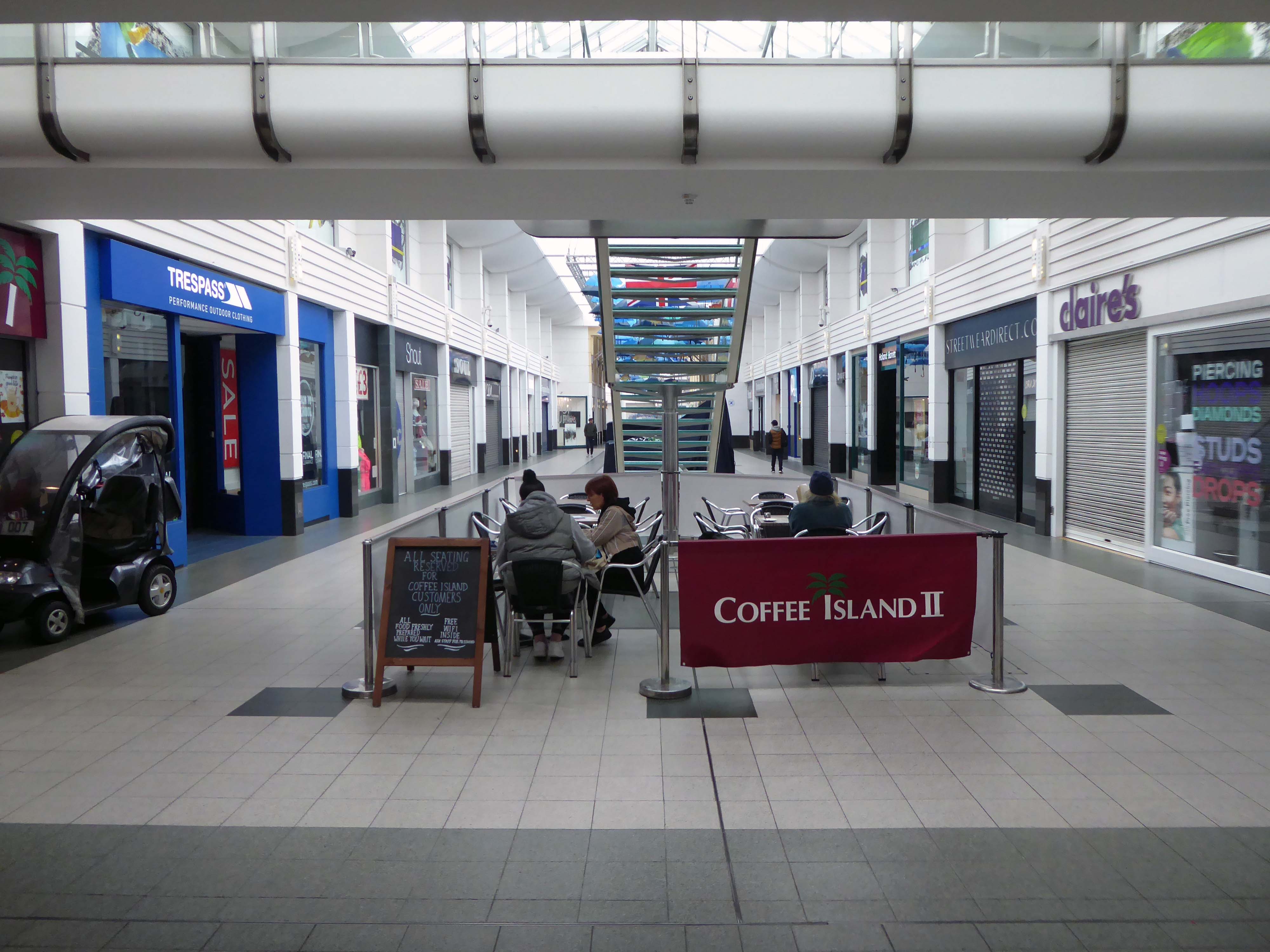
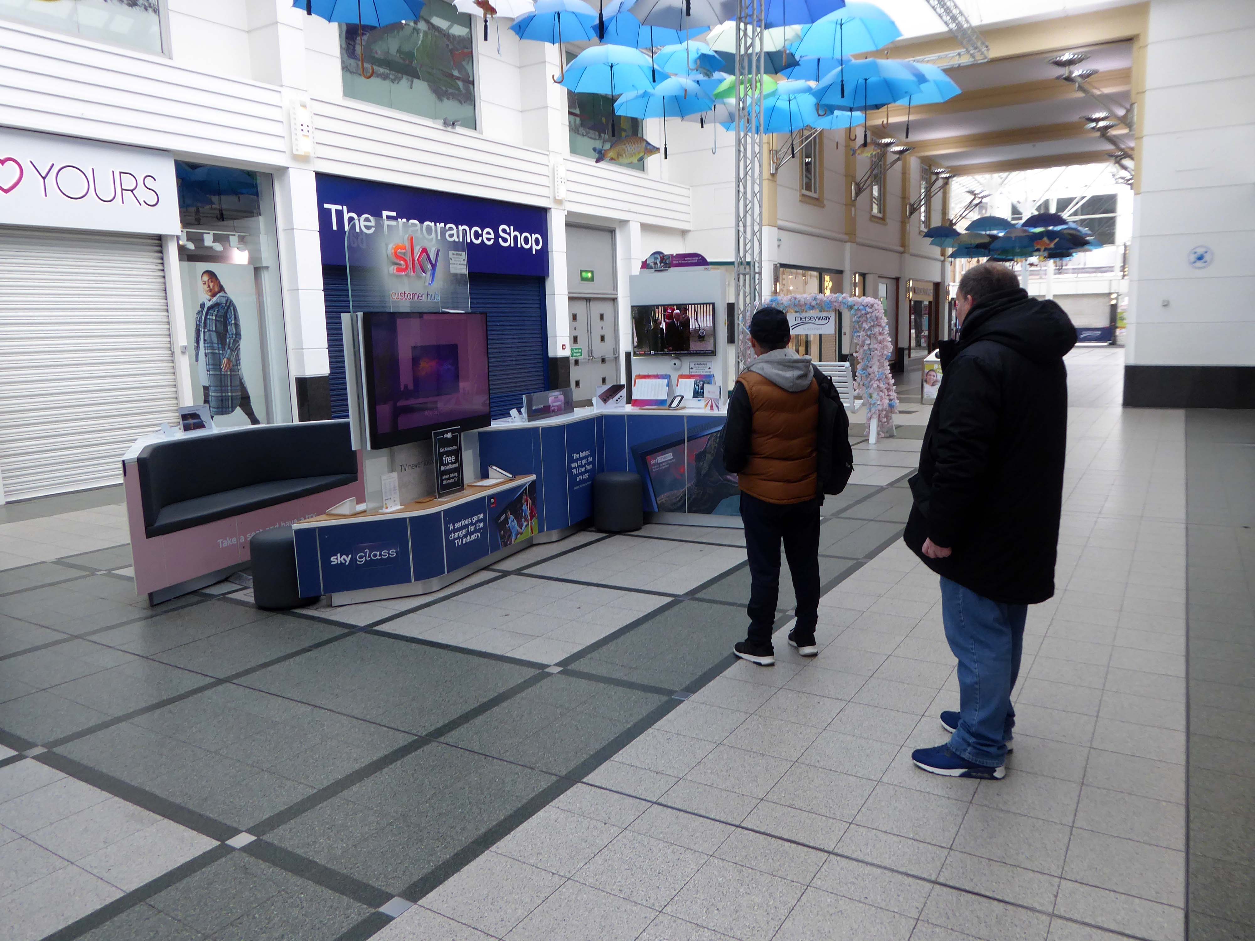
The traffic was much lighter, there were few pedestrians, a couple of cafés were open and two men watched the funeral service on the Sky TV stand in the precinct.
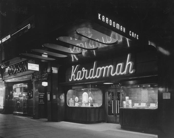
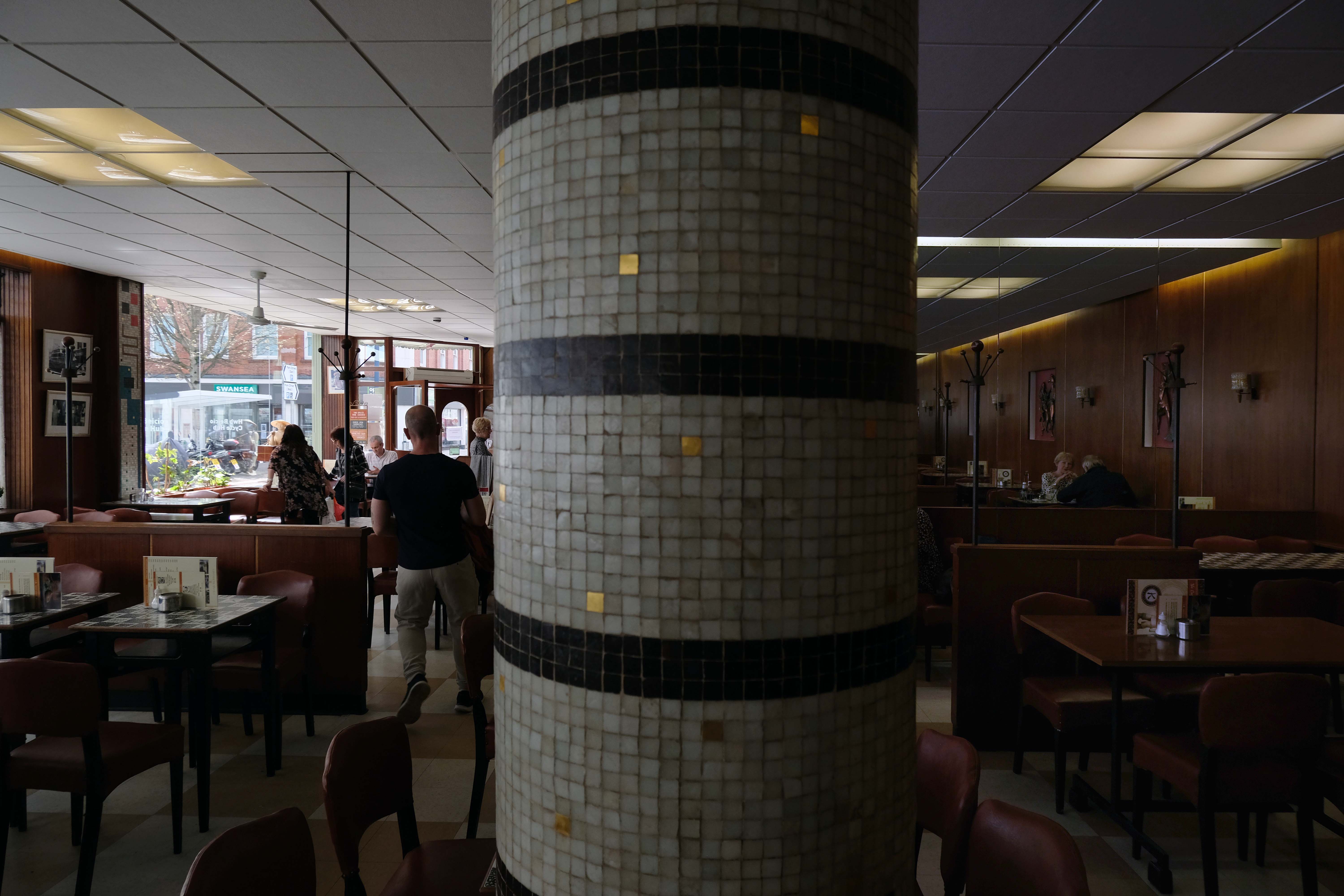
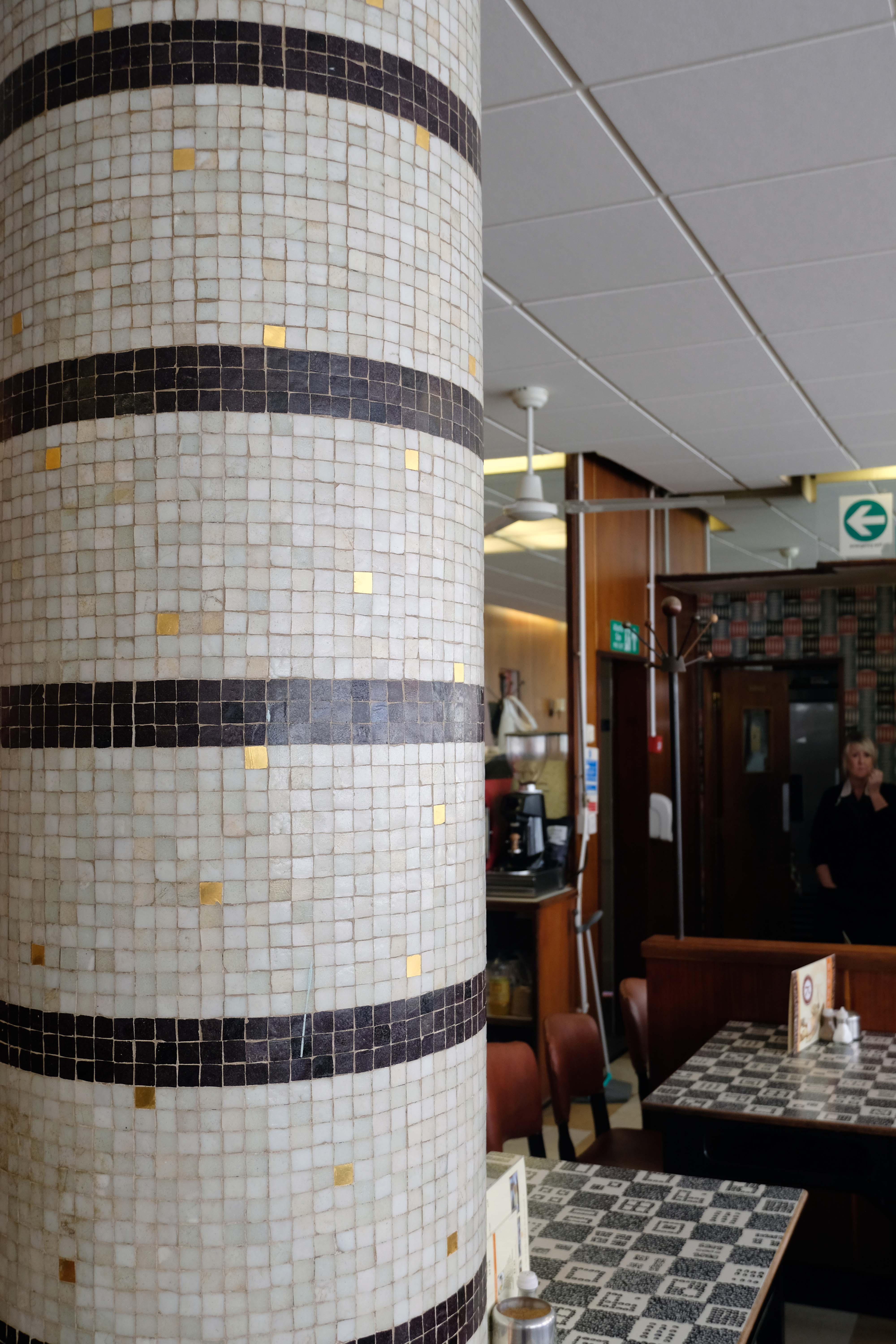
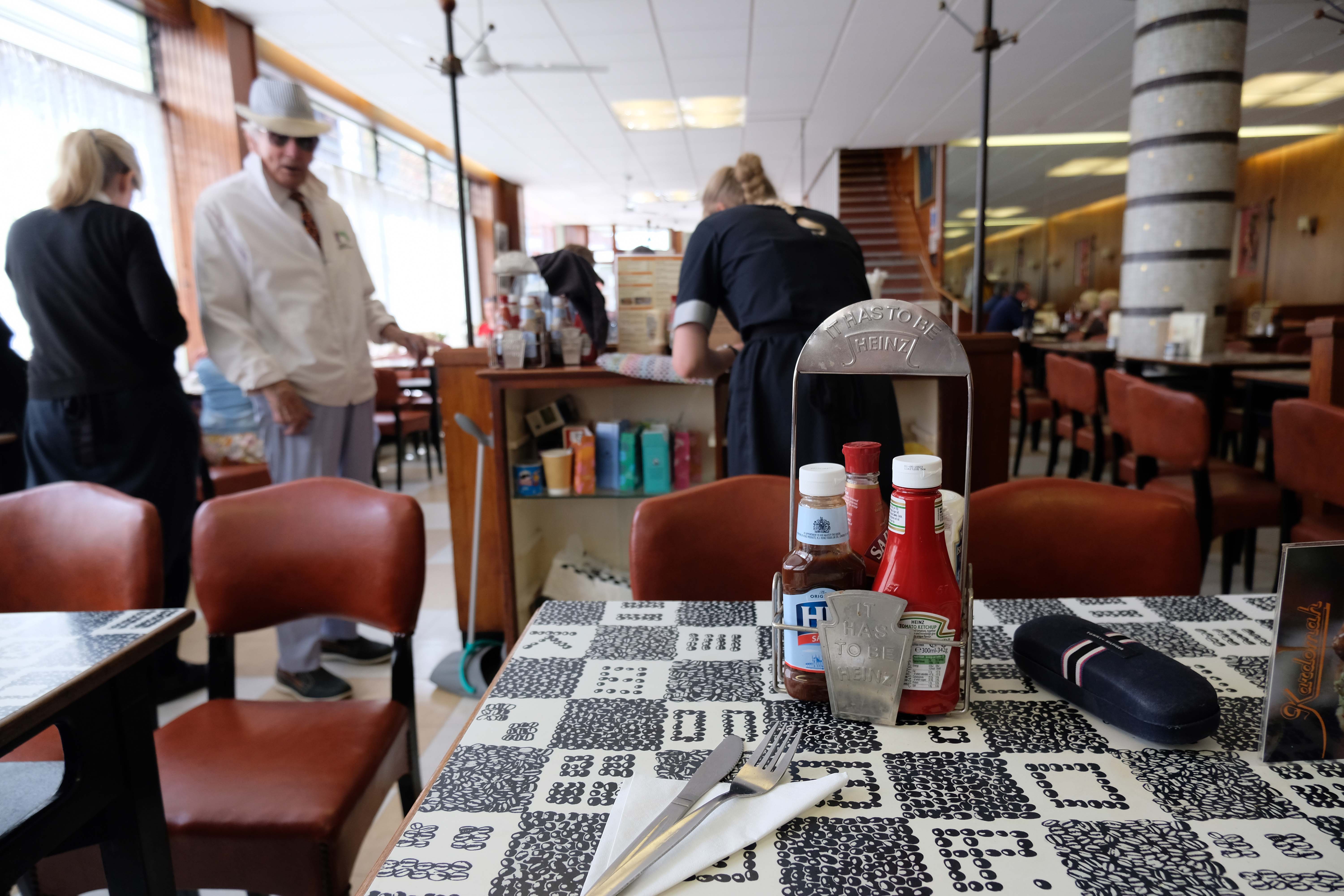
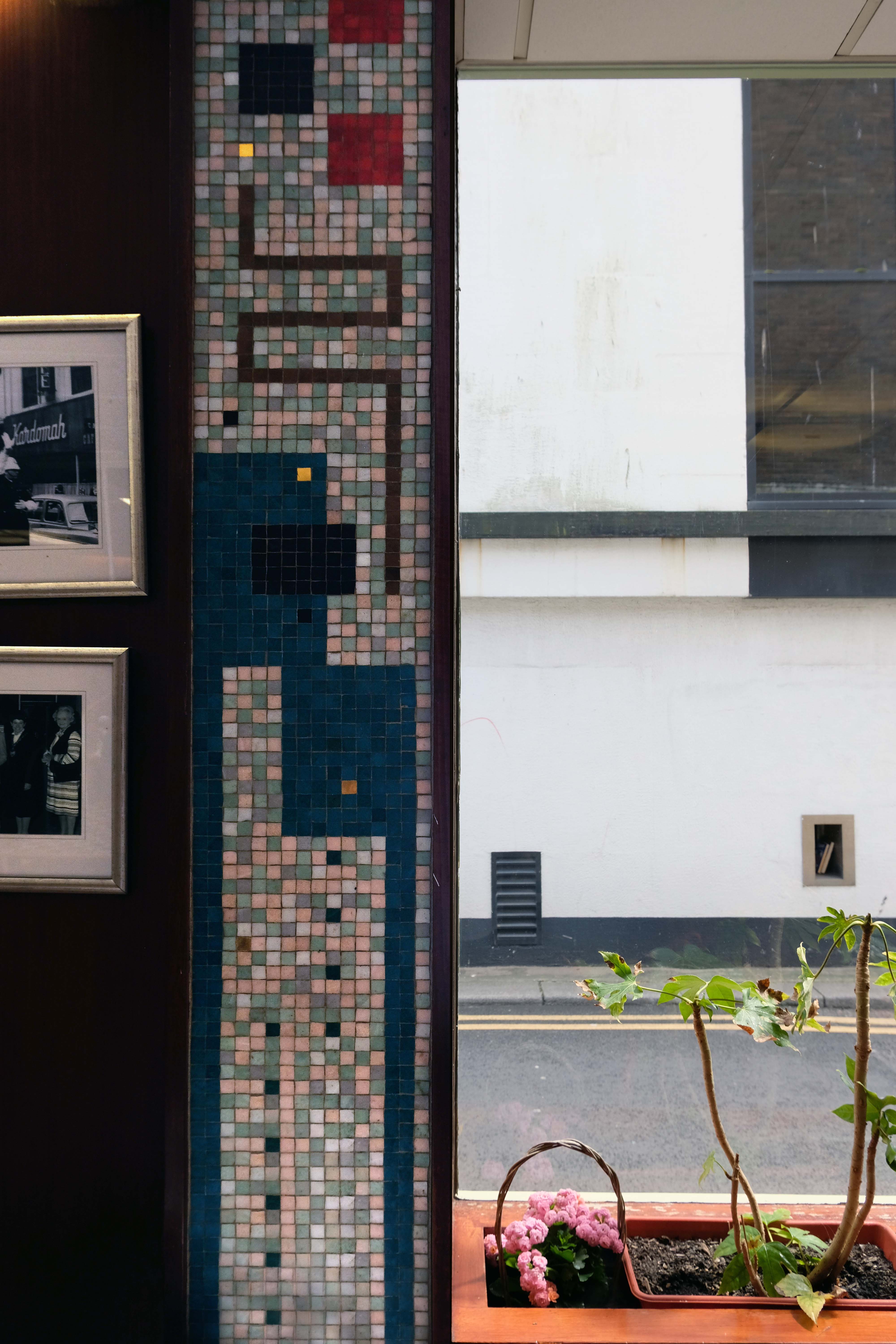
Welcome, at the Kardomah Cafe we have a long history of excellent service, great food and wonderful coffee. We are an independent, established, family run business of nearly 50 years. Traditional values are important to us and have helped us create a warm and friendly atmosphere, which is seen by many of our customers as an important part of their lives, a place to meet their friends, whilst enjoying quality food and drink.
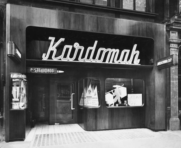
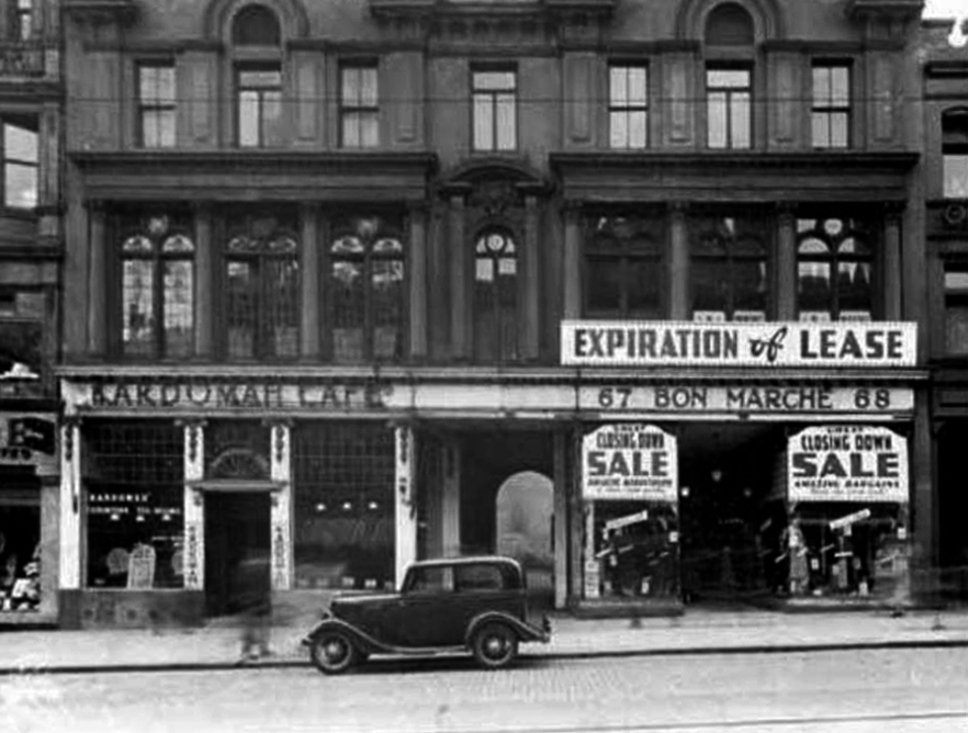
The company that created the Kardomah brand began in Pudsey Street, Liverpool in 1844 as the Vey Brothers teadealers and grocers. In 1868 the business was acquired by the newly created Liverpool China and India Tea Company, and a series of brand names was created beginning with Mikado. The Kardomah brand of tea was first served at the Liverpool colonial exhibition of 1887, and the brand was later applied to a range of teas, coffees and coffee houses. The parent company was renamed Kardomah Limited in 1938. The brand was acquired by the Forte Group in 1962, sold to Cadbury Schweppes Typhoo in 1971, and became part of Premier Brands some time between 1980 and 1997. The brand still exists, selling items such as instant coffee and coffee whitener.
The Kardomah Cafés in London and Manchester were designed by Sir Misha Black between 1936 and 1950.
ManchesterLondon – Ribapix
The original Swansea branch was at 232 High St, and known as ‘The Kardomah Exhibition Cafe & Tea Rooms’, moving to the Castle Street in 1908.
Castle Street
The Castle Street cafe was the meeting place of The Kardomah Gang, which included Dylan Thomas, and was built on the site of the former Congregational Chapel where Thomas’s parents were married in 1903. The cafe was bombed during WW2 and was later replaced by the present Kardomah Coffee Shop Restaurant in Portland Street.
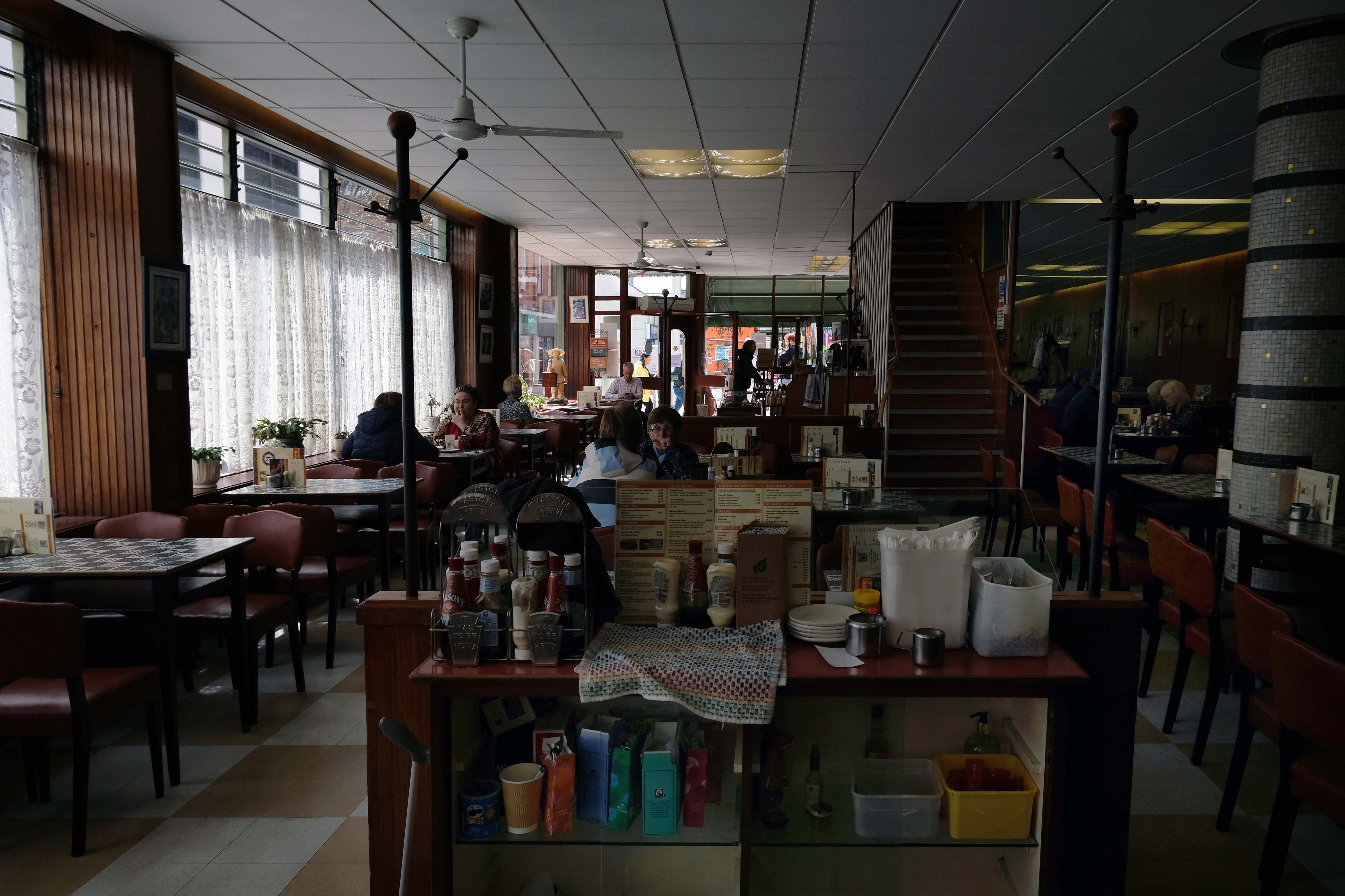
I’d never had the pleasure of visiting a Kardomah before, imagine my delight when I was directed there by local artist, activist and archivist Catrin Saran James, during our delightful Swansea Moderne tour!
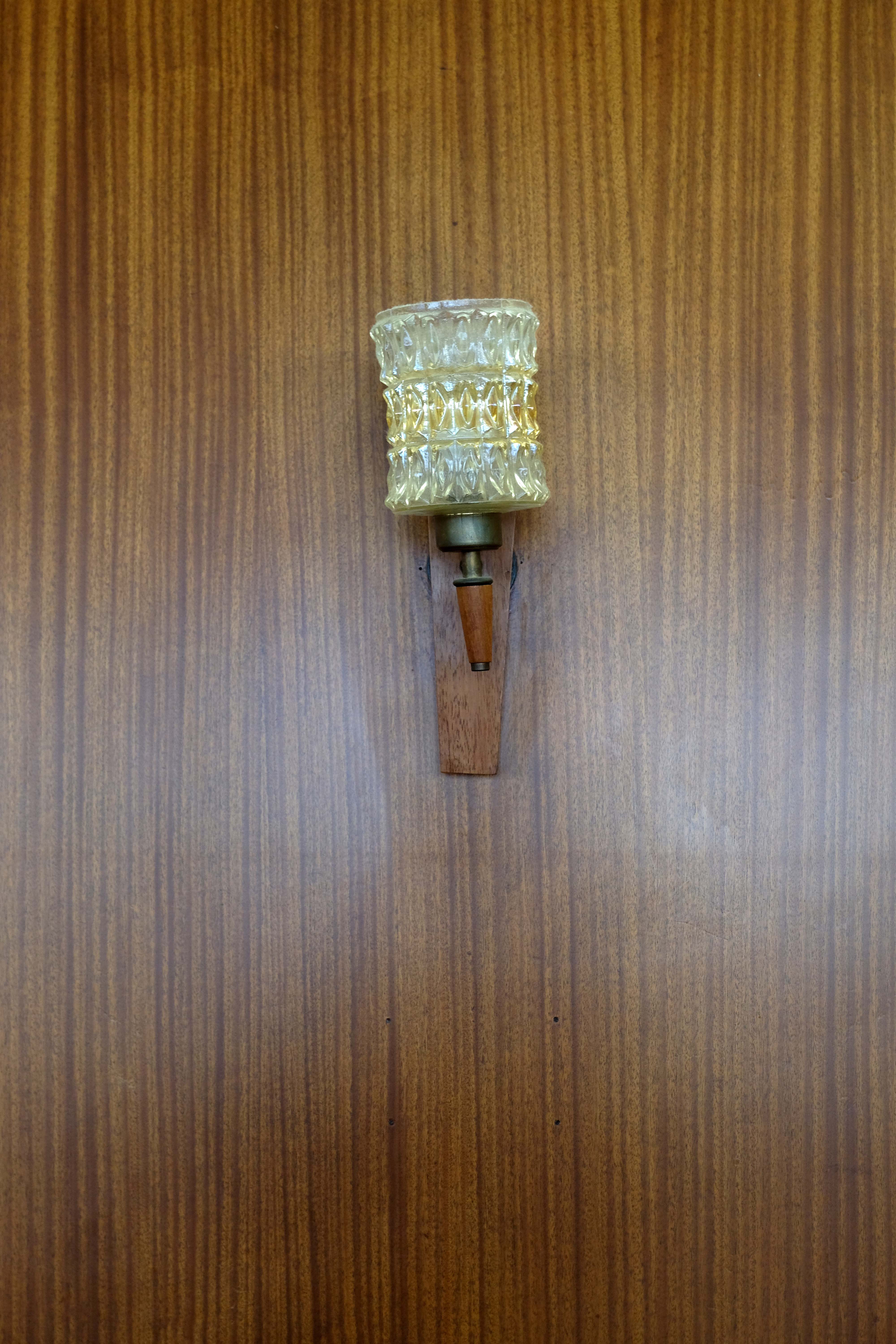
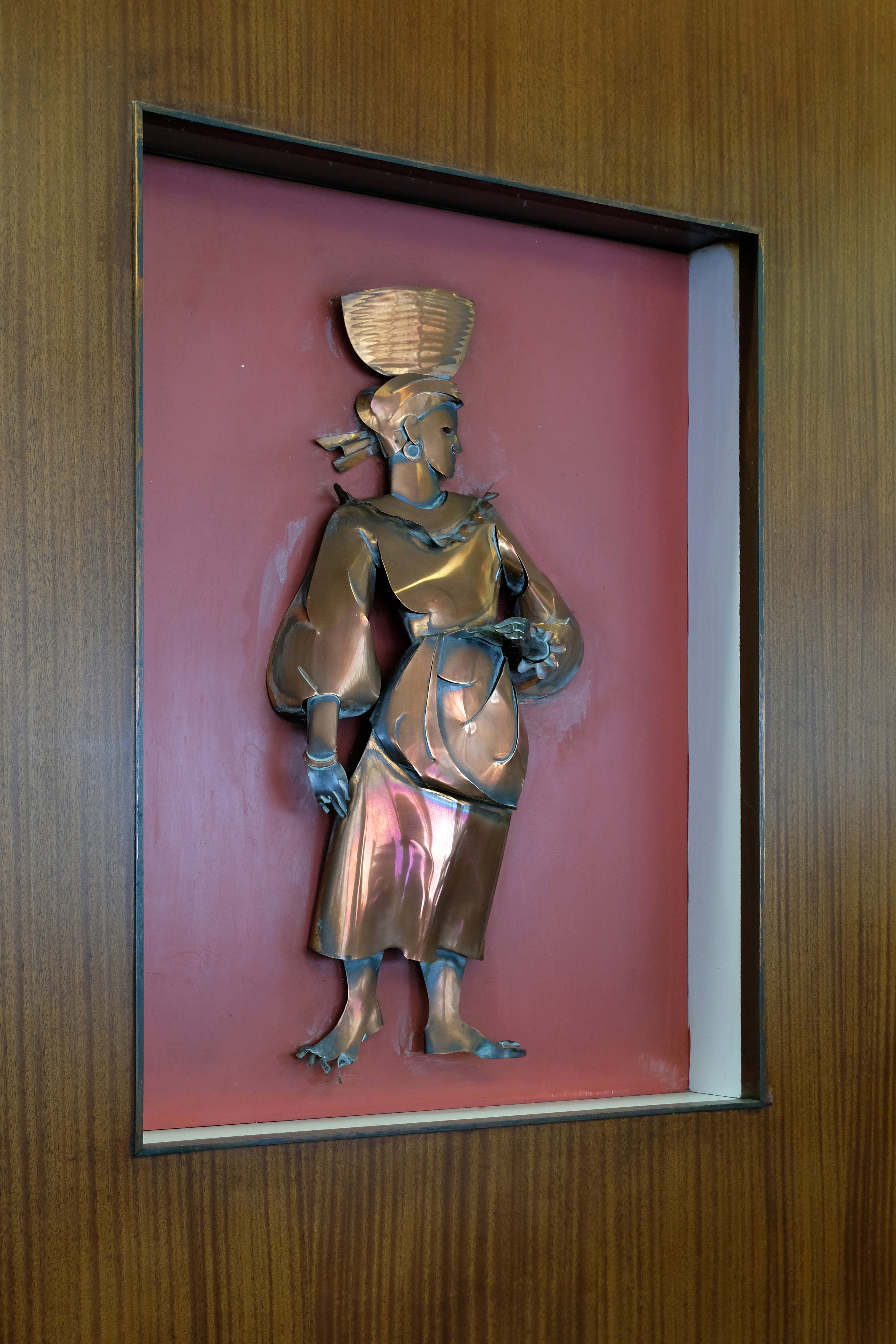
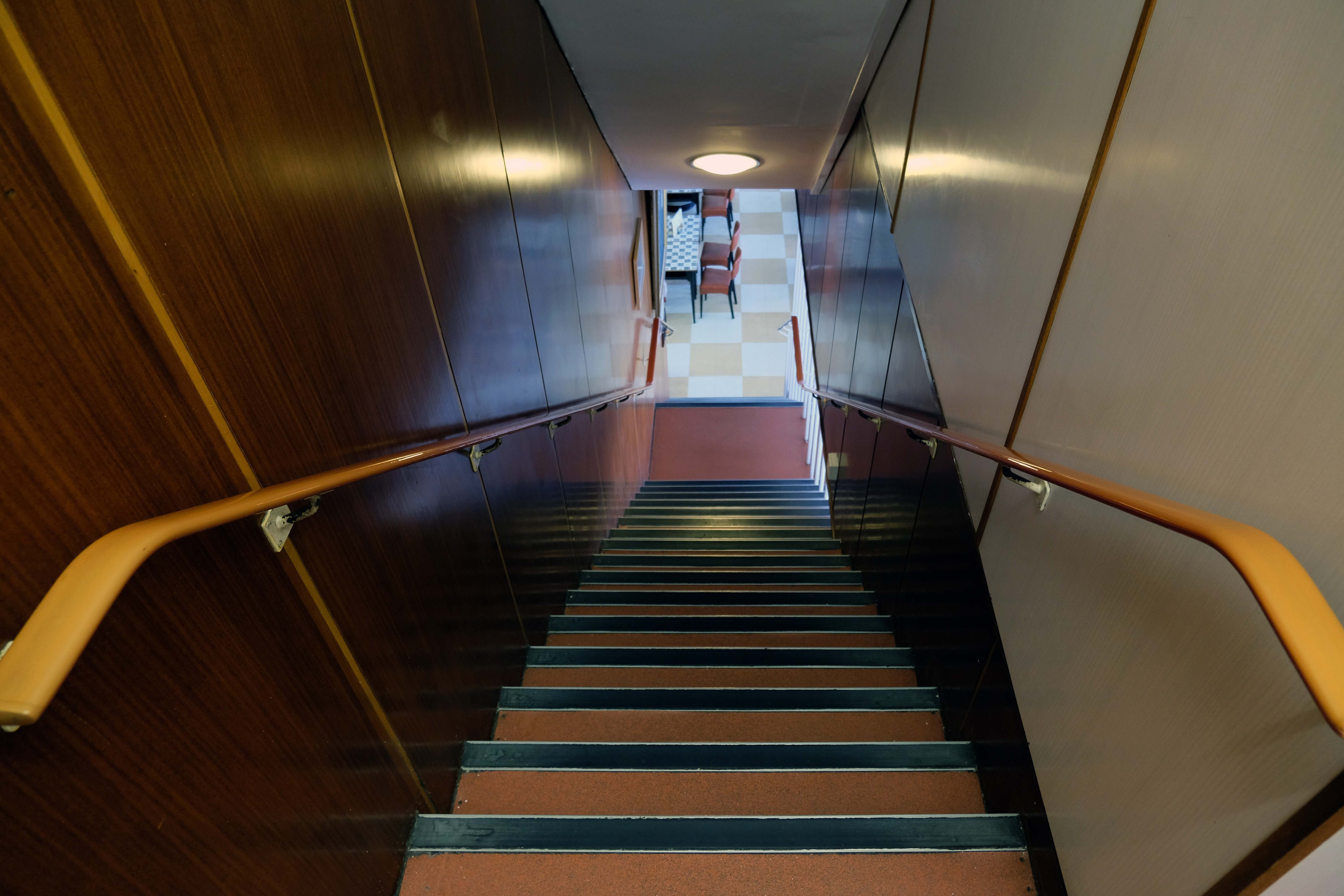
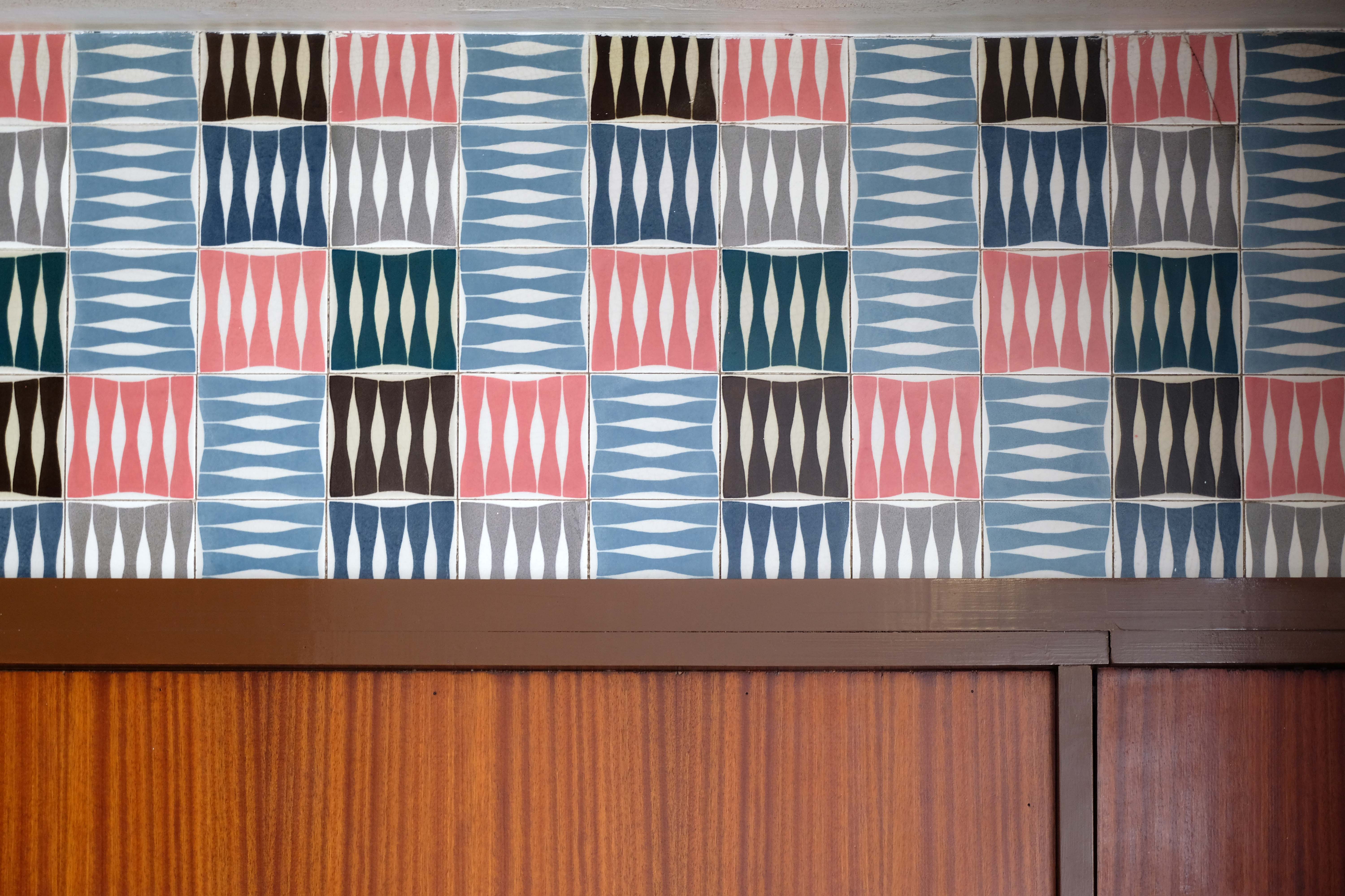
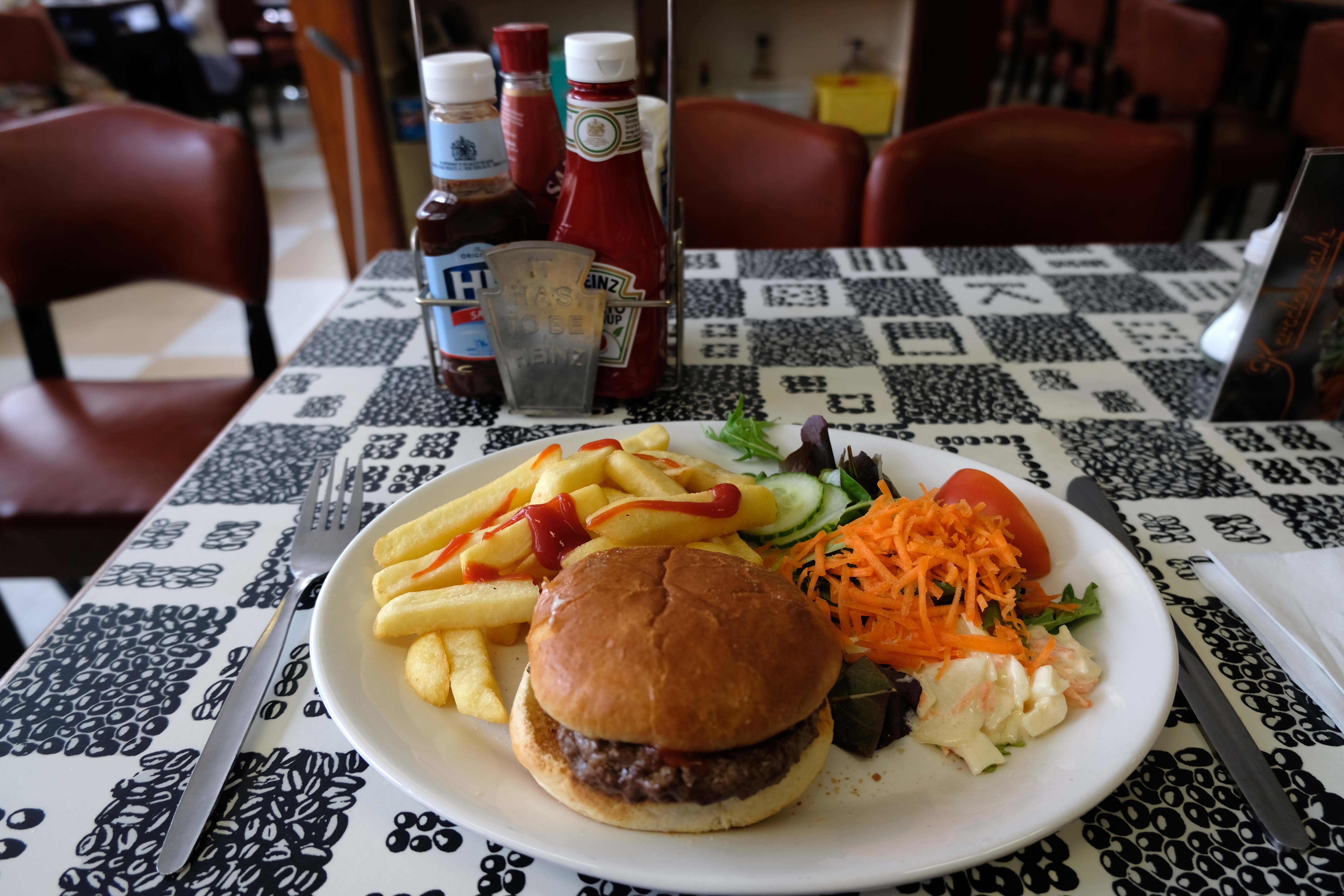
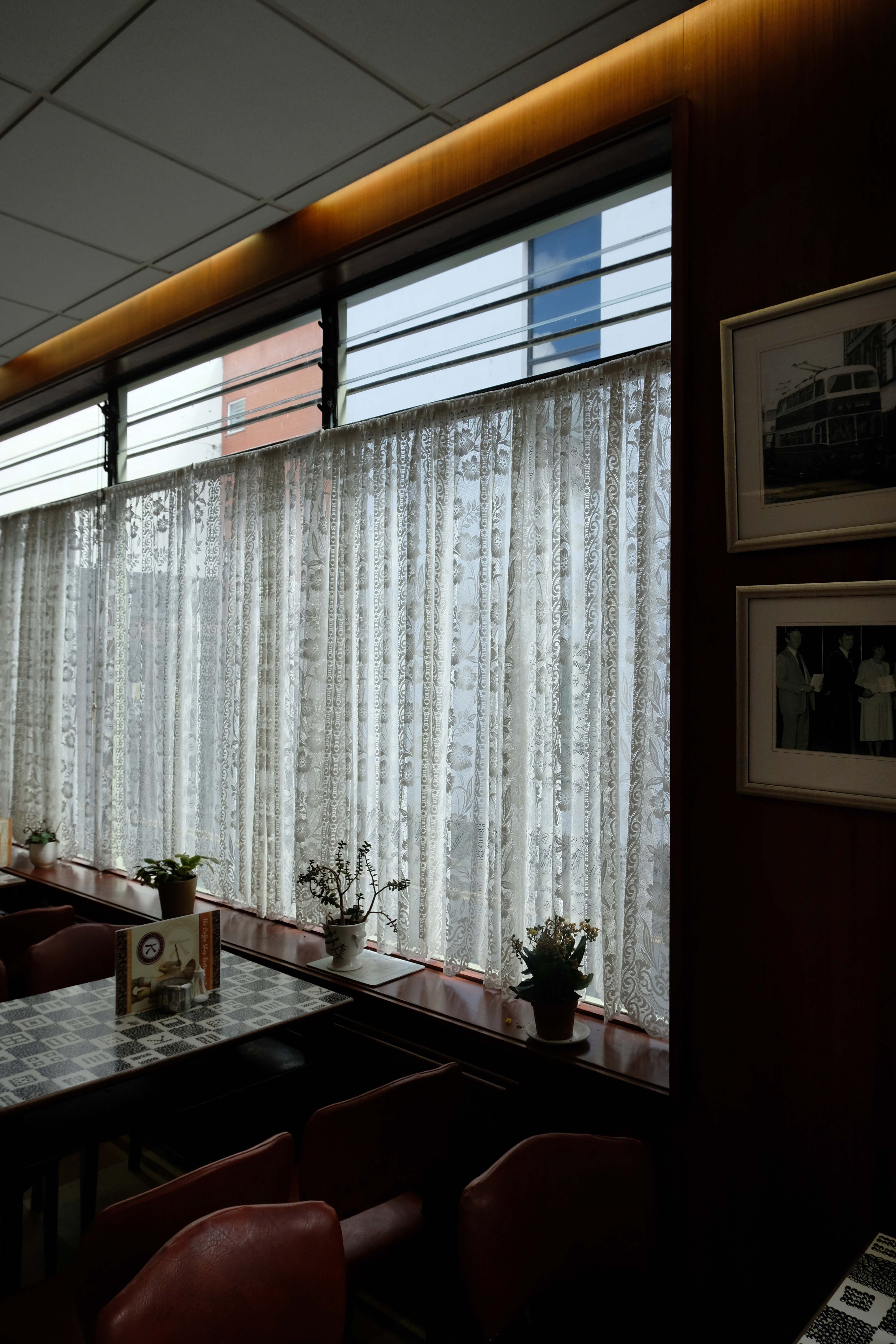
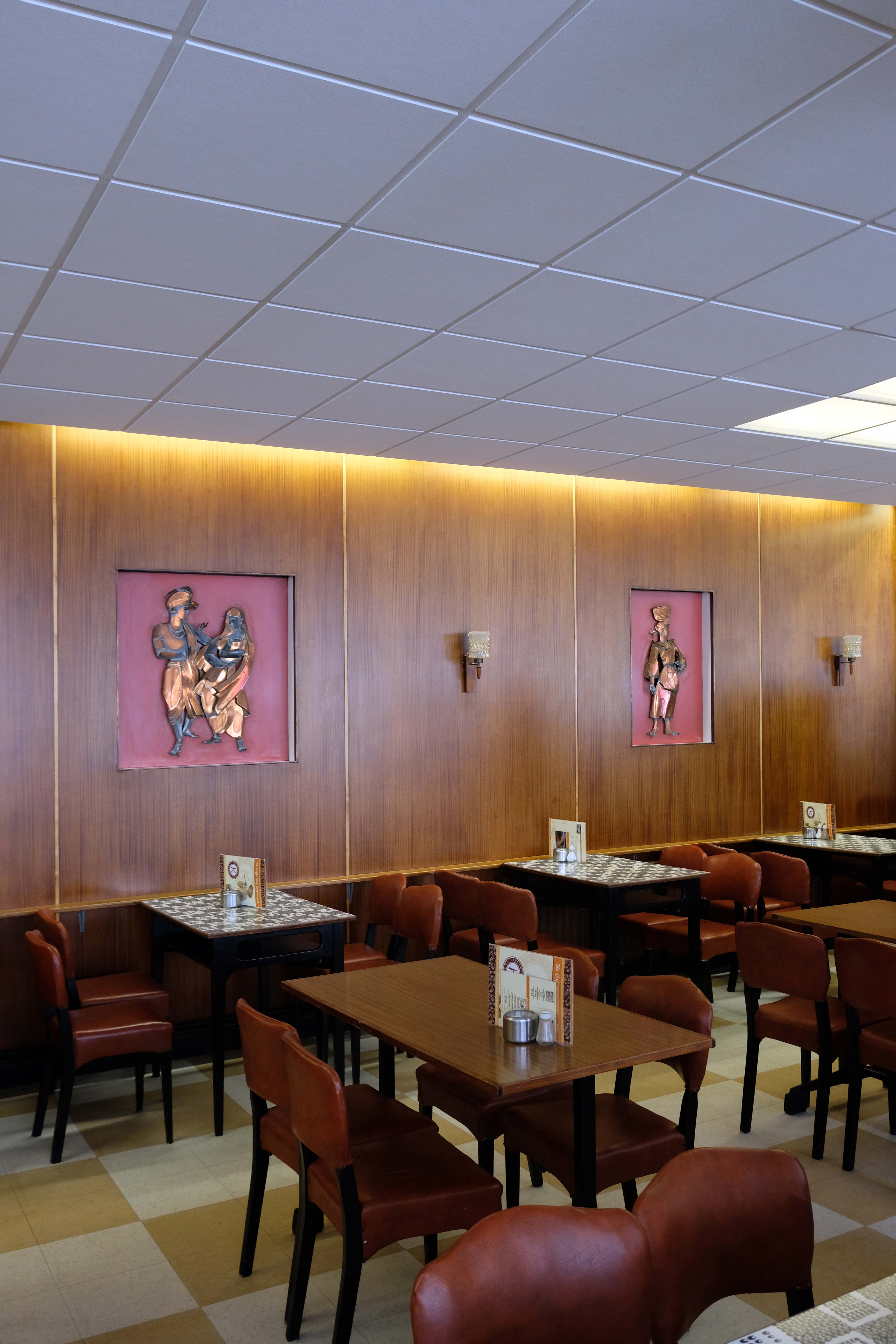
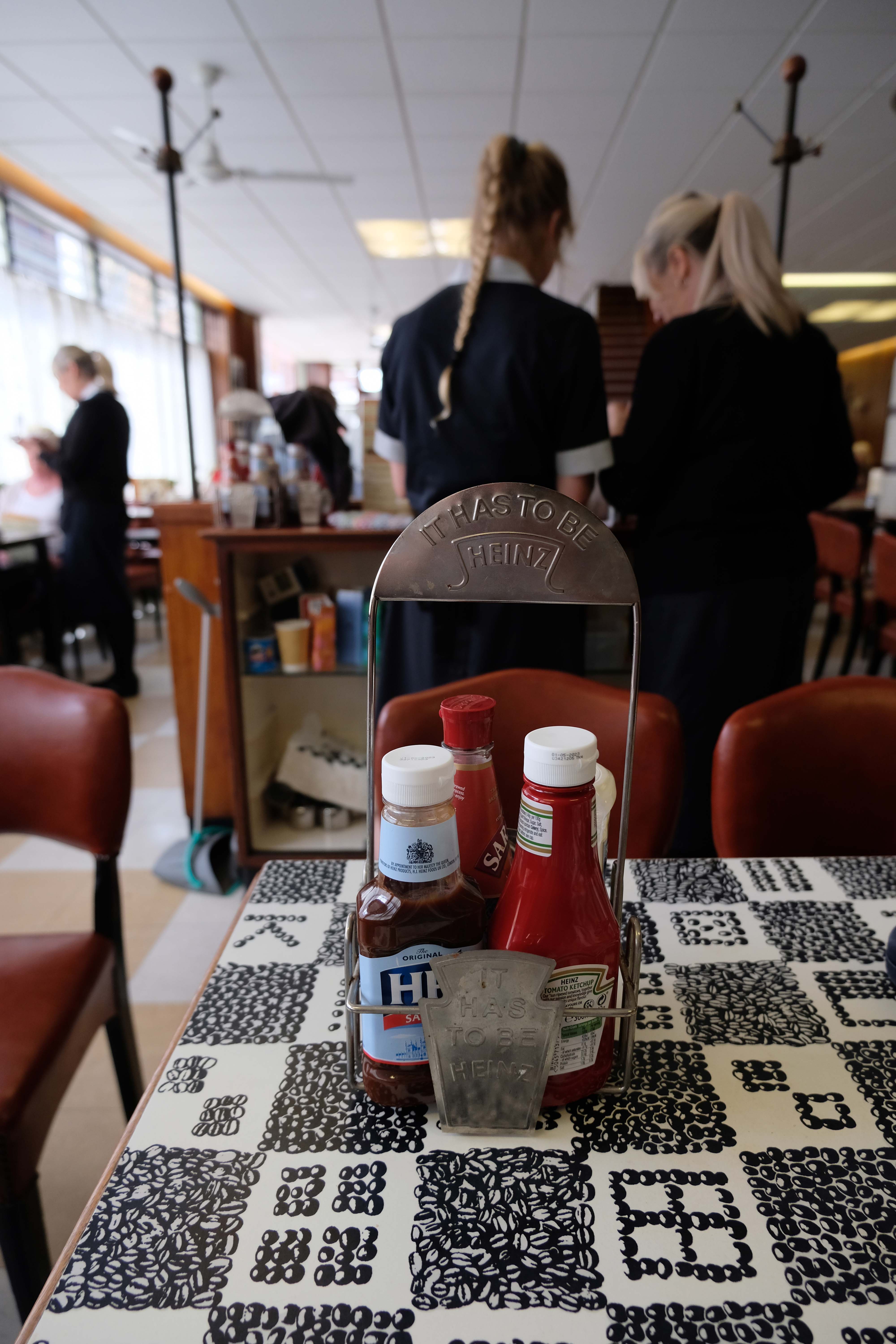
Following an extensive walk from one end of town to the other, I returned there for a late midday bite to eat and a sit down – it looked a little like this:
Many thanks to the staff and customers for putting up with me wandering around for a while with my camera, whilst they worked and ate.
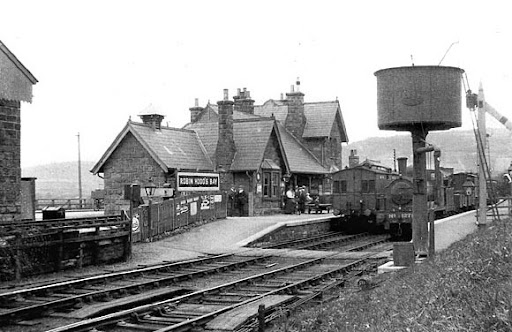
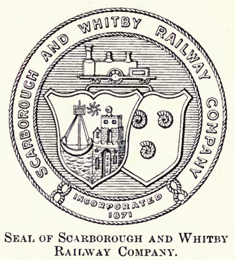
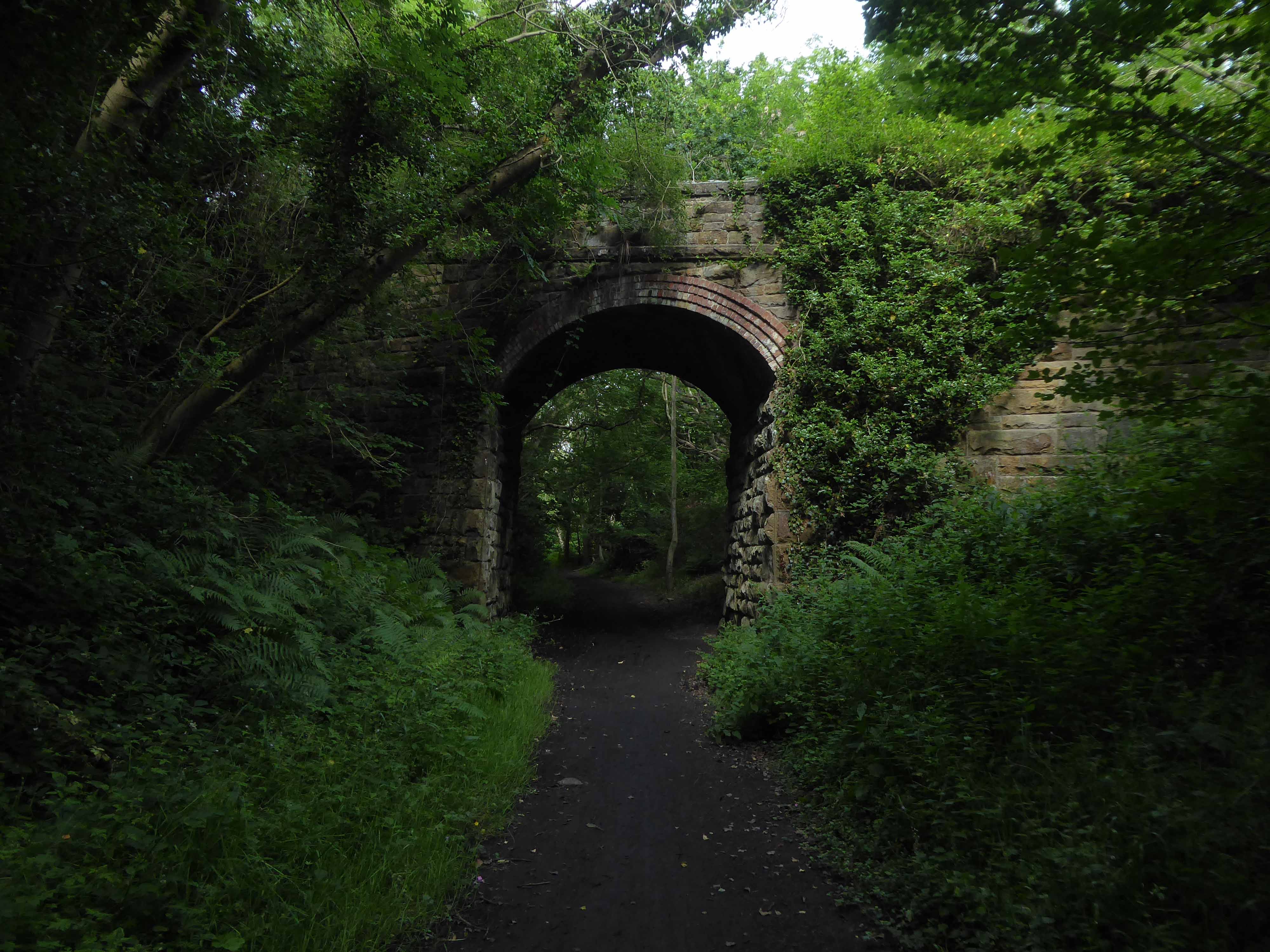
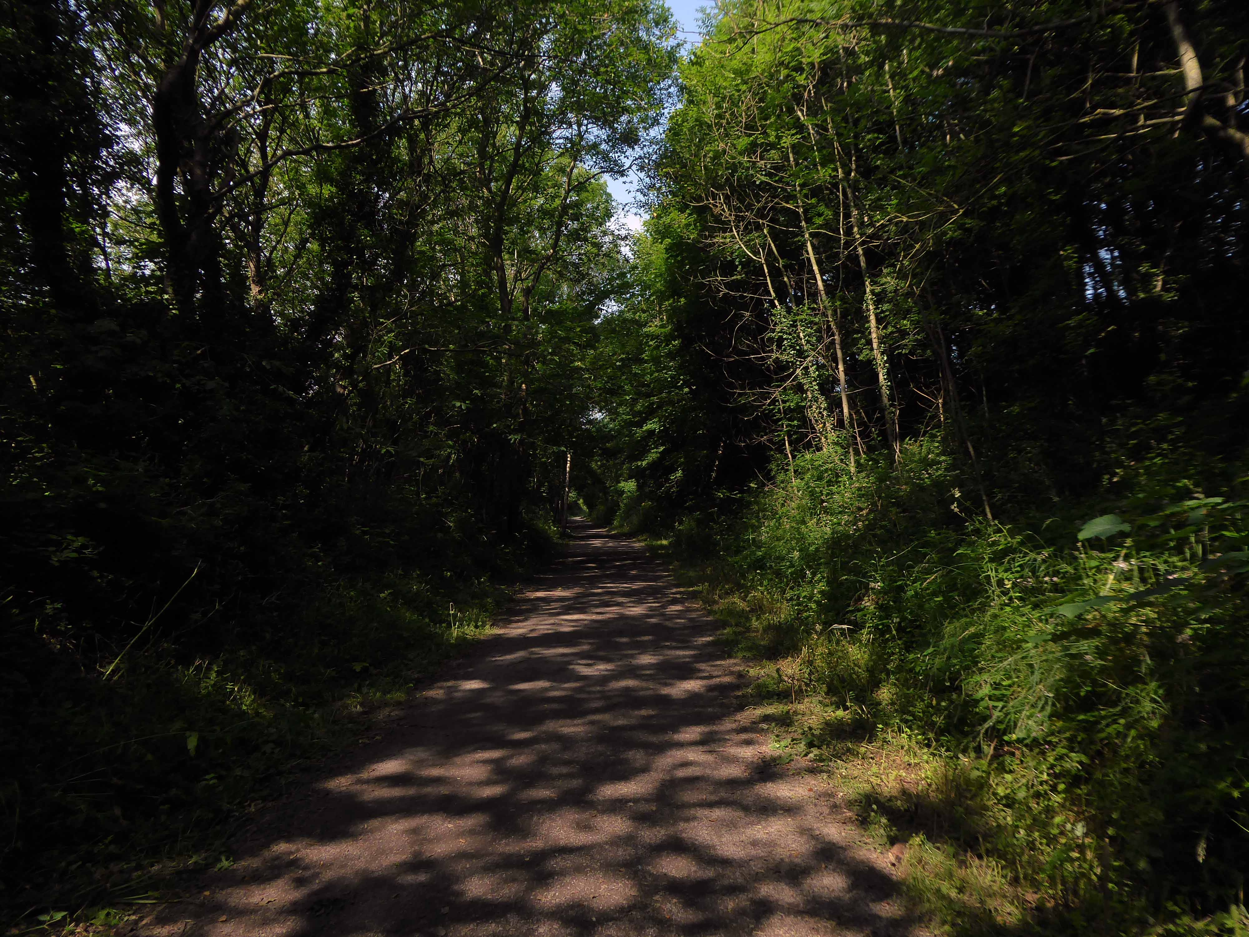
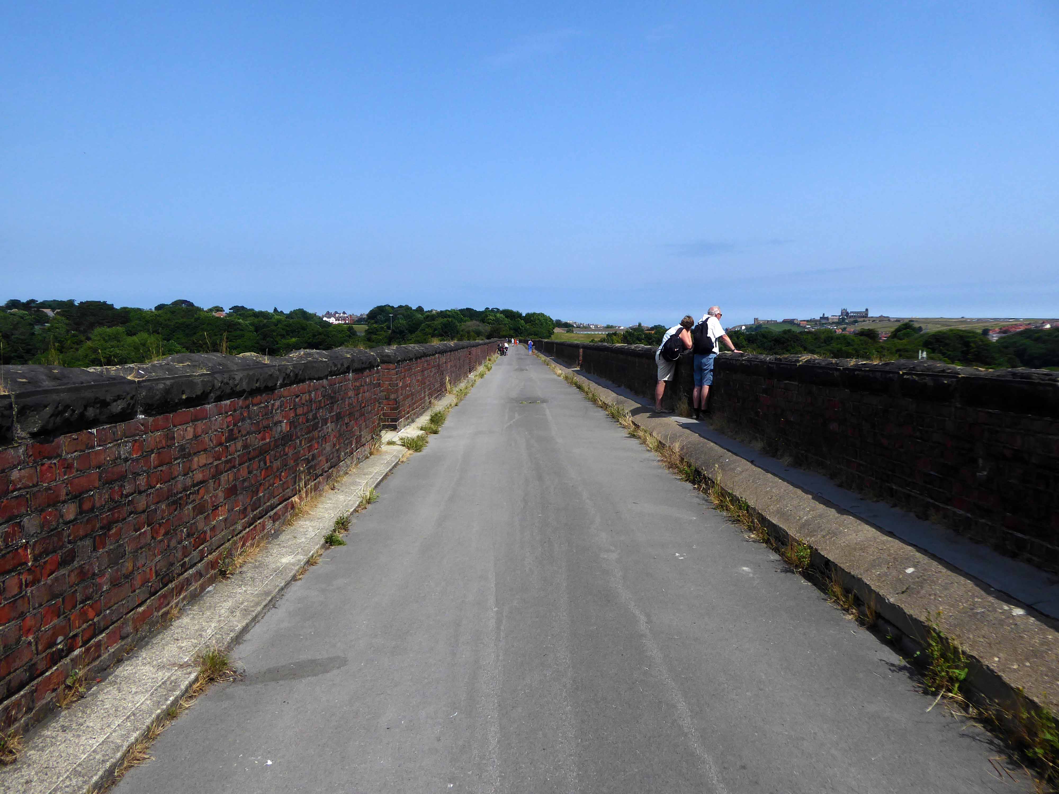
Formerly the Scarbough to Whitby Railway – the line opened in 1885 and closed in 1965 as part of the Beeching Axe.
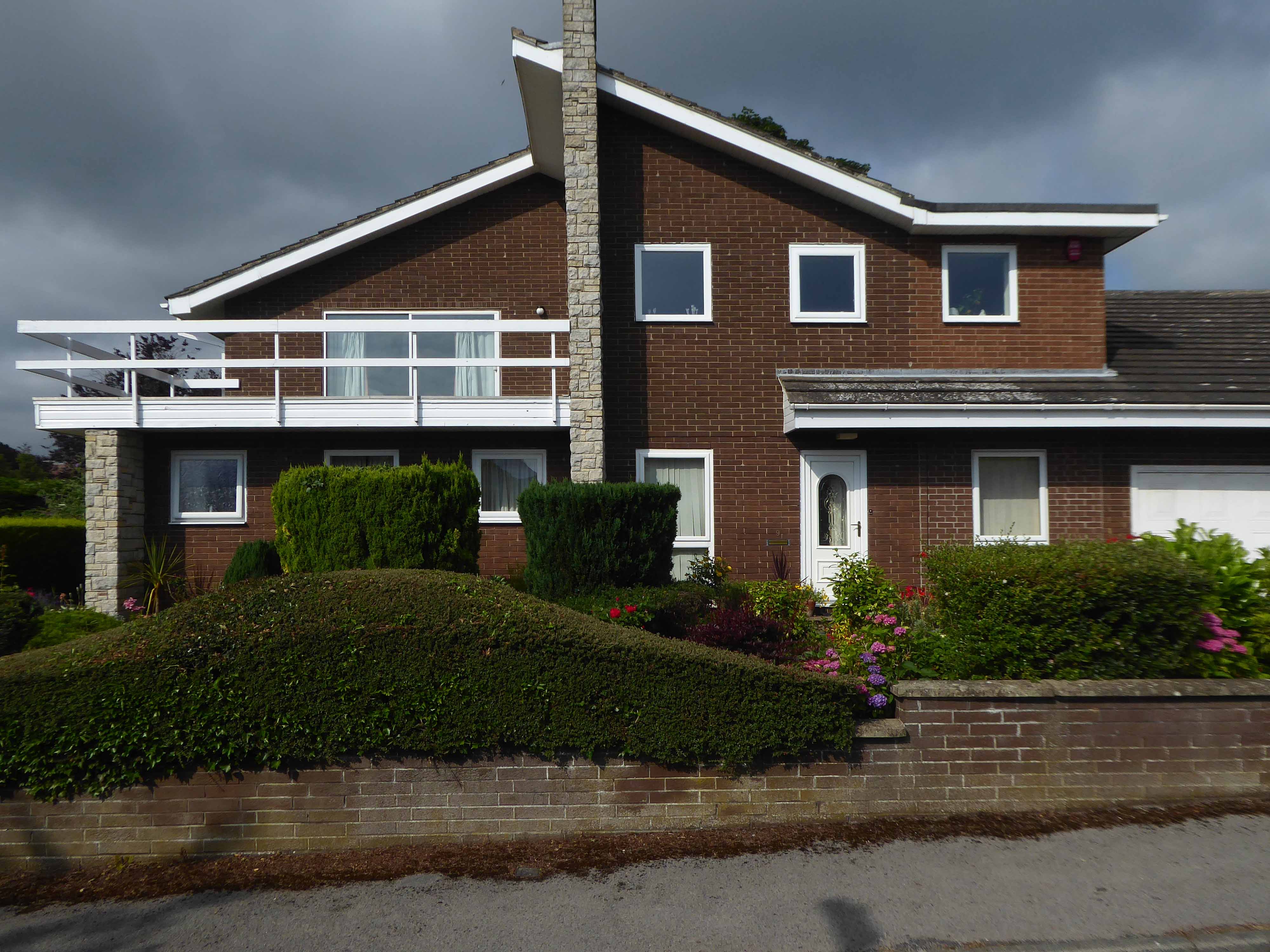
Yet again I chance upon a delightful post-war home.
I parted company with the track dropping down to the Esk Valley from the Larpool Viaduct.
Construction began in October 1882 and was complete by October 1884.
Two men fell from the piers during construction, but recovered.
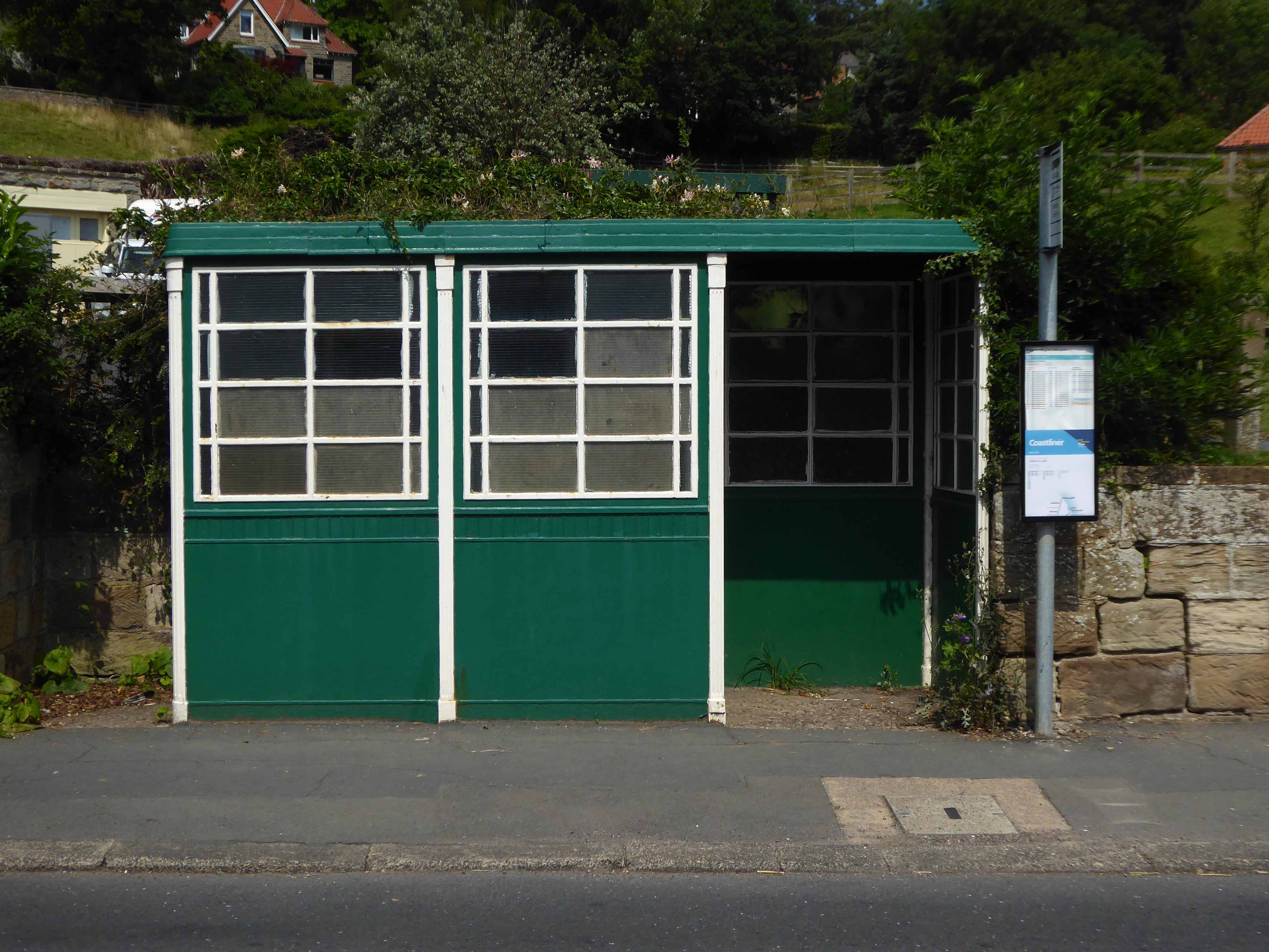
I found myself in Ruswarp, home to this enchanting bus shelter.
I bombed along the main road to Sleights.
There then followed a hesitant ascent, descent, ascent along a badly signed bridleway, fearing that I had climbed the hill in error I retraced, then retraced.
A difficult push ensued, a precipitous path, rough and untended, rising ever higher and higher.
Finally arriving at Aislaby, more than somewhat exhausted – the village is mentioned in the Domesday Book as Asuluesbi.
Pausing to catch my breath I took the wildly undulating road to Egton – along the way I was alerted to the presence of a tea stop by two touring cyclists from Nottingham.
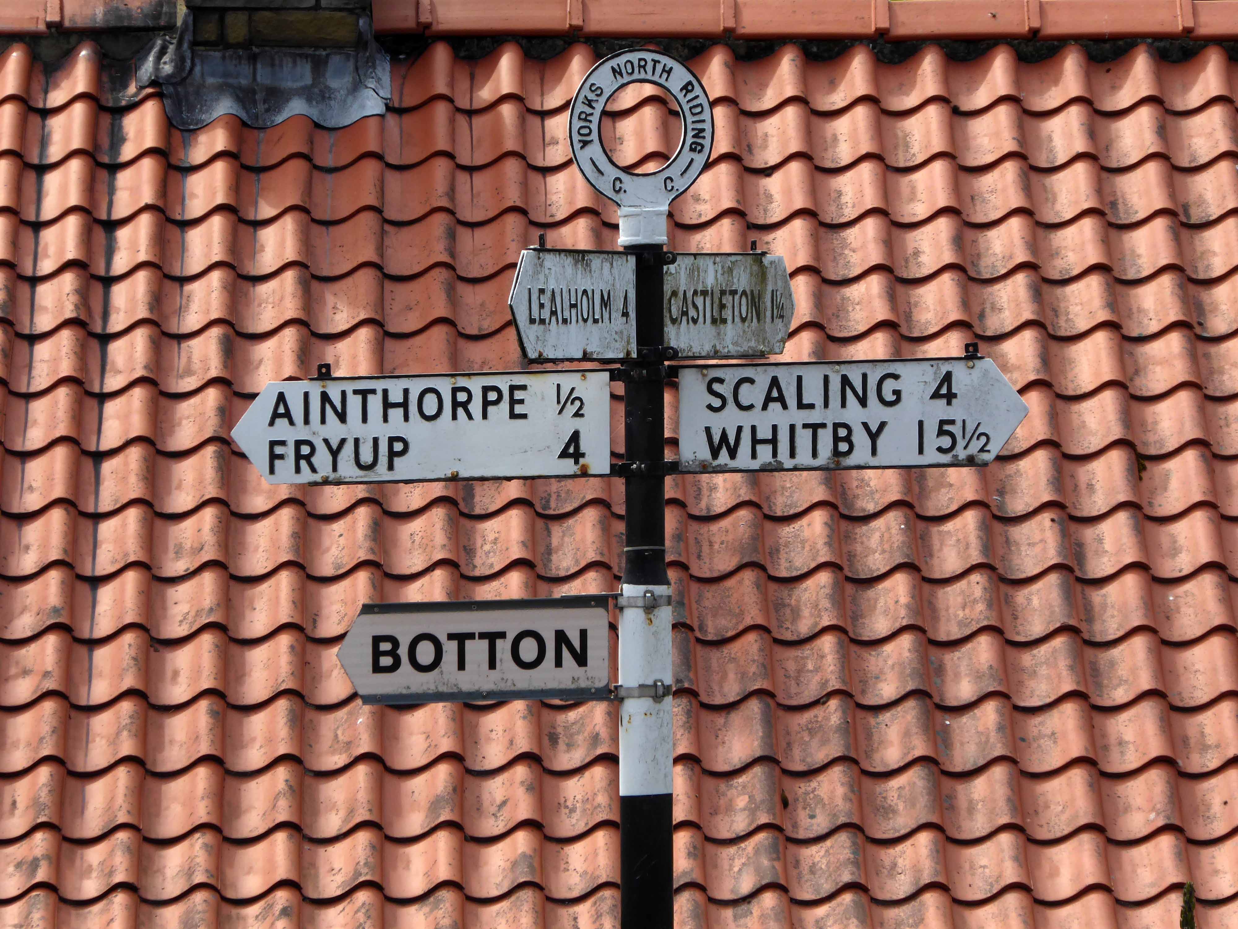
The curious name Fryup probably derives from the Old English reconstruction Frige-hop: Frige was an Anglo-Saxon goddess equated with the Old Norse Frigg; hop denoted a small valley.
An old woman at Fryup was well known locally for keeping the Mark’s e’en watch – 24 April, as she lived alongside a corpse road known as Old Hell Road.
The practice involved a village seer holding vigil between 11pm and 1am to watch for the wraiths of those who would die in the following 12 months.
Castleton Moor ghost.
In the village I was given further directions by two elderly gents, who had been engaged in a discussion concerning their long term mapping of acid rain levels in the area.
One was wearing a Marshall Jefferson t-shirt.
I climbed Langburn Bank onto the flatish open moorland.
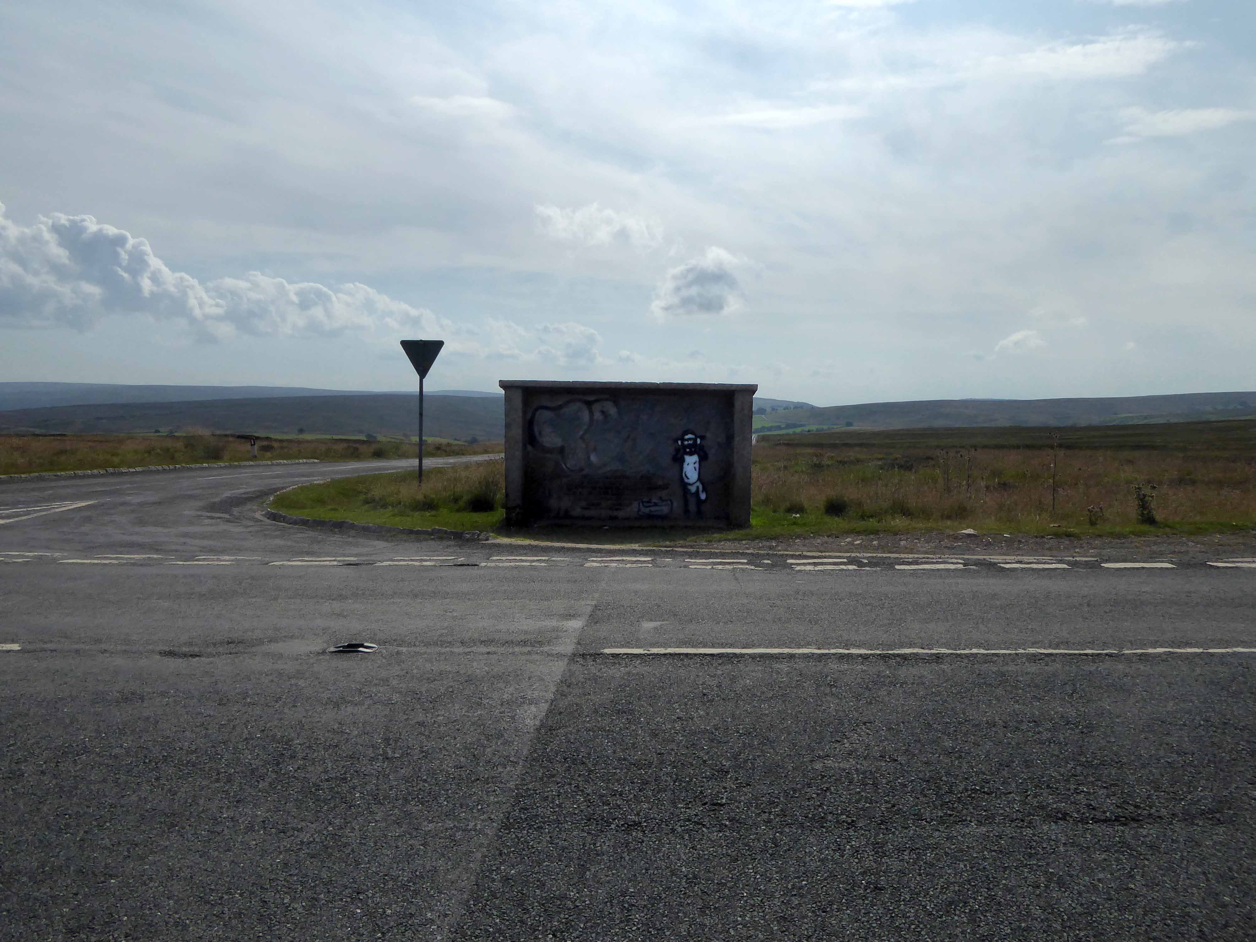
Taking a brief break to snap this concrete shelter.
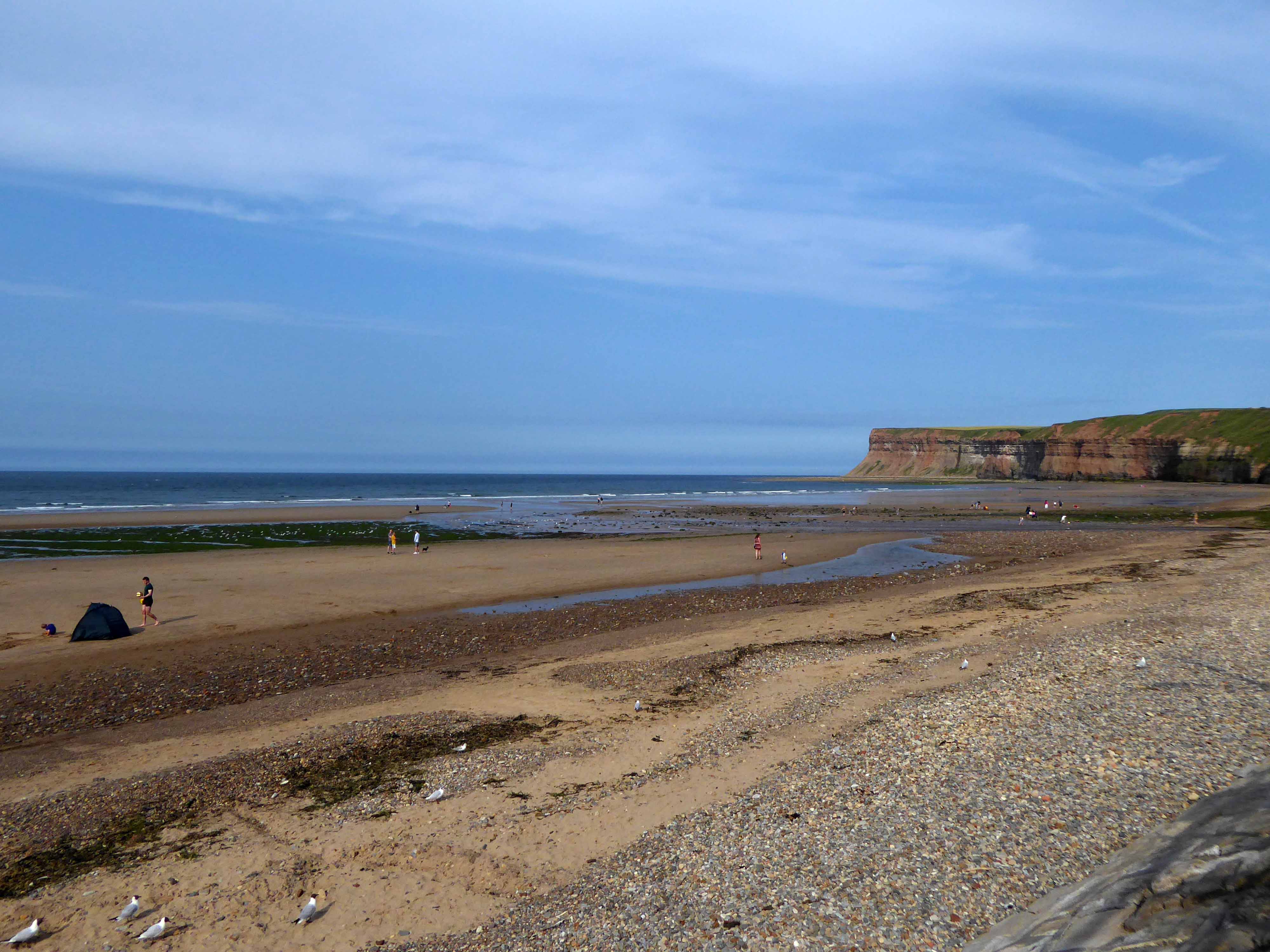
There then followed a hair stirring series of hairpin descents to the coast at Saltburn.
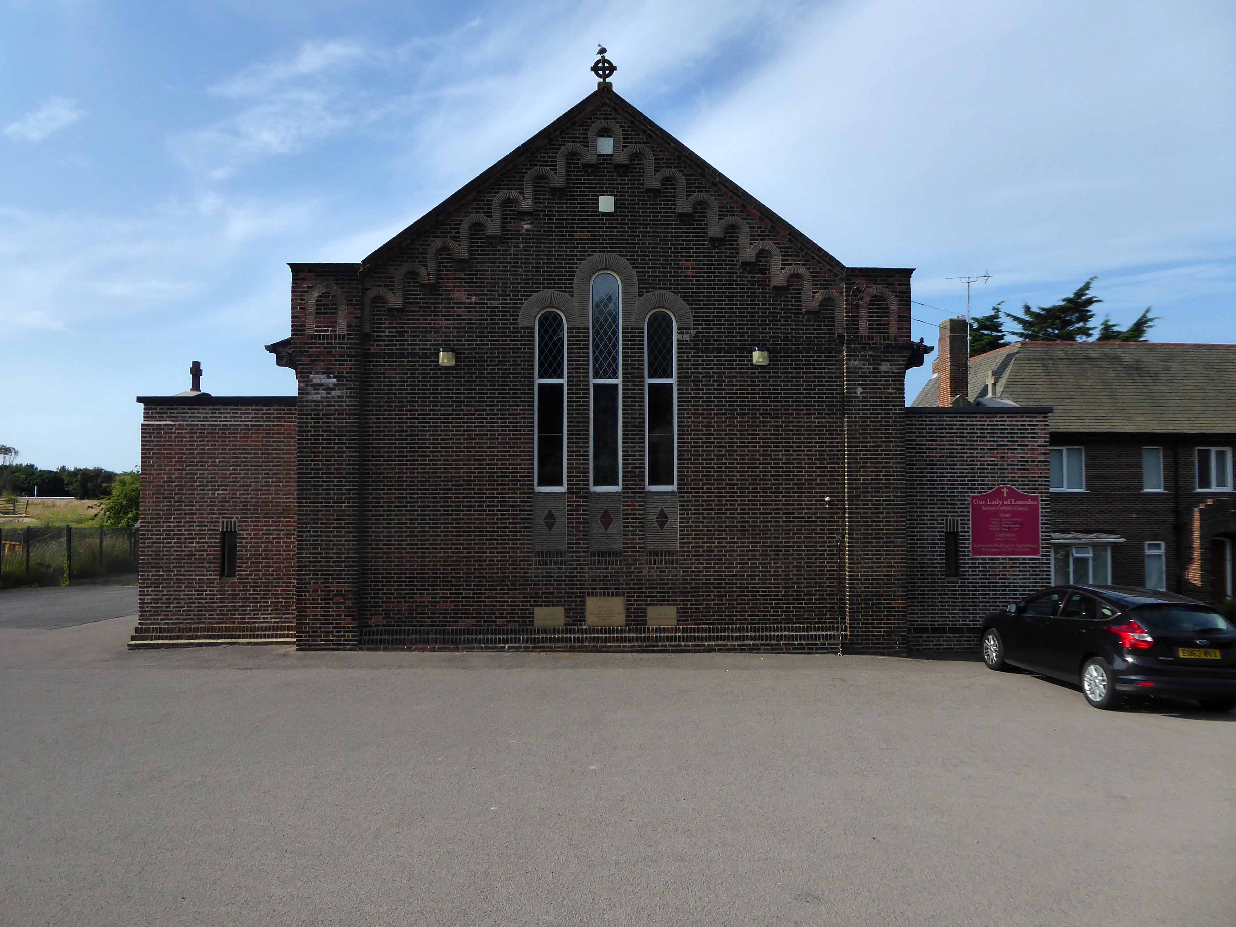
Built in 1928, this church was designed with some care and is an attractive, if fairly modest, Lombard Romanesque-style essay in brick. The use of a semi-circular apse, narrow brickwork and use of tile for decorative effect give it a pleasing appearance, typical of restrained but elegant work between the wars.
I arrived and took a look around, first time in town, here’s what I found.
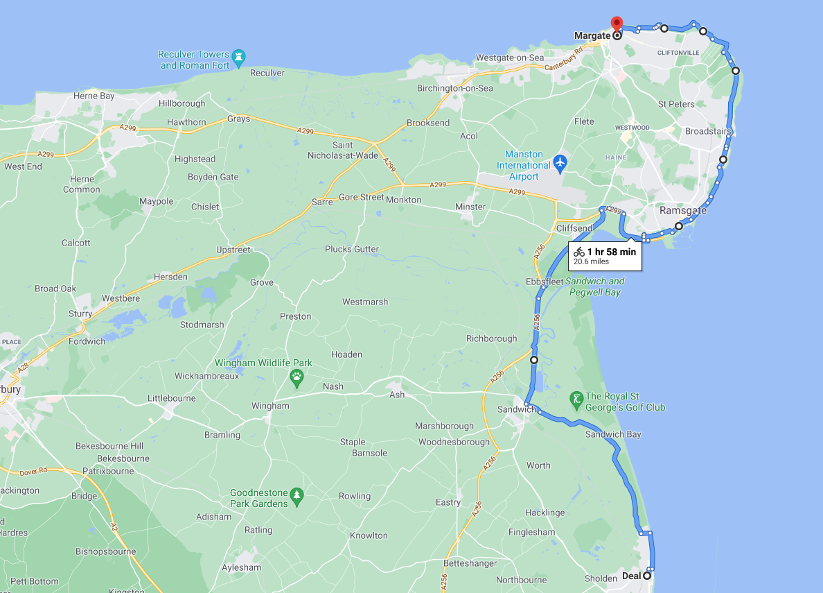
We awoke, we dawdled around Deal, prior to our delightful breakfast.
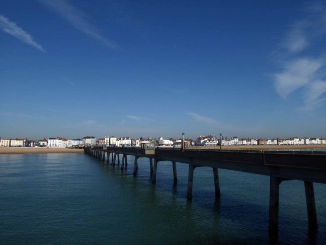
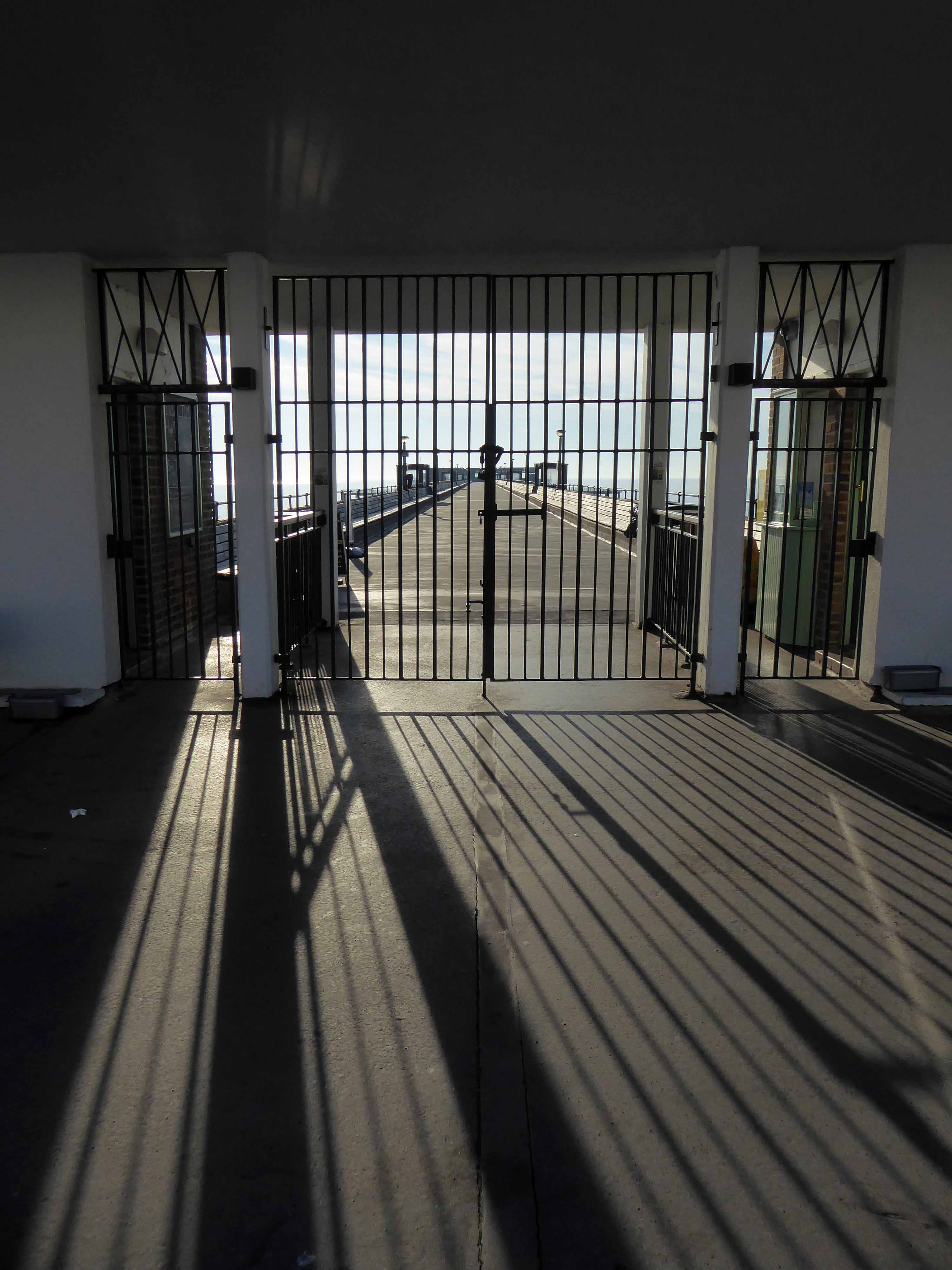
Though the pier appeared to be closed.
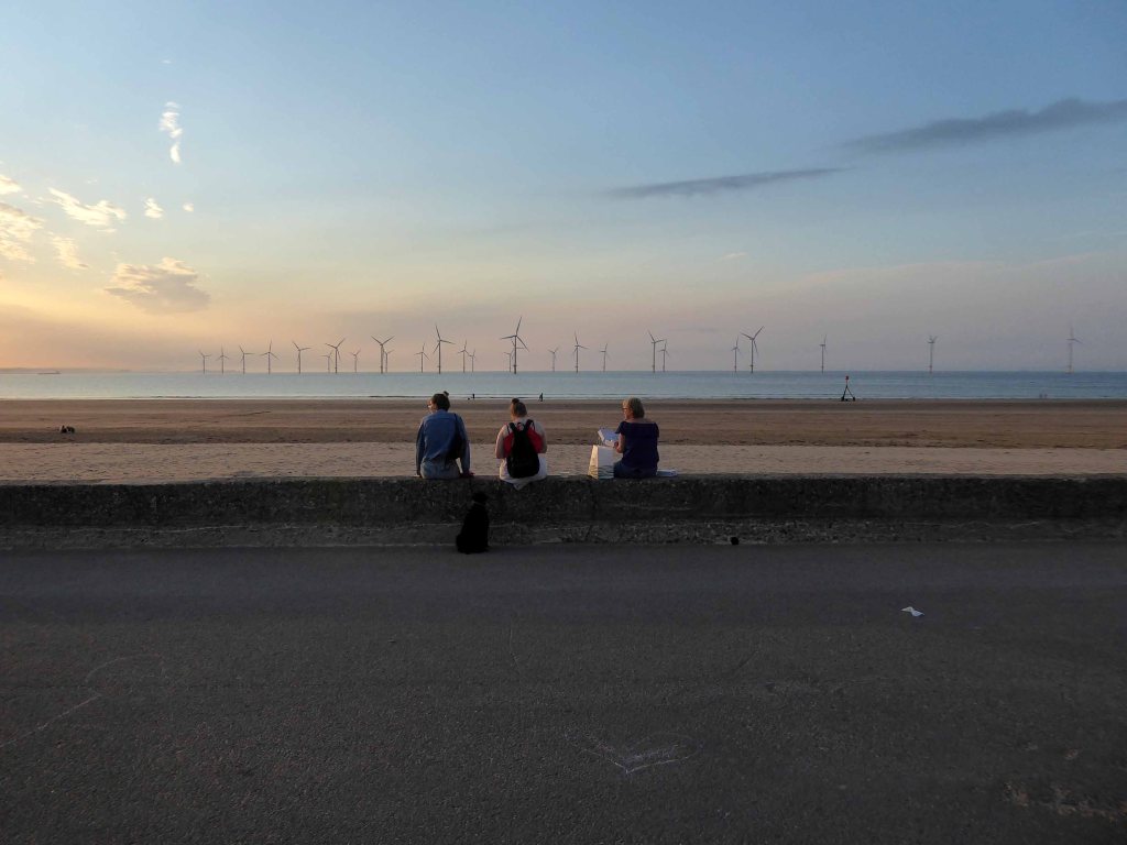
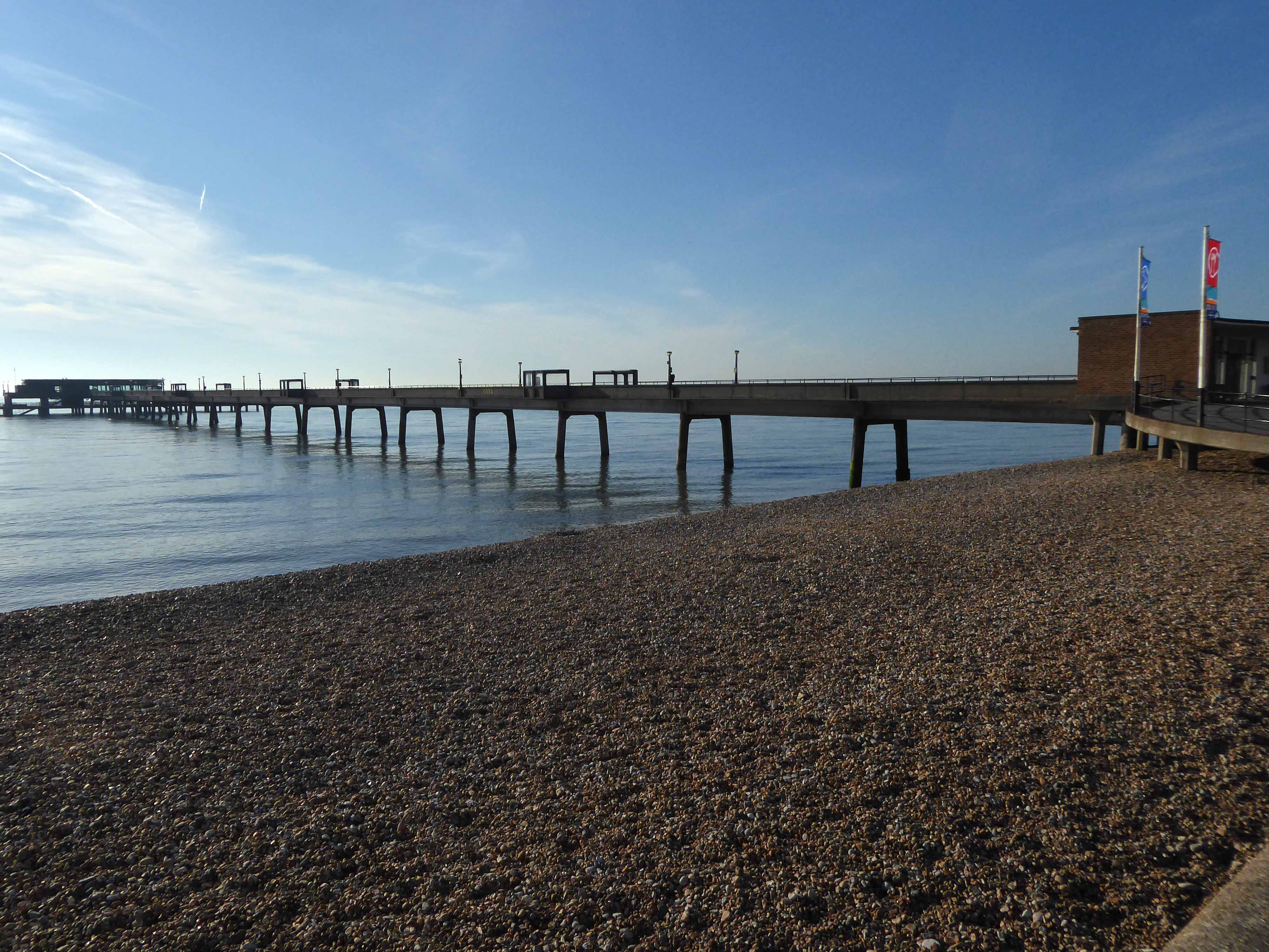
Extending elegantly over a still, still sea.
The present pier, designed by Sir W. Halcrow & Partners, was opened on 19 November 1957 by the Duke of Edinburgh. Constructed predominantly from concrete-clad steel, it is 1,026 ft in length – a notice announces that it is the same length as the RMS Titanic, but that ship was just 882 feet, and ends in a three-tiered pier-head, featuring a cafe, bar, lounge, and fishing decks.
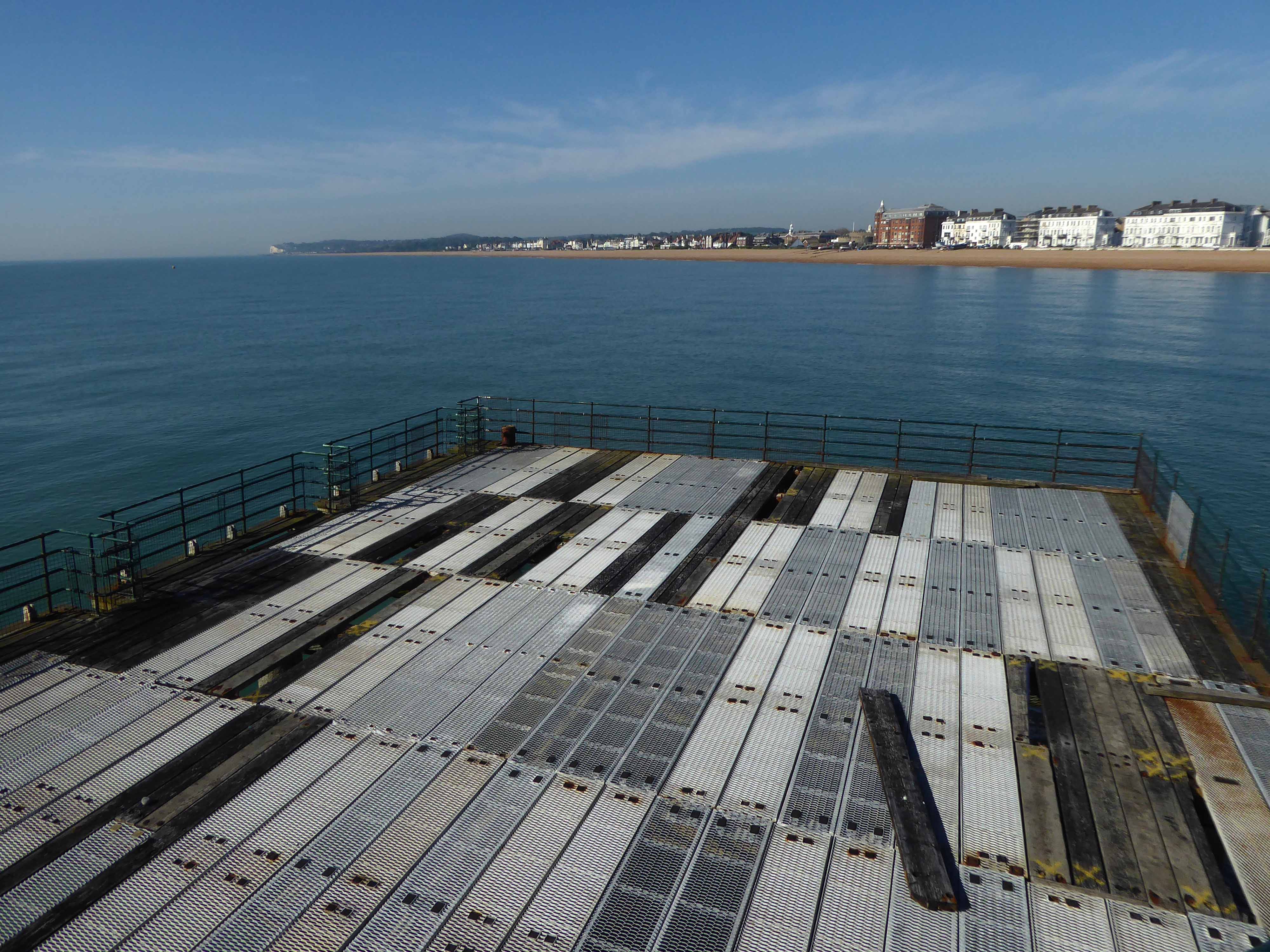
The lowest of the three tiers is underwater at all but the lowest part of the tidal range, and has become disused.
Pausing in Ramsgate to admire Edward Welby Pugin’s Grade II Listed – Granville Hotel.
The Granville development, so named after George Leverson Gower, second Earl Granville (1815-1891), was a venture undertaken by Edward Welby Pugin, together with investors Robert Sankey, George Burgess and John Barnet Hodgson on land acquired from the Mount Albion Estate in 1867. The scheme was to be an important new building in the eastward expansion of the town and the emergence of a fashionable new suburb. At the outset, the intention was to build a relatively restrained speculative terrace of large townhouses with some additional facilities. However, as the scheme progressed and it became apparent that buyers could not be secured, revised plans for an enlarged hotel complex were adopted in 1868 and brought to completion in 1869. These plans, which added a series of grand rooms including a banqueting hall, receptions rooms and an entrance hall in addition to a tunnel to connect to the railway line on the seafront, gardens, a complex of Turkish baths and a vast landmark tower (originally 170ft high, although truncated at a relatively early date), were remarkably ambitious. Ultimately, as it would transpire, the scheme was rather too ambitious on Pugin’s part; with his increasing reliance on loans eventually culminating in bankruptcy in October 1872, an event which precipitated his demise as an architect, tragically followed by his death just three years later.
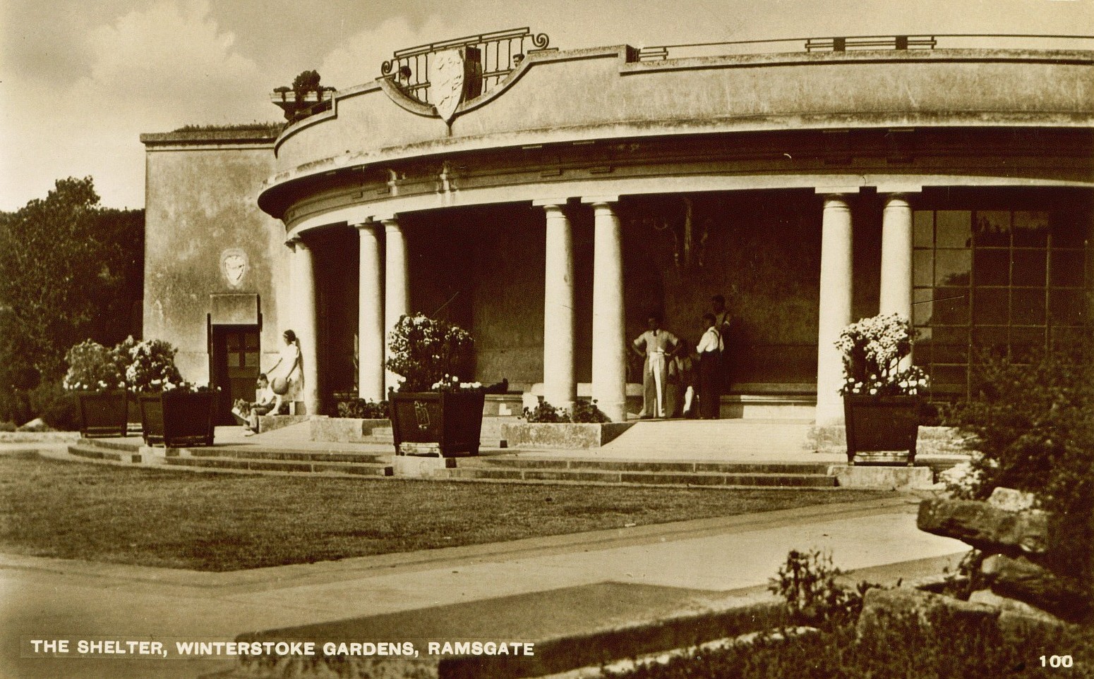
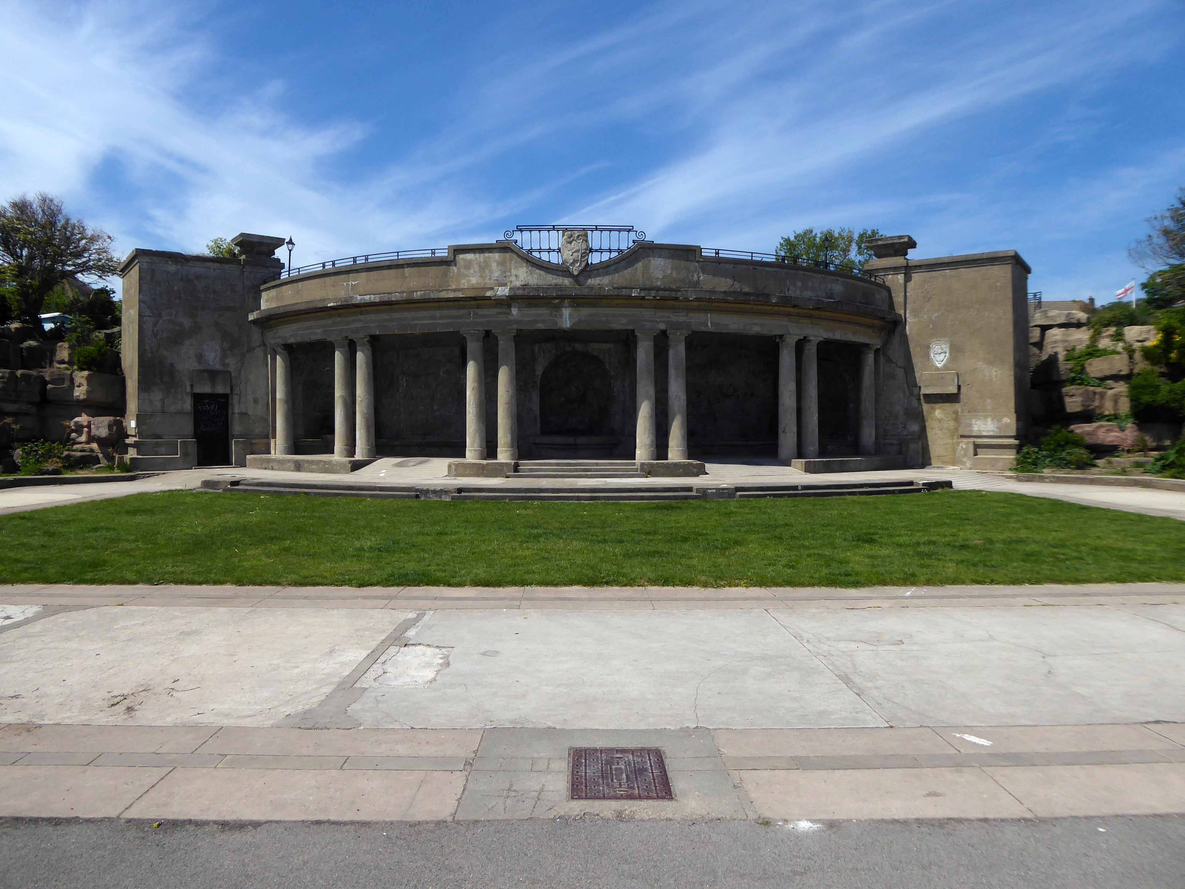
Overlooking the sea, the ornamental gardens were laid out and presented to the Borough of Ramsgate by Dame Janet Stancomb-Wills in 1920 and opened to the public in June 1923 by the Mayor of Ramsgate Alderman A. W. Larkin. They are maintained by Thanet District Council and were Grade II listed on 4 February 1988.
The gardens were designed by the architects Sir John Burnet & Partners, and constructed by Pulham and Son. The main feature of the gardens, is a semi-circular shaped colonnade carved into the pulhamite recess.
On the upper terrace, approached by broad flights of steps, the gardens proper are reached. In the centre, and immediately over the shelter, is a circular pool enclosed on the north side by a semi-circular Roman seat.
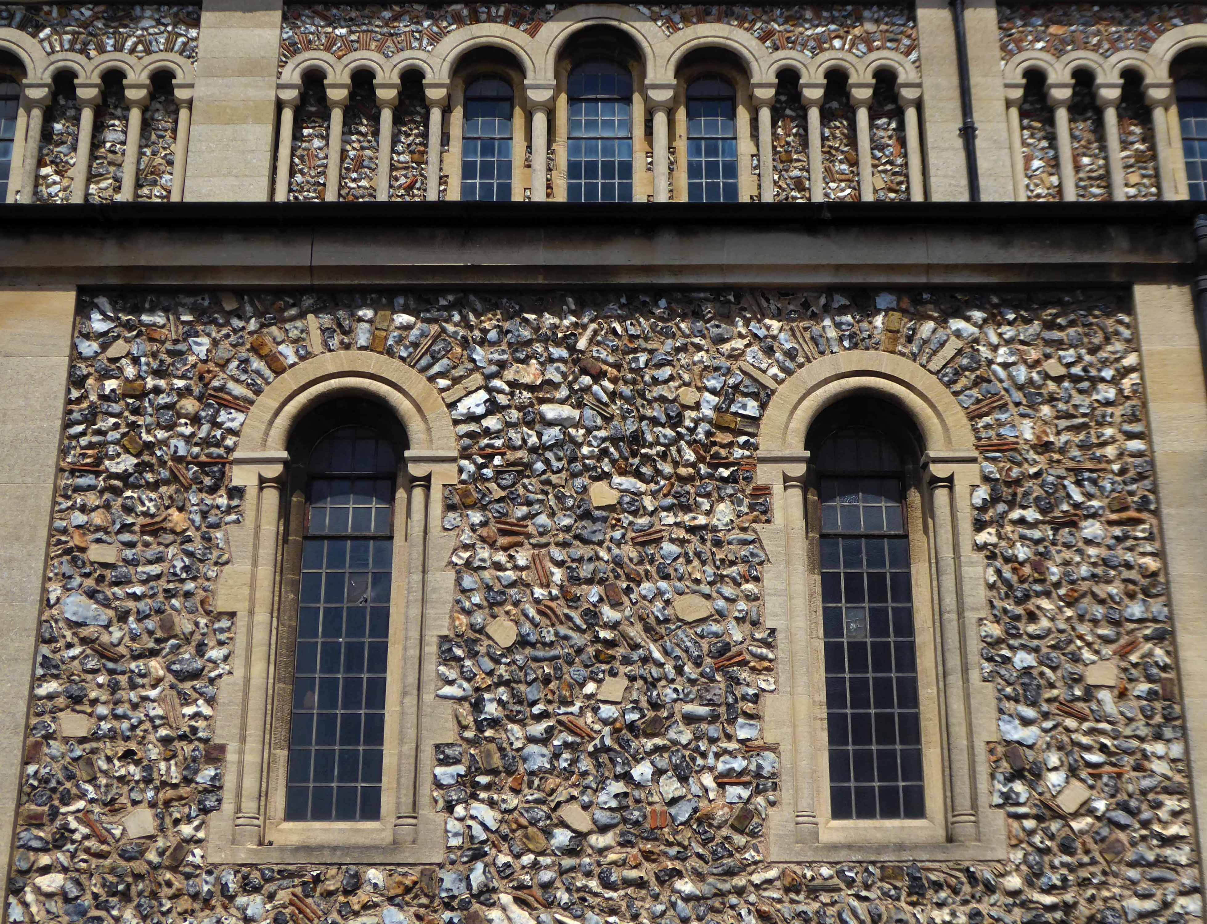
On leaving the town we encounter this engaging flint church – Holy Trinity
Erected 1829-1830. David Barnes Architect, extended 1925.
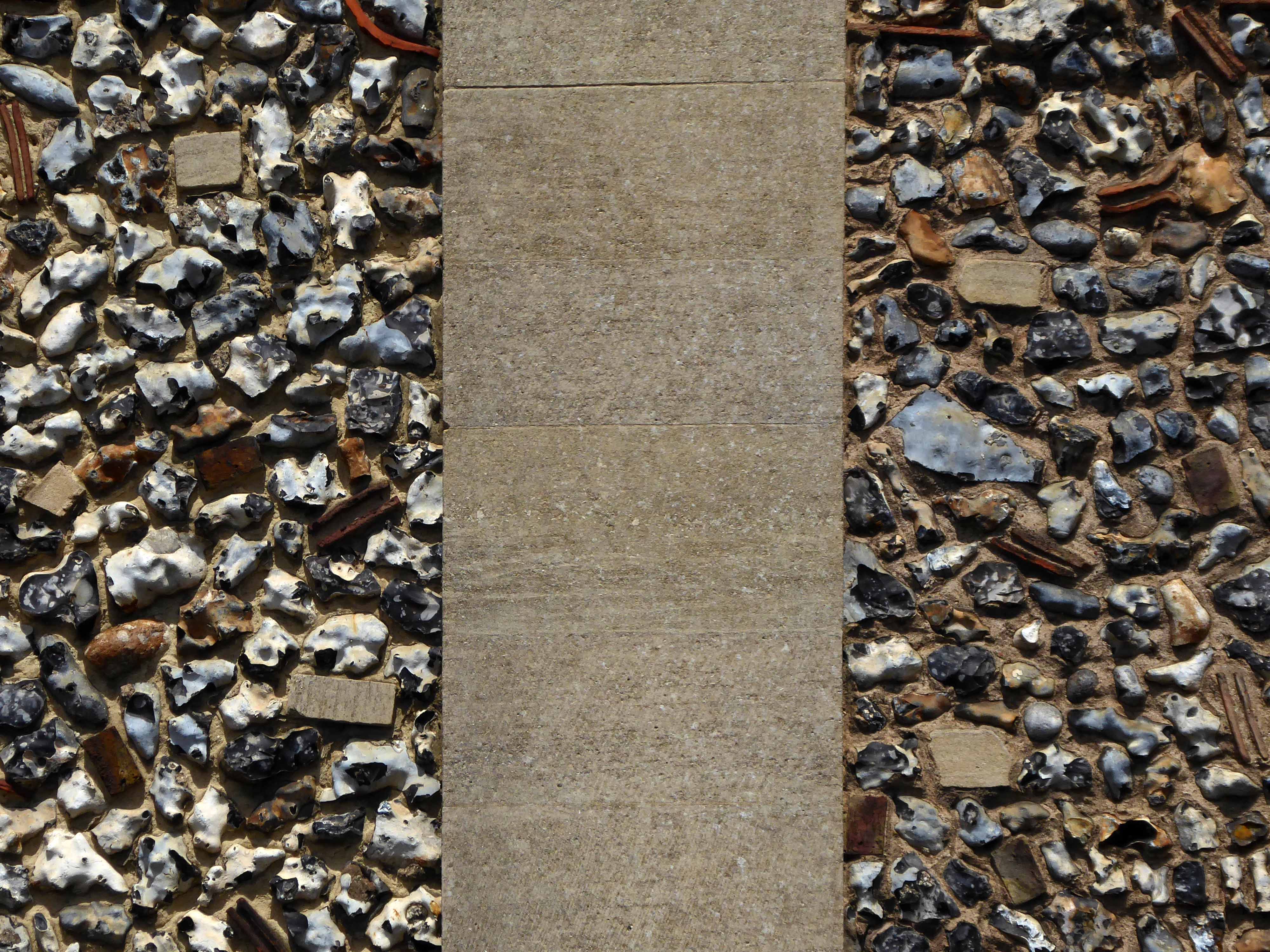
Built of flint and rubble.
One of the first visitors to this church was Charles Dickens who offered a very unflattering description in his work, Our English Watering Place:
We have a church, by the bye, of course – a hideous temple of flint, like a petrified haystack. Our chief clerical dignitary, who, to his honour, has done much for education, and has established excellent schools, is a sound, healthy gentleman, who has got into little local difficulties with the neighbouring farms, but has the pestilent trick of being right.
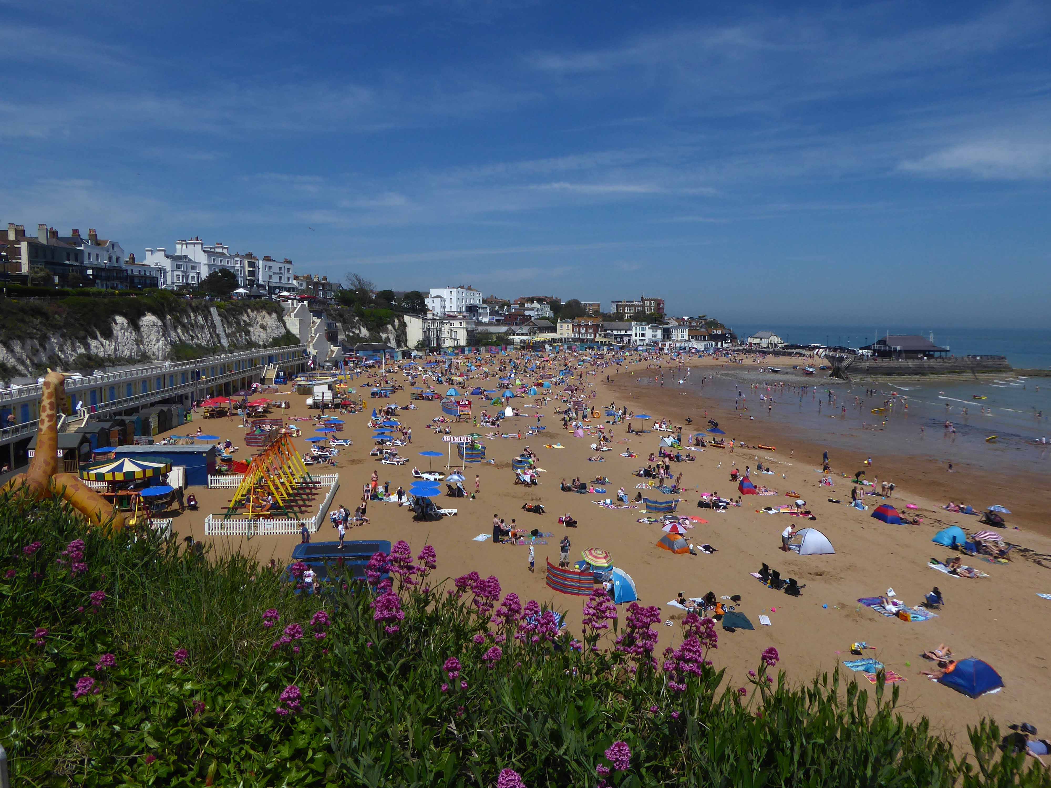
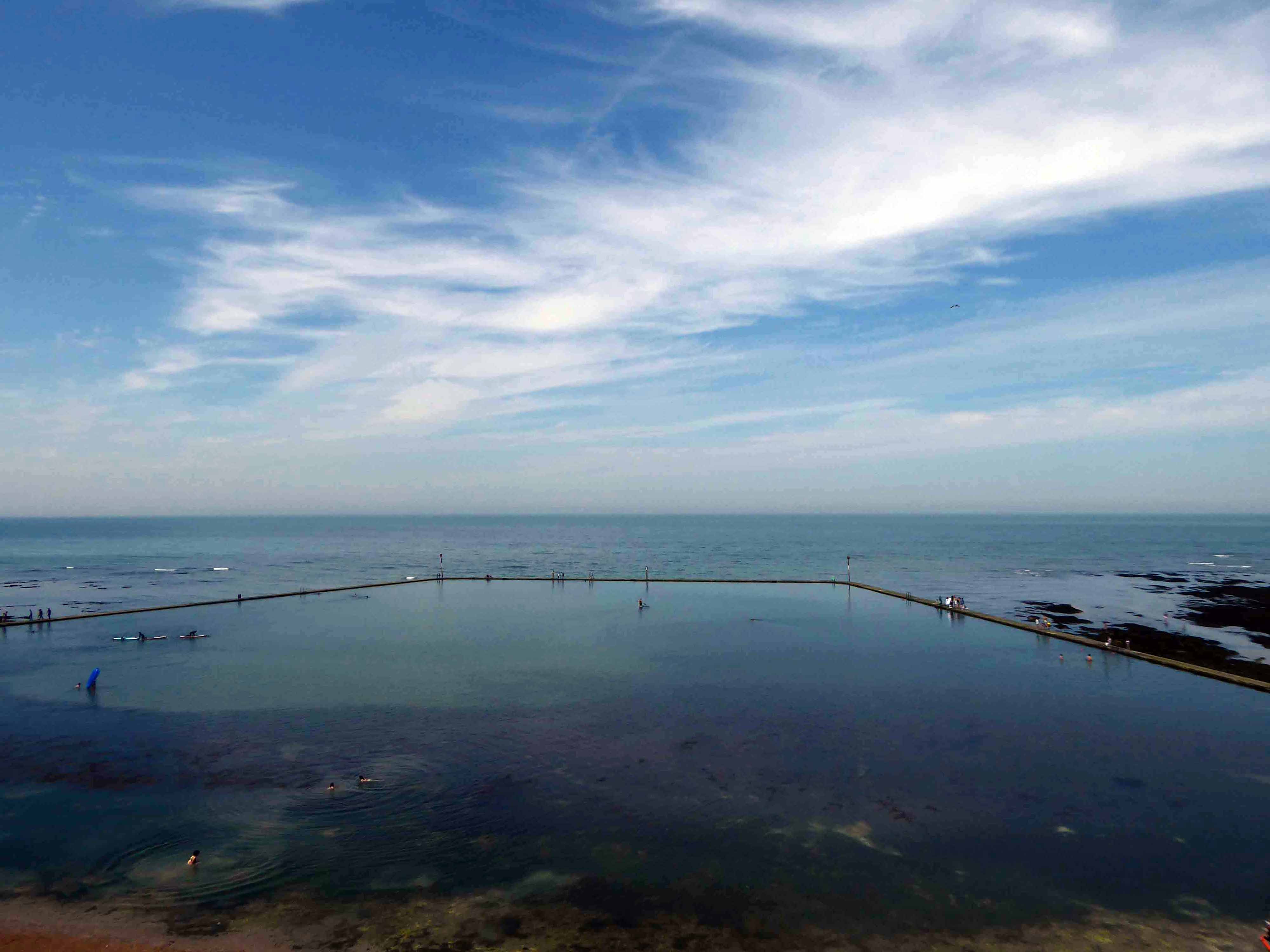
In Margate the tidal pools are full of waveless sea water and kiddy fun.
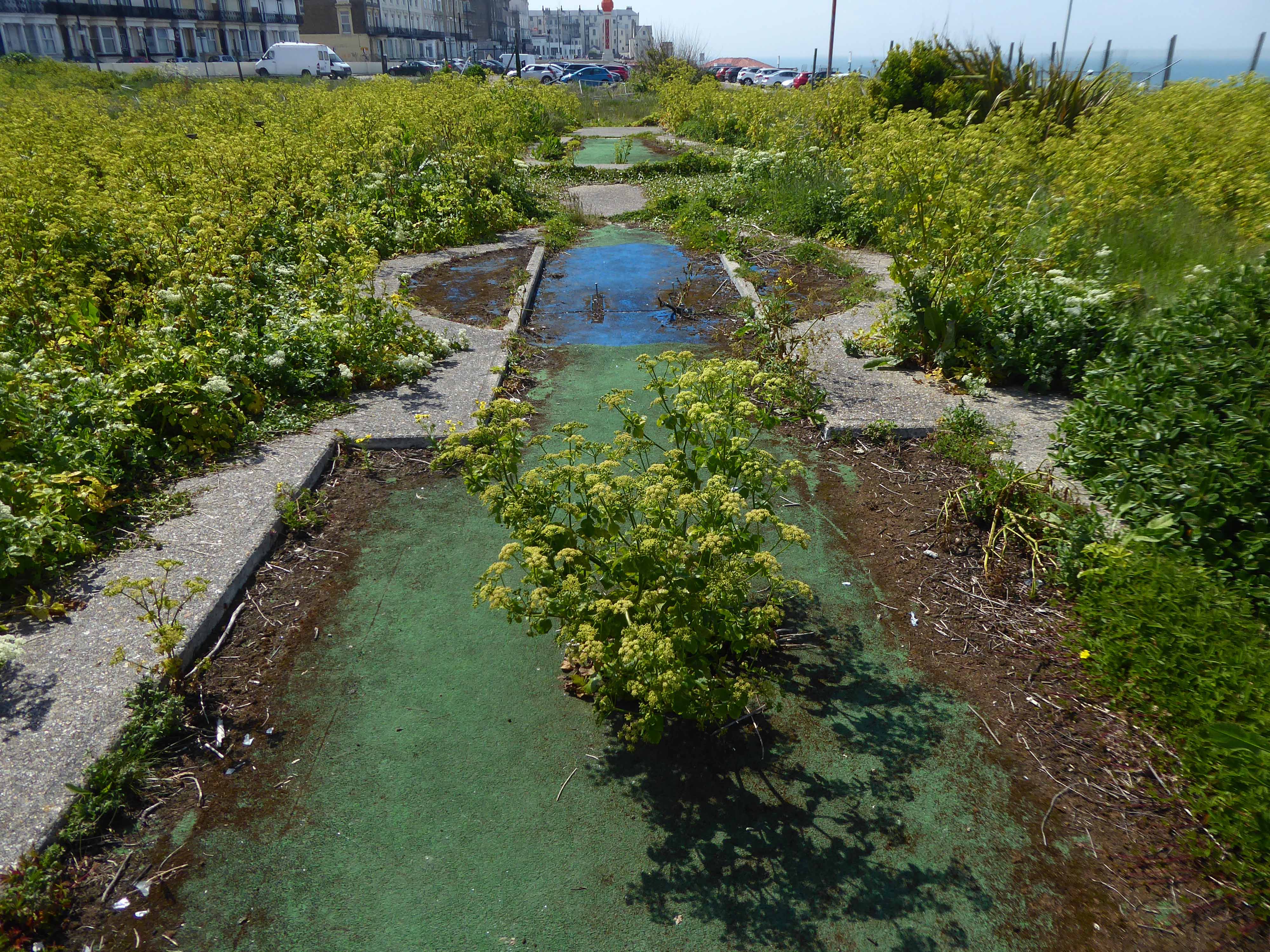
The former crazy golf course is undergoing an ongoing programme of involuntary rewilding.
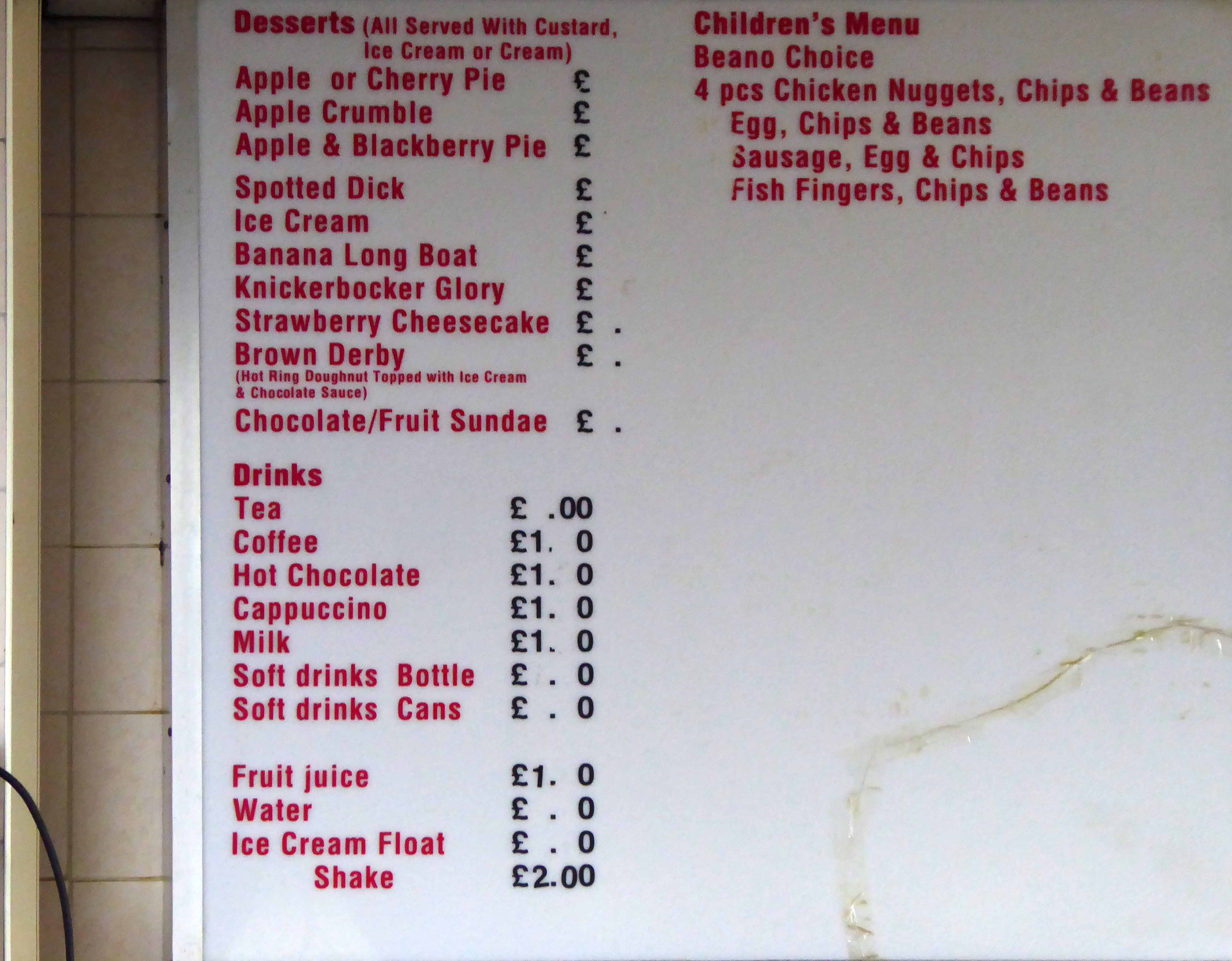
Time now for tea and a welcome plate of chish and fips at the Beano Cafe.
I miss my haddock and chips from Beano in Margate, brought to you with a smile and he remembers everyone.
Great customer service and friendly staff, see you soon.
The food is awful and the customer service is even worse: when we complained about the food the staff argued with us and wouldn’t do anything to change the food or refund, avoid at all costs!
The longest day the least snaps – preoccupied with the avoidance of the main road over to Eastbourne, we took an arduous route over the South Downs Way.
Further preoccupied by and appointment with John Nash at the Towner at One PM.
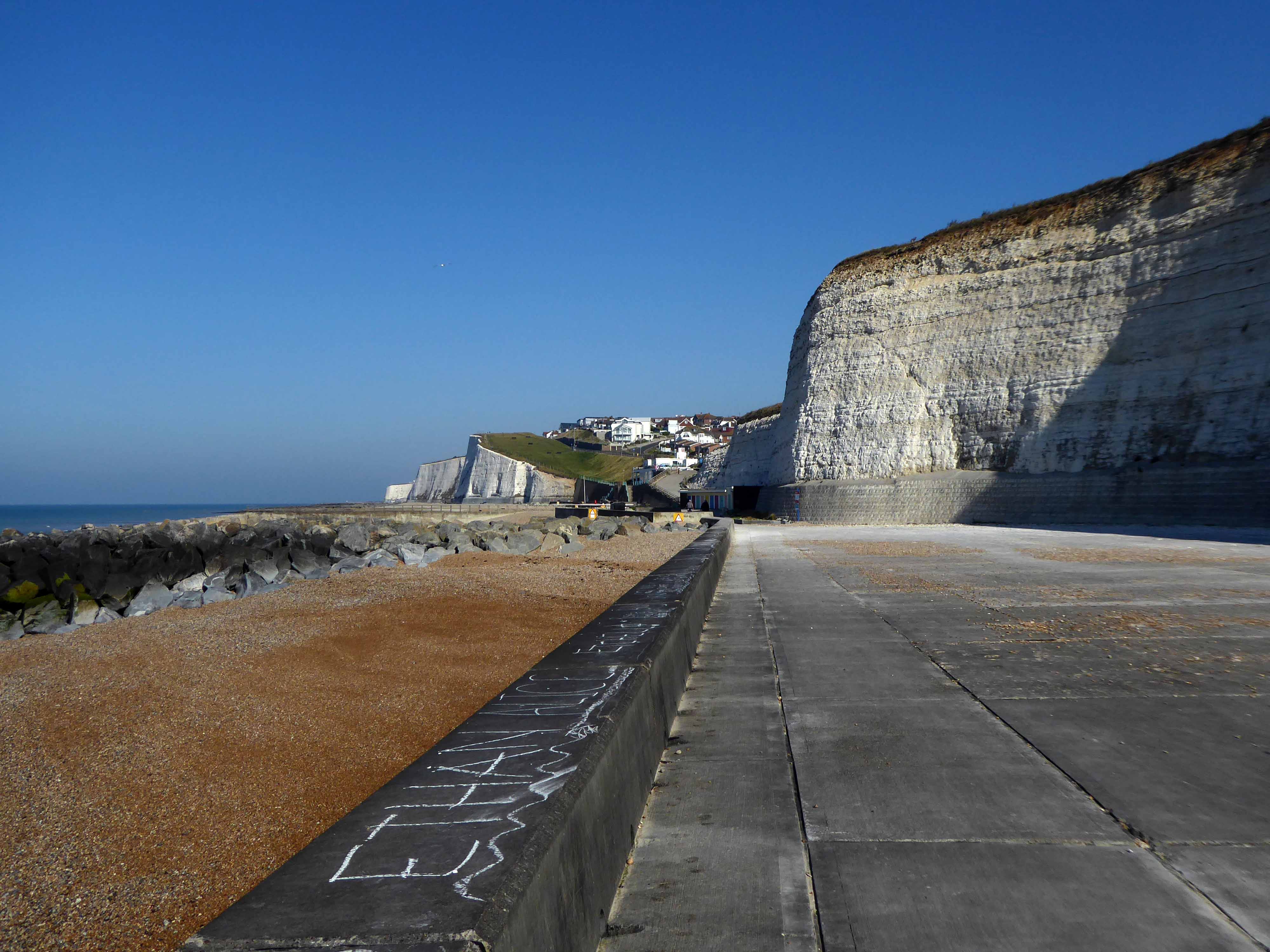
Firstly however a leisurely ride along the Undercliff – designed by Borough Engineer David Edwards as a public amenity, was begun in 1928 and opened in July 1933.
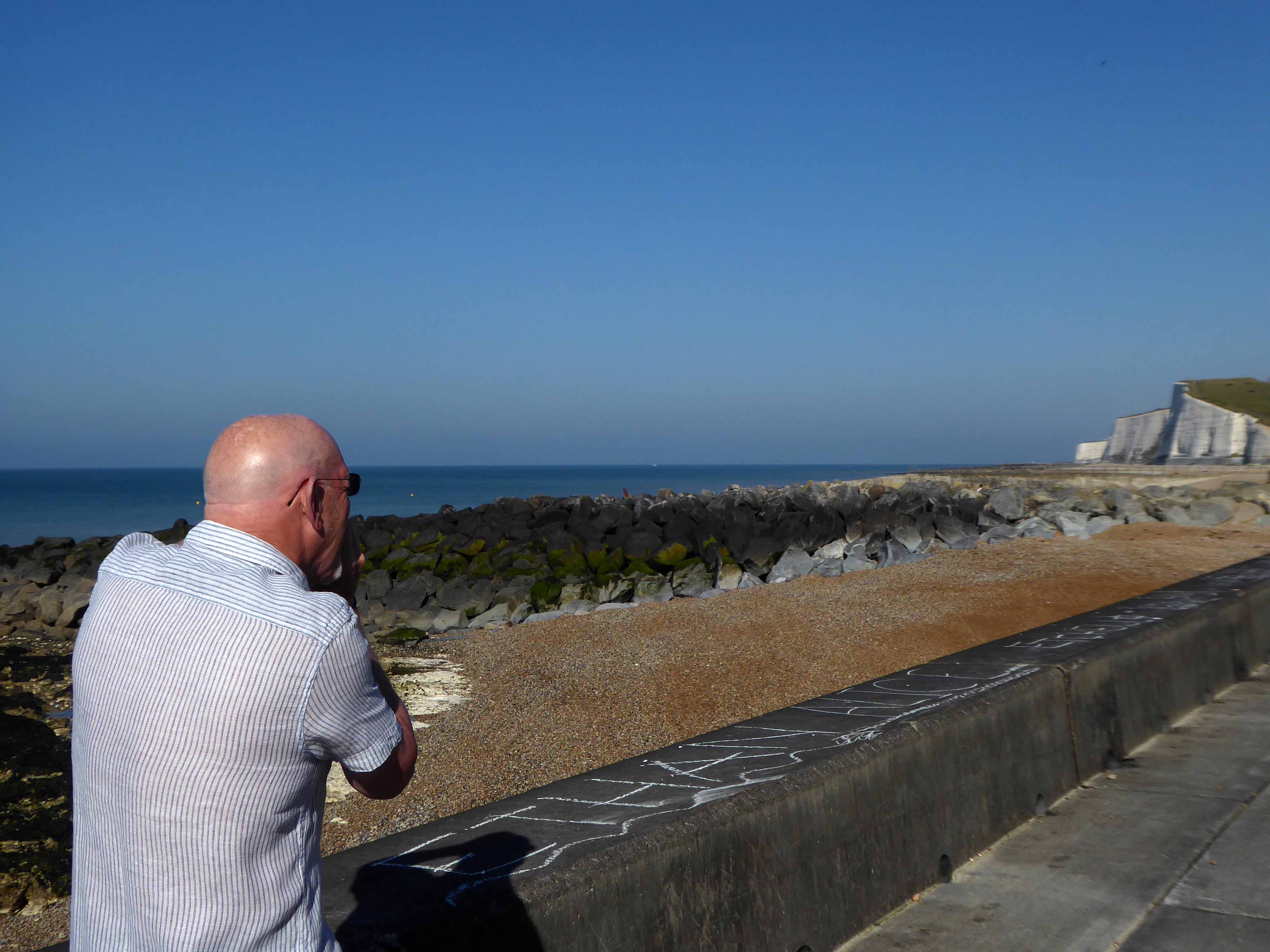
Mr Tim Rushton apprehends the view.
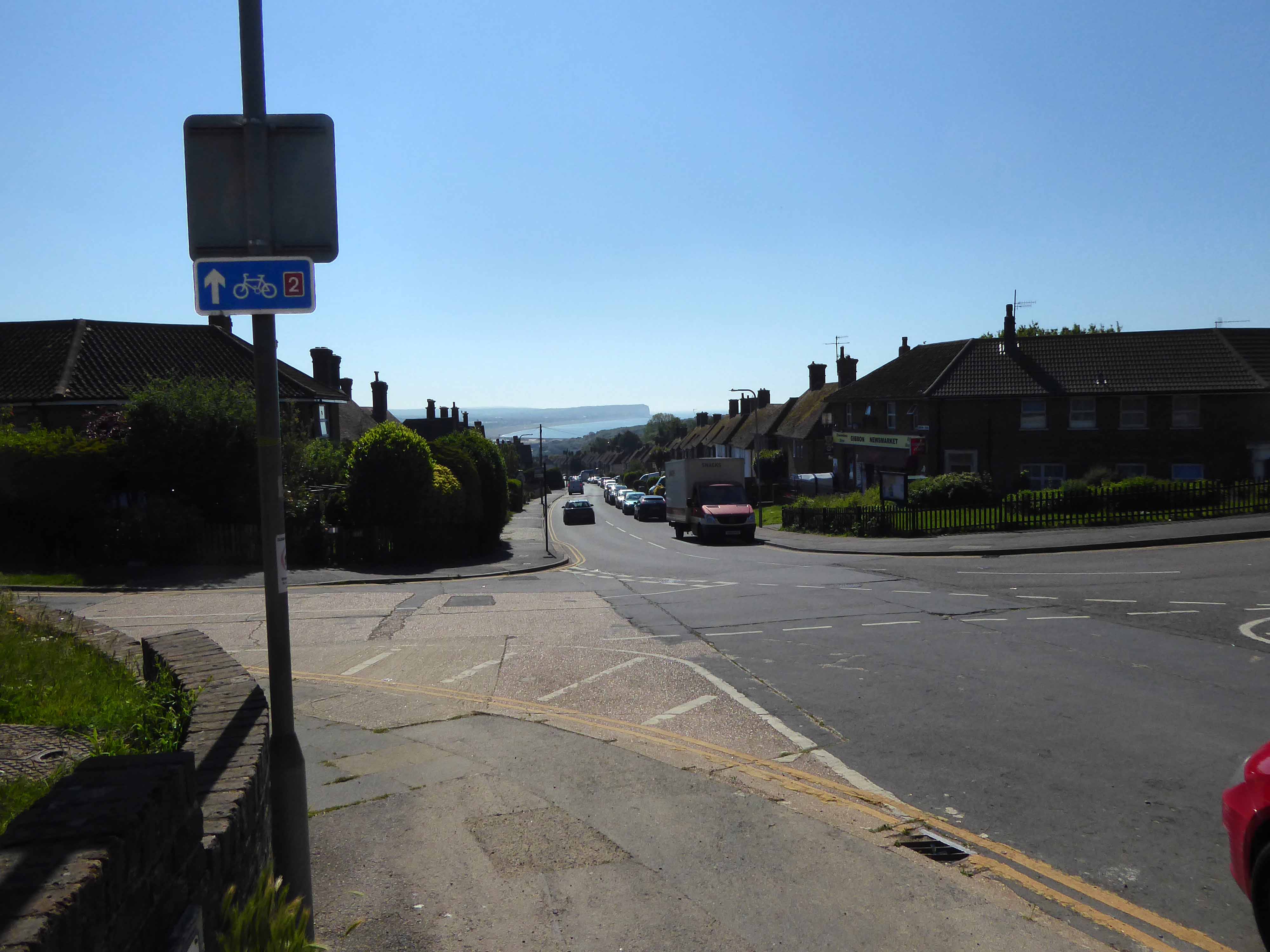
Sustrans have the habit of heading away from the A roads and onto the backstreets of Britain.
To fill in the gaps on our snap-less journey, here’s my previous trip.
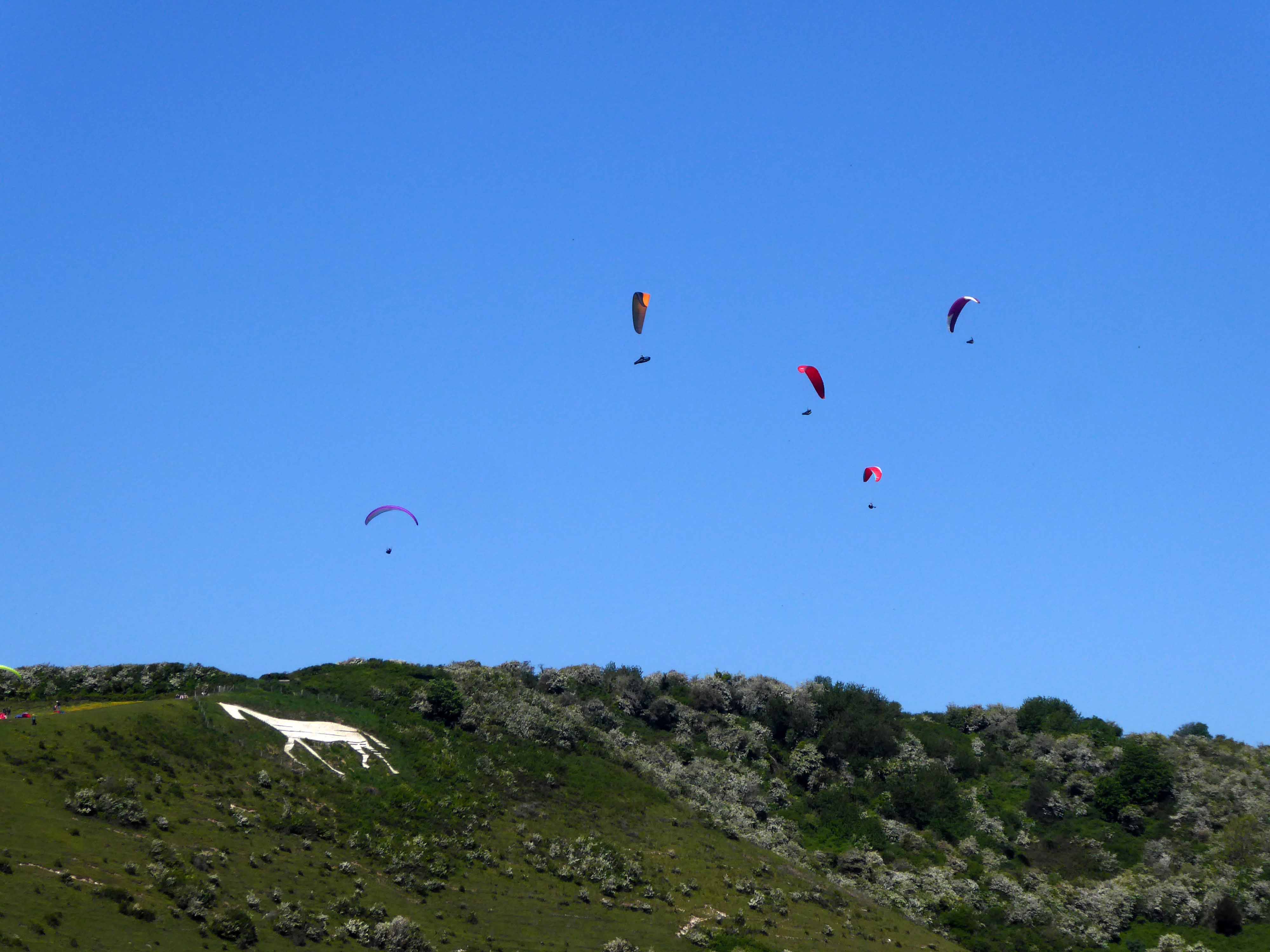
Leaving the coast for the soft rolling Sussex hills, where we encounter the Litlington White Horse.
The Litlington White Horse is a chalk hill figure depicting a horse, situated on Hindover Hill in the South Downs, looking over the River Cuckmere to the west of the village of Litlington and north of East Blatchington in East Sussex.
The current horse was cut in 1924 by John T, Ade, Mr Bovis and Eric Hobbis in a single night and stands at 93 feet long and 65 feet high. A previous horse was cut in either 1838 or 1860 on the same site. Since 1991, the horse has been owned by the National Trust, who regularly clean and maintain the horse along with local volunteers.
Local legend suggests that the horse was originally cut as a memorial to a local girl whose horse bolted when riding along the brow of Hindover Hill, throwing her down the hill which resulted in her death.
However, there is no evidence to suggest this to be true.
Viewing from the air – the lone pursuit of the paraglider.
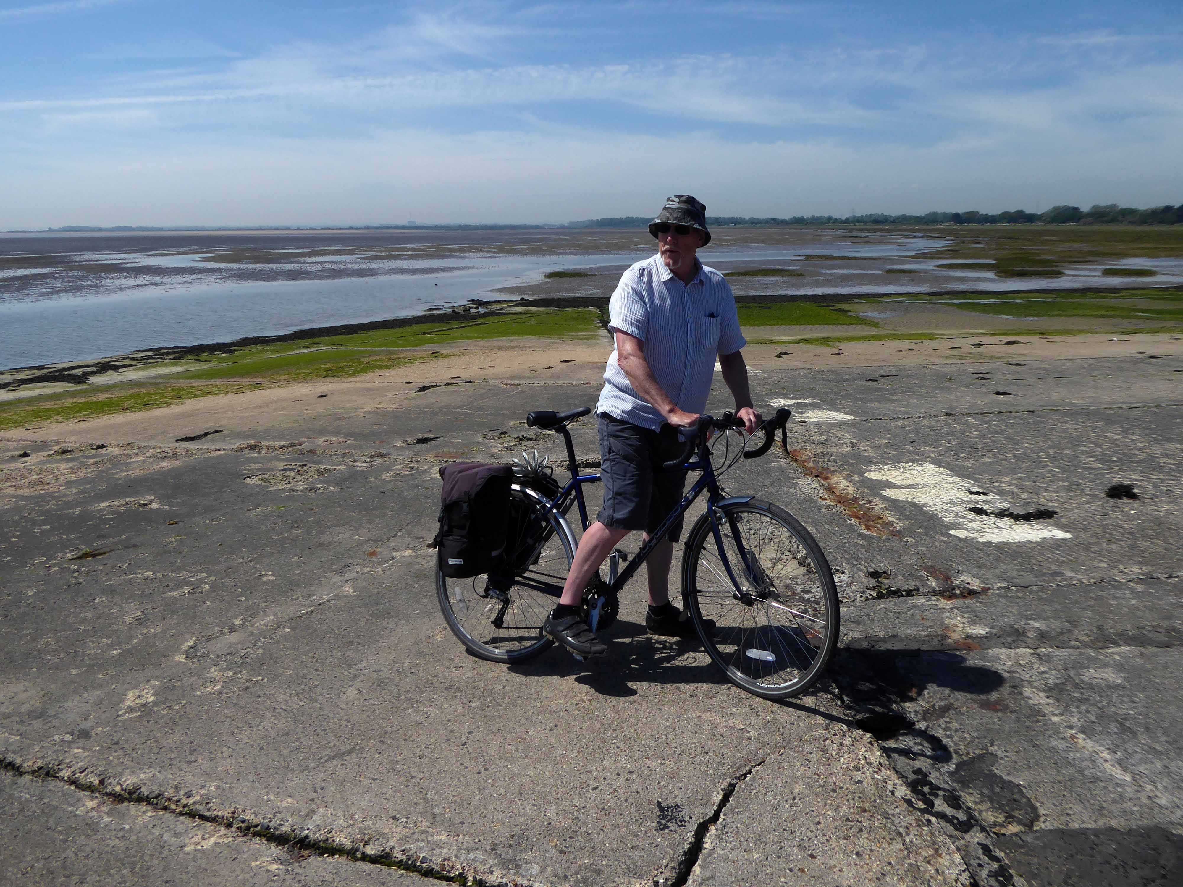
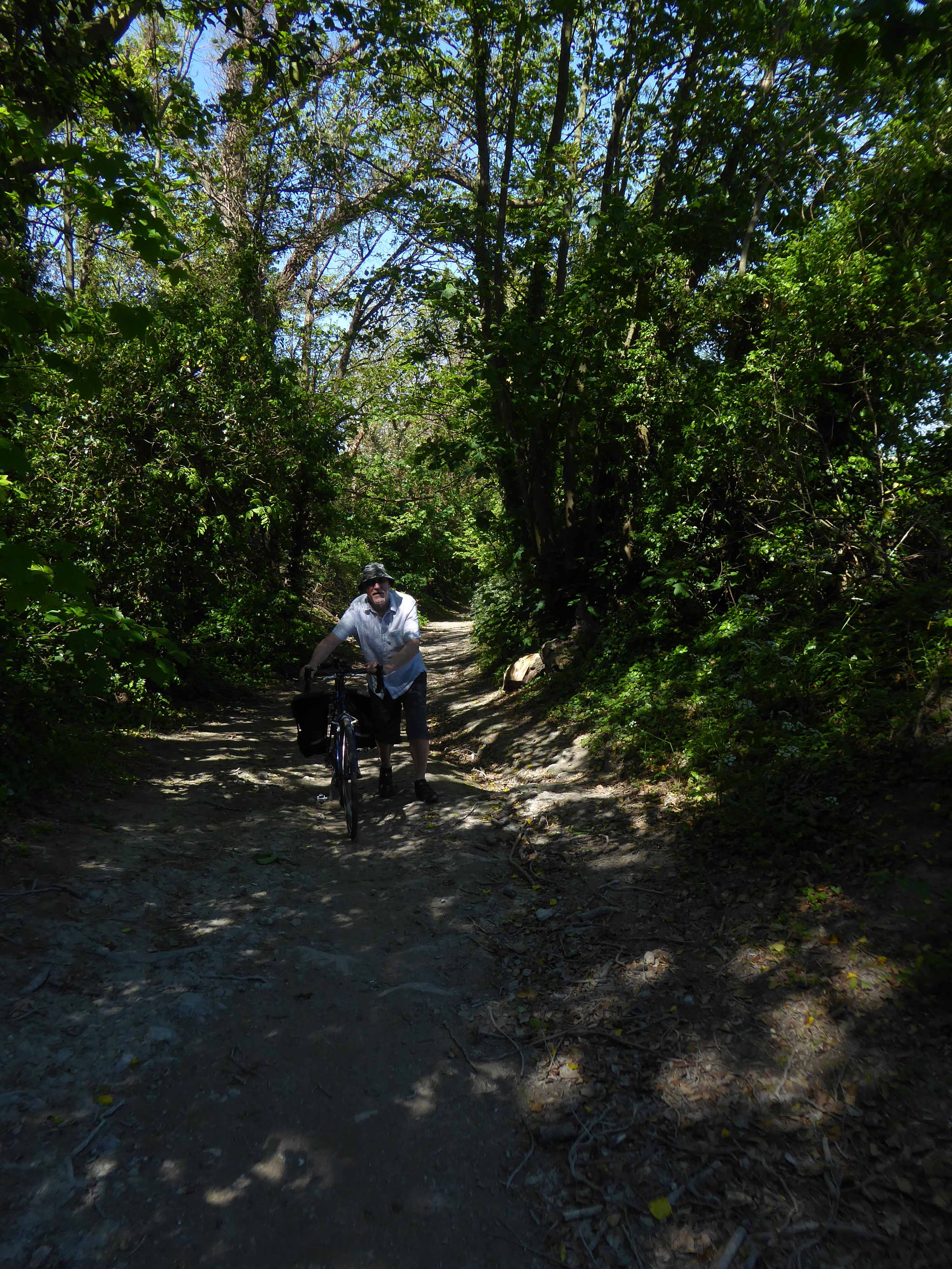
Viewing from Terra Firma the lone pursuit of the camo-bucket hatted cyclist.
Who subsequently discovers the heady heights of the Downs.
Which seem to have more in the way of ups than downs.
Though when the gradient eases, graced with the sweetest sweeping green bowls.
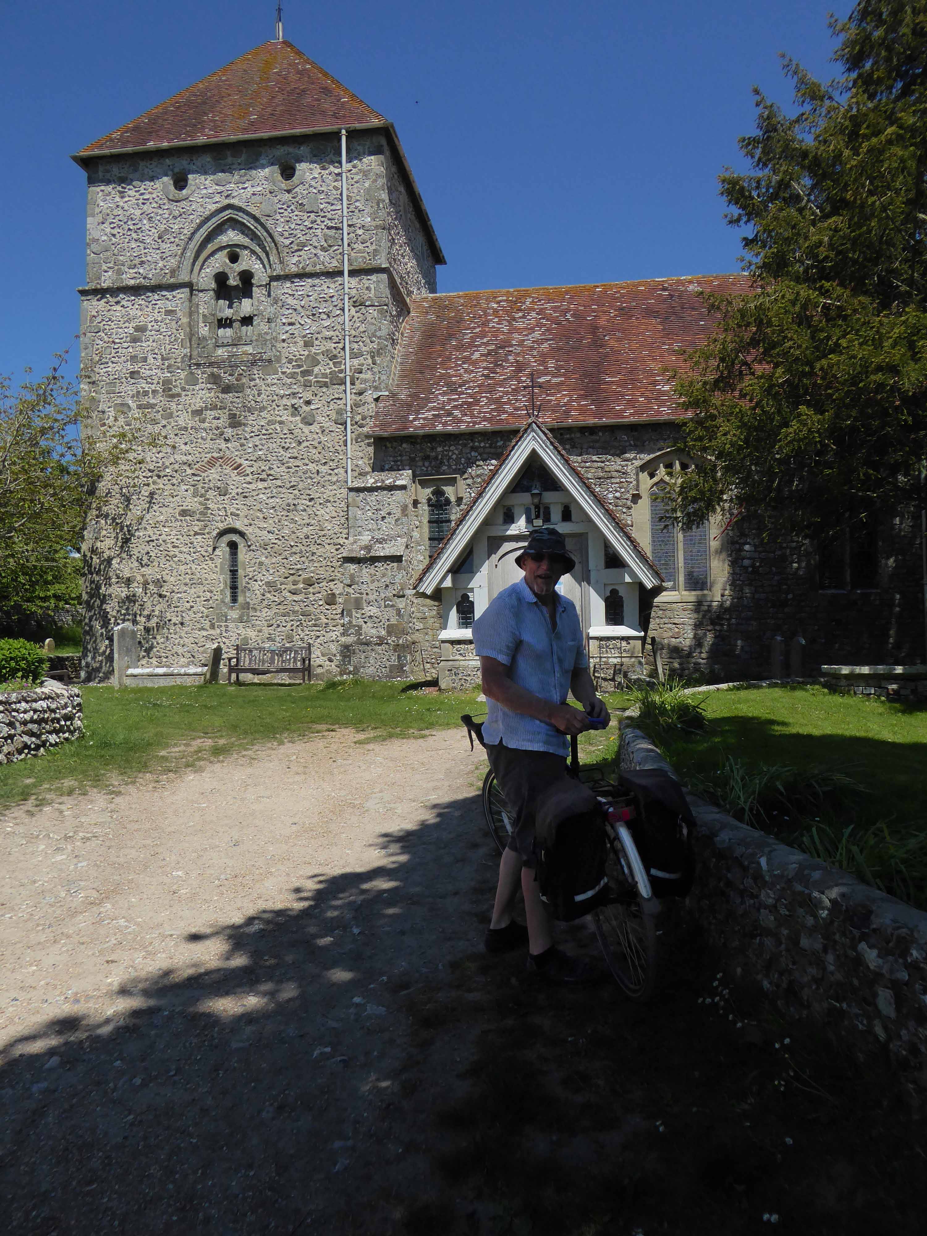
The nave is 12th Century, with a later 13th Century chancel and north aisle.
Most windows are 14th or 15th Century.
A C11 carving shows Viking influence.
Having descended, we are now faced with another lengthy ascent and the prospect of our late arrival in Eastbourne.
Against all odds we are almost on time and permitted entry to the John Nash Exhibition.
The Landscape of Love and Solace.
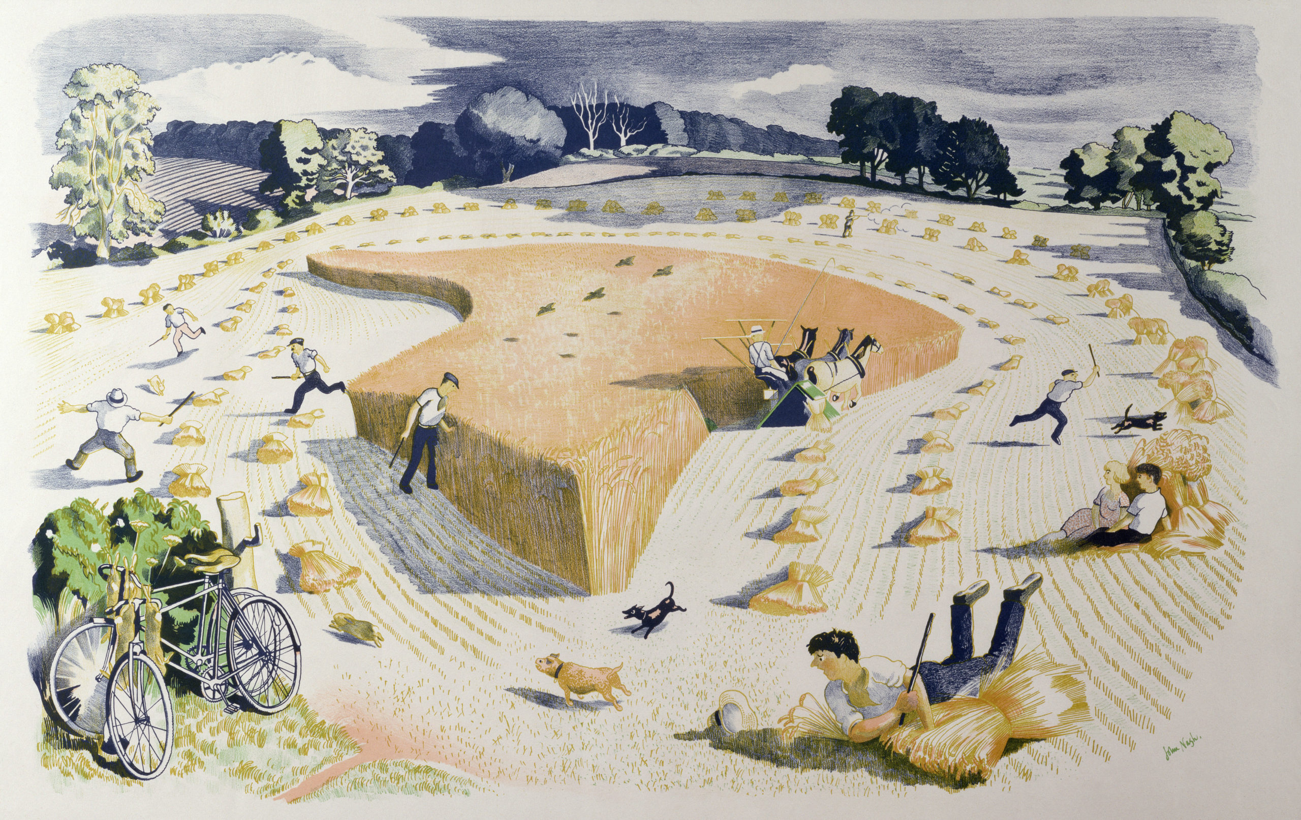
Harvesting printed at The Baynard Press for School Prints Ltd.
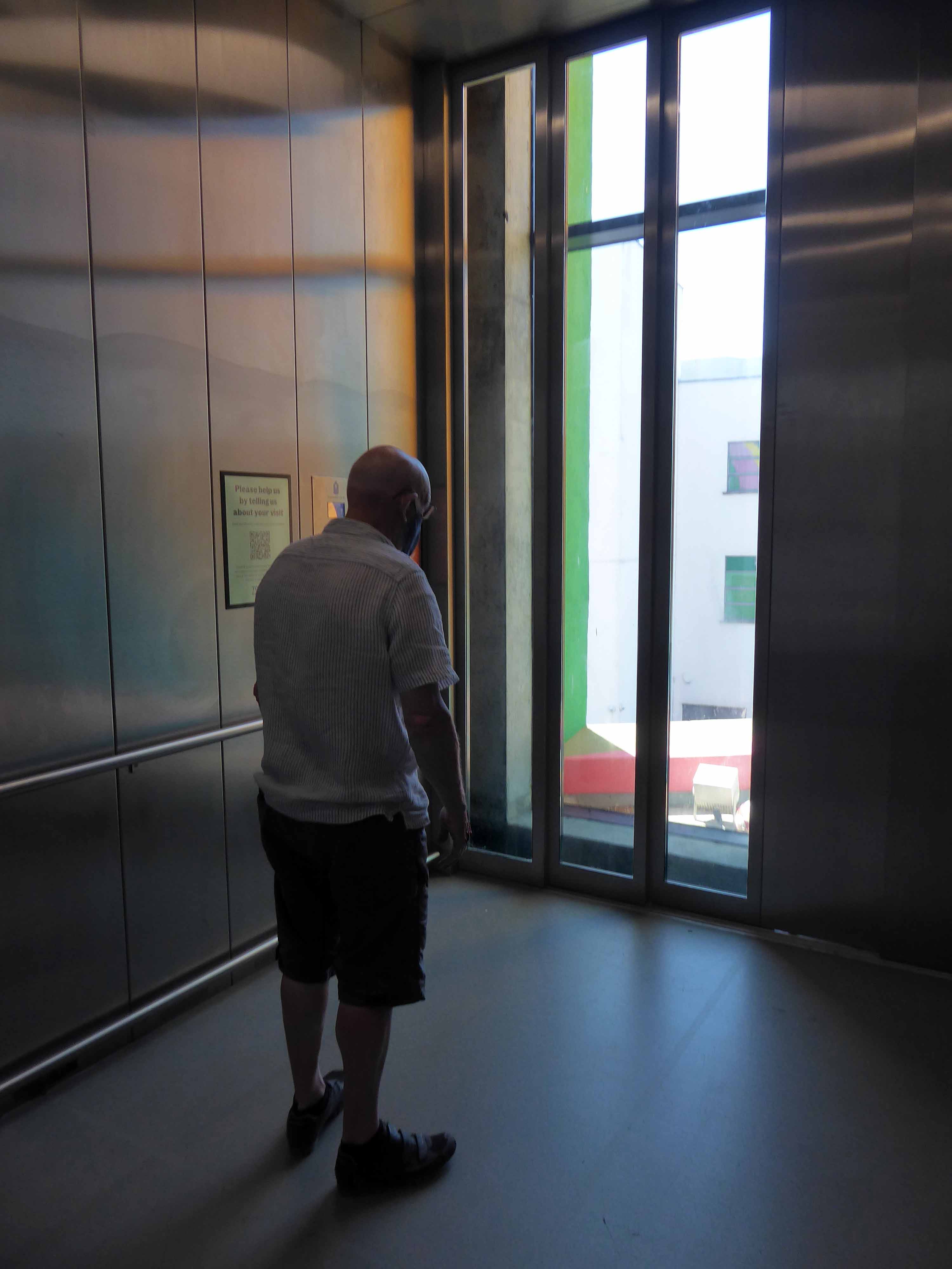
Ascending with ease in the capacious elevator.
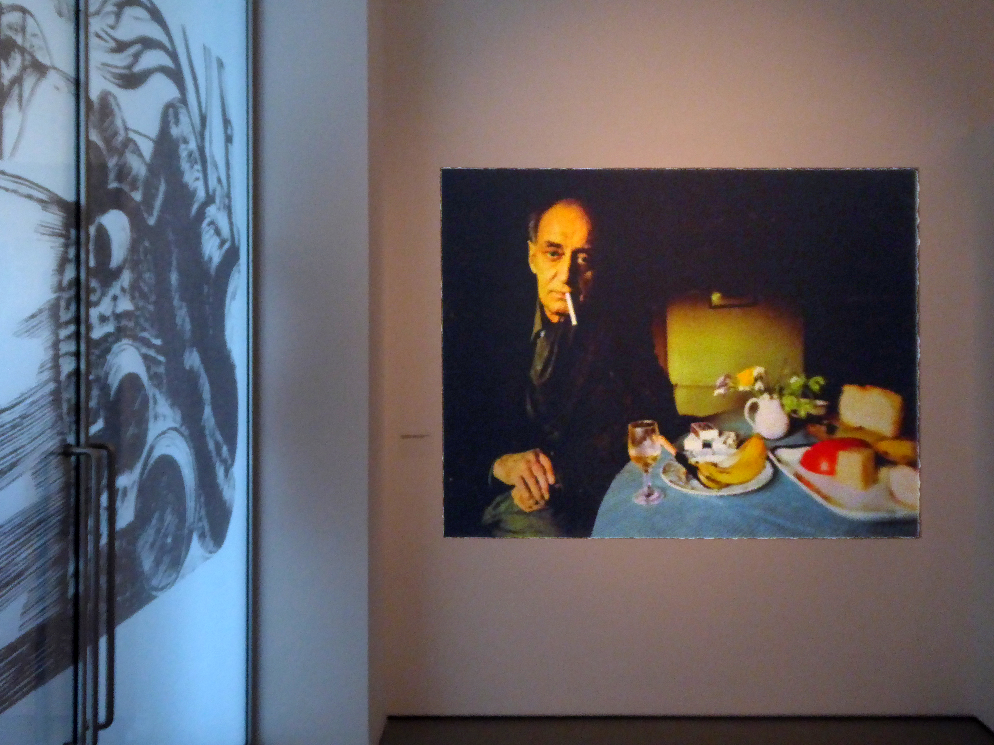
A wonderful show – so much to see, prints and watercolours in superabundance.
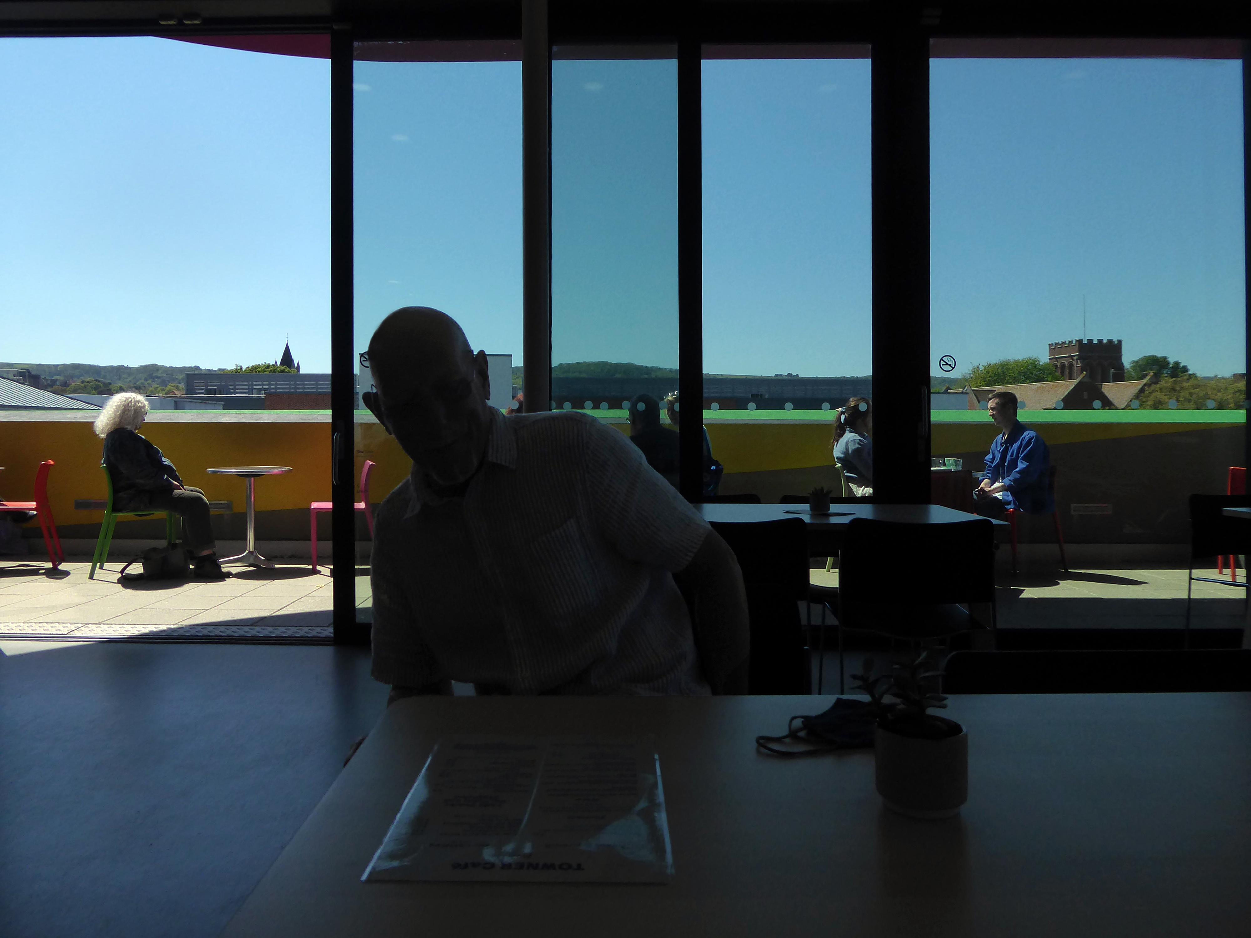
Followed by tea and a bun in the smart café.
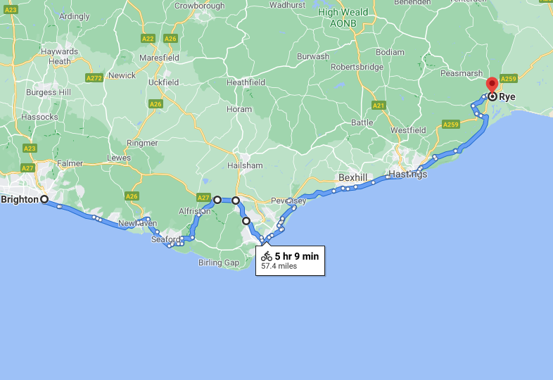
We hastened to Hastings, pausing briefly to say hello to Pauline, then onward to Rye.
Once again walking the climbs, before dropping down to Winchelsea, where we were met by a relentless easterly headwind.
Our weary legs propelling us ever so slowly through an area of marsh and shingle, softly edged by the sea.
On 15th November 1928 at 6.45am the ‘Mary Stanford’ lifeboat with her crew of 17 was launched to save a stricken vessel. A south-westerly gale with winds in excess of 80 miles per hour was raging in the English Channel. Not one of these brave Rye Harbour men ever returned.
The impact of the disaster on the Rye Harbour community was devastating and deeply affected all who lived there. The disaster was also felt worldwide, and was front page news over the days that followed. The funeral was attended by hundreds including the Latvian Minister. An annual memorial service is held at Rye Harbour church to this day.
The Lifeboat House still stands, butwas never used again.
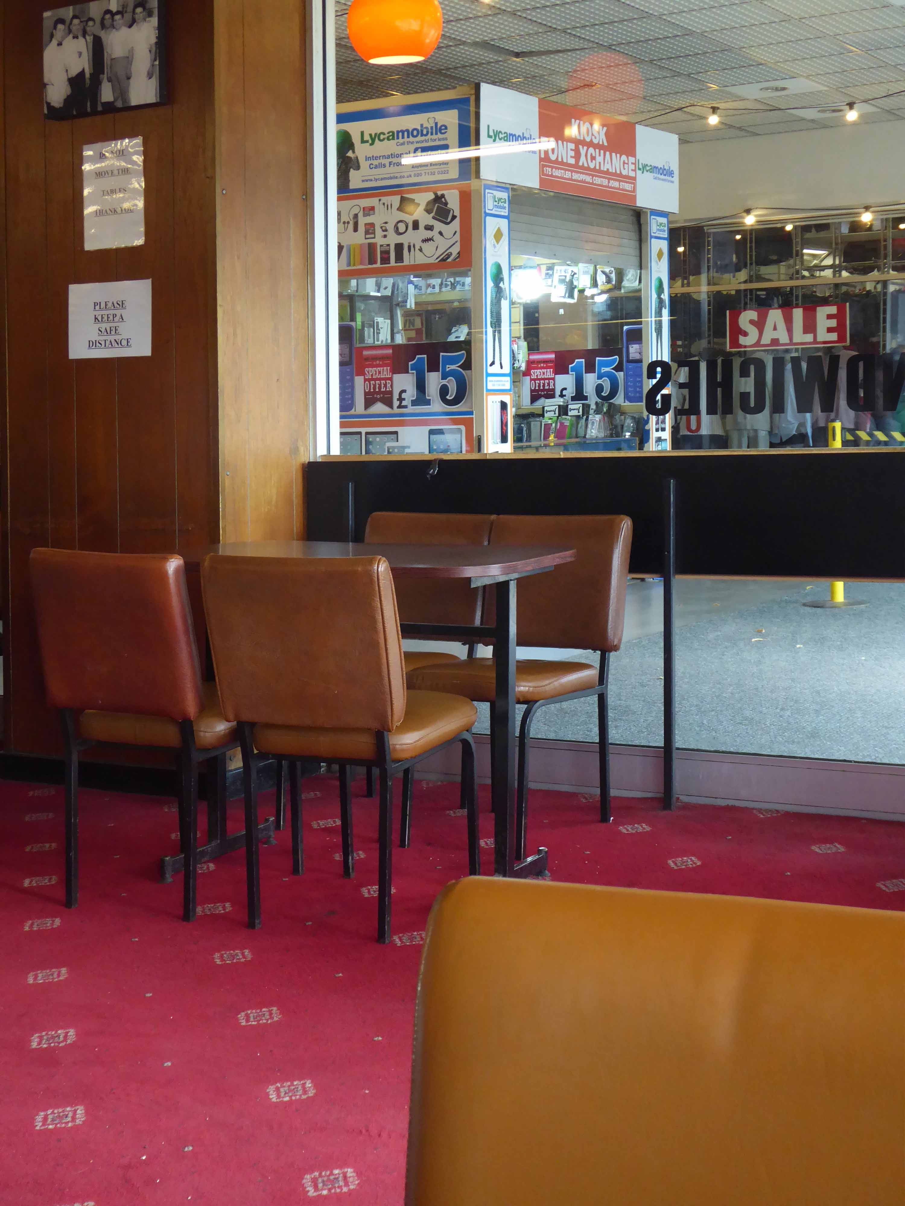
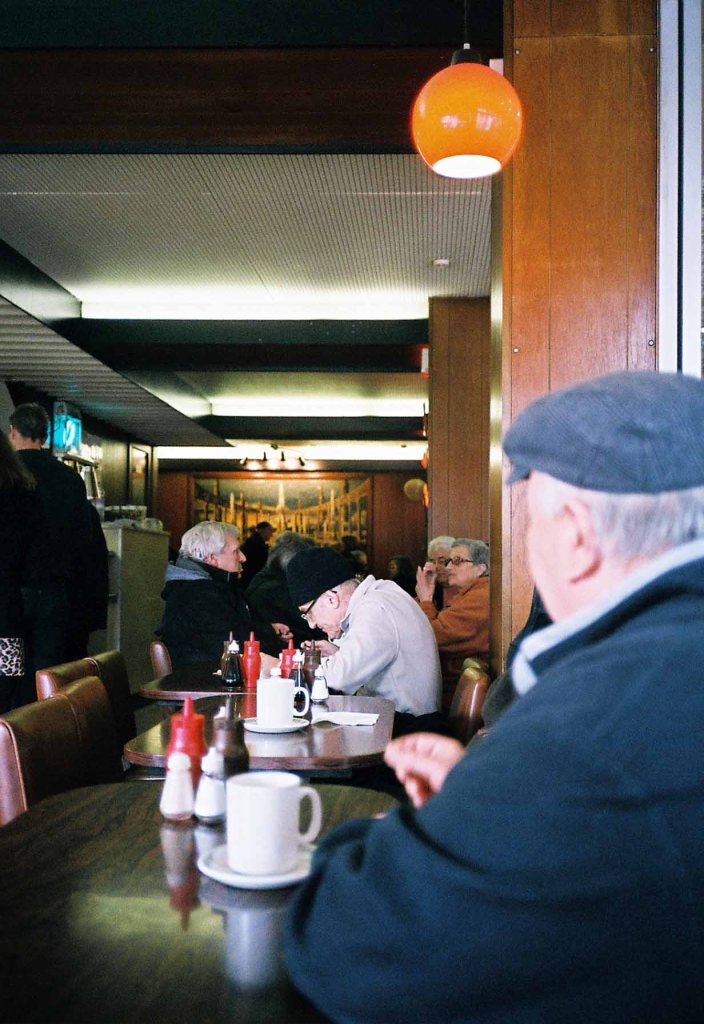
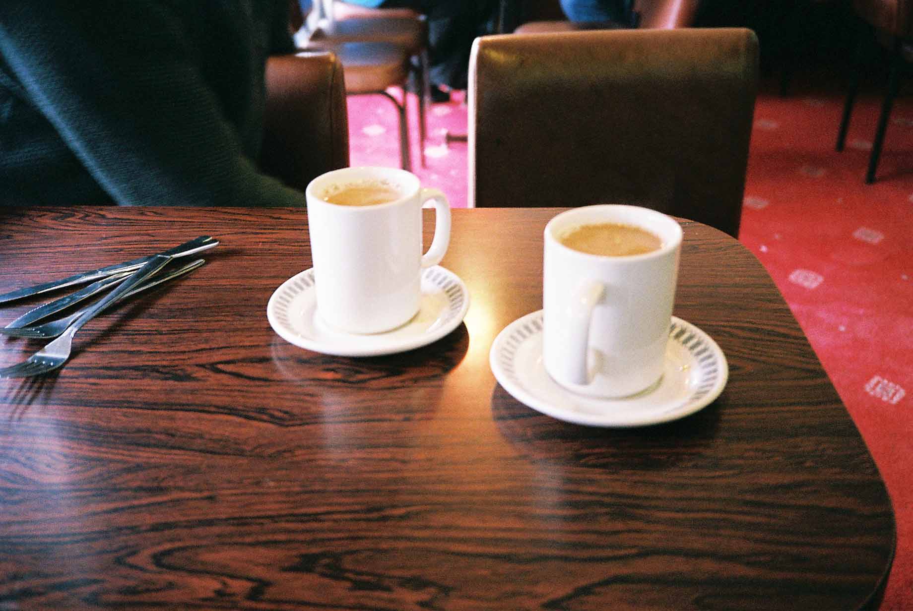
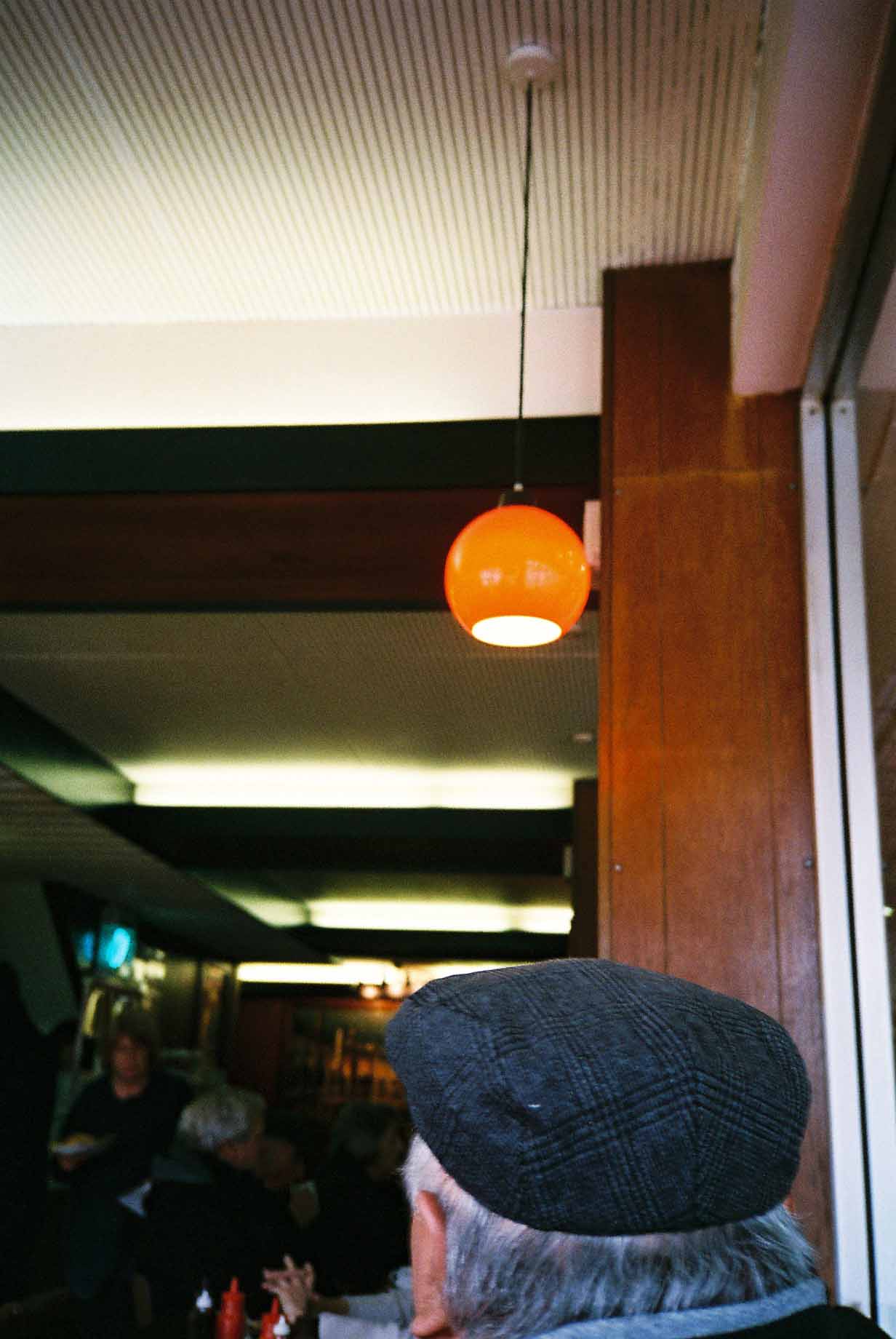
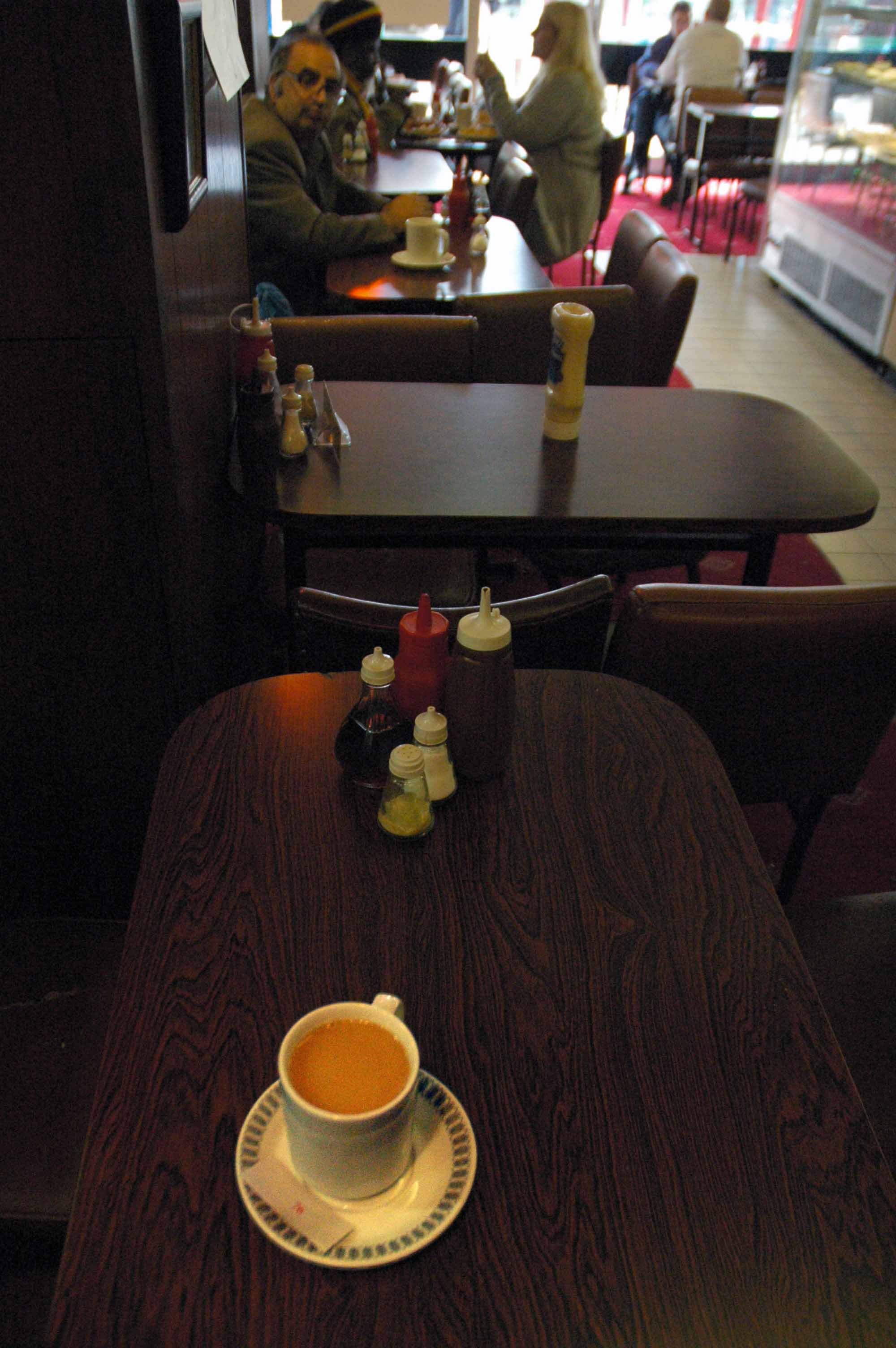
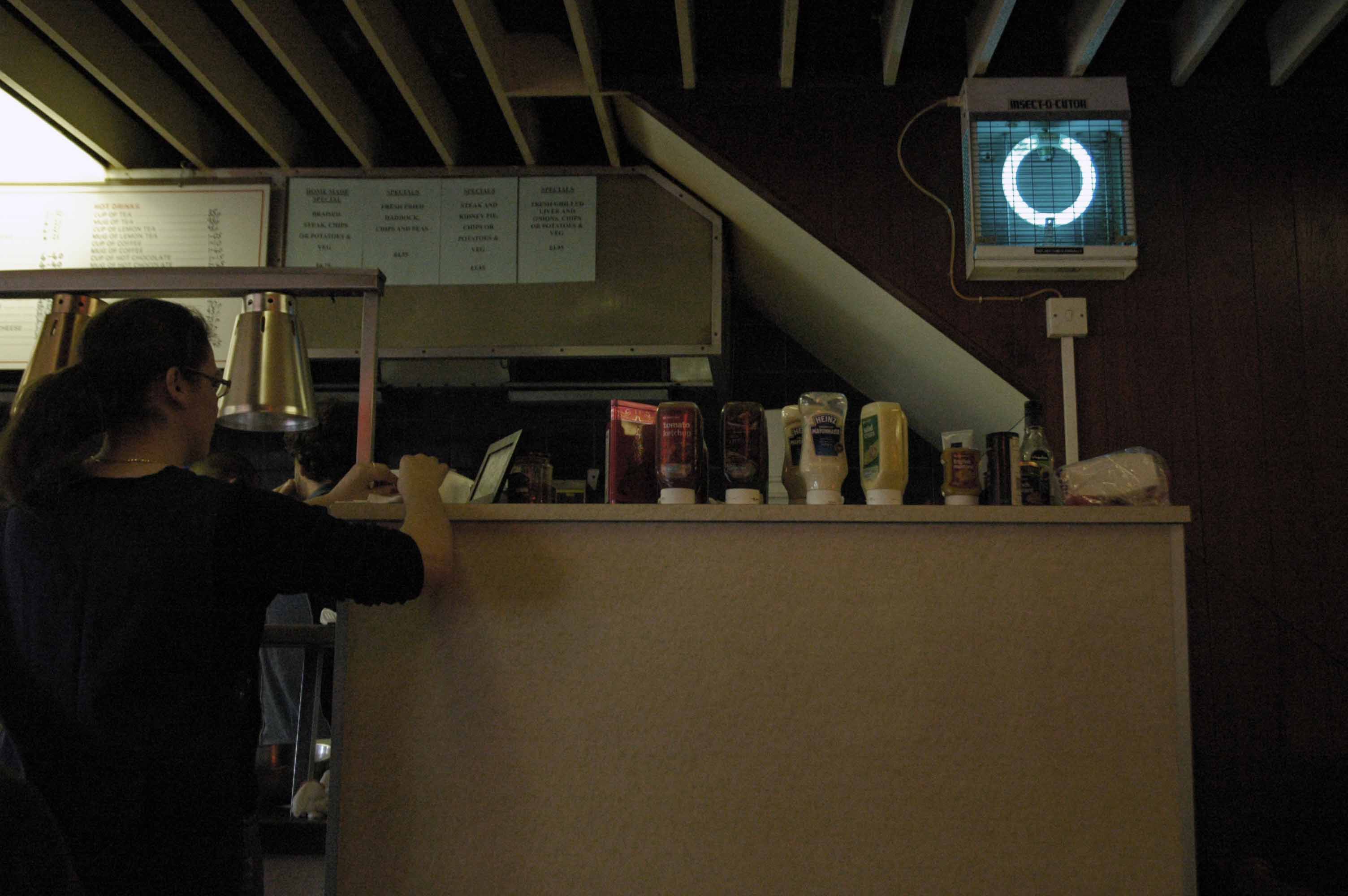
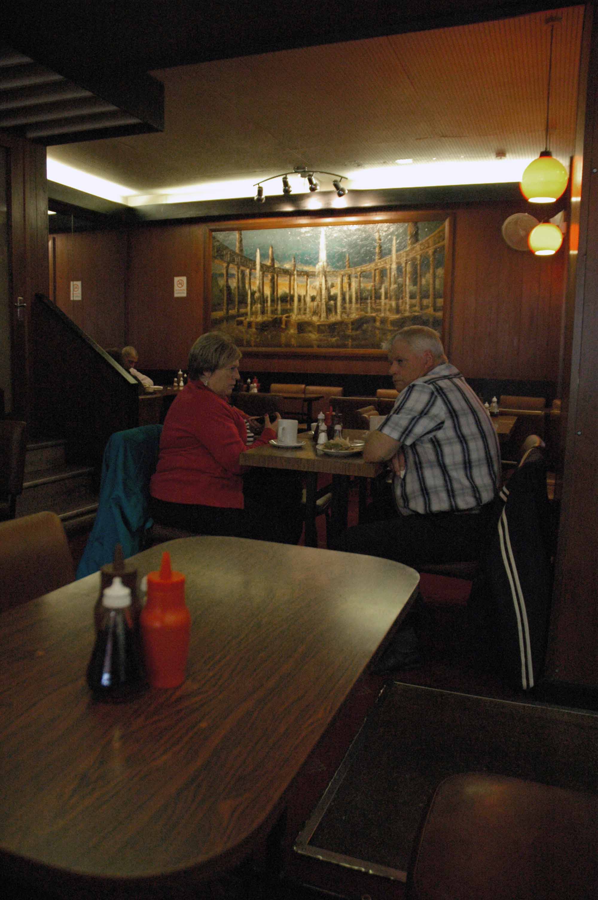
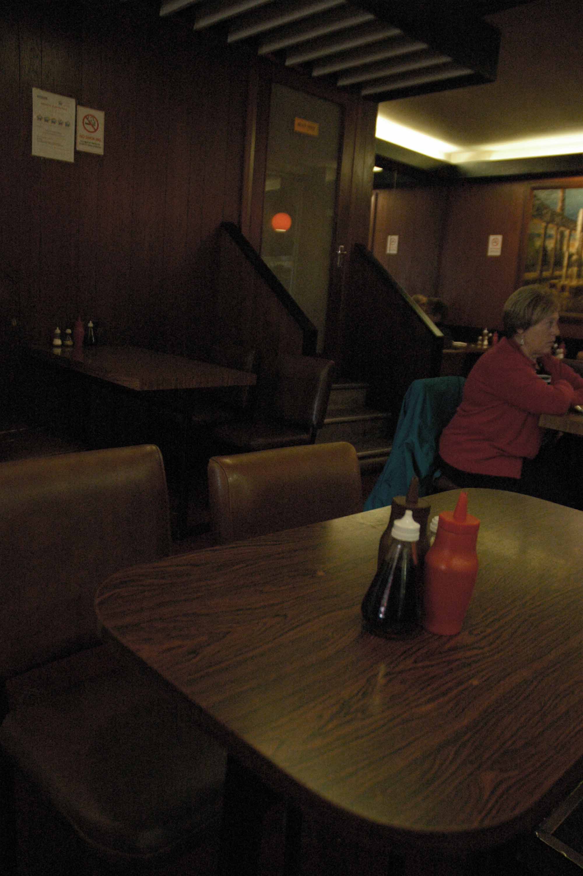
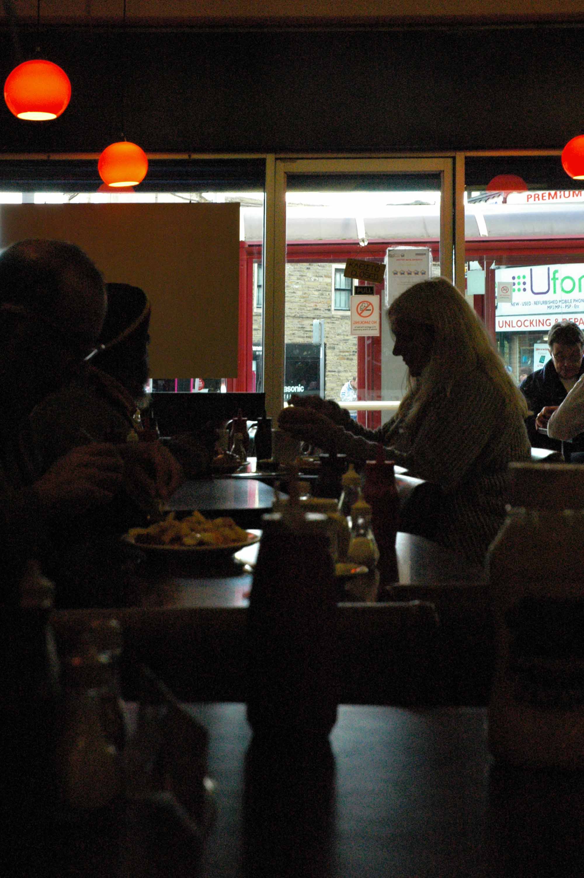
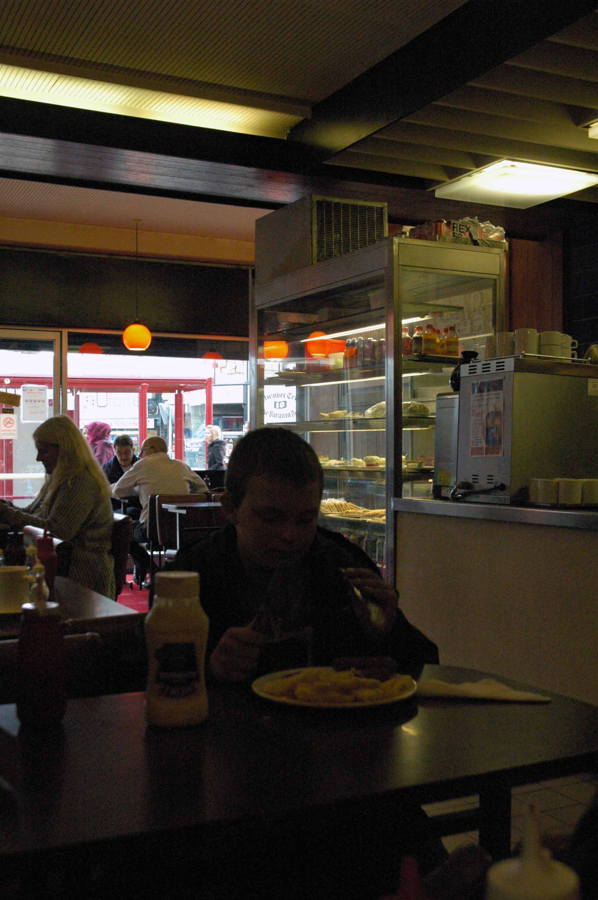
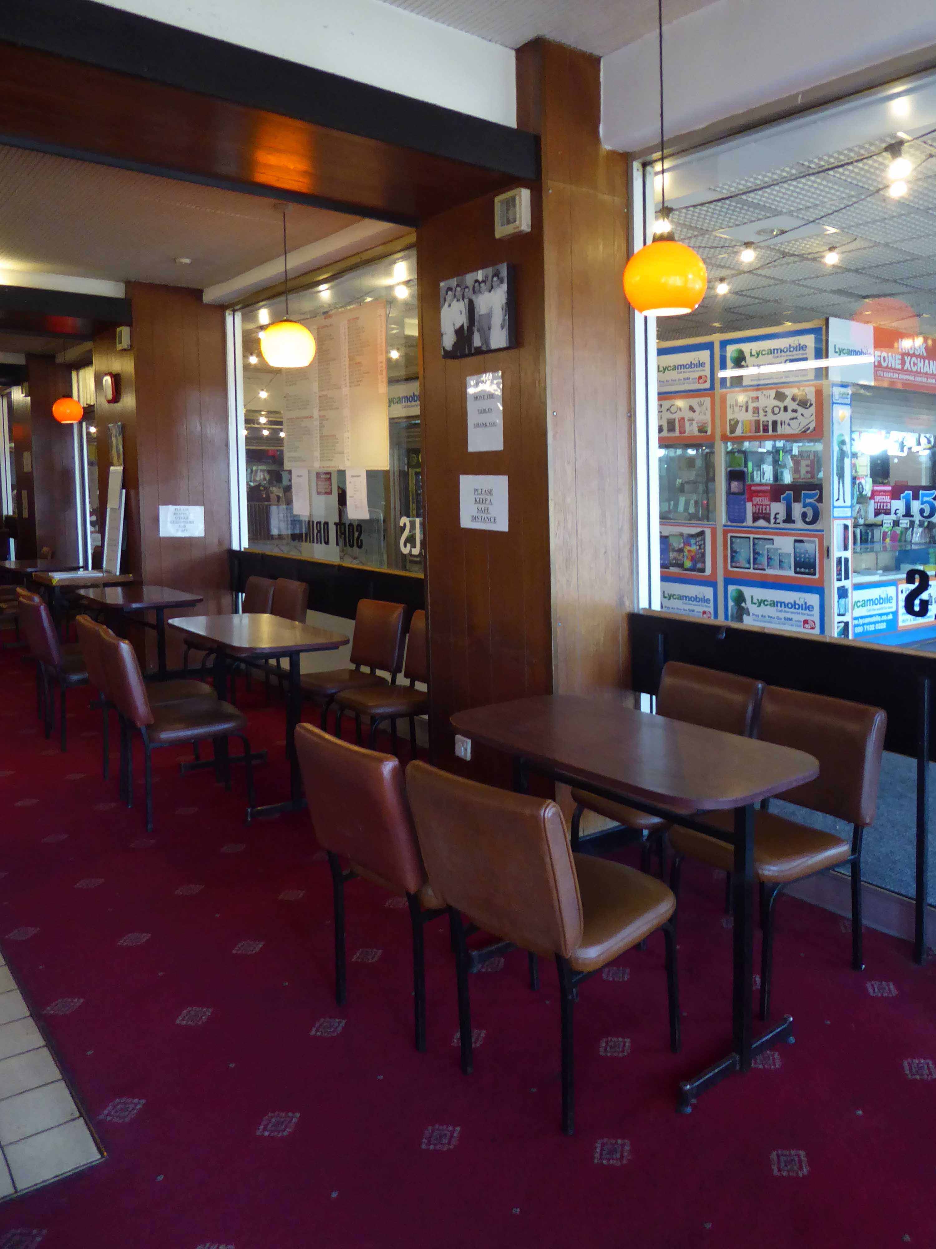
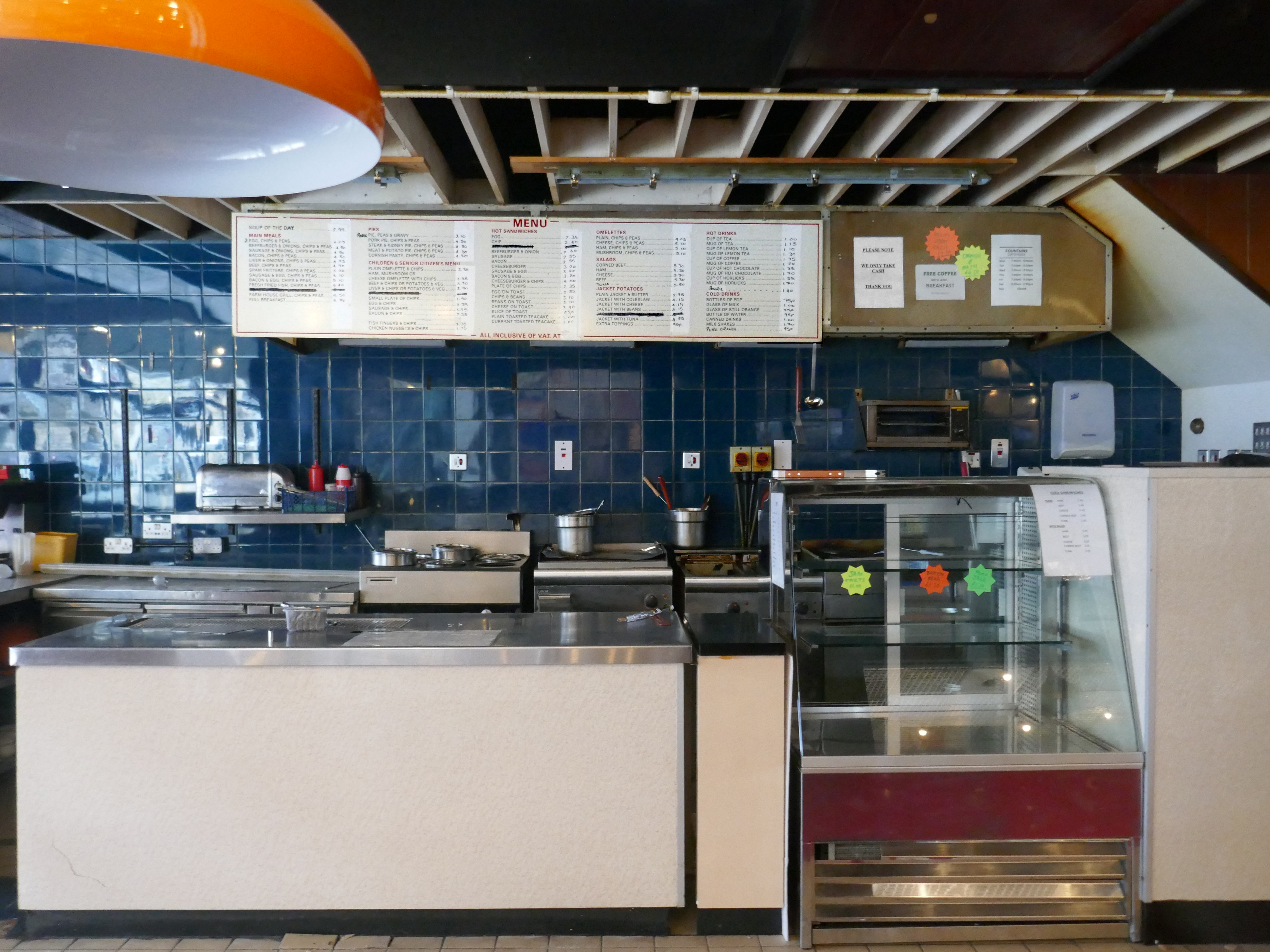
I first came here some twenty years ago or so and on each subsequent visit little seems to change.
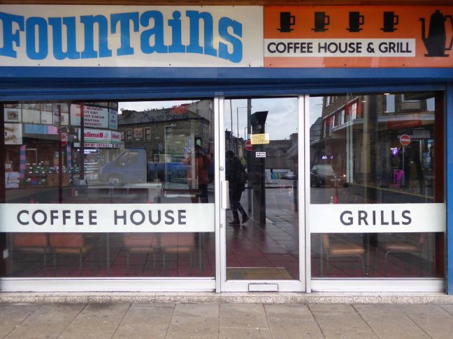
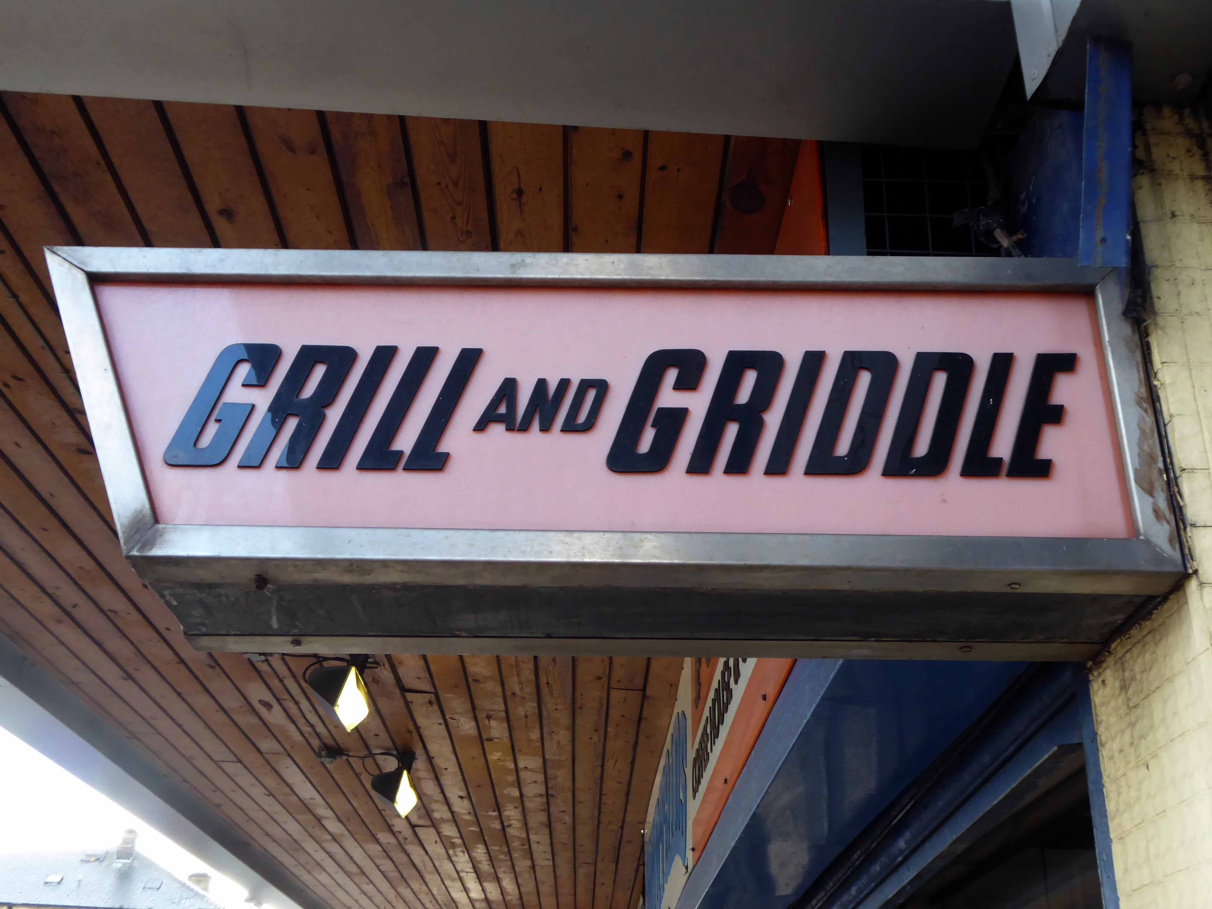
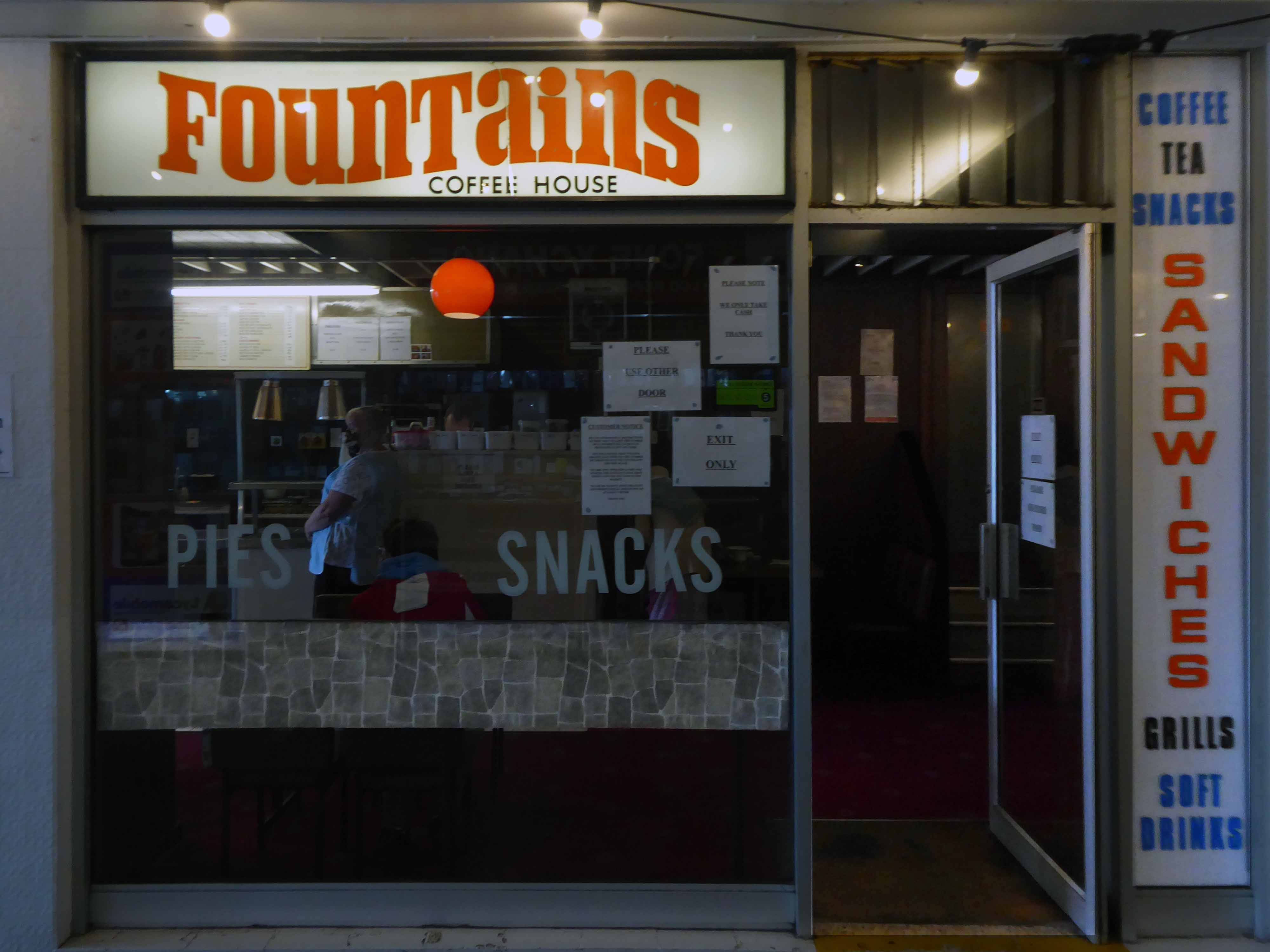
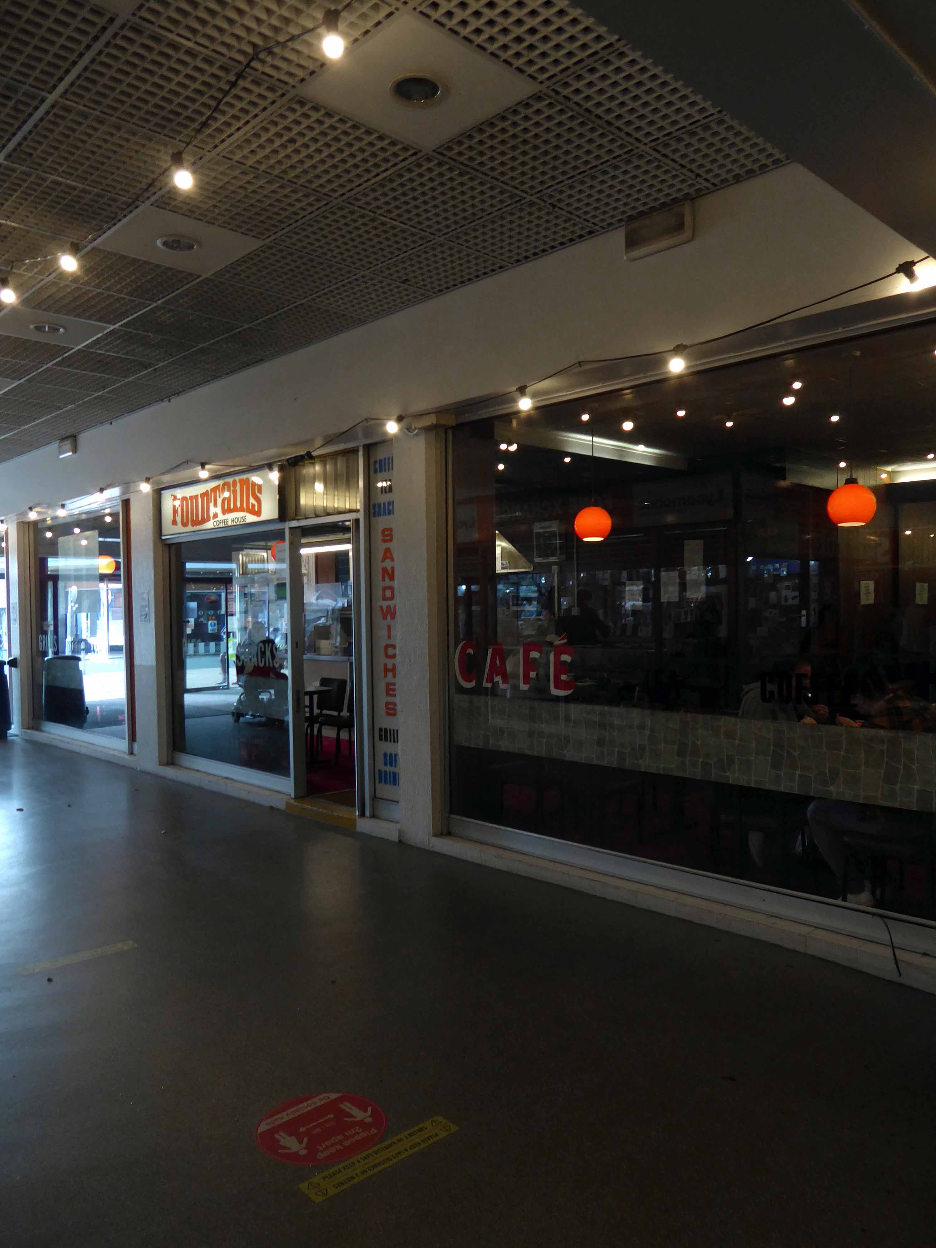
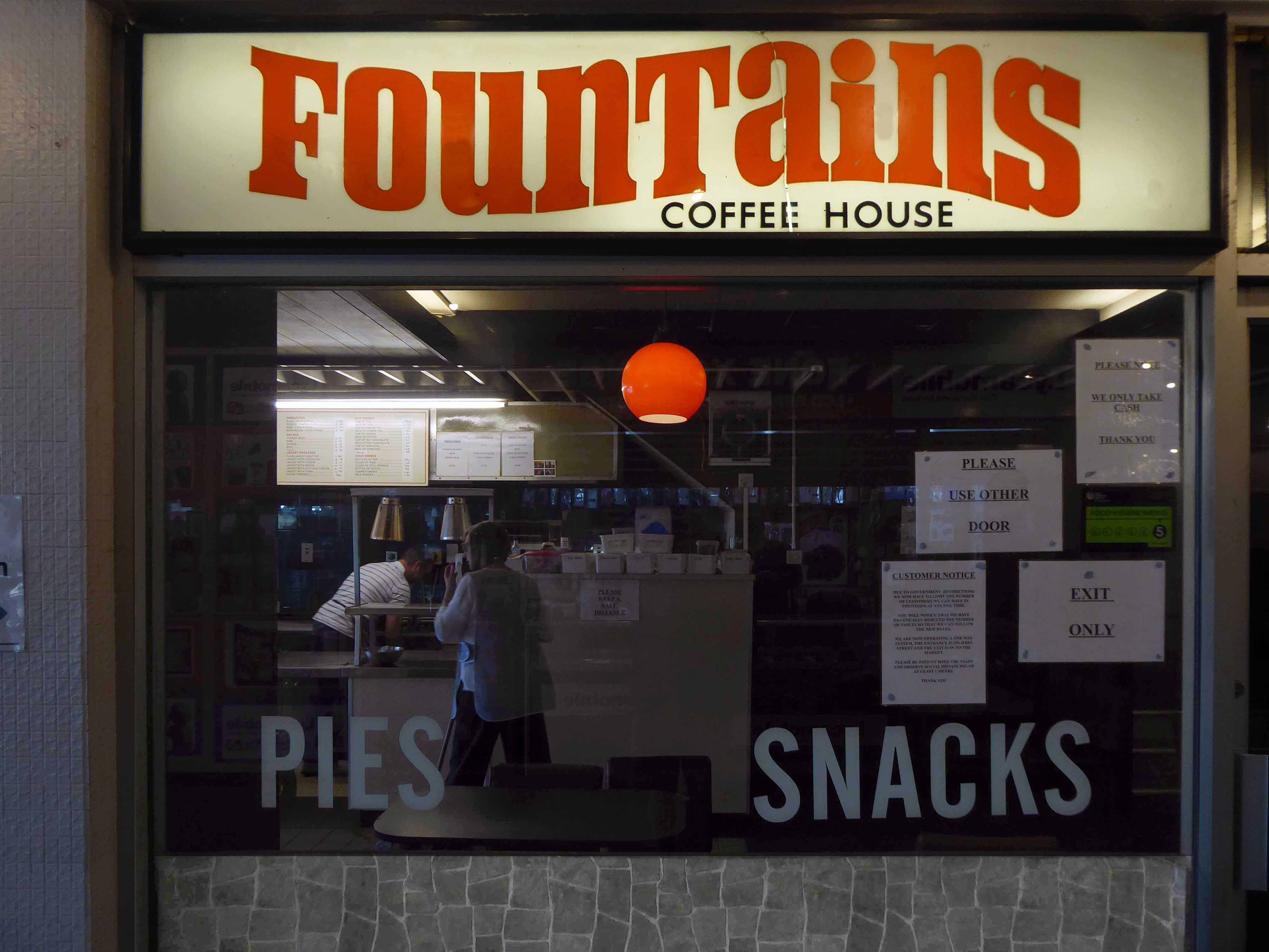
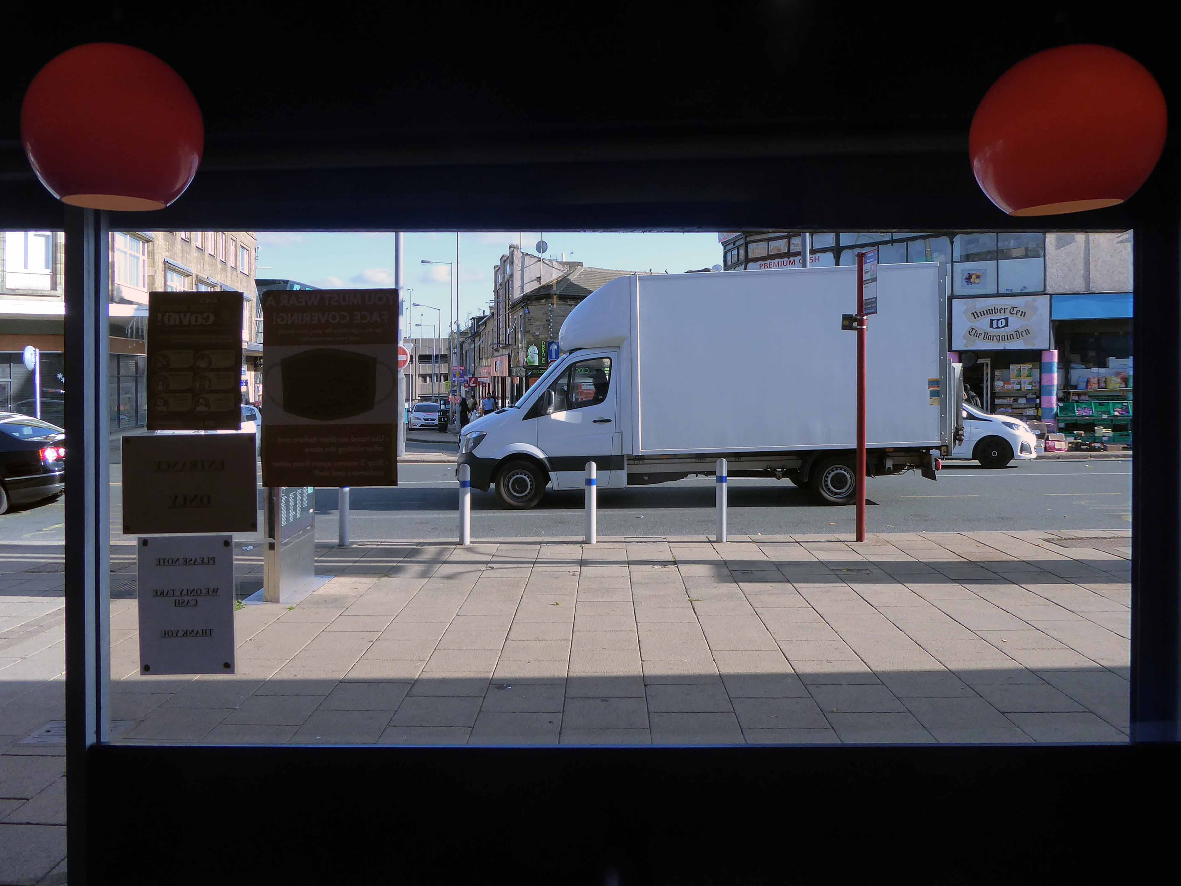
The exterior signage and fascia remain intact.
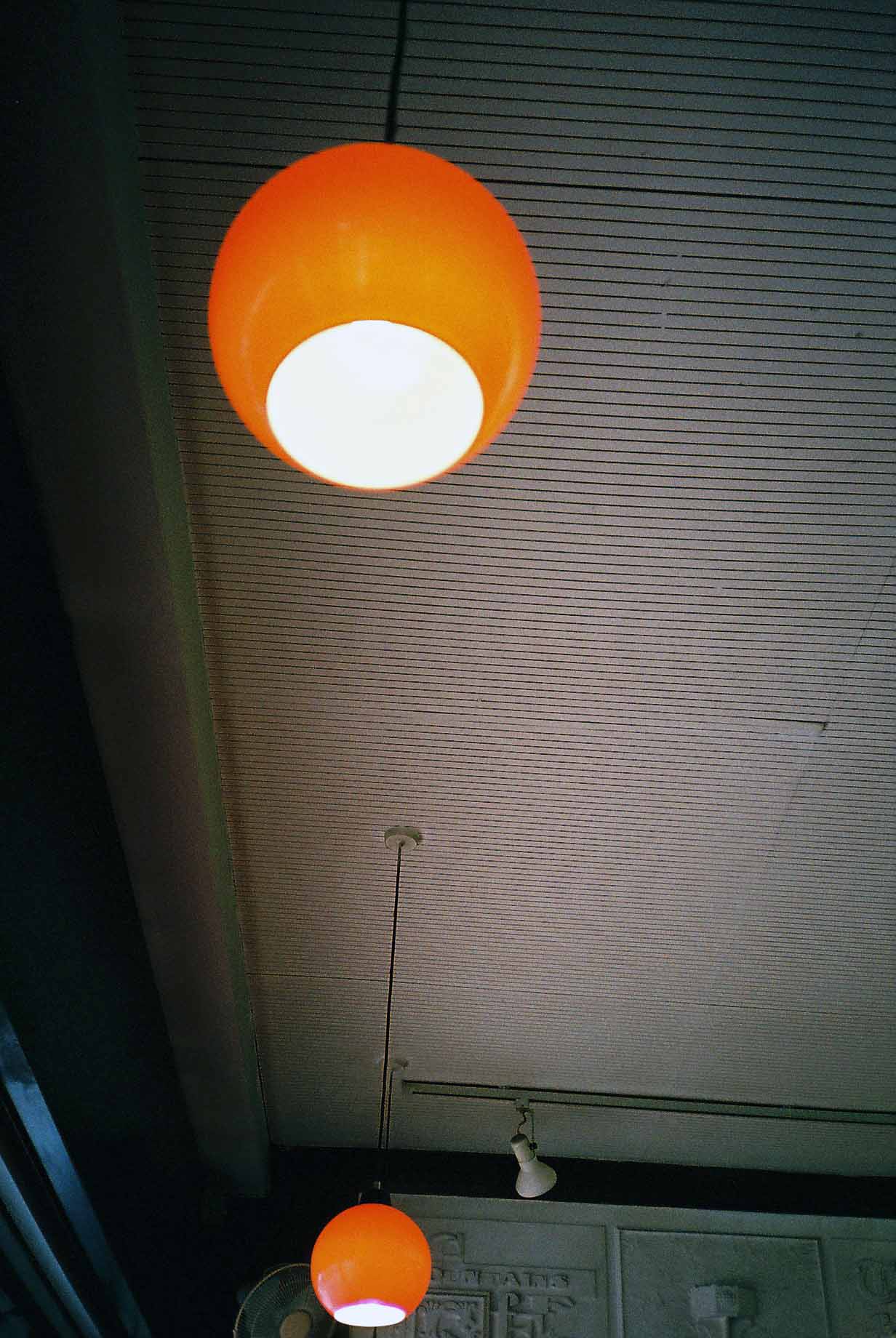
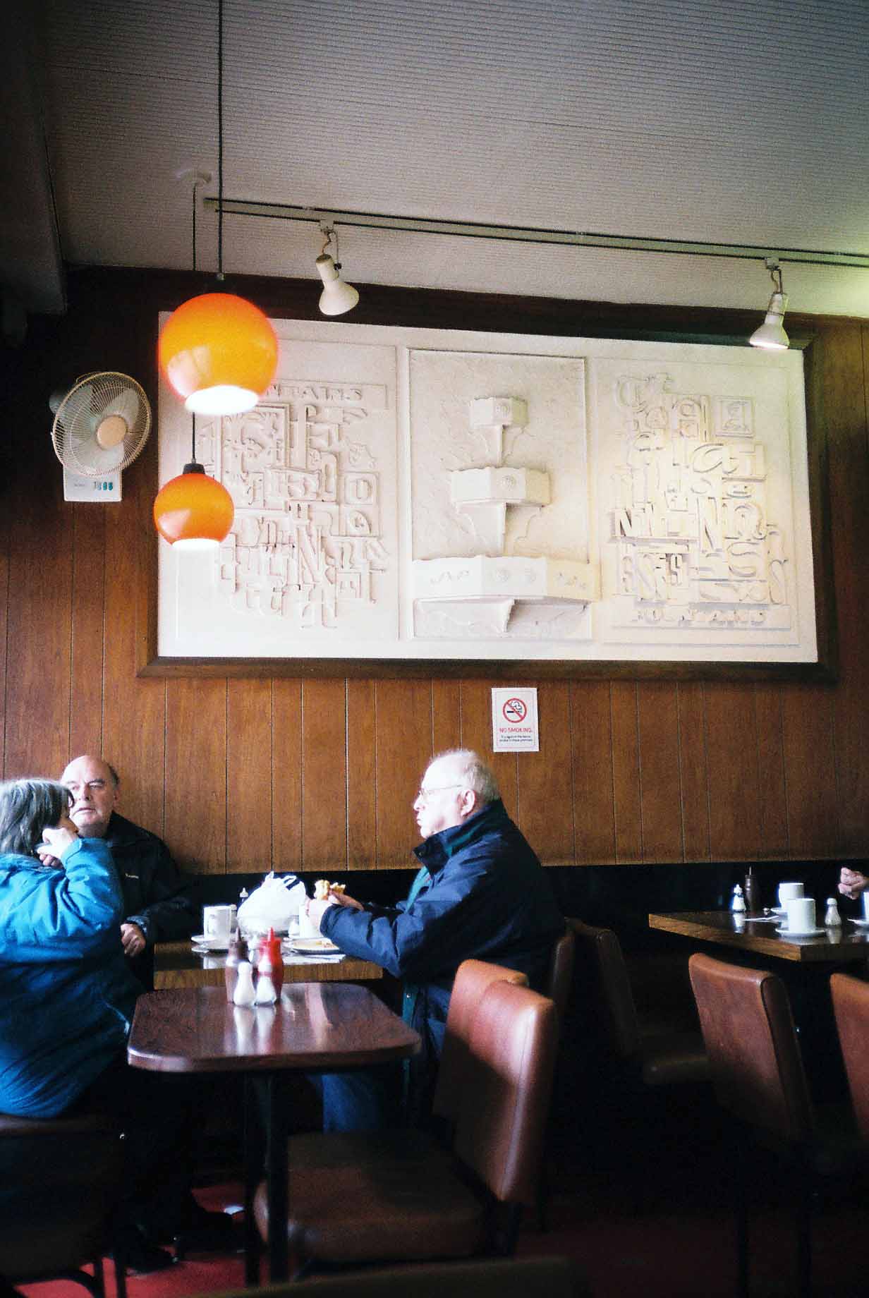
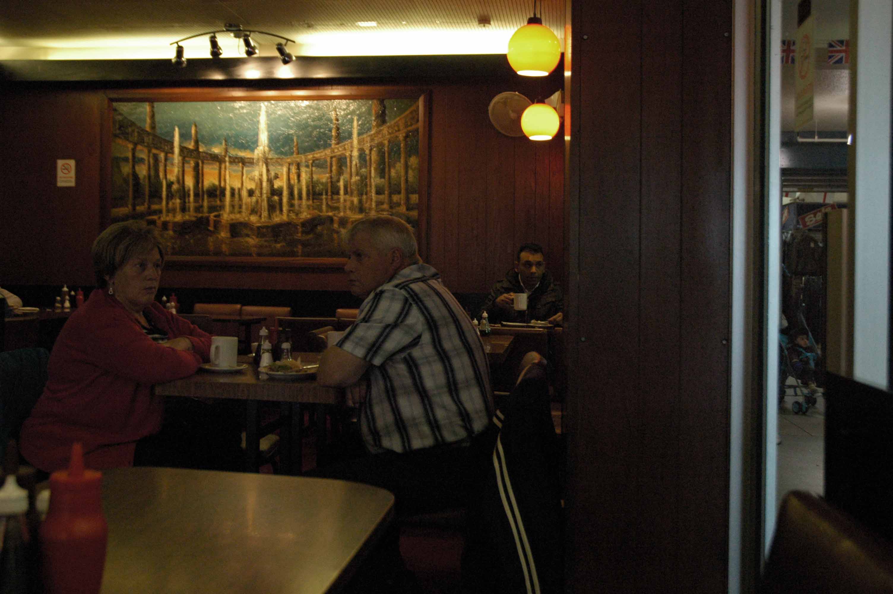
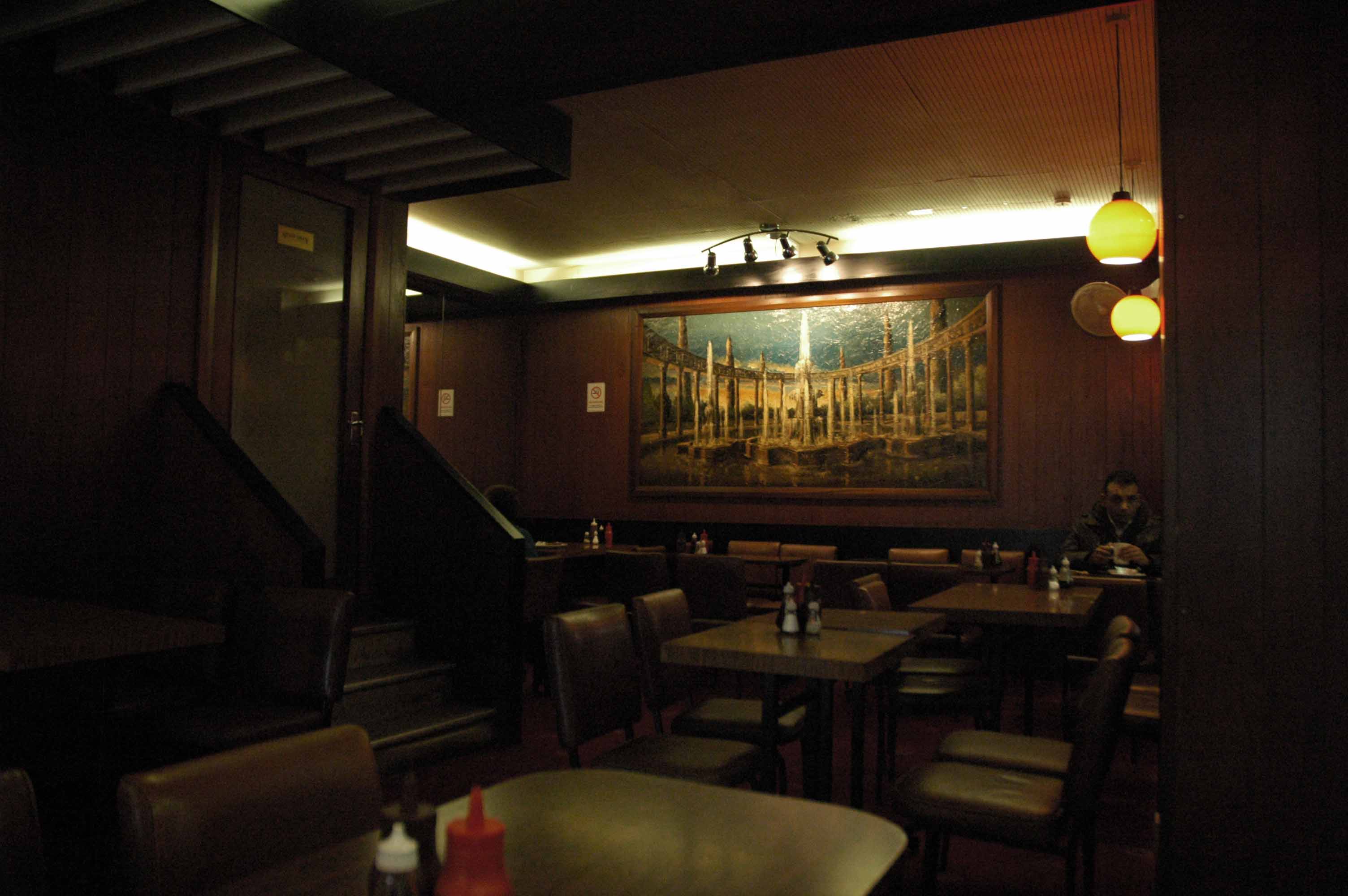
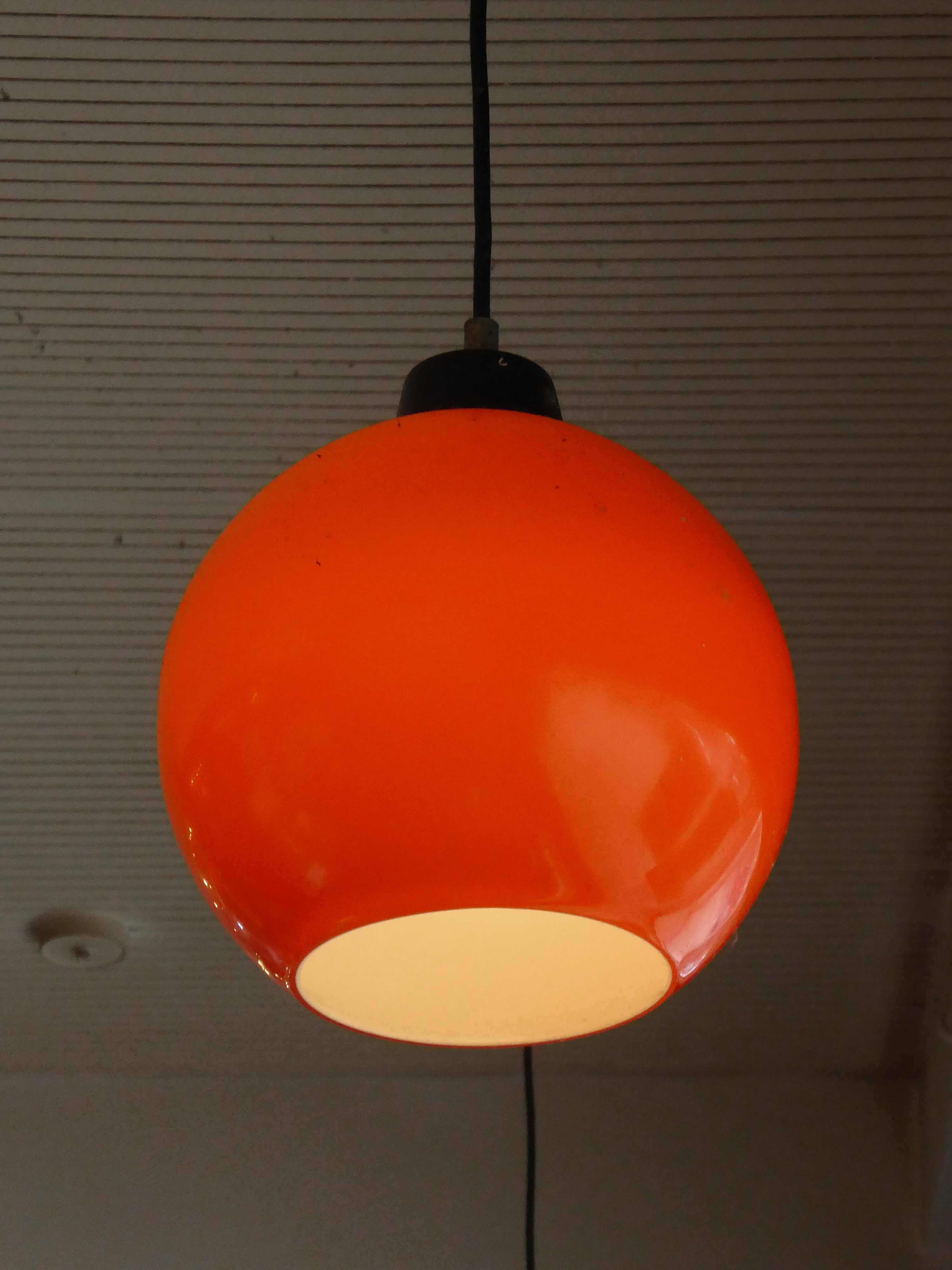
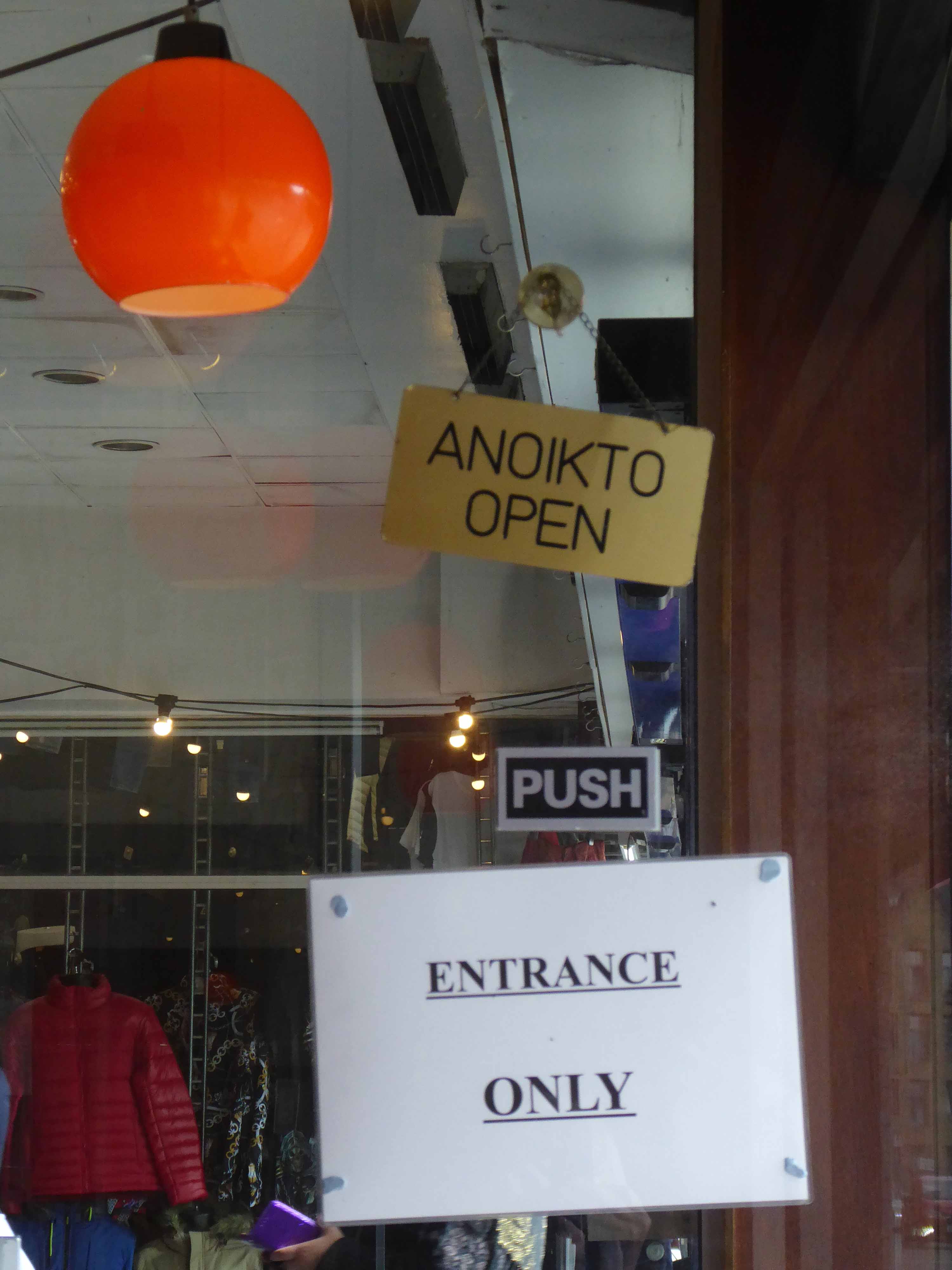
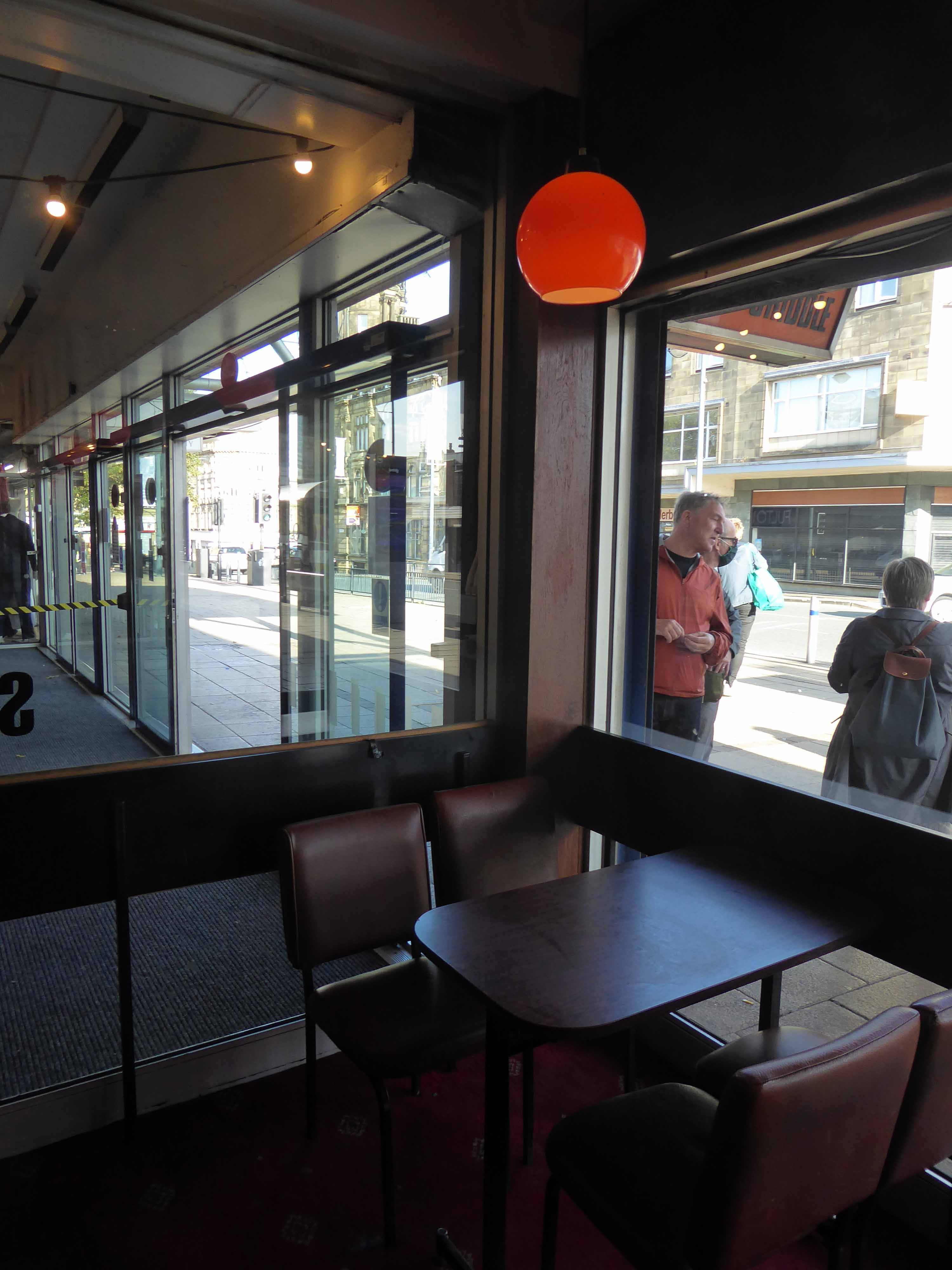
The orange light shades are still hanging limp and bright from the suspended ceiling.
The furniture and scarlet carpet unmoved, as the cheery waiting staff weave merrily in, out and round about with meals and drinks.
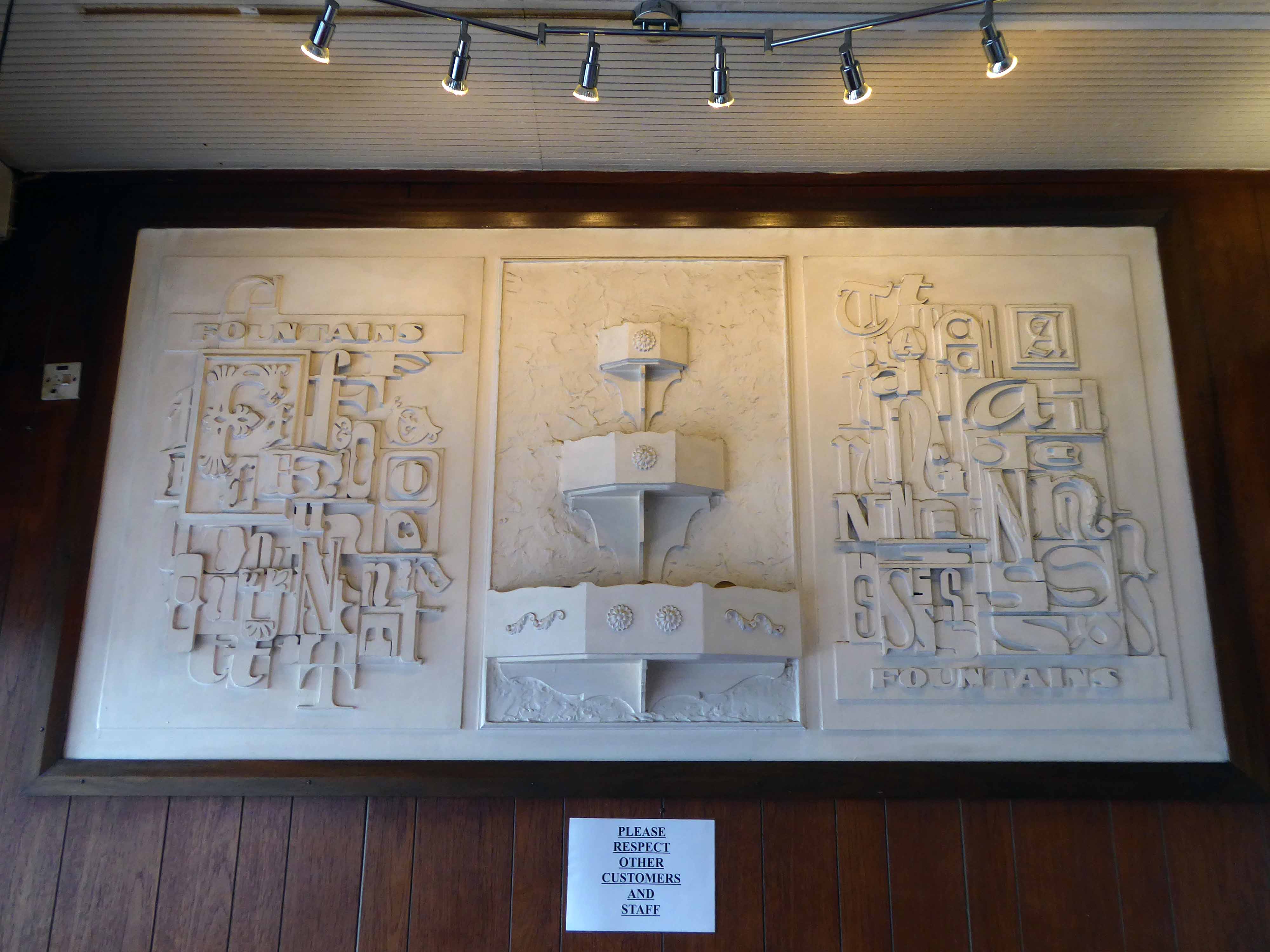
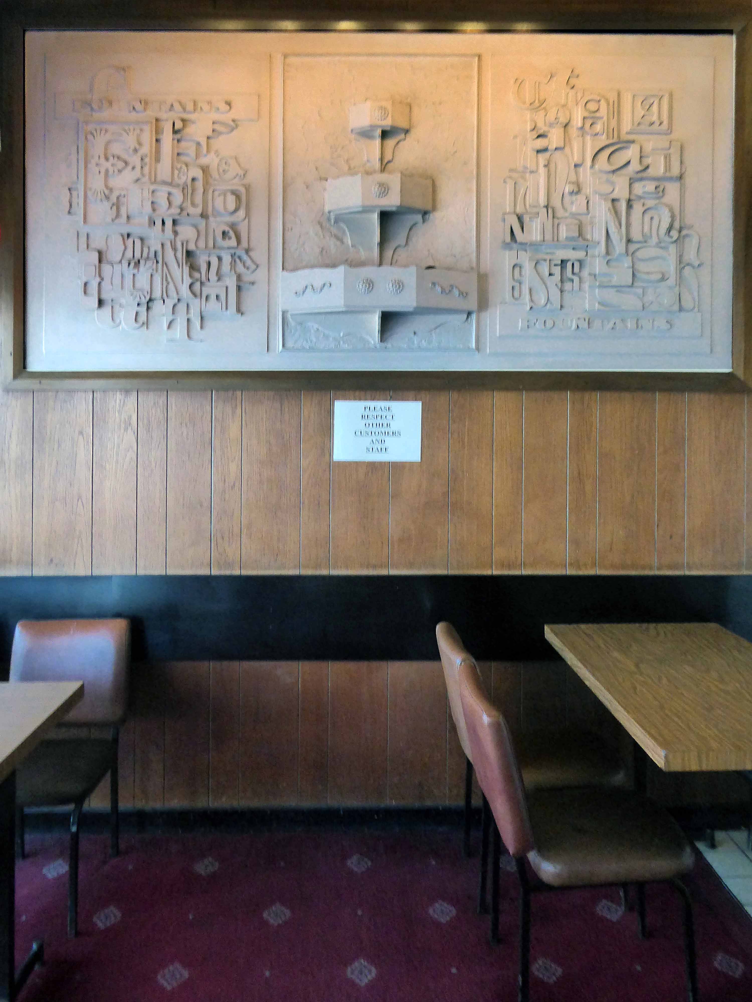
The distinctive white relief sits in the same place on the wall.
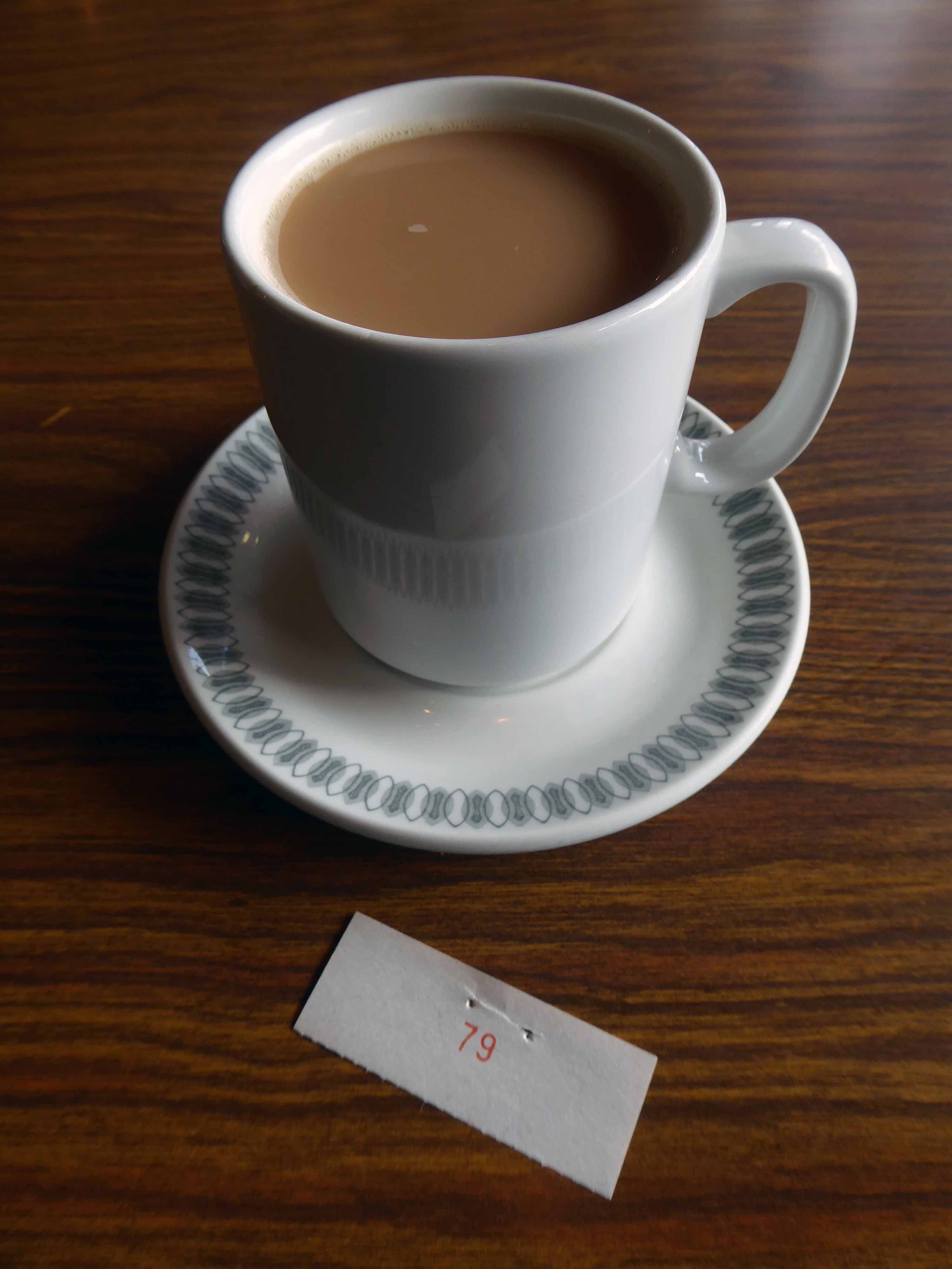
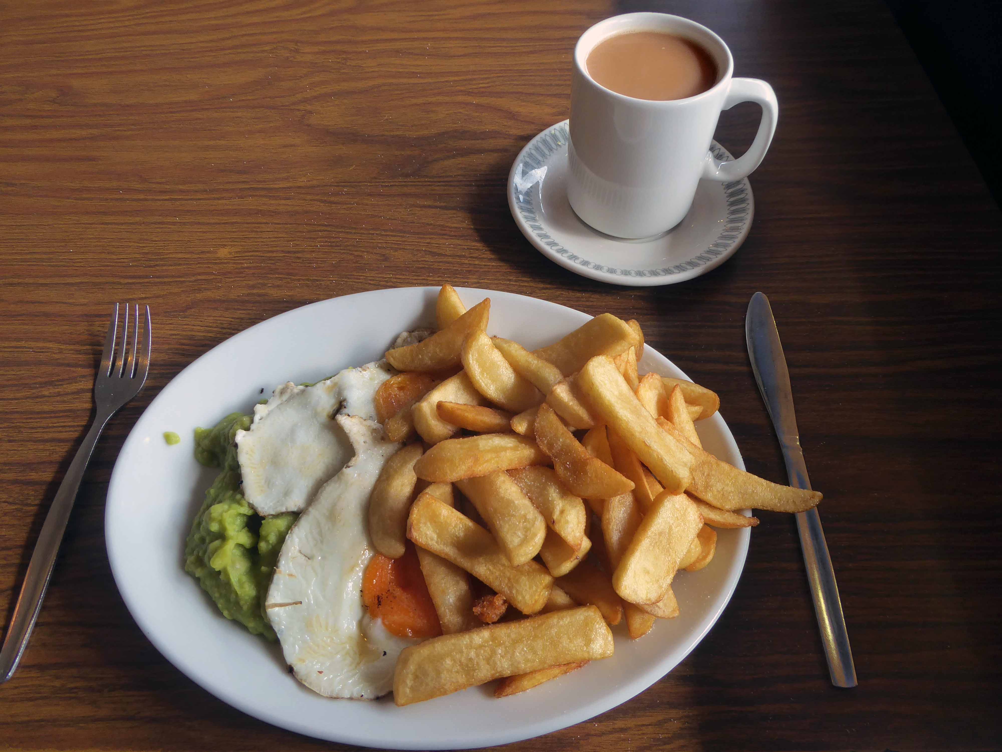
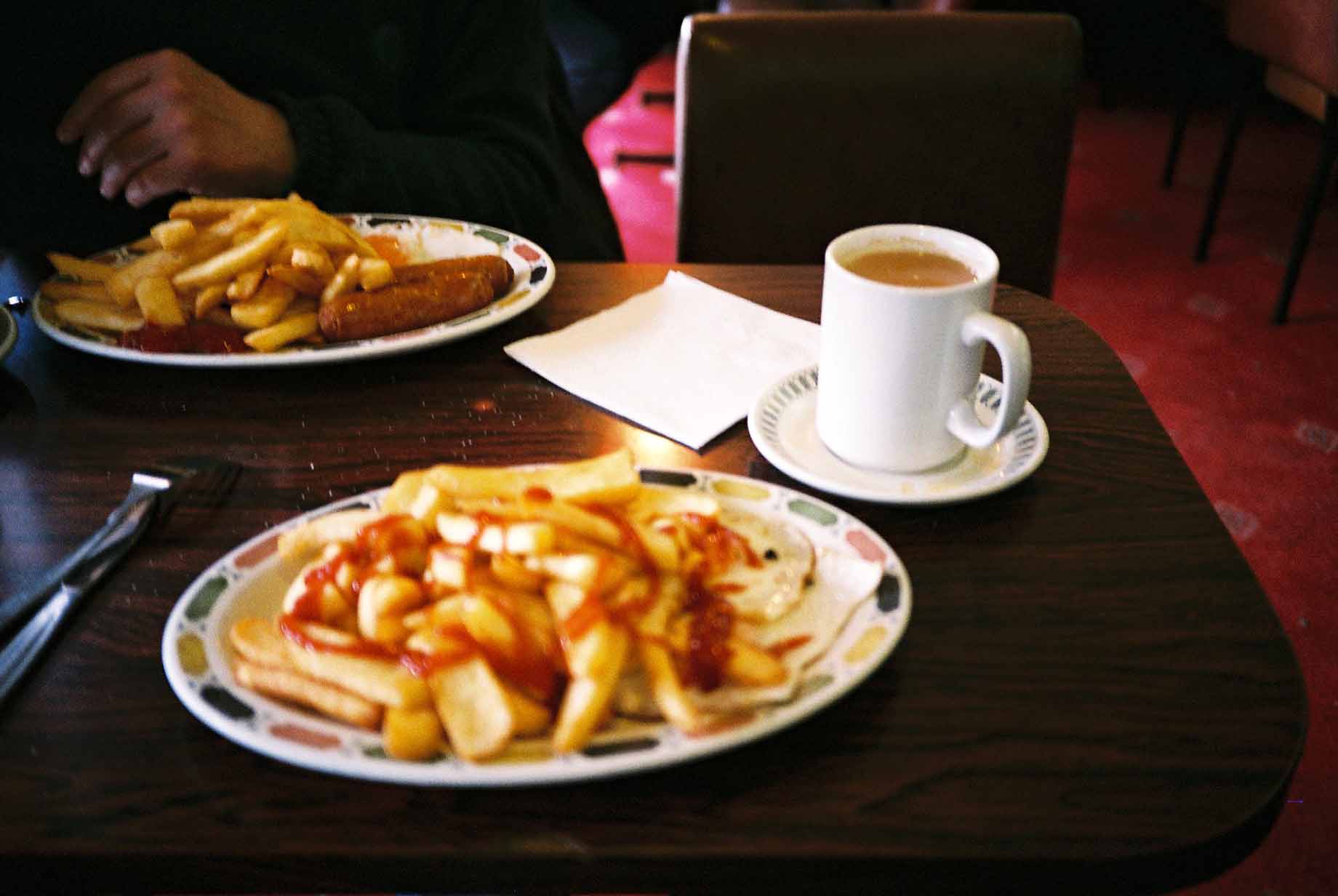
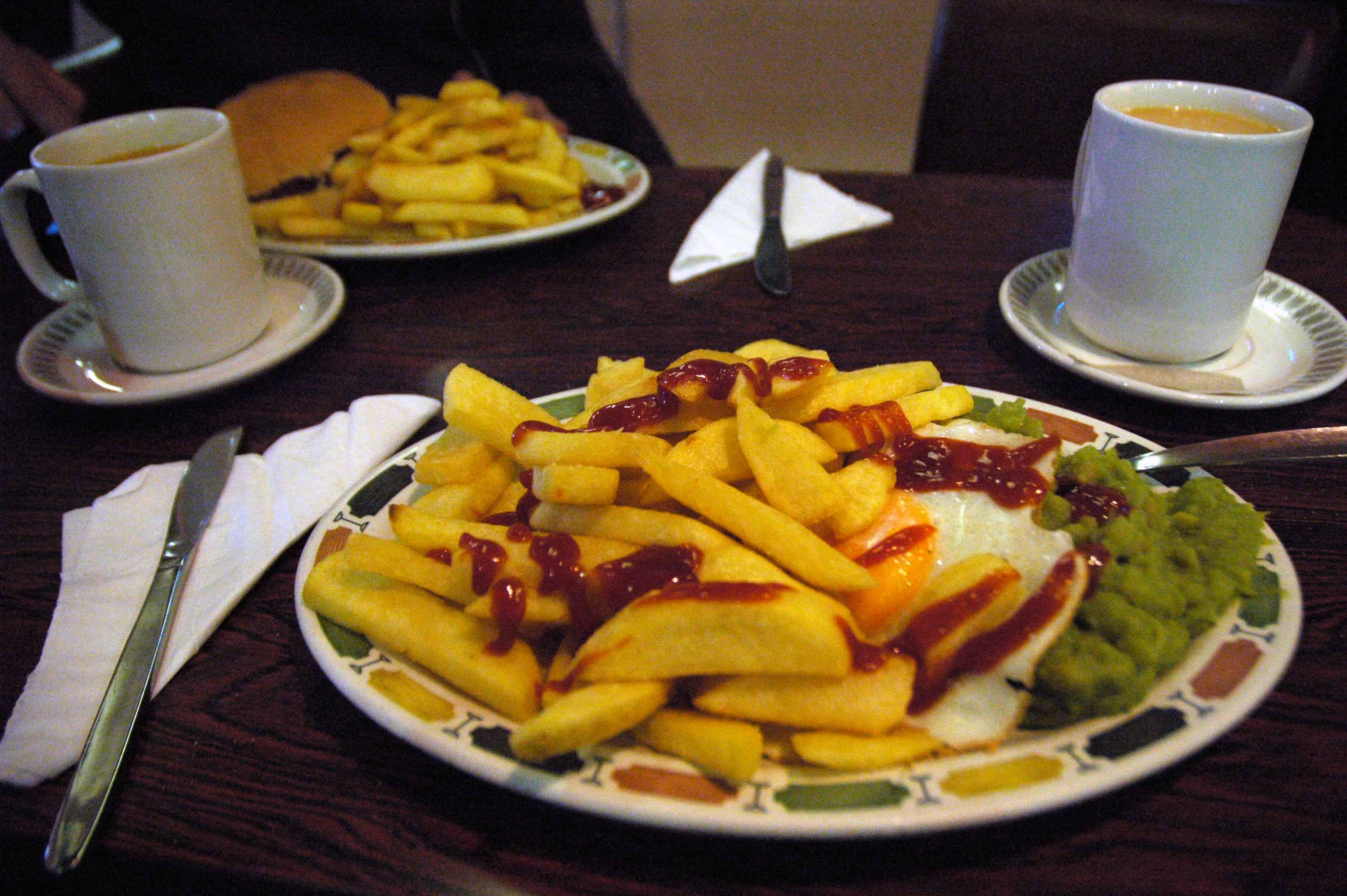
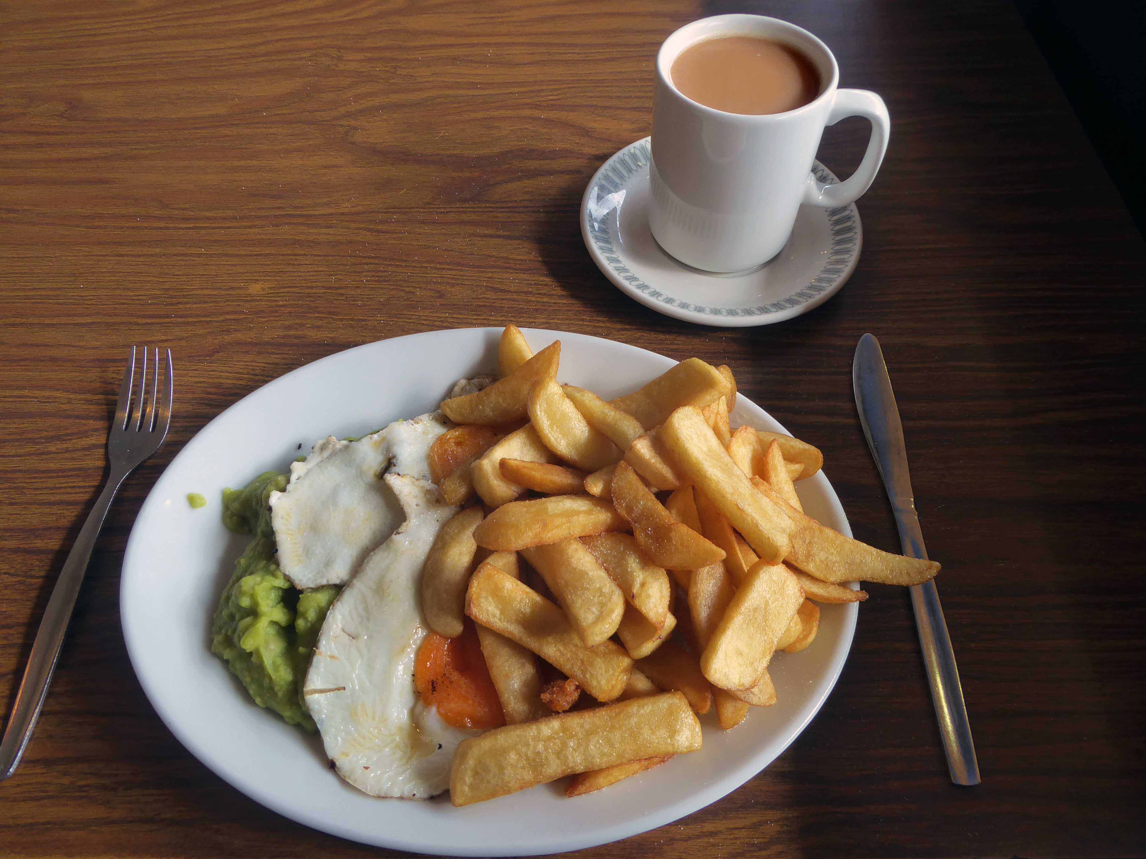
Almost inevitably I order a mug of tea.
Along with a plate of eggs chips and peas.
Eat and drink the lot and leave happy and contented – who can resist a well run, well appointed classic café?
I can’t.
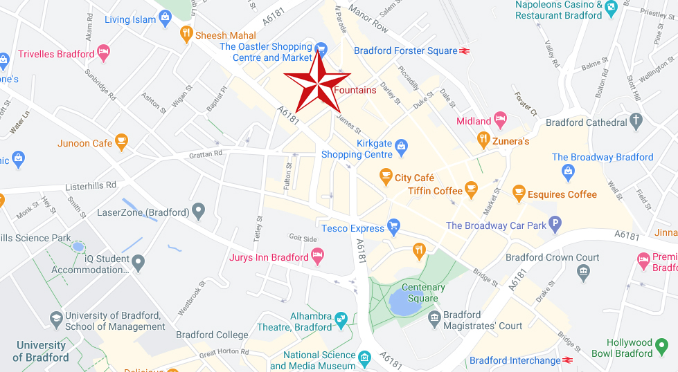
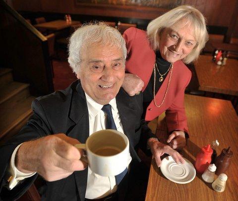
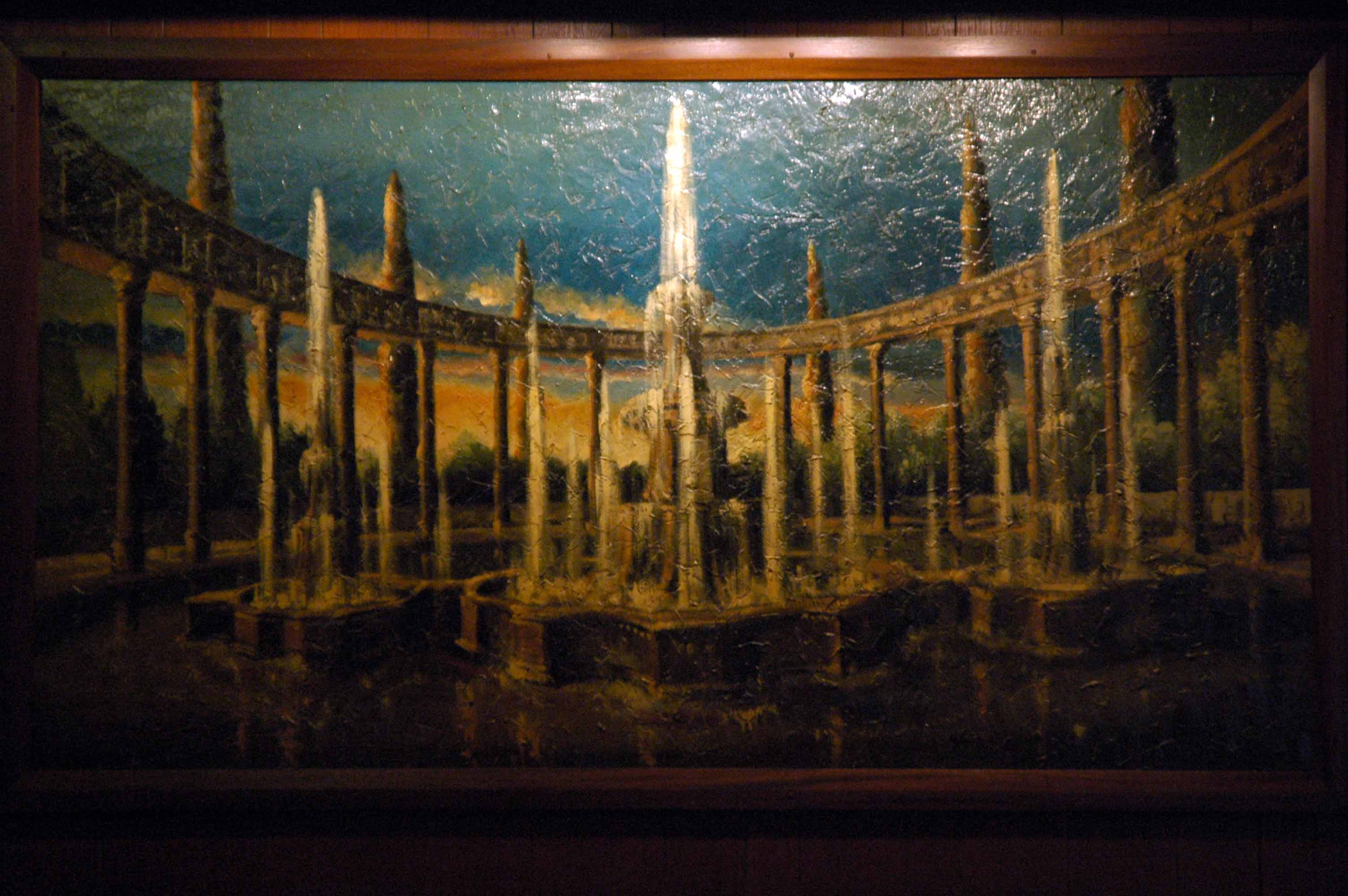
A well-known and respected figure in the Bradford business world, Mr Paul Georgiou ran Fountains Coffee House in John Street for just shy of 50 years alongside his wife Mary, and has run cafés and other businesses in the city for almost six decades.
Other ventures created by Mr Georgiou include the Hole in the Wall nightclub, which was one of the first underground nightclubs in the city centre.It hosted acts including Sir Tom Jones and rockers Thin Lizzy as they rose to fame in the late 1960s and early 1970.
Sadly he passed away in 2019.
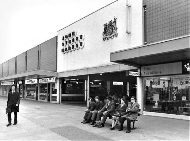
His main business Fountains Coffee House is now managed by his son Michael, but when it opened it was one of the first businesses to open in the John Street Market, as the Oastler centre was known then.
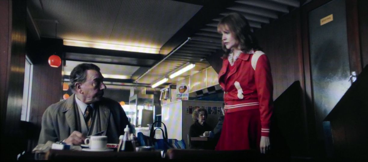
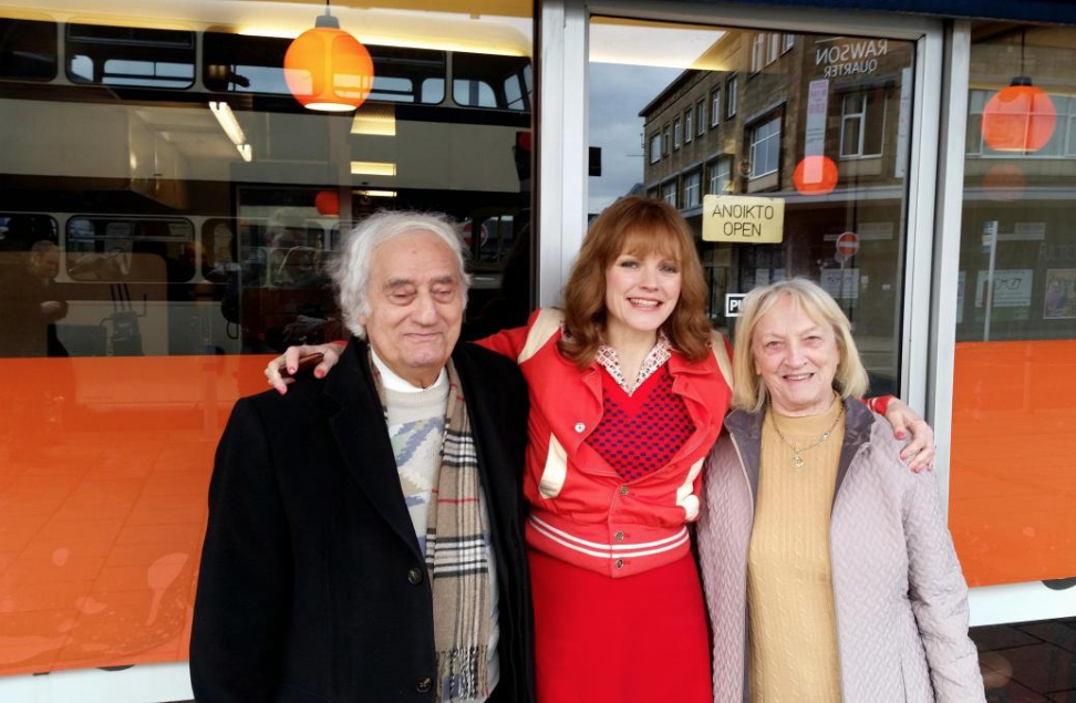
Maxine Peake was a recent visitor – filming a sequence for the film Funny Cow, along with Alun Armstrong.
The café was also used as a location for the 2025 film Good Boy starring Stephen Graham.
I pop in every time I hit town – often whilst hosting a Modernist Mooch.
So here they are my own observations, brews and grub from the last few years.
Do yourself a favour pop in, if and when you pass, you won’t be disappointed.
Sadly Fountains closed on March 28th 2023.
Co-managers, married couple Michael and Stella Georgiou, say a combination of factors has led to their decision to shut. They say the rise in energy prices coupled with the Oastler Centre shutting for good this September has prompted their decision to close.
When Bradford’s Fountains Café closed in March 2023, there were public calls for it to be preserved. Bradford District Museums and Galleries collected some of its recognisable objects to create a display celebrating Fountains Café. These were installed at Bradford Industrial Museum in February 2025. Dr Lauren Padgett, Assistant Curator of Collections, who led the acquisition project and curated the new display, gives an insight into the behind the scenes work around it.
Several members of the Georgiou family, and the three generations involved with running Fountains Café.
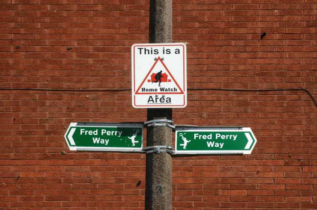
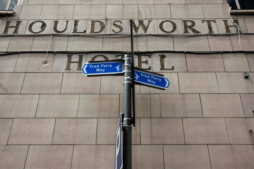
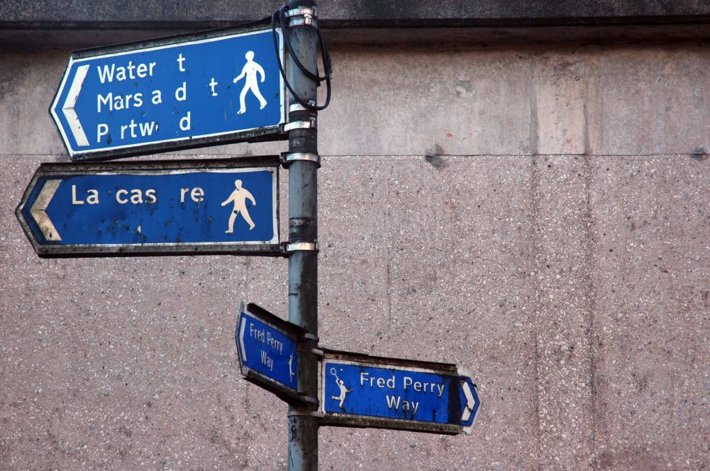
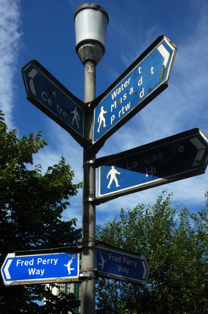
Some time ago in Stockport Fred Perry was born, lived and moved away – in pretty rapid succession. Nevertheless the Borough claims him as their own and to celebrate the fact, they have devised a Way.
Not the way or an away day but a named way, the Fred Perry Way.
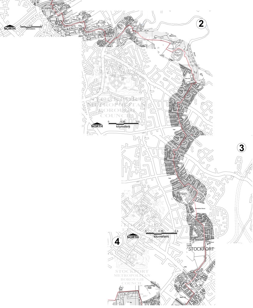
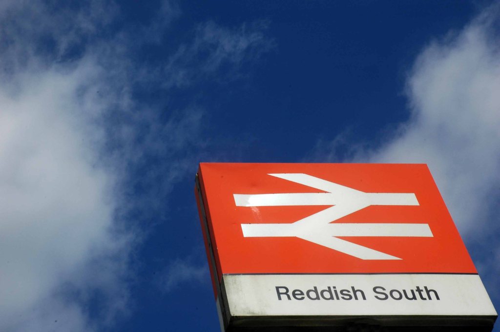
Stretching from North Reddish in the north to Woodford in the south – zigging and zagging through and across highways and byways, avenues and alleyways.
Combining rural footpaths, quiet lanes and river valleys with urban landscapes and park lands.
For the long distance walker it may be useful as a link route. The Fred Perry Way provides a link between the Bollin Valley Way, and through that, the North Cheshire Way, and via a short link between Mottram & Woodford, the Tame Valley Way and Etherow Goyt Valley Way at Stockport. A full crossing of historical North Cheshire could be devised, linking Black Hill & Crowden on the Pennine Way with Hilbre Island, utilising also the Wirral Way/Wirral Shore Way.
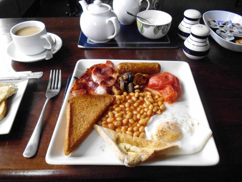
Grub up at the Lord Nelson and saints preserve us, the first sighting of fried bread – not a single hash brownie to be seen. The square plate very much in keeping with the naval nomenclature.
This ‘square plate’ theory is one of the best-known examples of folk-etymology. The phrase exists, the square plates exist, and two and two make five. To be more precise, what we have here is a back-formation. Someone hears the phrase ‘square meal’ and then invents a plausible story to fit it.
Spoil sport!
Anyway it’s Saturday 1st August 2015 and time to make tracks another sunny day in prospect, so much to see and do in Dorset!
The White Horse is a Dorset country inn located in the picturesque village of Litton Cheney in the heart of the Bride Valley. A warm welcome awaits at this traditional rural pub with a roaring log fire, with honest home cooked food using seasonal, locally sourced, produce. Popular with walkers and cyclists, families alike. A perfect place to enjoy good food, great ales, wines and even better company.
My lamb was average but the vegetables were very, very poor, some of the peas were stuck together with ice.
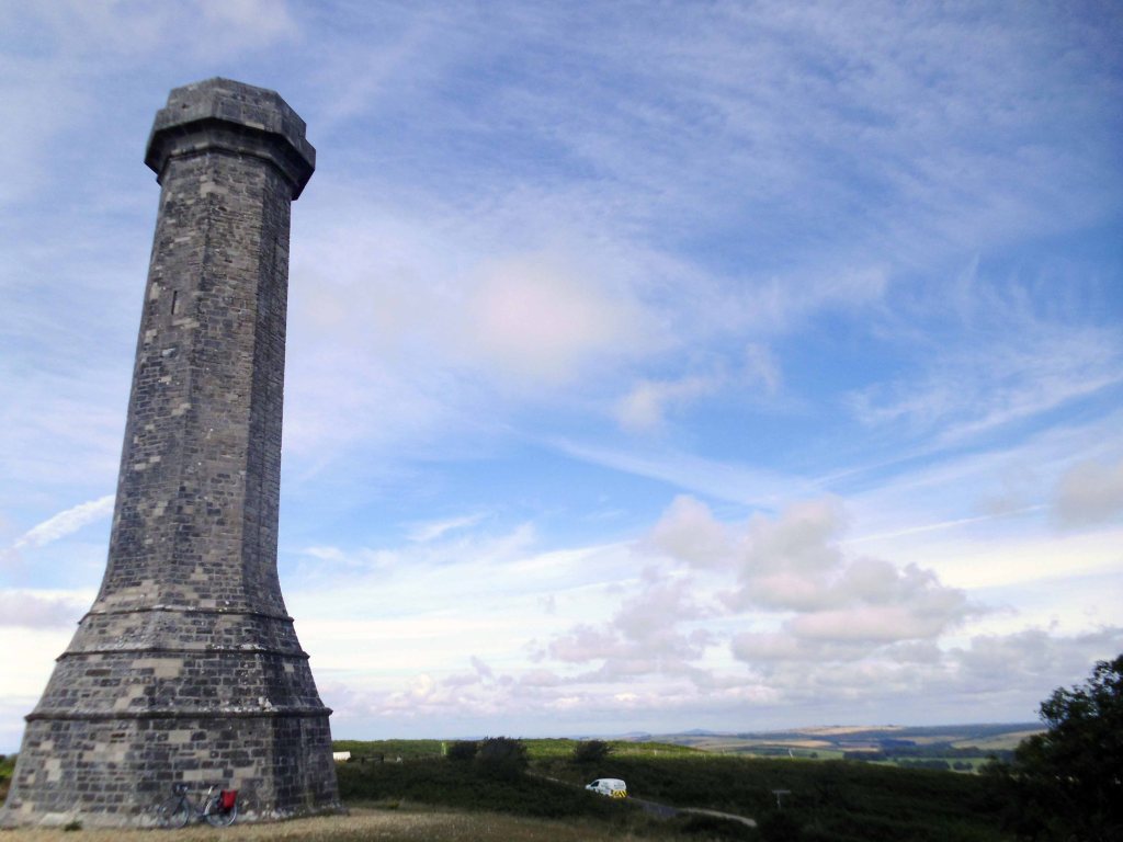
The Hardy Monument stands on an exposed location above the village of Portesham in Dorset. It was built in 1844 in memory of Vice-Admiral Sir Thomas Masterman Hardy, Flag Captain of HMS Victory at the Battle of Trafalgar. Amongst other things, Hardy became famous as it was in his arms that Nelson died, saying the immortal words ‘Kiss me Hardy’.
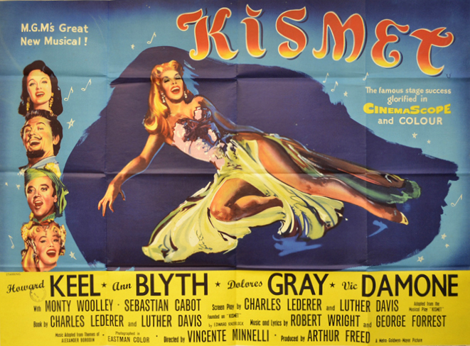
Contemporary historians argue that this explanation is a Victorian invention, since the earliest recorded use of the term ‘Kismet’ in the English language does not appear until after 1805.
Others also claimed that Nelson had said “Kiss Emma, Hardy”, referring to his mistress and lover Lady Emma Hamilton.
Thomas Hardy was unavailable for comment.
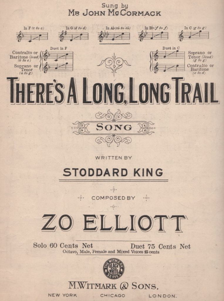
There’s a long, long trail a-winding Into the land of my dreams, Where the nightingales are singing And the white moon beams.
A song my dad would sing me to sleep with, one of my earliest and sweetest memories, his lullabies were often those songs he remembered from his army days.
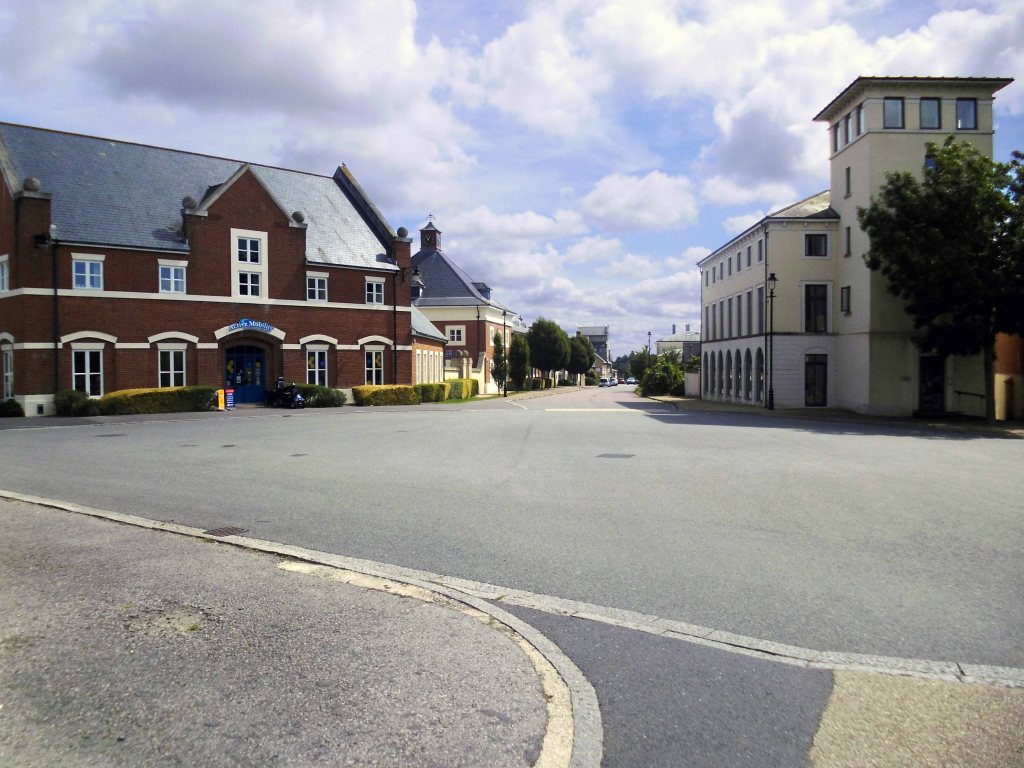
Following a morning of historical and linguistic conjecture we enter a land of architectural and historical conjecture, right here in Poundbury.
Poundbury is an urban extension to the Dorset county town of Dorchester, built on the principles of architecture and urban planning as advocated by The Prince of Wales in ‘A Vision of Britain’.
Poundbury, the Prince of Wales’s traditionalist village in Dorset, has long been mocked as a feudal Disneyland. But a growing and diverse community suggests it’s getting a lot of things right.
Poundbury should be completed by 2025, by which time it will be home to an estimated 4,500 people, increasing Dorchester’s population by a quarter. Then the Duchy will leave it to run itself. Krier, who is writing a book on Le Corbusier, says he and Prince Charles will then embark on their ultimate project: “We are going to build a small modernist town and show them how to do it.”
I myself cycled through in stunned silence, there was nobody about and the overall feel was one of a living filmset, opinion is deeply divided, I remain impartial – ride on.
Dorchester ghost.
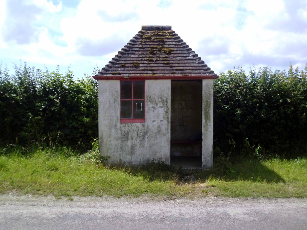
Tiny vernacular bus shelter awaits bus and the sheltered.
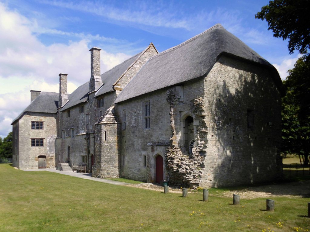
Woodsford Castle is the surviving range of a 14th-century fortified manor house. King Edward III granted William de Whitefield a licence to crenellate in 1335. The house has the largest thatched roof in the county and has been restored by the Landmark Trust.
One of our favourite Landmarks, love the table-tennis, the new decor and carpet, spacious but warm.
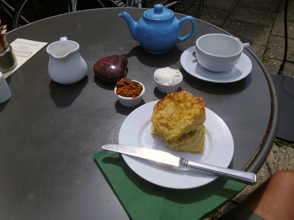
I passed by a delightful café – sorry to say that the name escapes me, and ate the most tasty cheese scone with chutney and cream and a brew, thank you ever so much nameless café.
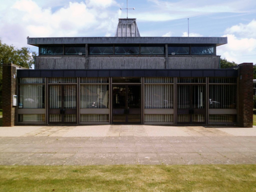
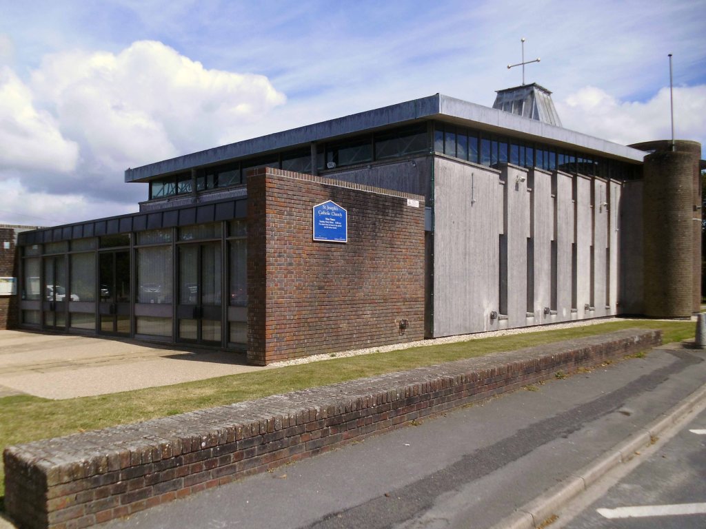
An impressive 1960s church design, responding thoughtfully to the needs of the post-Vatican II liturgy. The function clearly dictates the form, resulting in a building that is visually memorable as well as fit for purpose. Little has been changed since 1971. The Triodetic spaceframe roof structure is not generally associated with churches but enables a large uninterrupted space for the celebration of the Mass. The interior furnishings and fittings are essential to the totality of the design.
The Roman Catholic Church of St Joseph of 1969-71 designed by Anthony Jaggard of John Stark & Partners is listed at Grade II – a bold exterior employing exposed brickwork, a mineral render, vertical glazing and sparse ornamentation.
I fell in love the very moment what I saw it, having climbed over a fence by the railway, as I remember.
Next ting you know I’m in an area of outstanding natural beauty.
Cycling down yet another leafy lane.
Catching the ferry with several other cyclists on our way to Poole.
Walked the bike along the crowded promenade into Bournemouth.
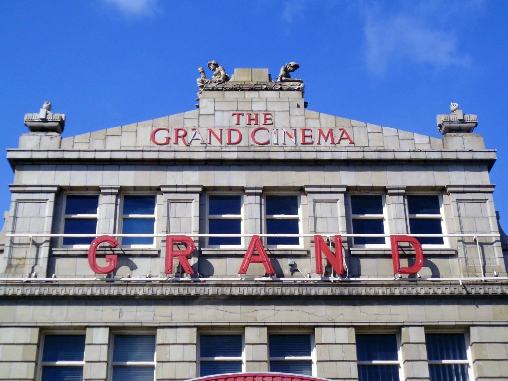
Passed the Grand Cinema.
Located in the Westbourne district of Bournemouth, the Grand Cinema Theatre opened on 18th December 1922 with a production of Anthony and Cleopatra performed on the stage. The following day it screened its first film A Prince of Lovers plus a Harold Lloyd short comedy.
It had a facade coverted with Carter’s Architectural Tiles, manufactured at the Carter pottery in Poole. There was a central bay over the entrance which was topped by a revolving globe, which was illuminated at night. The auditorium had a sliding roof which could be opened in hot summer weather. There was a lift which could be taken instead of the stairs to the balcony level and the cafe. The front of the orchestra pit barrier was also covered in Carter’s tiles.
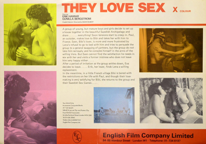
It was taken over by an independent Snape Entertainments from 21st December 1953 and they operated it as a full time cinema until 8th October 1975 when the film They Love Sex was the last regular film shown. It went over to become a full time bingo club, until a mix of part week bingo and films were introduced from 27th March 1976.
Finally found, following another find a room farrago – a less that grand tiny room in a big hotel, full of stag and hen parties – as was the whole town.
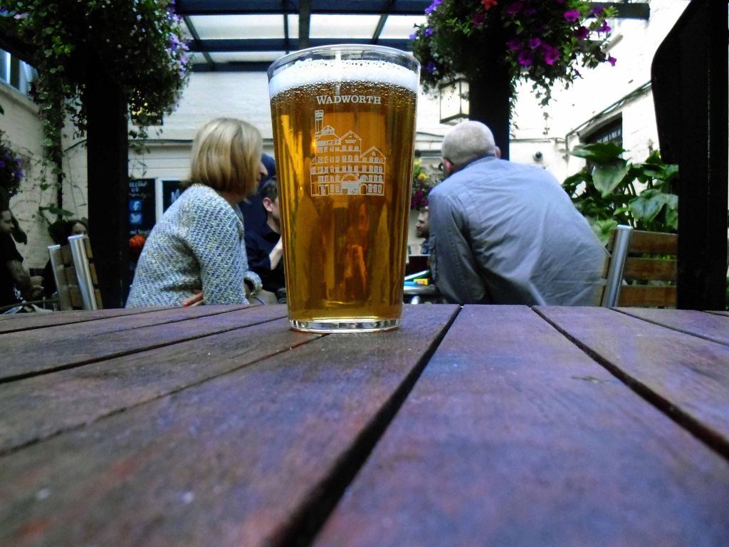
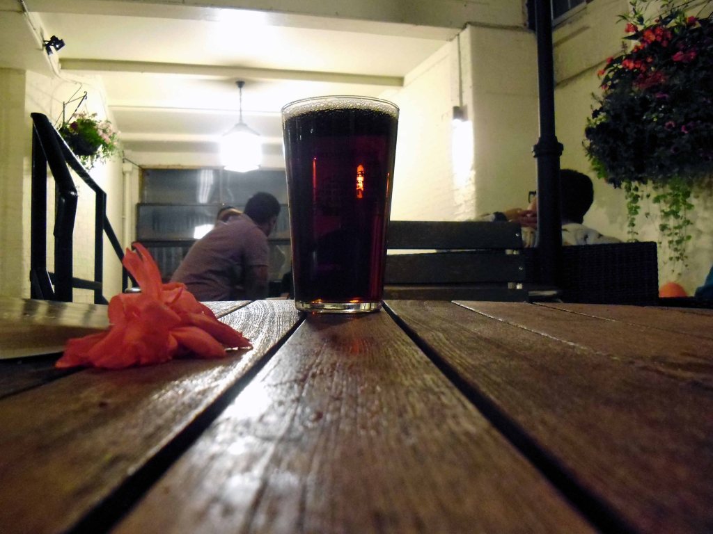
Seeking solace in the Goat and Tricycle – a beer house that boasts a huge range of hand pulled cask ales including Wadworth classics: Horizon, 6X, Swordfish and Wadworth IPA. The pub also has up to six Guest ales which change every few days, so there is always plenty of variety to choose from.
I would have chosen to keep the original names, the recent trend for the comic rebranding is quite literally ridiculous.
It was originally two separate pubs The Pembroke Arms to the left, it’s old Marston’s Dolphin Brewery tiles intact. The Pembroke Shades where the bar is now, was on the right. The Shades ran a boxing club where Freddie Mills, who lived opposite, is said to have trained, he went on to win the World Light Heavyweight belt.
I worked in the Shades on and off for 8 years. I still see a lot of the old crew, I am about to set up a Shades Re-union – we had one some years ago it was fab!
Do you remember John Bell, he was part time glass collector, full time alcoholic. Mary the Irish Landlady – she ‘s still going strong, unfortunately John Bell passed away.
Leaving the compact anonymity of my B&B for the open road!
Having been unable to sample the joys of the Quality Hotel.
The Quality Hotel closed in 2014 and was demolished two years later after the site was bought by the city council following vandalism and fires.
The ten-storey concrete block was built in 1970 in the 350th anniversary year of The Mayflower ship setting sail from Plymouth for North America.
Gilpin Demolition
Plymouth Hoe’s fifty million pound hotel and apartments project appears to have ground to a halt with no building work happening more than a year after developers vowed it would start in 2018.
Henley Real Estate, the firm behind the plans for an 11-story hotel and a 15-floor block of flats on the demolished former Quality Hotel site, has gone silent on plans and not responded to emails and phone calls from Plymouth Live.
When we visited the site the only sign of life was some weeds growing out of the ground.
I’ll leave them to it, I’m off in search of the South West Passage
The South West Coast Path itself is 630 miles long and is the longest established National Trail in the country. Starting at Minehead in Somerset it runs along the coastline of Exmoor, continuing along the coast of North Devon into Cornwall. It follows the entire coastline of Cornwall, goes across the mouth of the River Tamar and continues into Devon. After running along the south coast of Devon it then follows the Dorset coastline before finally ending at Poole Harbour.
However if you follow the Coastal Path you’ll miss this delightful concrete fire station training tower in Plympton.
Along with the longest corrugated iron structure in the West Country.
You’ll miss getting slightly lost and a cup of tea at the Dream Bites roadside café in Modbury.
Dream Bites café, we’re all is welcome, from cars to Biker’s to Ride outs to Puplic and to work companies even you the cyclists!
GREAT FOOD GREAT PRICE.
You’ll miss the deep hedged lanes of Devon.
Where the four x fours force you into the roadside brambles with consummate ease and regularity – even on a designated cycle route.
Respite from such trials and tribulations can be found upon siting a water tower or a deserted butchers – down at Slapton Ley.
Slapton Ley is the largest natural lake in south-west England. Although it is only separated from the sea by a narrow shingle bar, it is entirely freshwater.
Much beloved of my old pal Harry H Potts and family.
Then it’s up a hill down a hill to Dartmouth.
I made enquiries at several sea front hotels – who upon assessing my mode of dress and transport, despatched me to a back street pub B&B, suit y’self suits me, and my pocket.
The Seale Arms was just the job.
Quick change for the artist – let’s have a look around.
It’s full of historical architectural detail.
And slightly more hysterical architectural detail.
Time for a pint – chatting in the pub to yachting types, for it is here that the sense of tradition, the sea, power and wealth traditionally resides.
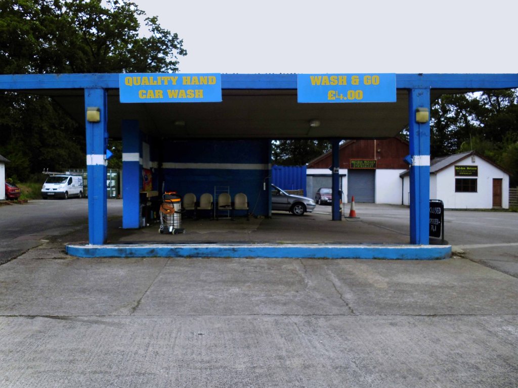
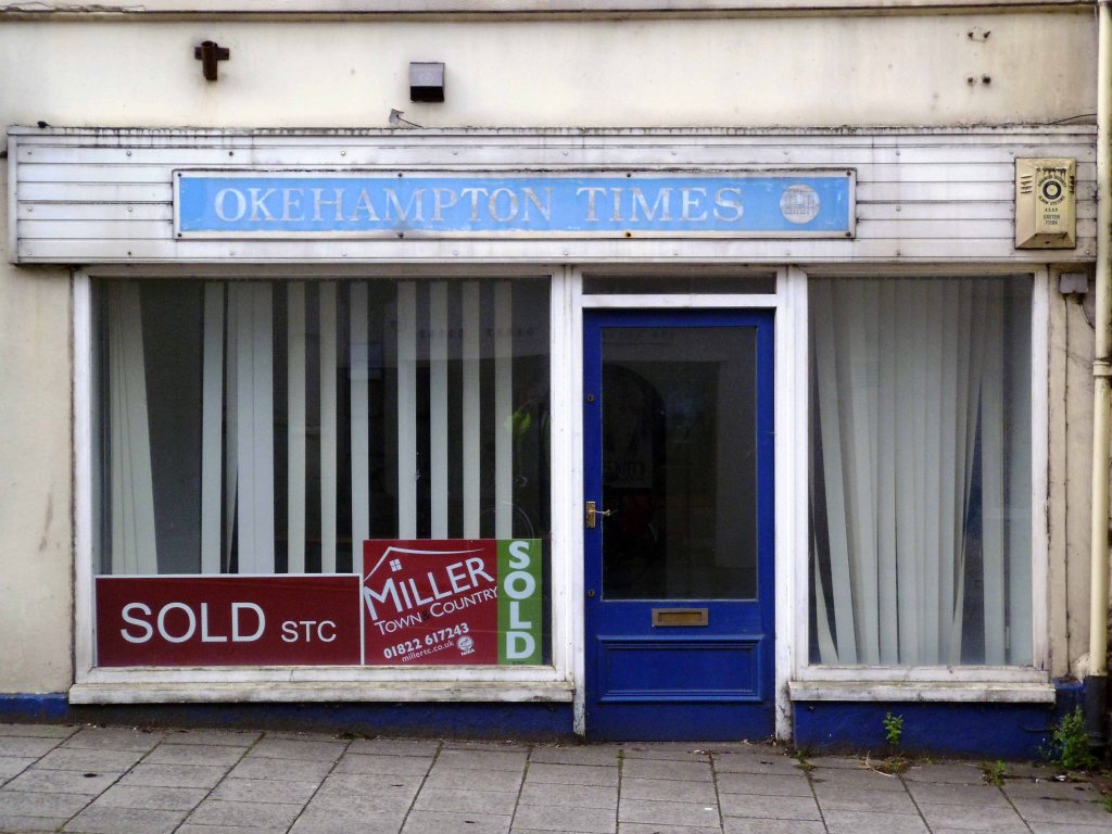
Tuesday 28th July 2015 waking up early on the outskirts of Okehampton – I went next door to explore – the Wash and Go.
I went back to Okehampton.
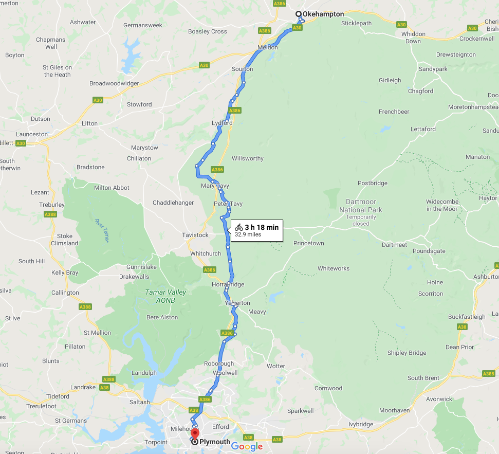
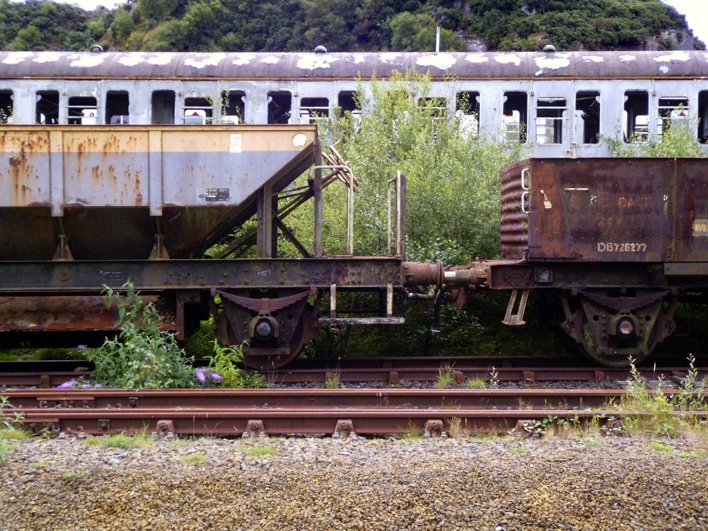
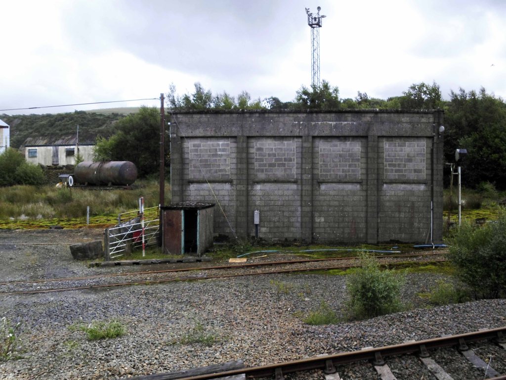
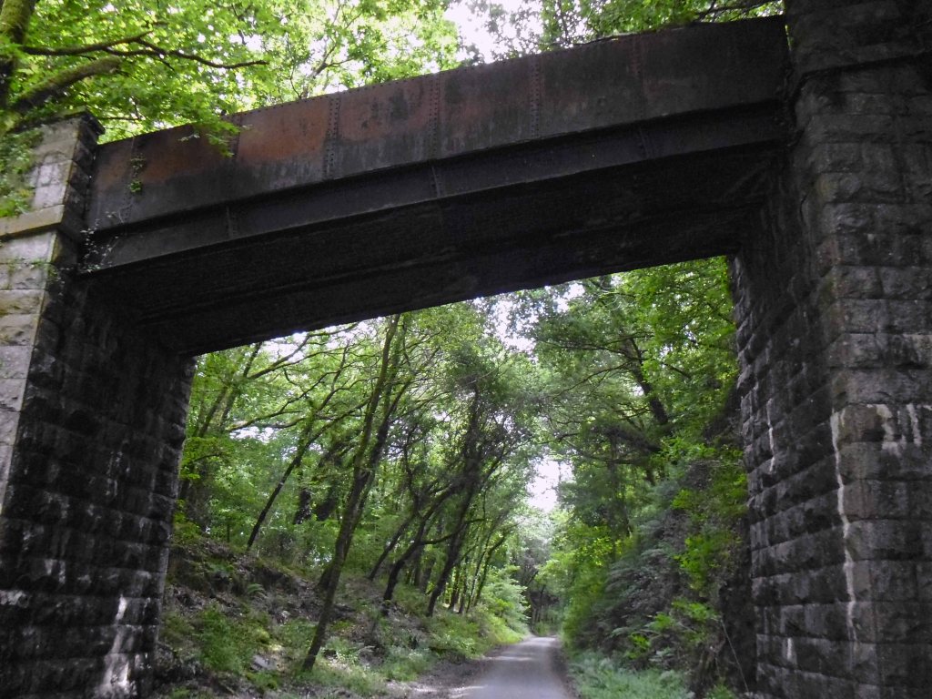
Headed out of town along the old railway line to Plymouth – where rests the solemn remains of previous railway activity and Meldon Quarry.
It’s believed that the first quarrying began around the late 1700s when the local limestone was extracted. Over the years this gradually gave over to aggregate quarrying and apelite quarrying until it final closure. The original owners of the quarry were the London and South Western Railway and then came Britsh Rail and finally EEC Aggregates.
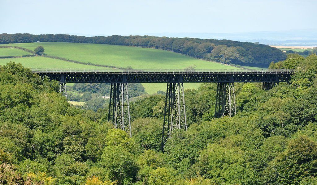
Crossing Meldon Viaduct.
Meldon Viaduct carried the London and South Western Railway across the West Okement River at Meldon on Dartmoor. The truss bridge, which was constructed from wrought iron and cast iron not stone or brick arches, was built under the direction of the LSWR’s chief engineer, WR Galbraith. After taking three years to build, the dual-tracked bridge opened to rail traffic in 1874. Usage was limited to certain classes of locomotive because the viaduct had an axle load limit. Although regular services were withdrawn in 1968, the bridge was used for shunting by a local quarry. In the 1990s the remaining single line was removed after the viaduct was deemed to be too weak to carry rail traffic.
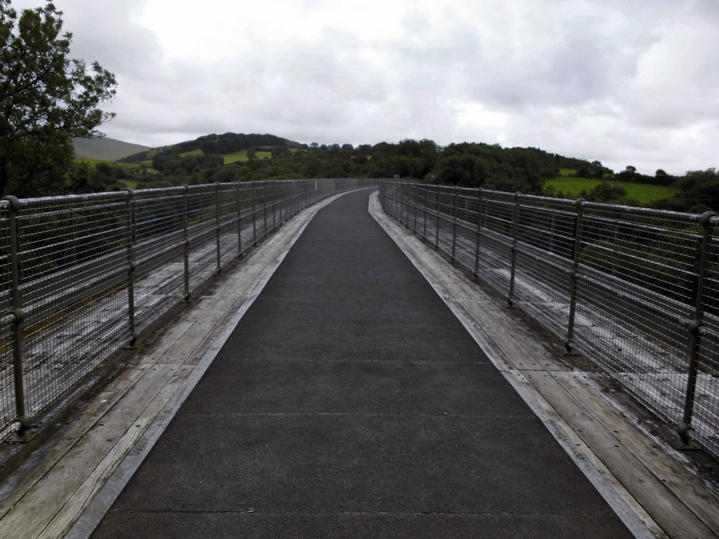
The crossing is now used by The Granite Way, a long-distance cycle track across Dartmoor. The viaduct, which is a Scheduled Monument, is now one of only two such surviving railway bridges in the United Kingdom that uses wrought iron lattice piers to support the cast iron trusses – the other is Bennerley Viaduct between Nottinghamshire and Derbyshire.
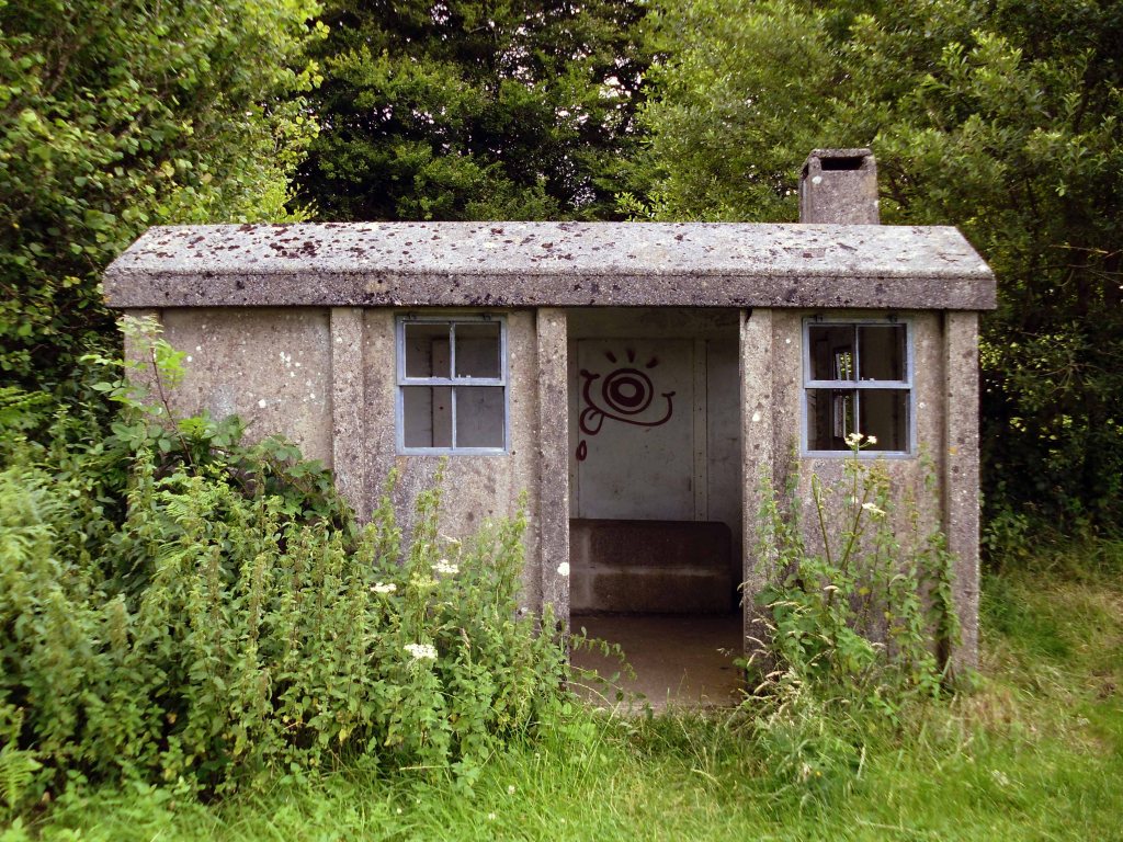
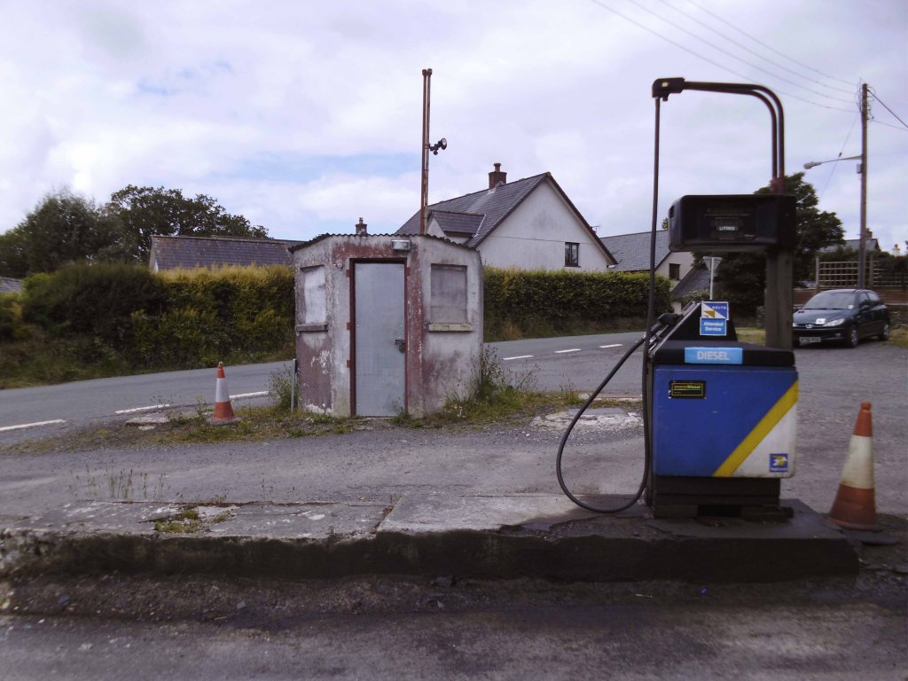
On an old railway line with prefabricated concrete railway huts.
And a bus stop at Mary Tavy a village with a population of around 600, located four miles north of Tavistock.
And a population of one delightful litter bin.
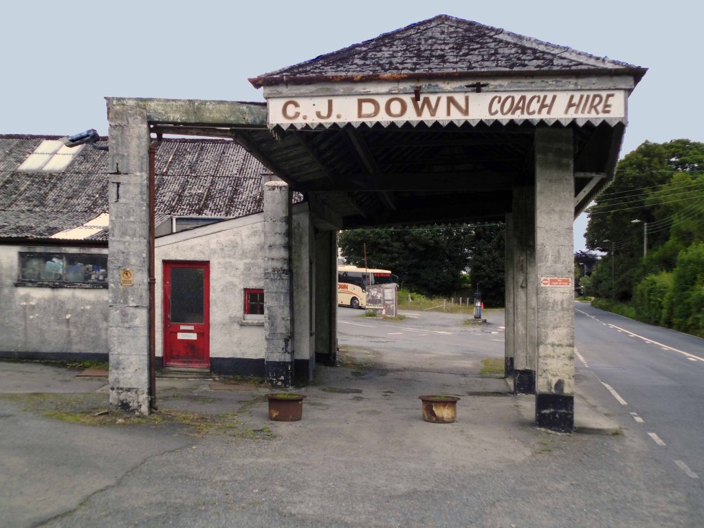
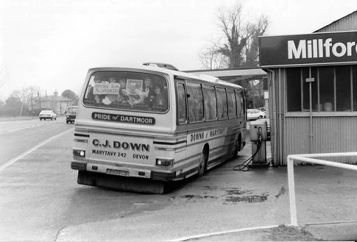
And CJ Down Coach Hire – the pride of Dartmoor.
Don’t the road look rough and rocky, will the sea look wide and deep?
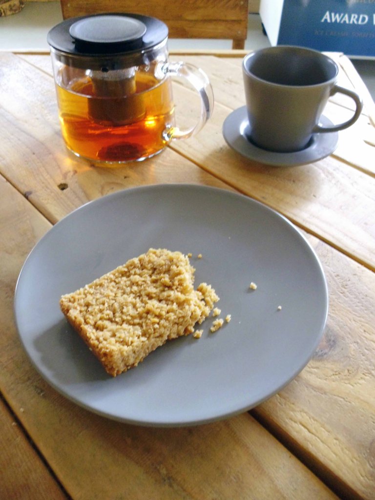
Time for a timely tea and flapjack stop.
So far so good the nicest weather of the tour, shortest yet most amenable distance through moorland, upland and downland – with a final traffic free descent into Plymouth.
Back in the land of the tower block.
Chichester House Citadel Road The Hoe Plymouth PL1 3BA
Architects– Percy Bartlett and William Henry Watkins
Built on the site of the Andrews New Picture Palace, which had opened in 1910, and was demolished in 1930. The Gaumont Palace was opened on 16th November 1931 with Jack Hulbert in “The Ghost Train” and Sydney Howard in “Almost a Divorce”.
The imposing brick building has a white stone tower feature in the central section above the entrance. Seating inside the auditorium was provided for 1,462 in the stalls and 790 in the circle.
It was re-named Gaumont in 1937 currently closed and at risk.
The post war redevelopment of Plymouth produced this sizable Portland Stone Shopping Centre.
‘A Plan for Plymouth’ was a report prepared for the City Council by James Paton Watson, City Engineer and Surveyor, and Patrick Abercrombie, Consultant Architect, published in 1943.
Planning is not merely the plotting of the streets of a town; its fundamental essence is the conscious co-relation of the various uses of the land to the best advantage of all inhabitants. Good planning therefore, presupposes a knowledge and understanding of the people, their relationship to their work, their play, and to each other, so that in the shaping of the urban pattern, the uses to which the land is put are so arranged as to secure an efficient, well- balanced and harmonious whole.
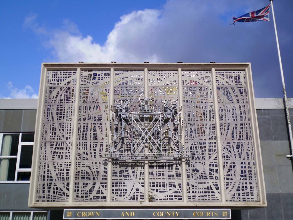
The magnificent dalle de verre fascia of the Crown and County Courts.
having had a good old look around I sought shelter for the night, with some difficulty I found a profoundly plain room. The town seemingly full of itinerant contractors, filling the vast majority of available space.
Not to worry let’s have a look at the seafront.
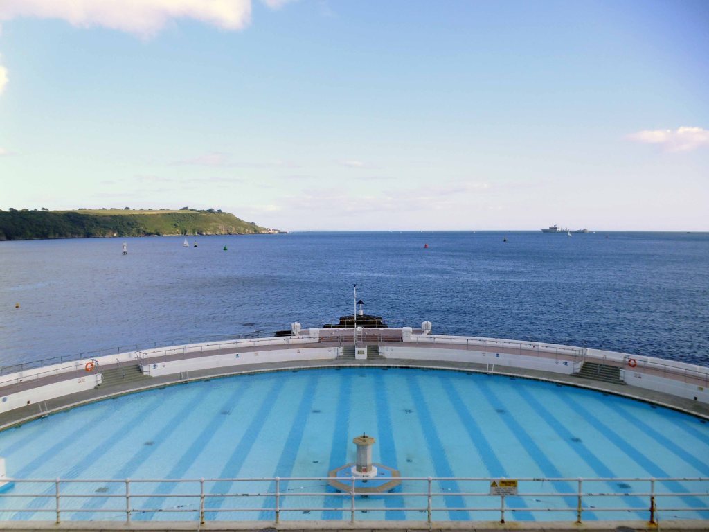
Tinside Lido by J Wibberley Borough Engineer, with Edmund Nuttall and Sons and John Mowlem and Company, builders, with entrance building of 1933 by the same engineer.
Set in a beautiful location overlooking the sea at the tip of Plymouth Hoe and voted one of the top 10 best outdoor pools in Europe, Tinside Lidois an attraction not to be missed.
Built in 1935, Tinside is a slice of the quintessential British seaside from a bygone era. The Lido is a wonderful example of art-deco style and is Grade II listed.
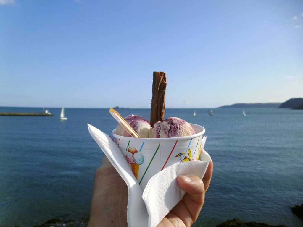
Time for a timely 99 tub – what ho!
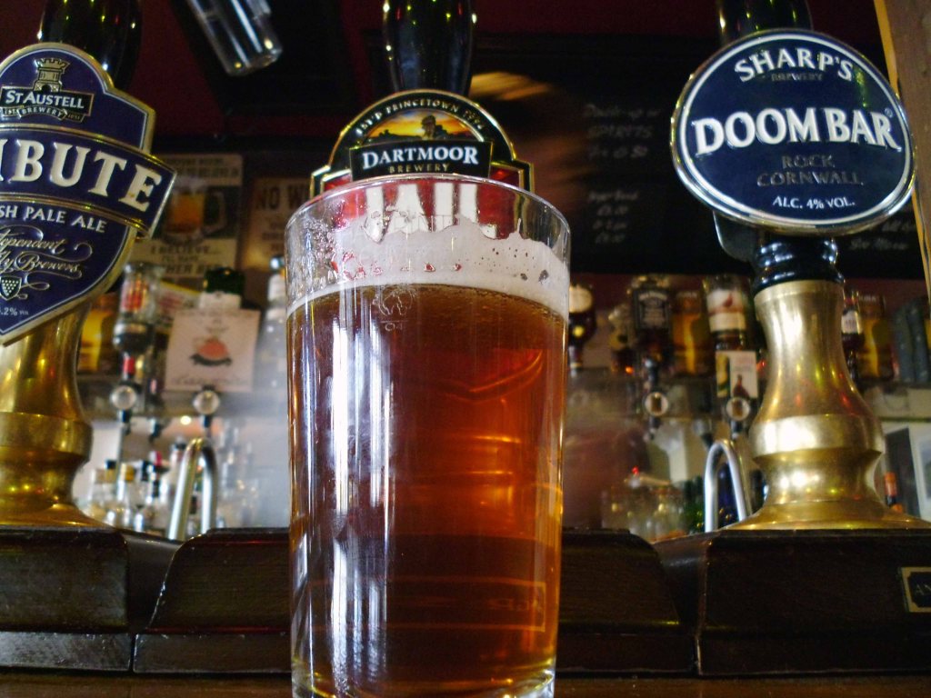
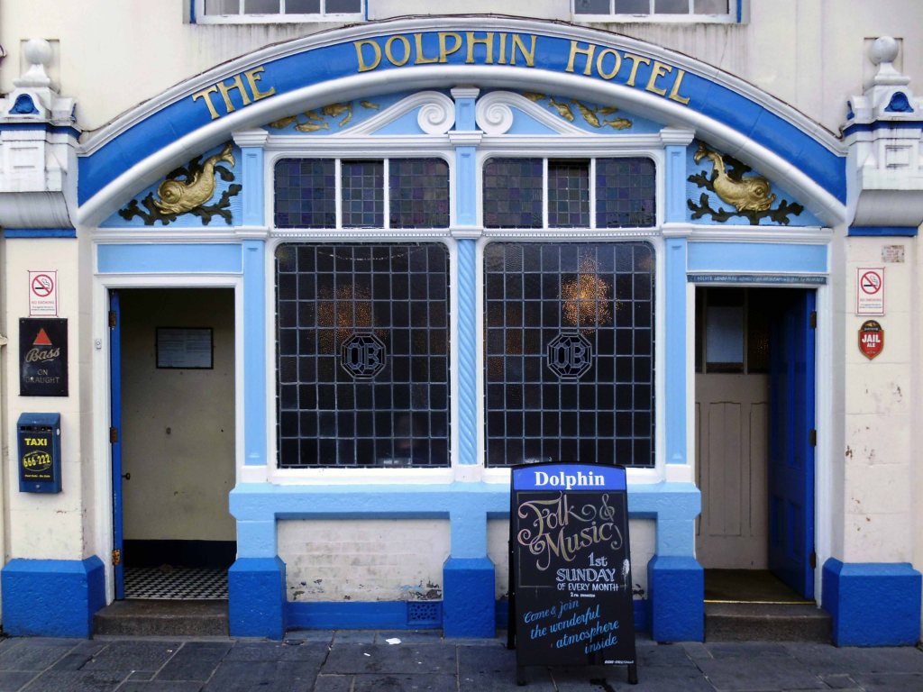
Followed by several pints of Dartmoor Jail in the delightful Dolphin Hotel.
The Dolphin Hotel is a pub on the Barbican , the building, which is known as either the Dolphin Inn or Dolphin Hotel, is a Grade II listed building. It notable as the setting of several of the artist Beryl Cook’s paintings.
The three storey building was constructed in the early 19th century, although it may contain fabric from an earlier structure. It has a slate mansard roof surrounded by a tall parapet with a moulded cornice. The front has white stucco with plaster reliefs of dolphins. The pub is associated with the Tolpuddle Martyrs, some of whom stayed at the hotel on their return from exile in Australia in 1838, when a Mr Morgan was the landlord.
It is a no-frills unmodernised pub famous for its cask ale, draught Bass served straight from the barrel. The sign on the front of the building has always called the pub the ‘Dolphin Hotel’. In 2010 the pub was refurbished, but vandalised in 2014.
Following a sound night’s sleep, courtesy of the Ocean Hotel, I set out on my Ridgeback World Voyage – purchased through the Cycle to Work Scheme, I have essentially used it in order to cycle away from work.
My dream had always been to devise a way of life, where the lines between work, leisure and culture disappear, where such tiresome social constructs have finally become redundant – let’s go!
Having failed to learn from my previous jaunt, that a map is a handy aid to successful travel, I set off merrily without one – on Sunday 25th July 2015.
Following Sustrans’ signs will suffice, says I to myself.
I arrived safely in Brean, as the rain began to fall with a deeply disheartening enthusiasm.
The signage indicated a route across the beach – I quickly learnt that heavy rain and sand do not produce a sufficiently solid surface for cycling, when push comes to shove, there’s only one way forward.
Push.
There was no escape to the left, the extensive run of caravan parks and private leisure facilities having erected attractive razor wire topped barriers and locked gates – I pressed on.
With every arduous tortured sandy step, I developed an even deeper antipathy towards Pontin’s Brean Sands.
Here at Brean Sands we have been busy getting ready to welcome guests to our park. We have painted all our apartments, we have fitted over 10,000 metres skirting board throughout the apartments. All external soffits have been painted along with all the Double Decker apartments and main buildings. The QV Bar, Restaurant and also the Fun Factory have all had new flooring fitted. Our Restaurant bays are now refitted as well as improvements to our till area & reception desk.
Free at last from the sandy hell of the shore, I sought succour in this seaside café – where panoramic views of the sea come free.
Having enjoyed the multiple benefits of a breakfast not included tariff at the Ocean Hotel, I was now very, very hungry indeed – I made very, very short work of egg and beans on toast.
I briefly kept company with a Swiss couple, who were on an extensive motor car tour, I quickly became something of an apologist for the day’s foul weather.
It’s not always like this you know.
Stating the obvious, yet thinking the converse.
The panoramic view through the other window – a delightful row of rain soaked, link low rise maisonettes – nirvana!
I was arrested by this arresting wayside shelter/art gallery facility commemorating the Coronation of 1953, in the village of Chedzoy.
The village is at the western end of King’s Sedgemoor and lies on an ‘island’ of Burtle marine sands, close to King’s Sedgemoor Drain. The area was settled possibly in the Mesolithic period, and timber trackways from the third to first millennium B.C. provided routes to other settlements on the Somerset Levels. Roman artifacts have been found in the parish.
The name of the village is pronounced Chidgey or Chedzey, and derives its name from being Cedd’s Island. The zoy part of the name being derived from eg or ieg meaning island.
The shelter stands at the corner of Front and Higher Streets – it would appear that the Burghers of Chedzoy had exhausted their inexhaustible font of creative naming resources, by the time that streets had been invented – the Mesolithic fools.
The village people seem to be suffering from some collective false memory syndrome recollection of a fabulous Mer-family past.
Improving weather in the Bridgwater area, as we languish in the cool shade of the by-pass, beside the River Parrett.
The River Parrett has its source in the Thorney Mills springs in the hills around Chedington in Dorset in England and flows west through the Somerset Levels. The mouth is a Nature Reserve at Burnham on Sea where it flows into Bridgwater Bay on the Bristol Channel. The river is tidal for 18.6 miles up to Oath; and, because the fall of the river, between Langport and Bridgwater is only 1 foot per mile, it is prone to frequent flooding, in winter and high tides.
The River Parrett is 37 miles long and its main tributaries include the Rivers Tone, Isle and Yeo. The River Cary drains into the Parrett via the King’s Sedgemoor Drain. The River Parrett drains an area of over 652.5 square miles – comprising around fifty percent of the land area of Somerset.
Here we are in Williton – where the modern world is ready to sweep in unannounced as announced in the Somerset County Gazette.
Plans to build a new supermarket, retail units and health centre in Williton have been resubmitted this week. J. Gliddon and Sons Ltd. has put forward new plans for the redevelopment of land off the A39 Bank Street in Williton, behind its existing store.
The shop will be demolished to create the access road, with the company expected to occupy a new unit fronting onto Bank Street once the mini-roundabout has been built.
Well so far so good – I arrived in Minehead in one piece – bike intact.
Having only the vaguest notion of where my onward route lay – I hastened to the Tourist Information Office. Having carefully explained my malaise the helpful staff gazed at me with mild amazement, liberally mixed with slightly perplexed eye-rolling and the odd tut.
Having received quite detailed instructions, I was almost immediately lost, following a road that abruptly ceased to be a road. Reluctantly I picked up a woodland path, rutted with tree roots and certainly not a suitable cycling route.
It fell away sharply, as I careered out of control down the precipitous slope.
On reaching the end I discovered that my new rain jacket had also fallen away, along with my treasured Casio watch, which was tucked safely in the pocket.
I lightly bit my lip and reflected that climbing back up the precipitous slope, which I had only too recently incautiously careered down, was not an option – onward ever onward.
In my mind the younger me looks at the older me – having lost all faith in my ability to manage my life with even a modicum of honesty and integrity, or at best a basic grasp of reality.
A whitewashed Grade I Listed 15th-century Church, with a 14th-century tower.
Welcome to this outstanding Parish Church, which, thanks to it’s distinctive white appearance stands as a beacon on the hills of Exmoor. For centuries Selworthy Church has been a focus for residents and visitors as a place to experience the power and presence of God. We hope you find peace of God here and leave uplifted, refreshed and inspired.
Further on down the road somewhere or other I had a cup of tea and piece of cake.
Had I carried out even the most basic research, I would have known that the ups and downs of Exmoor are no easy ride, particularly in heavy rain without a rain jacket.
As the sky darkened I was heartened by the sight of the light’s of Ilfracombe, twinkling star like in the distance – following eighty six miles of toil and a measure of trouble, I finally arrived at the pre-booked digs. They had been concerned by my no-show, relieved when I finally arrived, incredulous when I told the tale of the day’s travails. The lady of the house ever so kindly washed and dried my sodden clothing.
I showered and hit the town – eschewing food in favour of a pint, chatting to a garrulous gang of solar panel cleaners from Cornwall.
Returning merrily to the B&B and the prospect of slumber.