Starting at traffic lights on the A665 the road heads northeastwards, initially with the Metrolink on the left and a factory building on the right. The road then bears right at traffic lights marking the first section of on-street running for the trams, which lasts until just before a bridge over the River Medlock, after which the road passes to the south of the Sportcity complex whilst the tram line runs through the middle.
The A6010 is crossed at traffic lights, after which we see the tram lines on the left once more. We go over the Ashton Canal, then the tram lines at grade before bearing to the right to pass Clayton Park before another section of on-street running for the Metrolink begins, which continues for some distance. Just after crossing the Manchester city limit there is a set of traffic lights, after which the road becomes D2 for a short distance to allow a tram stop – Edge Lane, to be located in the central reservation. The tram leaves the road to the right for the next stop – Cemetery Road, and the stop in Droylsden town centre is once again in the central reservation. In all three cases the street running recommences after the stop.
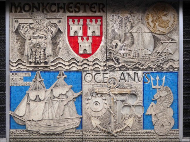
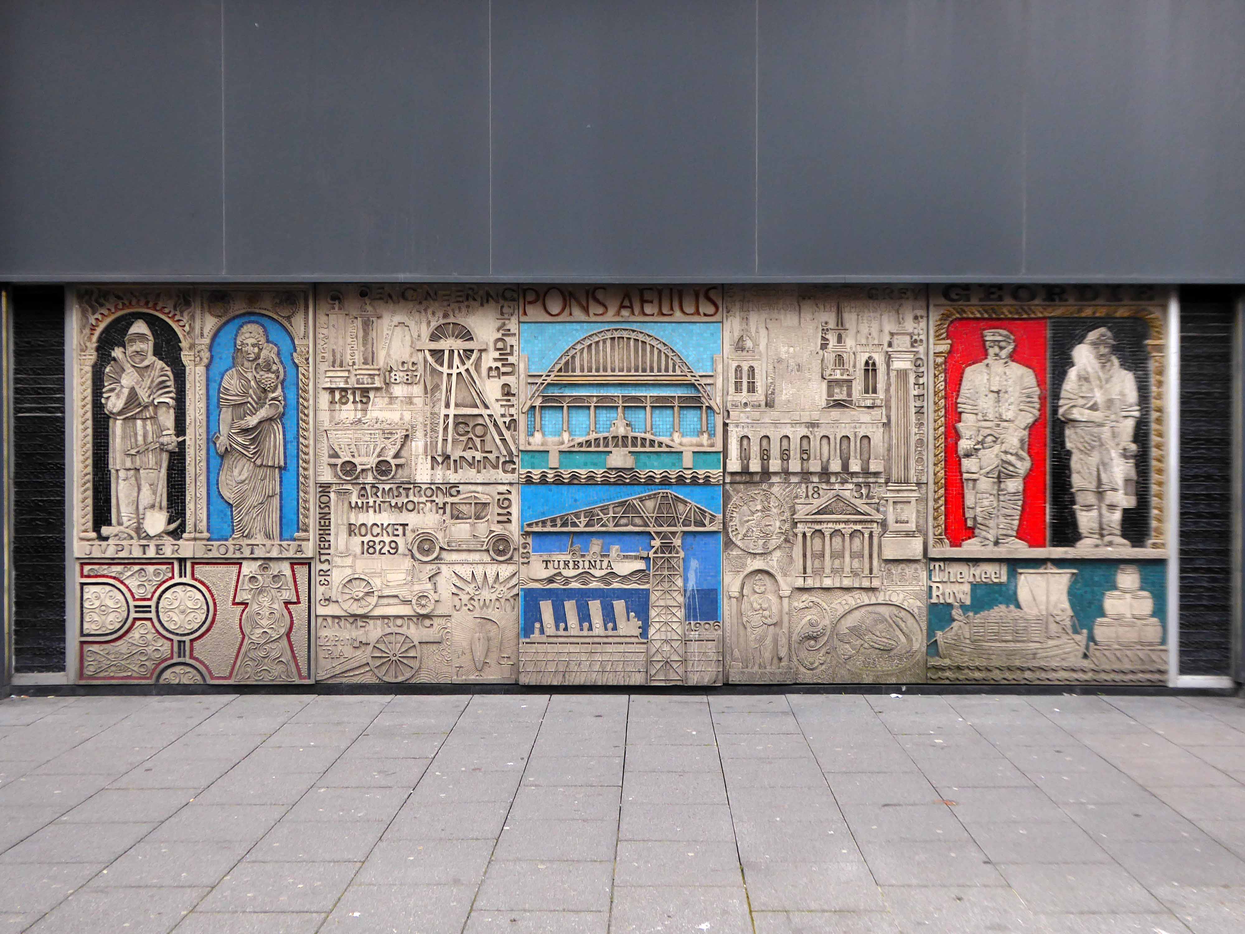
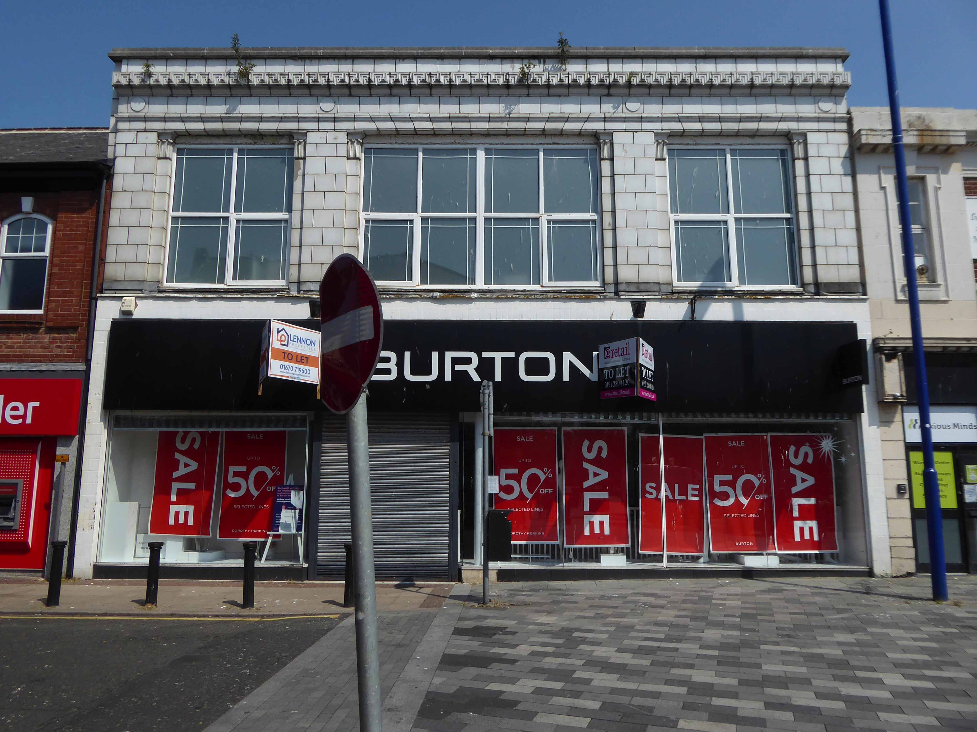
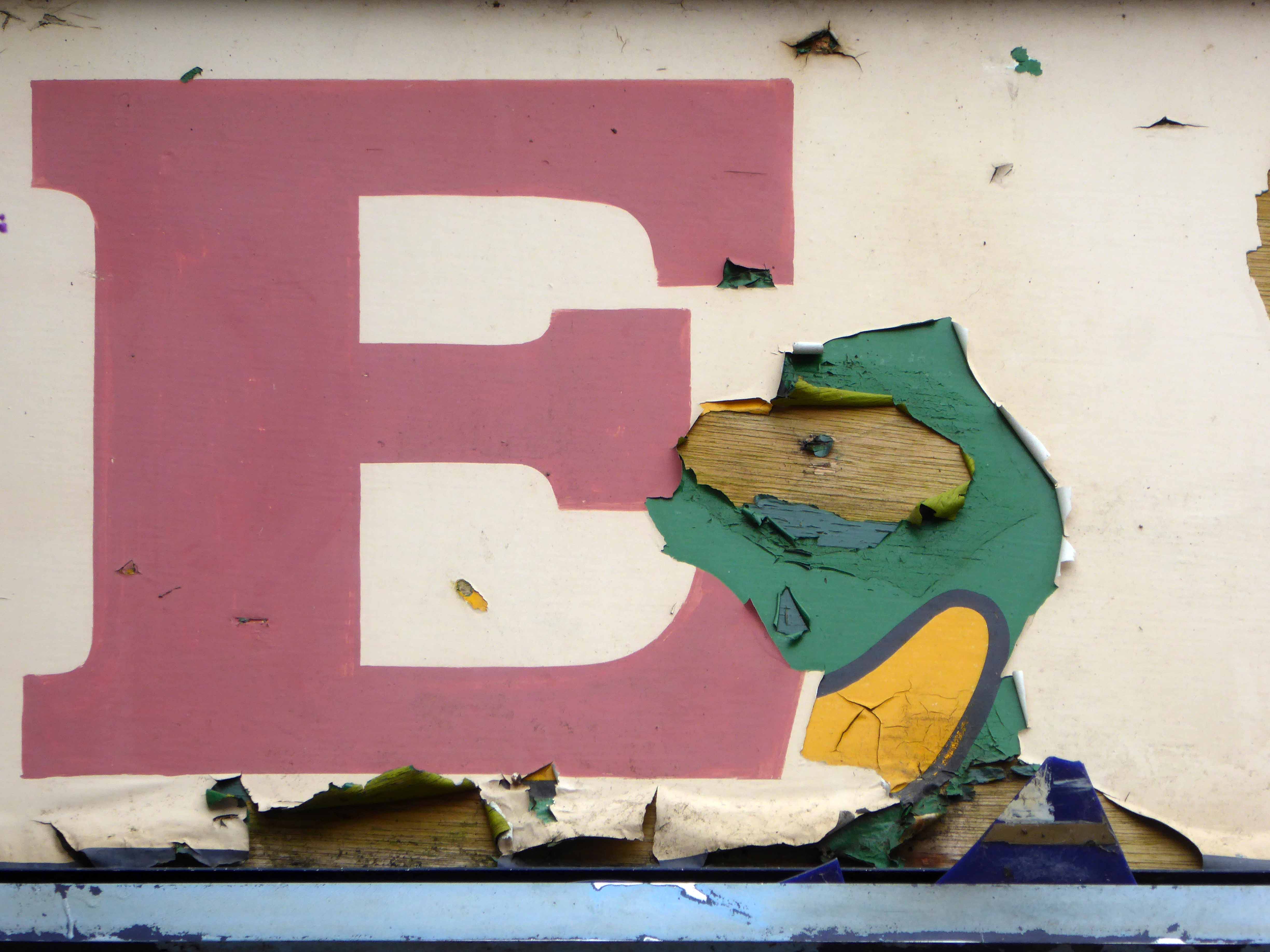
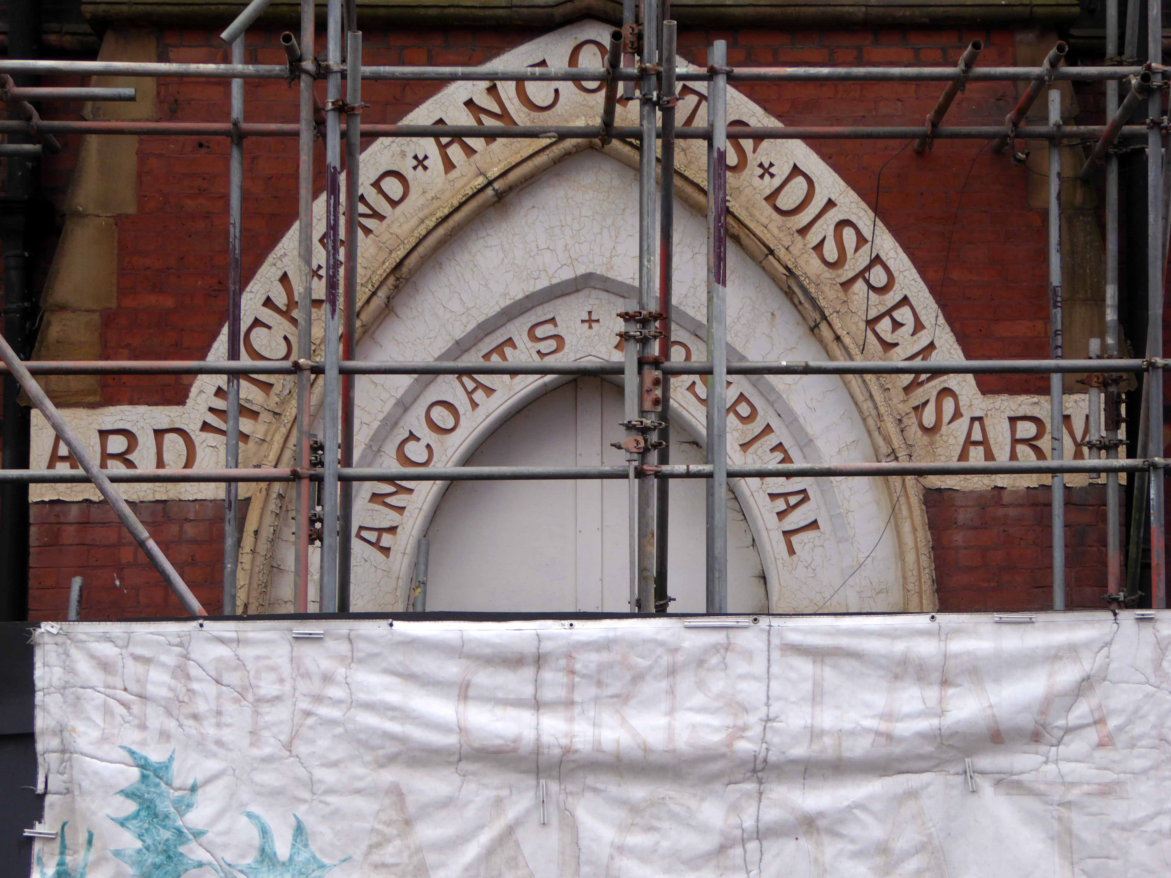
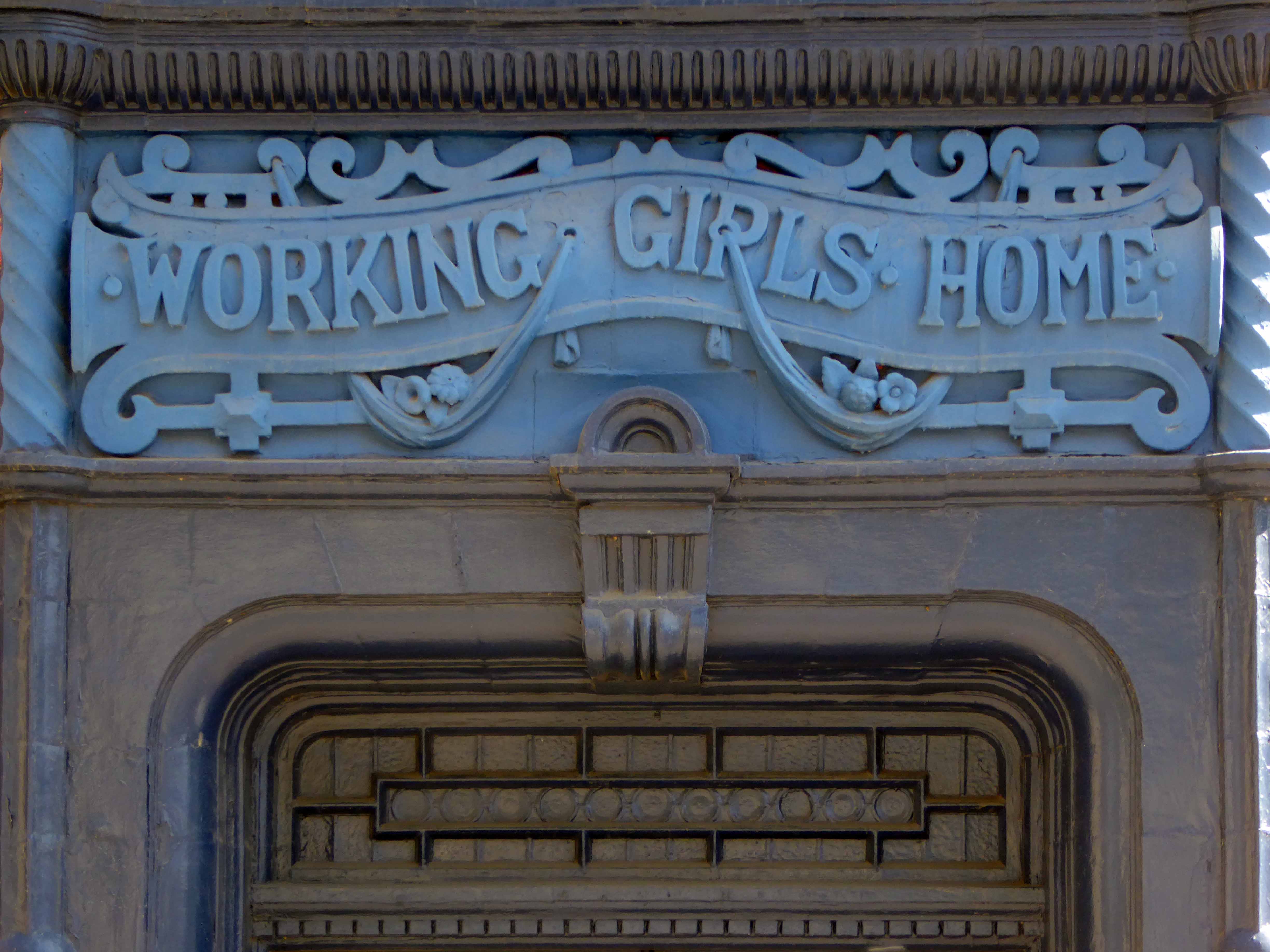
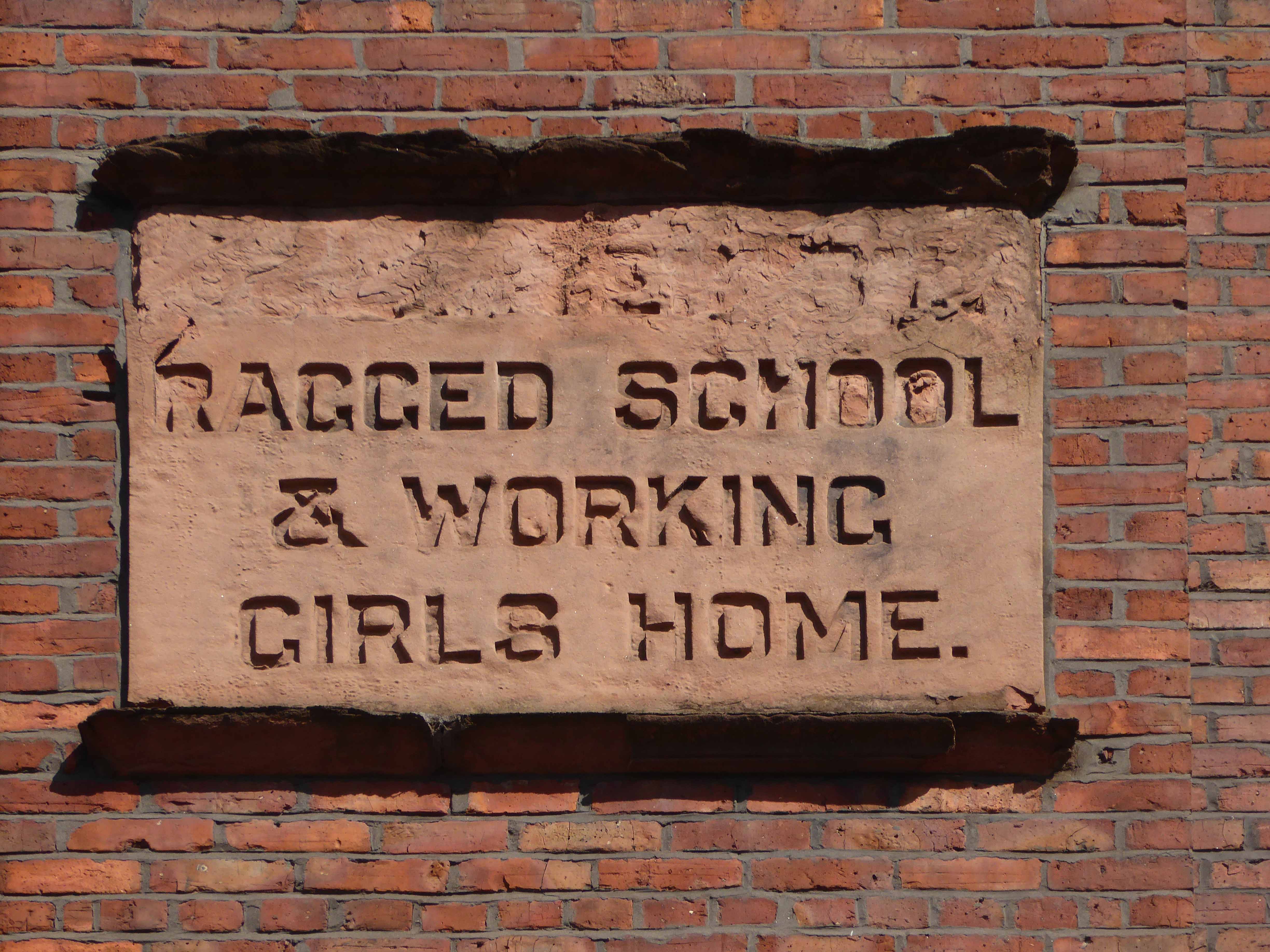
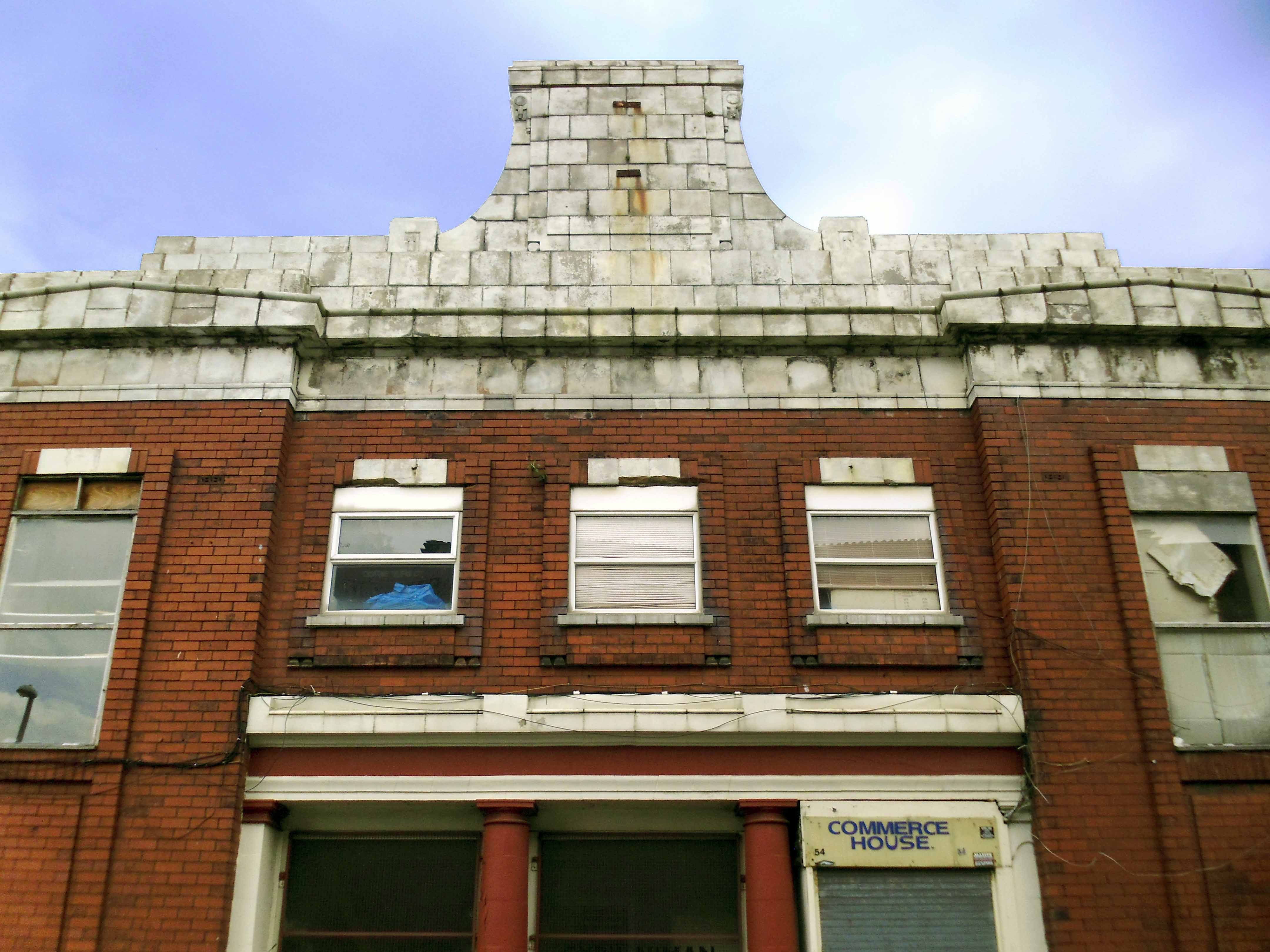
The building was originally developed by C&A and it is thought that funding for the reliefs might have been provided by the store and/or Northern Arts. It became BHS which subsequently closed, the building is now occupied by Primark, C&A estates still own the site.
Taking a bold leap into the unknown I left the city centre, unwisely following unfamiliar roads, predictably becoming very lost.
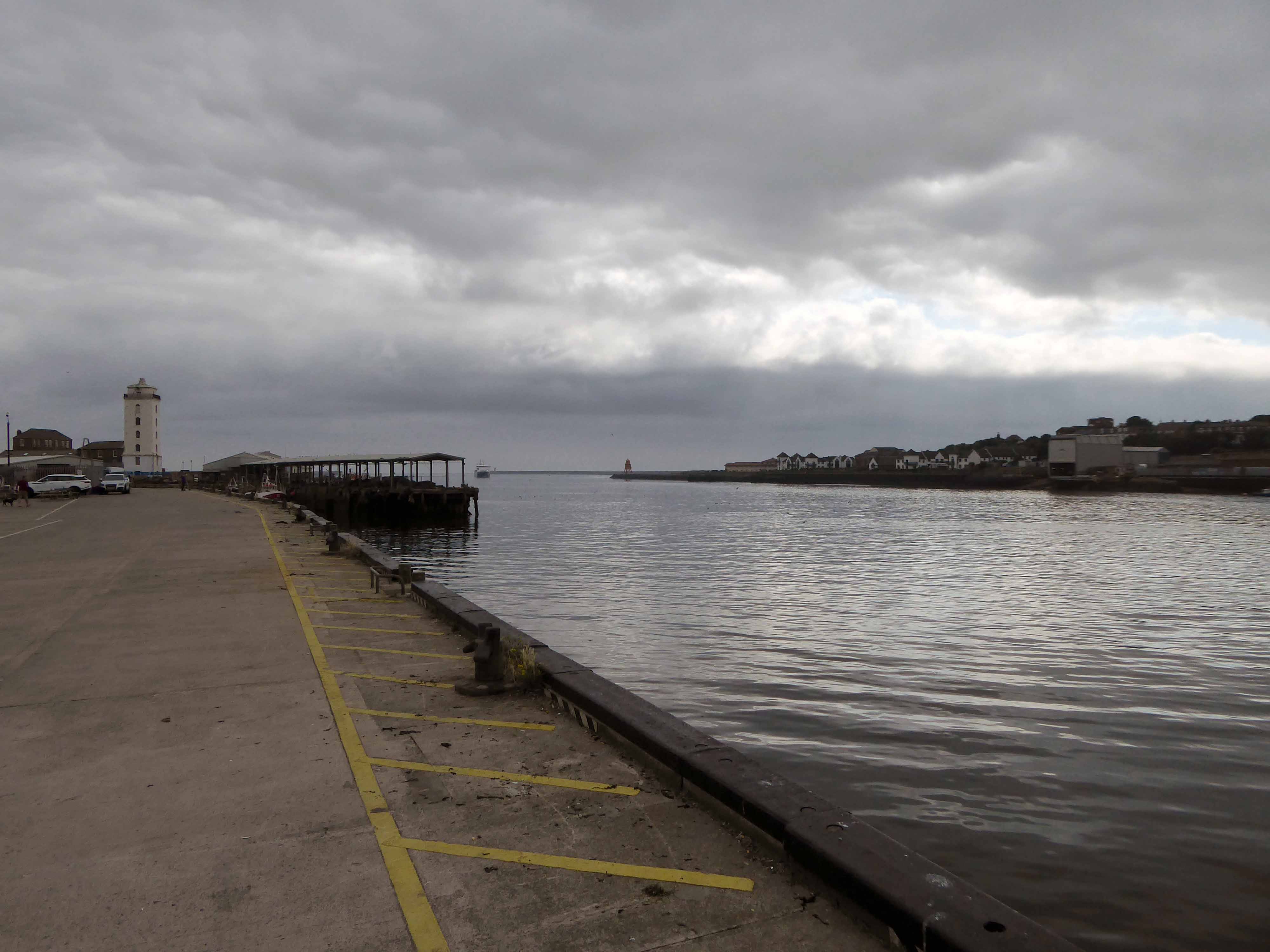
I sought assistance from a passing fellow cyclist, very kindly he guided me to Tynemouth, following a mysterious and circuitous course across the undulating terrain – thanks.
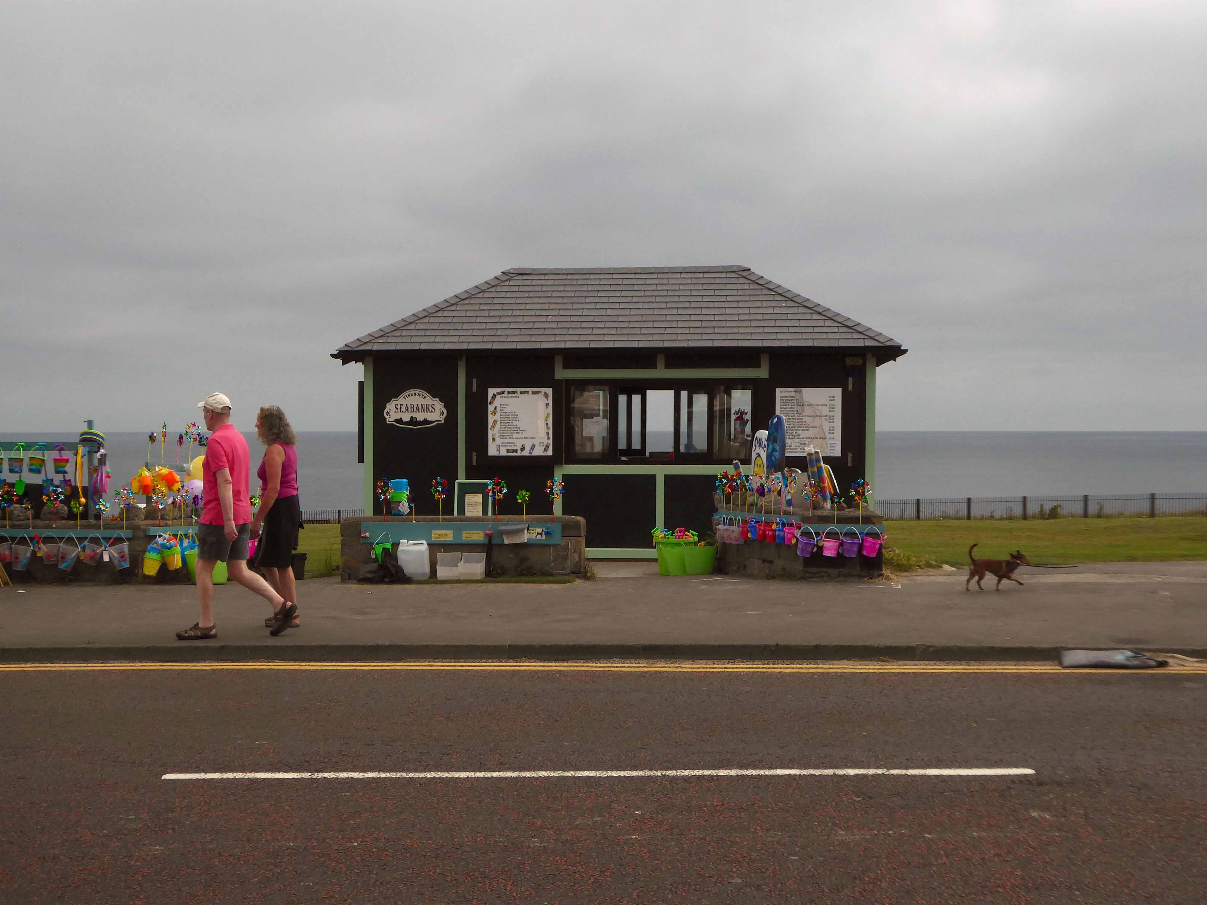
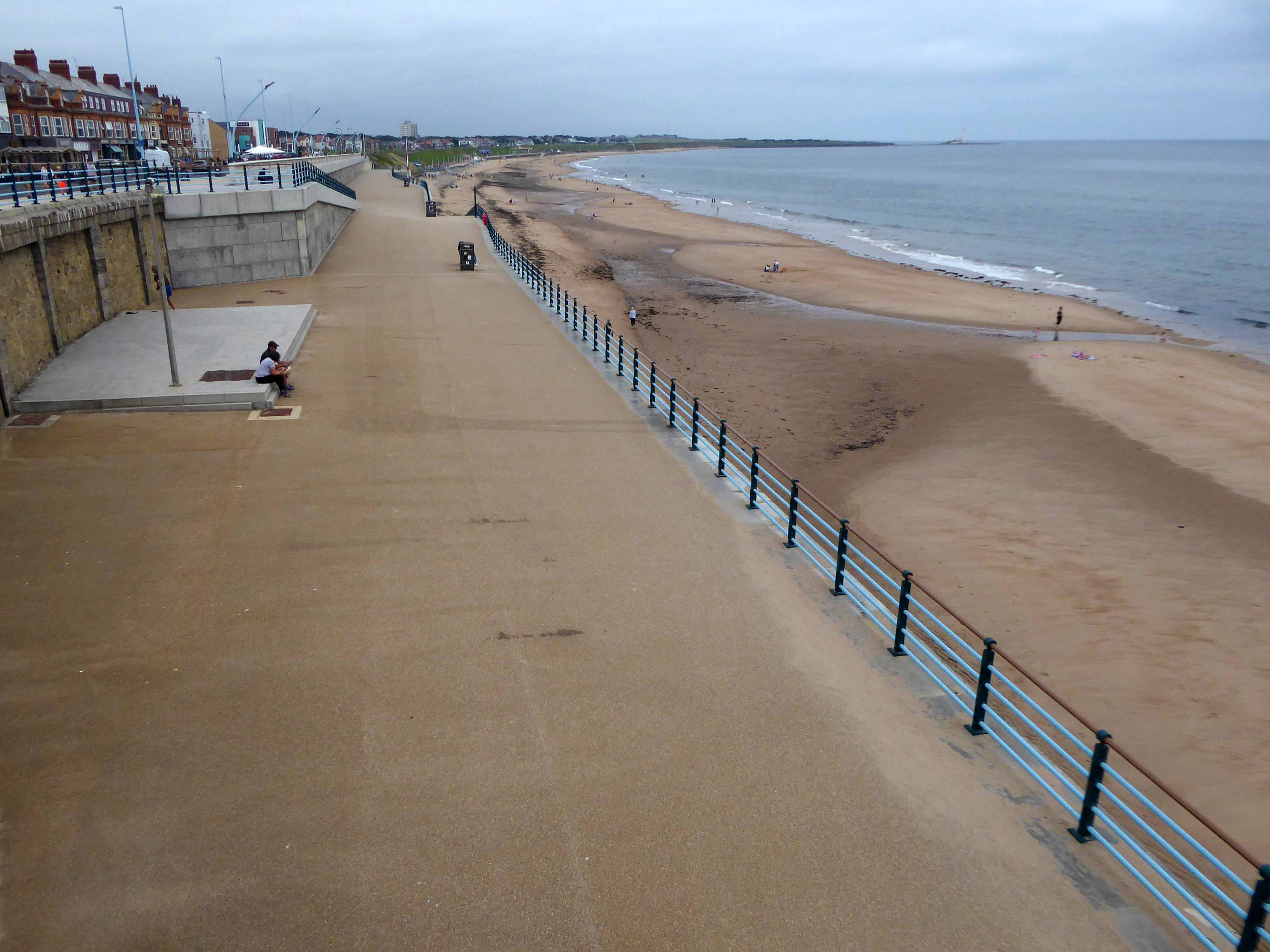
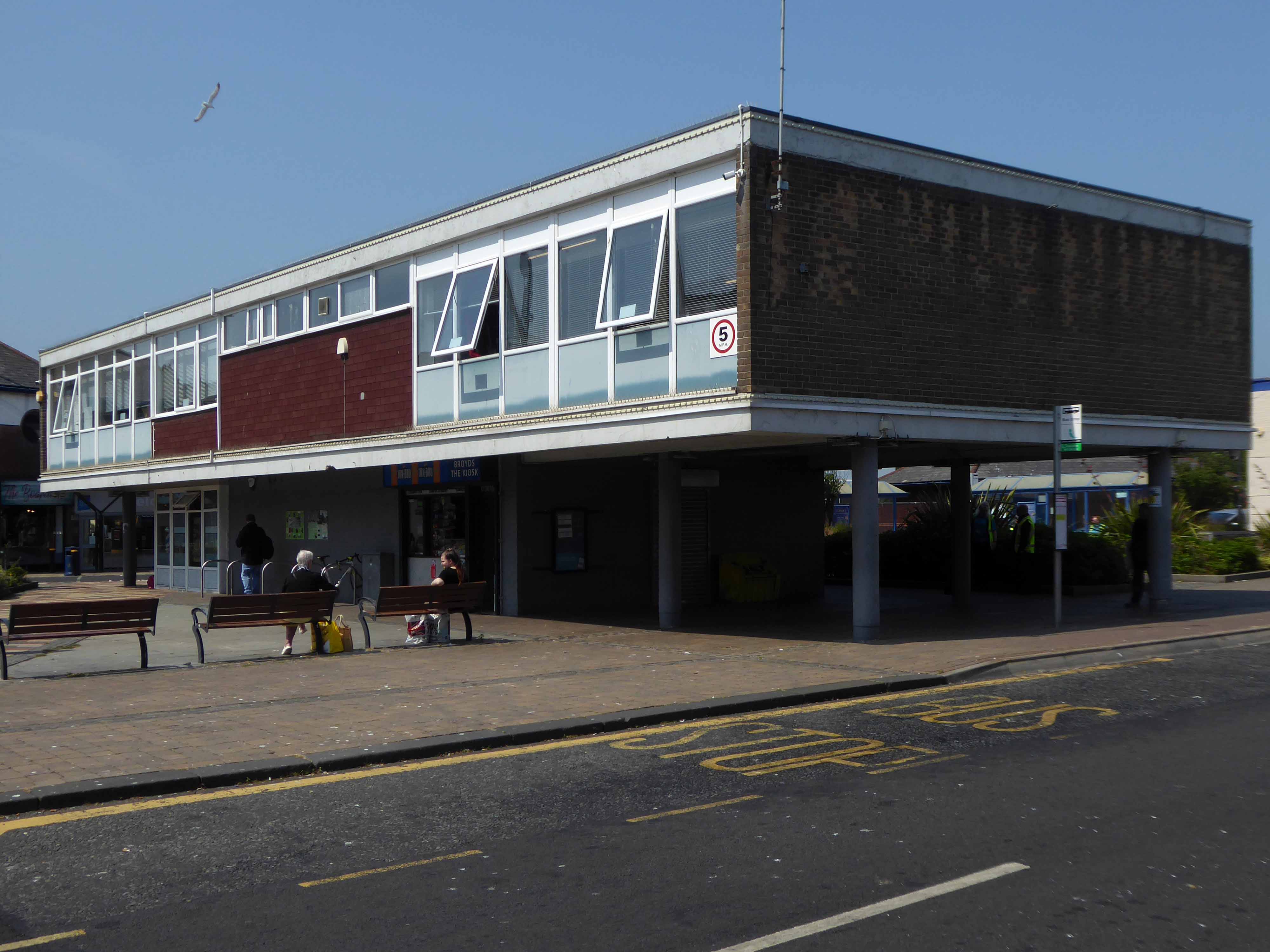
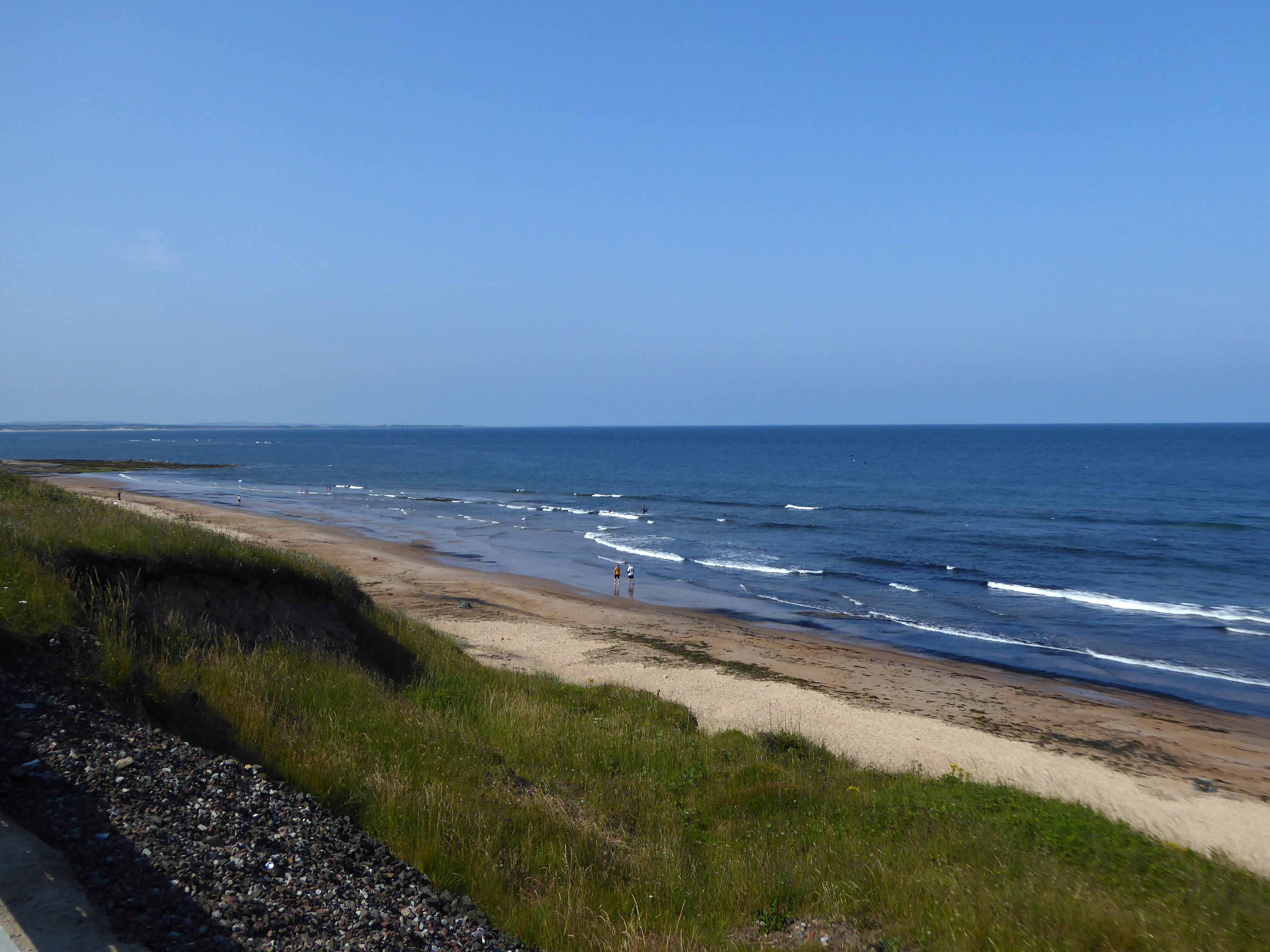
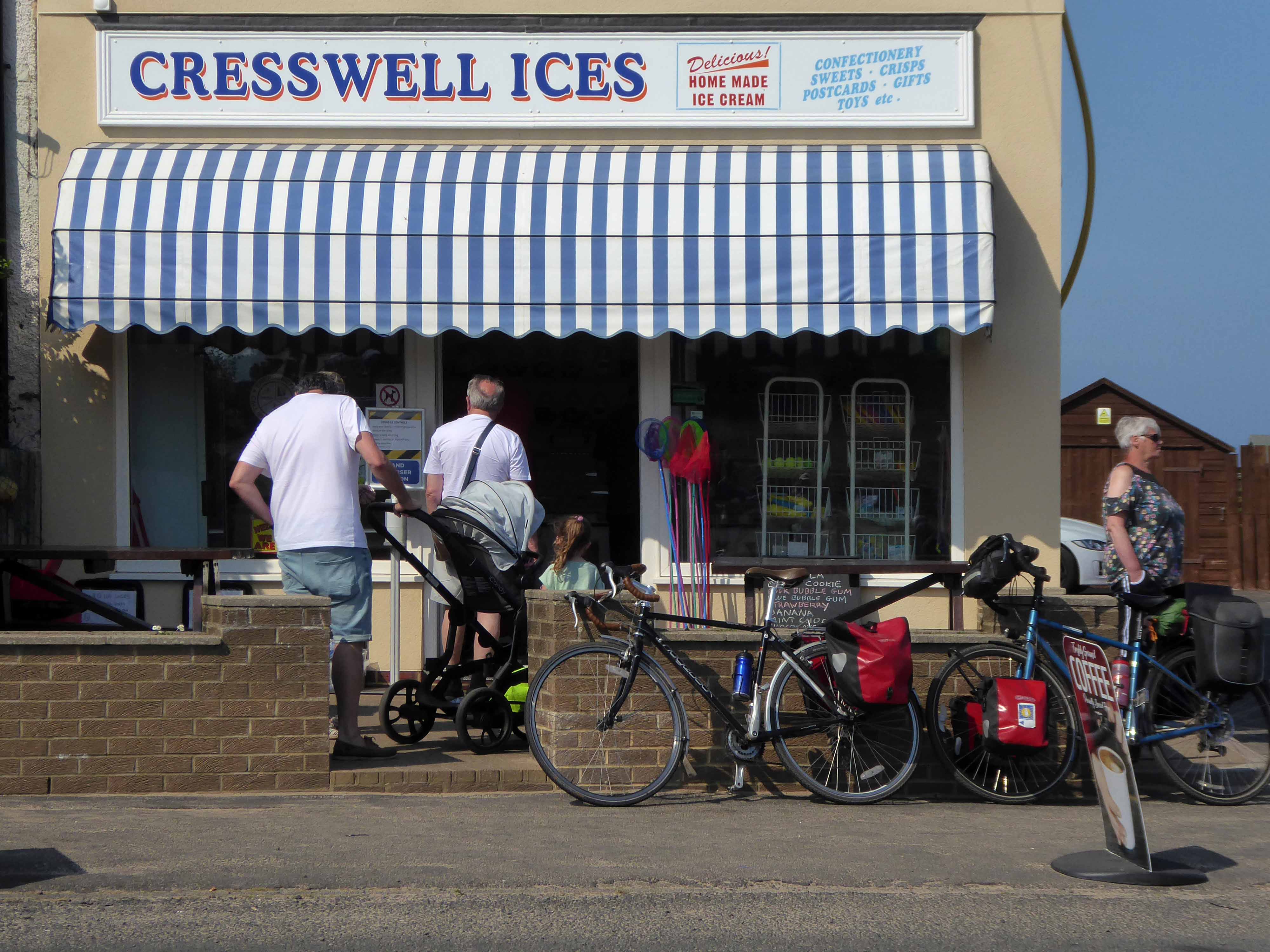
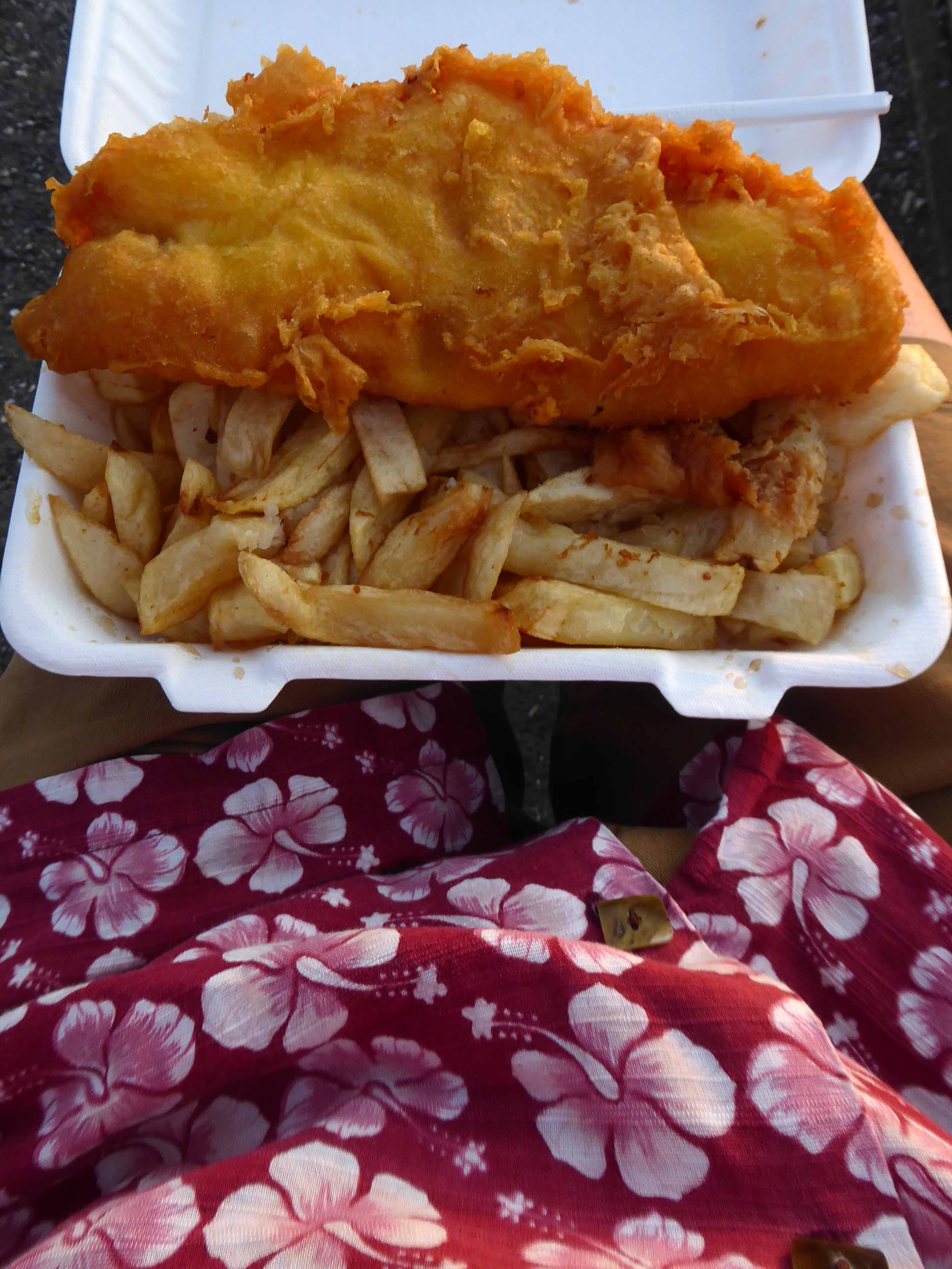
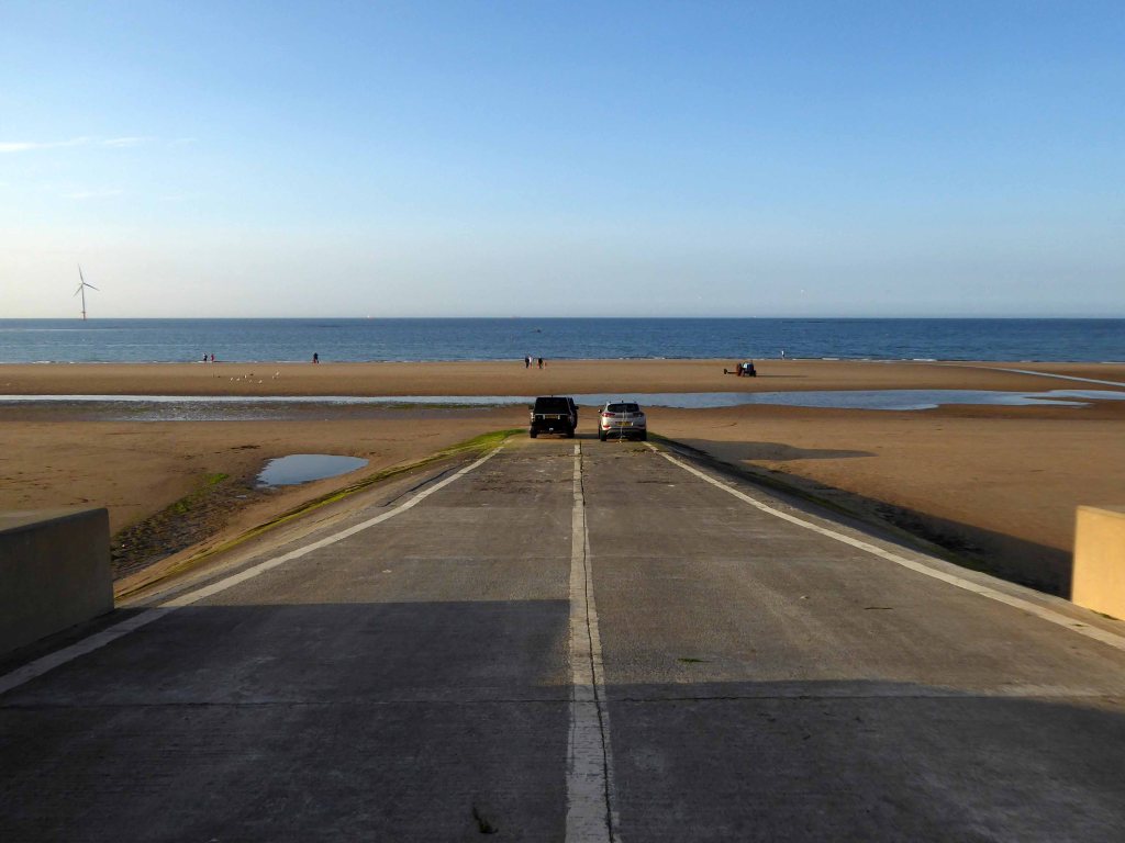
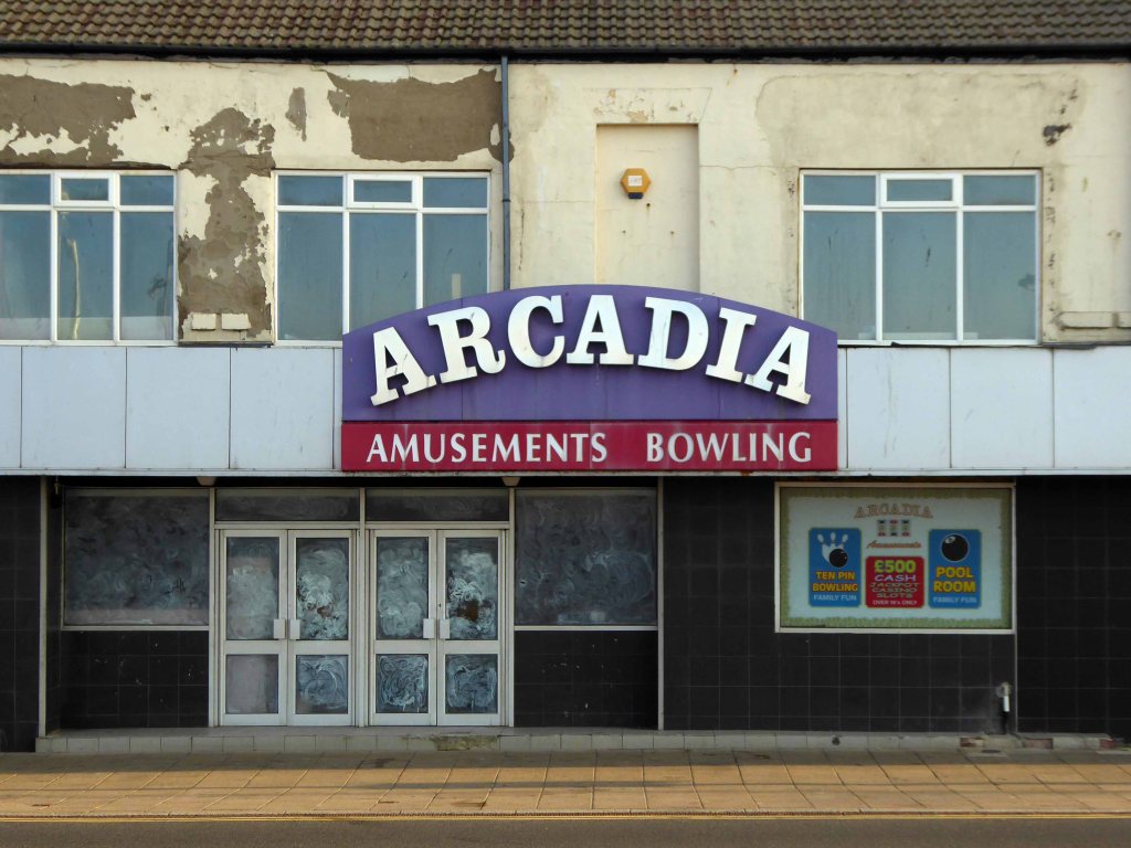
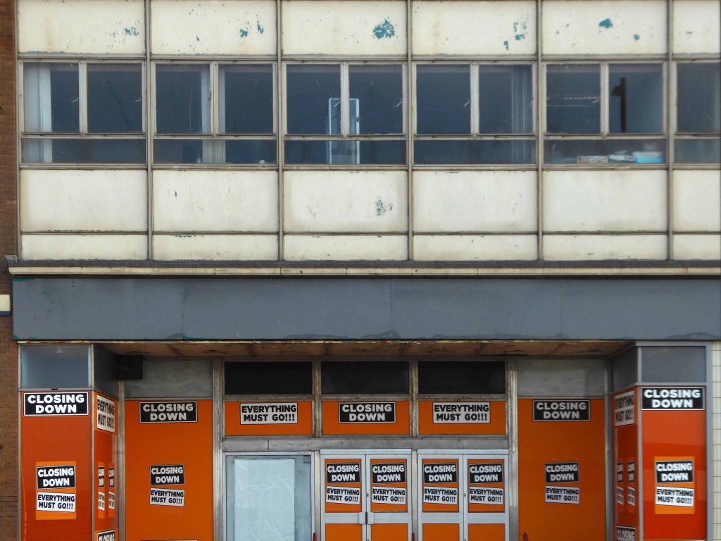
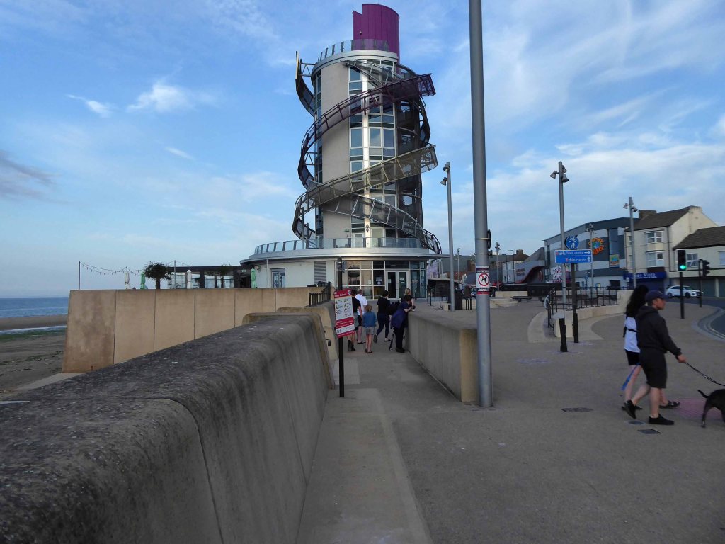
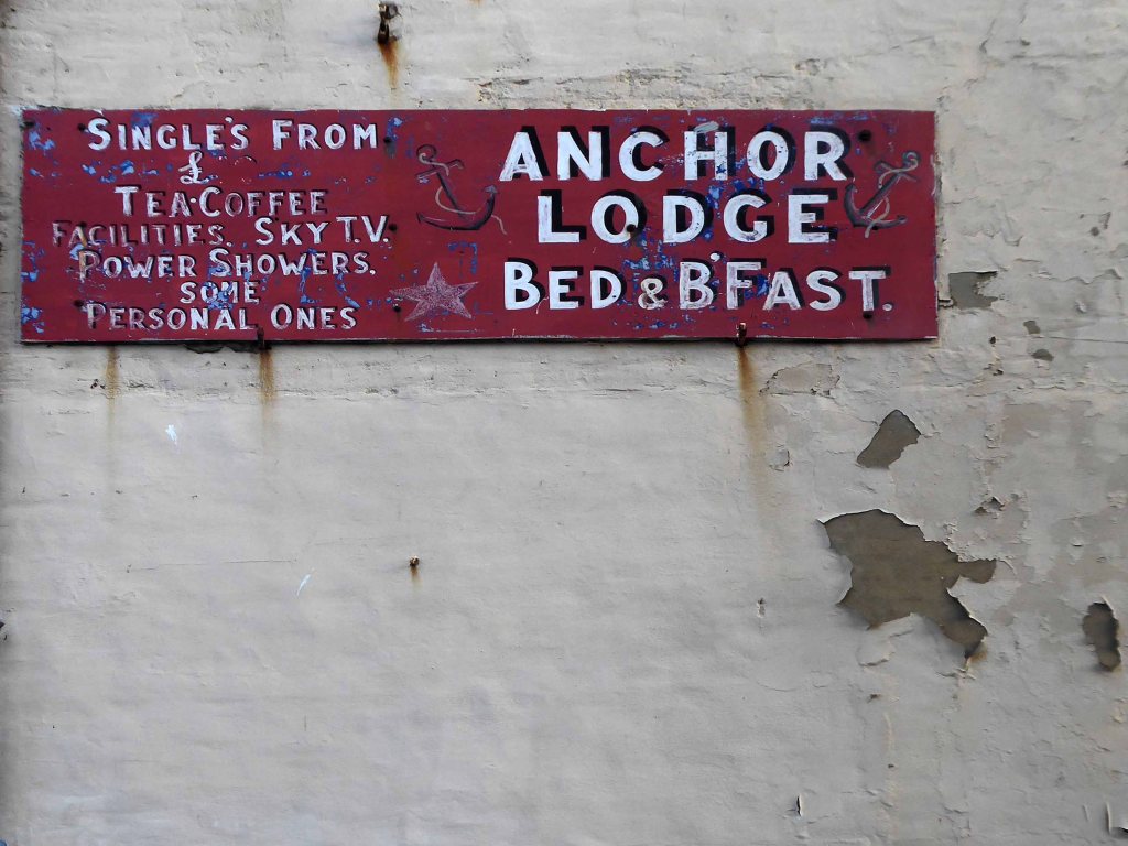
The city quickly becomes the seaside with its attendant retail bricolage.
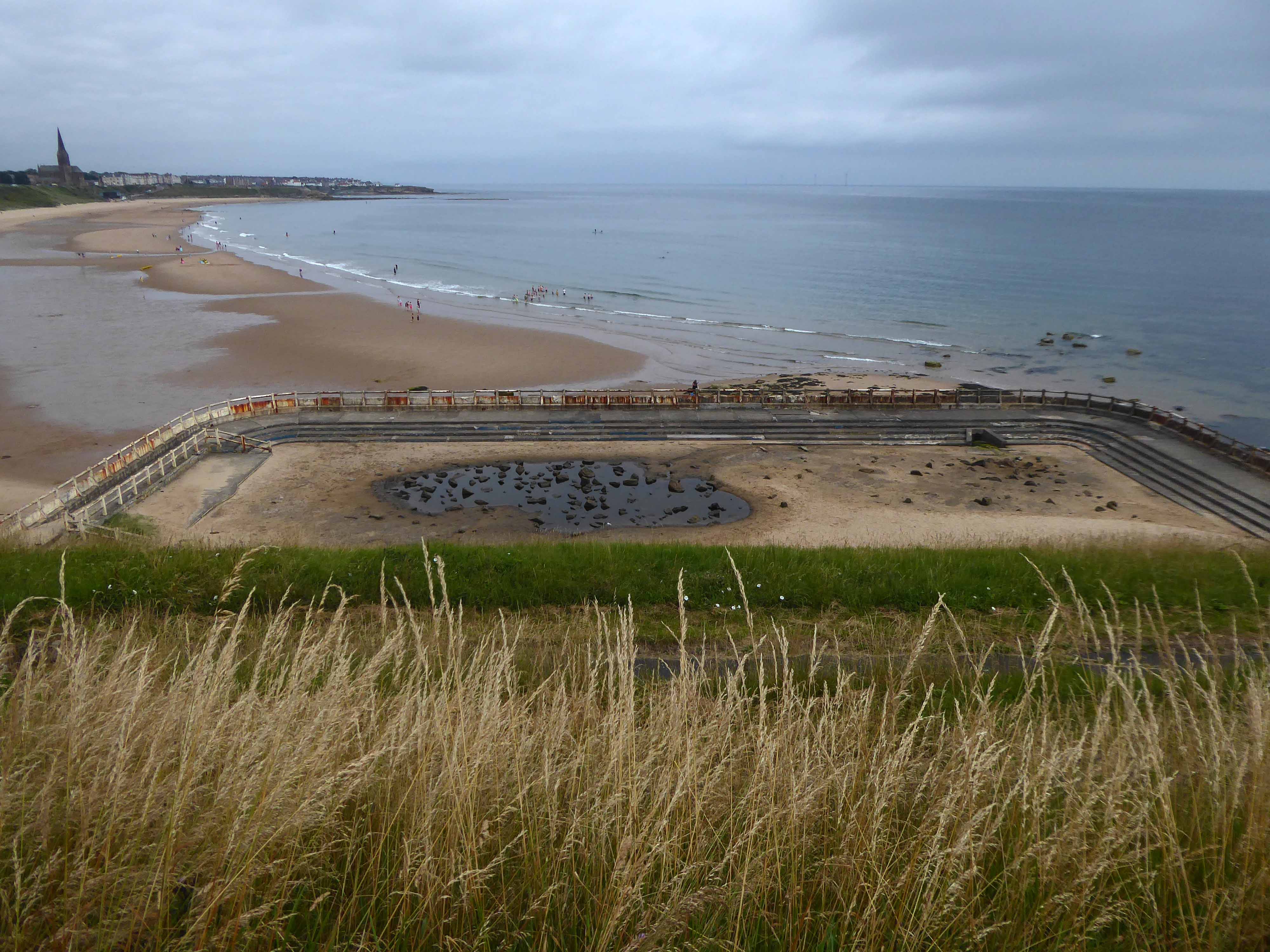
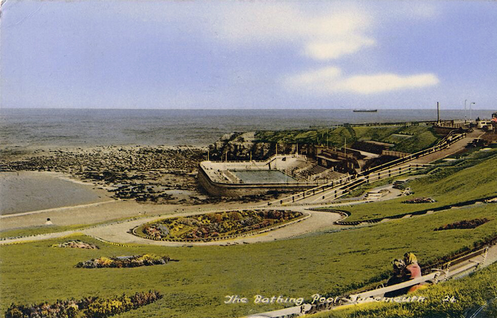
An all too familiar redundant Lido – opened in 1925 and closed in the mid 90’s – but a Friends Group aims to breathe new life into the site.
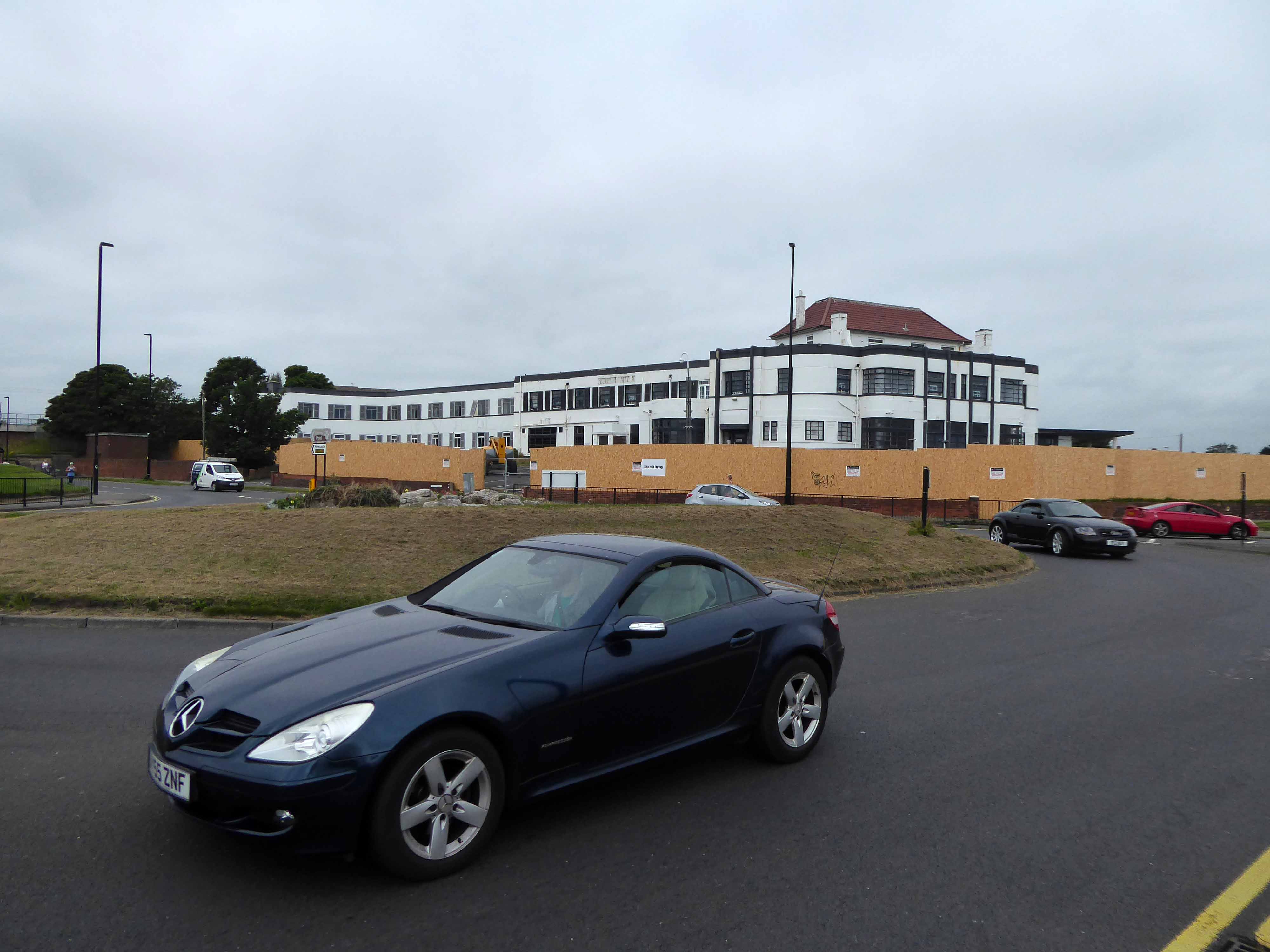
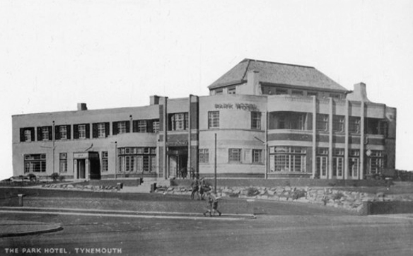
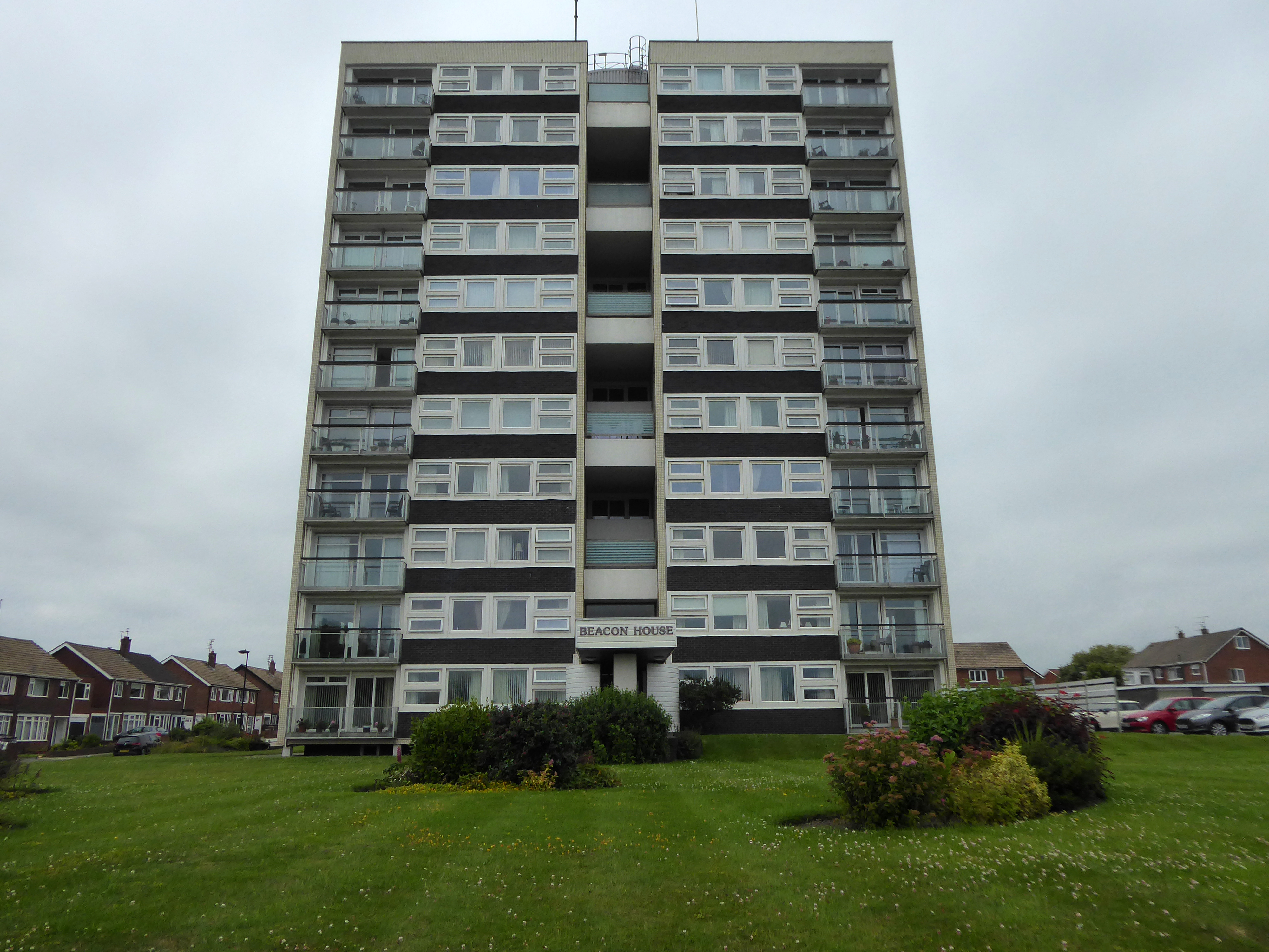
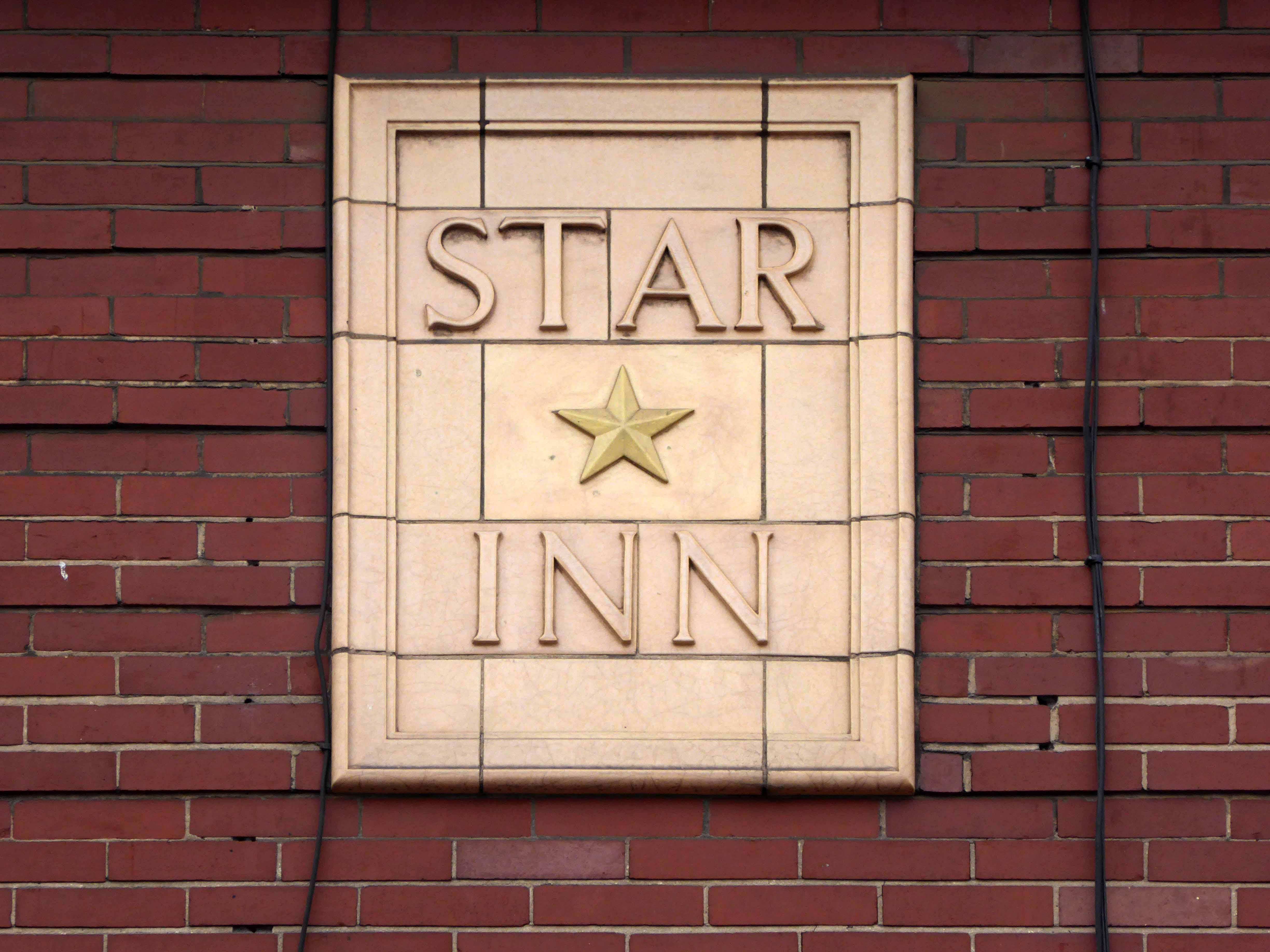
The Park Hotel built in the 1930’s and recently refurbished has been bought by The Inn Collection Group.
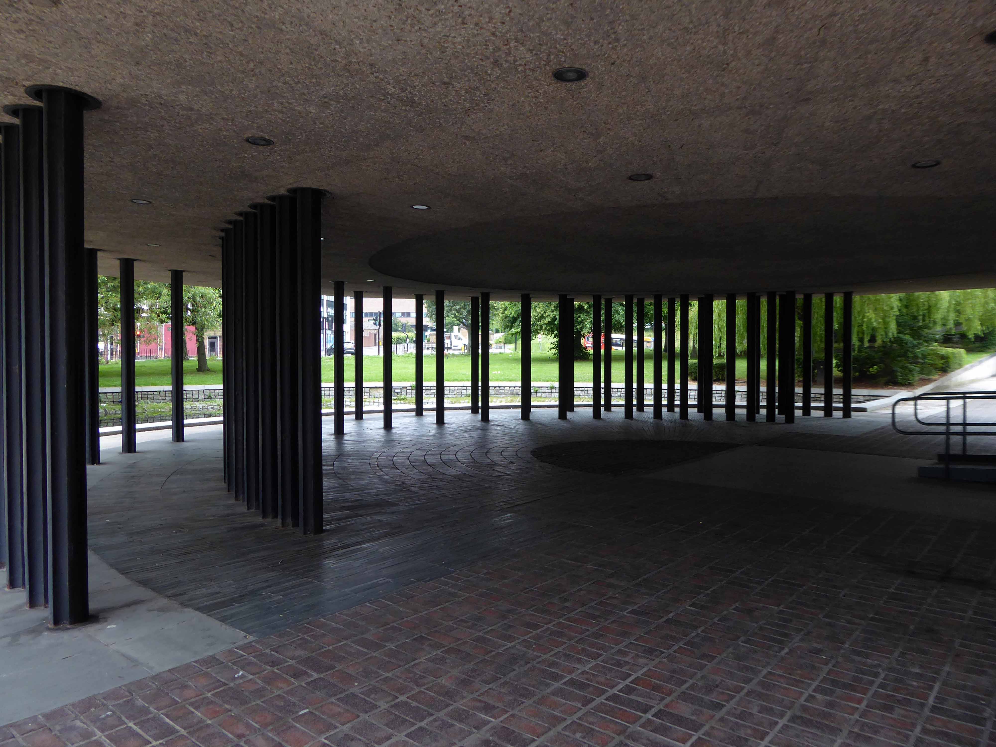
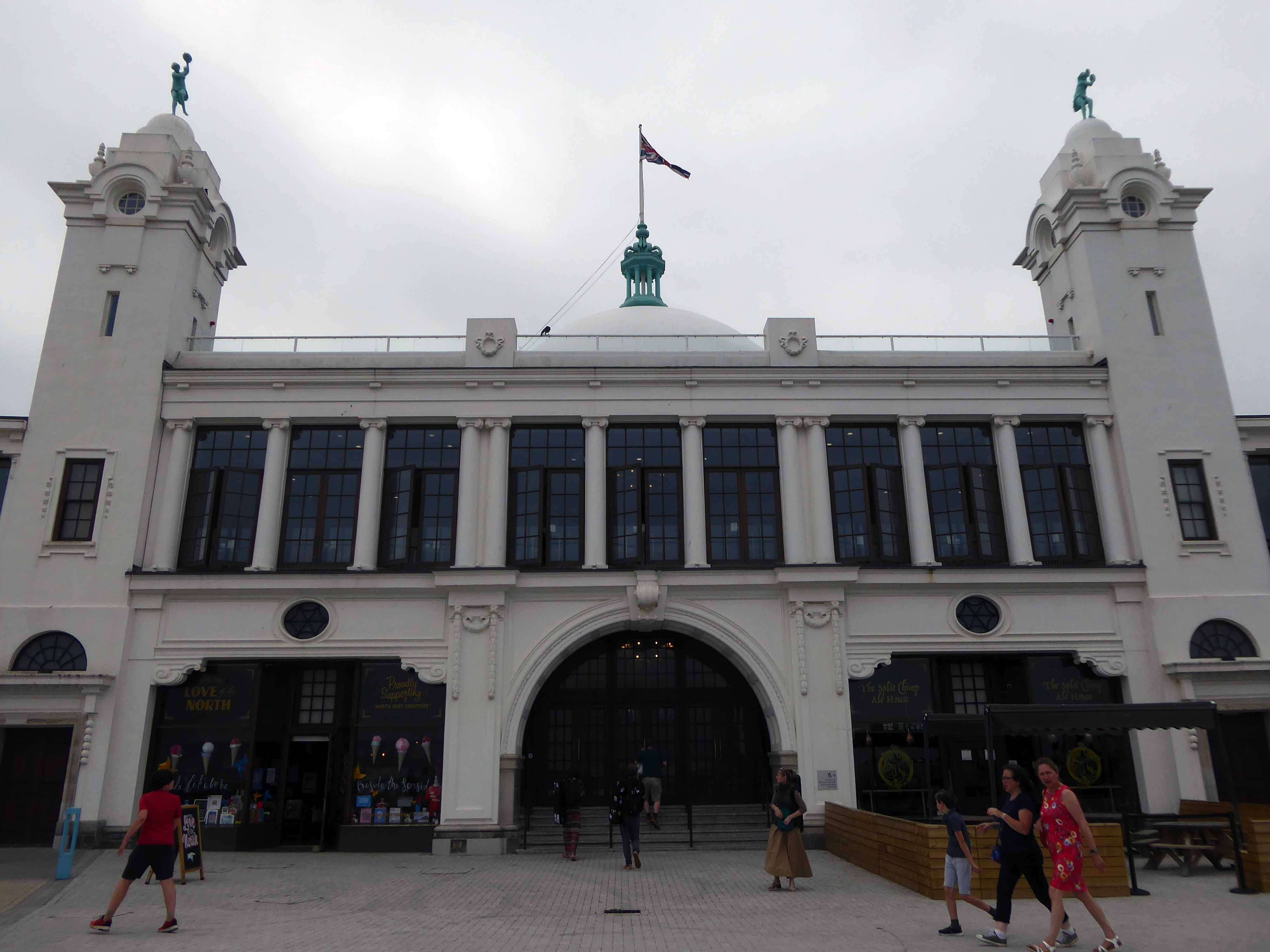
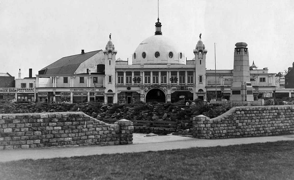
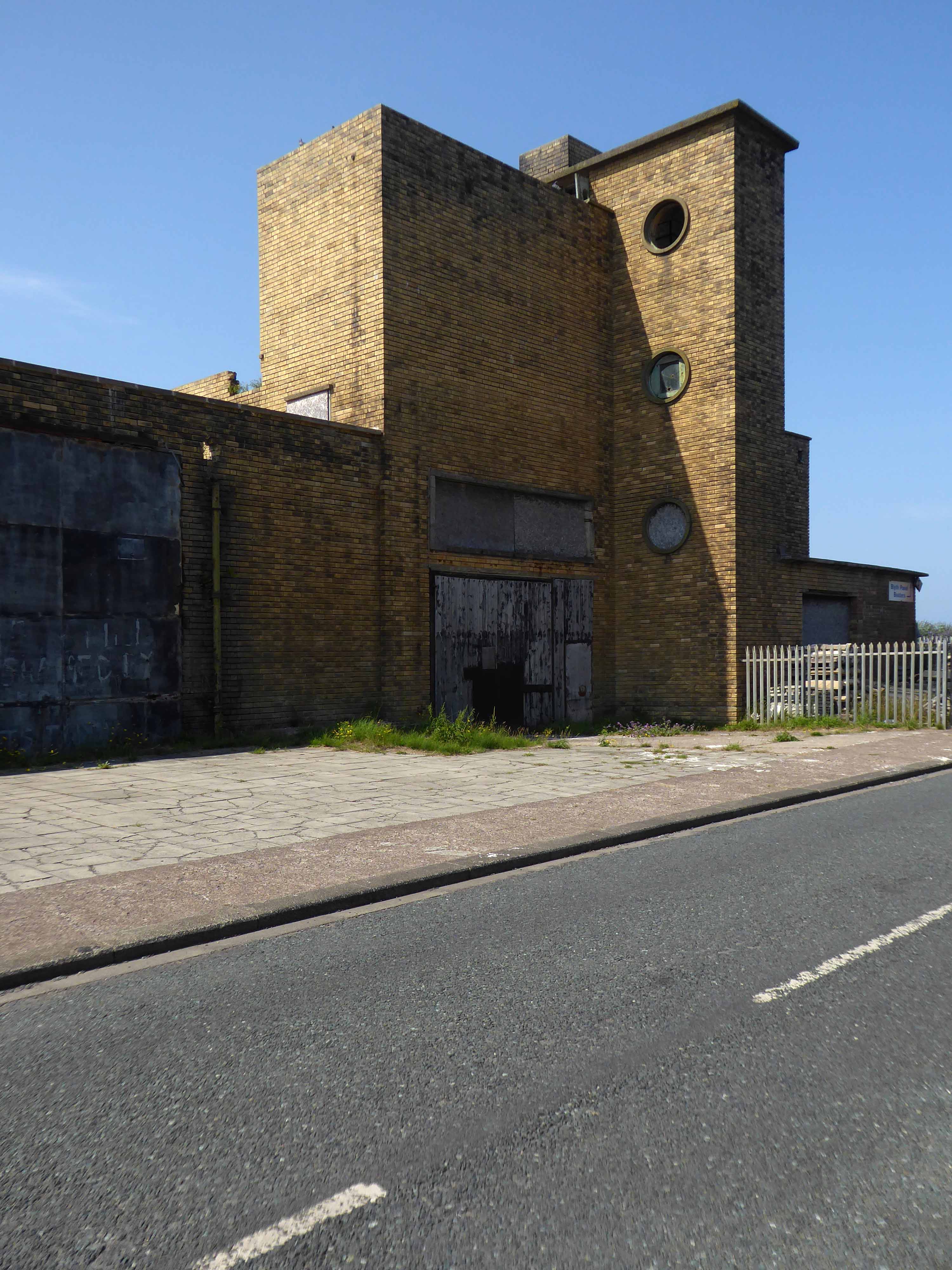
A simple three-arched entrance had been built facing the seafront and the area was now completely enclosed within a boundary. In 1909, large rides appeared, including a Figure Eight rollercoaster and a Water Chute. Elderton and Fail wanted to make a statement and create a new, grand entrance to the fairground. They hired the Newcastle architects Cackett& Burns Dick to survey the site and begin drawing up plans for new Pleasure Buildings.
Building began in February 1910 and the construction was completed by builders Davidson and Miller 60 days later. The use of the revolutionary reinforced concrete technique pioneered by Francois Hennebique was perfect for the job, being cheap and fast. The Dome and surrounding buildings – a theatre and two wings of shop units – opened on 14 May 1910 to great fanfare. Visitors marvelled at the great Spanish City Dome, the second largest in the country at the time after St. Paul’s Cathedral in London, which provided a spectacular meeting place with uninterrupted views from ground level to its ceiling, 75 feet above.
Telegraph-wire cyclists, acrobatic comedians, singing jockeys, mermaids, they all appeared at the Spanish City during its first decade. One of the wings hosted the menagerie, where visitors could see hyenas, antelopes and tigers! This was converted into the Picture House cinema in 1916.
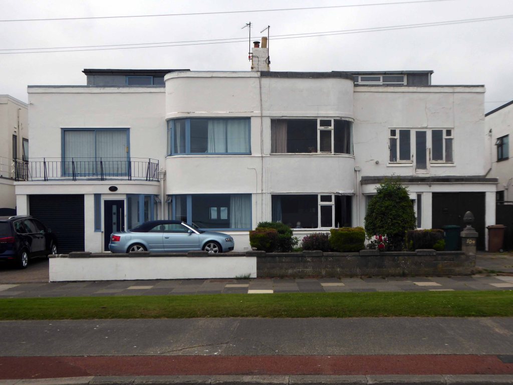
A little further along, a selection of Seaside Moderne semis in various states of amendment and alteration.
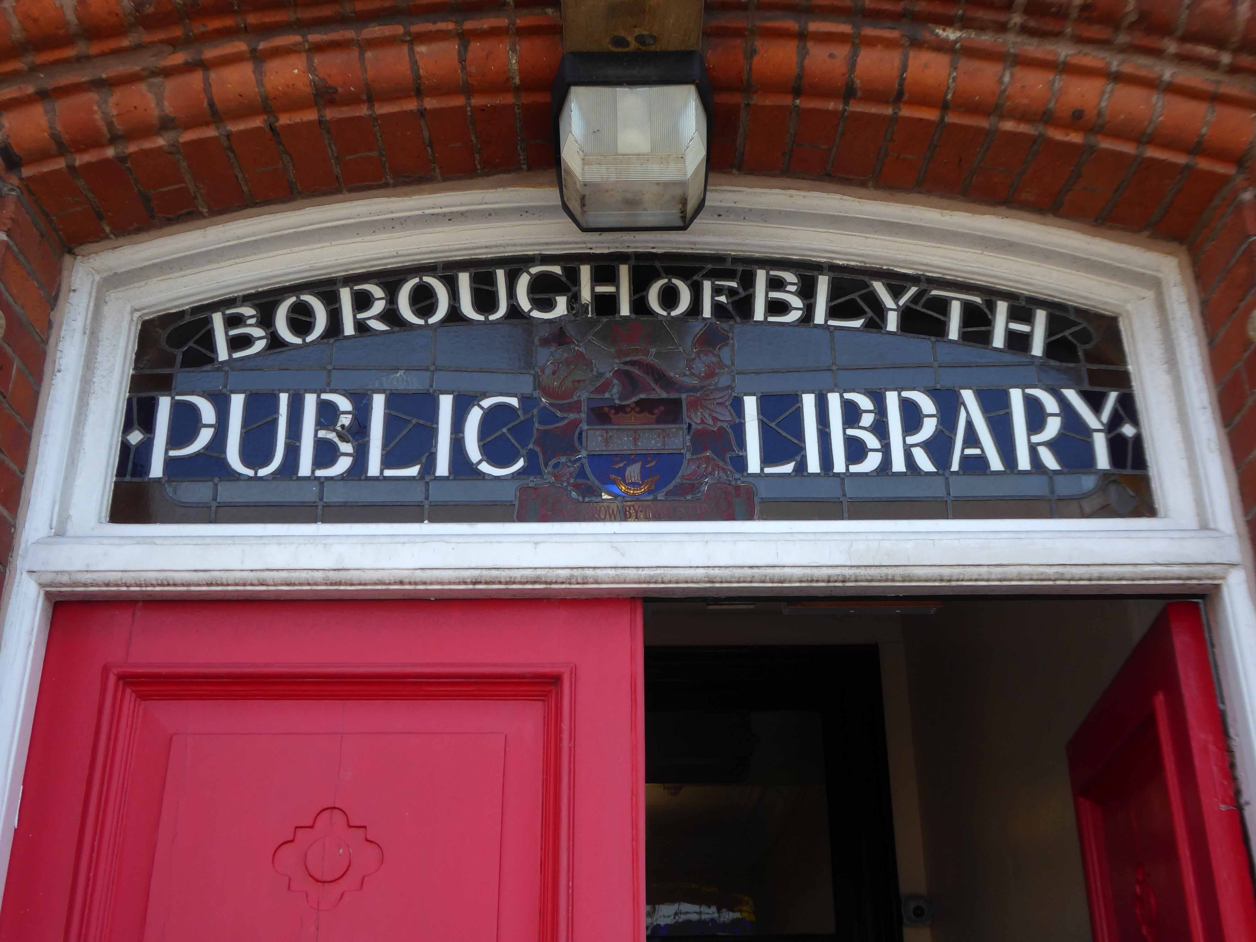
Before I knew it I was in Blyth.
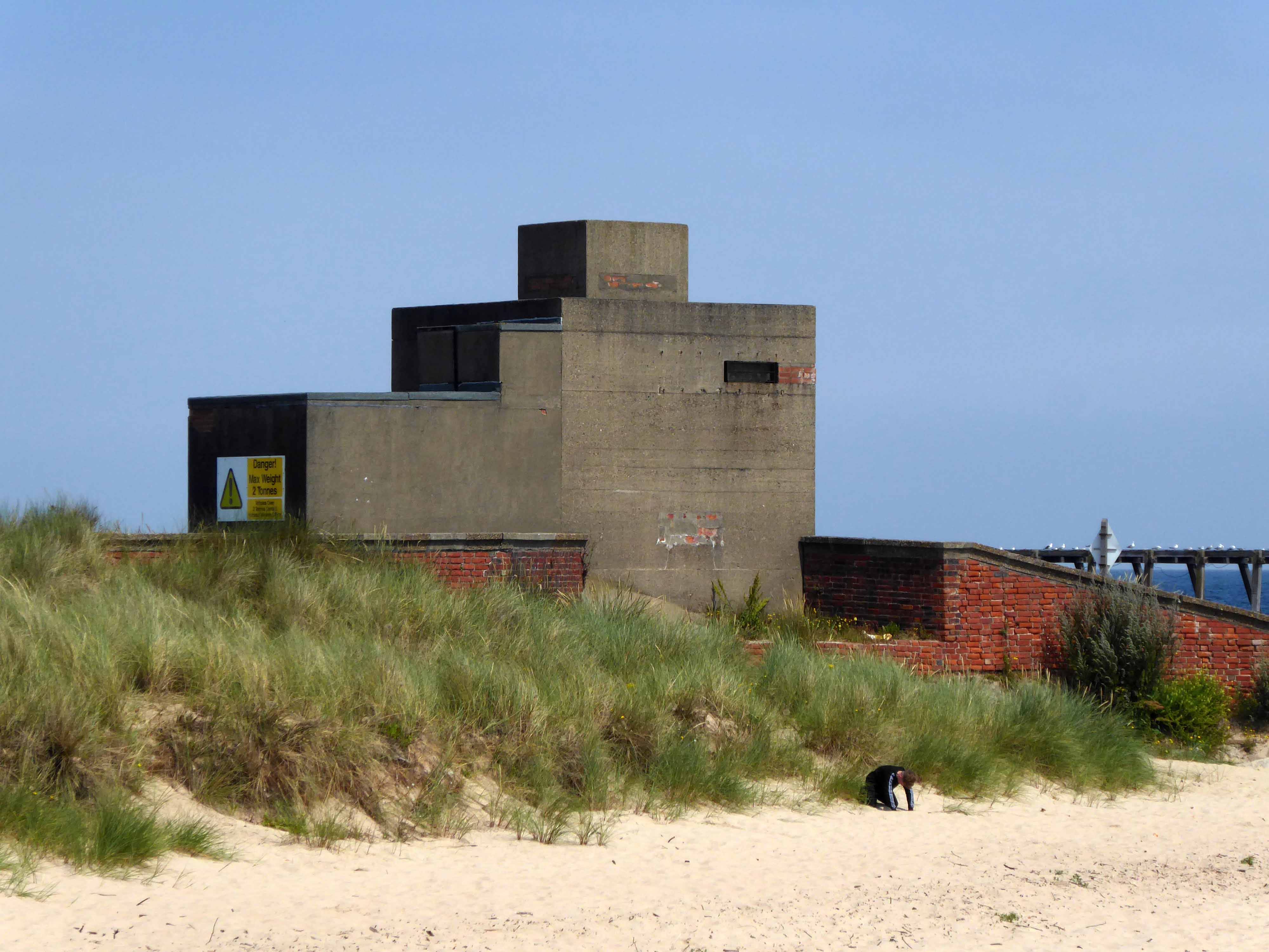
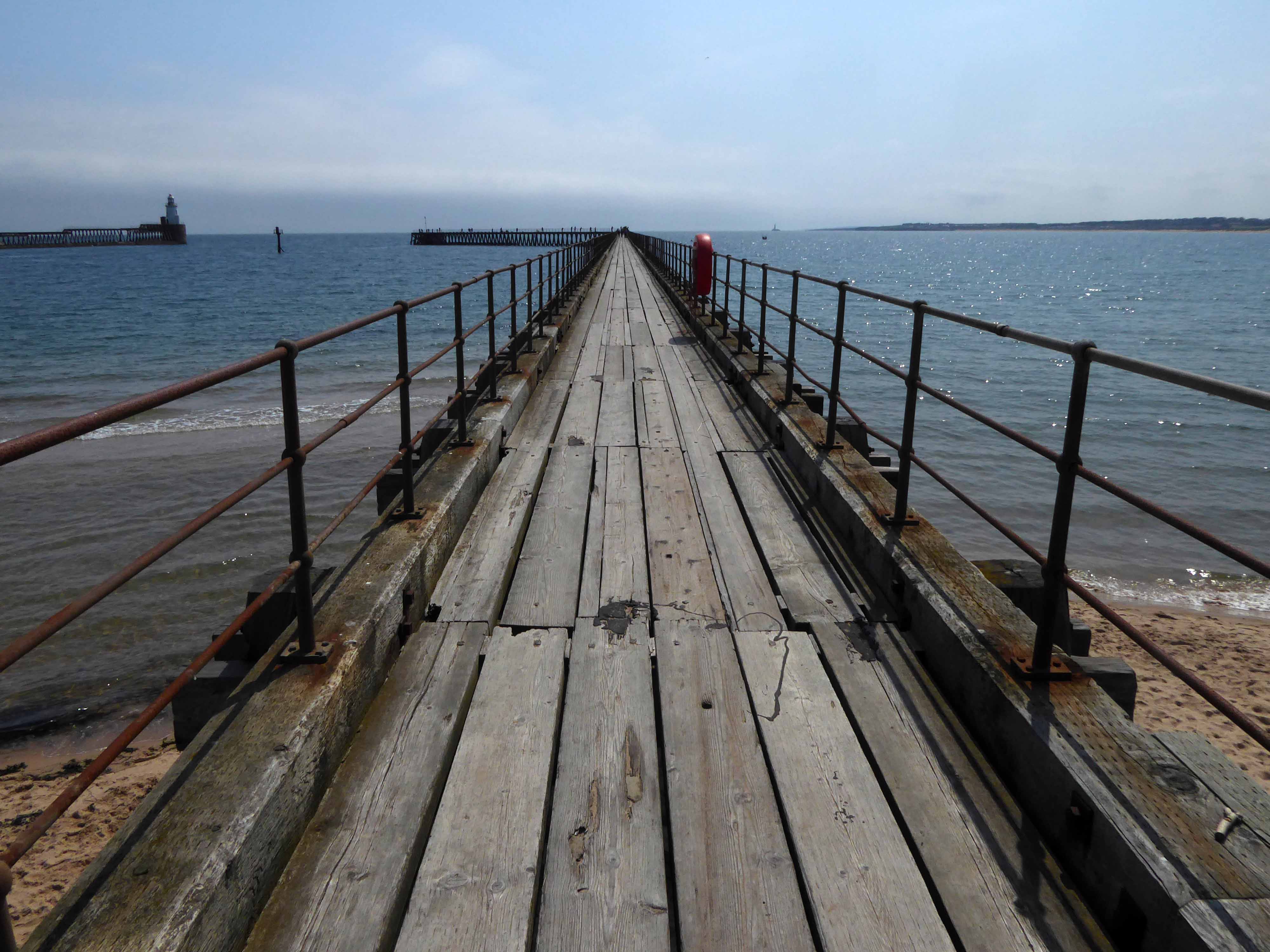
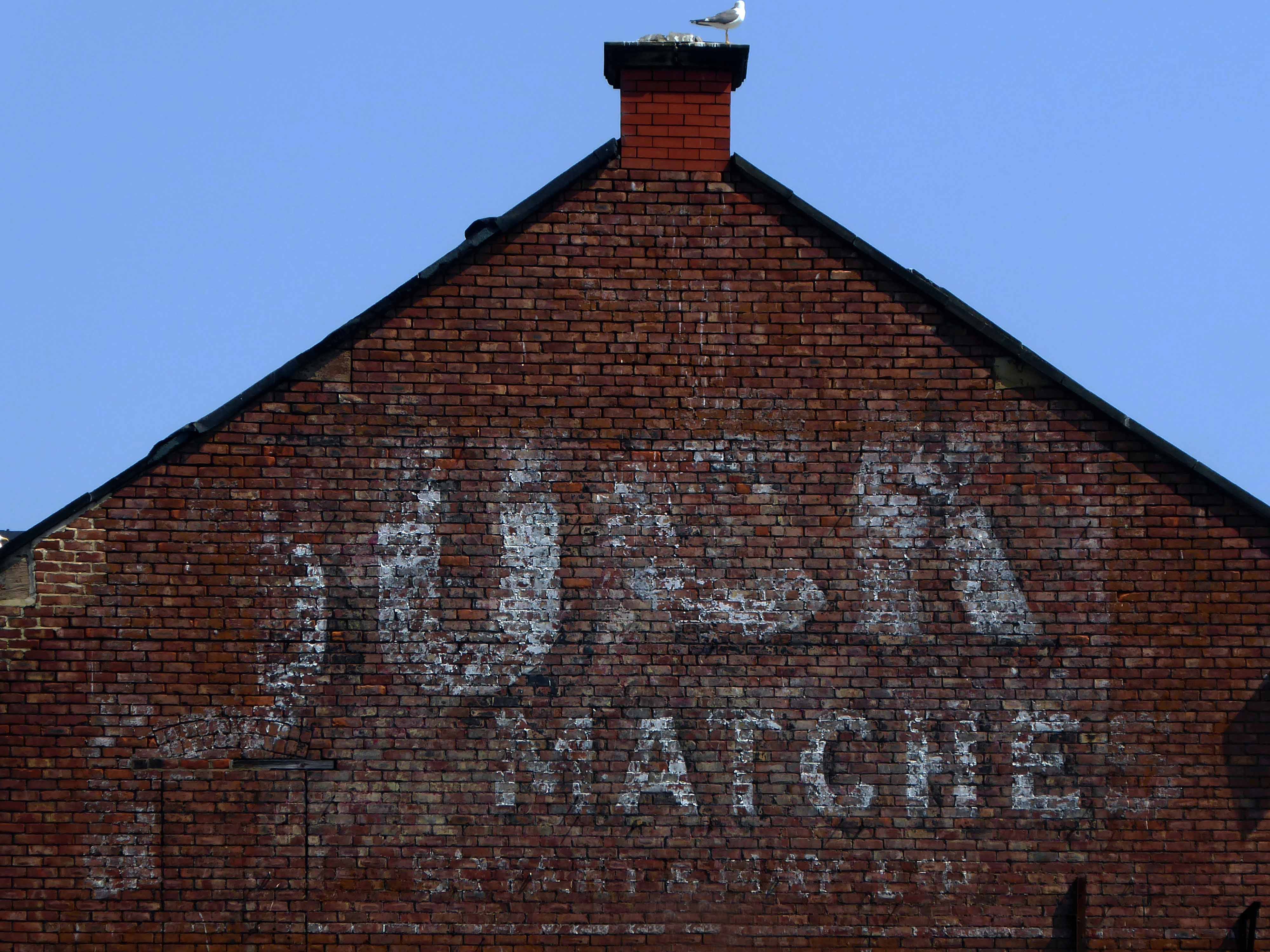
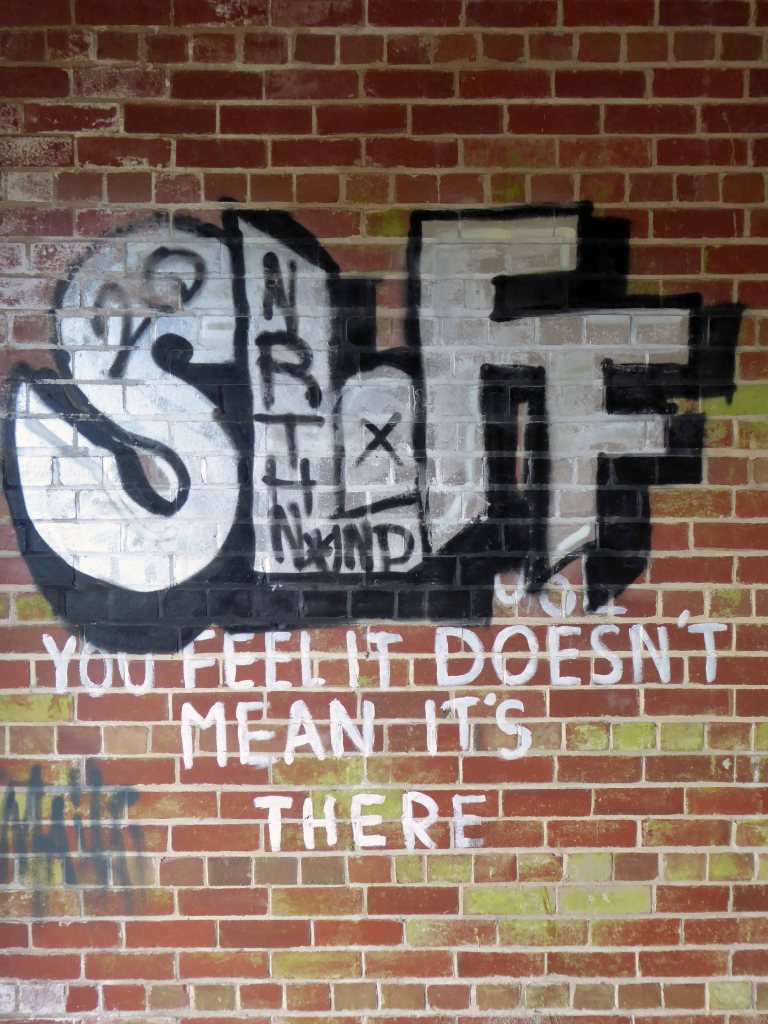
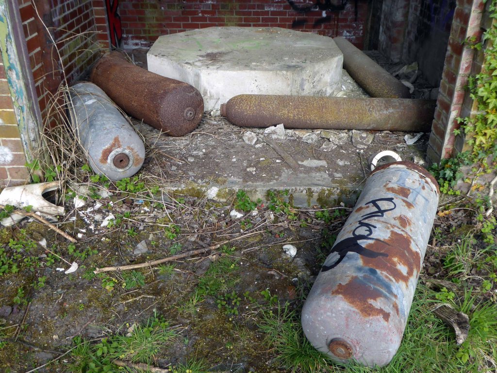
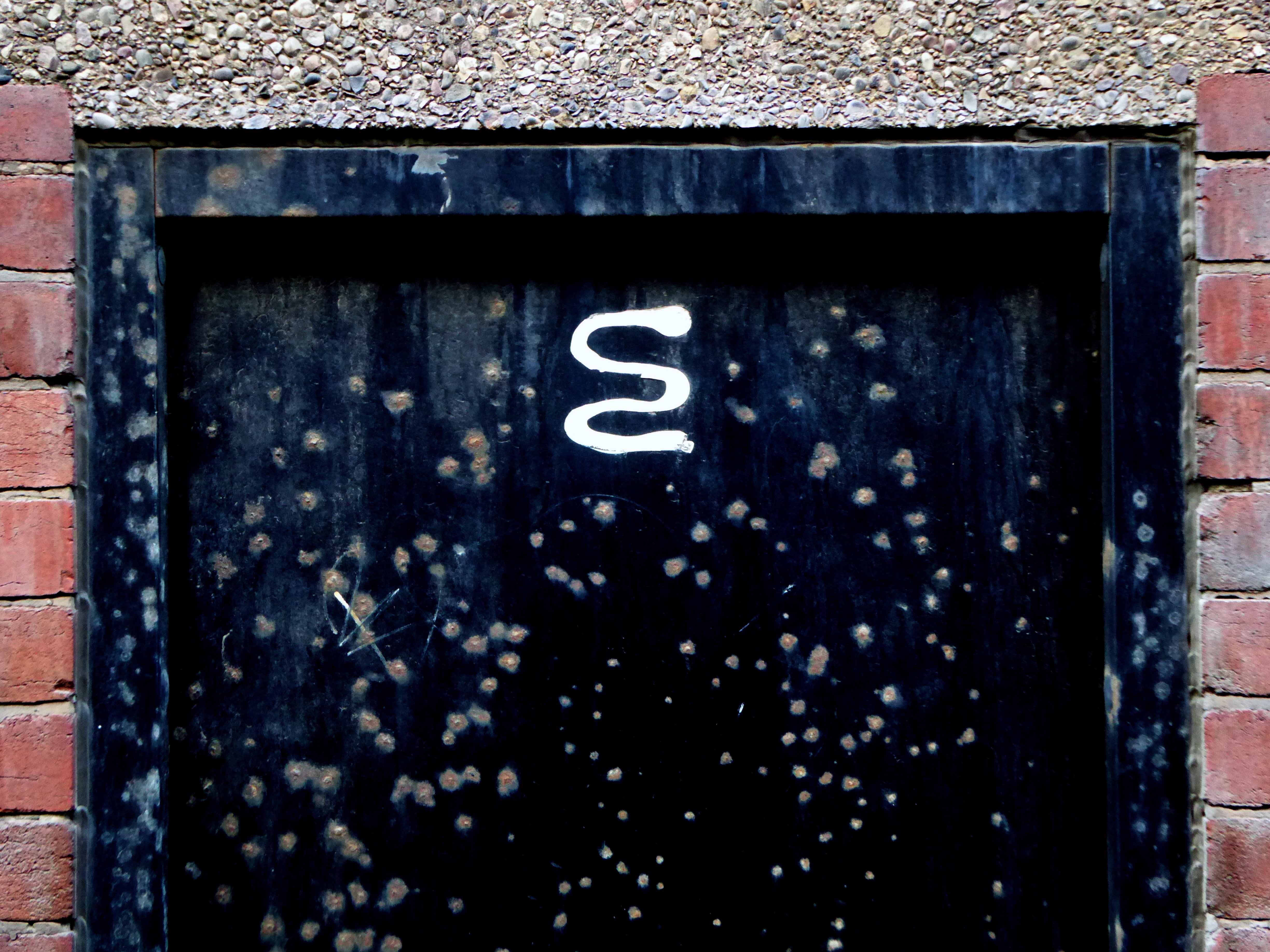
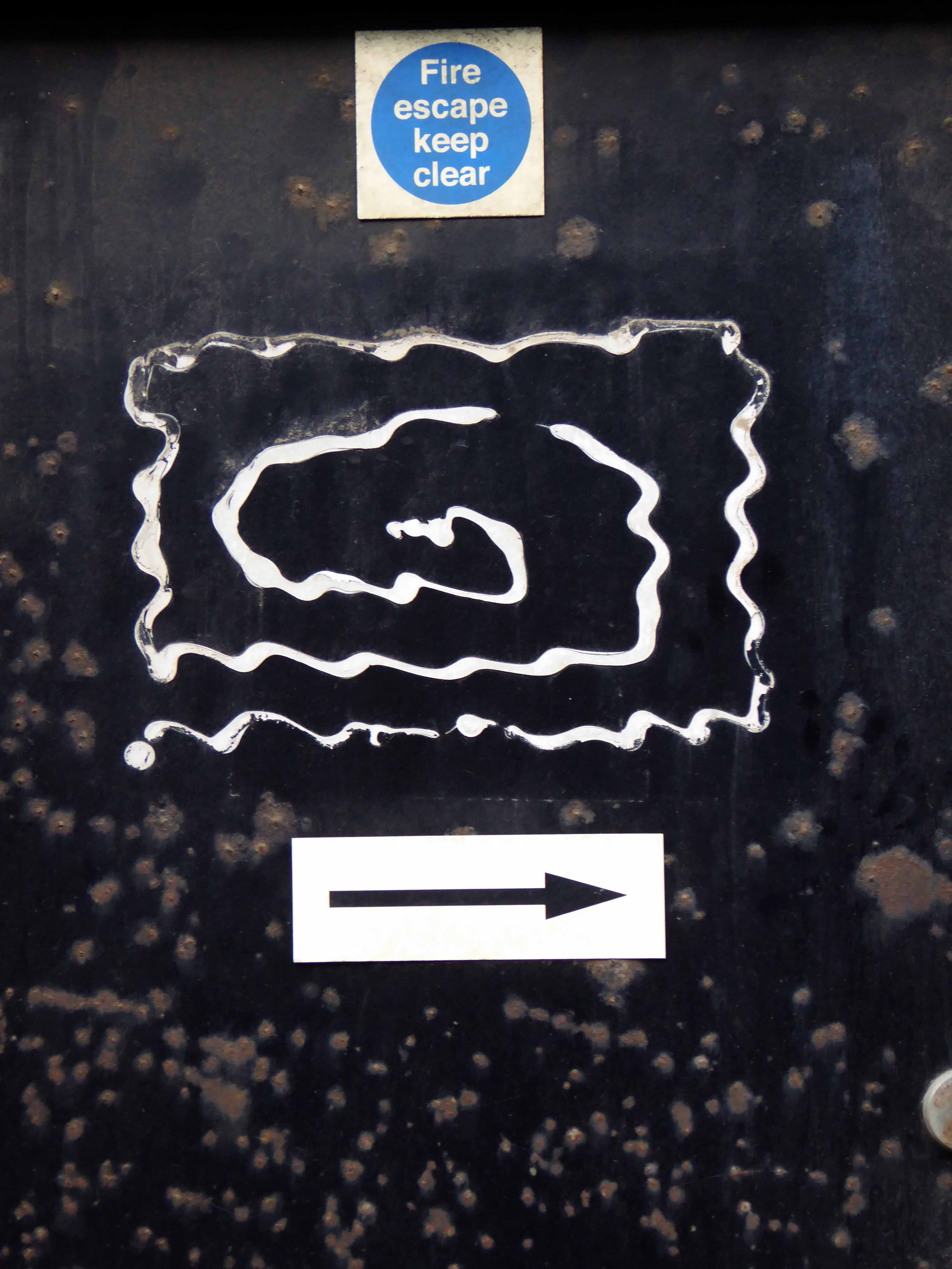
The town edged with military installations
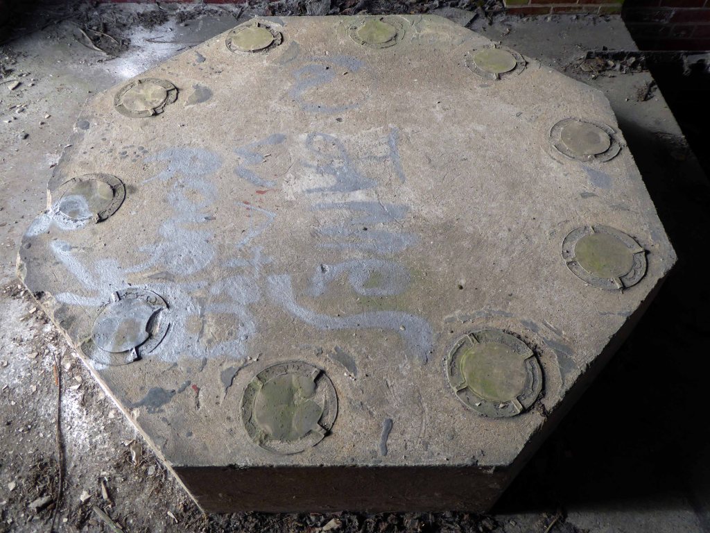
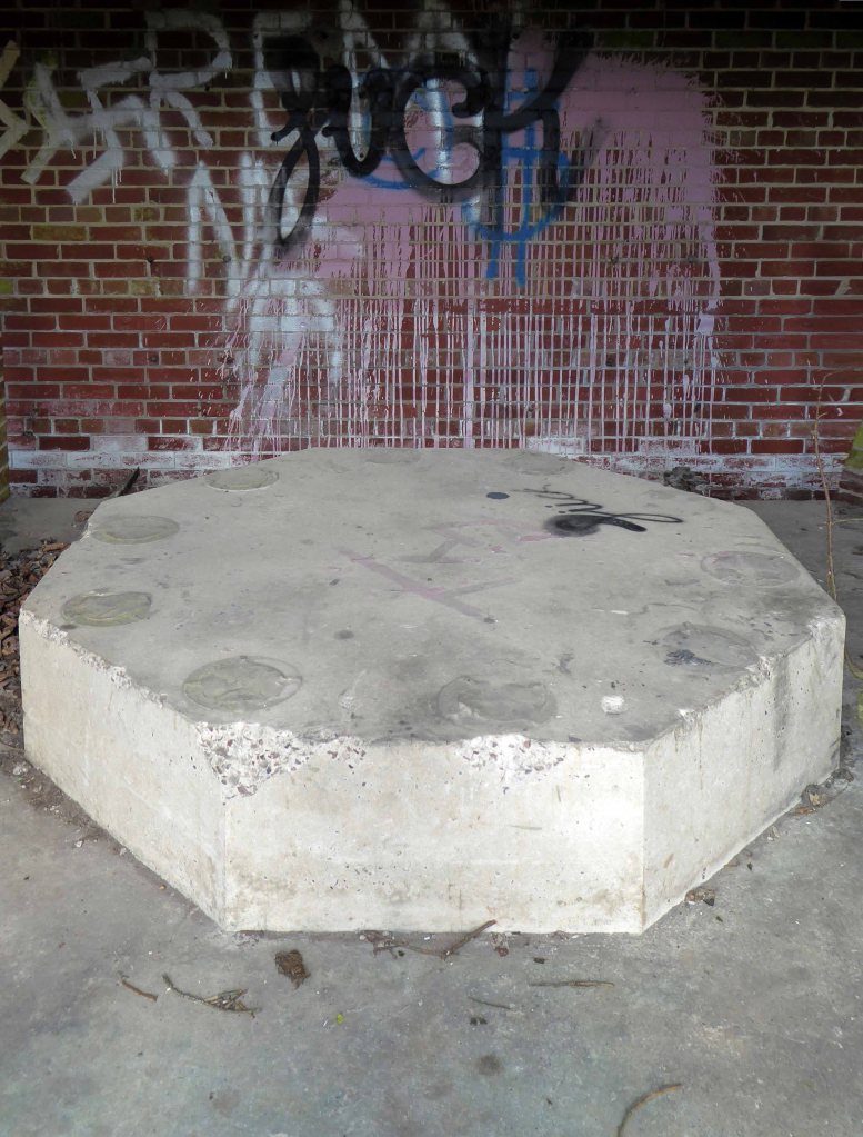
Gloucester Lodge Battery includes the buried, earthwork and standing remains of a multi-phase Second World War heavy anti-aircraft gun battery and radar site, as well as a Cold War heavy anti-aircraft gun and radar site. The battery occupies a level pasture field retaining extensive rig and furrow cultivation.
During WW2 Blyth Harbour was used as a major submarine base and that combined with the heavy industry in the area it made a very good target for the Luftwaffe.
827 men of the 225th Antiaircraft Artillery Searchlight Battalion of the U.S. Army, arrived at this location in early March 1944 and were attached to the 30th British AAA Brigade. Here they sharpened their skills in the high-altitude tracking of aircraft.
The cycle route took me off road along the estuary and under the flyover.
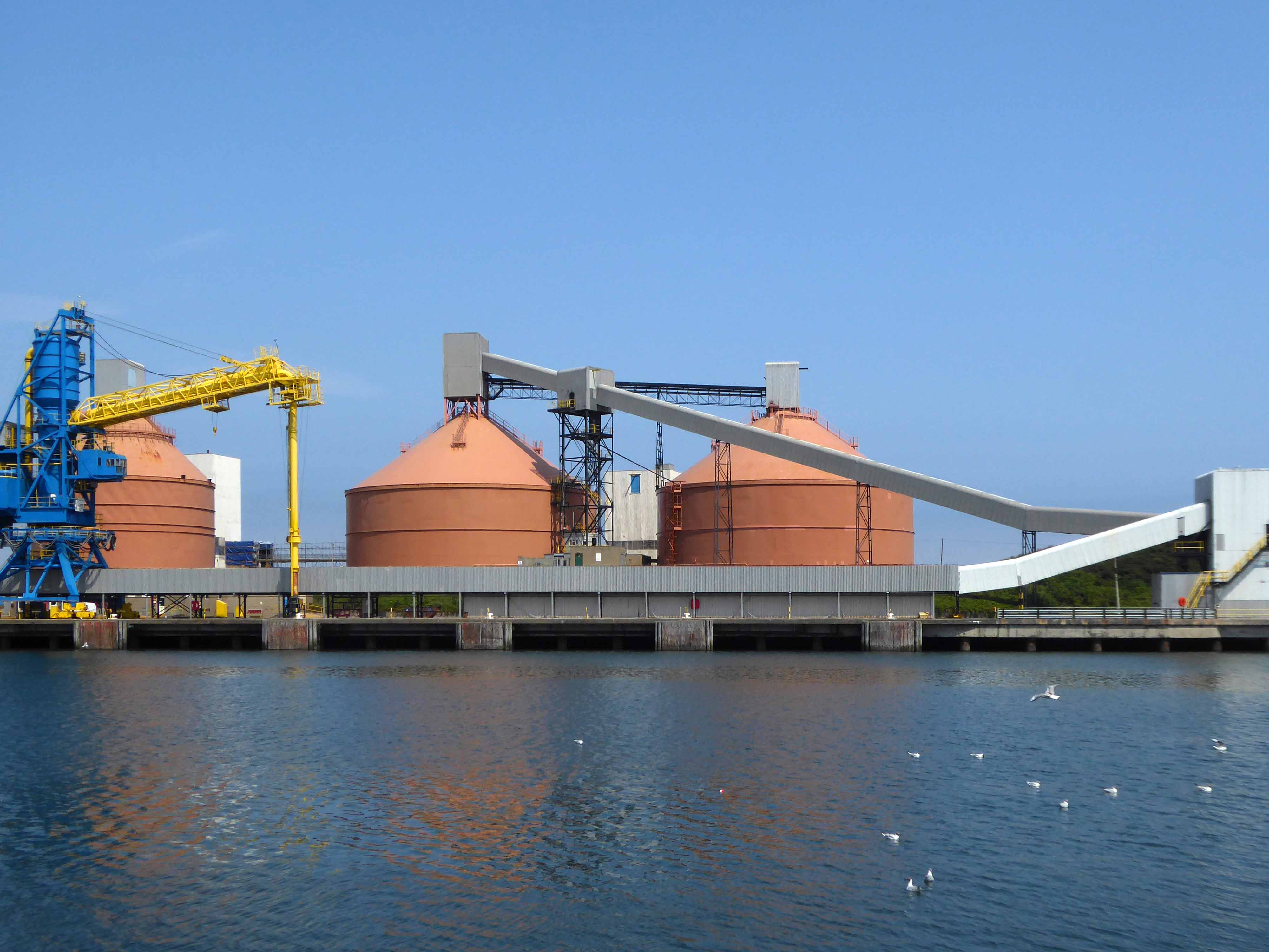
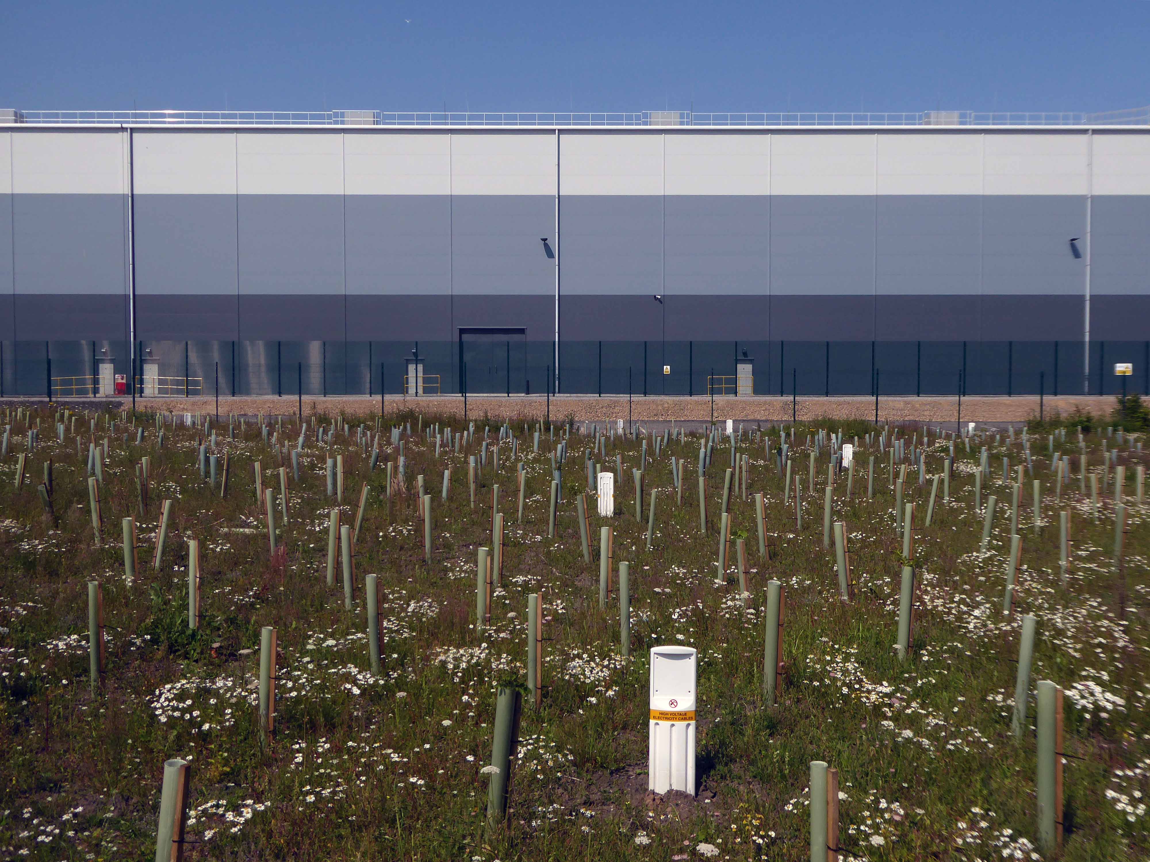
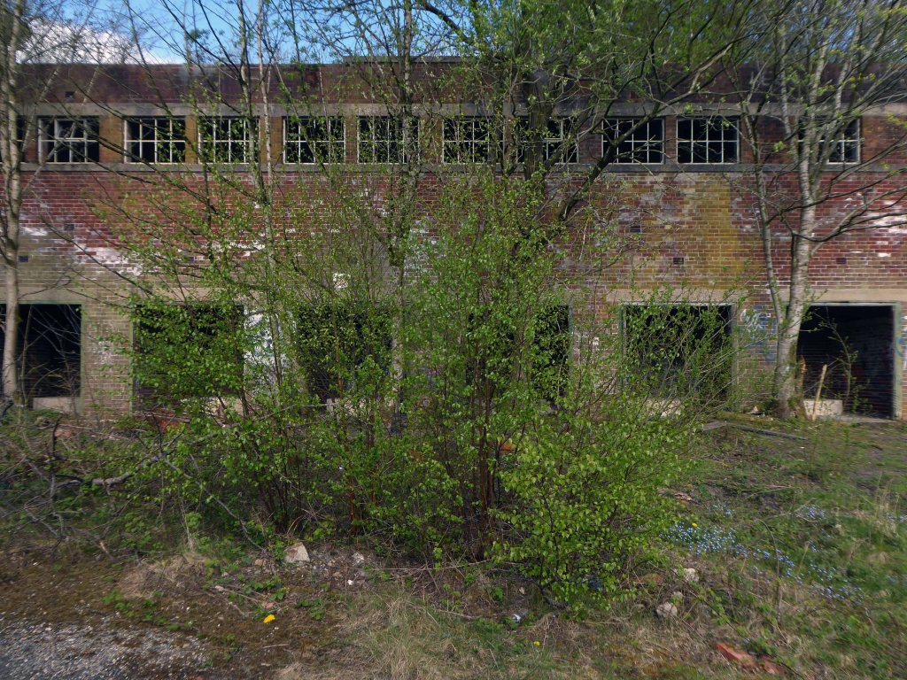
Encountering a brand new factory.
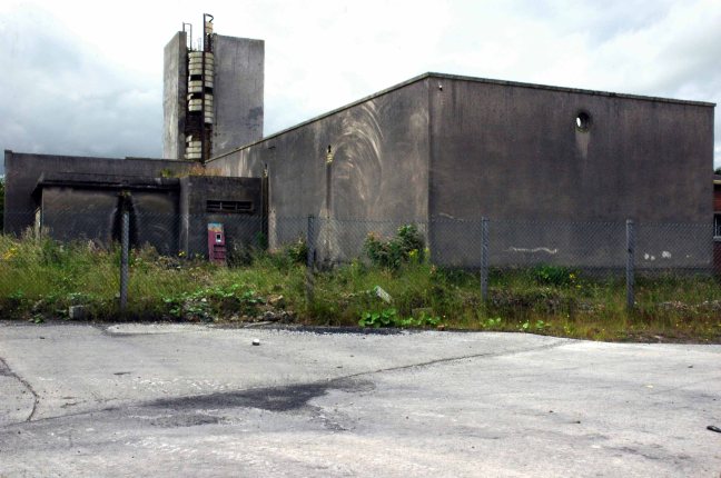
And the remnants of the old power station.
Blyth Power Station – also known as Cambois Power Station, refers to a pair of now demolished coal-fired power stationsThe two stations were built alongside each other on a site near Cambois in Northumberland, on the northern bank of the River Blyth, between its tidal estuary and the North Sea. The stations took their name from the town of Blyth on the opposite bank of the estuary. The power stations’ four large chimneys were a landmark of the Northumberland skyline for over 40 years.
After their closure in 2001, the stations were demolished over the course of two years, ending with the demolition of the stations’ chimneys on 7 December 2003.
UK battery tech investor Britishvolt has unveiled plans to build what is claimed to be Britain’s first gigaplant at the former coal-fired power station in Blyth in Northumberland.
The £2.6 billion project at the 95-hectare Blyth Power Station site will use renewable energy from the UK and possibly hydro-electric power generated in Norway and transmitted 447 miles under the North Sea through the ‘world’s longest inter-connector’ from the North Sea Link project.
By 2027, the firm estimates the gigaplant will be producing around 300,000 lithium-ion batteries a year.
The project is predicted to create 3,000 new jobs in the North East and another 5,000 in the wider supply chain.
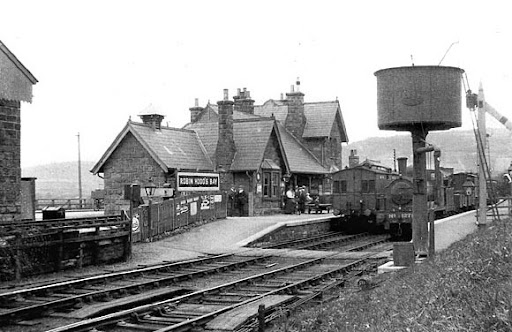
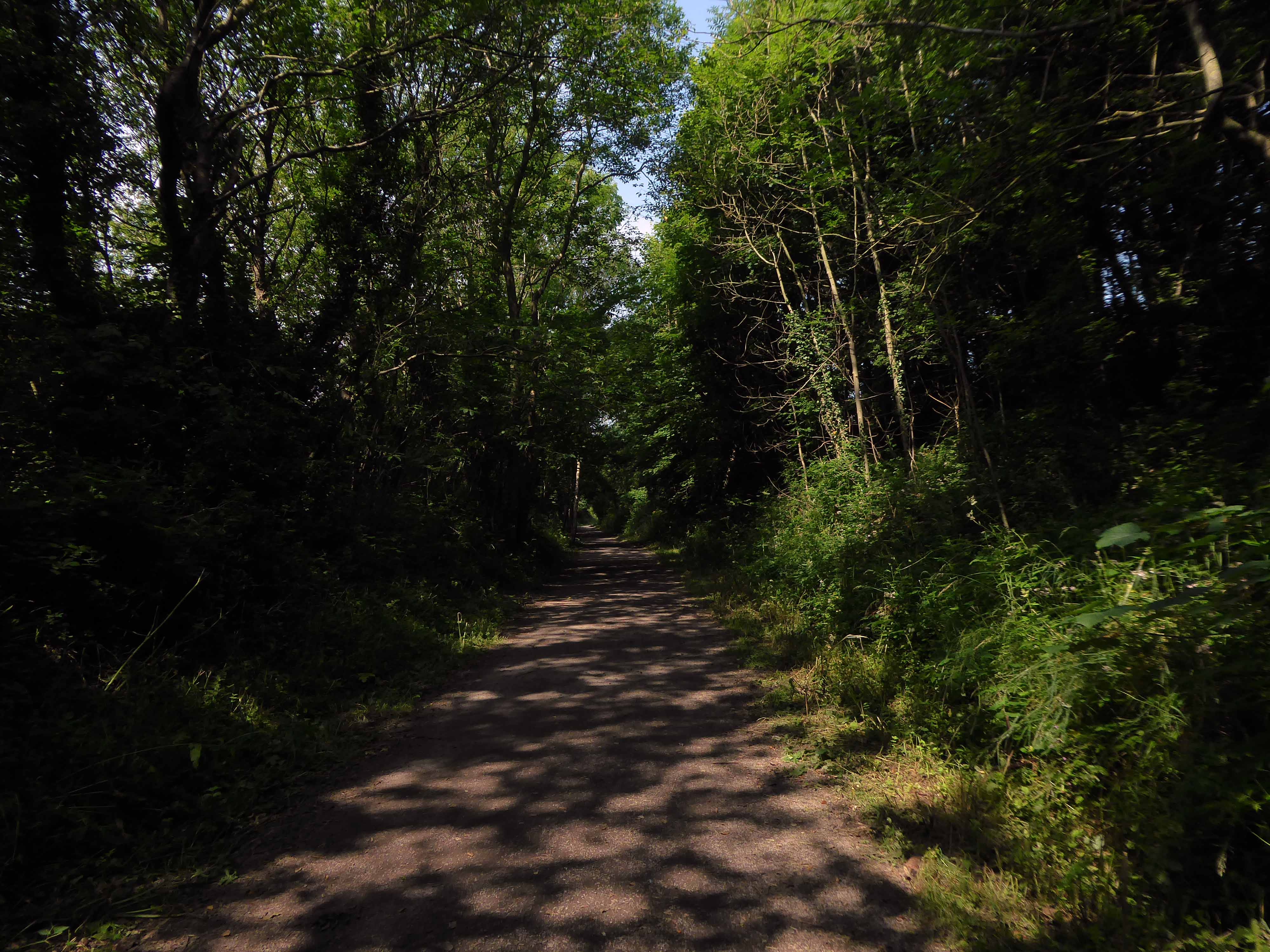
Formerly the Scarbough to Whitby Railway – the line opened in 1885 and closed in 1965 as part of the Beeching Axe.
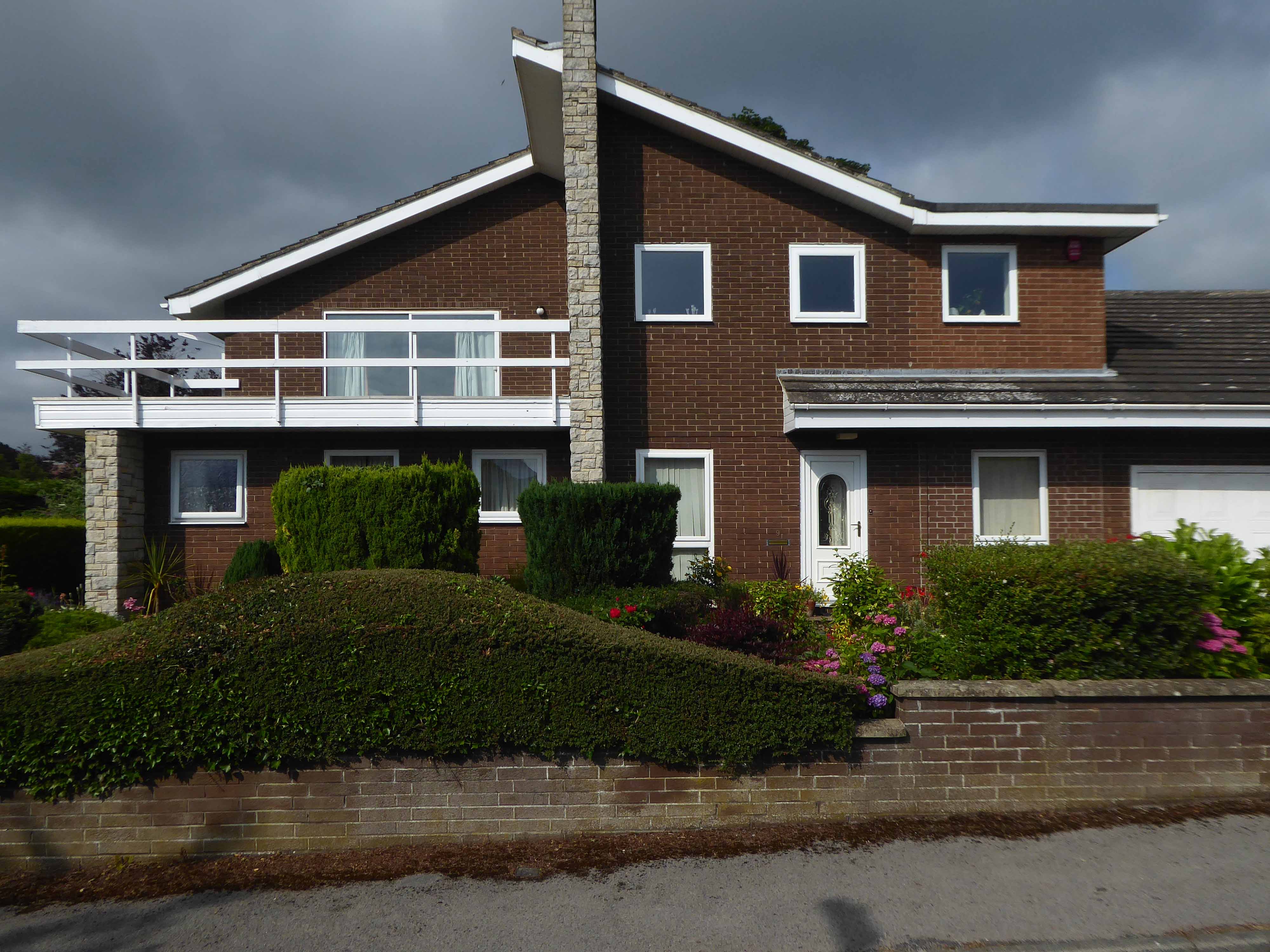
Yet again I chance upon a delightful post-war home.
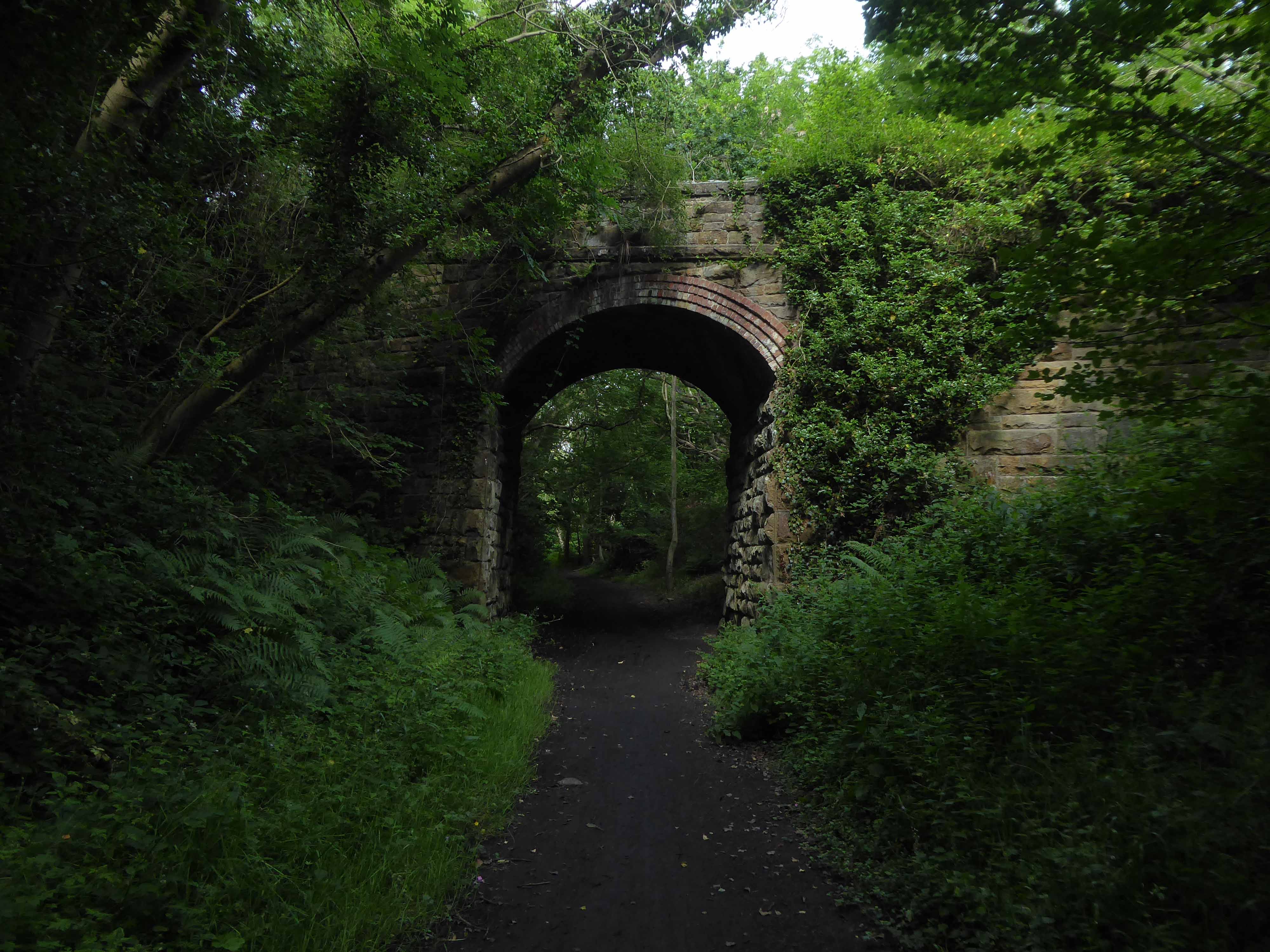
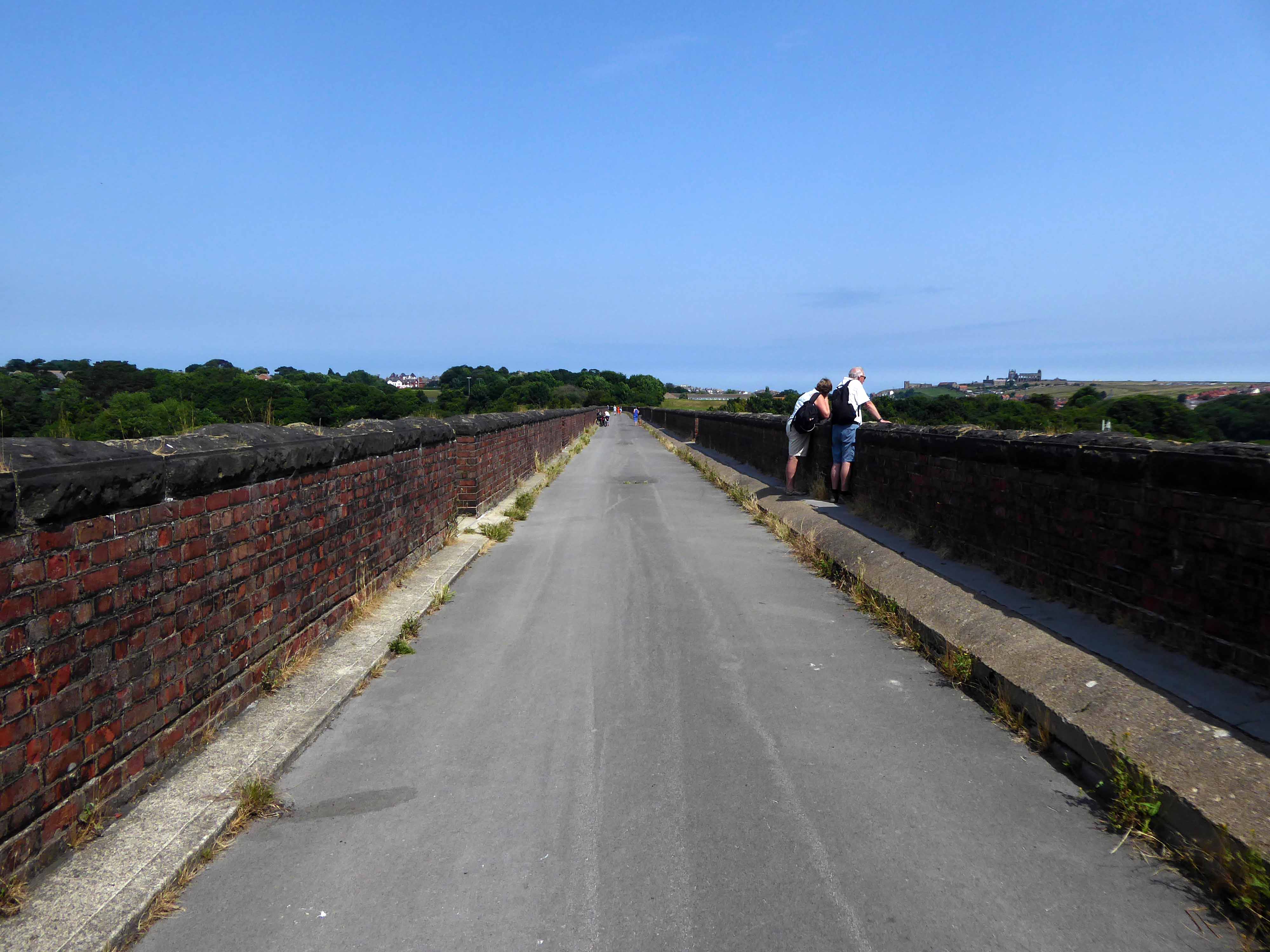
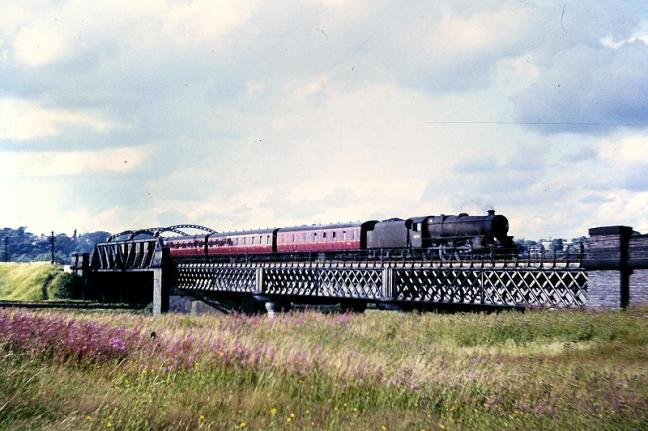
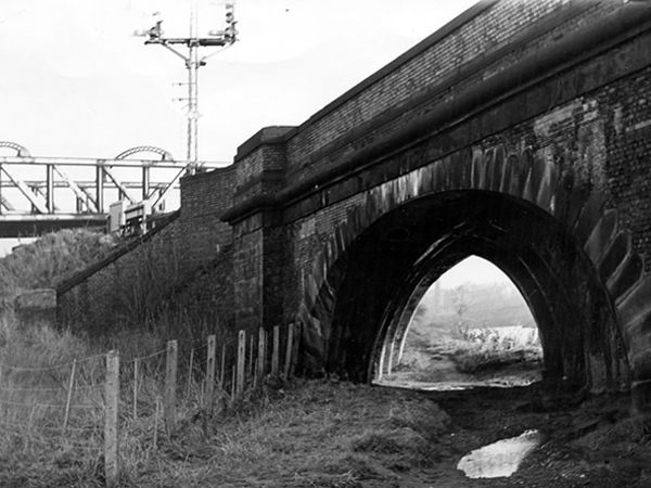
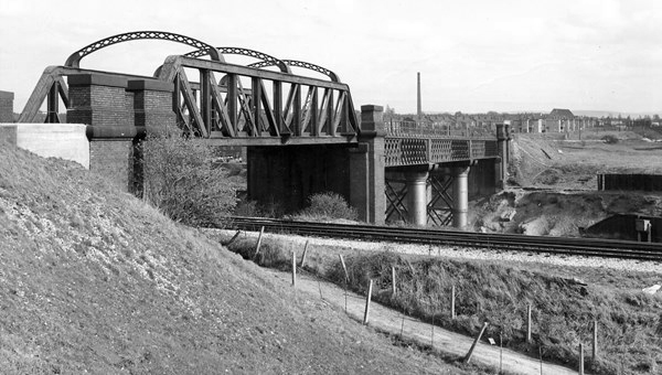
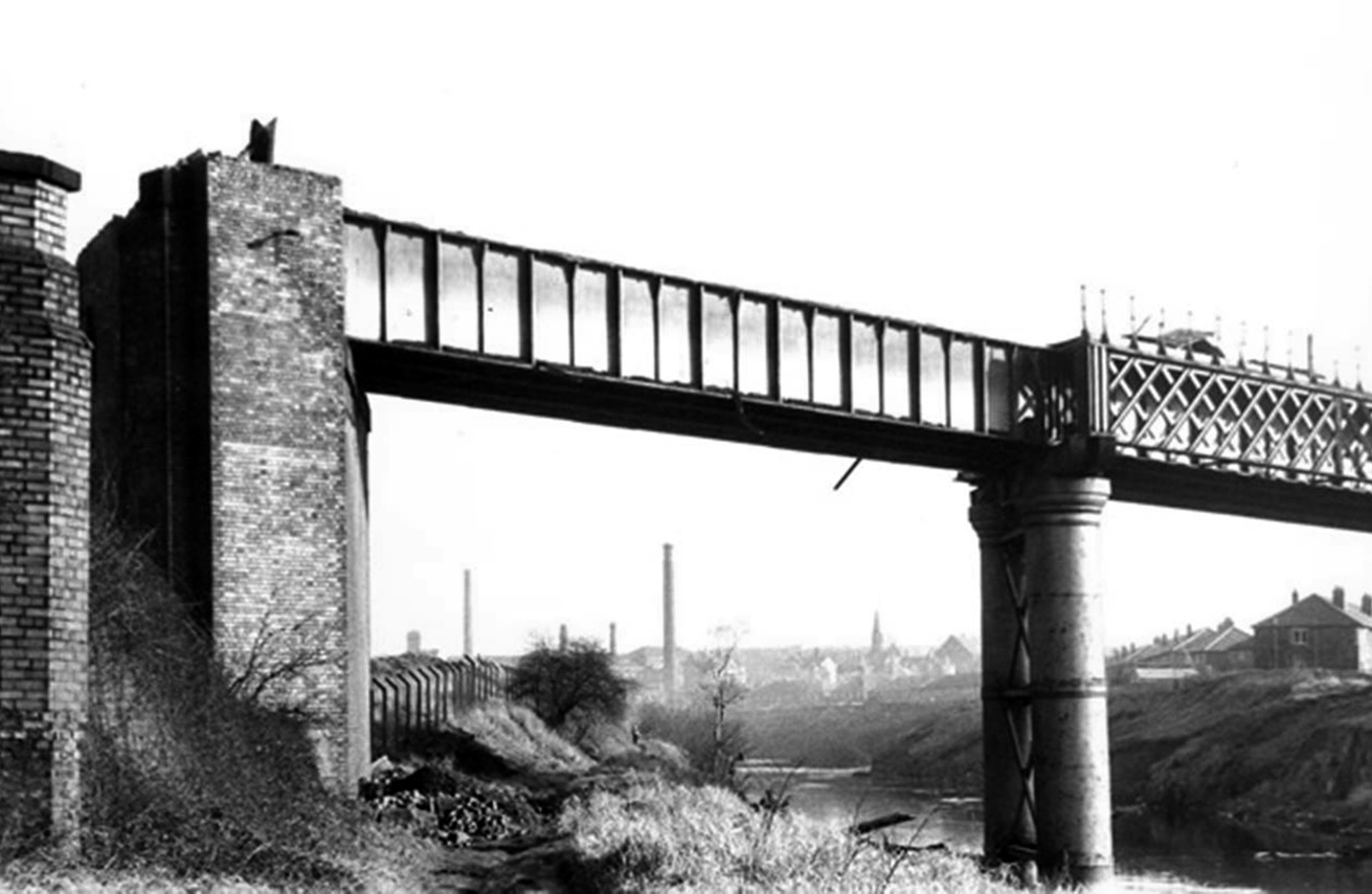
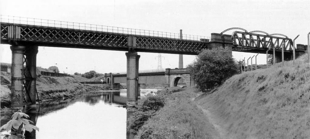
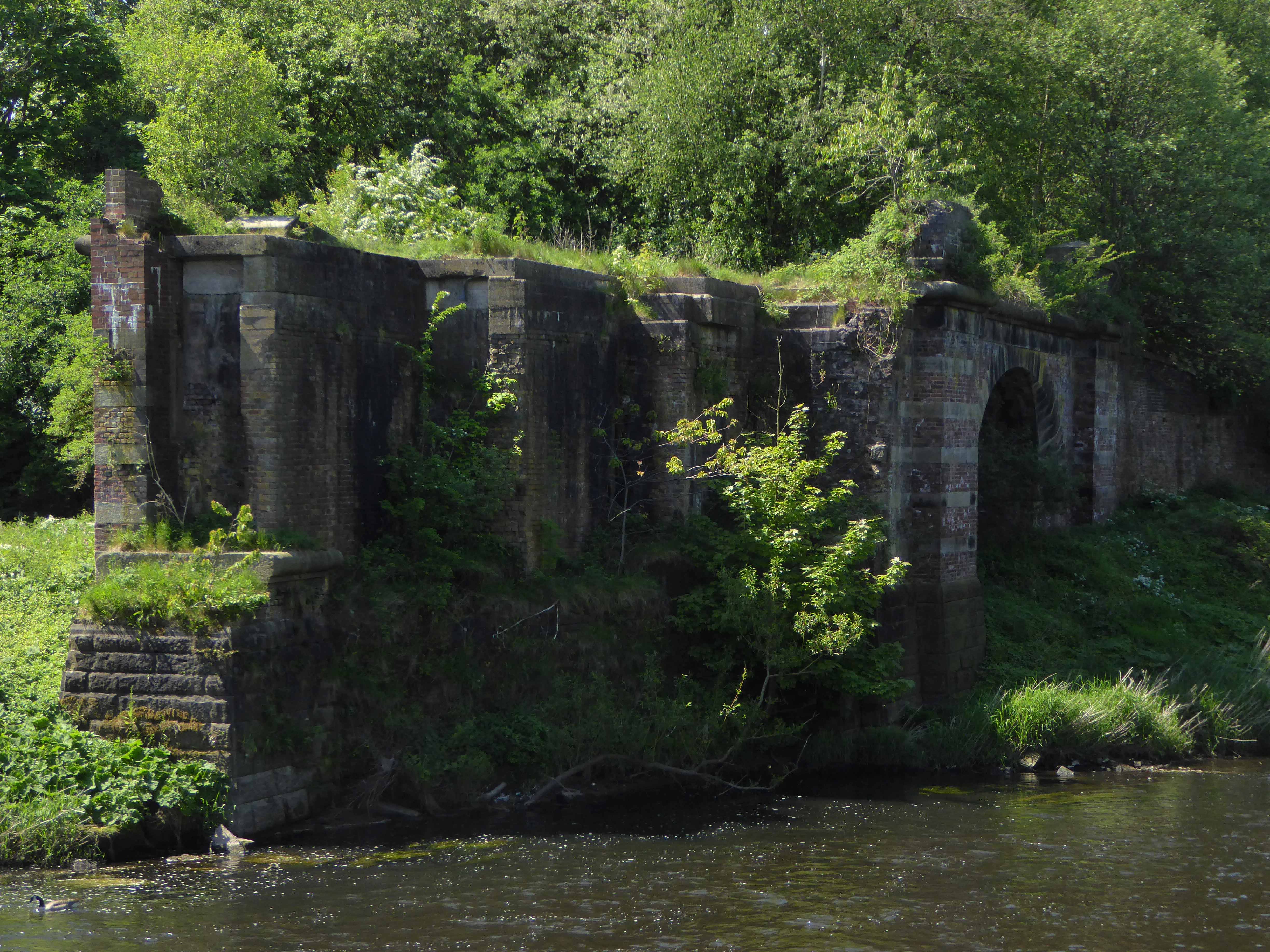
I parted company with the track dropping down to the Esk Valley from the Larpool Viaduct.
Construction began in October 1882 and was complete by October 1884.
Two men fell from the piers during construction, but recovered.
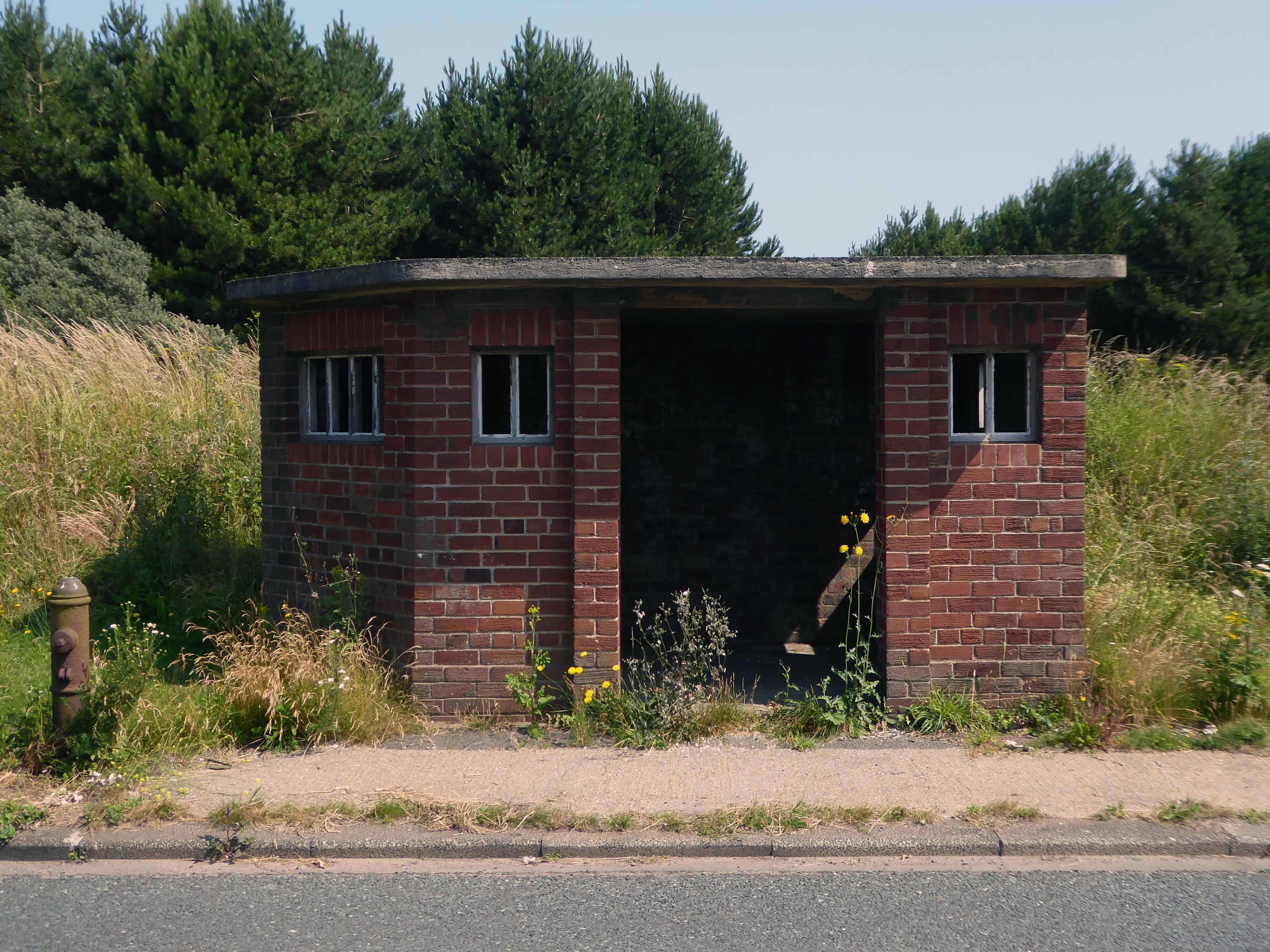
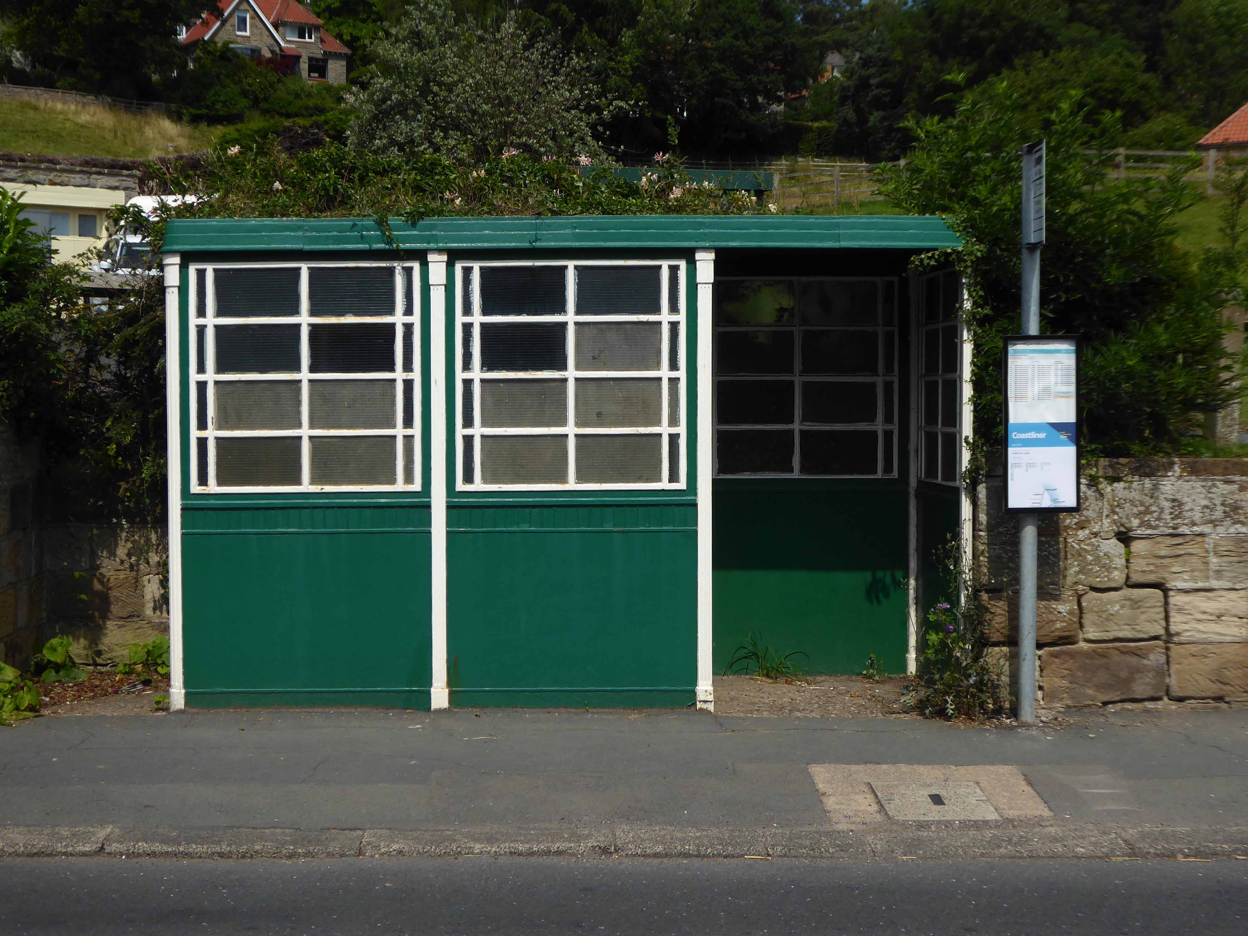
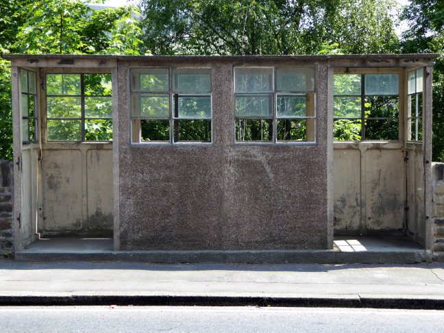
I found myself in Ruswarp, home to this enchanting bus shelter.
I bombed along the main road to Sleights.
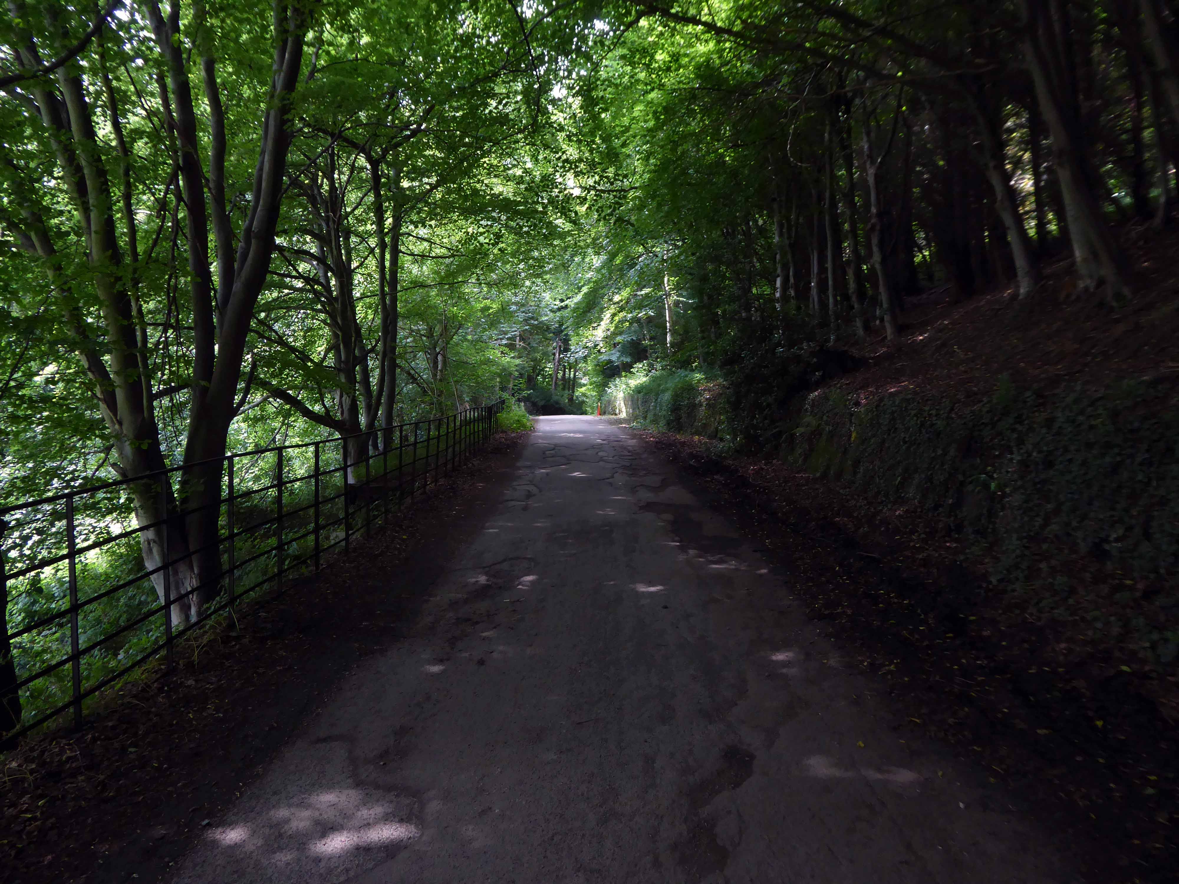
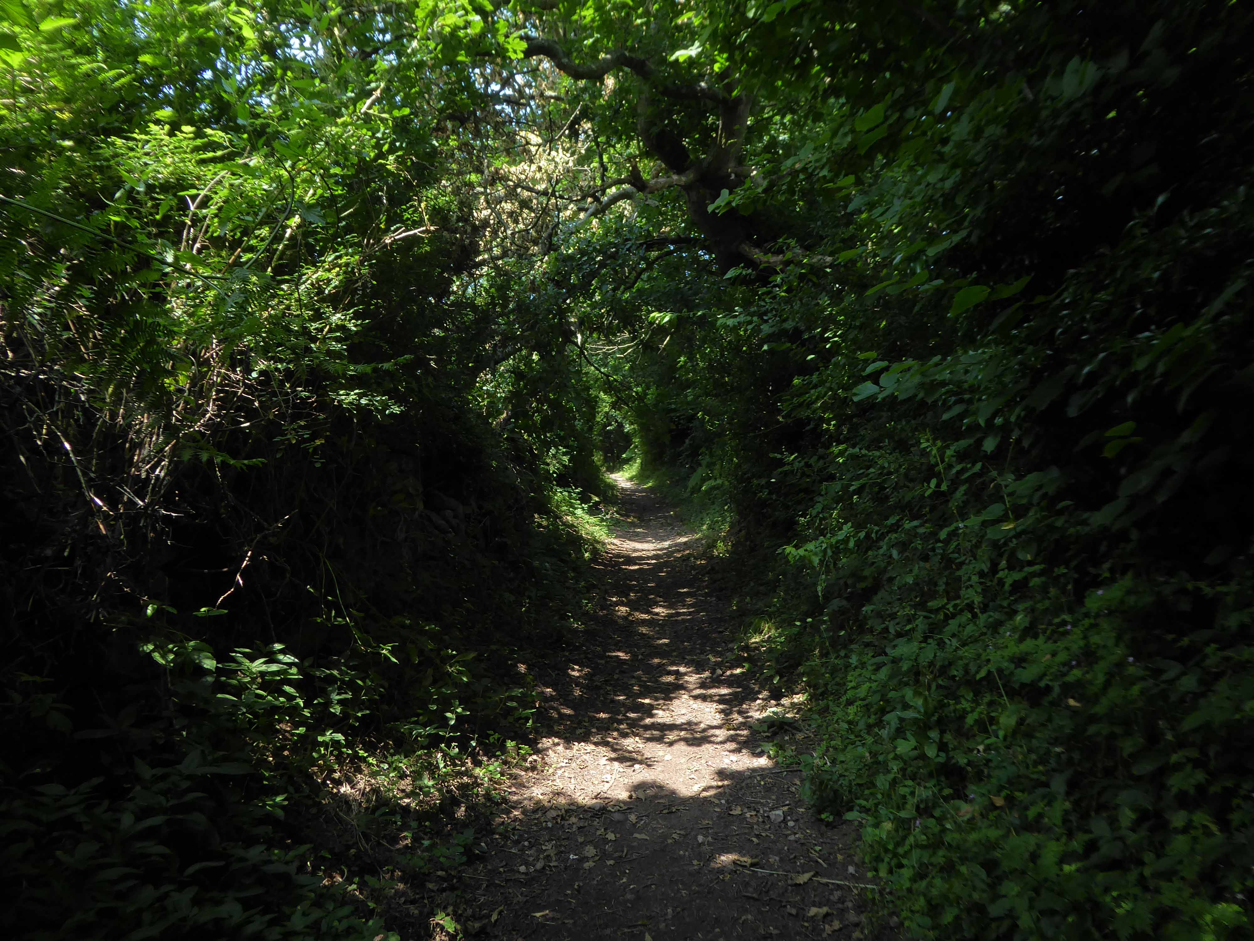
There then followed a hesitant ascent, descent, ascent along a badly signed bridleway, fearing that I had climbed the hill in error I retraced, then retraced.
A difficult push ensued, a precipitous path, rough and untended, rising ever higher and higher.
Finally arriving at Aislaby, more than somewhat exhausted – the village is mentioned in the Domesday Book as Asuluesbi.
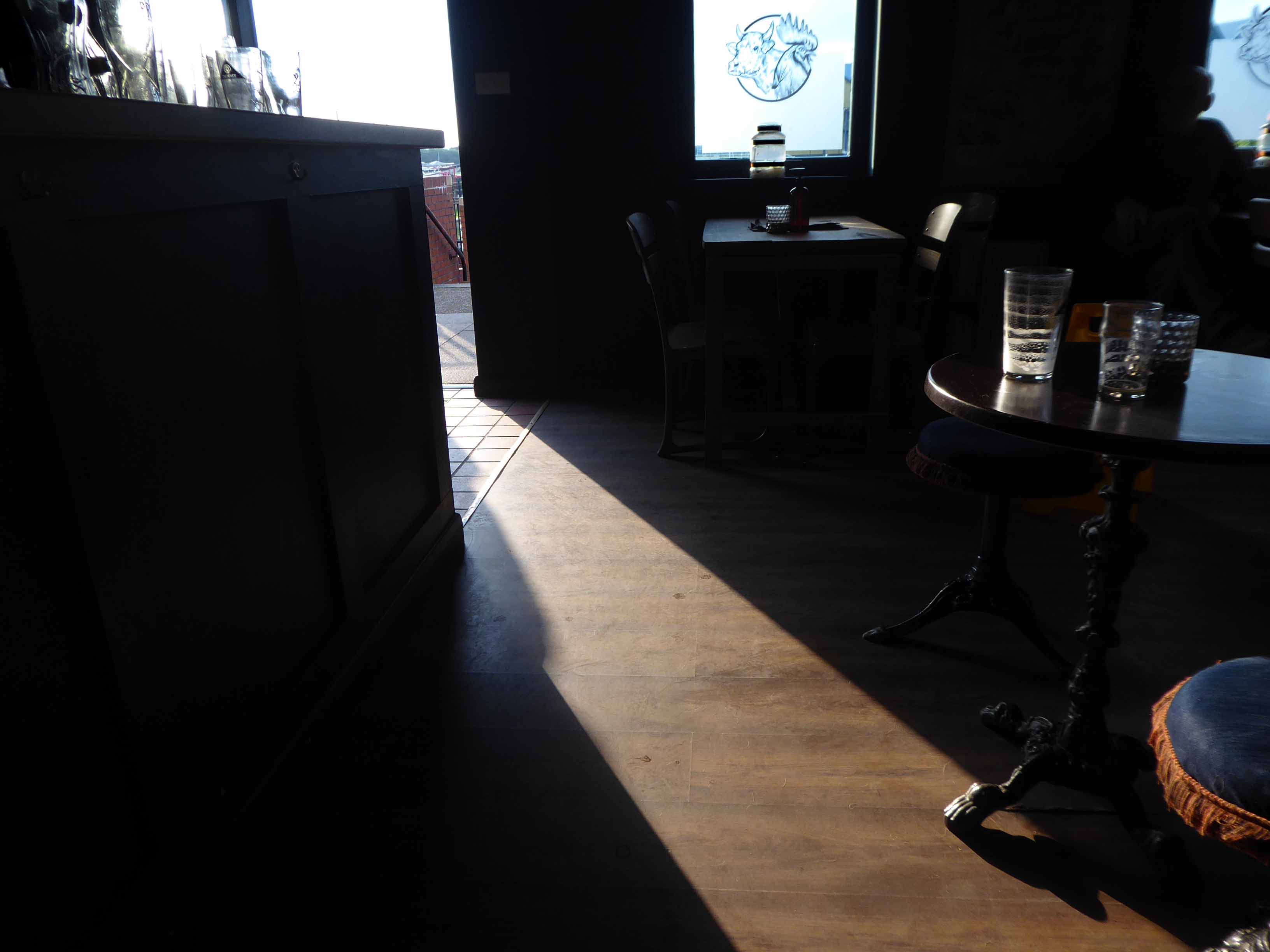
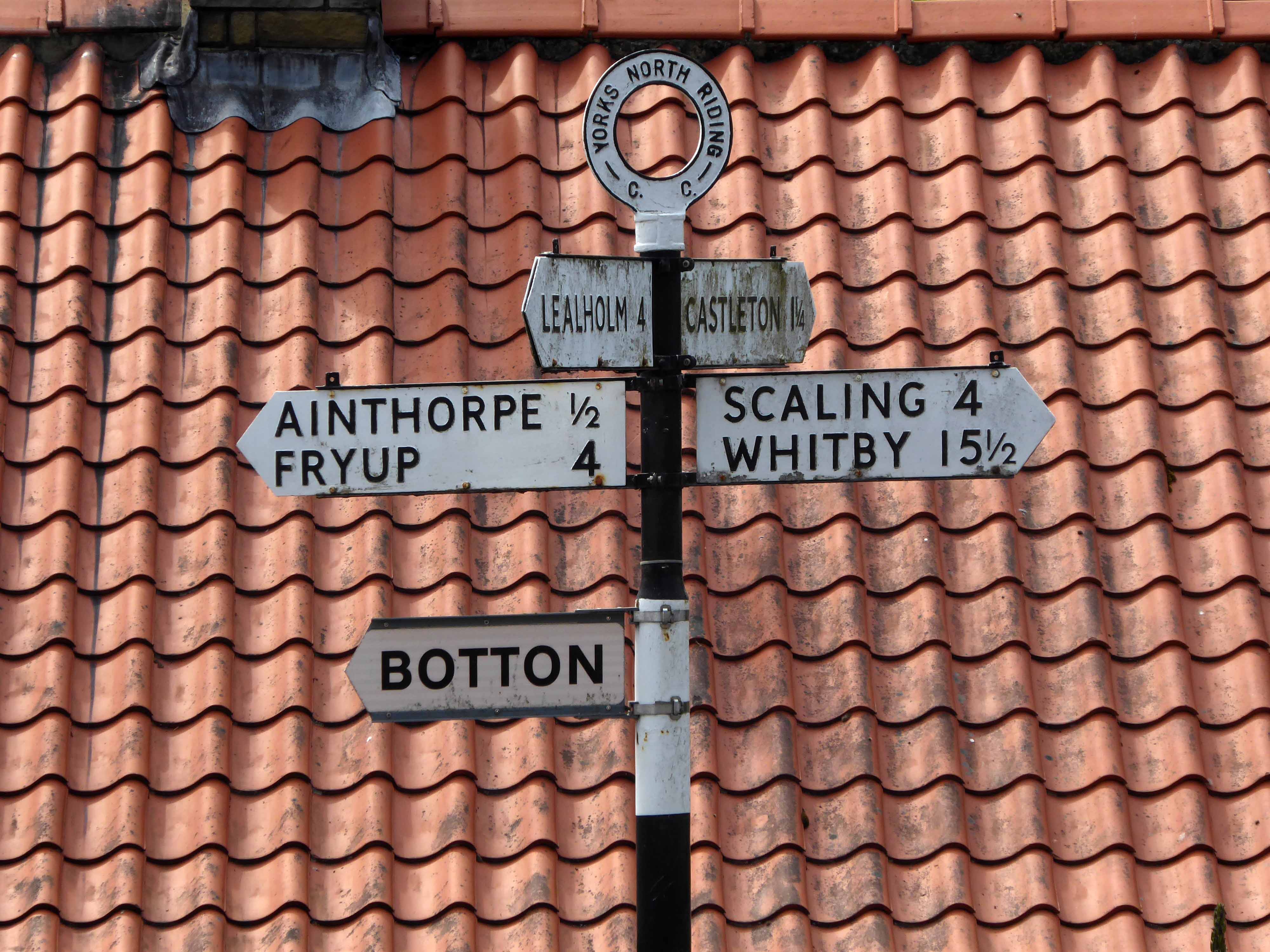
Pausing to catch my breath I took the wildly undulating road to Egton – along the way I was alerted to the presence of a tea stop by two touring cyclists from Nottingham.
The curious name Fryup probably derives from the Old English reconstruction Frige-hop: Frige was an Anglo-Saxon goddess equated with the Old Norse Frigg; hop denoted a small valley.
An old woman at Fryup was well known locally for keeping the Mark’s e’en watch – 24 April, as she lived alongside a corpse road known as Old Hell Road.
The practice involved a village seer holding vigil between 11pm and 1am to watch for the wraiths of those who would die in the following 12 months.
Castleton Moor ghost.
In the village I was given further directions by two elderly gents, who had been engaged in a discussion concerning their long term mapping of acid rain levels in the area.
One was wearing a Marshall Jefferson t-shirt.
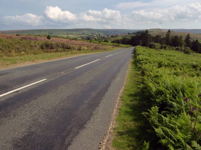
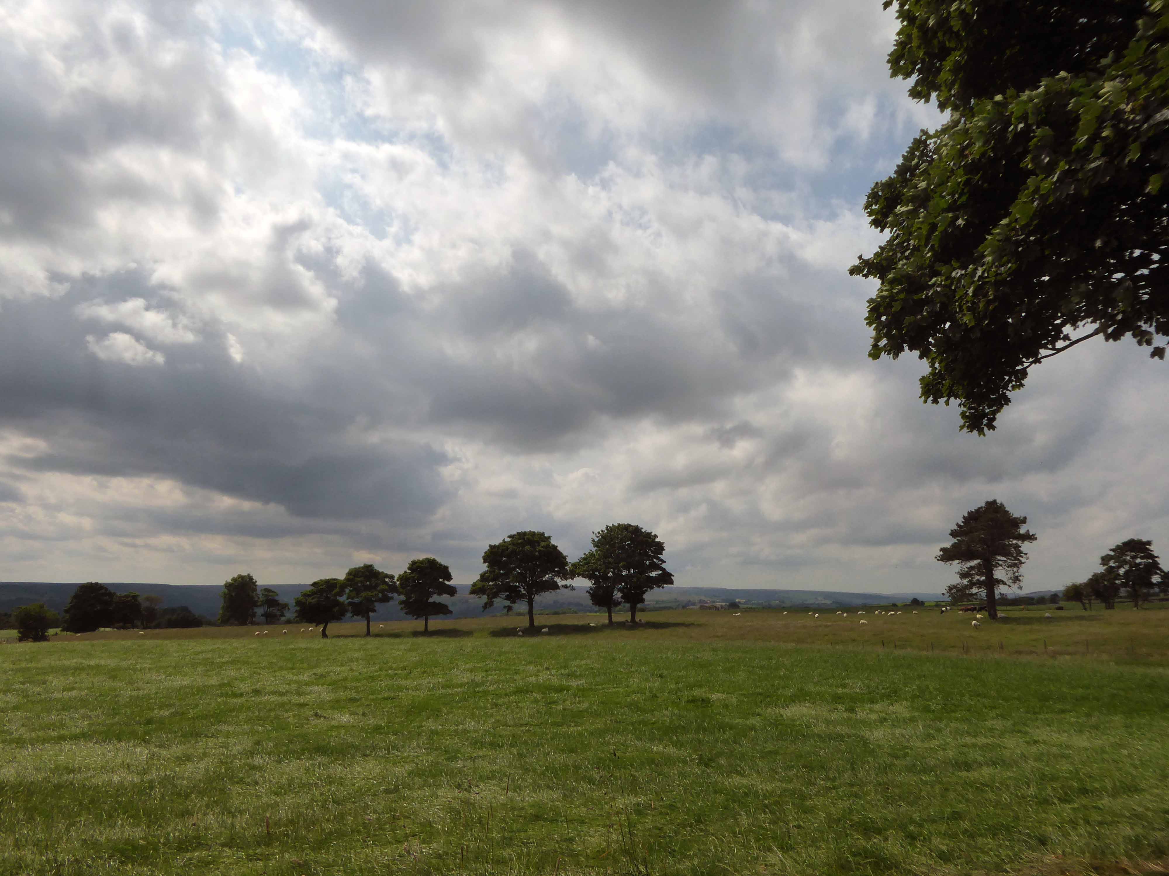
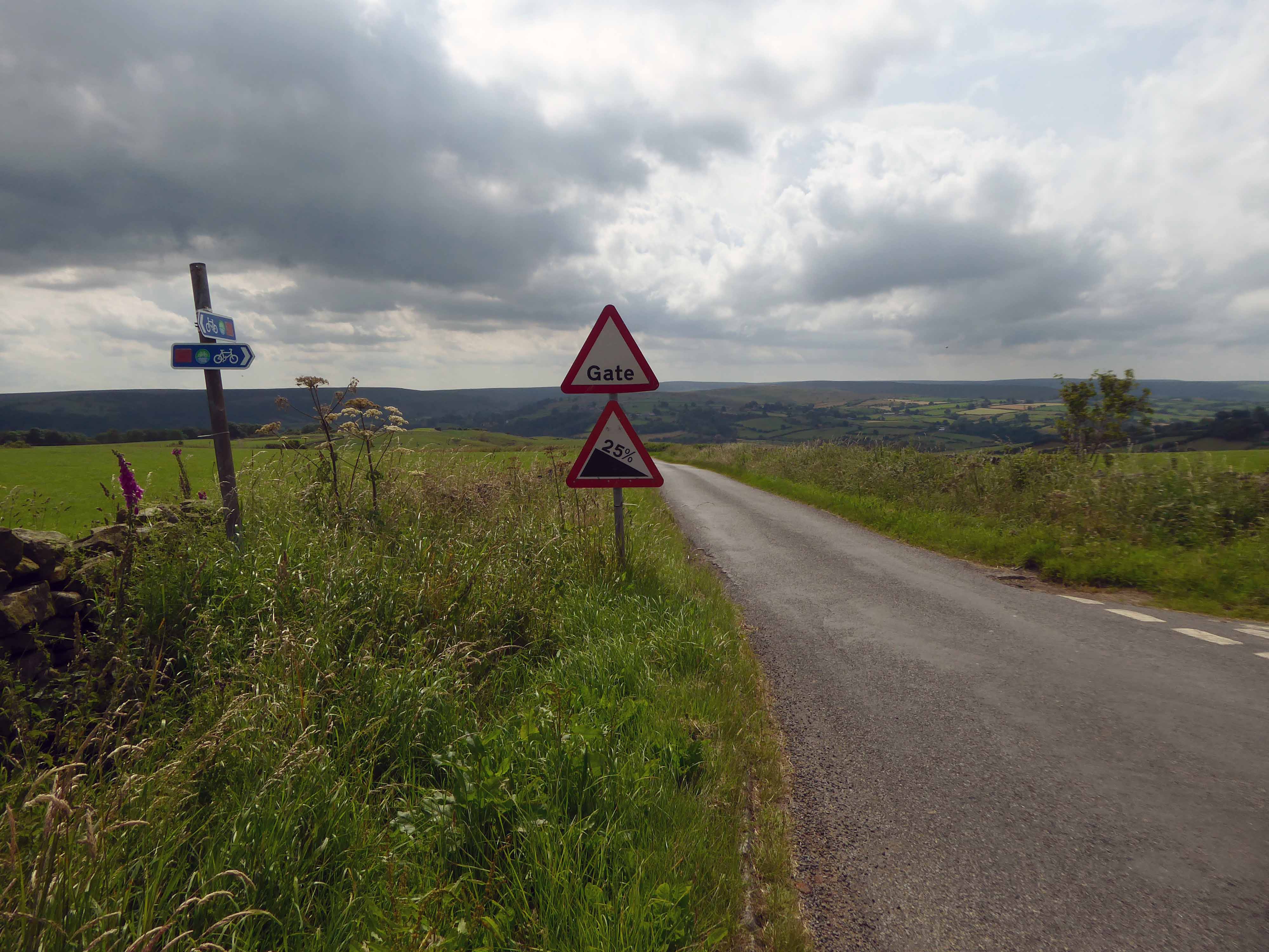
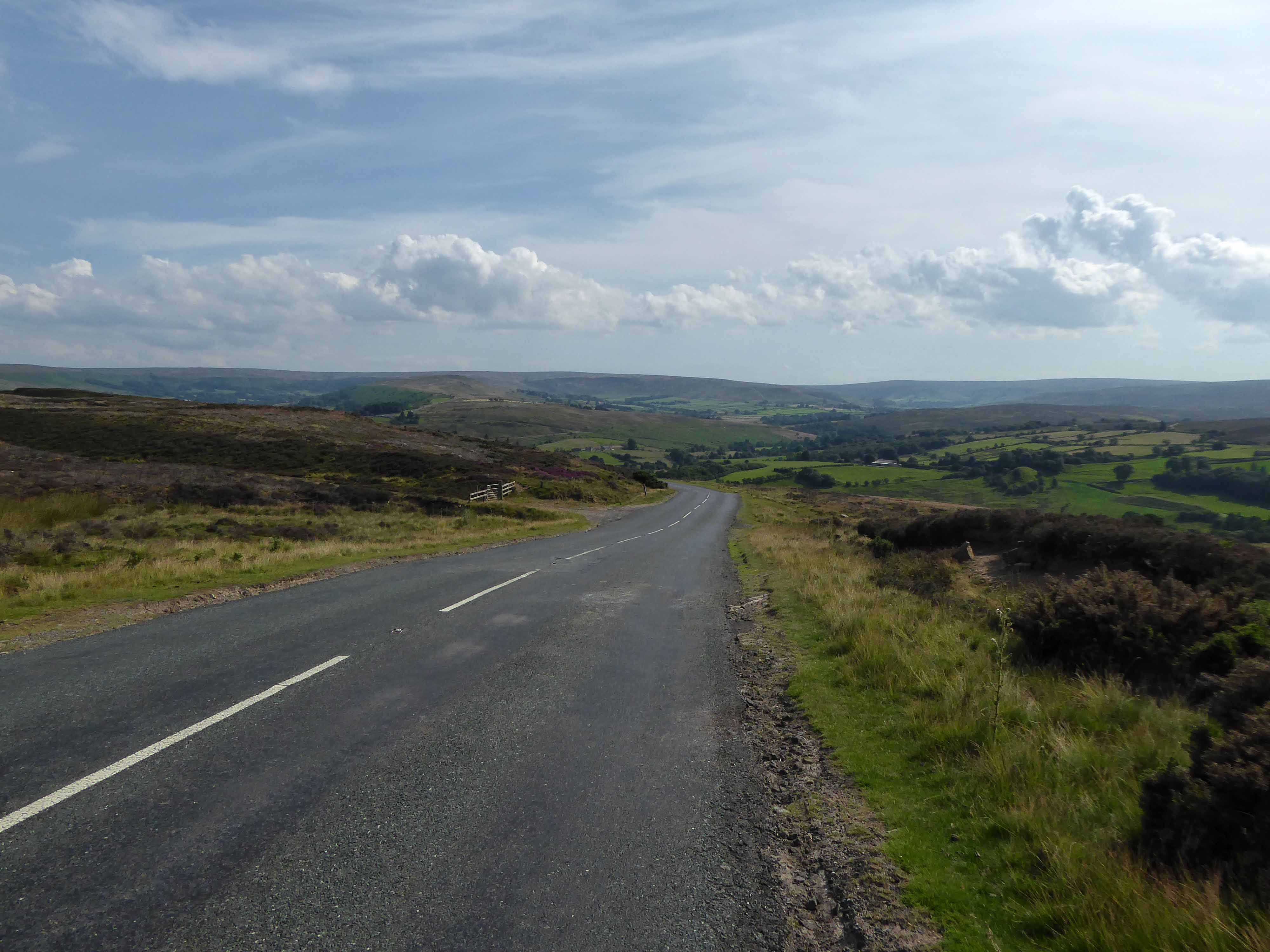
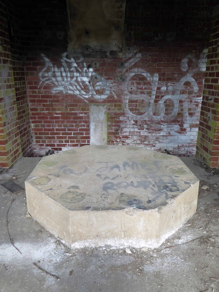
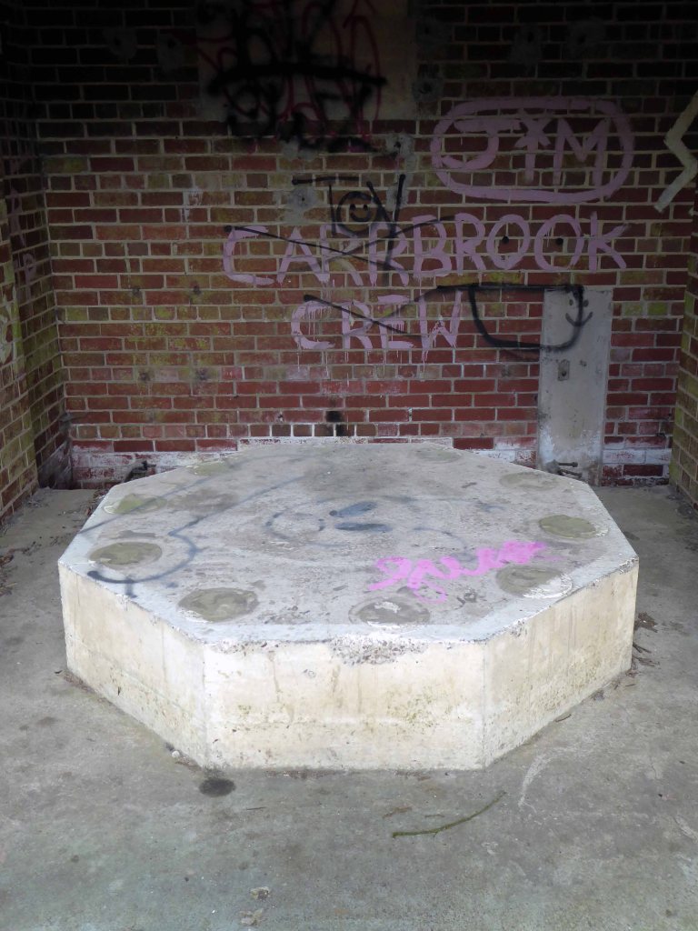
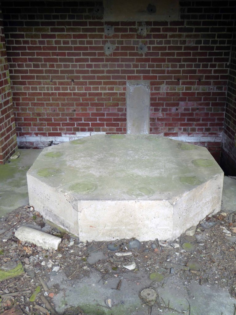
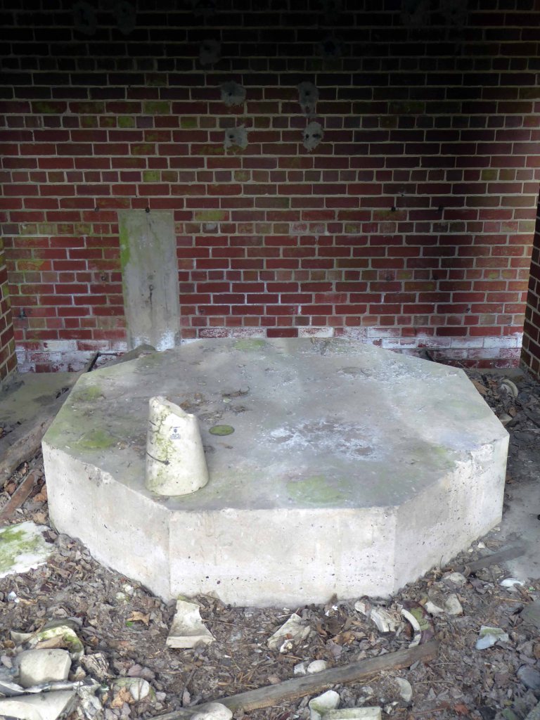
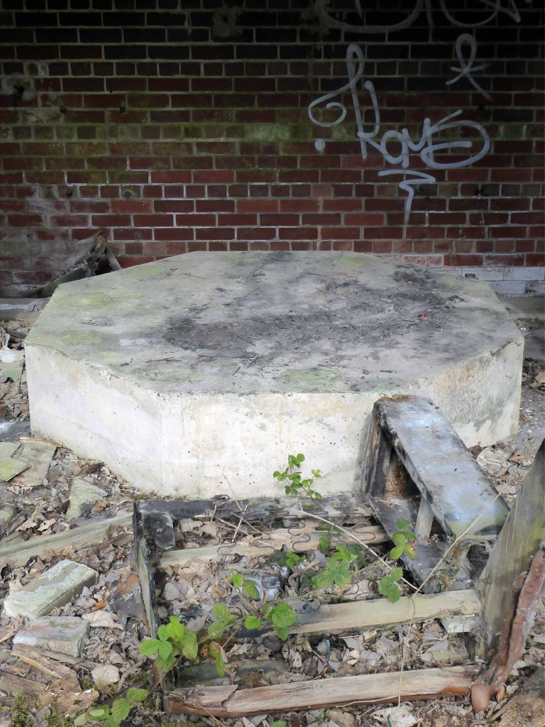
I climbed Langburn Bank onto the flatish open moorland.
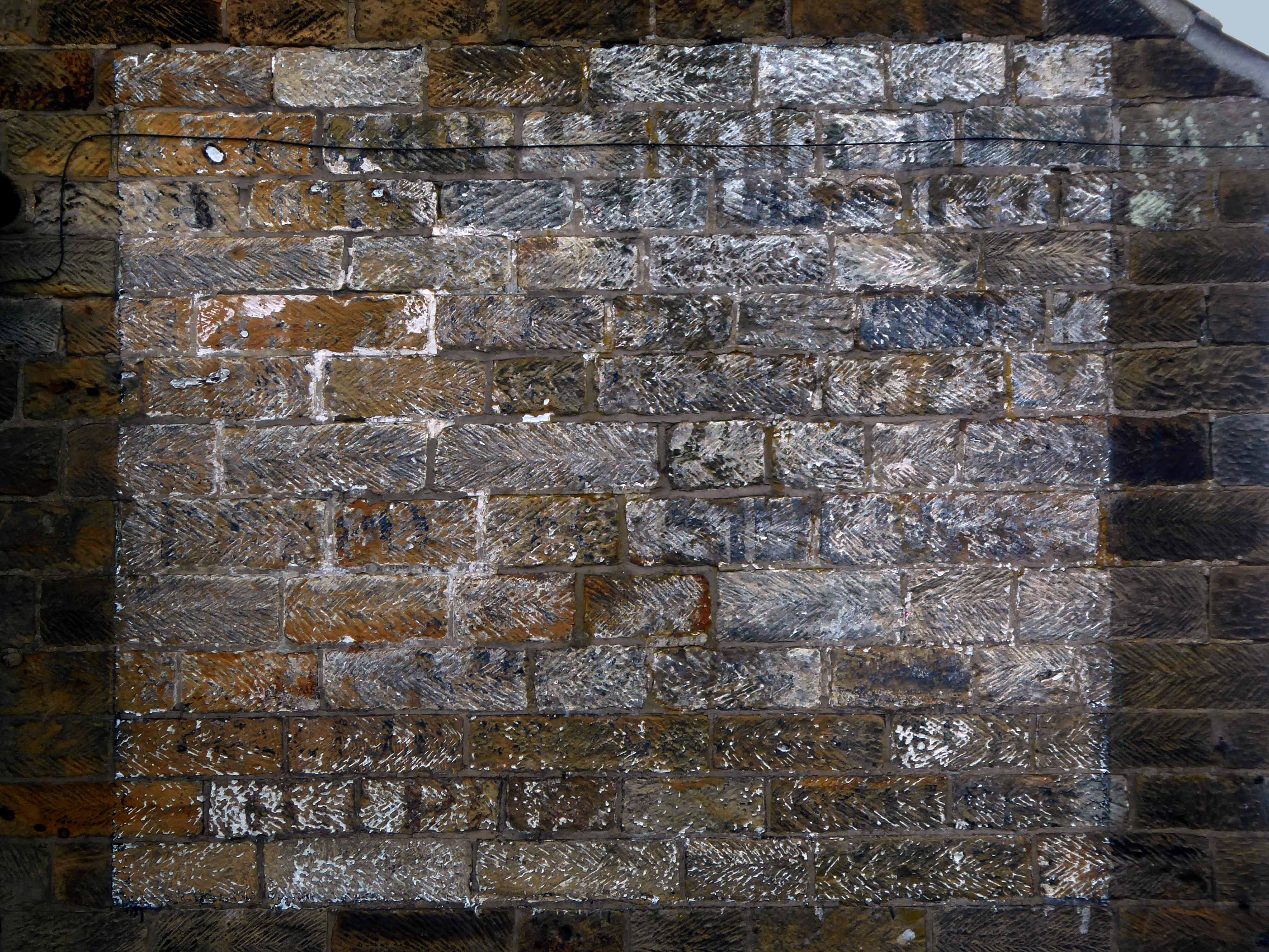
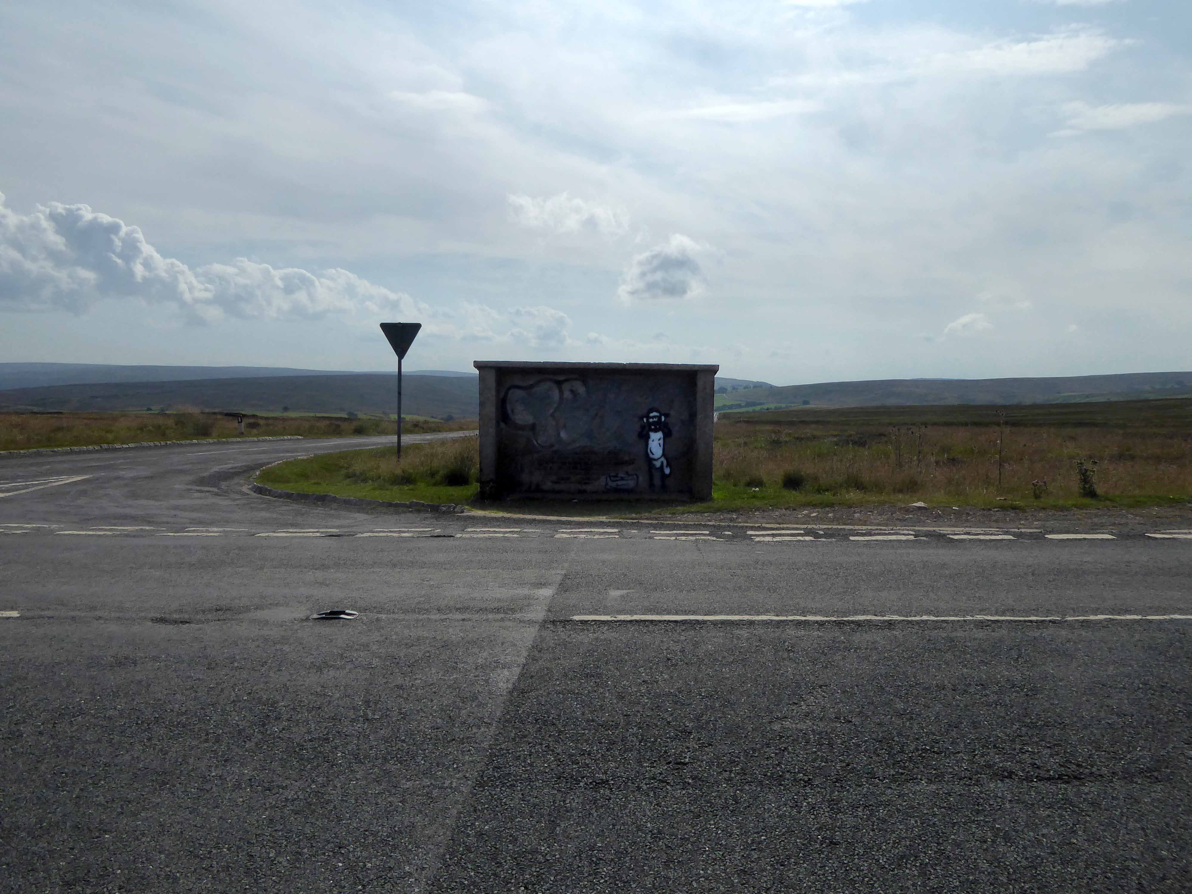
Taking a brief break to snap this concrete shelter.
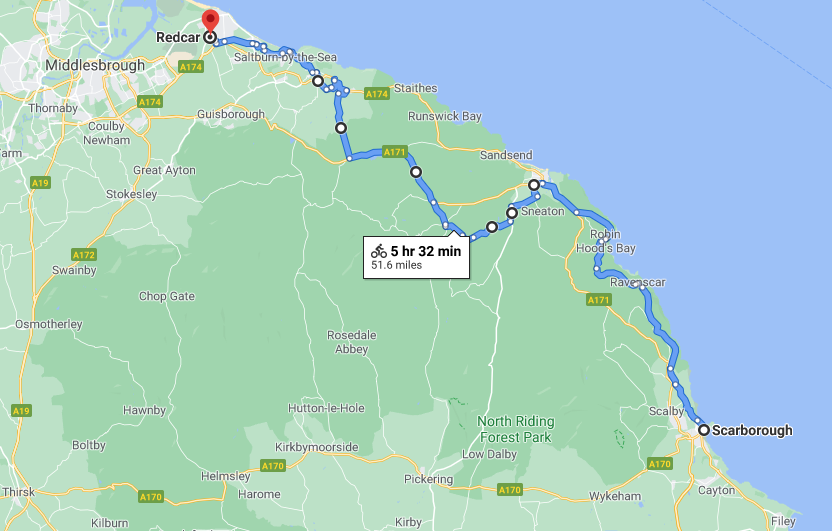
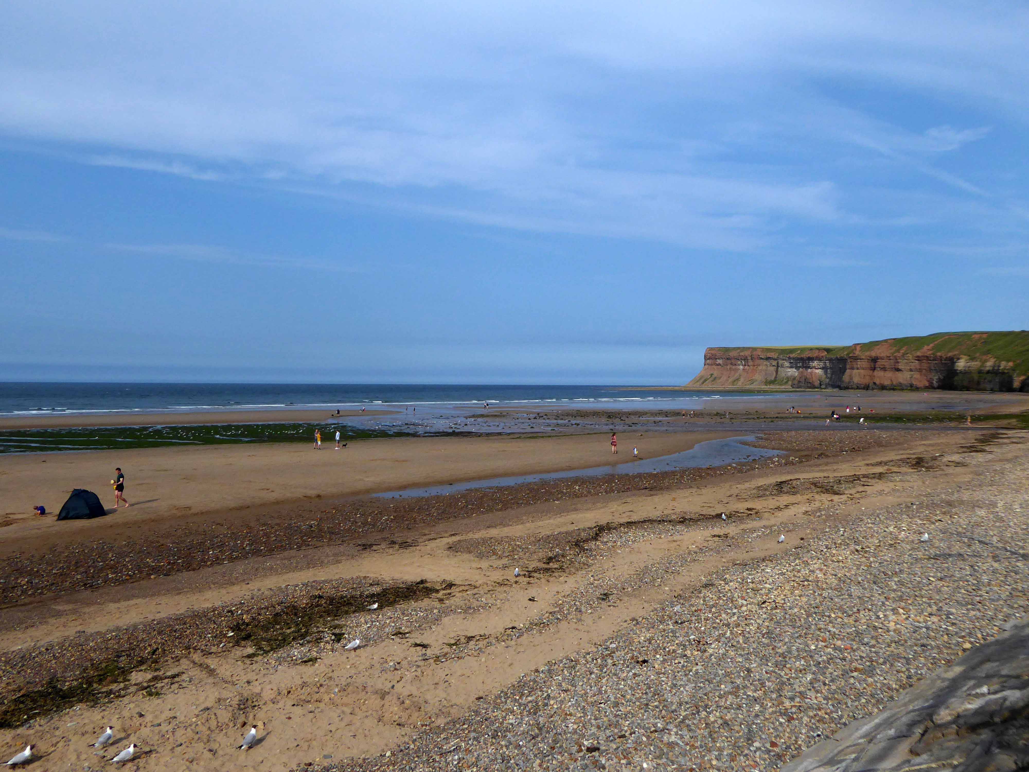
There then followed a hair stirring series of hairpin descents to the coast at Saltburn.
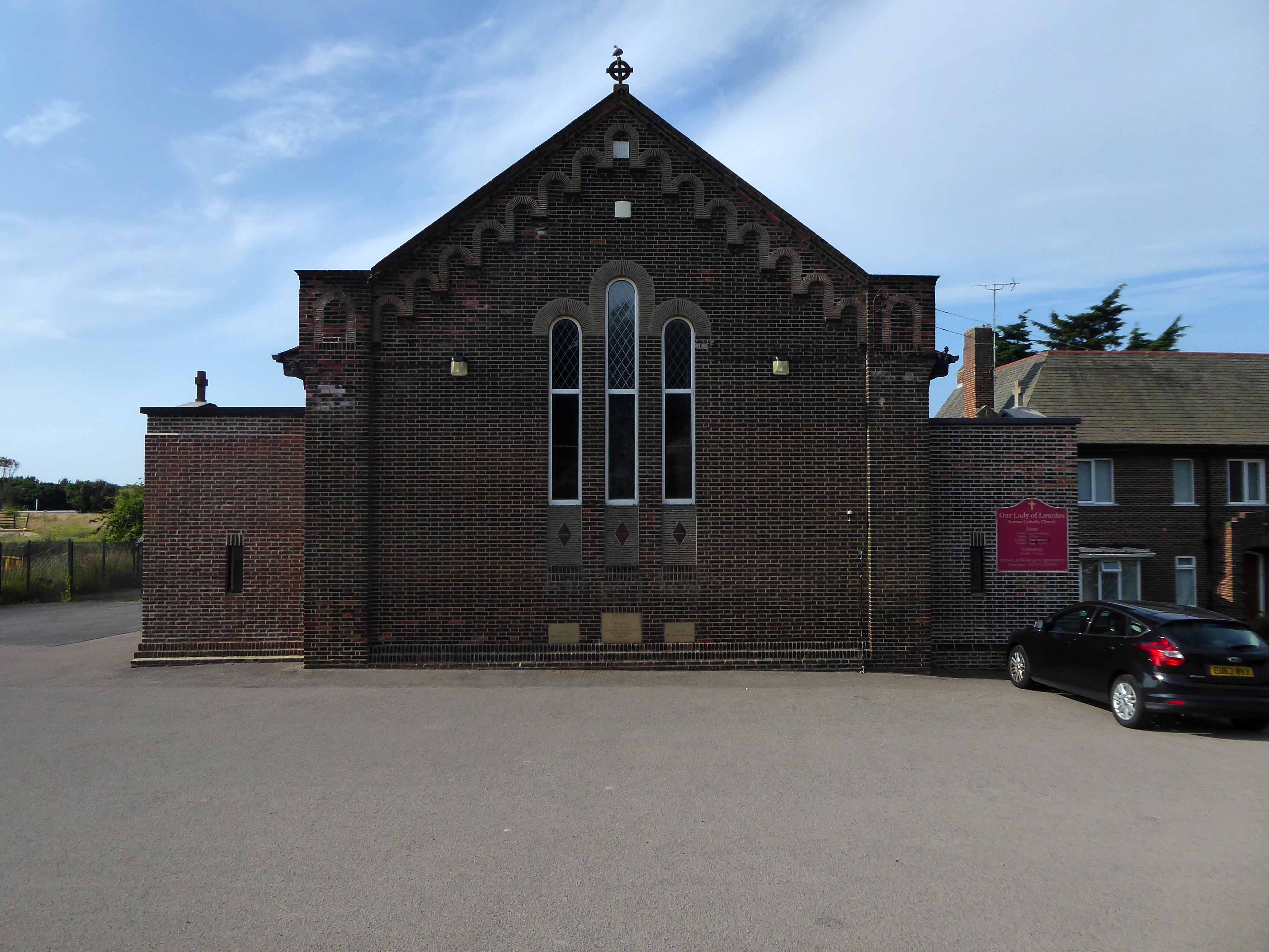
Built in 1928, this church was designed with some care and is an attractive, if fairly modest, Lombard Romanesque-style essay in brick. The use of a semi-circular apse, narrow brickwork and use of tile for decorative effect give it a pleasing appearance, typical of restrained but elegant work between the wars.
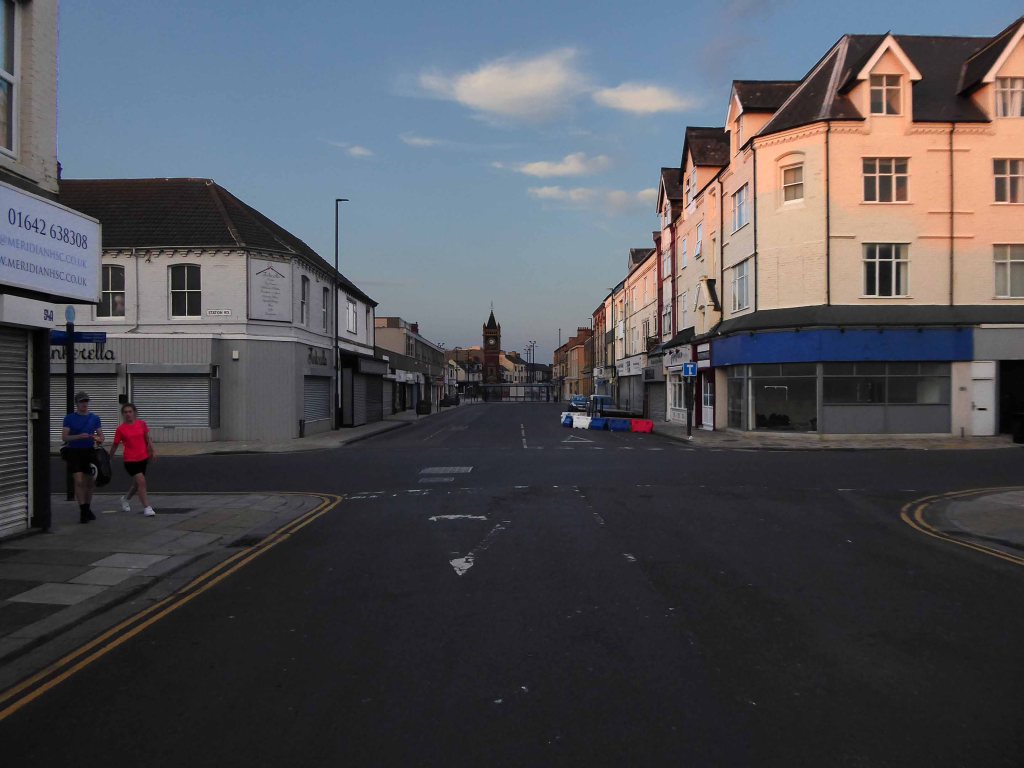
I arrived and took a look around, first time in town, here’s what I found.
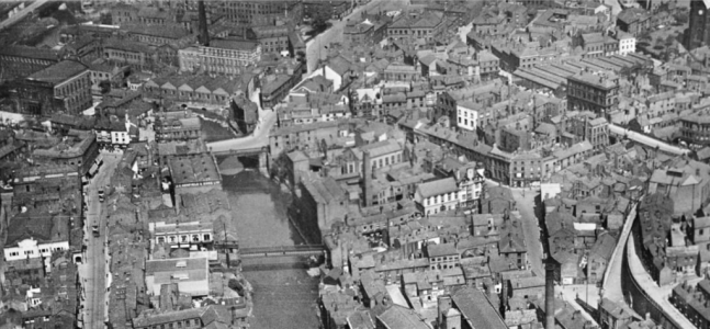
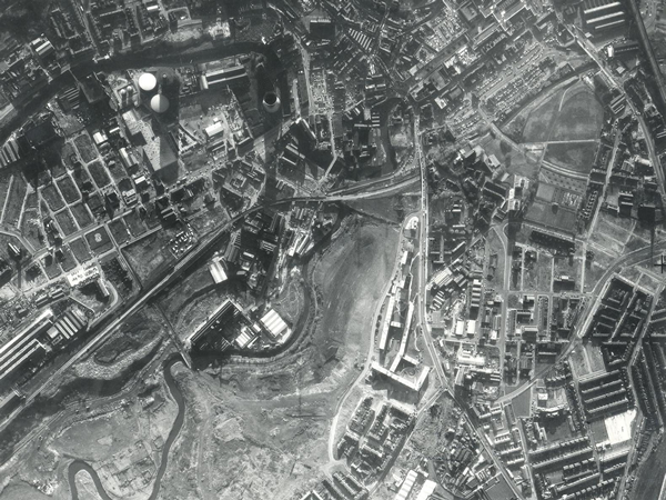
I often walk around here, the space enclosed by the River Tame and the M60, it was a maze of busy streets, home to peoples’ homes, industry, pubs, clubs and railways.
Much of that is now gone, either left to its own devices, untended rough empty ground, or overwritten by the newly built Tesco Extra and Porsche dealership.
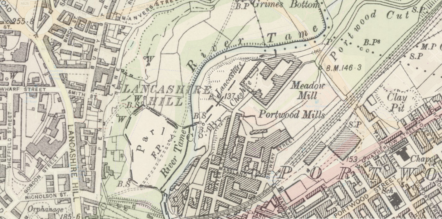
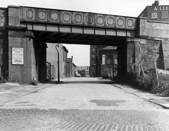
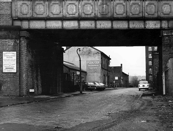
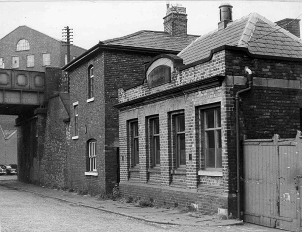
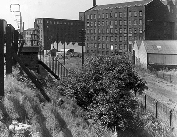
Water Street, Portwood looking north, taken from Avenue Street. Looking underneath the railway bridge, on the left hand side, the first building used to be a public house called ‘The Beehive’, further along was Kent & Swarbrick’s Tripeworks, now a precision engineers, then North West Concrete Works – Easymix. On the right is Coxson’s Brushworks, then the Portwood Mill, Kershaw’s Tannery and the Meadow Mill at the bottom of the street.
The area was also home to the Blood Tub boxing ring.
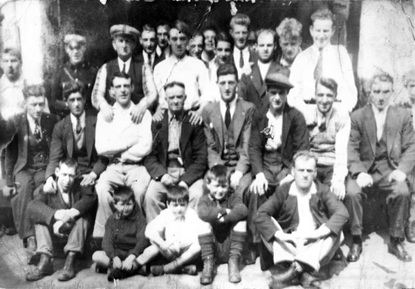
Outside the Blood Tub Back Water Street Portwood.
Centre row left to right Billy PittTaylor Micky PelhamJack HulmeJo Moran owner John MorryBobby RileyLaurie Glen a jockey
2nd row from the back – James Jimmy Rose.
Back row left to right – Charlie Dean An ambulance man Ike Irelands horse dealer – Team from Macclesfield.
Extreme right – Jo Mulrooney.
Front row left to right extreme left – Sidney Smith soft Sidney – a simpleton Jo Hulme.
Copied from a photograph lent by Eddie Pitt
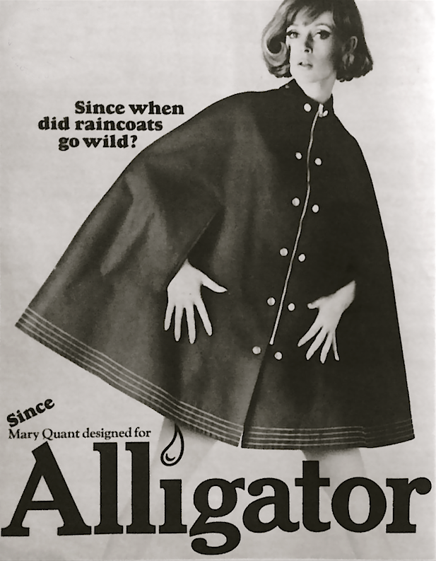
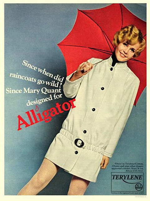
Alligator Rainwear – a British company, whose main factory was based in Beehive Mill. It was best known for its 1960s collaborations with Mary Quant in the design and production of her Wet Look collection of PVC raincoats.
The firm was started after the First World War by Reuben Satinoff, who had previously founded the London Waterproof Company – Silkimac. It was taken over by his sons after the Second World War. For decades, it manufactured traditional weatherproof raincoats in black, brown and beige, but the collaboration with Quant led to new fabrics including PVC and nylon, and a range of bright and vibrant colours.
At its peak in the 1960s and 1970s, Alligator had a turnover of £5 million per year and was exporting its products to Europe and North America. It was later owned by Baker Street Brands who describe it as one of their heritage brands.
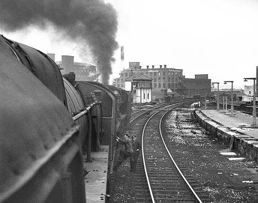
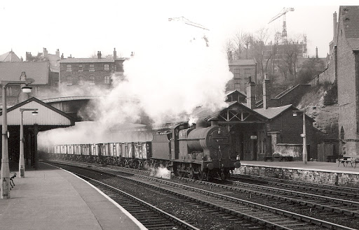
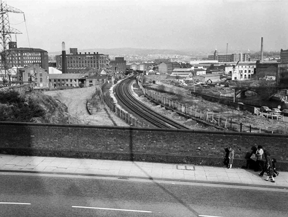
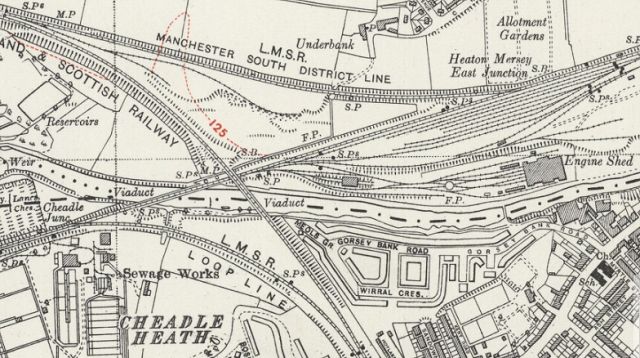
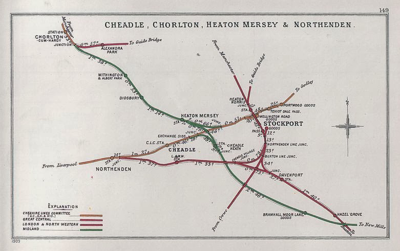
Viewed from Tiviot Dale Viaduct
Tiviot Dale station was located on the Cheshire Lines Committee (CLC) operated Stockport, Timperley and Altrincham Junction Railway line from Portwood to Skelton Junction, a section of what became the Woodley to Glazebrook line. It was situated at the bottom of Lancashire Hill, next to the present motorway bridge. It was opened on 1 December 1865 and was originally known as Stockport Teviot Dale. From 1880, Tiviot Dale was also served by long-distance trains running on the Manchester South District Railway to London St Pancras.
Tiviot Dale remained a part of the CLC, which was jointly owned from 1923 by the London and North Eastern Railway and the London Midland and Scottish Railway, until 1948 when it became part of the British Railways London Midland Region.
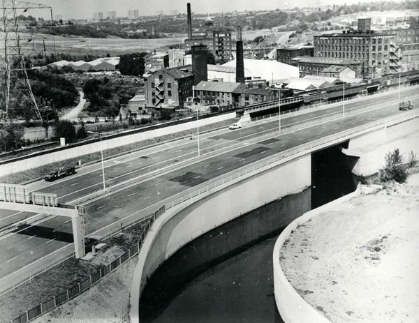
The lines through the station remained in heavy use by coal trains heading for Fiddlers Ferry power station near Warrington from the Woodhead Line. These, however, ceased in 1980 when damage was caused to the nearby Tiviot Dale tunnel during construction work on the M63 motorway – now M60 motorway and the line temporarily closed for safety reasons. The closure was made permanent west of Bredbury’s stone terminal in 1982, following the demise of the Woodhead route; the track was subsequently lifted in 1986 and the tunnel partially filled in. The area surrounding the station was further altered at the beginning of the 21st century to allow the construction of a supermarket and office buildings, which now block the old trackbed.
Portwood Railway Station was on the Stockport and Woodley Junction Railway – later becoming part of Cheshire Lines Committee – Glazebrook to Woodley line. According to Bolger it opened to passengers on 12 January 1863, along with the rest of the Stockport and Woodley Junction Railway, although Butt suggests it opened on 1 December 1865 when the Stockport, Timperley and Altrincham Junction Railway opened.
The station opened for goods traffic in 1865, closing to passengers on 1 September 1875, when it became a goods station. It remained in use until 25 April 1966 when it closed except for coal traffic which continued until 27 March 1972 when it closed entirely except for a private siding.
Today no trace of the station remains, the site being buried under a slip road of the M60 motorway.
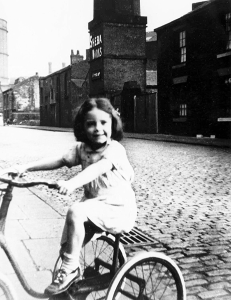
Monica Clarke on her tricycle in Marsland Street, behind her across the cobbled street is the Sheba Works – 1951.
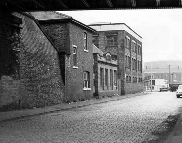
Marsland Street east, showing the Haymarket Chambers – 1967
The front of Haymarket Chambers Marsland Street.
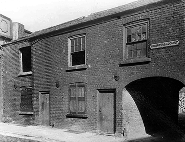
Boarded up dwellings on Compstall Court, off Marsland Street.
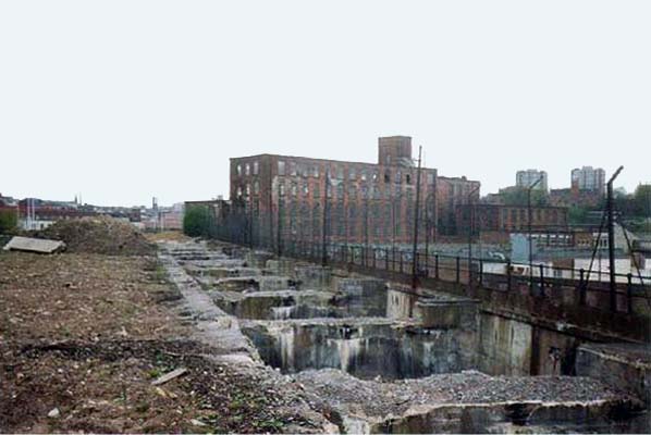
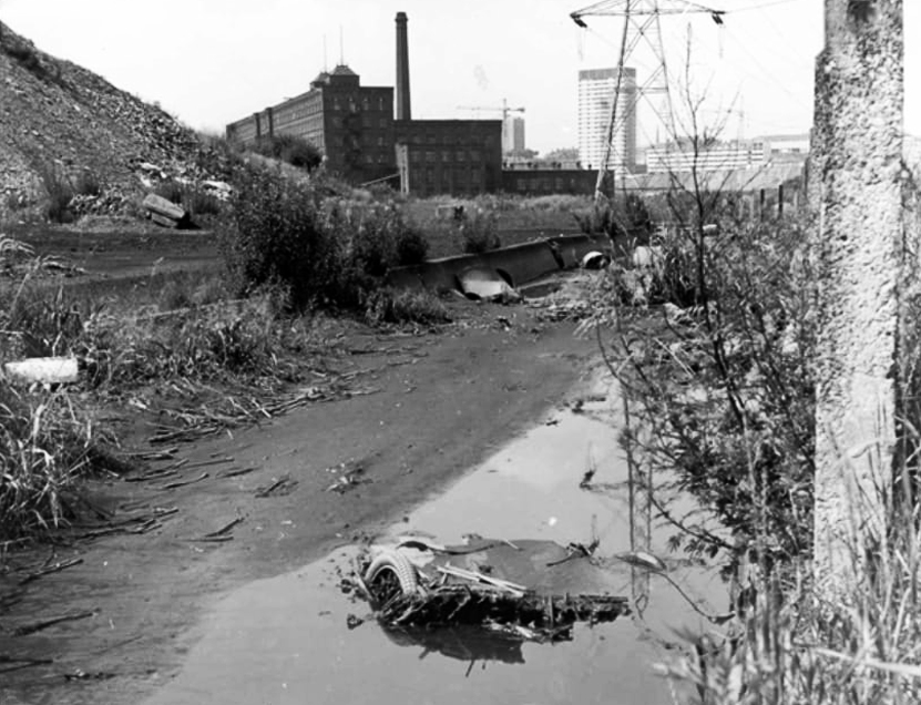
Portwood Cut 1968
James Harrison bought the manor of Brinnington in the early 1780’s – by 1790 Harrison had three factories in Portwood and others were to follow. In 1796, to provide sufficient water-power to this industrial zone he constructed a substancial millrace. Known as the Portwood Cut, it carried water across the Tame, between his Reddish and Brinnington estates. Harrison also planned the construction of factories at Wood Hall but that particular scheme was abandoned after his death in 1806.
Harrison’s Weir still survives on the river. To the south sections of the Portwood Cut also survive within Reddish Vale Country Park, both as a shallow depression and as water-filled, if somewhat silted and overgrown channel.
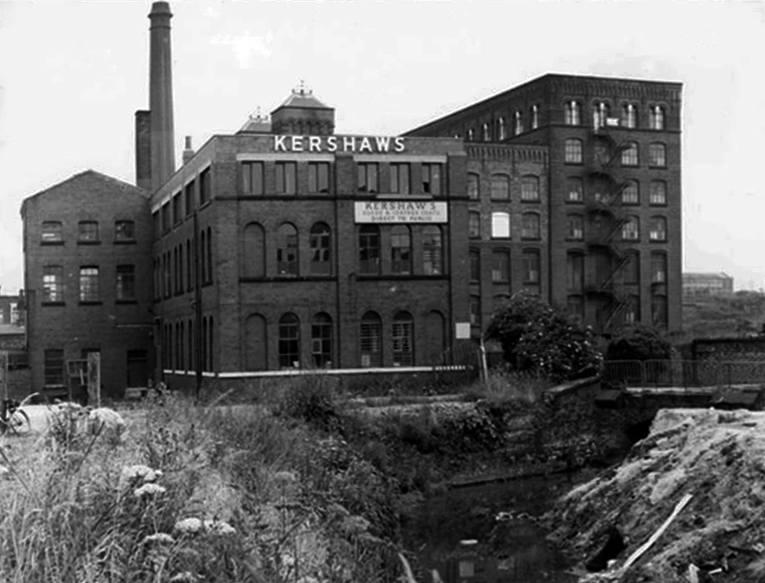
Kershaws is one of the only original businesses which still trades in the area.
Established back in 1855 by Joshua Kershaw, the company has gone from strength to strength.
Way back then, it was just a tannery. Today, seven generations on, Edward Kershaw heads a company that is known and respected for it’s quality leather in Europe, America and the Far East.
Kershaws also provide white leather for masonics and bagpipes.
Brewery Street – a view of the steps leading to the railway footpath to Tame Street – 1967.
The mill in the foreground is the Portwood Spinning Mill now called Portwood Mill – on the front of the mill it states Sir Richard Arkwright Portwood Mill.
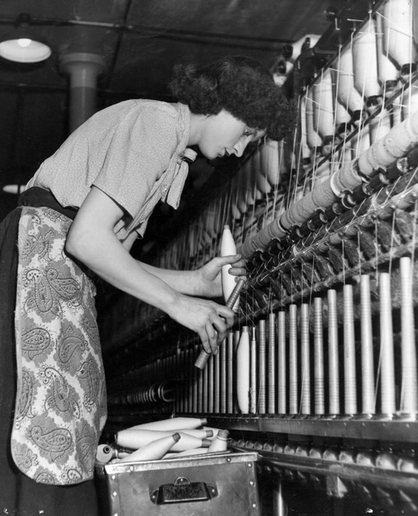
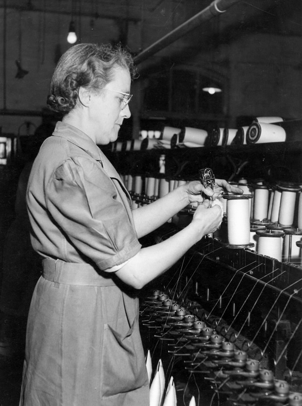
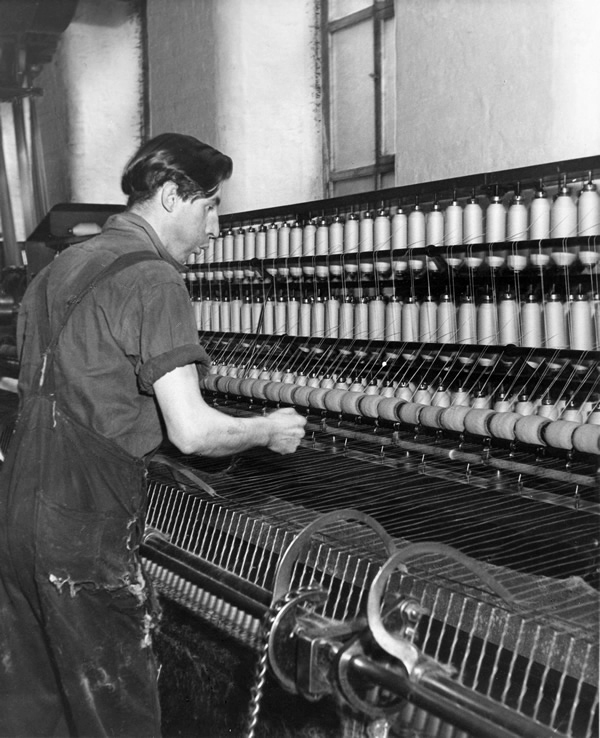
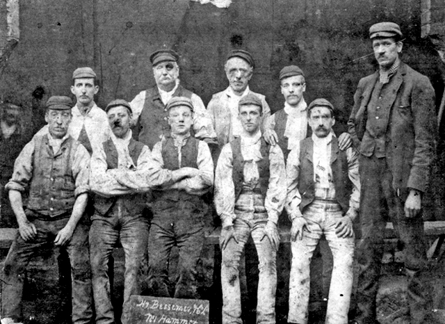
Employees – Portwood Spinning Company
Coal drops and yard at the rear of the Beehive Spinning Mill
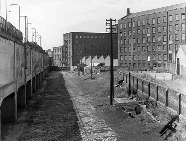
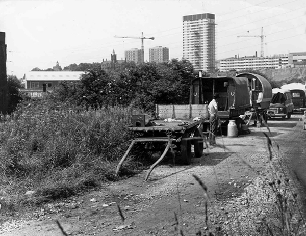
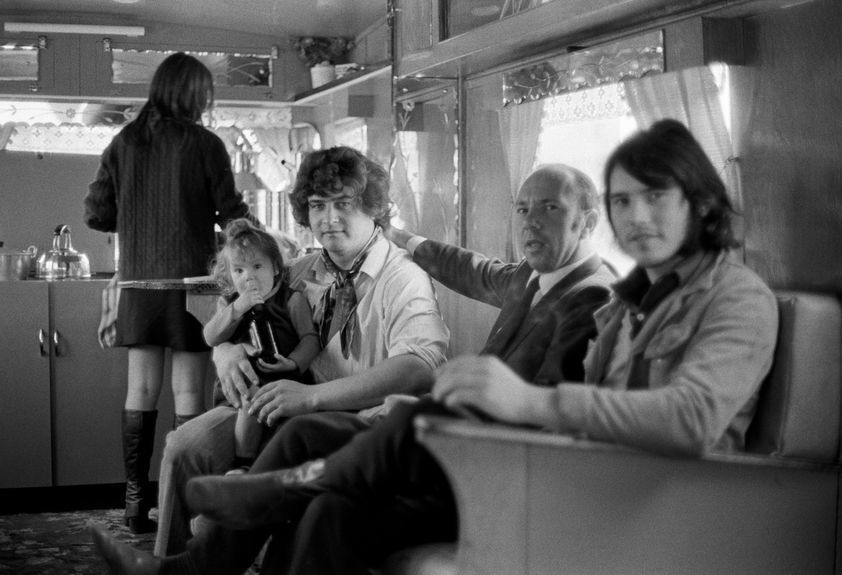
Tame Street gave motorized access to the Cut and here the caravans of travelling folk were parked several times a year, usually until the police ‘moved them on’. The men collected and sold scrap metal, the women sold clothes pegs and told fortunes from door to door. Many of the local people treated them with suspicion and some local pubs would not admit them.
Building work on Lancashire Hill can be seen in the background – 1968
The area was formerly a dense web of housing and industry.
With the gas works at its heart .
High speed gas once the fuel of the future is almost a thing of the past. Coal Gas produced in coke retorts long gone, North Sea Gas hissed off.
Low carbon heating will replace domestic boilers from 2025, the need for gas storage holders is minimal.
Goodnight Mr Therm.
There are currently 53 listed holders on the Historic England site.
Some have been repurposed – WilkinsonEyre has completed work on Gasholders London; a development of 145 apartments within a triplet of listed gasholder guide frames.
Little now remains of the Portwood Gas Works.
These are the rearranged remnants re-sited by Dunelm Mill – it’s curtains for our industrial heritage.
Your business is unique, so we don’t offer a one-size-fits-all.
Instead, we layer six Protective Services for your complete security.
Unlock six Protective Services
One of the UK’s largest retail parks, Stockport Retail Park benefits from a strategic location on the M60 Manchester orbital motorway making it one of the city’s most accessible parks. The park forms a natural extension to the town centre, offering a wide range of uses from value convenience to fashion and home as well as a number of cafés and restaurants.
This is the post industrial landscape of consumption and its infrastructure that faces the defunct and mothballed site, whatever next?
Charles Dreyfus was a French emigrant chemist and entrepreneur, who founded the Clayton Aniline Company on 29 May 1876. The company obtained a lease on a parcel of land in Clayton, Manchester, sandwiched between the Manchester and Ashton Canal and Chatham Street – later known as Clipstone Street.
1904
At its peak in the 1970s, the site occupied over 57 acres and employed over 2,000 people. However, due to the gradual demise of the British textile industry, most textile production shifted to countries such as China and India with the textile dye industry following.
1960
In 2002, the company made 70 members of staff redundant and in 2004 the announcement was made that the site would be closing with the loss of over 300 jobs. A small number of staff were retained to assist in the decommissioning of the plant. The last workers left the site in 2007 and the remainder of the buildings were demolished shortly afterwards.
Like much of the industry of east Manchester its tenure was relatively short – money was made and the owners departed, without wiping their dirty feet.
The site remained derelict until demolition, followed by extensive site cleansing – to remove the dangerous detritus of 200 years of hazardous chemical production.
Vincent Kompany had just completed his £6million move from Hamburg when he realised that Mark Hughes’ sales pitch about the direction the club was going was not entirely accurate.
They took me for a look around the training ground at Carrington – it wasn’t fit for purpose, it was a dump.
I remember there was a punch bag in the gym – and only one boxing glove. And even that had a big split in it!
Then in 2008 the corrupt boss Thai PM Thaksin Shinawatra is bought out by Sheik Mansour – the rest is history/mystery.
Mr Peter Swales makes no comment.
My interest lies in the company’s Ashton New Road offices – seen here in 1960.
Demolished and replaced by a distinctly Modernist block by 1964.
A flank was added on Bank Street along with a bank.
The office complex is still standing, now home to Manchester Police, I risked arrest and incarceration, in order to record the distinctive tile work, rectilinear grid and concrete facades.
Attracting several suspicious stares from the open glazed stairwells.
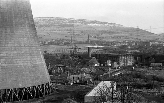
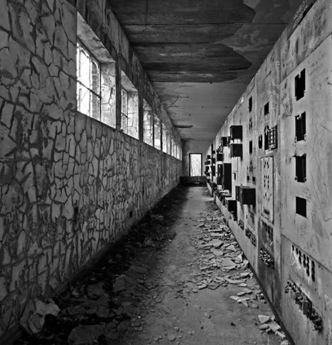
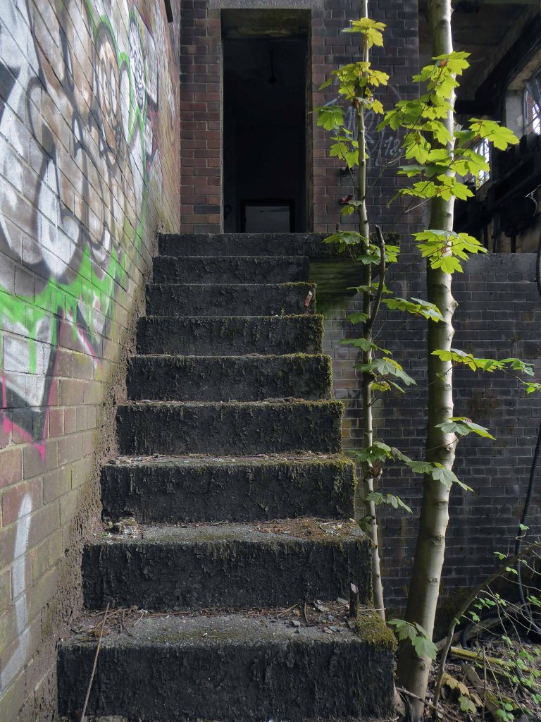
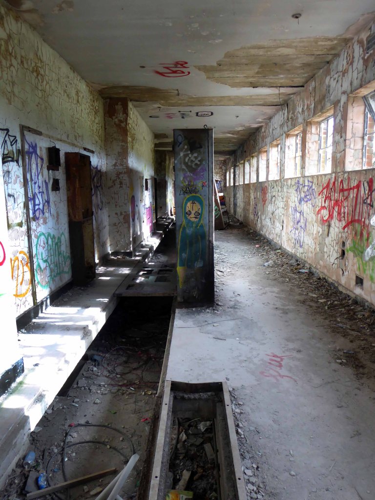
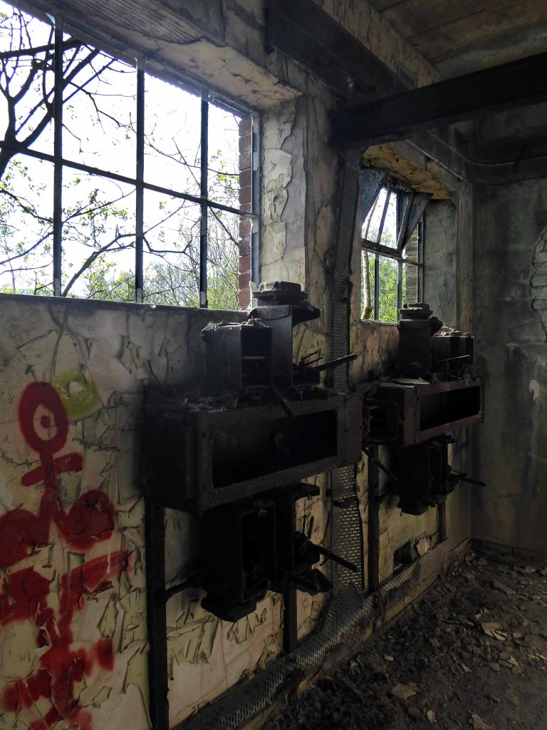
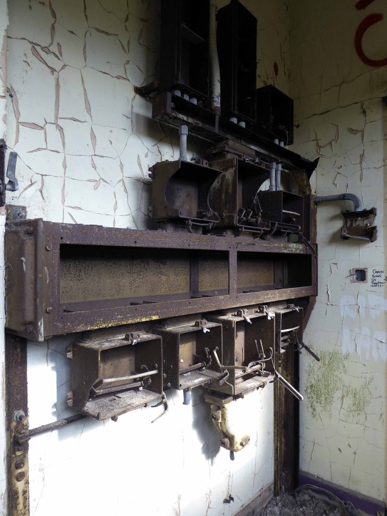
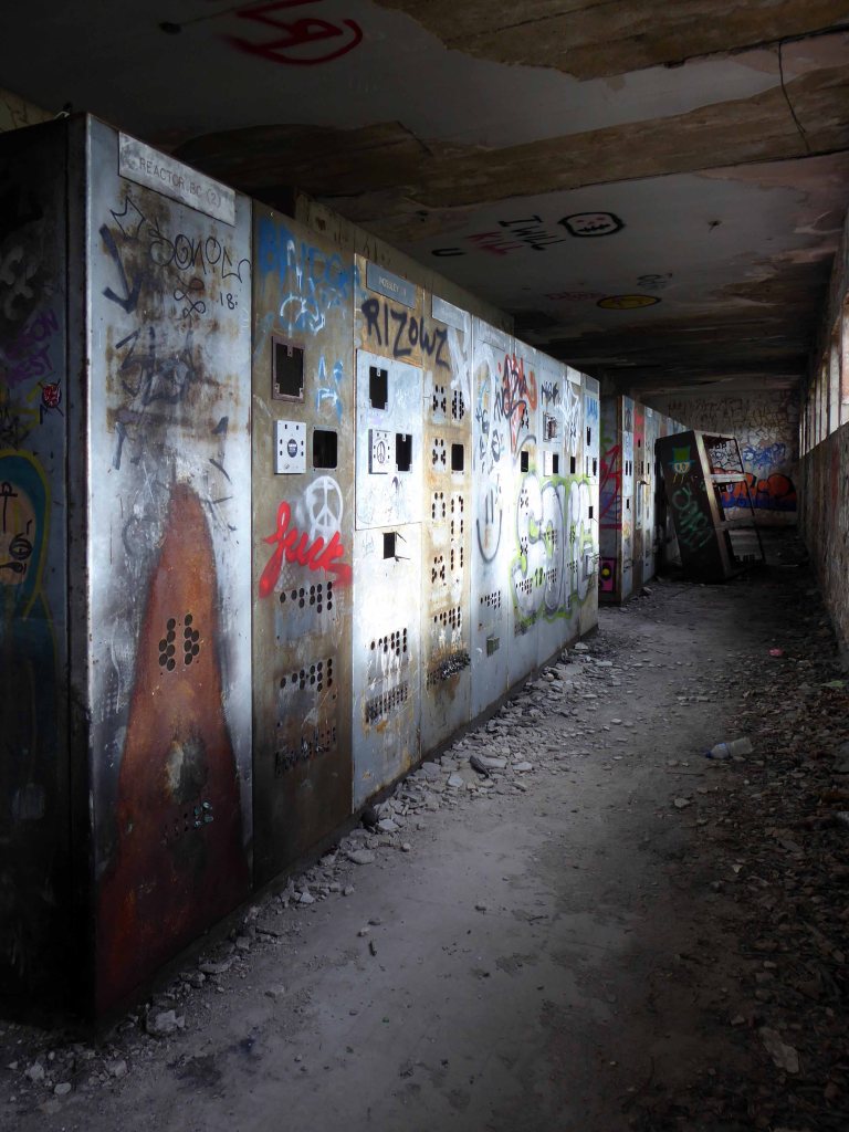
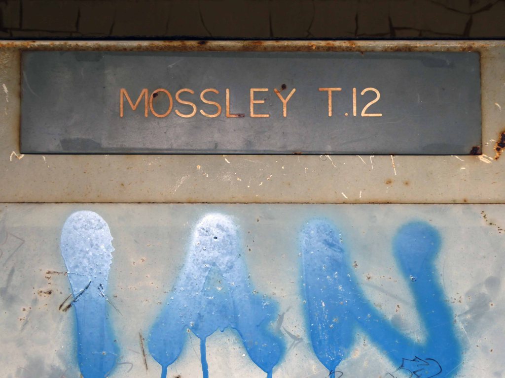
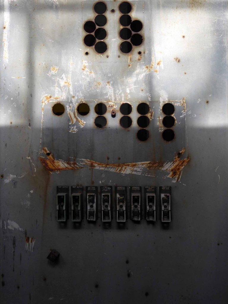
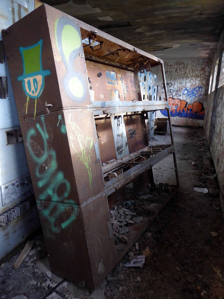
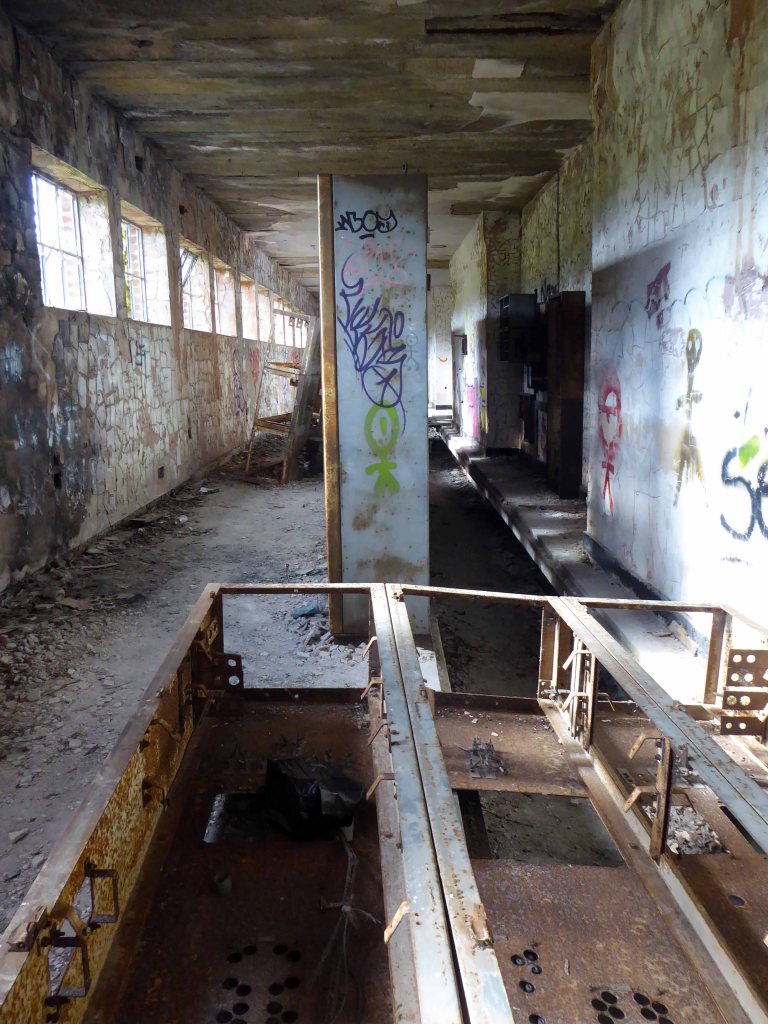
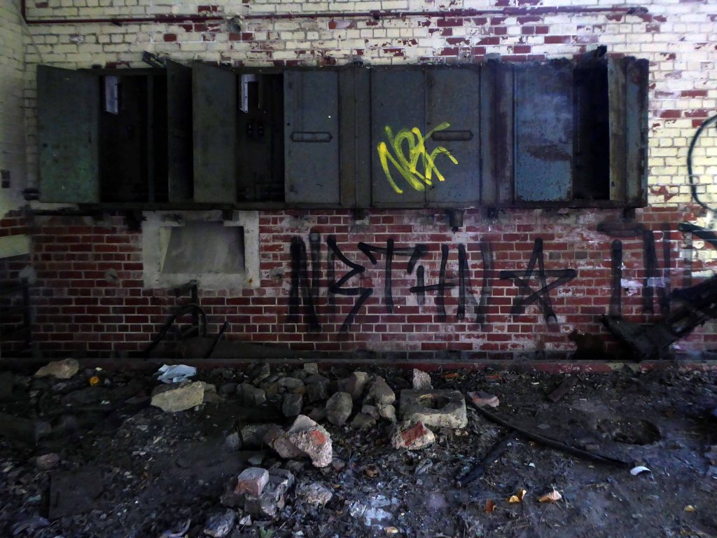
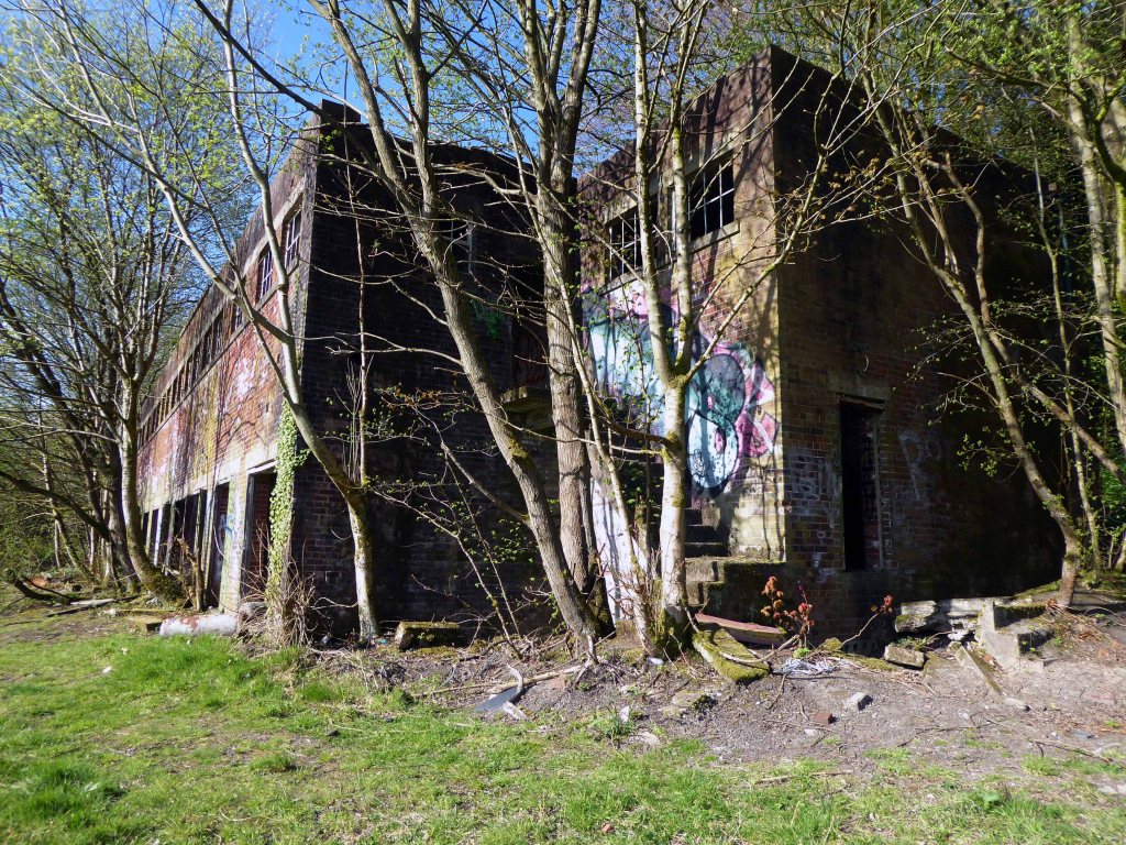
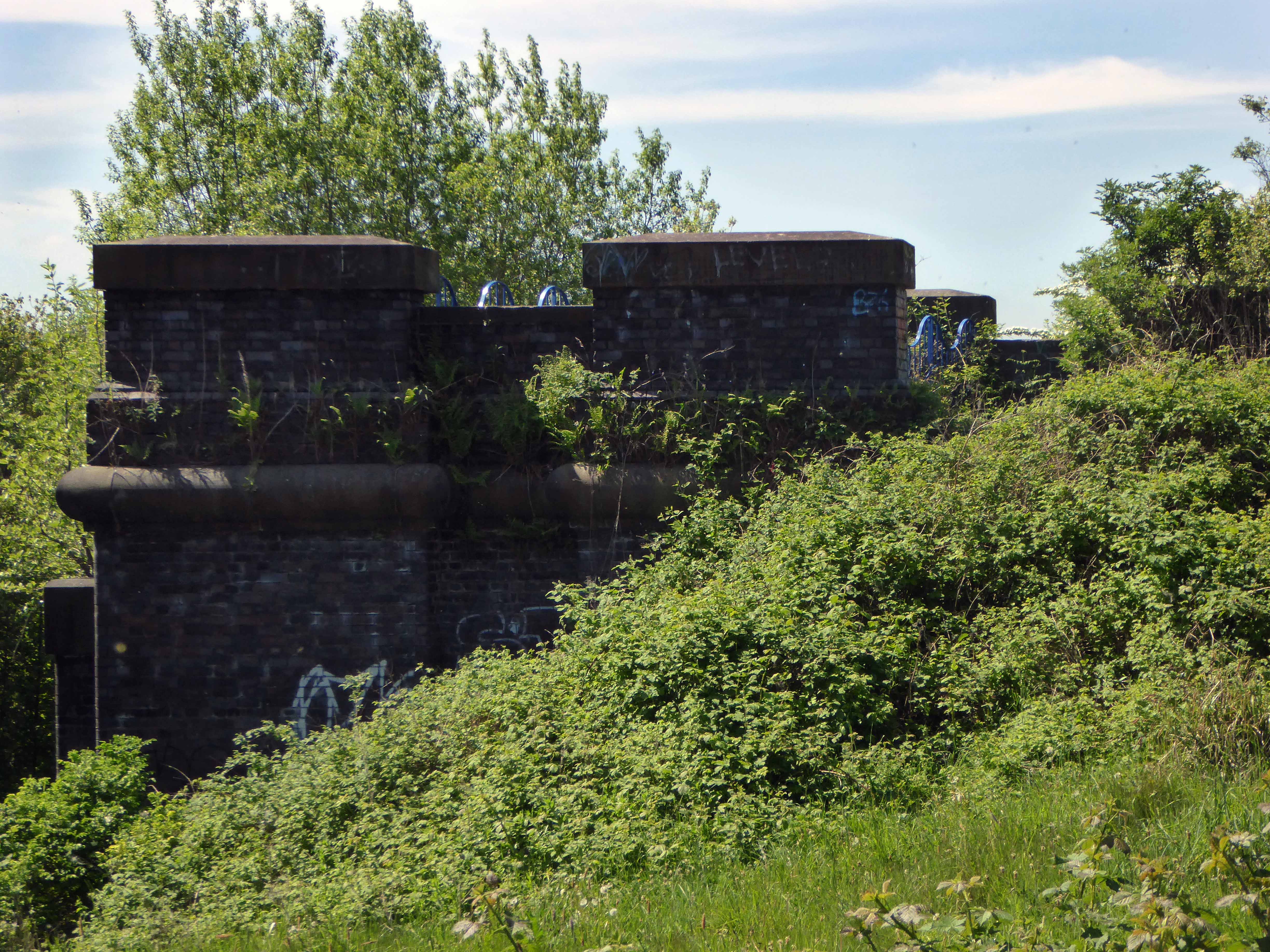
I’m back here to day in search of an abandoned control centre at the long gone Hartshead Power Station.
The station was opened in 1926 by the Stalybridge, Hyde, Mossley and Dukinfield Transport and Electricity Board.
The station was closed on 29 October 1979 with a generating capacity of 64 megawatts. It was demolished during the late 1980s, although part of the site is still used as an electrical substation.
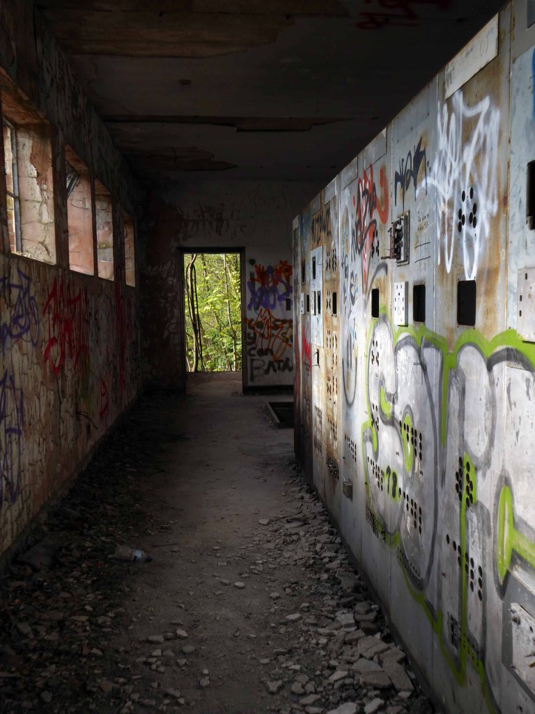
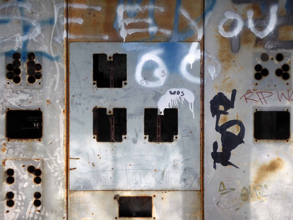
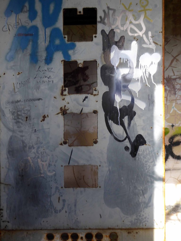
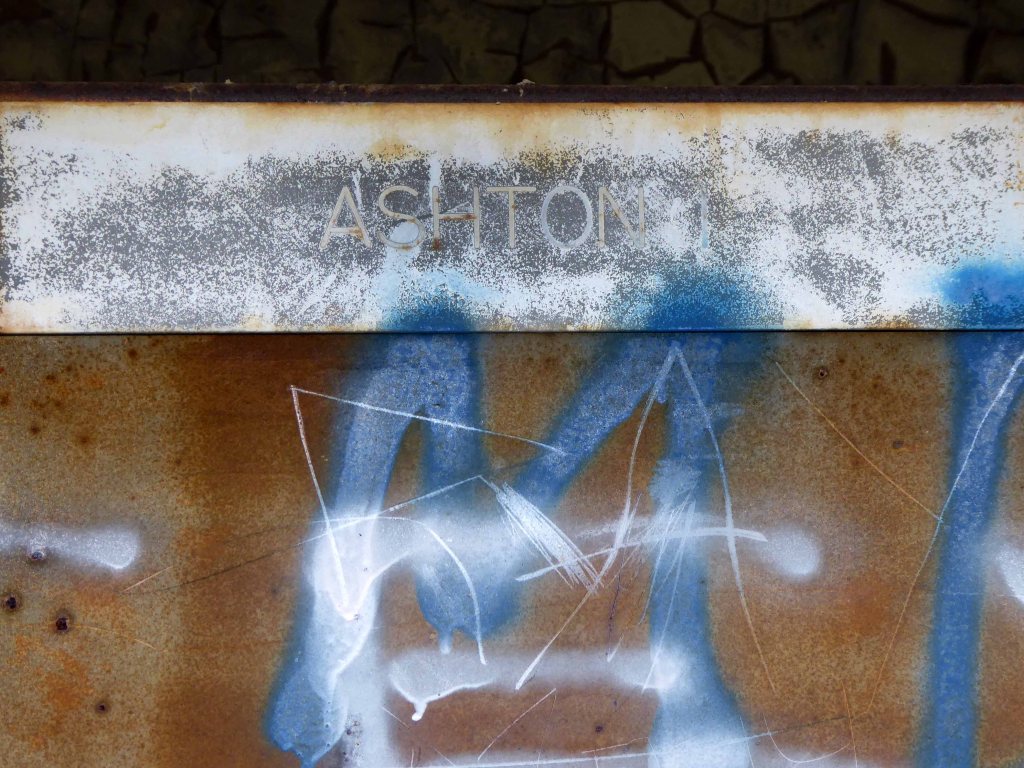
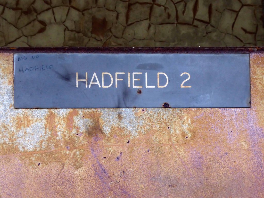
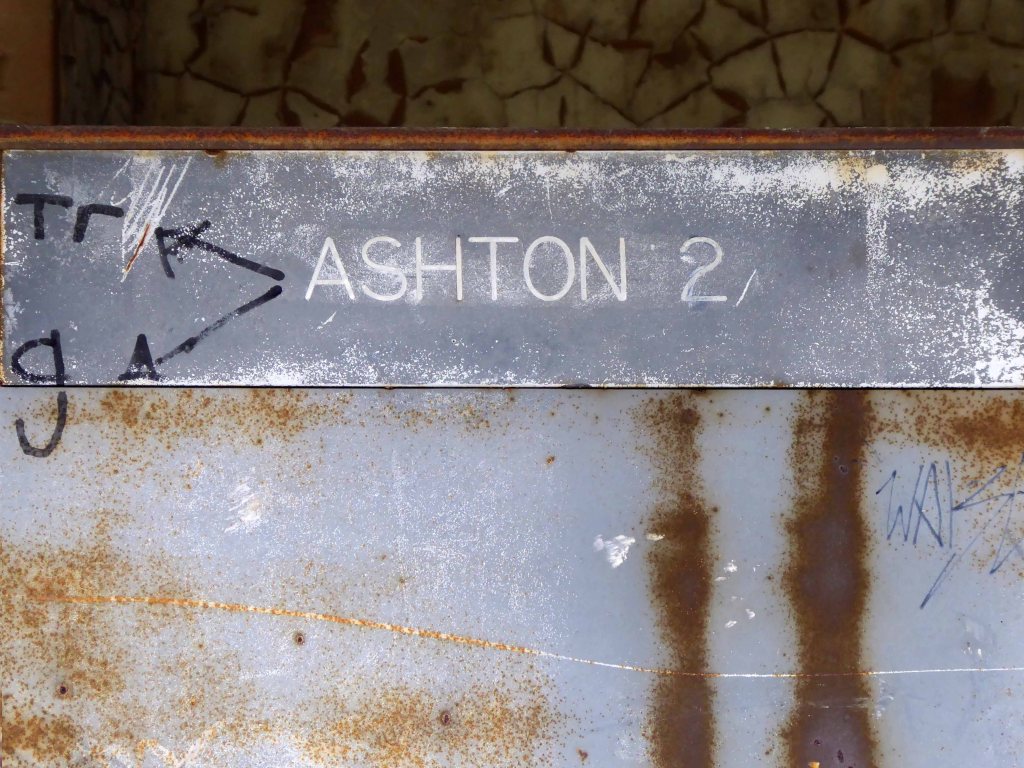
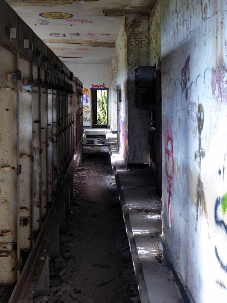
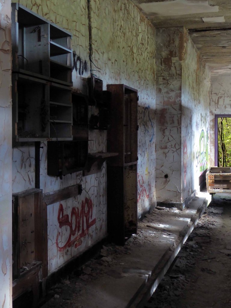
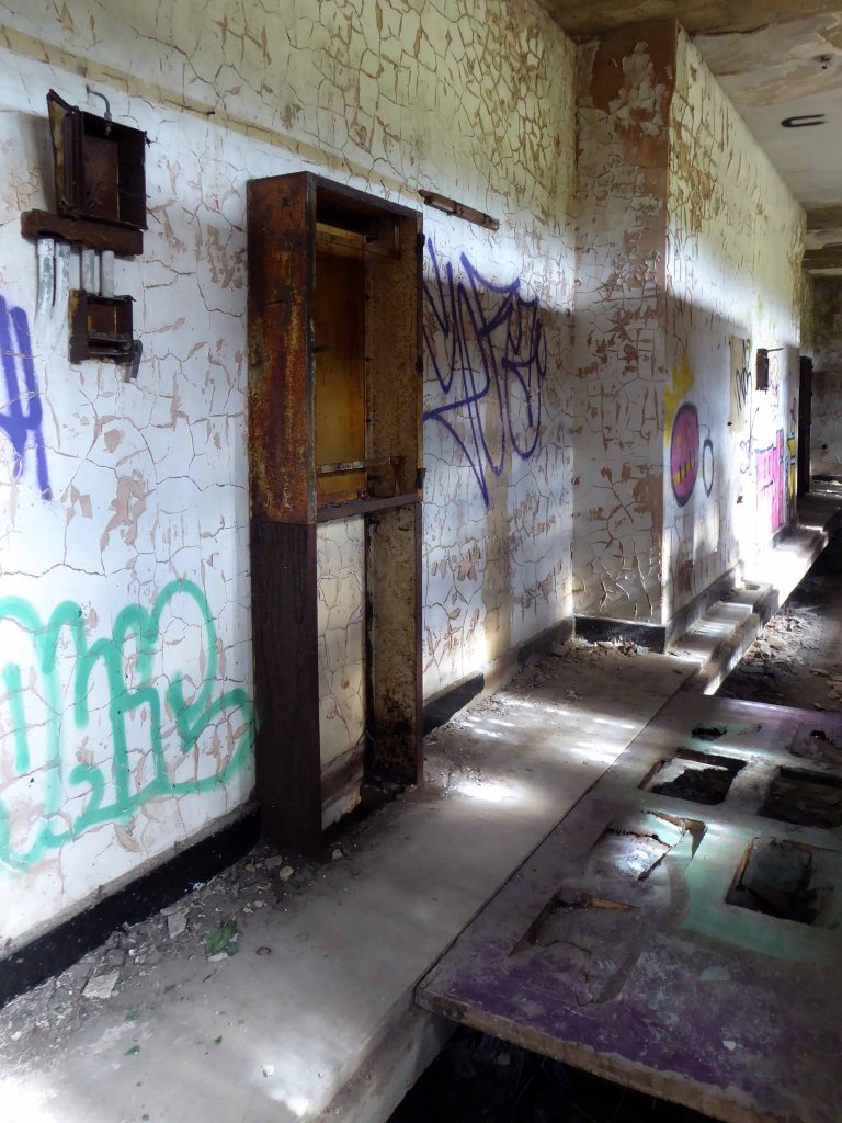
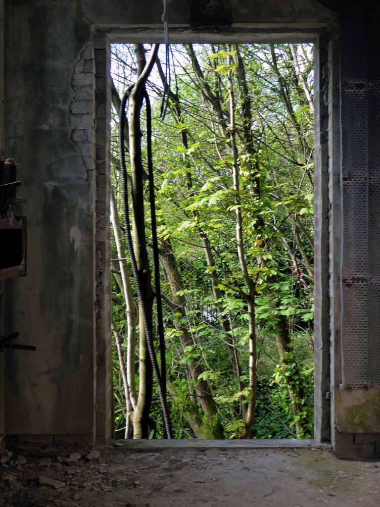
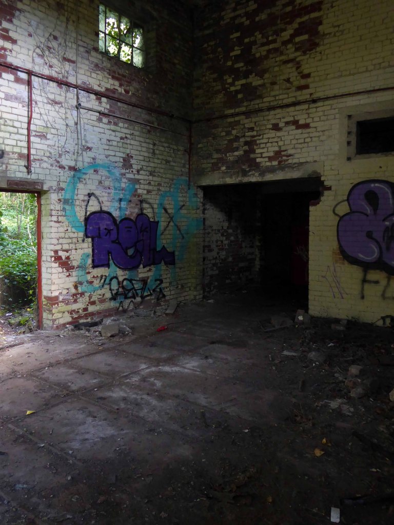
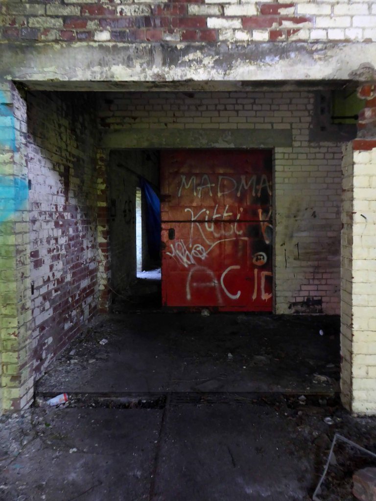
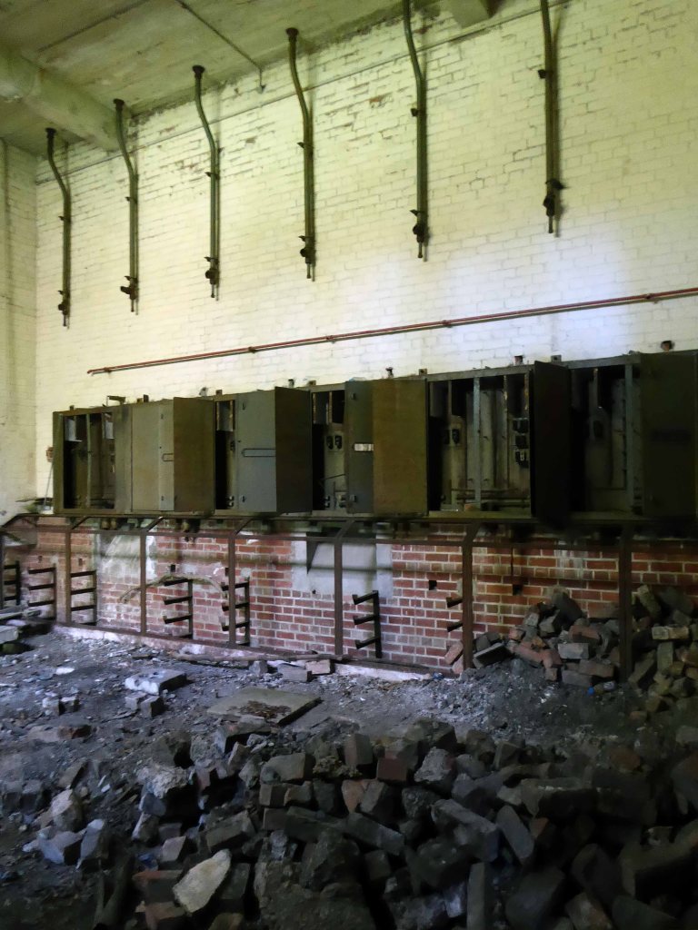
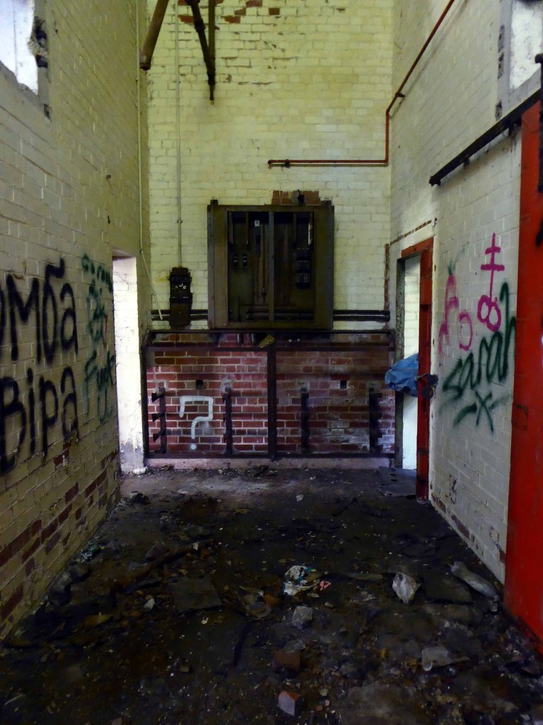
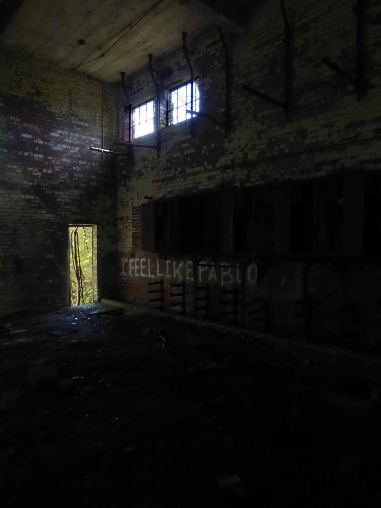
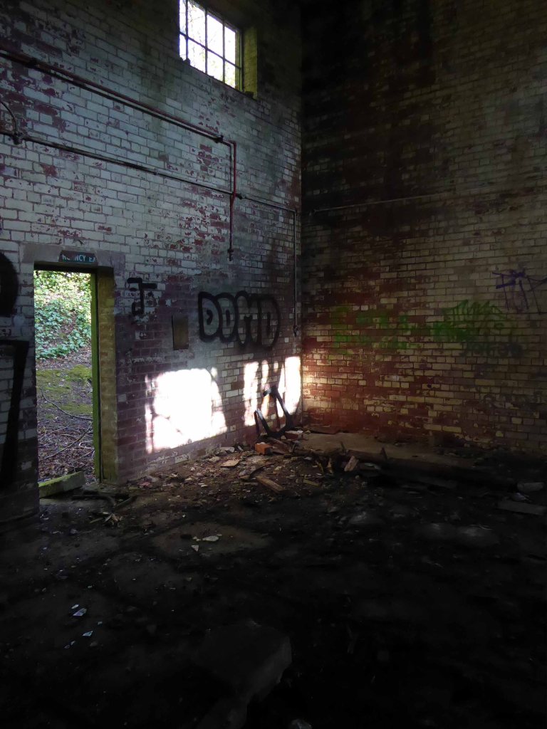
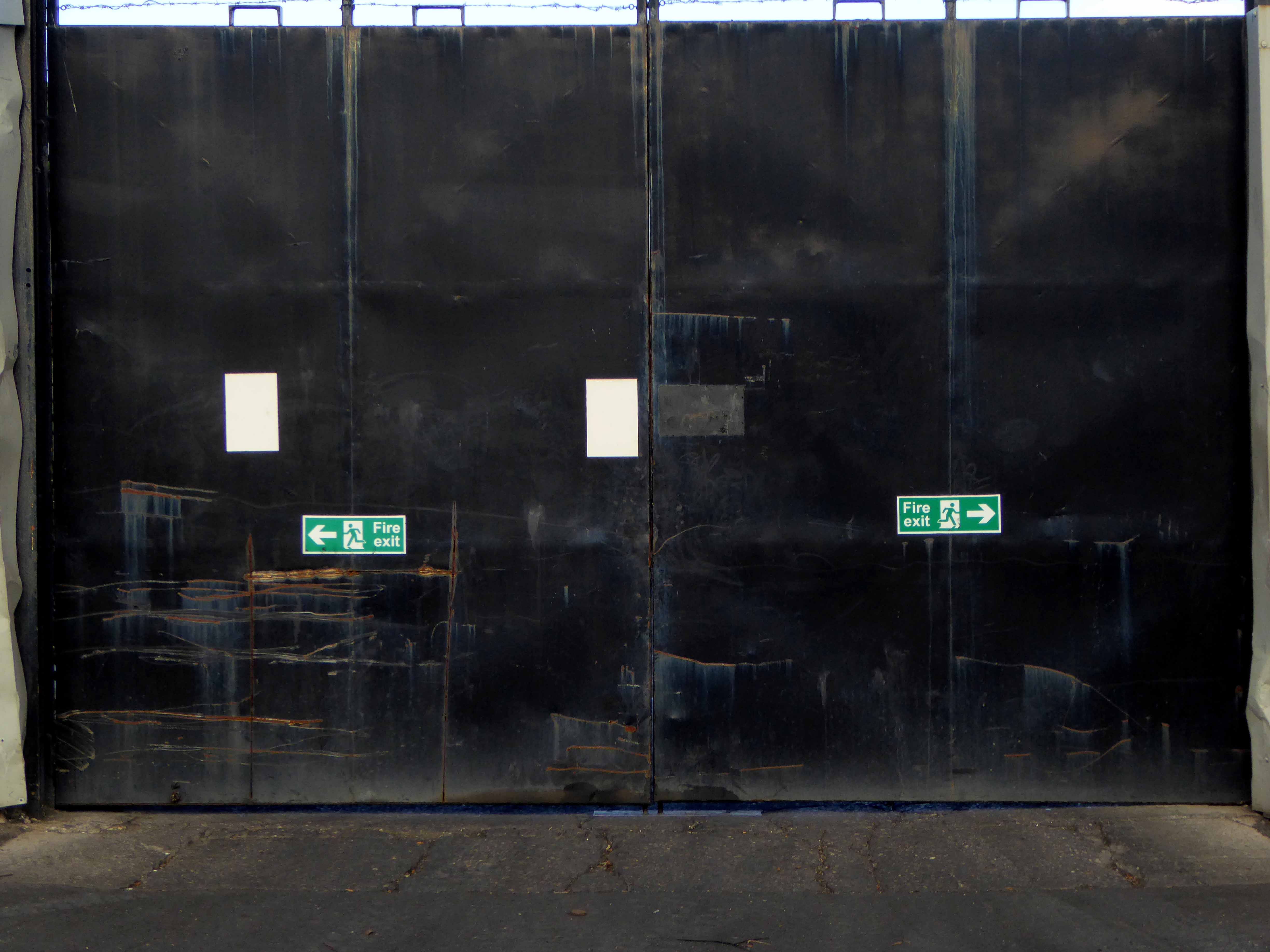
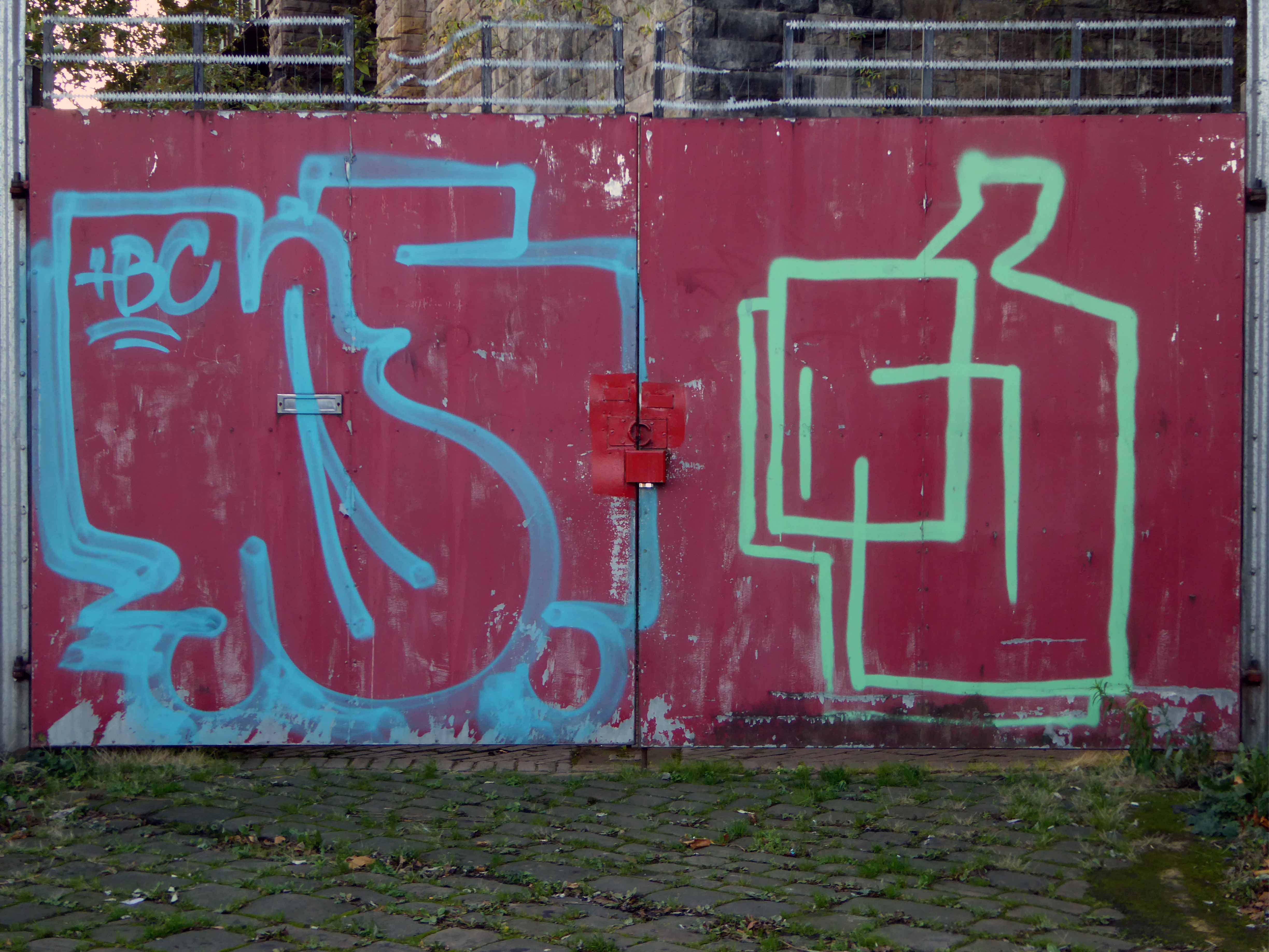
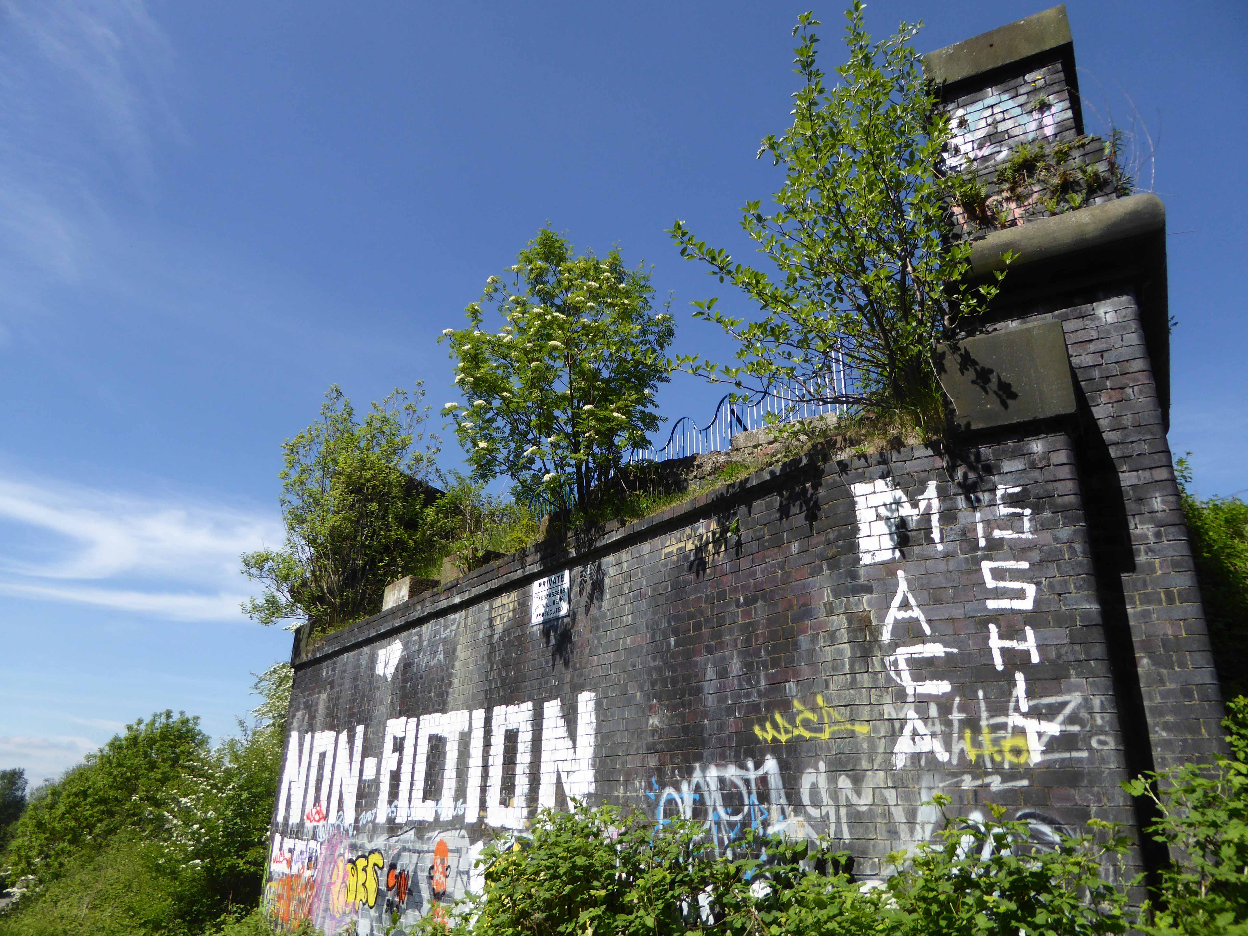
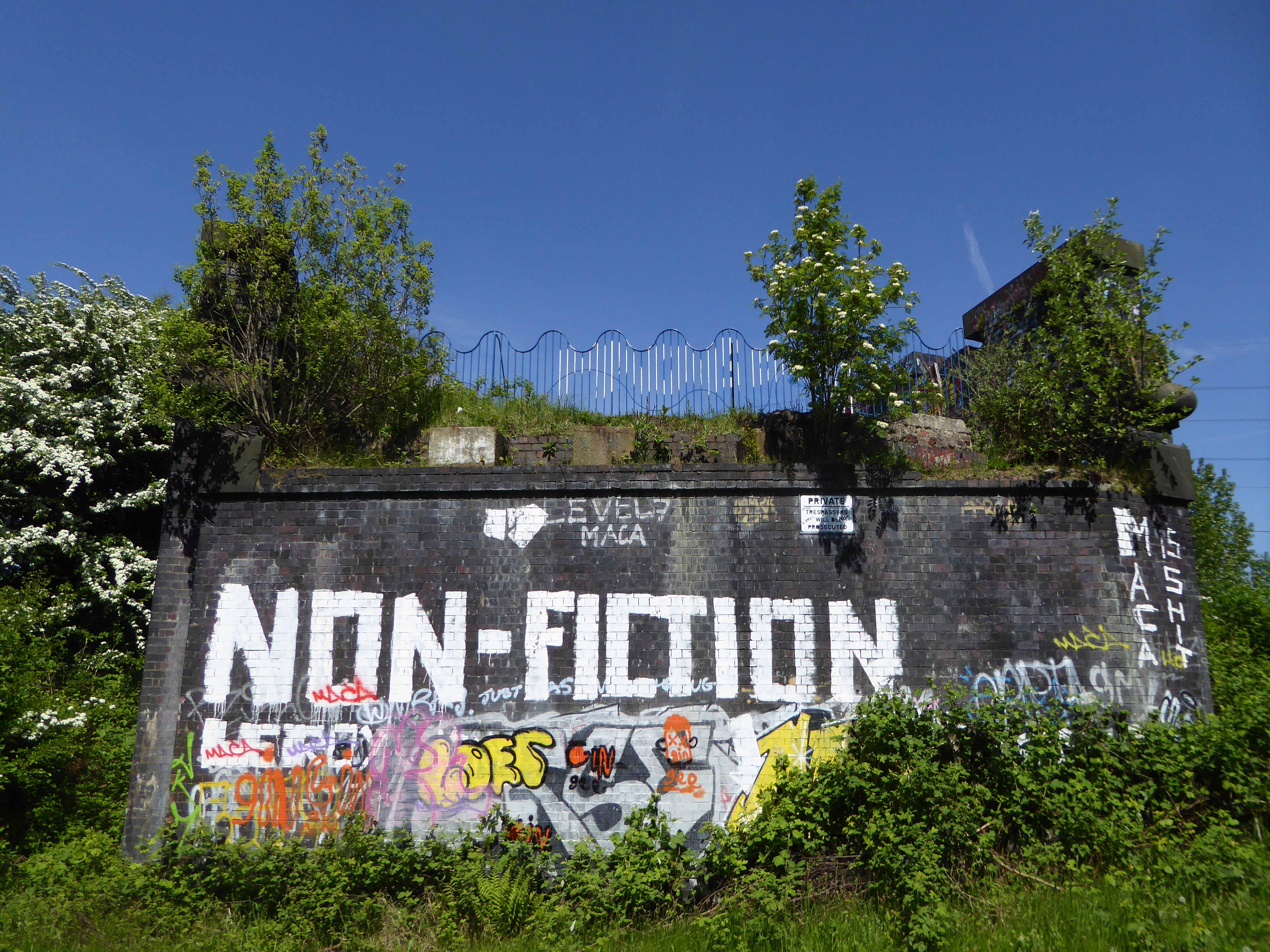
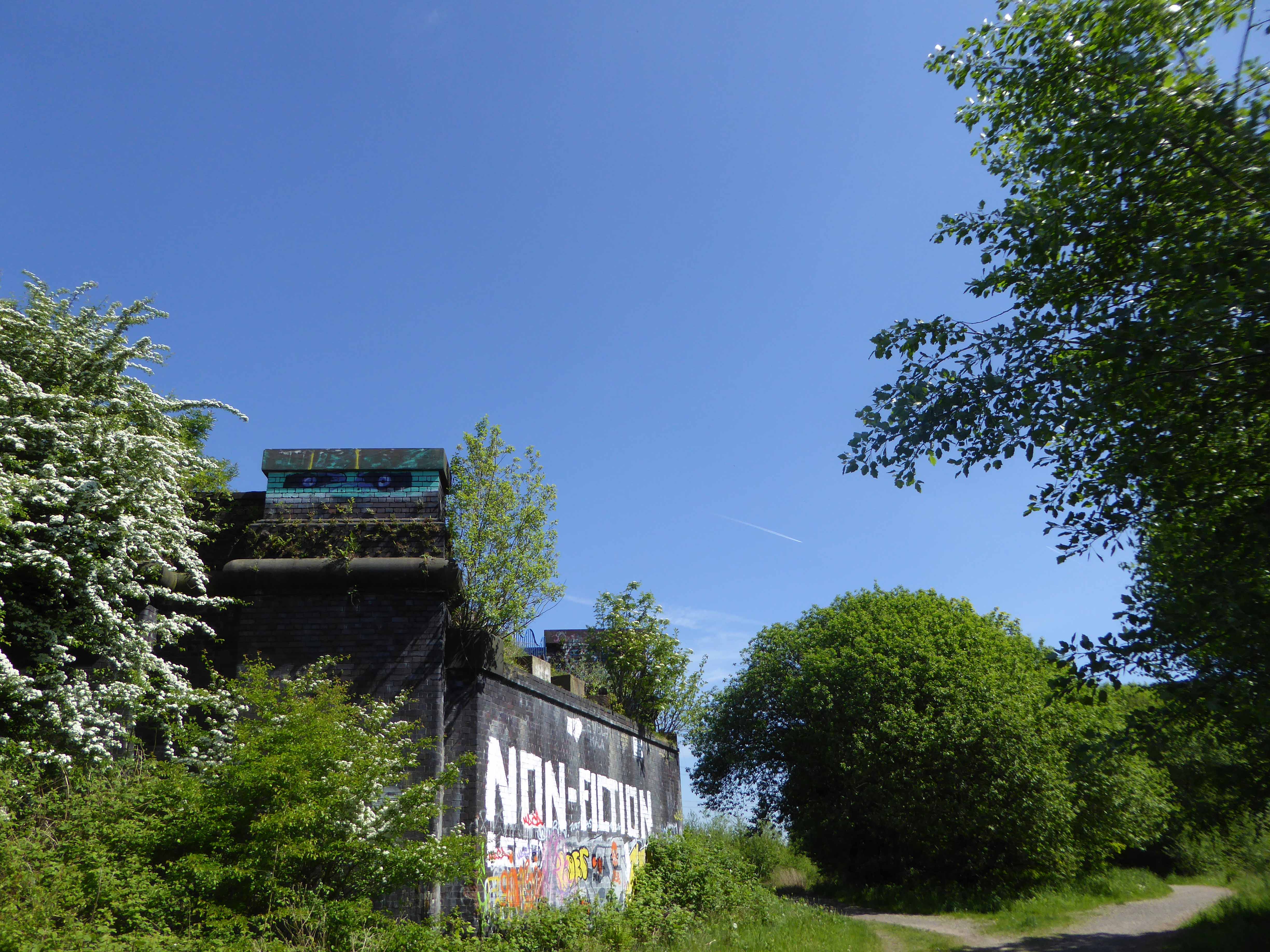
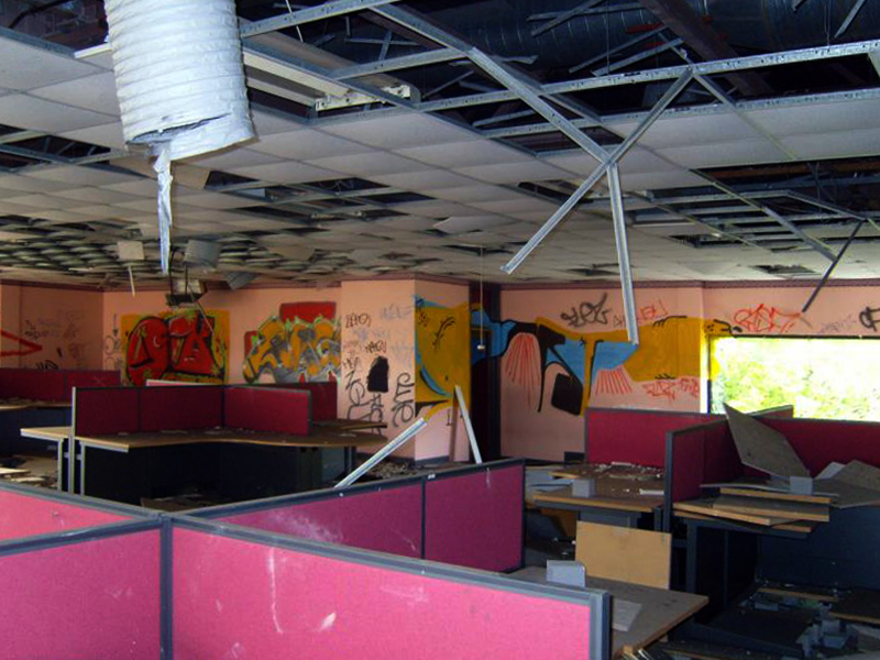
First glimpsed on an urban exploration site, I had awaited an opportunity to slip through the fence and take a look around – here’s what I found.
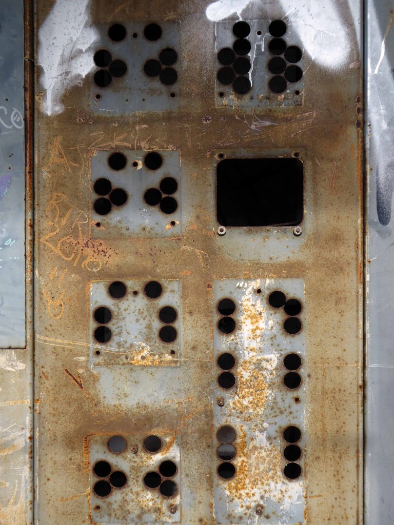
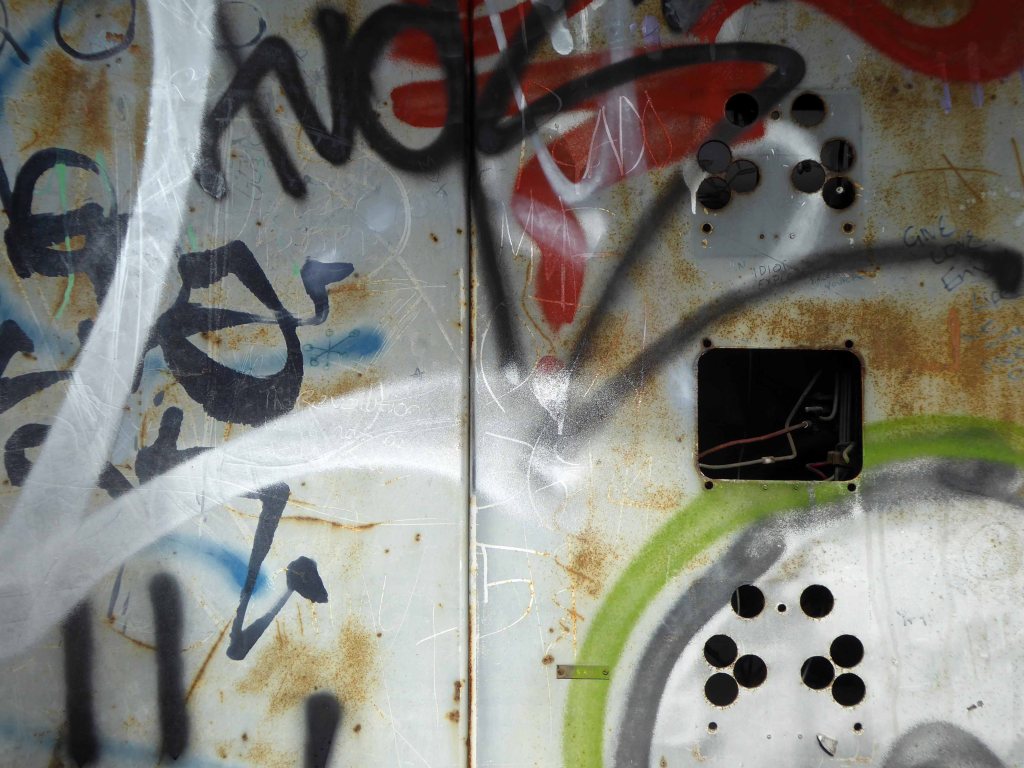
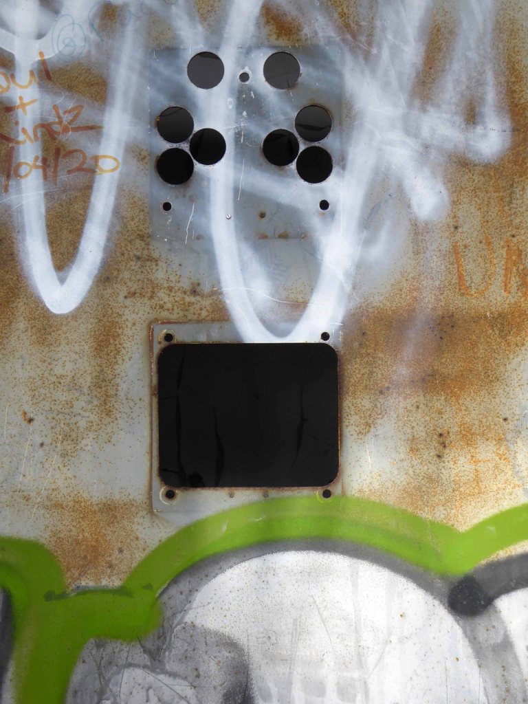
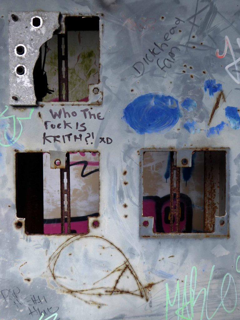
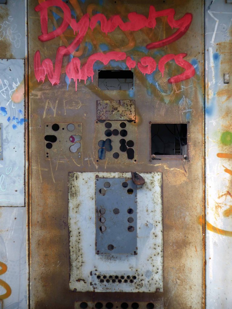
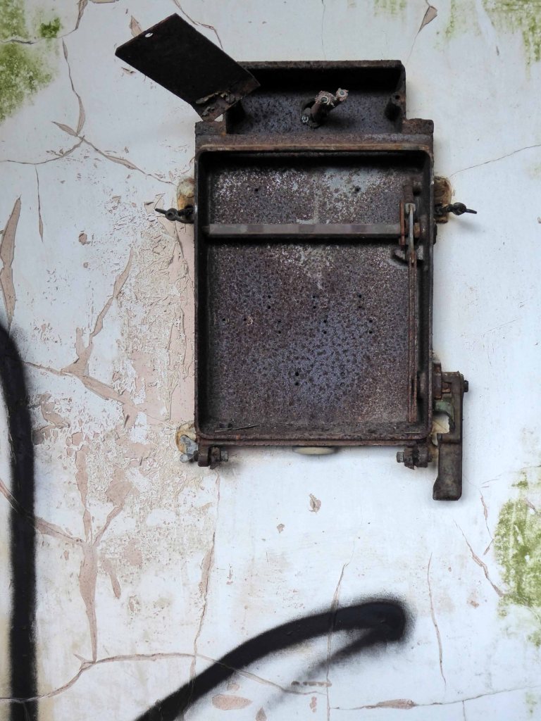
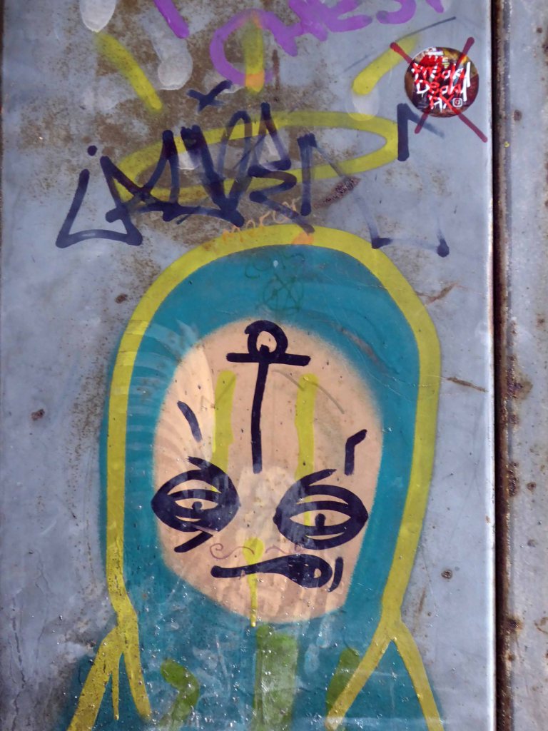
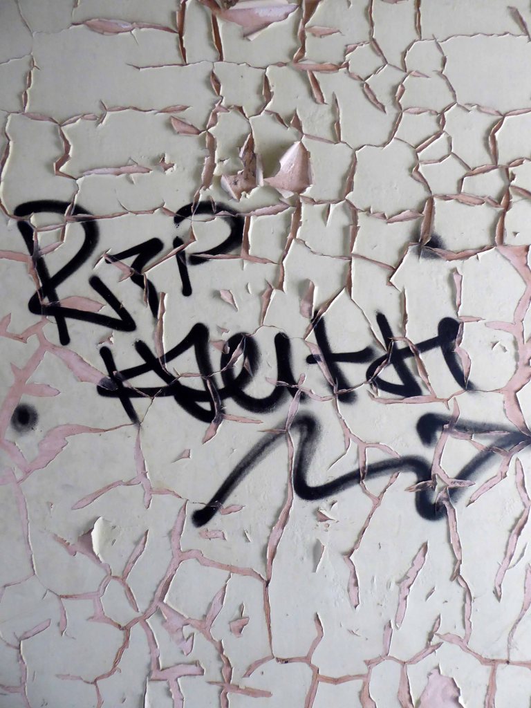
Most of the valuable equipment stripped out leaving and empty shell, covered in layers of the taggers’ interventions.
The River Irwell bisects Salford and Manchester, joining the rivers Irk and Medlock, and then turns west toward Irlam, as part of the Manchester Ship Canal. Its course ends just east of Irlam, where it empties into the Mersey.
Urban development is ever so often dependent upon rivers – for sustenance, commerce and amusement. The Irwell and latterly the developments of the canal system has provided all of these in superabundance.
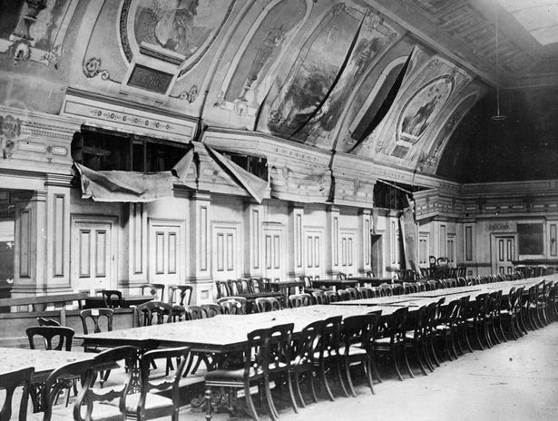
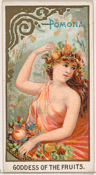
By 1870 the Pomona Gardens is thriving , boasting a concert hall and banqueting suite – further details here from Skyliner.
In the summer of 1887, a nearby chemicals factory exploded, damaging the palace – the area was under threat and destined to rot away to obscurity: the following year the gardens closed forever.
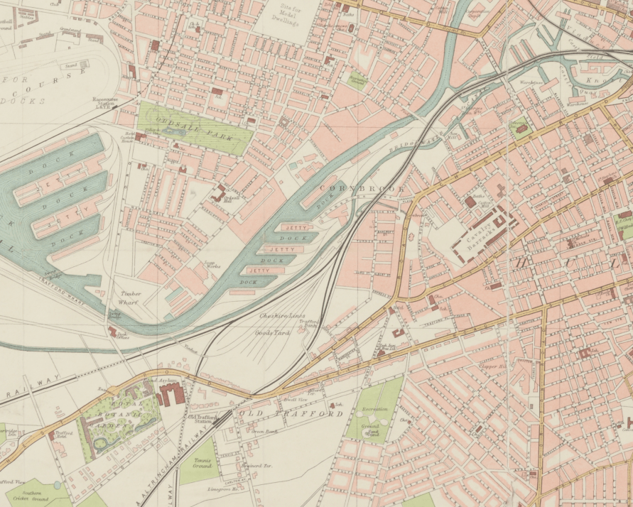
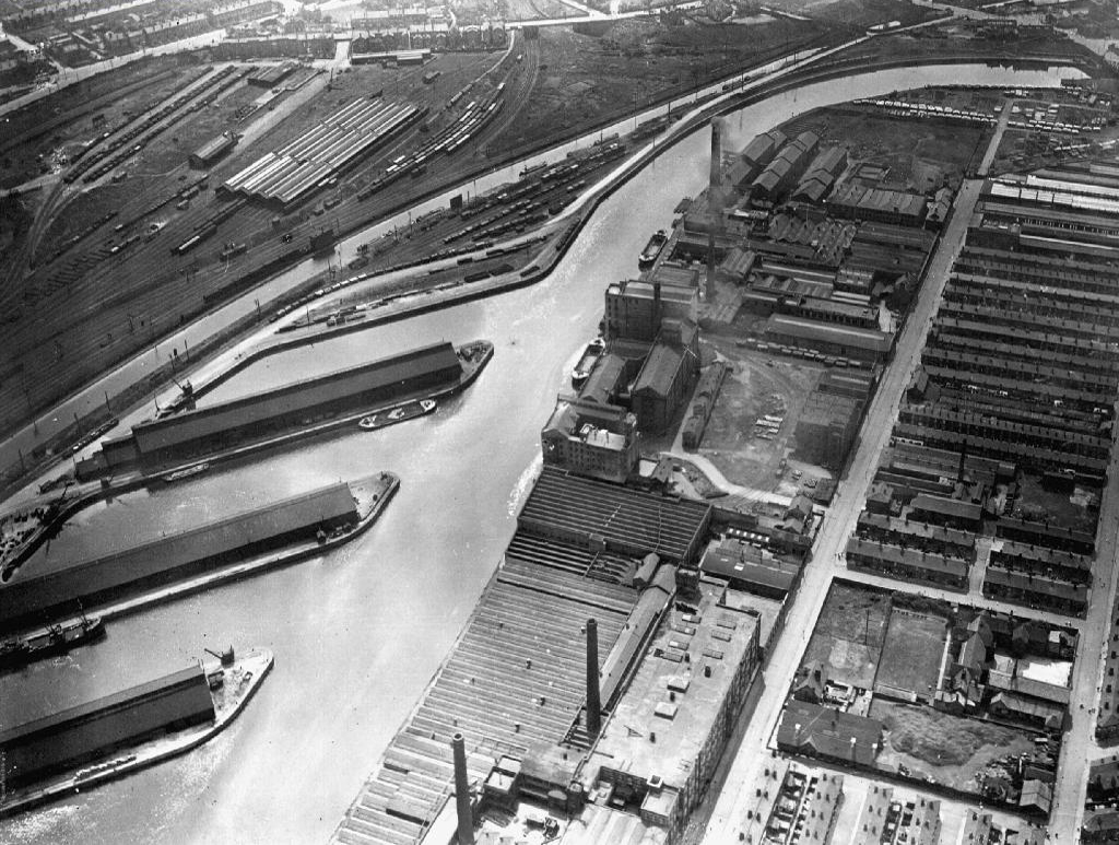
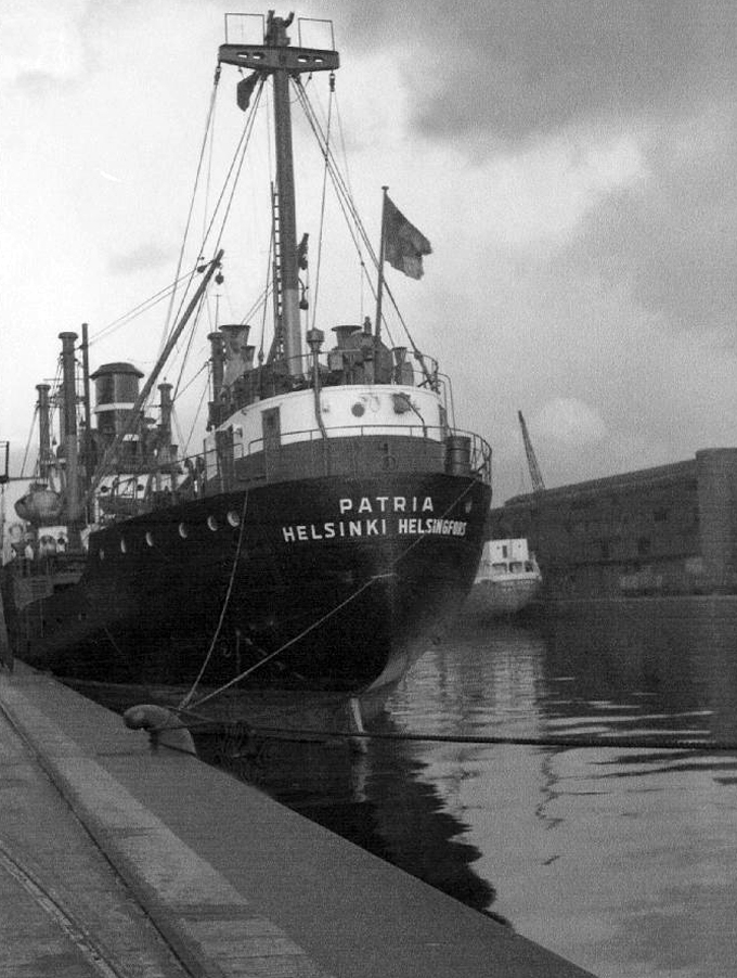
By 1900 the Ship Canal, docks and railways had arrived – Manchester and Salford are at the centre of an unprecedented growth in manufacture and trade.
189119231950
During the 1970’s the docks began a rapid decline, largely due to containerisation. The increasing size of freight-carrying ships meant they could no longer navigate the ship canal and this, combined with increased trading with Europe and the east, saw use of Manchester Docks decrease. In 1982 the remaining docks closed and the area became derelict. Recognising the need to redevelop the area, Salford City Council purchased the docks in 1984 using a derelict land grant. The Salford Quays Development Plan was adopted in May 1985, proposing complete reclamation and development of the area for commercial, residential and leisure use.
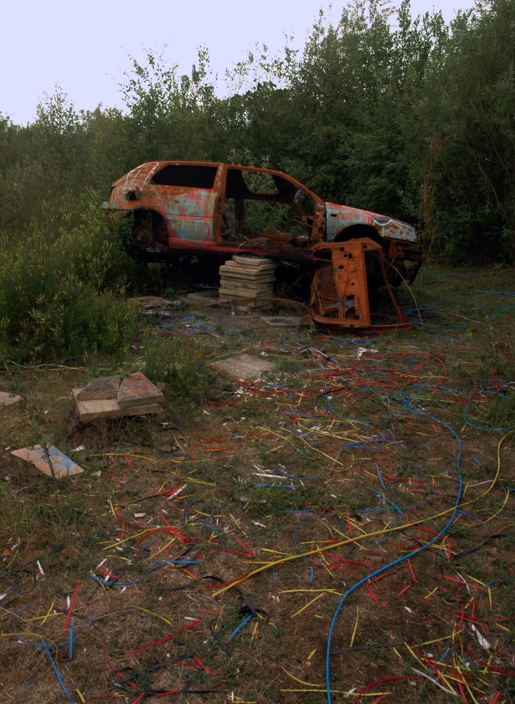
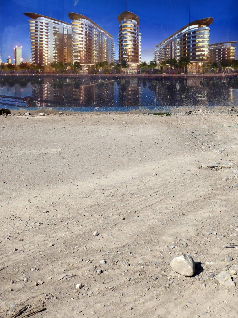
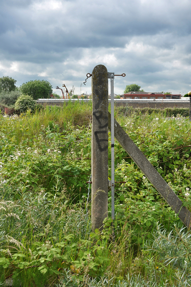
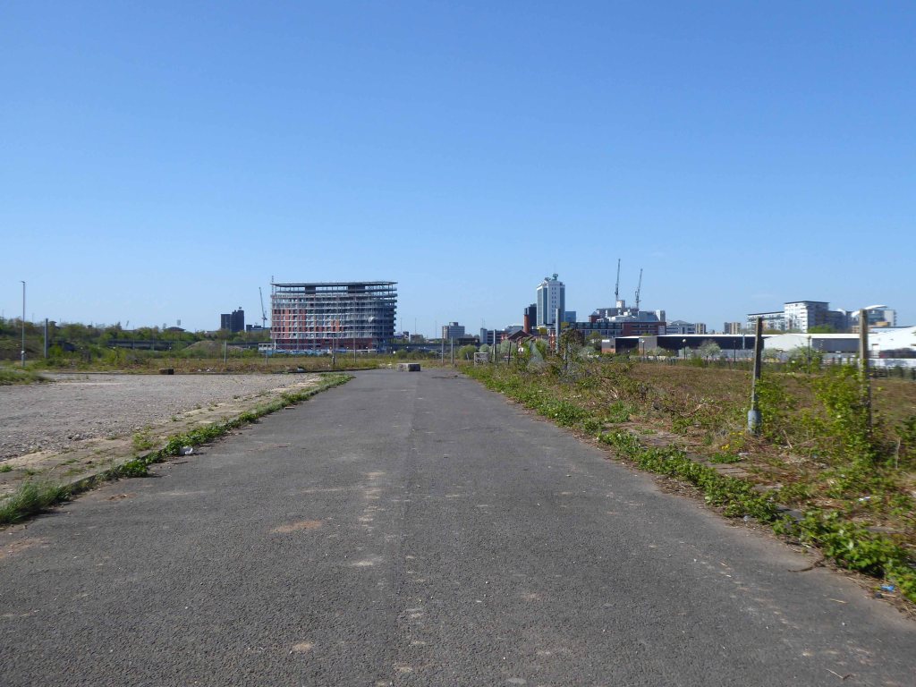
Manchester and Salford begin the long haul from post industrial decline to service centred cities – there were even seeds sewn for the development of a luxury marina. When I first visited Pomona the area was seriously overgrown and the underground wiring stripped out.
201020102020
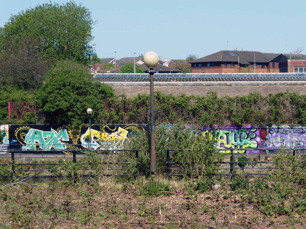
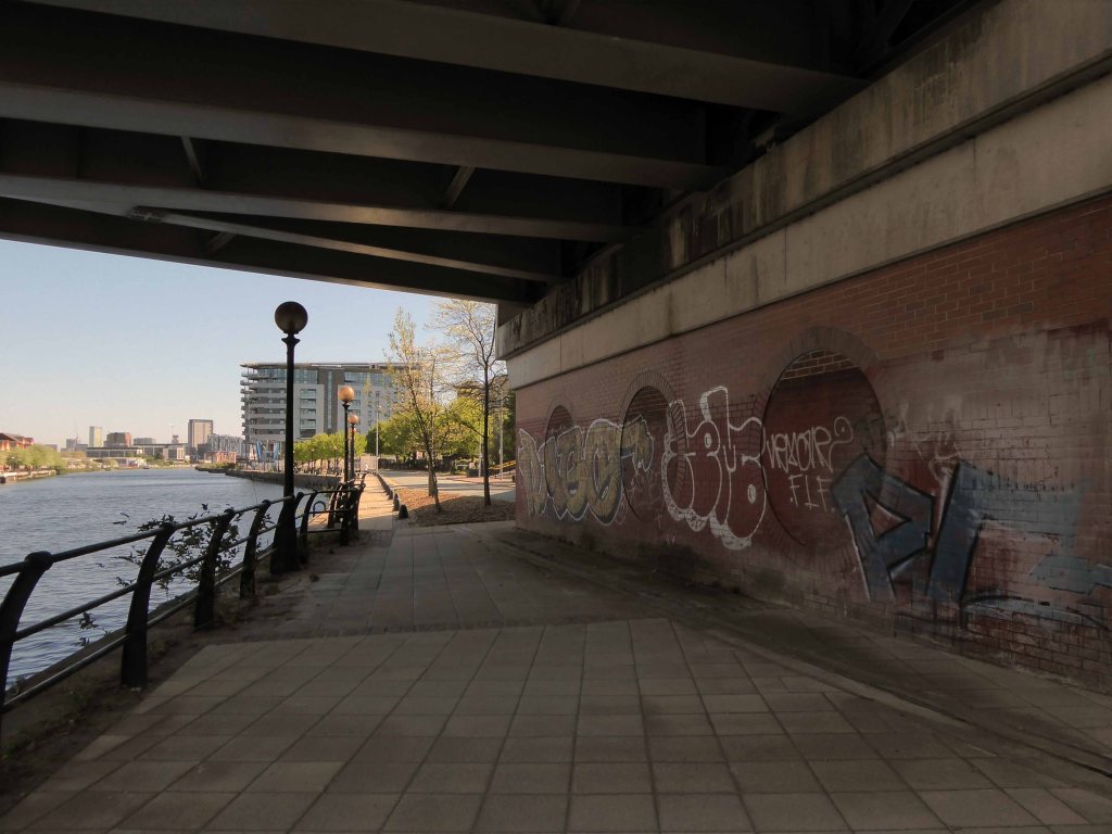
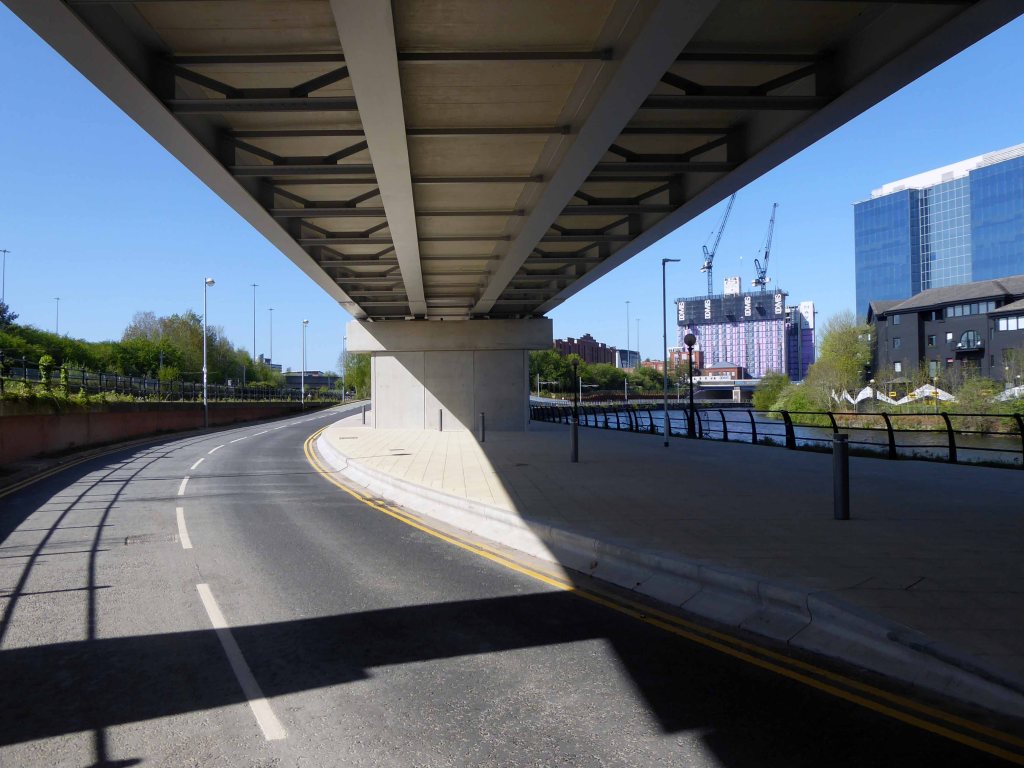
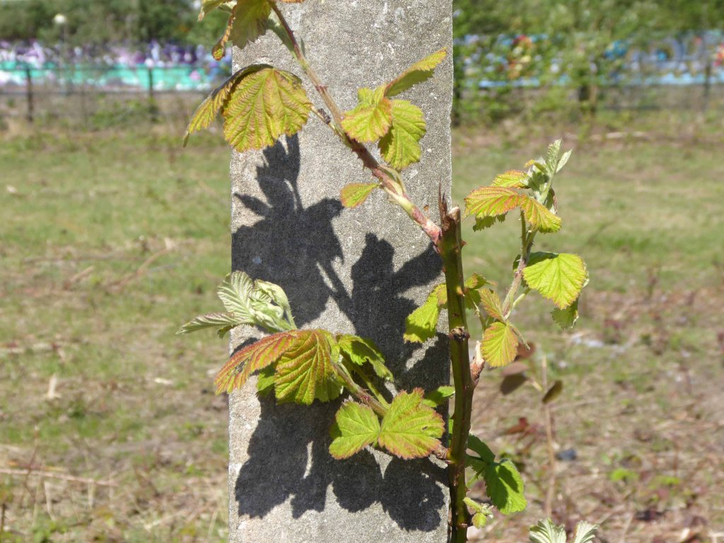
Remnant of the initial scheme – pedestrian access, balustrade and lighting.
What would poor old Pomona make of all this?
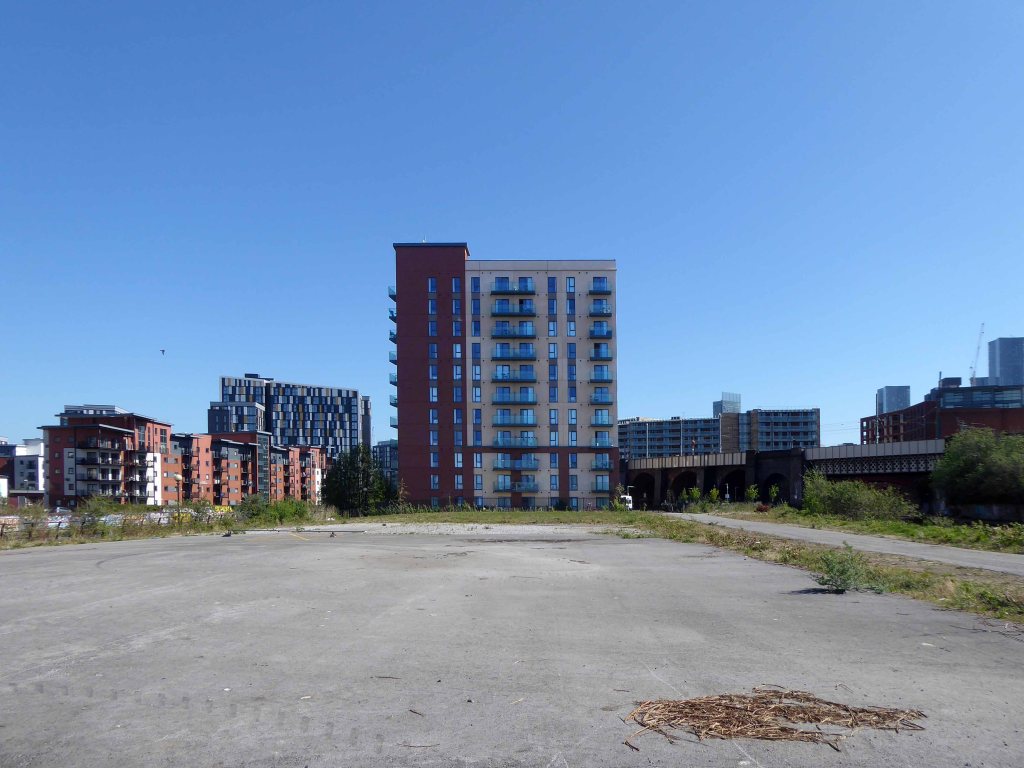
There was a failed attempt to prevent further development and return the area to nature. Peel Holdings prevailed and pressed on relentlessly with their programme of urbanisation.
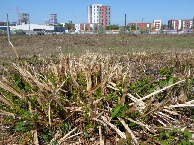
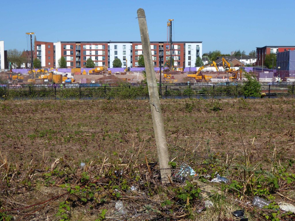
So it’s April 2020 – I’m on my way from somewhere else to somewhere else, I’ll cut across Pomona Island – the building site is in lockdown – ain’t nobody home.
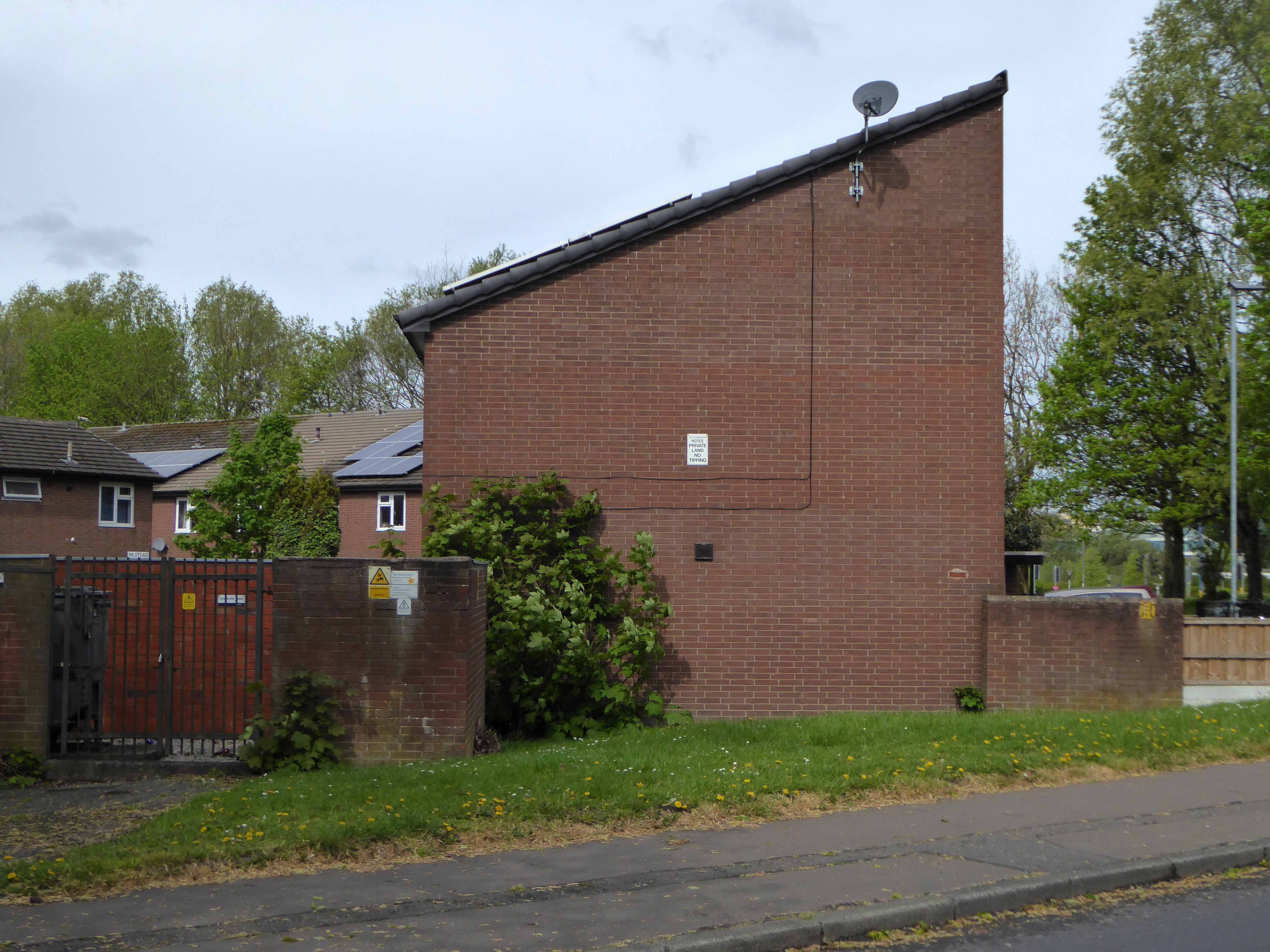
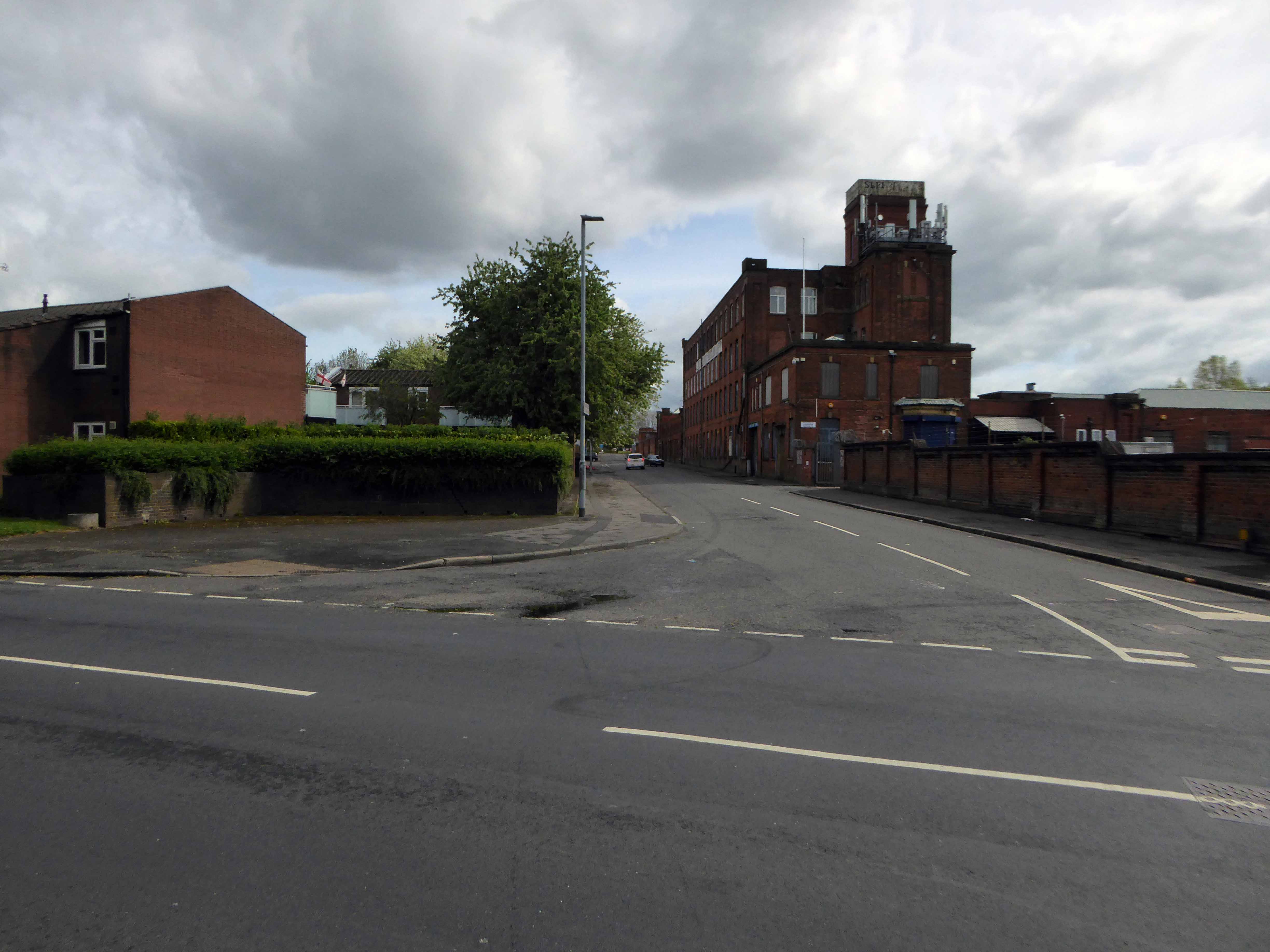
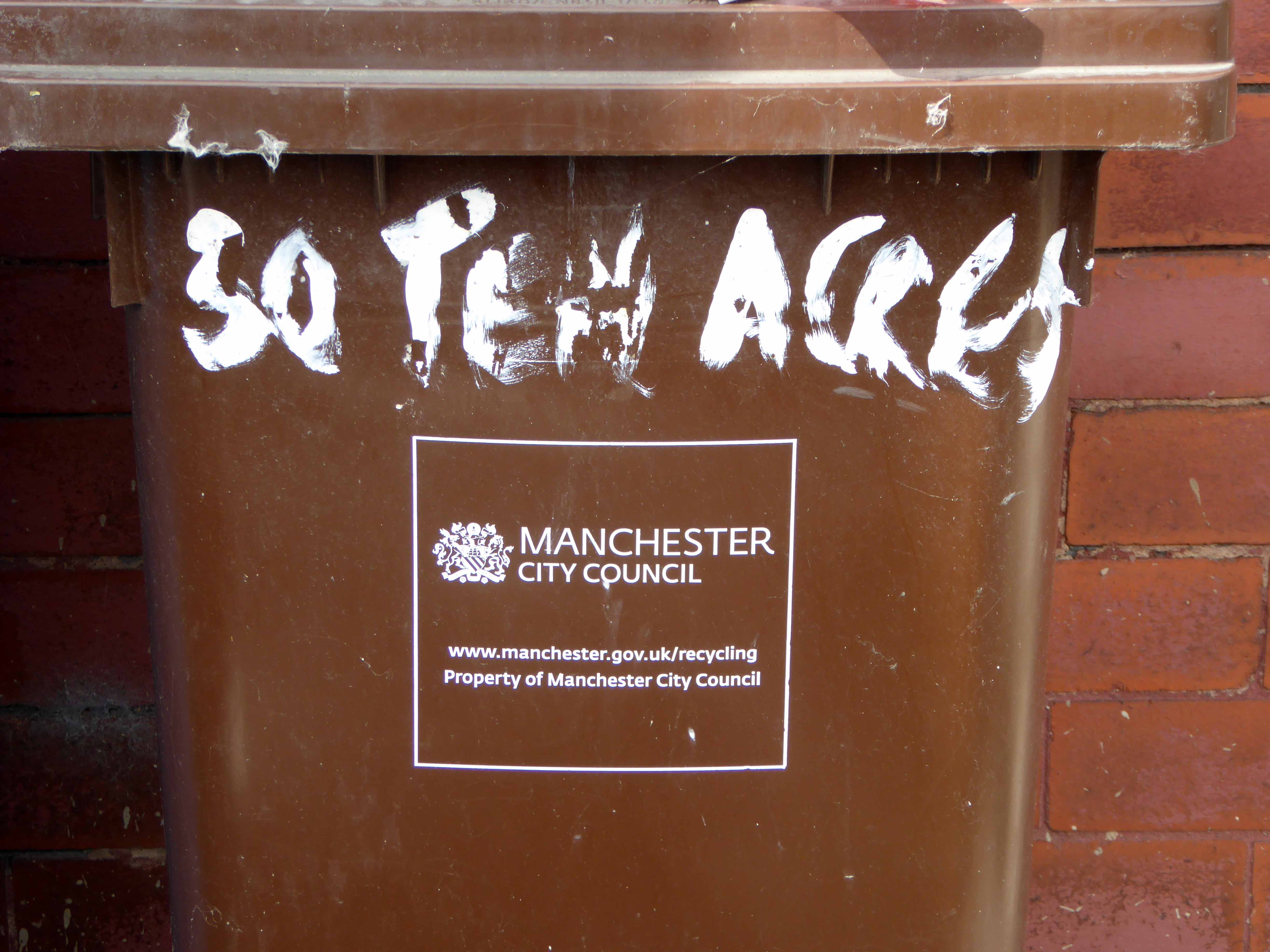
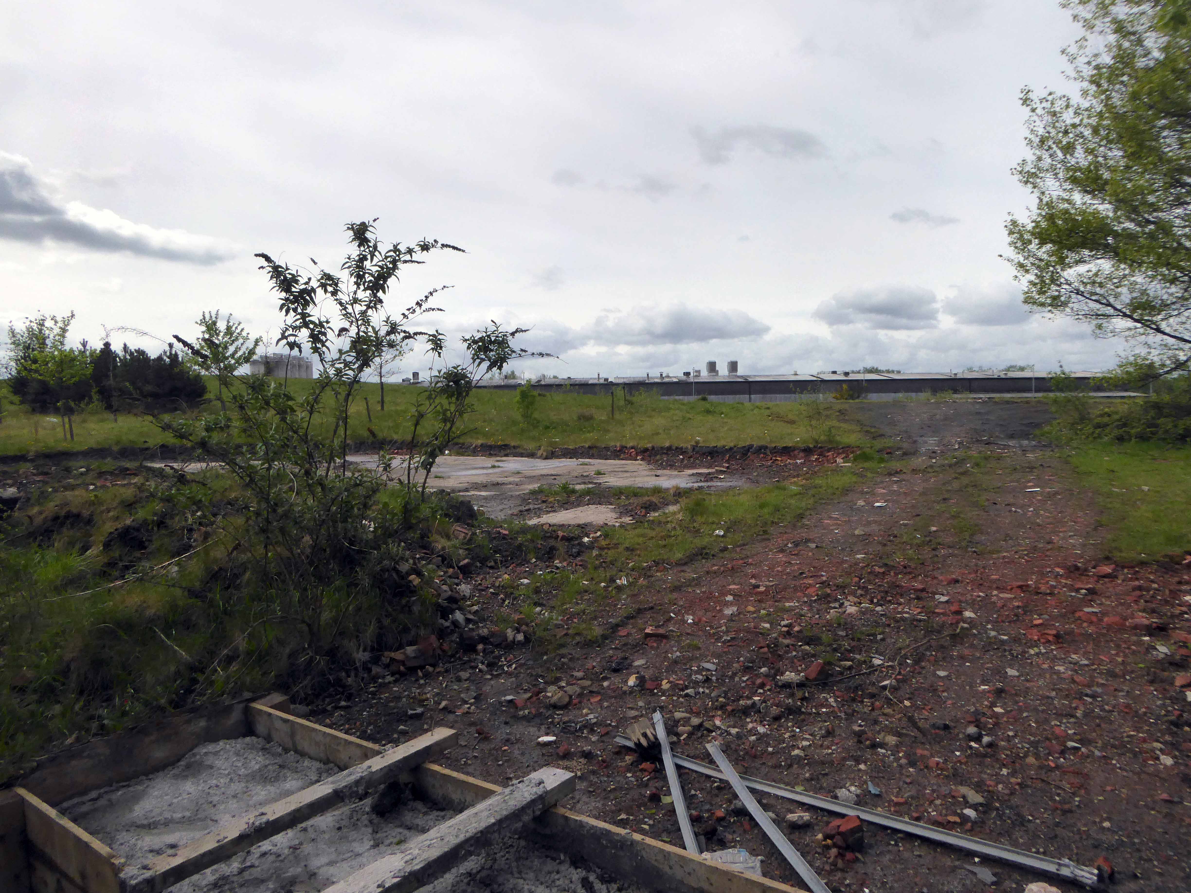
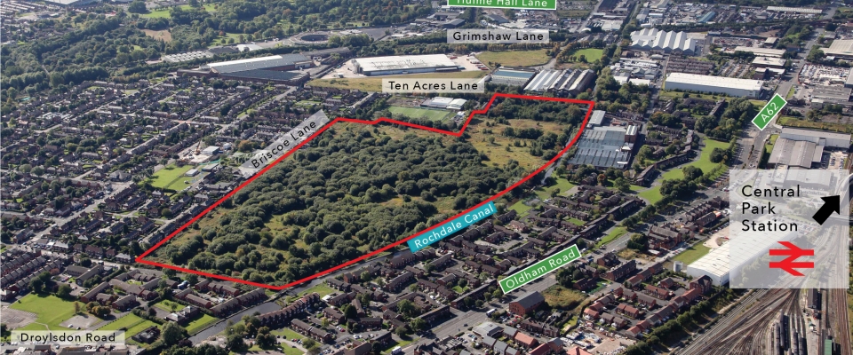
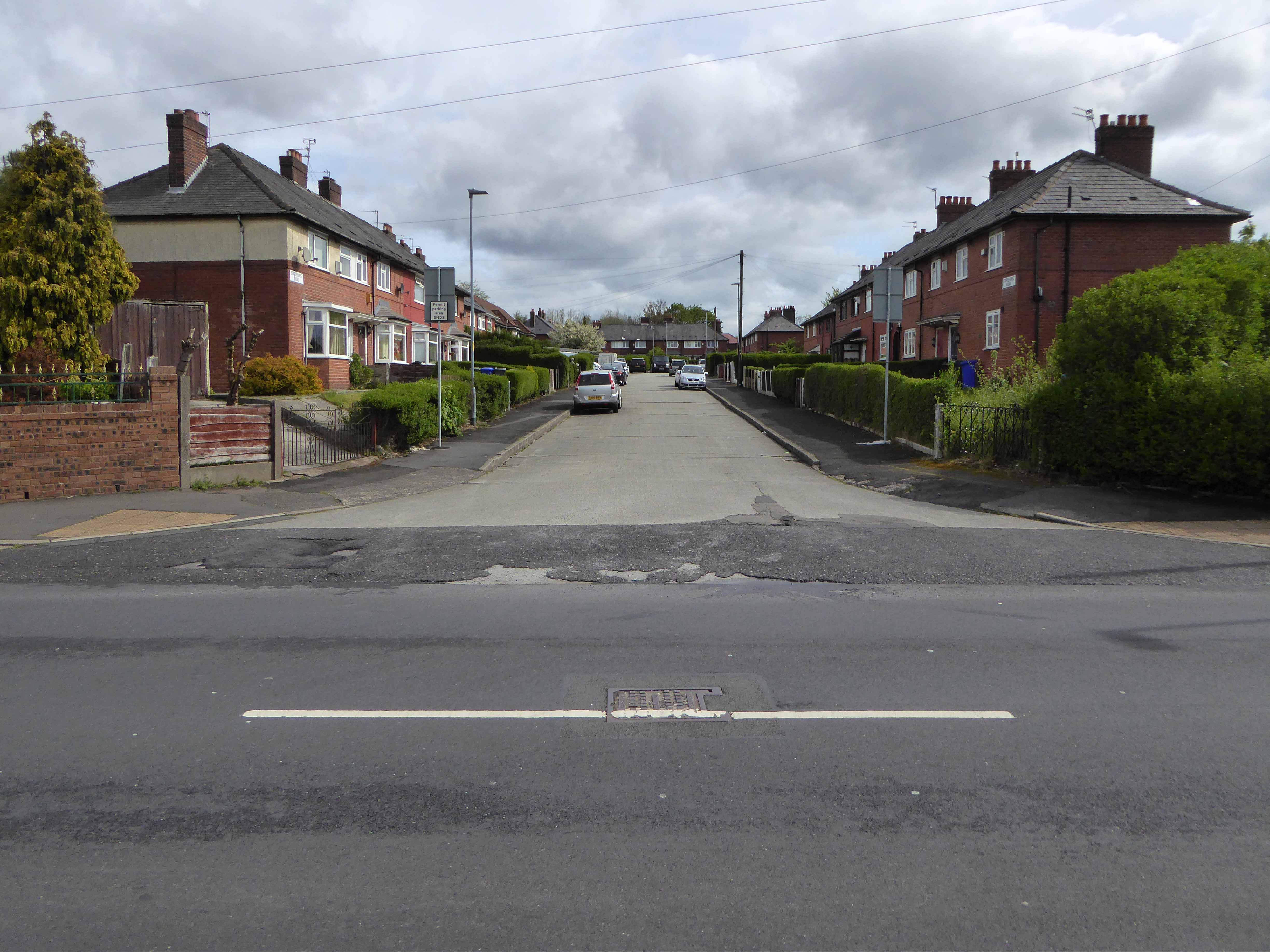
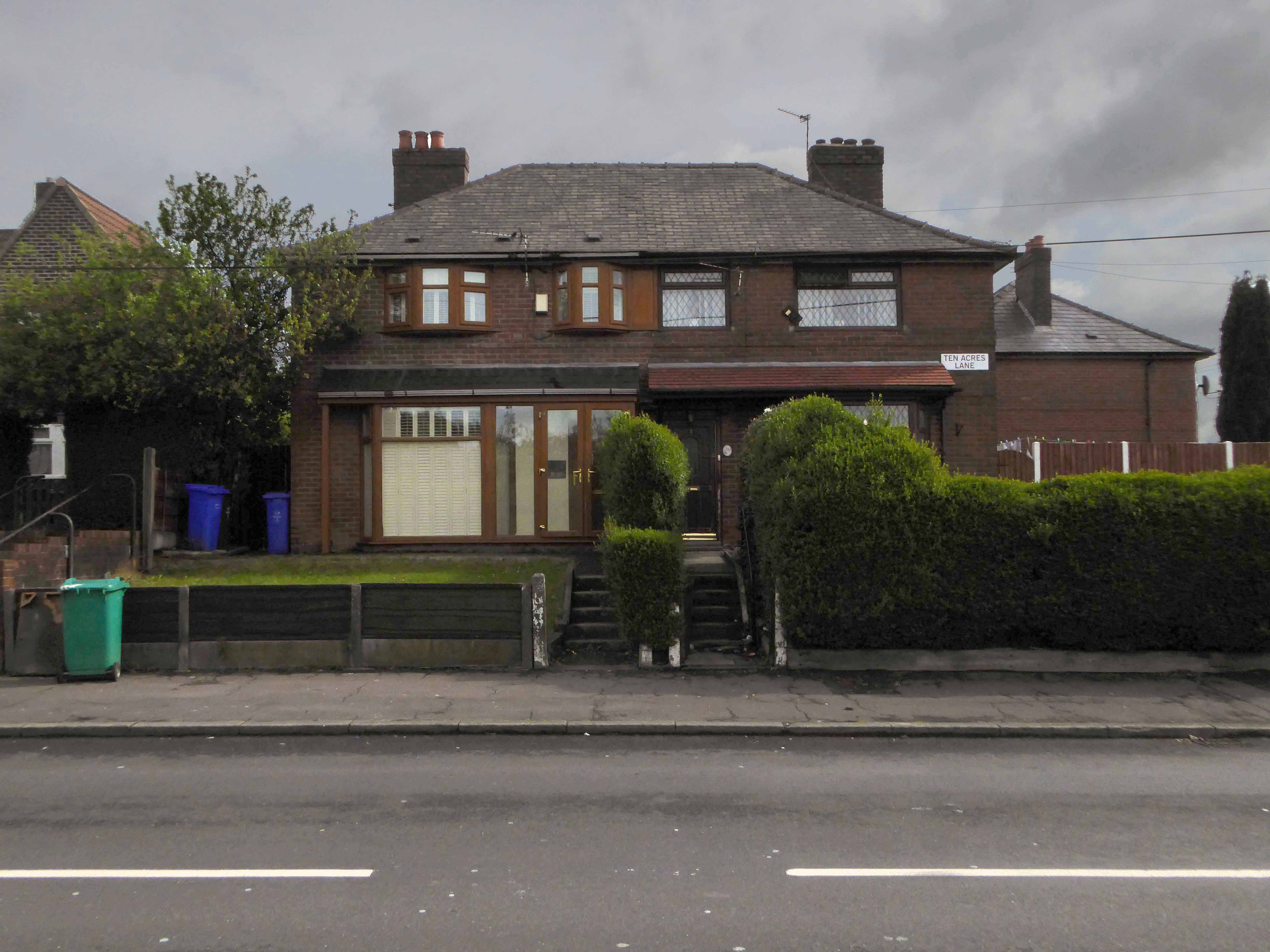
Having travelled back in time along Ten Acres Lane why not come along with me now and see just what’s left – right?
Each Manchester street tells its own tales of homes and people been, gone, rebuilt and buried – whole industries evaporating laid waste by seismic economic forces, land changing use again and again – shop door bells which are a now but a ghostly tintinnabulation on the wind.
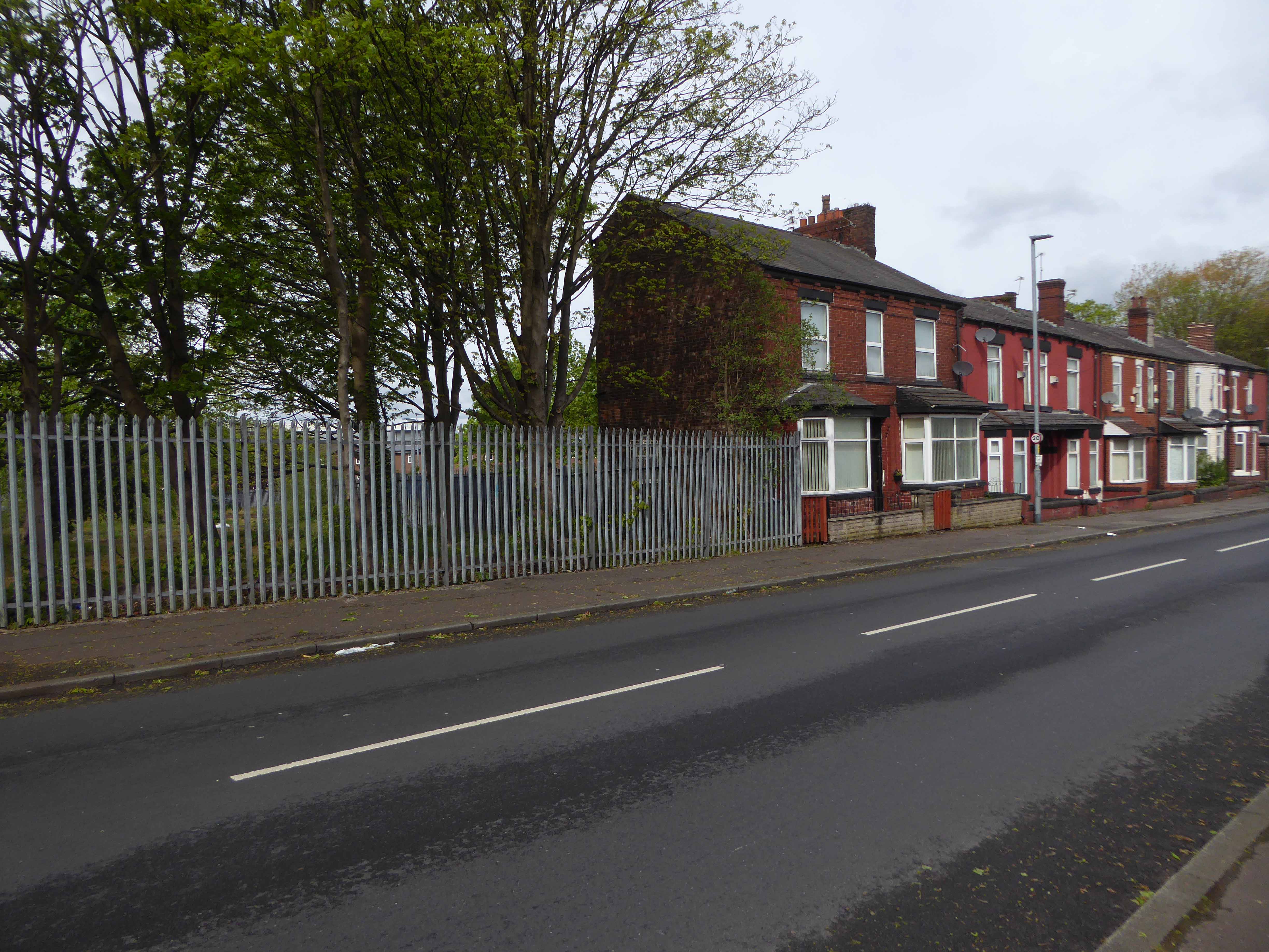
Starting from the Oldham Road end the clearance of older terraced homes was followed by the construction of newer 70s social housing.
I had time to kill – in search of early Sunday morning visual thrills.
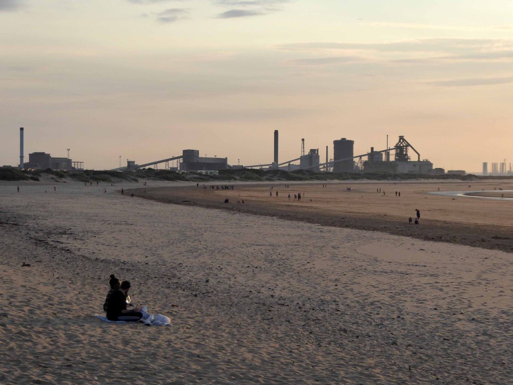
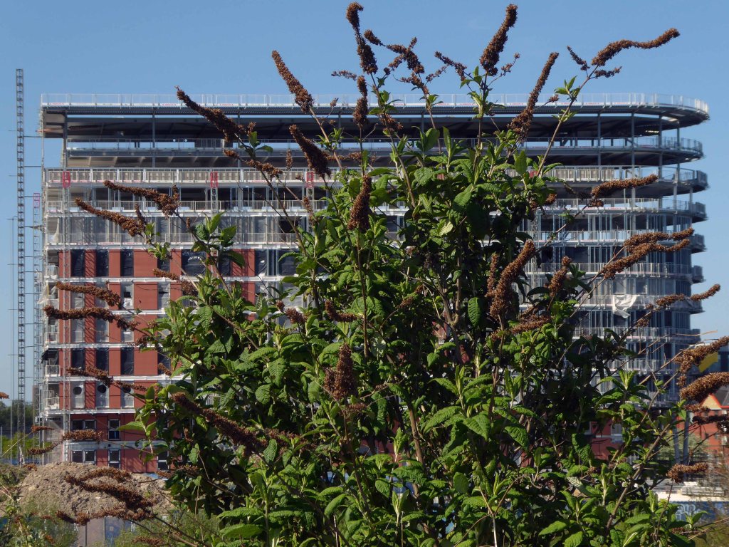
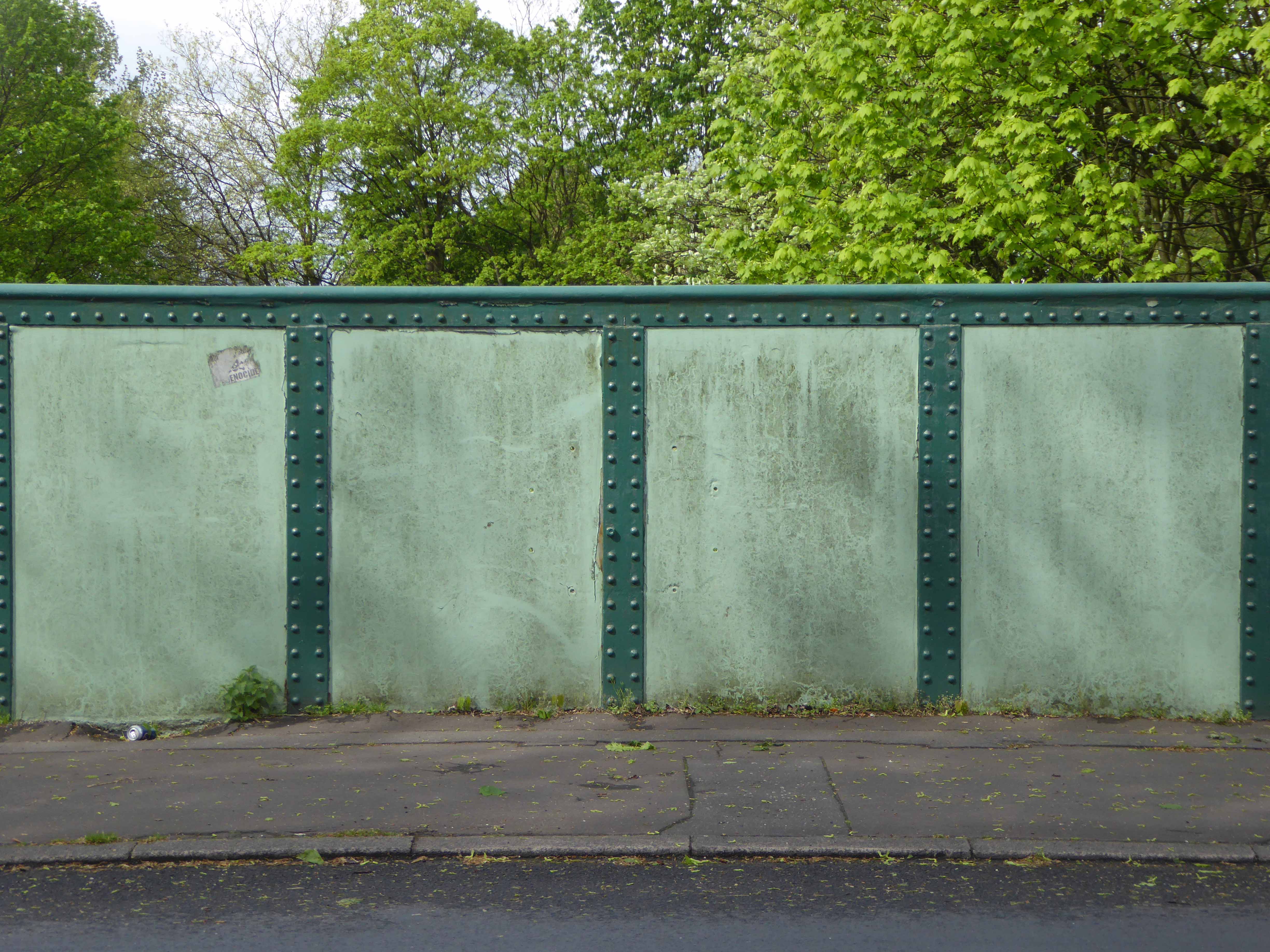
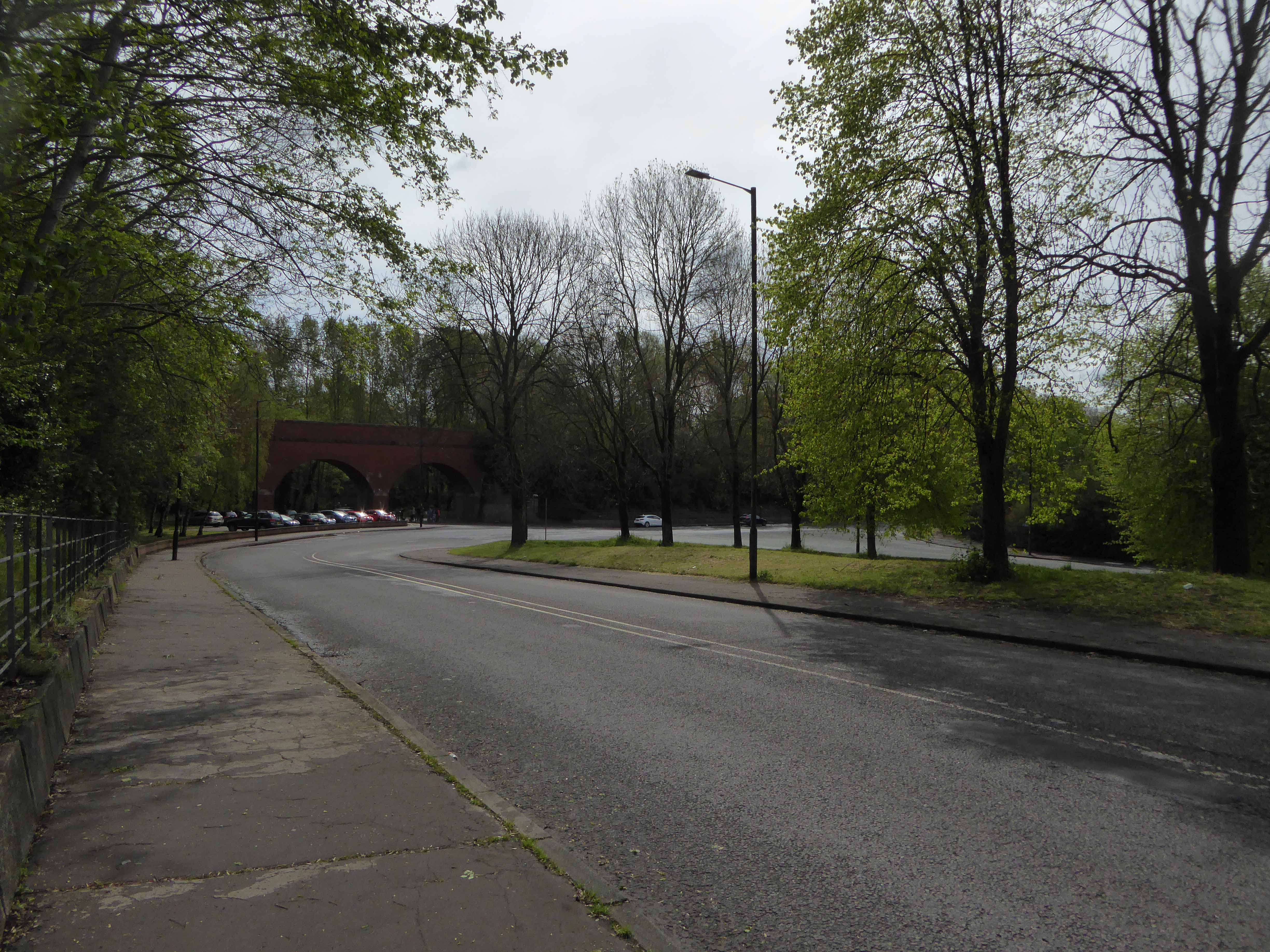
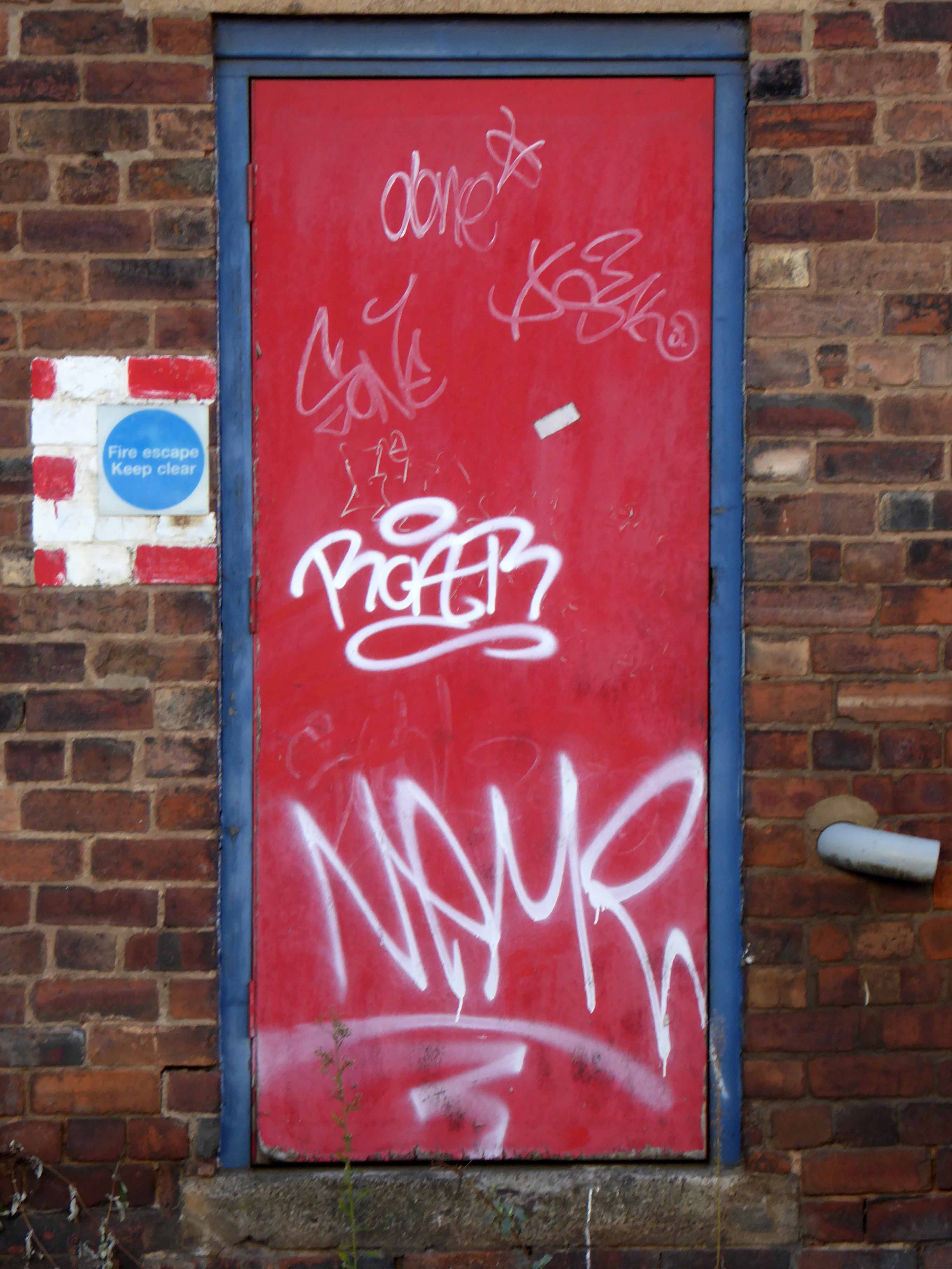
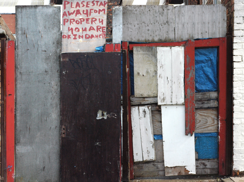
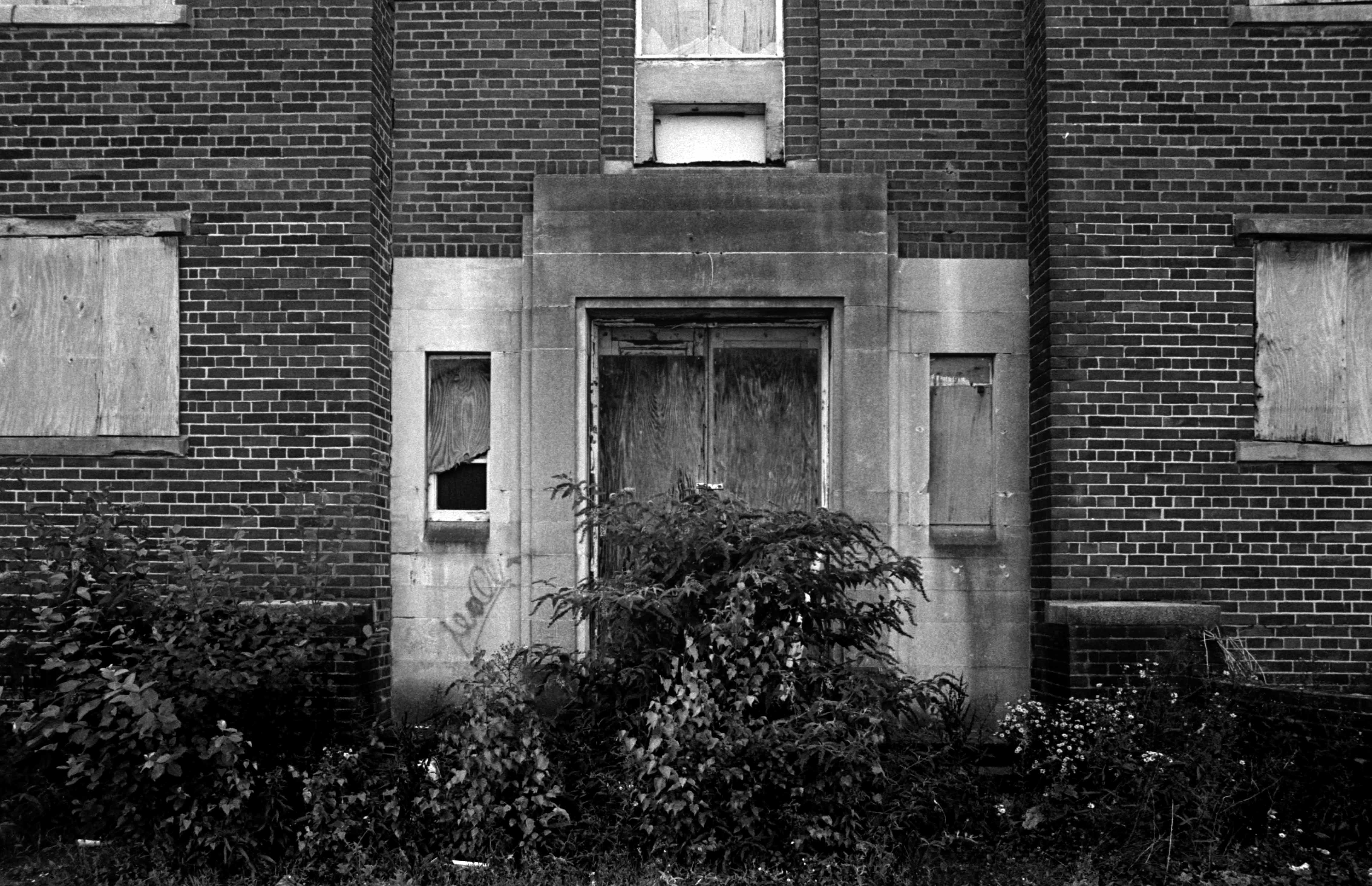
I took to the mean streets of Steeltown UK.
Down these mean streets a man must go who is not himself mean, who is neither tarnished nor afraid. He is the hero; he is everything. He must be a complete man and a common man and yet an unusual man. He must be, to use a rather weathered phrase, a man of honor—by instinct, by inevitability, without thought of it, and certainly without saying it. He must be the best man in his world and a good enough man for any world.
He will take no man’s money dishonestly and no man’s insolence without a due and dispassionate revenge. He is a lonely man and his pride is that you will treat him as a proud man or be very sorry you ever saw him.
The story is this man’s adventure in search of a hidden truth, and it would be no adventure if it did not happen to a man fit for adventure. If there were enough like him, the world would be a very safe place to live in, without becoming too dull to be worth living in.
Raymond Chandler
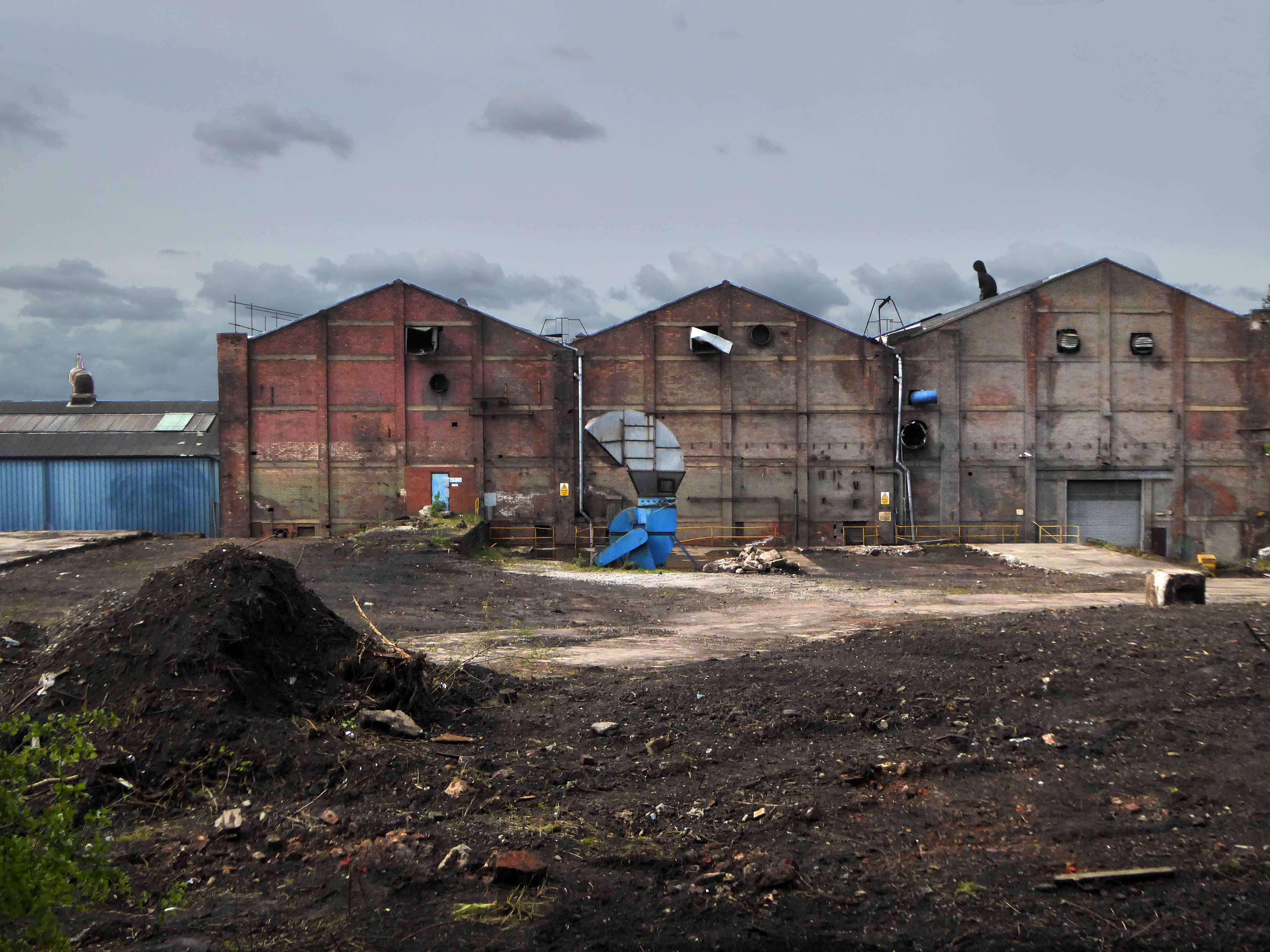
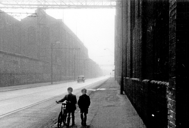
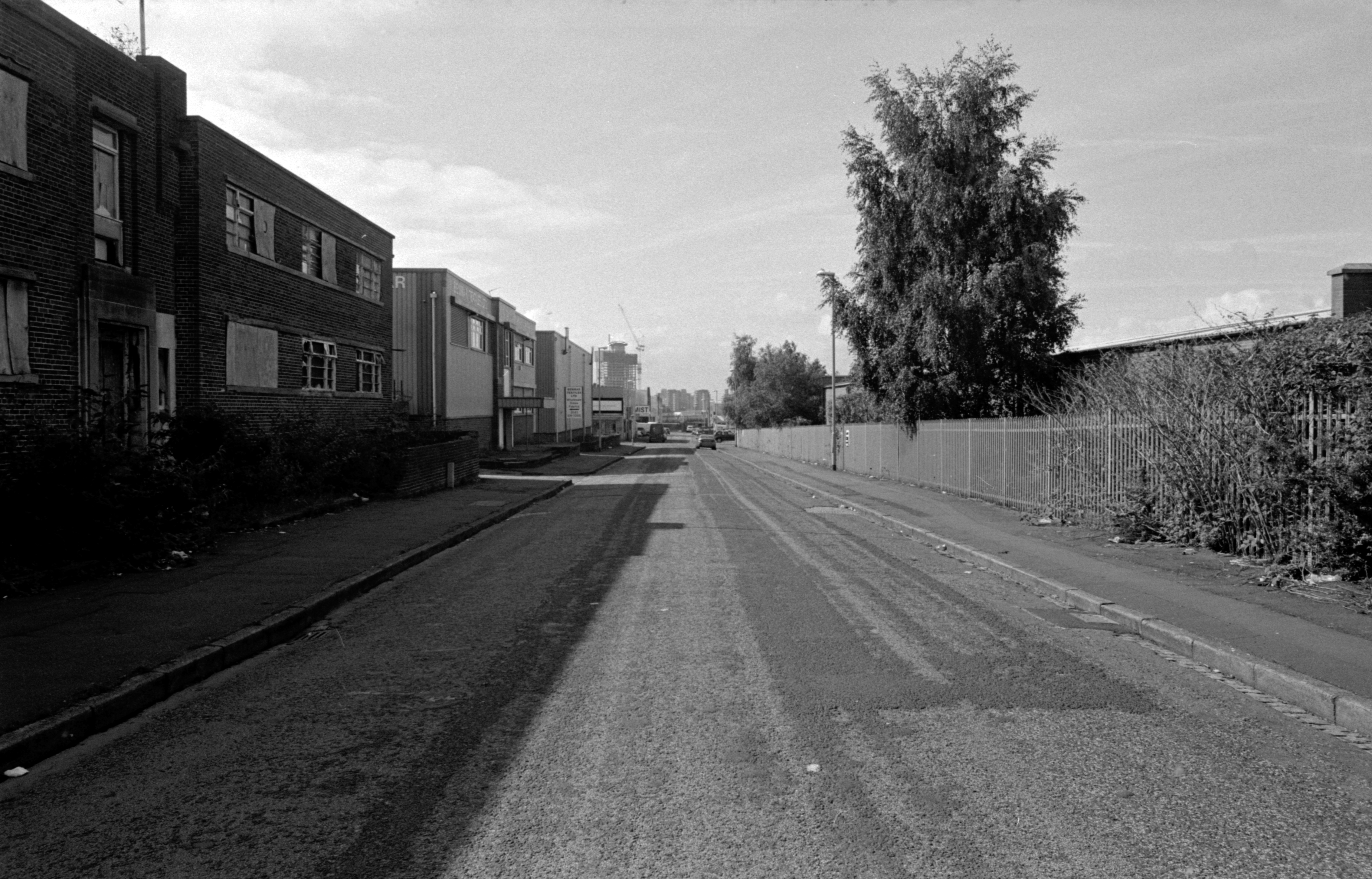
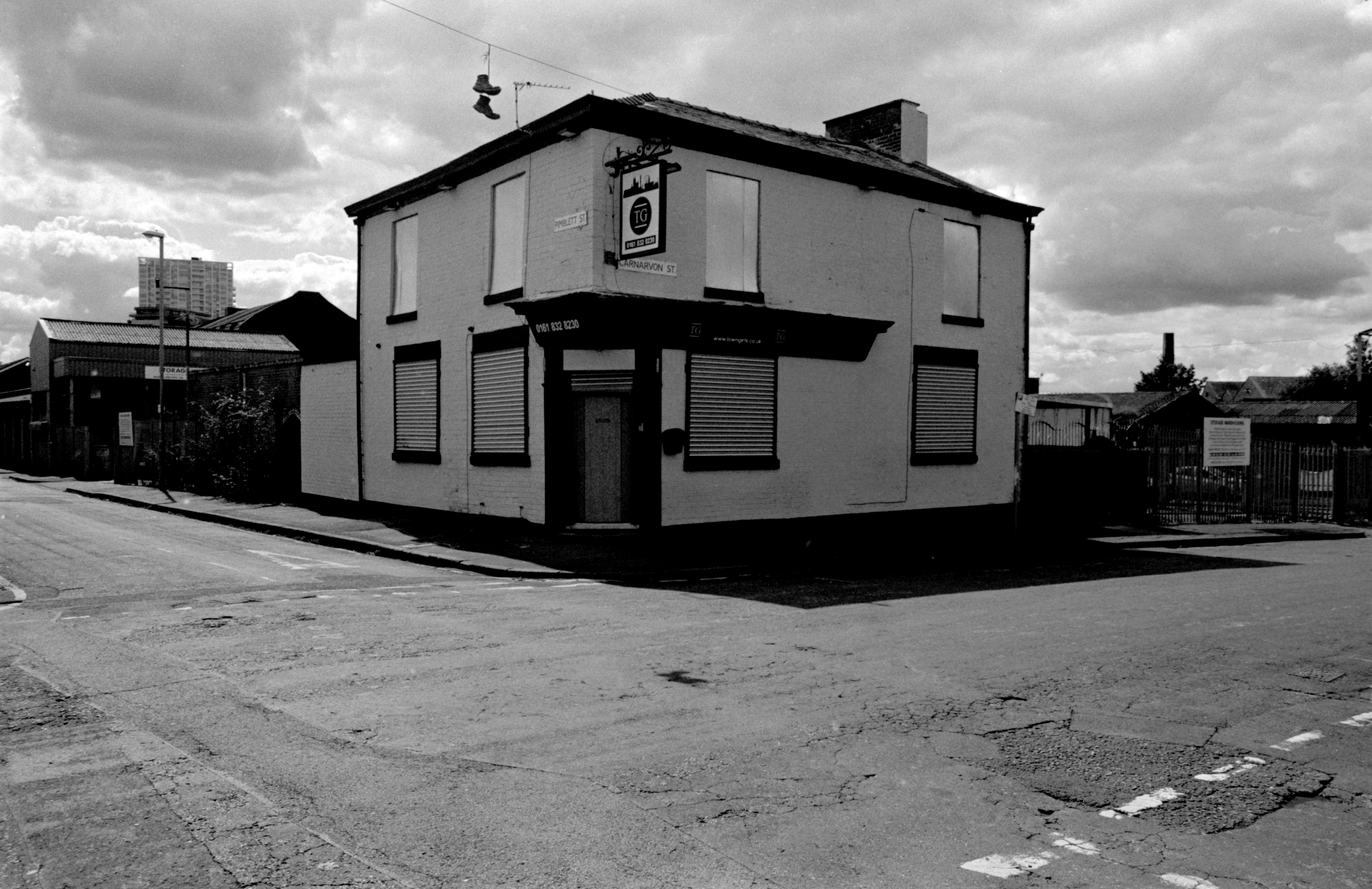
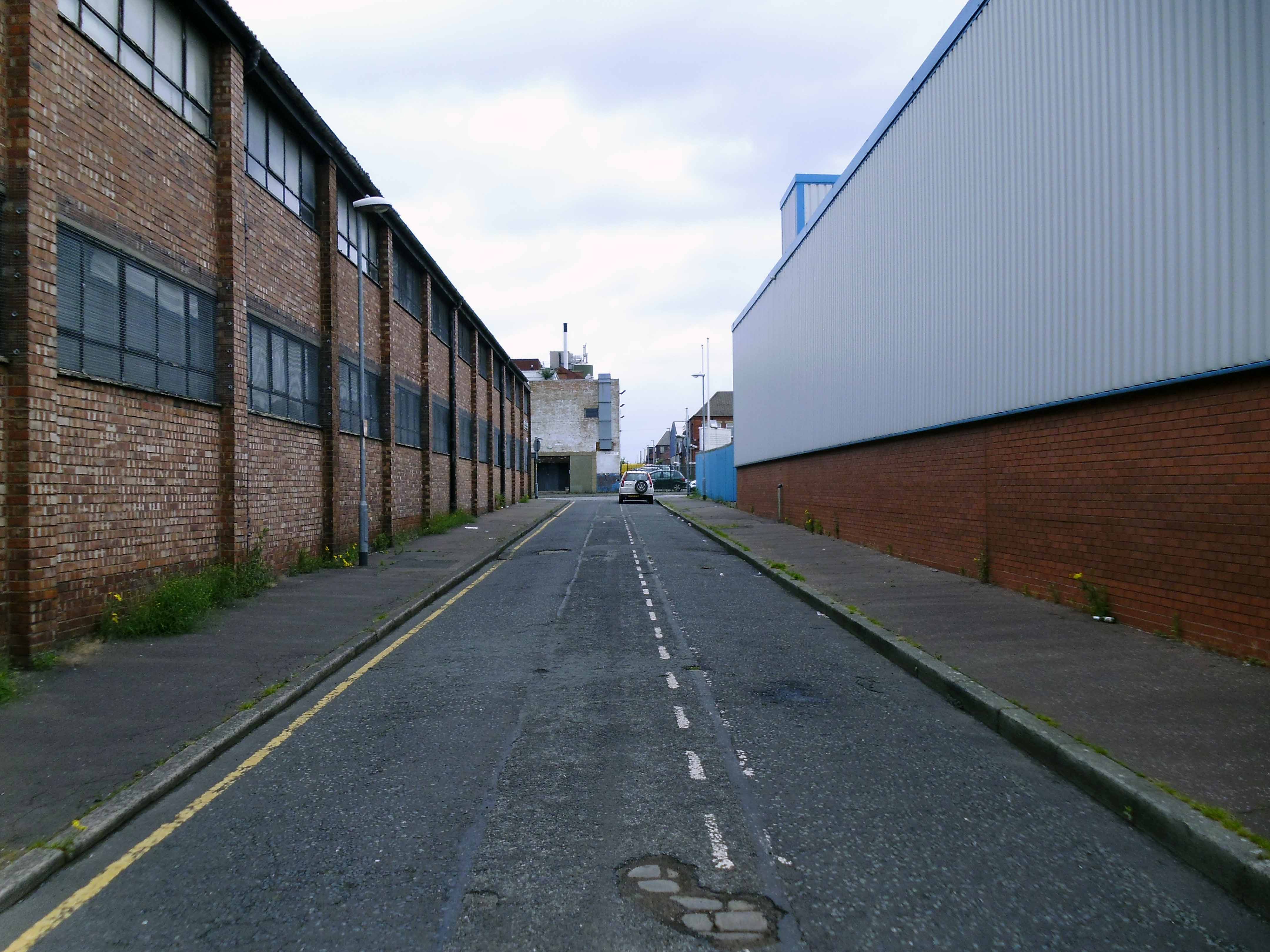
It was 8am – low bright sun pierced the achingly empty space between the long high industrial buildings.
There was nobody to share the morning – yet the clearly audible kling and klang of work pervaded the air, along with the lingering aroma of engine oil and decay.
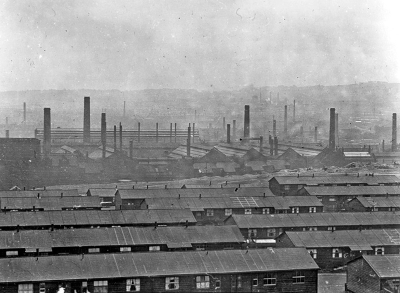
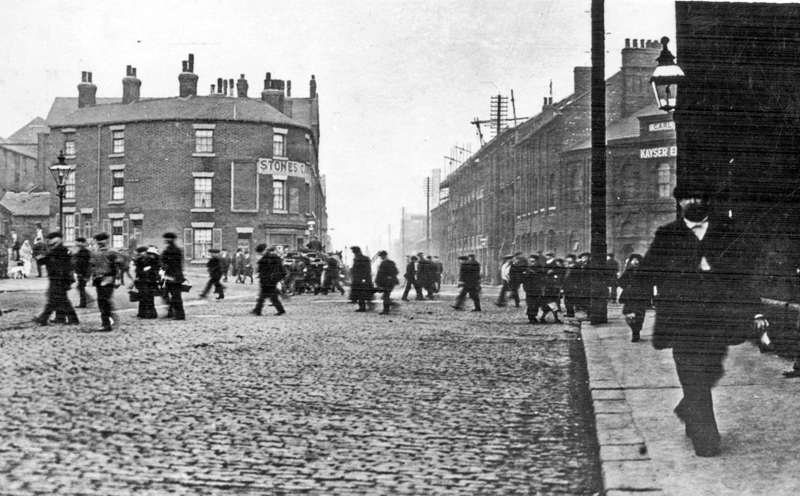
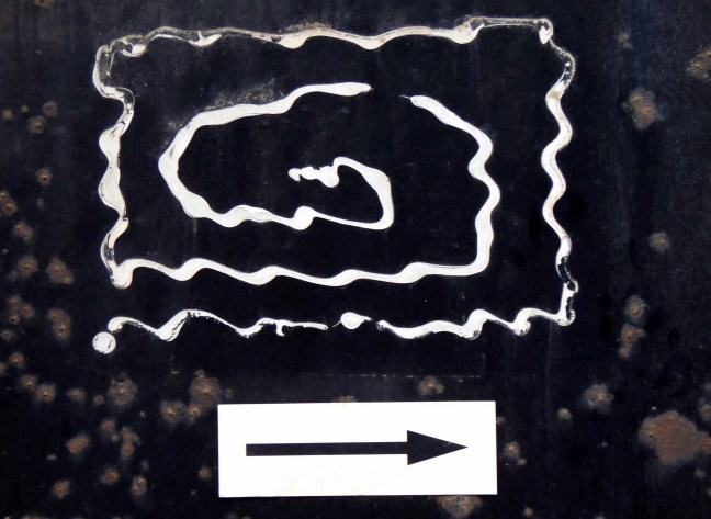
A city once awash with industry and ale – a myriad of pubs slaking the thirst of the thirsty steel workers.
A liquid equilibrium flowing and flowering for over a century.
The Lower Don Valley once home to a wealth of boozers, tells a different tale today.
A fall in production produced a proportionate reduction in consumption.
The clatter of clogs on cobbles, metal on metal is but a distant memory, along with the sound of pints pulled and hastily glugged.
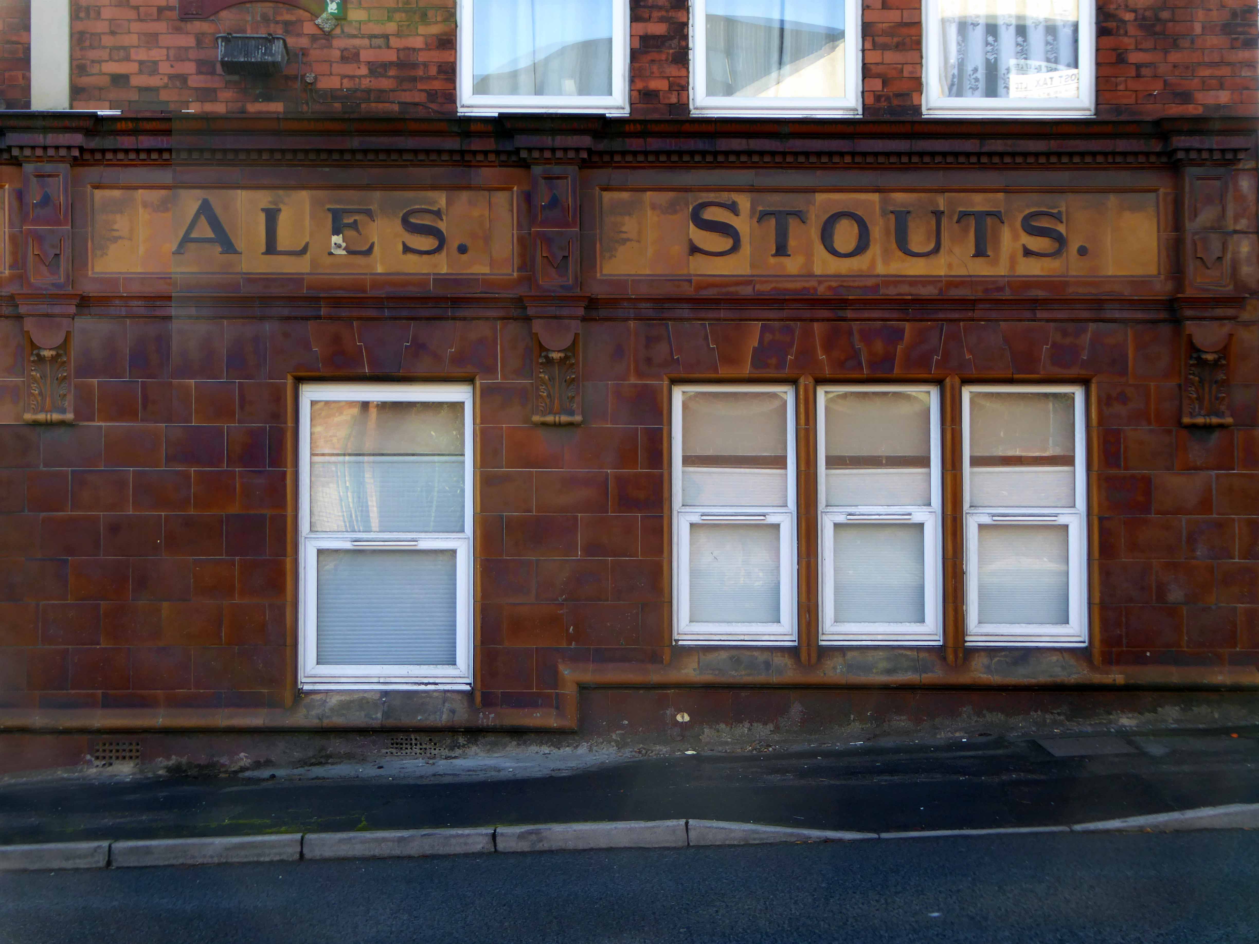
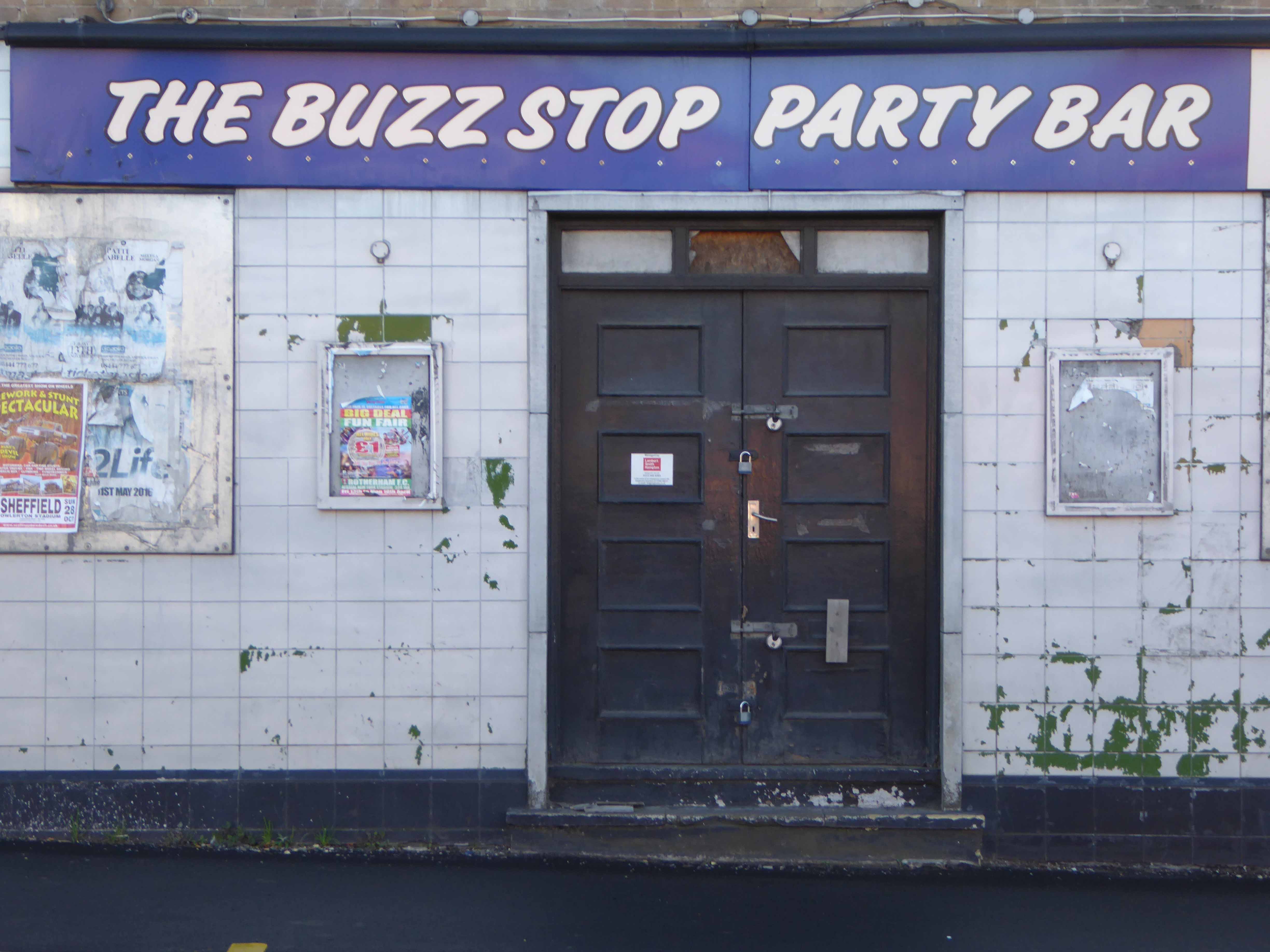
The architecture of ale still prevails – now purveying pleasures and delights of a different stripe, whatever takes your fancy, as long as it’s not too fancy.
And doesn’t involve taking a drink.
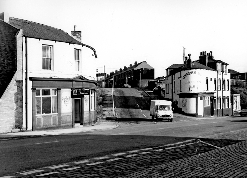
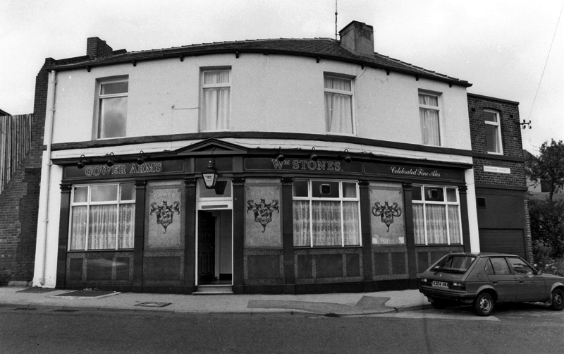
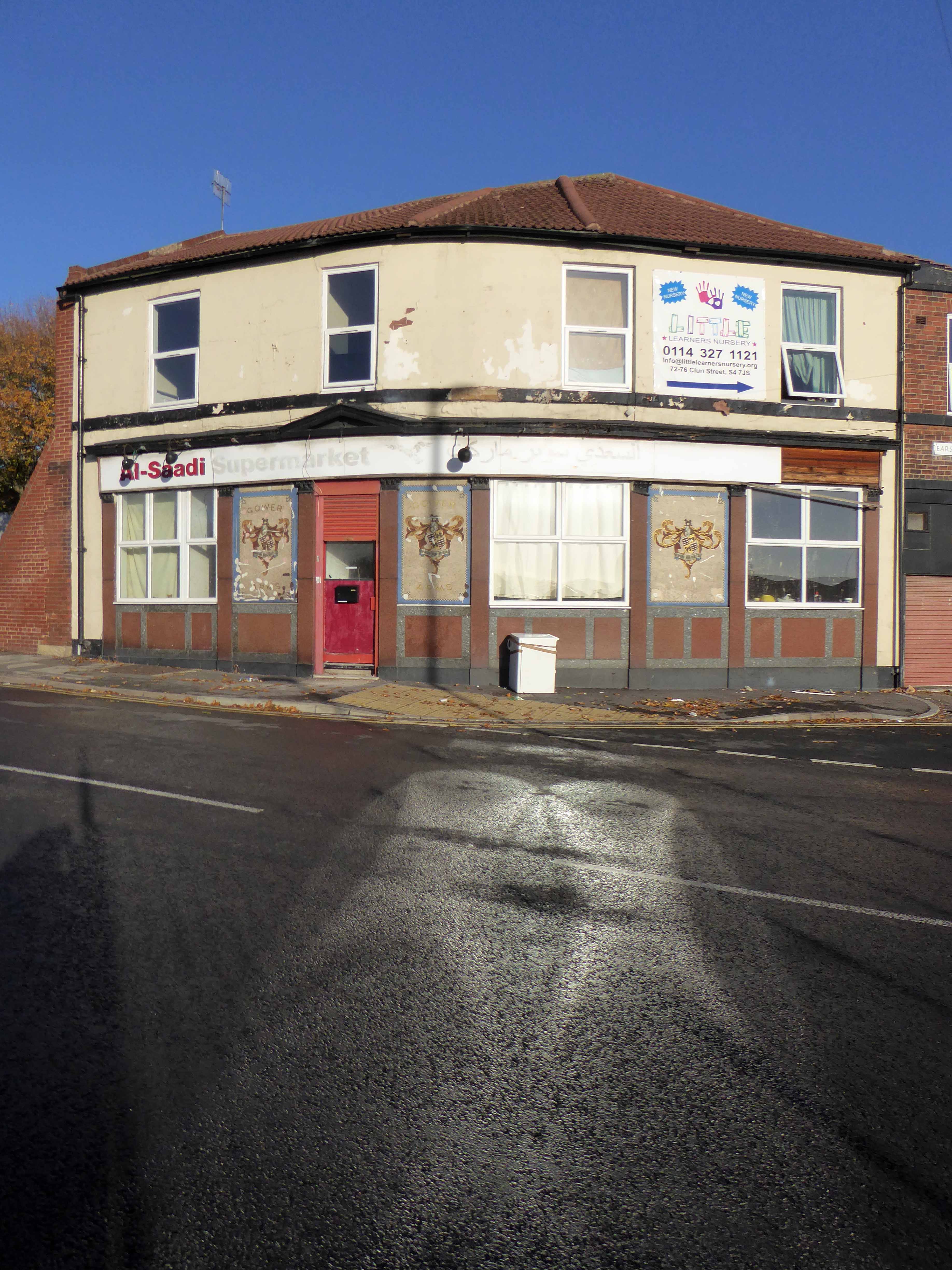
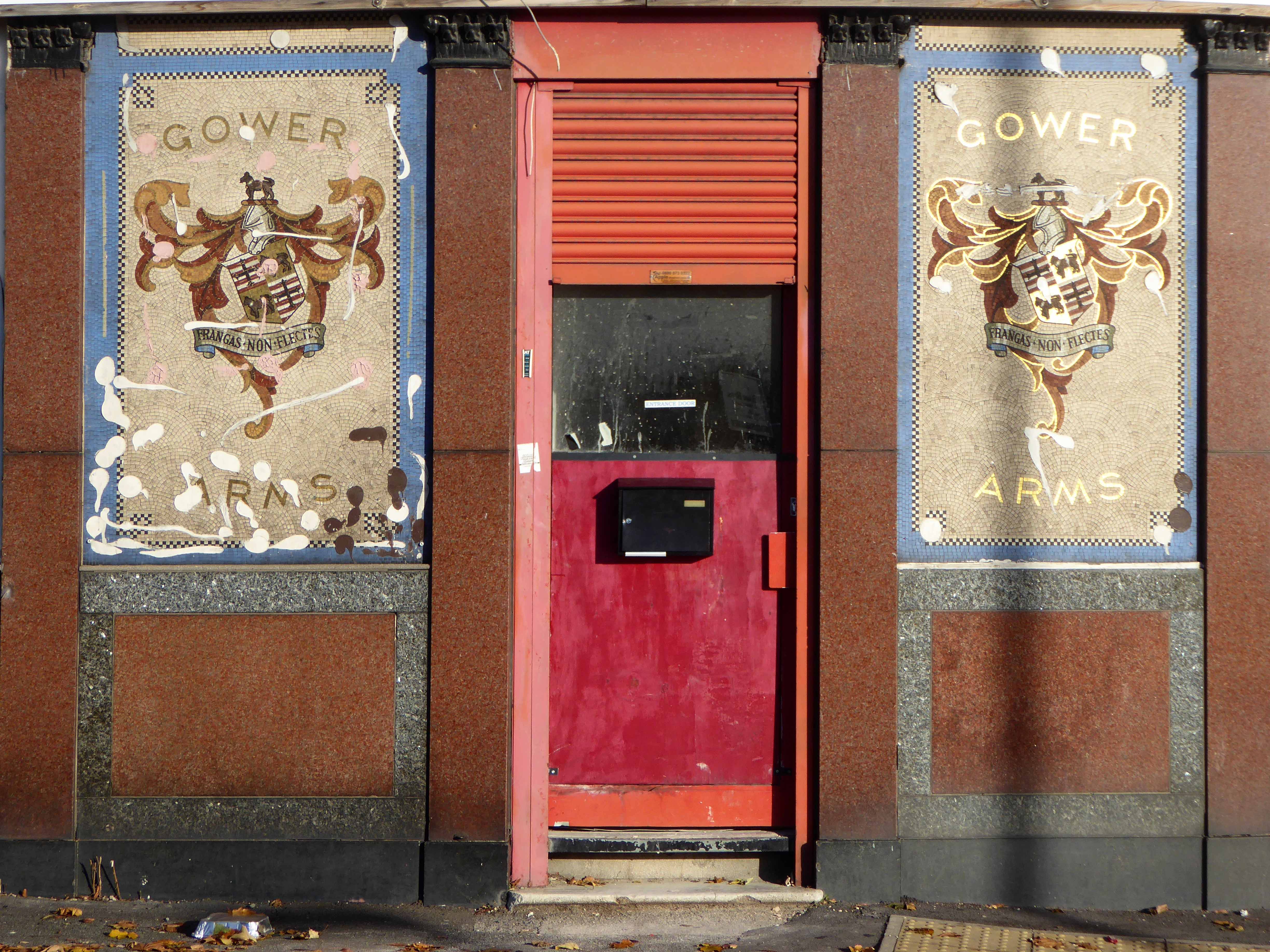
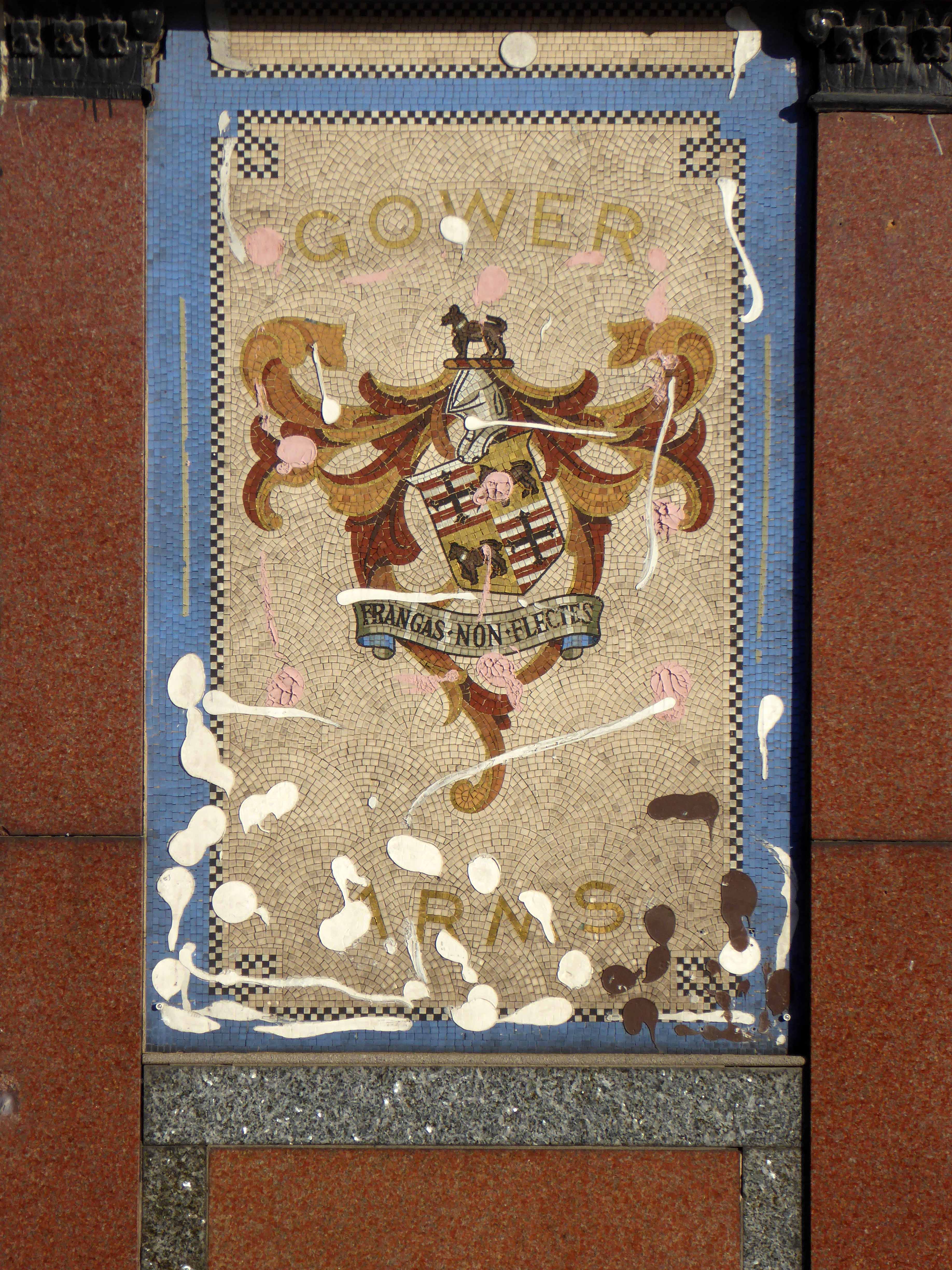
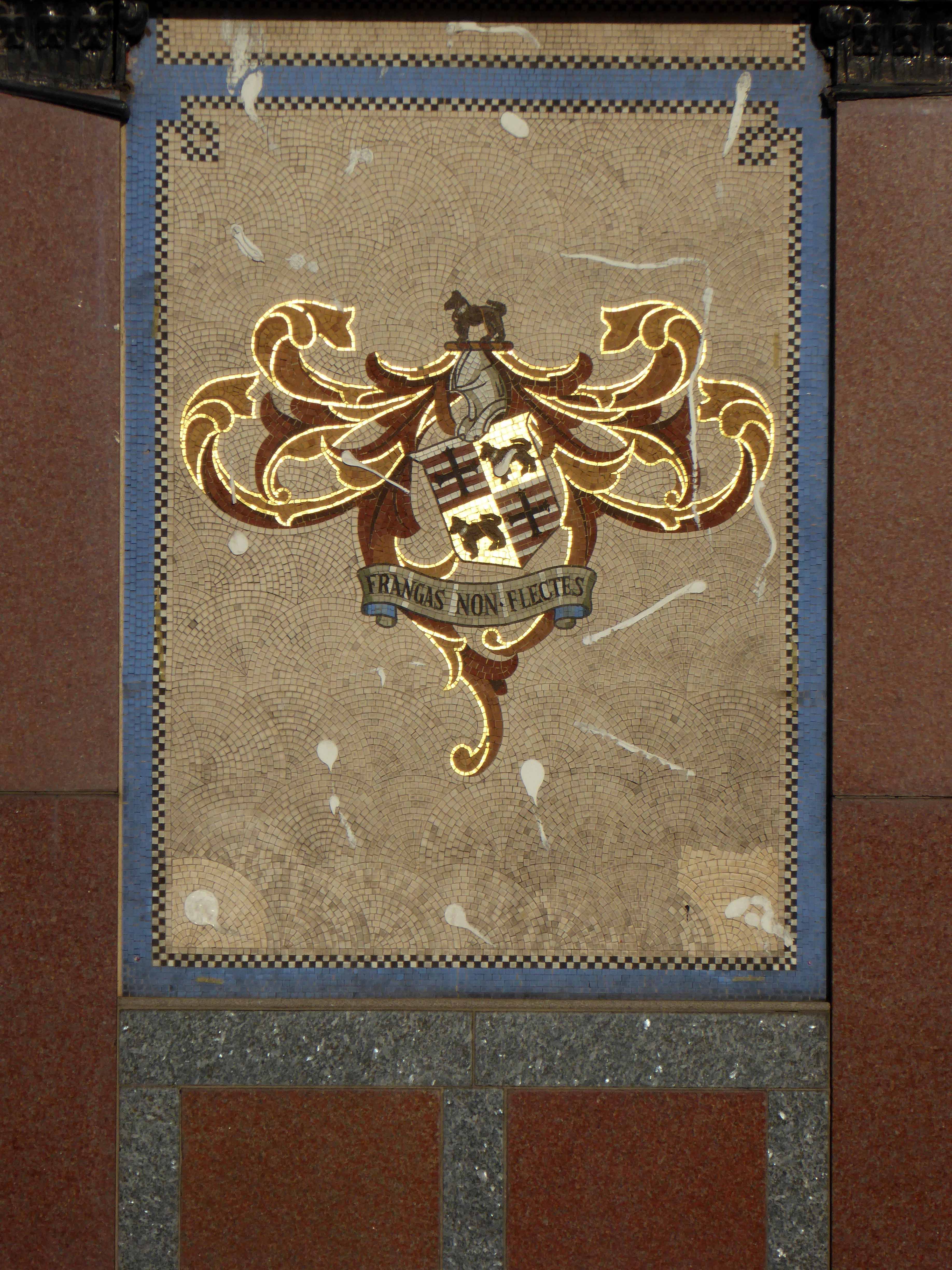
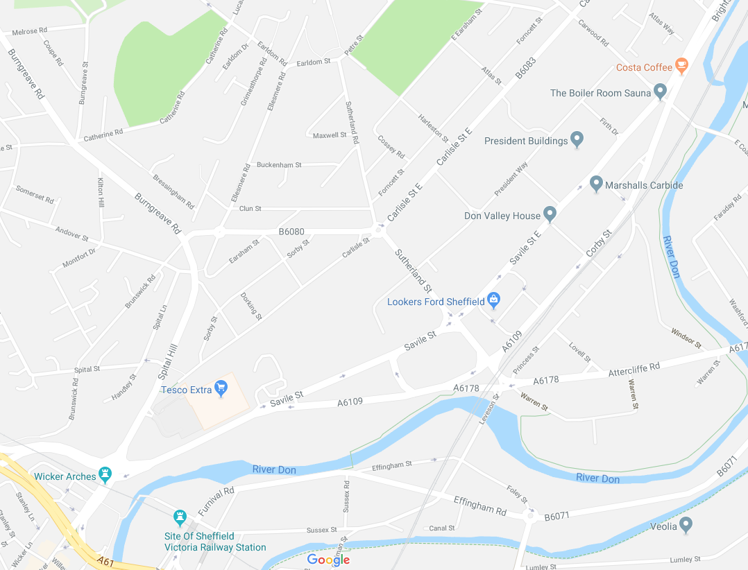
The Gower Arms – 47 Gower Street Burngreave Sheffield S4 7JW
I drink down there – top pubs methinks. They are old fashioned pubs with some real characters. Will be there Friday night in the Staff first, Royal Oak, Gower, Grapes and back to the Staff till I drop.
Blade Bloke 2007
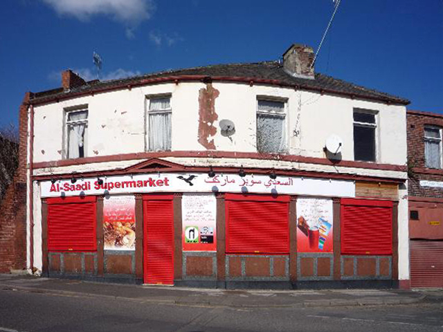
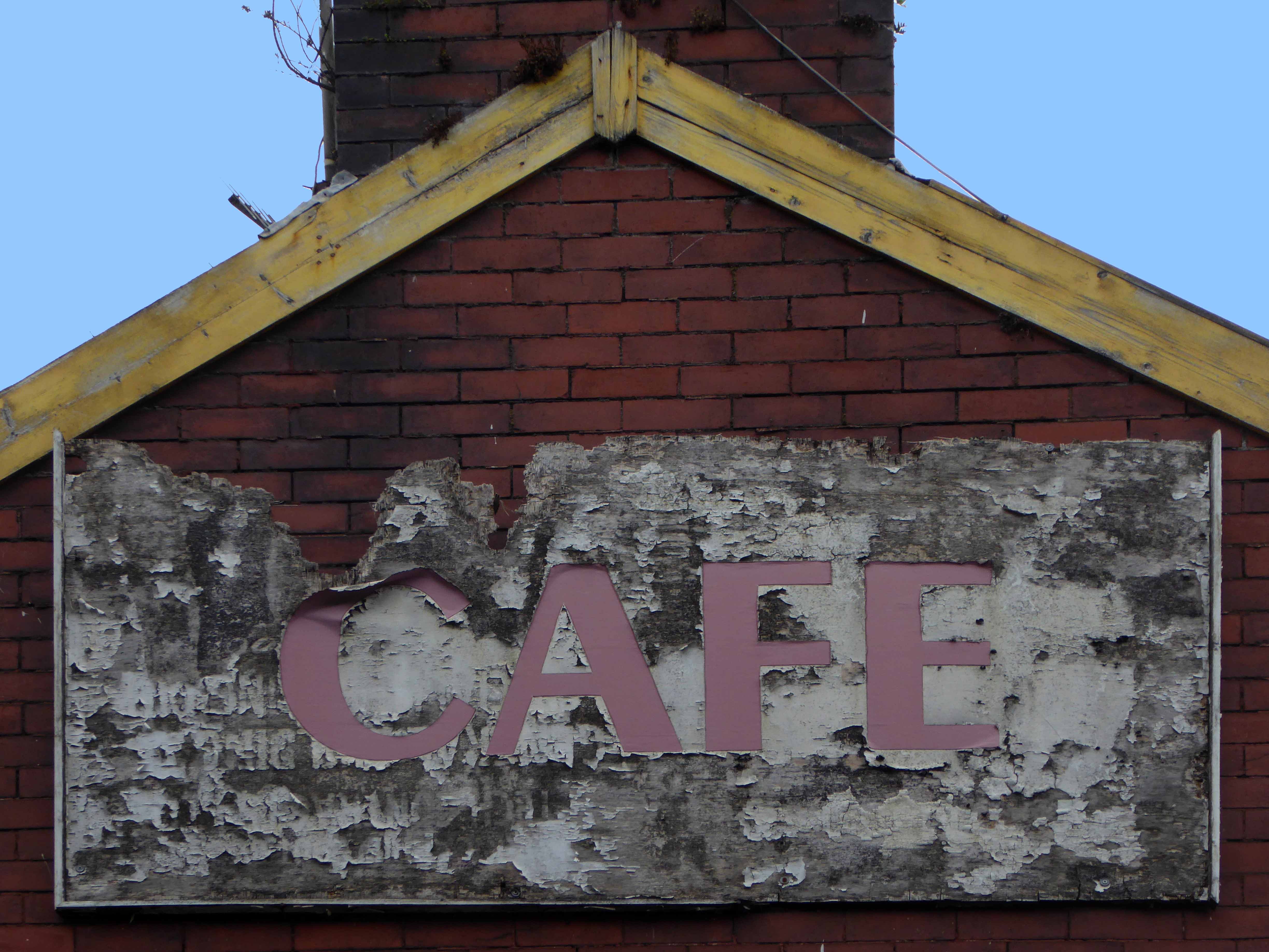
From top pub to closed corner supermarket in two shakes of a monkey’s tale.
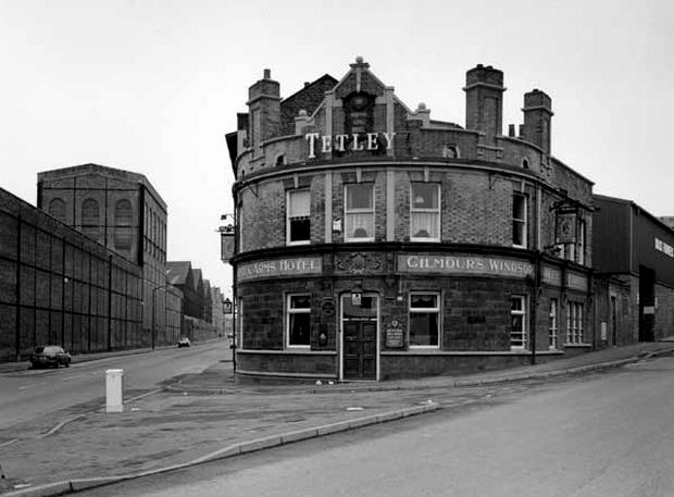
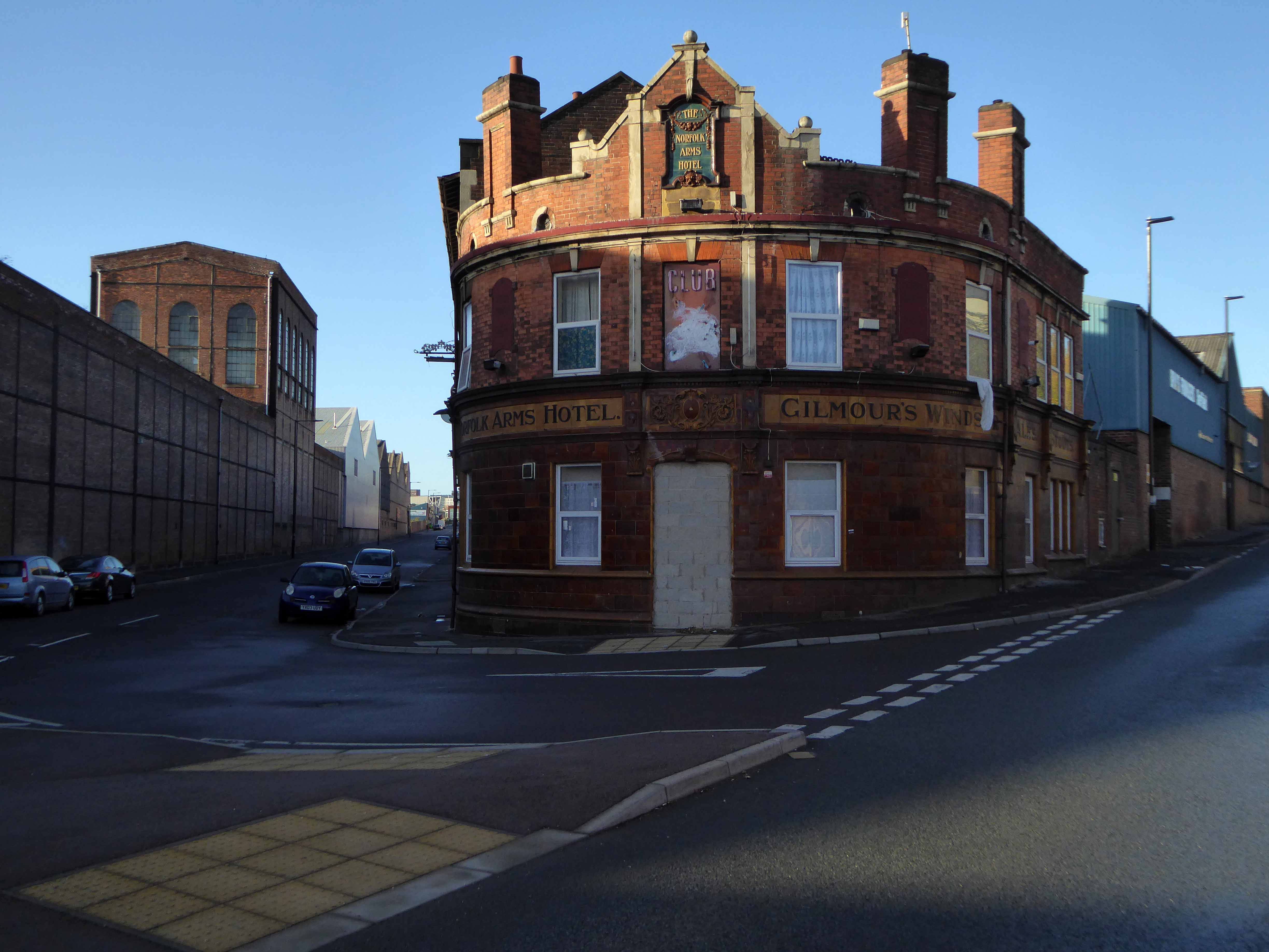
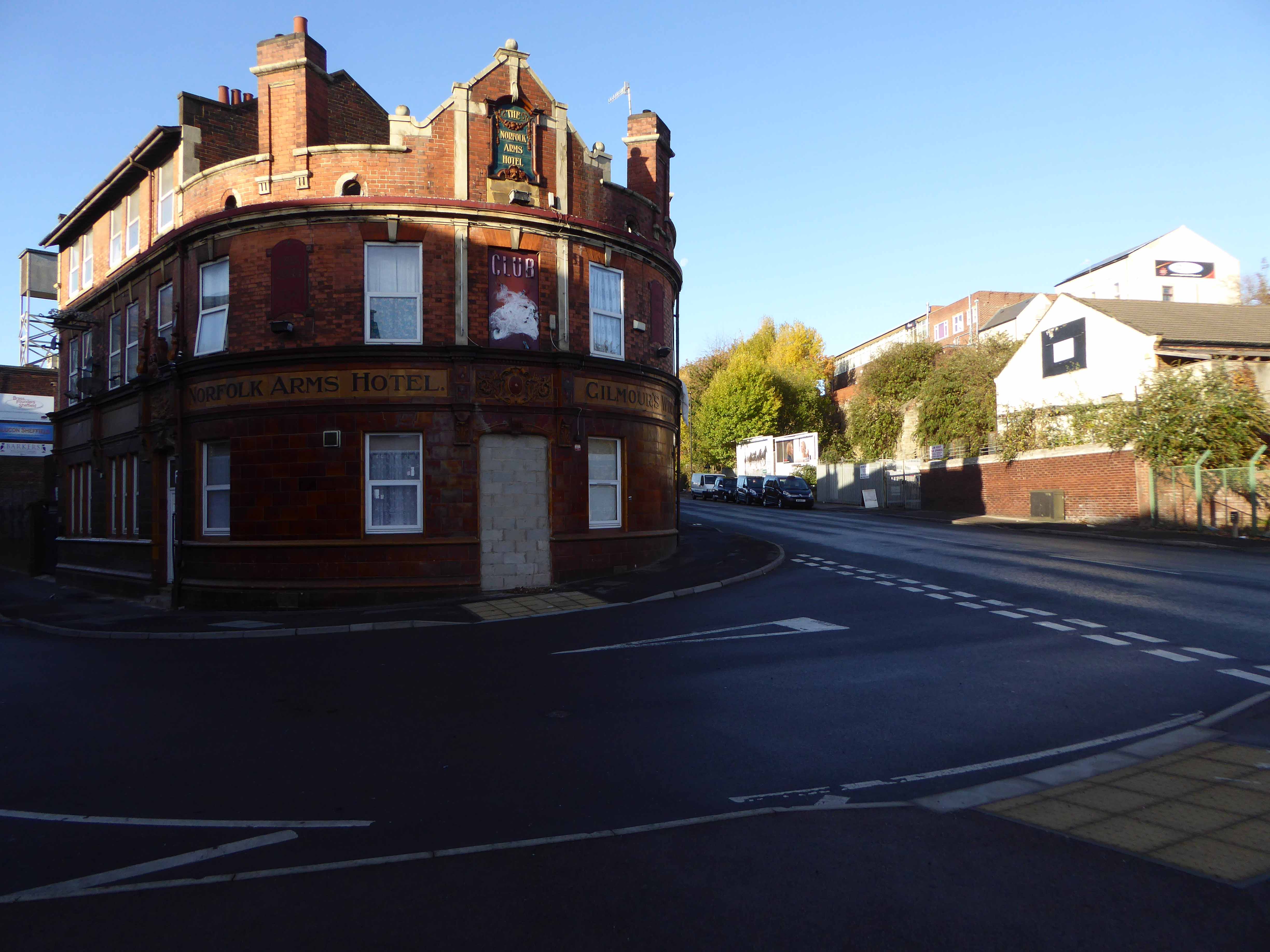
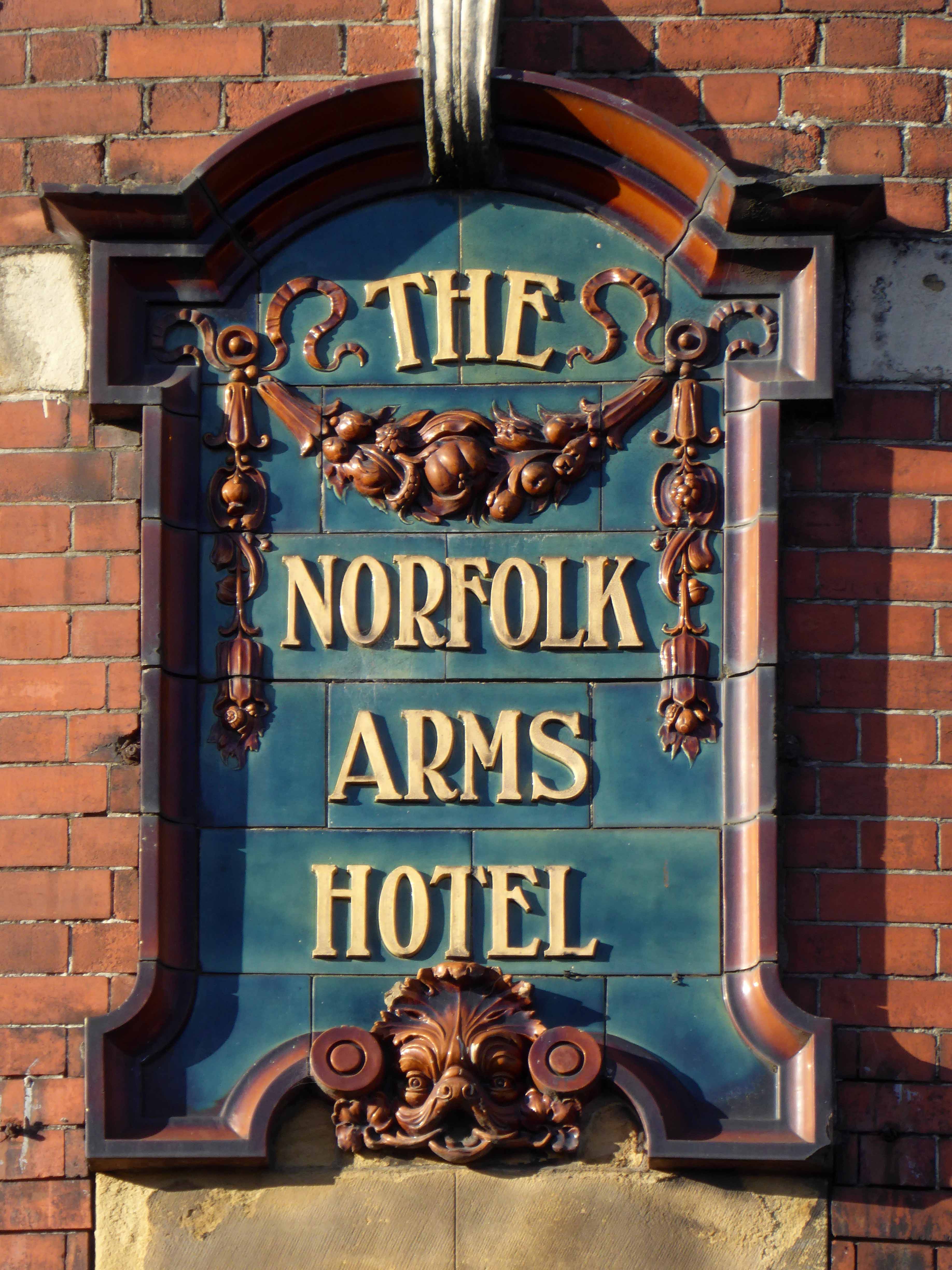
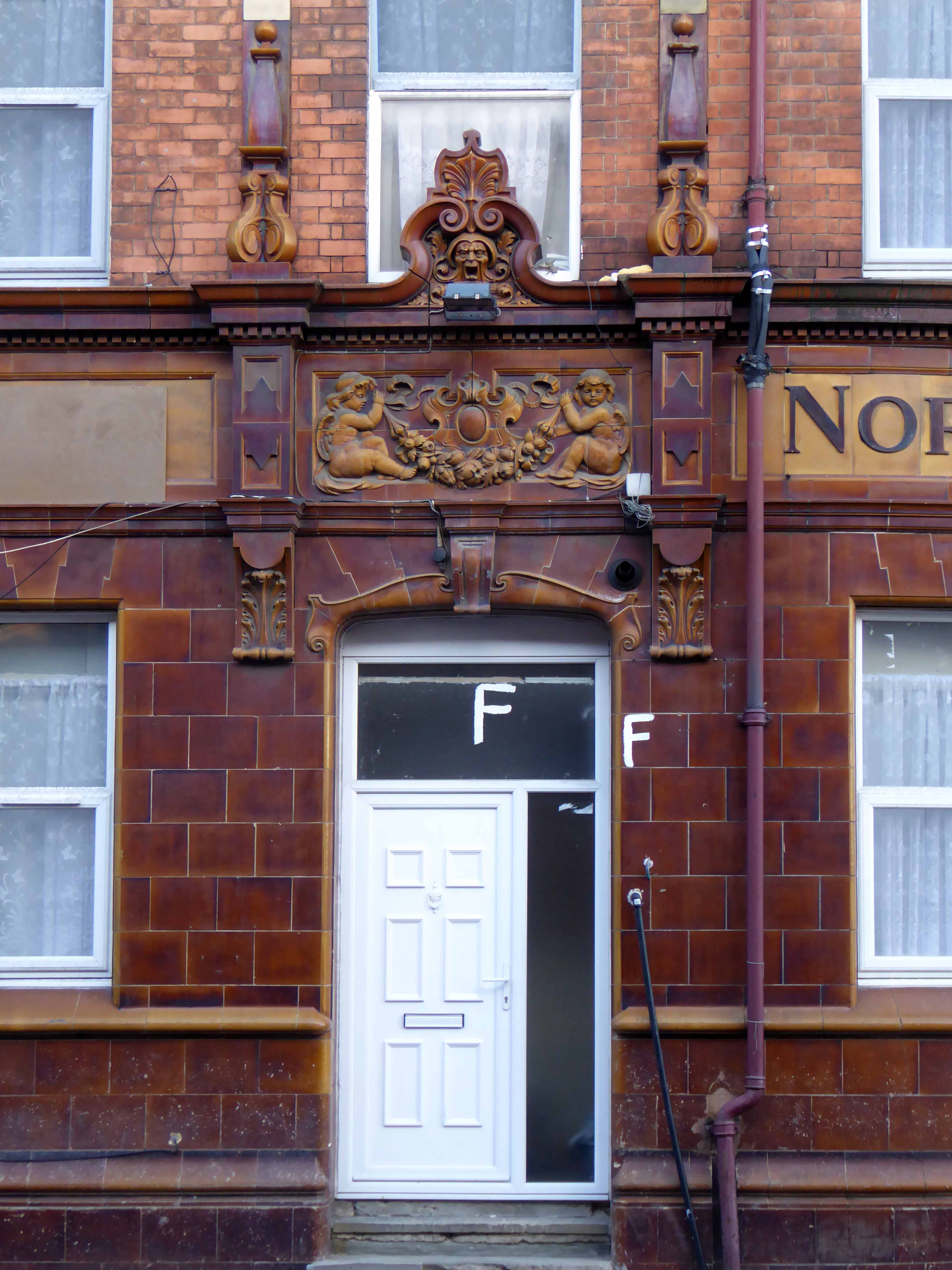
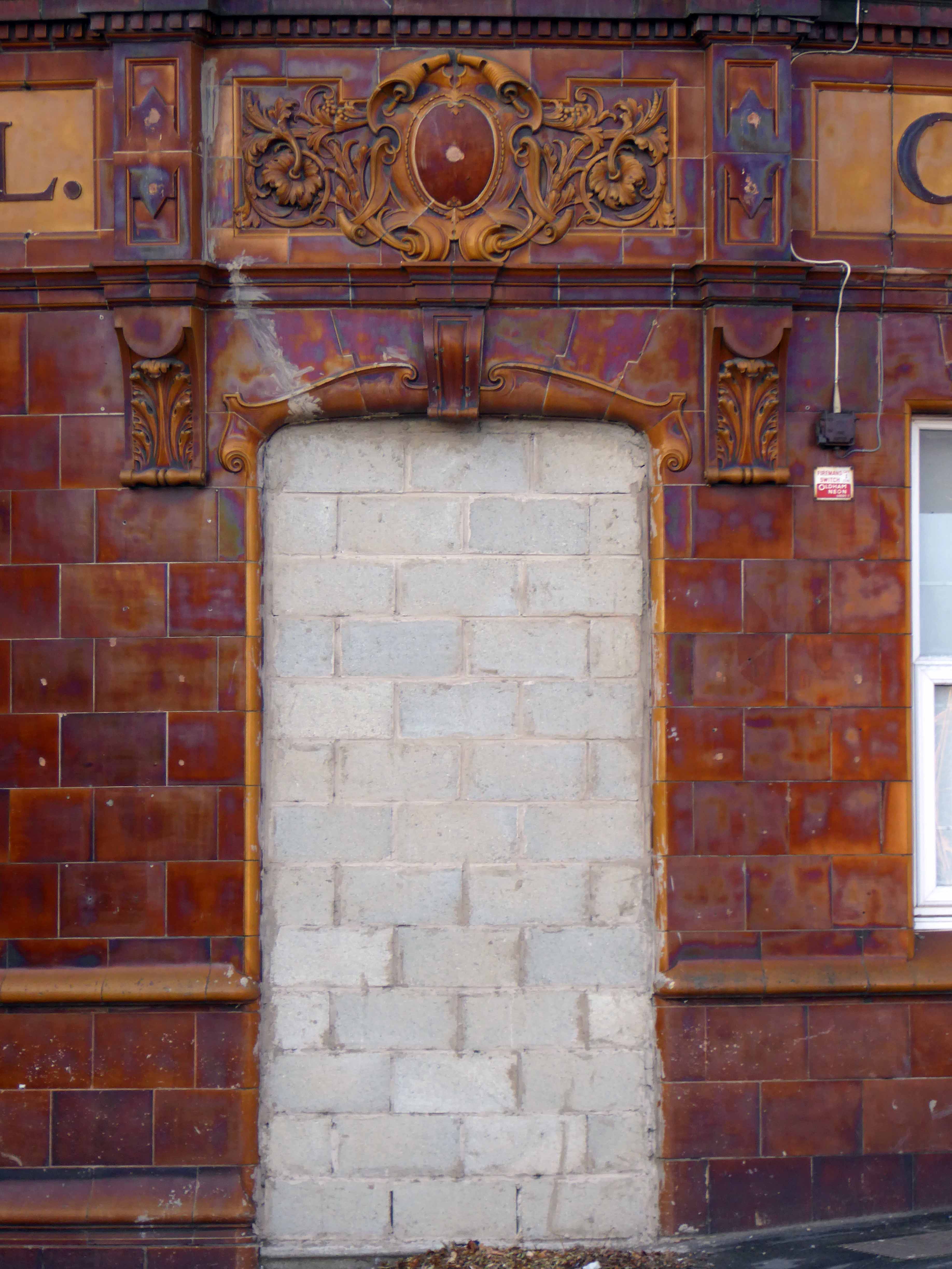
The Norfolk Arms Hotel – 195/199 Carlisle Street Sheffield S4 7LJ
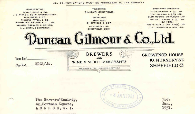
From a Gilmour’s tap, Tetley tavern to a temple of trendy funk.
Club Xes is a nightclub in Sheffield described as a vibrant and thrilling, and full of Sheffield’s young and trendy crowd. The DJs are renowned for providing the newest funkiest records.
Premises Type – This place does not serve real ale.
Premises Description – Gay nightclub.
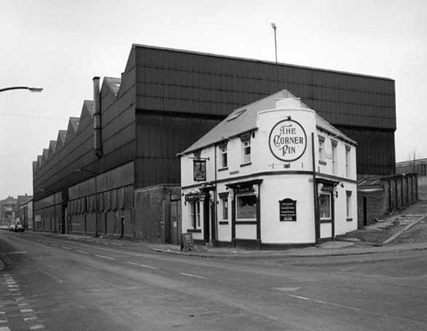
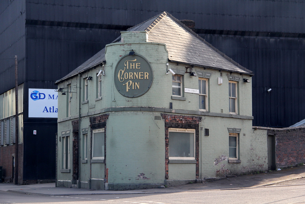
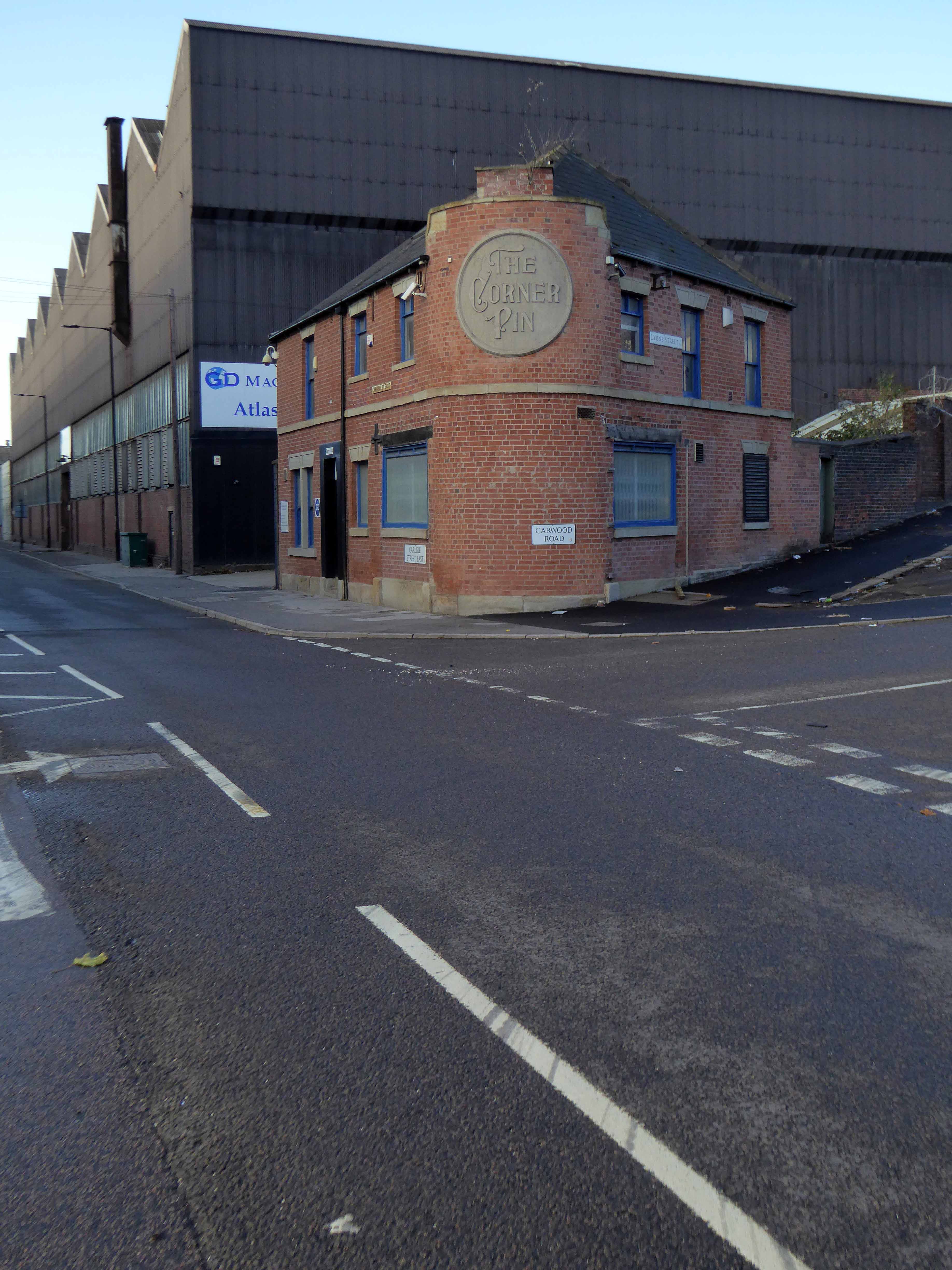
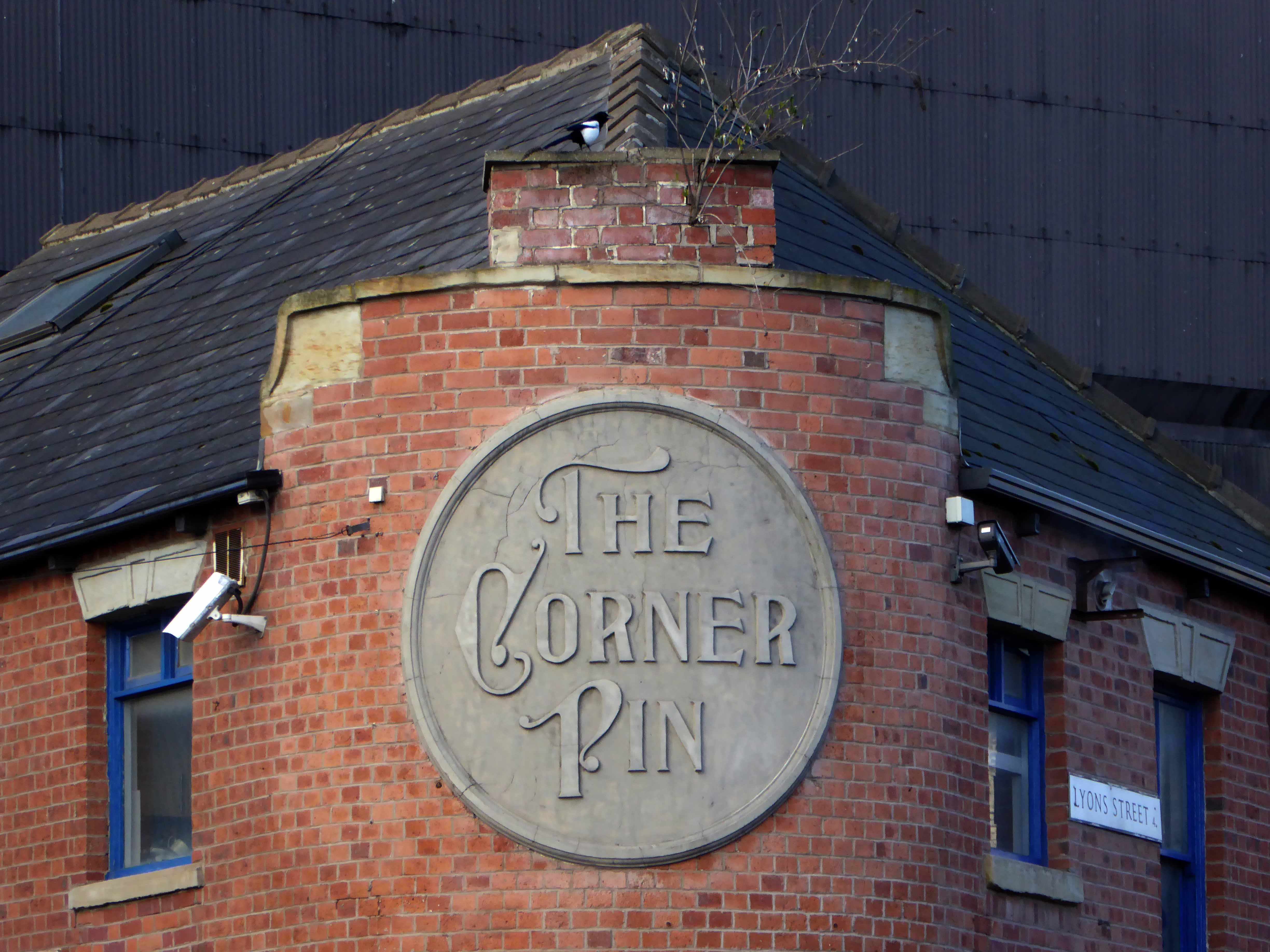
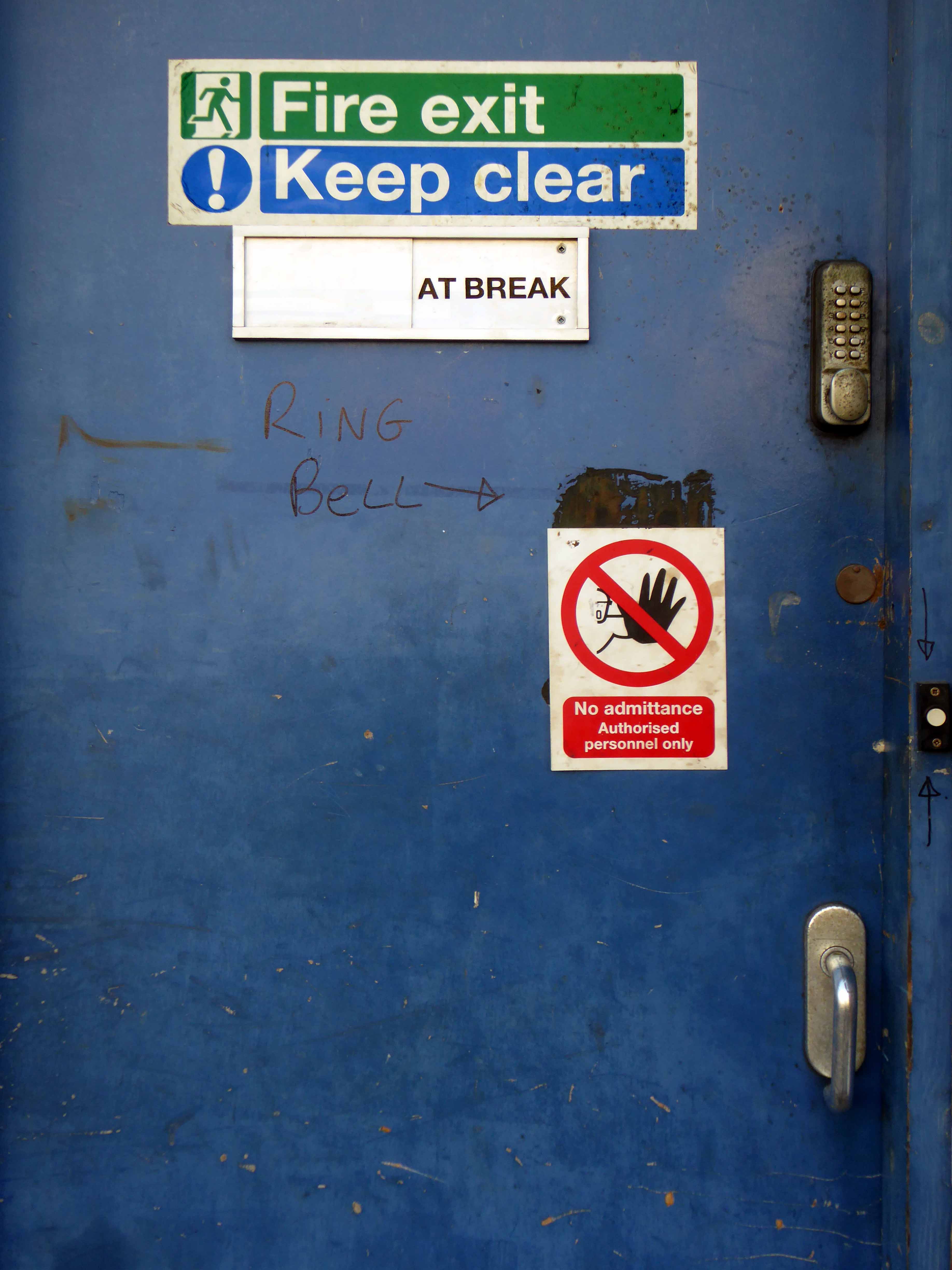
The Corner Pin – 231-233 Carlisle Street East Sheffield S4 7QN
First licensed to sell beer in 1840. One of 26 public houses serving the steel industry along a three- quarter mile stretch of Carlisle Street. It is said to have a ghost who likes to turn the lights on in the middle of the night and footfalls can be heard.
The Corner Pin was the last of the Steelmakers pubs in Sheffield and was one of my favourite places to visit for a real good pint! I would come over from Melbourne once or twice a year, still do, and meet up with Chris Payling and many others still left over from the days of Sheffield Steel, but now all gone.
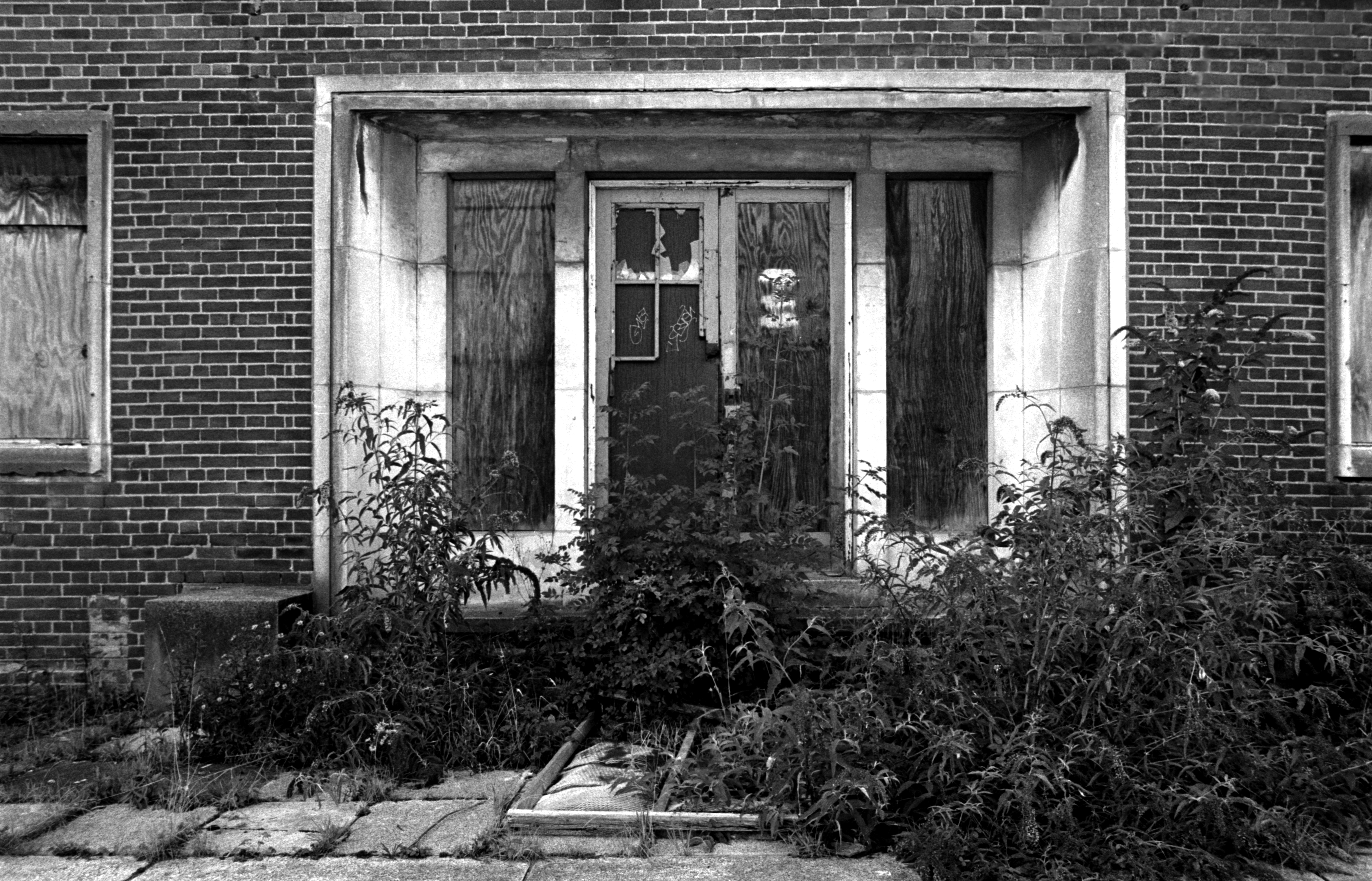
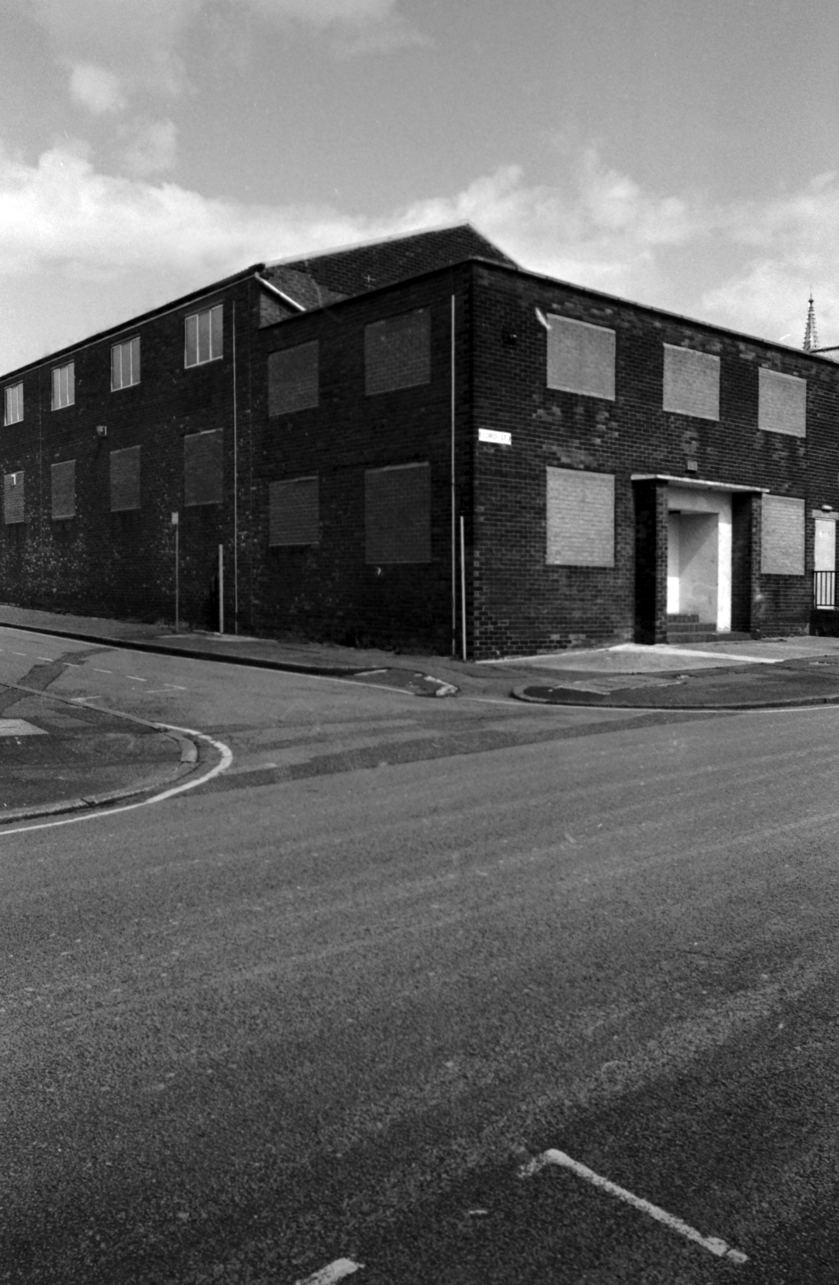
They even took away your window frames, along with your dignity once a pale green shadow of yourself, stripped back to brick.
Stop dreaming of a foaming pint right now – you’re an office.
Obviously, stating the obvious in Comic Sans on a shocking pink ground may ease the pain of industrial decline and its attendant social and economic ills.
Sheffield along with the majority of British manufacturing towns and cities, has seen the wealth created by over a century of hard labour spirited elsewhere, and the means by which that wealth was created shipped overseas or overwritten by new technologies.
This has not been an accident or unfortunate consequence of global trends, it has been government policy.
It has not been government policy to regenerate these towns and cities.
So Sheffield has taken the initiative to become – The fastest growing British city outside London.
Though that may do little to redress the structural economic divides within the city.
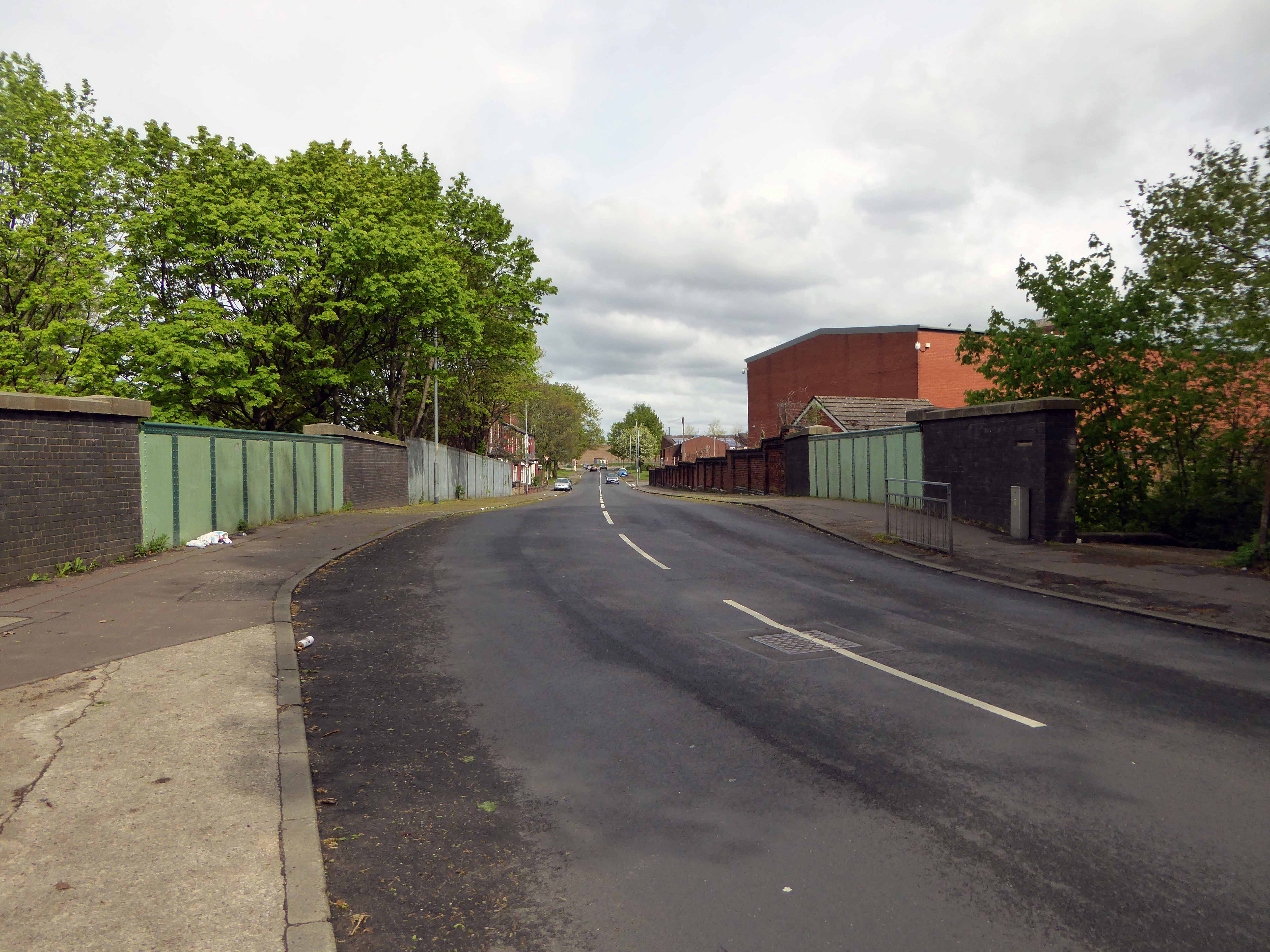
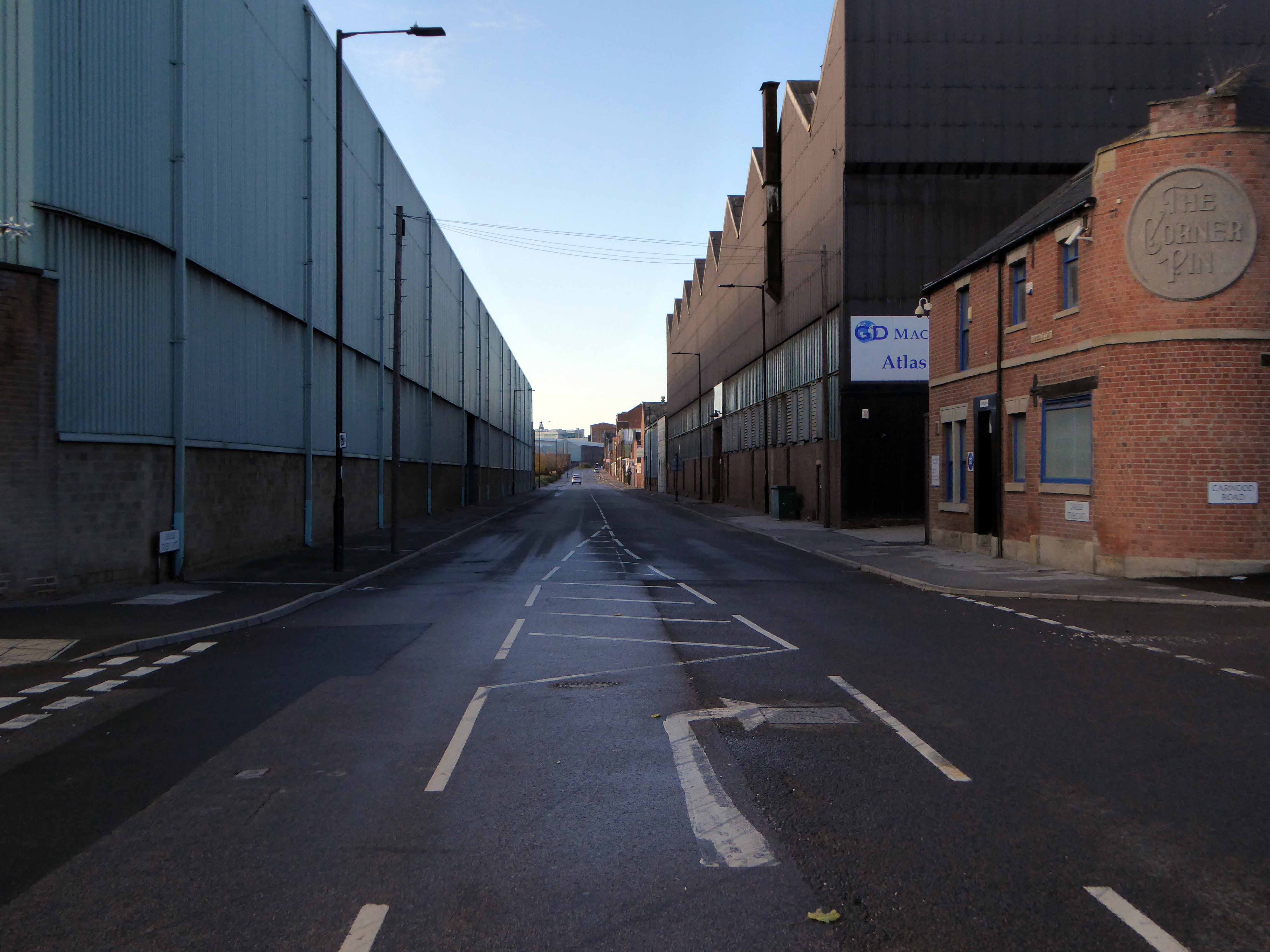
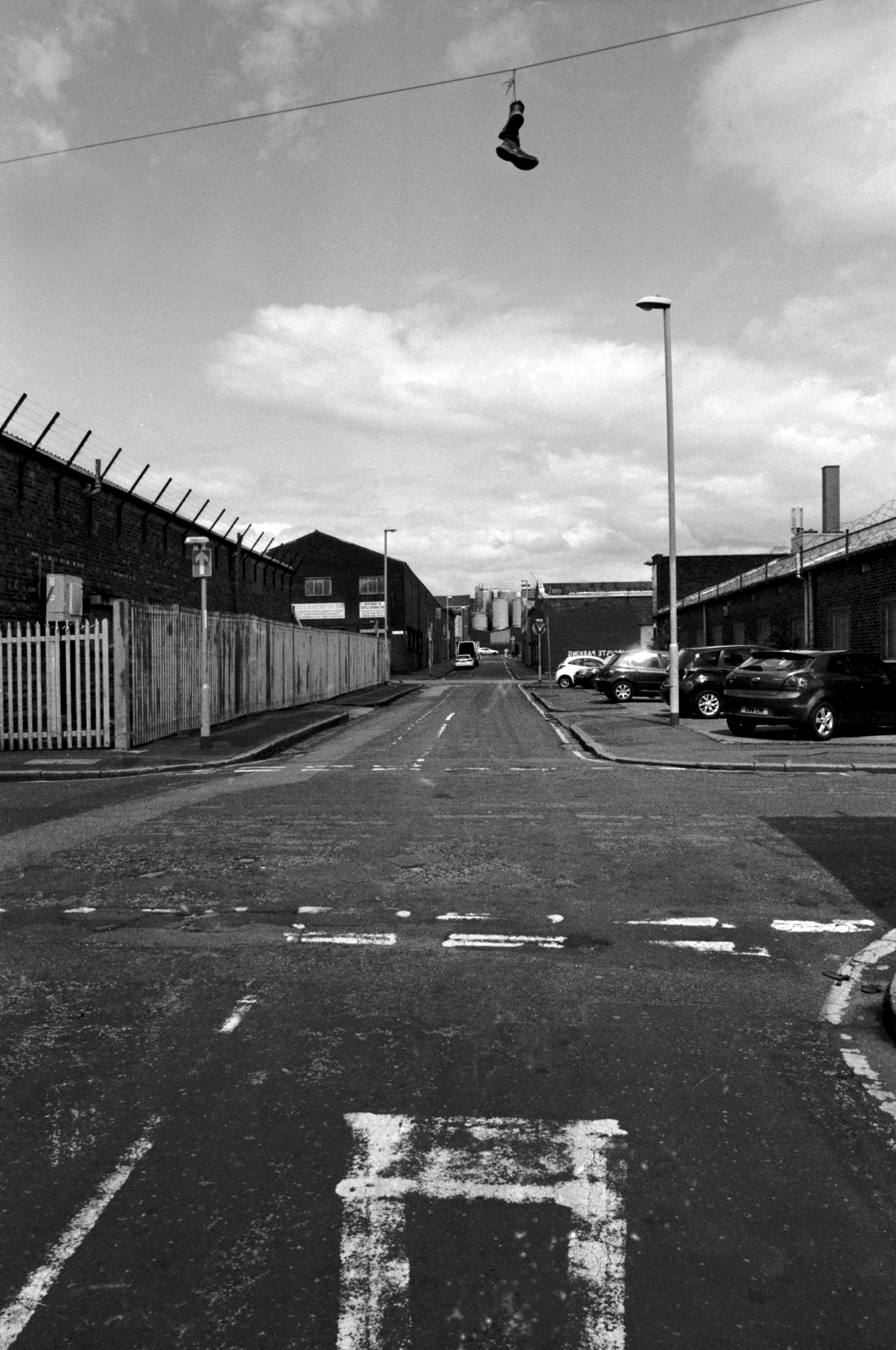
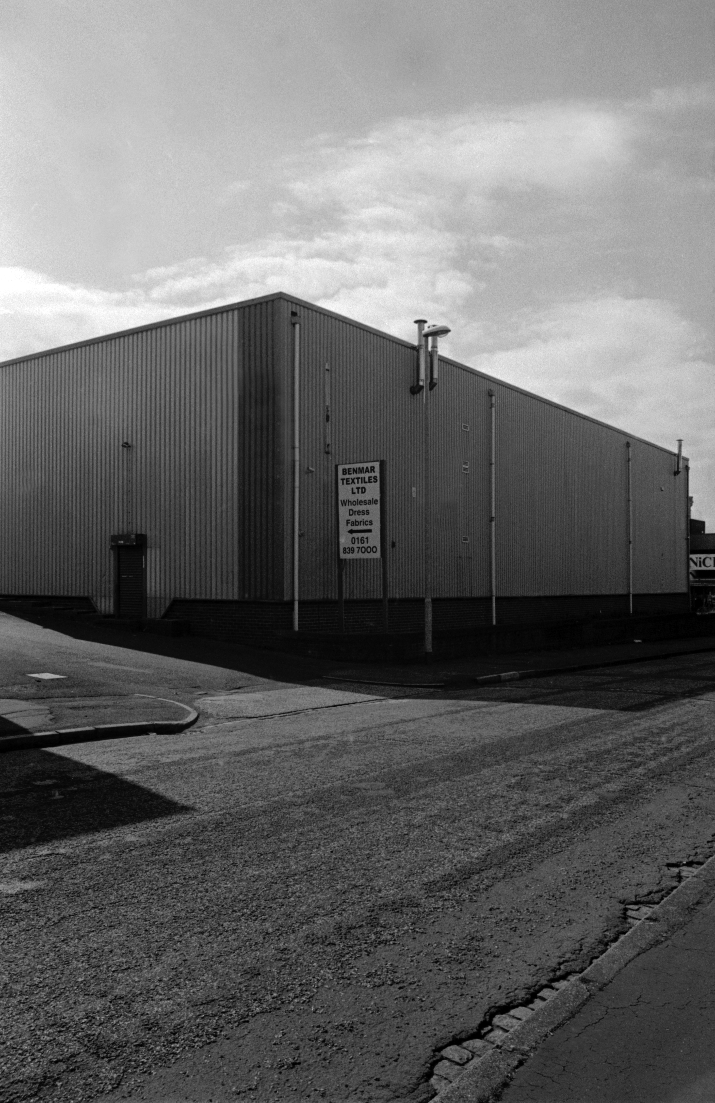
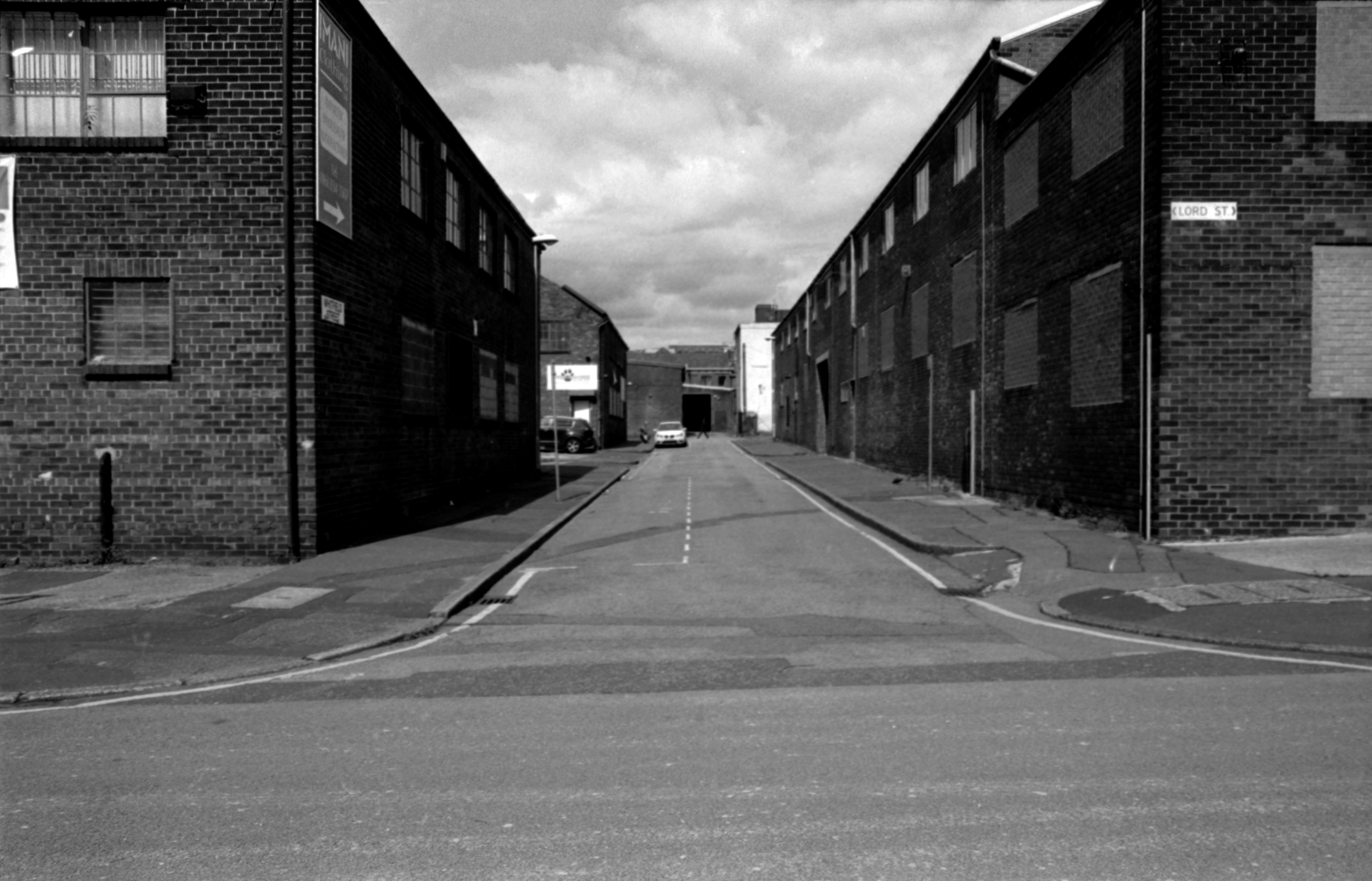
So I walked the avenues and alleyways of the Lower Don Valley, early on an October Sunday morning, mourning the passing of the clang and clamour that once fuelled the city and the nation.
An aroma of engine oil and the sound of metal on metal still permeates the area, and the low autumnal sun warms the long straight streets.
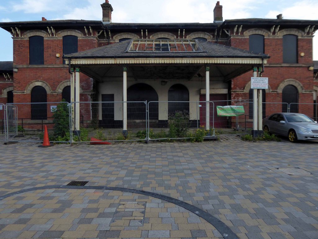
Where the Victorians modelled their stations on cathedrals, temples and palaces.
Modern Man models his on shopping centre and office blocks.
Richards and MacKenzie – The Railway Station
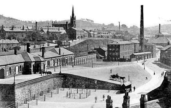
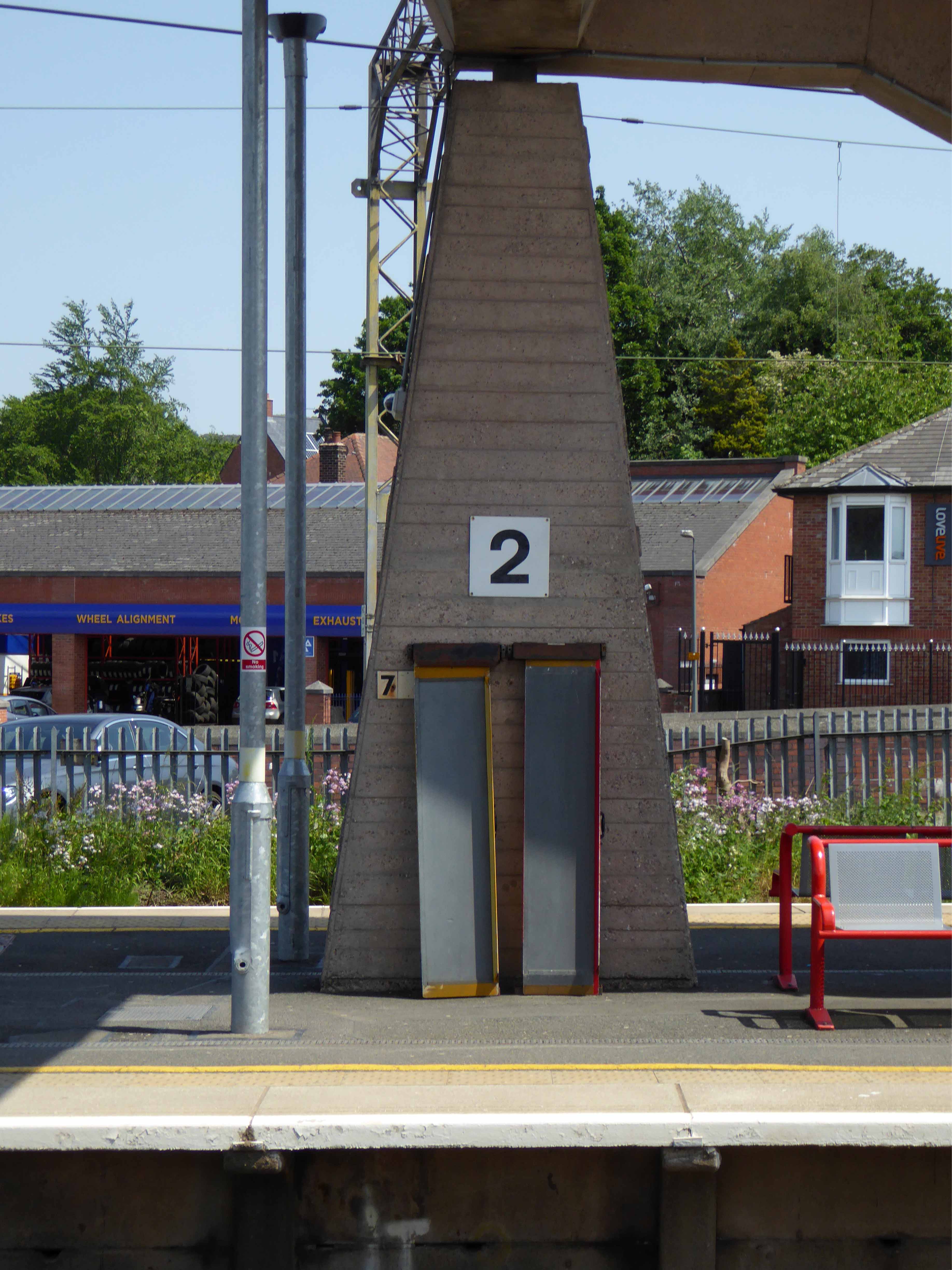
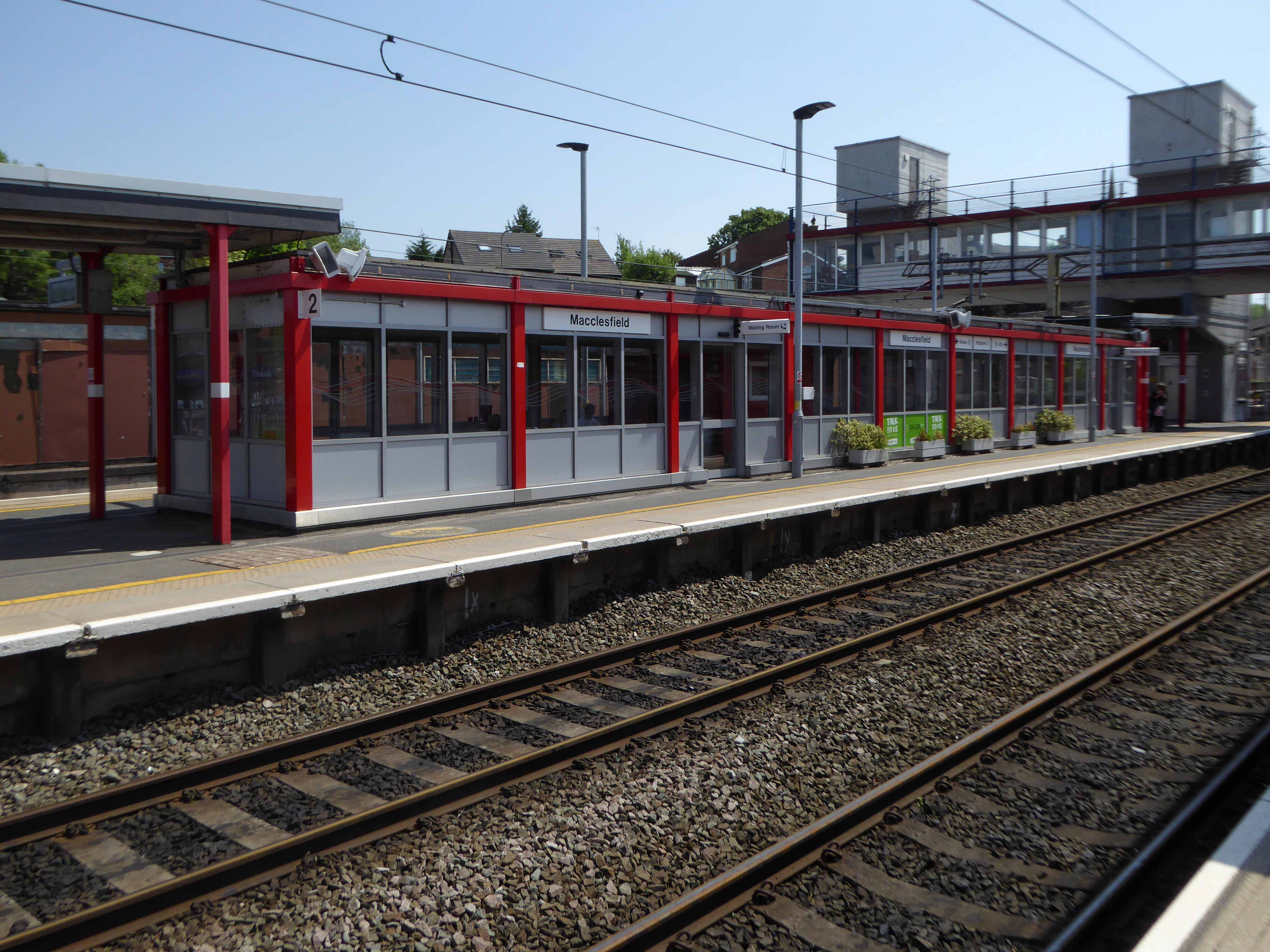
Though it seems to me that Macclesfield Station, in its earlier and current states, refuses to dovetail neatly into either of these sloppy binary paradigms.
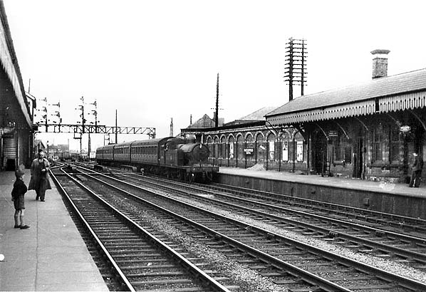
The former – single storey buildings, fitting unostentatiously into the topographic and practical constraints of the site. A neat, tightly packed rhythm of brick arches with a compact and bijou porch welcoming the expectant traveller.
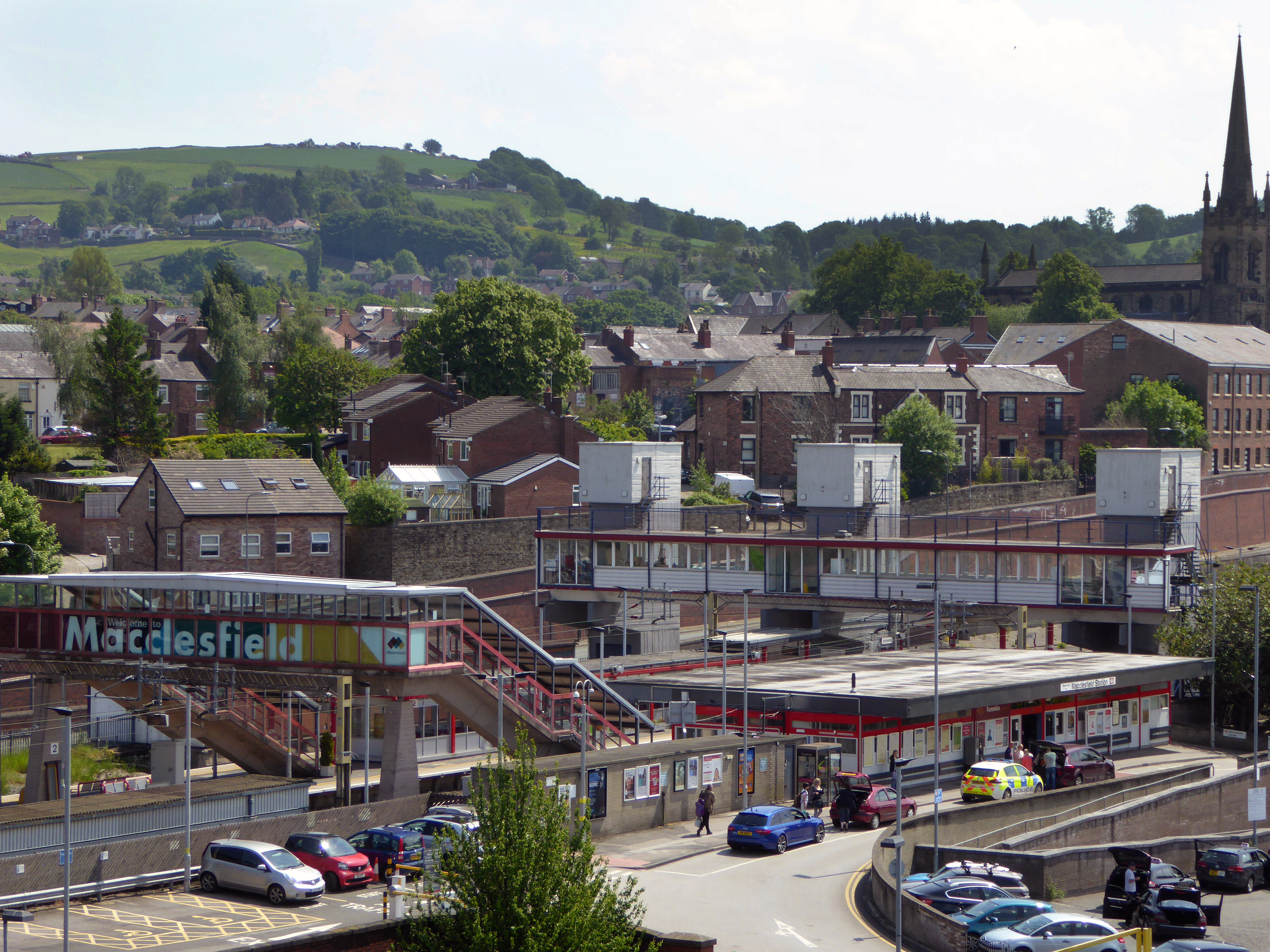
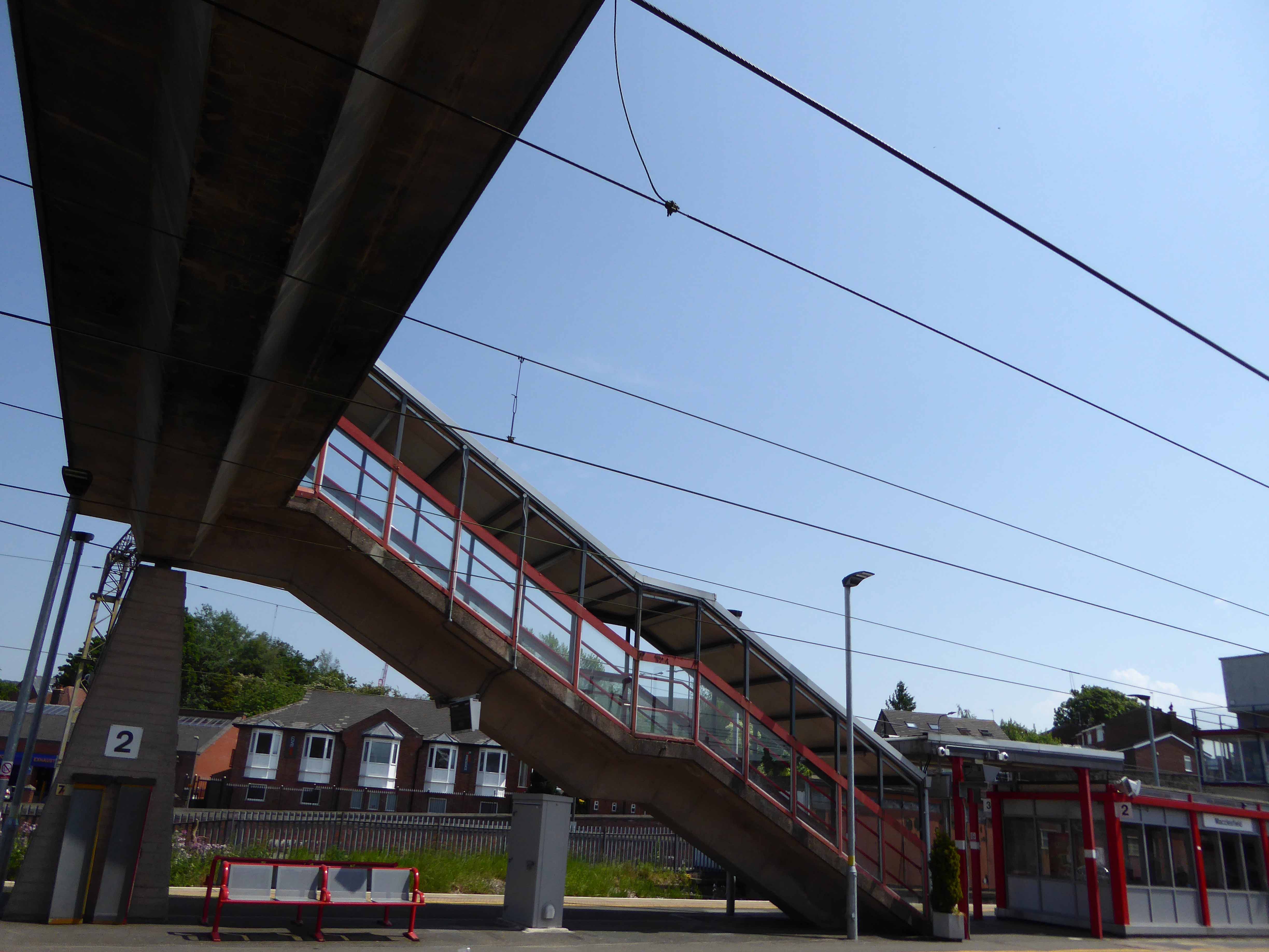
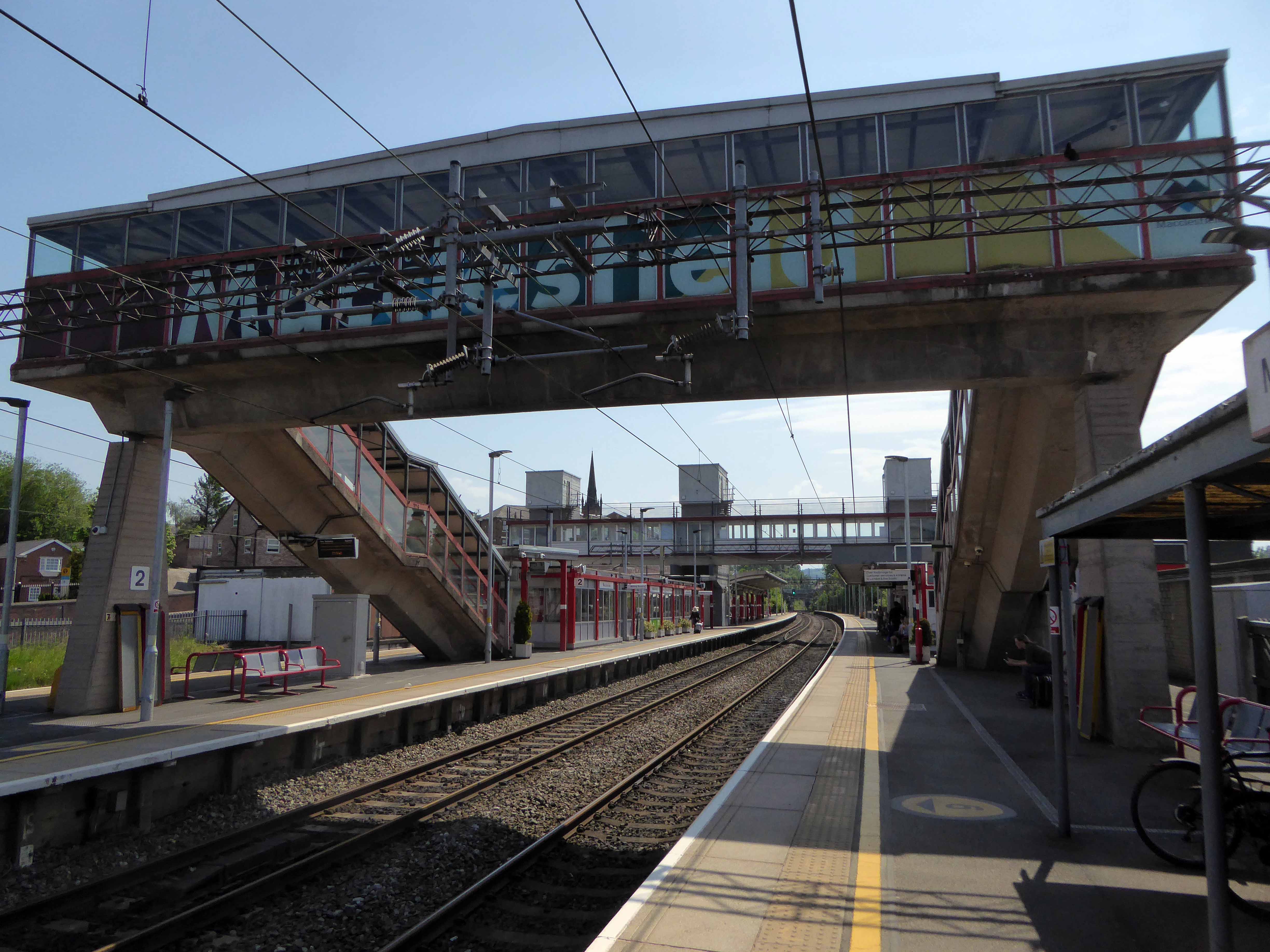
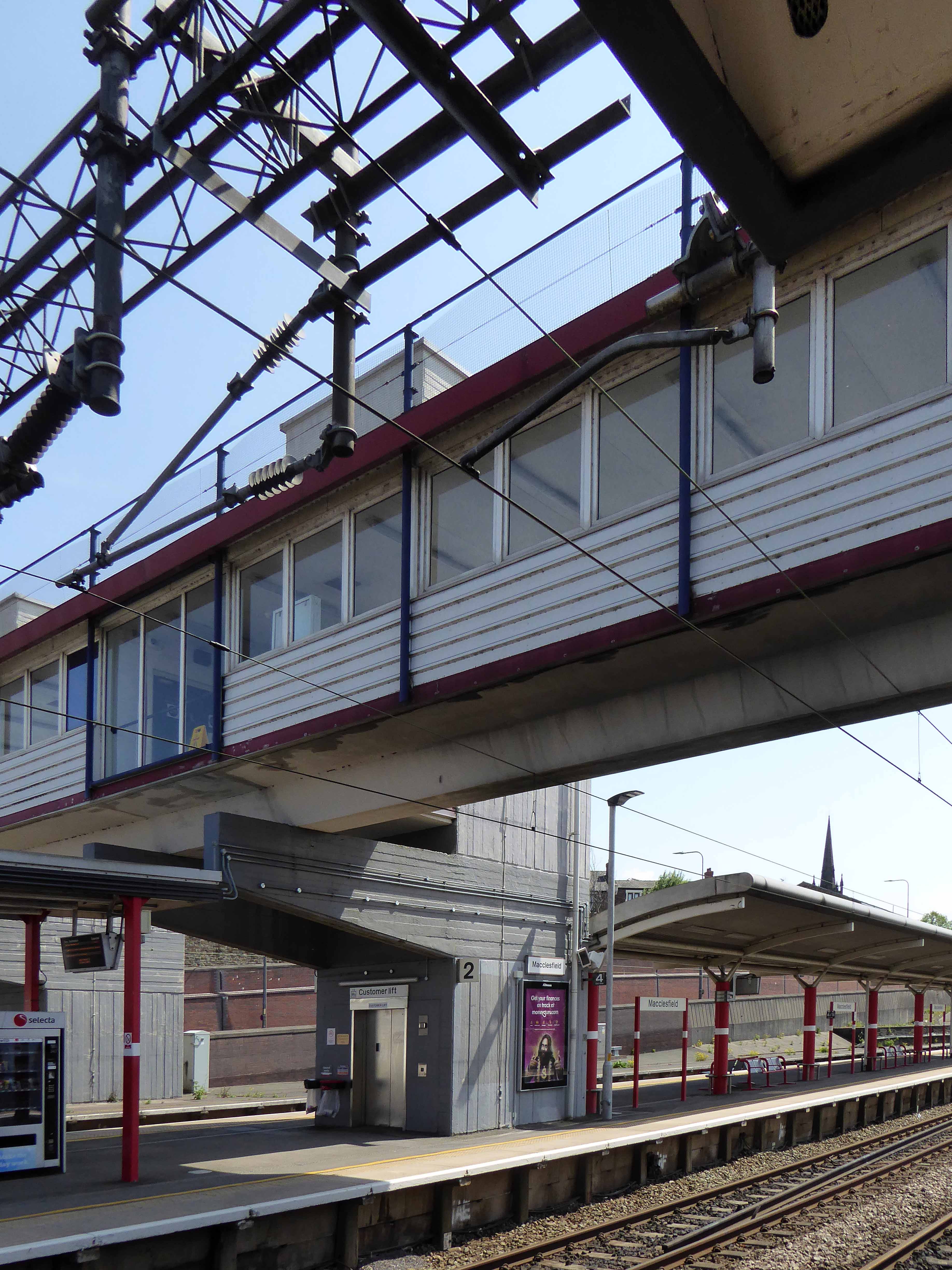
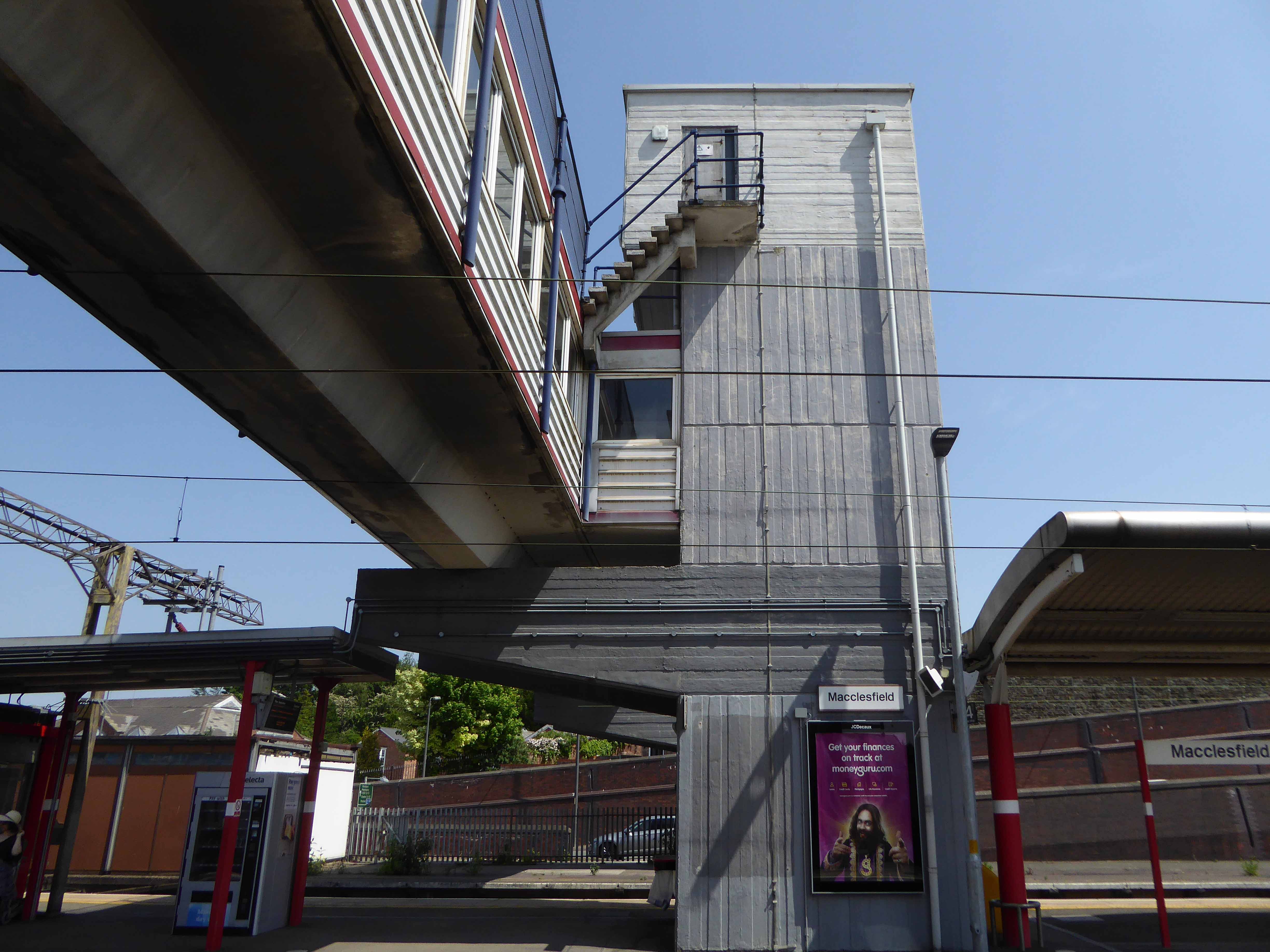
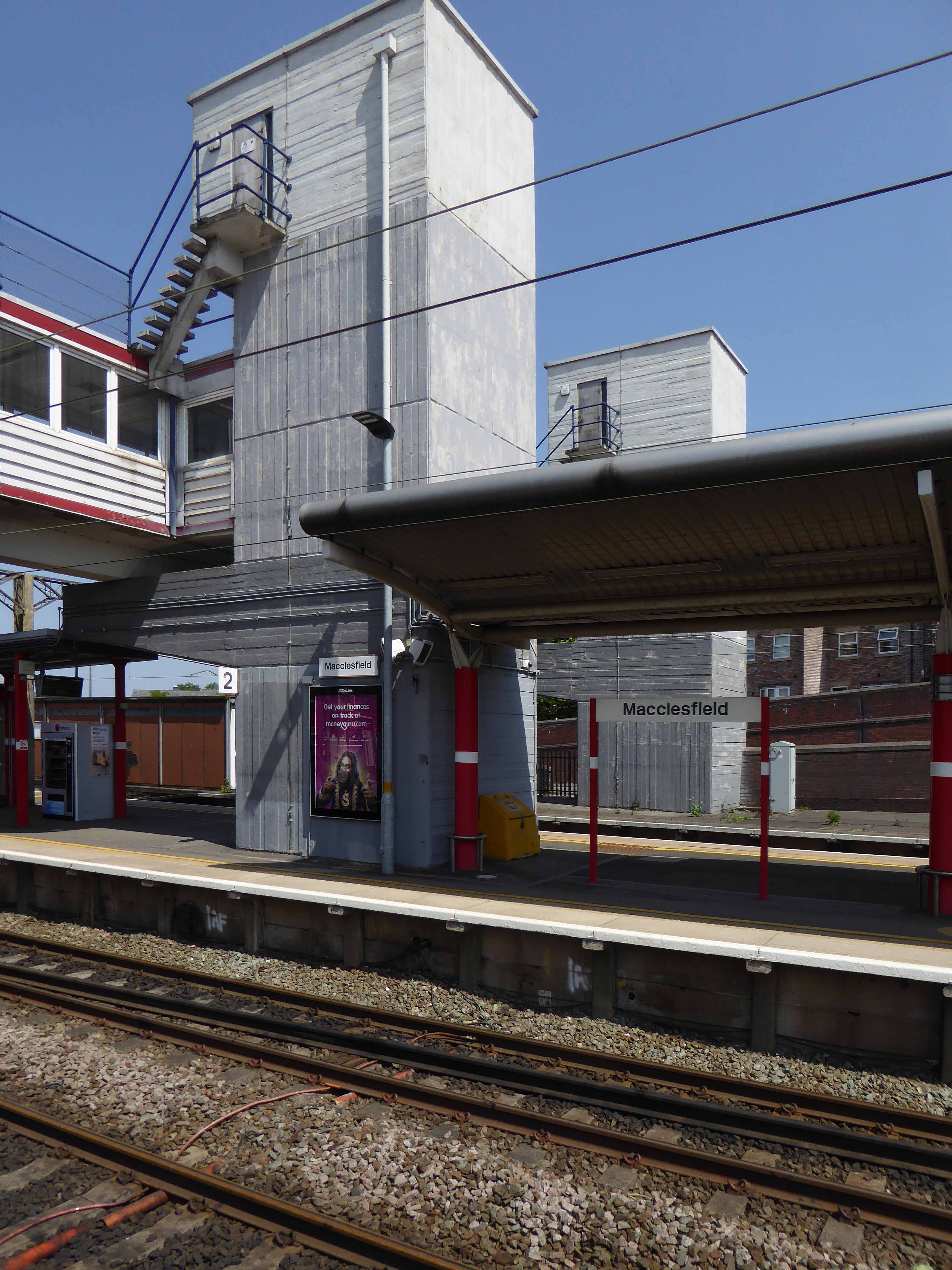
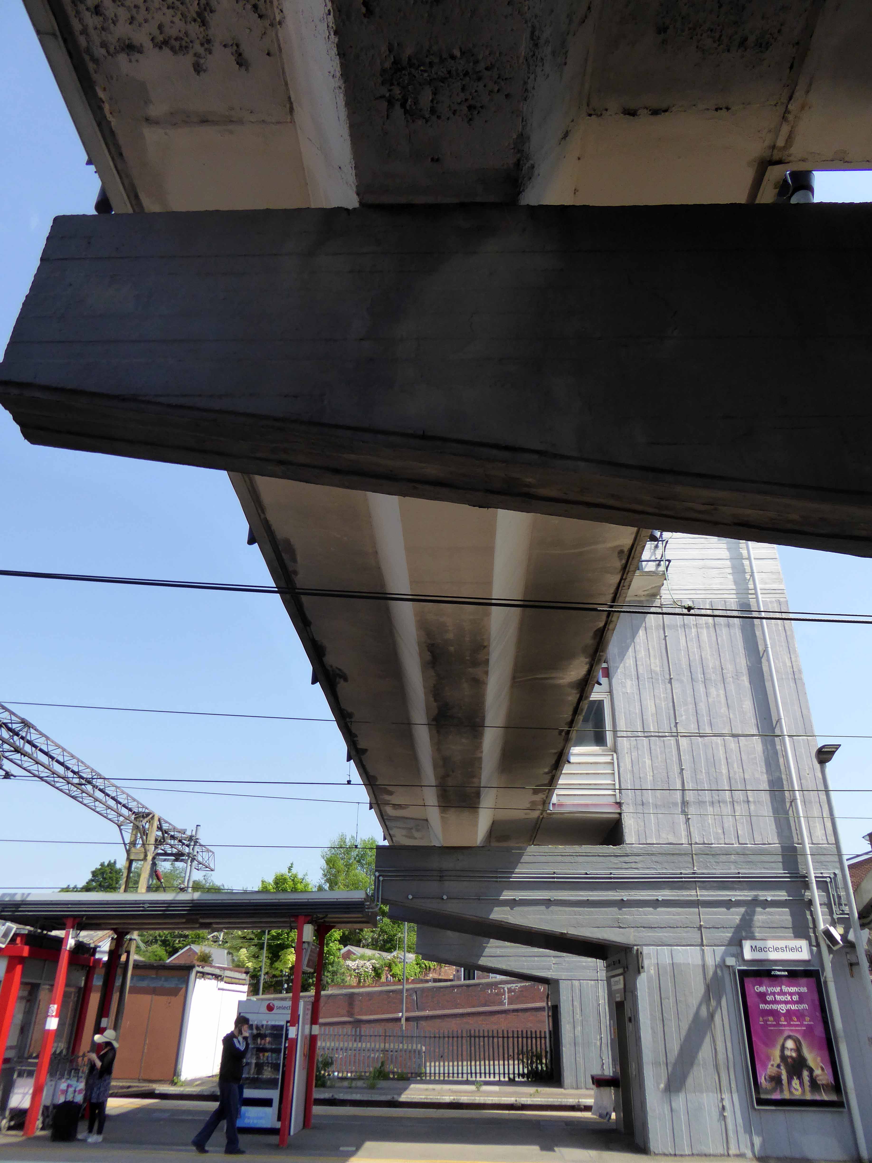
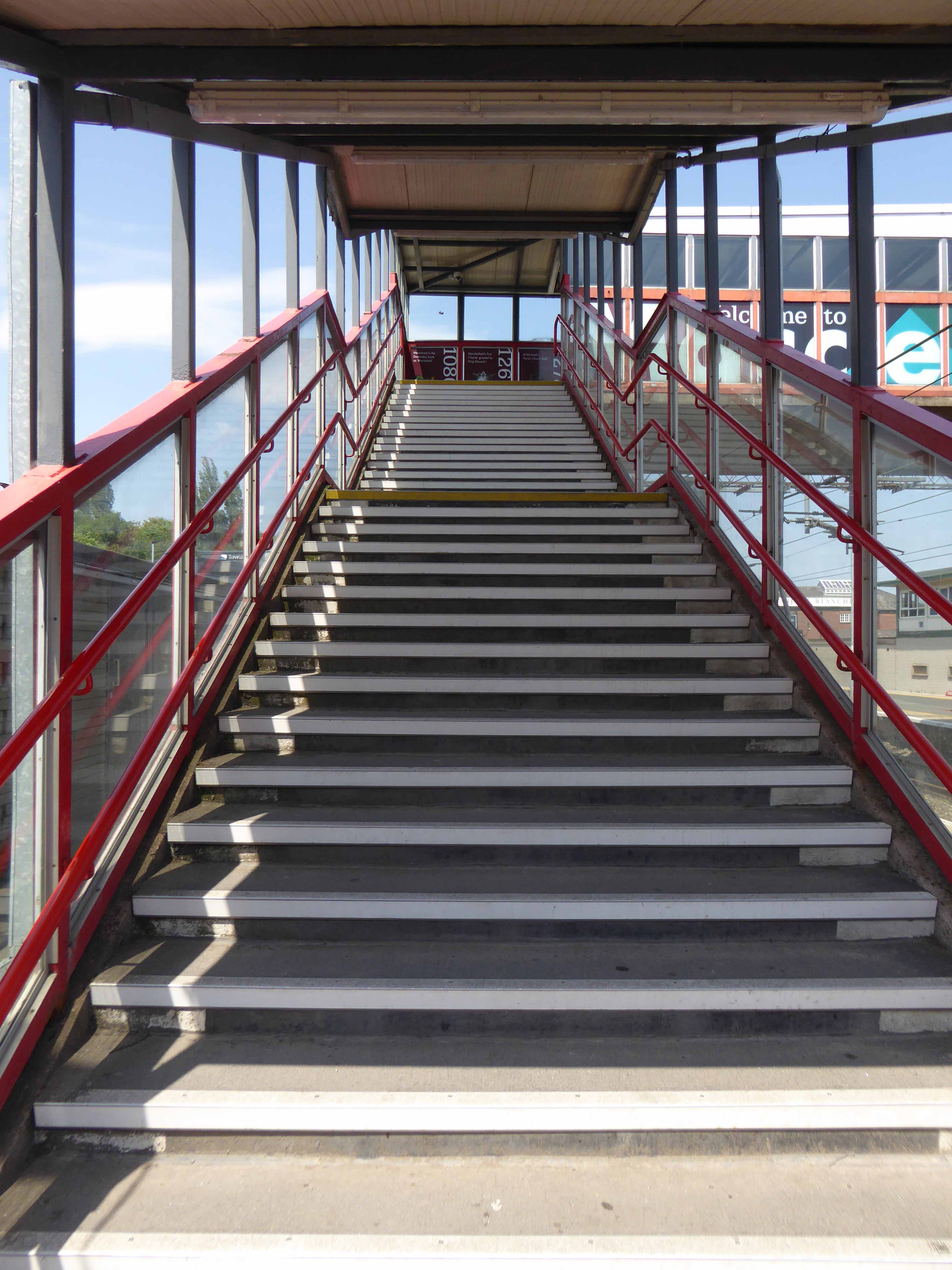
The latter a functionalist block, fully utilitarian crossings with lift access columns, embodying a particularly industrial demeanour.
From the golden age of steam to the moribund years of diesel, Macclesfield sits comfortably somewhere, betwixt and between ugly duckling and fully fledged swan.
Nestled in the lea of the East Cheshire Highlands, offering practical everyday transport solutions to the beleaguered commuter.
No frills, no thrills.
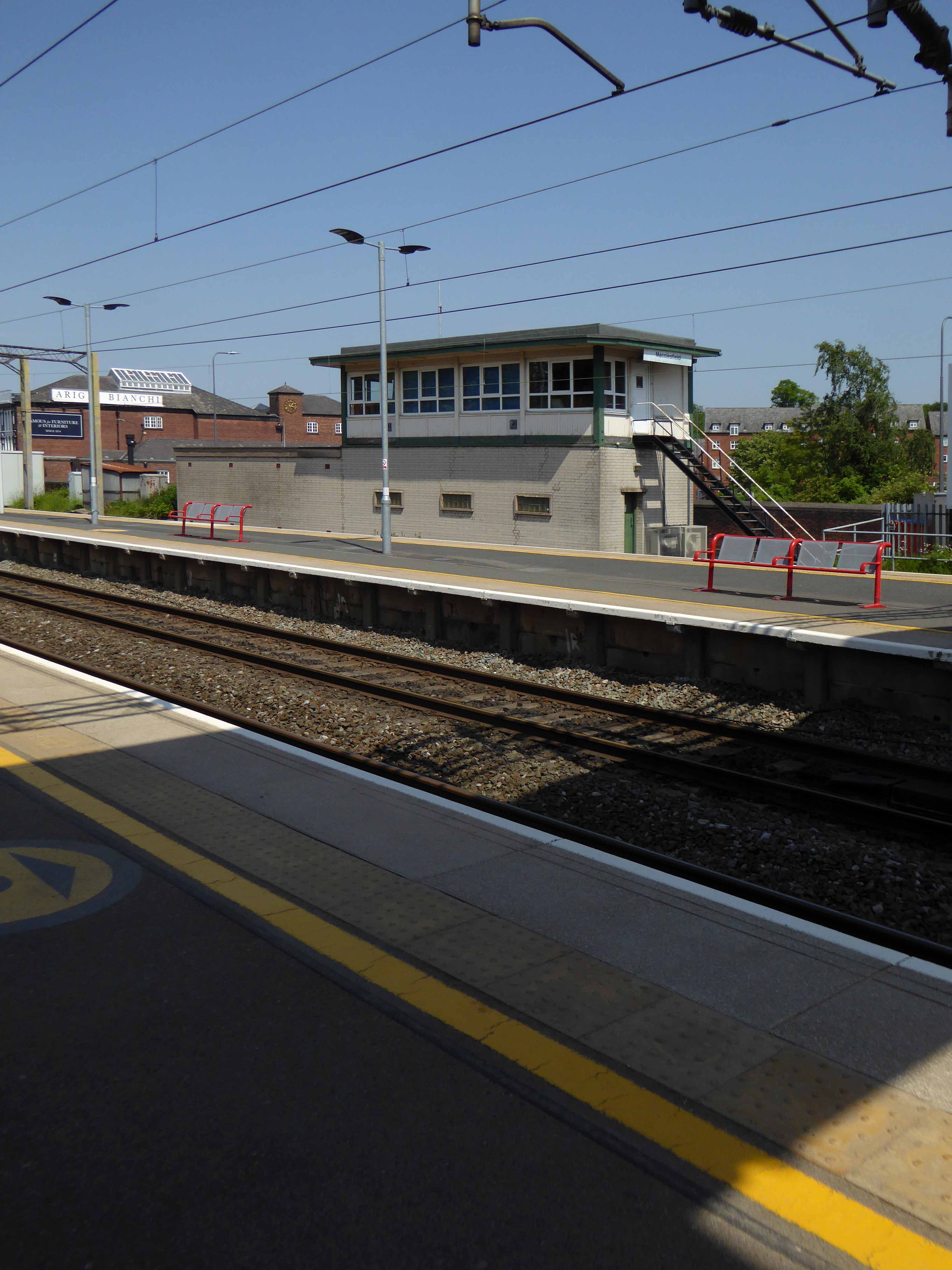
The London and North Western Railway opened the line between Manchester and Macclesfield on 19 June 1849 – Macclesfield Central was born. Later it would become a key station on the Stafford branch of the West Coast Main Line, remodelled in 1960 and rebranded as the much snappier Macclesfield Station.
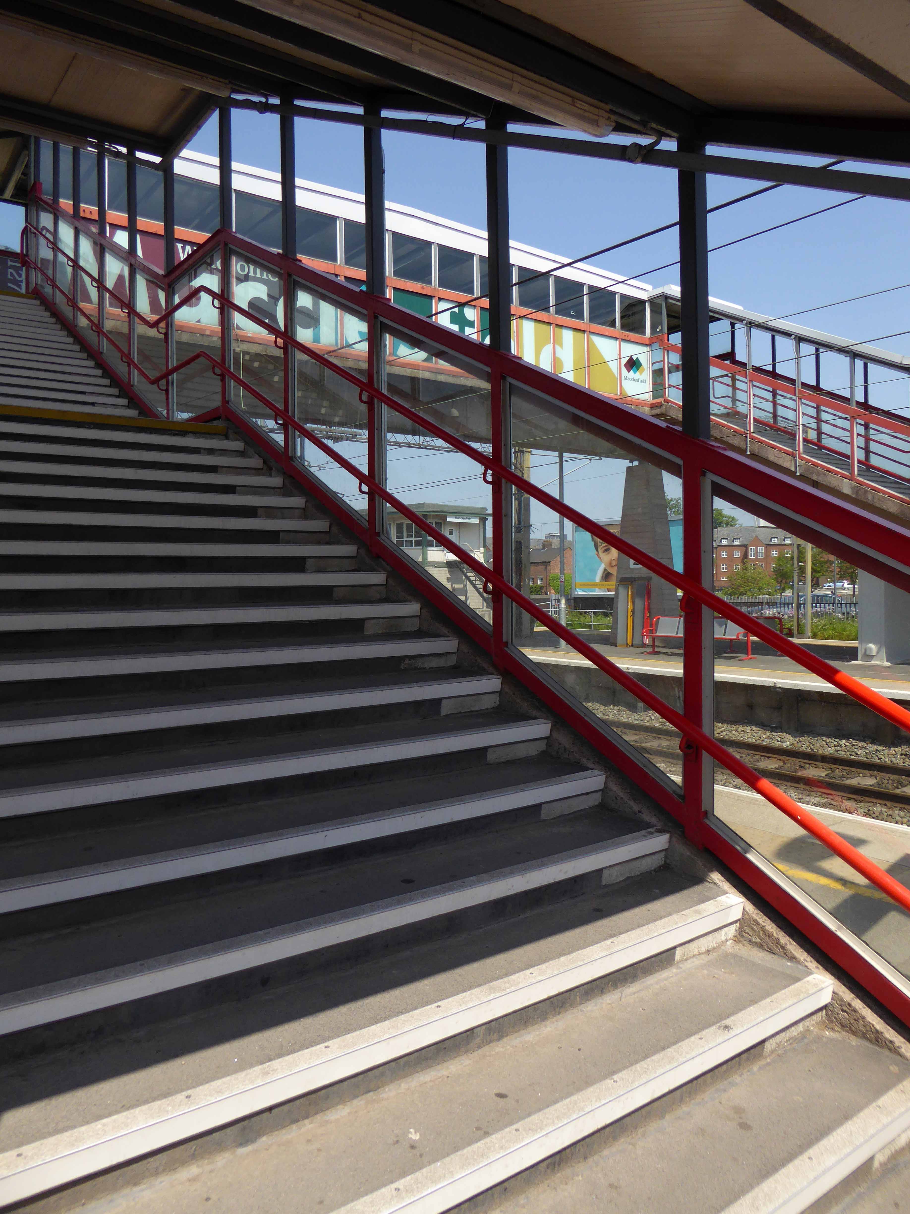
Which it proudly announces topically and typographically to the world.
Welcome to Macclesfield a town that is clearly going places, and so are you.
The station won the Best Kept Station in Cheshire Award for 2007, but was reported in summer 2011 to be distinctly shabby, with peeling paintwork.
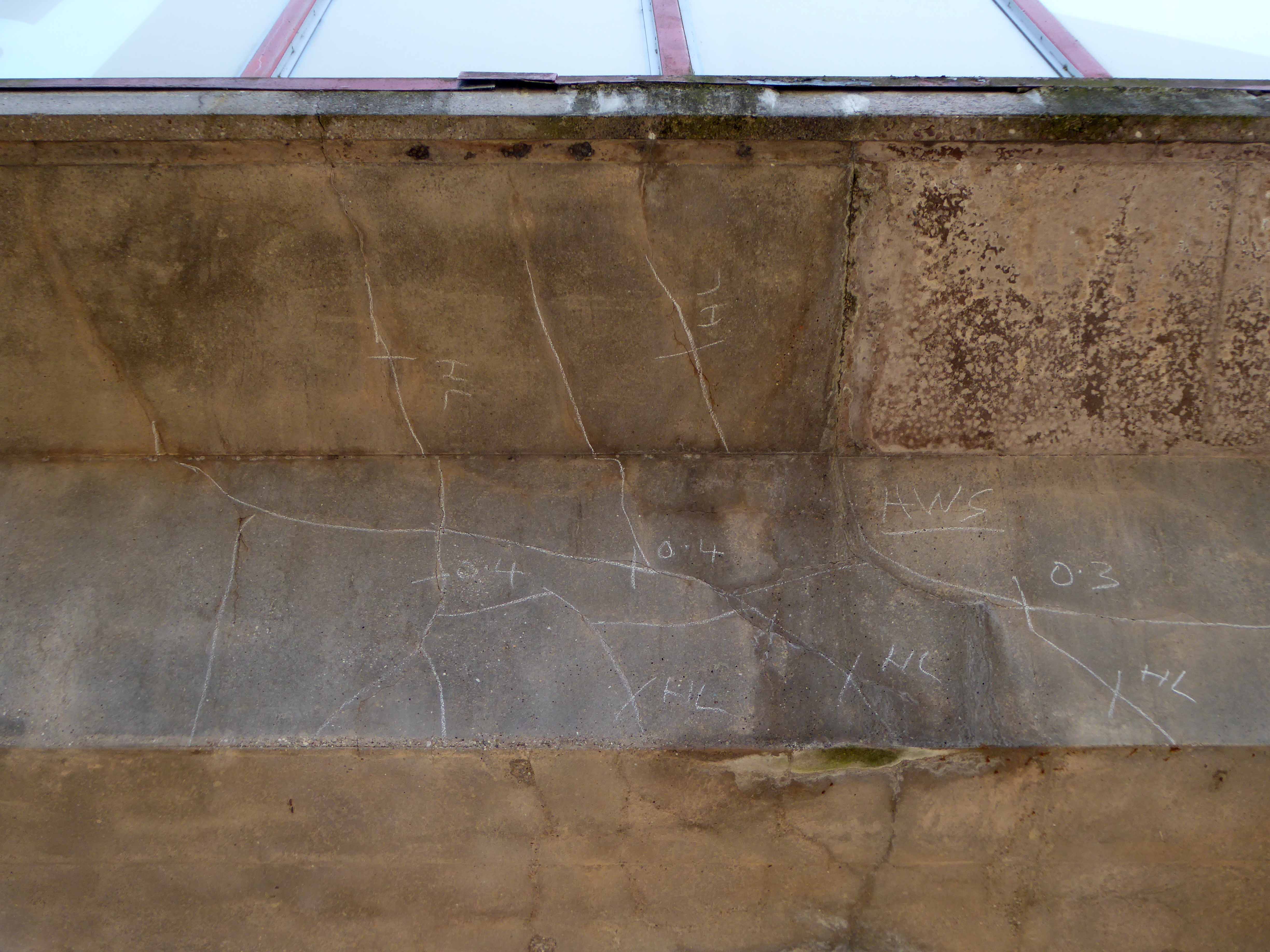
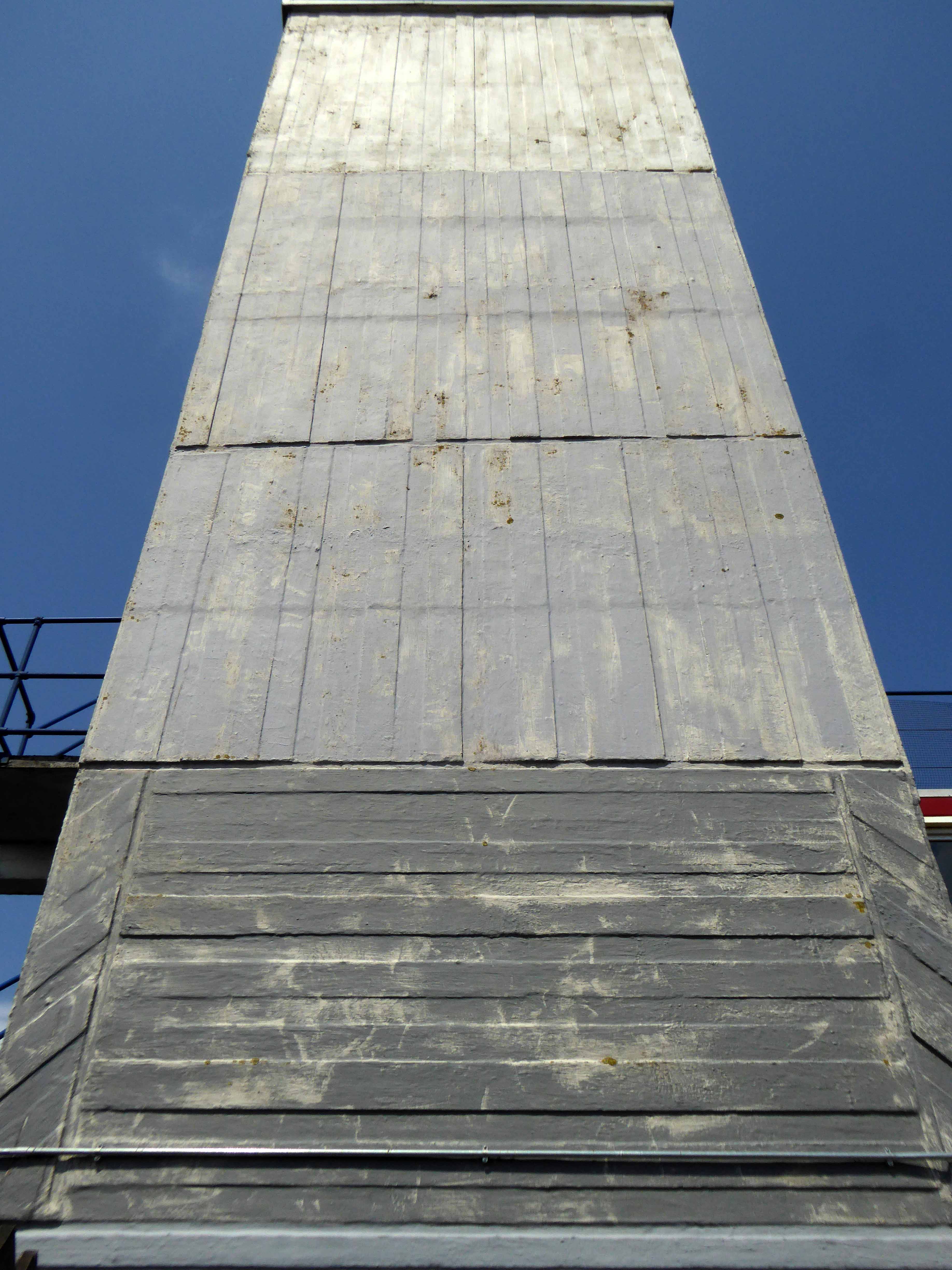
And yet there is something in the constituent Platonic steel, glass and concrete forms that never ceases to amuse and amaze me, this is Brutalism on a human and provincial scale.
The raw concrete softened with three or four shades of grey, as a concession to the delicate suburban sensibilities of this once silk-fuelled town.
Take a trip with me – join the Cheshire train set.
A mighty river valley was formed in the second Ice Age, as the glaciers receded and rushed seaward.
The mighty River Mersey was formed on the eastern edge of Stockport, at the confluence of the Tame and Goyt/Etherow rivers.
Thousands of years in the making, as the water-powered mills of the adjacent Pennine Hills migrate to the lower reaches of the towns, in search of water, workers and steam, the full force of the Industrial Revolution takes shape in the west.
The mixed farming of the alluvial valley, which opens up onto the Lancashire and Cheshire Plains, meets and greets the incursion of dye and brick works, mills and manufacturing.
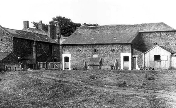
Fred Schofield’s farm 1930
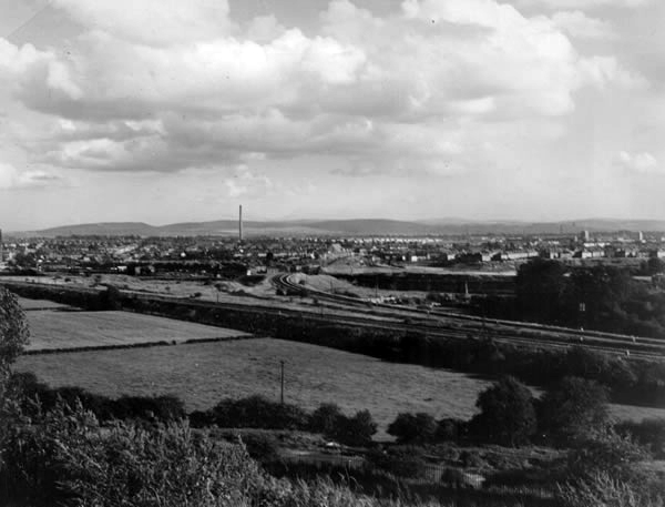
View towards Stockport from Heaton Mersey Park
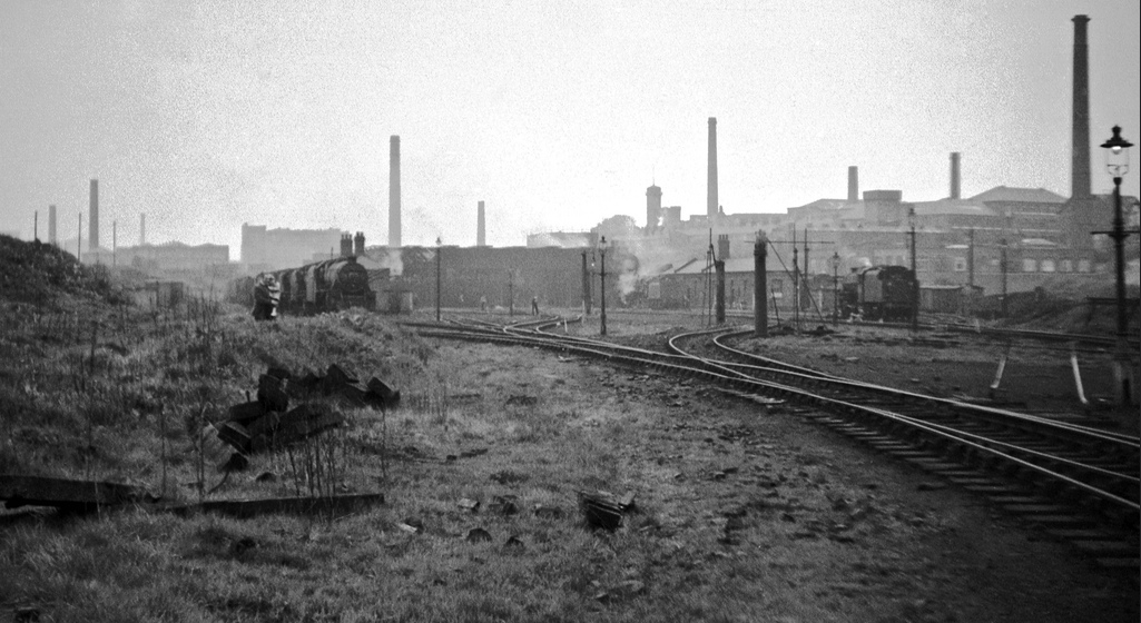
Serviced by a complex and competing rail system based around Heaton Mersey Shed.
Opened in 1889 and served until May 1968 operating steam locomotives to the end -Coded 9F.
Here we were at the centre of a rail hub spreading out in all directions, to and from the ports, cities and resources of the country and beyond.
Great movements of steel, cotton, coal, people and manufactured goods.
Fireman Eddy “Ned” Kelly
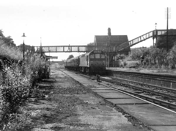
Heaton Mersey railway station was opened on 1 January 1880 by the Midland Railwayand lay on the newly opened line which ran from Heaton Mersey East Junction to Chorlton Junction and on to Manchester Central station.
The station was situated at the southern end of Station Road which still exists. The station was later operated by the London Midland and Scottish Railway and was closed by the London Midland Region of British Railways on 3 July 1961.
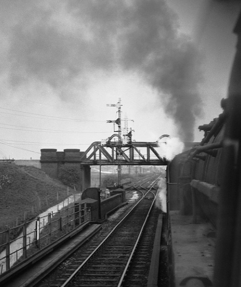
The area was criss-crossed by railways – its bridges traversing the roads, fields and river, dominating the landscape in a wild flurry of steam and smoke.
The end of steam – as drivers, fireman and staff were transferred to Newton Heath, was followed by the slow demise of the rail network, freight moved to road and passengers purchasing their first cars and a passport to illusory freedom.
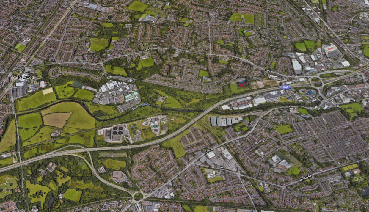
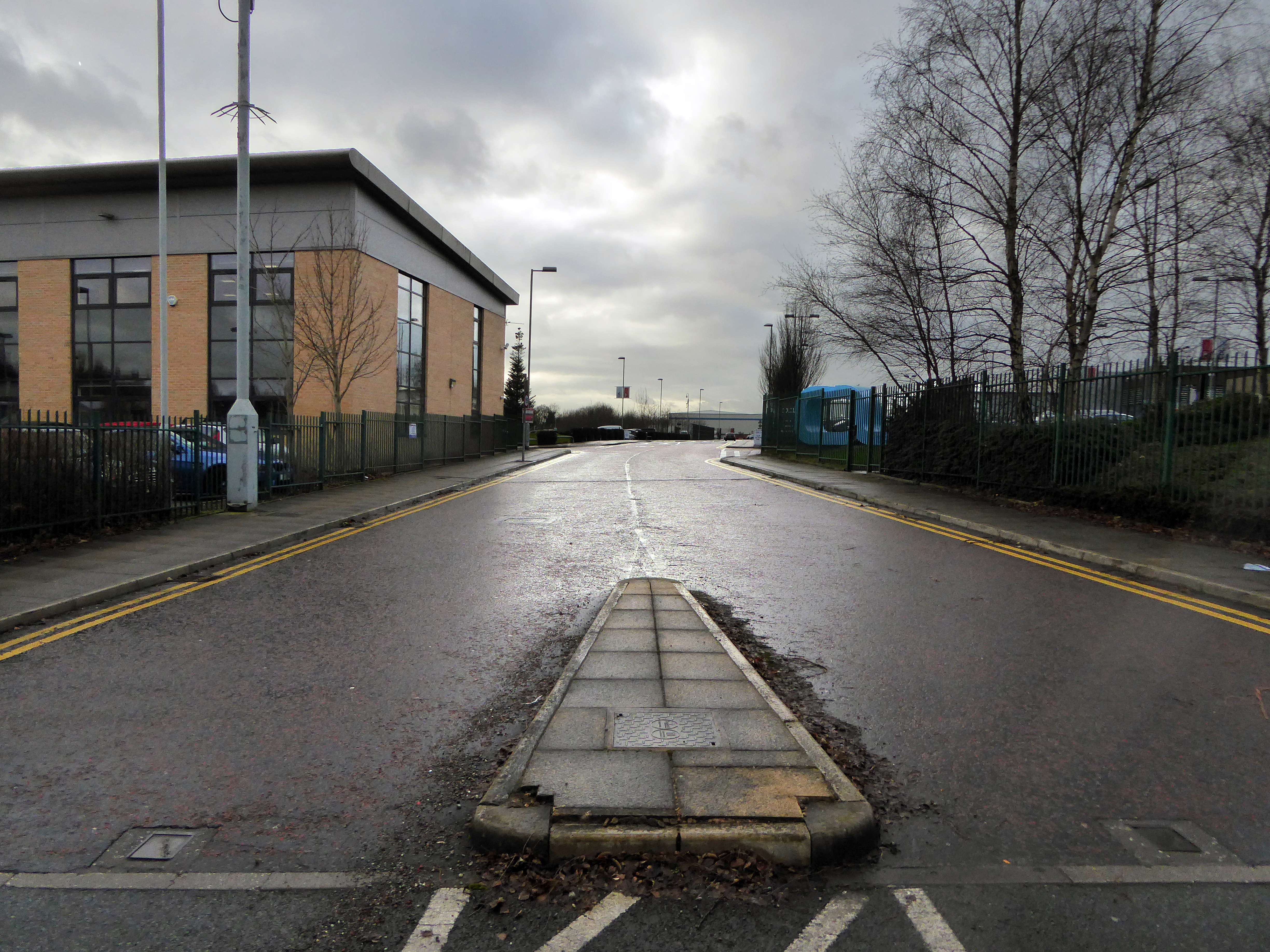
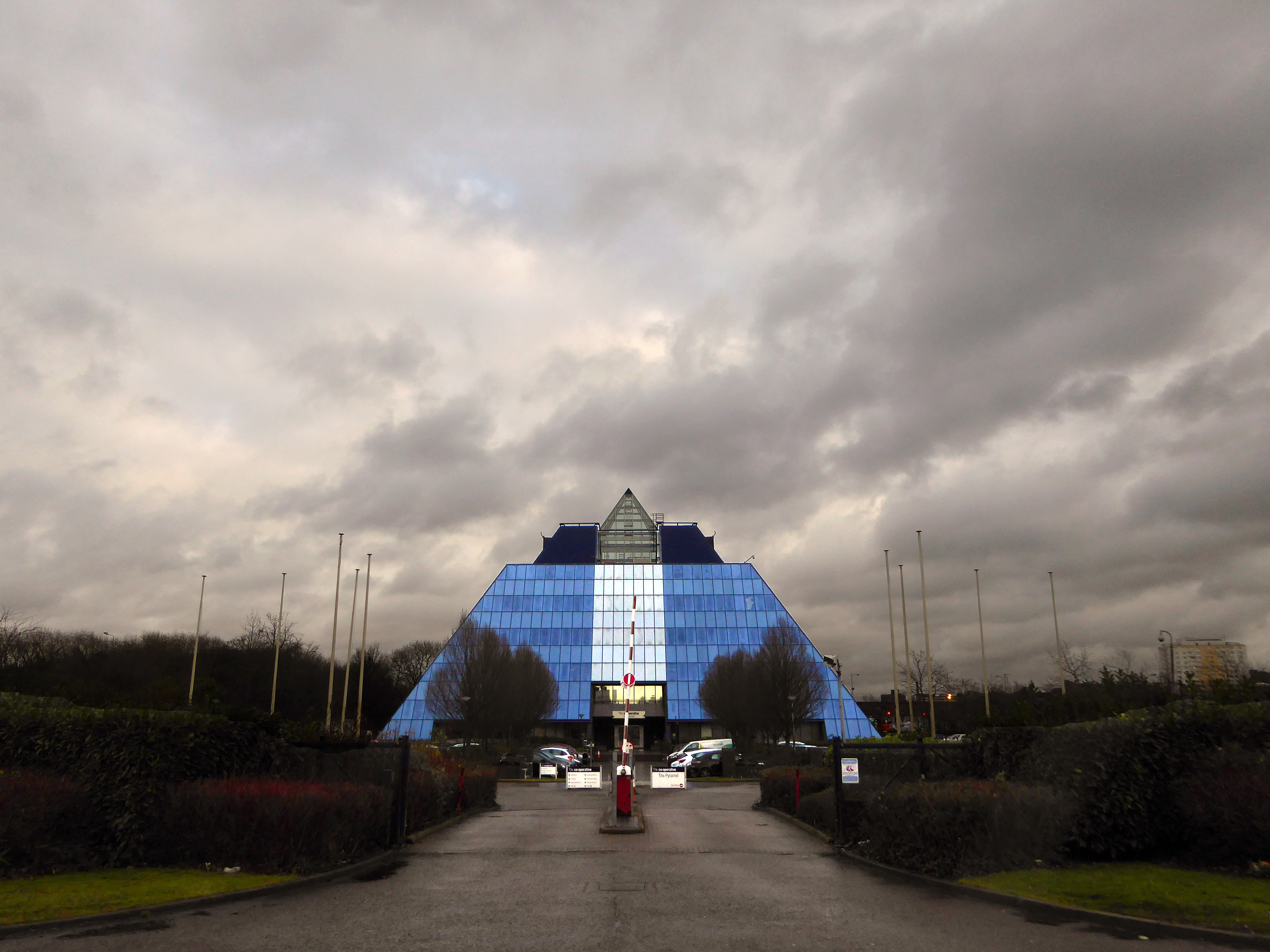
The mighty Mersey is now flanked by newer neighbours, a shiny blue administrativepyramid, business park, car showrooms and nature reserve, the only certainty is change.
Great volumes of earth are moved to from a new topography a topography of leisure – the gentle stroll, jog and cycle replaces the clank of fire doors and shovel on coal.
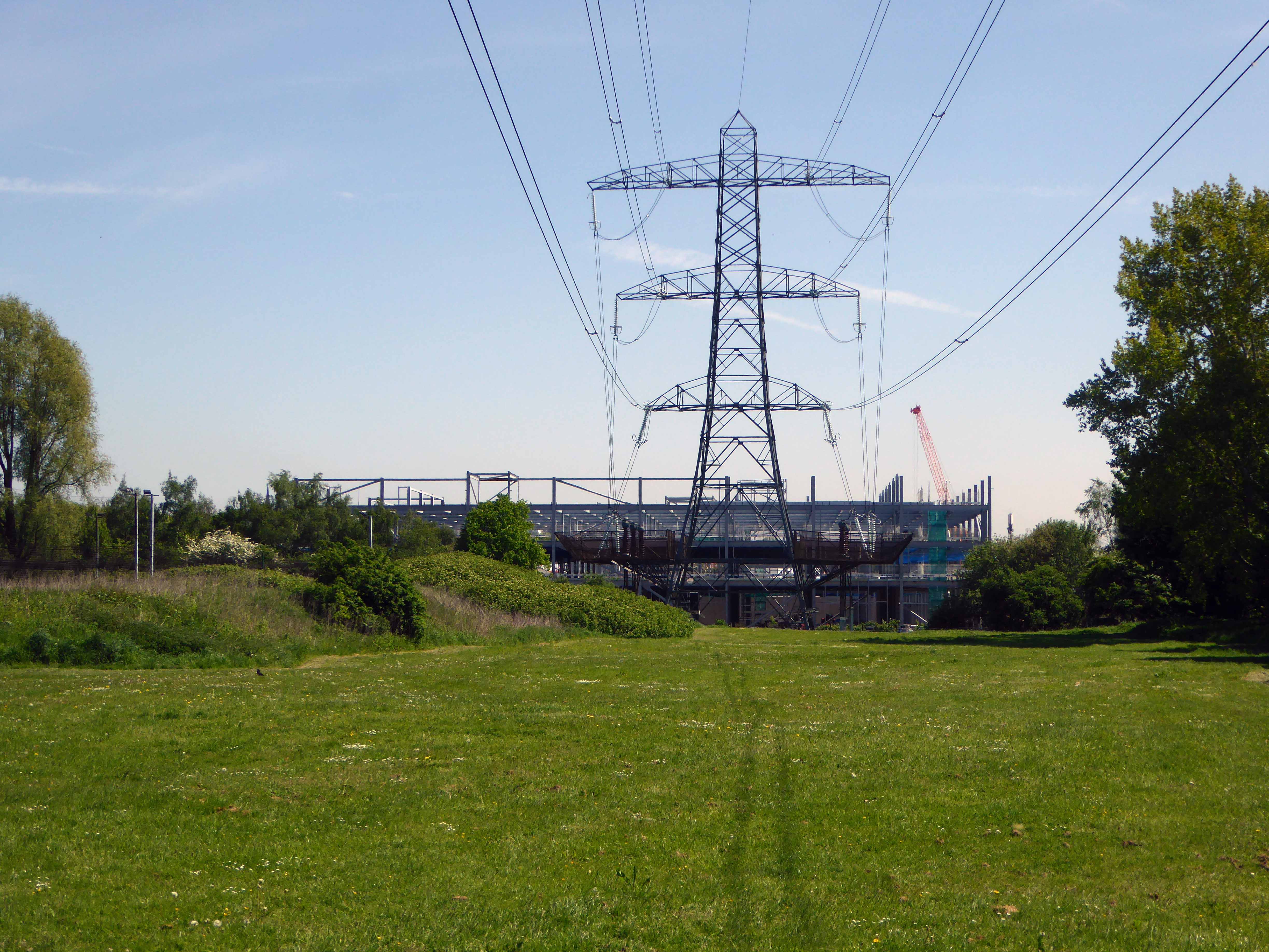
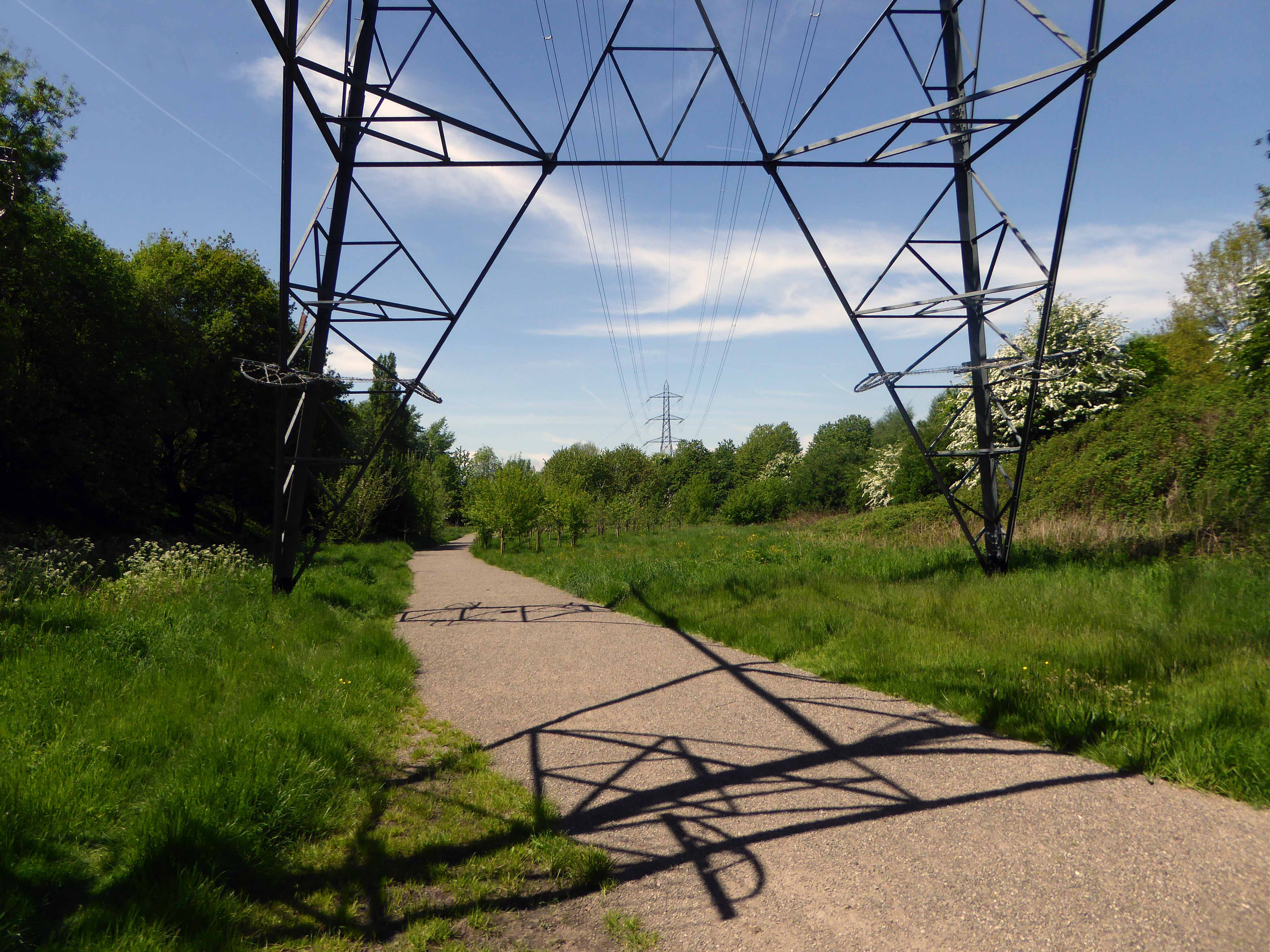
But take a look around you and you will see the remnants of the industrial age, shrouded in fresh hawthorn and enshrined in birch and beech.
To walk this landscape is to traverse geological, agrarian, industrial and post-industrial time – they all coexist and coalesce. Have an eye, ear and heart open to their resonance and presence, transcend time and space in the Mersey Valley today, you’re part of the leisured generation.
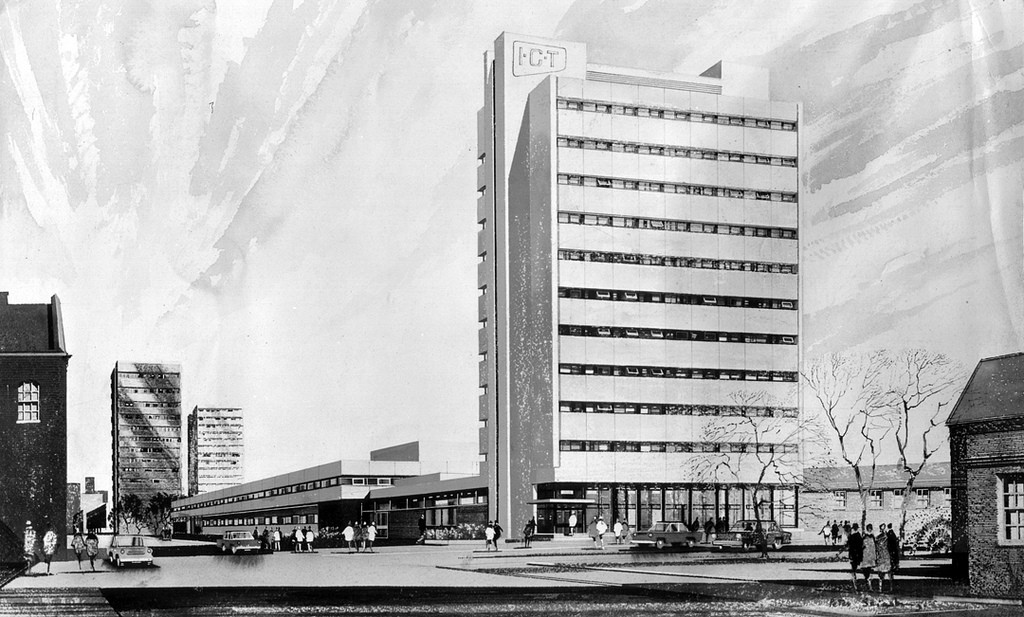
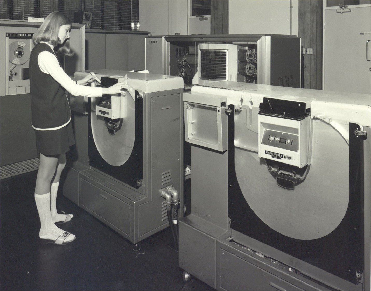
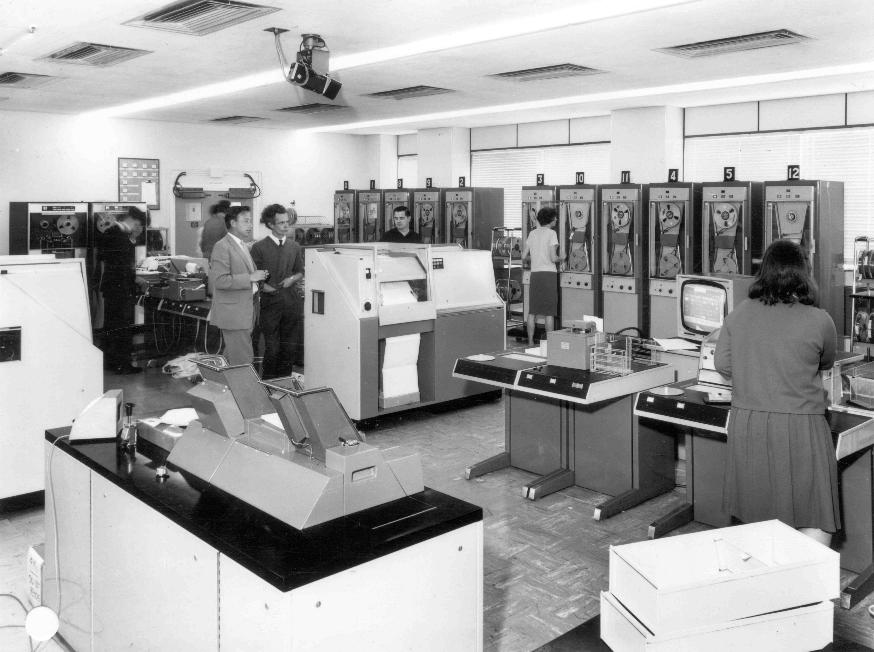
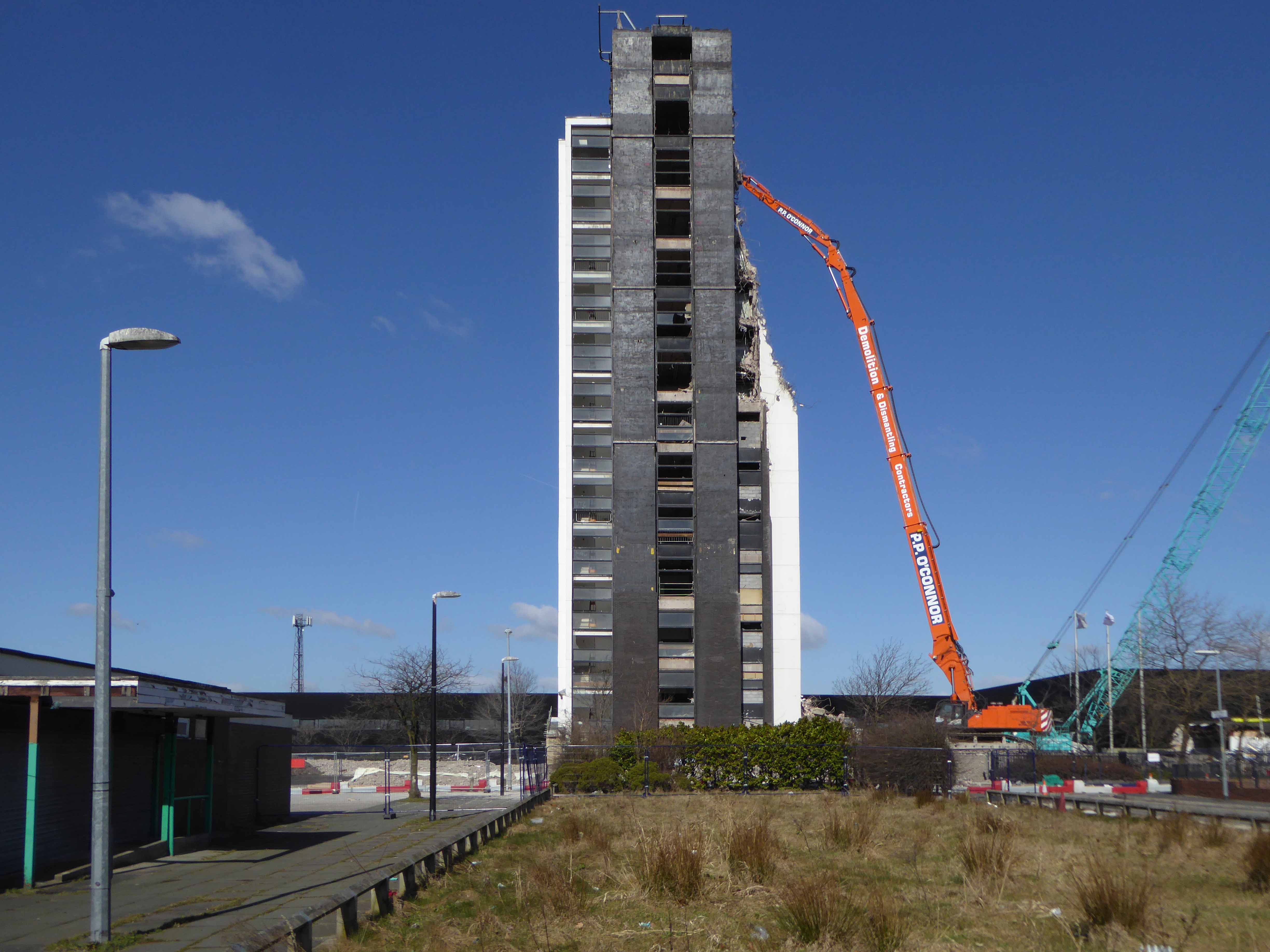
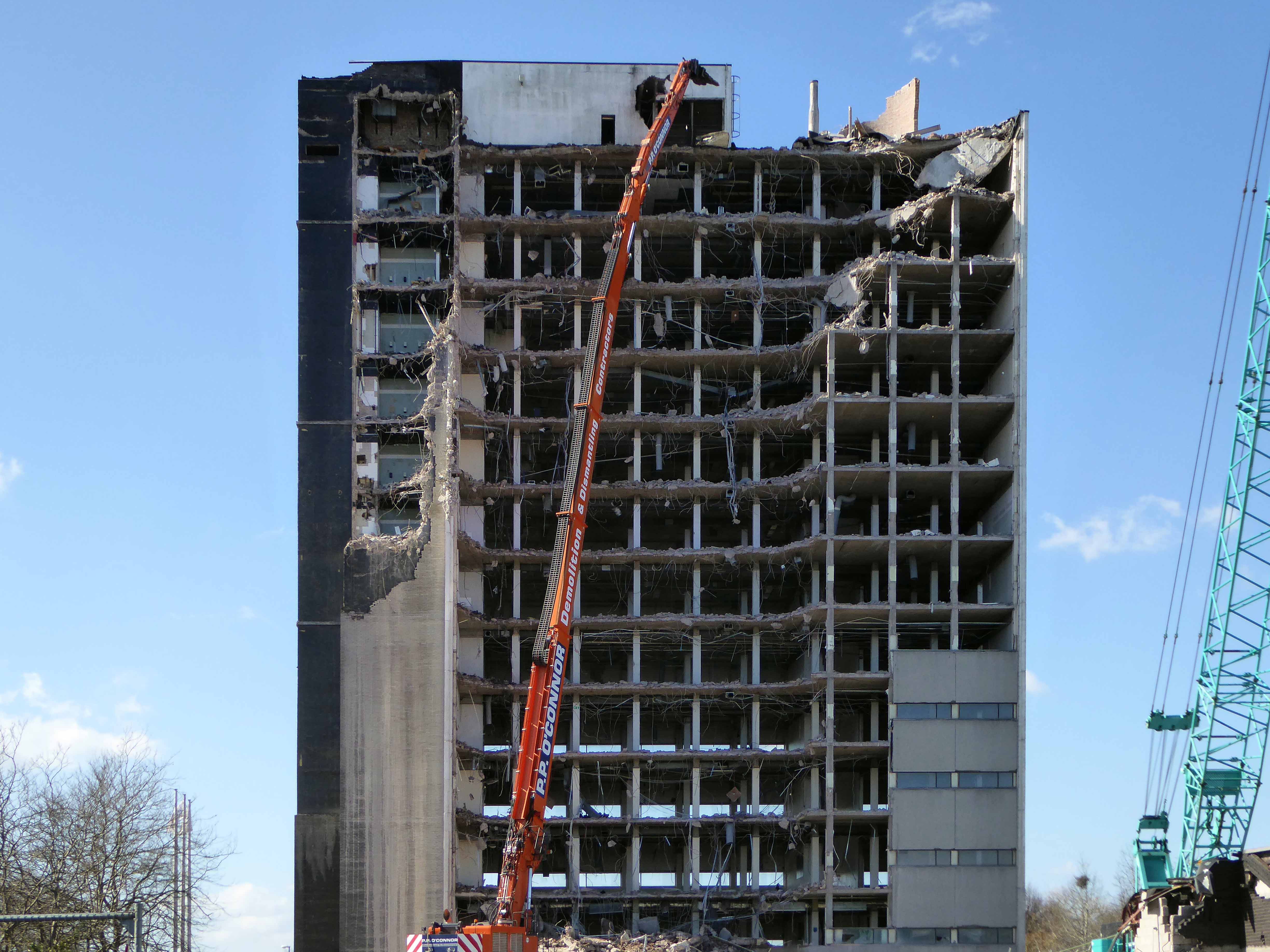
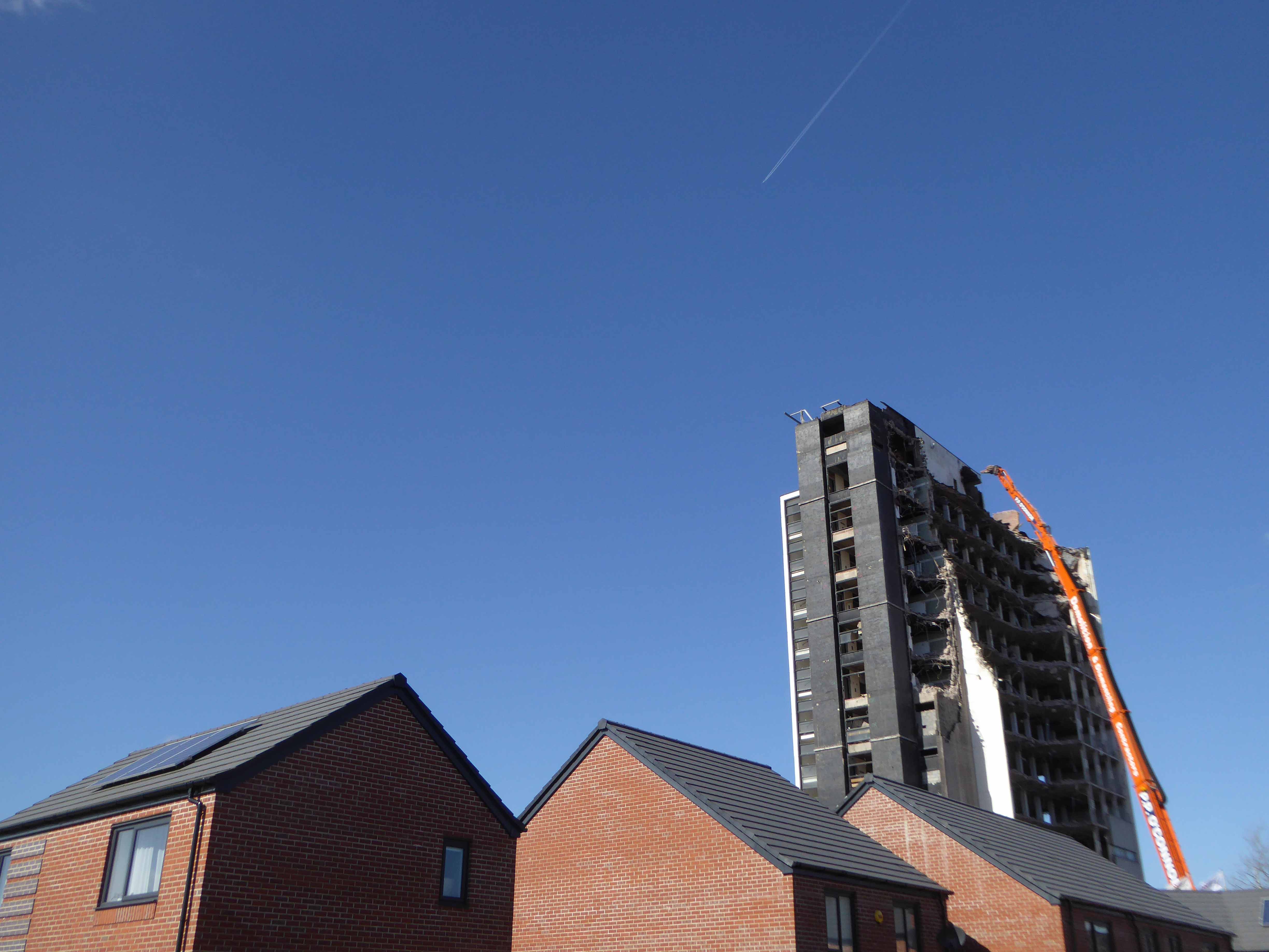
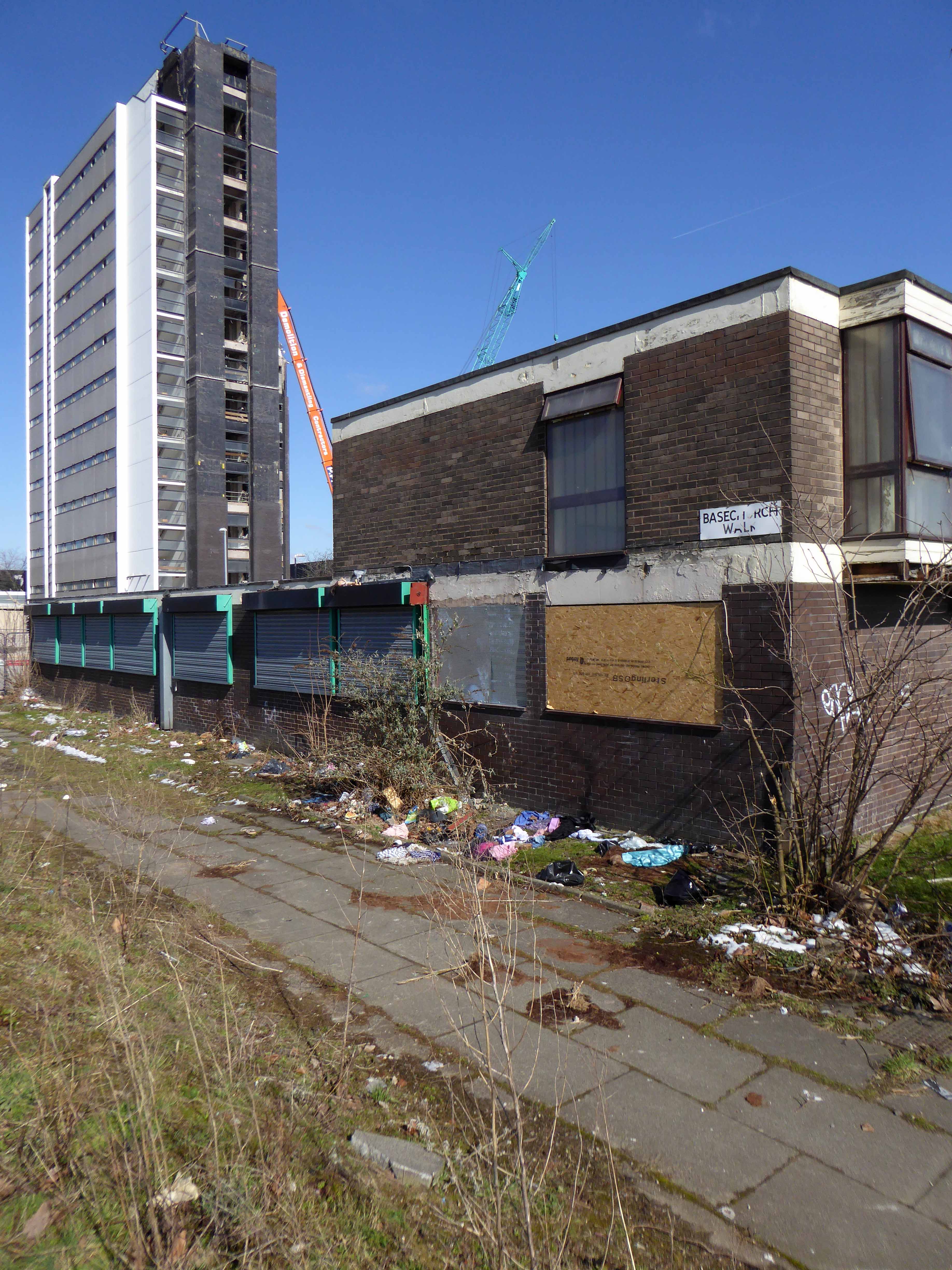
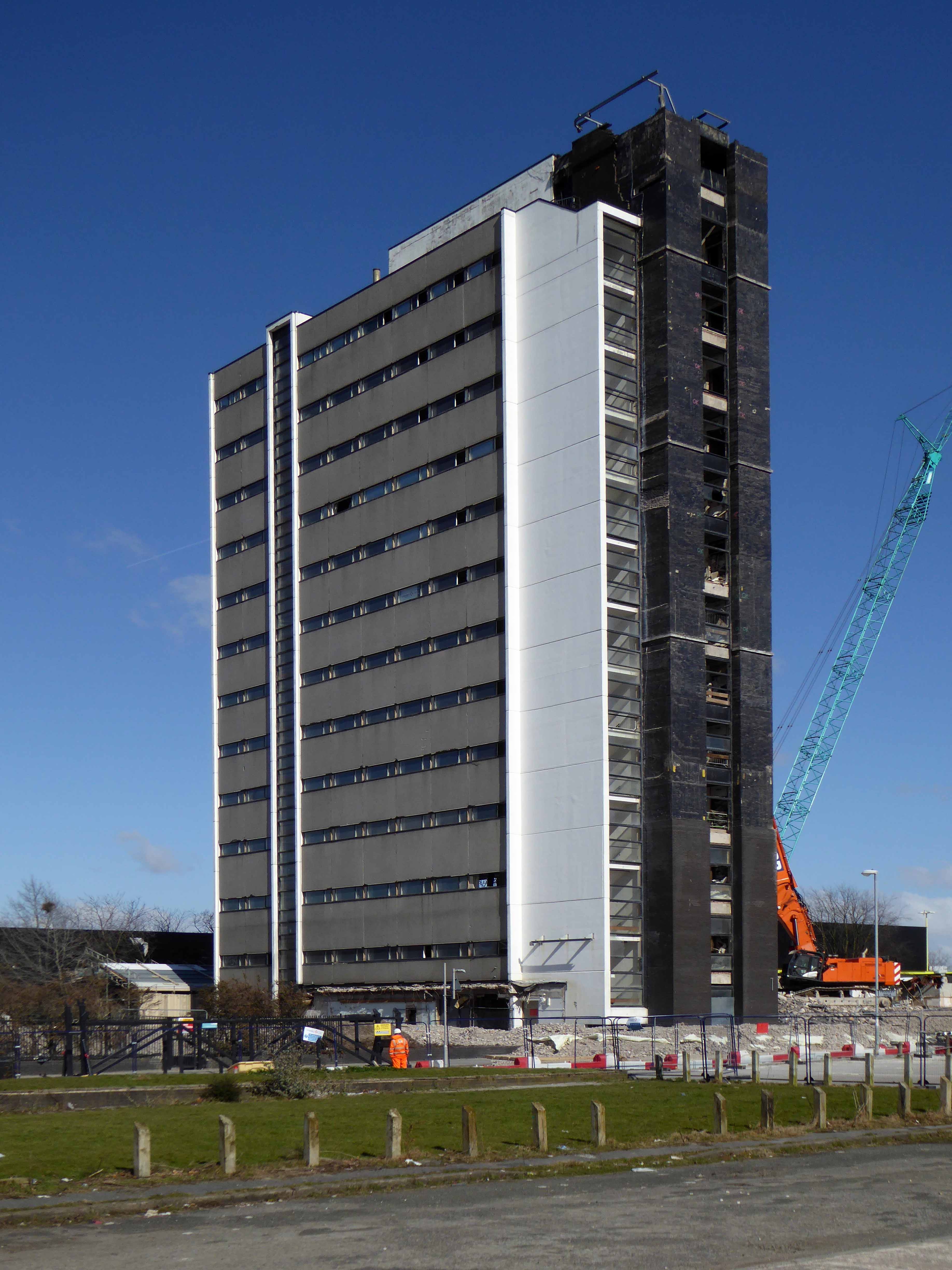
Designed by architects Cruickshank and Seward in the Sixties, to house the cutting-edge computing power of the time, the ICT later ICL Tower, towered over Wenlock Way, Gorton in East Manchester.
A landmark for many from bus, train, car, Shanks’s pony or low flying VC10.
A place of work for thousands.
At a time when modern technology looked a little like this:
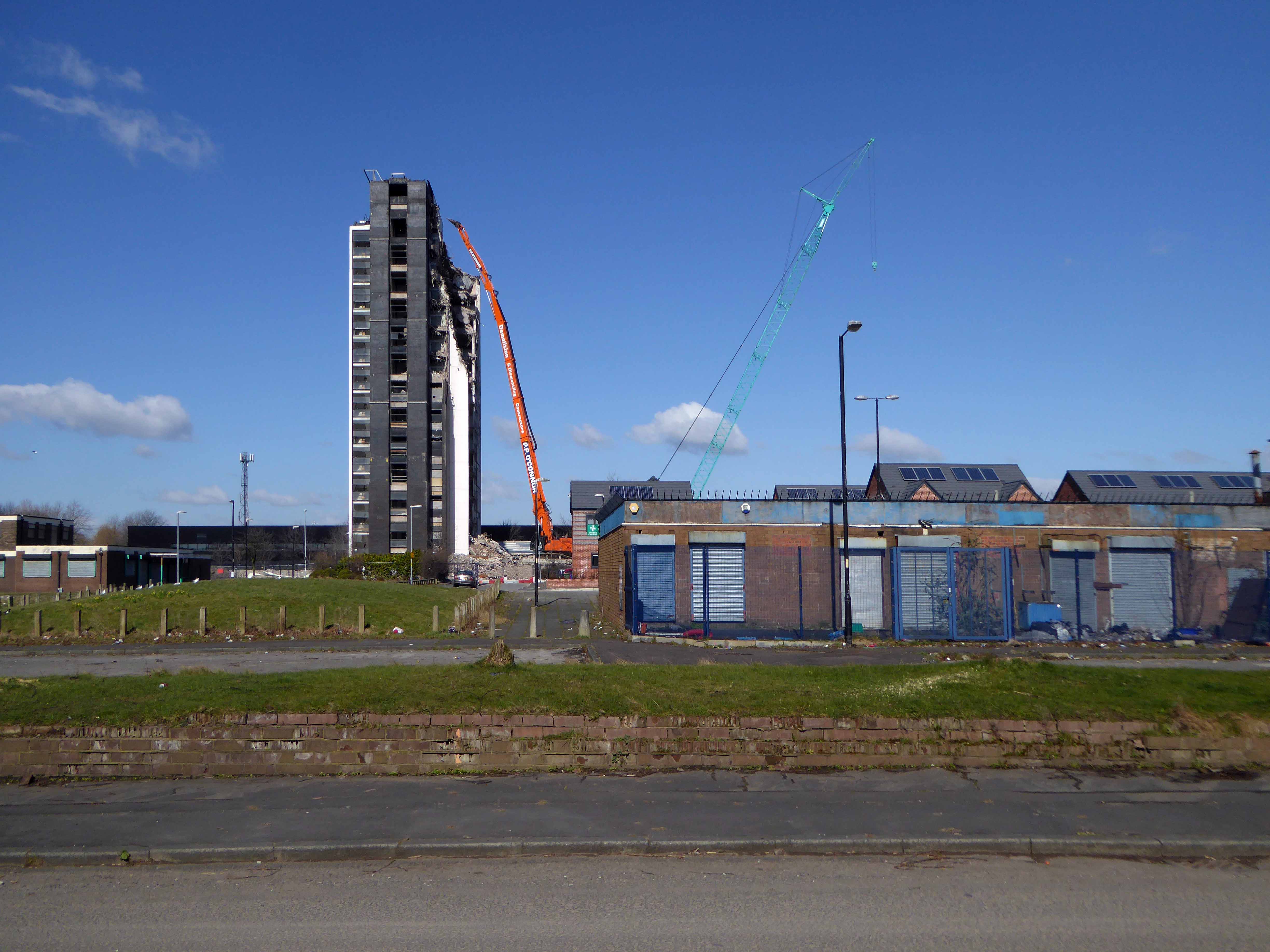
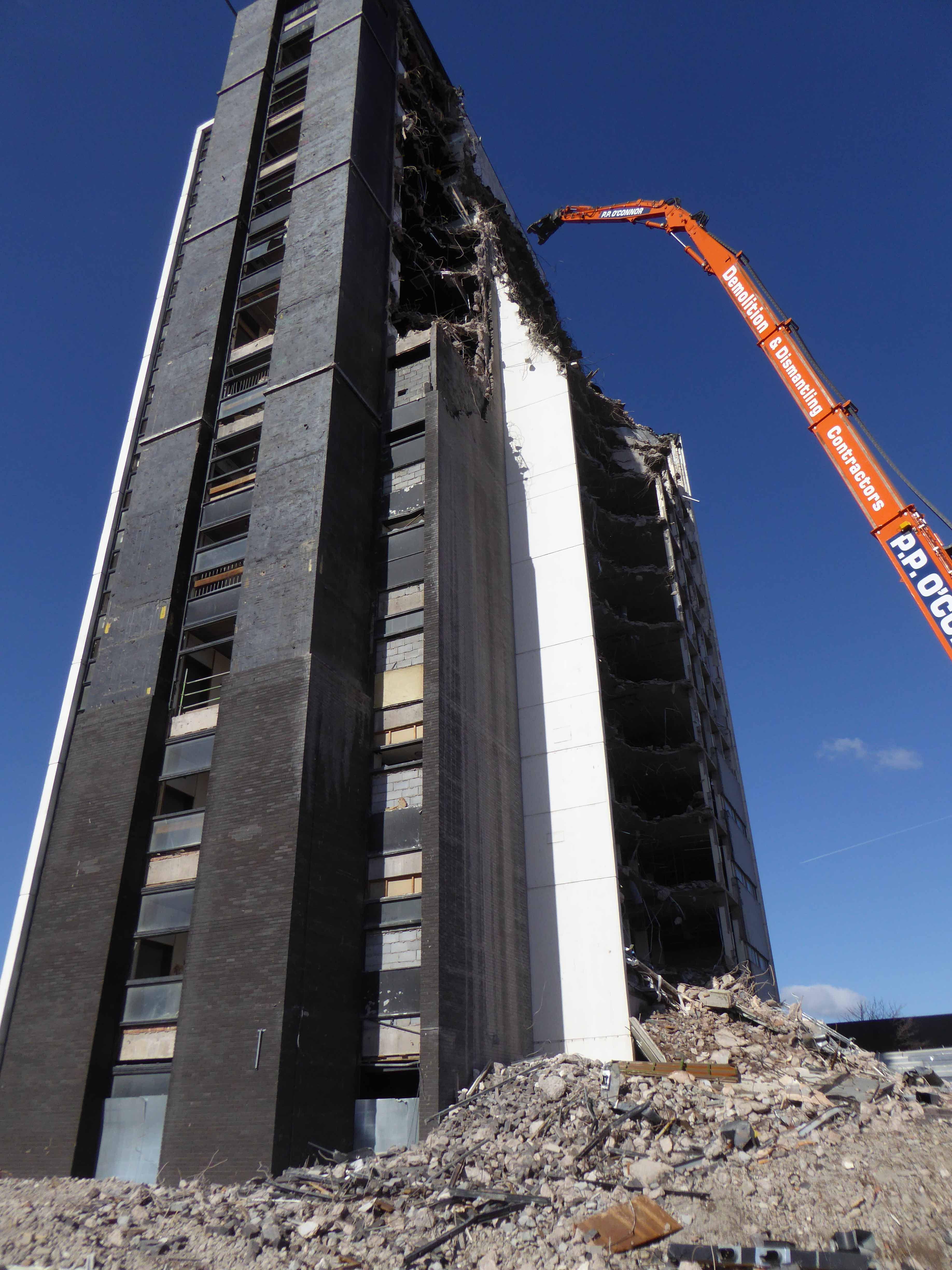
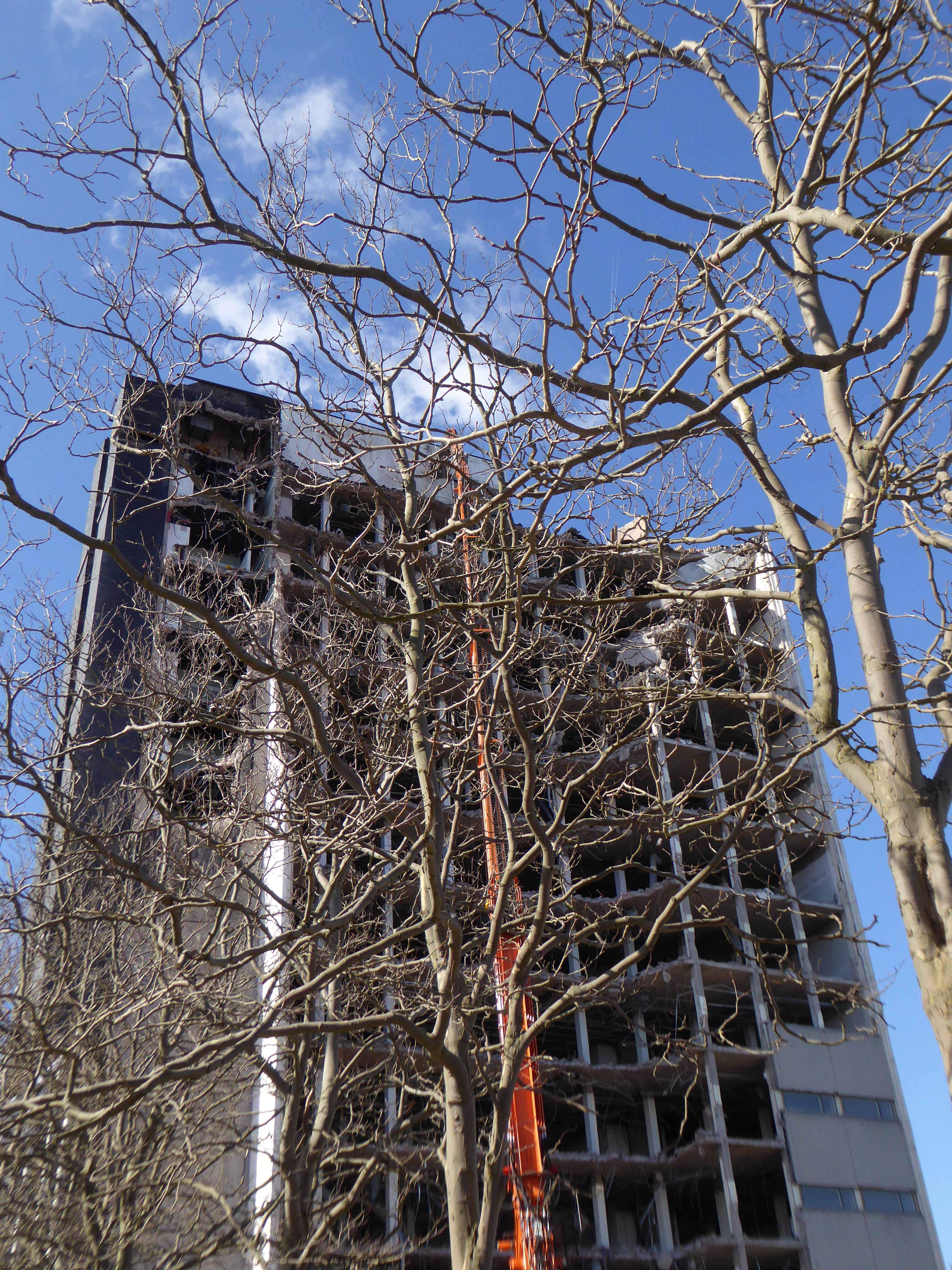
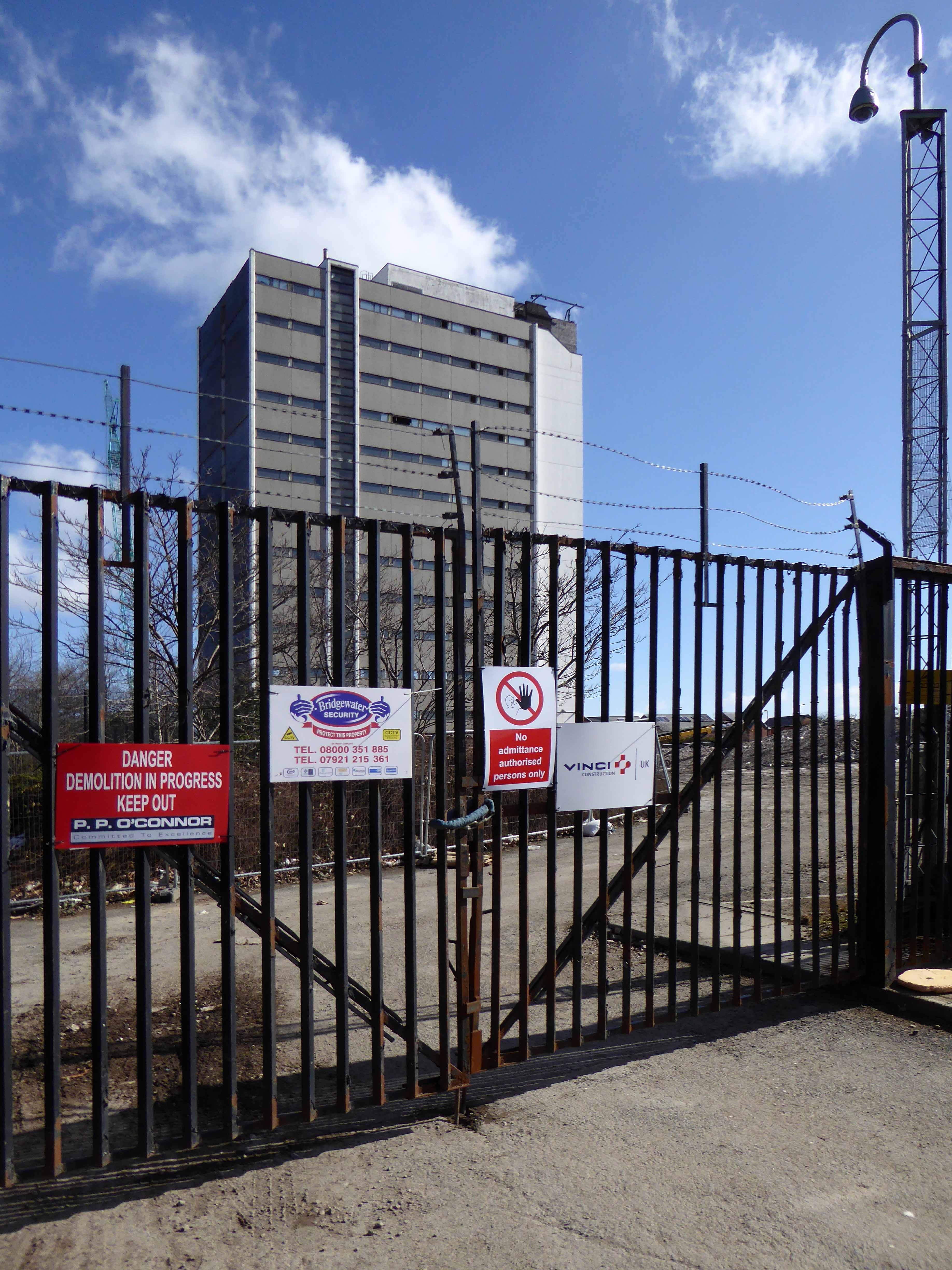
Sadly ending like this:
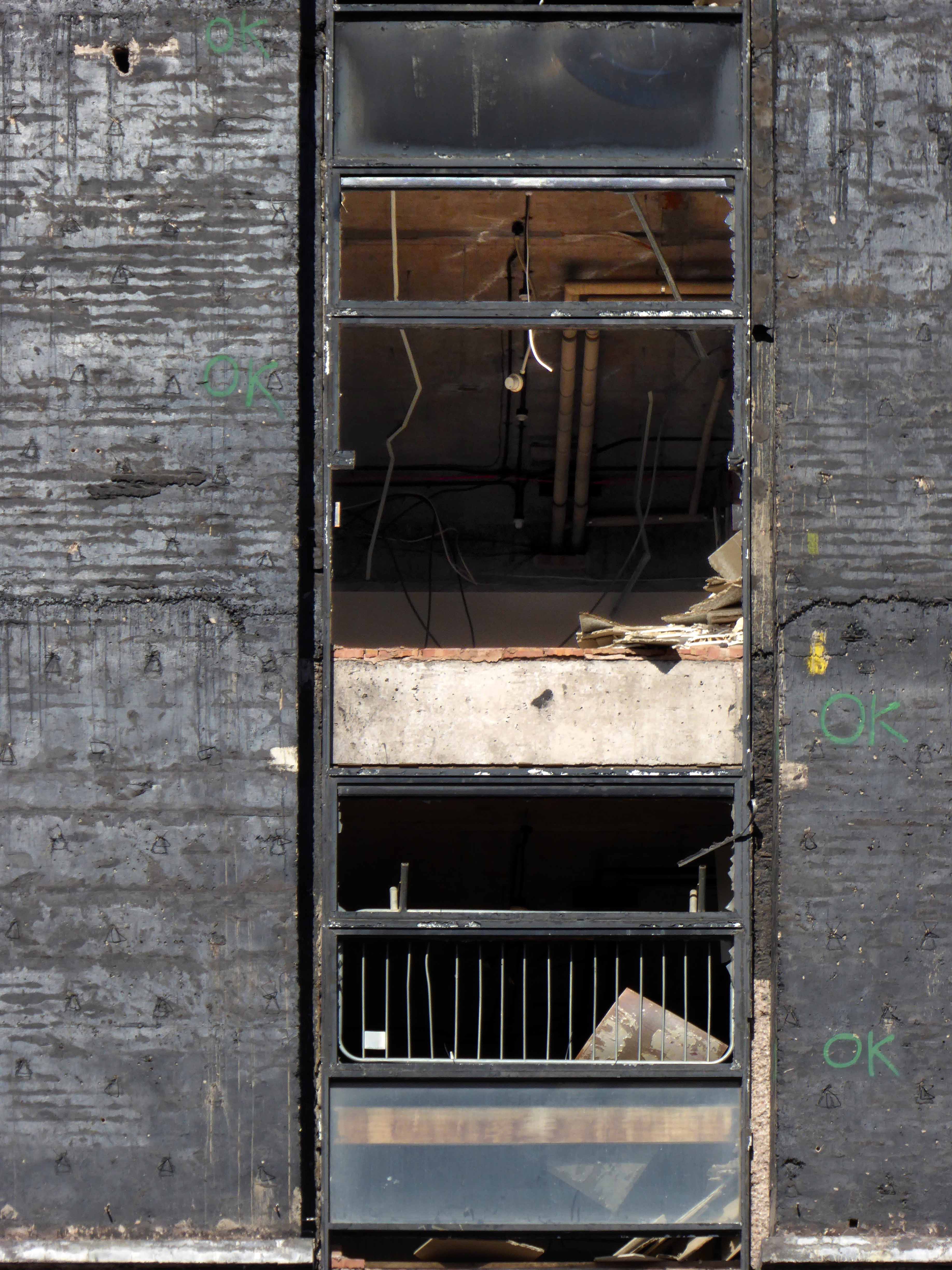
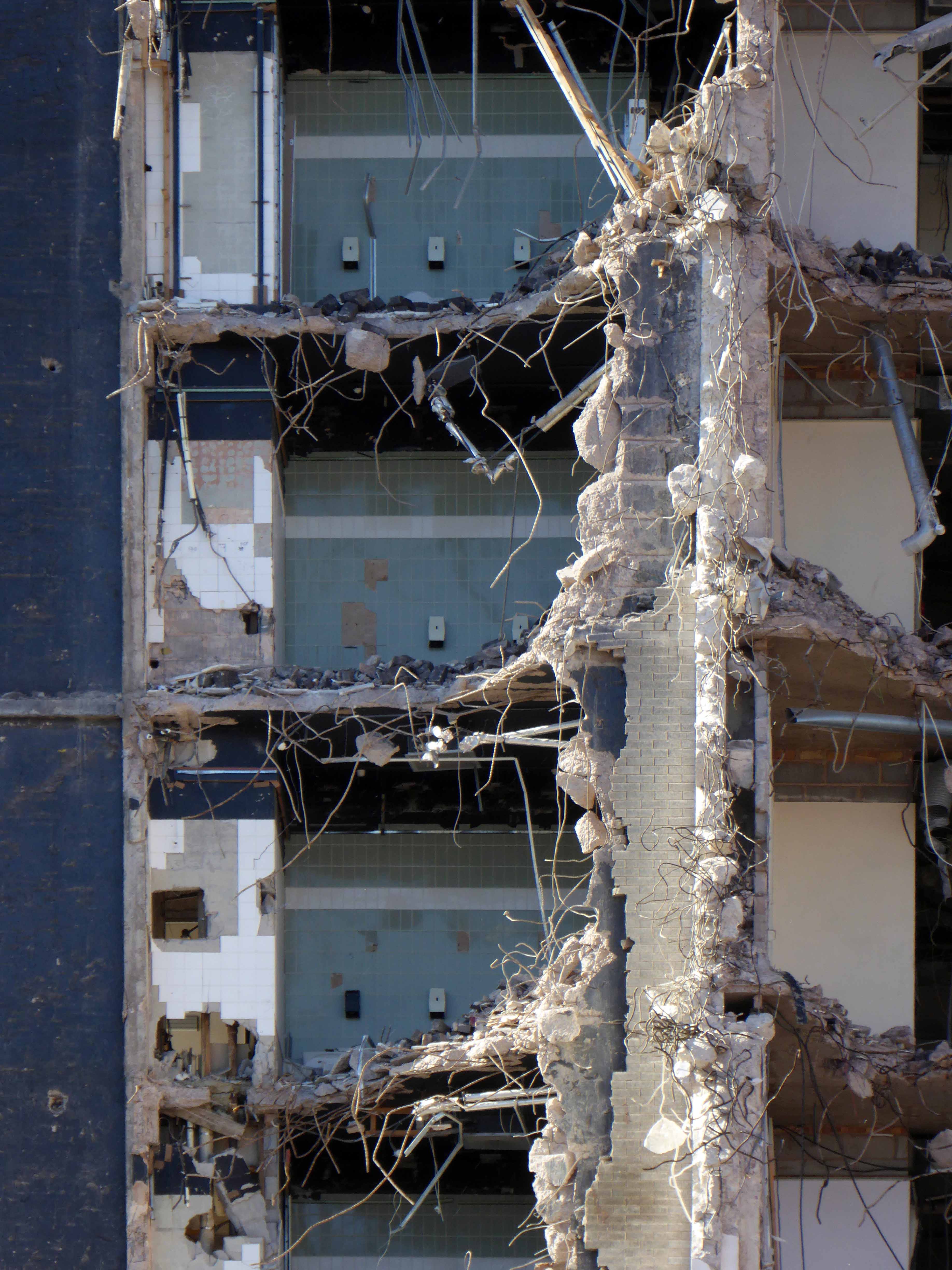
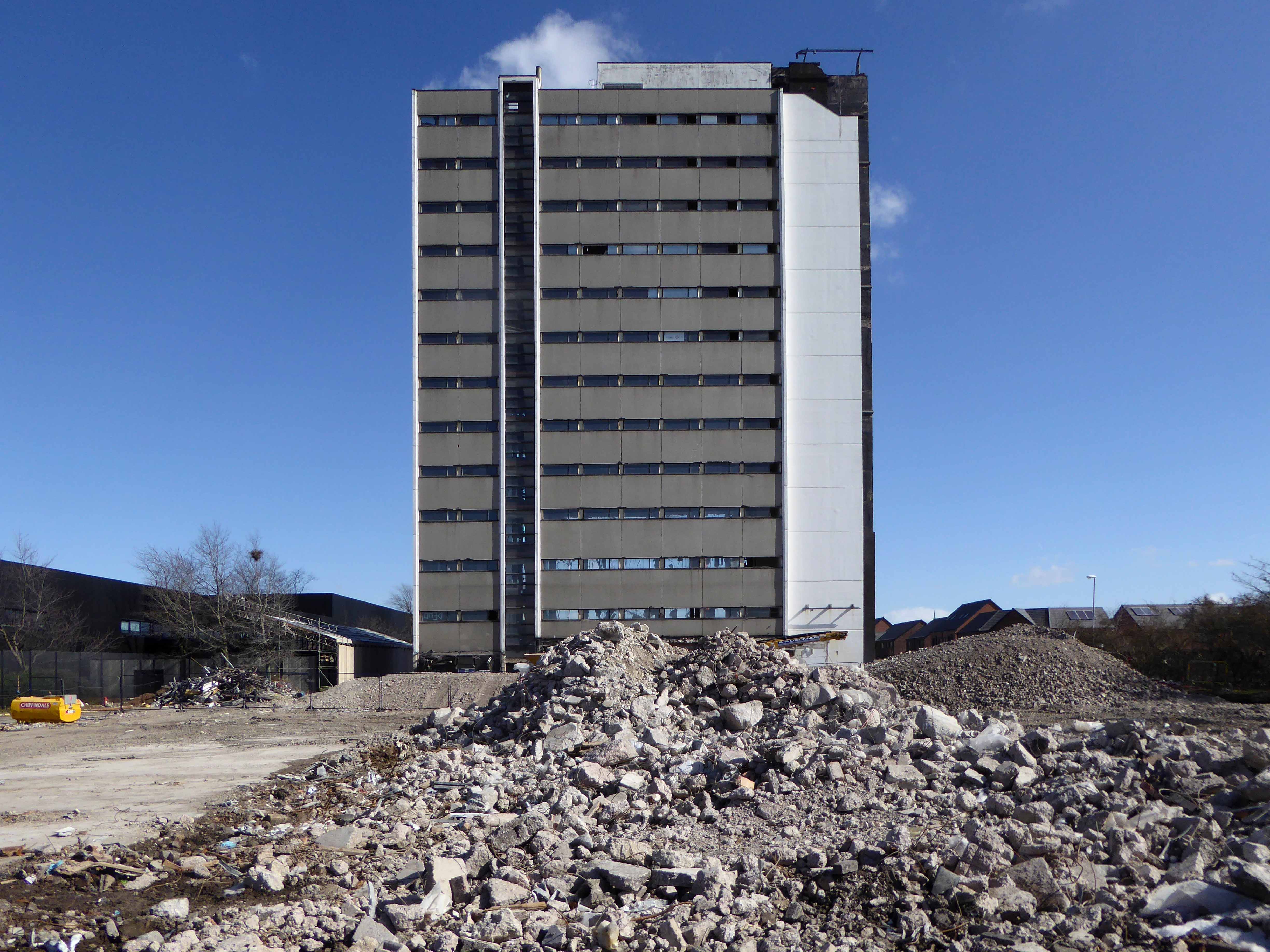
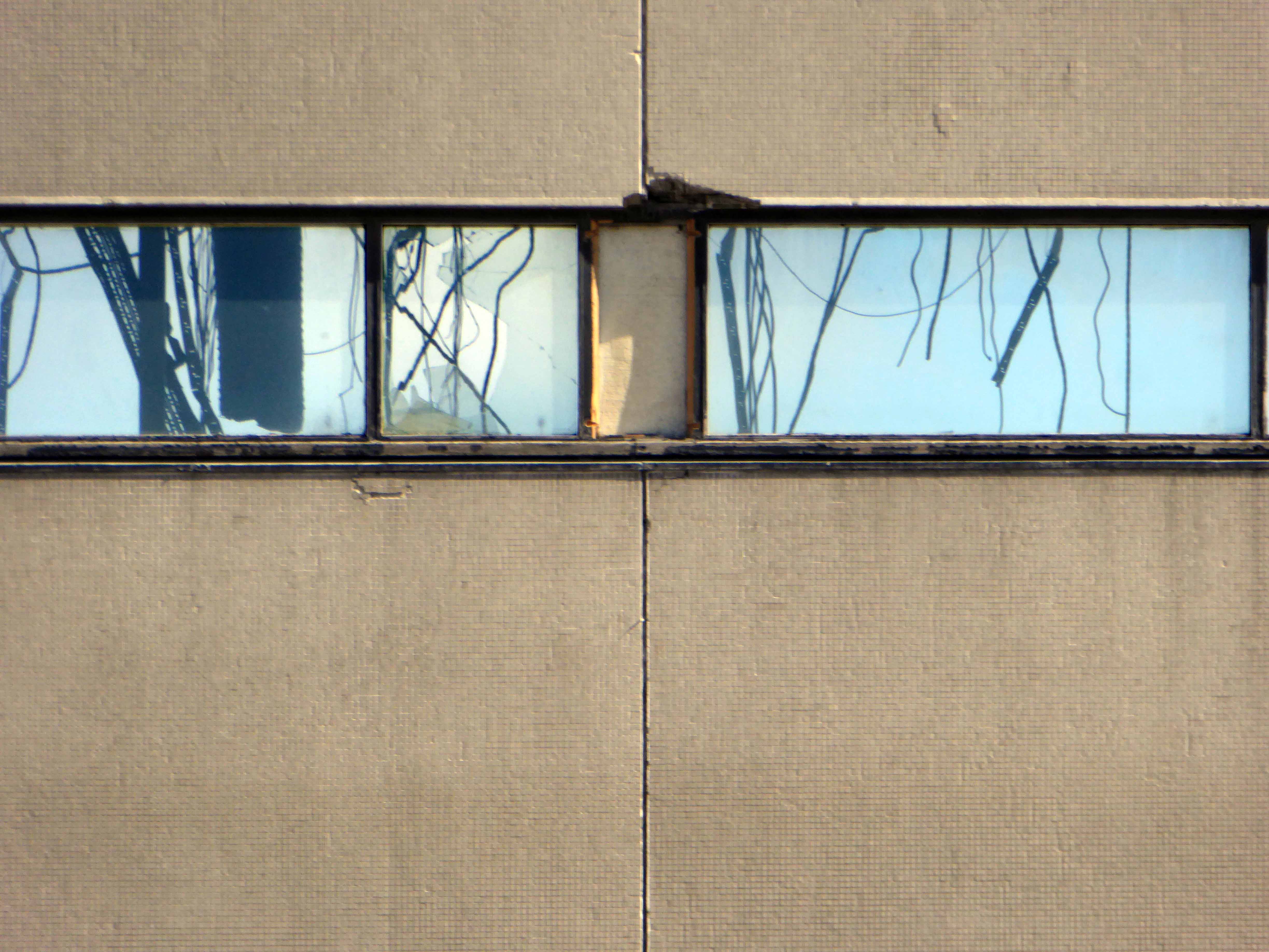
Two weeks into the demolition process the east elevation is no more, revealing a concrete honeycomb of torn steel and fresh air.
A few weeks time and it will be little more than so much dust and memories.
I’ve been here for the last fifteen years on and off, snapping away, capturing something of the area’s ever changing moods, the old, the new, the borrowed and the blue.
On this occasion I have chosen to work on black and white film – the medium conveying something timeless, at a time when things are forever changing.
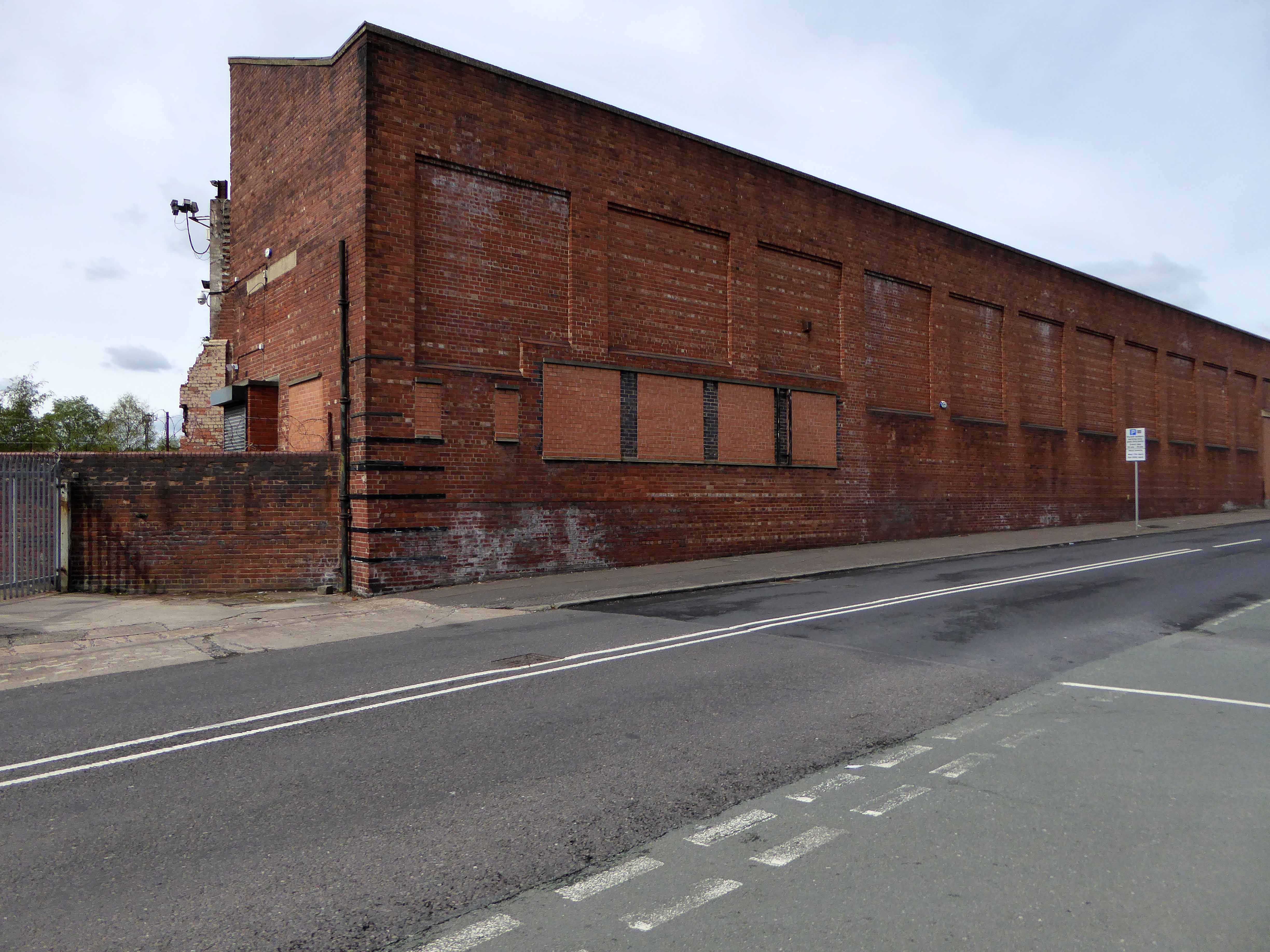
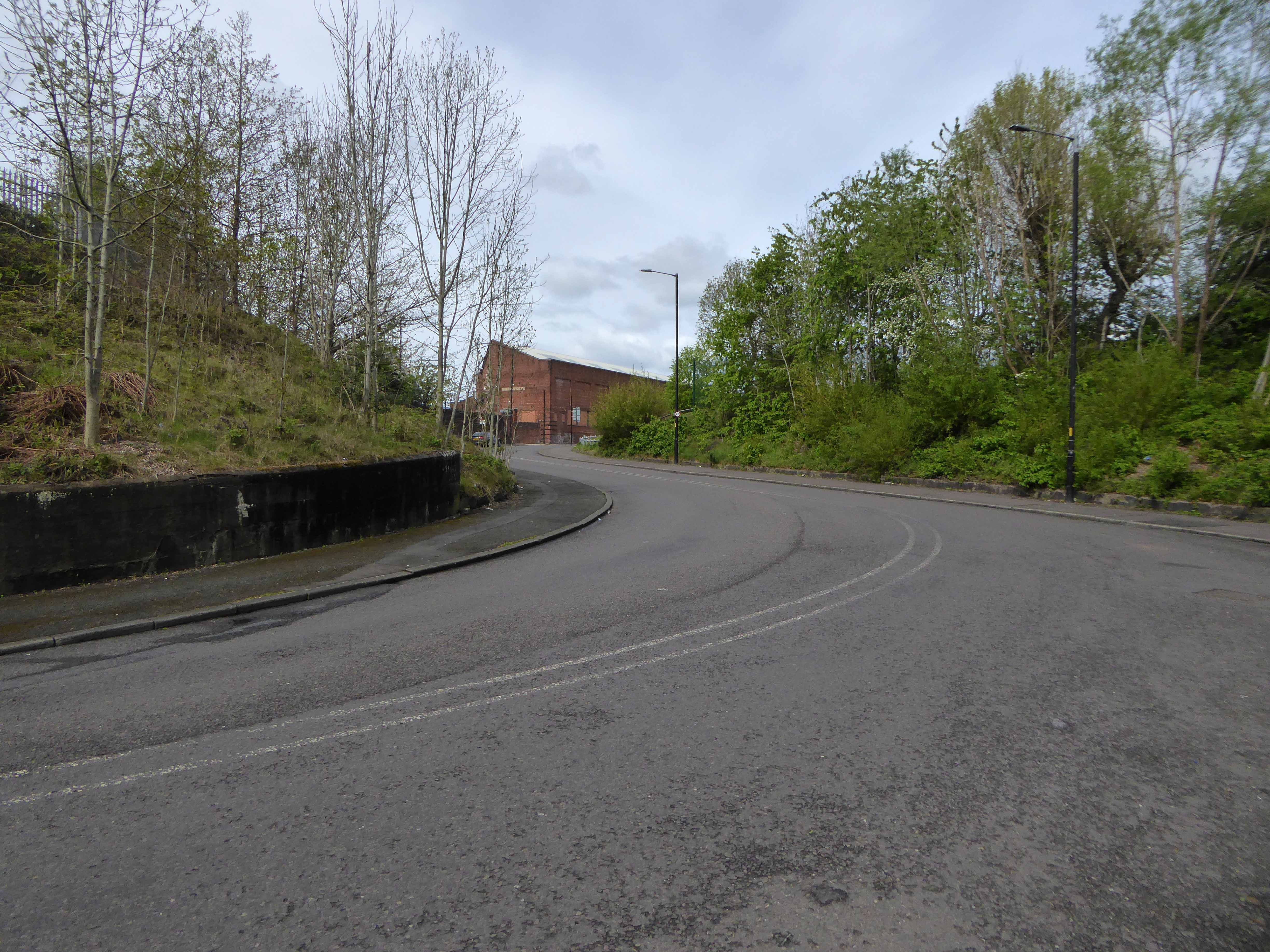
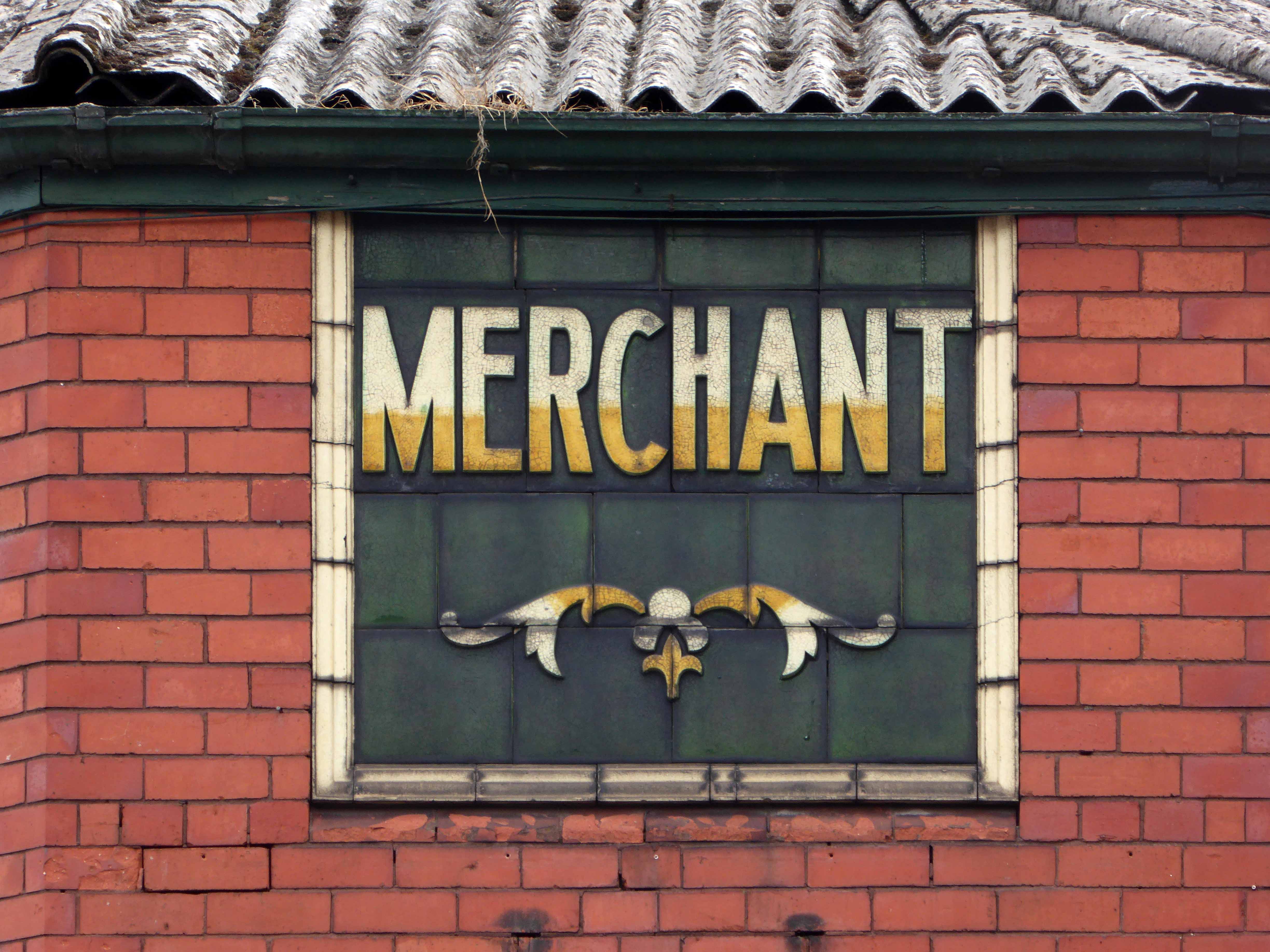
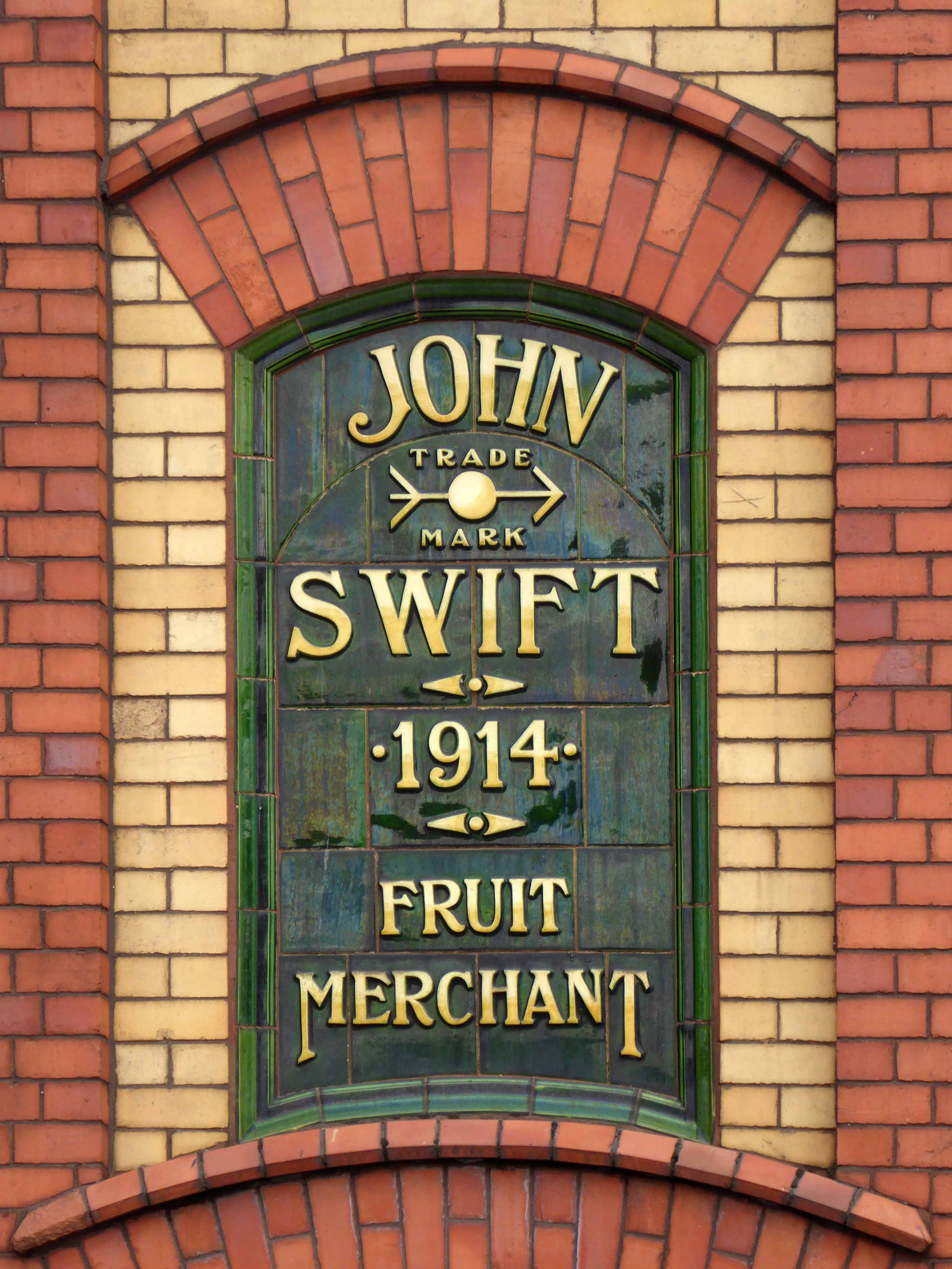
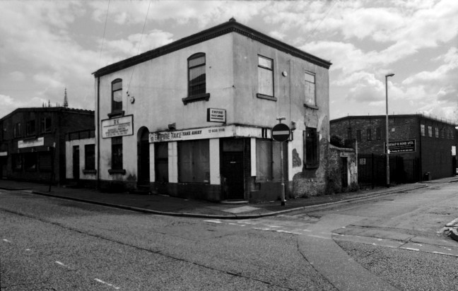
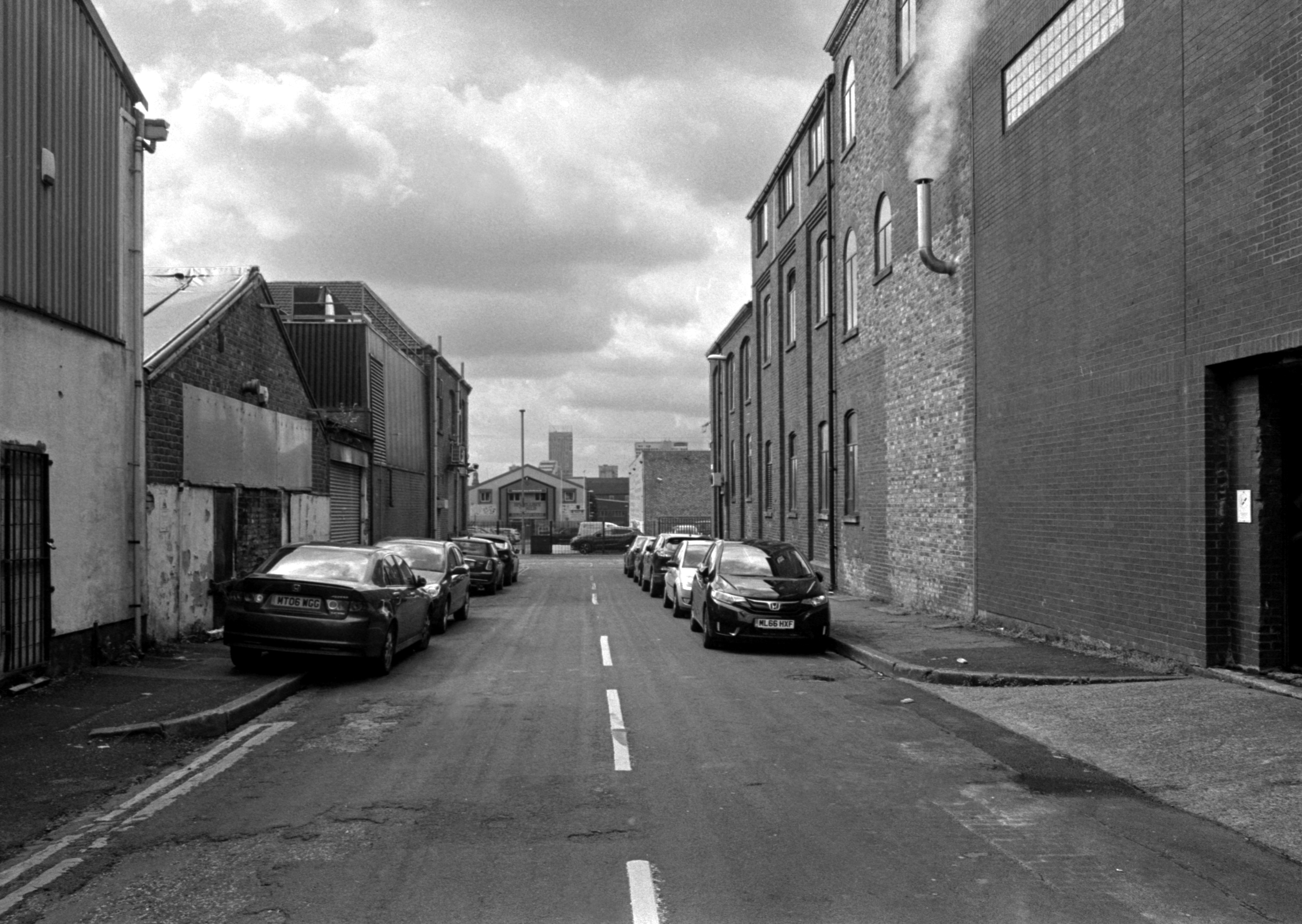
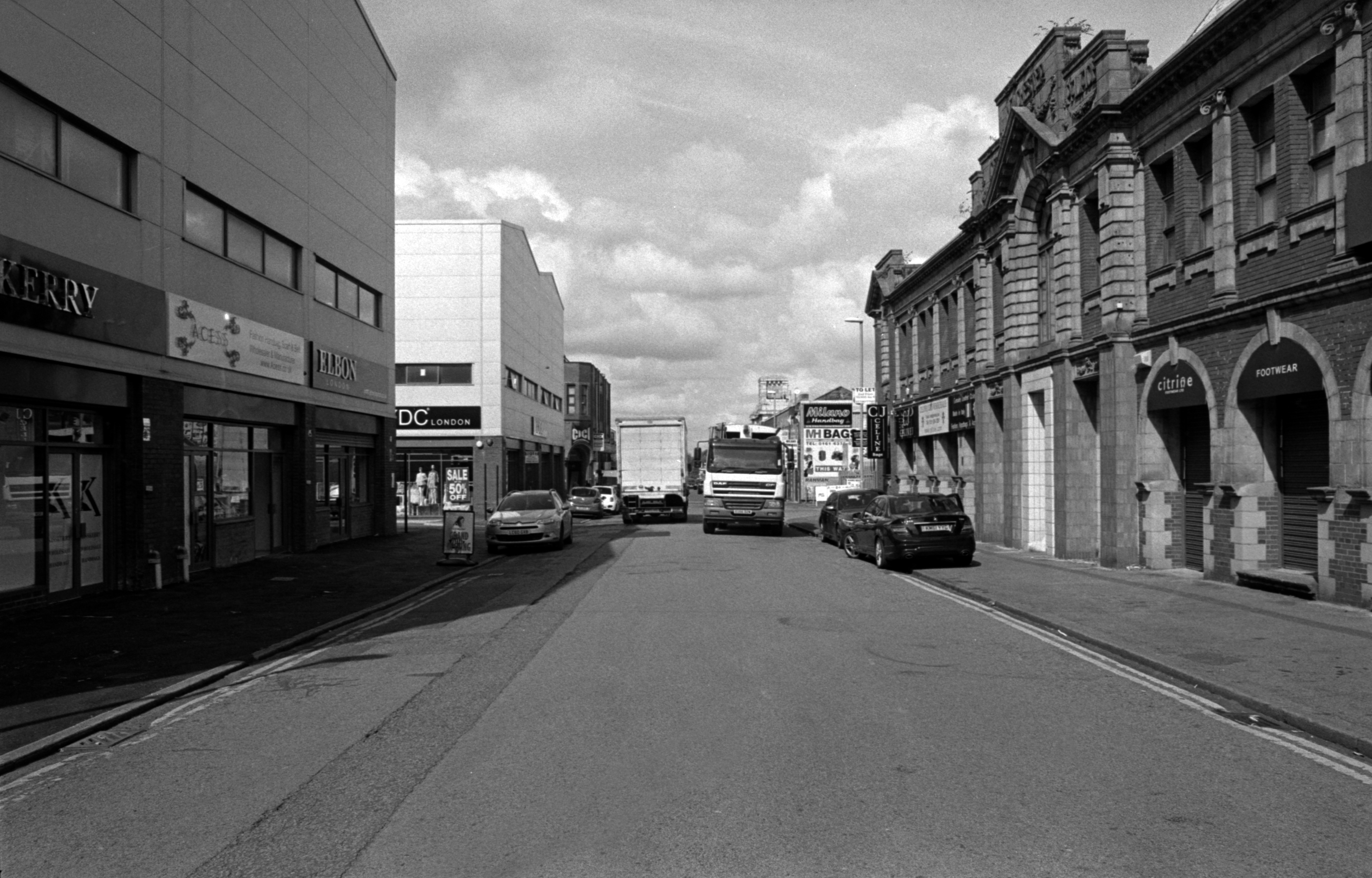
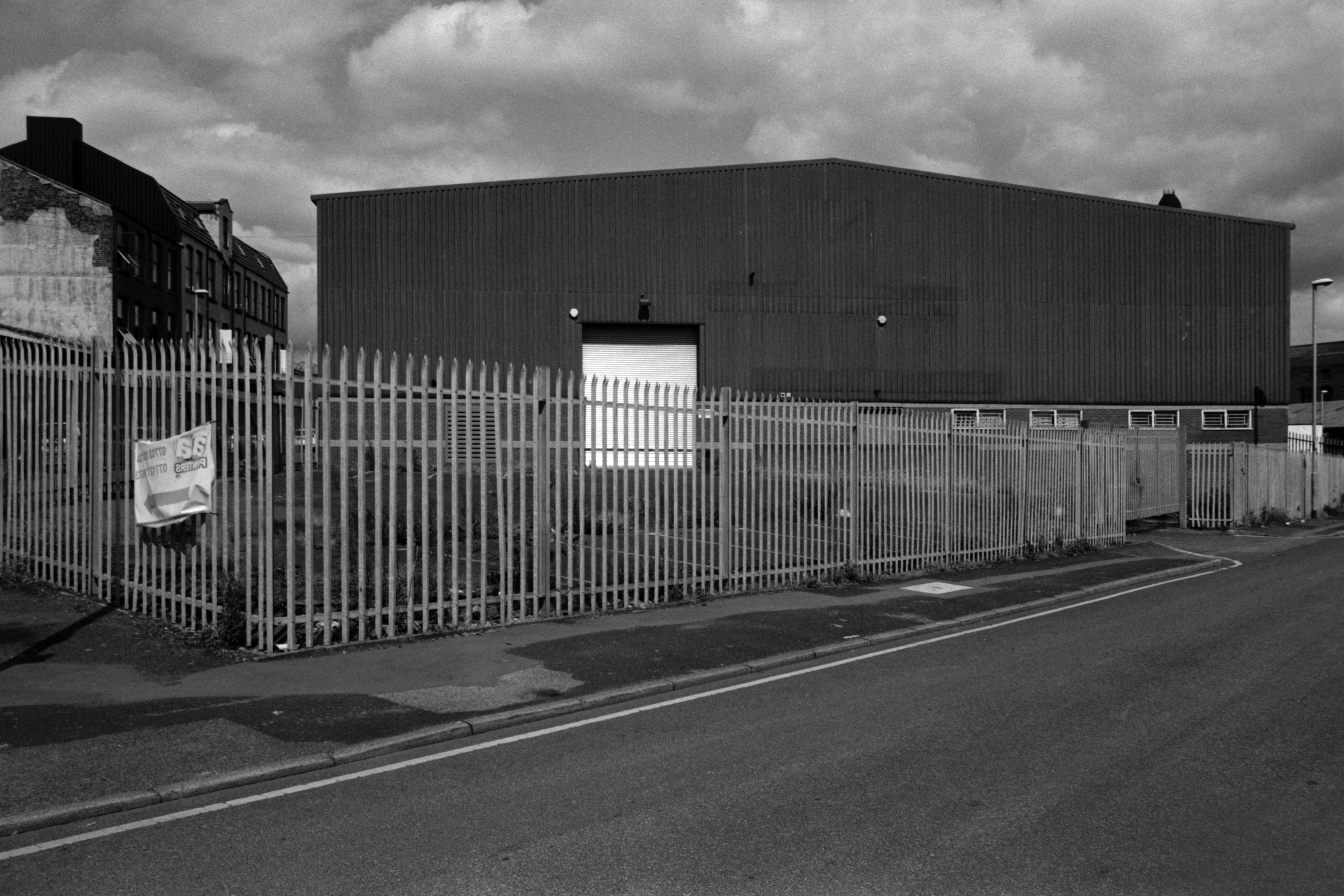
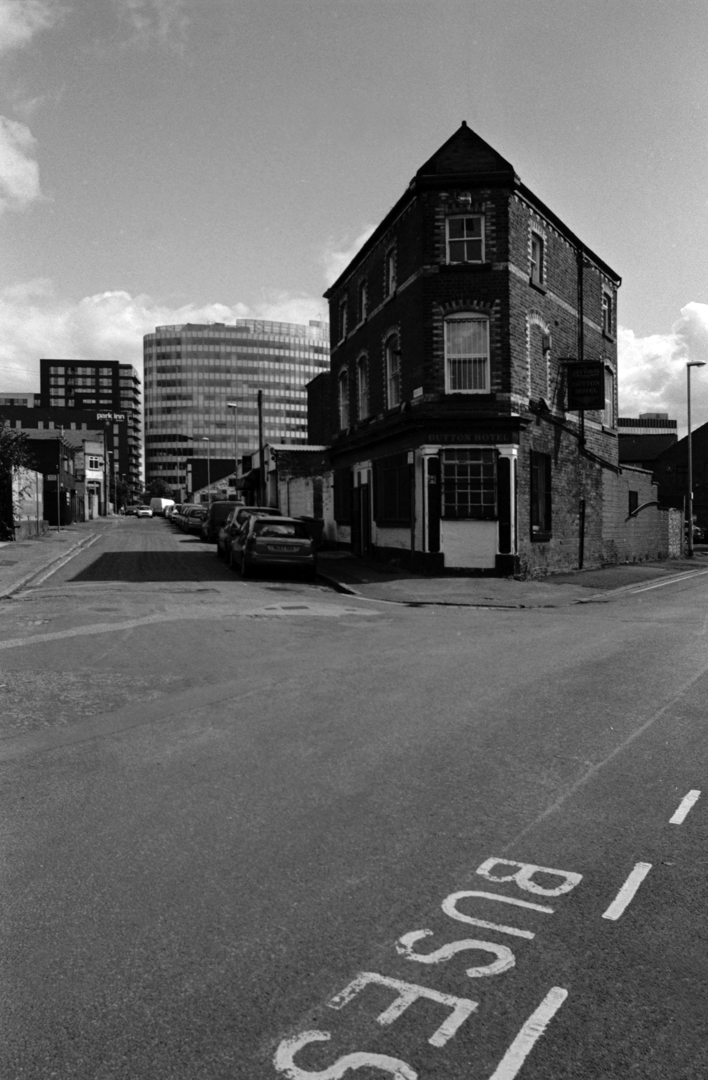
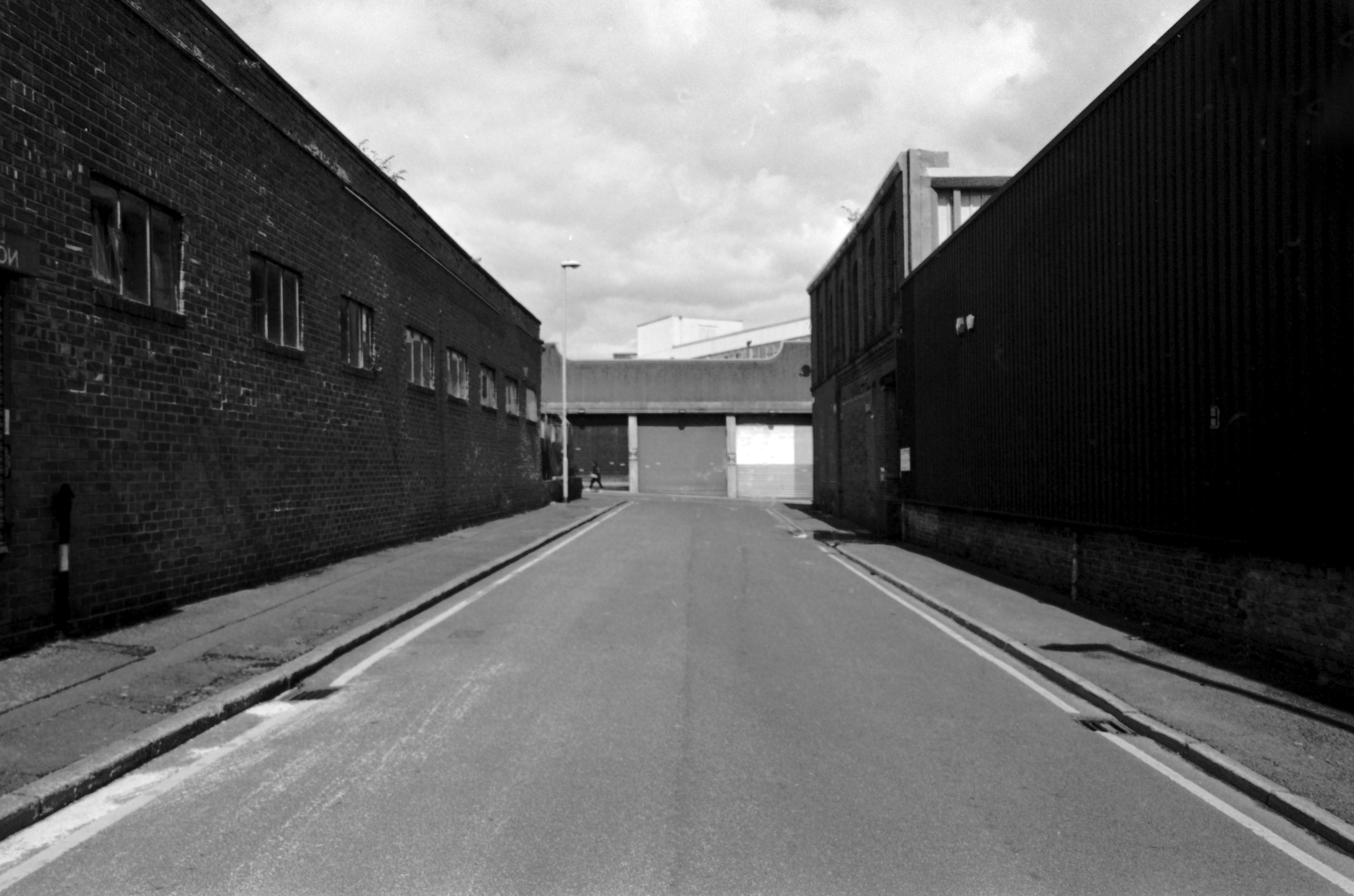
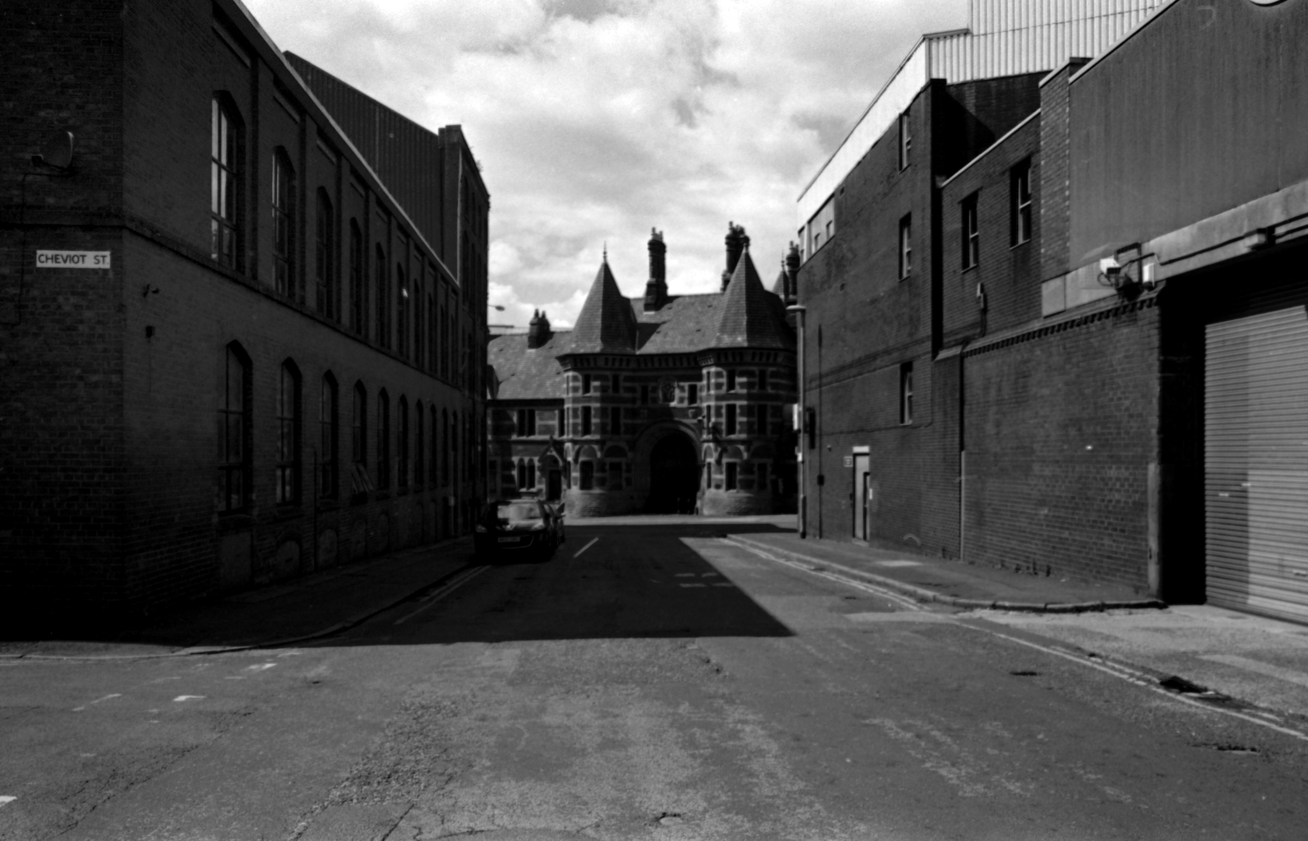
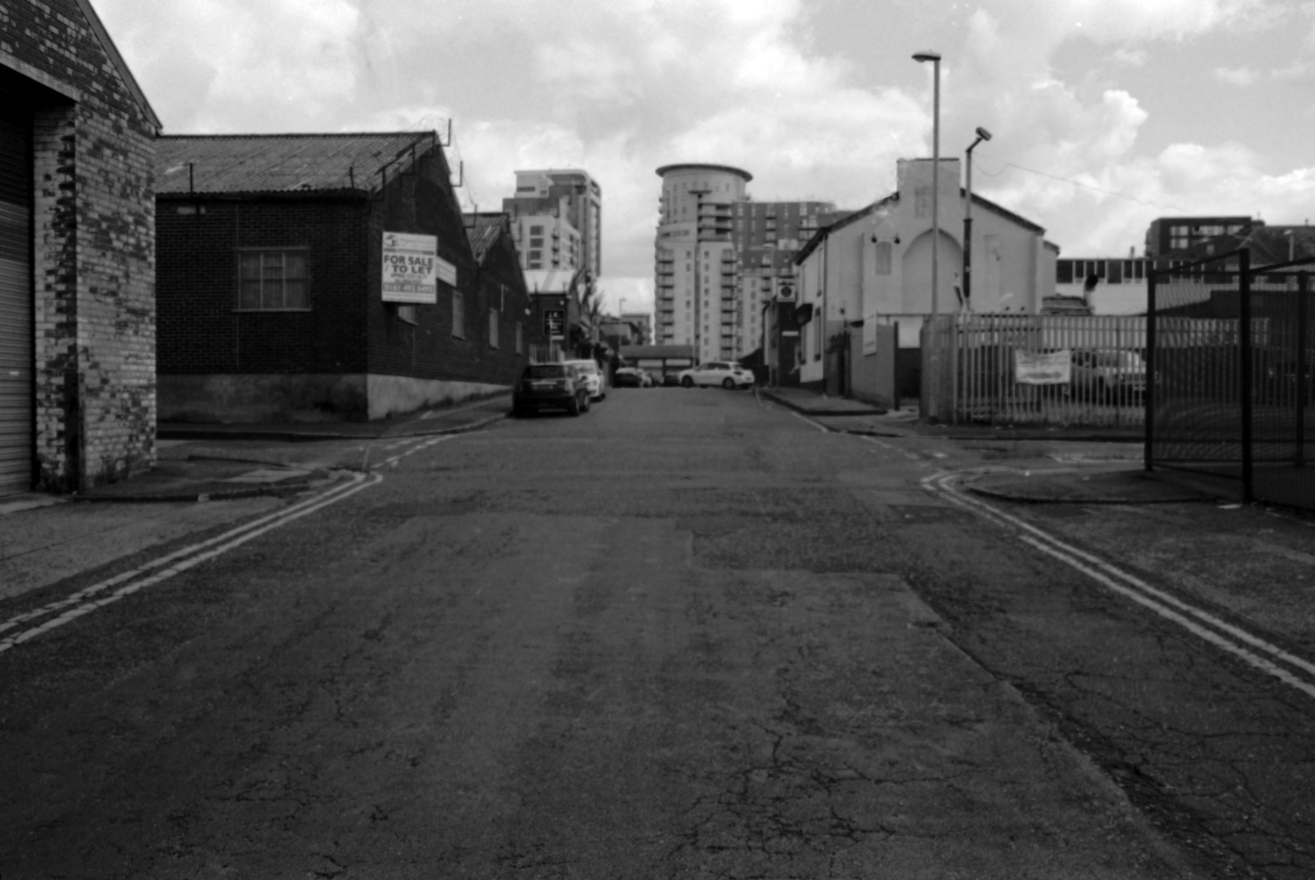
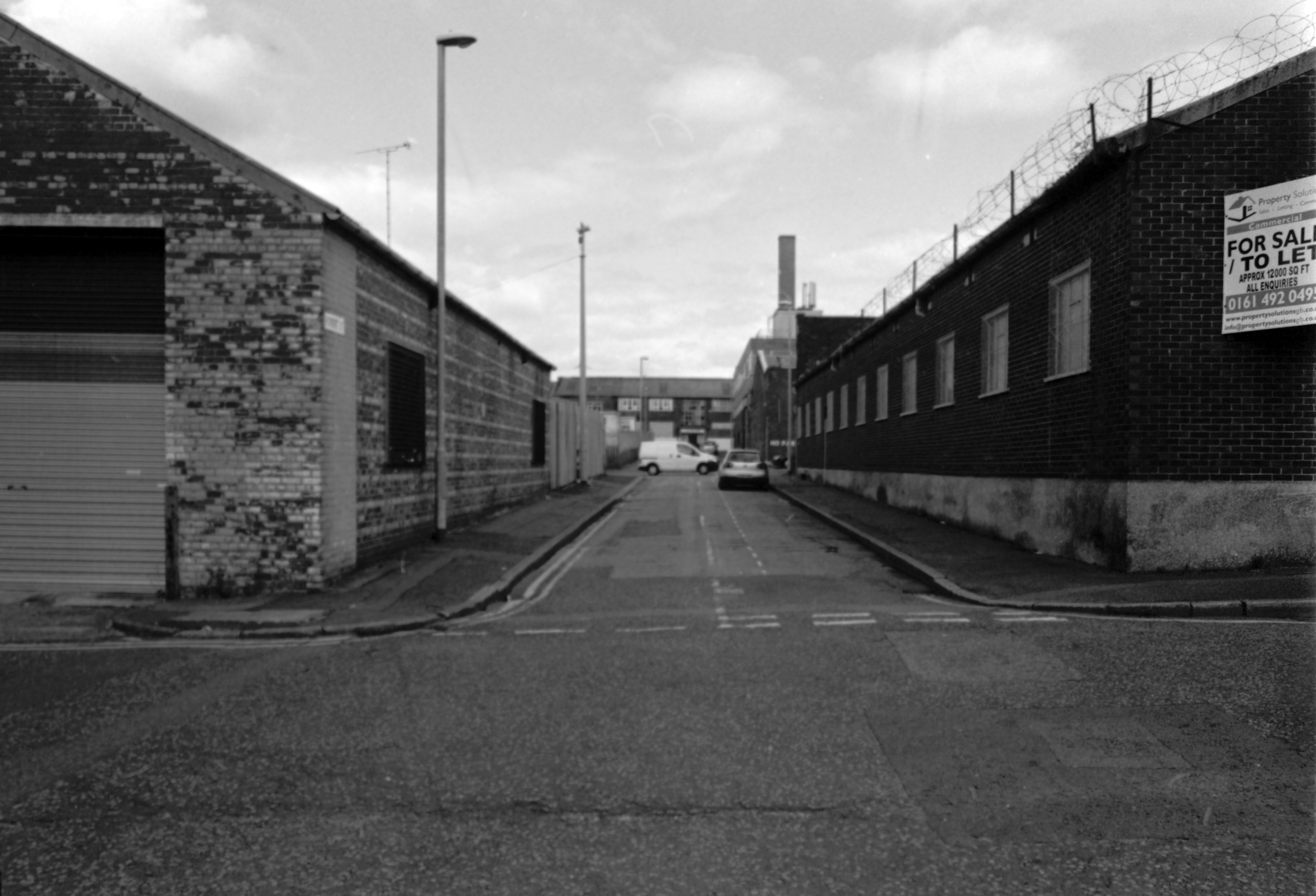
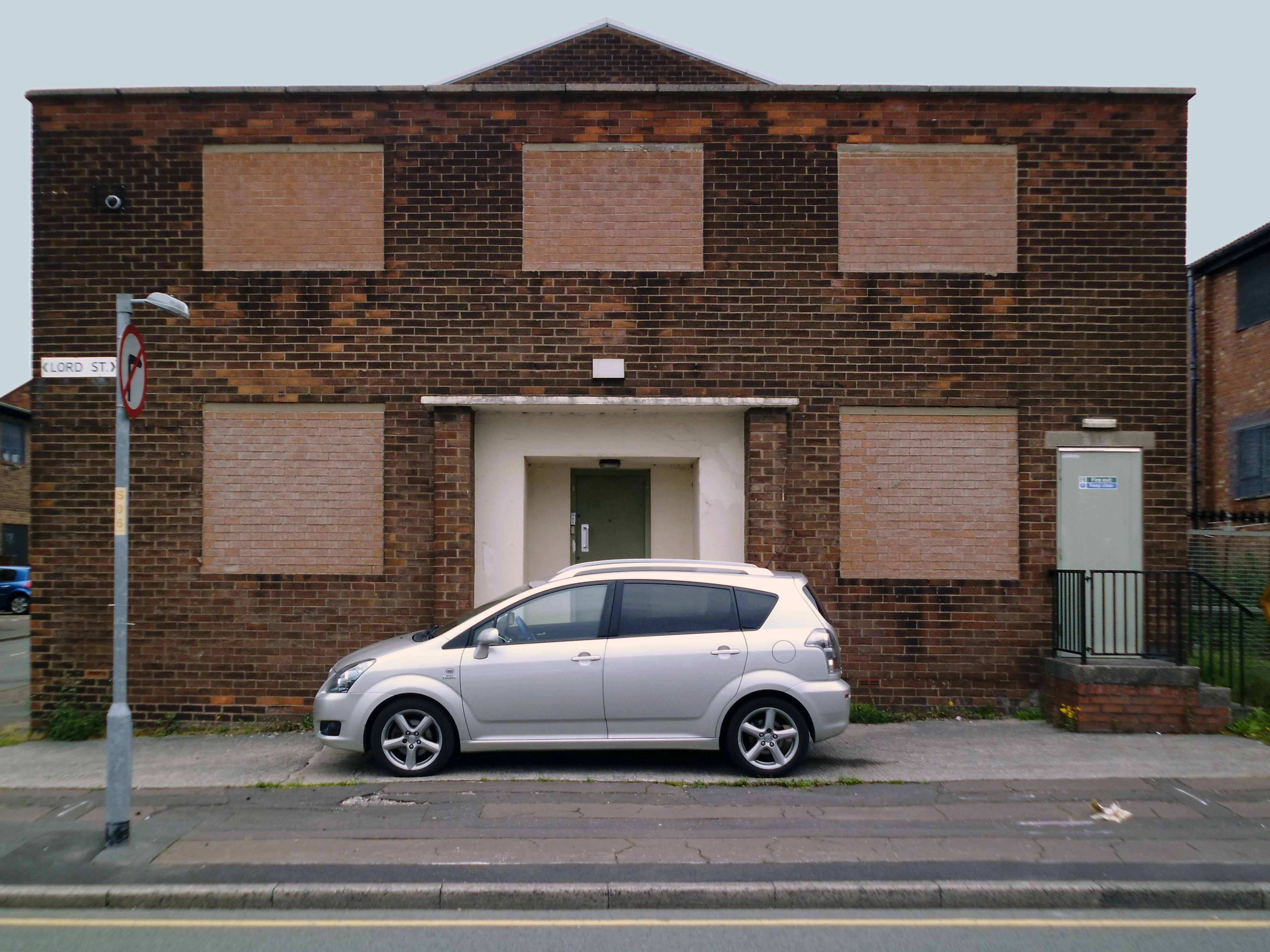
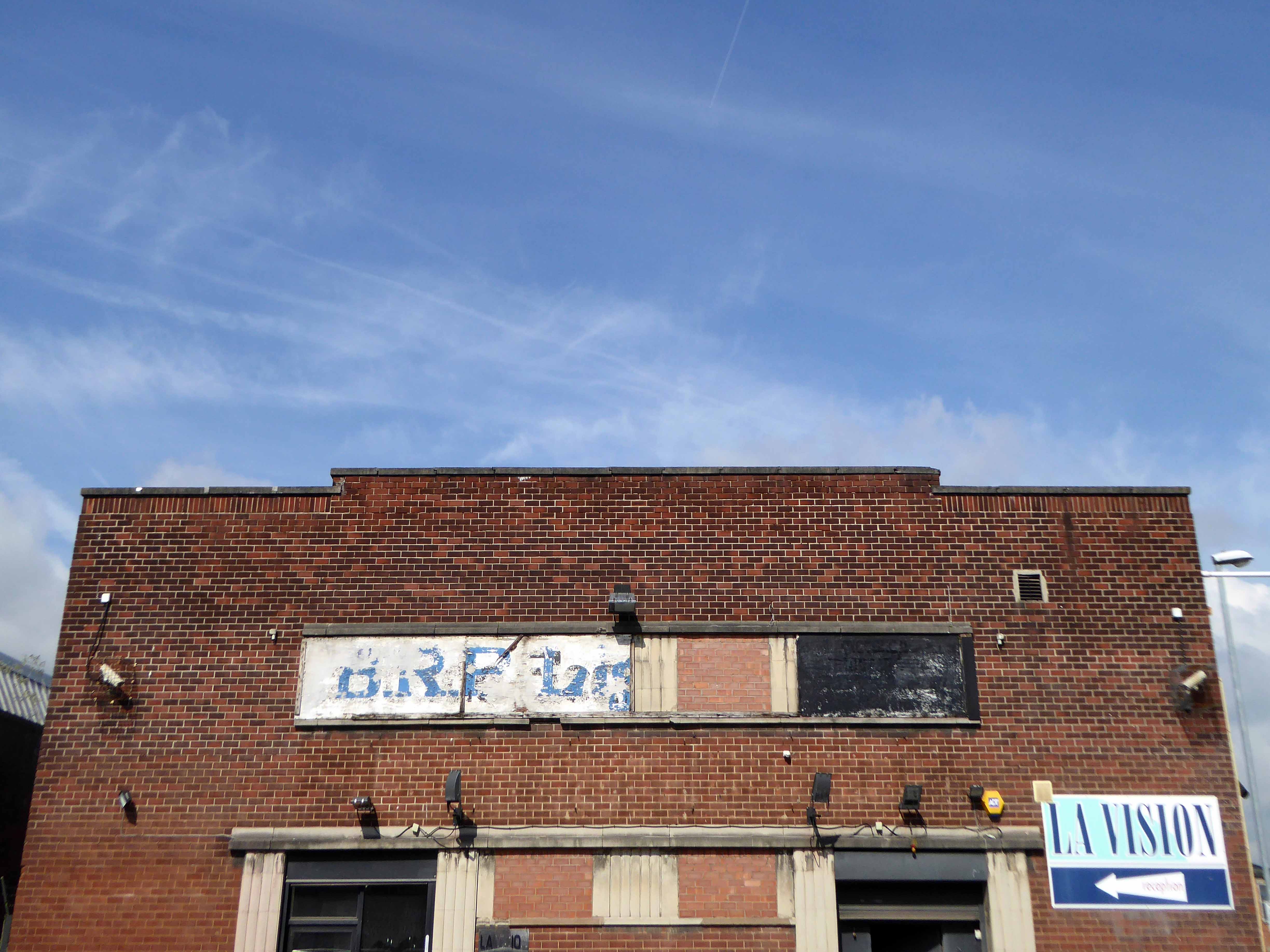
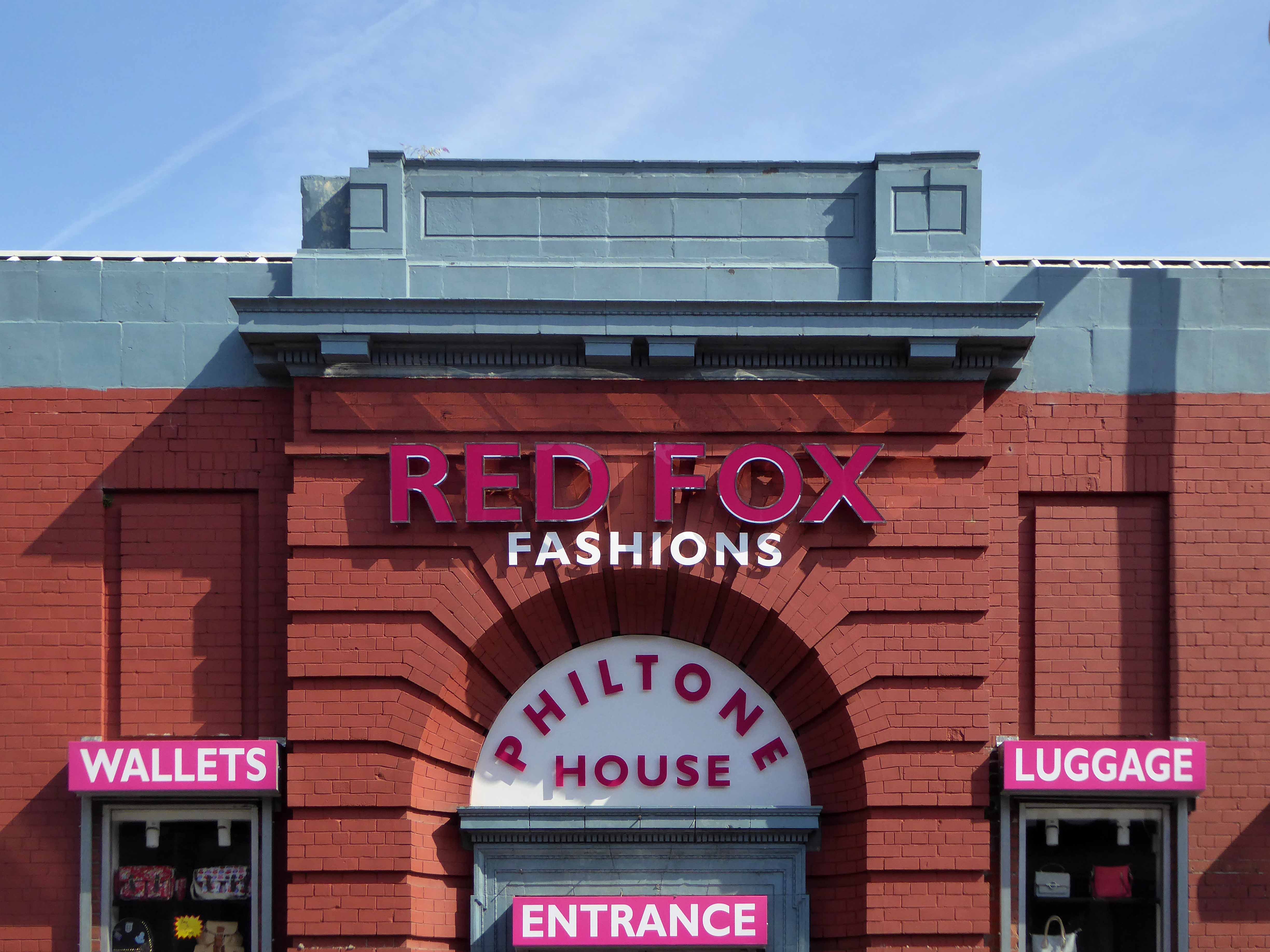
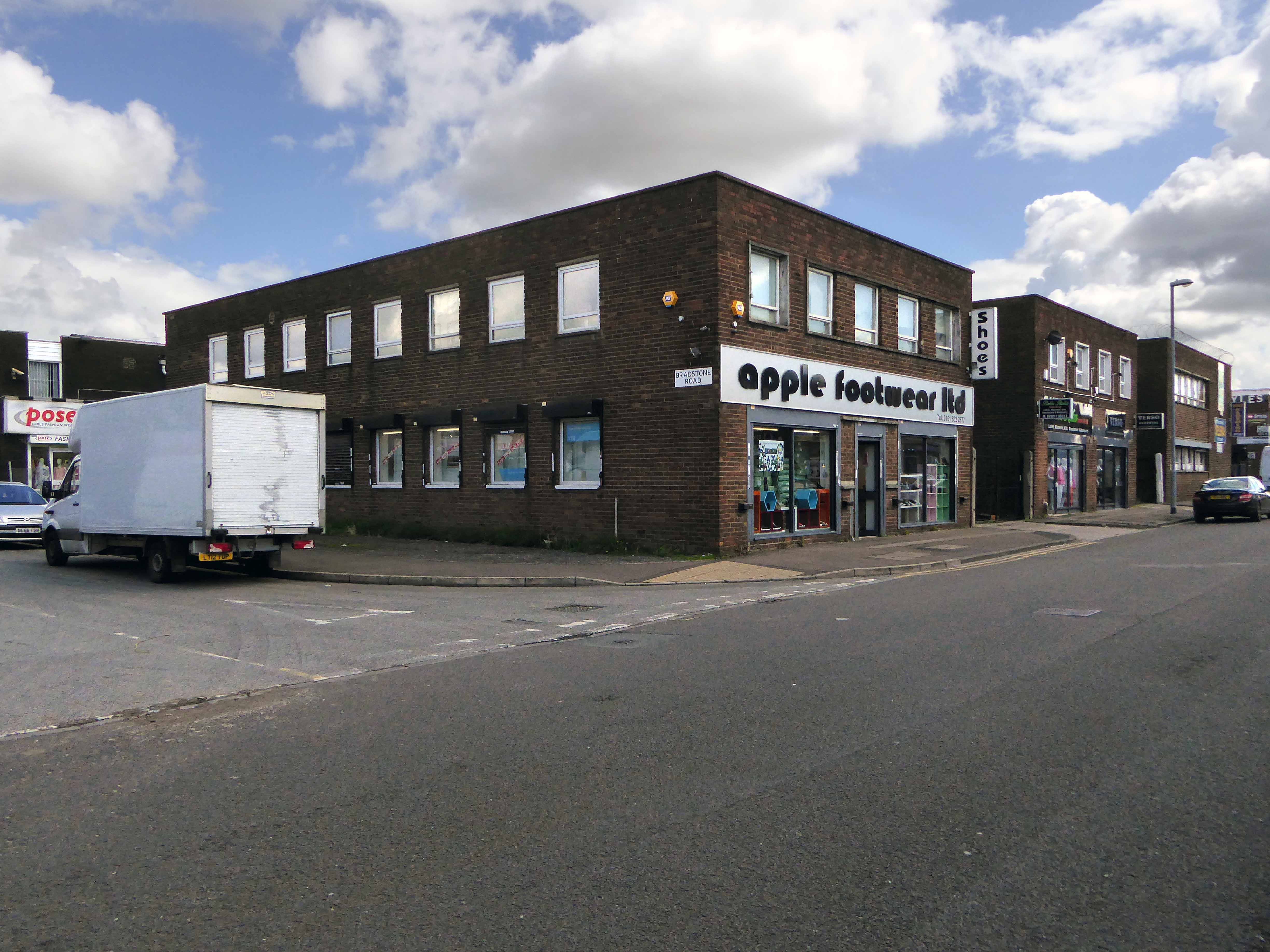
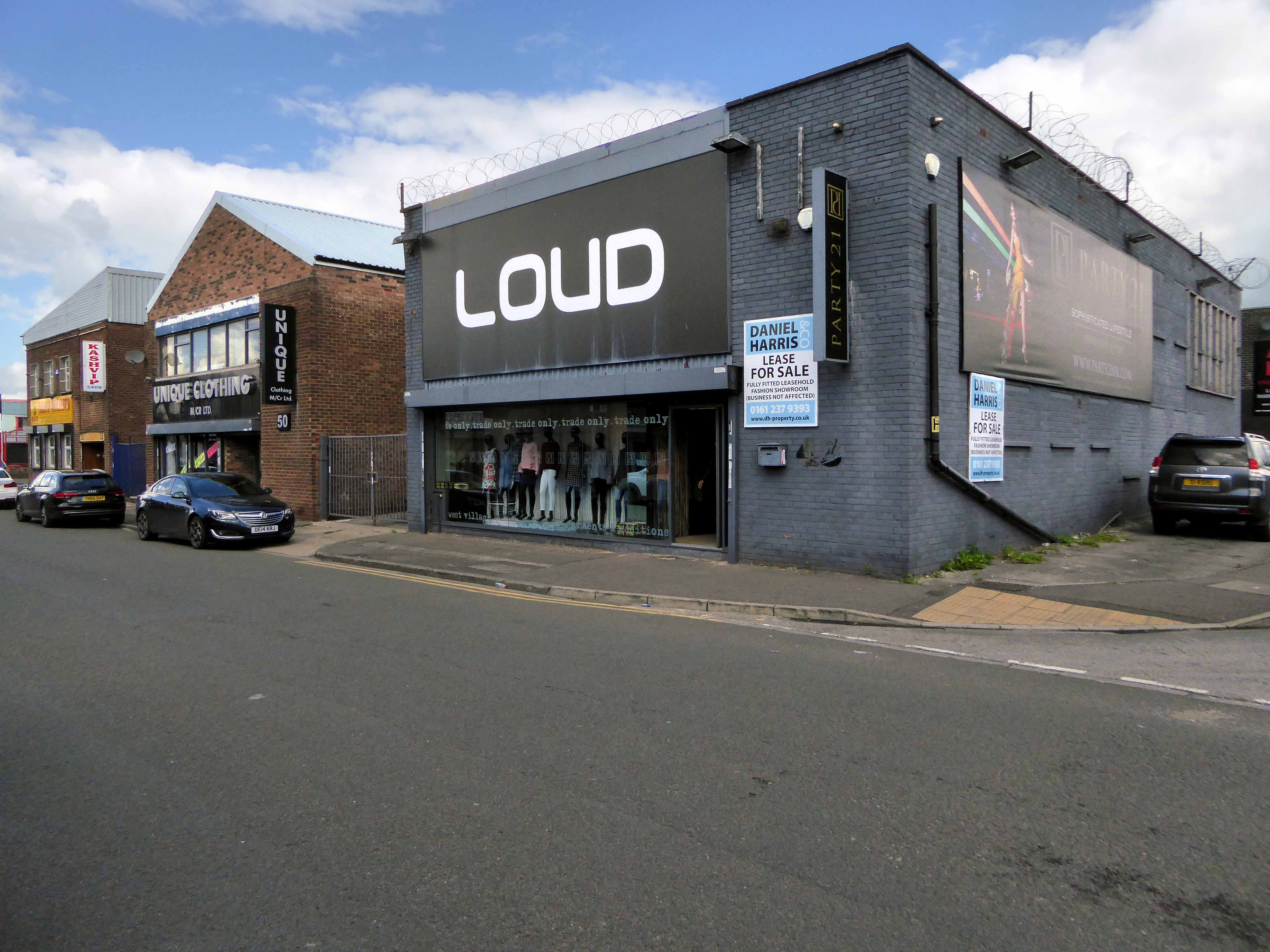
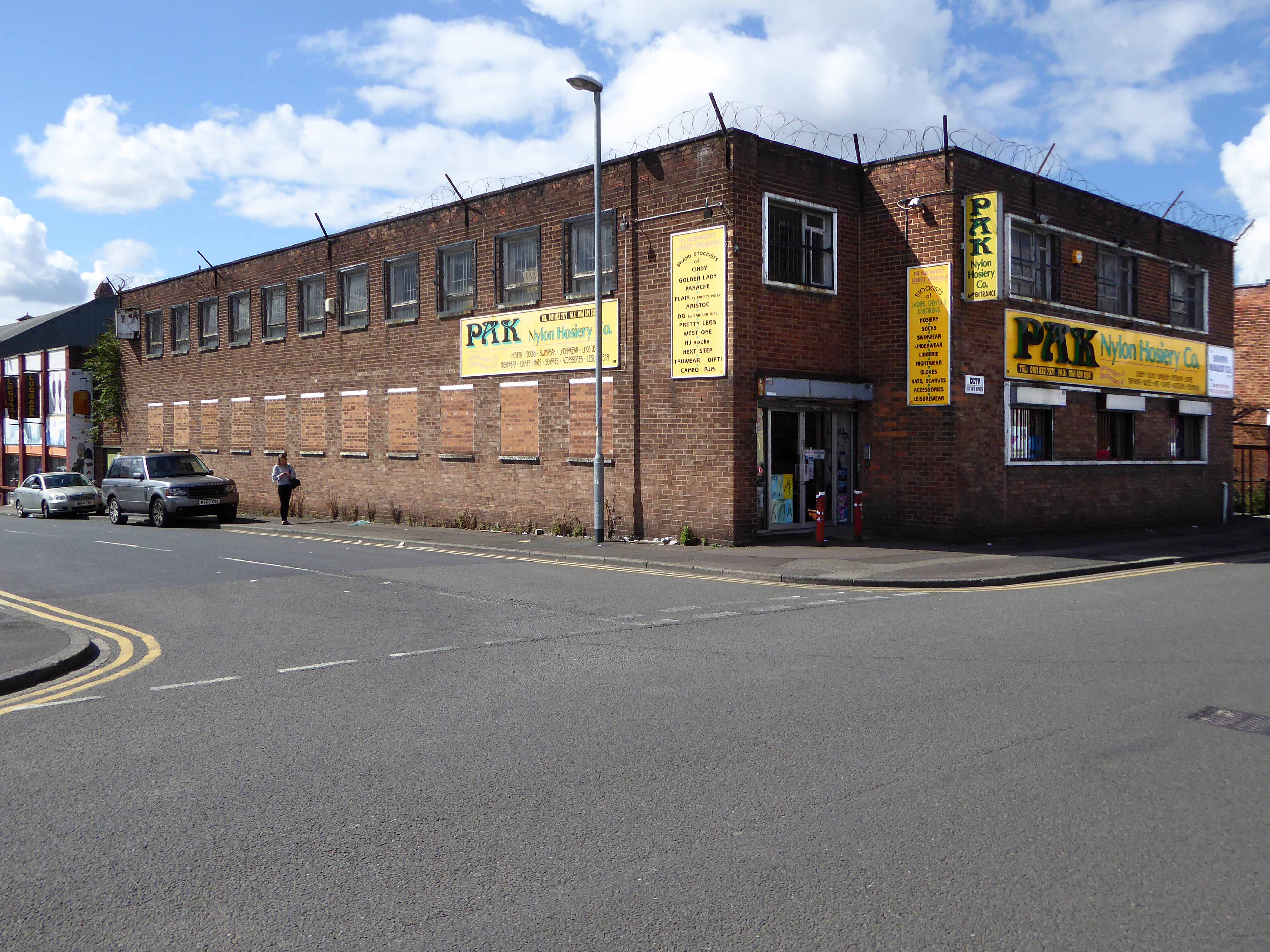
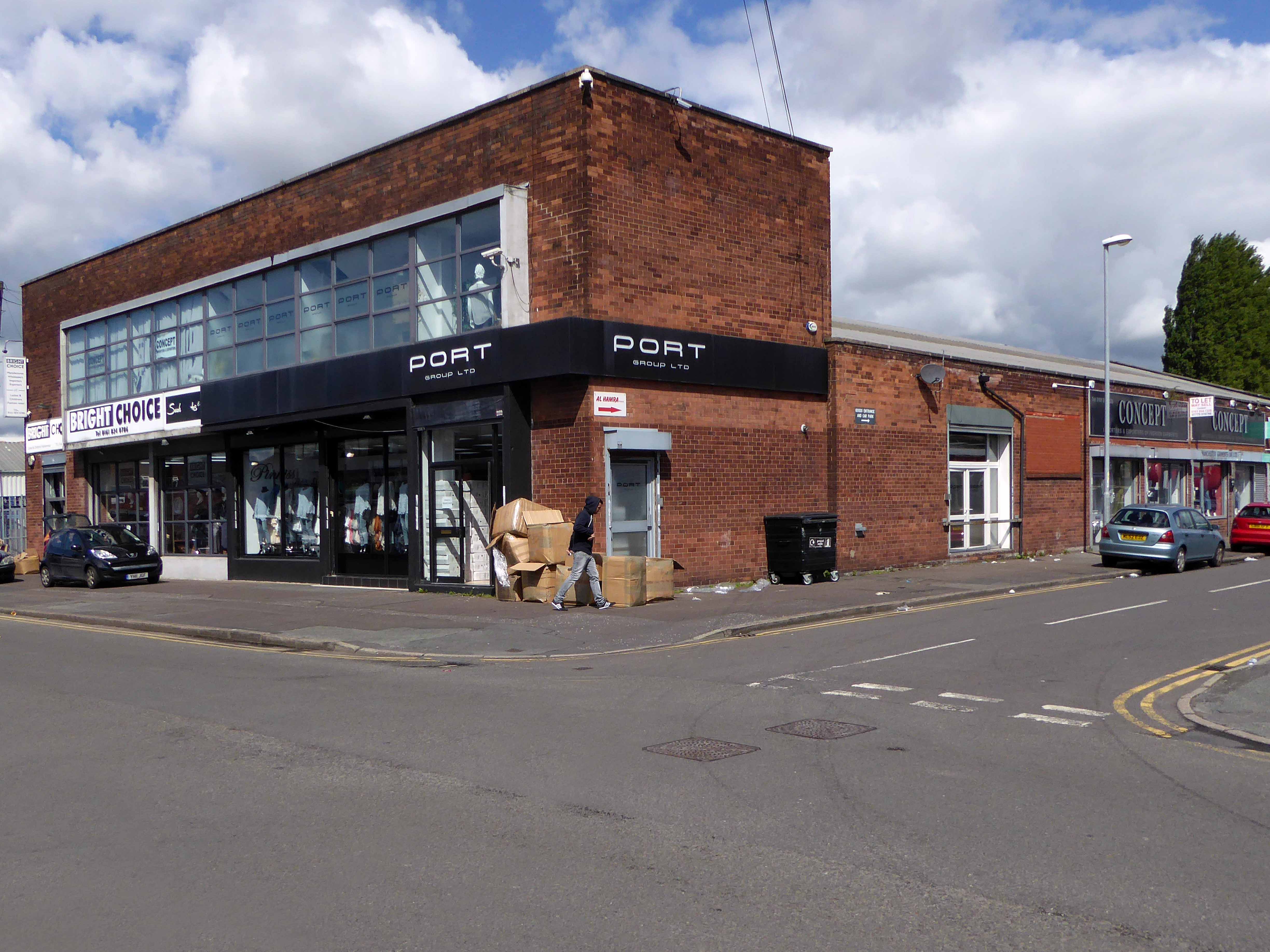
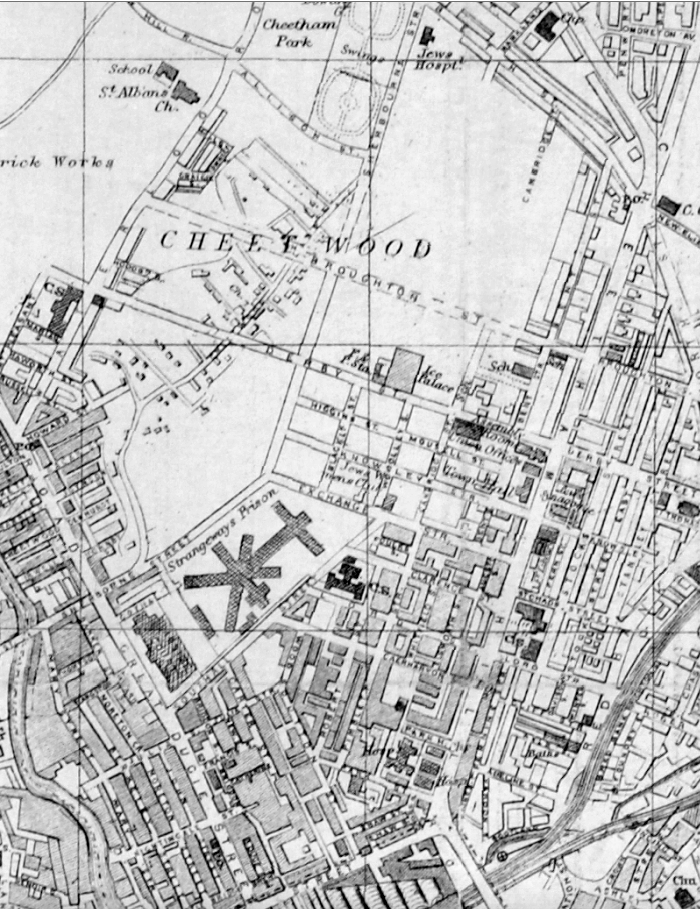
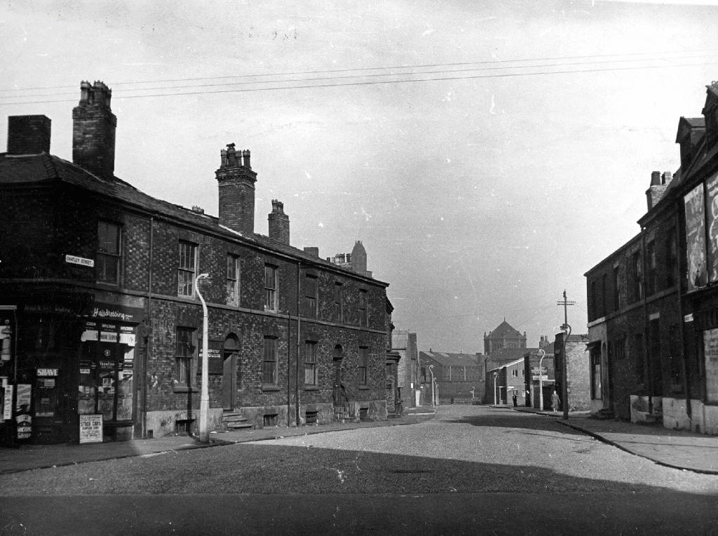
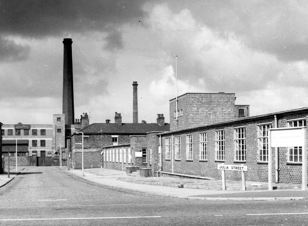
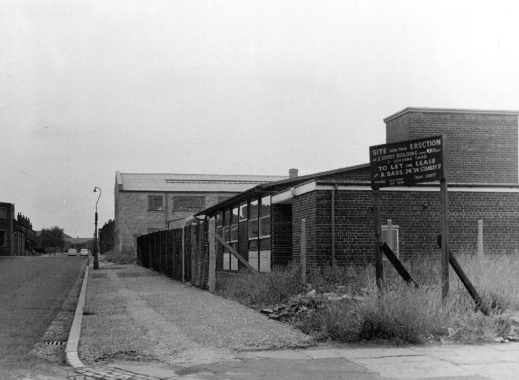
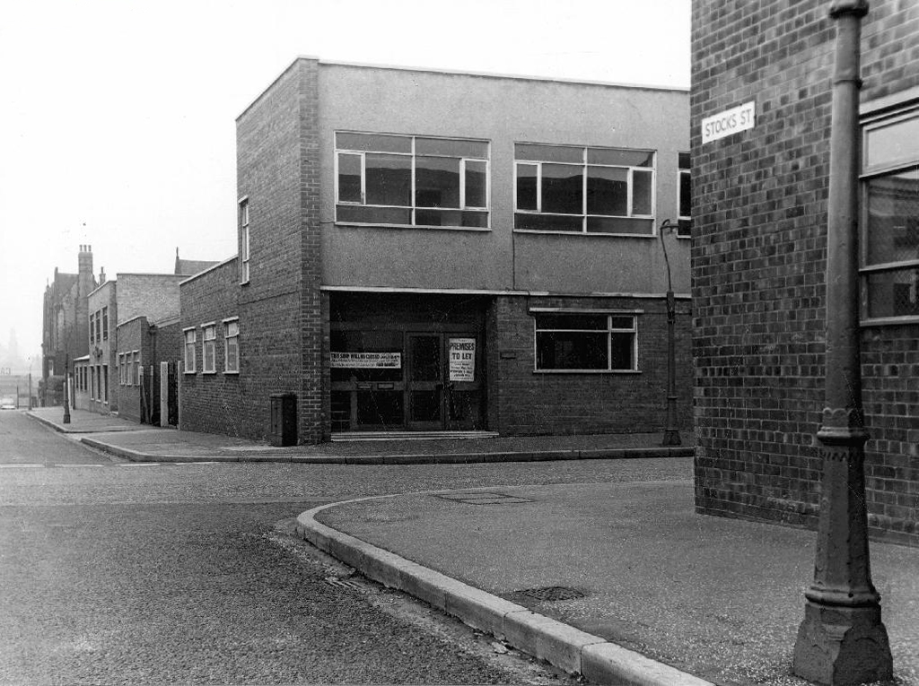
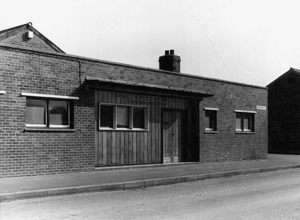
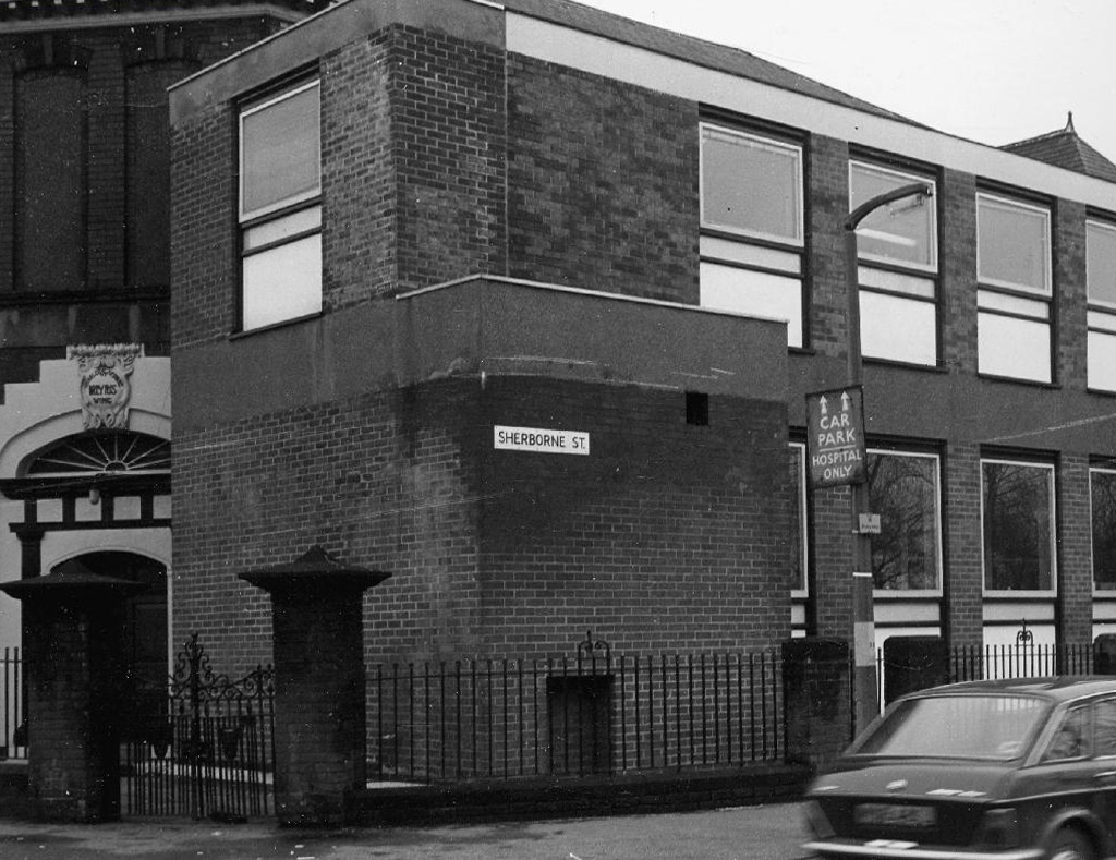
Let’s take a contradictory look and walk around those familiar, unfamiliar streets of Strangeways – where colourfully clad industrial barn, collides with blackened brick and stone behemoth.
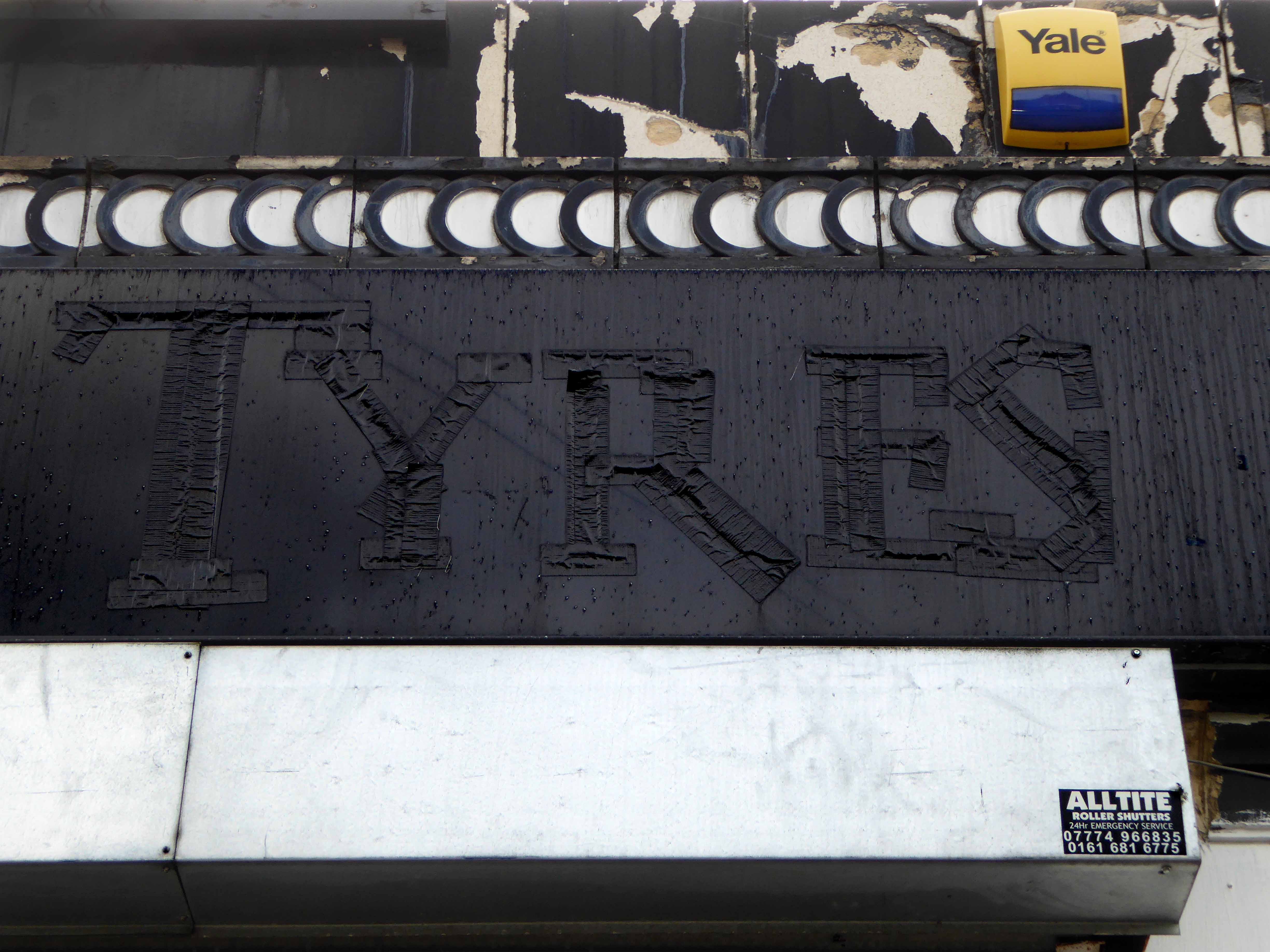
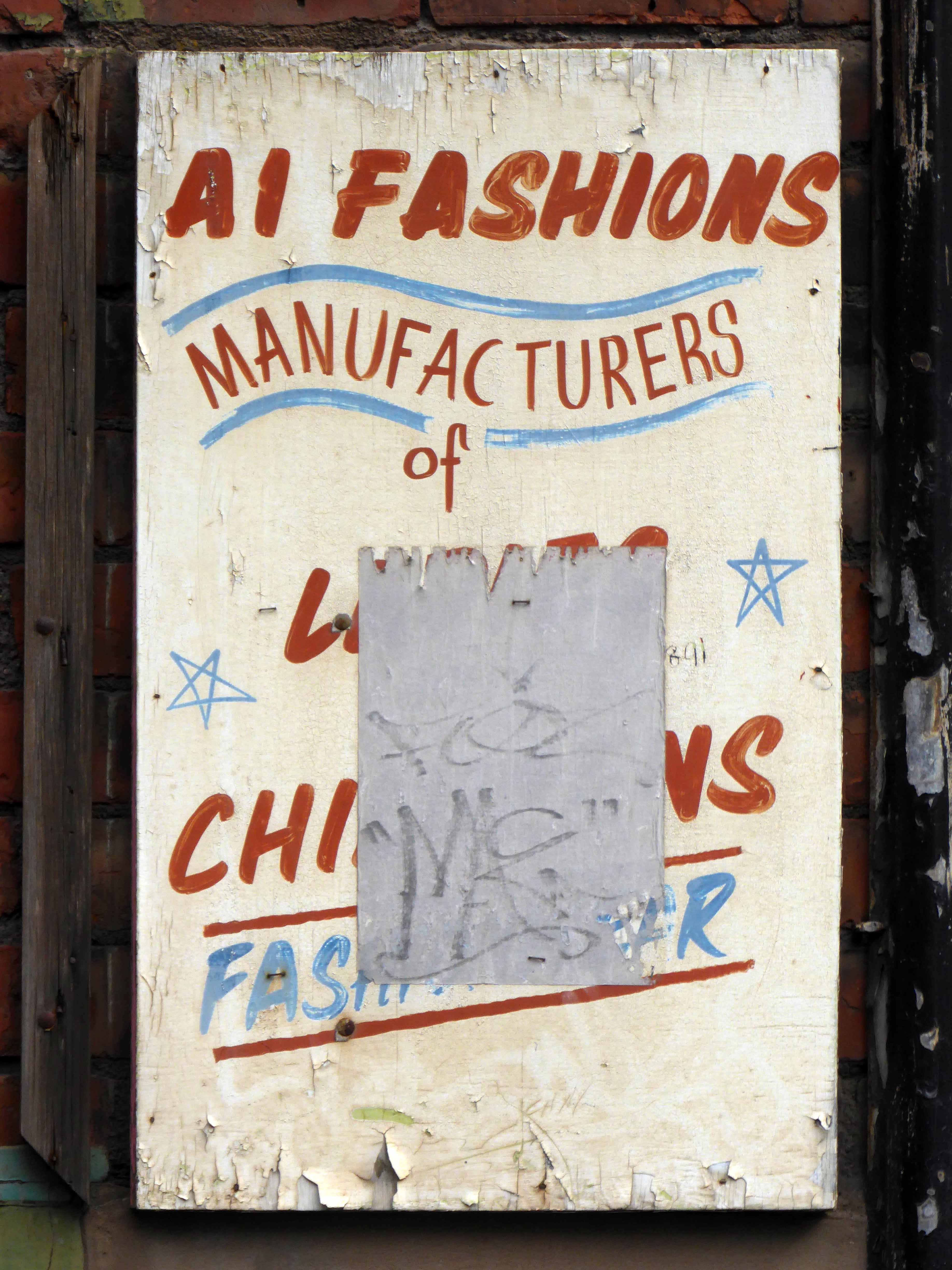
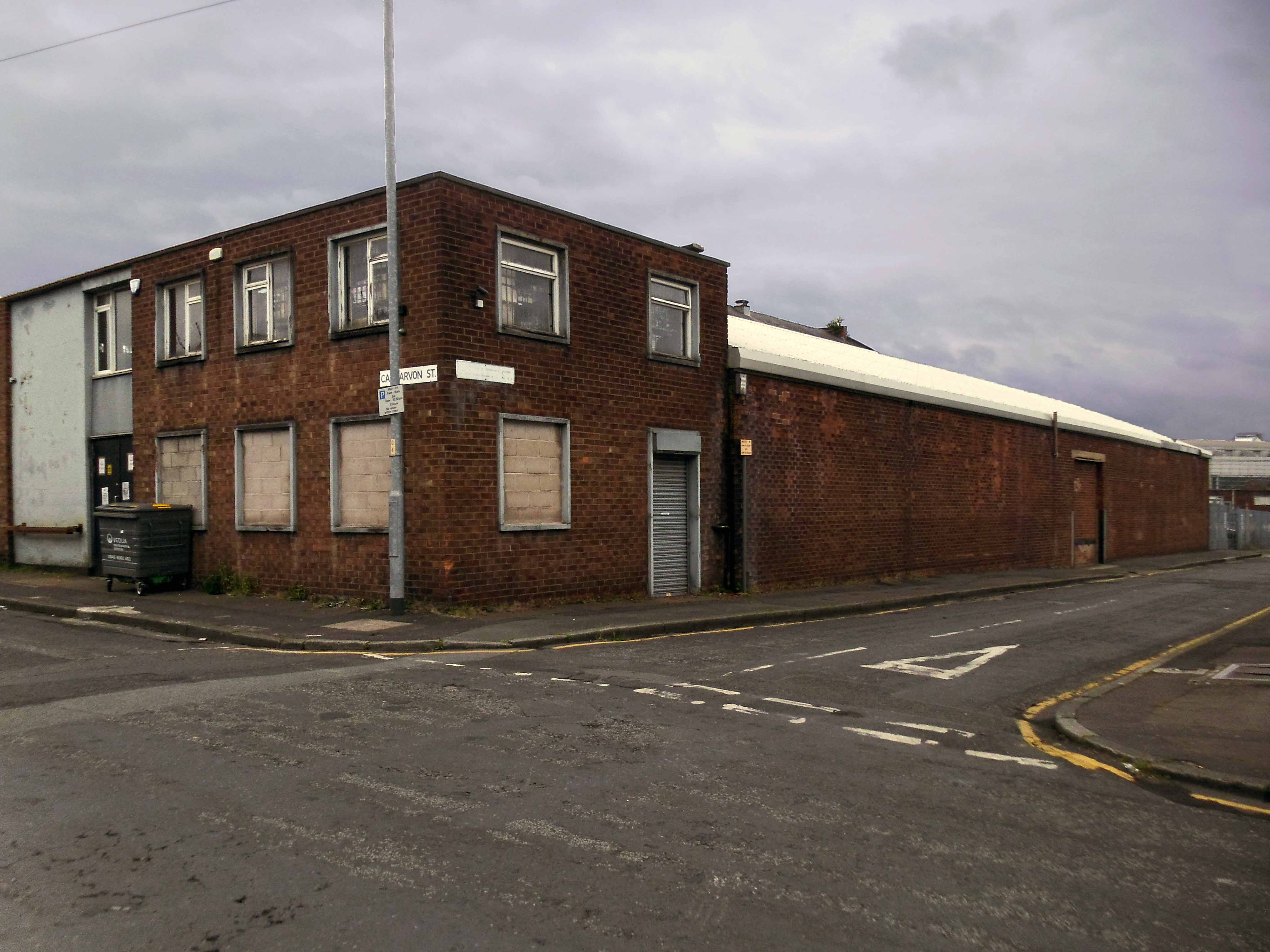
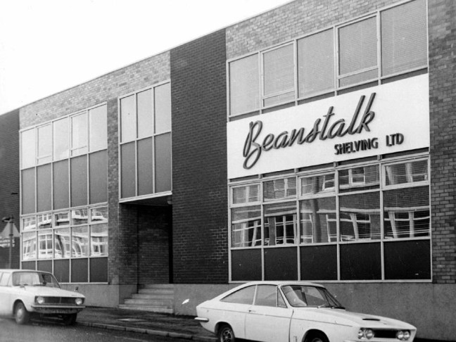
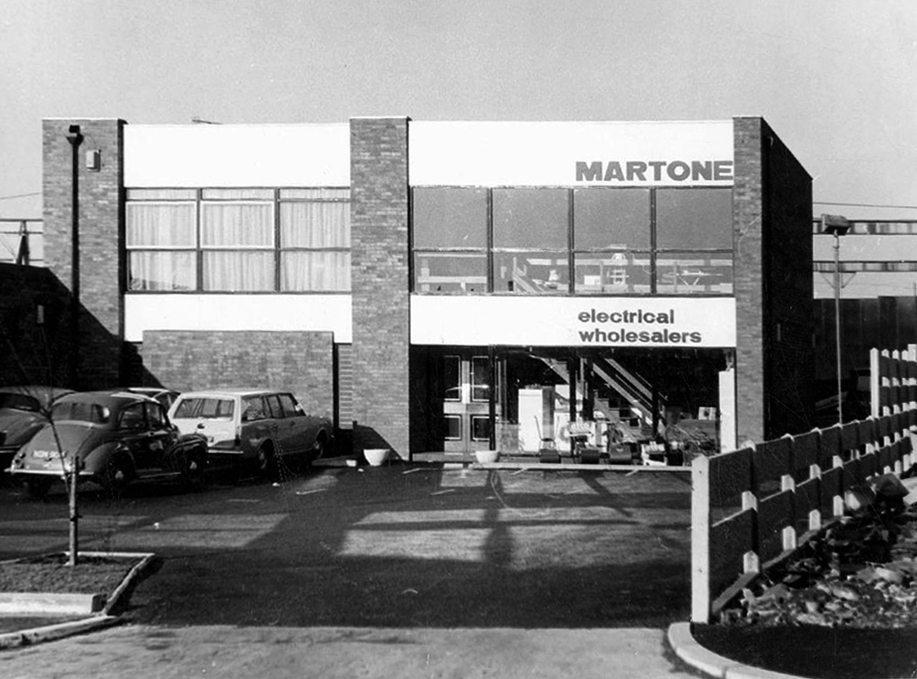
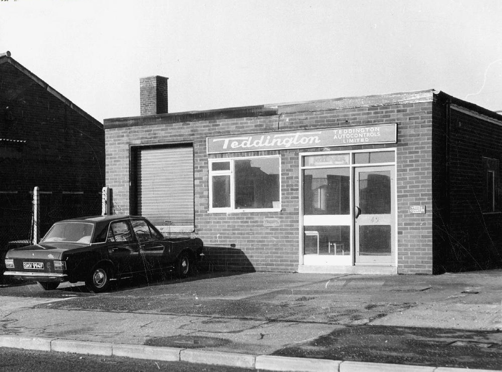
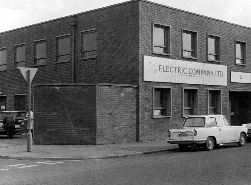
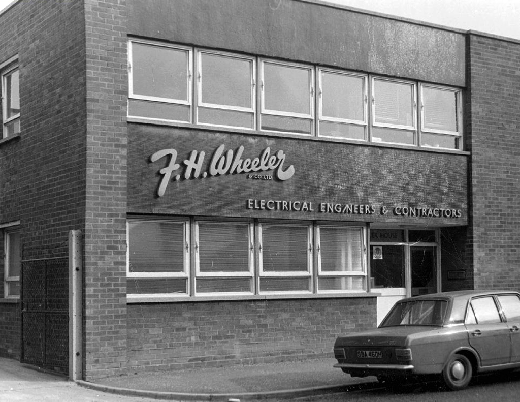
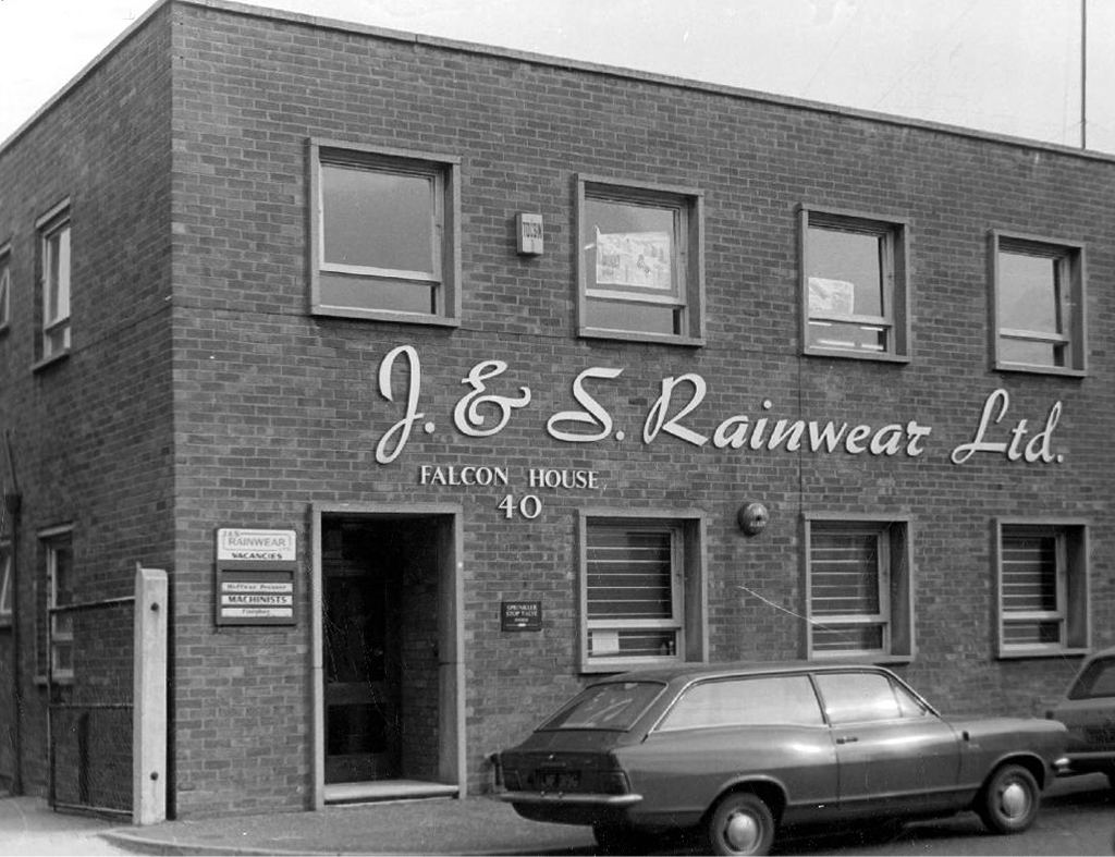
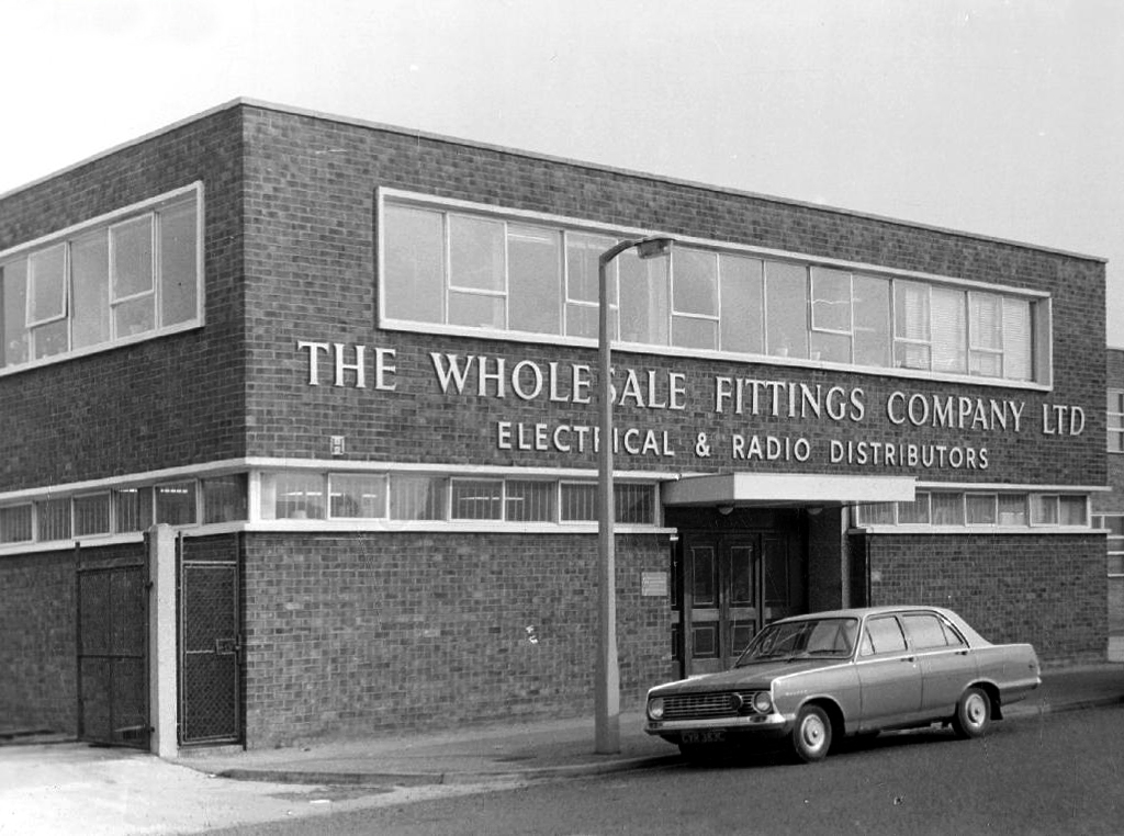
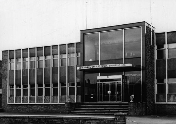
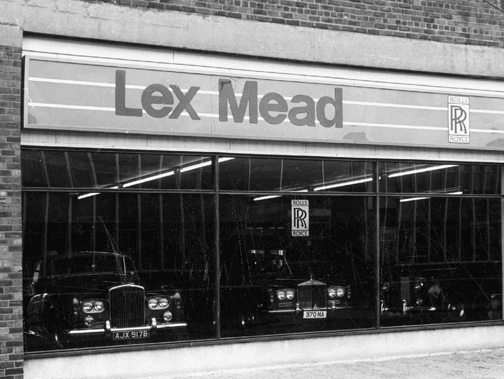
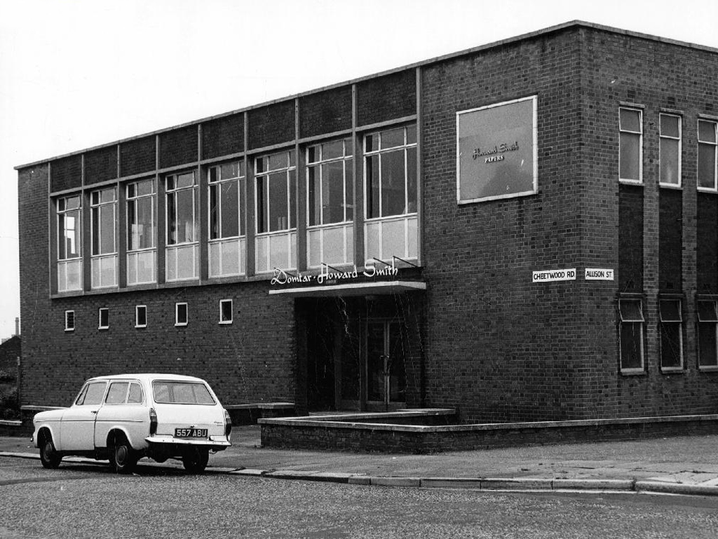
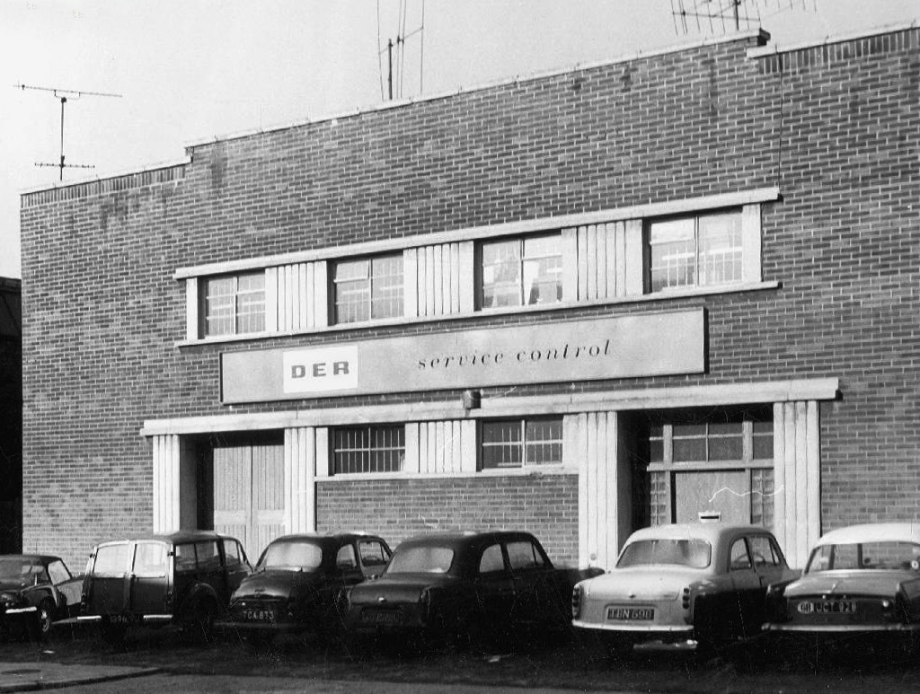
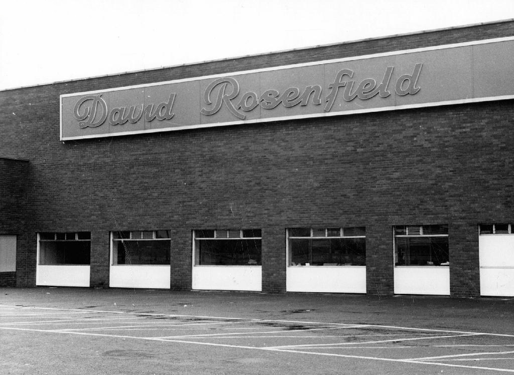
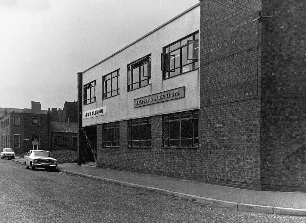
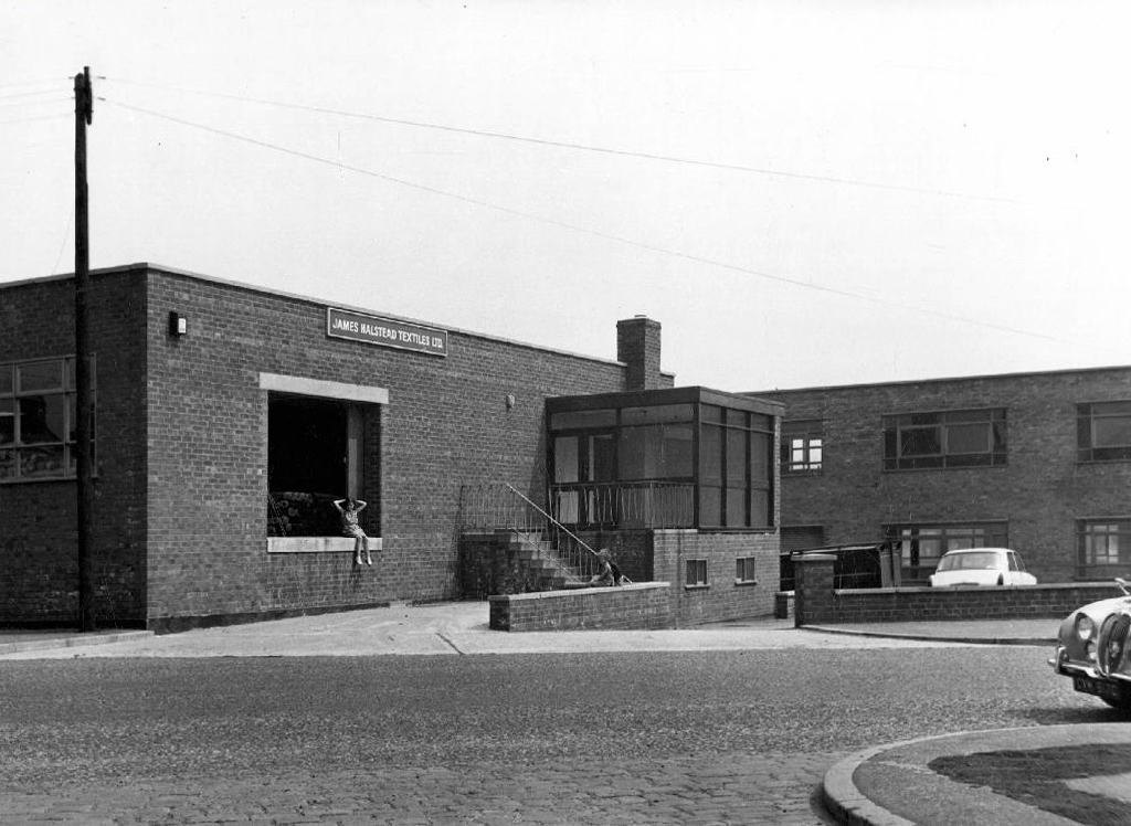
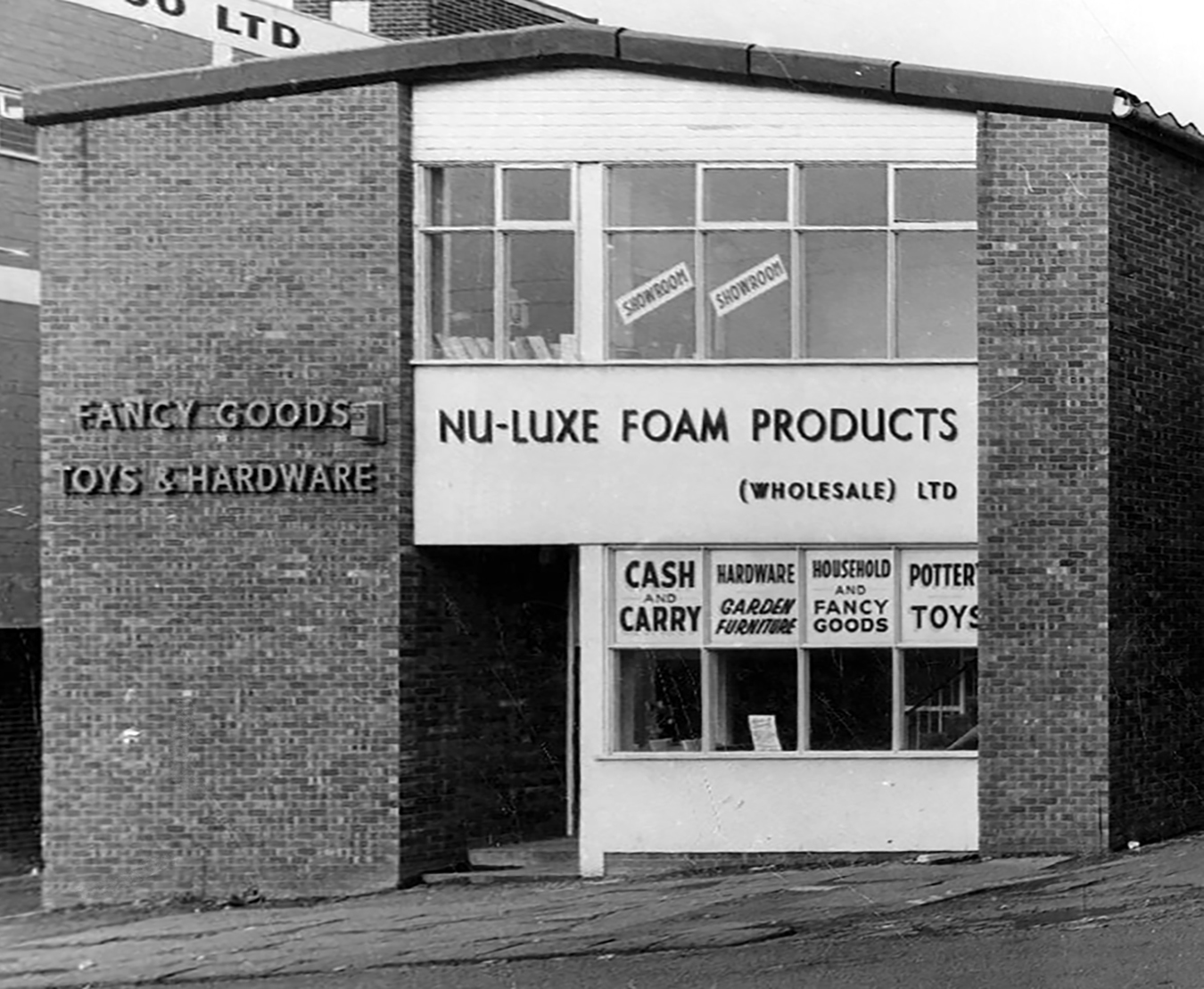
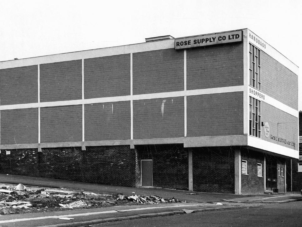
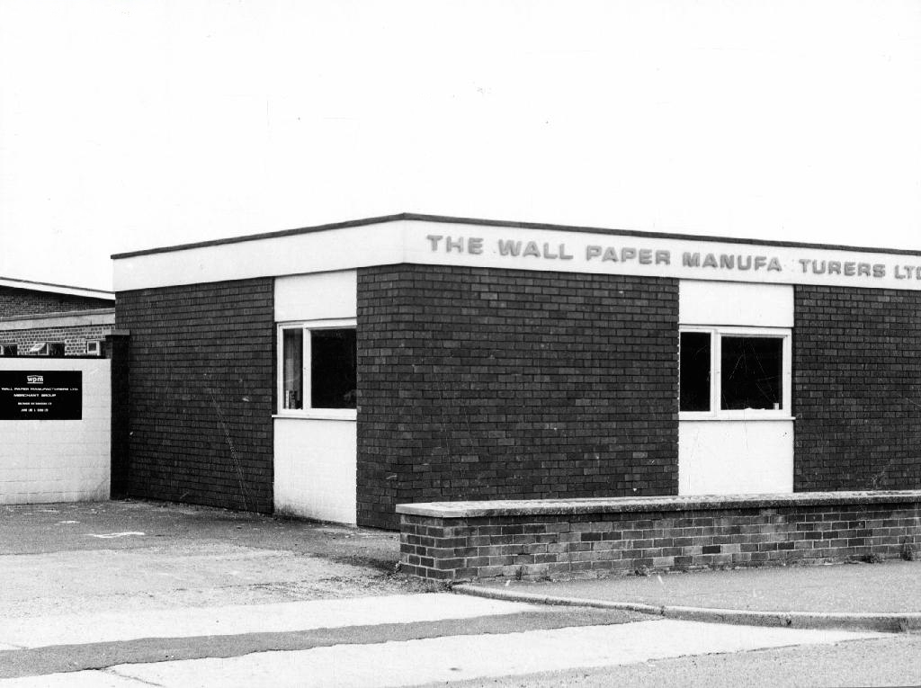
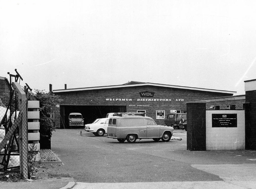
The future was functionalist flat-roofed, concrete, steel and brick boxes.
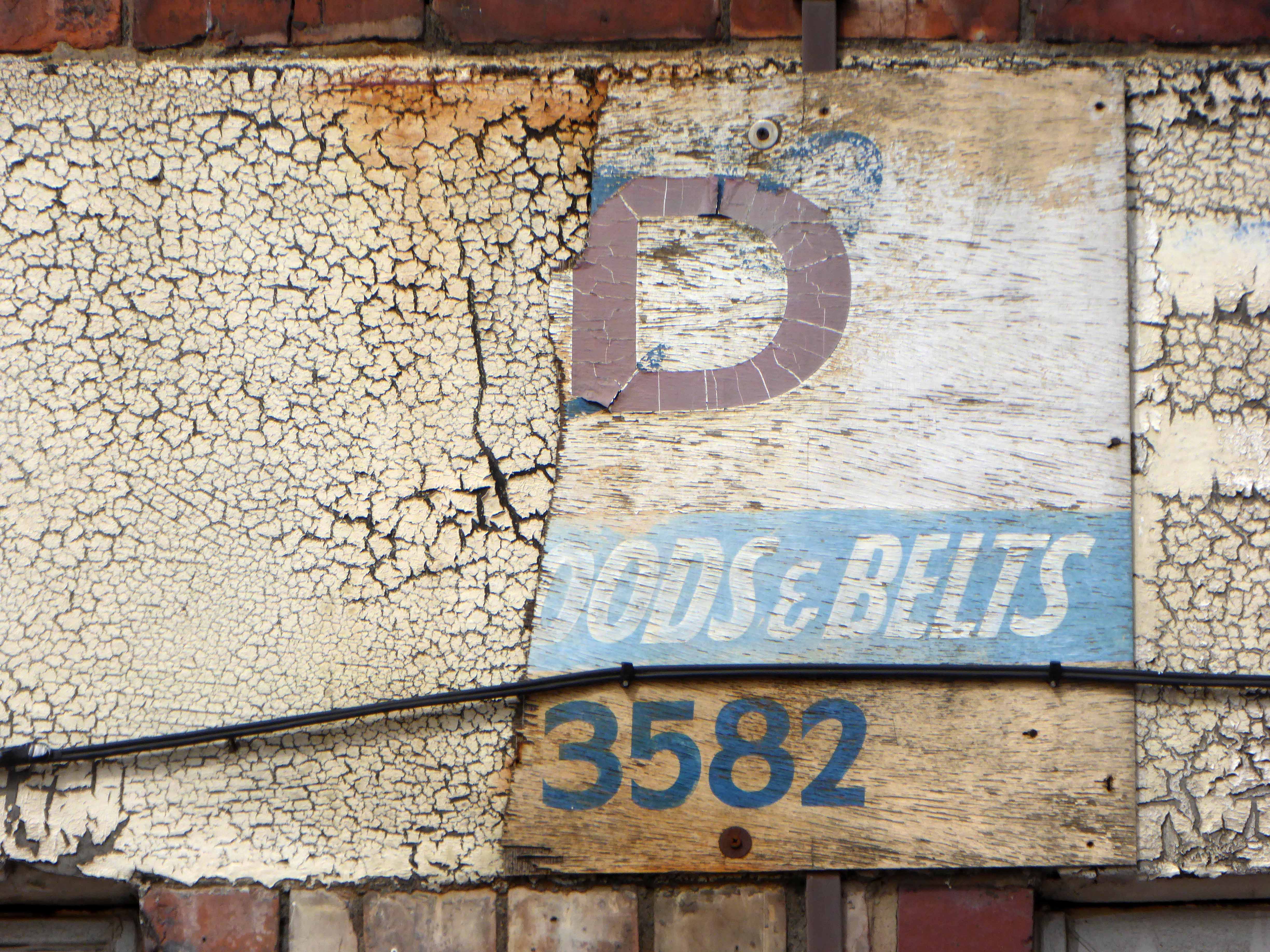
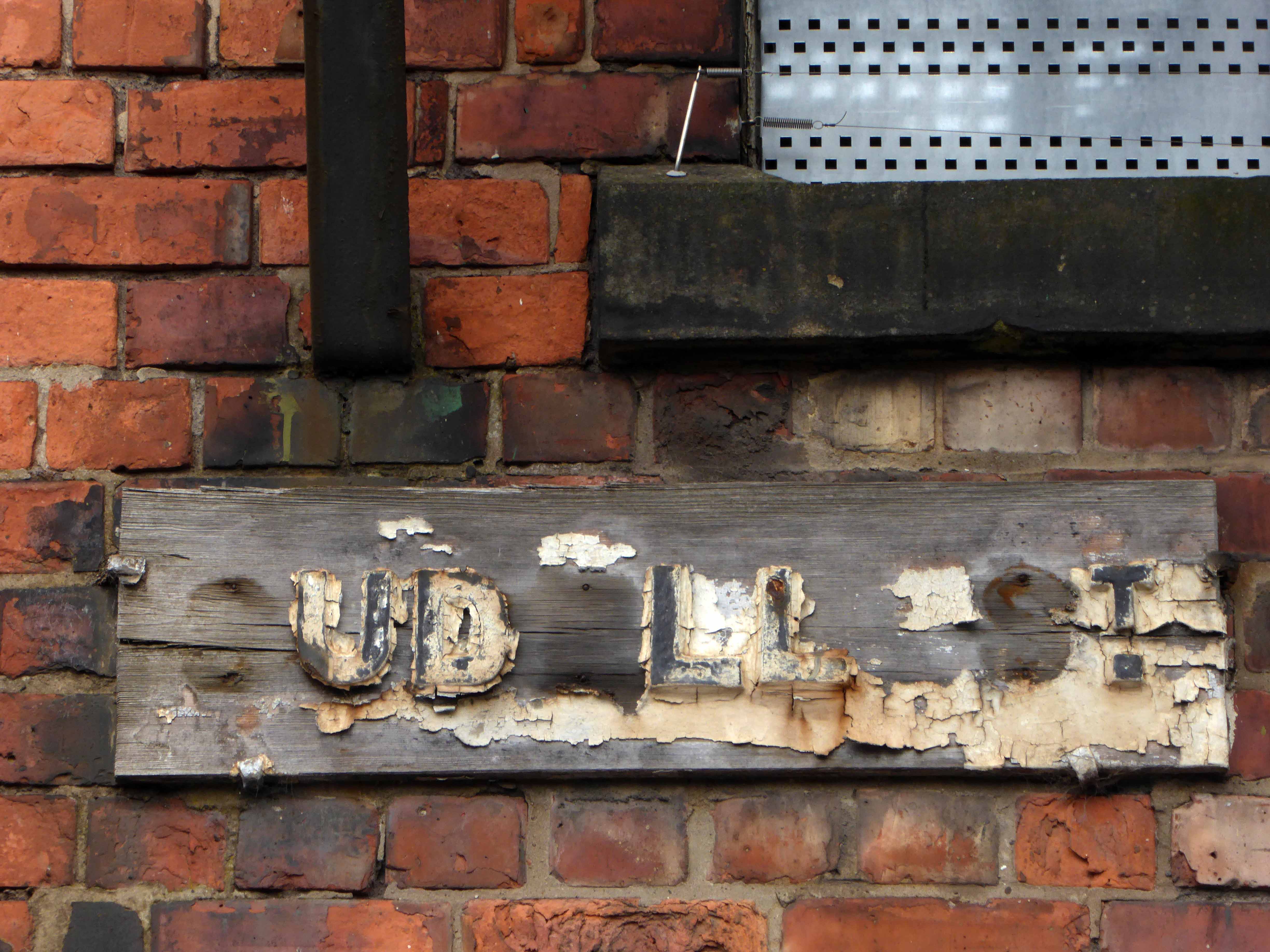
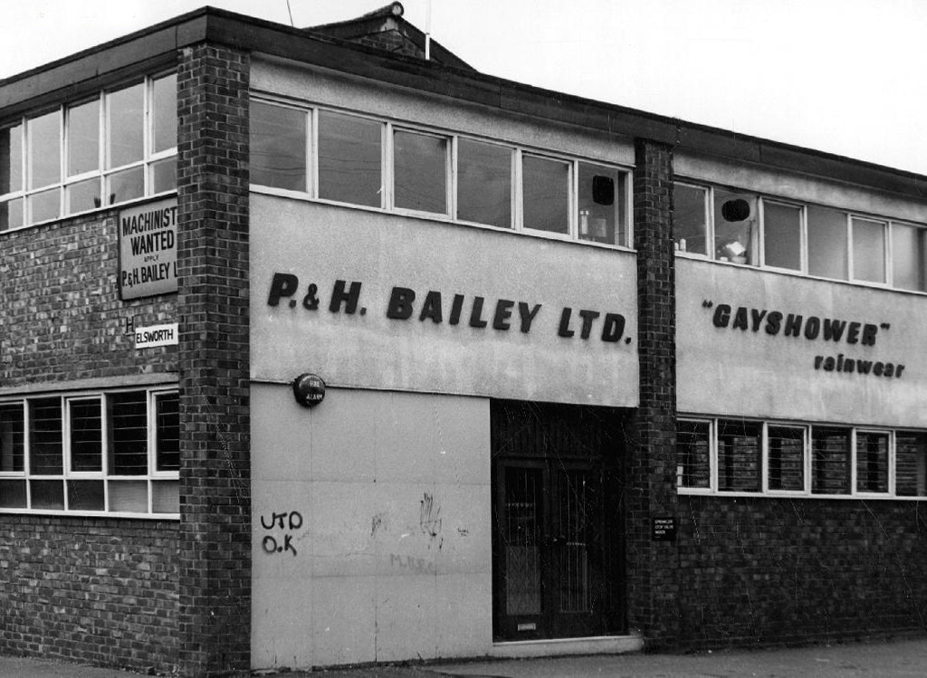
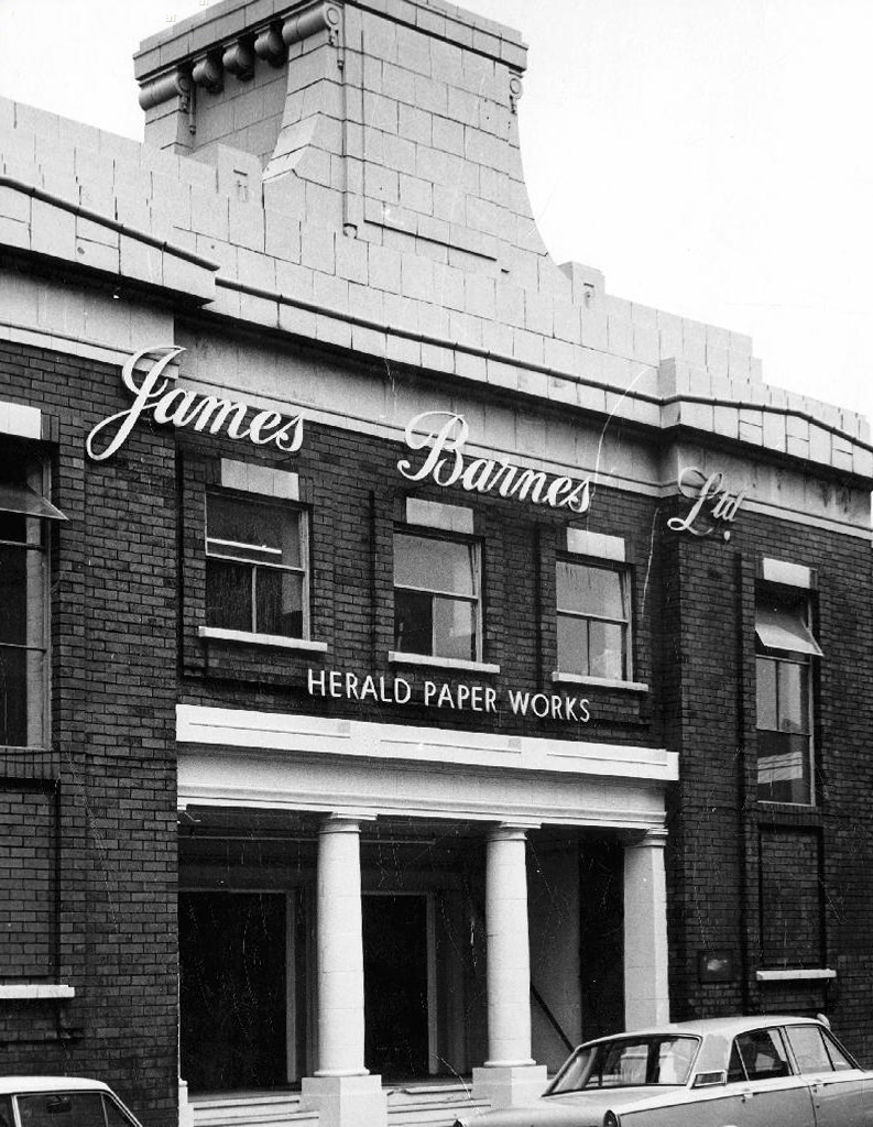
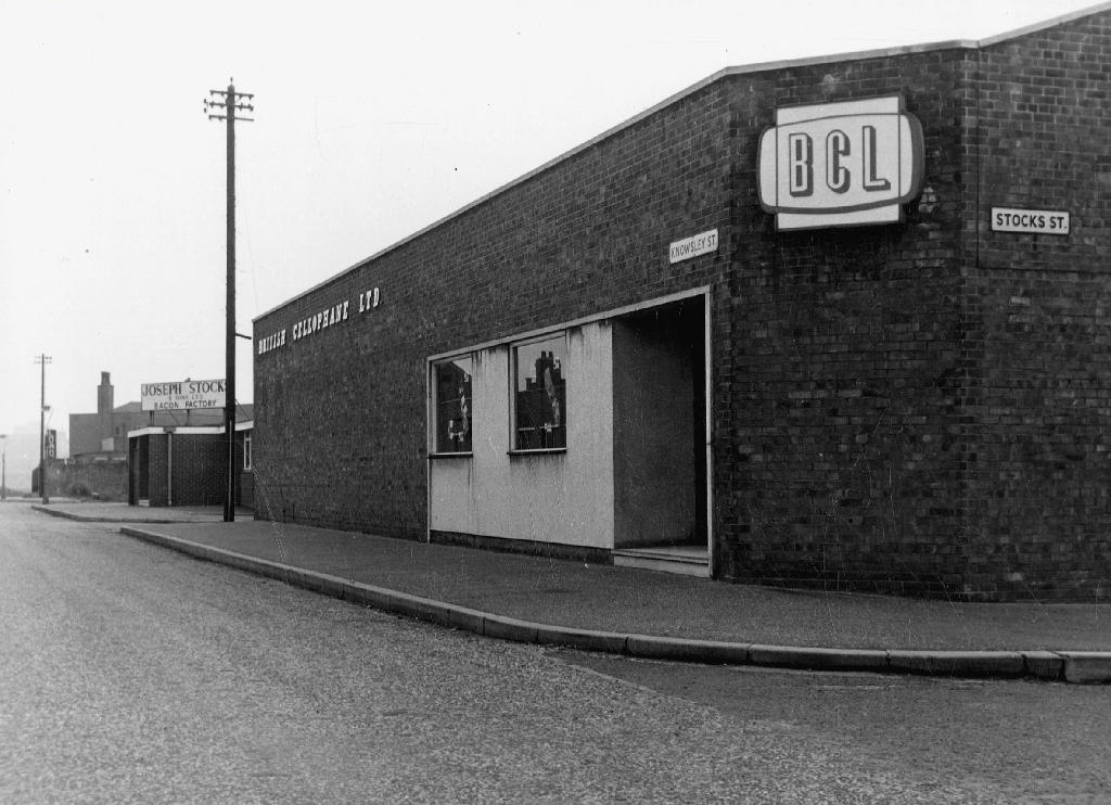
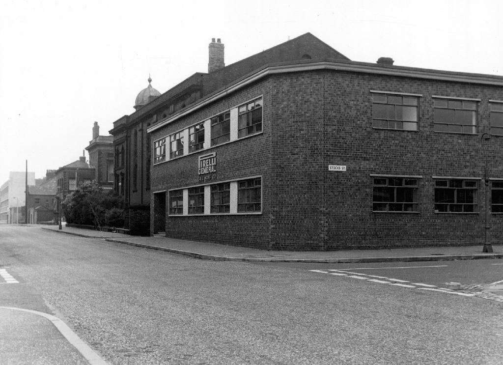
Adorned with the flowing scripts and signage of the multi-nationals, nationals and local companies, intent upon rendering corporeal the post-war optimism, attendant full-employment and the buoyant business of business.
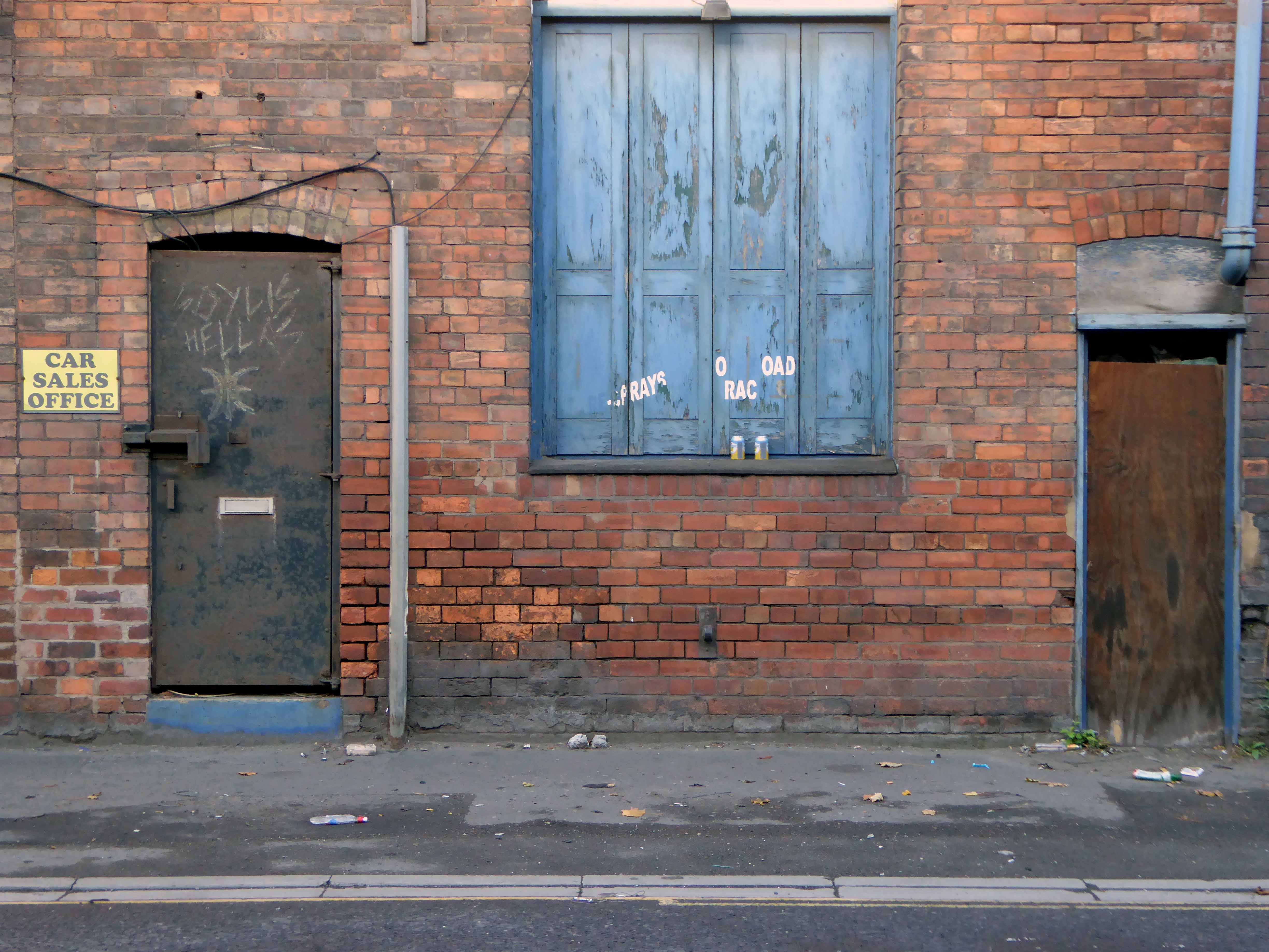
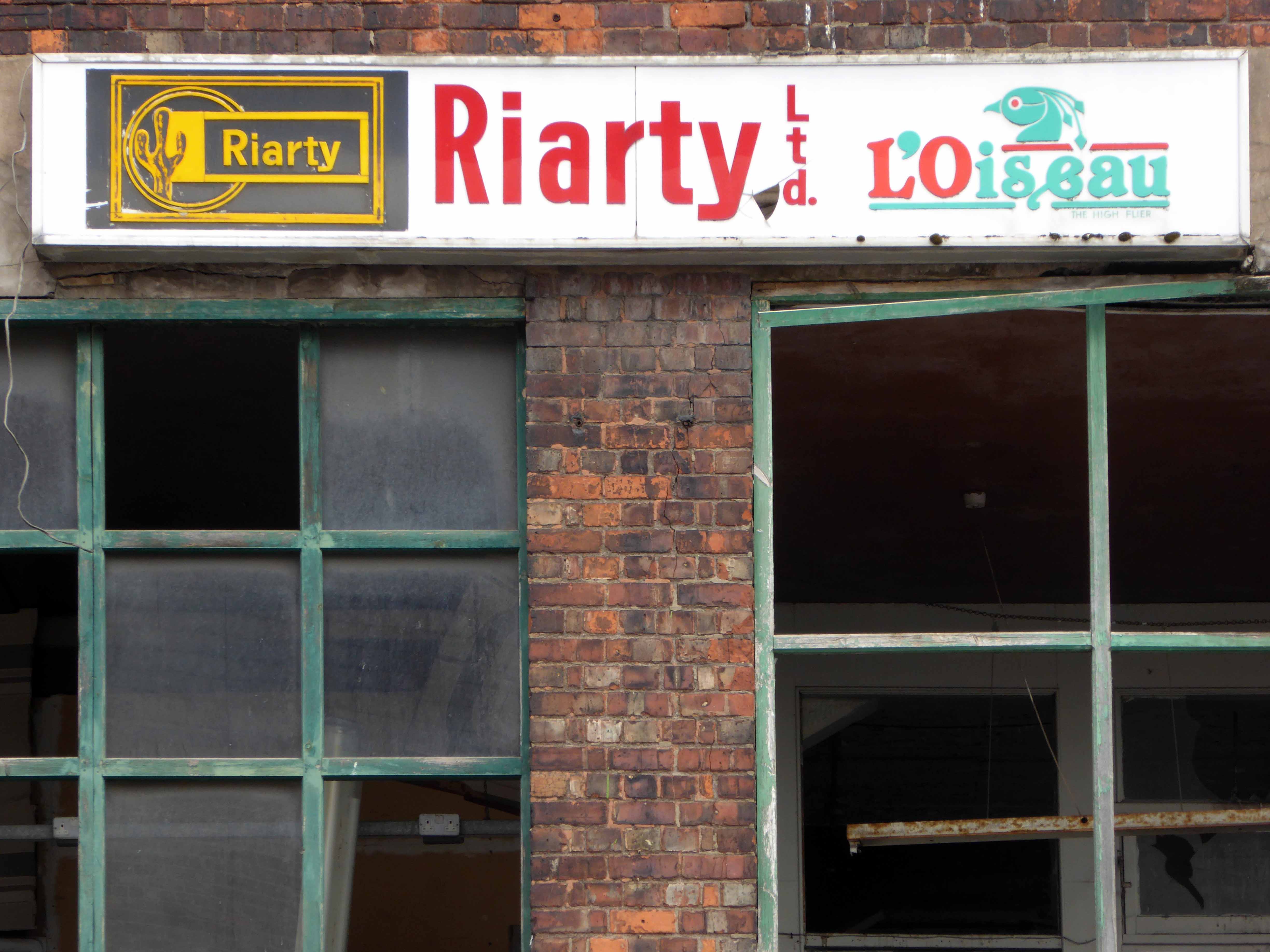
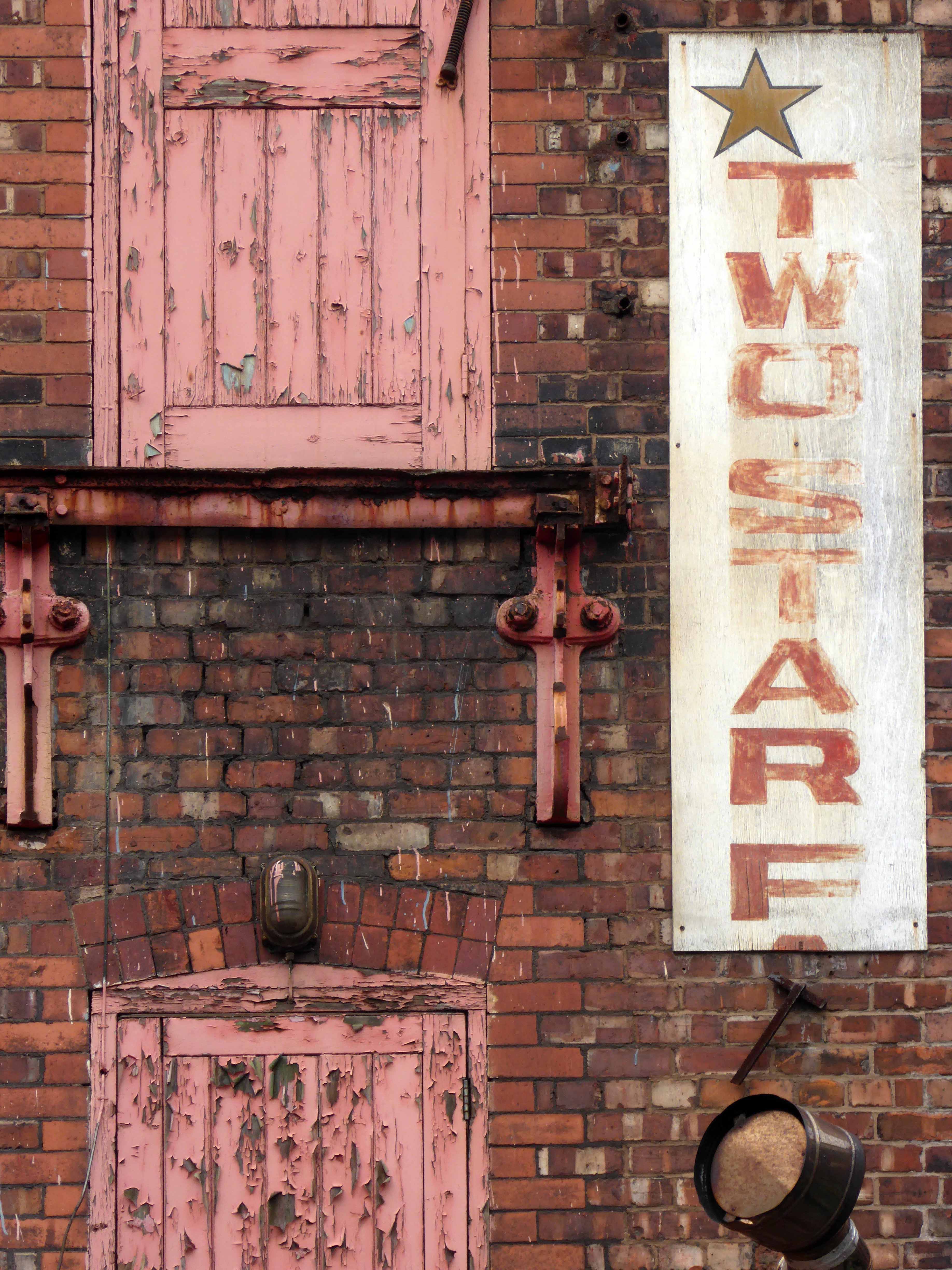
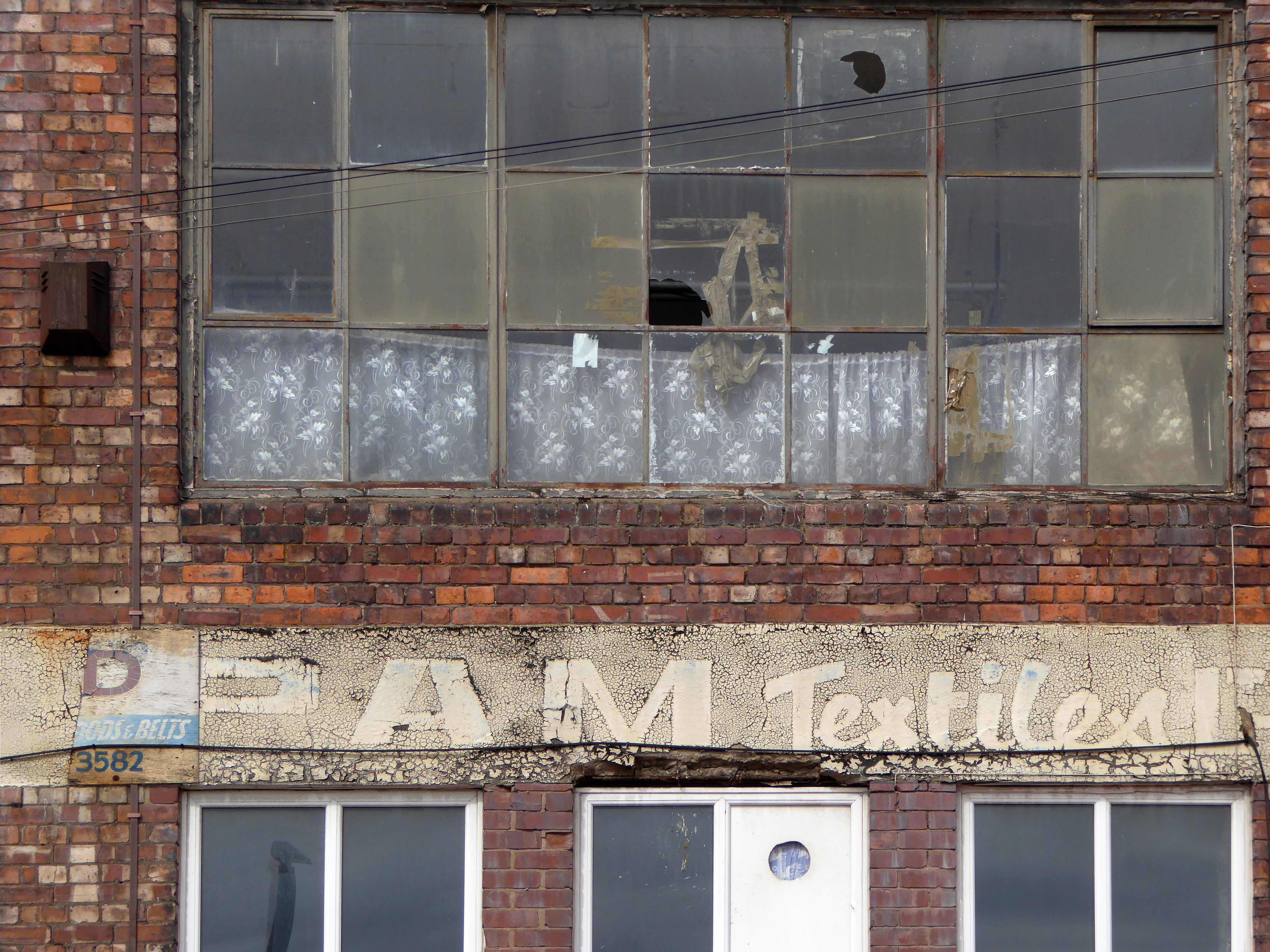
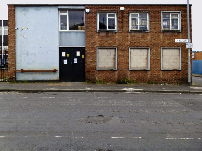
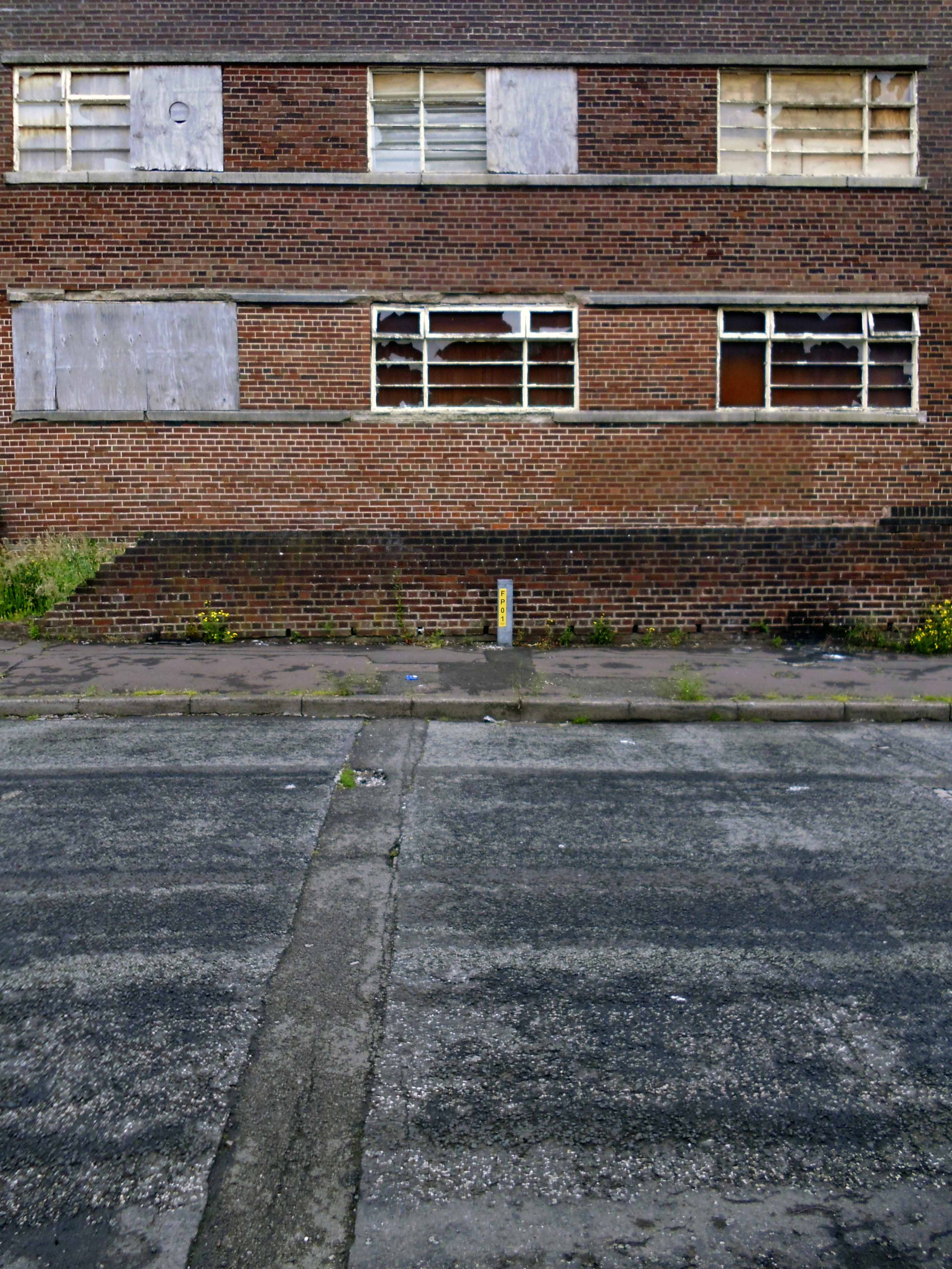
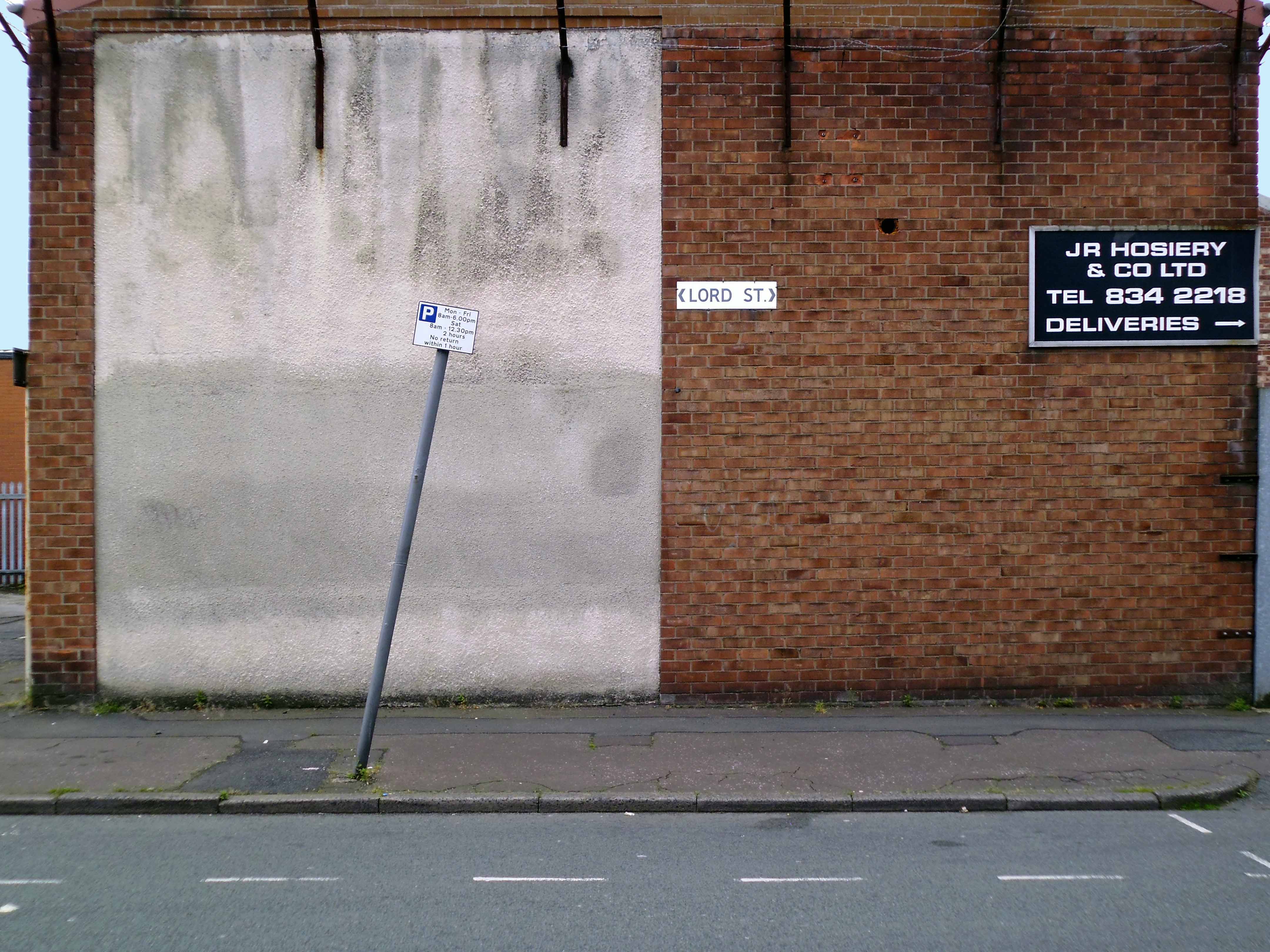
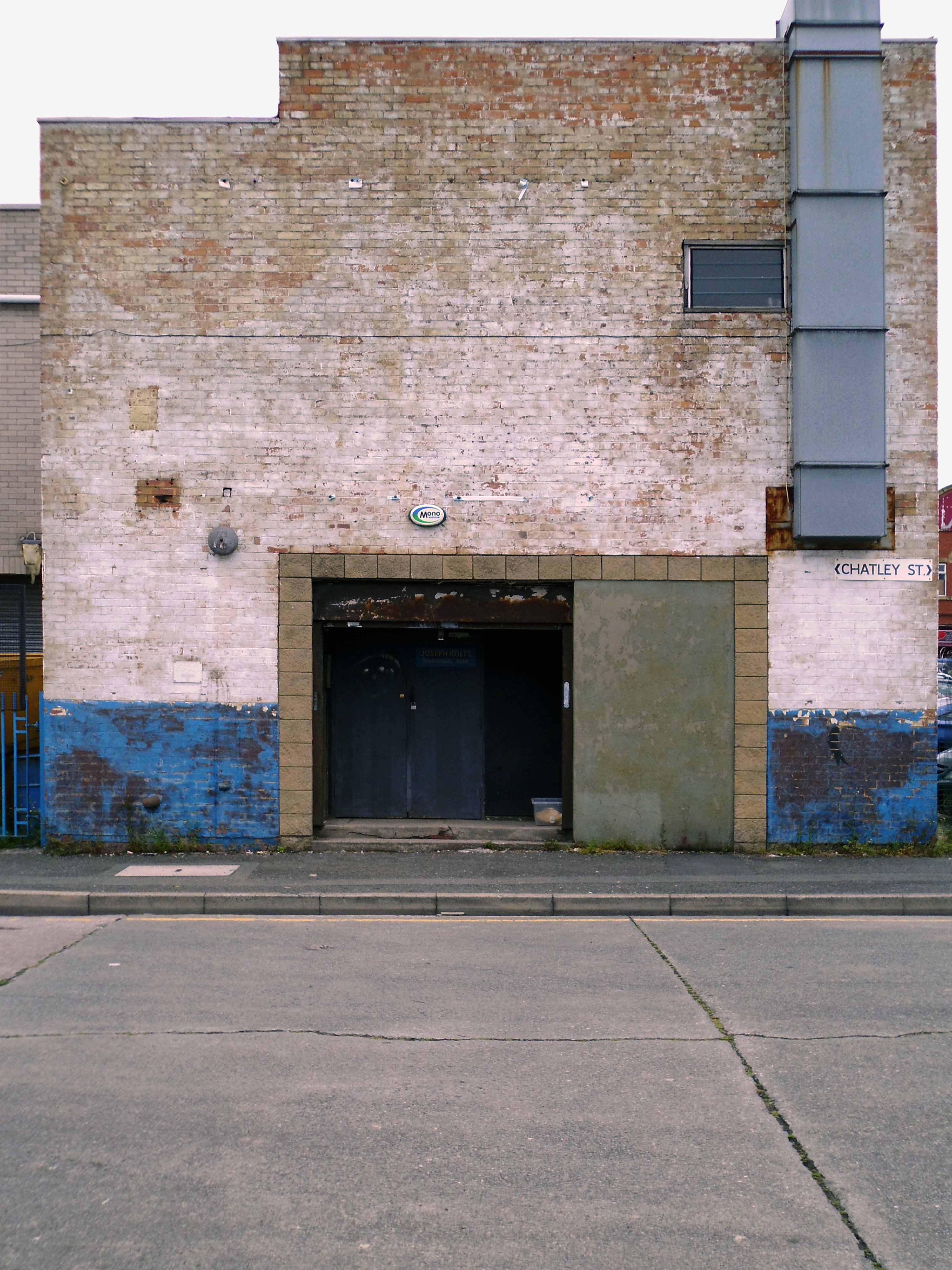
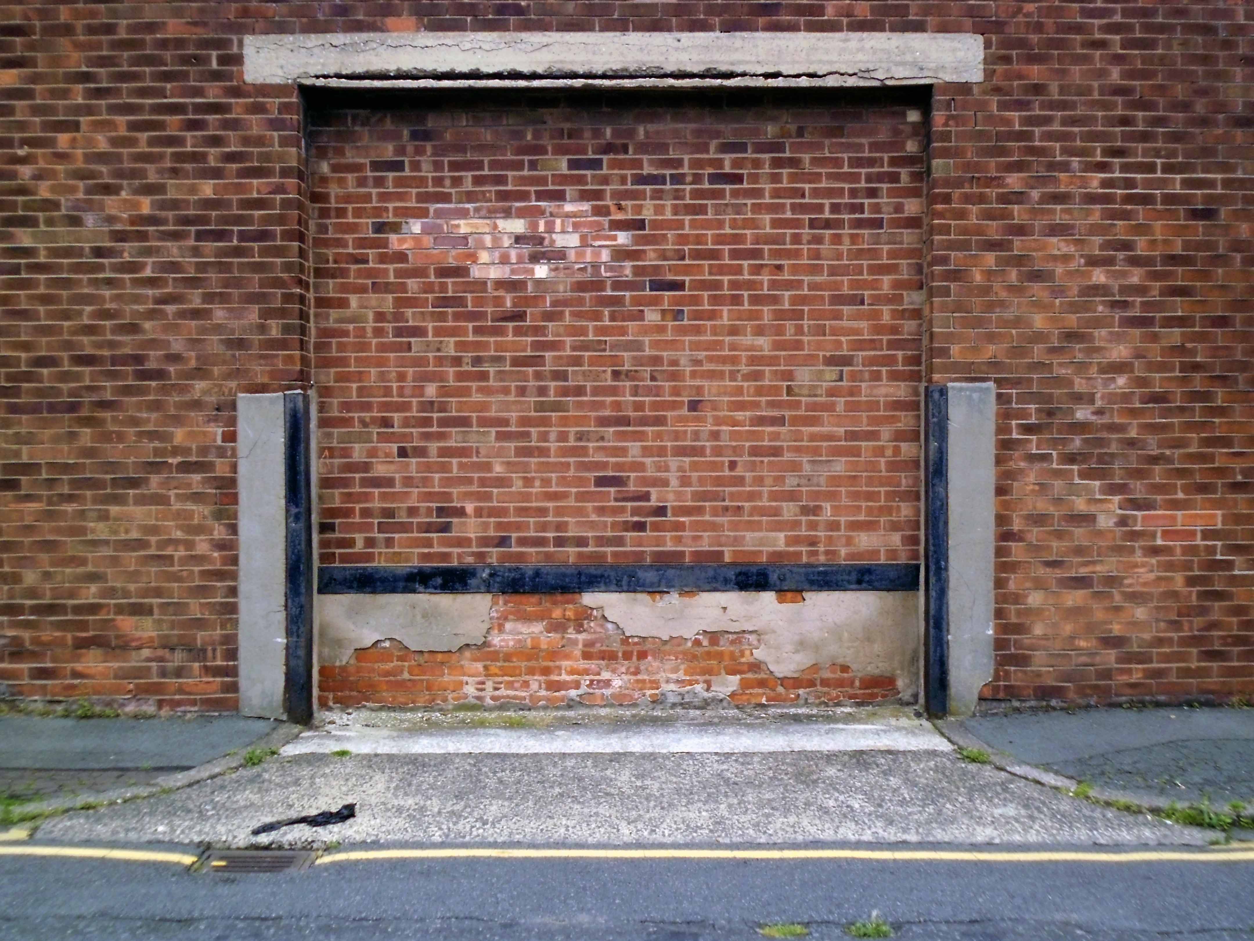
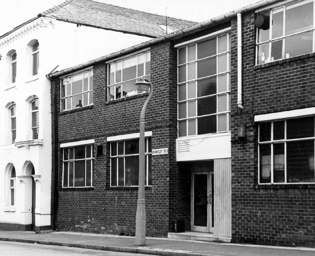
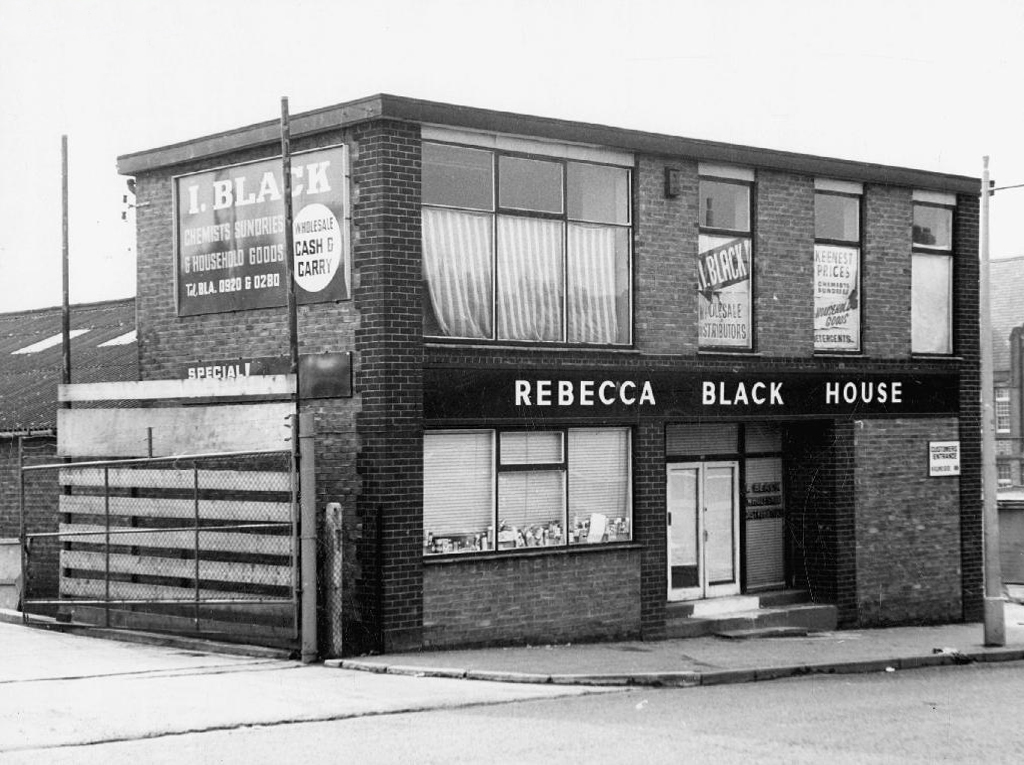
Fast forward to the future – the roofs have been pitched up, the windows bricked up or shuttered or both, walls encased in sad cladding.
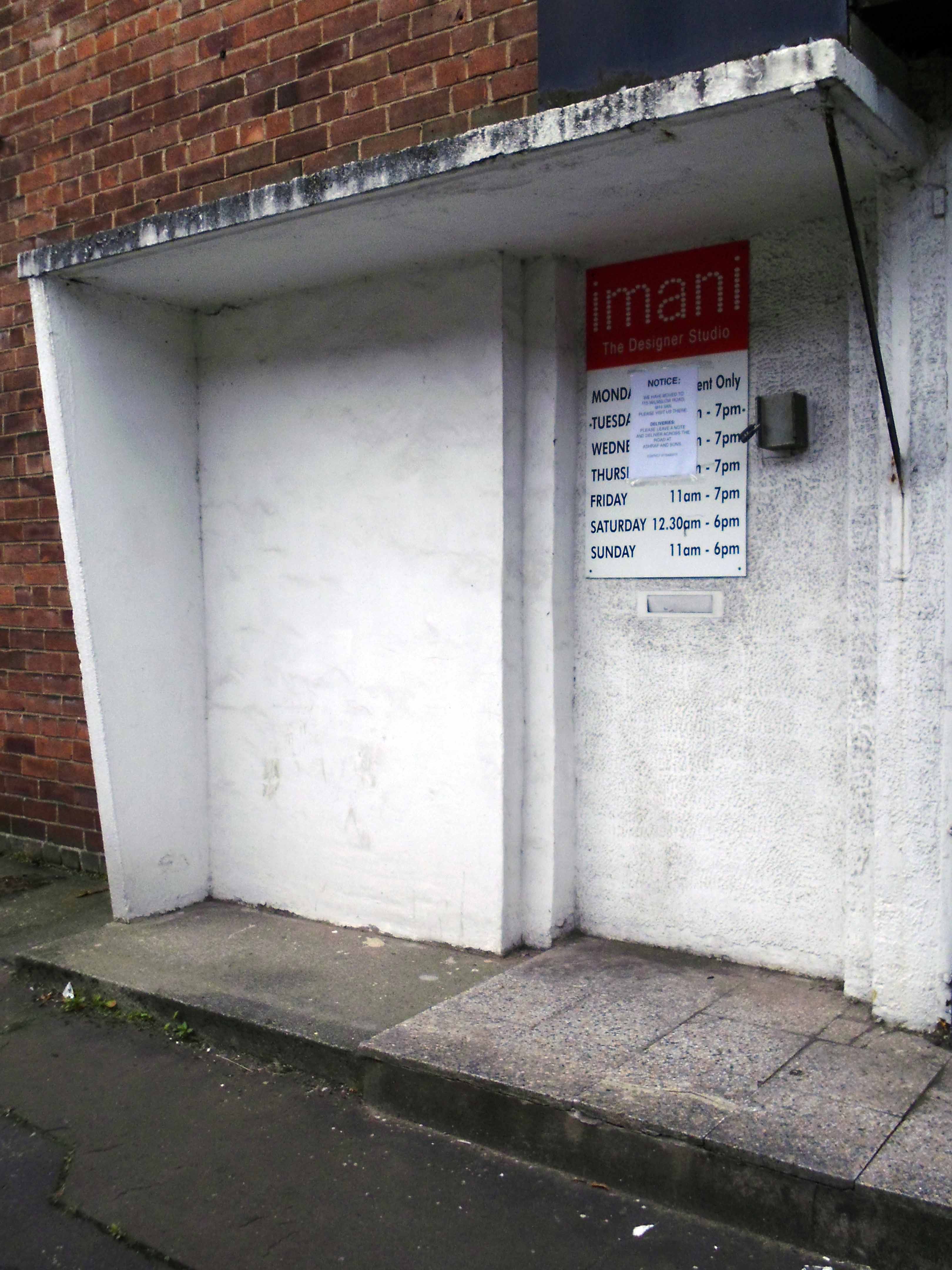
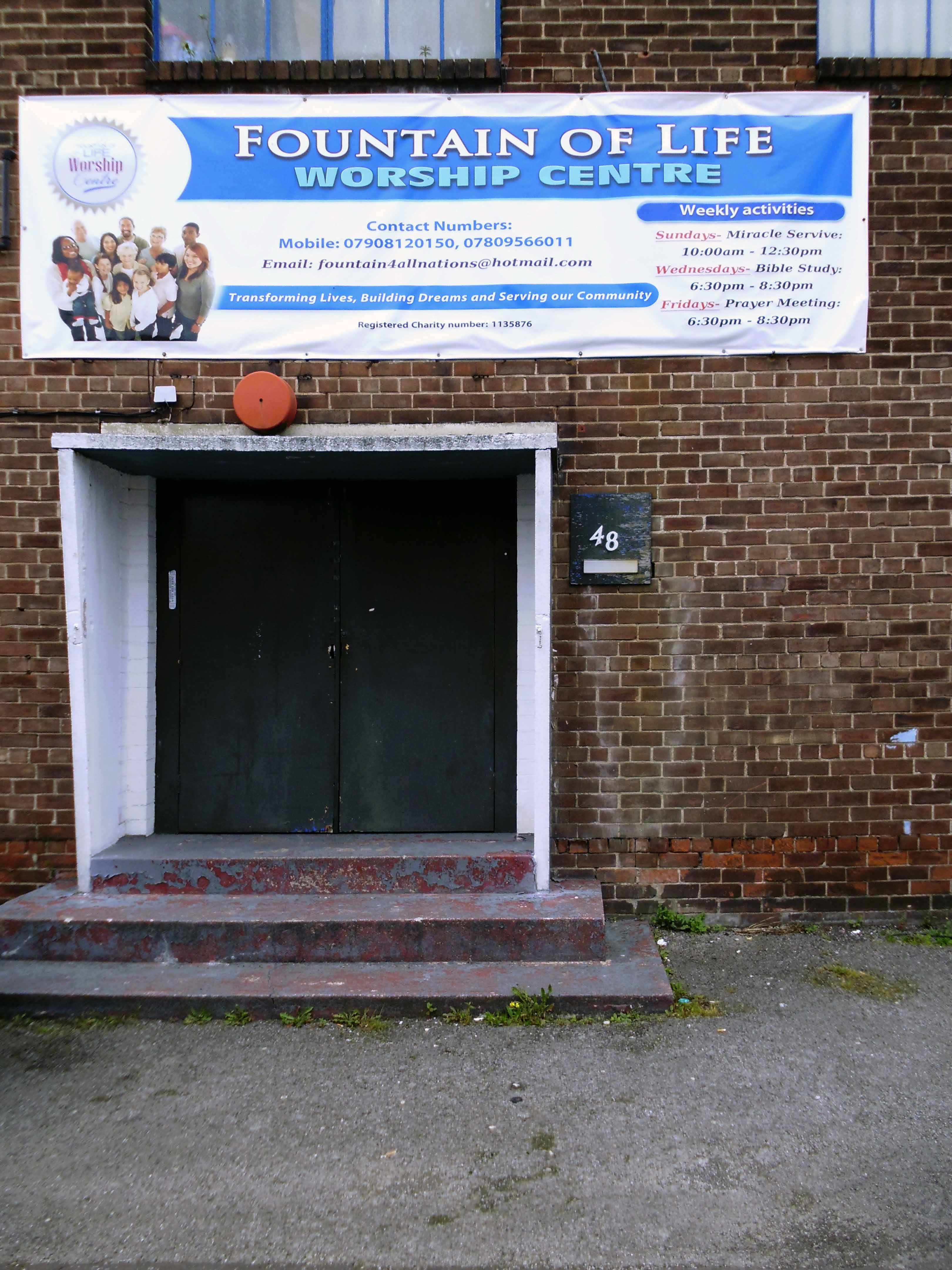
The semi-permanent signage replaced with terminally temporary vinyl.
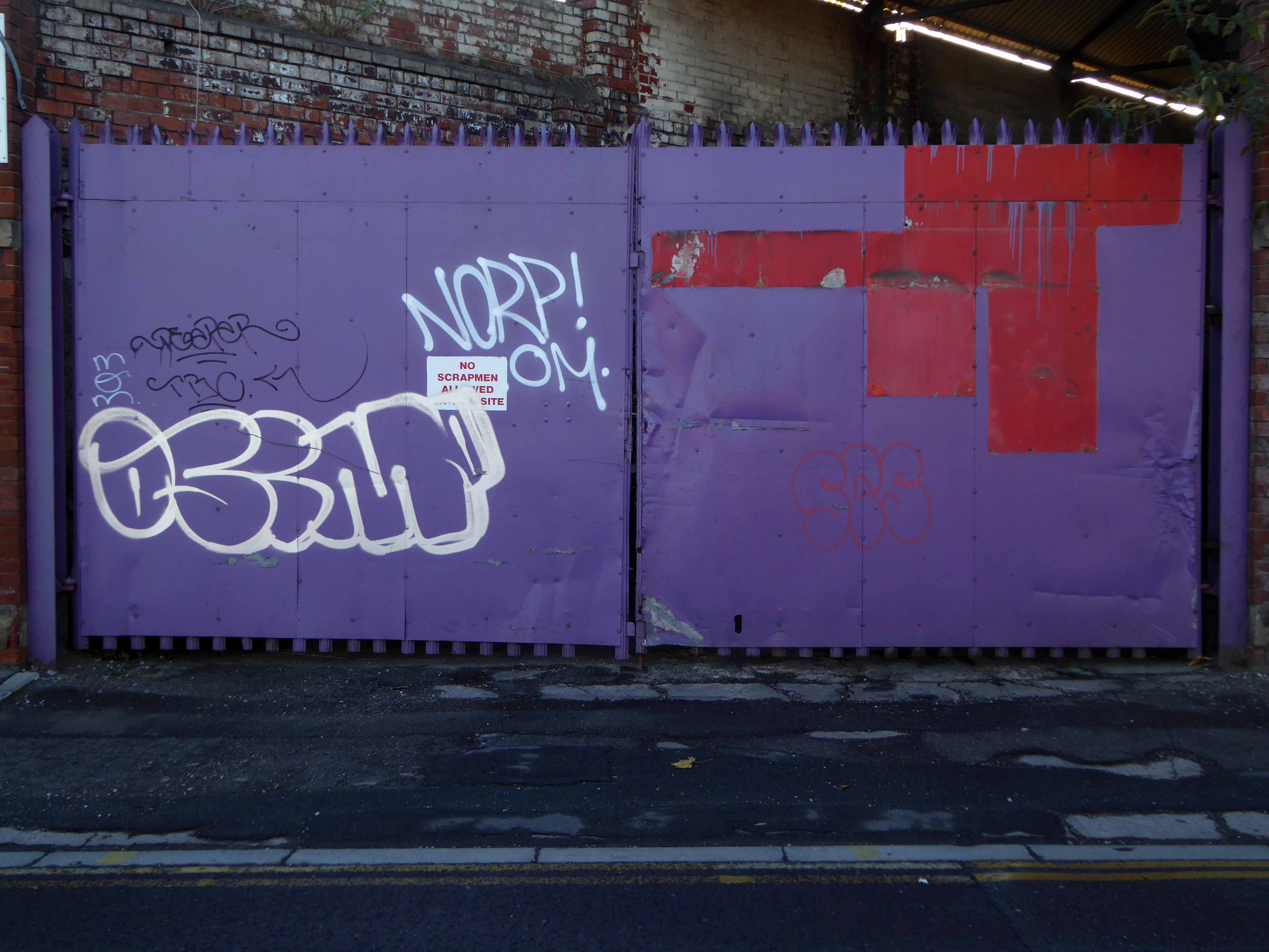
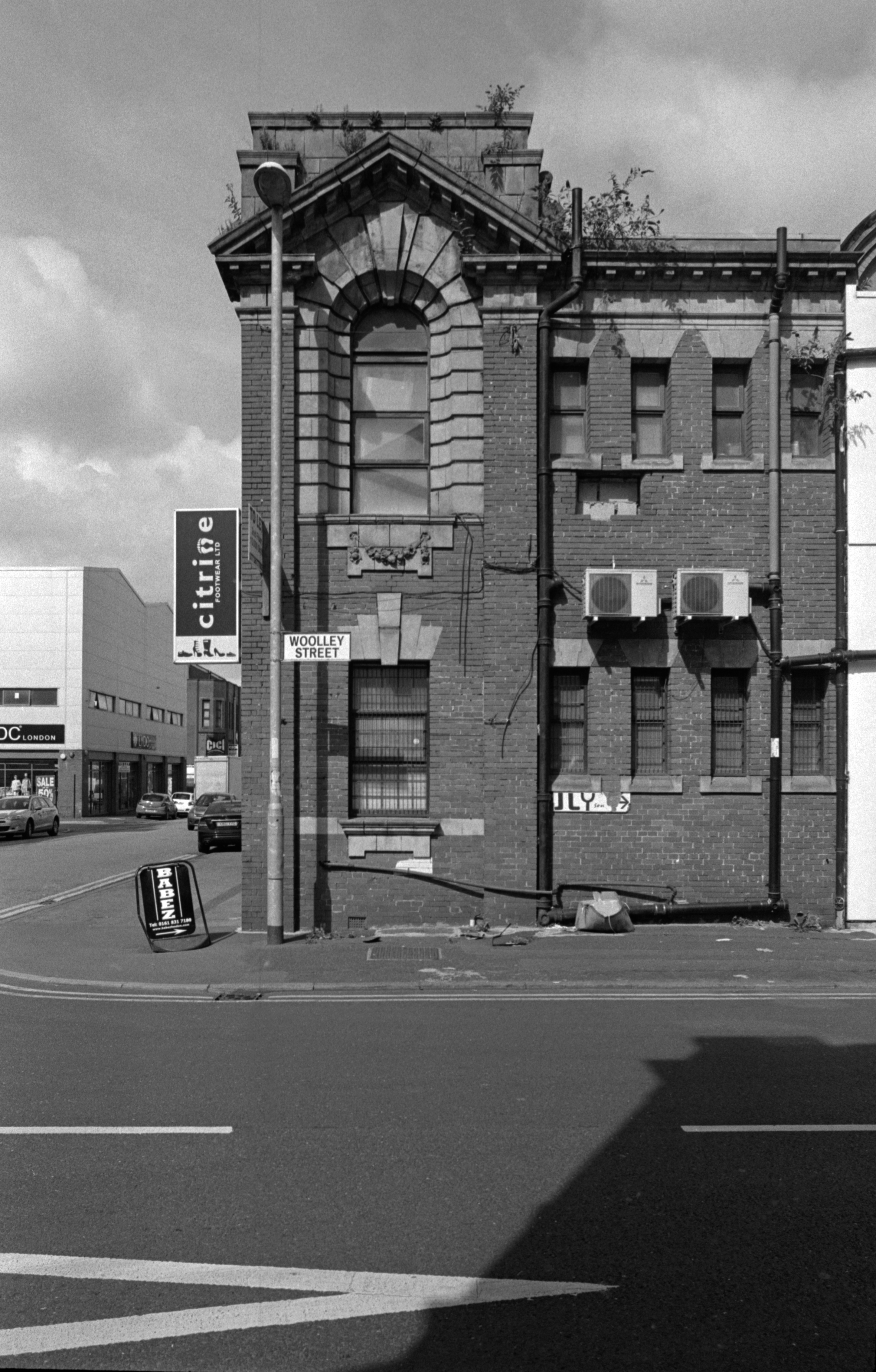
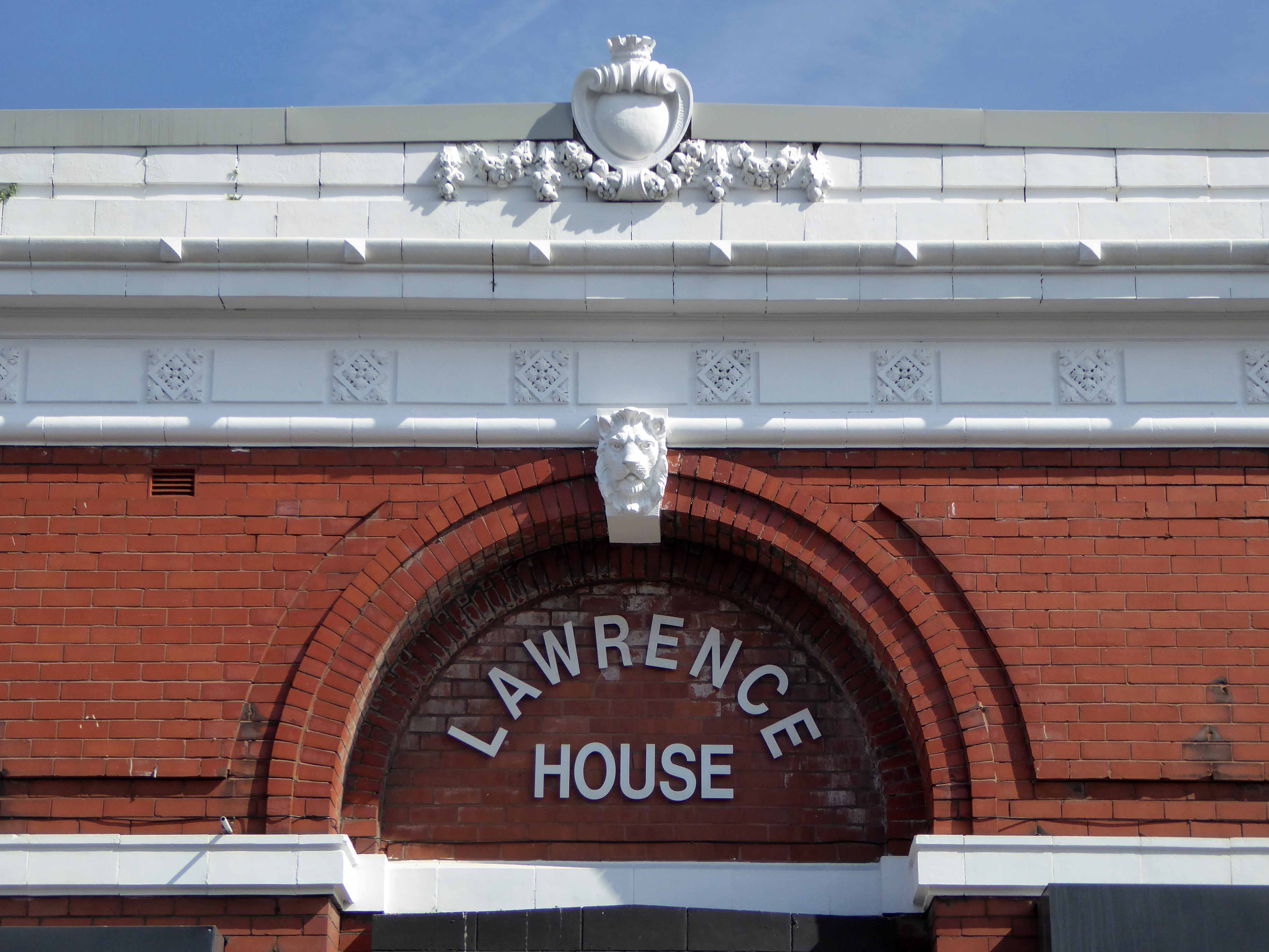
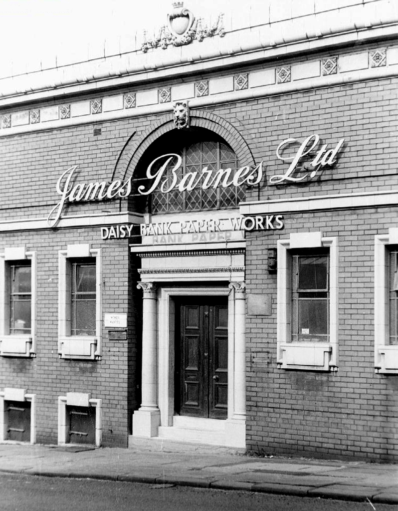
Joe Sunlight’s neo-classical pediments have been painted a funny colour.
The Strangeways family themselves are certainly recorded in antiquity at the site, although the name appears differently over time; Strongways in 1306, Strangewayes in 1349 and Strangwishe in 1473. In the late 1500s in records at Manchester Cathedral the surname is spelt Strangwaies.
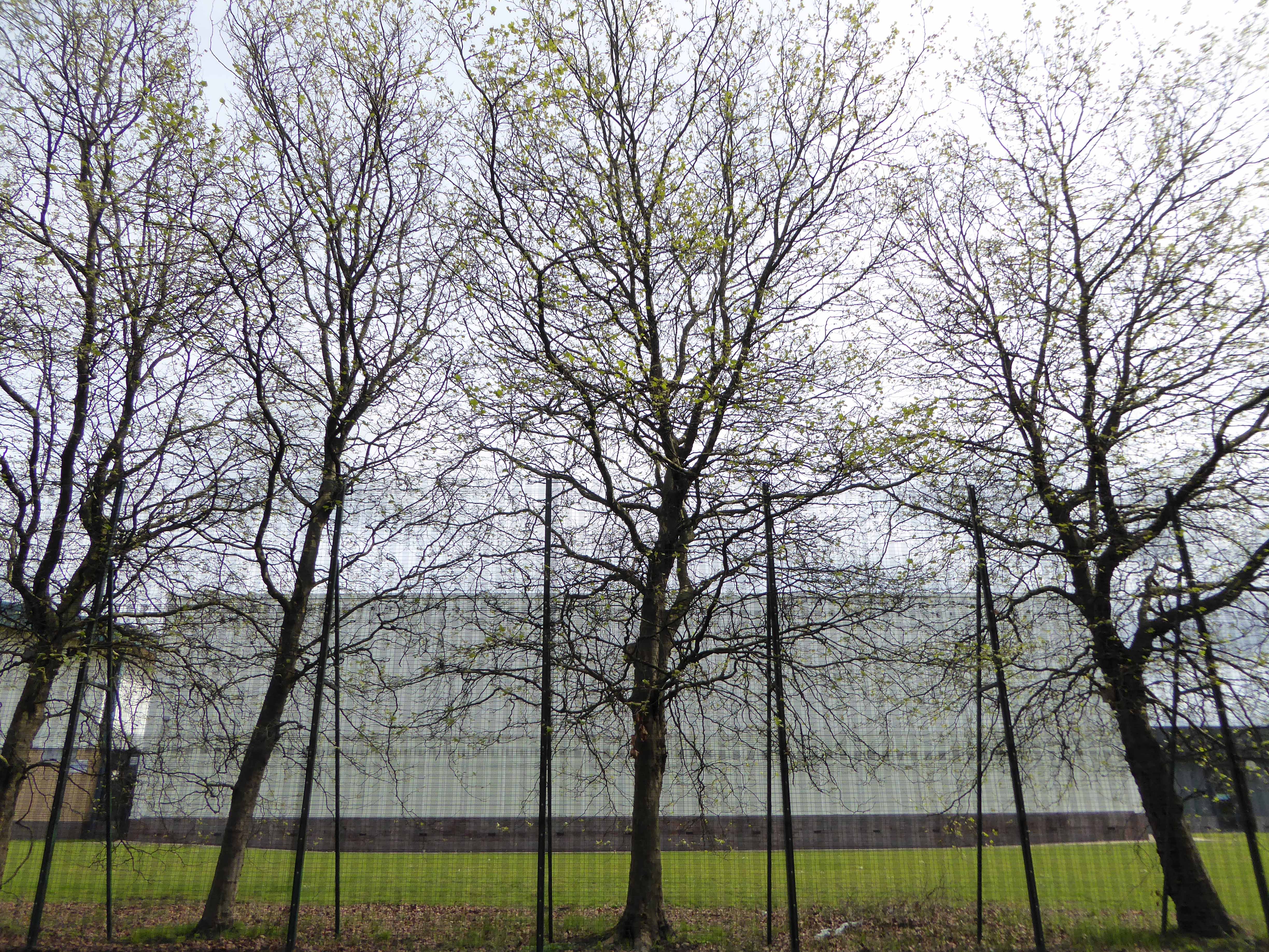
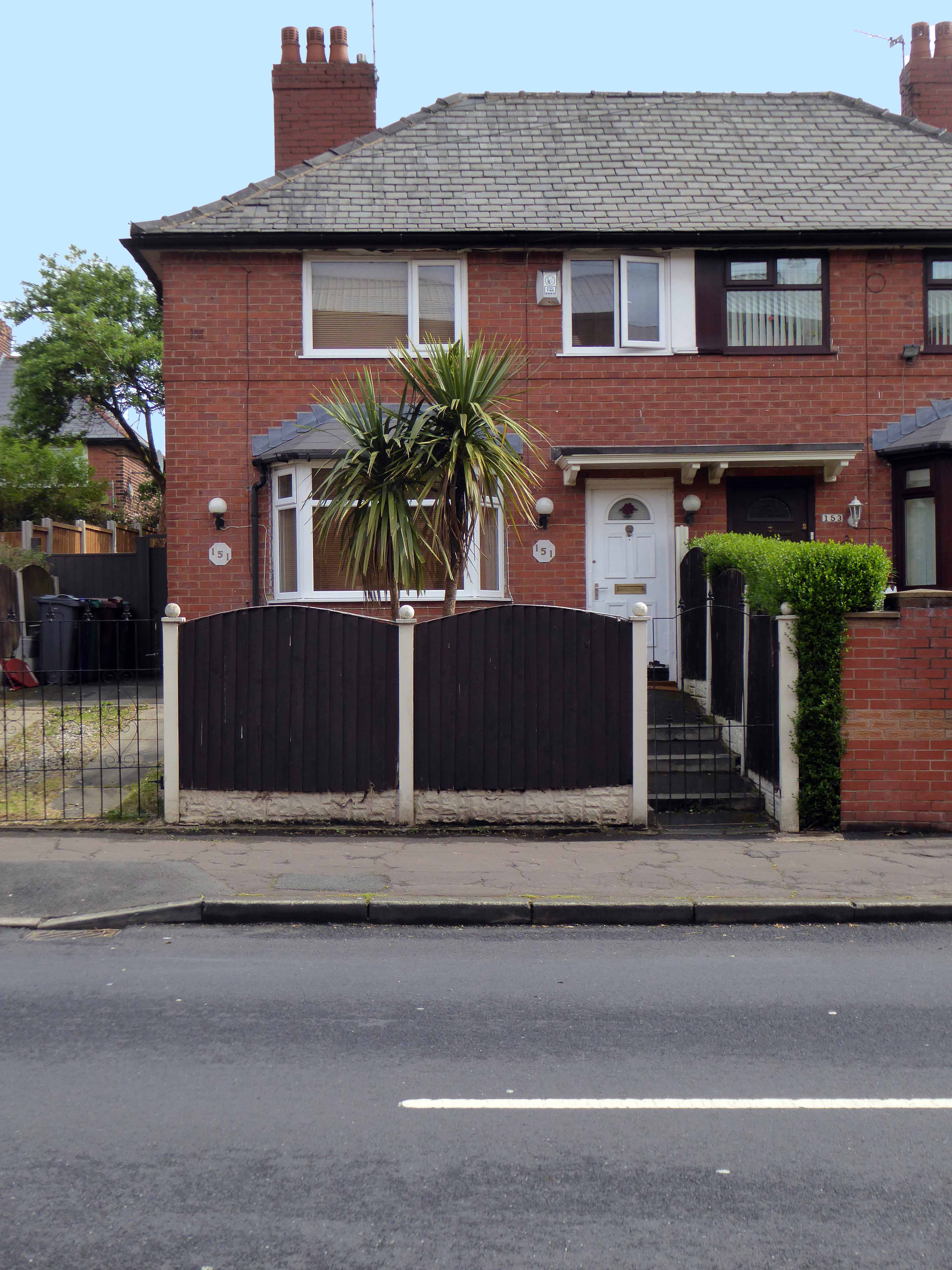
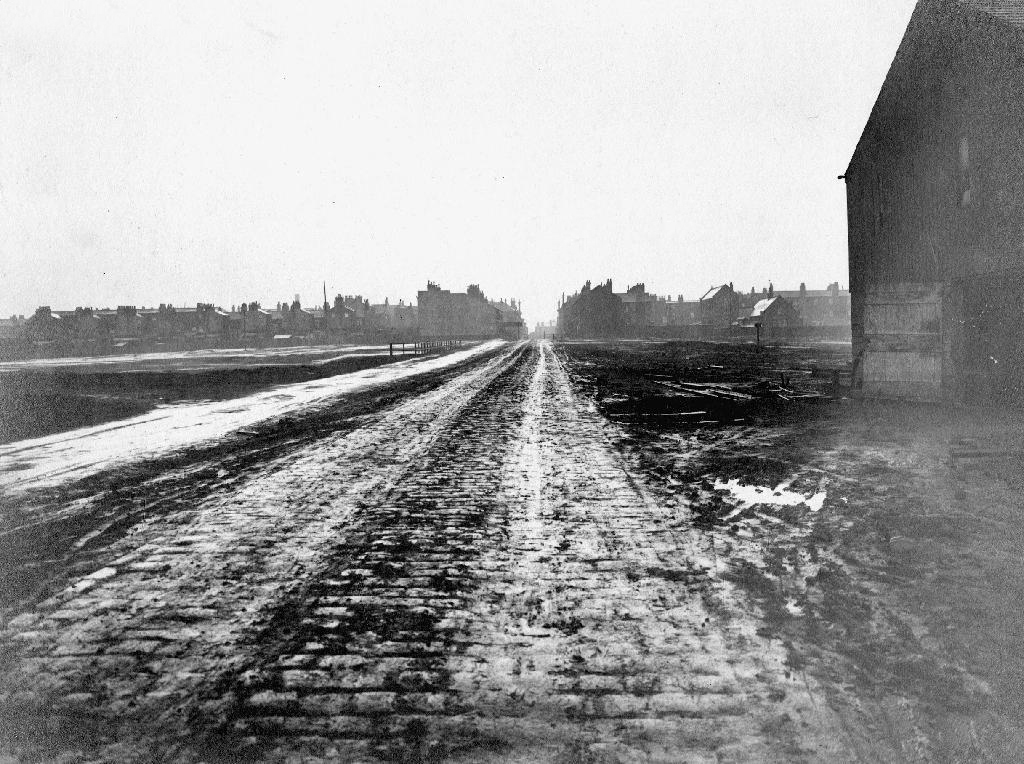
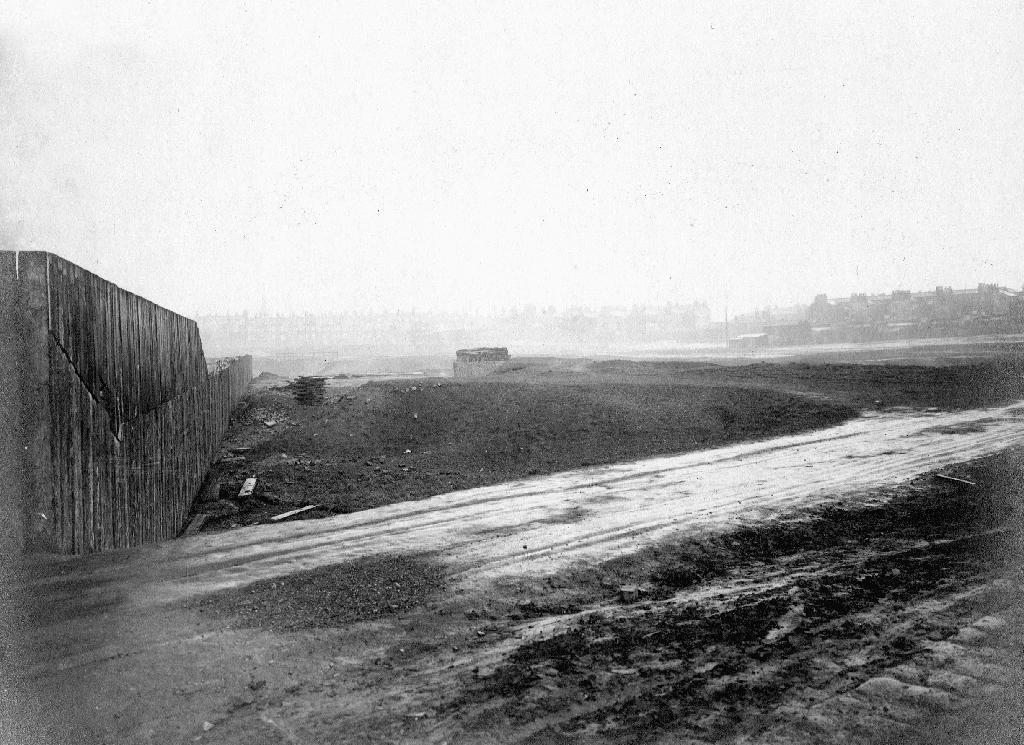
Before panopticon prisons entered the public imagination, and incarceration was the order of the day for the disorderly, it was all fields around here – with the odd house or baronial hall.
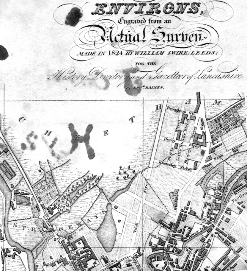
Swire’s map of 1824
Strange days, over time the prison is built, the assizes appears and disappears and tight groups of tired houses cluster around the incipient industry. The fiefdom’s of old become tie and tithe to successions of industrial plutocrats.
Broughton Street 1910 – Photograph J Jackson
Kelly’s map of 1920
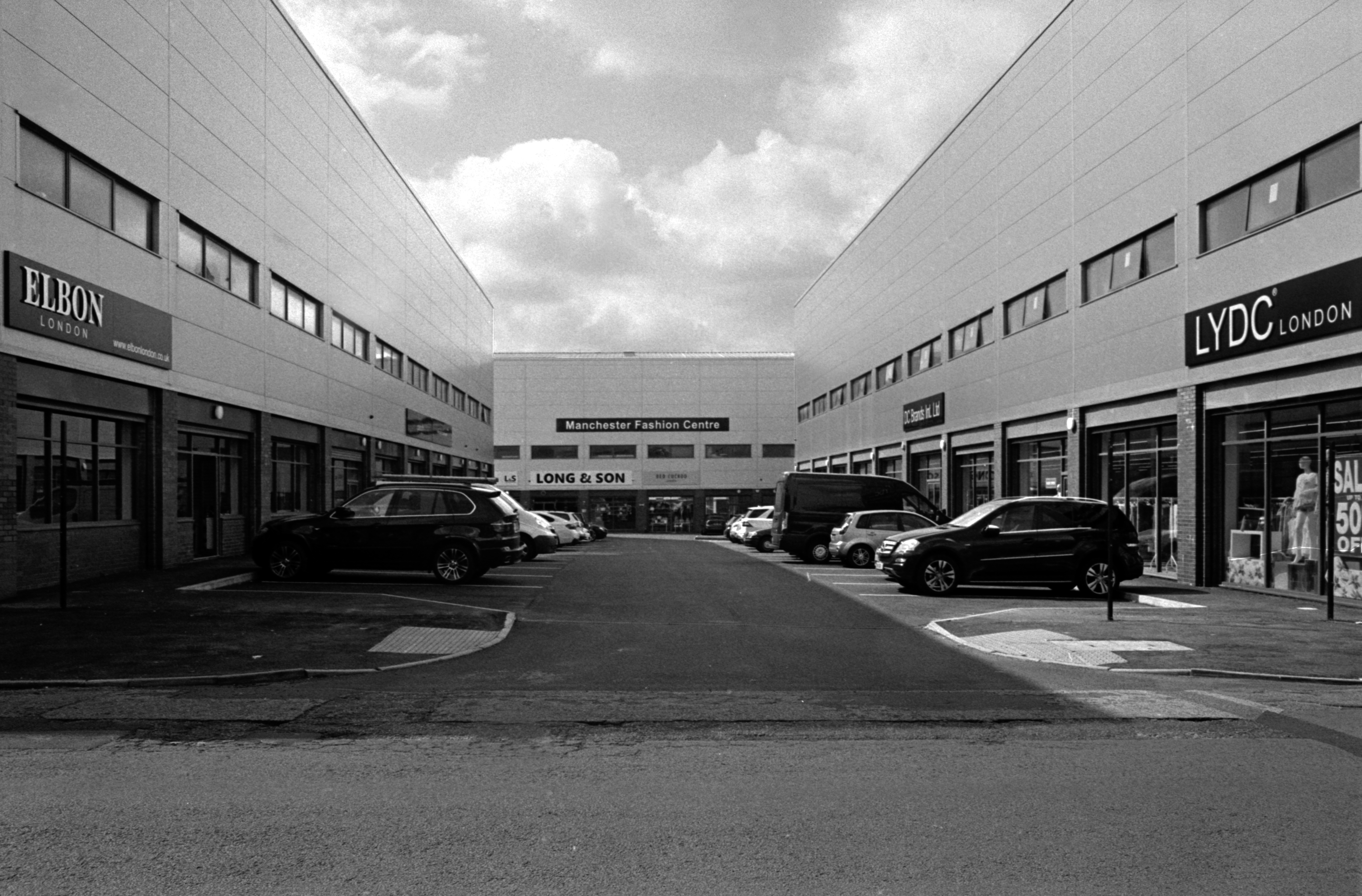
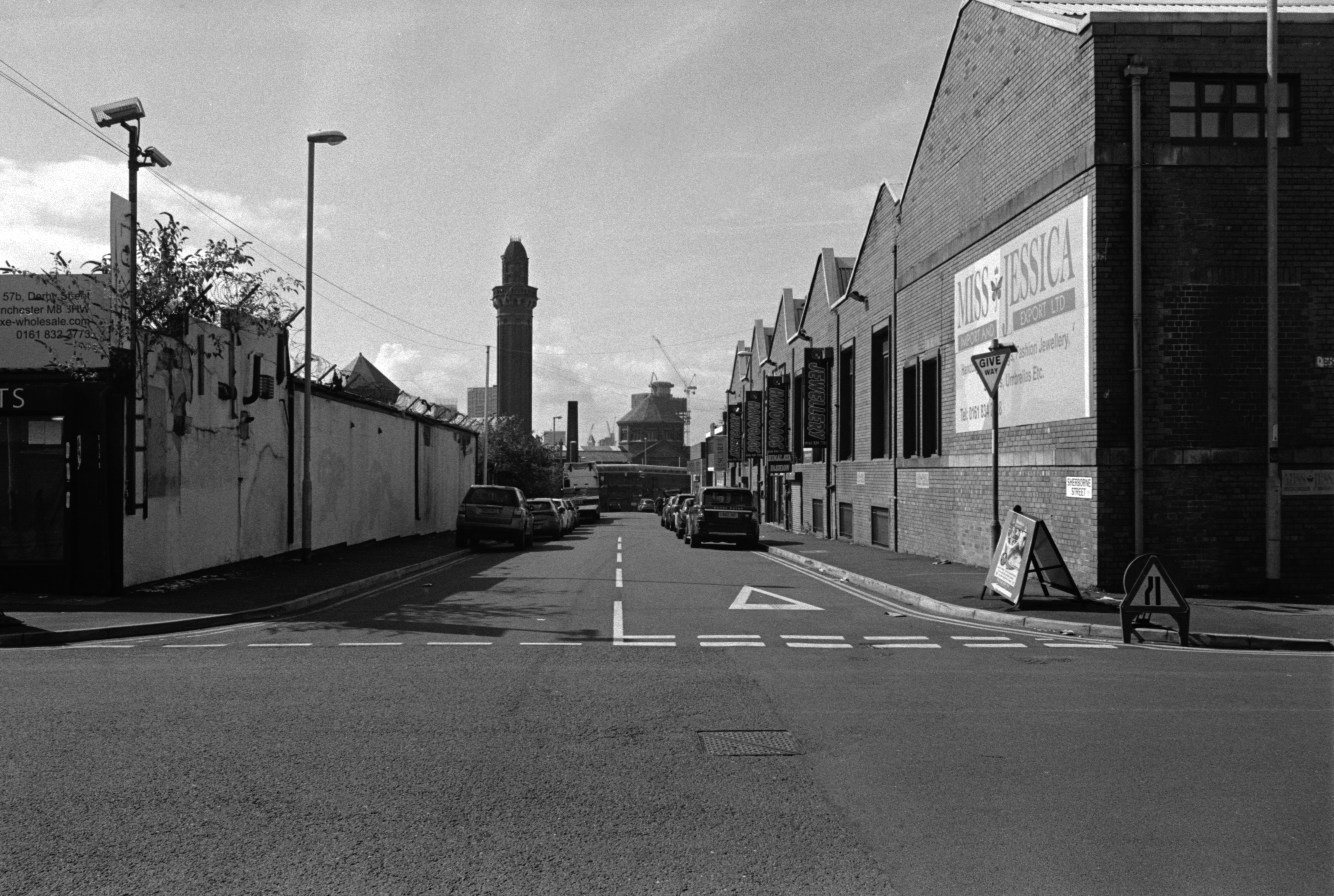
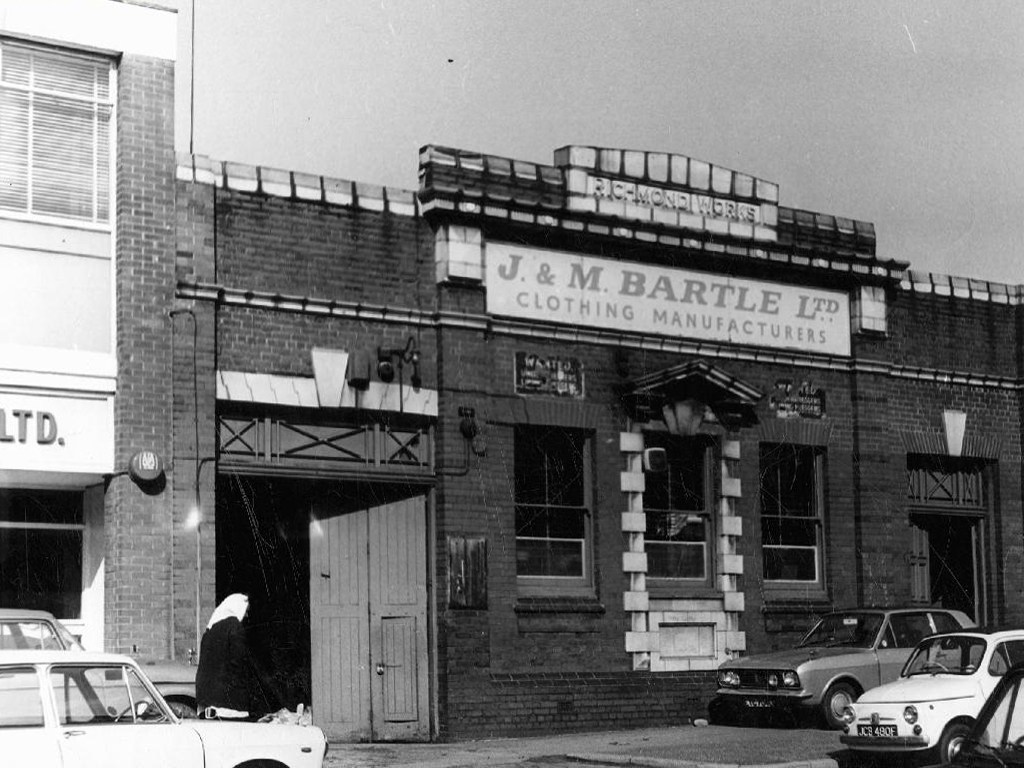
The area becomes the centre of the city’s rag trade, a large Jewish Community, the largest outside of London, grows up around Strangeways, Cheetwood and Cheetham Hill – houses, mills, wholesale, retail, warehouse, ice palace, beer-house, brewery. The area is home to several of Joe Sunlight’s inter-war industrial developments – his Jewish family were named Schimschlavitch, his father a cotton merchant. The family emigrated to England in 1890 and settled in Manchester.
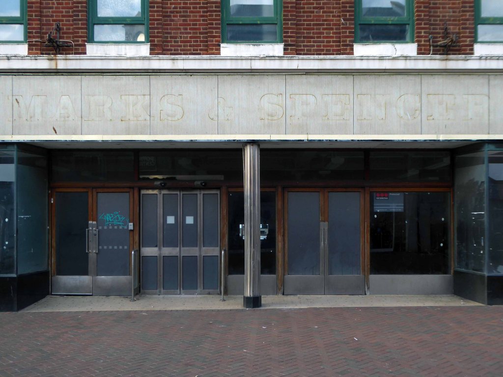
So much for Joe Soap – the area was also the location for local lads, KarlMarx, and Marks & Spencer.
Derby Street 1901 – 1924
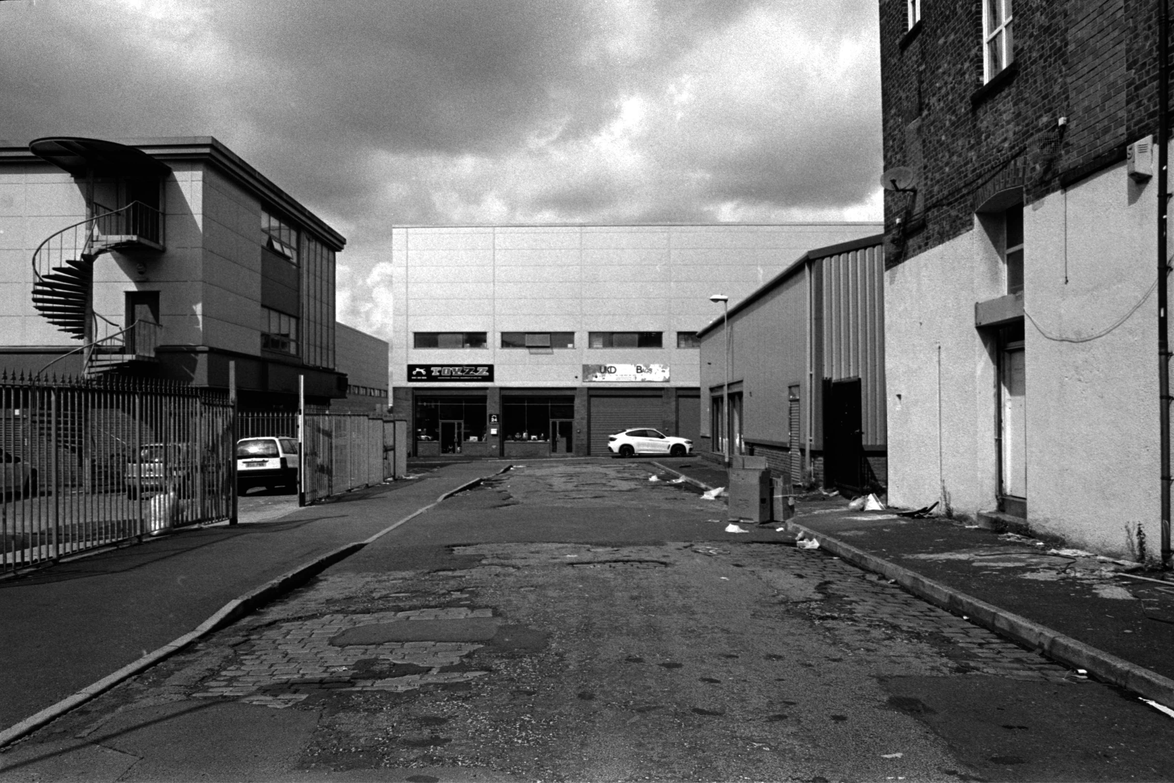
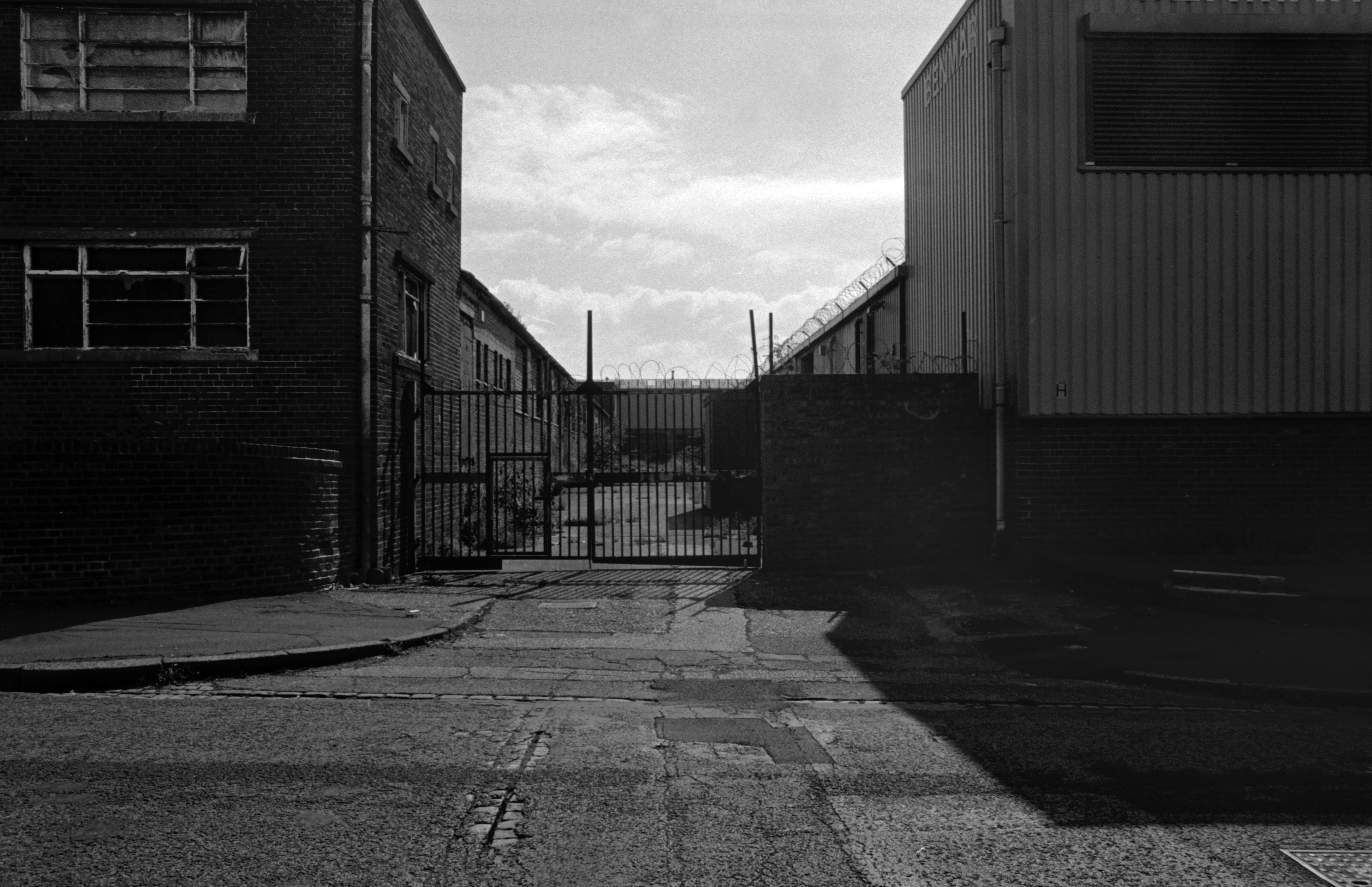
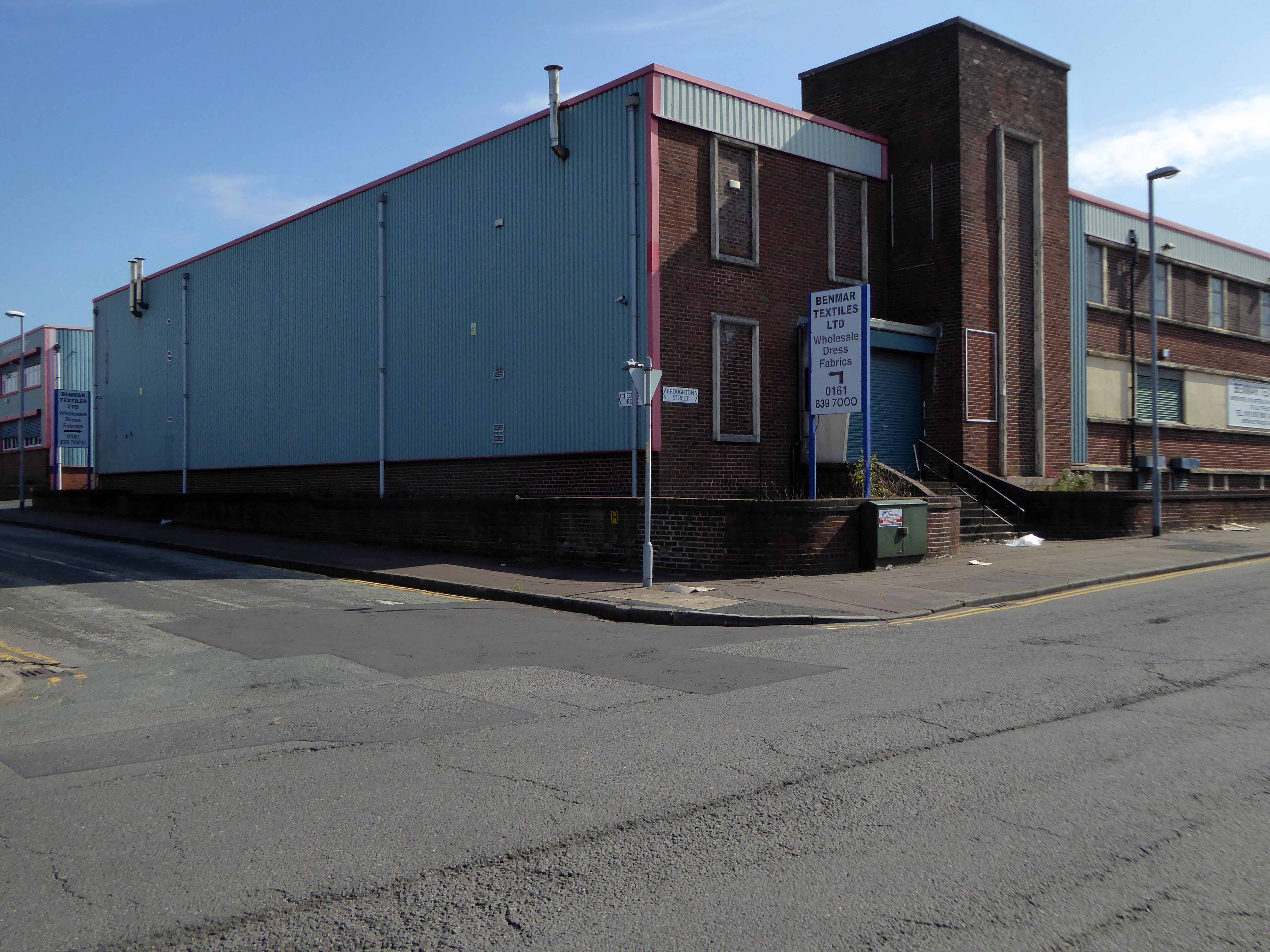
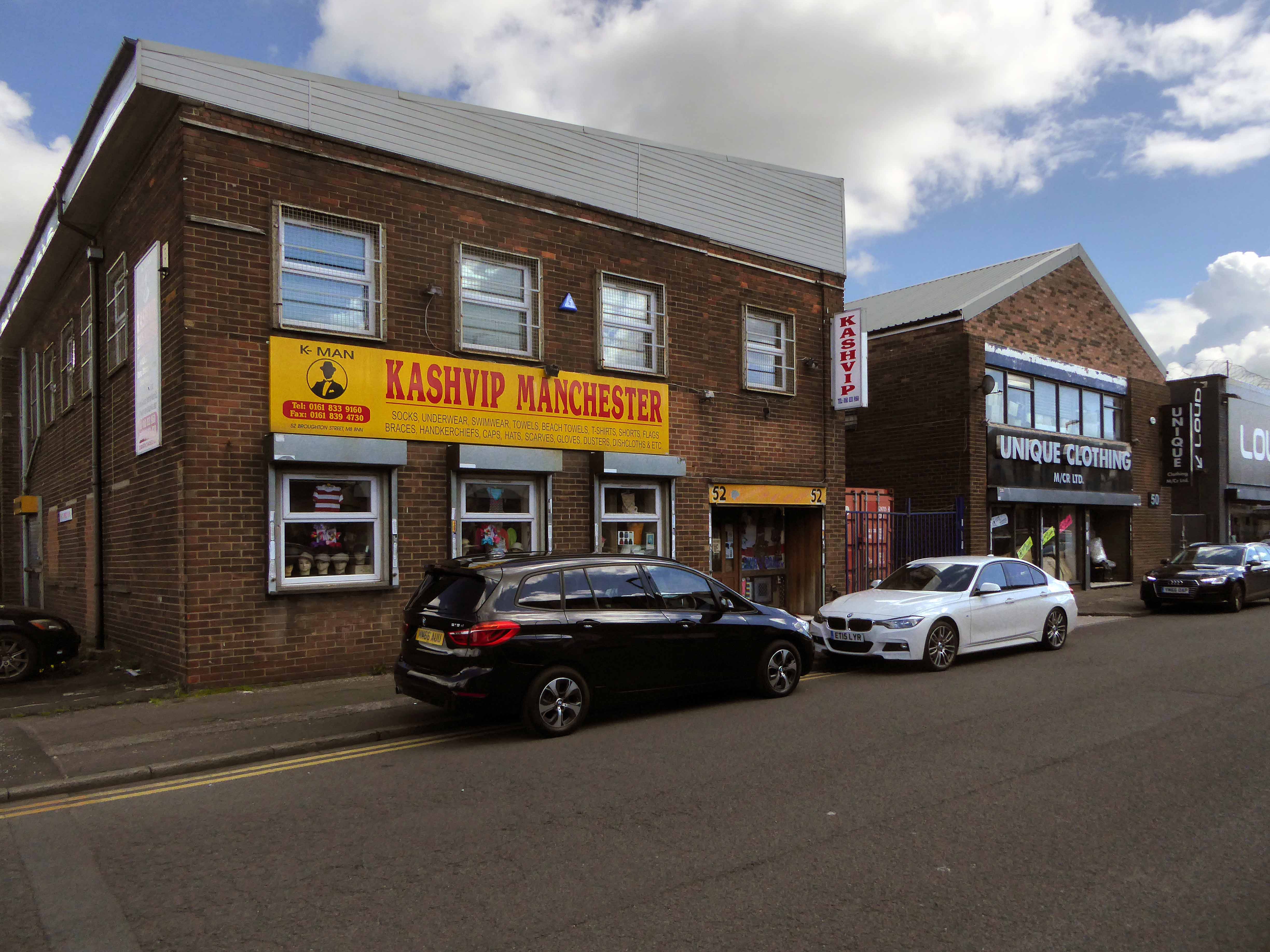
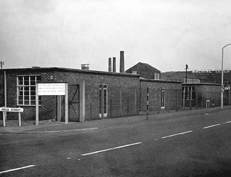
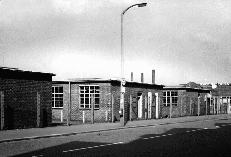
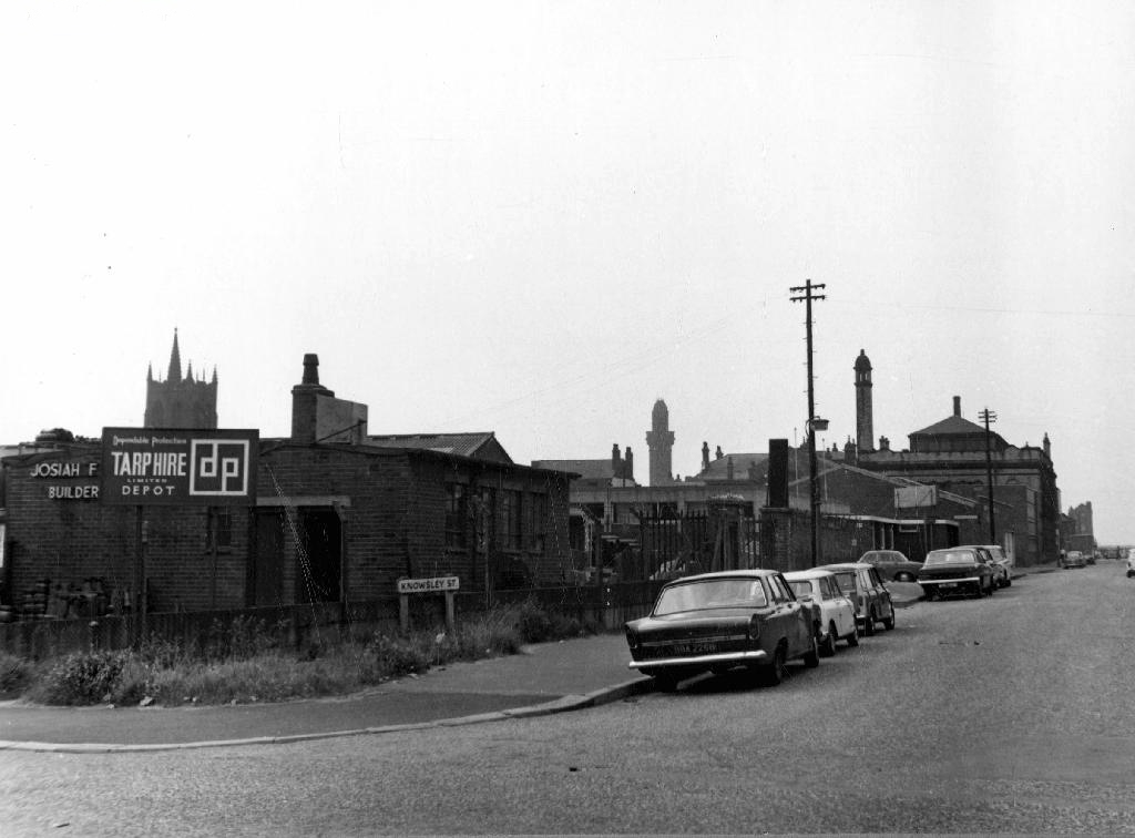
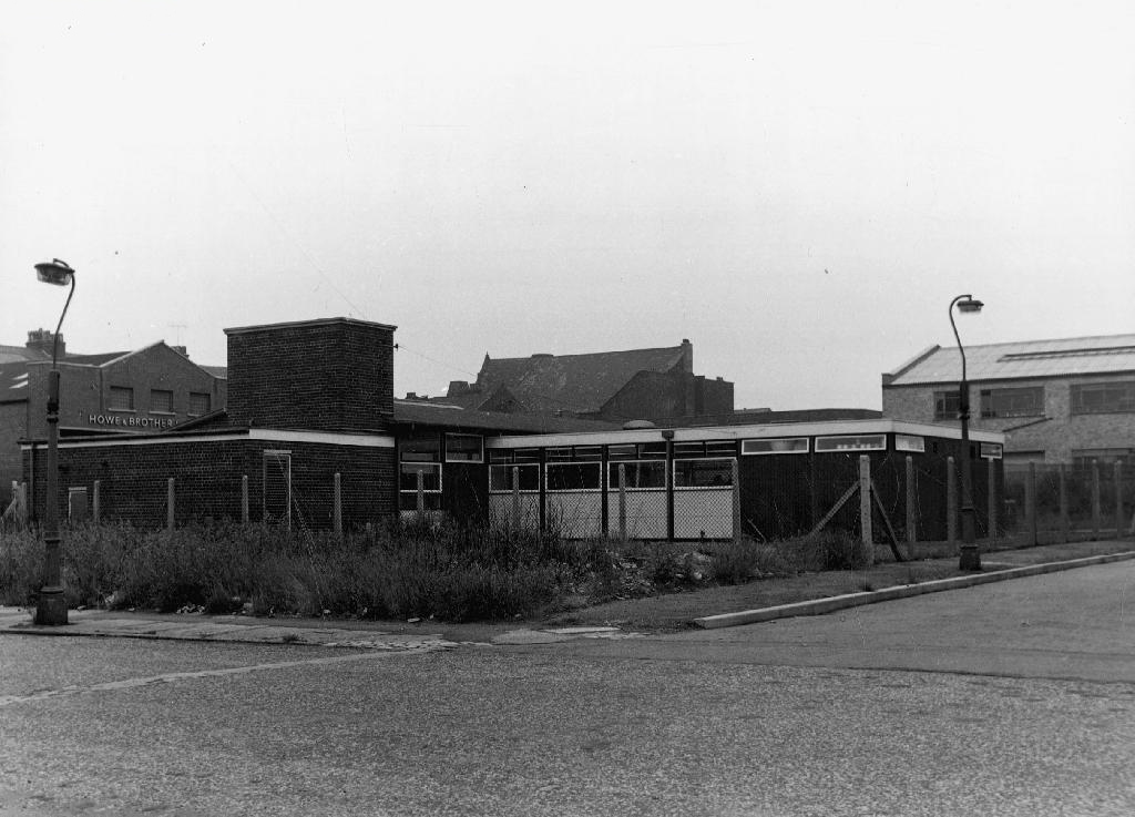
Further developments took place with the building of the Cheetwood Industrial Estate – a postwar group of flat-rooved, blocky brick and concrete utilitarian units.
So let’s take a look at the ever so strange streets of Strangeways, in that period of change during the latter part of the Twentieth Century, when manufacturing, retail, repair and distribution were almost, just about to disappear in a puff of globalisation, economic depression and Thatcherism. Where Jack and Jill the lads and lasses, traded, ducked, dived, wheeler dealed from Cortinas, Transits and low milage, one owner, luxuriously leather-seated and walnut-dashed Jags. A vanishing or vanished world, where however briefly – Manchester went architecturally mod.