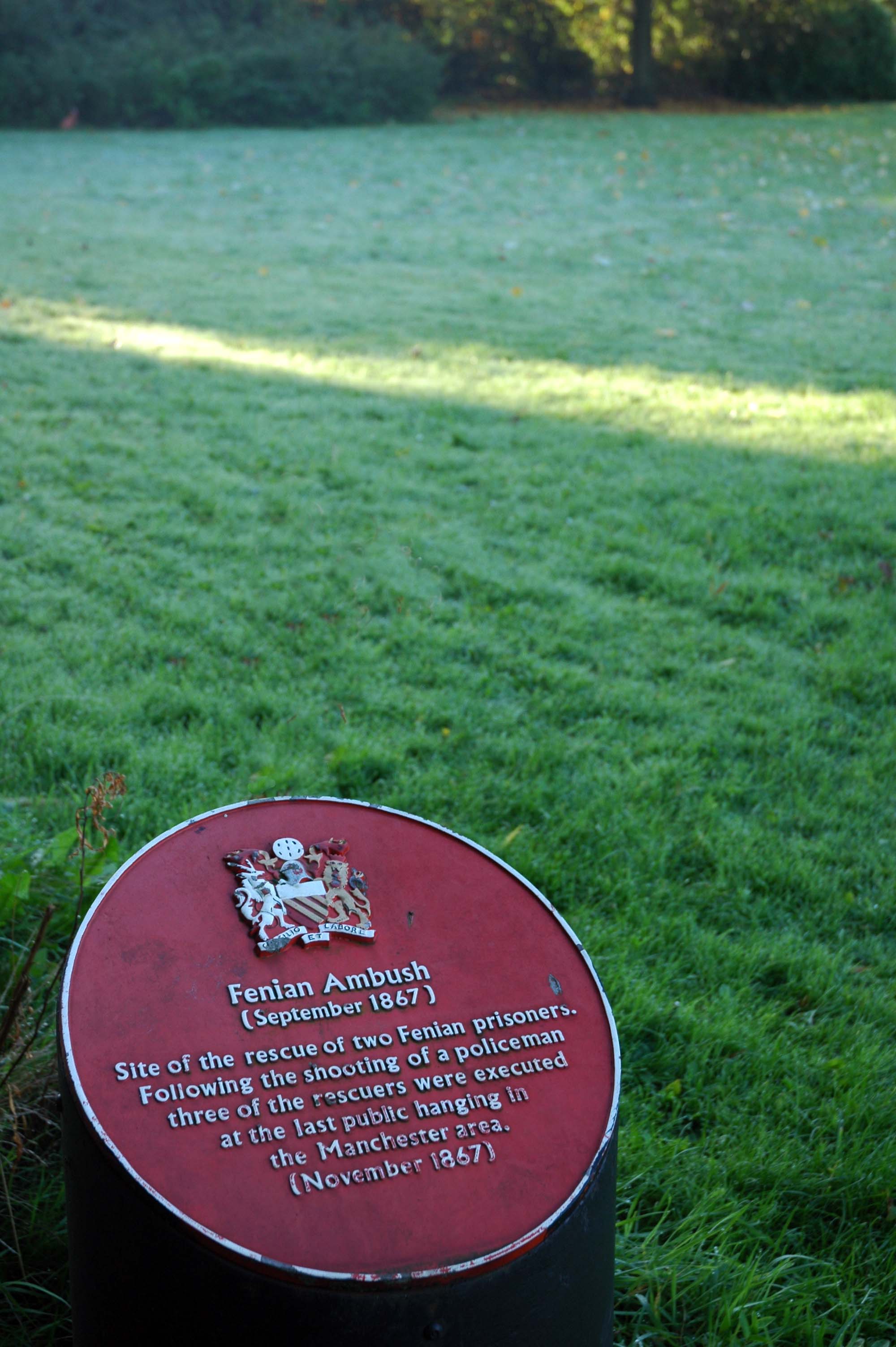
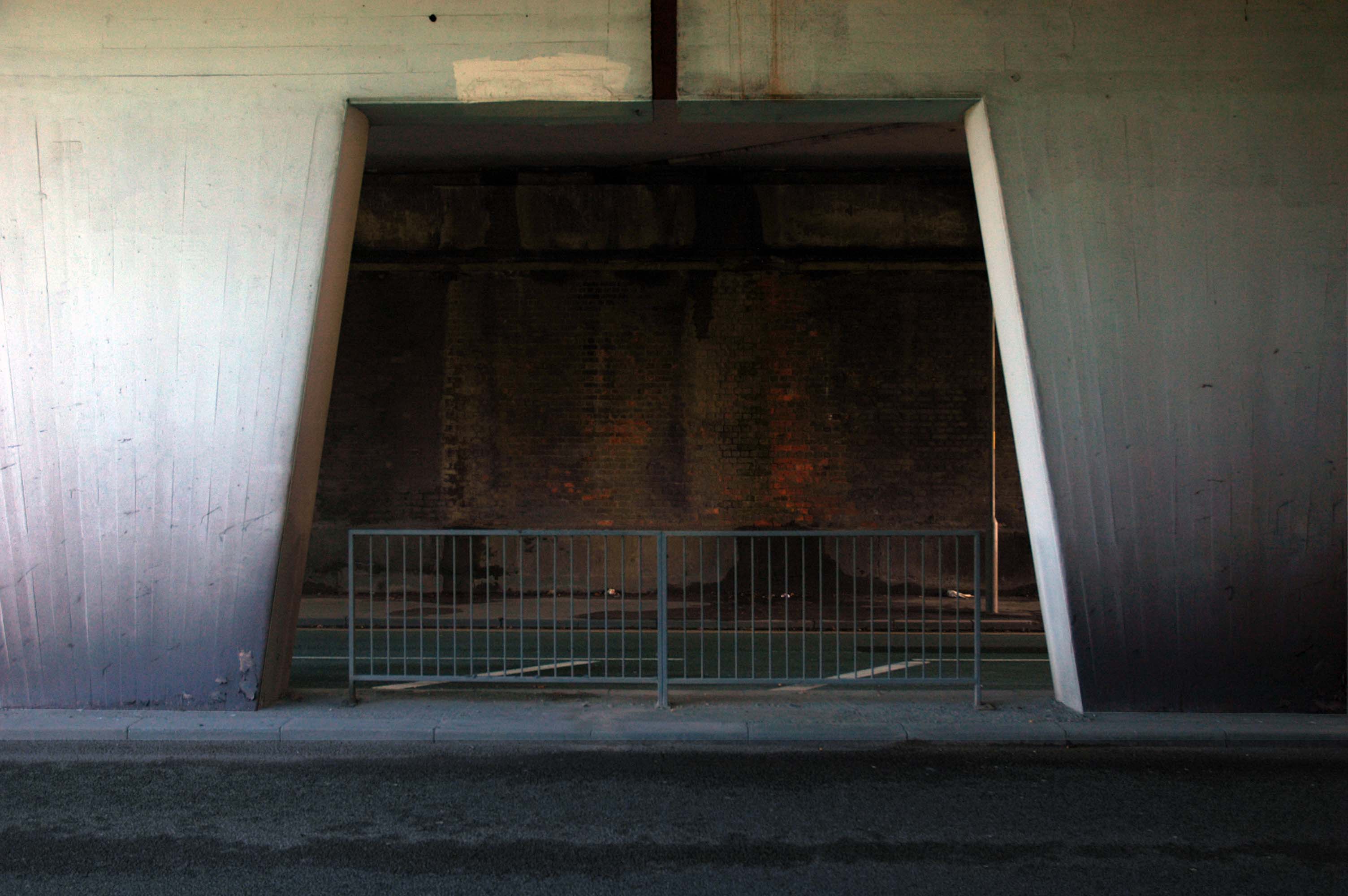
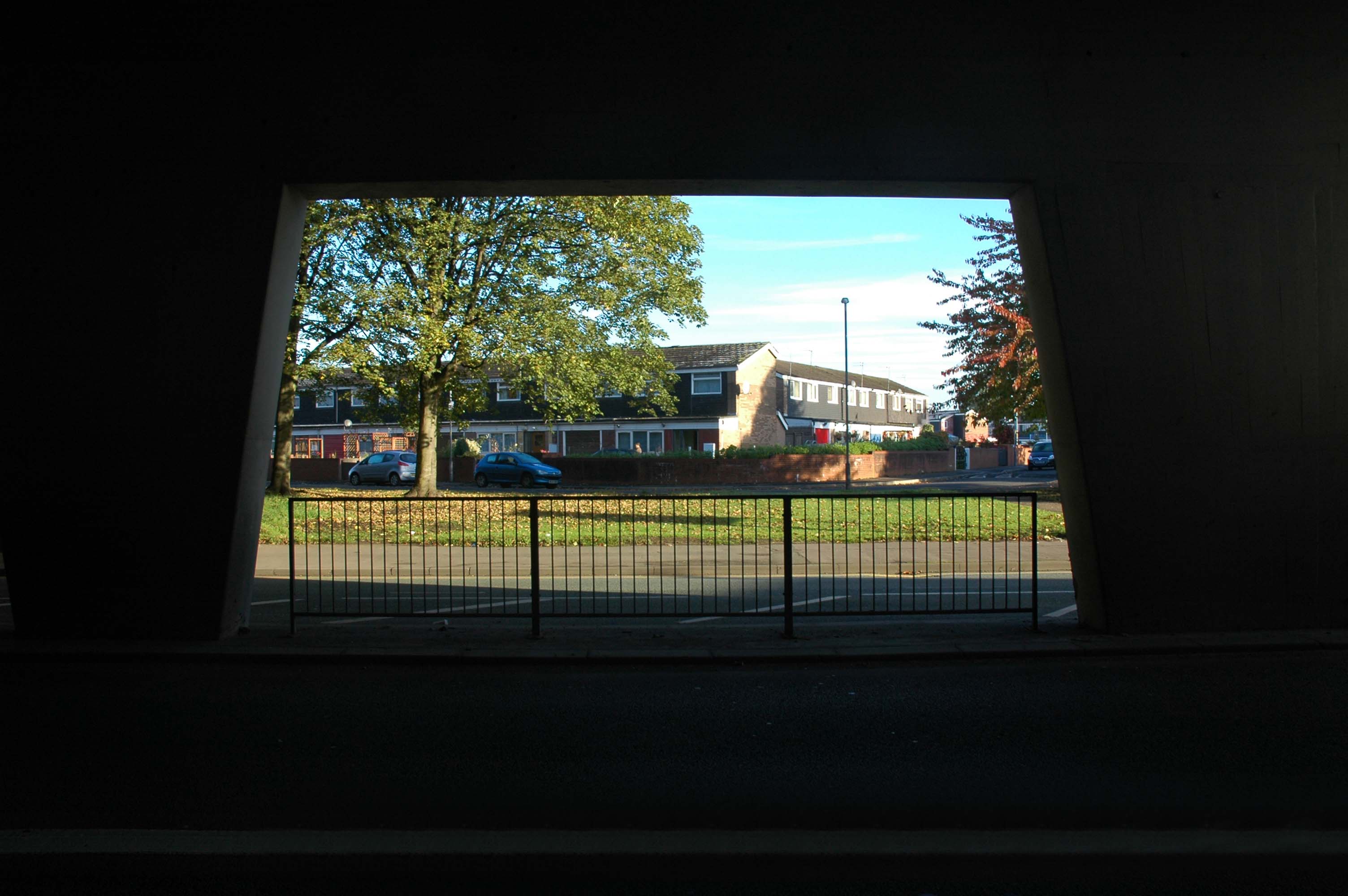
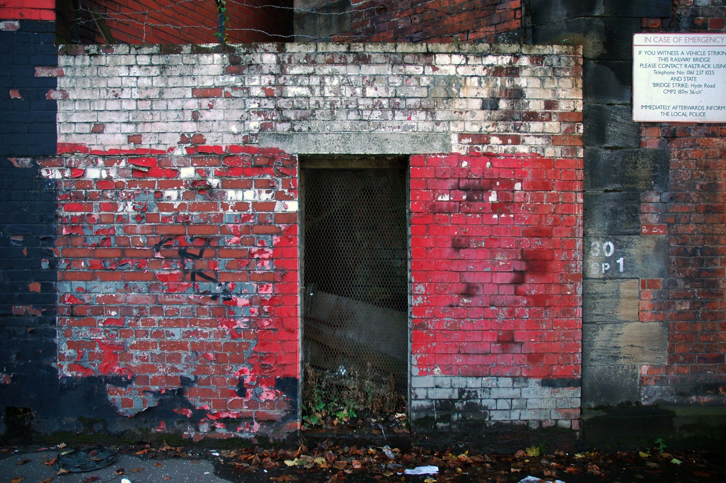
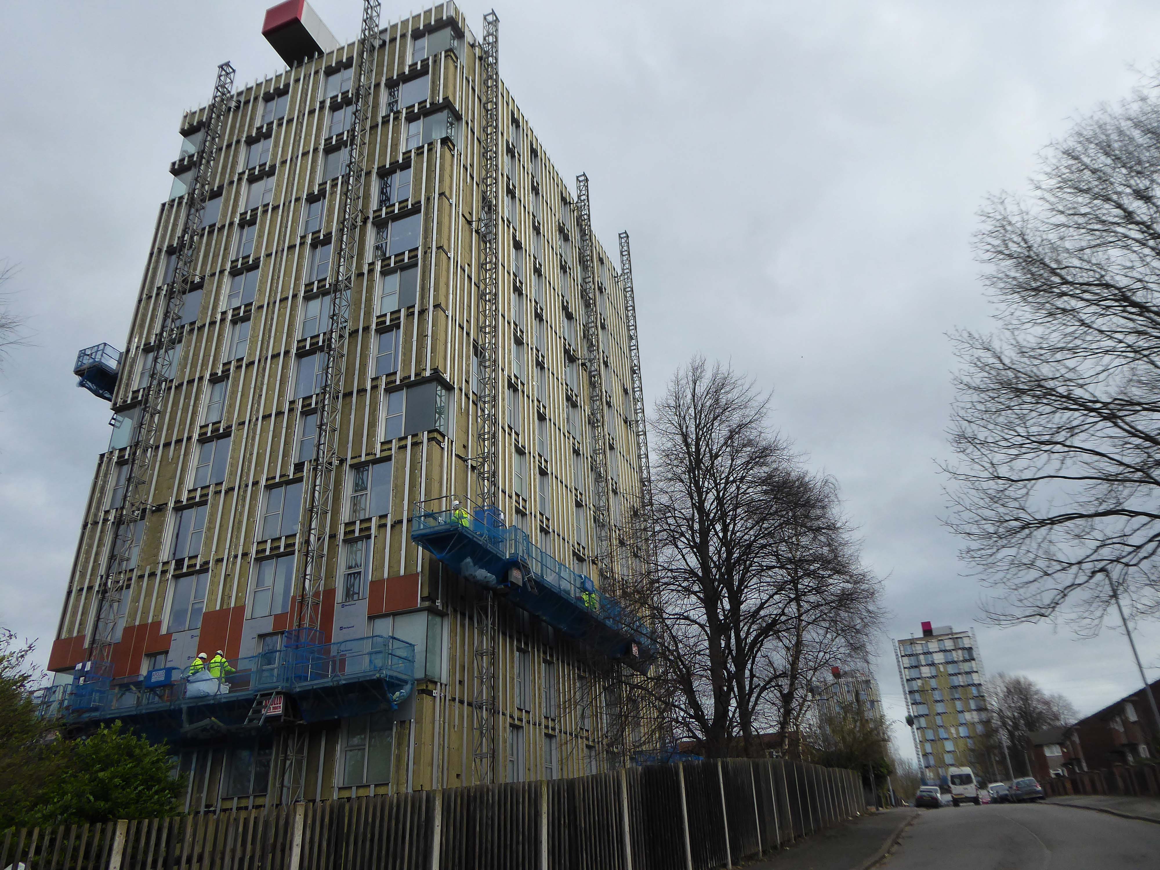
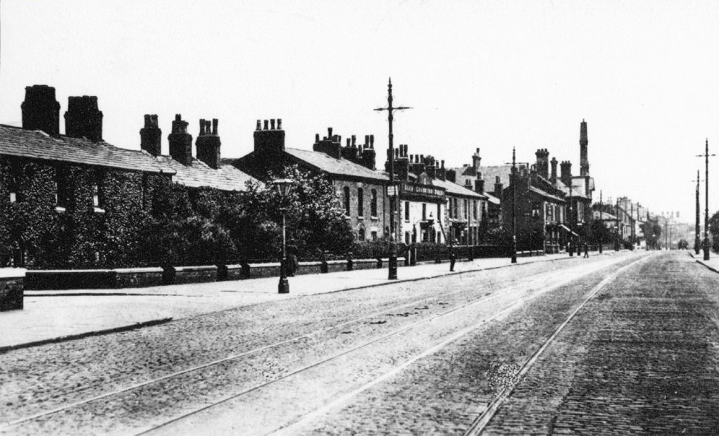
The A6 is Britain’s fourth longest road. Its route varies greatly from the lower lands of the South East, though the Peak District, right though the heart of Manchester city centre, then onwards towards Preston. It then goes though the historic city of Lancaster before skirting the Eastern fringe of the Lake District before ending in Carlisle, bang on the start of the A7.
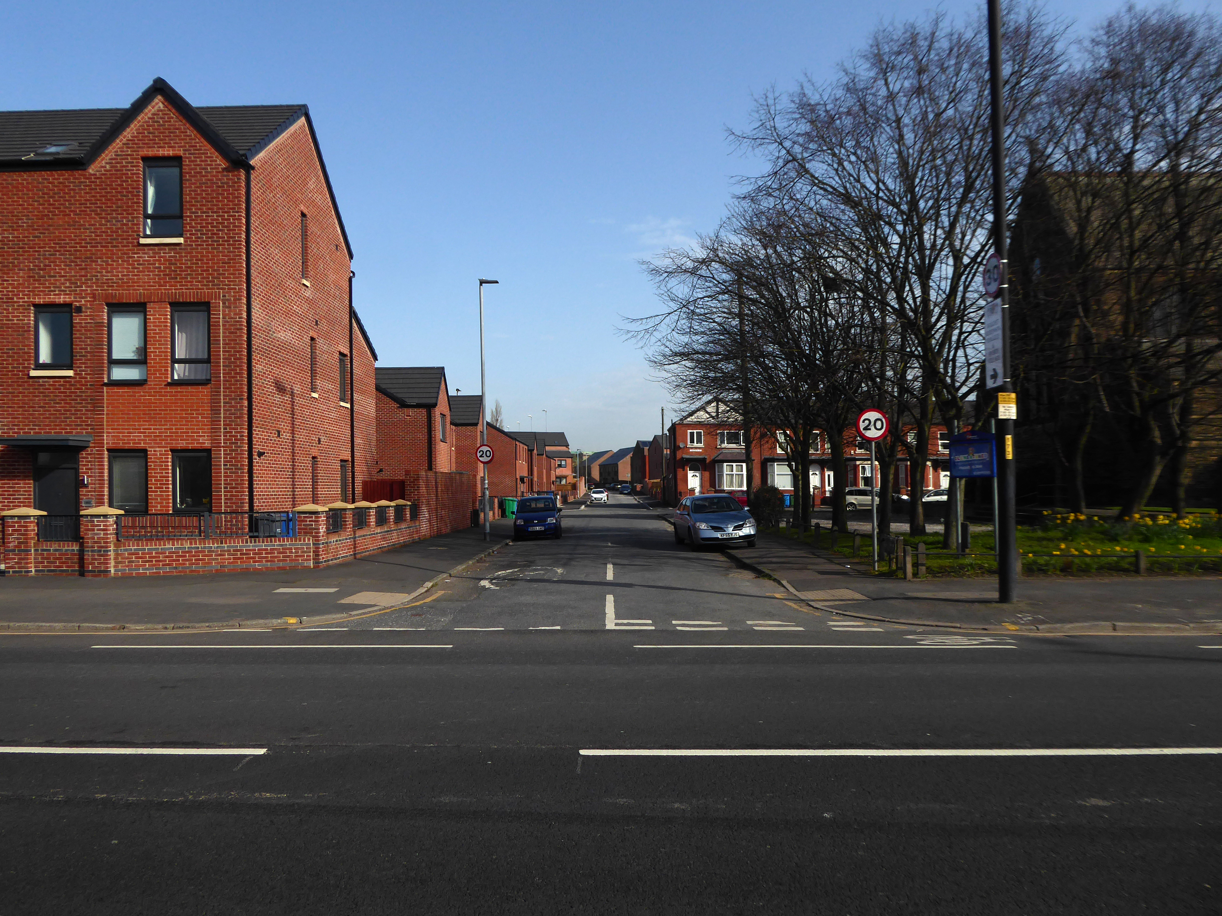
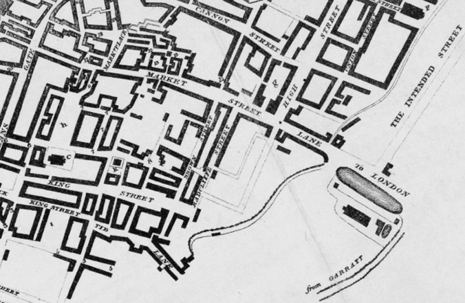
North from Stockport towards Manchester, the A6 was a wide, four lane road, but still 30 mph, which usually flowed pretty well. According to Mudge, it looks like it has now been massacred by bus lanes and red paint. Shame. We meet the A57 from the east, just south of the city centre, and multiplex until we reach Mancunian Way, the A57 heading off as a short urban motorway, the A6 heading into the city centre via London Road/Piccadily, where it loses its number and vanishes. It would have gone straight down Piccadily/Market Street to meet Deansgate, and then across the River Irwell into Salford, and up Chapel Street, where the number reappears. Market Street has been pedestrianised for years, so the A6 has long ceased to be a through route.
The A57 was nearly a coast to coast route. It passes through three major city centres (Liverpool, Manchester, and Sheffield – with elevated sections in each) and several smaller ones, multiplexes with the A6 and the A1, follows the banks of two canals and negotiates the remotest part of the Peak District. In one city it part of it is a tram route, whilst in another its former route is also a tram route. After all these adventures, it sadly gives up just 40 miles short of the east coast, Lincoln apparently proving too big an obstacle.
The A57 crosses the River Irwell at Regent Bridge before entering its moment of motorway glory as the A57(M) Mancunian Way skirting the south of Manchester’s city centre on an elevated section and crossing the A56 and A34. This includes a half-completed exit that goes the wrong way up Brook Street – a one way street. The original A57 ran further north through the city centre along Liverpool Road (now the A6143) and Whitworth Street – B6469 as far as the A6 London Road which marked the start of a multiplex.
At the end of Mancunian Way, we reach a TOTSO, straight on being the short unsigned A635(M) and thence the A635 – for Saddleworth Moor, Barnsley and Doncaster whilst the A57 turns south, briefly multiplexing with the A6, and then branching off along Hyde Road. This section of road was extensively cleared for the westward extension for the M67, and consequently has seen a lot of redevelopment.
The road now begins slightly further south than it used to. Instead of starting on Fairfield Street in Manchester city centre, it begins immediately as the Mancunian Way ends, which at this point is the unsigned A635(M). The motorway flows directly into our route. There’s a TOTSO right at a set of lights, and we pick up the old alignment, which now starts as the B6469.
We can see the new City of Manchester Stadium on the left, site of the 2002 Commonwealth Games and now home to Manchester City FC. The road switches between S2 and S4 as it passes through the rather run-down urban areas of Ardwick and Gorton. A short one-way system at a triangular-shaped junction with the A662 leads onto a wider stretch as we near the M60 junction. This area is set to see significant industrial growth, with whole swathes of land either side of the now D3 road cleared and ready for development.
The obvious place for the A664 to start is on the A665 Manchester & Salford Inner Relief Route, which at this point is actually two parallel one-way streets. However, many maps show the road continuing a short distance into the city centre to end at traffic lights by the Shudehill Interchange – this is presumably for historic reasons: the road originally continued along the High Street to its terminus on the A6 Market Street.
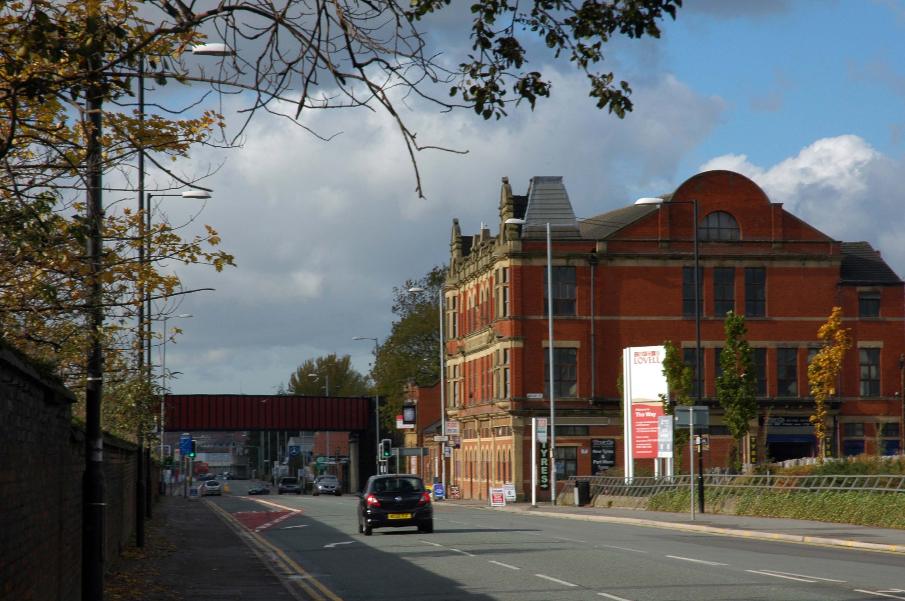
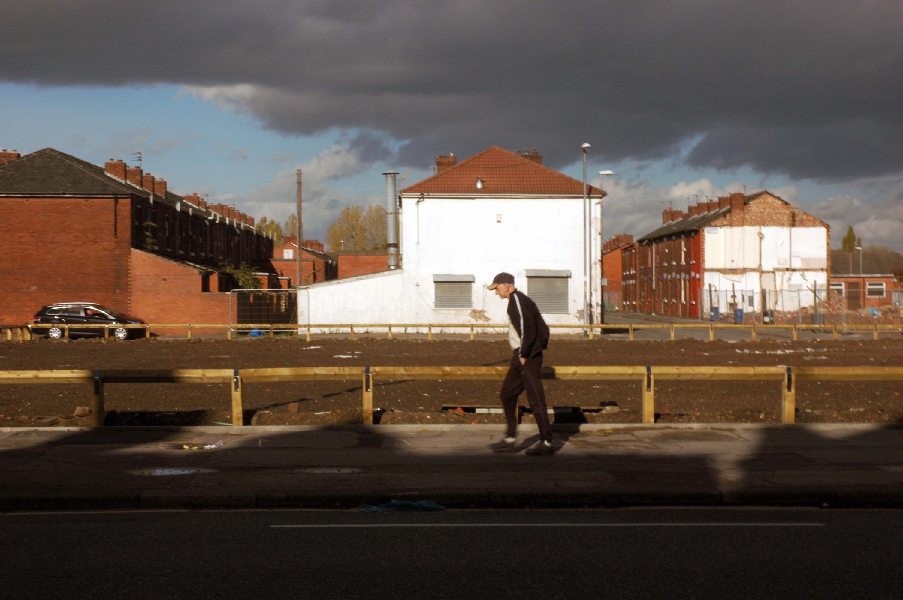
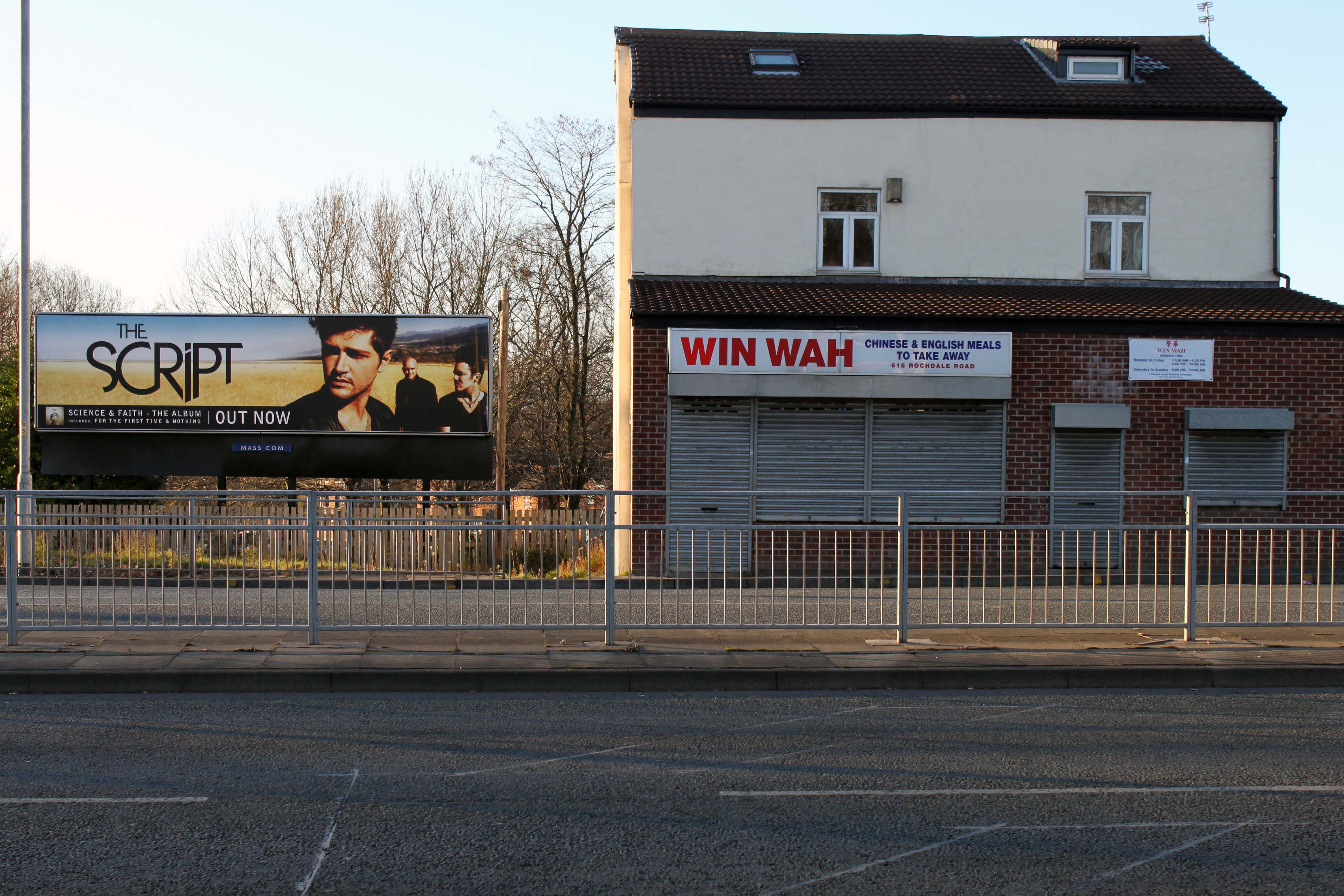
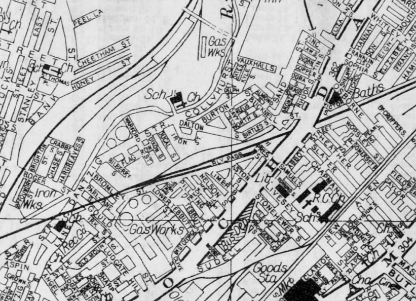
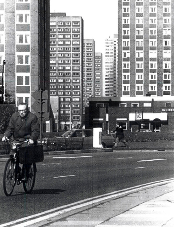
The road heads northeastwards through the suburbs, the street name Rochdale Road, already emphasising its destination. Initially dual, the road narrows just before crossing the bridge over the railway line east of Victoria station. It continues through Collyhurst and widens again just before crossing the A6010 Intermediate Ring Road, which here is made up of two parallel one-way streets, requiring two separate sets of traffic lights to cross.
Now non-primary – but still dual for a short distance more, the road runs in a more northerly direction through Blackley, where it becomes wooded for a short distance as it passes the Boggart Hole Clough park. Slightly further on the road has been straightened, after which it bears right to widen considerably and cross the A6104 at traffic lights just before M60 J20, which only has west-facing sliproads. The road narrows again on the far side of the motorway and leaves Manchester for Rochdale at the same point.
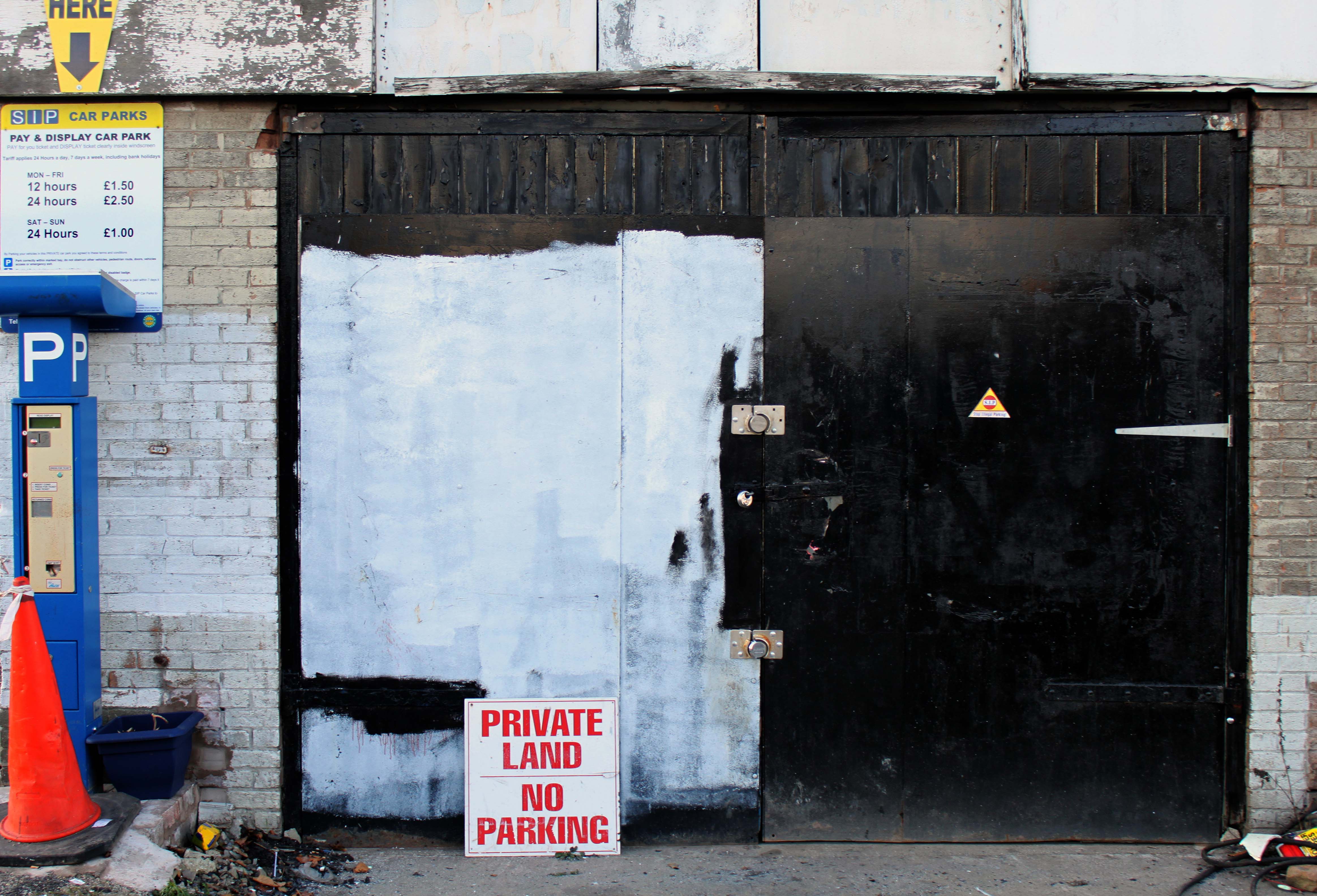
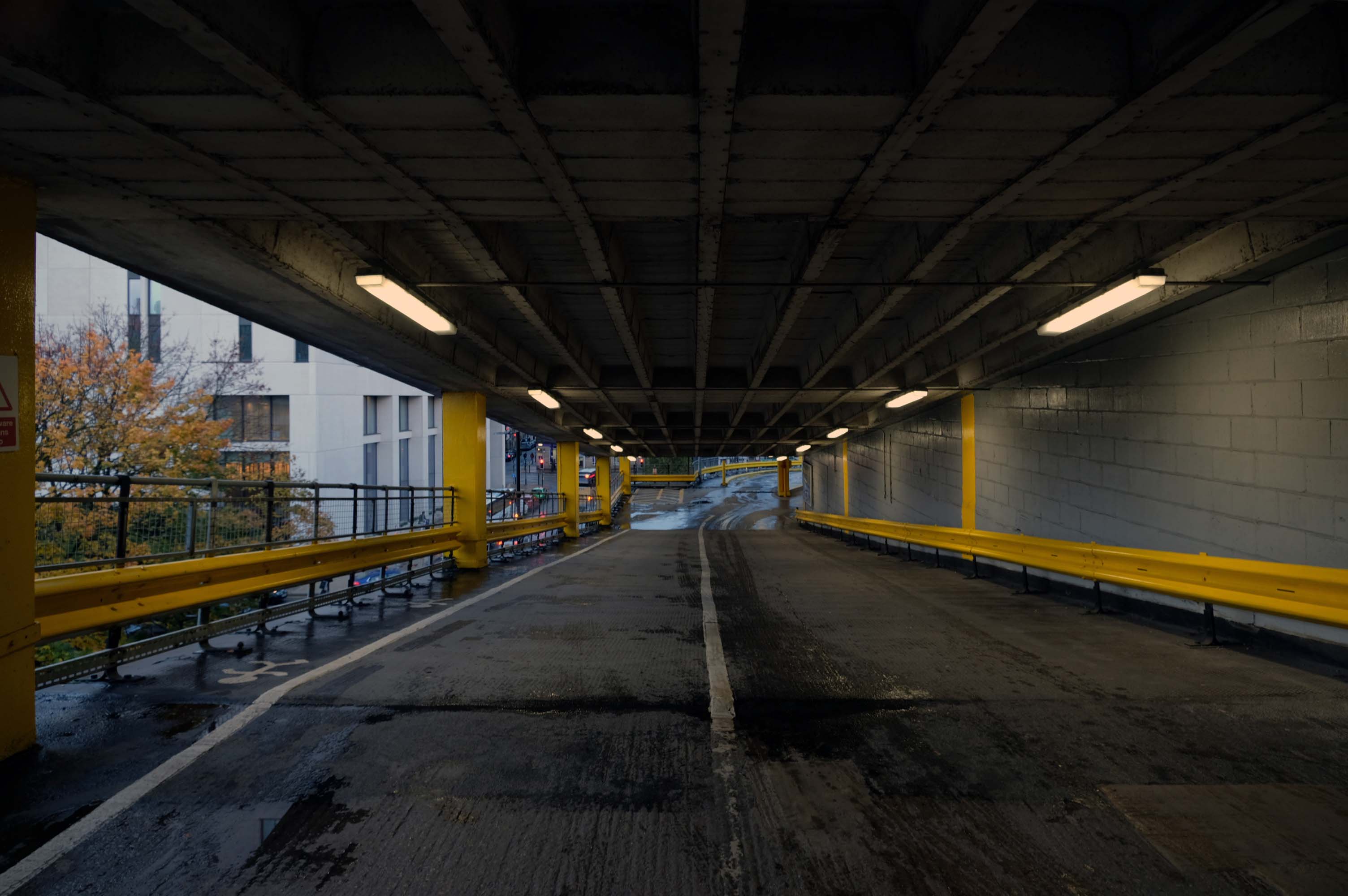
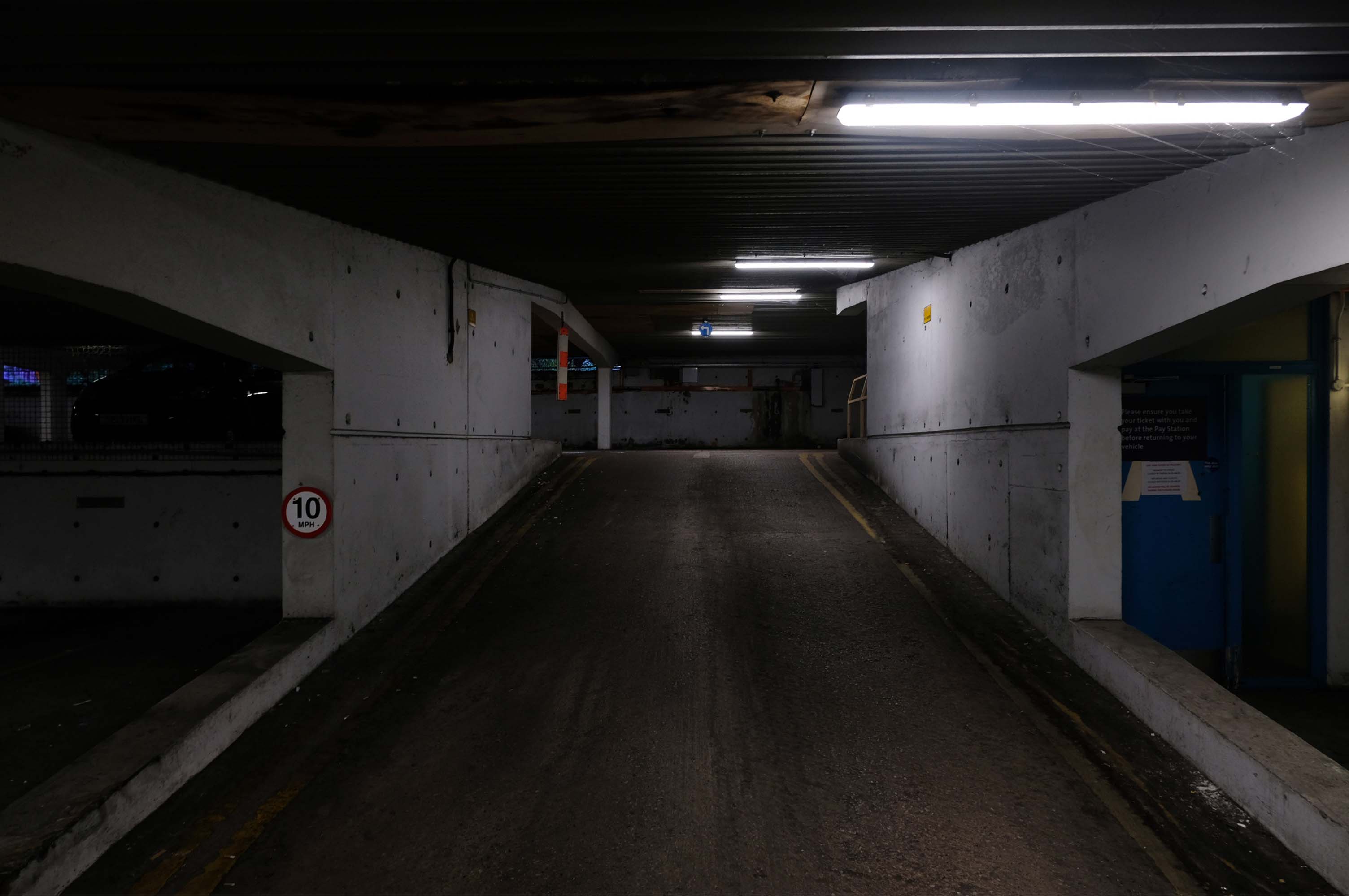
Secure and easy to find while driving, struggled to get back in through side door, had to walk up the ramp.
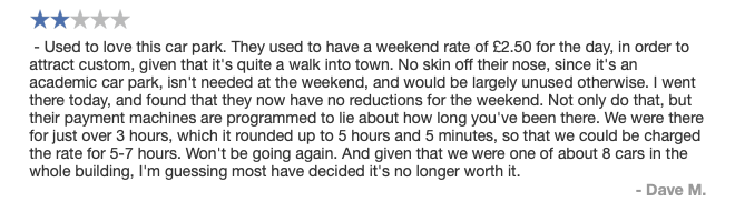
Expensive.
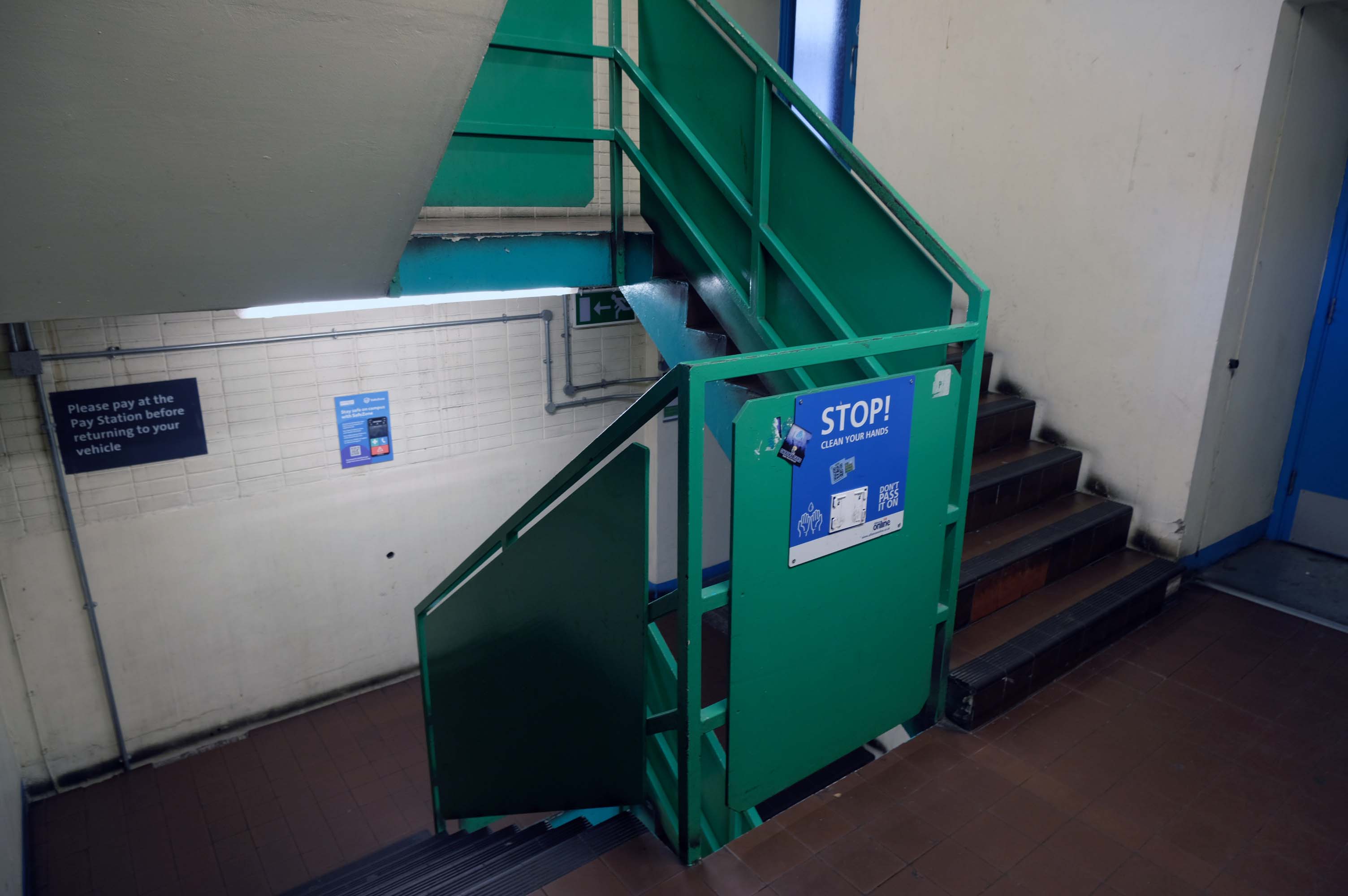
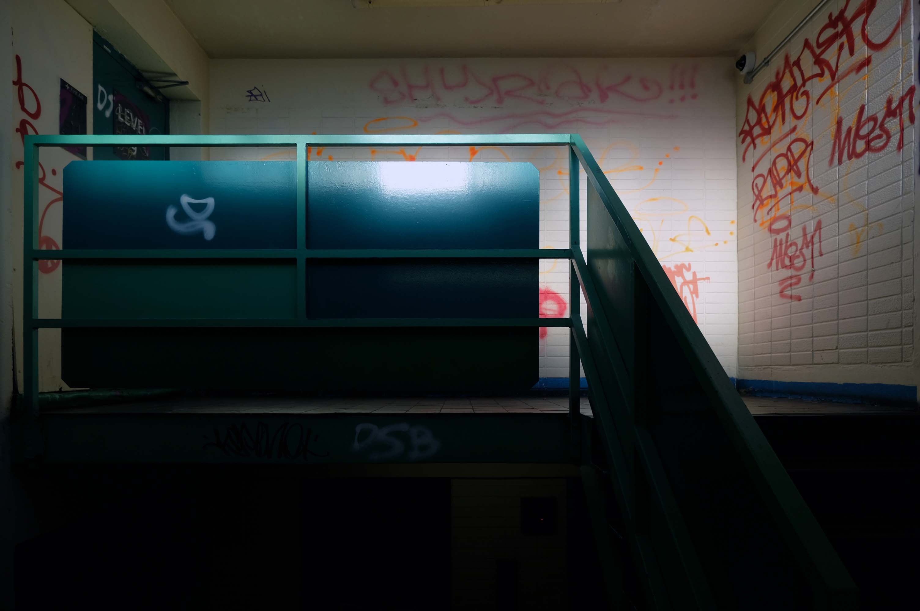
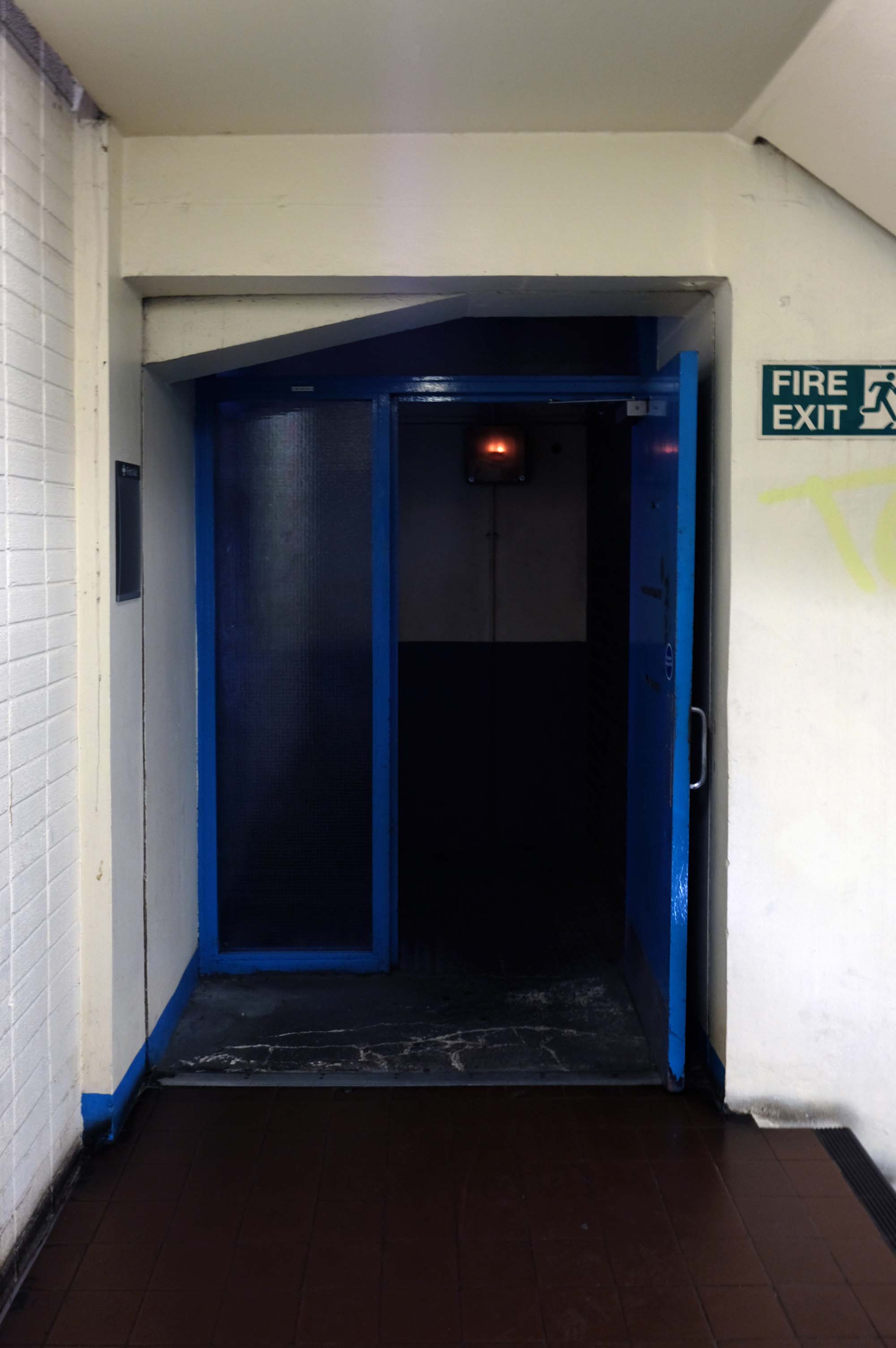
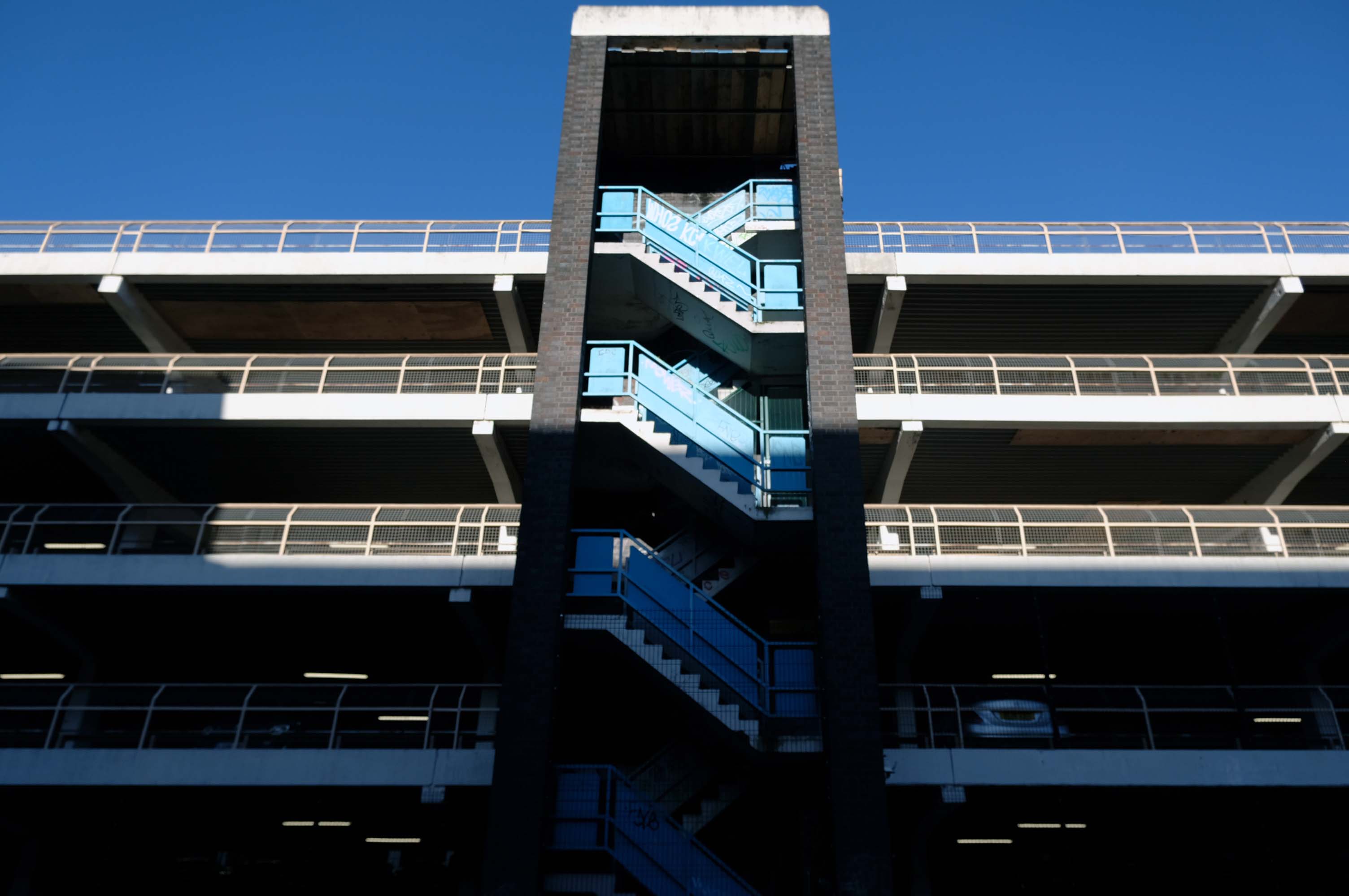
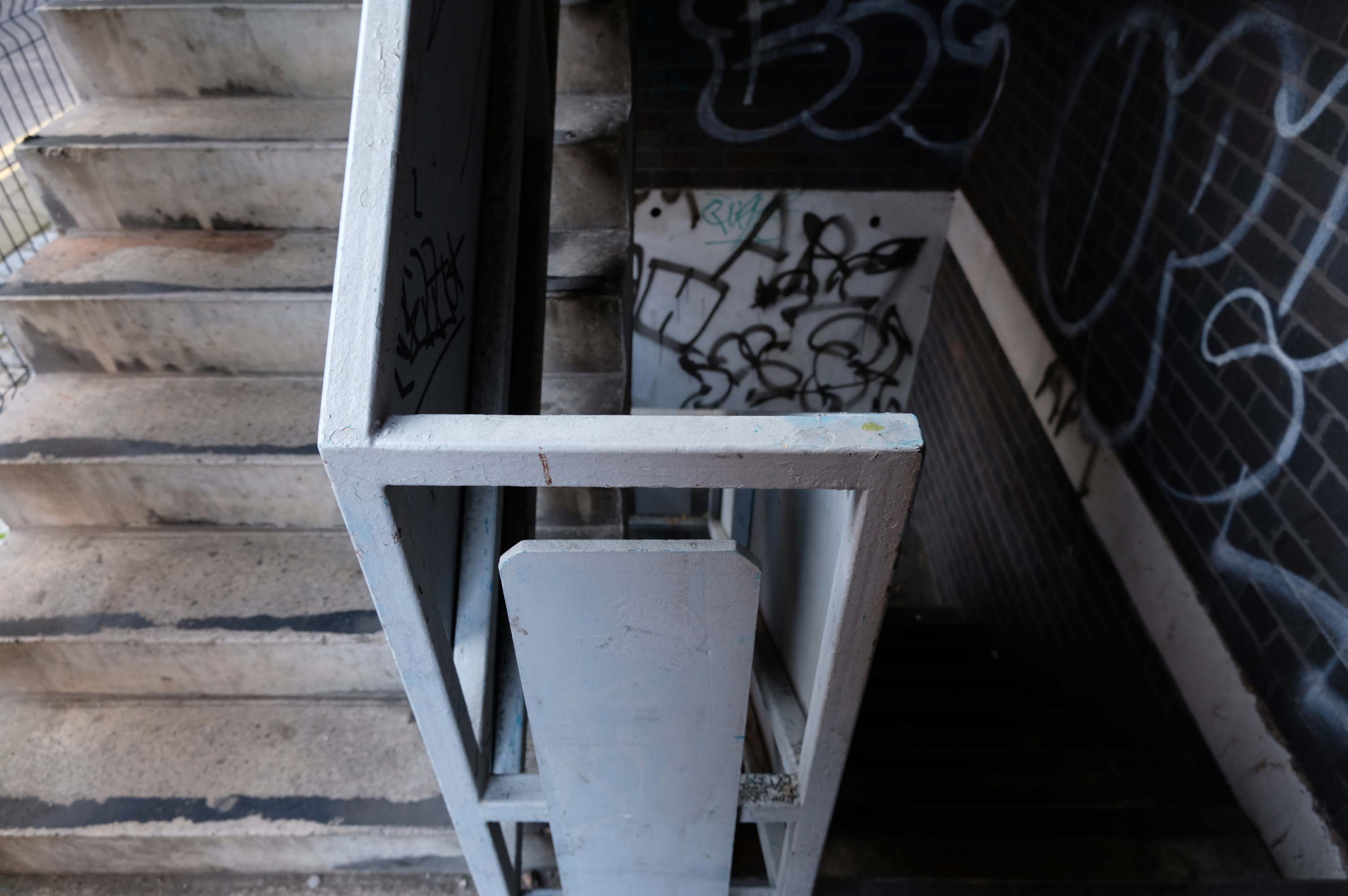
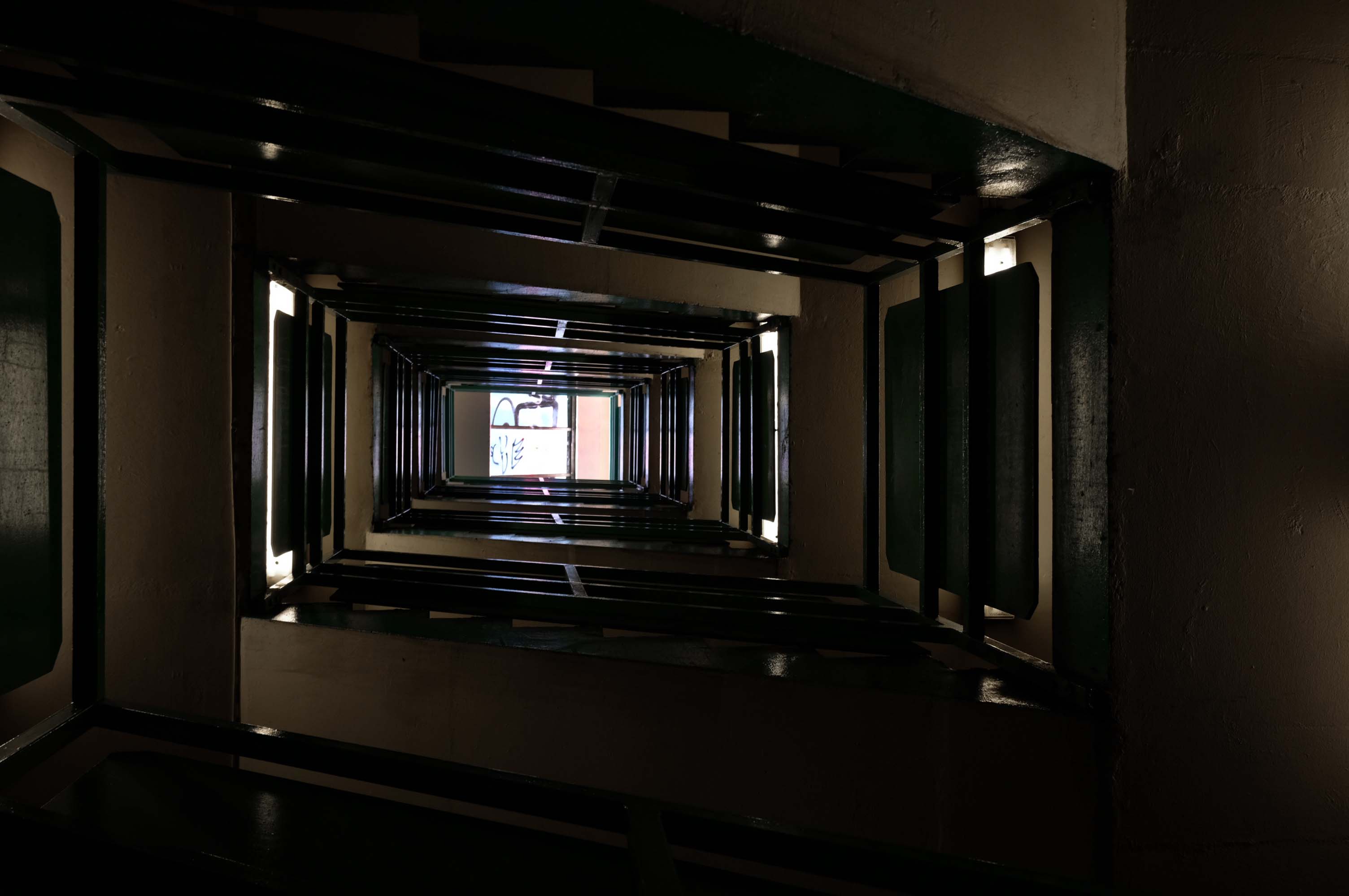
Stairwell stinks like piss and I’ve seen homeless people sitting in there, doesn’t feel safe.
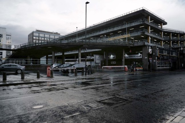
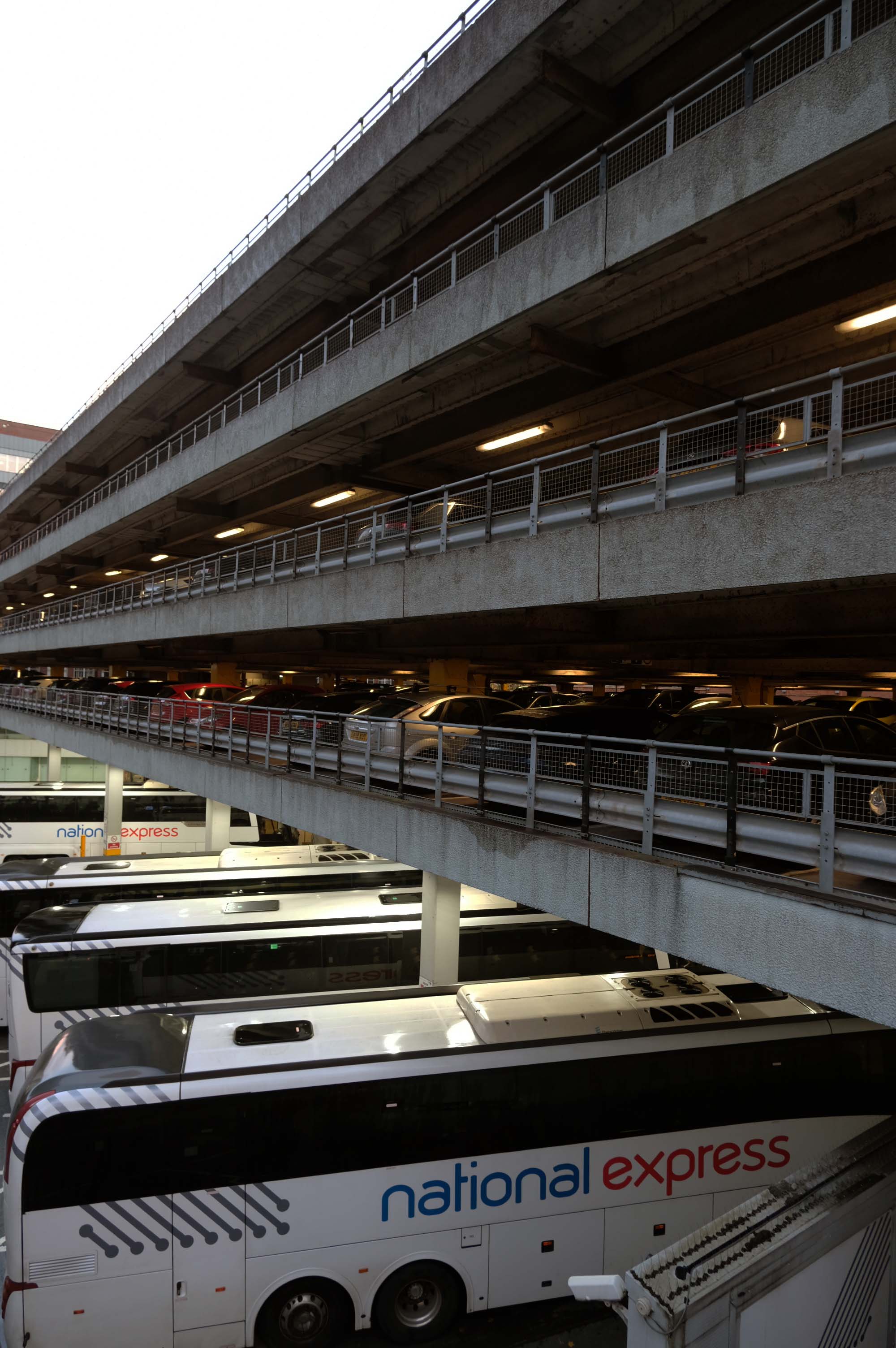
Great car park, security is great, right in the city centre, above the bus station that goes Scotland to Cornwall, Wales to Norwich and many more, Manchester city centre literally, with Piccadilly Gardens, around the corner.
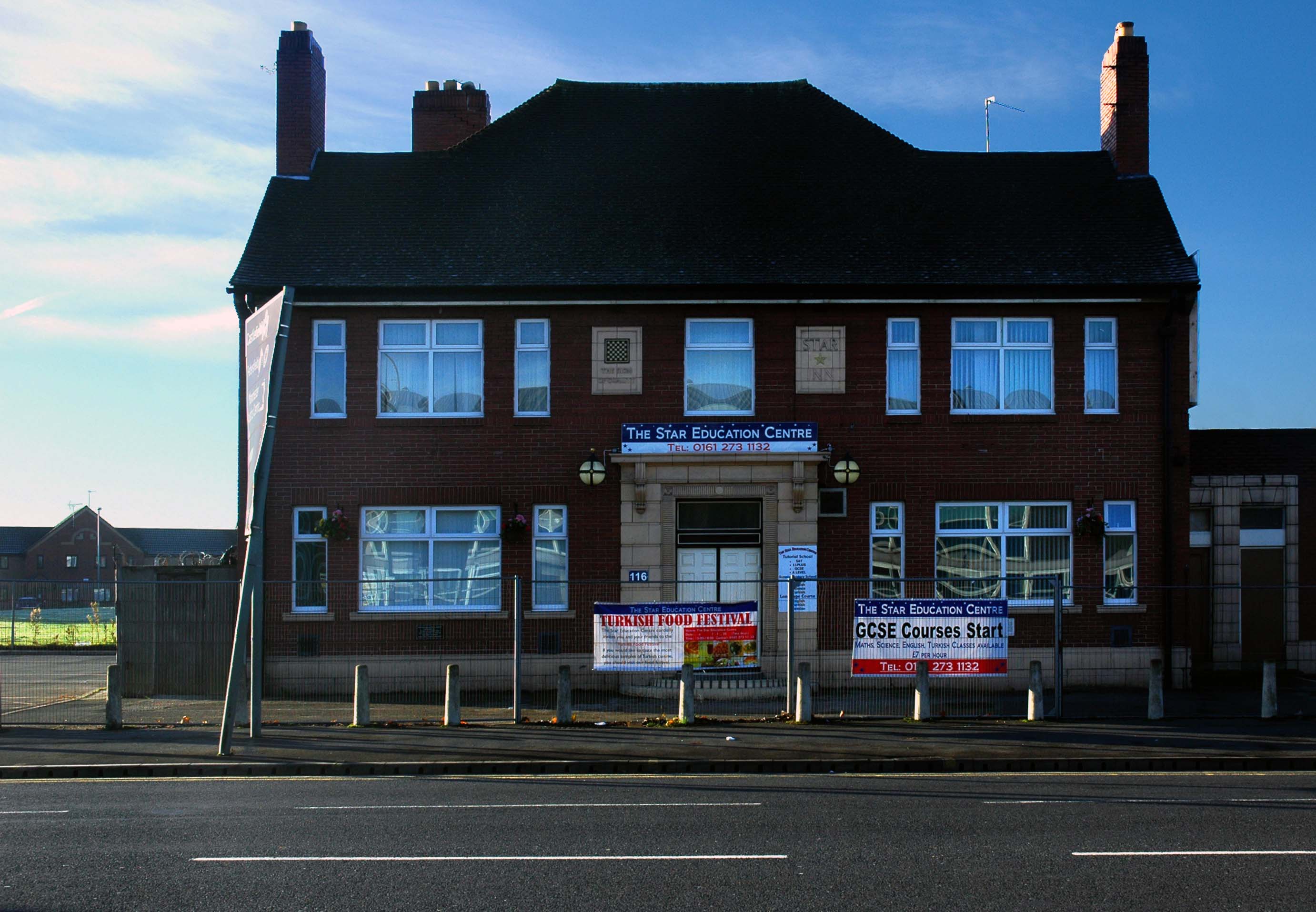
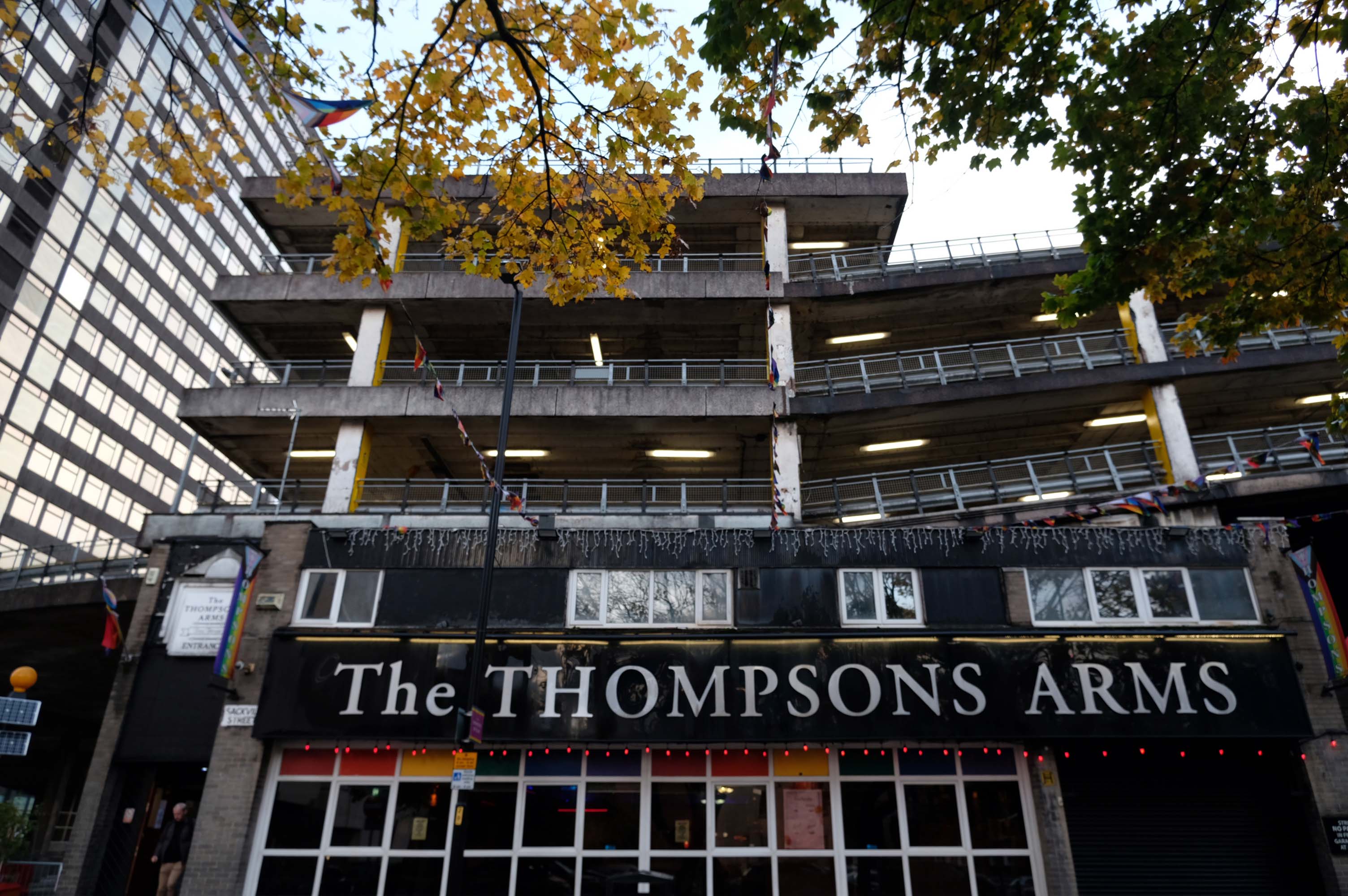
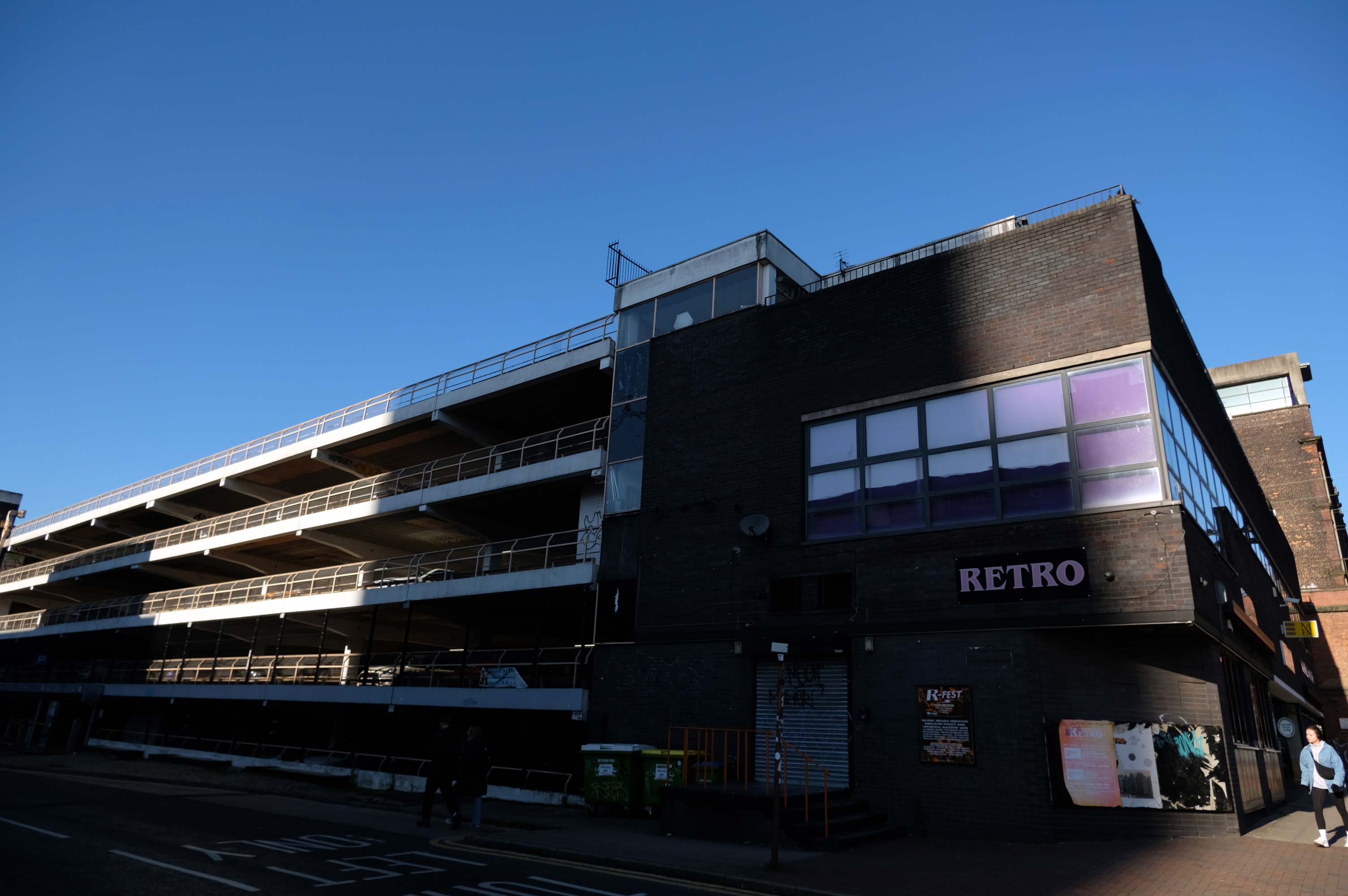
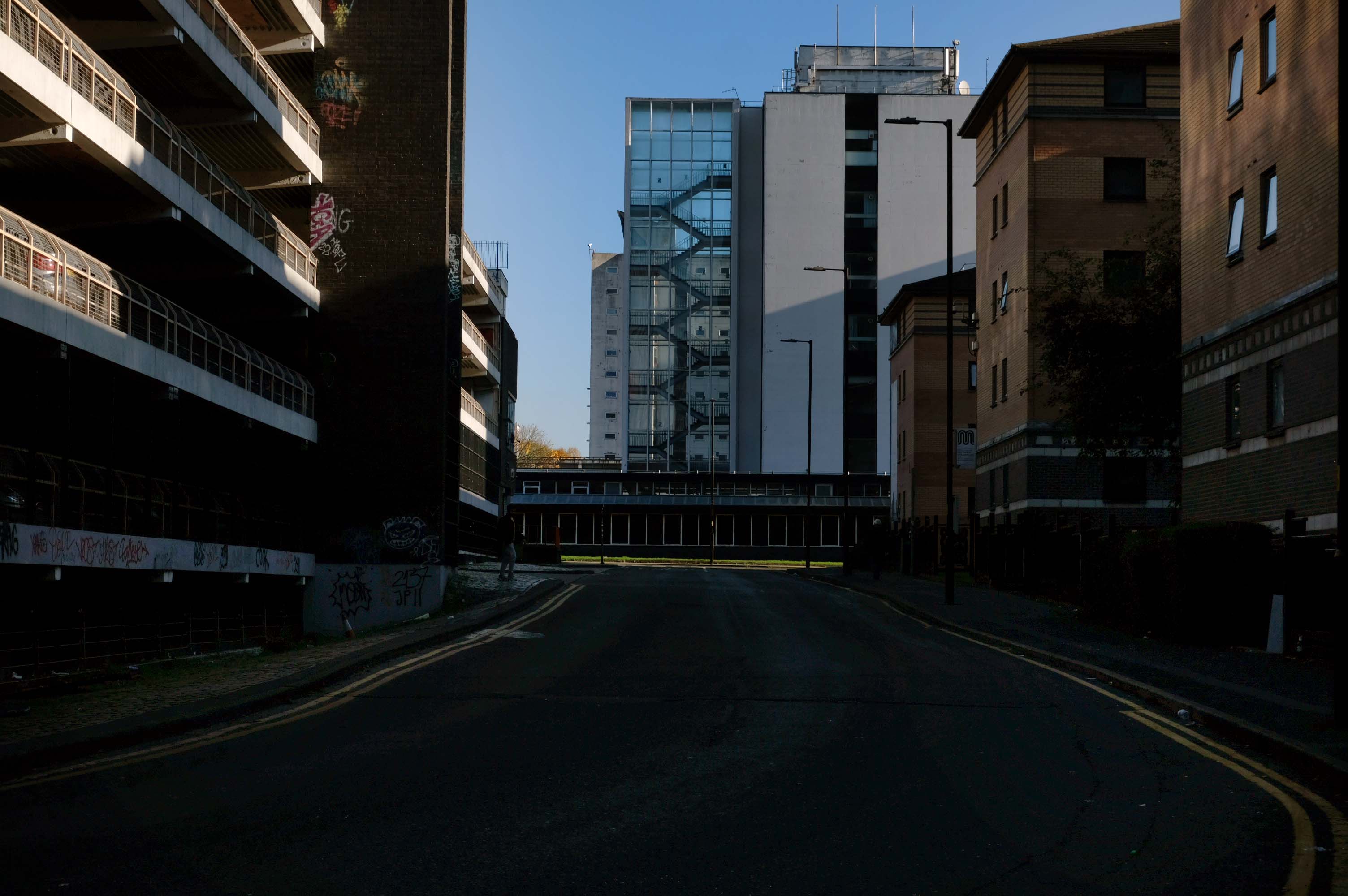
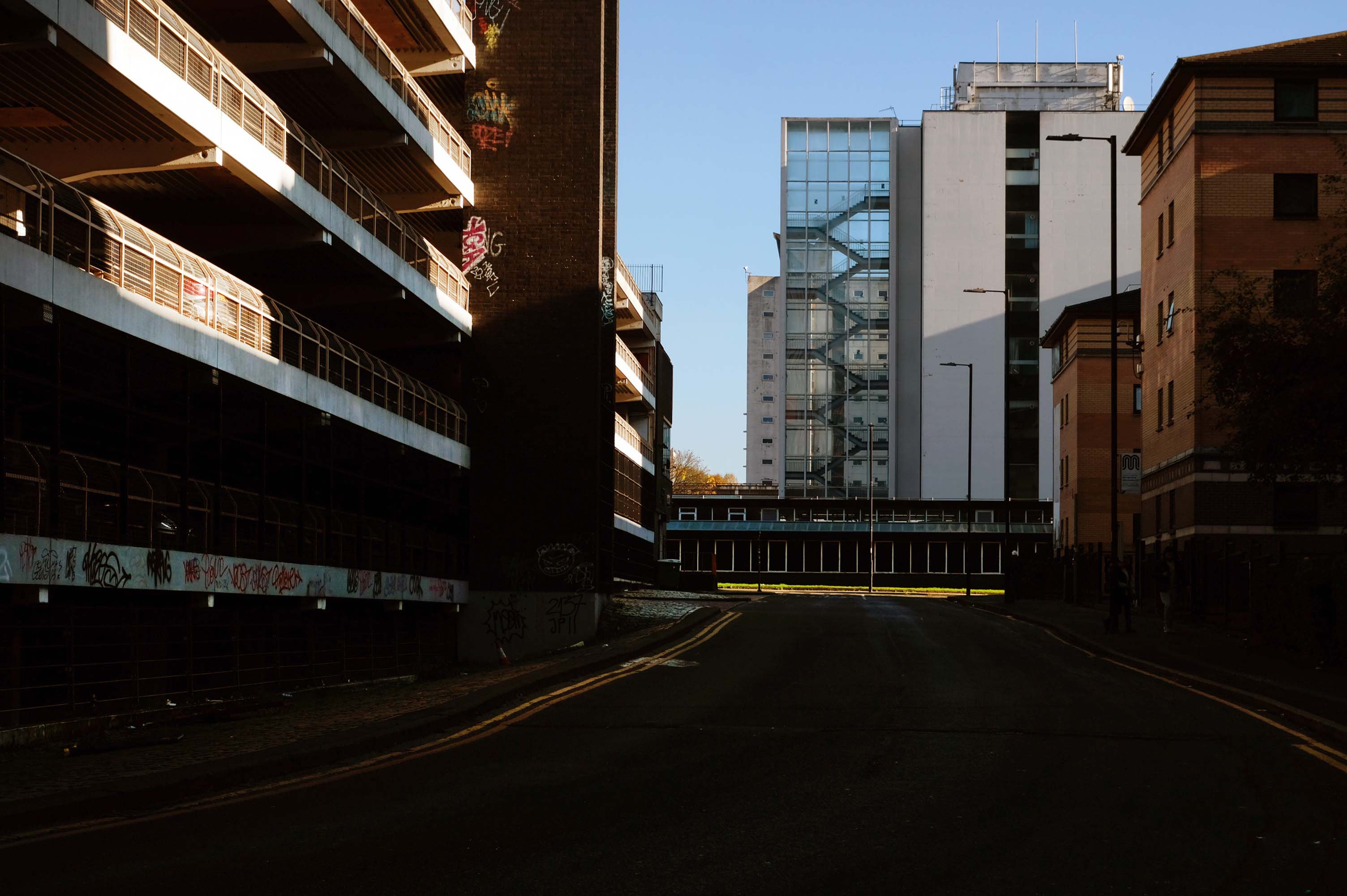
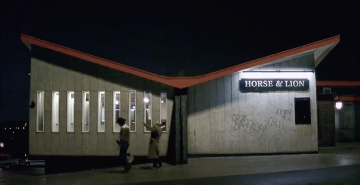
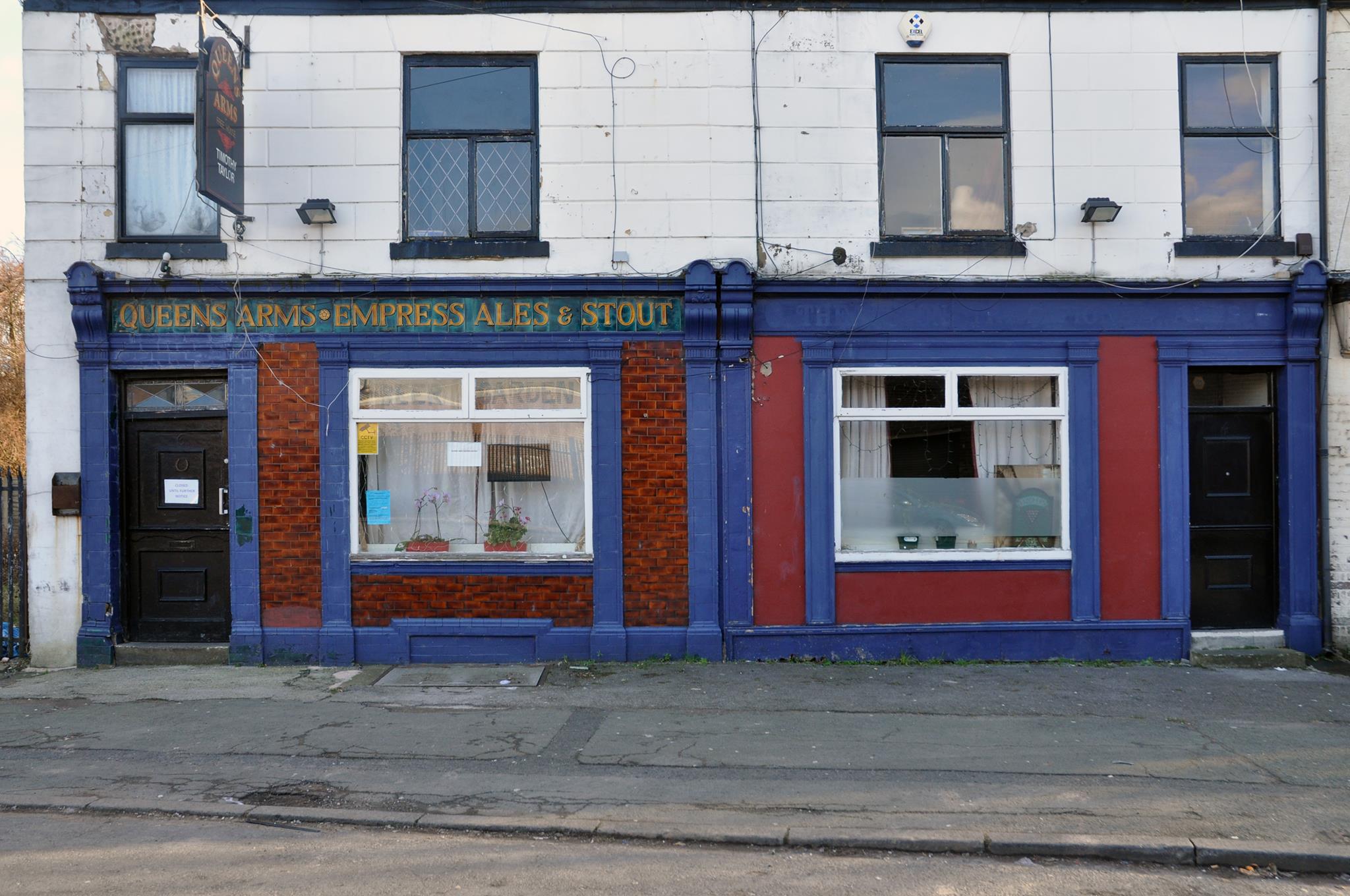
We have been snapping here afore in the guise of Mr Estate Pubs – checking out the Thompsons Arms.
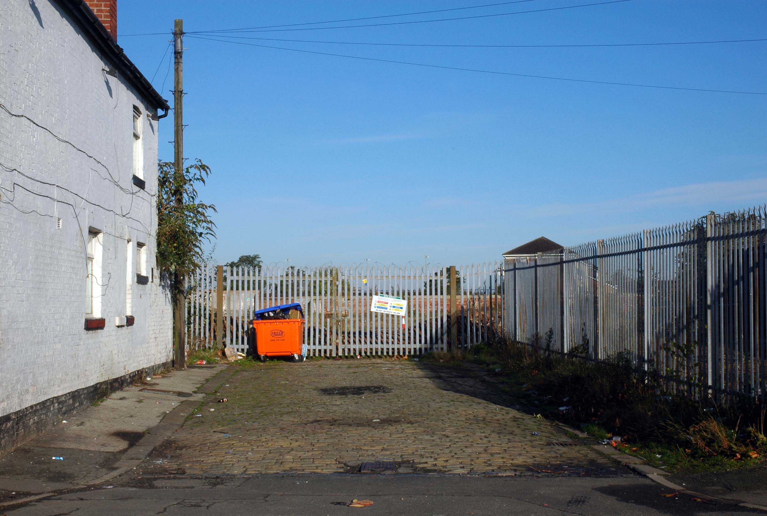
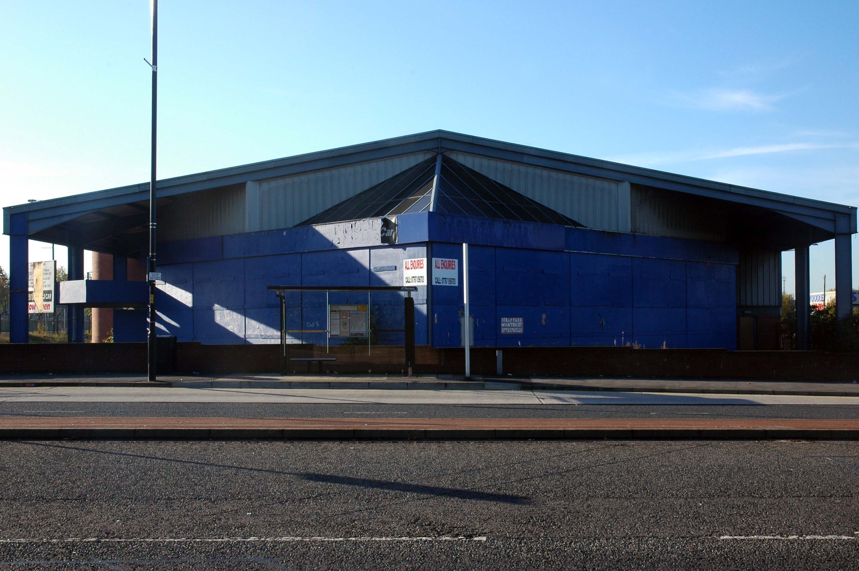
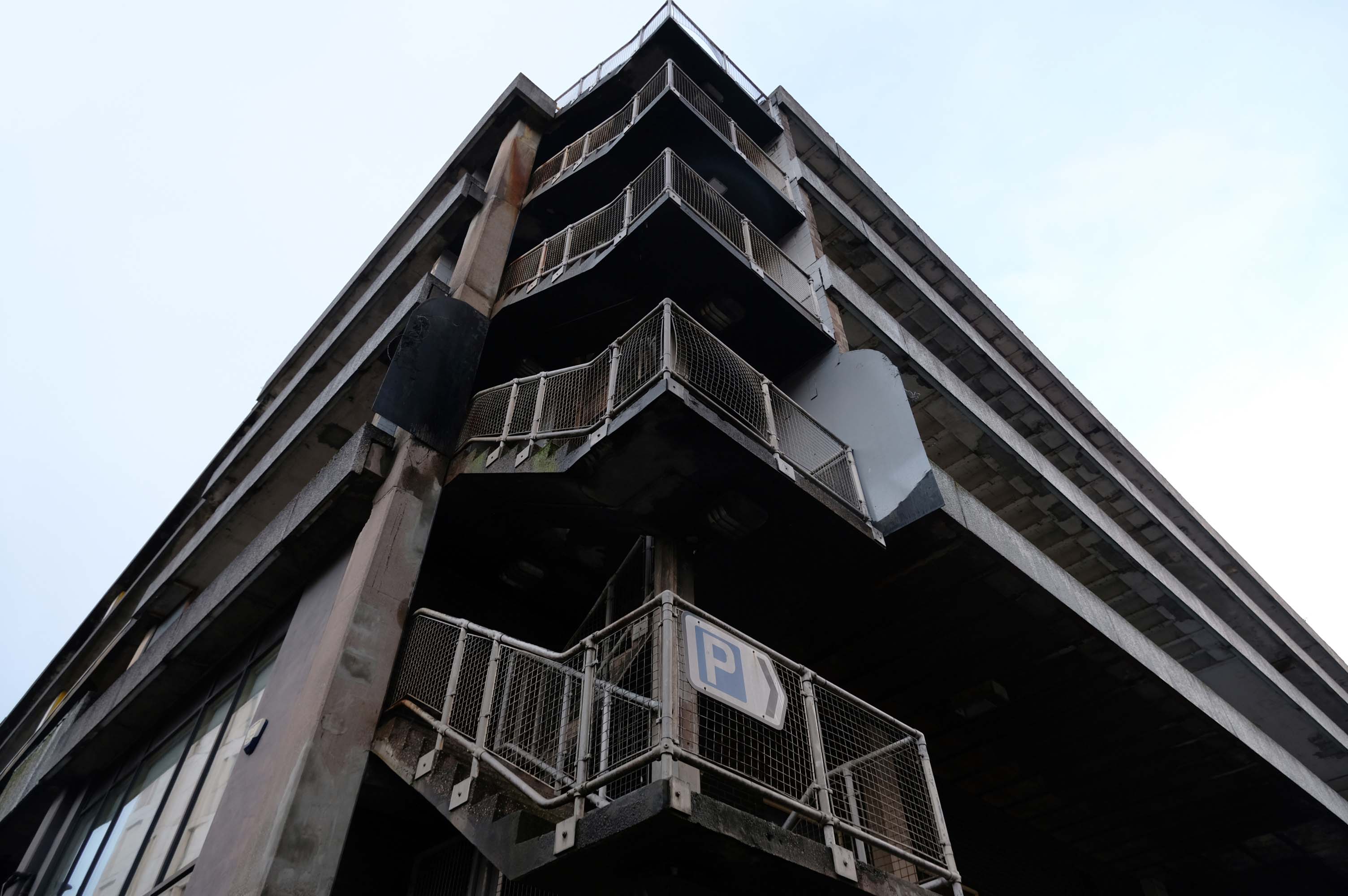
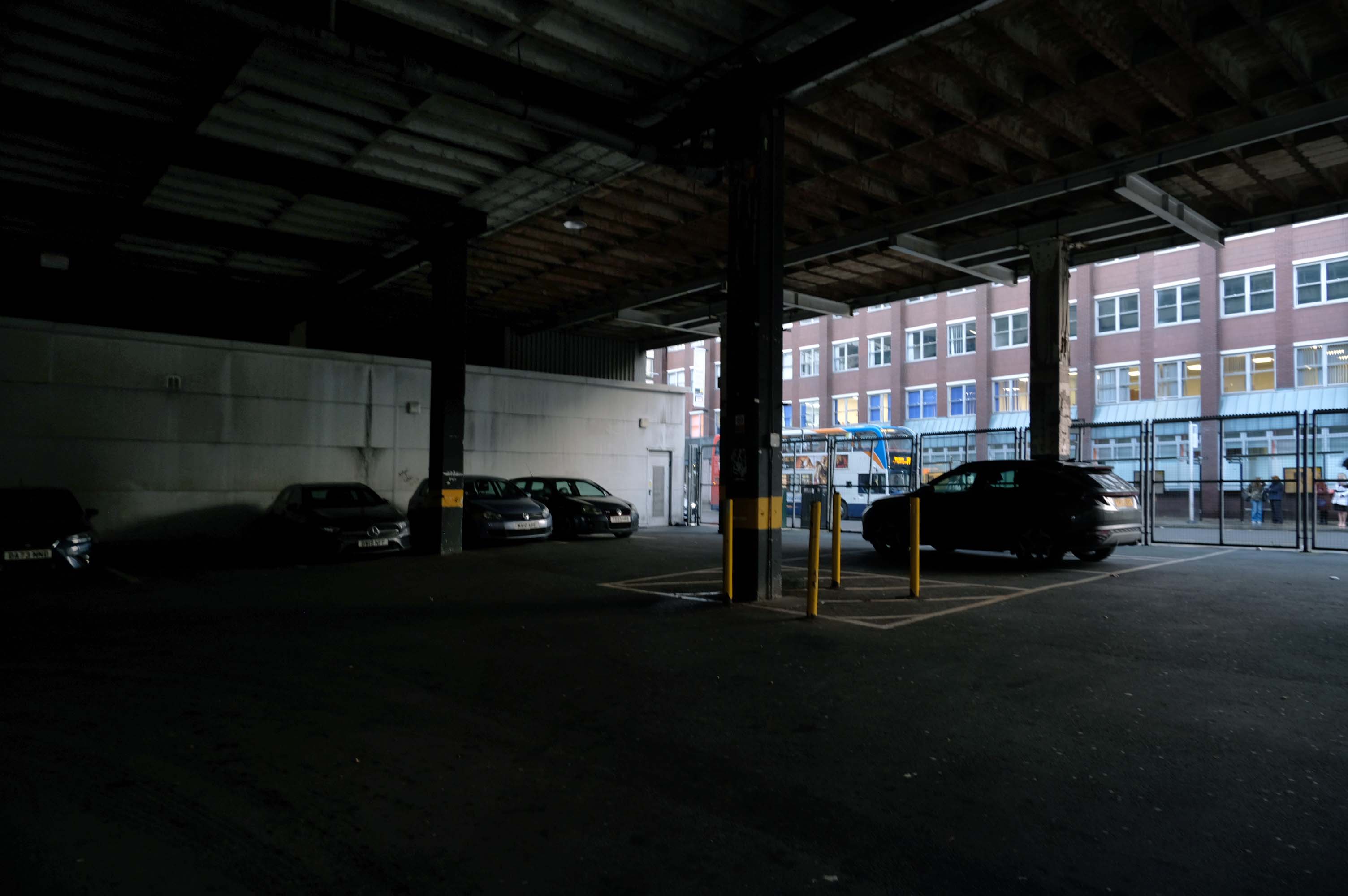
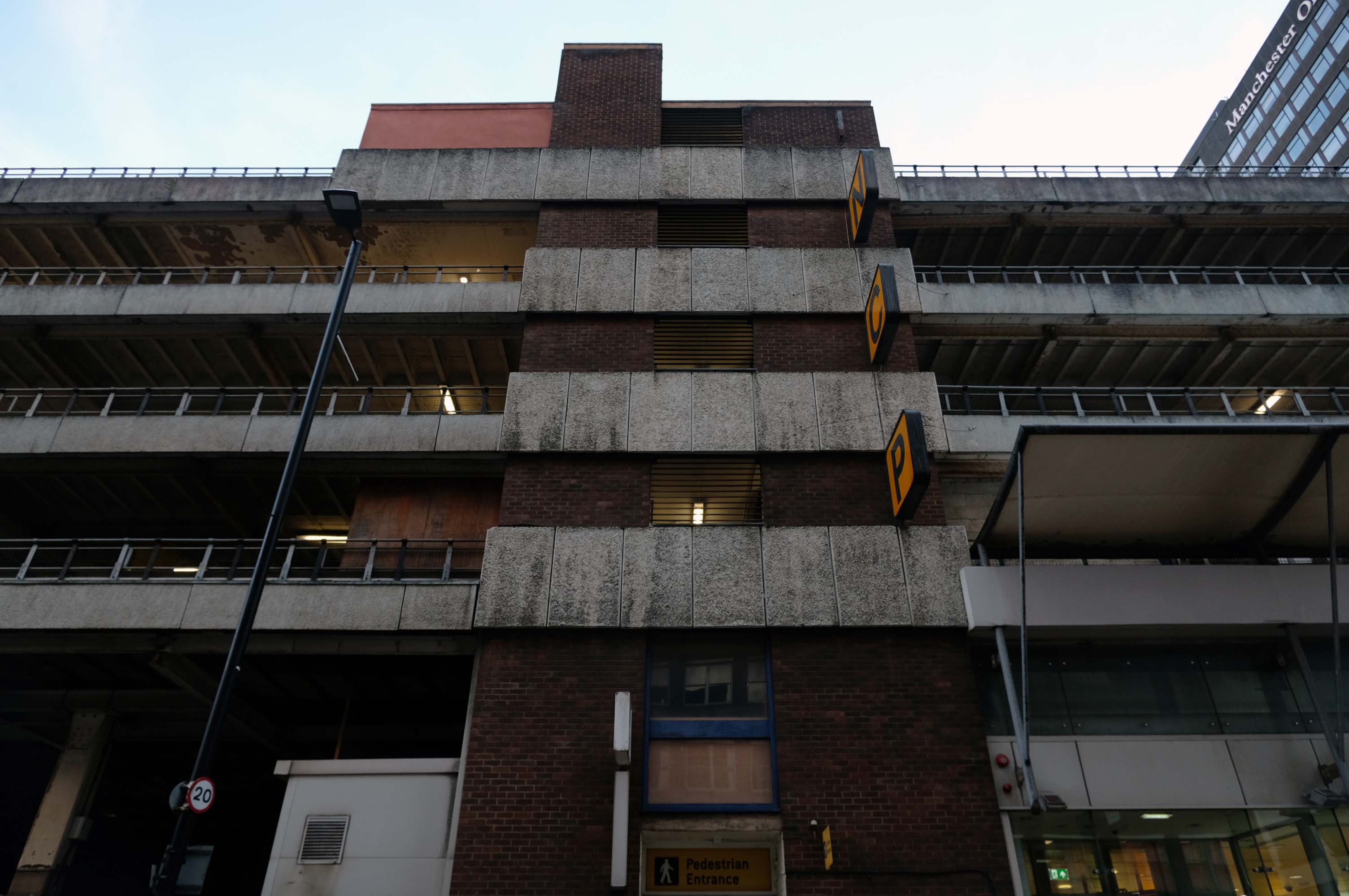
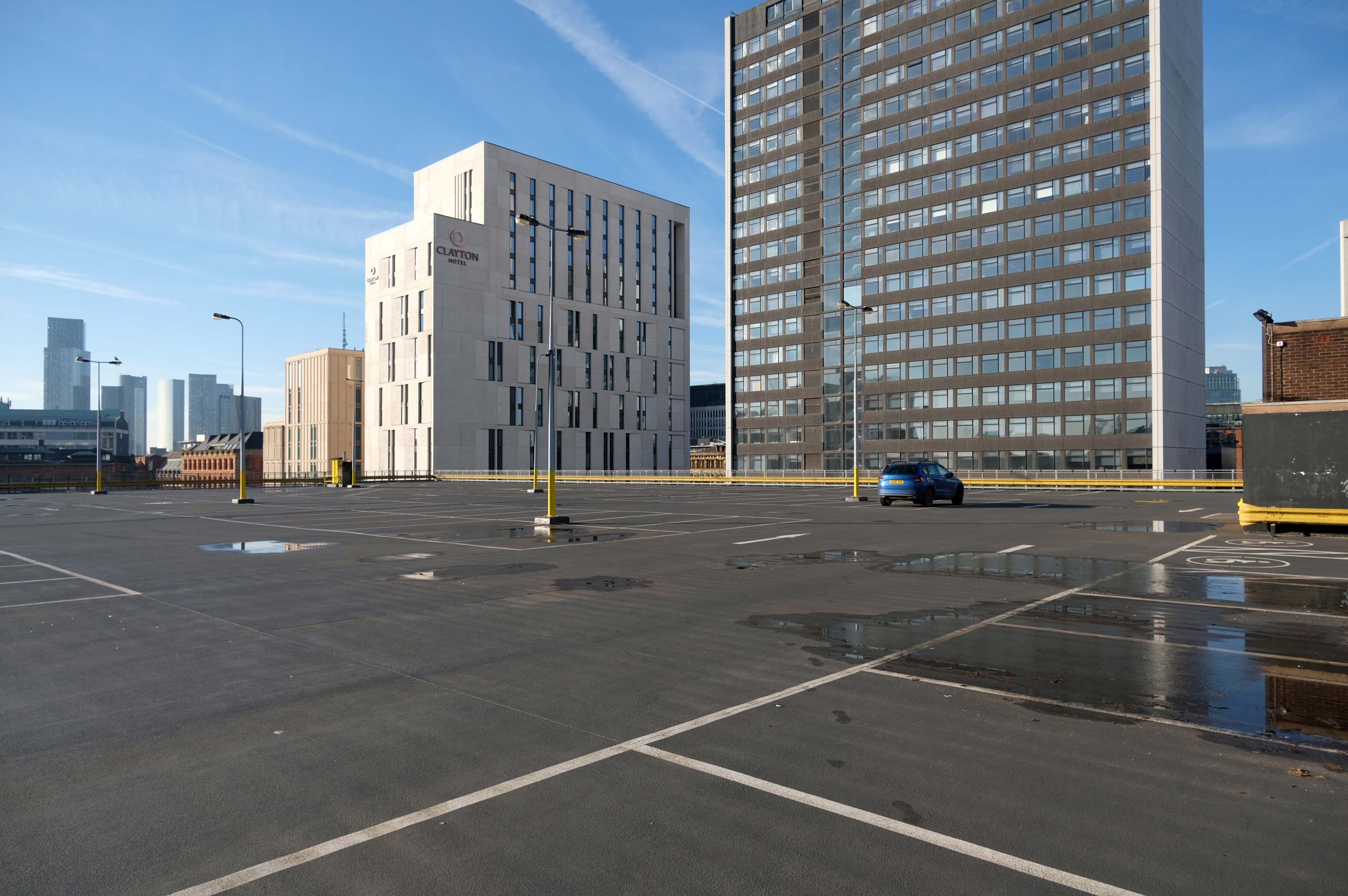
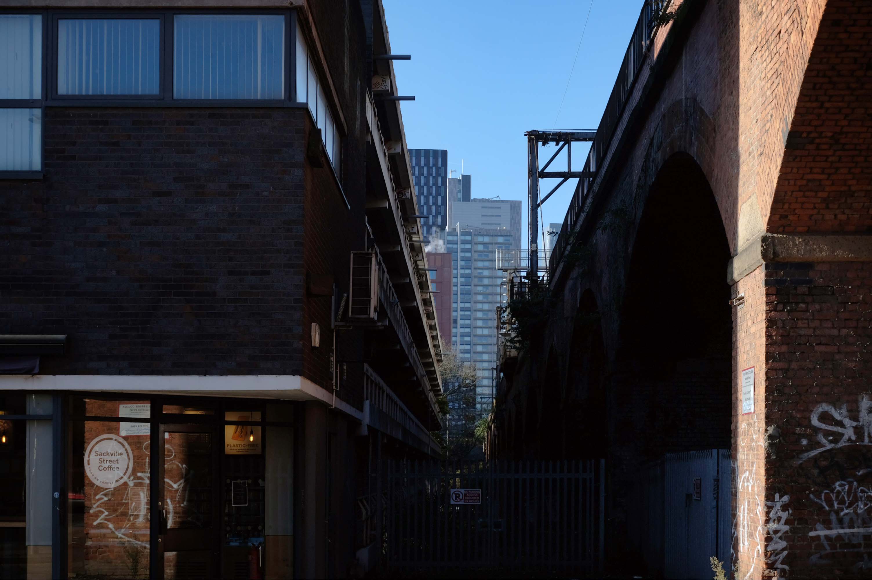
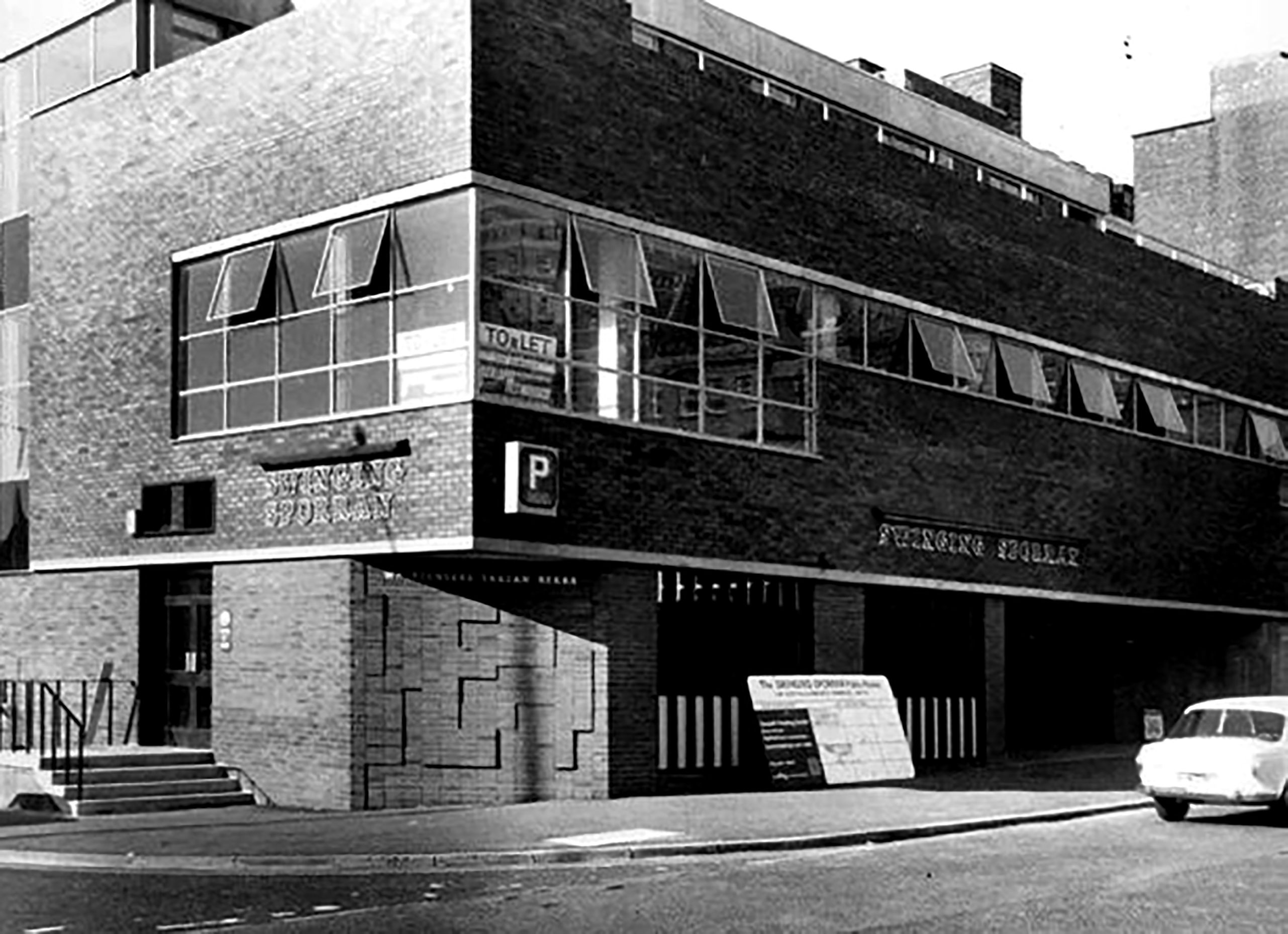
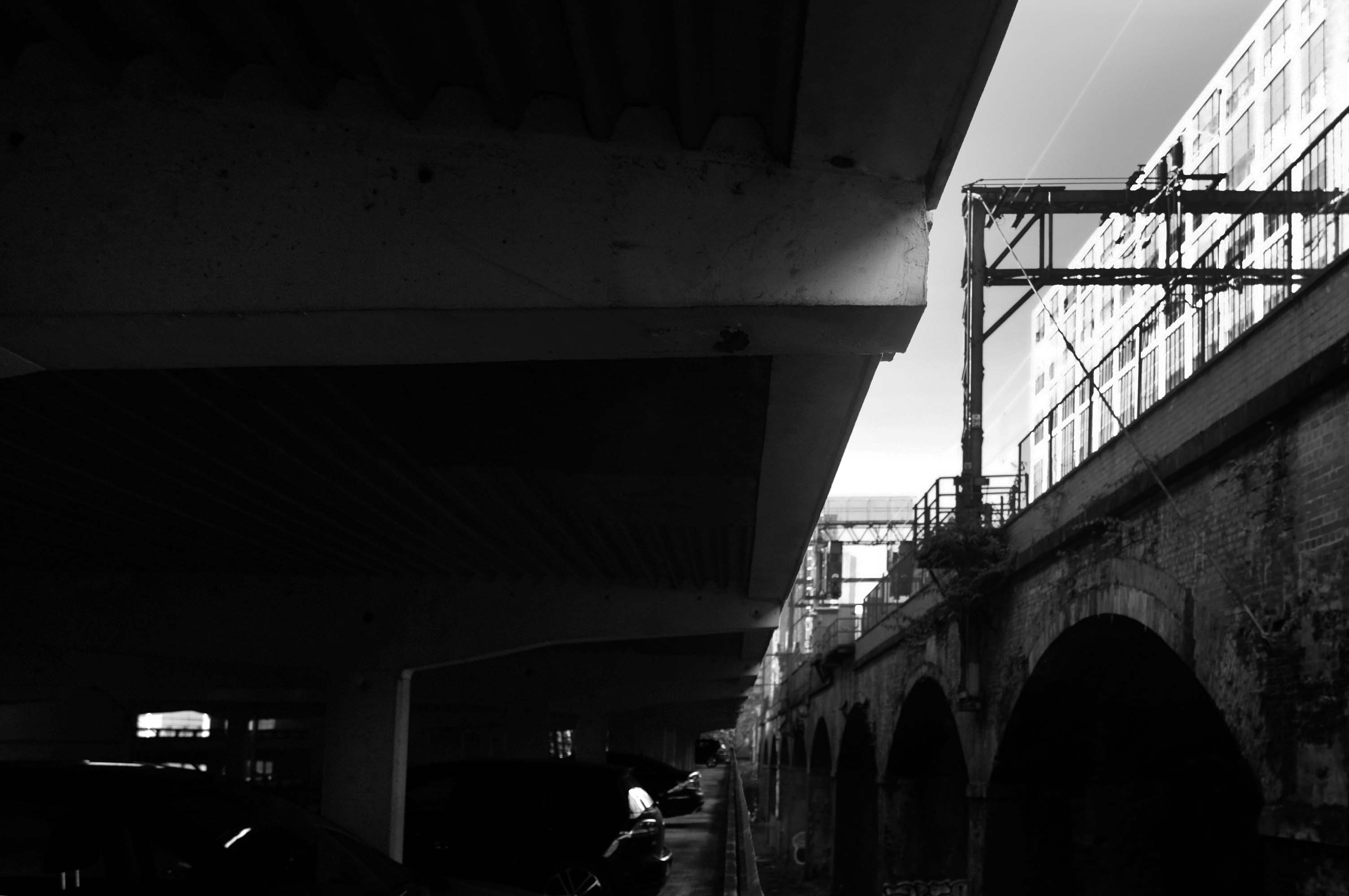
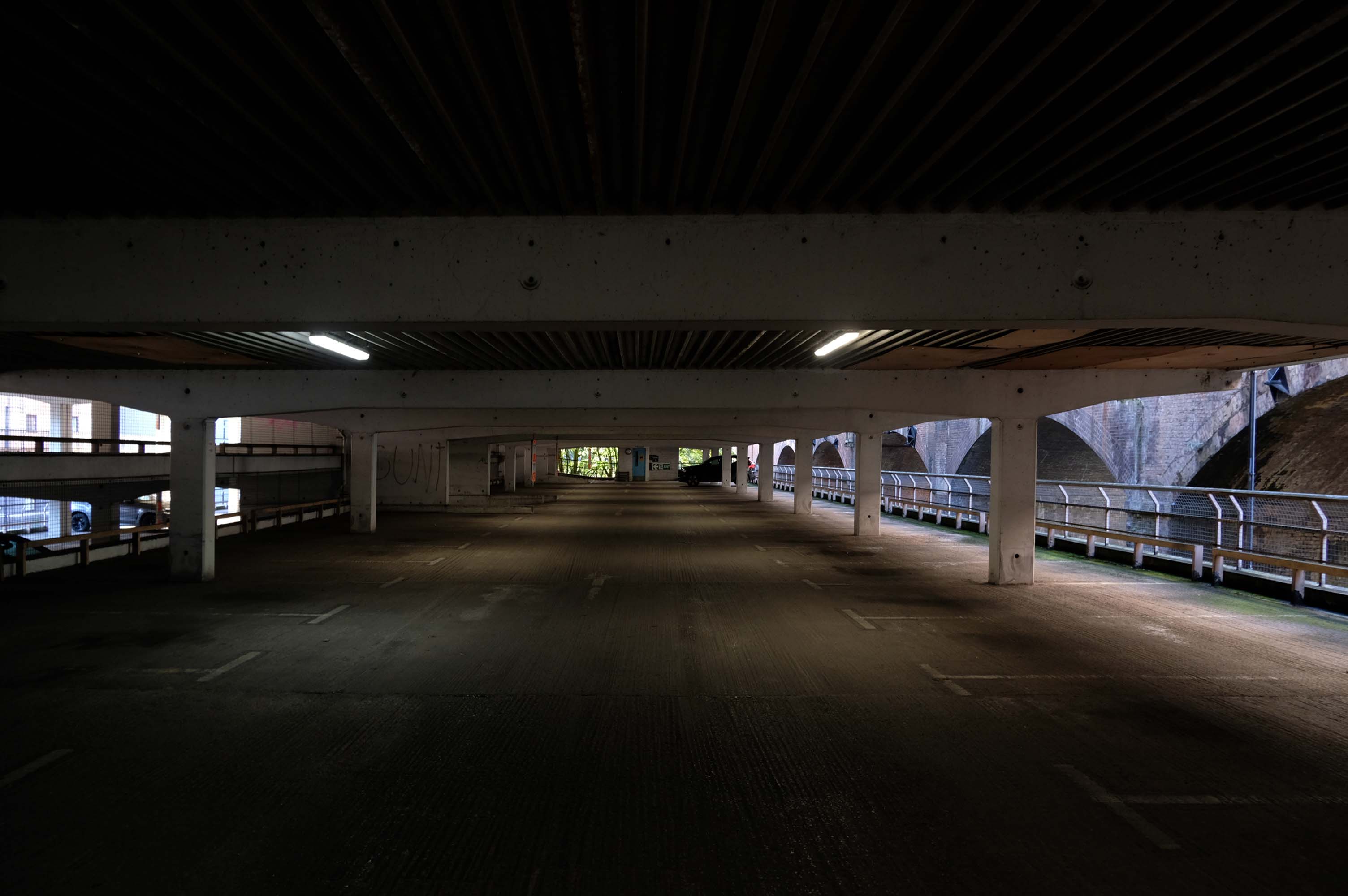
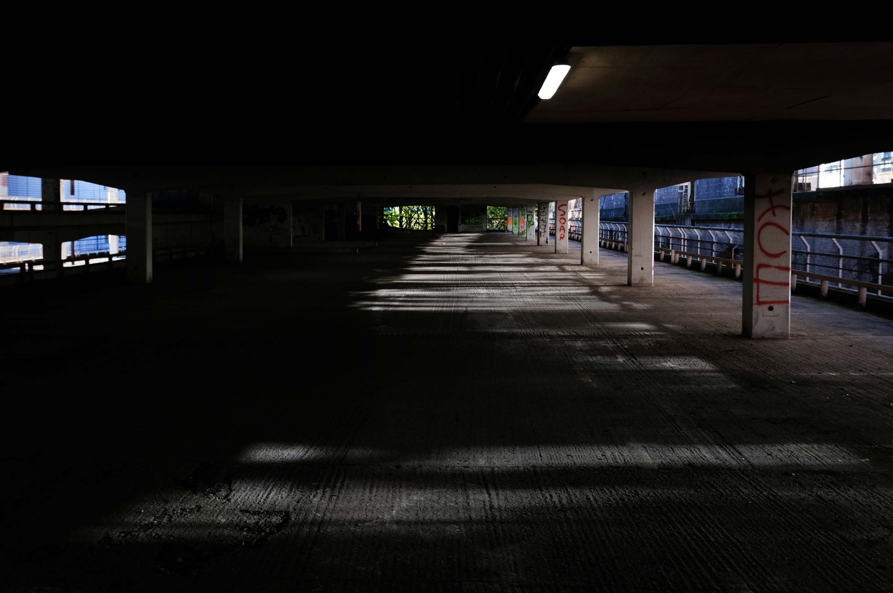
For this is a car park with coach station and boozer attached.
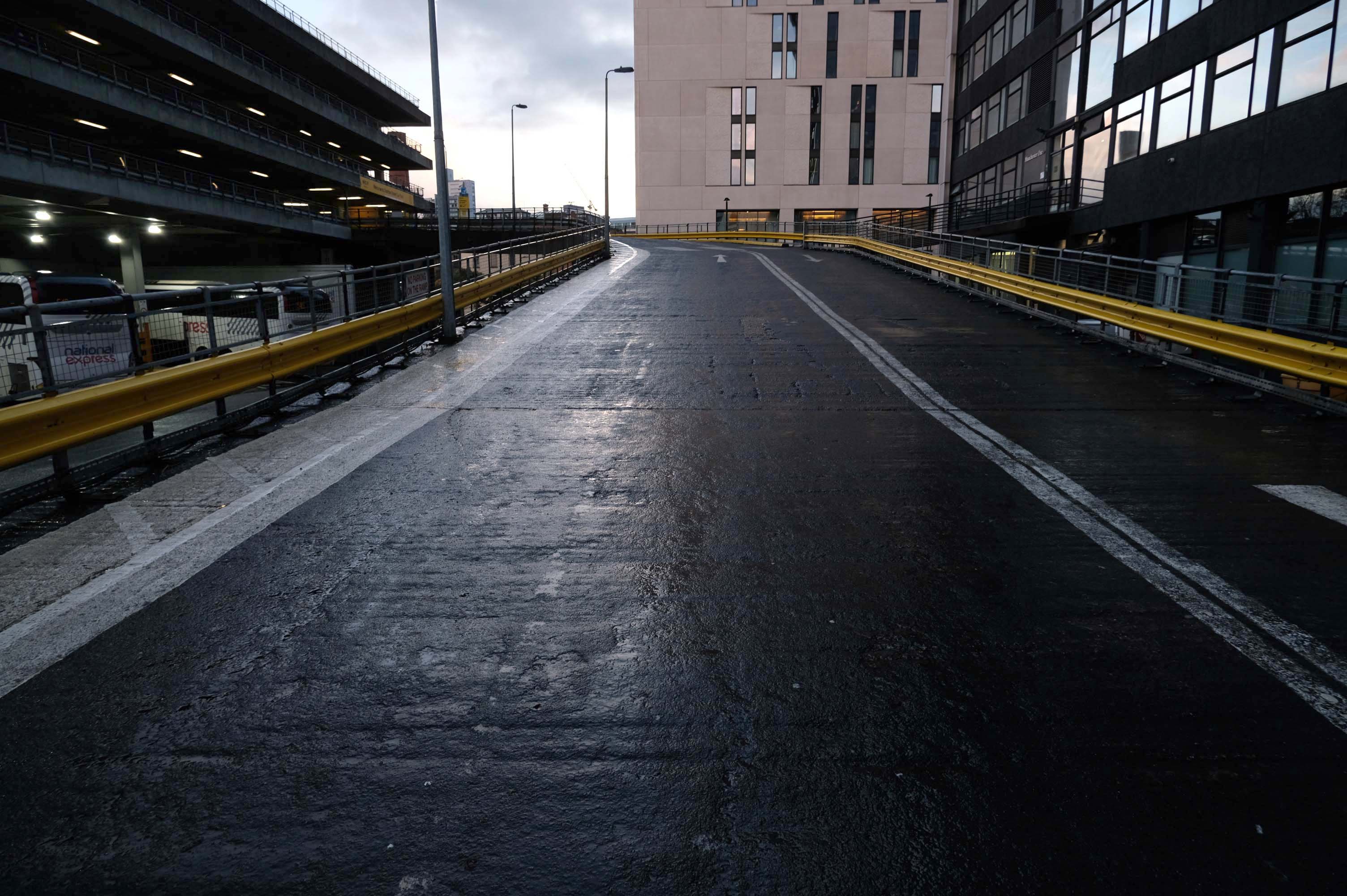
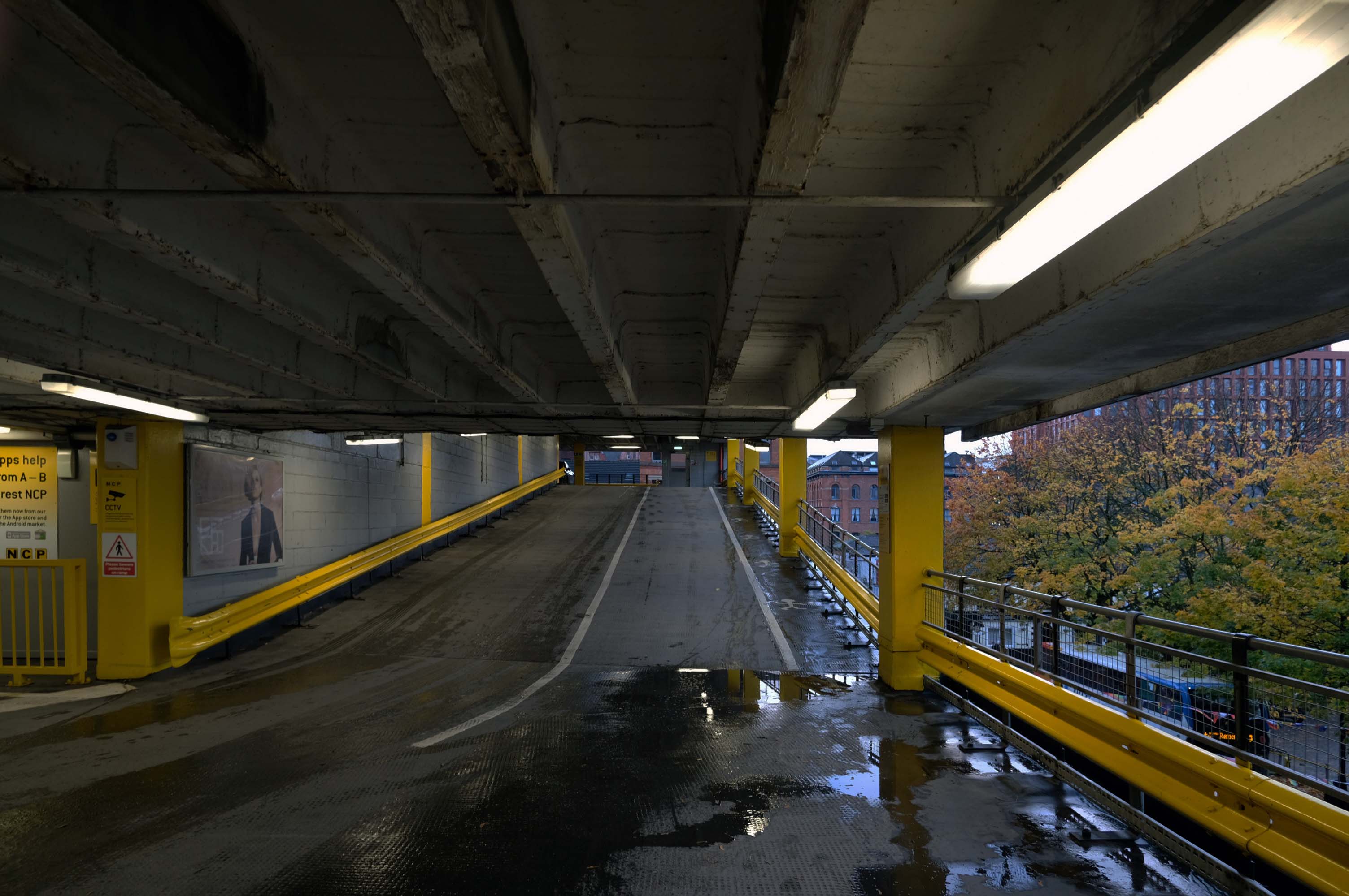
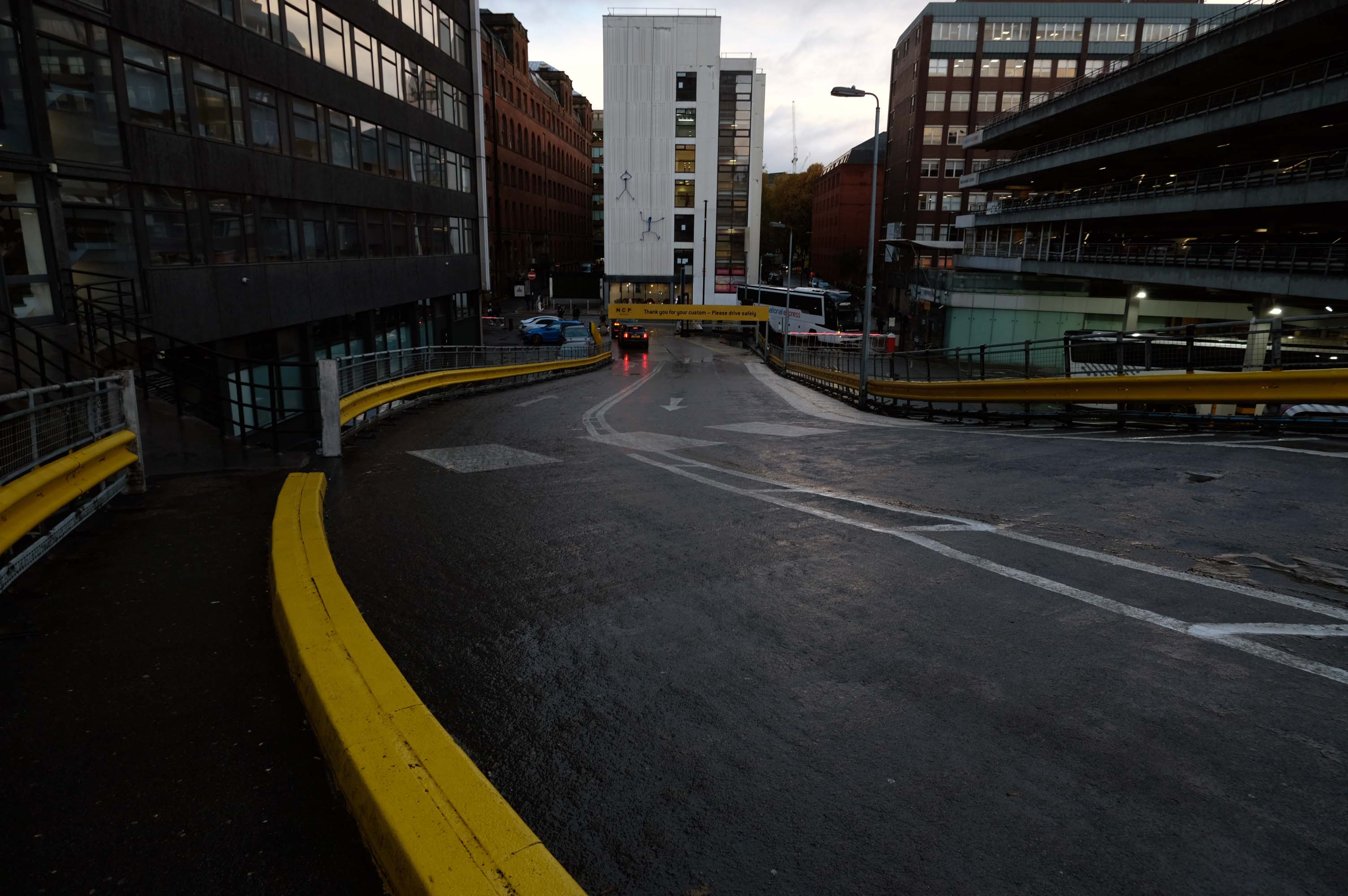
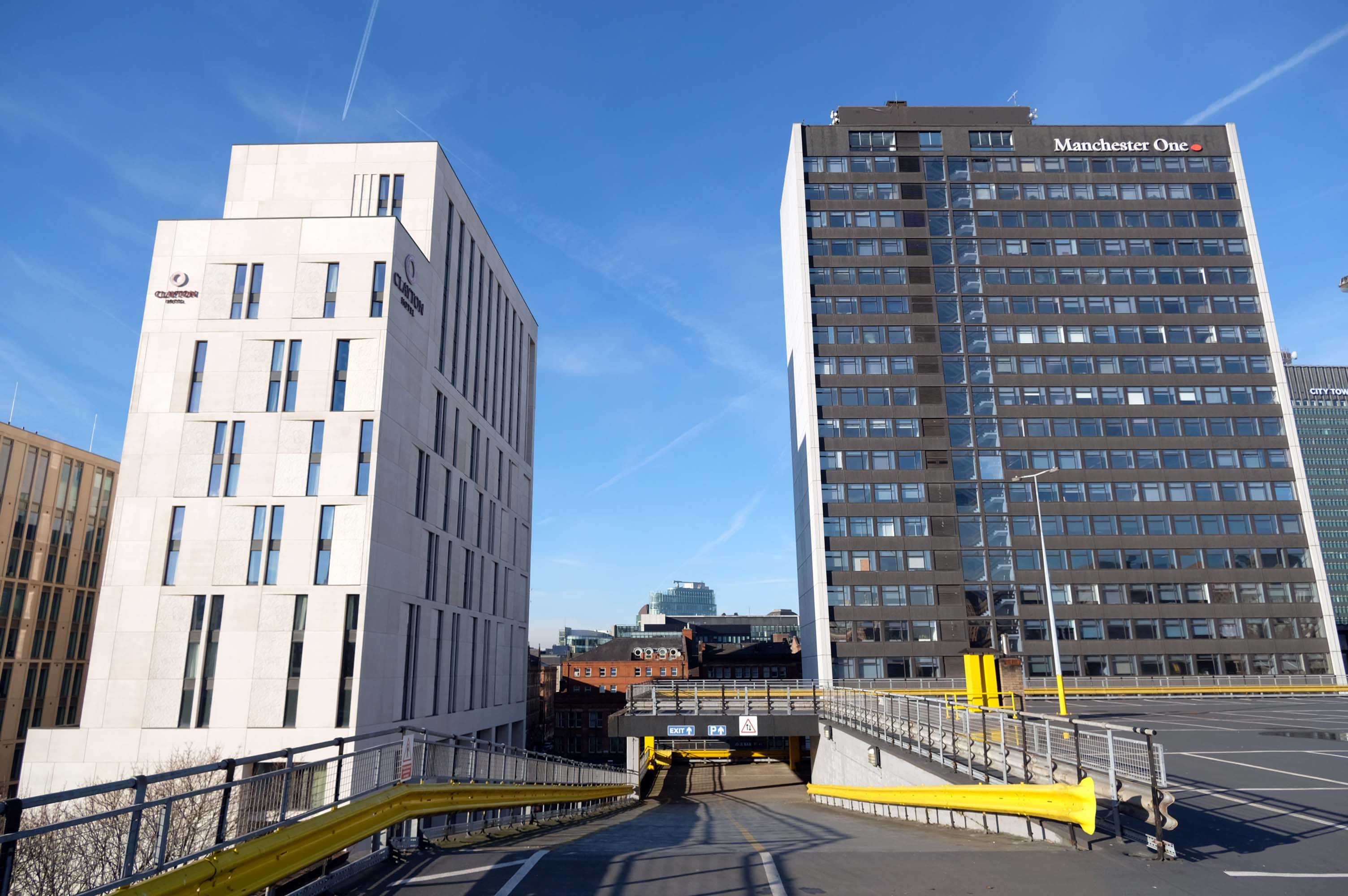
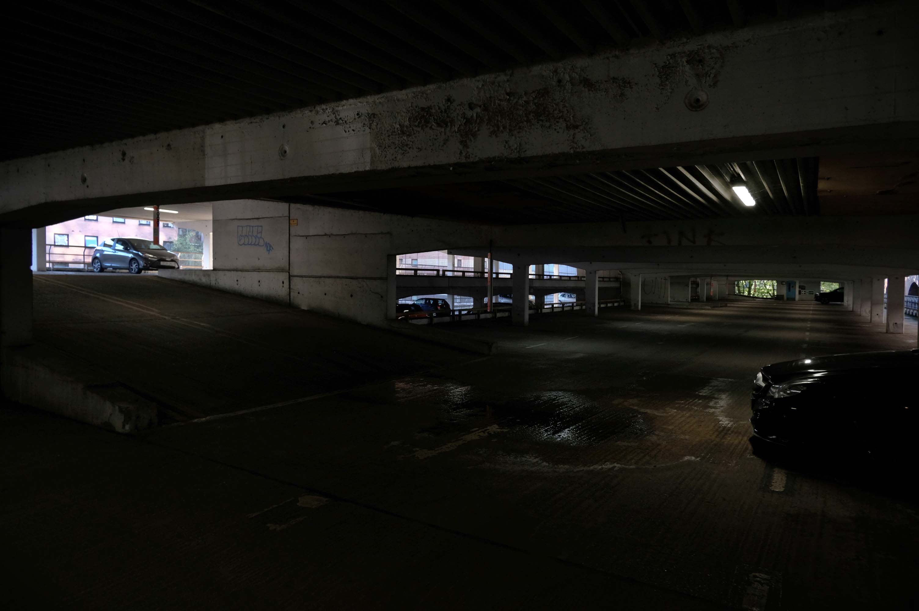
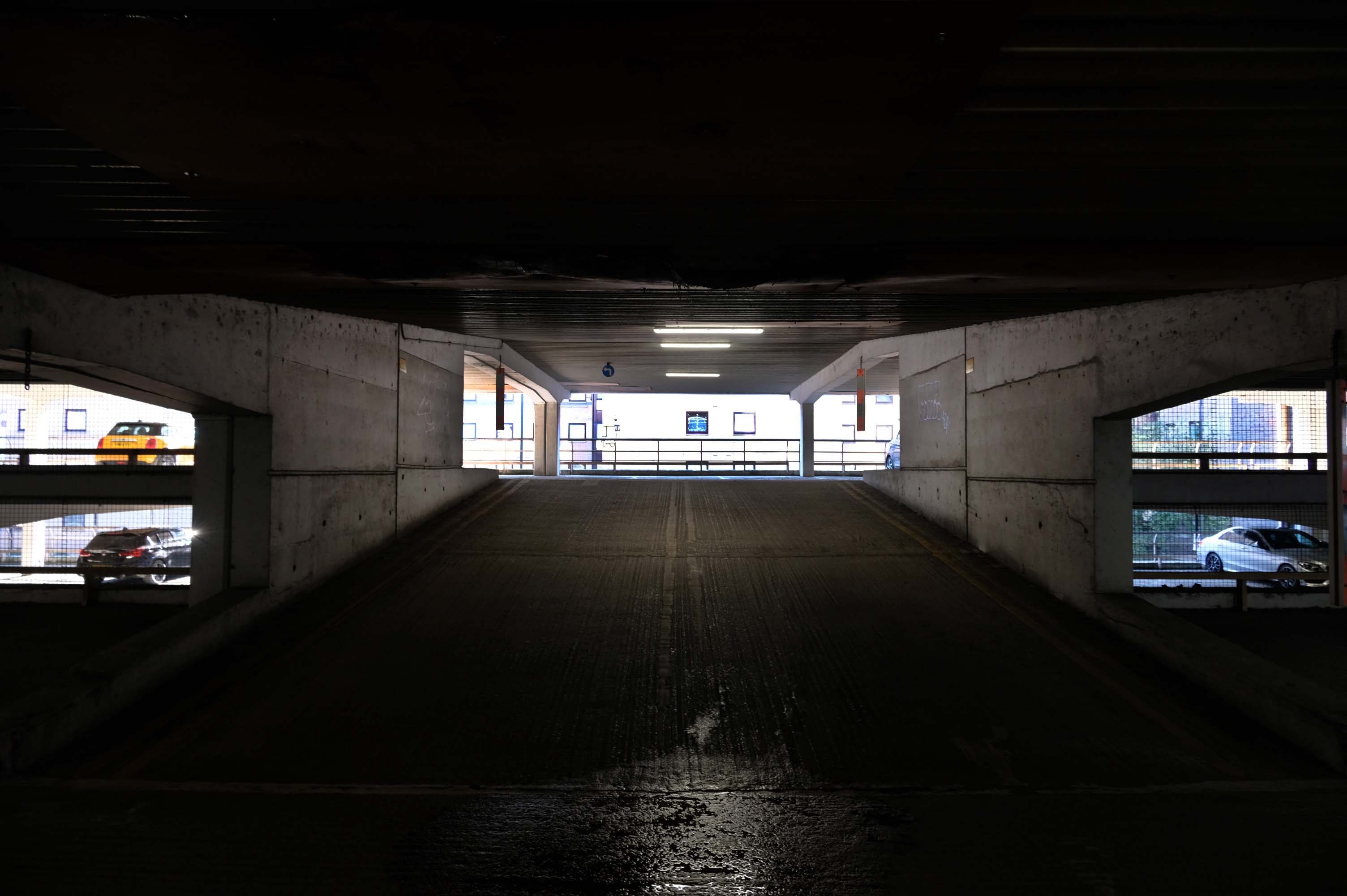
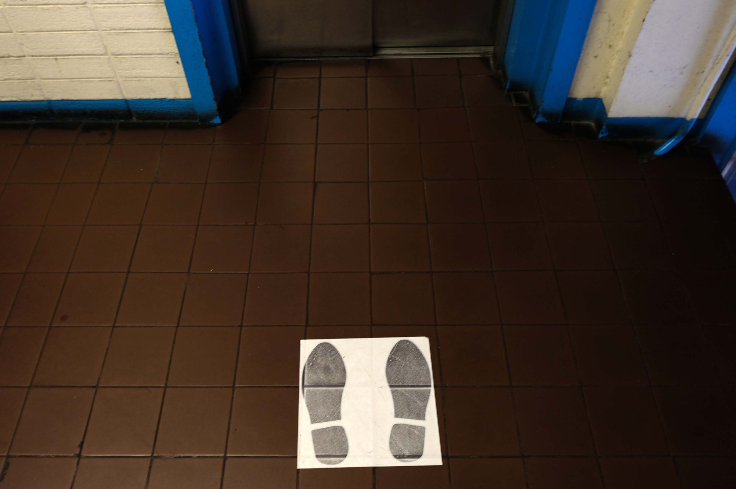
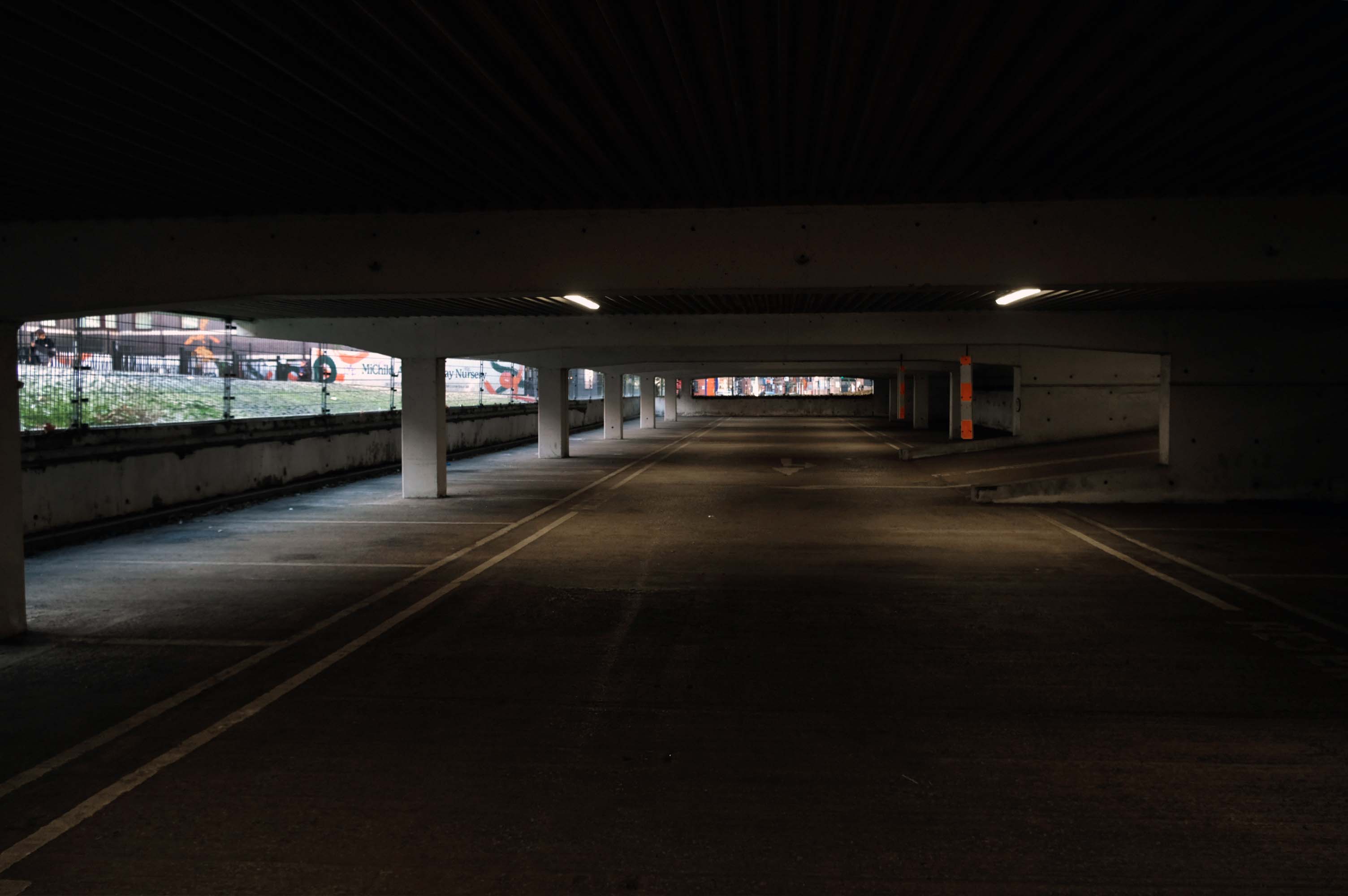
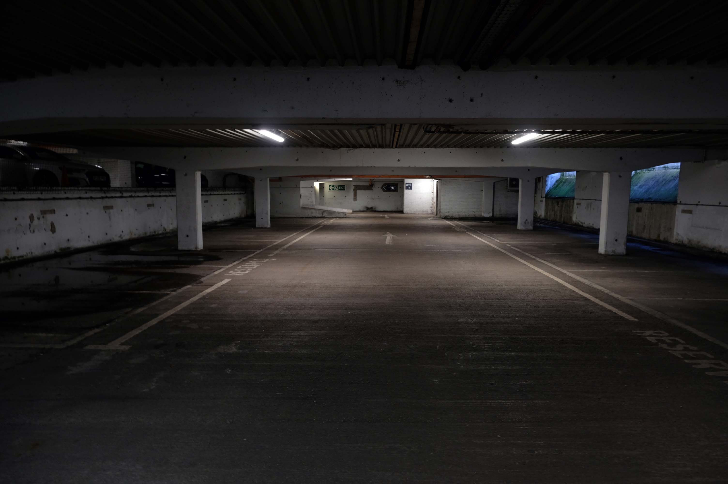
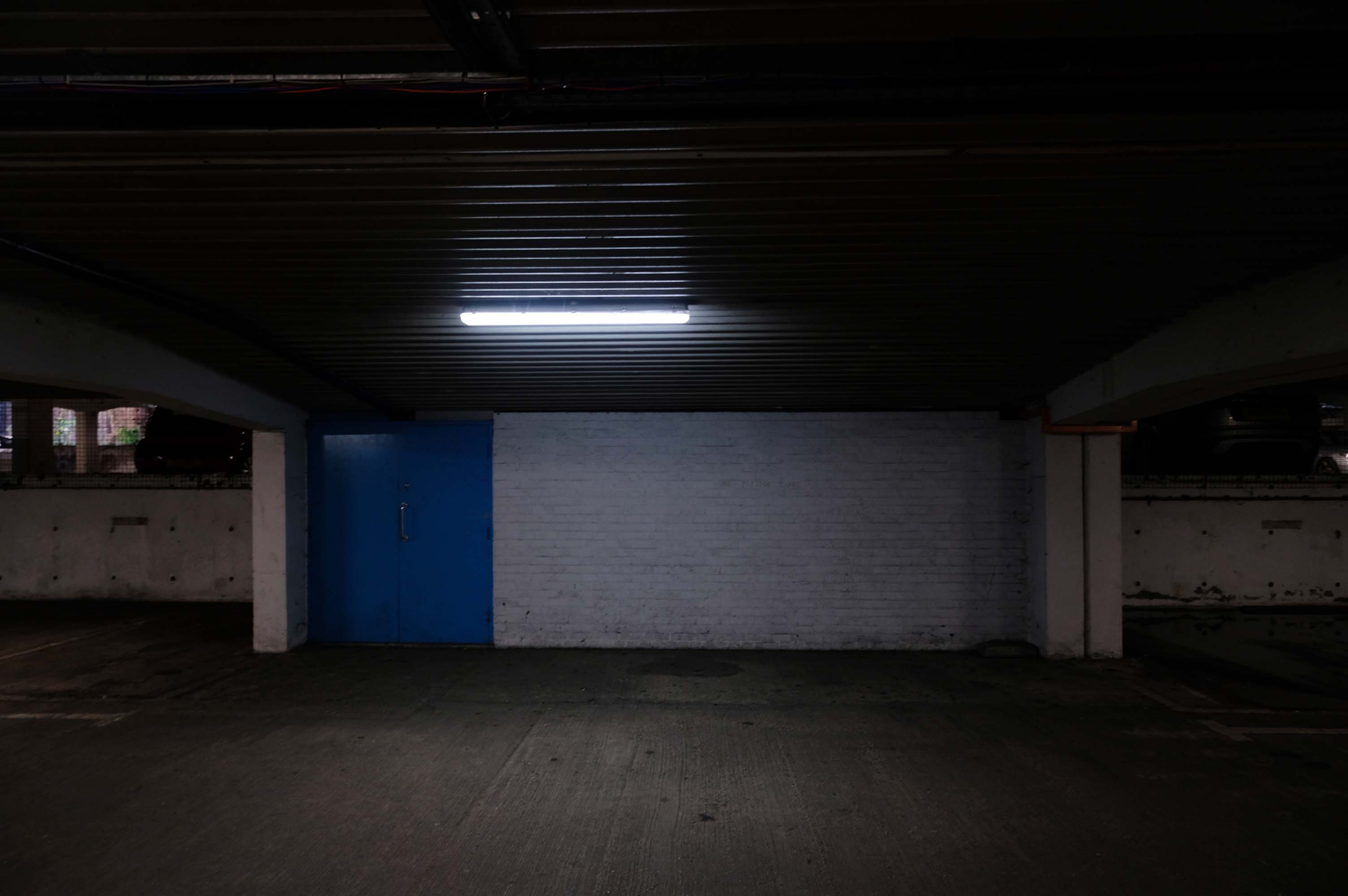
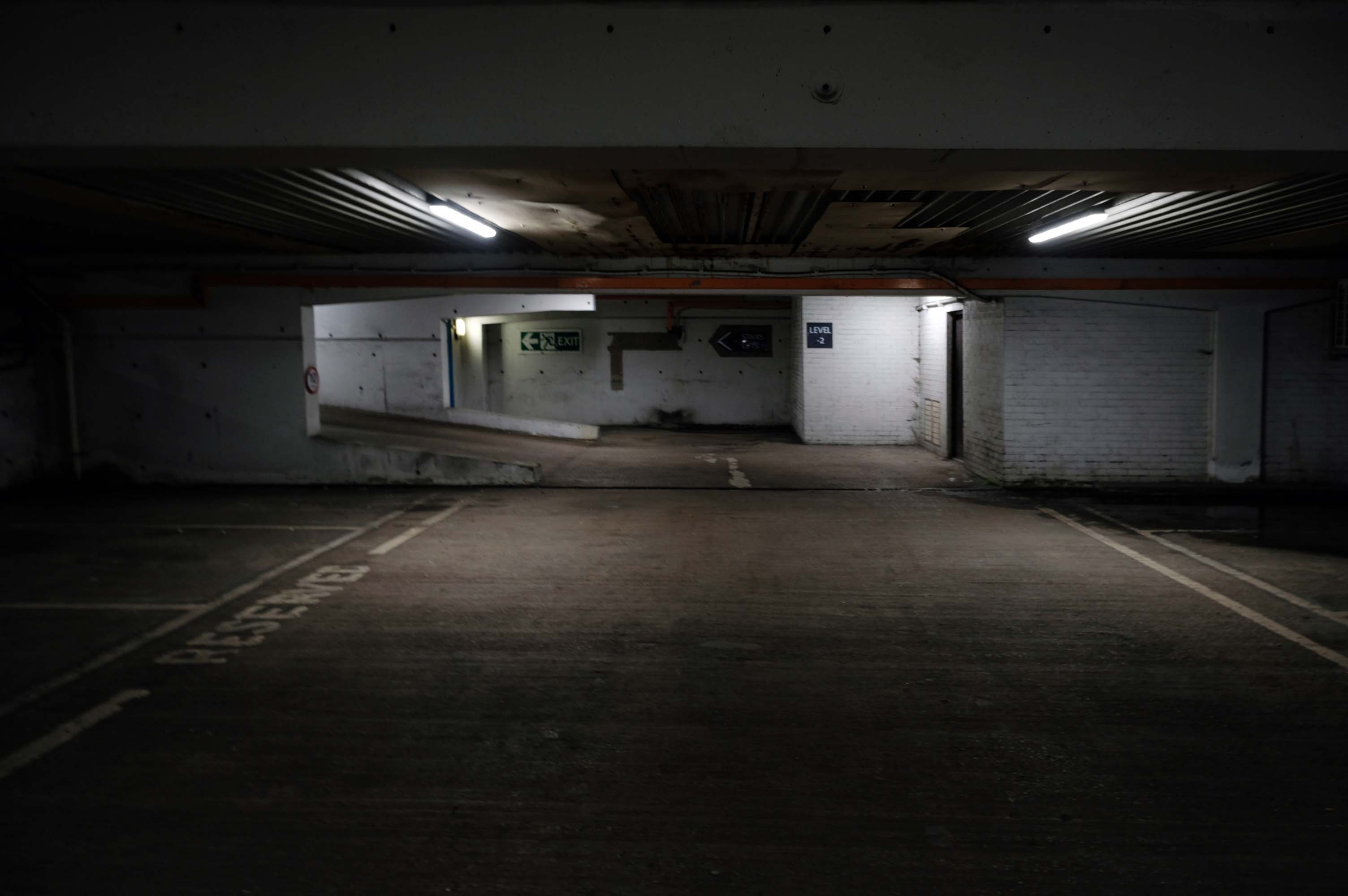
The pedestrian in a car park approaches cautiously – along the ramp.
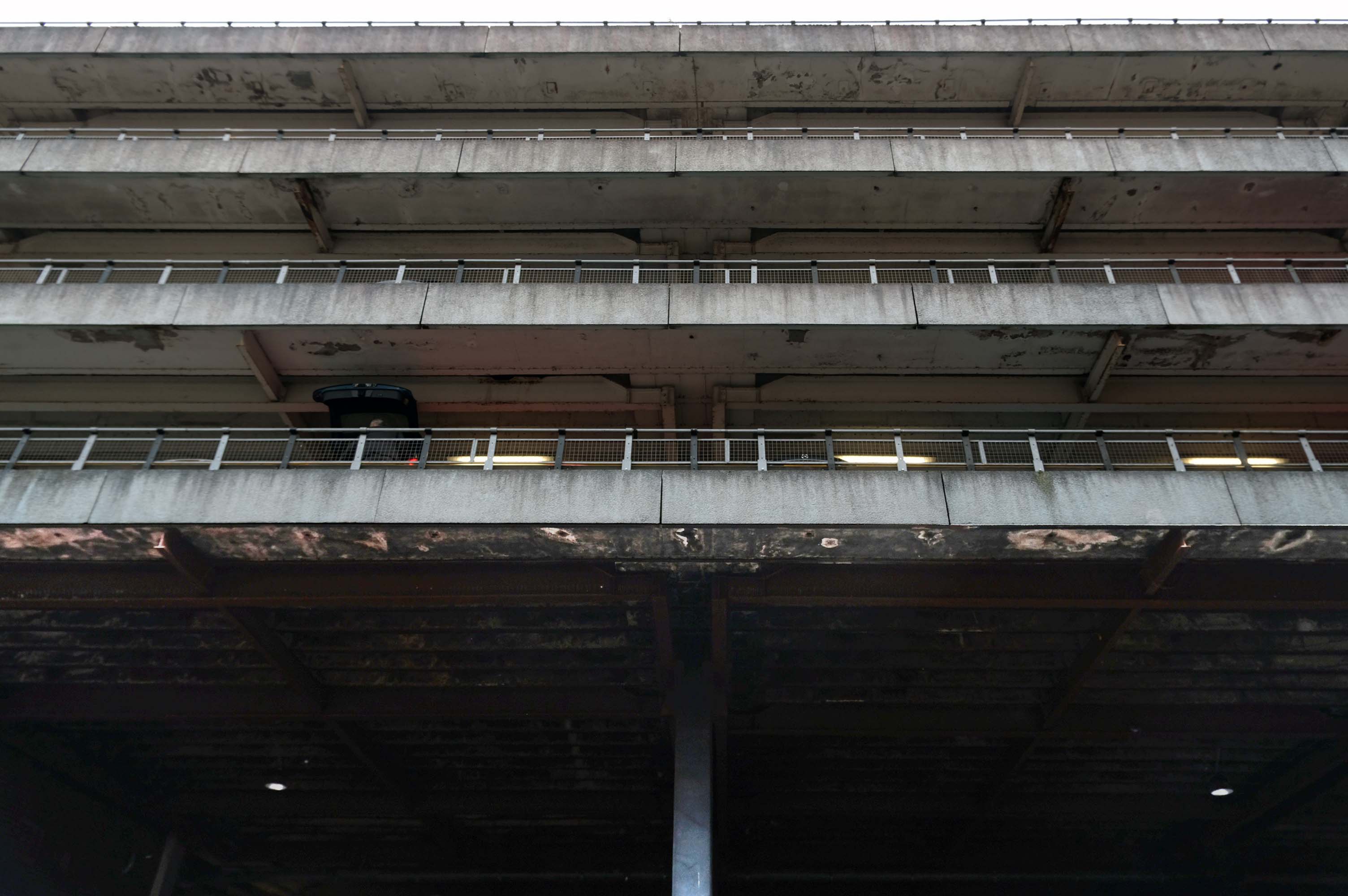
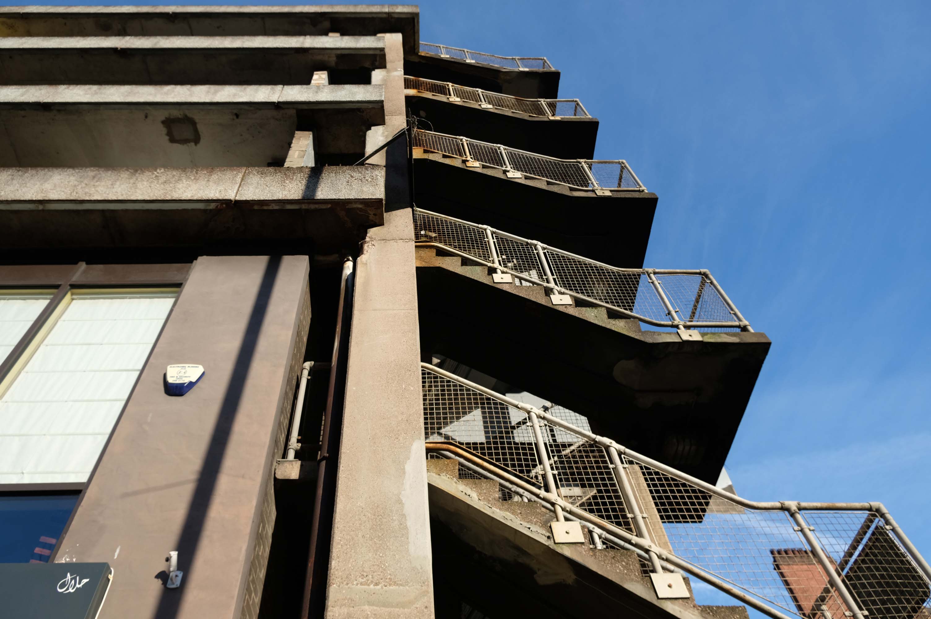
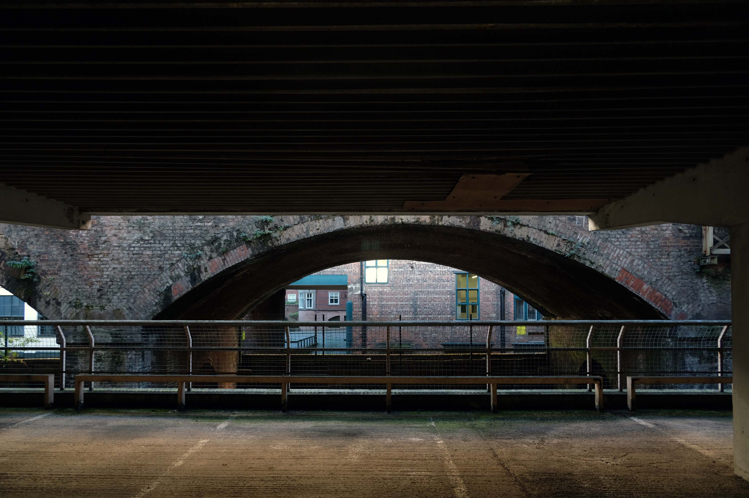
Retreating the better to circumnavigate the site.
I was quickly losing light – so I called it a day.
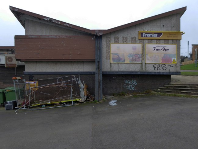
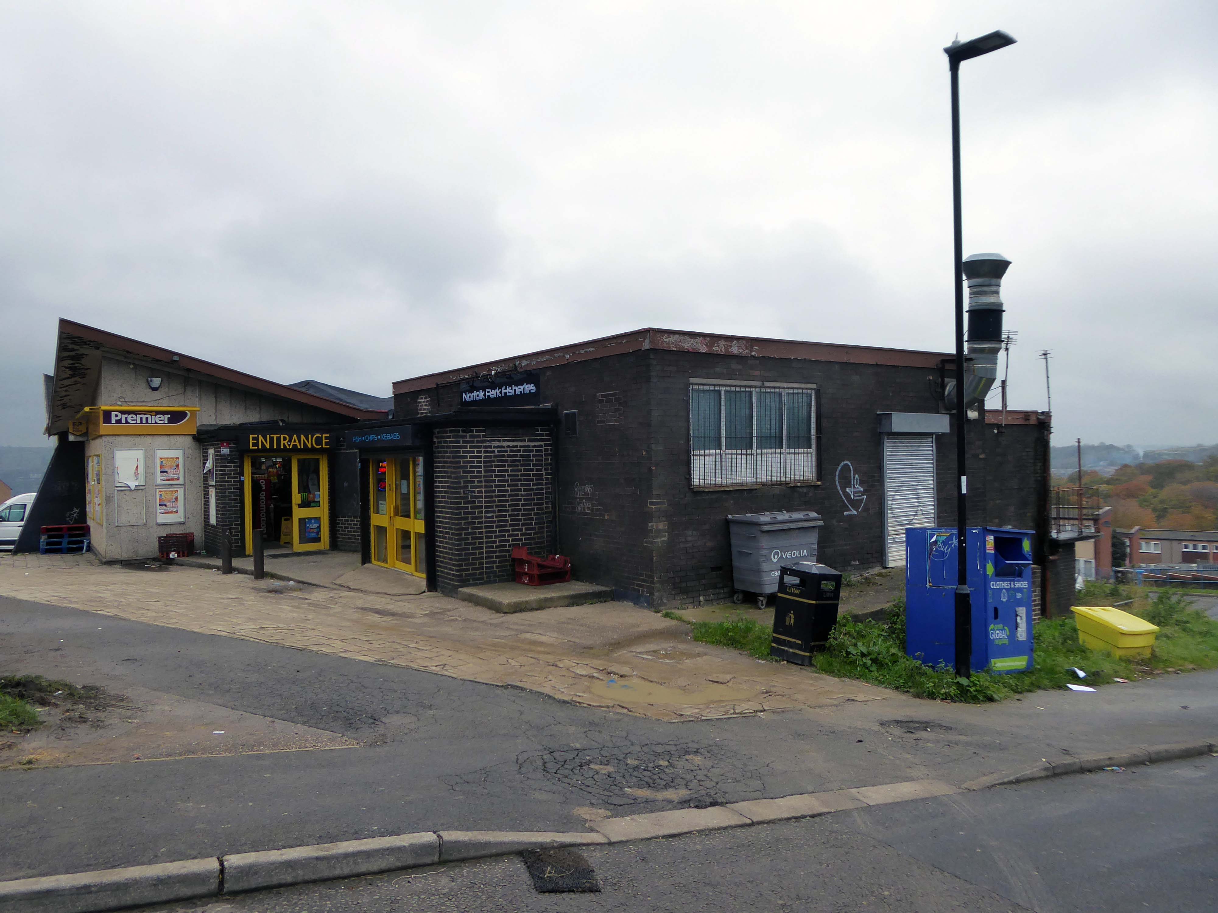
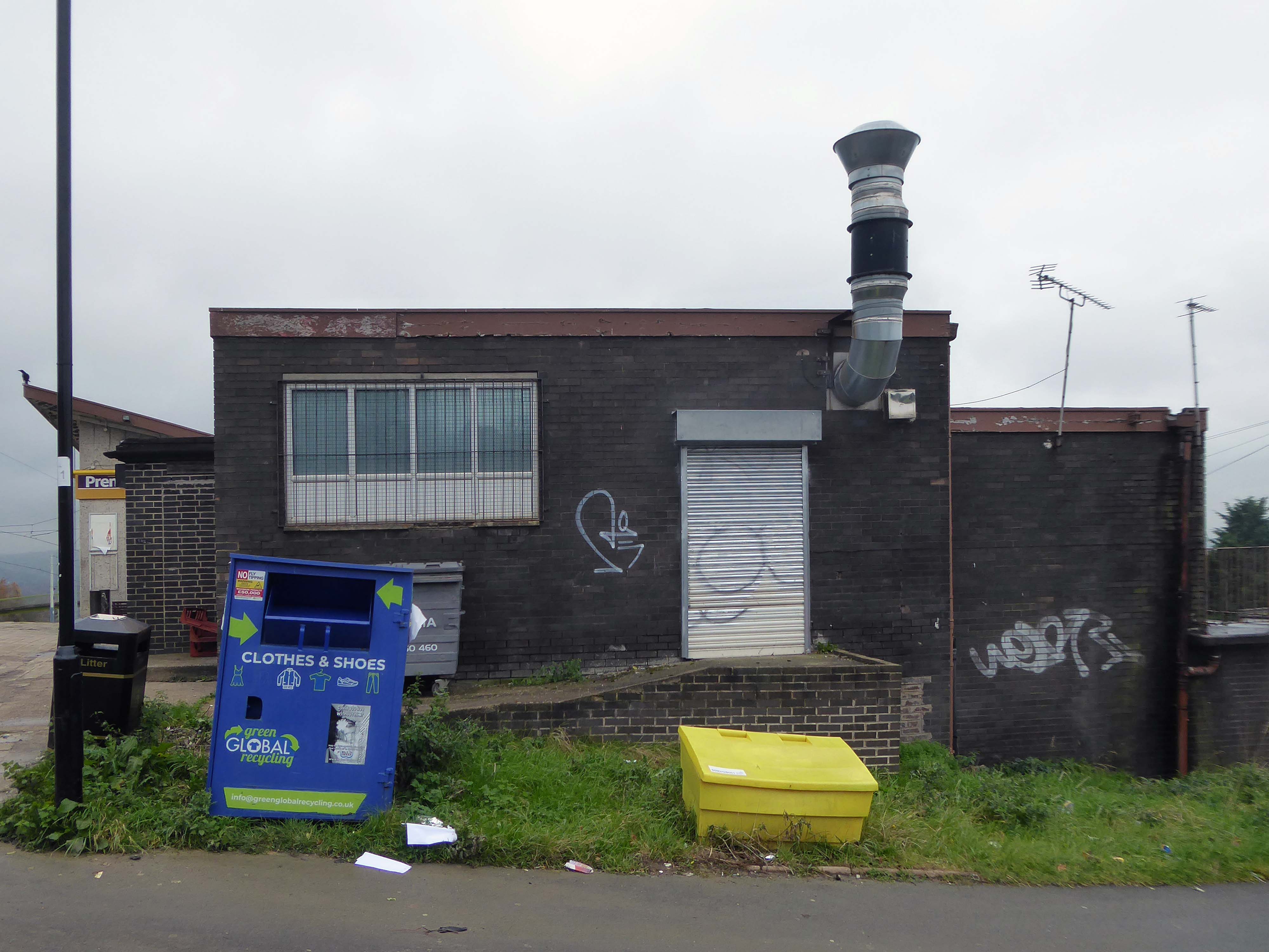
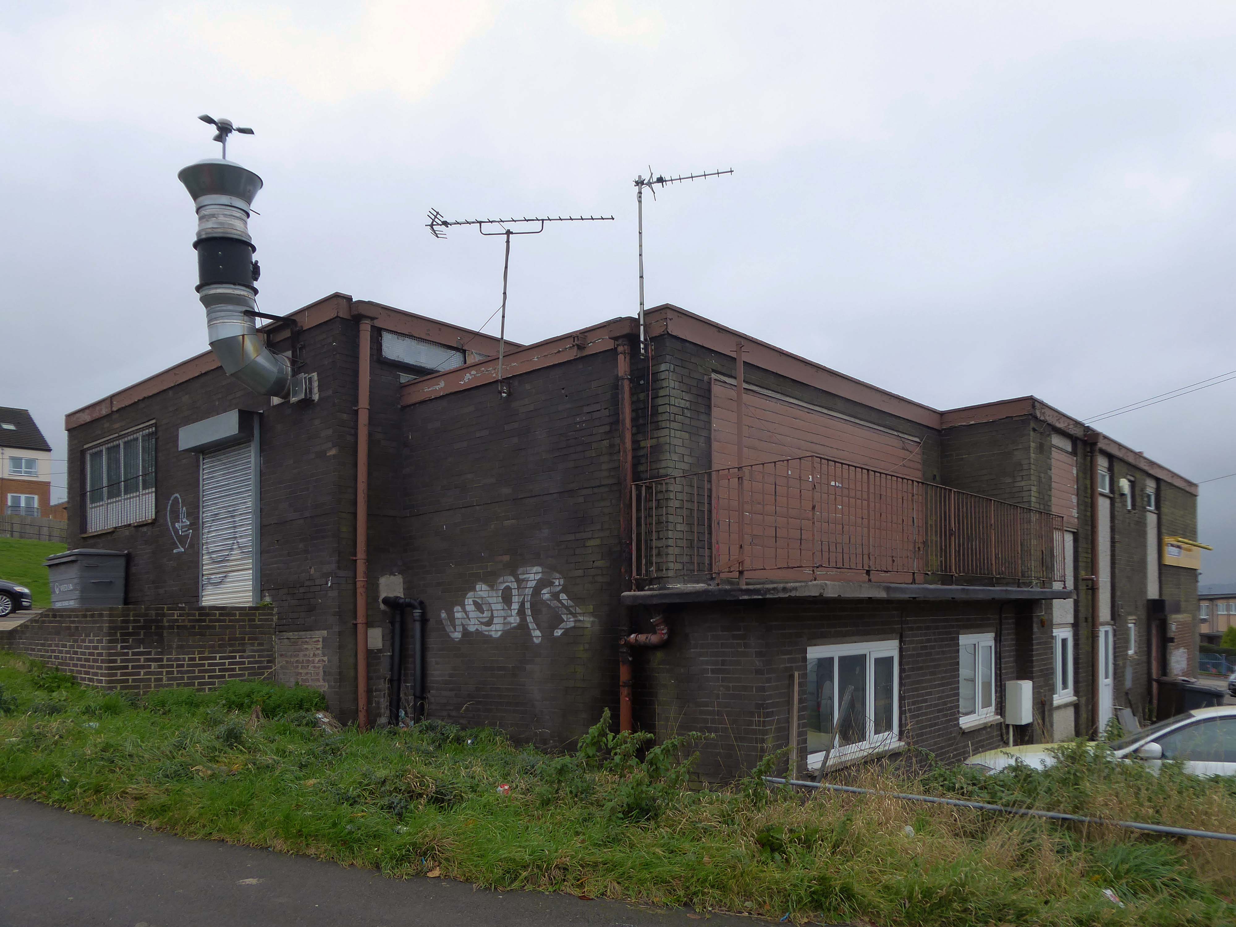
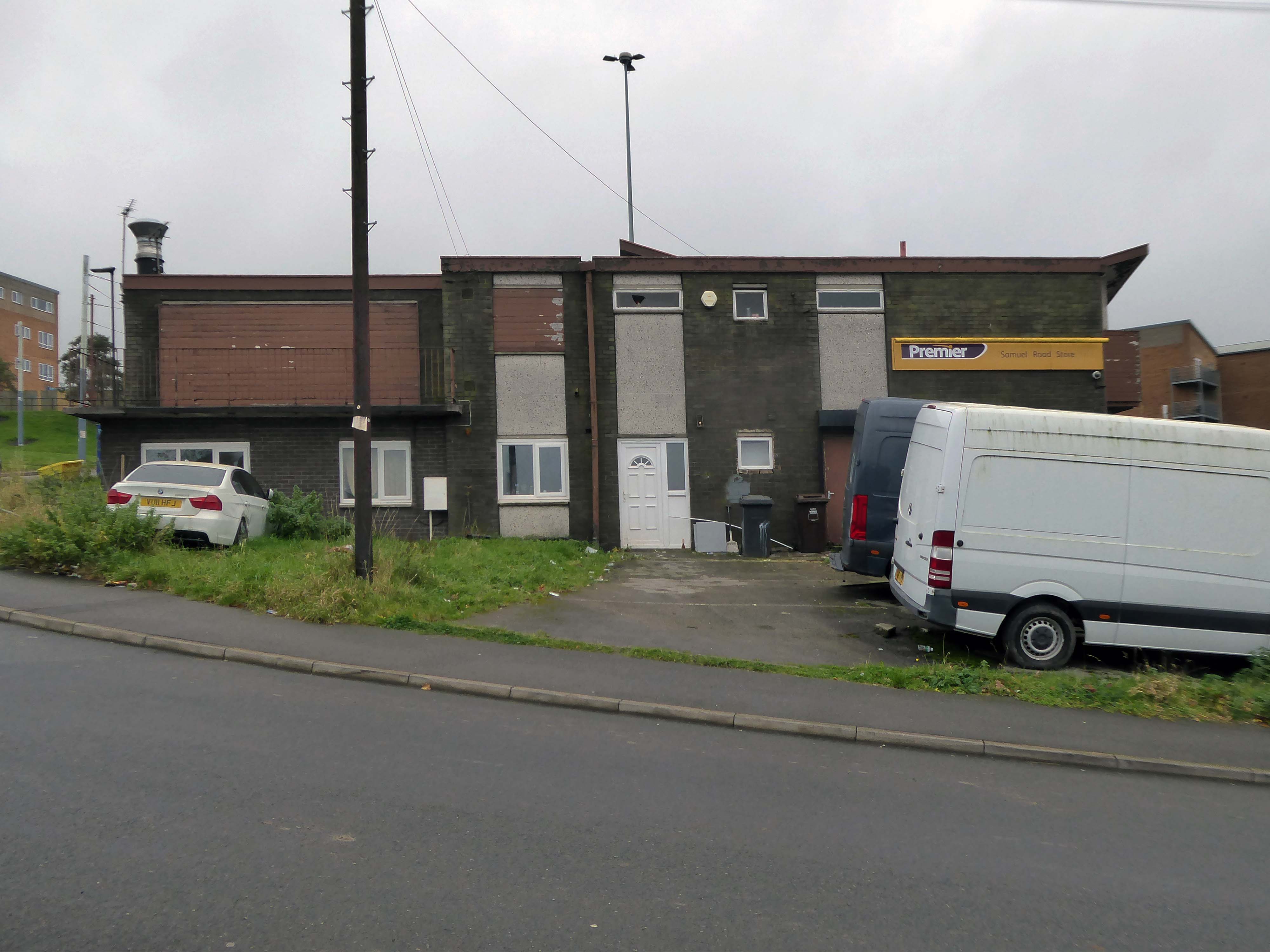
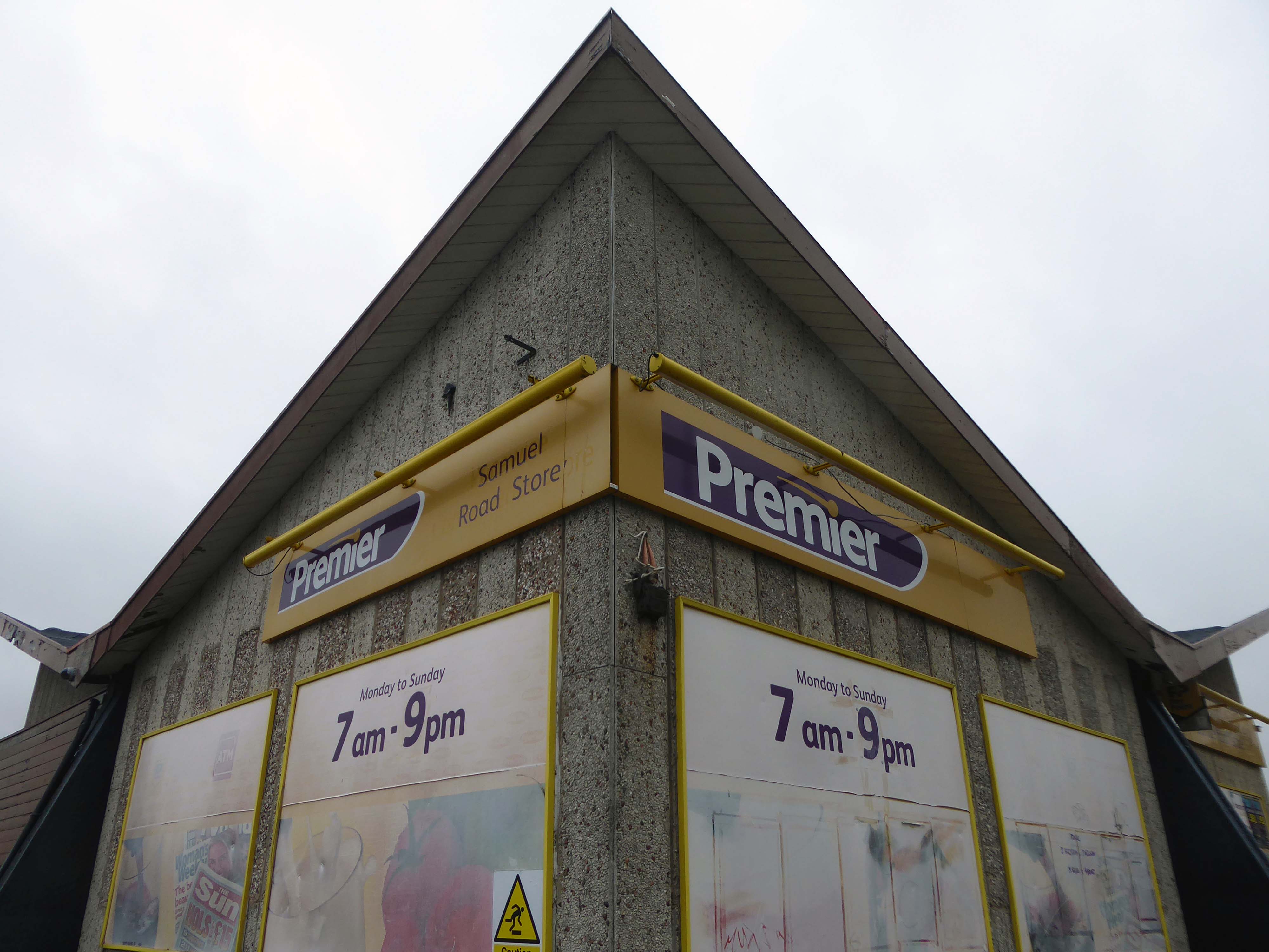
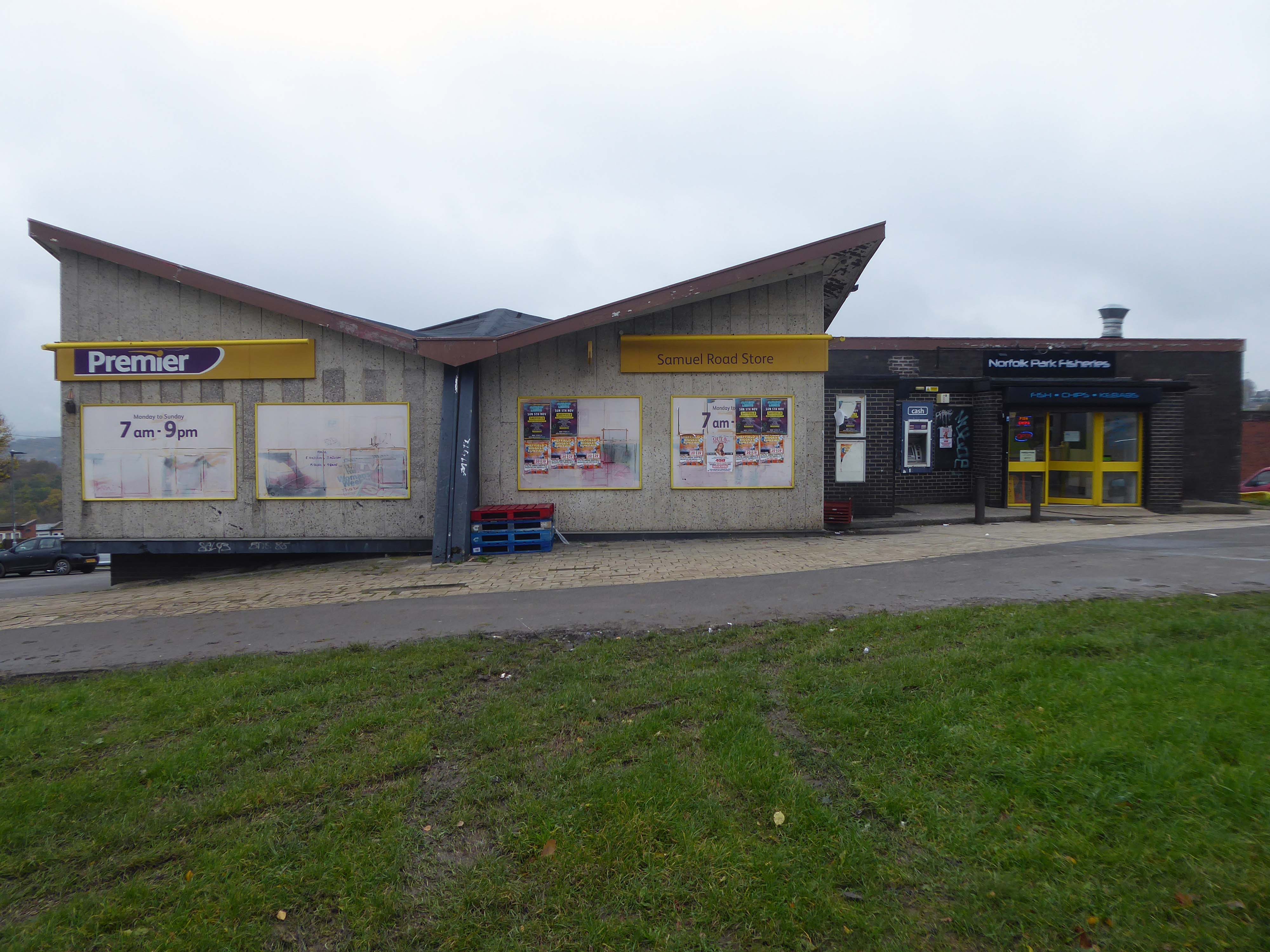
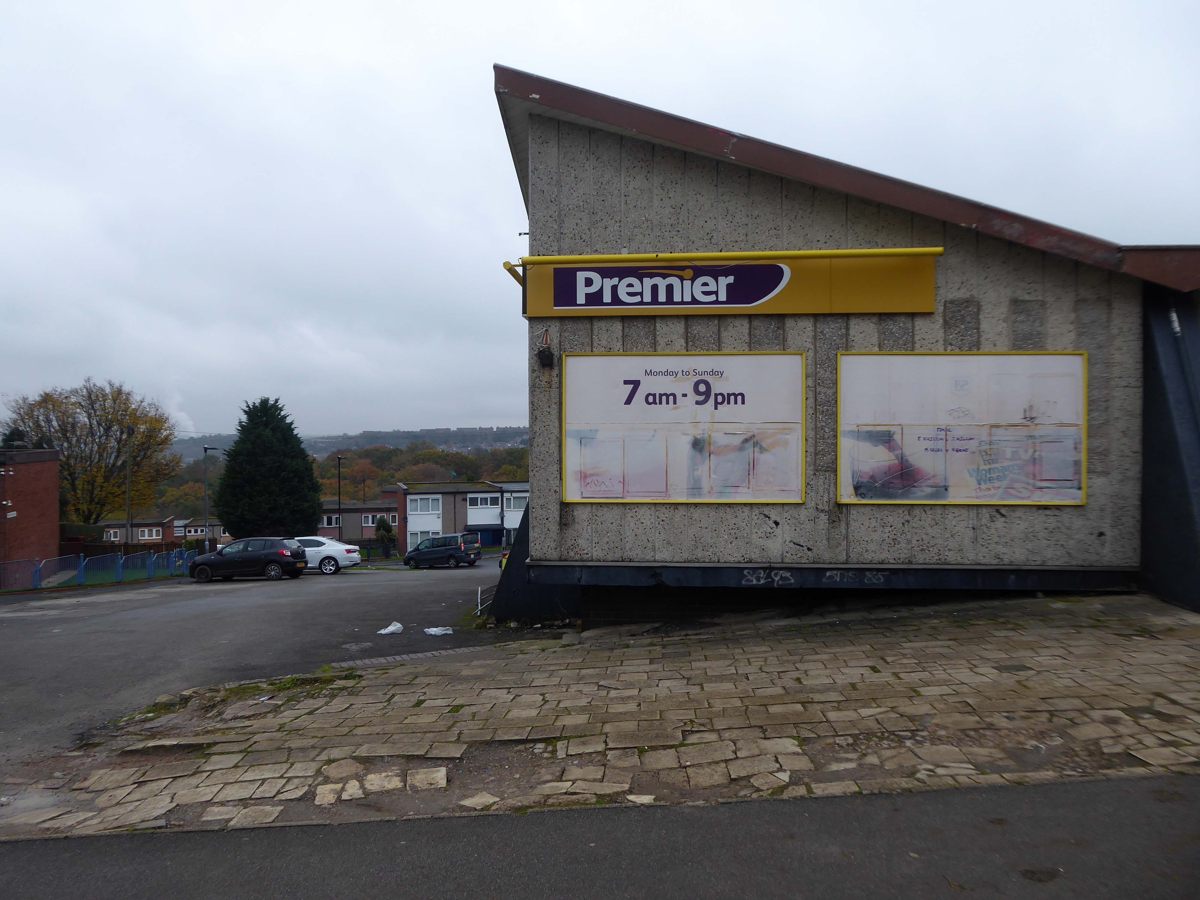
Oh how I loved this place my family drunk in here for years and years, I remember waiting outside on a weekend with a packet of crisps and a glass of coke, waiting for them to come out. I think it was the first place I had my first legal drink, loved the place hate to go past now and see it as a Premier. Anyone seen Dave and Ann lately once upon a time landlord and landlady, does anyone know how they are doing?
Sunday afternoons karaoke and everyone sat outside in the summer – oh the memories.
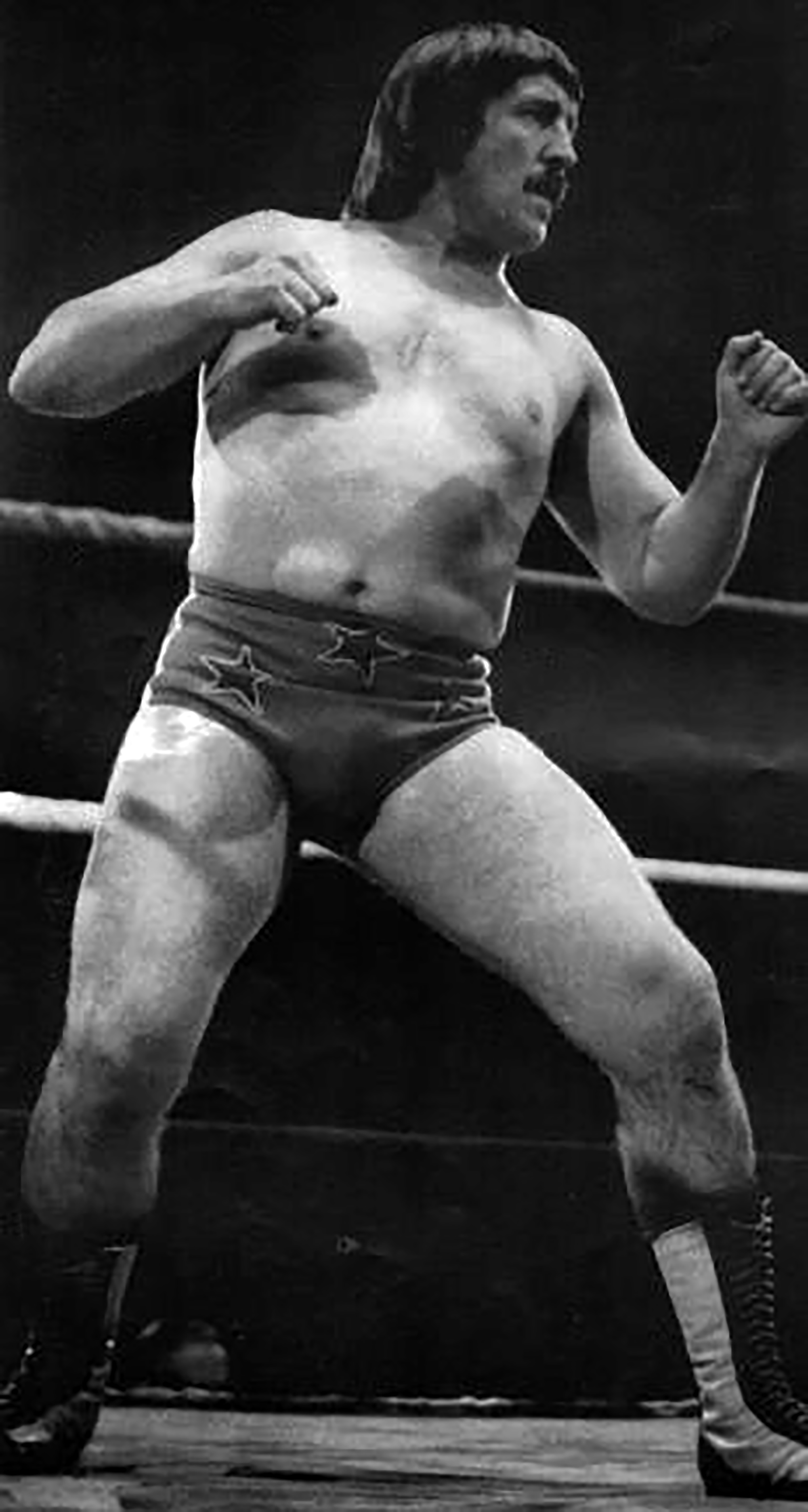
I used to Drink in there around 1975/76, it was OK in those days, a local wrestler used to drink in there, his name was Alan Kilby, I saw him fight on TV a few times.
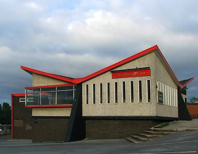
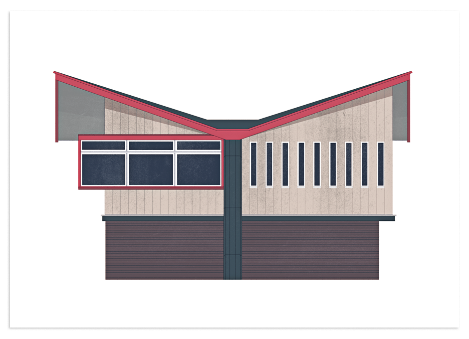
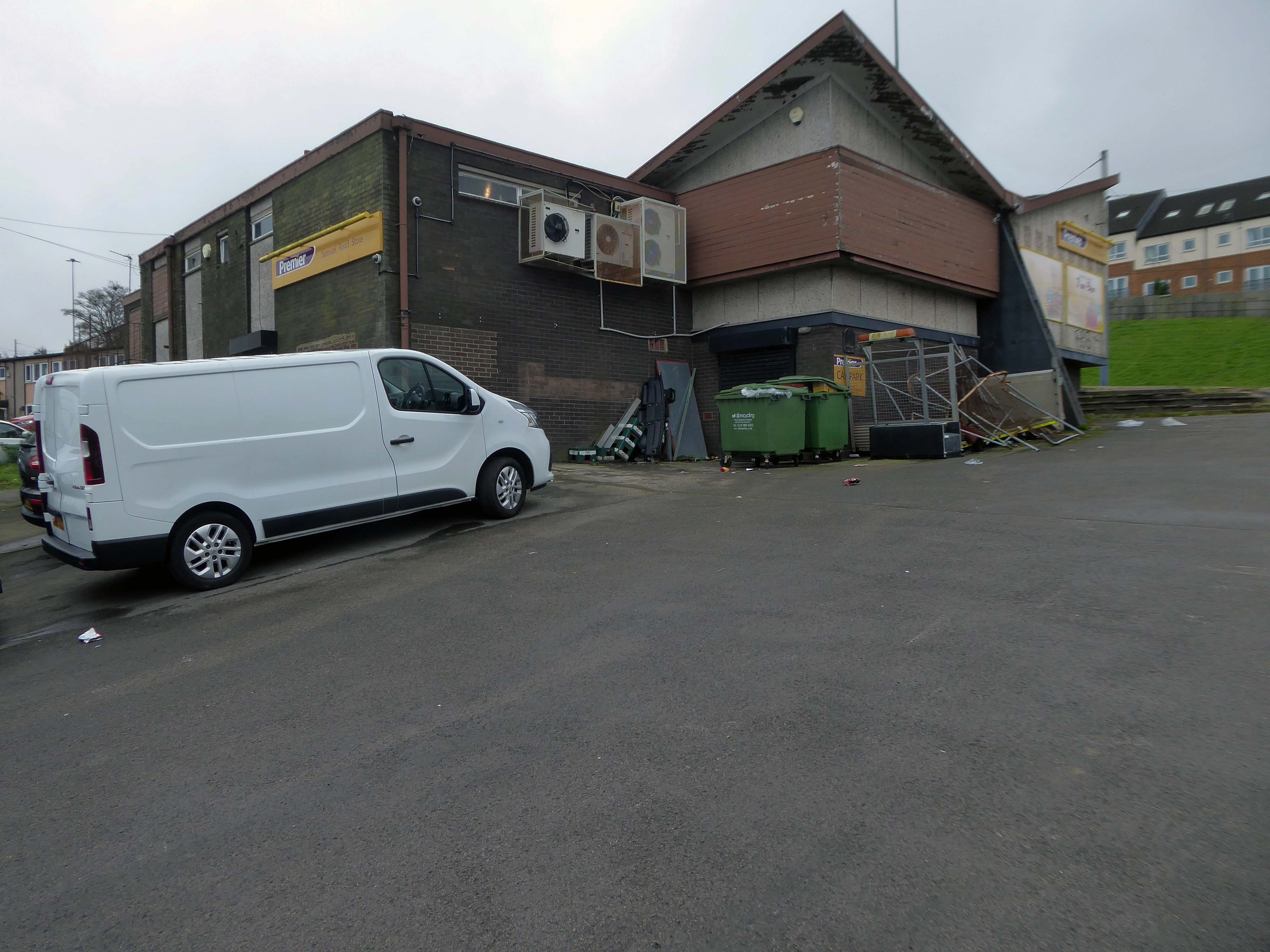
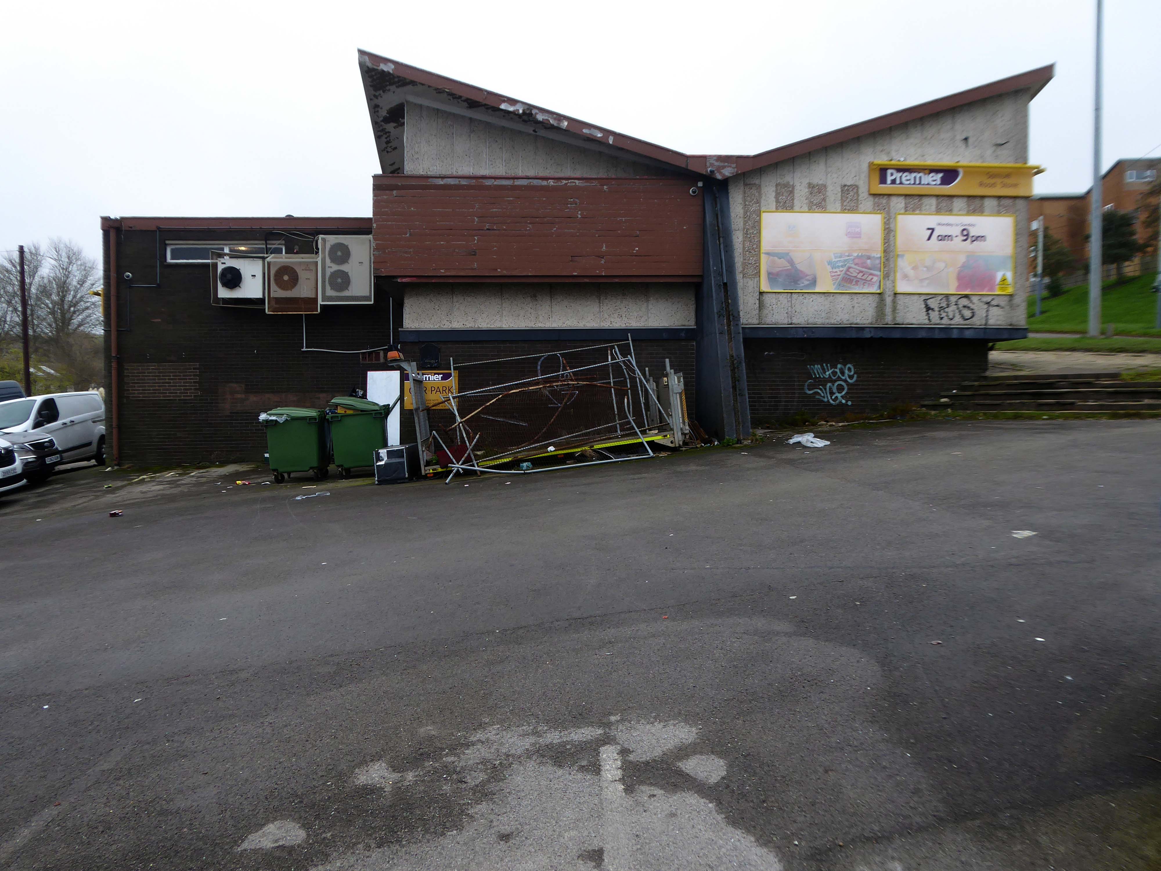
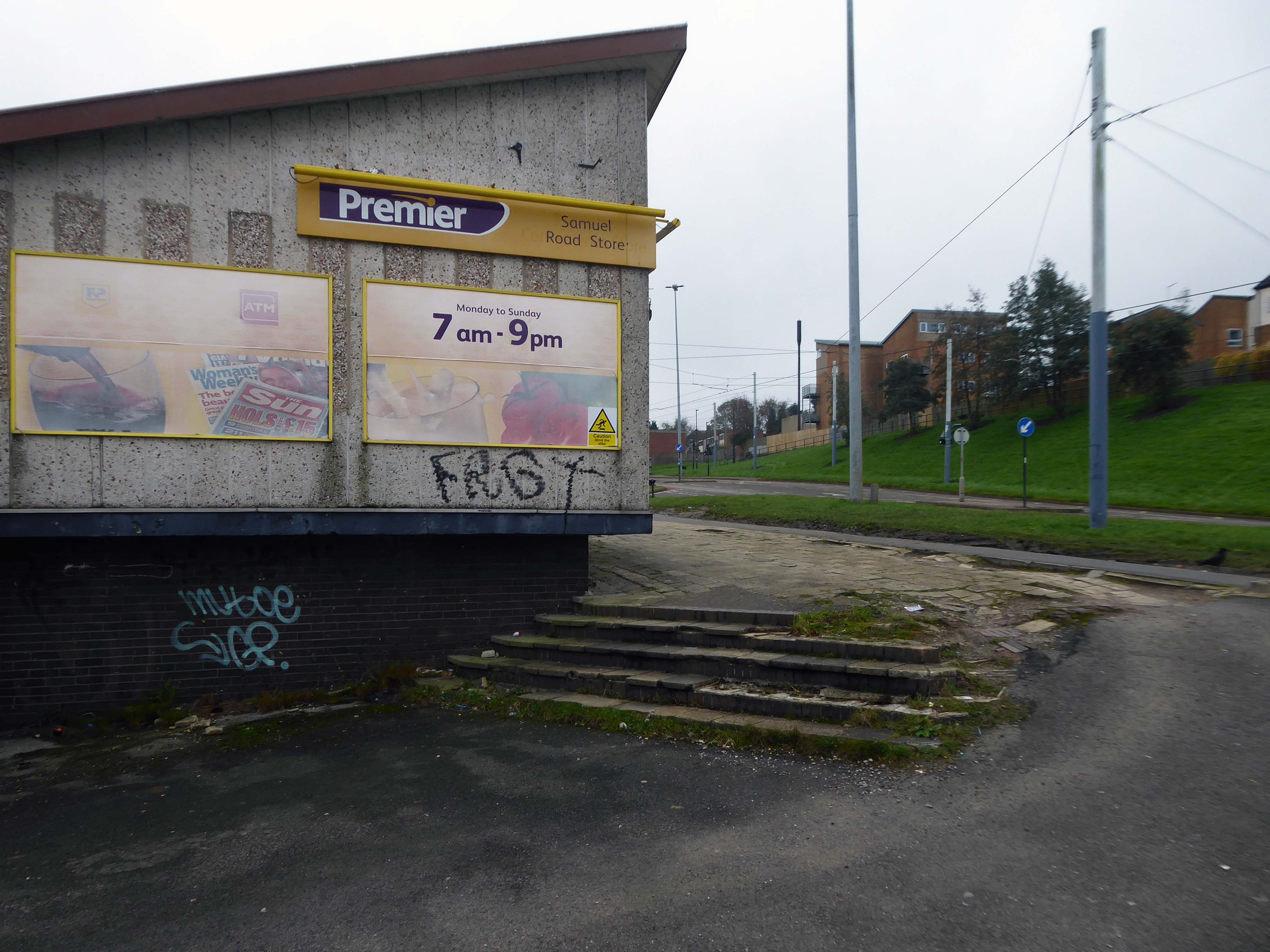
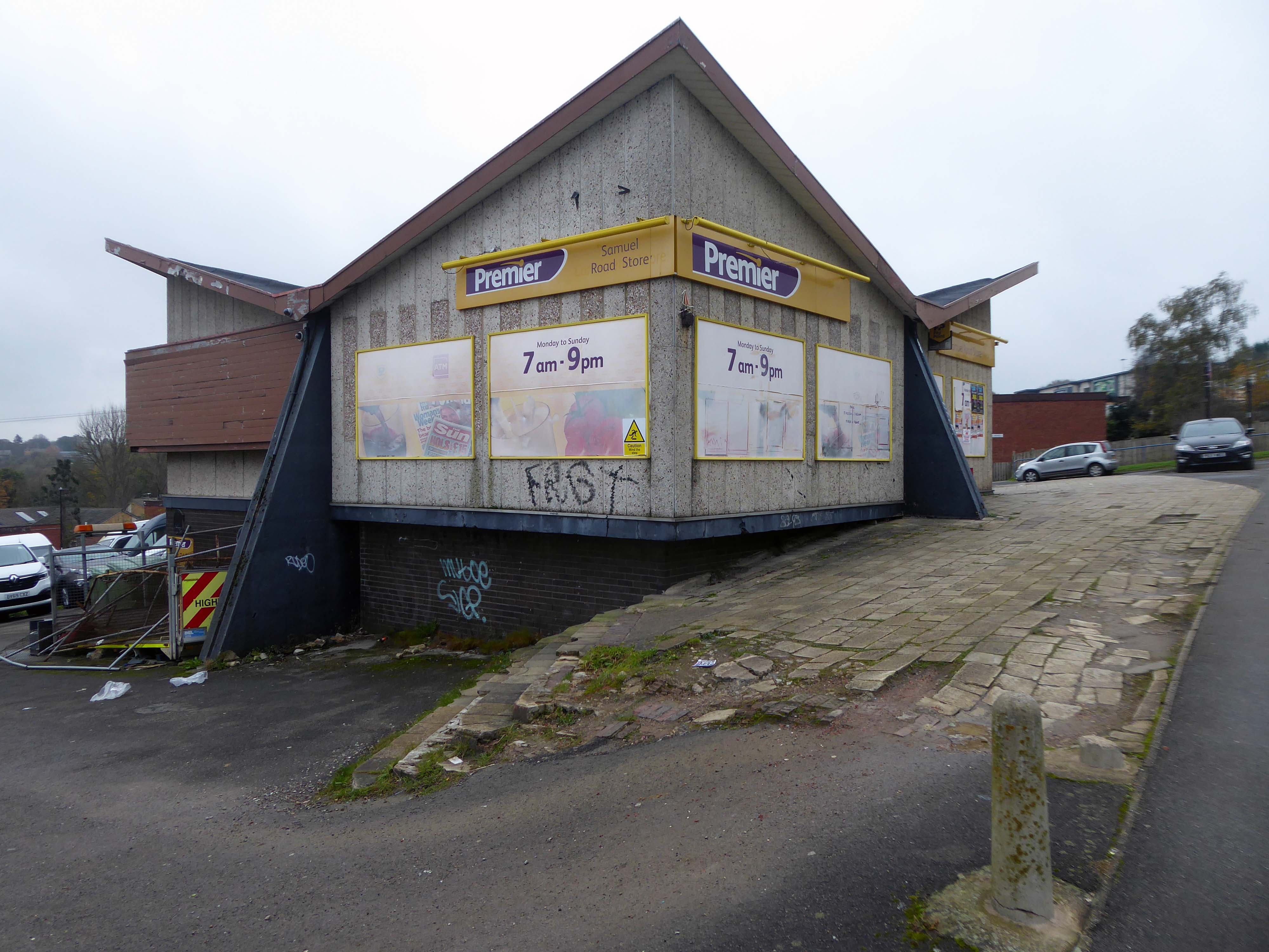
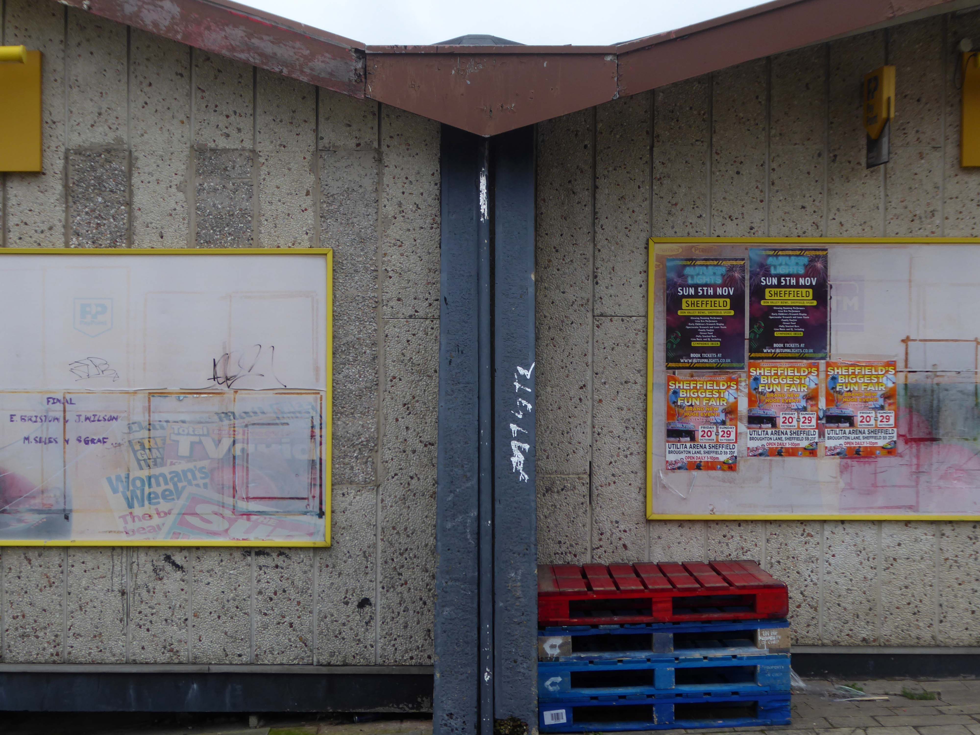
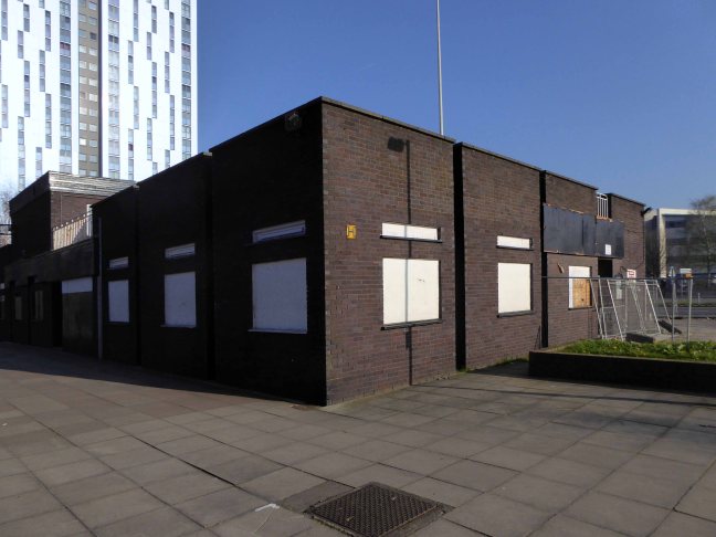
The former pub’s striking roof is still striking – sadly the last orders bell stopped striking long, long ago.
The shop was busy and the chips from the chippy were just the job on a cold damp November day.
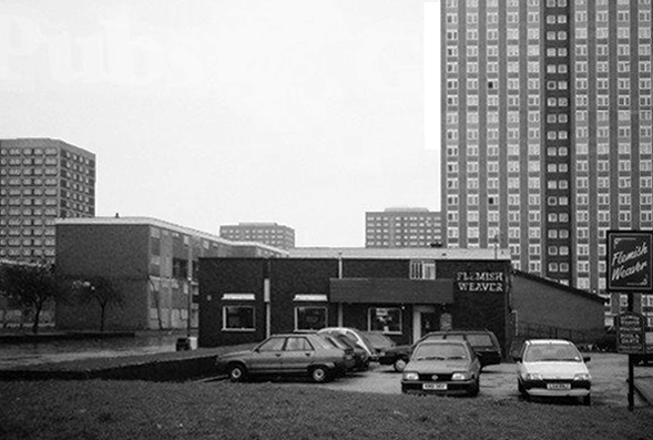
Changes in the demographics of the area, social trends and the general economic malaise, have ensured that many estate pubs are no longer able to thrive and prosper.
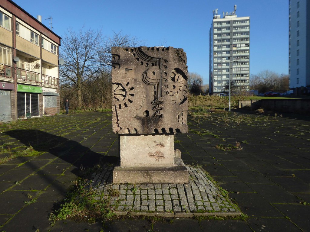
Having taken a particular interest in this particular piece of public art for some time – I need to go and take a little look.
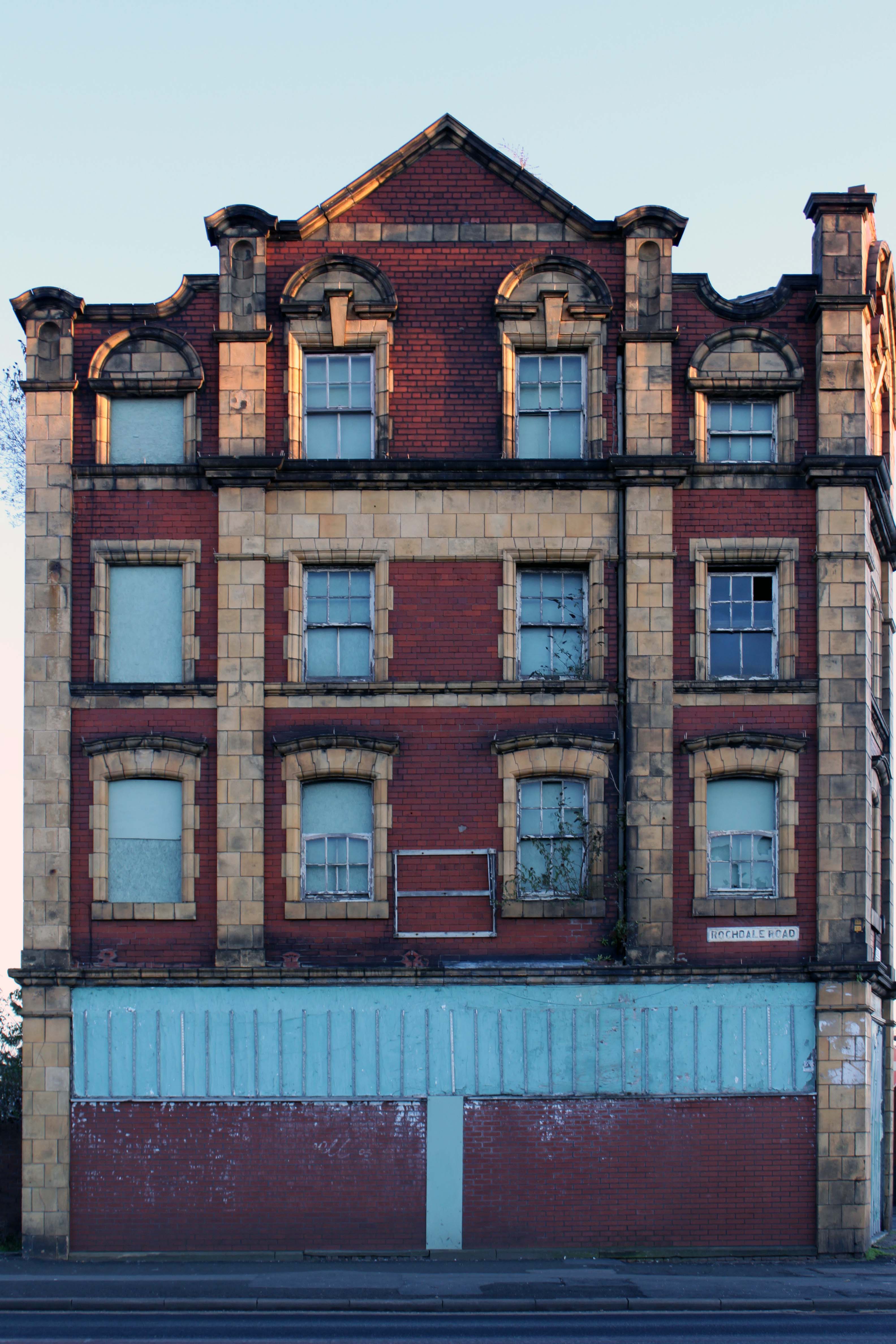
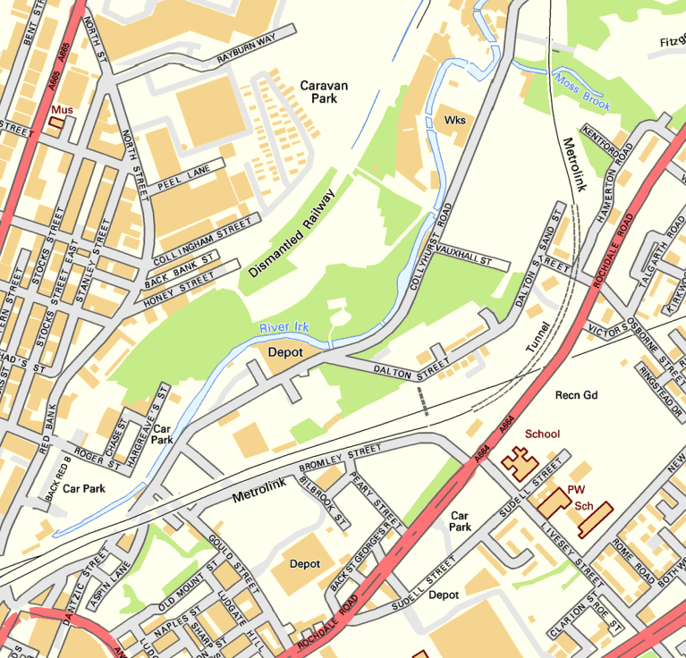
But what will we see along the way, as we hasten along Rochdale Road?
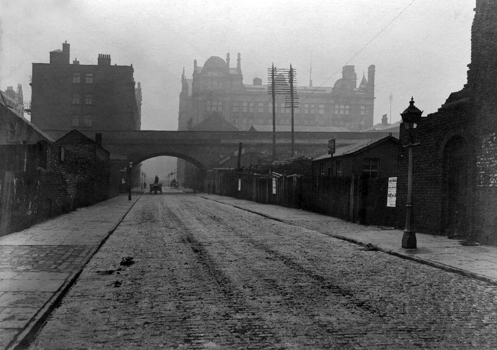
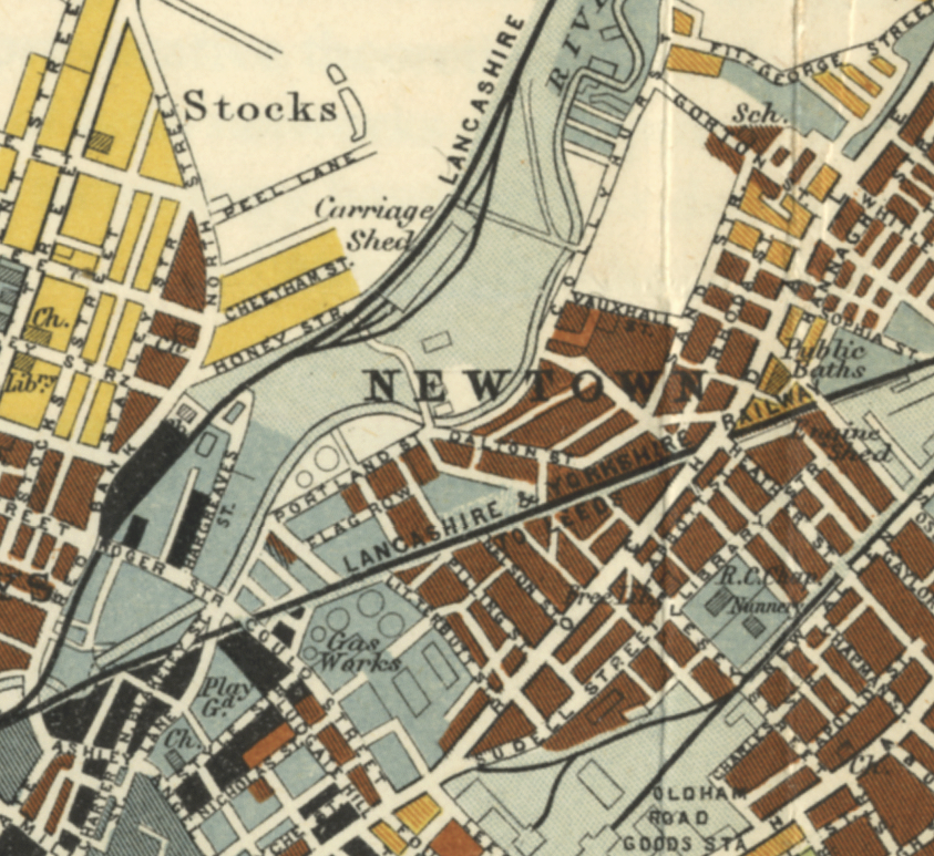
Which once looked like this, way back when in 1904.
Though some things inevitably come and go, as some things are prone to do.
The city is undergoing yet another reinvention as Manchester becomes – an attractive place to invest and do business.
See, I am doing a new thing!
Now it springs up; do you not perceive it?
I am making a way in the wilderness and streams in the wasteland.
Isaiah 43:19
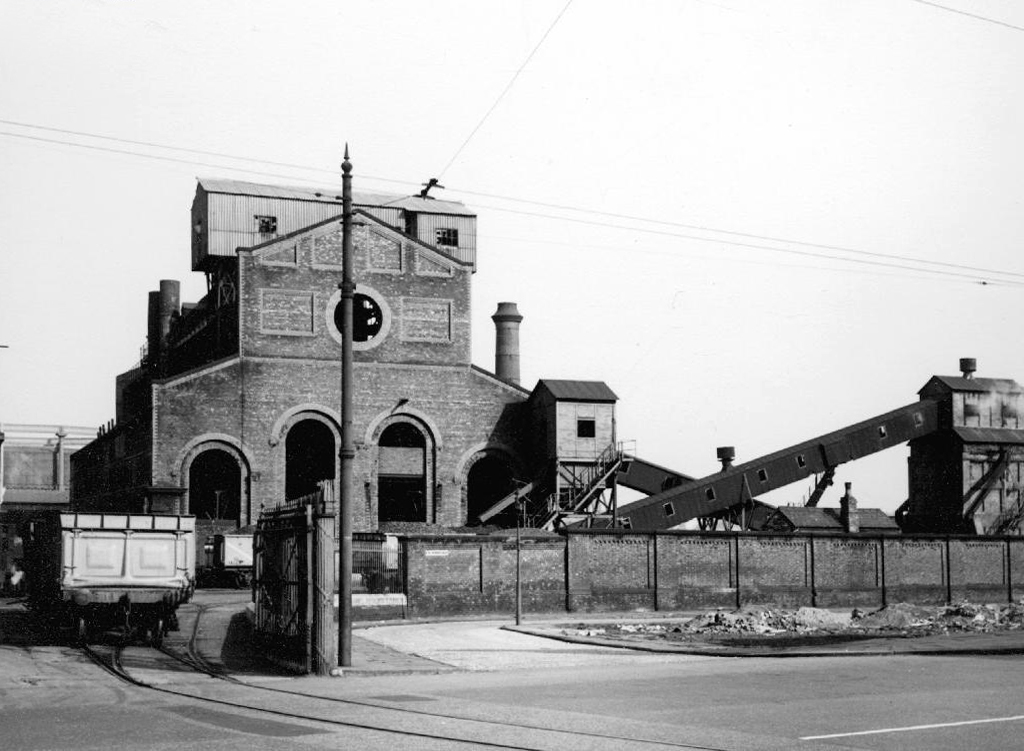
Once there was a gas works here – adjoining Gould Street, seen here in 1958.
The Gould Street Gas Works was a gas manufacturing plant located in Manchester, England. Originally built in 1824, the plant was operated by the Manchester Corporation Gas Department and was in operation from 1833 to 1969. It was named after the street on which it was located, which was named after John Gould, who was a prominent Manchester businessman in the 19th century.
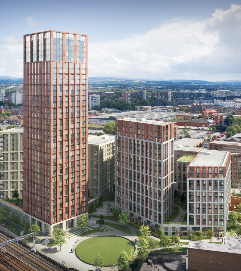
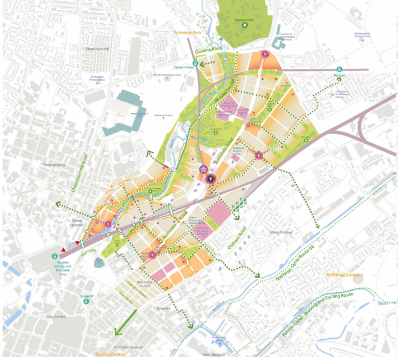
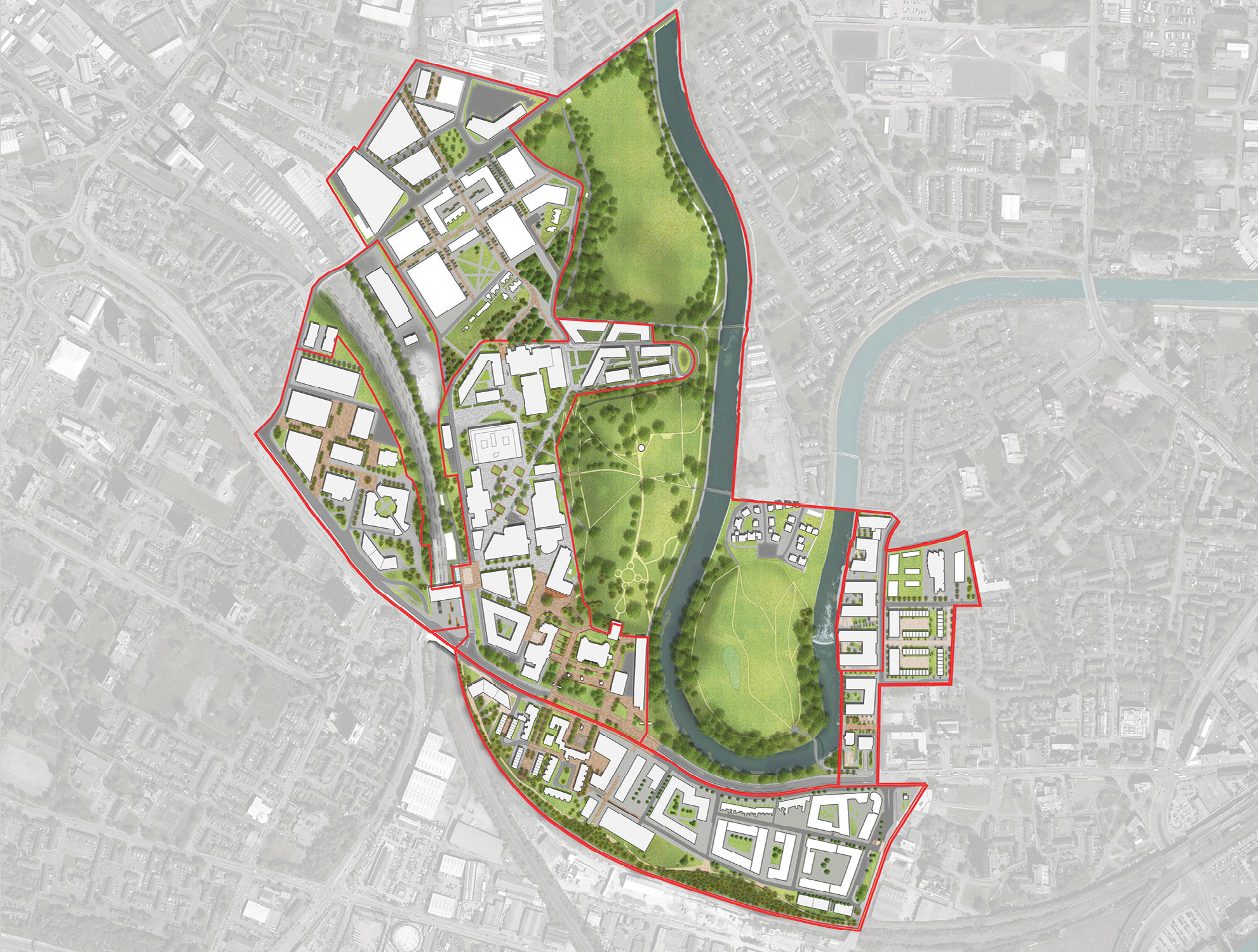
The Gasworks New Town neighbourhood is one of seven envisioned by the £4bn Victoria North masterplan. It will feature nine buildings ranging from 8 to 34 storeys. The 6.6-acre site has most recently been home to a car park but the green development will overwhelmingly prioritise walking and cycling over driving. It will result in tens of millions of pounds being pumped into the city’s economy over the lifetime of the development.
Plans for a trailblazing city centre regeneration scheme that will create more than 1200 homes has been approved by Manchester City Council.
A total of 85 of the 1200, will be affordable homes available through Shared Ownership.
Though as of March 31st 2023 ground is yet to be broken, no signs of the:
New centre of gravity for central Manchester that will create thousands of jobs and inject tens of millions of pounds into the city’s economy.
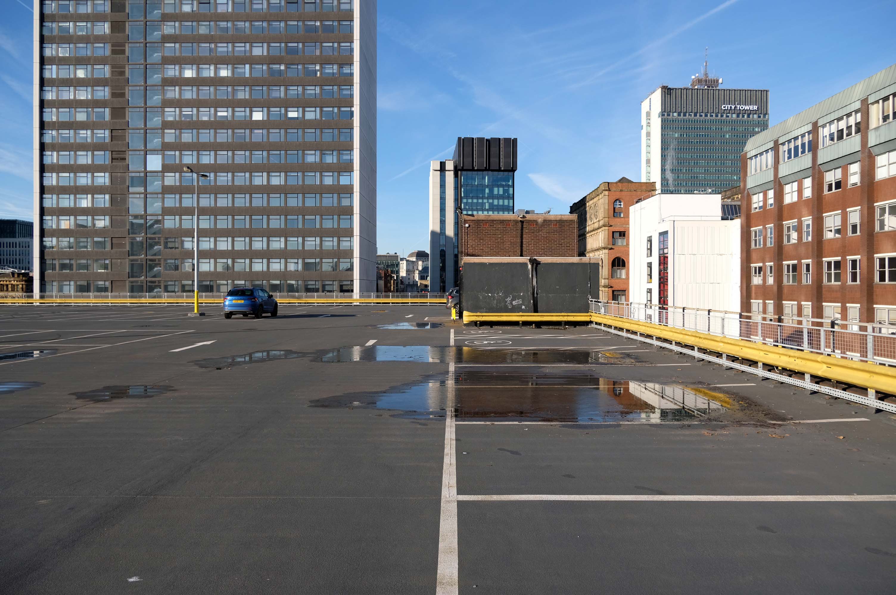
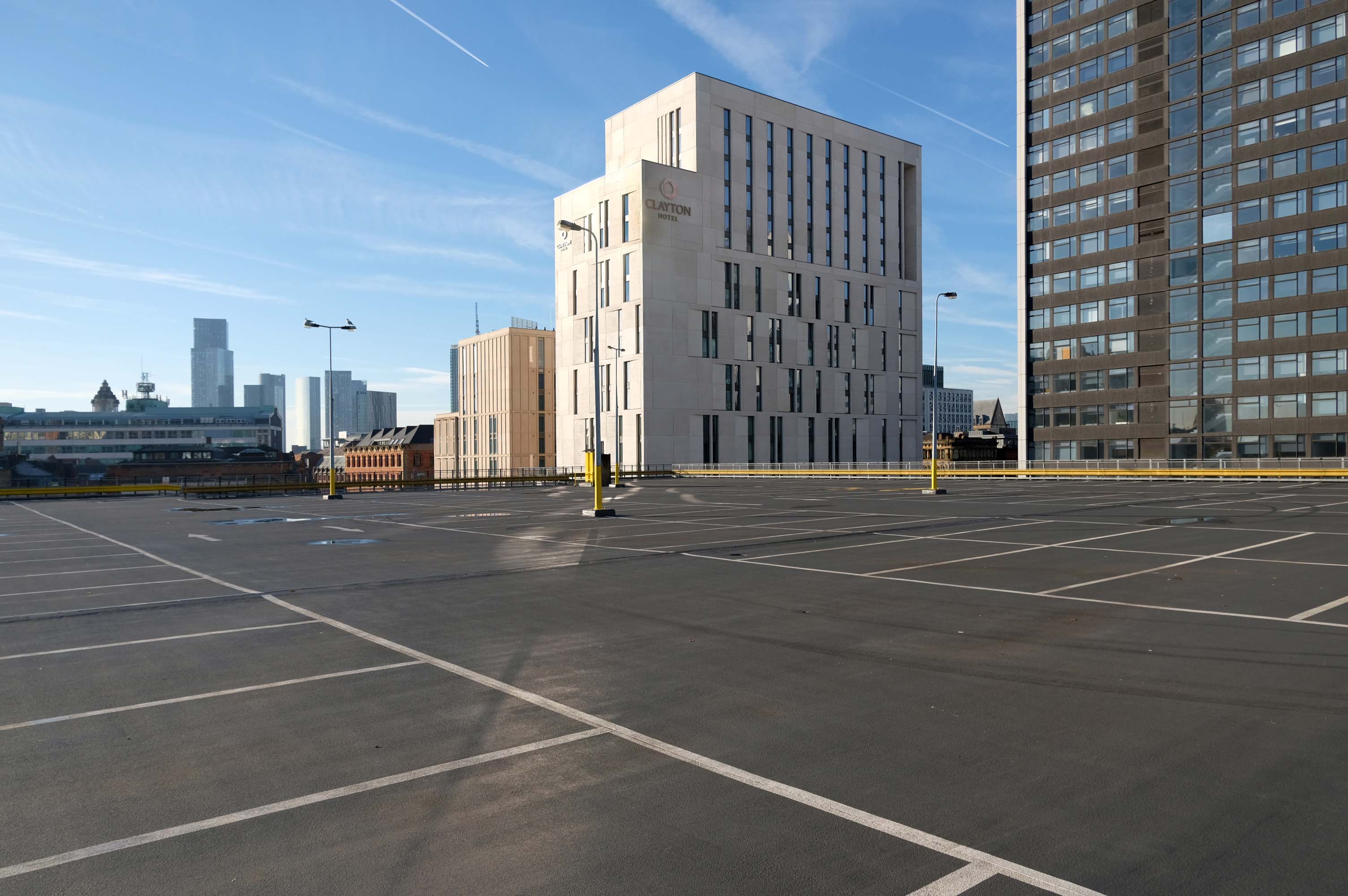
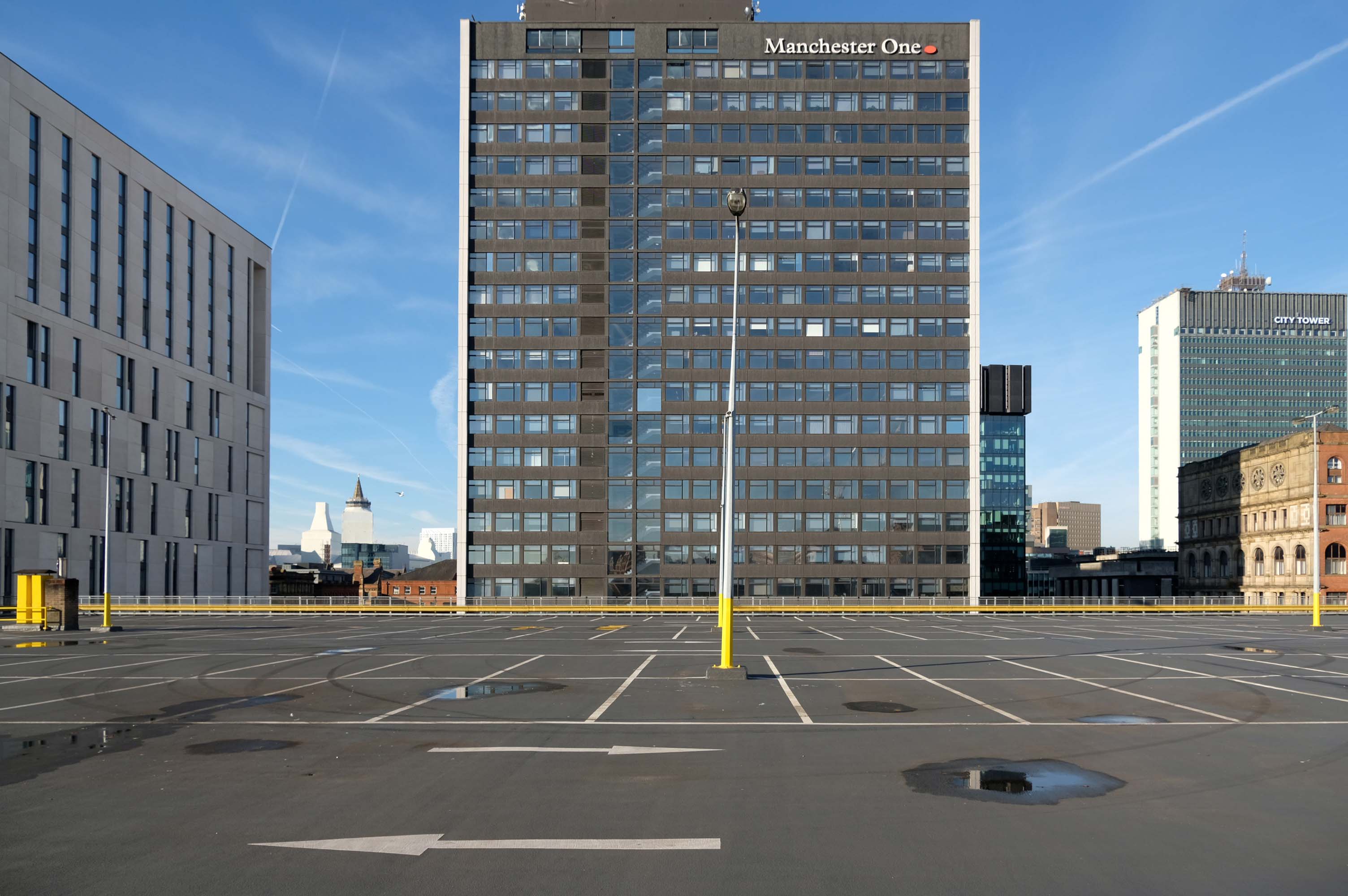
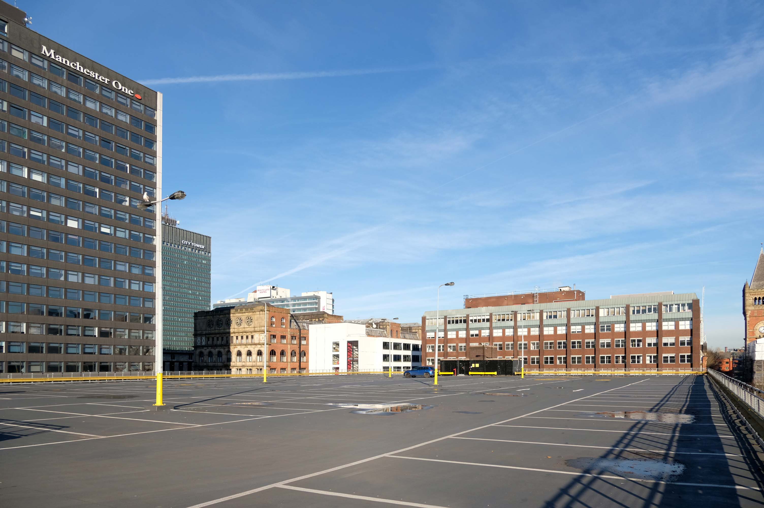
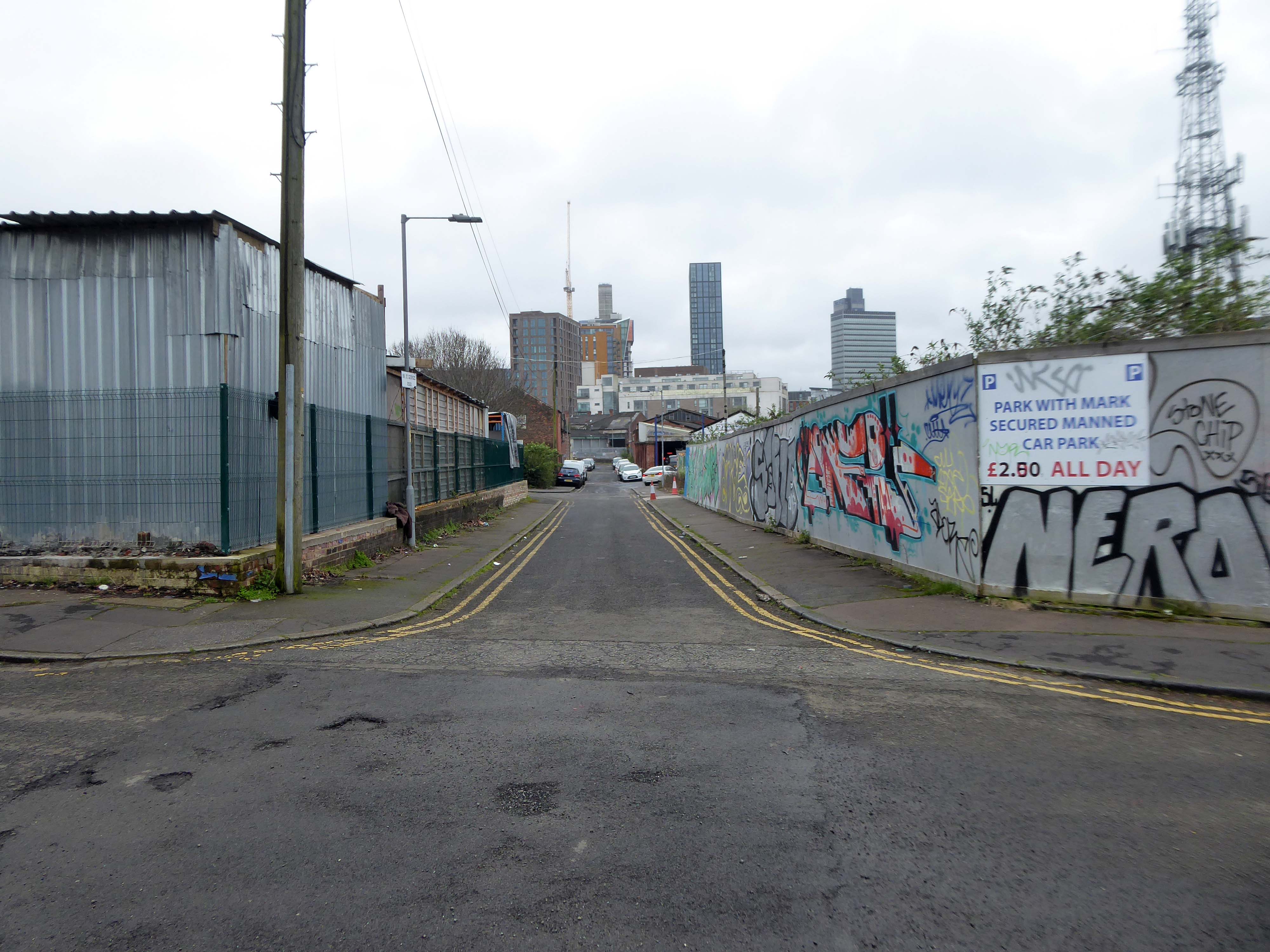
So you zig-zag wanderers, make the most of these wide open expanses of affordable car parking, while you can.
The future may yet be here today – or the next.
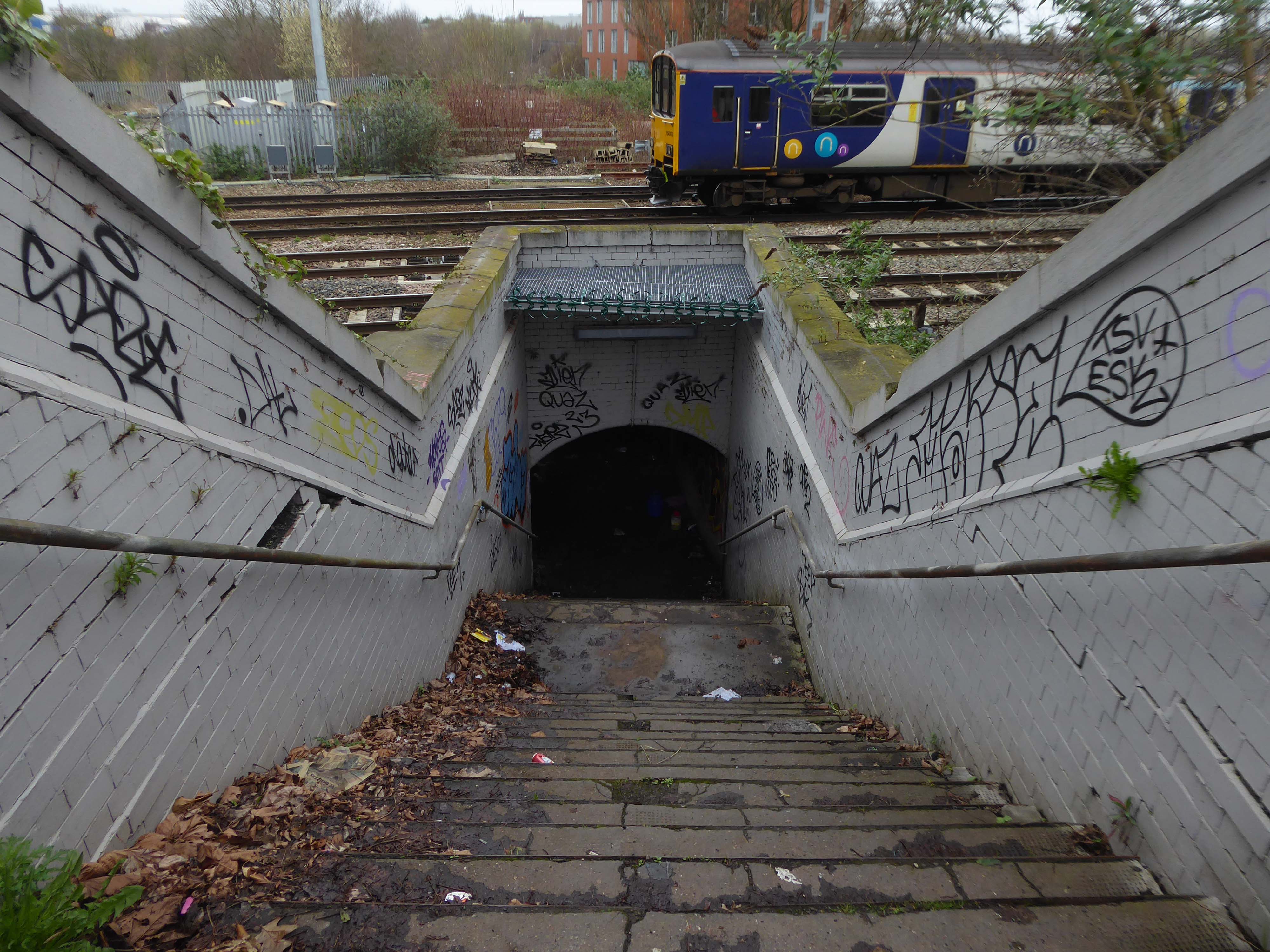
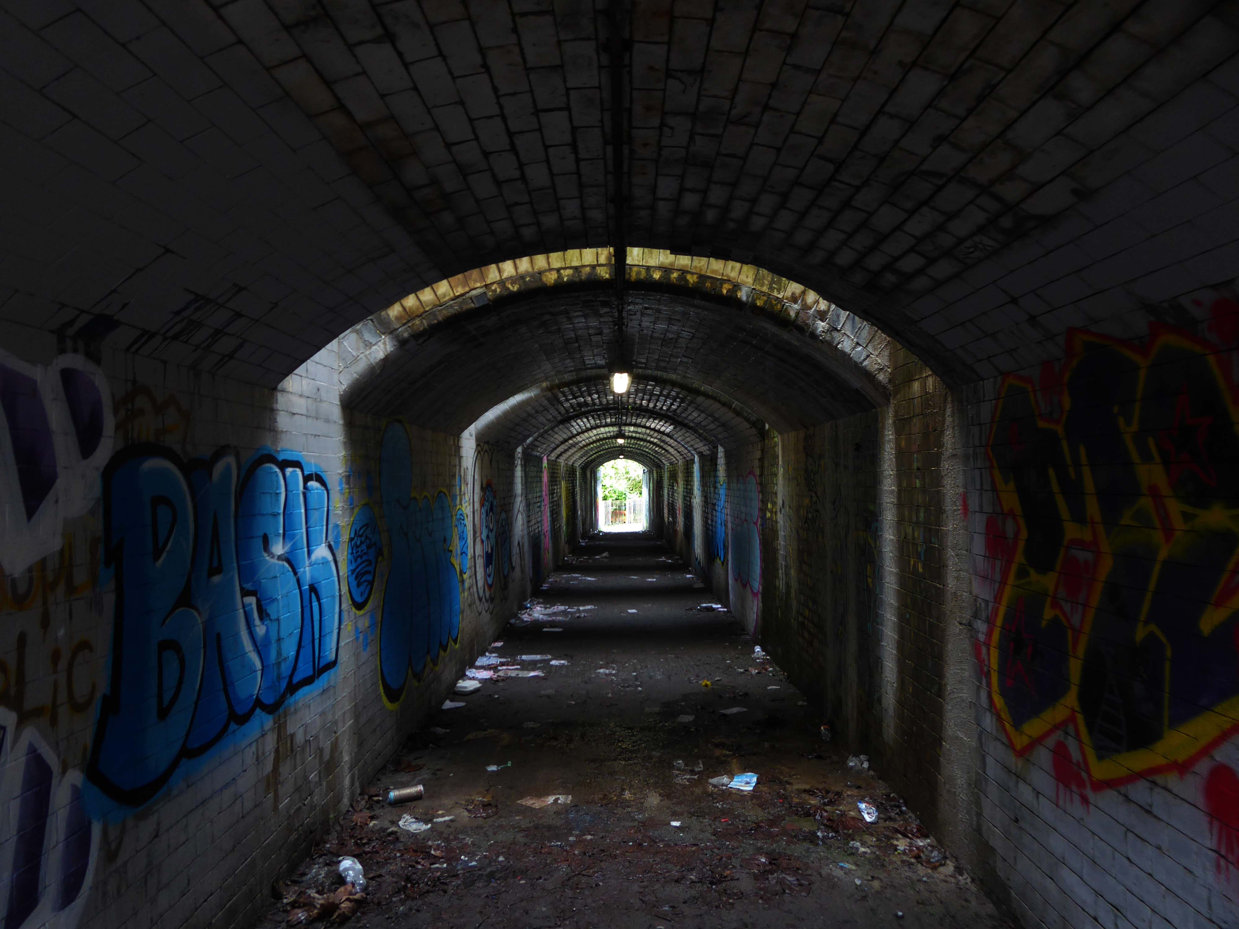
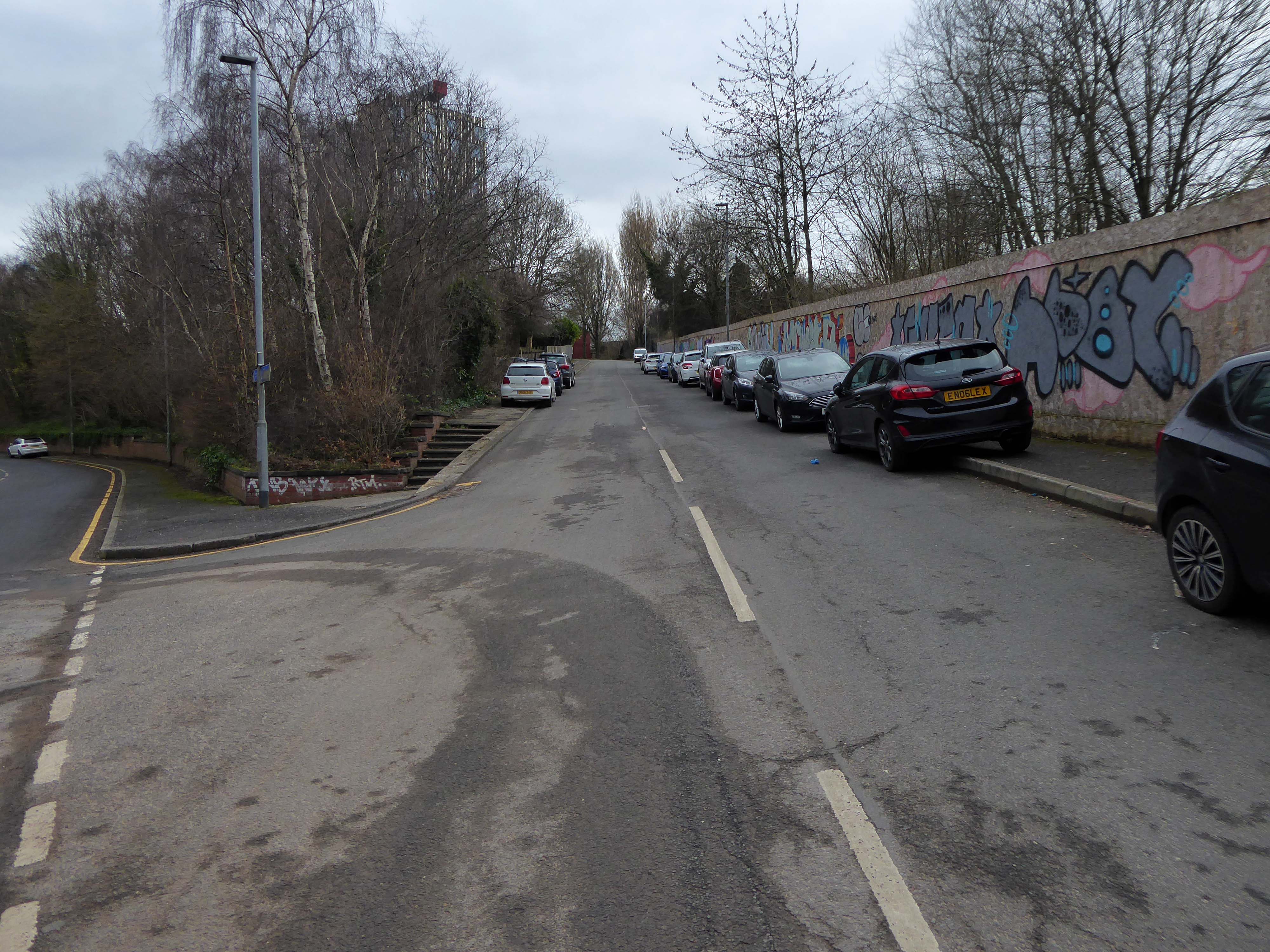
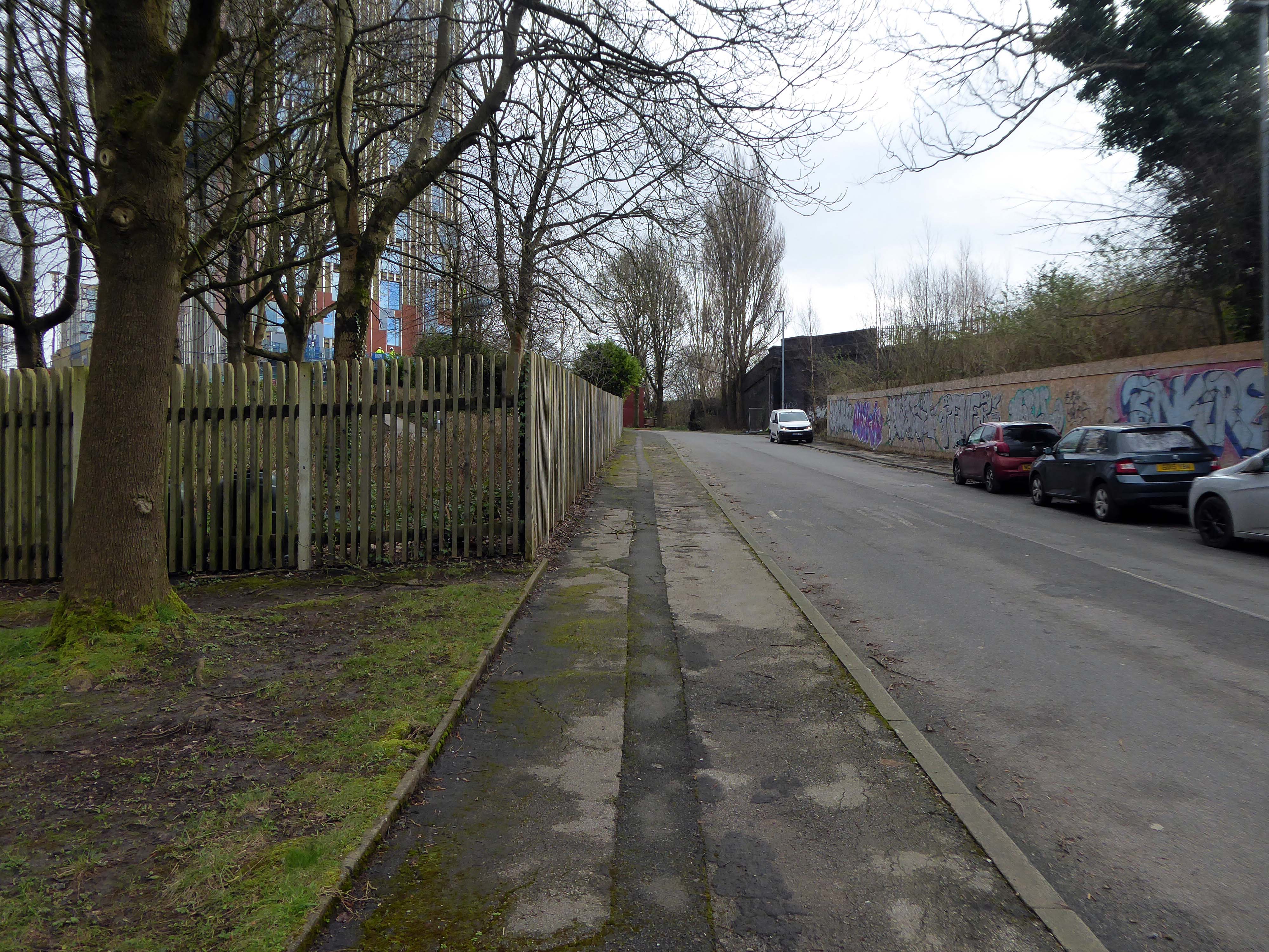
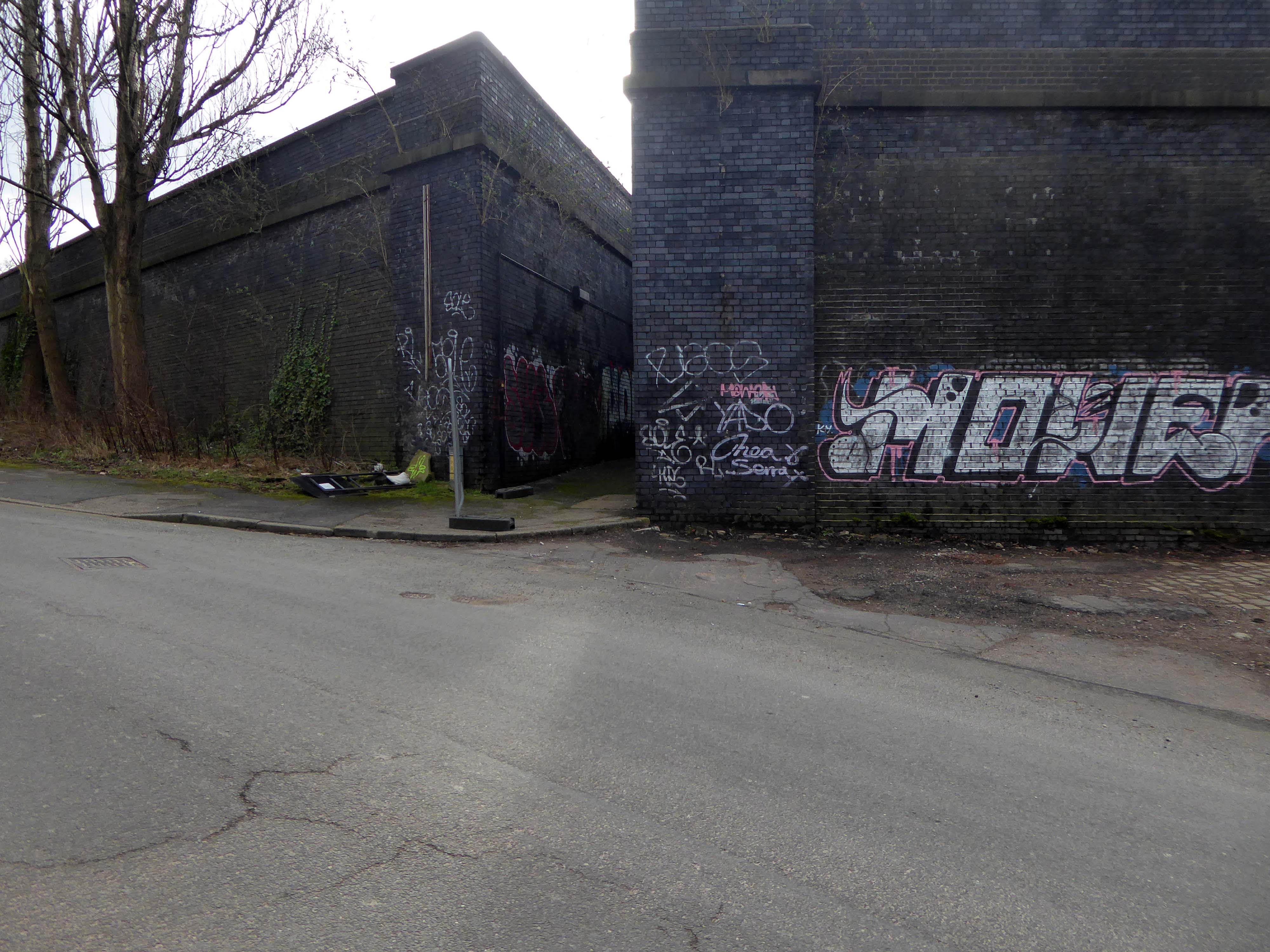
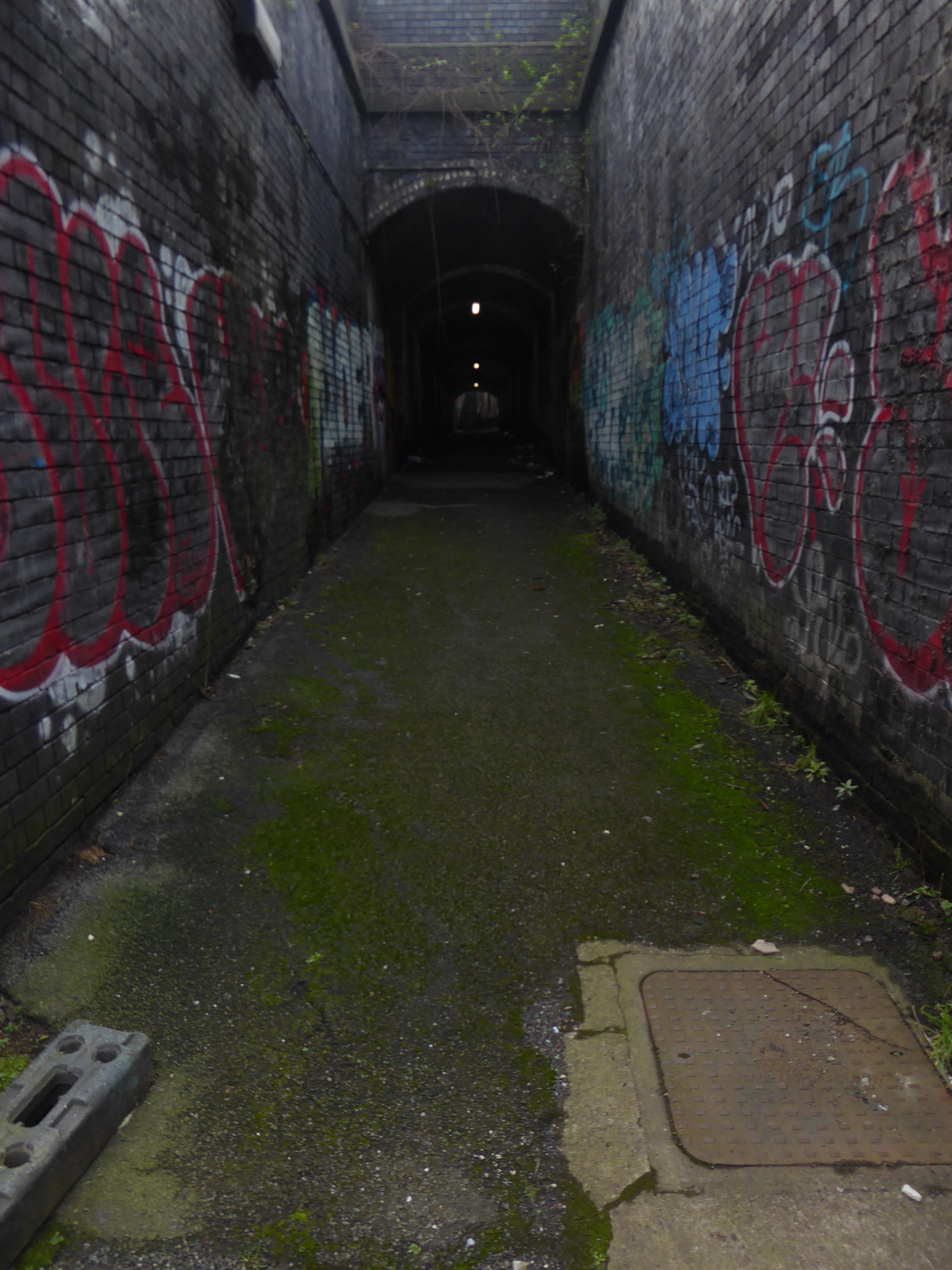
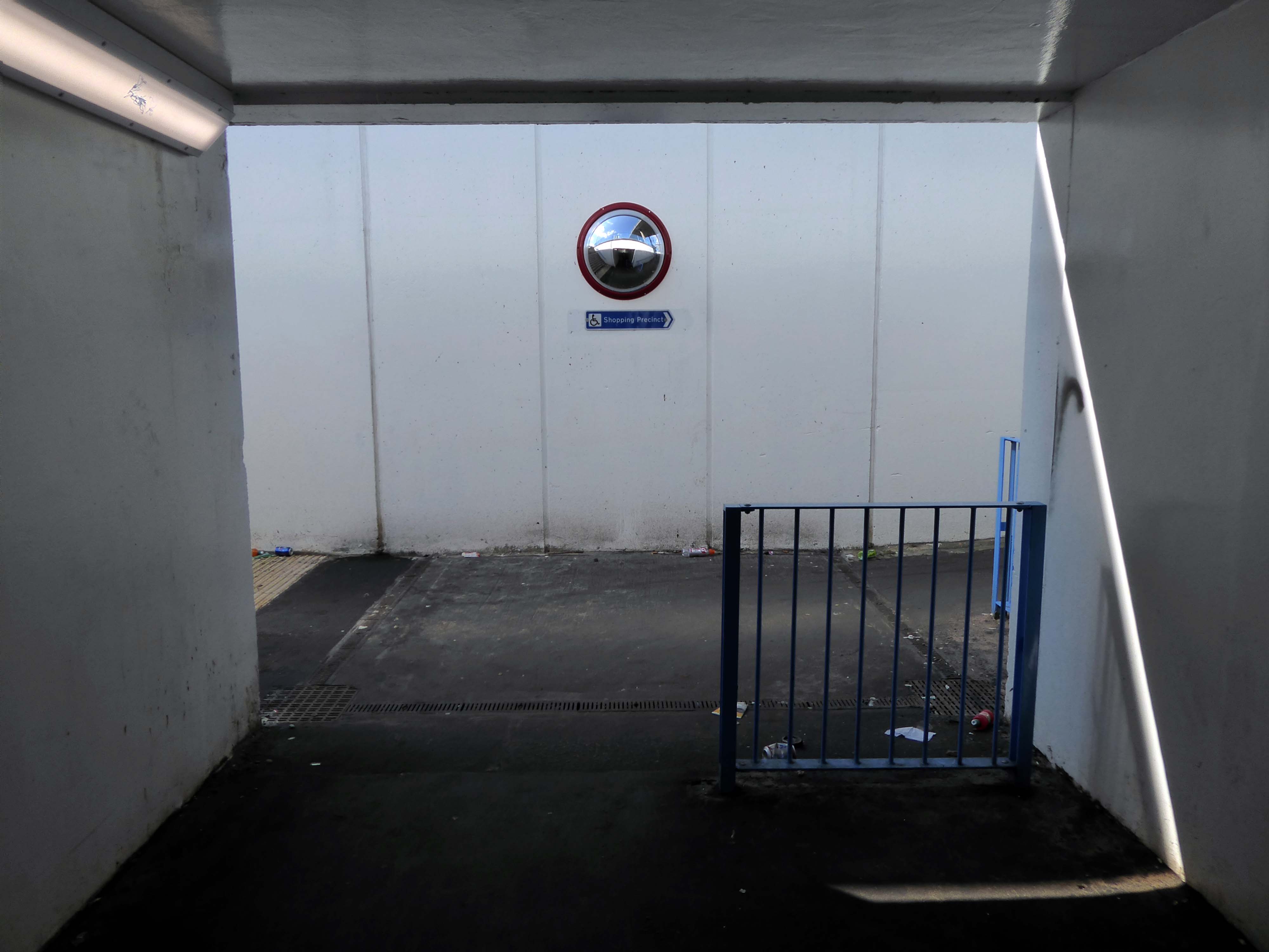
Let’s duck under the railway, through this sad damp pedestrian tunnel – the domain of the cash strapped daytime drinker, transient tagger and disaffected leaflet distributor.
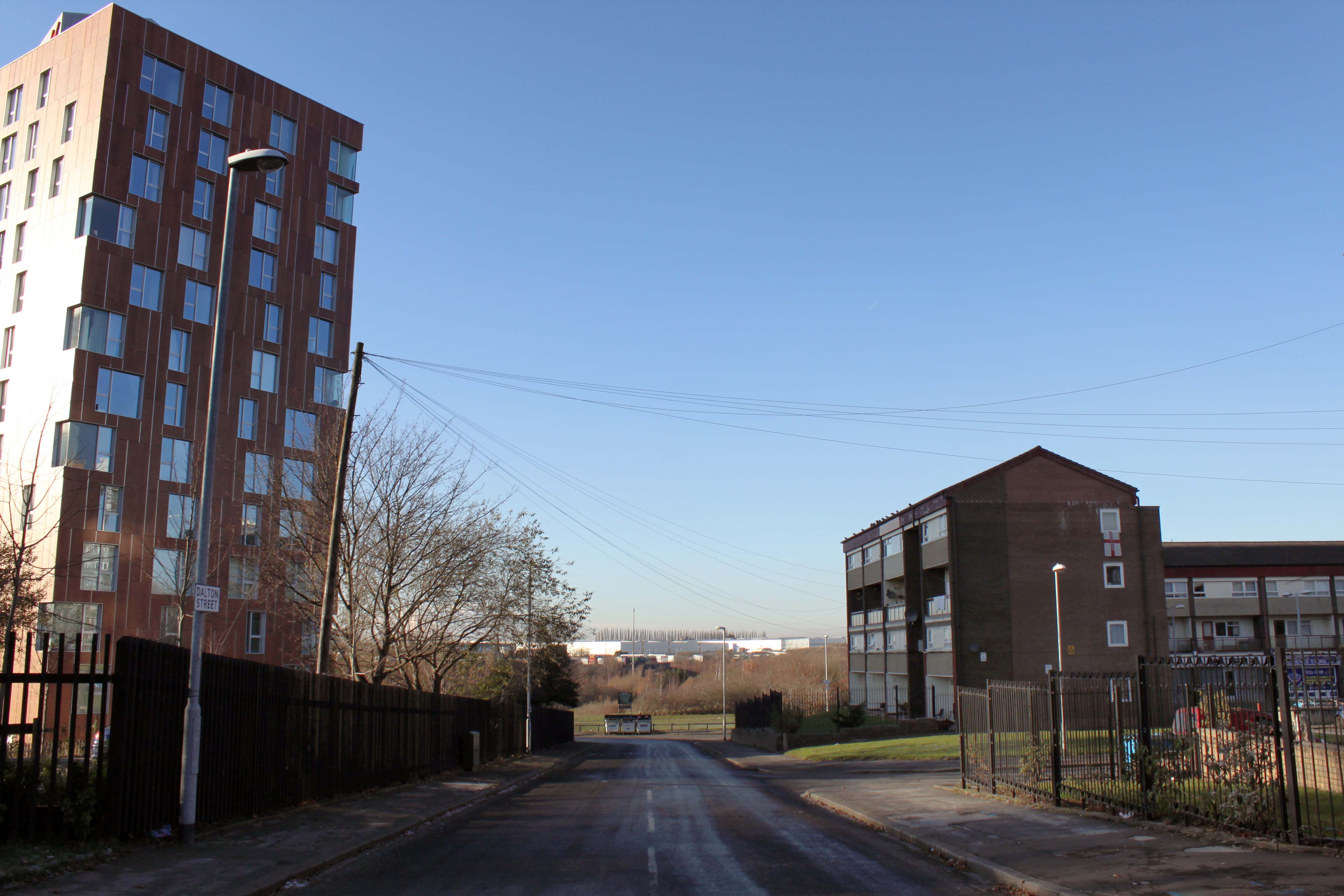
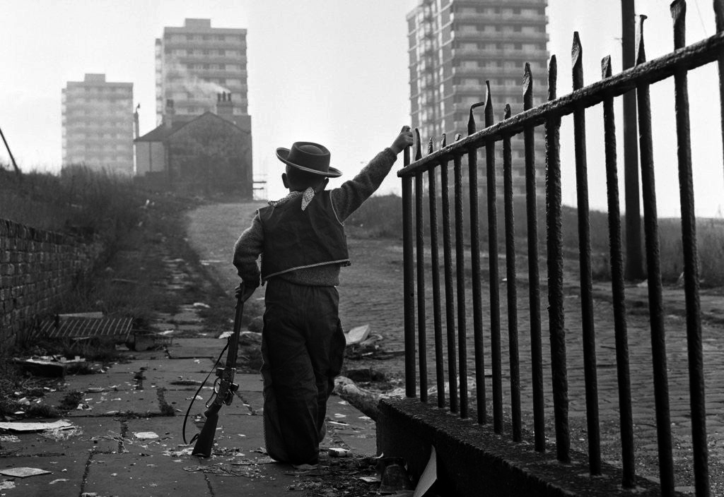
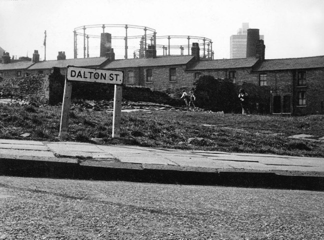
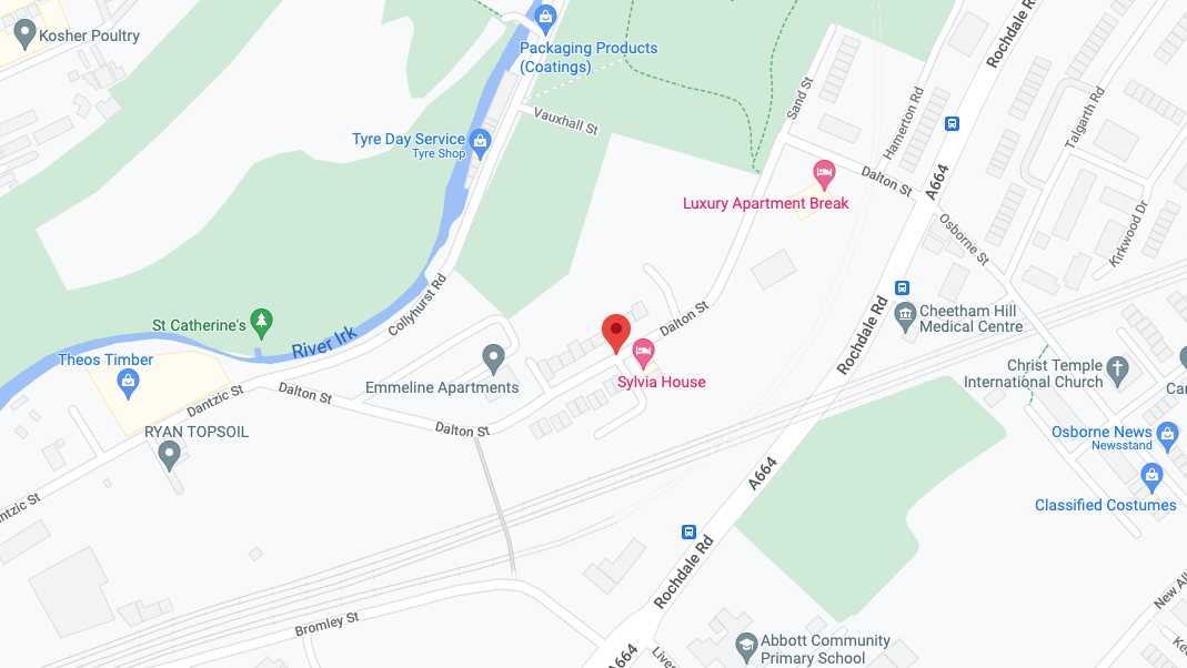
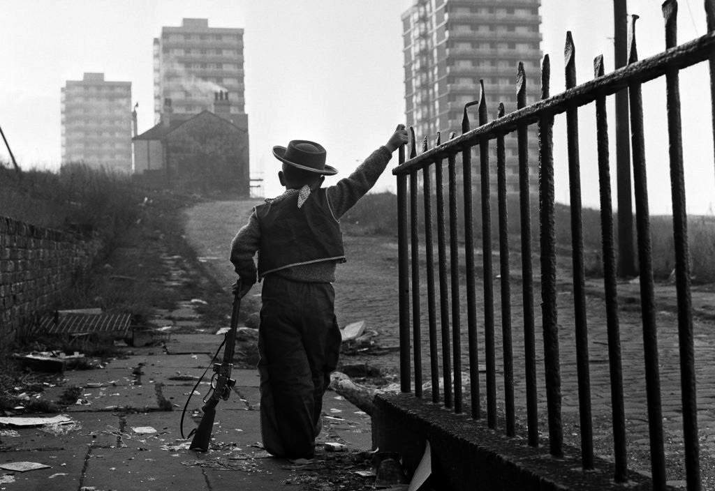
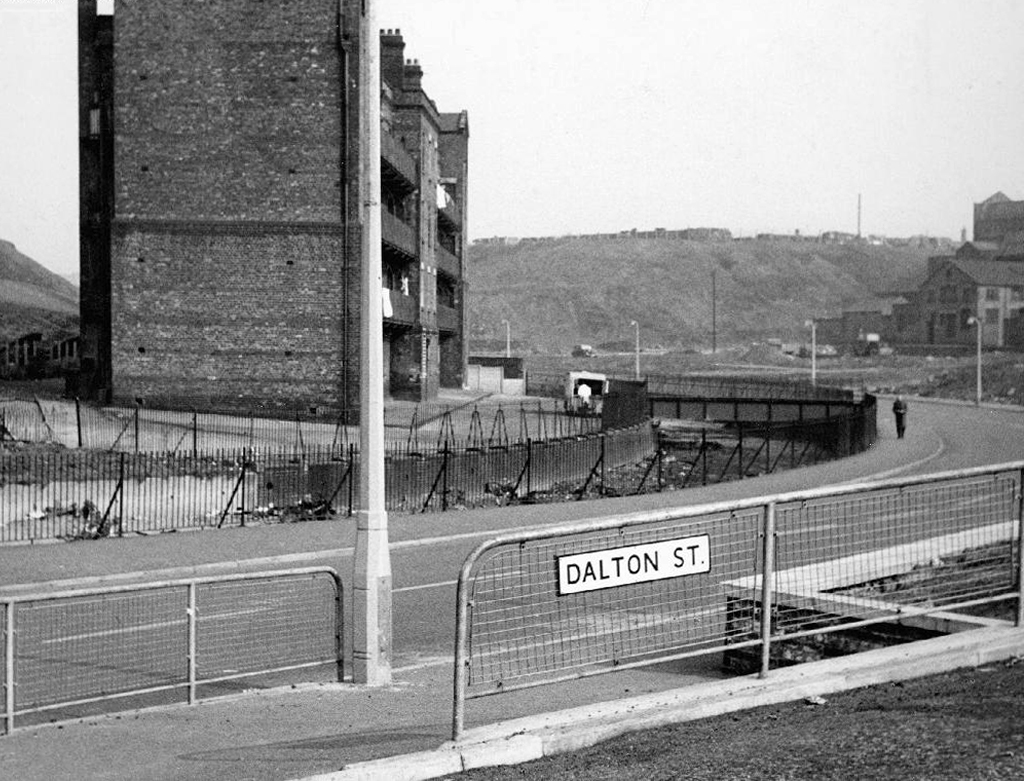
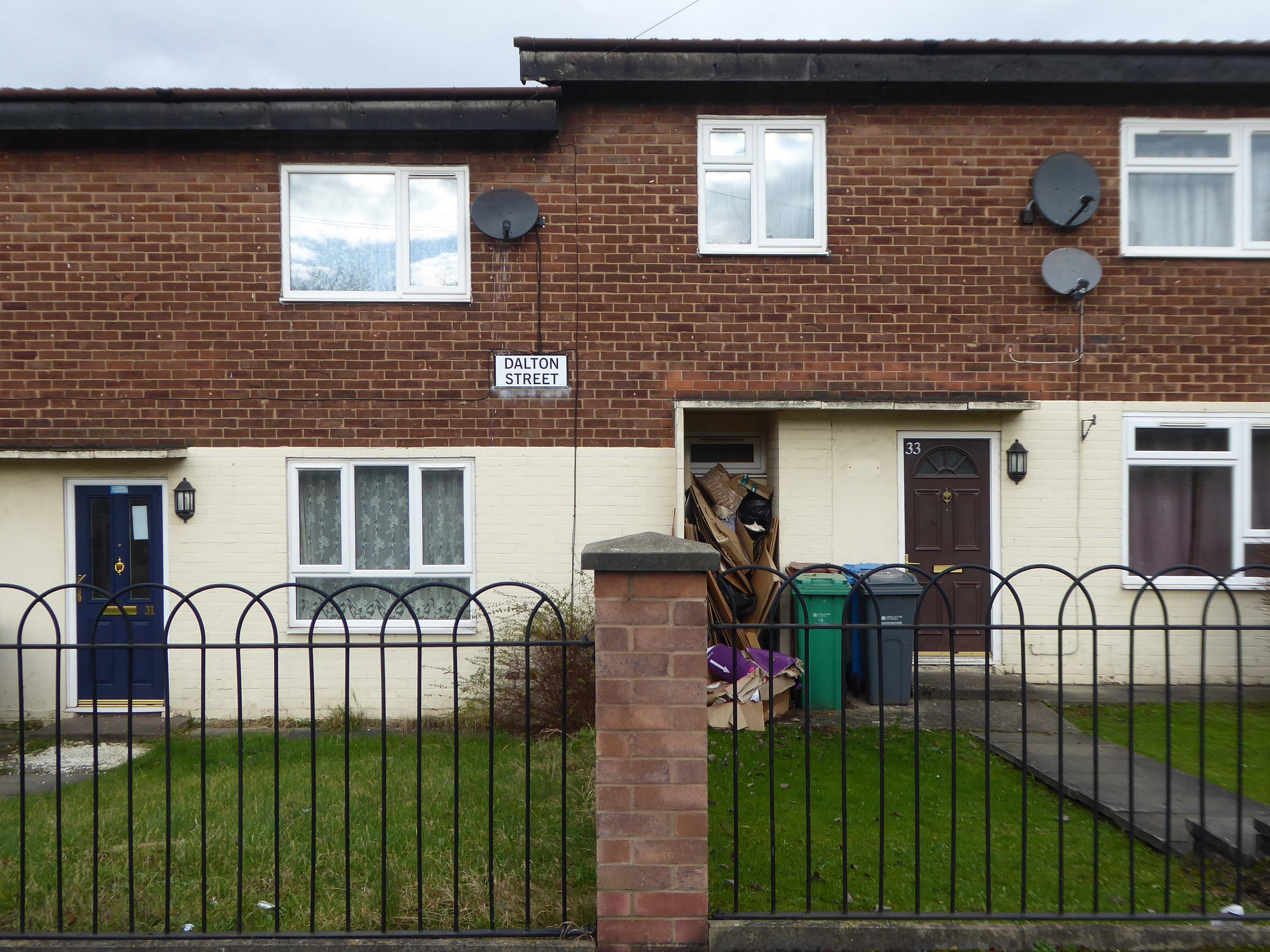
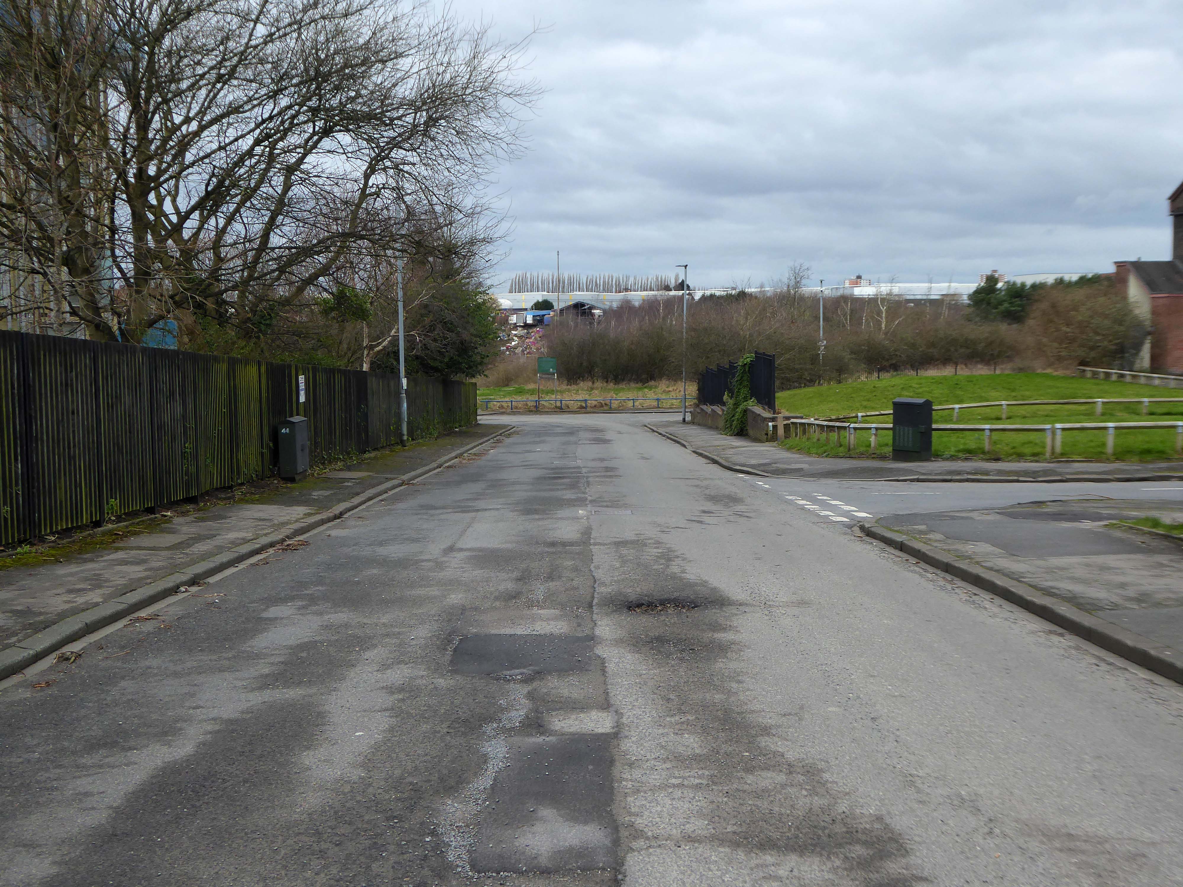
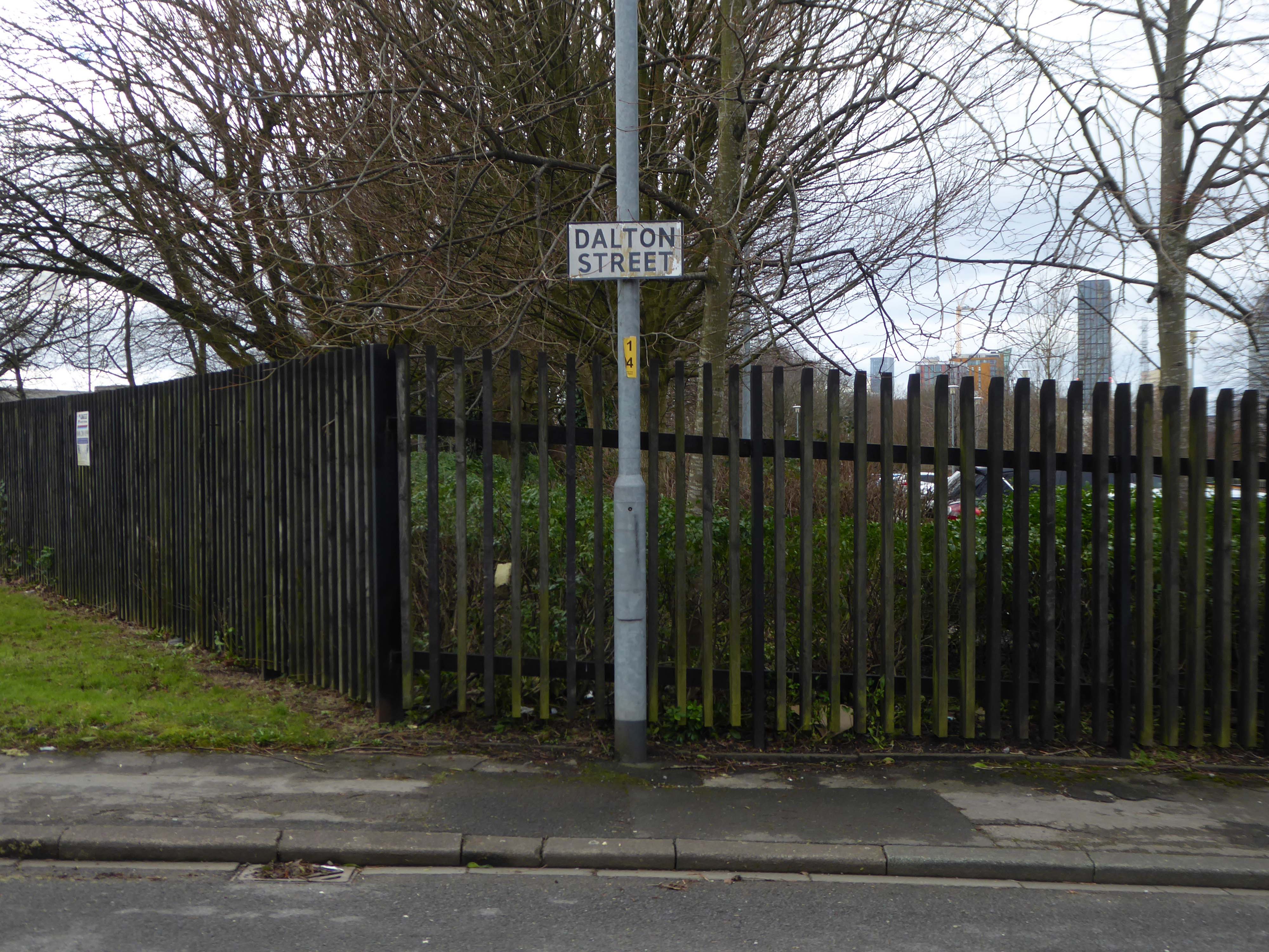
Next thing you know you have emerged into the daylight on Dalton Street – we have been here before seeking the Collyhurst Cowboy.
Photograph: Dennis Hussey
Onwards to Eastford Square.
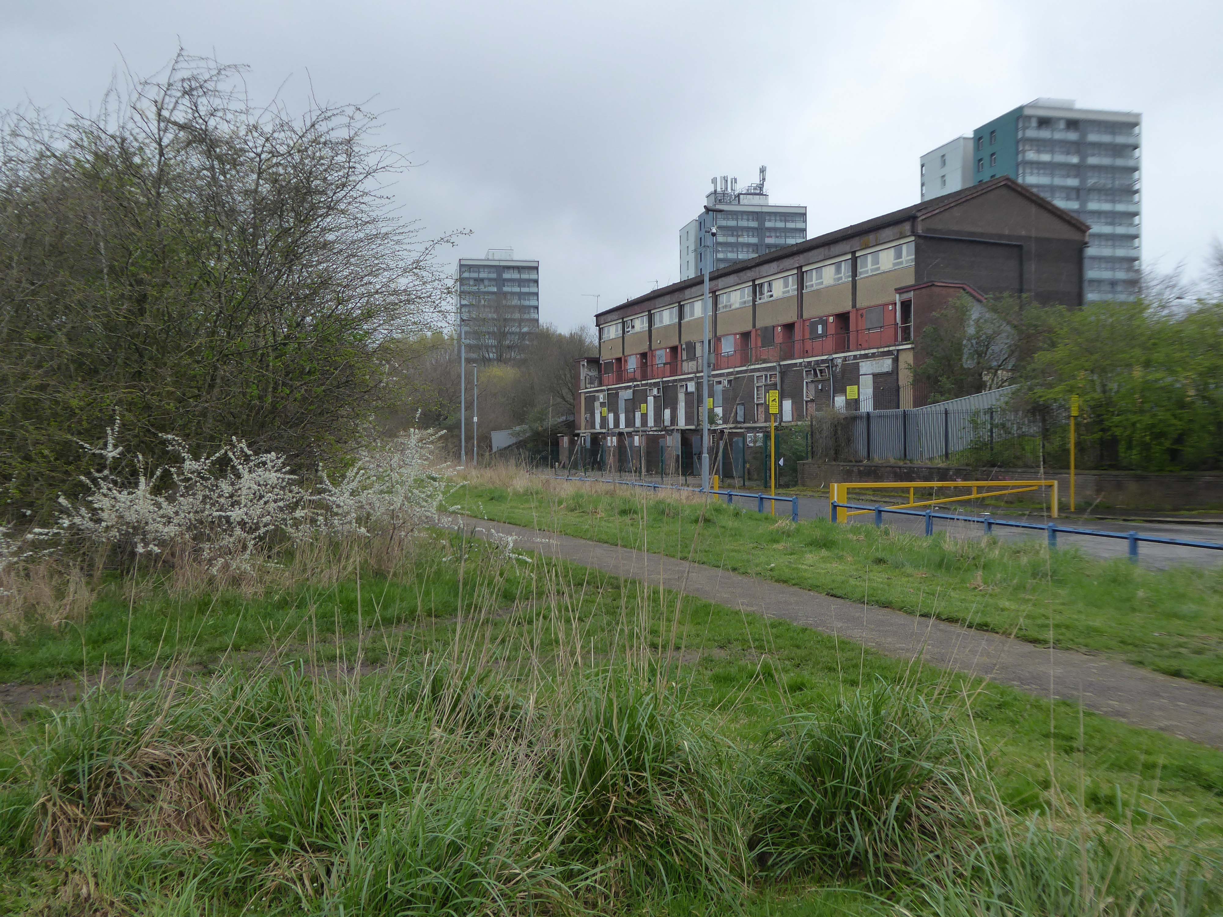
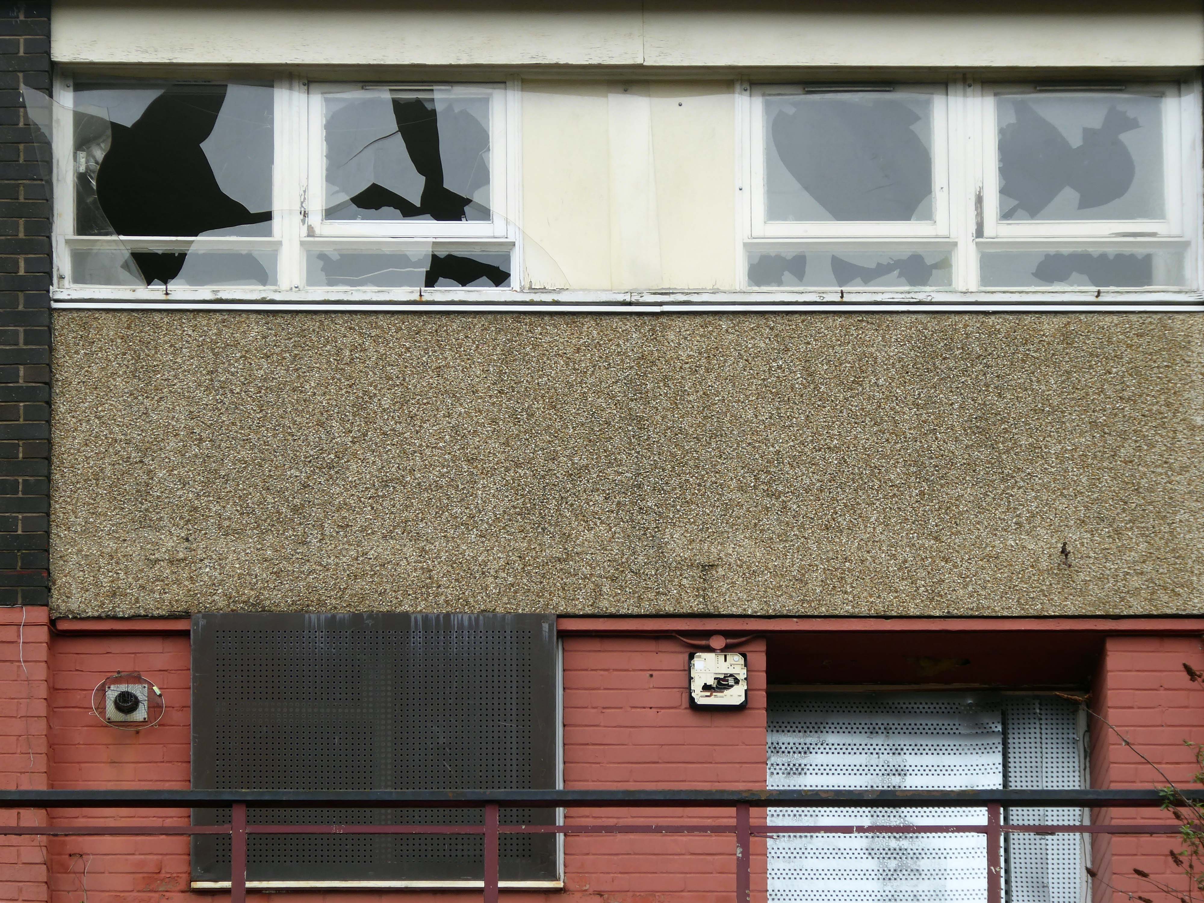
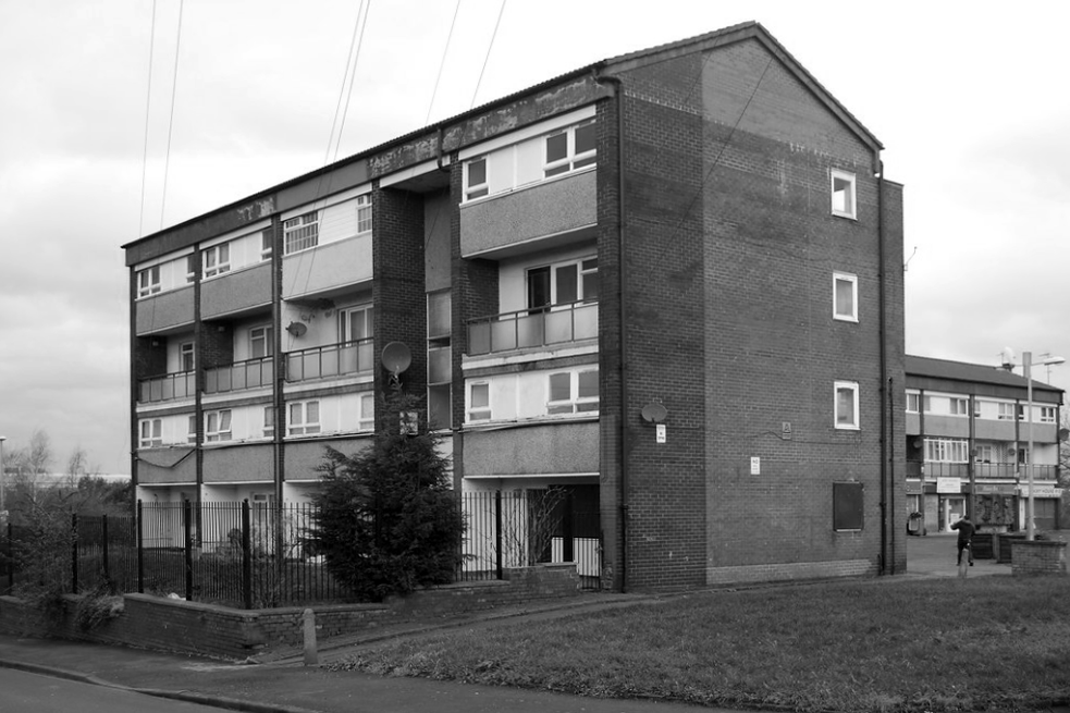
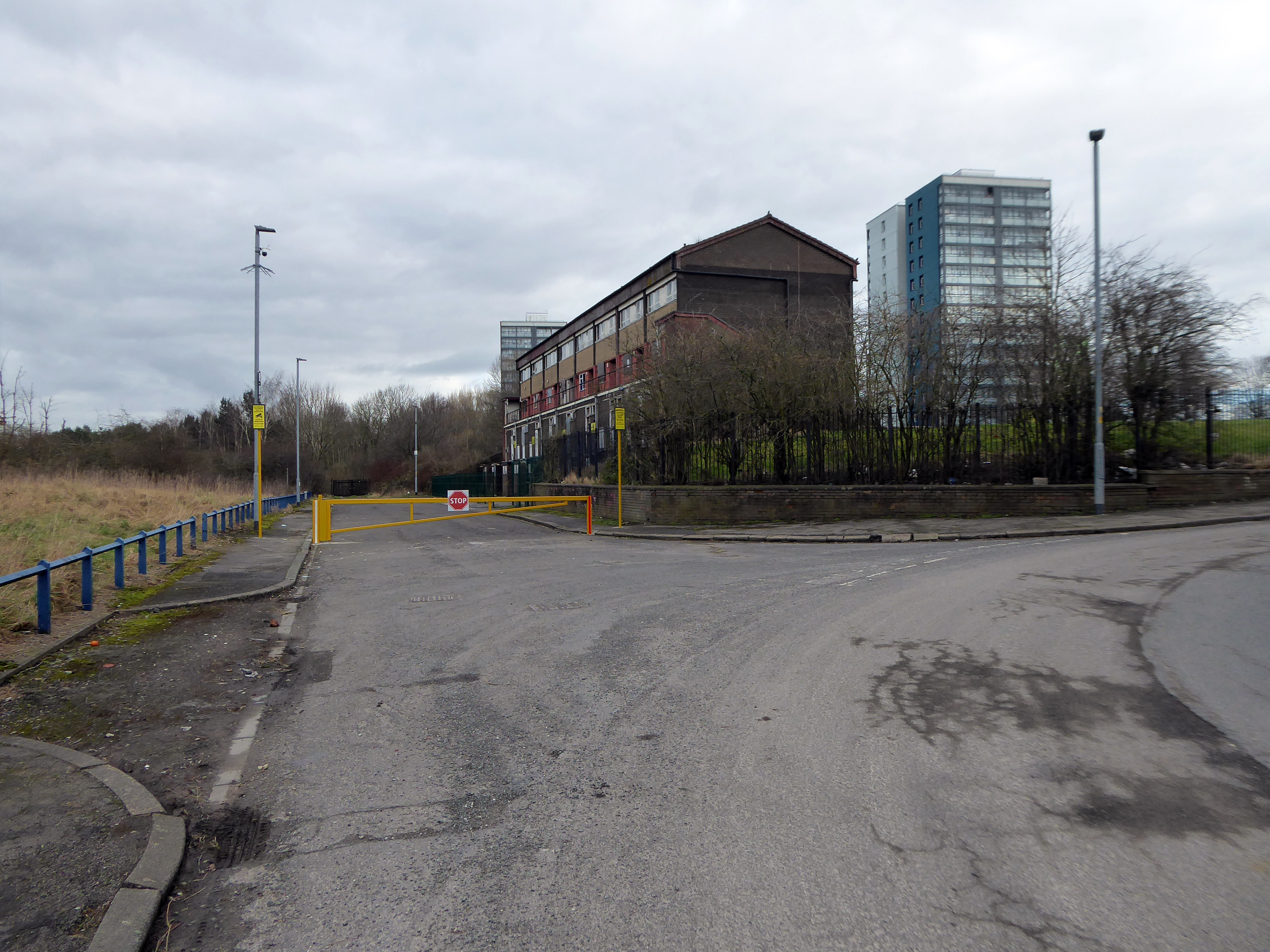
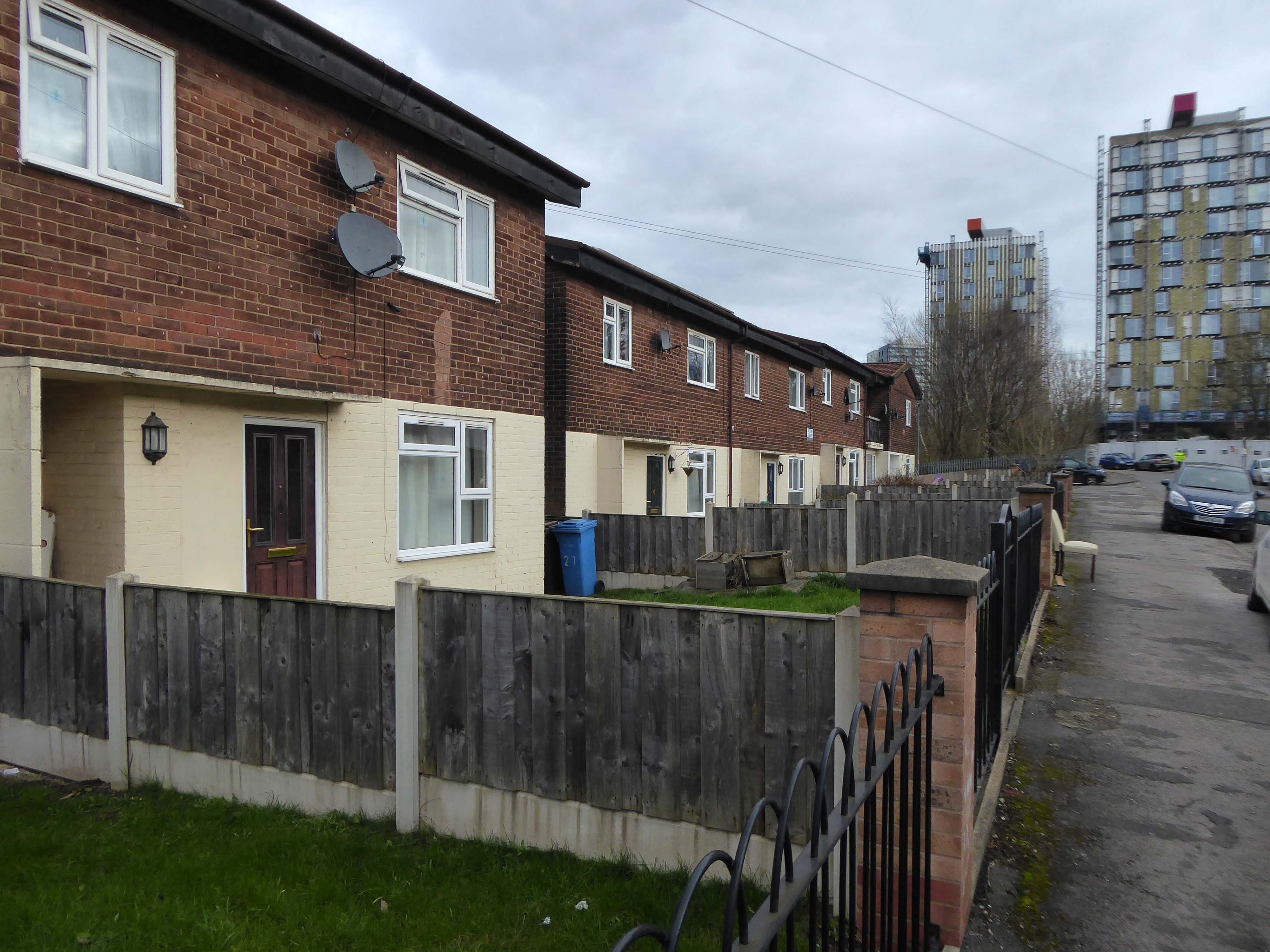
The shops and maisonettes are due to be demolished any day now – no longer to gaze open-eyed upon the former quarry of Sandhills.
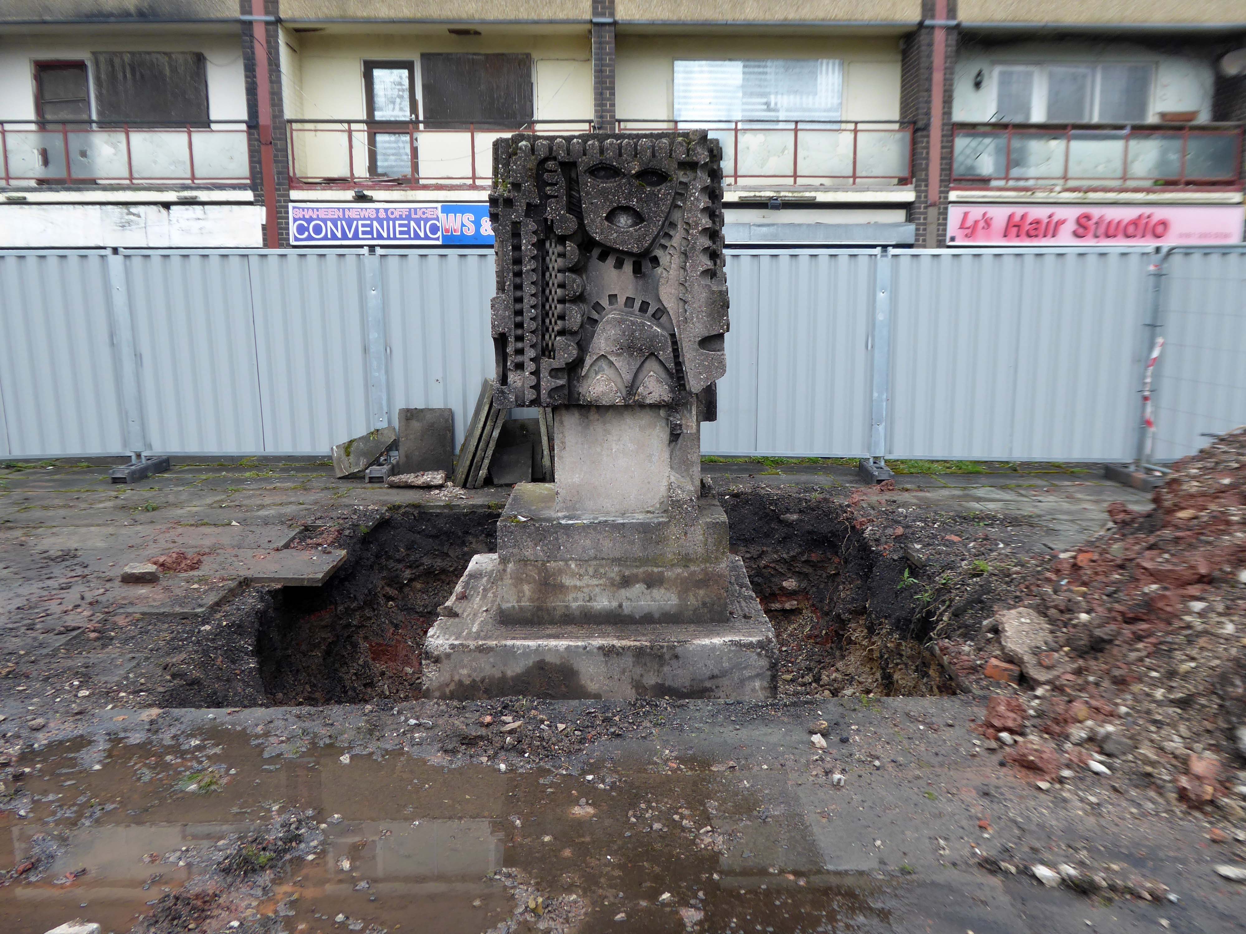
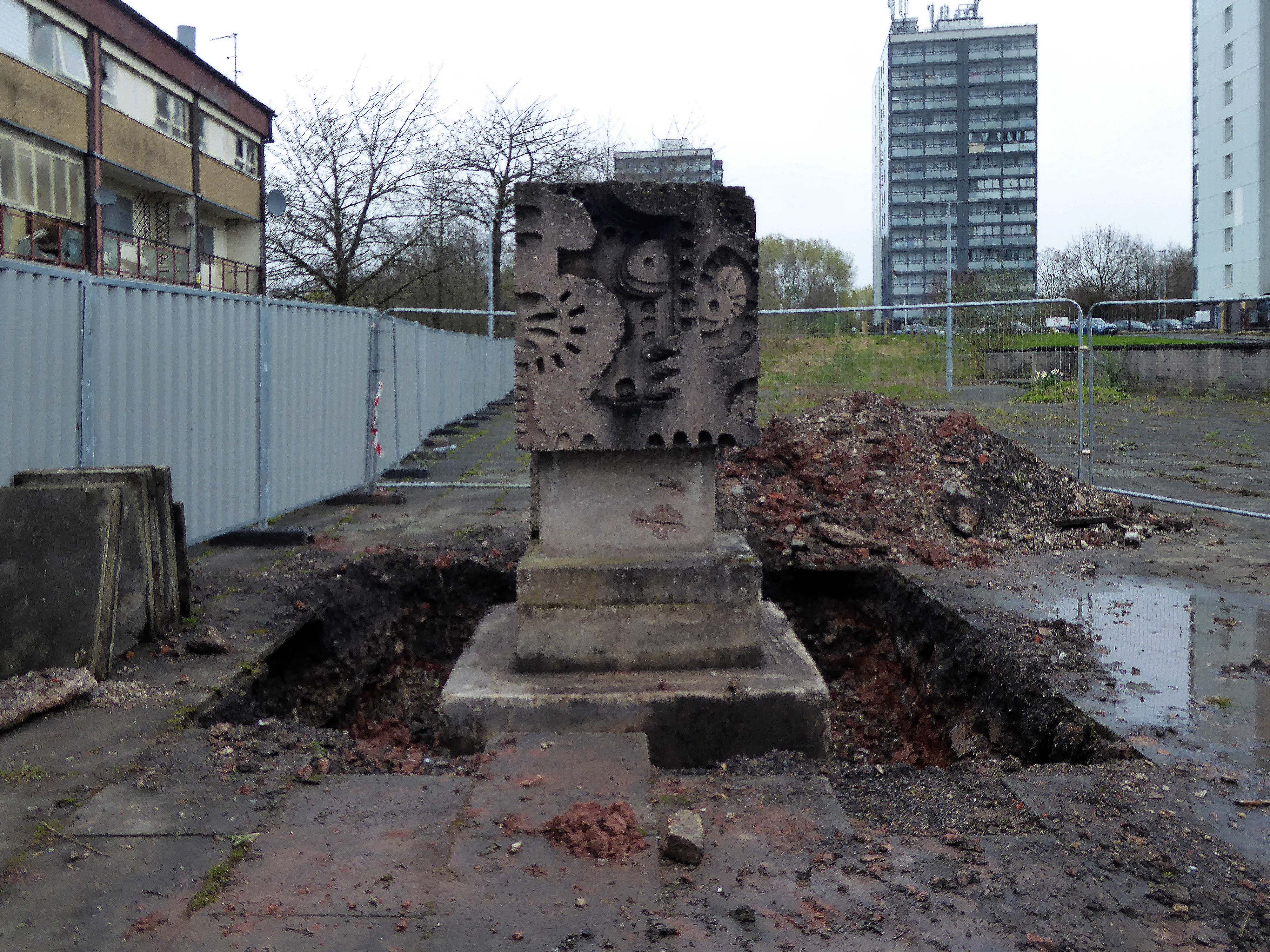
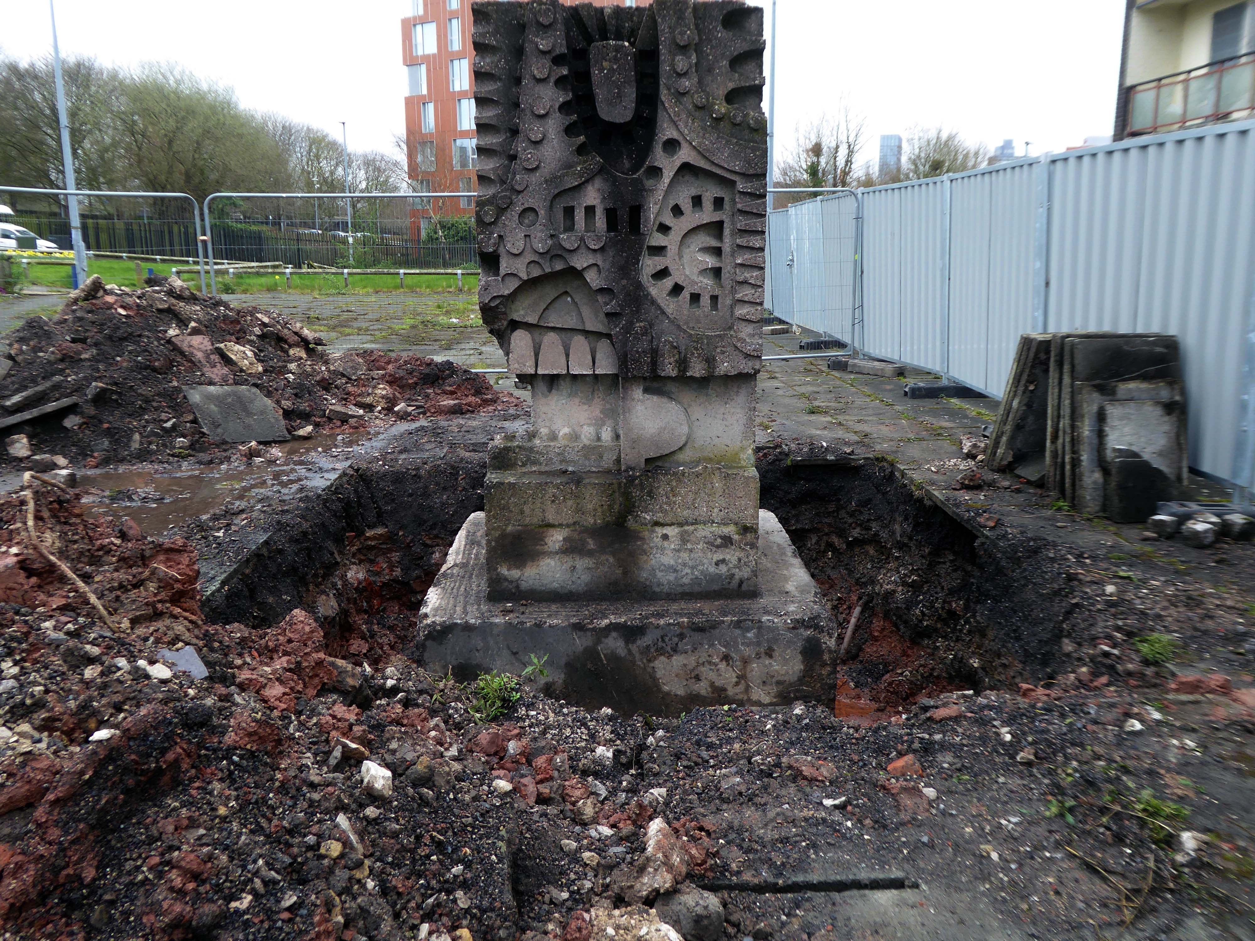
Around the front the diggers have been a digging – digging up around the base of the totem.
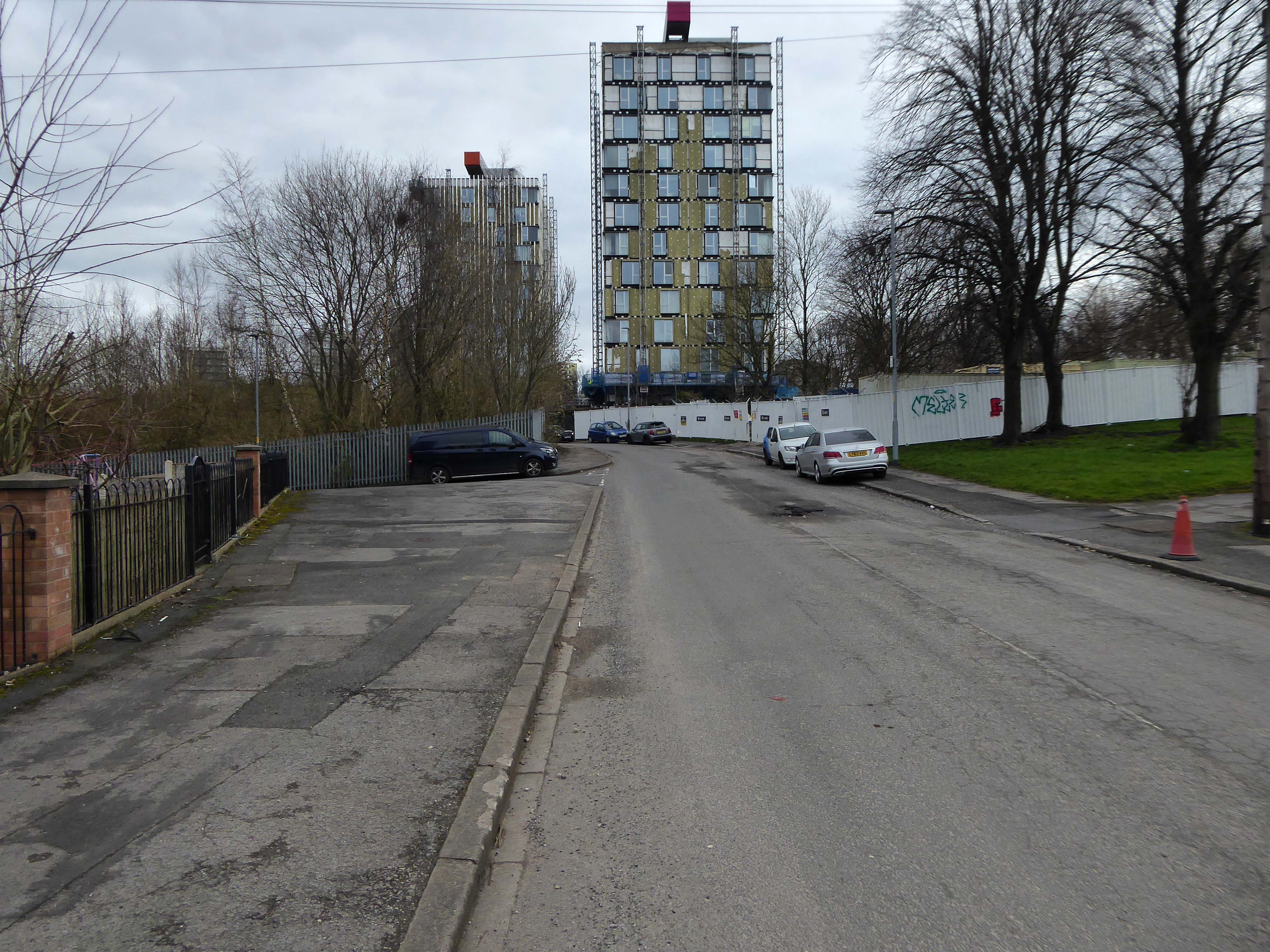
The work is to be re-sited by the nearby tower blocks.
The end is nigh.
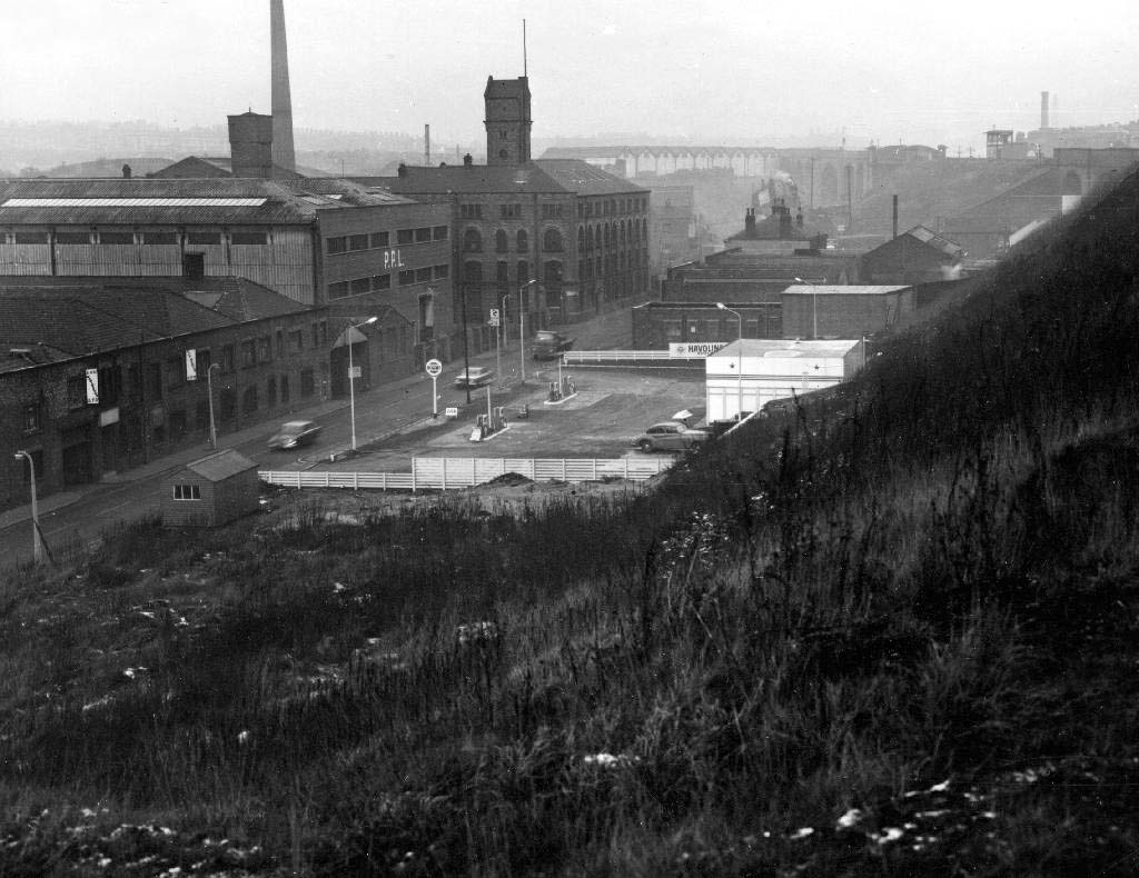
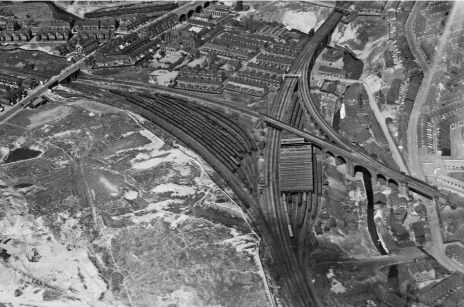
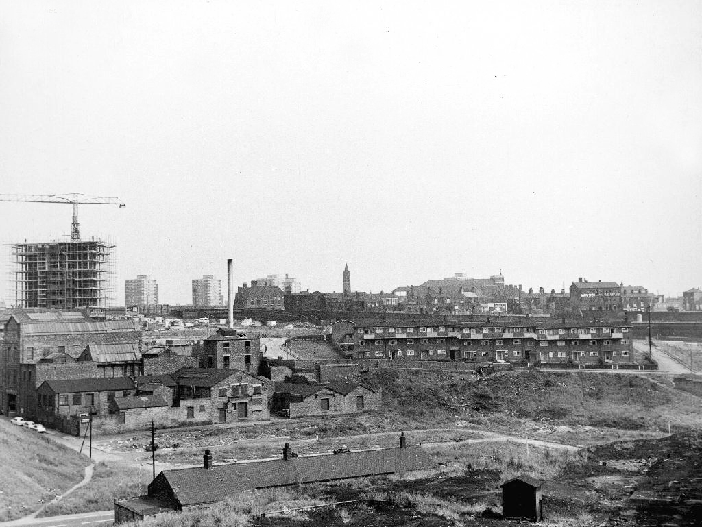
Heading now for Collyhurst Road and the Irk Valley – seen here in 1960.
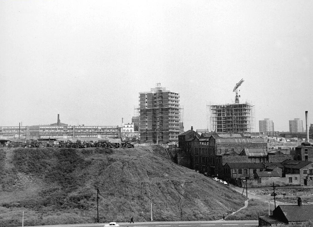
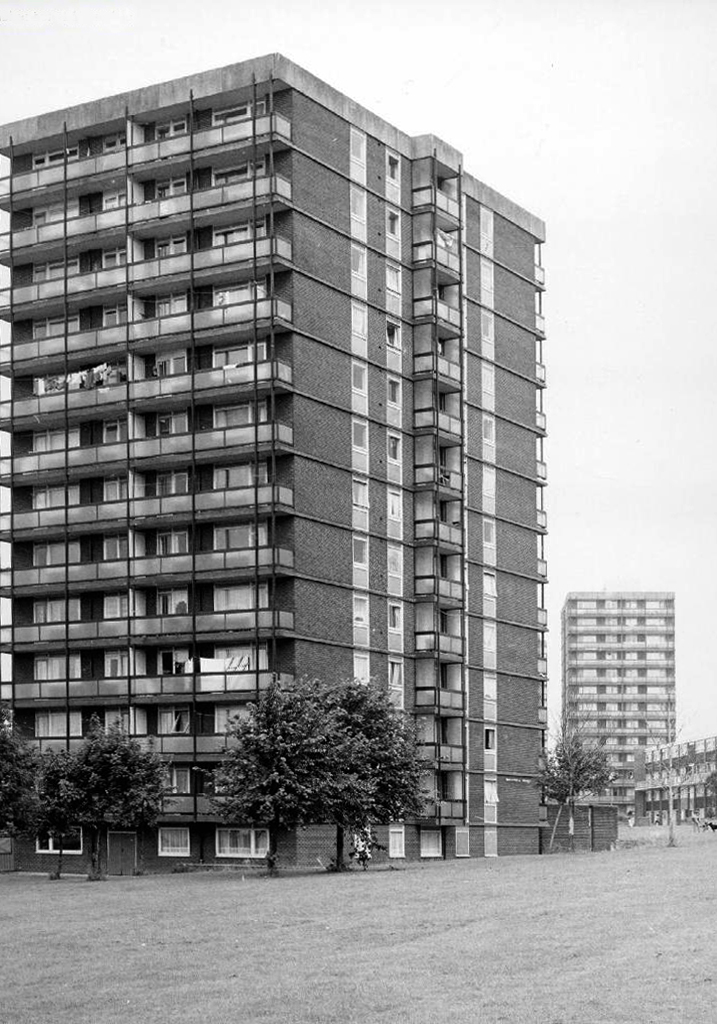
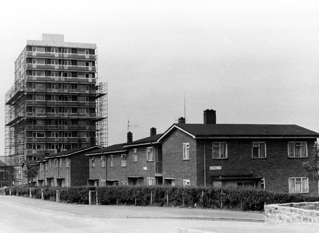
Looking back on the Square and the Dalton Street flats – Humphries, Dalton, Roach, Vauxhall and Moss Brook Courts under construction.
Vauxhall Street now but a shadow of its former self – the last traces of industry long gone.
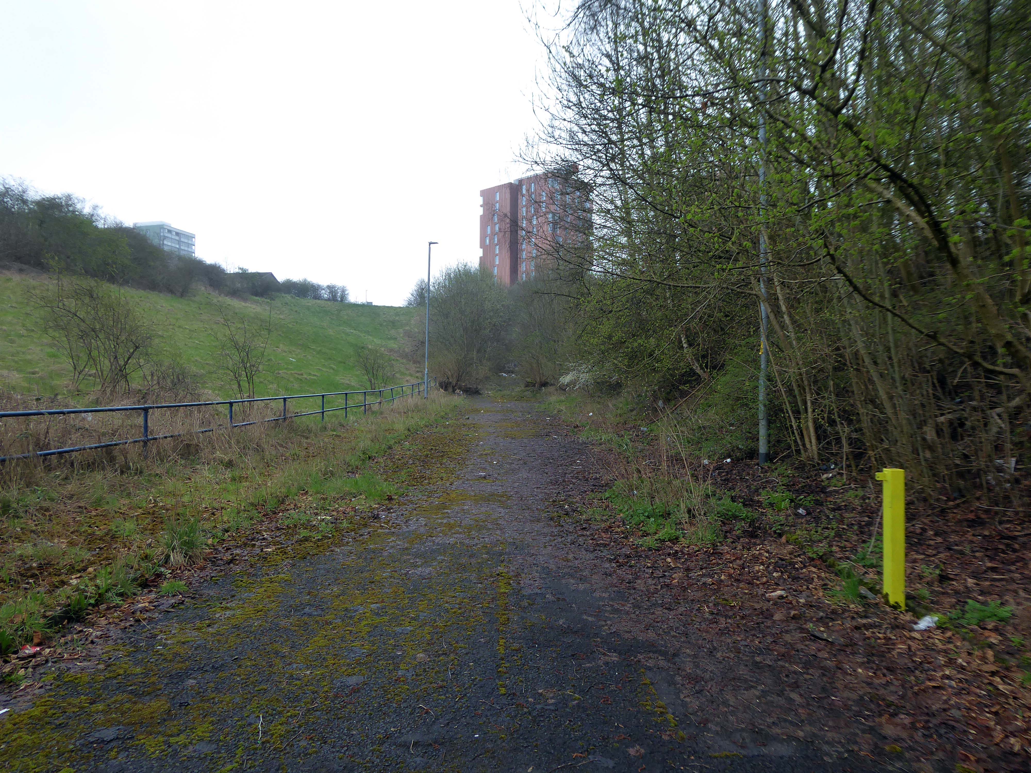
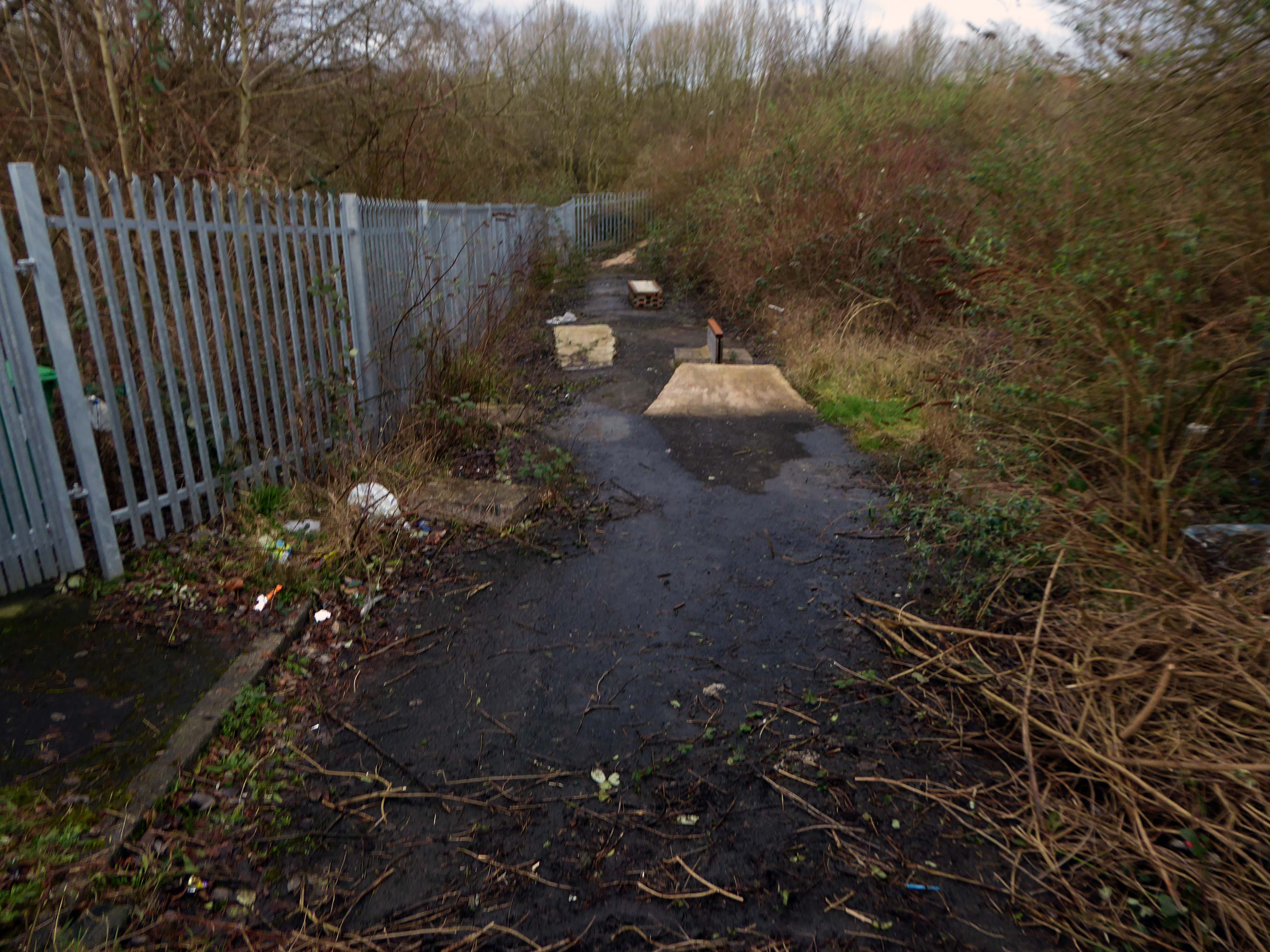
Reclaimed over time by trees and dense underbrush.
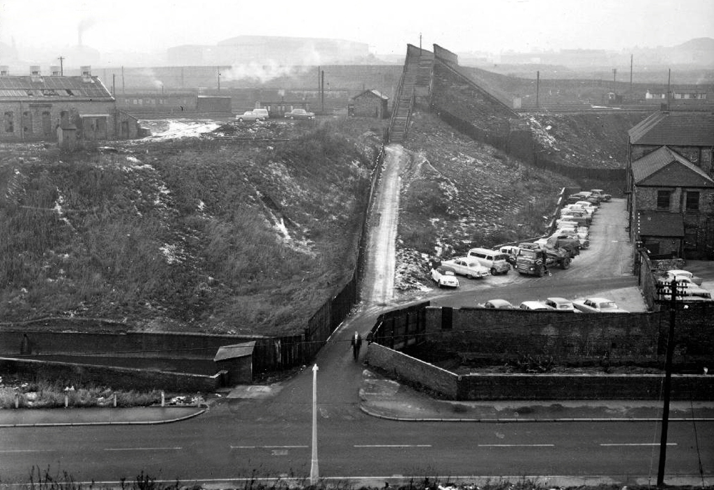
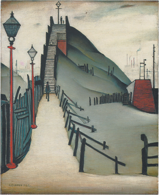
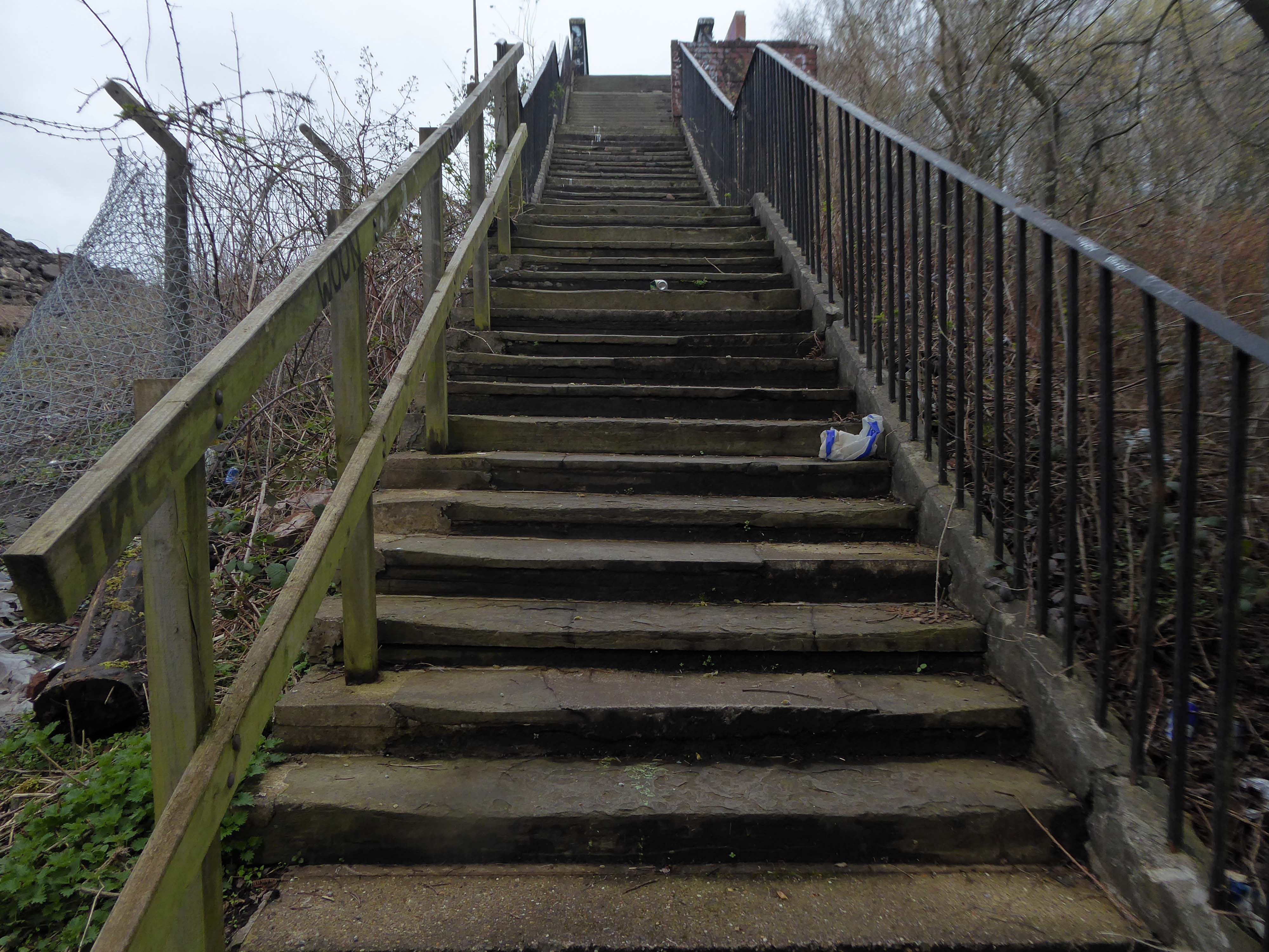
Crossing Collyhurst Road and up and over the railway via Barney’s Steps also known as the Lowry Steps.
LS Lowry
By the late 1950’s the whole of this area which we called Barney’s Tip became a refuse tip for Manchester City Council.
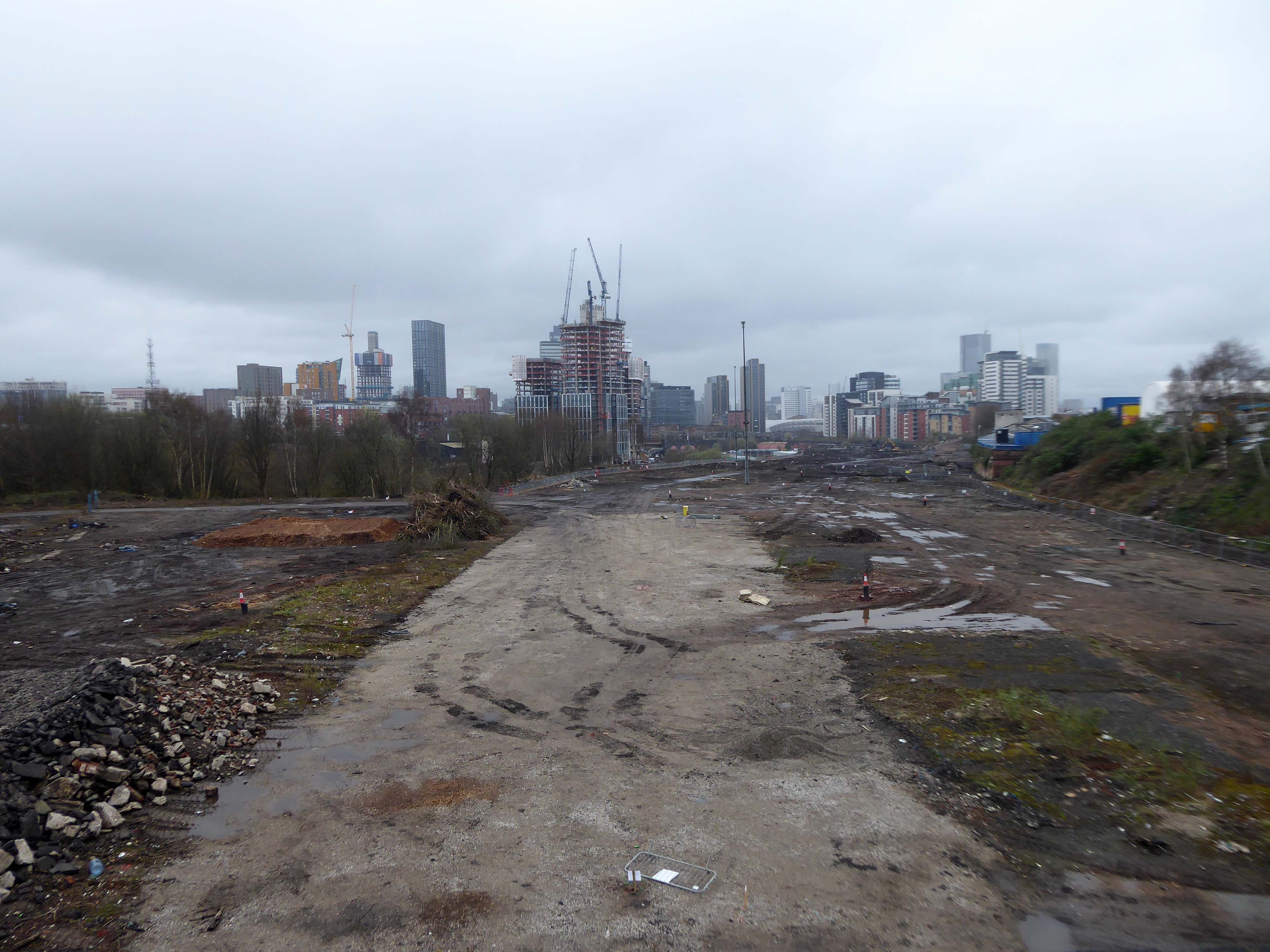
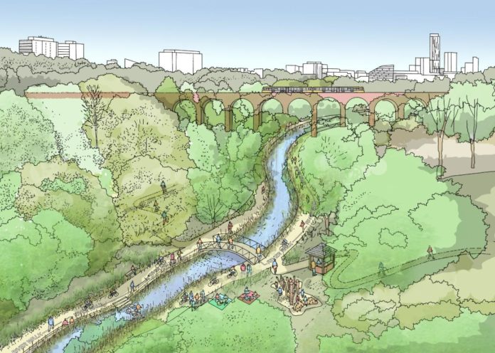
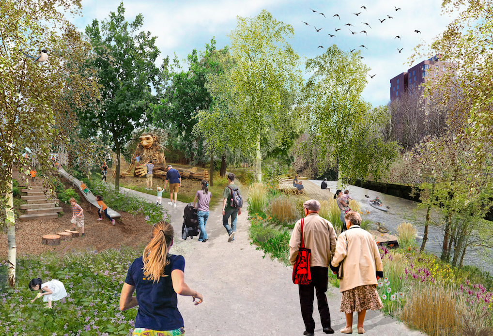
The area is in the process of being reconfigured as a delightful country park.
The investment will also help develop an initial phase of the planned City River Park incorporating St Catherine’s Wood as part of a network of public open space, including improvements along the River Irk and works to improve flood resilience, unlocking the potential of the Irk Valley that will characterise the wider Northern Gateway project.
The first phase of the City River Park will begin work to transform former railway architecture to develop the new Viaduct Linear Park north of Victoria Train Station, new stepped public realm space – Red Bank Terraces, along with new green space by the River Irk and the key improvements to St Catherine’s Wood.
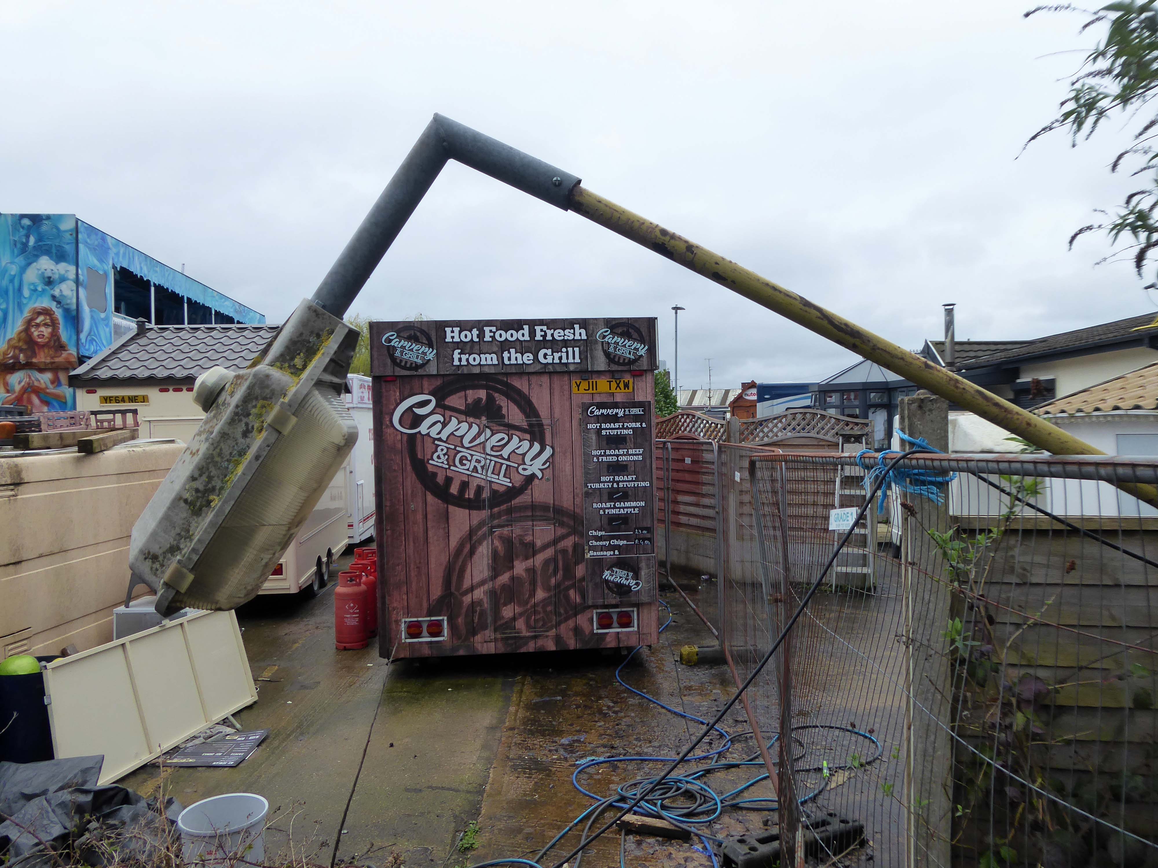
Collingham Street is lined with trucks, trailers, stalls and mobile homes.
But there’s nothing temporary about this Cheetham Hill neighbourhood; most residents have lived here for years and many plan to spend the rest of their lives here.
Founded more than forty years ago, it was created by the Showman’s Guild of Great Britain – and it’s reserved exclusively for fairground workers both retired and current.
Built on Queens Road tip, a former rubbish dump, and rented out by Manchester Council, many of the 52 homes belong to older retired showmen or families for whom an itinerant lifestyle has become more challenging.
It’s a close-knit community with a unique shared history.
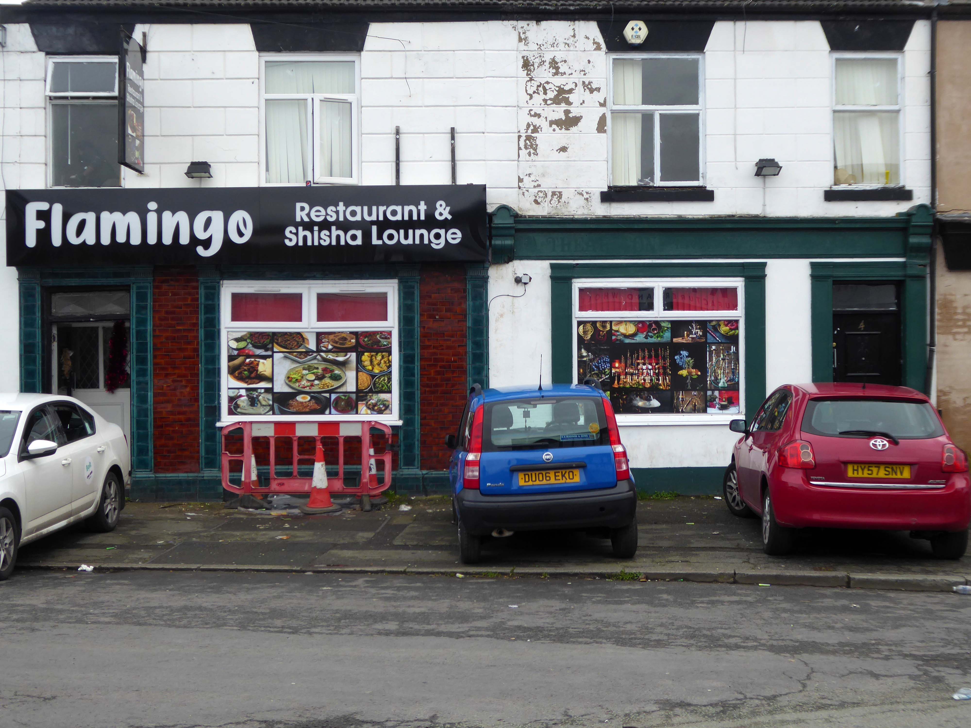
Though not without its own particular issues it would seem, according to the MEN.
The licensing out of hours team has received noise complaints relating to the premises which was found to be open beyond permitted hours when visited. Officers also identified breaches of the Health Act during inspections in which people were seen smoking shisha pipes in an enclosed extension at the back.
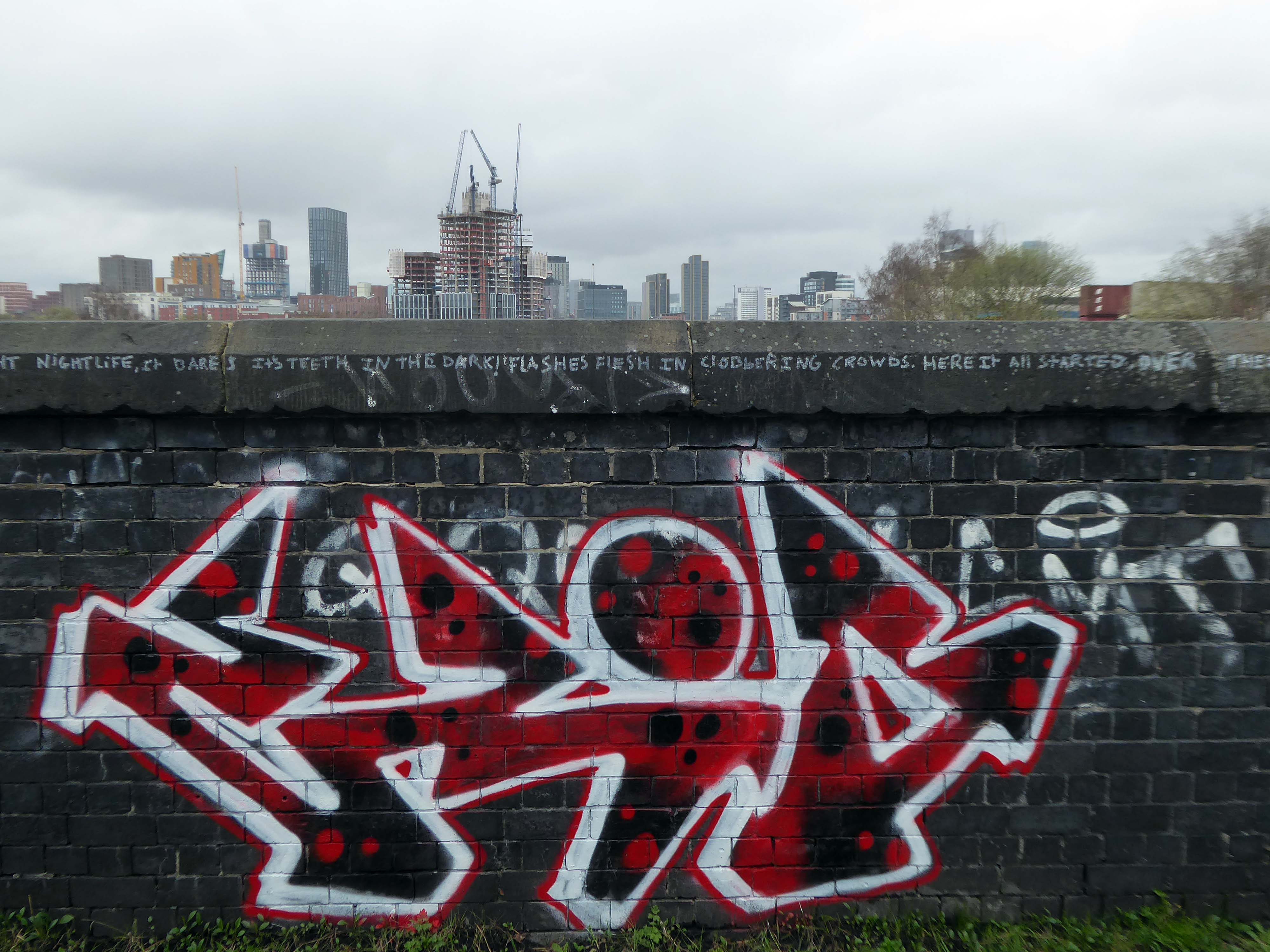
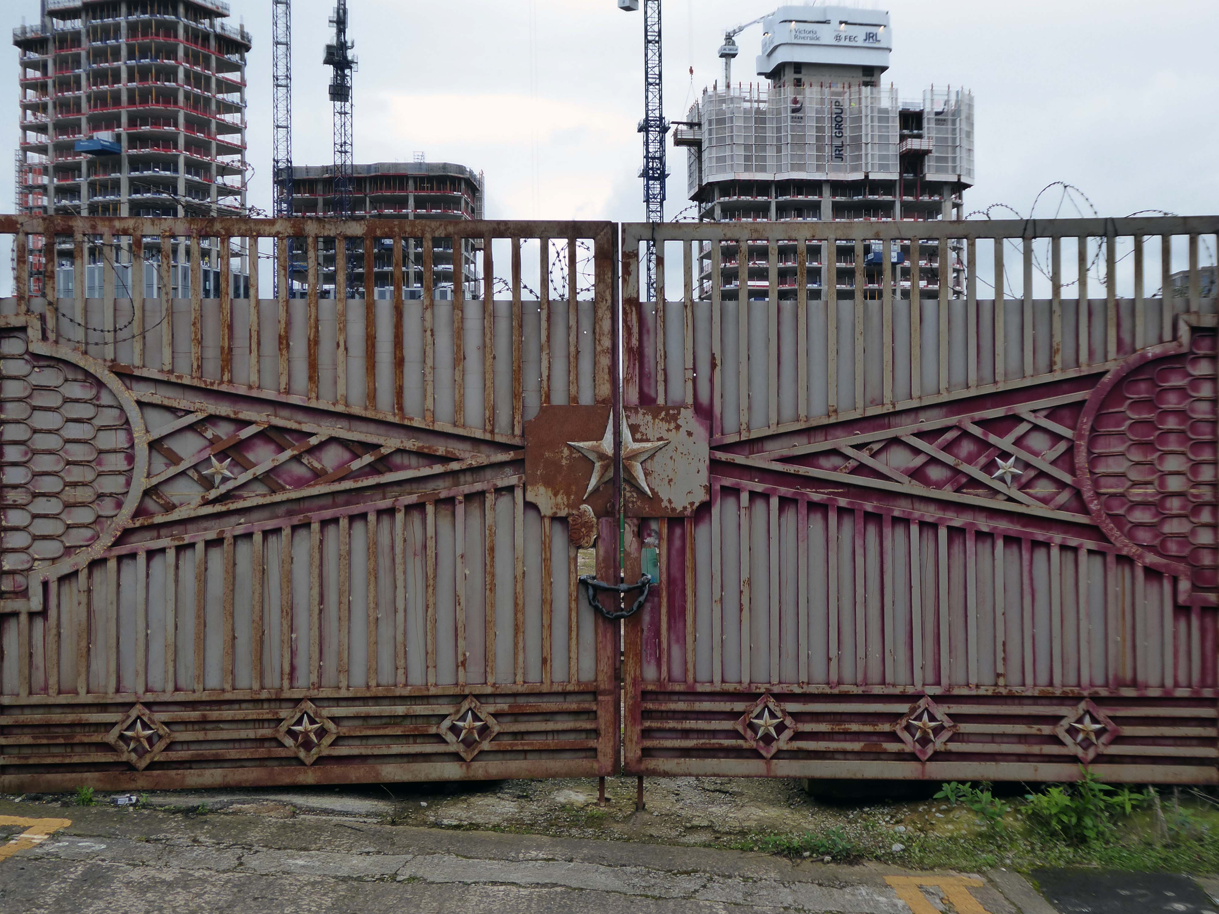
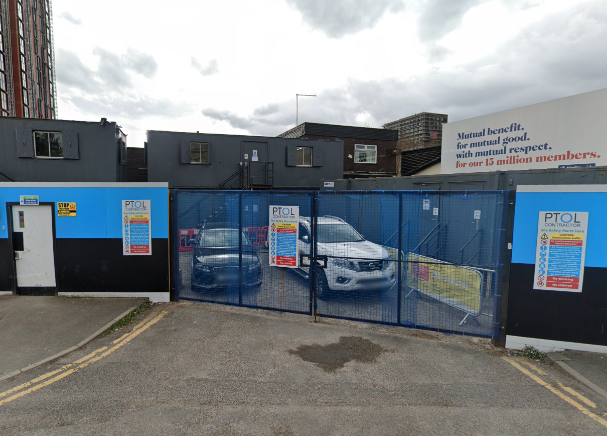
We will leave the Flamingo be and head back into town – but not without giving a nod to this confusing collision between this self-made scrapyard-man chic gate and the ever changing skyline of overheated urban regeneration.
The new creation has come: The old has gone, the new is here!
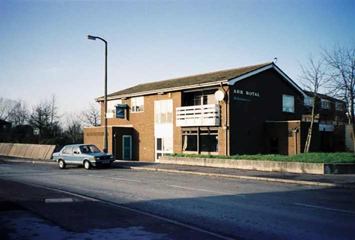
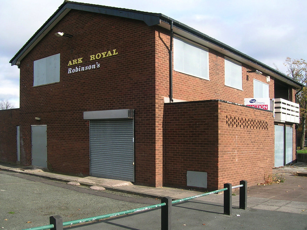
Another great looking estate pub that was on the same estate as the Hipp which it was also fairly close to.
There was the usual two rooms inside, I had a drink in the bar room which was quite busy on my Friday afternoon visit, there was also a more comfortable lounge.
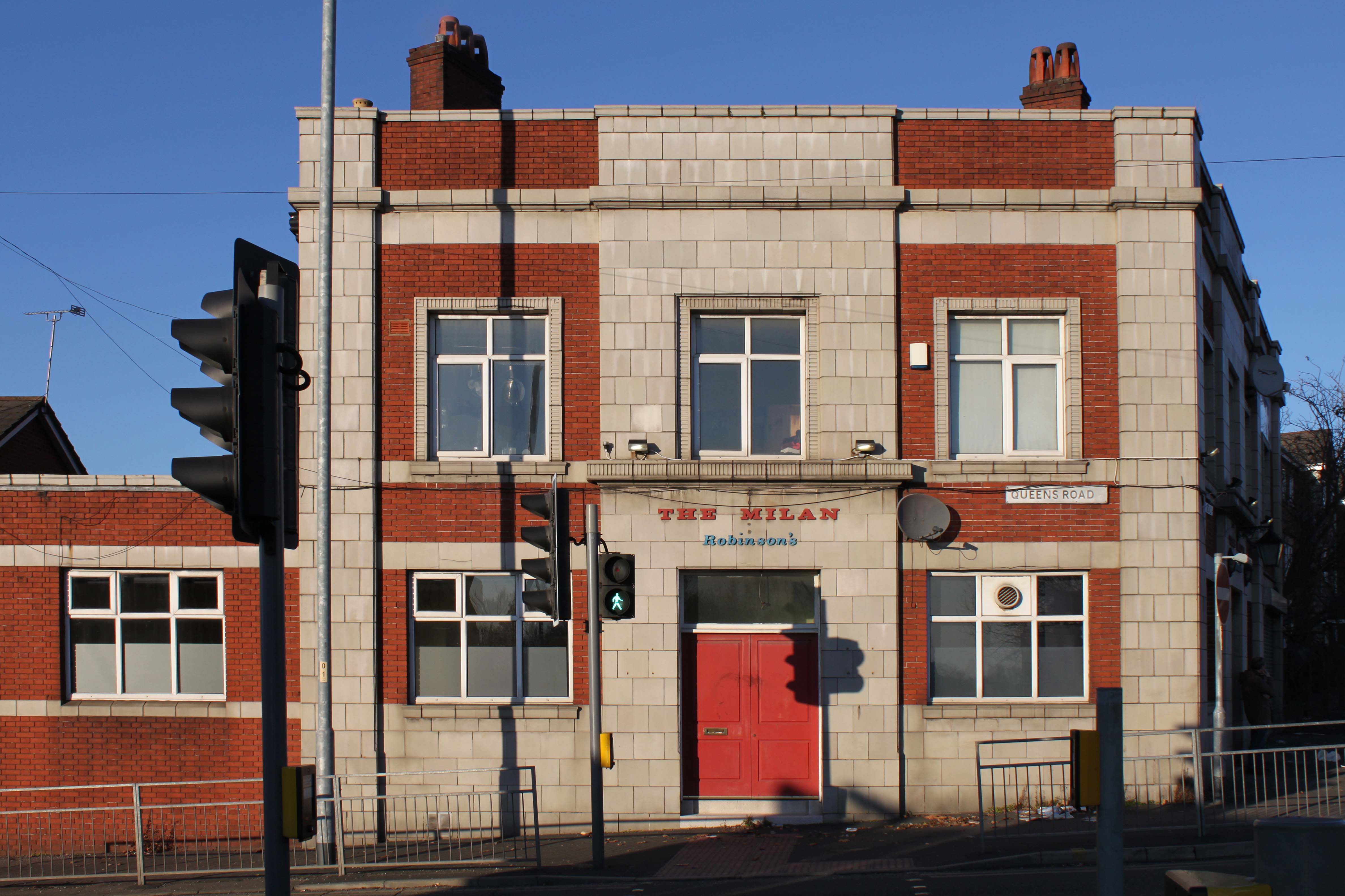
The pub was a Robinsons tied house, there were two real ales on, I had a drink of Robinsons Bitter which was a nice drink, there was also Robinsons Mild on.
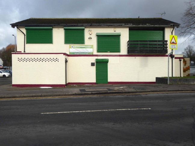
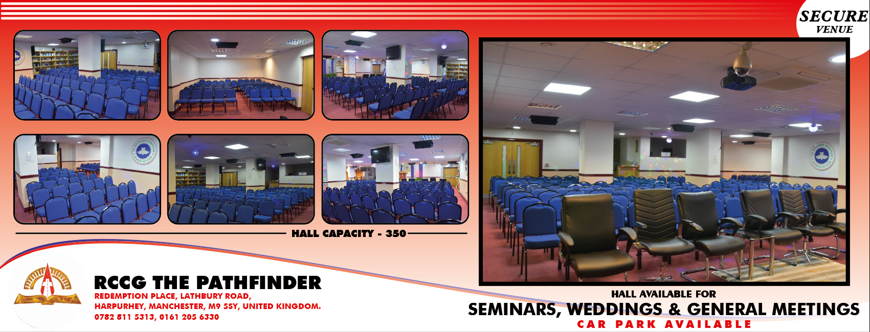
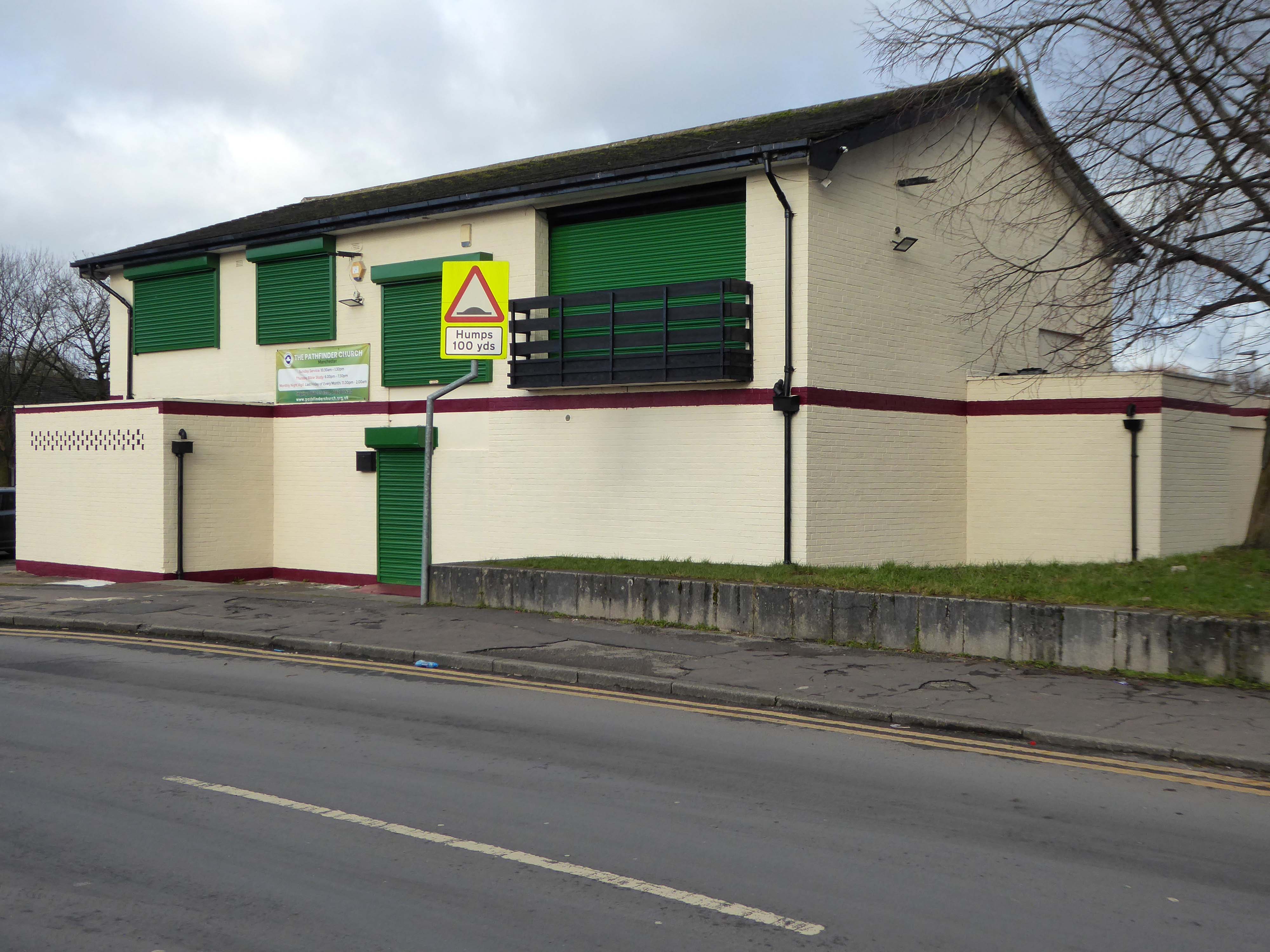
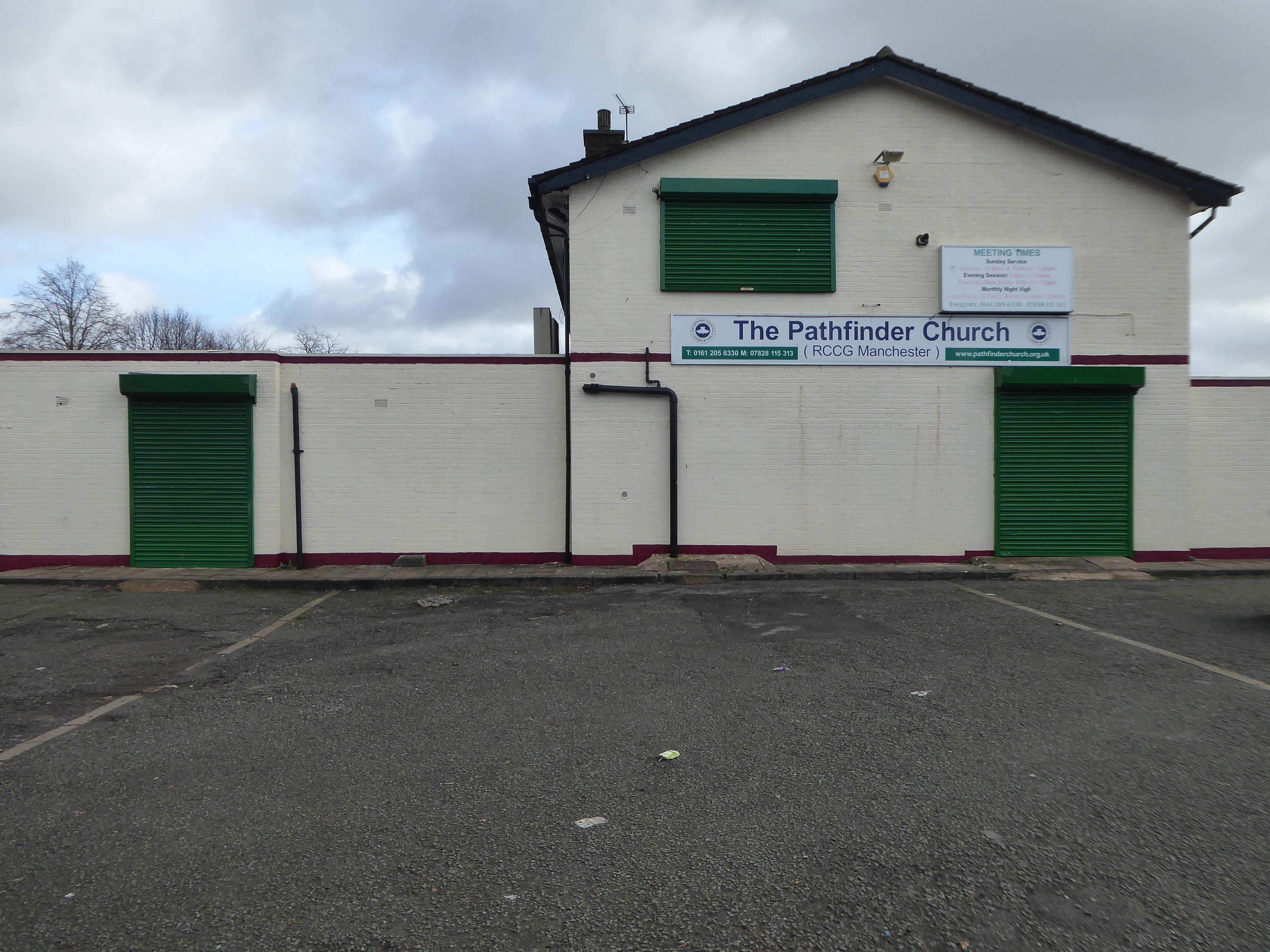
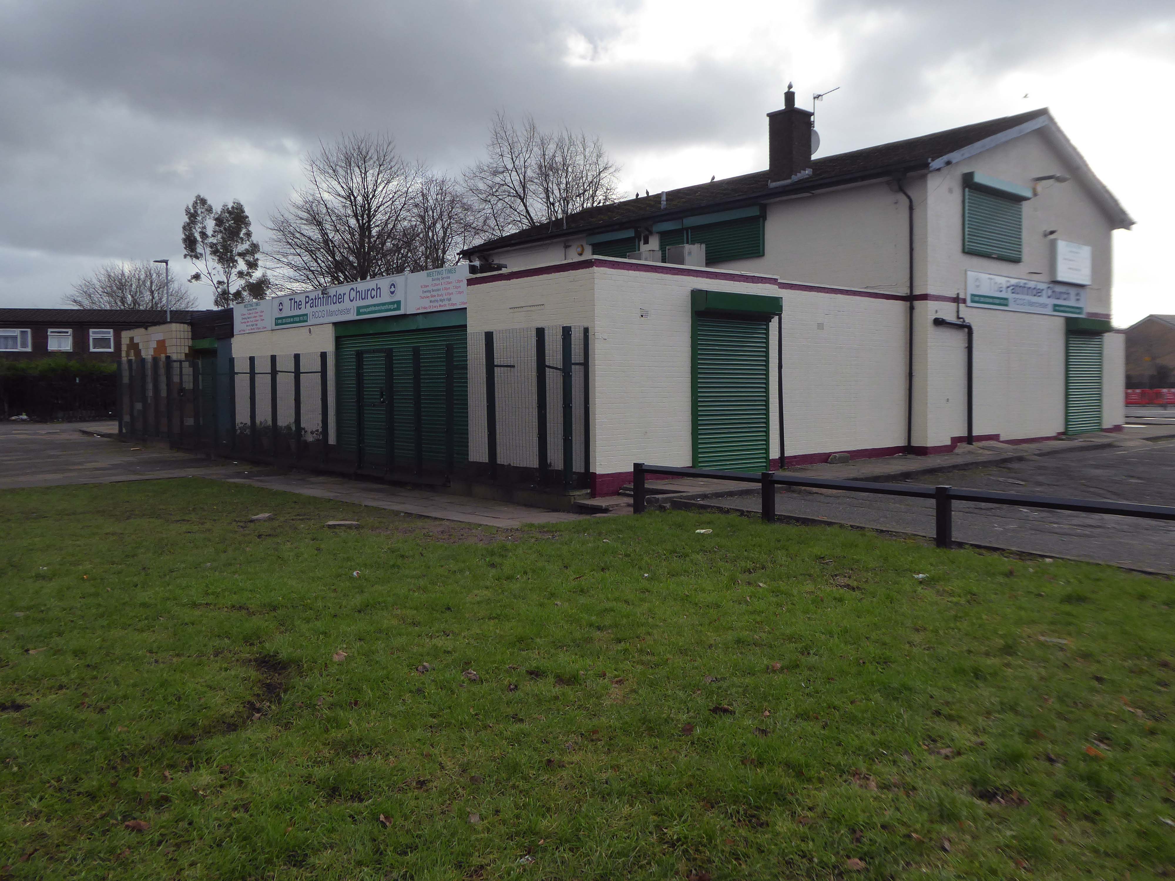
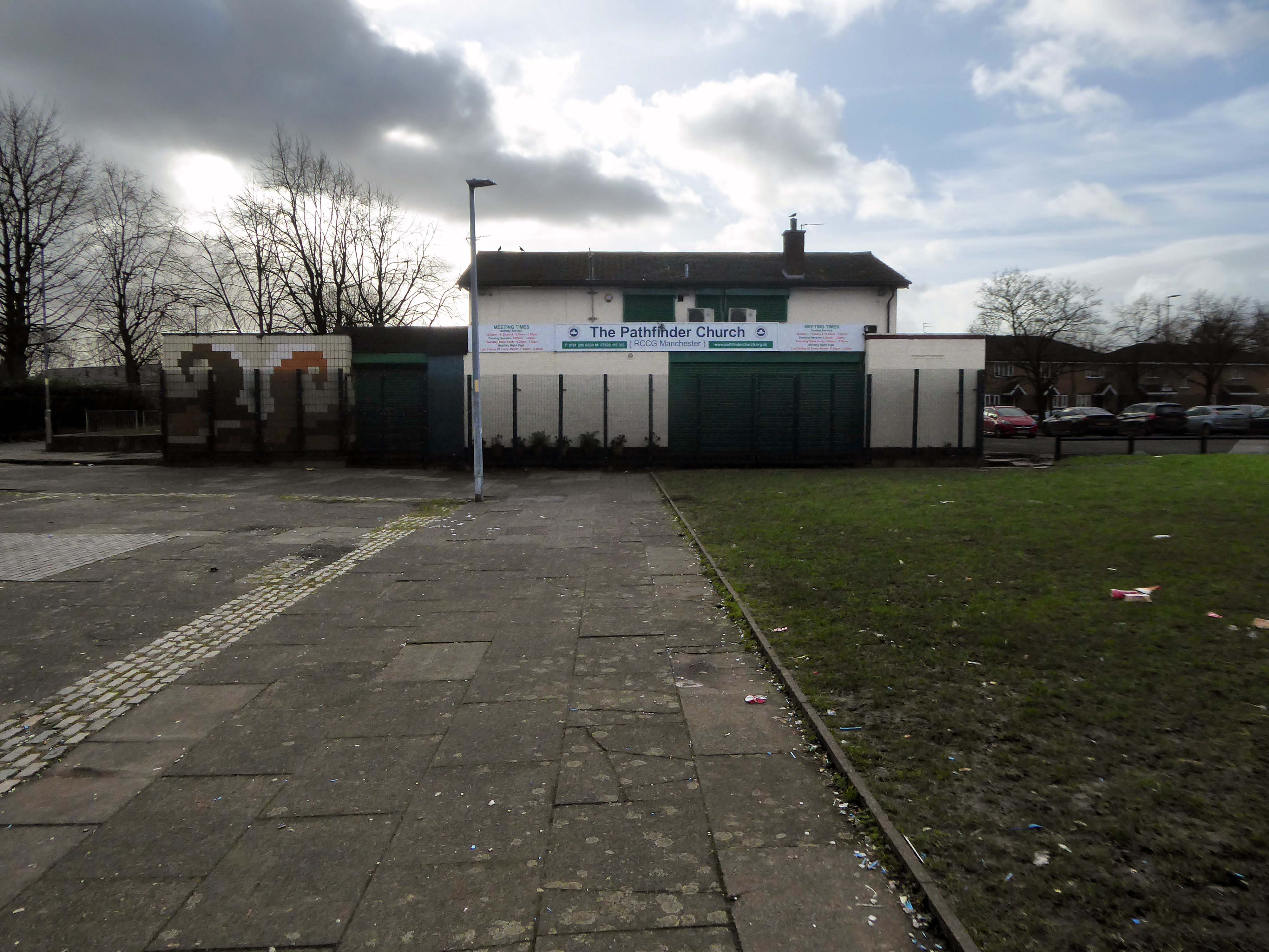
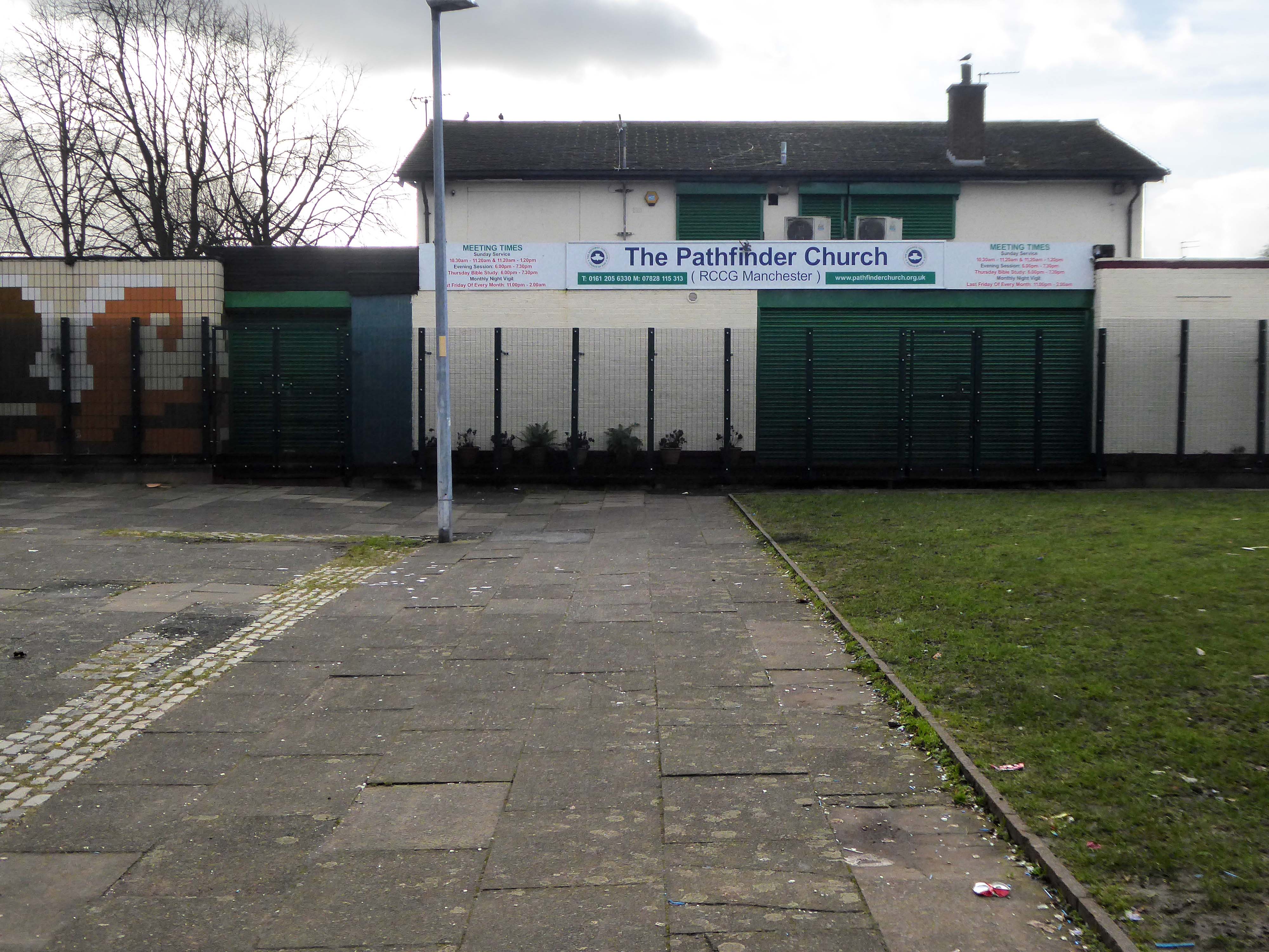
We are committed to the growth and development of individual, our local and international communities. In the interim may I use this medium to invite you to be part of the move of God in our church, the Pathfinder.
The Lord bless your richly as you navigate through in Jesus name.
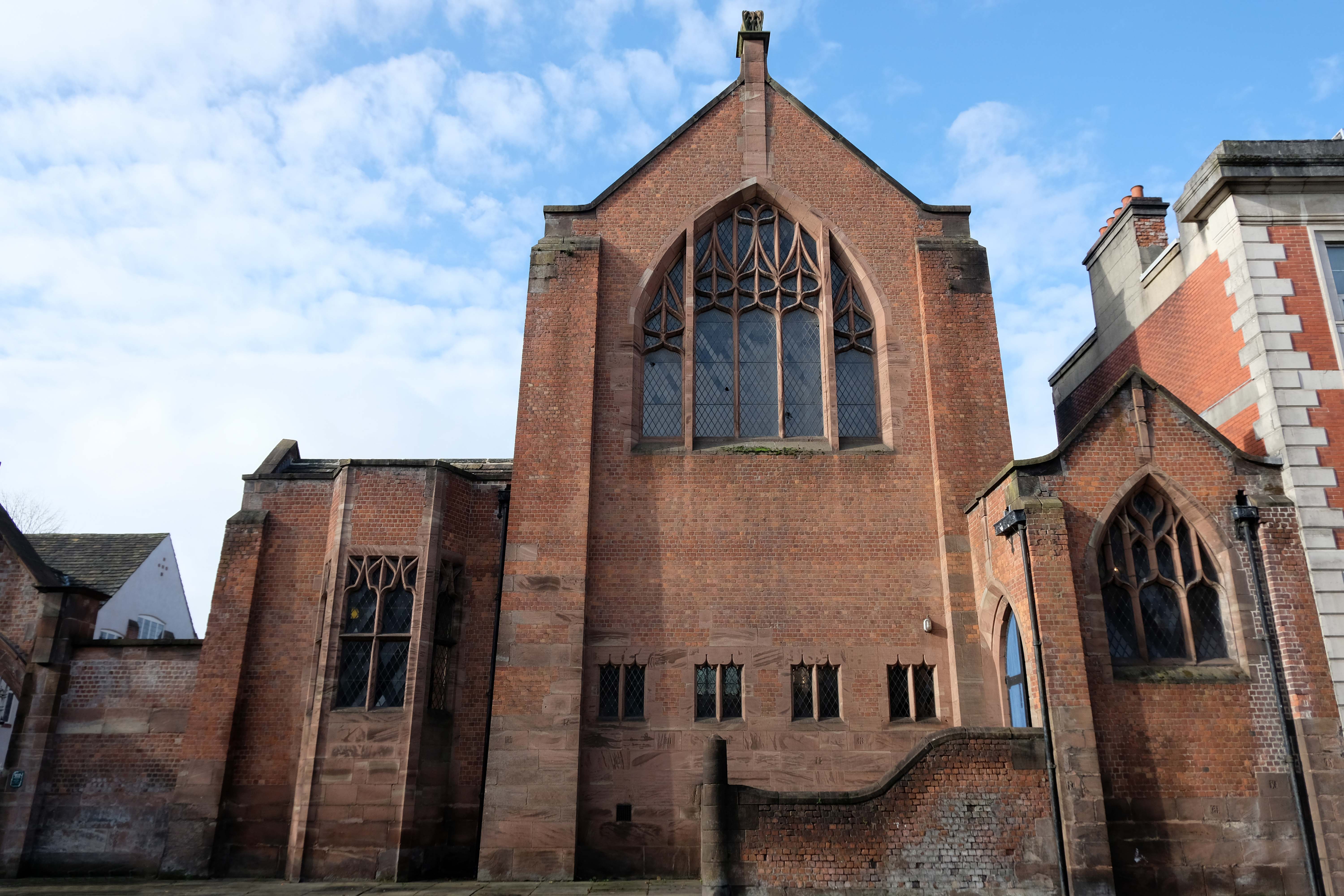
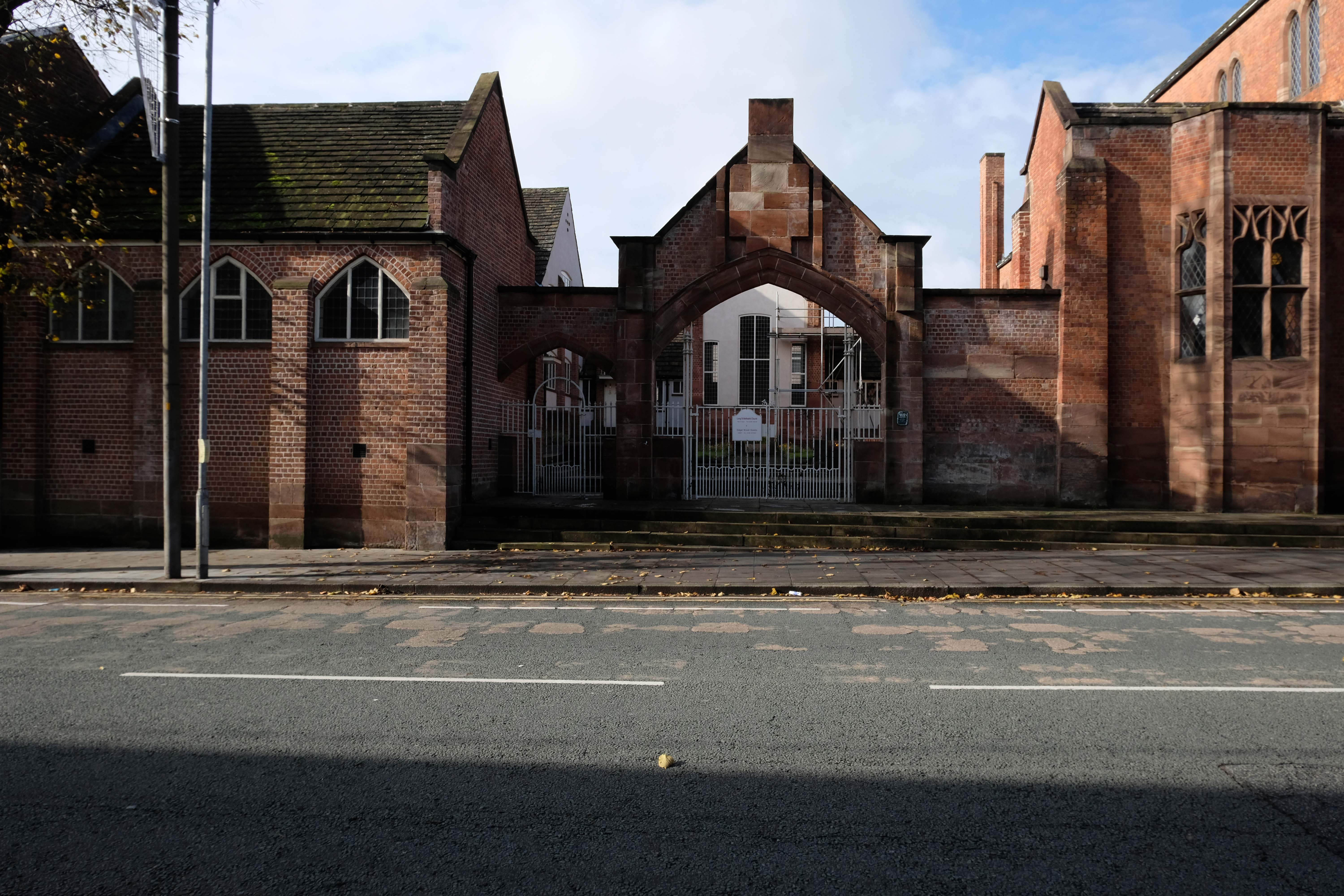
Middleton has not the gloom of so many South Lancashire towns its size. It benefits from its position close to the hills, but it has also the advantage of a large medieval church on a hill and of a number of buildings by one of England’s most original architects of the period around 1900.
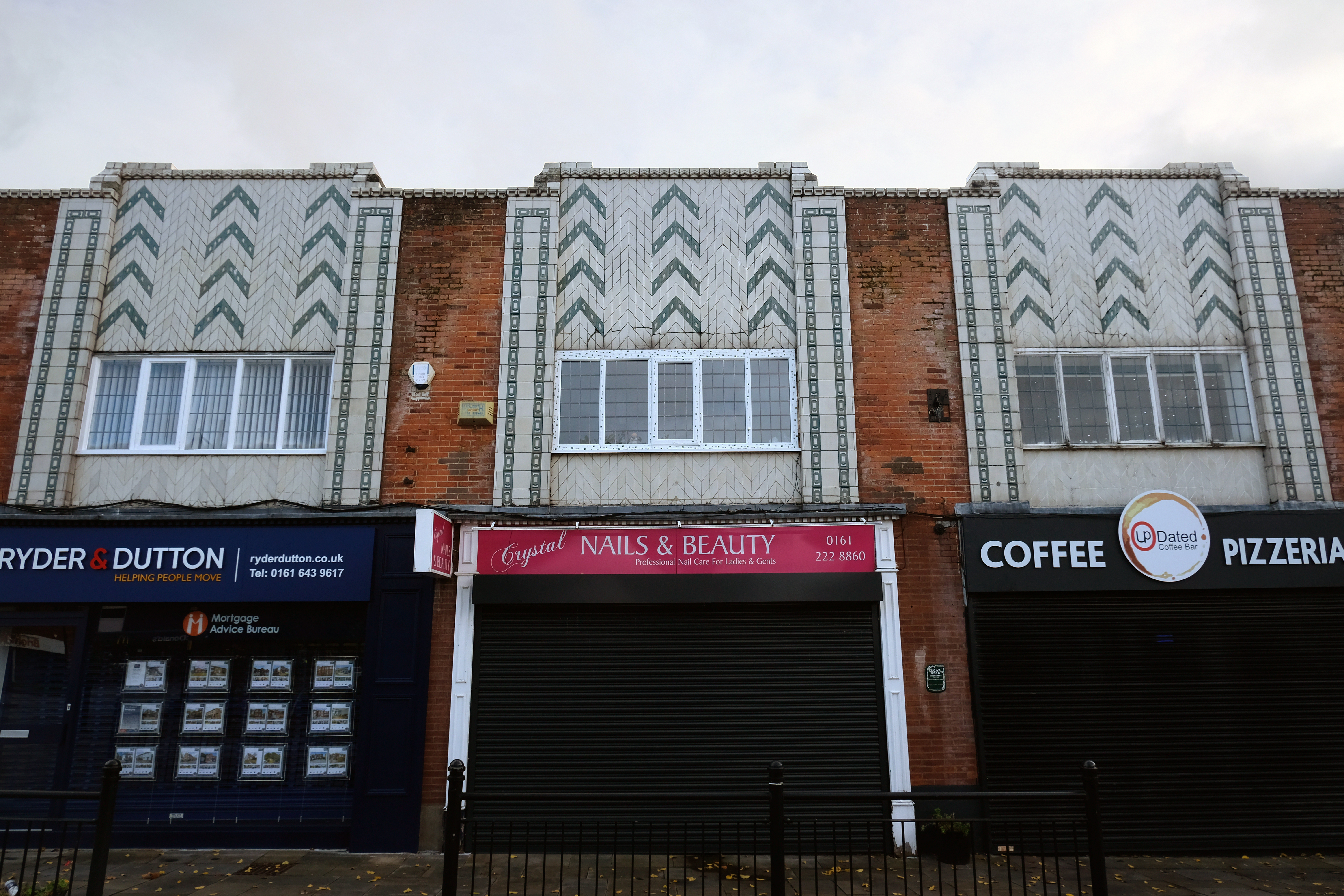
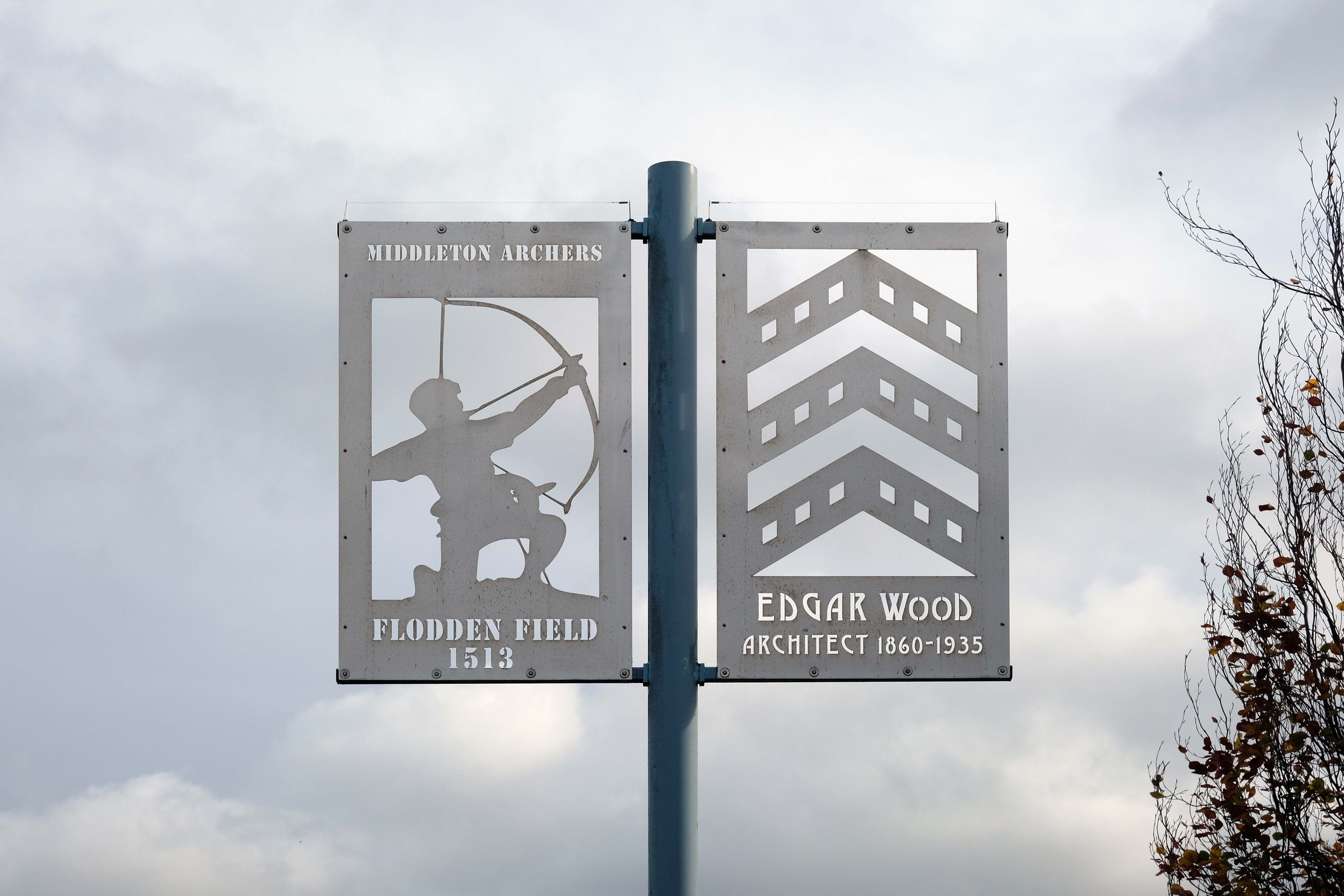
He was the most advanced English architect of his generation, stylistically moving through through art nouveau, vernacular, expressionist and finally art deco phases a decade or more before other designers. He became England’s uncontested pioneer of flat roofed modern buildings. He worked more like an artist than an architect, designing buildings, furniture, stained glass, sculpture, metal and plaster work. His buildings are mostly clustered in the towns of Middleton, Rochdale, Oldham, Huddersfield and Hale. Influenced by the writings of William Morris, he saw himself as an artisan serving the people of these localities.
Sixty-seven sets of designs for the proposed free library at Middleton were received by the Corporation of that borough in response to their advertisement; and a joint committee comprising of six members of the Corporation and six non-members has awarded the premium to Mr Lawrence Booth, architect of this city.
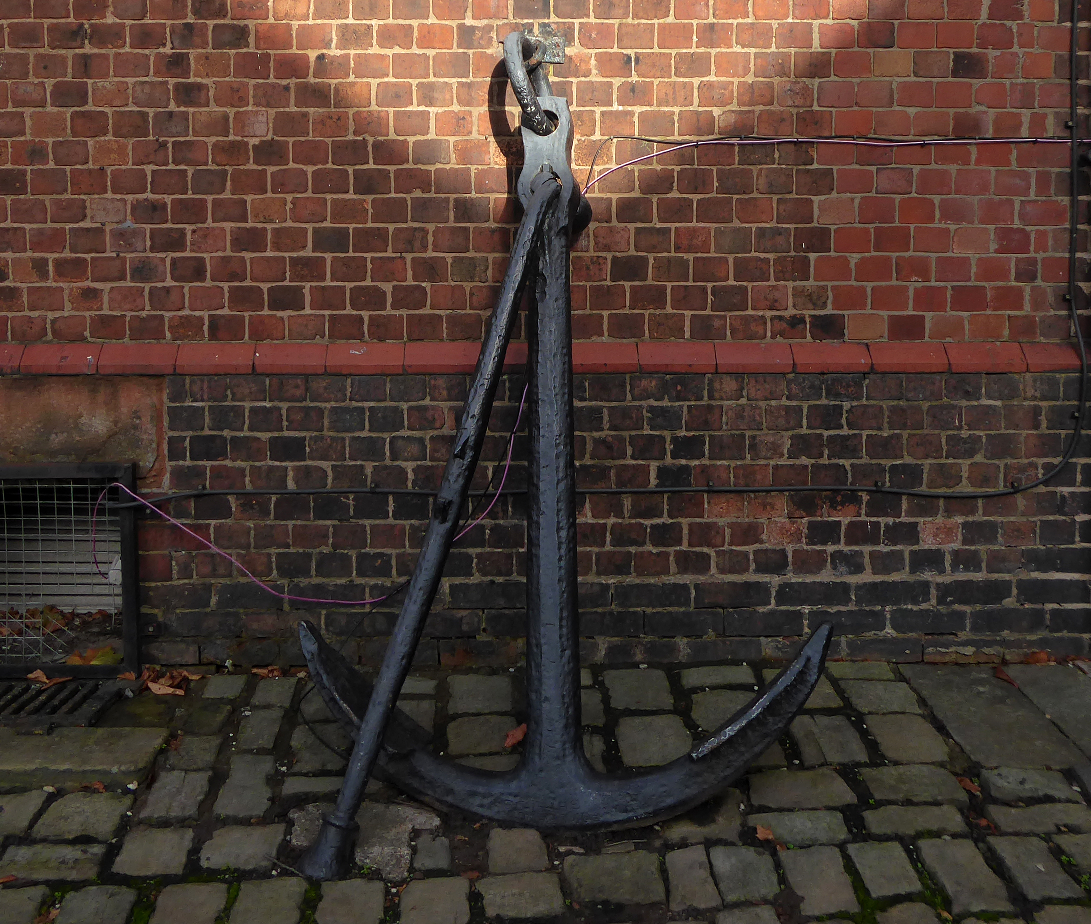
Curiously, we encounter an anchor.
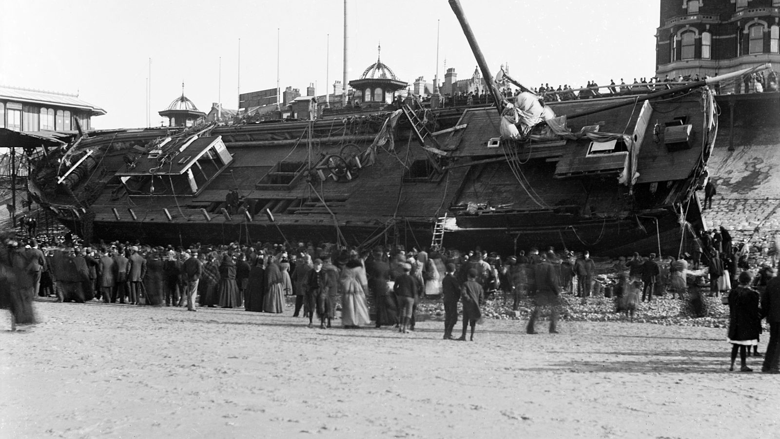
Around 10pm that evening when weather conditions deteriorated to near hurricane-force gales, with the Sirene making little headway despite tacking.
Losing her helm, her sails in tatters and within sight of the Great Orme, the gales drove her back through the night towards the Lancashire coast. Eventually, and with great difficulty, Captain Gjertsen and his crew managed to manoeuvre the stricken vessel between the Central and North Piers. Becoming increasingly unmanageable, and swept in by the rushing tide and gale force winds, the Sirene looked a doomed vessel. She was helpless in the close shore currents, and unable to drop anchor she was at the mercy of the waves. She was carried alongside the North Pier, tearing off a section of the pier superstructure and part of her own keel.
Thousands of people lined the Promenade to witness the spectacle as she came in on the south side of the pier; many more stood on the pier itself, but there was a mad rush for safety when the ship collided against the structure.
The captain and crew survived, including the ship’s cat, many offers were made for the cat, but the captain refused them.
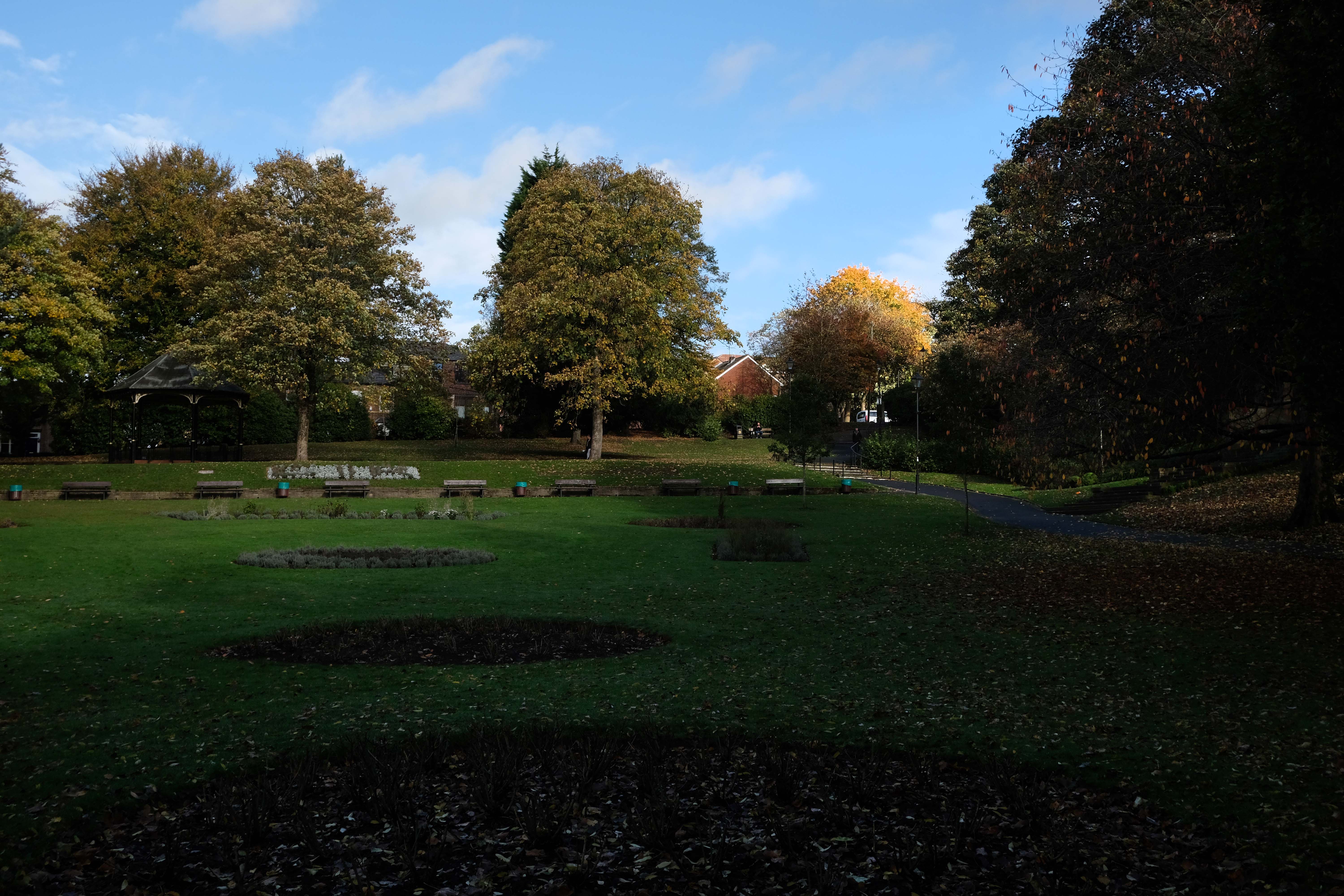
Onwards through Jubilee Park opened in 1889 to commemorate the Golden Jubilee of Queen Victoria.
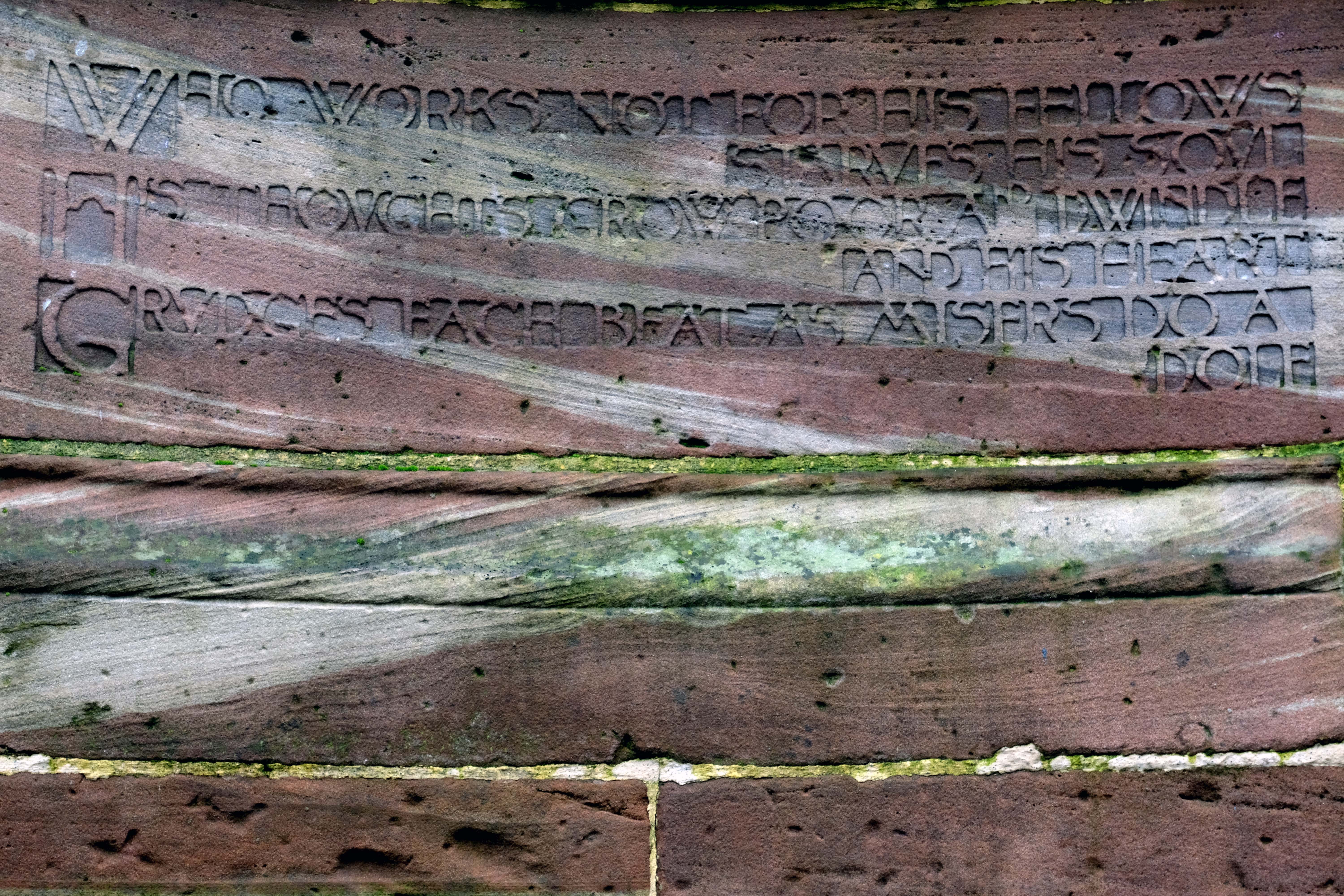
In 1906 Alderman Thomas Broadbent Wood commissioned his son, Edgar, to design a flight of steps to lead up to a contemplation spot in the park – the inscription reads:
Who works not for his fellows starves his soul.
His thoughts grow poor and dwindle and his heart grudges each beat, as misers do a dole.
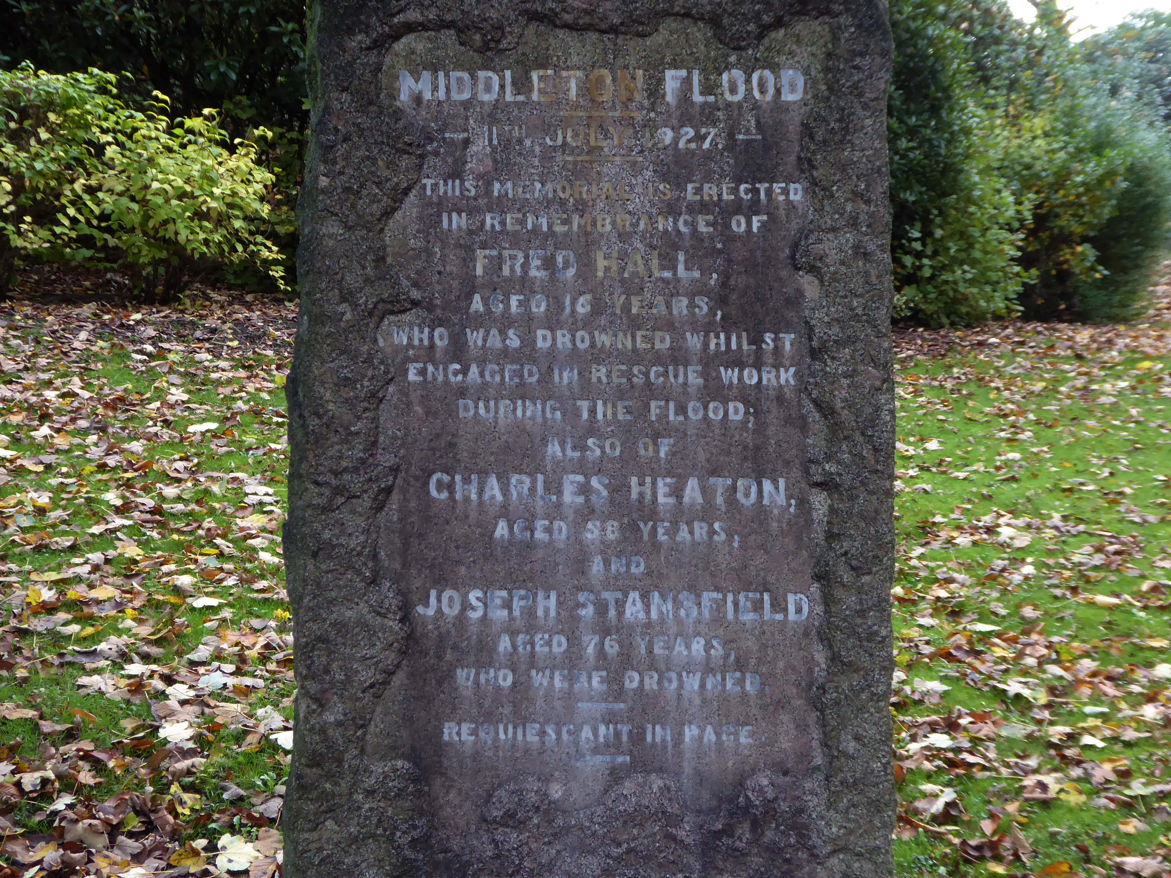
Nearby we find a memorial to the Middleton Flood – following torrential rain, the canal embankment at Mills Hill broke, flooding the already swollen River Irk, subsequently deluging the town.
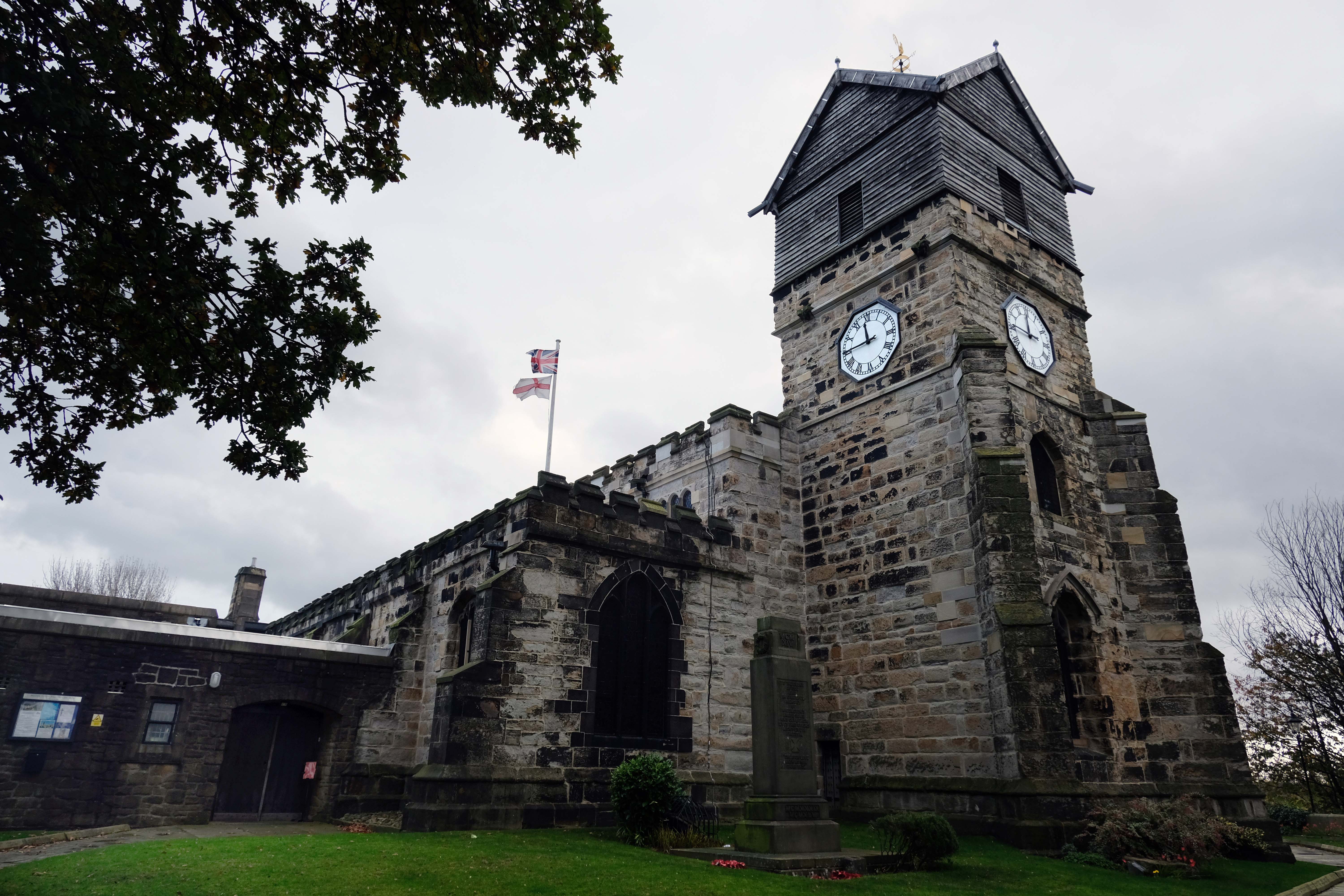
Much of the present building was erected in 1412 by Thomas Langley – born in Middleton in 1363, who was Bishop of Durham and Lord Chancellor of England. He re-used the Norman doorway from an earlier structure to create the tower arch. Also distinctive in this region is the weather-boarded top stage to the tower.
The church of St Leonard was enlarged in 1524 by Sir Richard Assheton, in celebration of the knighthood granted to him by Henry VIII of England for his part in the Battle of Flodden in 1513. The Flodden Window, in the sanctuary, is thought to be the oldest war memorial in the UK. It commemorates on it the names of the Middleton archers who fought at Flodden. The church also has one of the finest collections of monumental brasses in the north of England, including the only brass in the UK depicting an English Civil War officer in full armour, Major-General Ralph Assheton.
George Pace designed a war memorial and, in 1958, added a choir vestry and installed new lighting.
Wikipedia
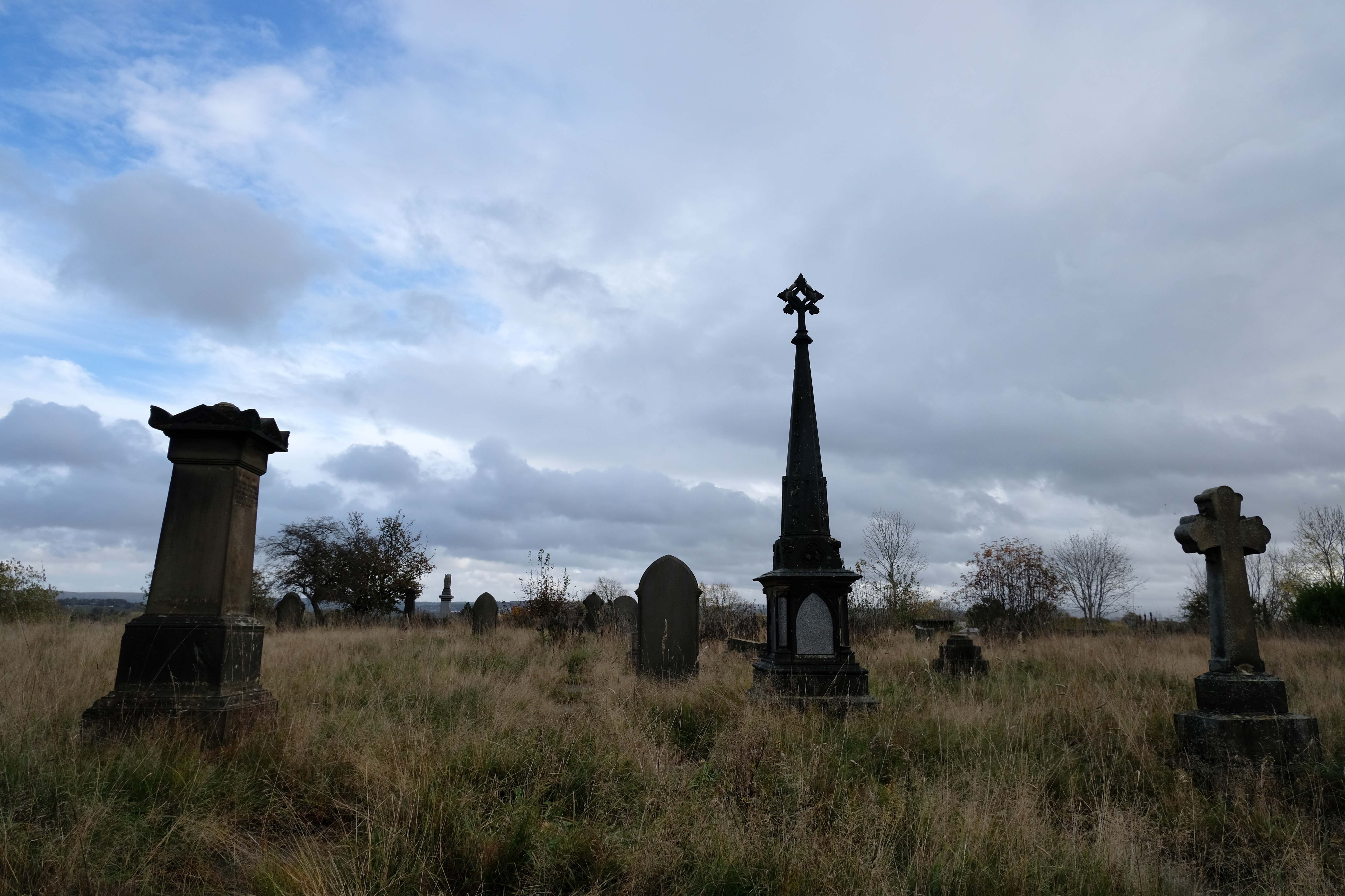
Middleton Old Cemetery once the Thornham and Middleton Burial Ground, which became the local authority cemetery in 1862.
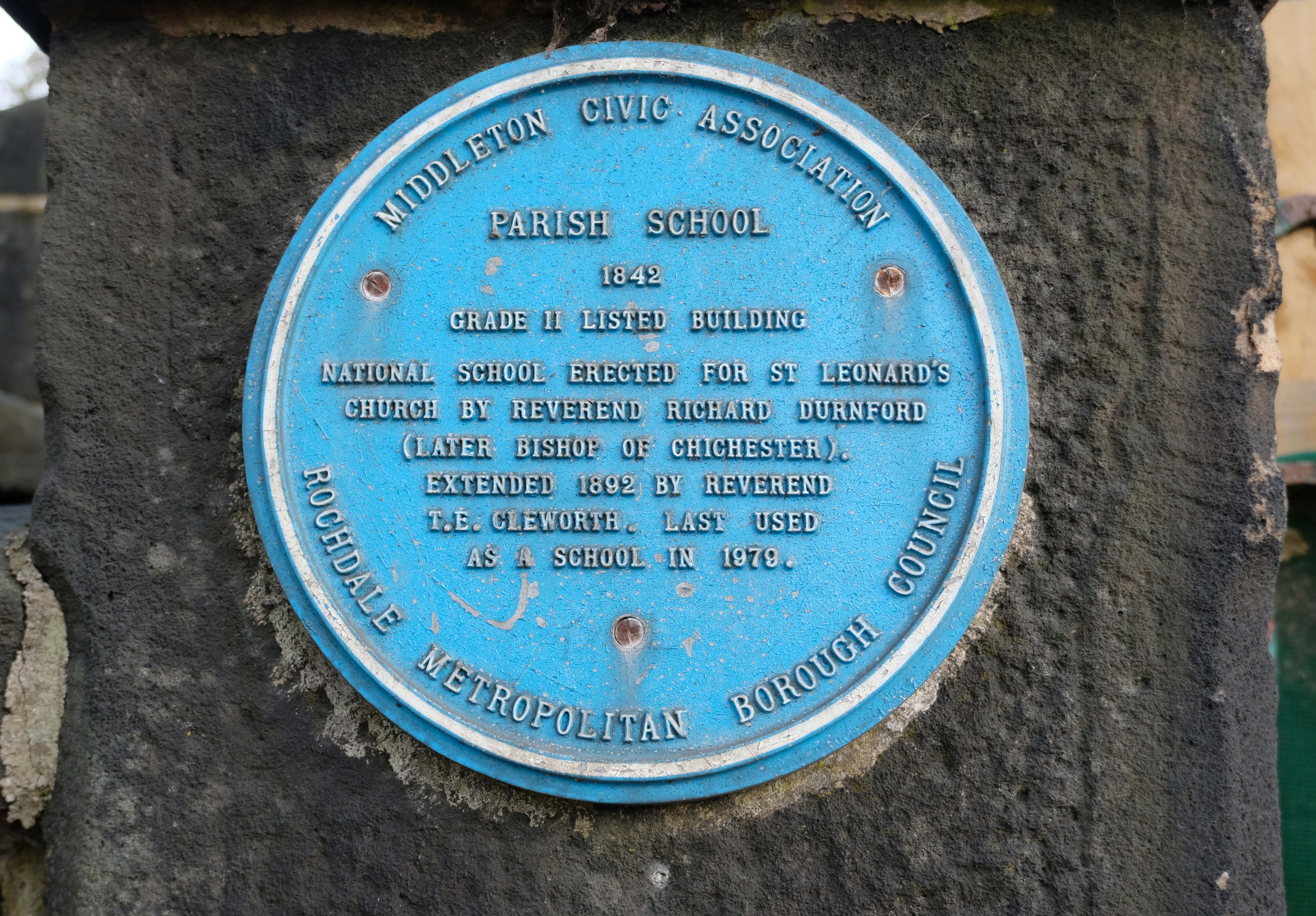
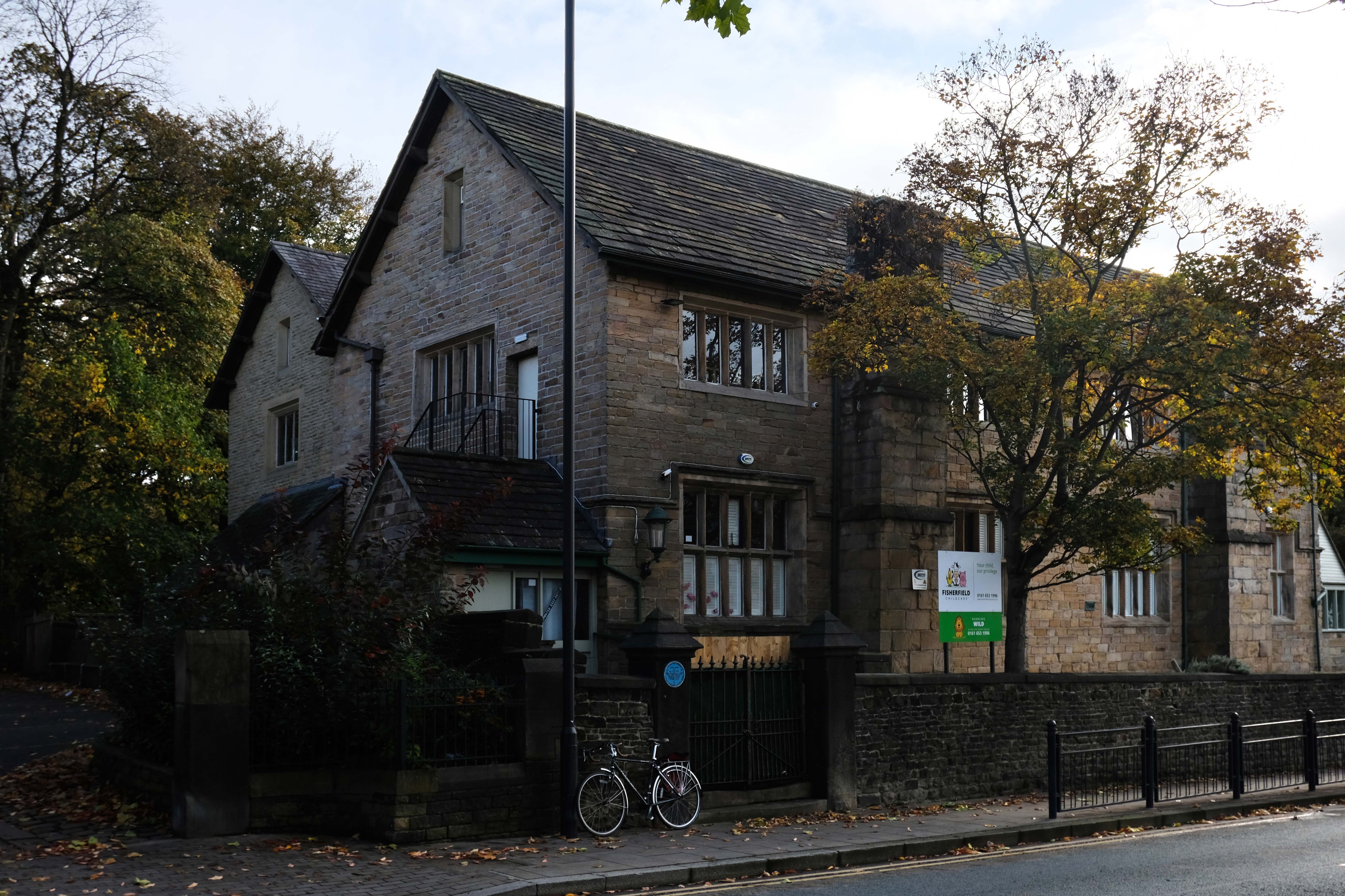
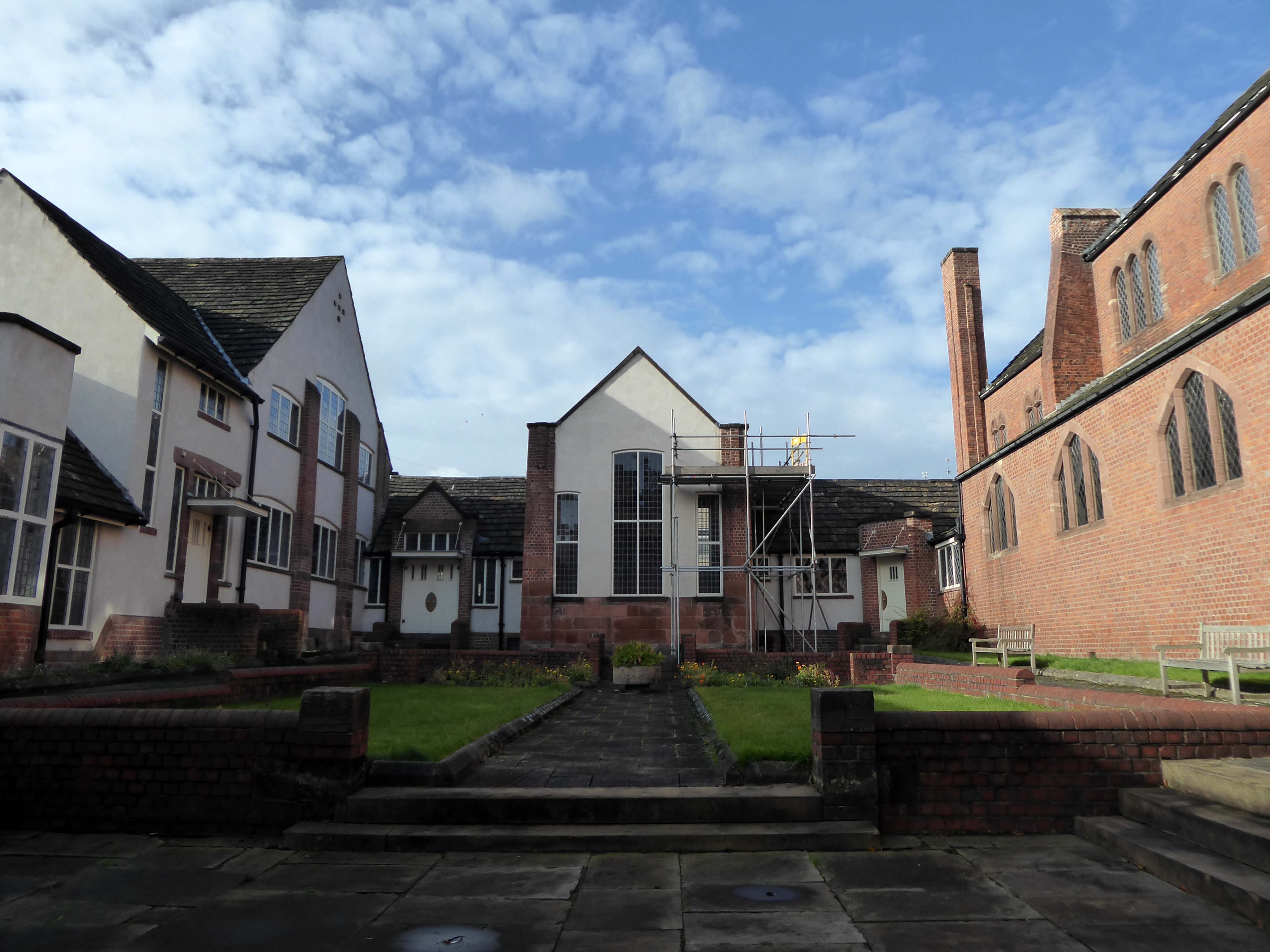
Retrace to the Library – adjacent is the Parish School 1842
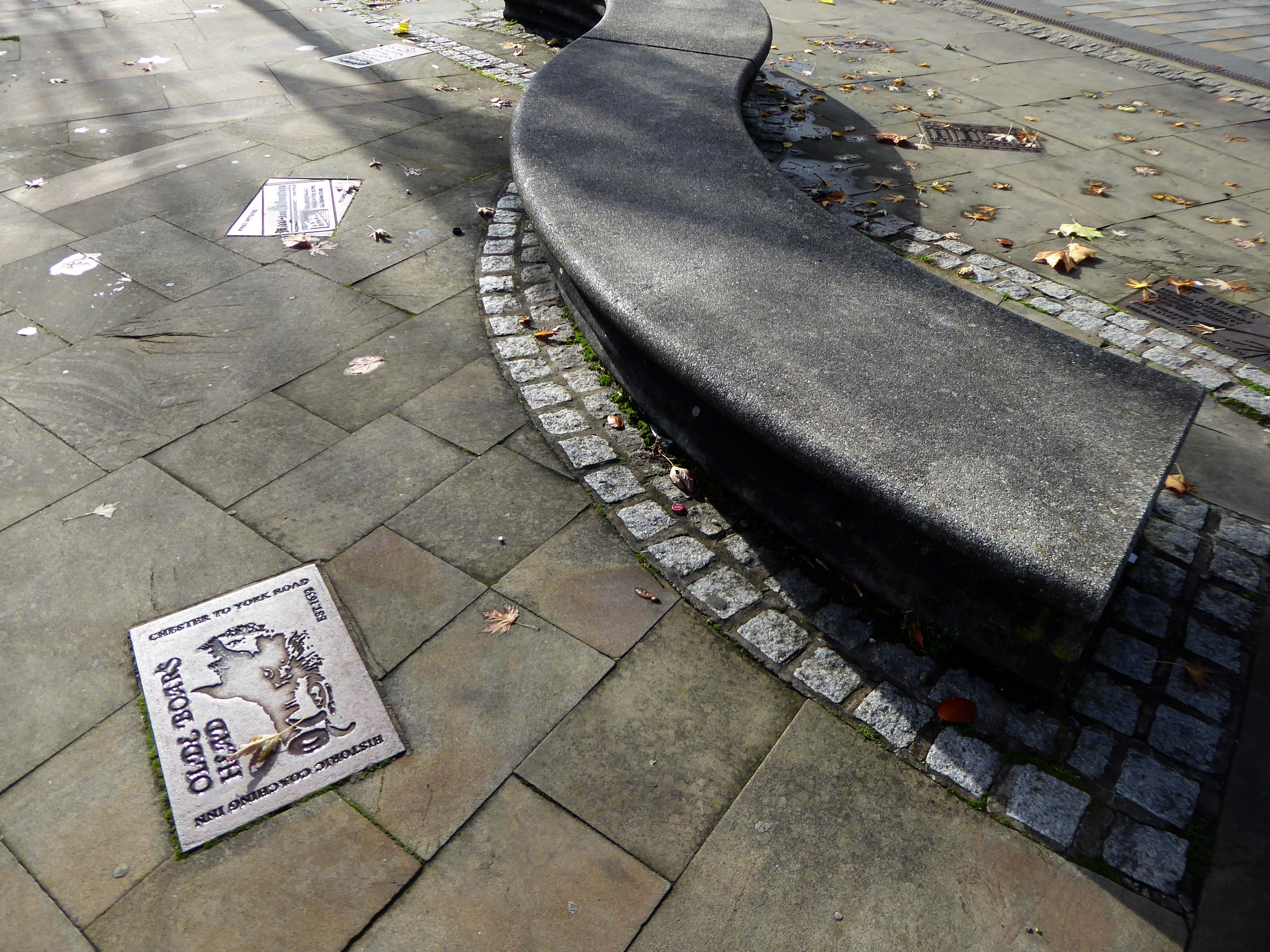
Part of the timber framing to the right of the front door has recently been tree-ring dated and confirms a building date of 1622. The first tenant was Isaac Walkden, son of Middleton schoolmaster, Robert Walkden. Isaac died during a typhus epidemic in the summer of 1623. His will, preserved at Lancashire Archives, includes an inventory of all his possessions listed on a room by room basis. There were a total of 9 beds and 20 chairs or stools in the 6 rooms. This, together with barrels, brewing vessels, pots, glasses, etc, strongly suggest the building was an inn. The Walkden family went on to run the Boar’s Head until the end of the 17th century. They also farmed nearby land including what is now Jubilee library and park.
In 1888, the fledgling Middleton Corporation purchased the building from the church with the intention of demolishing it to build a town hall. Discussions were held in 1914 but, thankfully, the plan was abandoned due to an outcry from the public spearheaded by architect Edgar Wood.
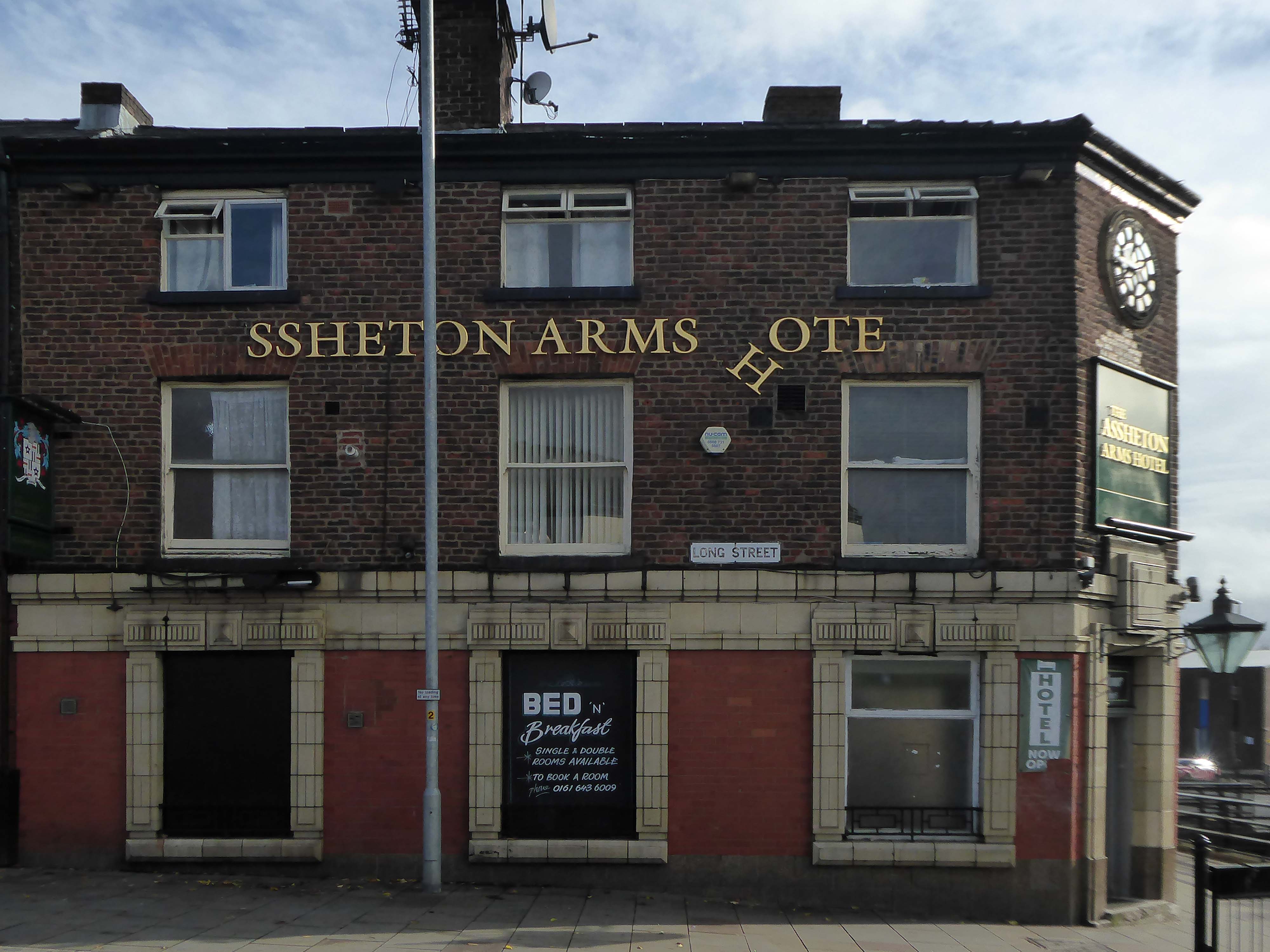
Further down Long Street to the Assheton Arms Hotel.
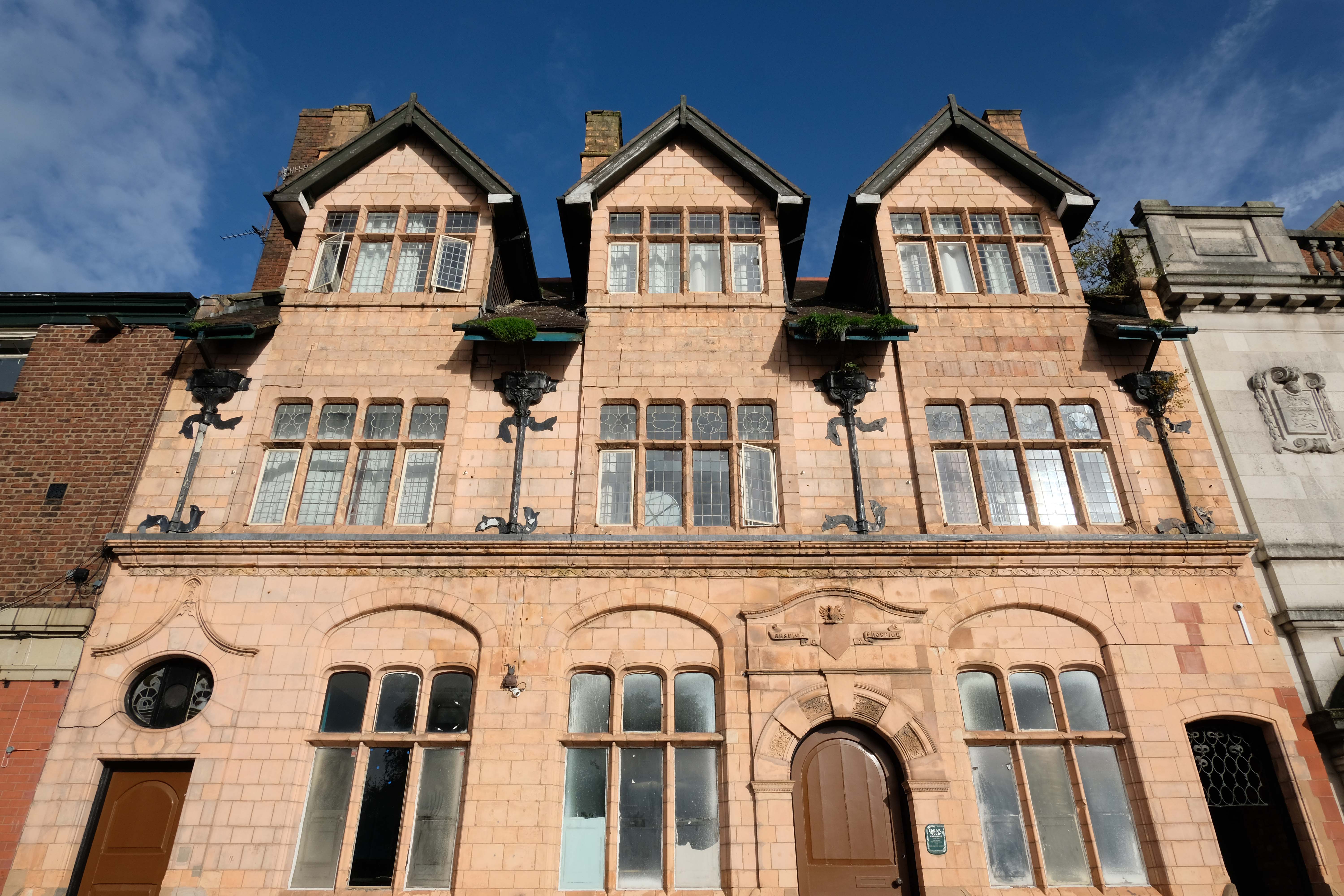
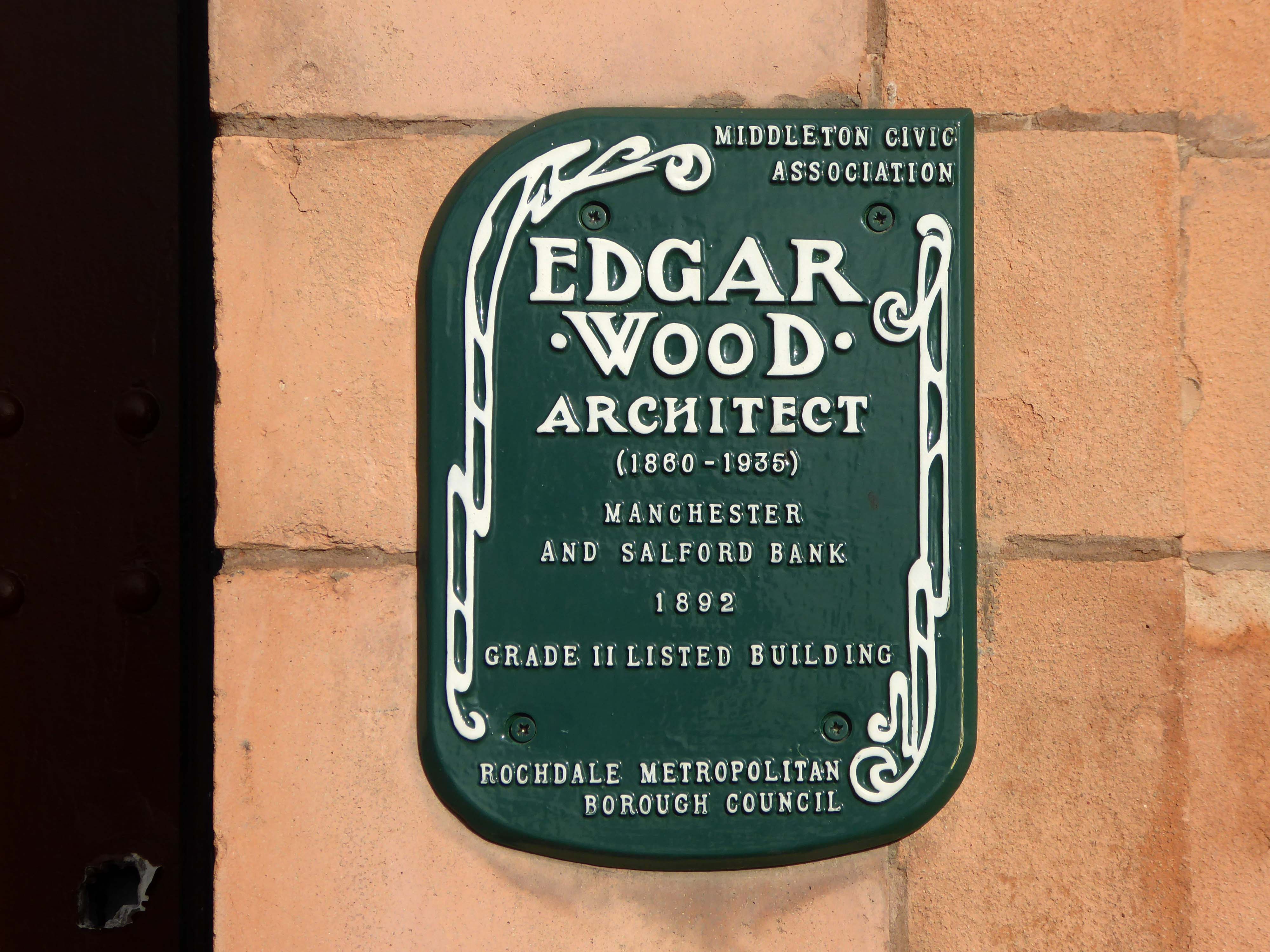
Then around the corner to the Manchester & Salford Bank again by Edgar Wood
Next door the former Market Place Bank latterly RBS.
Plans to convert a long-vacant town centre bank into a nightclub have been revived despite previously being rejected over anti-social behaviour concerns.
An application to change the use of the former Royal Bank of Scotland, in Middleton, was refused by Rochdale council’s planning committee eighteen months ago, with members citing a history of alcohol-fuelled trouble in the area.
Further up Market Place the faience fronted Bricklayers Arms formerly a Bents and Gartsides boozer – delicensed in 2012 and Converted to a takeaway.
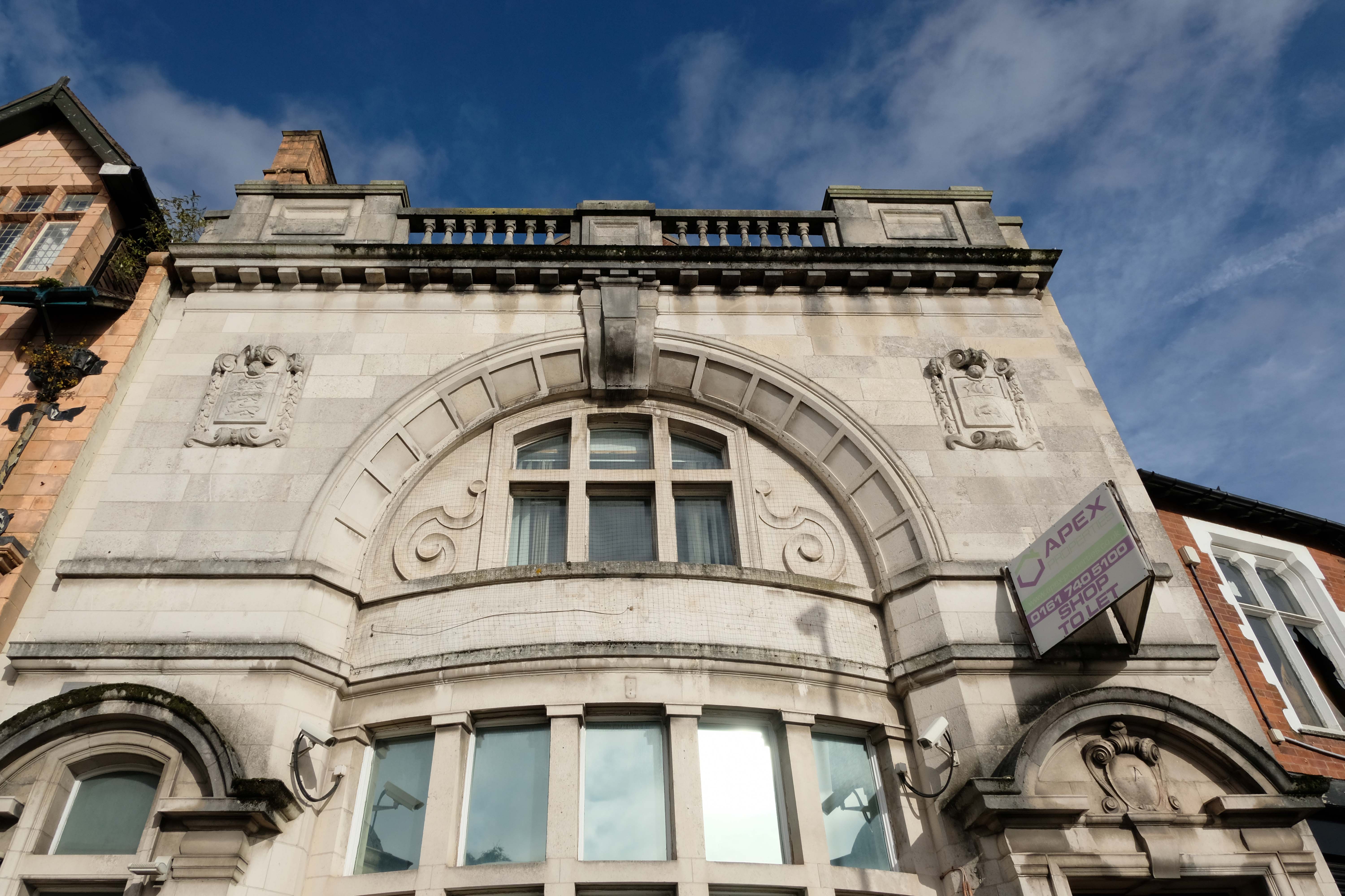
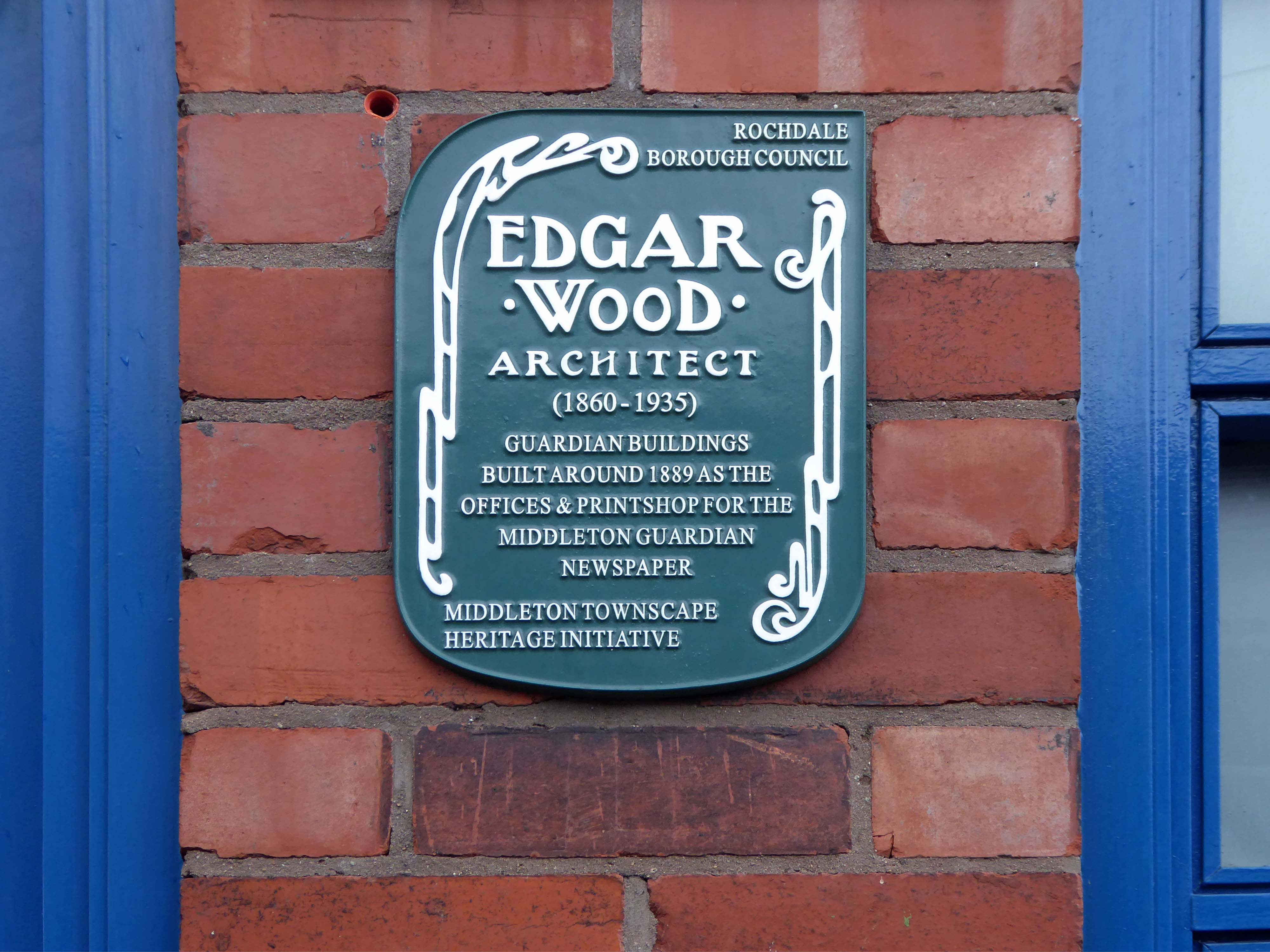
Moving along Wood’s much altered Guardian Buildings 1889.
The Guardian Buildings, were commissioned by Fred Bagot, the proprietor of the Middleton Guardian newspaper and a man with a reputation at the time for keeping a tight control of finances. In consequence, Guardian Buildings were one of Edgar Wood’s low budget buildings, of which there are several in and around Middleton. The building housed the operations of the newspaper with the cellar containing the printing machines and the tall ground floor housing a shop, office and more machines. The whole of the first floor, with its pair of oriel windows, was taken up by the composing room.
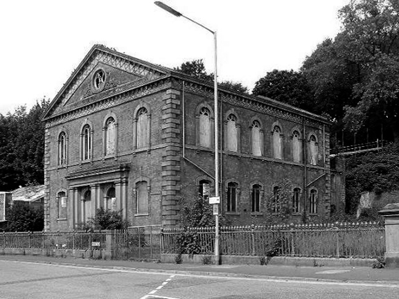
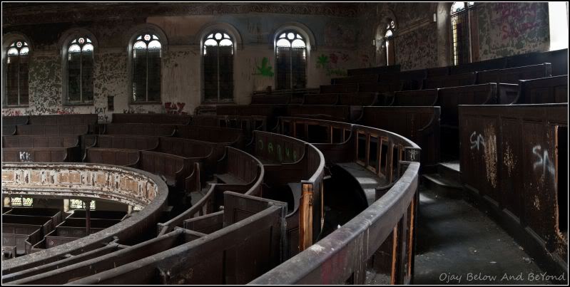
It fell into disrepair after the church moved to smaller premises in Alkrington in the 1960s.
The building collapsed in July 2012, when it was hit by a fire.
On Townley Street Lodge Mill built in1839 beside the River Irk battling on despite recent setbacks.
In August 2019, Martin Cove and Paula Hickey opened a small ice cream shop on the ground floor of the mill – named the Ice Cream Shop at Lodge – selling locally-made ice cream from Birch Farm, Heywood.
Across the way the magnificent Sub Station and Electrical Department Offices.
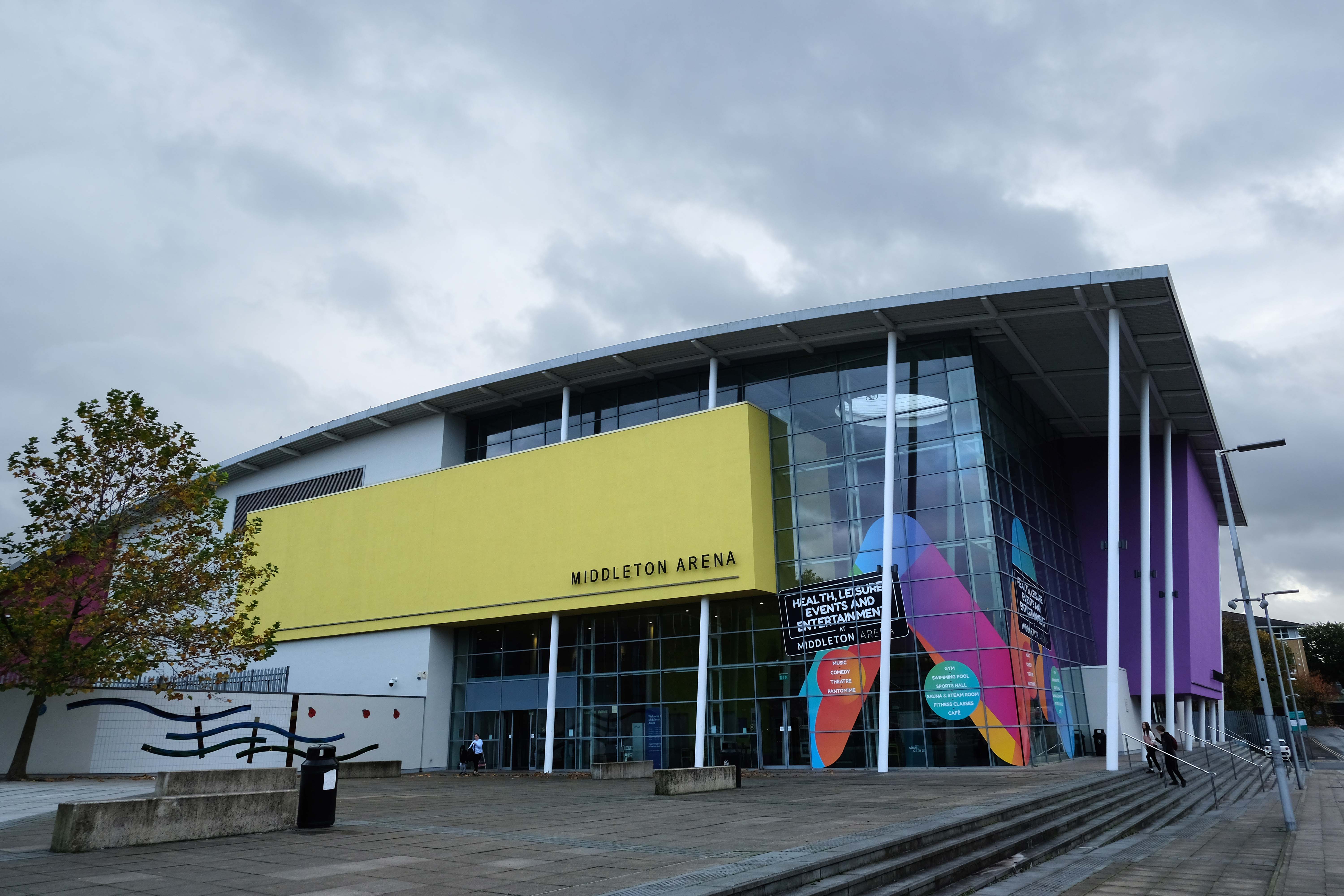
Then taking a turn around the banks of the Irk down Sharp Street onto Lance Corporal Joel Halliwell VC Way, where we find the Middleton Arena – BDP 2009
Then over the road to Oldham Road and Grade II ListedWarwick Mill 1907 G. Stott of J. Stott and Sons.
The mill recently changed ownership and new owner, Kam Lei Fong (UK) Ltd, has been working with Rochdale Borough Council over the past nine months on proposals to redevelop the site.
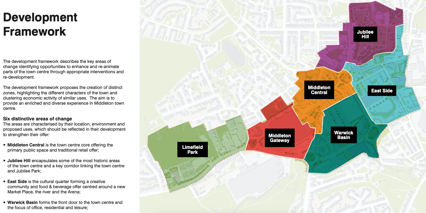
The plans will form the cornerstone of a new masterplan for Middleton town centre focusing on delivering new homes, business space, highway and environmental improvements, new walking and cycle routes to pave the way for the planned extension of the Metrolink into Middleton Town Centre.
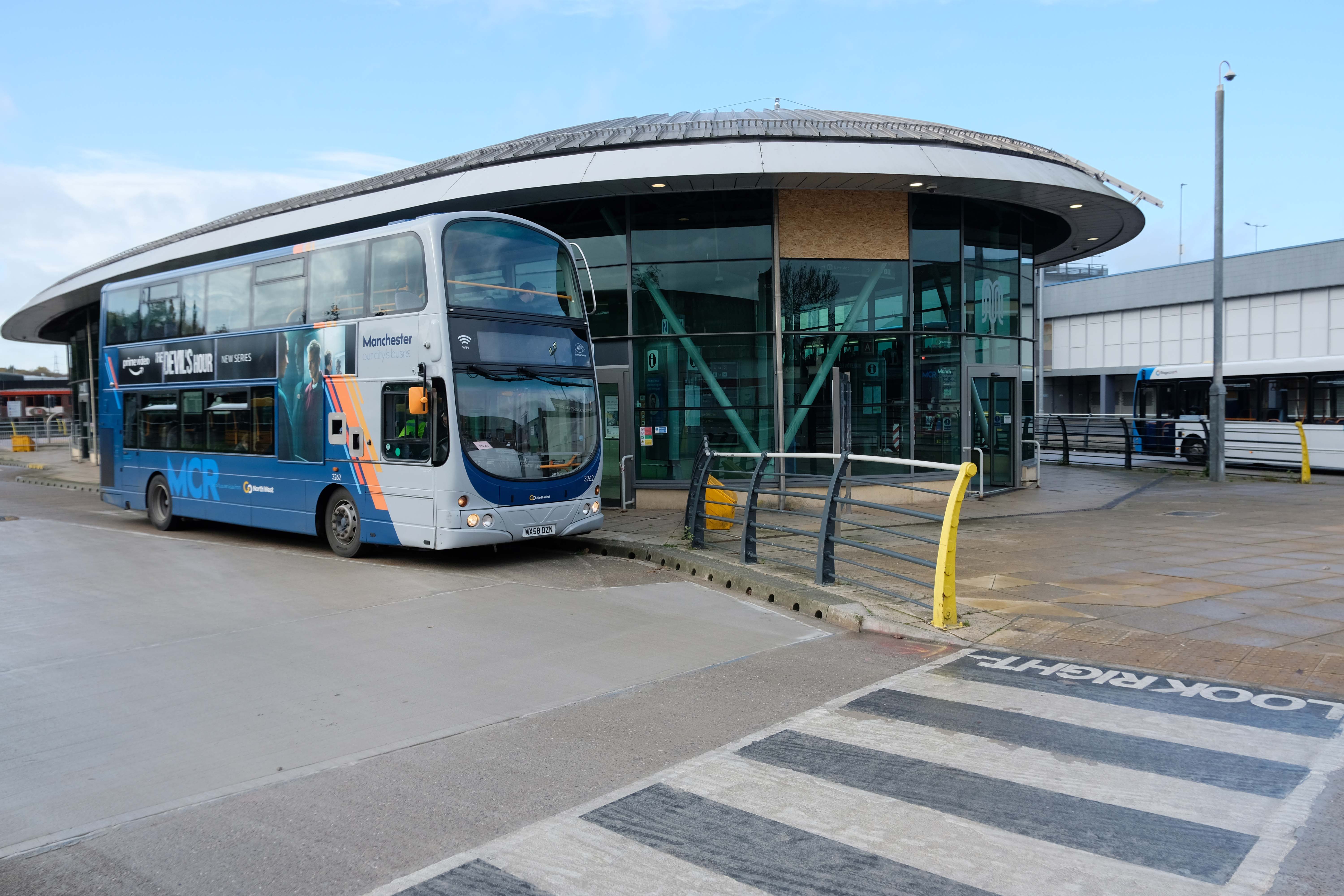
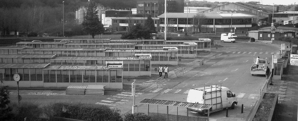
The station, with 13 stands, cost £4.5 million and replaced the previous station which dated to the 1970s.
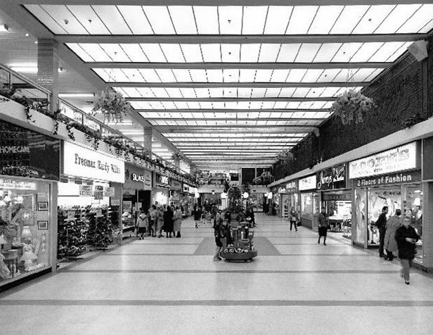
The Middleton Arndale Centre commenced trading in 1971, although it was officially opened by Her Royal Highness the Duchess of Kent in March 1972.
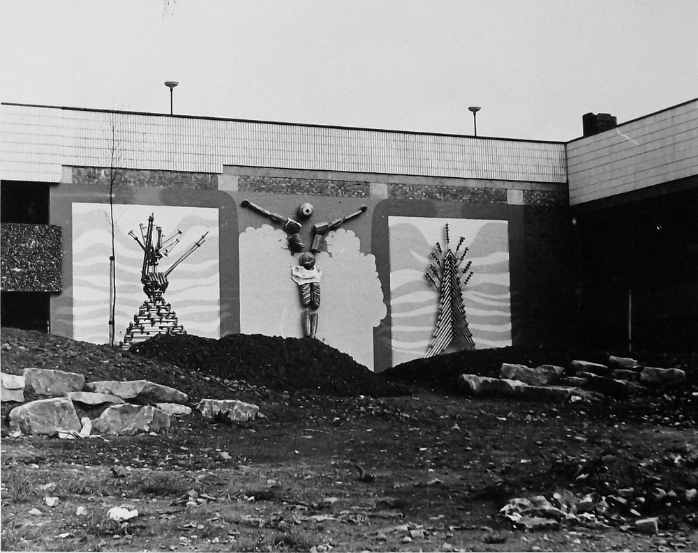
Once home to The Breadman designed by Rochdale’s town artist of the time, Michael Dames.
Photo: Local Image Collection – Touchstones
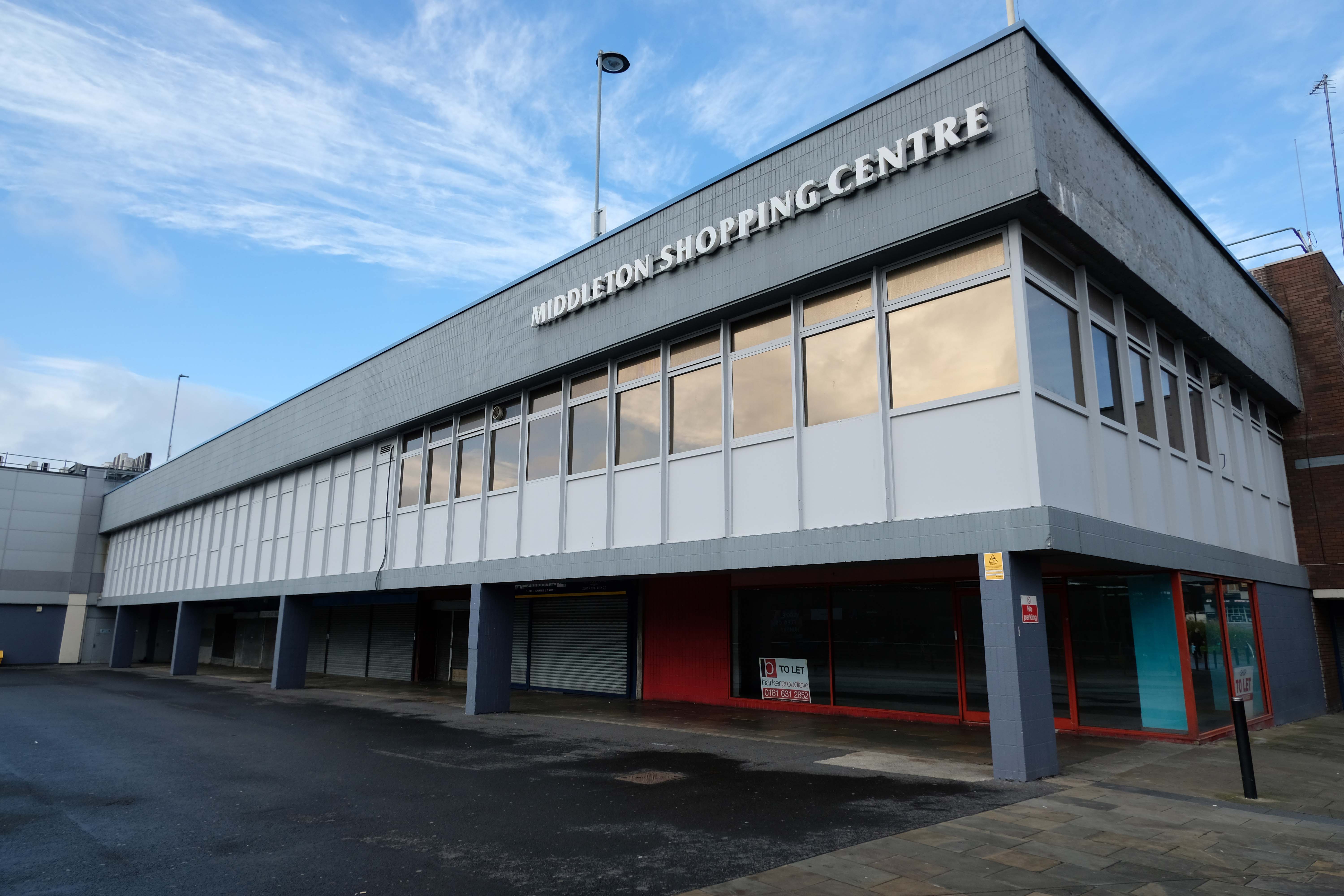
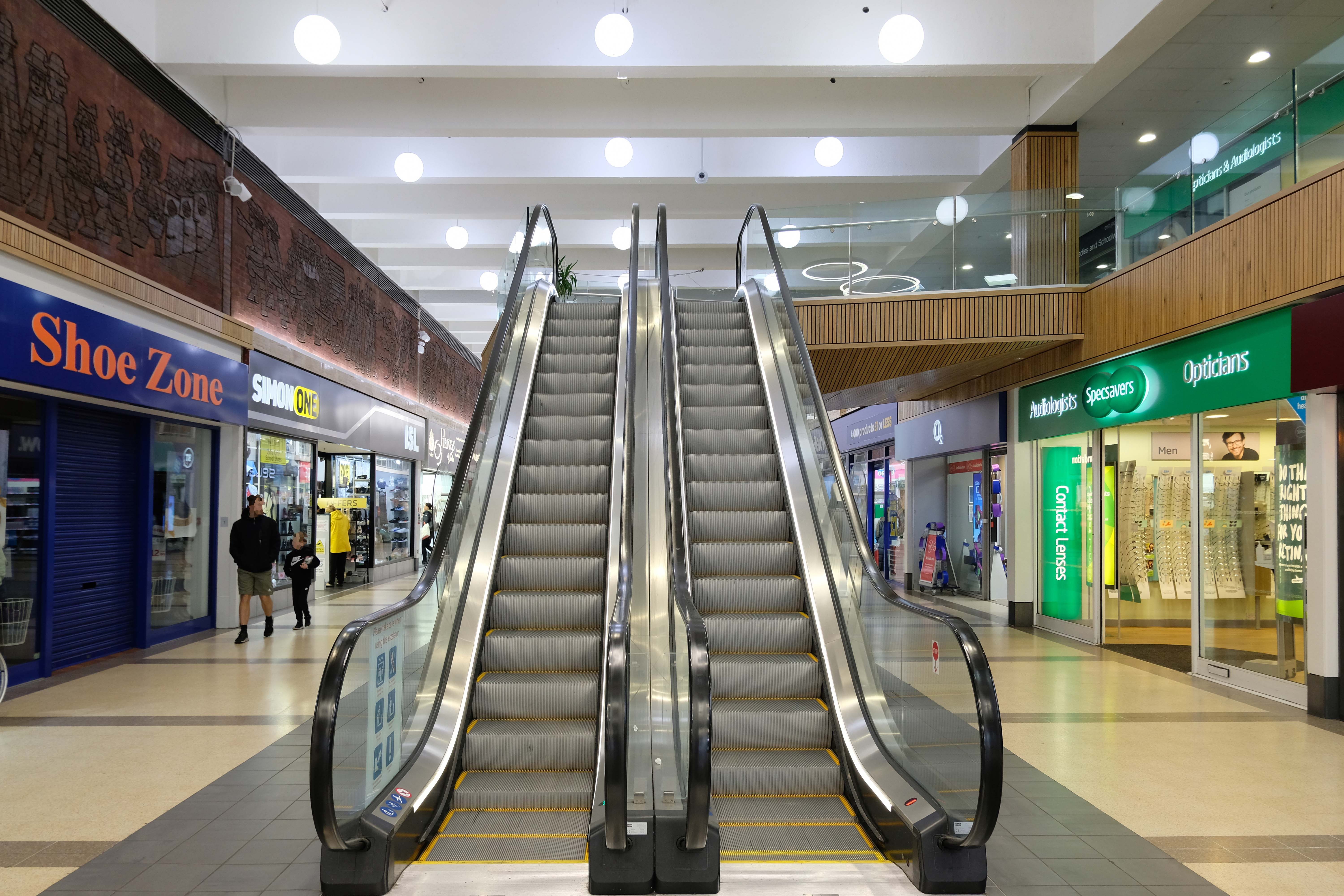
Now trading as the Middleton Shopping Centre
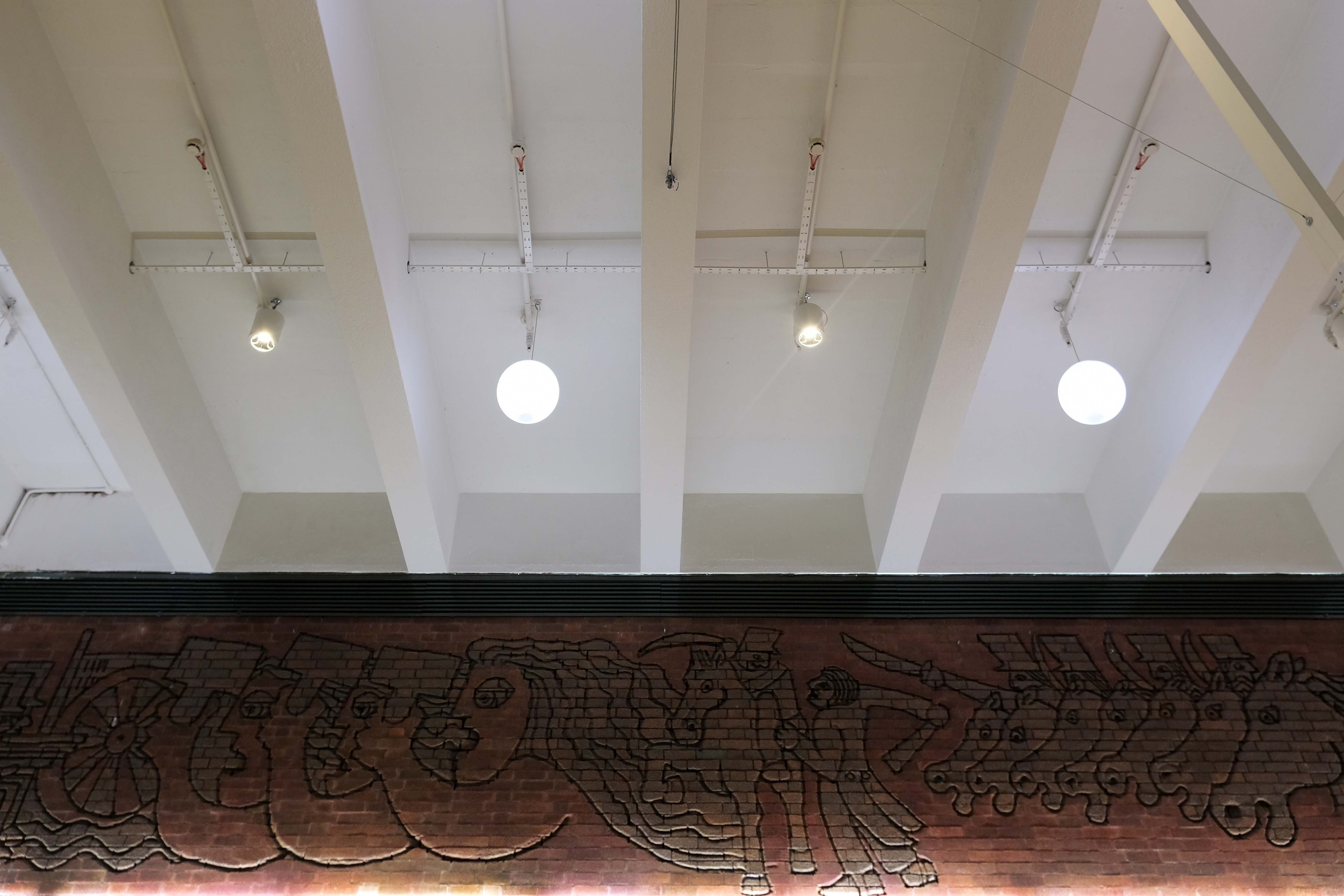
The brick reliefs illustrating the town’s history are by Fred Evans of Dunstable, who completed the work in one week during May 1972 using a high powered sandblasting blaster.
Thanks to Phil Machen for the top tip.
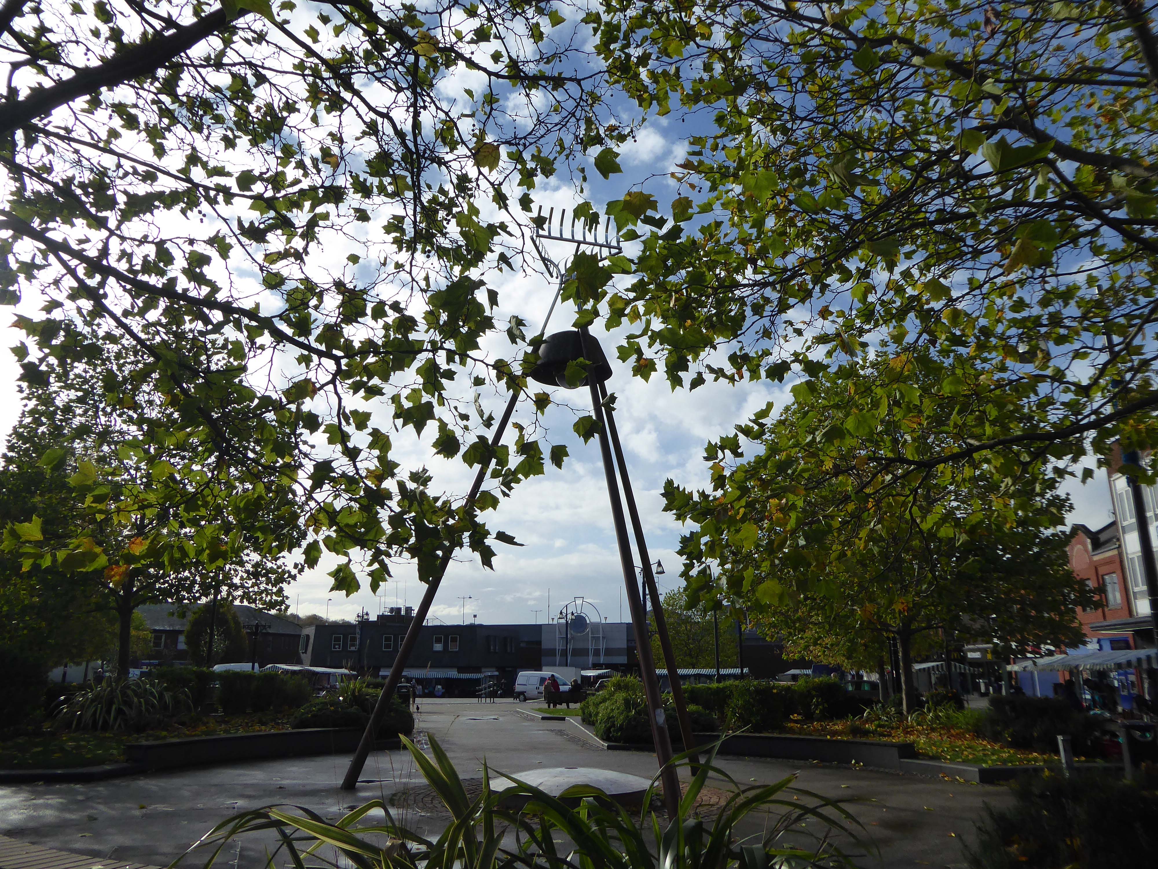
At the centre of the public domain the Middleton Moonraker 2001 by Terry Eaton
According to folklore, the legend has several different interpretations. One version is that a traveller came upon a drunken yokel trying to rake a reflection of the moon in a village pond, convinced it was cheese.
This version conveys the notion that the men were drunk and acting foolishly.
However, an alternative narrative – and perceived to be the most reliable version – tells a different story and dates back to the time when smuggling was a significant industry in rural England.
It appears that many residents wish to rid themselves of the Moon Raker moniker and presumably become Middletonians.
There’s so much more to Middleton’s history than the Moonraker. Why did they spend all that money on a fairytale?
There were 3,000 Lancaster bombers built in Middleton during World War Two, a magnificent contribution to the effort to beat Hitler.
The bulbs inside the moon which light it up at night haven’t worked for five years.
Bernard Wynne
Along Long Street the Cooperative store what was – next door the long gone Palace Cinema demolished in 2001.
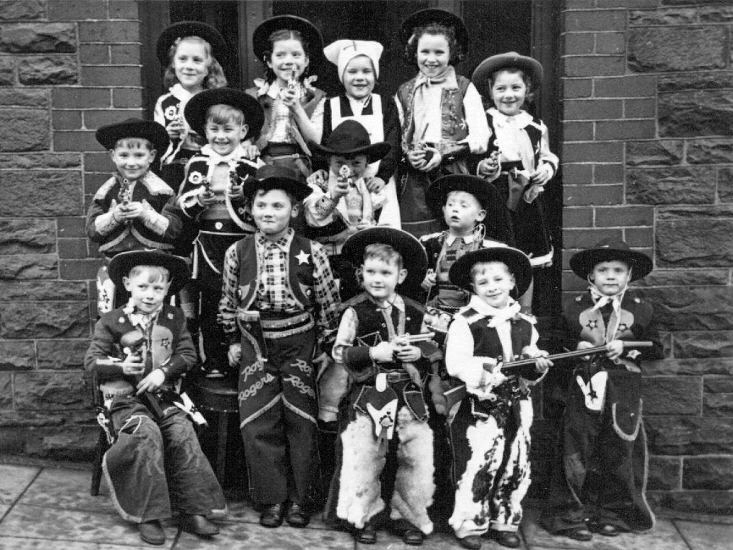
Now I’m going east to Dalton Street, home to the Collyhurst cowboy.
Photograph: Dennis Hussey
This is an illusion within an illusion, twice removed.
The Hollywood recreation, recreated on the rough ground of post war Britain.
In 1960 the area was a dense network of streets, industry and homes – demolished during the period of slum clearance.
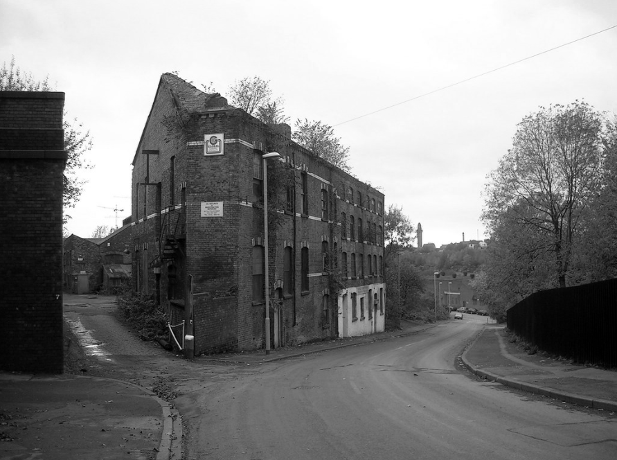
Escaping the dark, dank Irk Valley onwards and upwards to Rochdale Road.
The Dalton Works Arnac factory survived until 2008
Photograph: Mikey
The tight maze of Burton Street and beyond, reduced to rubble.
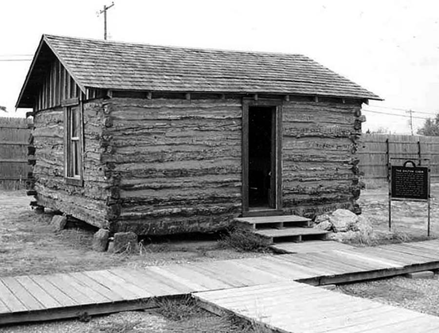
Dalton Street was not home to the Dalton Gang, they lived here in Oklahoma
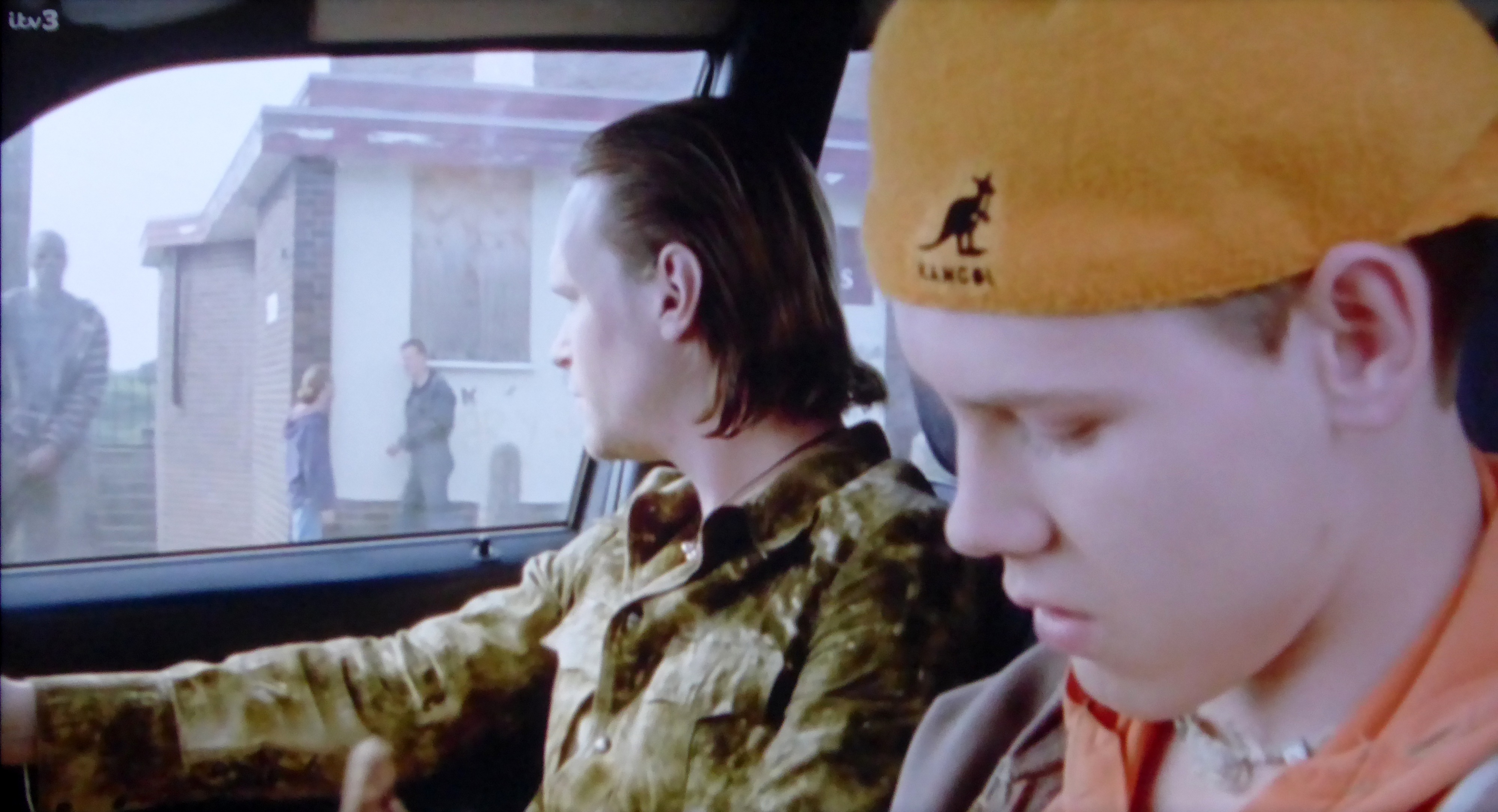
It was home to imaginary gangs, committing imaginary crimes, in an imaginary Manchester, in ITV’s Prime Suspect Five.
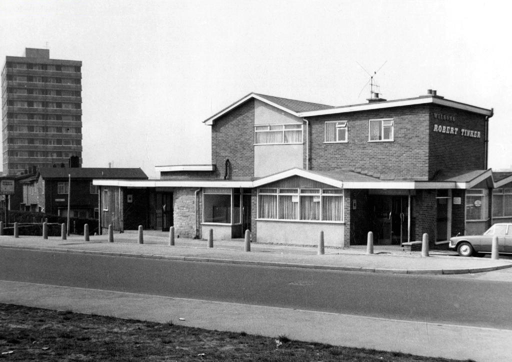
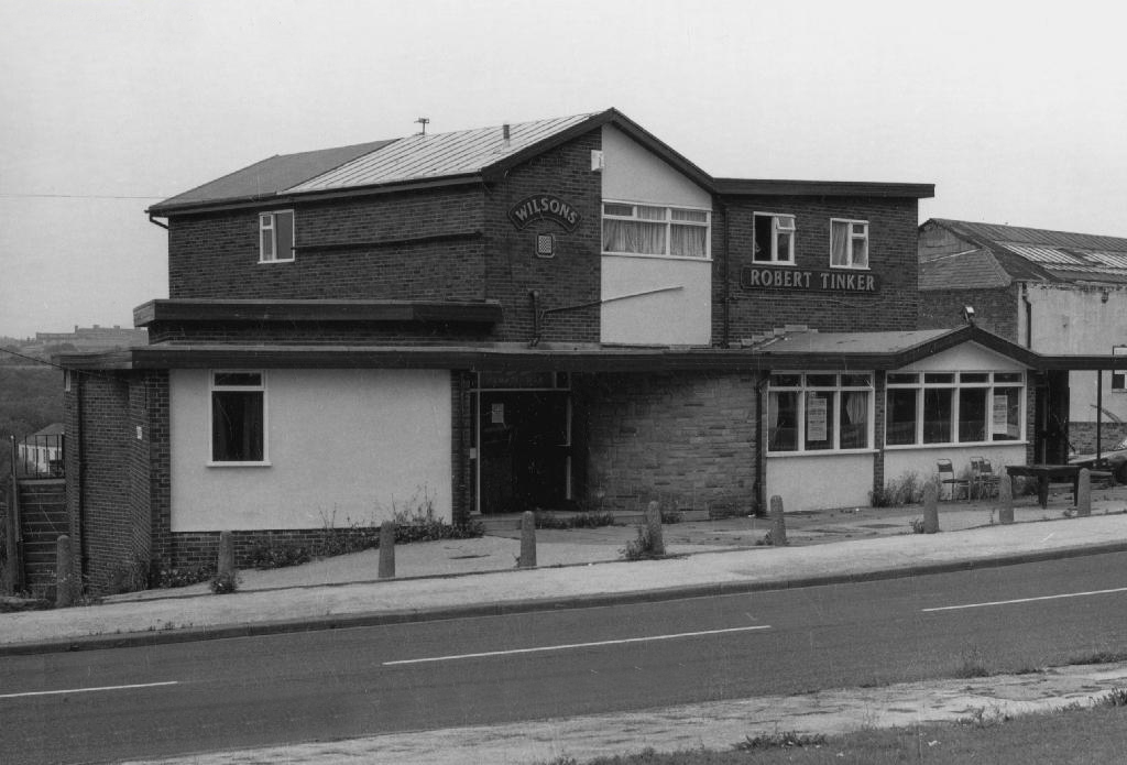
Kangol capped criminals doing business outside the Robert Tinker on the corner of the very real Dalton and Almond Streets.
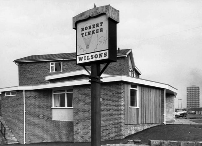
The Robert Tinker was an estate pub in a run down area of Collyhurst. The pub looked pretty grim from the outside, but it was smarter than I expected inside, I had a drink in the lounge which was carpeted and comfortable. This was a Banks’s tied house and there were two real ales on the bar, I had a drink of Banks’s bitter and this was a decent drink, the other beer was Banks’s mild. This pub closed about two years after my visit and looked derelict, it has now been demolished.
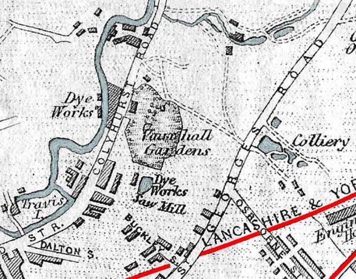
Robert Tinker was the owner of the Vauxhall Gardens, a Victorian pleasure venue.
At the openingthere was a special attraction, a giant cucumber which had been grown in the gardens reaching a length of seven feet and eight inches and a large and beautiful balloon was to be liberated at 9pm
Much of the red sandstone used for building in Manchester and the surrounding area, including stone for the Roman fort at Castlefield, St Ann’s Church in the city centre, Manchester Cathedral and the original buildings of Chetham’s Hospital, came from Collyhurst Quarry. Geologists use the term Collyhurst Sandstone for this type of soft red sandstone, which occurs in North West England
Tinker died in 1836 and gradually his gardens were whittled away, the subsoil was sold to iron moulders who cherished its certain properties and before long the trees were chopped down and houses were being built on the former site.
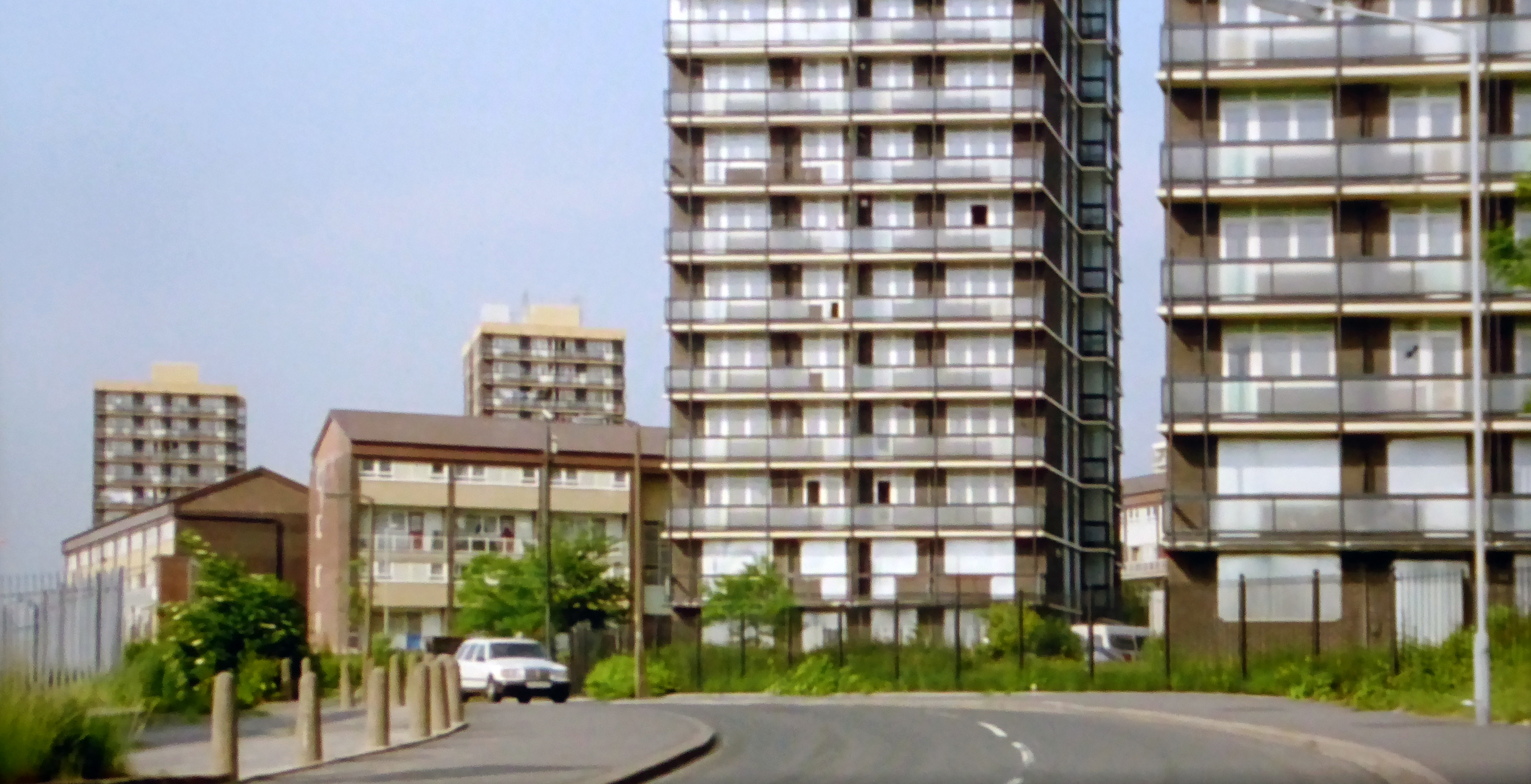
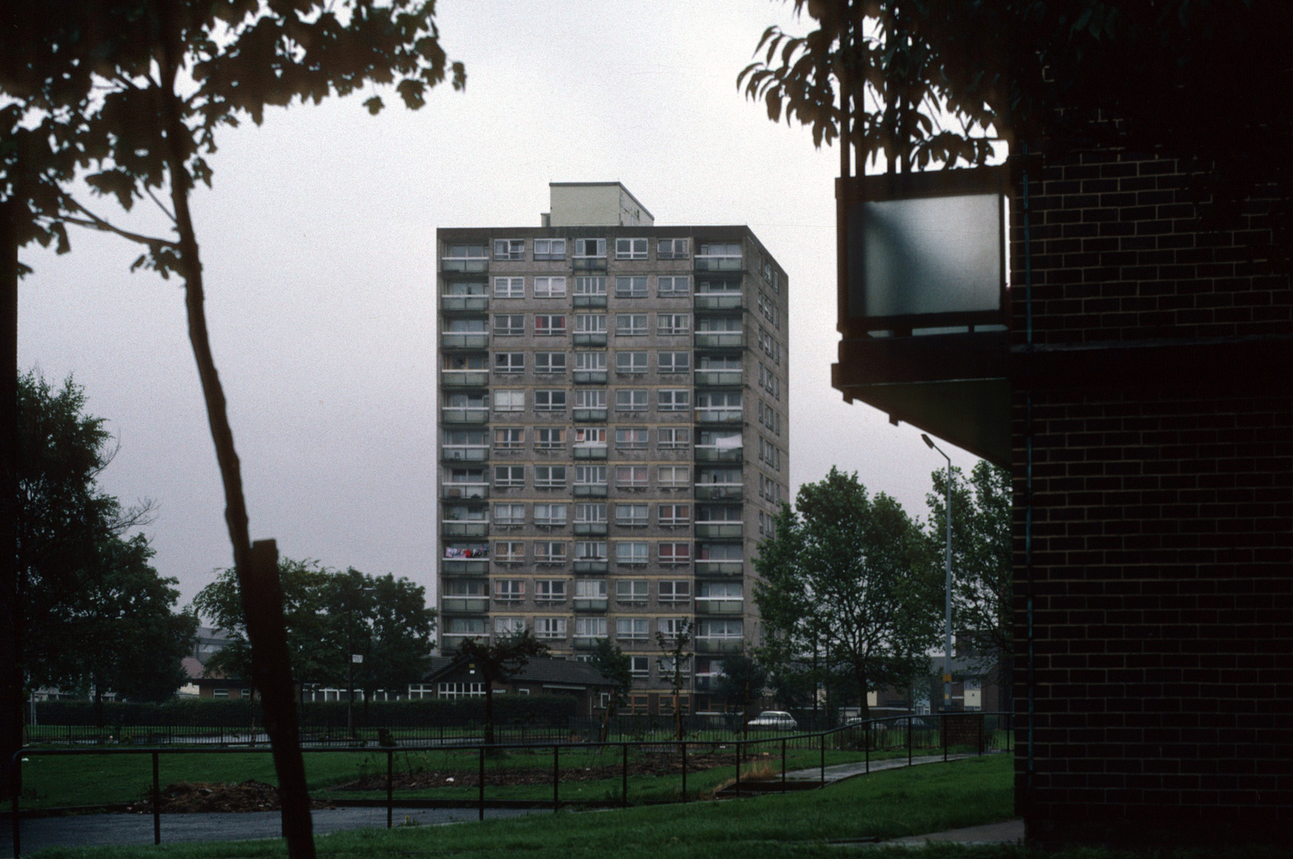
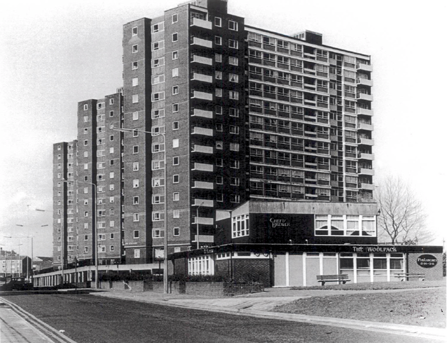
Those houses are in their turn whittled away, replaced in the 1960’s with fashionable tower blocks.
Architects: J Austen Bent 1965
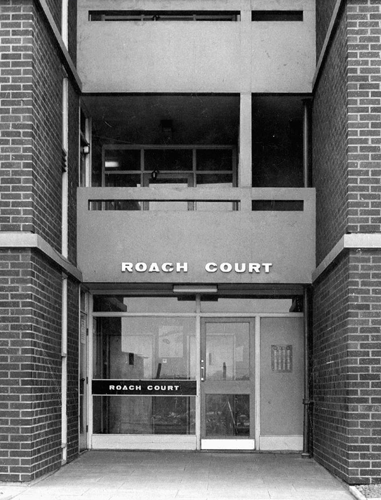
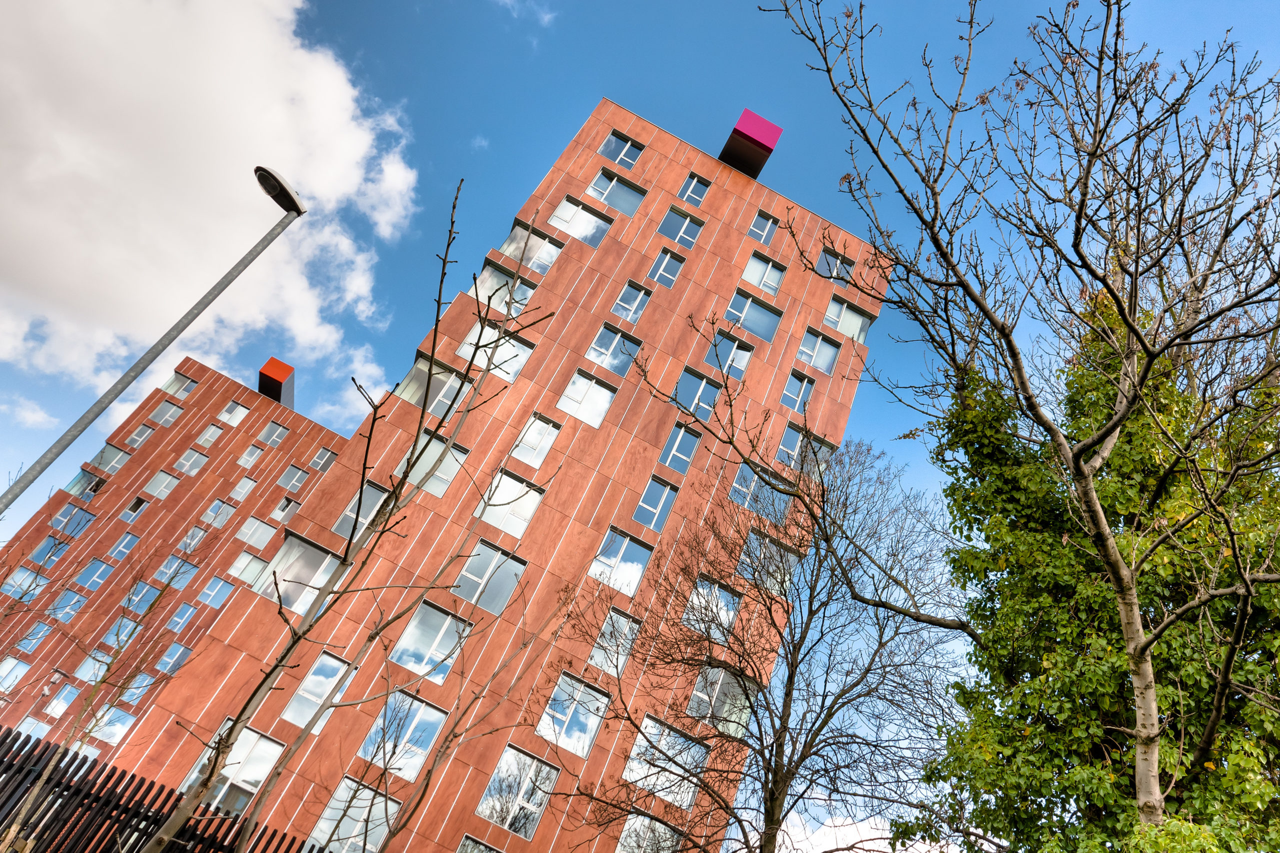
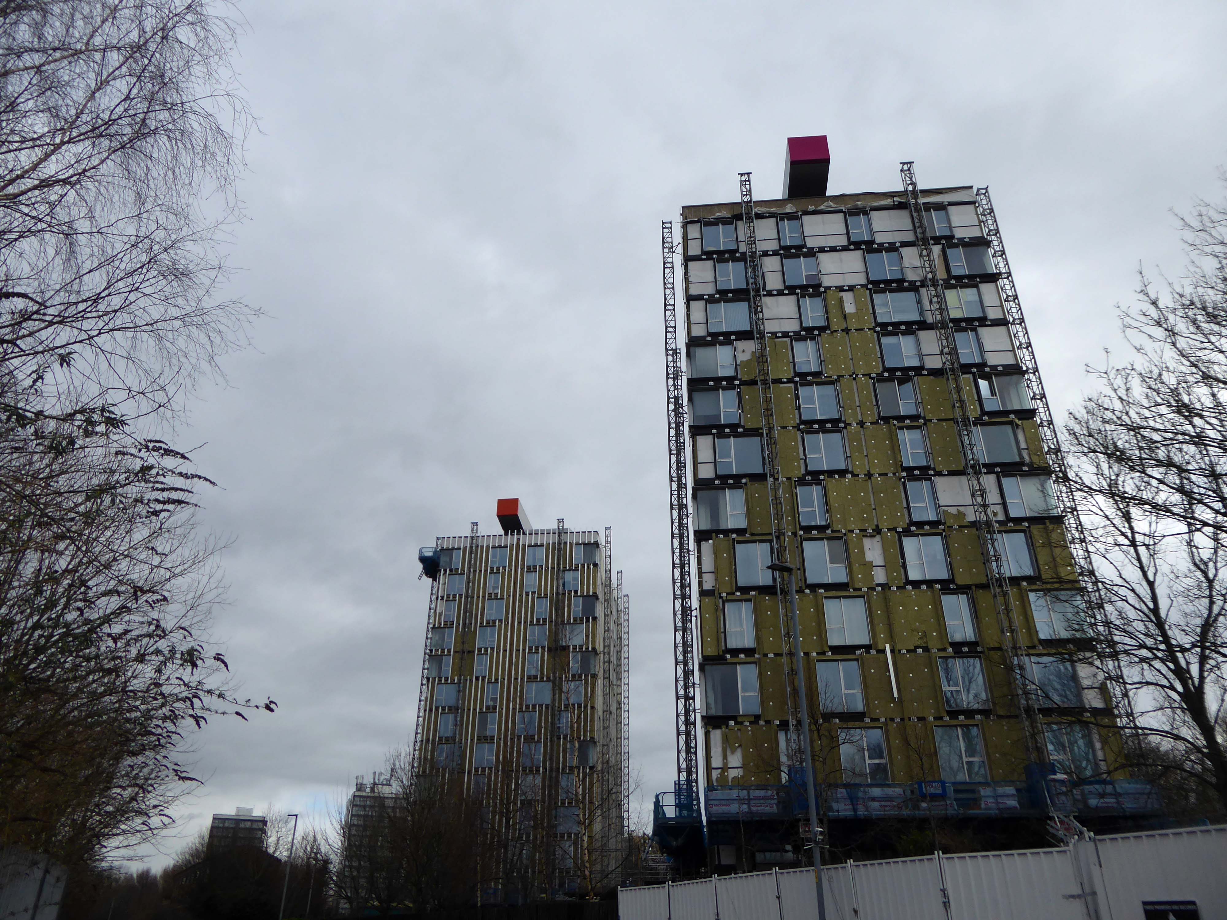
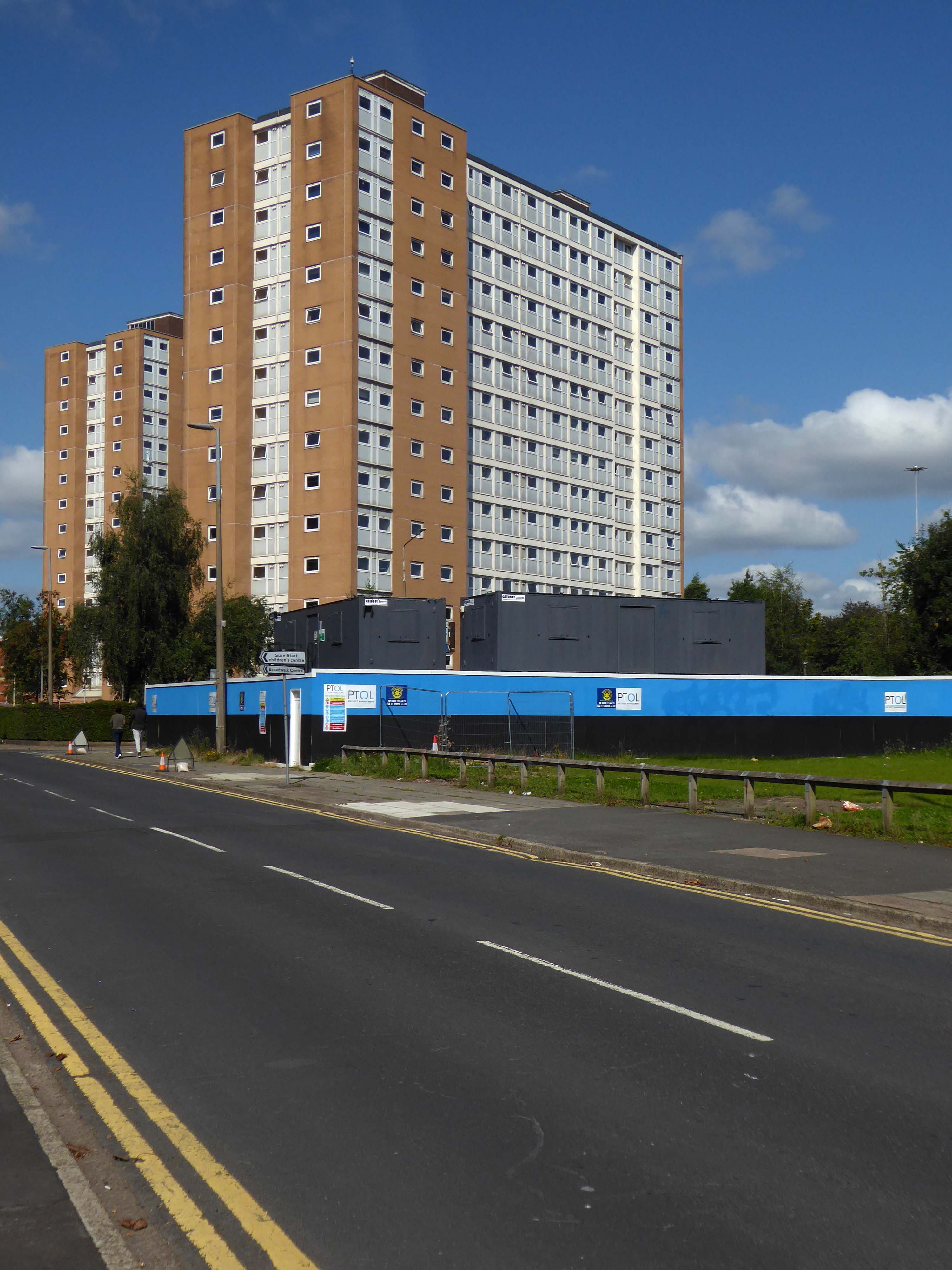
In total five thirteen storey blocks – Humphries, Dalton, Roach, Vauxhall and Moss Brook Courts
Subsequently purchased by Urban Splash and refurbished:
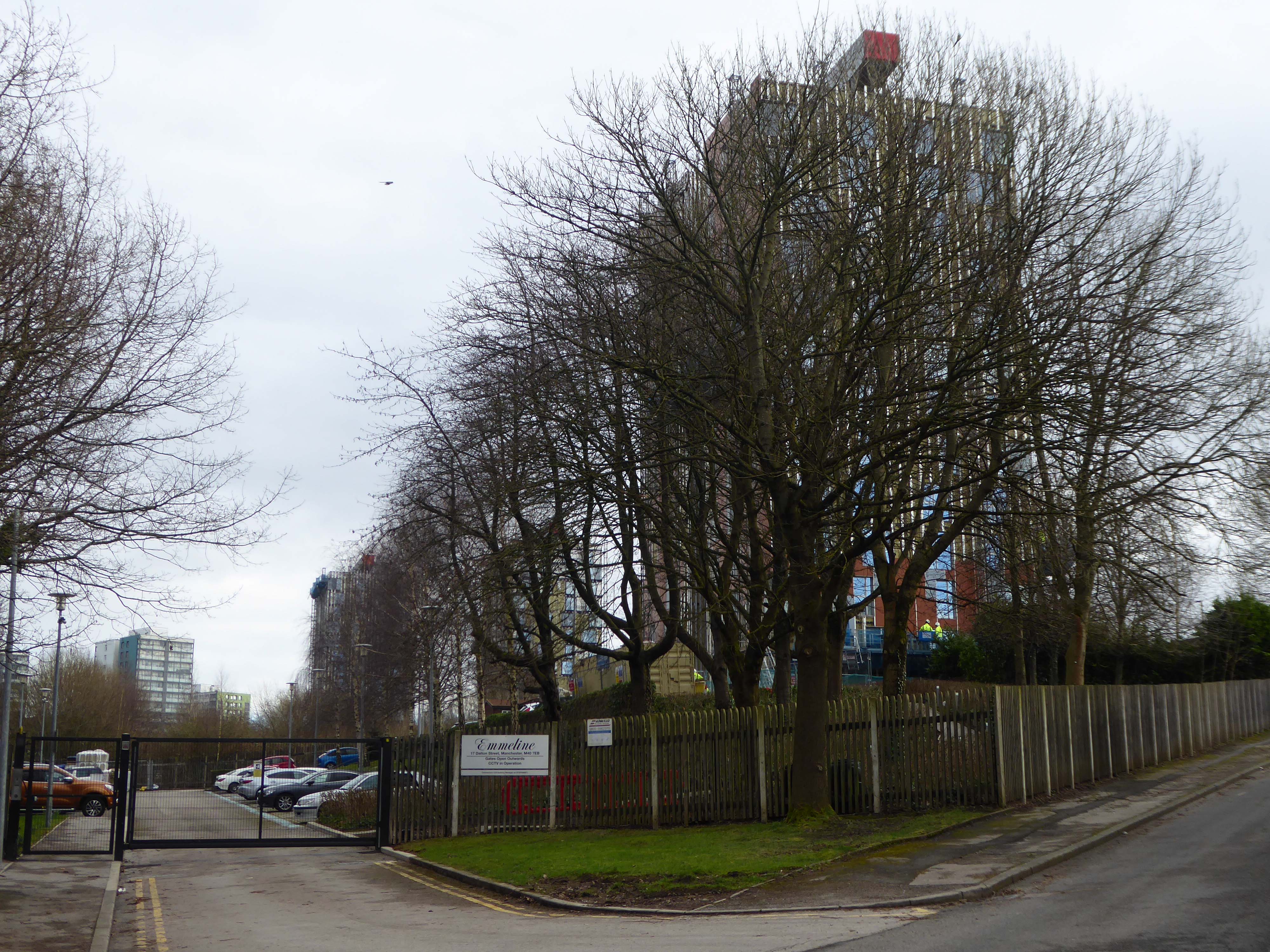
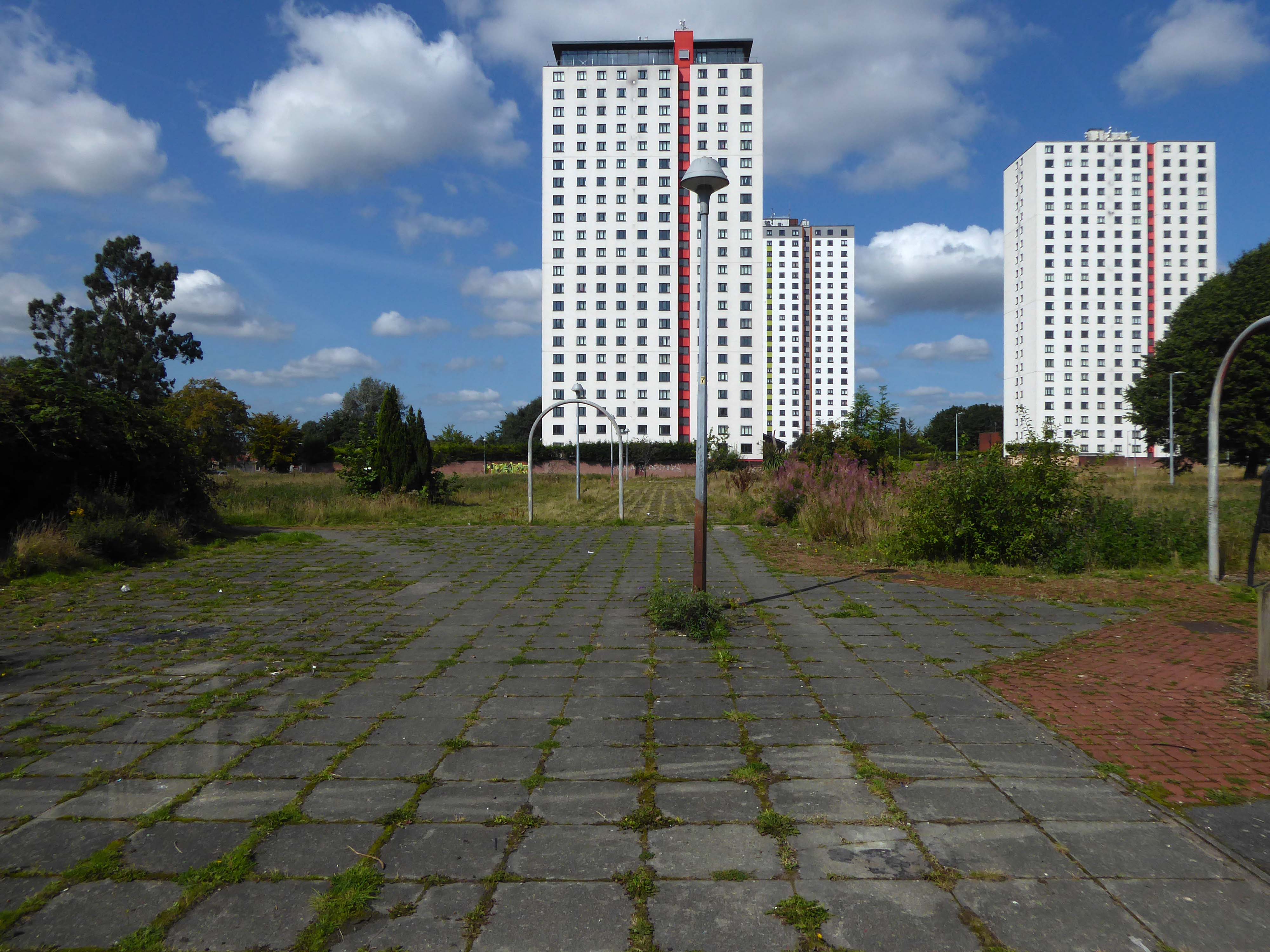
Designed by Union North Architects, the names for the Three Towers were decided in a public competition and the winning names were Emmeline, Christabel and Sylvia – naming the towers after the Pankhurst sisters and their mother.
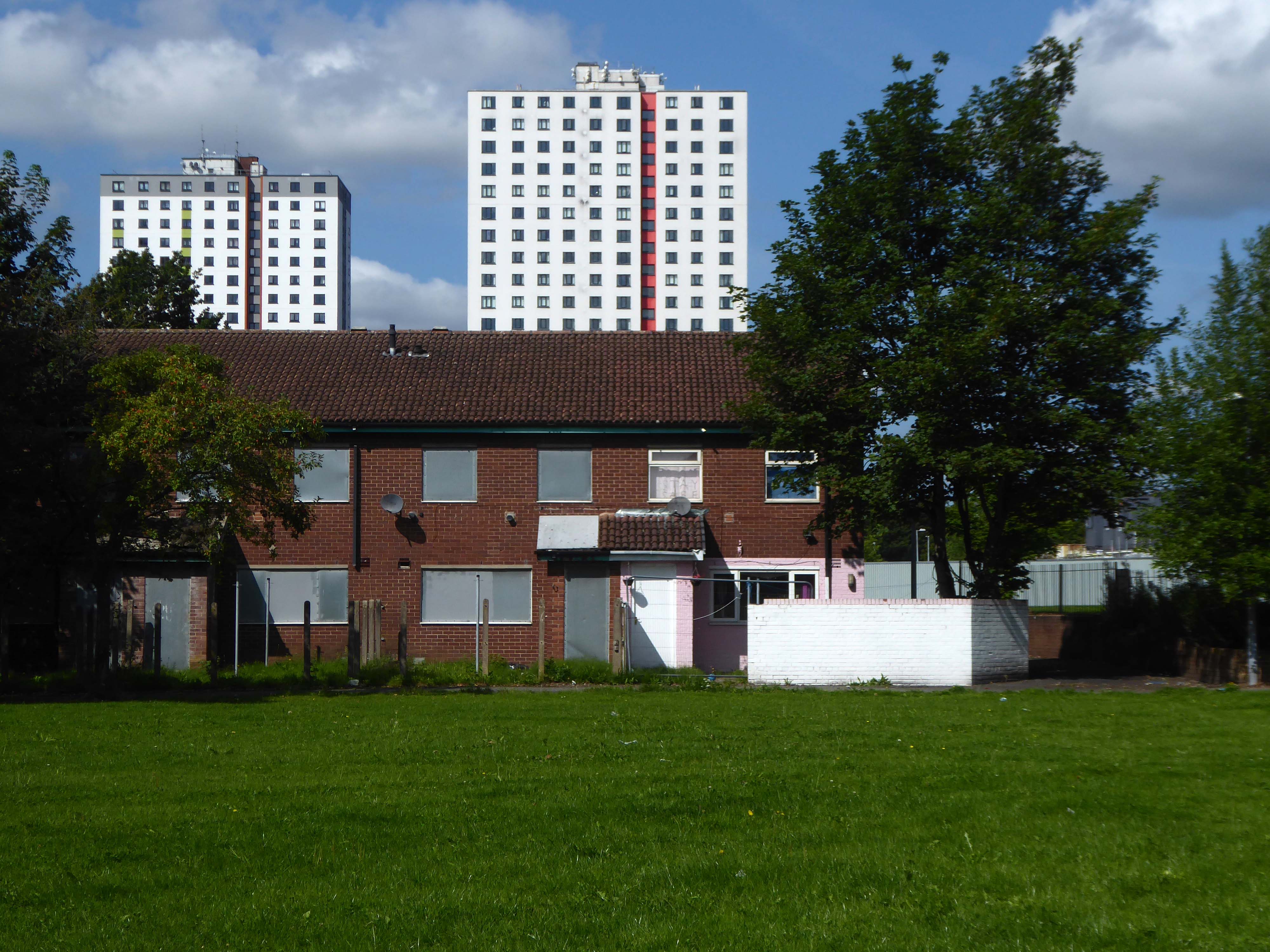
The remains of the remaining Eastford Square homes tinned up and secured awaiting who knows what.
So let’s take a short walk, see how things stand.
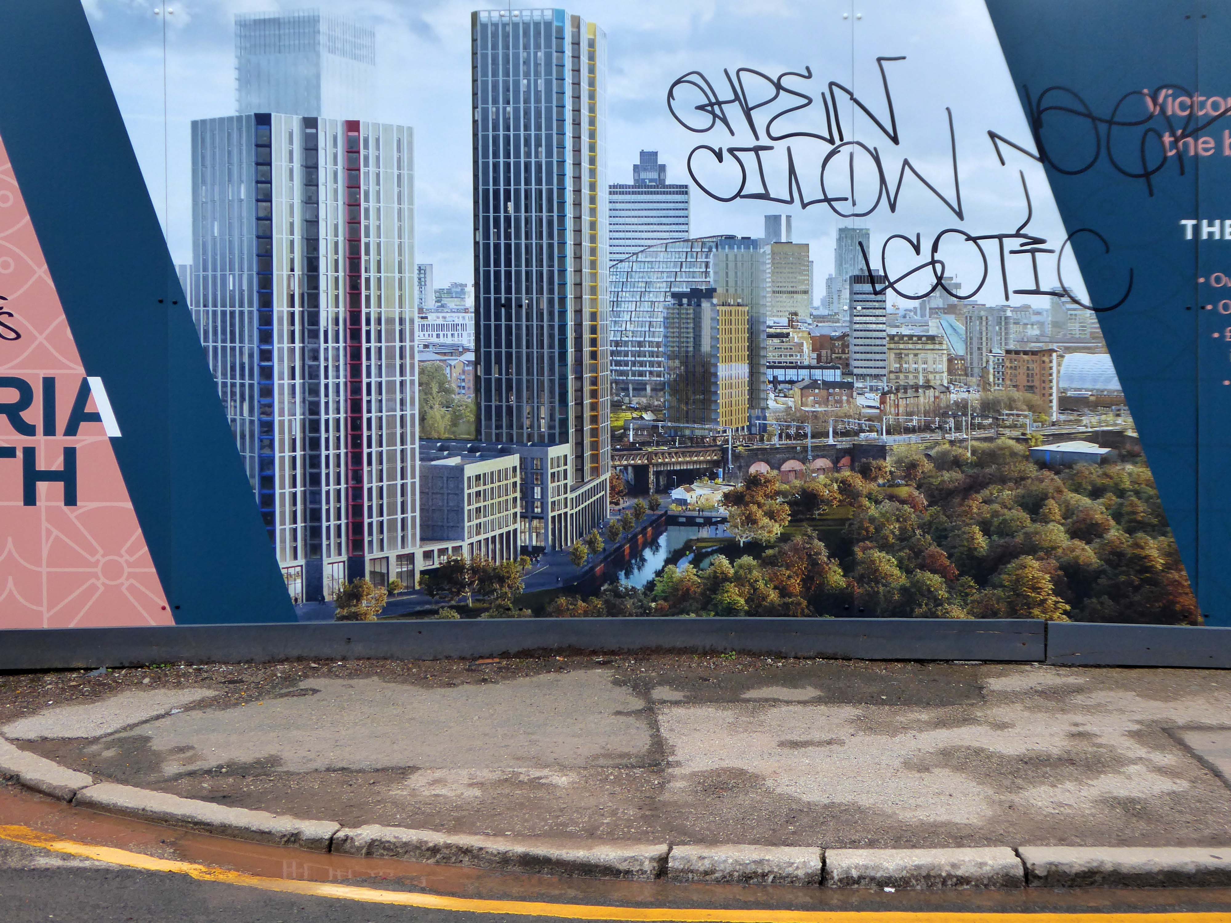
The area now forms the core of the latest municipal Masterplan – Victoria North.
Victoria North is a joint venture programme between Manchester City Council and developer Far East Consortium.
An internationally recognised developer, FEC specialises in residential led mixed-use developments and hotels, along with its casino and car park operations throughout mainland Europe.
The cowboys are now long gone – or are they?
When I was a cowboy out on the Western Plain Well, I made a half a million Working hard on the bridle reins
Come a cow-cow yicky come a cow-cow yicky, Harpurhey
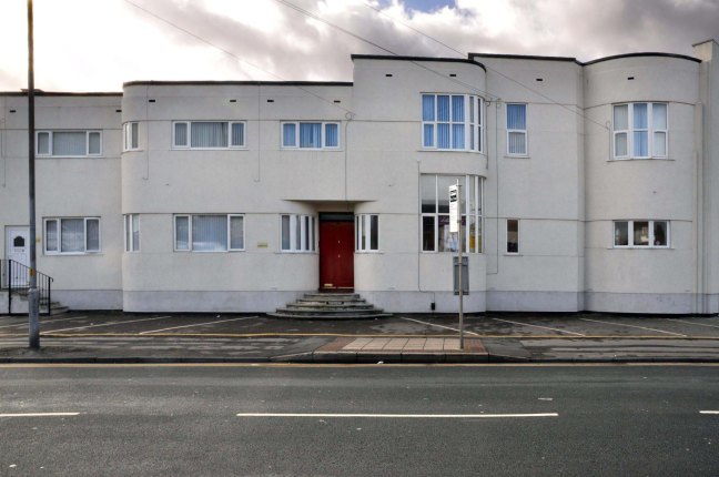
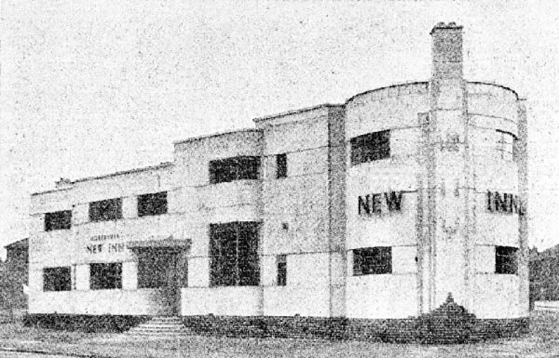
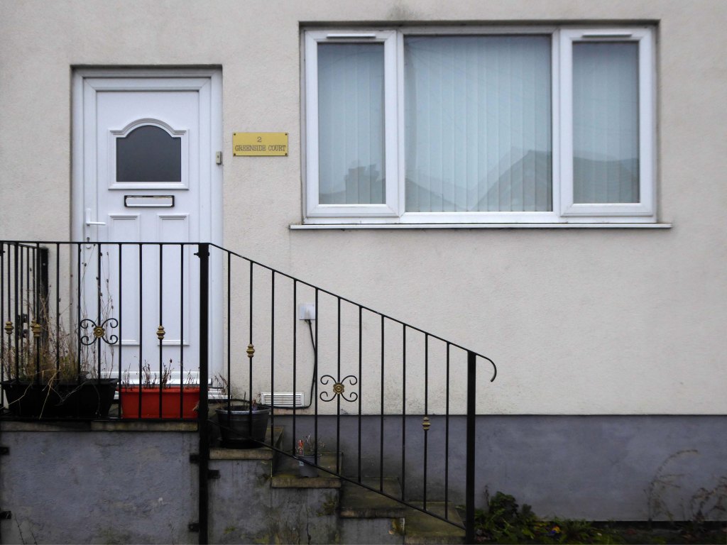
New Inn 121-137 Greenside Lane Droylsden Manchester M43 7UT
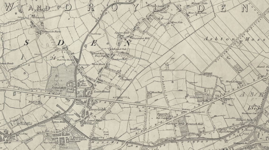
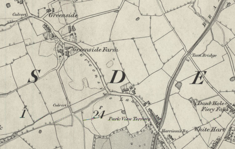
It’s the 1830’s and Droylsden consist of farms, a smattering of industry and little else.
Greenside Lane has a farm, appropriately named Greenside Farm.
Where at some point in the 1930’s a pub appears – the appropriately named New Inn.
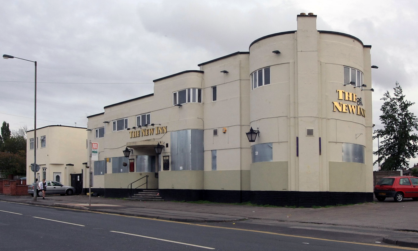
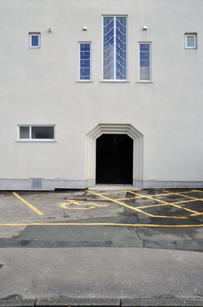
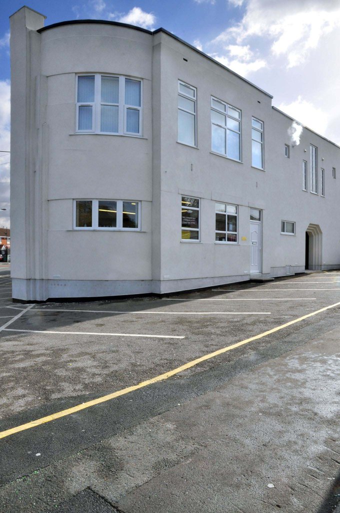
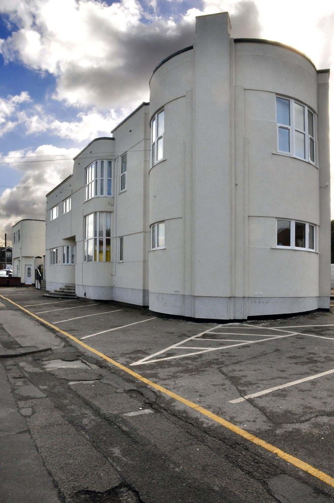
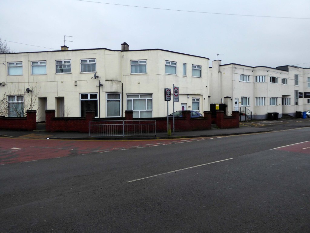
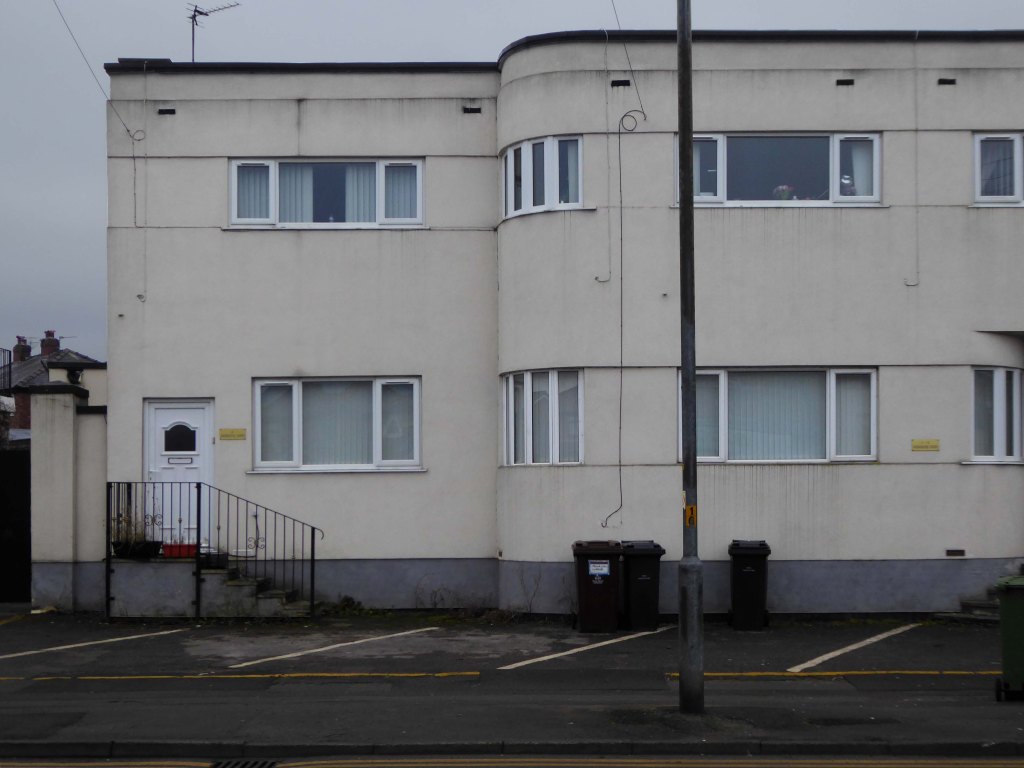
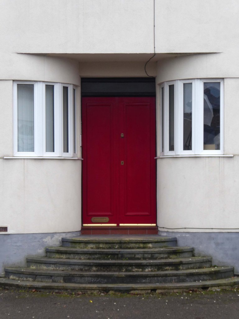
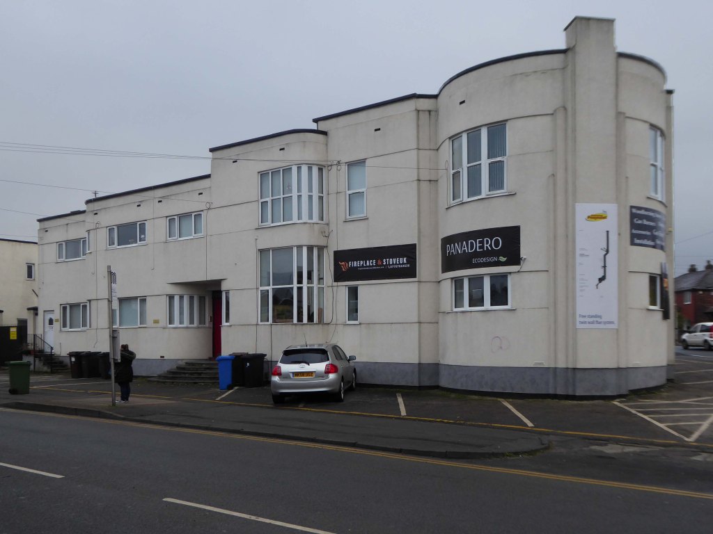
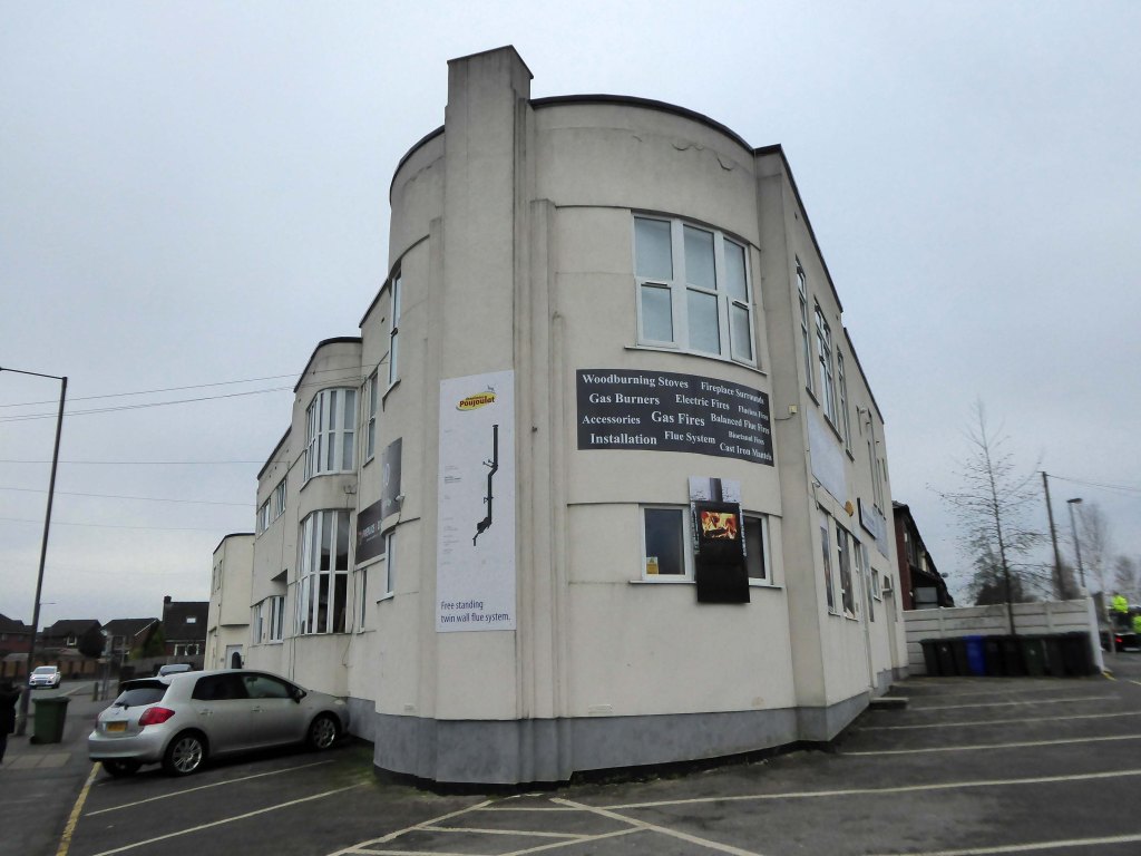
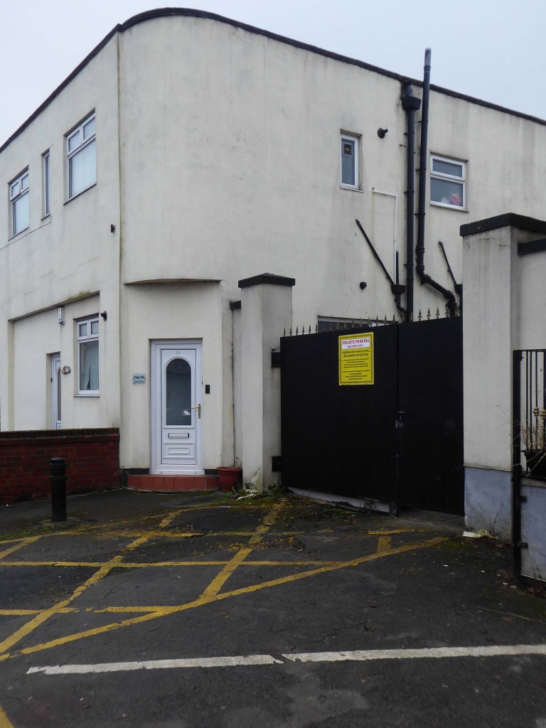
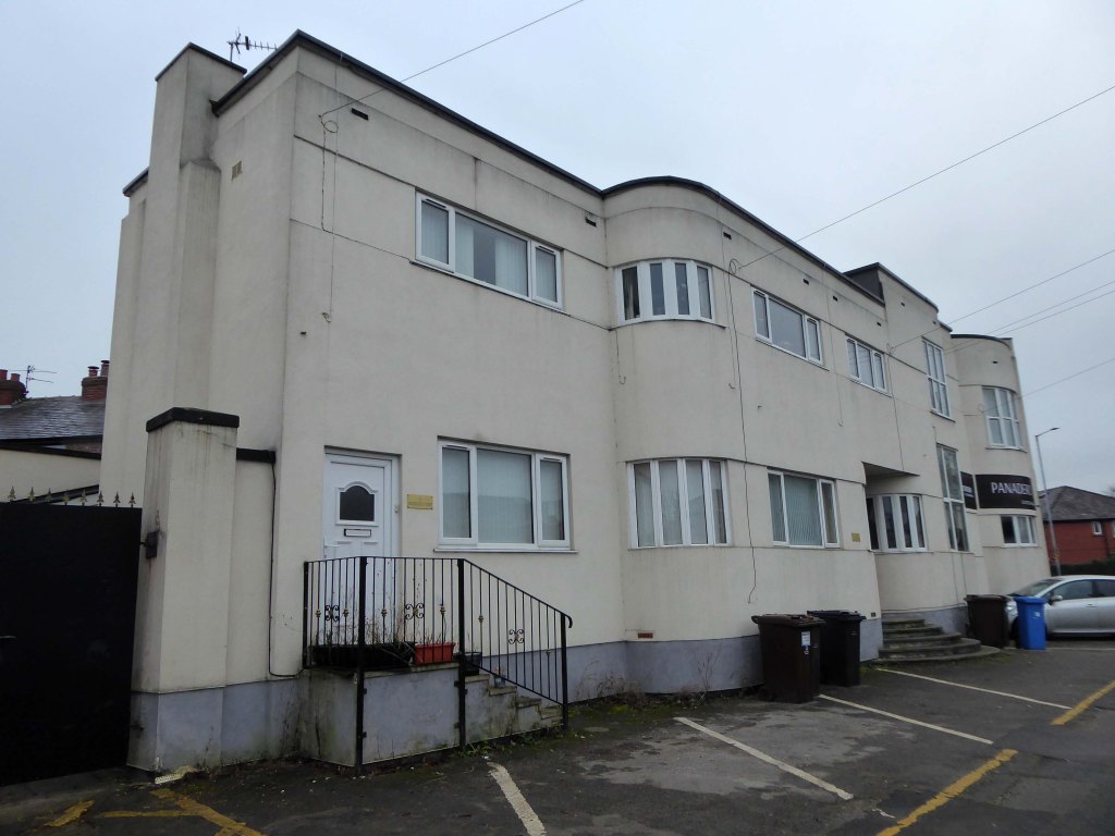
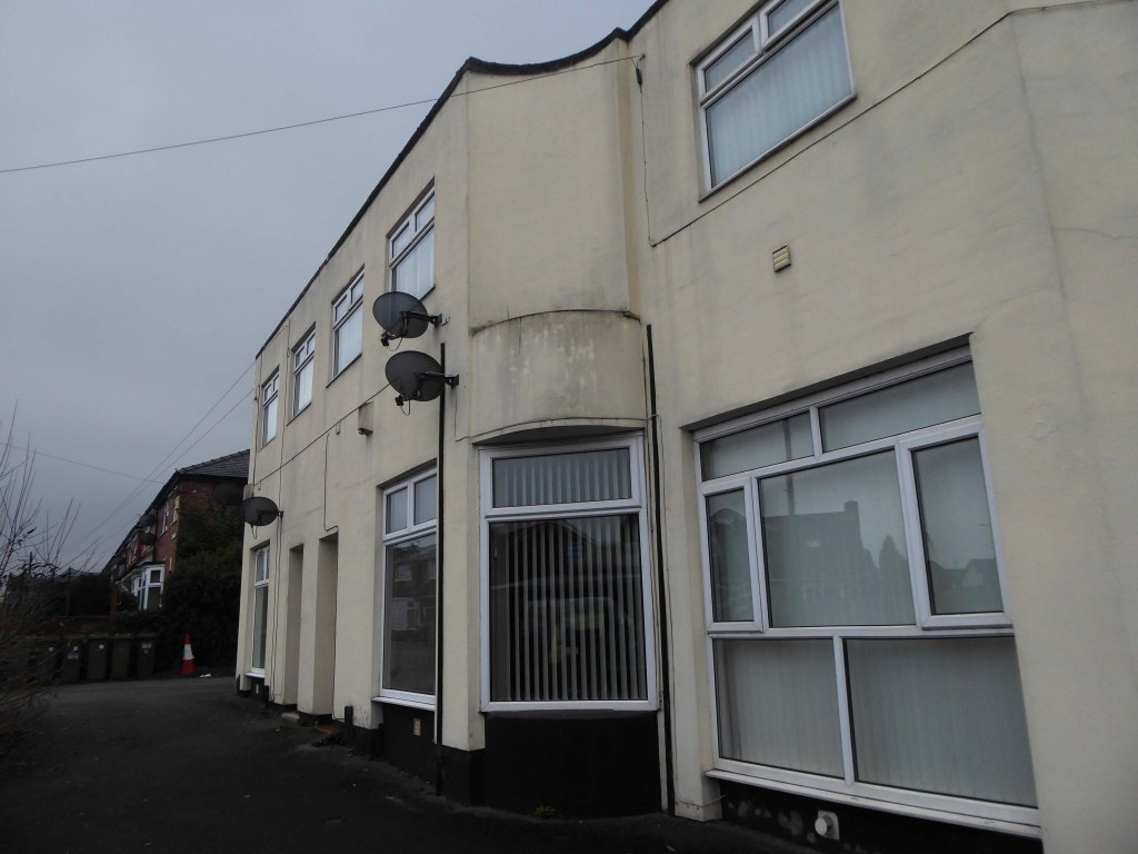
This such an anomaly in this setting, an architectural style more commonly found on the coast, the Seaside Moderne of Morecambe’s Midland Hotel, or Bexhill’s De la Warr Pavilion.
A streamlined ocean liner of a boozer, truly Tameside Moderne.
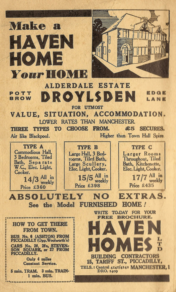
For the new housing in the area.
Air like Blackpool – and pub architecture to match!
I discovered on Carl Flaherty’s Flickr post some of the pub’s deep history.
My parents were the first licensees of the New Inn, I was six months old when we moved in, that was in 1936. It was always very busy even more so during WW2, the Home Guard put an old Lewis Gun on the roof which bought down the ceiling when they fired, crazy.
The roof used to have heaps of shrapnel after the bombing raids, the cellar was used as an air-raid shelter until the government built one for each home. We had a German fighter pilot housed in the cellar till the regular army came and took him away, he’d been shot down over Daisy Nook. We moved to Gatley in late 1949 and came to Australia in 1956. I remember the New Inn and Droylsden with fondness,the people were so friendly all the time.
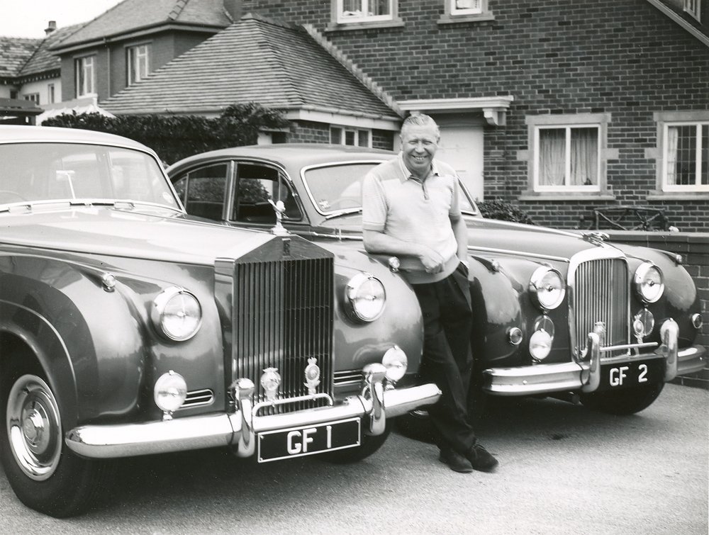
I had a stack of those old photographs of the inside as it was then the Lewis gun and Karl -the pilot, plus ones of George Formby who was a mate of Dads he had a pinky red coloured Bentley which he used to park in the yard on the left of the pub. When I was in the army I was for a while in Germany I visited the pilot Karl Lehmann he lived in Hamburg, strange days mate.
John Leigh.
Copyright Gerald England – Geograph UK
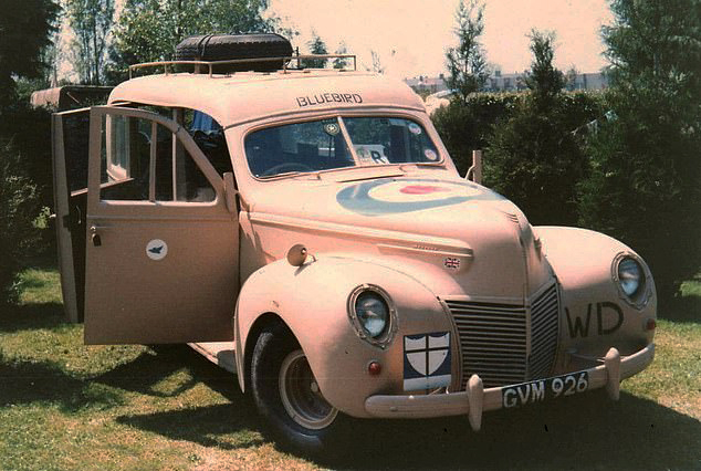
George had a passion for the Rolls and Jag – but it seems he also had a pinkish 1939 Mercury Eight Series 99A Estate during the war years.
Commissioned by Sir Malcolm Campbell and later owned by George Formby.
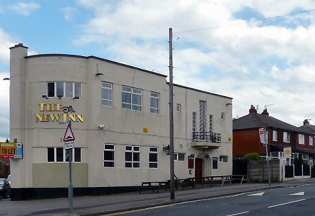
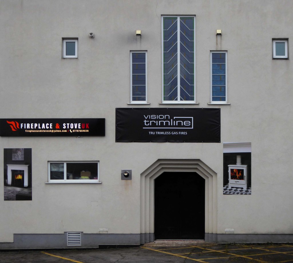
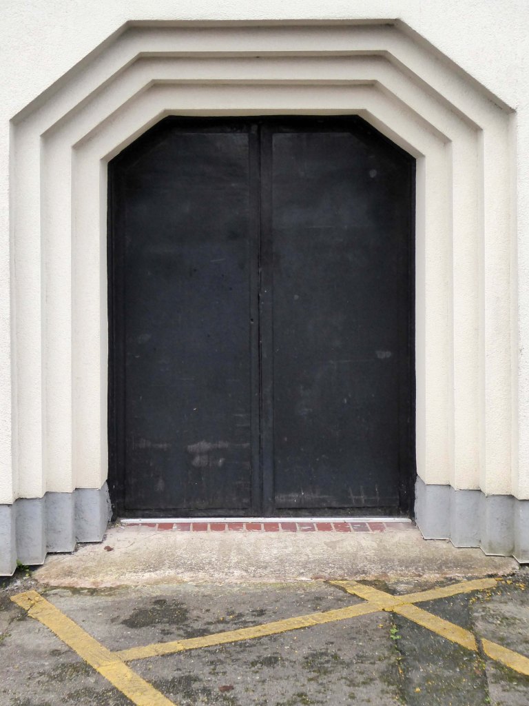
The pub now closed is currently mixed use – apartments and retail, some detail has survived though as with many other examples, the victim of replacement uPVC and re-rendering.
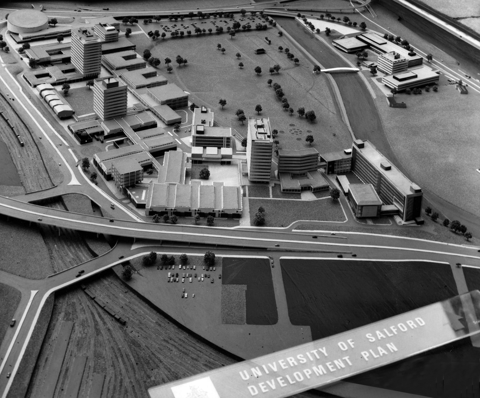
The original master plan would have swept away the Victorian Technical Institute and Salford Art Gallery.
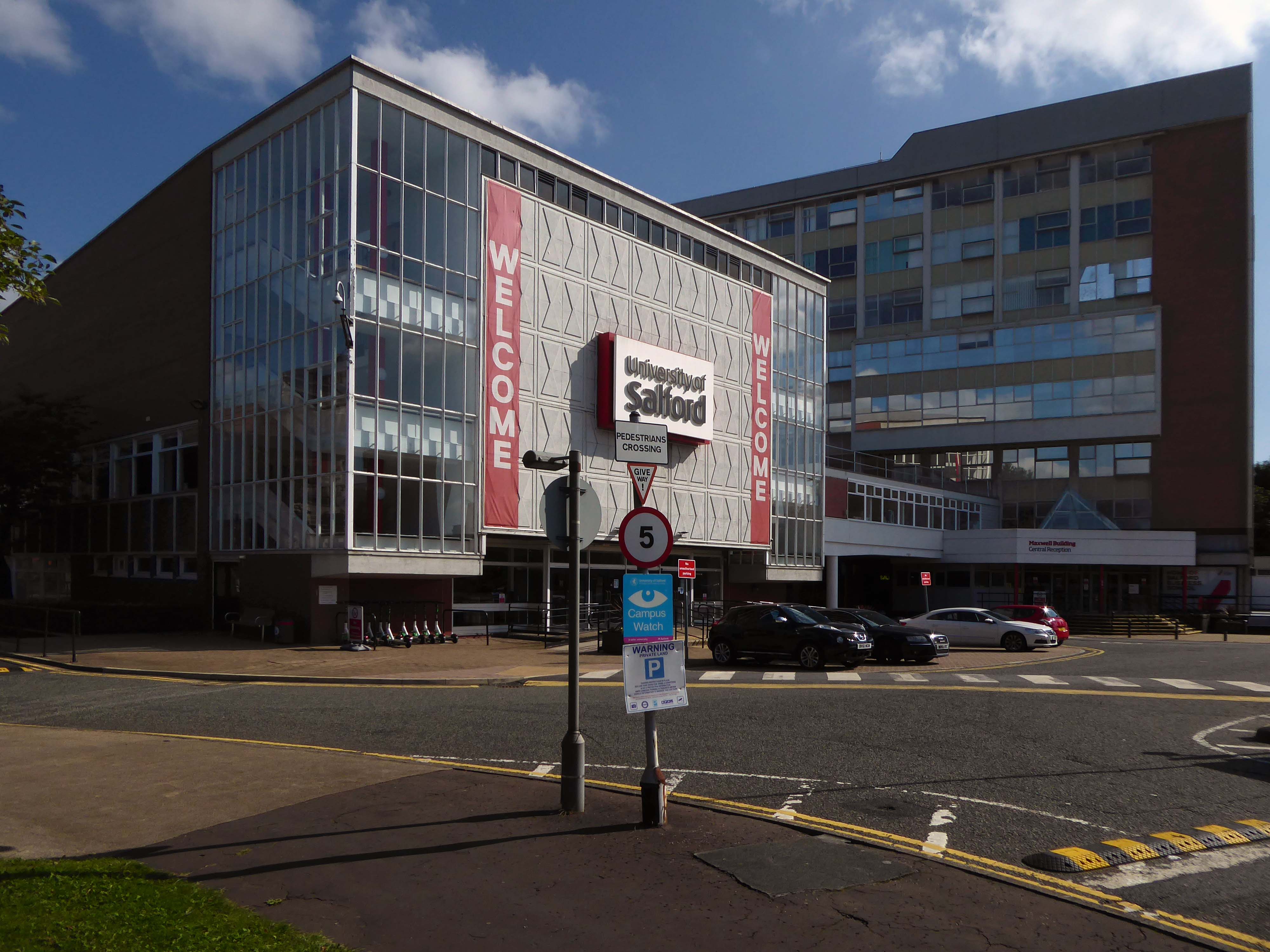
Across the road are the Maxwell Buildings.
They were built between 1959 and 1960 to a design by the architect C H Simmons of the Lancashire County Architects Department.
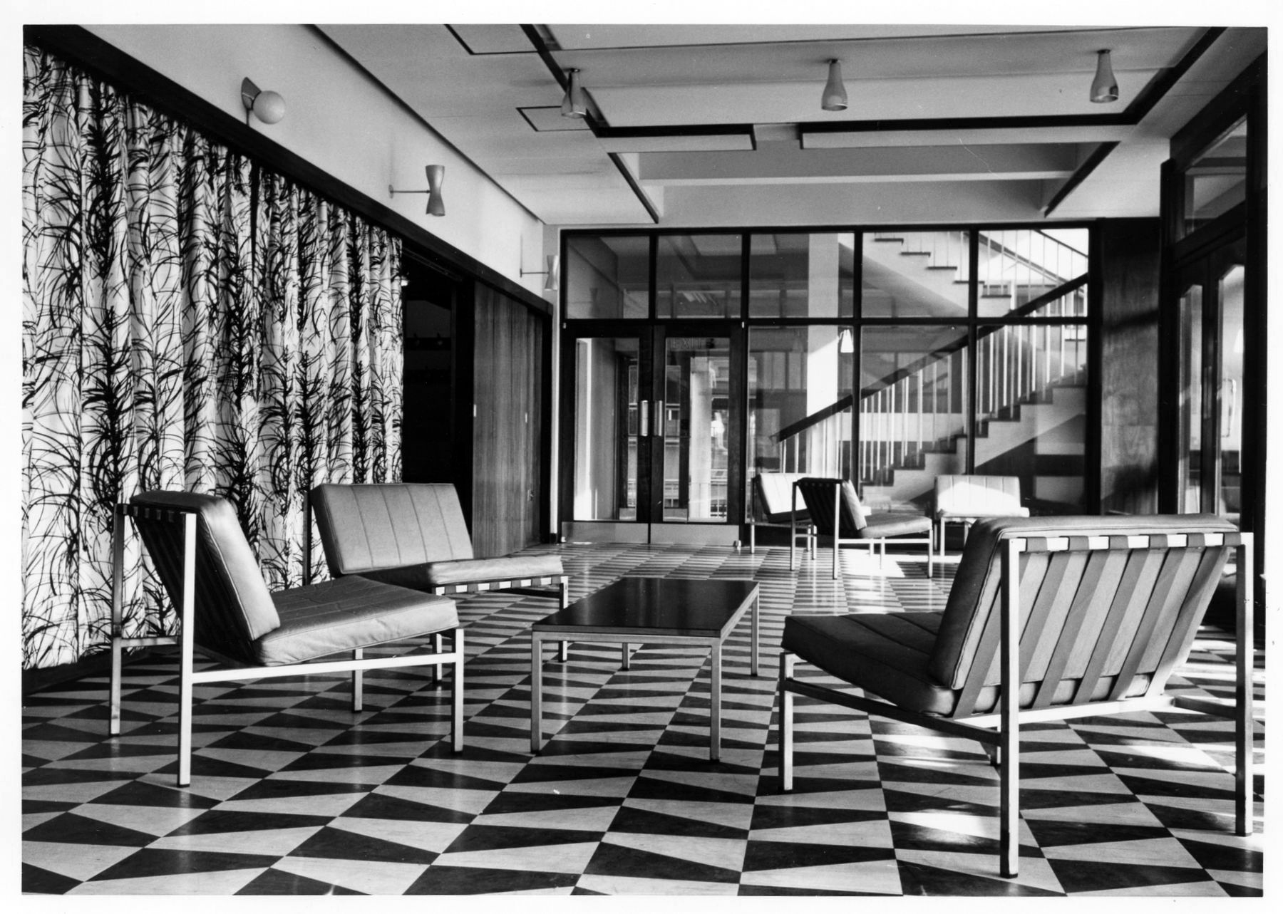
The interior decorative order of Sixties’ institutions was integral to the architectural design, sadly this is no longer so.
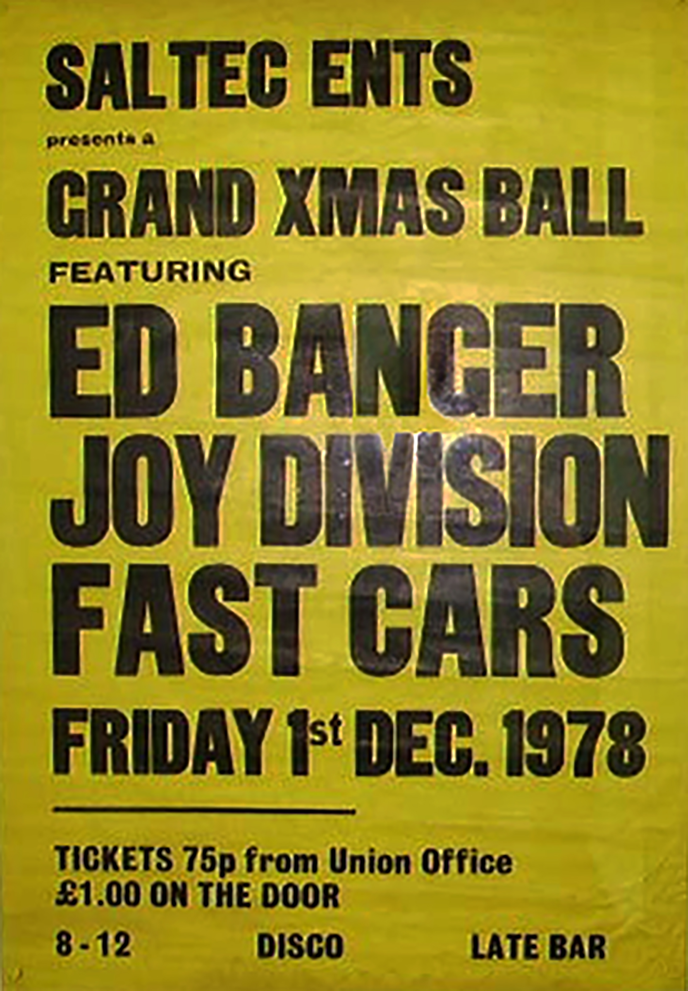
The hall has a great musical heritage.
Featuring the Fast Cars who we have previously encountered in Swinton at the Lancastrian Hall.
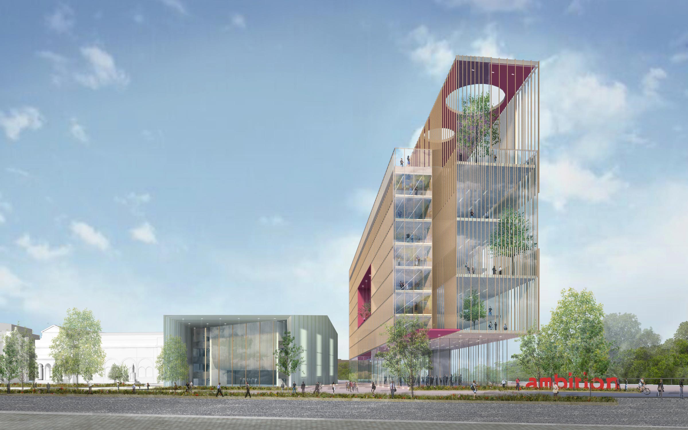
Which may be the subject of ambitious redevelopment.
Take a turn around the corner to the Cockcroft Building.
The east facing mural painted out and obscured by retrofitted infrastructure.
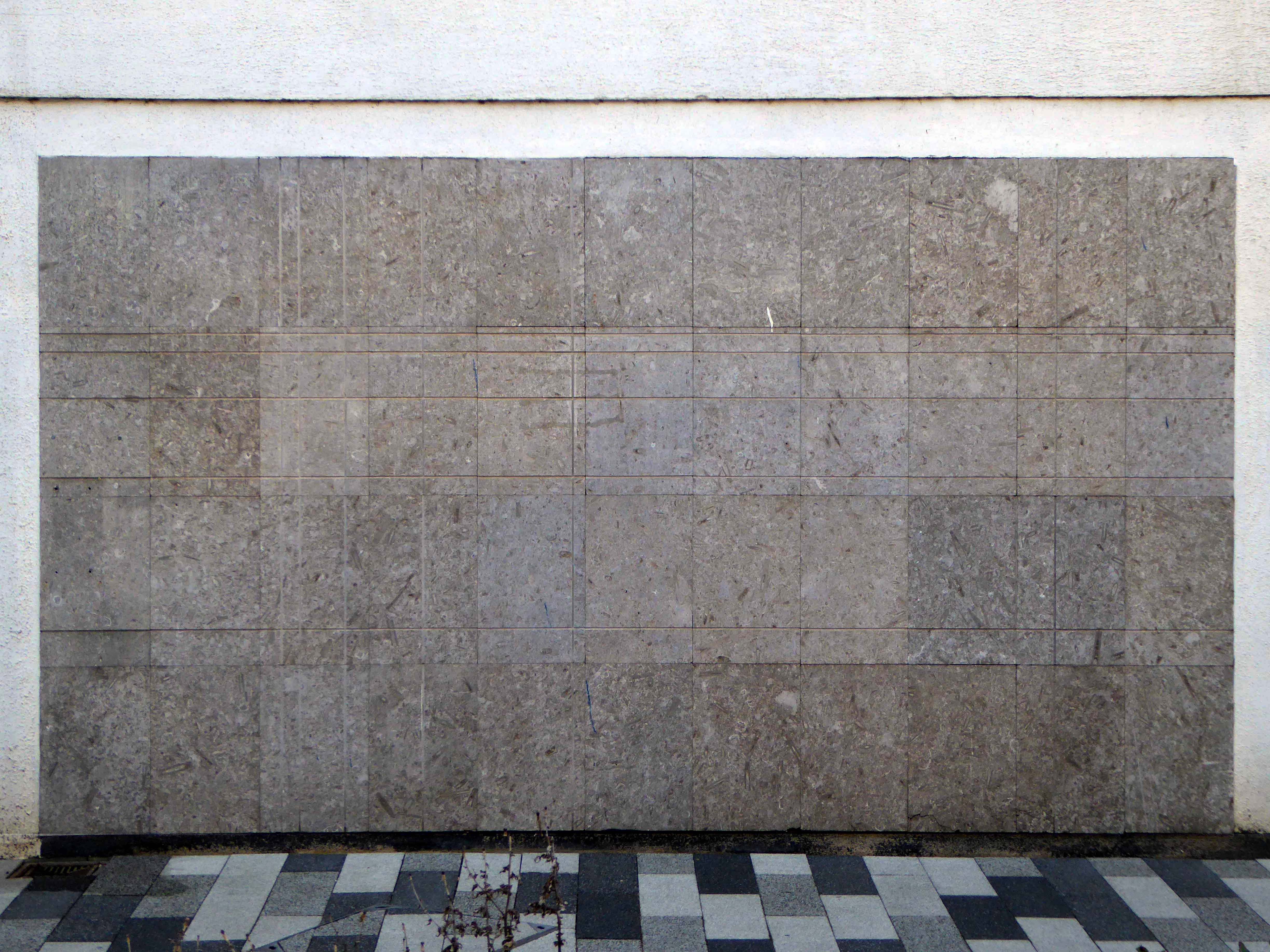
These incised stone panels obscured by plants.
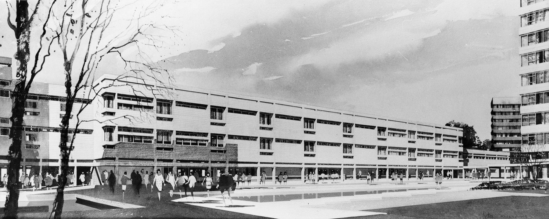
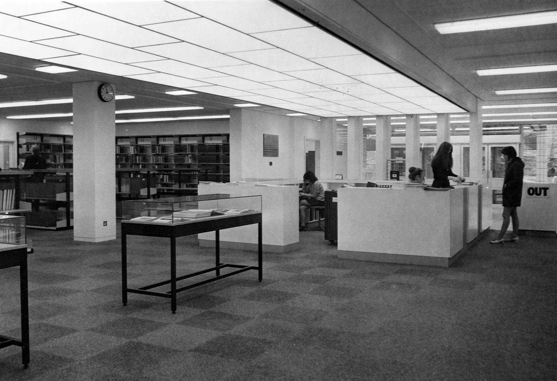
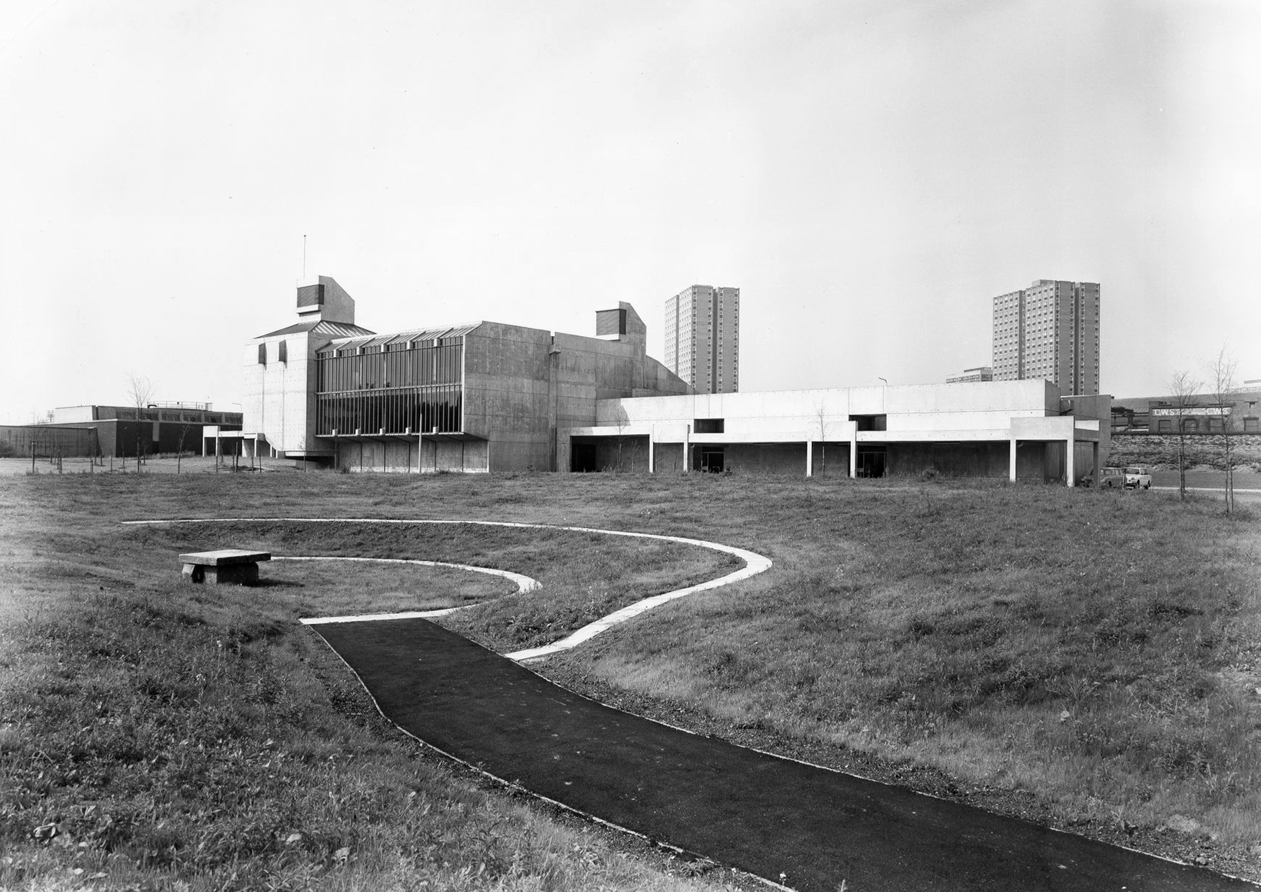
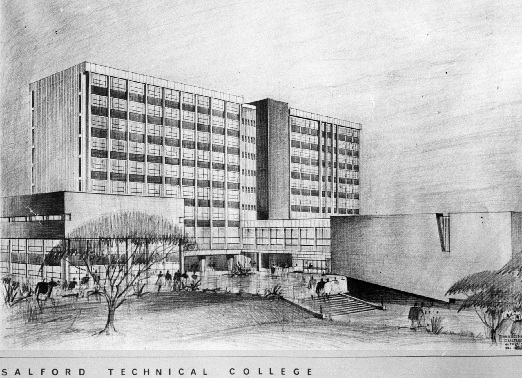
To the left is the Clifford Whitworth Library – this is the original architectural impression – signed Peter Sainsbury.
The original fascia was tile clad.
Subsequently replaced by uPVC boards.
Yet again the original interior was integral too the architectural scheme and period.
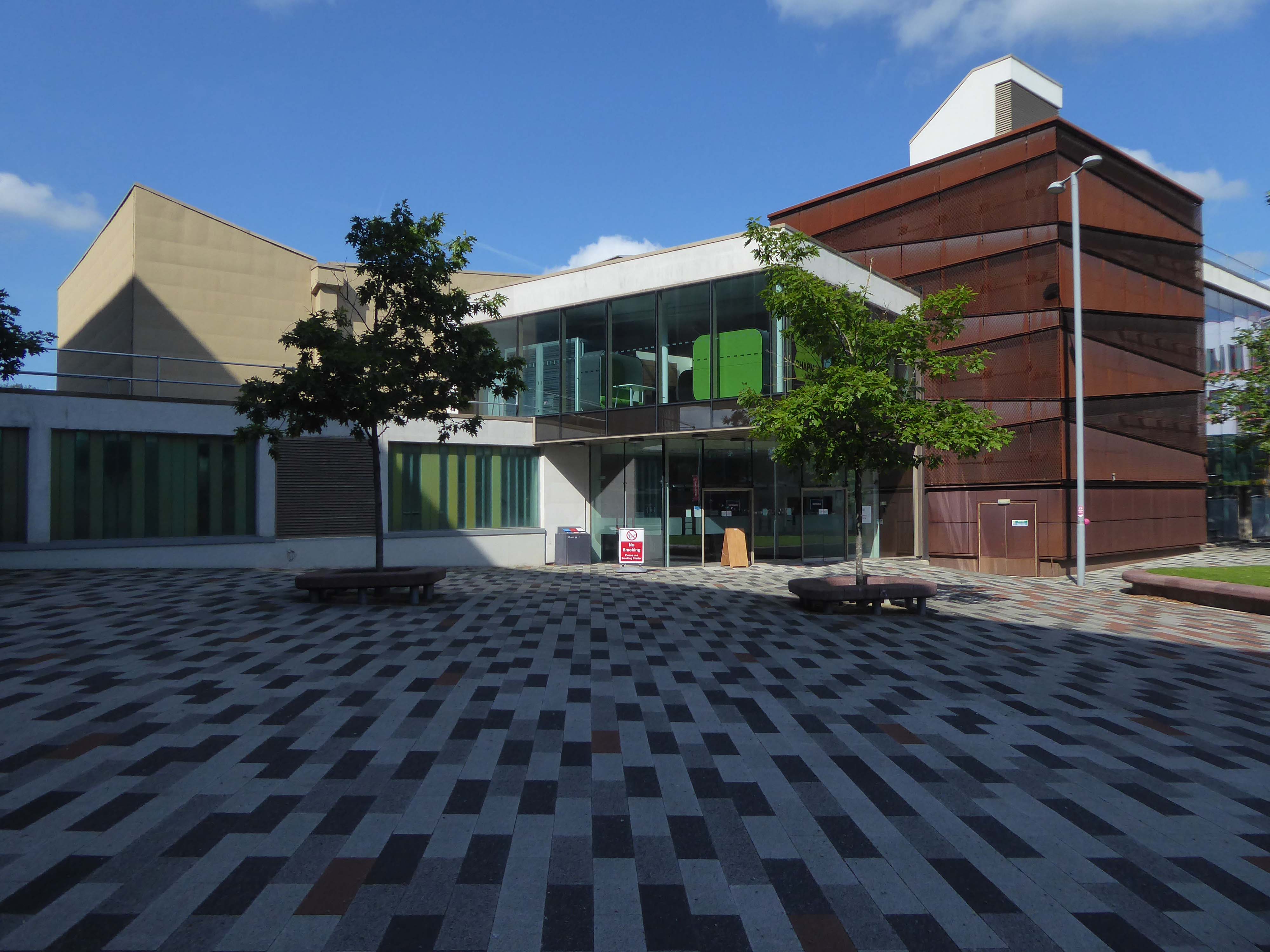
Across the way the Chapman Building.
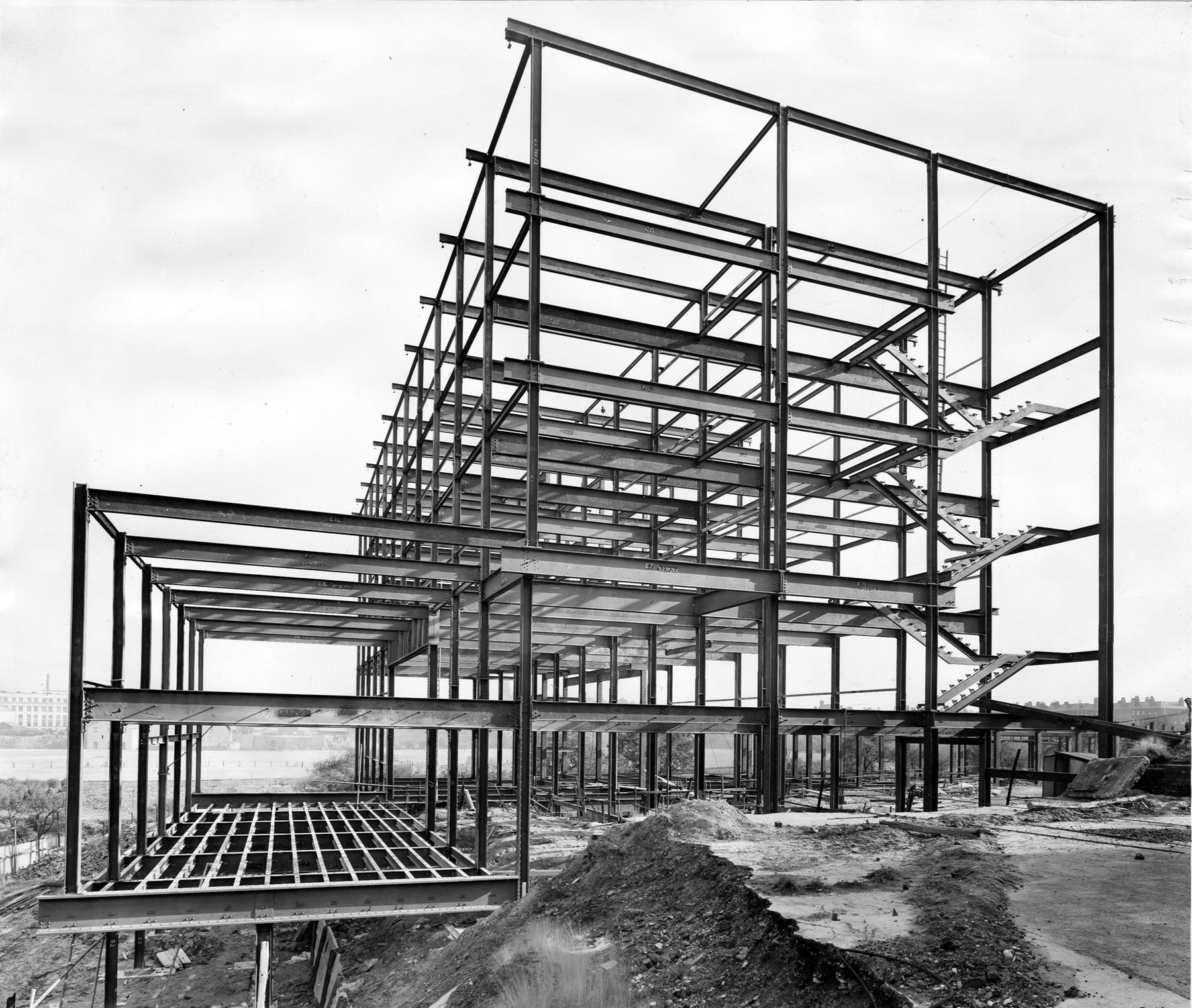
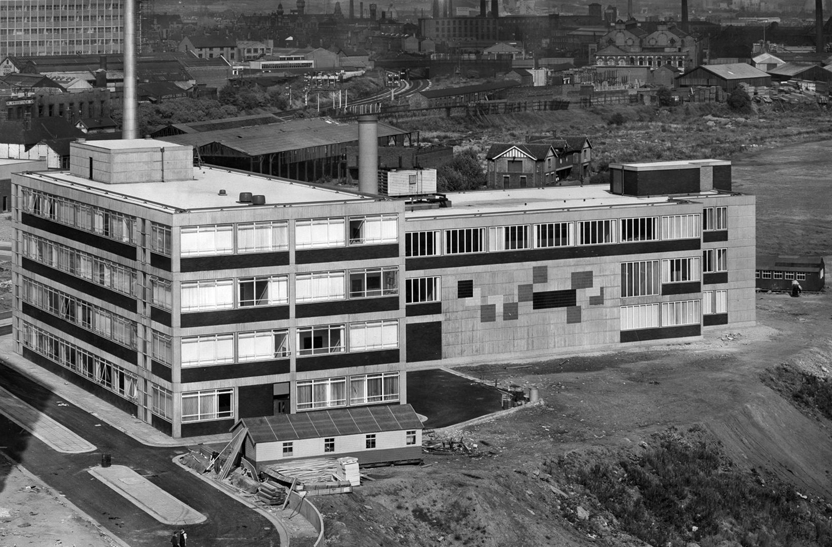
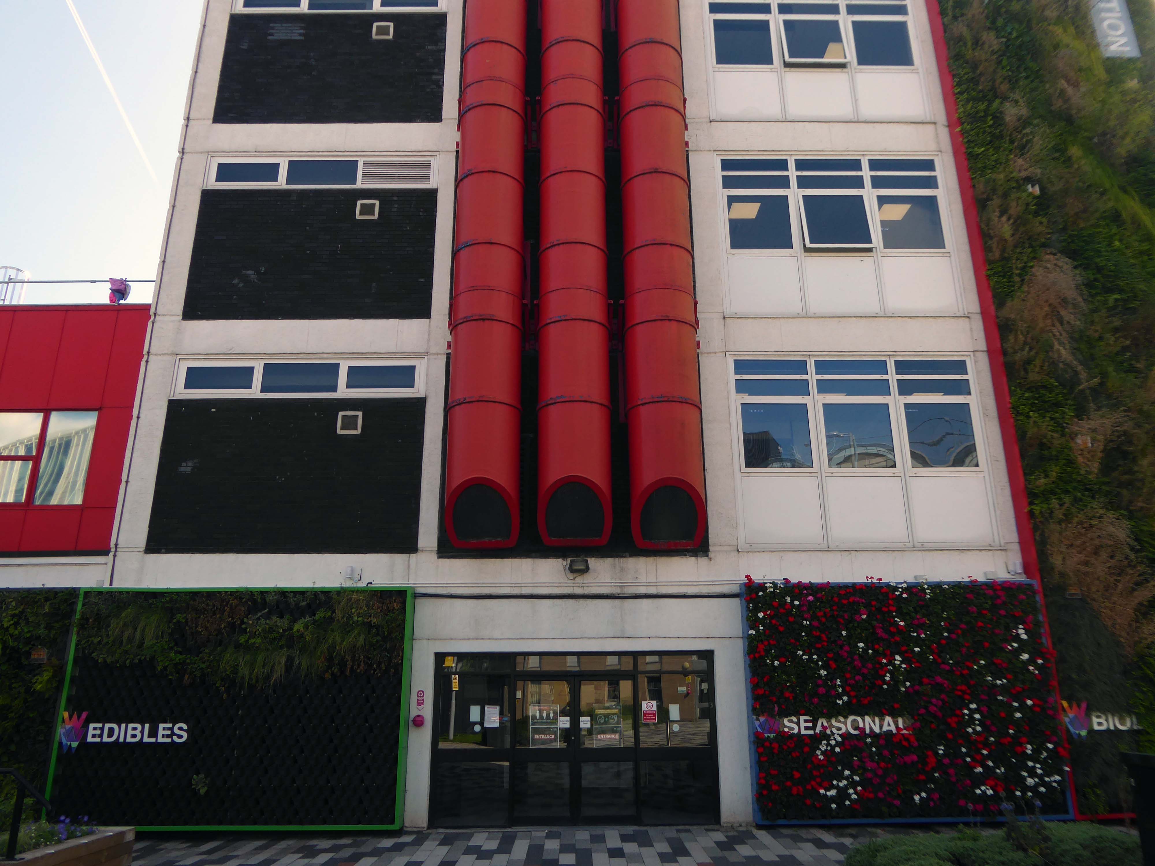
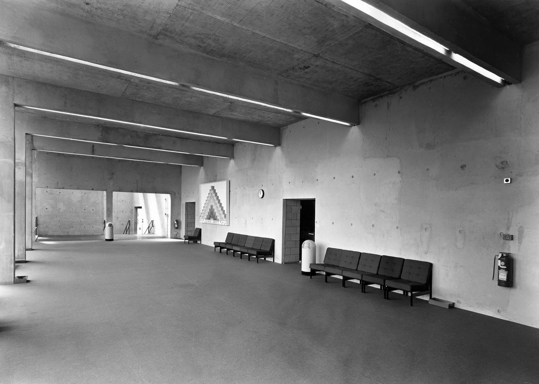
It was designed by WF Johnson and Partners of Leamington Spa, as a lecture theatre block and gallery. It sits with its long axis running parallel to the railway behind. The series of grey volumes, occasionally punctuated by colourful floods of red and green trailing ivy, hang together in a less than convincing composition. The orientation and access to the building seem confused and detached from any cohesive relationship to the rest of the campus, but there is something perversely attractive about the right essay in the wrong language. The reinforced concrete building contained five lecture theatres, communal spaces, an art gallery, AV support areas and basement plant rooms. Following a major refurbishment in 2012, several additions were made to the exterior and its total concrete presence somewhat diminished. It still houses lecture theatres and a number of other learning and social spaces.
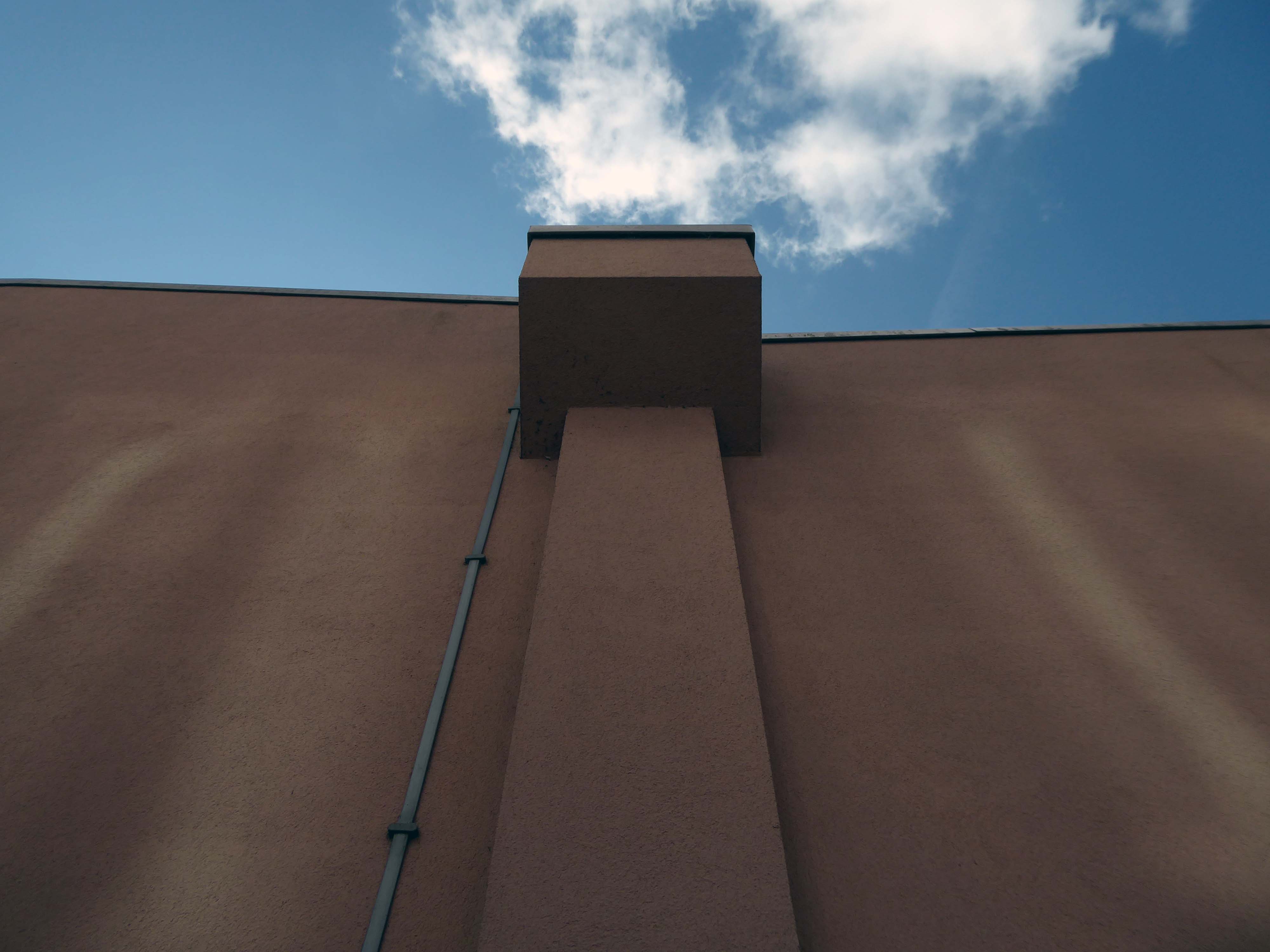
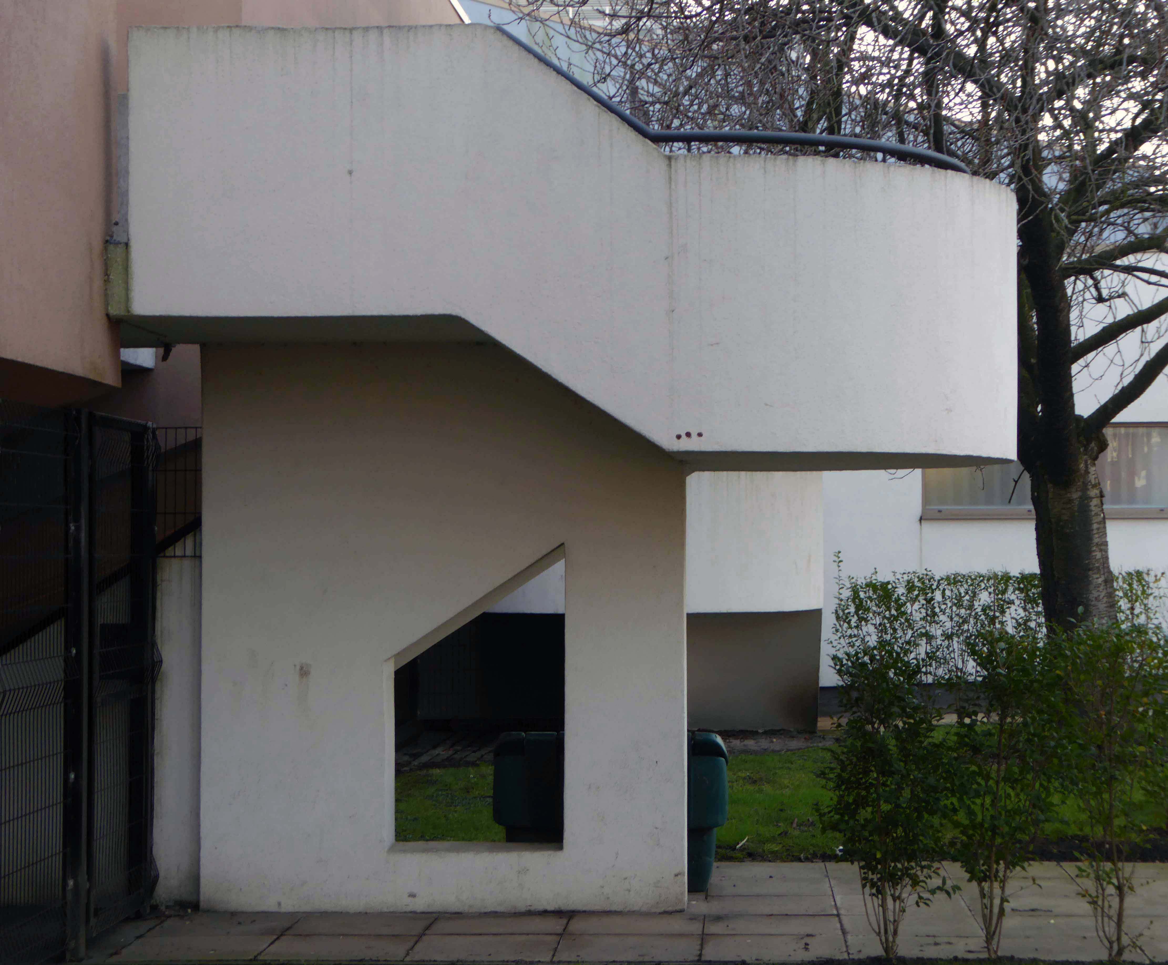
To the rear of the building there are some of the original details, now painted a series of funny colours.
A ways down the road the former Salford Technical College.
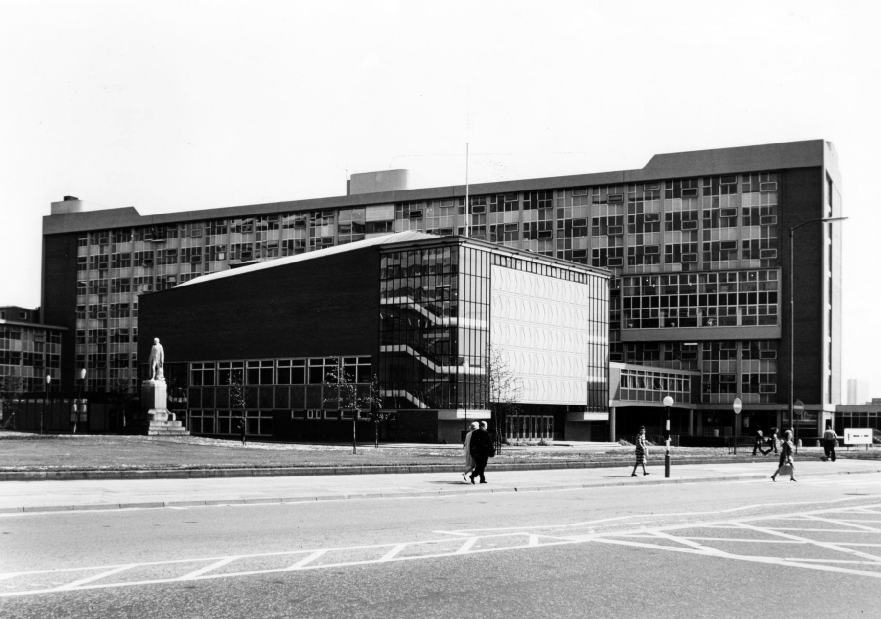
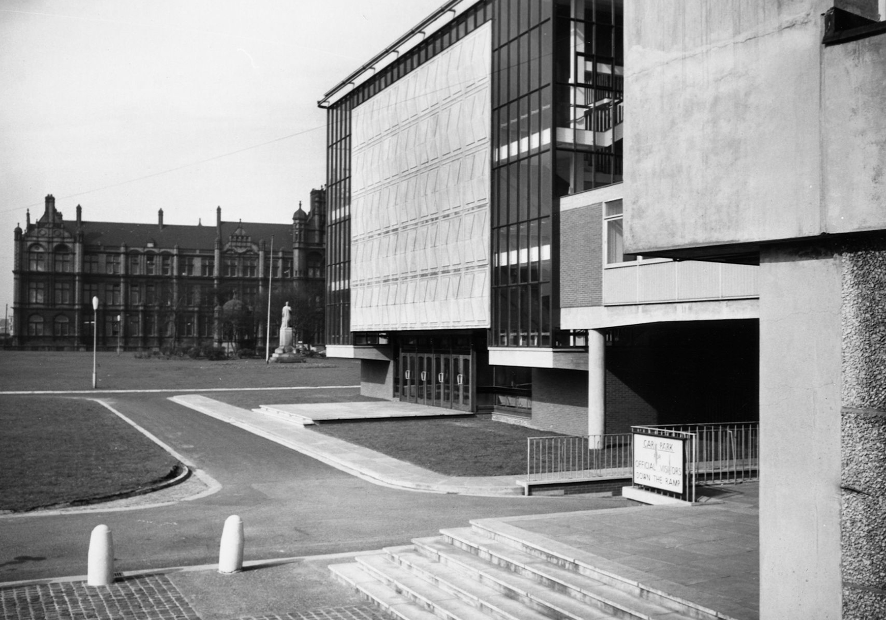
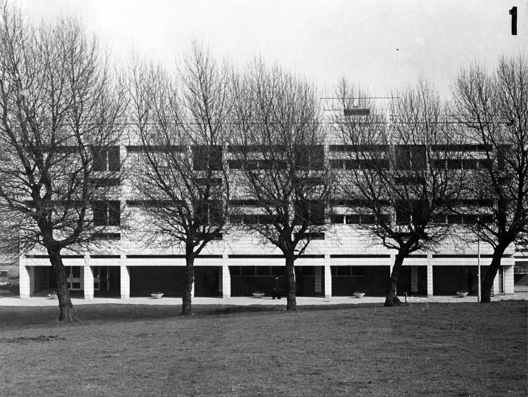
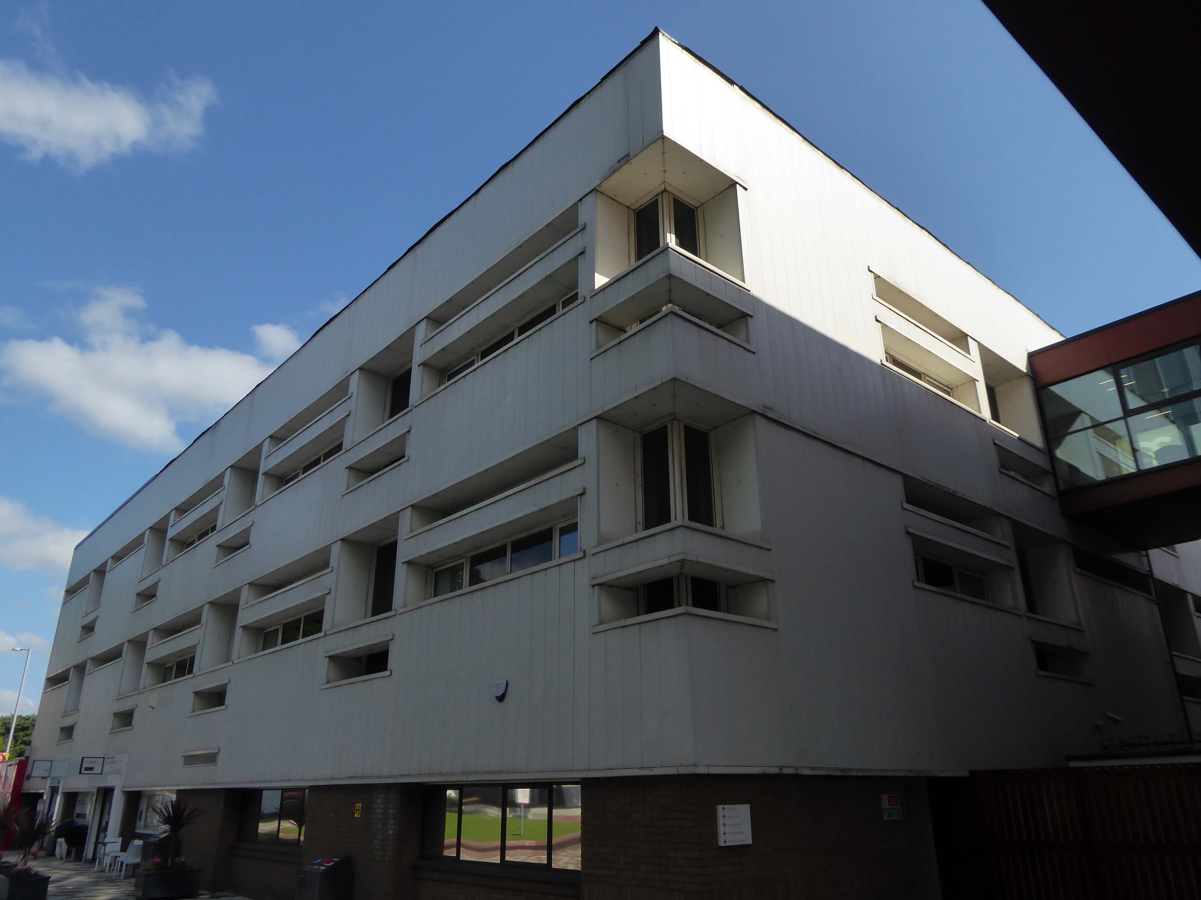
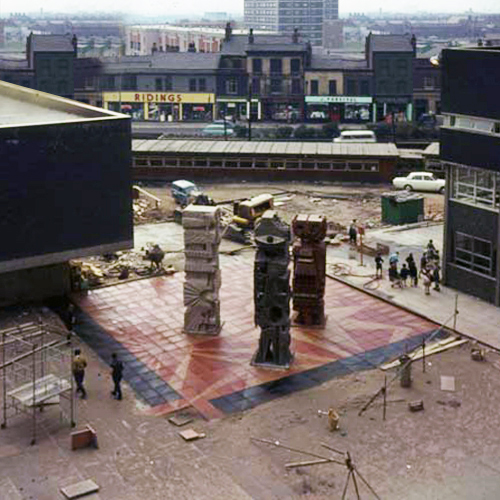
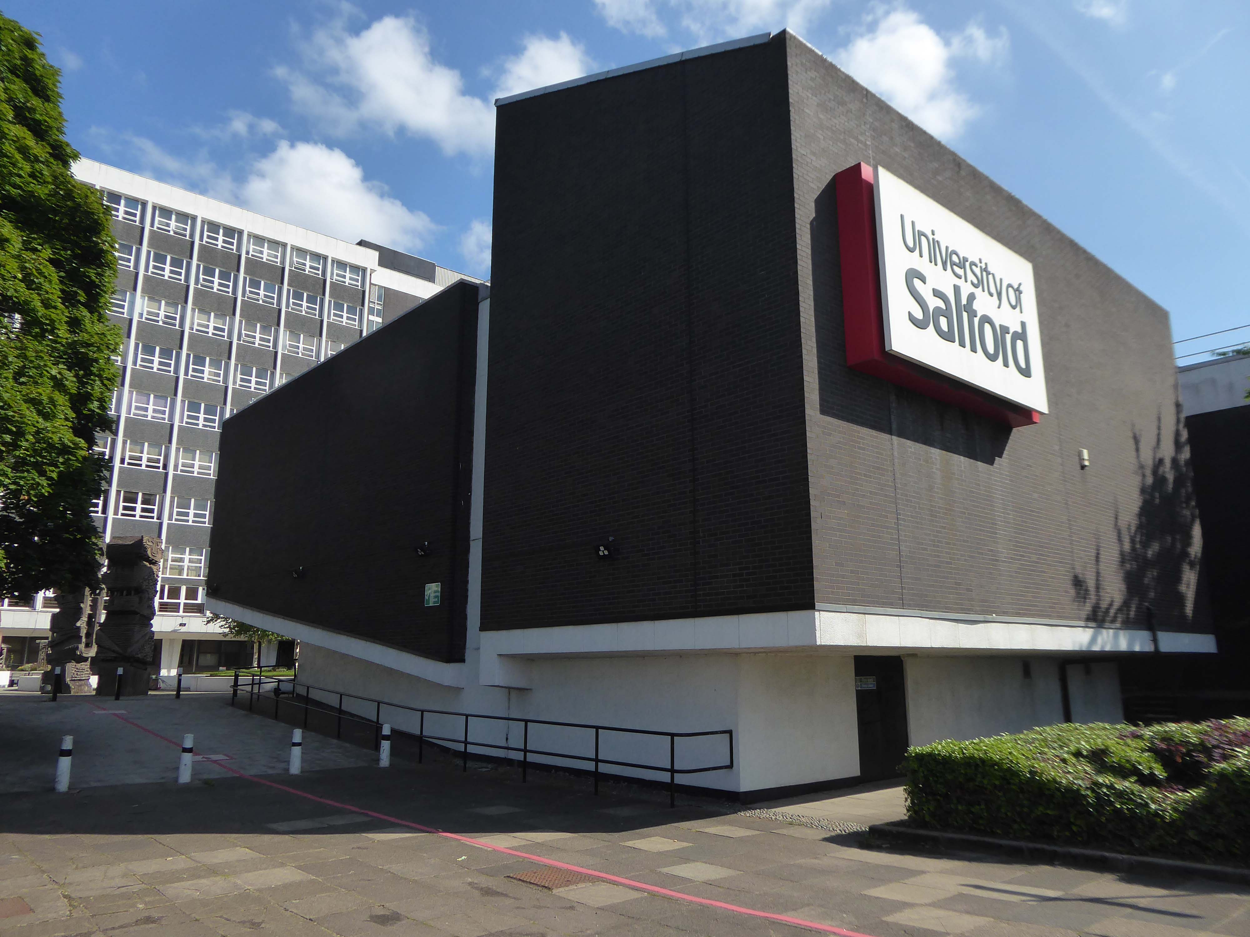
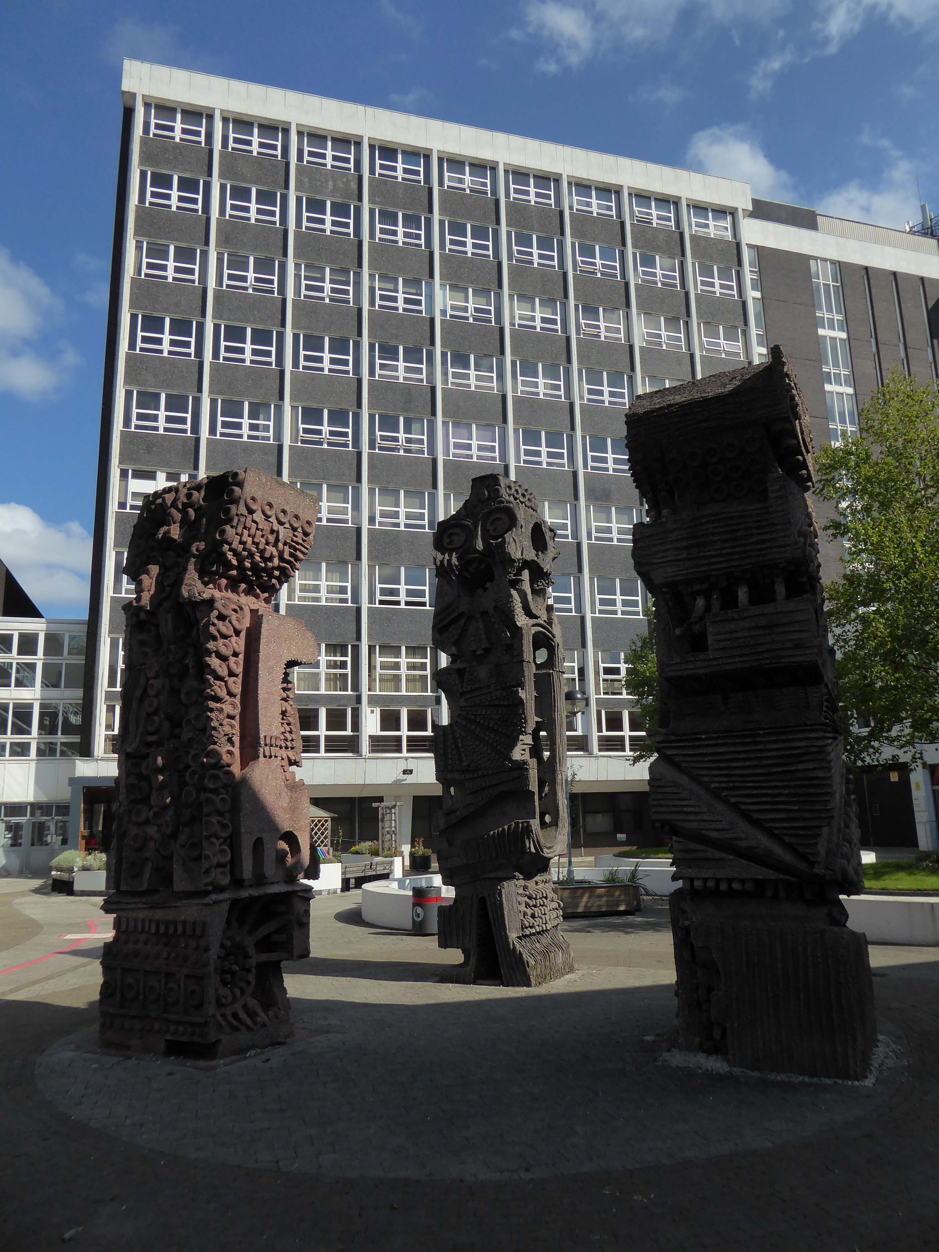
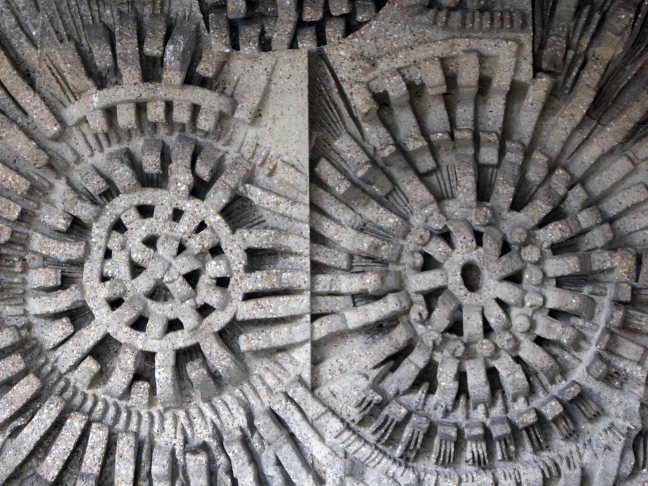
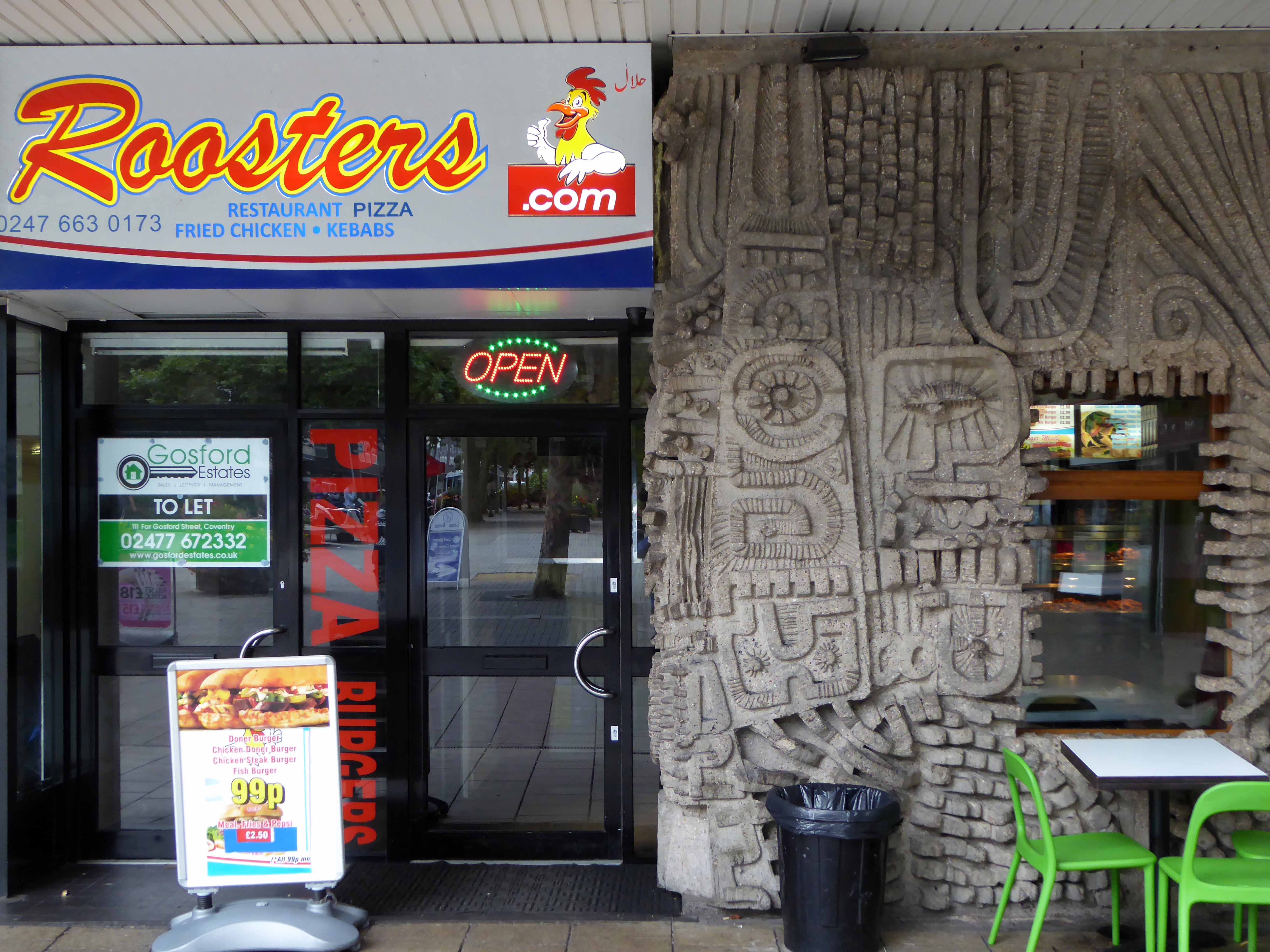
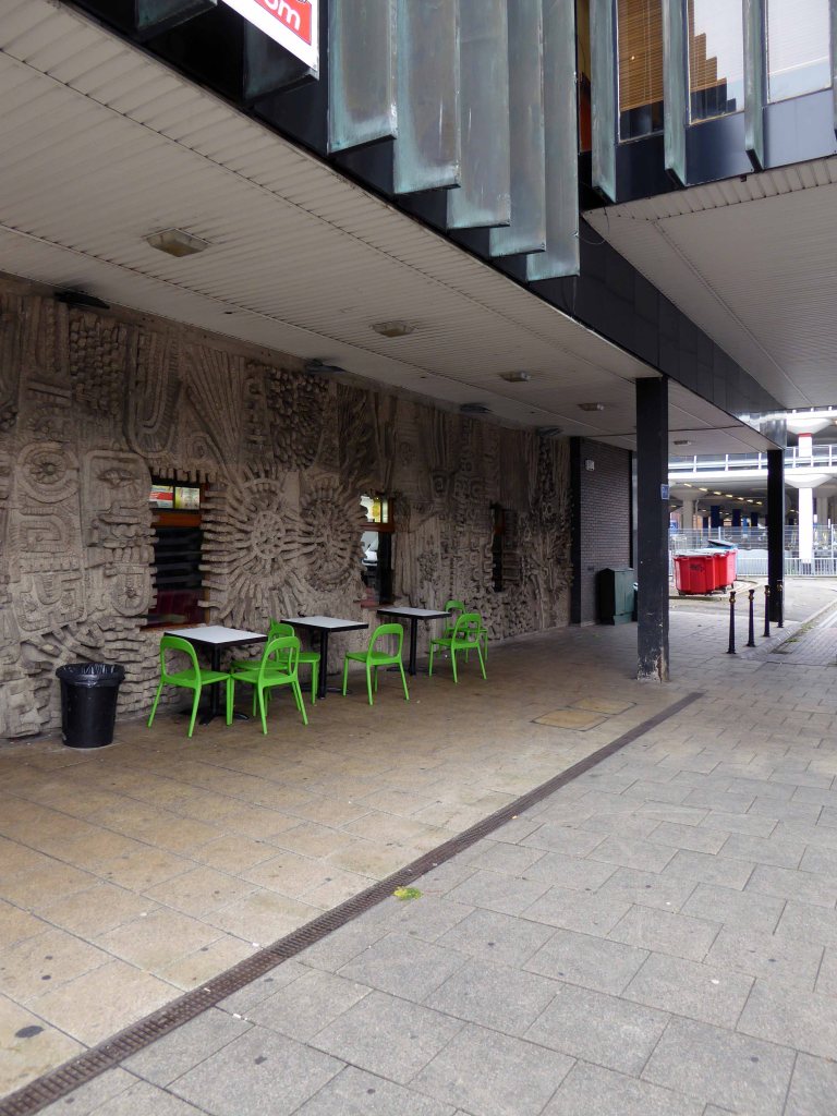
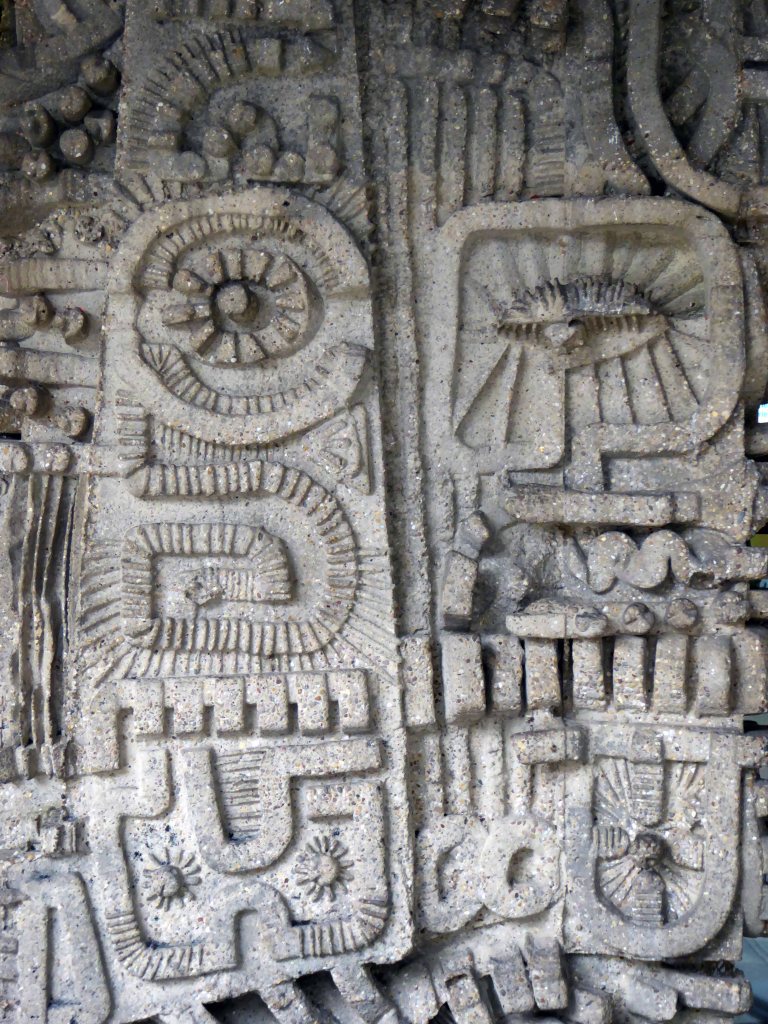
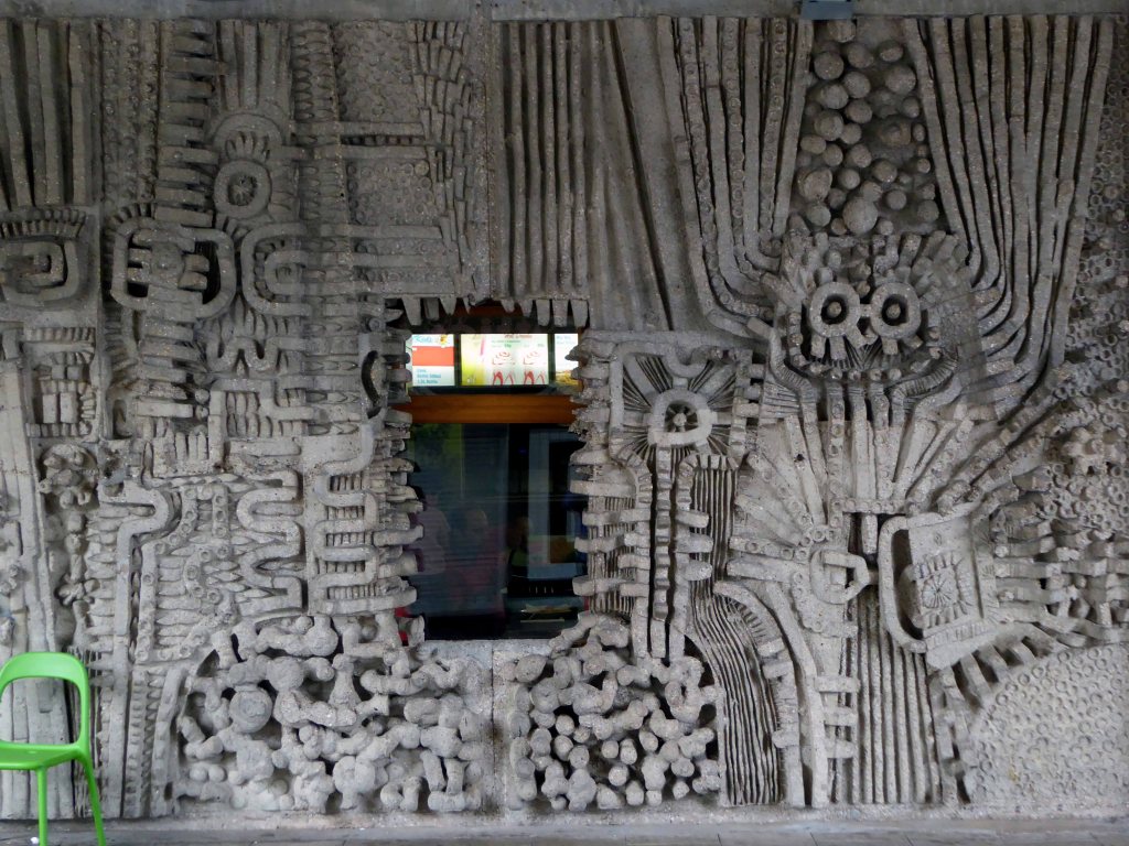
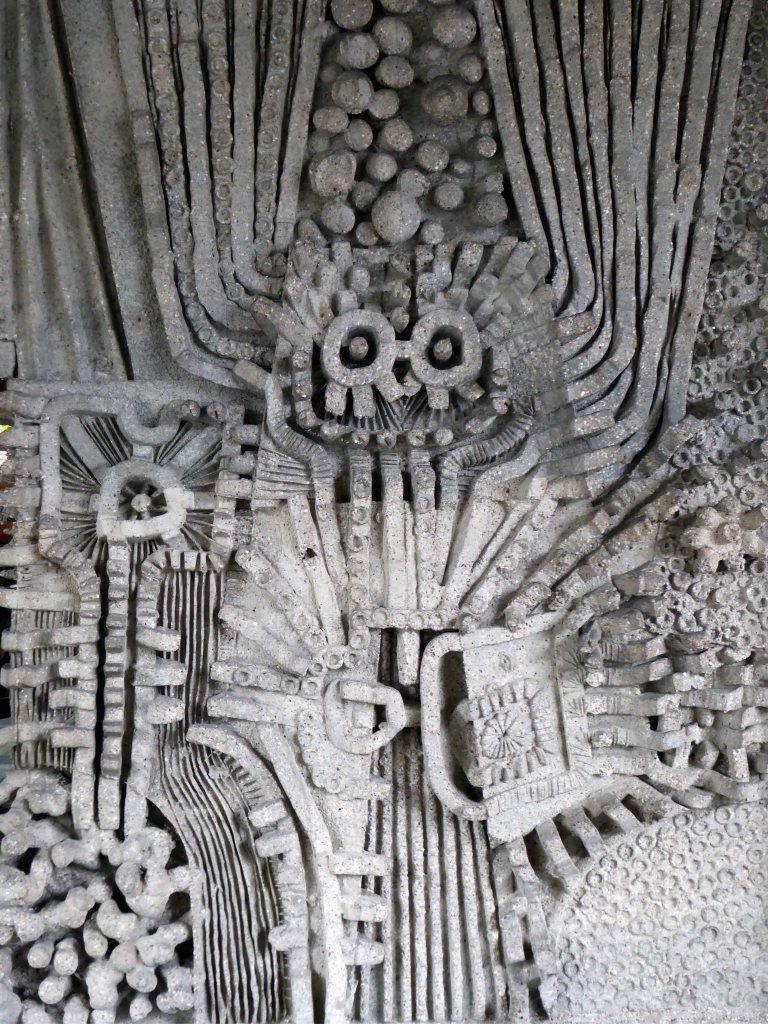
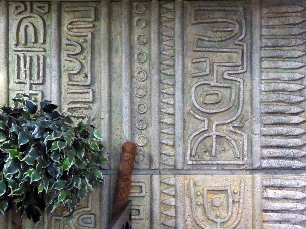
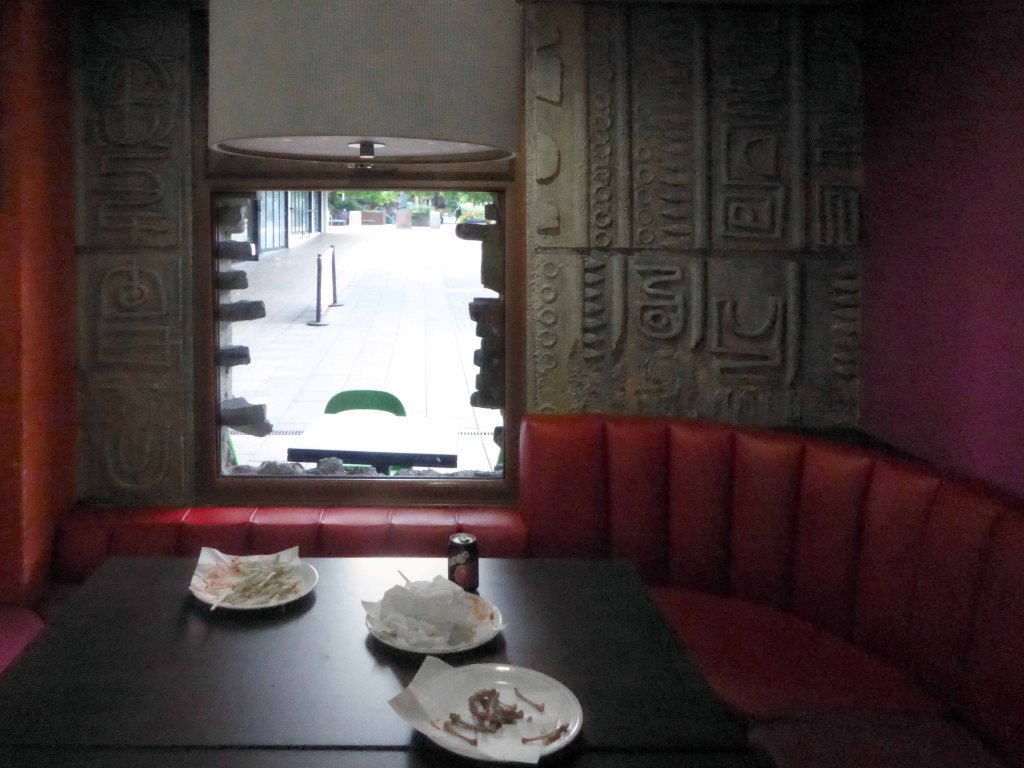
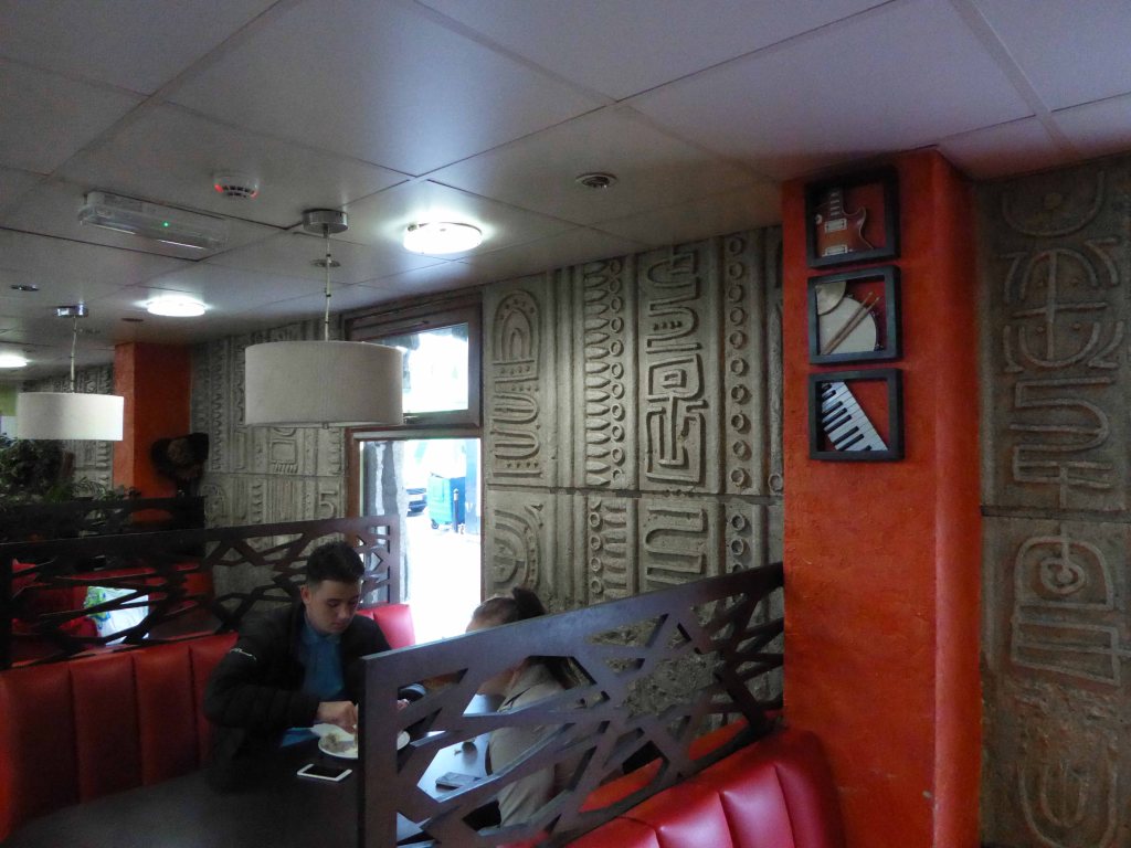
Now the part of the University of Salford, this grouping is probably the most significant work by Halliday Meecham during this period. The blocks wrap to almost enclose a courtyard and they step up in height towards the rear of the site. To the front is a lecture theatre block in dark brick. The multi-storey elements are straightforward in their construction and appearance and have had their glazing replaced. Perhaps the richest elements here are the three totemic structures by artist William Mitchell, which were listed at Grade II in 2011. Mitchell was actively engaged with the experiments of the Cement and Concrete Associations during the 1960s and produced a wide variety of works for public and private clients; other works regionally include the majority of the external art and friezes at Liverpool Metropolitan Cathedral and the Humanities Building at Manchester University. These textured concrete monoliths appear to have an abstract representation of Mayan patterns and carry applied mosaic. They were made on site using polyurethane moulds. There is another Mitchell work hidden behind plasterboard in the inside of the building.
April 1965 saw the Salford City Reporter proudly boast in an article that
The Ellor Street dream begins to come true – complete with interviews with residents of the newly constructed Walter Greenwood, Eddie Colman and John Lester Courts all which towered some 120 feet above the Hanky Park skyline.
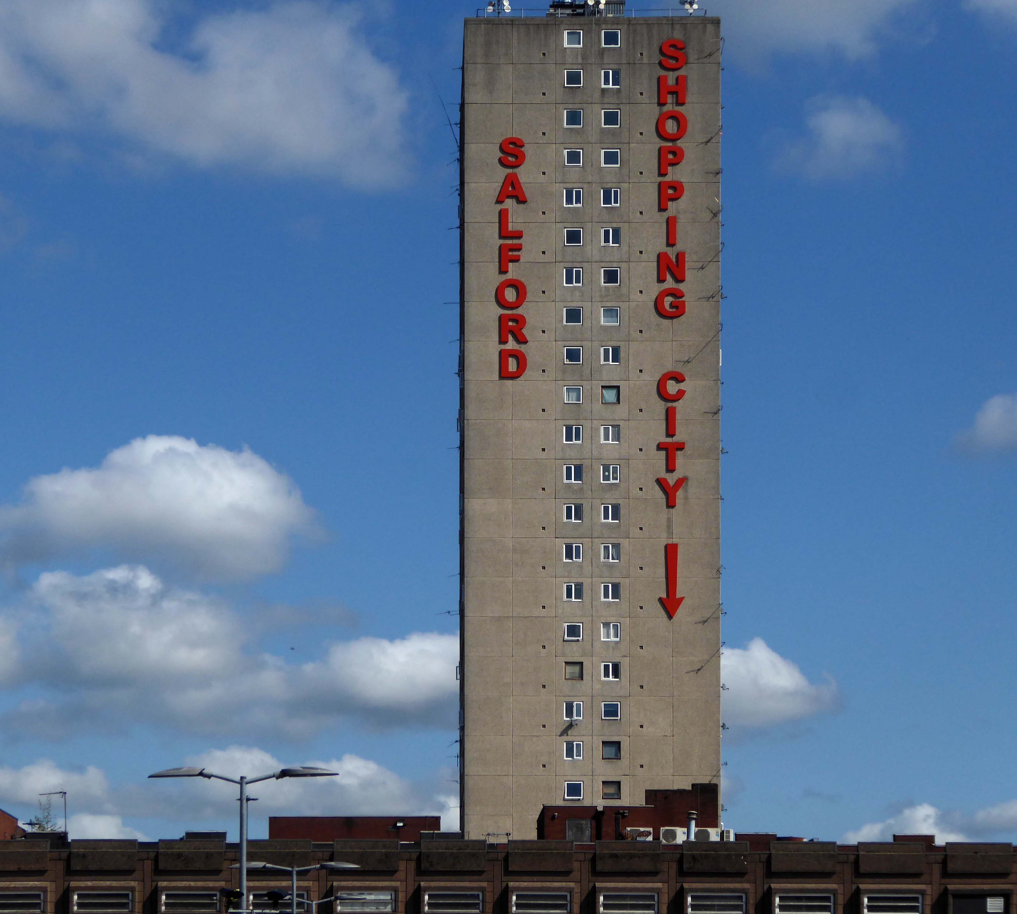
These particular blocks of flats were of special significance because their completion was the end of the first stage of the Ellor Street redevelopment scheme which was to provide 3,000 new homes, the £10 million pound Salford Shopping Precinct and a new civic centre – which never got built – making this A Salford of the Space Age.
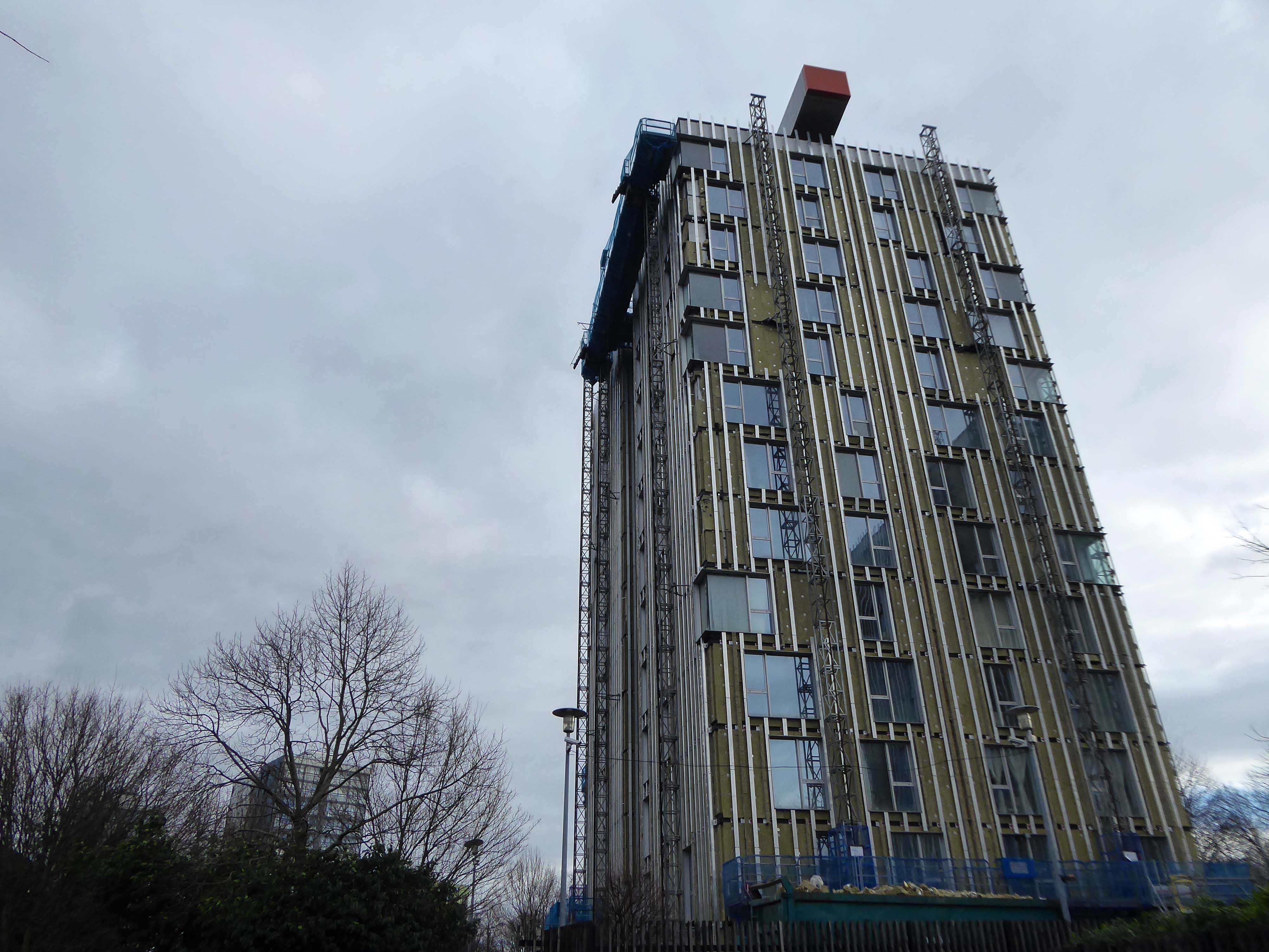
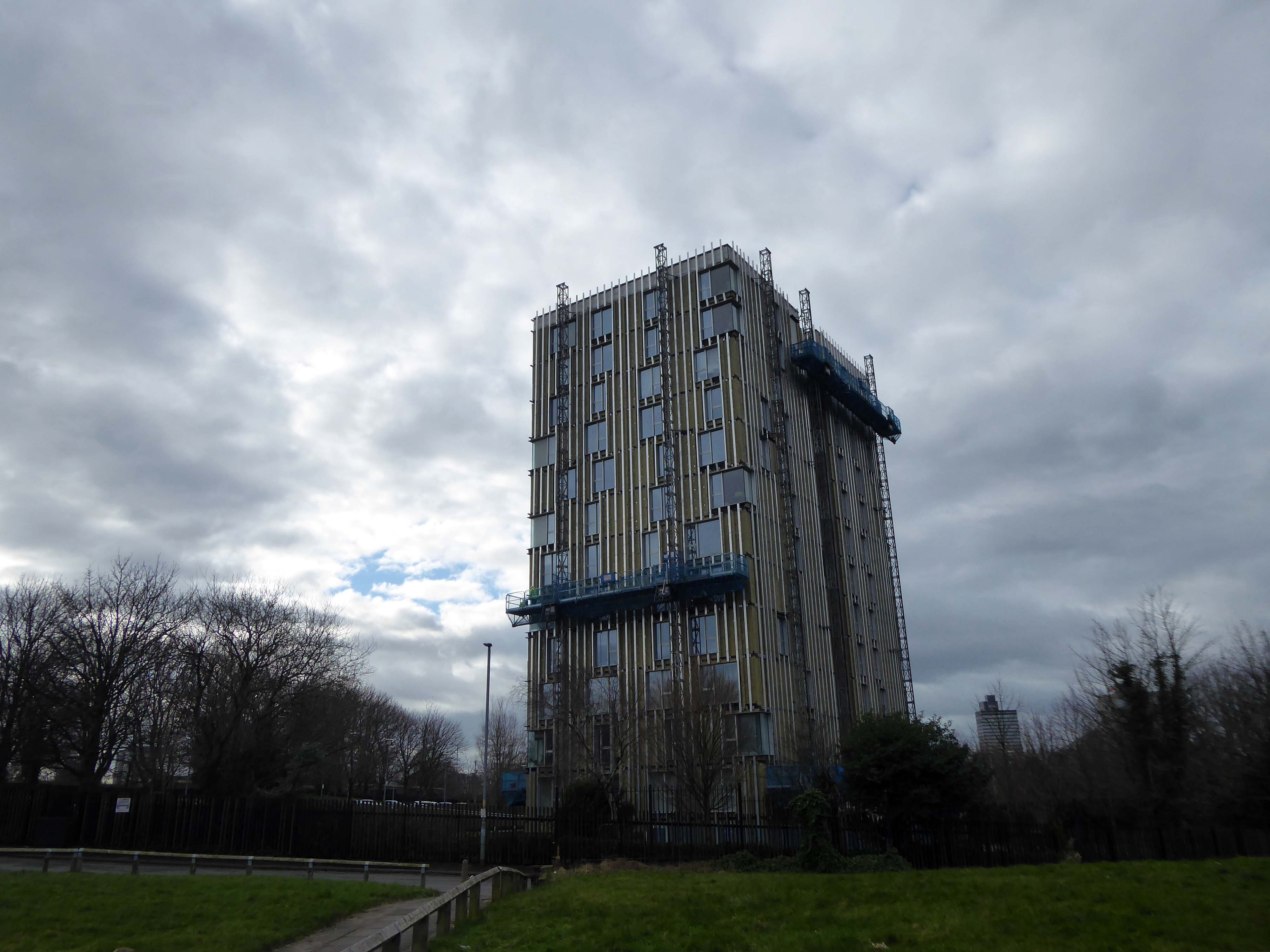
The tower blocks are now clad and the site a construction base for cladders.
Full details of Salford’s complex and extensive redevelopment can be found here at Tower Block.
Walter Greenwood Court was demolished in 2000/2001, whilst Eddie Colman and John Lester Court are now student accomodation for the nearby Salford University.
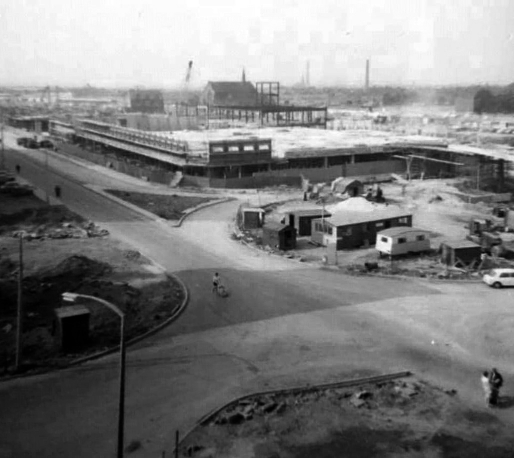
The construction of the shopping centre and surrounding areas continued and on 21 May 1970 the new Salford Market officially opened. From 1971 onwards new shops inside the precinct itself began to open.
However, due to a lack of funds and a political scandal which saw chairman Albert Jones jailed for eight months construction of Salford Precinct was halted. The site had only 95 shop units compared to the proposed 260, the hotel and two storey car park were never built.
The architectural core of the site has been retained, including the 23 storey Briar Court residential tower.
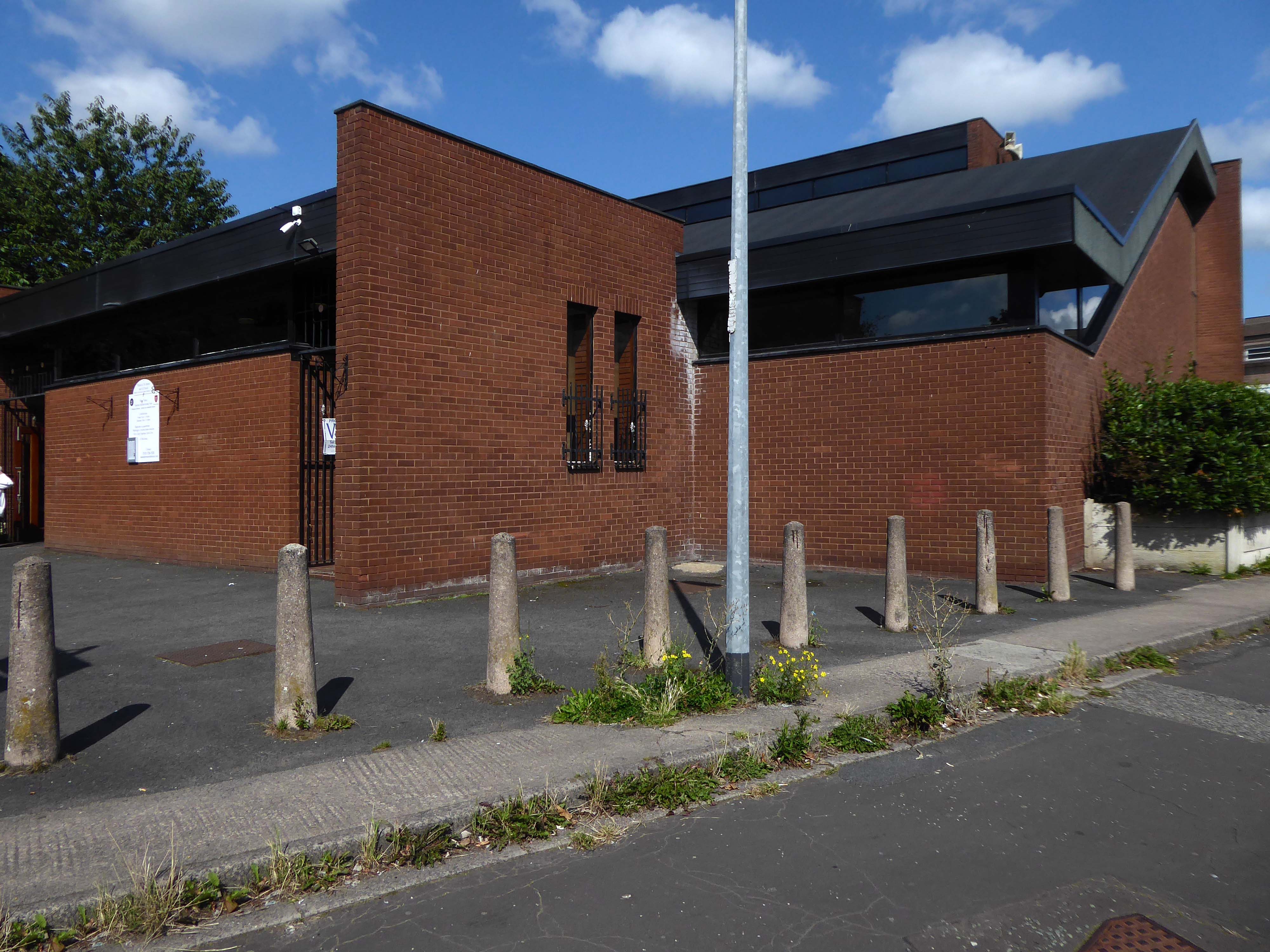
Tucked in behind is Mother of God and St James RC Church.
Clearances took place from the middle of the twentieth century and new high-rise housing blocks were built, as well as a shopping centre.
There was a Catholic presence in the area from 1854, when schools were built. What was described in The Tablet as a beautiful church, an Early English Gothic design by M. Tijou – presumably Herbert Tijou, architect of the chapel to Loreto College, Manchester, was opened by Cardinal Manning, Archbishop of Westminster in 1875.
One hundred years later this church was demolished and replaced by the present building.
The architects were Desmond Williams & Associates, the design bearing some similarity to their St Sebastian, Salford. In 2010 the church of All Souls, Weaste, was closed, and the marble sanctuary furnishings brought to the church.
Description
All orientations given are liturgical. The church is steel framed with brick walls and a monopitch roof (originally covered with copper, now with felt). Bold brick forms create a presence, and the design is somewhat defensive, with few windows. The building is entered from a lower porch which forms a narthex. The slope of the roof and the stepped clerestory lighting create a striking impression inside, and full-height windows towards the east end incorporate stained glass figures said to have originated in the previous church. Marble sanctuary furnishings are presumably those from the church in Weaste and appear to be of later twentieth century date, while the font is of traditional type with a clustered stem and may have come from the earlier church.
Returning to The Crescent the High Street Estateis all but demolished, save for one resident and their row.
This is an area which has seen a succession of clearances, redevelopment and shifts in demographics during a relatively short and intense period of change.
That process of change continues to hastily unfold.
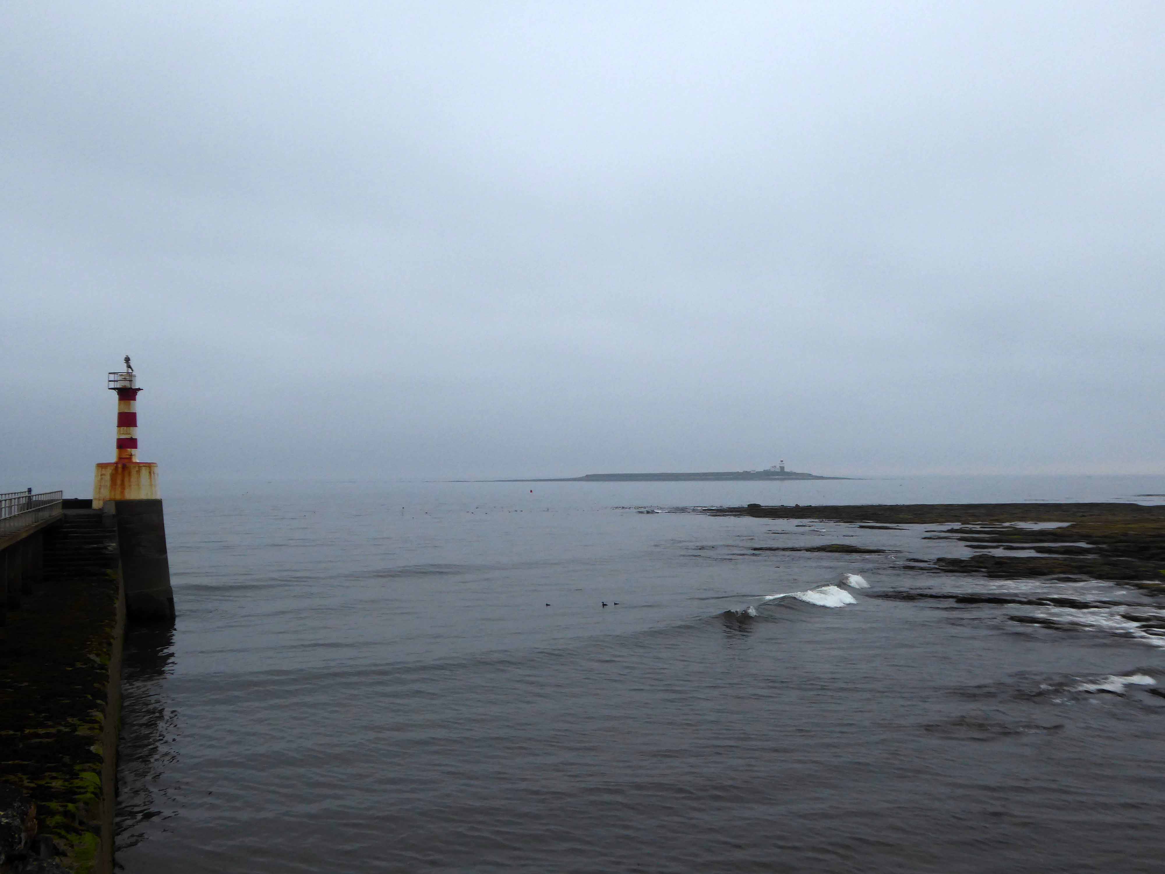
The final day the first sight of cloud and sea mist.
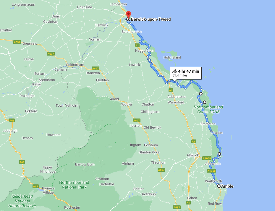
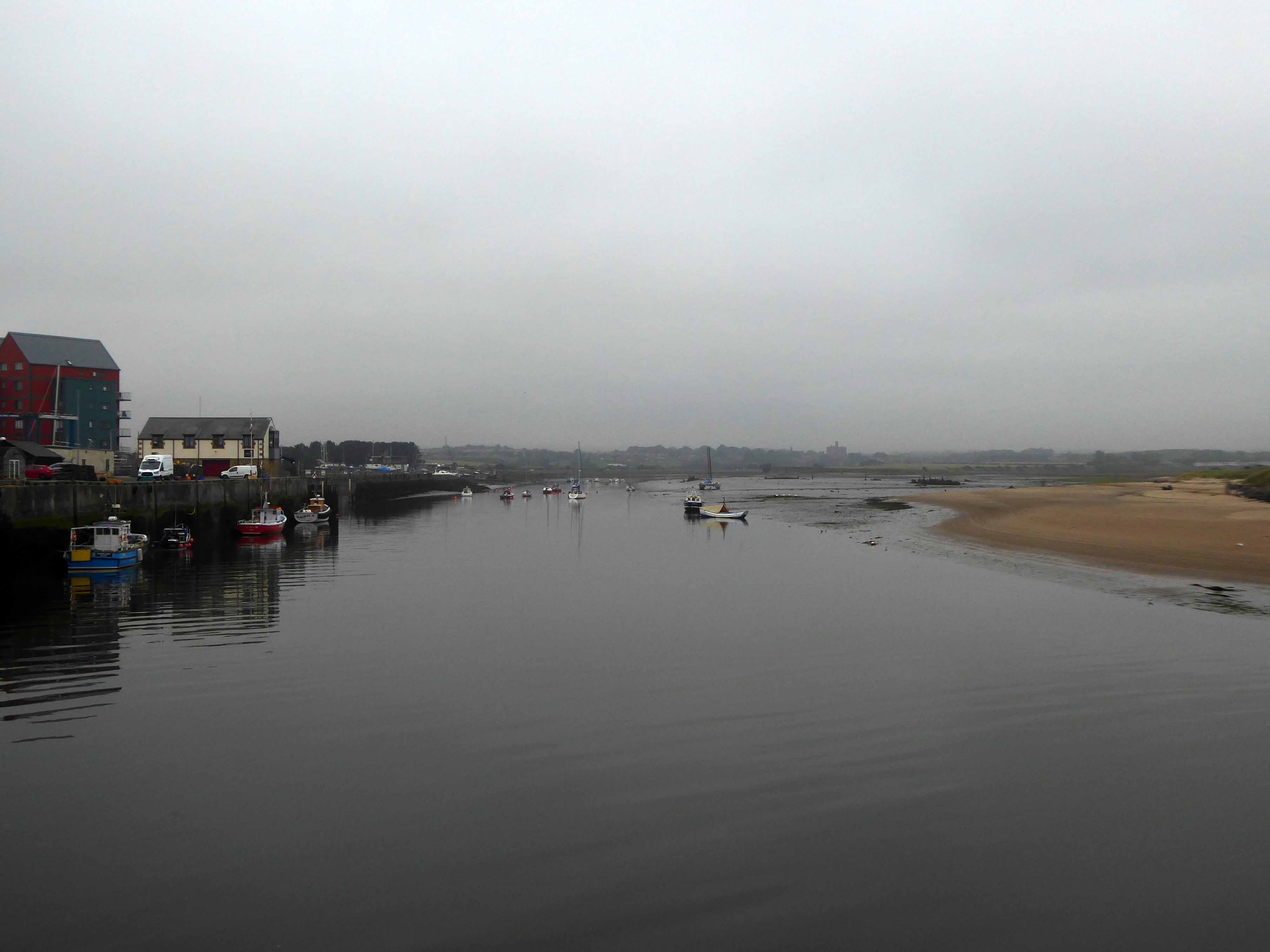
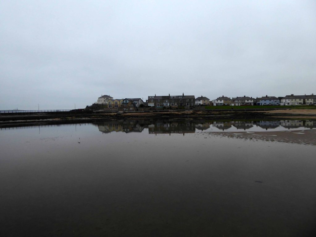
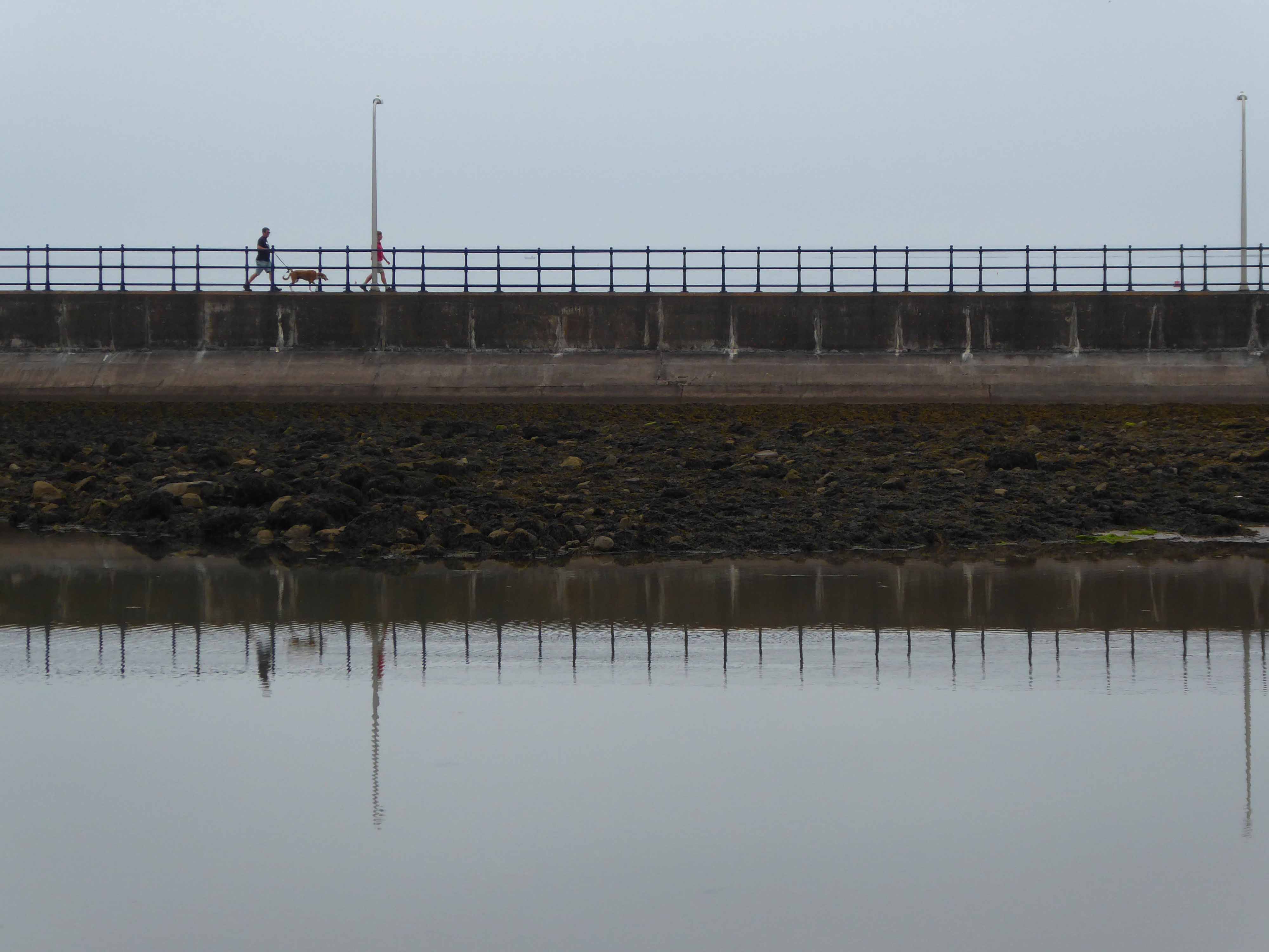
I awoke early and took an amble around Amble.
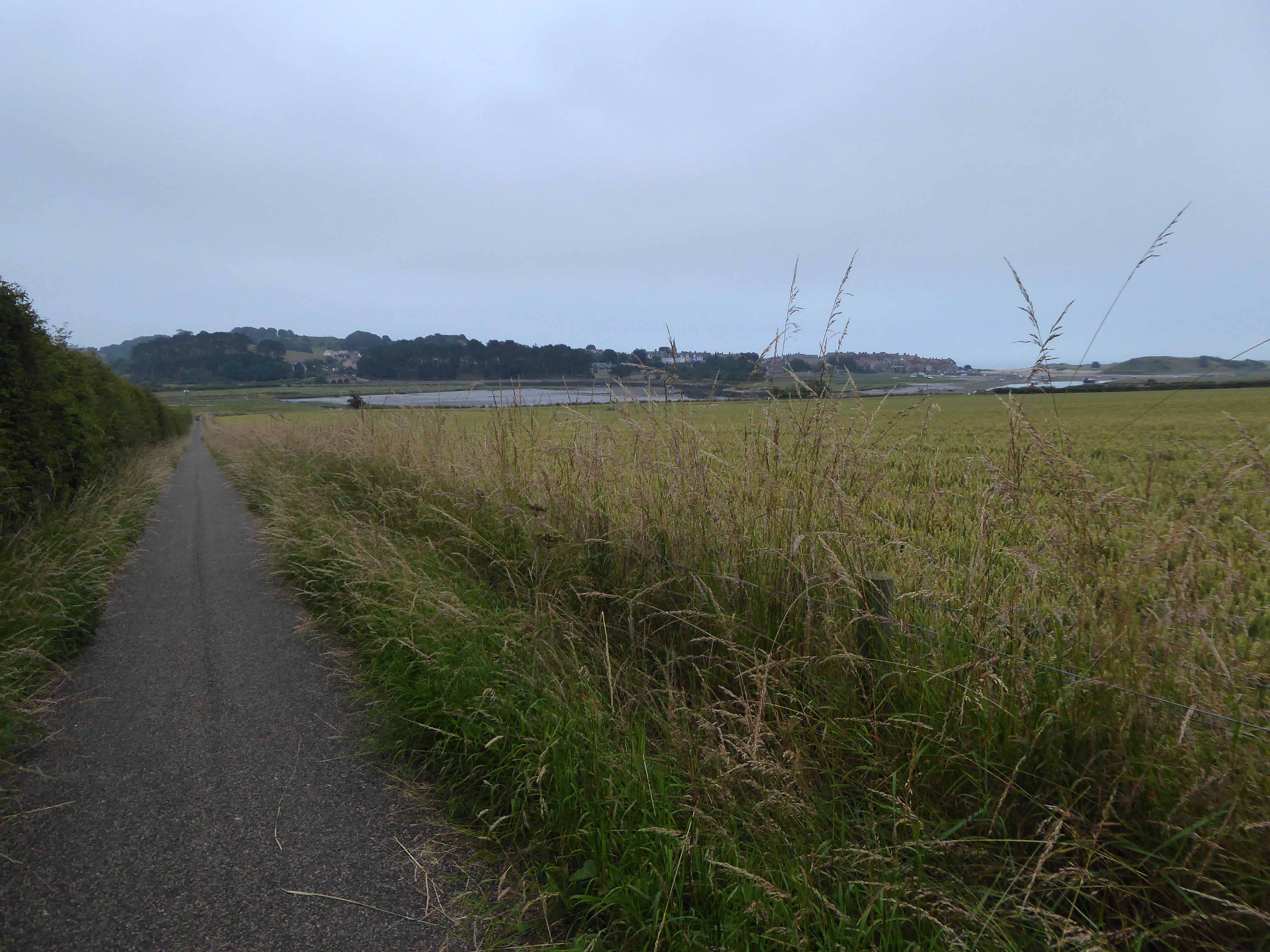
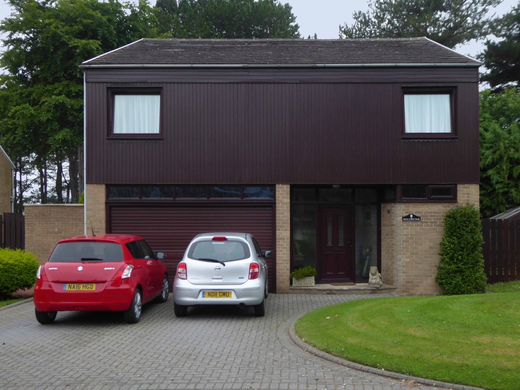
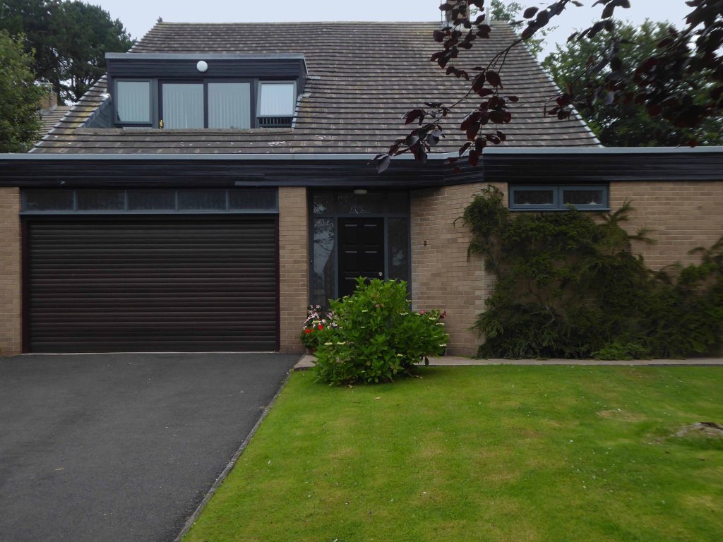
Then off on the road to Warkworth and beyond to Alnmouth – where I revisited a small group of asymmetric post-war dormer bungalows.
Stopping to view the flood plain of the River Aln, chatting perchance with the local environmental officer.
Who explained how the flood defences had been removed, as this encouraged the natural process of flooding and receding to proceed unhindered, thus preventing property from being interminably sodden.
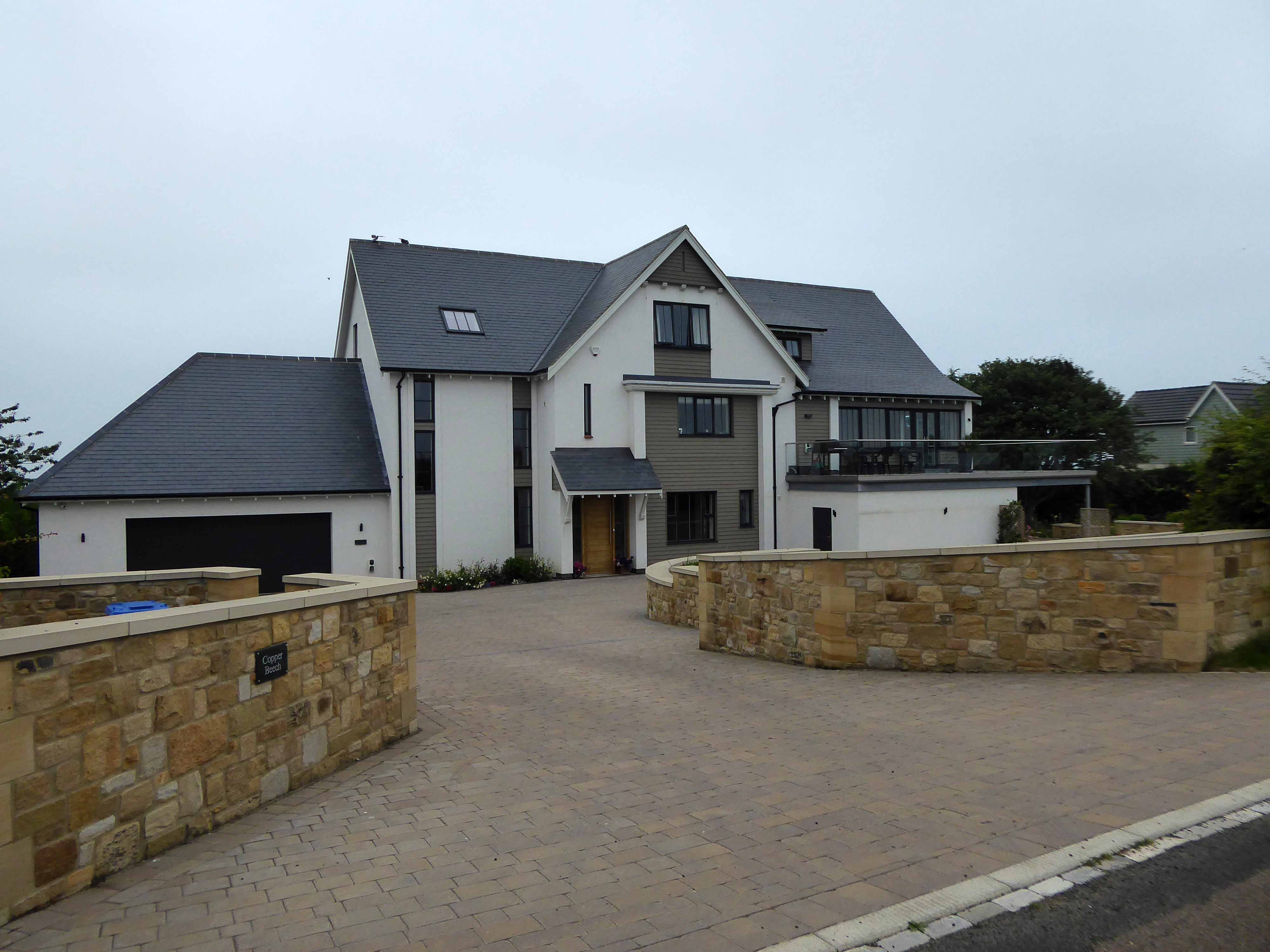
We also discussed the decline in vernacular architecture and the fashion for all that is New England, much to the detriment of New Northumberland.
One day everywhere will look like a someone else’s vision of somewhere else.
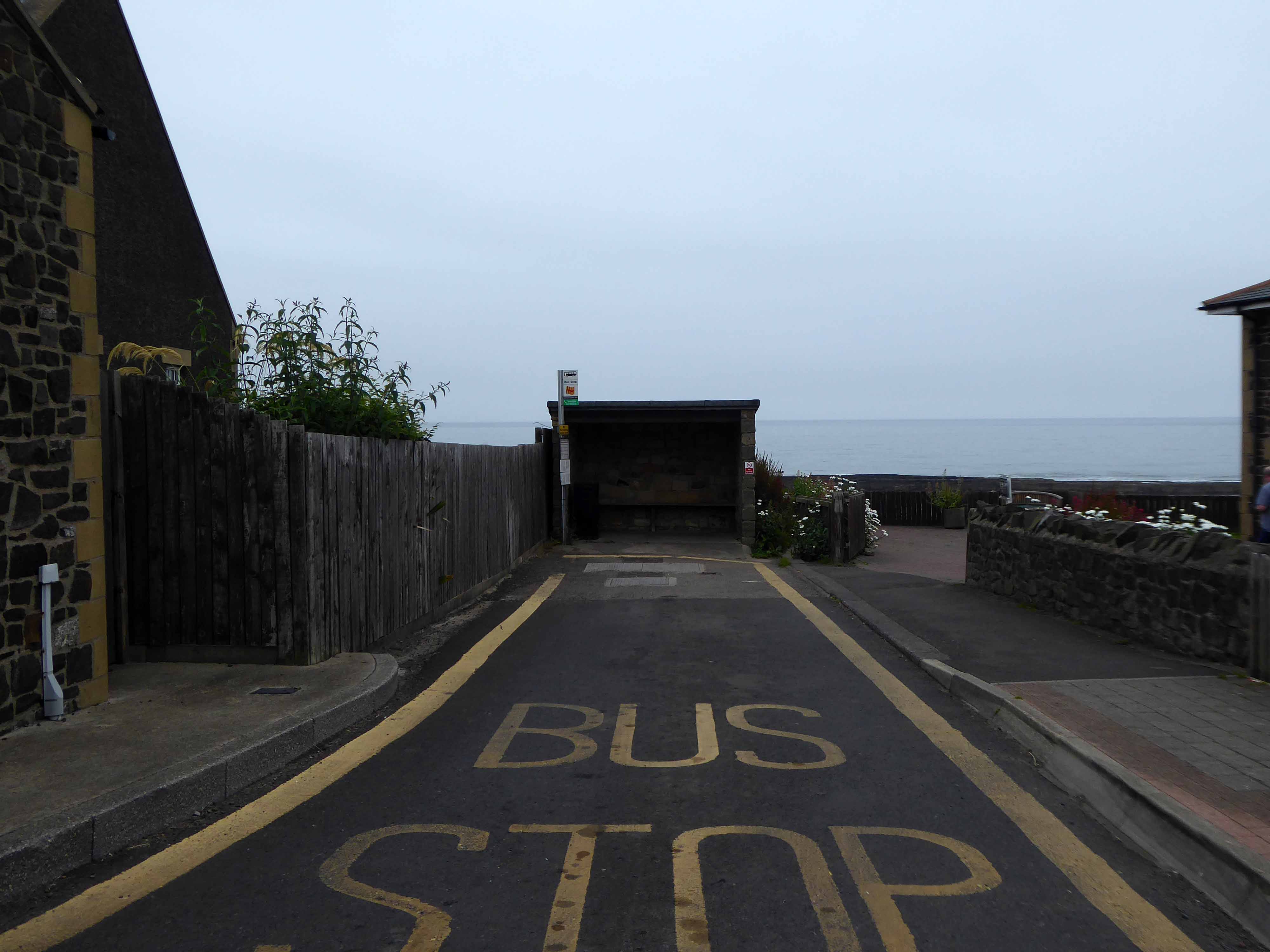
The good folk of Craster have wisely prevented the local bus from entering the North Sea.
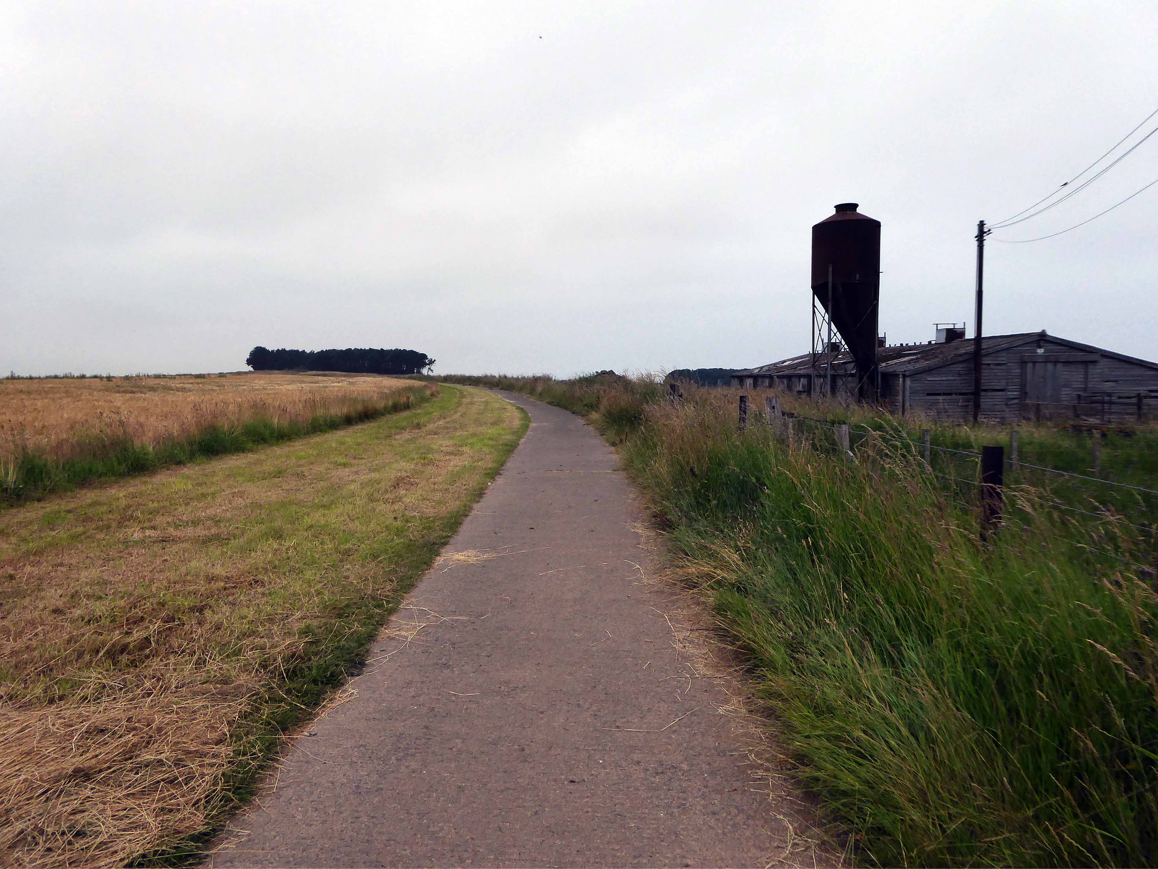
The way north took me over a well laid concrete track.
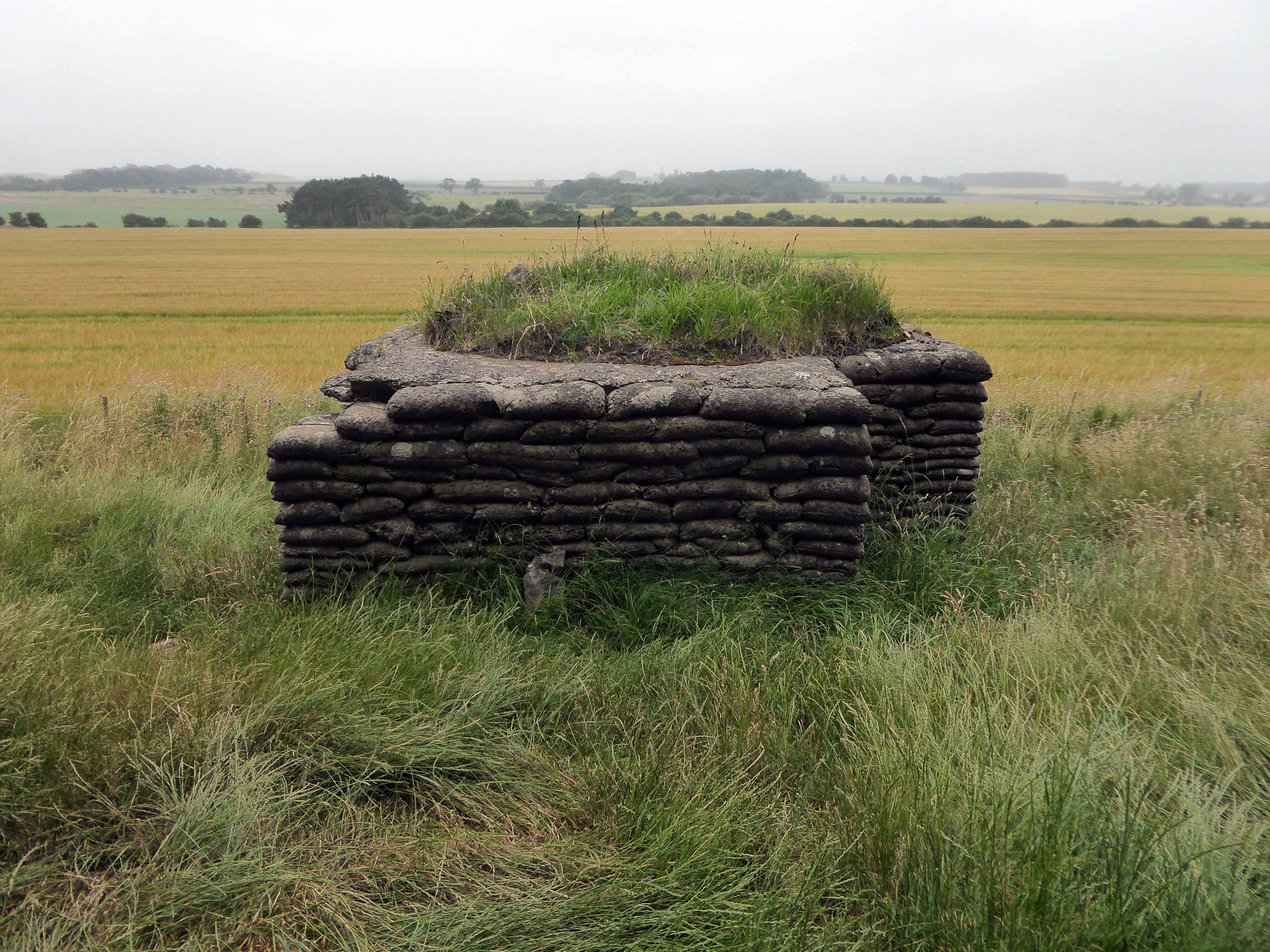
I came upon three wise men from Durham, Rochdale and Doncaster, gathered around a concrete-bag bunker.
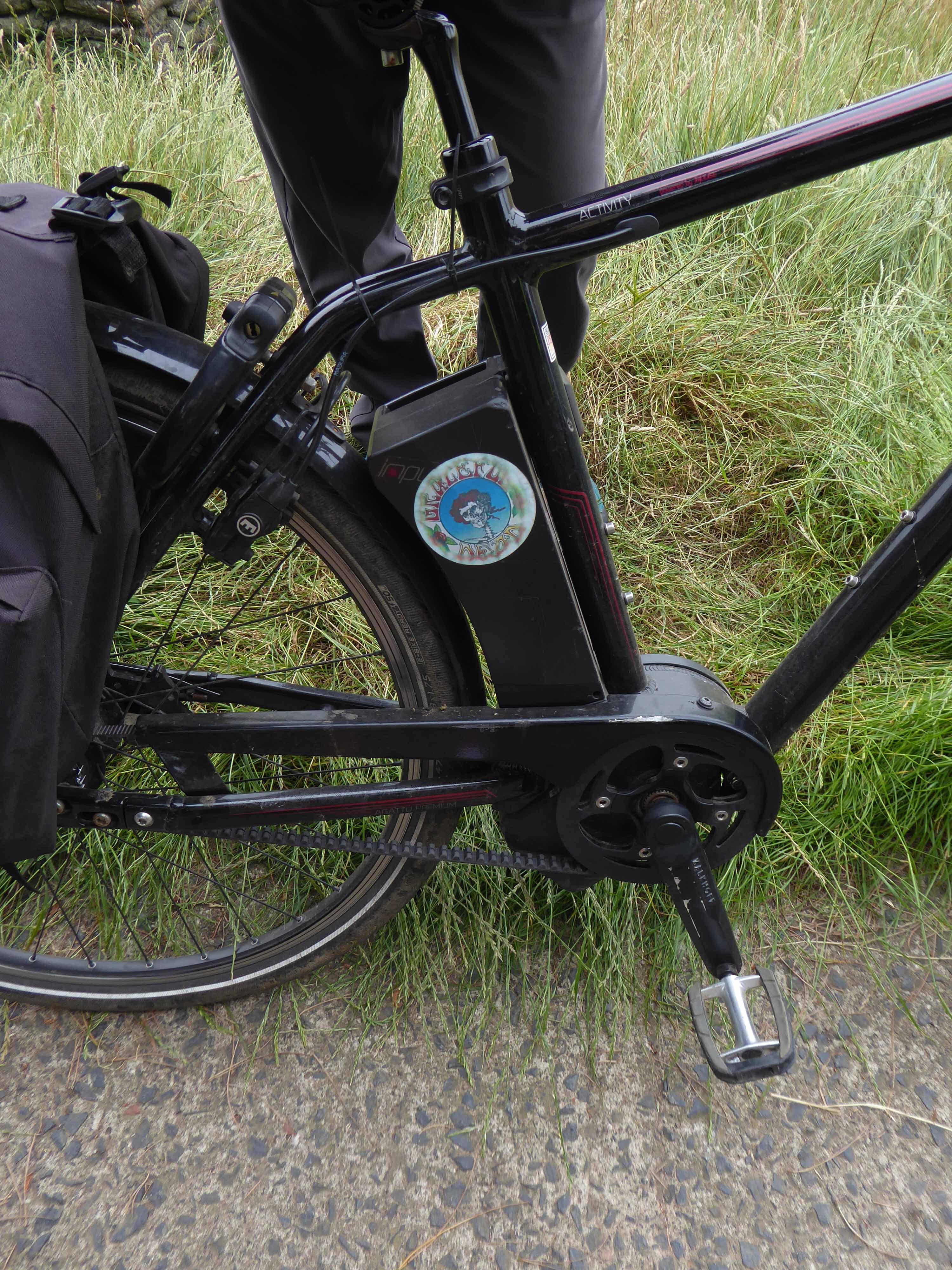
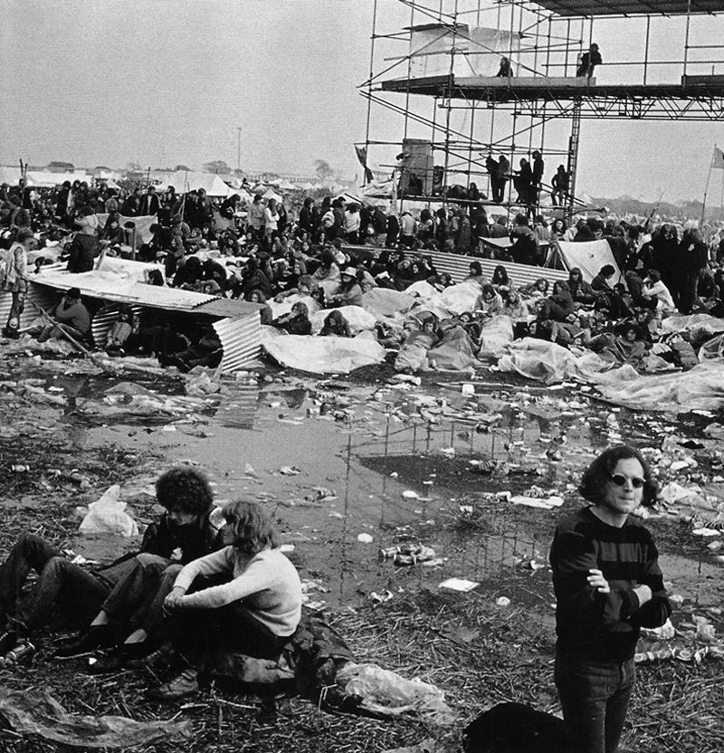
They were all Grateful Dead fans who like me had attended the Bickershaw Festival in 1972.
The first and last outdoor festival I ever done attended, unforgettable.
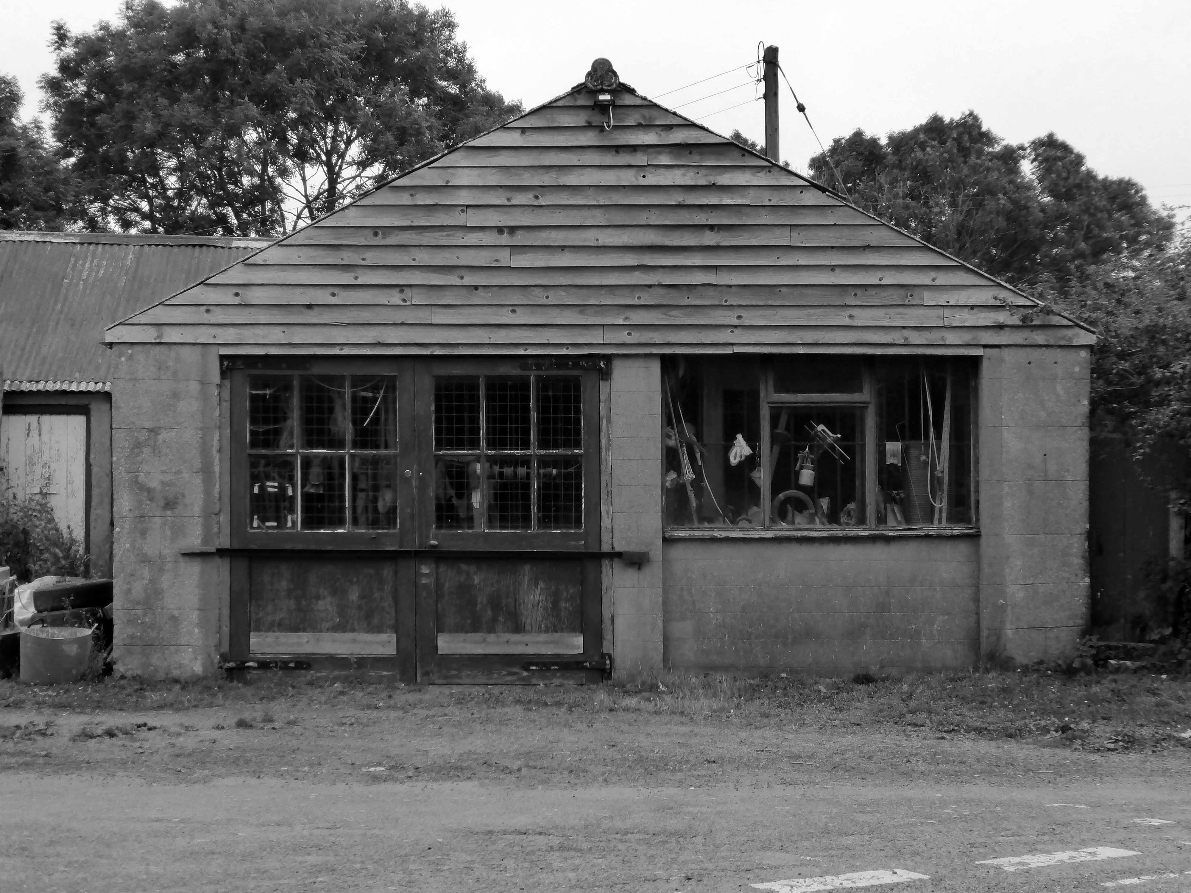
Weaving down and around quiet lanes I encountered this Walker Evans workshop.
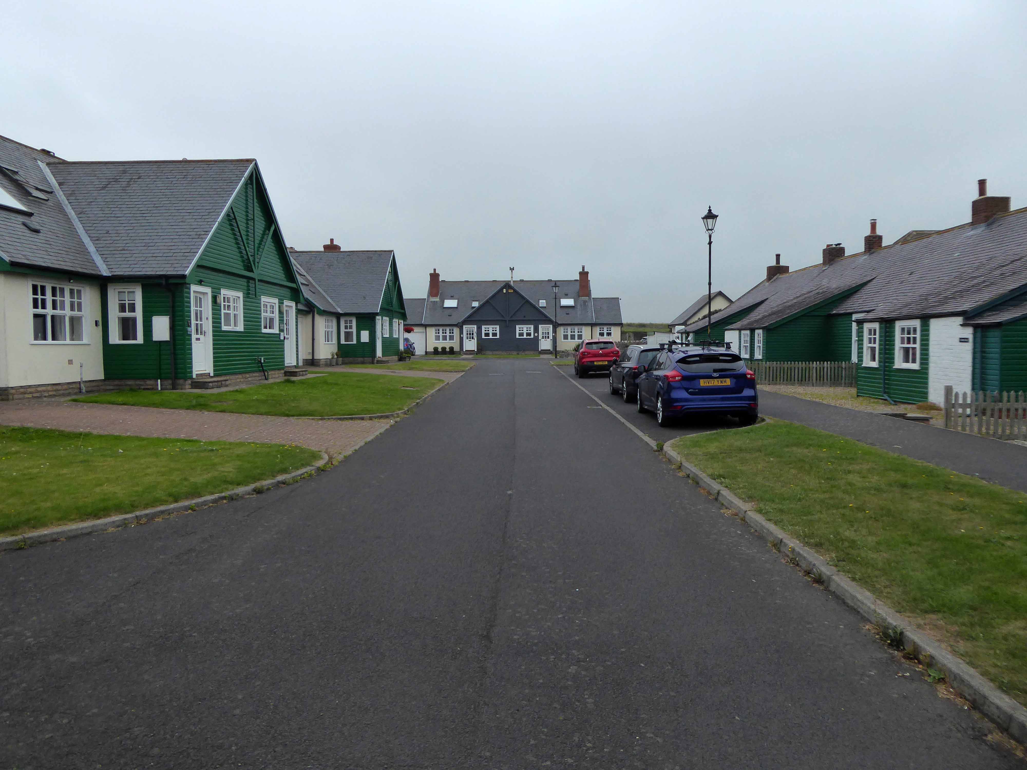
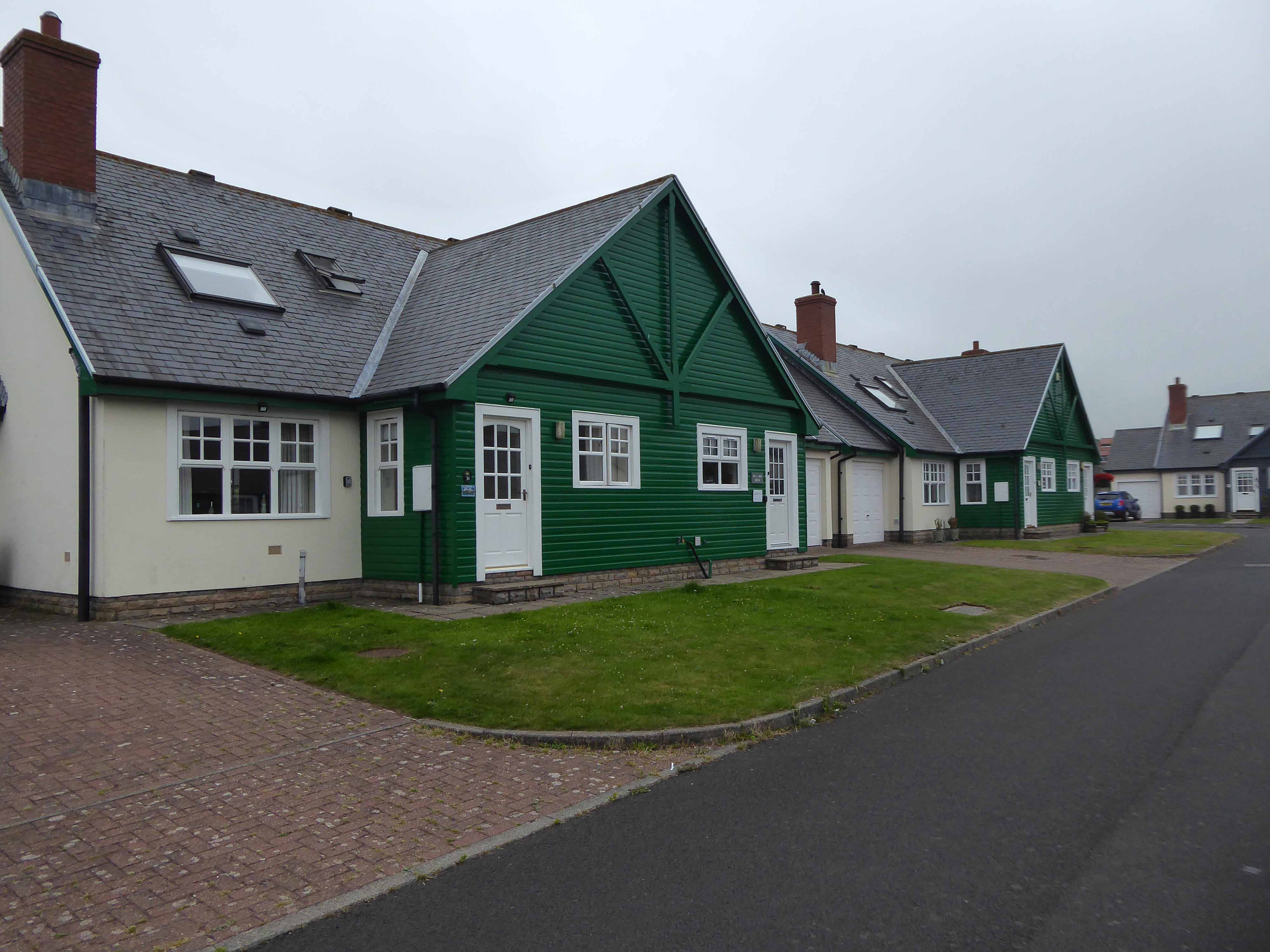
Armstrong Cottages is an estate originally built by Lord Armstrong for the workmen restoring Bamburgh Castle.
The 1901 Census lists the current inhabitants with their provenance and professions.
114 residents are listed for the 19 cottages, of whom 53 are working men employed in the building trade: their professions include stonemasons, joiners, plumbers, rope & pole scaffolders, blacksmiths, and plasterers.
Many come from Northumberland or Scotland, but a significant proportion are from further afield: Cumberland, Westmorland, Lancashire, Durham, Yorkshire, Derbyshire – and one from the Channel Islands.
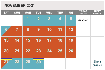
Seven nights in November will now cost you the best part of a thousand pounds.
The Armstrong family the former owners, made millions from the sale of armaments.
If I thought that war would be fomented, or the interests of humanity suffer, by what I have done, I would greatly regret it. I have no such apprehension.
He also said:
It is our province, as engineers to make the forces of matter obedient to the will of man; those who use the means we supply must be responsible for their legitimate application.
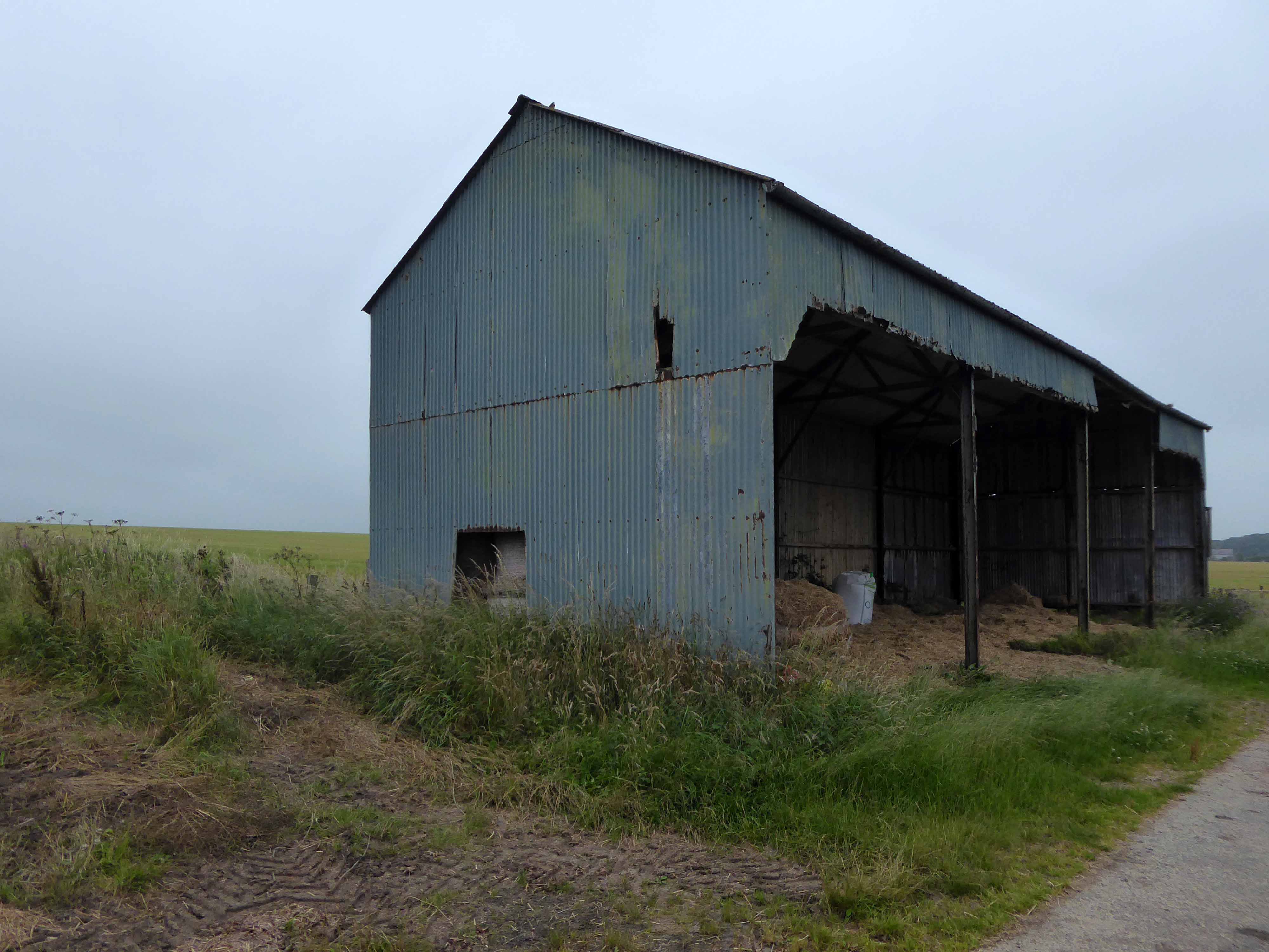
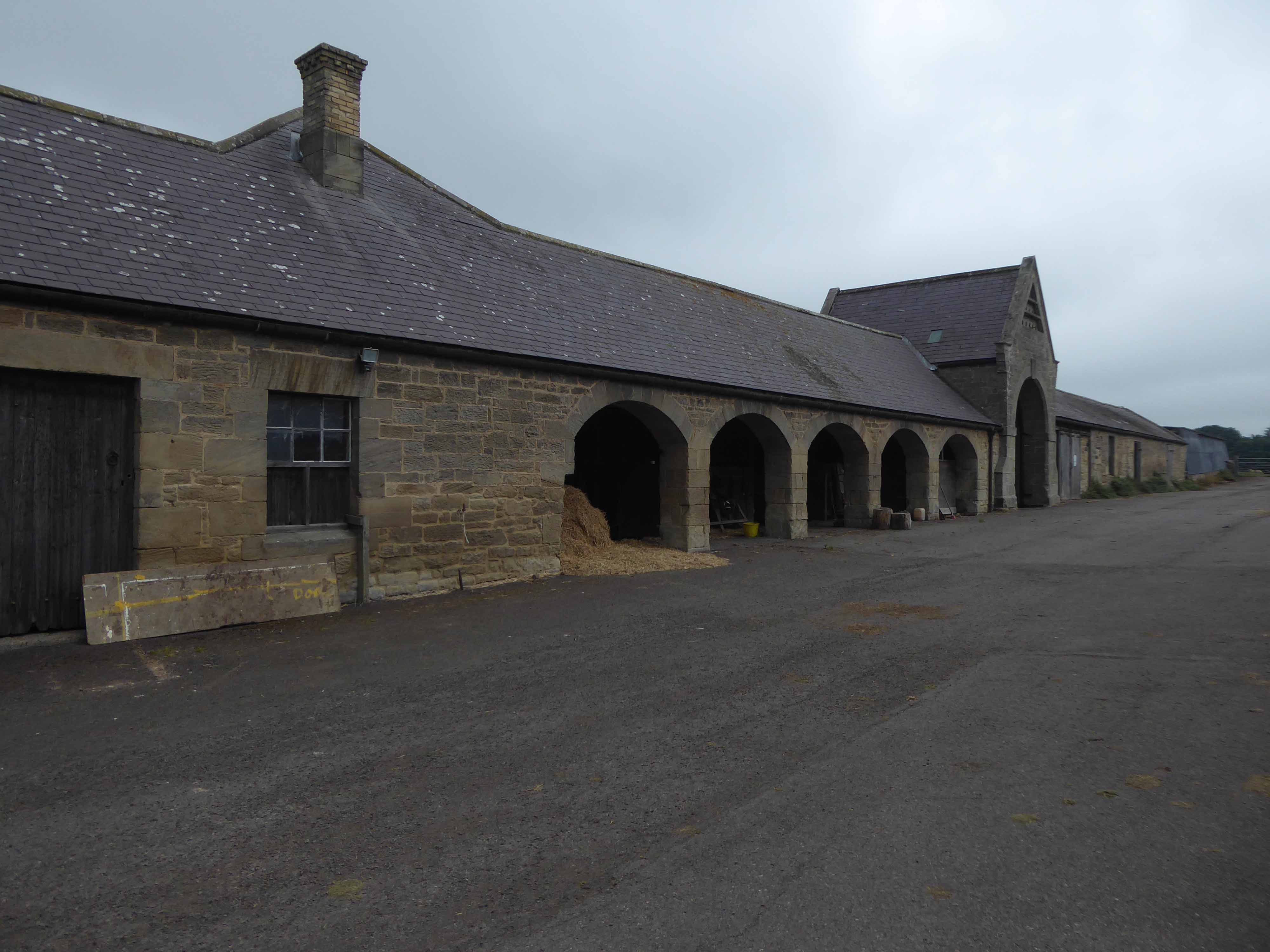
I paused a wee while to take a sip of water and admire the agrarian architecture.
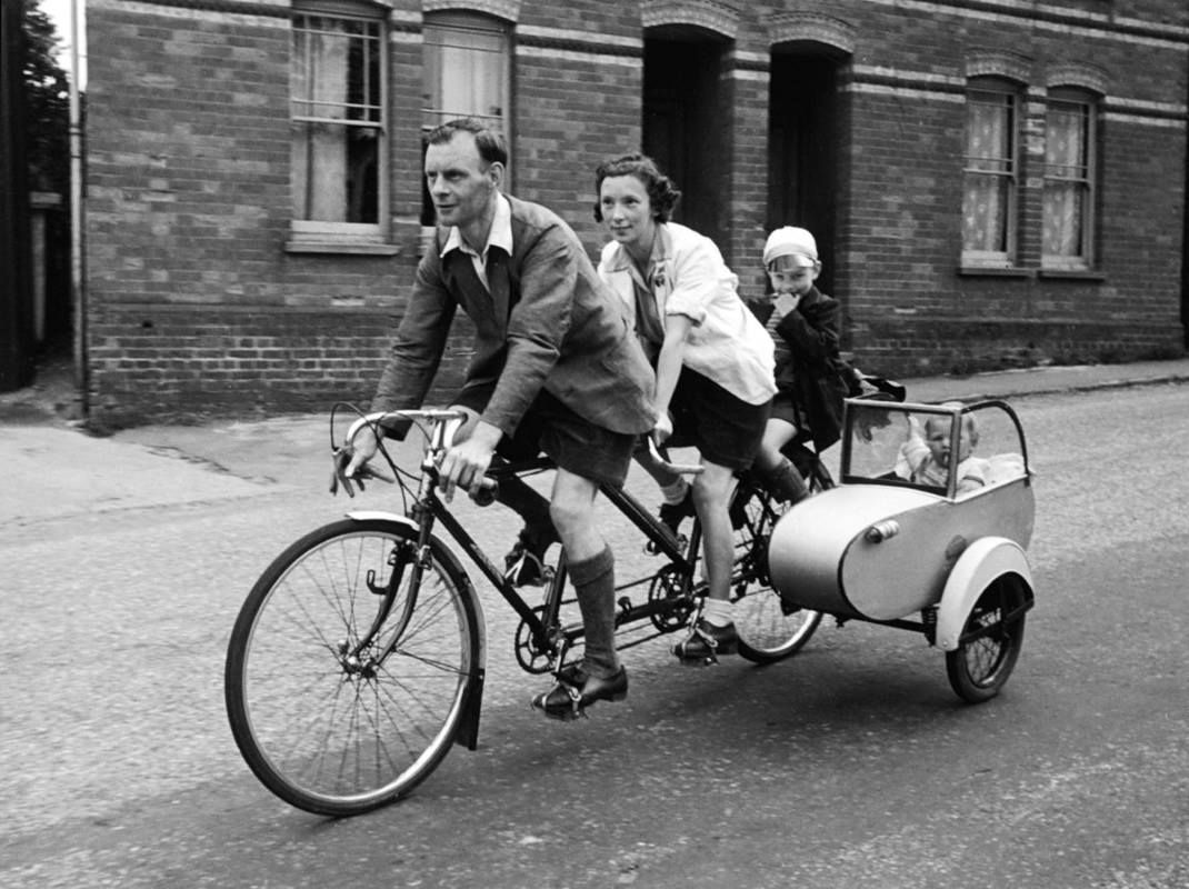
A couple on their bikes stopped to chat, as a babe in arms the lad had been transported by mam and dad, in a sidecar with tandem attached.
Such a delightful and poignant recollection – we wished each other well and went on our way.
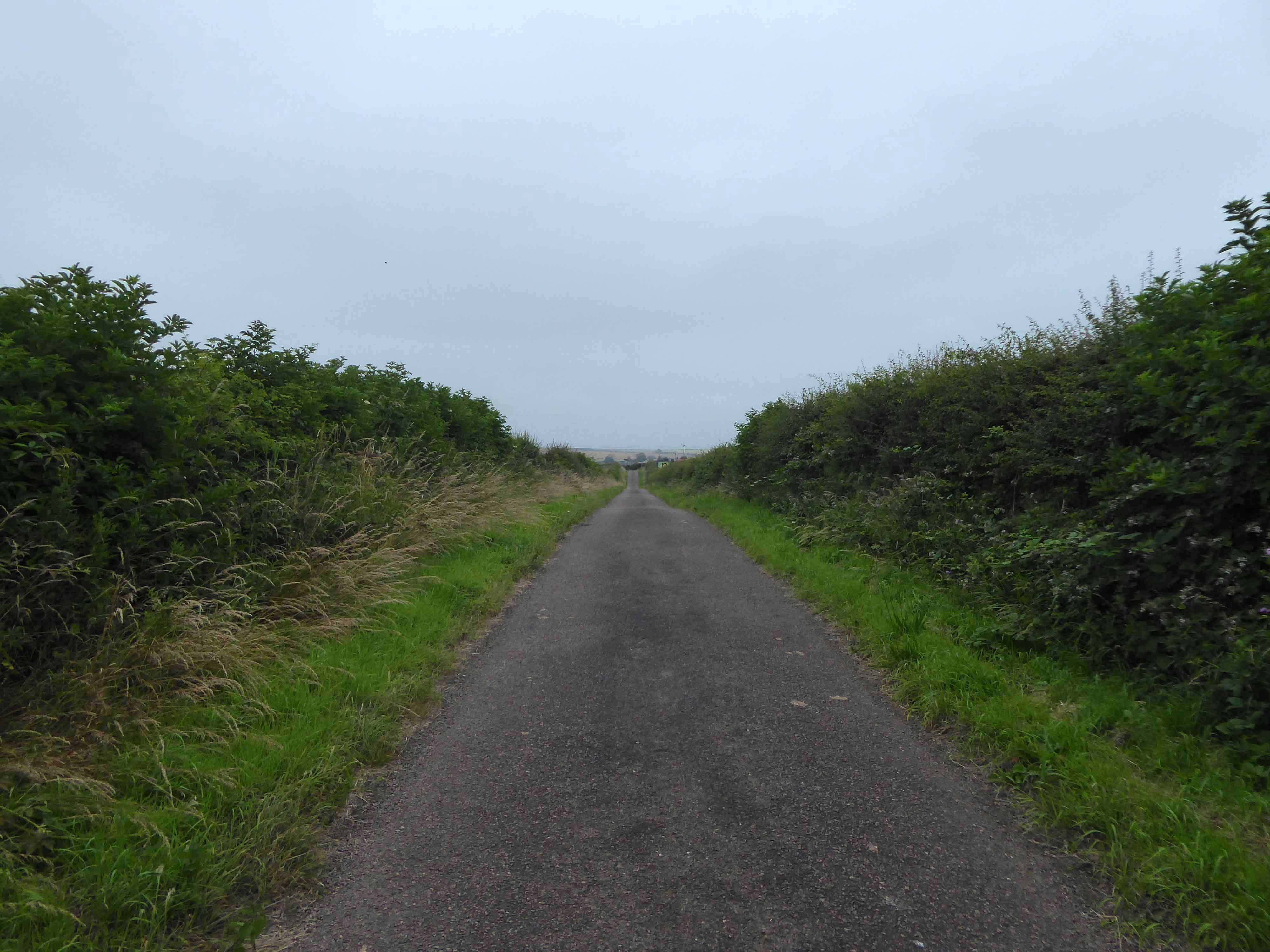
I made my way from the rolling hills back down toward the coast.
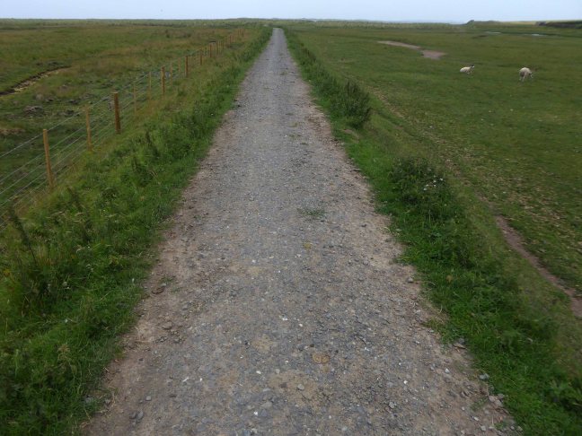
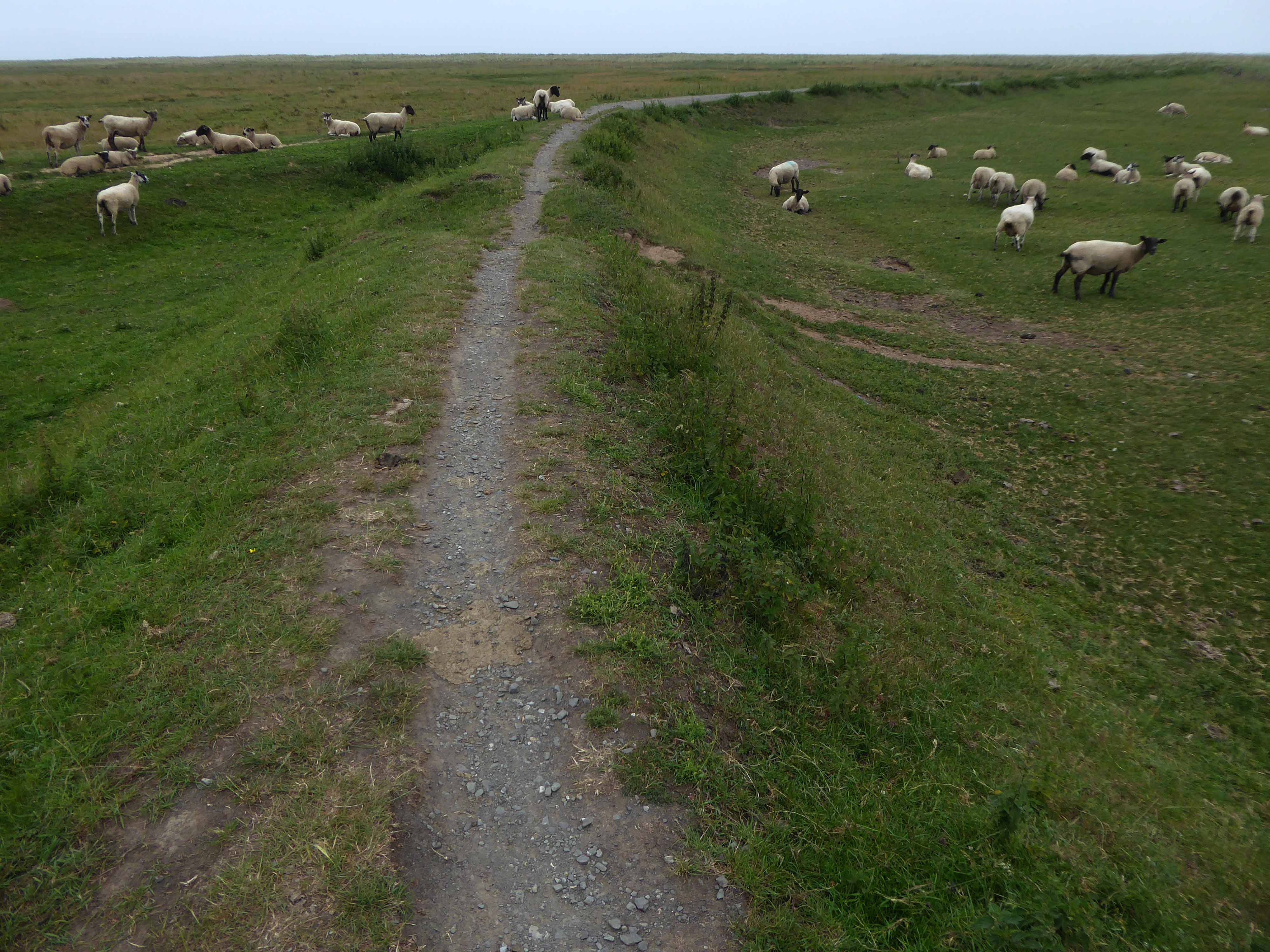
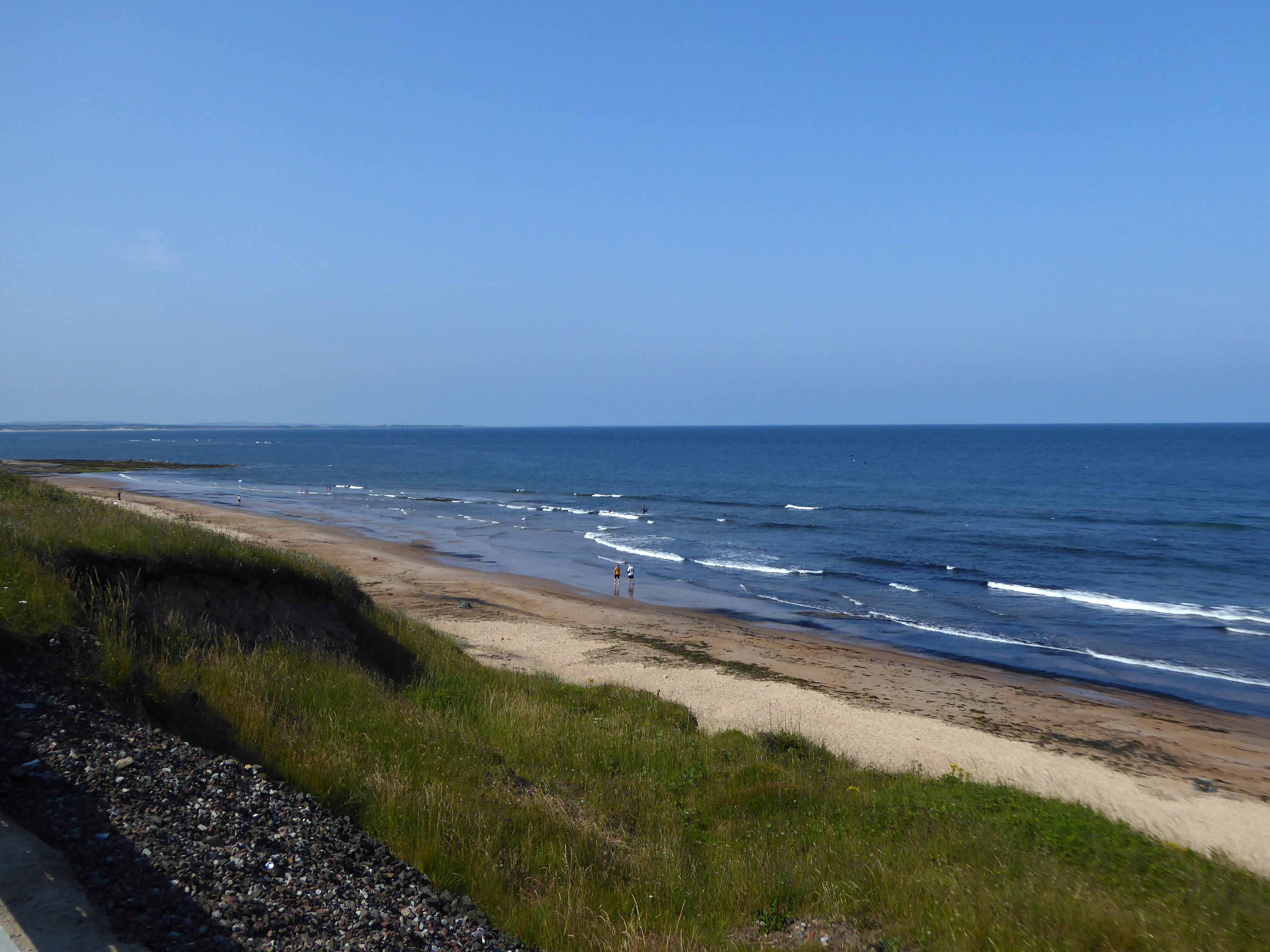
Where a permissive path hugged the shore, which I cautiously shared with some equally cautious sheep.
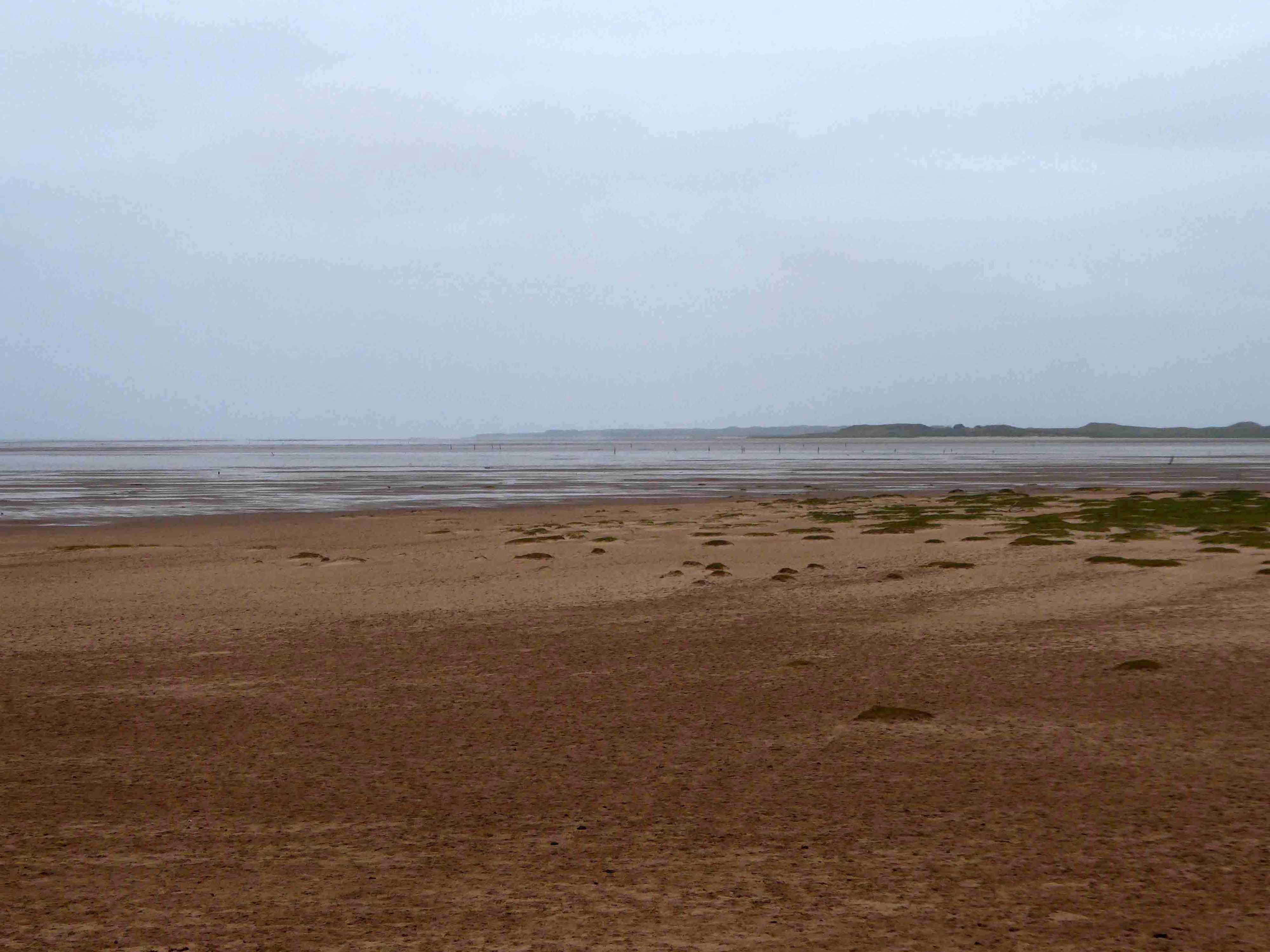
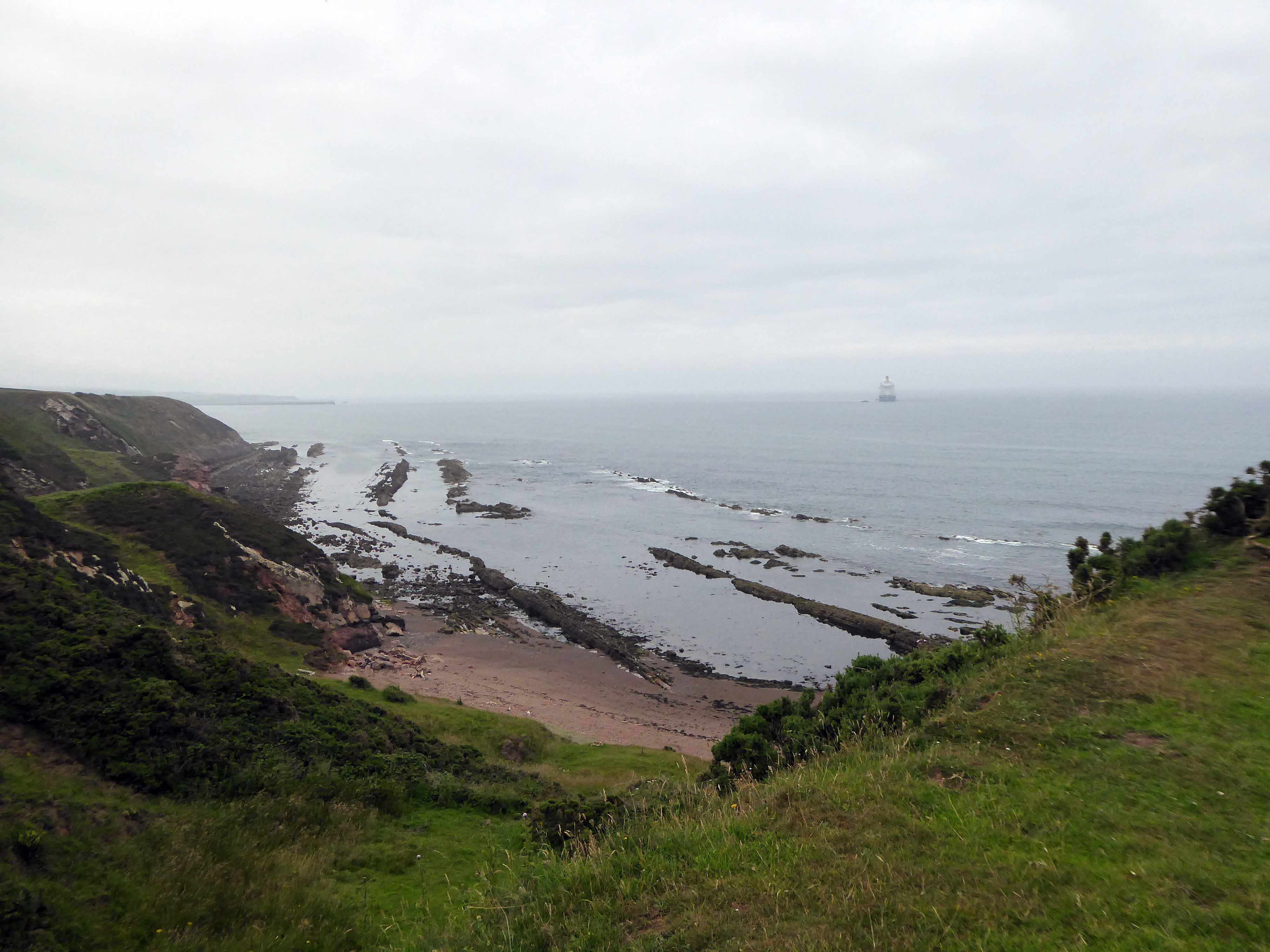
Looking back toward Lindisfarne.
Looking forward to the past.
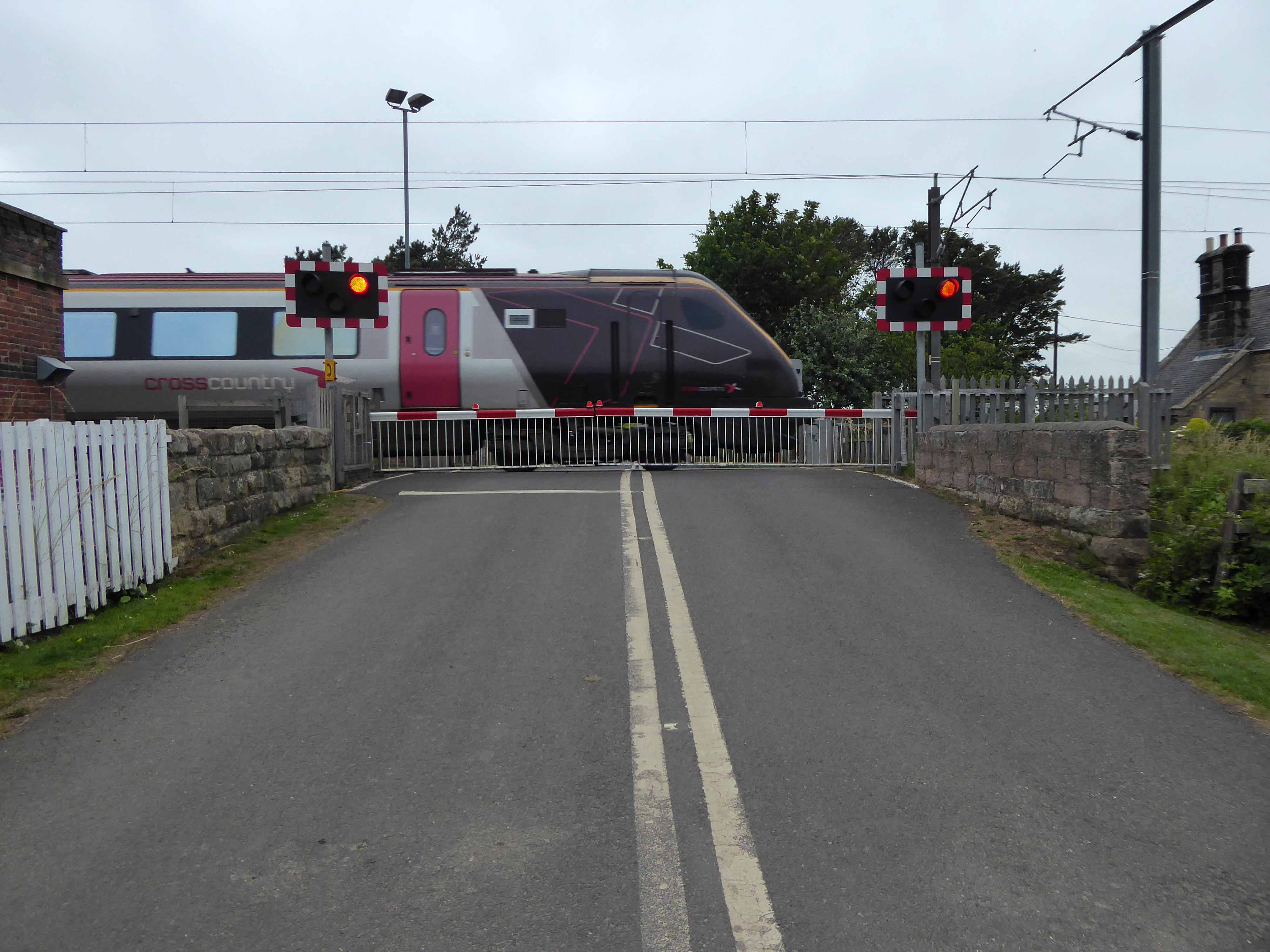
Pausing for the passing of a mainline train.
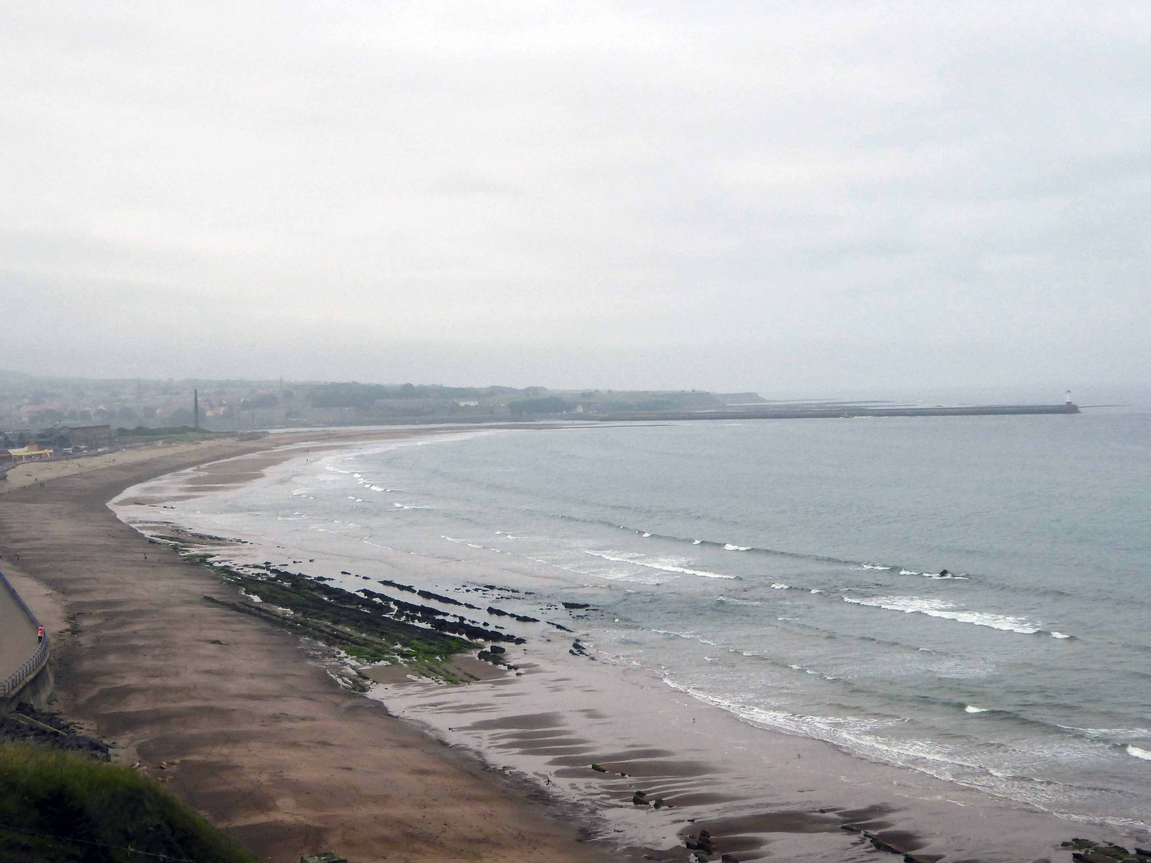
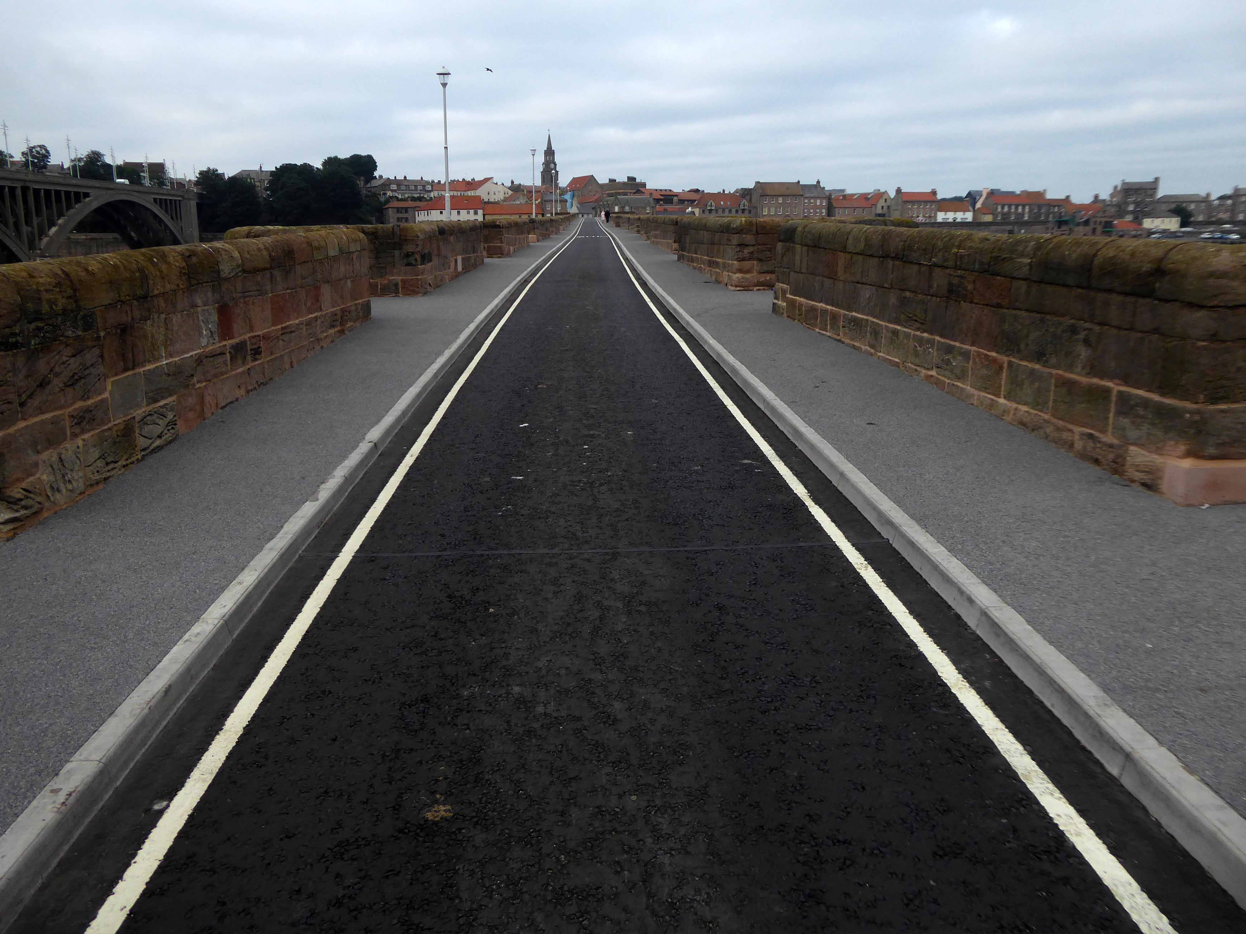
Berwick upon Tweed in view.
Come the evening I spent an hour or two in The Curfew, feasting on fine beer, company, haggis scotch egg and game pie.
Finishing with this well deserved and wonderful, bottle of Oude Geuze.
The final day – so many marvellous miles covered, forever stopping to chat, snap, look and learn.
No finer way to see the world, though so condensed and intense even at touring speed – apologies to all the things that I failed to see.
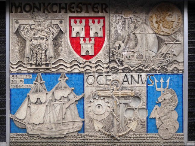
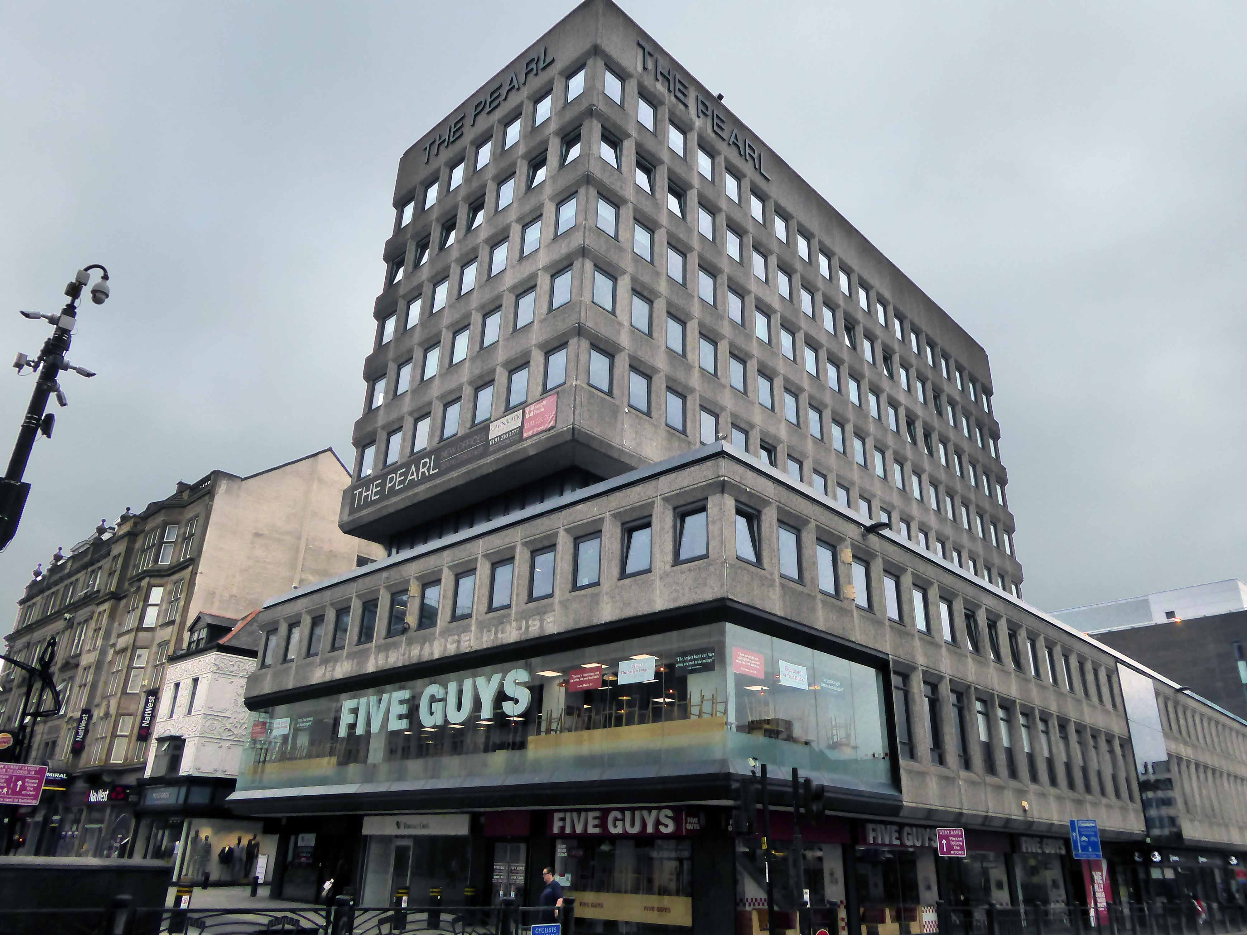
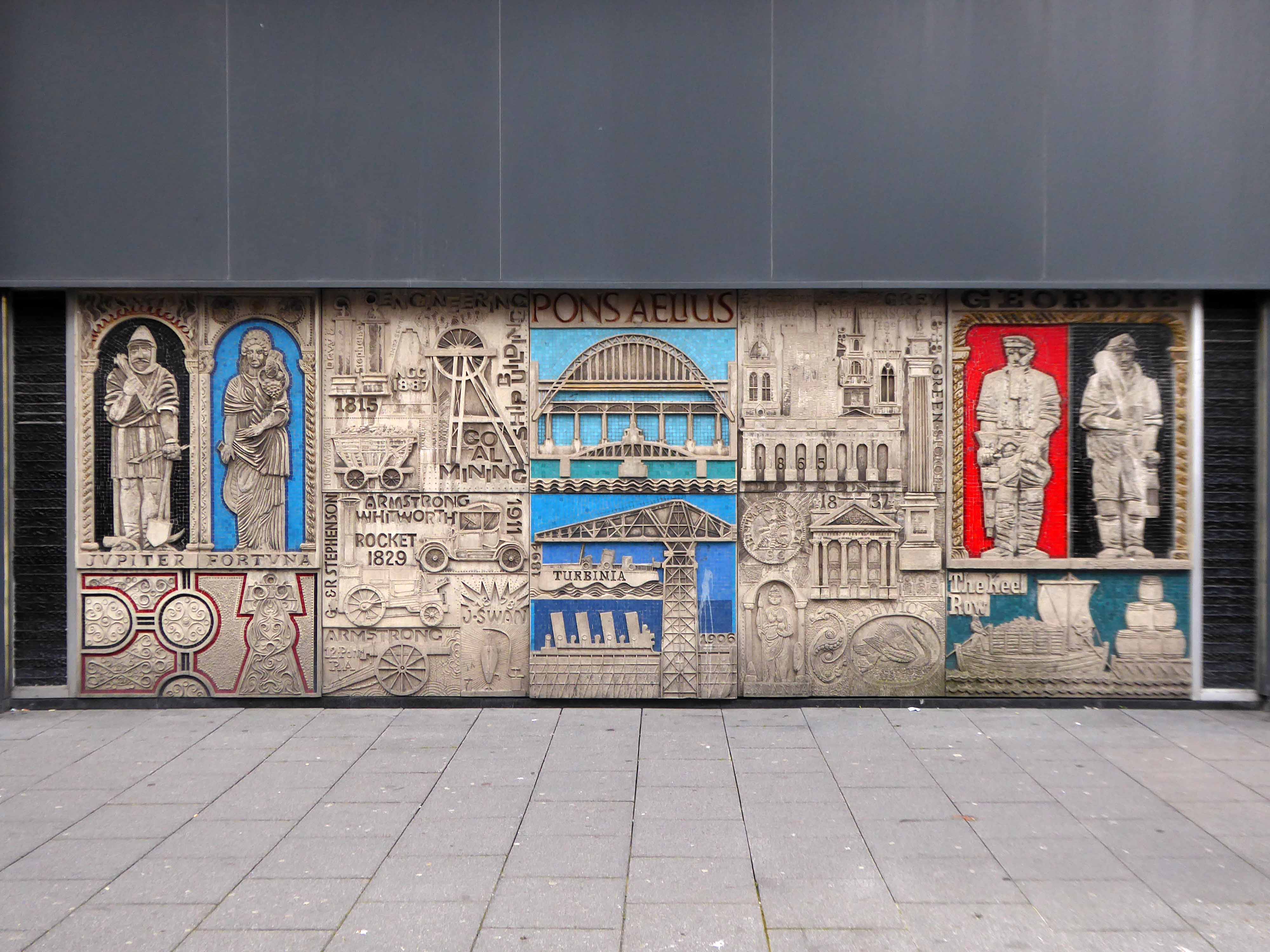
The building was originally developed by C&A and it is thought that funding for the reliefs might have been provided by the store and/or Northern Arts. It became BHS which subsequently closed, the building is now occupied by Primark, C&A estates still own the site.
Taking a bold leap into the unknown I left the city centre, unwisely following unfamiliar roads, predictably becoming very lost.
I sought assistance from a passing fellow cyclist, very kindly he guided me to Tynemouth, following a mysterious and circuitous course across the undulating terrain – thanks.
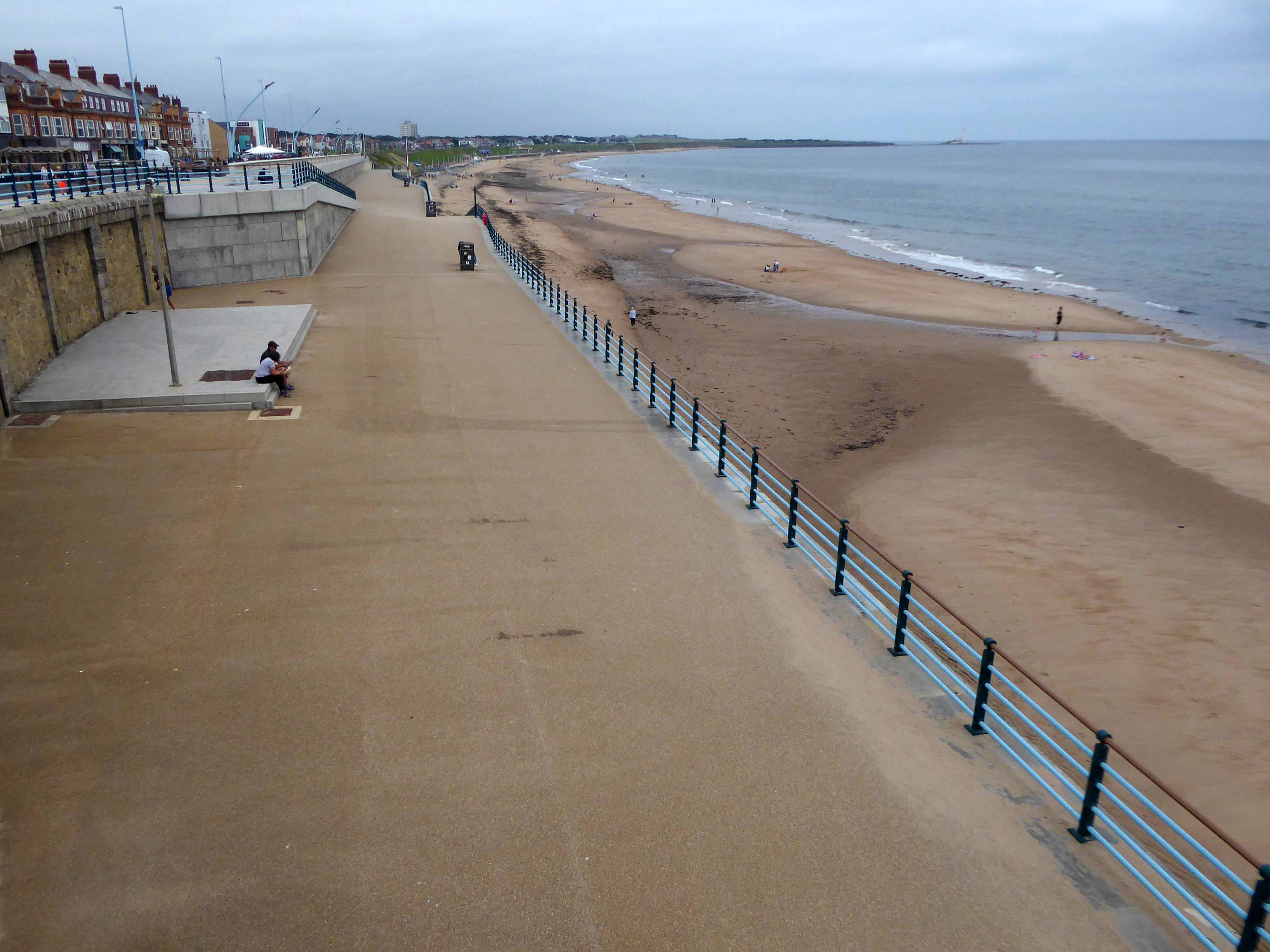
The city quickly becomes the seaside with its attendant retail bricolage.
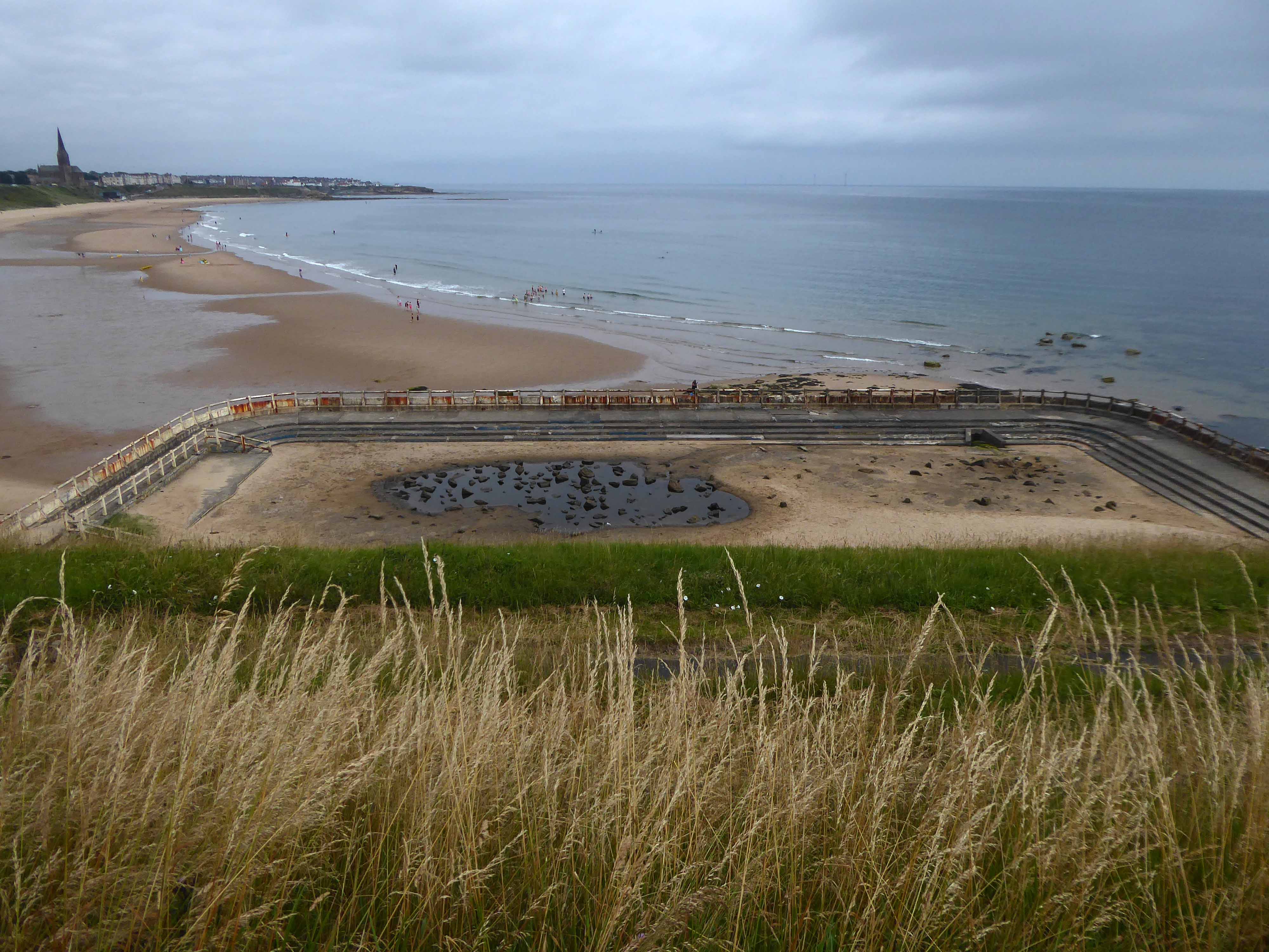
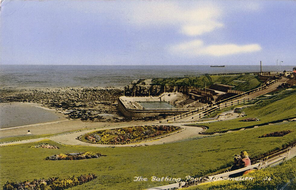
An all too familiar redundant Lido – opened in 1925 and closed in the mid 90’s – but a Friends Group aims to breathe new life into the site.
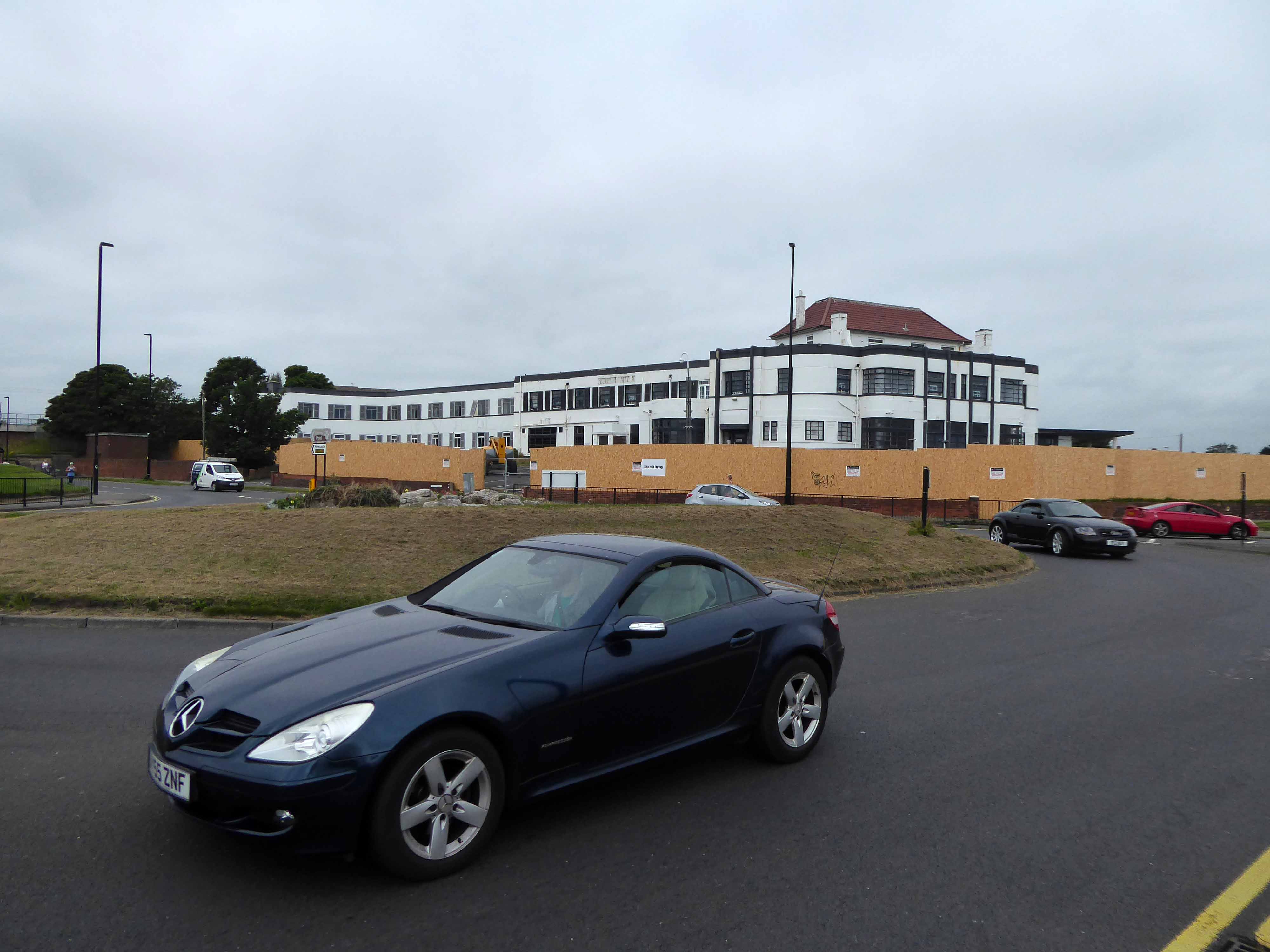
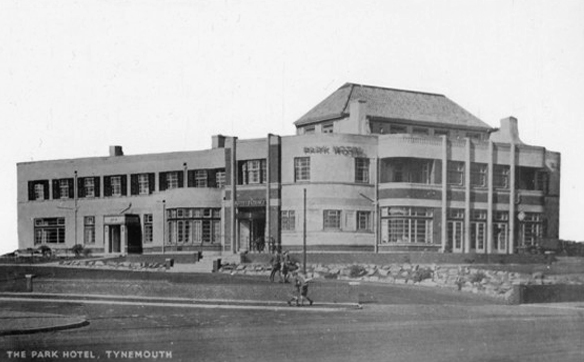
The Park Hotel built in the 1930’s and recently refurbished has been bought by The Inn Collection Group.
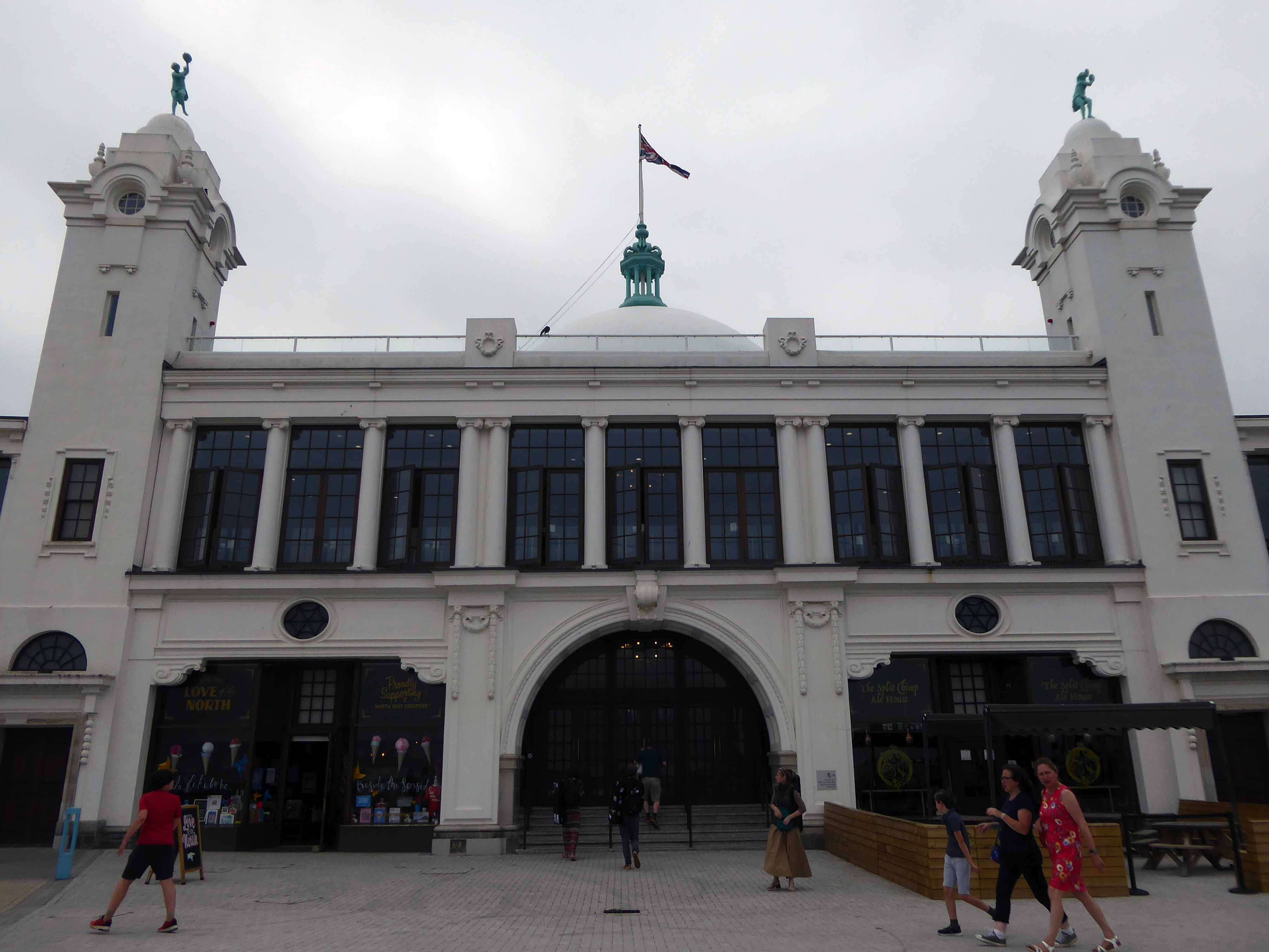
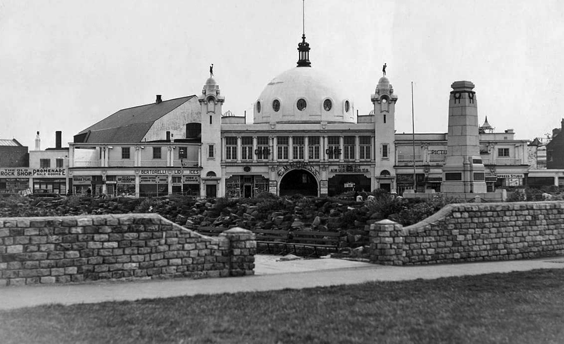
A simple three-arched entrance had been built facing the seafront and the area was now completely enclosed within a boundary. In 1909, large rides appeared, including a Figure Eight rollercoaster and a Water Chute. Elderton and Fail wanted to make a statement and create a new, grand entrance to the fairground. They hired the Newcastle architects Cackett& Burns Dick to survey the site and begin drawing up plans for new Pleasure Buildings.
Building began in February 1910 and the construction was completed by builders Davidson and Miller 60 days later. The use of the revolutionary reinforced concrete technique pioneered by Francois Hennebique was perfect for the job, being cheap and fast. The Dome and surrounding buildings – a theatre and two wings of shop units – opened on 14 May 1910 to great fanfare. Visitors marvelled at the great Spanish City Dome, the second largest in the country at the time after St. Paul’s Cathedral in London, which provided a spectacular meeting place with uninterrupted views from ground level to its ceiling, 75 feet above.
Telegraph-wire cyclists, acrobatic comedians, singing jockeys, mermaids, they all appeared at the Spanish City during its first decade. One of the wings hosted the menagerie, where visitors could see hyenas, antelopes and tigers! This was converted into the Picture House cinema in 1916.
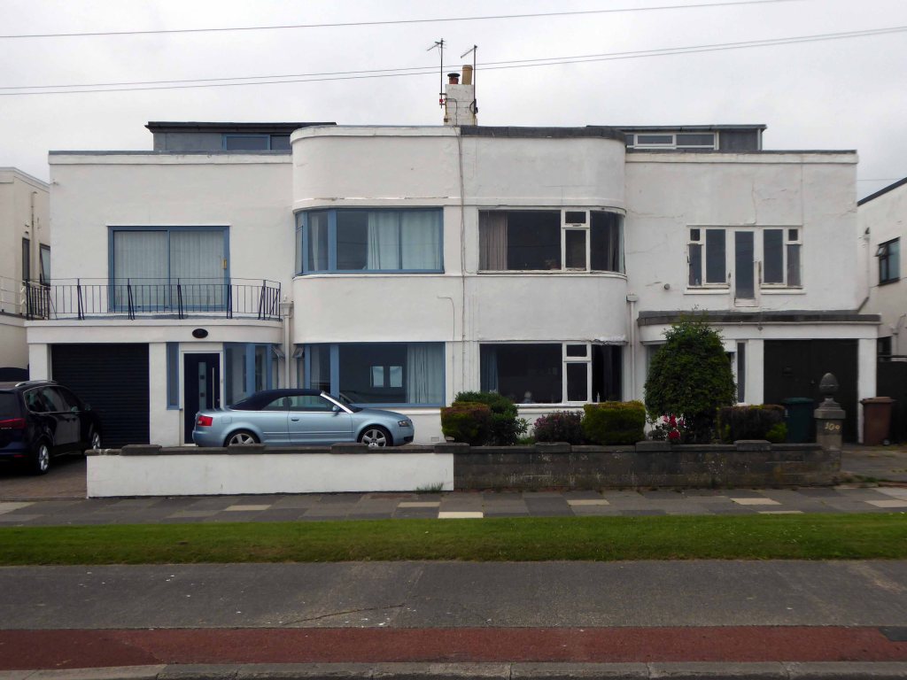
A little further along, a selection of Seaside Moderne semis in various states of amendment and alteration.
Before I knew it I was in Blyth.
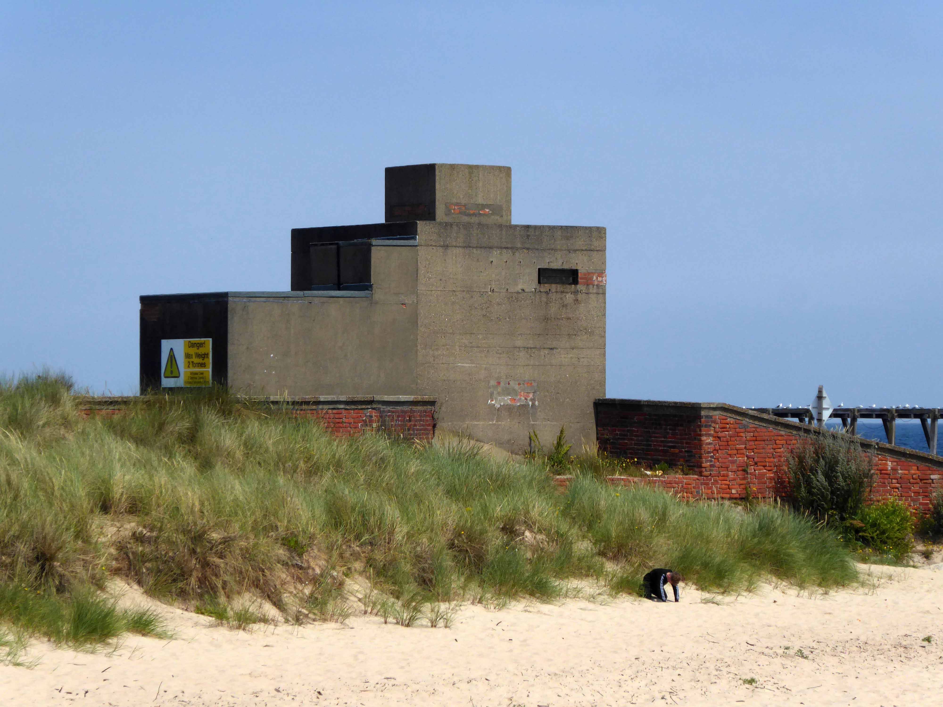
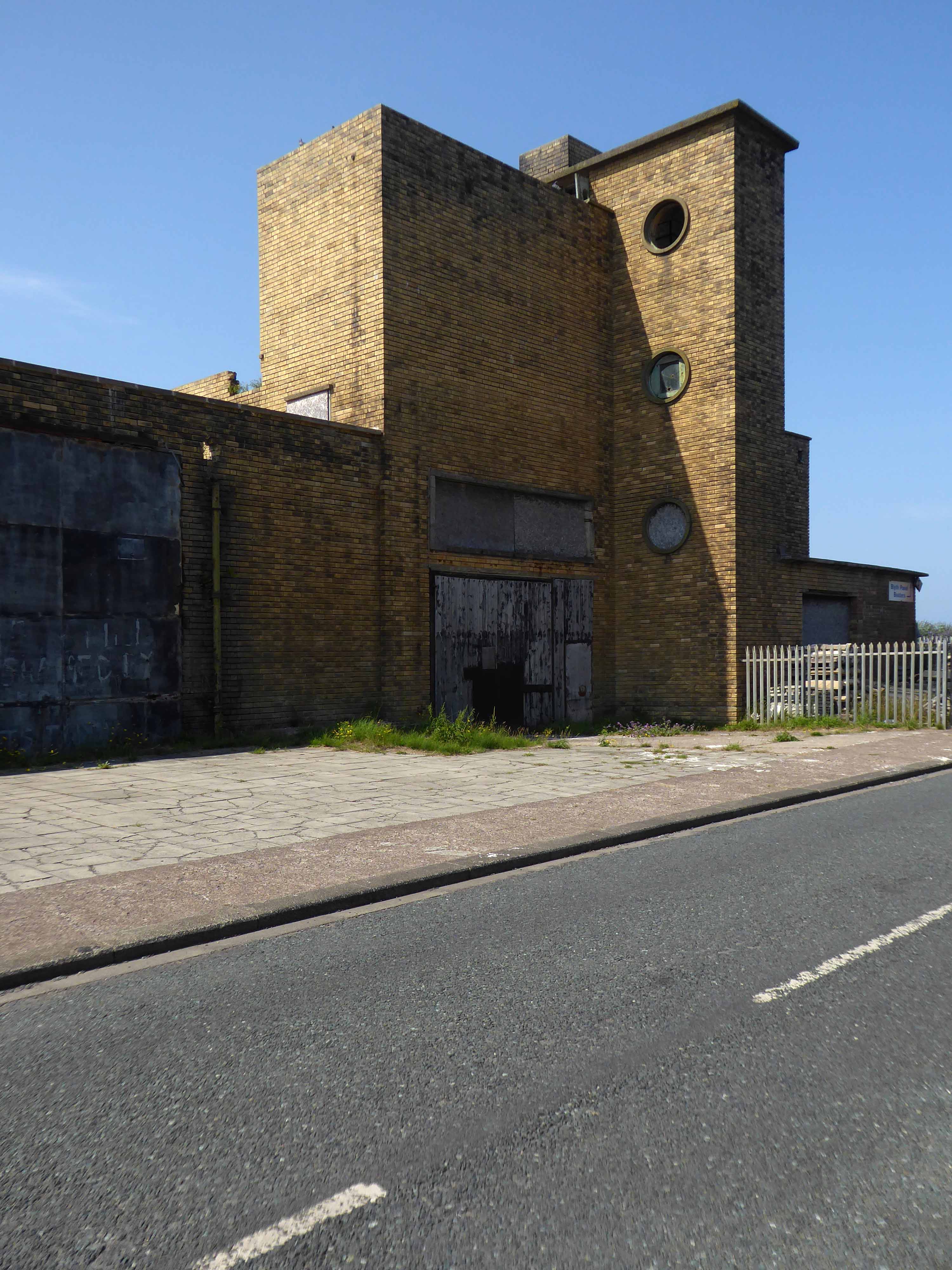
The town edged with military installations
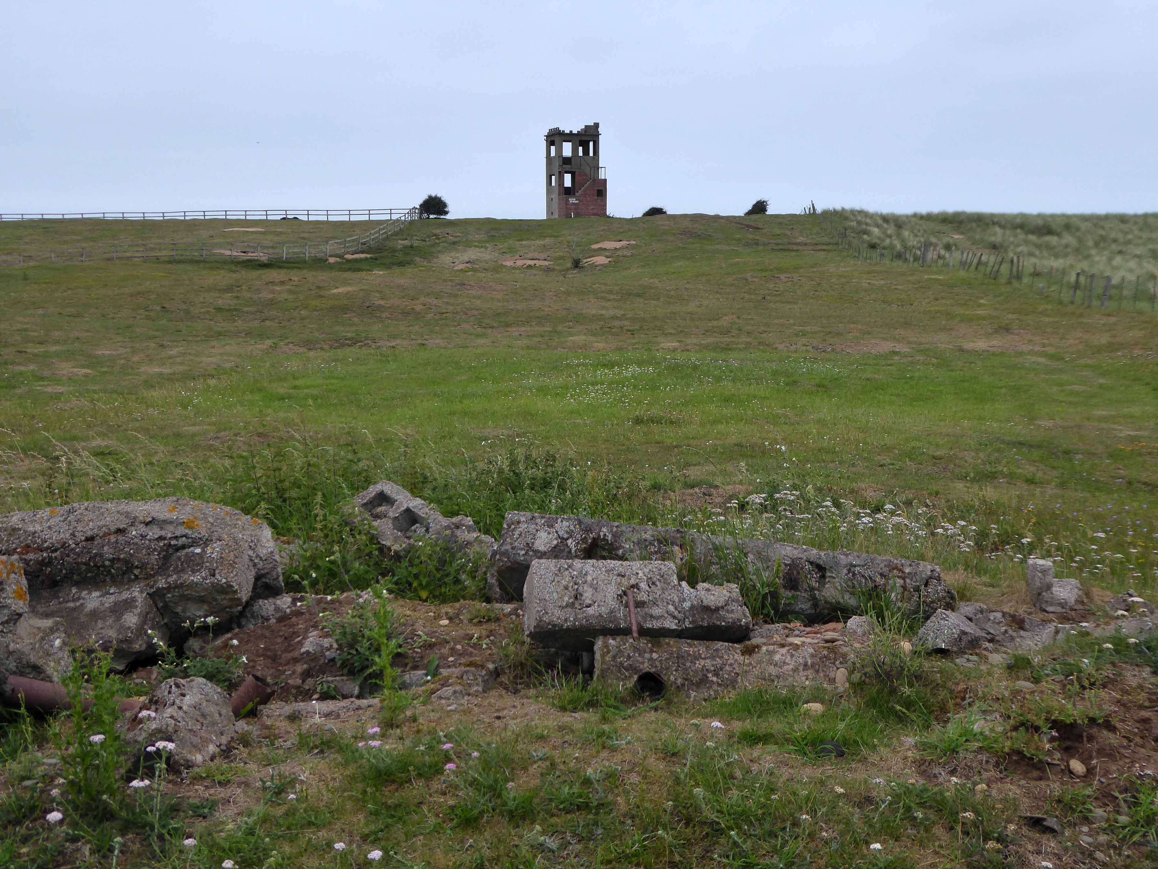
Gloucester Lodge Battery includes the buried, earthwork and standing remains of a multi-phase Second World War heavy anti-aircraft gun battery and radar site, as well as a Cold War heavy anti-aircraft gun and radar site. The battery occupies a level pasture field retaining extensive rig and furrow cultivation.
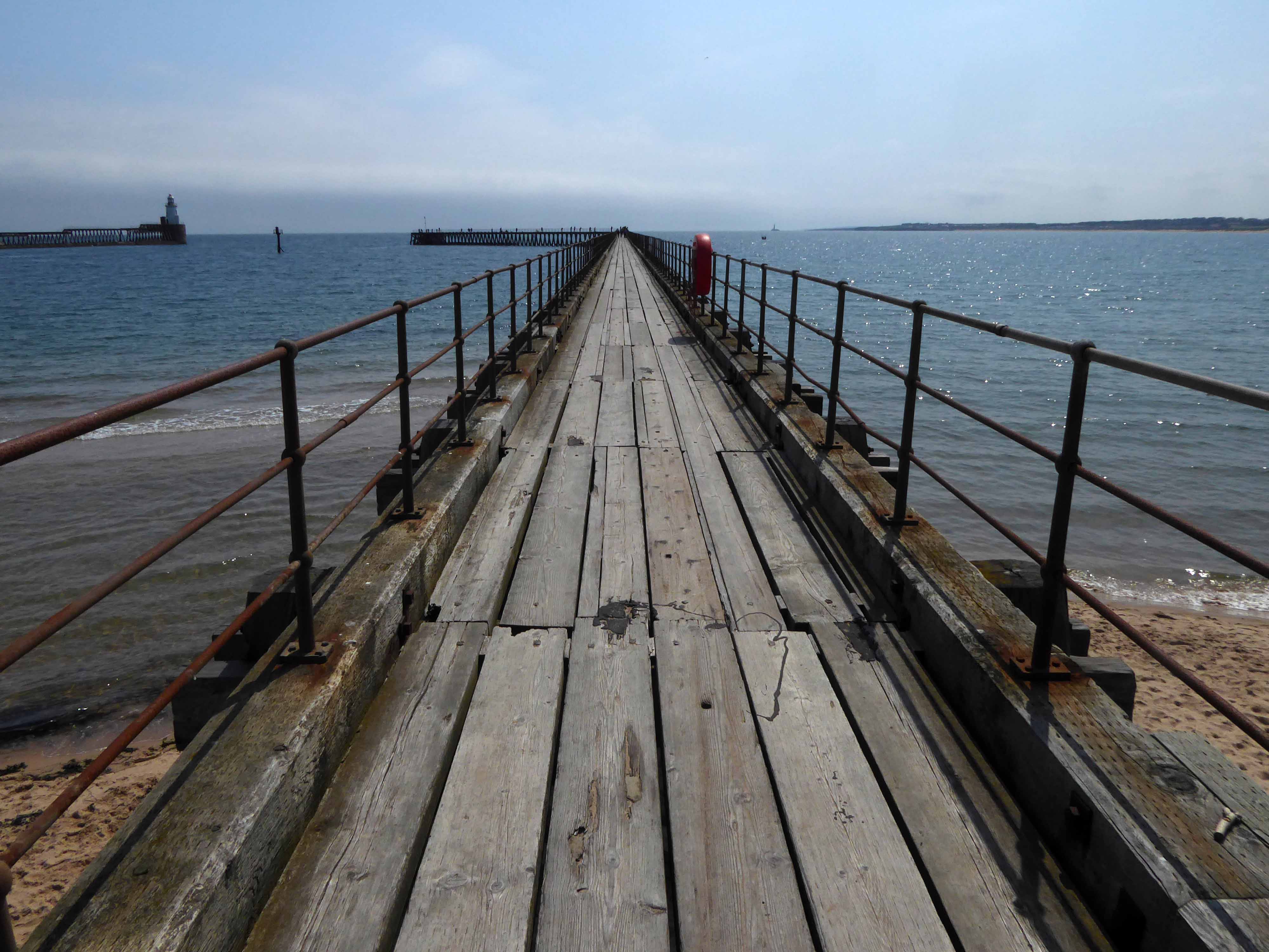
During WW2 Blyth Harbour was used as a major submarine base and that combined with the heavy industry in the area it made a very good target for the Luftwaffe.
827 men of the 225th Antiaircraft Artillery Searchlight Battalion of the U.S. Army, arrived at this location in early March 1944 and were attached to the 30th British AAA Brigade. Here they sharpened their skills in the high-altitude tracking of aircraft.
The cycle route took me off road along the estuary and under the flyover.
Encountering a brand new factory.
And the remnants of the old power station.
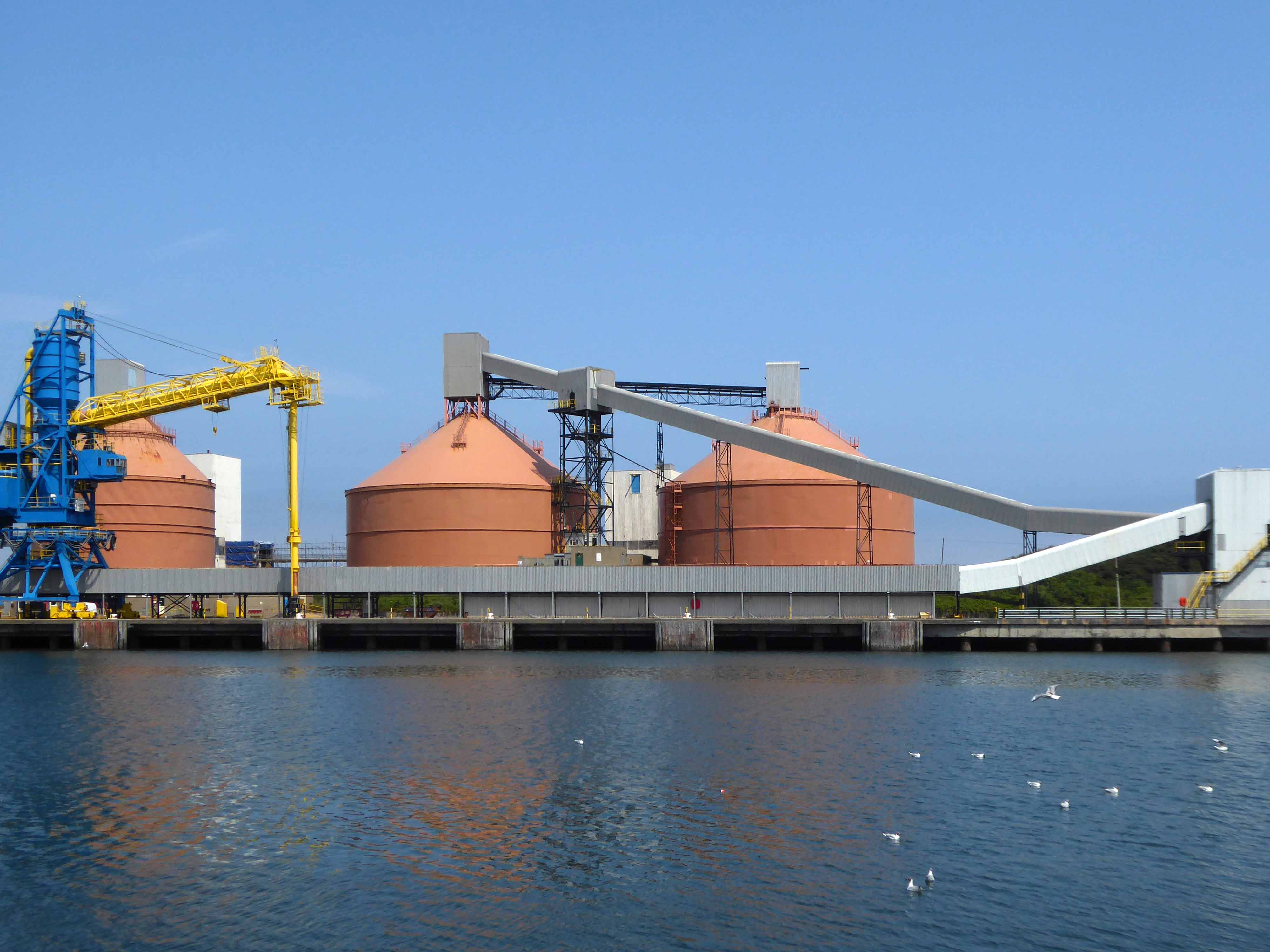
Blyth Power Station – also known as Cambois Power Station, refers to a pair of now demolished coal-fired power stationsThe two stations were built alongside each other on a site near Cambois in Northumberland, on the northern bank of the River Blyth, between its tidal estuary and the North Sea. The stations took their name from the town of Blyth on the opposite bank of the estuary. The power stations’ four large chimneys were a landmark of the Northumberland skyline for over 40 years.
After their closure in 2001, the stations were demolished over the course of two years, ending with the demolition of the stations’ chimneys on 7 December 2003.
UK battery tech investor Britishvolt has unveiled plans to build what is claimed to be Britain’s first gigaplant at the former coal-fired power station in Blyth in Northumberland.
The £2.6 billion project at the 95-hectare Blyth Power Station site will use renewable energy from the UK and possibly hydro-electric power generated in Norway and transmitted 447 miles under the North Sea through the ‘world’s longest inter-connector’ from the North Sea Link project.
By 2027, the firm estimates the gigaplant will be producing around 300,000 lithium-ion batteries a year.
The project is predicted to create 3,000 new jobs in the North East and another 5,000 in the wider supply chain.
The first leg of my journey northwards to Berwick, many thanks to all those kind souls who filled my water bottle, directed, redirected and misdirected me along my merry way.
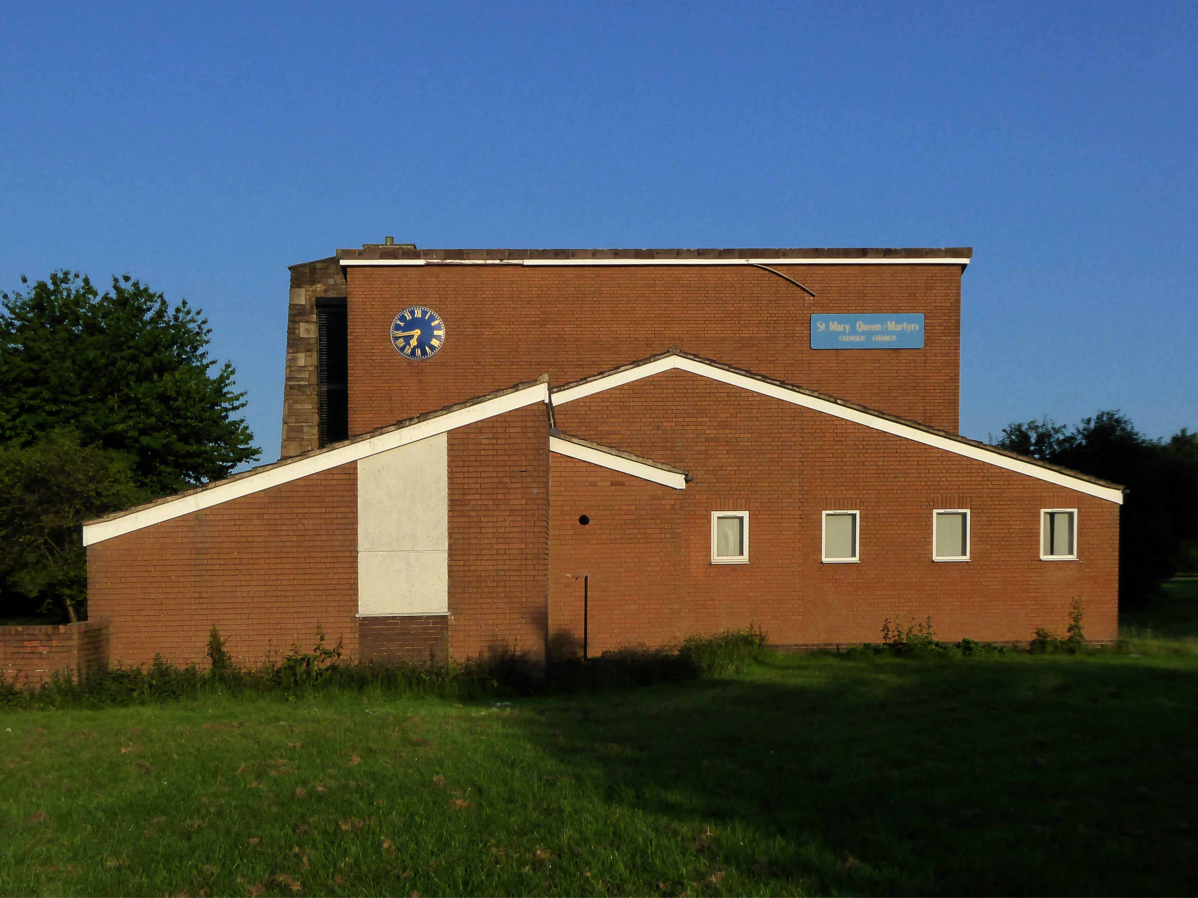
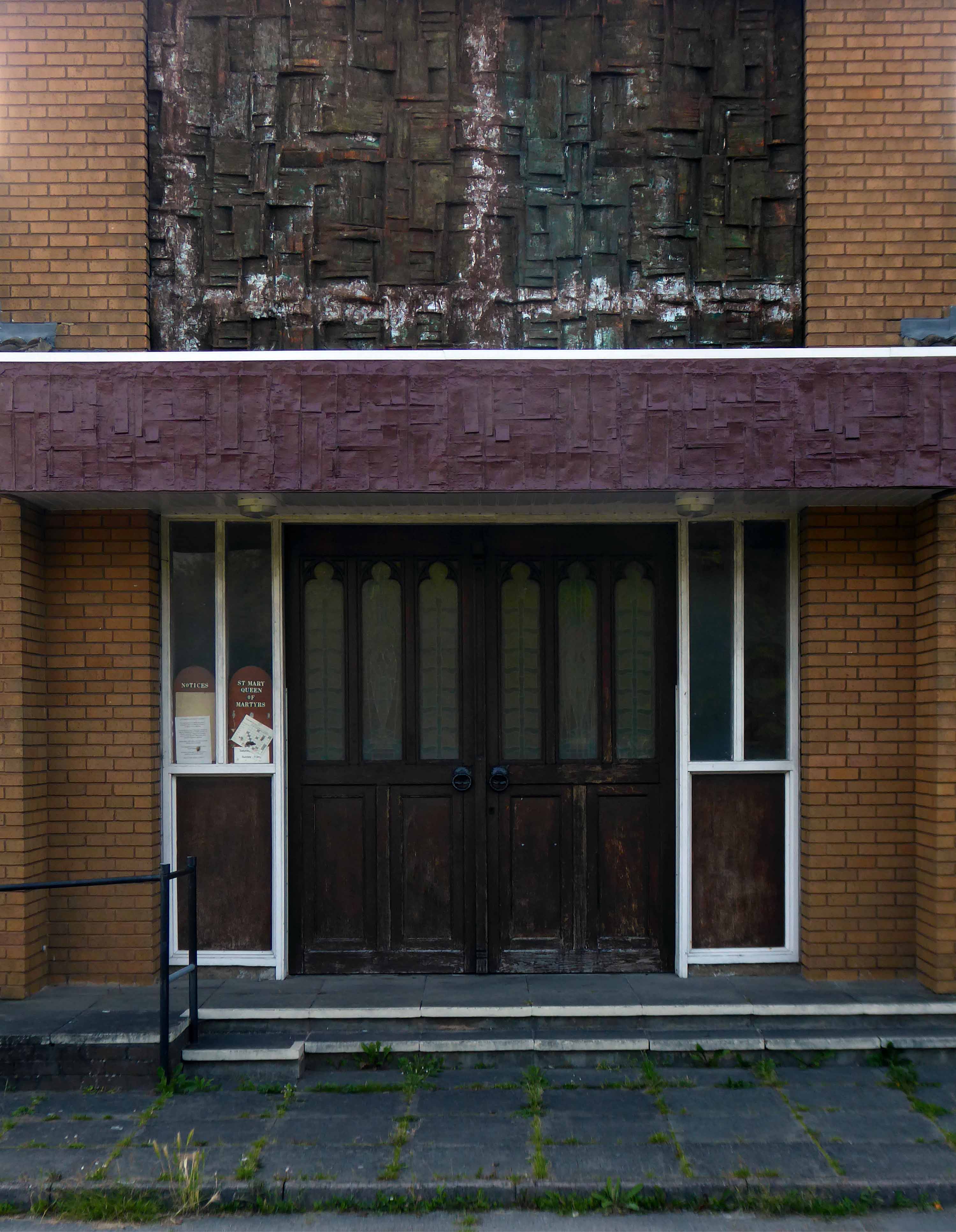
Good fortune however had pointed me in the direction of this functional yet charming brick built church, on the edge of a huge roundabout – St Mary Queen of Martyrs RC in Bransholme.
The new St Mary Queen of Martyrs church was built at Bransholme in 1976-7 and the old St Mary’s church closed and demolished in 1982.
Architect for the new church was JT Reid of The Reid Partnership – Pontefract.
The entrance graced by these textured fascias.
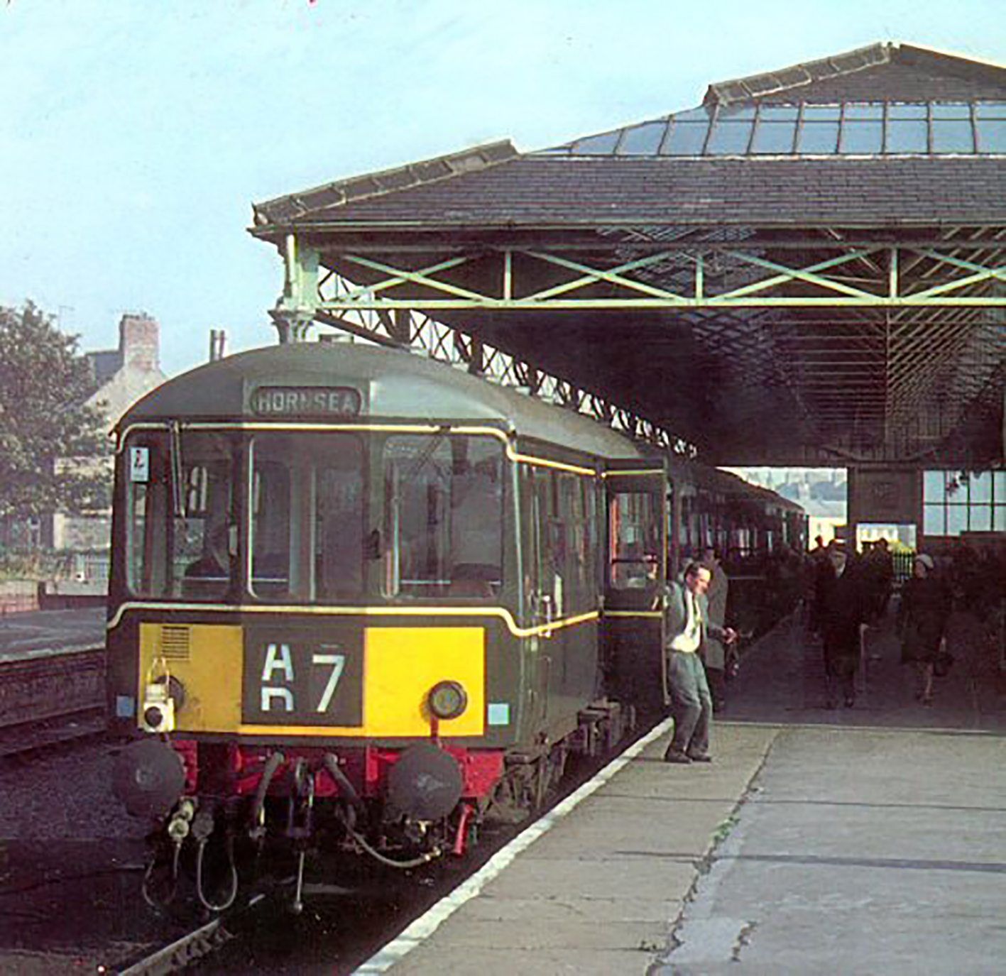
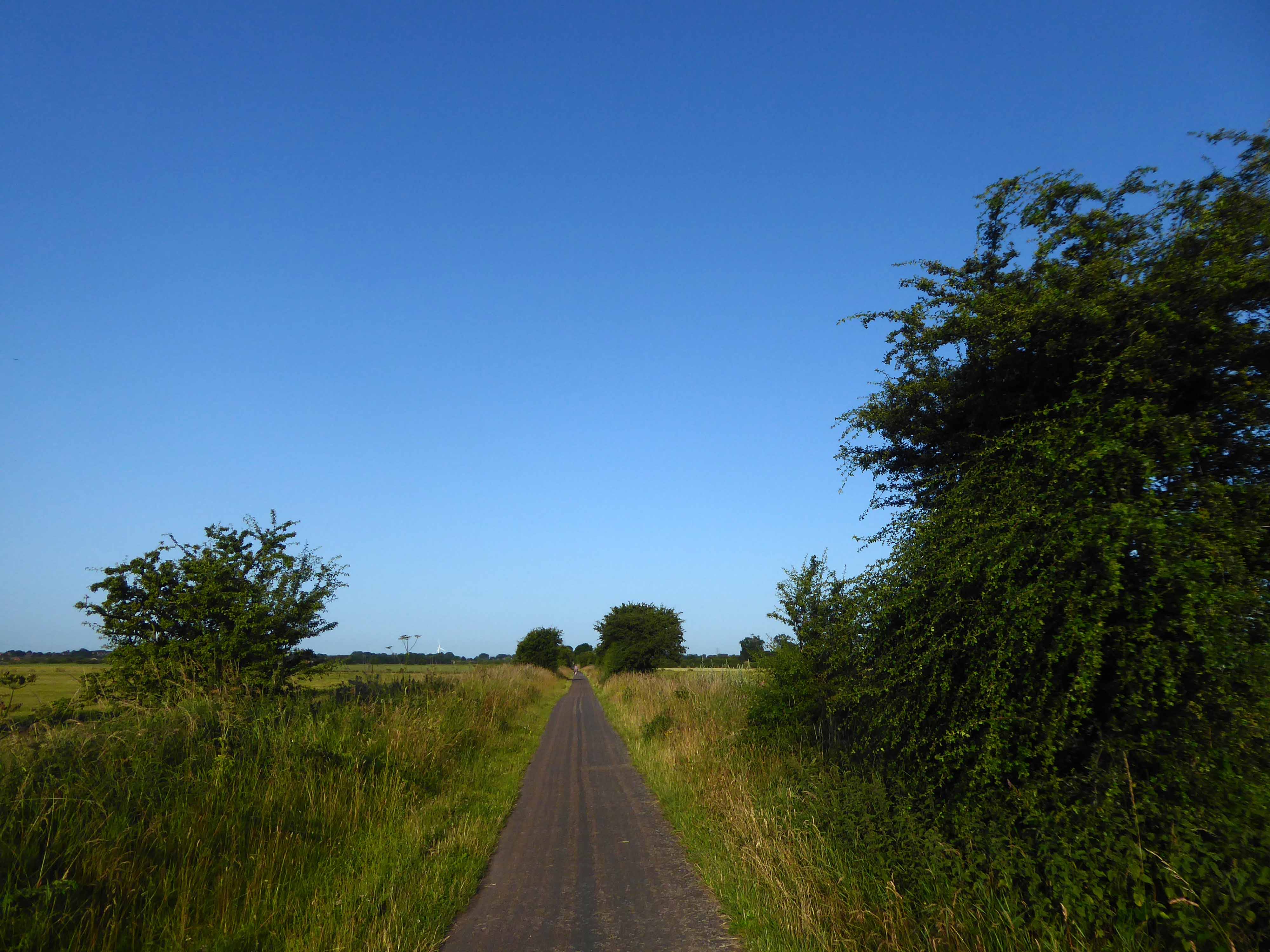
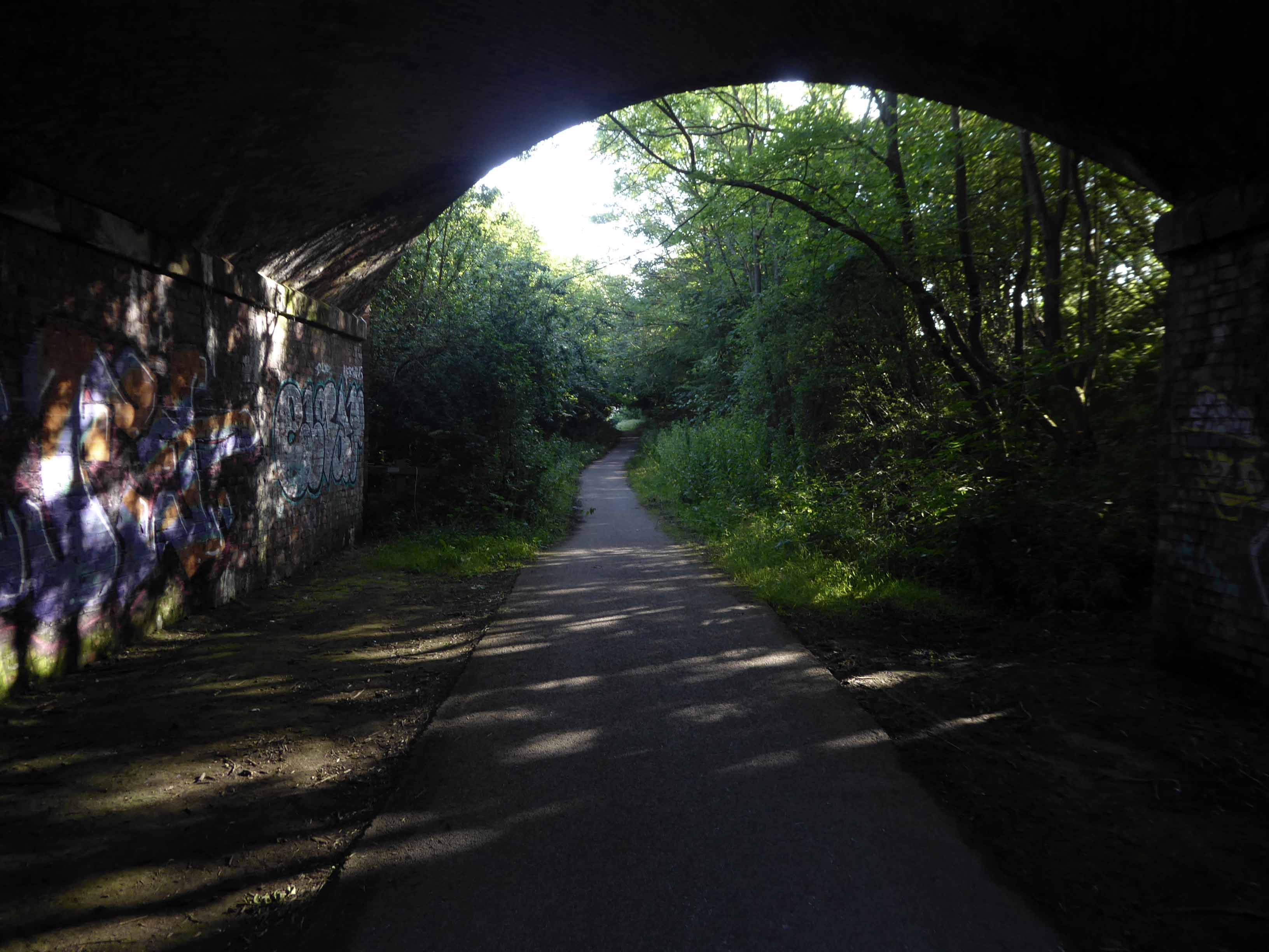
Following a series of brief engagements with various local benefactors, I regained my intended route and joined the Hornsea Rail Trail – the bed of the former branch line.
The line was officially opened on 28 March 1864, the last passenger train ran on 19 October 1964.
Goods traffic continued to use the line as far as Hornsea Bridgeuntil 3 May 1965.
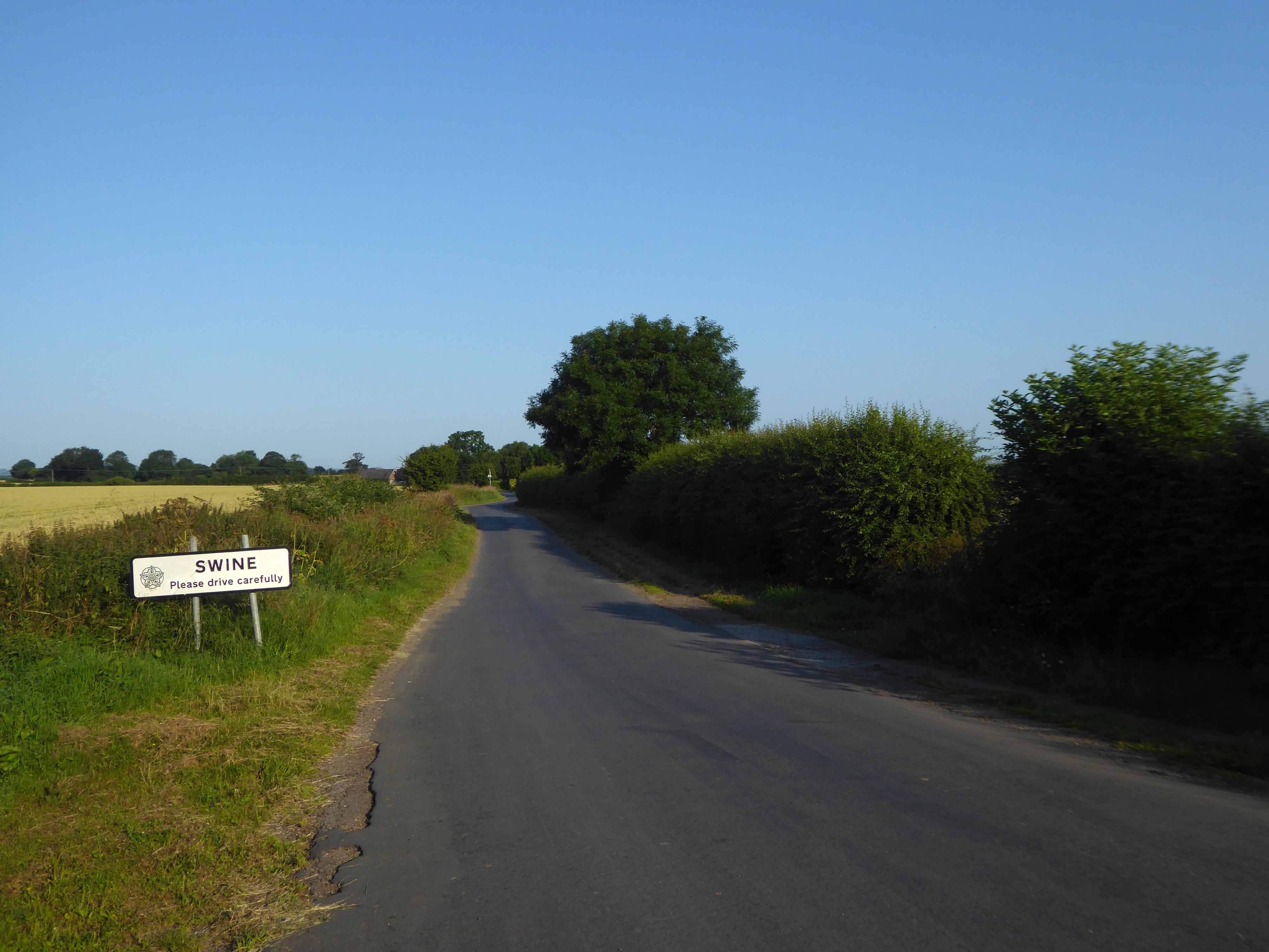
The place-name Swine is first attested in the Domesday Book of 1086, where it appears as Swine.
It appears as Suine in a charter of circa 1150, the name perhaps derives from the Old English swin meaning creek.
We resisted the charming period charms of the Clarence Pier
The pier was originally constructed and opened in 1861 by the Prince and Princess of Wales and boasted a regular ferry service to the Isle of Wight.
It was damaged by air raids during World War II and was reopened in its current form on 1 June 1961 after being rebuilt by local architects AE Cogswell & Sons and R Lewis Reynish.
Mind the Baby Mr. Bean an episode of British TV comedy series Mr. Bean was filmed on location at Clarence Pier.
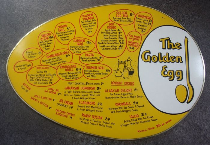
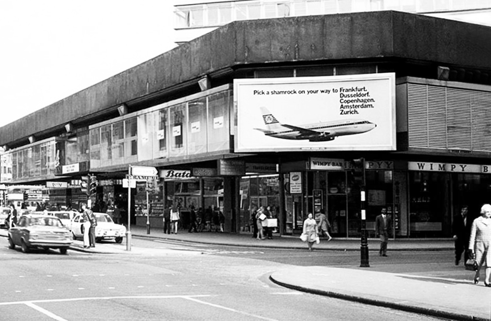
Lyons obtained a licence to use the Wimpy brand in the United Kingdom from Edward Gold’s Chicago based Wimpy Grills Inc. and, in 1954, the first Wimpy Bar was established at the Lyons Corner House in Coventry Street, London.The bar began as a special fast food section within traditional Corner House restaurants, but the success soon led to the establishment of separate Wimpy restaurants serving only hamburger-based meals.
In a 1955 newspaper column, Art Buchwald, syndicated writer for the Washington Post, wrote about the recent opening of a Wimpy’s Hamburger Parlor on Coventry Street and about the influence of American culture on the British.
Buchwald wrote:
Food served at the table within ten minutes of ordering and with atomic age efficiency. No cutlery needed or given. Drinks served in a bottle with a straw. Condiments in pre-packaged single serving packets.
In addition to familiar Wimpy burgers and milkshakes, the British franchise had served ham or sardine rolls called Torpedoes and a cold frankfurter with pickled cucumber sandwiches called Freddies.
During the 1970s Wimpy refused entry to women on their own after midnight.
Moving along eye spy the Isle of Wight Ferry through the Hovertravel window.
Hovertravel is now the world’s oldest hovercraft operator, and this service is believed to be unique in western Europe.
It is the world’s only commercial passenger hovercraft service.
The operator’s principal service operates between Southsea Common on the English mainland and Ryde Transport Interchange on the Isle of Wight: the crossing time of less than 10 minutes makes it the fastest route across The Solent from land to land.
This service commenced operations in 1965, Hovertravel currently operates two 12000TD hovercraft on a single route between Ryde and Southsea.
The Knight & Lee building, which is located between two conservation areas on a prominent corner of Palmerston Road and Clarendon Road in Southsea, Portsmouth, was designed by Cotton, Ballard and Blow.
Notable surviving original interior features include spiral staircases with terrazzo flooring in the northwestern and southwestern corner customer entrance vestibules.
A little Stymie Bold Italic aka Profil for your delectation along with a delightful low concrete fence.
A ghostly sign.
The Wheelbarrow where we drank, currently home to Joe and his pizzas.
The former Duchess of Fife in Castle Road long gone Long’s pub
Founded by William Tollervey 1814 and was acquired by Samuel Long in 1839. Registered in March 1924.
Acquired by Brickwoods Ltd 1933 when brewing ceased.
The Barley Mow my favourite local where we would take a drink later.
Later.
The evening was enlivened by the arrival of a drunken wedding party the bride all in white, veil askew.
The besuited groom three sheets to the wind, mayhem ensued, we departed.
The Grade II Listed India Arms – North part 1902 by AE Cogswell; south part formerly Fishmonger and Game shop 1900, which formed the extension to the public house c1980.
Founded 1847 when Richard Gale acquired the Ship & Bell home brew house.
Registered in April 1888 with 80 public houses.
Acquired by Fuller, Smith & Turner Ltd in 2005 with 111 houses and closed.
Now we is at the Borough Arms and other favourite – purveyors of strong rough cider.
Built in 1899 architect AE Cogswell as the Old Vic now listed but no longer a pub
Along with the adjacent Wiltshire Lamb which since the 1980s this pub has had a variety of names including, Drummond’s, Tut ‘n’ Shive, Monty’s and now Hampshire Boulevard, usually shortened to HB.
The Norrish Central Library: city architect Ken Norrish 1976 – is all that remains this Brutal part of Portsmouth.
It faces the stylish new Civic Centre: Teggin & Taylor 1976 – a piazza completed by the adjacent Guildhall.
Alas no more:
The Tricorn Centrewas a shopping, nightclub and car park complex, it was designed in the Brutalist style byOwen Luder andRodney Gordon and took its name from the site’s shape which from the air resembled a tricorn hat.
Constructed in the mid-1960s, it was demolished in 2004.
Next we are by the former Portsmouth Polytechnic Fine Art block in Lion Terrace.
The ground floor corner housed the print room where I learnt my craft under the tutelage of Ian Hunter who we hooked up with for a pint and a chat.
Thanks ever so Ian for everything.
The happy days came to an end when the department was acrimoniously closed during a Hampshire shuffle.
We also cycled out to Langstone Harbour in search of the Arundel Canal lock gates, where Tim had languidly drawn away the hours, too many summers long ago.
After some circuitous searching we finally found them.
We ended a long day in the Barley Mow sharing yet another pint, one of many in our almost fifty year friendship.
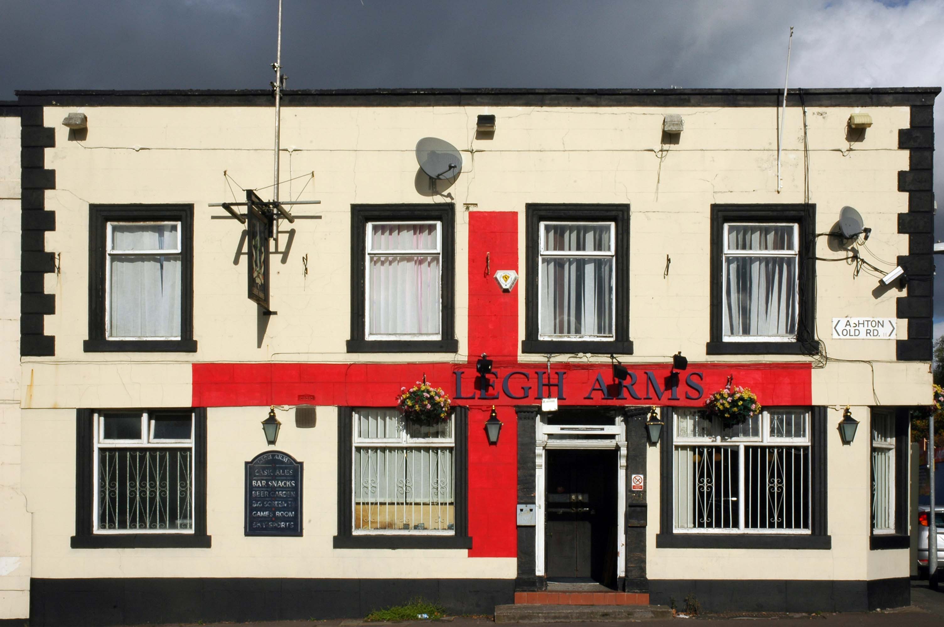
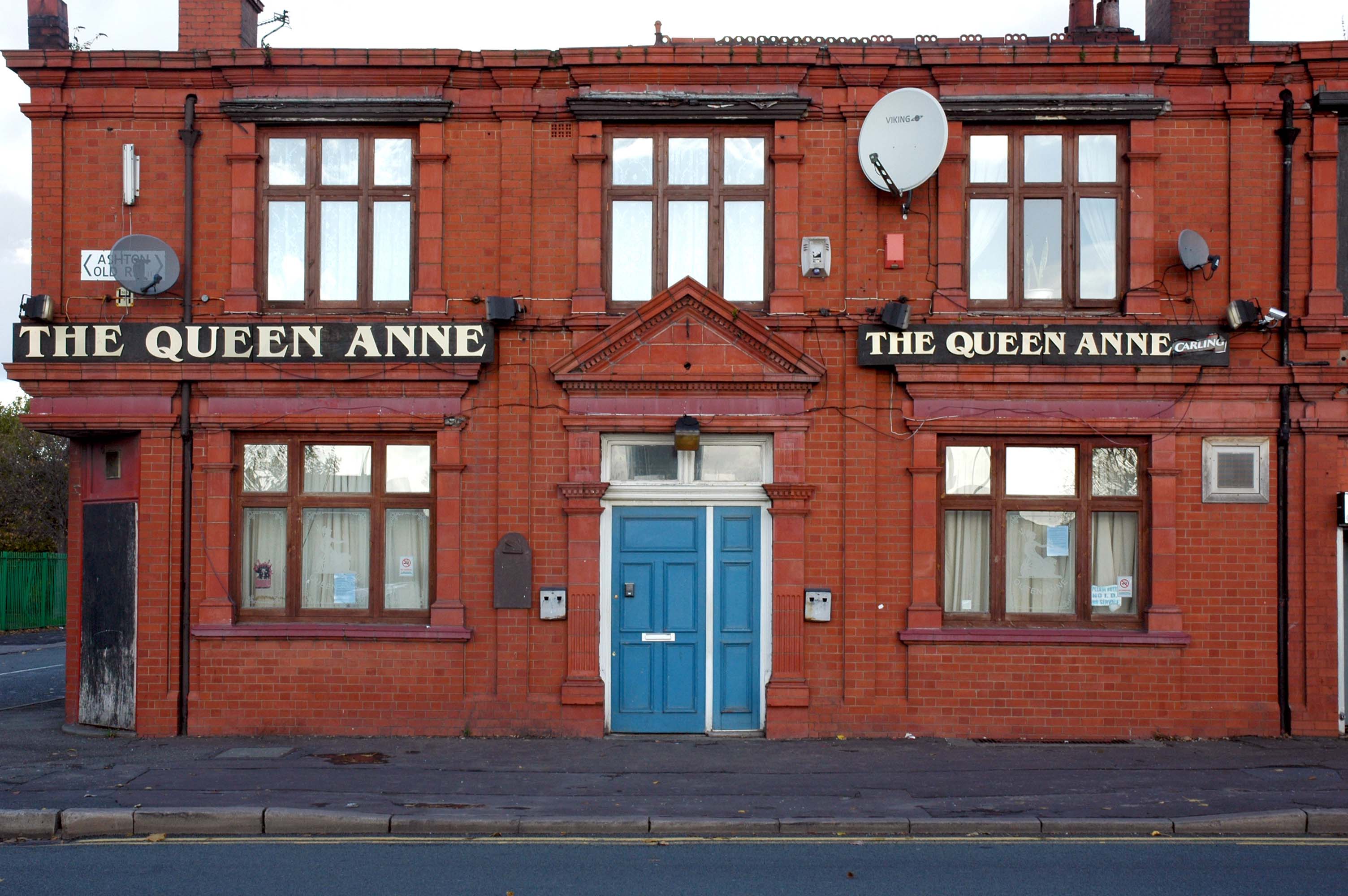
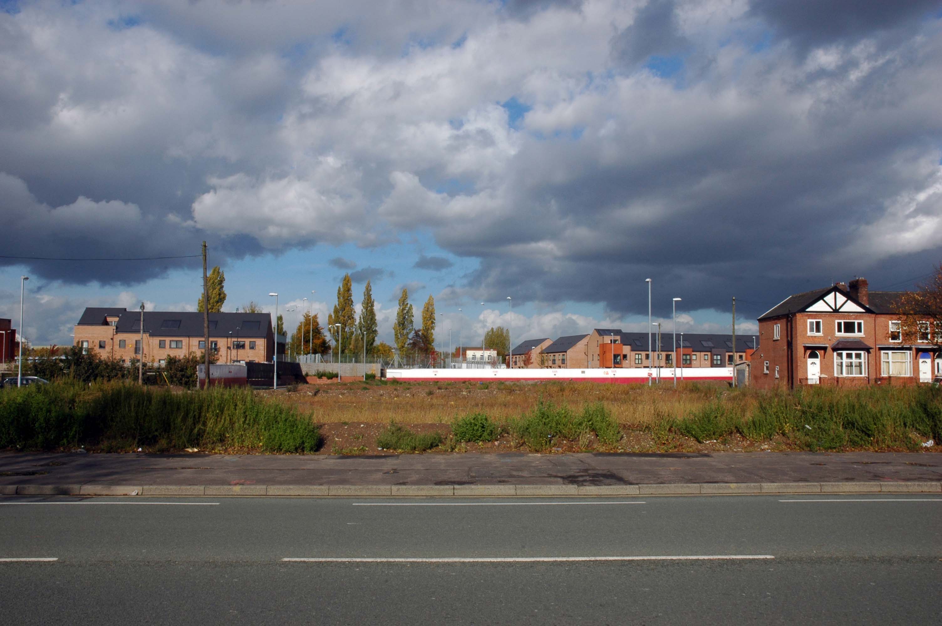
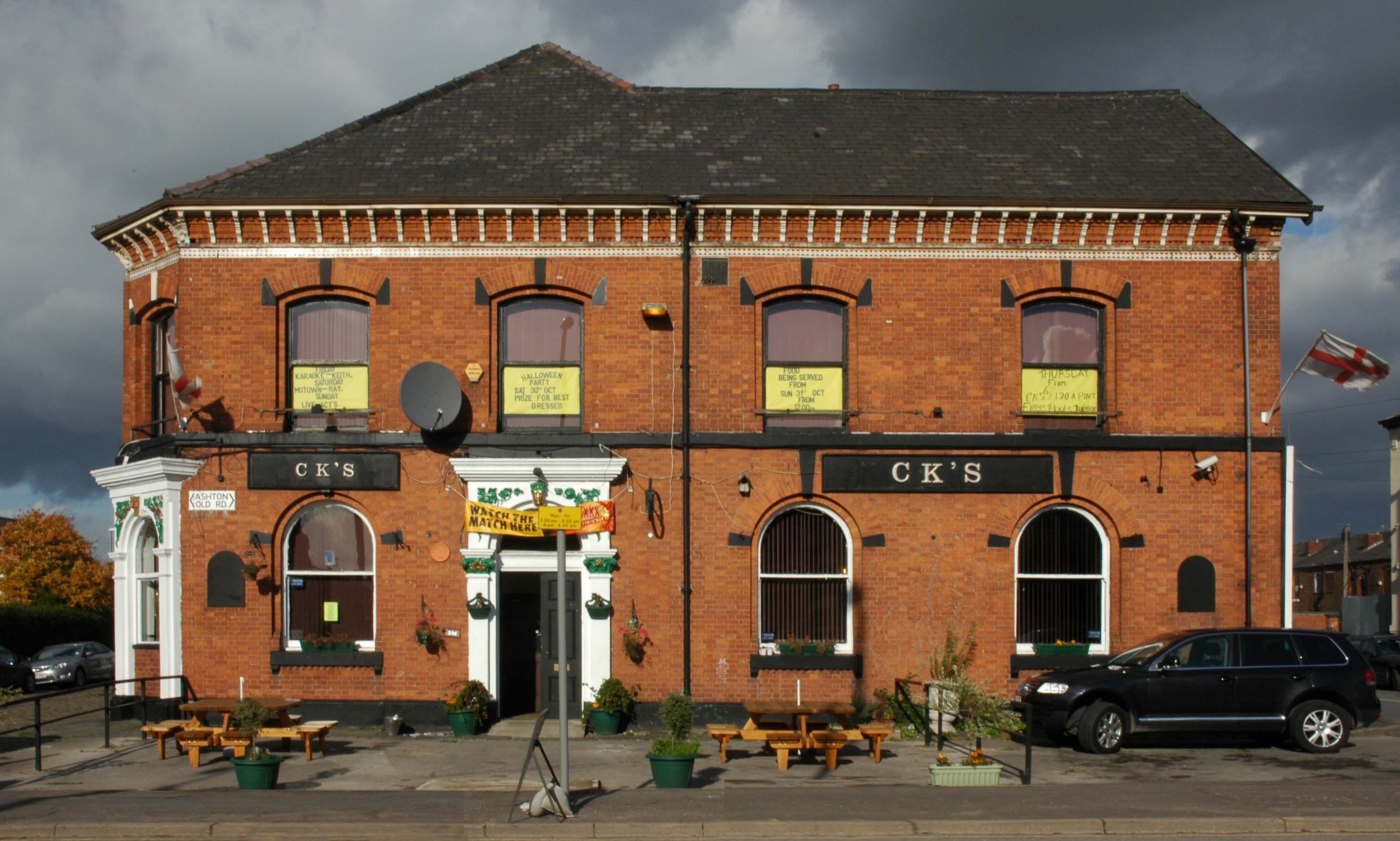
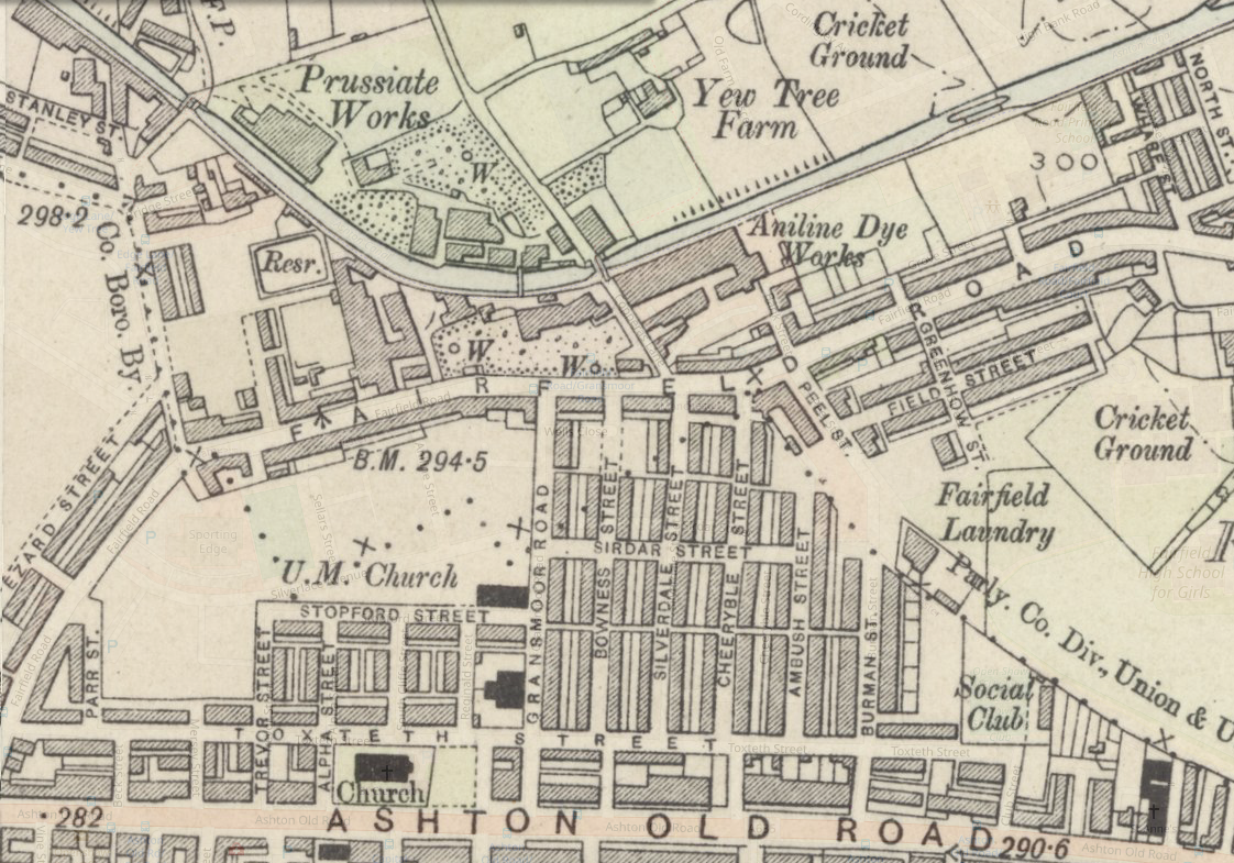
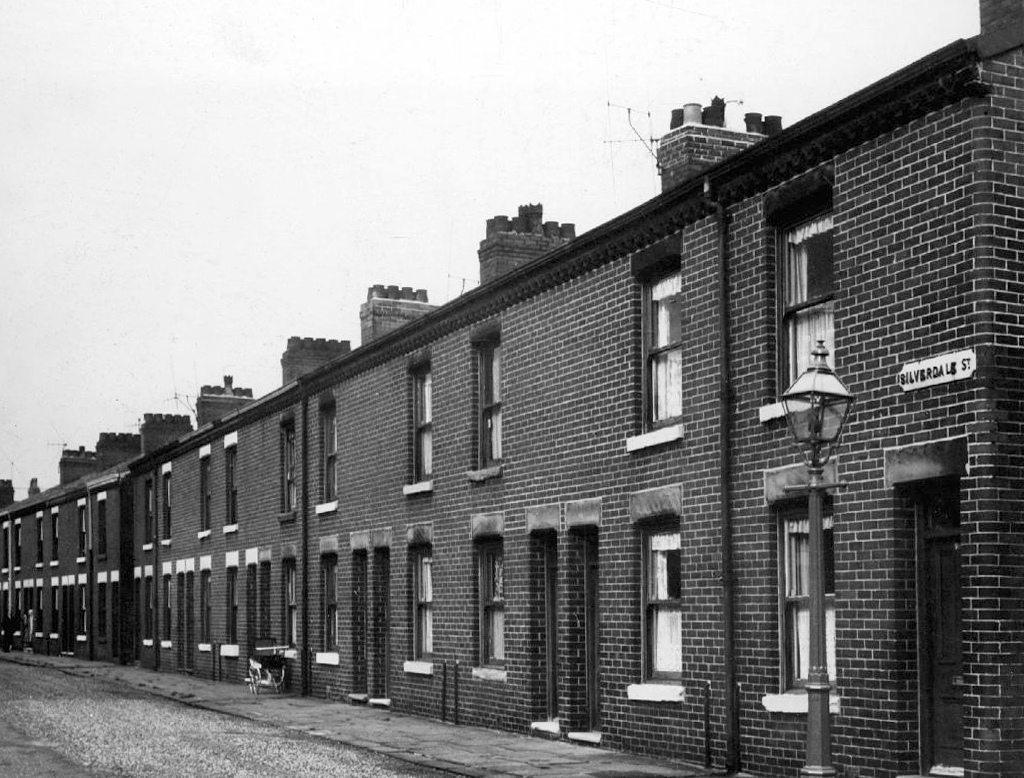
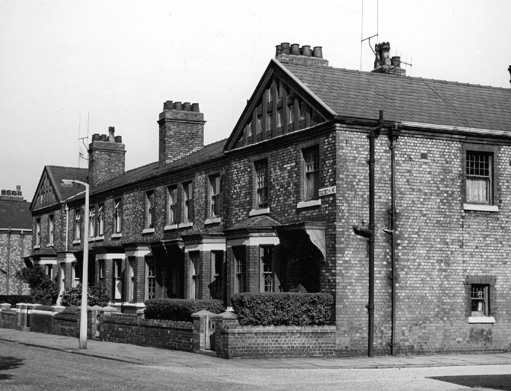
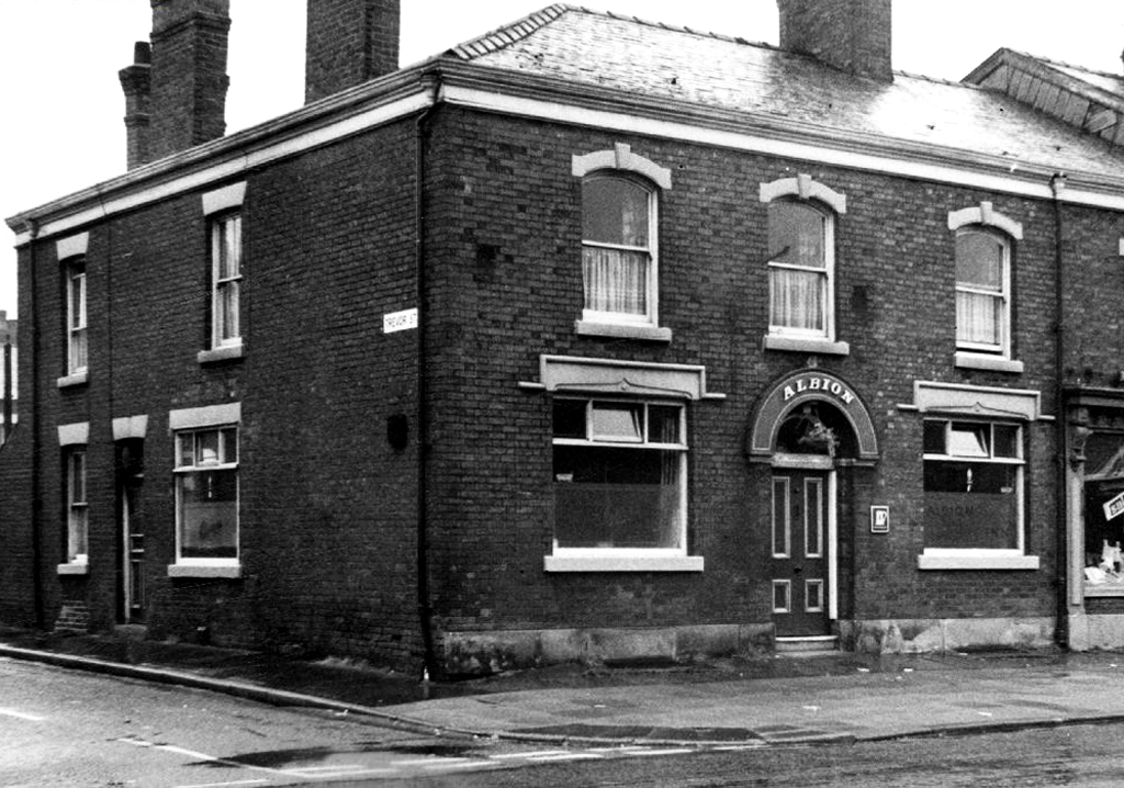
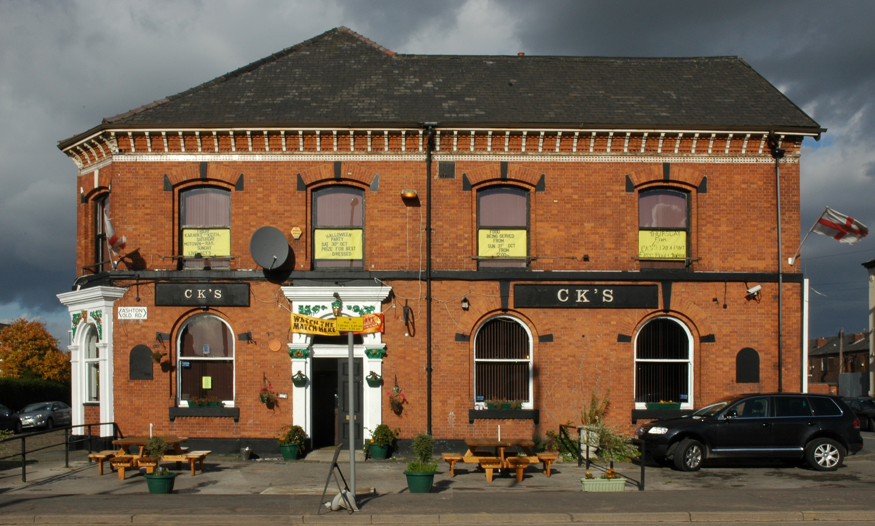
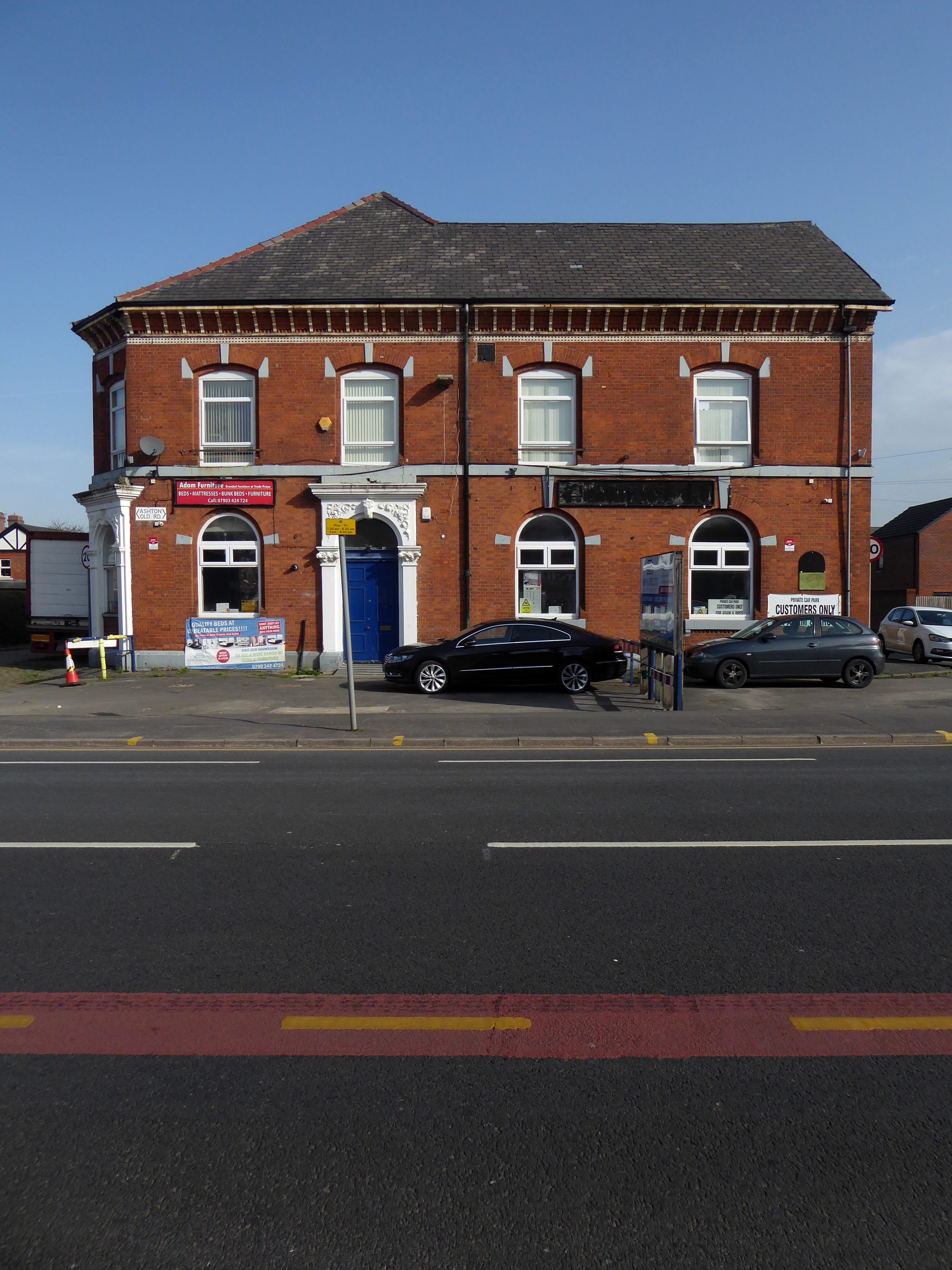
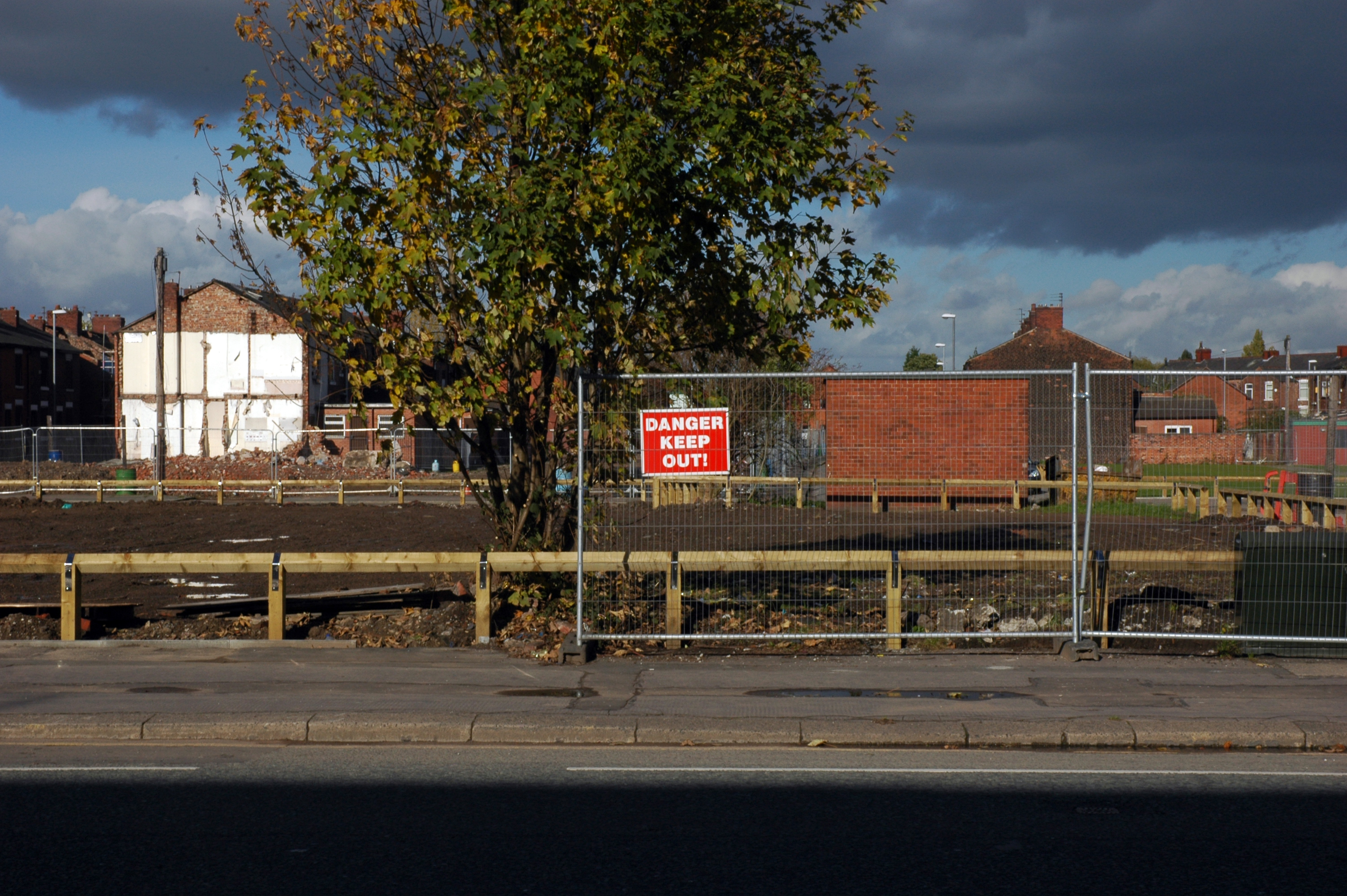
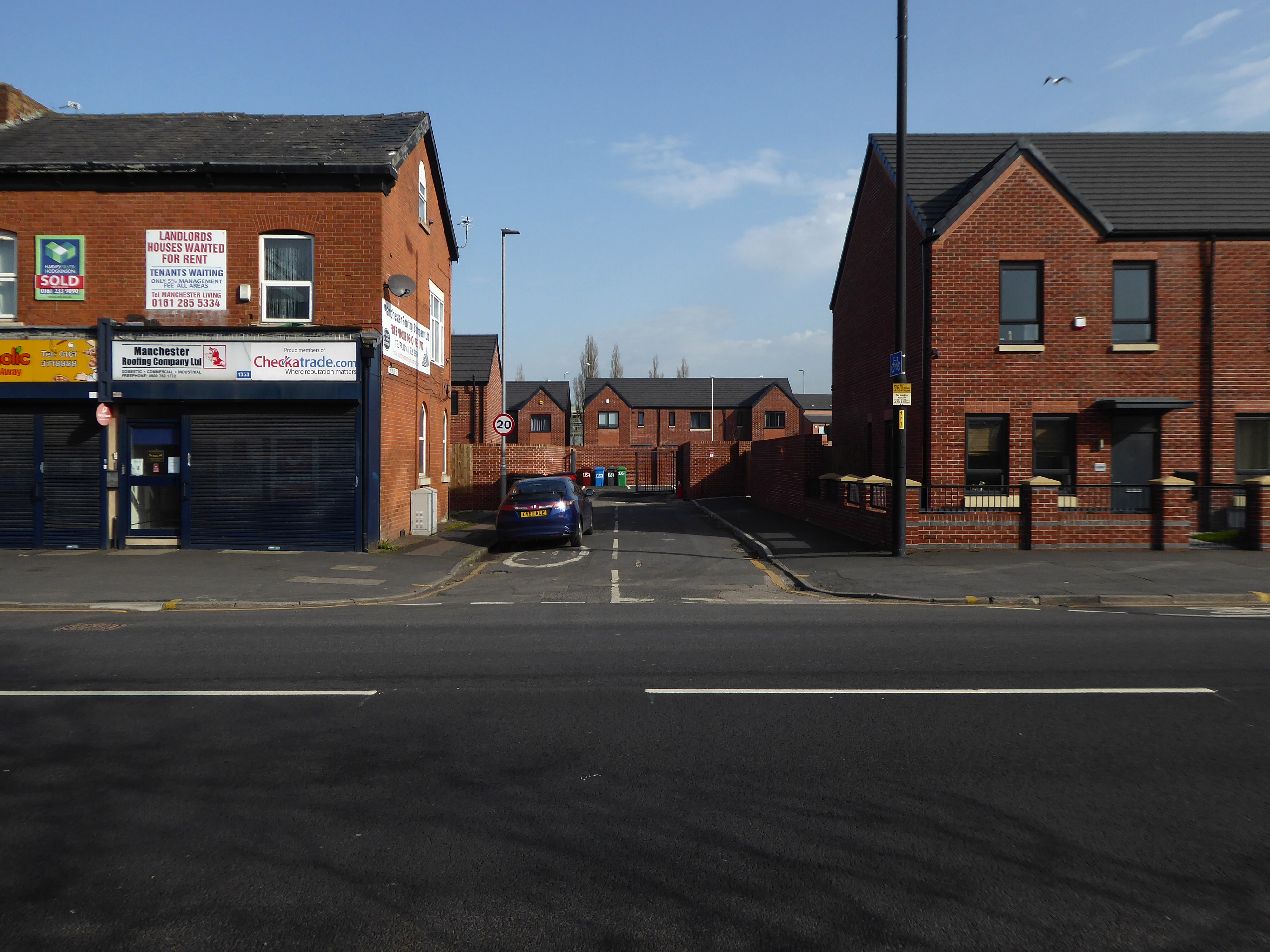
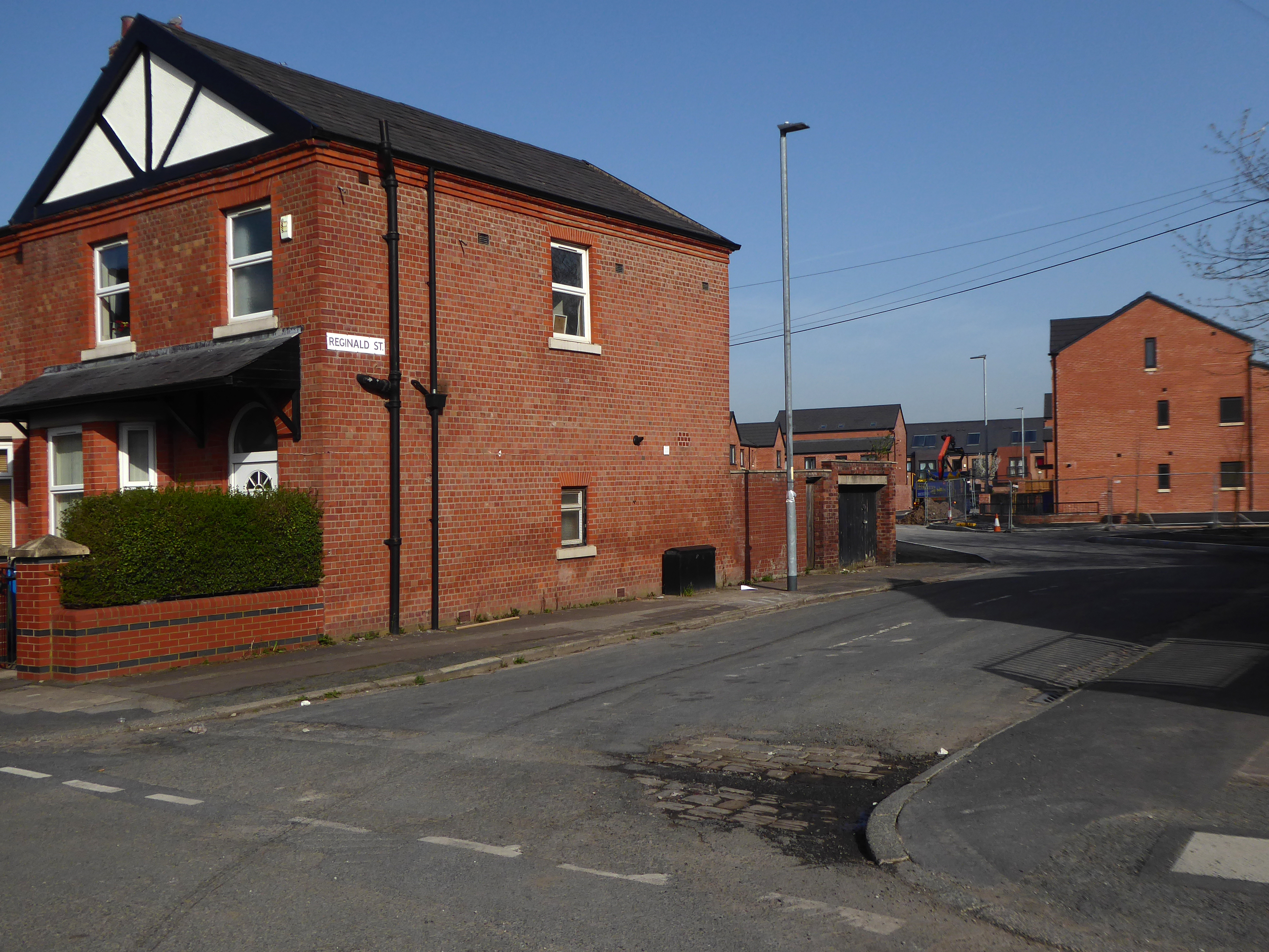
There’s been more than a few comings and goings along Ashton Old Road.
1906
Where once there were fields, homes and industry arrive, as the Industrial Revolution is in full swing.
1908
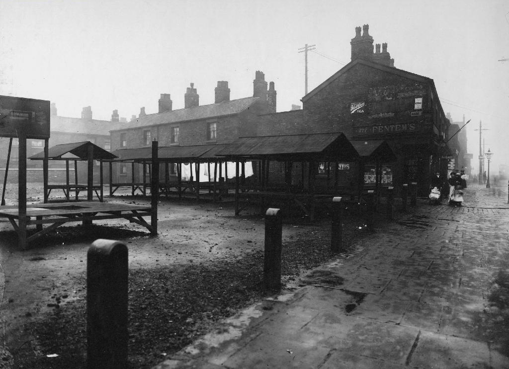
The streets to the north of Ashton Old Road are alive with shops, homes, people and prams.
Along with the occasional motor car.
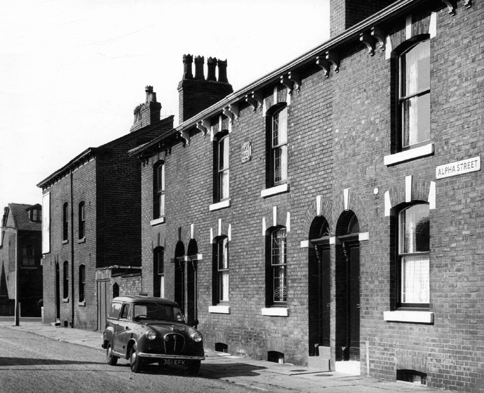
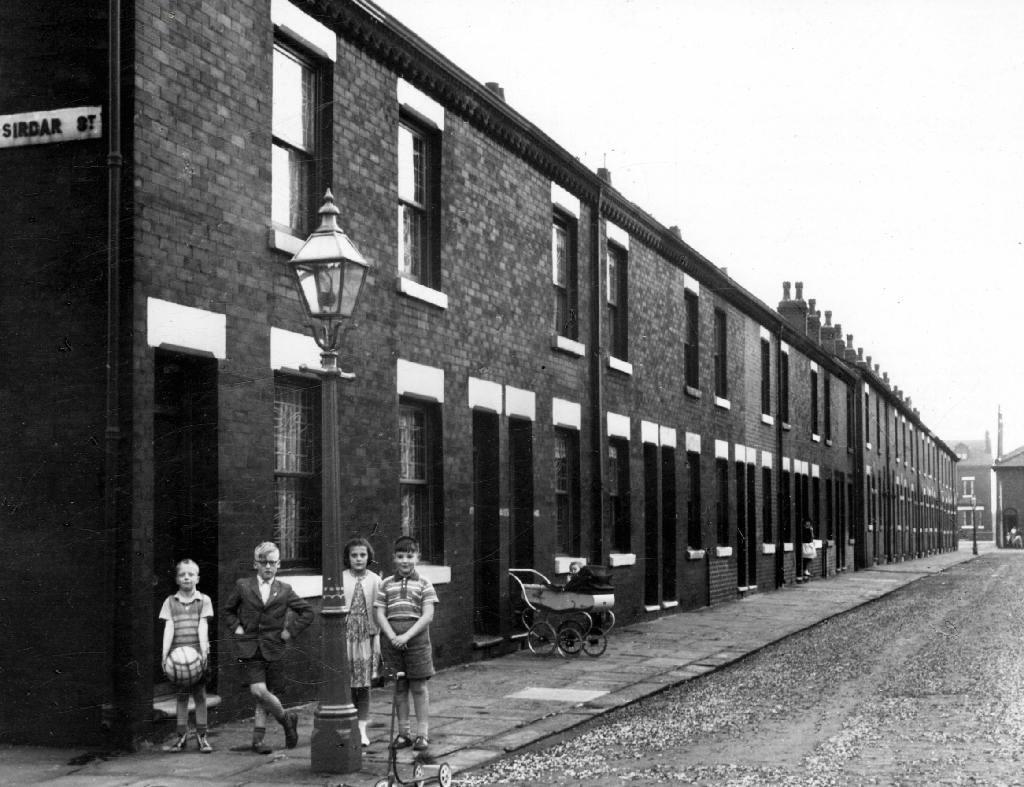
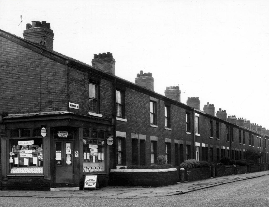
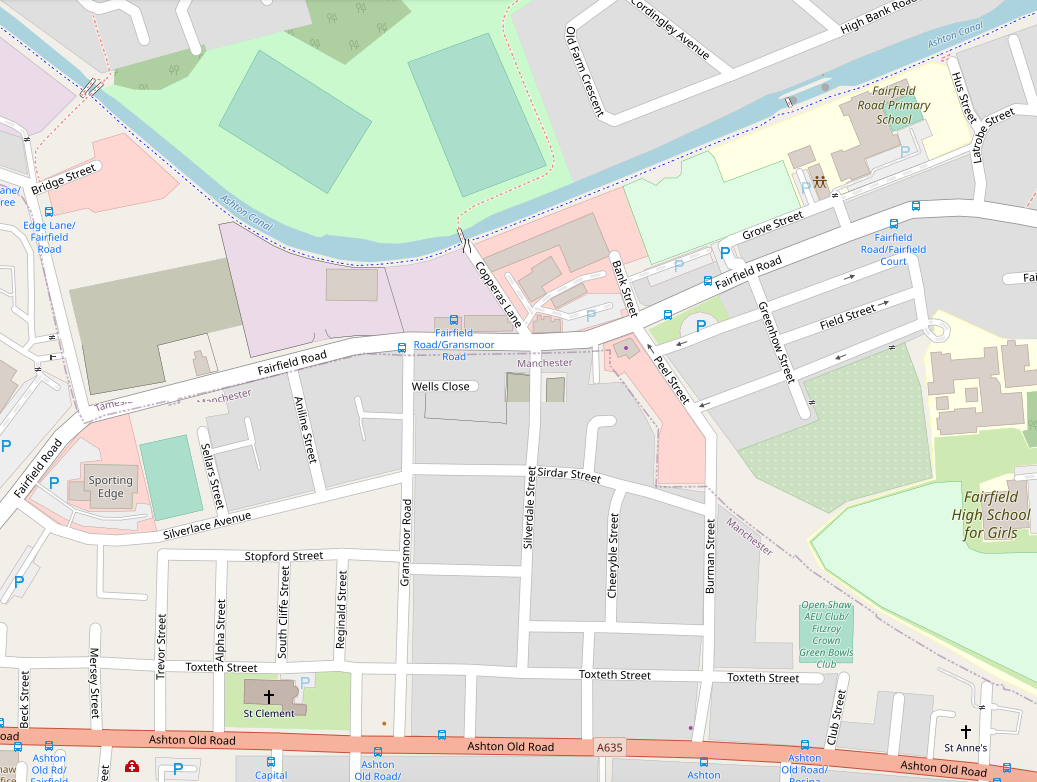
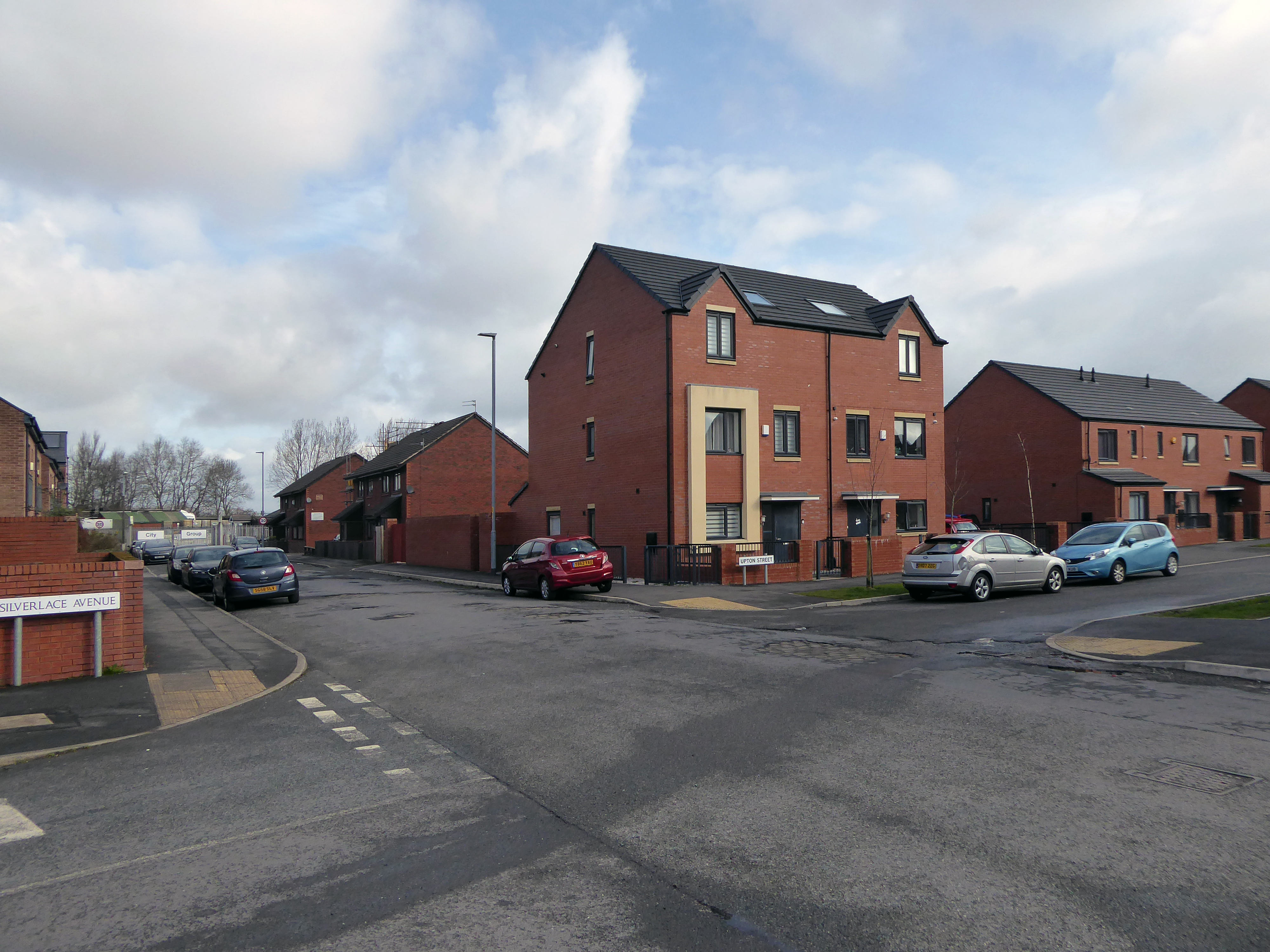
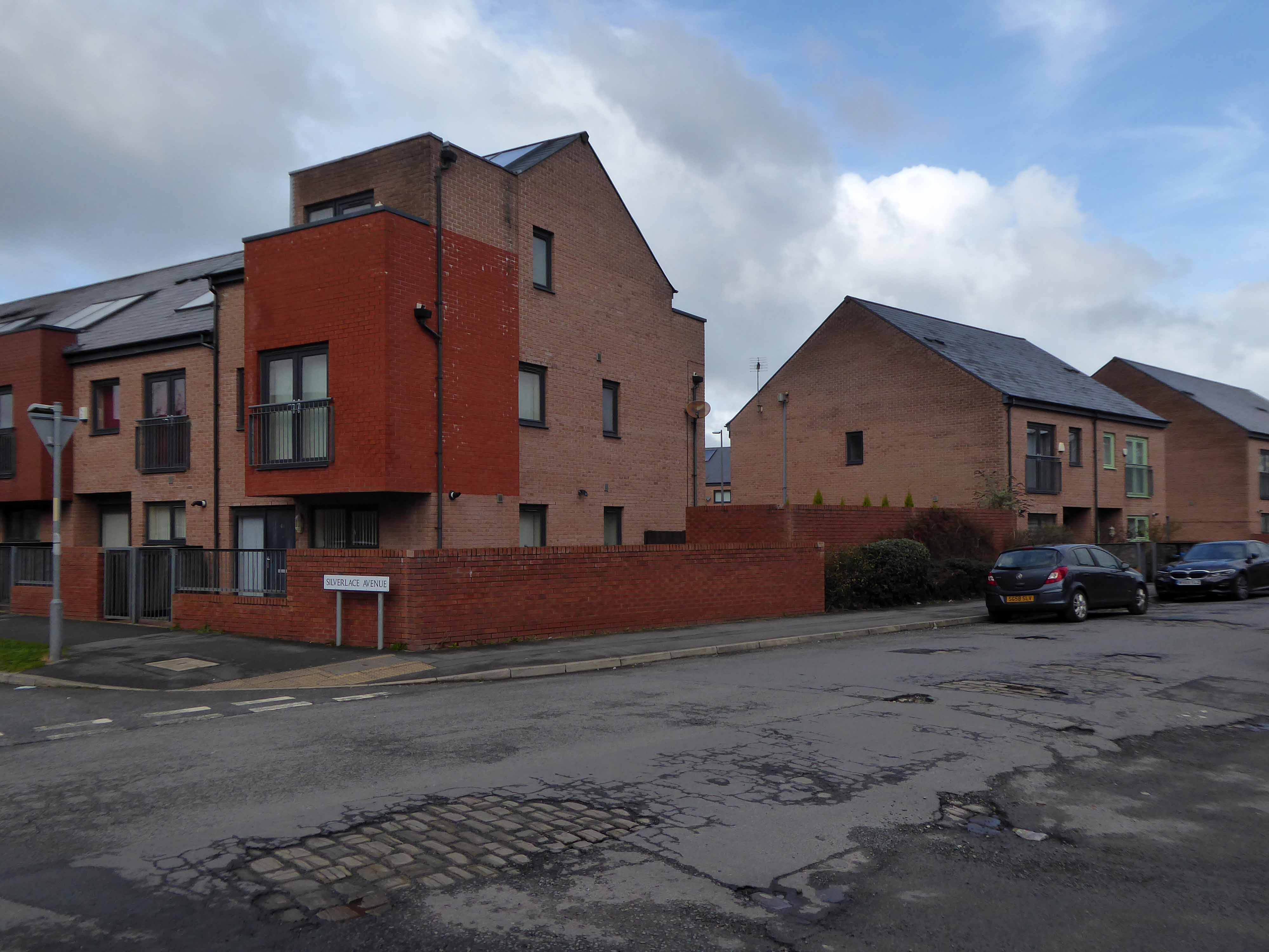
Alpha StreetBowness StreetBurman StreetSilverdale StreetToxteth StreetTrevor Street
The Old Road boasted some fine busy boozers.
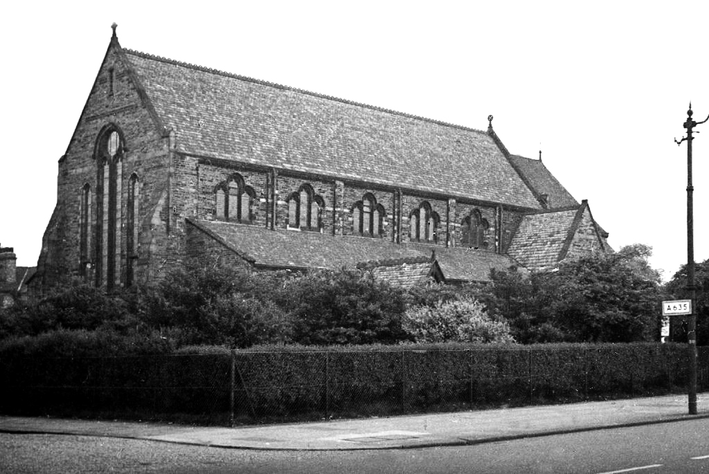
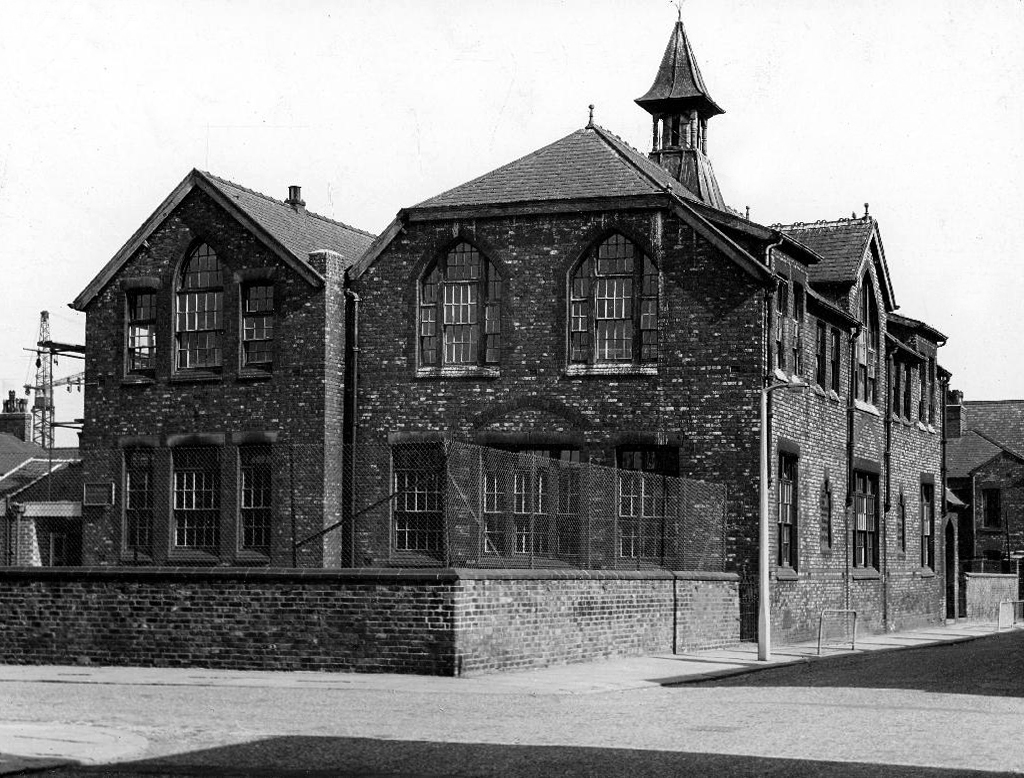
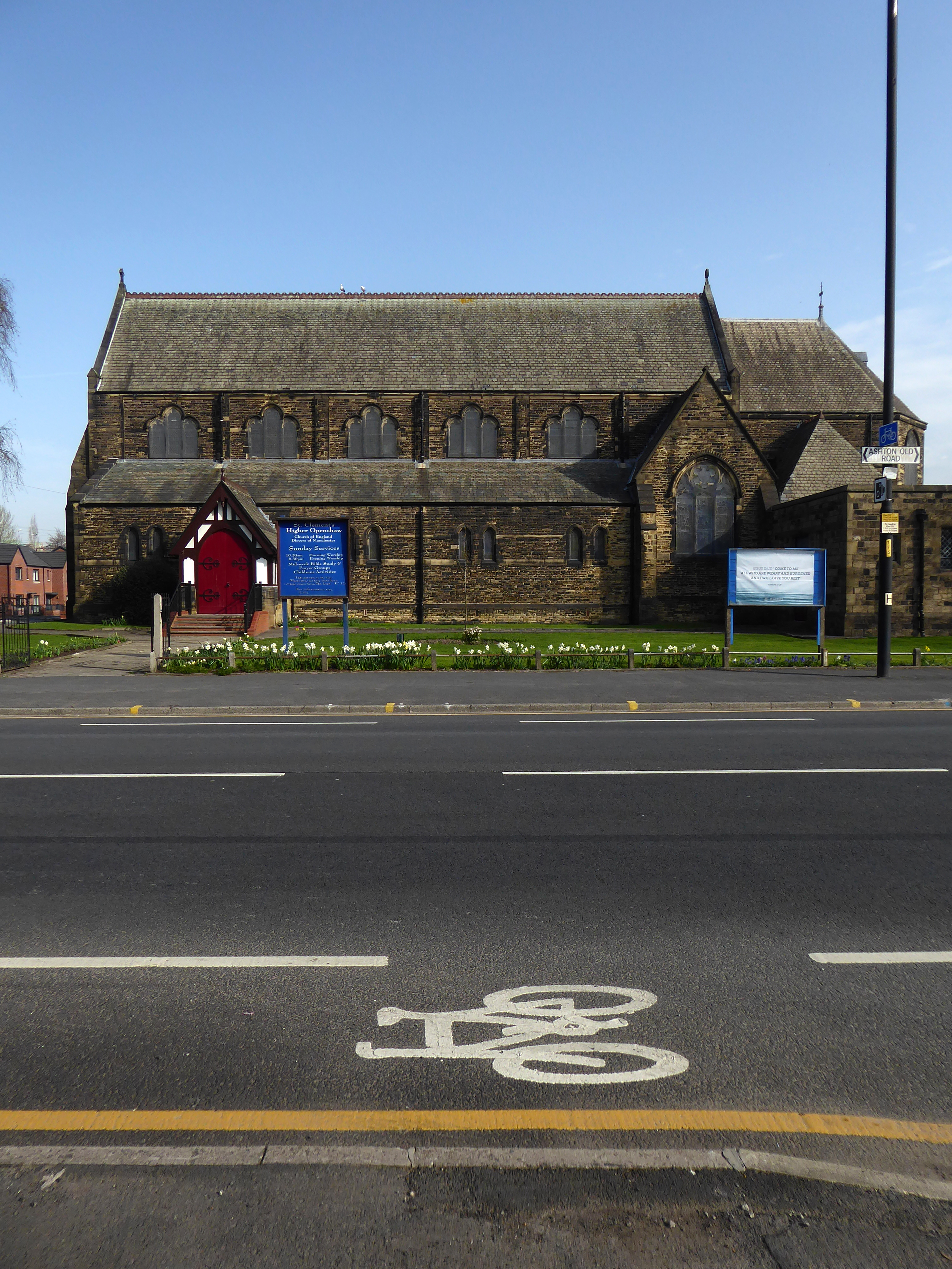
And a splendid church and school.
St Clements
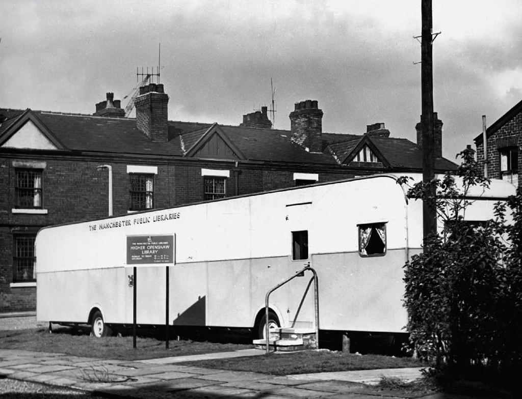
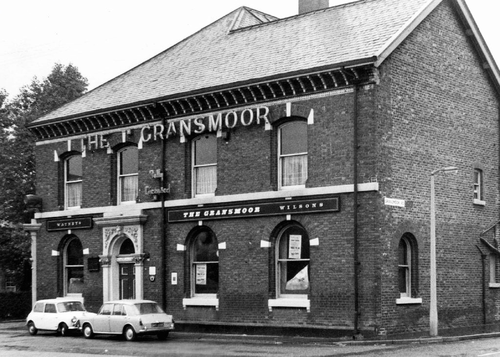
The man responsible for the majority of these archive photographs is Tommy Brooks of 56 Gransmoor Road.
He is my hero, a member go the Manchester Amateur Photographic Society, cycling the streets of Manchester to produce a unique record of life in the Sixties.
Converted to retail use 24th September 2012 after closure. This interesting Victorian building stands back from the road with what may well be a coach road in front. Inside the high ceilings and glorious plasterwork gave the impression of a gentlemen’s club. Though it previously sold cask Banks’s beers in its earlier years, its final days were seen out with only keg beers being available.
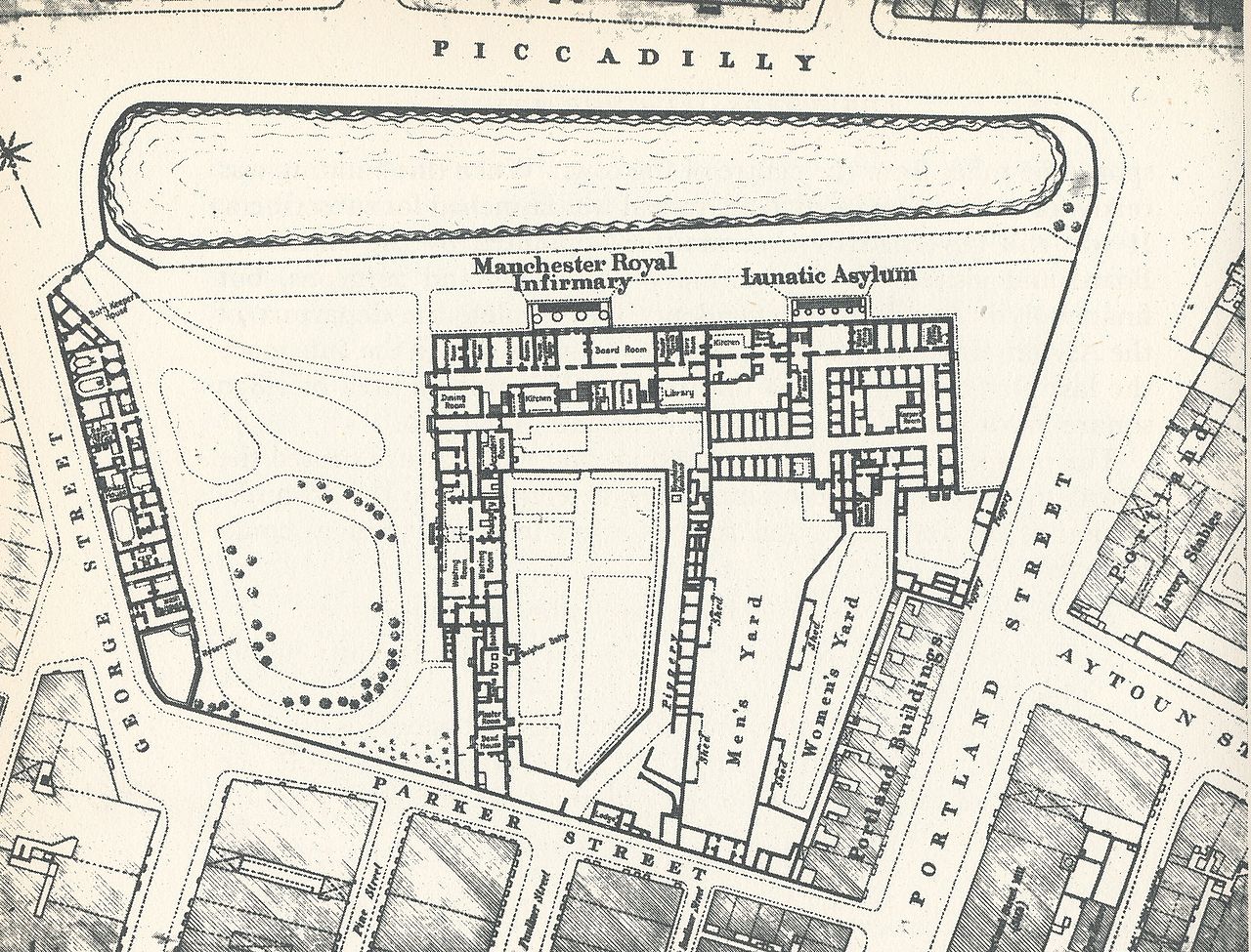
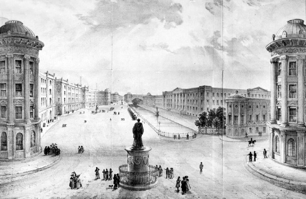
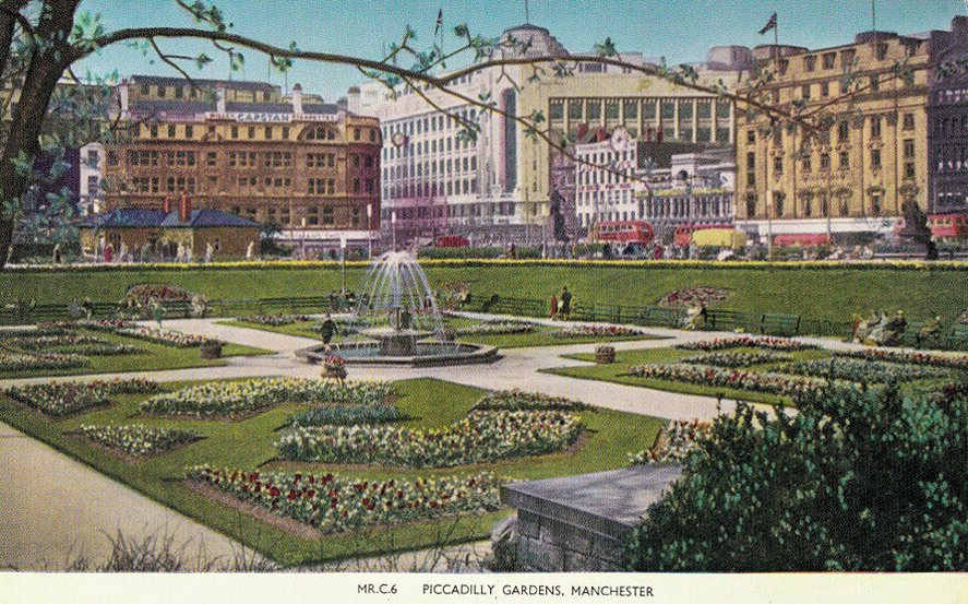
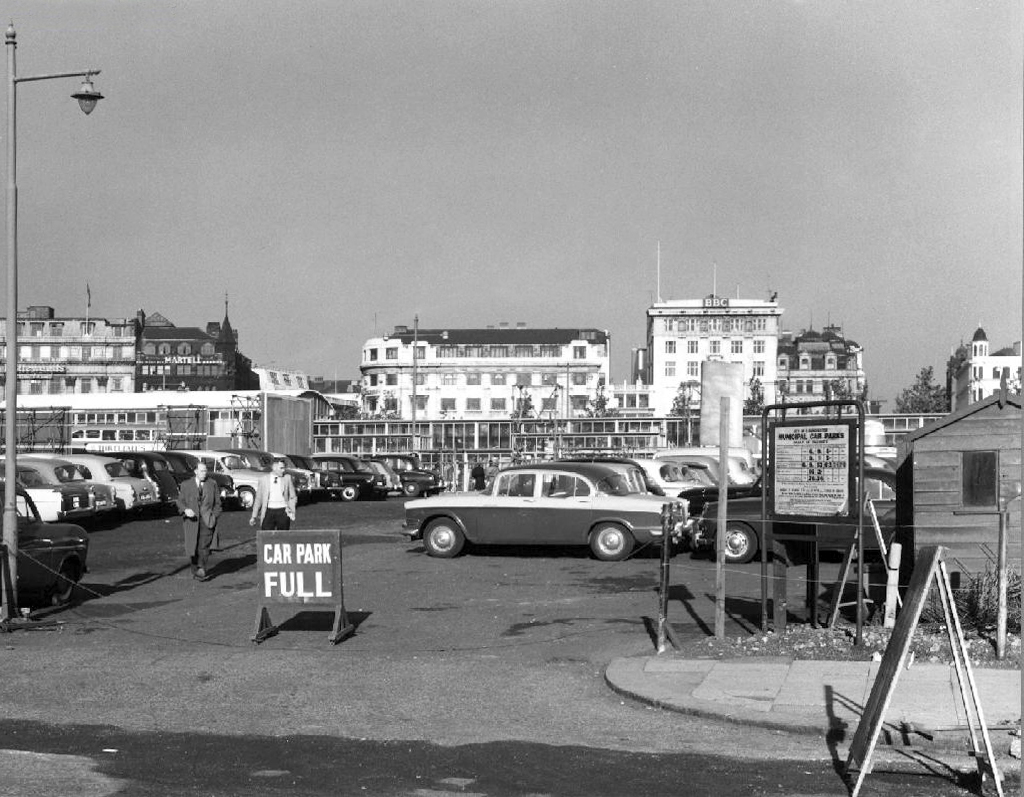
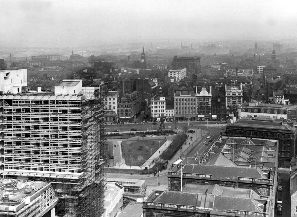
Well not a great deal, it’s 1772 and the Gardens and Plaza, are as yet undreamt of – the area was occupied by water-filled clay pits called the Daub Holes, eventually the pits were replaced by a fine ornamental pond.
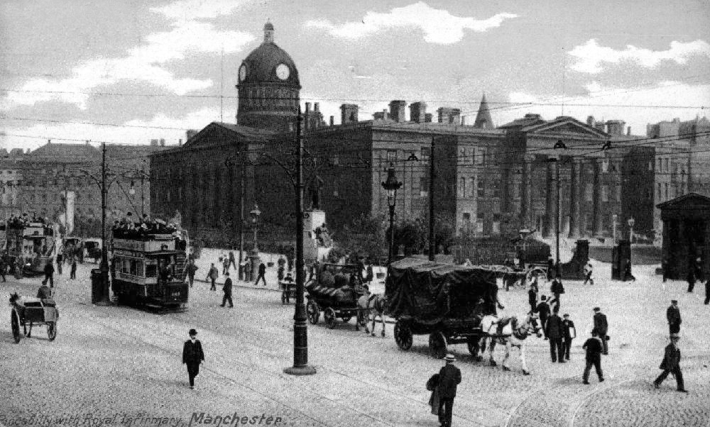
In 1755 the Infirmary was built here; on what was then called Lever’s Row, in 1763 the Manchester Royal Lunatic Asylum was added.
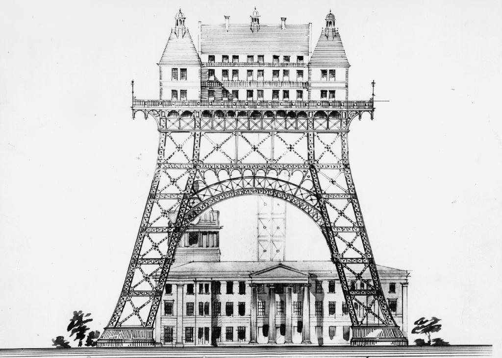
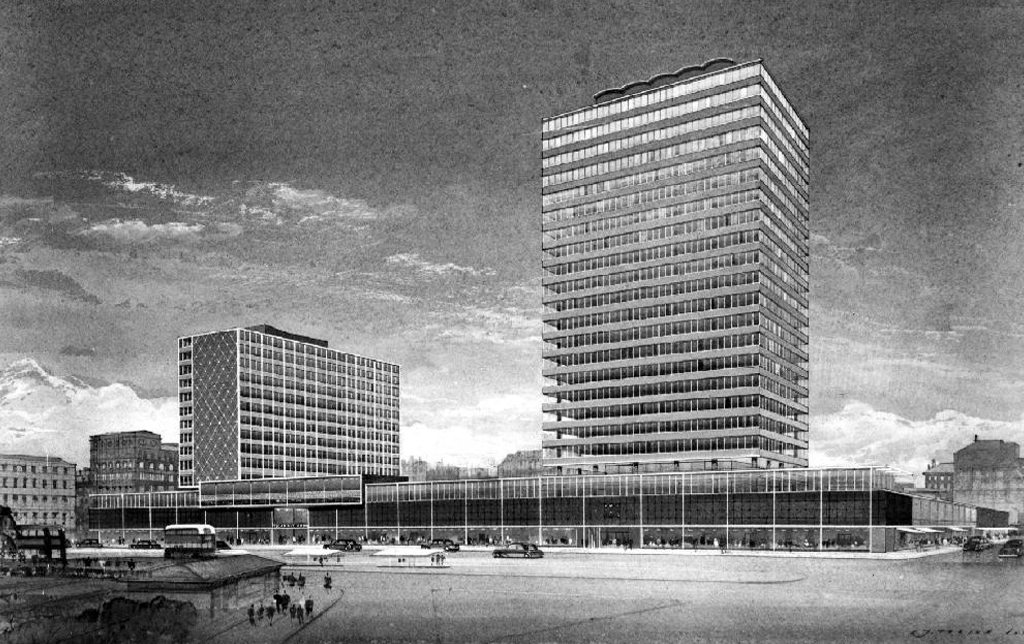
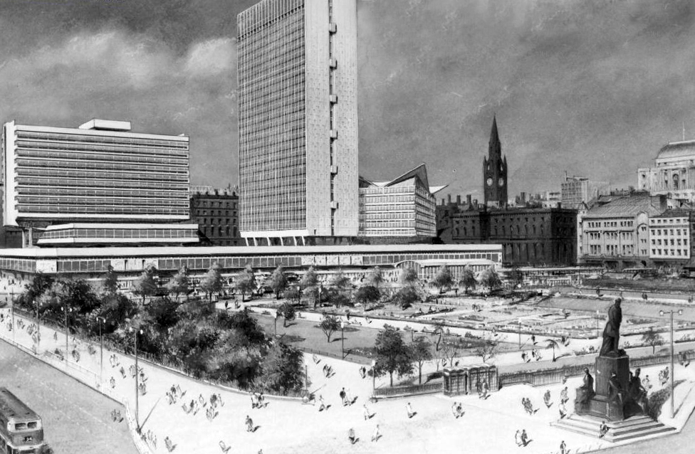
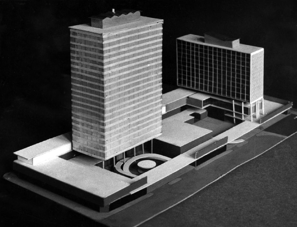
There were grander unrealised plans.
Including an aerial asylum.
The Manchester Royal Infirmary moved to its current site on Oxford Road in 1908. The hospital buildings were completely demolished by April 1910 apart from the outpatient department, which continued to deal with minor injuries and dispense medication until the 1930s.
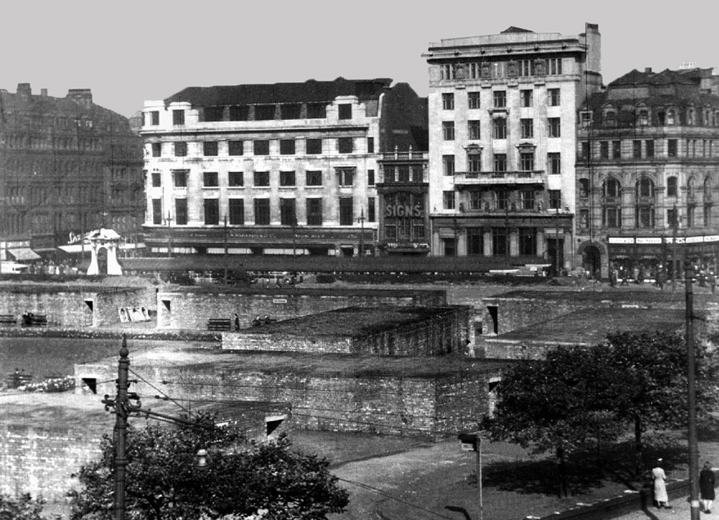
After several years in which the Manchester Corporation tried to decide how to develop the site, it was left and made into the largest open green space in the city centre. The Manchester Public Free Library Reference Department was housed on the site for a number of years before the move to Manchester Central Library.
The sunken garden was a remnant of the hospital’s basement.
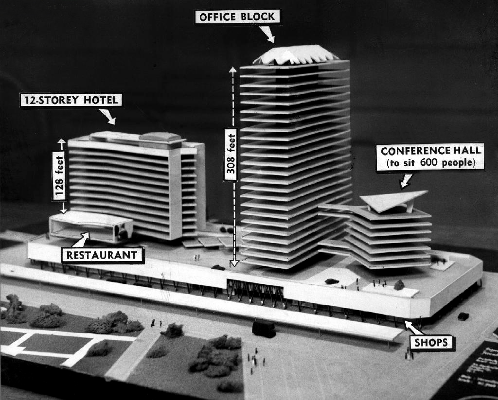
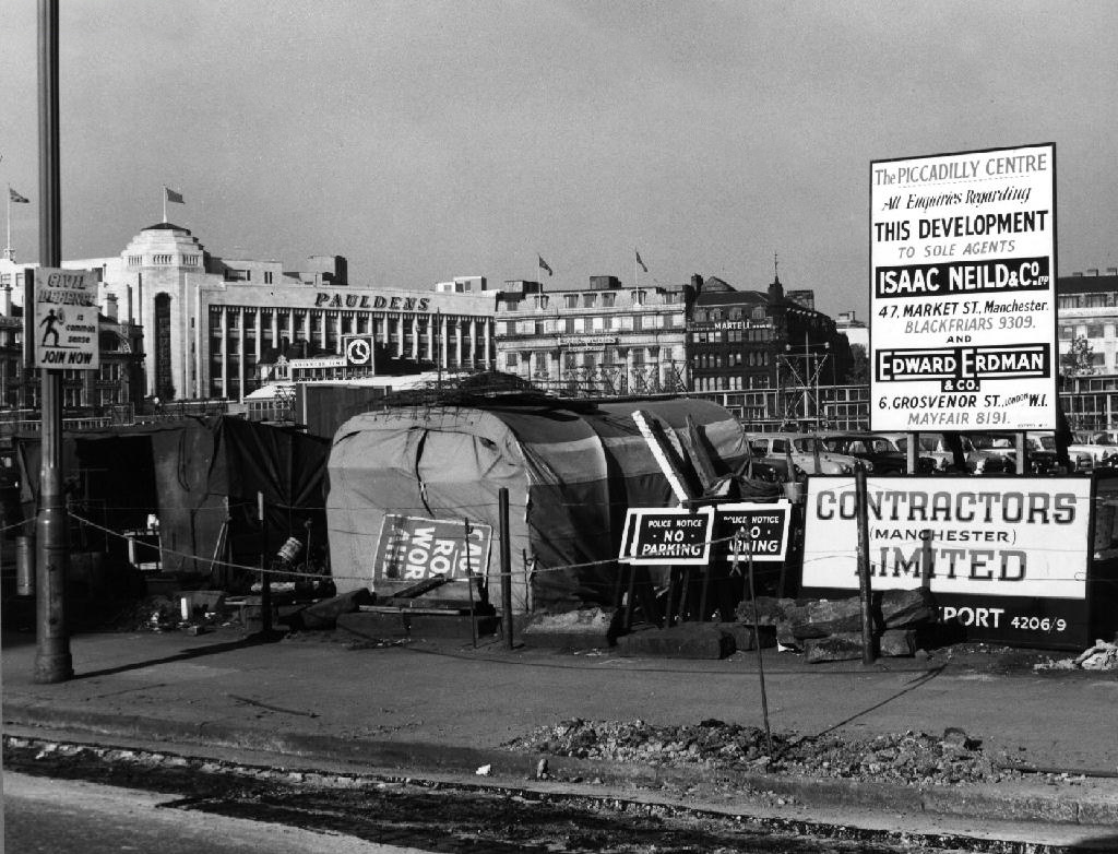
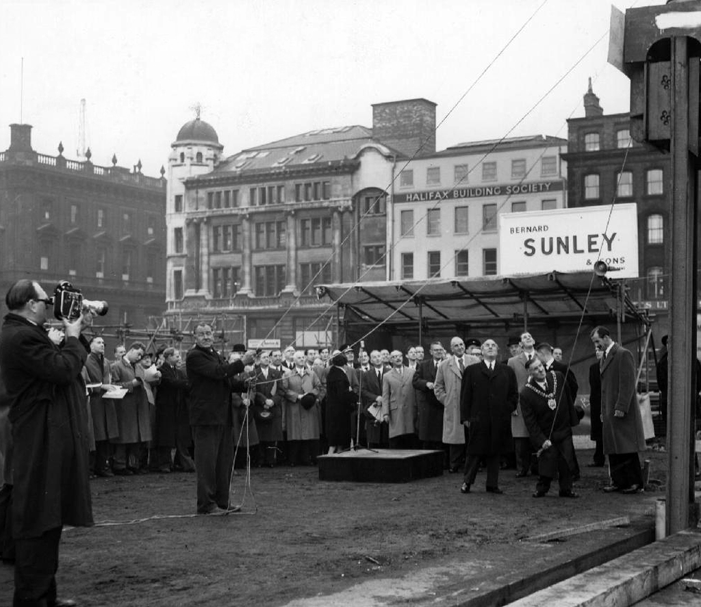
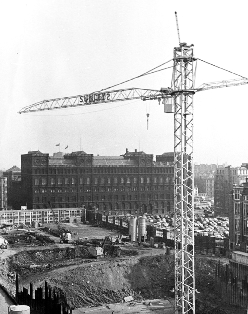
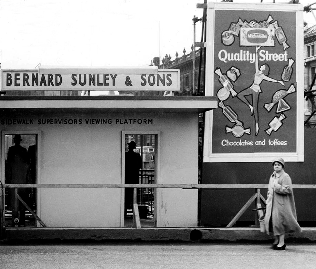
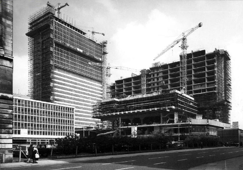
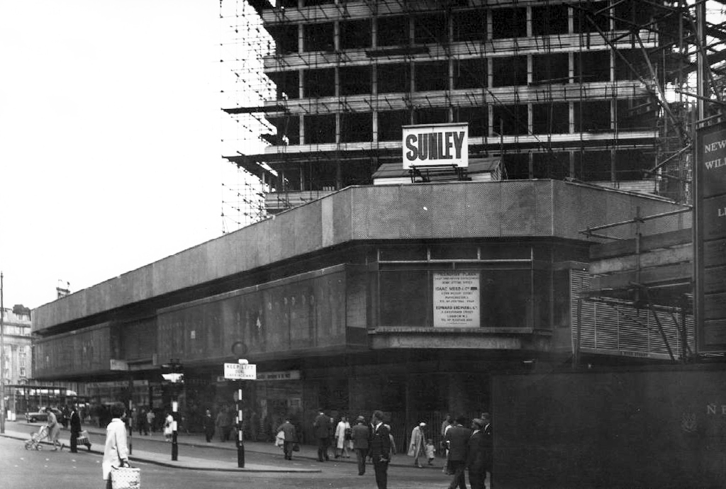
Towering cranes tower over the town, deep holes are dug with both skill and alacrity.
A Plaza begins to take shape, take a look.
Nearly done.
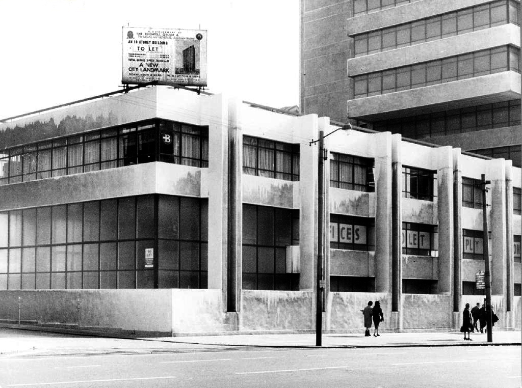
All we need now are tenants.
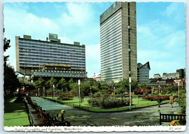
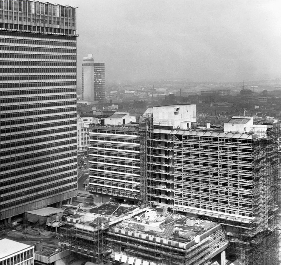
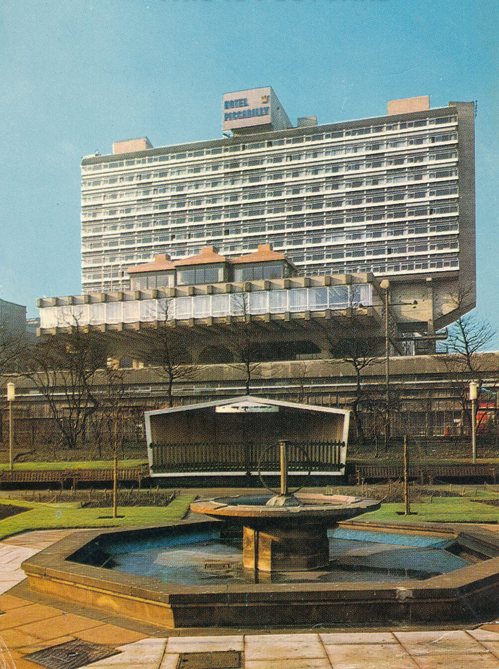
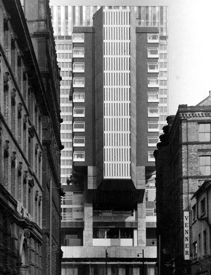
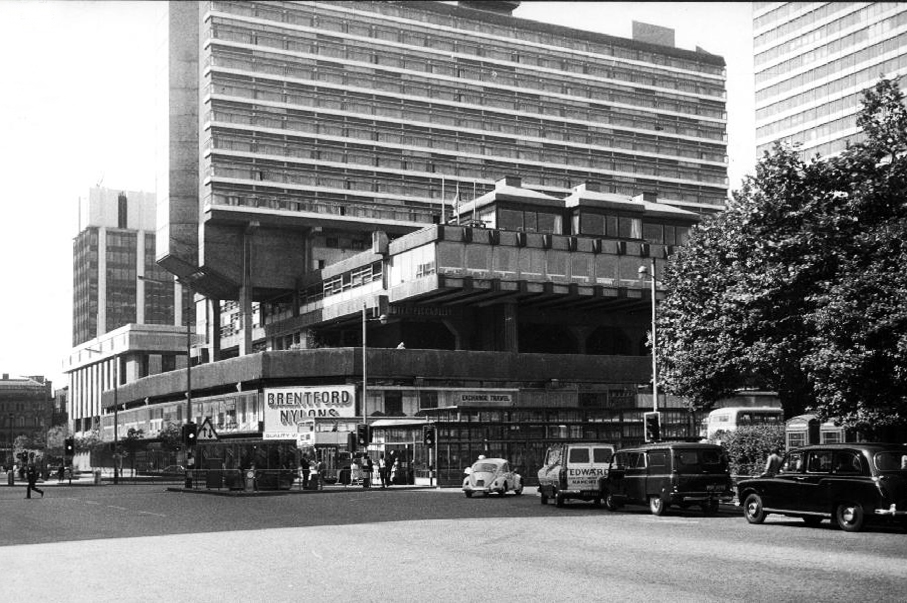
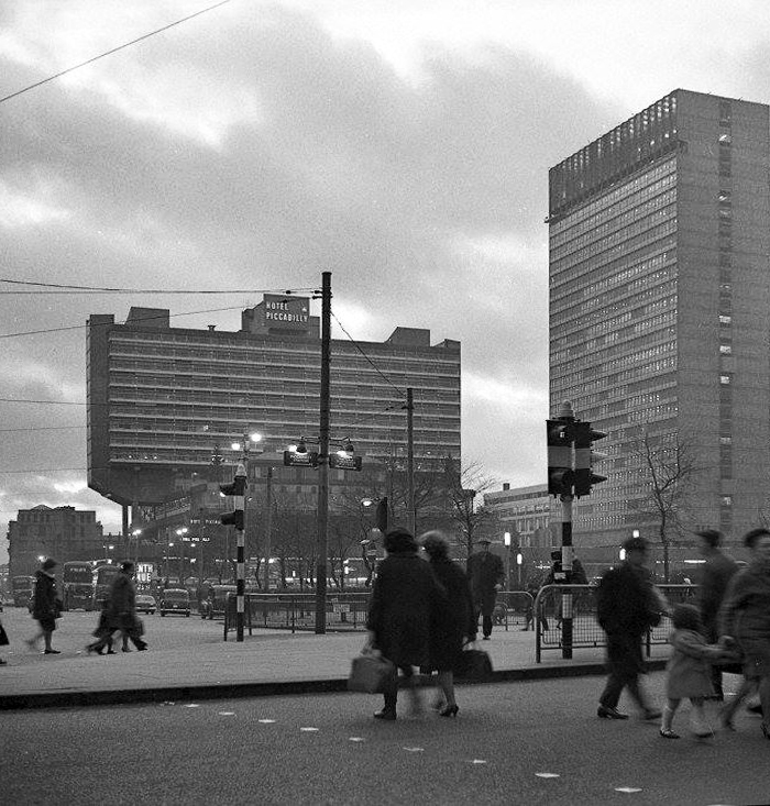
Piccadilly Plaza now contains the renovated Mercure Hotel it was formerly known as the Ramada Manchester Piccadilly and Jarvis Piccadilly Hotel; the refurbishment was completed in 2008.
The retail units famously contained Brentford Nylons.
The company was eventually sold at a knock-down price and the new owner did not think the name worth having.
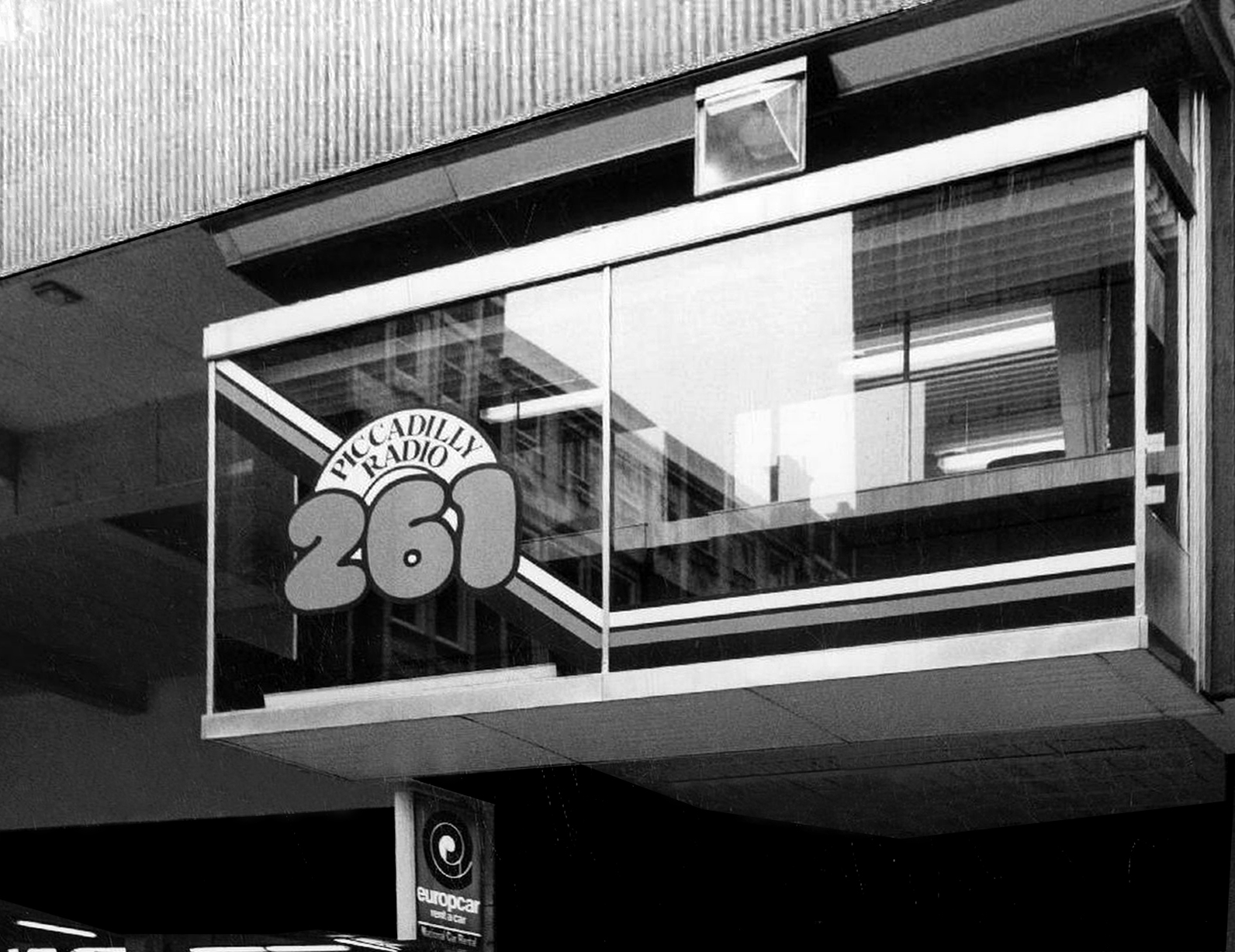
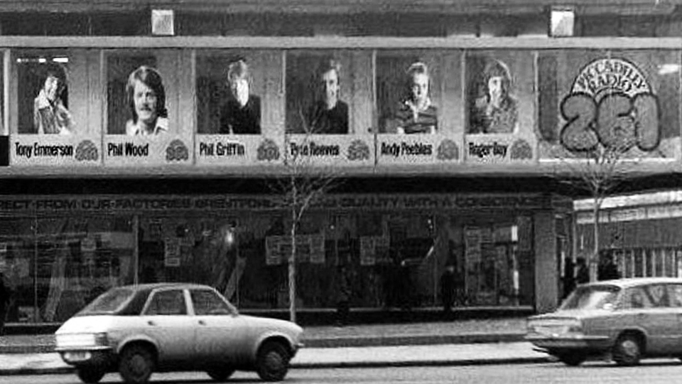
The noisy upstairs neighbours were Piccadilly Radio.
The first broadcast was at 5am on April 2nd 1974, it was undertaken by Roger Day, with his first words to the Manchester audience: “It gives me great pleasure for the very first time to say a good Tuesday morning to you… Hit music for the North West…we are Piccadilly Radio” before spinning Good Vibrations.
It was the first commercial radio station to broadcast in the city, and went on to launch the careers of a host of star DJs, the likes of Gary Davies, Chris Evans, Andy Peebles, Timmy Mallett, Mike Sweeney, Pete Mitchell, James Stannage, Steve Penk and James H Reeve.
Waiting for a mate who worked at Piccadilly Radio we ventured down the stairs next door to get a drink and because of our clothes/leather jackets we were chucked back up the steps. We should of stood our ground like one of my mates who was told he could stay if he turned his jacket inside out, thinking he wouldnt do it, but he did and had a drink with his red quilted lining on the outside.
“Food served at the table within ten minutes of ordering and with atomic age efficiency. No cutlery needed or given. Drinks served in a bottle with a straw. Condiments in pre-packaged single serving packets.”
In addition to familiar Wimpy burgers and milkshakes, the British franchise had served ham or sardine rolls called torpedoes and a cold frankfurter with pickled cucumber sandwiches called Freddies.
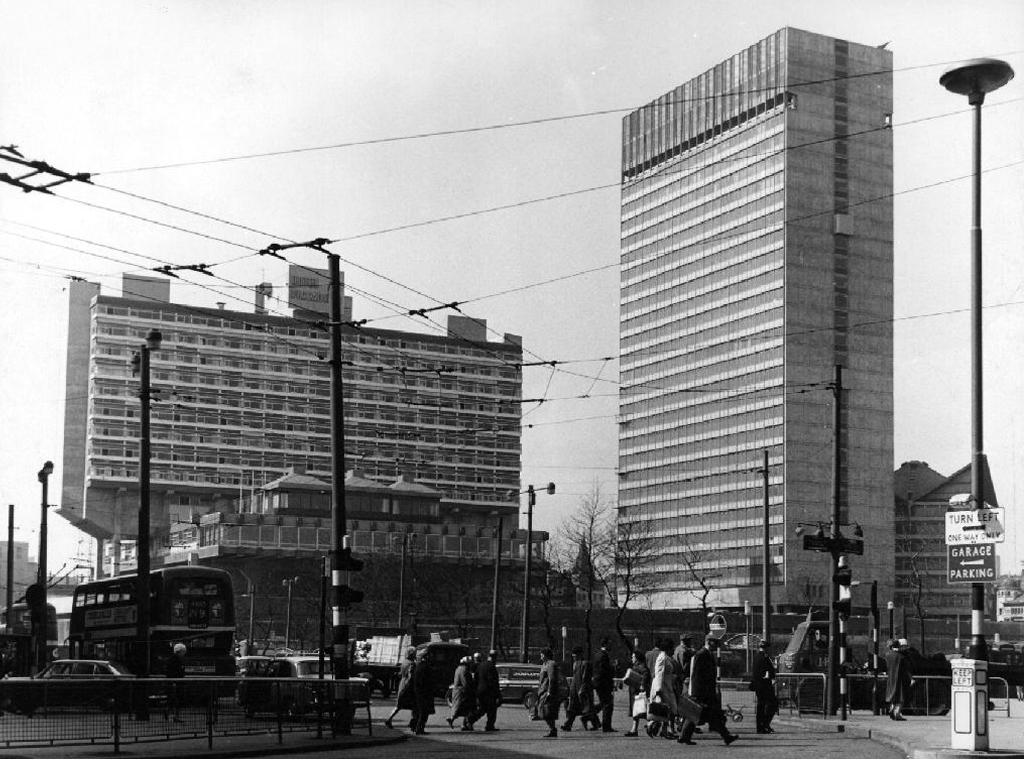
Even on the greyest days the Plaza was a beacon of Modernity.
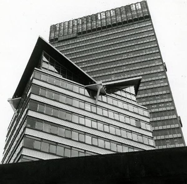
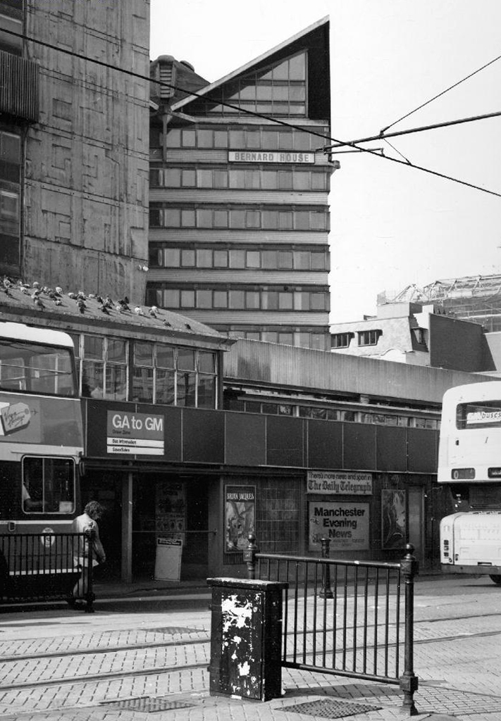
Though sadly we eventually lost Bernard House.
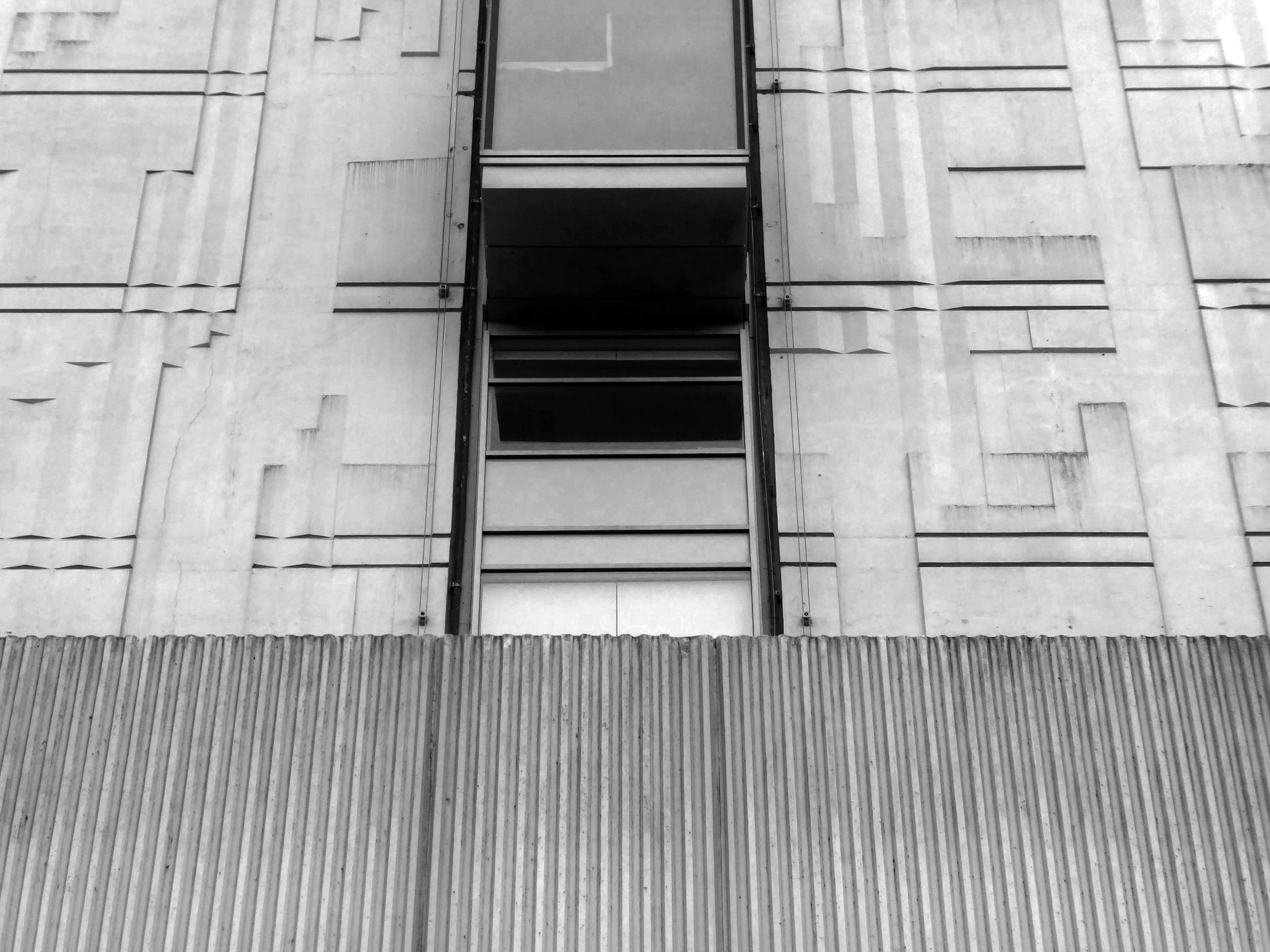
However, City Tower still prevails as a mixed use office block, adorned east and west with big bold William Mitchell panels.
Which were to be illuminated by ever changing images, produced by photo electric cells – sadly unrealised.
So goodbye Piccadilly – farewell Leicester Square? – it’s a long, long way to the future, and we’re barely half way there.
While we’re in the vicinity take a quick trip up and down the car park ramp.
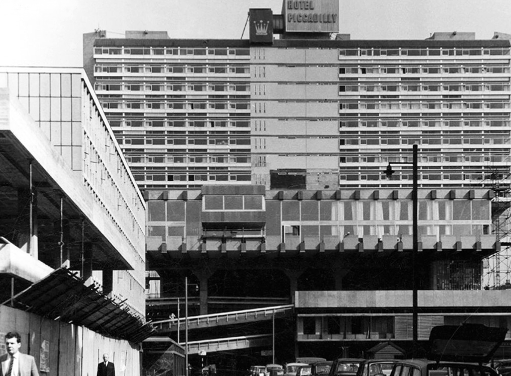
Notably the entrance to the Hotel Piccadilly was on the first floor, accessed by non-existent highways in the sky – sweet dreams.
Above the current market office is an impressive painted mural by art students from Dresden commissioned especially for the market in the 1950s in a Socialist Realist manner, depicting farming and industrial scenes.
The Gordon Cullen tiles have been renovated and re-sited within the exit corridor.
Still in clear view the stone relief work of John Skelton November 1956. Three of the eight column have incised Hornston stone works, depicting the activities of the CWS.
Get yourself there pronto – current restrictions considered of course.