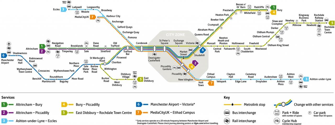
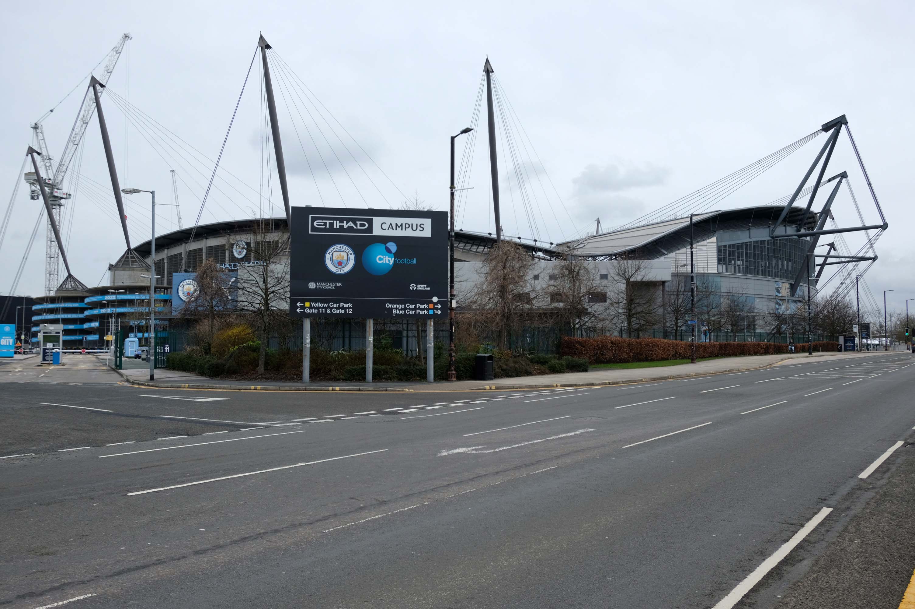
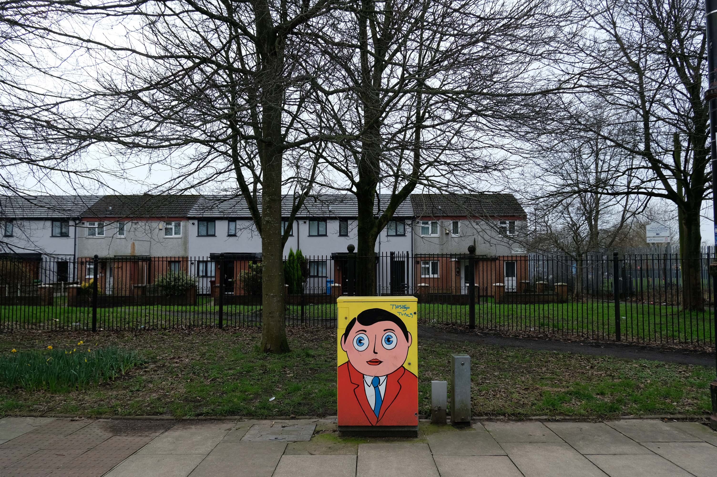
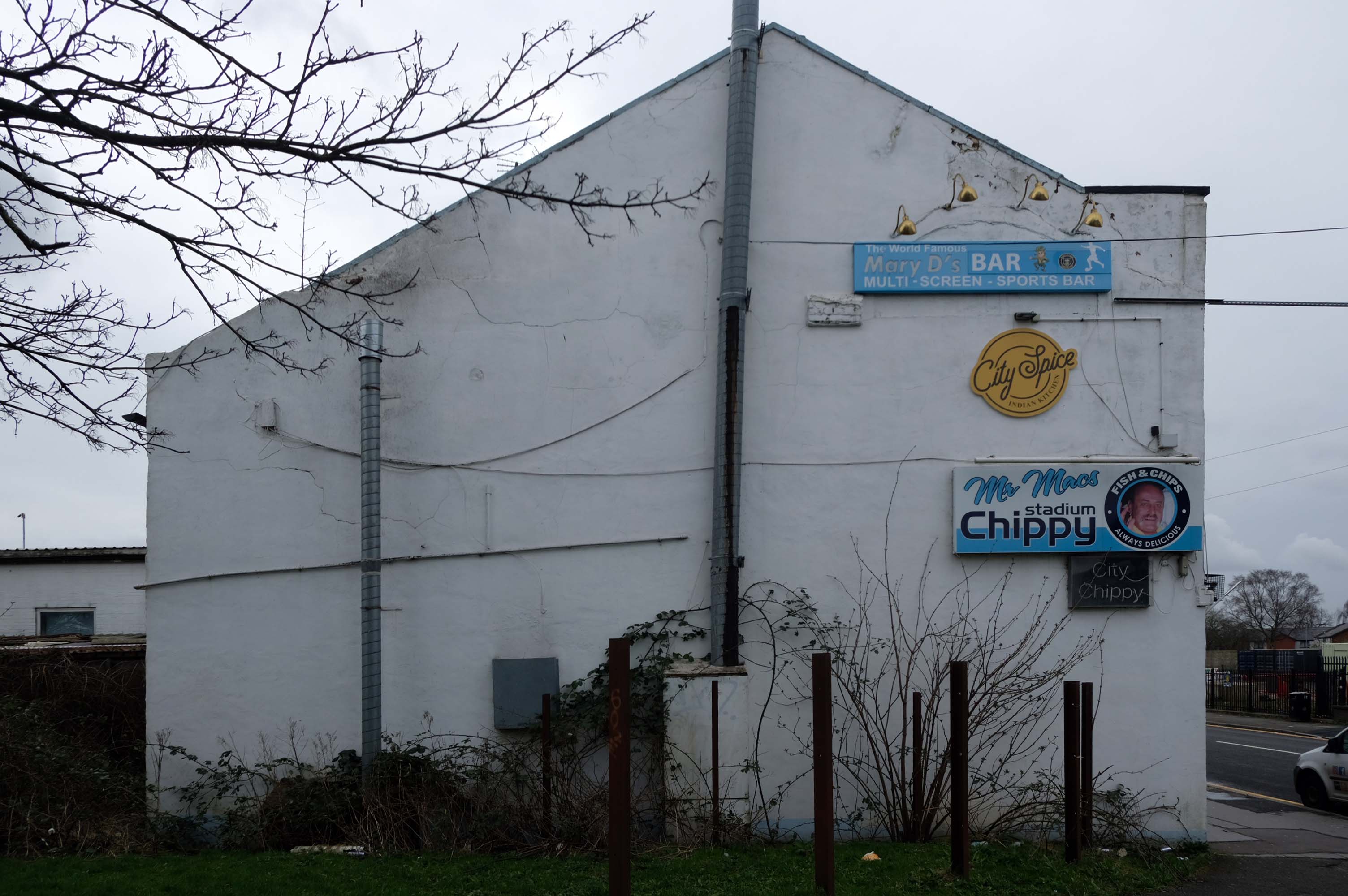
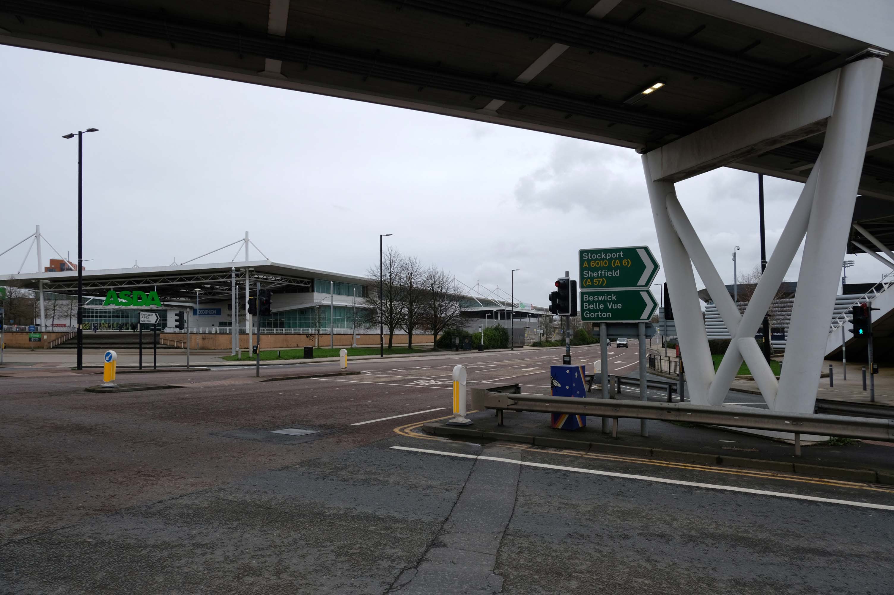
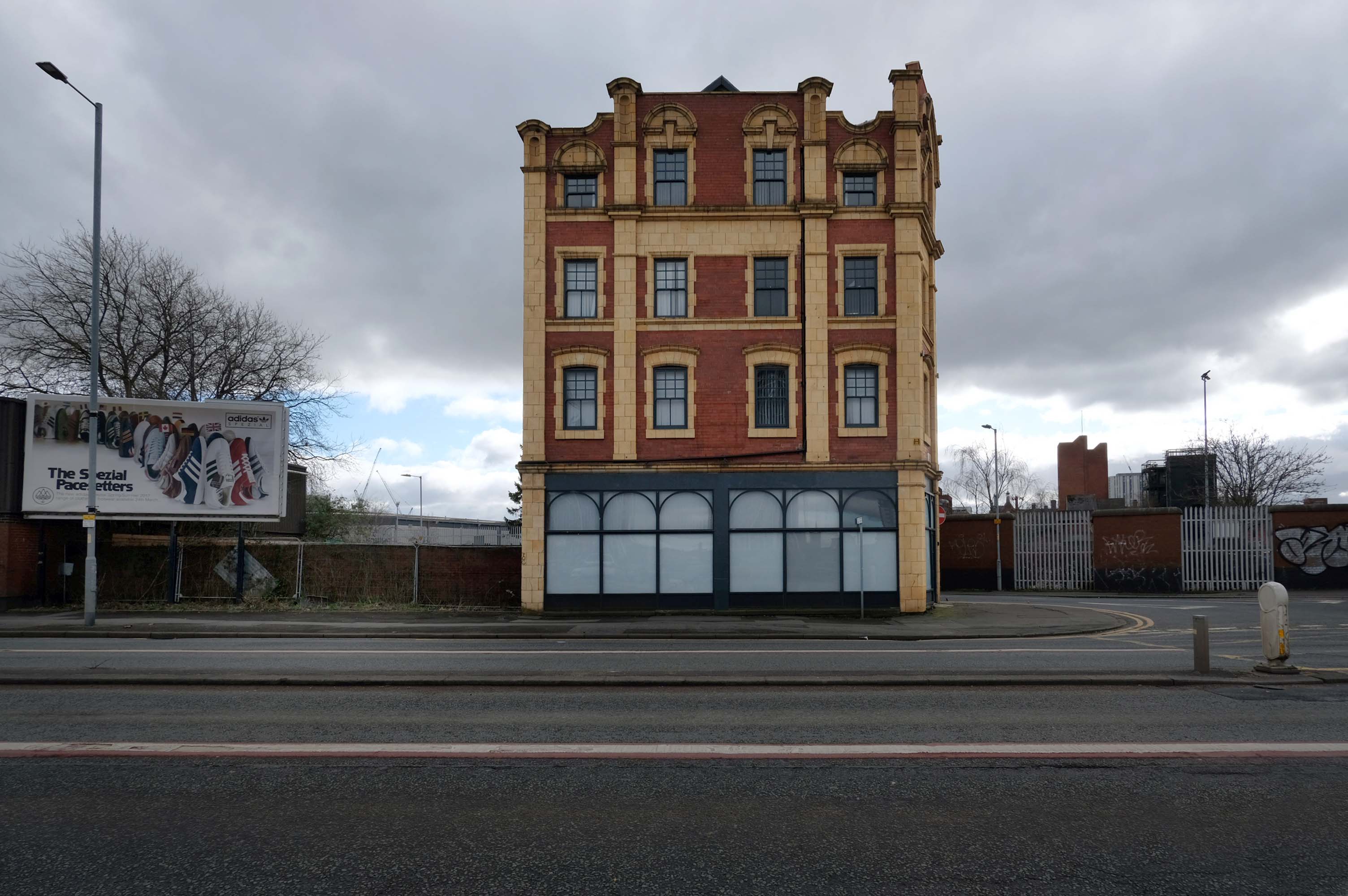
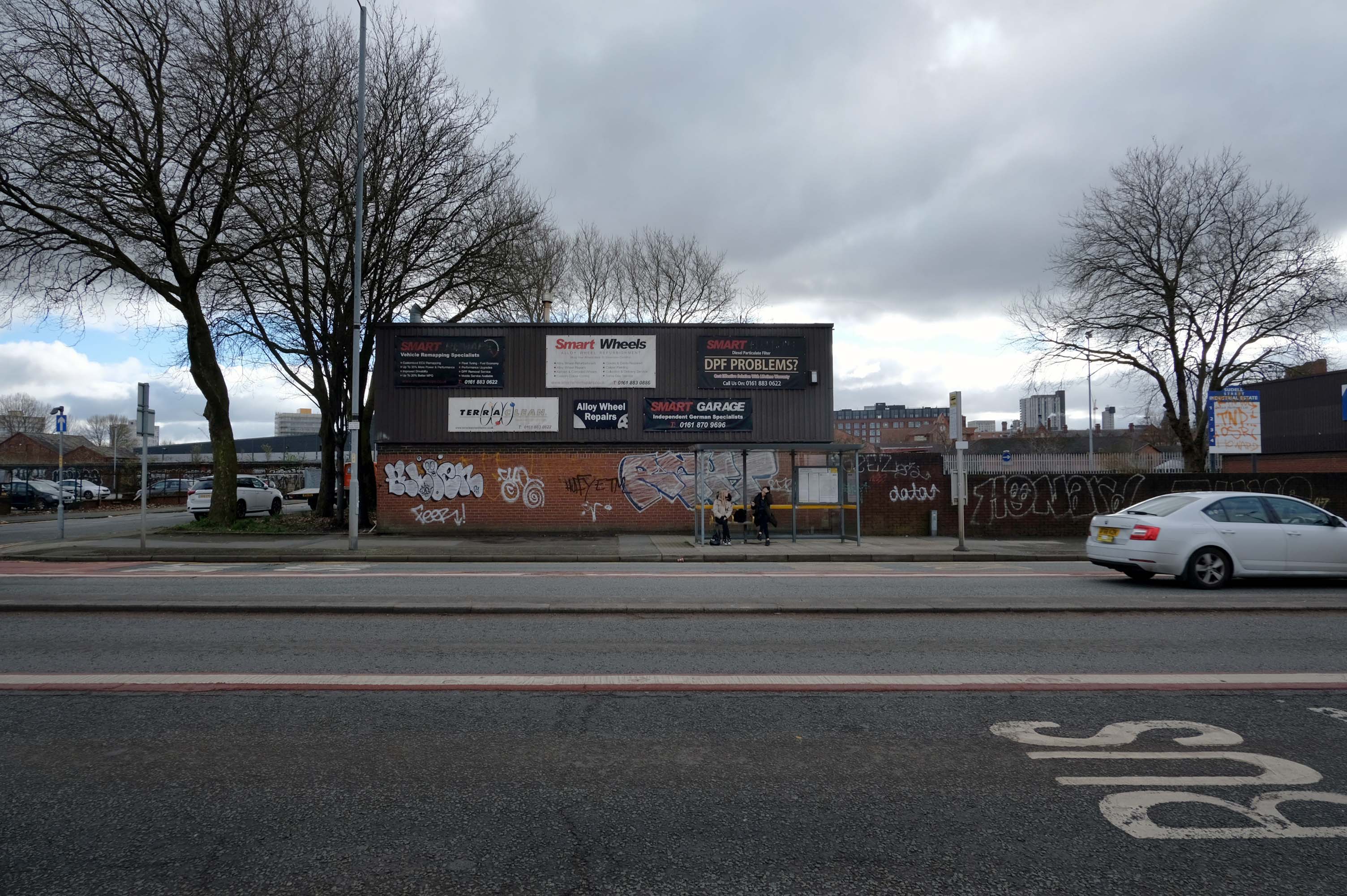
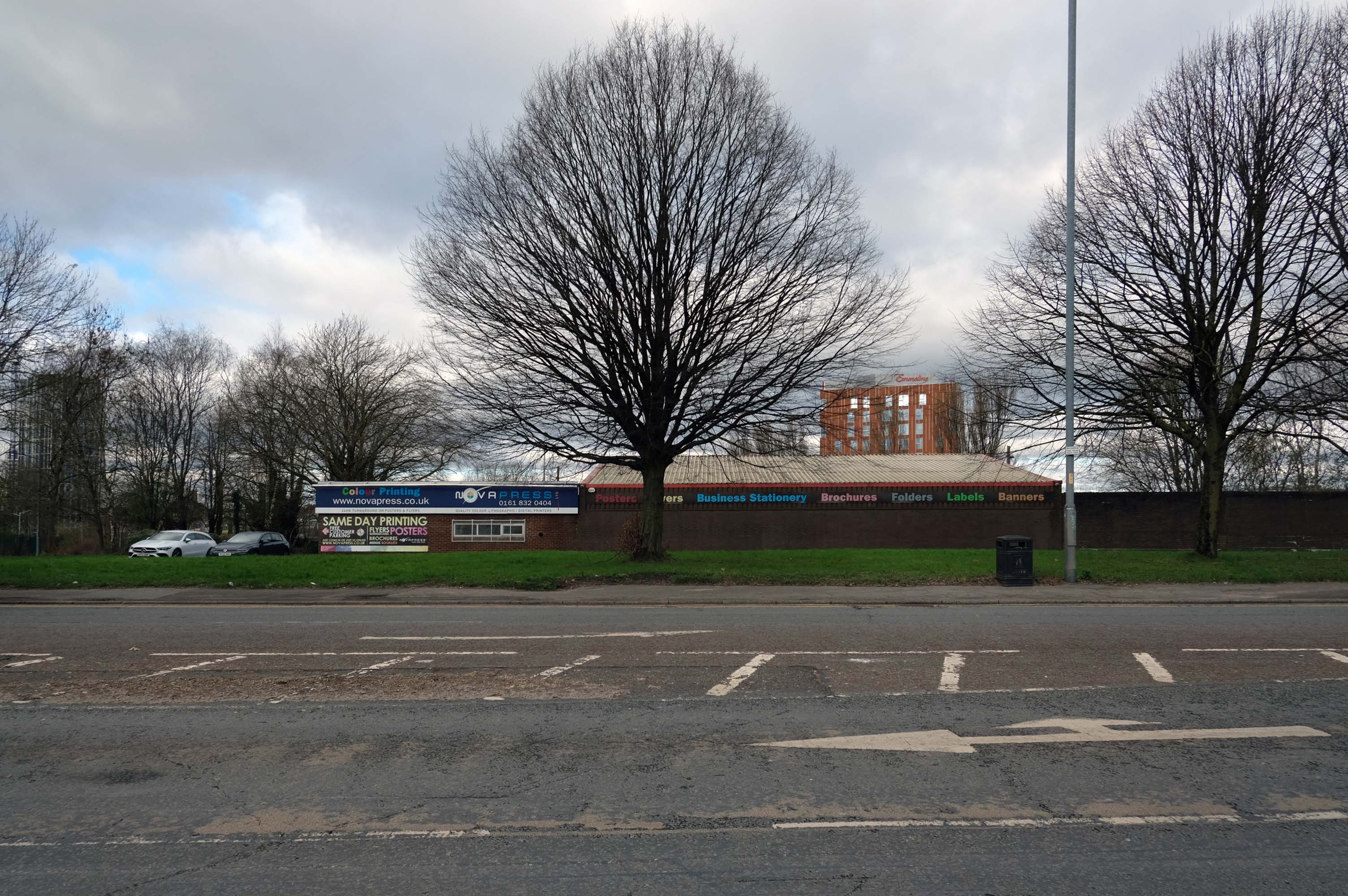
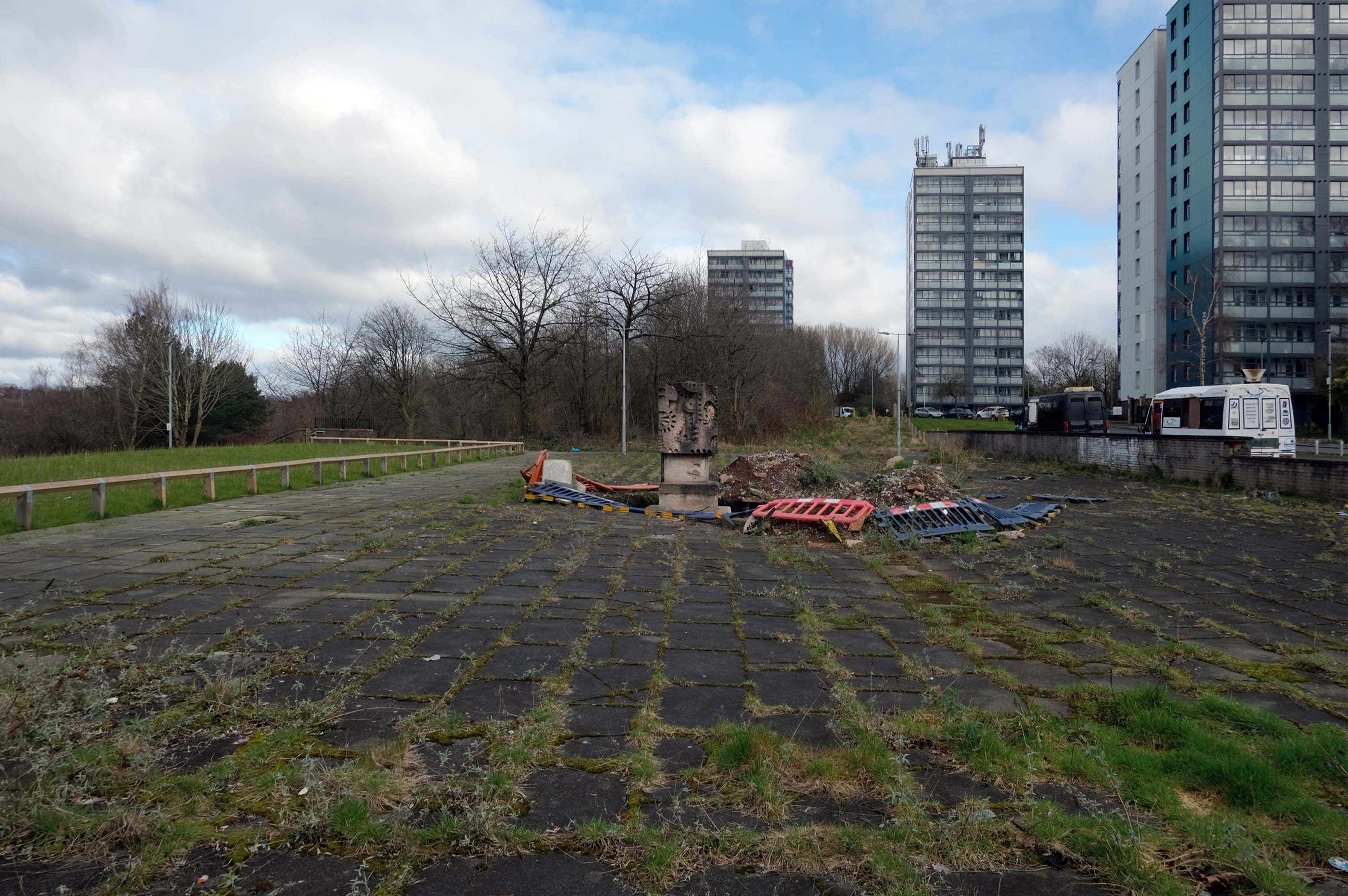
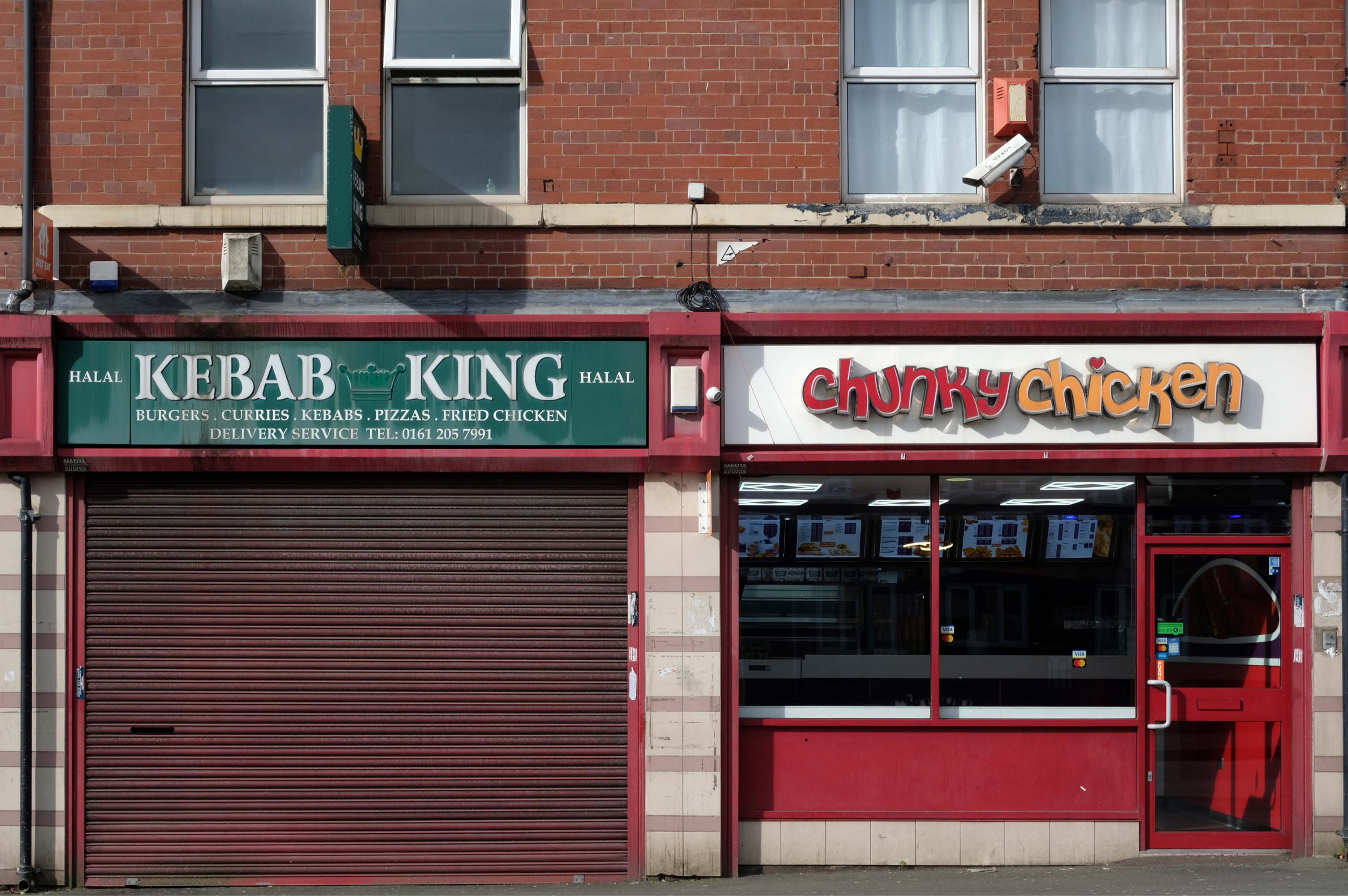
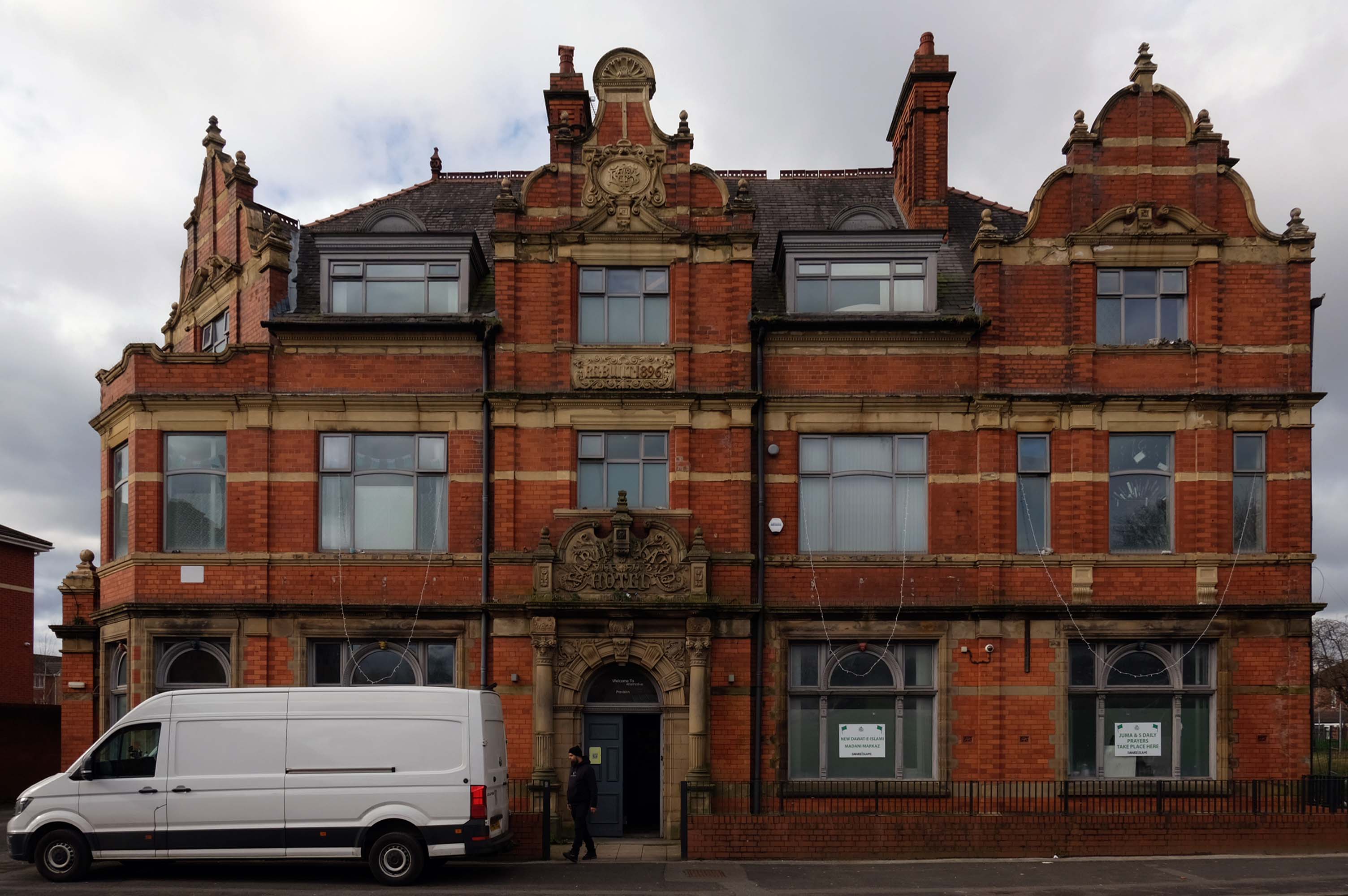
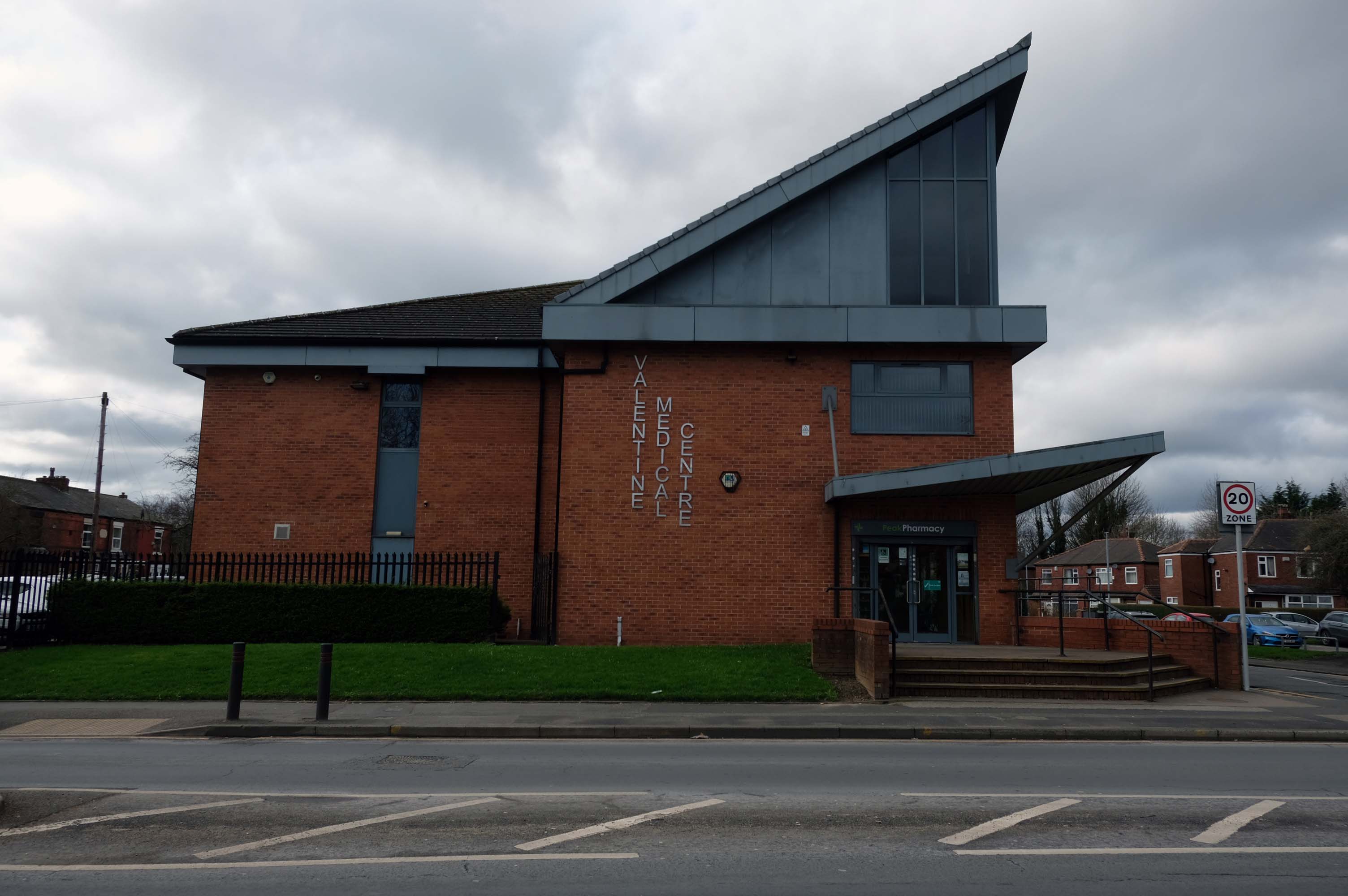
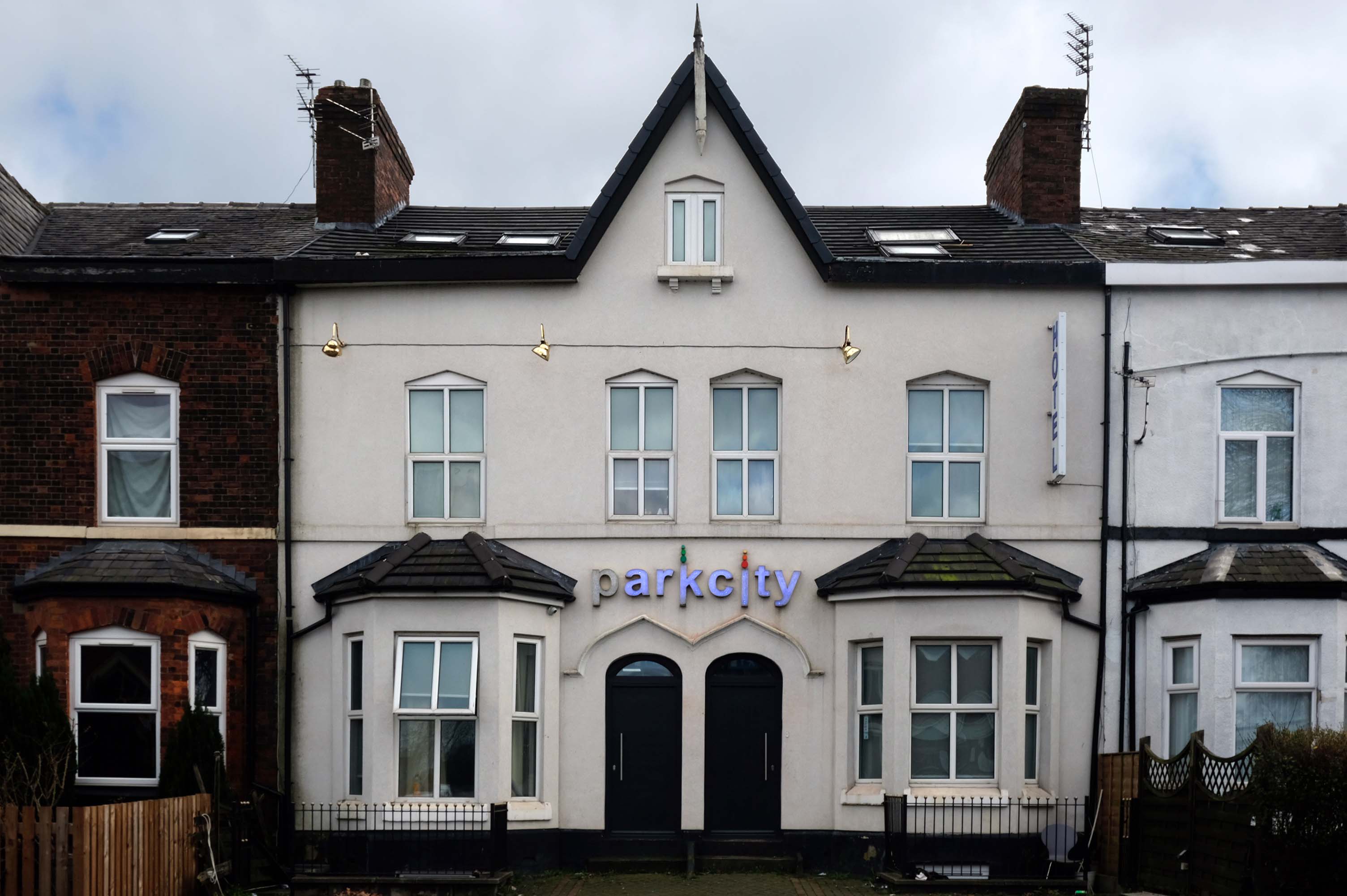
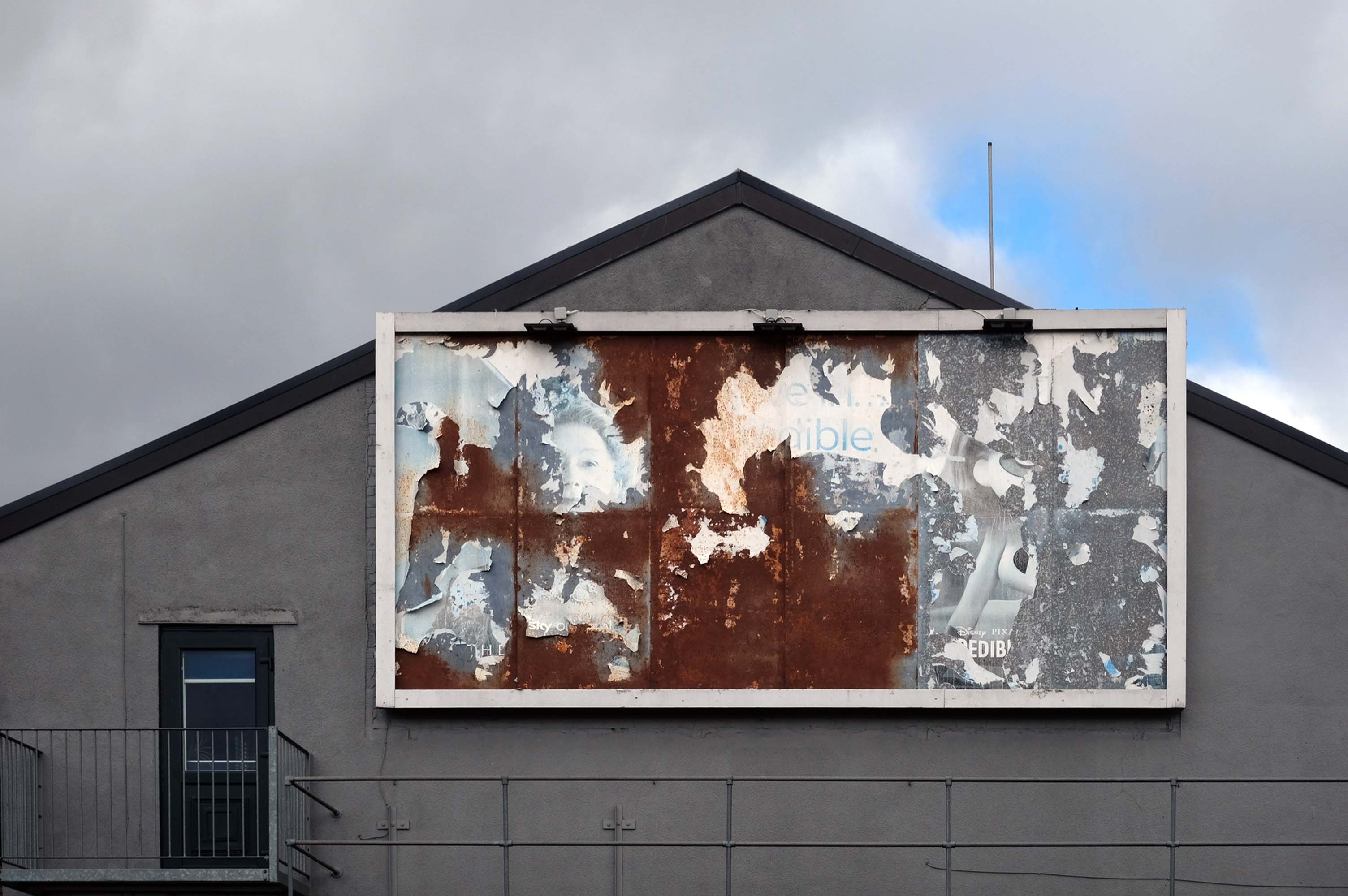
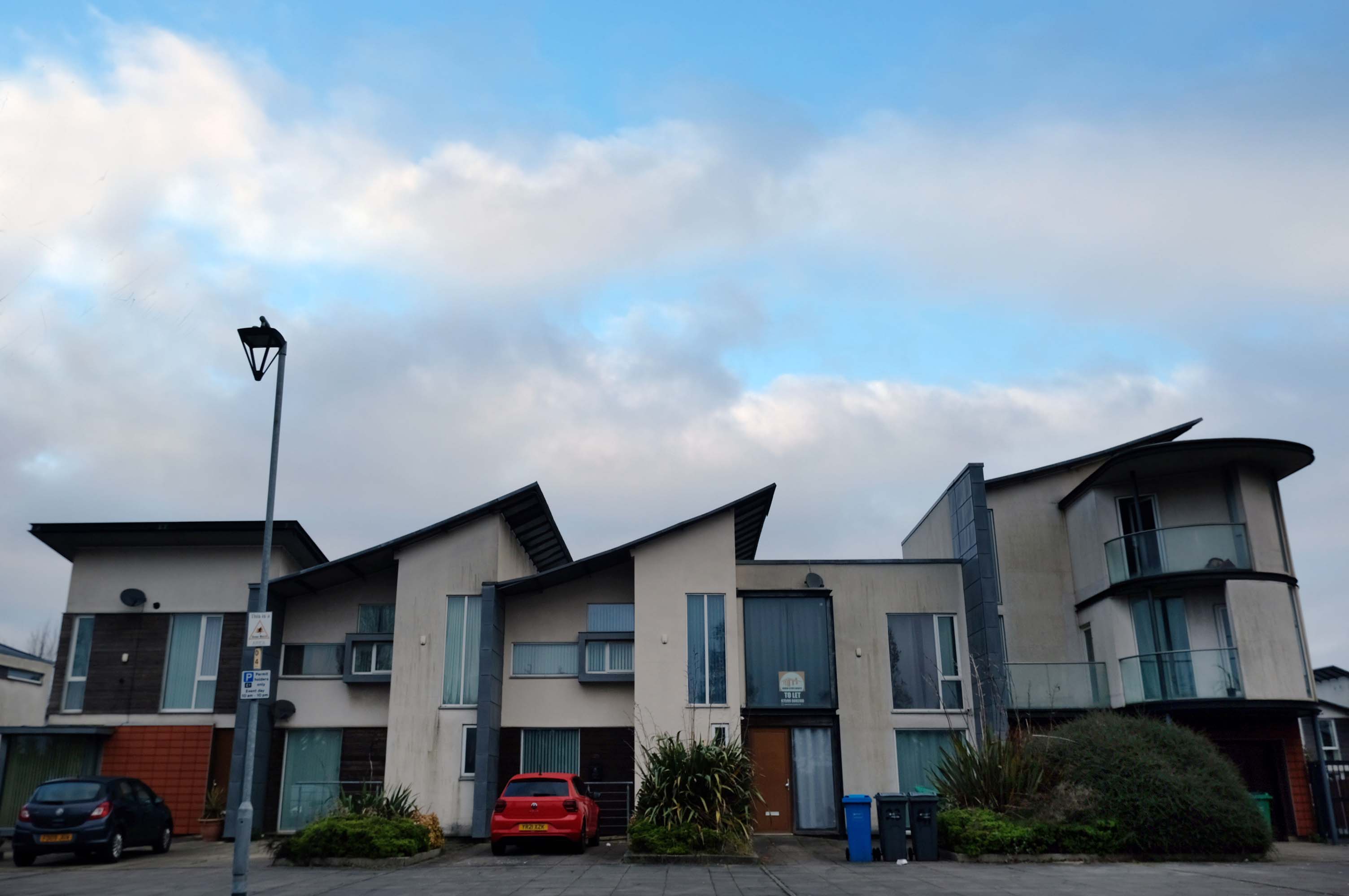
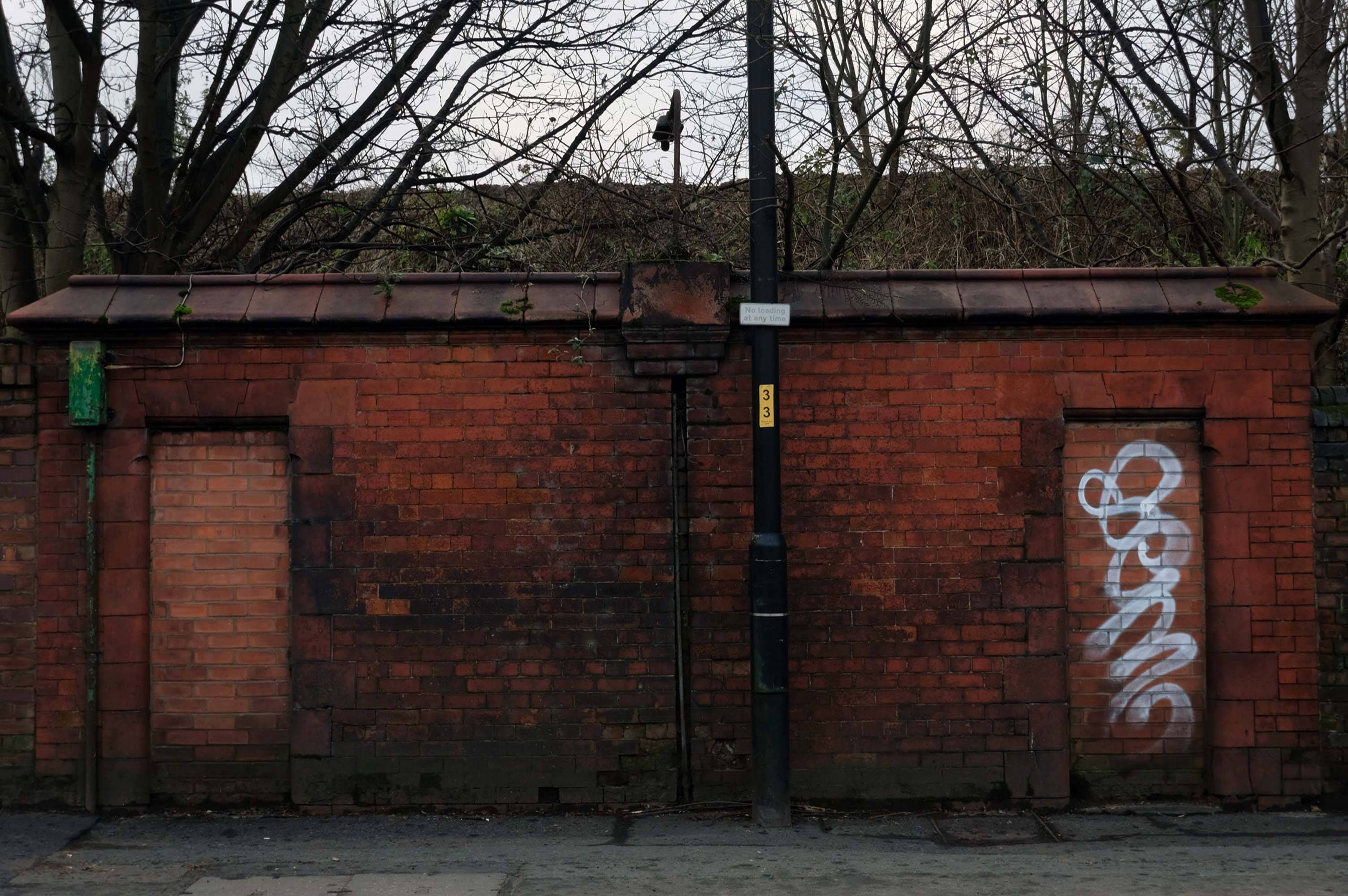
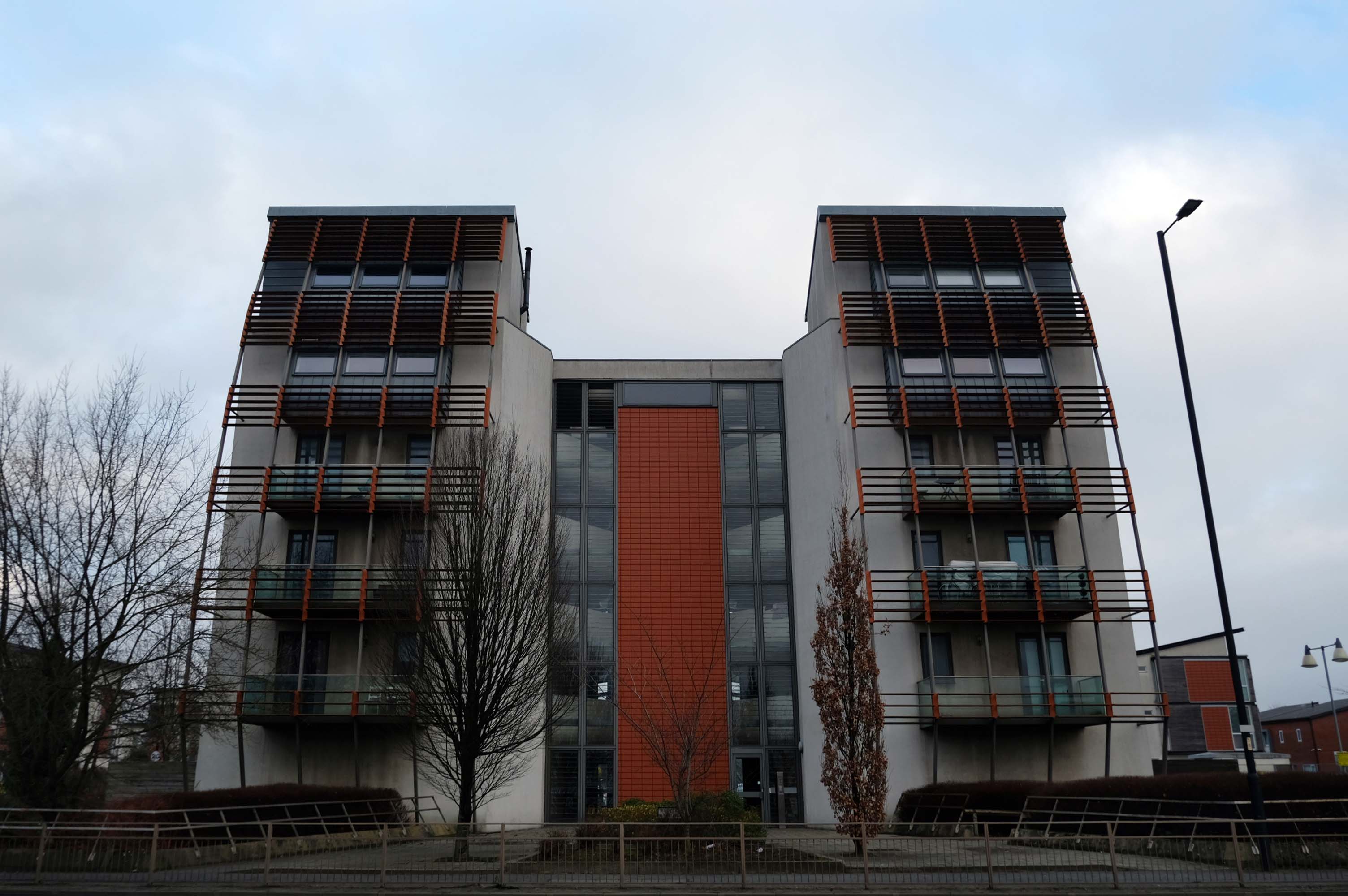
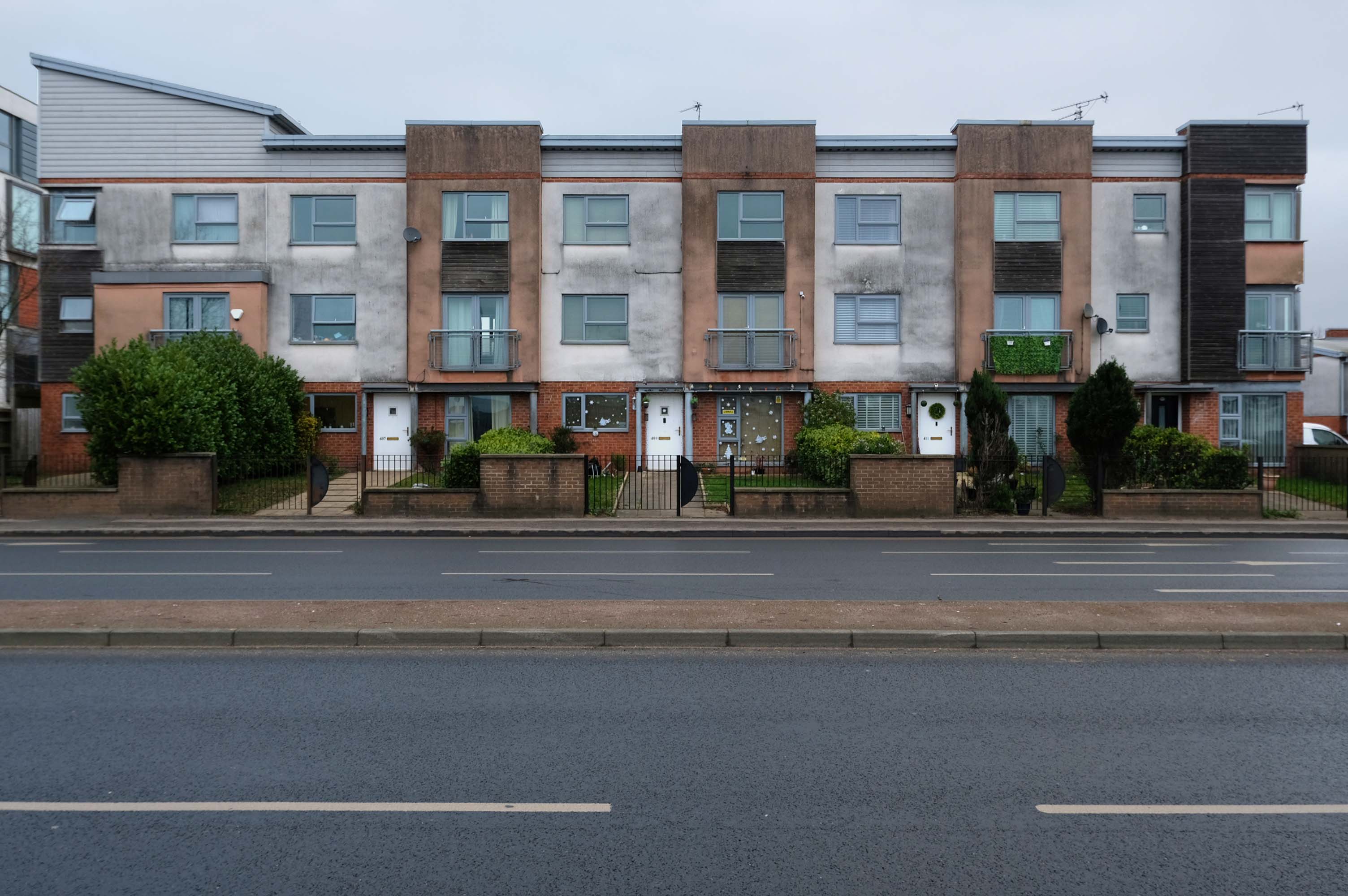
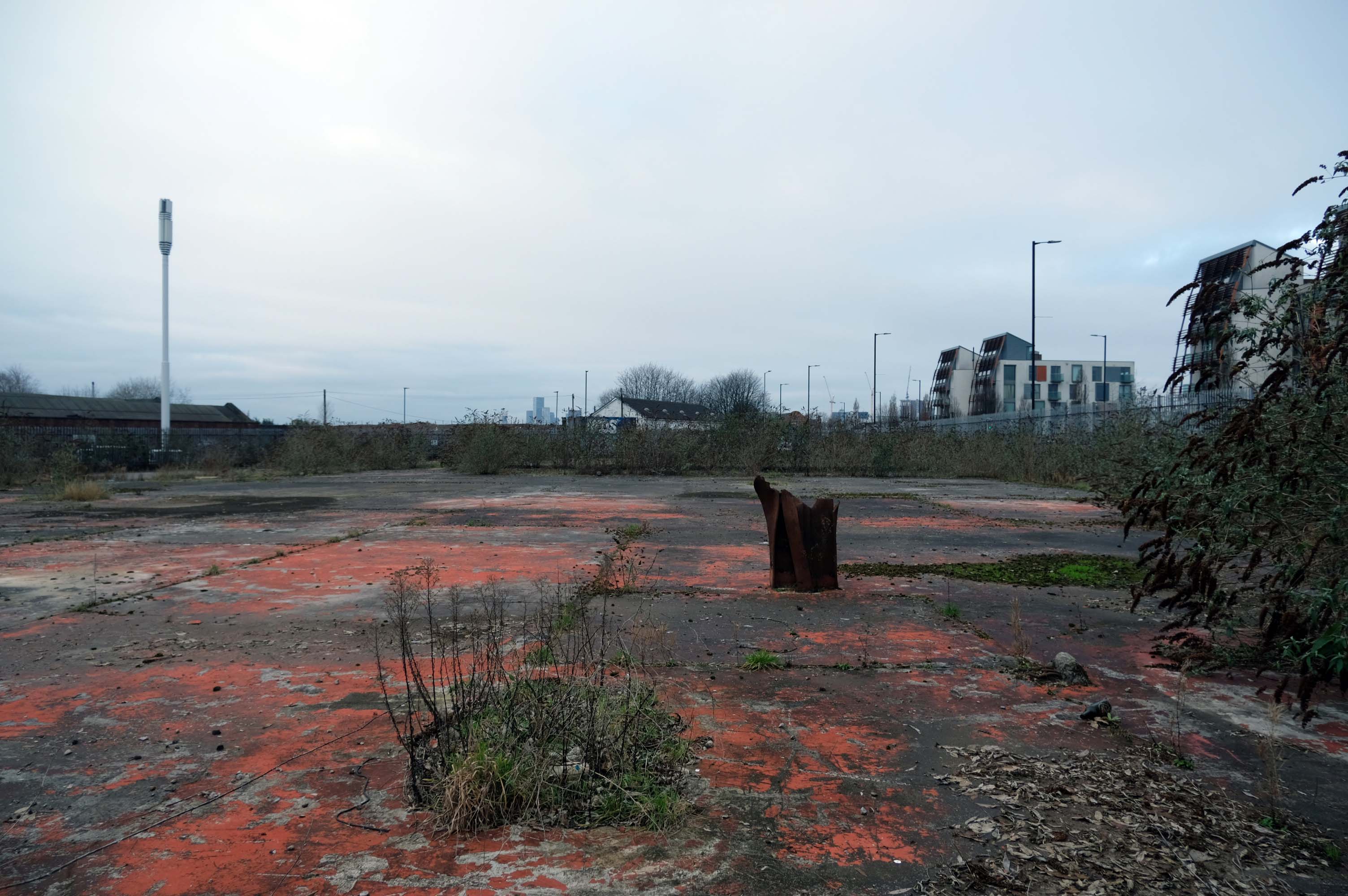
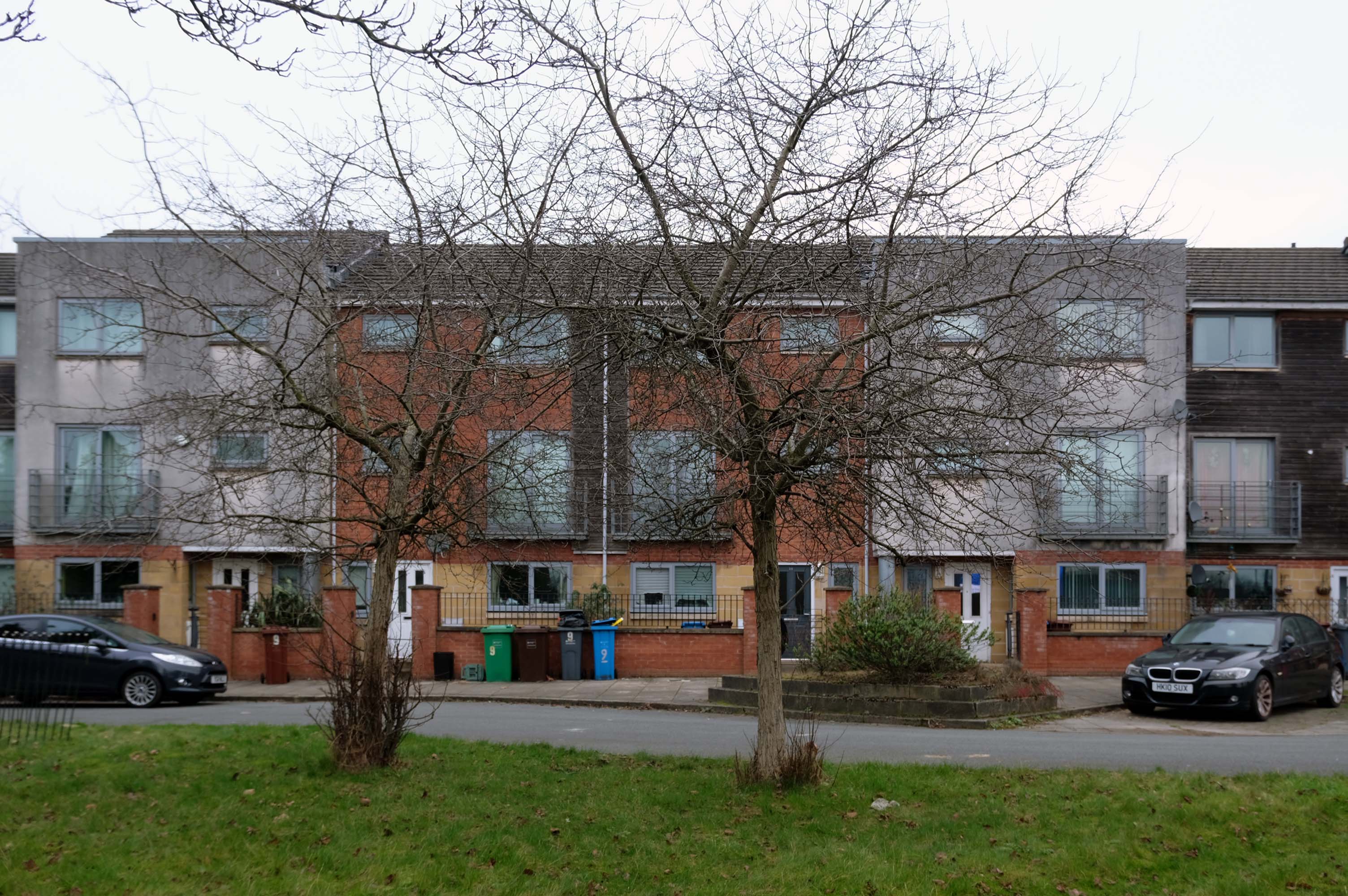
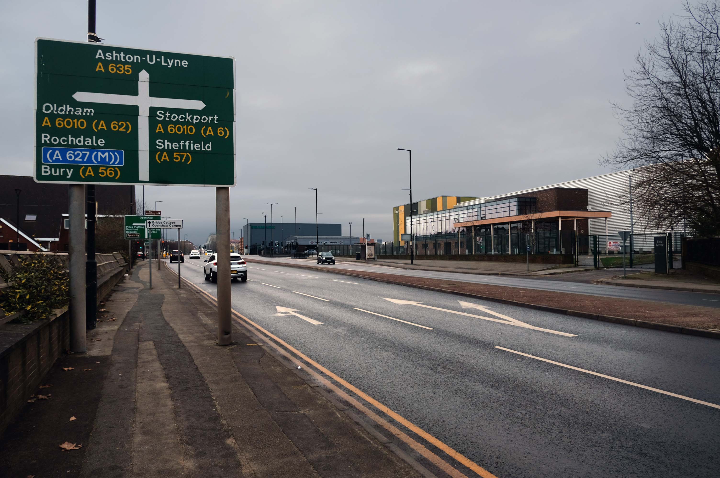
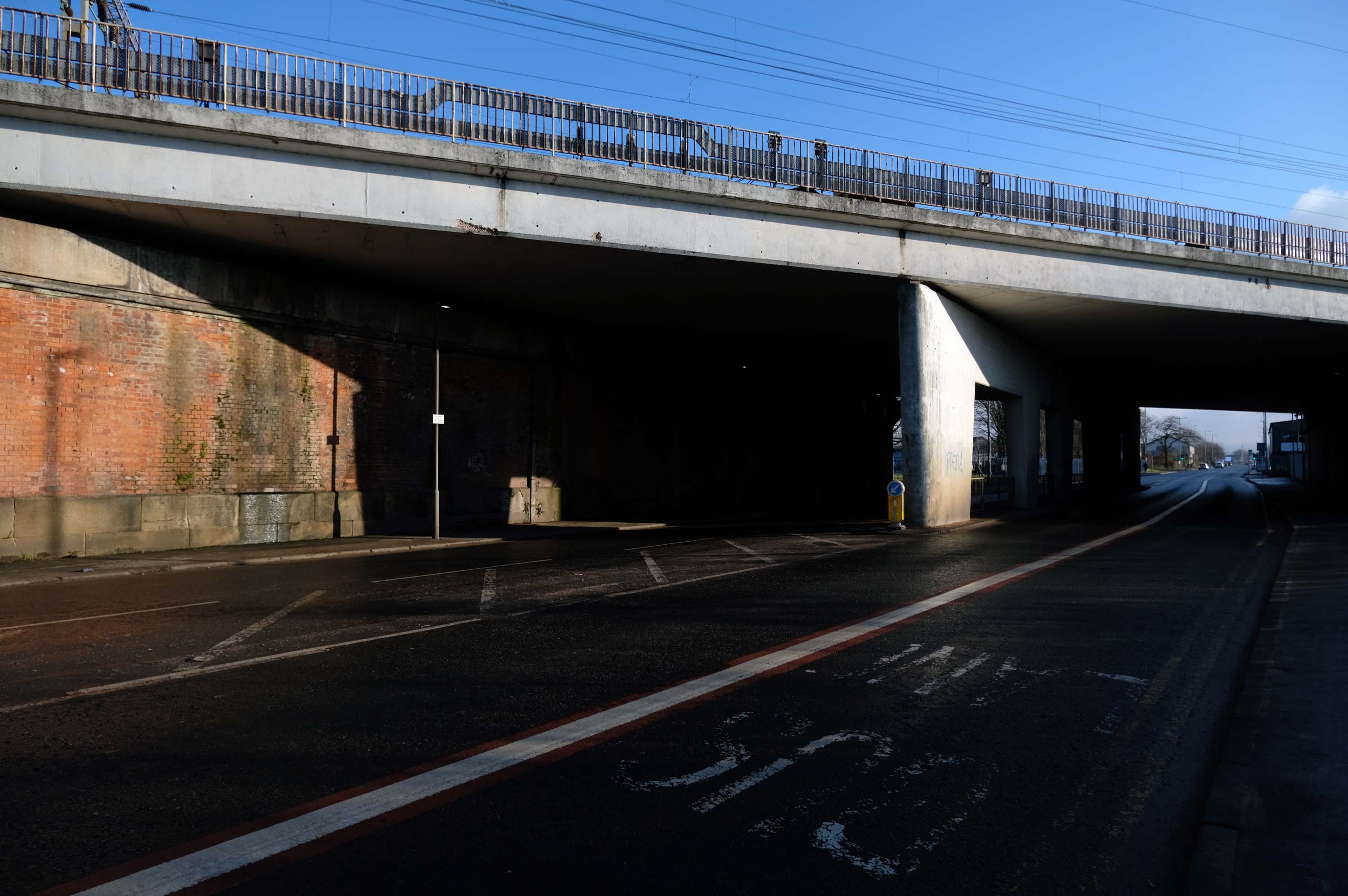
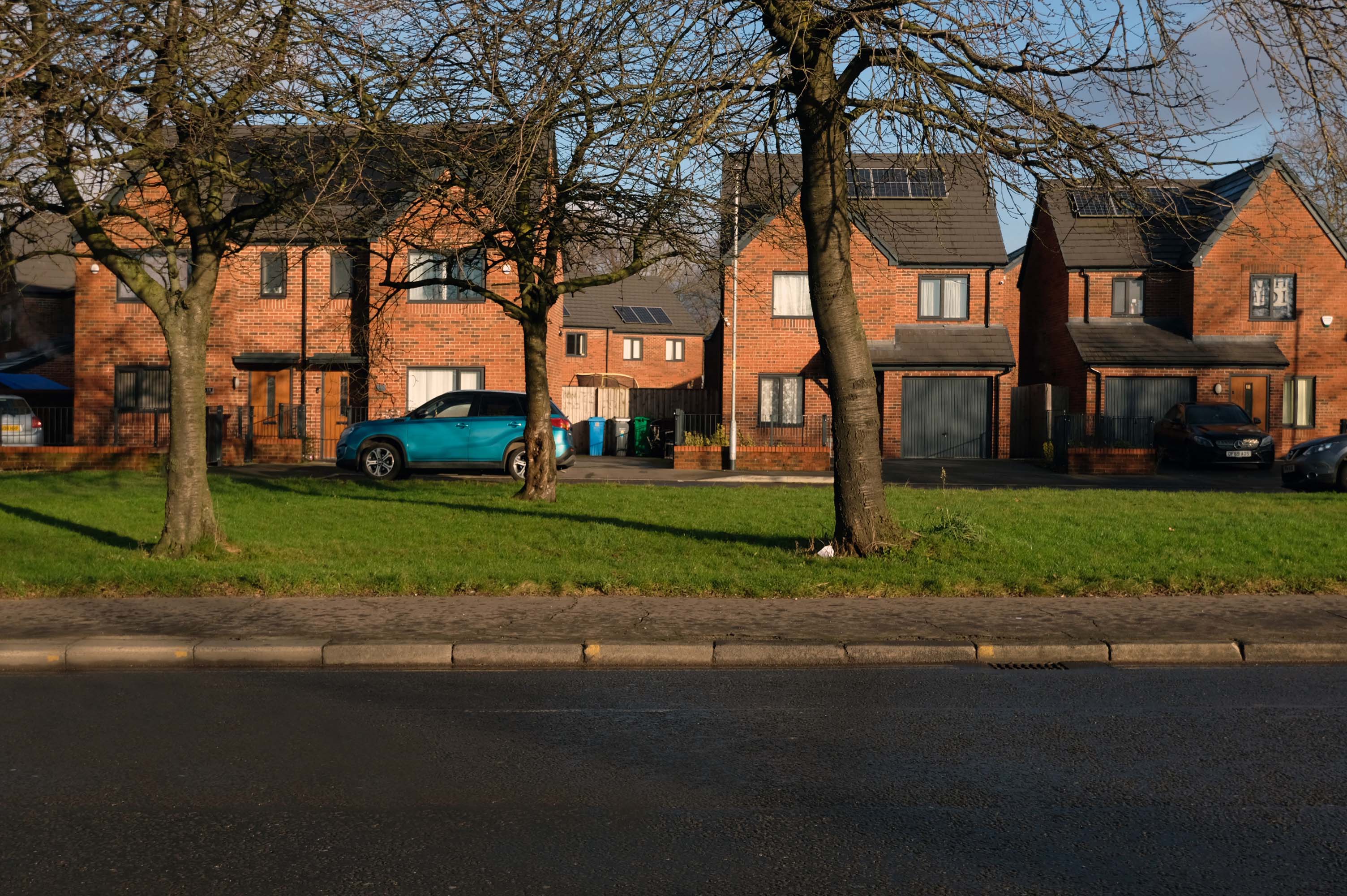
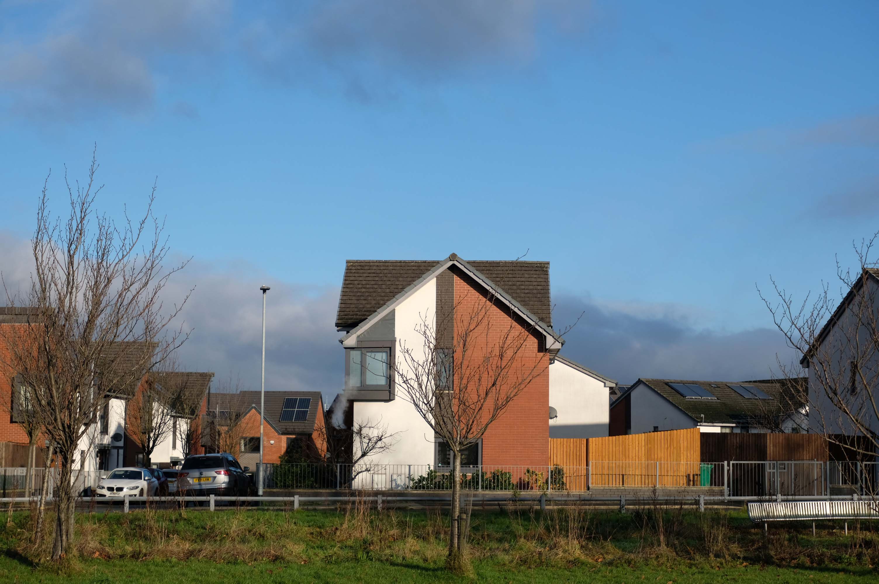
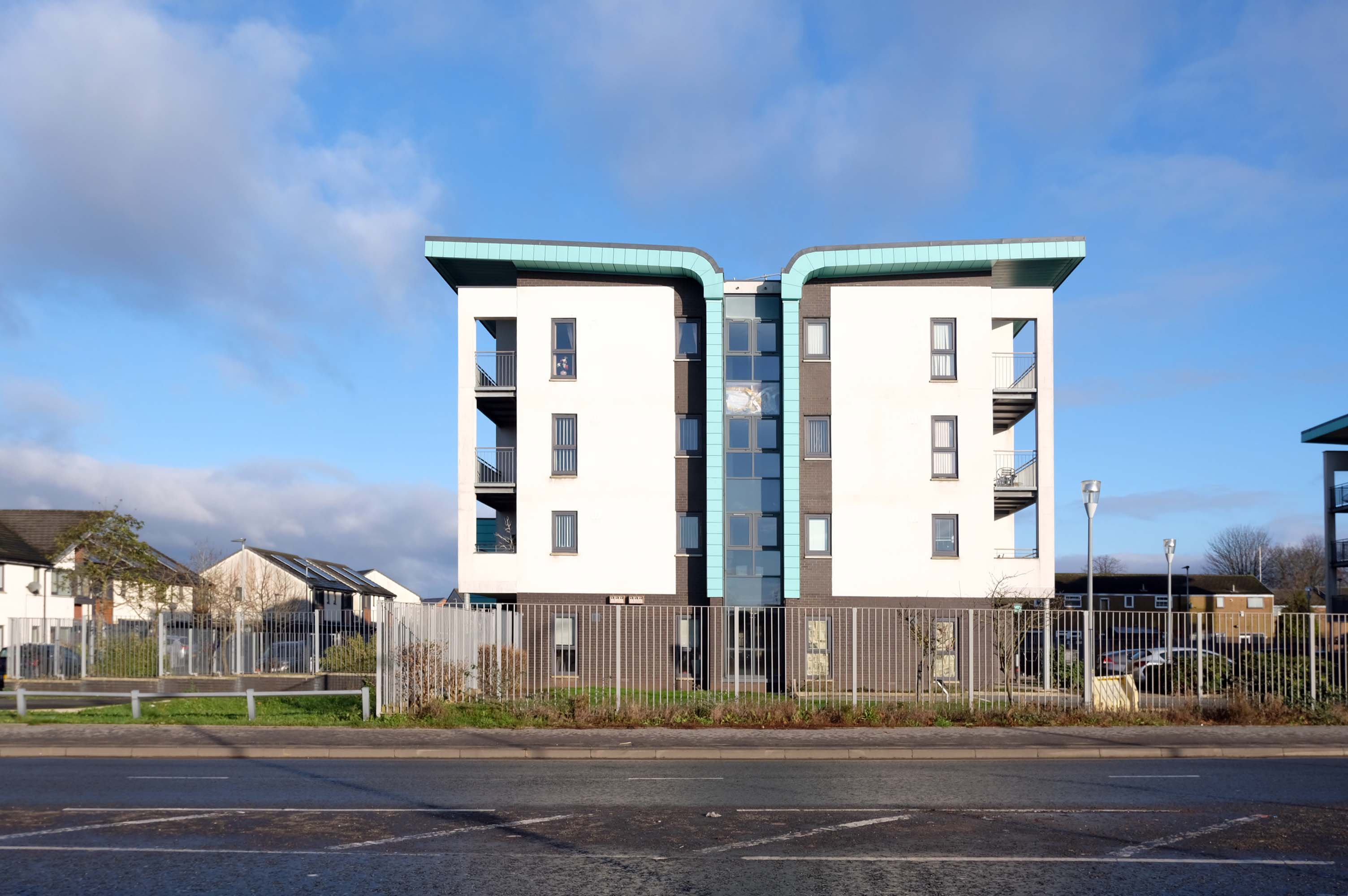
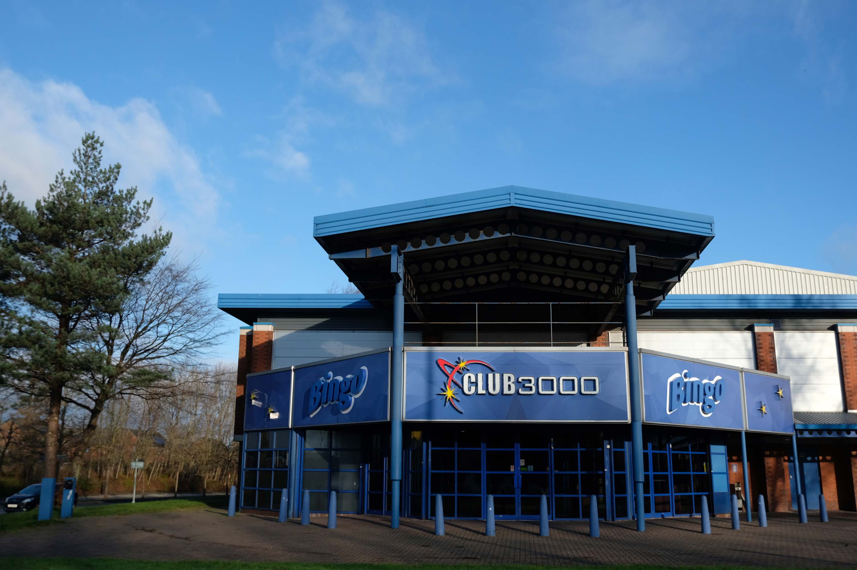
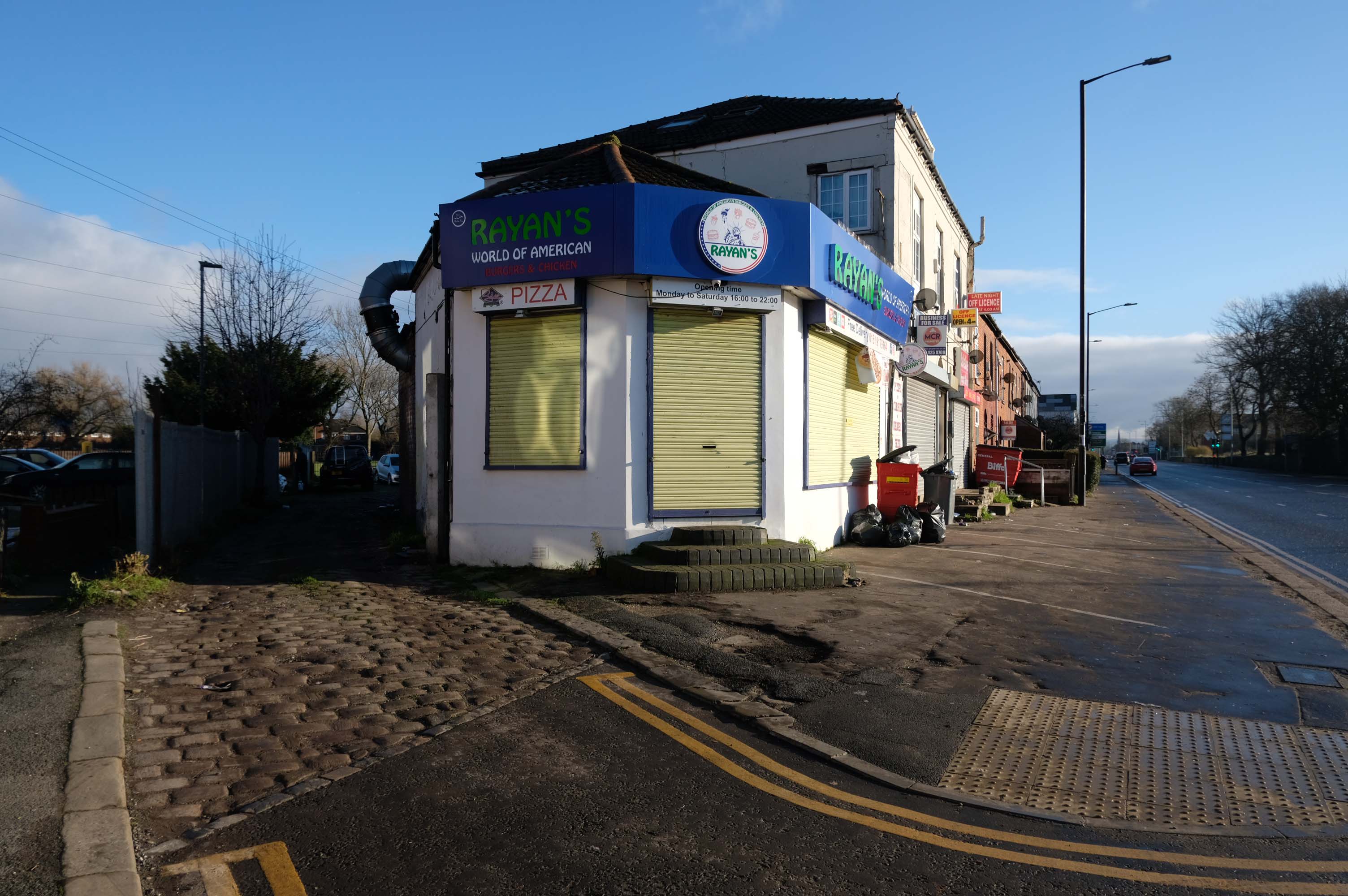
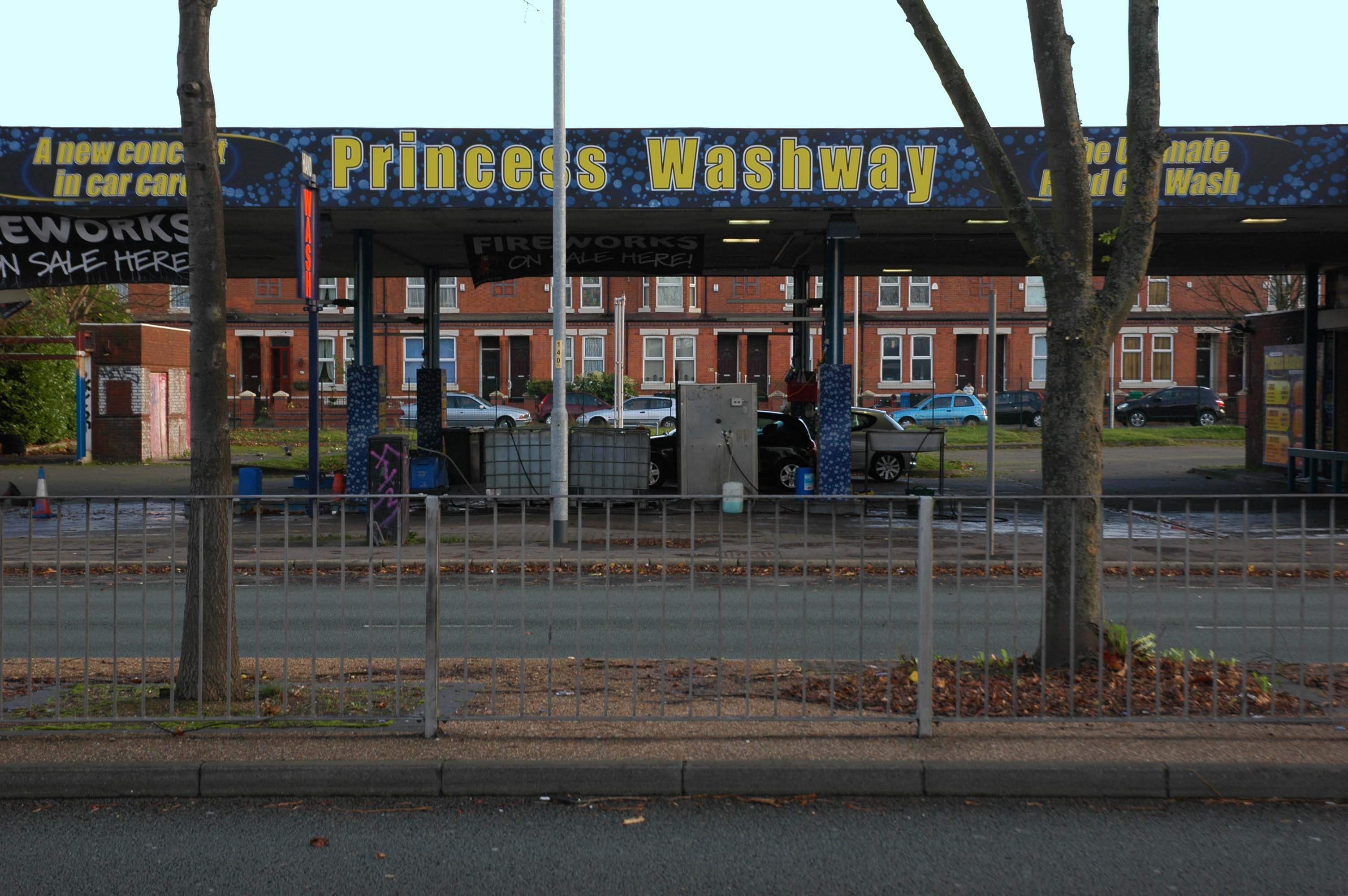
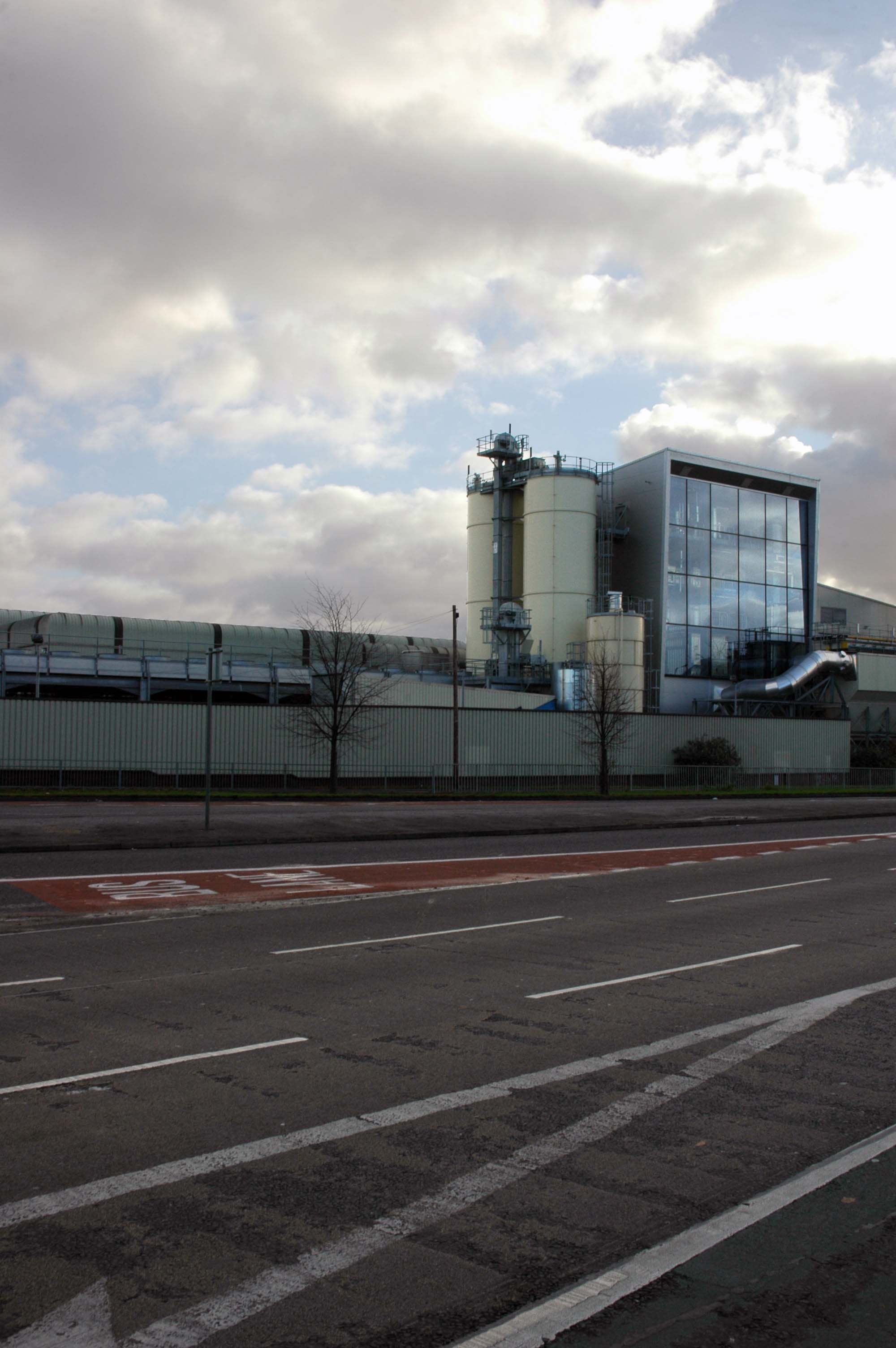
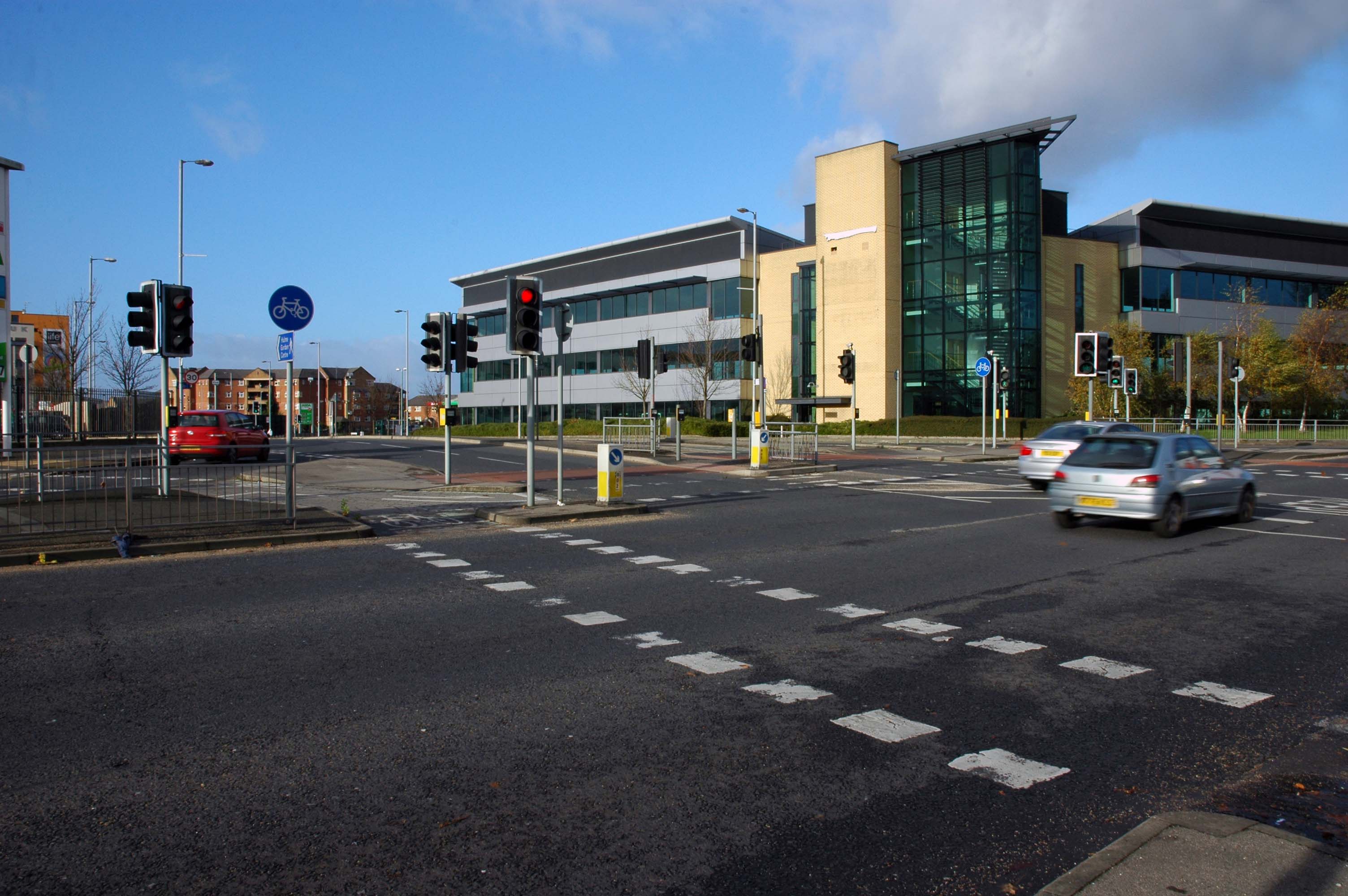
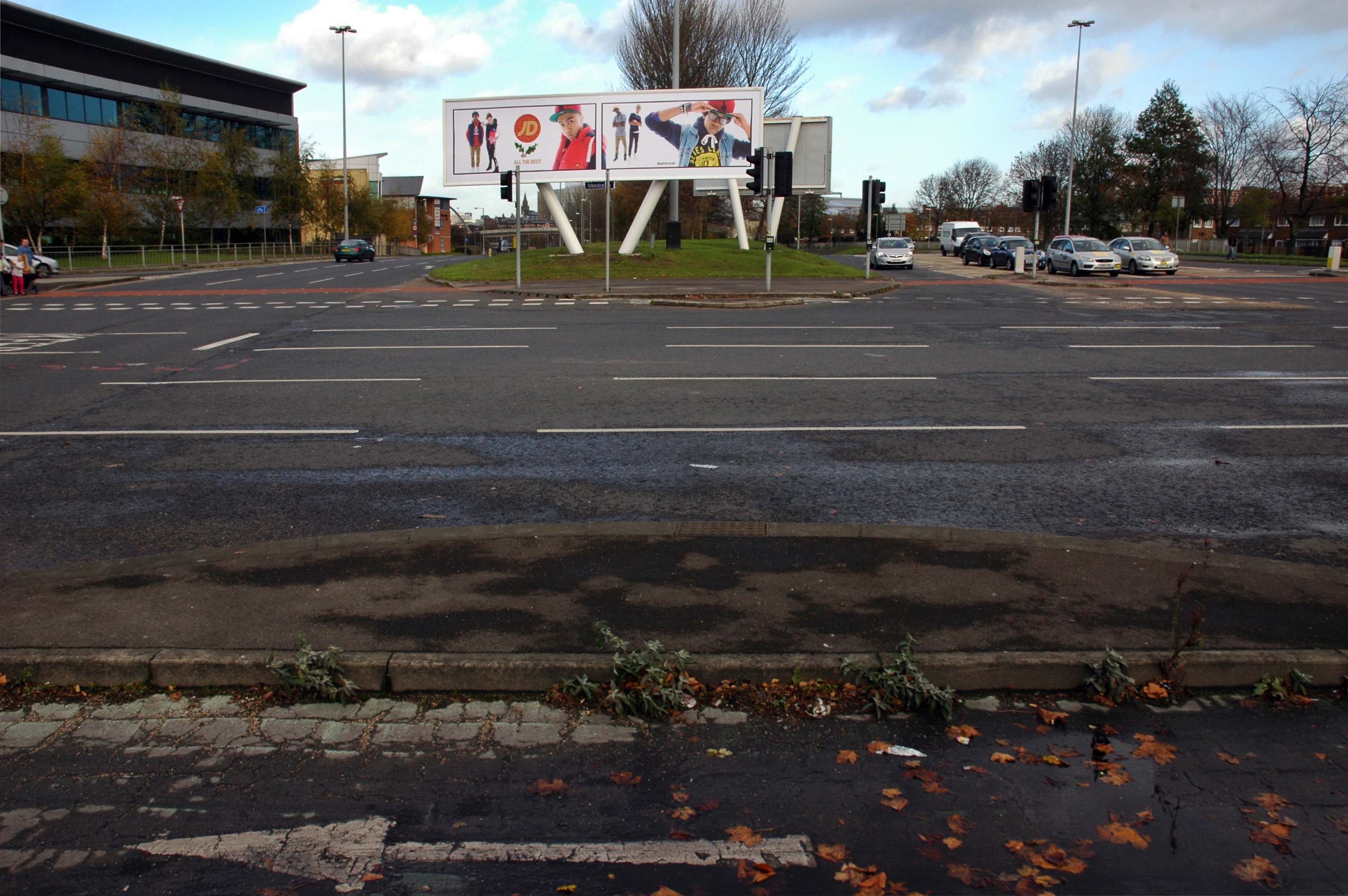
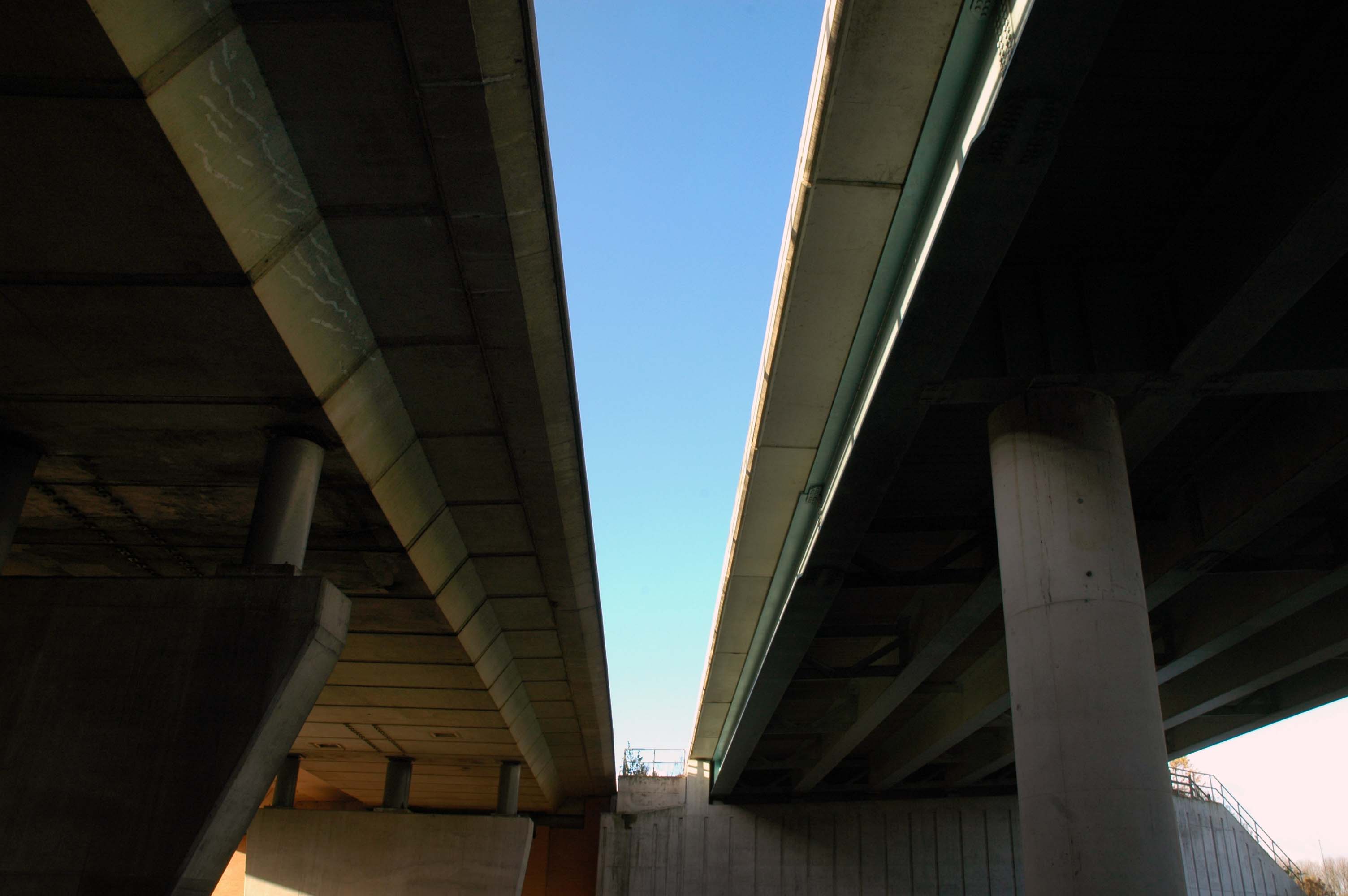
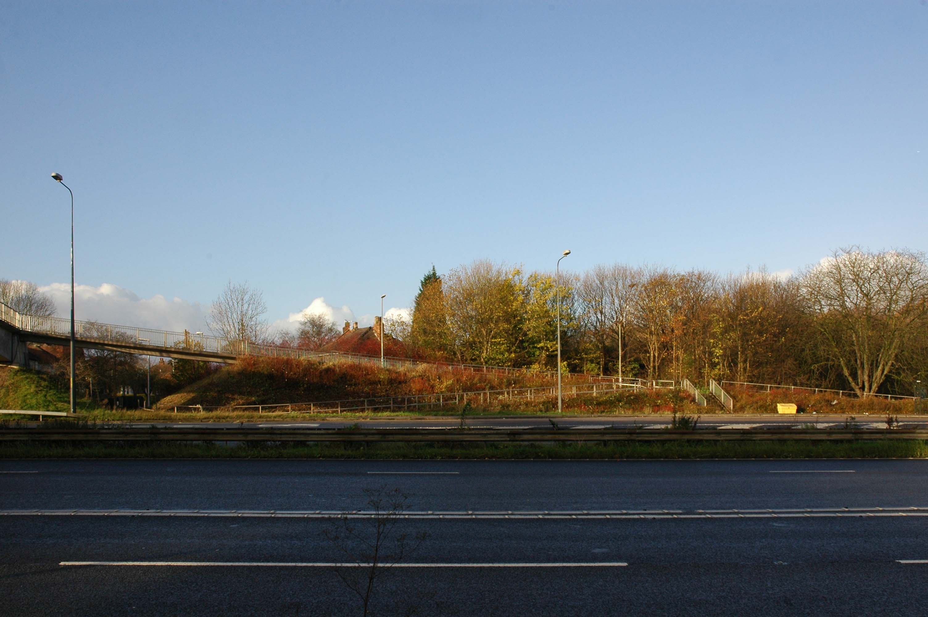
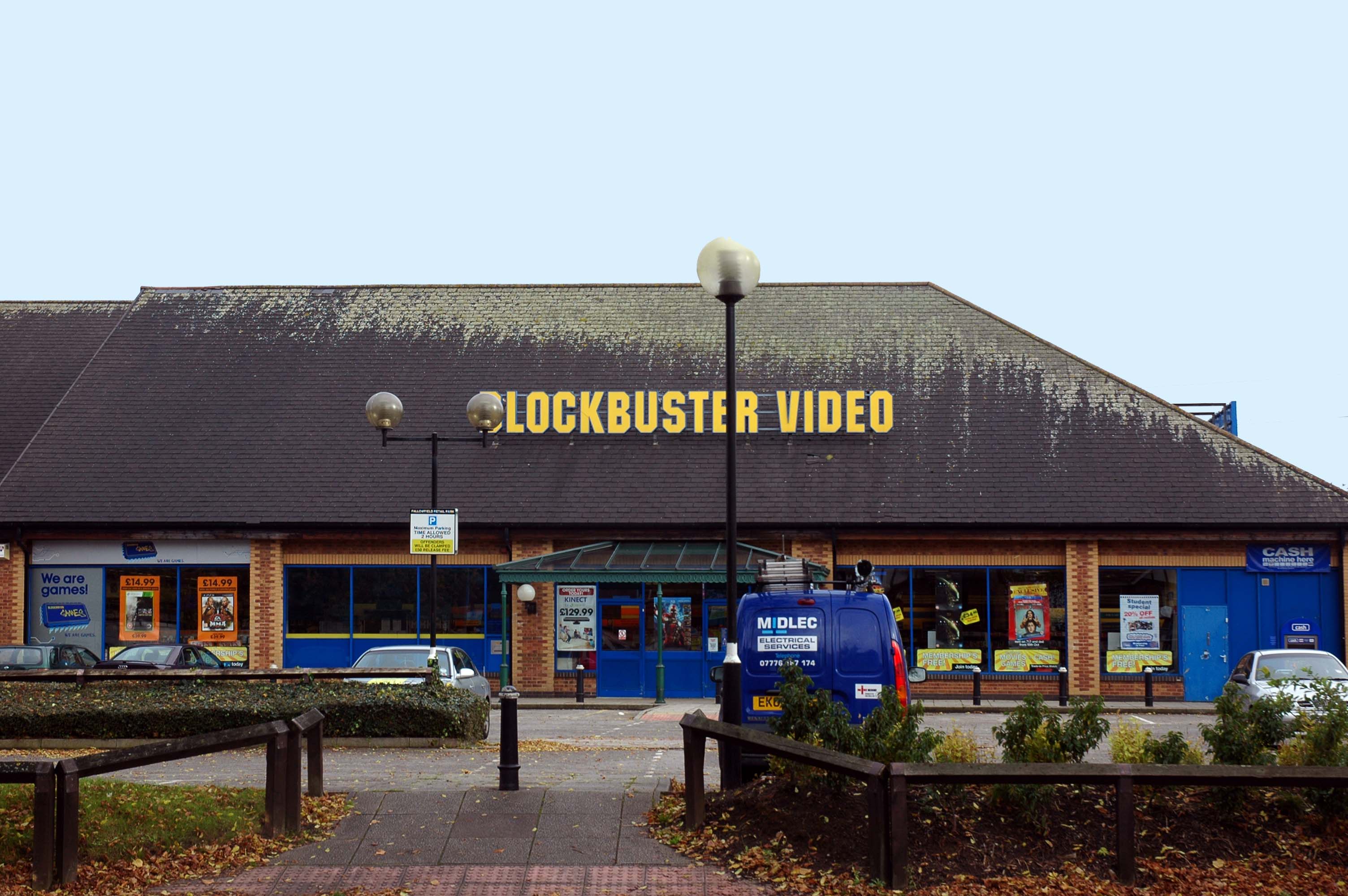
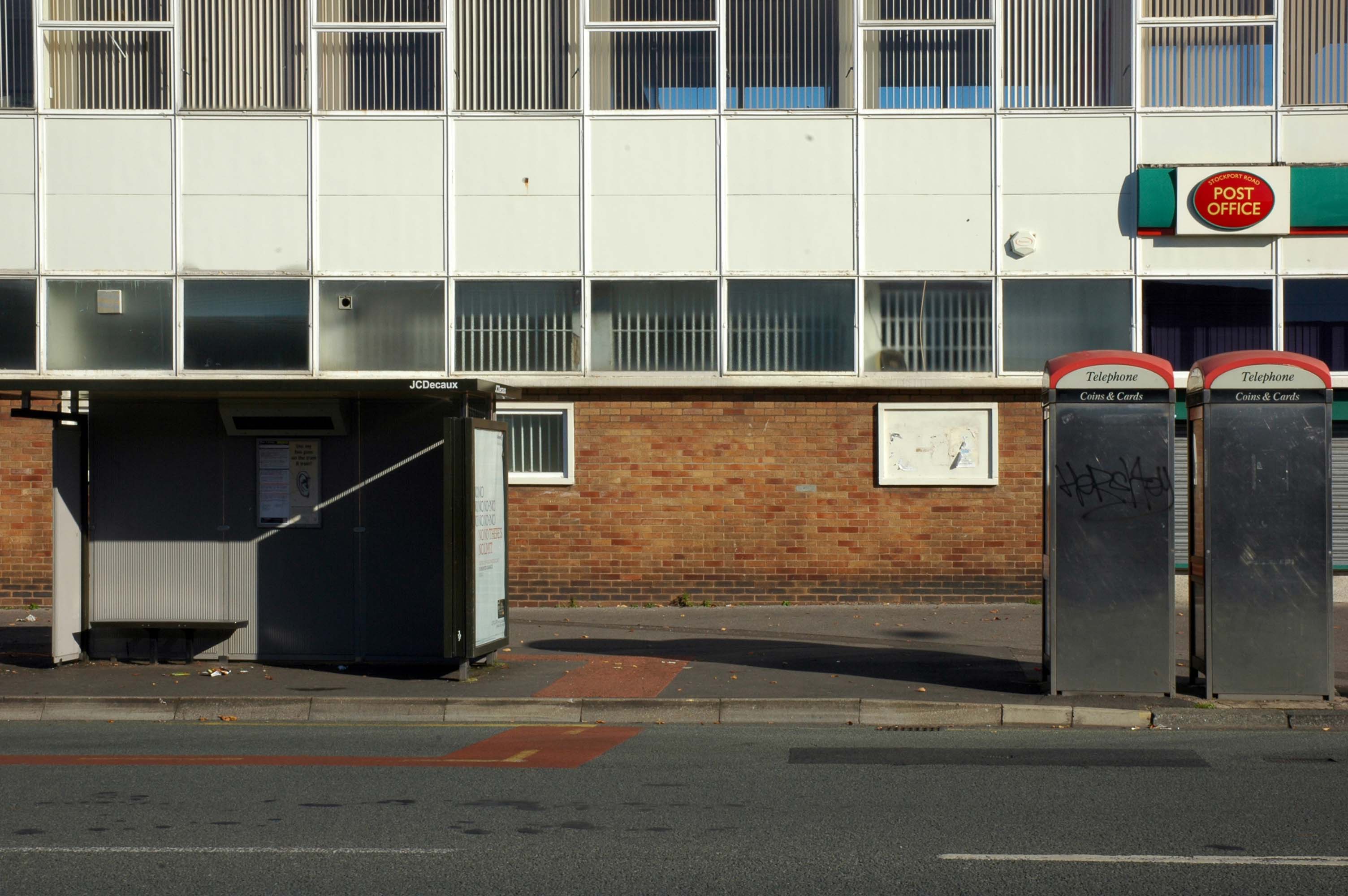
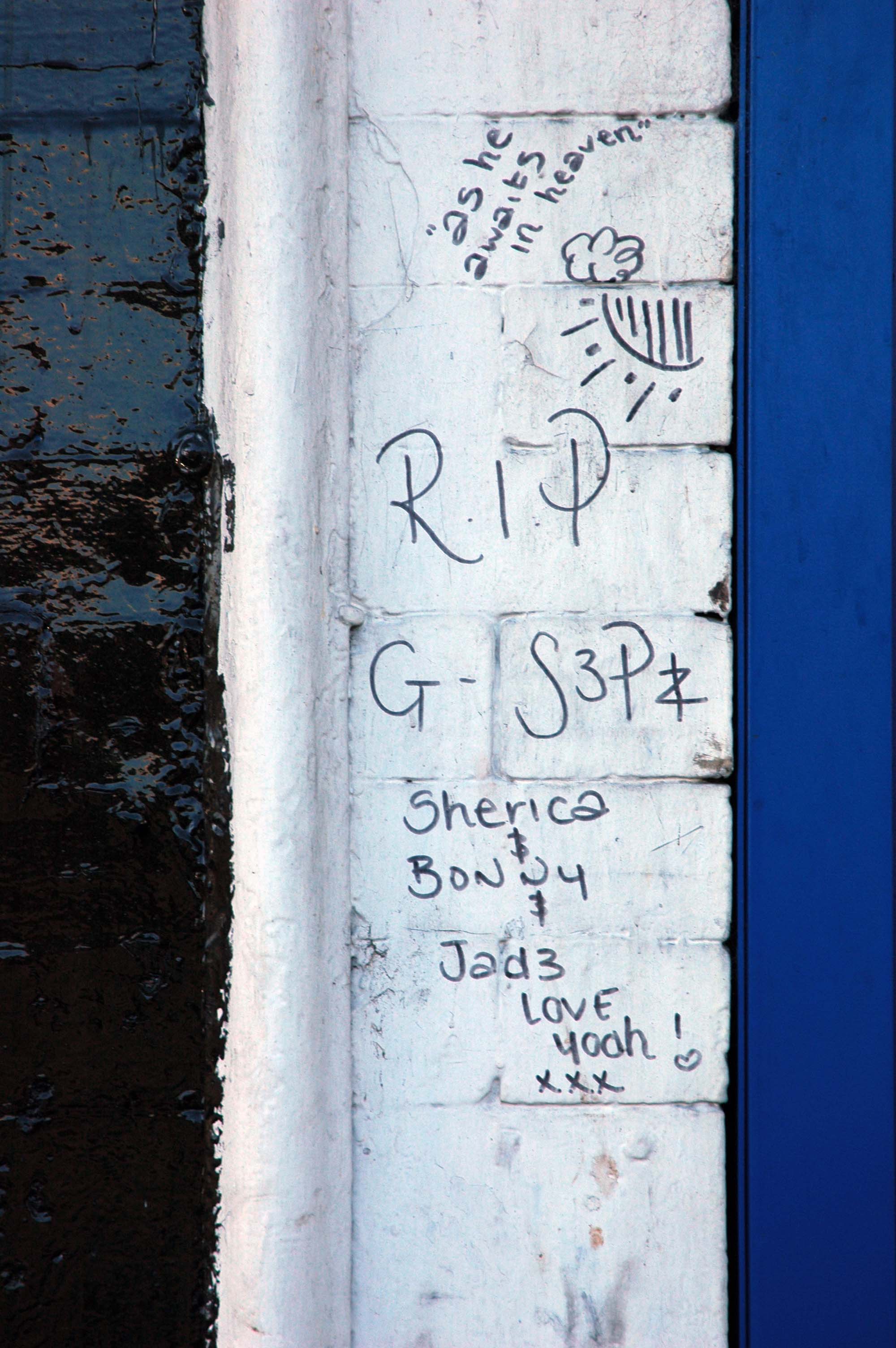
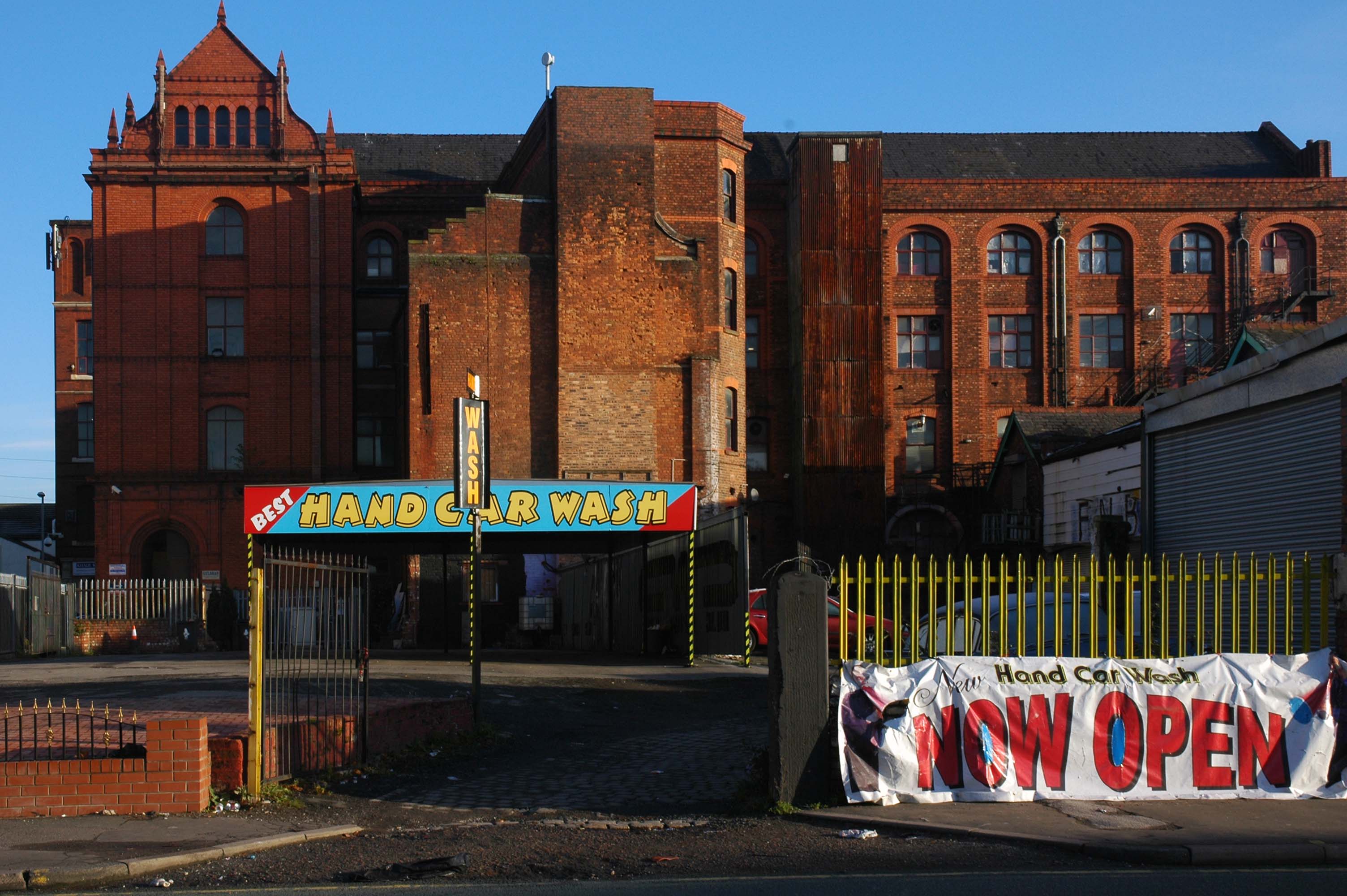
I was cordially requested to produce tram based walk, by the good folk at the modernist – travelling from Victoria Station to Bury. Alighting at each stop and seeing what could be seen, by way of modern buildings along the byways.
By the way, I do have previous experience, having undertaken a similar task travelling to Ashton.
So I set off as instructed, clutching my GMPTE senior concessionary travel pass.
Queens Road
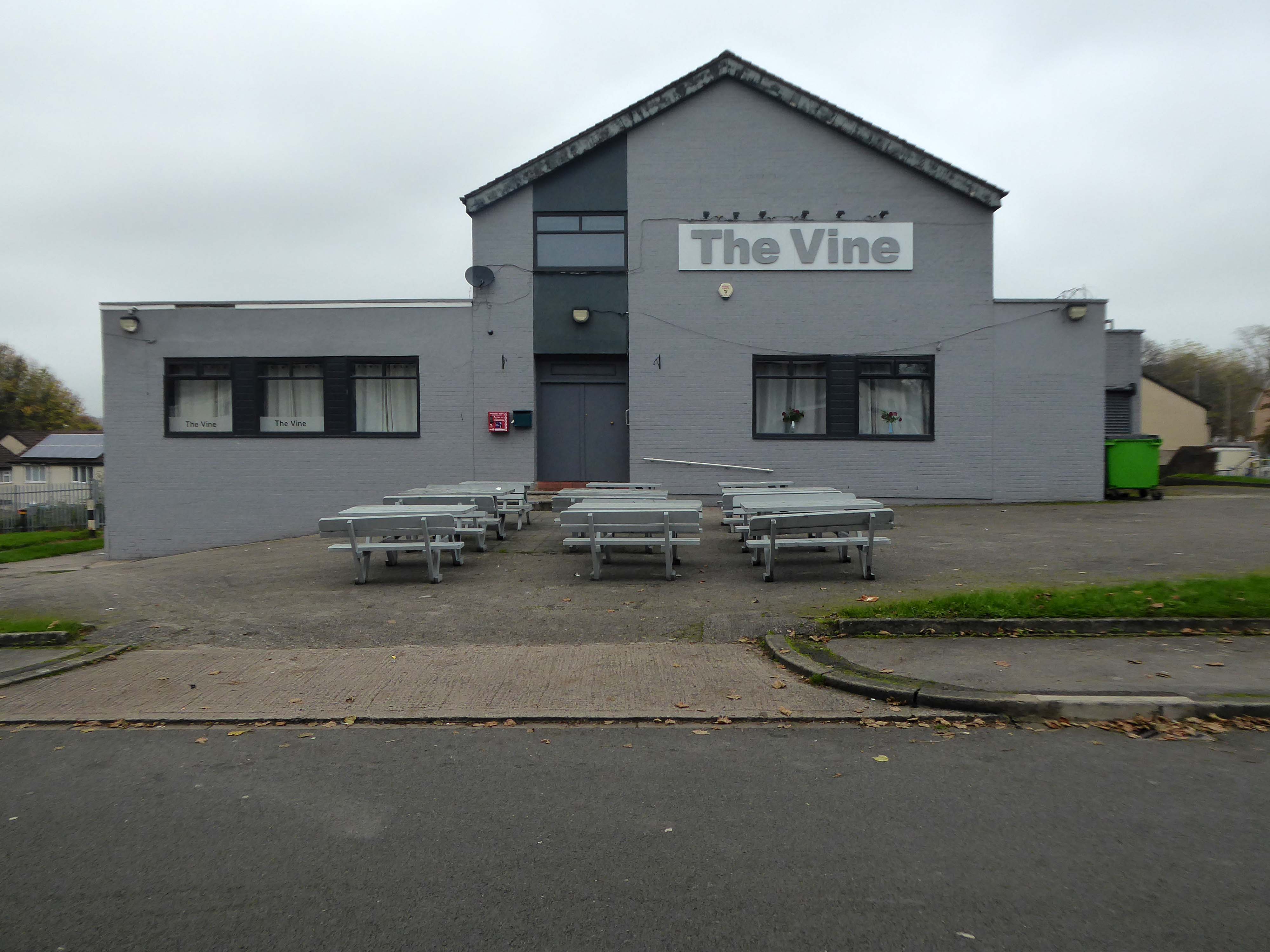
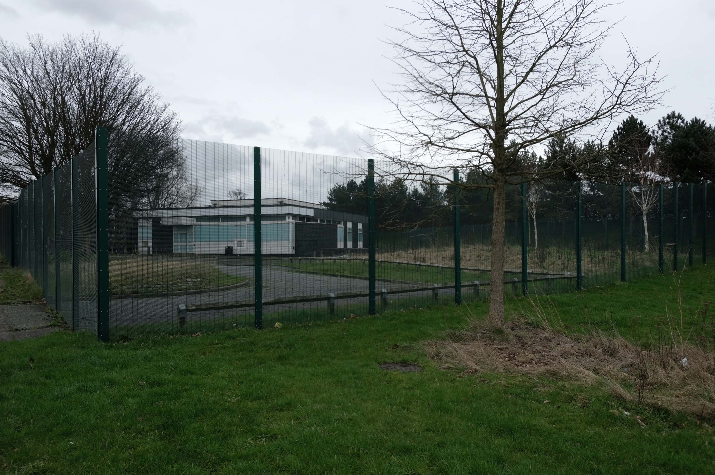
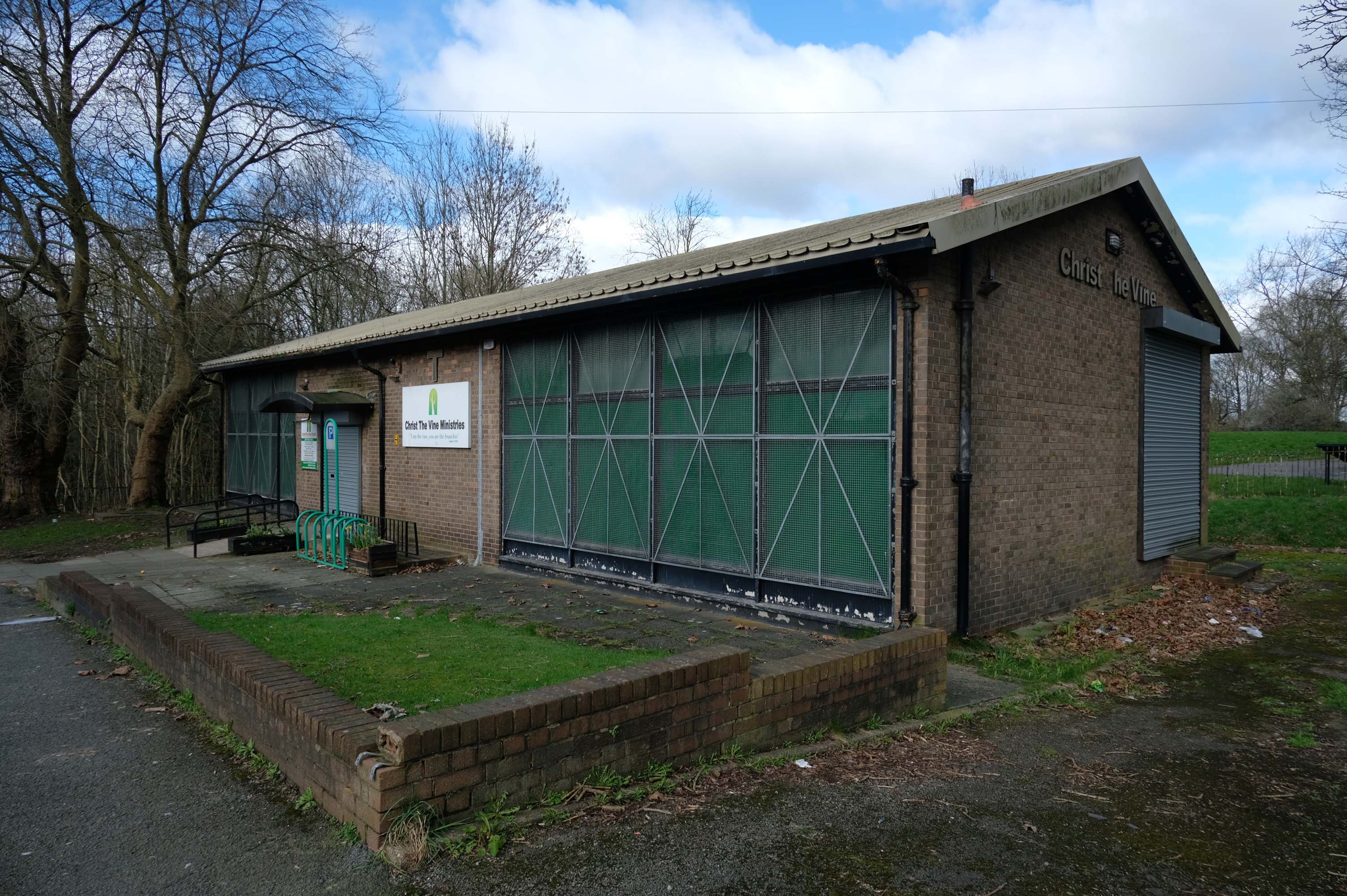
Turn right on leaving the station, right then left – you have reached The Vine.
Glendower Dr, Manchester, Greater Manchester M40 7TD.
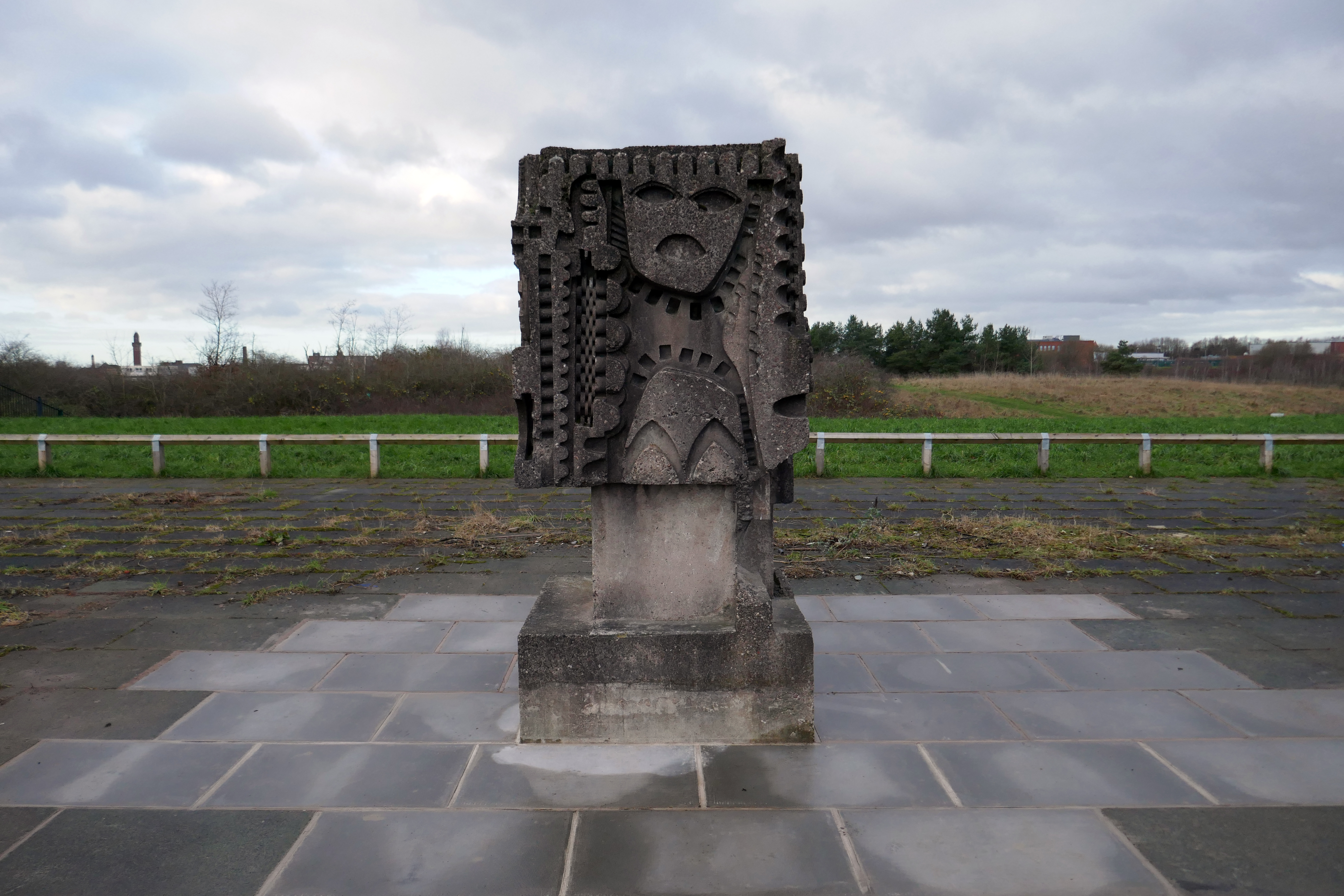
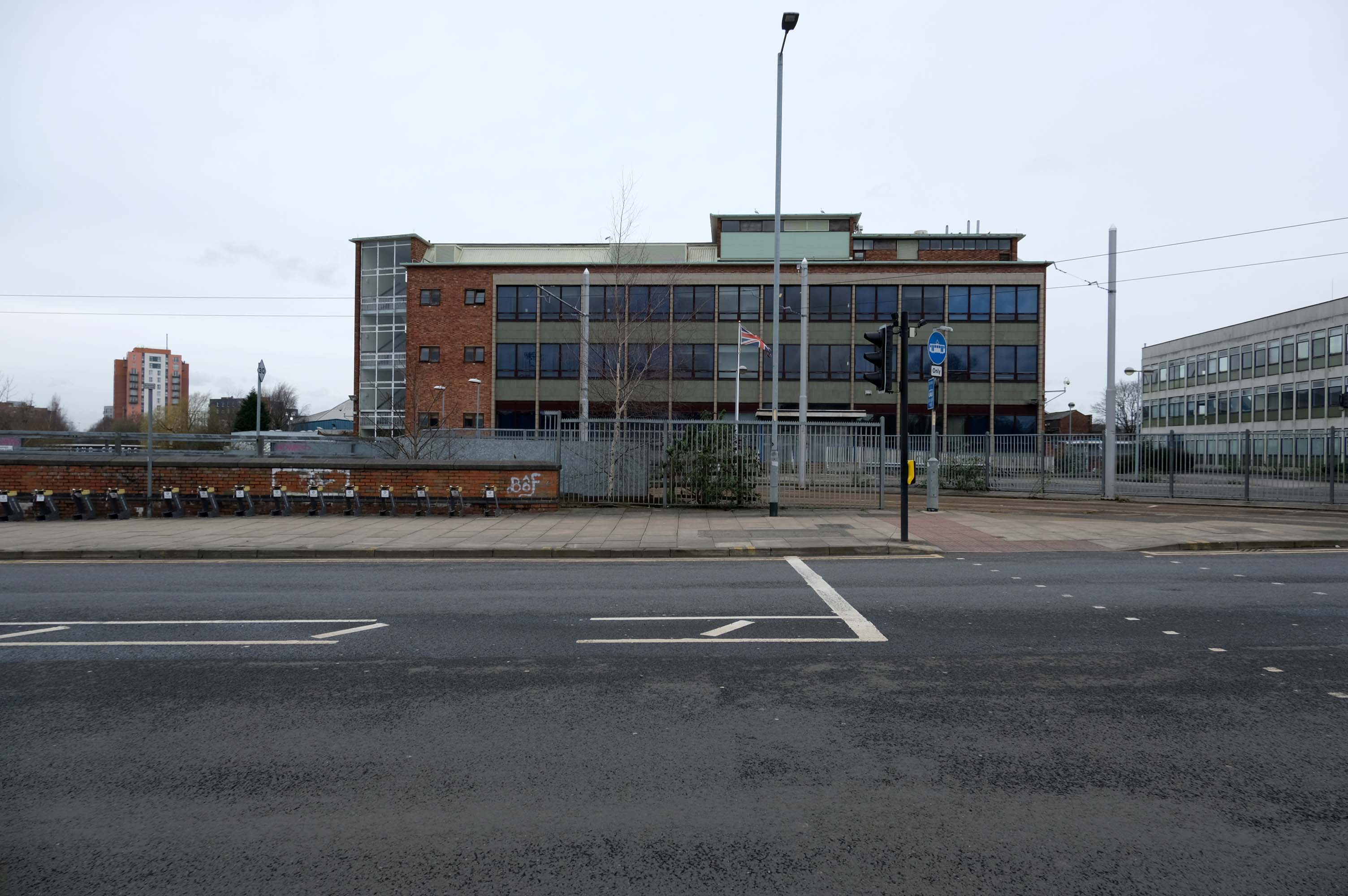
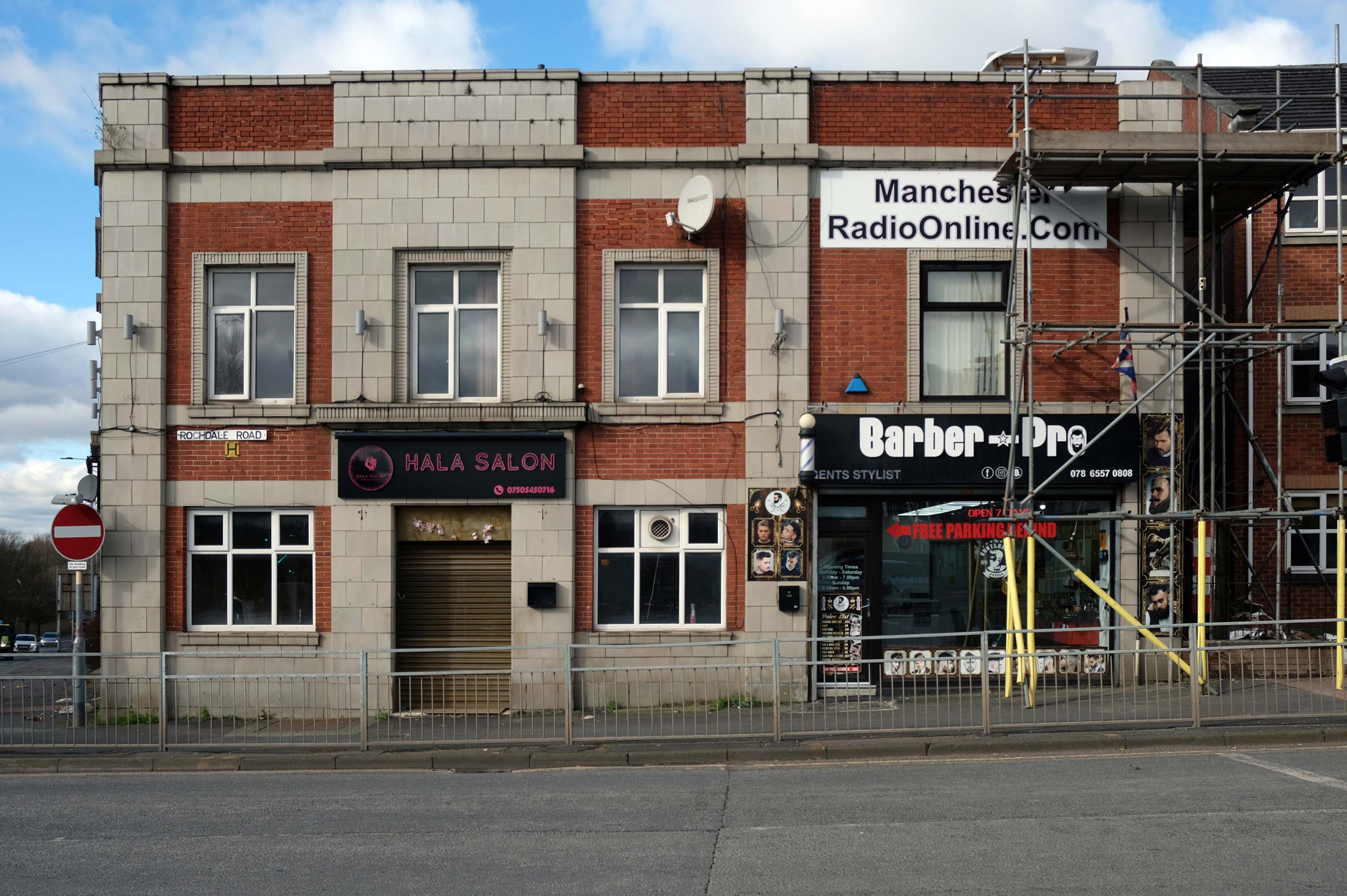
Head for Rochdale Road and turn right back toward the city centre, you have reached Eastford Square.
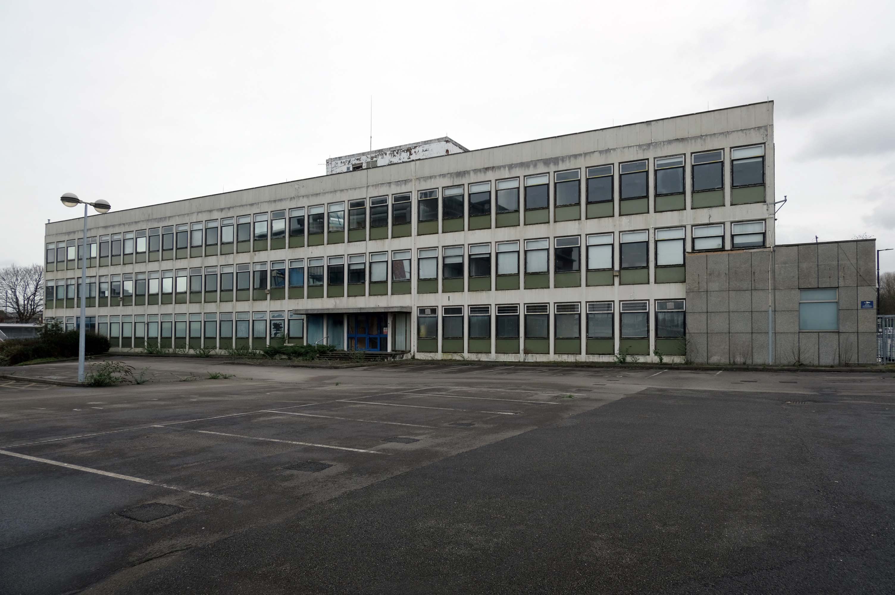
Turn left from the station along Bury Old Road until you reach Heywood Road on your right.
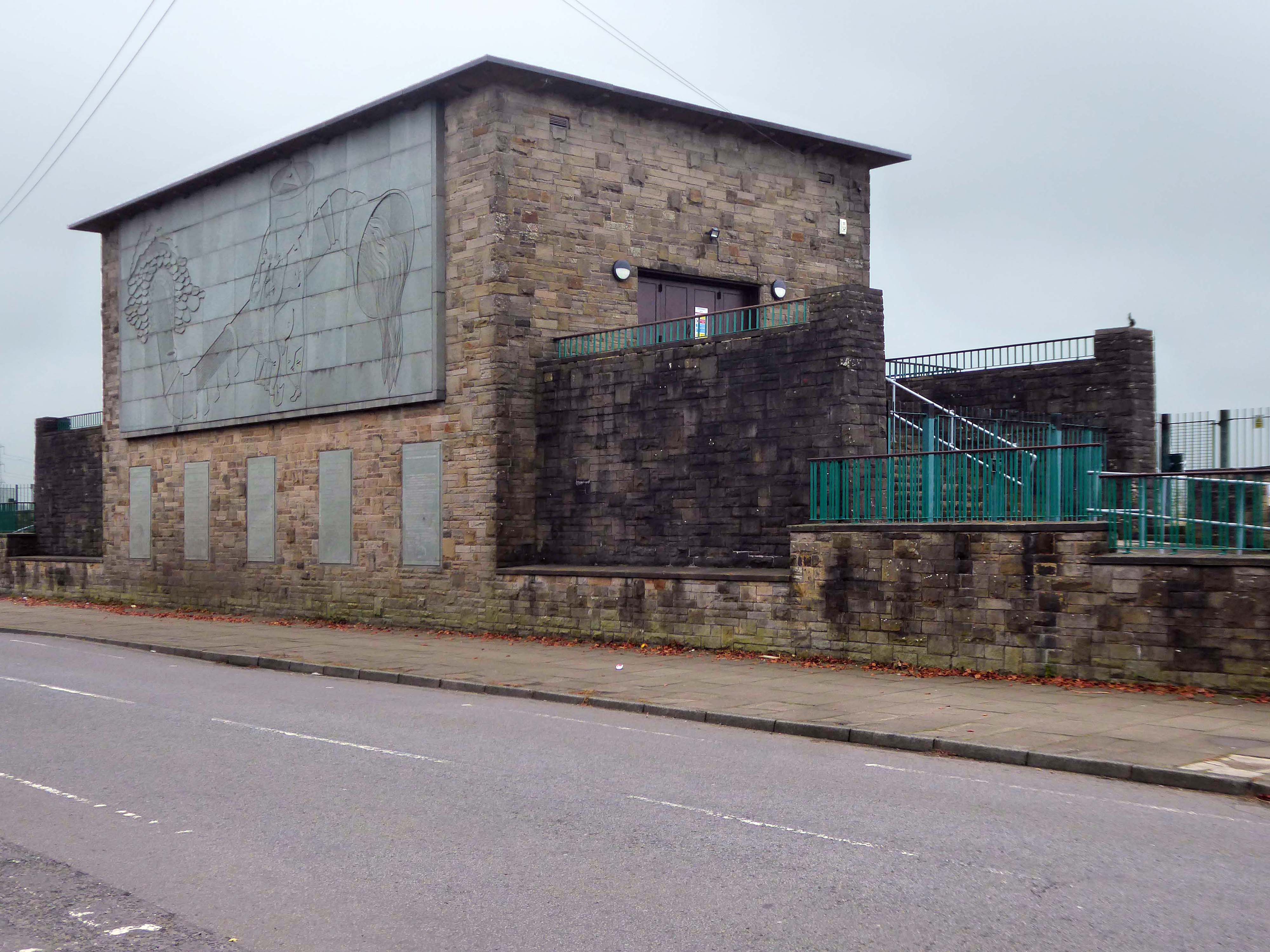
Heywood Road, Prestwich, Manchester M25 2GT
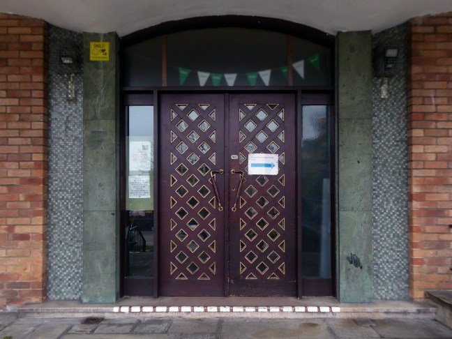
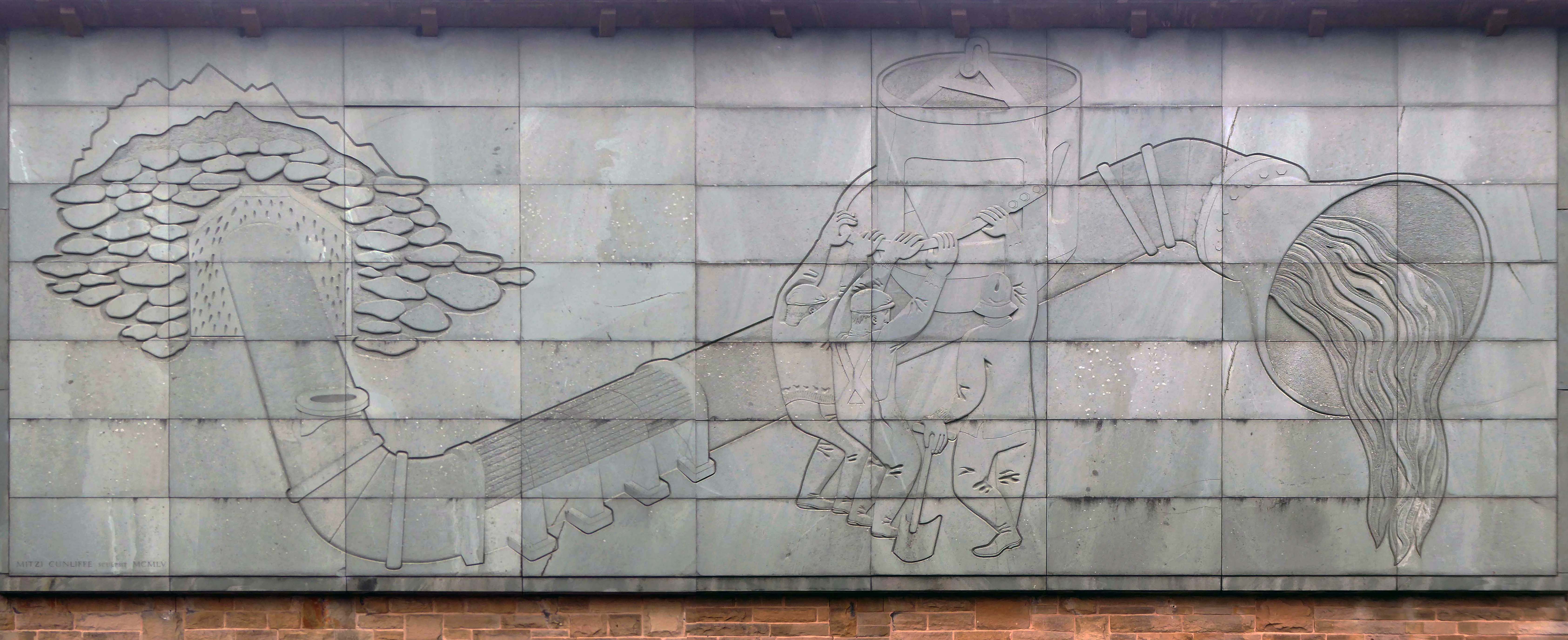
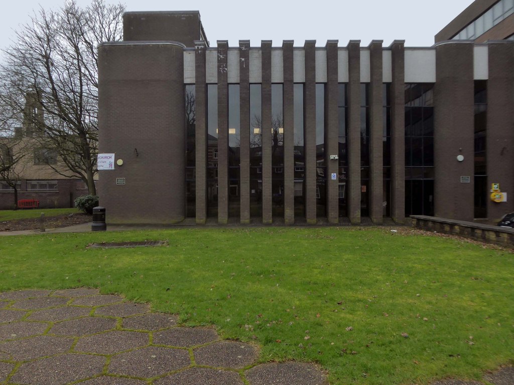
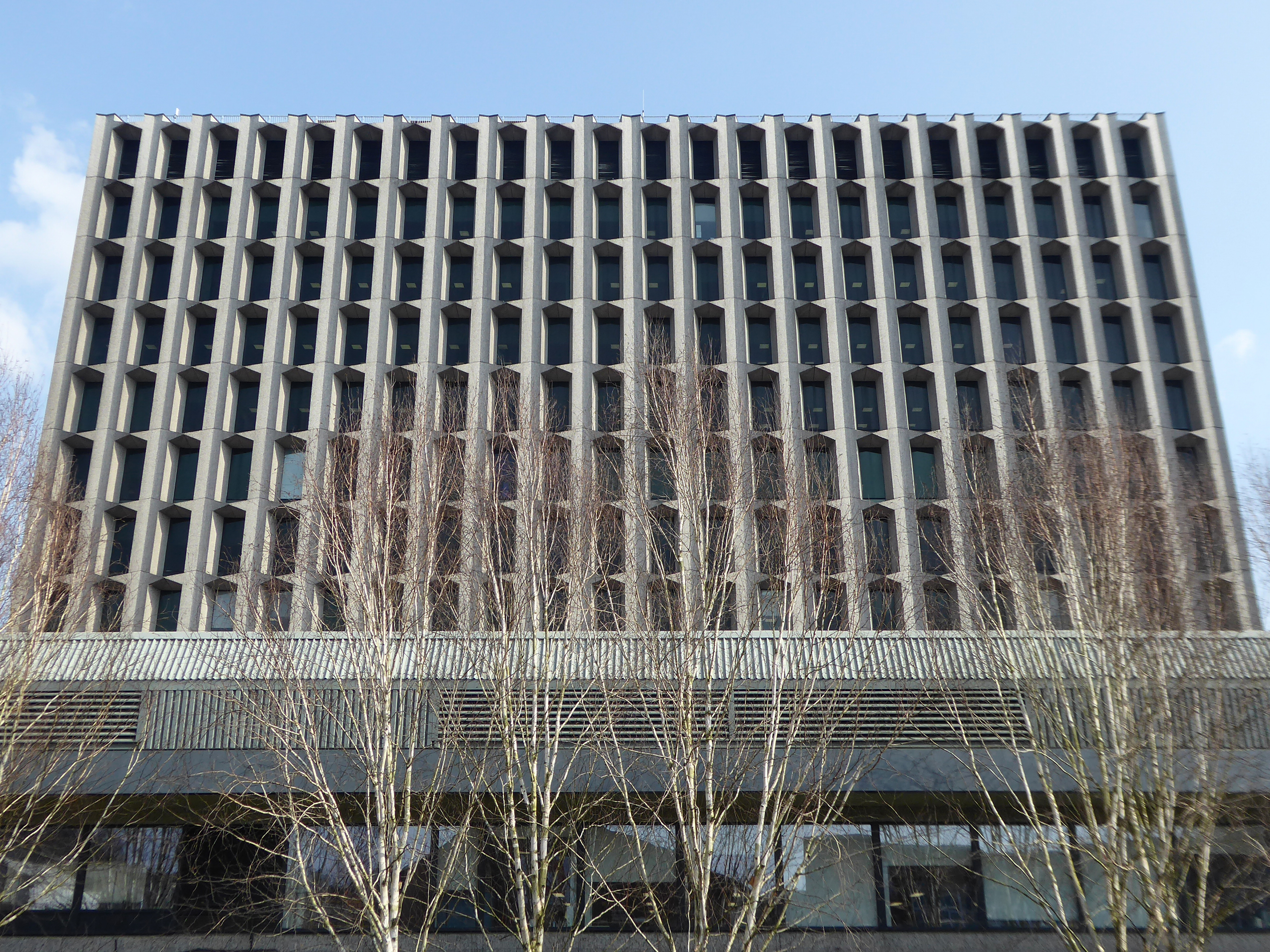
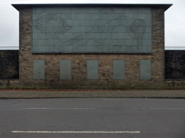
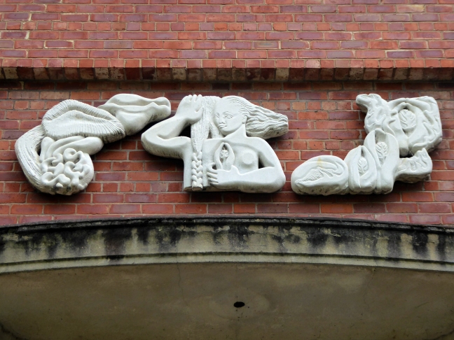
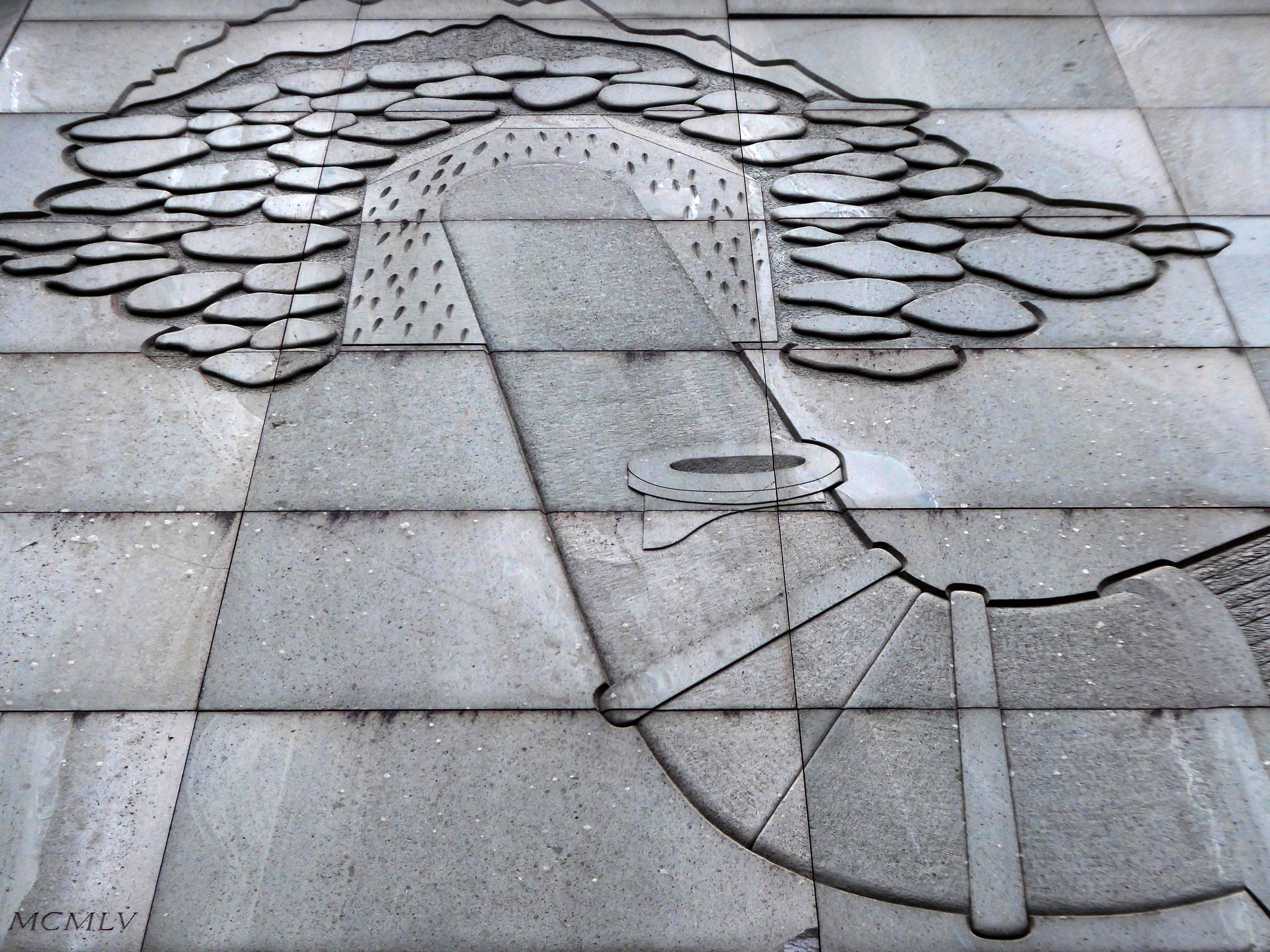
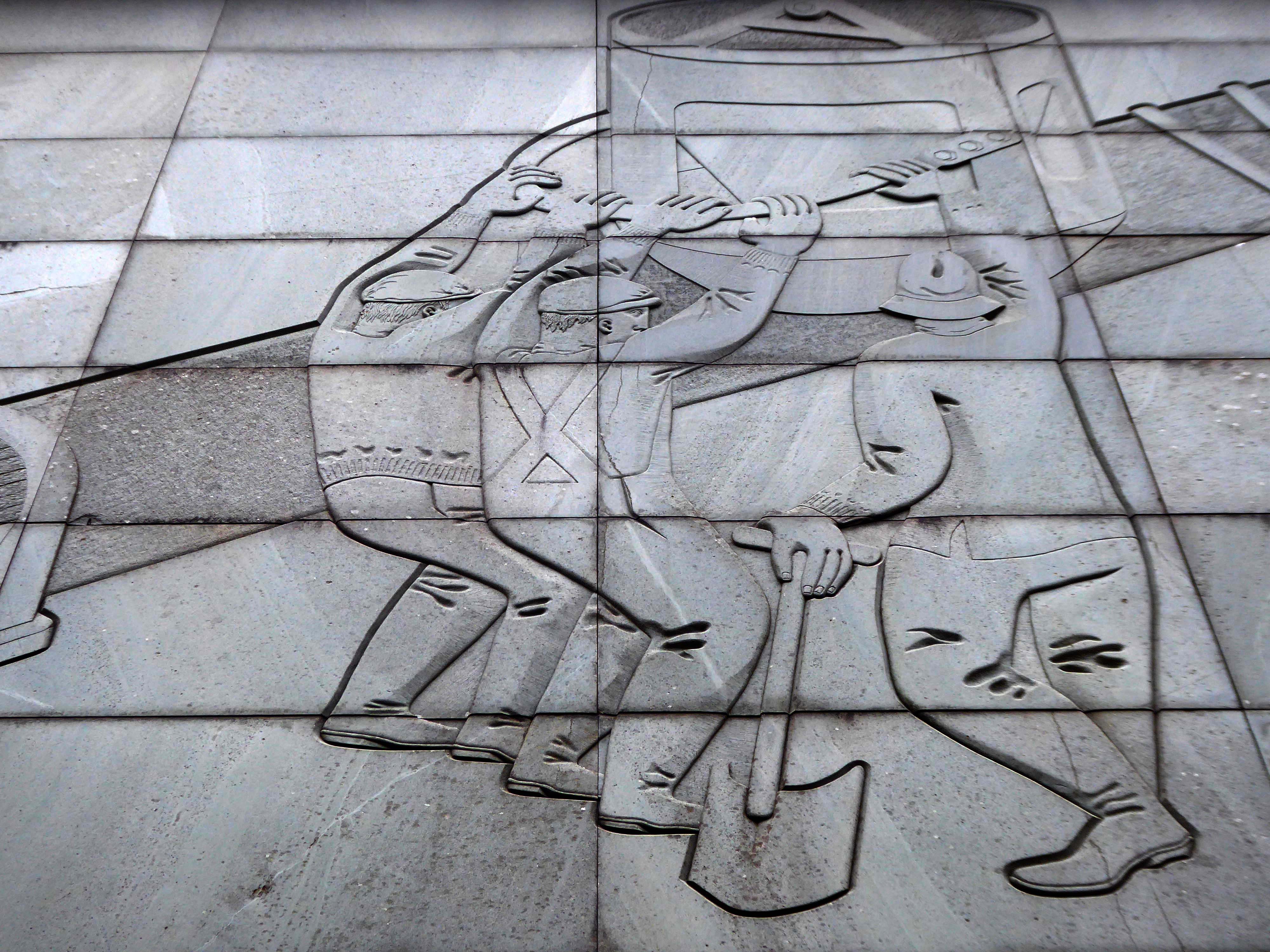
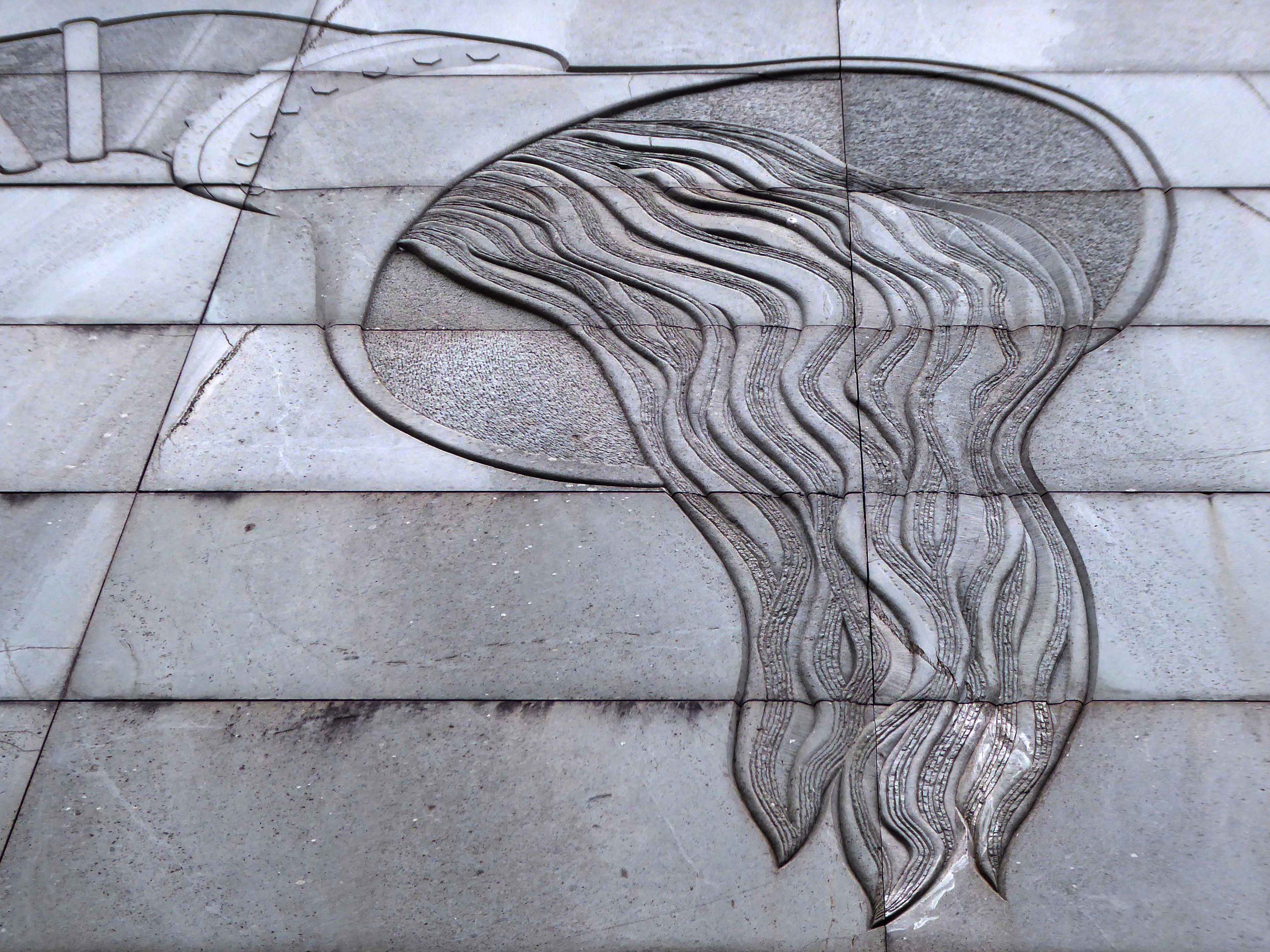
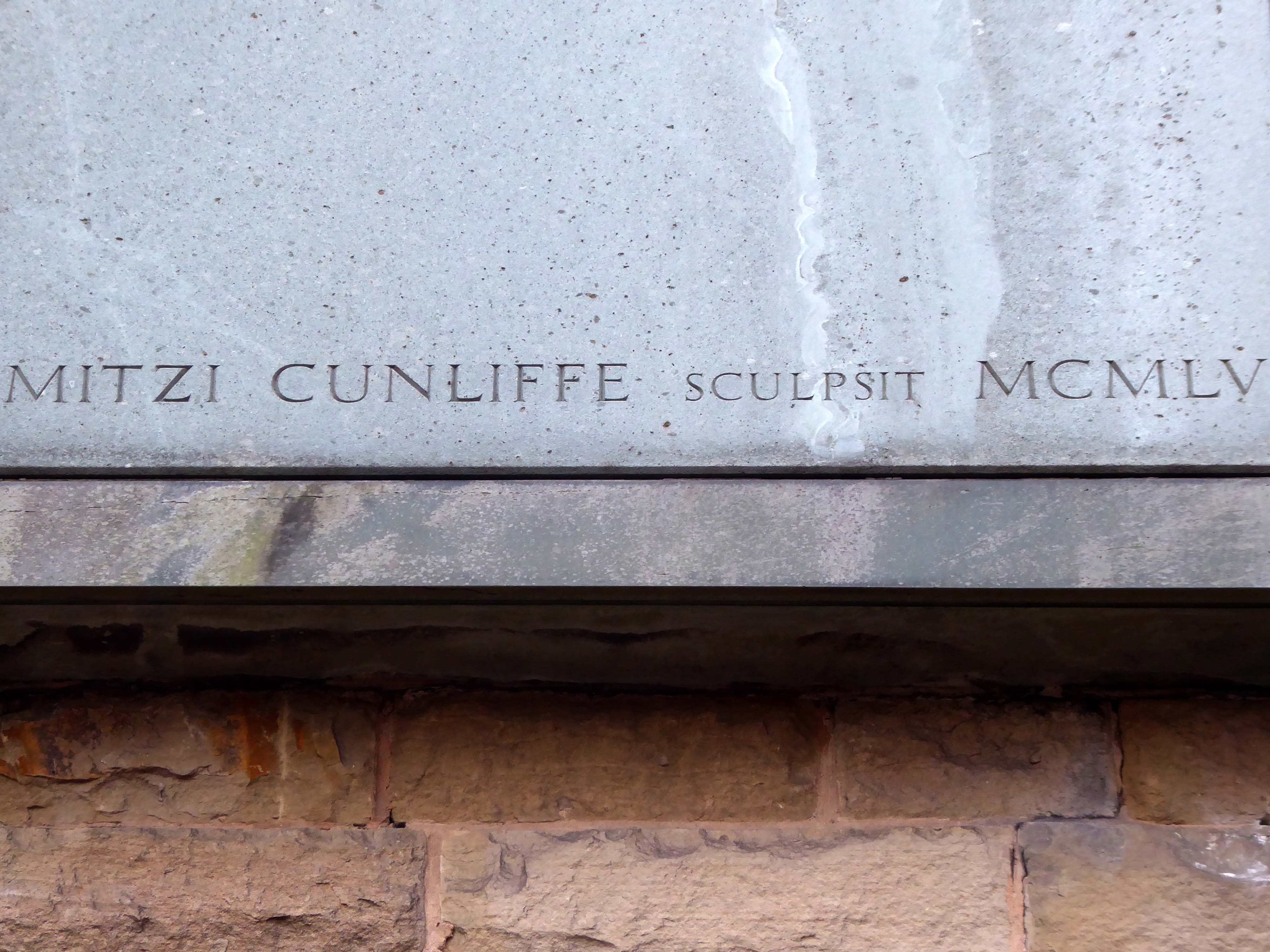
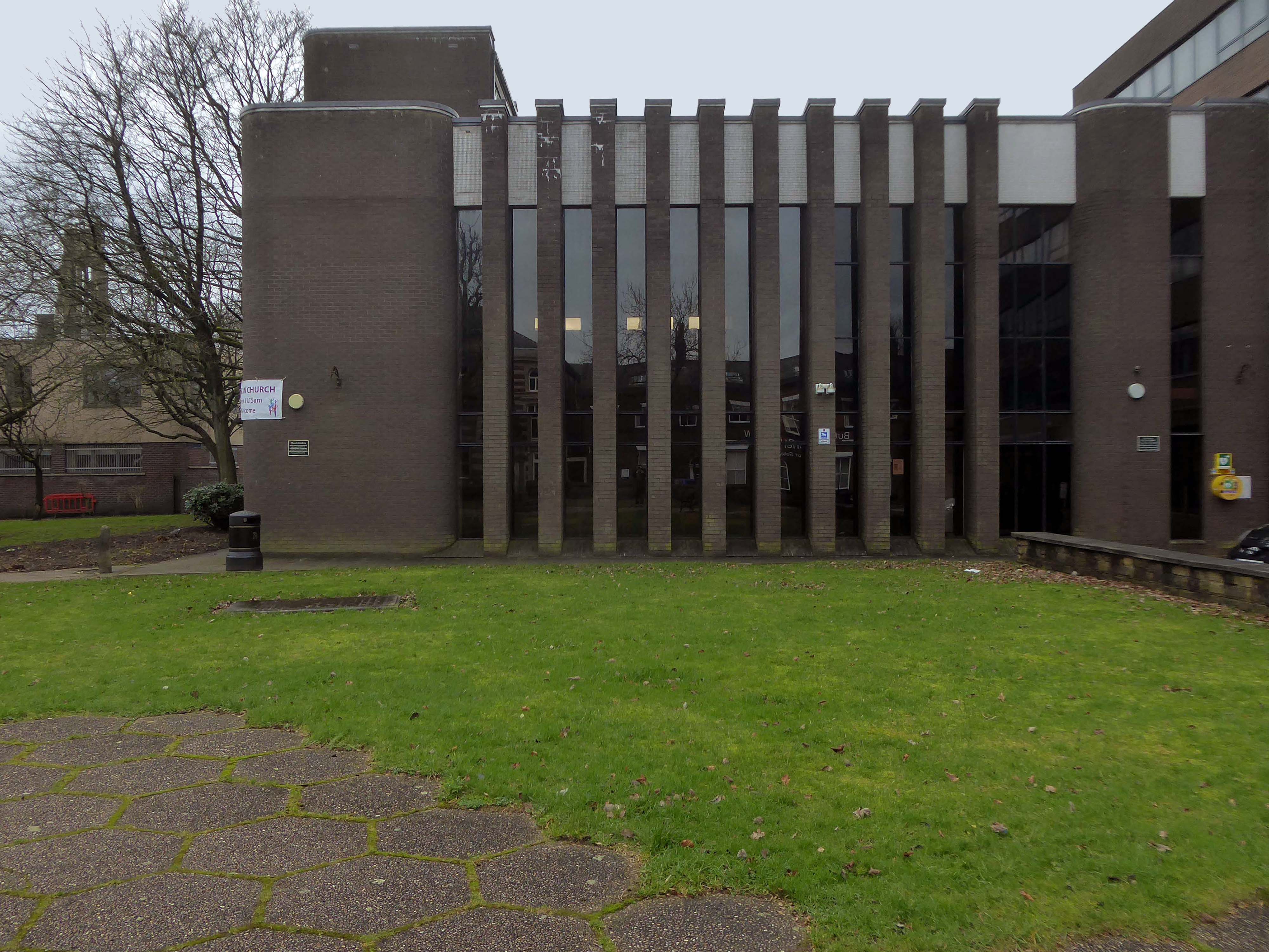
1954-5 by the Manchester City Architect’s Department, Chief Architect Leonard C Howitt, for the Manchester Corporation Waterworks. Alan Atkinson, engineer. Incorporates large relief by Mitzi Cunliffe, signed and dated 1955.
After months of public consultation, the joint venture has firmed up its proposals for the redevelopment of the Longfield Centre and is aiming to be on site before the end of the year.
Muse and Bury Council have submitted a hybrid application to transform six acres of Prestwich town centre.
The Strategic Regeneration Framework is the guide that is shaping the direction of Radcliffe’s growth over the next 15 years with a series of realistic short, medium, and longer-term actions. It is also shaping the direction of future council investment, supporting bids for central governmental funding and providing certainty for third parties wanting to invest in town.
Work has begun on Strategic Regeneration Framework’s priority projects, these include:
A new civic hub in central Radcliffe, which will bring together a mix of functions at the heart of the town
Refurbishment of the market basement and the revamping of market chambers
New leisure facilities
A secondary school on the Coney Green site
A “whole town approach” to housing, bringing forward a comprehensive approach to residential development in Radcliffe
A transportation strategy, which will consider matters such as active travel and car parking
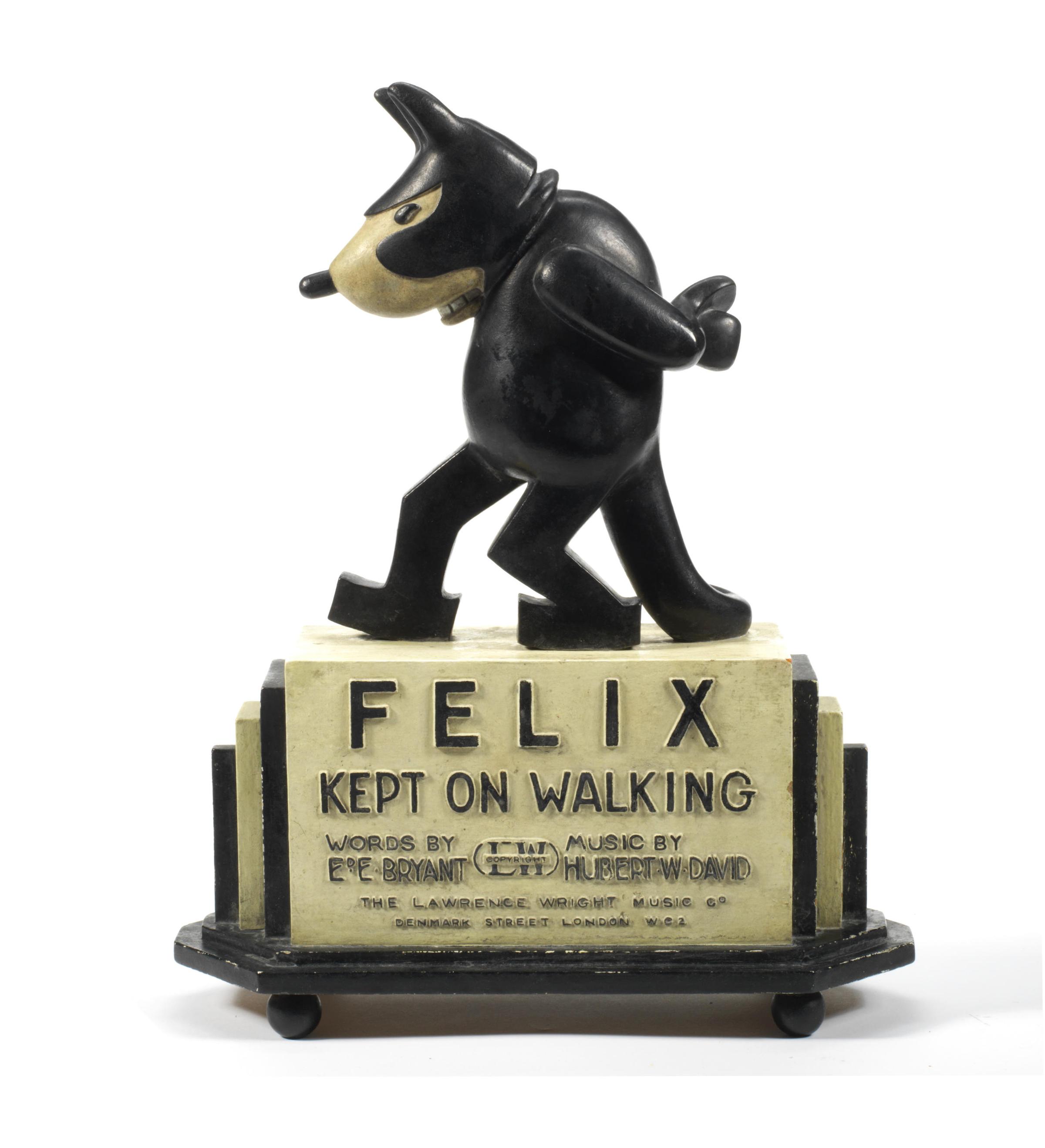
I began walking when quite young, then like Felix, I kept on walking, walking still.
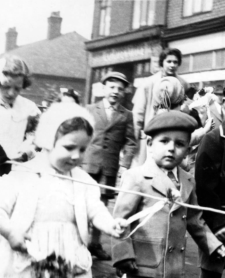
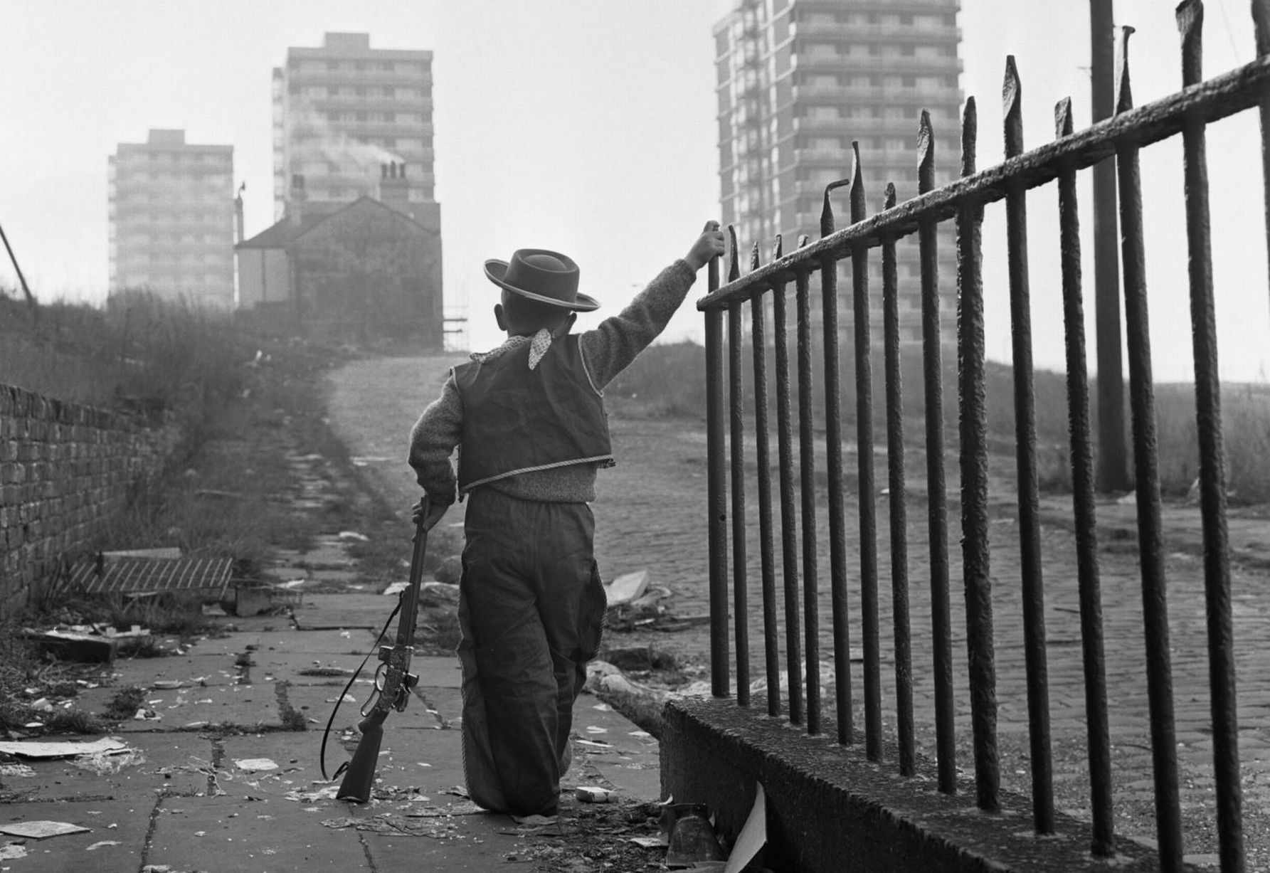
The photograph was taking during the Whit Walks in 1958 – aged three, I was engaged in religious pilgrimage, as we know there are many reasons for walking, this is but one.
I was fortunate to grow up at a time when youngsters were permitted to roam freely, less traffic, less anxiety, gave me access to a wider axis of exploration.
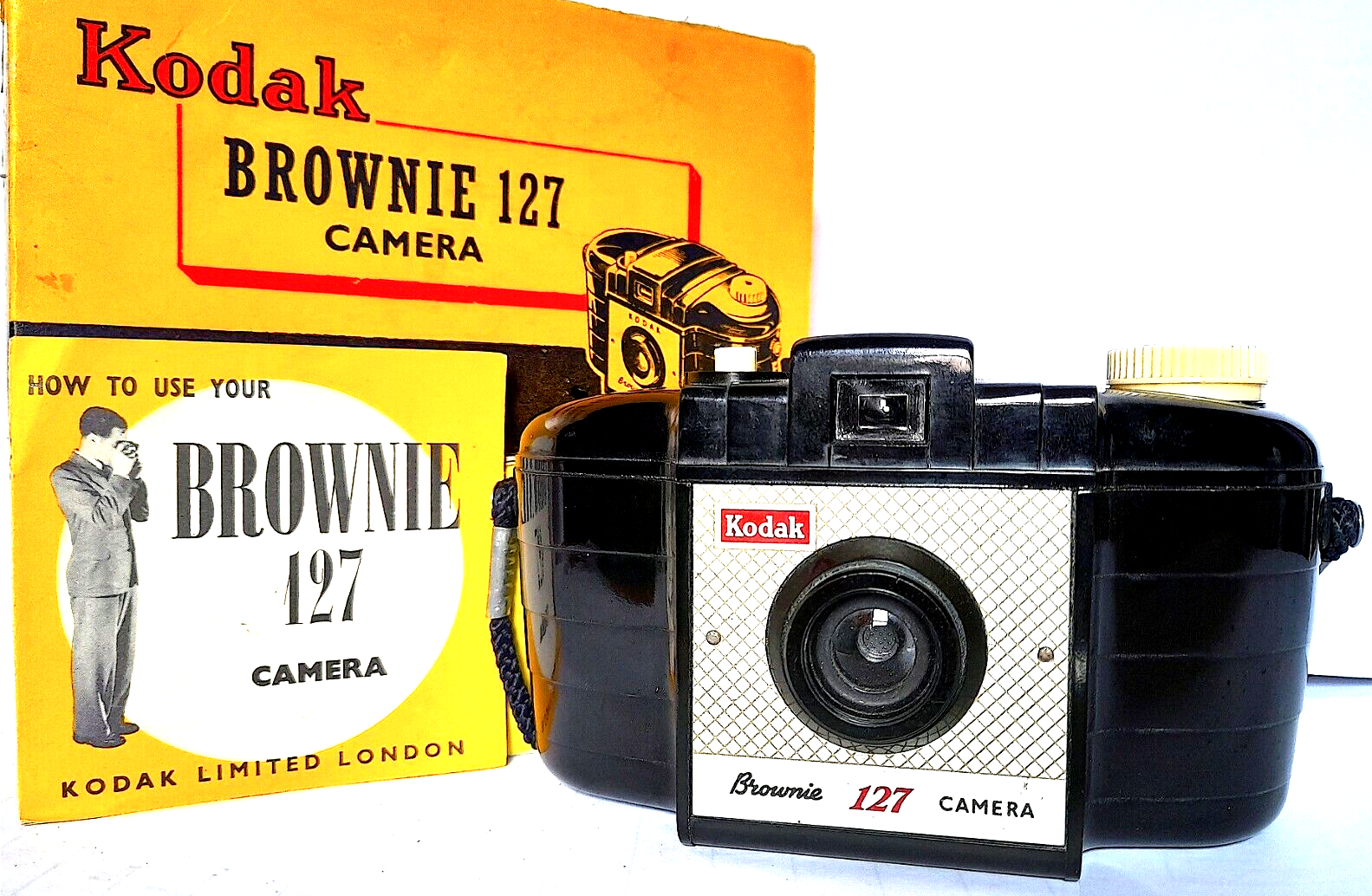
The photograph would have been taken I assume, by my mam, on the Brownie 127. When aged nine I wandered alone through the local woods and exposed twelve frames of 44mm 127 film, the prints are long gone, yet I remember each of the photographs and locations clearly.
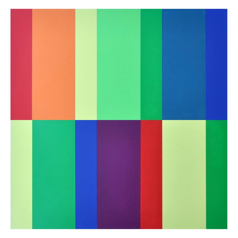
I went to school, then I didn’t, then I went to Art School, eventually becoming a teenage Constructivist, tutored by Jeffrey Steele, a leading light in the British Systems movement.
The rigidity of the grid, symmetry and orthogonal framing have stayed with me.
Then I went to work for a very long time indeed, then all of a sudden I didn’t. Taking early retirement aged 59 some ten years ago, subsequently taking to the roads, streets and hills of Britain in search of nothing in particular.
In recent years there has been a rapid development in the culture of walking, theories, films, guides, songs and literature. I am fully cognisant of such, yet believe at heart that walking can be free of such baggage, we can stride unhindered, atavistic and carefree/less.
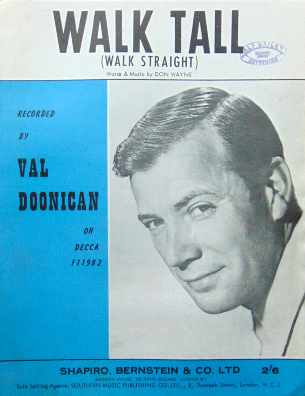
Walk tall, walk straight and look the world right in the eye.
Getting lost is about the unfamiliar appearing.
In my own small way, I have become part of that baggage, having been asked to lead a walk around Stockport by the the modernist neé Manchester Modernist Society.
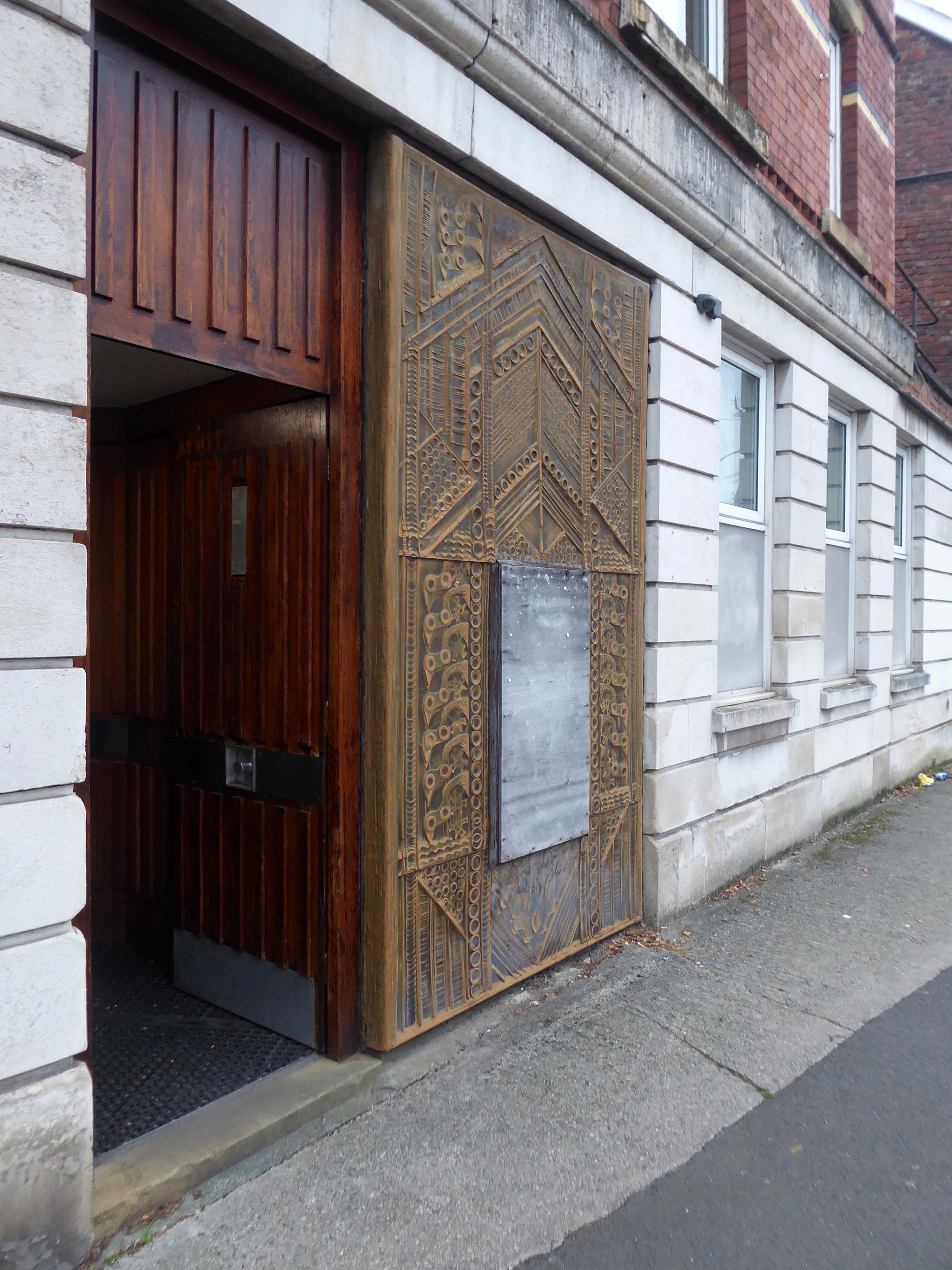
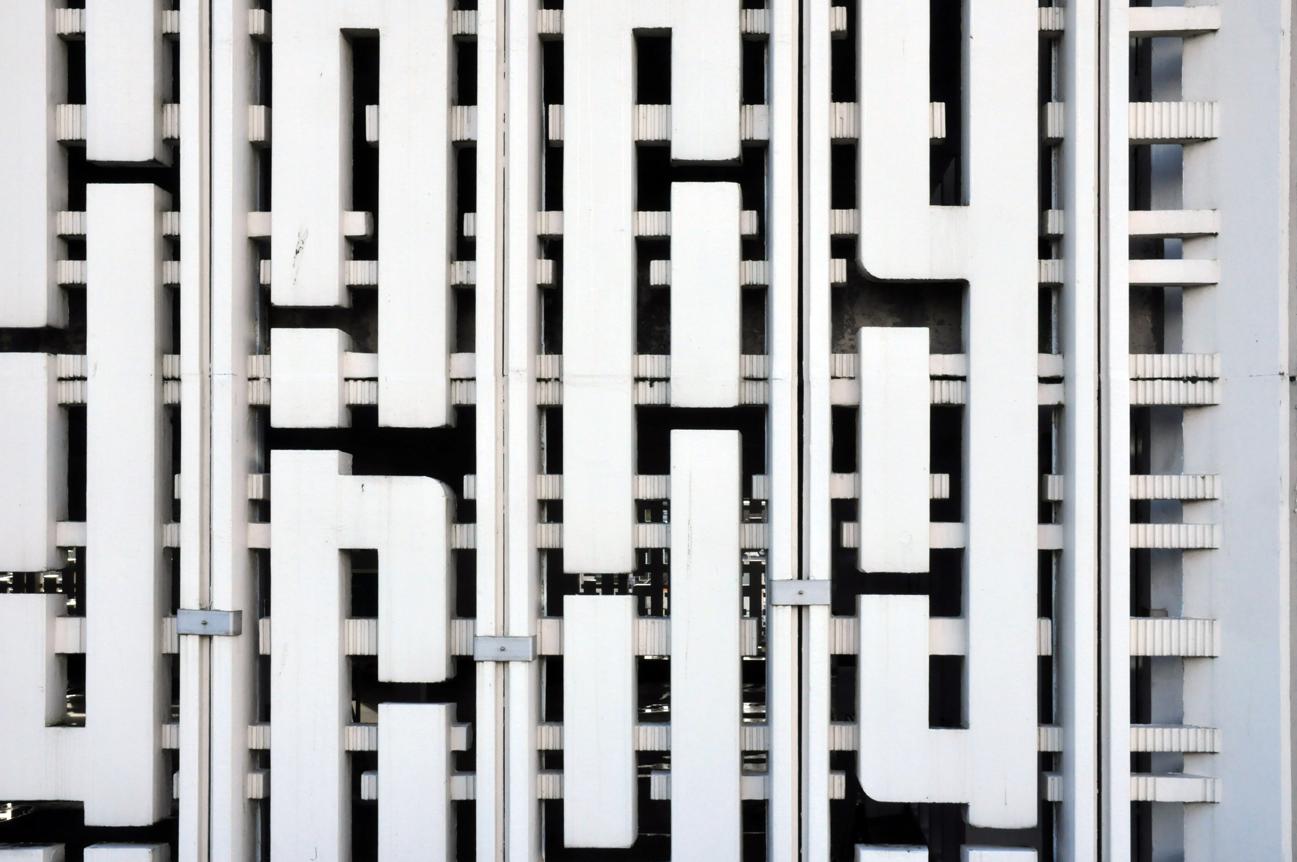
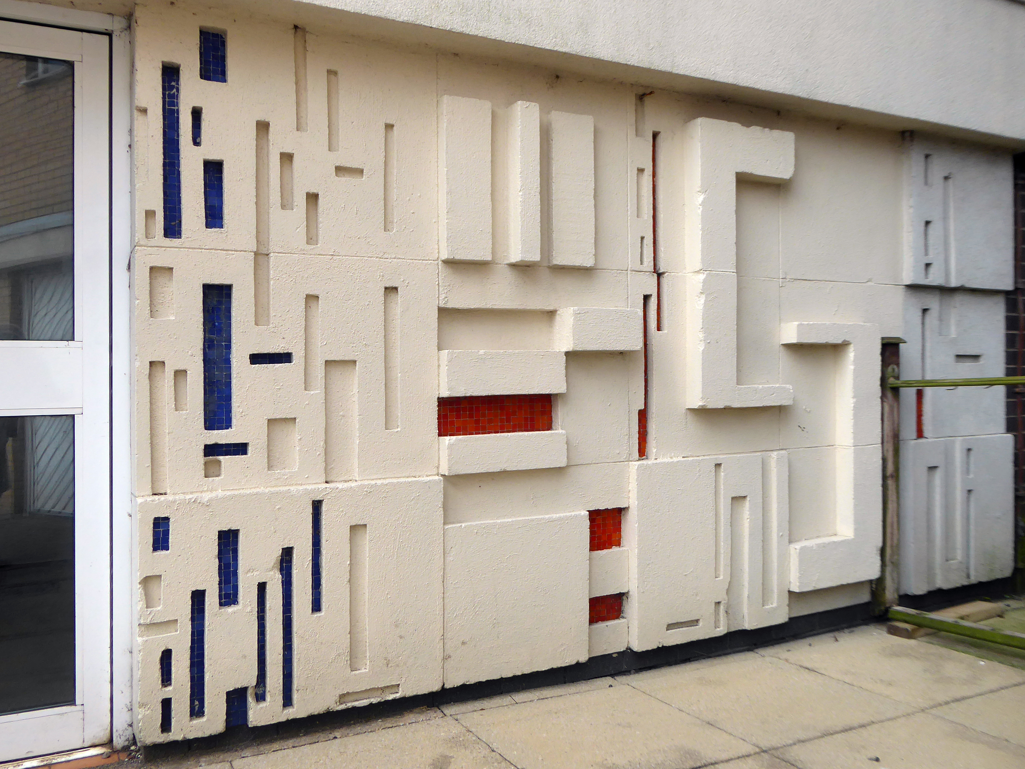
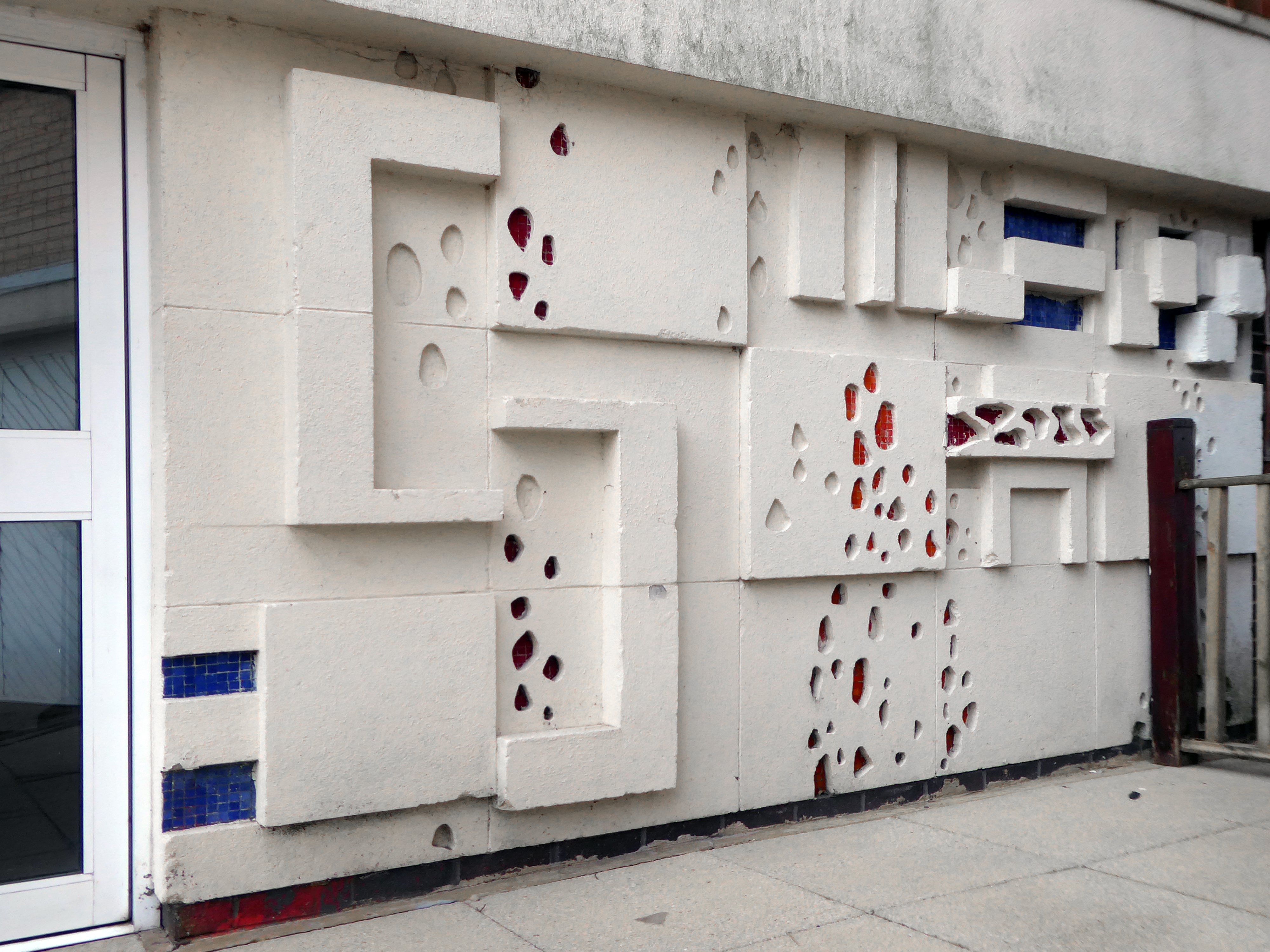
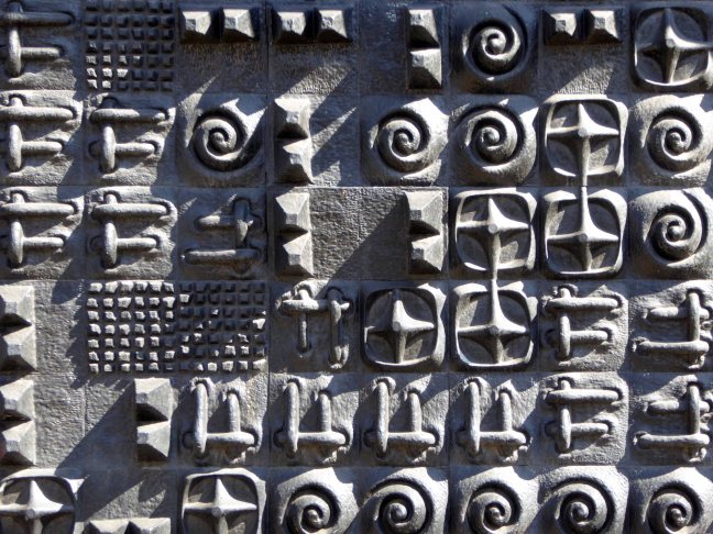
The photograph depicts Alan Boyson’s concrete screen wall, attached to the former Cooperative super store designed by Philip Andrew. The two worked to gather on the Hull Cooperative store, which is adorned by Alan’s huge Three Ships mosaic.
Philip was a childhood friend of Alan Boyson and it was Alan’s father, manager of the Marple Co-operative Society, that recommended Philip for an apprenticeship job in 1951 to the chief architect at the CWS in Manchester HQ.
In preparation for the tour, I visited the town’s Local Heritage Library and read extensively from serendipitous charity shop finds.
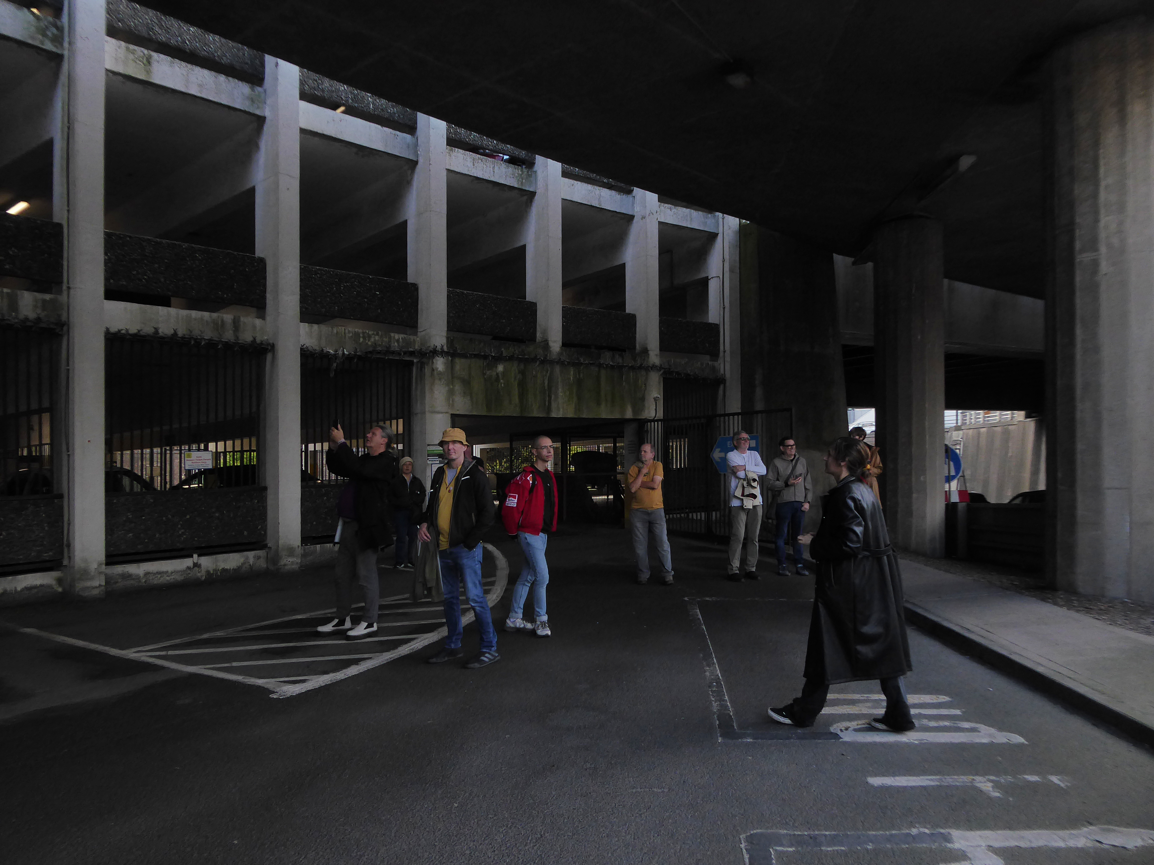
The two hour route was designed around an economy of distance and elevation, allowing time for others to take in, what may be for them unfamiliar surroundings. A group of around twenty or so folk became sociable and engaged, with a suitably concise and apposite contribution from myself. There are those who busied themselves taking snaps along the way, chatting amiably or simply gazing in amazement.
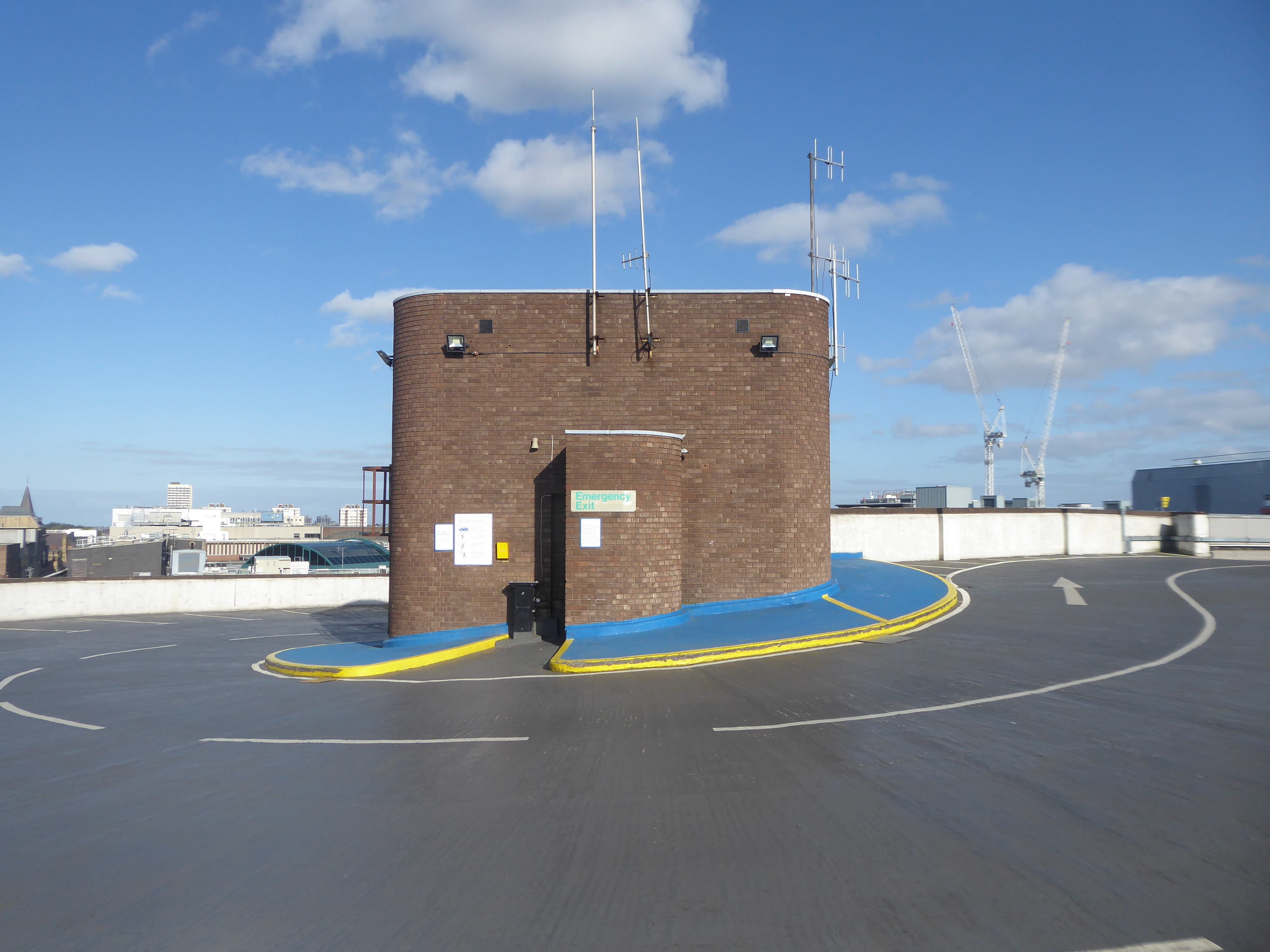
The service building above the former Debenham’s store.
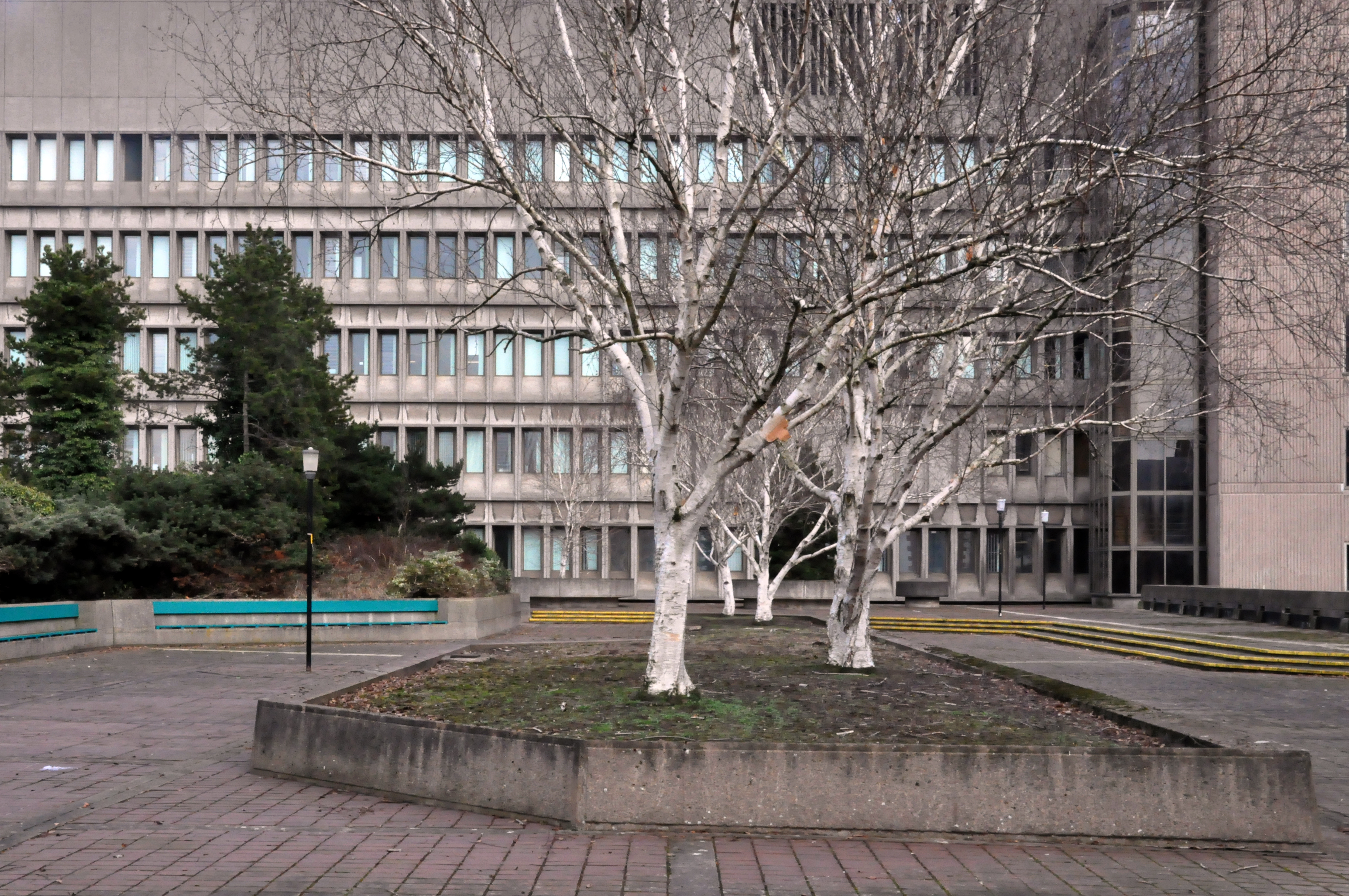
Famed as an imaginary TV police station, this civic building is a civic building I simply can’t resist. I return on a regular basis to wander and snap. This is an open public space that seems little loved and has few visitors.
From then onwards I have been taking folks on Modernist Mooches on a regular basis, two or so a month, during the less inclement times of year.
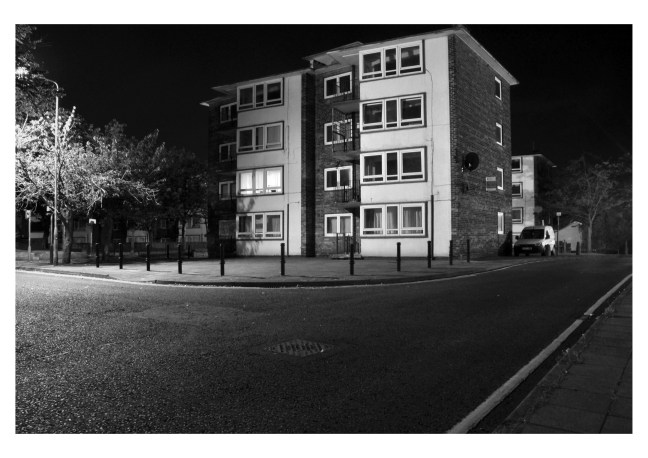
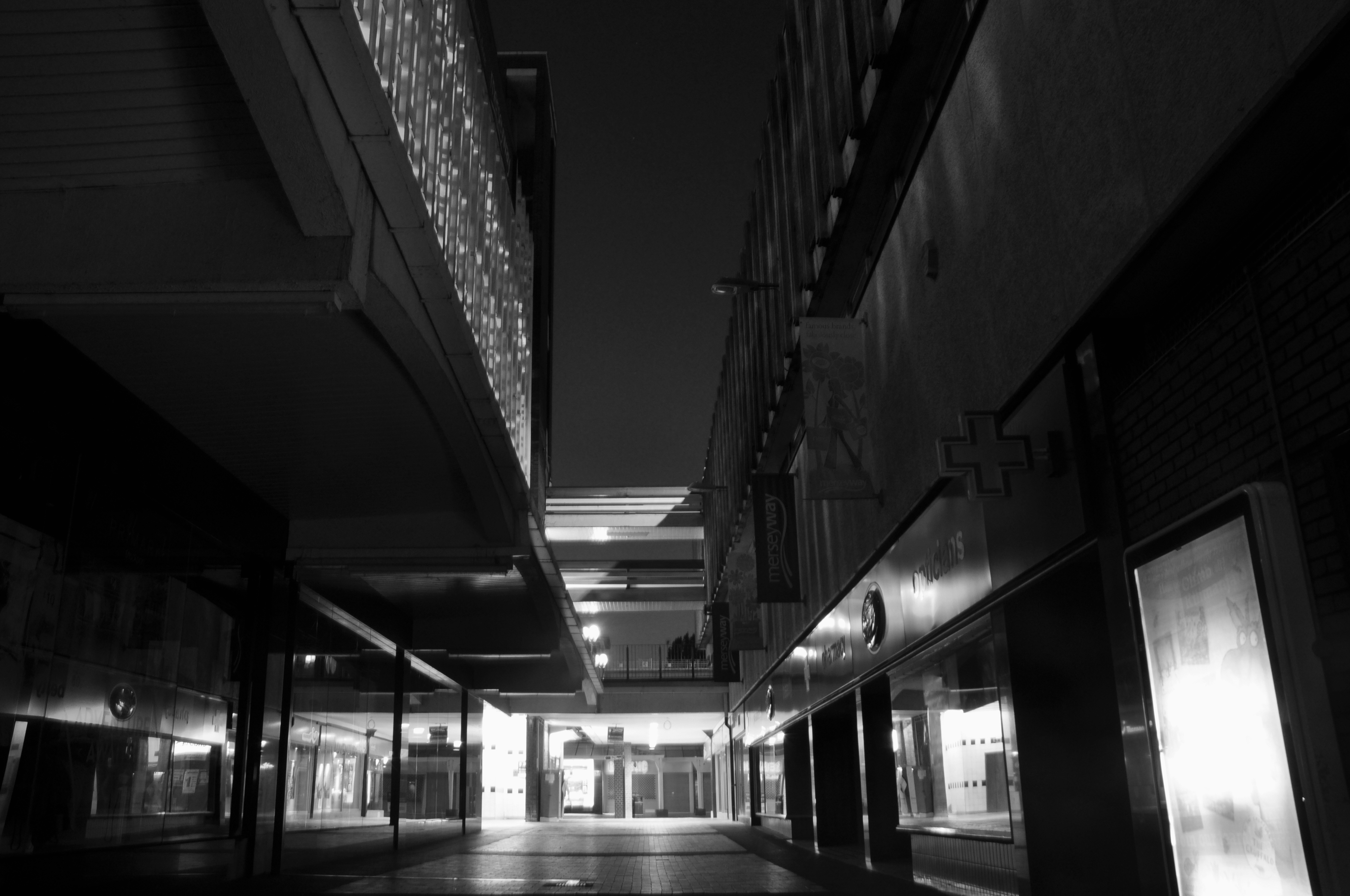
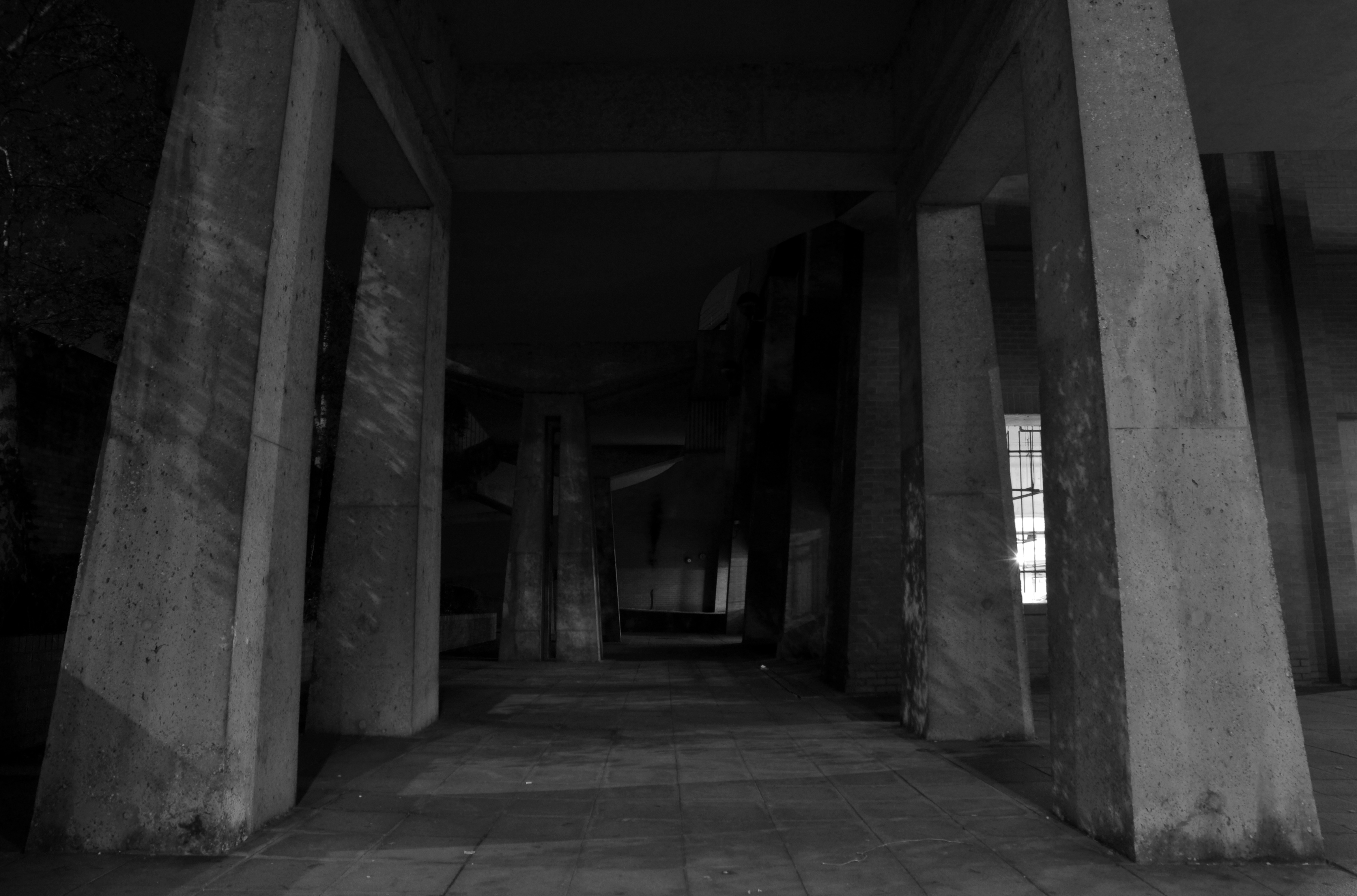
At about the same time I was asked to exhibit my photographs in Stockport, I chose to mooch about at night. Walking around an almost deserted town, avoiding the glare of streetlights, there is a mild frisson to be about when nobody else is about. The air feels different, exposures are longer, the almost waking world feels arrested, by the low available light.
My local shopping centre and as such part of my weekly walking and shopping life.
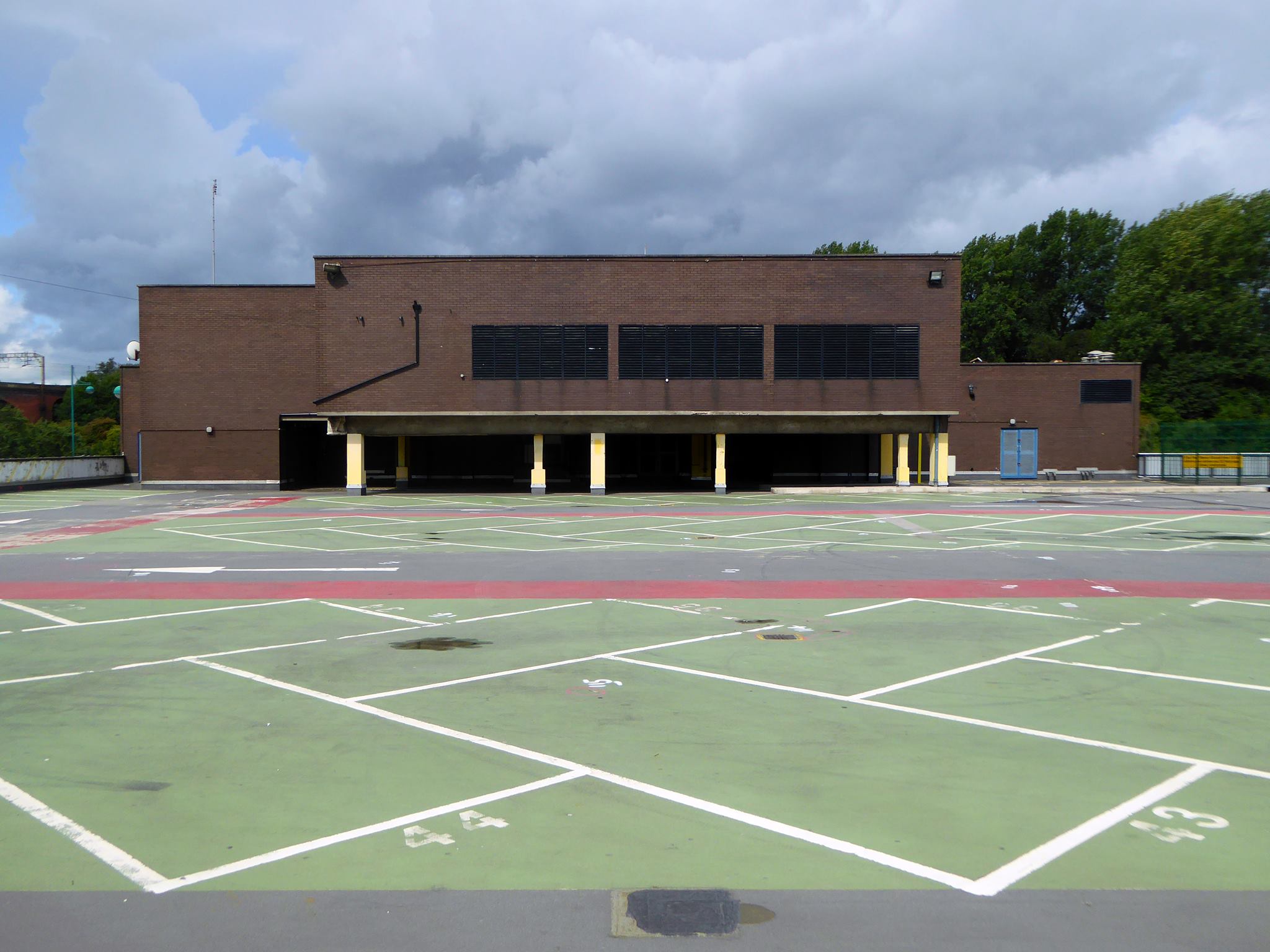
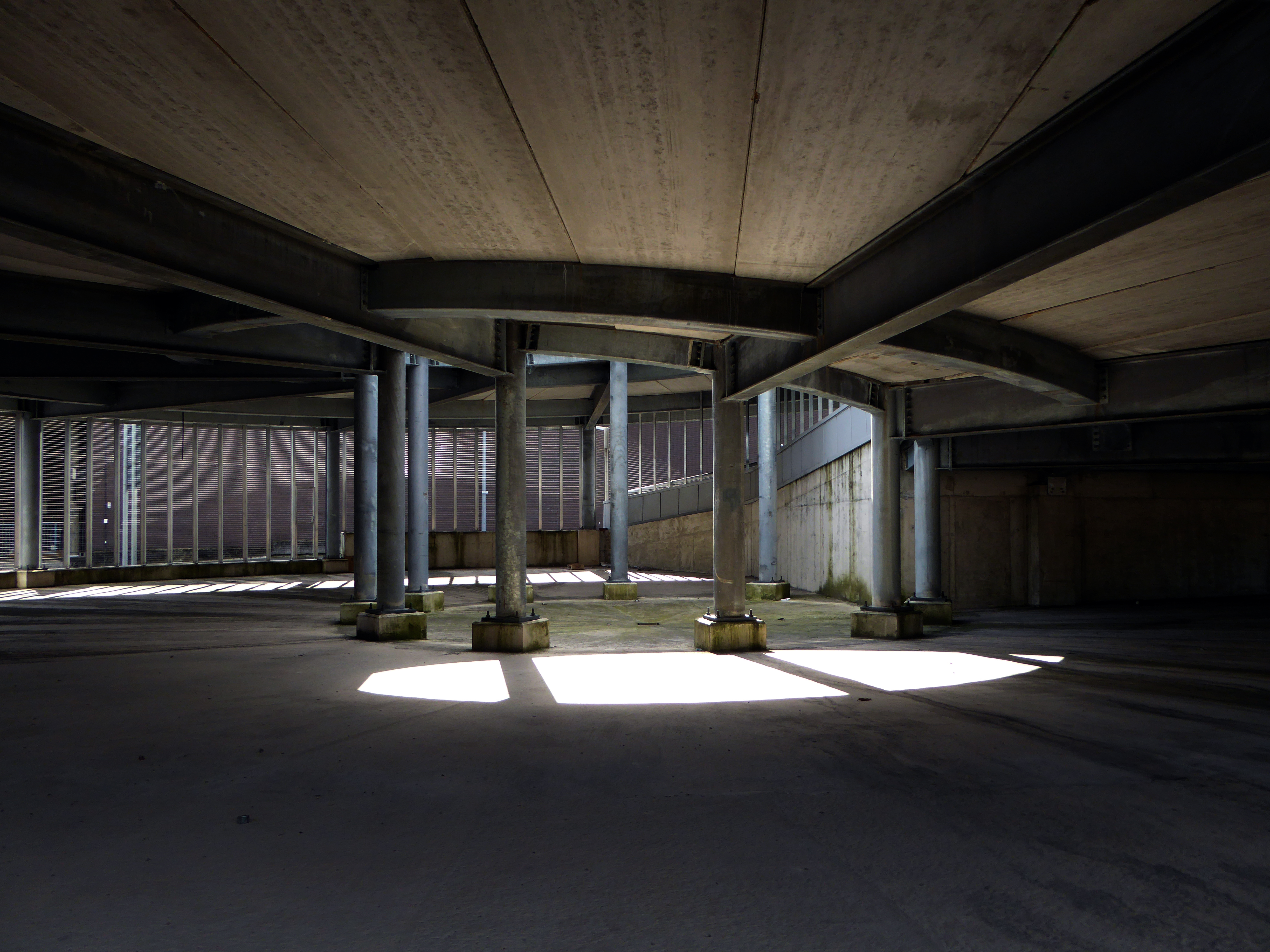
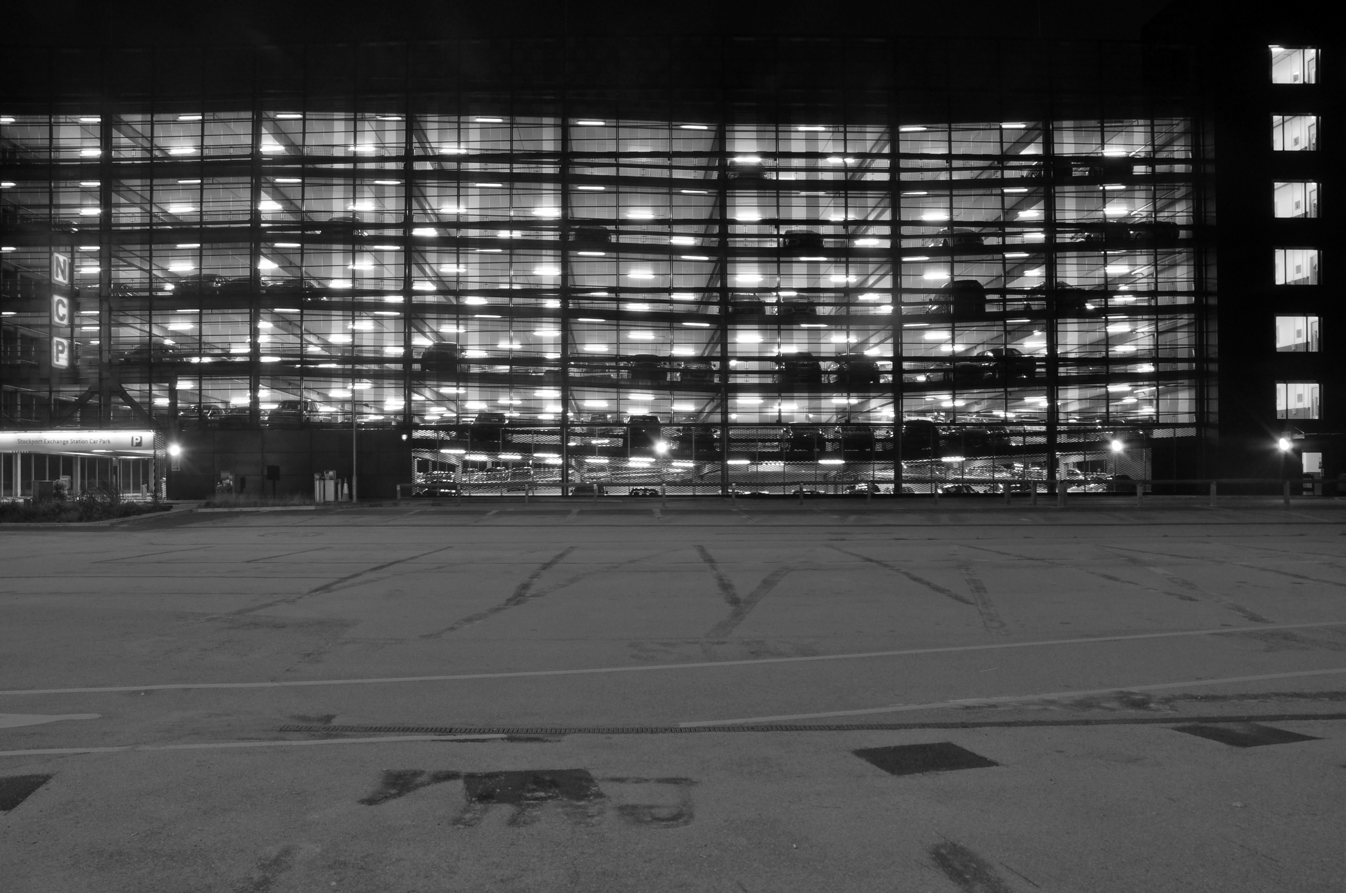
NCP Car Park located on Stockport Station approach.
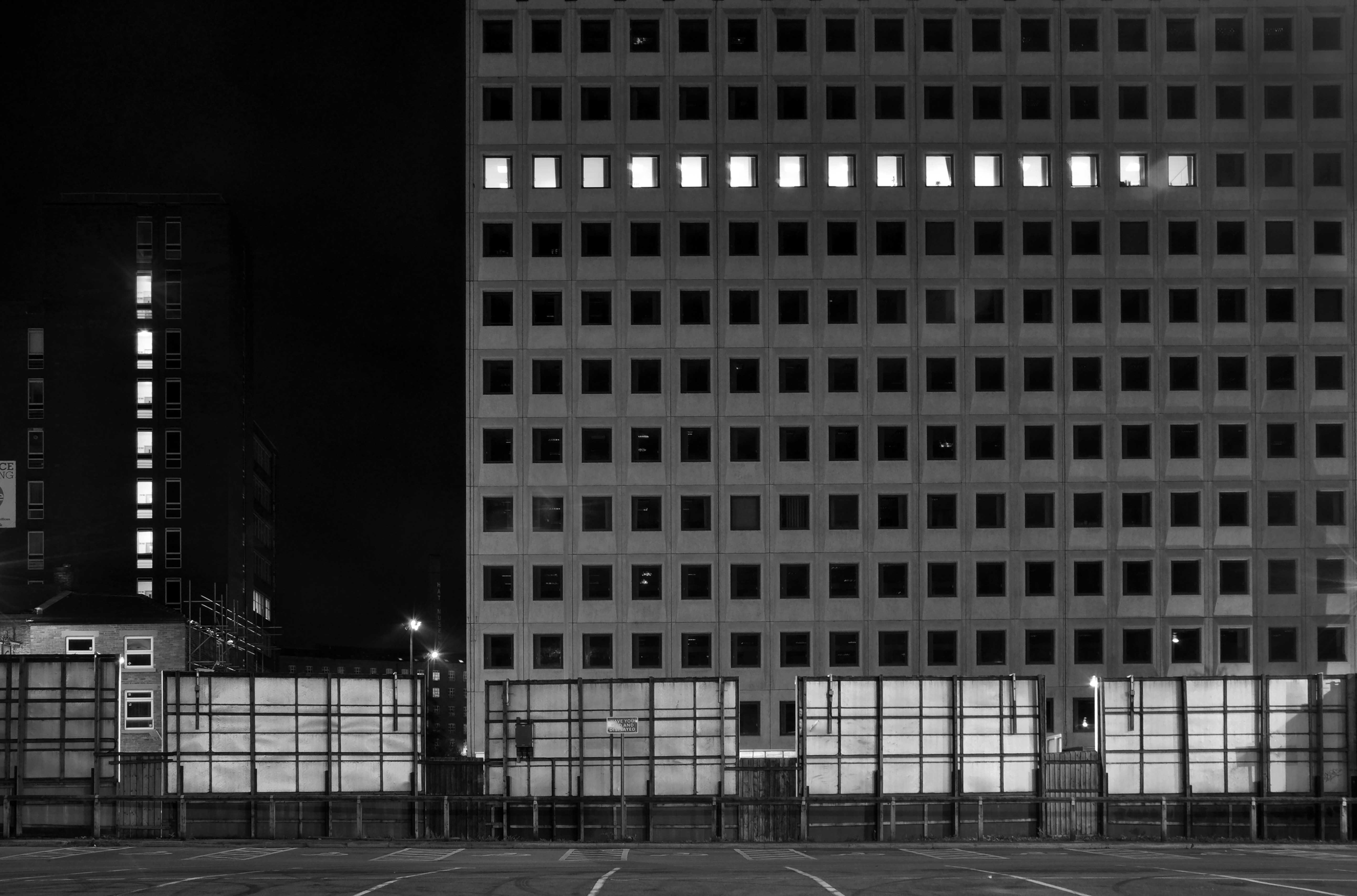
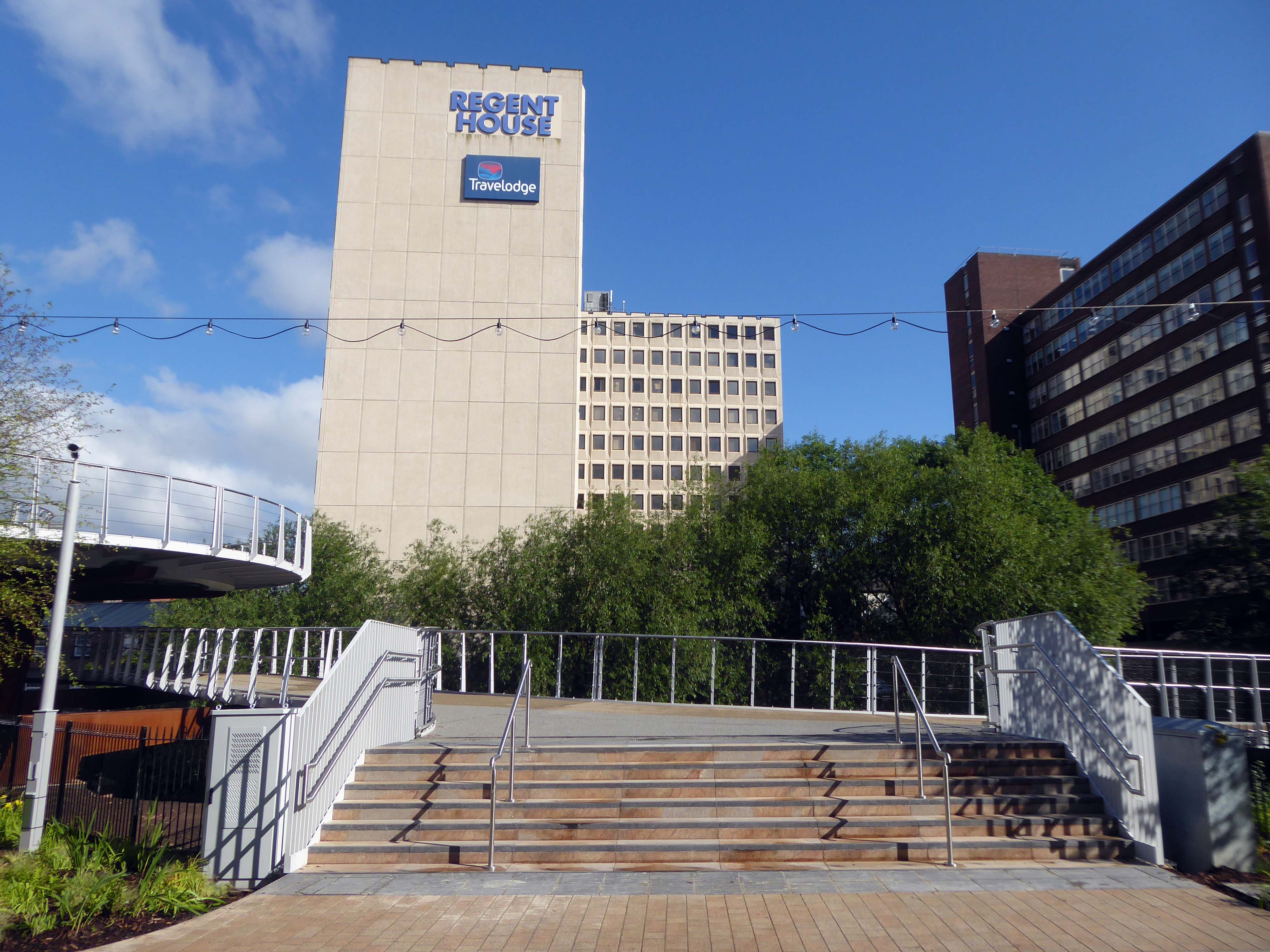
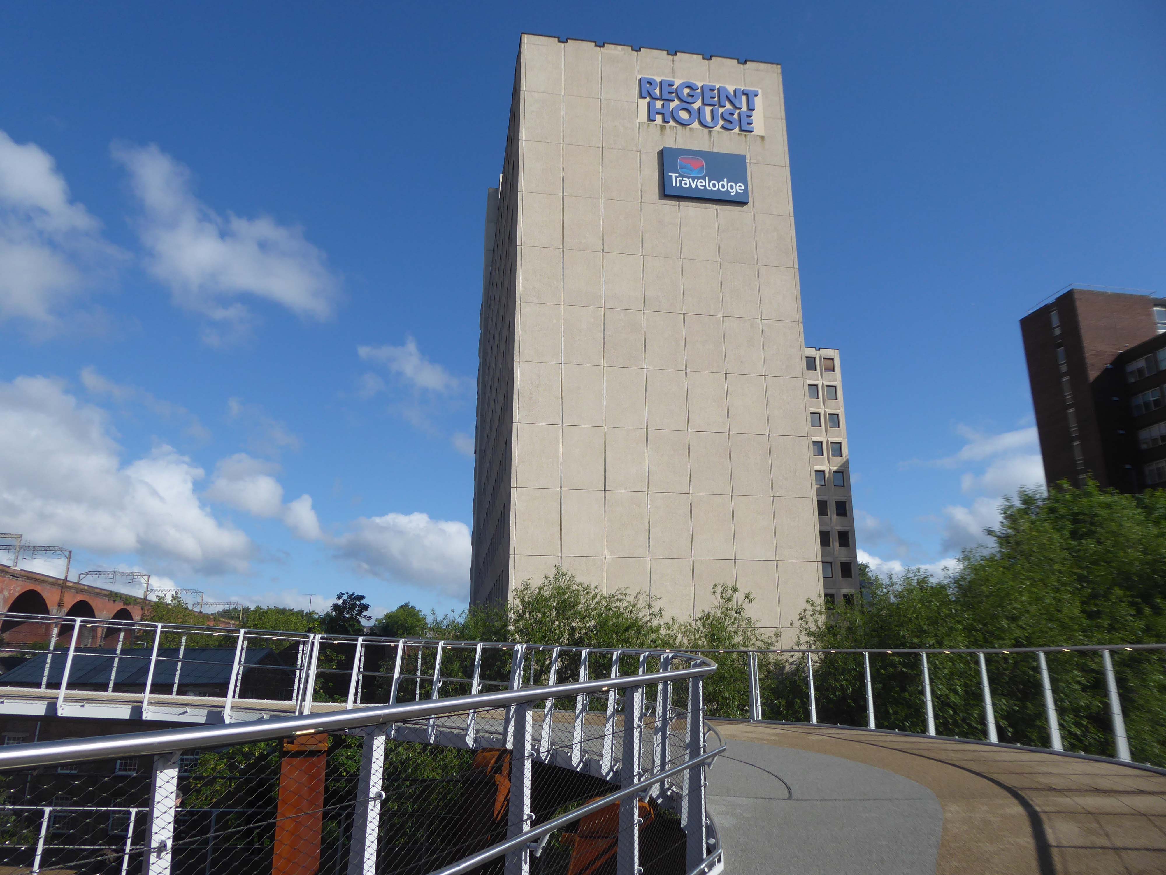
Regent House
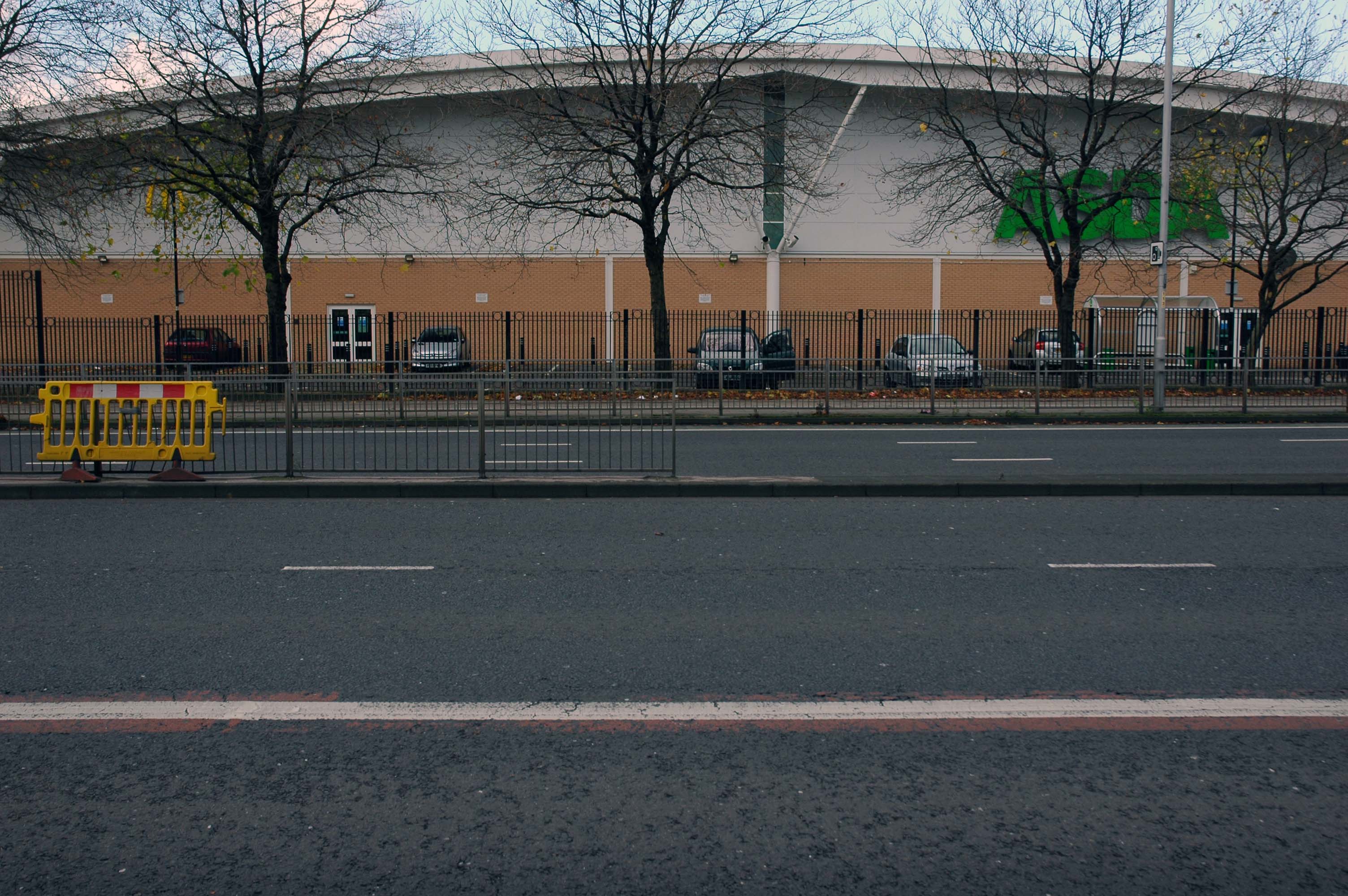
Asda superstore
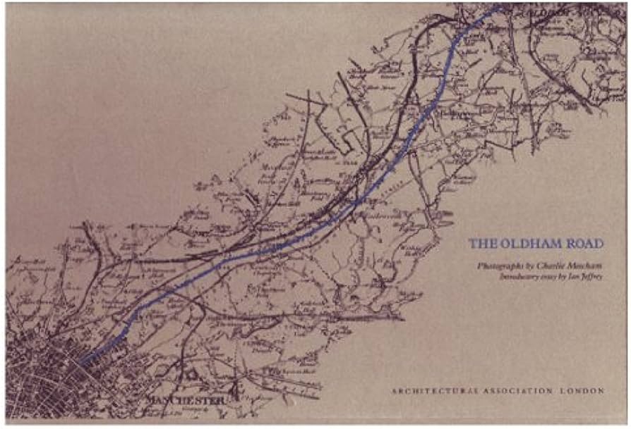
I found a copy of Charlie Meecham’s book Oldham Road in a charity shop.
Inspiring me in 2014, to walk in mostly straight lines, though often as not zig zagging along the main arterial roads of Manchester.
Taking pictures on Sunday mornings, in order to avoid traffic, mildly amused to be ignoring the primary function of the routes.
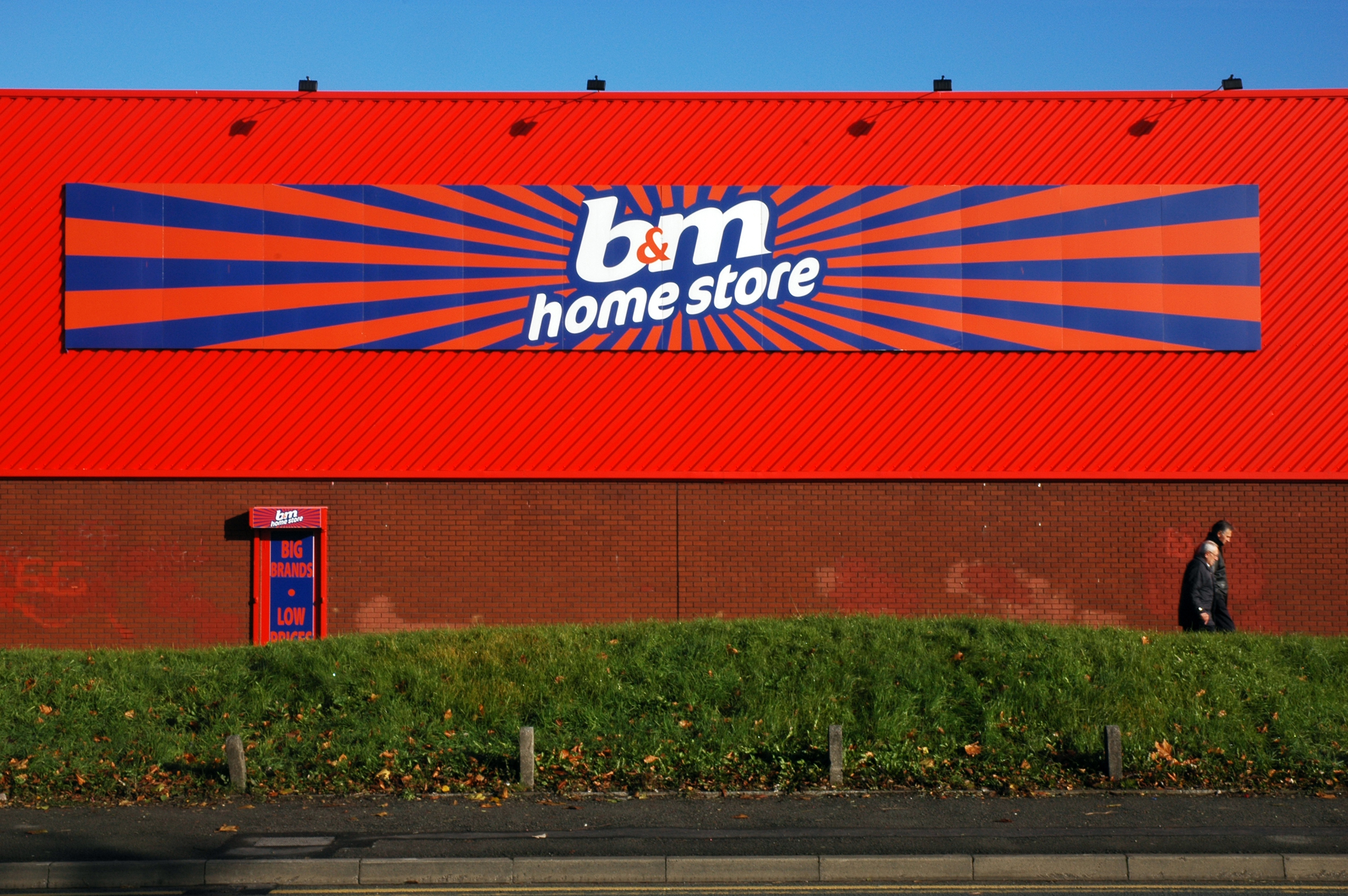
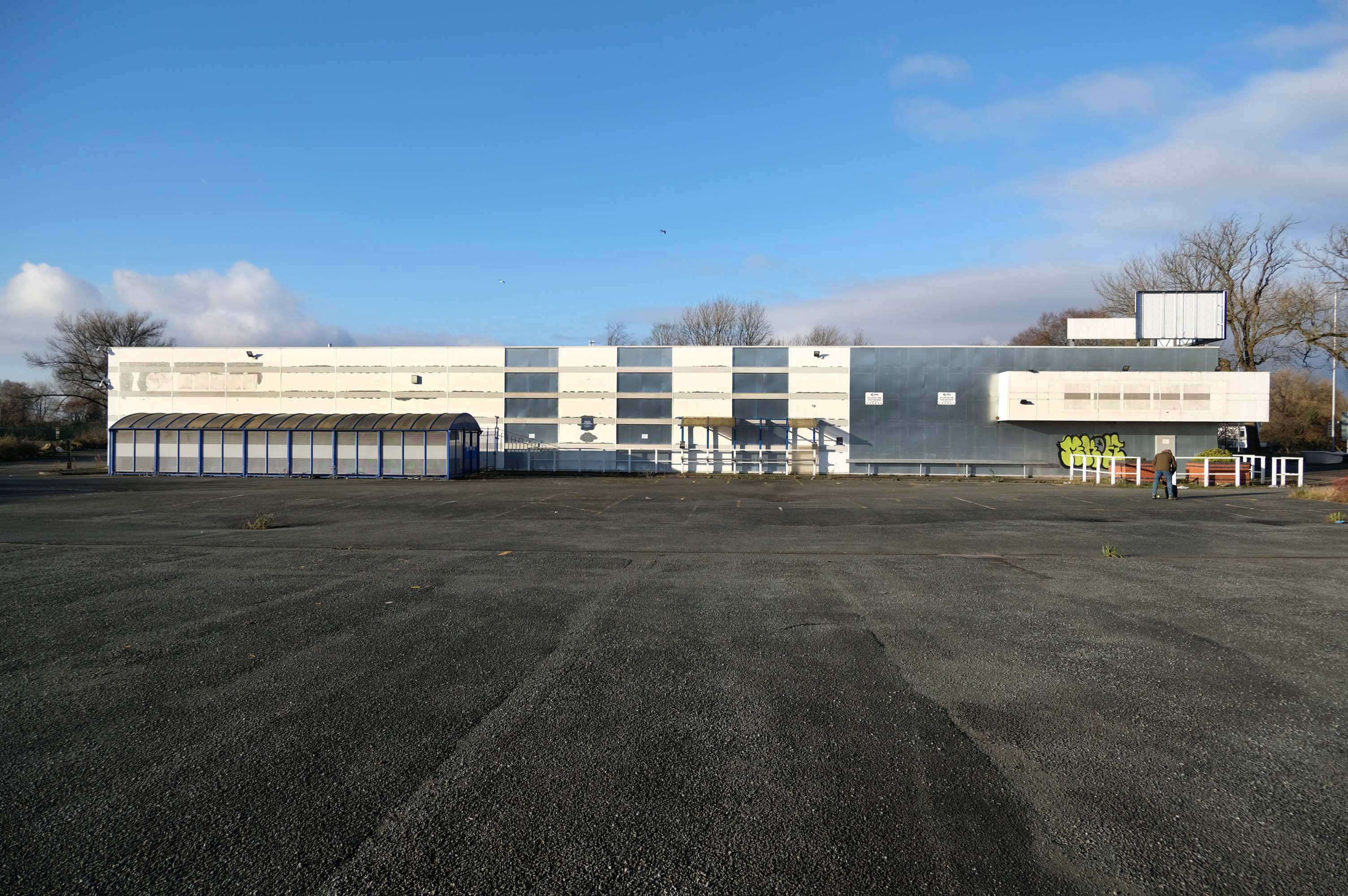
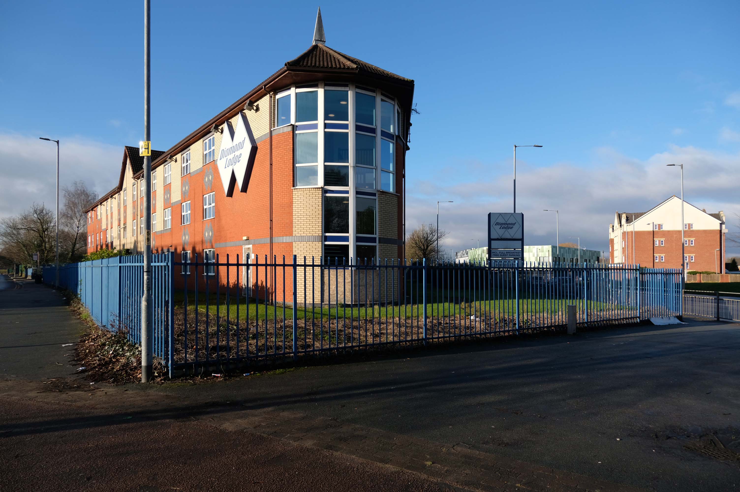
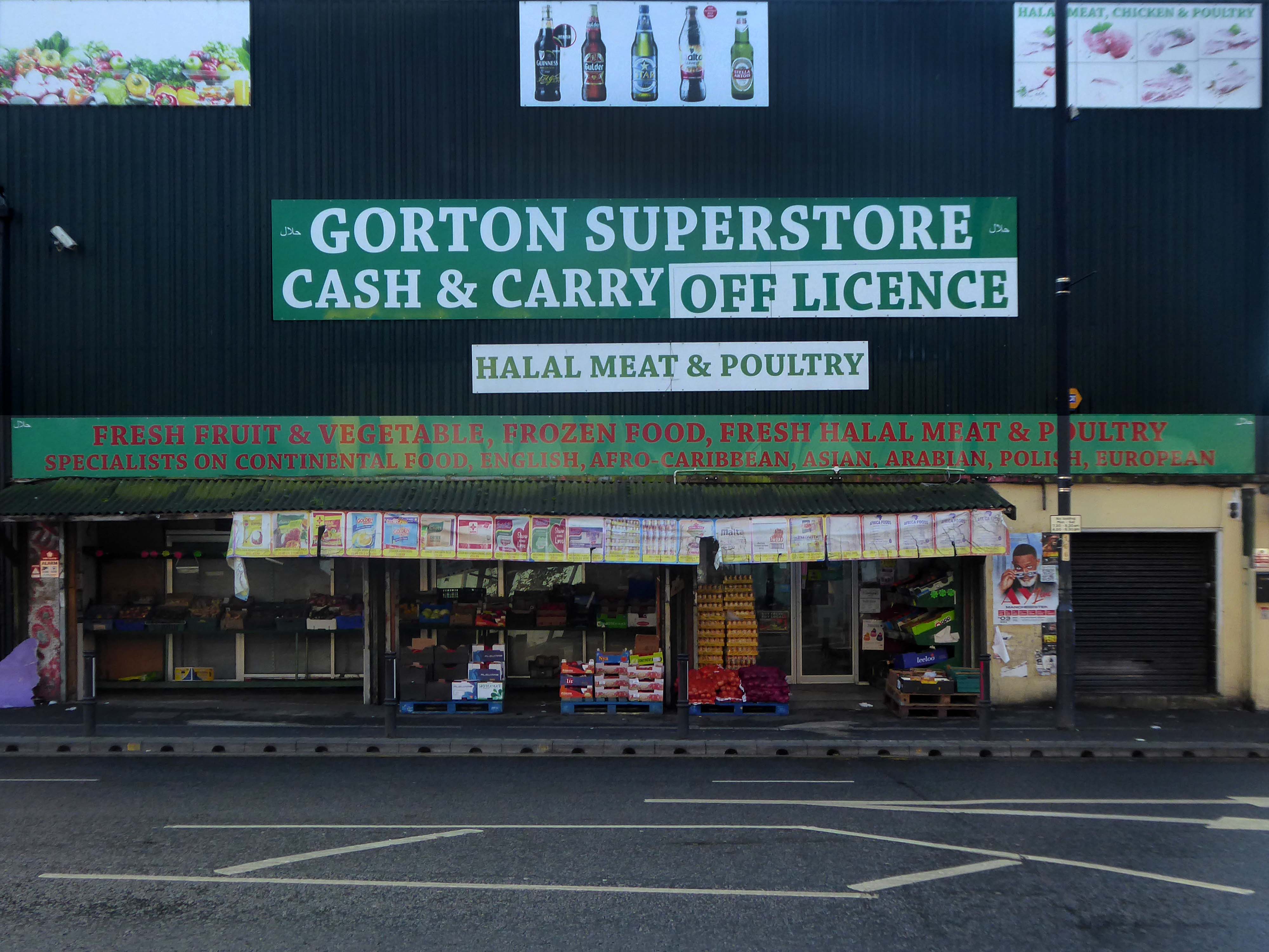
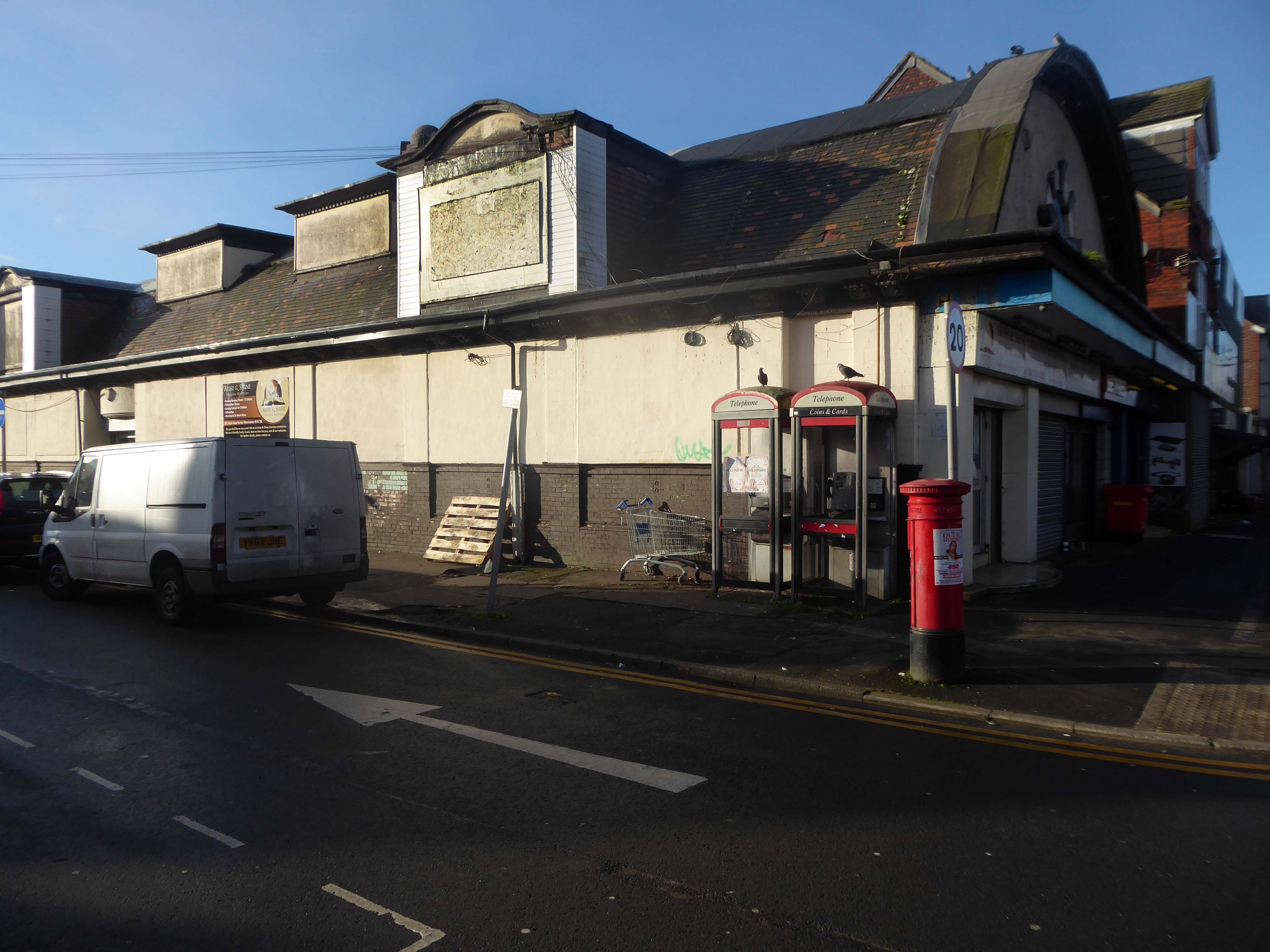
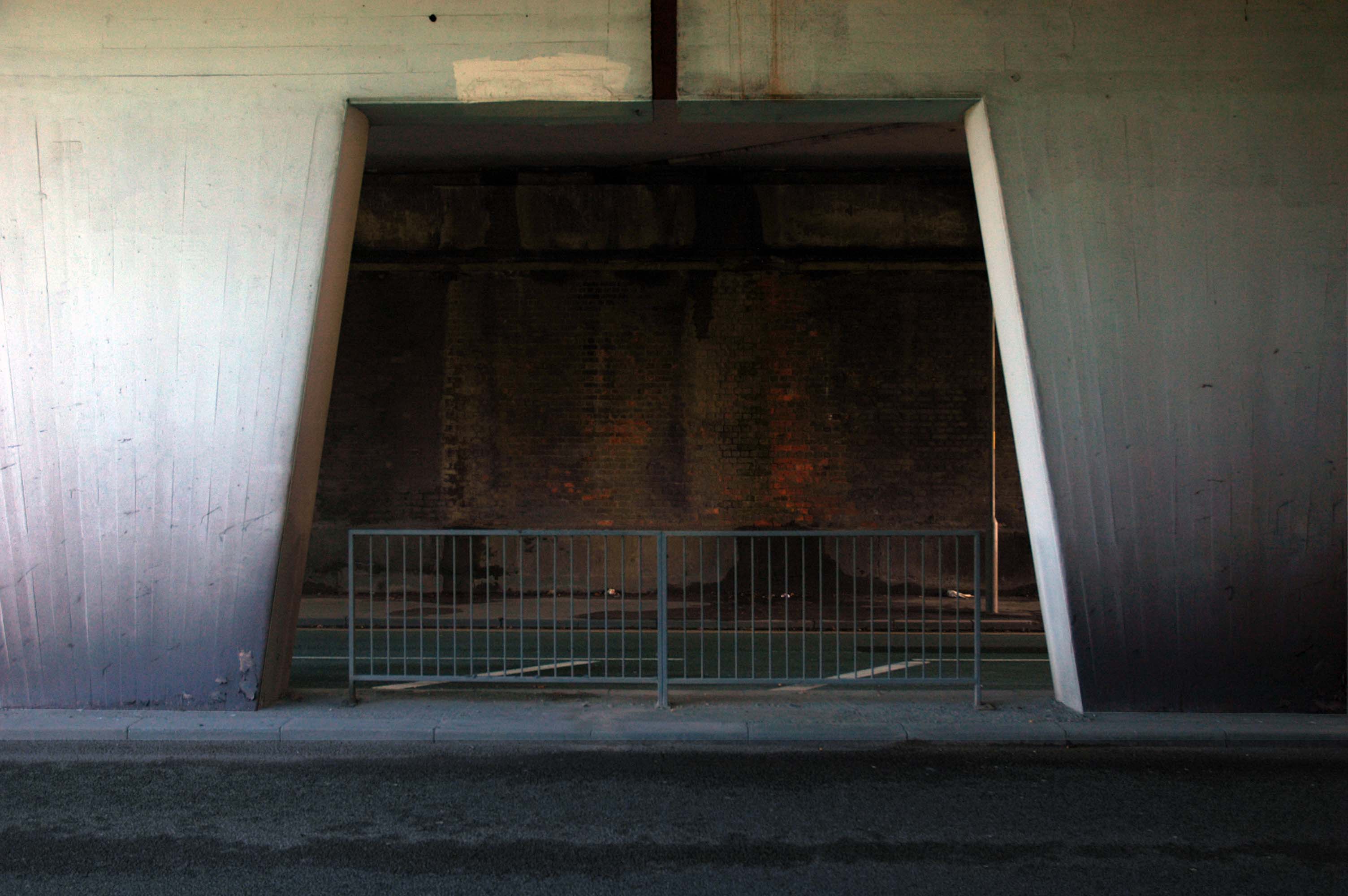
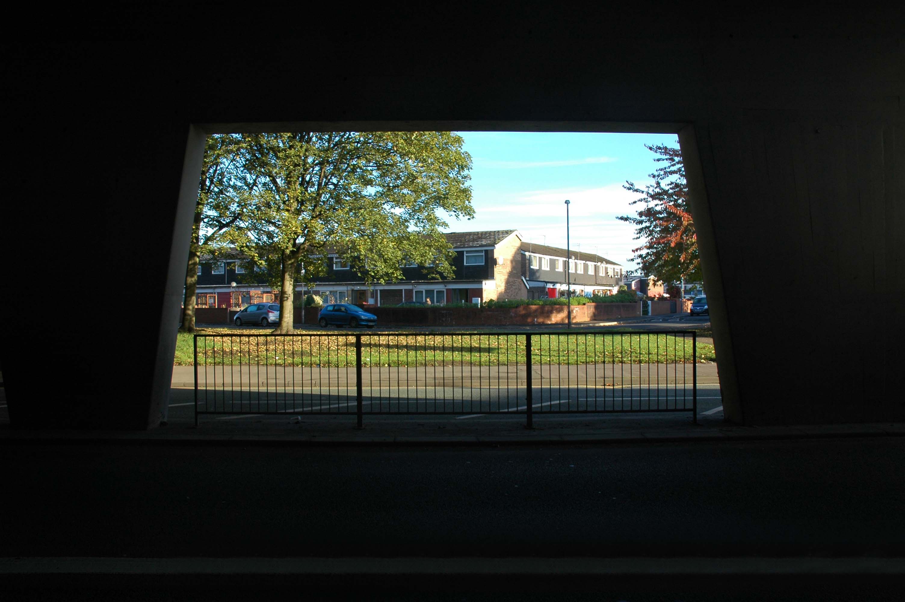
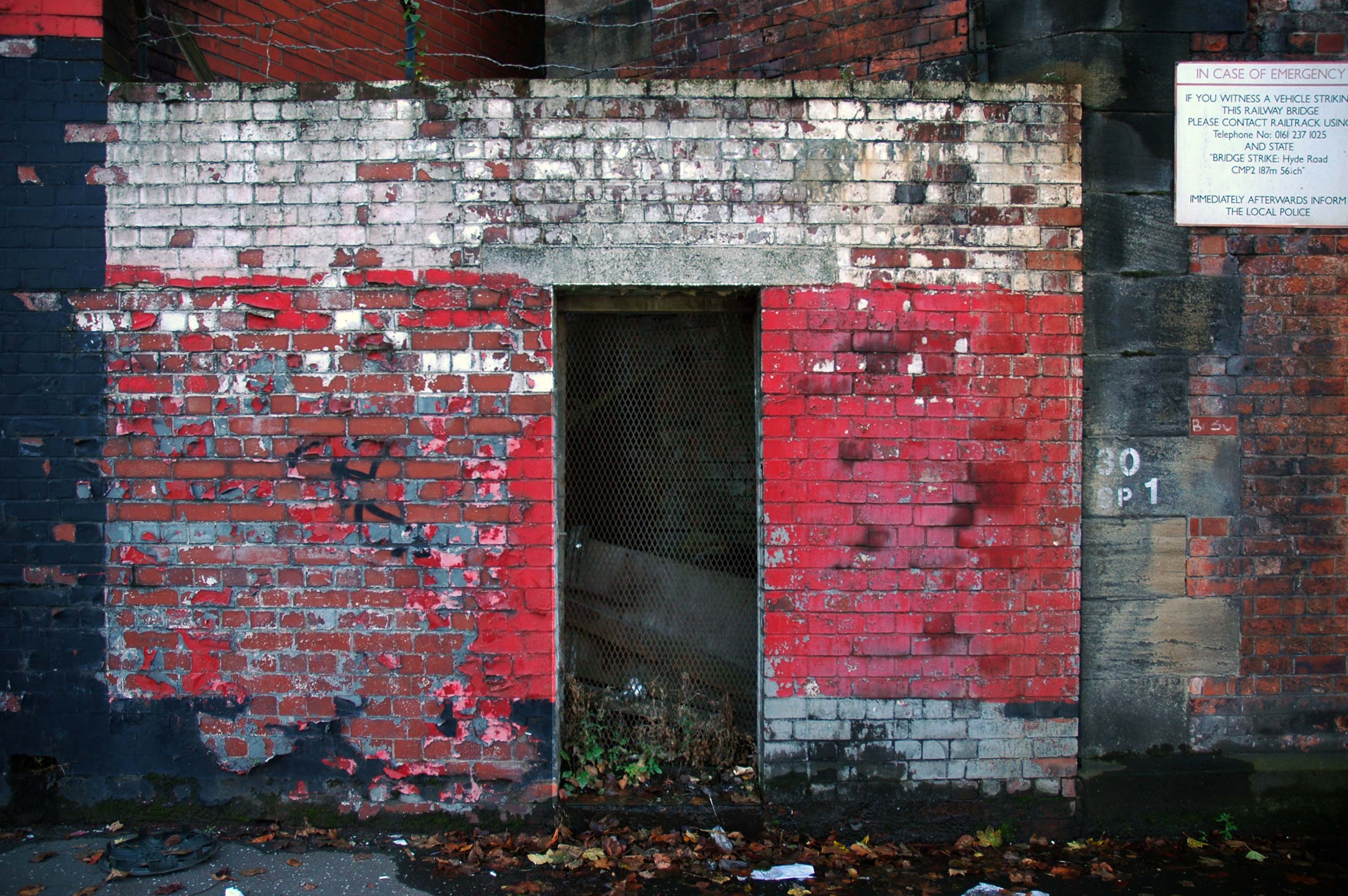
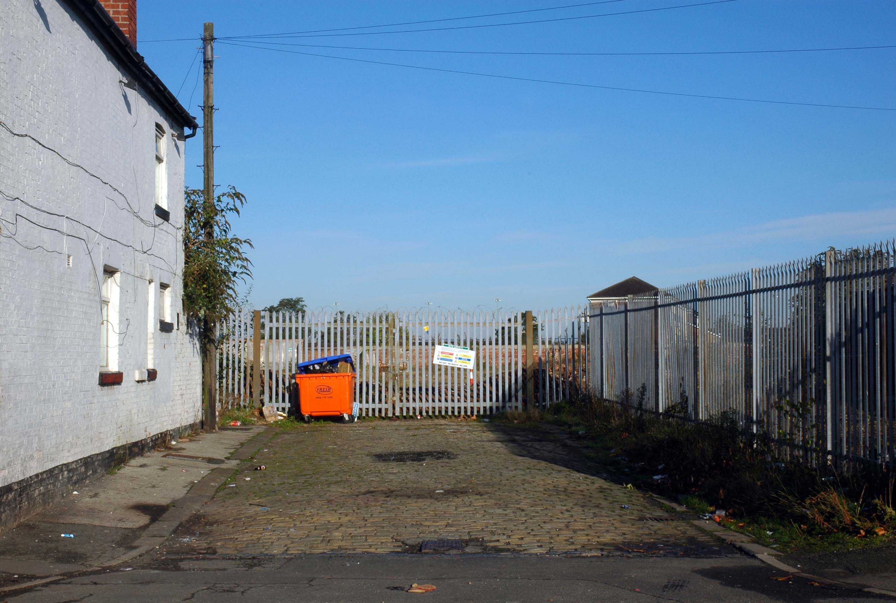
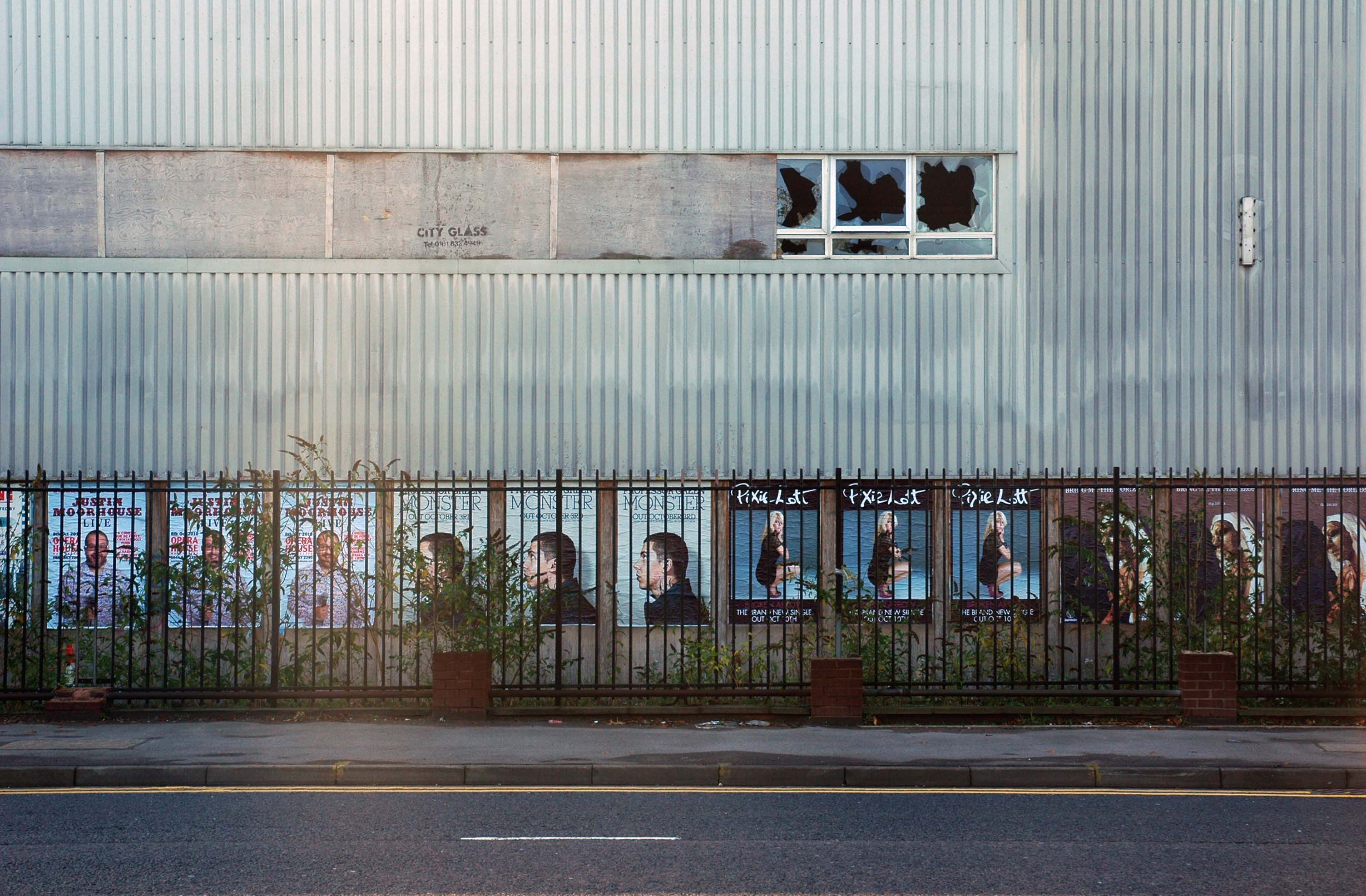
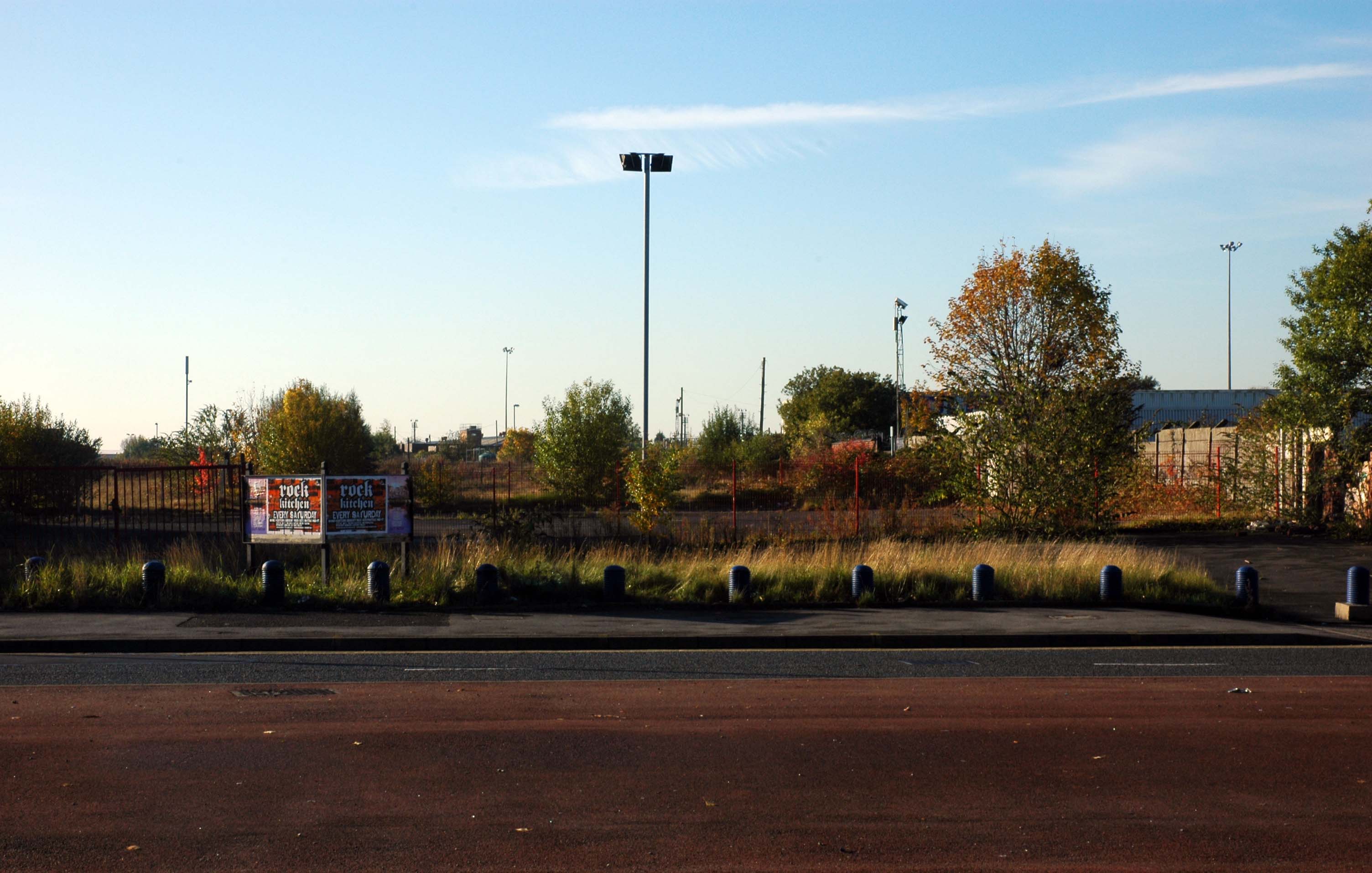
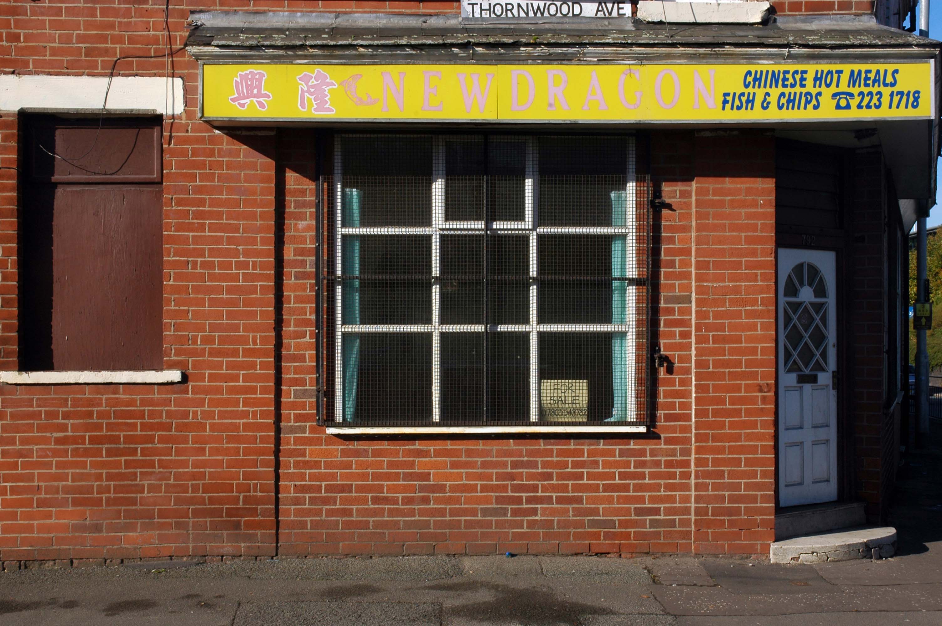
This is one of the more familiar roads, having walked up and down several times over several years. It was to have been an extension of the Mancunian Way, forming a trans-pennine motorway. Much of the property lining the route was cleared in preparation, it was never built, and for years a strange semi-deserted ambience hung over the A57.
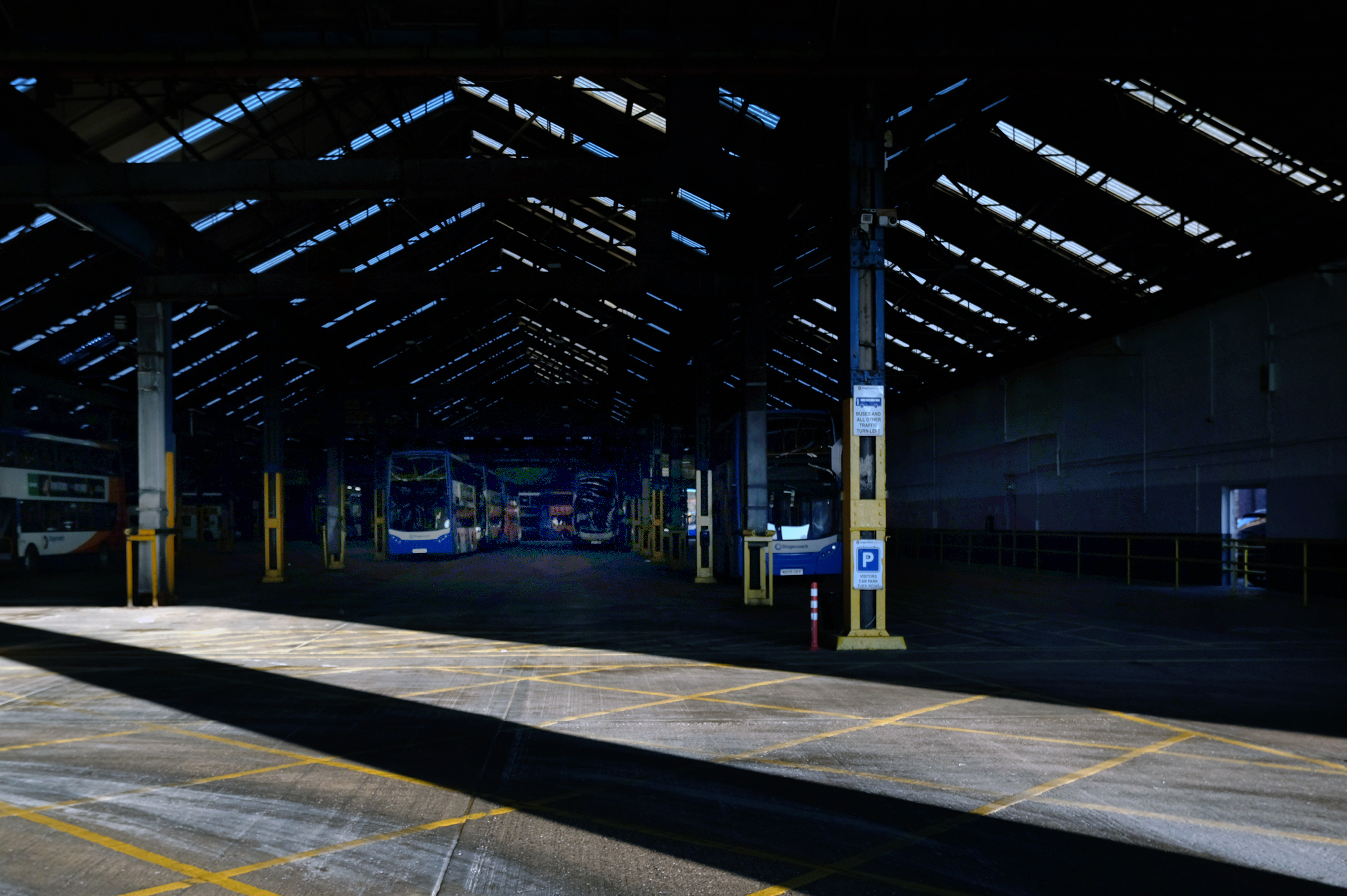
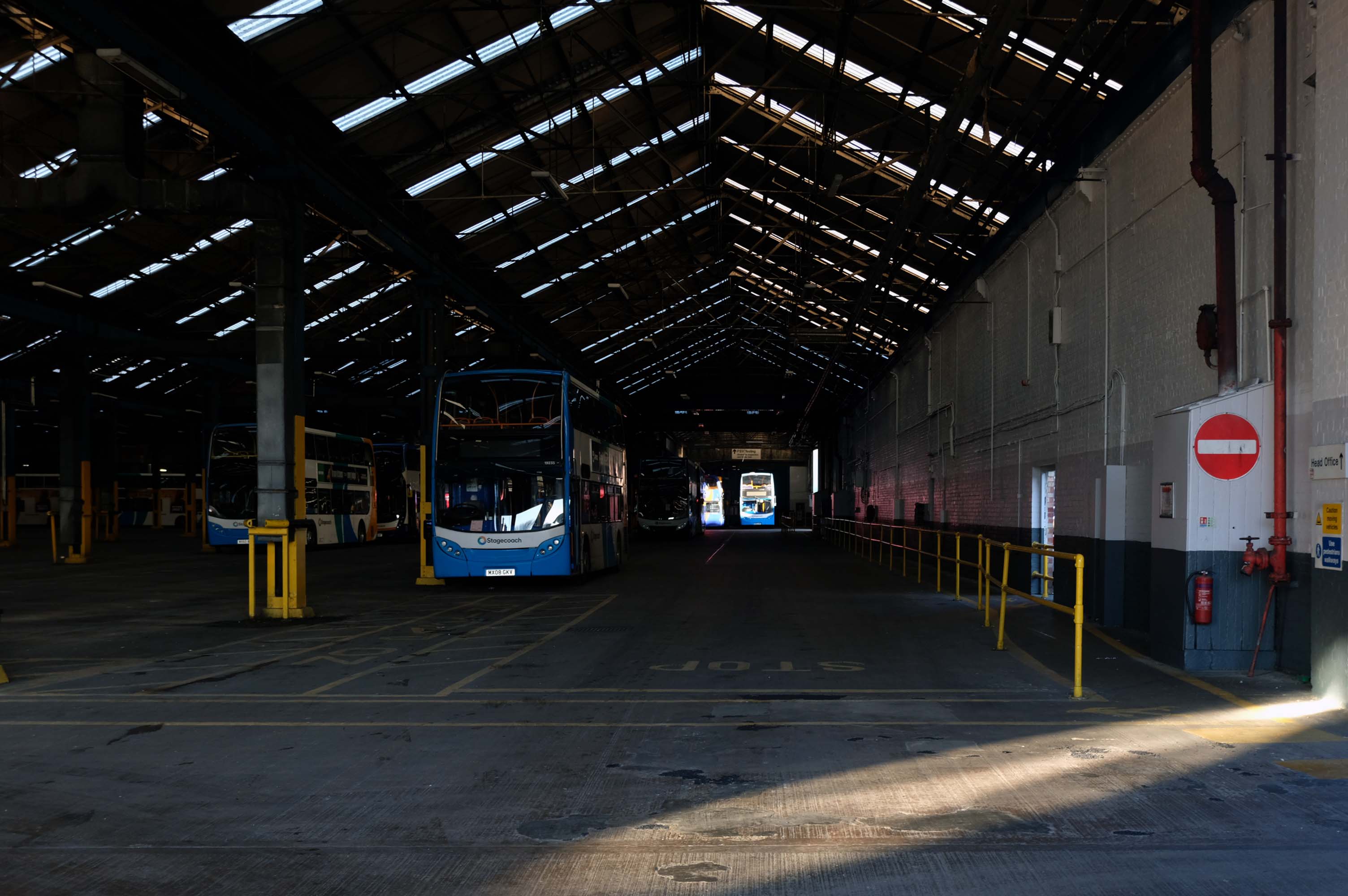
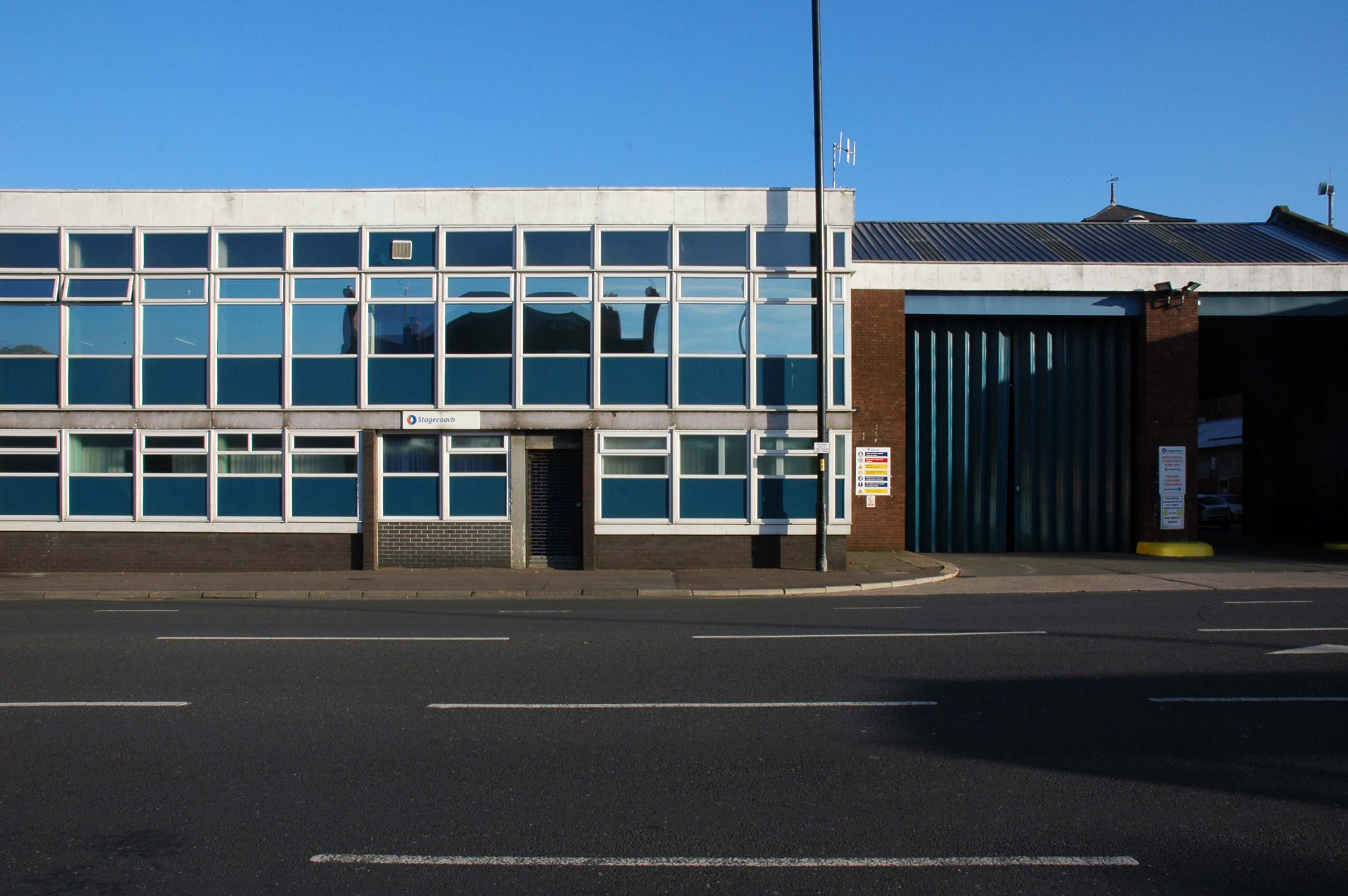
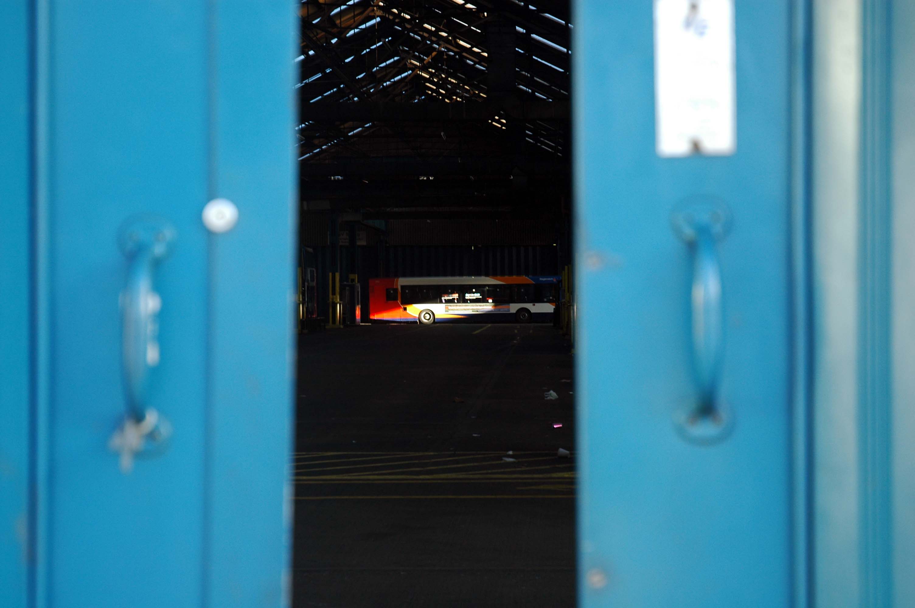
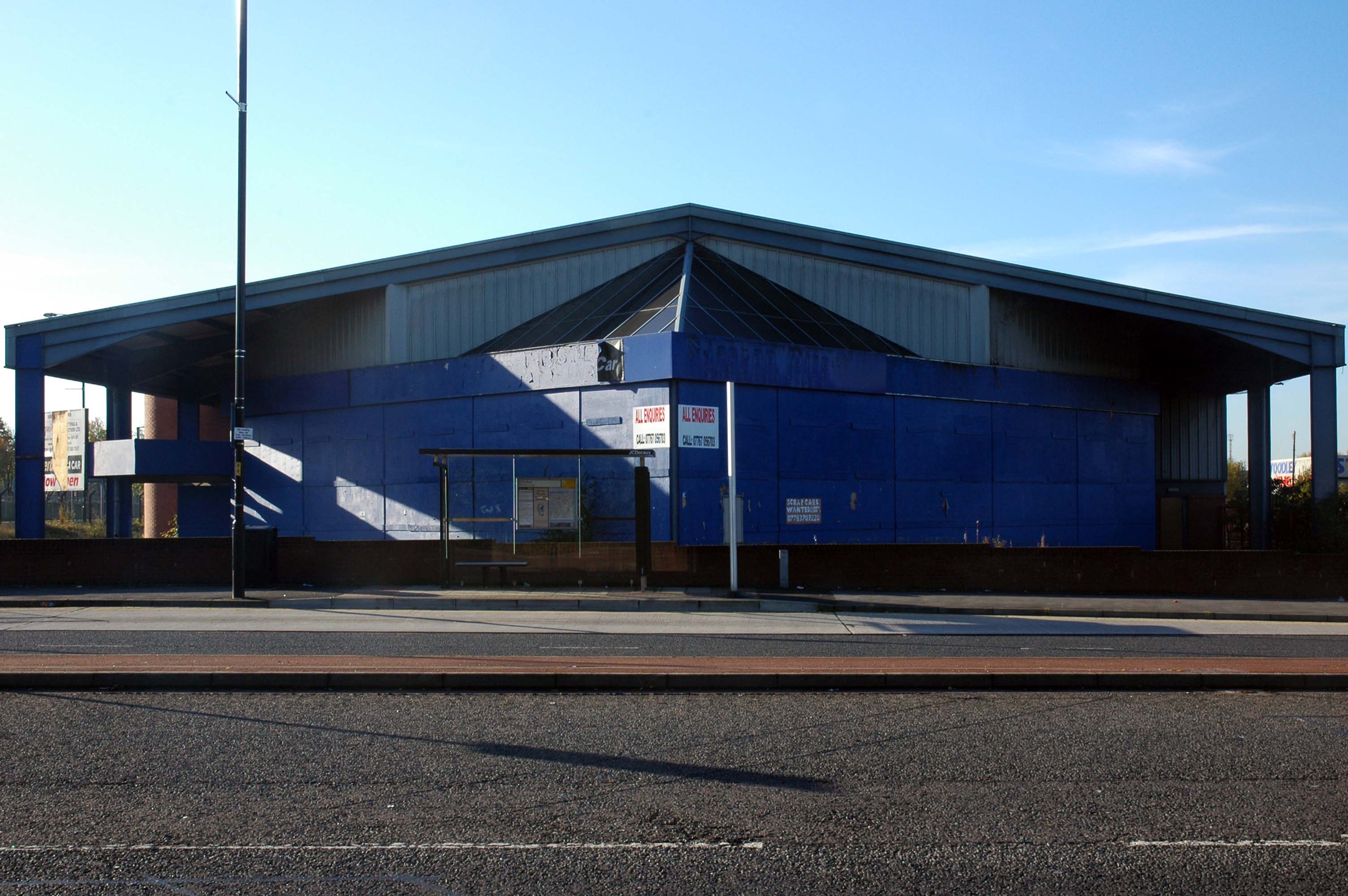
Bus Depot
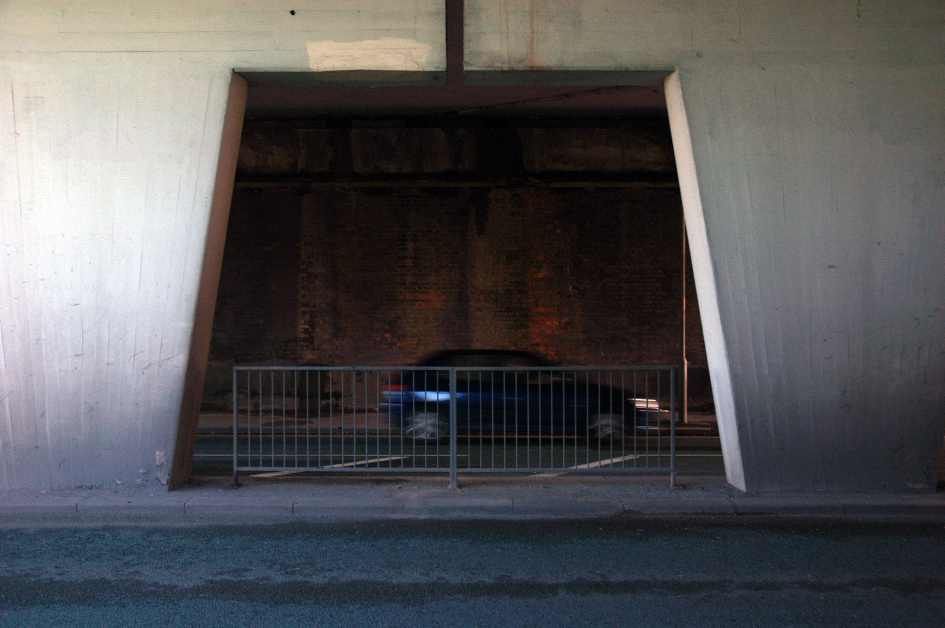
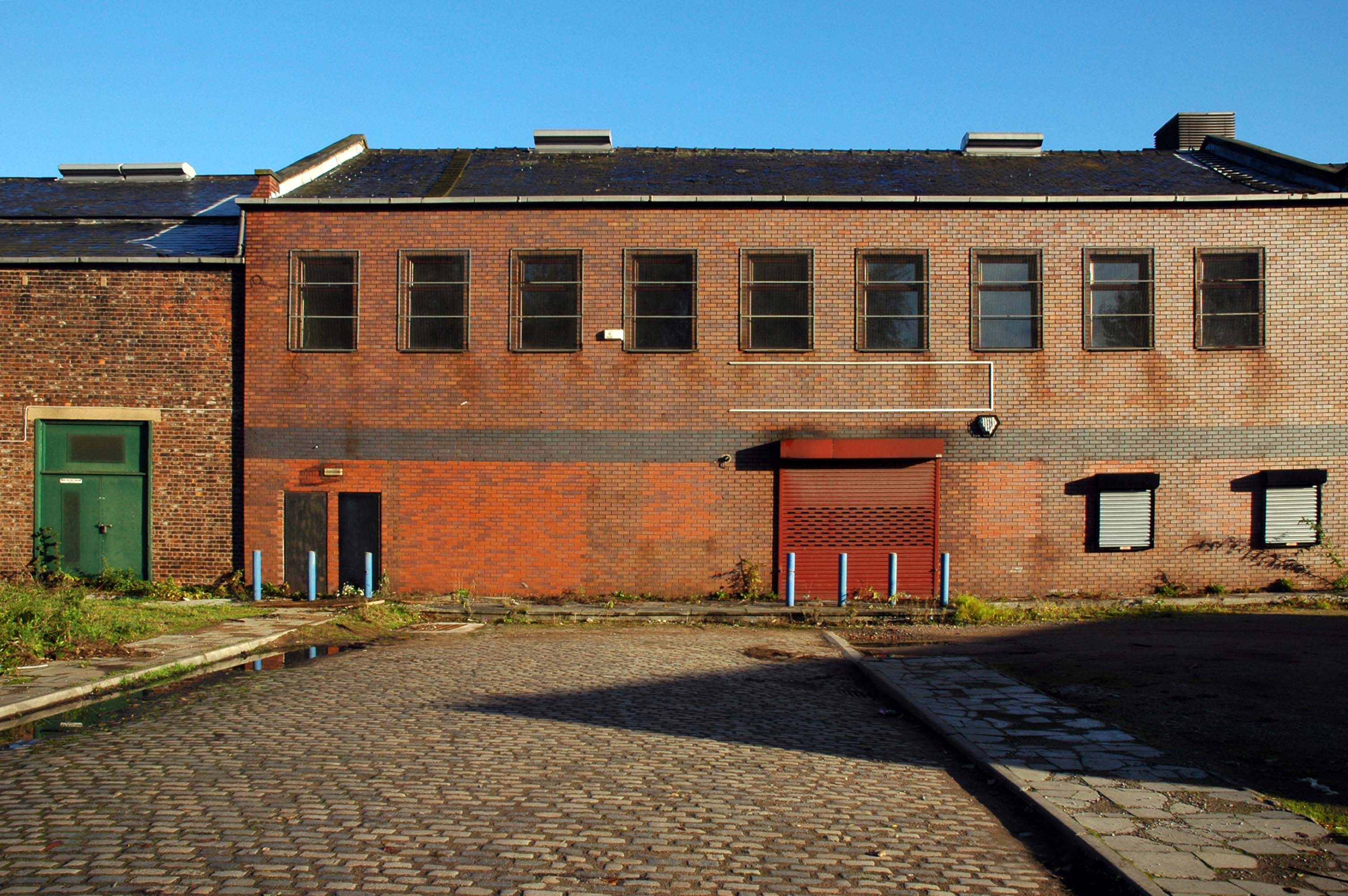
Railway Bridge
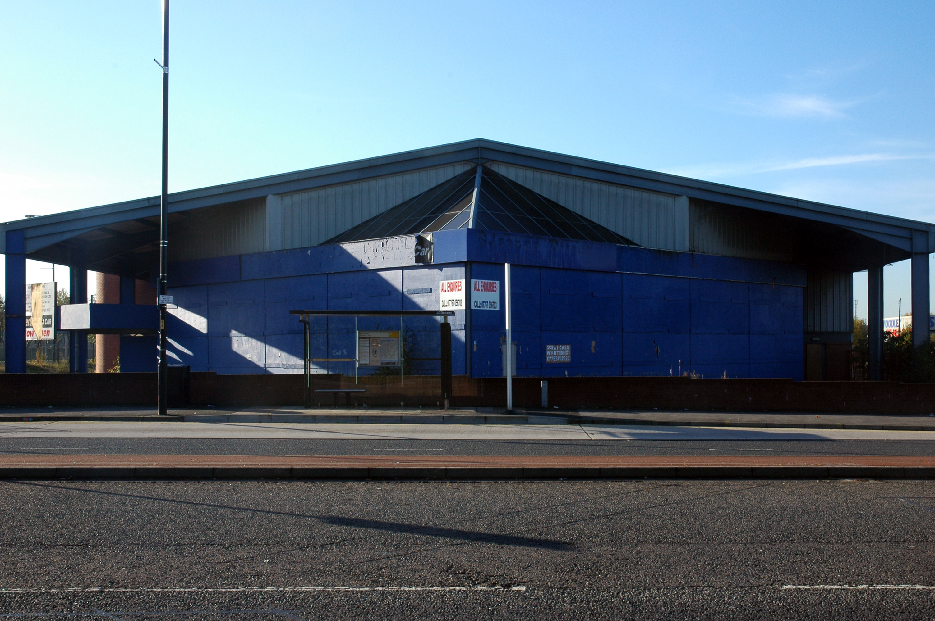
The car showrooms which later became an African Evangalist church.
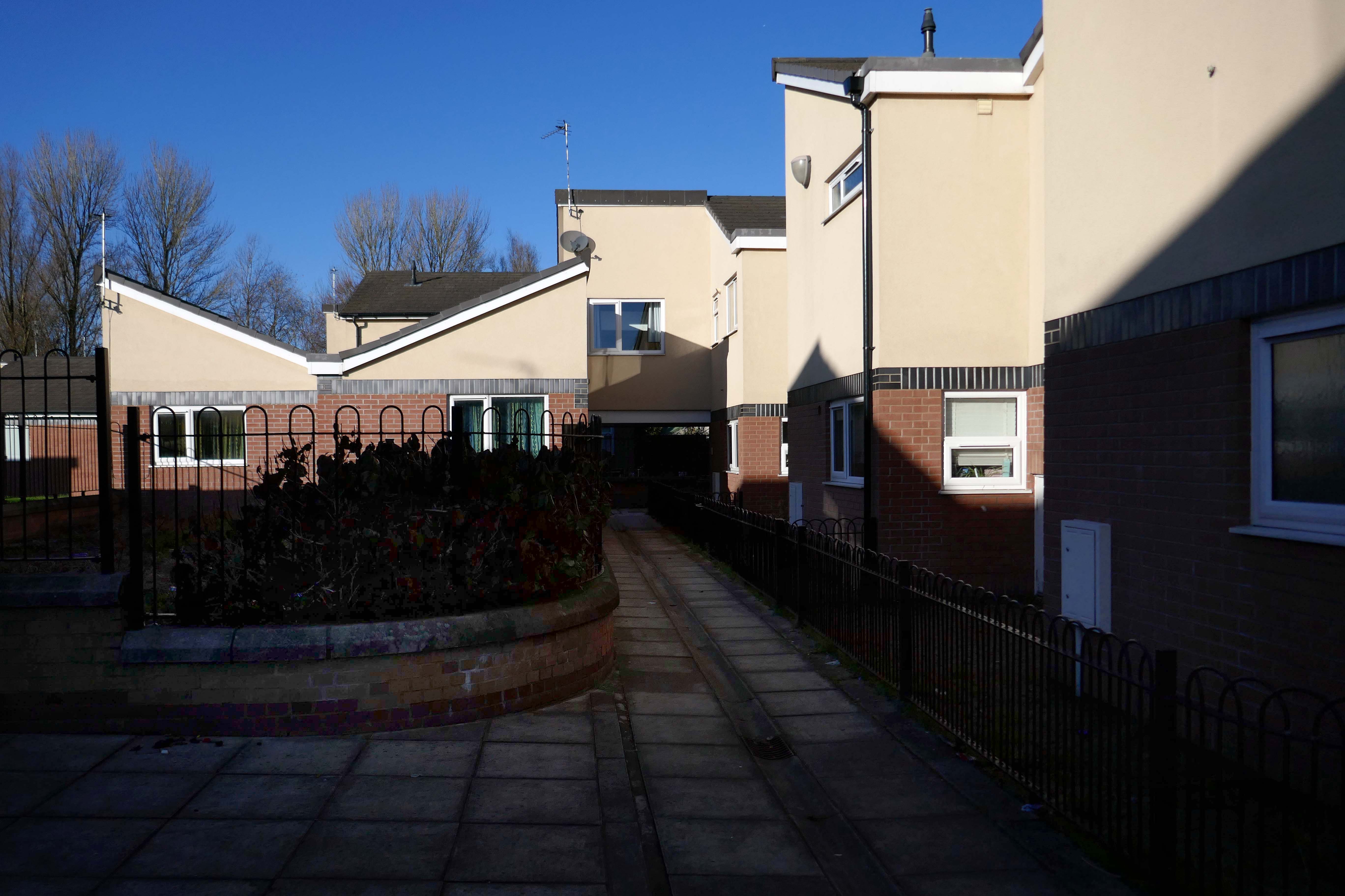
Having cleared away both Victorian and Sixties housing, new architectural forms arose in West Gorton.
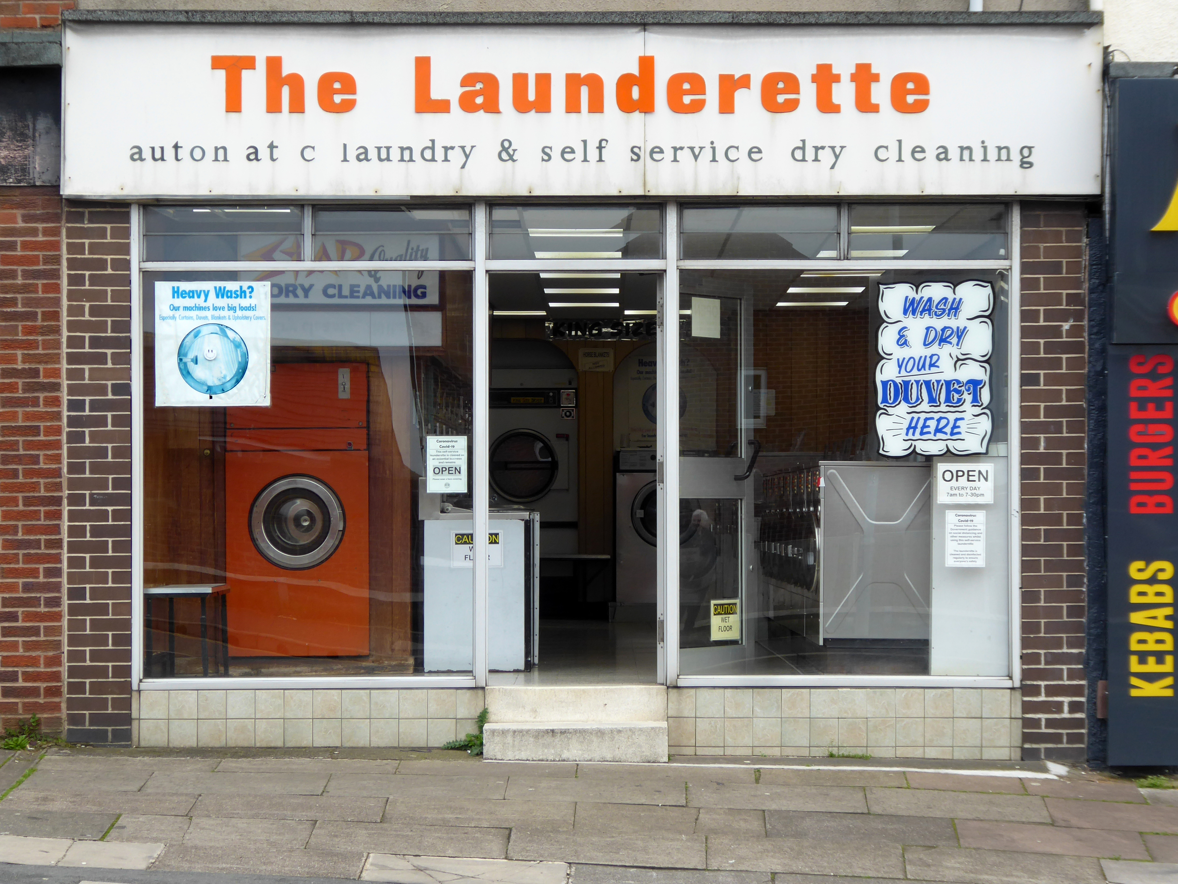
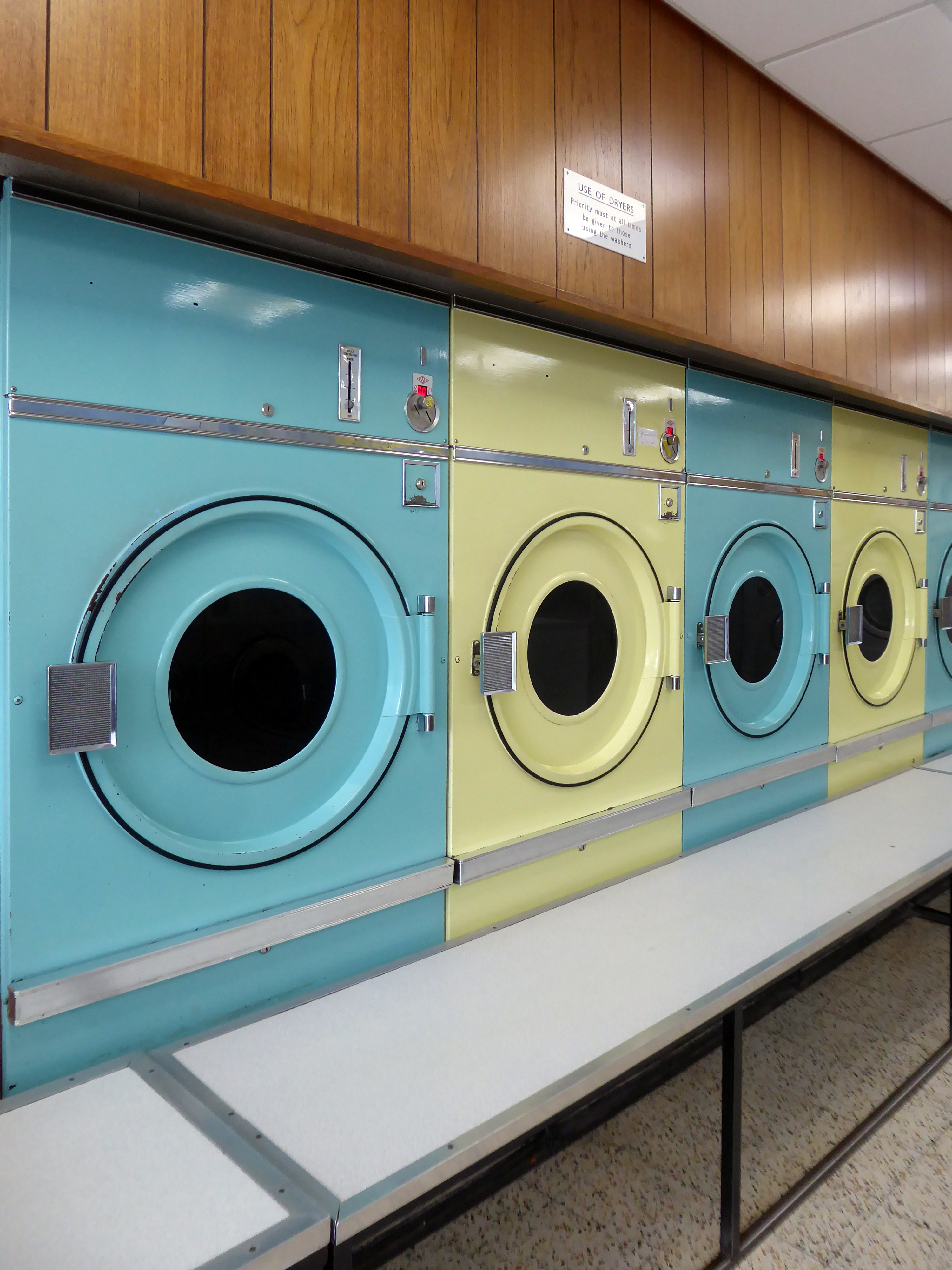
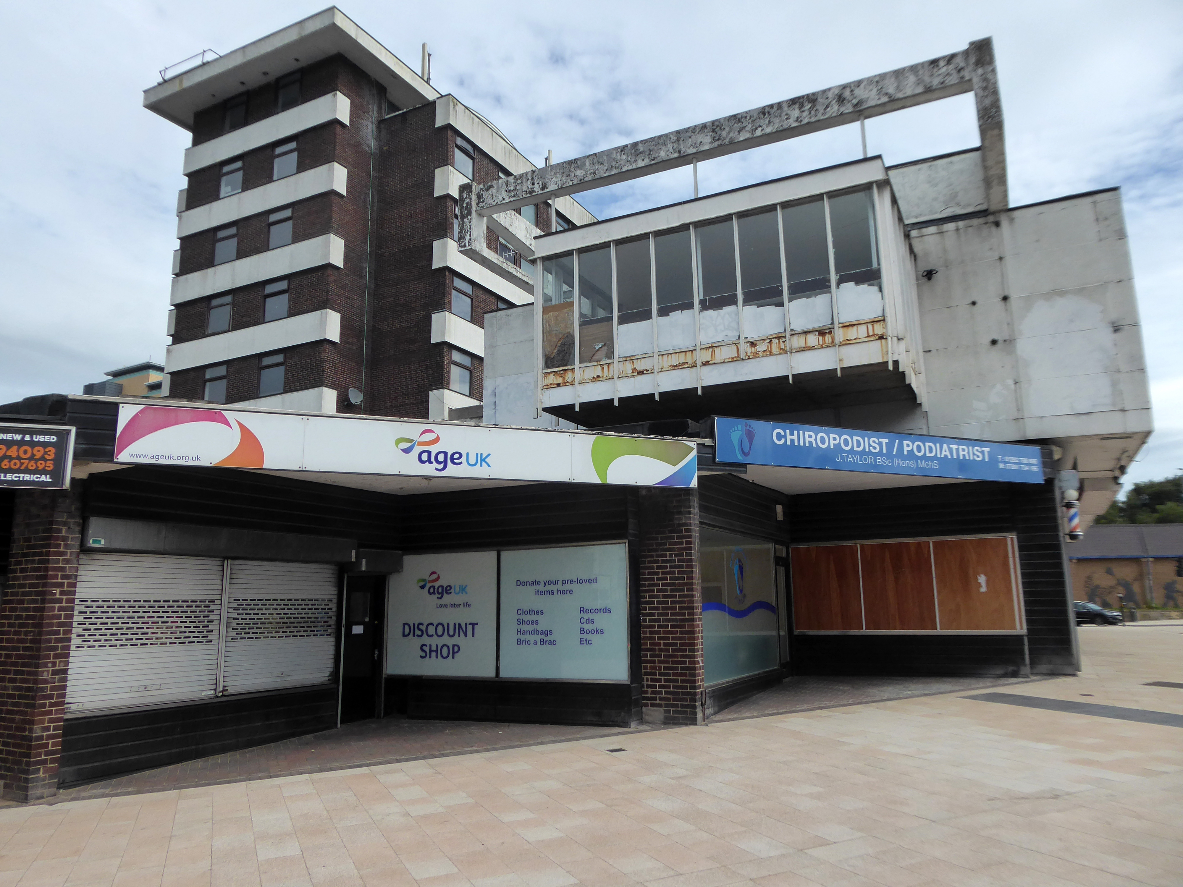
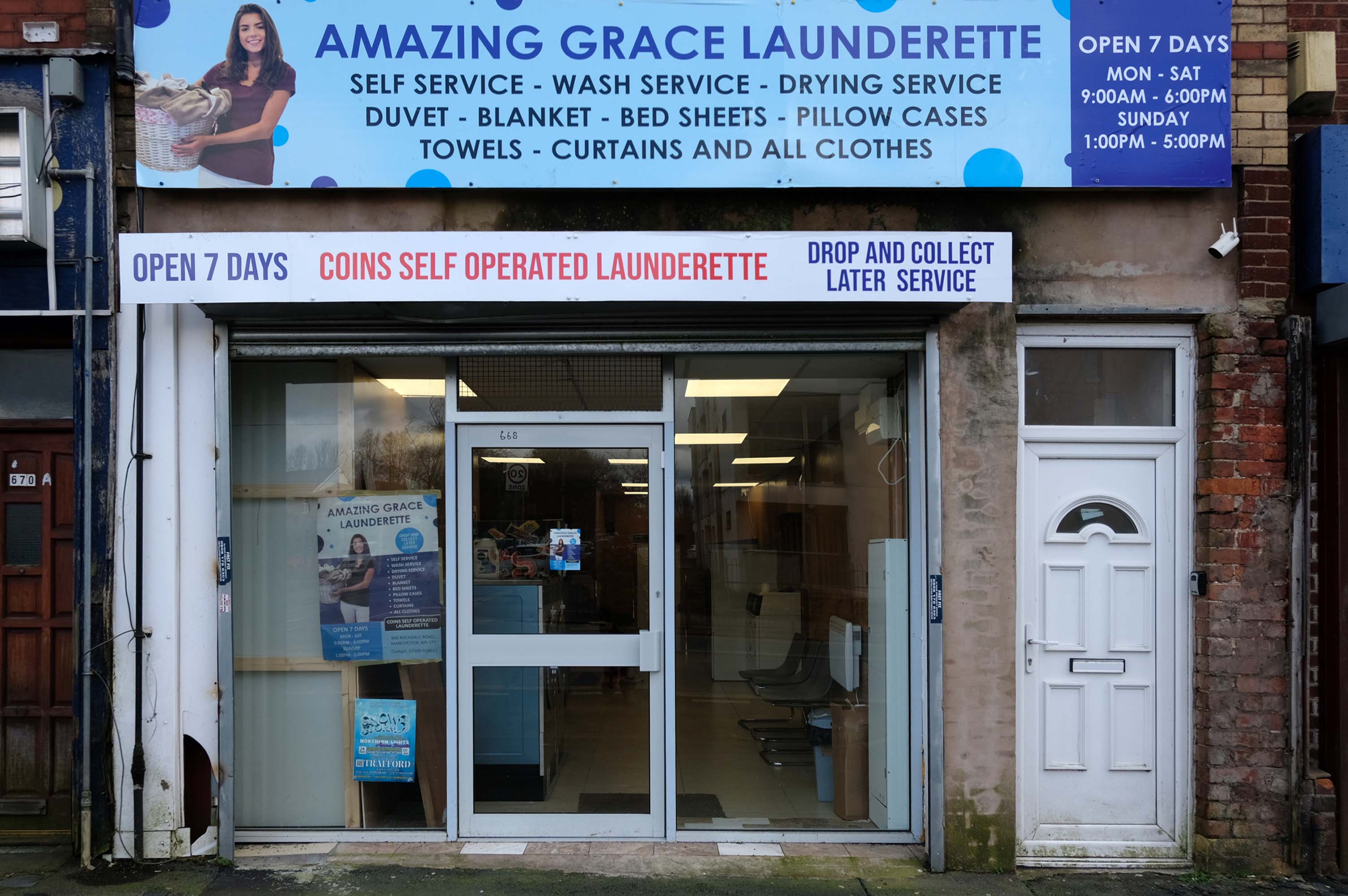
Now, everywhere I go, I see launderettes – so arriving in Hanley with time on my hands, wandering around I found this exemplary example.
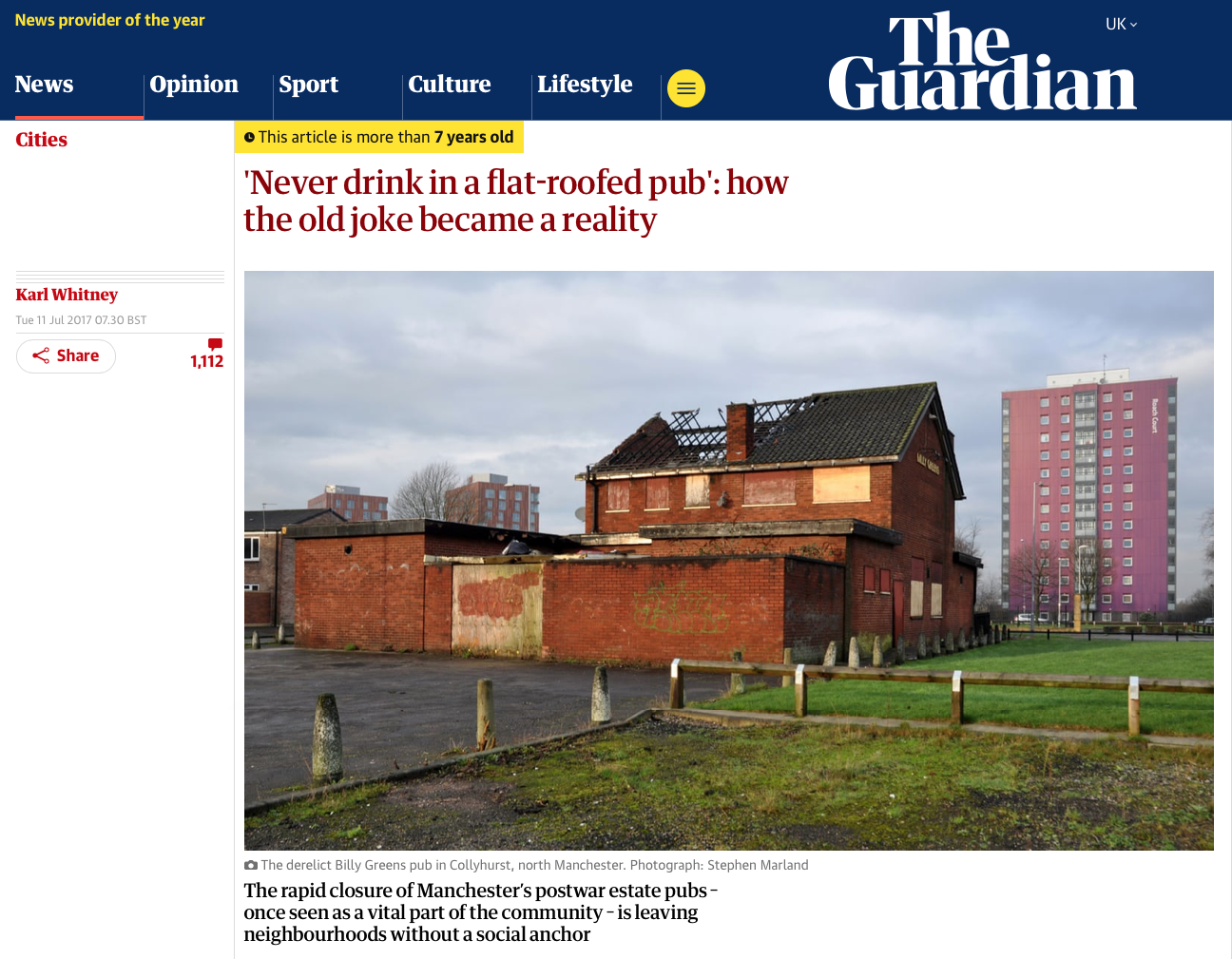
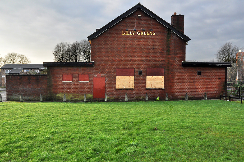
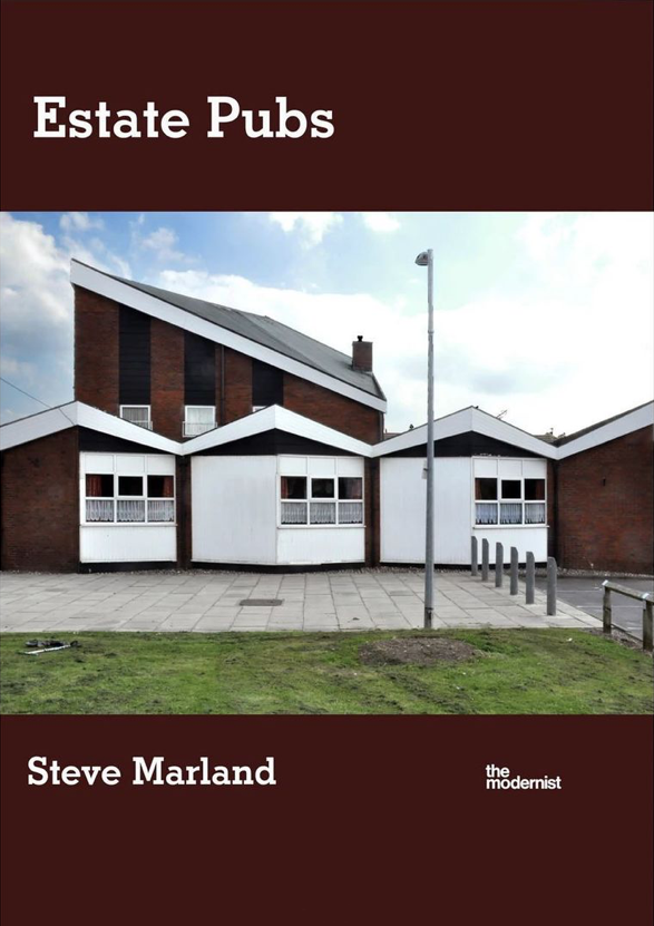
Having a blog entitled Manchester Estate Pubs, the national media became interested in my photographs. I had spent quite some time, wandering around in search of this endangered architectural typology.
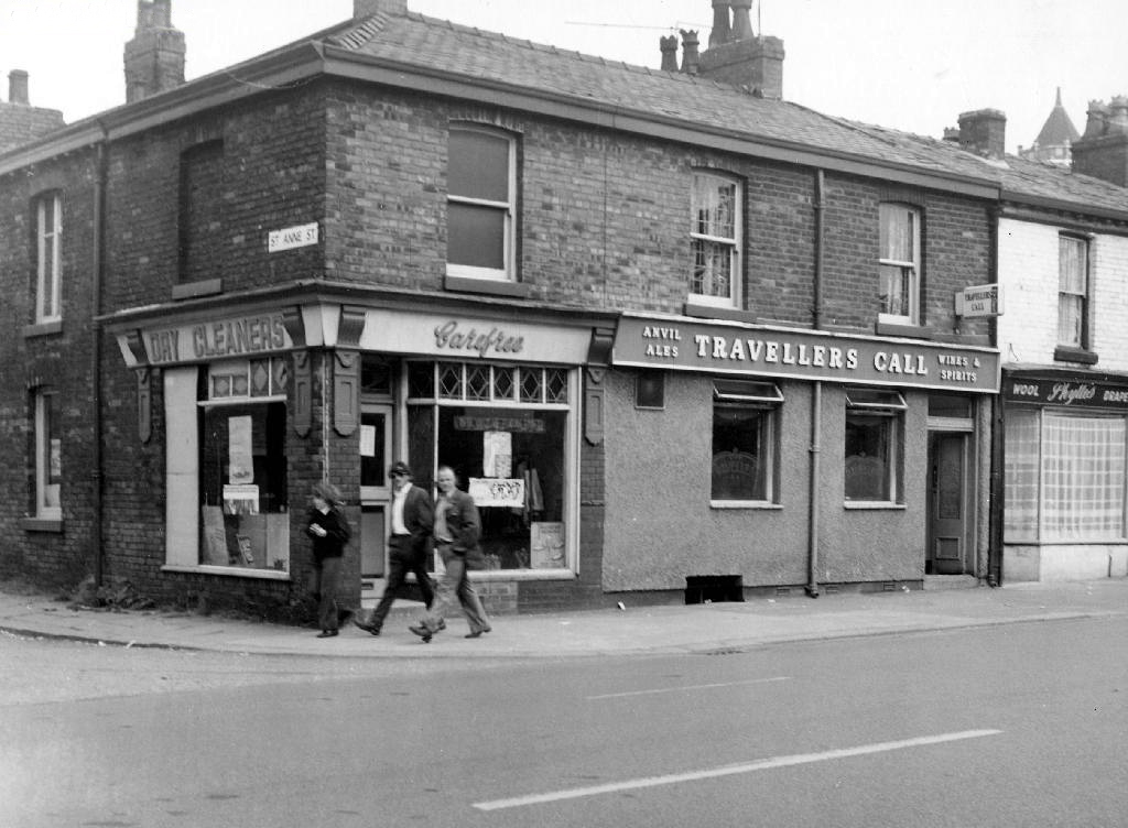
This was Billy Greens in Collyhurst, named for a local boxer, now demolished.
Which in turn became the second modernist calendar.
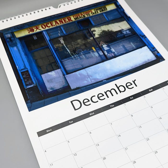
Followed the following year by fish and chip shops.
So building a vocabulary for my mooching, discovering yet another chippy, laundry, pub, Burton’s, telephone exchange, glazed stairway or underpass.
These things find you, yearning for some small amount of attention and affection.
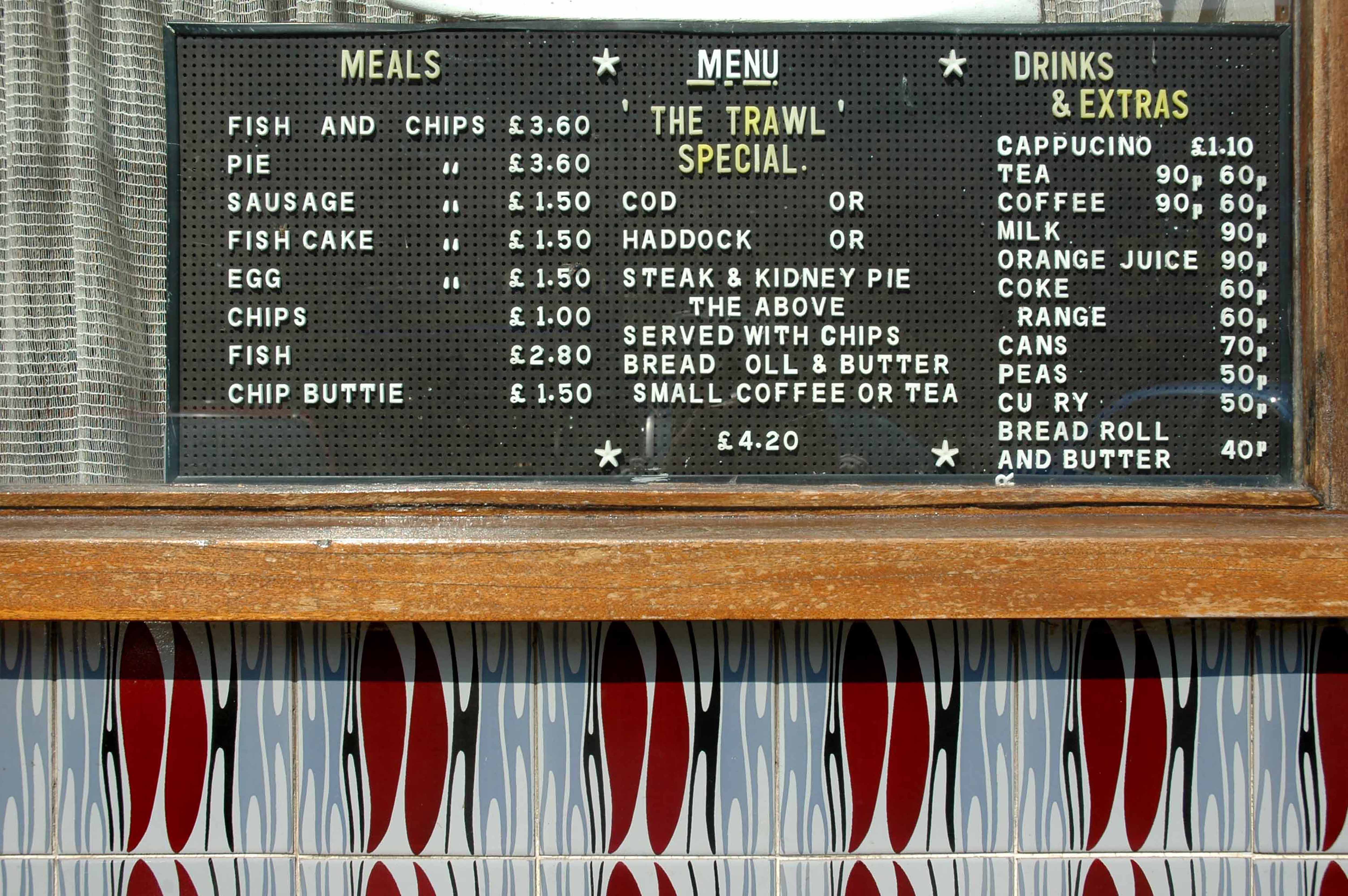
The Trawl – my favourite peg board menu, my favourite Bridlington chippy.
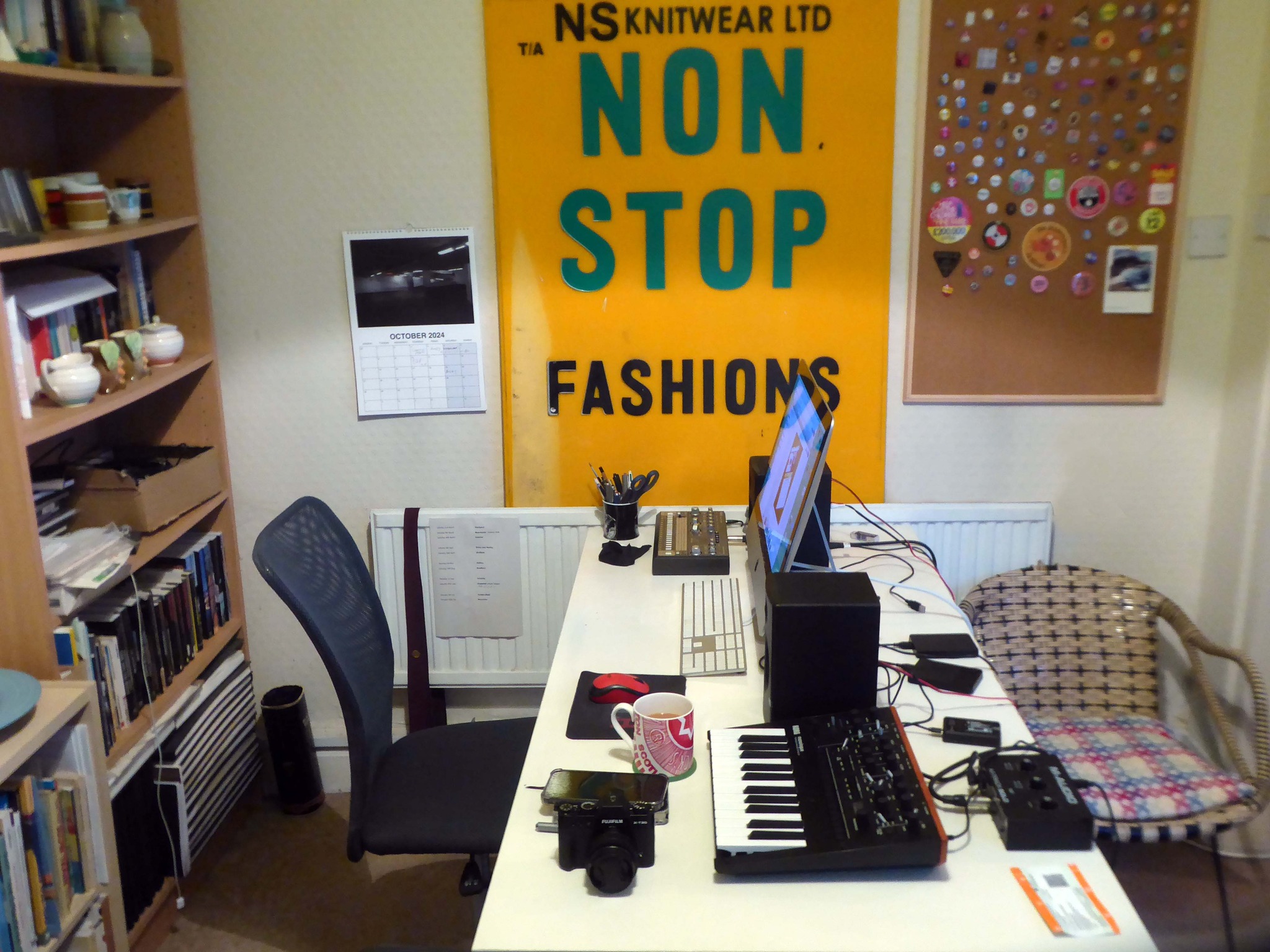
We are now coming to the end of the car park year – seen here on the wall of my command centre.
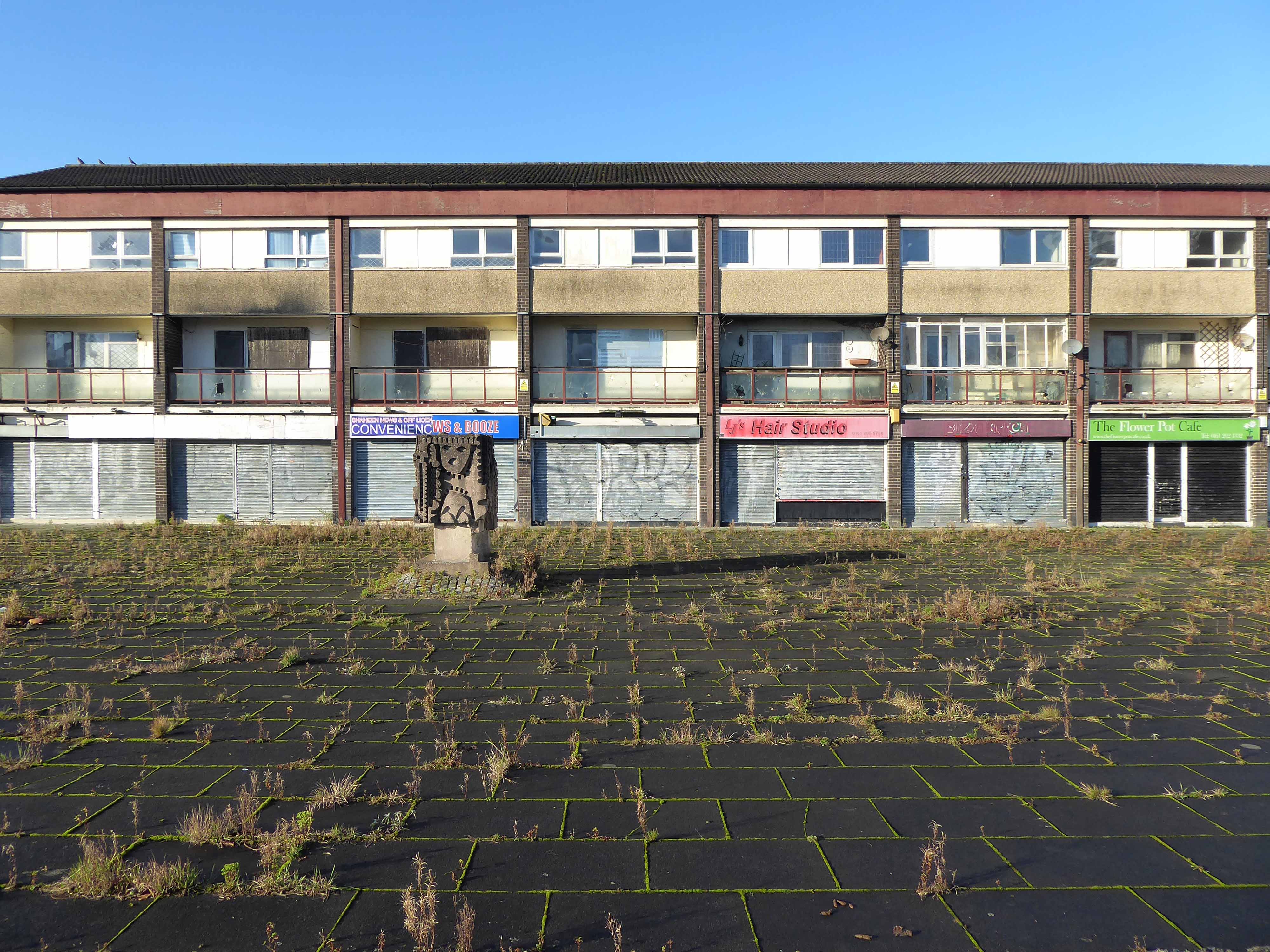
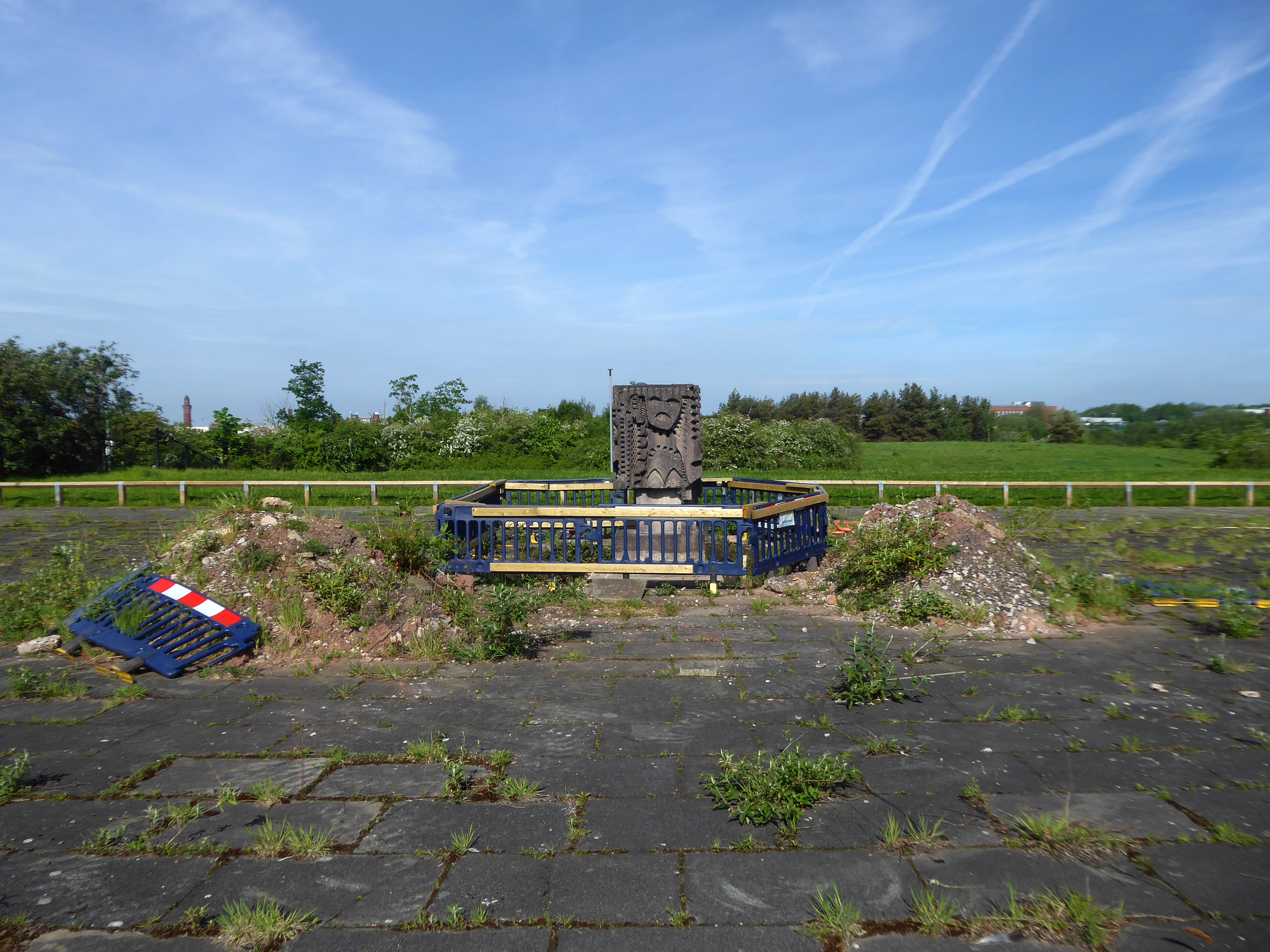
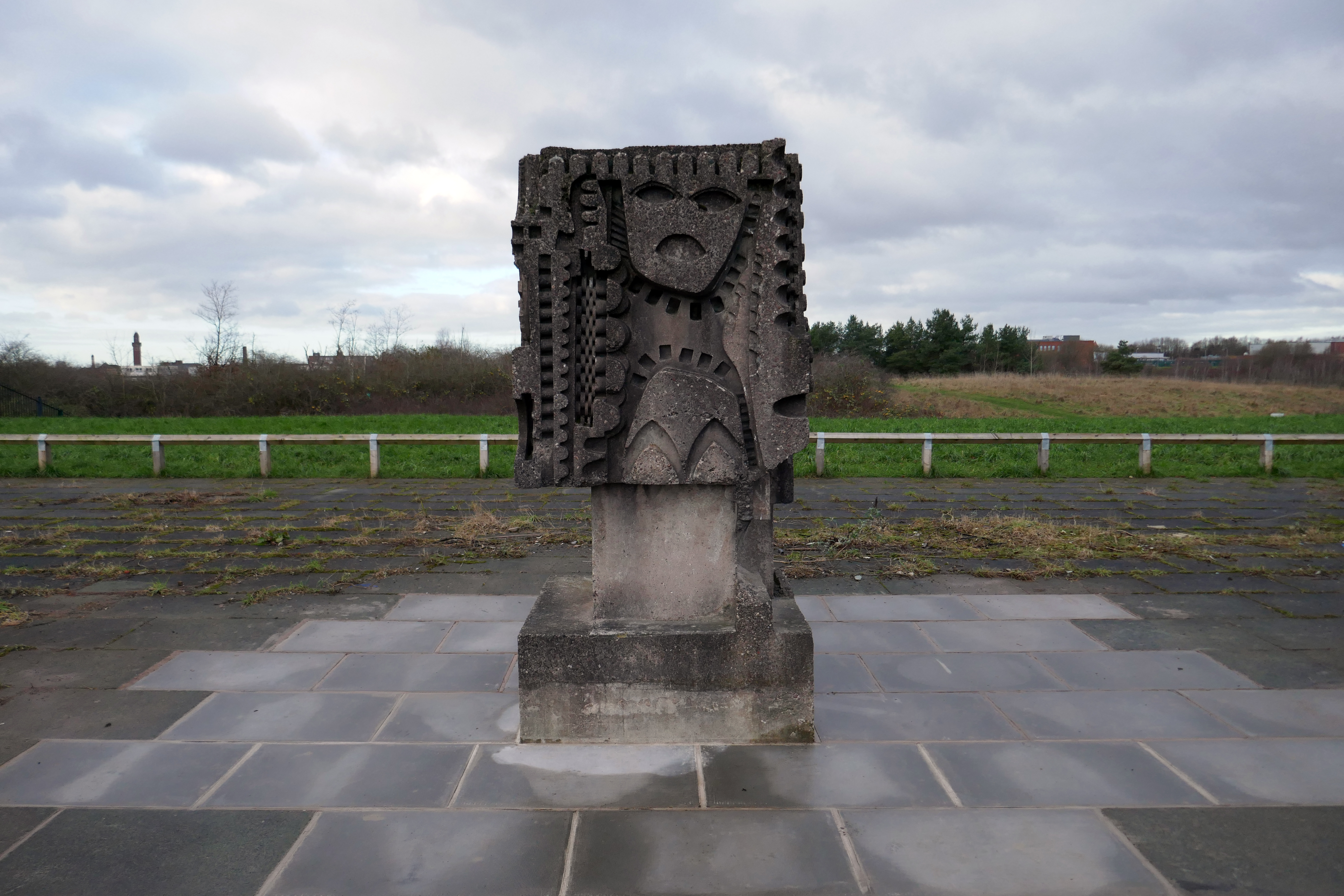
Home to William Mitchell’s Totem, the homes long gone and the Council pledged to move the totem too.
The state of play this week, the detritus removed and the base filled in, repaved and safe for a while.
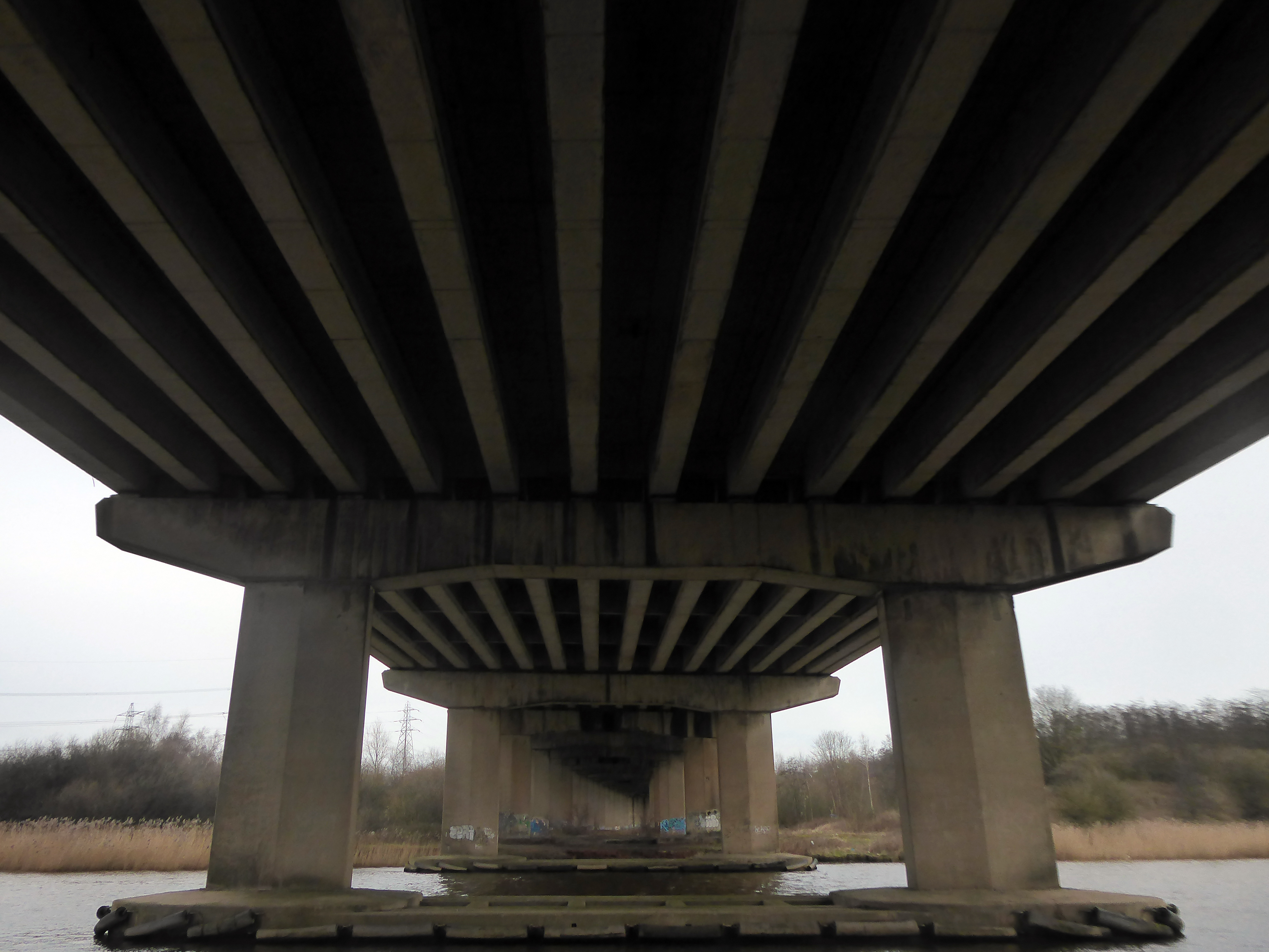
Off now to the Weaver Valley another day another river, passing under Weaver Viaduct
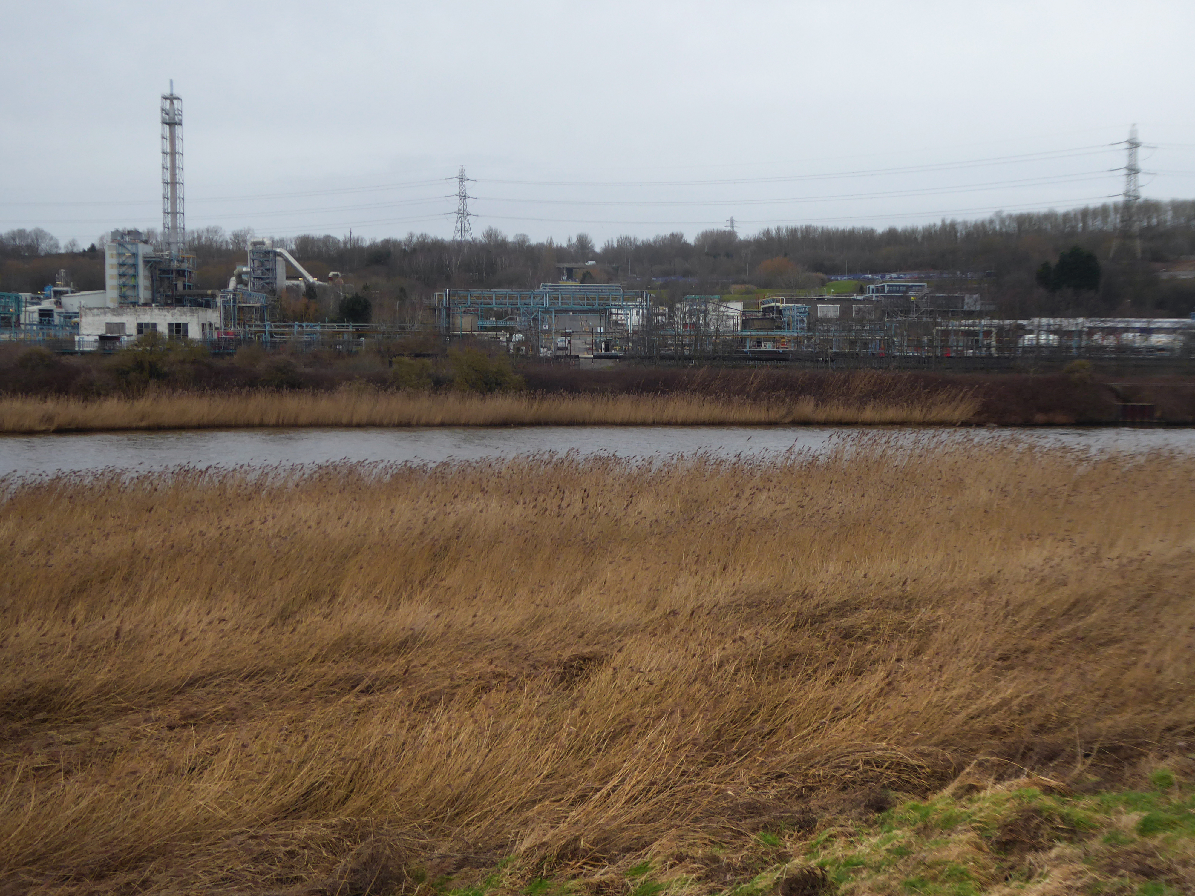
The looking toward KouraGlobal – leader in the development, manufacture, and supply of fluoro products and technologies, opened a new HFA 152a production facility at their Runcorn site in the UK.
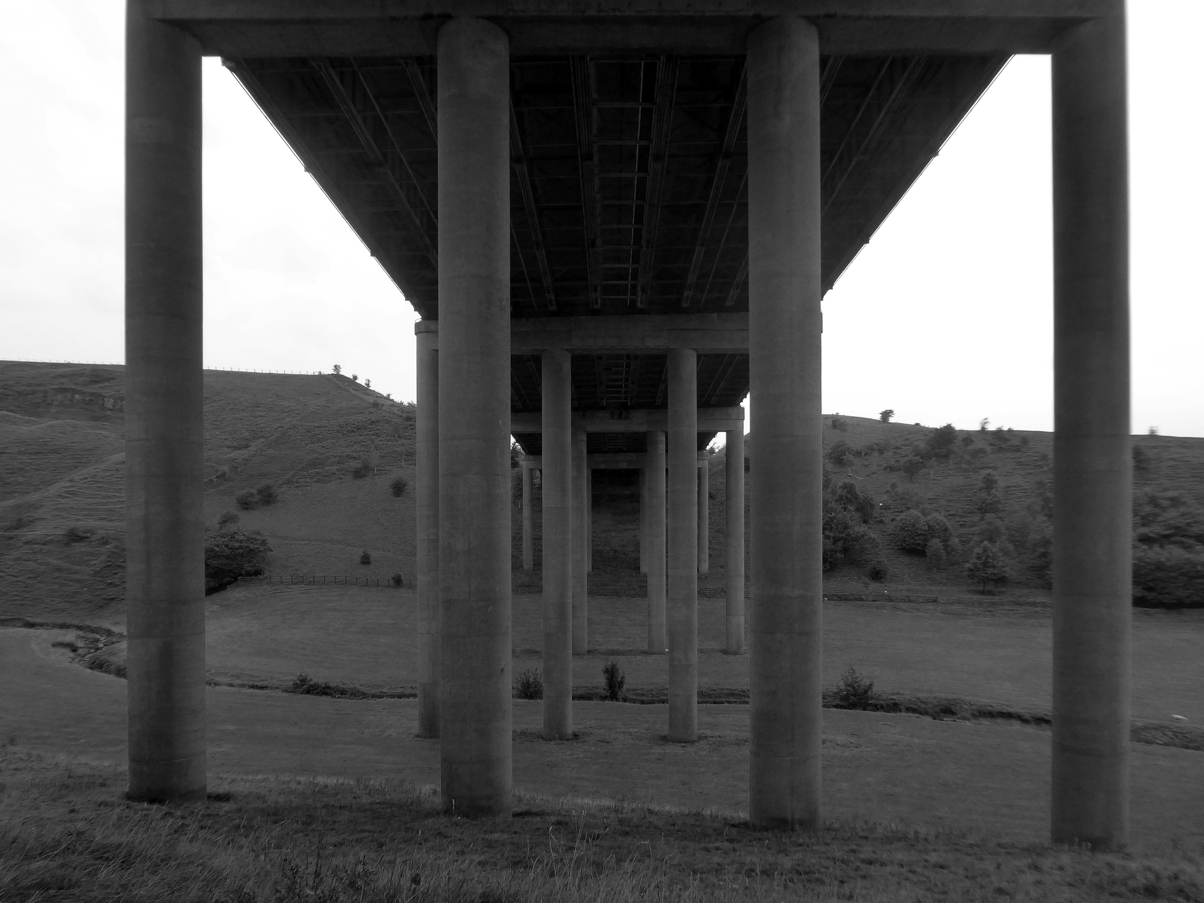
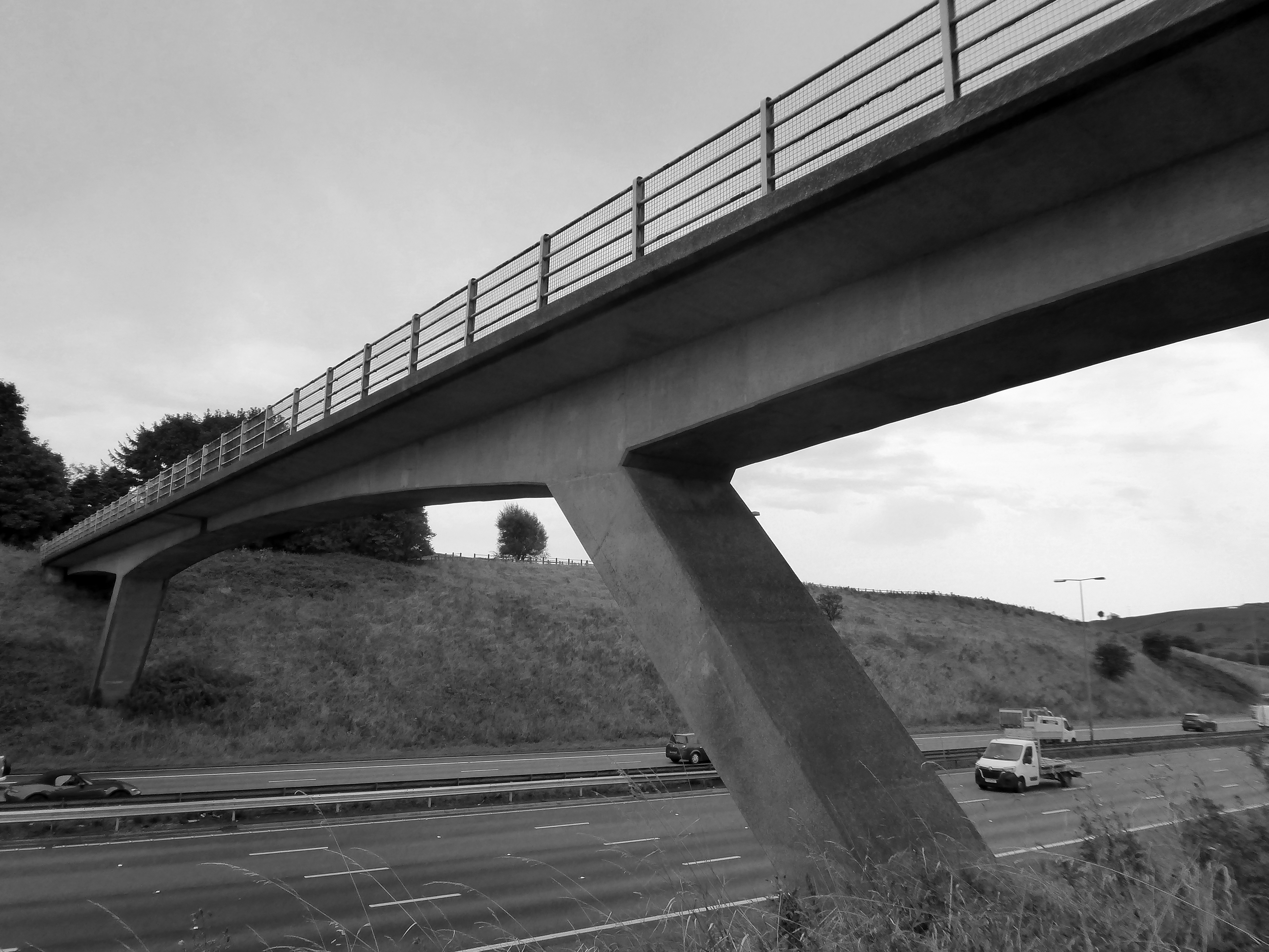
Further rural Modernism as we pass under and traverse the M62, whilst walking around the Piethorn Valley
The newest of the Modernist Mooches was to Burnley where we visited the Keirby Hotel.
The former GUS Offices with a mural by Diane and William Morris.
Plus the Charles Anderson concrete relief at the Crow Wood Hotel.
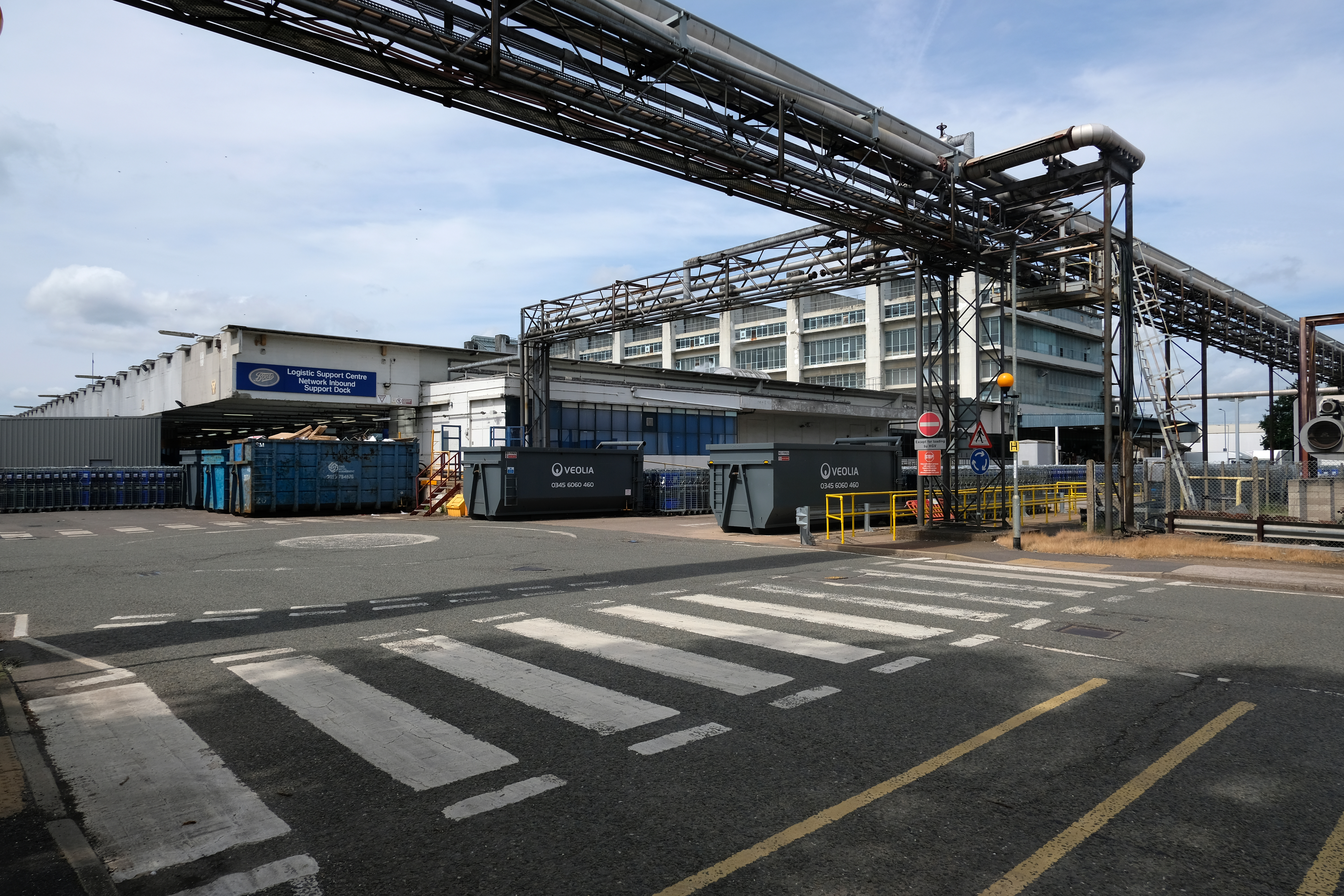
Finally a little light relief – a visit to the Boots factory in Nottingham.
Having innocently board a bus outside the station with a Boots head code , I alighted within the factory gates. Then innocently walking around taking snaps, unheeded until the men in the van stopped me in my tracks.
Who are you, what are you doing?
I am the Modern Moocher going about my business – well it turns out this was not permitted and I was red carded by the earnest security guards and asked to leave forthwith. Suitably rebuked, I politely bade them farewell and headed for the gates.
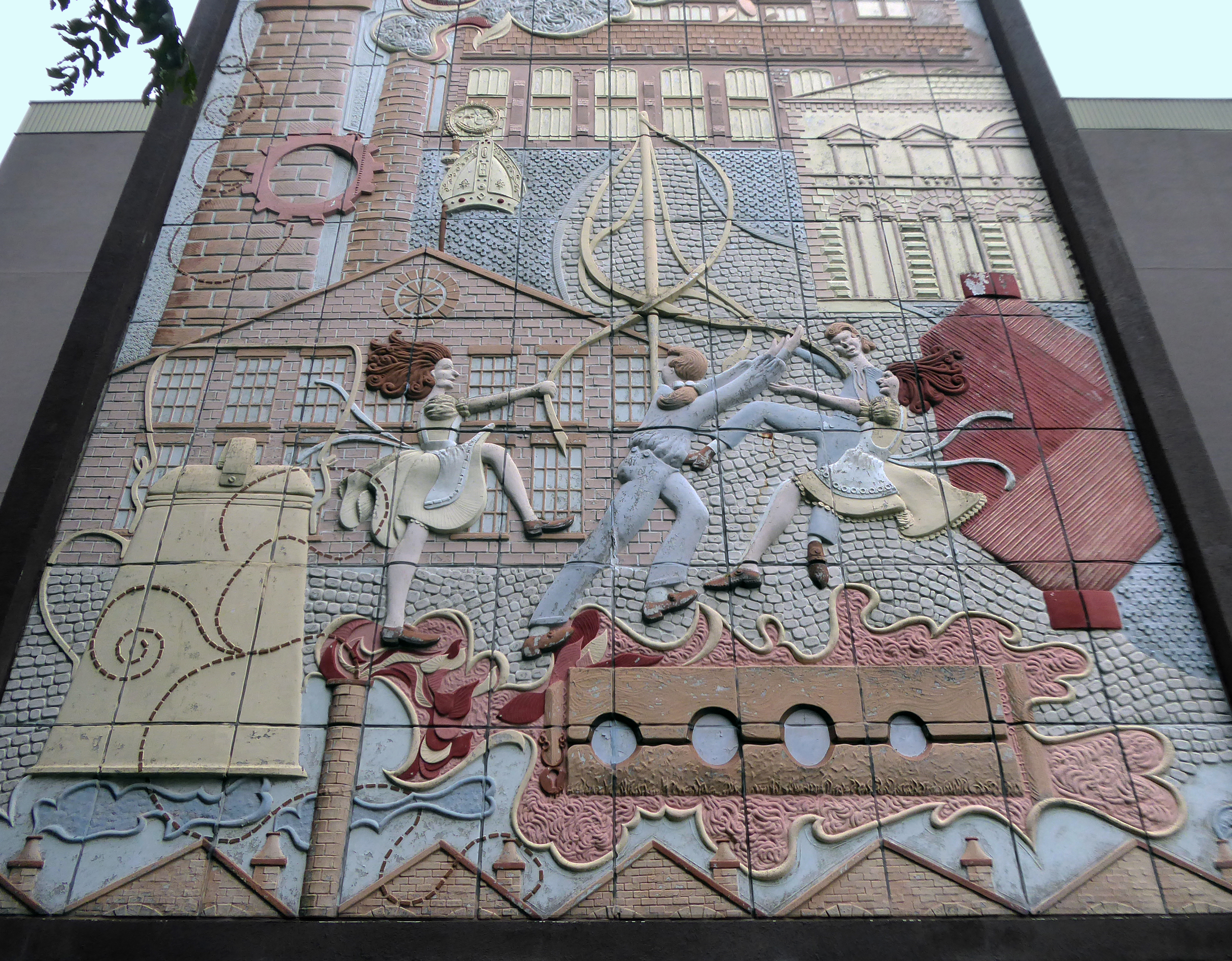
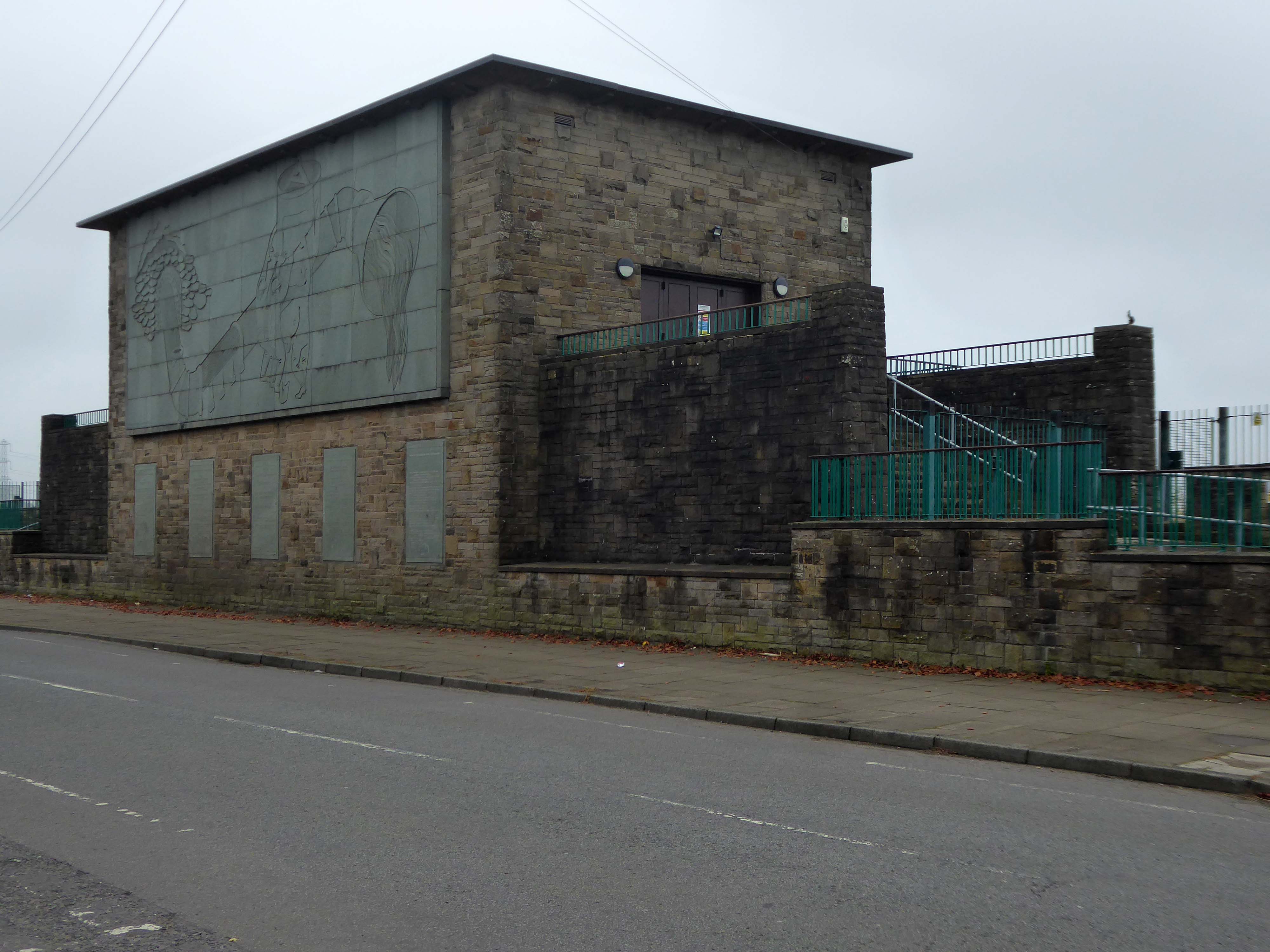
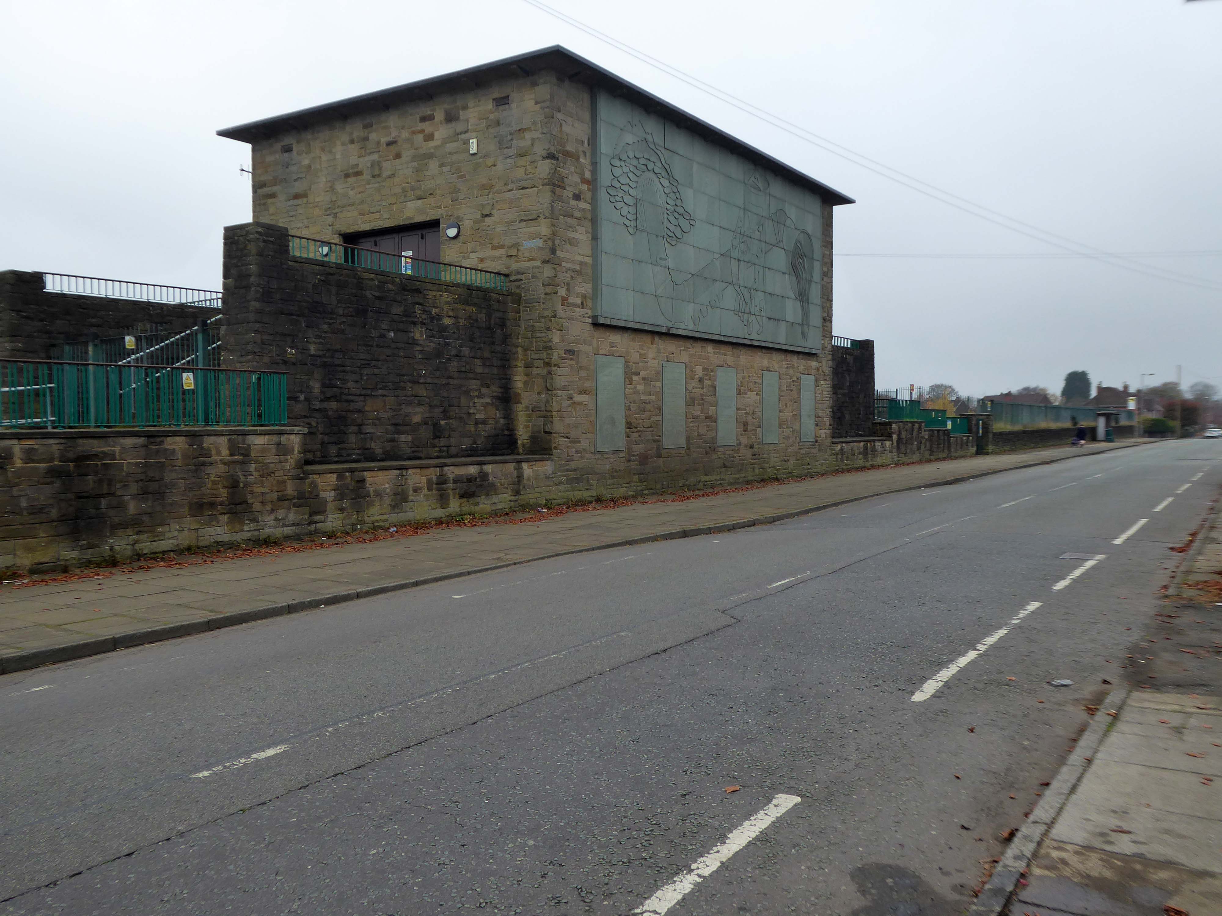
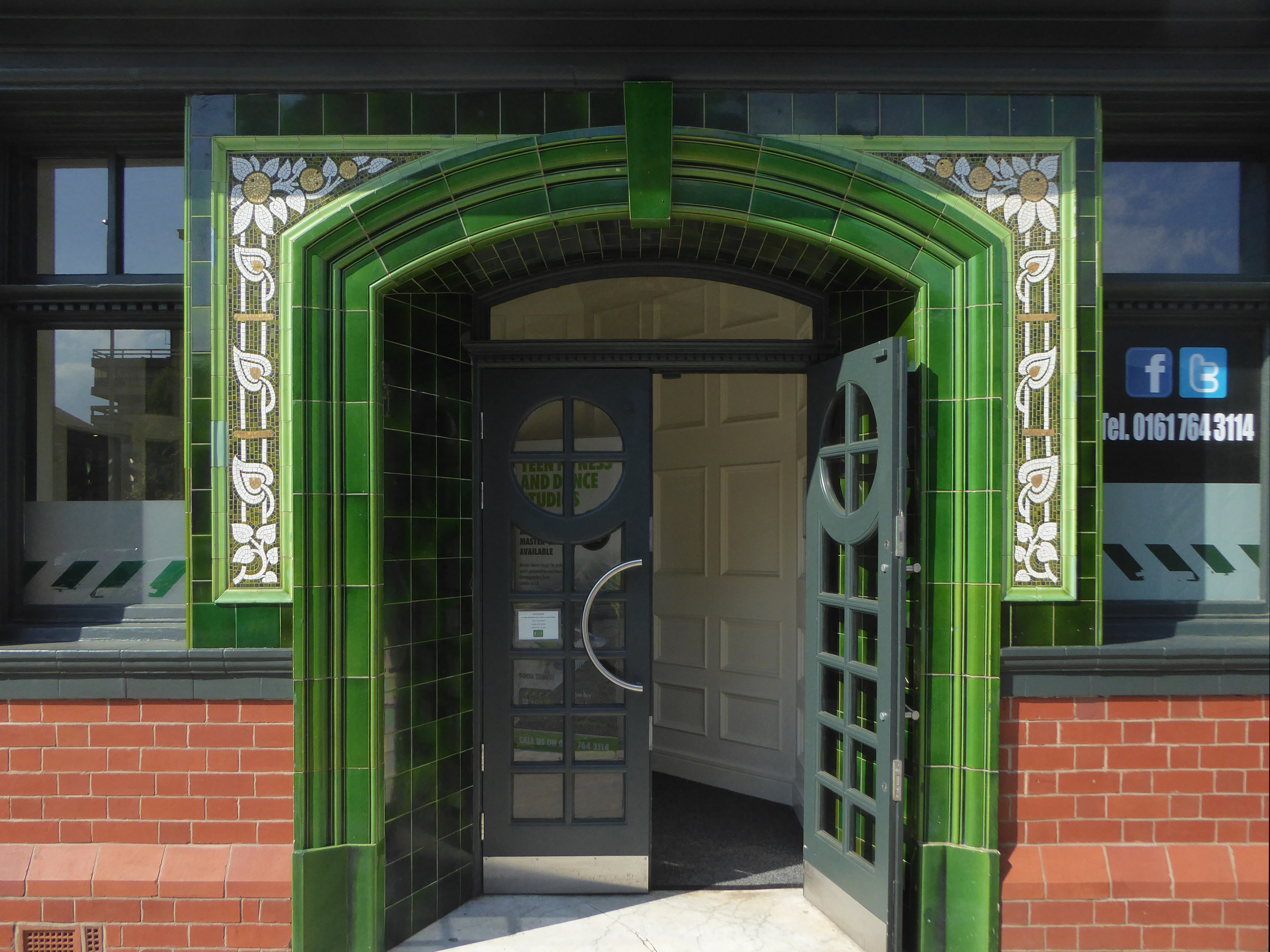
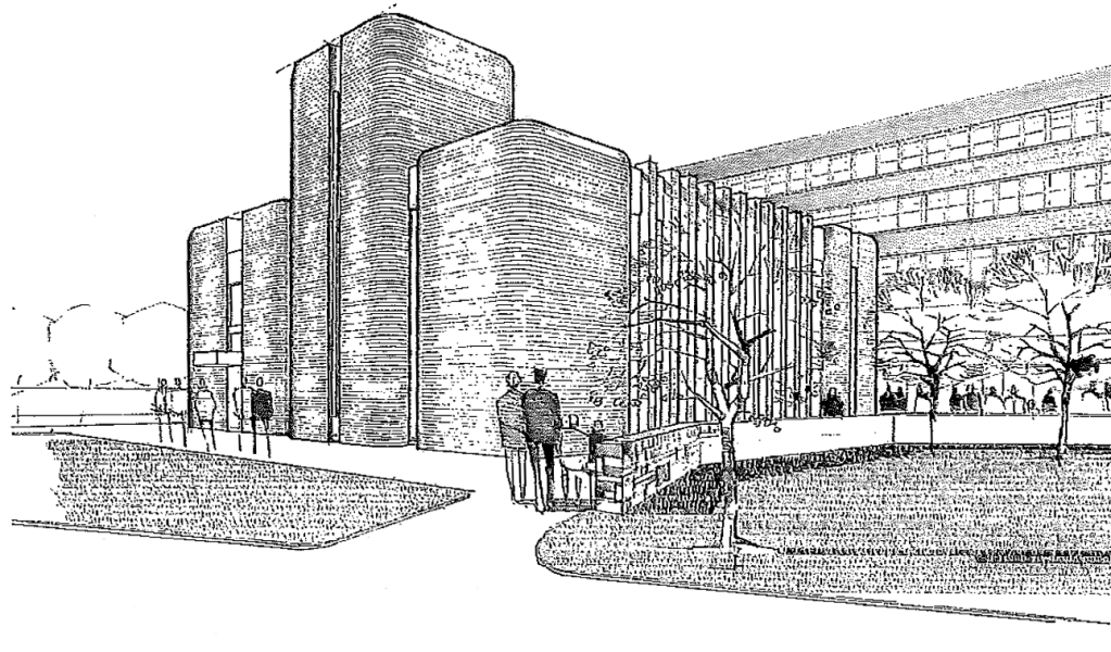
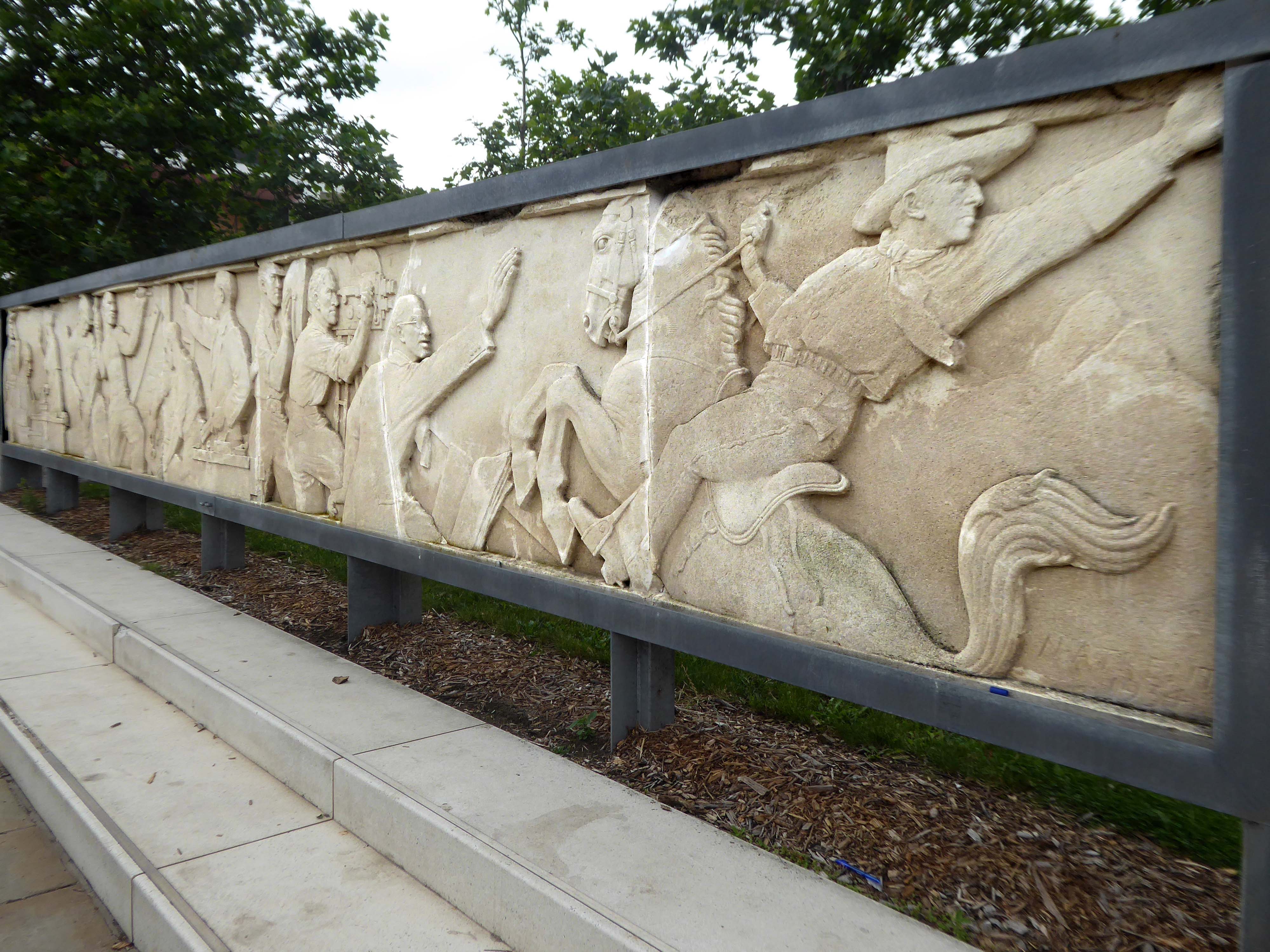
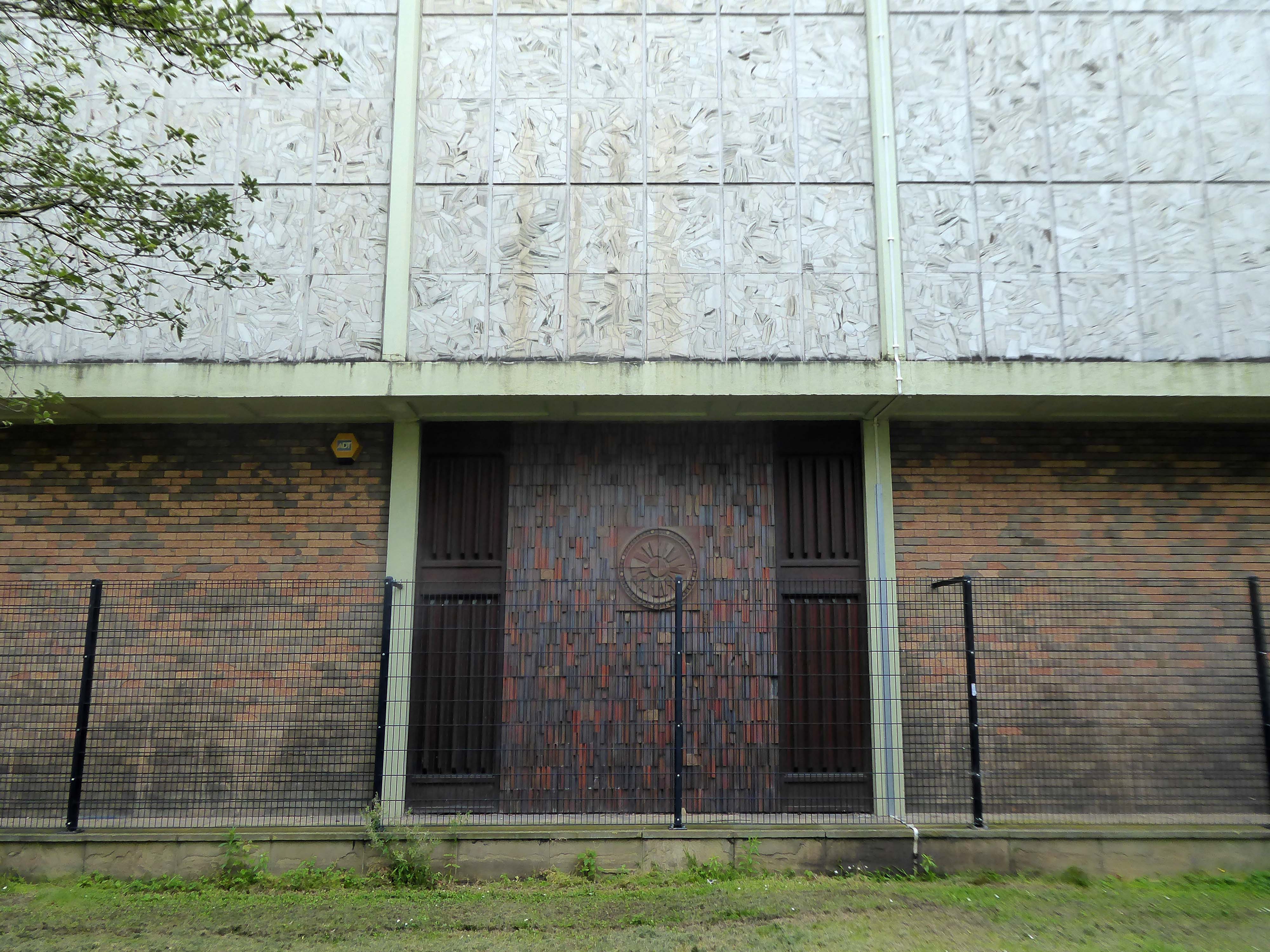
Built between1954-5 by the Manchester City Architect’s Department, Chief Architect Leonard C Howitt, for the Manchester Corporation Waterworks. Alan Atkinson, engineer. Incorporates large relief by Mitzi Cunliffe, signed and dated 1955. Yorkshire sandstone, with Westmorland greenstone from Broughton Moor used as relief. Roof not seen above dentiled overhang.
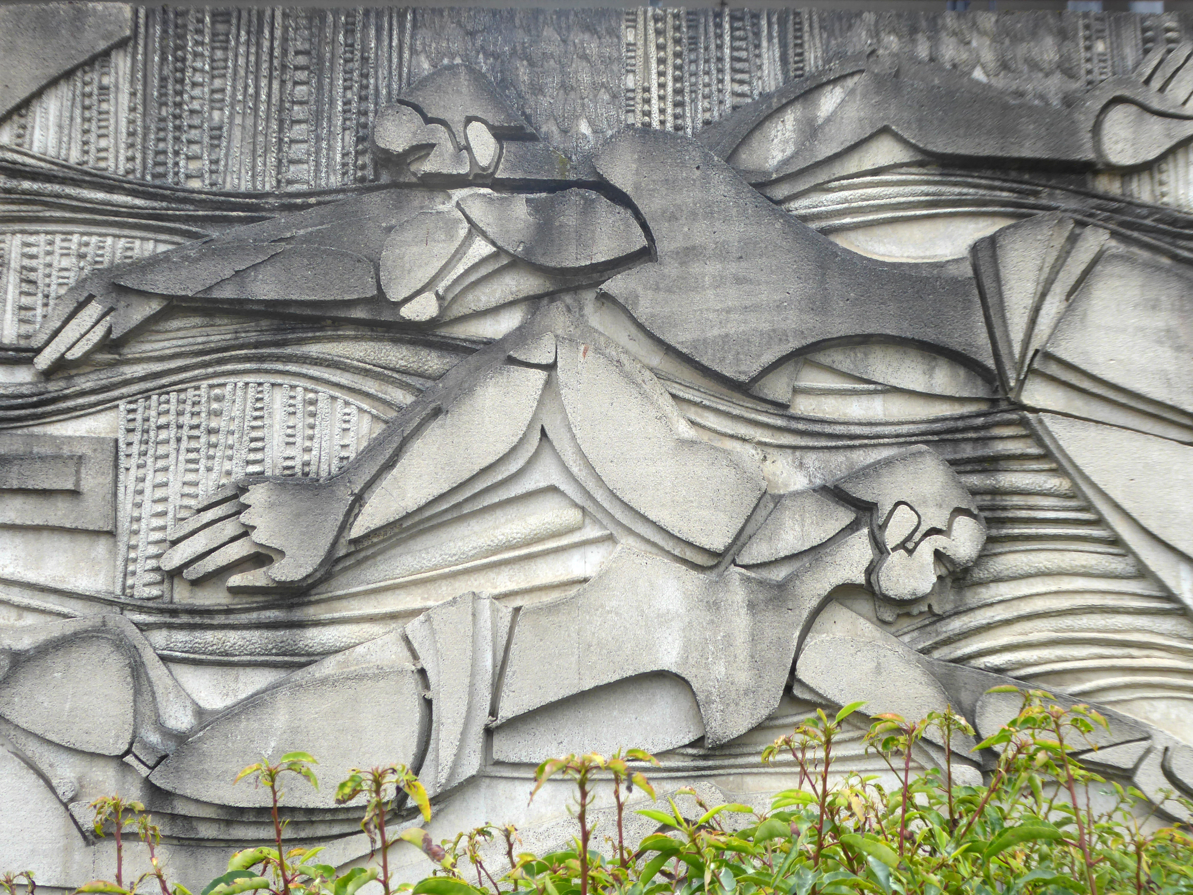
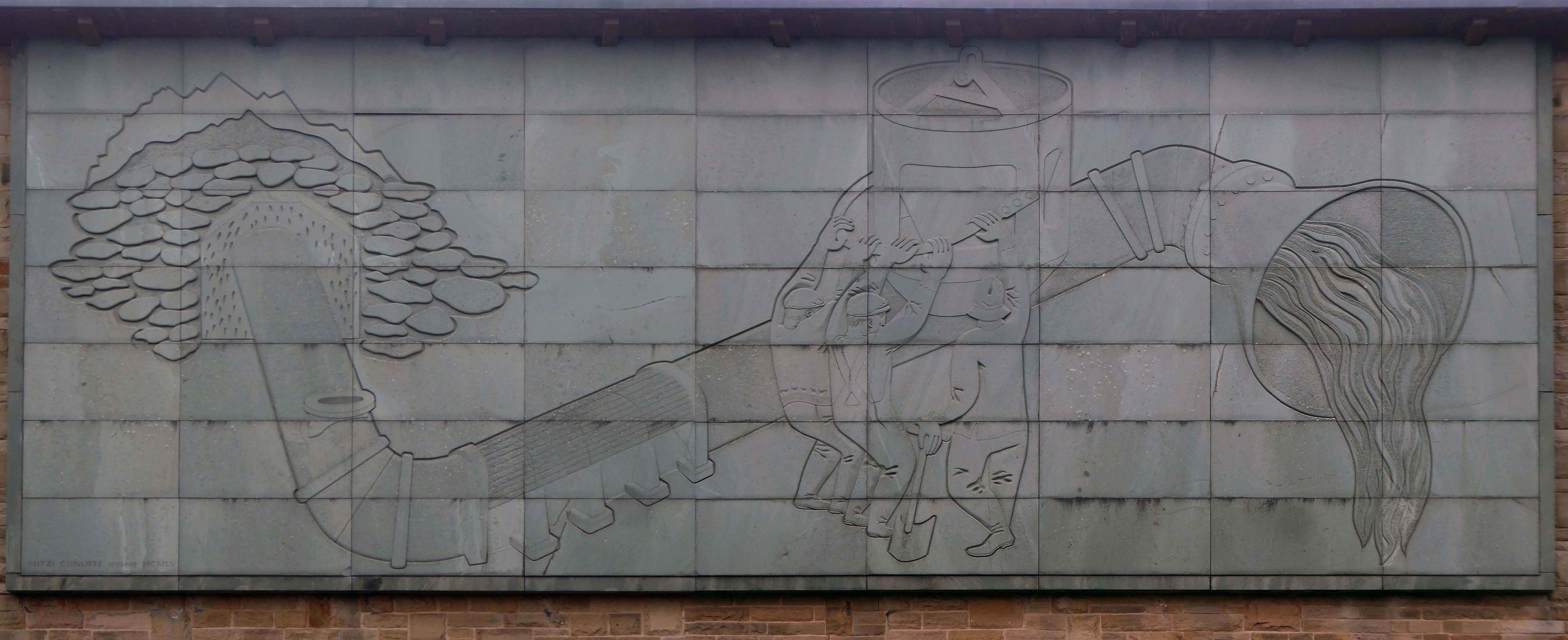
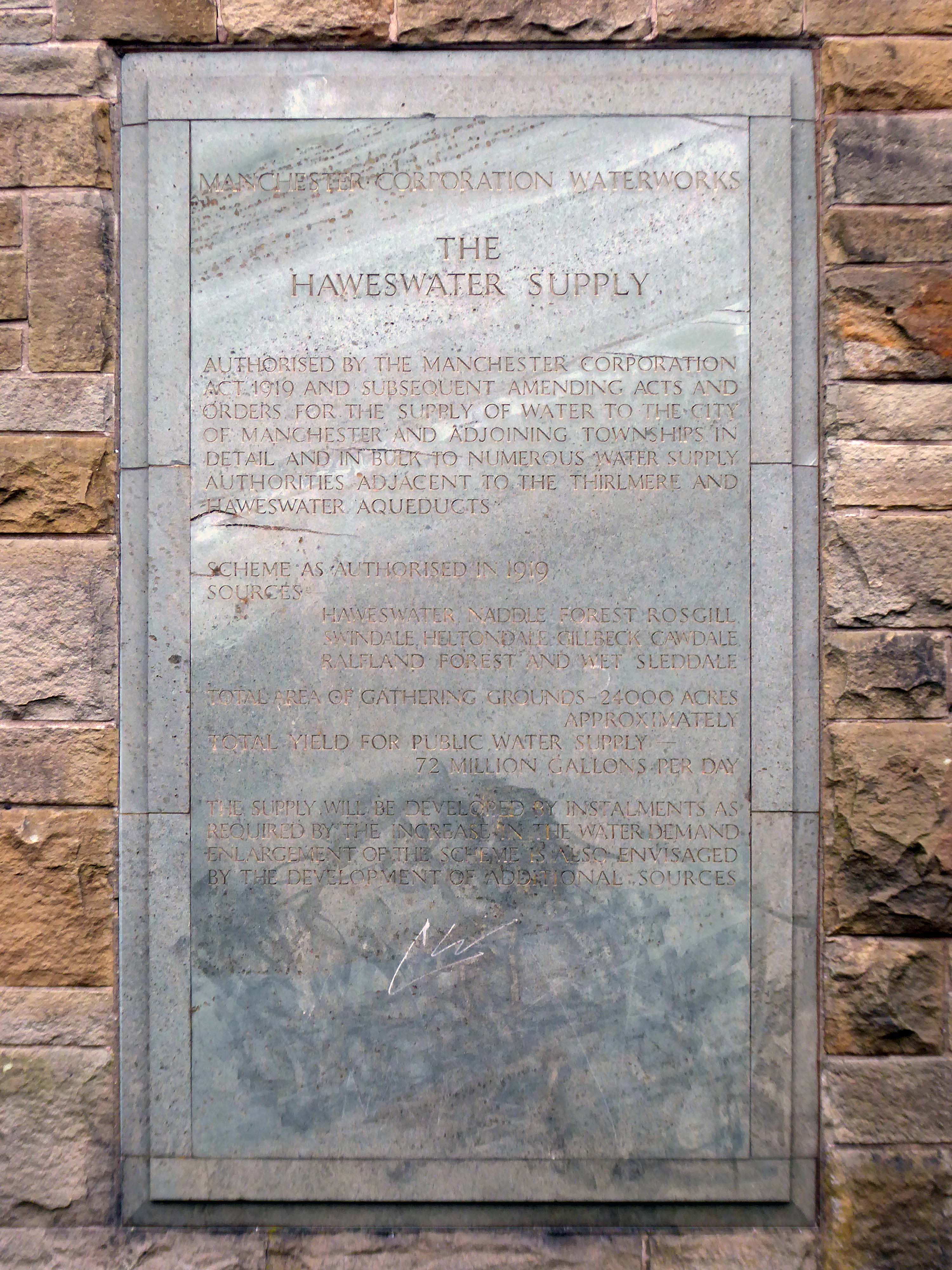
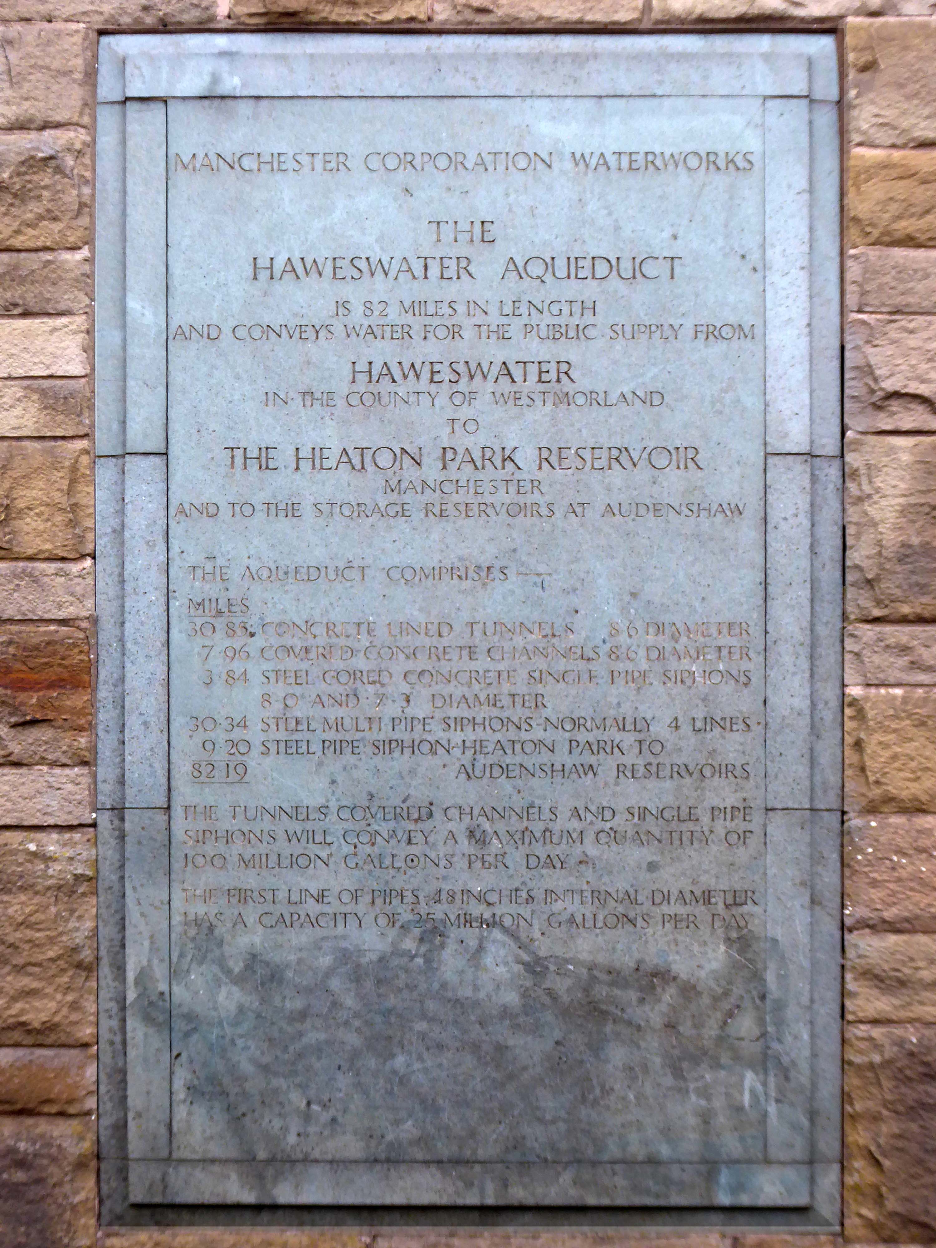
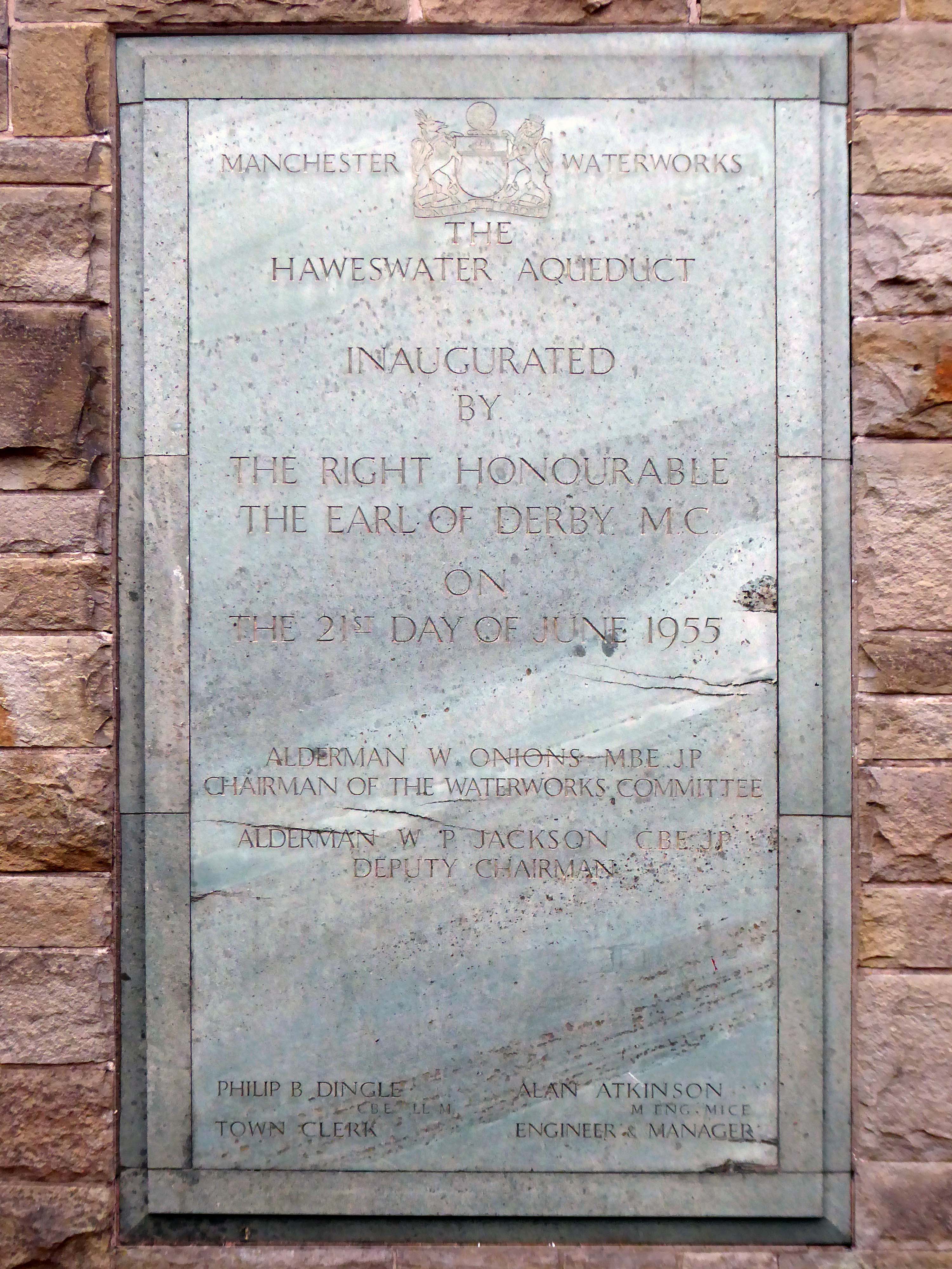
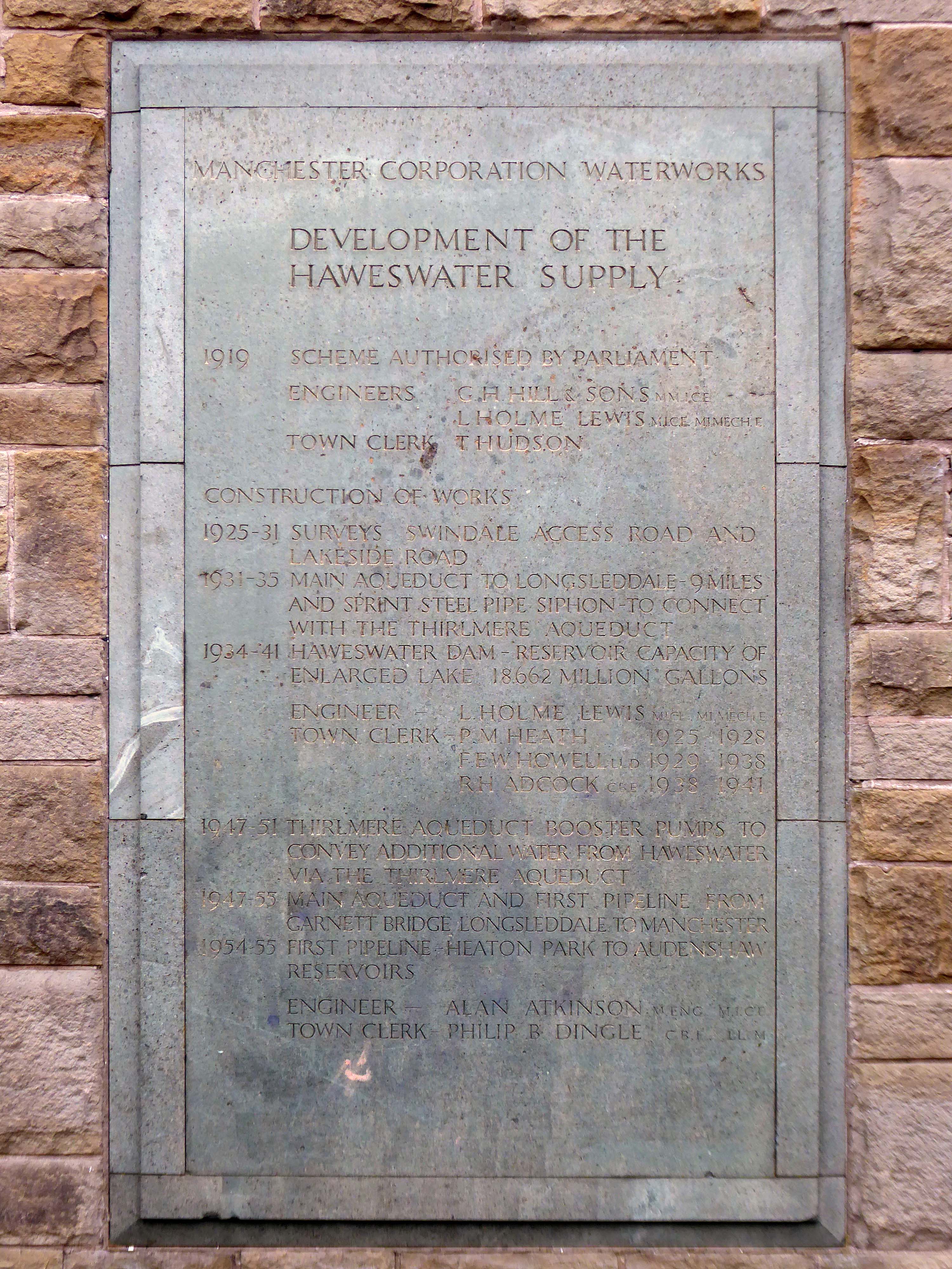
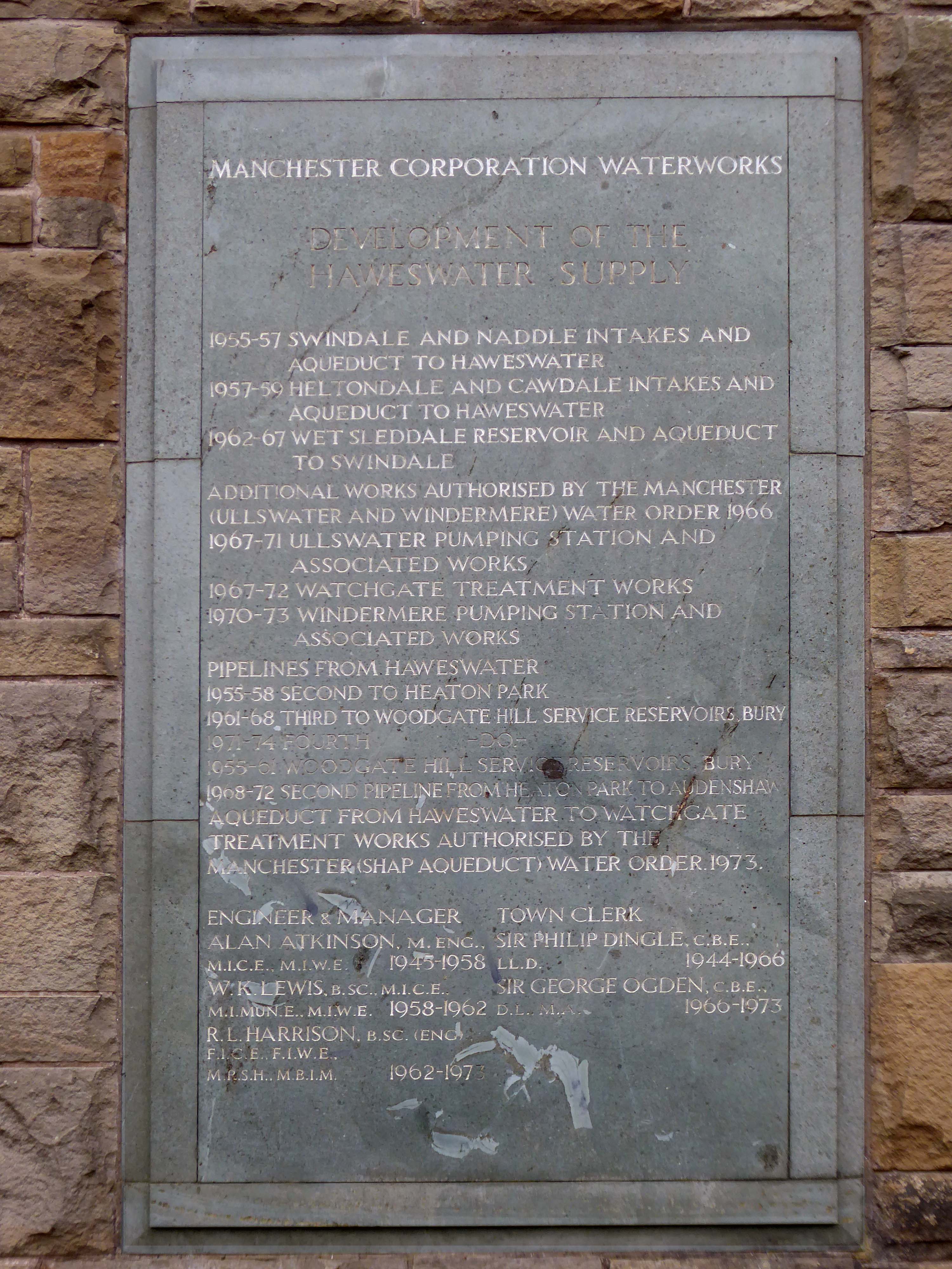
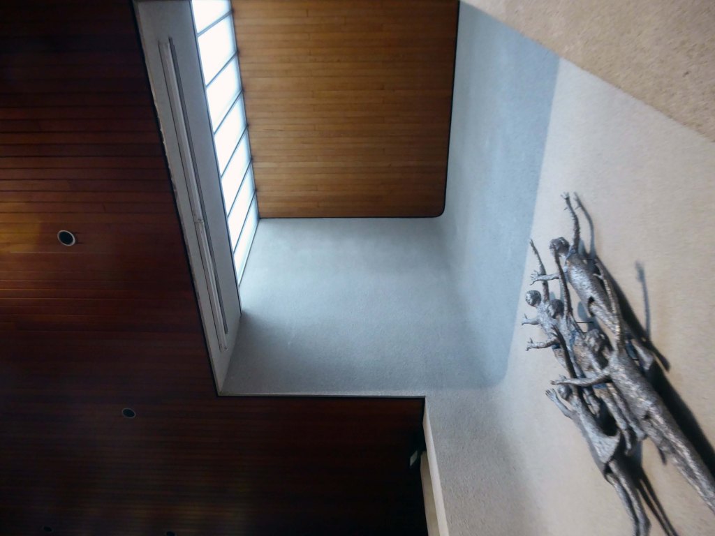
Carved relief is a highly stylised depiction of the bringing of water from Haweswater to Manchester with contemporary figures supporting the pipeline and a curious flat relief designed to be seen from below. It was designed to commemorate those who constructed it as well as the origin and course of the aqueduct. Beneath it five plaques tell the history of the Haweswater supply.
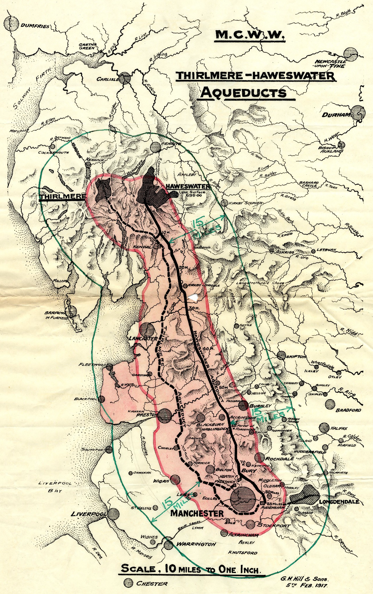
Completely preserved interior fully lined in beige marble, with contrasting green marble skirting continued as door surround. Behind the Cunliffe mural is a wood relief section in sycamore depicting the 82 mile route of the pipe.
The bringing of water to Manchester from a new reservoir at Haweswater was a major undertaking which cost £14,000,000. The sectional relief plan and the mural were conceived as part of the original brief to give a ‘monumental’ character to the city’s remarkable achievement. Included as a remarkable synthesis of architectural design and fine sculpture, with the dominance of the latter in this tiny building. The building materials and the reliefs are all symbolic of the achievement in bringing of water from the Lake District to Manchester.
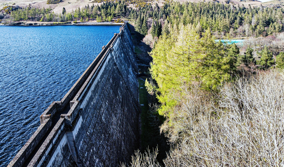
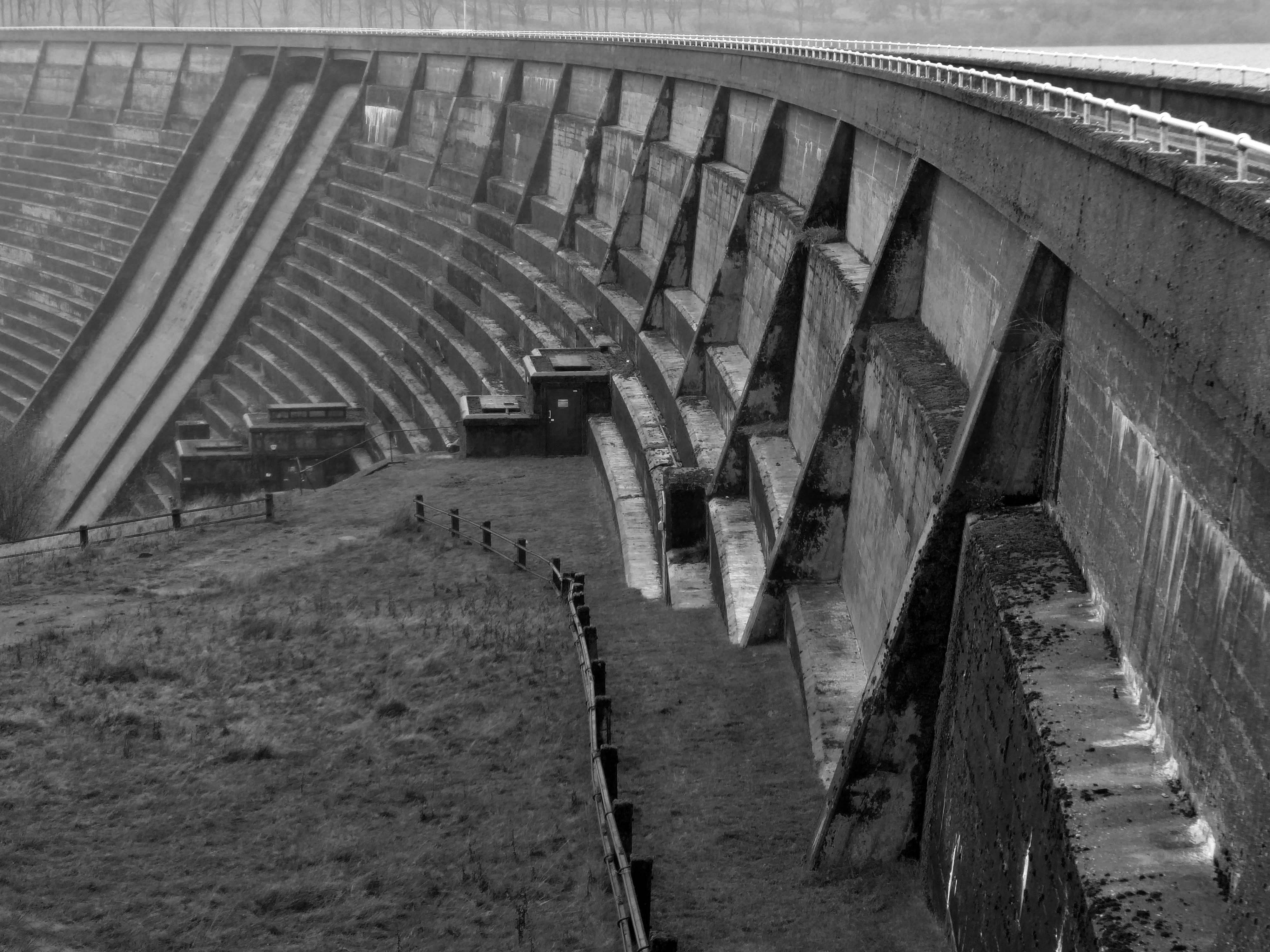
In 1929 work started to build the dam wall across the valley floor. At the time of construction, its design was considered to be at the forefront of civil engineering technology because it was the world’s first hollow buttress dam.
Before the valley was flooded in 1935, all the farms and dwellings of the villages of Mardale Green and Measand were demolished, as well as the centuries-old Dun Bull Inn at Mardale Green. The village church was dismantled and the stone used in constructing the dam; all the bodies in the churchyard were exhumed and re-buried at Shap.
I have previously led Mitzi Cunliffe walks in south Manchester – taking in her works at Owens Park and Manchester High School for Girls.
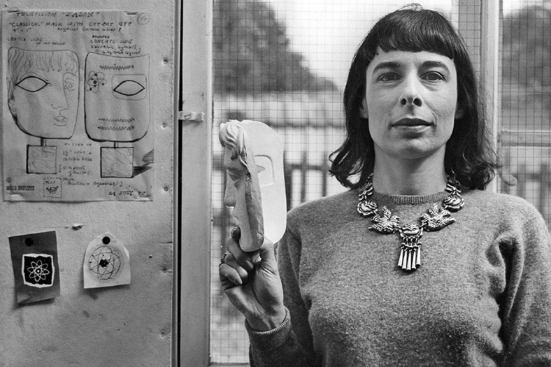
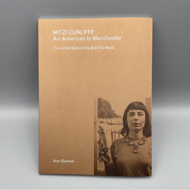
Mitzi Cunliffe is primarily known as the designer of the BAFTA Award, but her work encompasses both ceramics and textiles, in addition to her extensive public art works – as illustrated here.
Mitzi Cunliffe – An American in Manchester is available from the Modernist Shop.
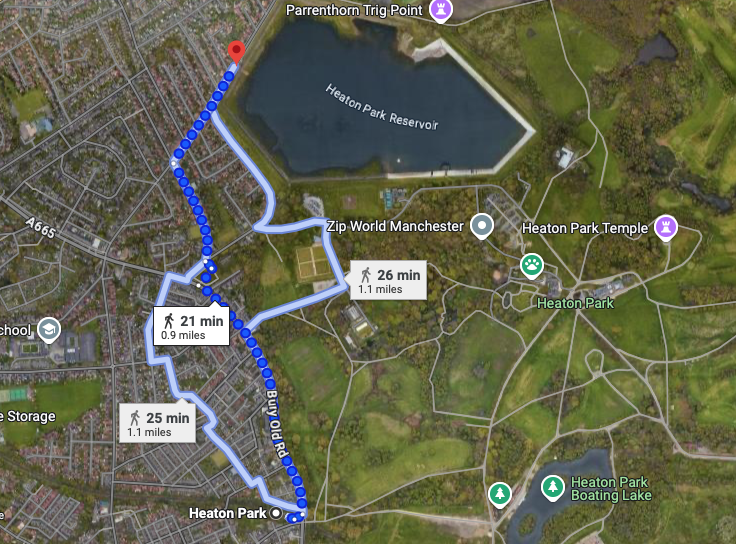
I took the tram to Heaton Park Station and walked the rest of the way.
The imposing structure, clad in the dramatic relief dominates this domesticated street of well behaved semis. As I stood admiring the work, a passerby joined me in a mutual appreciation of its beauty and significance.
Do yourself a favour – take a trip, take a look for yourself.
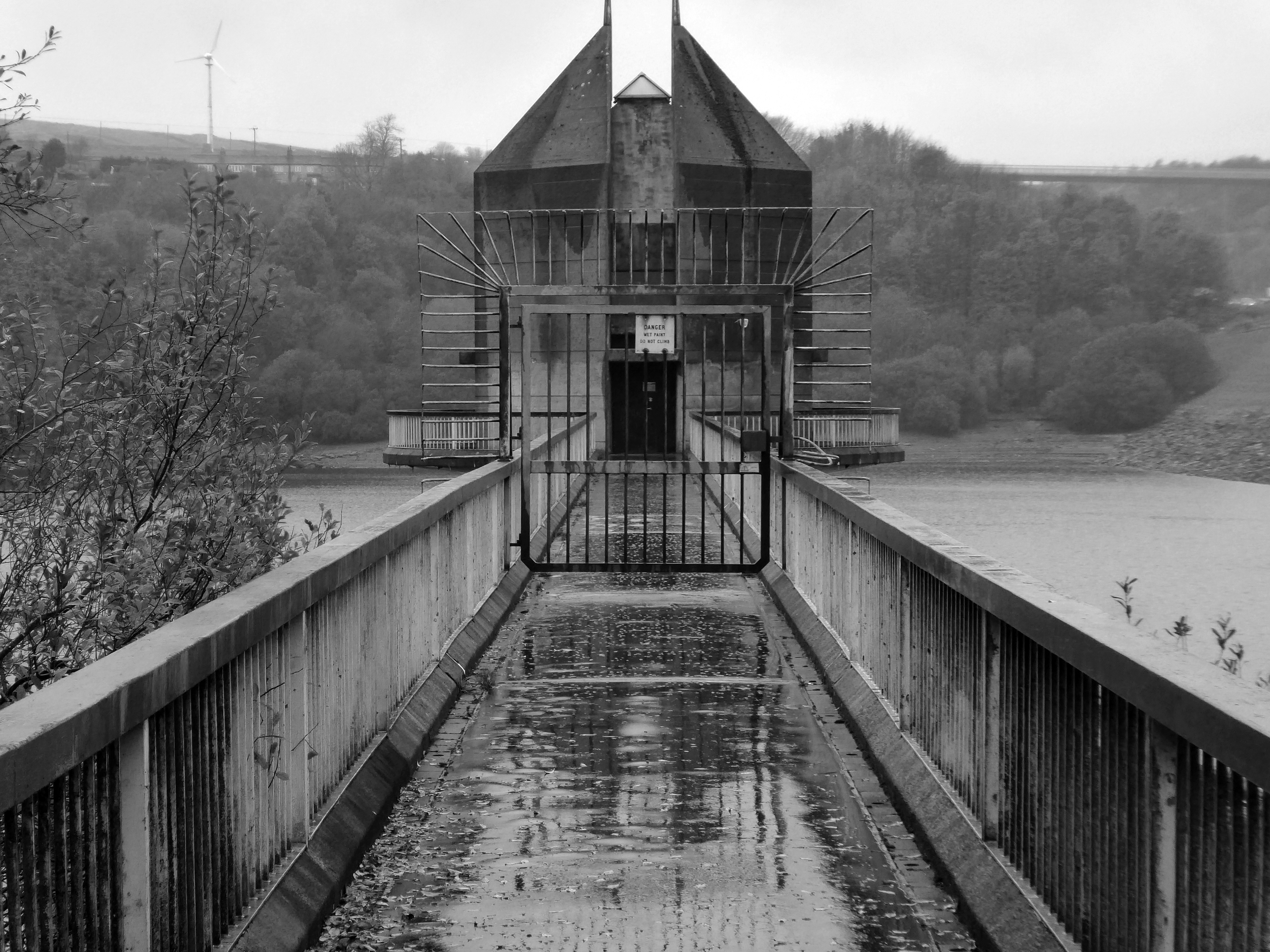
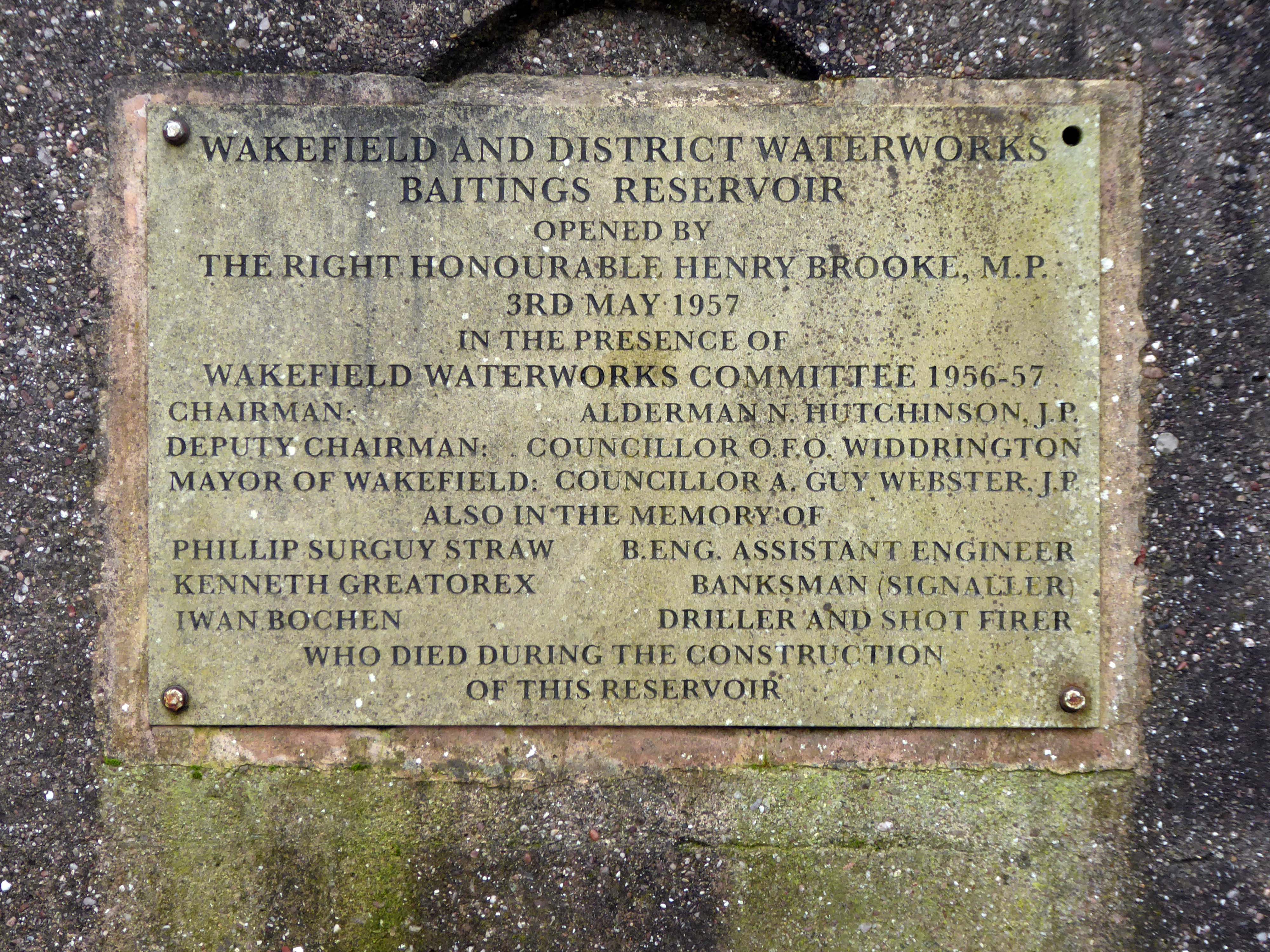
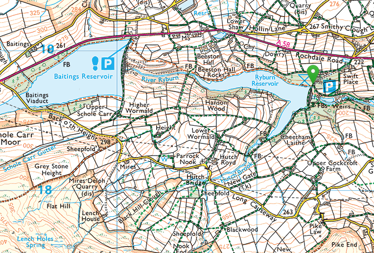
To begin at the beginning, to begin at Baitings Reservoir.
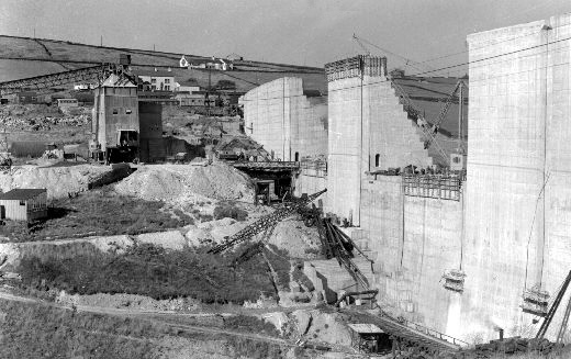
Wakefield Corporation Waterworks started impounding the valley of the River Ryburn in the 1930s, with Ryburn Reservoir being completed in 1933. Construction on Baitings took place 20 years later with completion in 1956. Baitings Bridge, on an old road linking Yorkshire and Lancashire, was to be flooded under the reservoir so a concrete viaduct was built. During spells of very hot weather and drought conditions, the old packhorse bridge is revealed.
Wakefield Express: 31st August 1955
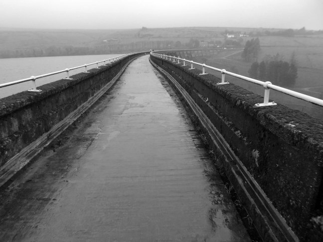
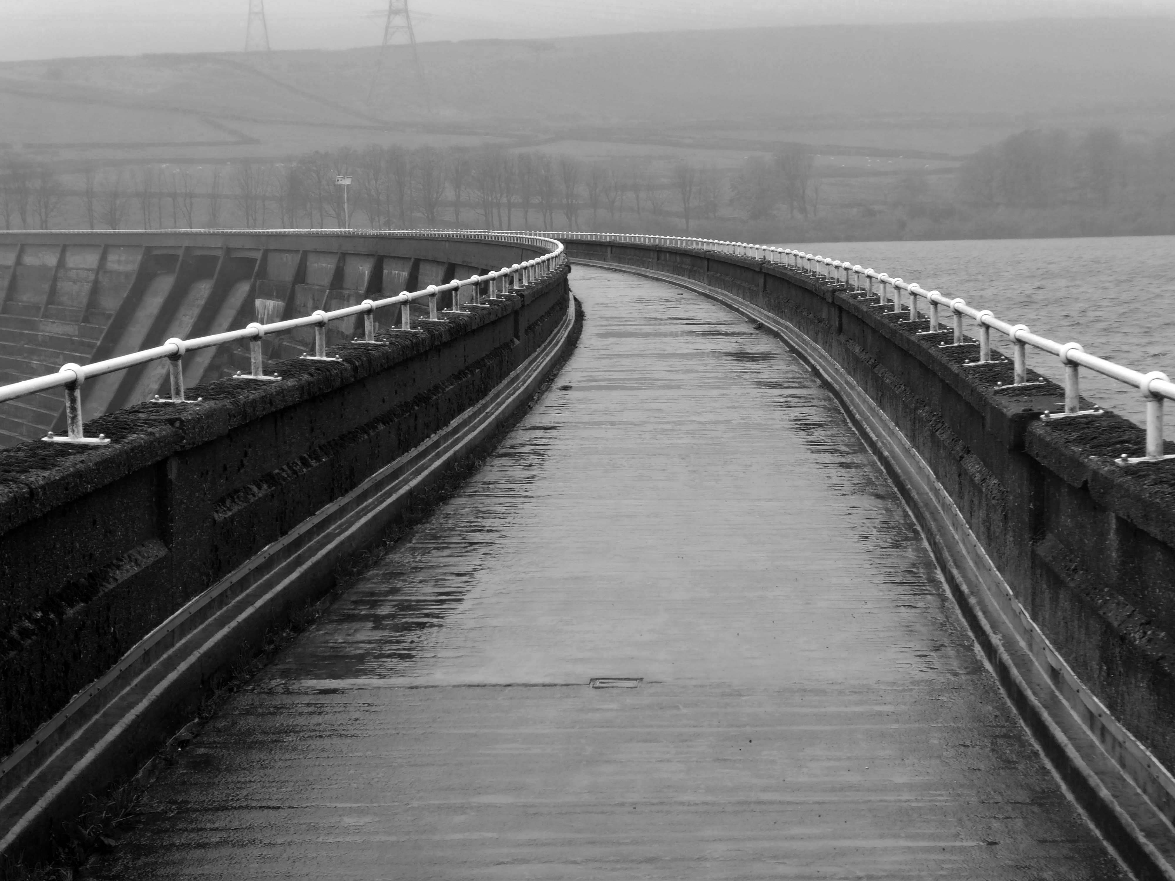
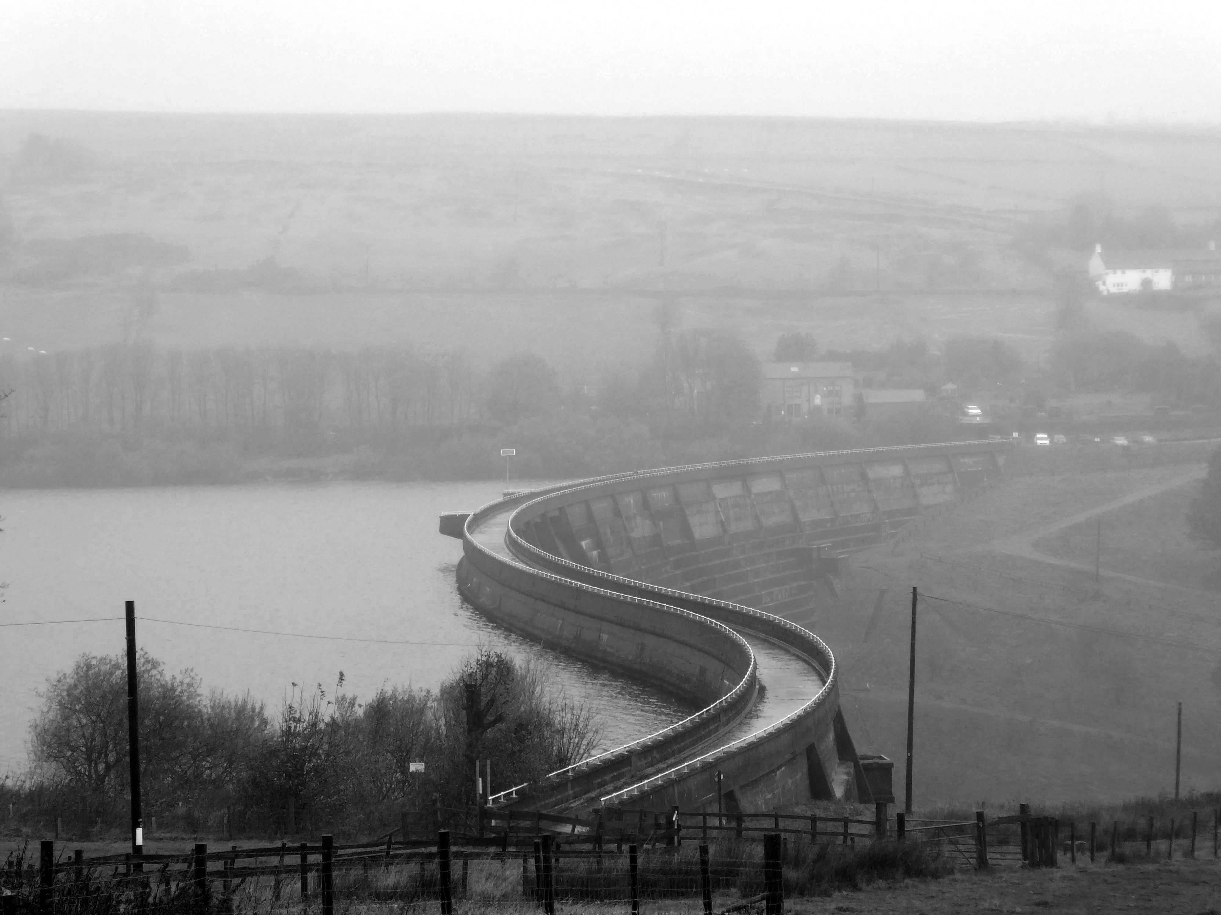
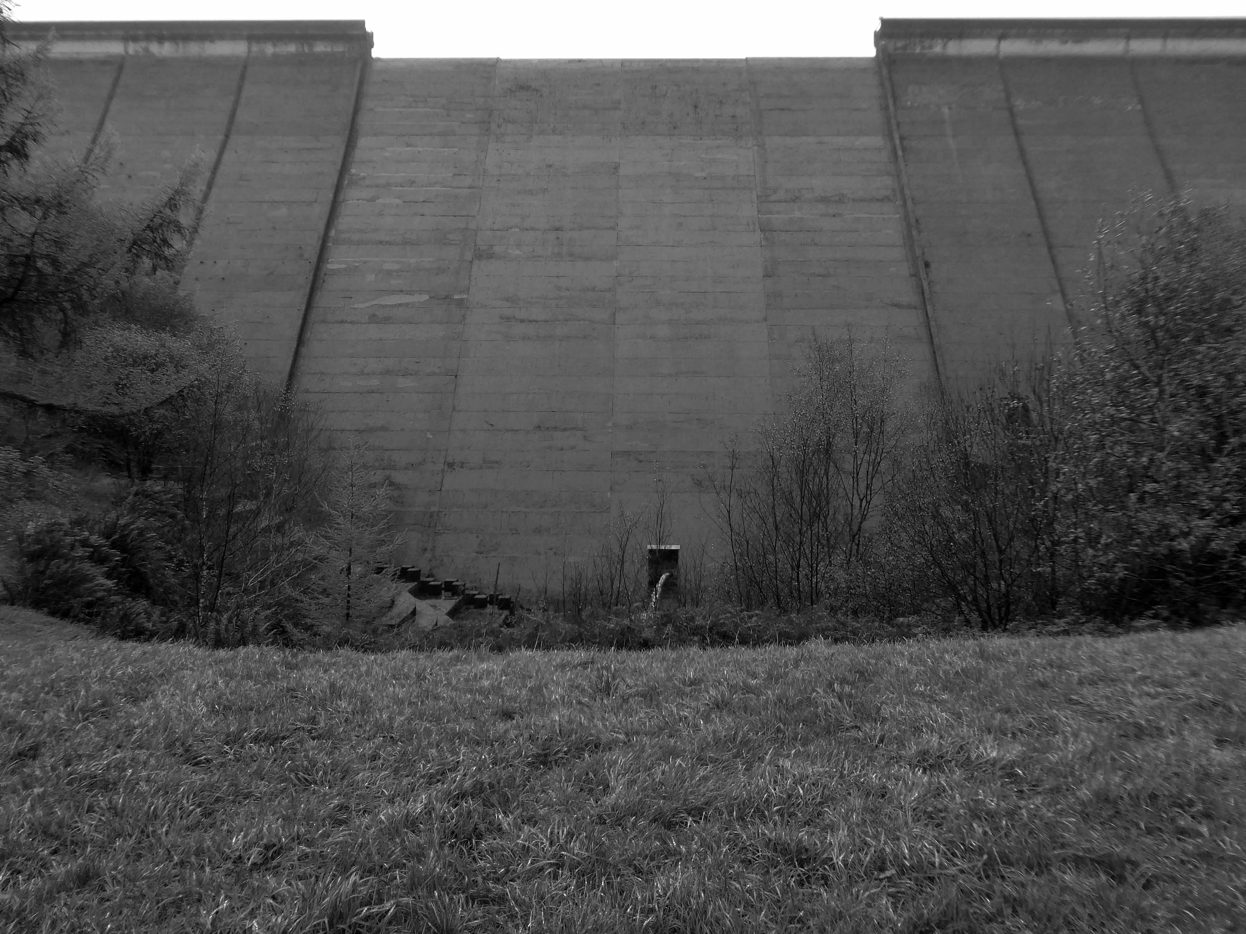
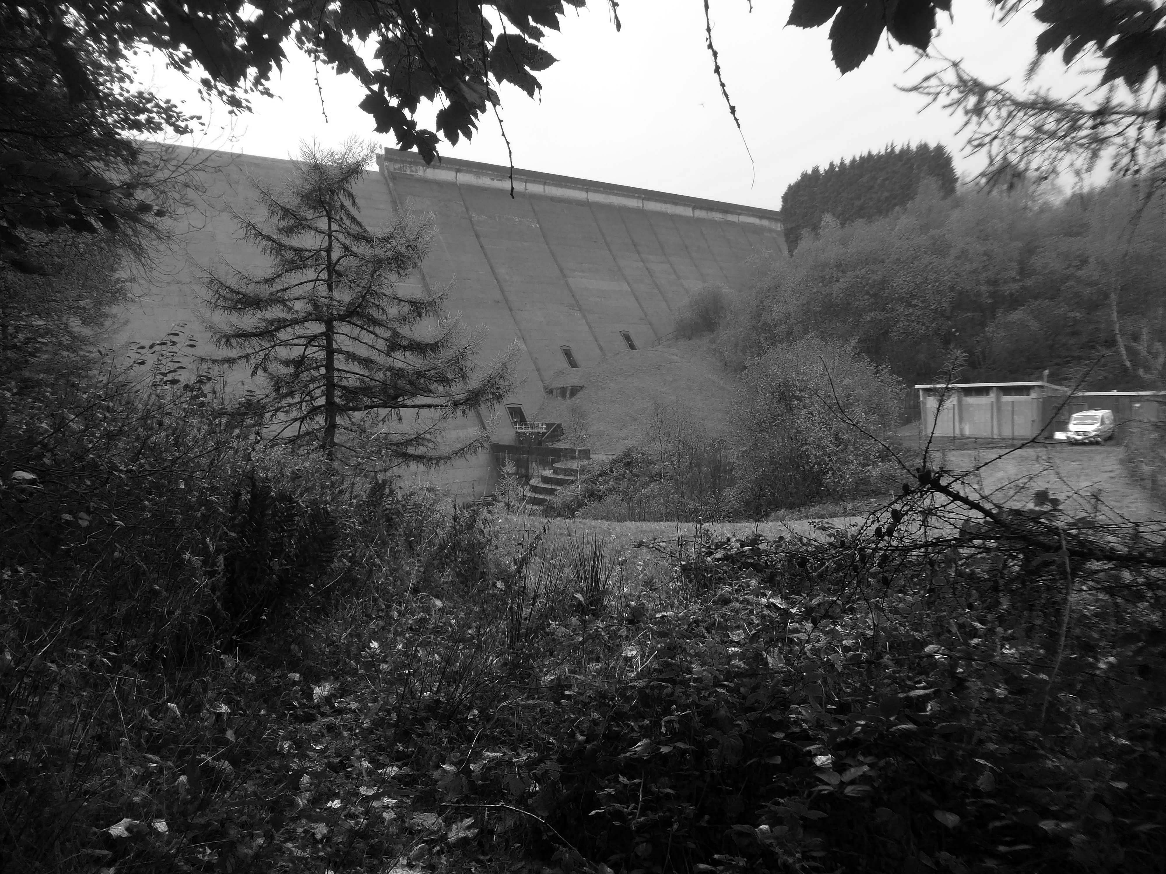
The dam head is a curved structure that is 1,540 feet long and over 160 feet high. The reservoir covers 59 acres and has a catchment of 1,830 acres , and when it is full, it holds over 113,000,000 cubic feet of water. The dam took eight years to complete at a cost of £1.4 million, and is located at 840 feet above sea level. A tunnel connects reservoirs in valleys to the north with Baitings to allow for the transfer of water. Manshead Tunnel is 8,000 feet long and was opened in 1962.
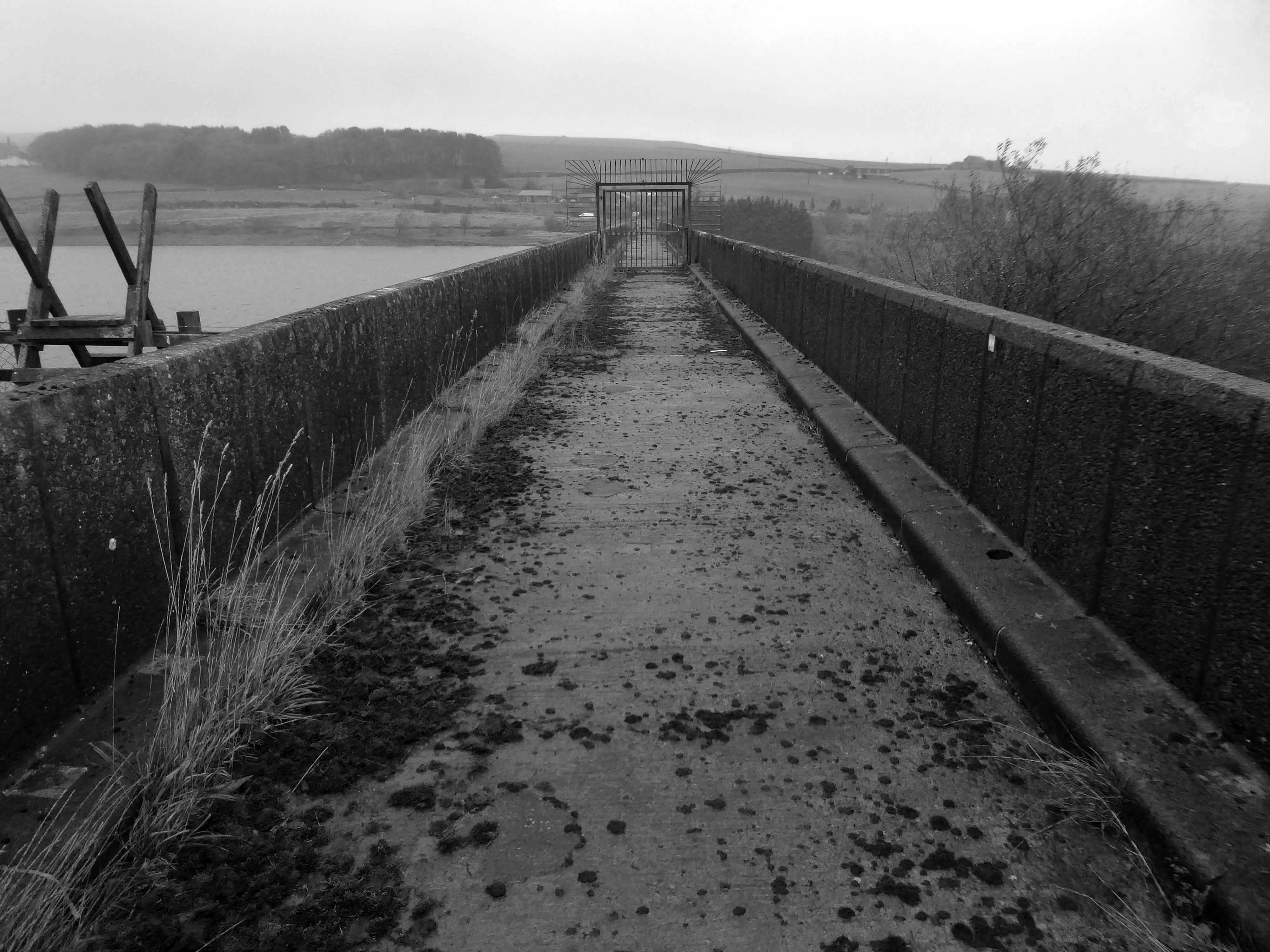
Inconveniently, the footpath to the lower Ryburn Reservoir was closed – we were diverted over the dam.
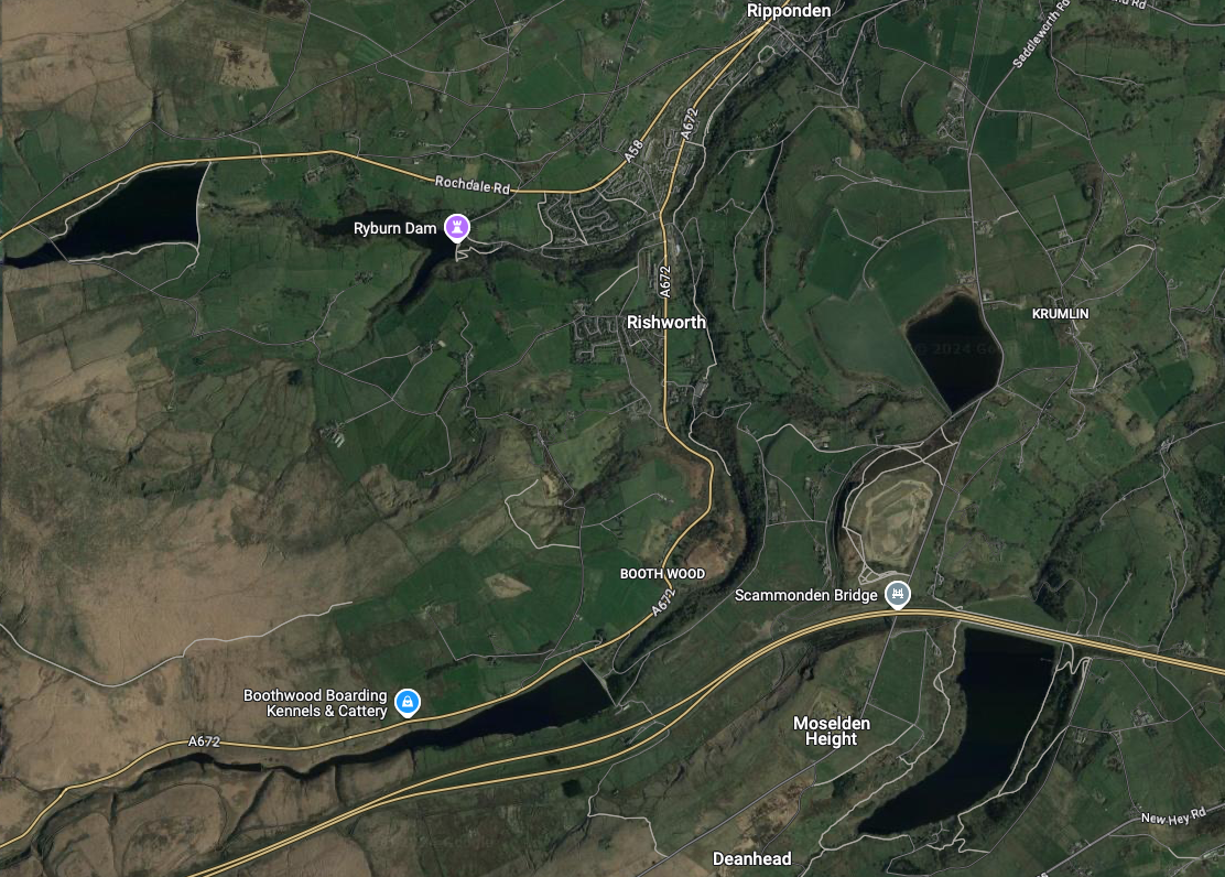
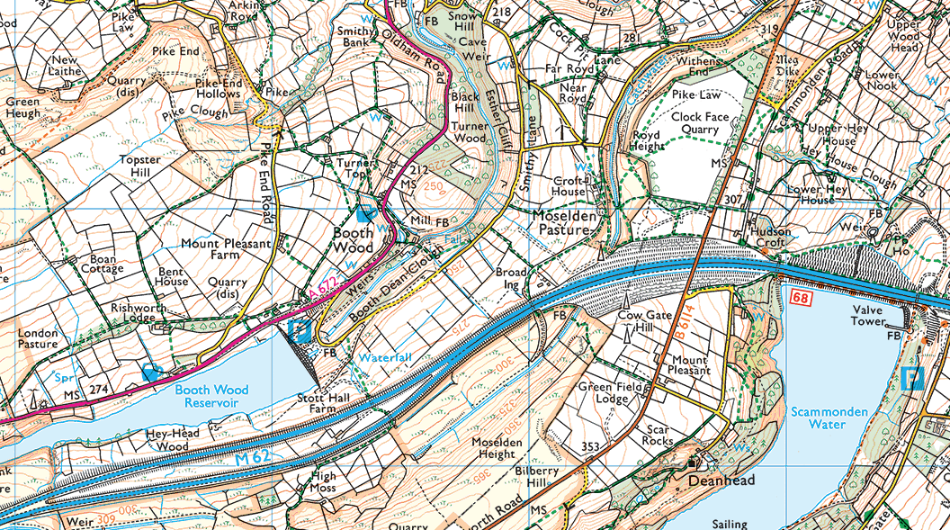
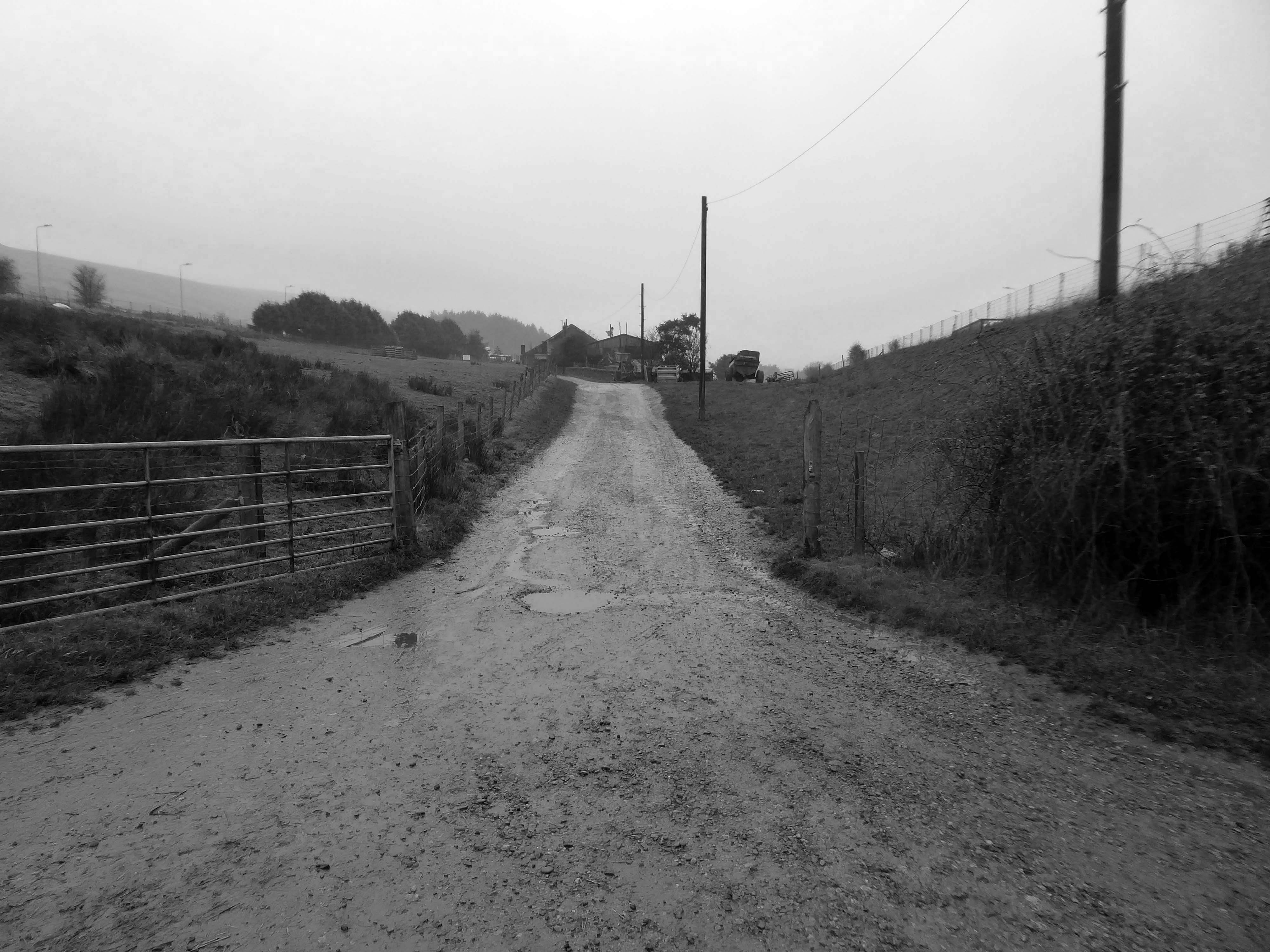
We took the pathway to Booth Wood Reservoir – over Pike End and beyond.
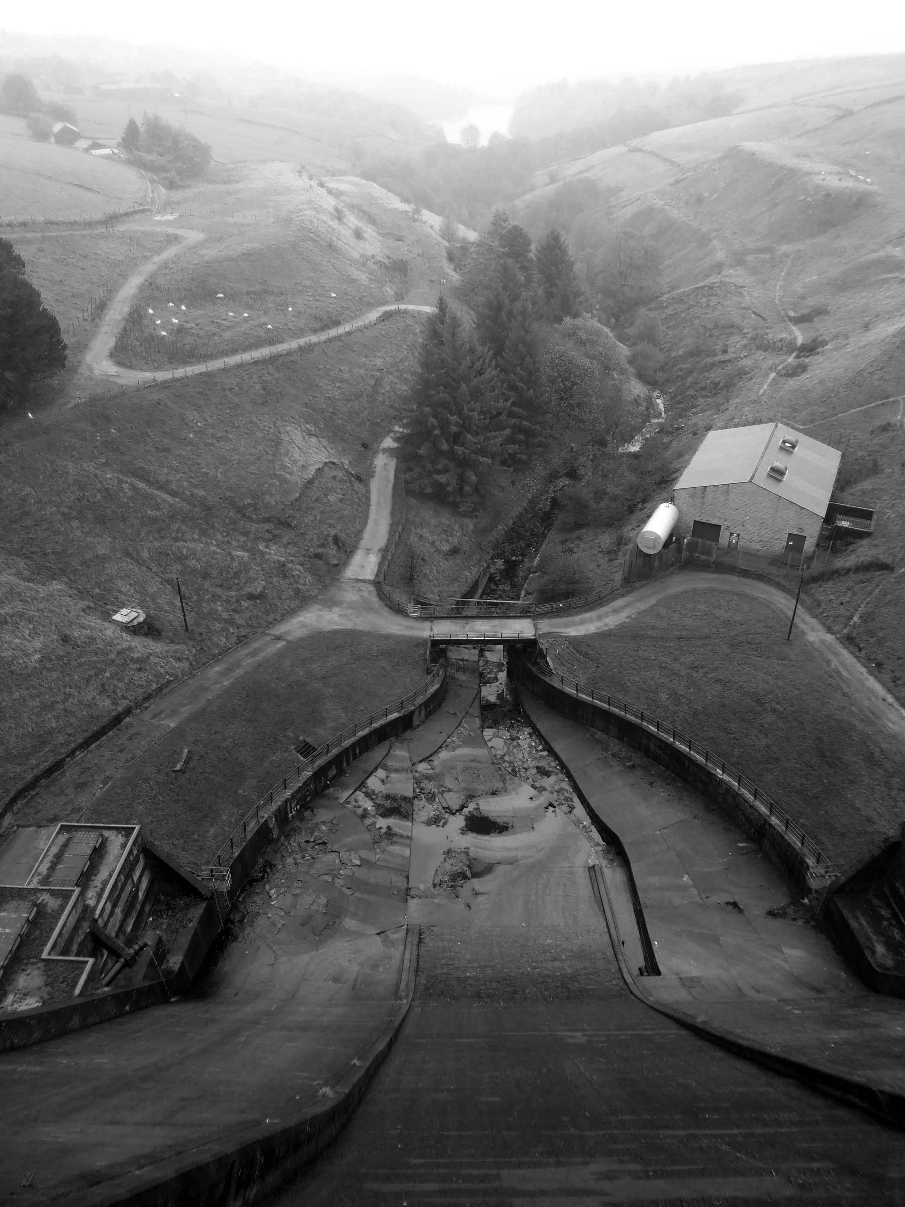
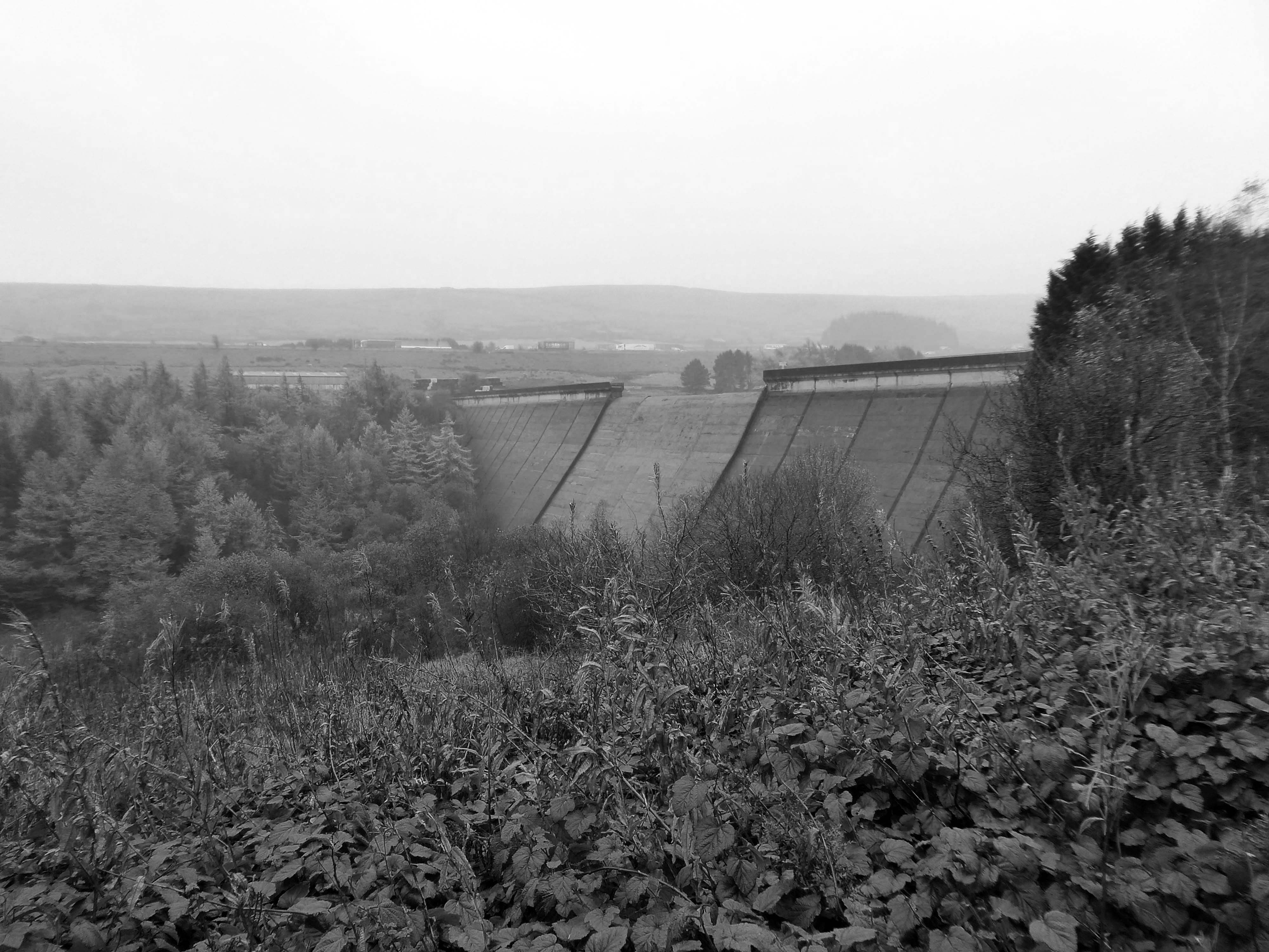
We dropped down beneath the Booth WoodDam.
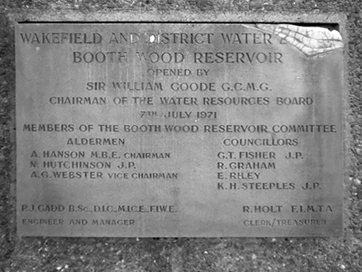
Booth Wood Reservoir is a man-made upland reservoir that lies north of the M62 motorway and south of the A672 road near to Rishworth and Ripponden in Calderdale, West Yorkshire. The reservoir was approved for construction in 1966 and completed in 1971.
It supplies water to Wakefield.
The reservoir dams the Booth Dean Clough watercourse and takes water directly from the surrounding moorland. It has a plain concrete crest on the dam head which is straight and extends to a length of 1,150 feet and a height of 157 feet.
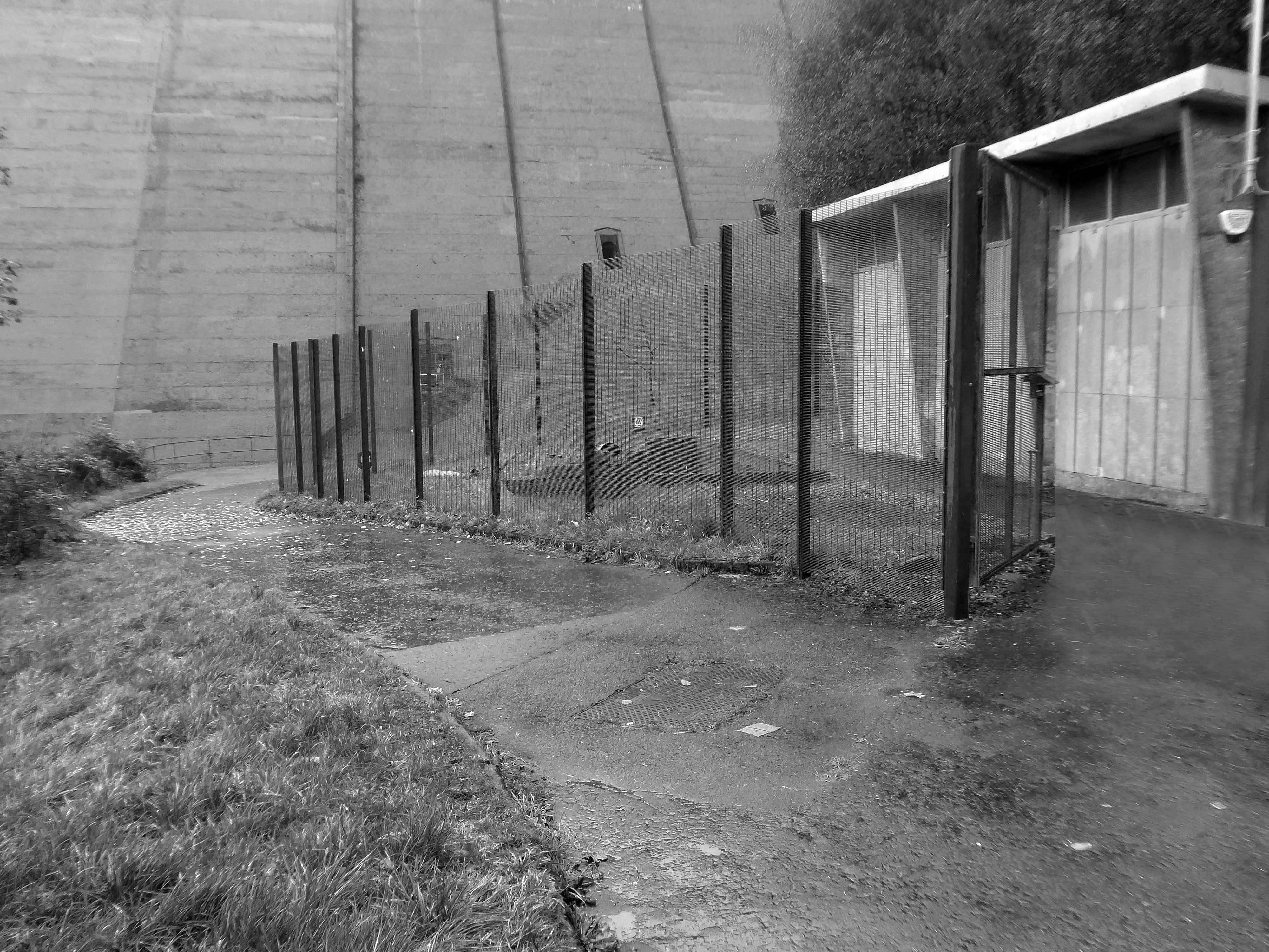
Below is a dinky pumping station, tucked beneath the dam.
We took a precipitous path through the wood – up to the level of the reservoir.
Under the the M62 and past the infamous Stott Hall Farm.
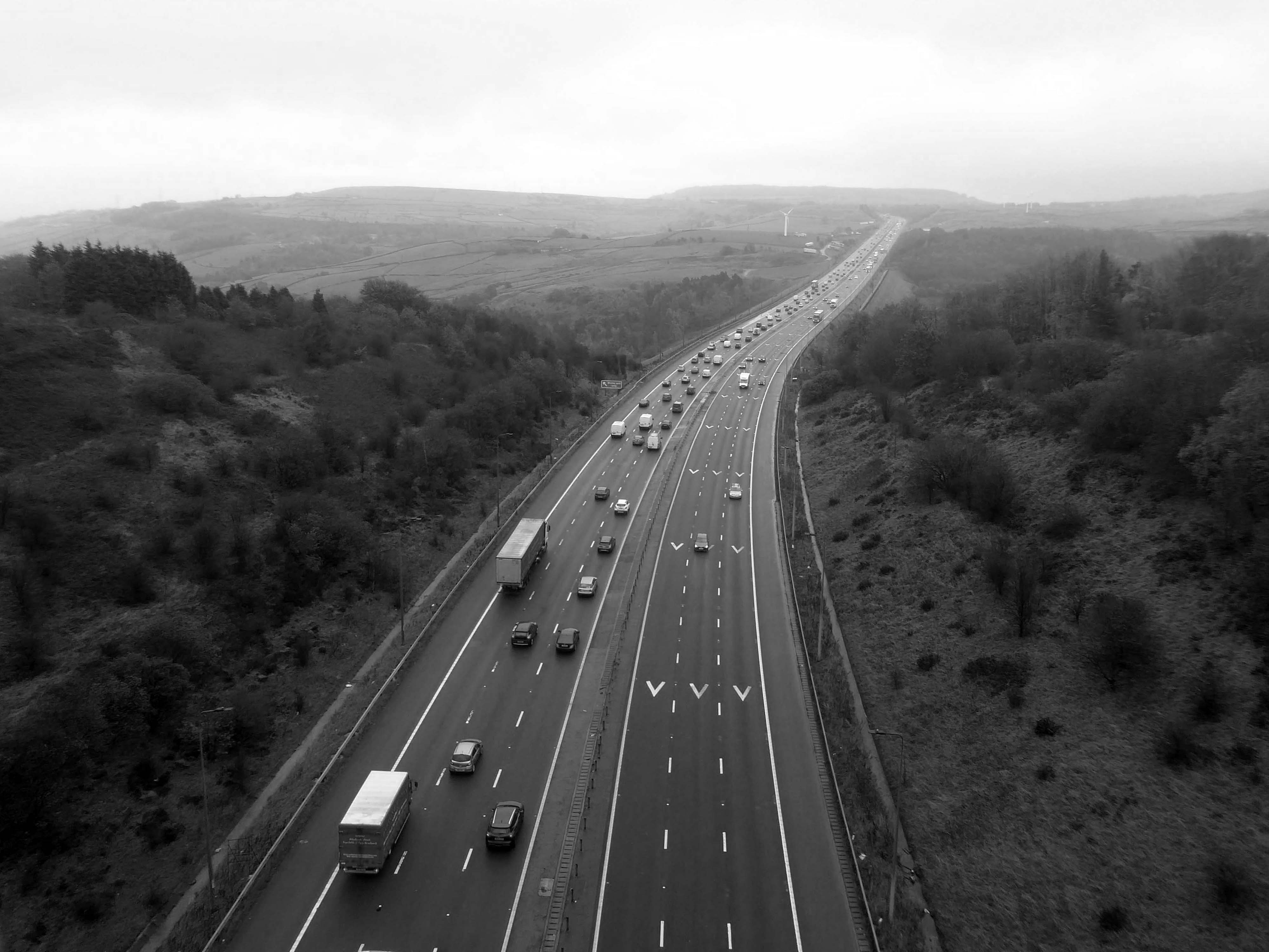
Stott Hall Farm is a farm located between the eastbound and westbound carriageways of the M62 motorway in Calderdale. It is the only farm in the UK situated in the middle of a motorway and was built in the 18th century on Moss Moor. It lies south of Booth Wood Reservoir where the carriageways are separated between junctions 22 and 23. The road divides for much of its length between the Windy Hill and Deanhead cuttings because of the surrounding geography; but a myth persists that it was split because Ken and Beth Wild refused to sell. However, the farm was actually owned by Yorkshire Water at the time the M62 was built.
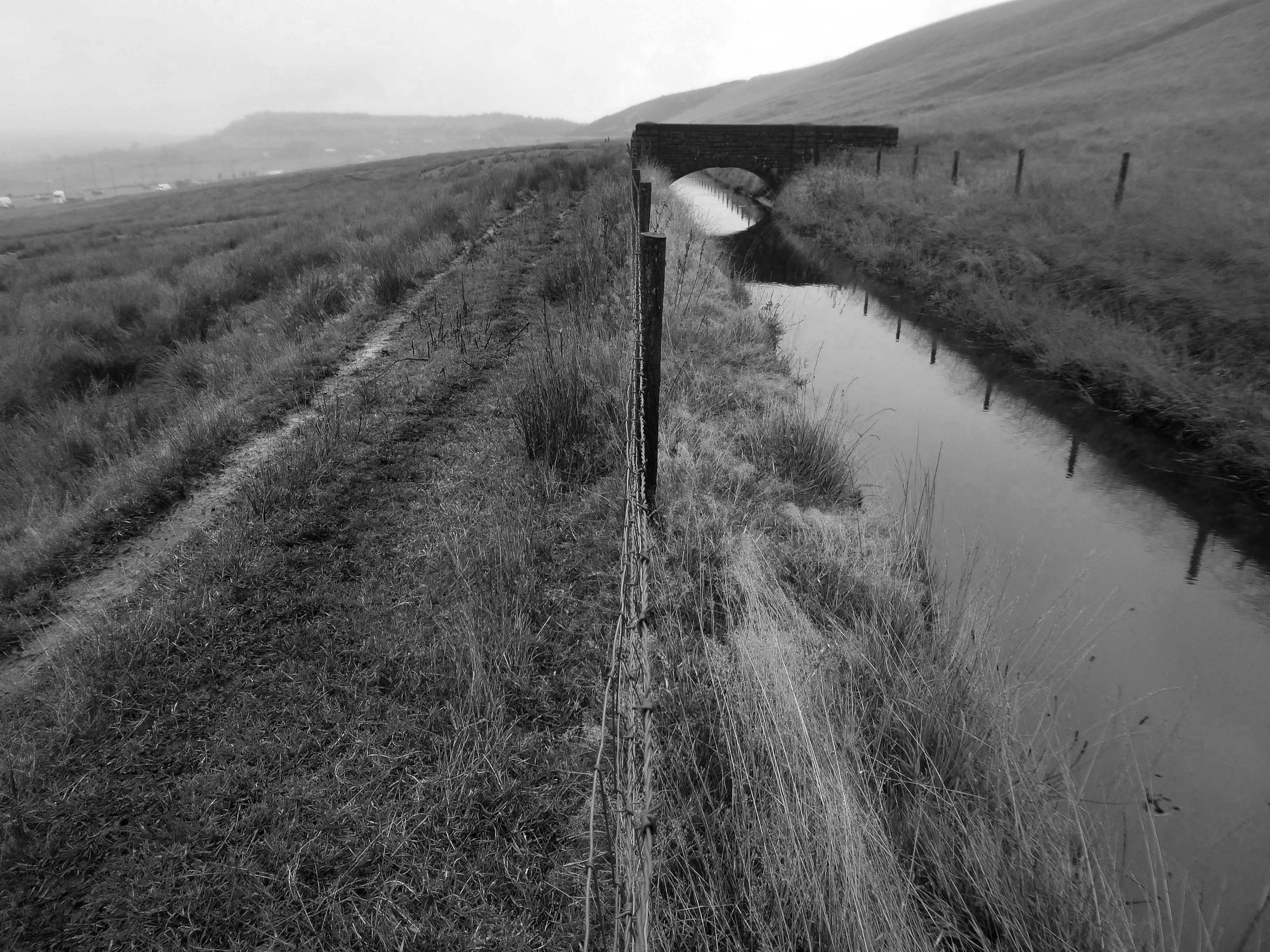
We walked over the upland moors to meet with the Catchwater, which formerly fed the Ringstone Edge Reservoir, prior to the construction of the motorway cutting.
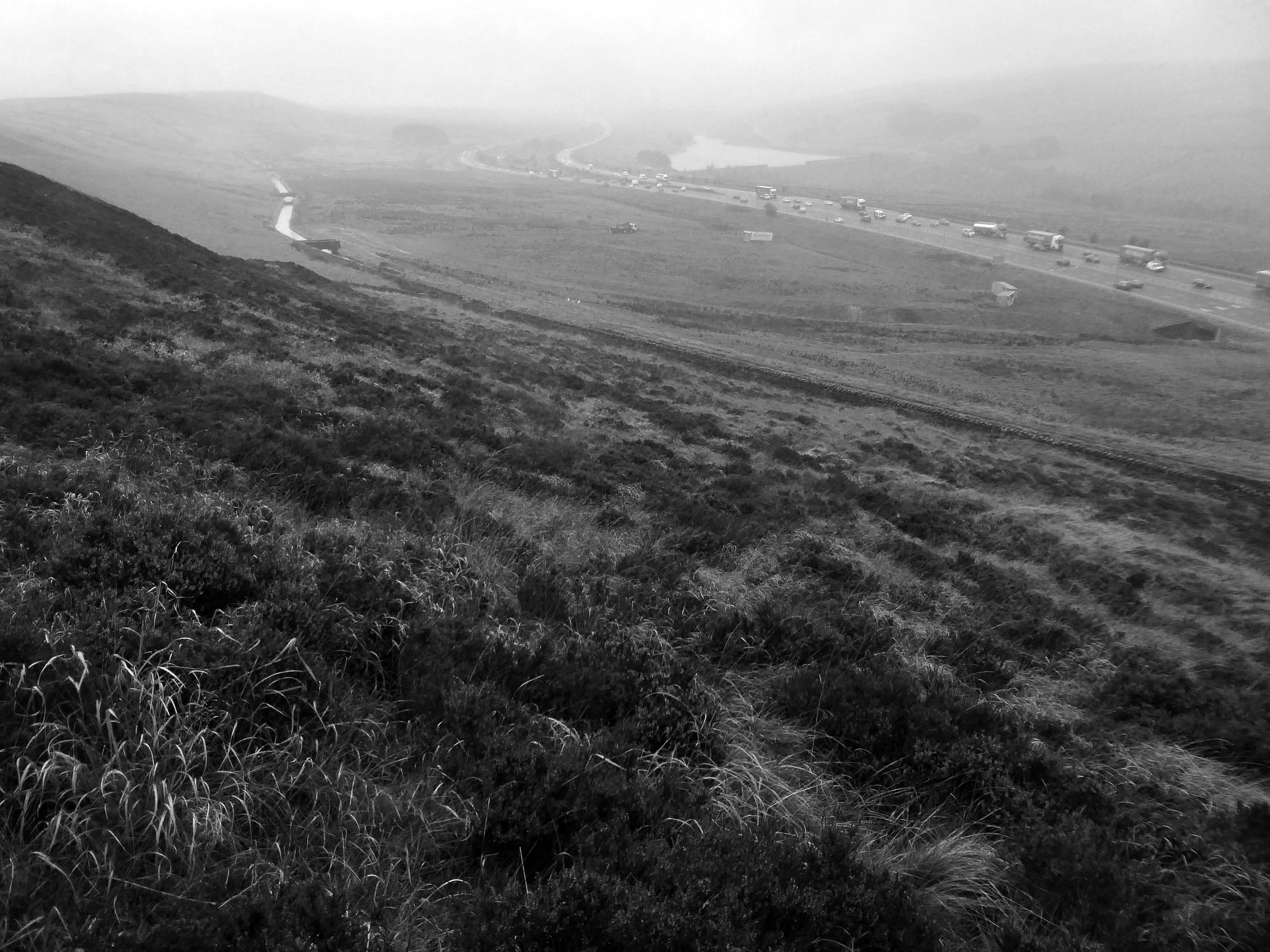
Climbing again over Cow Gate Hill to meet the Saddleworth Road.
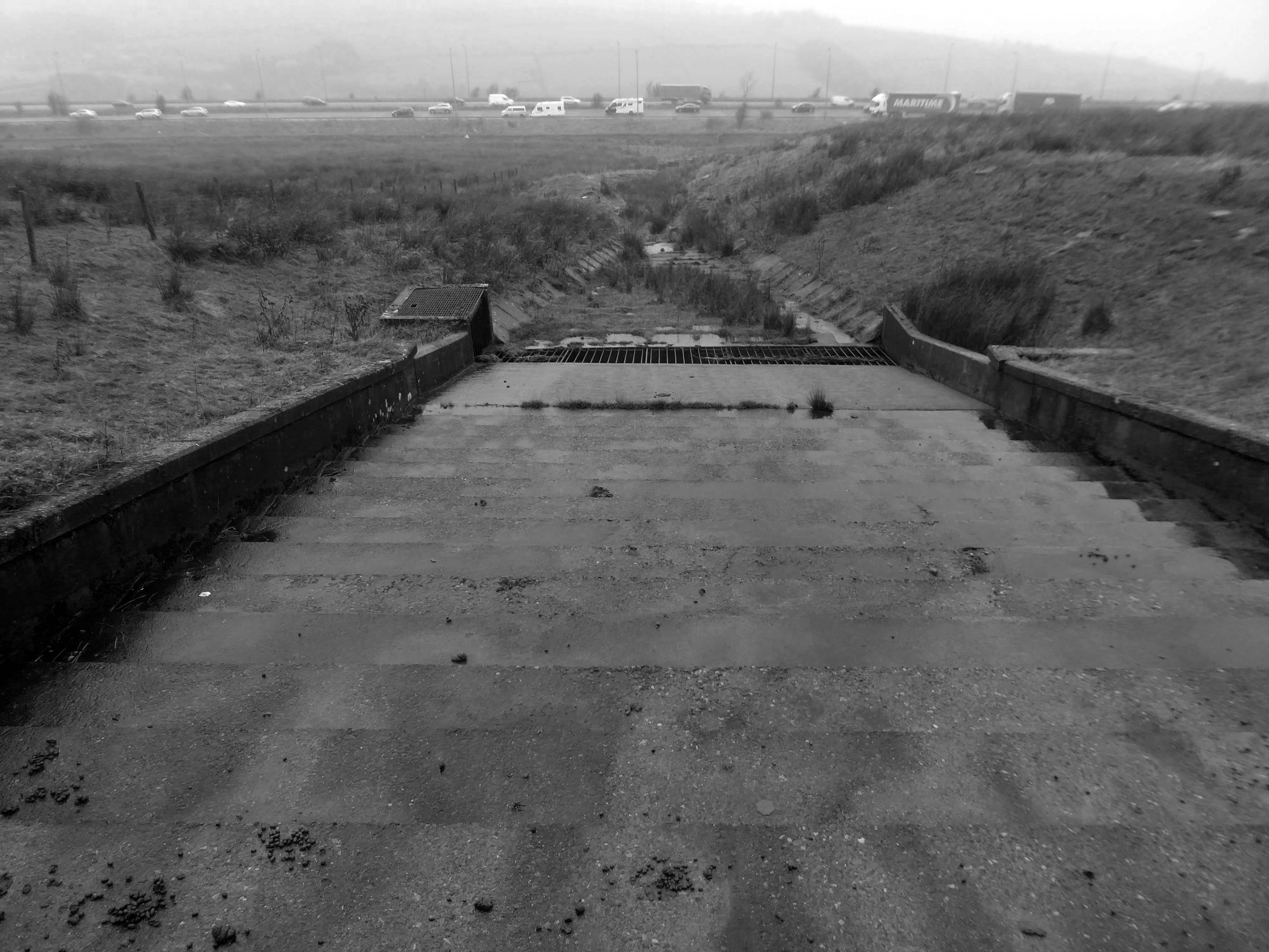
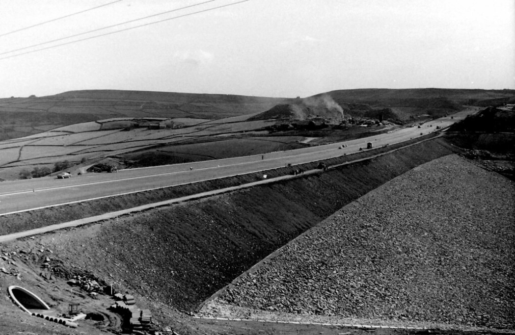
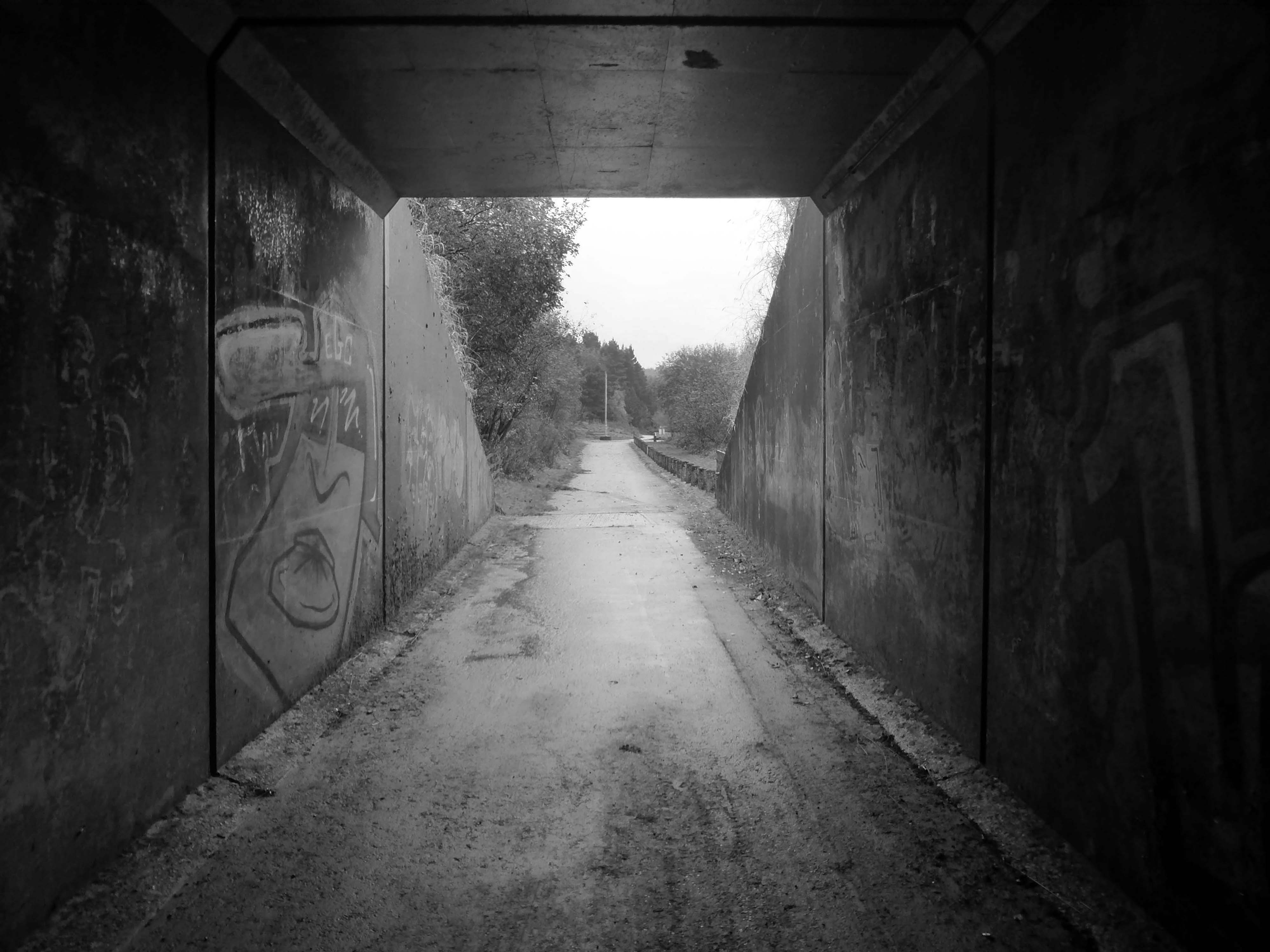
Crossing the motorway and dropping down to meet the Scammonden Dam.
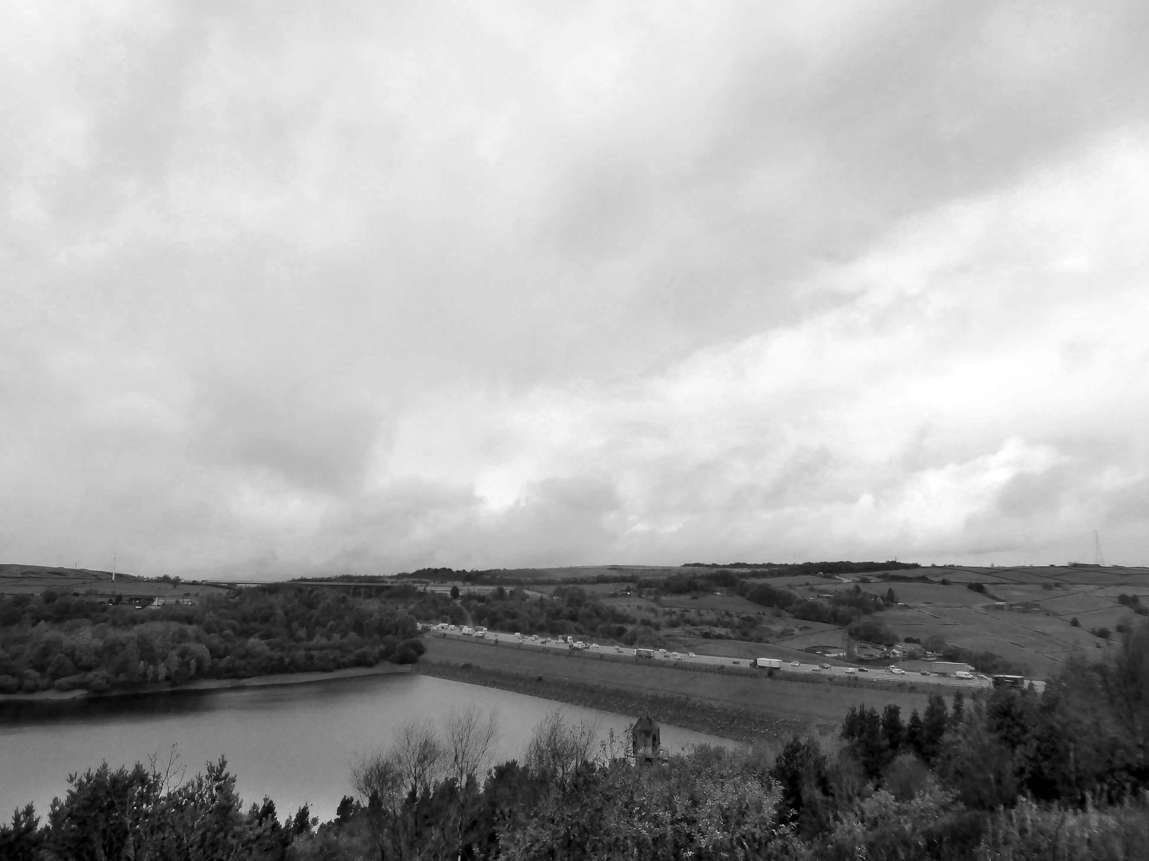
Scammonden Dam is part of the M62 motorway between junctions 22 and 23, the only such structure in Britain. Its construction by the Ministry of Transport and Huddersfield Corporation Waterworks required the passing of the Huddersfield Corporation Act 1965. The motorway dam spans the Deanhead Valley in the Pennines between Huddersfield and Rochdale and the main contractor for the project was Sir Alfred McAlpine & Sons.
It was designed by Rofe, Kennard and Lapworth
Surveying began in November 1961 and the route of the carriageway was determined in mid 1963. Excavation in the Deanhead Valley commenced the following year and for the dam in 1966. This required the removal of 25,200,000 cu ft of peat bog to reach the solid rock base nearly 43 ft below ground level. Material excavated elsewhere on the line of the motorway, clay from cuttings between Lofthouse and Gildersome, and 3.4 million cubic metres from the Deanhead excavations was used to build the dam’s embankment which is 2,051 ft in length and 207 ft above the original valley floor. The embankment is 1,427 ft wide at its base and 180 ft at road level.
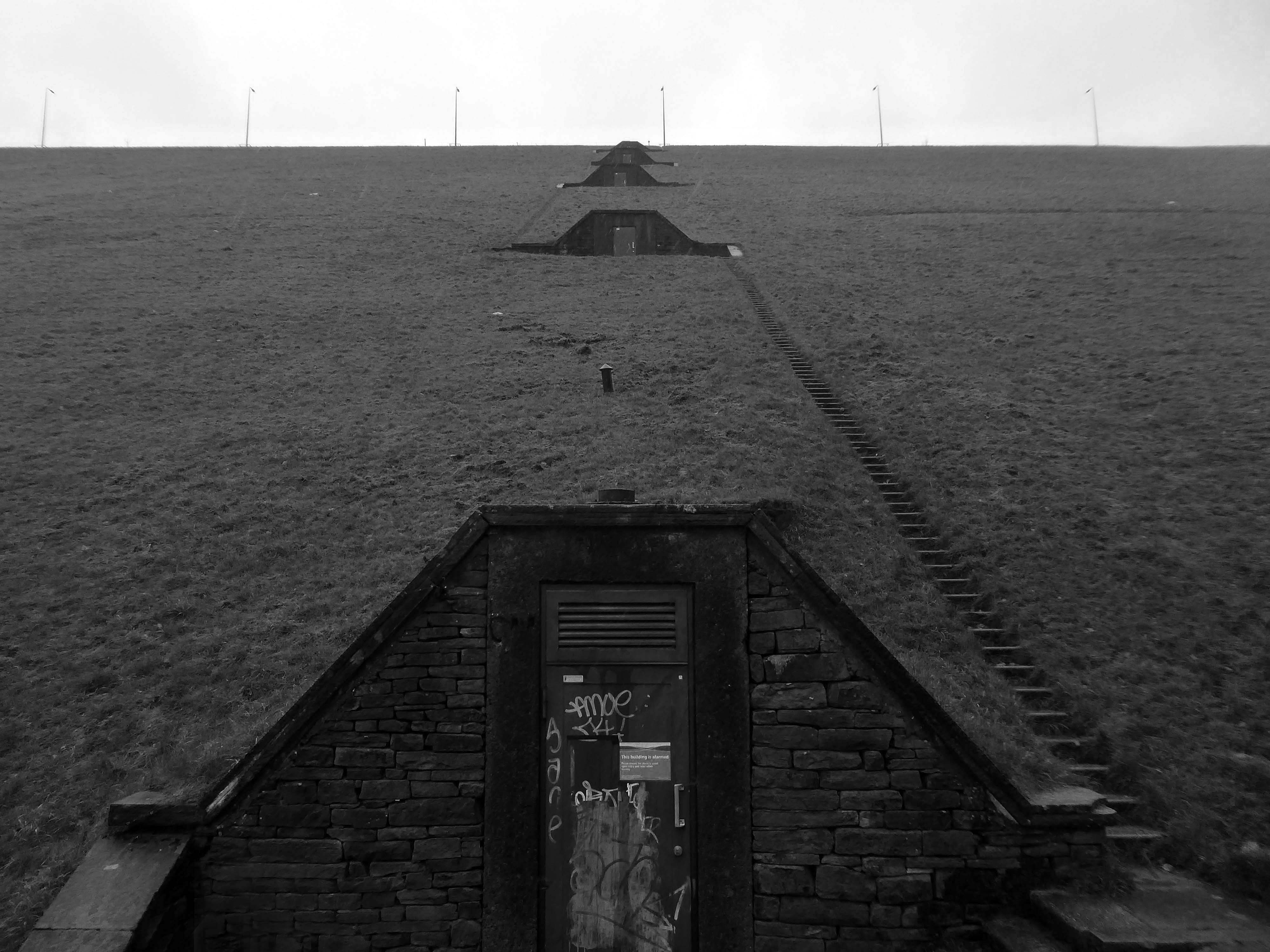
Scammonden steps comprises five flights of steps up the hillside from the valley below. Totaling 458 steps, the cumulative step count when ascending each of the five flights is 95, 200, 287, 363 then 458.
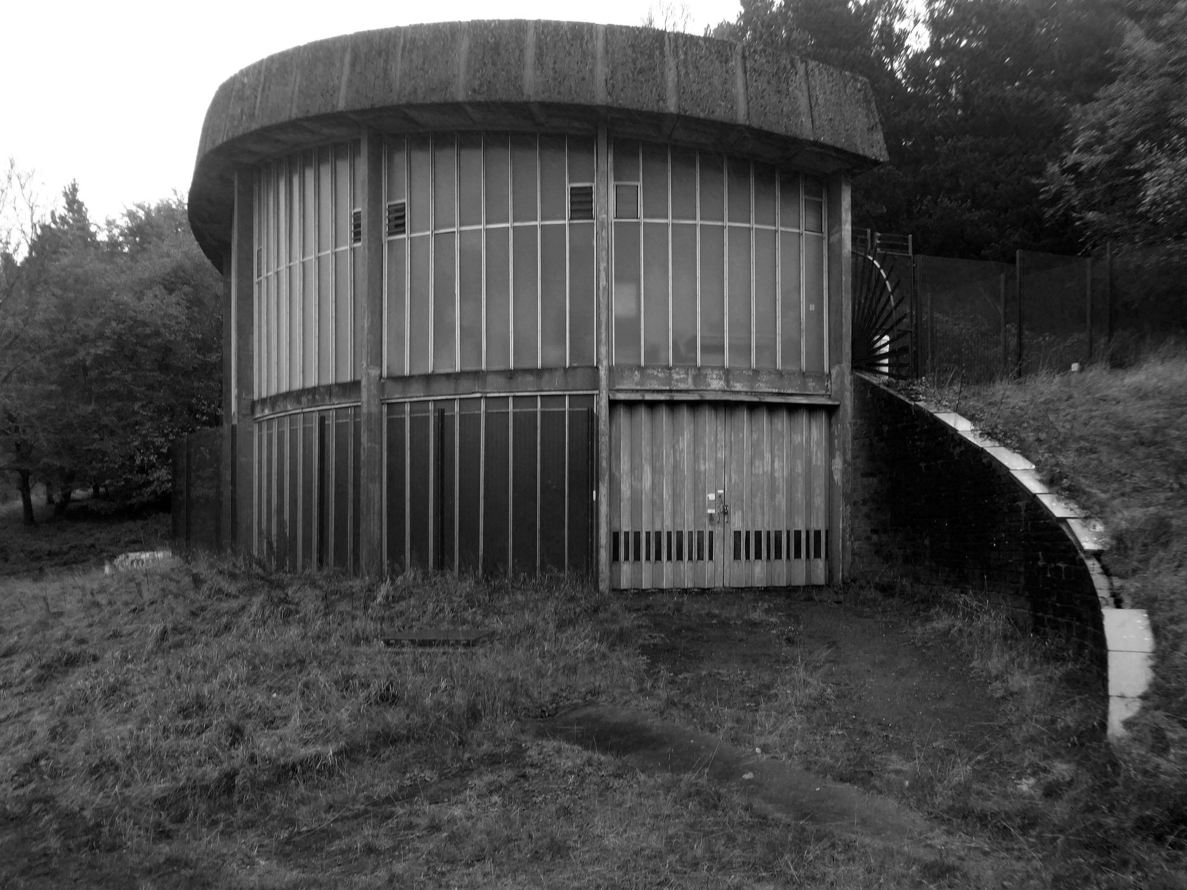
At the base of the dam is this delightful Pumping House.
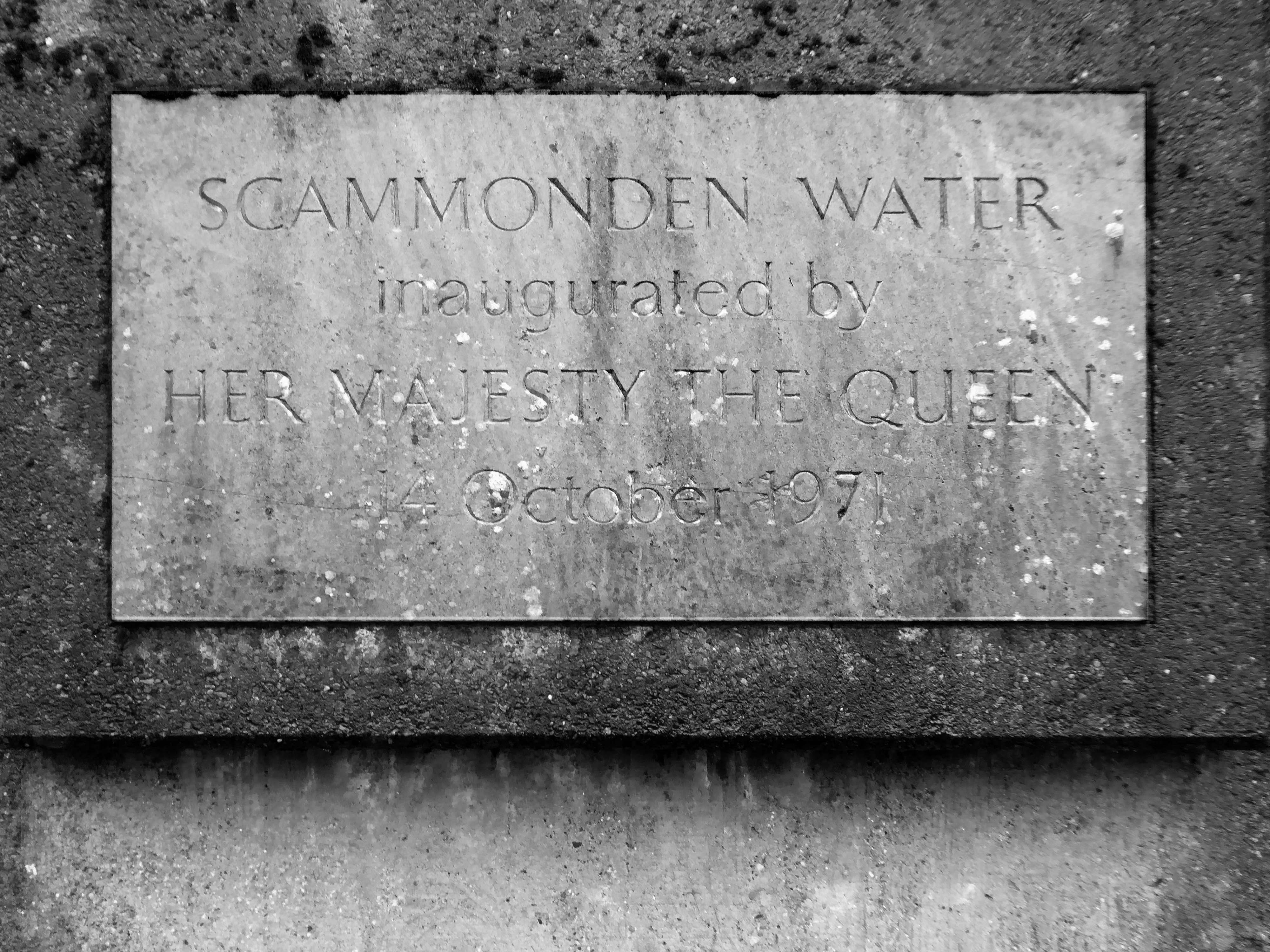
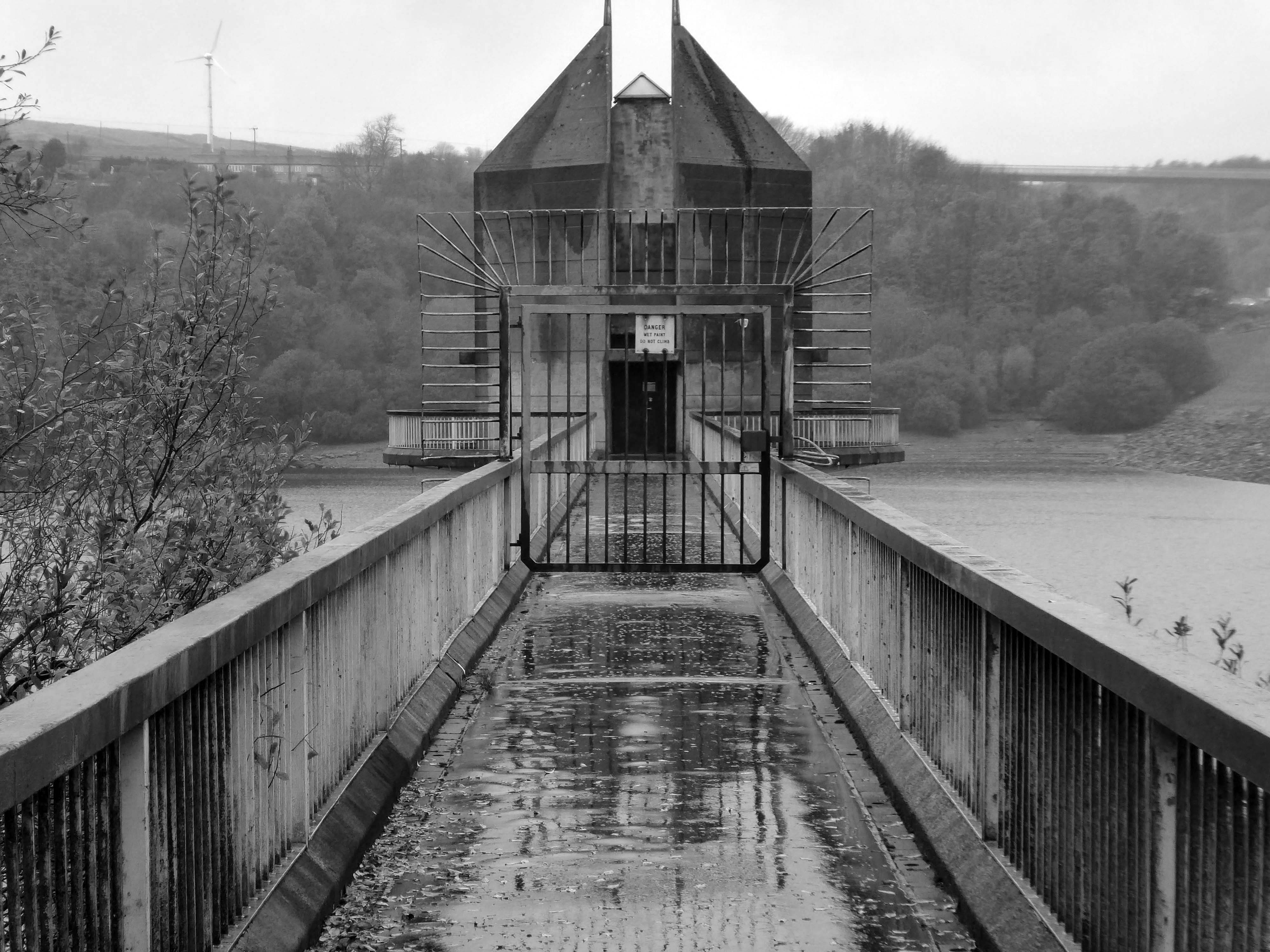
The motorway, which was dependent on the completion of the dam, was opened to traffic on 20th December 1970 and officially opened by Queen Elizabeth II who unveiled a plaque near the valve tower of Scammonden Water on 14 October 1971.
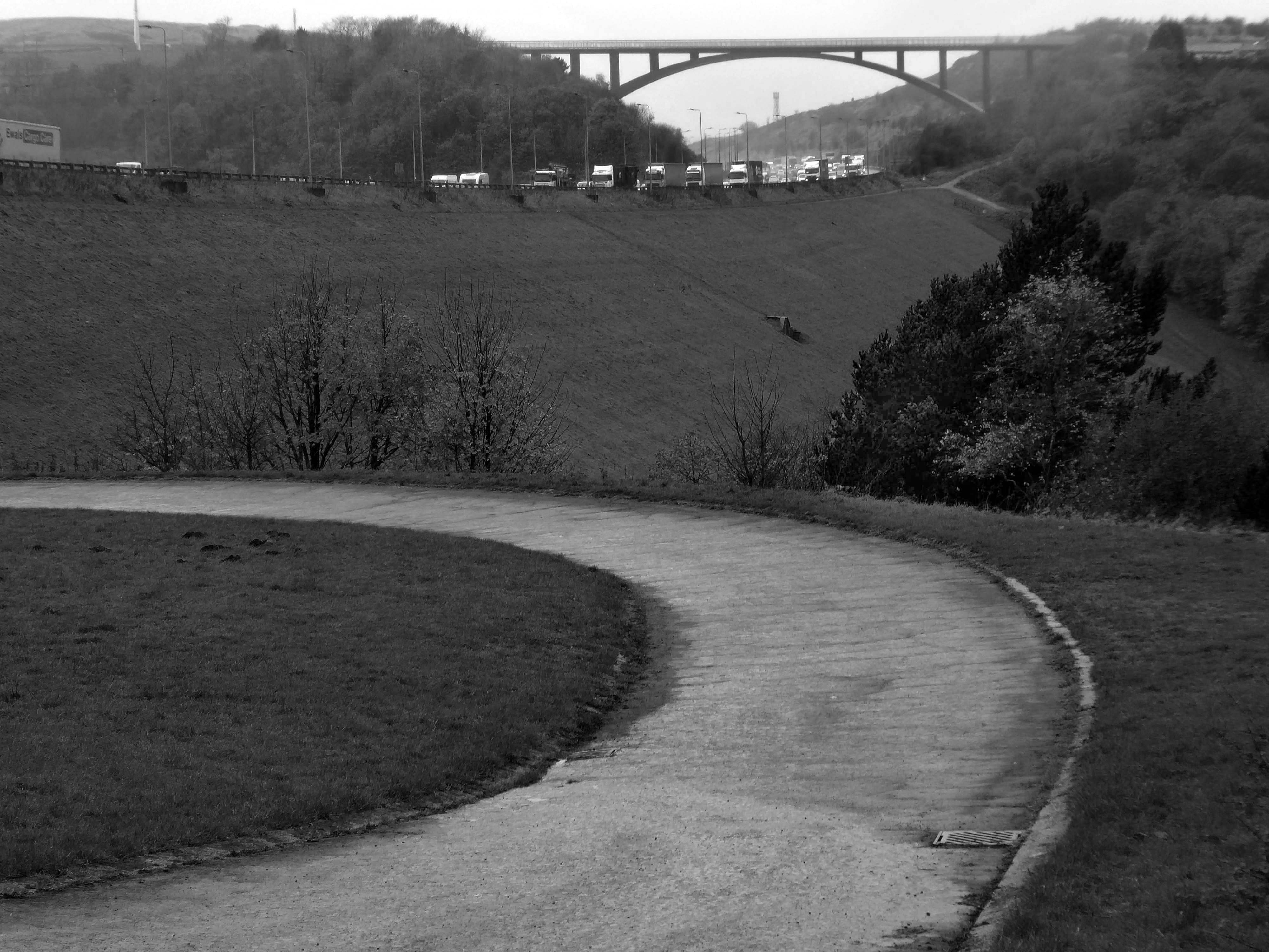
Ascending and looking back toward Scammonden Bridge also known locally as the Brown Cow Bridge – after the nearby Brown Cow Inn, now closed, spans the Deanhead cutting carrying the B6114.
The bridge was built for the West Riding County Council to the designs of the county surveyor, Colonel S Maynard Lovell.
It opened to traffic on Monday 18 May 1970 by Major Bruce Eccles – Huddersfield Transport ran buses to see the bridge.
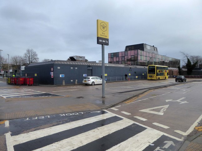
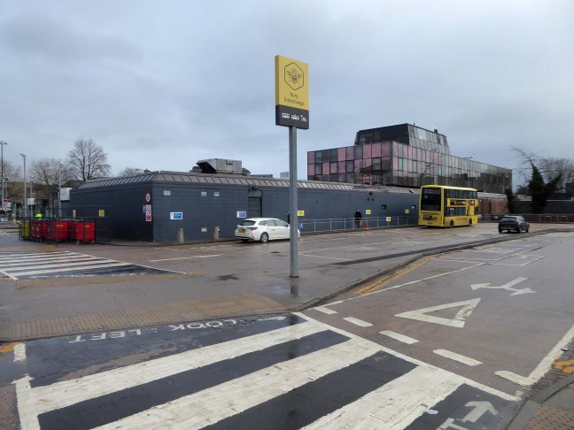
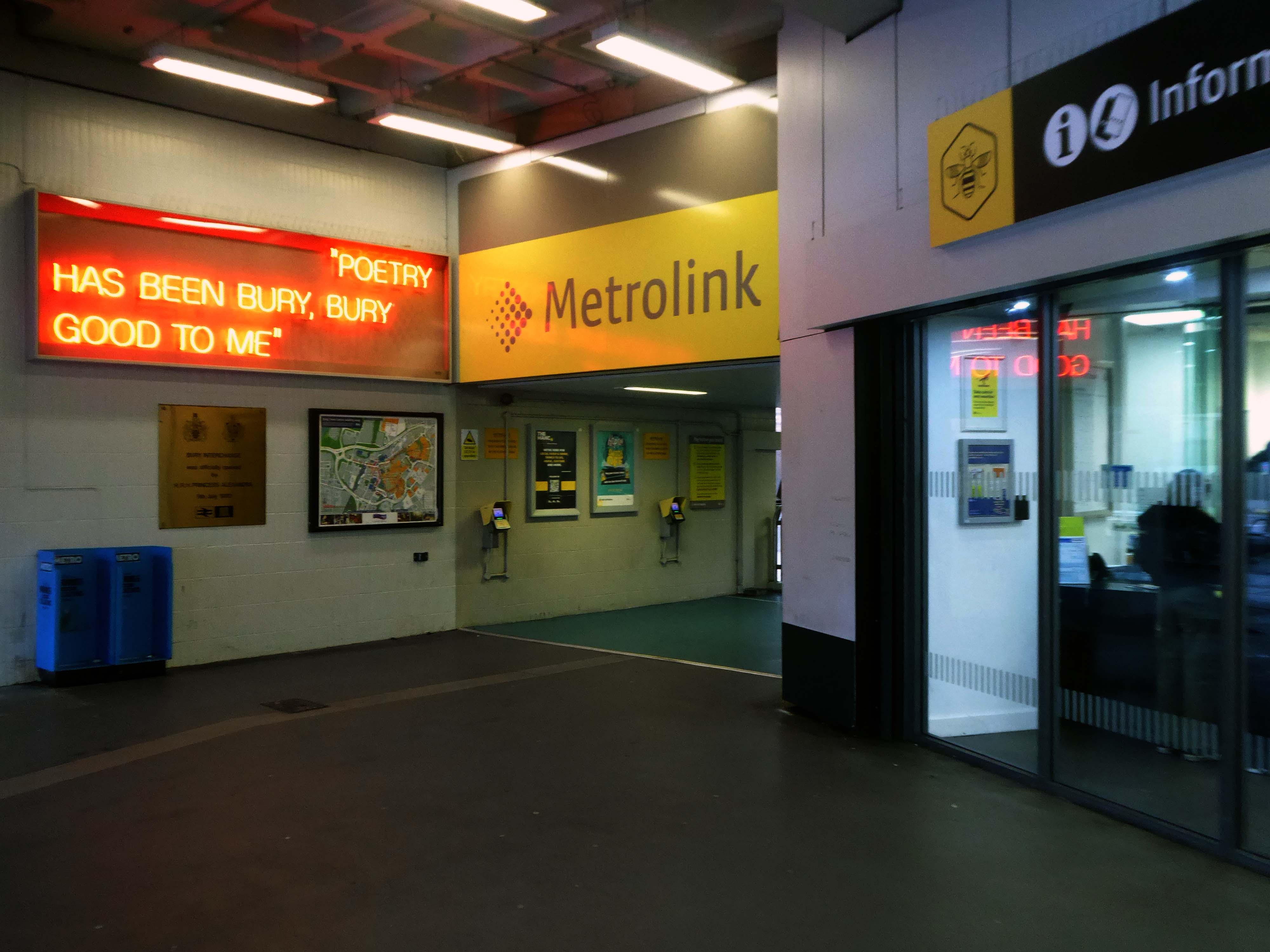
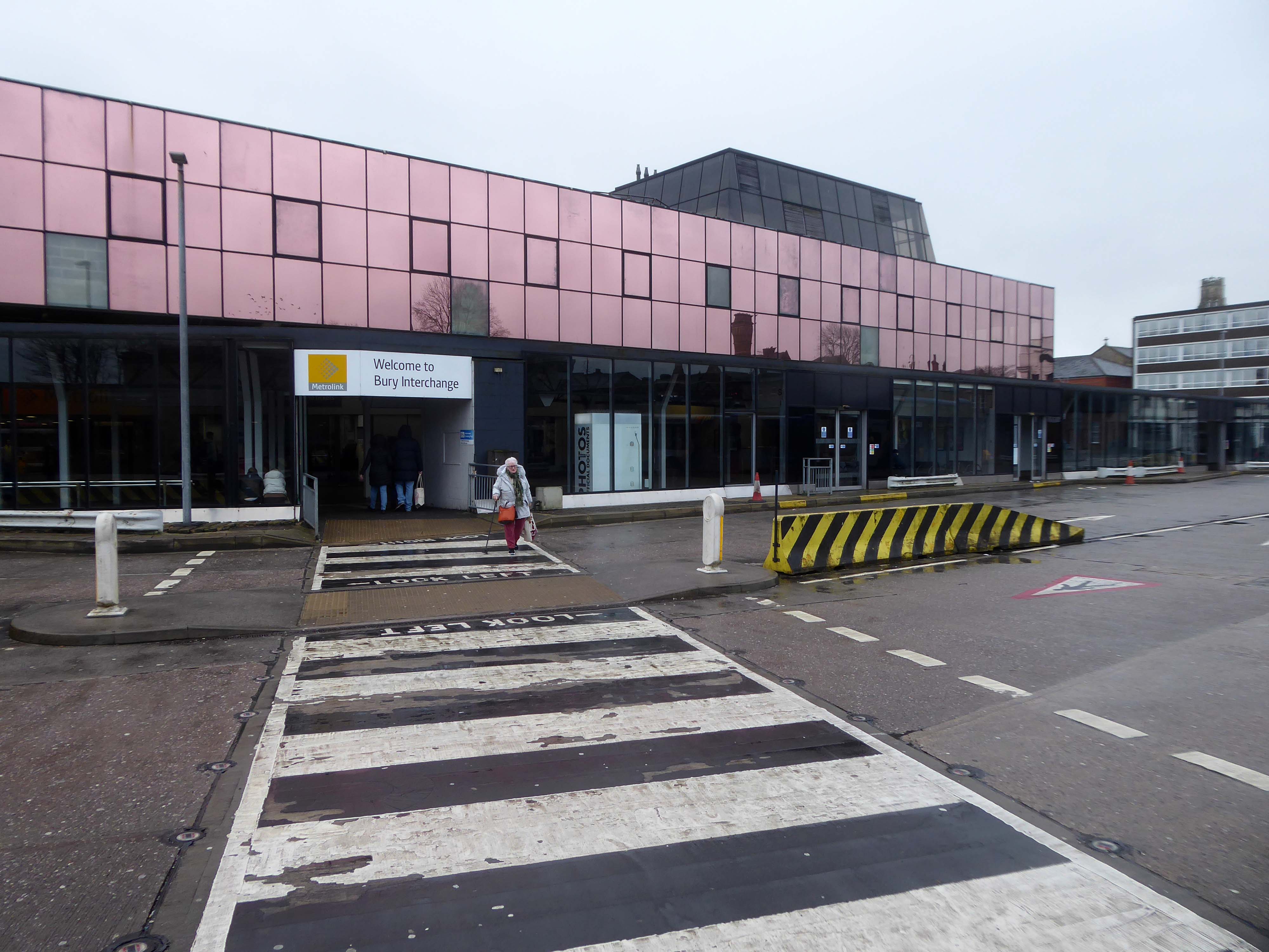
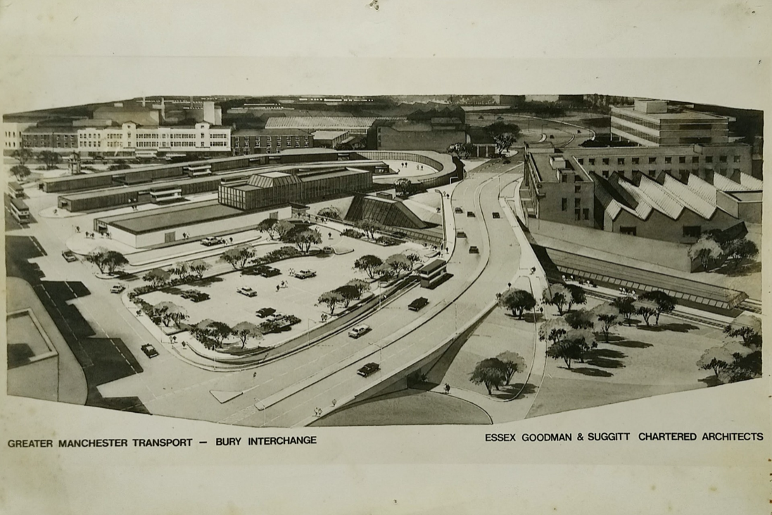
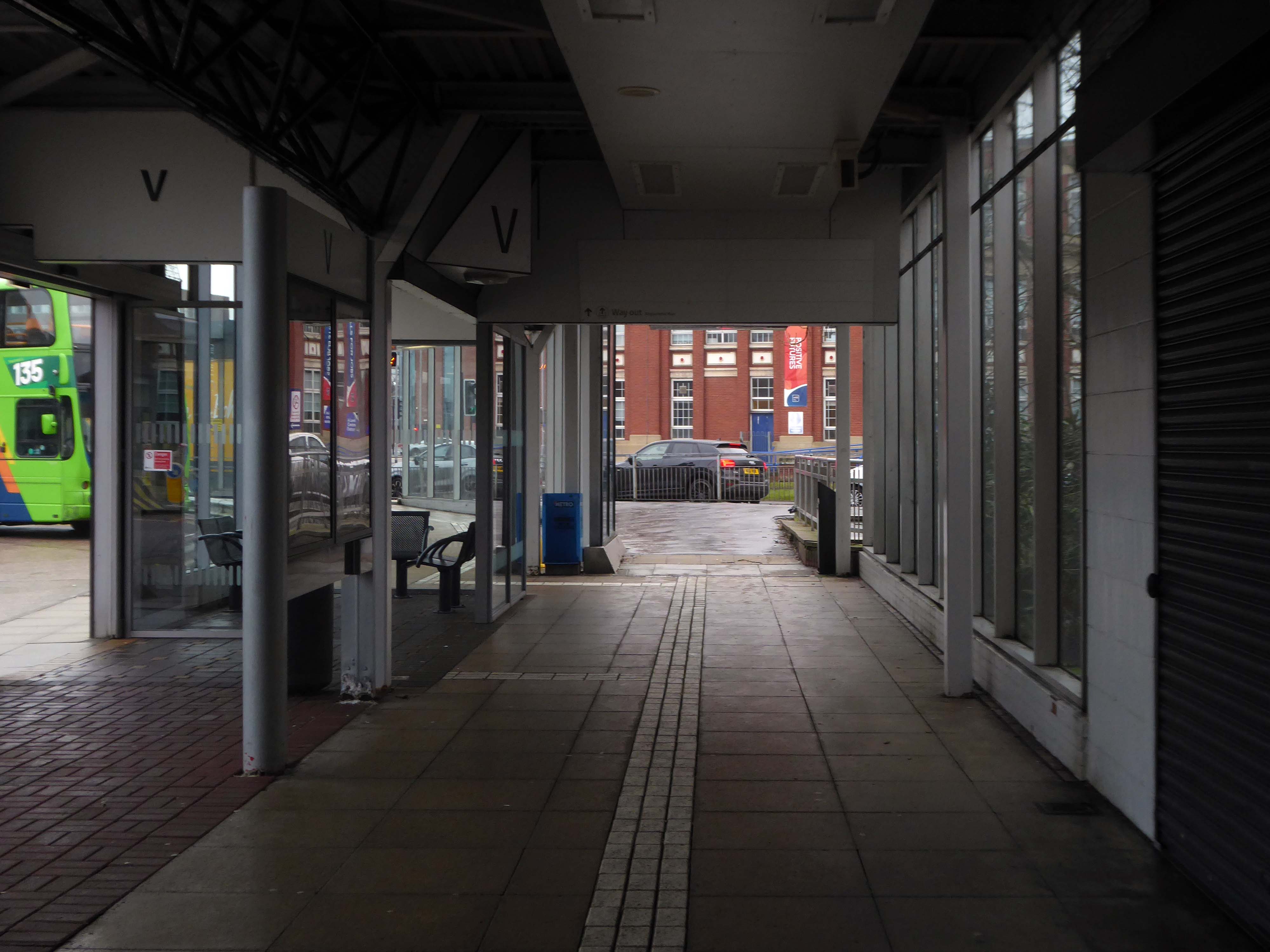
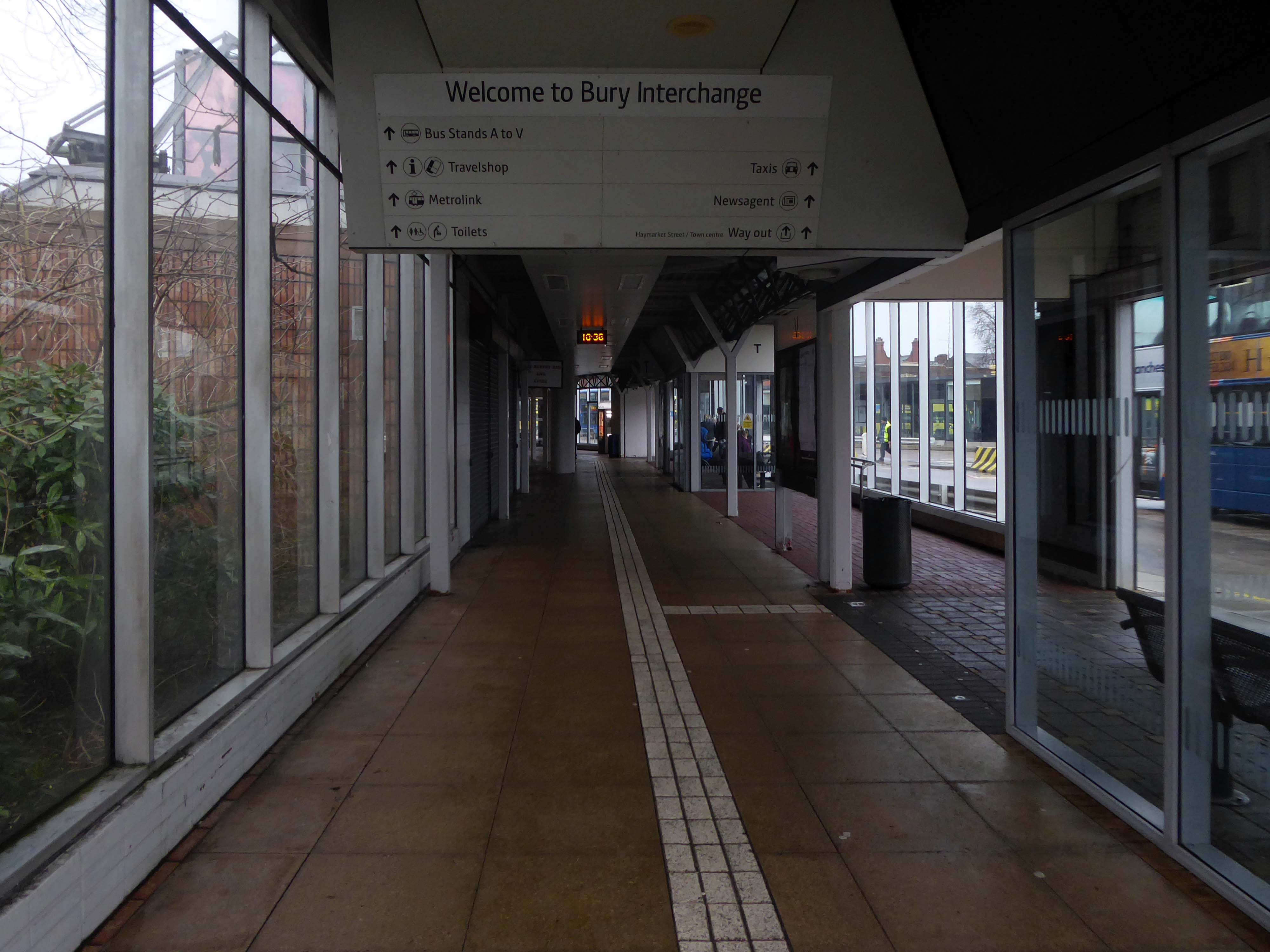
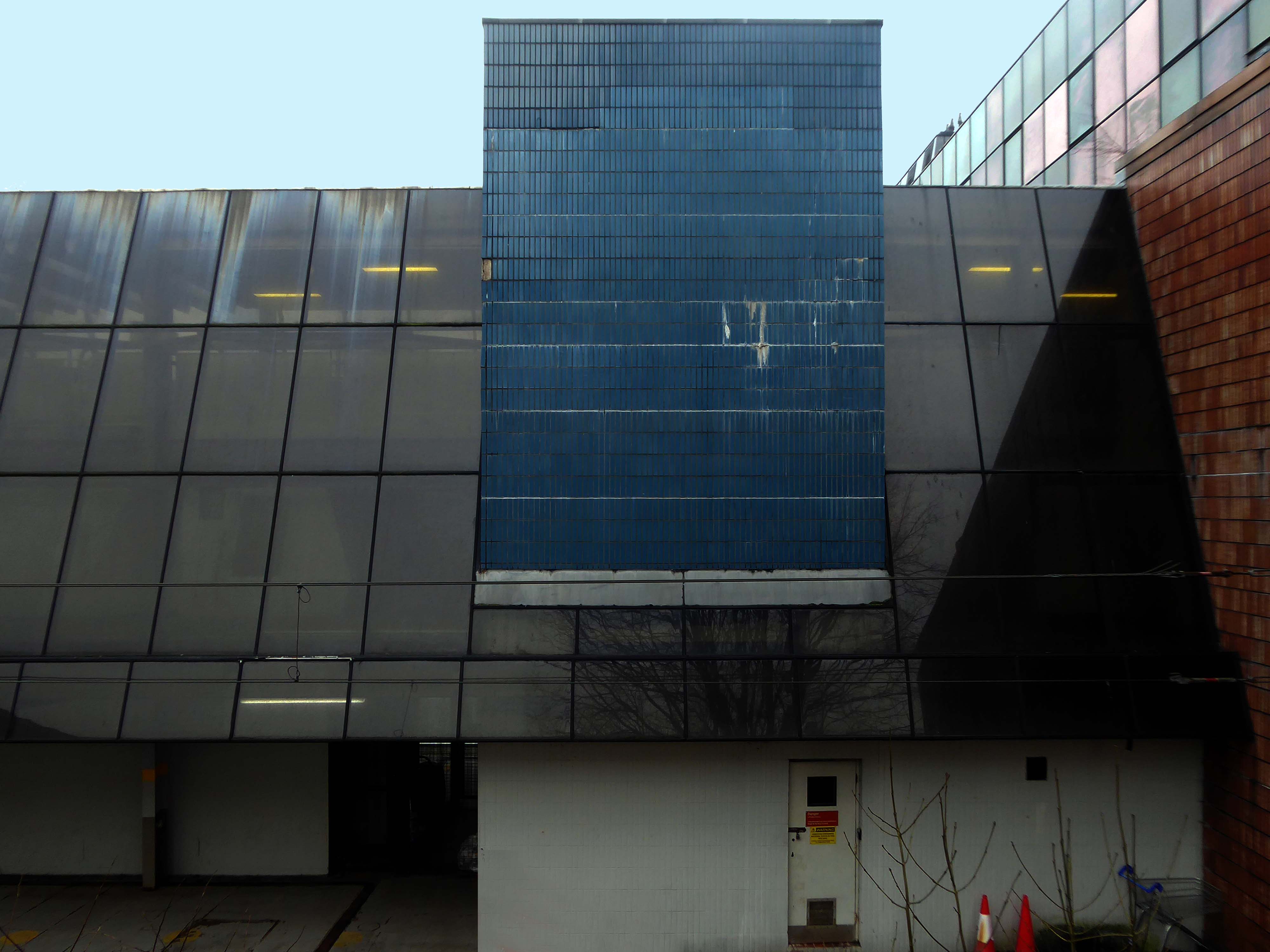
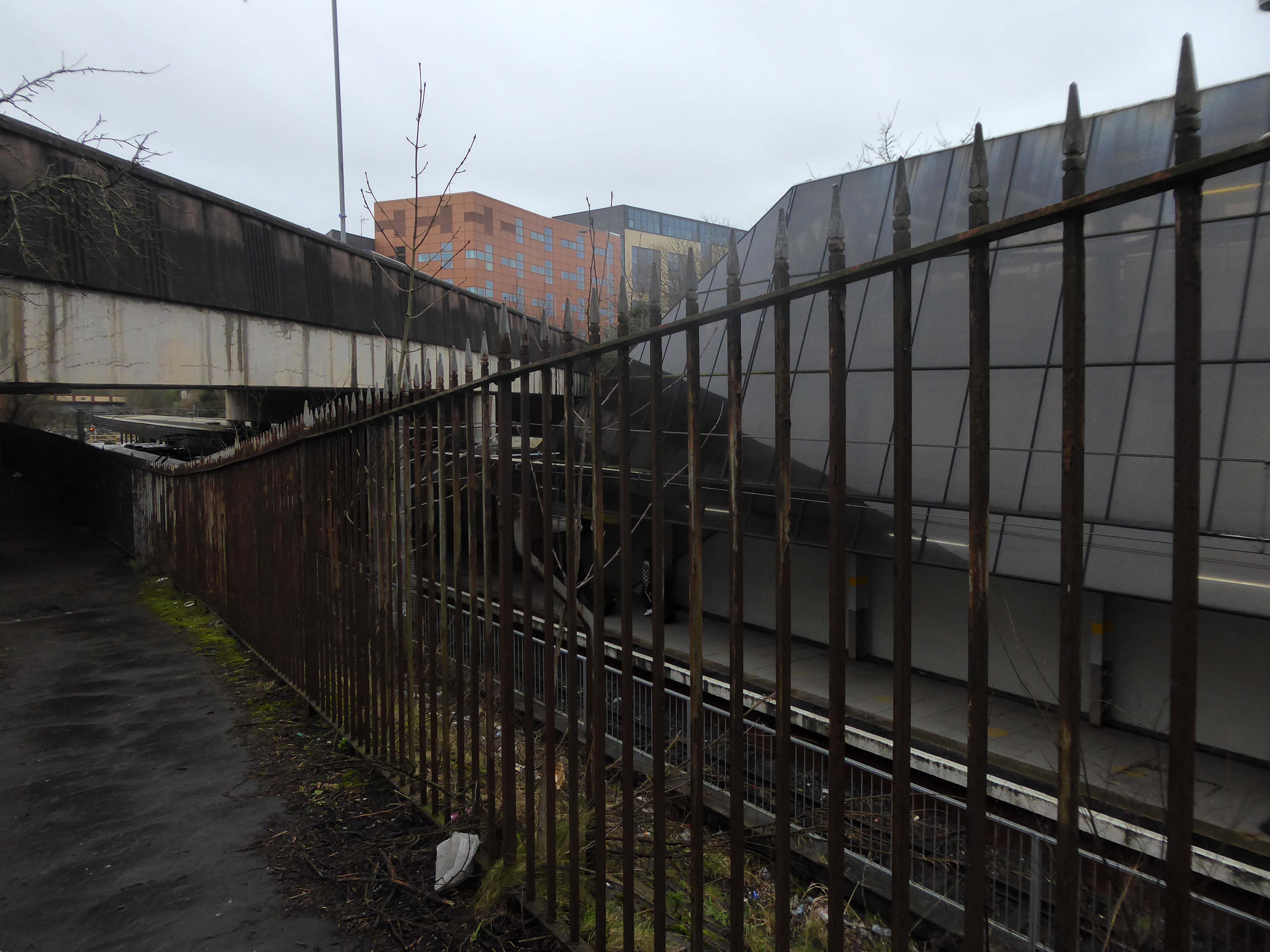
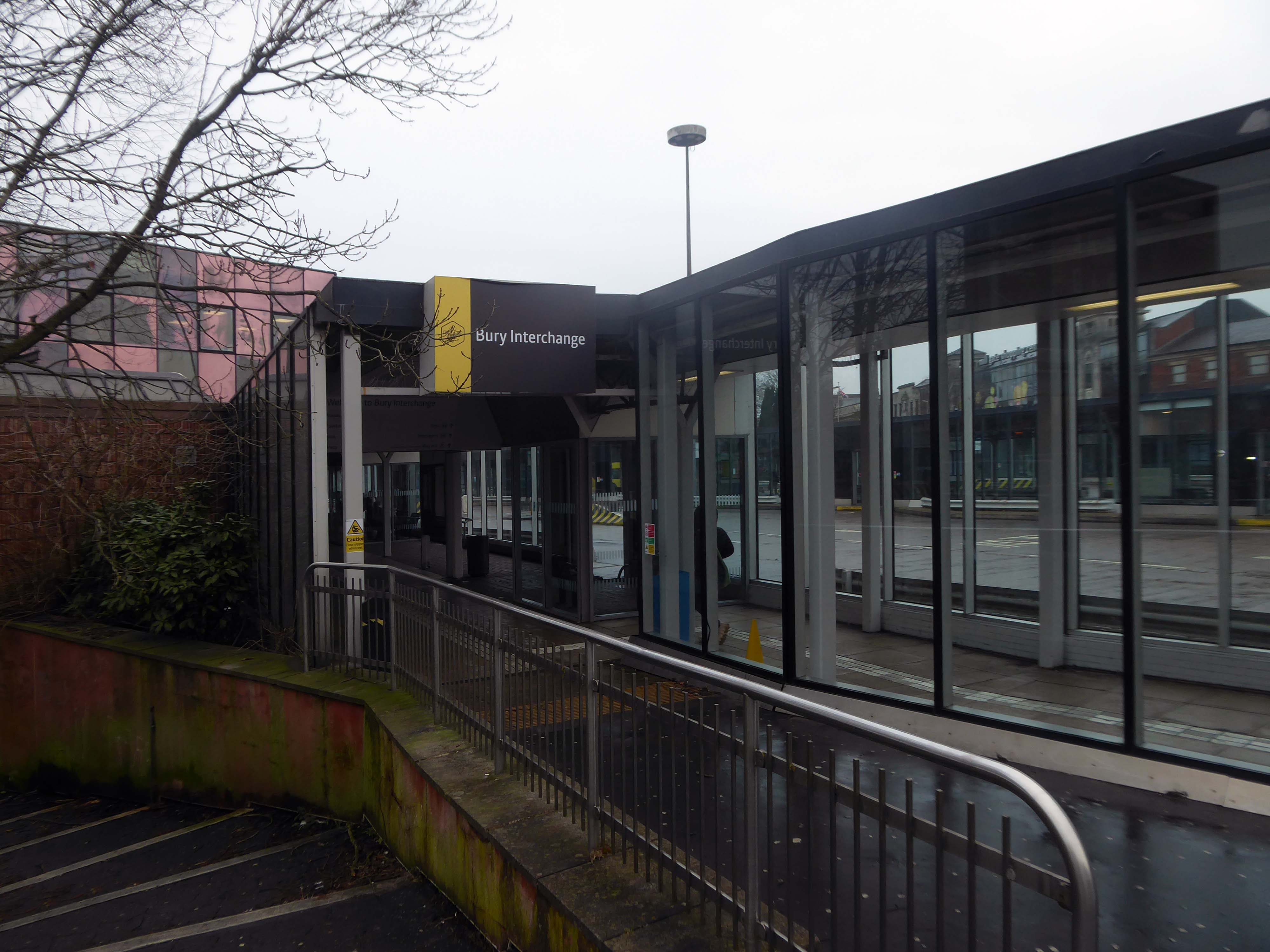
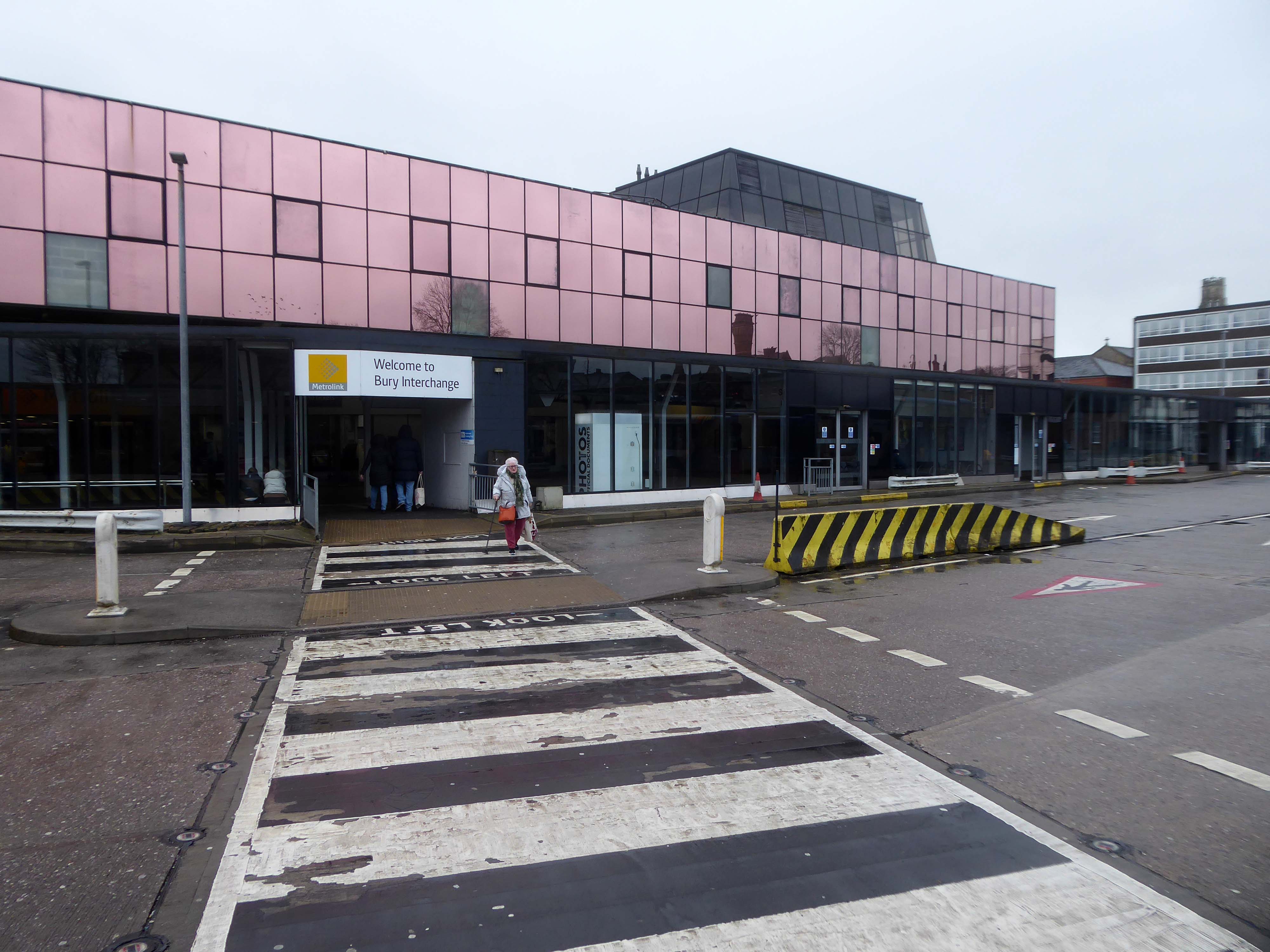
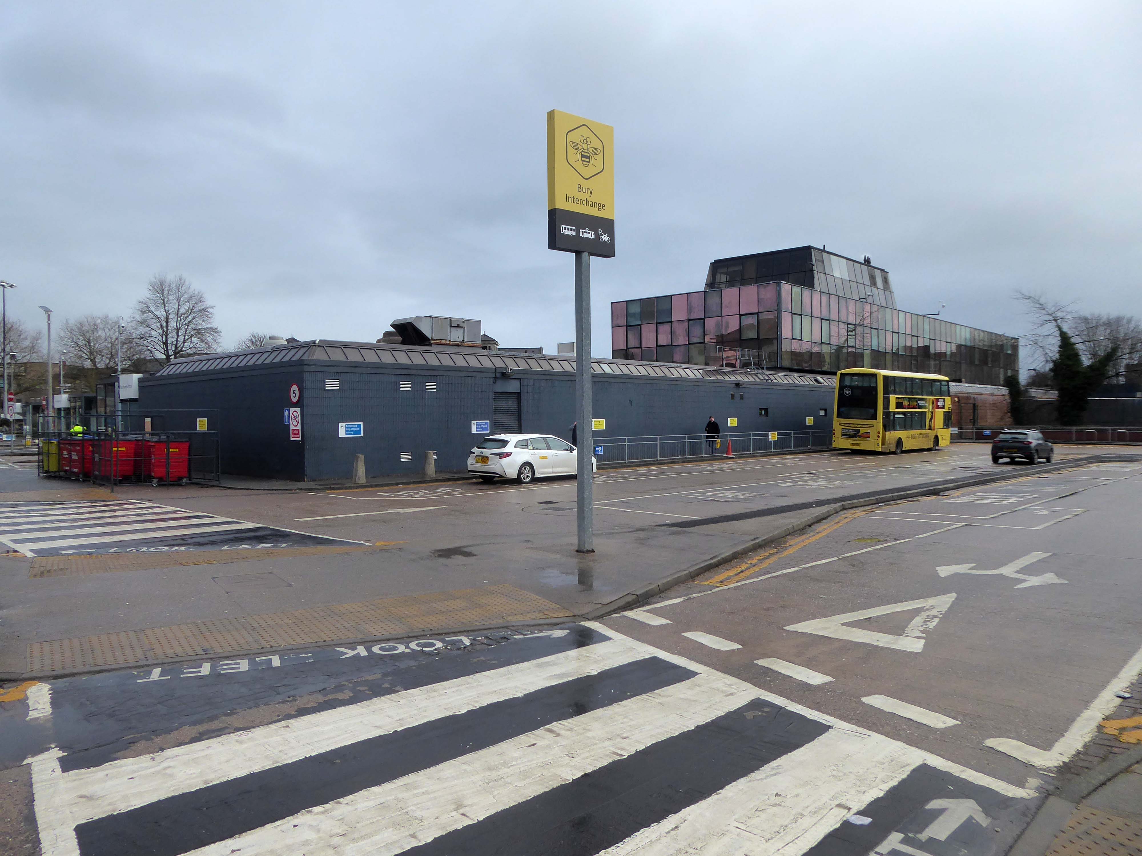
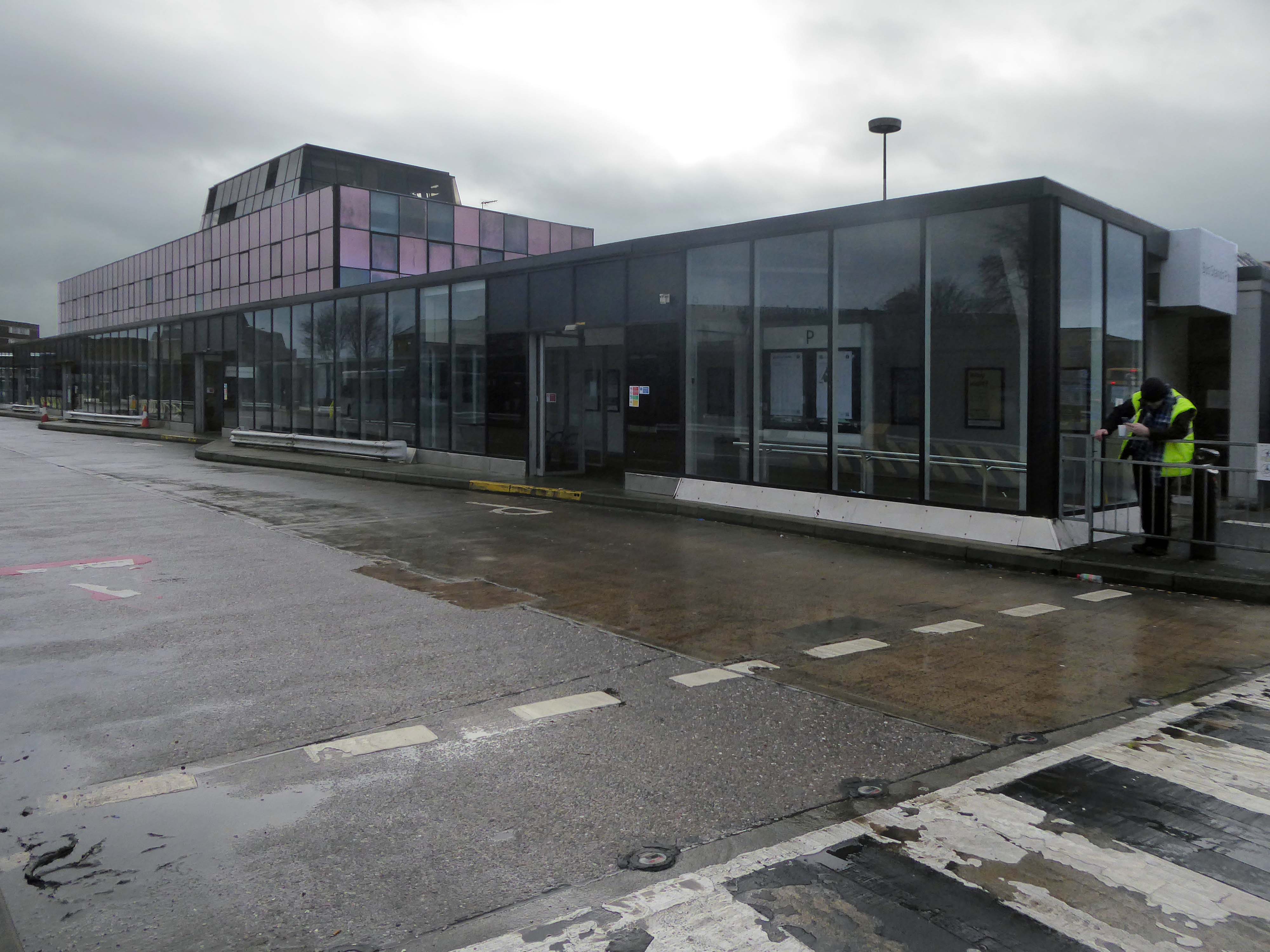
Arriving at and looking around the Interchange – 1980 architects: Essex Goodman & Suggitt
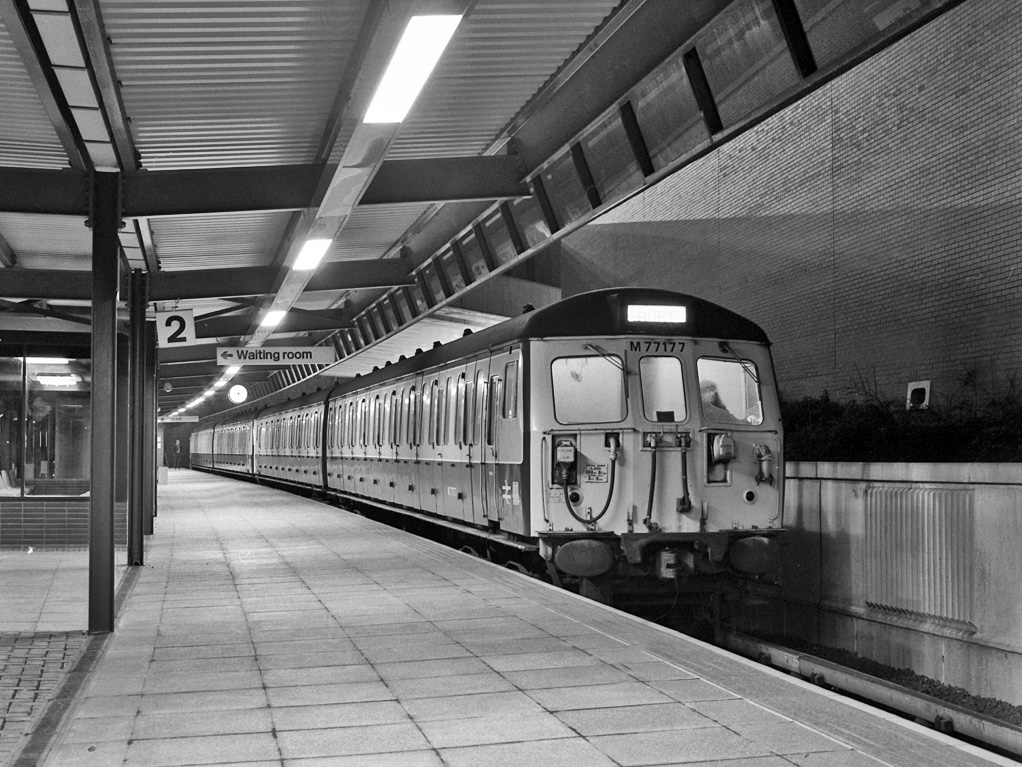
It is the northern terminus of the Manchester Metrolink’s Bury Line, which prior to 1992 was a heavy-rail line.
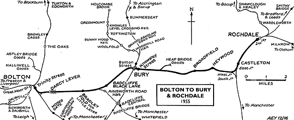
A new short spur line was constructed to connect the new station. The railway had originally run into Bury Bolton Street which was further away from the town centre, and was closed by British Rail on the same day that Bury Interchange opened.
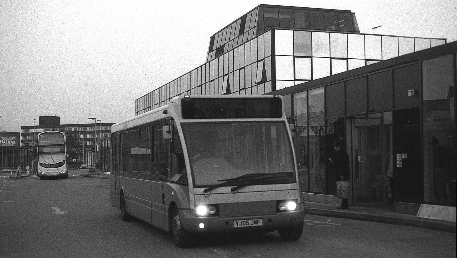
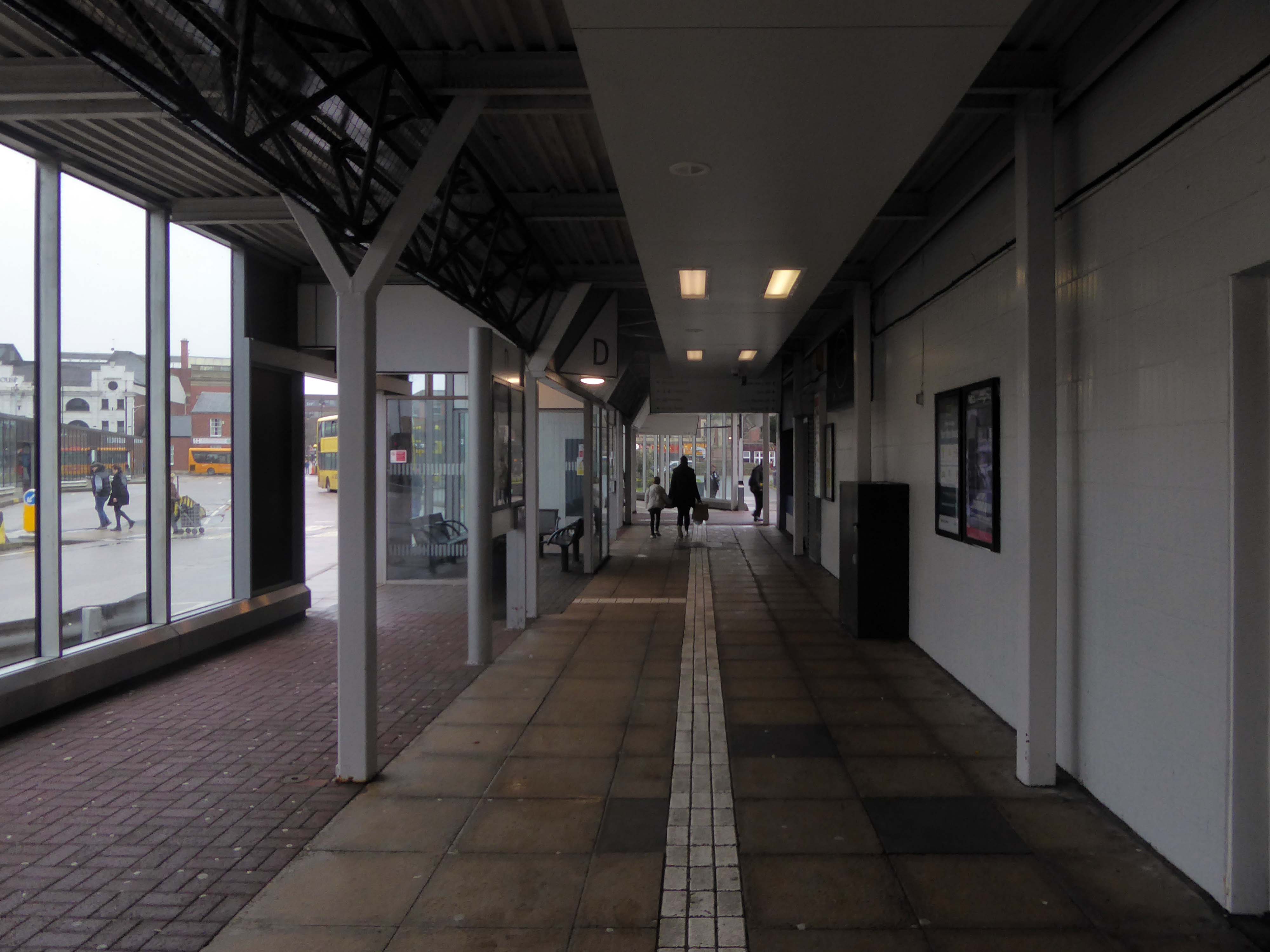
It also incorporates a bus station.
Bury Interchange replaced the bus termini scattered around Bury town centre, notably around Kay Gardens.
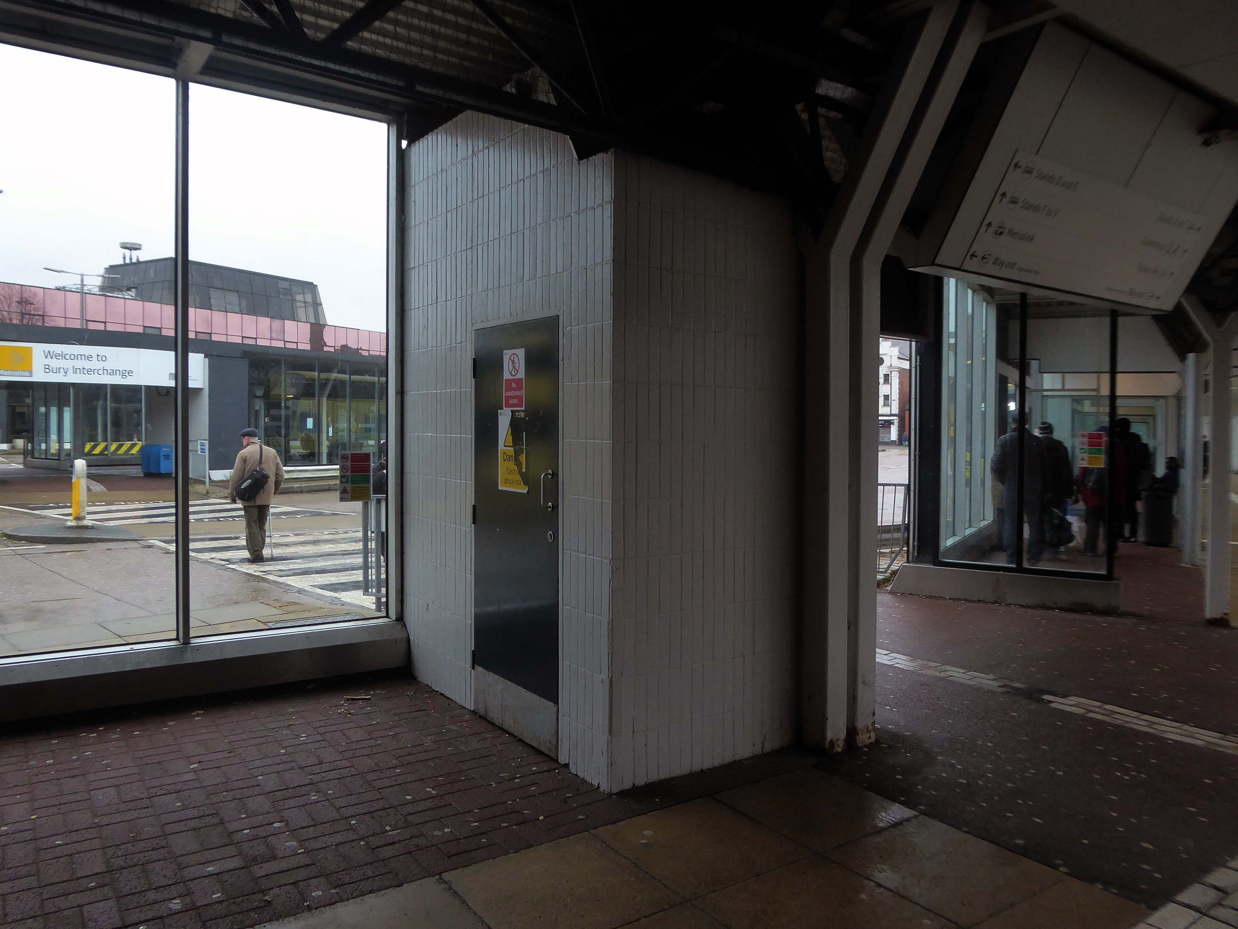
An £80m transformation is coming to the Bury Interchange, which will see step-free access at the Metrolink, a “vertical circulation core” to better connect the Metrolink with the bus facility, and an integrated travel hub with spaces for cycle storage.
The work is much-needed, explained Transport for Greater Manchester’s Alan Lowe, he said that the interchange was built in the 1980s and very much is of its time.
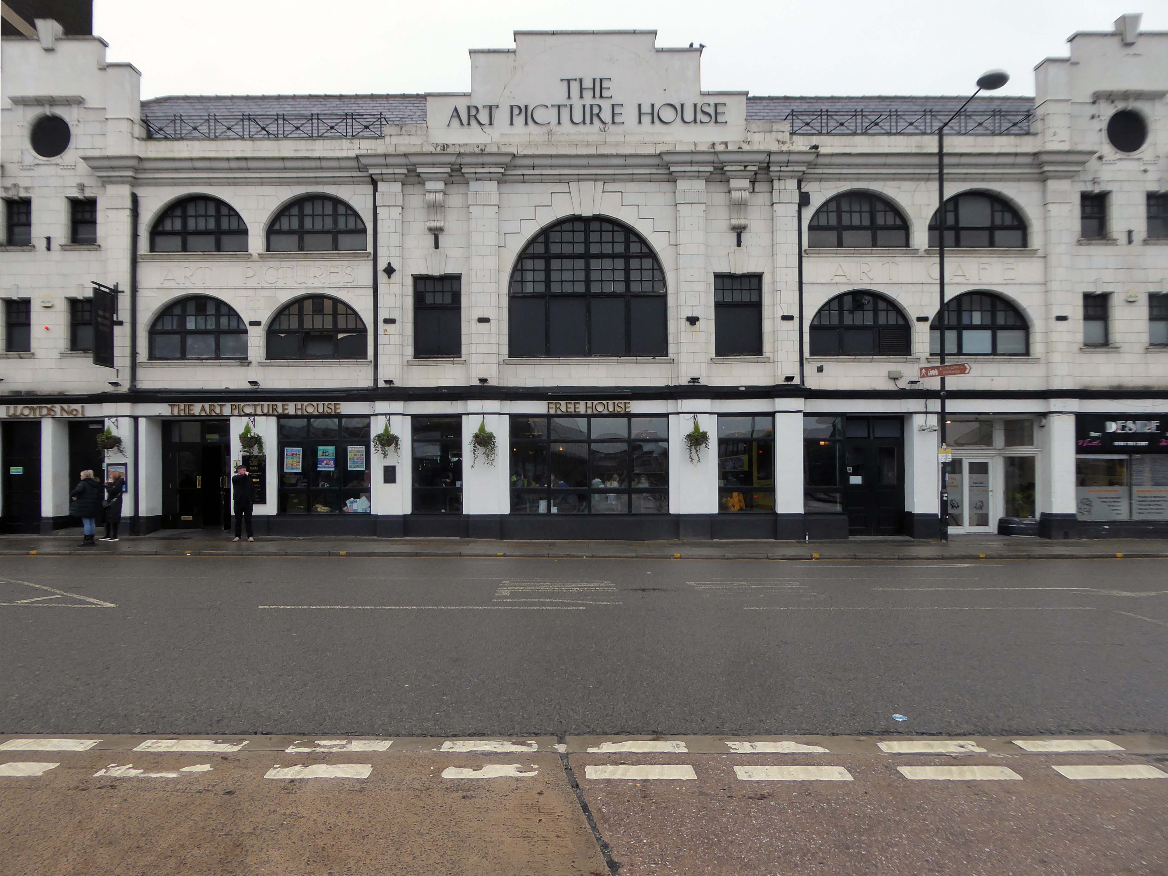
The Art Picture Palace was a 1923 rebuild of the earlier Art Picture Hall both designed by architect Albert Winstanley. The Art Picture Palace was opened on 26th January 1923. A remarkably complete survivor of a 1920’s cine-variety house executed in an elaborate style.
Films ceased in February 1965 and it became a bingo club. Later converted into a billiard hall until 19th May 1991 when it became a bingo club again, it later became a Chicago Rock Cafe.
Cinema Treasures
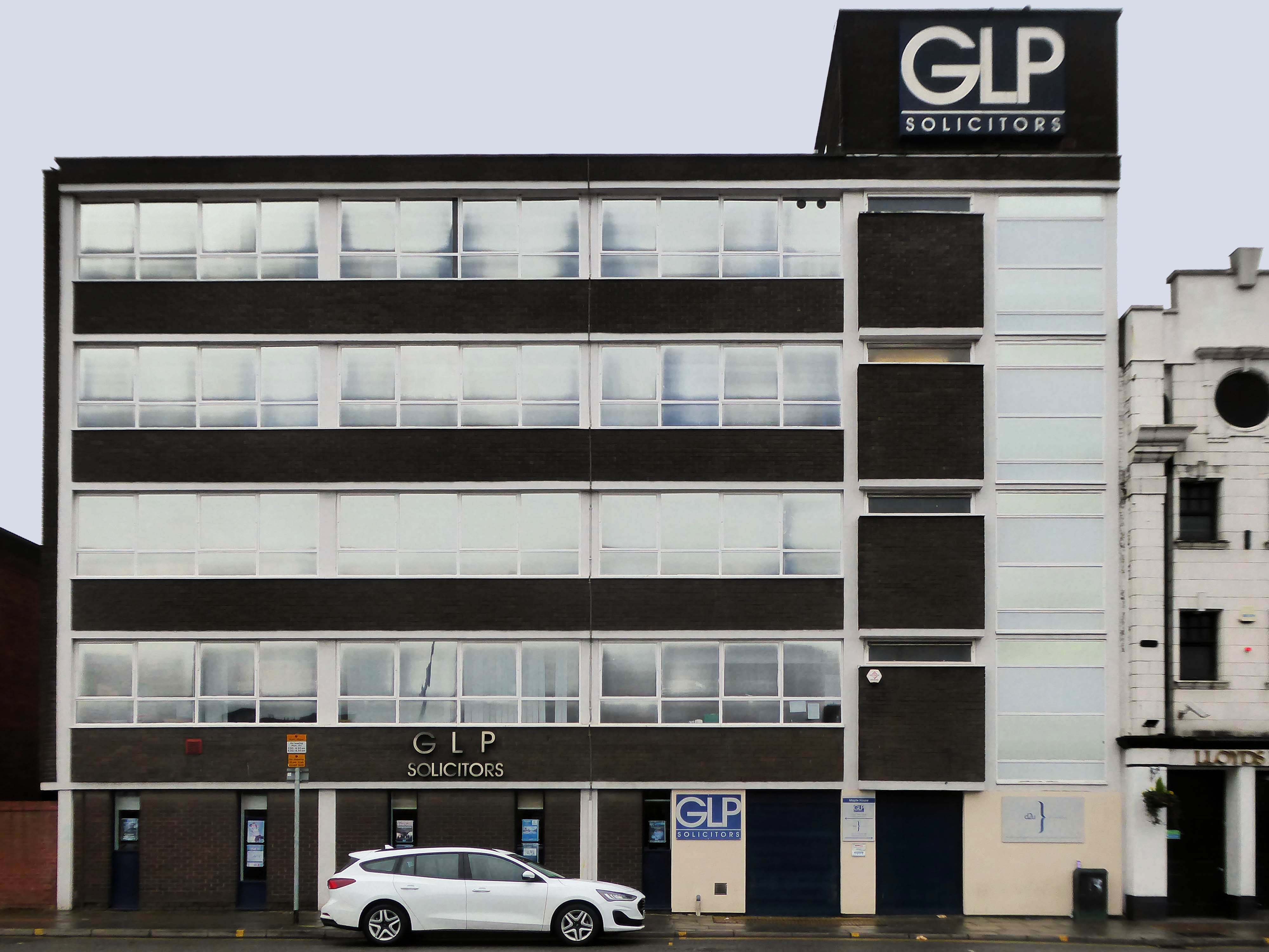
Next door a typical steel glass and brick banded office block Maple House.
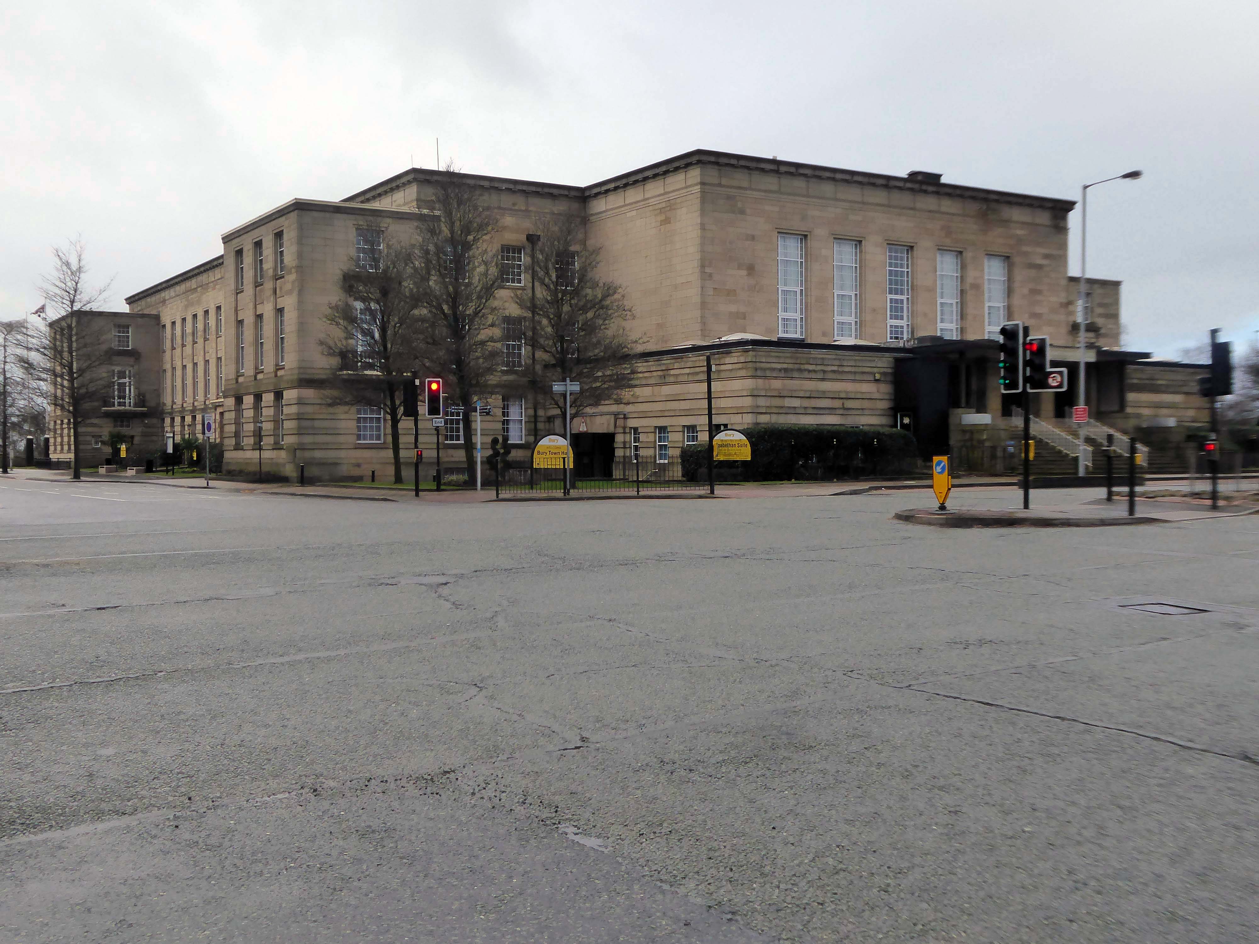
Around the corner and over the road to the Town Hall 1939-40 architects: Reginald Edmonds of Jackson & Edmonds then 1947-54.
Large and Dull – Niklaus Pevsner.
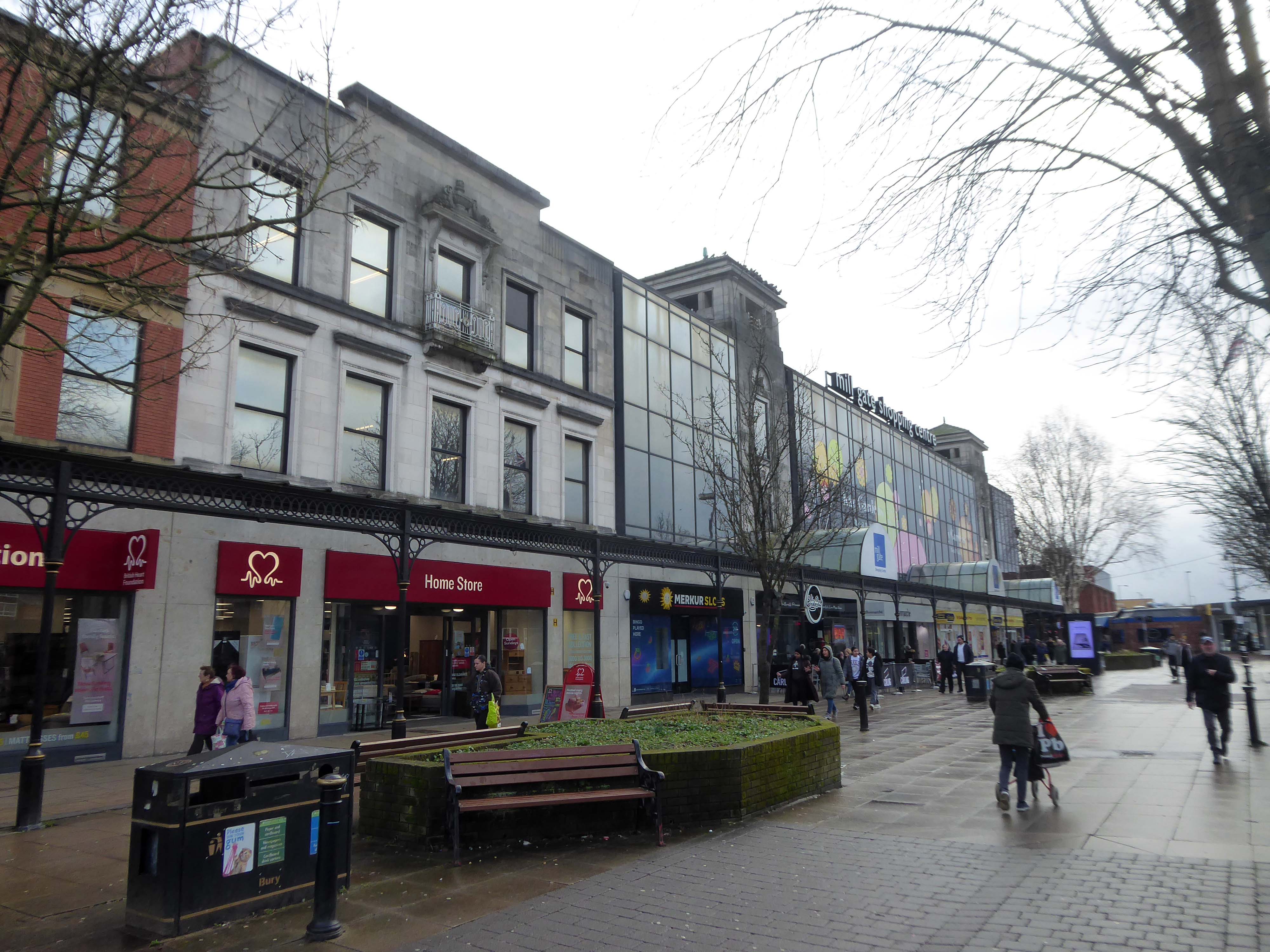
Back through the Interchange to the former Cooperative Store of the 1930’s.
The Portland Stone towers still visible – the elevation largely retro-clad in glass.
Passing through the Millgate Shopping Centre of the 1980’s.
Unambitious but successful, the floors cheerfully tiled – Niklaus Pevsner.
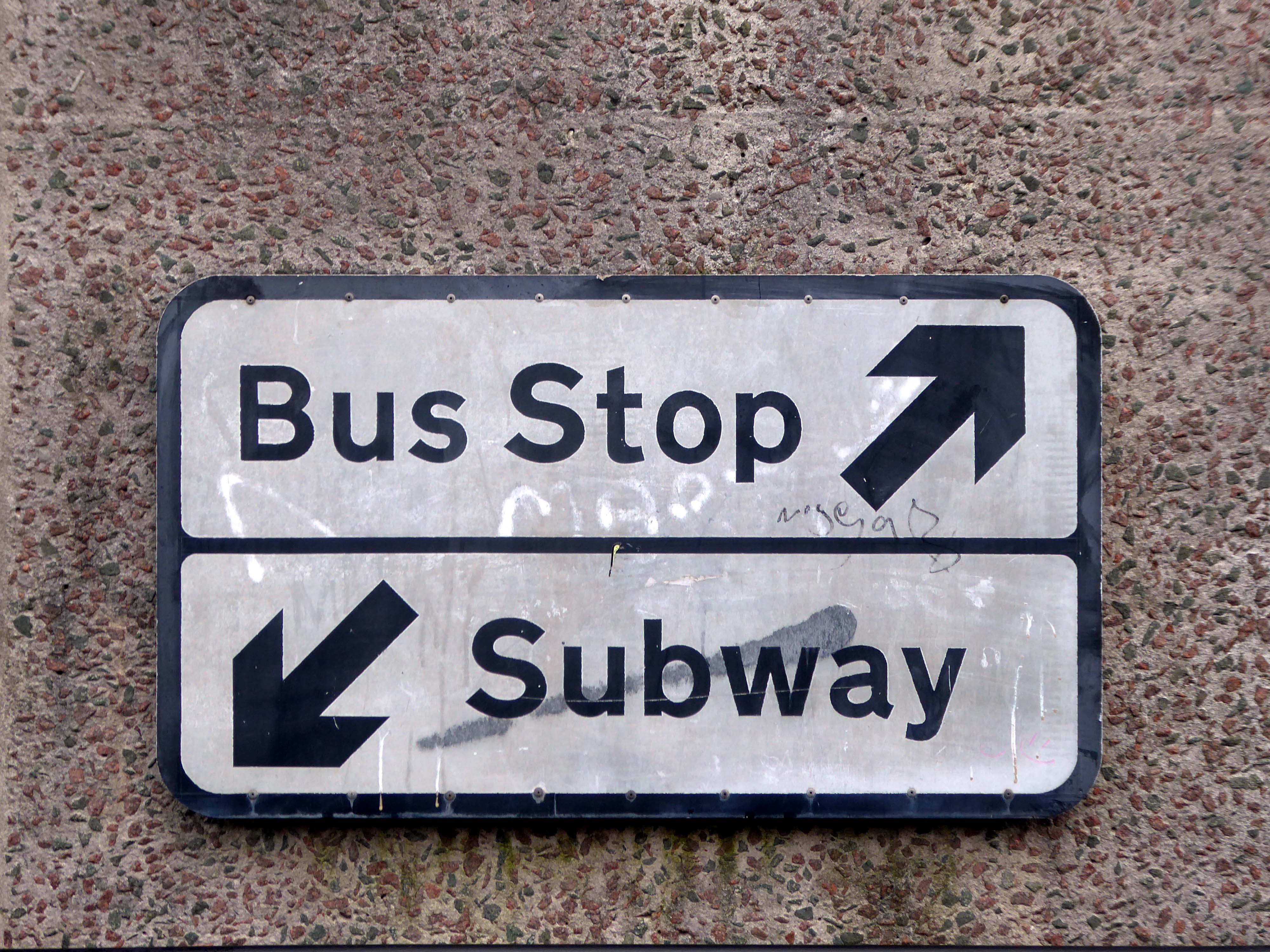
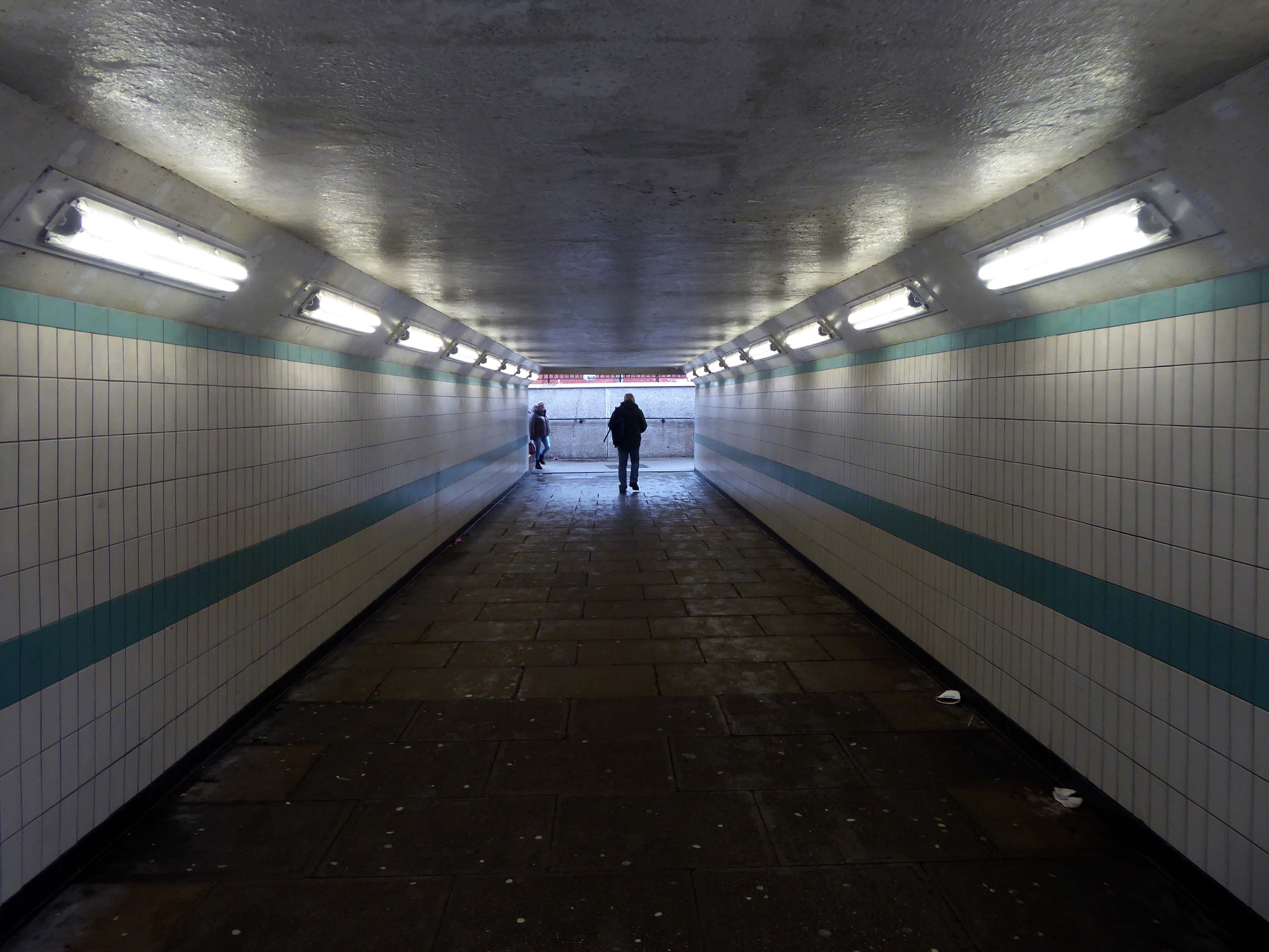
Down in the subway at midday.
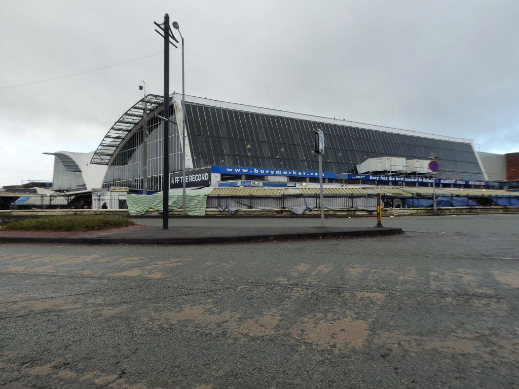
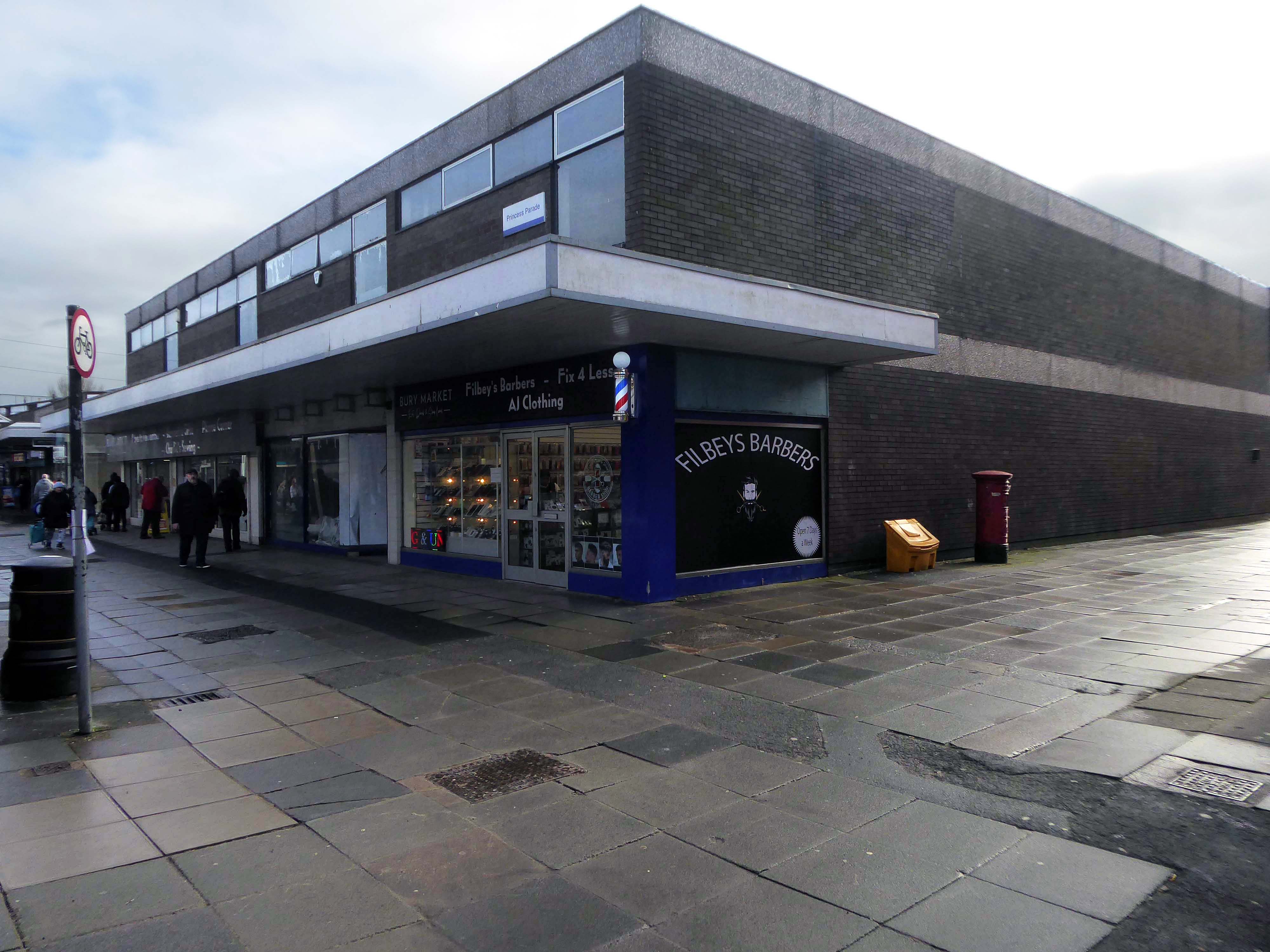
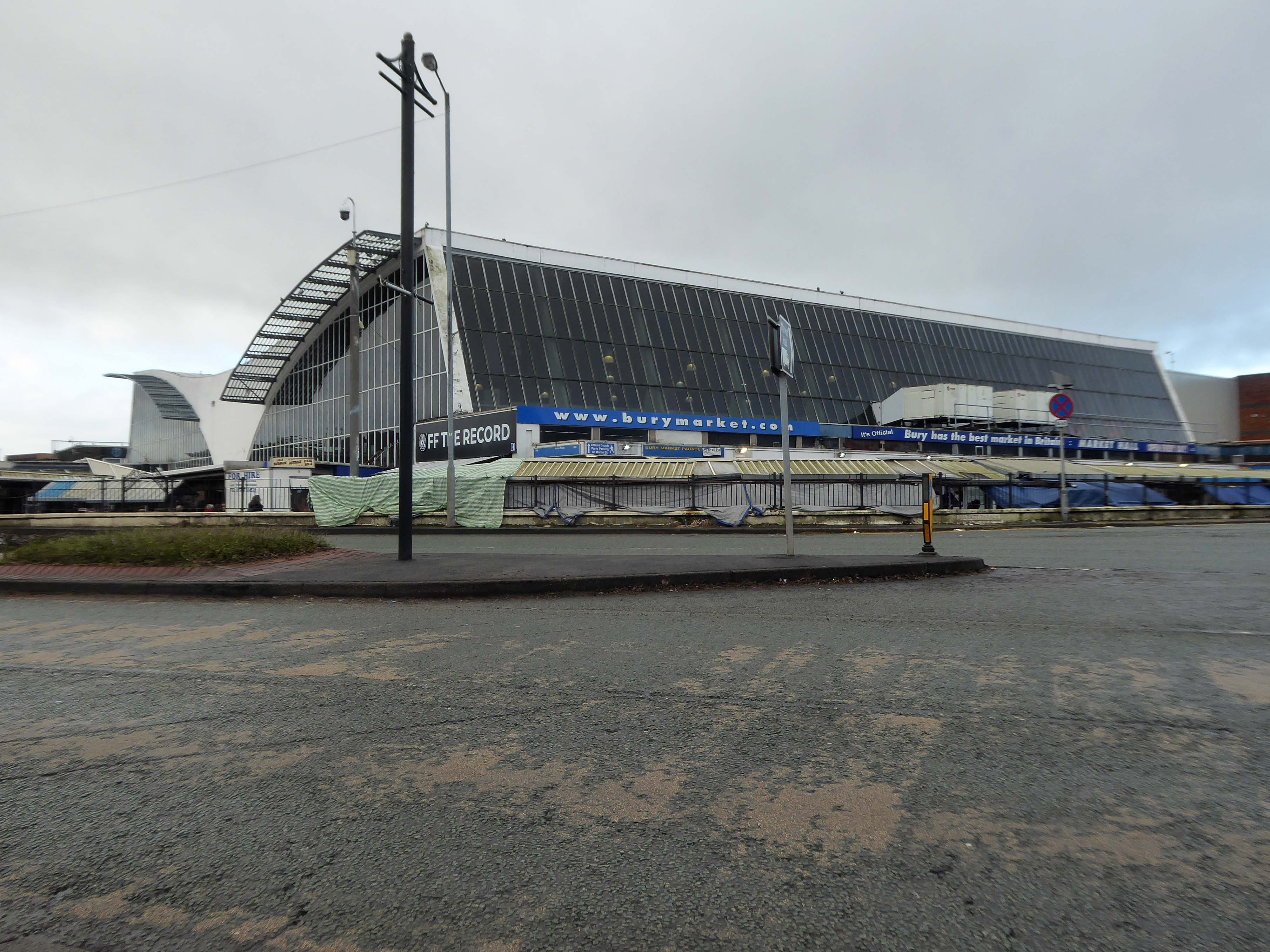
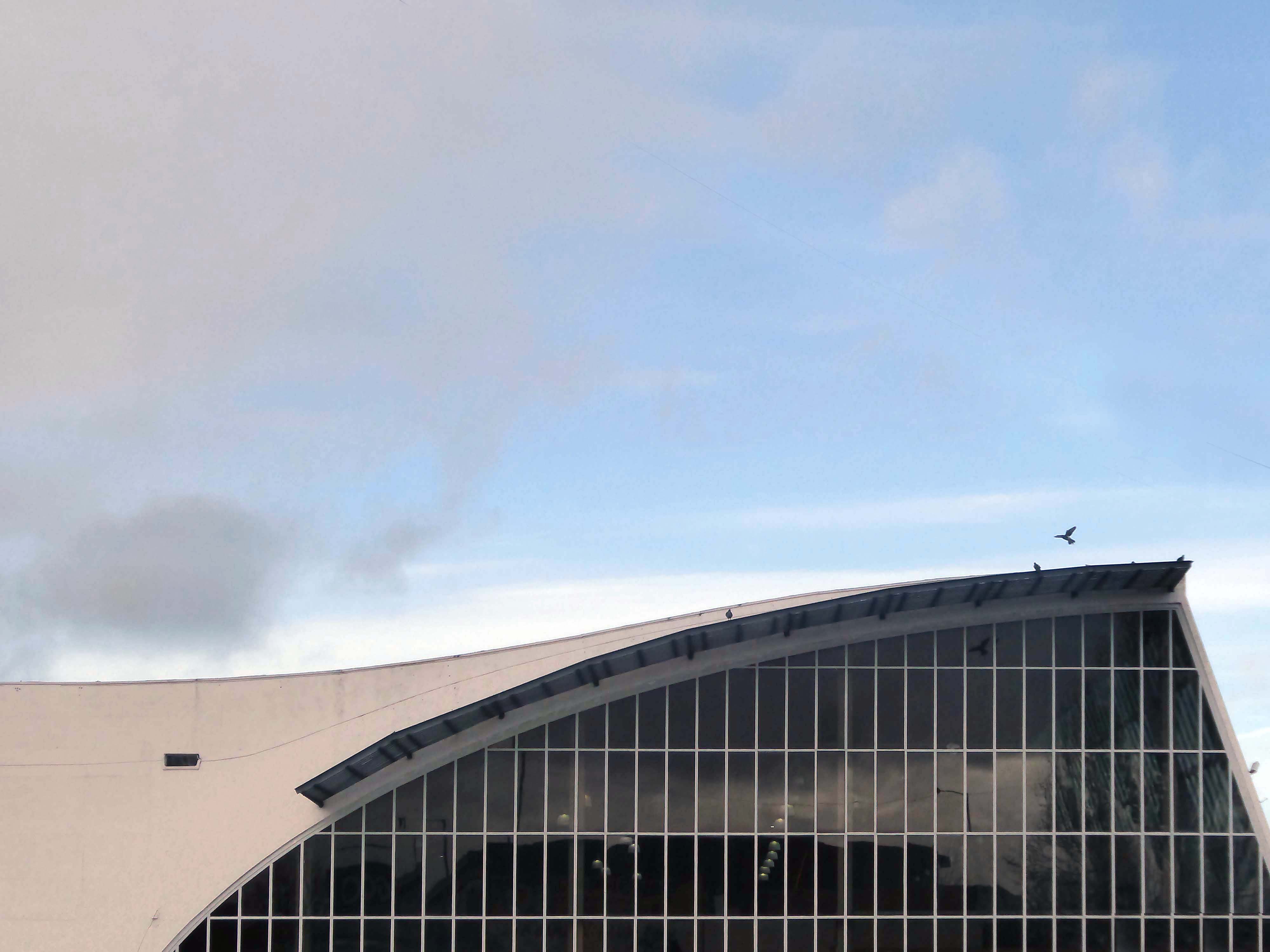
The better to get a view of the Market Hall 1971 – architects: Harry S Fairhurst.
The Indoor Market Hall is currently closed due to the discovery of Reinforced Autoclaved Aerated Concrete – within the building structure. RAAC is a lightweight type of building material that was used between the 1950s and 1990s.
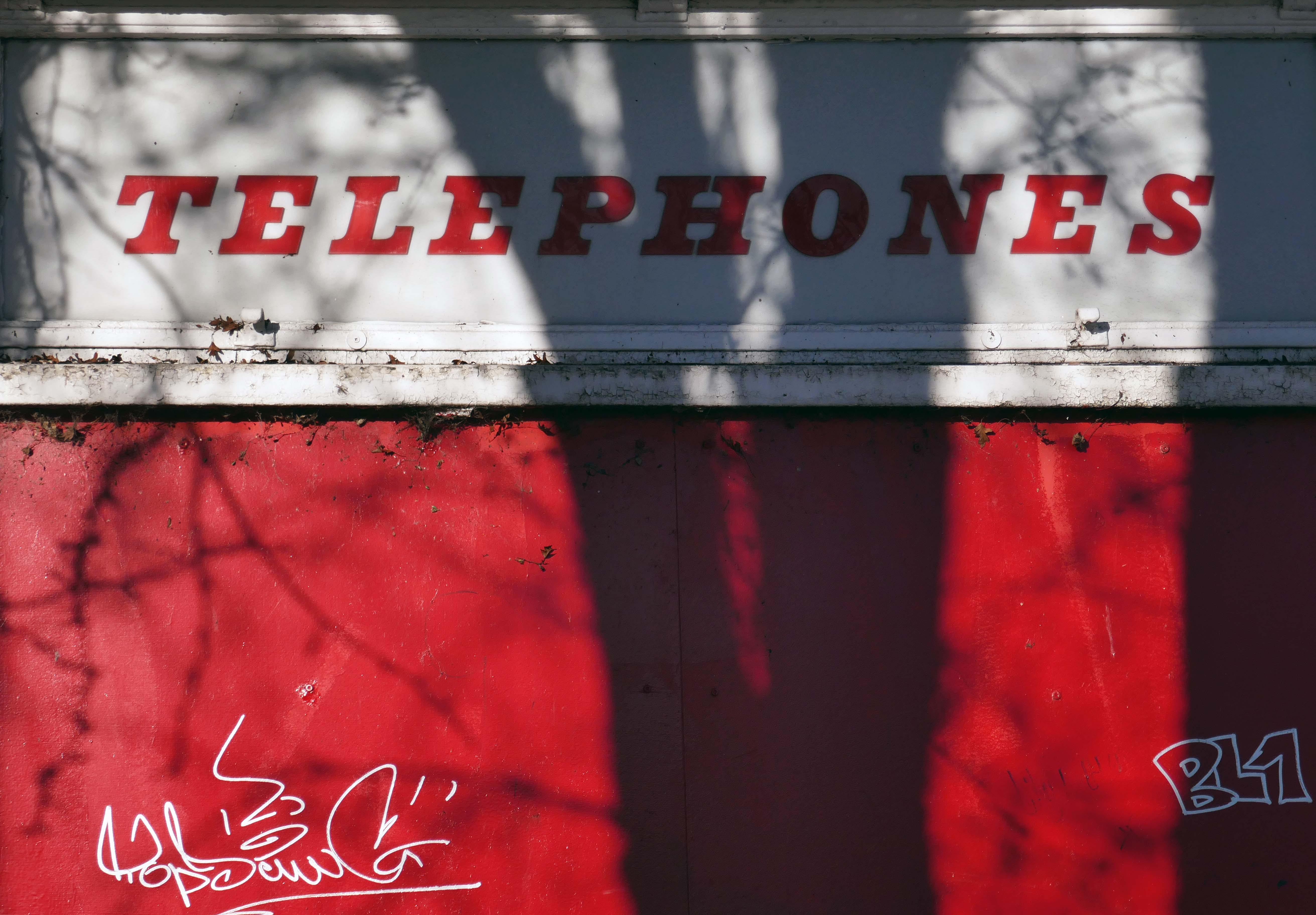
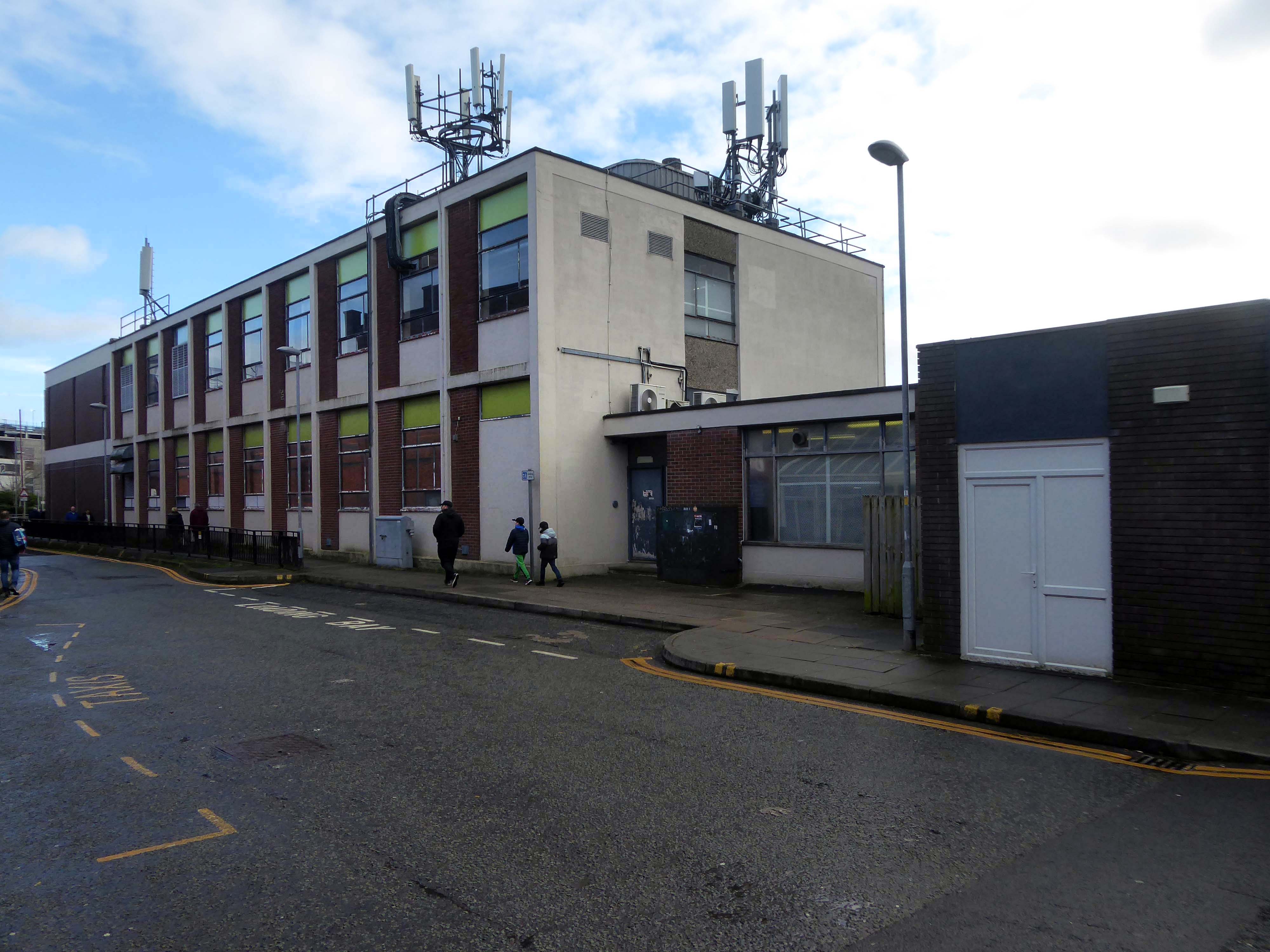
Back under the road – where we find a delightful Telephone Exchange.
The Rock is a vibrant retail and leisure centre which is home to a range of high street fashion brands, independent retailers, tantalising eateries and fantastic entertainment – it’s the perfect place to visit any day of the week.
It is the work of architects BDP – completed in 2010 at a cost of £350 million.
Our masterplan for The Rock took into account the historical street pattern and public realm context to give the scheme its own identity, and make visual connections to local landmarks.
The retail and leisure scheme brings many exciting brands to Bury for the first time.
New pedestrian streets rejuvenate and improve connections to adjacent areas stitching the town back together.
The development will also contain 408 one and two-bedroom apartments.
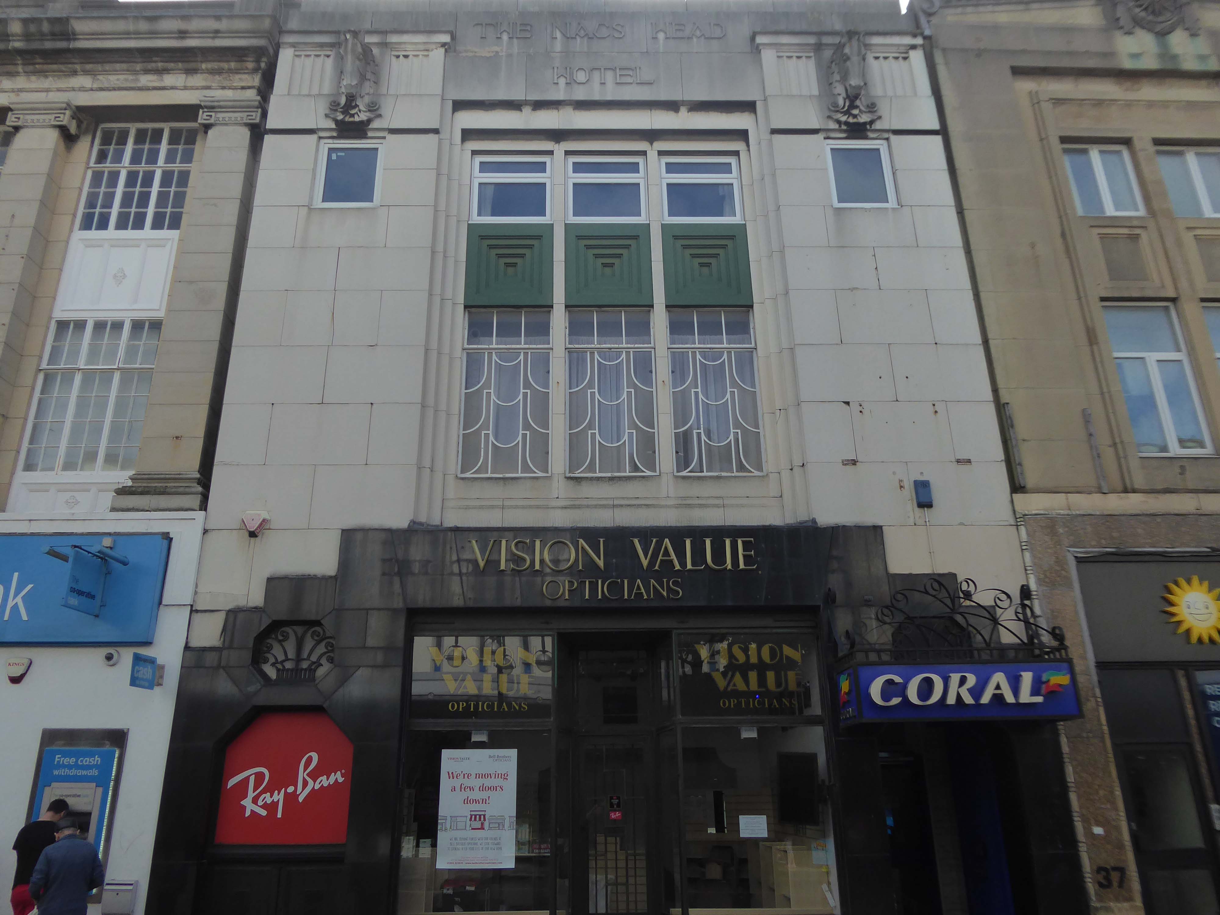
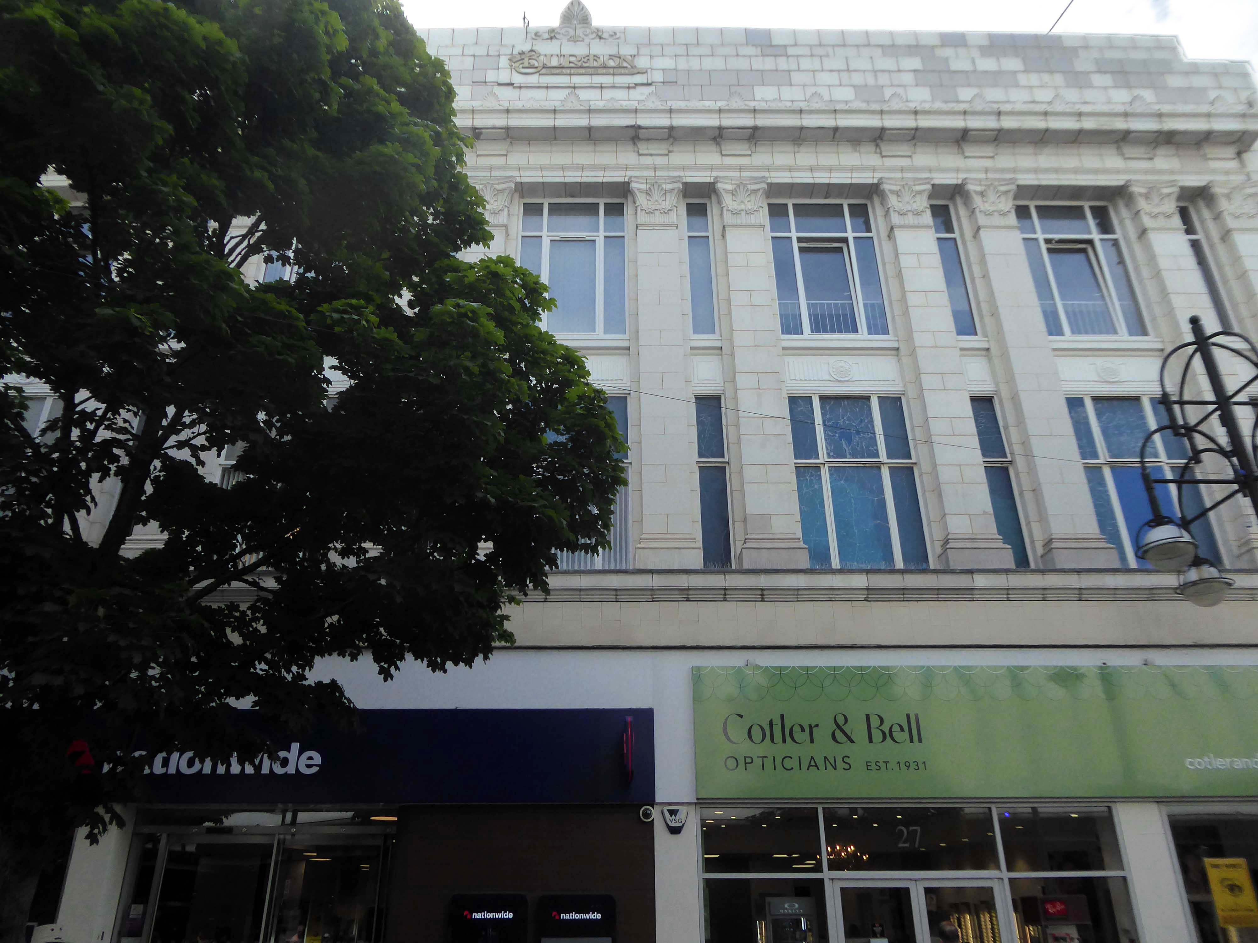
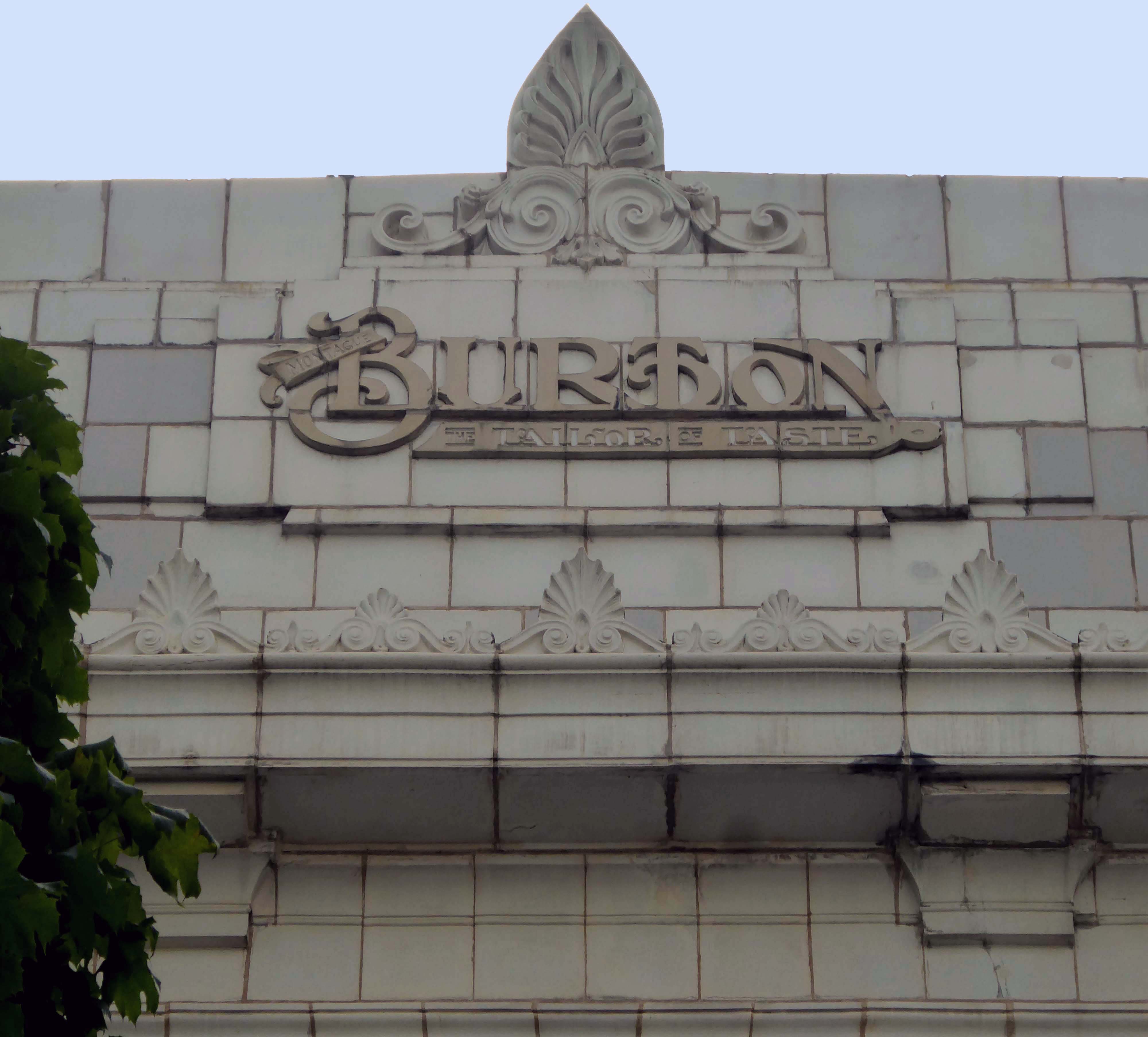
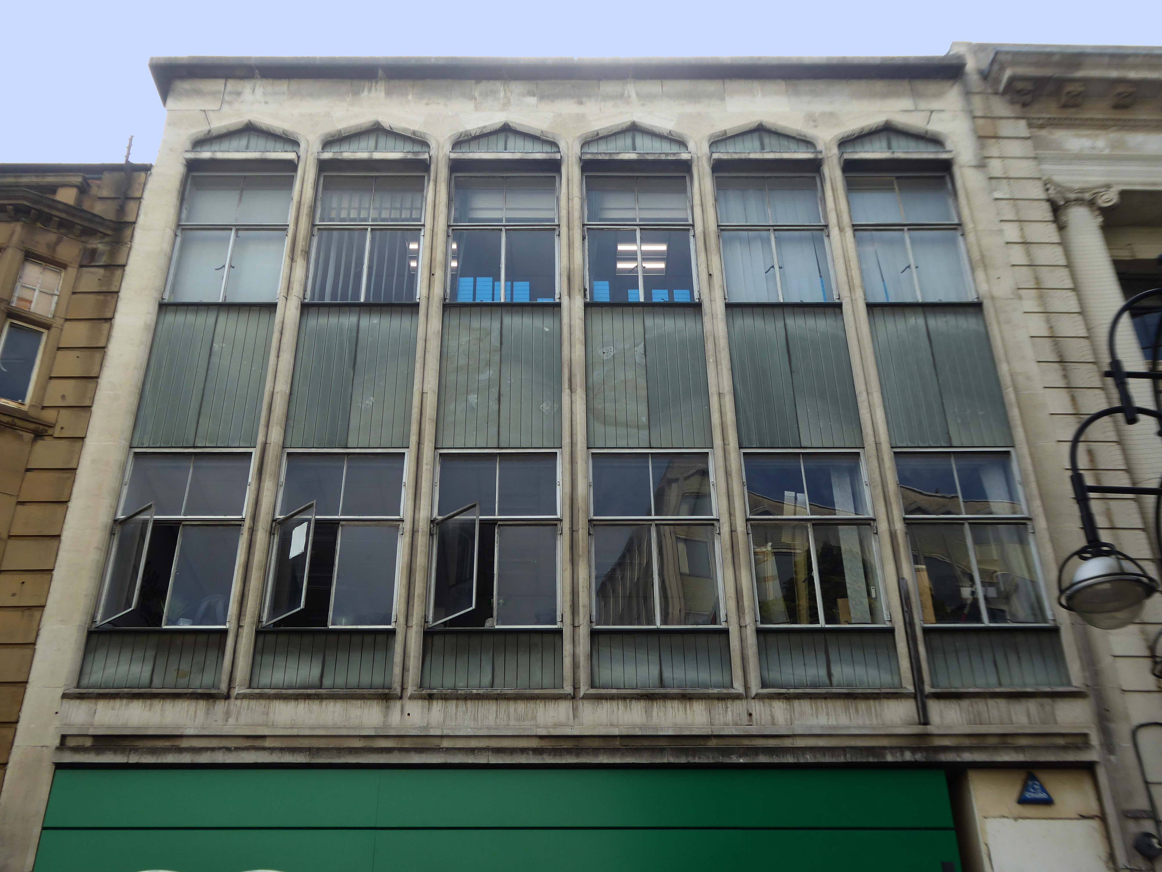
Back to basics at a former Burton’s hiding its faience facade.
Typical inter-war infill on our crazy mixed up mongrel high streets.
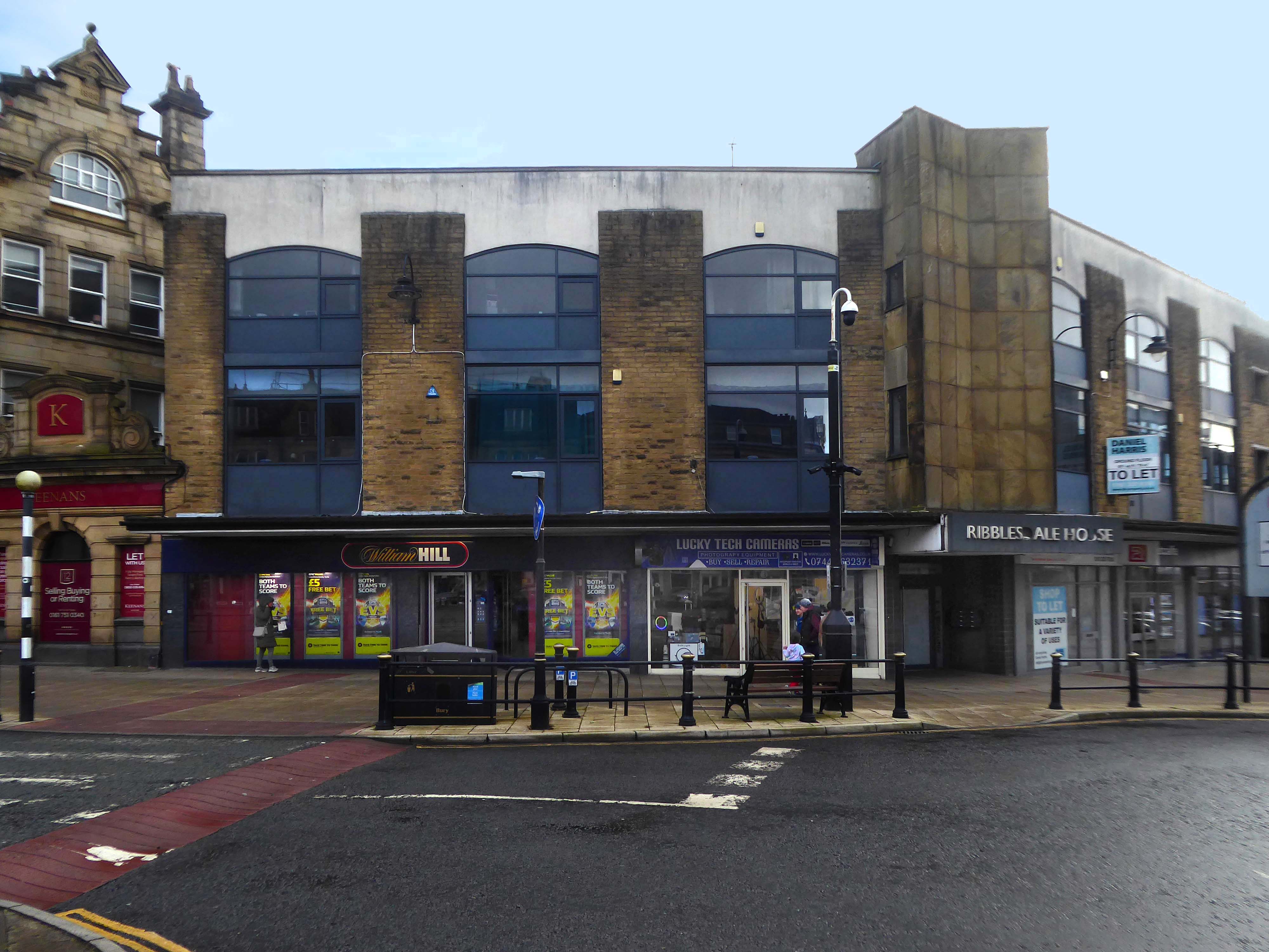
Ribblesdale House
Application by Shop and Store Developments Ltd submitted August 1965. Architect on application was Samuel Jackson and Son of Ocean Chambers in Bradford but during the application process this changed to John Brunton & Partners – Brunton was a partner in Jackson’s firm, at the same address. It had a restaurant and shops on the first floor.
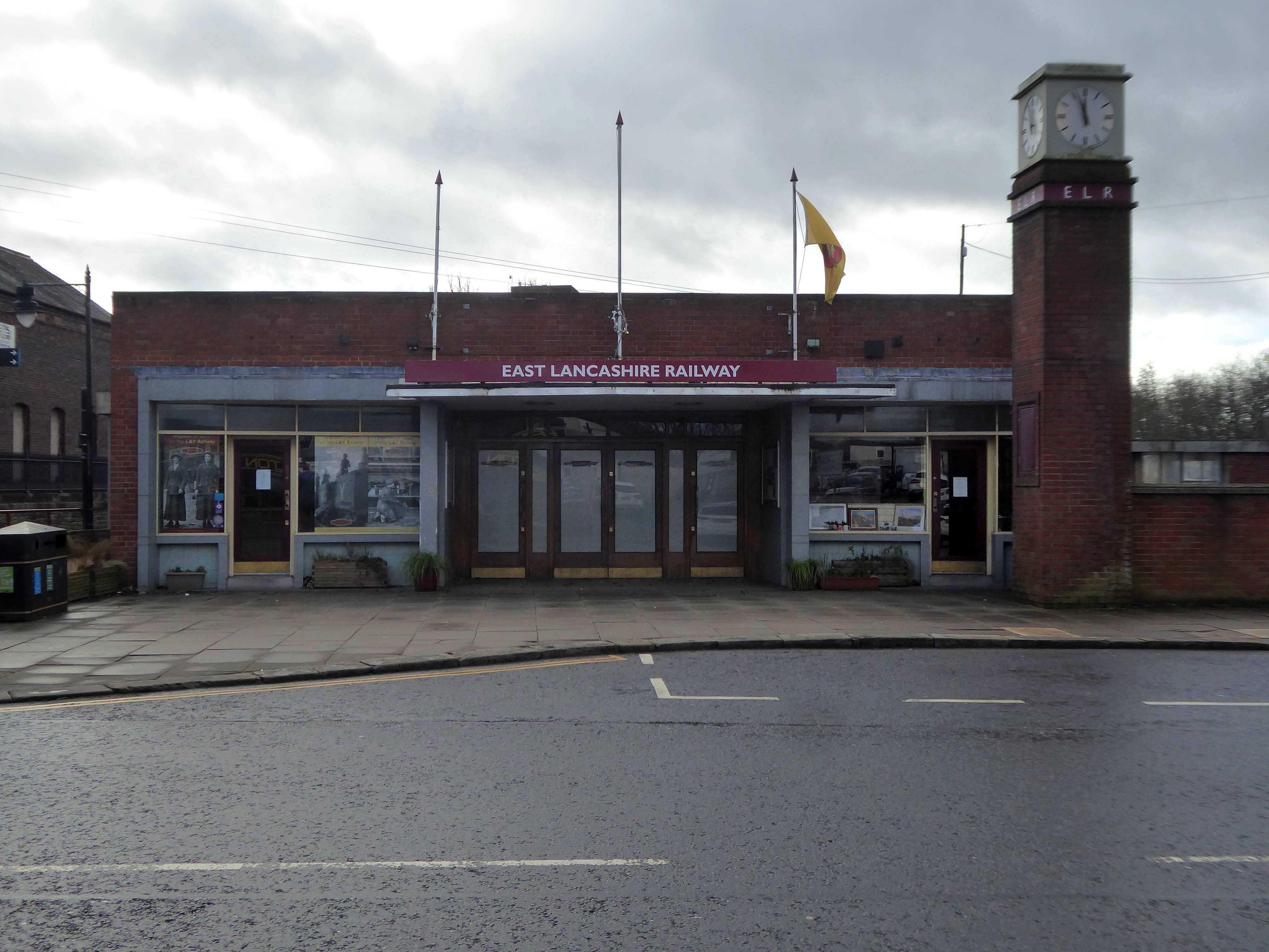
The street level buildings were destroyed by fire on 14 May 1947 and were replaced with a new brick and concrete entrance and footbridge in 1952.
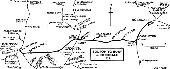
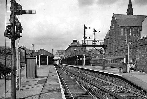
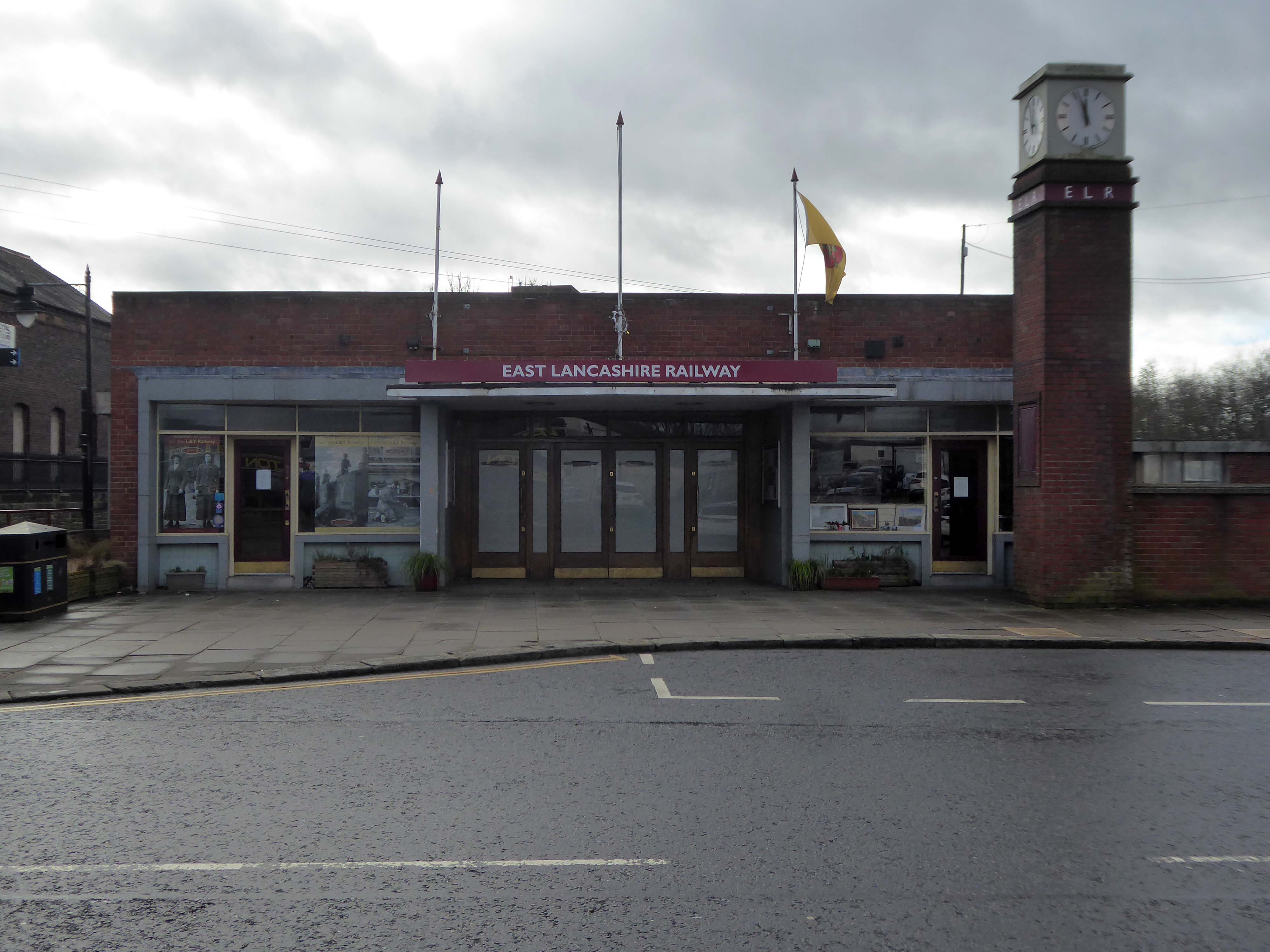
British Rail closed the station on 17 March 1980, when it was replaced by a new bus/rail interchange station further east into the town centre. Bury Interchange railway station served up until 1991 before the entire Bury Line was converted to light rail operation. It reopened in 1992 for Metrolink operation.
Bury was once the centre of multiple train links and the lost station of Knowsley Street.
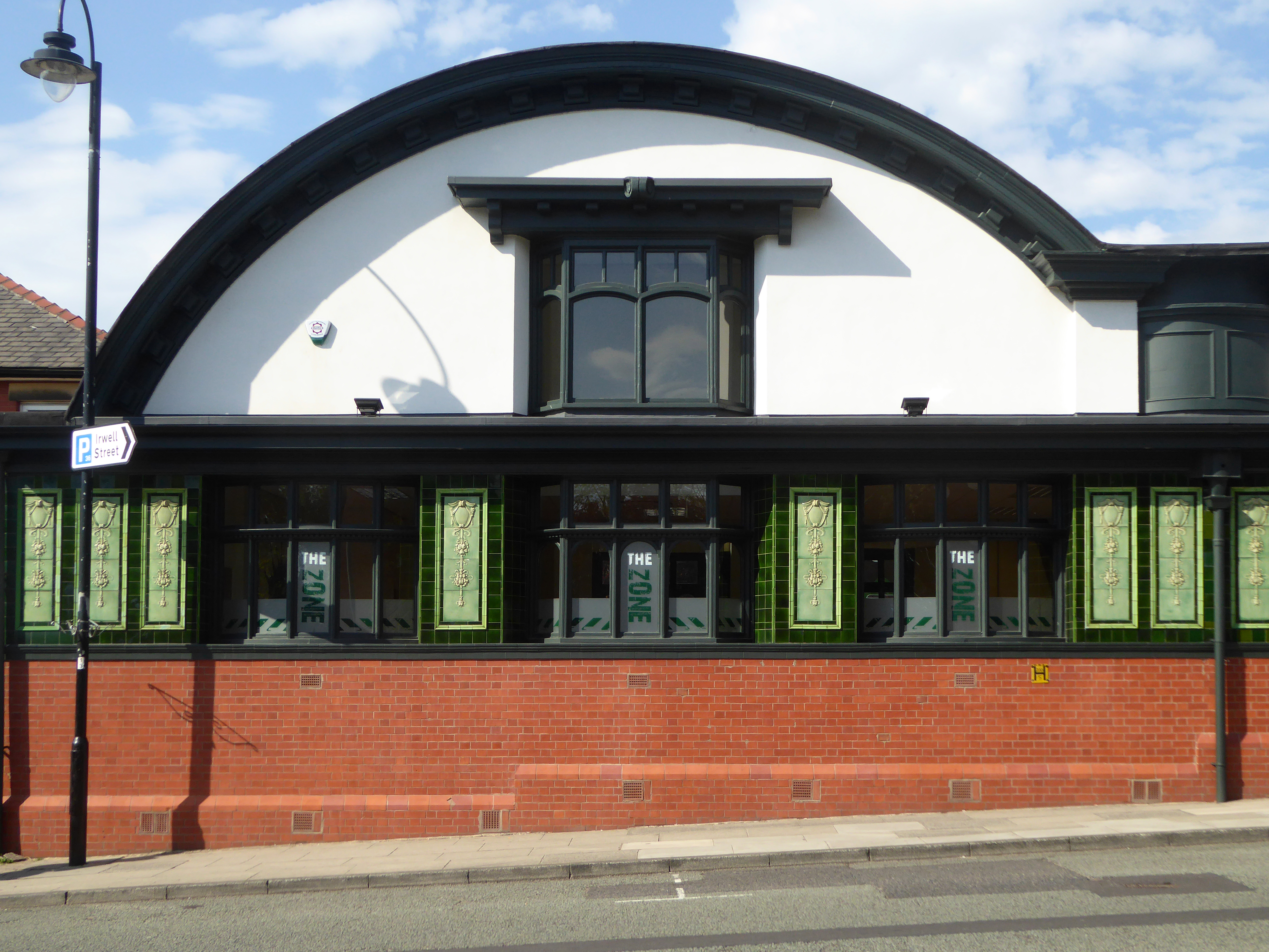
Over the road the former Temperance Billiard Hall 1910 architect Norman Evans.
Planning application January 1965 – work started in June 1965. The architectural firm was Richard Byrom, Hill and partners. Richard Byrom was submitting building applications in the 1930s in Bury and locally.
The rendering on the building is original but the windows have been changed. The Job Centre took over the building in 1993. It is in a conservation area and the Civic Trust had some concerns!
Many thanks to David French for the above information.
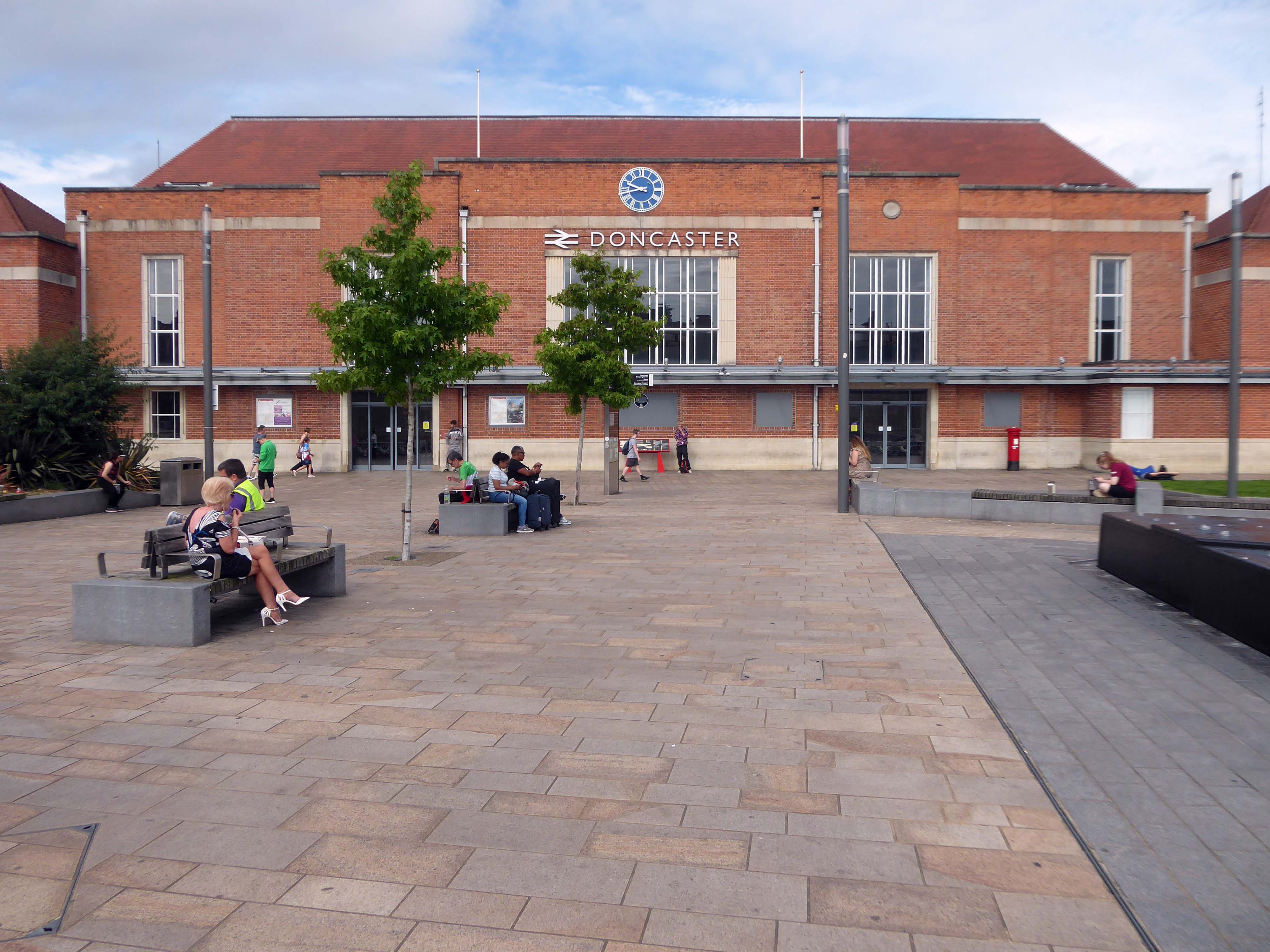
Arriving by train and ascending into the light – here’s the station lights.
The railway station has sharpened up its apron and facade.
We have transformed the station forecourt. It has become a quality gateway which delivers a great first impression for visitors arriving in Doncaster by train. This will help stimulate interest from investors and developers, helping to attract new investment and create jobs for the borough and wider region.
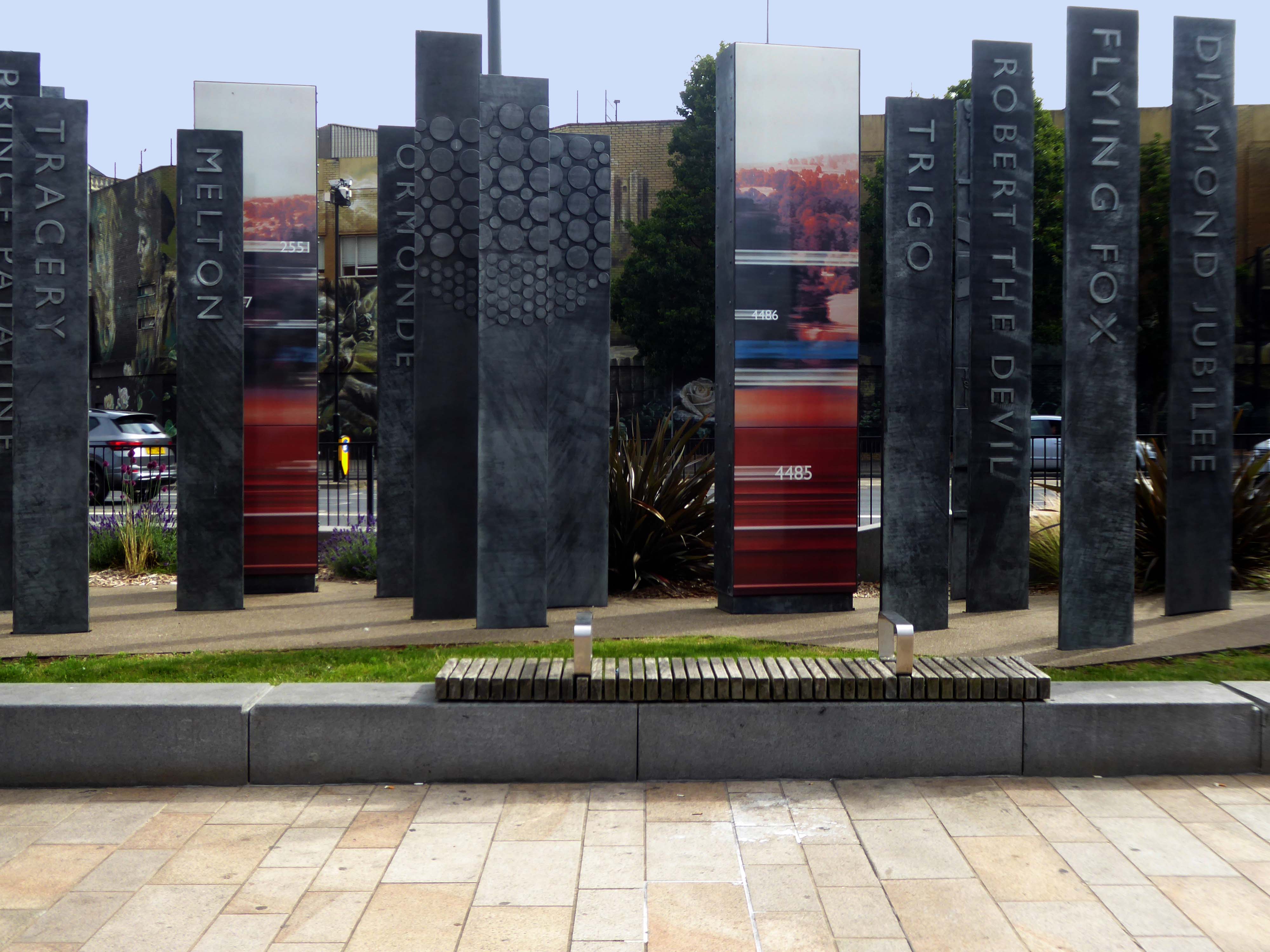
Celebrating engineering, speed and connectivity and stretching forty metres in length the public art at Doncaster Station consists of forty seven monoliths which are a nod to Doncaster’s past, present and future. With a fountain and three impressive water walls, the art takes centre stage in the new public space as you step out of the train station and head into the town centre.
The concept was devised by Doncaster Council and further developed by Chris Brammall.
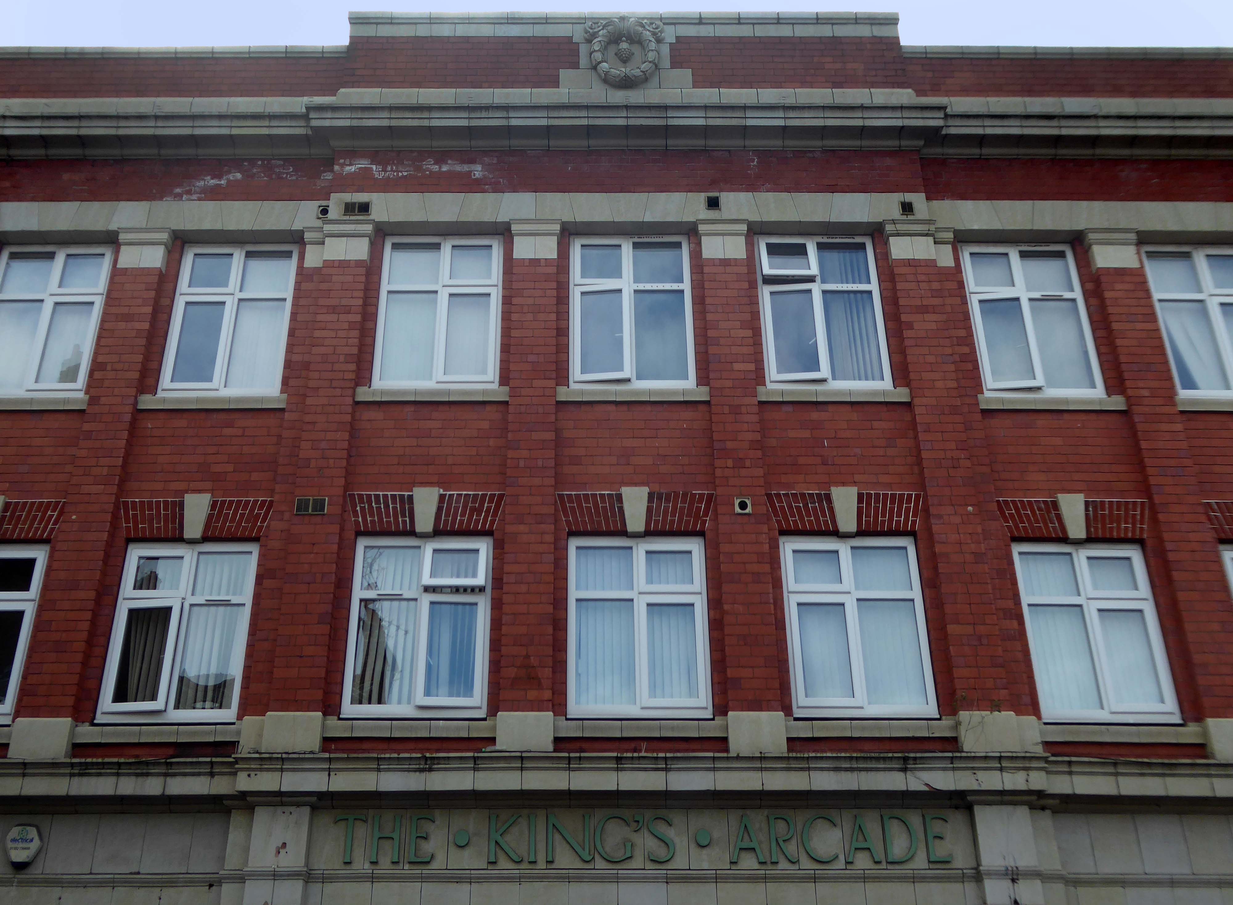
Typically the high and low streets of Britain’s industrial towns and cities, are an amalgam of architectural style and fashion, spanning at least two or three centuries.
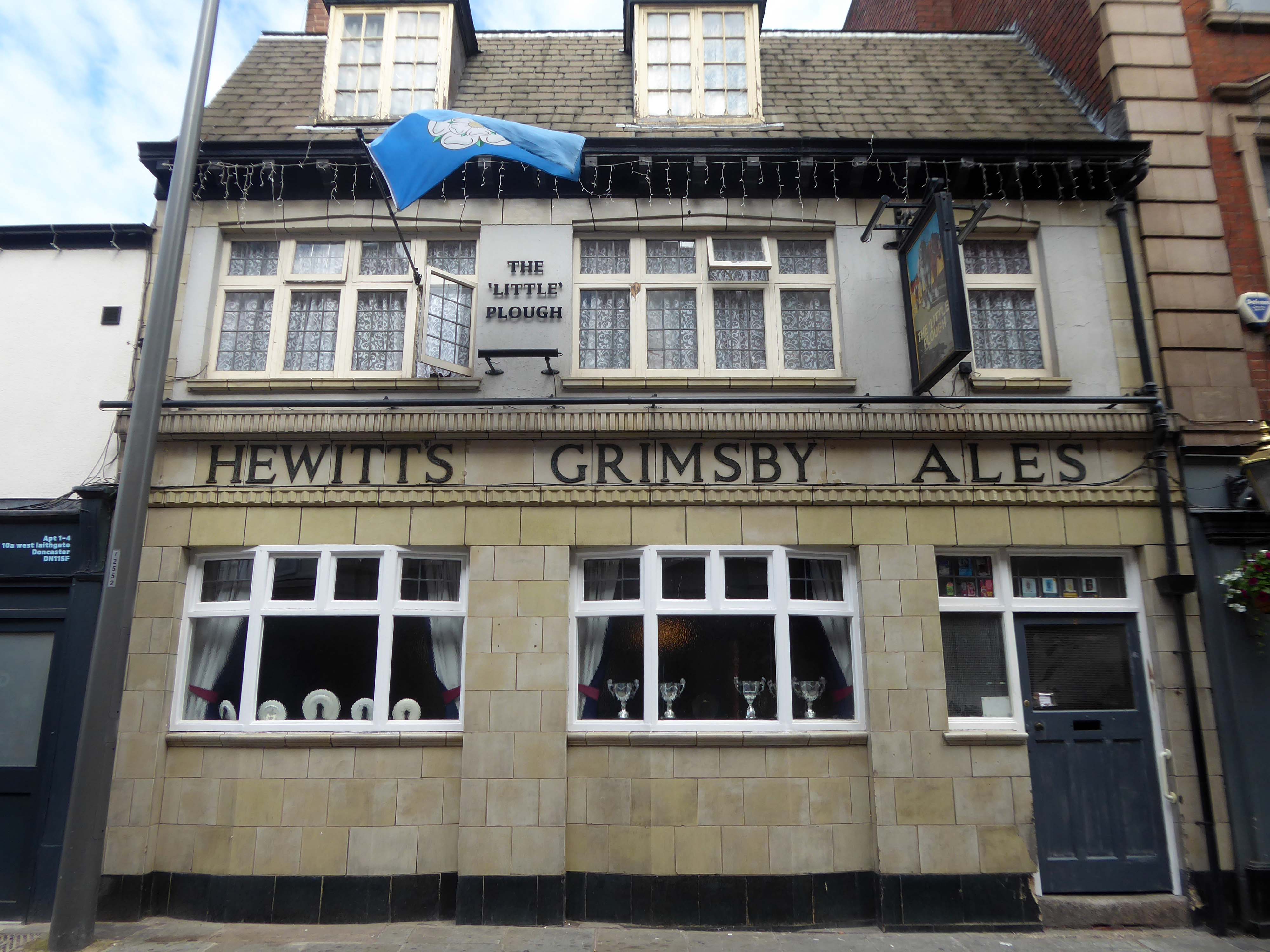
Behind the buff faience frontage is a lovely, small two-room pub with a well preserved interior created under plans of 1934. It was remodelled by the Grimsby brewers Hewitt Brothers Ltd who were Doncaster’s biggest pub owners for many years.
Of course, every town had a Burton’s – the tailor of taste.
This post war infill has that distinctive Festival of Britain feel, original metal window frames, Portland stone and blueish slate like panels.
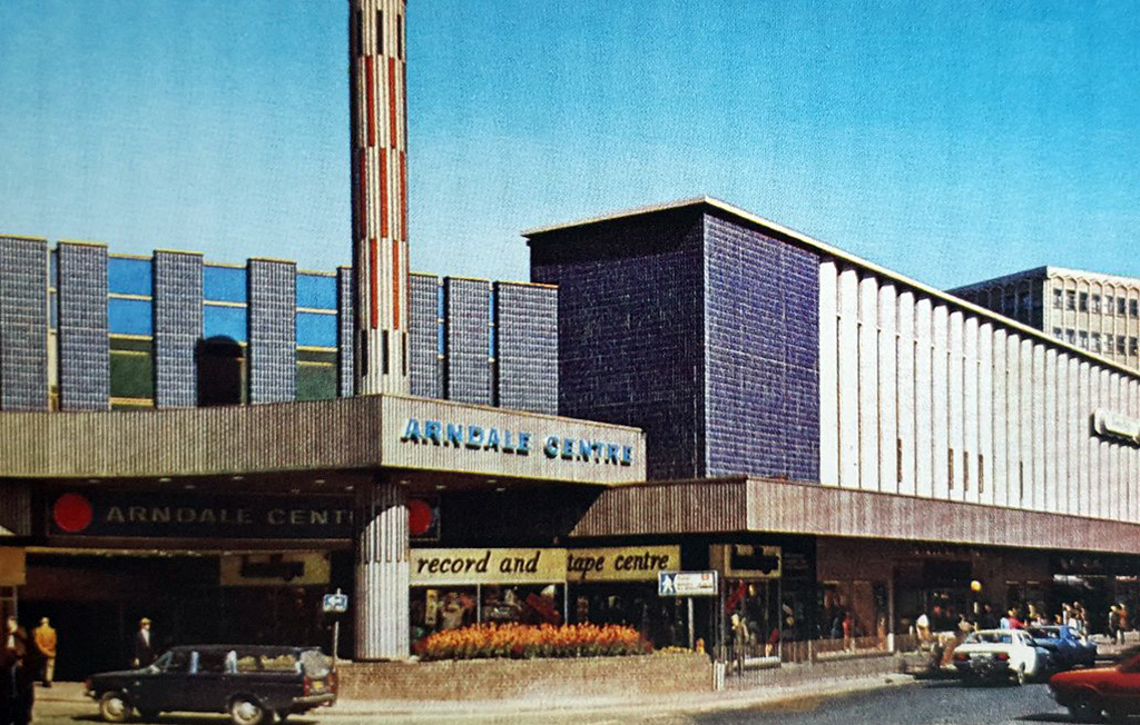
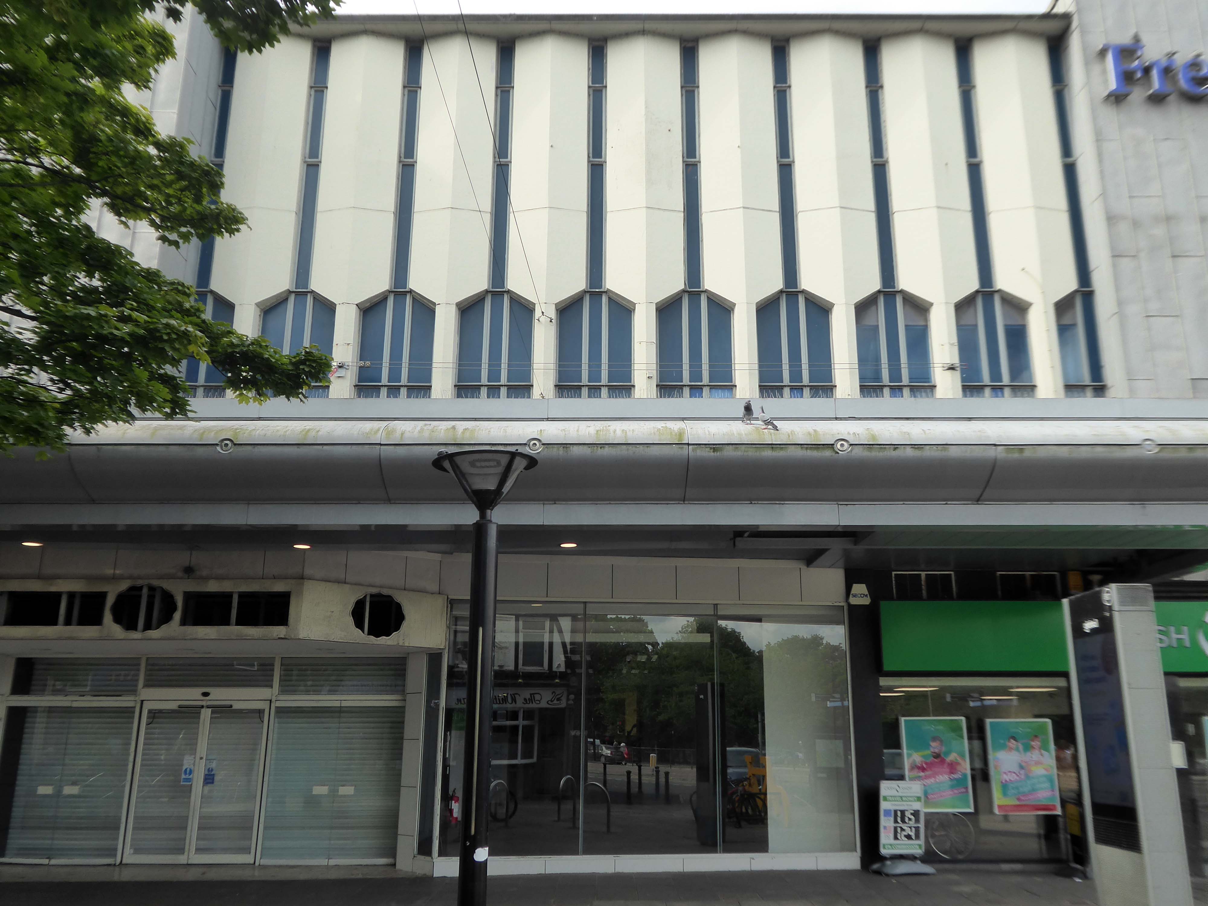
The revamped Frenchgate Shopping Centre, officially opened on October 4th 1968, has in places an upper tier, resistant to zinc over cladding.
The centre has been the heart of the city for over 40 years and was originally called the Arndale Centre because it was built, owned and managed by the Arndale Group. It was renamed in 1988 after a change of ownership, with the new name reflecting the name of the street which passes to the east of the centre and which is one of Doncaster’s main shopping streets.
The sale of the centre came just a year after Frenchgate had undergone a £200 million facelift to transform it into the country’s first shopping centre with integrated public transport and retail interchange.
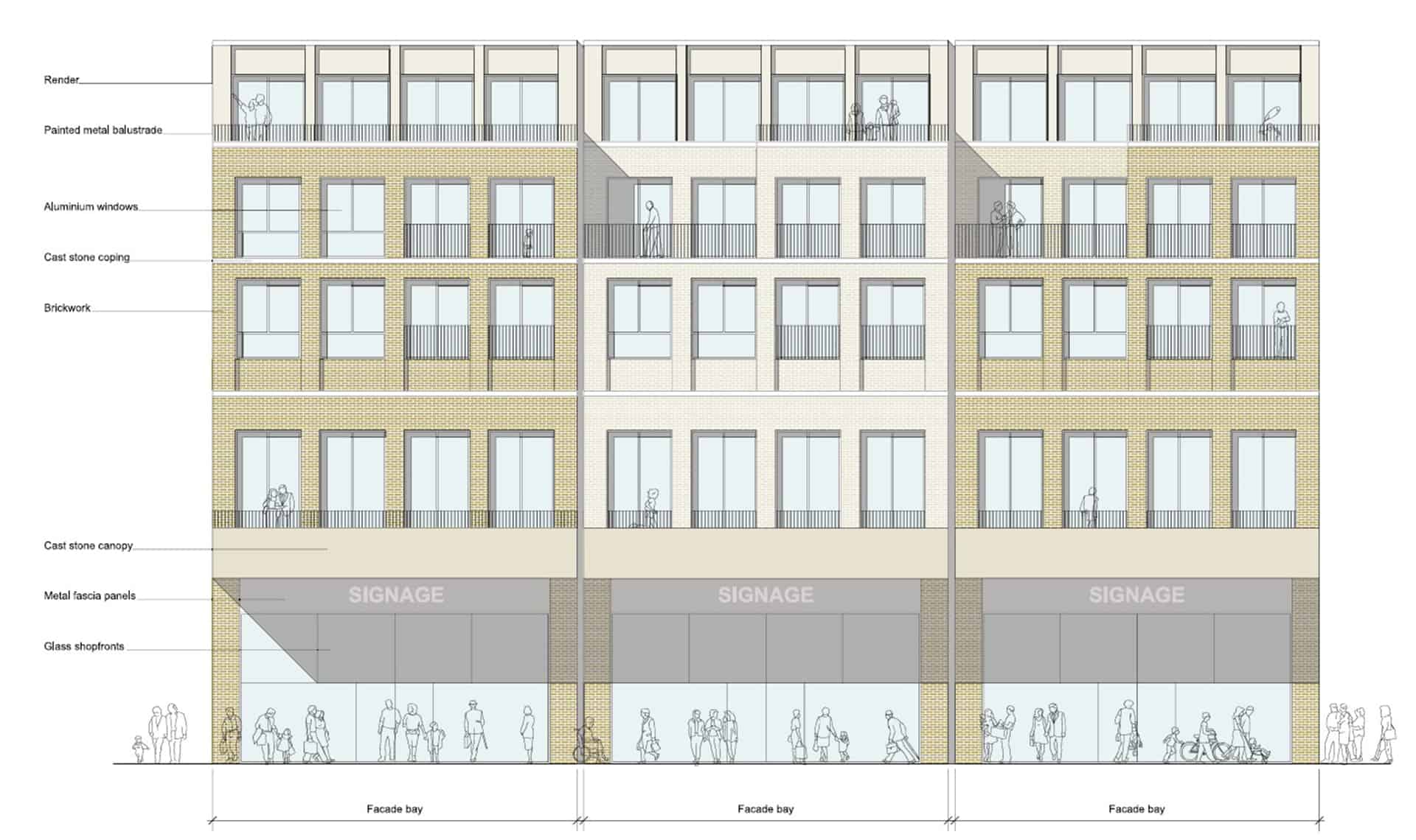
We propose this is fundamentally transformed though the addition of apartments that wrap along the back of the first-floor retail with a further 2.5 new storeys placed on top. We also feel additional height -up to seven or eight storeys, is justifiable to the corner of Frenchgate and Trafford Way.
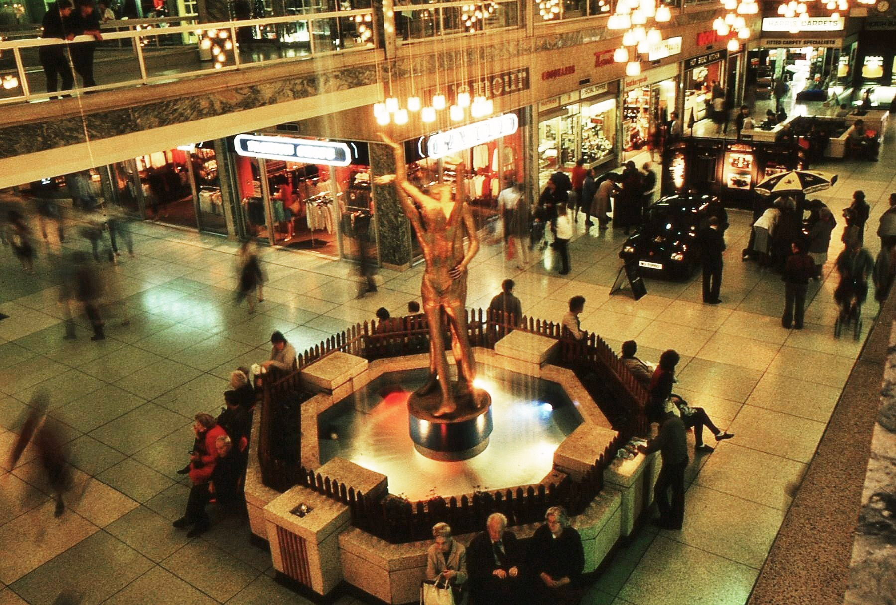
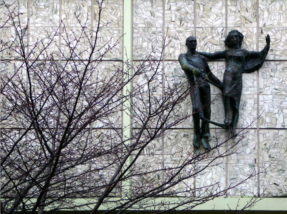
The Lovers were once located in the Arndale, removed to a local garden, unloved – then later reinstated in the Waterdale Centre, where we will embrace them a little later.
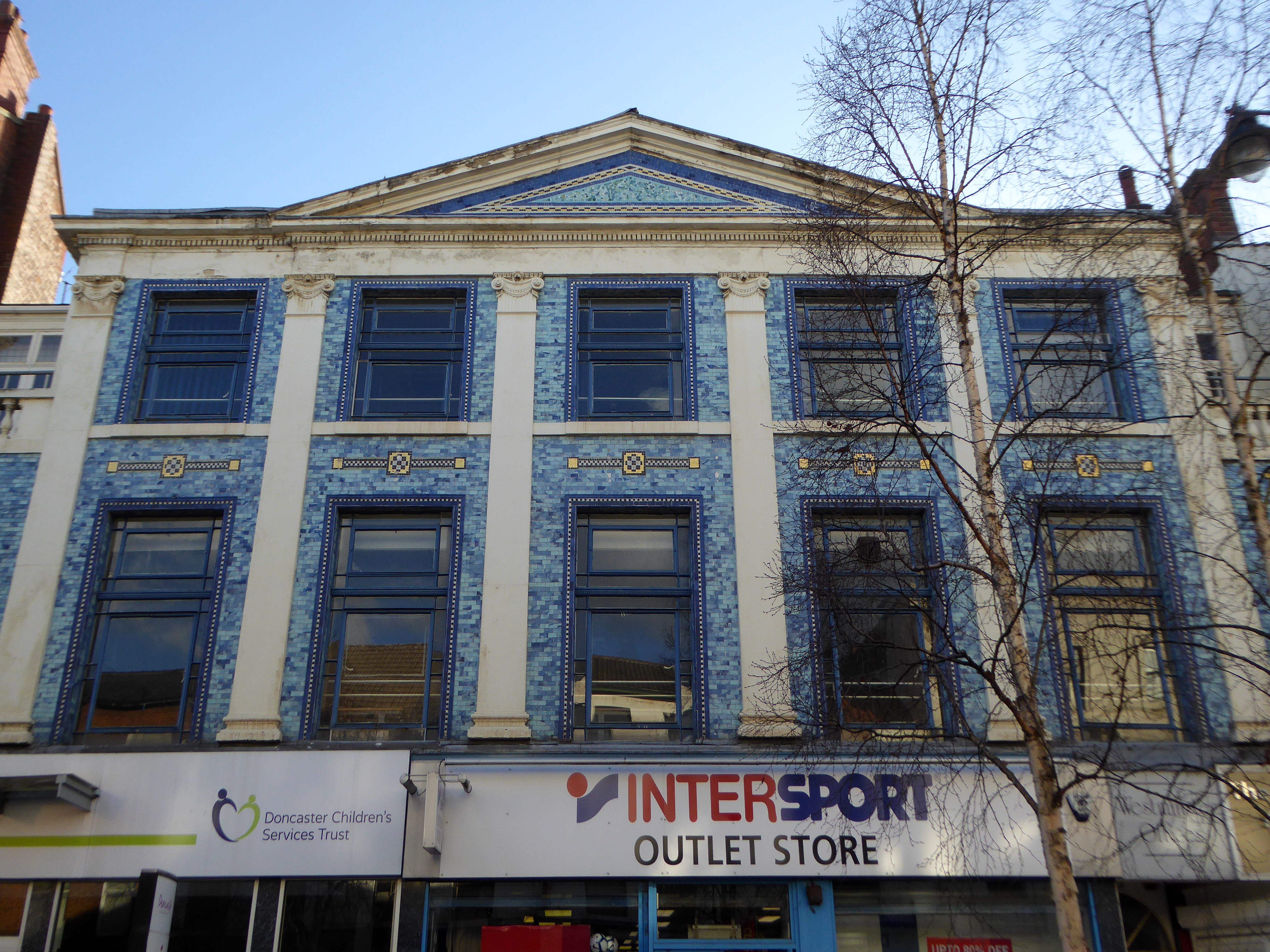
Turn right to take in the 1920s mosaic remake remodel of the Grade II listed Blue Building.
The Blue Building which used to be the Doncaster Design Centre and Tourist Information Centre was originally the home of John Whitaker, a wine merchant, and son of James Whitaker who was Mayor of Doncaster in 1758.
In 1925 the complete building was demolished apart from the facade which was retained and given a facing of decorative blue tiles. The intention was to build a shopping arcade from High Street to Printing Office Street. Only part of the arcade, known as the Westminster Arcade was built. It had a number of shops, the largest being that of Woodhouse & Co Furnishers.
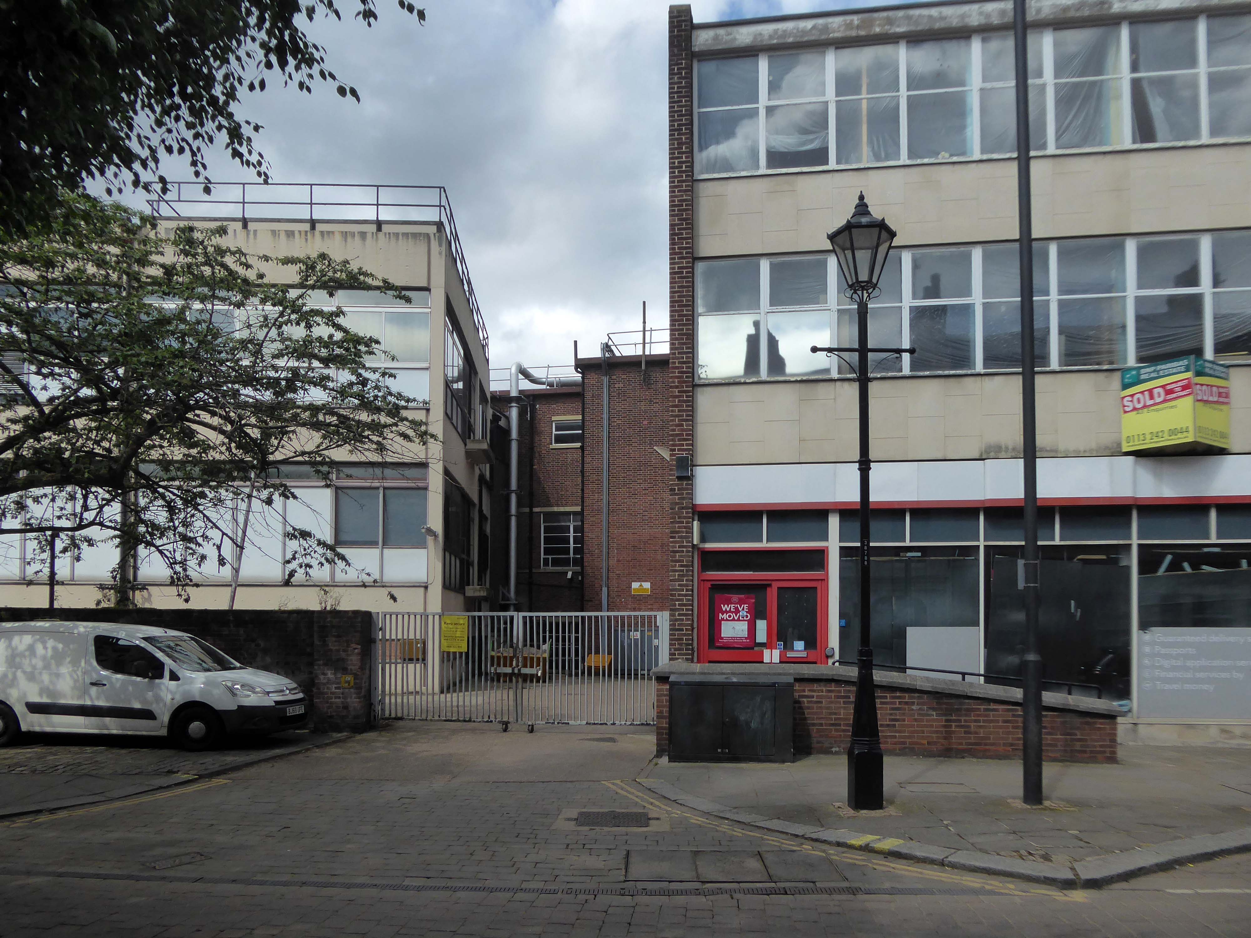
Two adjacent 60s extensions – to the right a redundant post office to the left an almost redundant telephone exchange, with the earlier brick built exchange in smack dab the middle.
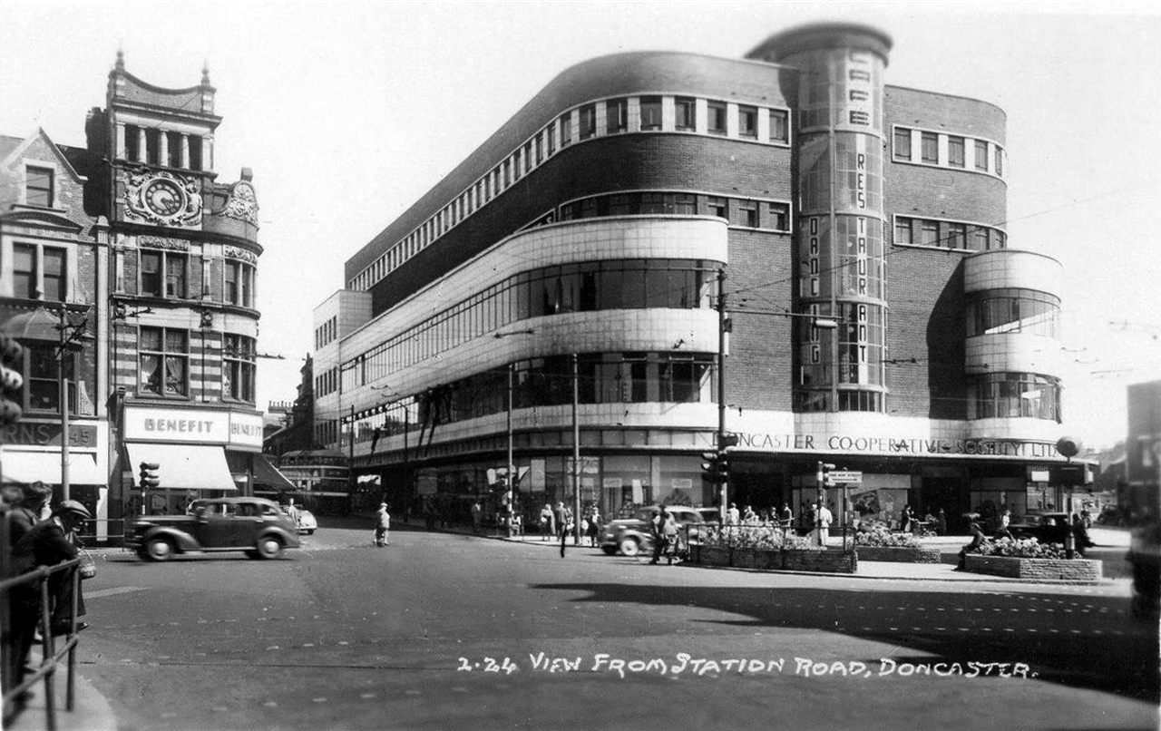
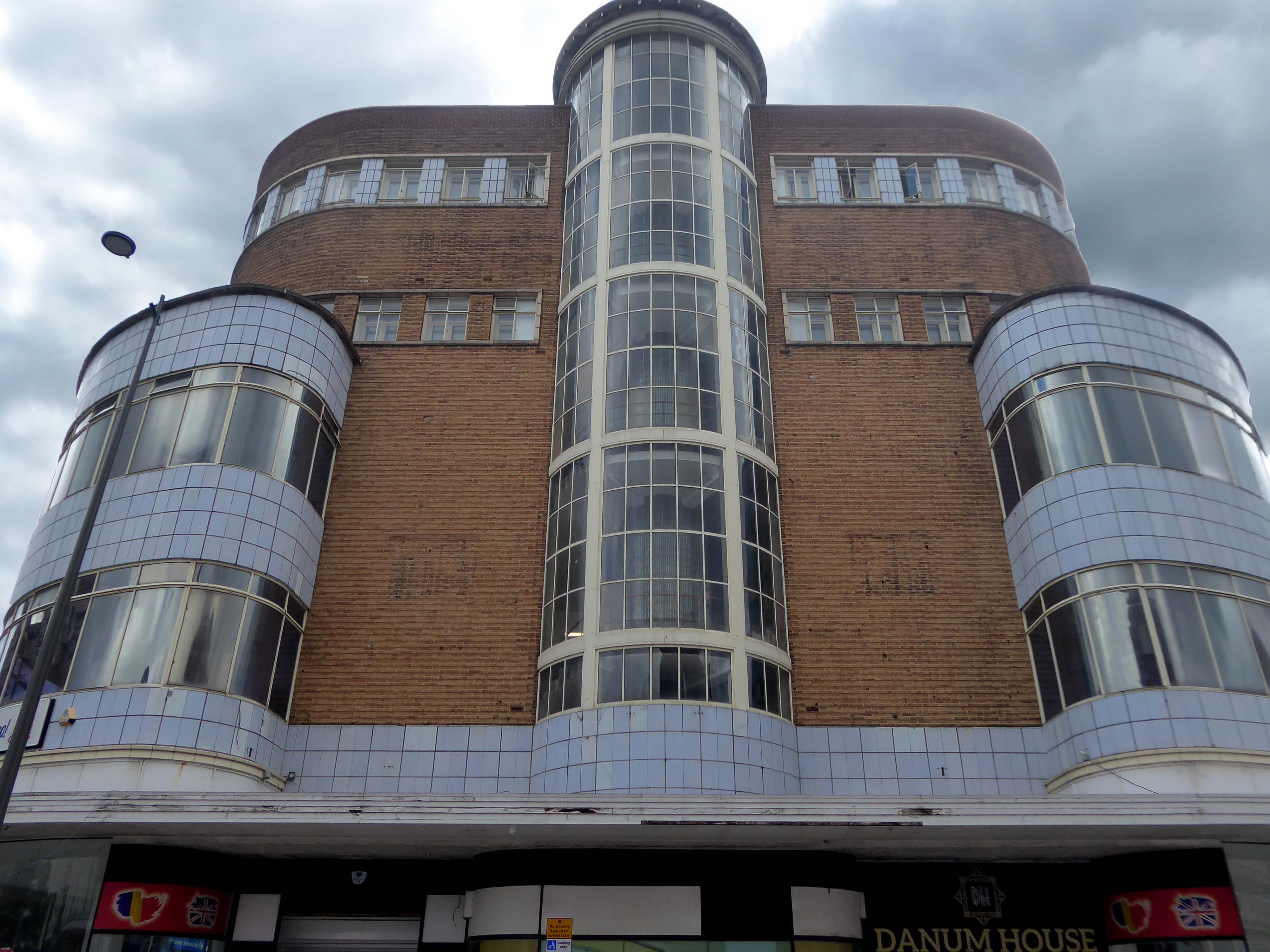
Turn another corner and it’s all at the Co-op now – the Grade II listed Danum Co-operativeBuilding, department store and offices: 1938-40 designed by T H Johnson & Son for the Doncaster Co-operative Society Ltd.
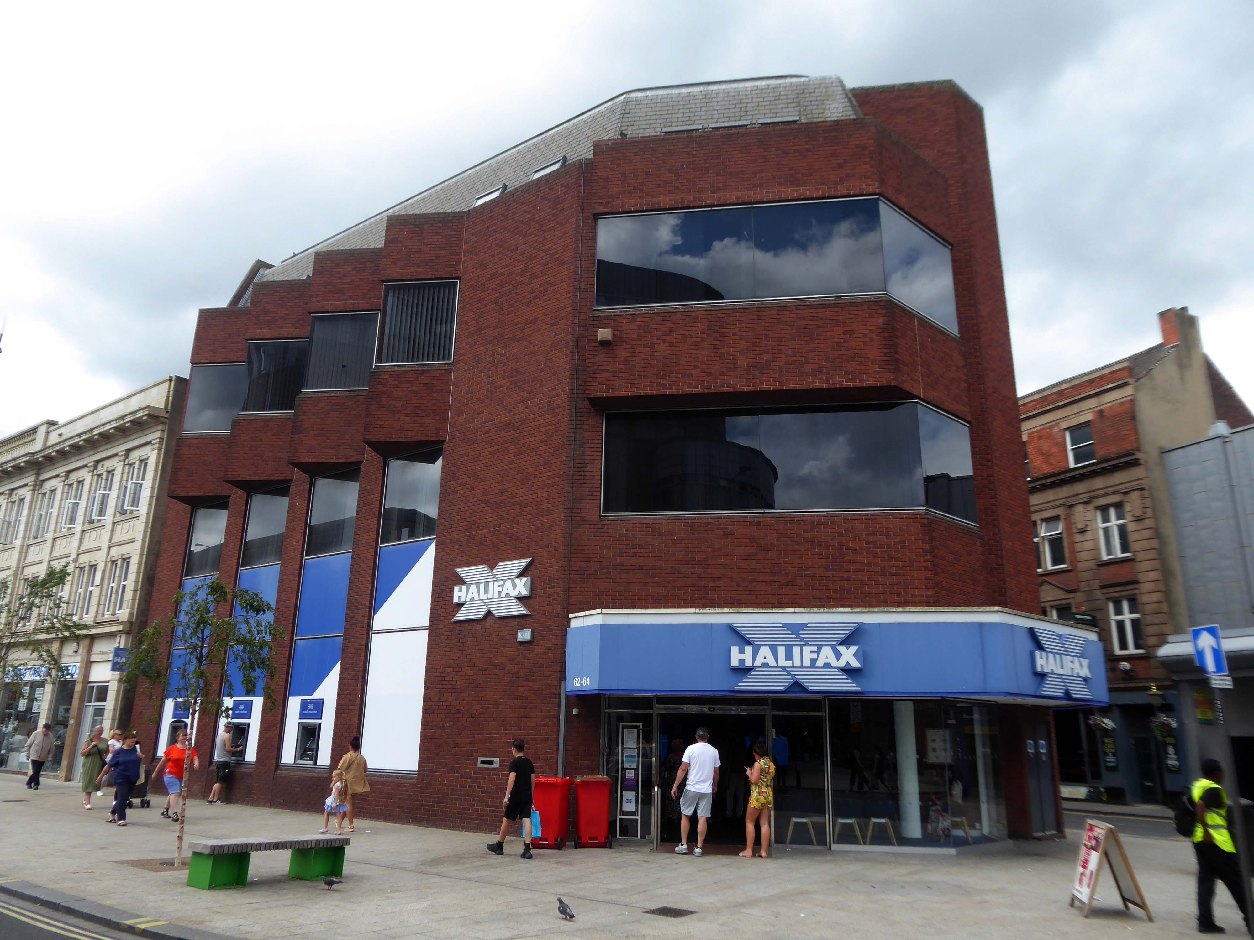
Over the road a zig-zag Halifax Building Society branch, tightly contorted by its corner footprint.
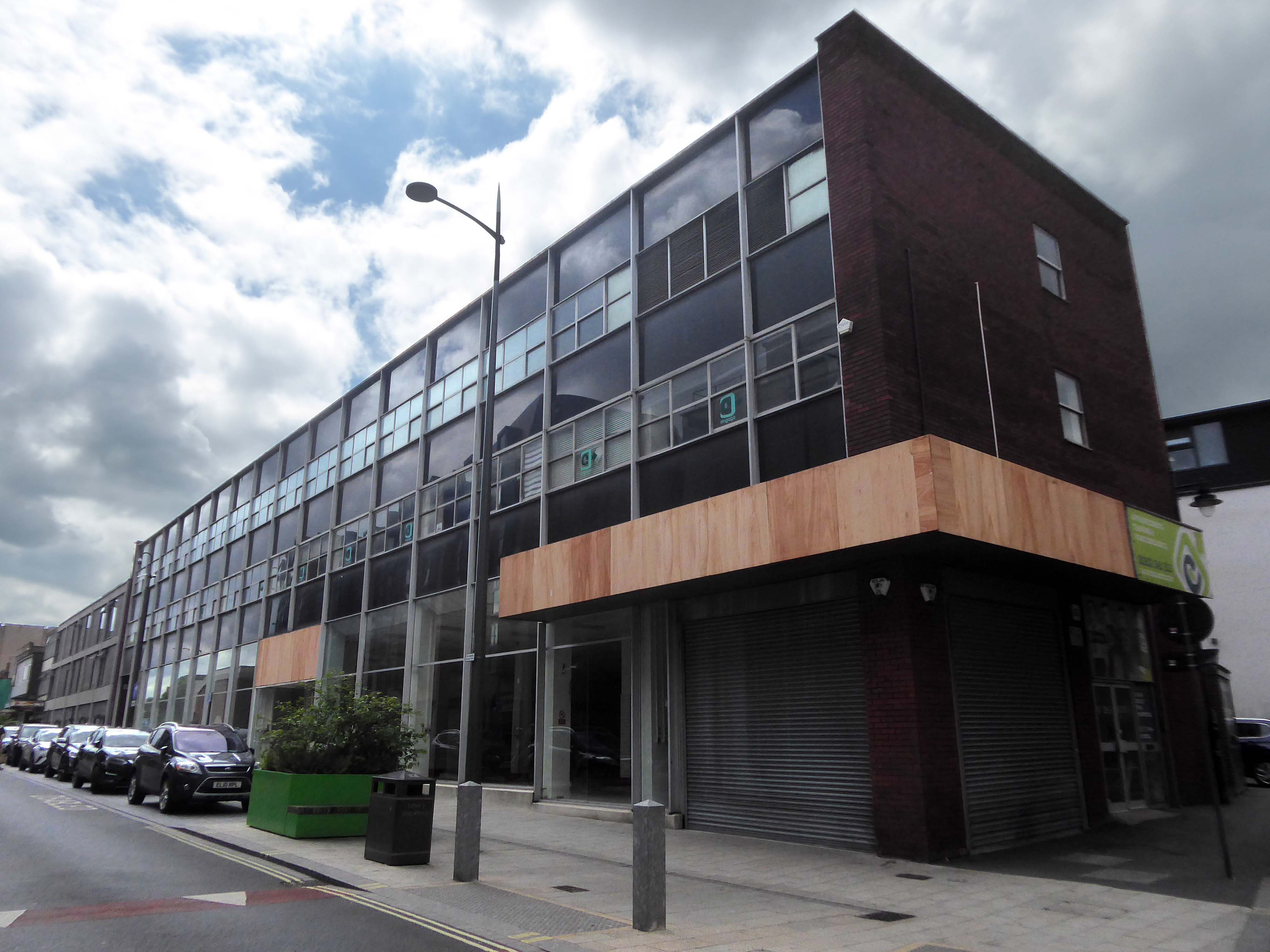
To the right of the Danum, this former Boyes store, having relocated to the Wilko site, the building is ripe for residential conversion.
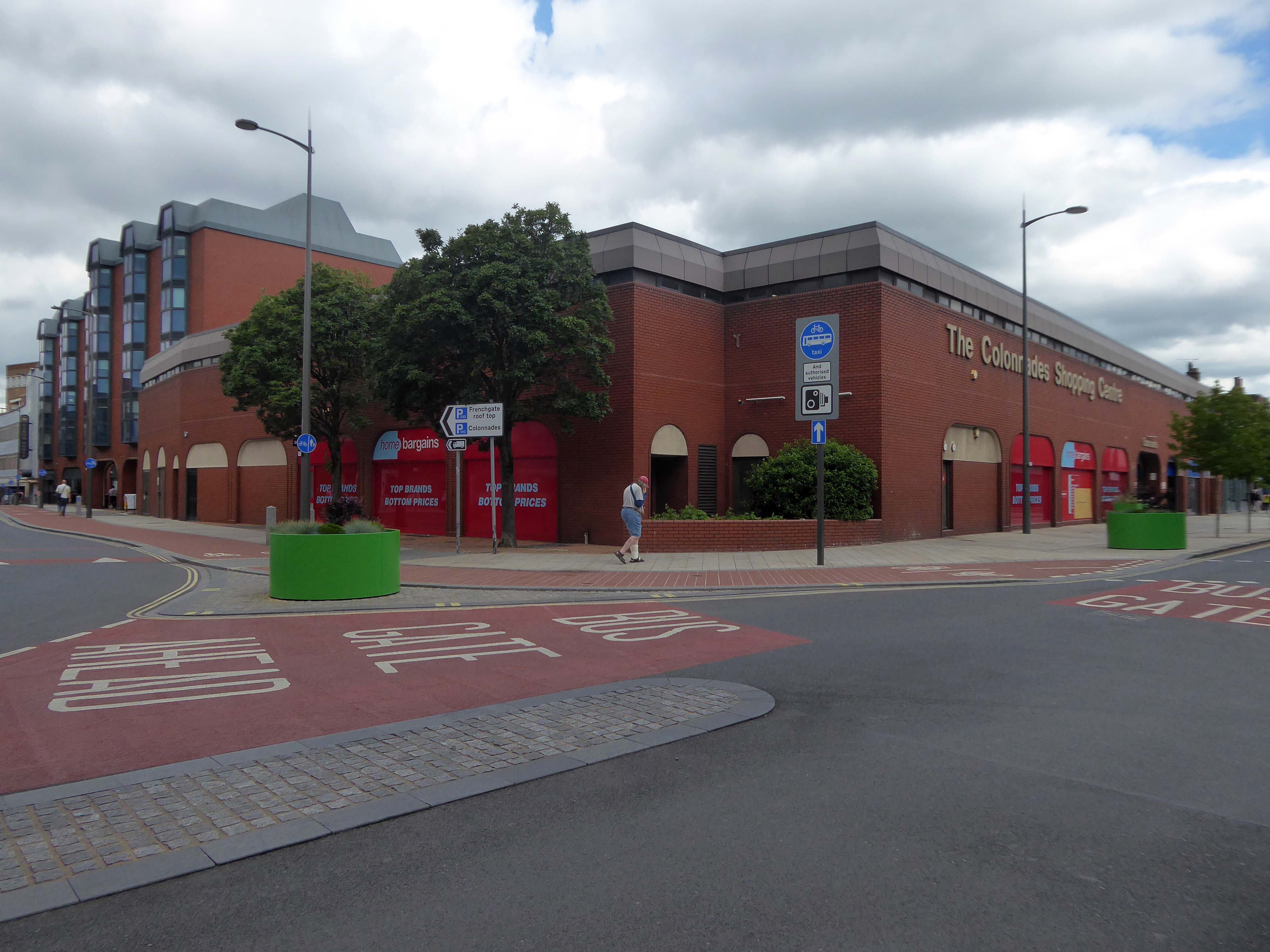
To the left the Colonnades Shopping Centre a fierce angular glass and brick bunker of mixed office and retail space – the sole occupant seeming to be Home Bargains.
A £3.3m makeover of the Colonnades shopping mall in Doncaster town centre was completed in 2019.
The scheme of works was co-ordinated by Doncaster Council and funded by the Sheffield City Region Local Growth Fund.
Built in the 1980s, the brick built building received a major overhaul. The investment saw the visual appearance enhanced inside and out. The five floors were transformed into the prime office space needed in the town centre and the enhancements to the retail area were also finished.
The shift in the town’s axis to the Frenchgate and Market areas, seems to have taken the wind out of its sails.
The former flicks now a redundant pale brick behemoth – no more and ABC.
Doncaster’s new £250,000 ABC cinema, part of the Golden Acres development near the town centre, was opened on May 18th 1967.
Closed in January 1981 for conversion into a triple screen it re-opened on 9th April 1981 with seating in the three screens for 477, 201 and 135.
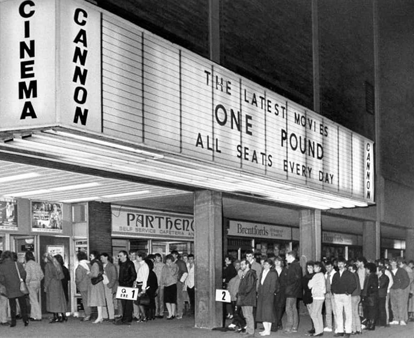
The Cannon Group took control in the mid-1980’s and it was re-named Cannon and it closed on 18th June 1992, screening its opening film Doctor Zhivago.
Cinema Treasures
The Golden Acres development seemed to have morphed into the Waterdale Centre.
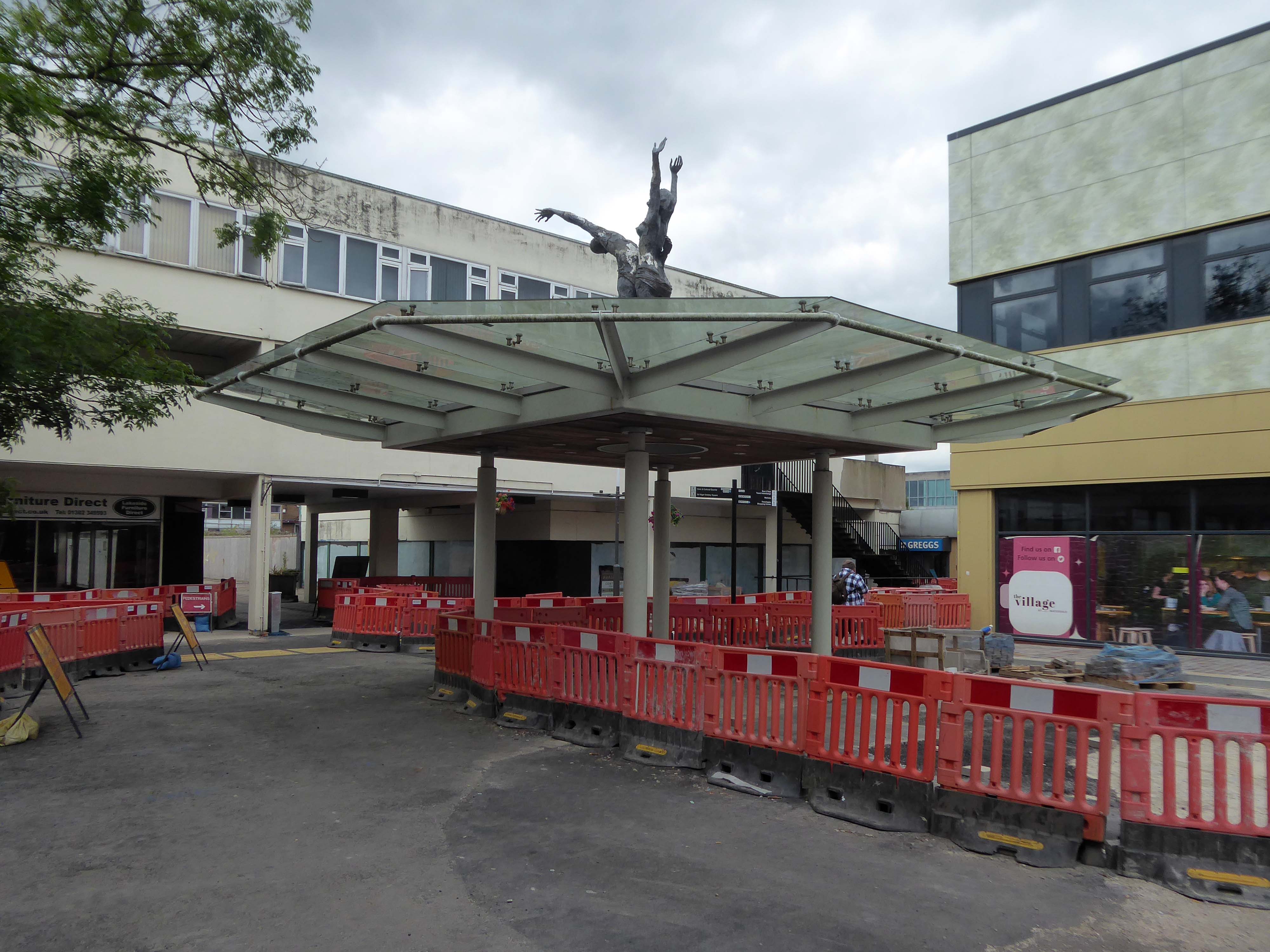
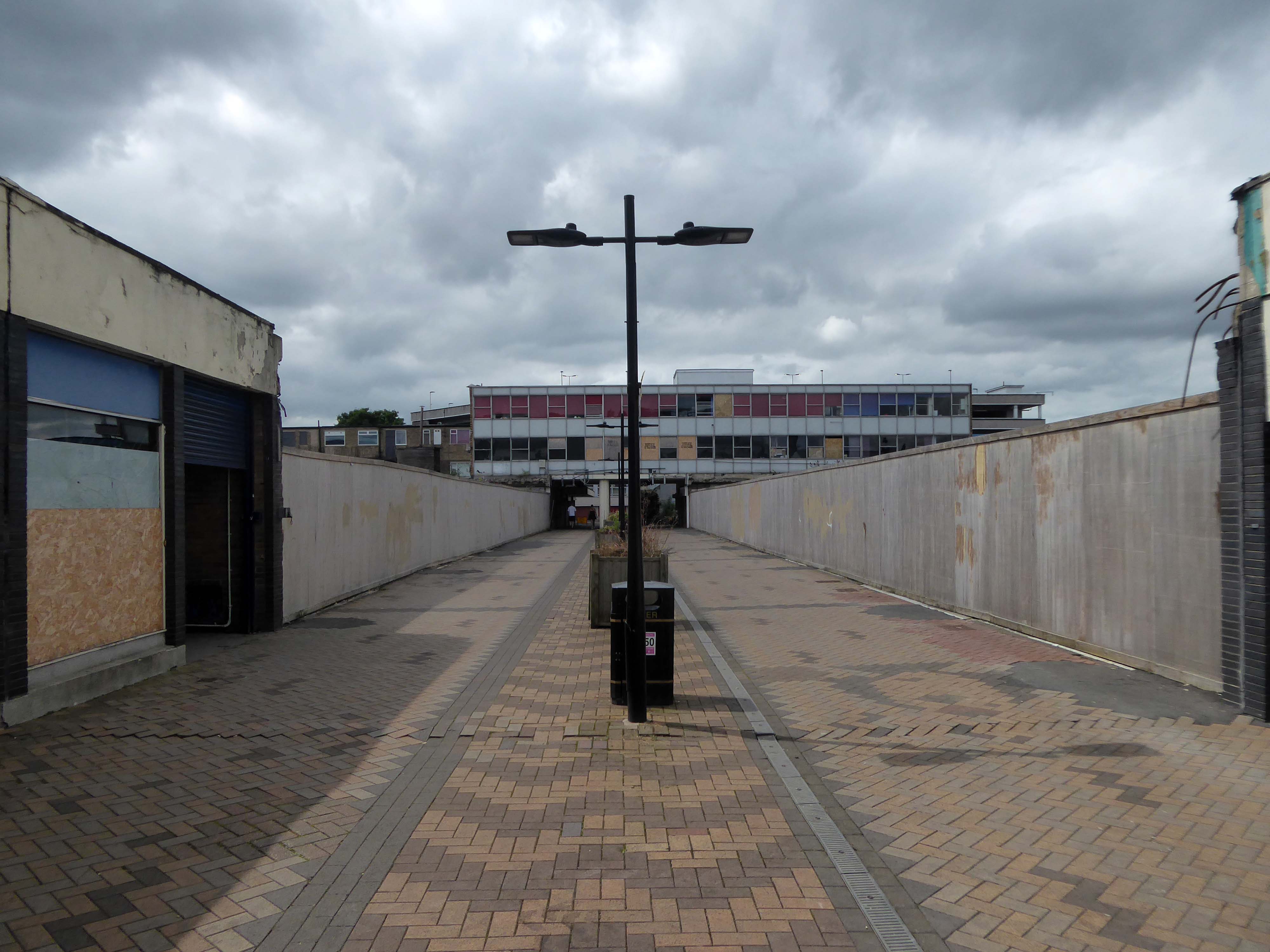
It is currently being reshaped to provide a line of desire twixt the Civic and Cultural areas, from the town centre. There are still the remnants of homes, shops and a pub amongst the demolition – almost inevitably there is new paving.
Waterdale is a well-known part of Doncaster’s town centre. During its heyday it was a bustling area with people flocking to shops and the like – it was a place you had to visit while you were in town. However, it had suffered a steady decline which continued when the southern bus station closed – Frenchgate Interchange opening, and Doncaster College moved to the Hub at the Waterfront. With limited public transport entering the area and no student population on its doorstep, less people had reason to pass through.
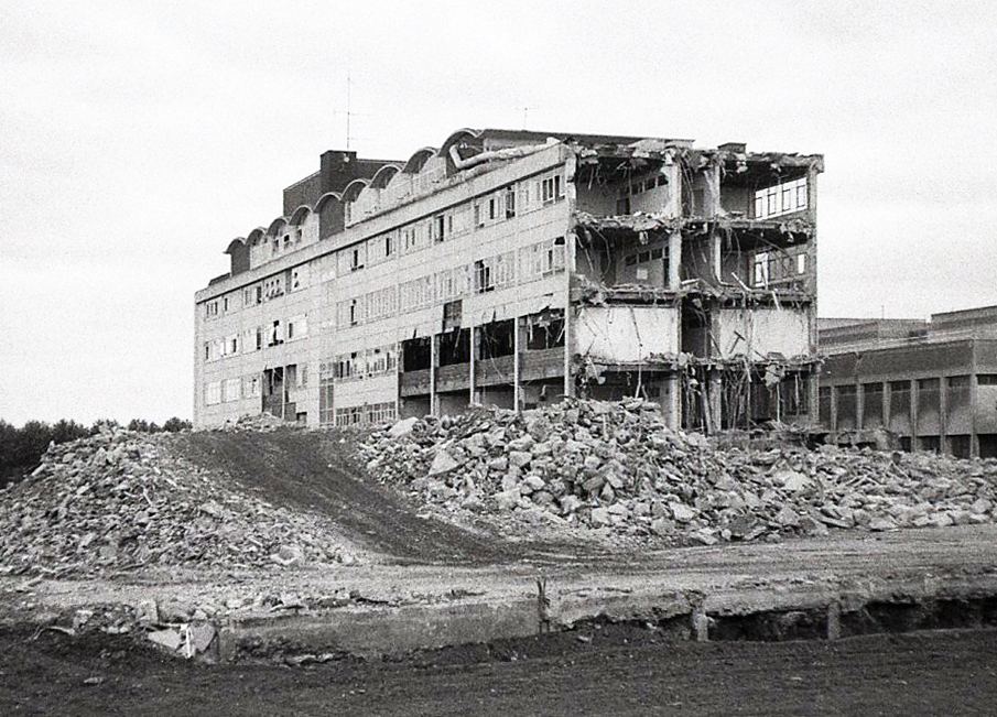
Demolition of the College.
The Civic and Cultural Quarter is transforming Waterdale reconnecting it to the town centre. The quality and content of the plans is raising the profile of this part of town to new levels. The carefully thought out layout and consistent building design is giving the area a clear identity. It is already becoming a big attraction that draws people in and encourages redevelopment in the neighbouring areas.
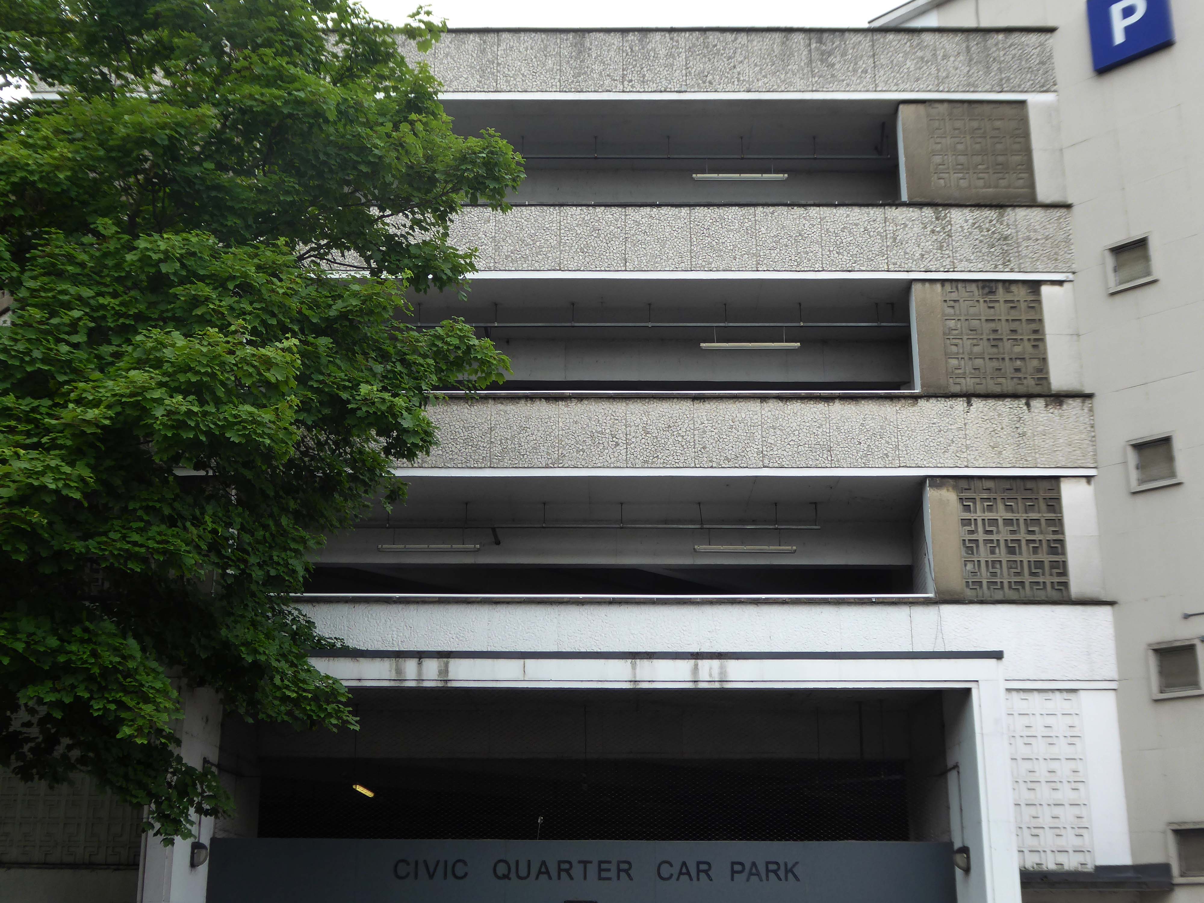
The weary walker is diverted toward the Civic Quarter Car Park.
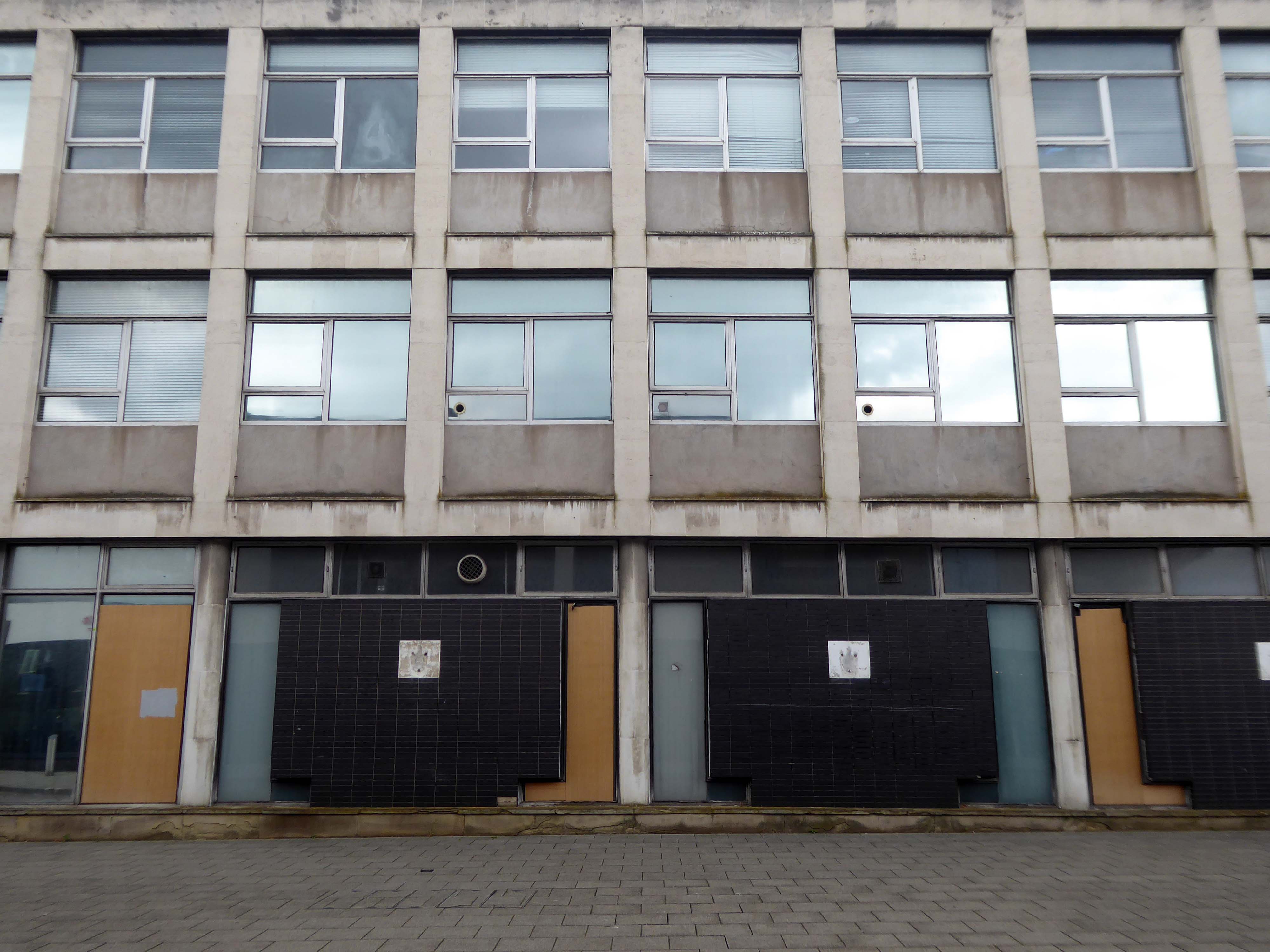
The former Civic Offices are to be demolished.
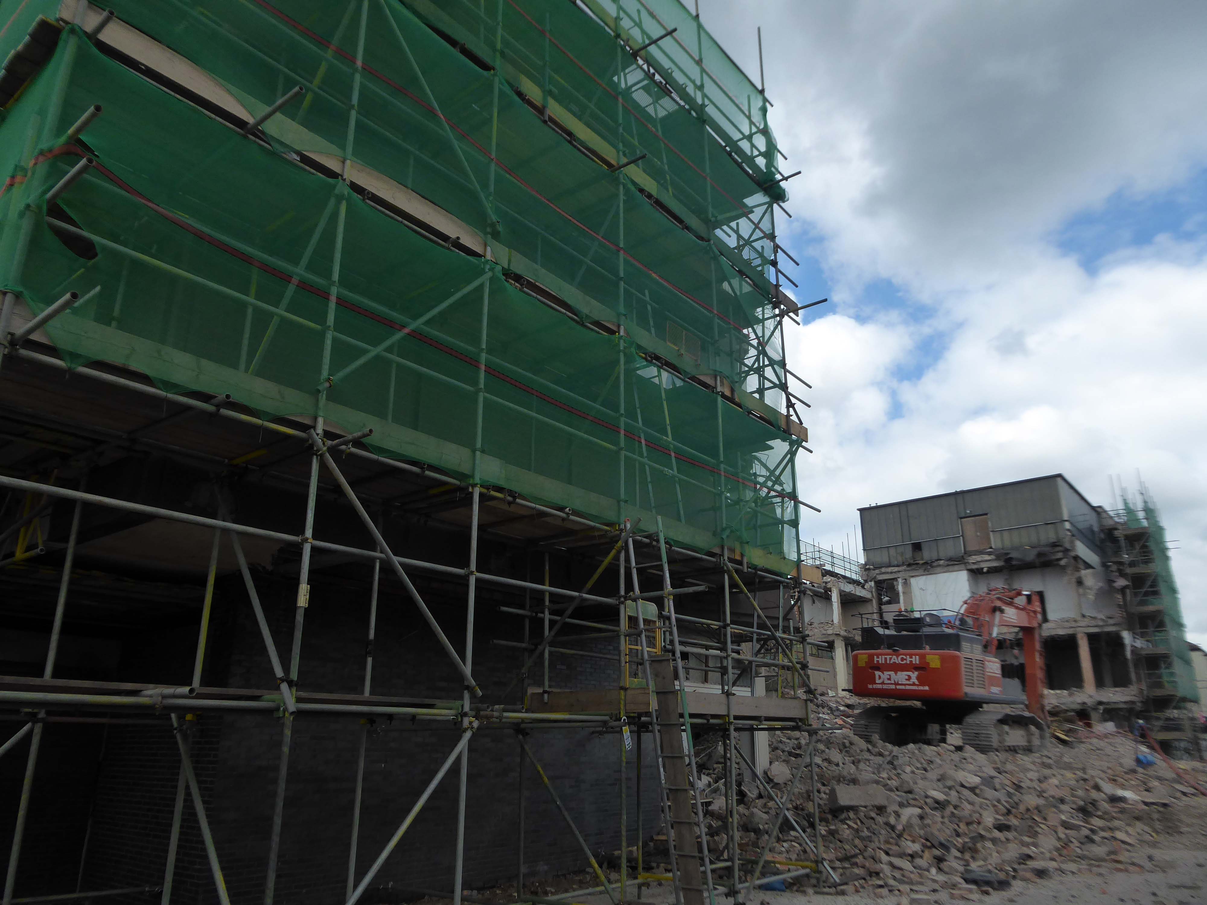
Demolition of the Central Library is well under way.
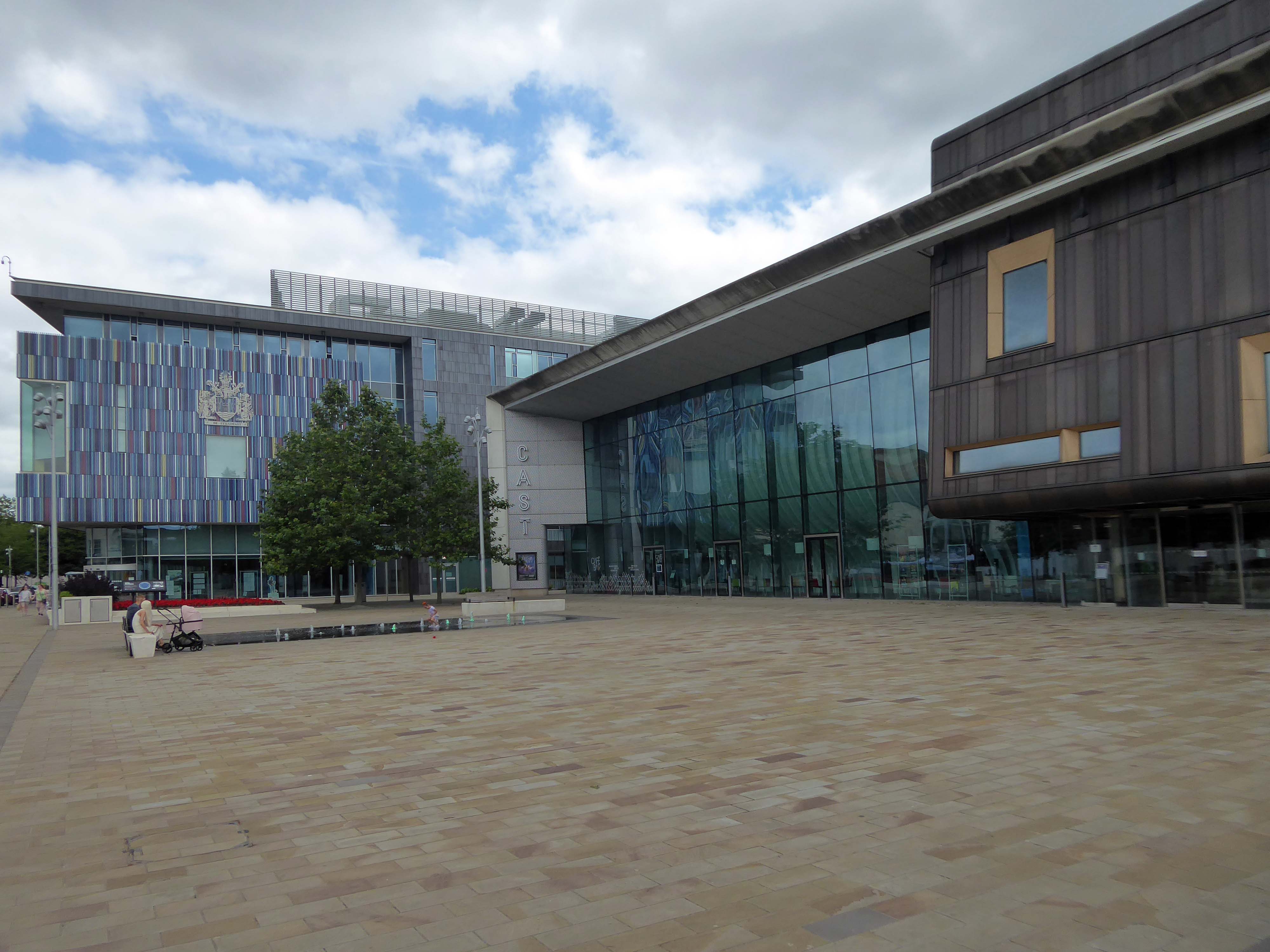
Facing the former library we find the CAST Theatre, Civic Buildings and Savoy Cinema, grouped around Sir Nigel Gresley Square.
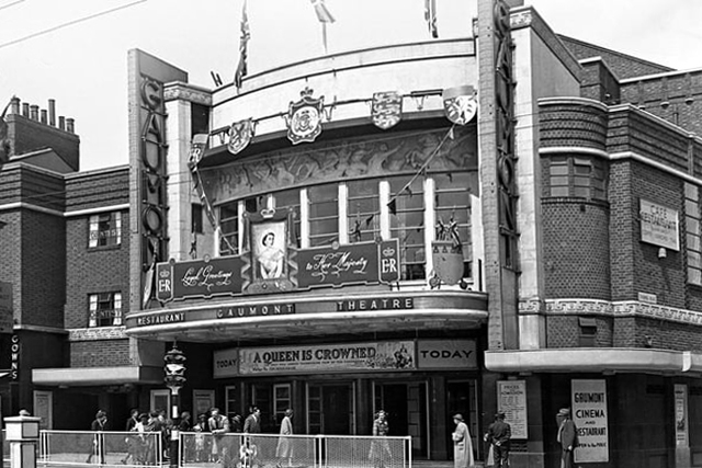
Within the square is a frieze, salvaged from the former Gaumont Cinema, the work of sculptor Newbury Abbot Trent.
The Gaumont Palace Theatre in Hall Gate at the corner of Thorne Road, Doncaster opened on 3rd September 1934 with Jesse Matthews in Evergreen.
It was designed by architects WE Trent and W Sydney Trent.
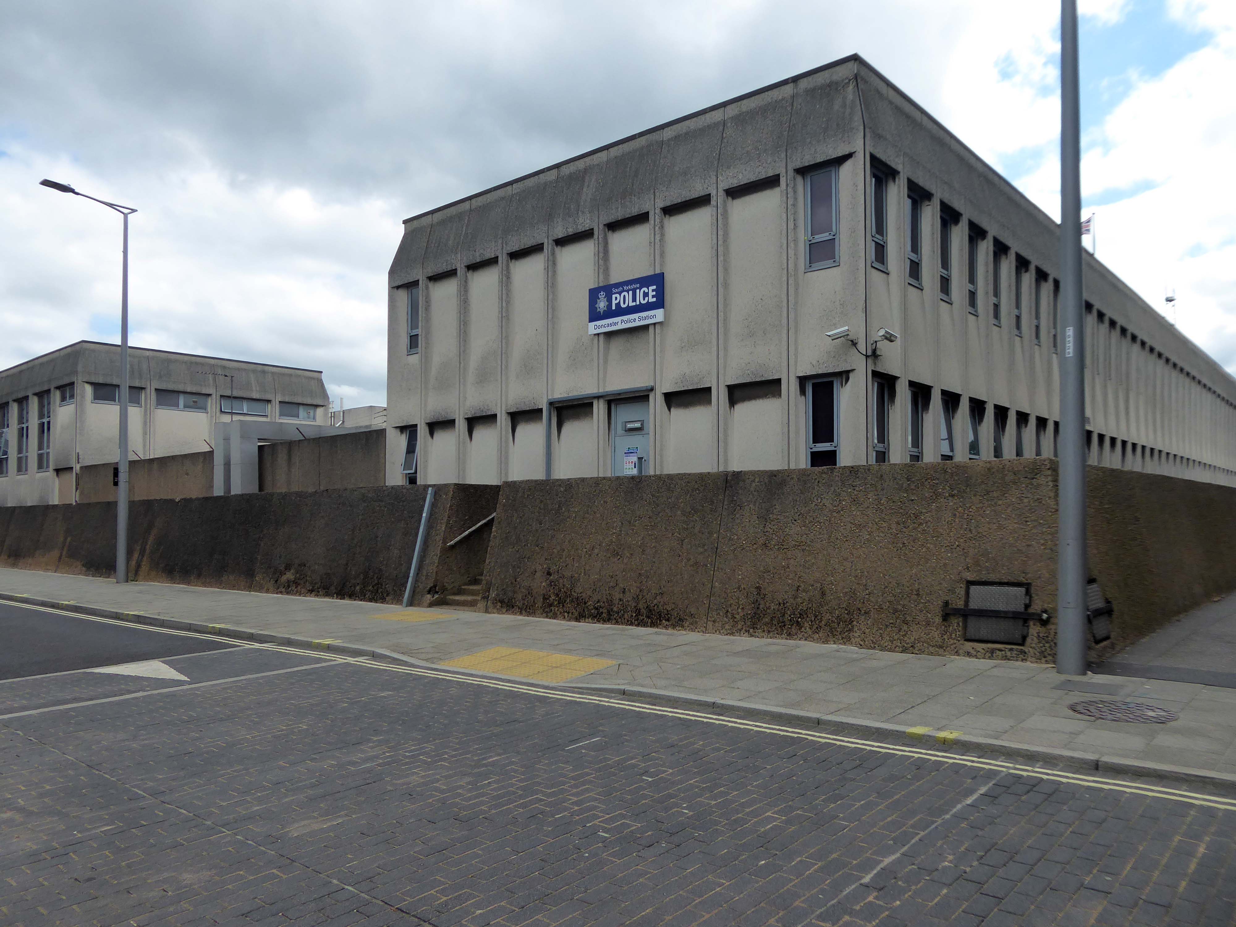
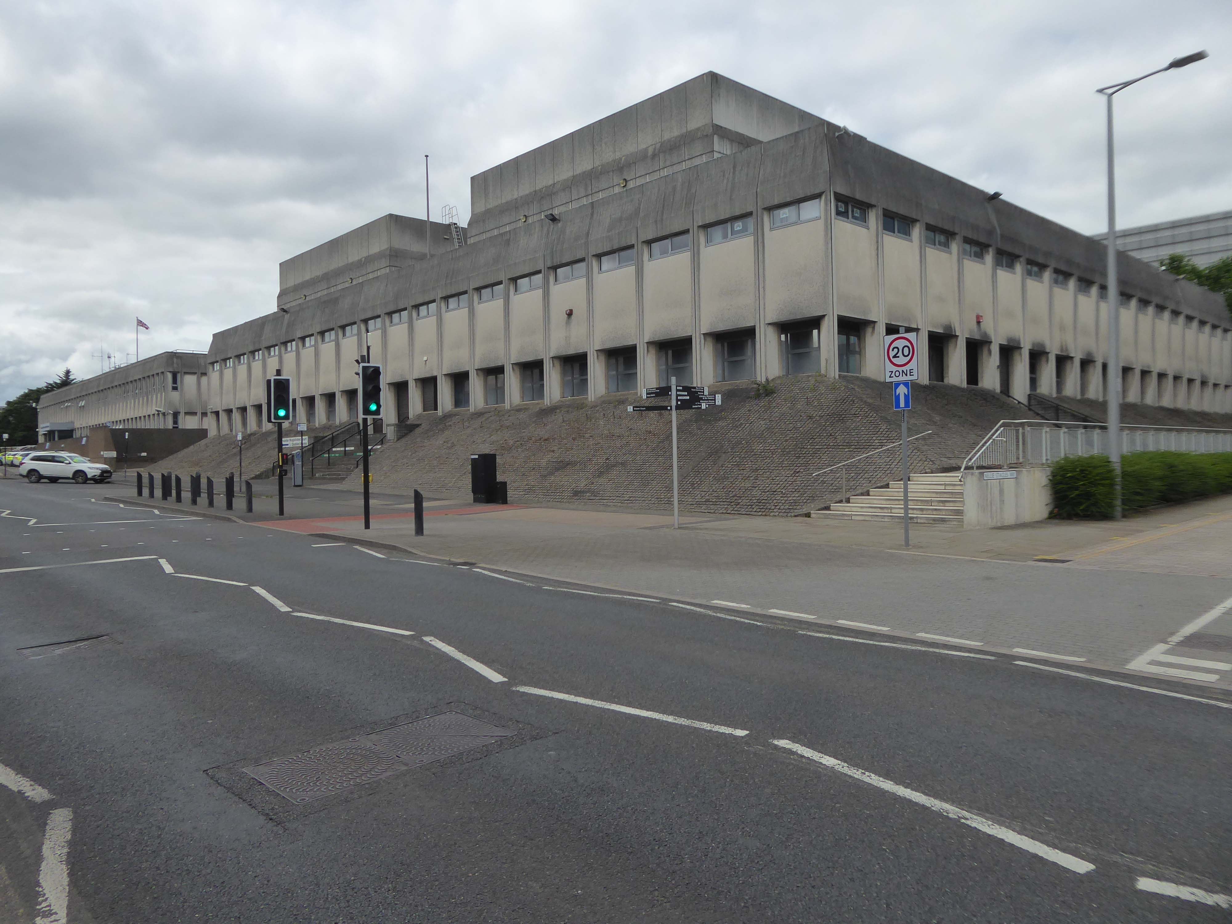
In 1949 WH Price the Borough Surveyor produced an outline plan for the area, with a green space at its heart, it was never realised. In 1955 Frederick Gibberd produced his plan to include a ten storey Town Hall, Art School, Technical College and Civic Theatre, revised and reduced in 1963 – eventually his Police Station and Law Courts were completed in 1969.
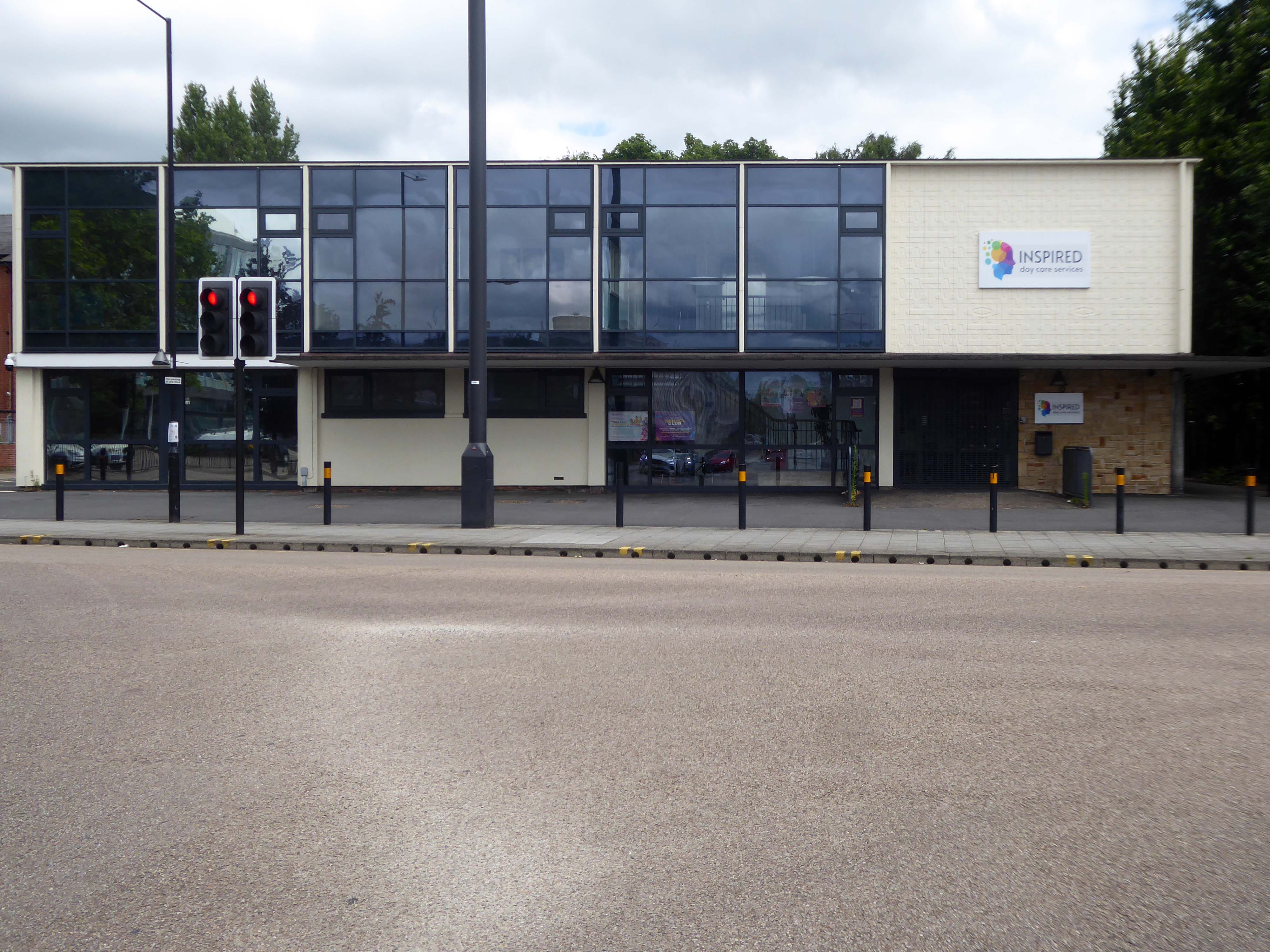
The former NHS Clinic at the ‘T Junction’ is transformed into a day care service.
The building was designed in the office of the Doncaster Borough Architect’s Department in a team led by borough architect Mr LJ Tucker.
The ceramic designs were a later addition when it was discovered that the large open areas of glass overheated almost everything inside, the work was undertaken by LJ Tucker and family.
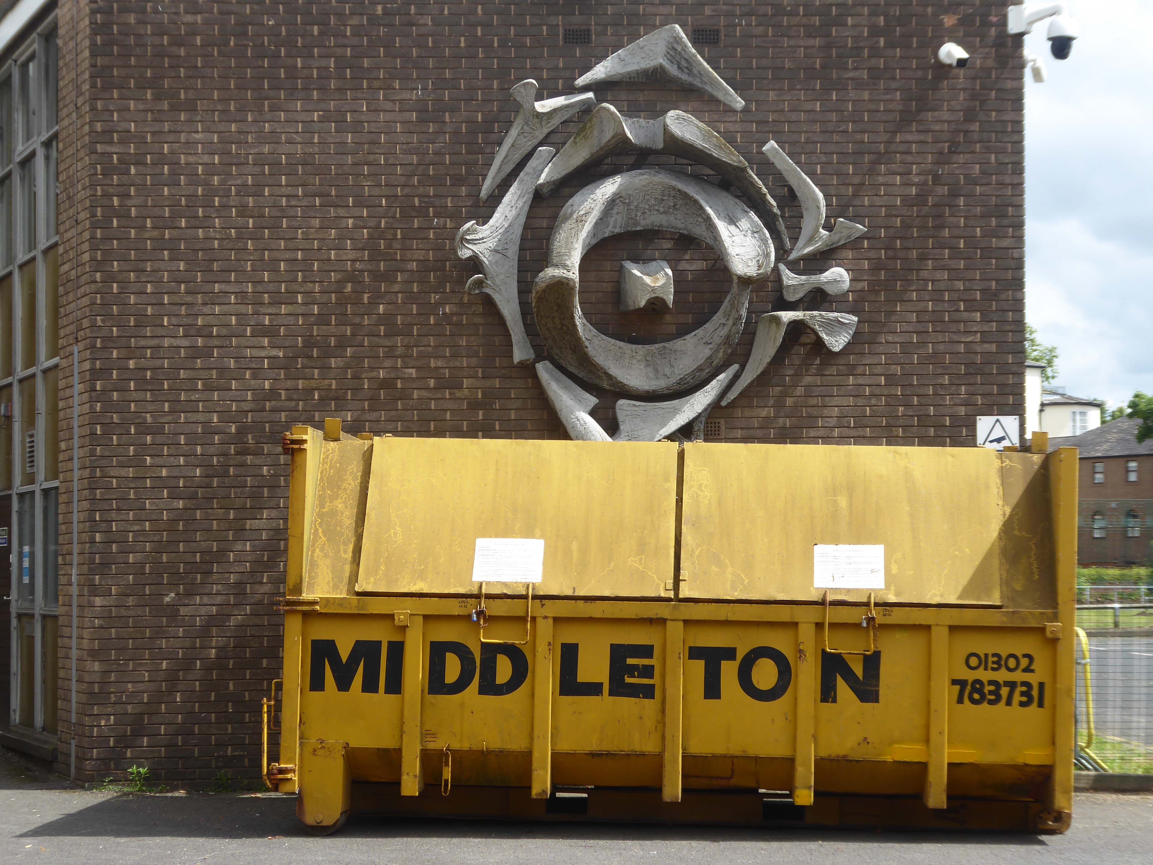
The sculptural work by Franta Belsky, now has a skip for company.
As a footnote the work by Fabio Barraclough reveals a murky past.
Barraclough was born in Madrid in 1923, to a Spanish mother and Yorkshire father who founded Madrid’s Chamber of Commerce. He moved to London with his family in the 1930s as a refugee from Francoist Spain. He taught fine art and sculpture at Rugby School, where colleagues considered him “highly entertaining, a most unorthodox and highly gifted” teacher. He established himself during the 1960s and early 1970s as an authority on sculpture, publishing in academic journals and becoming a member of the Royal British Society of Sculptors.
In 2000, it was revealed that Barraclough, while outwardly living the life of anti-apartheid activist since the 1970s, had been a paid informant of the South African state security police. The media was used to promote his image as a “brilliant, liberal artist with apparently impeccable credentials” in order to gain public trust, while he was funnelling money from anti-apartheid groups to the police. He died on 6th January 2019.
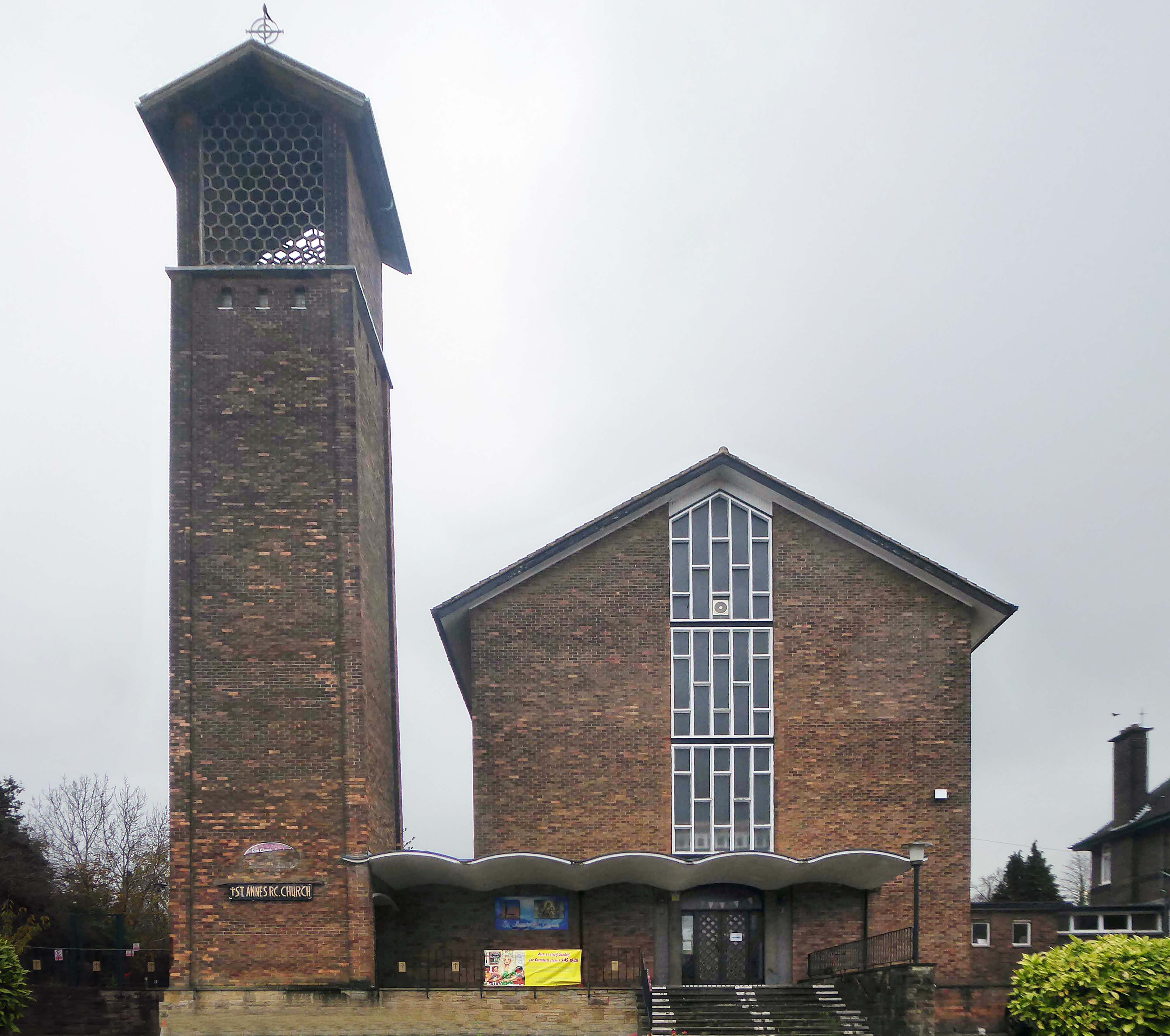
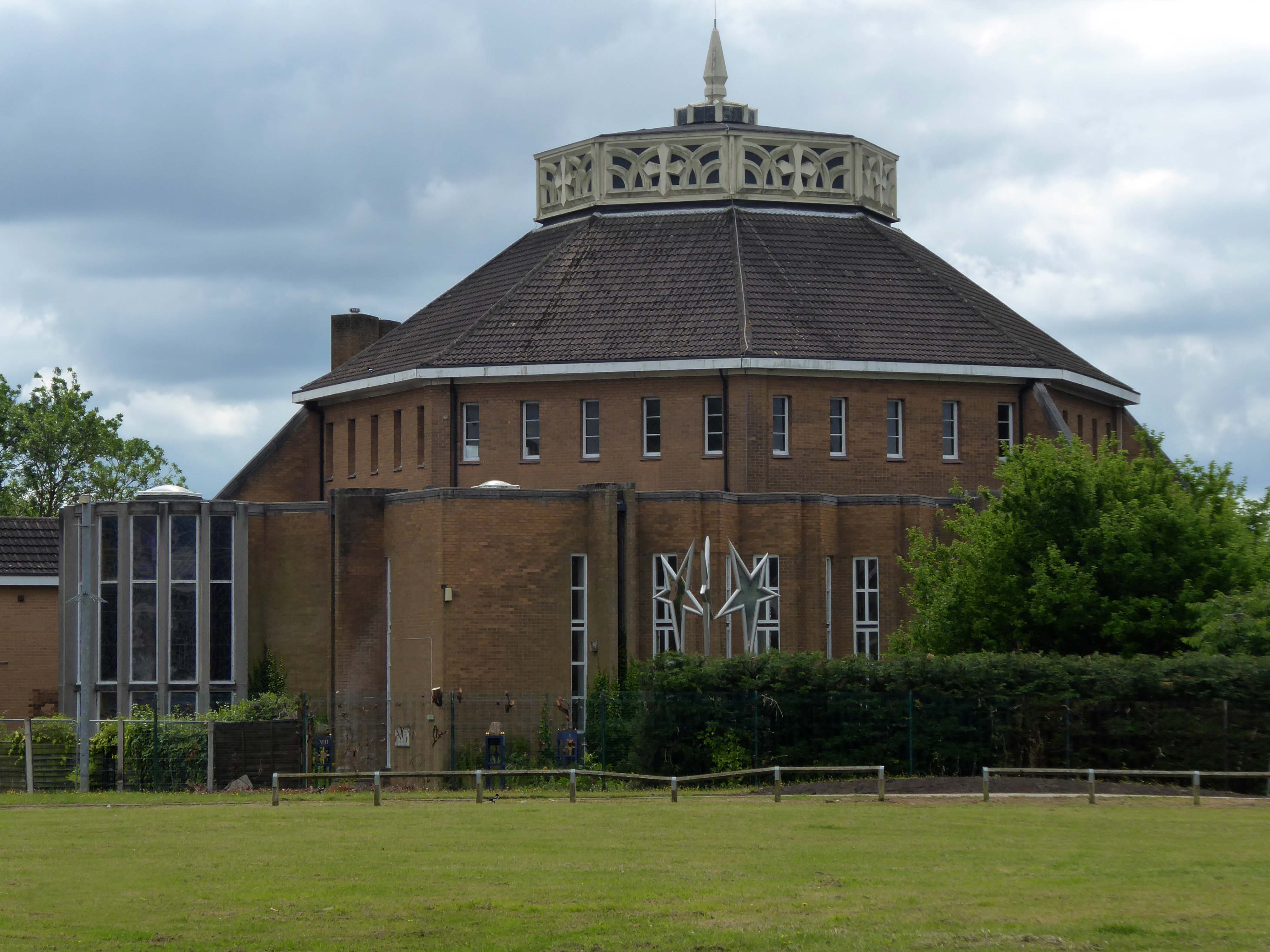
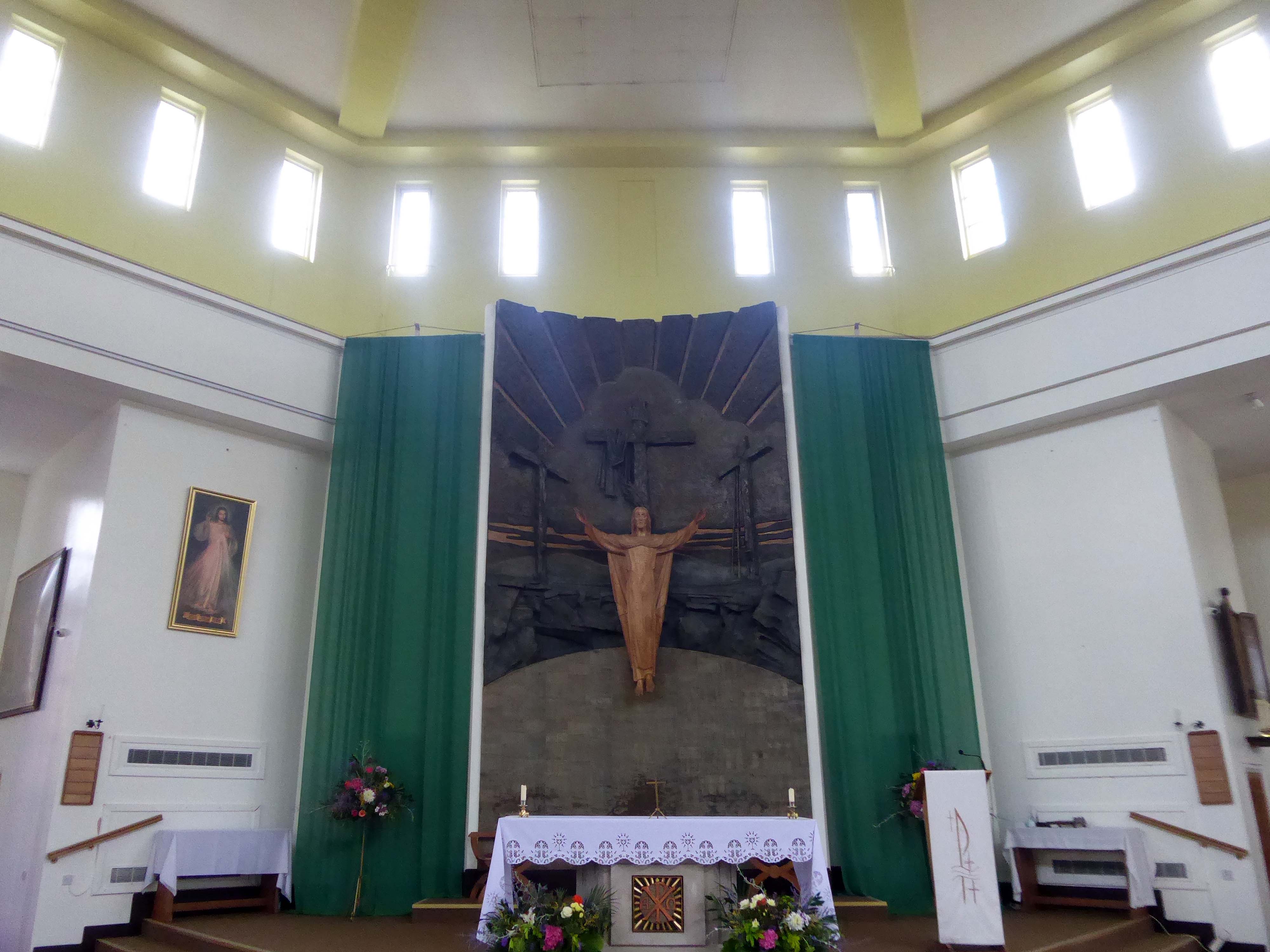
Over the way faros the green sward is St Peter in Chains RC – A large and striking design by JH Langtry-Langton, incorporating important furnishings by J F Bentley from the predecessor church, along with good furnishings of the 1970s. The churches houses the modern successor to the medieval shrine of Our Lady of Doncaster.
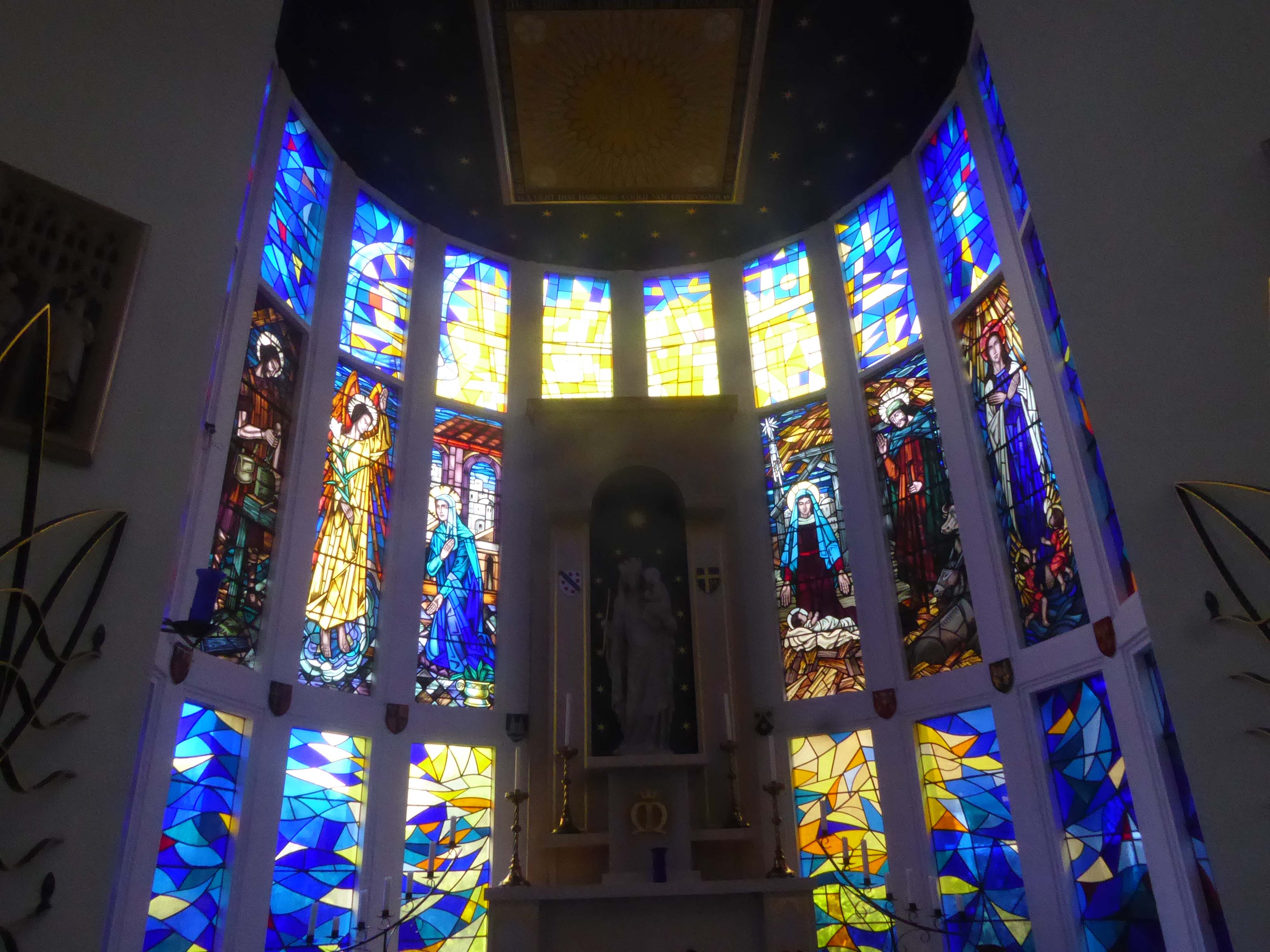
Figurative stained glass by Patrick Feeny for Hardman in 1973 and abstract glass fitted in 2000 as part of reordering and revival of the shrine.
Designed by architects Bond Bryan and built by main contractor Willmott Dixon, the new cultural and learning hub has been created following the restoration of four existing buildings.
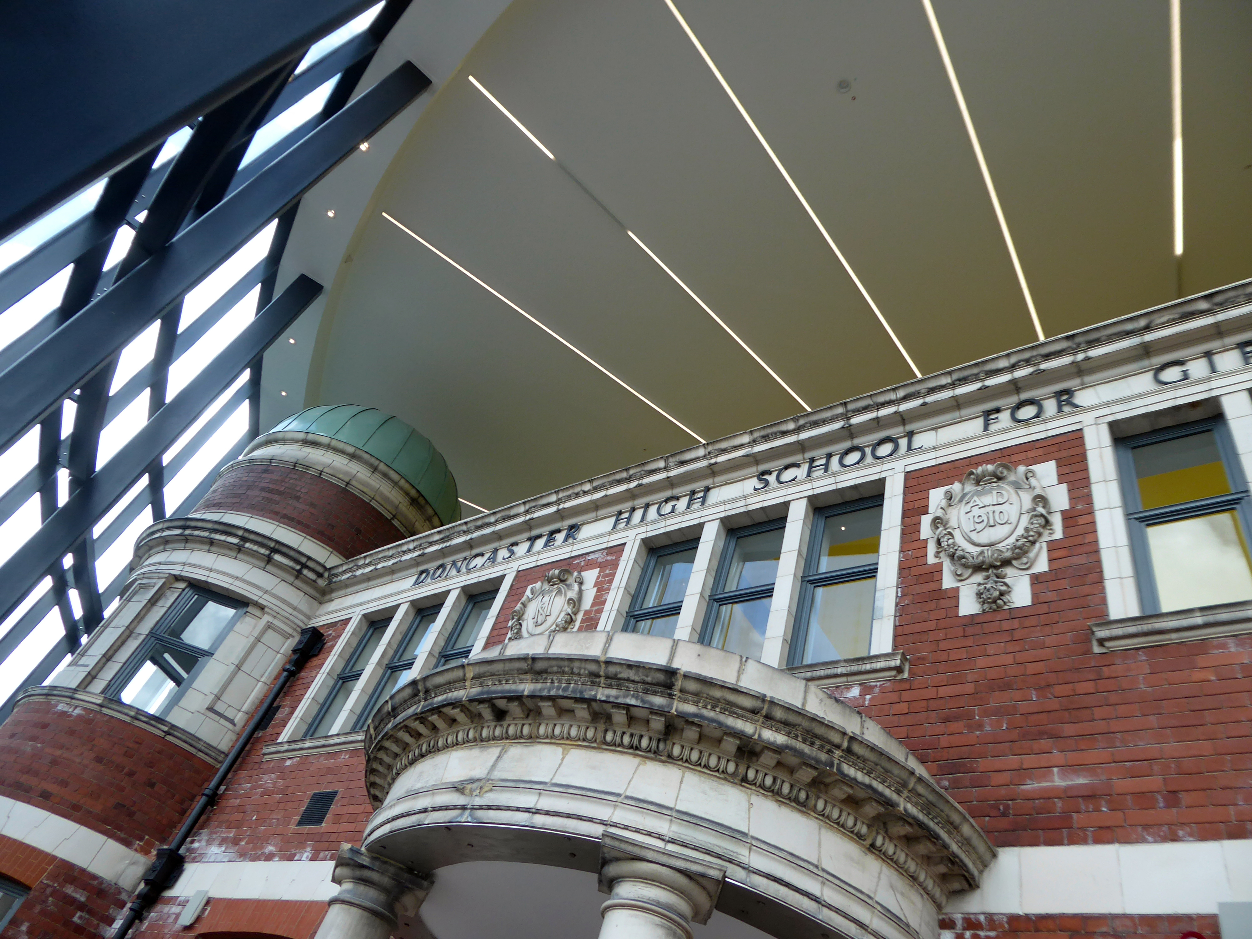
A key focal point of the scheme is the restored frontage of the Edwardian former Doncaster High School for Girls, which has been framed by Senior’s slimline SF52 aluminium curtain wall and showcased within a new steel-frame building. The glazed facade, which was fabricated and installed by Senior’s supply chain partner Chemplas, also features Senior’s aluminium commercial doors.
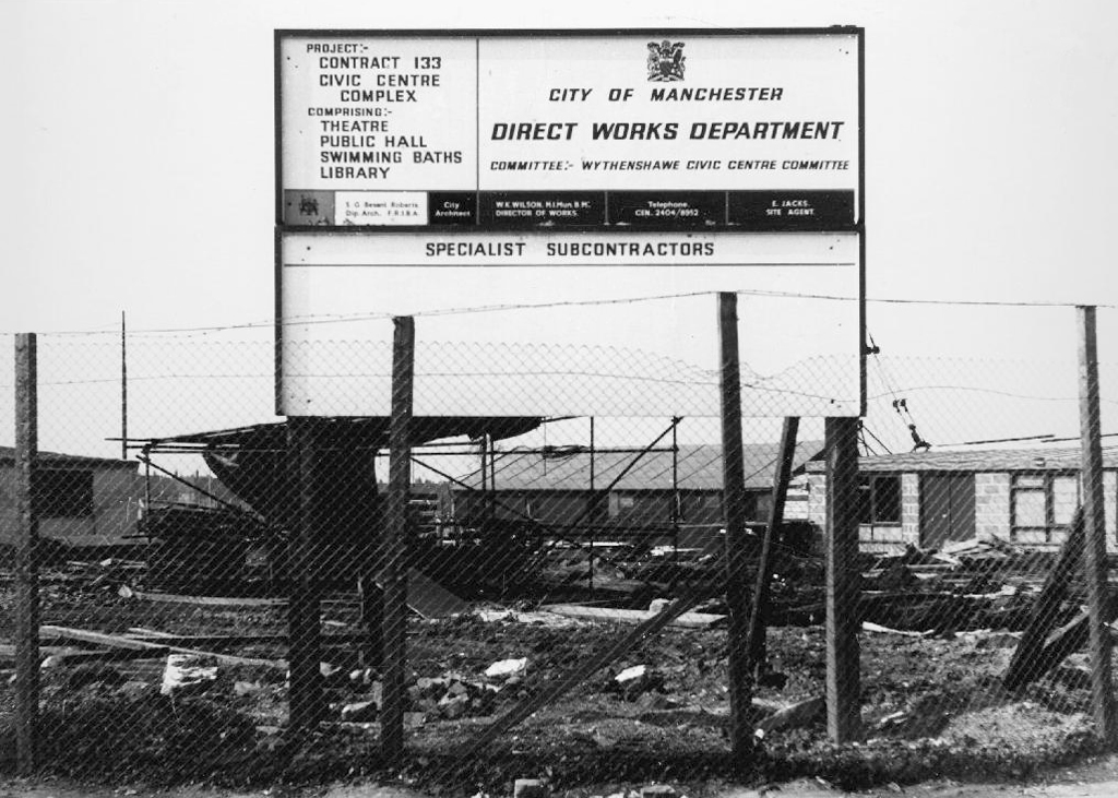
Work began in the interwar years, and continued following the hiatus of 1939-45. The shopping centre named the Civic Centre was open in 1963, the actual Civic Centre containing a swimming pool, theatre, public hall and library in 1971.
Here I am again four years later, taking a look at how it looks today.
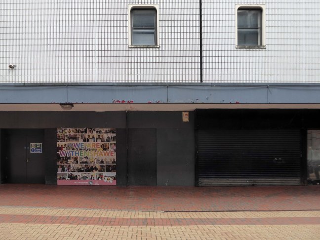
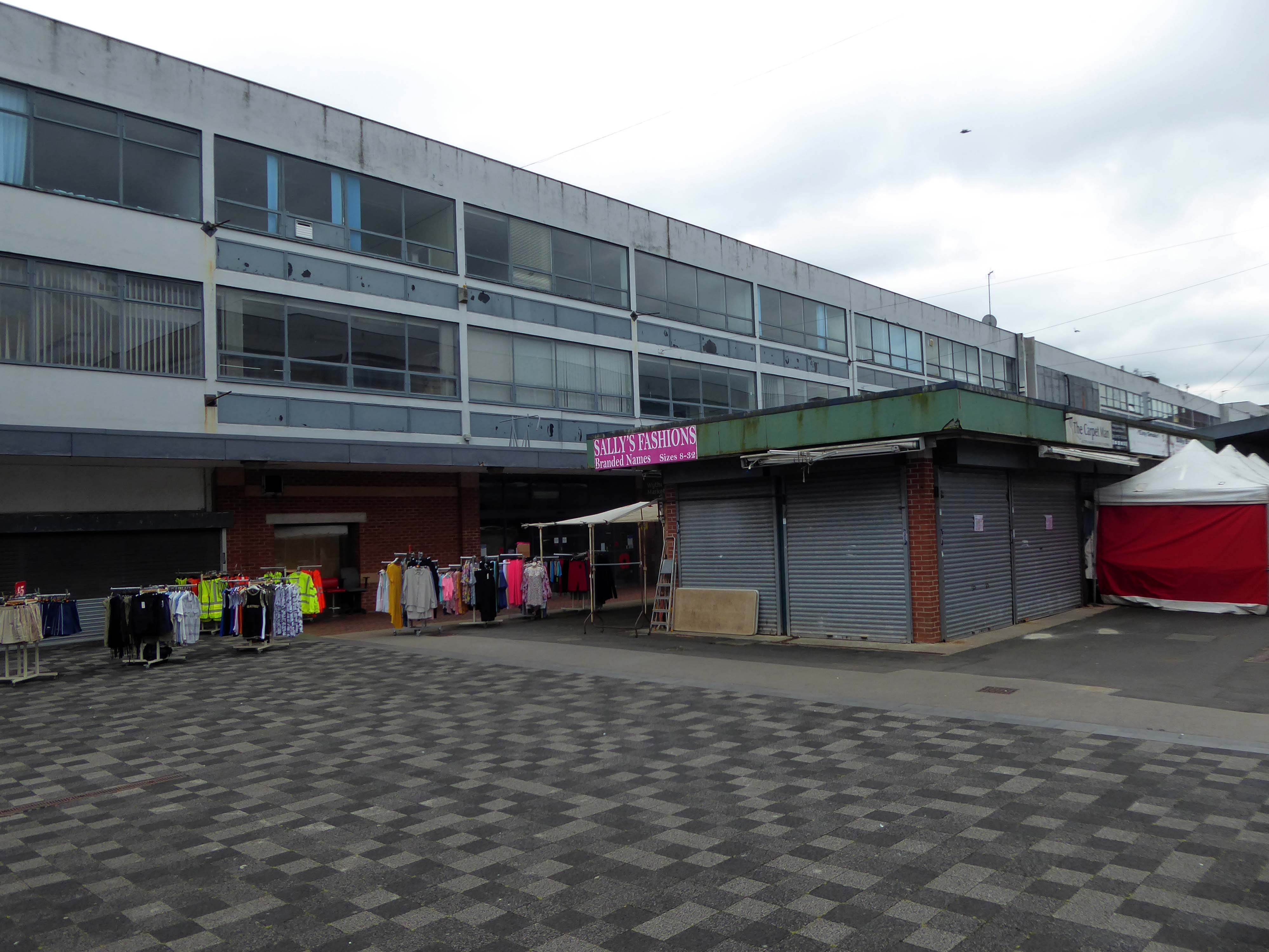
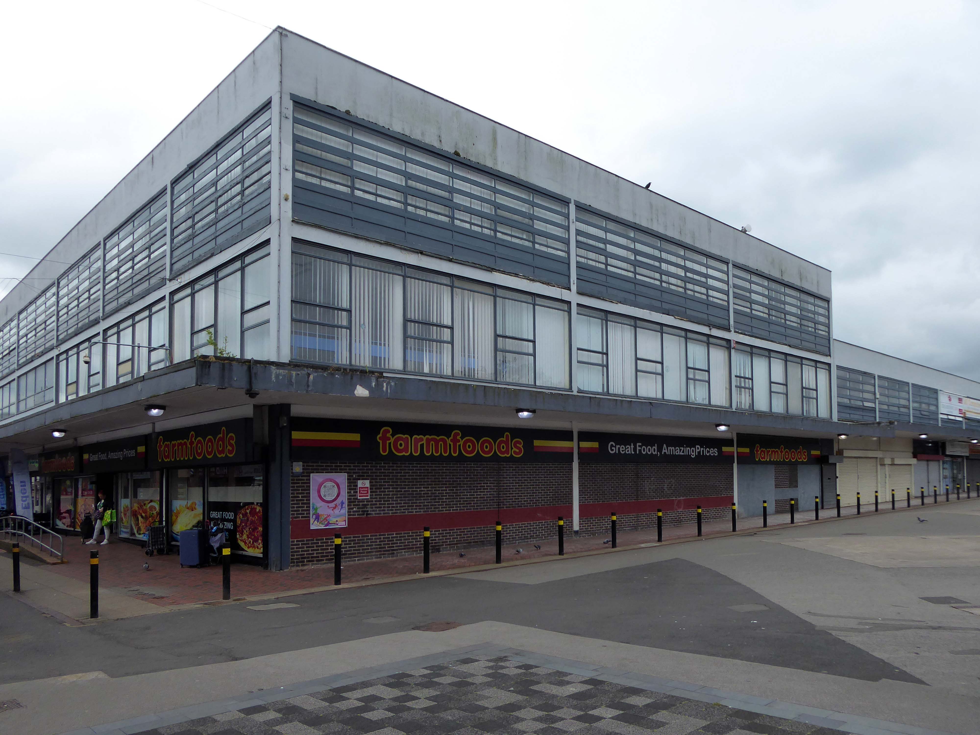
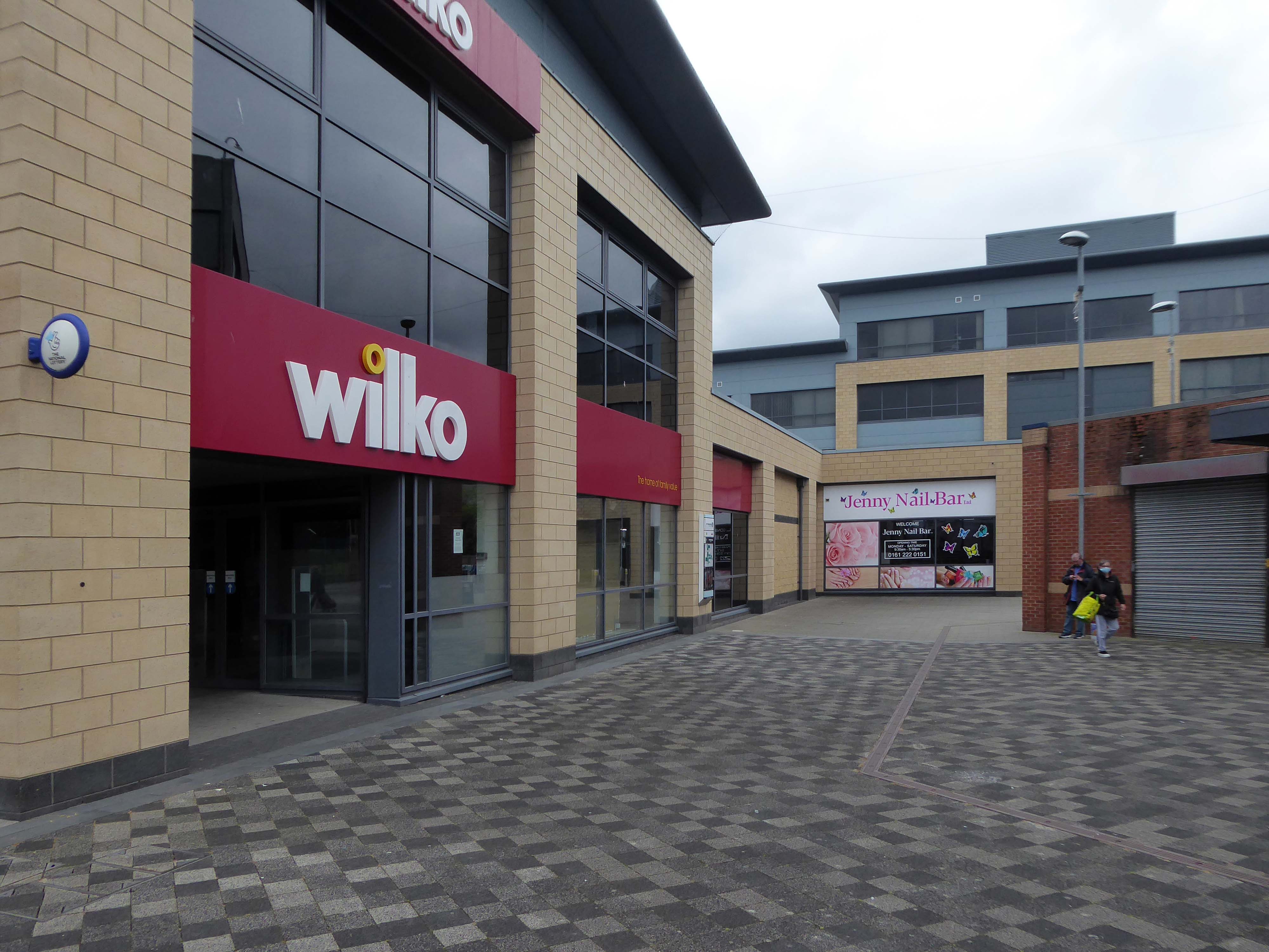
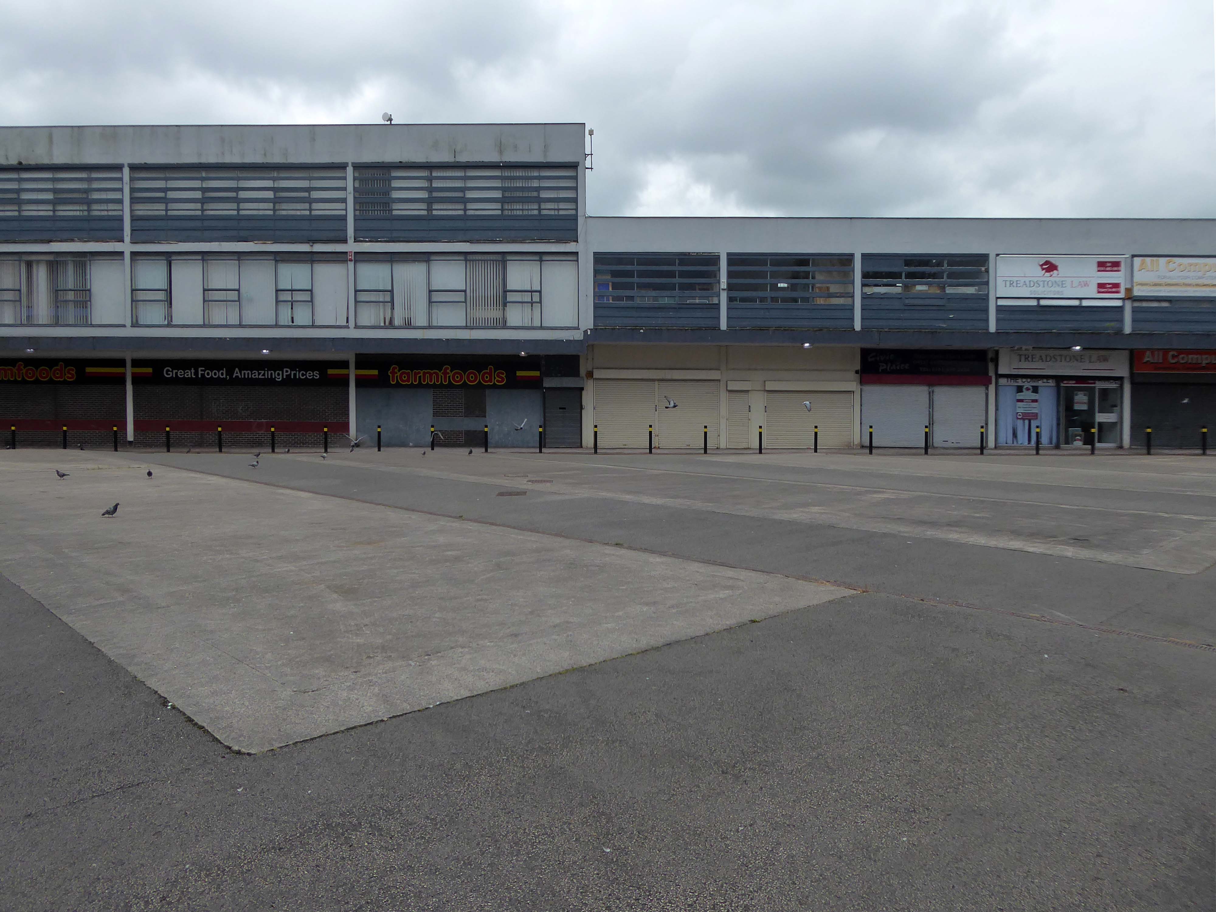
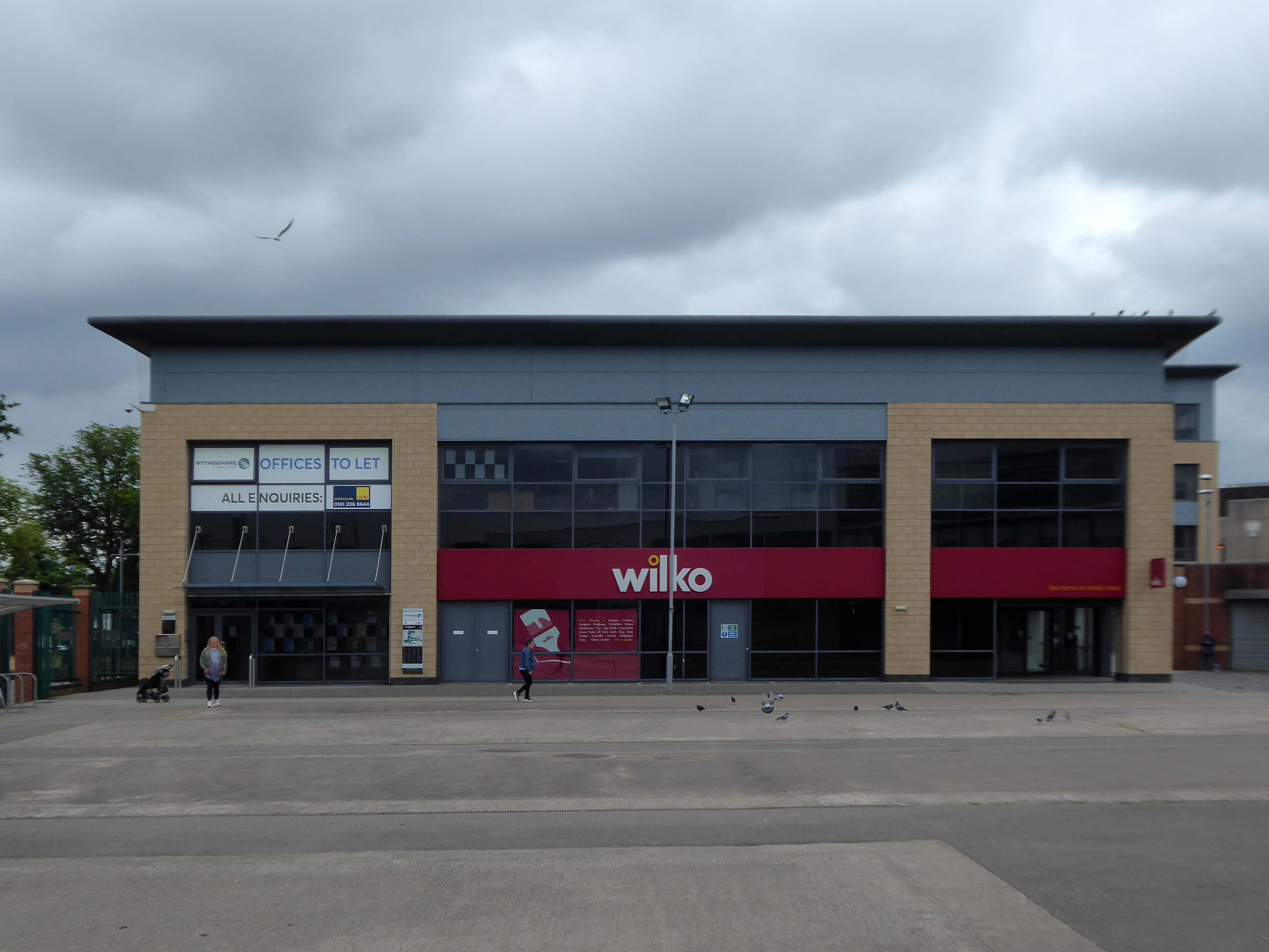
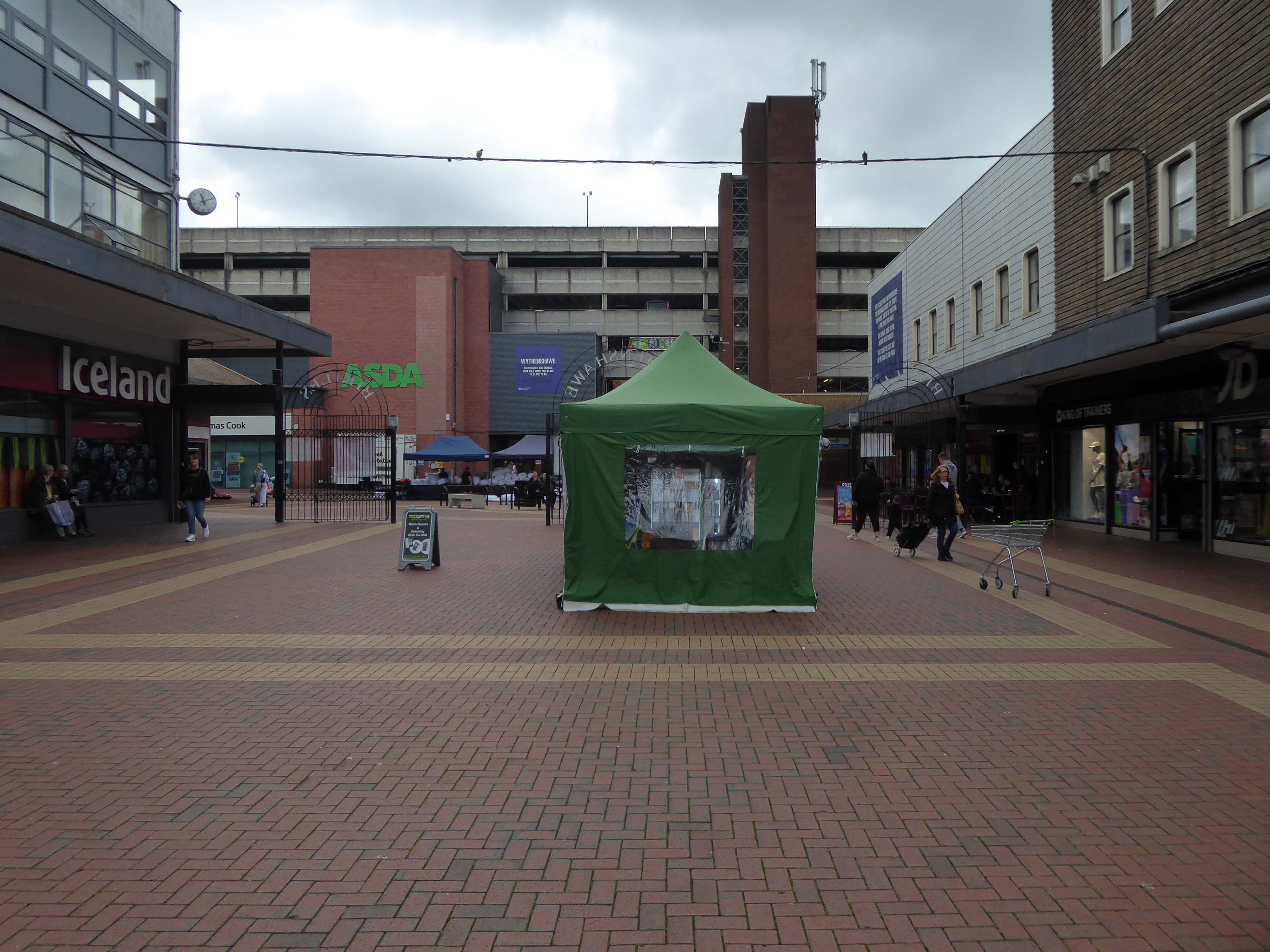
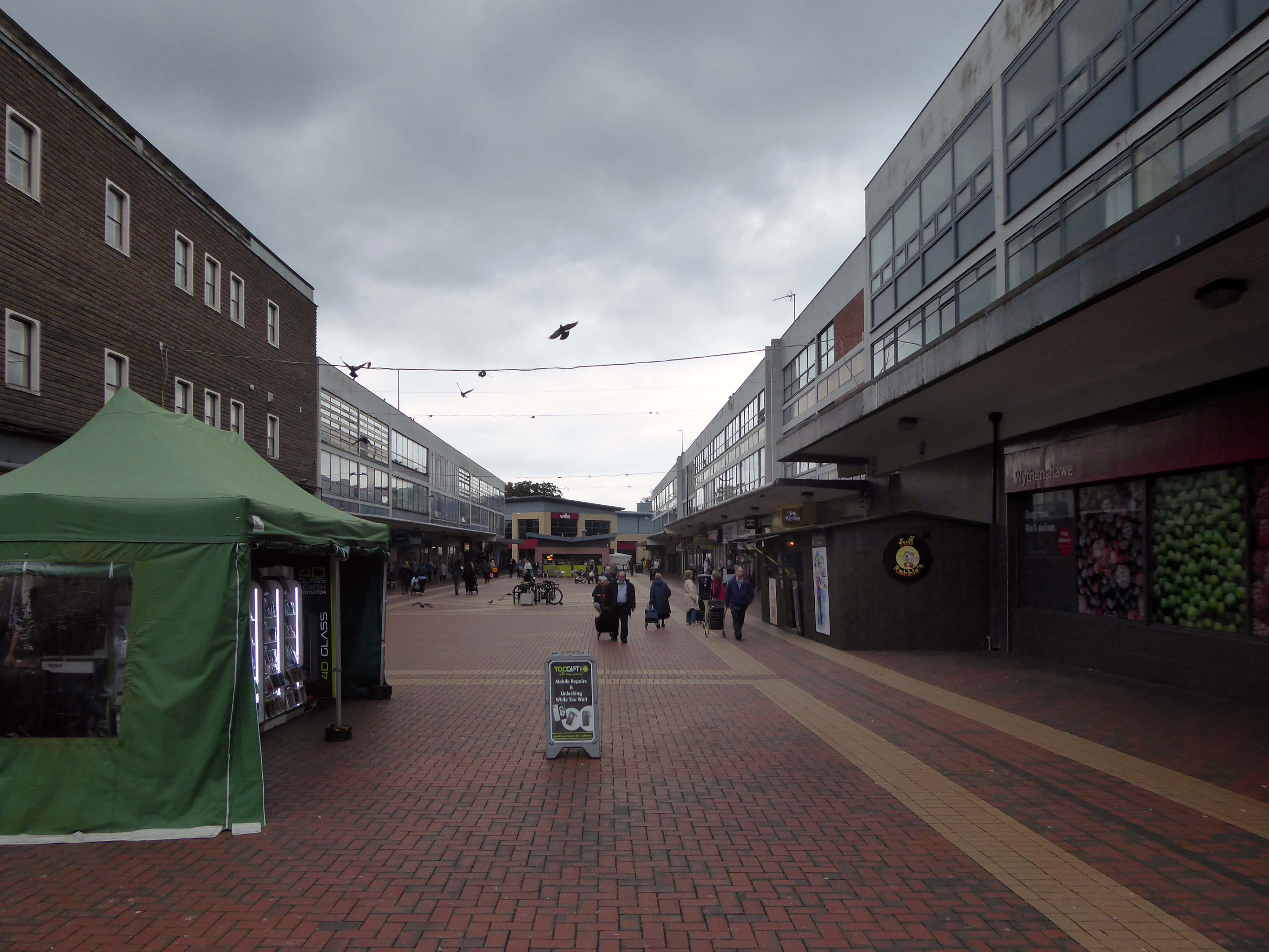
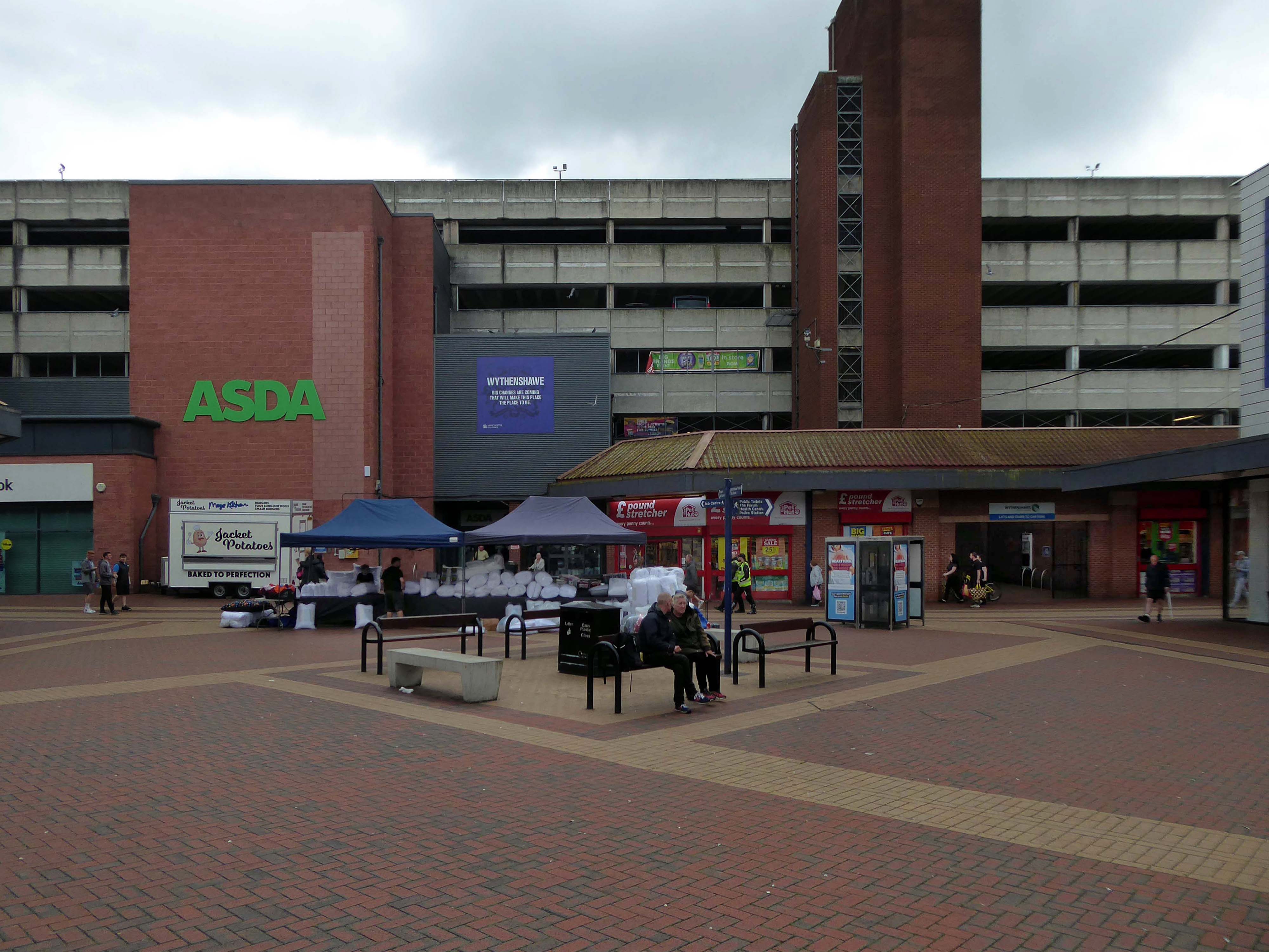
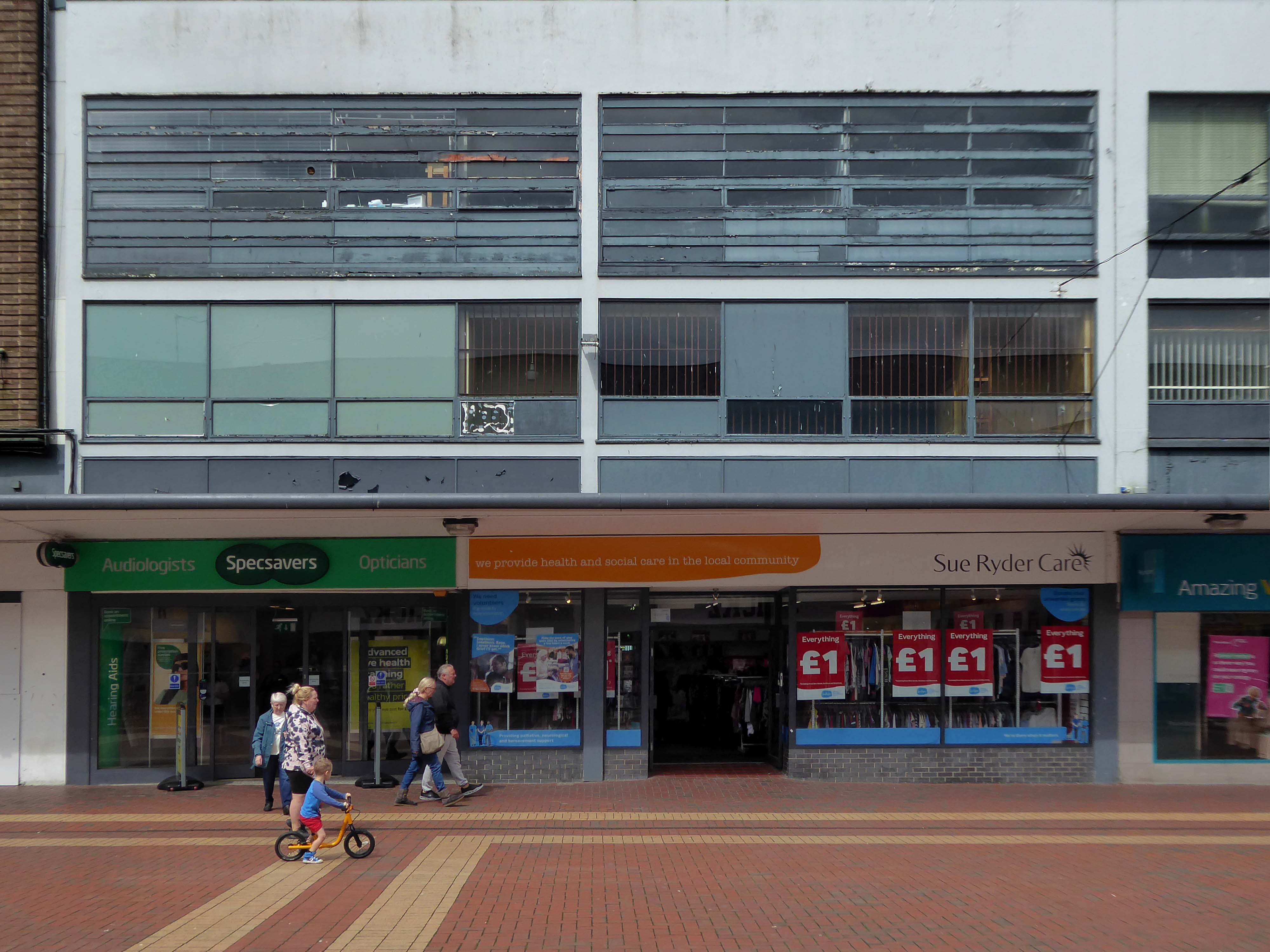
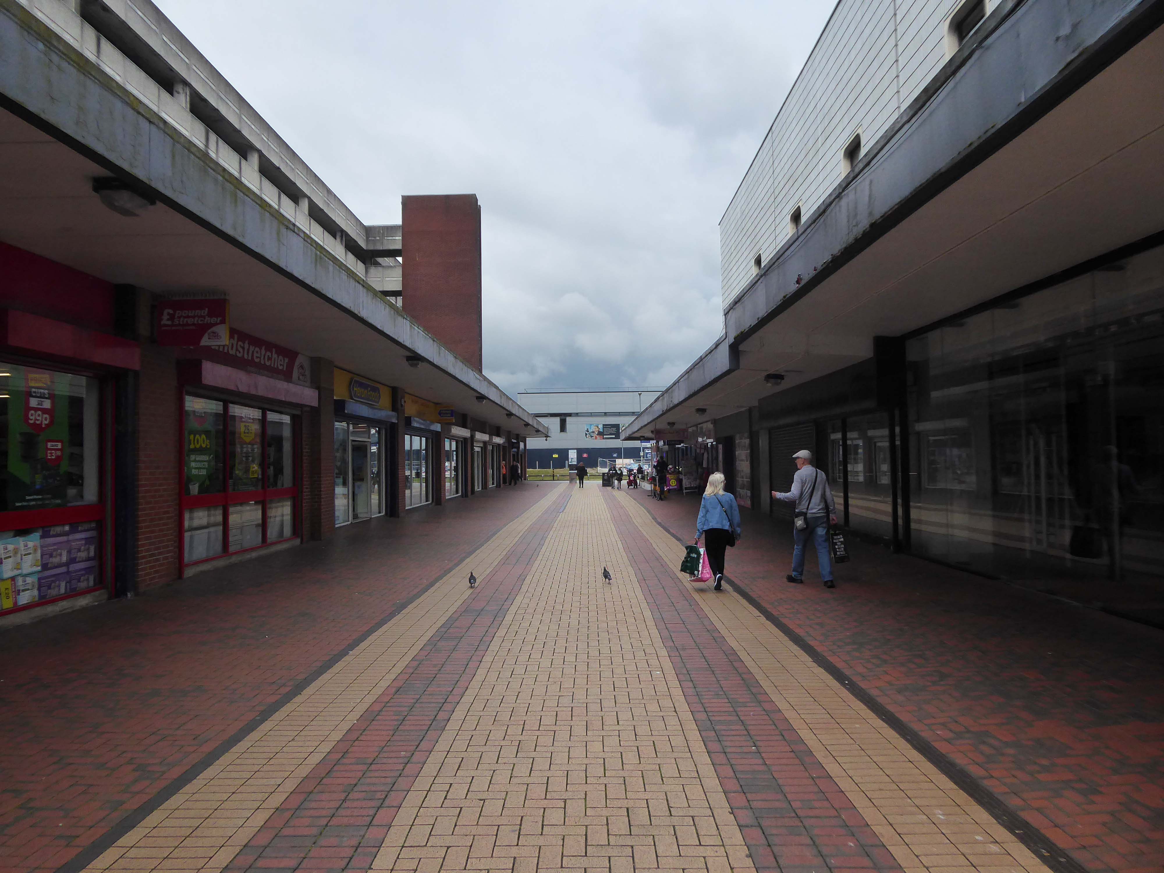
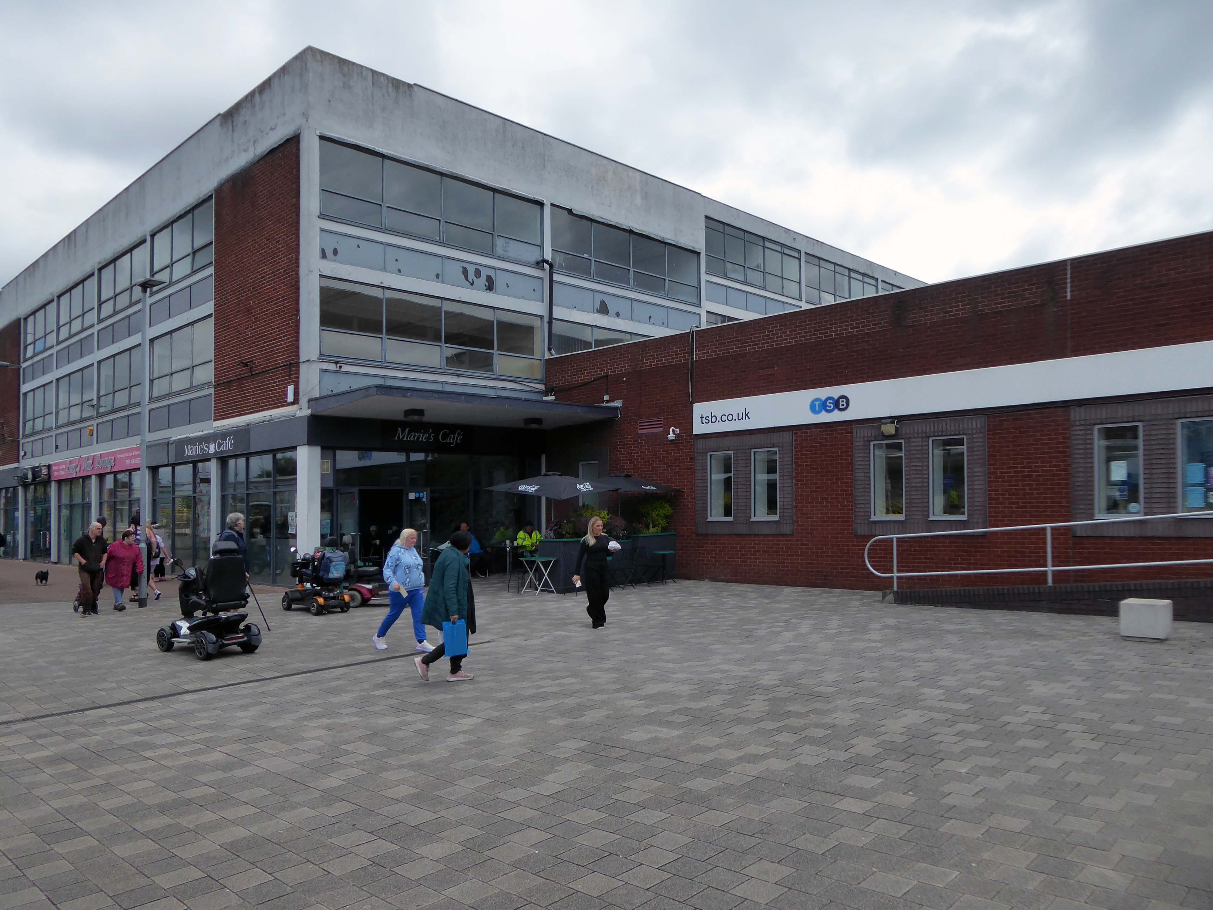
ASDA remains the anchor store, Wilko having left a Wilko sized hole in the precinct. On an overcast Friday morning there was sufficient footfall to sustain the wide variety of smaller shops and larger retail chains. As with many other towns within the central Manchester orbit, the easy proximity fills those busy trams and buses, which are leaving the area.
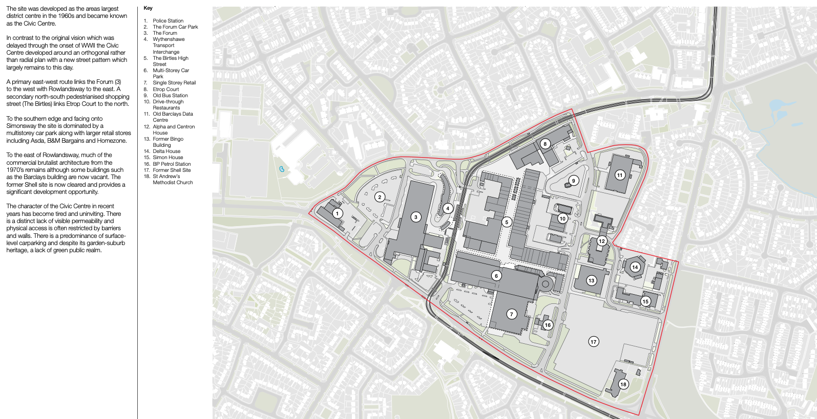
There are plans in place to regenerate the area, in the form of a Masterplan – which can be downloaded here.
Between 1991-2002 there have been some architectural changes, including new stores and office developments. Some of the interventions included significant adaptions which further increased retail into the existing buildings high street.
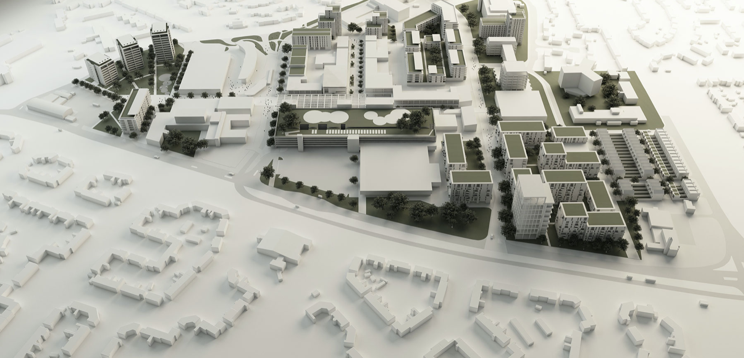
The interventions included significant adjustments to the multi-storey car park with the aim of reducing parking numbers whilst providing additional lettable space. Further Transport Hub Arrival commercial development was created to the north of the site with the construction of Etrop Court, despite there being significant commercial vacancy across other parts of the estate.
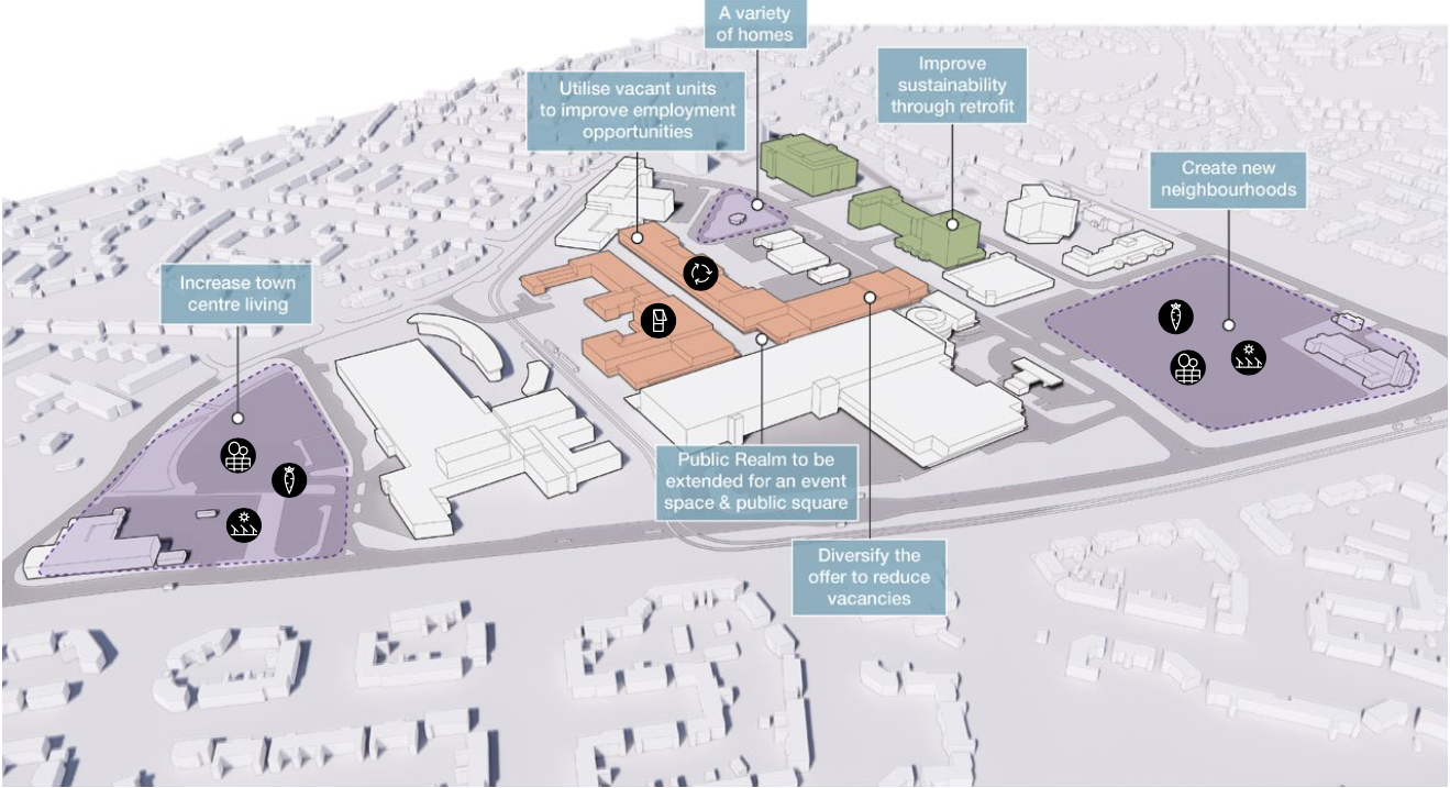
Whilst there has been significant incremental intervention, the character of the area has not fundamentally changed from its founding concept. However the cumulative impact of the various changes have had a negative impact on the functionality and suitability of place, so much so that the centre is in many ways no longer fit- for purpose.
The site today is surrounded by surface car parks, with a total of around 2,500 car parking spaces, 1,700 of which are contained within the multi-storey car park. Many of the retail units, the upper floor office spaces along the Birtles and Hale Top, and buildings to the east are vacant.
Typically, the levels of vacancy are consistent with the changing demands of the high street, where typically modern and successful retail centres are now more diversified and focussed on creating a visitor or destination-based experience. In this sense, we anticipate a need to diversify the high street and to promote a smaller more concentrated retail core, whilst supplementing the offer with more meanwhile and permanent uses and activities based on culture, food and creative workplace.
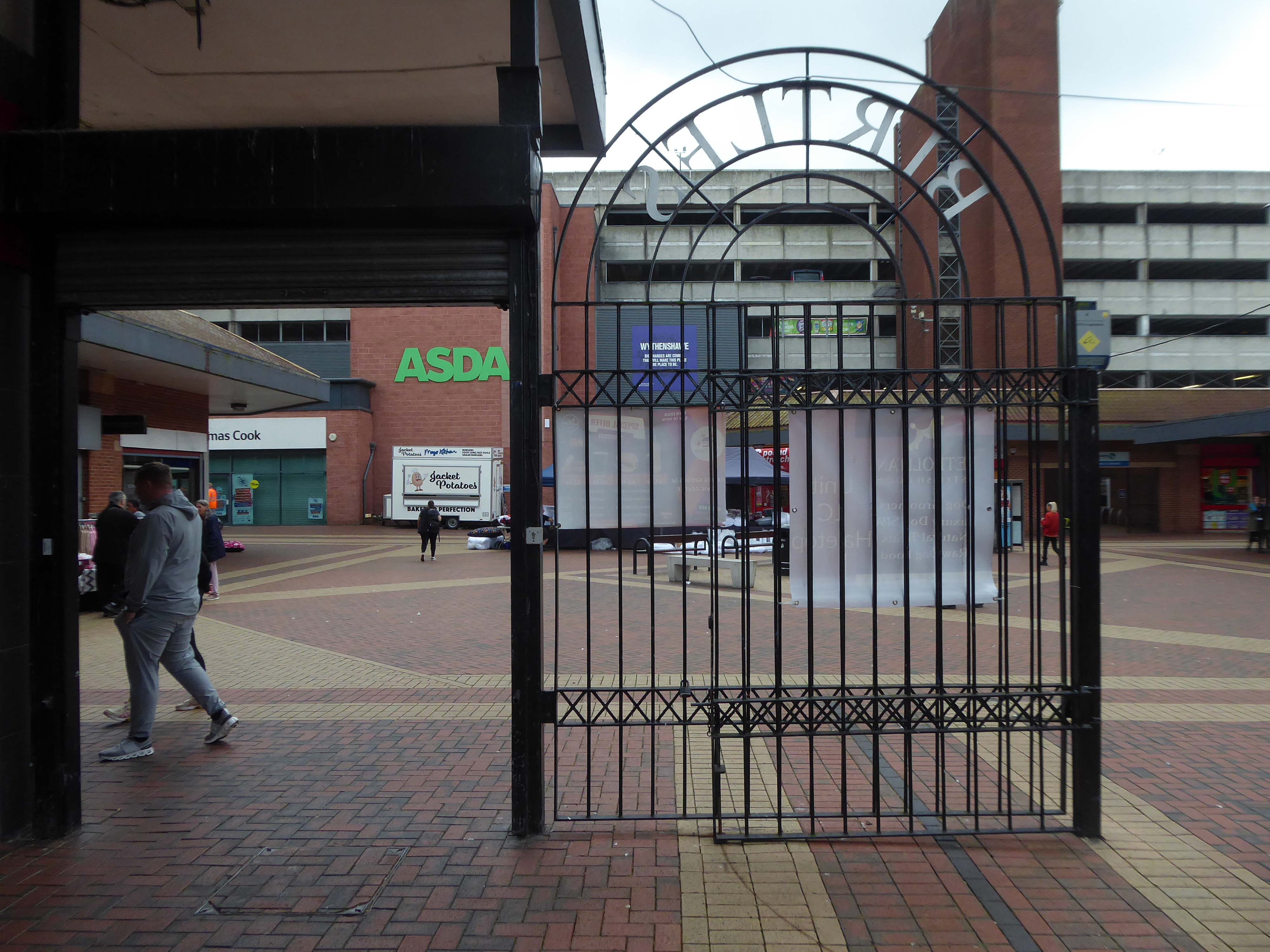
The gateway to the Civic Centre on arrival from the Transport Interchange is very poor. Access to the high street isn’t obvious and the route through to the high street isn’t clear. Much of the site is surrounded by fencing, barrier and gates and whilst they are open during the day, they are locked at night to prevent vandalism. This barricaded aesthetic does nothing to promote an easily accessible and family friendly environment as well as preventing any opportunity to promote a much needed night- time economy.
Currently, the Civic Centre appears to only cater for those with a need to visit for a particular purpose, rather than capitalising on an opportunity to create a place to visit and dwell.
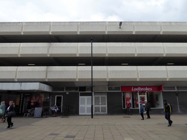
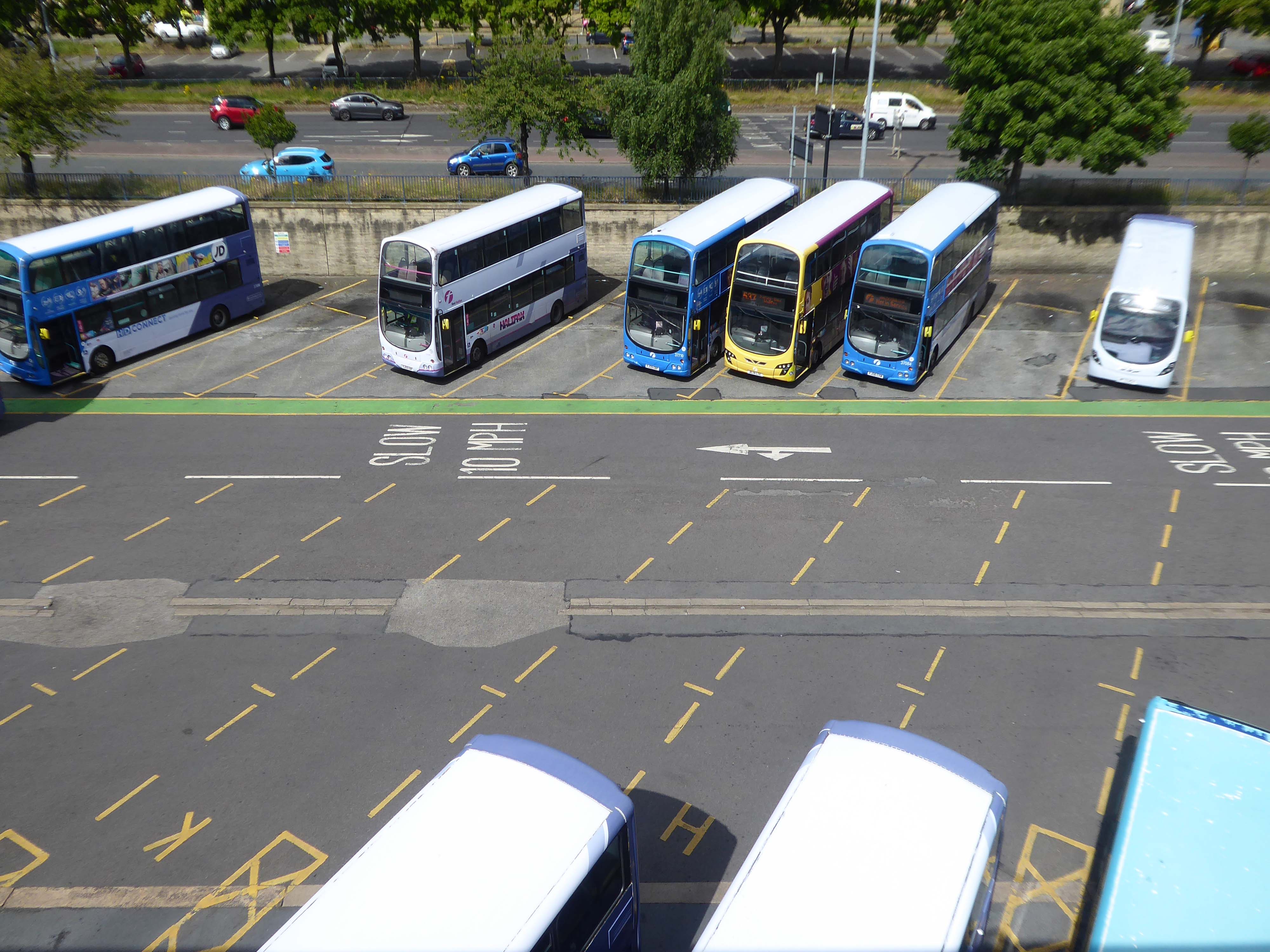
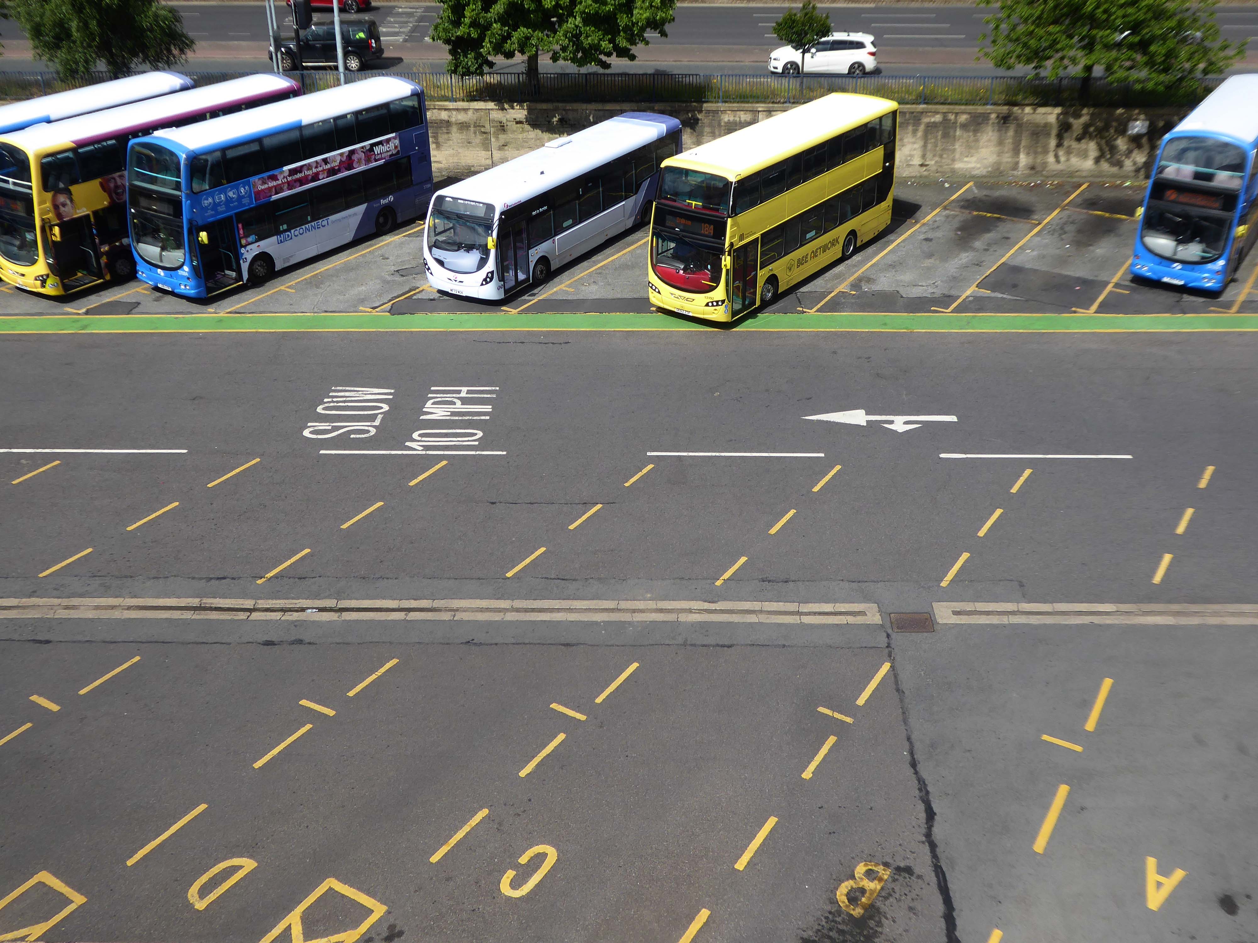
I was informed by the seriously erudite Christopher Marsden that the bus station and car park were the work of Derek C W Vane: Borough Architect 1972-1974.
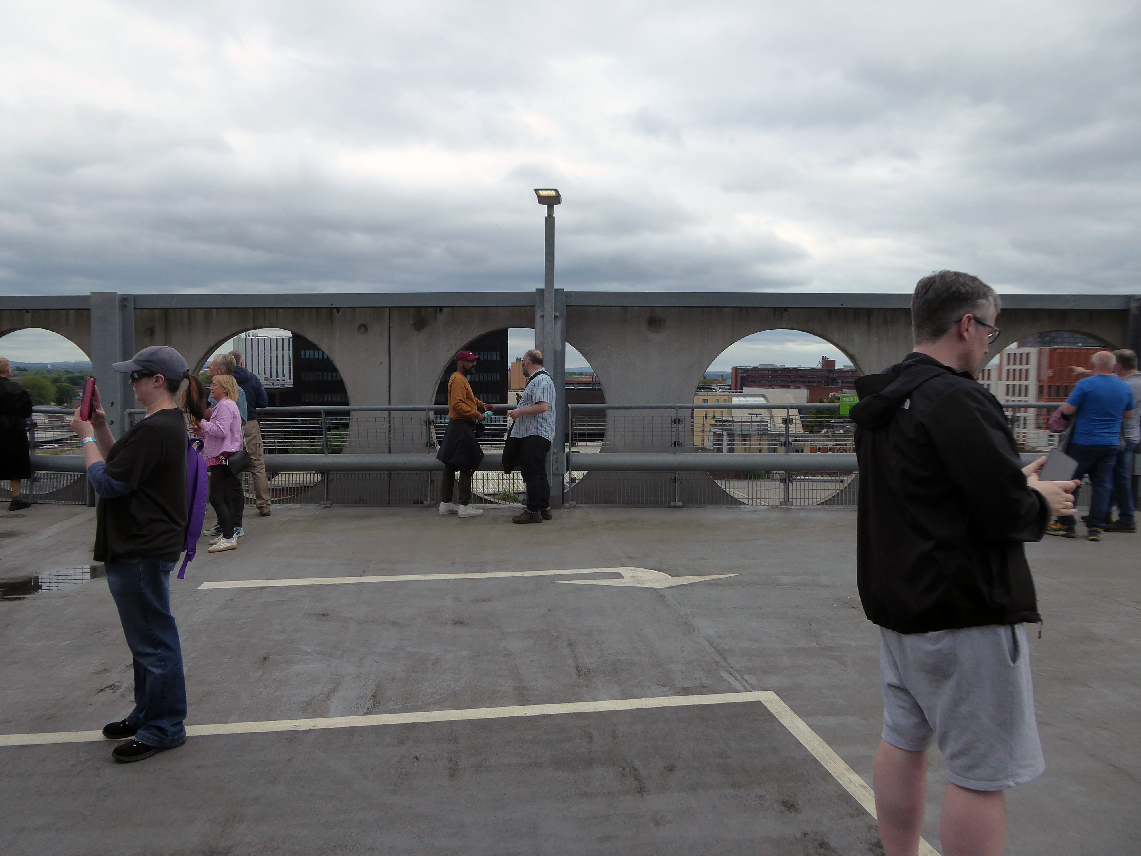
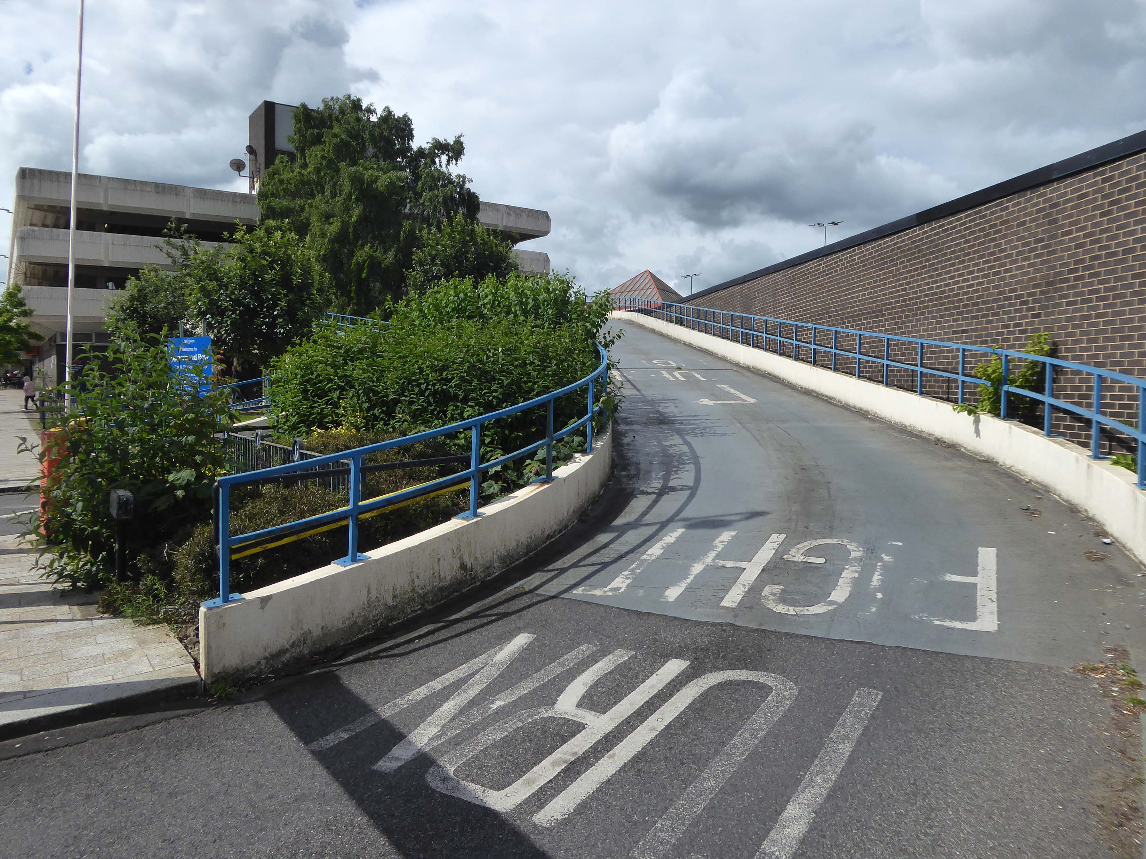
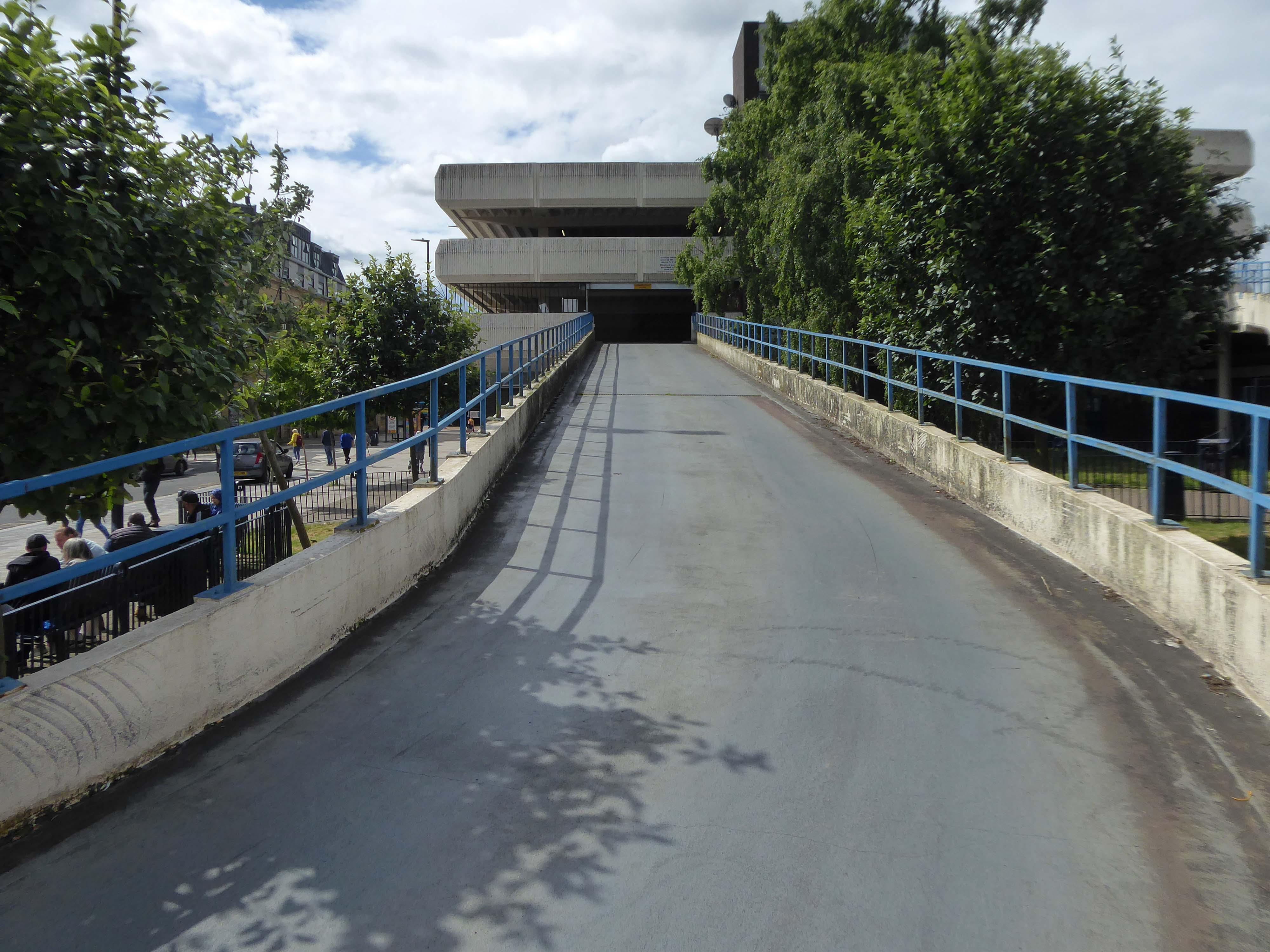
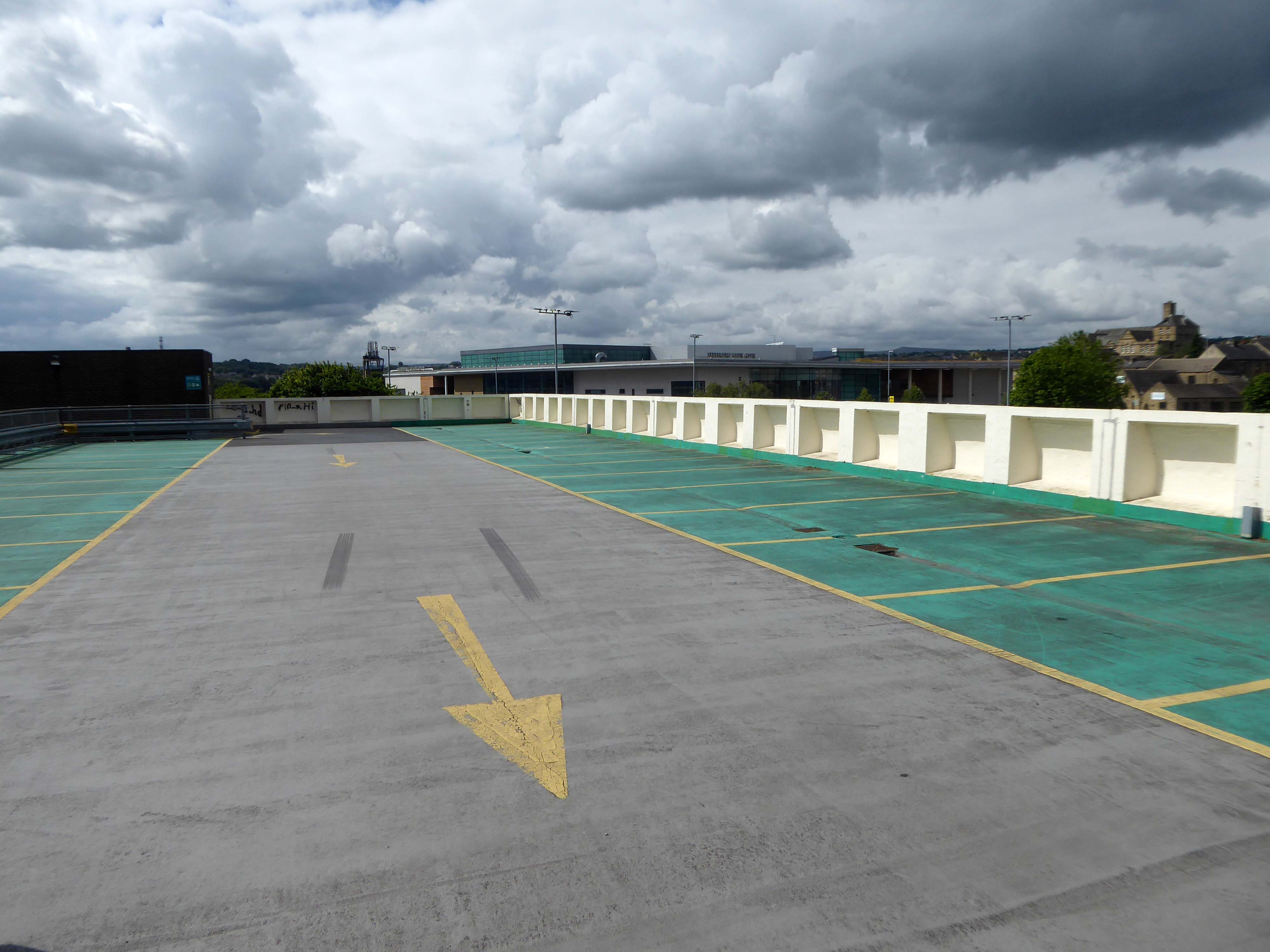
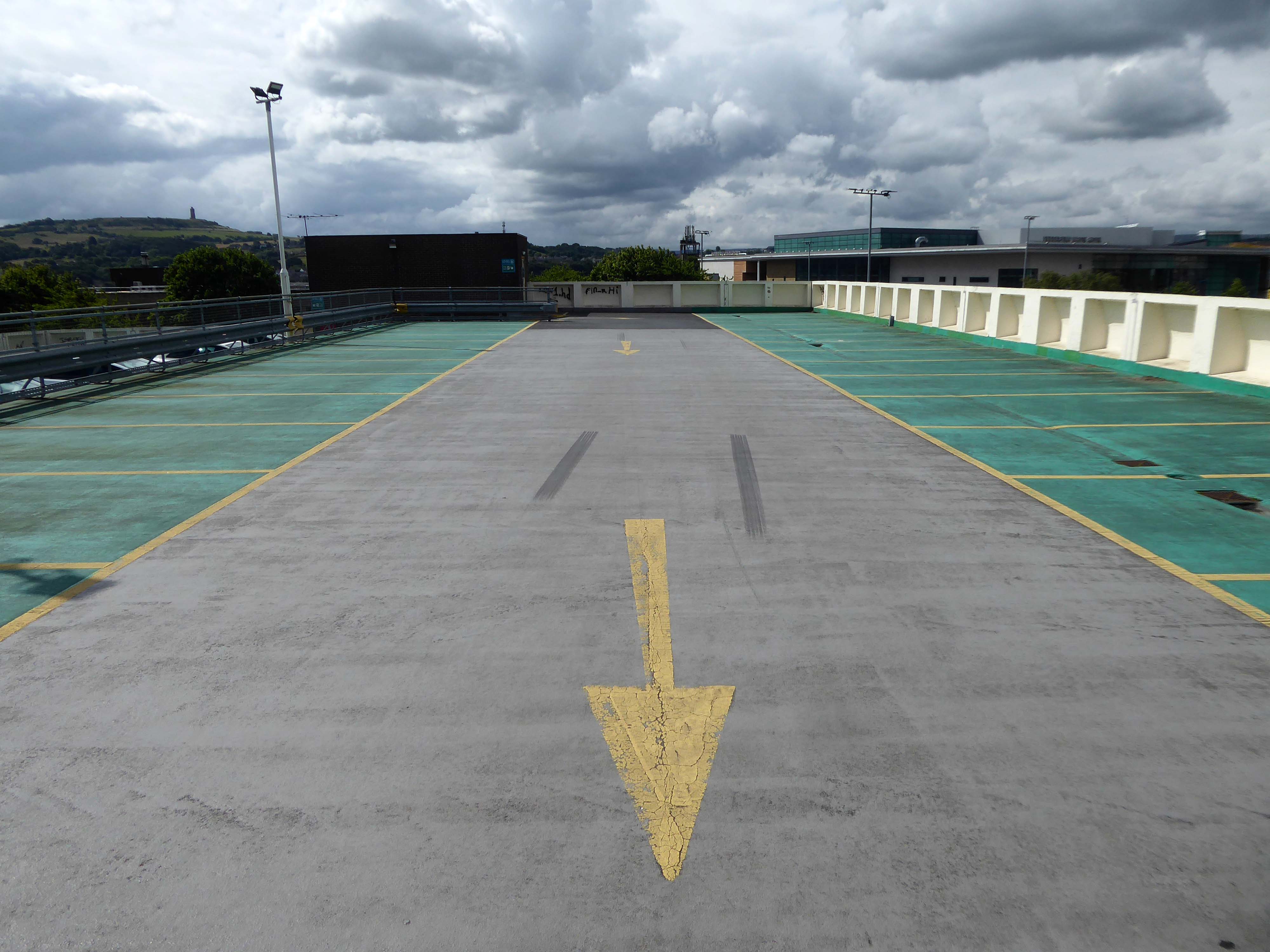
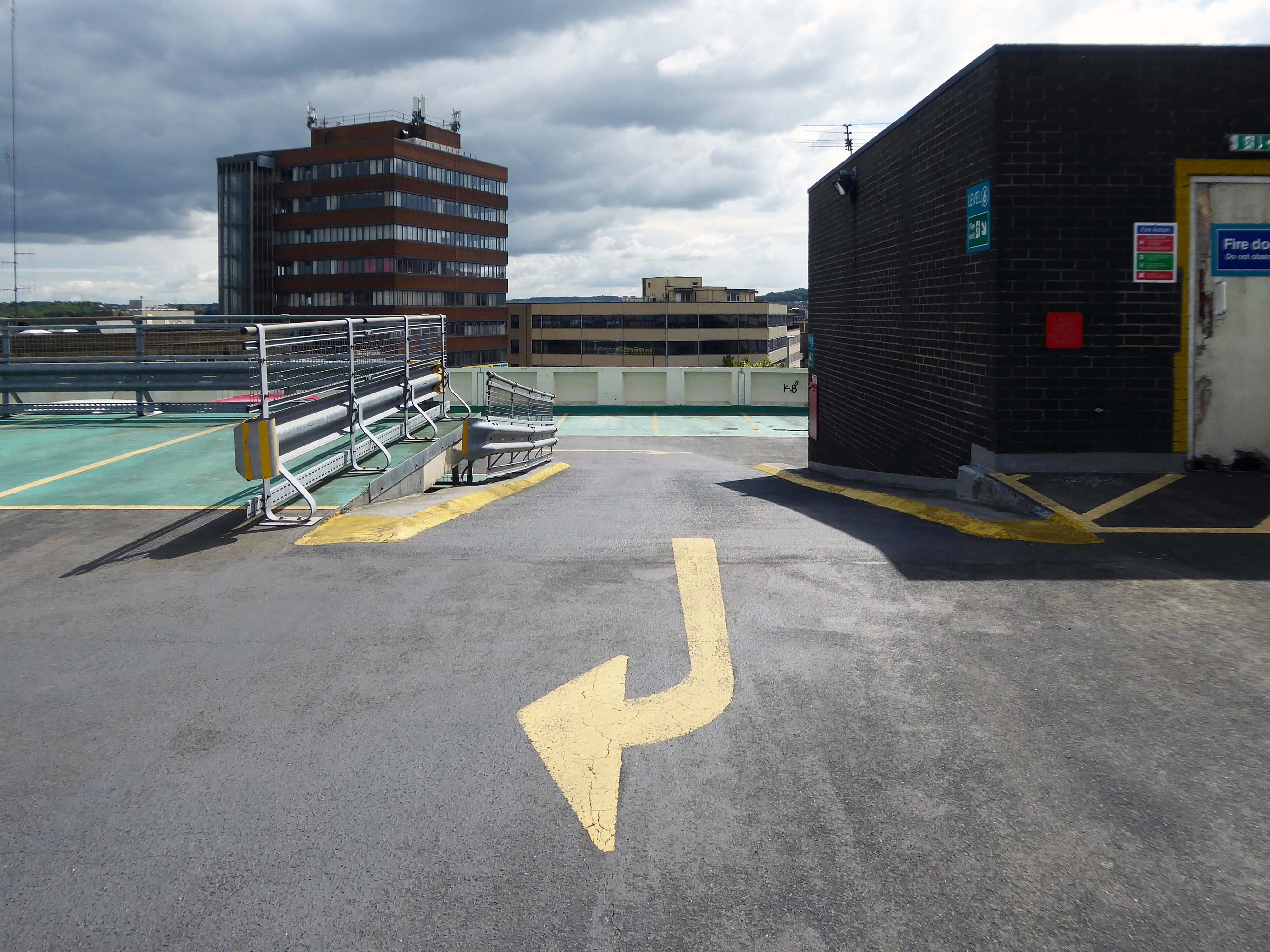
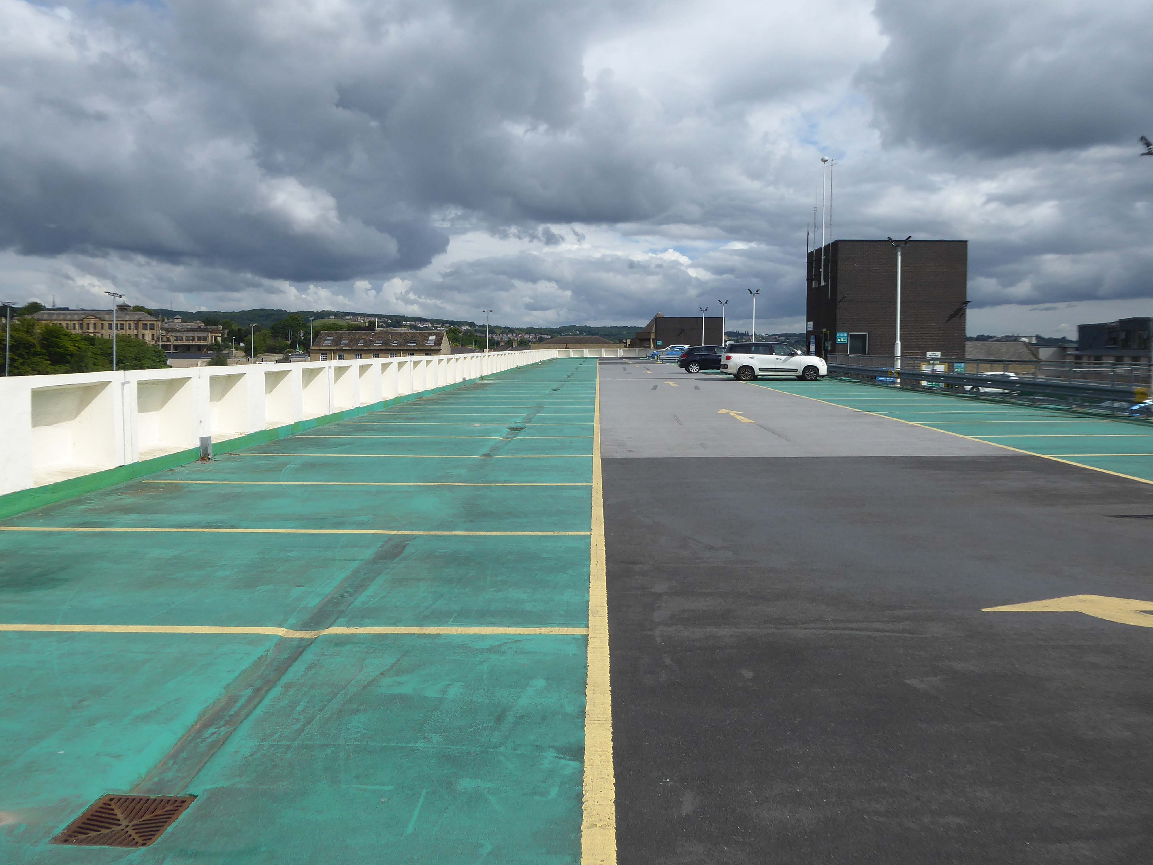
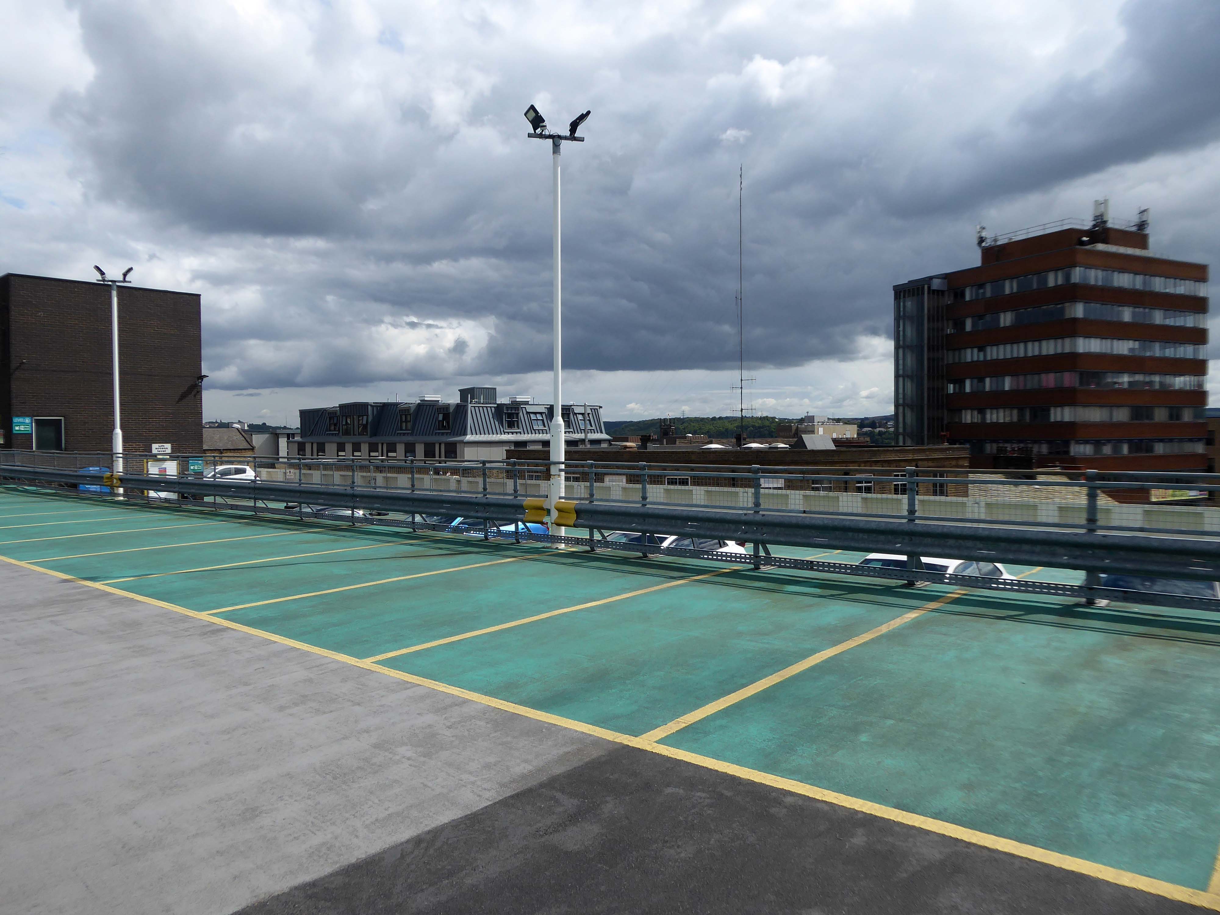
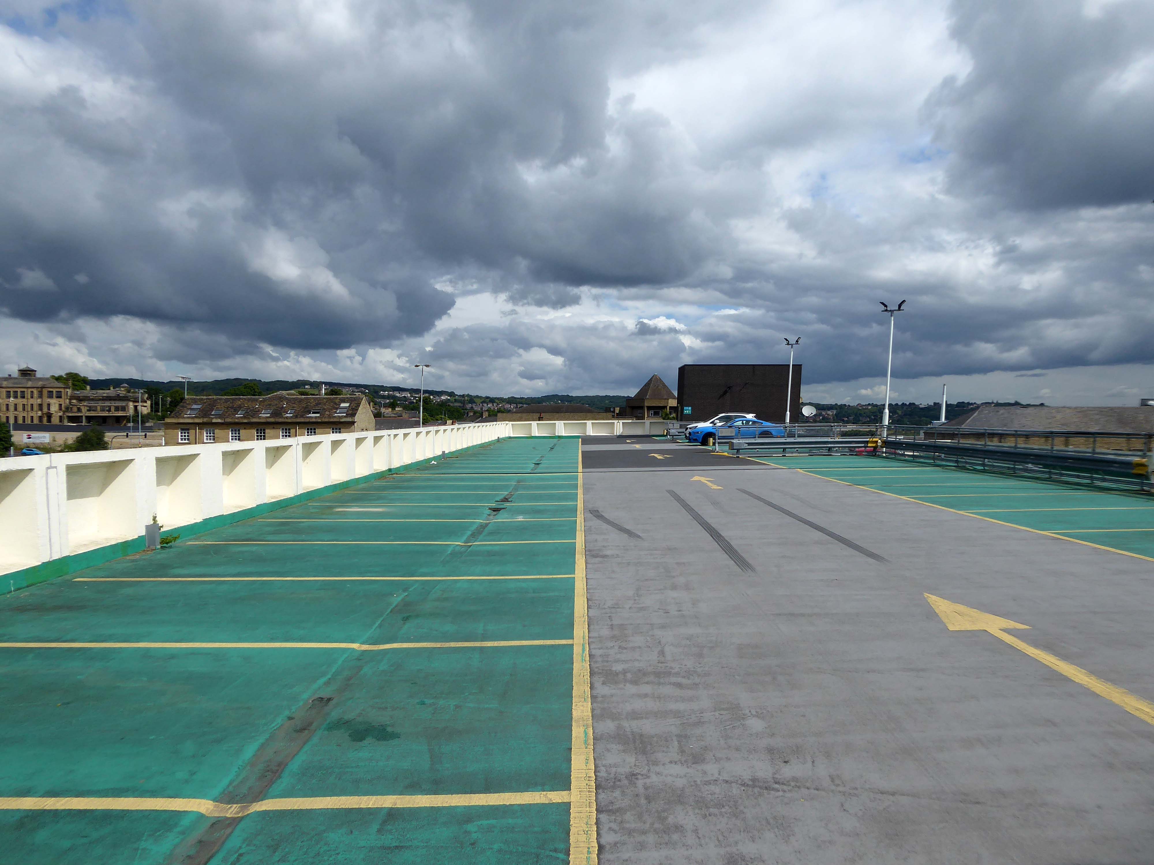
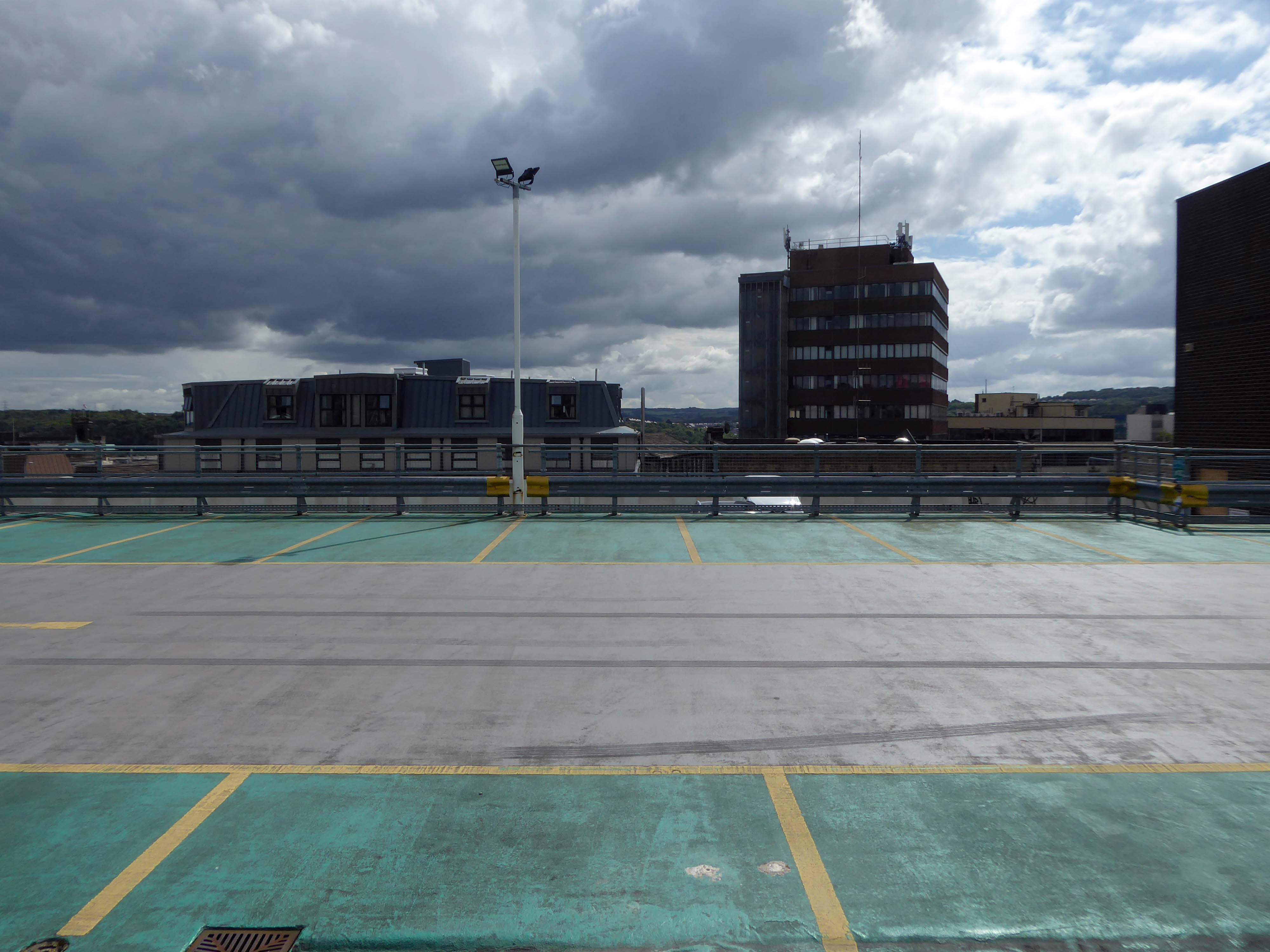
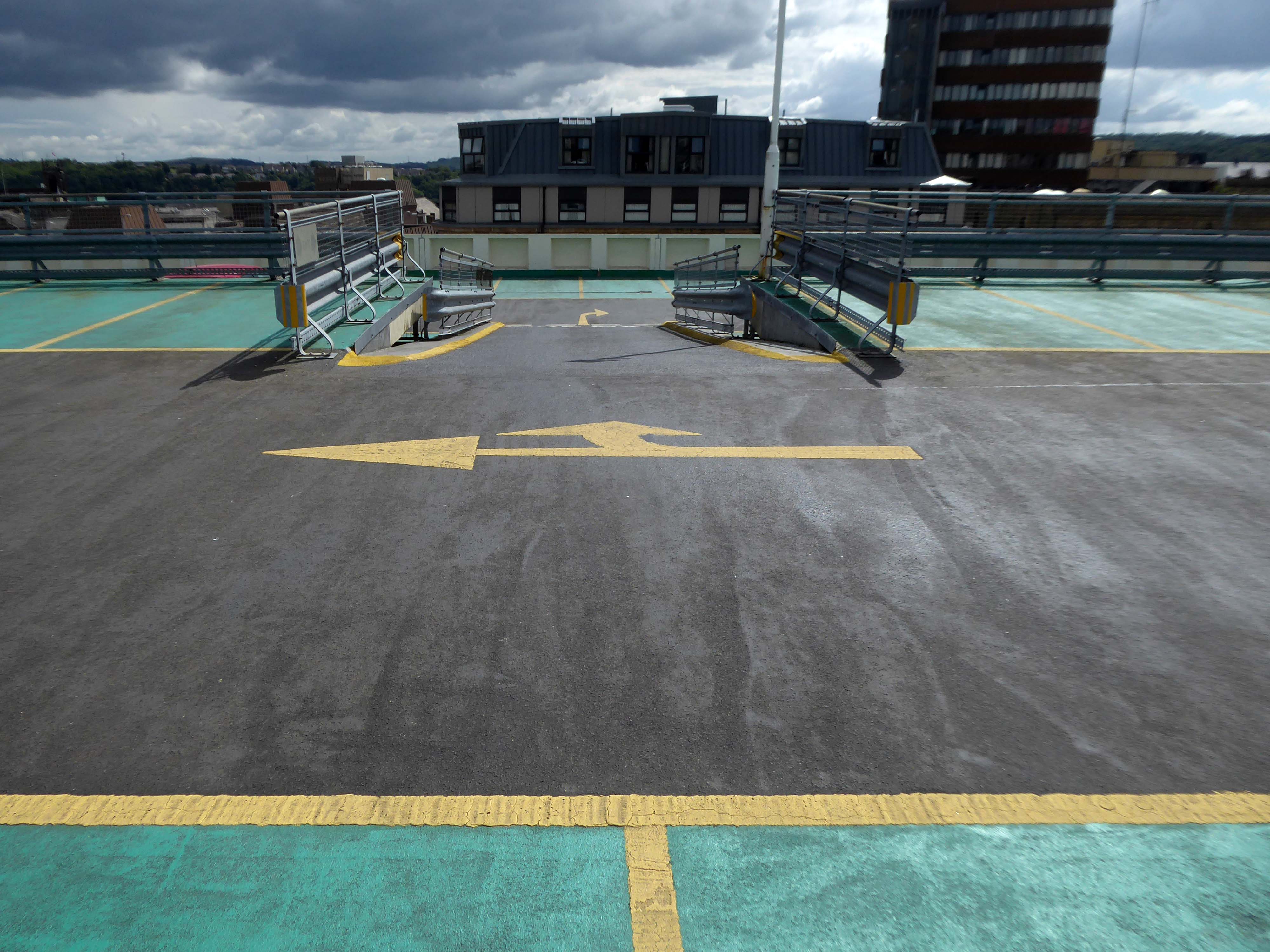
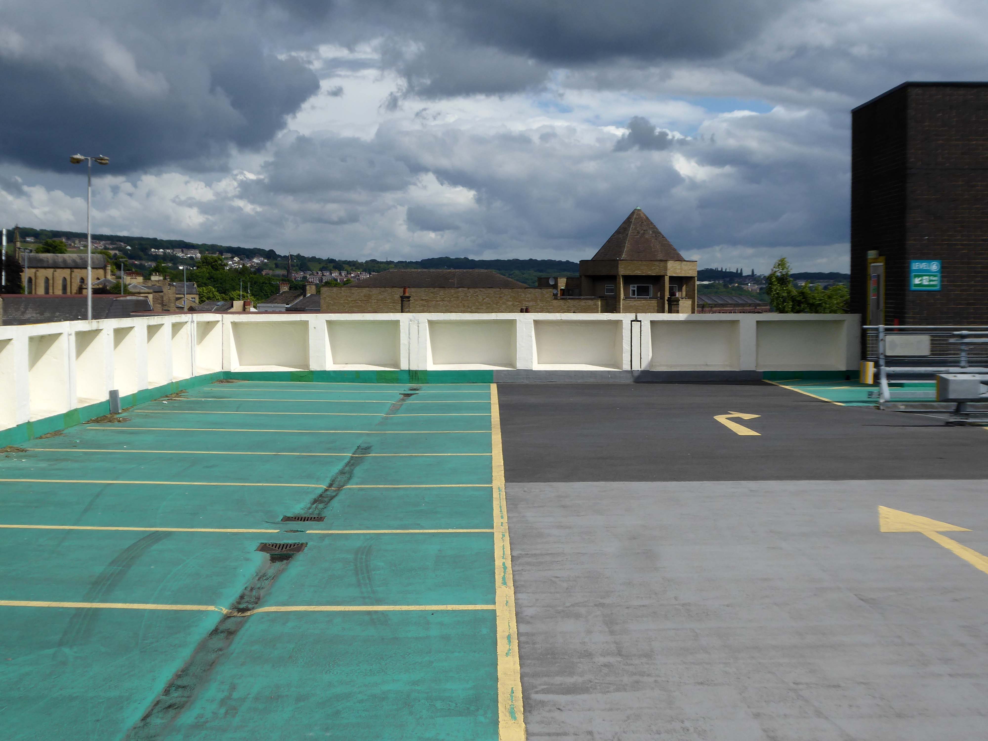
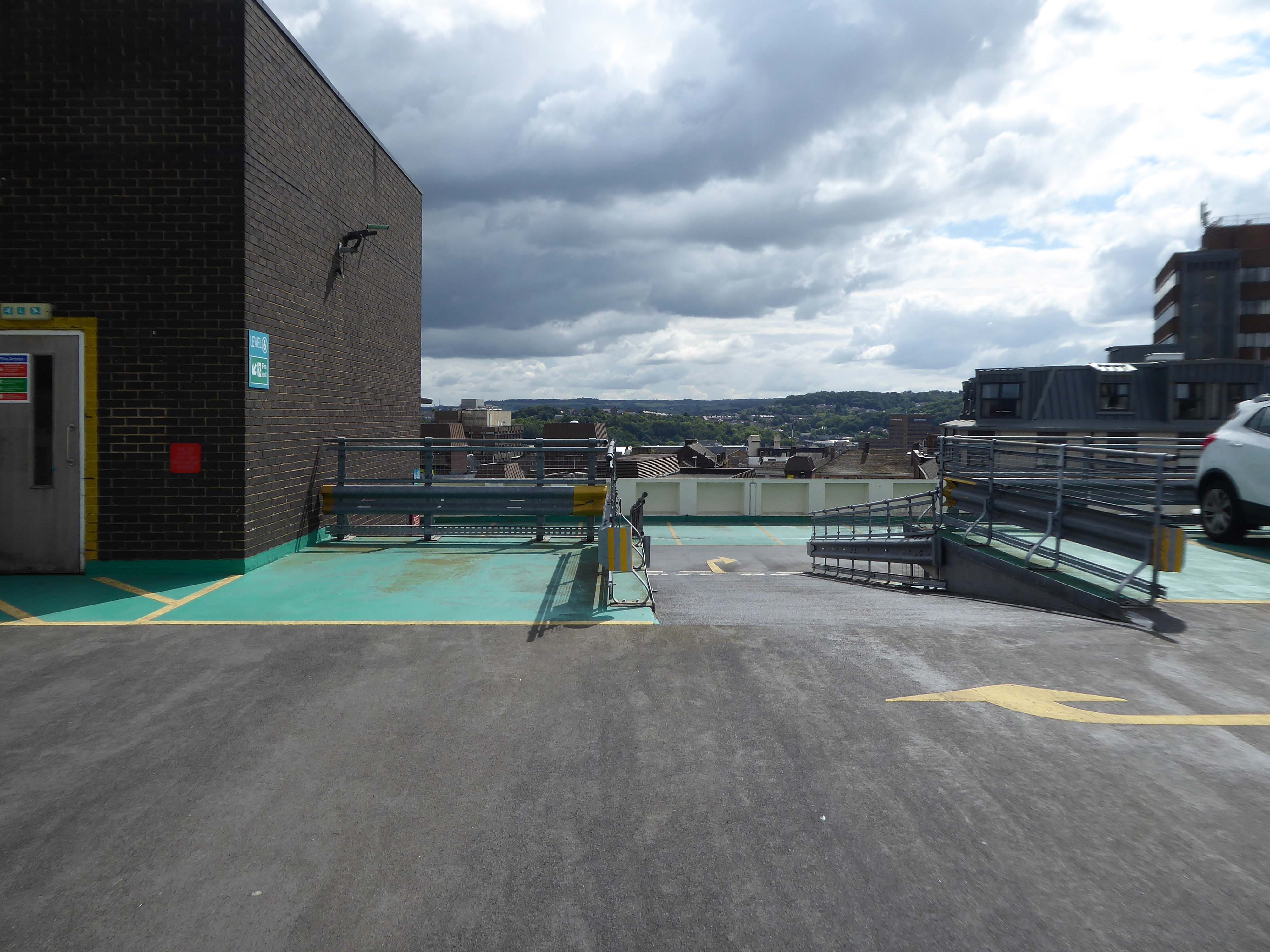
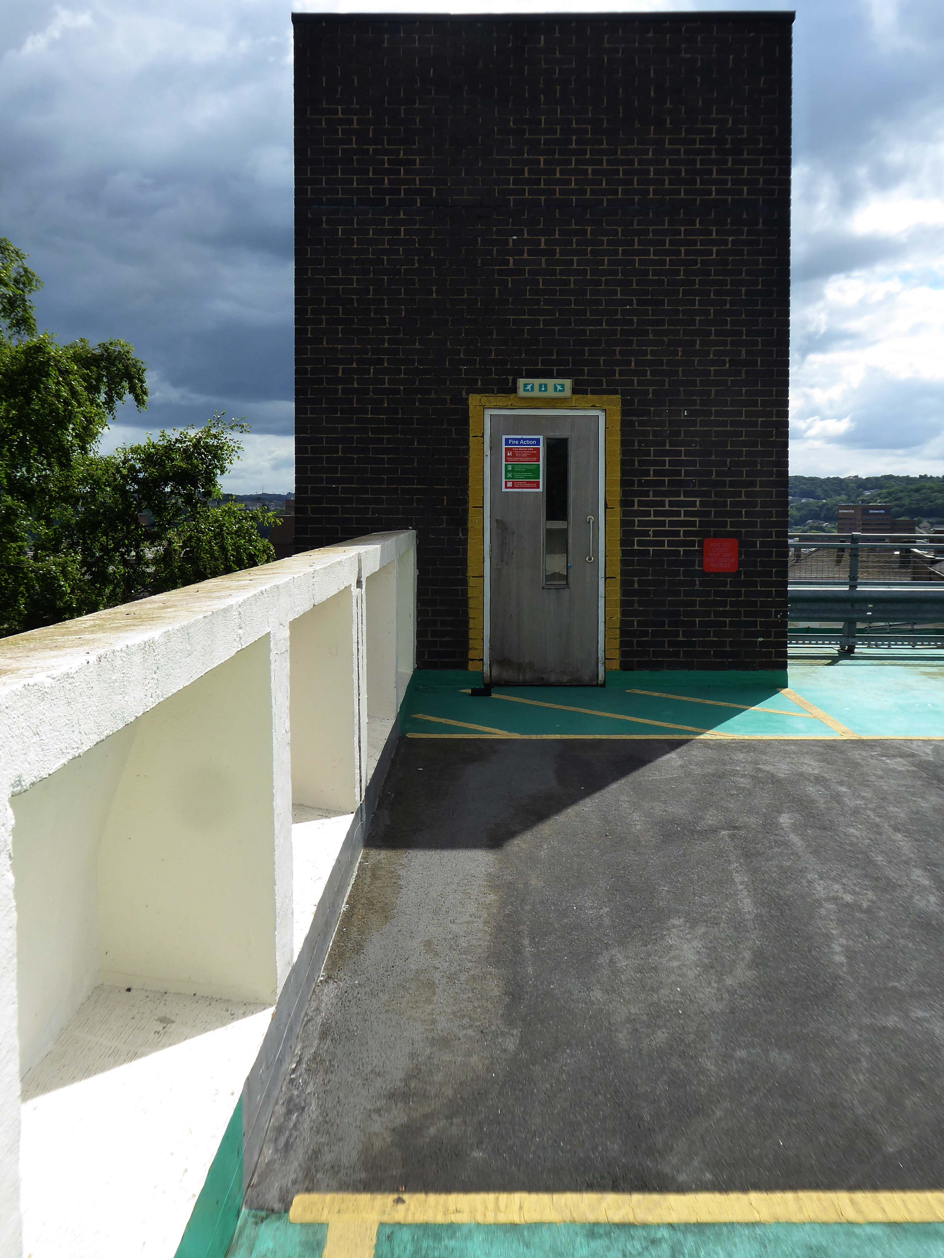
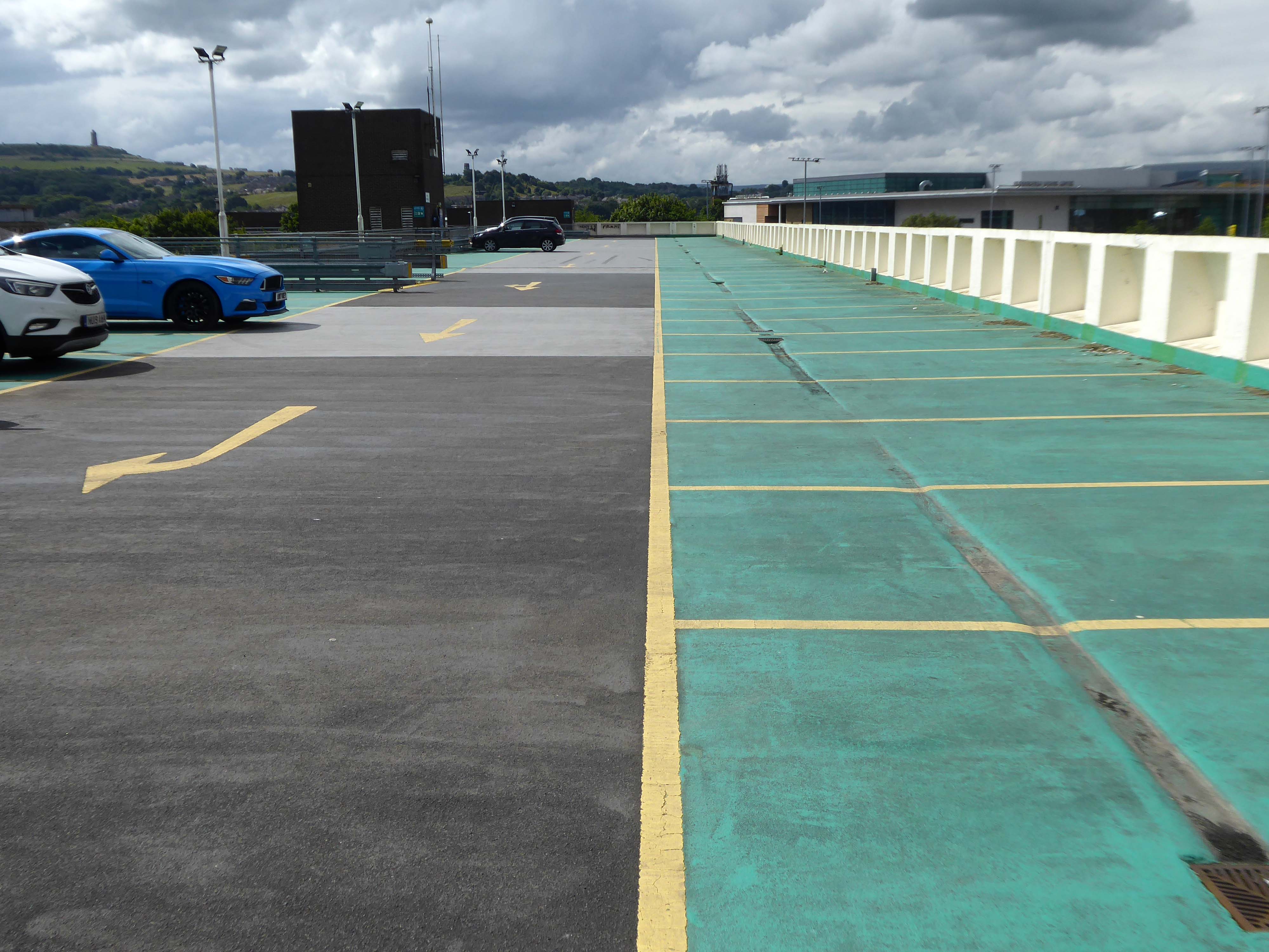
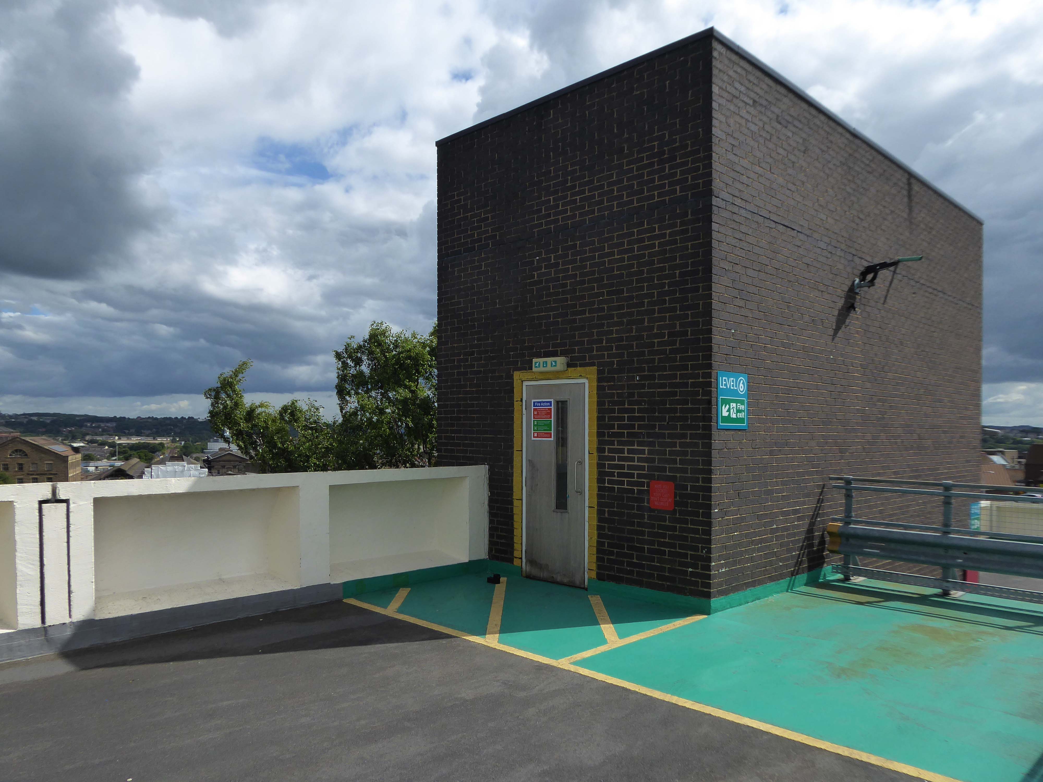
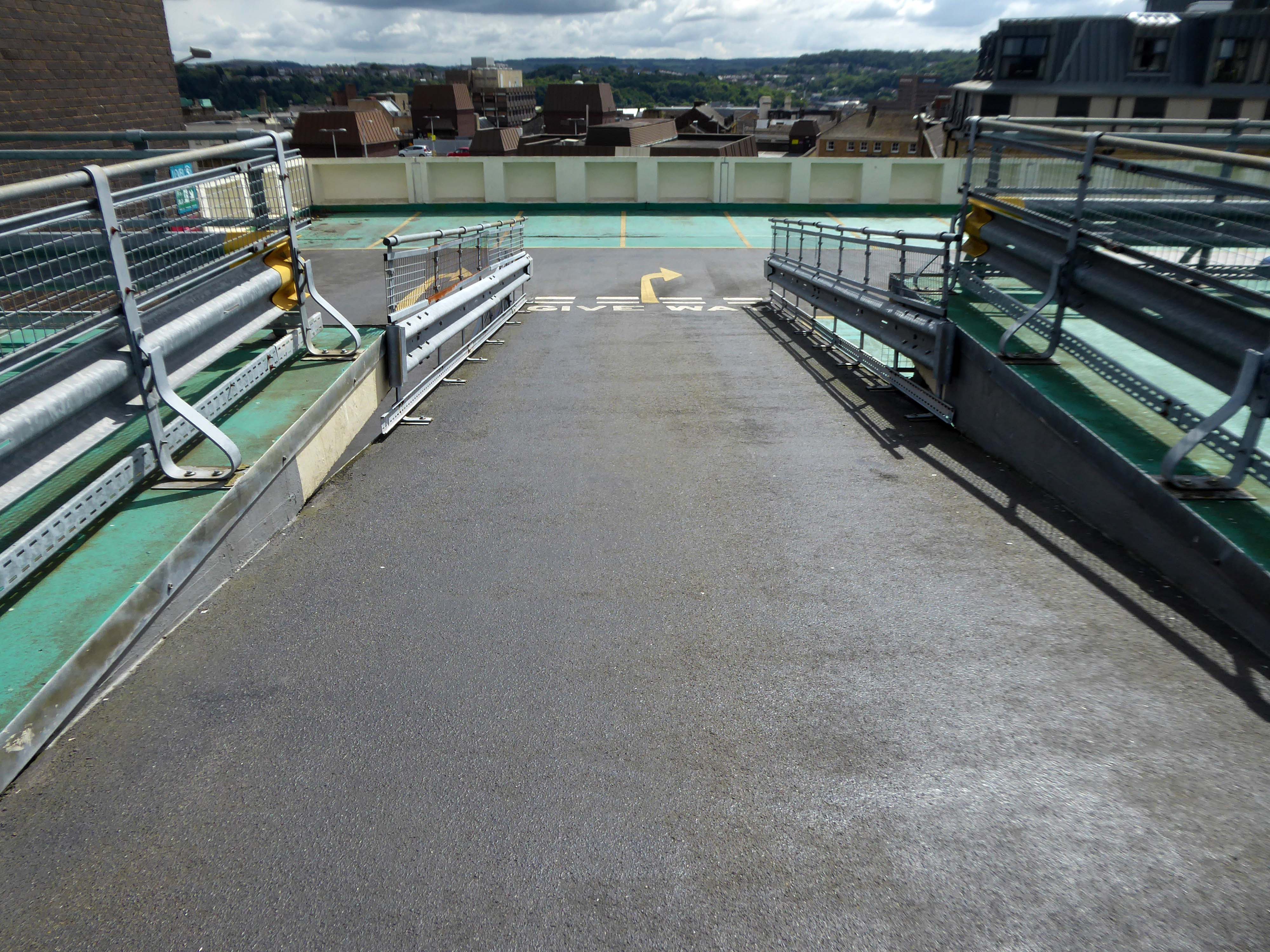
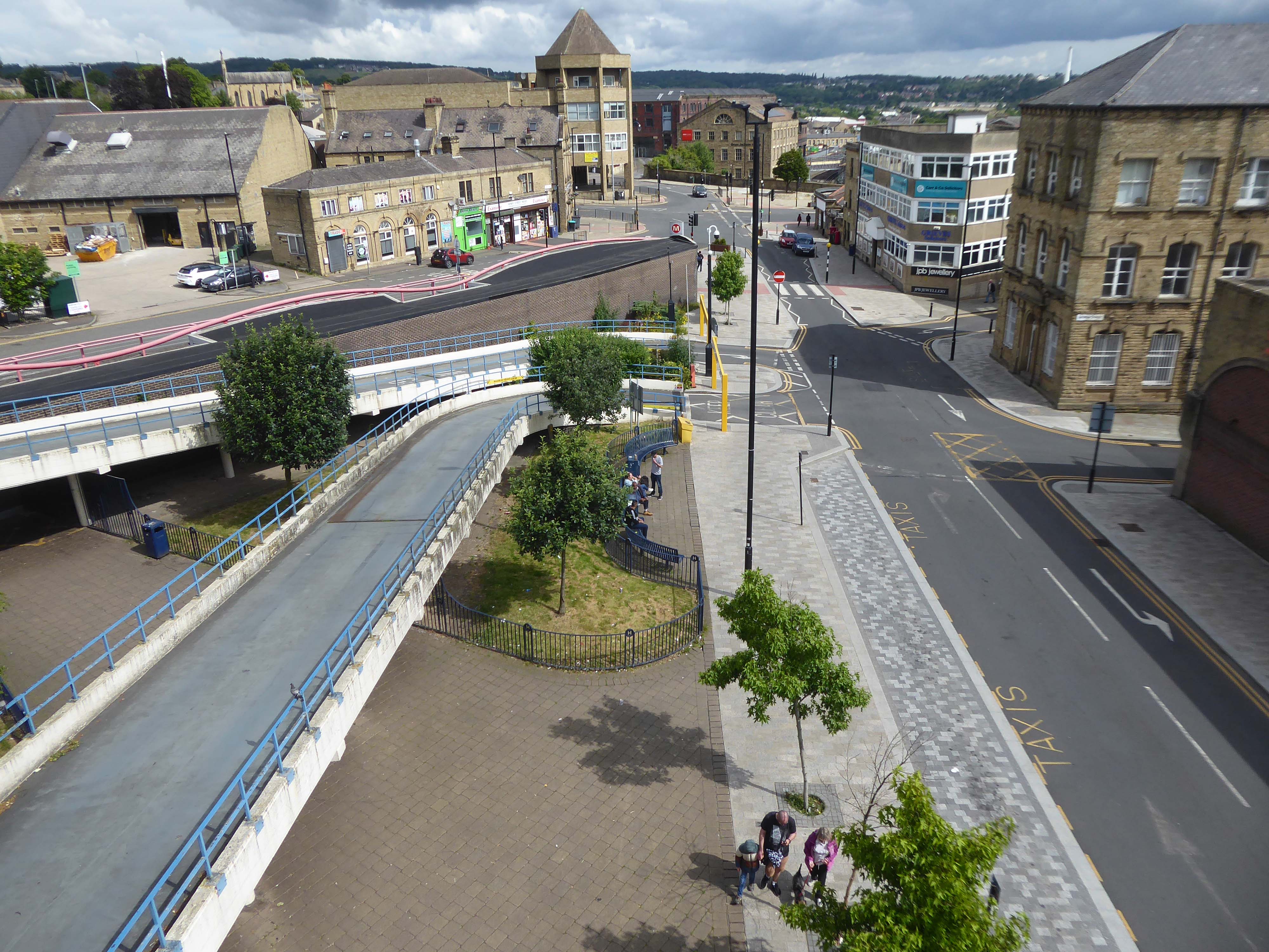
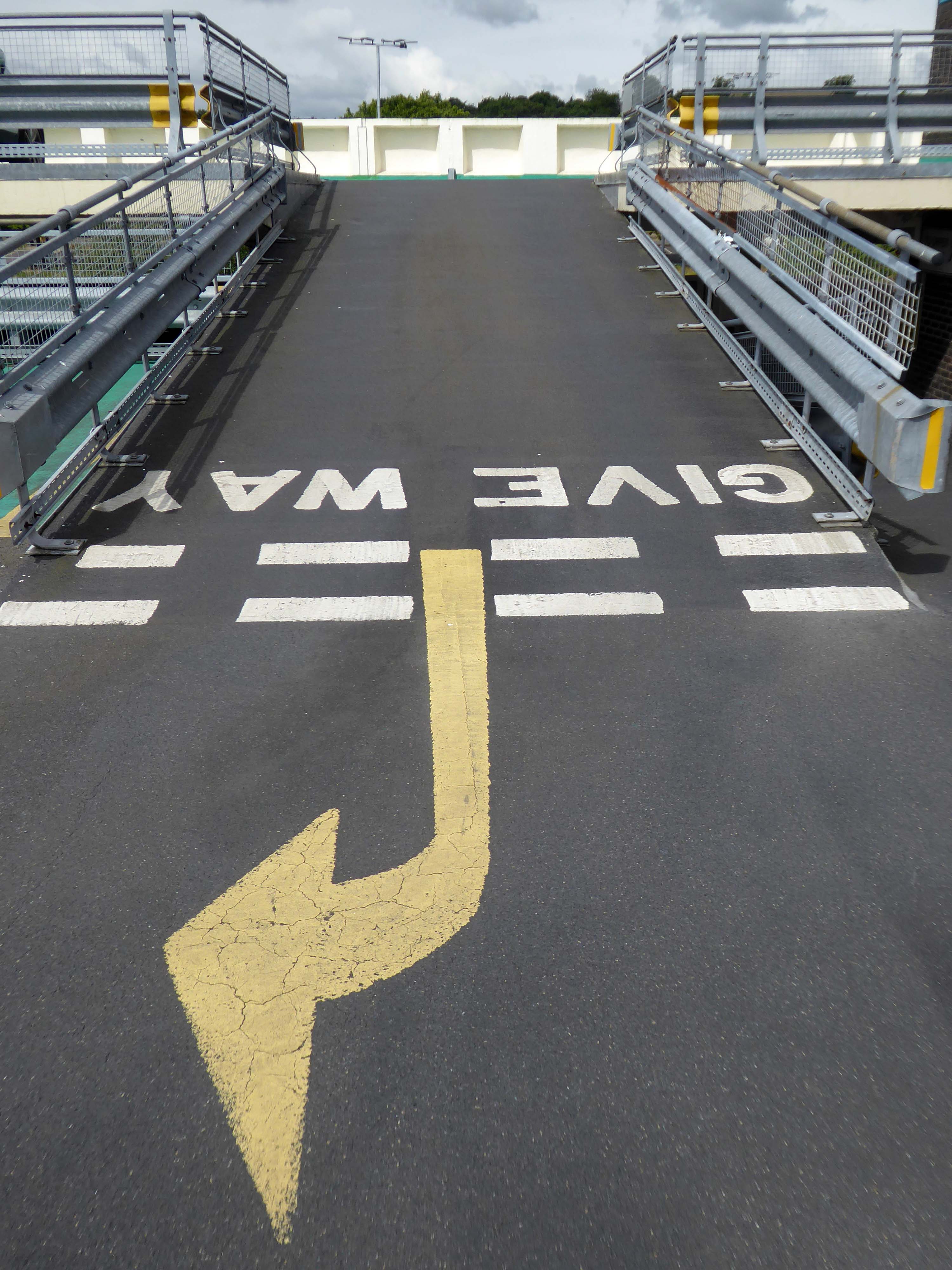
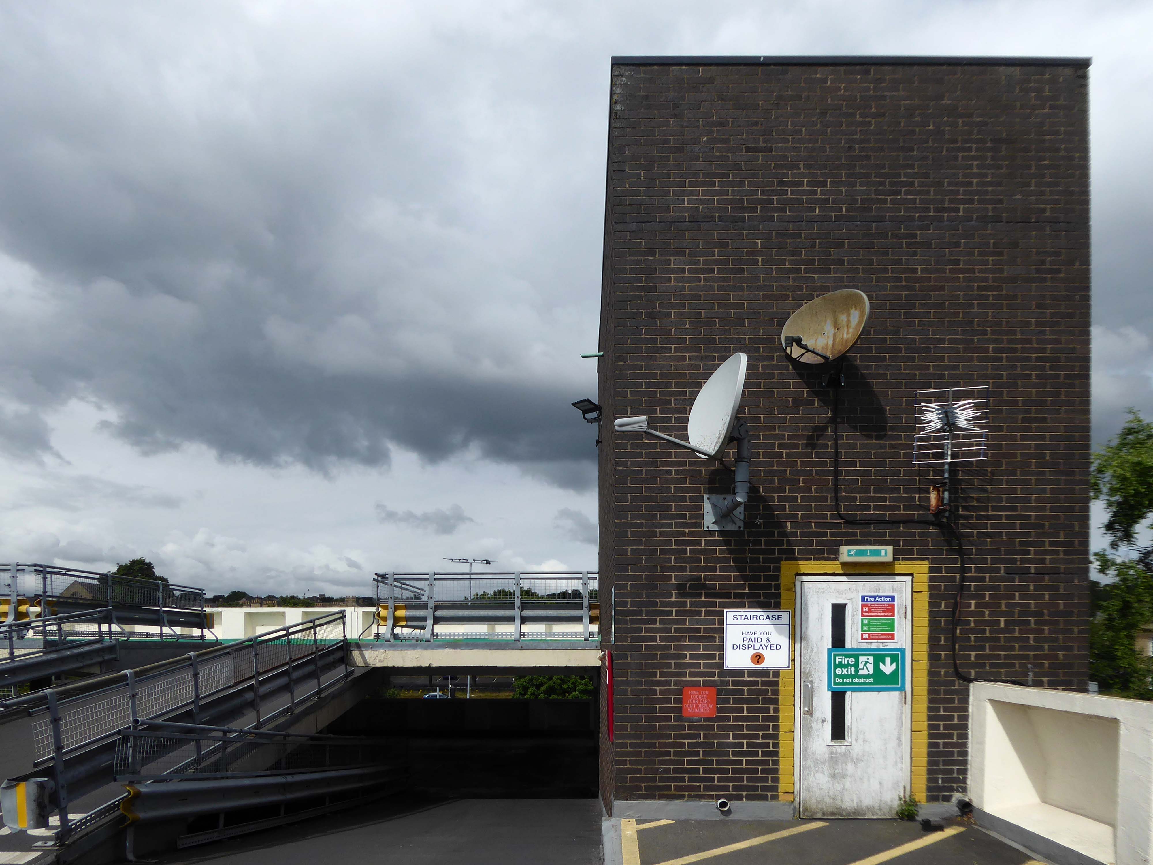
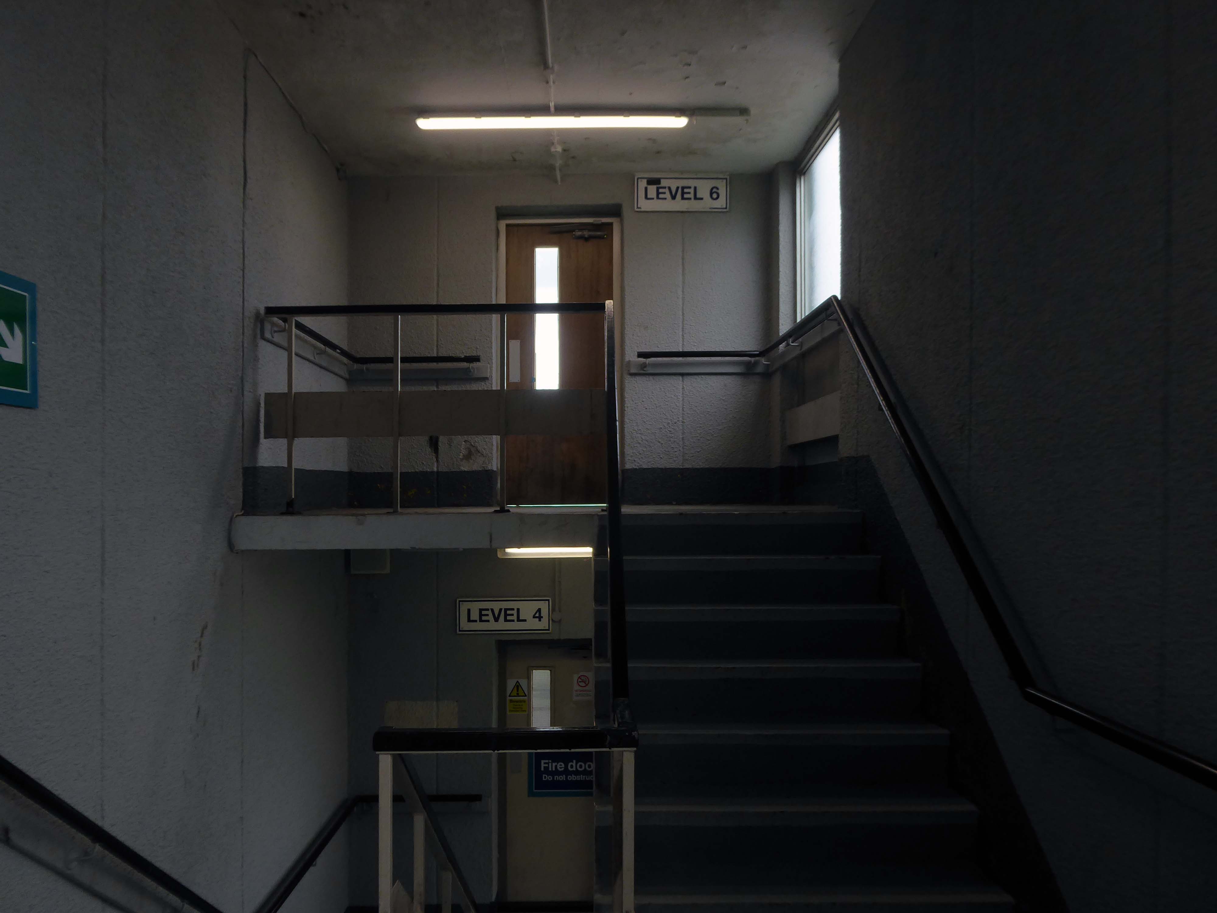
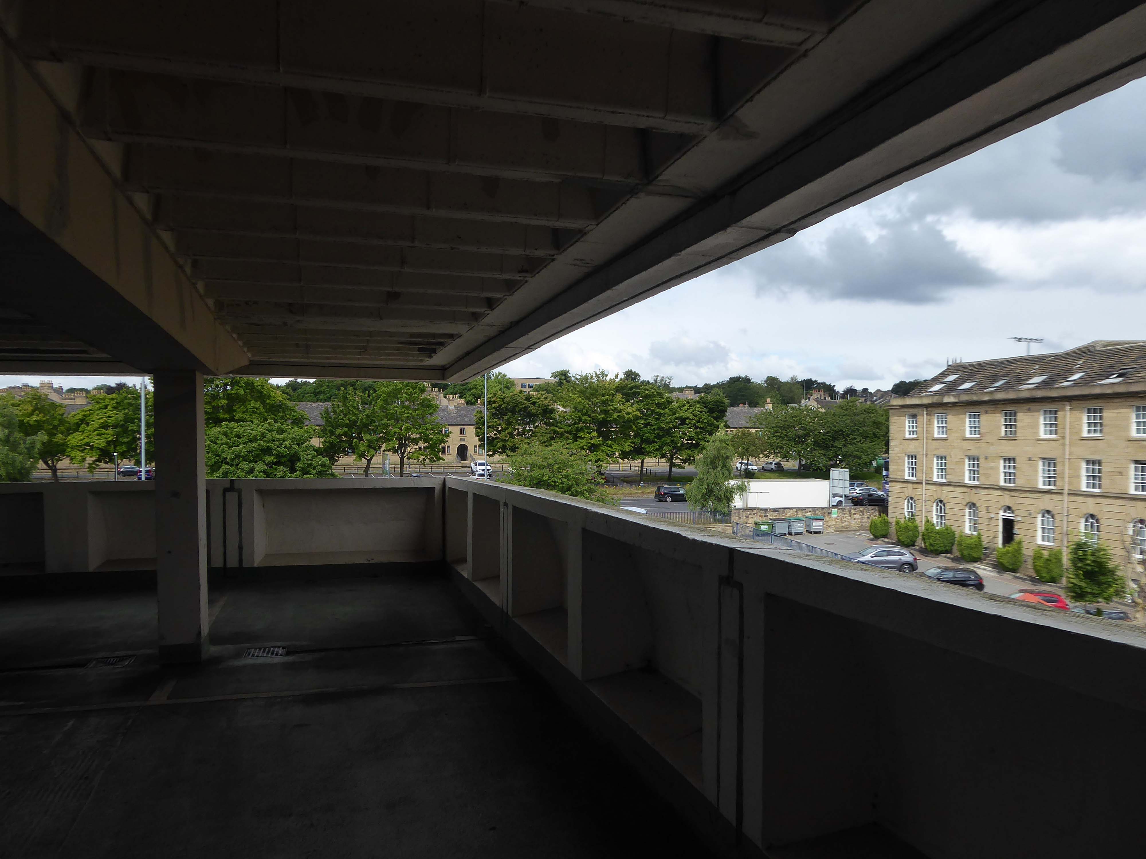
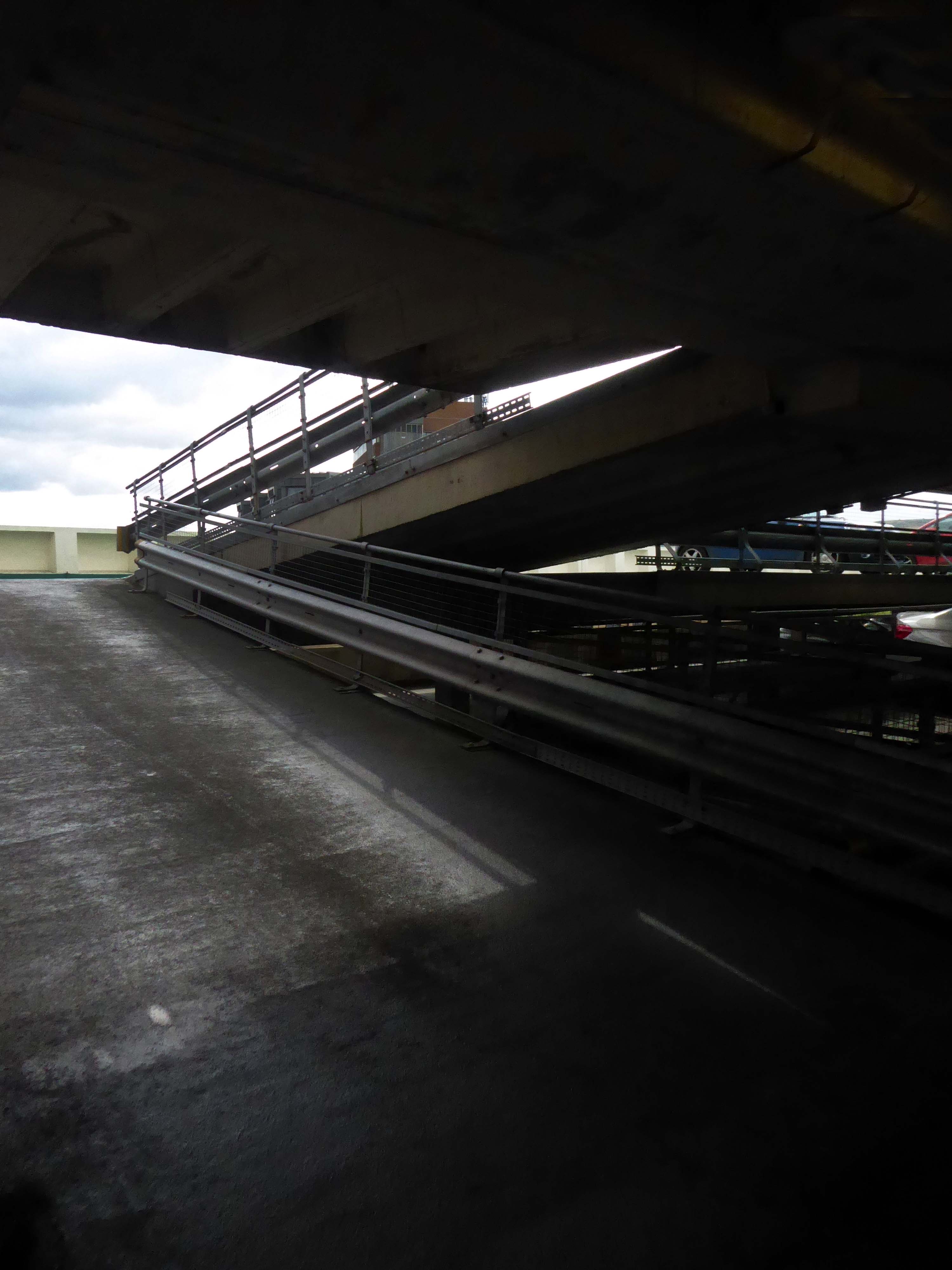
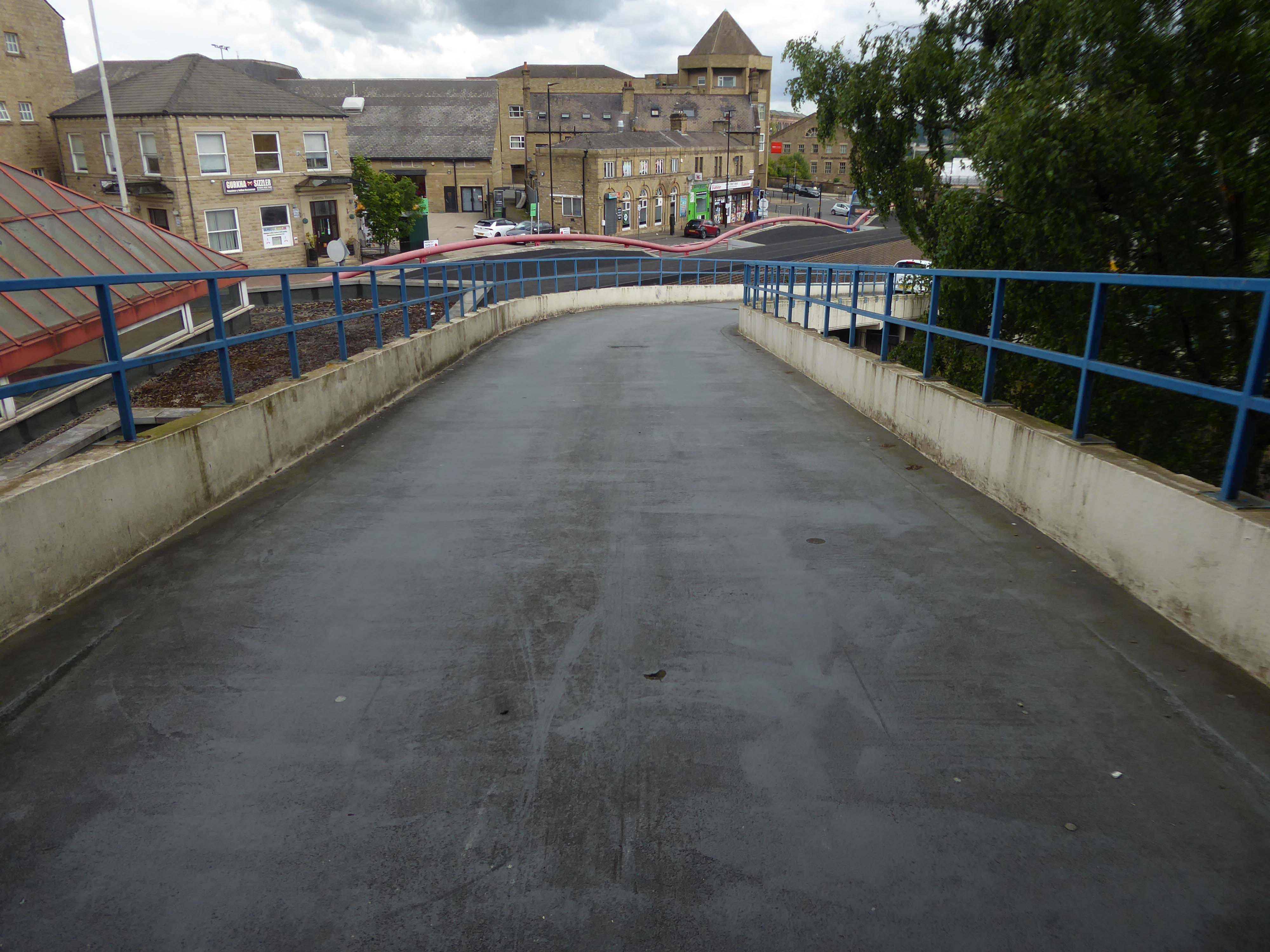
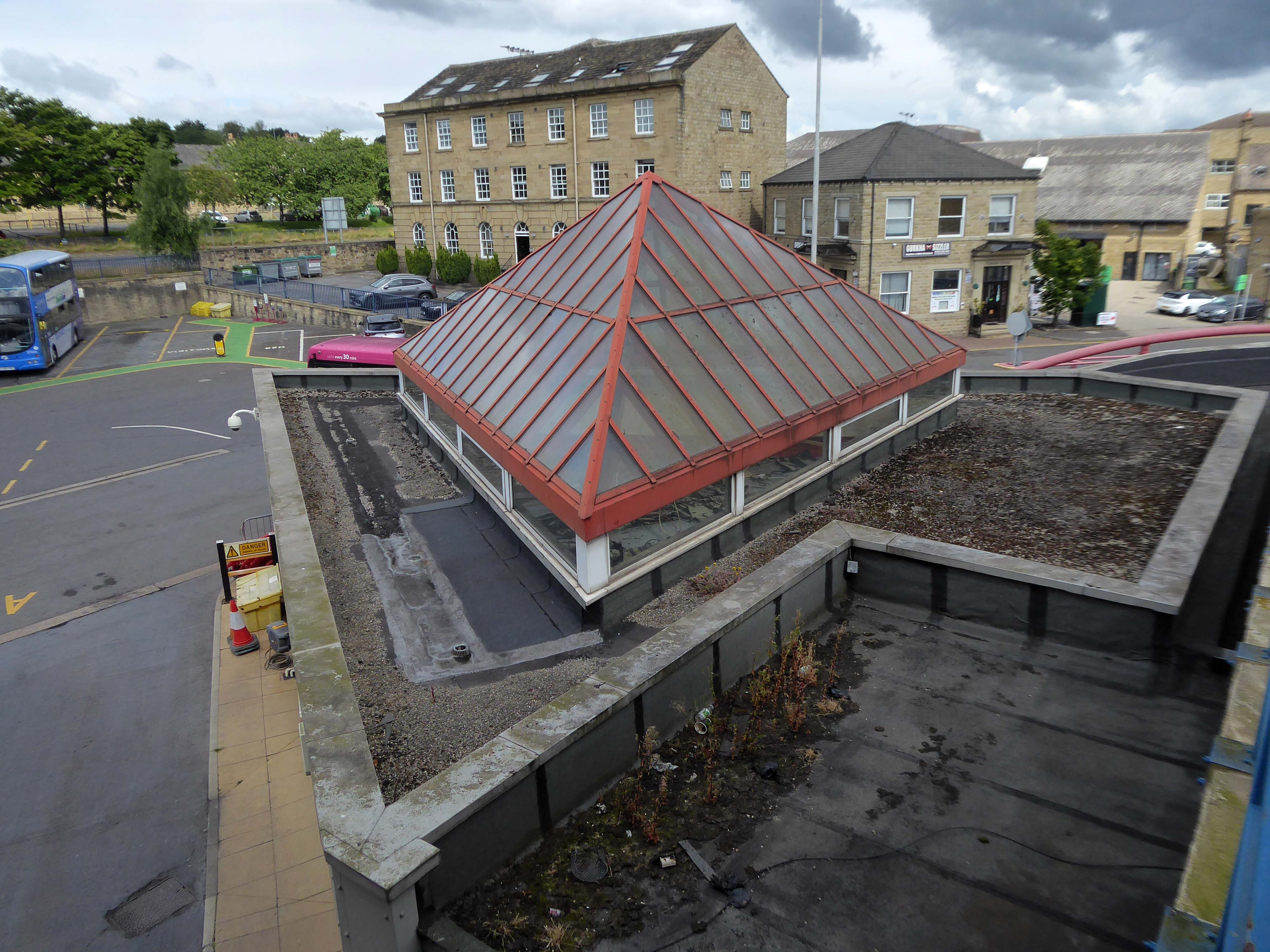
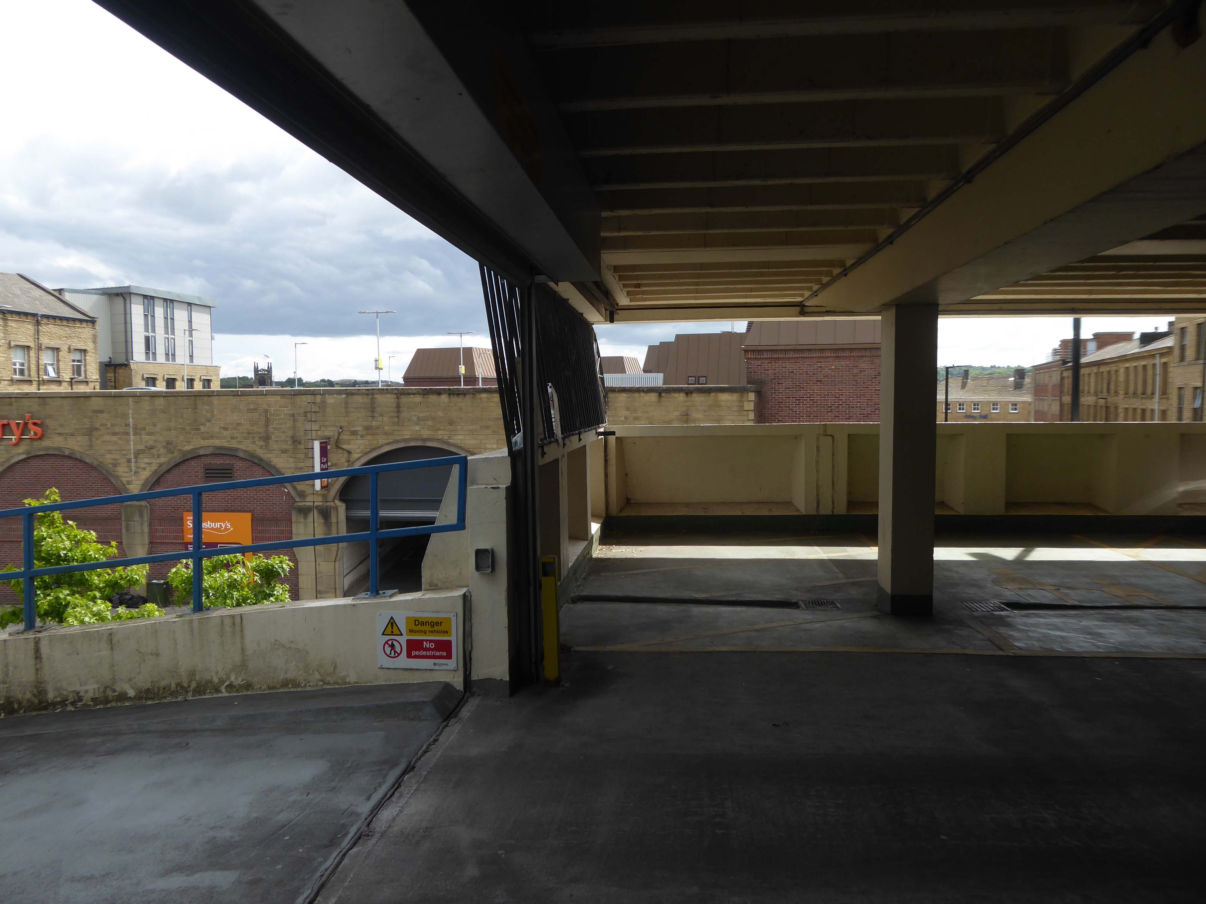
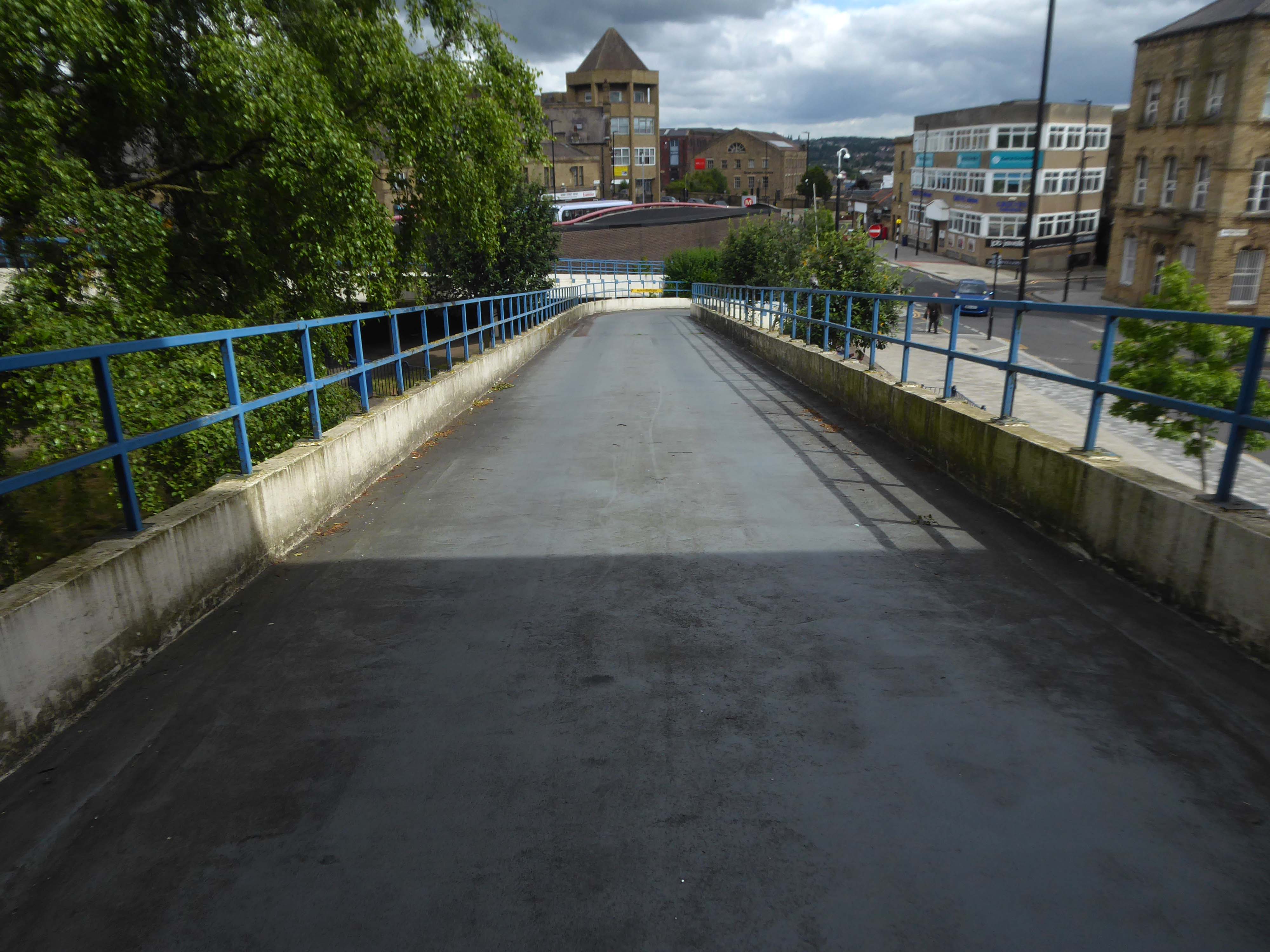
Having visited and photographed the bus station in 2016 I thought that it was about time I went up in the world, to the top level of the car park.
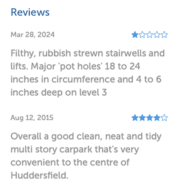
Mixed opinions from Parkopedia reviewers – let’s take a look around.
There are plans for refurbishment outlined in 2022 in the Huddersfield Hub.
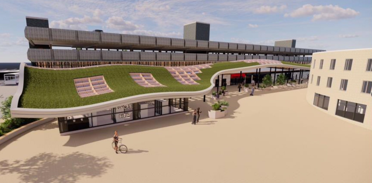
The bus station will undergo a major revamp both inside and out and the most striking feature will be a sweeping canopy with a living grass roof which will run right across the main frontage from Macaulay Square to Upperhead Row.
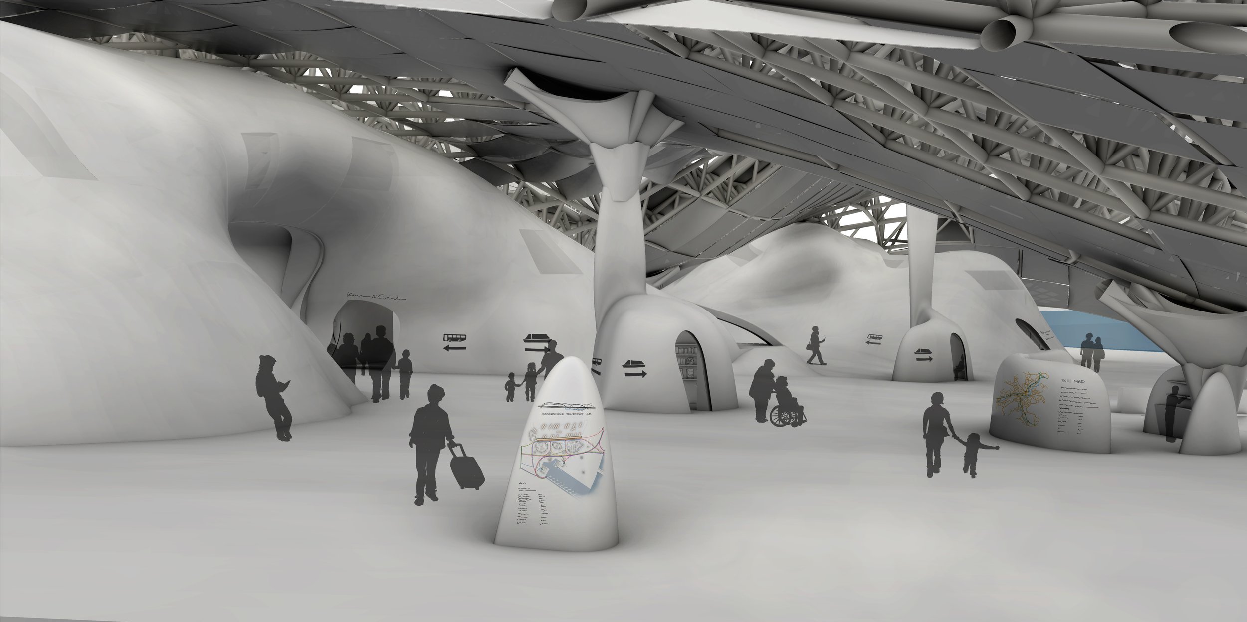
Also of note a project by Kate Matthews to seriously rethink the role and design of the space.
The starting point for this project was the Welcoming Water group scenario, involving the controlled flooding of areas of the town.
The new interchange includes facilities for cycling, walking, and public transit. The basin and marina on the new lake allow for an increased focus on water-based transport, including a new bus-boat. The main Transport Hub sits below an undulating roof and contains not only the bus bays and ticketing facilities, but also co-working and relaxation spaces. The curves of the roof, trying to confuse the binary of floor and ceiling, are just one example of the ambiguity throughout the scheme.
This project was nominated for the Architects for Health Student Design Award in 2021.
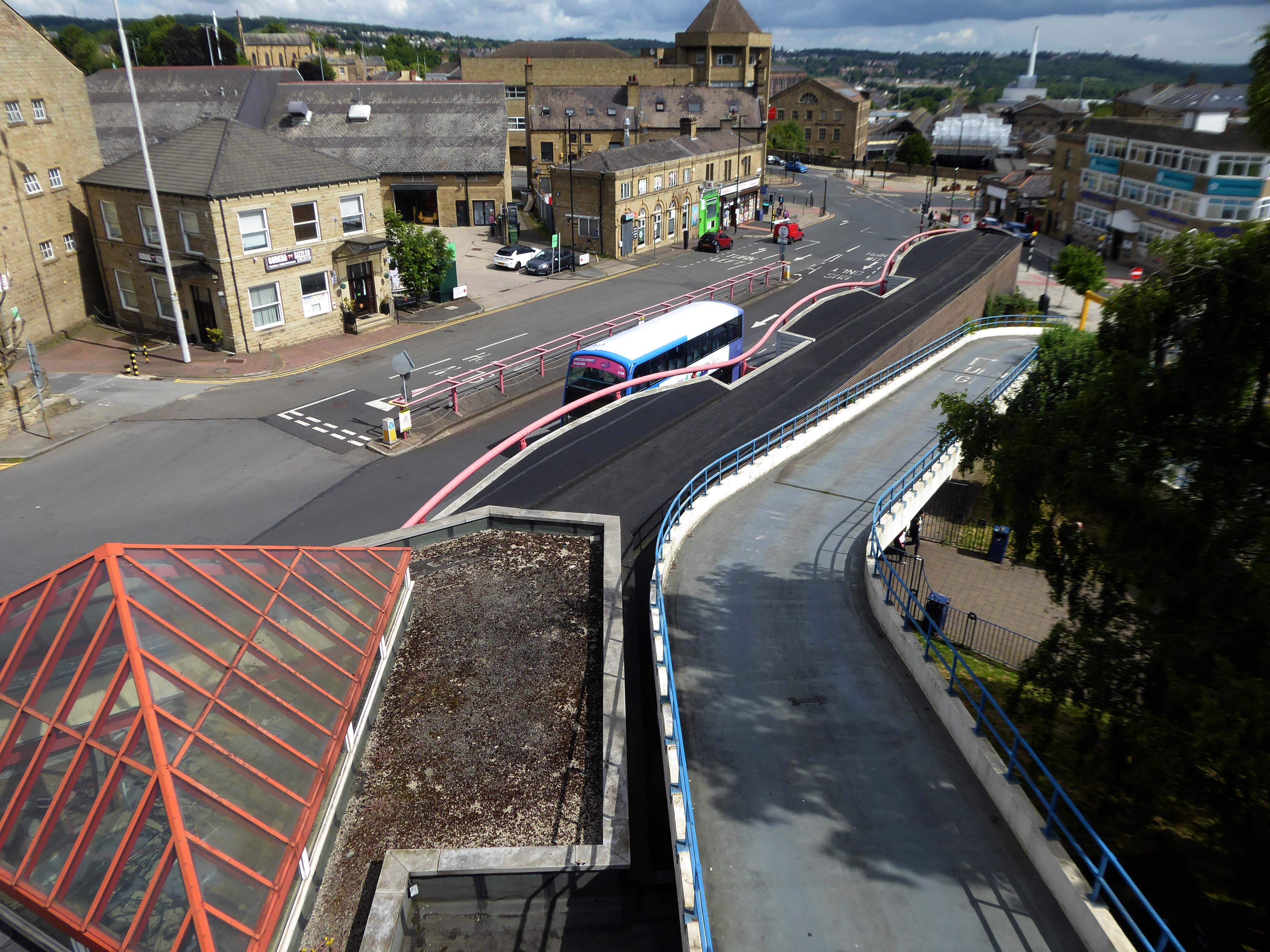
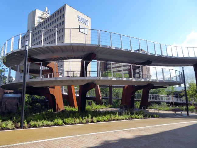
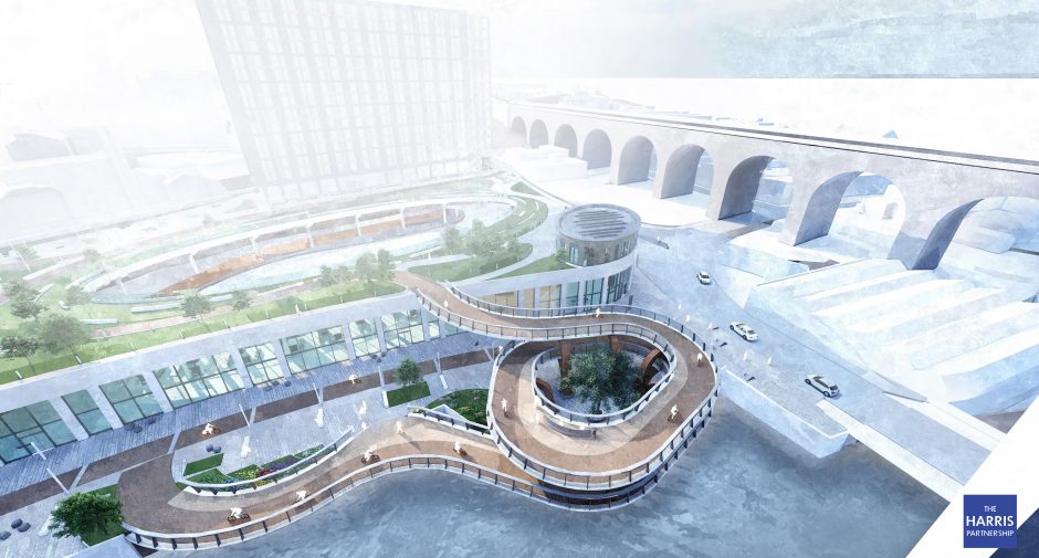
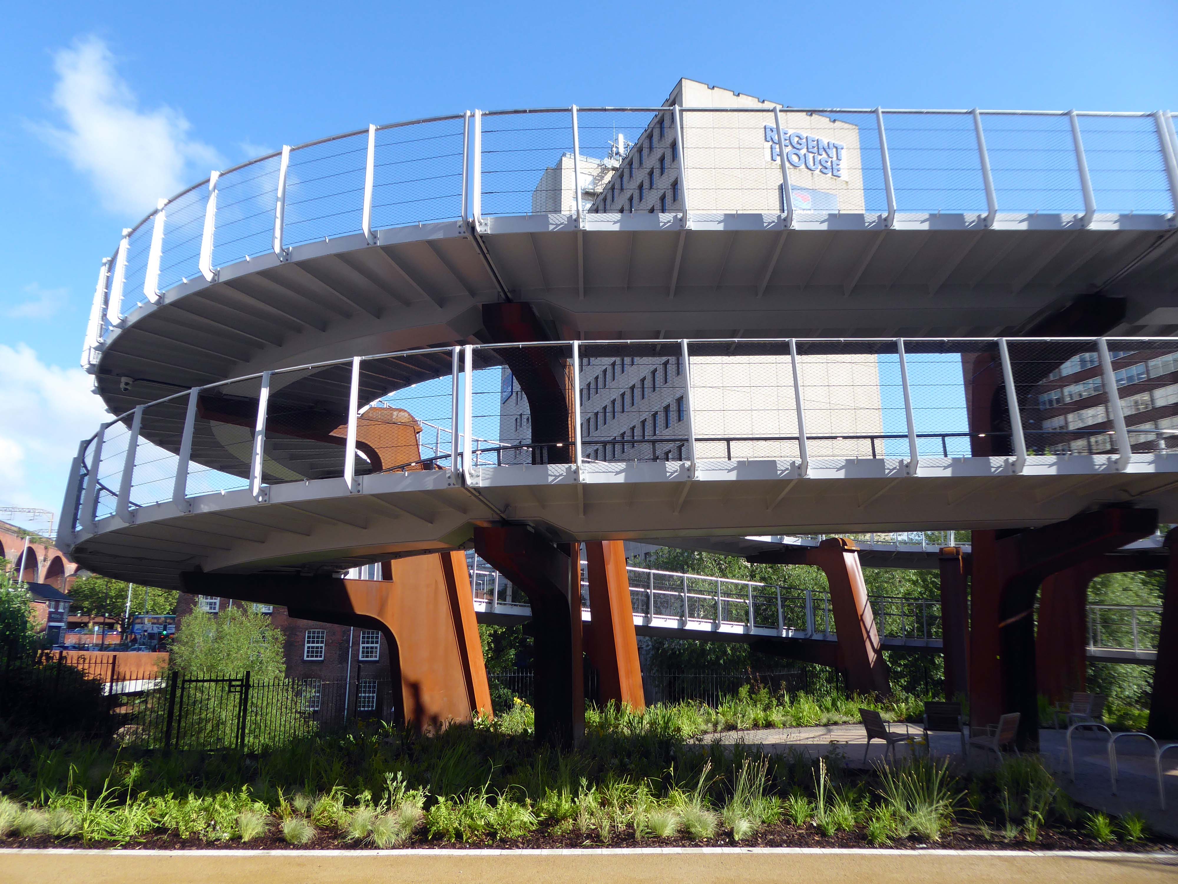
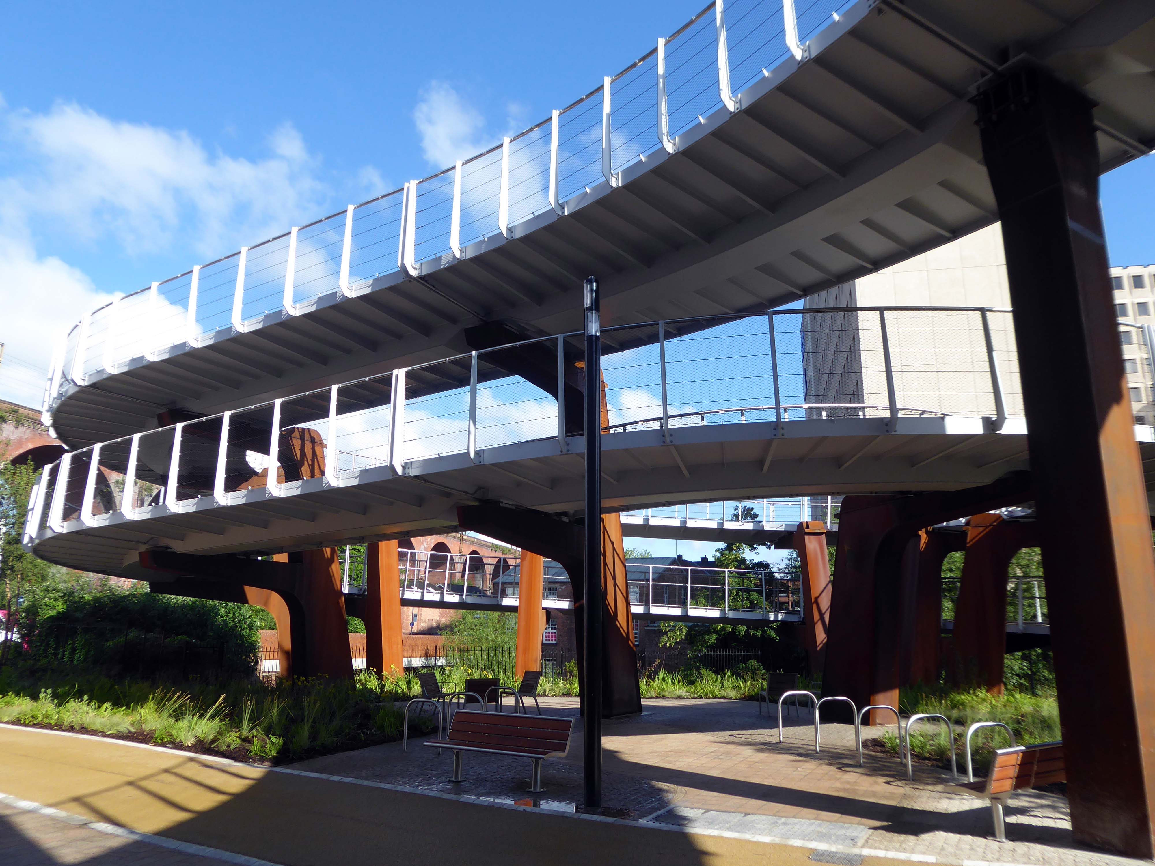
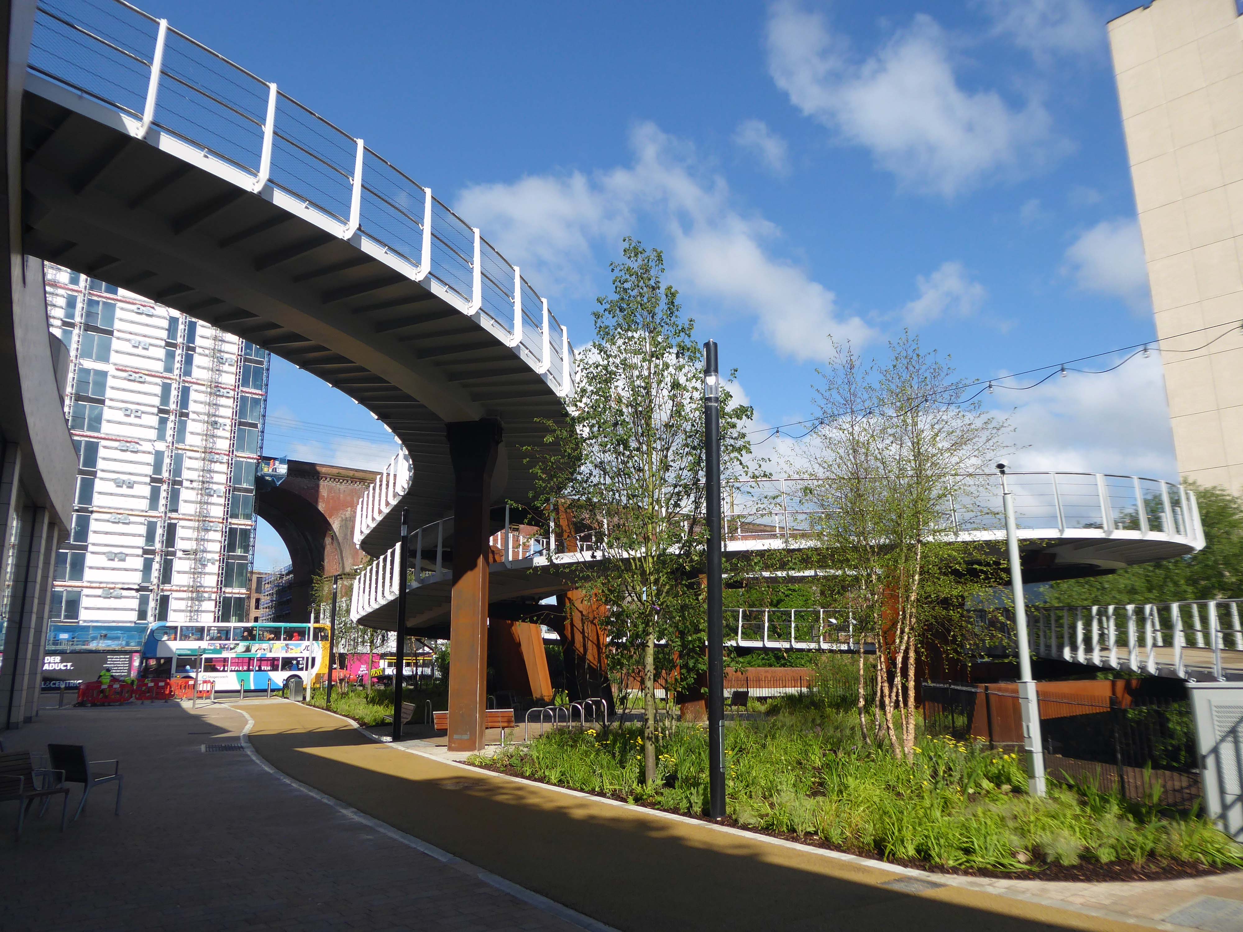
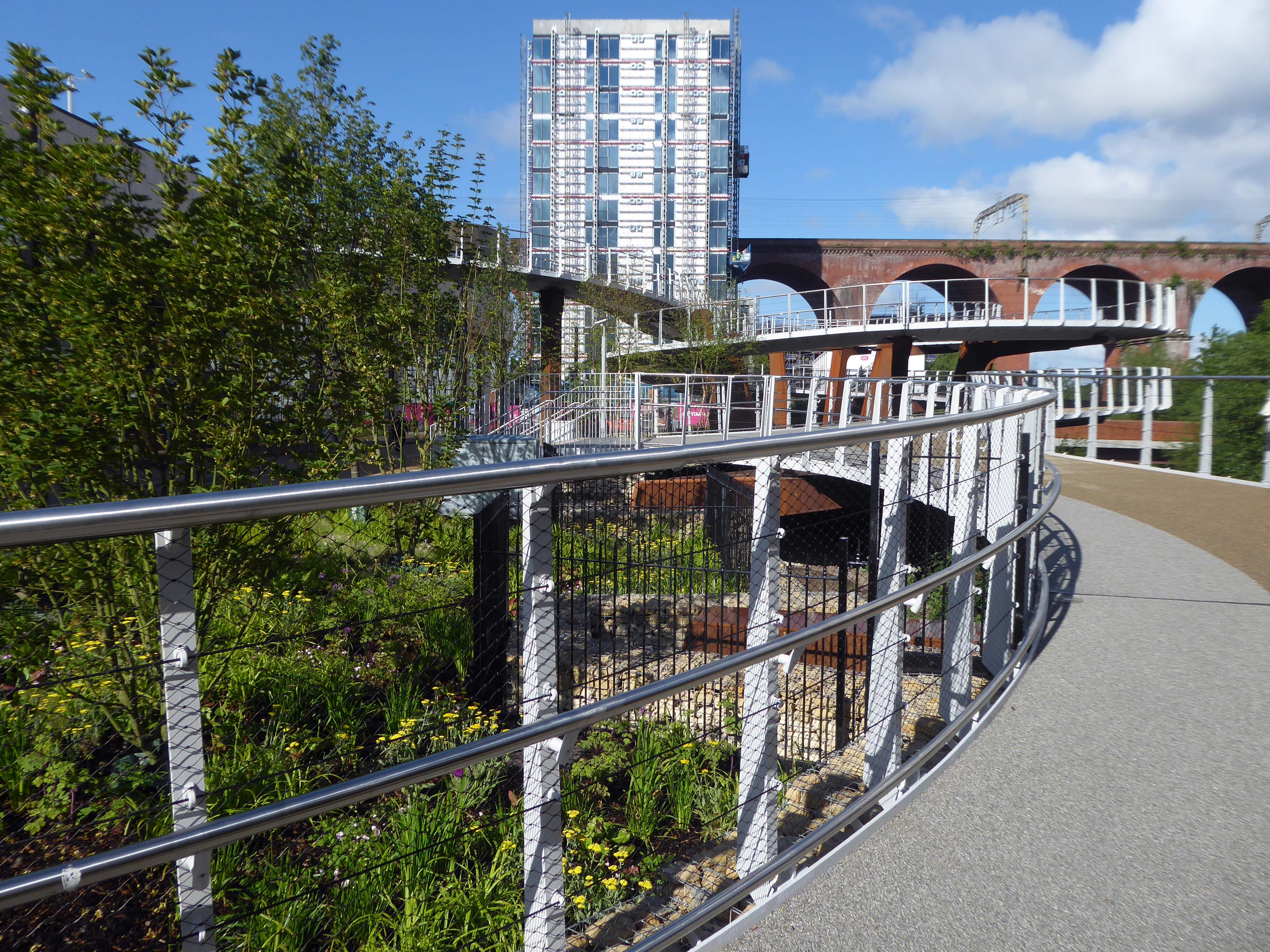
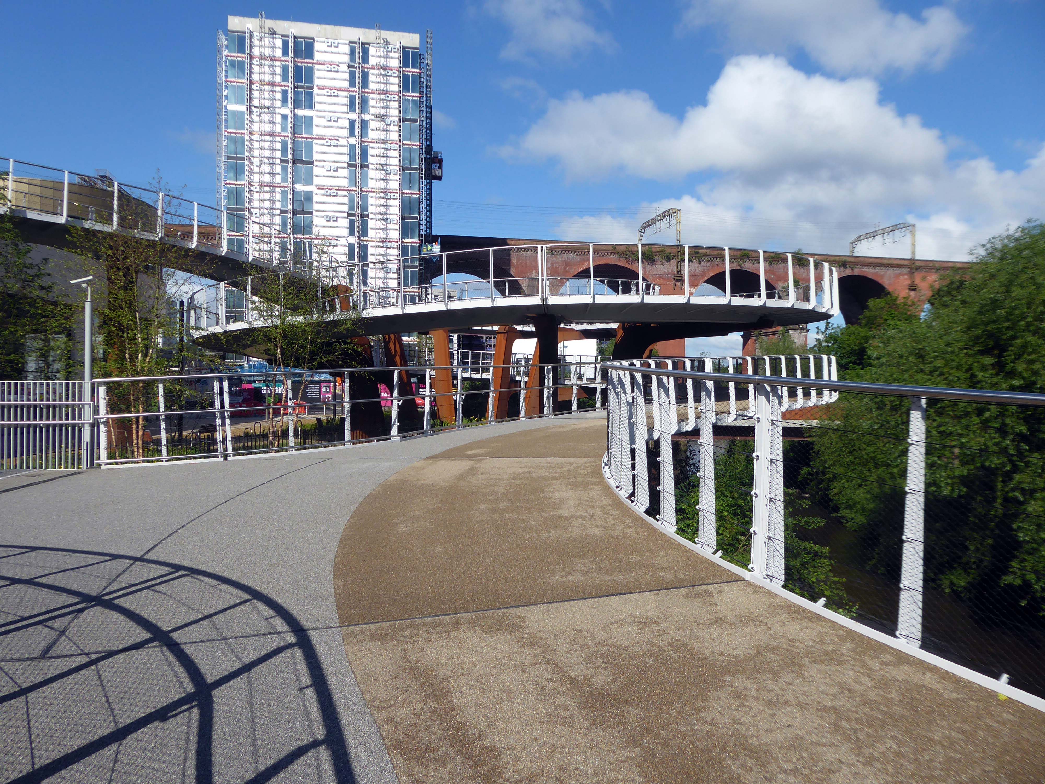
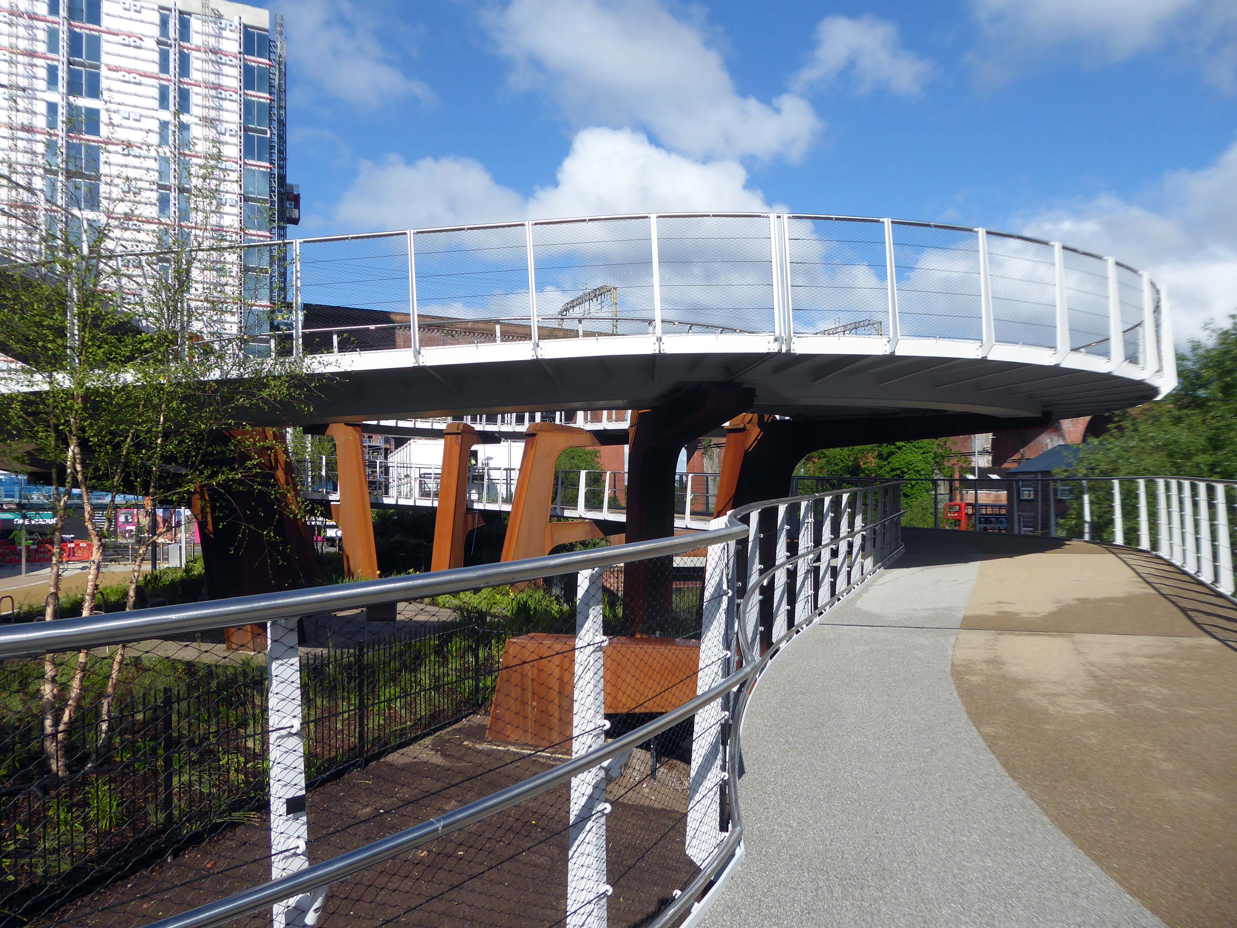
It’s now all grown up into a fully fledged transport interchange – with its very own pedestrian and cycling ramp.
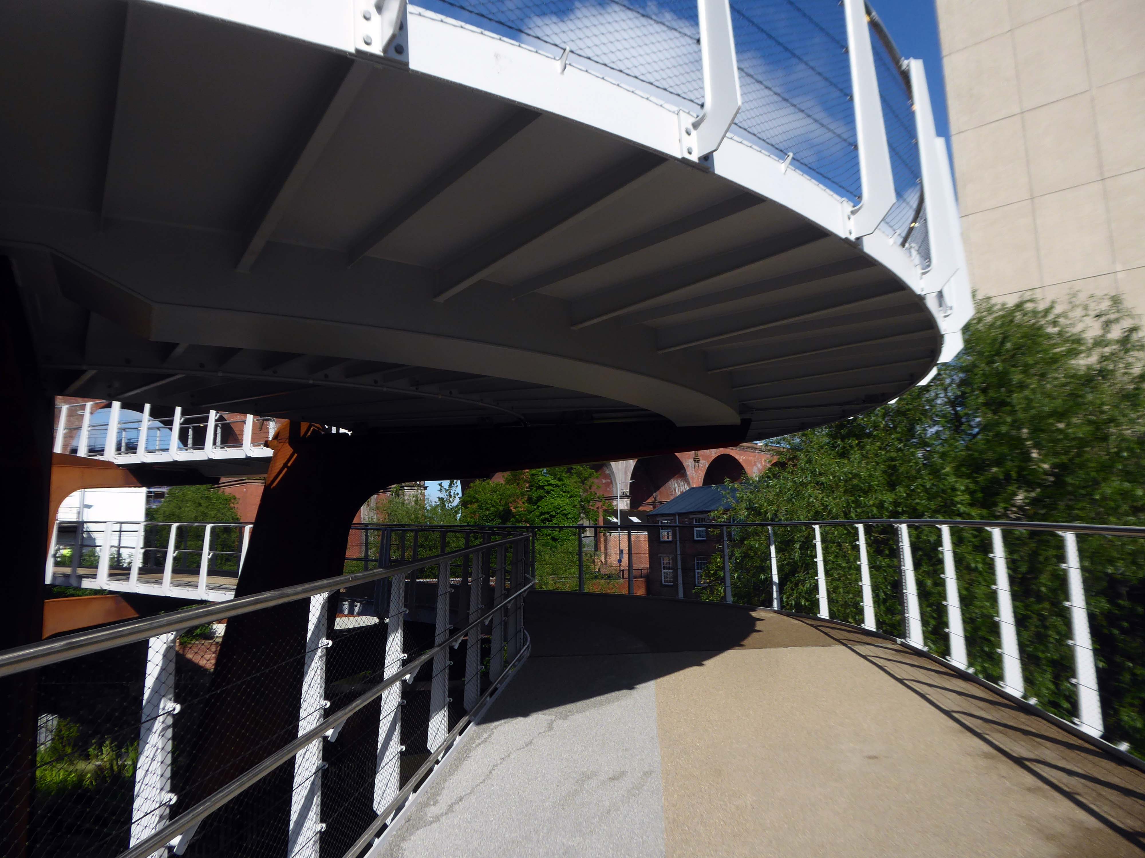
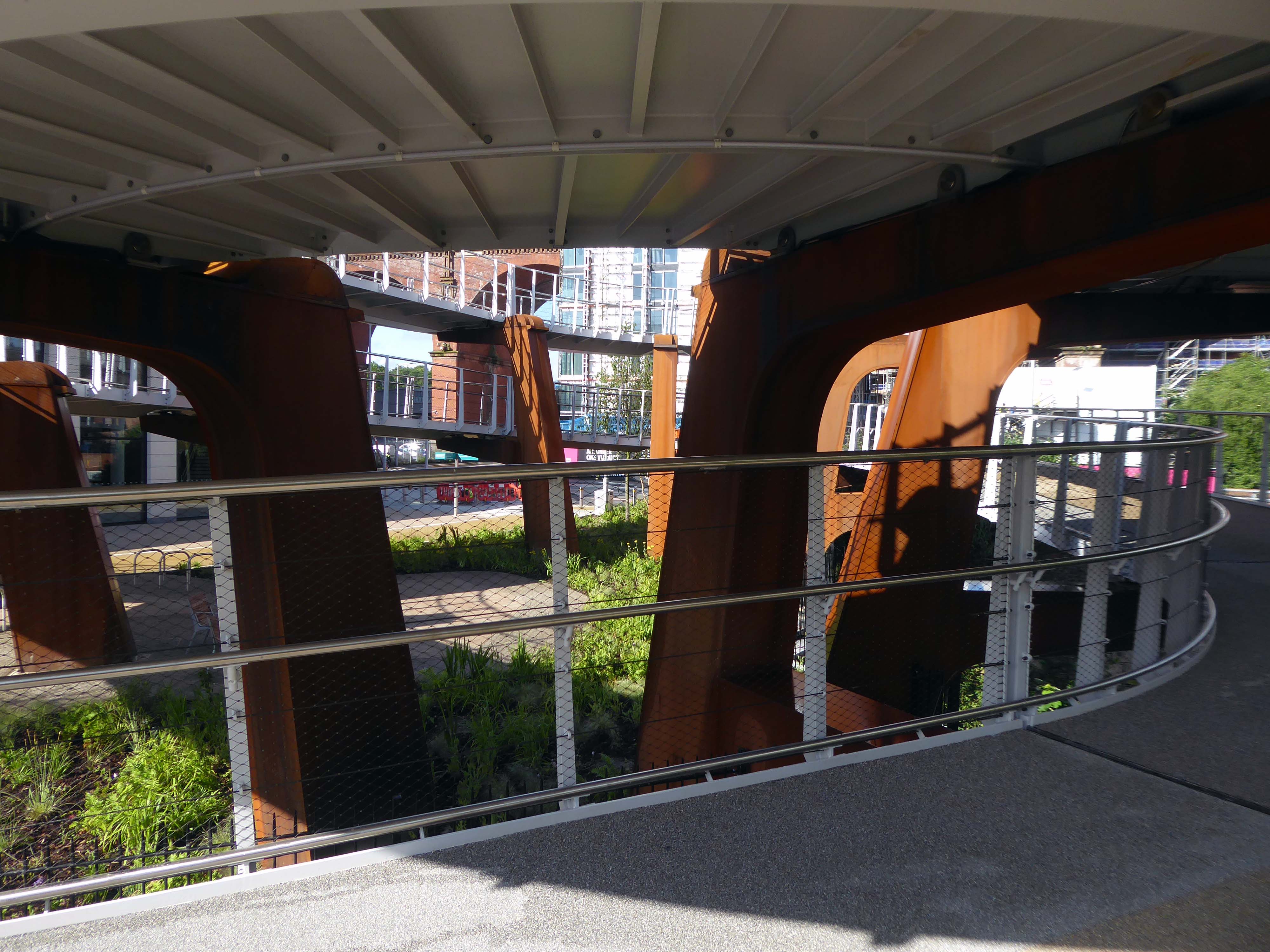
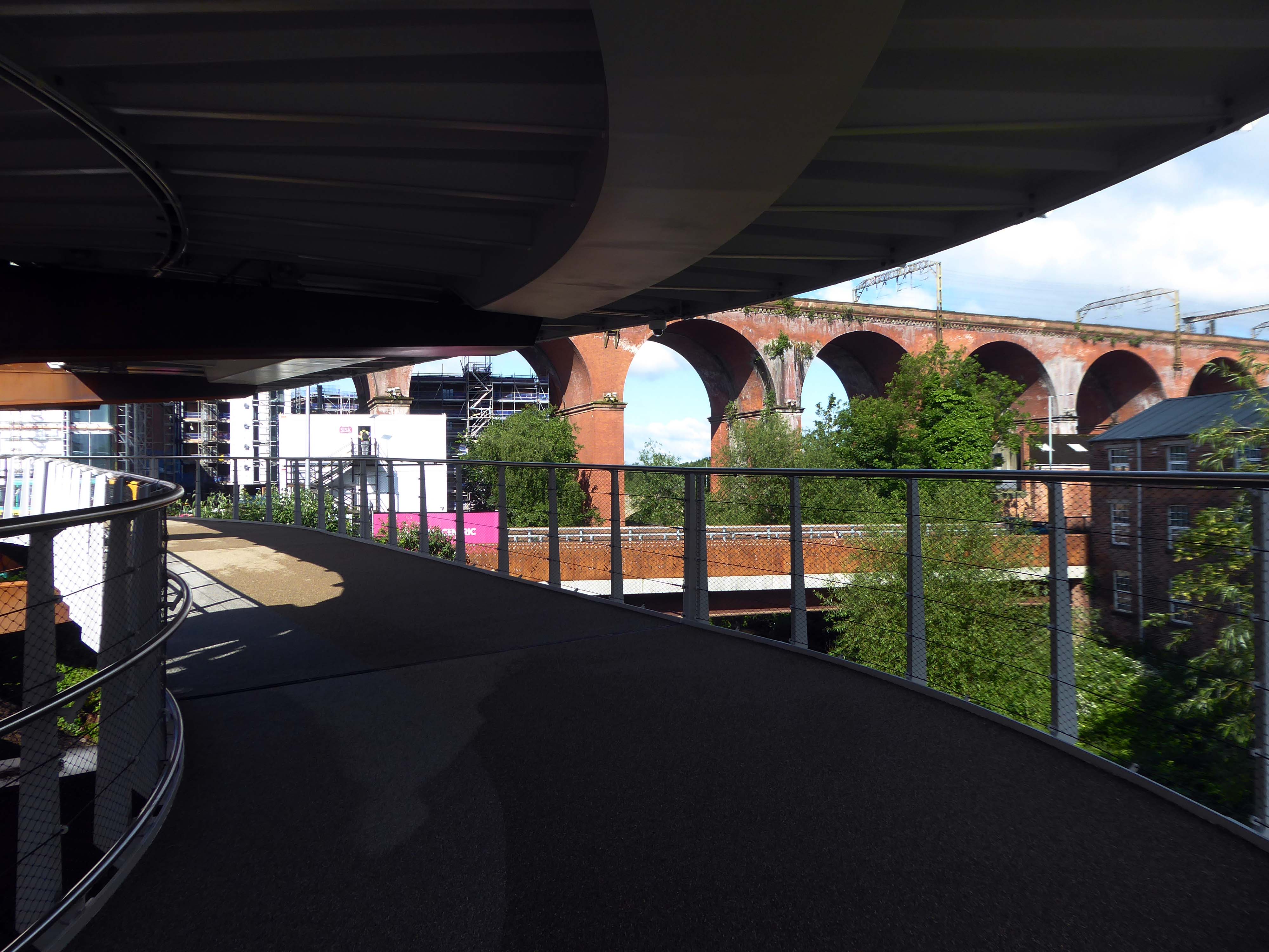
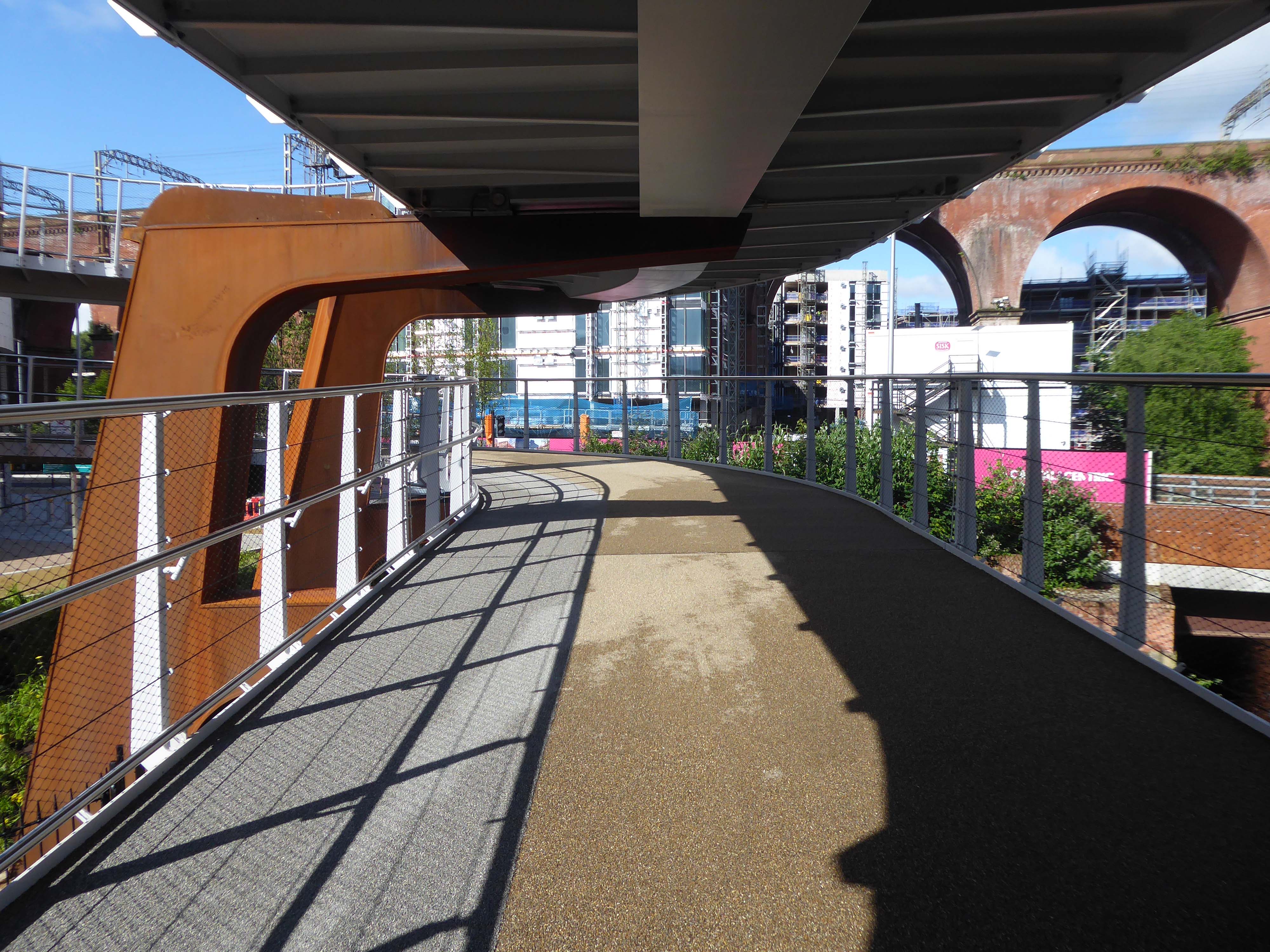
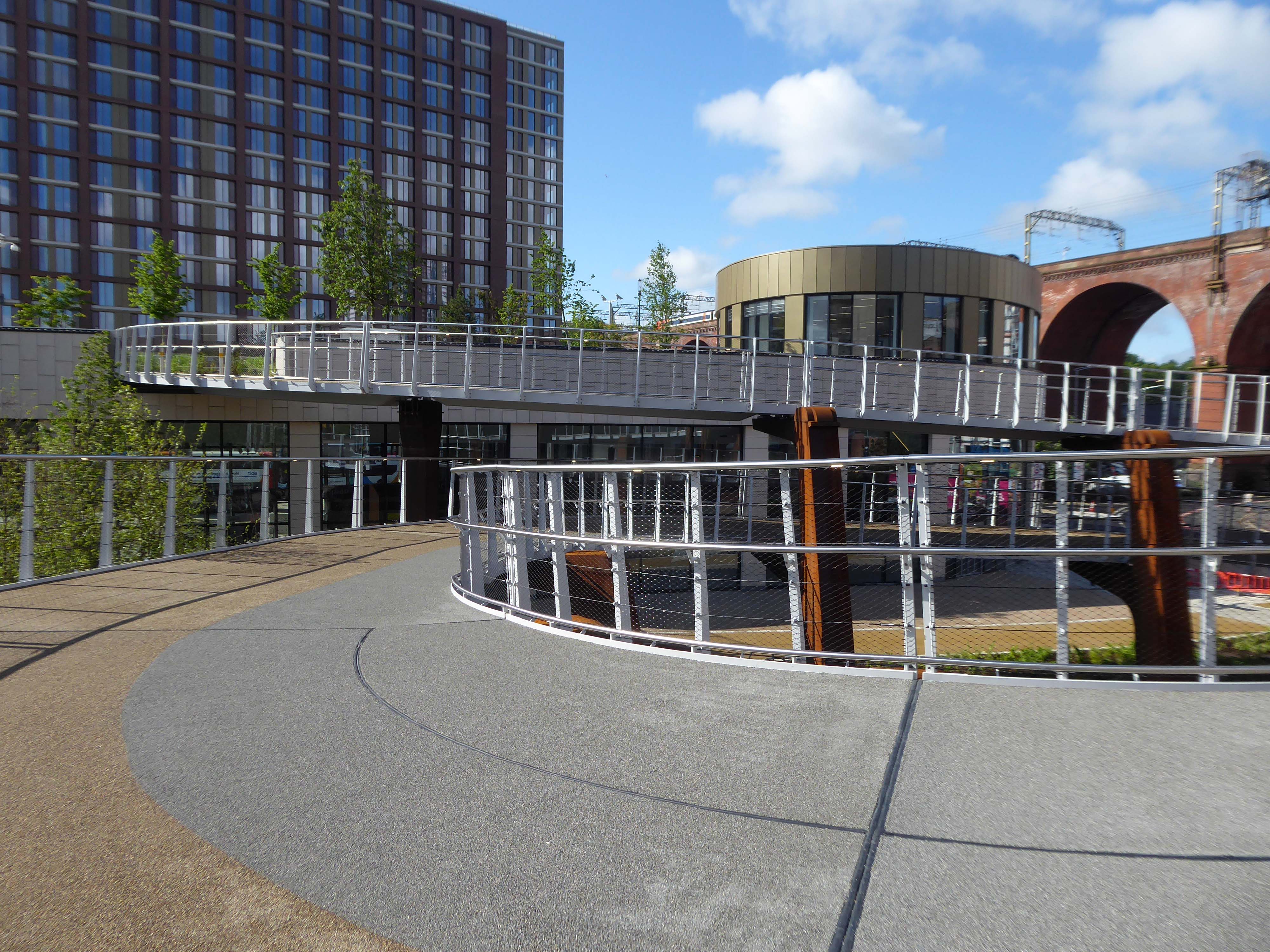
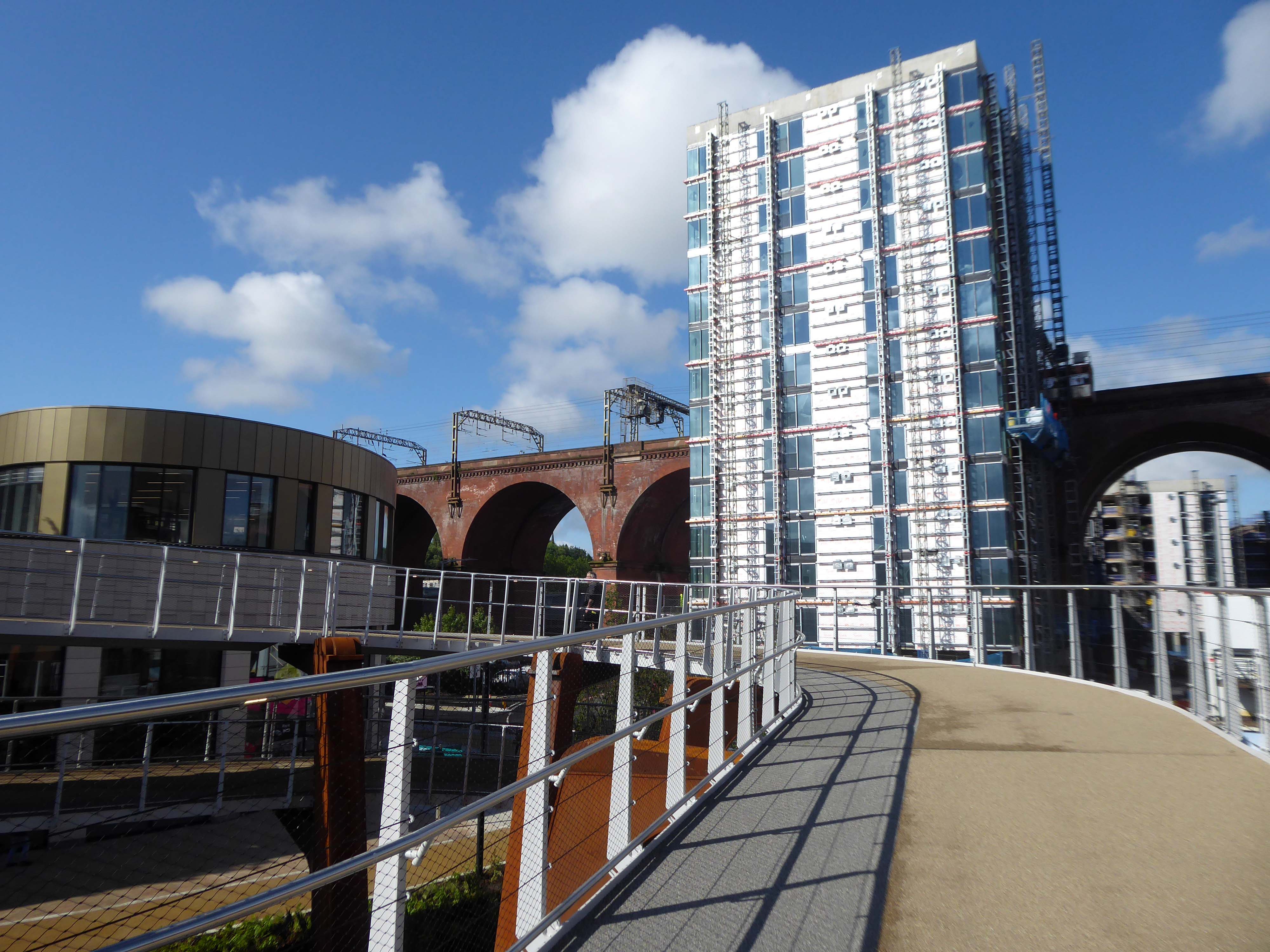
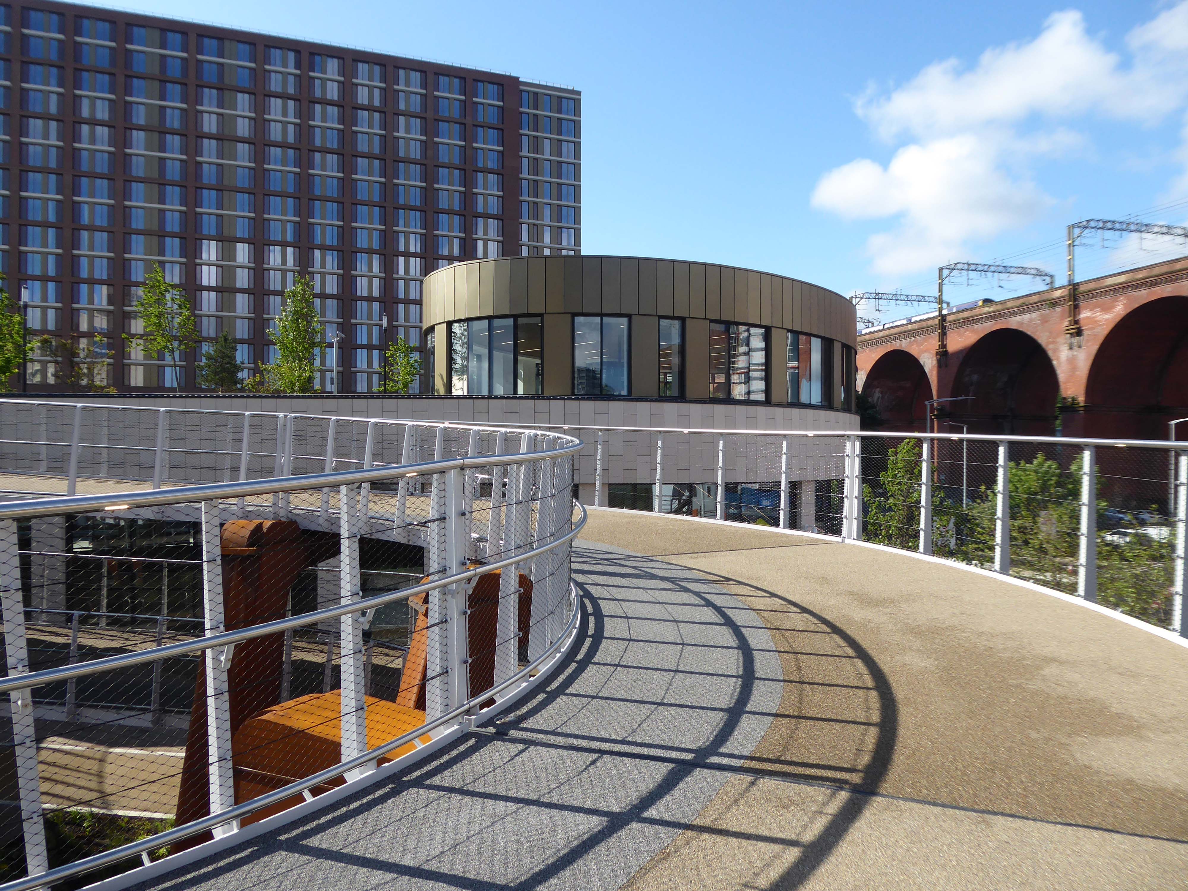
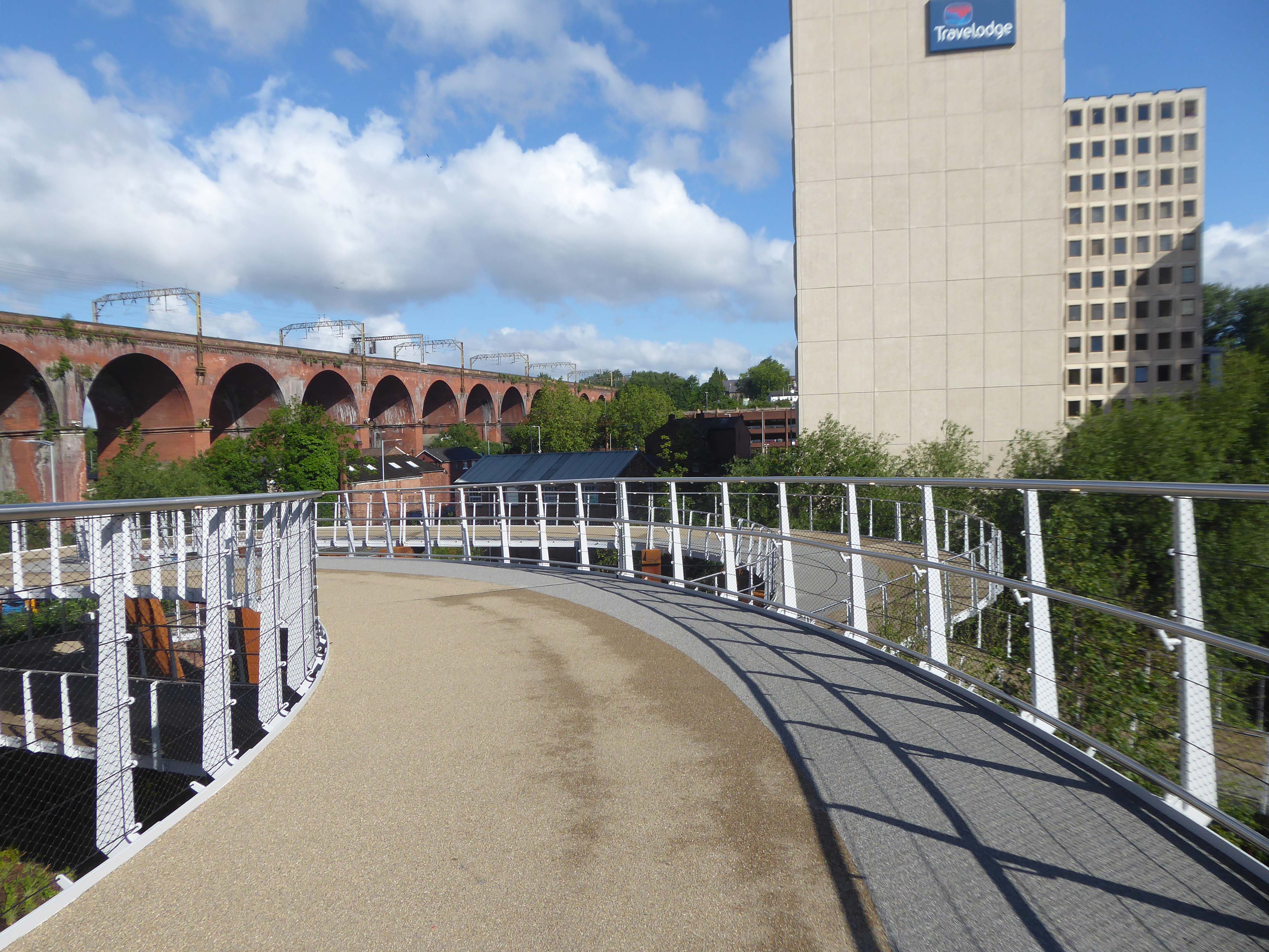
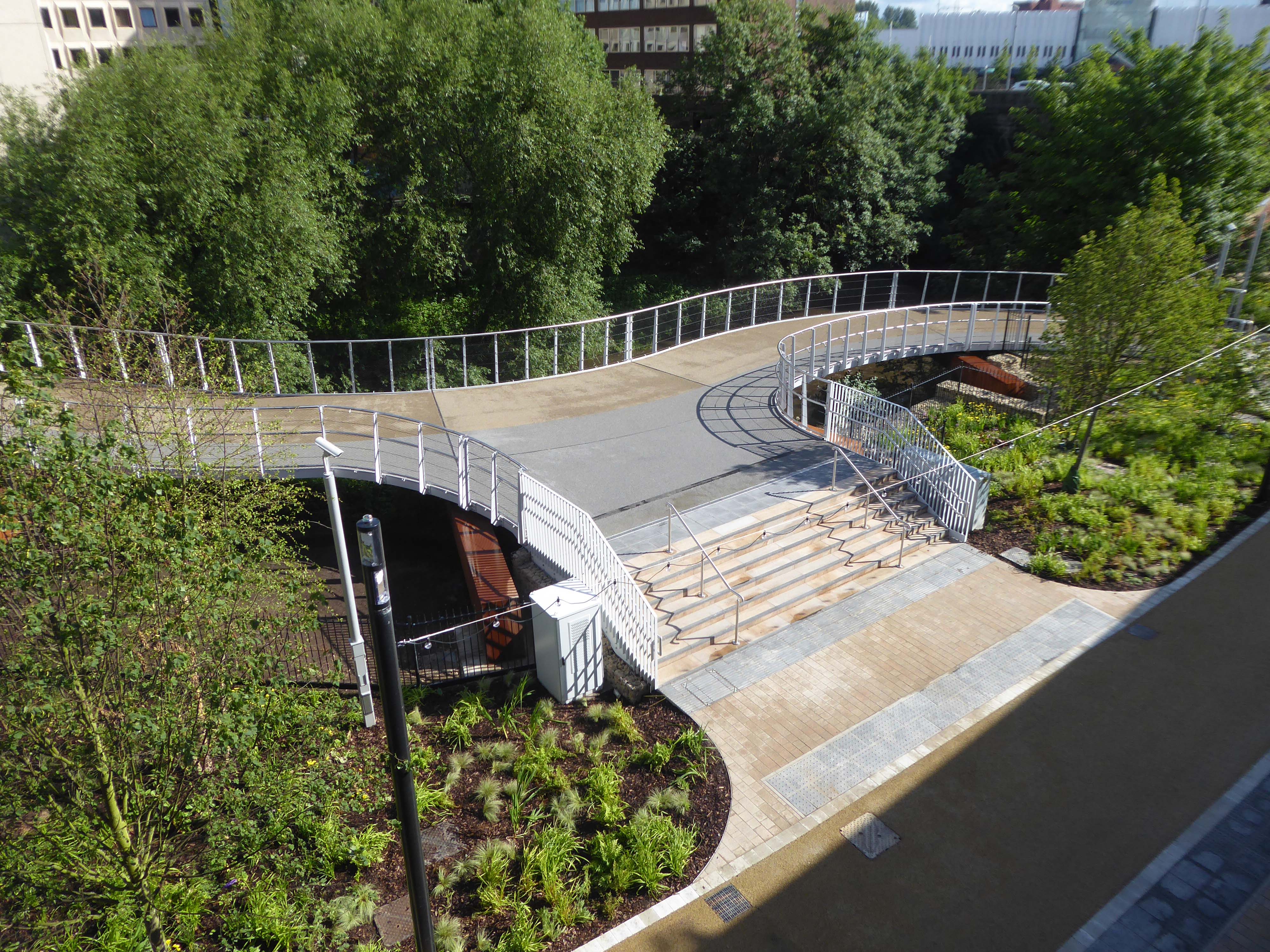
The 189-metre ramp provides a seamless and accessible route to navigate the level change from the rooftop park to the river Mersey frontage, leading to the Trans Pennine Trail route.
Forming part of the Stockport Interchange Mixed Use development scheme, and which also includes a new cycle and pedestrian link from Stockport rail station to the new park, as well as connecting the new facility to the wider Bee Network cycling and walking infrastructure, which is designed to encourage more people to make journeys on foot or by bike.
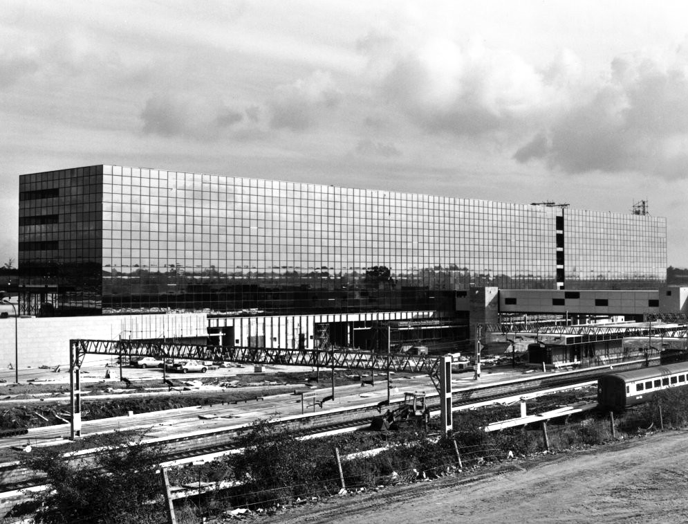
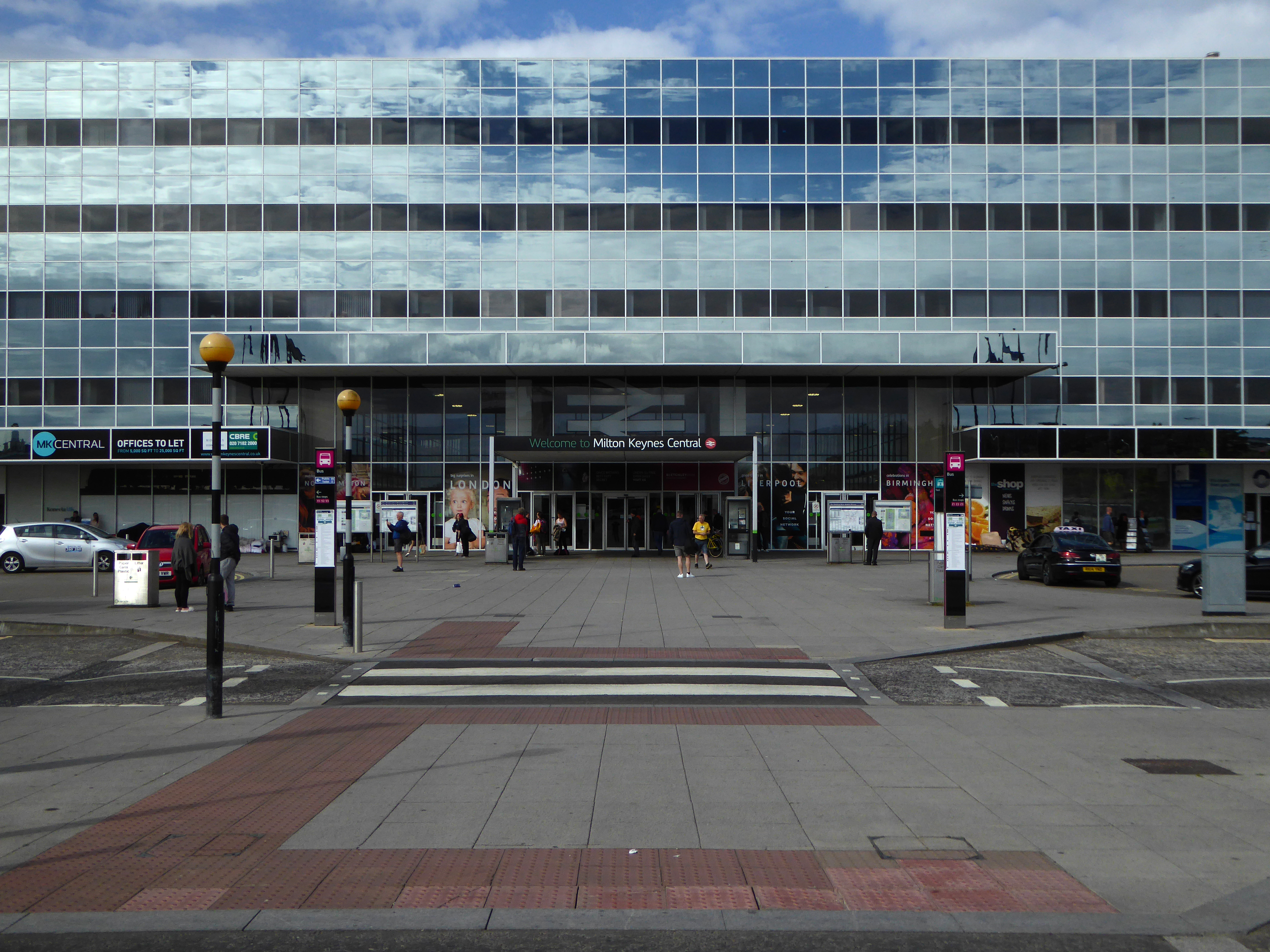
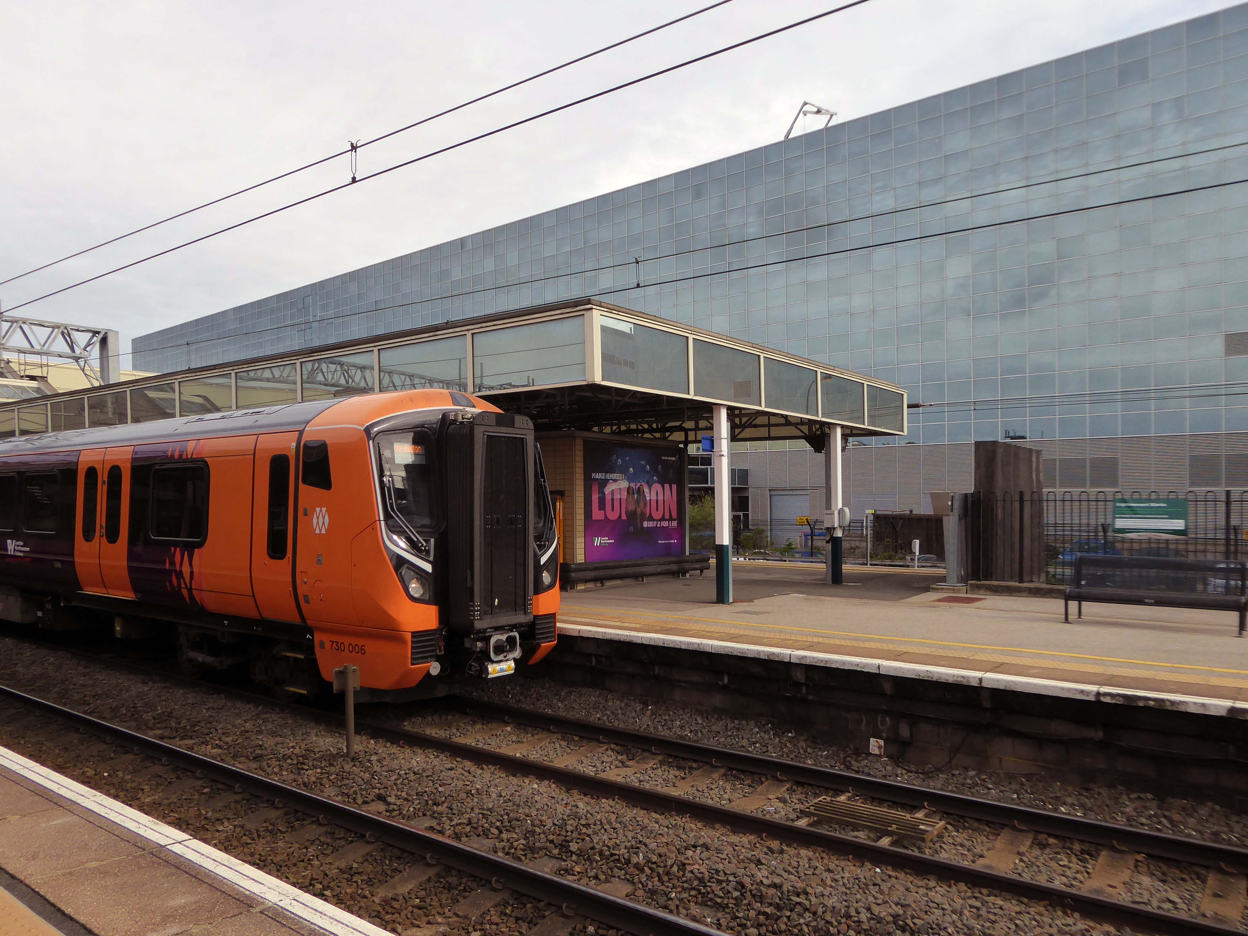
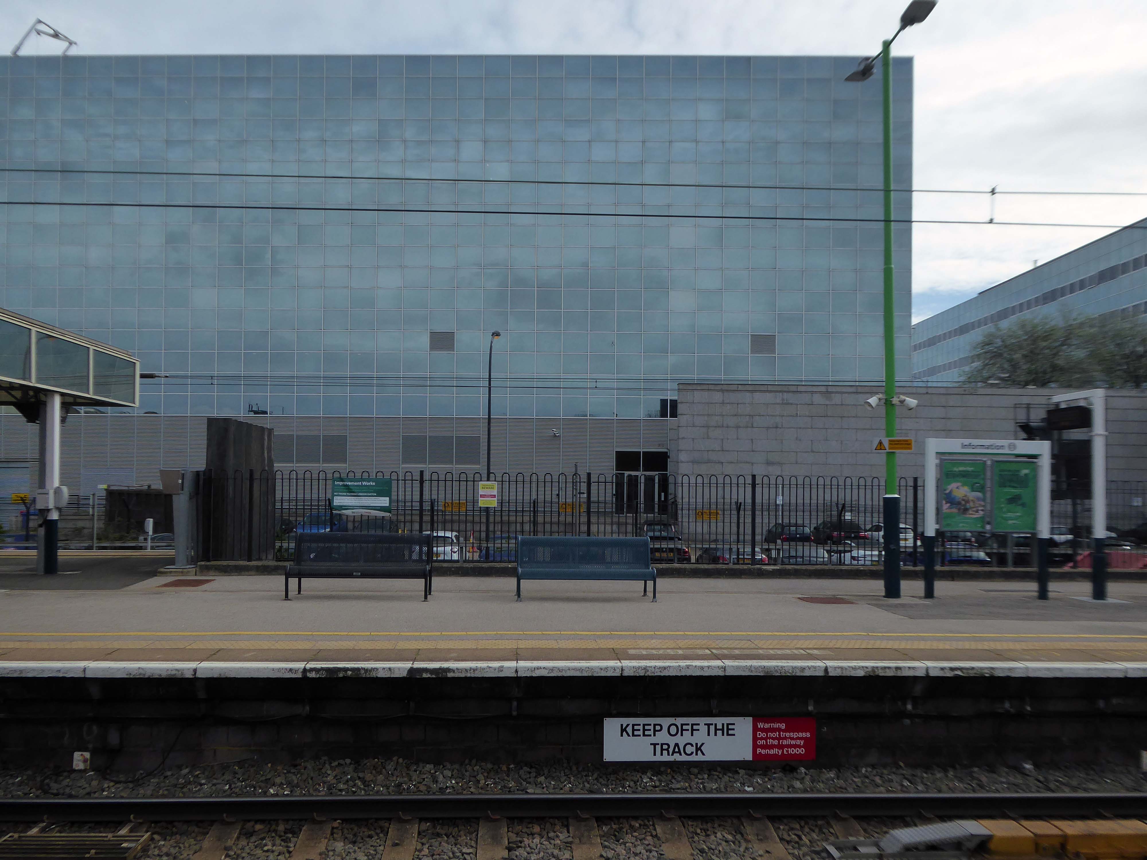
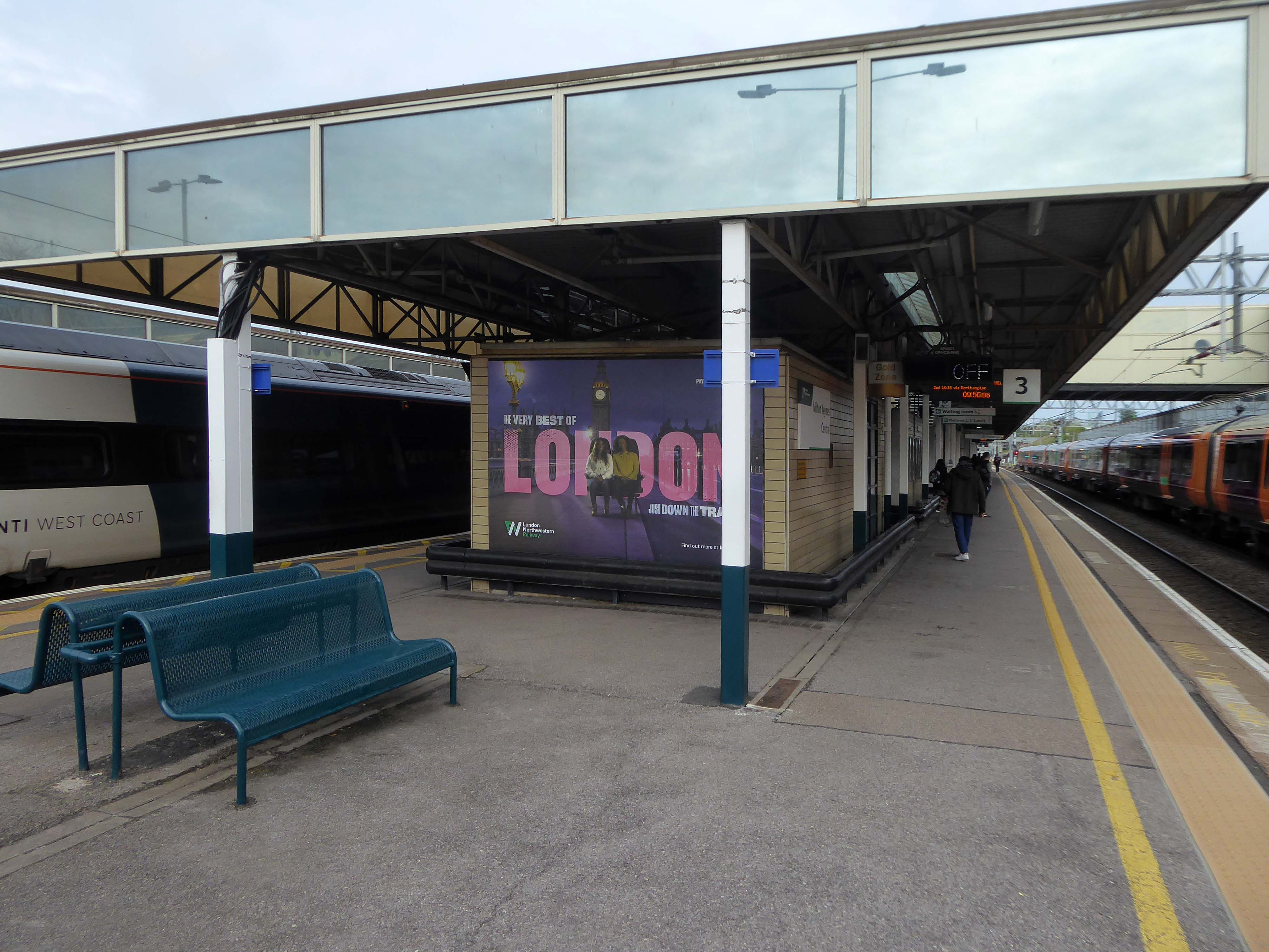
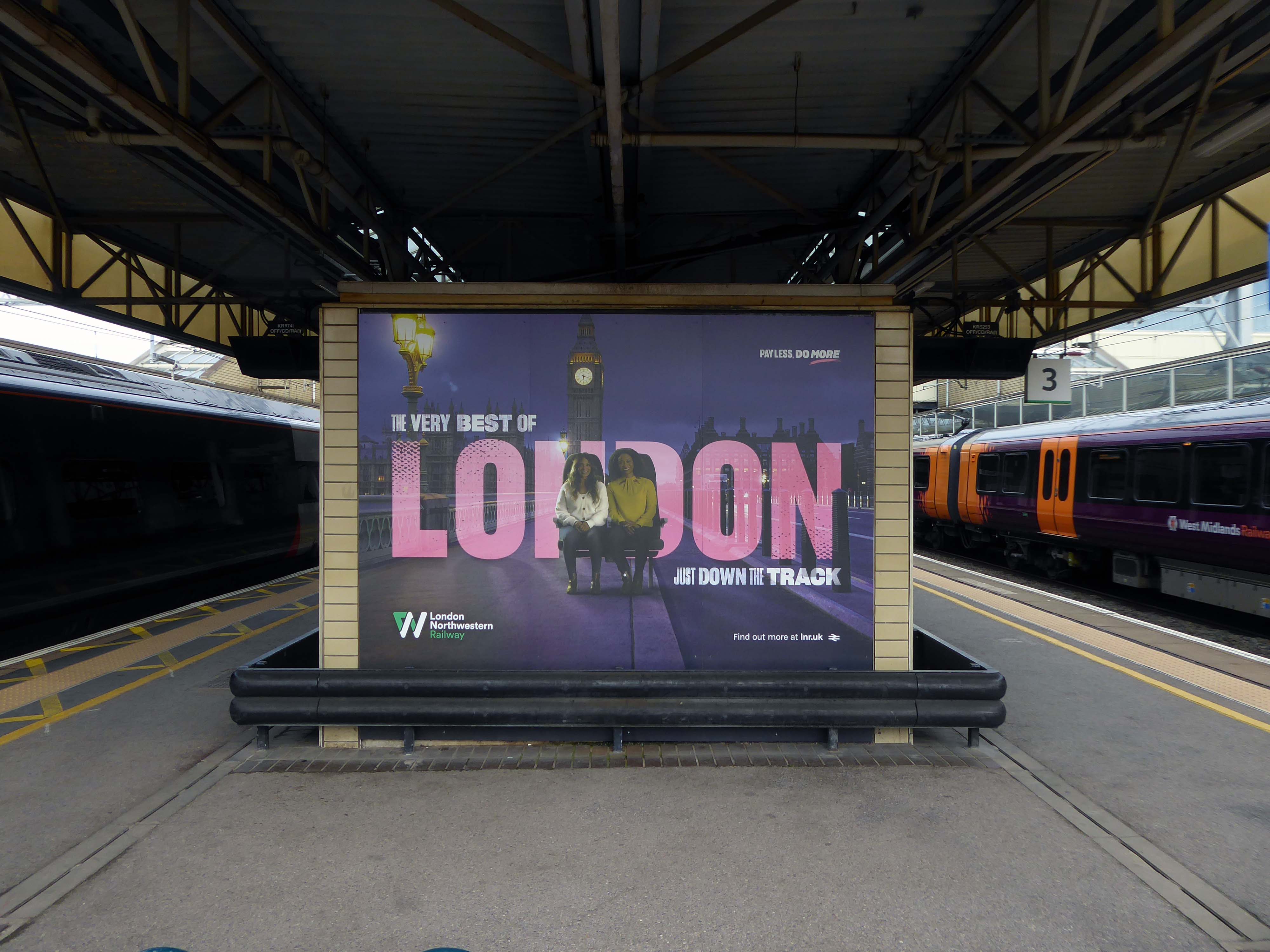
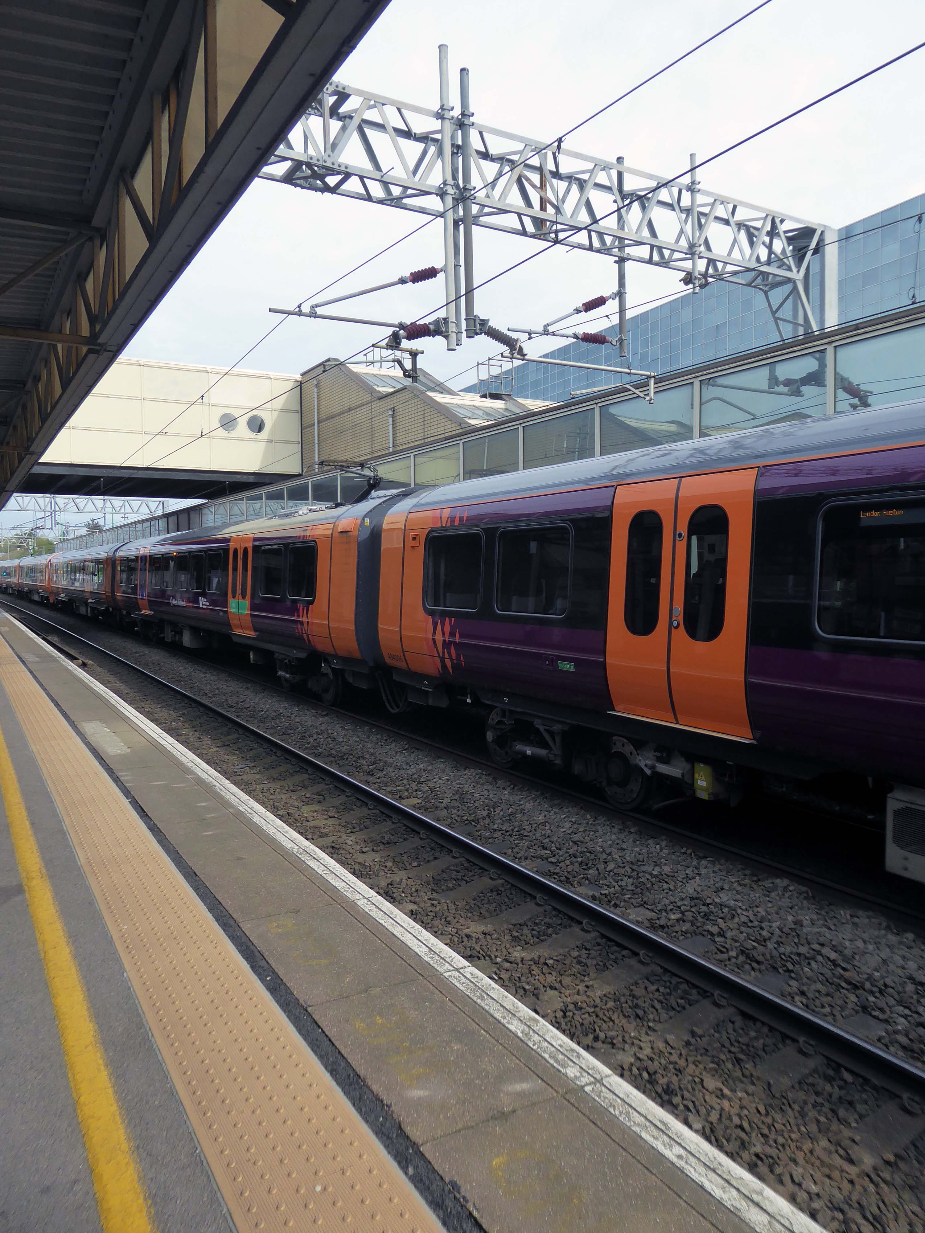
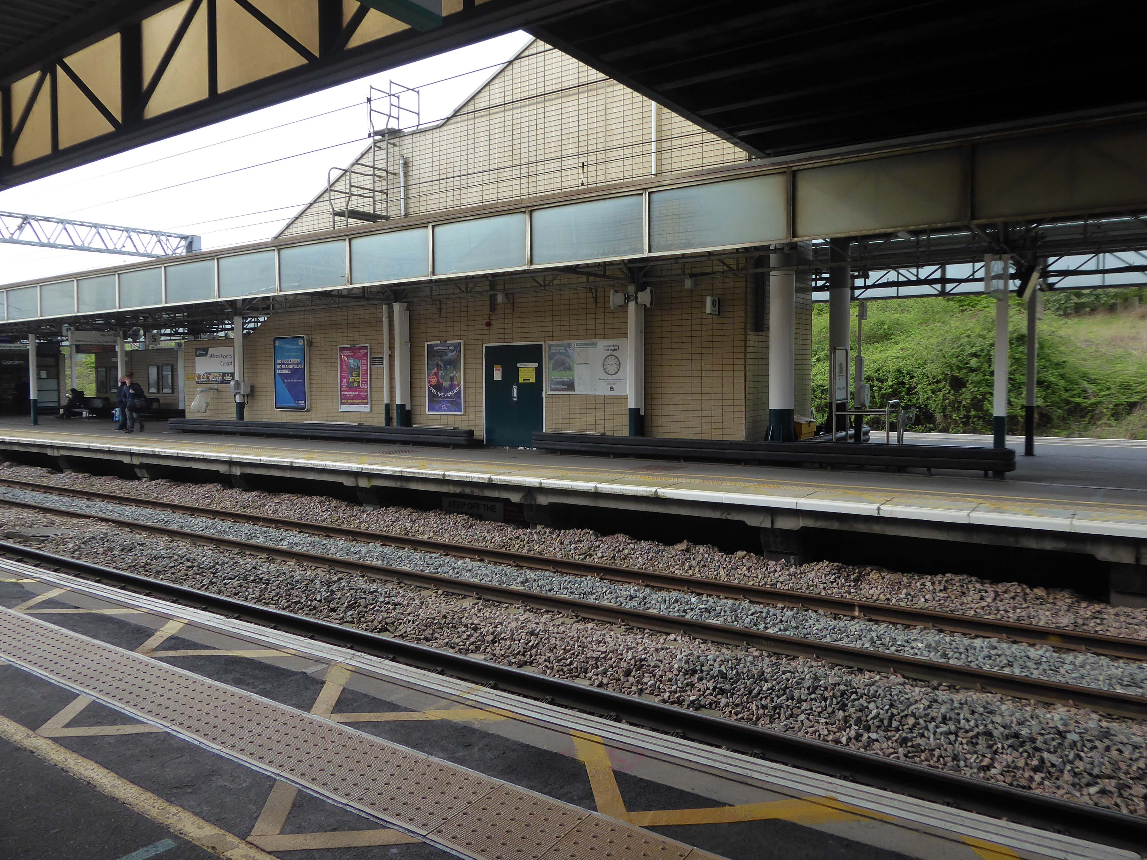
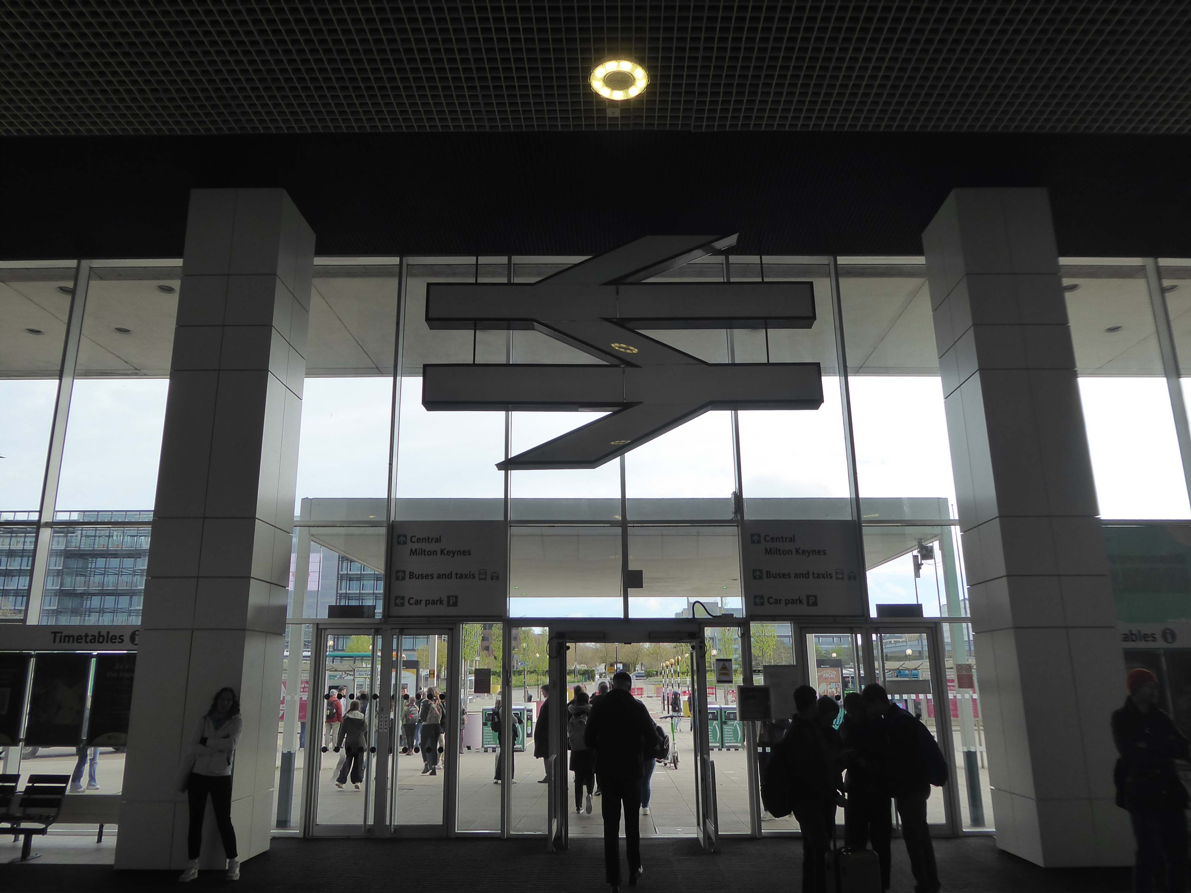
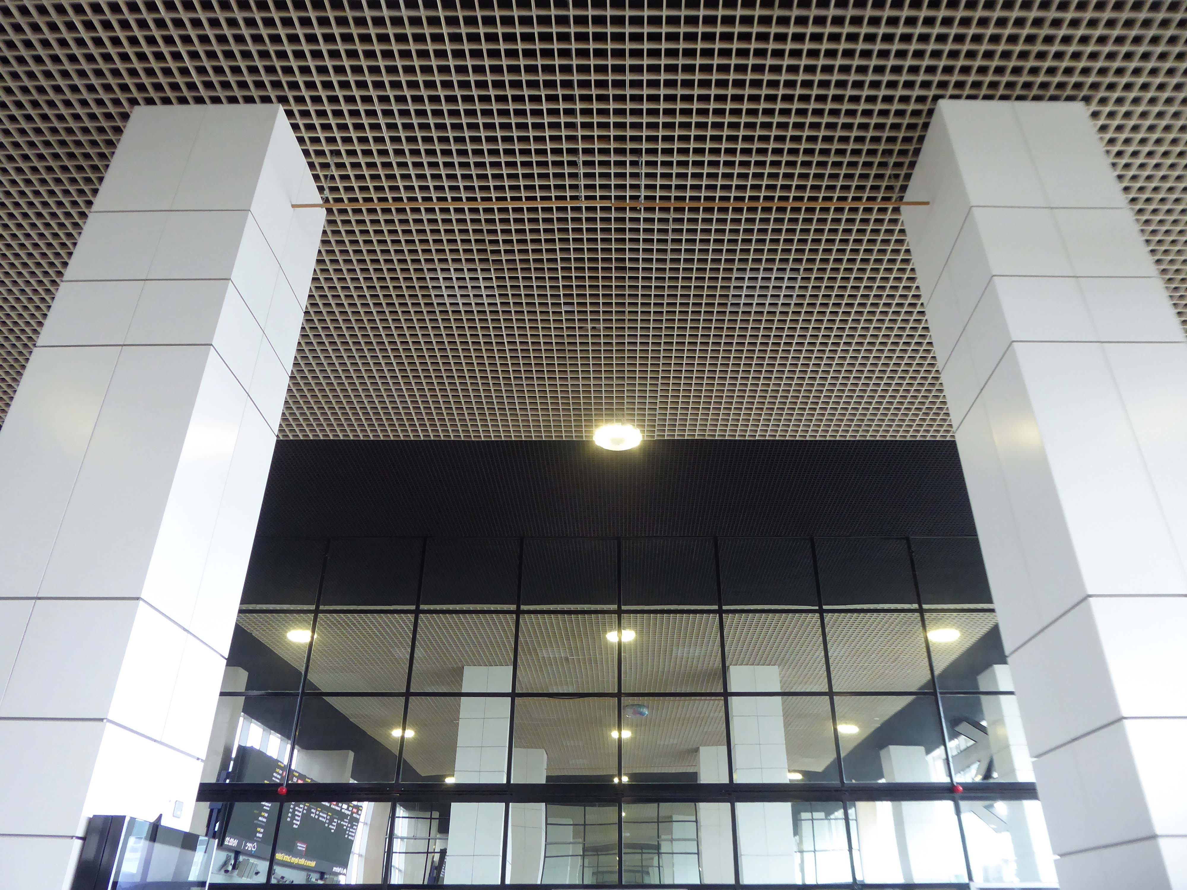
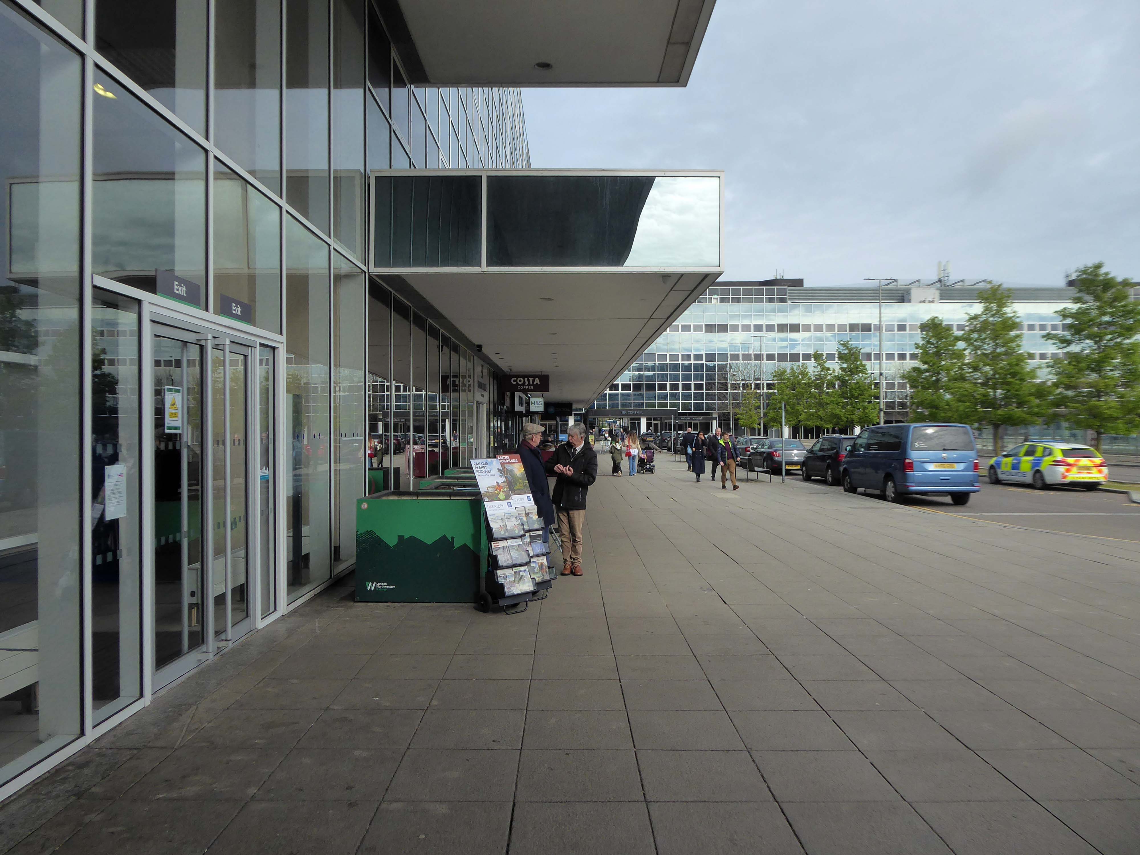
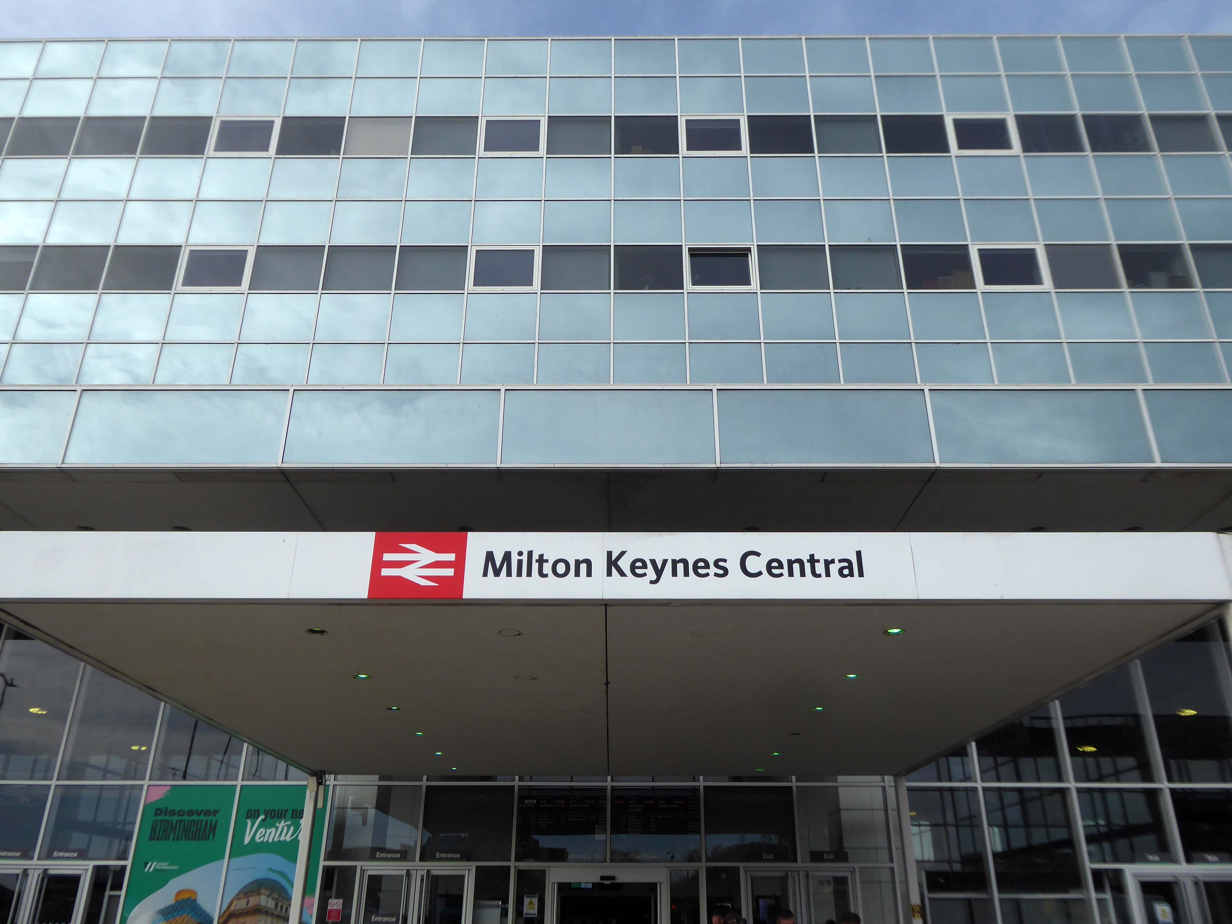
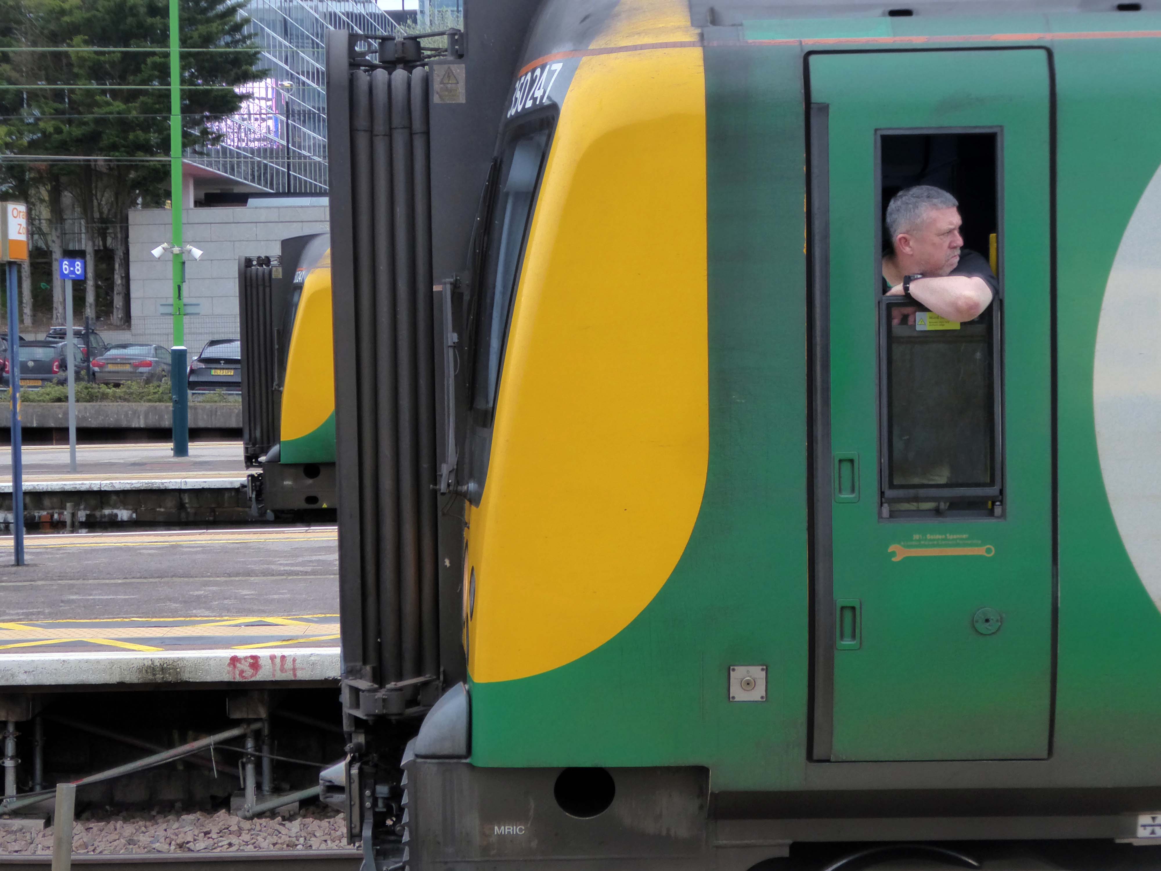
Milton Keynes Central railway station serves Milton Keynes and surrounding parts of Bedfordshire, Buckinghamshire and Northamptonshire. The station is located on the West Coast Main Line about 50 miles northwest of London. The station is served by Avanti West Coast intercity services, and by West Midlands Trains regional services.
A new station to delimit the western end of the new central business district of Milton Keynes was a key objective for Milton Keynes Development Corporation. In the cash-strapped circumstances of the 1960s and 1970s, British Rail was unenthusiastic but eventually came round after a deal was done in 1978 on cost sharing. In 1979, MKDC architect Stuart Mosscrop designed the station building and office blocks to either side, framing a new Station Square and the vista uphill along Midsummer Boulevard – and the midsummer sunrise.
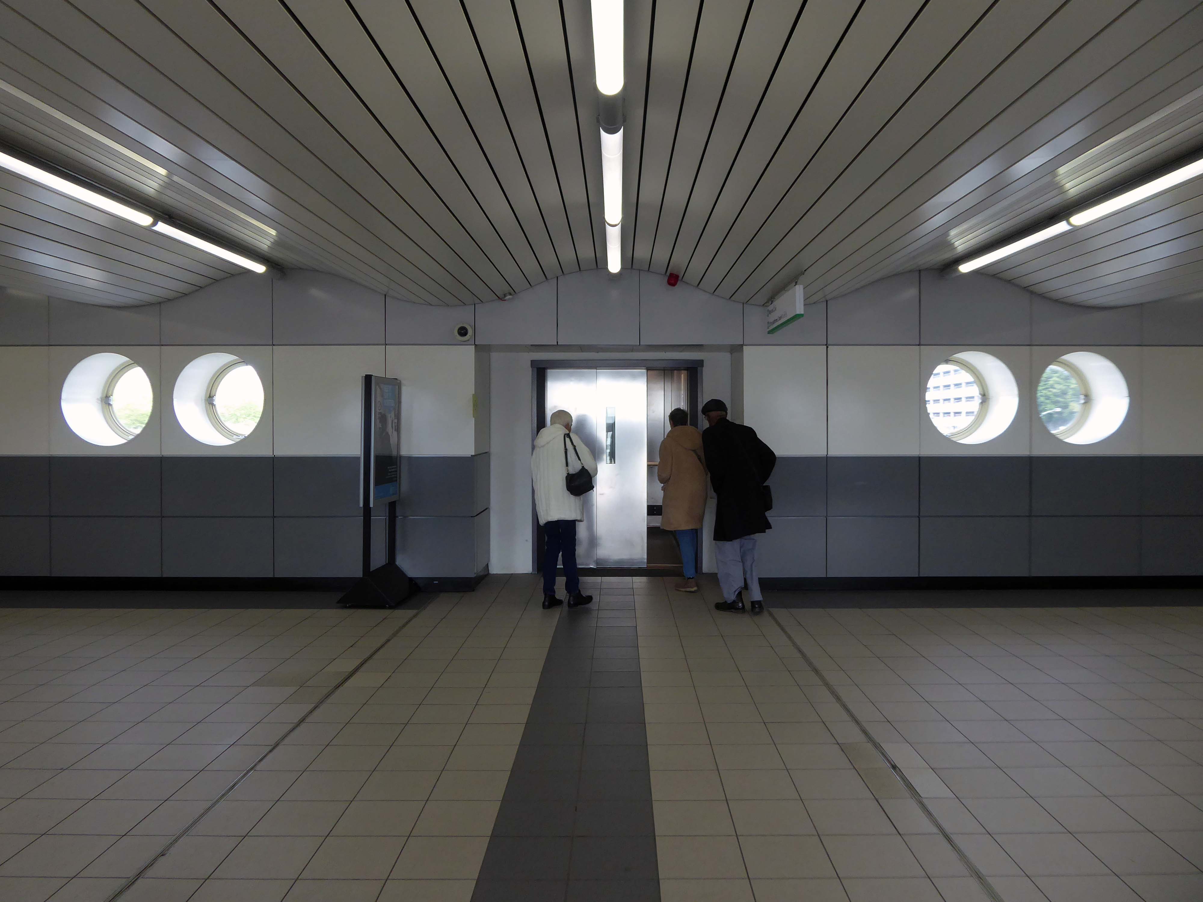
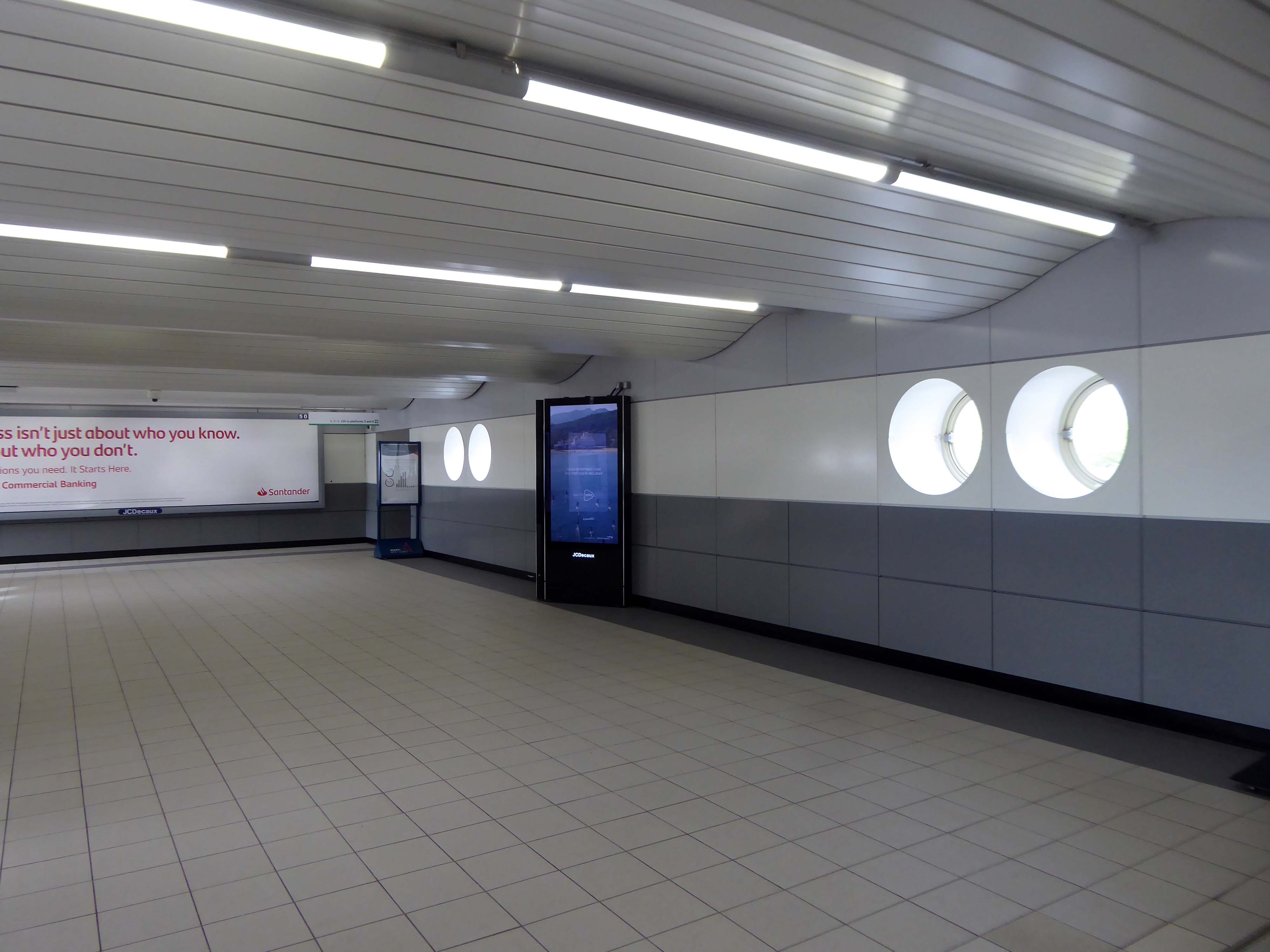
The Station Square and Station Building were designed by MKDC, the Station fitting out including the platforms, was designed by British Rail Architects, one third of the costs met by BR and two thirds by MKDC. For MKDC, the scheme was designed by MKDC architects Stuart Mosscrop, Derek Walker and Christopher Woodward; project architect David Hartley, assisted by Barry Steadman and Christopher Moxham; structural engineers Felix J Samuely. British Rail was responsible for the station concourse, footbridge and platform structures, the team comprising Jim S Wyatt, BR regional architect, and project architect John H Kitcher, assisted by Colin Eades.
The station opened on 14 May 1982, with an official opening by Charles, then Prince of Wales, conducted three days later.
Mother of two Jo Francis leans in for a kiss.
Older people are remembering when he previously came to Milton Keynes:
Crowds stood around the forecourt of the Tickford Street factory to watch, cheer and wave flags. Then suddenly, a five year old boy called Matthew Turvey reached into his mum’s shopping basket, took out a tin of baked beans and held them out to the young Prince.
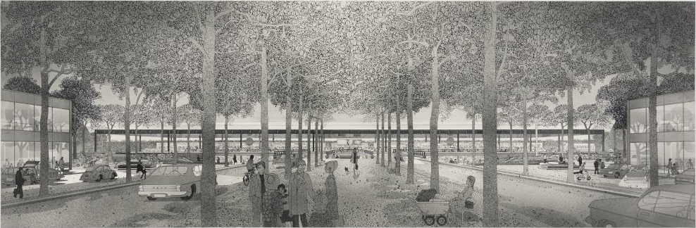
Proposed designs for architecture and town planning of Milton Keynes: boulevard and railway station – 1970 Derek Walker Associates
1981 – Built using a high performance reflective solar control glass called Vari-Tran, creating a complete curtain wall to cover the whole construction.
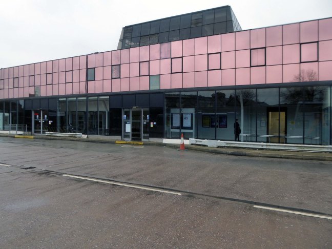
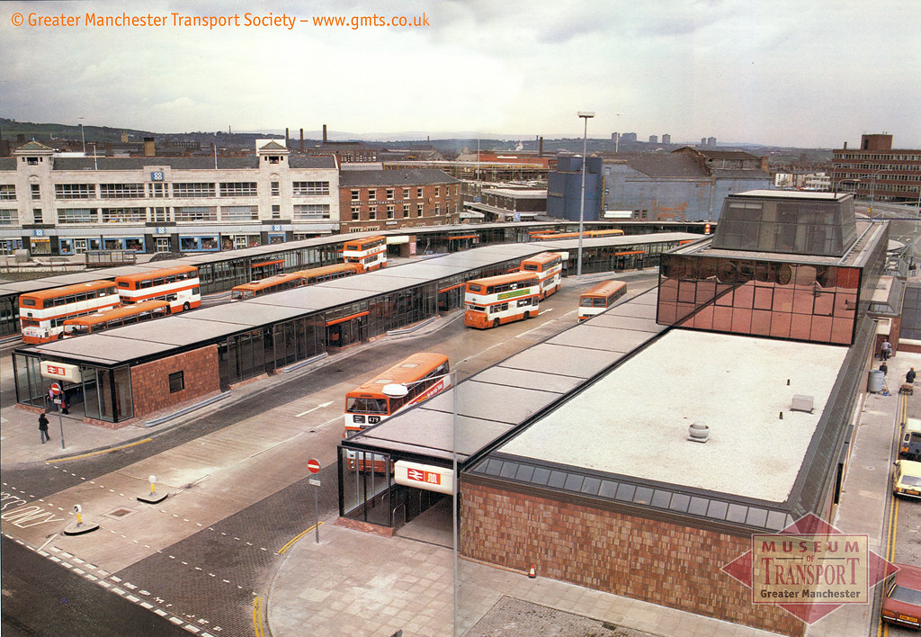
Bury Interchange is a transport hub opened in 1980, it is the northern terminus of the Manchester Metrolink’s Bury Line, which prior to 1992 was a heavy-rail line.
It also incorporates a bus station.
Bury Interchange replaced the bus termini scattered around Bury town centre, notably around Kay Gardens.
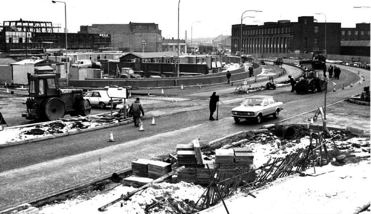
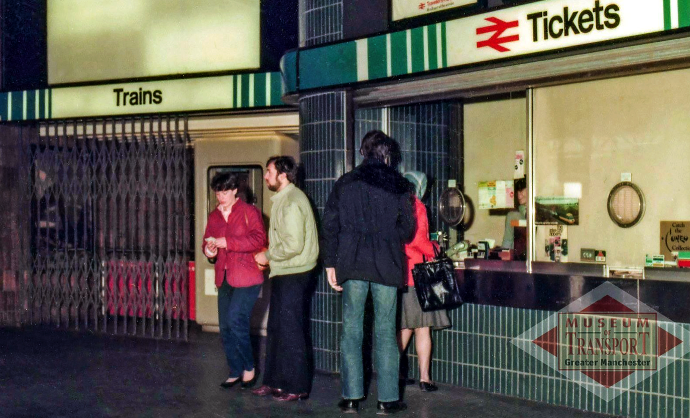
Bury Interchange was opened by British Rail in March 1980, integrating a new bus station with the northern terminus of the Bury-to-Manchester heavy railway line, a new short spur line was constructed to connect the new station.
The railway had originally run into Bury Bolton Street which was further away from the town centre, and was closed by British Rail on the same day that Bury Interchange opened.
An £80m transformation is coming to the Bury Interchange, which will see step-free access at the Metrolink, a “vertical circulation core” to better connect the Metrolink with the bus facility, and an integrated travel hub with spaces for cycle storage.
The work is much-needed, explained Transport for Greater Manchester’s Alan Lowe, he said that the interchange was built in the 1980s and very much is of its time.
It’s not what we need for our customers need.
The new Bury Interchange project is expected to complete at the end of the decade.
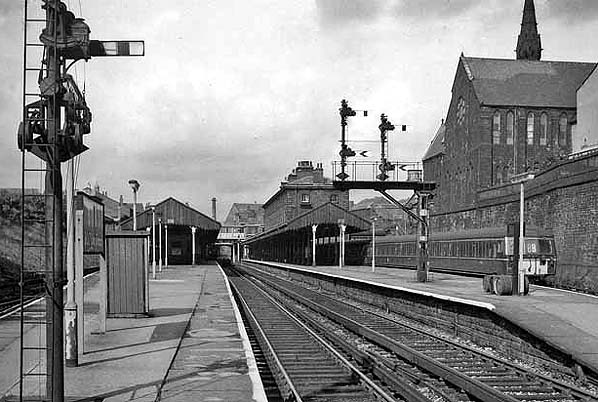
The line and station were closed on 5 October 1970 as part of continuing cutbacks in British Rail services and the line west to Bolton subsequently dismantled.
The A5103 is a major thoroughfare running south from Piccadilly Gardens in Manchester city centre to the M56 in Northenden. The road is two-lane dual carriageway with a few grade-separated junctions. It is used by many as a link to the airport and to the motorway network south.
The road starts at Piccadilly Gardens where it meets the A6. It heads along Portland Street – at one time it ran along the parallel Mosley Street, past fast-food outlets and off-licences and then meets the A34 Oxford Street. It multiplexes with that road north for 200 yards into St Peter’s Square and then turns left into Lower Mosley Street, initially alongside the tramlines and then past the former Manchester Central station, now a conference centre with the same name. The road becomes Albion Street and goes over the Bridgewater Canal and under the railway line east of Deansgate station. The road then meets the A57(M) Mancunian Way at a roundabout interchange. This is where most of the traffic joins and leaves.
The road is now 2×2 dual carriageway with the name Princess Road. It passes under the Hulme Arch, a grade-separated junction with the A5067, with an unusually large central reservation. This is presumably because of the proposed plans from the 1960s of a motorway. However, after passing under the junction, there are innumerate sets of traffic lights, with the B5219, the A6010 and the A5145, as well as many other unsigned roads. There are also many speed cameras set at 30 mph.
The road picks up pace as we exit the sprawl of South Manchester and the road becomes Princess Parkway, with a 50 mph speed limit. We cross the River Mersey and almost immediately hit the M60 at J5.
Except for the Manchester City Centre section – which was numbered A5068, this road did not exist on classification in 1922. Princess Road was built in 1932 to serve the new southwestern suburbs; initially it ran between the B5219 and A560 and was numbered B5290, with the road later extended north into the A5068 on the southern edge of the city centre and renumbered A5103.
The northern extension through Hulme initially followed previously existing roads, so followed a zigzag route. As part of the road’s upgrade and the reconstruction of Hulme in the 1970s the road was straightened and the original route can no longer be seen. The A5068 was severed around this time with the construction of the A57(M) and the A5103 took on its city-centre section, taking it to the A6.
The A34 is a major route from the ports on the South Coast of England to the Midlands and the North West, with the standard varying from rural dual carriageway sections in the south to urban single carriageway in the north, and everything else in between.
Slade Lane junction, Rushford Park to Parr’s Wood, East Didsbury – to connect to Manchester Road to Cheadle. It continued on to Laneside Road as a residential road. Opened on 11 April 1923 by Mary Cundiff, Lady Mayoress, and Margaret Turnbull, daughter of Alderman Turnbull, Chairman of Manchester Town Planning Committee. Width was 100 feet and it was designed for tram tracks in the central reservation. The dual road carriageways were 20 feet wide. Manchester’s tram system was closed in 1949. The carriageways were widened and central reservation grassed over. Originally opened as A5079.
Laneside Road, East Didsbury to Schools Hill/ Wilmslow Road junction, Cheadle. Opened on 12 October 1959. The official opening was on 15 October 1959. Planning for the bypass had been halted by the war. In December 1949 Manchester Corporation stated that it was not a priority since the Corporation was only responsible for the 200 yards to the proposed bridge over the River Mersey and Cheshire County Council had not asked for a joint approach to Ministry of Transport to build it. Work was finally authorised in January 1957 and started in the June. Width was 90 feet with dual 24 foot carriageways. Expected cost was £600,000 to £700,000.
The A6 is Britain’s fourth longest road. Its route varies greatly from the lower lands of the South East, though the Peak District, right though the heart of Manchester city centre, then onwards towards Preston. It then goes though the historic city of Lancaster before skirting the Eastern fringe of the Lake District before ending in Carlisle, bang on the start of the A7.
North from Stockport towards Manchester, the A6 was a wide, four lane road, but still 30 mph, which usually flowed pretty well. According to Mudge, it looks like it has now been massacred by bus lanes and red paint. Shame. We meet the A57 from the east, just south of the city centre, and multiplex until we reach Mancunian Way, the A57 heading off as a short urban motorway, the A6 heading into the city centre via London Road/Piccadily, where it loses its number and vanishes. It would have gone straight down Piccadily/Market Street to meet Deansgate, and then across the River Irwell into Salford, and up Chapel Street, where the number reappears. Market Street has been pedestrianised for years, so the A6 has long ceased to be a through route.
The A57 was nearly a coast to coast route. It passes through three major city centres (Liverpool, Manchester, and Sheffield – with elevated sections in each) and several smaller ones, multiplexes with the A6 and the A1, follows the banks of two canals and negotiates the remotest part of the Peak District. In one city it part of it is a tram route, whilst in another its former route is also a tram route. After all these adventures, it sadly gives up just 40 miles short of the east coast, Lincoln apparently proving too big an obstacle.
The A57 crosses the River Irwell at Regent Bridge before entering its moment of motorway glory as the A57(M) Mancunian Way skirting the south of Manchester’s city centre on an elevated section and crossing the A56 and A34. This includes a half-completed exit that goes the wrong way up Brook Street – a one way street. The original A57 ran further north through the city centre along Liverpool Road (now the A6143) and Whitworth Street – B6469 as far as the A6 London Road which marked the start of a multiplex.
At the end of Mancunian Way, we reach a TOTSO, straight on being the short unsigned A635(M) and thence the A635 – for Saddleworth Moor, Barnsley and Doncaster whilst the A57 turns south, briefly multiplexing with the A6, and then branching off along Hyde Road. This section of road was extensively cleared for the westward extension for the M67, and consequently has seen a lot of redevelopment.