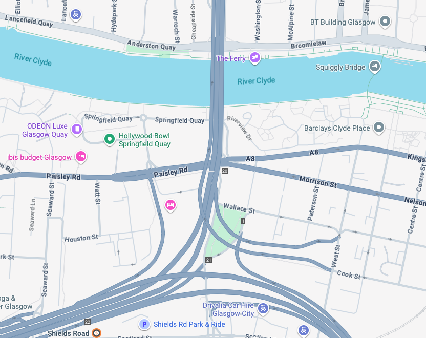
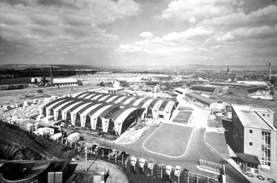
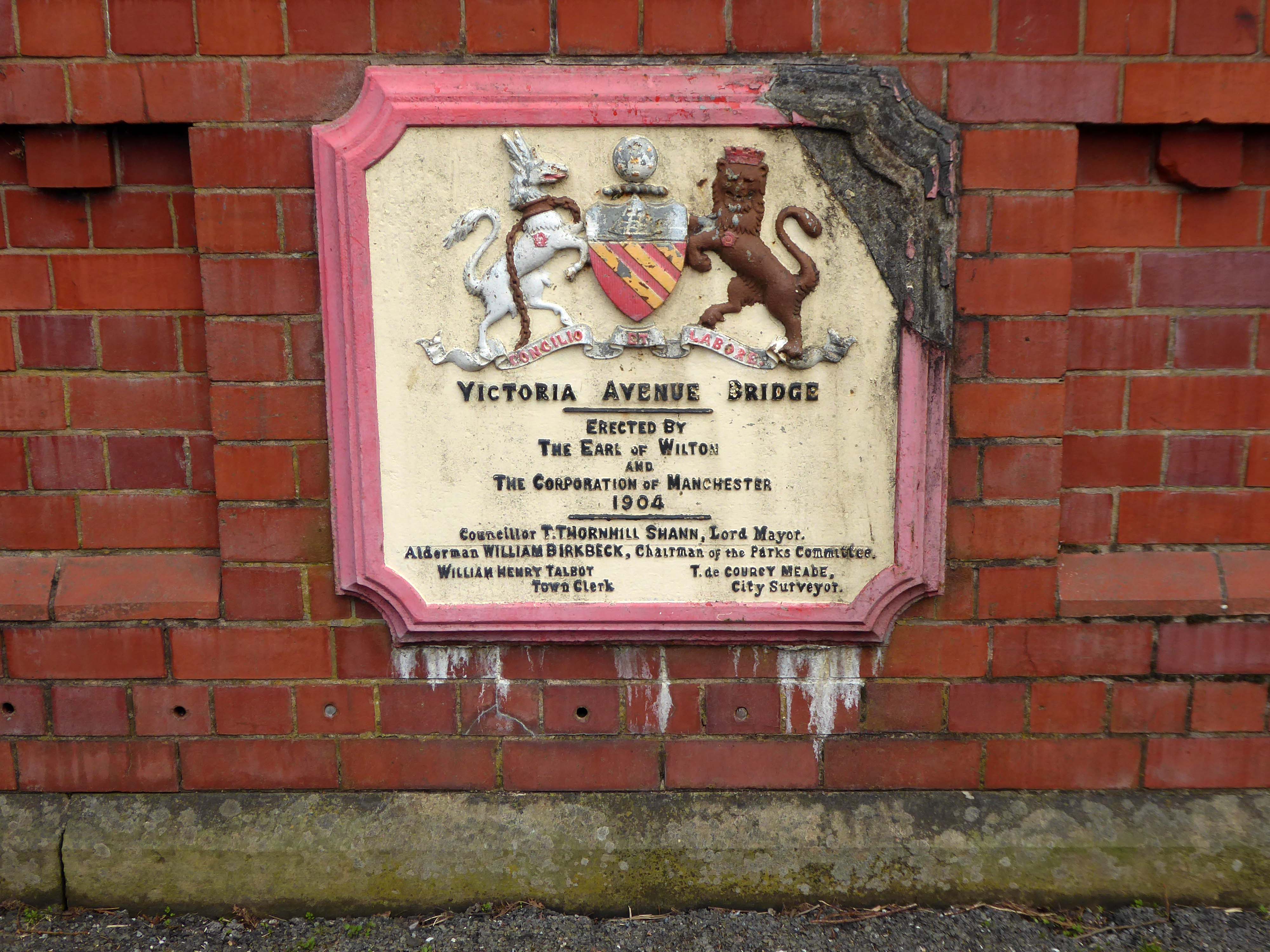
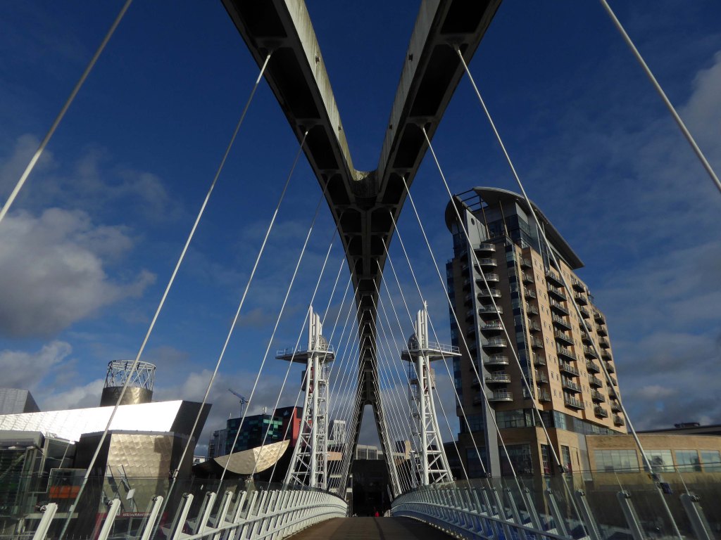
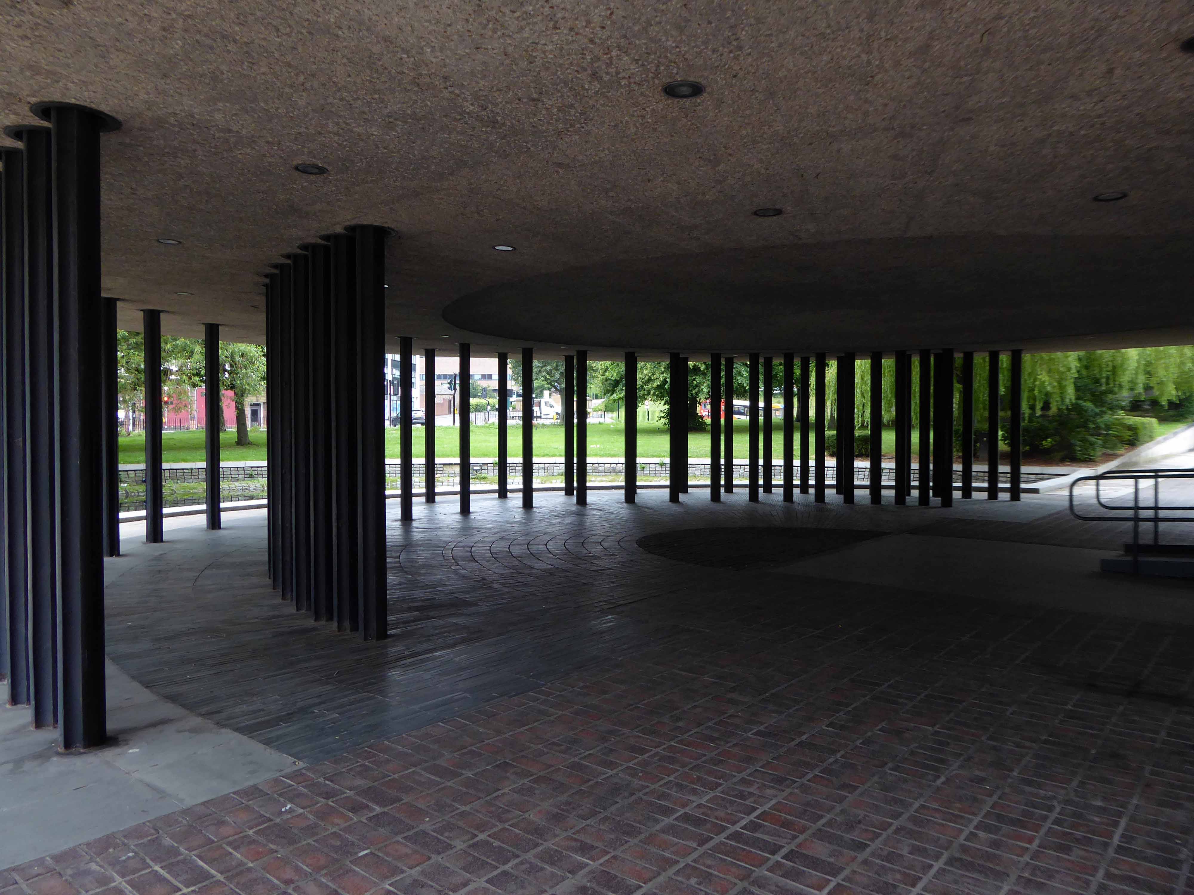
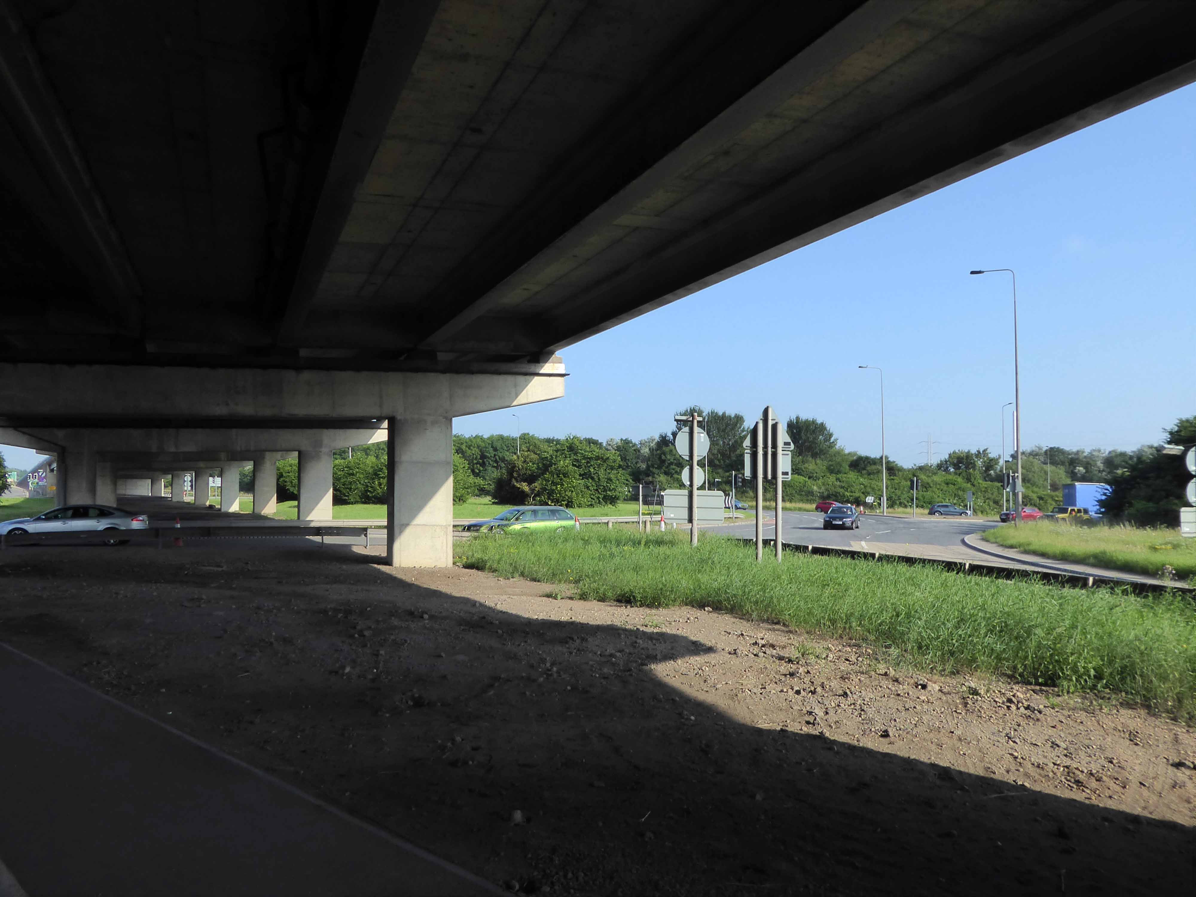
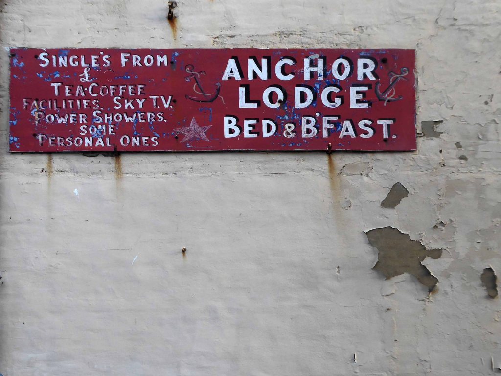
The bridge on the River Clyde – and access to the city’s motorway system.
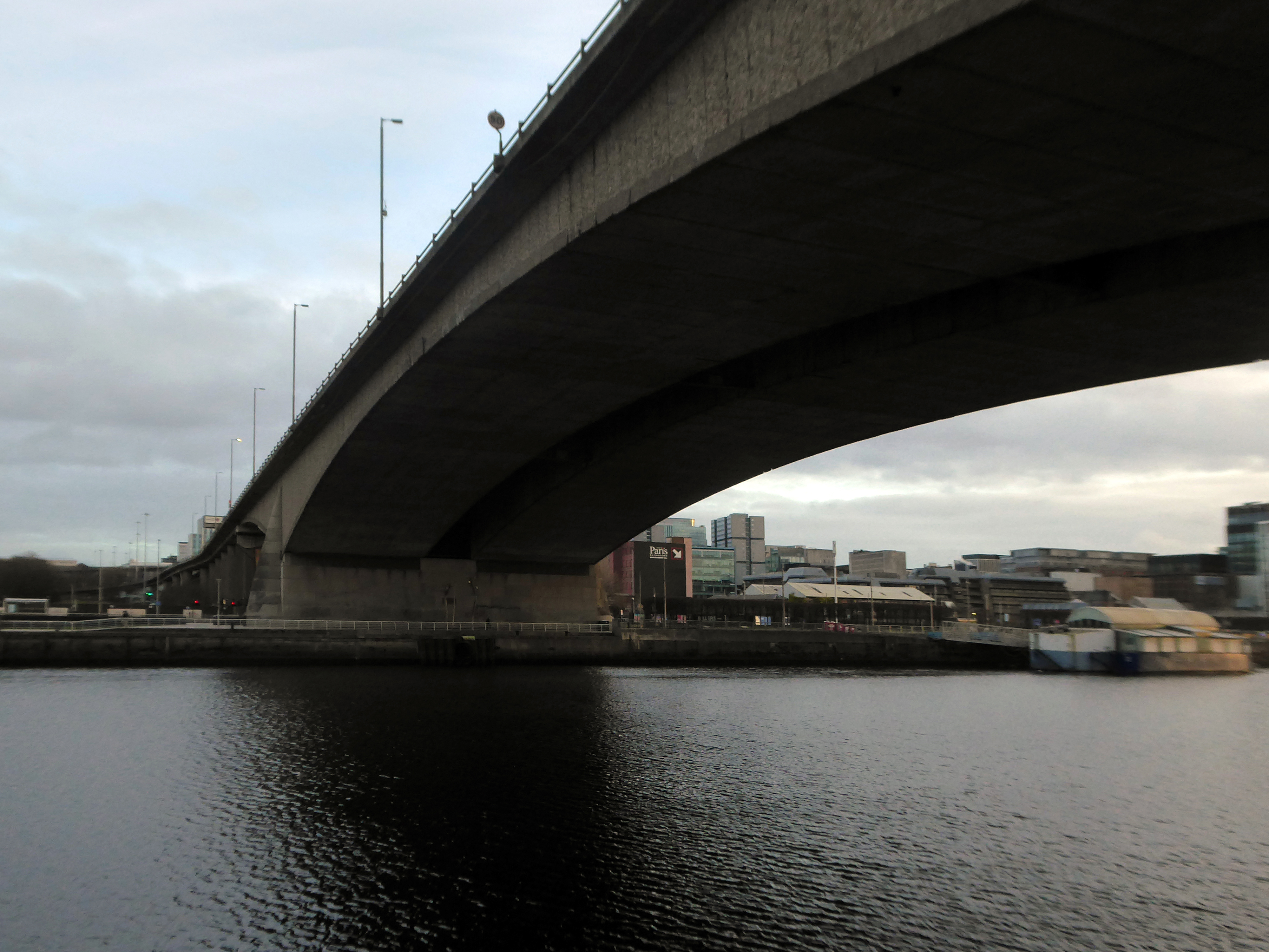
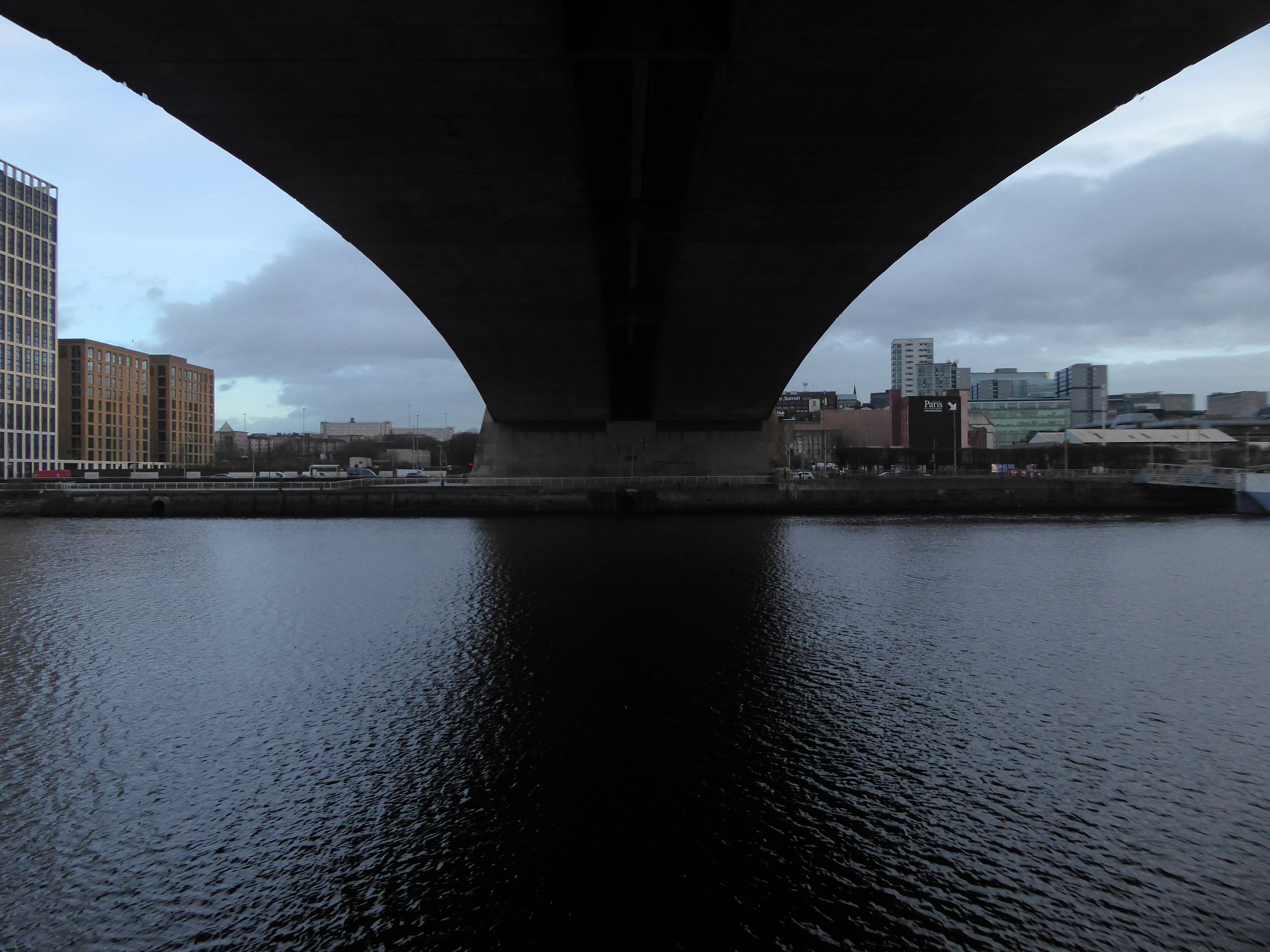
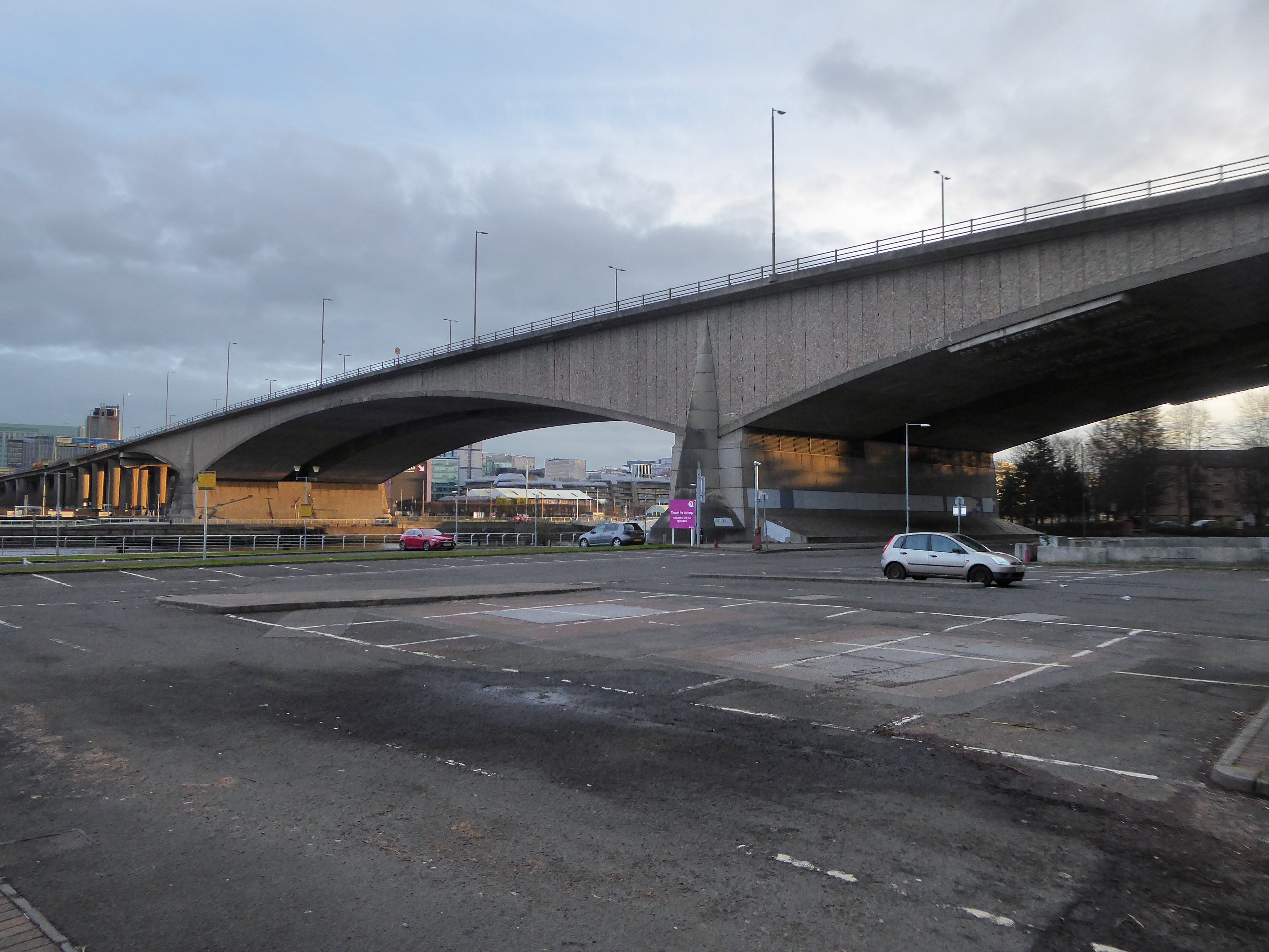
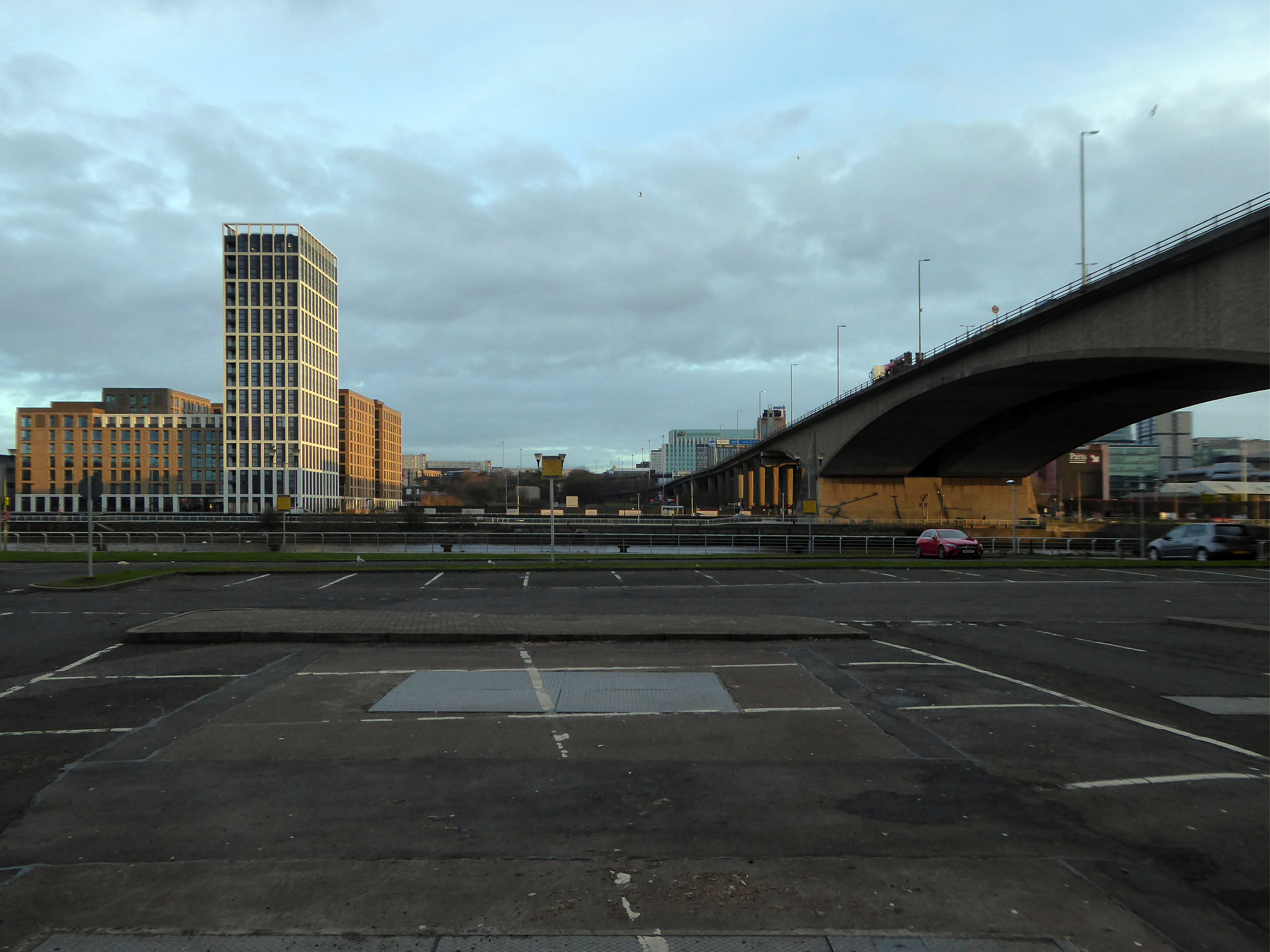
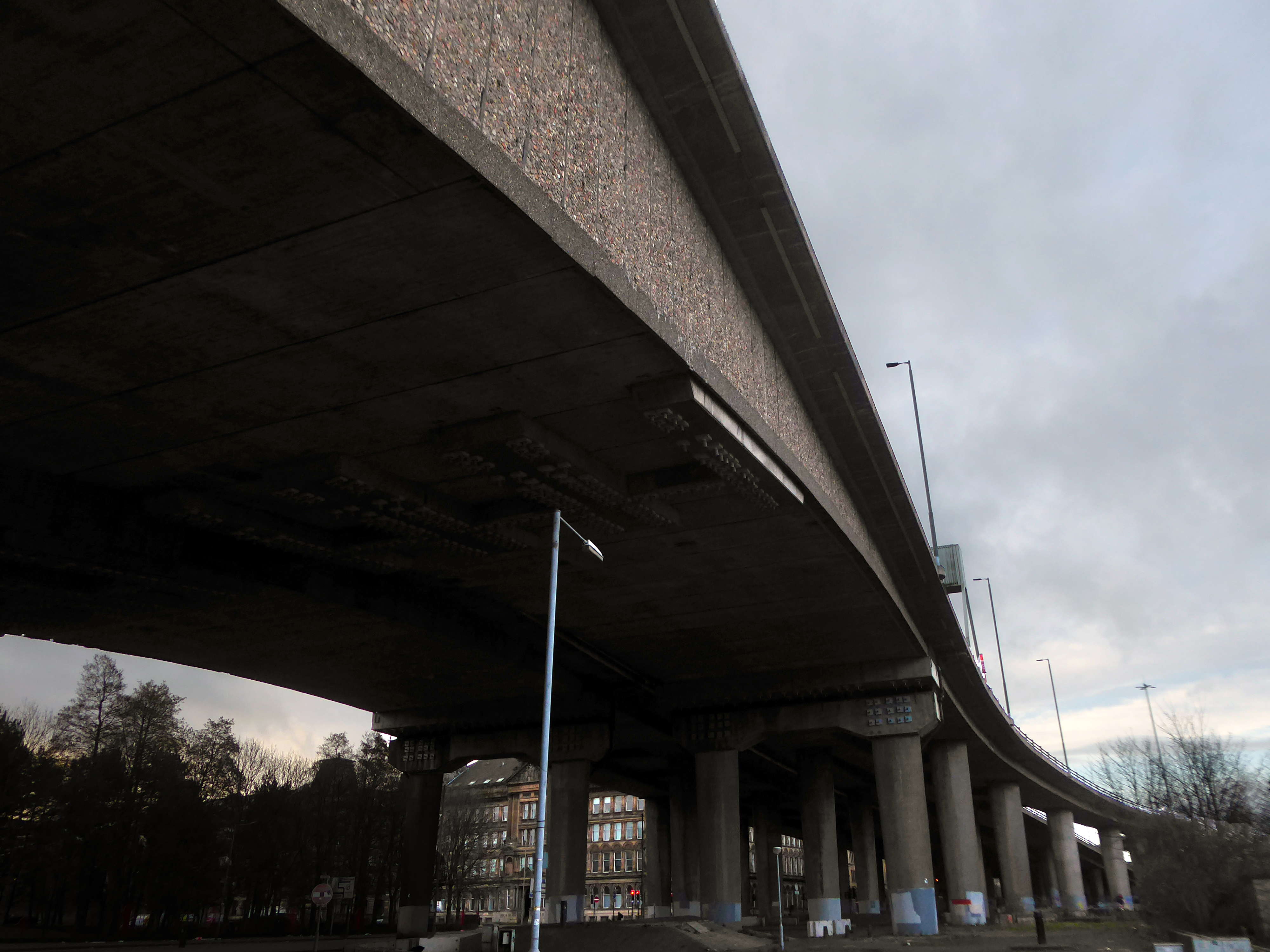
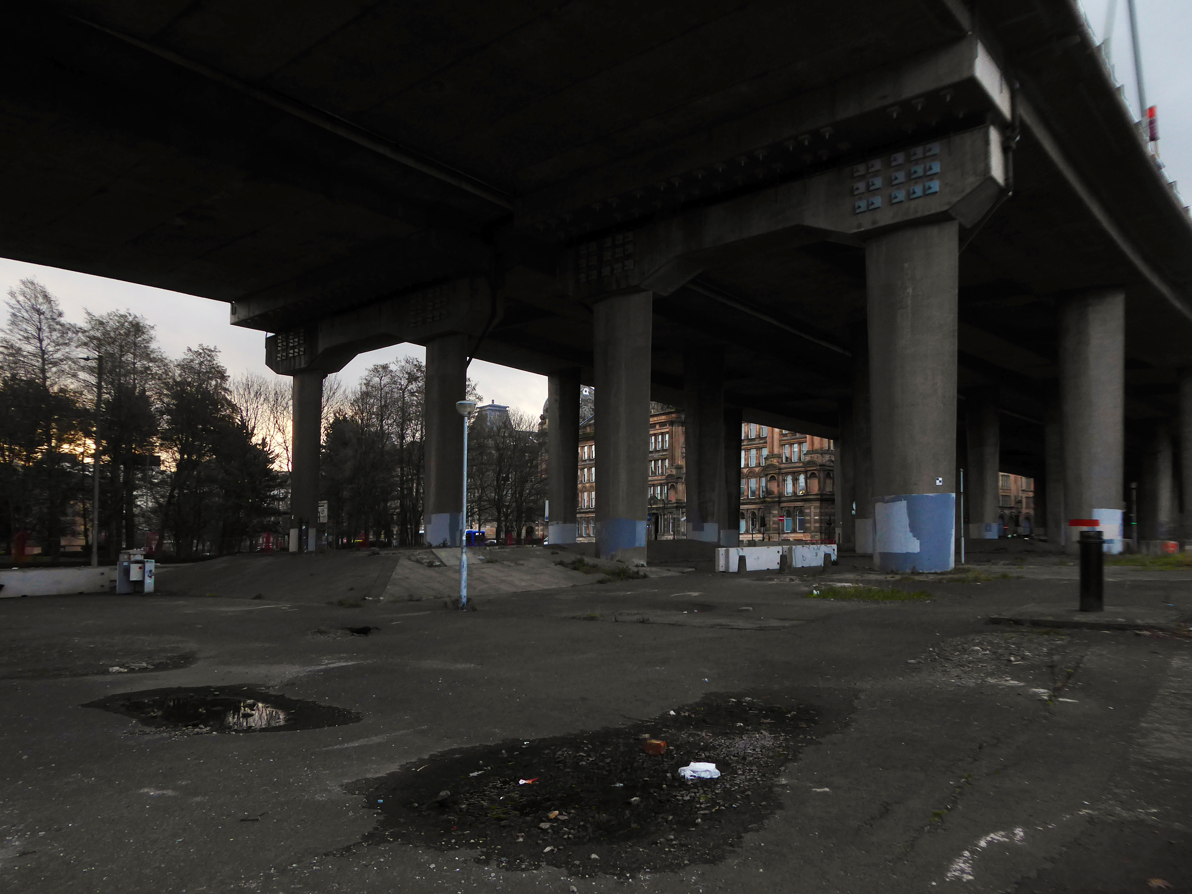
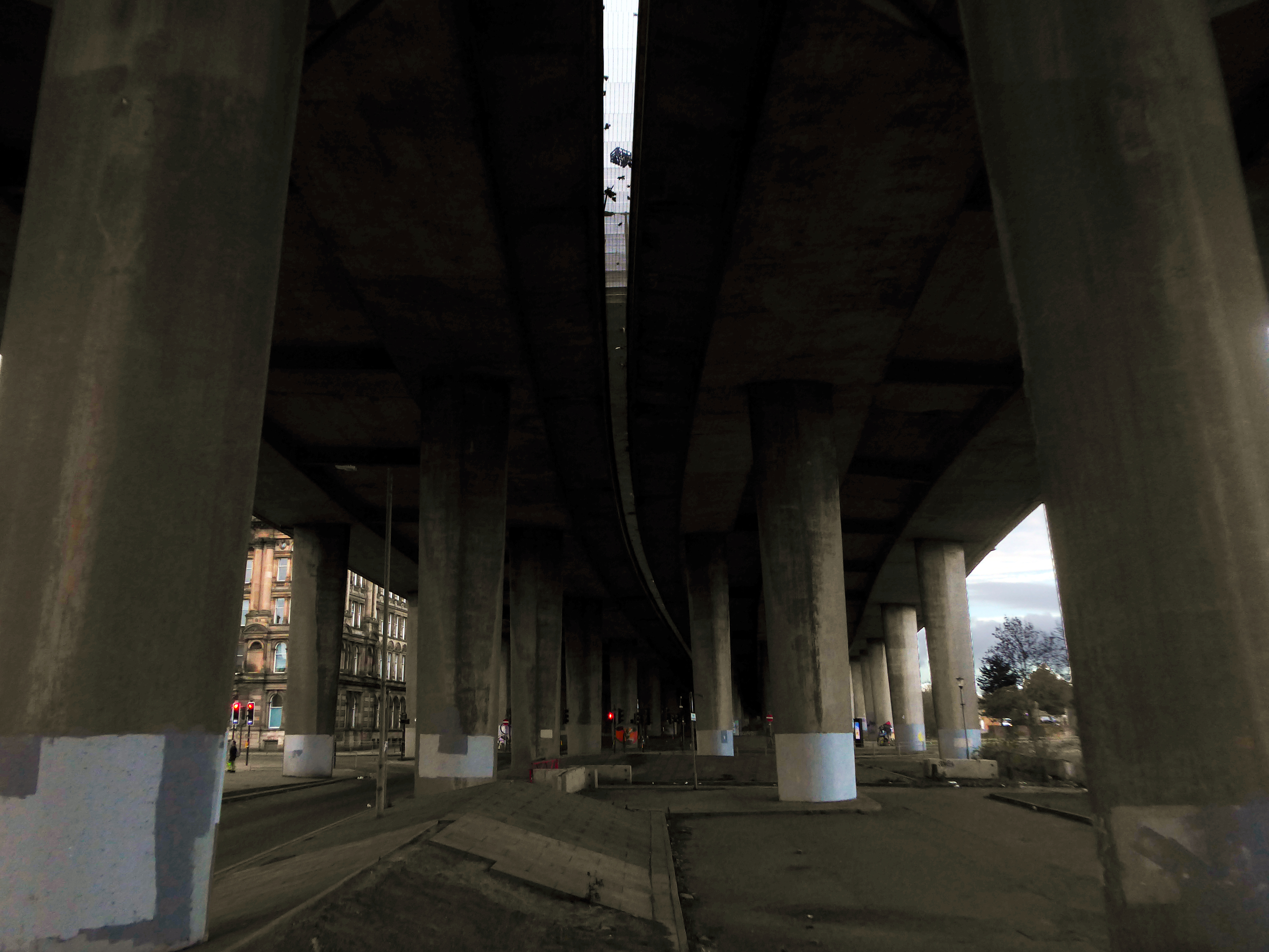
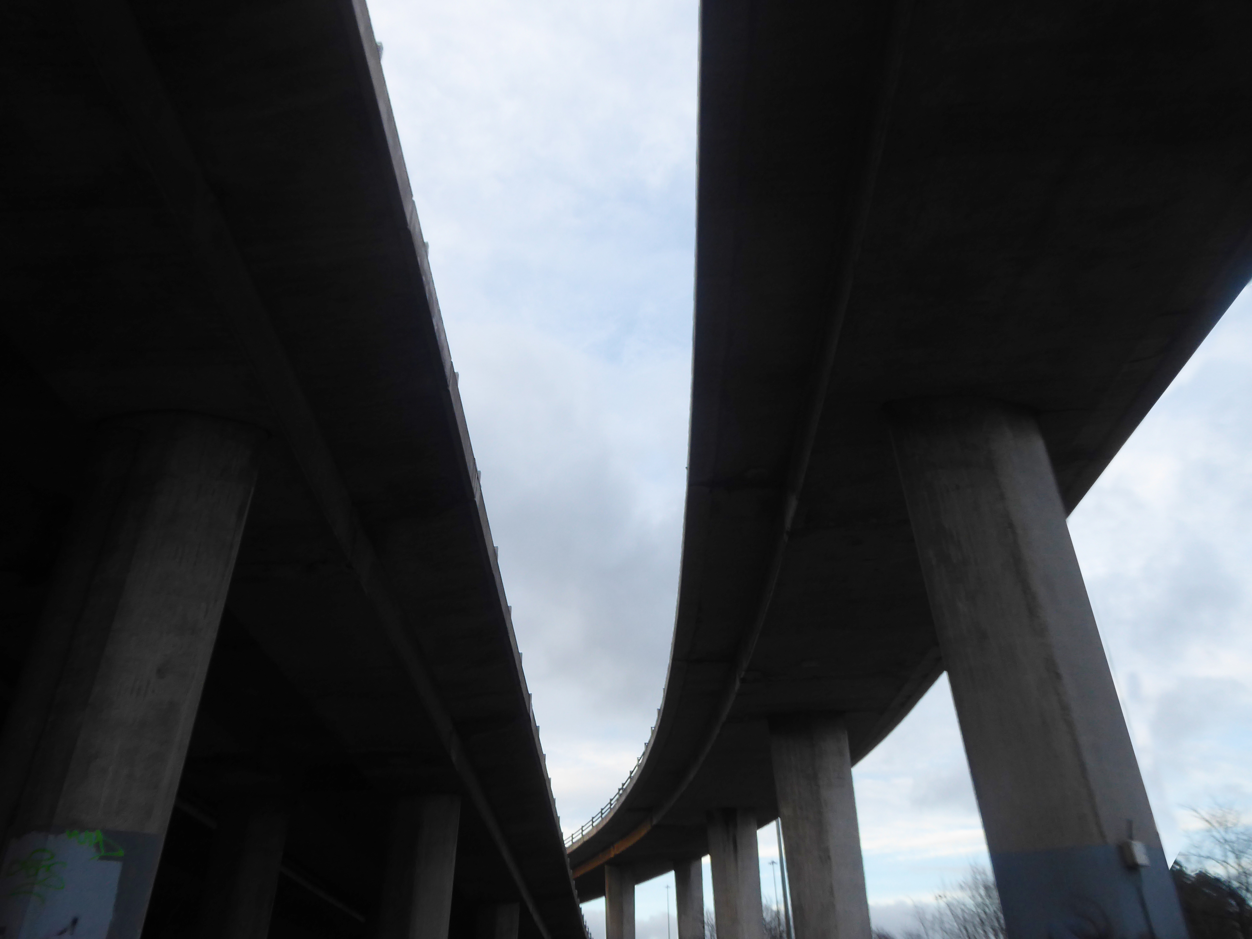
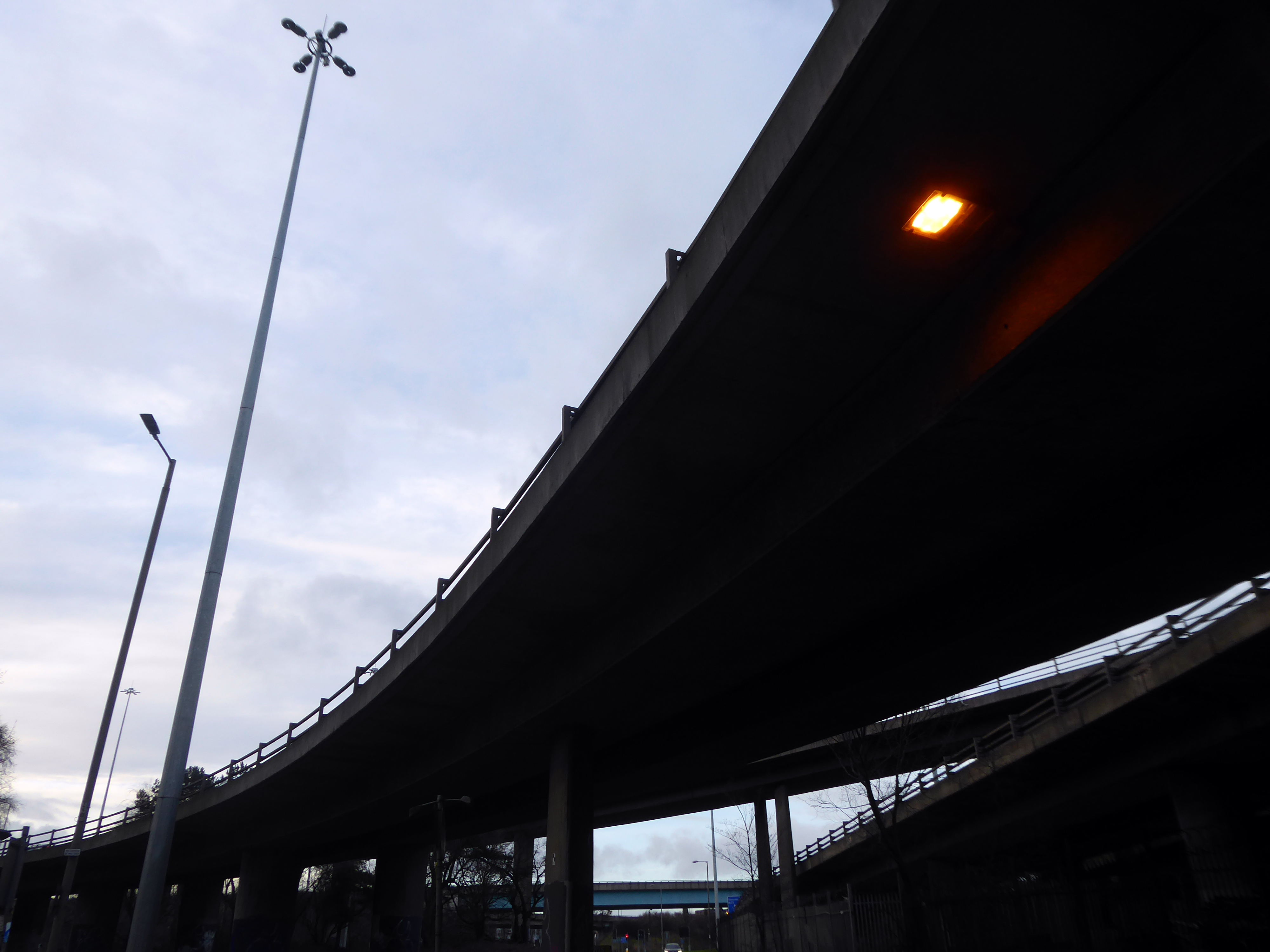
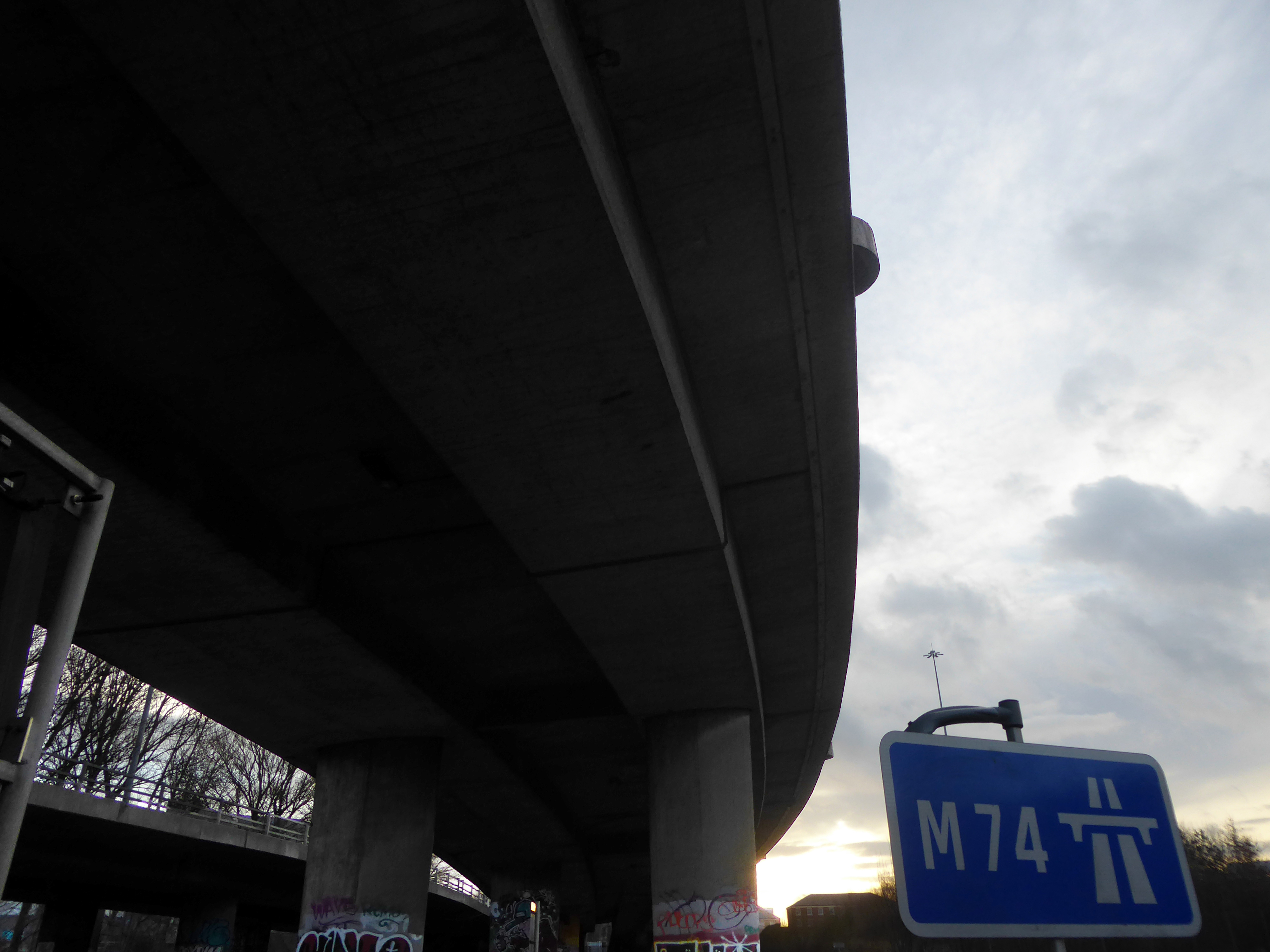
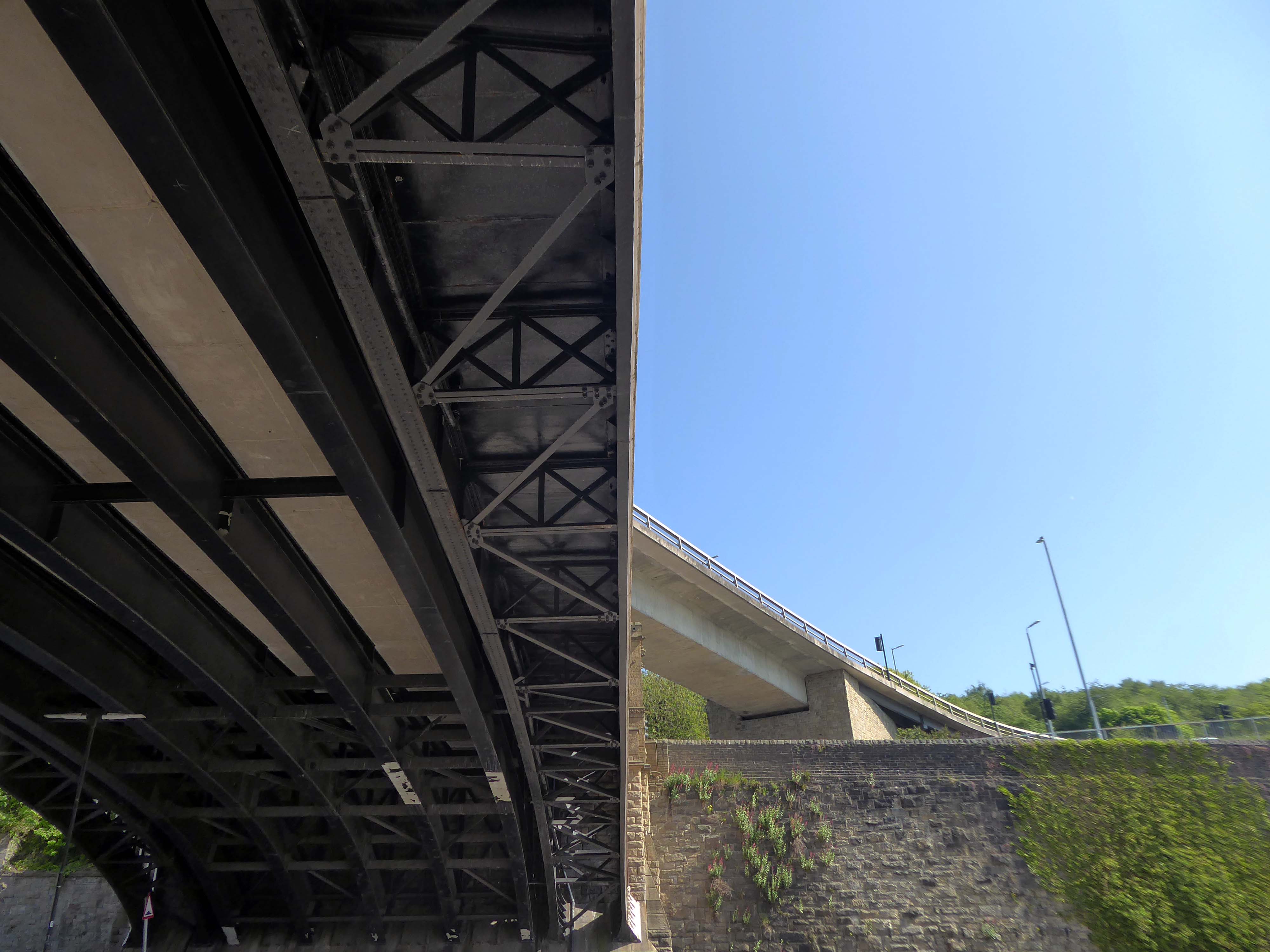
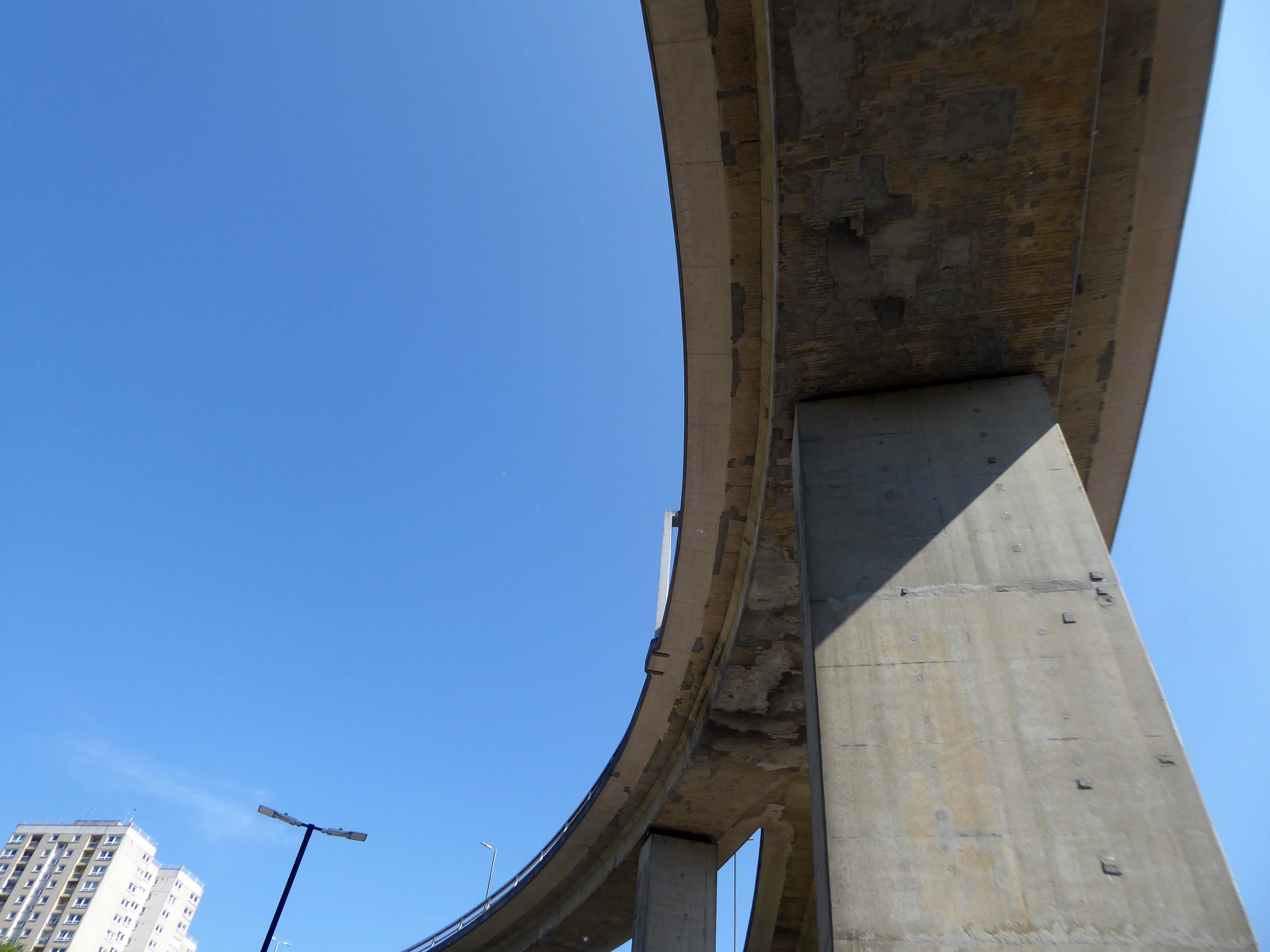
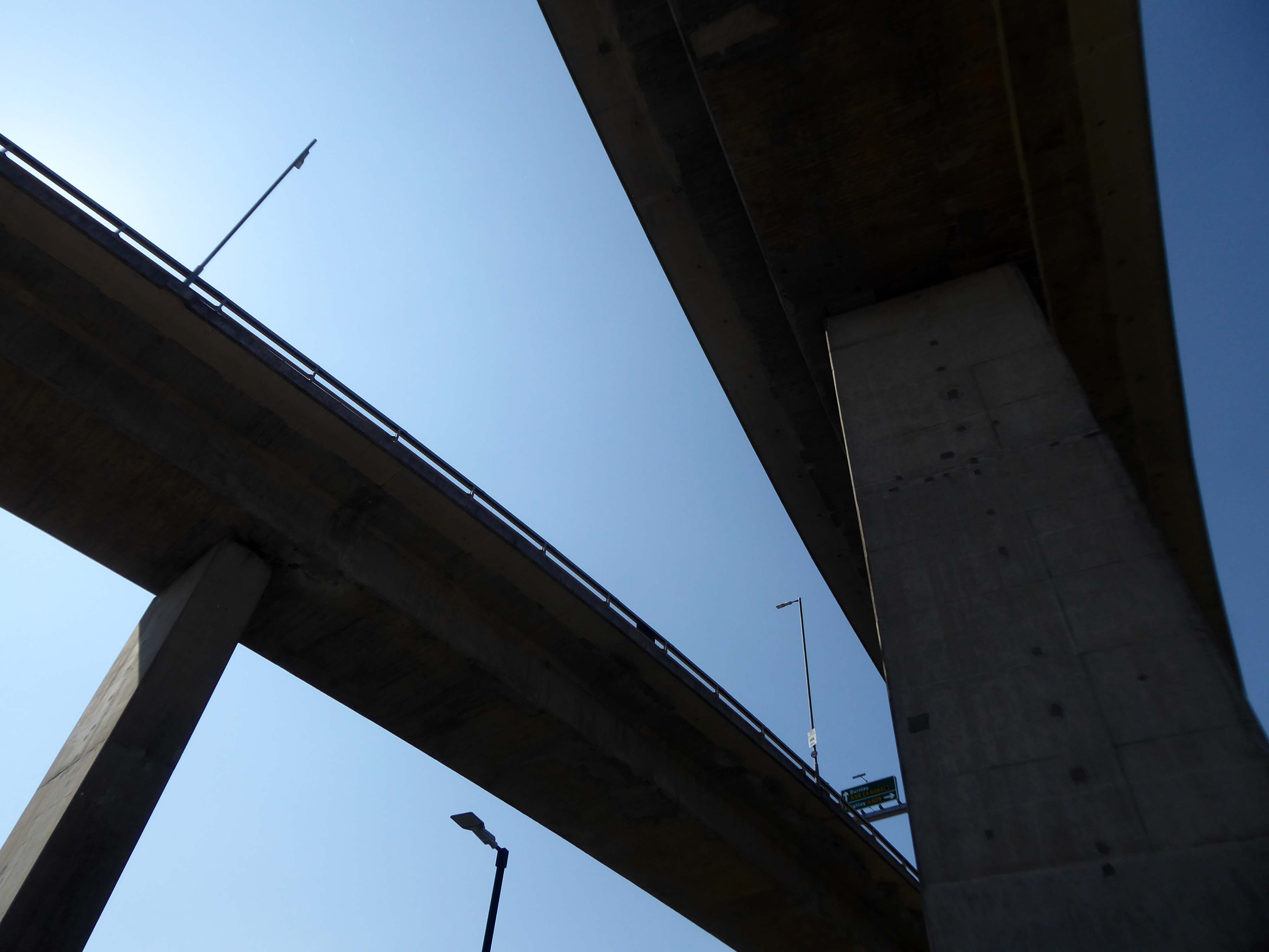
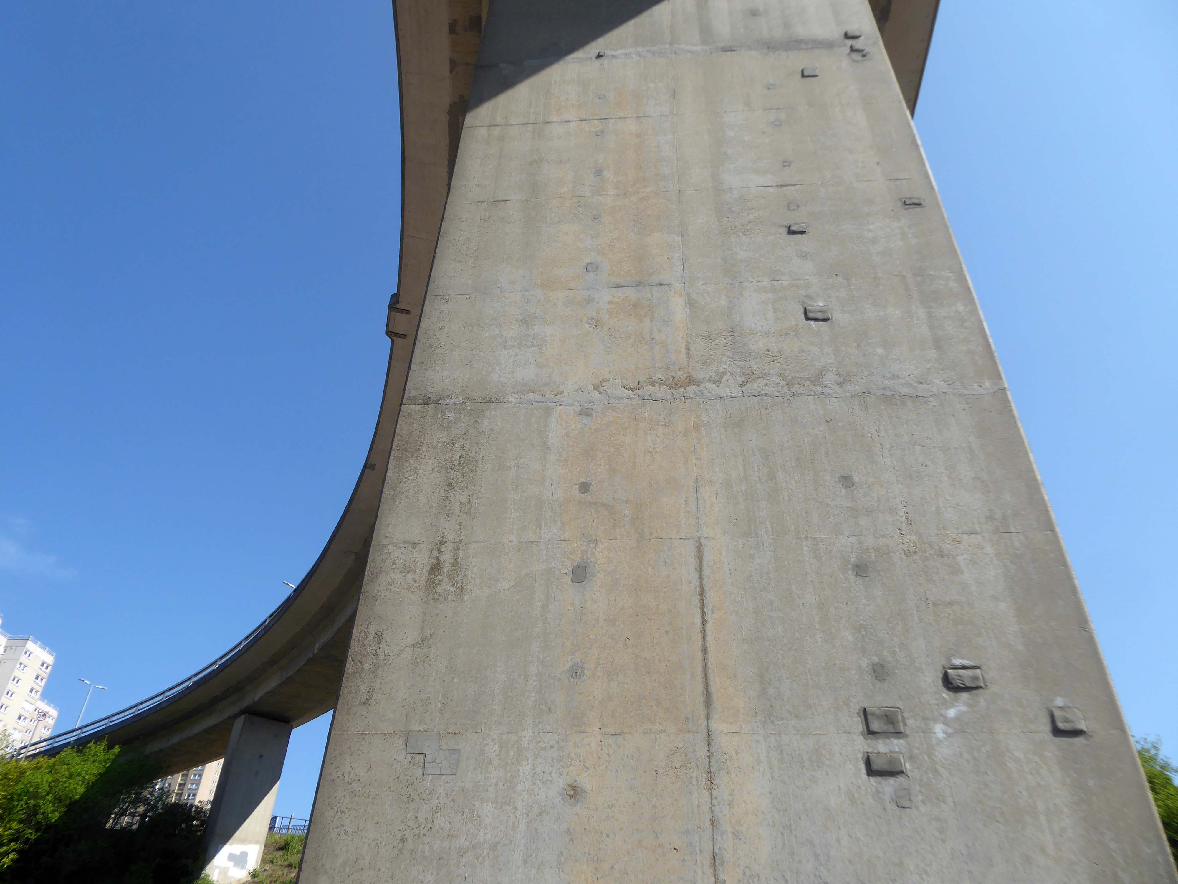
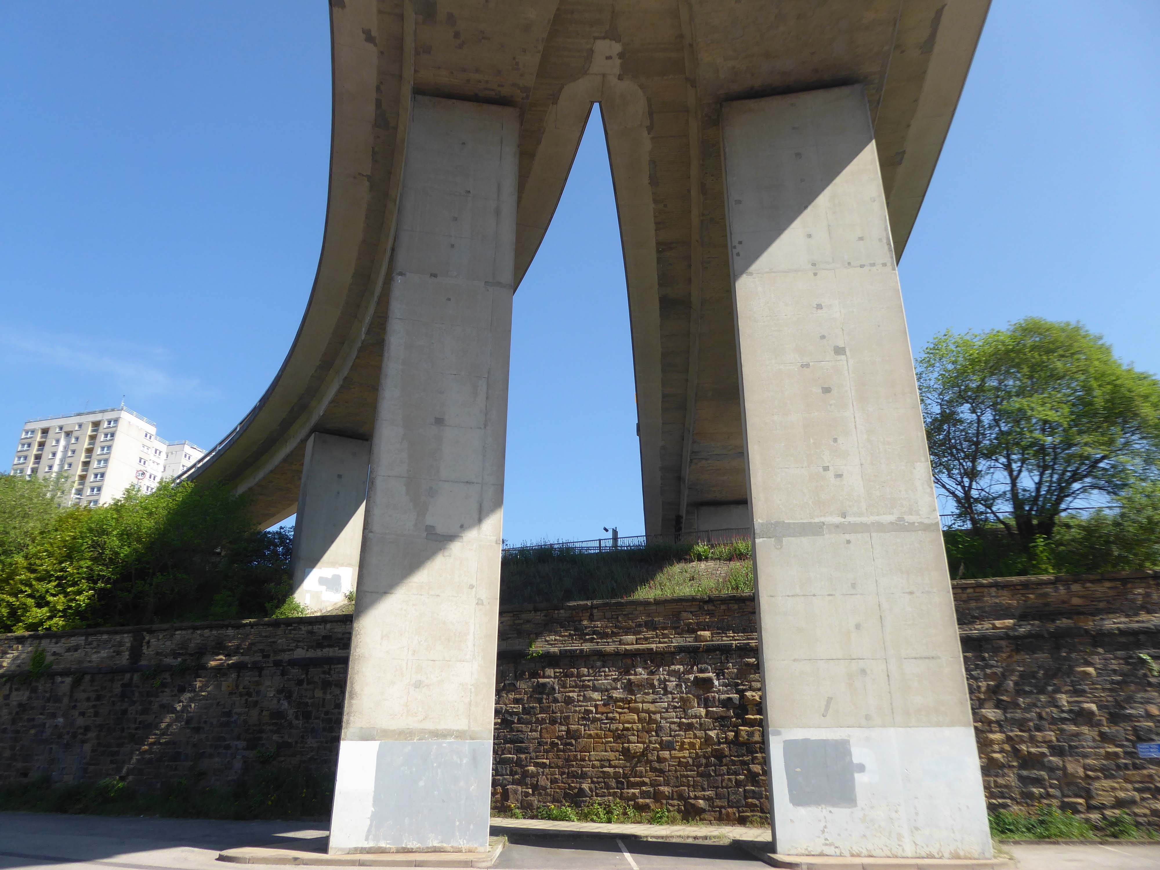
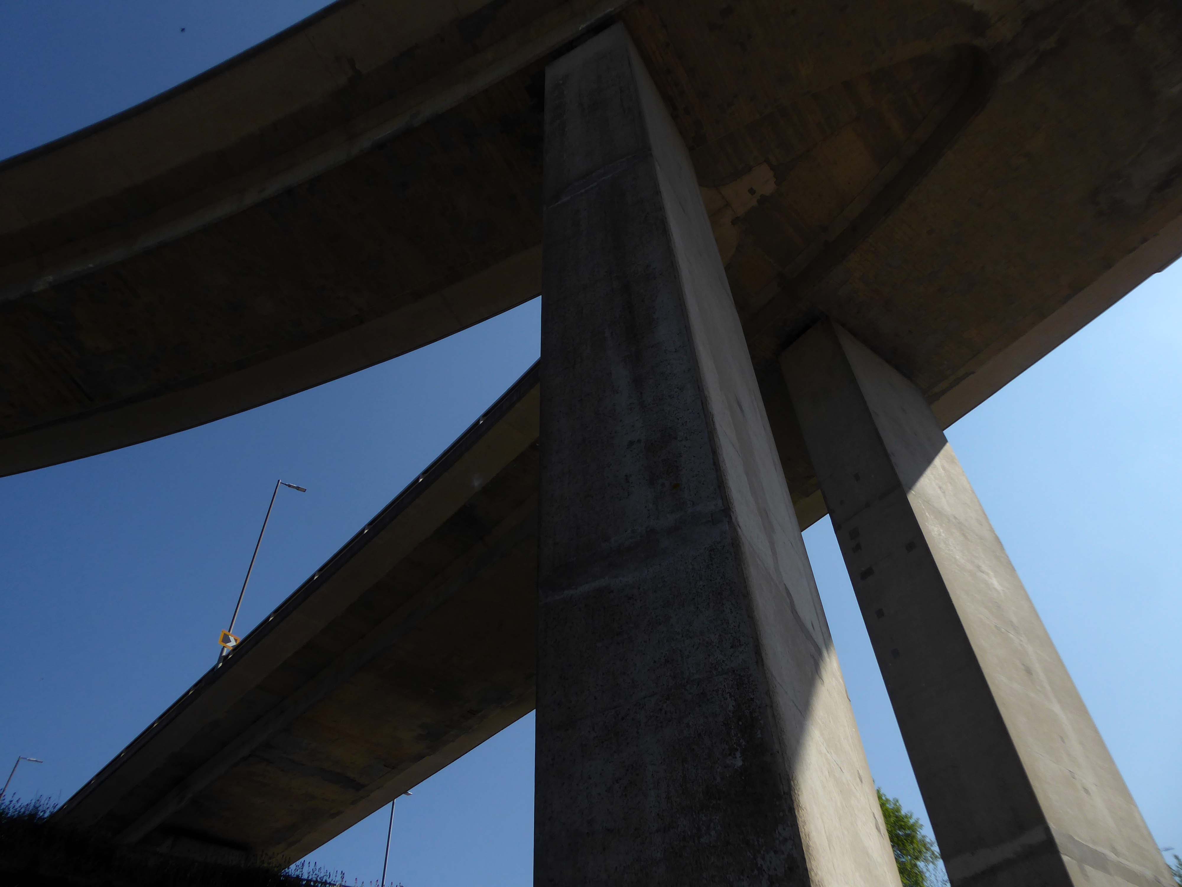
The Kingston Bridge is a balanced cantilever dual-span ten lane road bridge made of triple-cell segmented prestressed concrete box girders crossing the River Clyde.
Carrying the M8 motorway through the city centre, the Kingston Bridge is one of the busiest bridges in Europe, carrying around 150,000 vehicles every day.
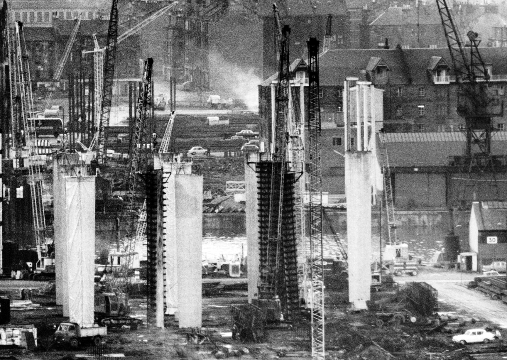
The bridge was first proposed in 1945 as part of the Glasgow Inner Ring Road scheme. After feasibility studies were carried out, William Fairhurst was appointed consulting engineer for the design of the bridge and its approaches and on 15 May 1967 construction began; this was a joint venture between Duncan Logan Construction Ltd and Marples Ridgway.
The eventual cost was £2.4m excluding the approach viaducts or around £11m in total.
On 26 June 1970 Kingston Bridge was opened by Queen Elizabeth the Queen Mother.
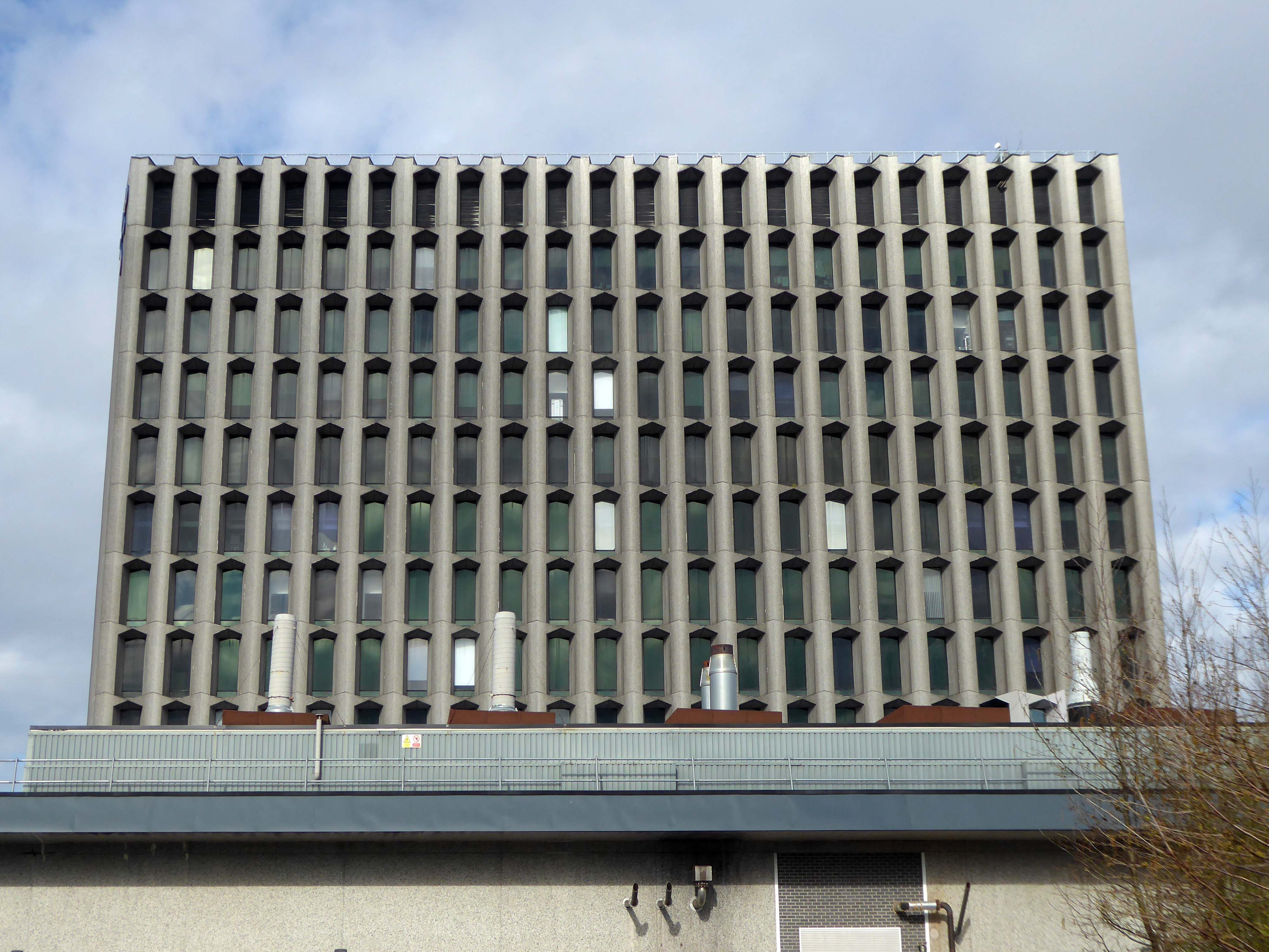
Co-operative House was the former headquarters of the Scottish Co-operative Wholesale Society and today is a mixed residential and commercial development.
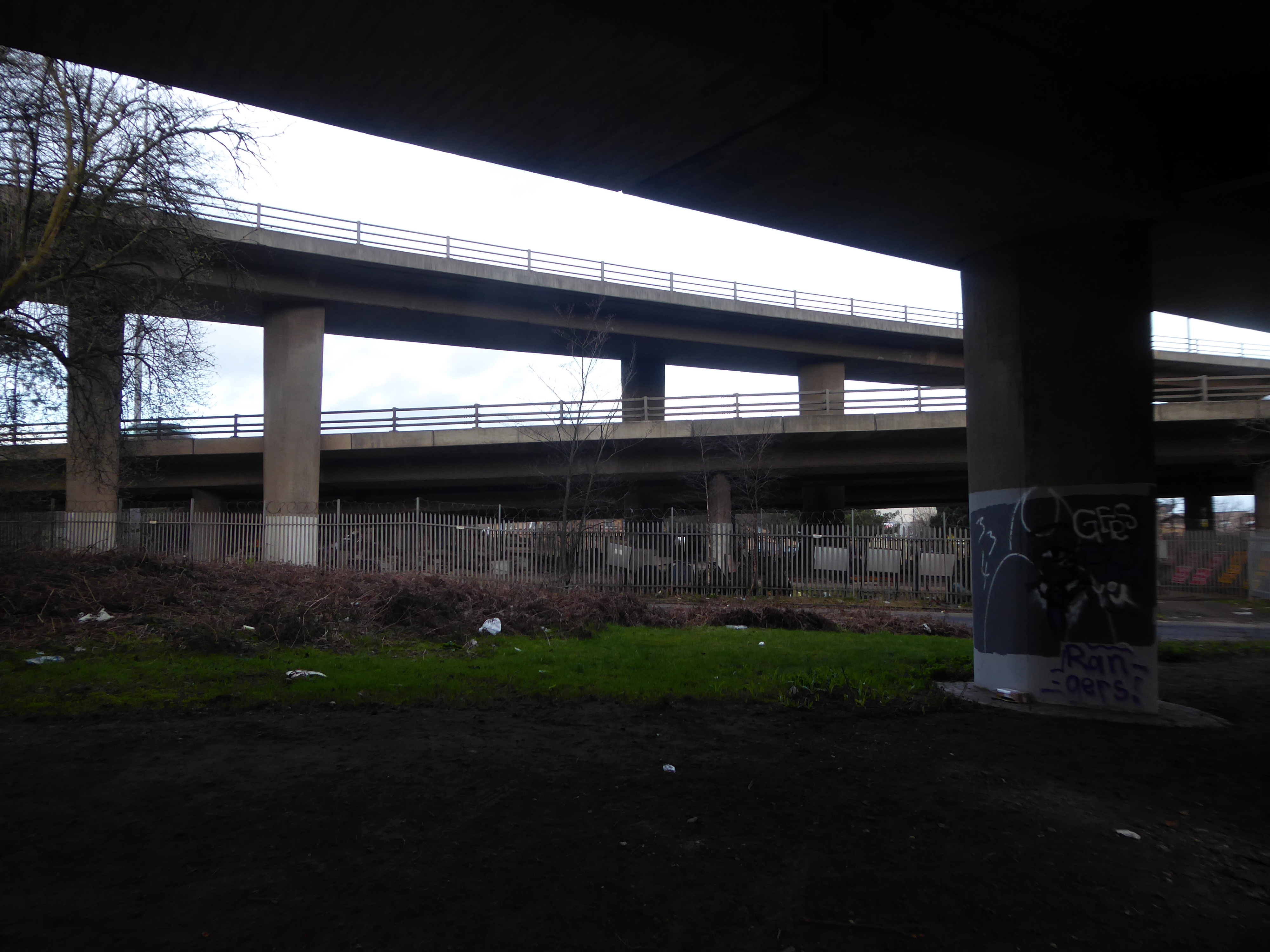
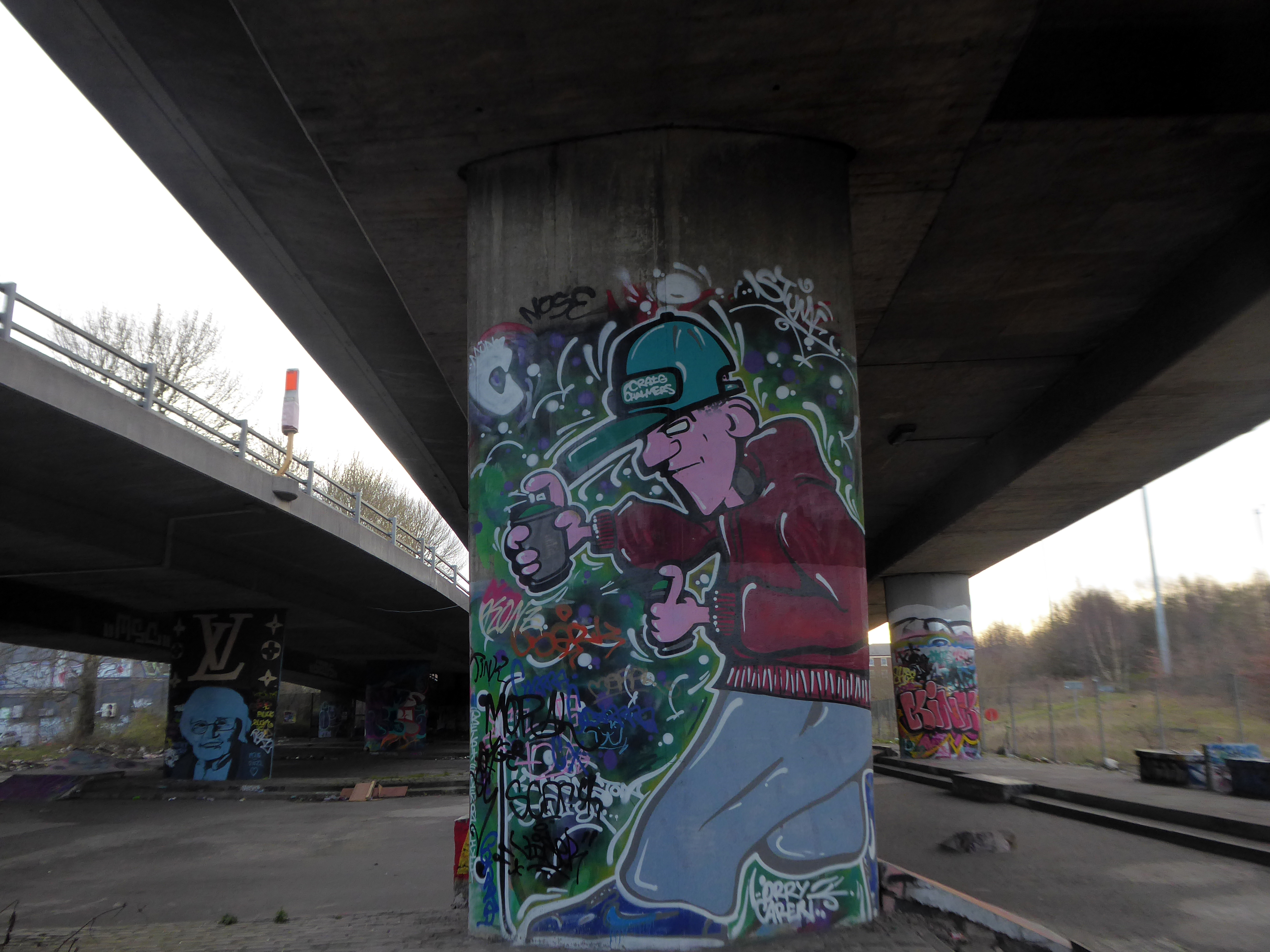
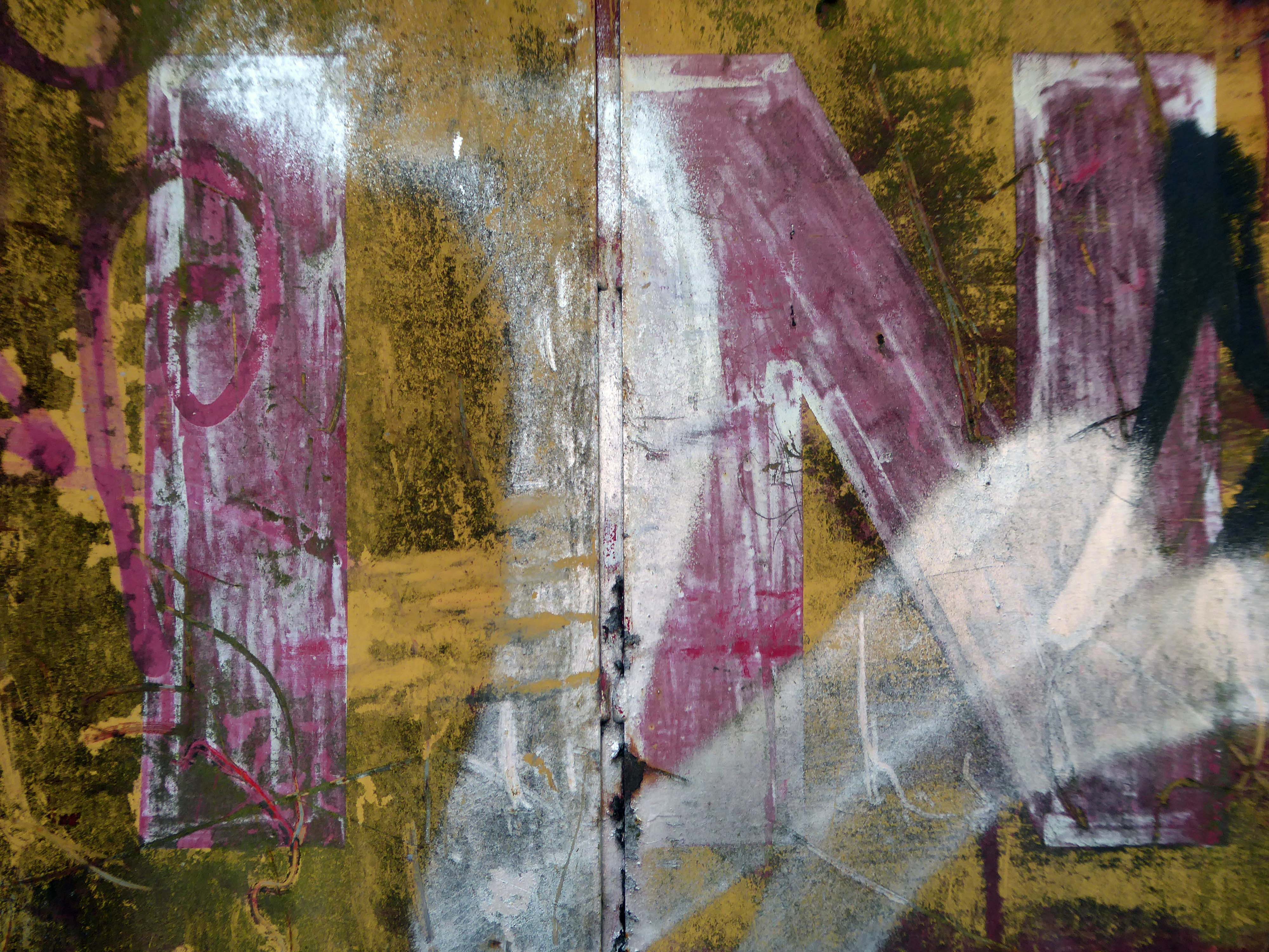
There is a dubious urban myth that the fourth man in the Williamwood bank robbery, Archie McGeachy, is buried in the pillars of the bridge.
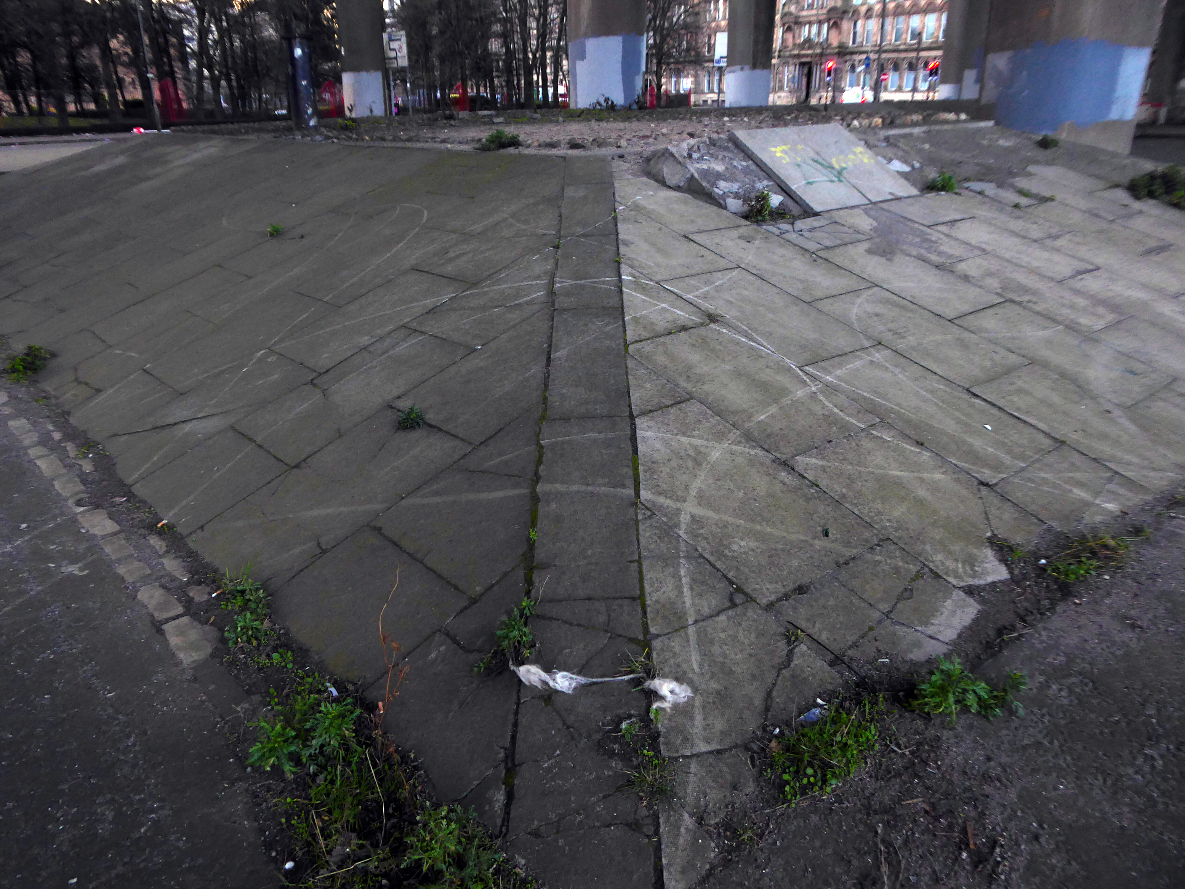
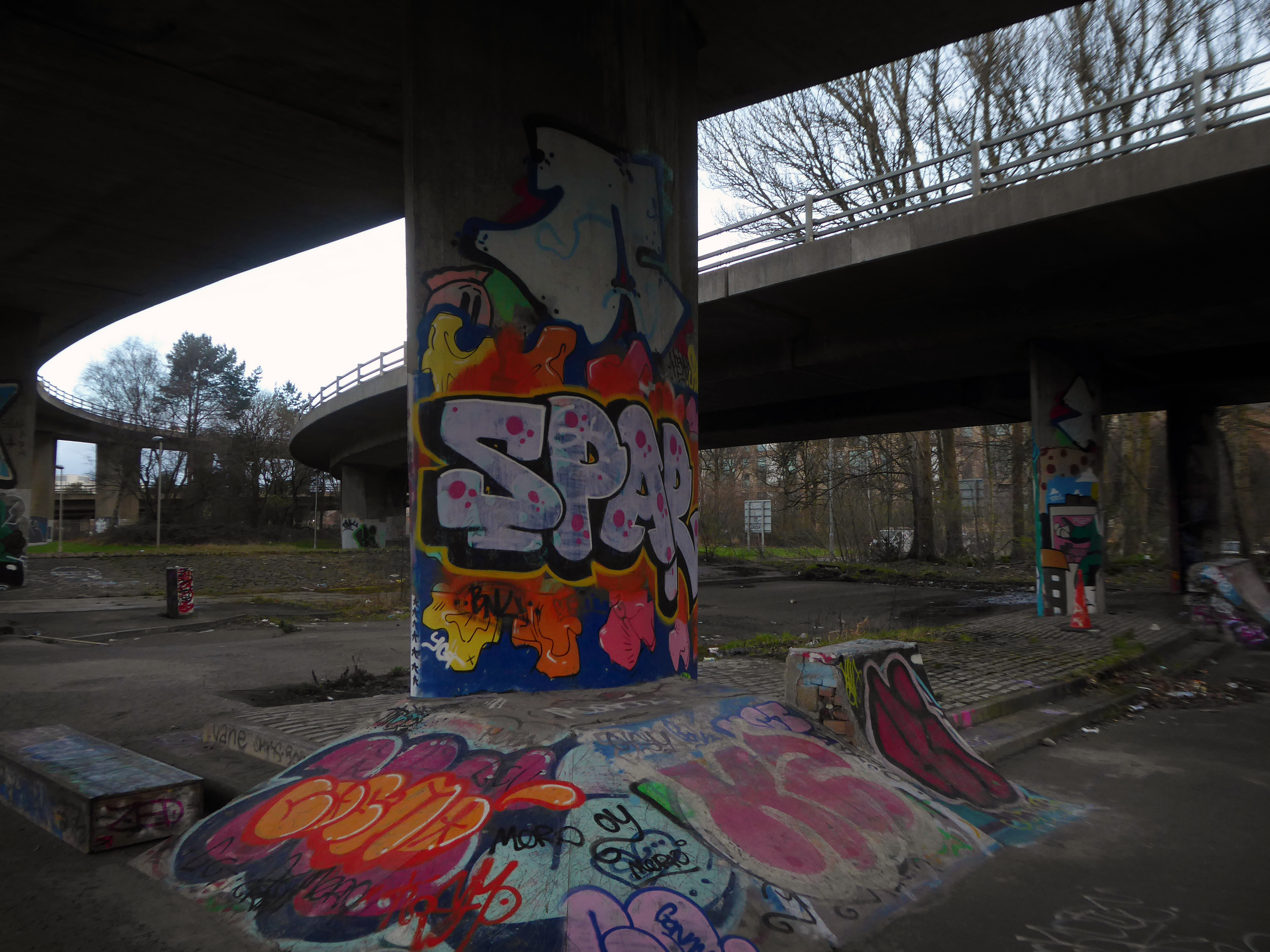
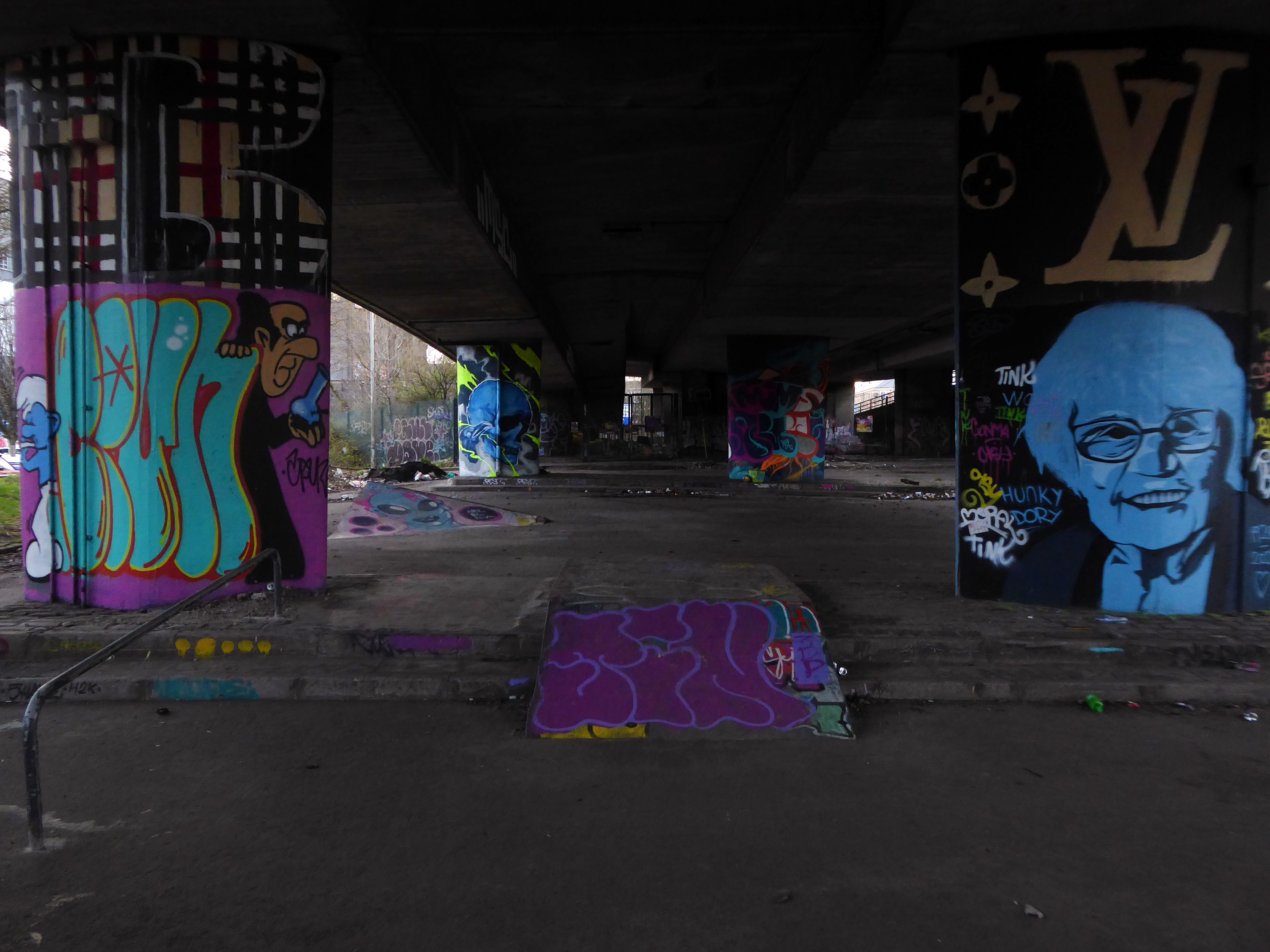
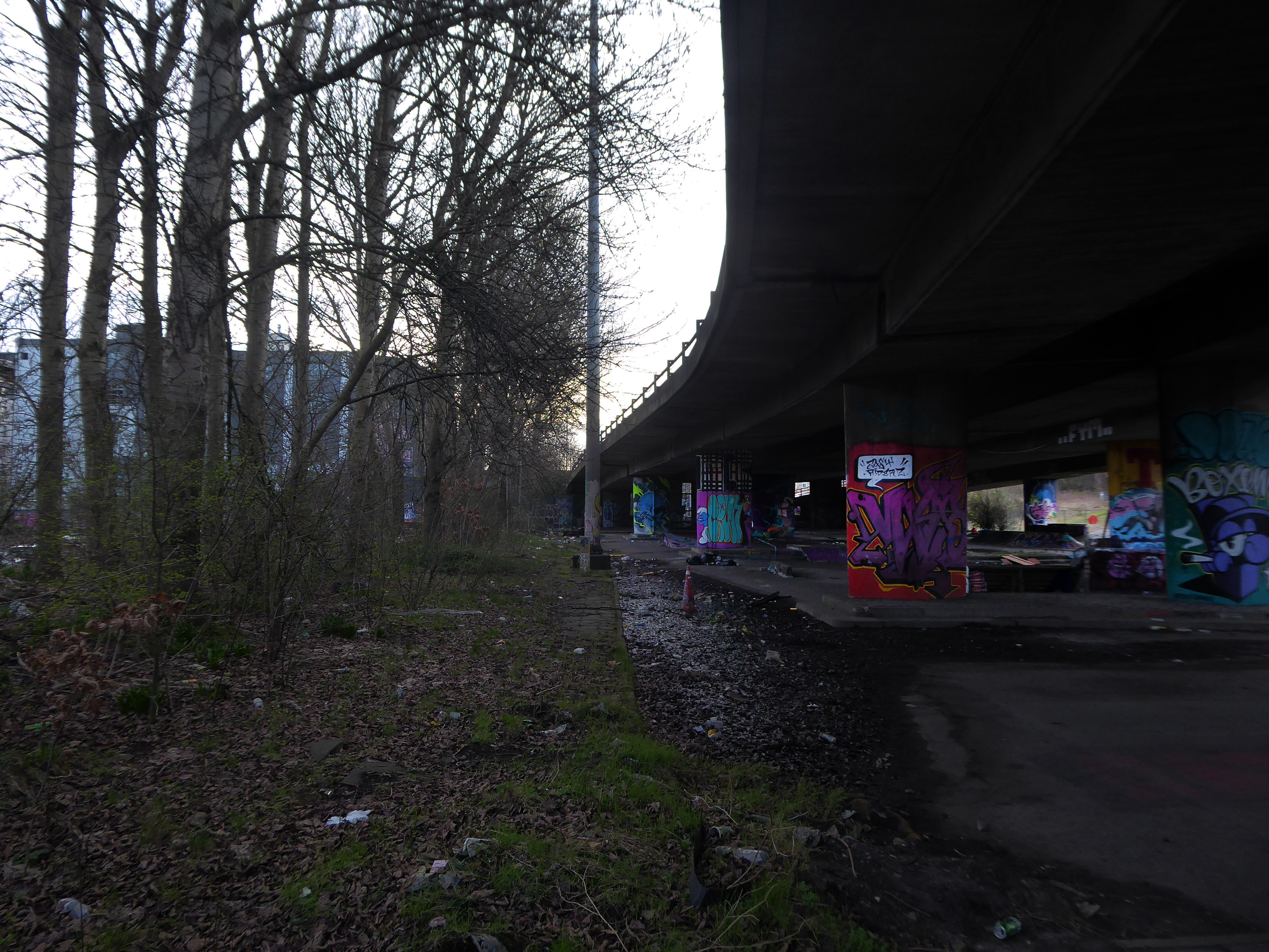
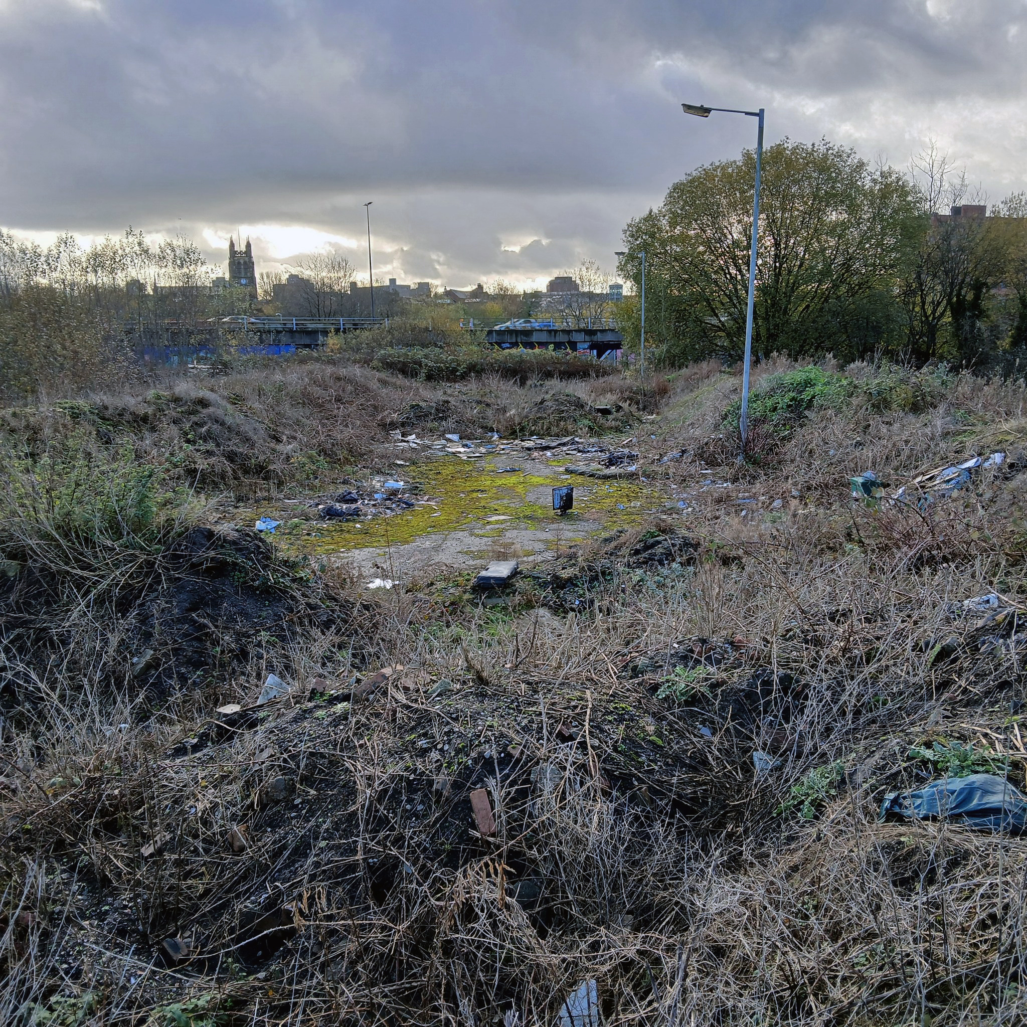
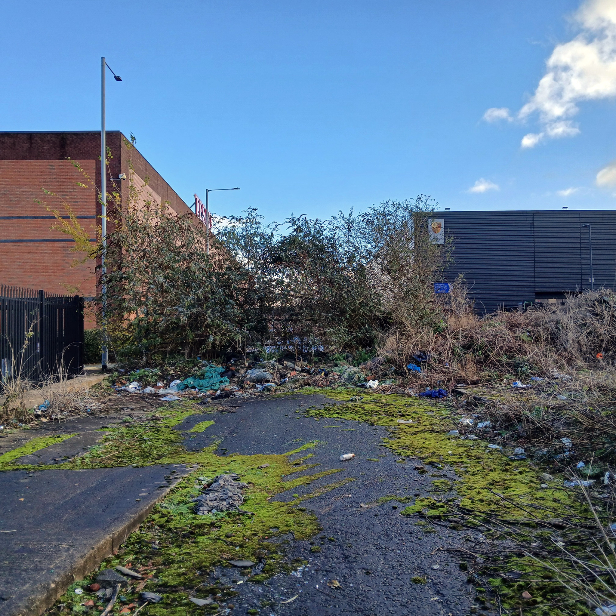
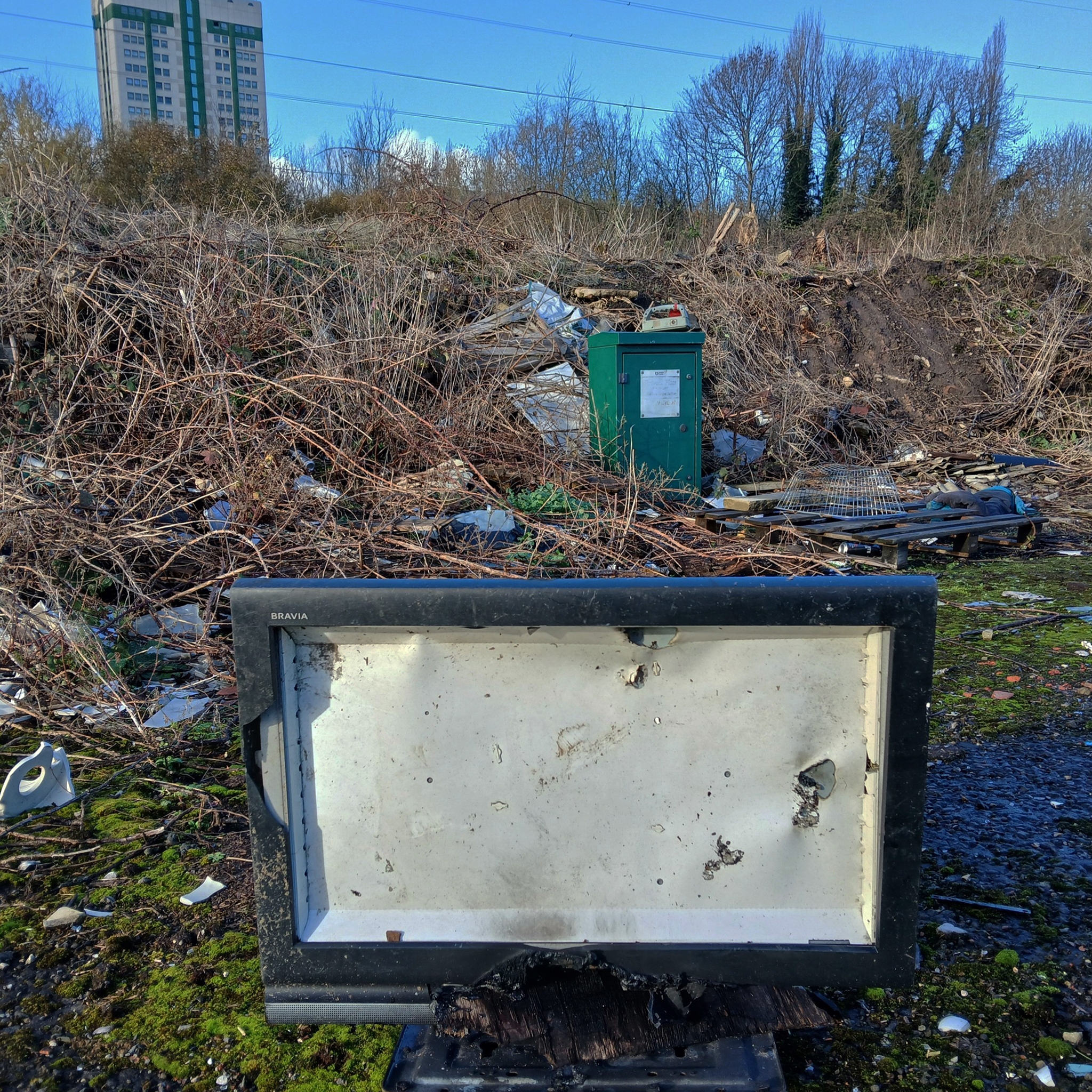
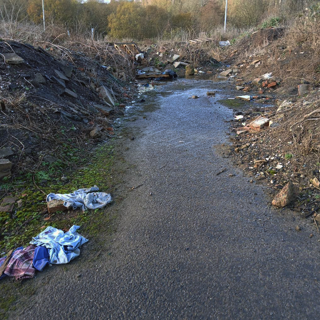
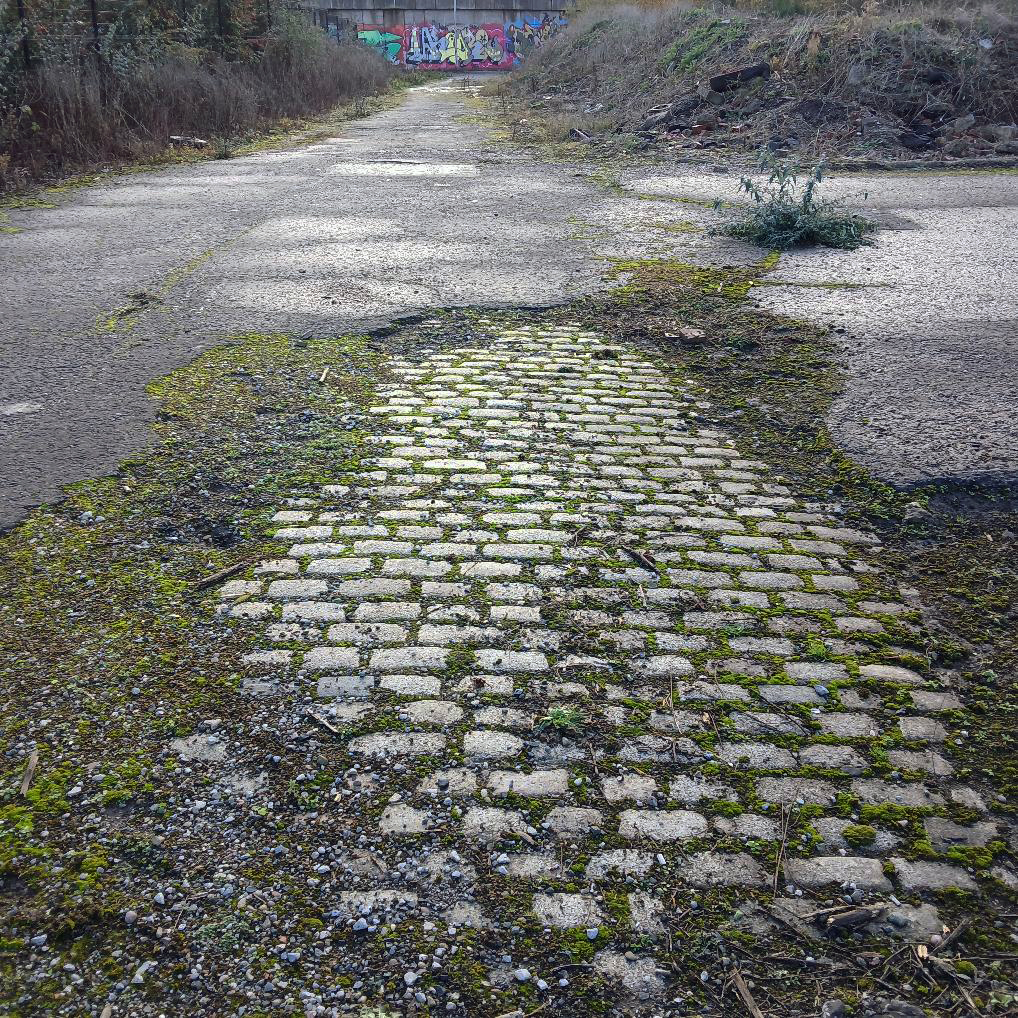
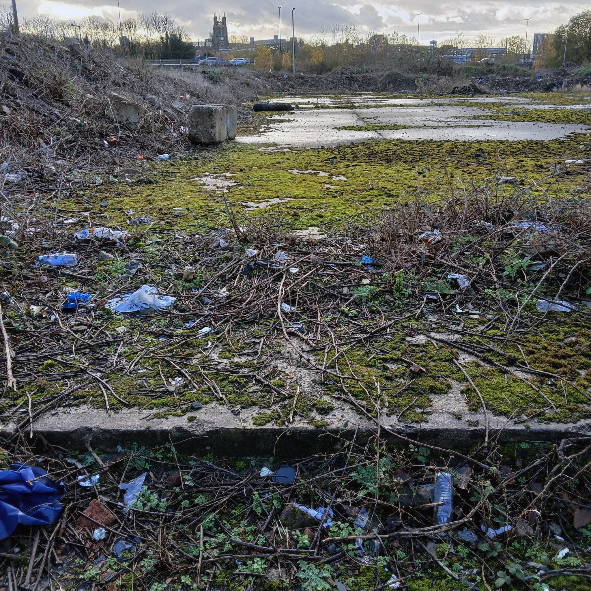
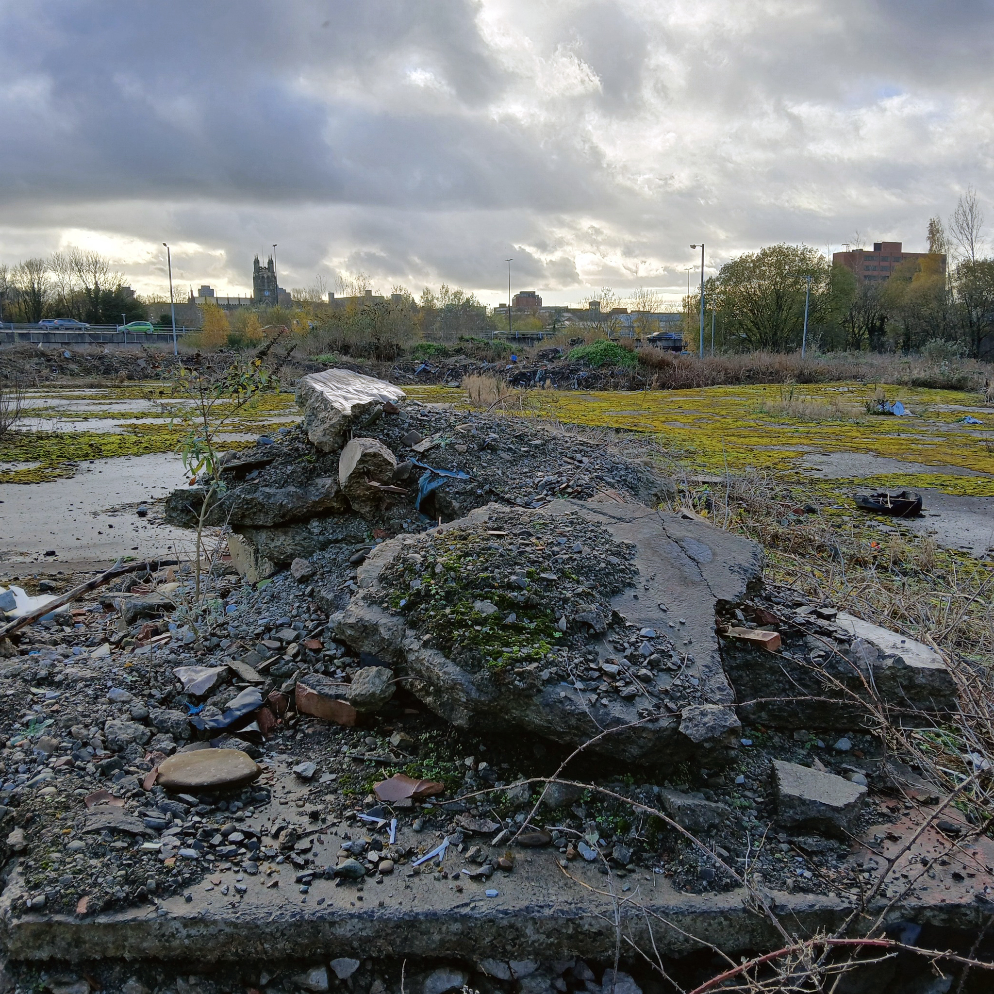
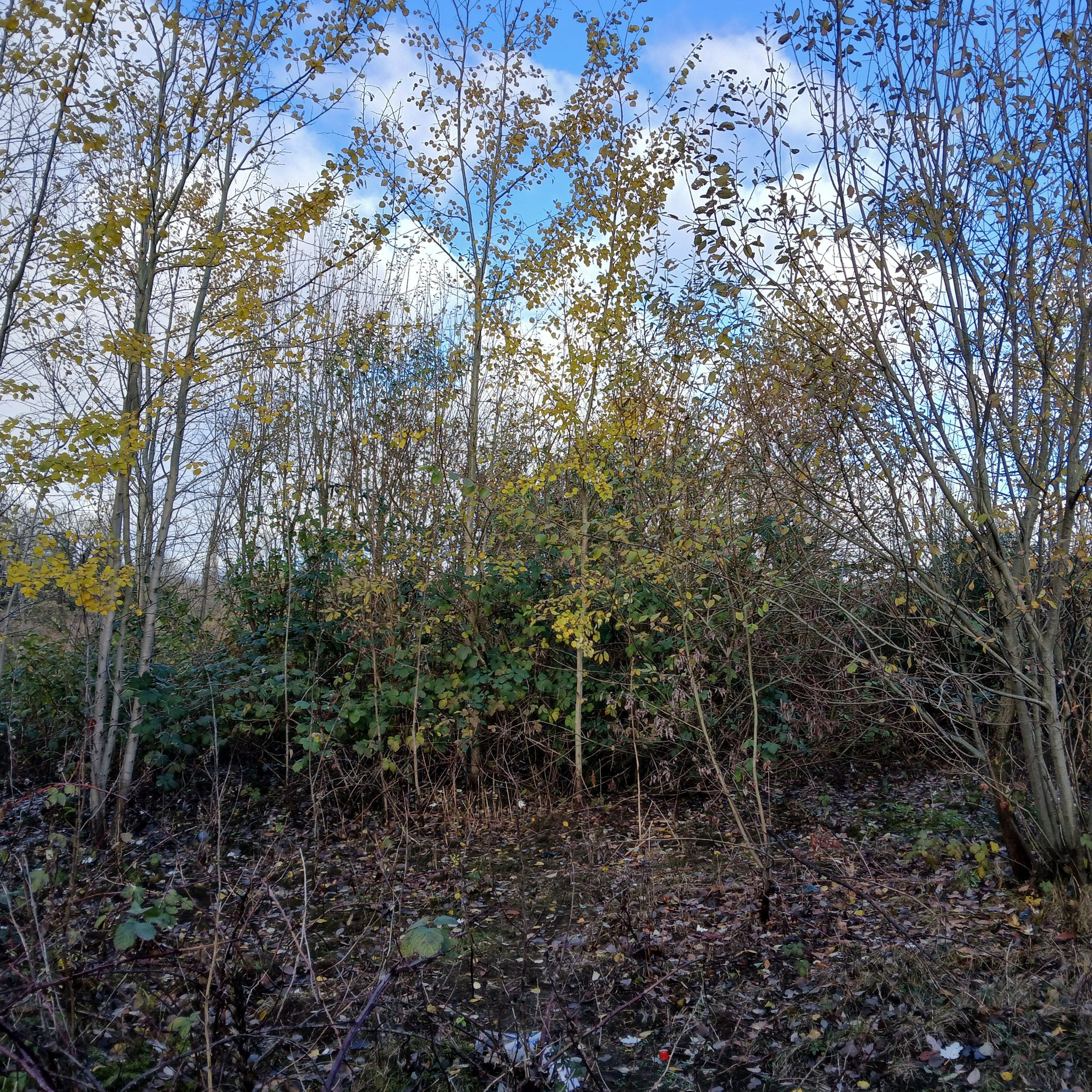
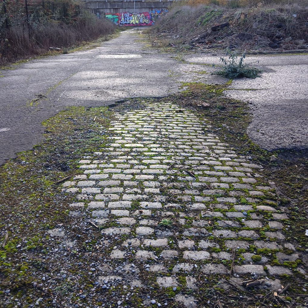
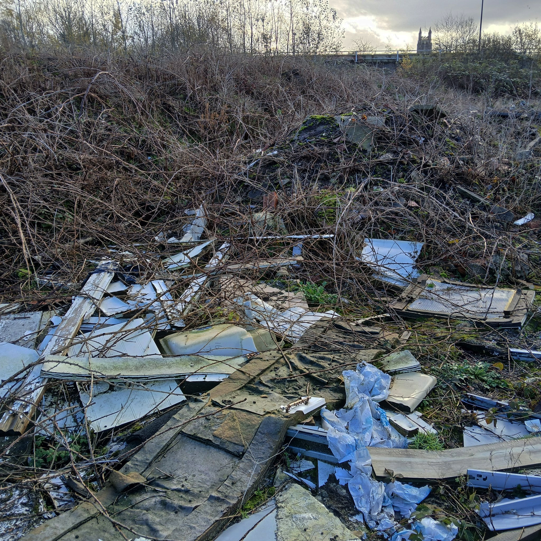
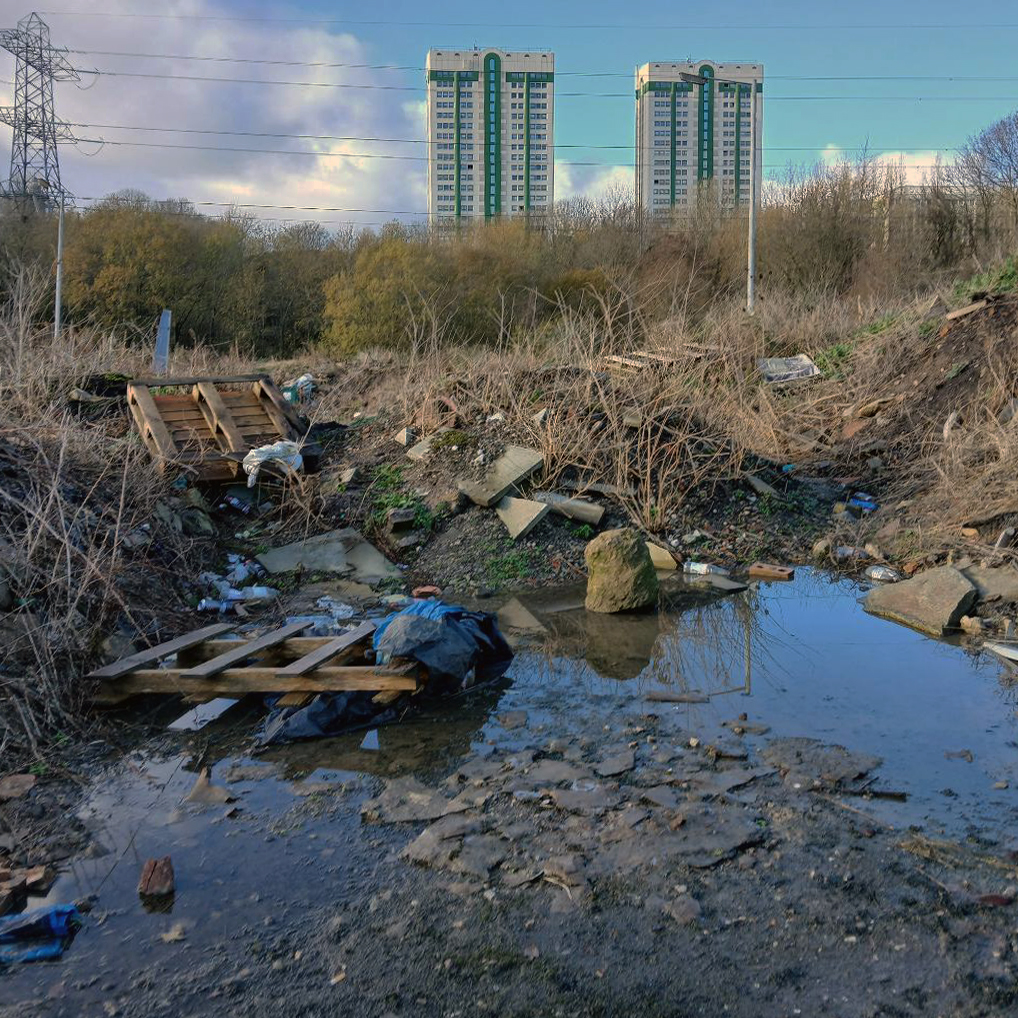
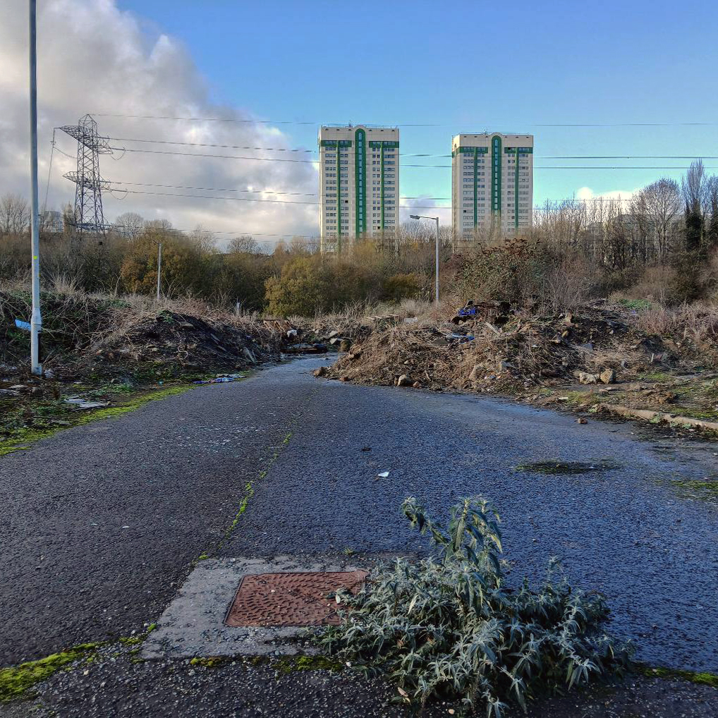
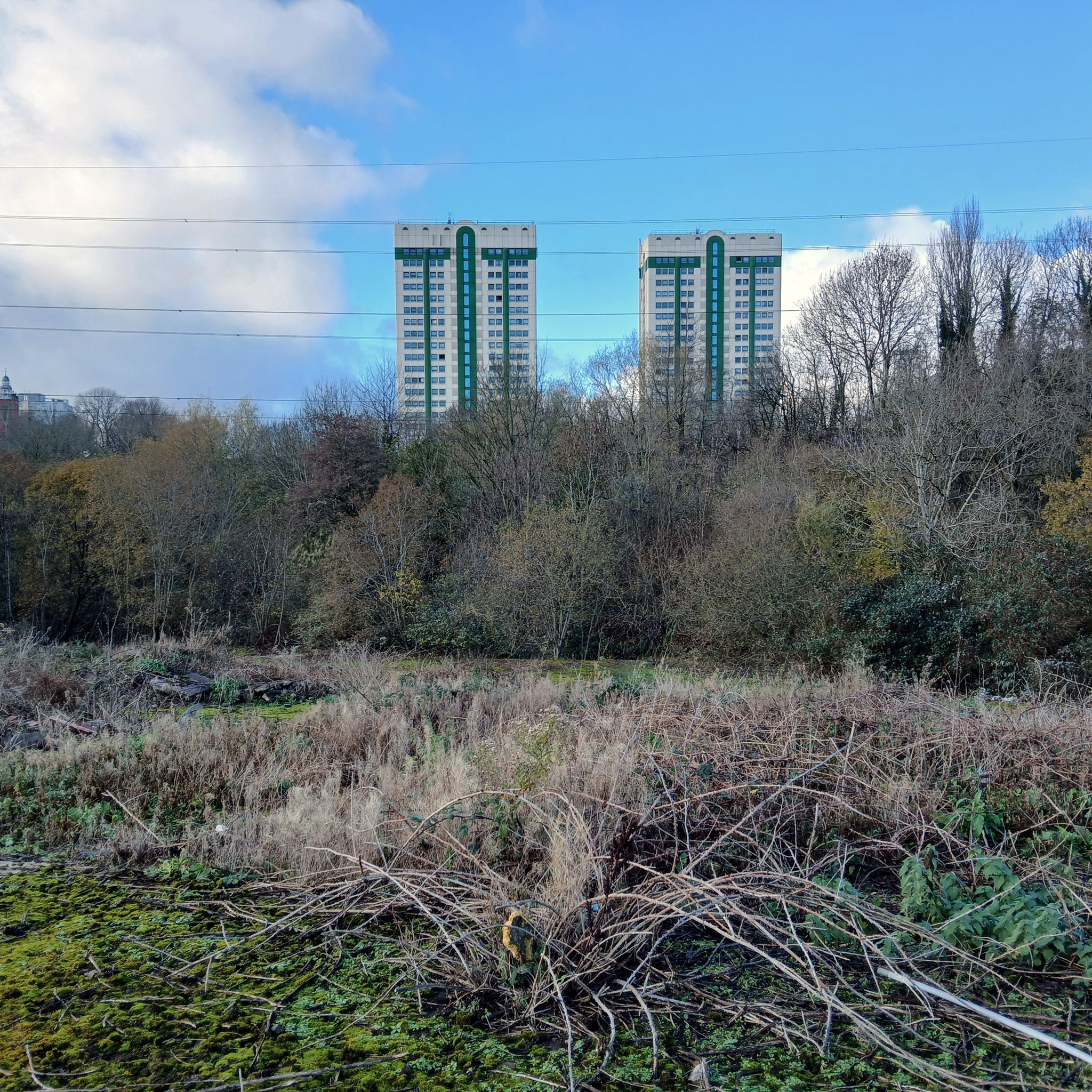
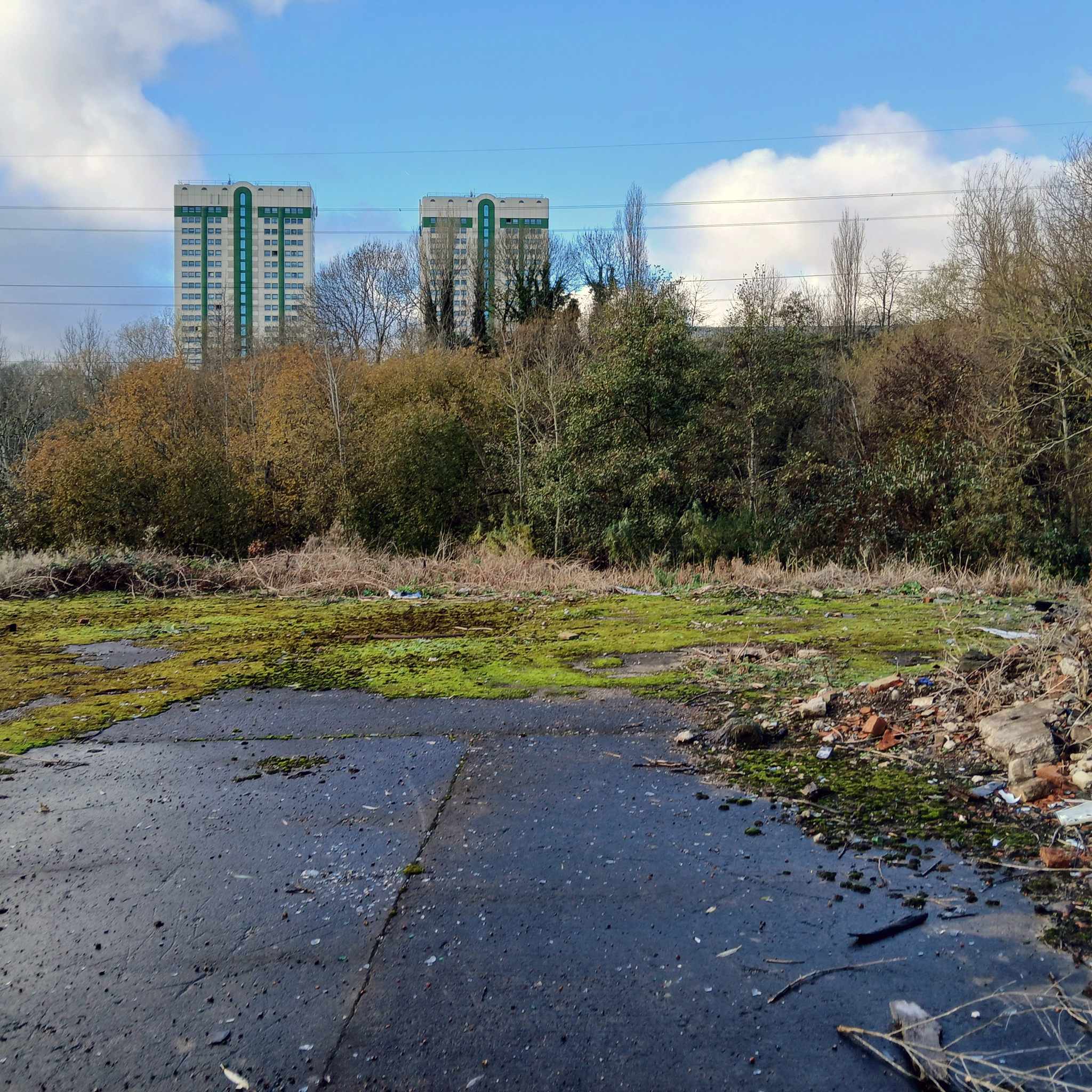
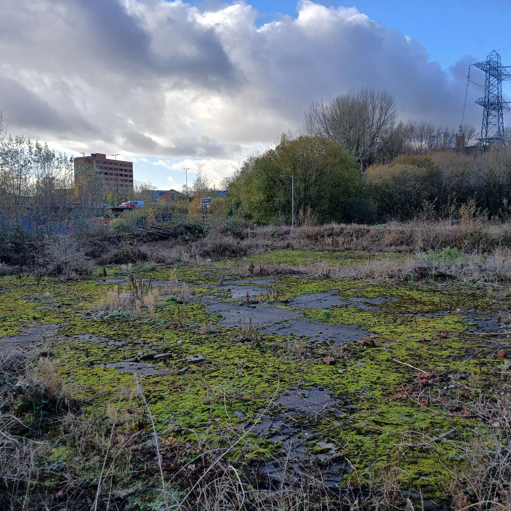
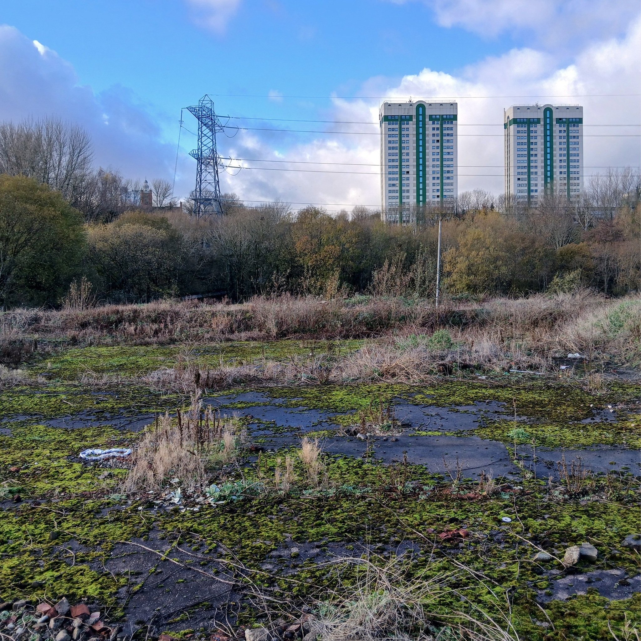
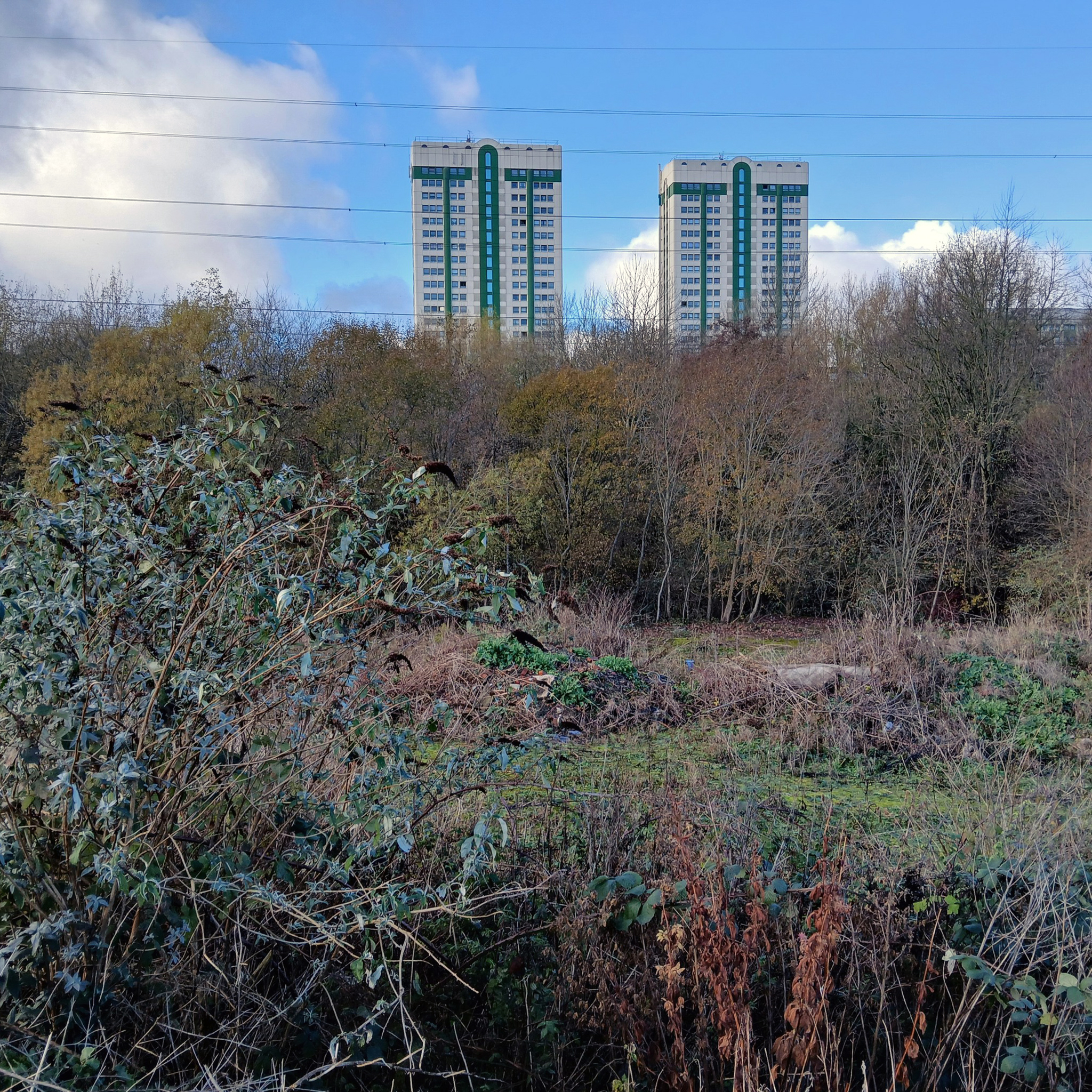
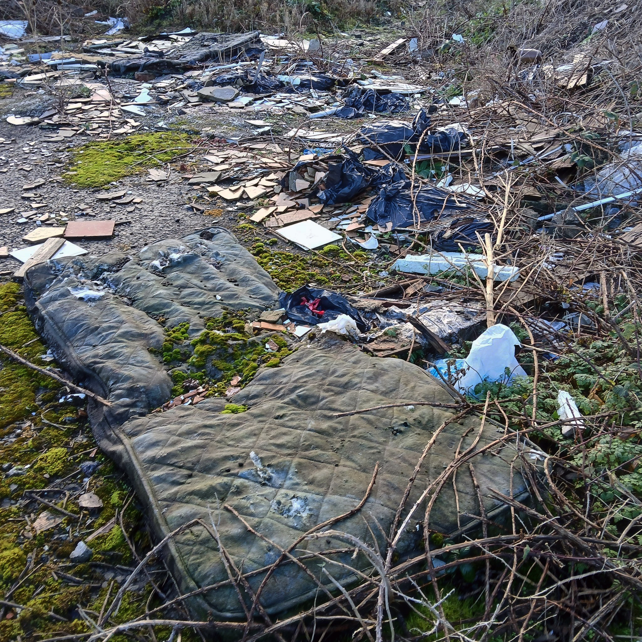
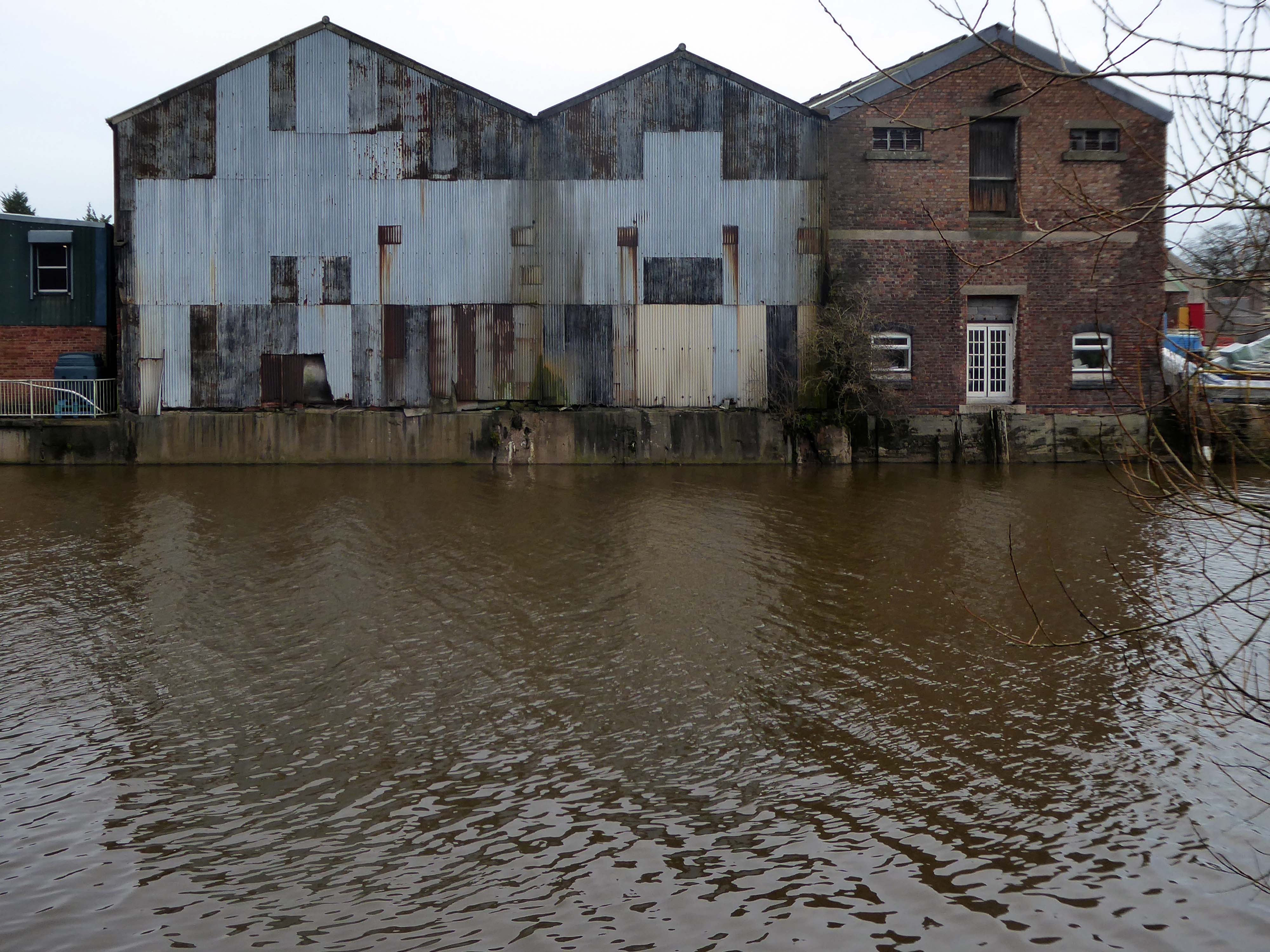
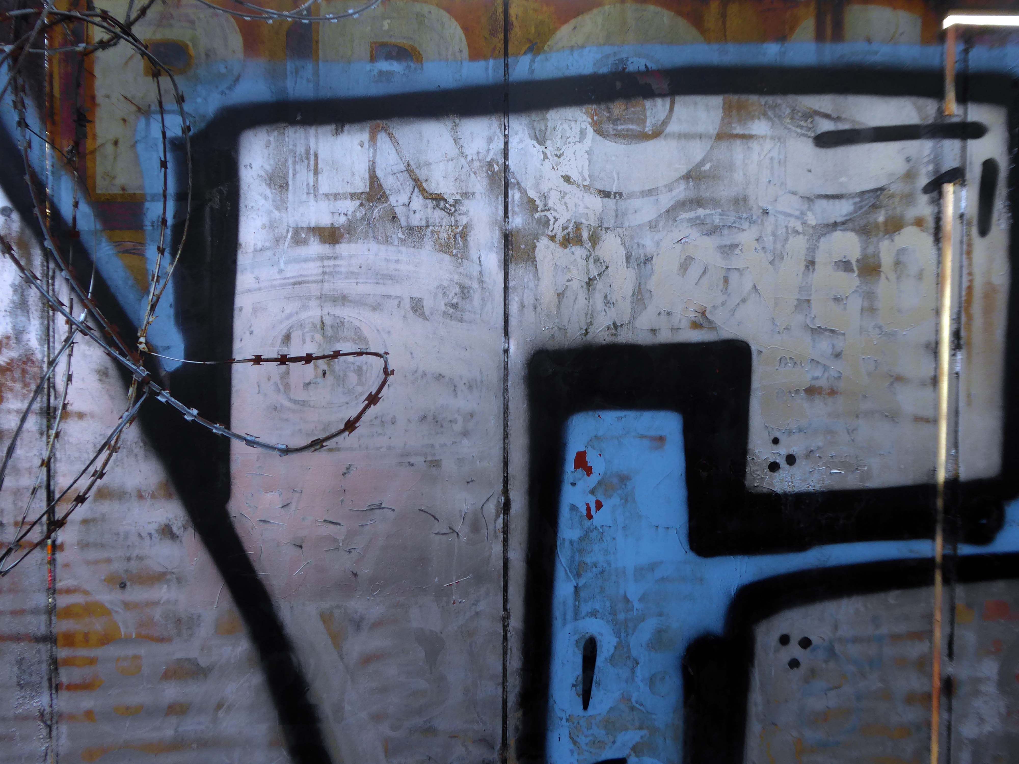
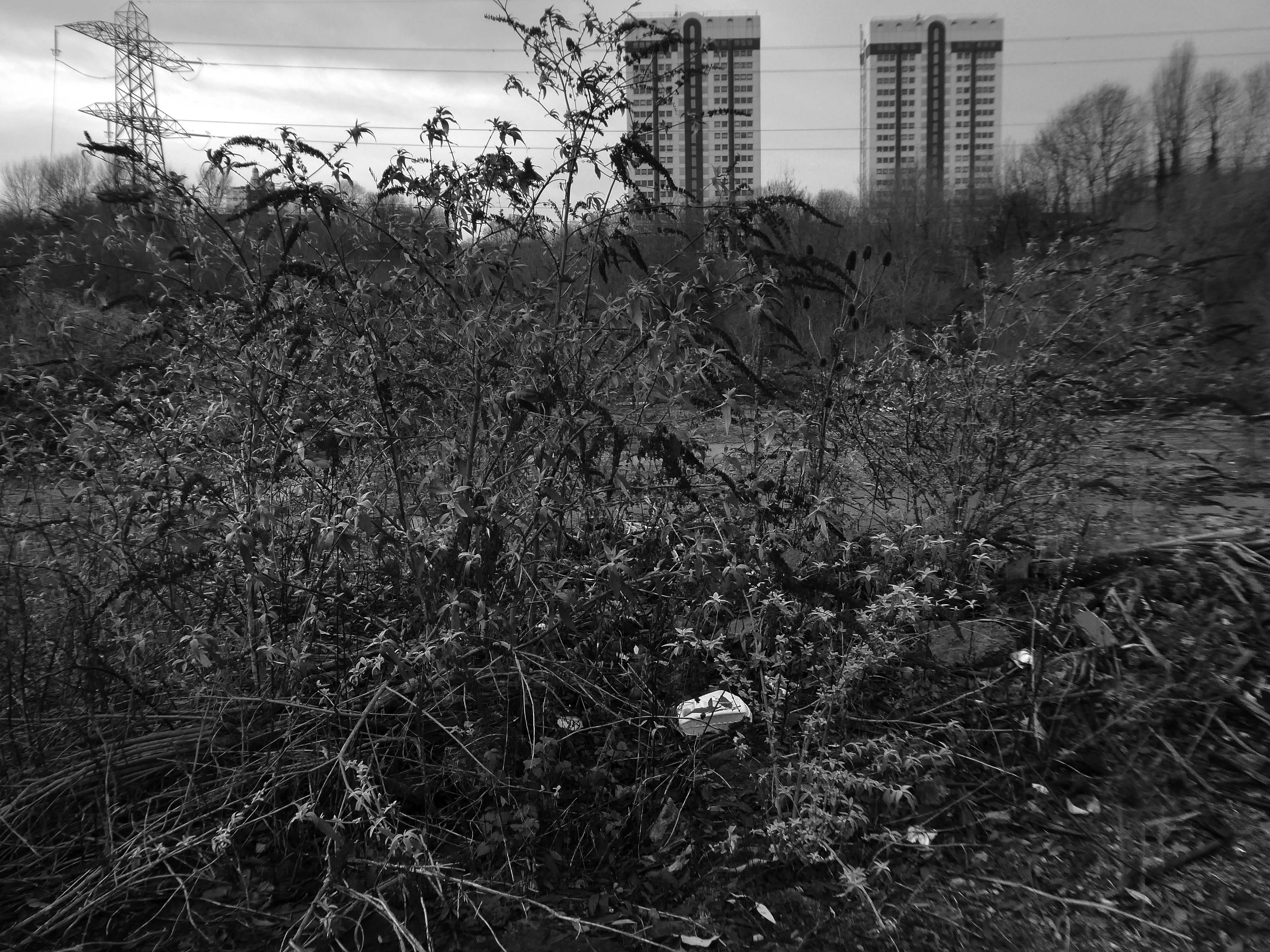
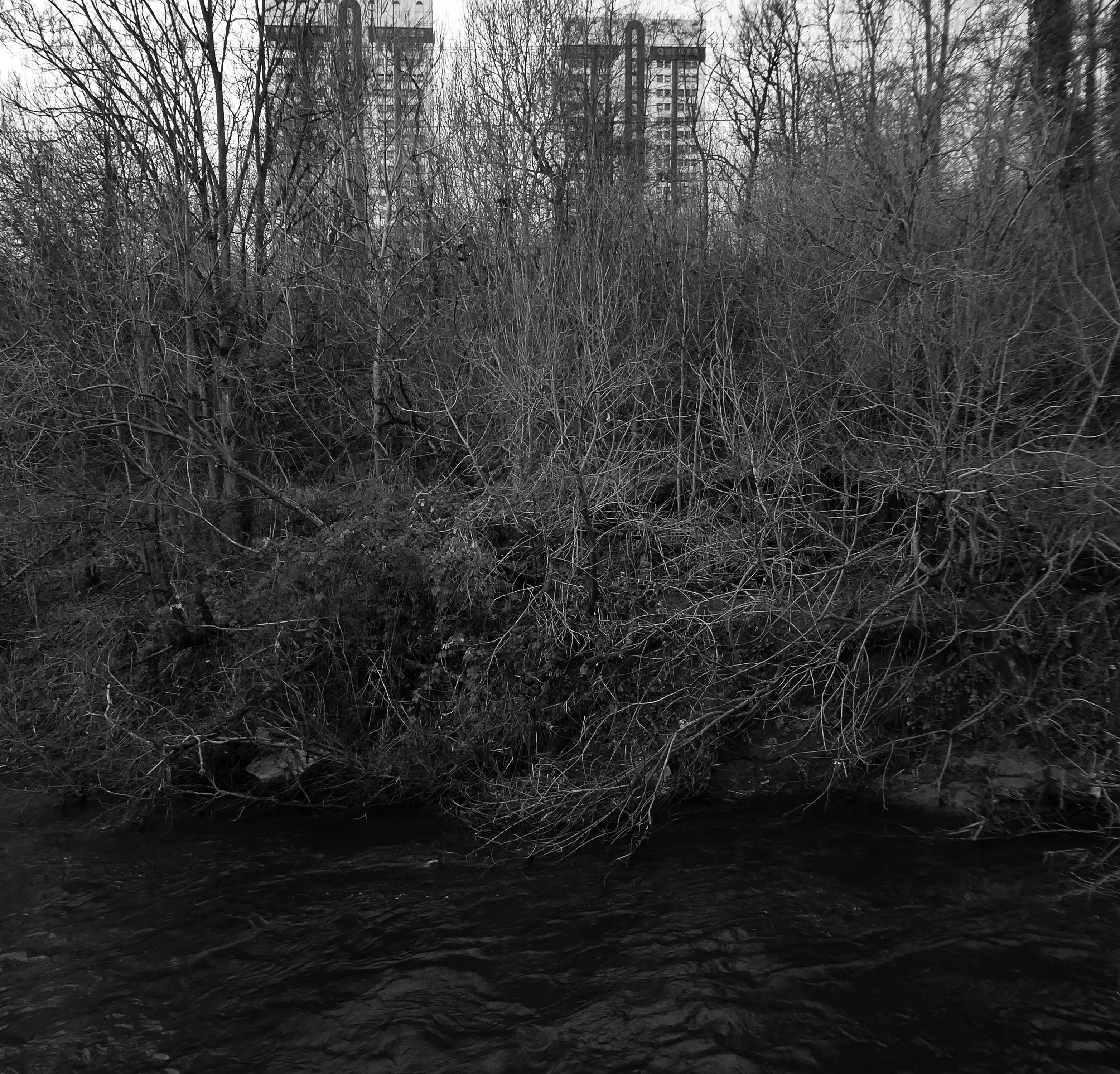
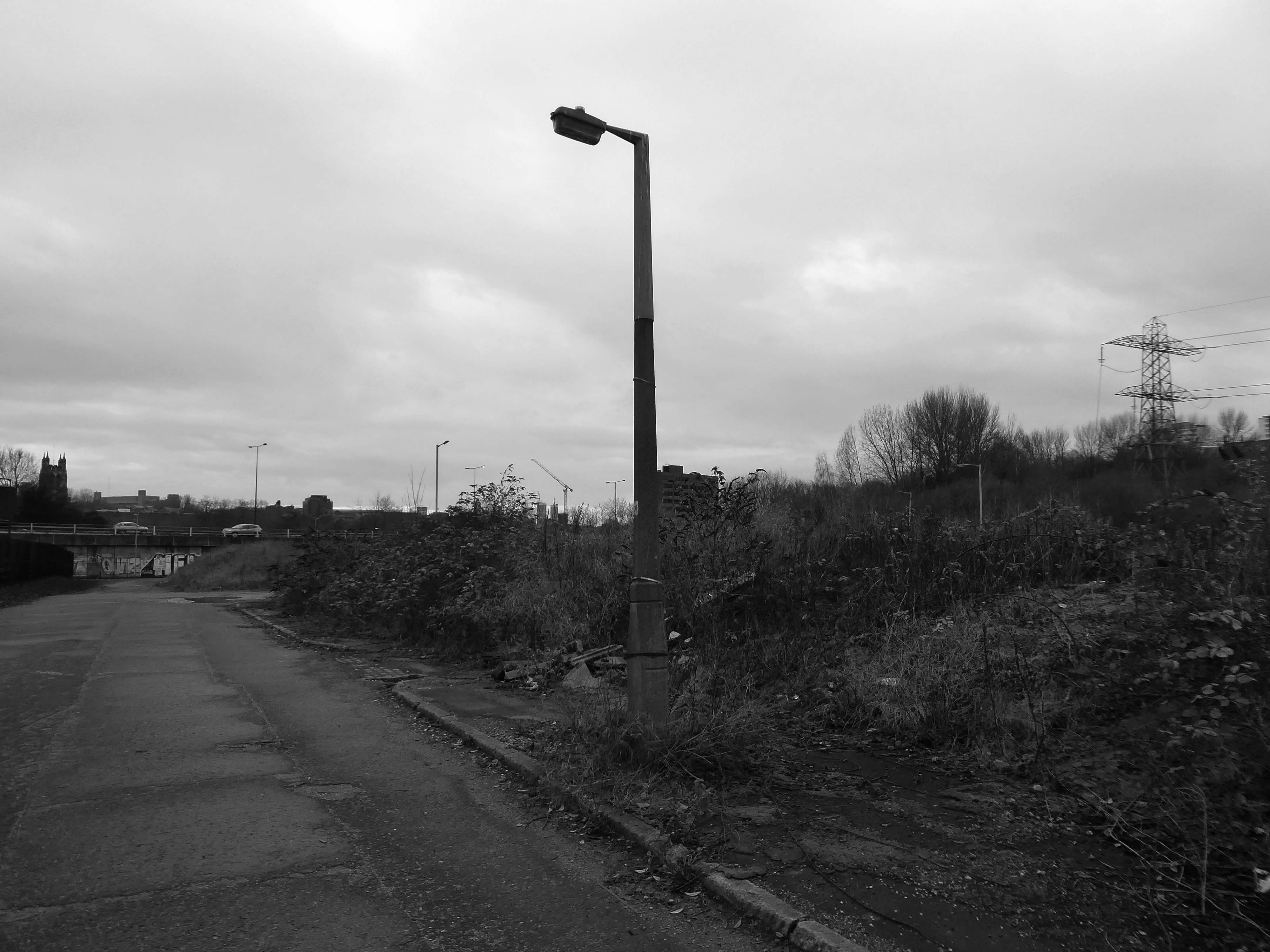
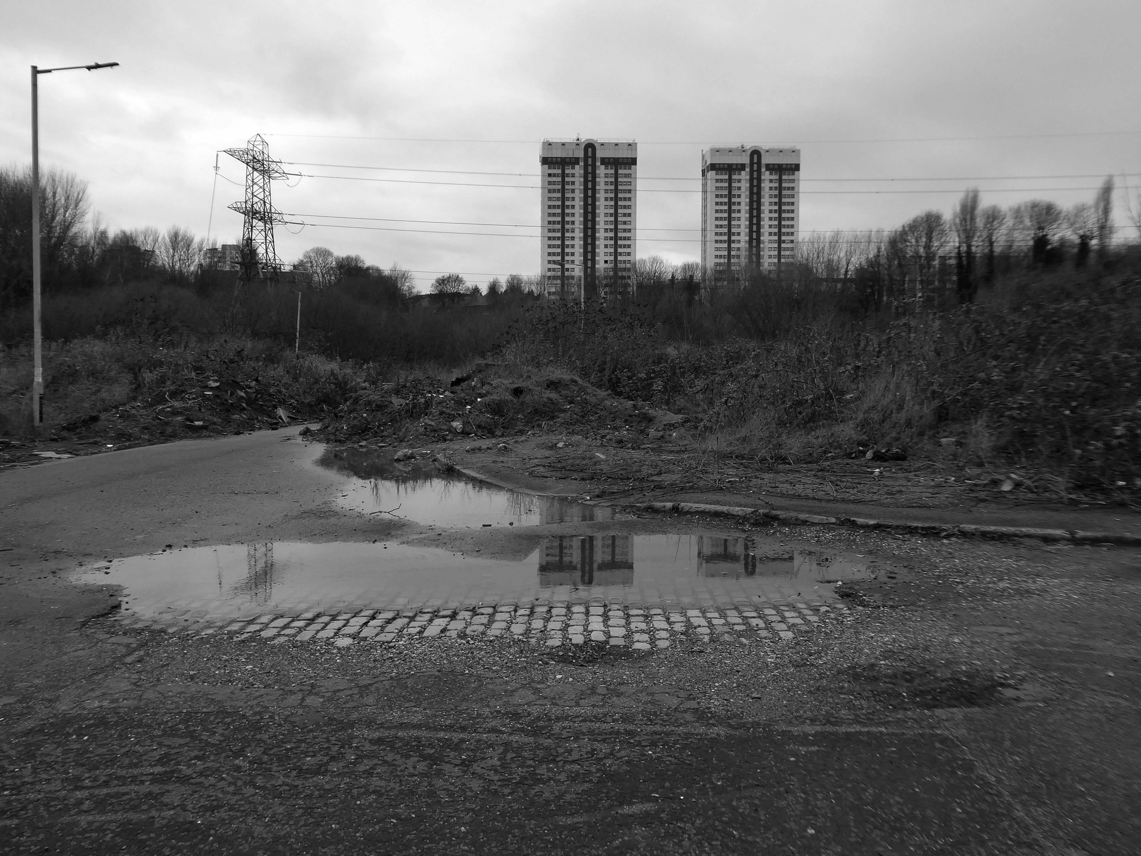
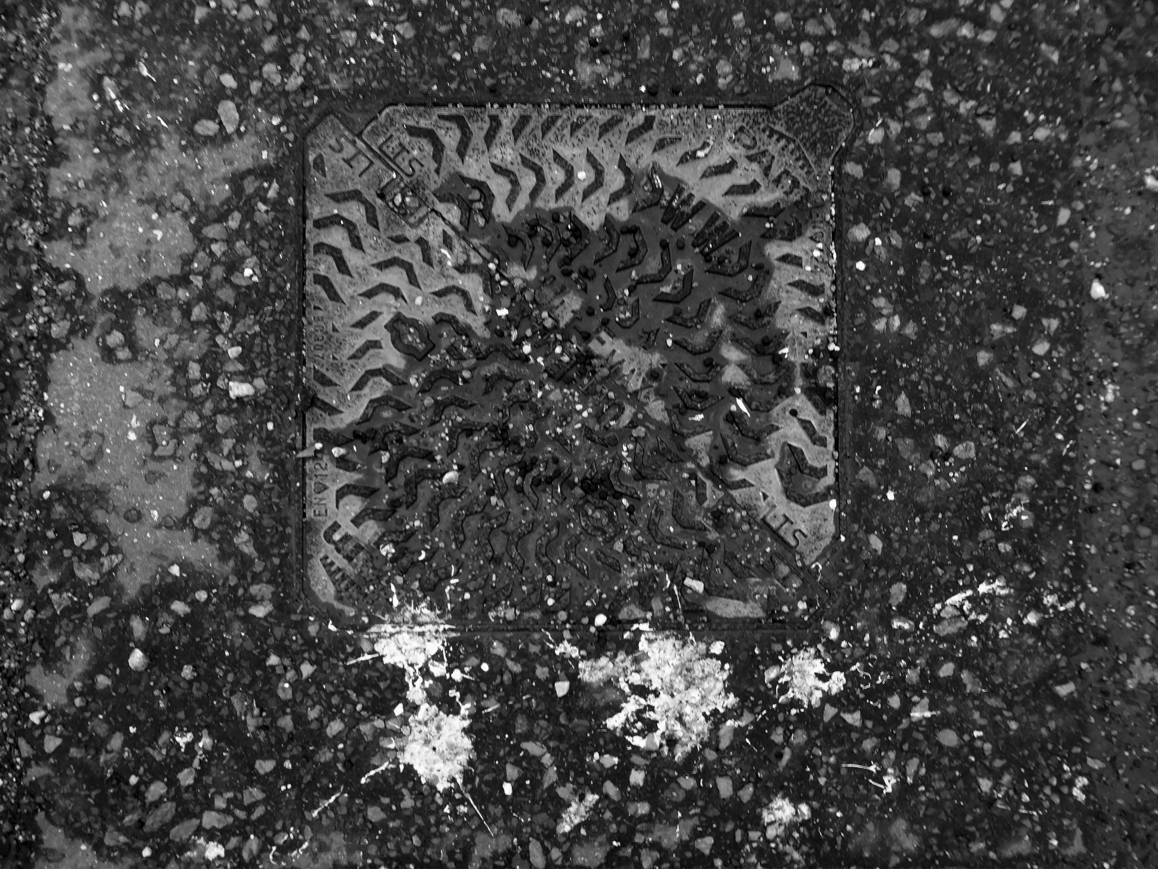
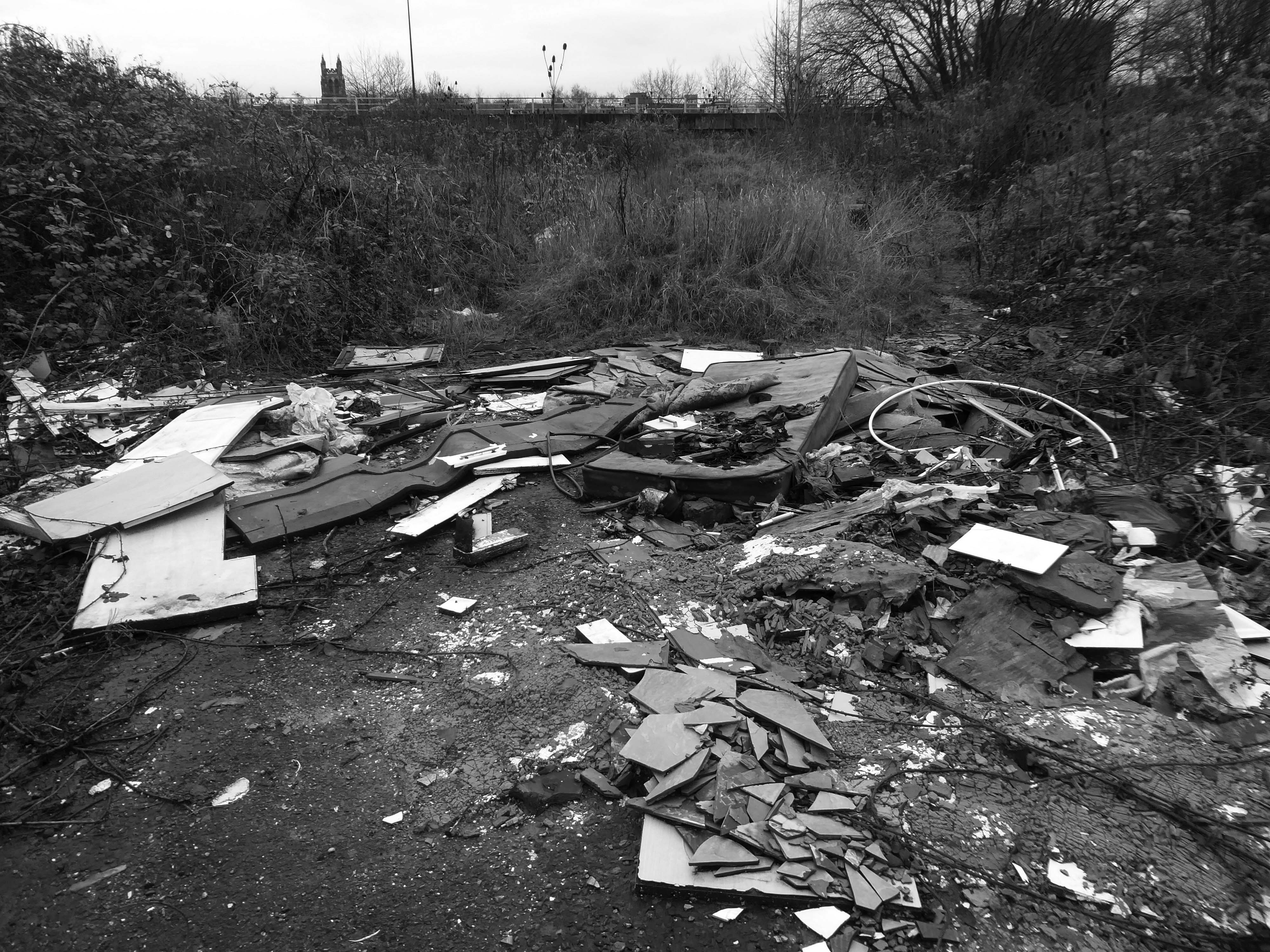
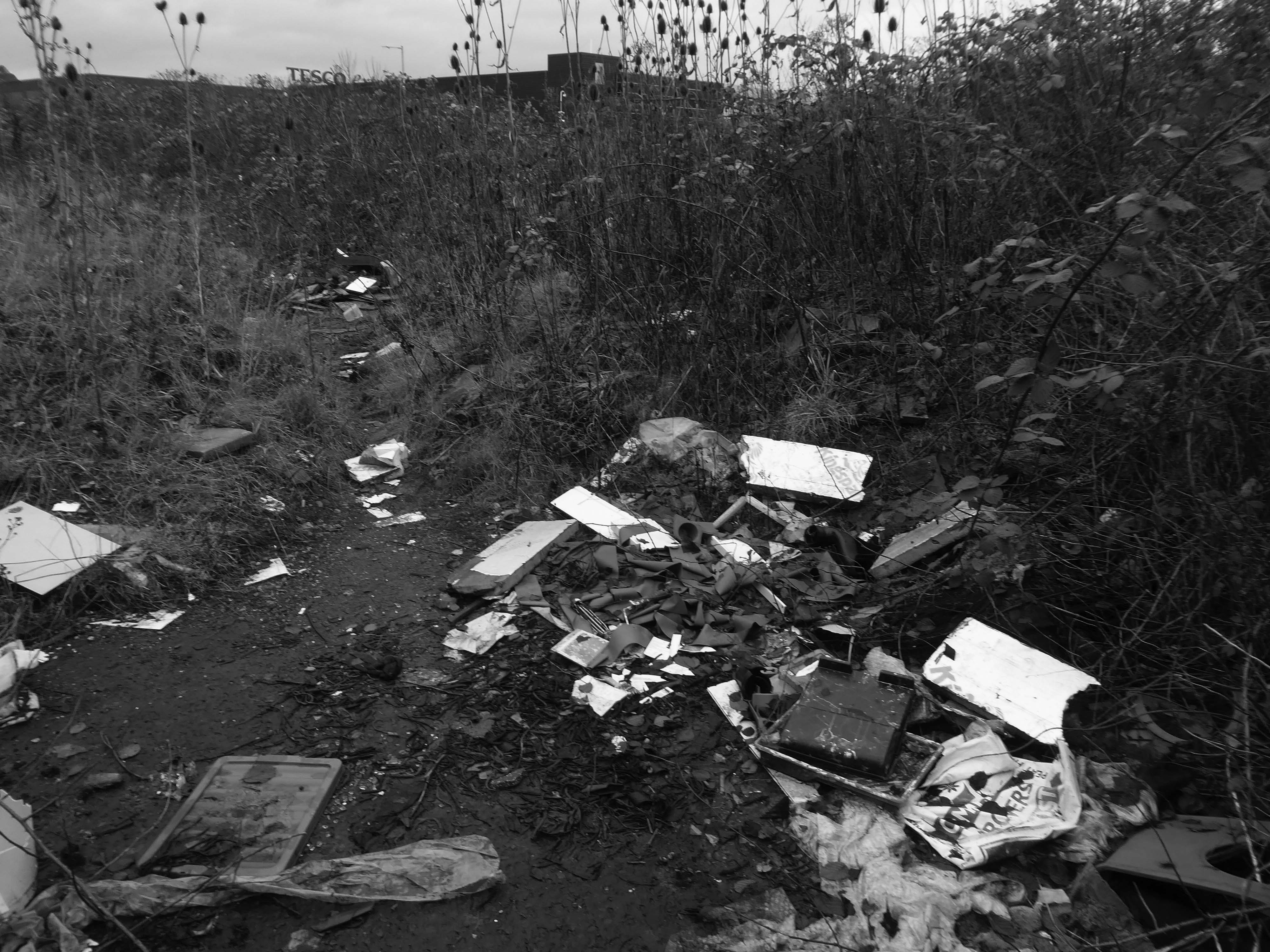
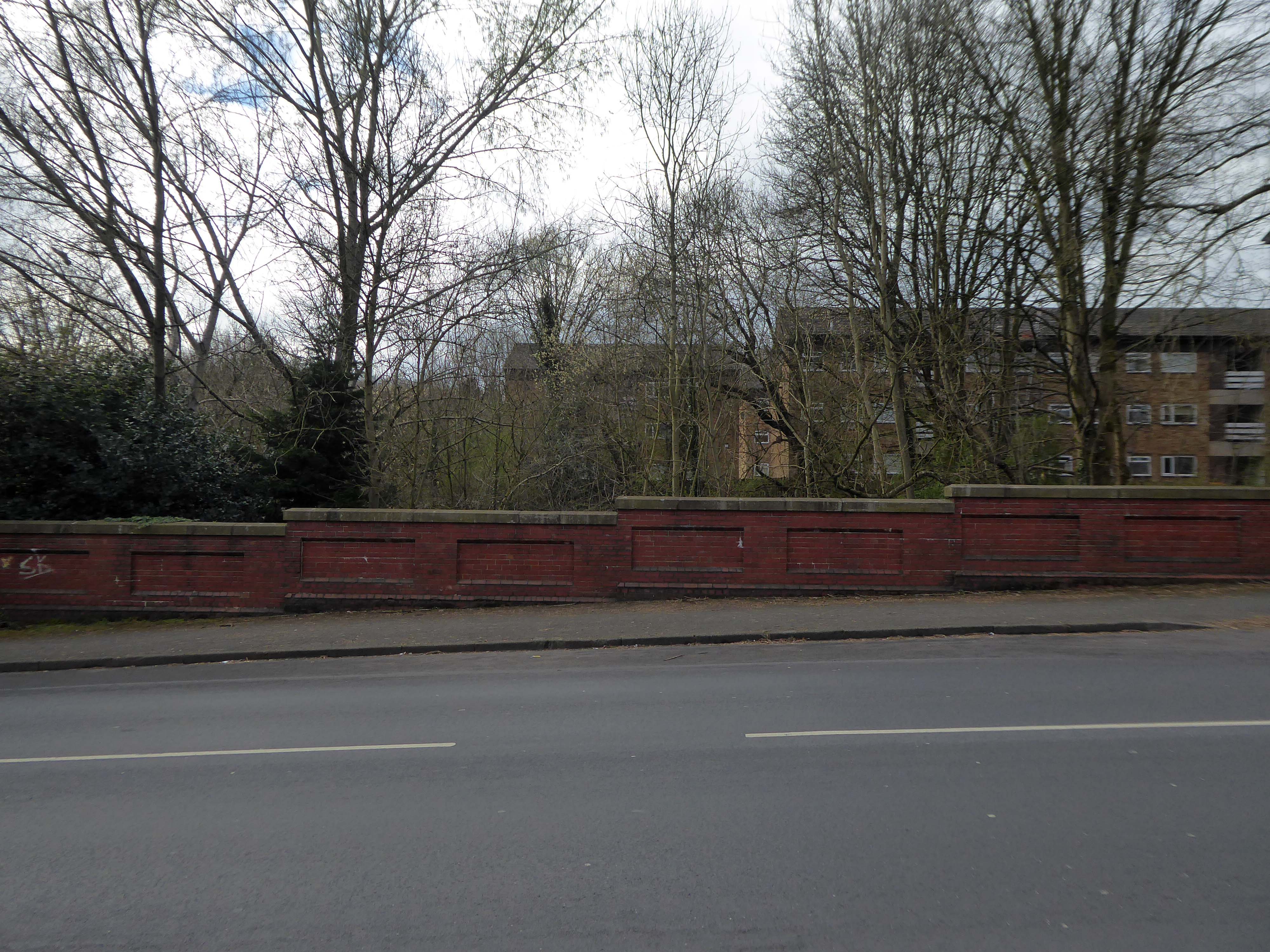
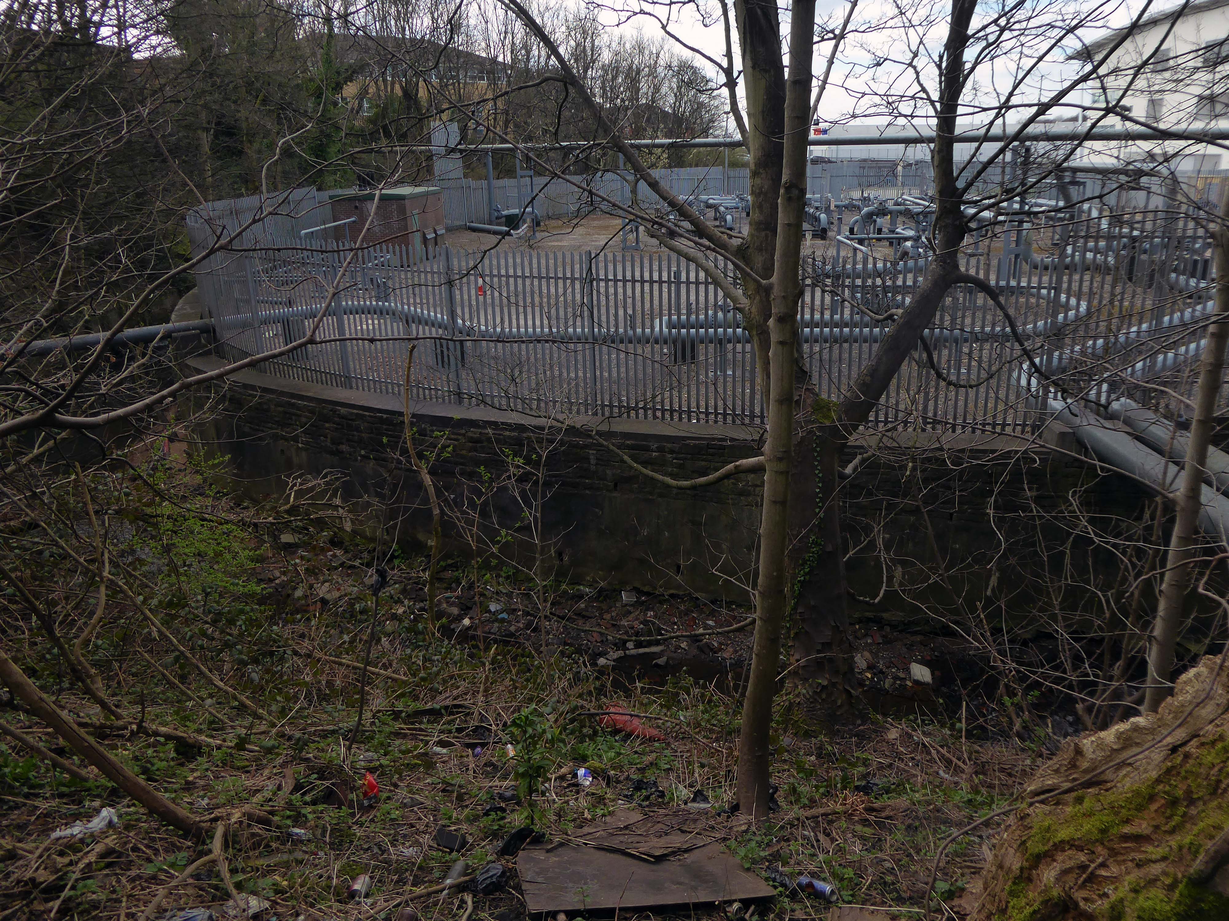
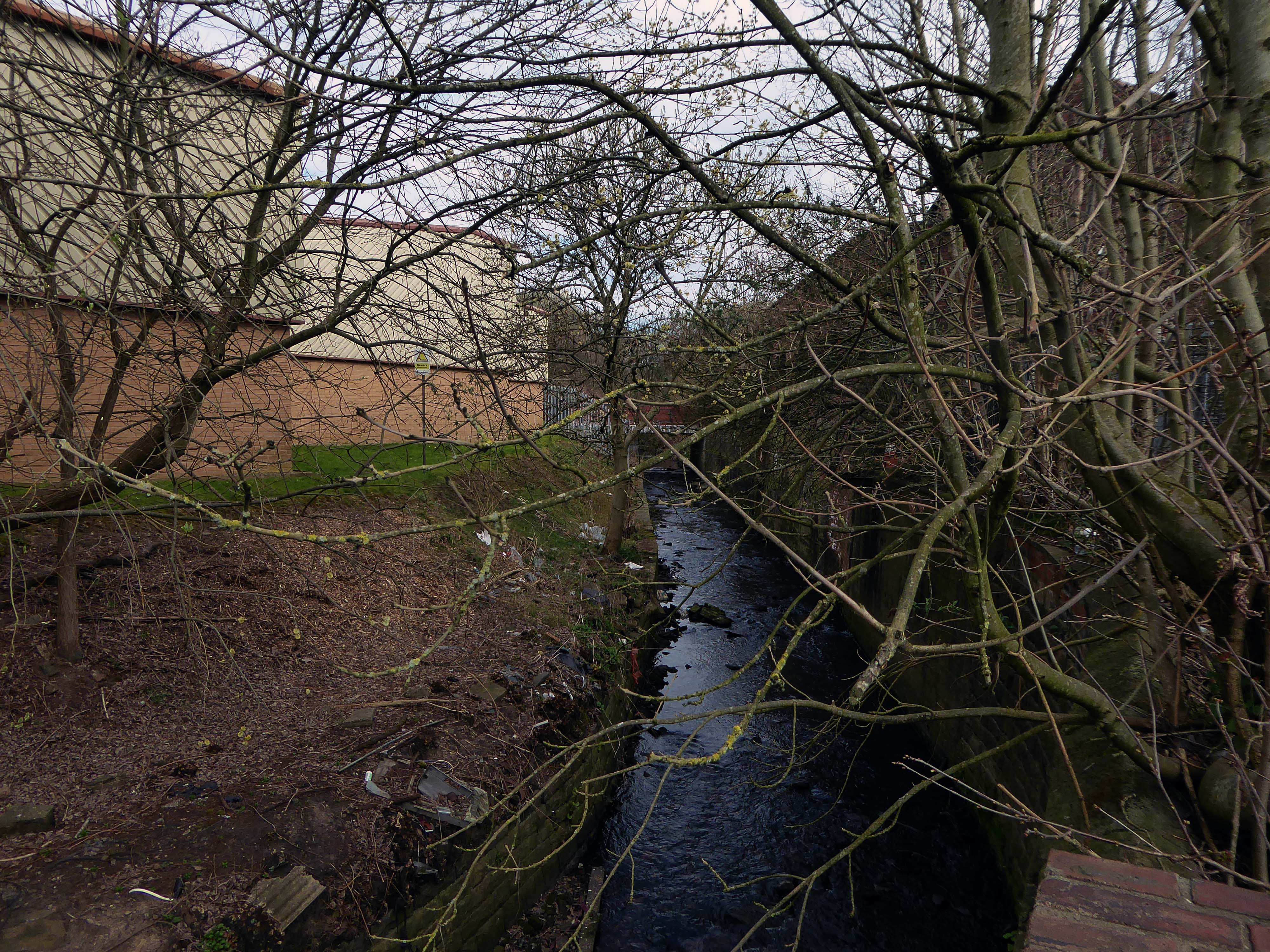
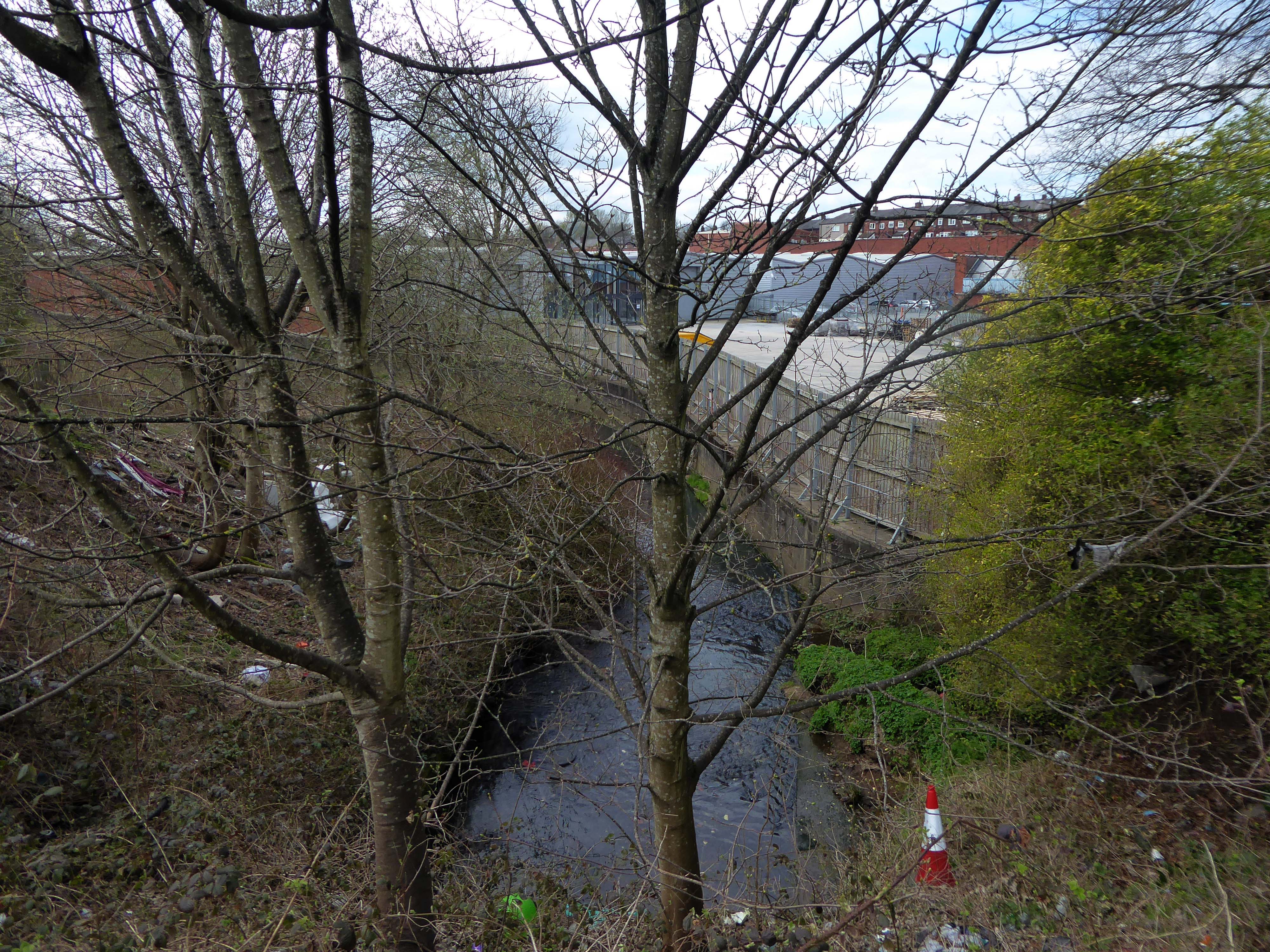
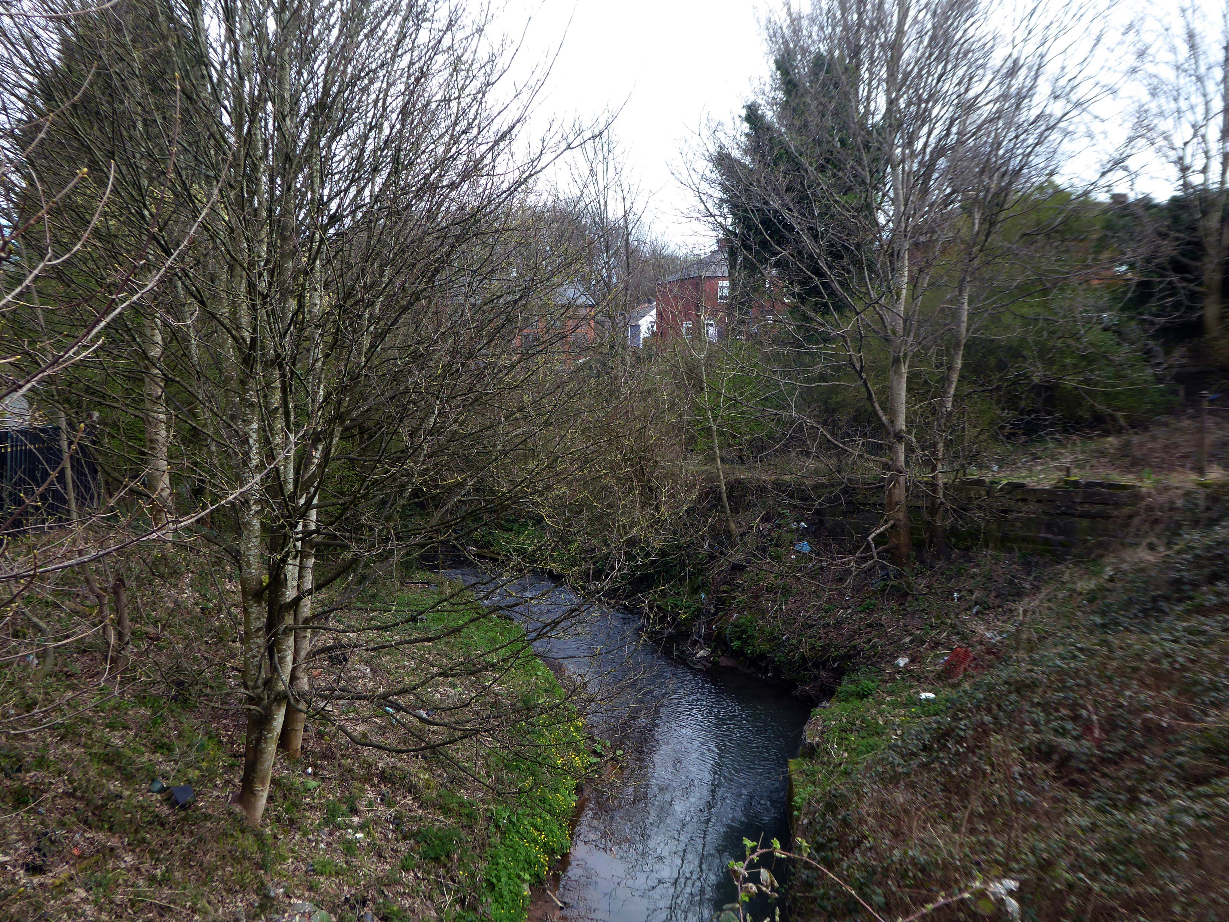
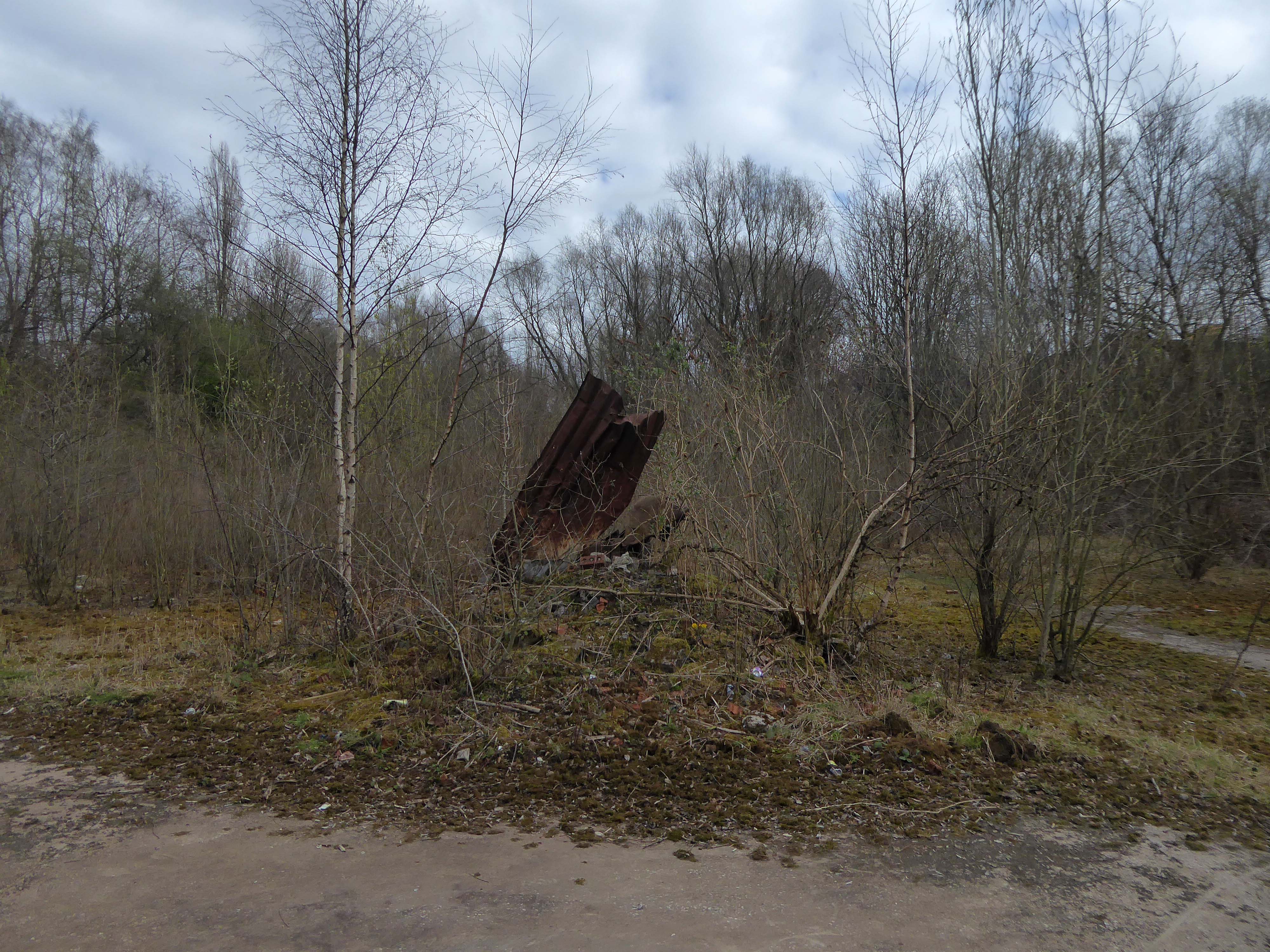
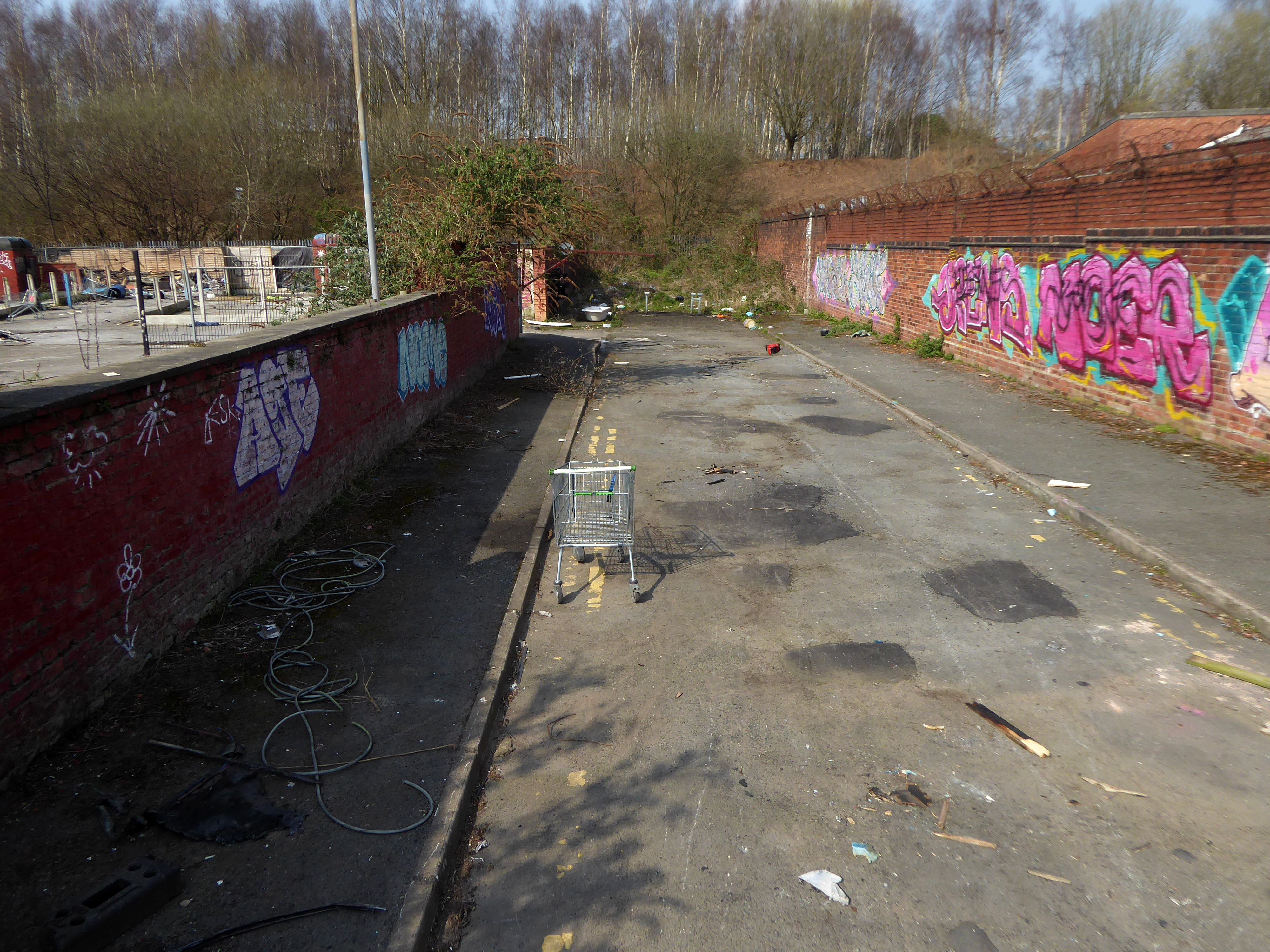
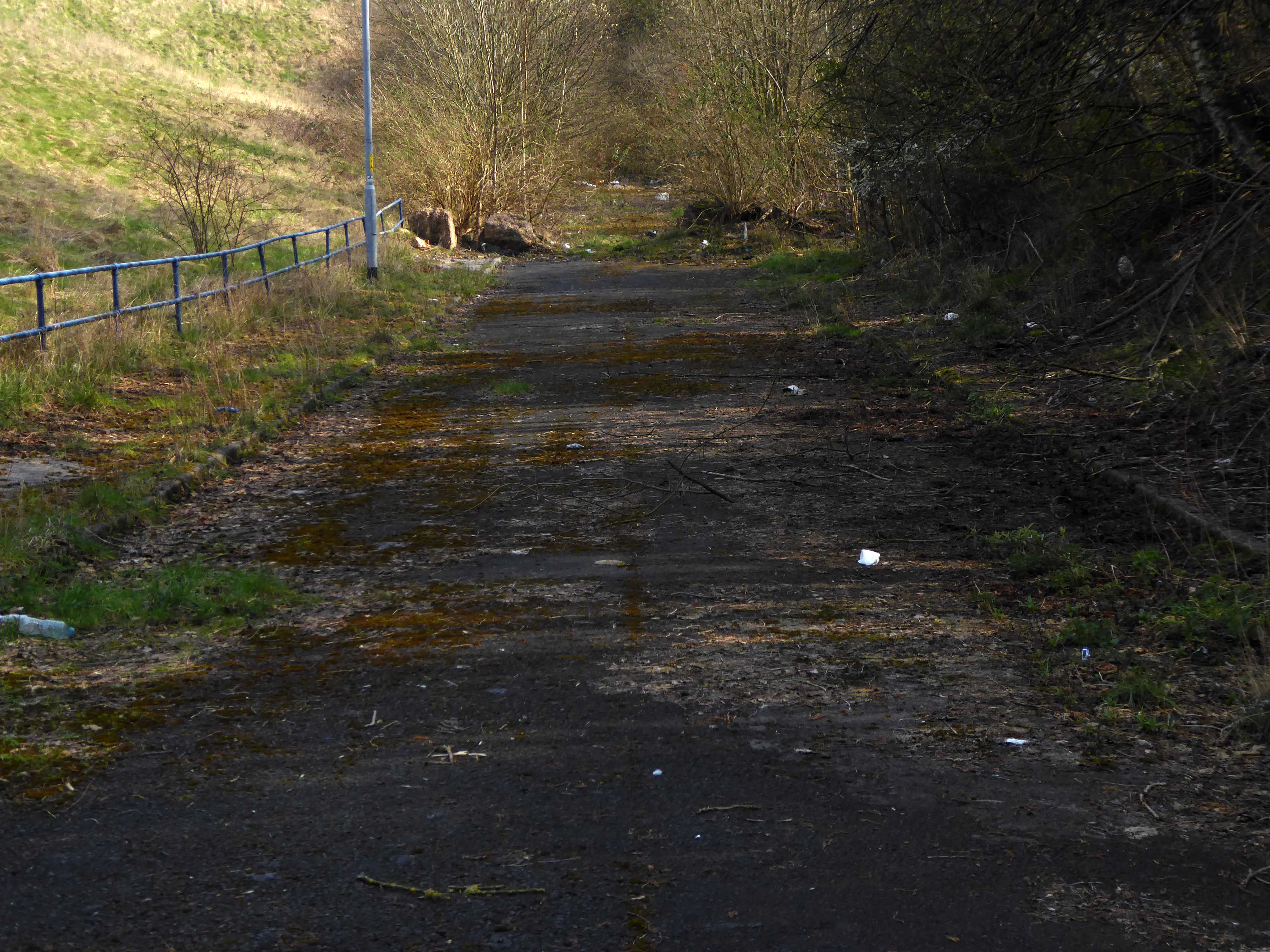
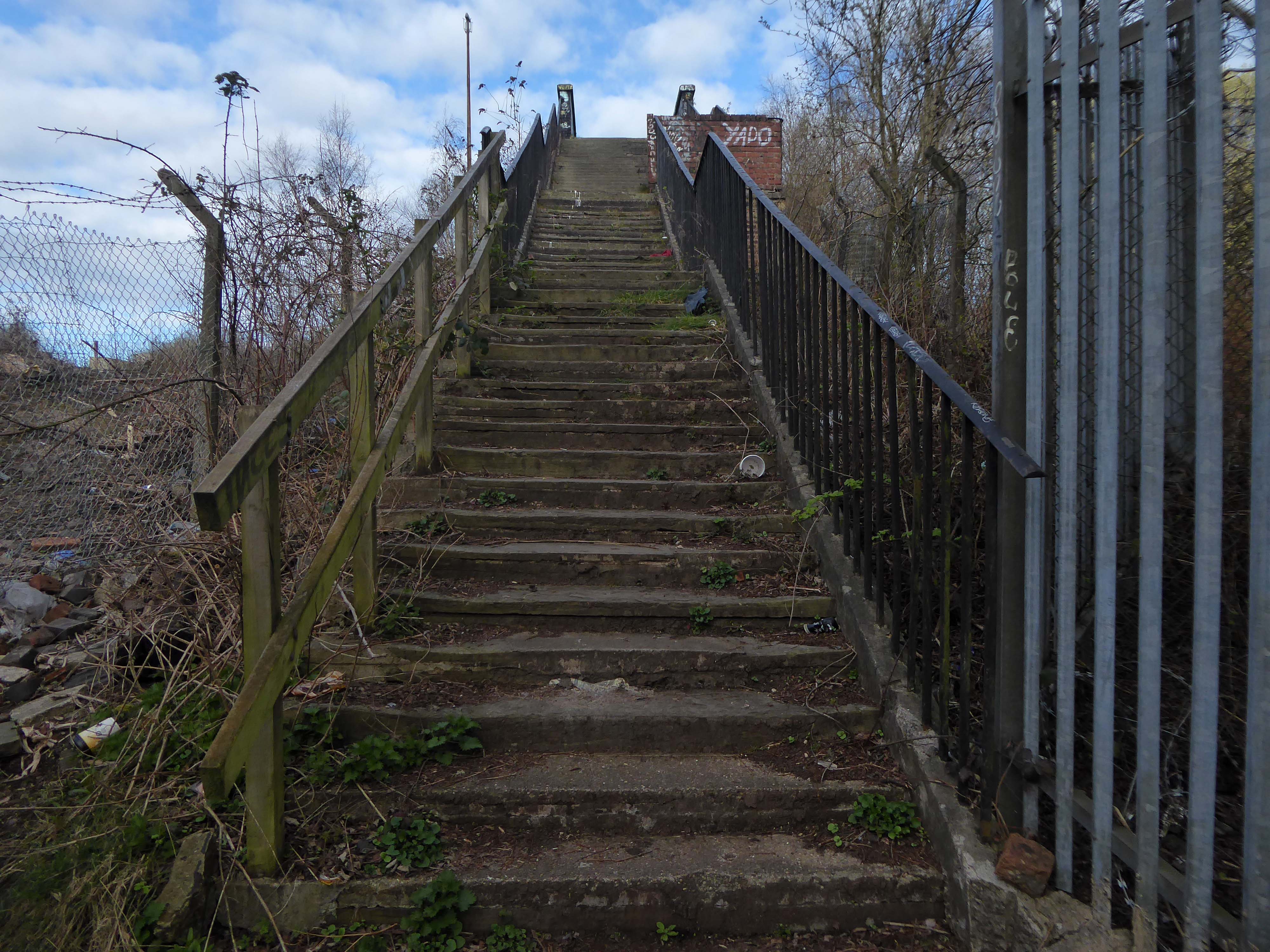
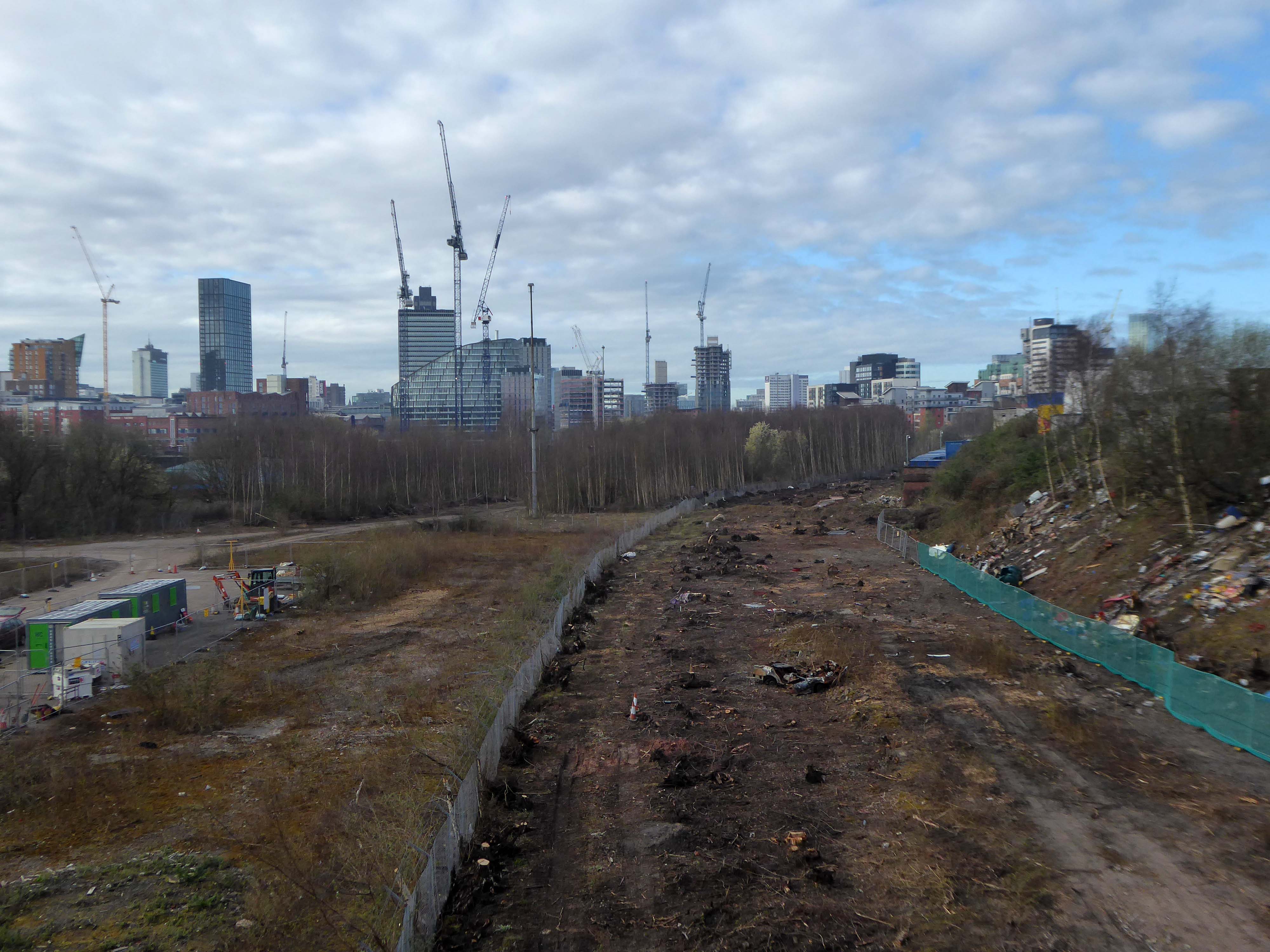
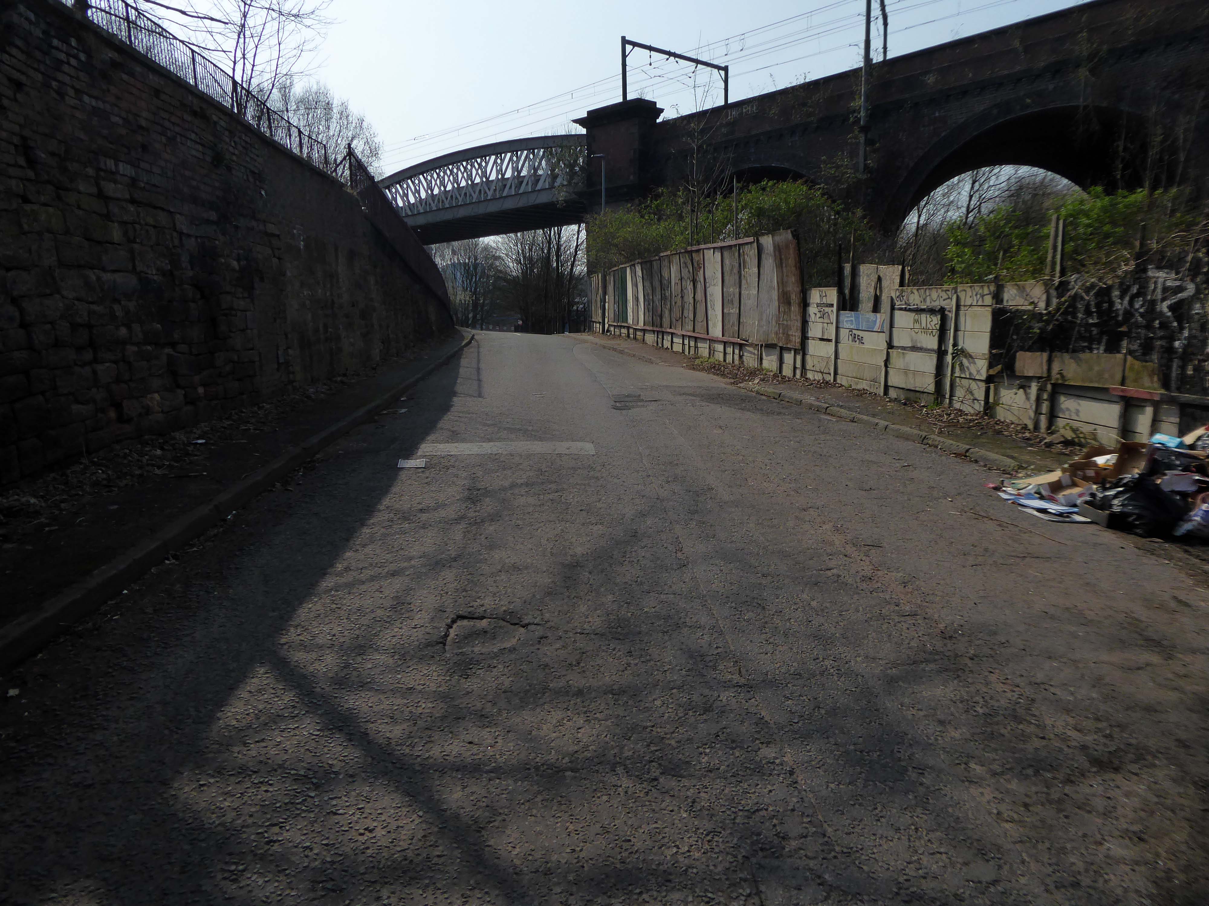
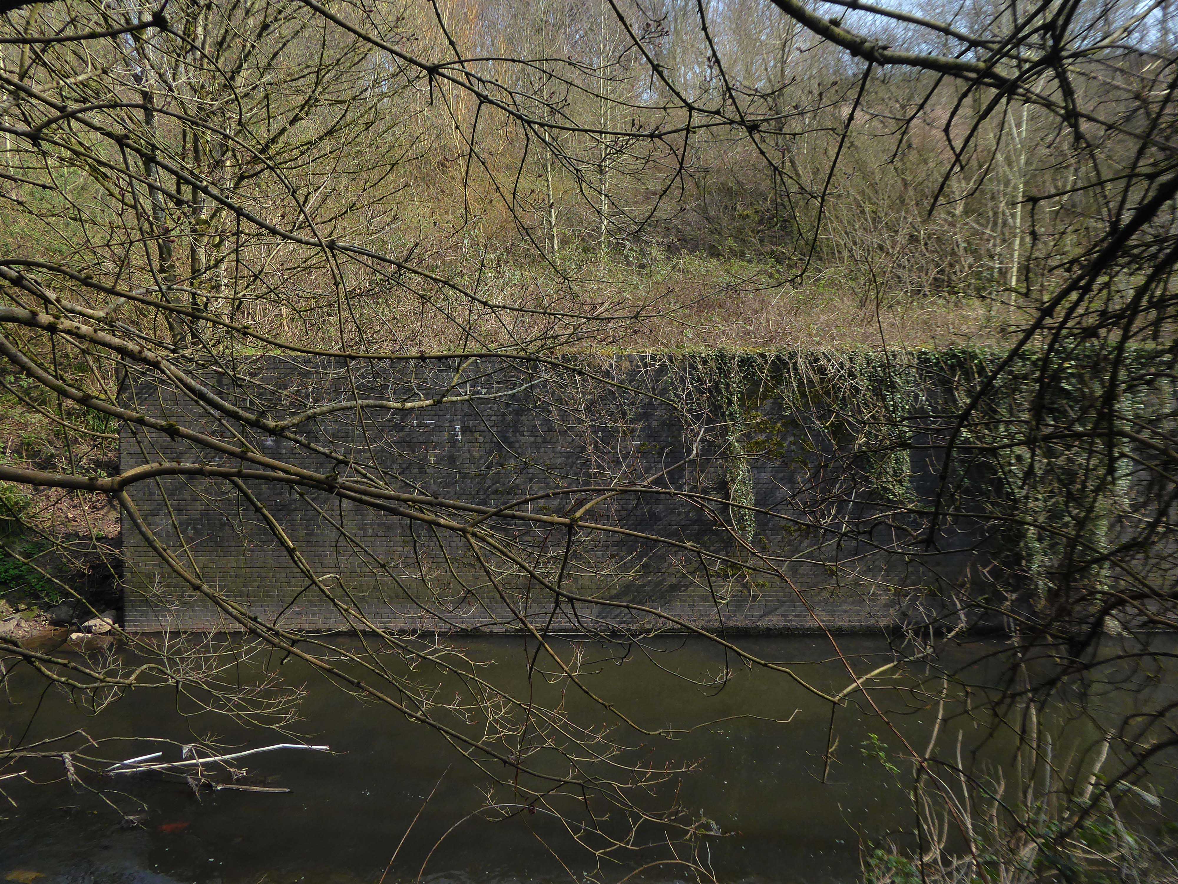
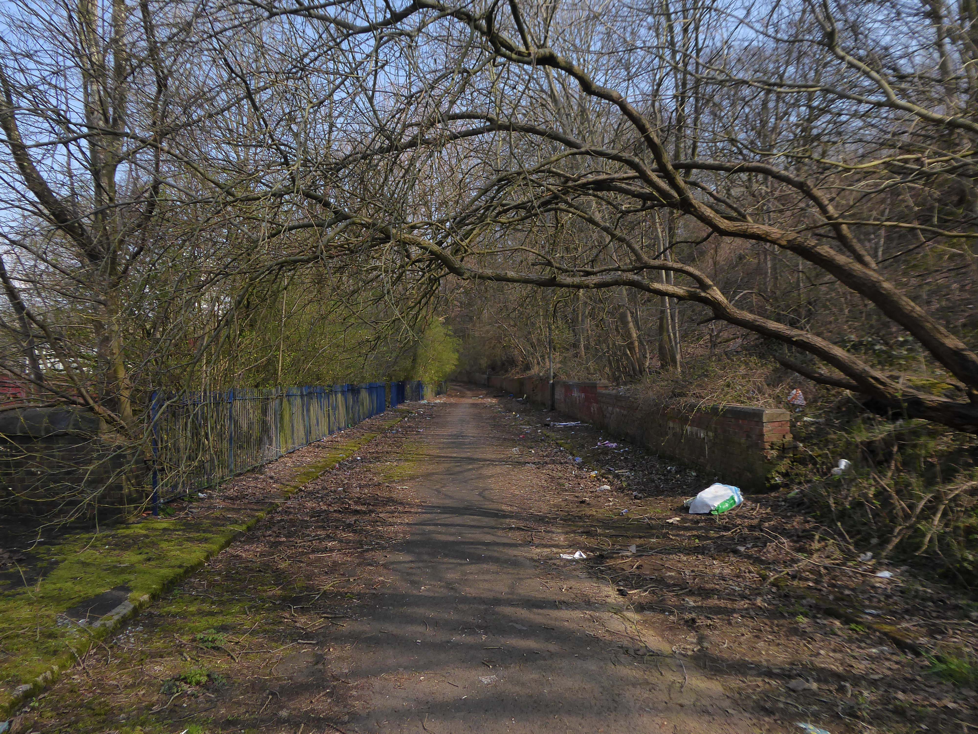
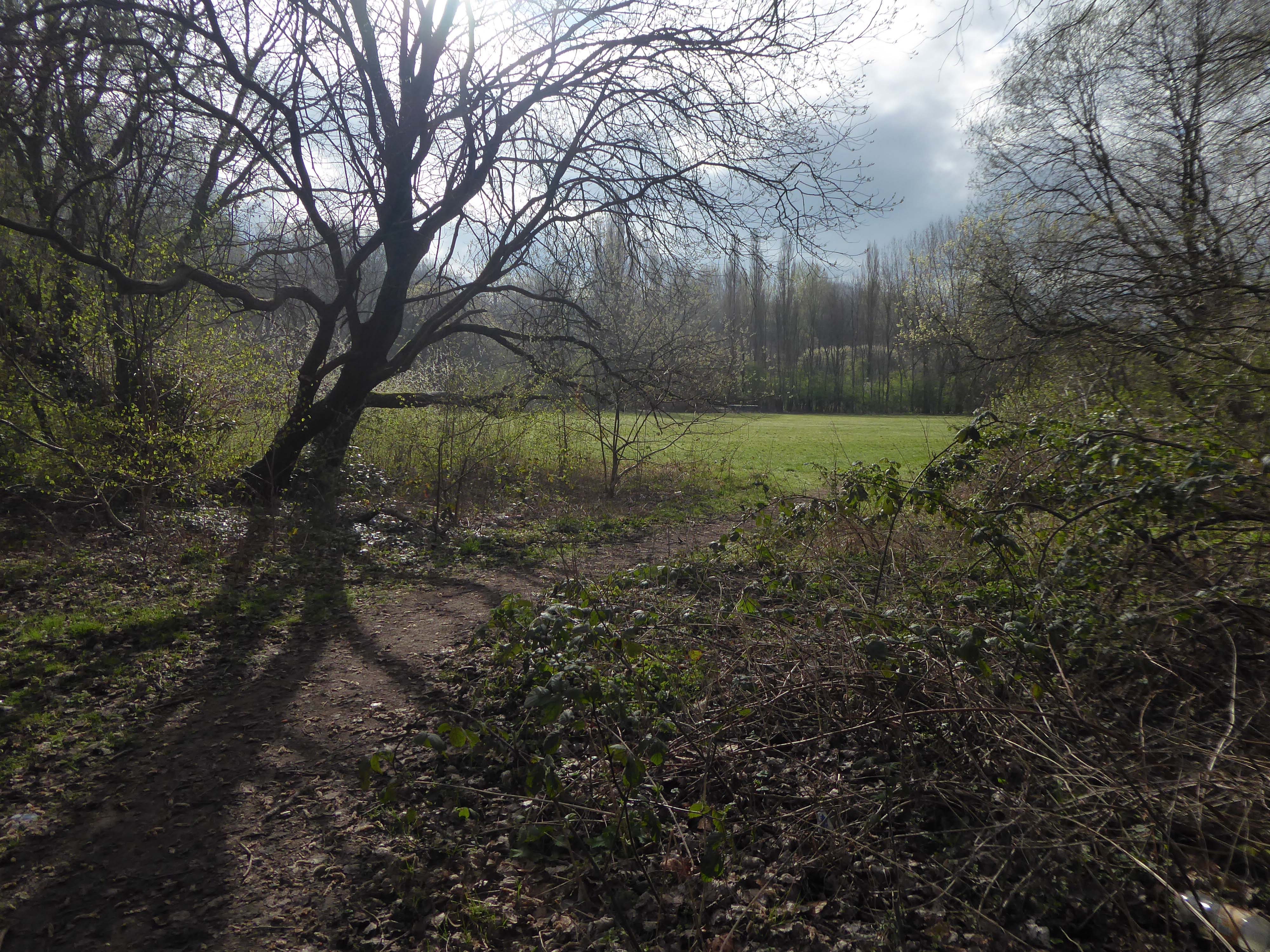
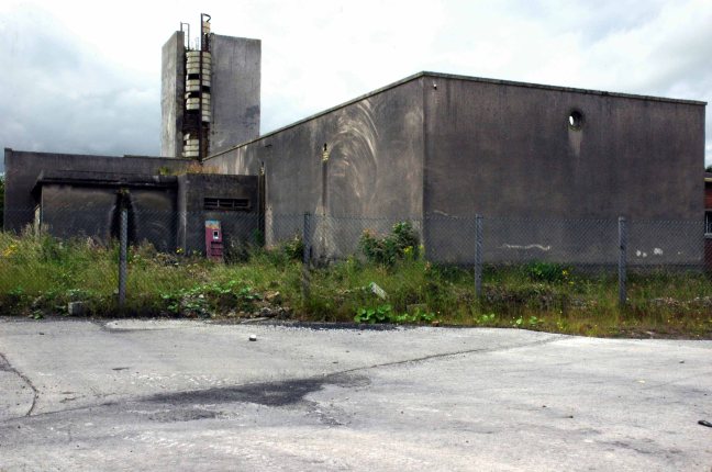
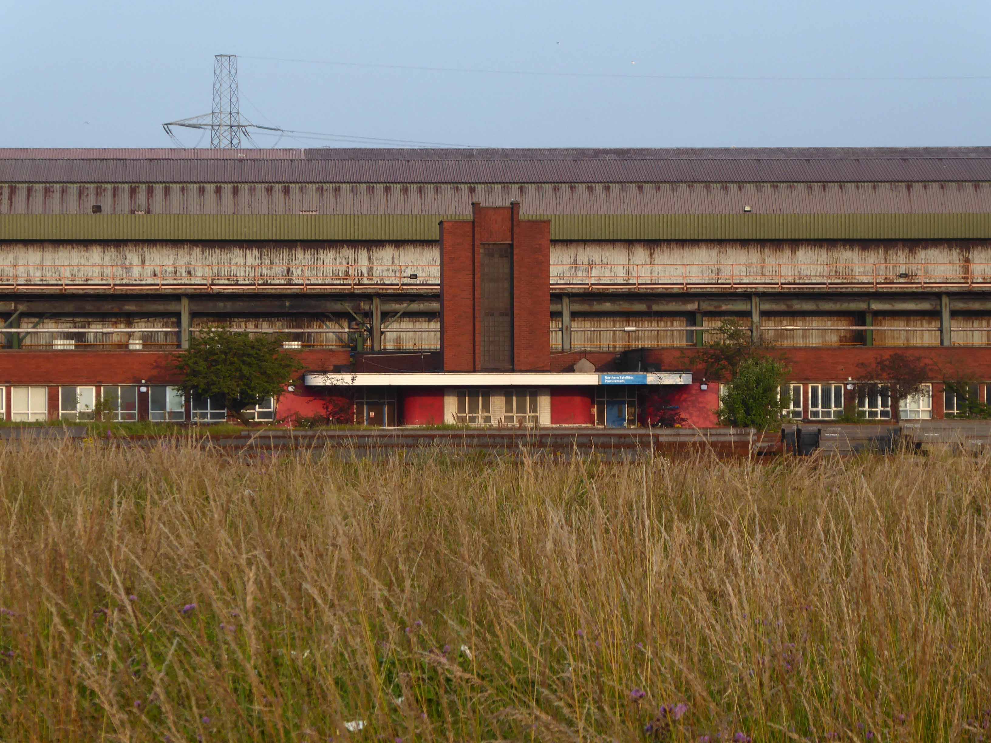
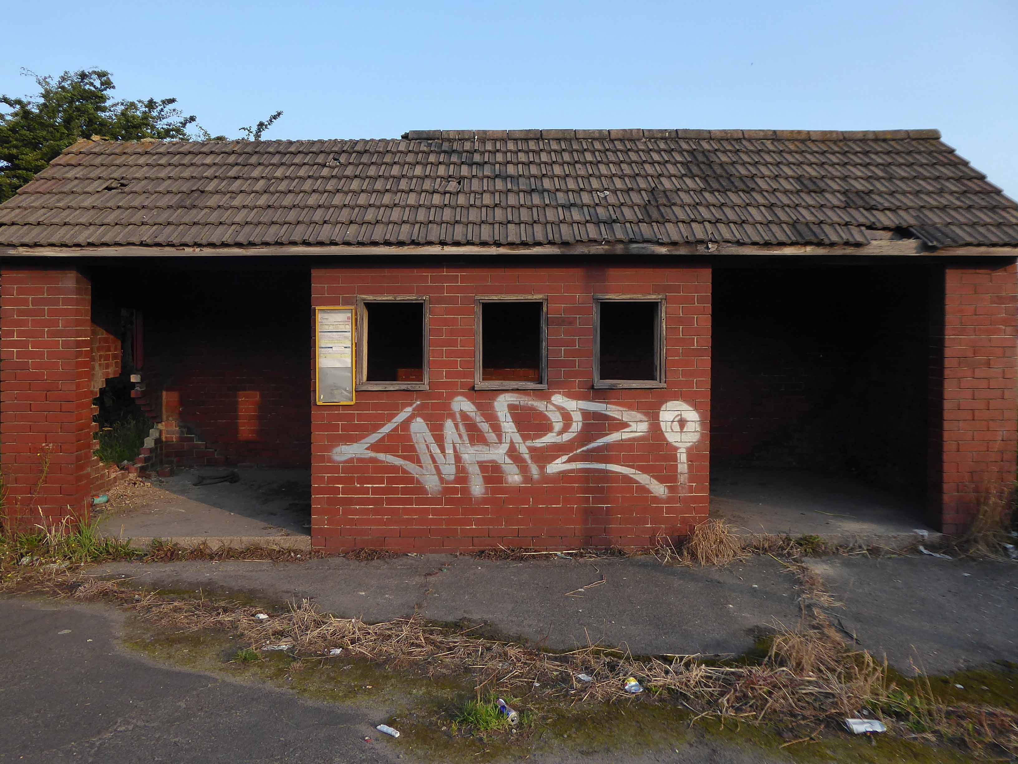
We can see the remains of the road system of this former industrial site, now colonised by brambles and greenery, the imposition of earth mounds and fly tipping.
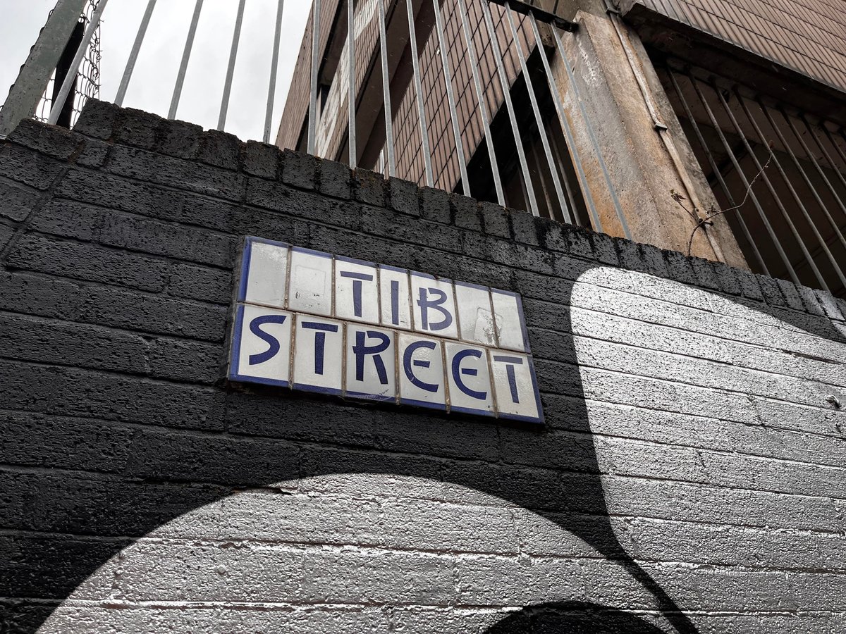
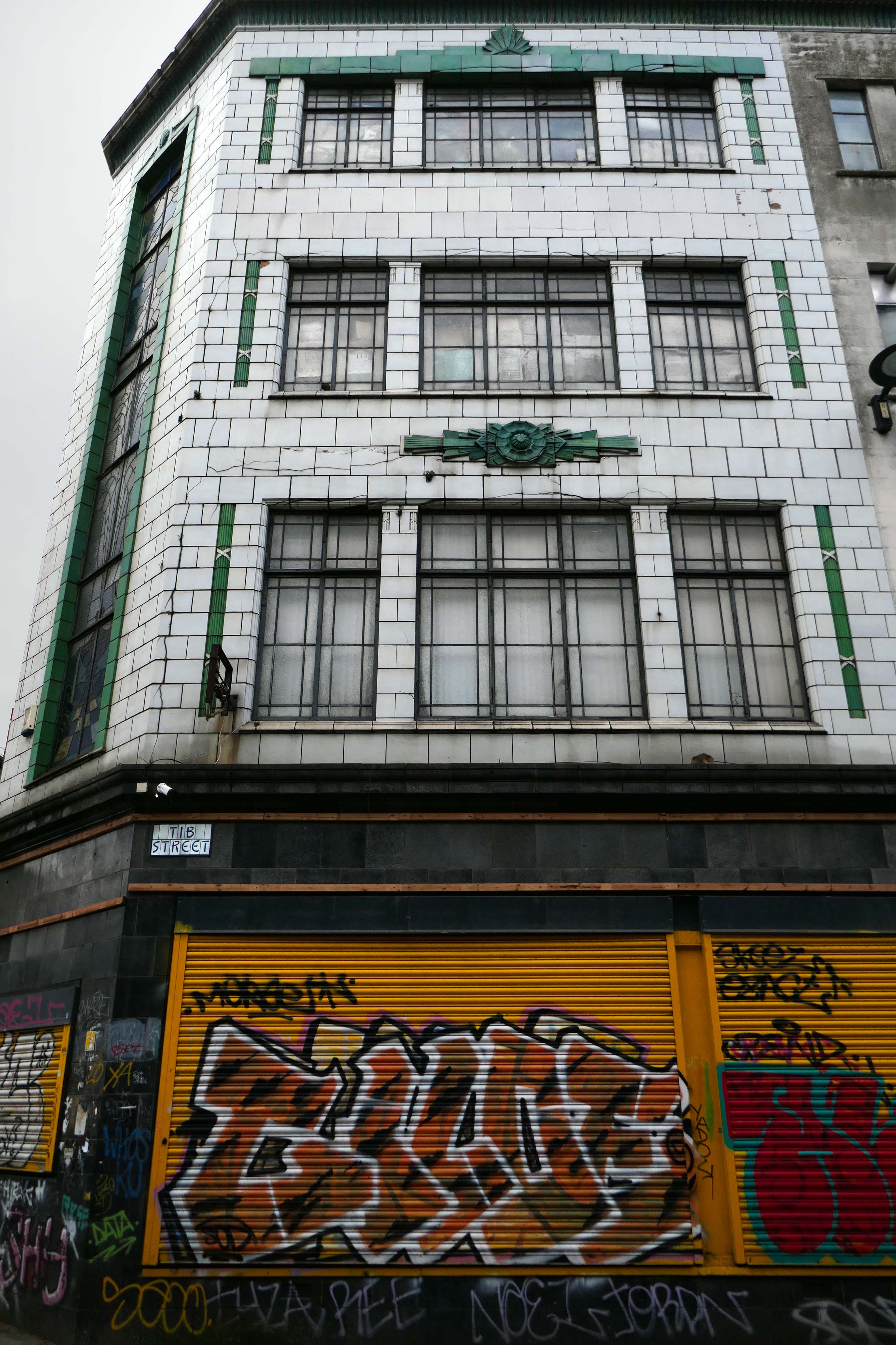
Thanks to L Kaye and the Manchester Local Image Collection there is a photographic record of Tib Street through the years.
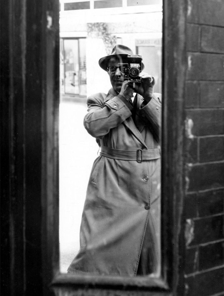
Shot on 35mm black and white film, cautiously clad in gaberdine and trilby. The legwork aside the processing and printing of a whole heap of exposures was a gargantuan task.
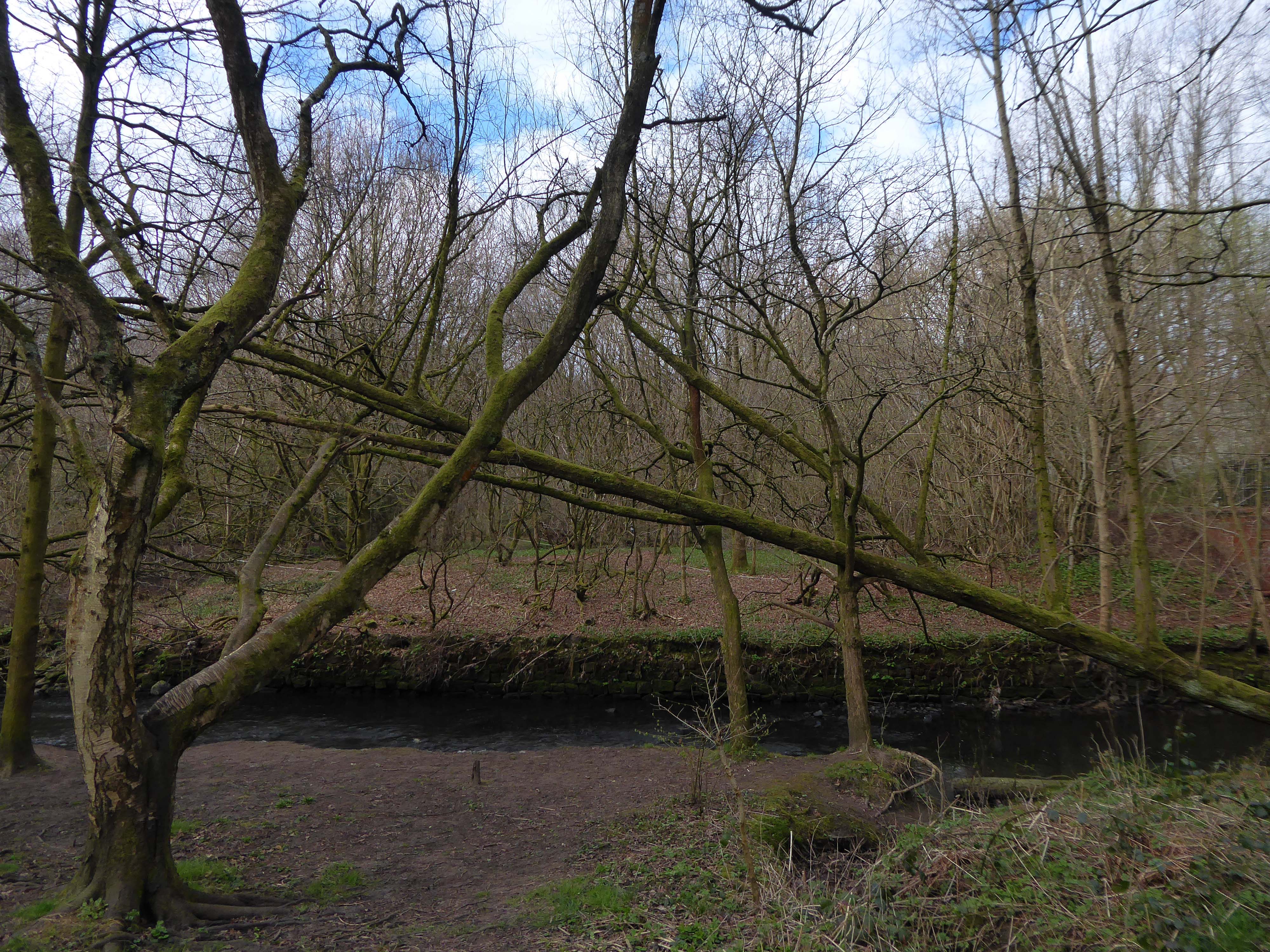
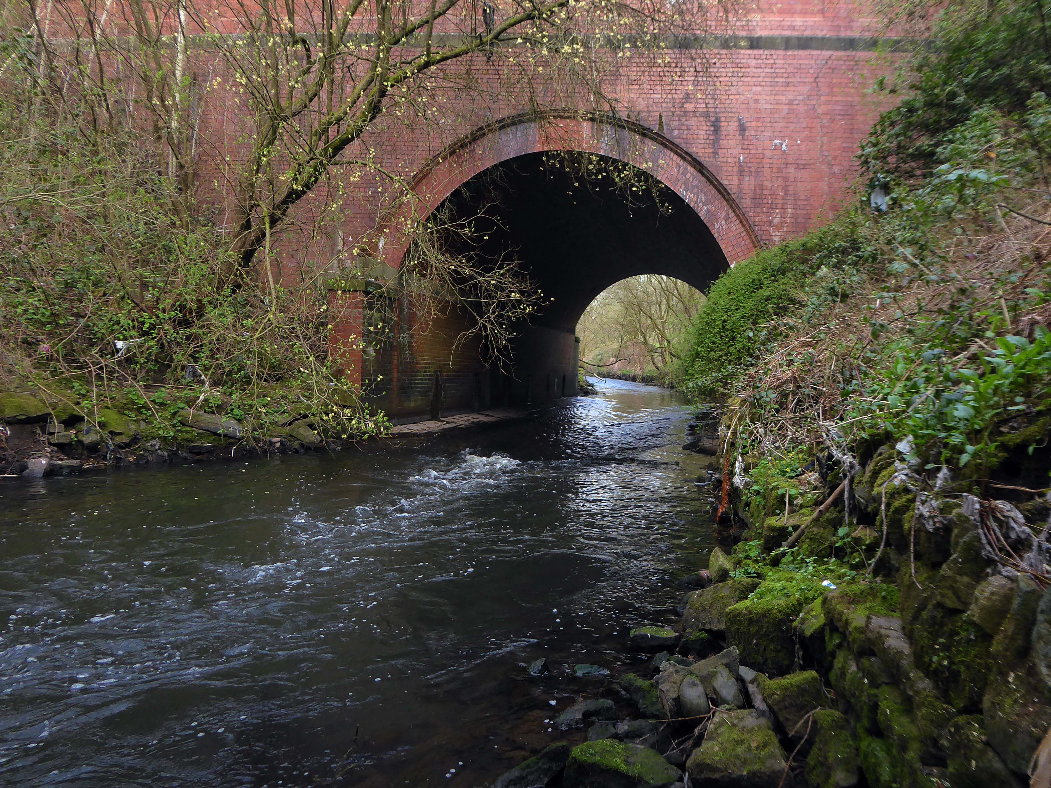
The river’s source is a spring in Miles Platting , from where it flows underneath Oldham Road and the eponymous Tib Street to reach the city centre. After flowing underneath West Mosley Street, the Tib crosses Princess Street to flow underneath the Manchester Town Hall Extension, the Central Library and the Midland Hotel’s dining room, before joining the Medlock at Gaythorn (now First Street, close to Deansgate railway station.
The distinctive street signs the work of my old pal Tim Rushton.
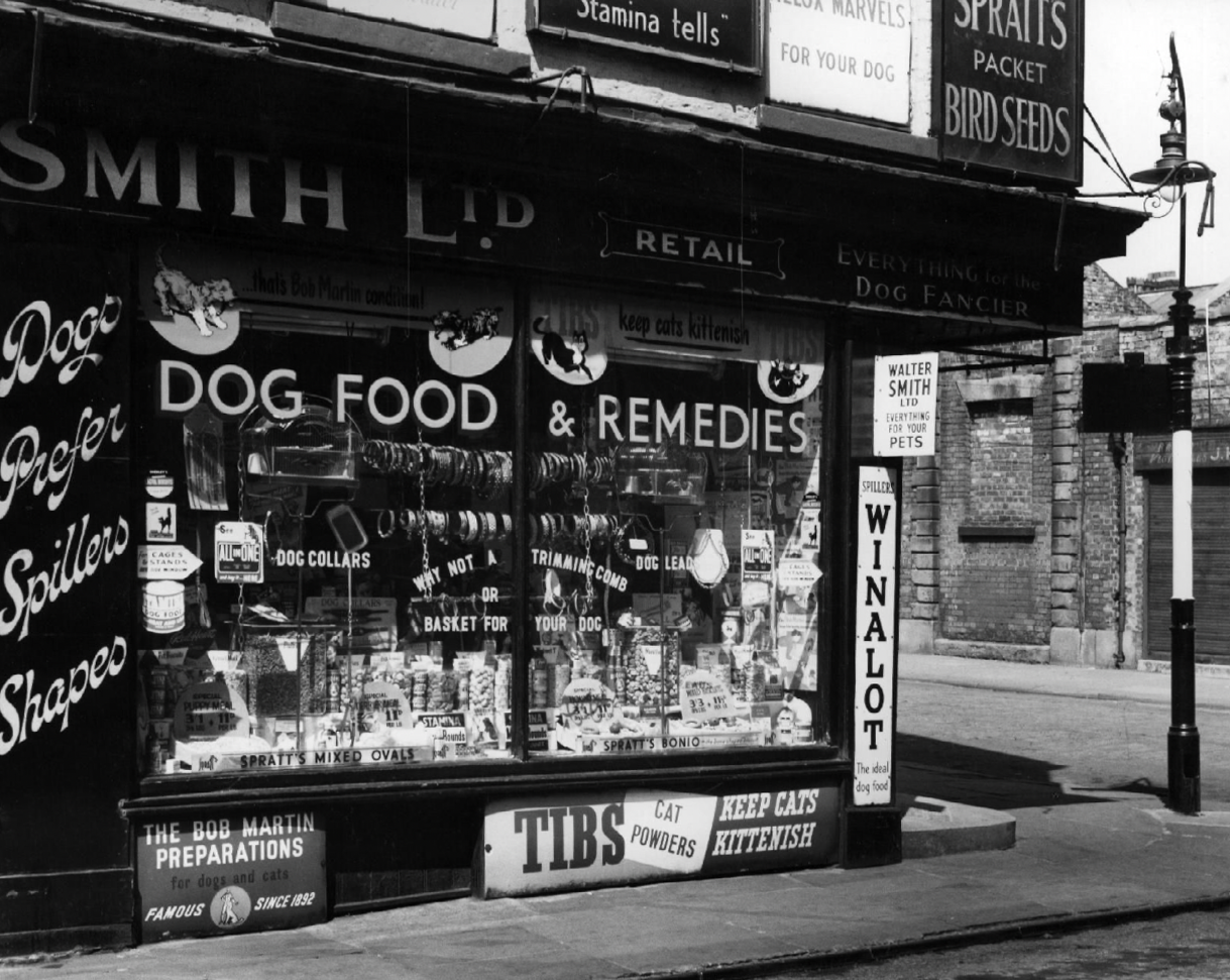
There are those who will remember Tib Street, as a street of pet shops.
Whilst on Sundays the area was transformed into an al fresco menagerie – a land of caged birds and cuddly coneys.
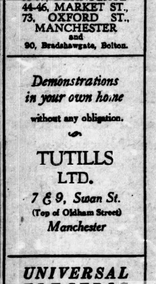
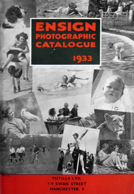
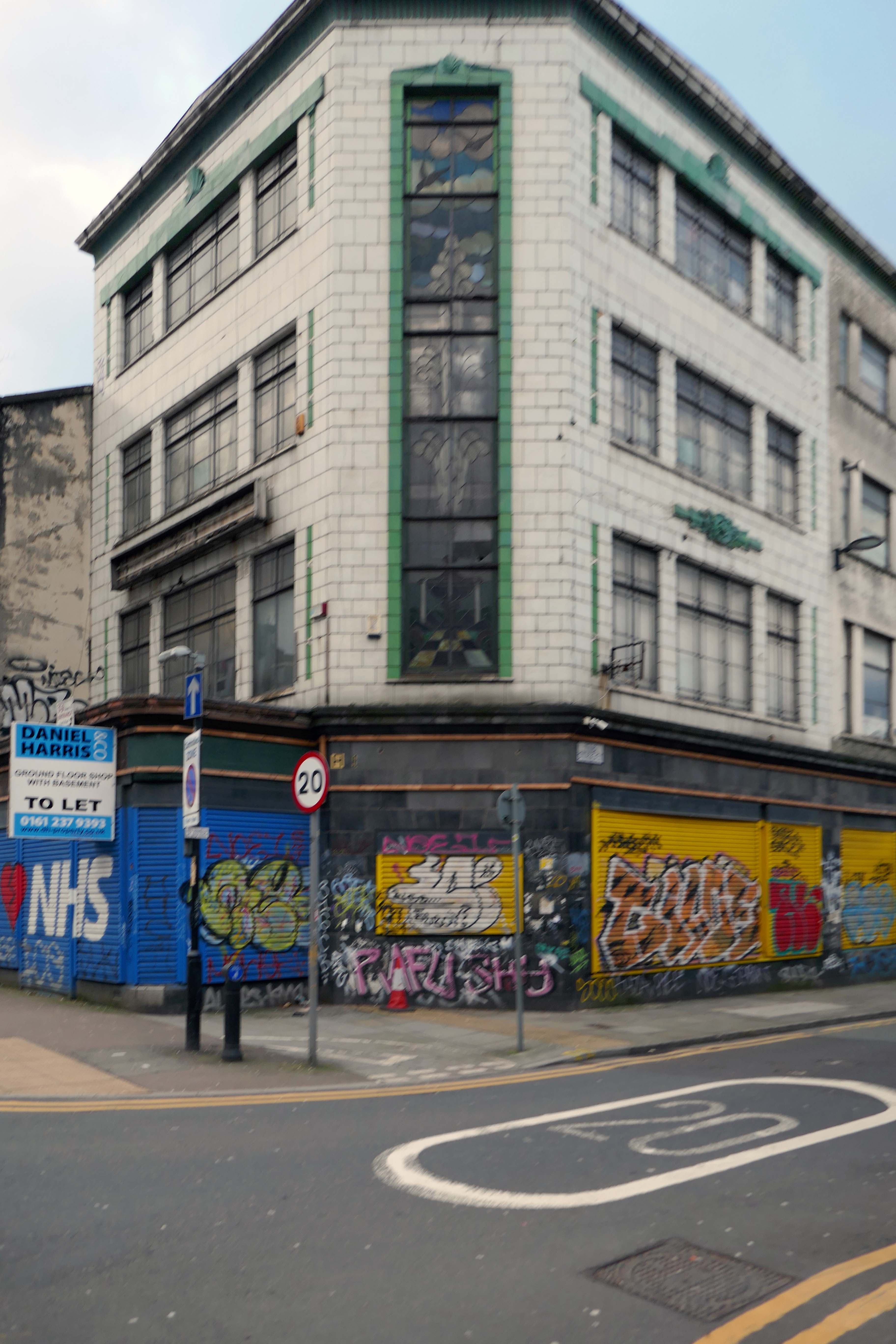
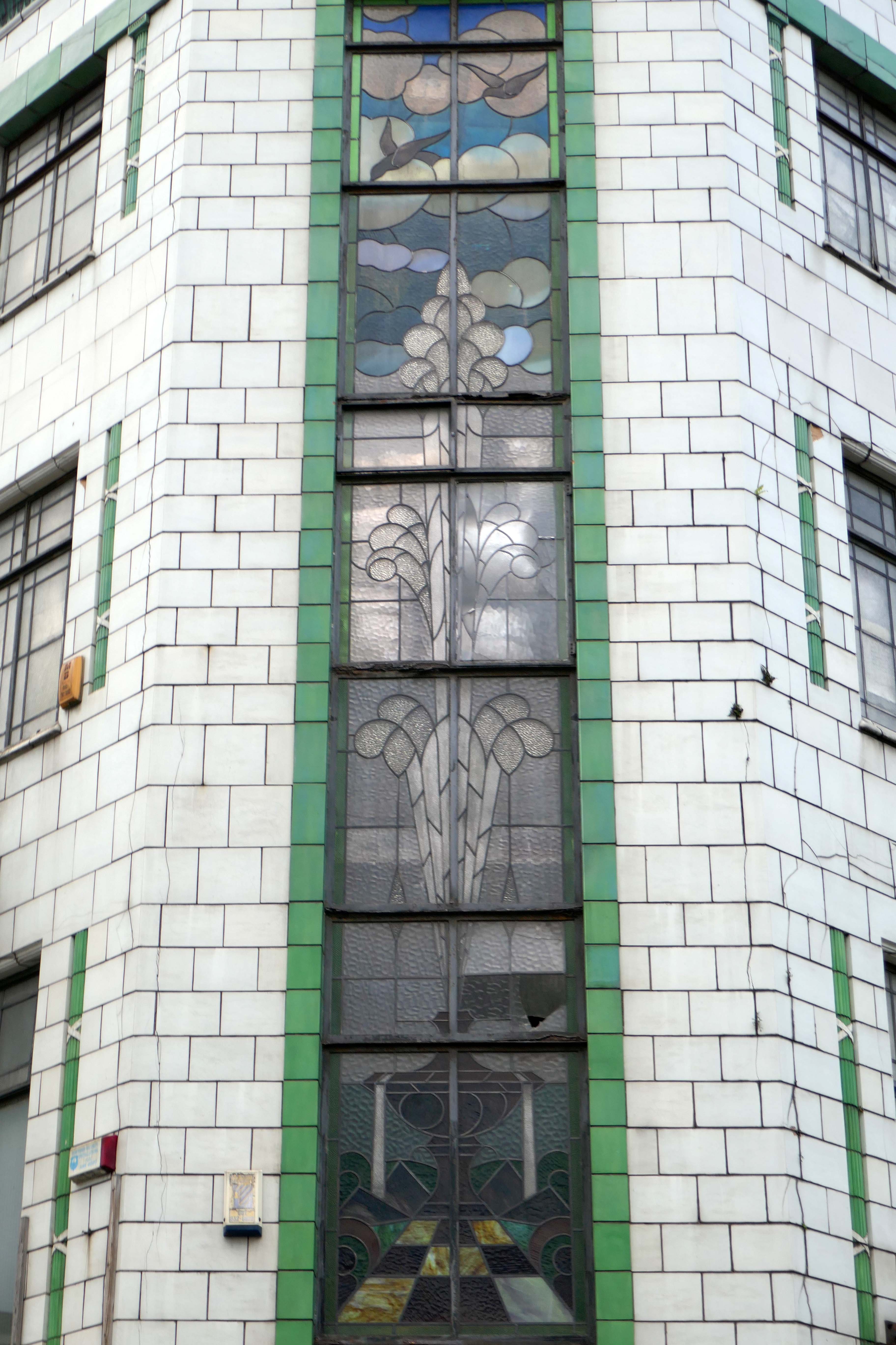
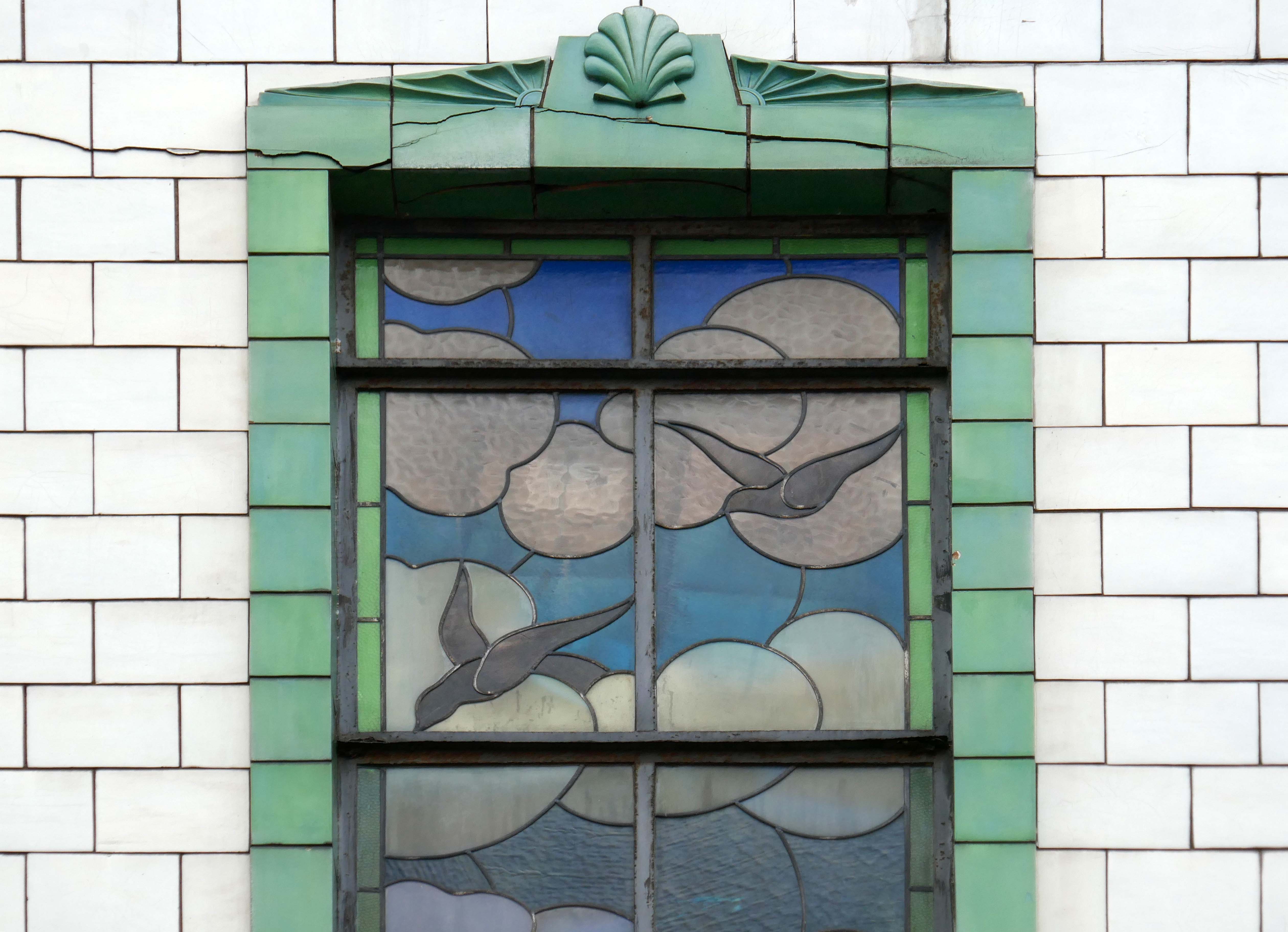
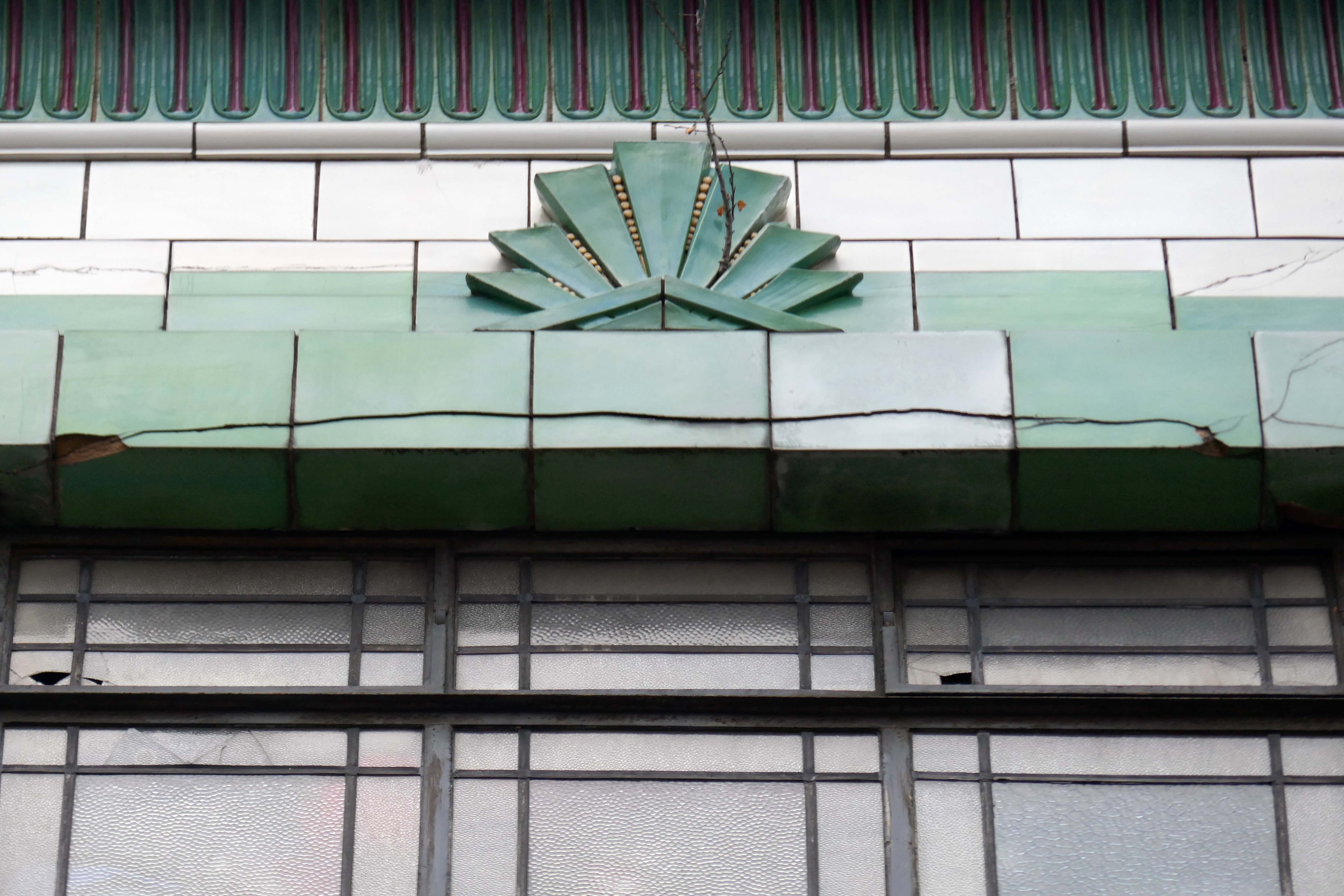
I have long been curious about the faience fronted shop on the corner of Tib and Swan Streets, it featured on my modernist mooch around the north of the city centre.
I have been informed by Lee Hutchings that it had originally been home to Tuttils Ltd.
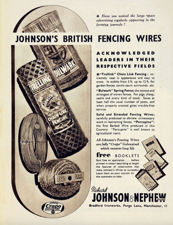
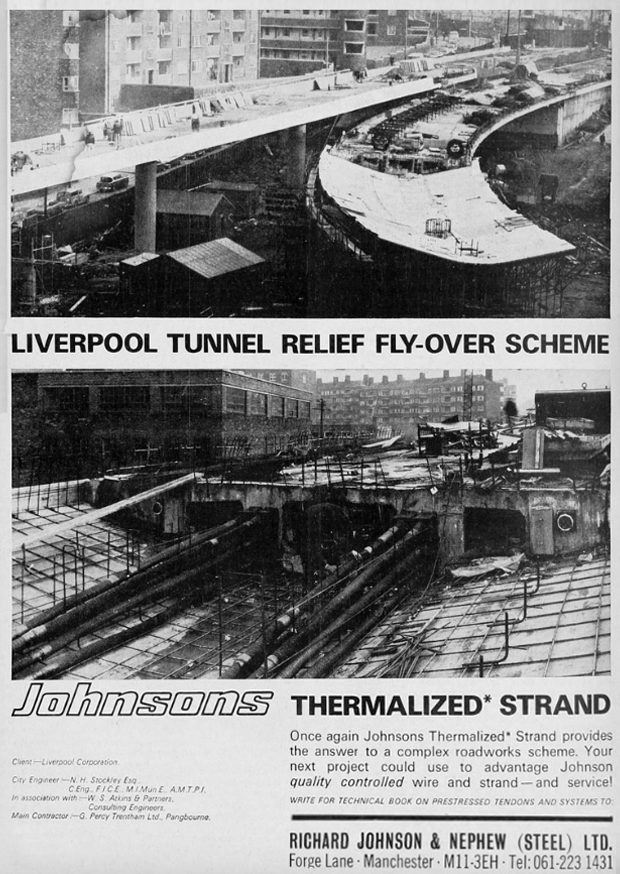
It was also, formerly the showrooms for local manufacturers Johnson & Nephew.
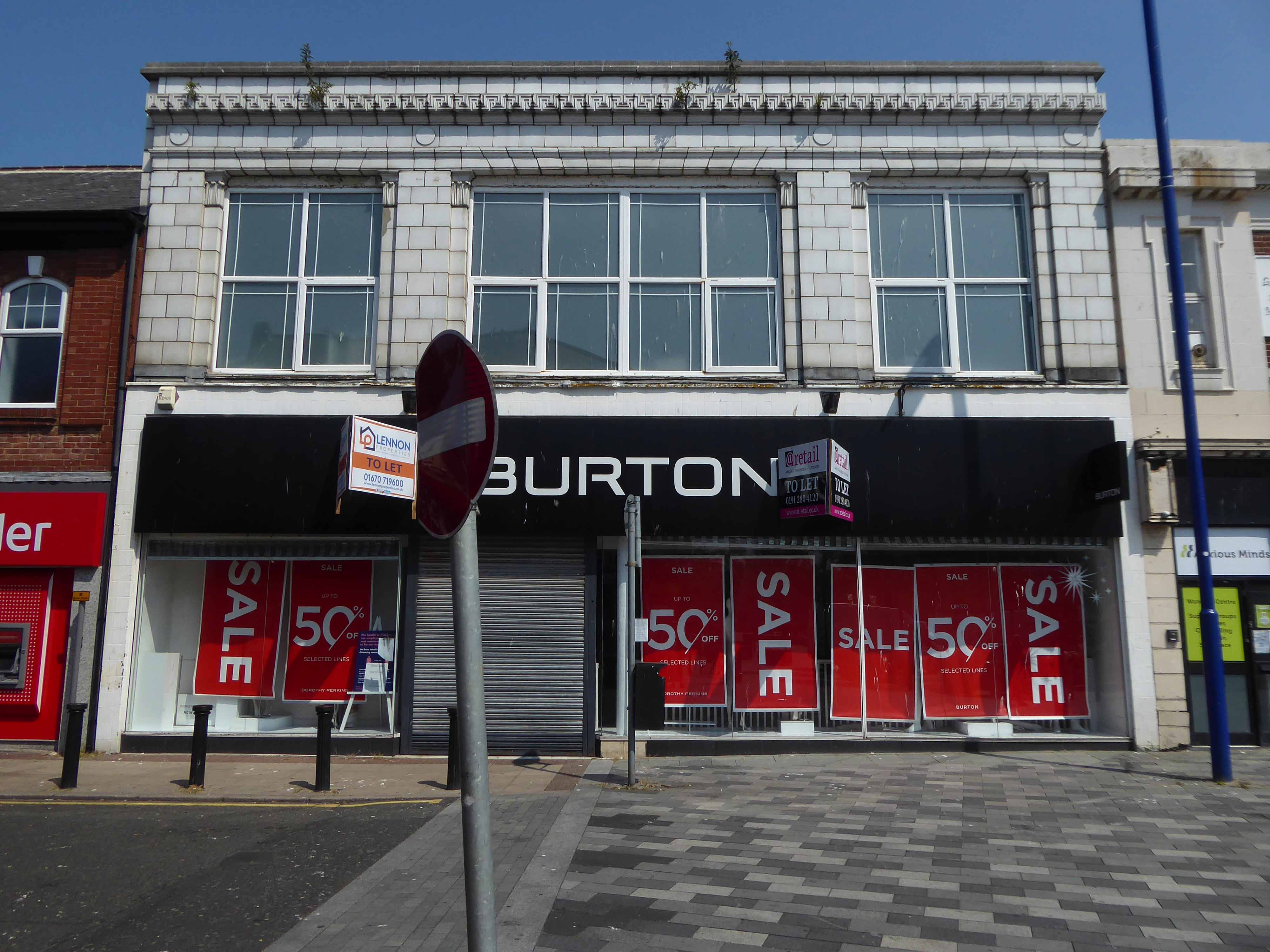
Here it is in 1959 – with a Burton’s for a neighbour.
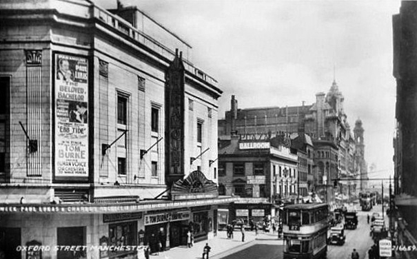
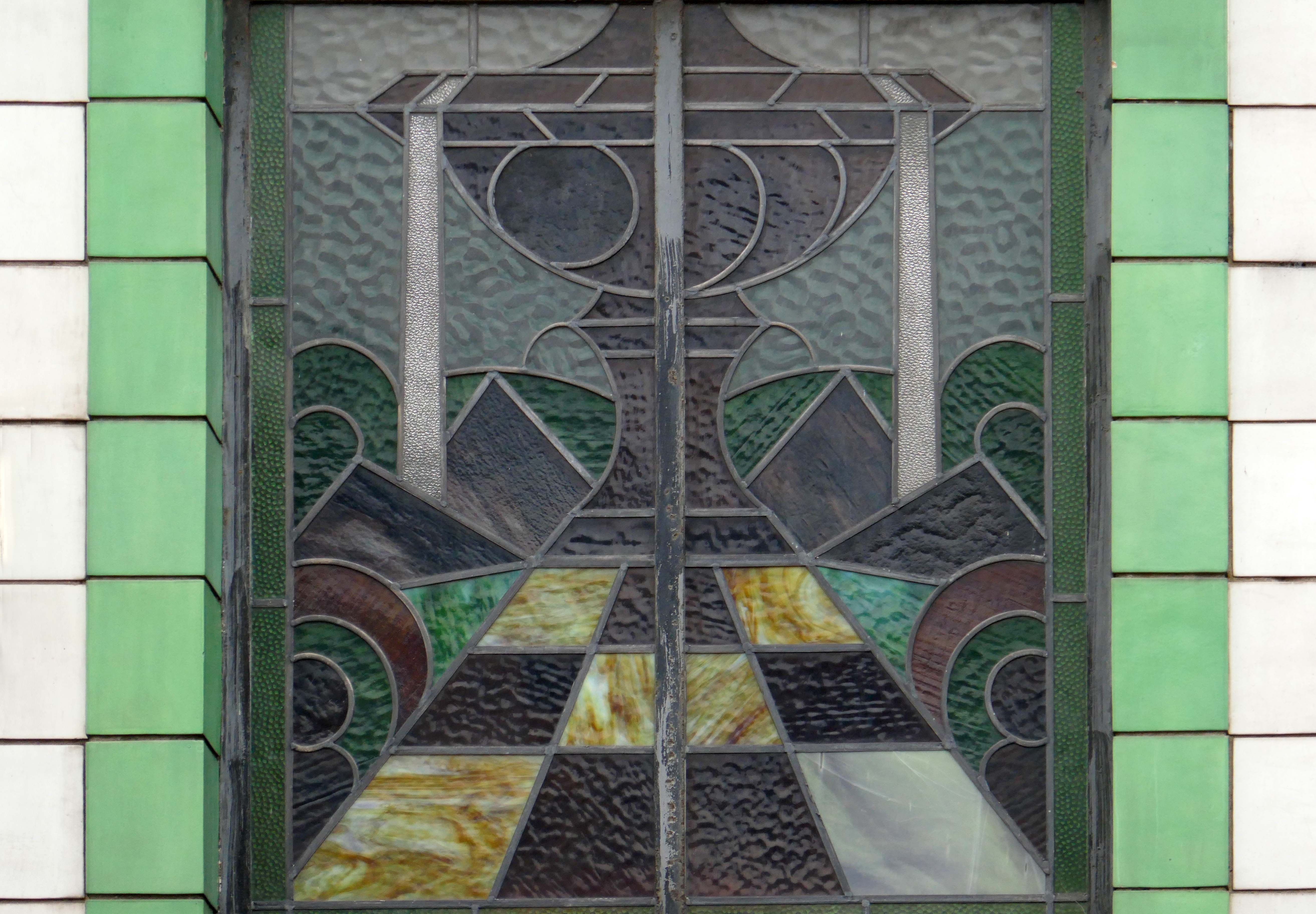
Pragmatic Manchester is far from awash with Art Deco – the lost Paramount/Odeon of Oxford Street comes to mind, demolished in 2017.
The Paramount Theatre was built in 1930 to the designs of architects Frank T. Verity & Samuel Beverley for the U.K. arm of the American Paramount Theatres Ltd. chain. The Manchester Paramount Theatre was a sumptuous American import.
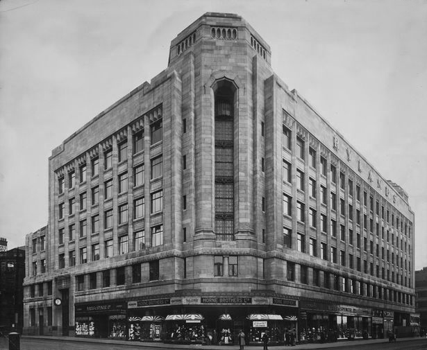
Along with the Rylands Building on High Street – currently receiving a facelift following the demise of Debenhams.
The building was originally built as a warehouse by J. Gerrard & Sons of Swinton for the Rylands textile company, which was founded by the entrepreneur John Rylands. That firm had occupied warehouses in High Street ever since 1822; its west-facing side is on High Street. The building was designed by the eminent Manchester architects, Fairhursts – Harry S. & P. G. Fairhurst, in an Art Deco style. It is clad in Portland stone and features a decorative corner tower and eclectic ‘zig zag’ window lintels. The work was completed in 1932.
Rylands will be sensitively restored to its elegant past. The building will comprise workspace, retail and leisure, creating an exciting new destination in Central Manchester.
I began walking when quite young, then like Felix, I kept on walking, walking still.
The photograph was taking during the Whit Walks in 1958 – aged three, I was engaged in religious pilgrimage, as we know there are many reasons for walking, this is but one.
I was fortunate to grow up at a time when youngsters were permitted to roam freely, less traffic, less anxiety, gave me access to a wider axis of exploration.
The photograph would have been taken I assume, by my mam, on the Brownie 127. When aged nine I wandered alone through the local woods and exposed twelve frames of 44mm 127 film, the prints are long gone, yet I remember each of the photographs and locations clearly.
I went to school, then I didn’t, then I went to Art School, eventually becoming a teenage Constructivist, tutored by Jeffrey Steele, a leading light in the British Systems movement.
The rigidity of the grid, symmetry and orthogonal framing have stayed with me.
Then I went to work for a very long time indeed, then all of a sudden I didn’t. Taking early retirement aged 59 some ten years ago, subsequently taking to the roads, streets and hills of Britain in search of nothing in particular.
In recent years there has been a rapid development in the culture of walking, theories, films, guides, songs and literature. I am fully cognisant of such, yet believe at heart that walking can be free of such baggage, we can stride unhindered, atavistic and carefree/less.
Walk tall, walk straight and look the world right in the eye.
Getting lost is about the unfamiliar appearing.
In my own small way, I have become part of that baggage, having been asked to lead a walk around Stockport by the the modernist neé Manchester Modernist Society.
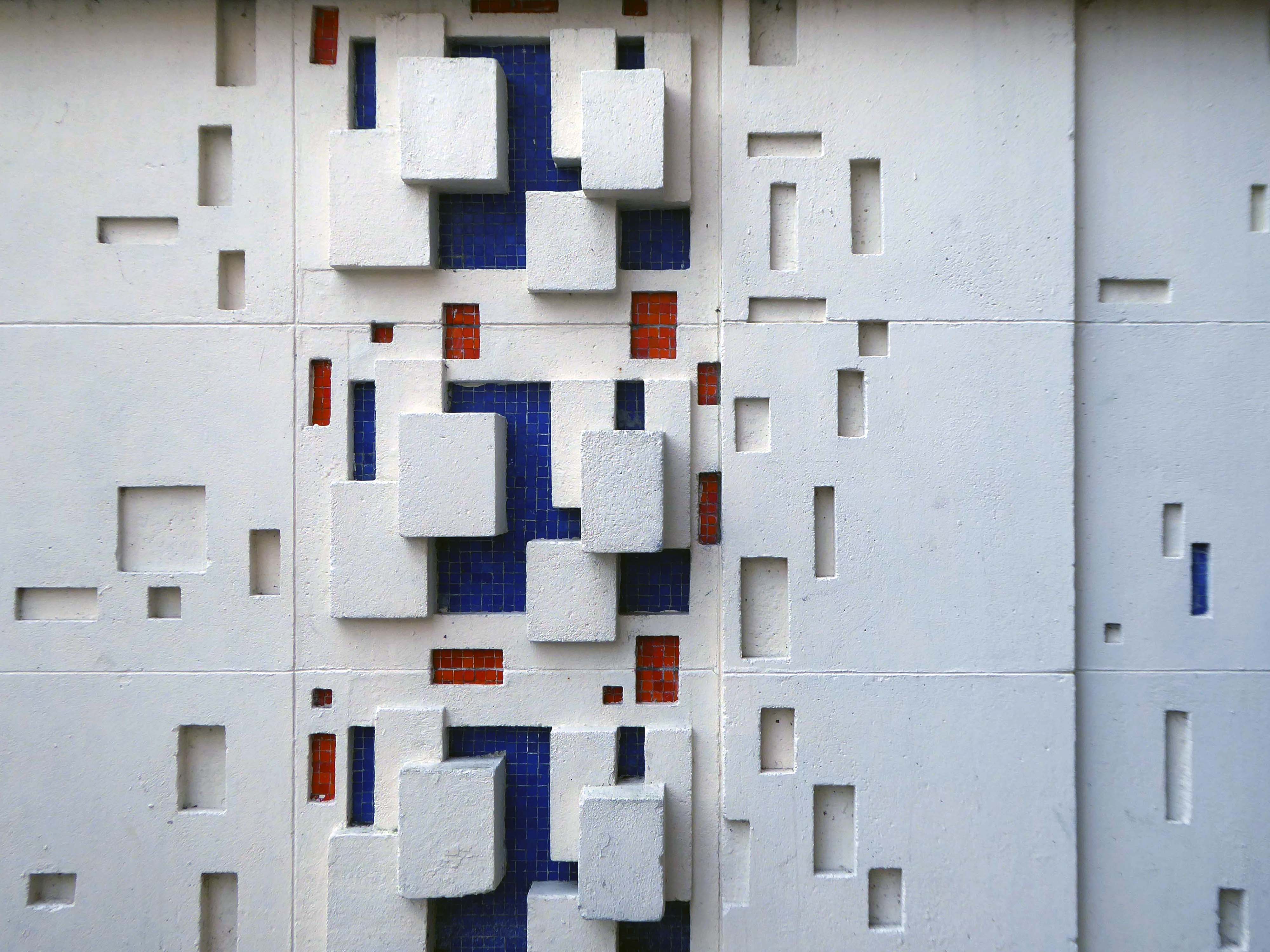
The photograph depicts Alan Boyson’s concrete screen wall, attached to the former Cooperative super store designed by Philip Andrew. The two worked to gather on the Hull Cooperative store, which is adorned by Alan’s huge Three Ships mosaic.
Philip was a childhood friend of Alan Boyson and it was Alan’s father, manager of the Marple Co-operative Society, that recommended Philip for an apprenticeship job in 1951 to the chief architect at the CWS in Manchester HQ.
In preparation for the tour, I visited the town’s Local Heritage Library and read extensively from serendipitous charity shop finds.
The two hour route was designed around an economy of distance and elevation, allowing time for others to take in, what may be for them unfamiliar surroundings. A group of around twenty or so folk became sociable and engaged, with a suitably concise and apposite contribution from myself. There are those who busied themselves taking snaps along the way, chatting amiably or simply gazing in amazement.
The service building above the former Debenham’s store.
Famed as an imaginary TV police station, this civic building is a civic building I simply can’t resist. I return on a regular basis to wander and snap. This is an open public space that seems little loved and has few visitors.
From then onwards I have been taking folks on Modernist Mooches on a regular basis, two or so a month, during the less inclement times of year.
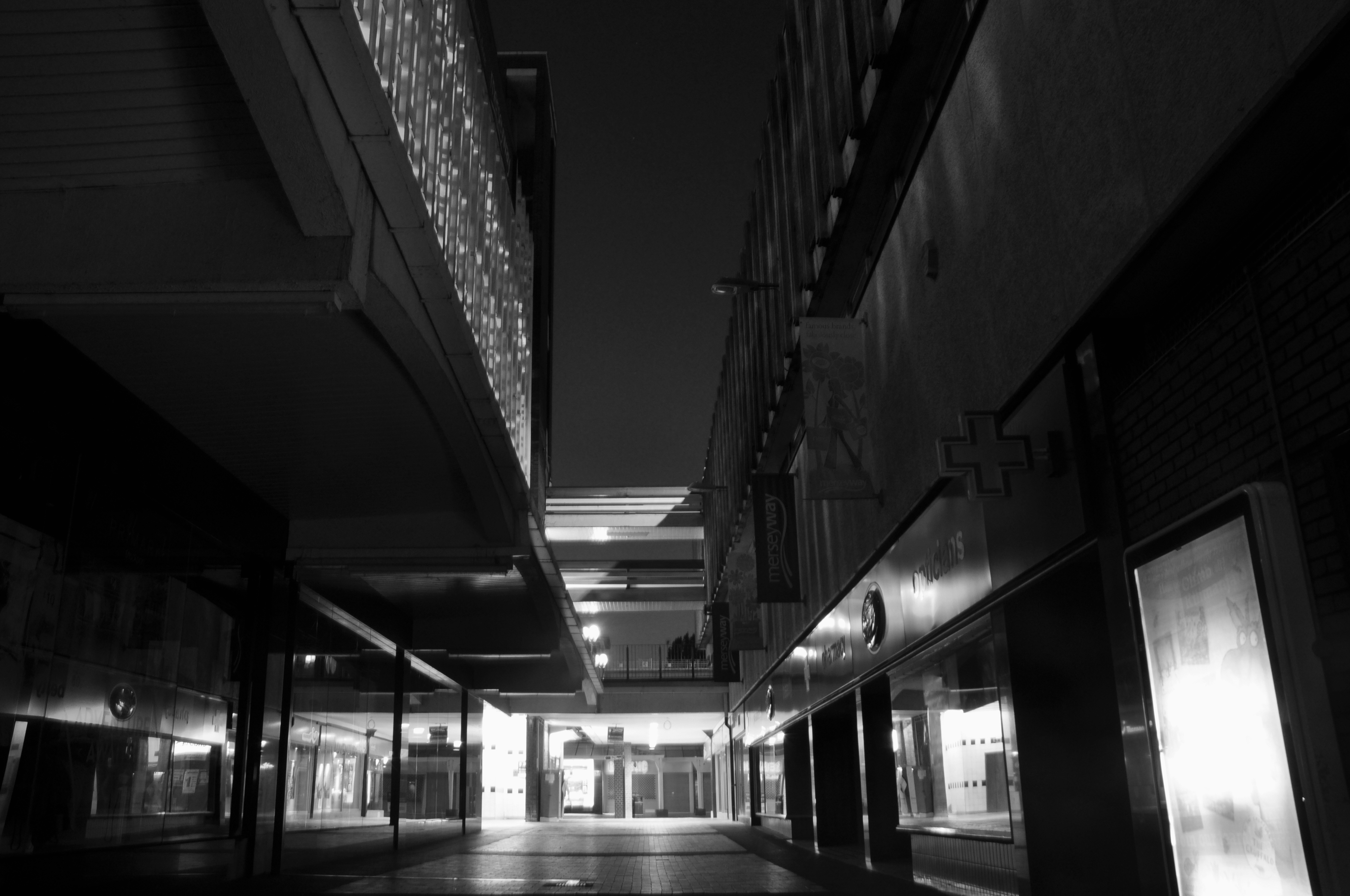
At about the same time I was asked to exhibit my photographs in Stockport, I chose to mooch about at night. Walking around an almost deserted town, avoiding the glare of streetlights, there is a mild frisson to be about when nobody else is about. The air feels different, exposures are longer, the almost waking world feels arrested, by the low available light.
My local shopping centre and as such part of my weekly walking and shopping life.
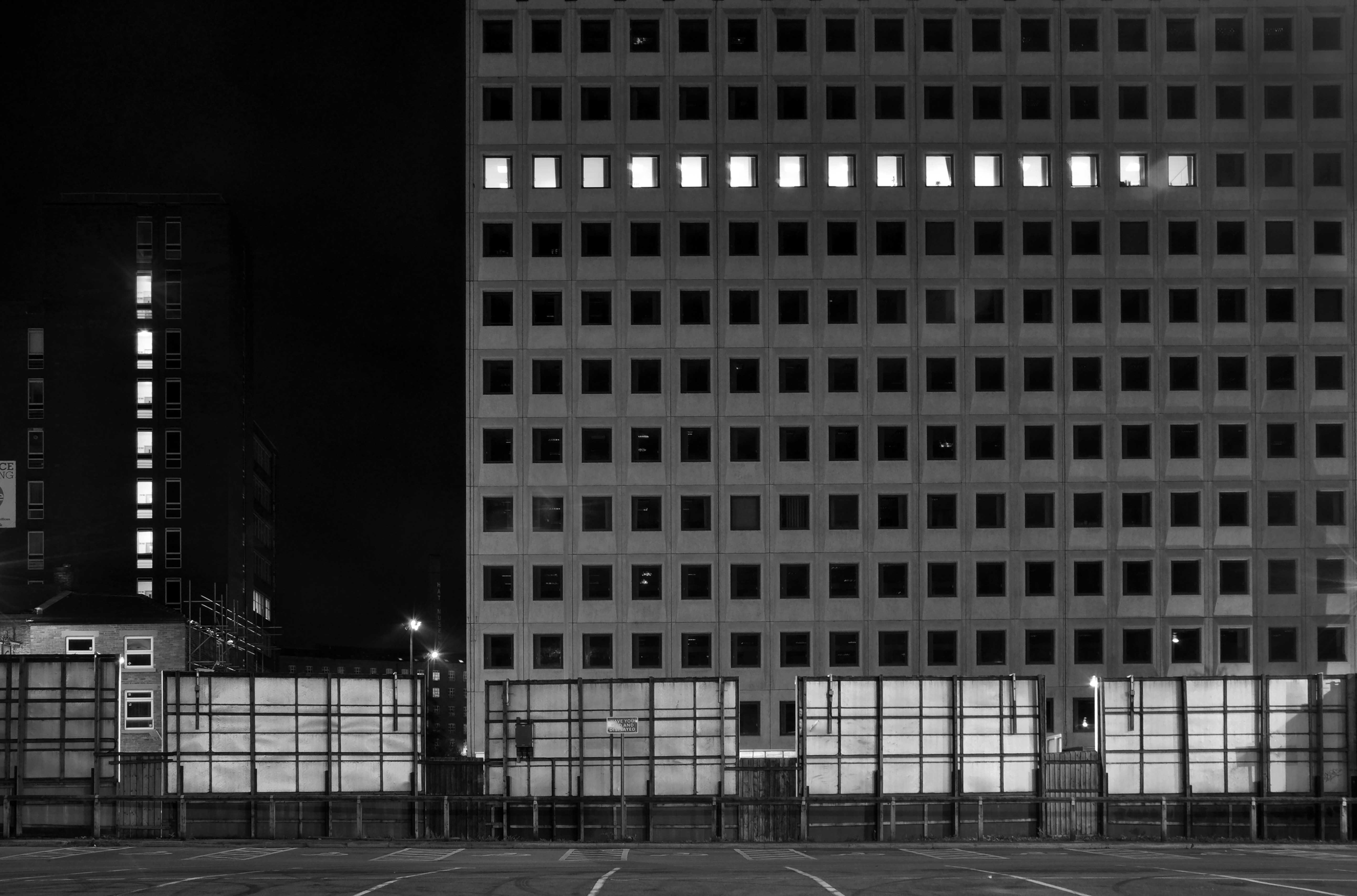
NCP Car Park located on Stockport Station approach.
Regent House
Asda superstore
I found a copy of Charlie Meecham’s book Oldham Road in a charity shop.
Inspiring me in 2014, to walk in mostly straight lines, though often as not zig zagging along the main arterial roads of Manchester.
Taking pictures on Sunday mornings, in order to avoid traffic, mildly amused to be ignoring the primary function of the routes.
This is one of the more familiar roads, having walked up and down several times over several years. It was to have been an extension of the Mancunian Way, forming a trans-pennine motorway. Much of the property lining the route was cleared in preparation, it was never built, and for years a strange semi-deserted ambience hung over the A57.
Bus Depot
Railway Bridge
The car showrooms which later became an African Evangalist church.
Having cleared away both Victorian and Sixties housing, new architectural forms arose in West Gorton.
Now, everywhere I go, I see launderettes – so arriving in Hanley with time on my hands, wandering around I found this exemplary example.
Having a blog entitled Manchester Estate Pubs, the national media became interested in my photographs. I had spent quite some time, wandering around in search of this endangered architectural typology.
This was Billy Greens in Collyhurst, named for a local boxer, now demolished.
Which in turn became the second modernist calendar.
Followed the following year by fish and chip shops.
So building a vocabulary for my mooching, discovering yet another chippy, laundry, pub, Burton’s, telephone exchange, glazed stairway or underpass.
These things find you, yearning for some small amount of attention and affection.
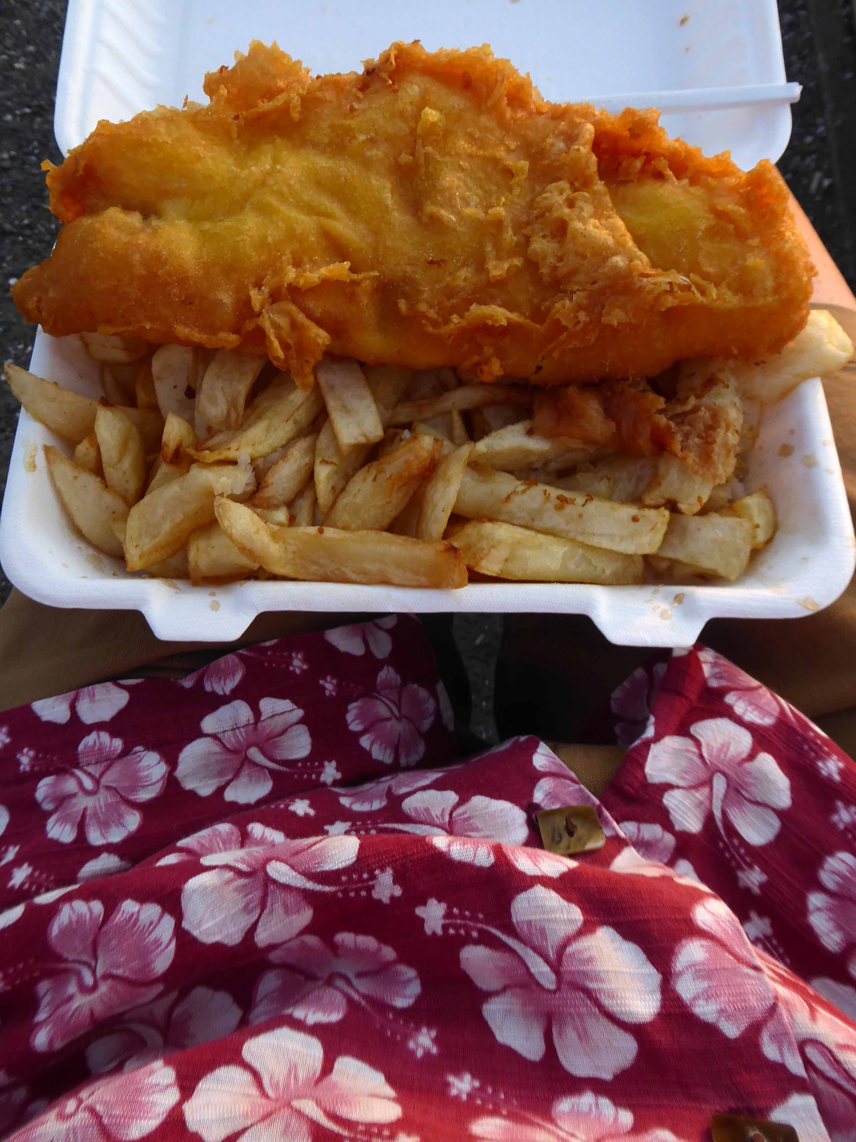
The Trawl – my favourite peg board menu, my favourite Bridlington chippy.
We are now coming to the end of the car park year – seen here on the wall of my command centre.
Home to William Mitchell’s Totem, the homes long gone and the Council pledged to move the totem too.
The state of play this week, the detritus removed and the base filled in, repaved and safe for a while.
Off now to the Weaver Valley another day another river, passing under Weaver Viaduct
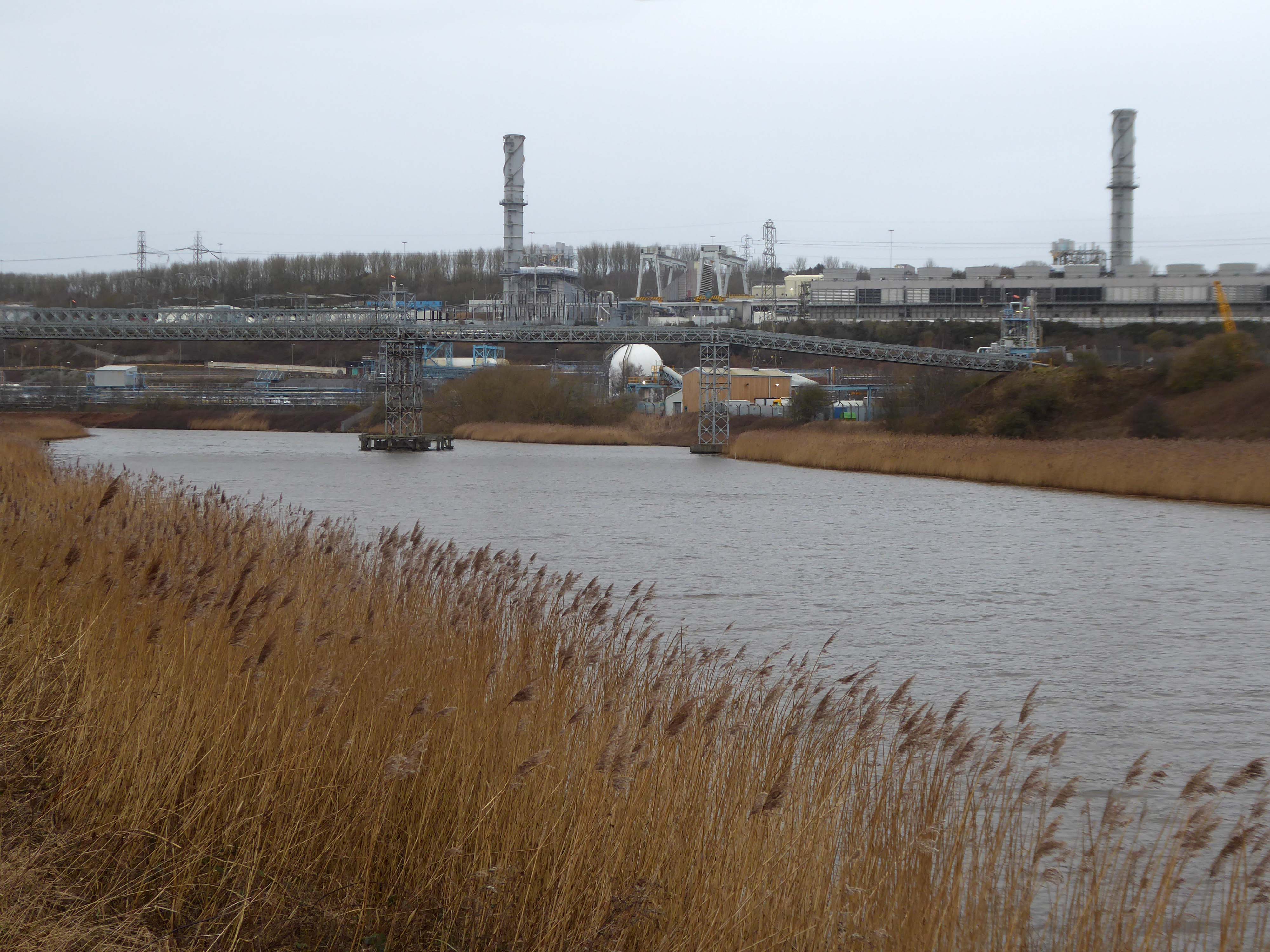
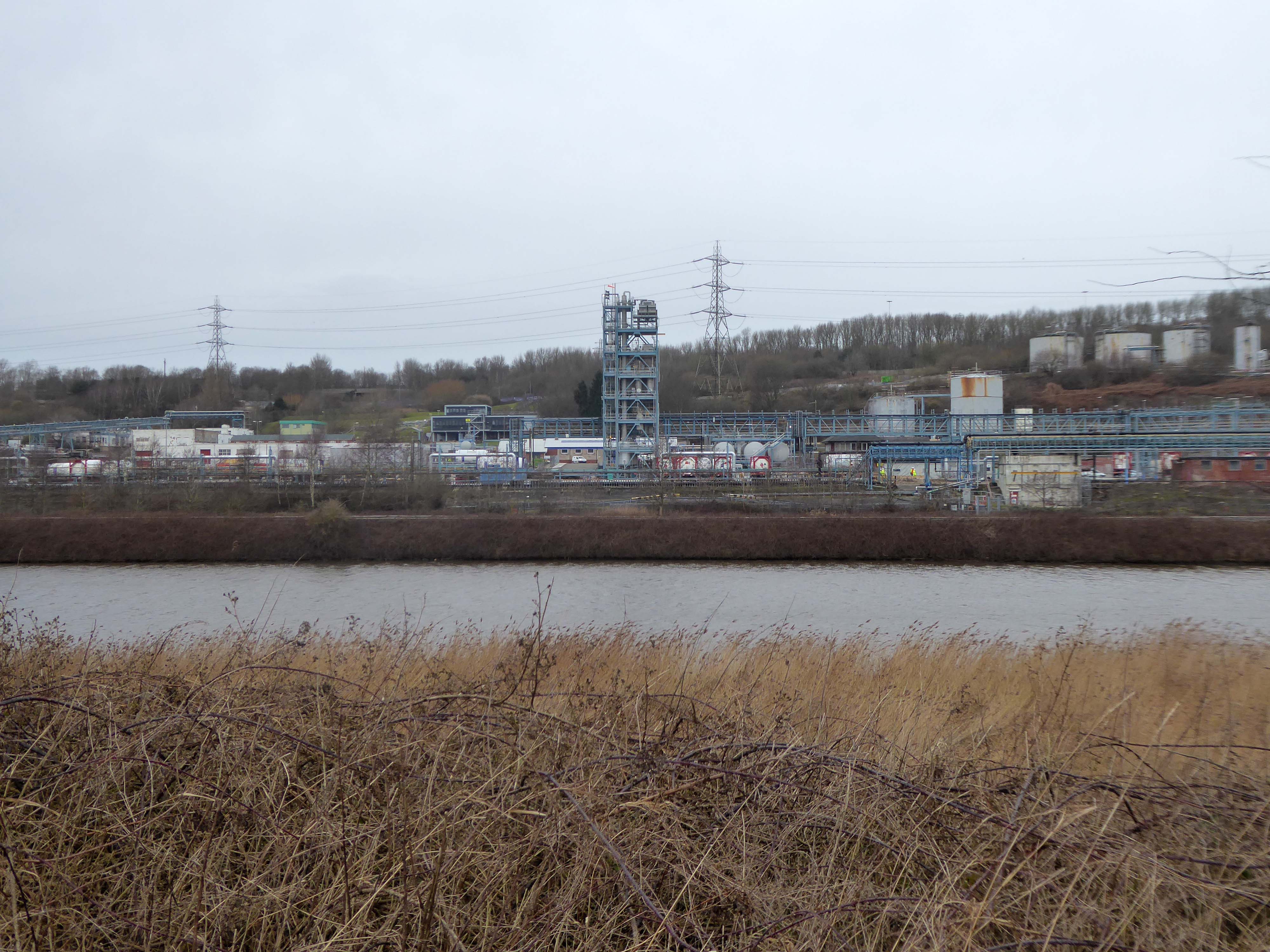
The looking toward KouraGlobal – leader in the development, manufacture, and supply of fluoro products and technologies, opened a new HFA 152a production facility at their Runcorn site in the UK.
Further rural Modernism as we pass under and traverse the M62, whilst walking around the Piethorn Valley
The newest of the Modernist Mooches was to Burnley where we visited the Keirby Hotel.
The former GUS Offices with a mural by Diane and William Morris.
Plus the Charles Anderson concrete relief at the Crow Wood Hotel.
Finally a little light relief – a visit to the Boots factory in Nottingham.
Having innocently board a bus outside the station with a Boots head code , I alighted within the factory gates. Then innocently walking around taking snaps, unheeded until the men in the van stopped me in my tracks.
Who are you, what are you doing?
I am the Modern Moocher going about my business – well it turns out this was not permitted and I was red carded by the earnest security guards and asked to leave forthwith. Suitably rebuked, I politely bade them farewell and headed for the gates.
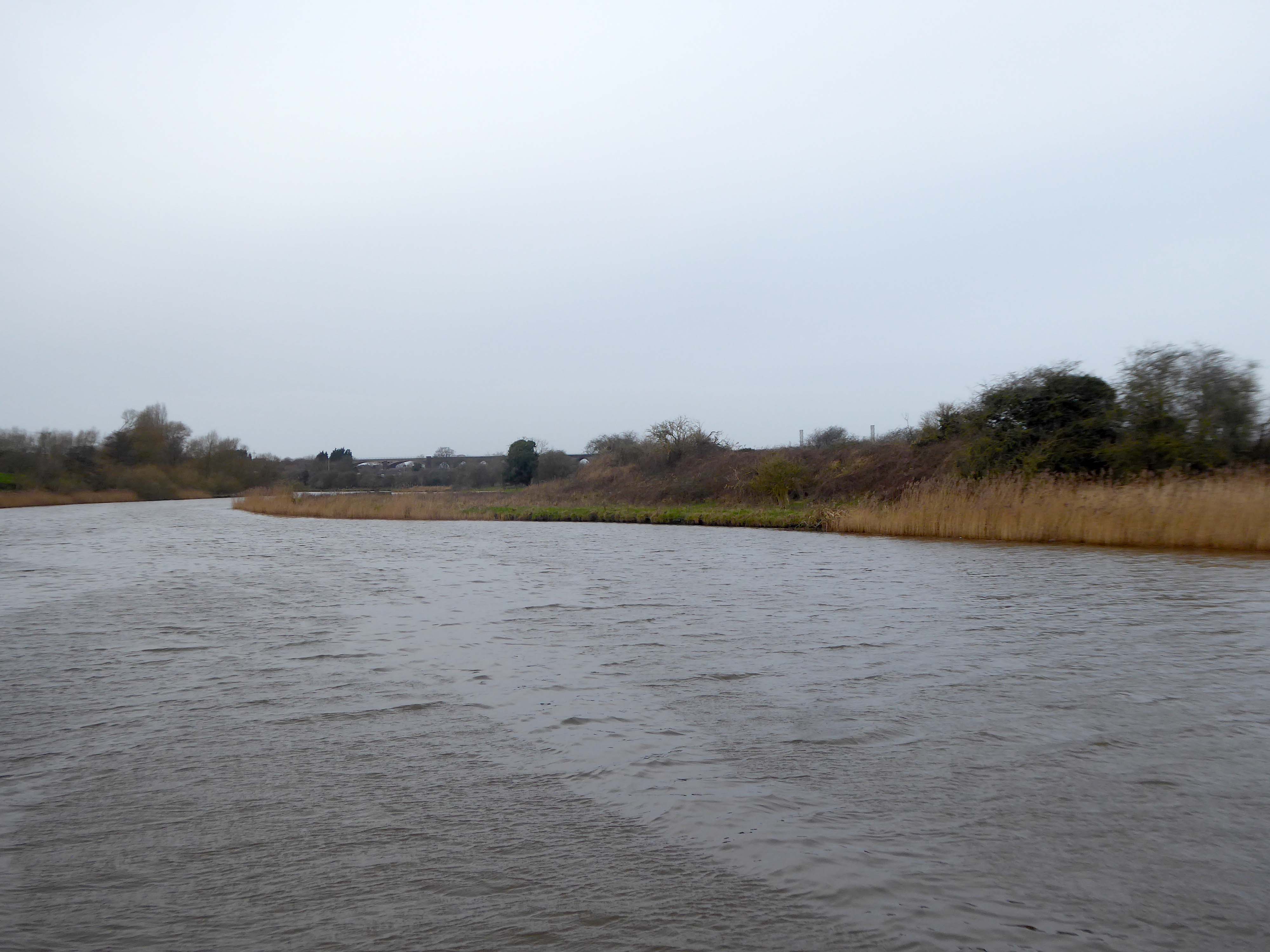
Along with my almost lifelong friend Mr Tim Rushton – I took a trip along a short stretch of the River Weaver, walking from east to west.
River Weaver – rising on the boundary between the counties of Shropshire and Cheshire and then flowing 45 miles north to reach the Irish Sea estuary of the River Mersey to the west of Runcorn.
Below Winsford, the course of the river has been altered several times, by the construction of cuts and locks, to enable small ships to trade on it. The river formerly joined the River Mersey at Weston Marsh, but since the construction of the Manchester Ship Canal, begun in 1887, it has flowed into the canal, from where surplus water enters the Mersey by the Weaver sluices, just upstream of the junction. The tidal river section below Frodsham has been bypassed by the Weston Canal since 1810 and is no longer navigable, as Frodsham Lock is derelict.
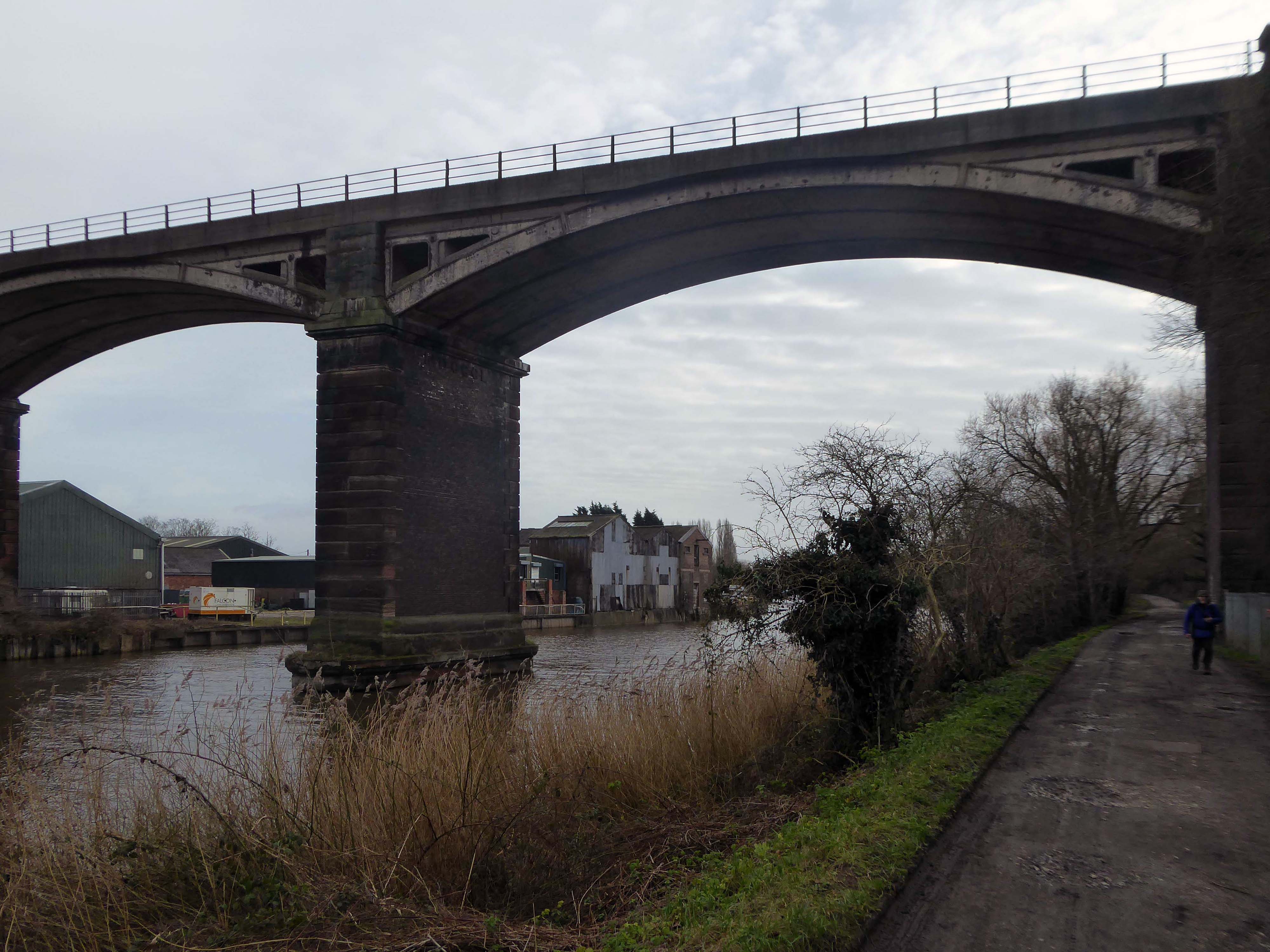
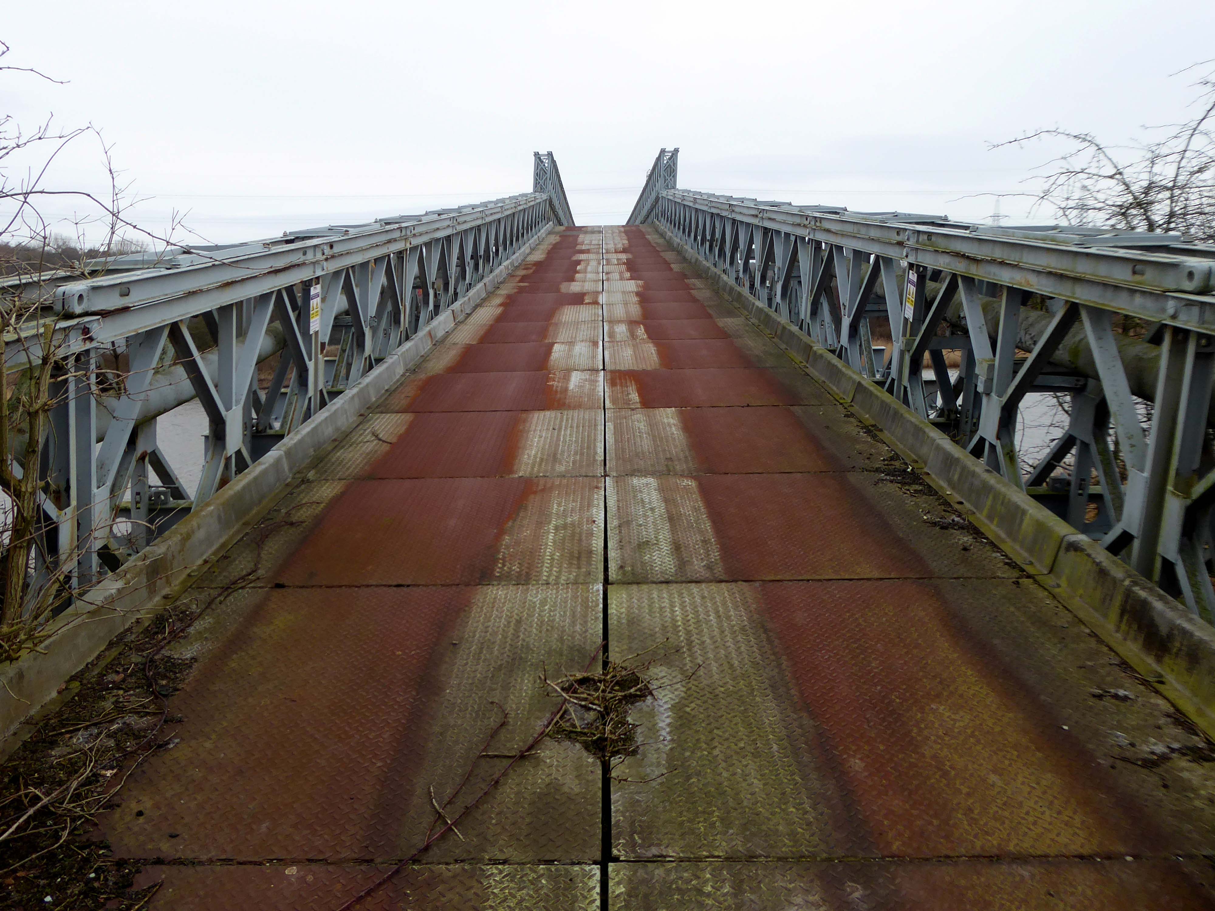
Railway viaduct over River Weaver and adjoining land by A Rendel Engineer and Thomas Brassey, contractor 1848-1850 – for Birkenhead Lancs & Cheshire Junction Railway Co.
Red sandstone, brown brick and cast iron, two segmental-arched iron spans of circa thirty metres over river; two round arches on west bank and twenty one on east bank. Piers to iron spans are rusticated tooled ashlar; the other spans have rusticated voussoirs, pier faces and quoins and rock-faced spandrels with brick reveals, cornice to iron-span piers, plainer imposts to others.
Top of central pier to river modified to take mid C20 concrete track bed.
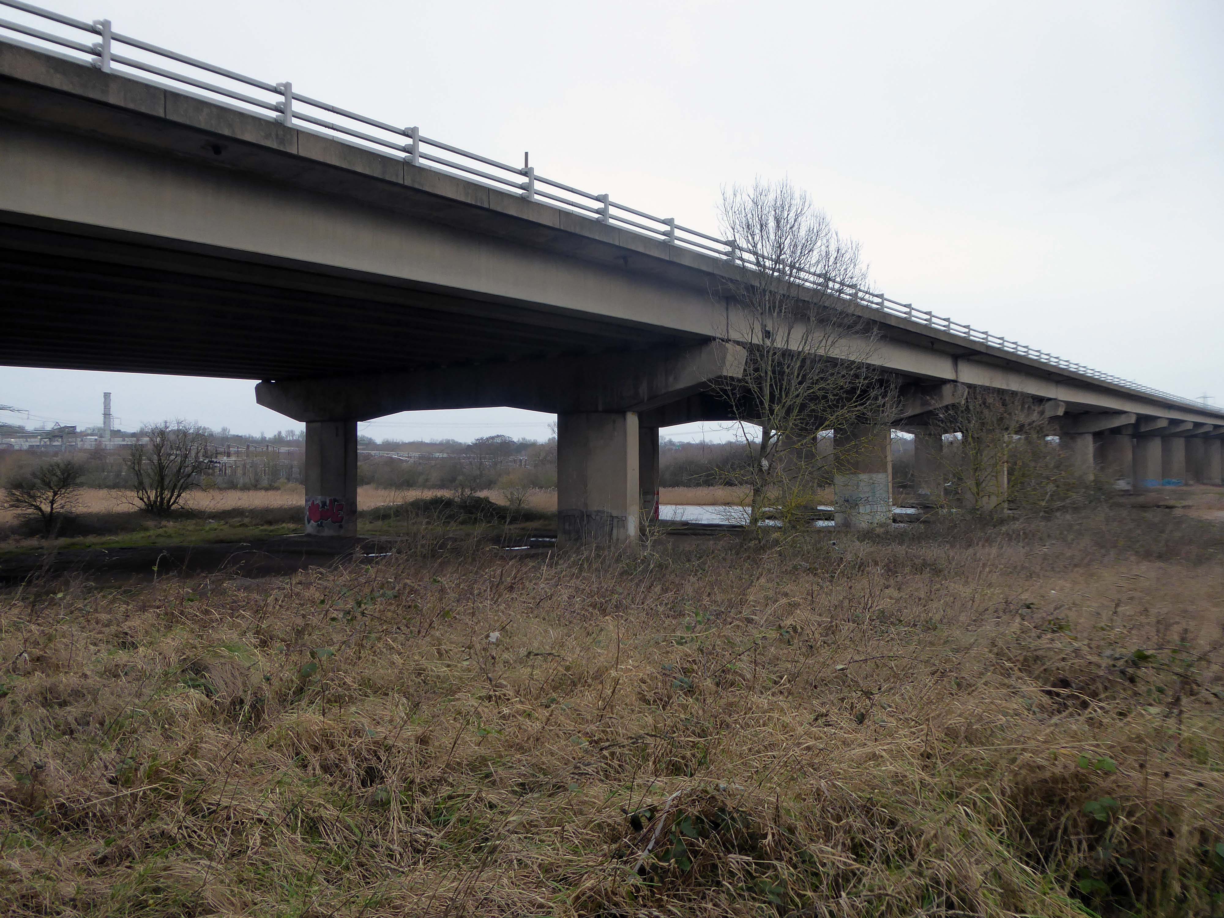
Weaver Viaduct is one of the outstanding features of M56 and its design was approved by the Royal Fine Arts Commission. The three-quarter mile of elevated motorway and approach embankments over the River Weaver and Weaver Navigation Canal opened on 21 February 1971.
Design was by Husband and Co of Sheffield – acting for Department of Environment, who also supervised the project.The contractor was Christiani Shand with a tender price of £3,146,387 in March 1968.
Work began in April 1968 – the eventual cost was put at £3.5 million.
Thirty two 125-foot concrete 100-tonne beams were put into place in July 1970; the concrete beams were made by Matthews & Mumby of Windmill Lane Denton.
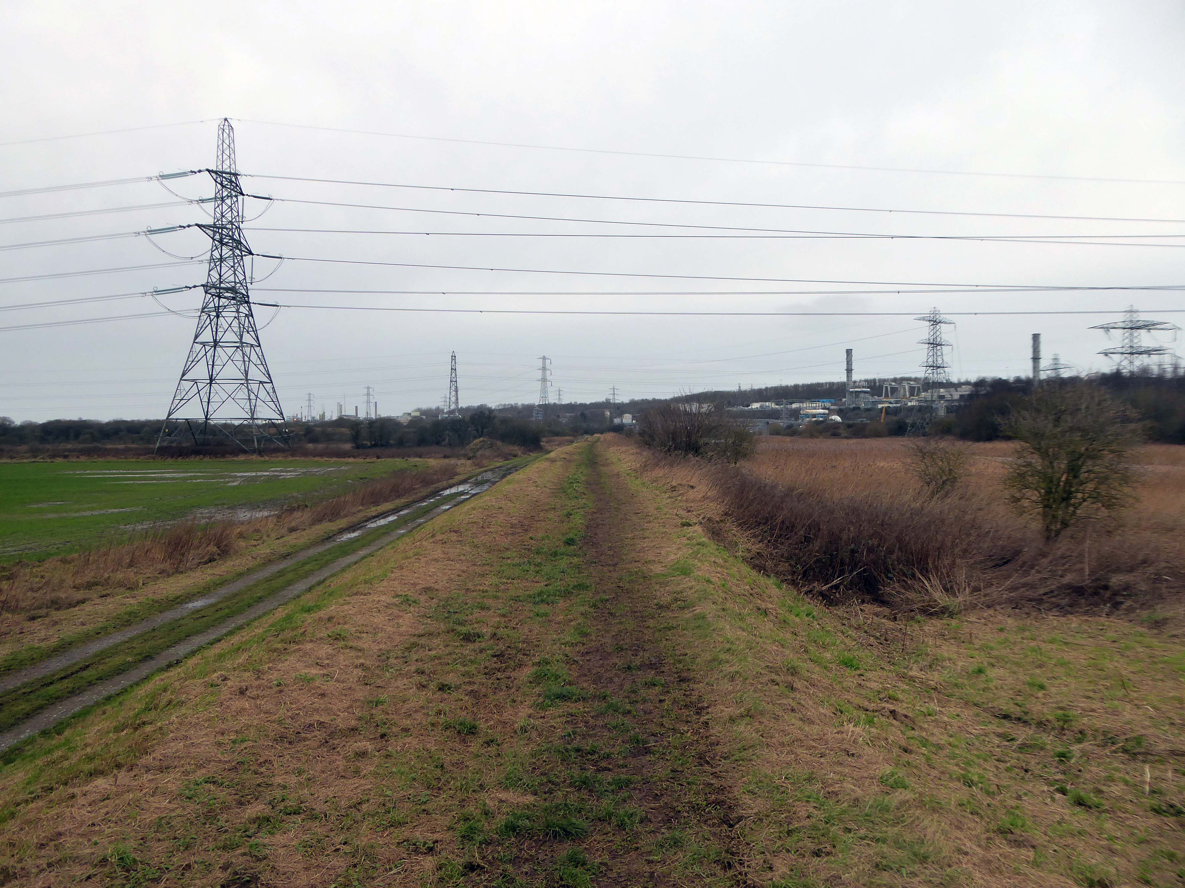
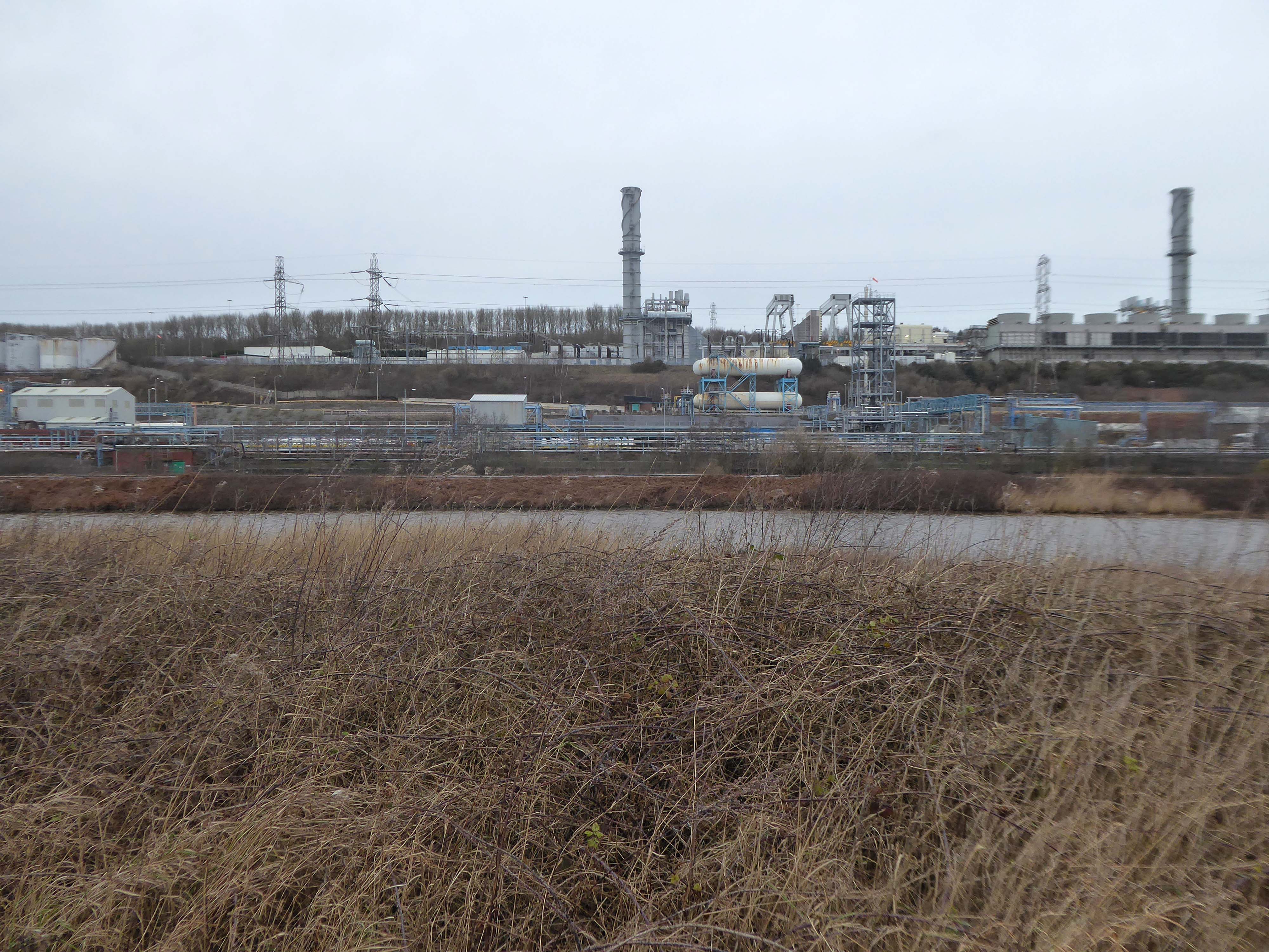
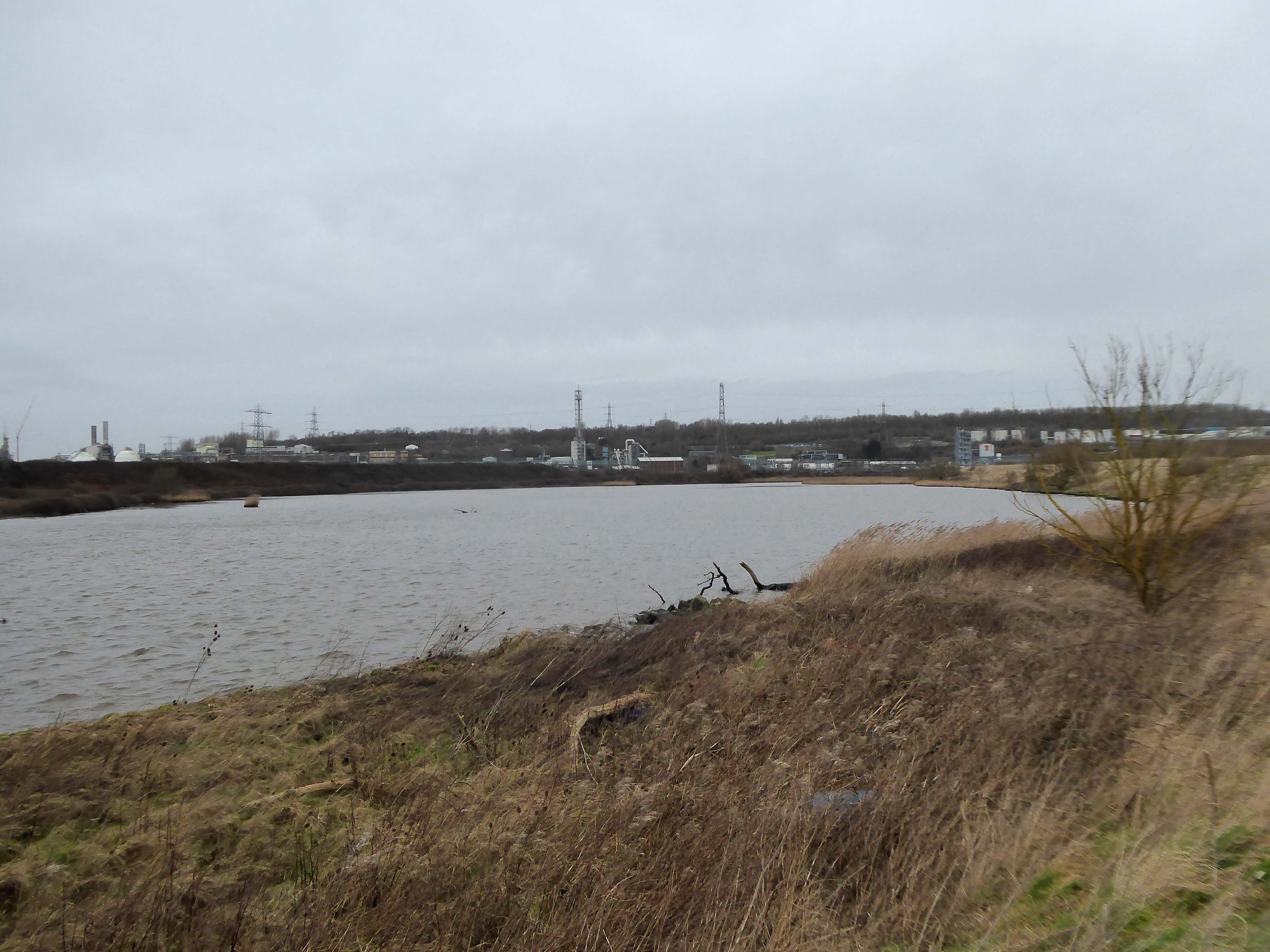
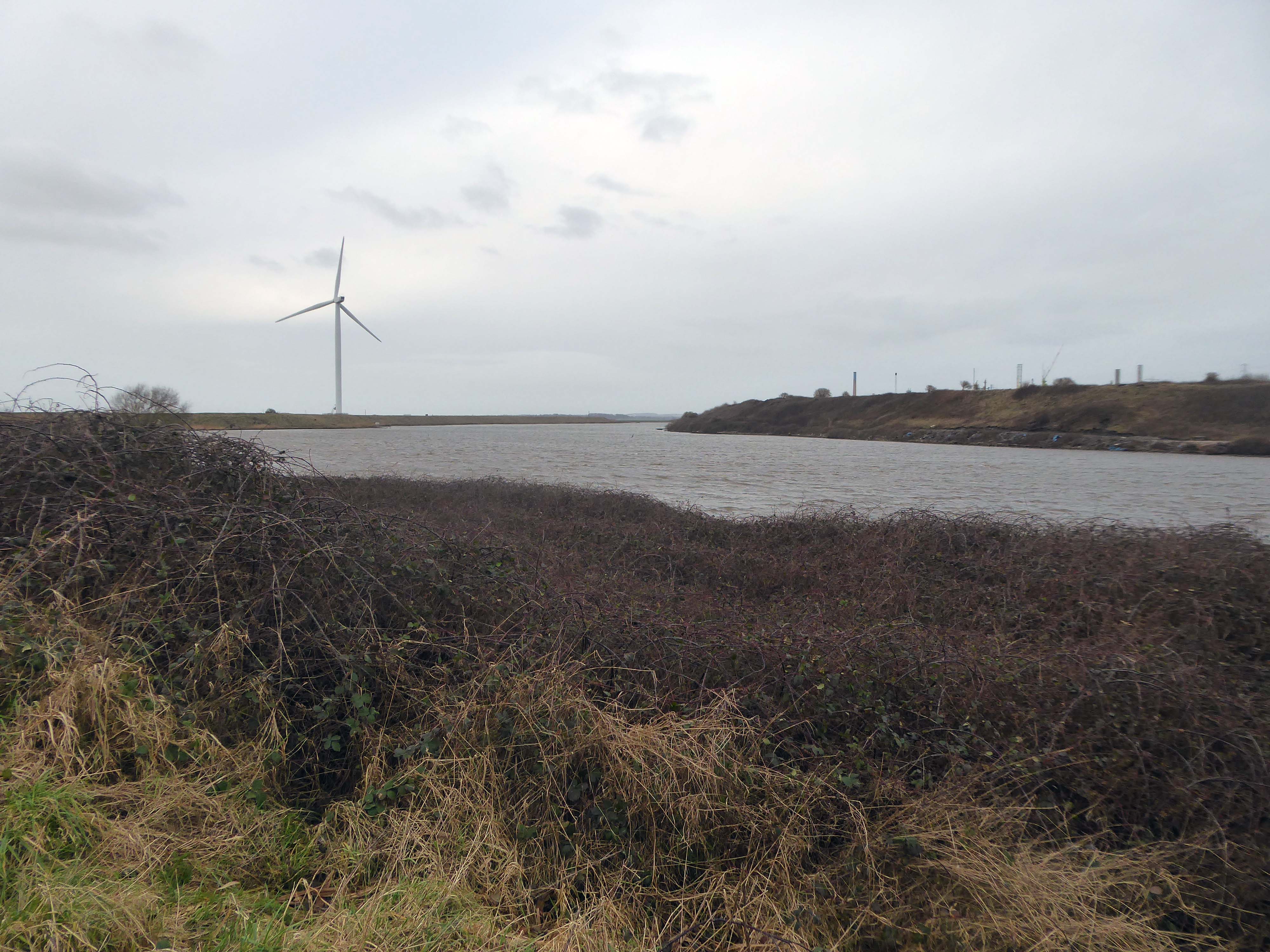
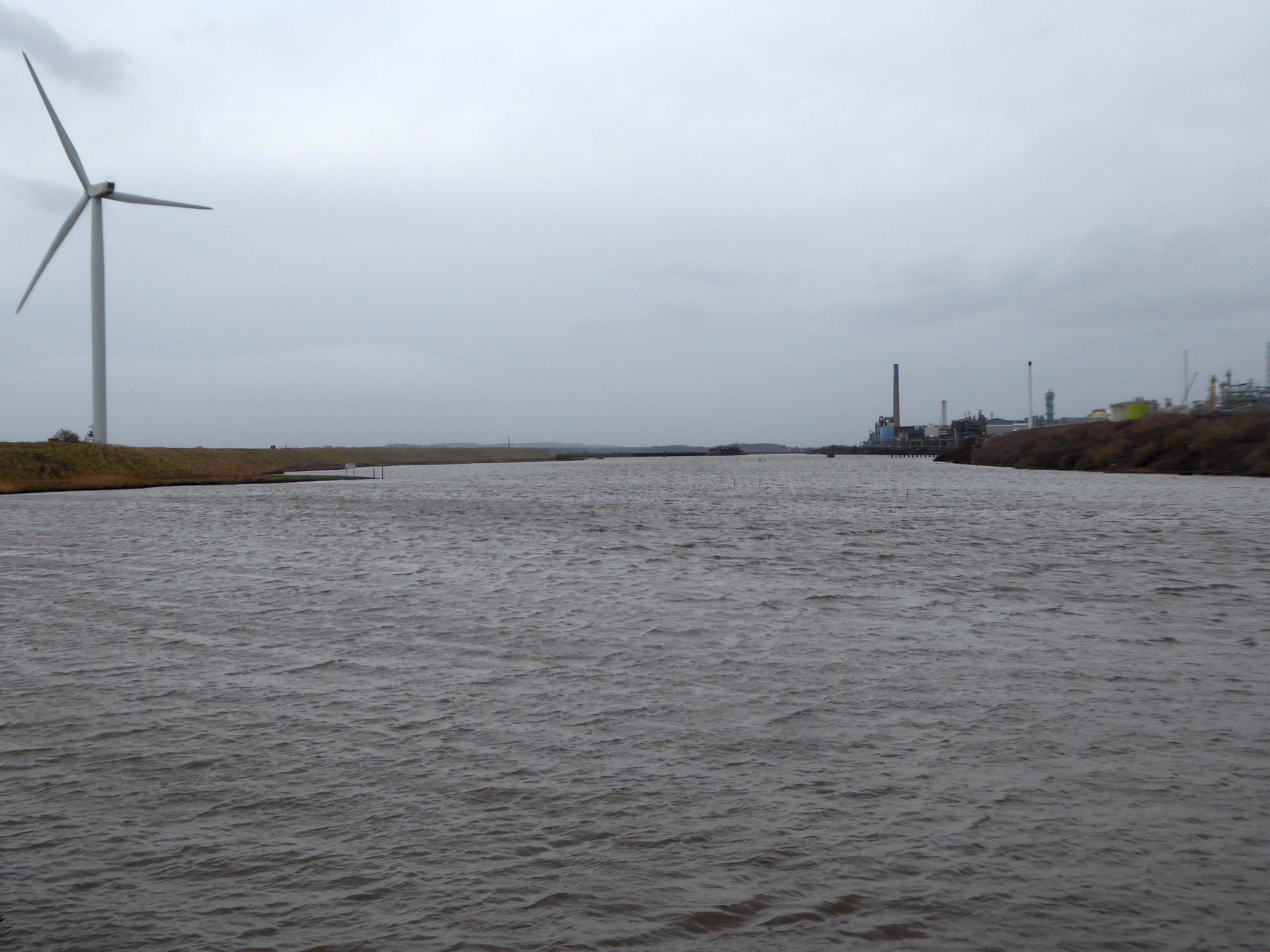
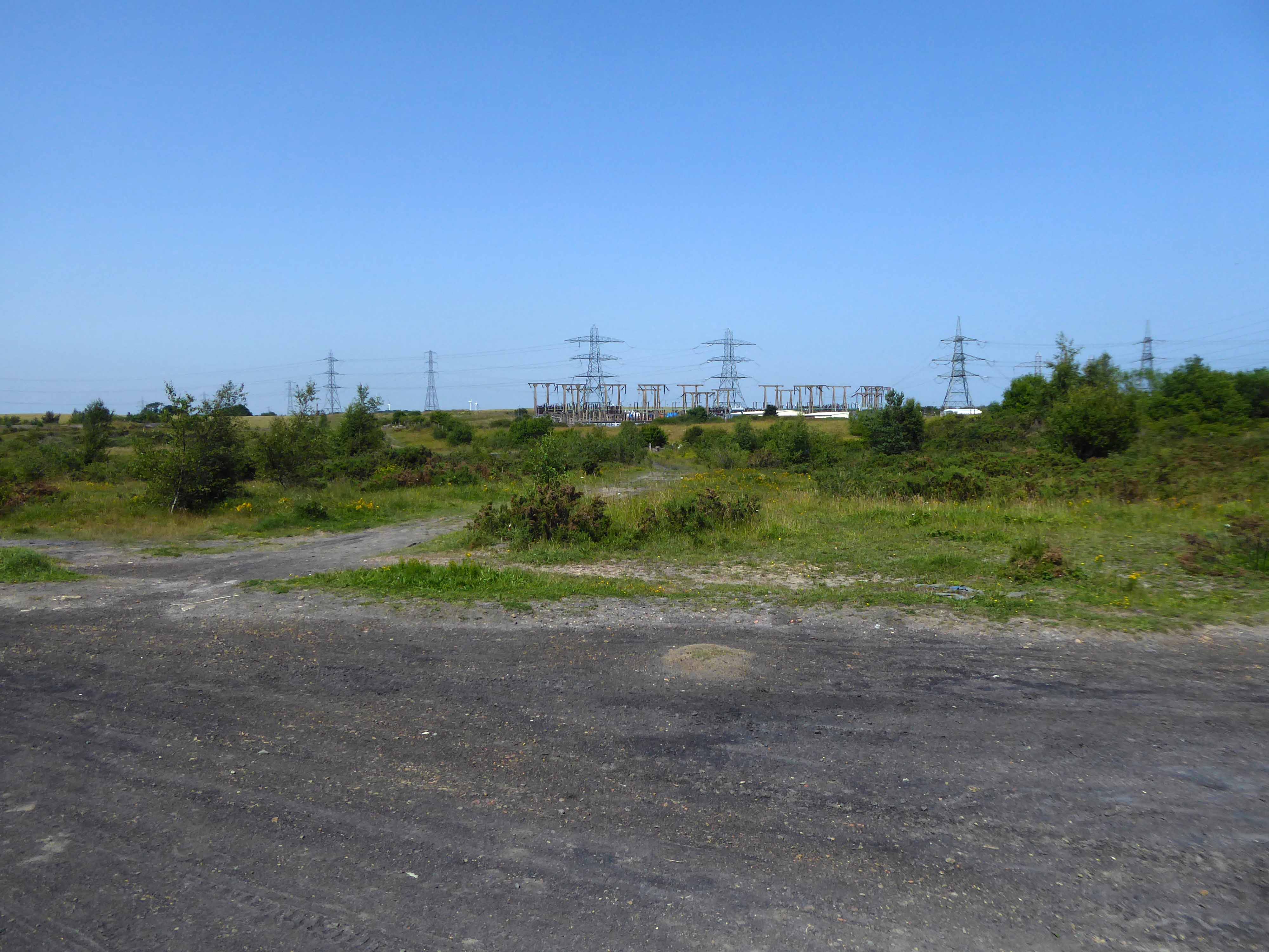
High-VoltageFrodsham Substation – Rock Savagepower station
Rock Savage Power Station is an 800 MWe gas-fired power station.
It was opened by Queen Elizabeth II on 31 July 1998, and owned by InterGen, a company that is now jointly owned by Ontario Teachers’ Pension Plan and China Huaneng Group, it cost £375m.
It sponsors the Runcorn Jets baseball club, the Highfield Male Voice Choir and the Weston Angling Club.
The name comes from the nearby ruined Elizabethan mansion – Rocksavage.
KouraGlobal – leader in the development, manufacture, and supply of fluoro products and technologies, opened a new HFA 152a production facility at their Runcorn site in the UK.
Chiesi, the international research-focused pharmaceuticals and healthcare group, signed a commercial agreement to use the new low carbon footprint medical propellant for inhalation product development and clinical trials in 2019.
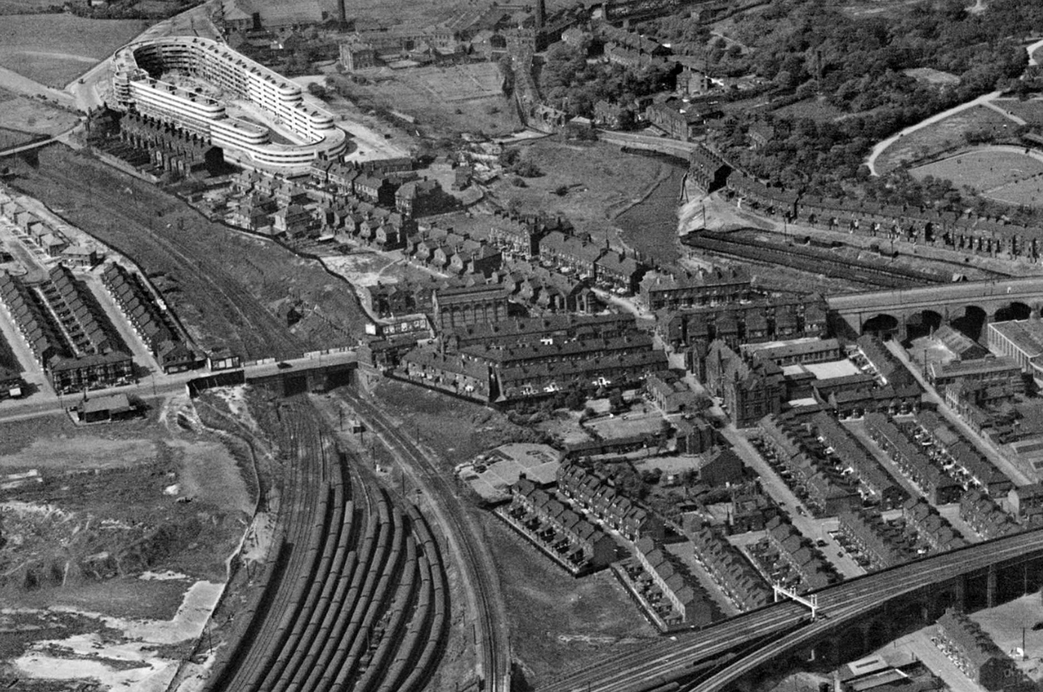
Britain from Above 1948
Ineos Chemical Complex formerly ICI Rocksavage Works on the banks of the River Mersey River Weaver and Manchester Ship Canal in Runcorn formerly ICI works of Rocksavage and Castner Kelner Works which produced fluorcarbons such as aerosol propellants dry cleaning solvents and chlorine UK January 2007
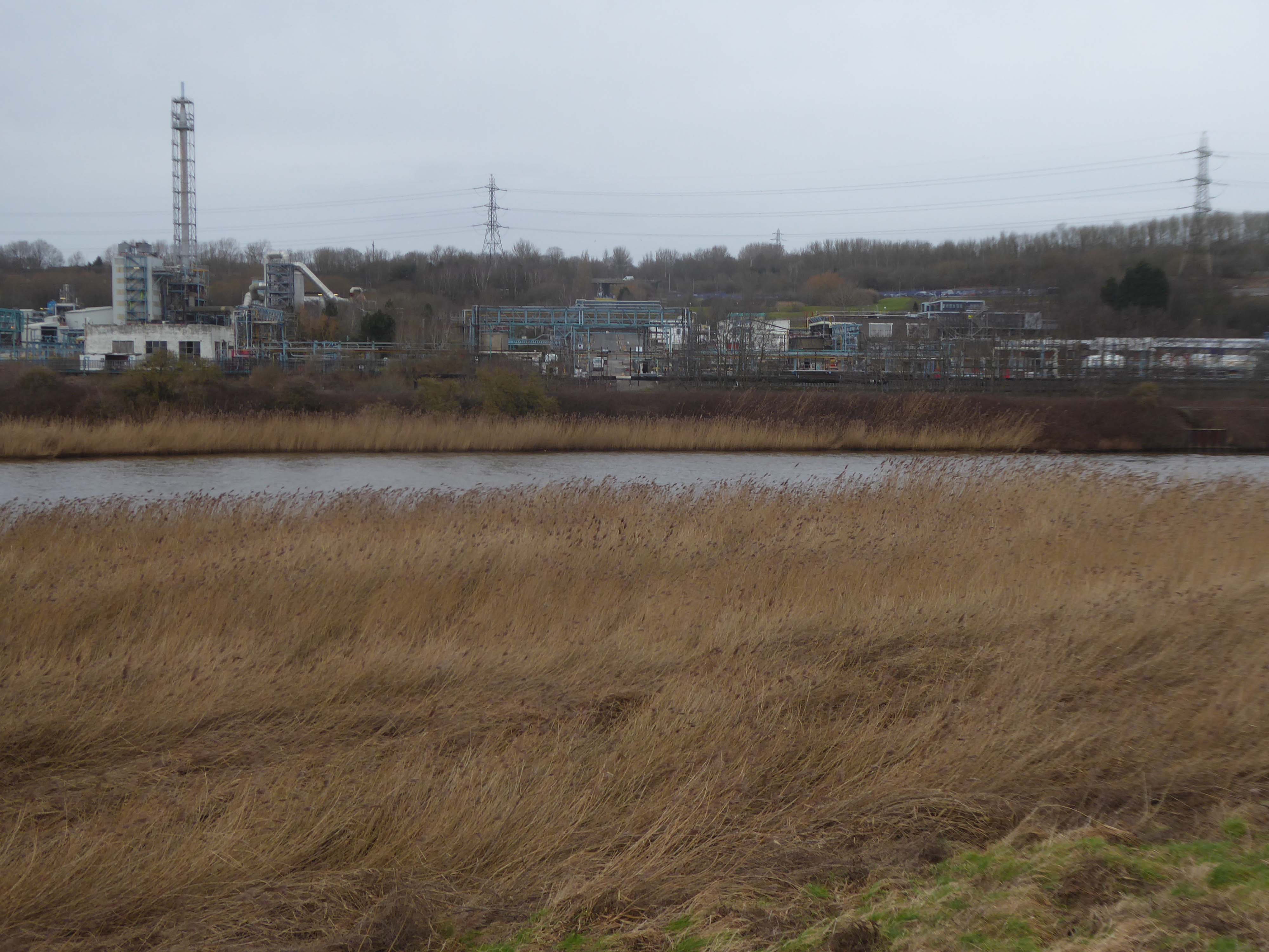
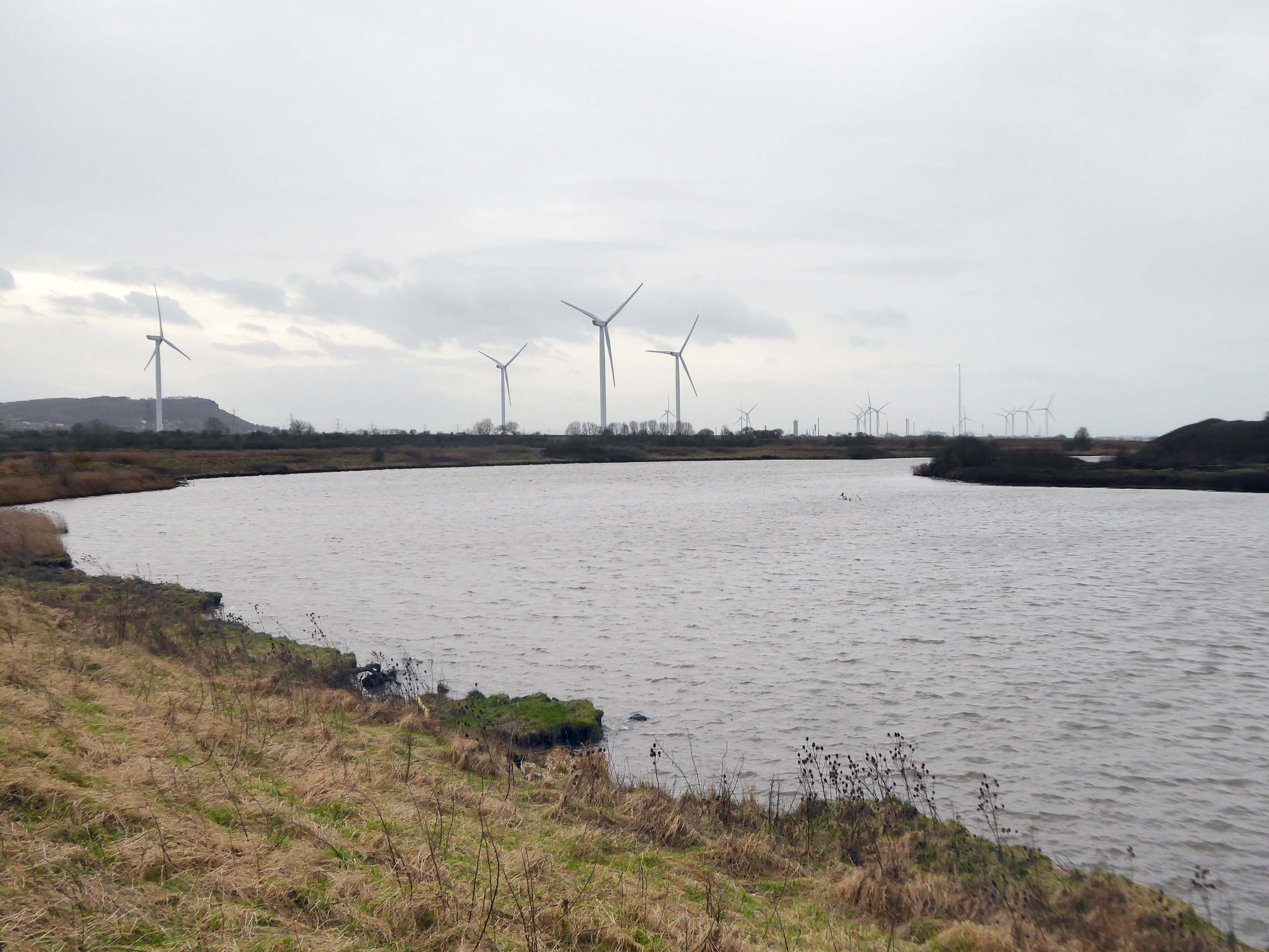
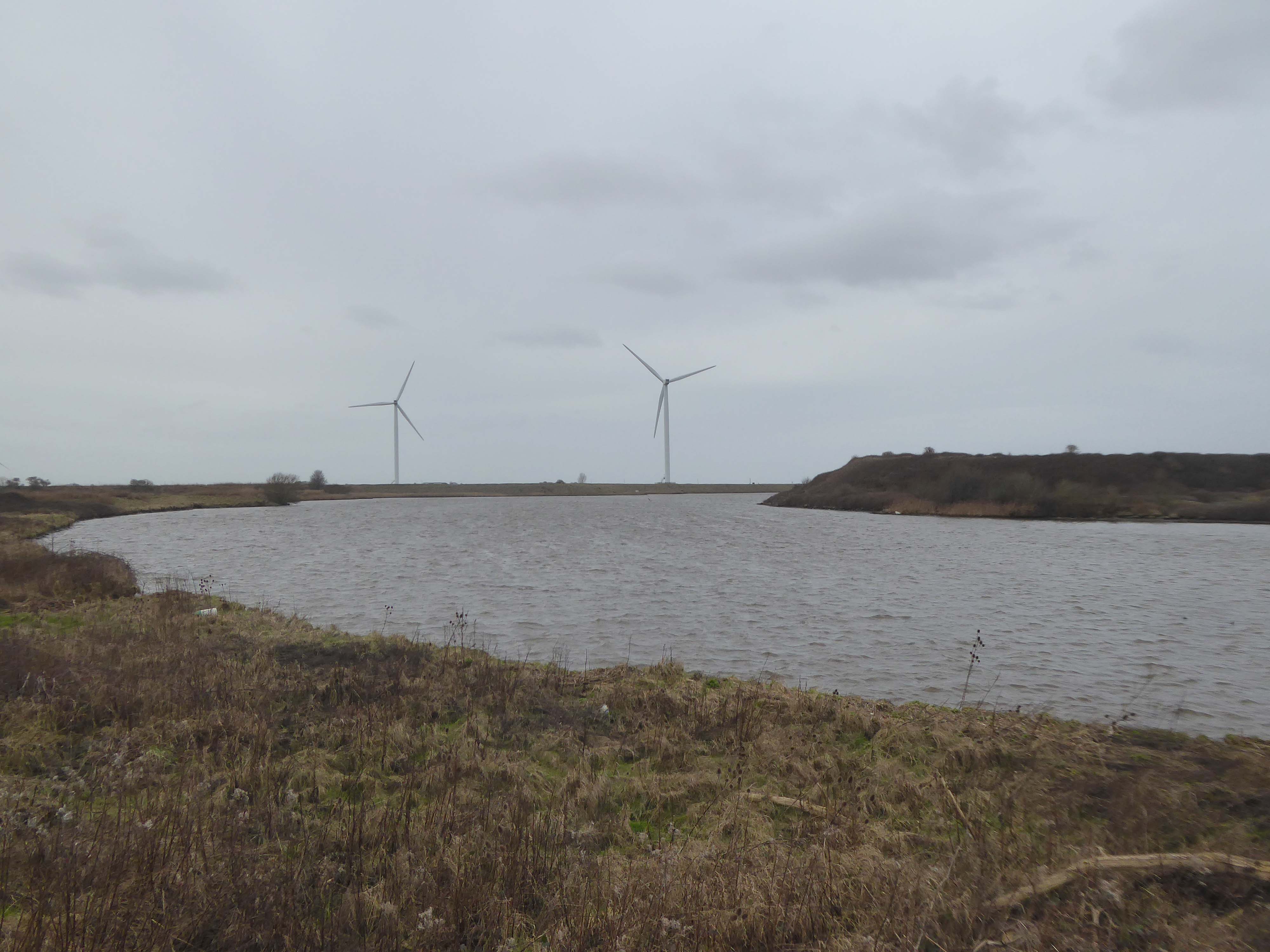
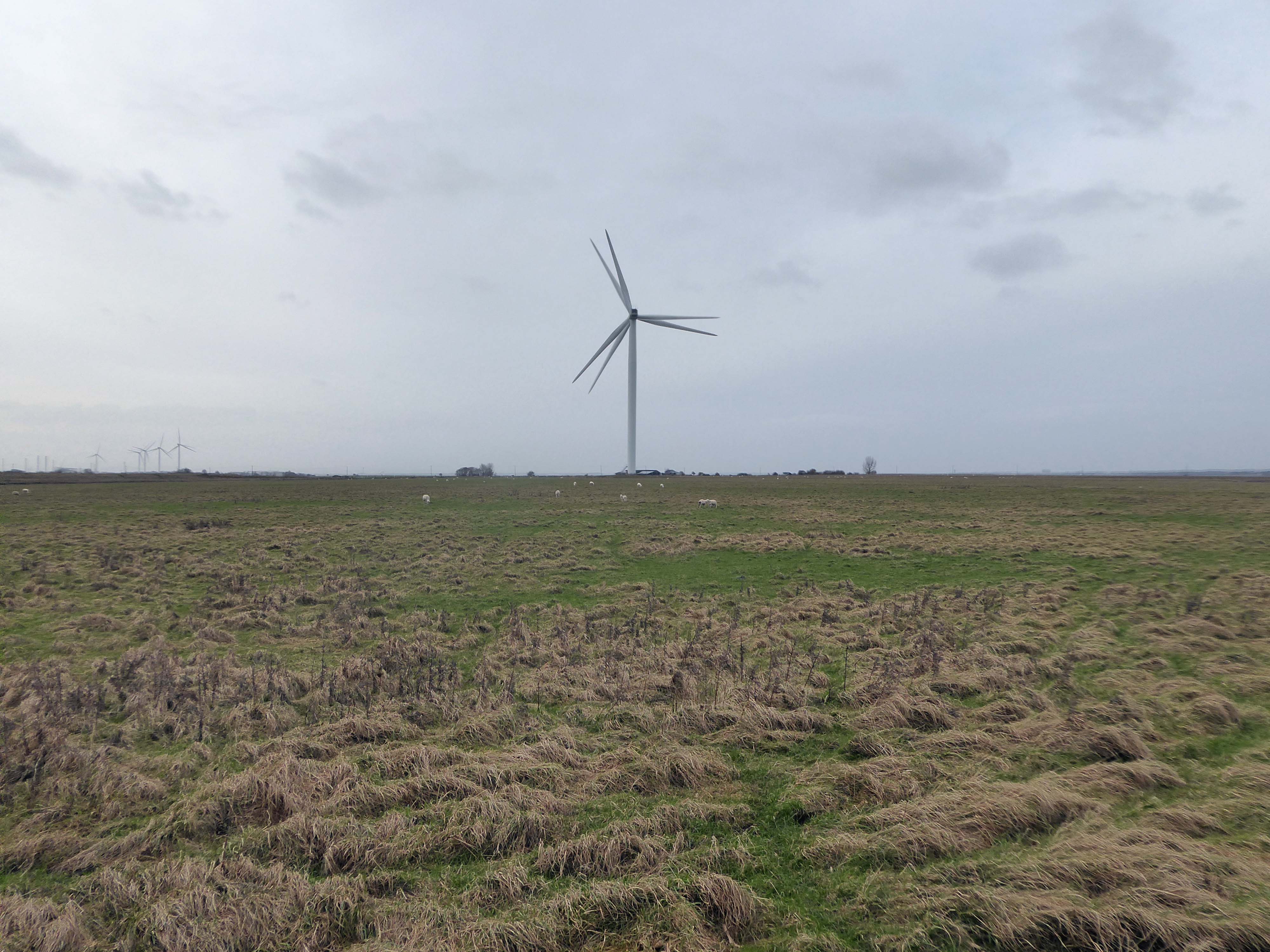
Frodsham Wind Farm is one of England’s largest onshore generating stations, and the largest in the Cheshire region, with an installed capacity of more than 50 MW. Construction of the wind farm began in March 2015 and became fully operational in February 2017.
The A5103 is a major thoroughfare running south from Piccadilly Gardens in Manchester city centre to the M56 in Northenden. The road is two-lane dual carriageway with a few grade-separated junctions. It is used by many as a link to the airport and to the motorway network south.
The road starts at Piccadilly Gardens where it meets the A6. It heads along Portland Street – at one time it ran along the parallel Mosley Street, past fast-food outlets and off-licences and then meets the A34 Oxford Street. It multiplexes with that road north for 200 yards into St Peter’s Square and then turns left into Lower Mosley Street, initially alongside the tramlines and then past the former Manchester Central station, now a conference centre with the same name. The road becomes Albion Street and goes over the Bridgewater Canal and under the railway line east of Deansgate station. The road then meets the A57(M) Mancunian Way at a roundabout interchange. This is where most of the traffic joins and leaves.
The road is now 2×2 dual carriageway with the name Princess Road. It passes under the Hulme Arch, a grade-separated junction with the A5067, with an unusually large central reservation. This is presumably because of the proposed plans from the 1960s of a motorway. However, after passing under the junction, there are innumerate sets of traffic lights, with the B5219, the A6010 and the A5145, as well as many other unsigned roads. There are also many speed cameras set at 30 mph.
The road picks up pace as we exit the sprawl of South Manchester and the road becomes Princess Parkway, with a 50 mph speed limit. We cross the River Mersey and almost immediately hit the M60 at J5.
Except for the Manchester City Centre section – which was numbered A5068, this road did not exist on classification in 1922. Princess Road was built in 1932 to serve the new southwestern suburbs; initially it ran between the B5219 and A560 and was numbered B5290, with the road later extended north into the A5068 on the southern edge of the city centre and renumbered A5103.
The northern extension through Hulme initially followed previously existing roads, so followed a zigzag route. As part of the road’s upgrade and the reconstruction of Hulme in the 1970s the road was straightened and the original route can no longer be seen. The A5068 was severed around this time with the construction of the A57(M) and the A5103 took on its city-centre section, taking it to the A6.
The A34 is a major route from the ports on the South Coast of England to the Midlands and the North West, with the standard varying from rural dual carriageway sections in the south to urban single carriageway in the north, and everything else in between.
Slade Lane junction, Rushford Park to Parr’s Wood, East Didsbury – to connect to Manchester Road to Cheadle. It continued on to Laneside Road as a residential road. Opened on 11 April 1923 by Mary Cundiff, Lady Mayoress, and Margaret Turnbull, daughter of Alderman Turnbull, Chairman of Manchester Town Planning Committee. Width was 100 feet and it was designed for tram tracks in the central reservation. The dual road carriageways were 20 feet wide. Manchester’s tram system was closed in 1949. The carriageways were widened and central reservation grassed over. Originally opened as A5079.
Laneside Road, East Didsbury to Schools Hill/ Wilmslow Road junction, Cheadle. Opened on 12 October 1959. The official opening was on 15 October 1959. Planning for the bypass had been halted by the war. In December 1949 Manchester Corporation stated that it was not a priority since the Corporation was only responsible for the 200 yards to the proposed bridge over the River Mersey and Cheshire County Council had not asked for a joint approach to Ministry of Transport to build it. Work was finally authorised in January 1957 and started in the June. Width was 90 feet with dual 24 foot carriageways. Expected cost was £600,000 to £700,000.
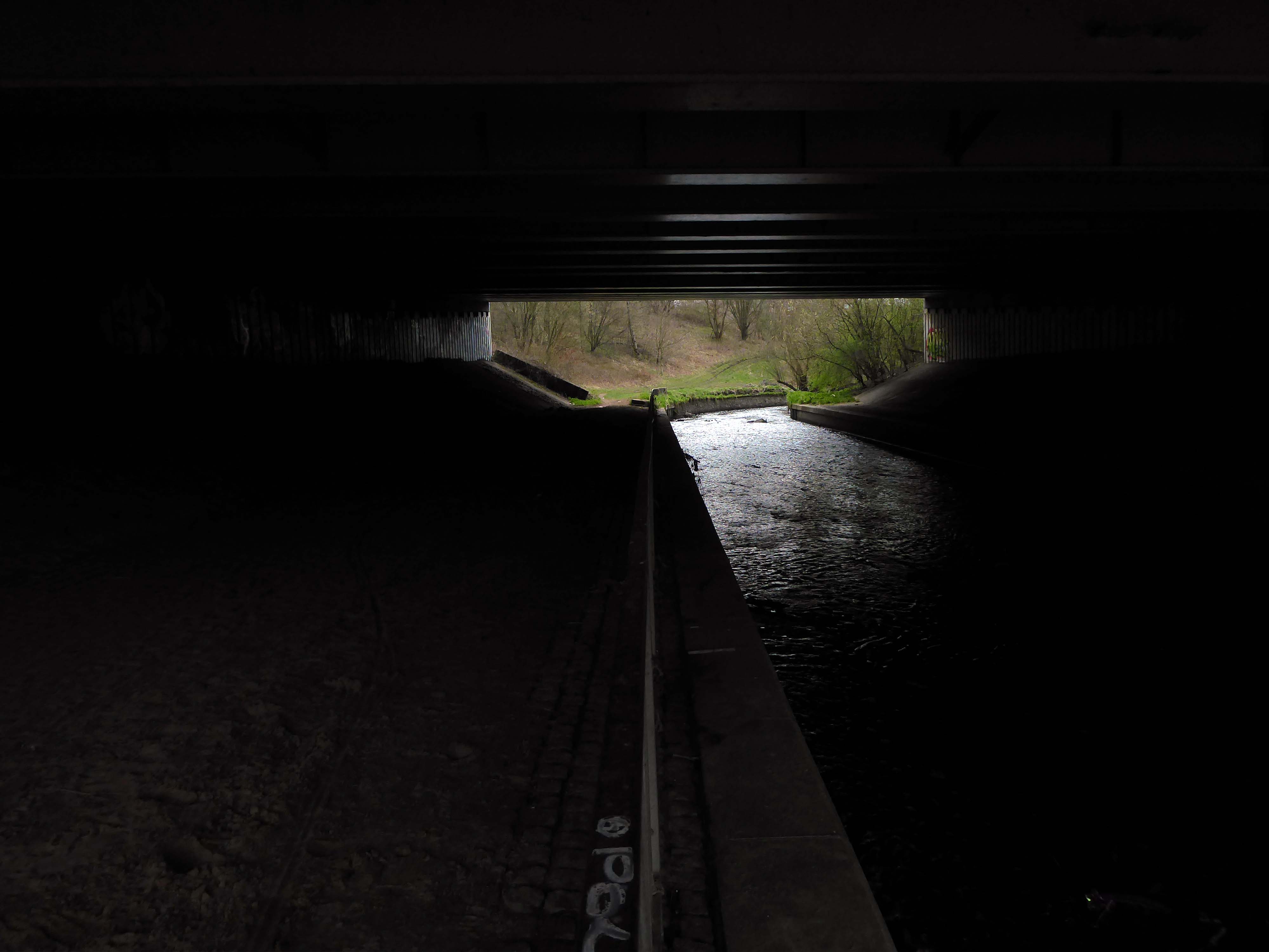
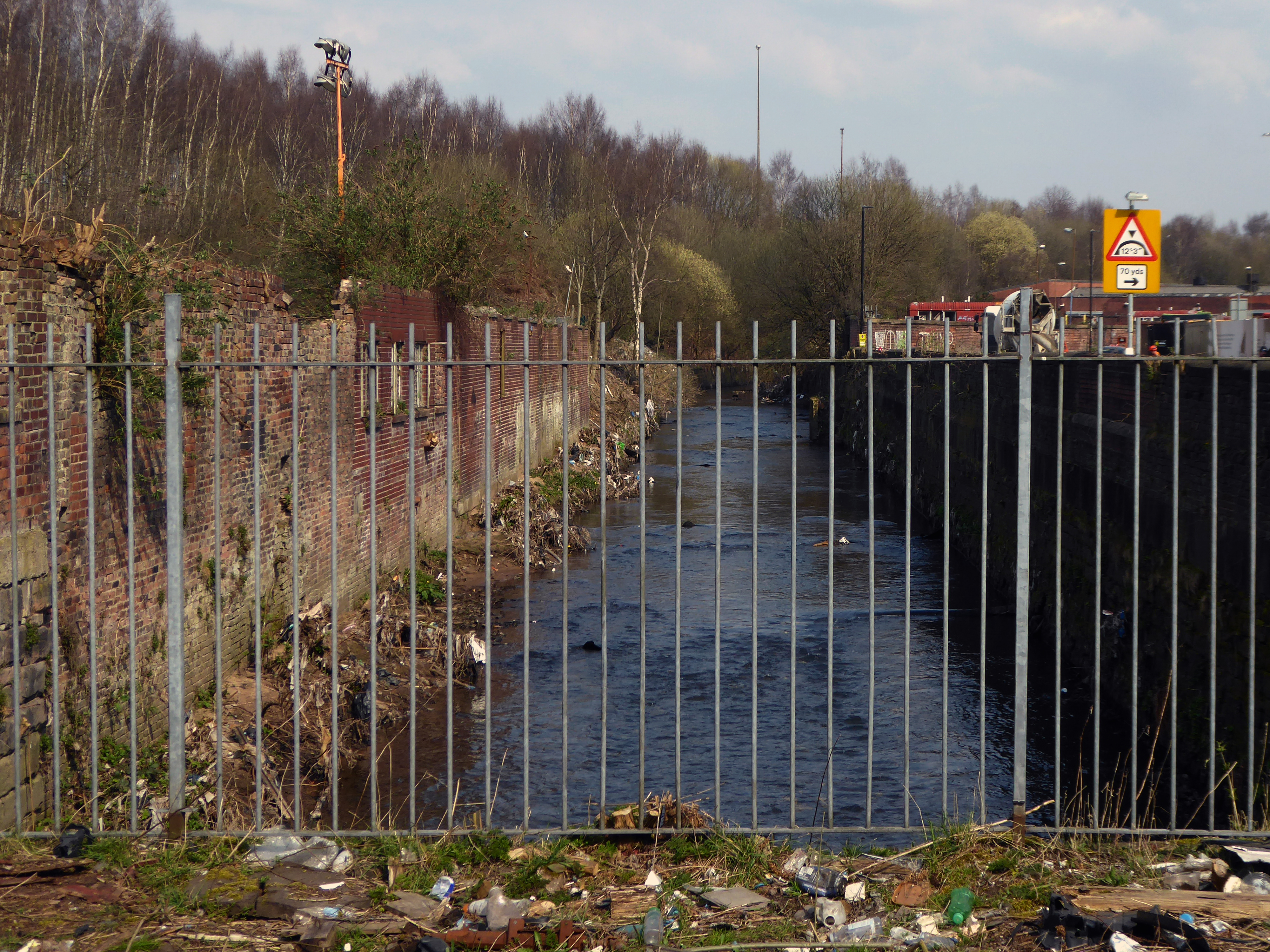
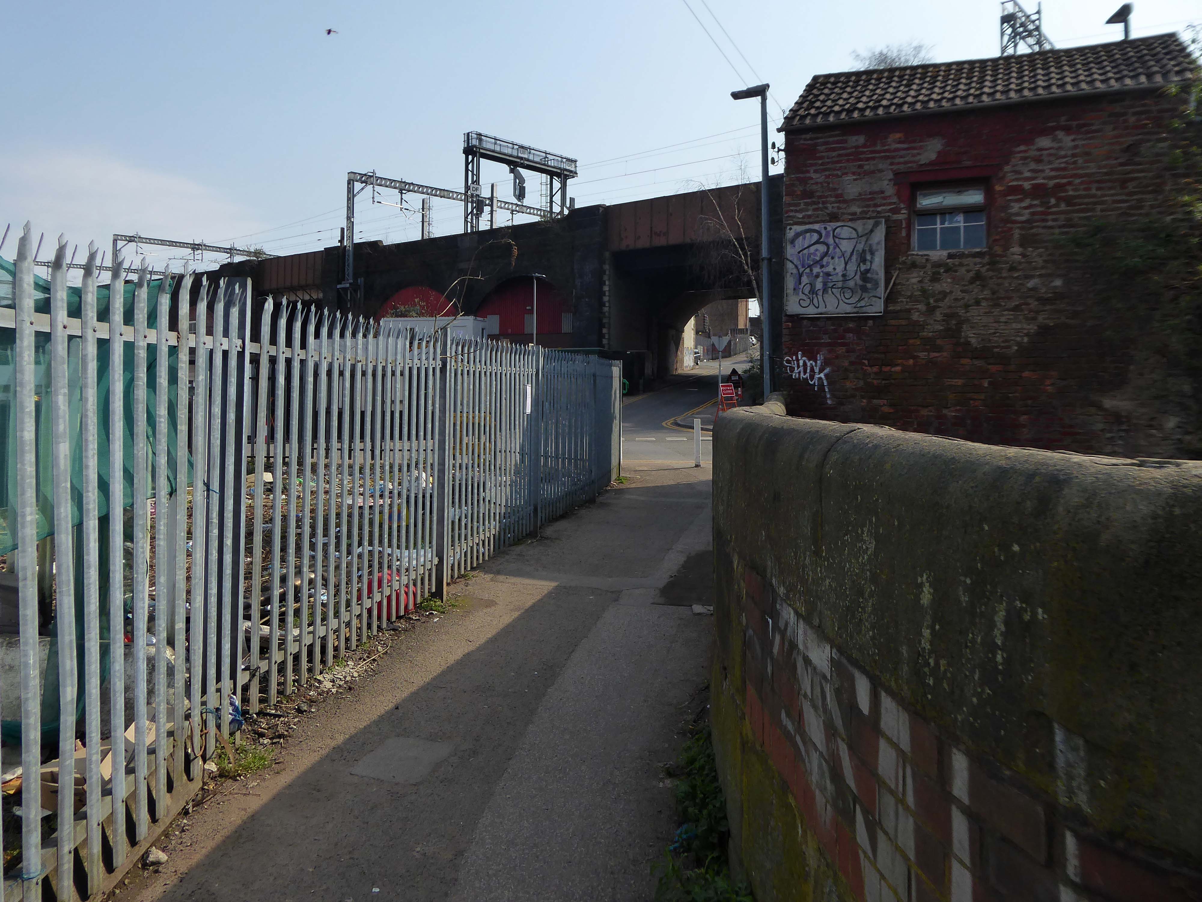
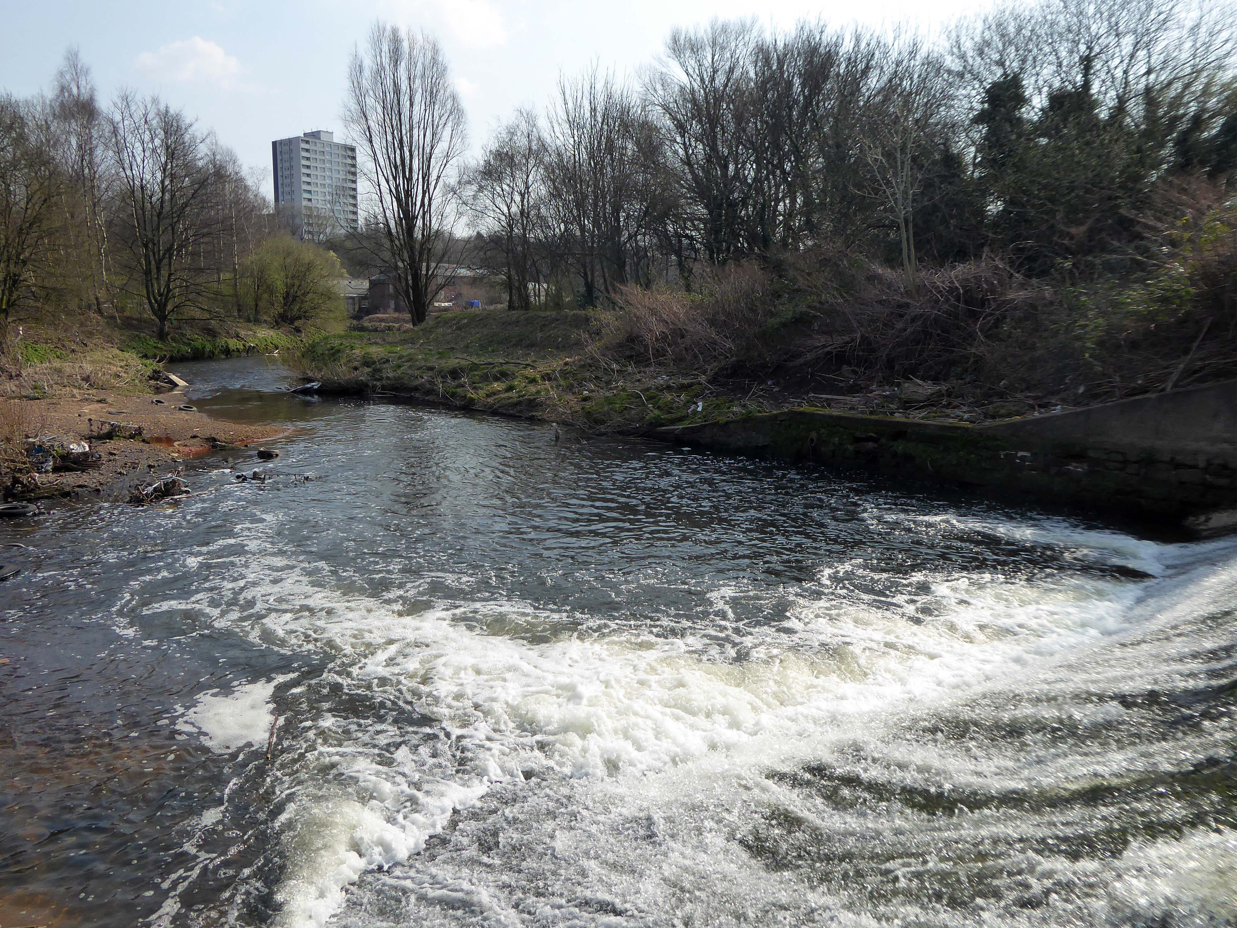
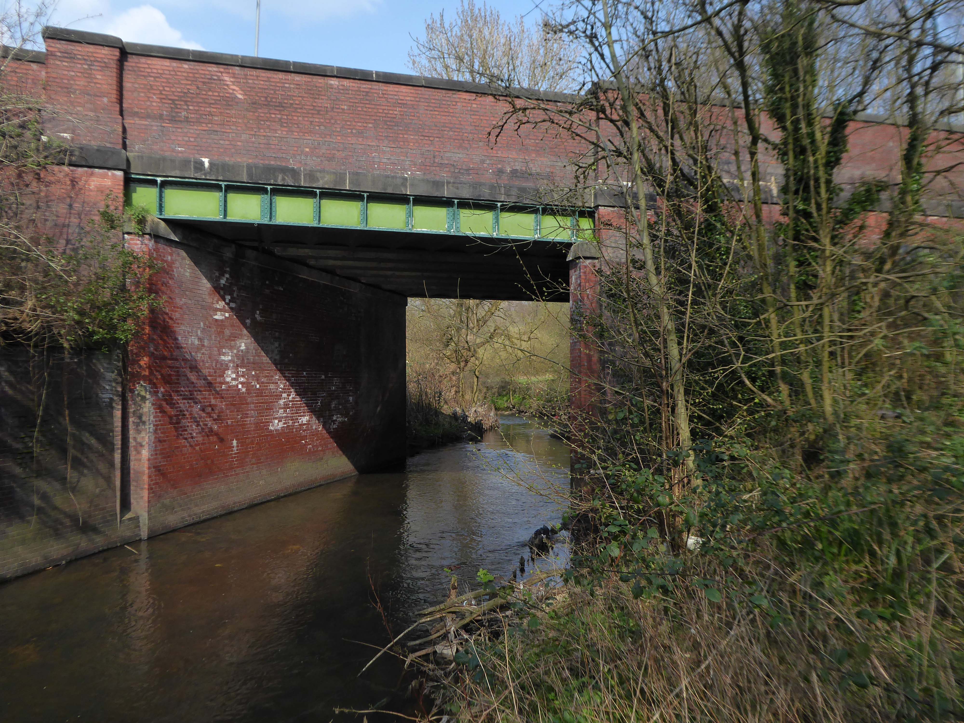
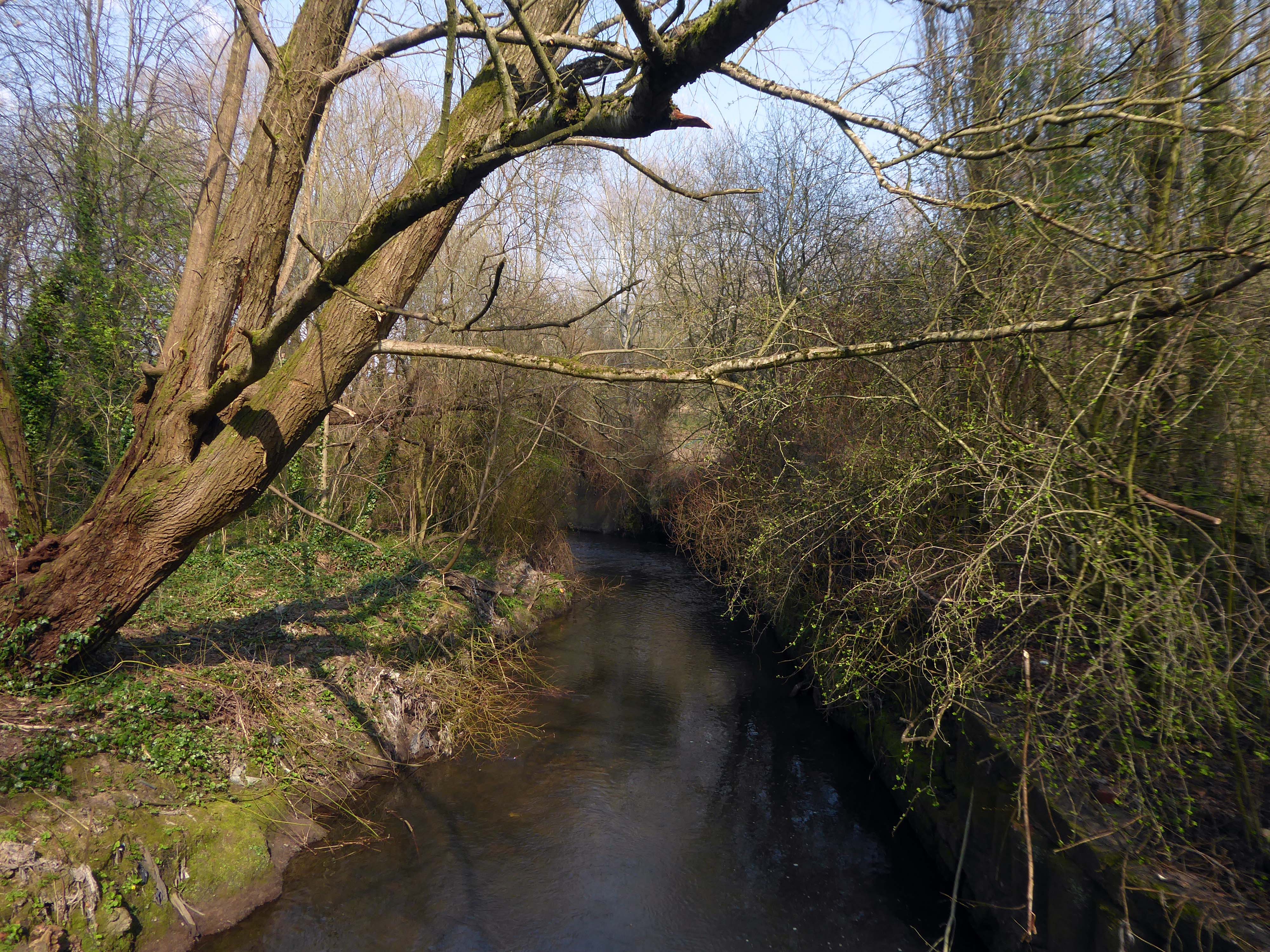
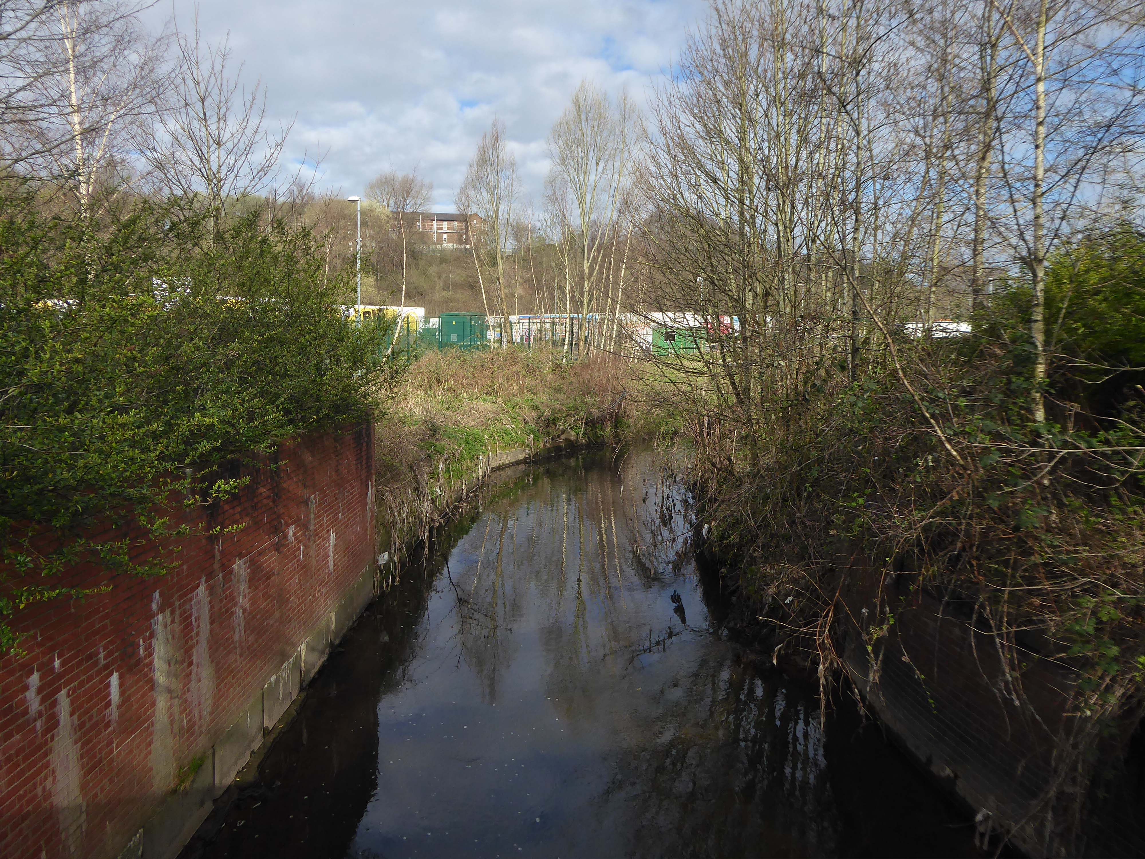
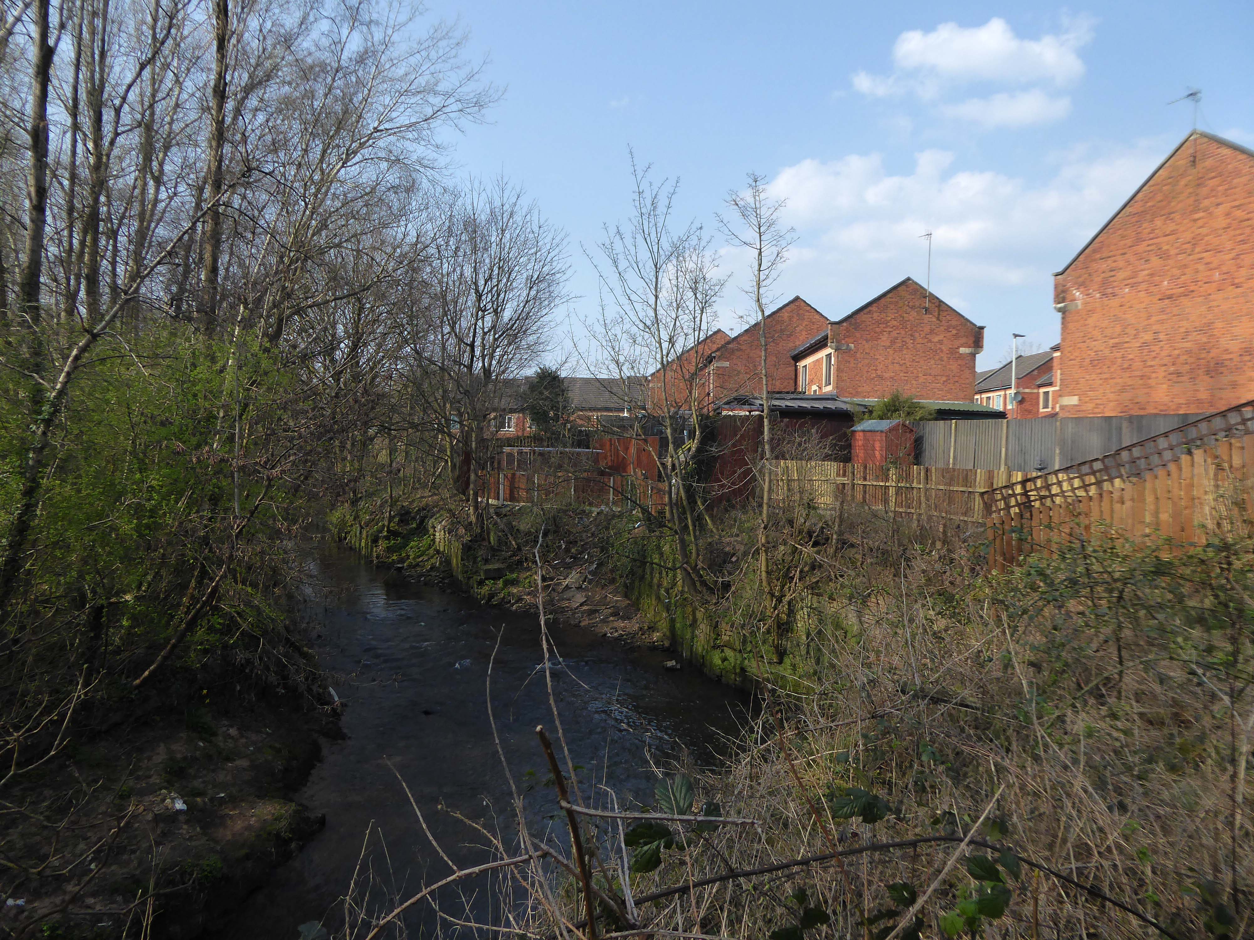
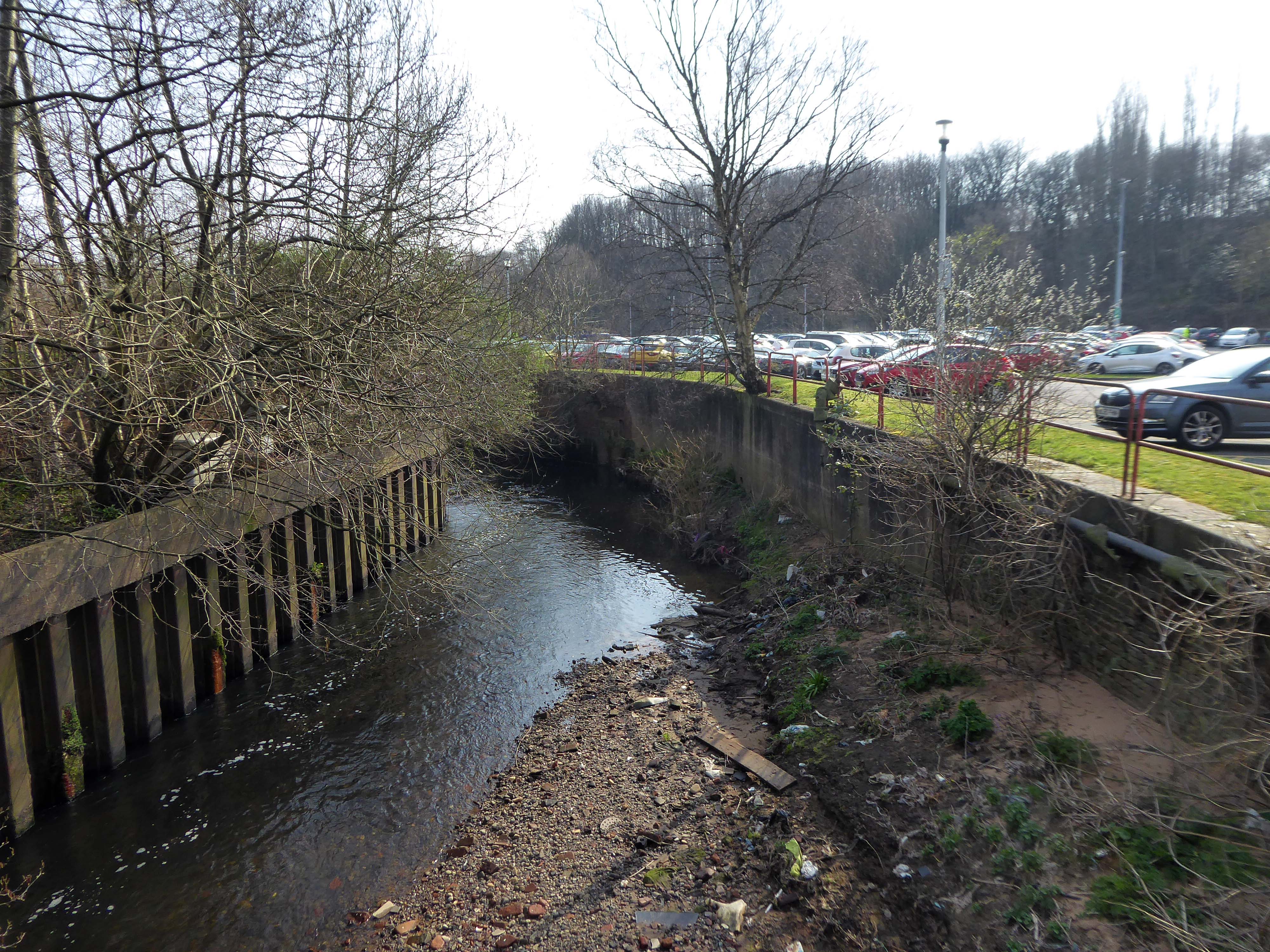
The Cornbrook drains the urban area South of the River Medlock, it rises in Gorton and follows a tortous path through Manchester’s Southern ‘inner city’ suburbs and empties itself into the Manchester Ship Canal at the Pomona Docks.
It’s a tram stop – primarily an interchange, though the brand new shiny residential new build has produced a brave band of brand new shiny residents in transit. Slipping and sliding ‘neath the bridge, skating over the age old accretion of filth, oil, diesel and detritus produced by the surrounding scrap yards.
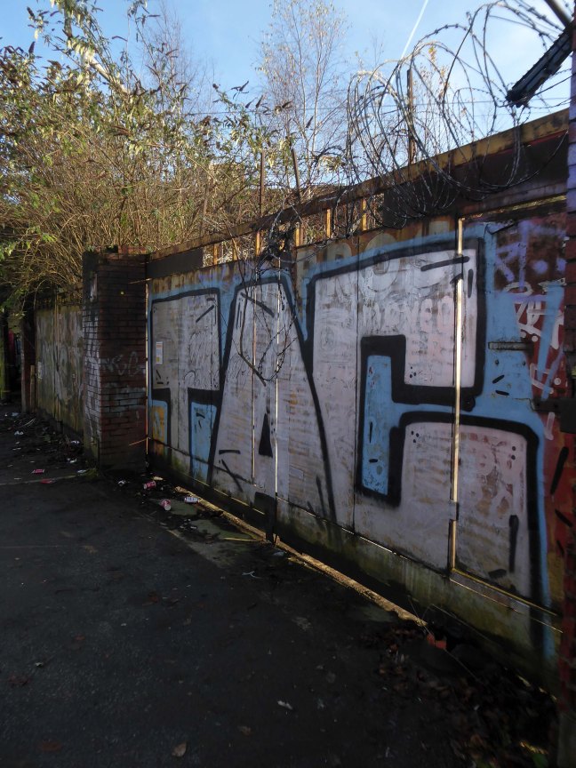
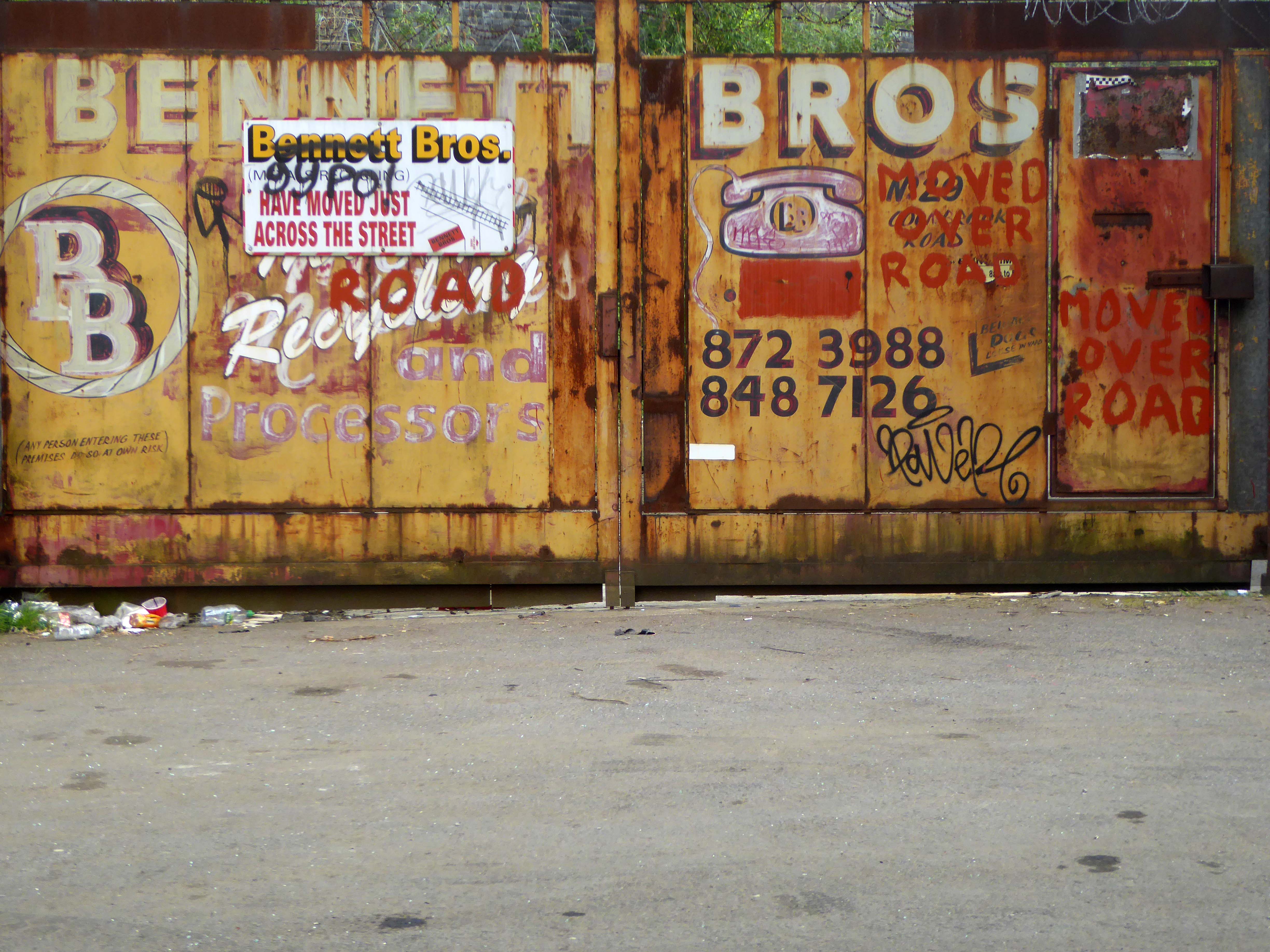
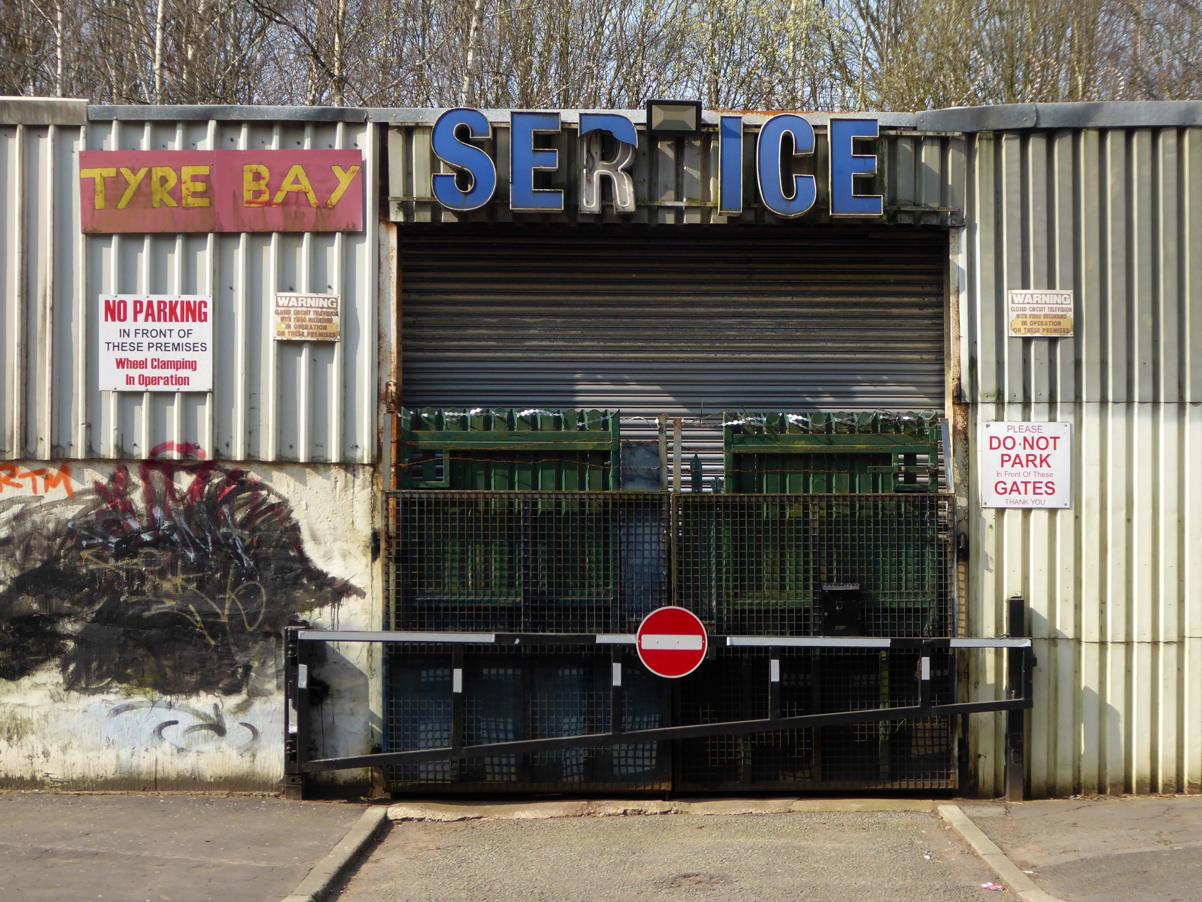
We are one of the first recycling companies operating in the North West, Bennett Bros was founded in 1948 by Francis William Bennett and Bernard Bennett, and remains a family-run business to this day. Bennett Bros was originally involved in loaning ponies to the many rag and bone men who collected unwanted household items and sold them to merchants, and while the recycling industry has now embraced modern technology, we are very proud of our heritage as innovators in what was then a new industry.
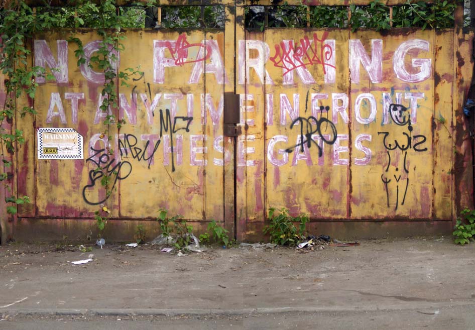
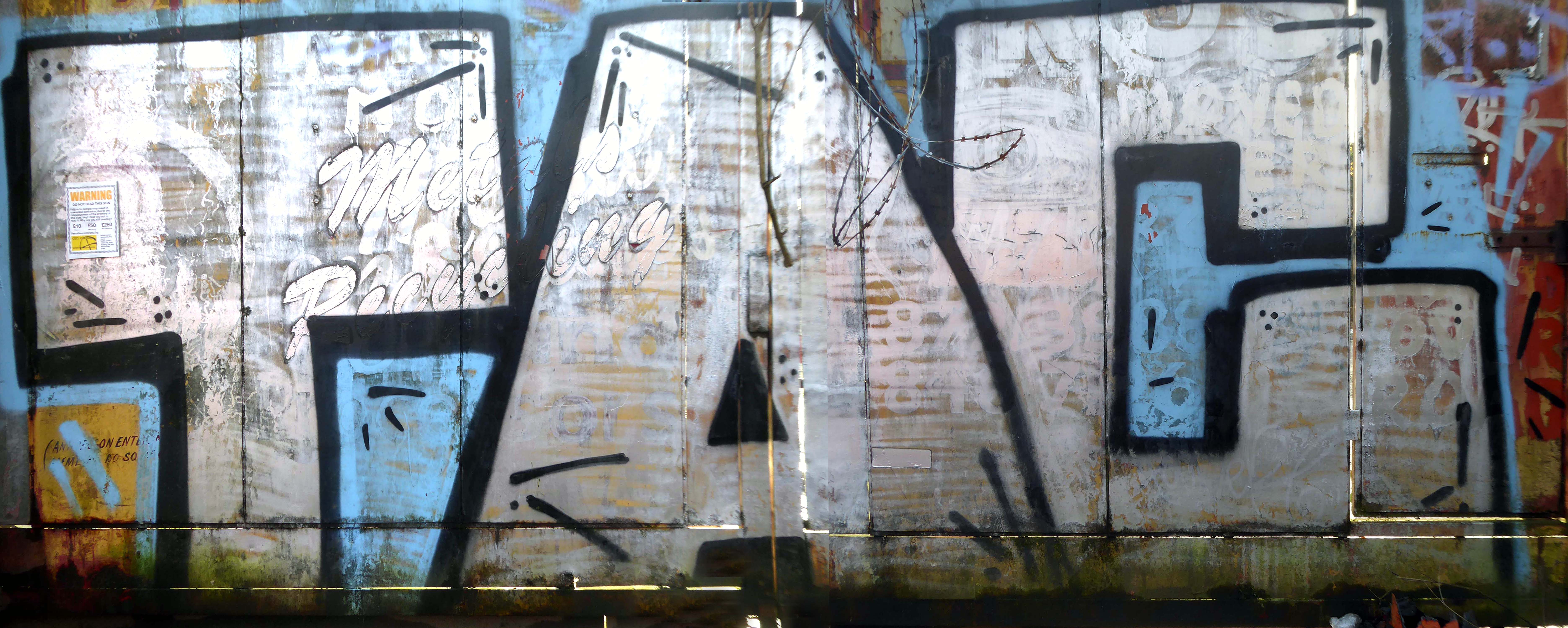
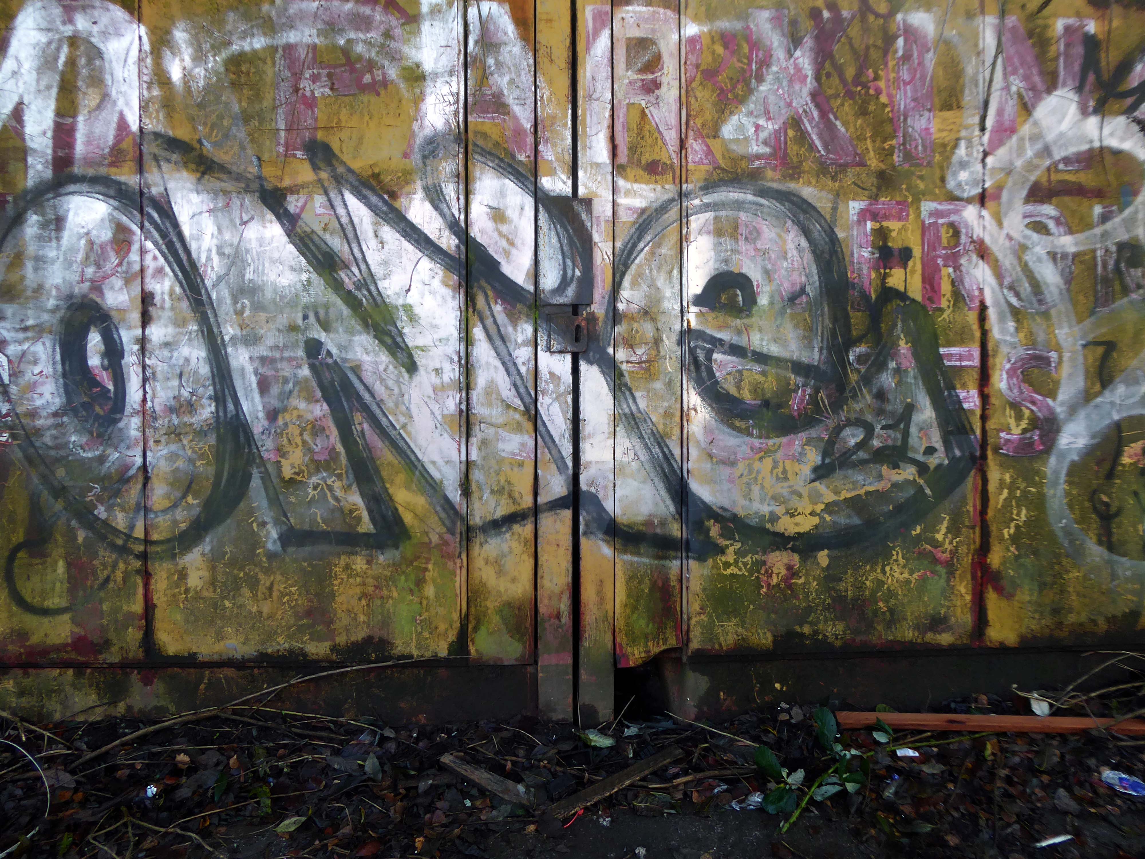
In 2017 I visited the area to snap the gates of their older site – as they had moved the business just across the street.
I returned in December 2023 to discover what had become of the gates.
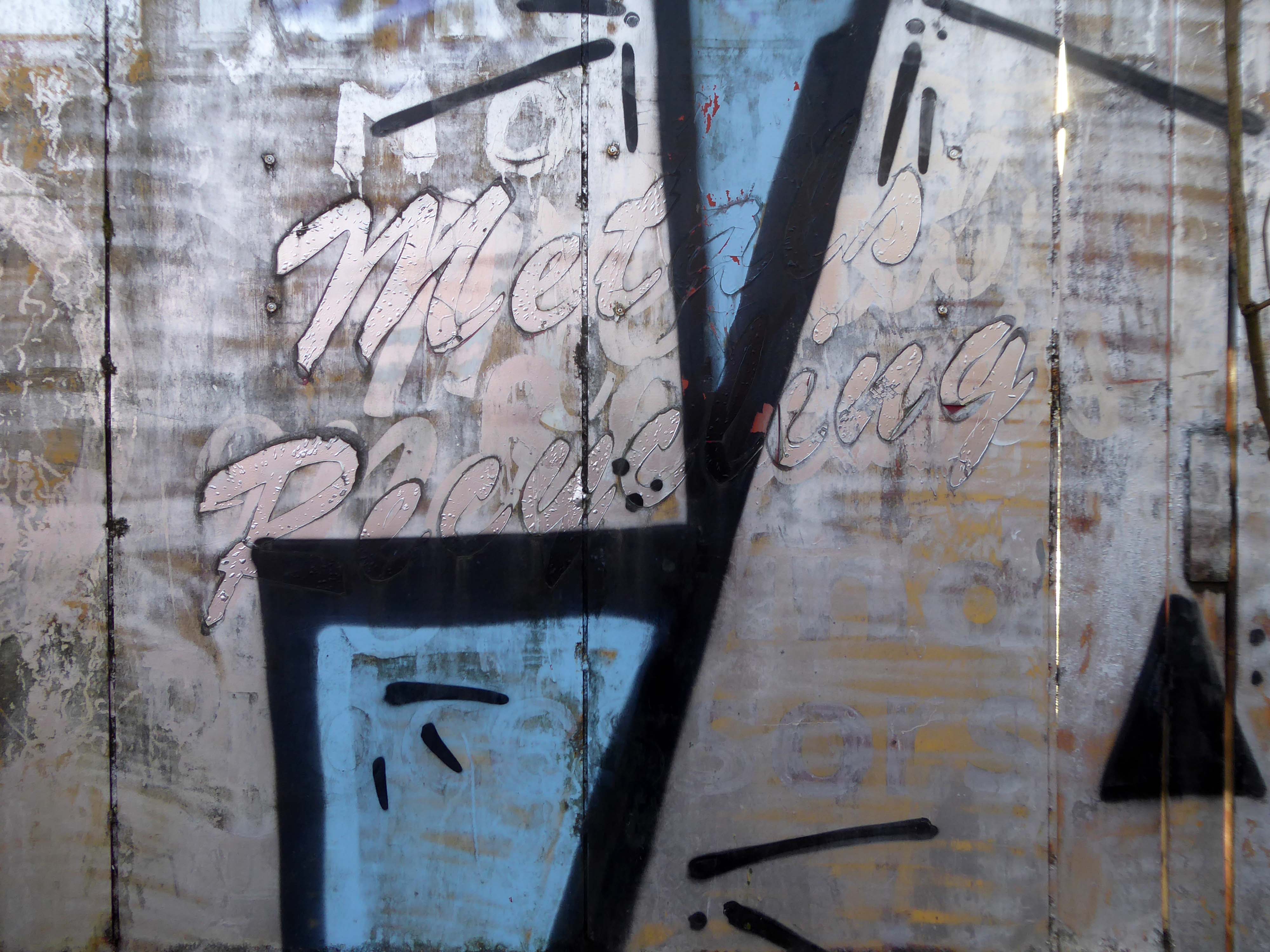
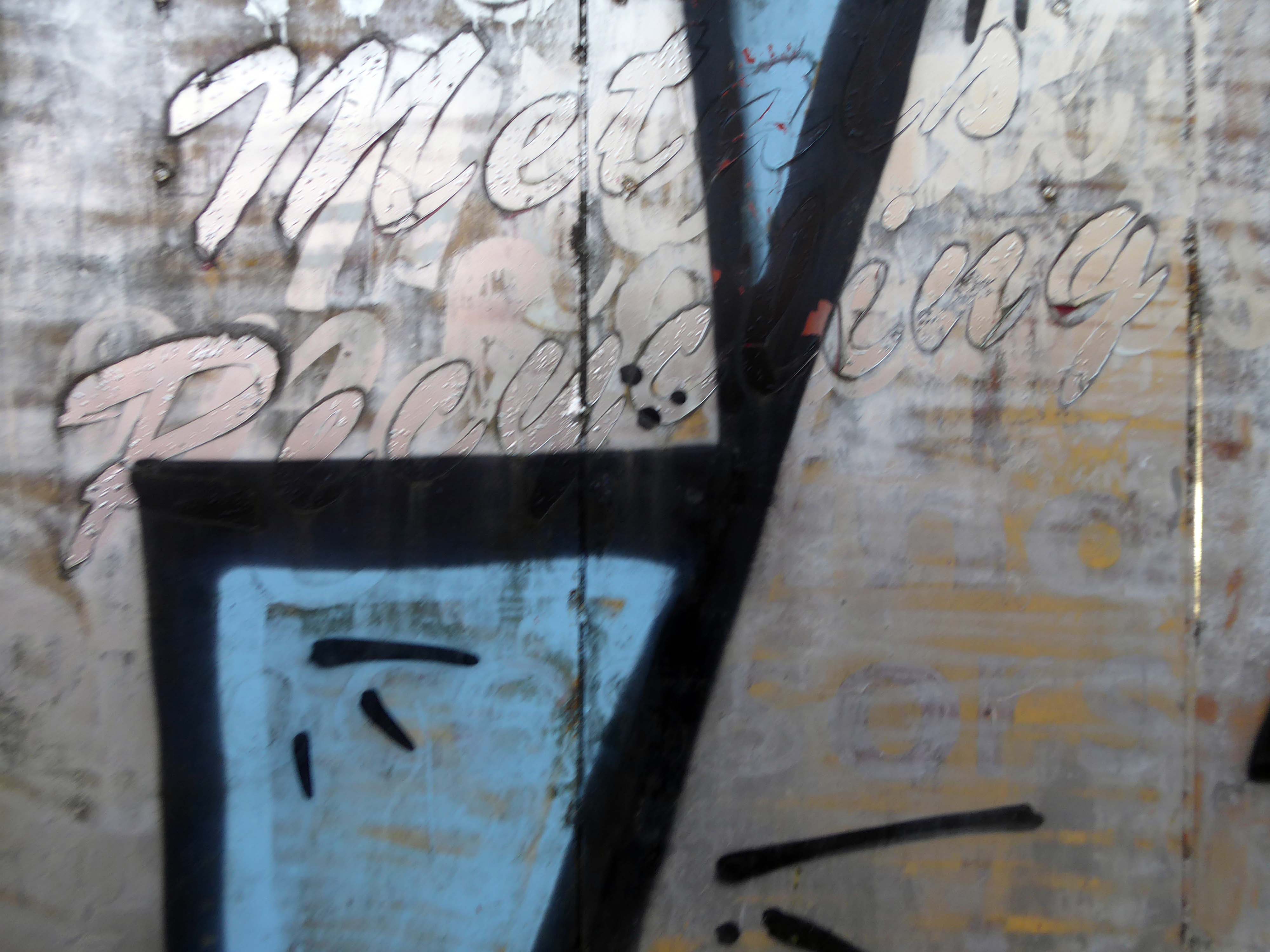
Remnants of the drop shadow block lettering remain, beneath a palimpsest of tags and grime.
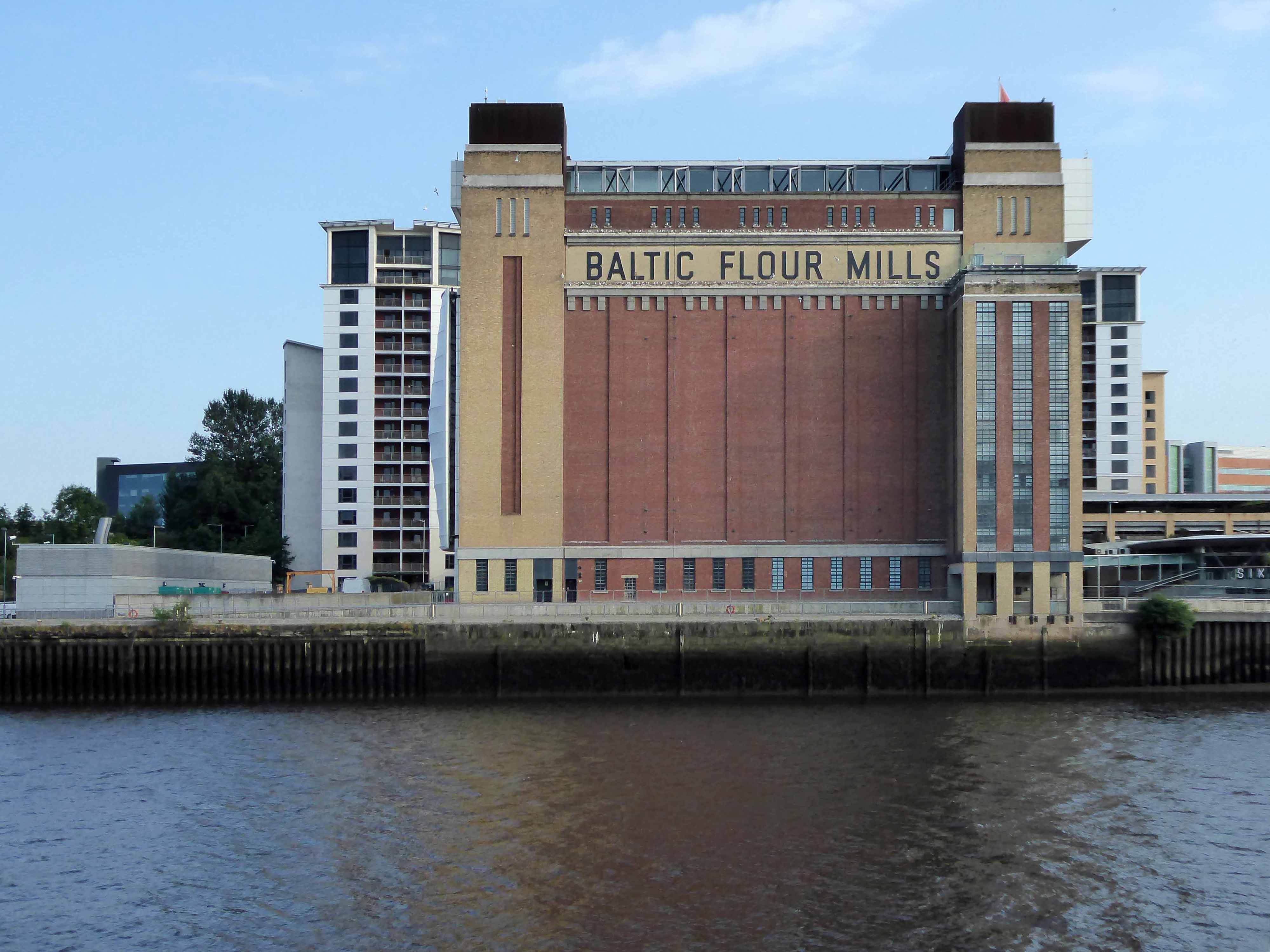
Tyne Mill is one of a trio of mills designed by Oscar Faber for Spillers Ltd – the others are in Cardiff and Avonmouth and led to subsequent commissions from the company. Spillers began with a single mill in Bridgwater in around 1833, and during the 20th centruy had mills all over Britain.
Spillers operations were flour milling and manufacturing animal feeds, and they came to Newcastle in 1896. Grinding grain to flour produces both heat and fine dust a combination guaranteed to be a fire hazard. The fire retardant properties of reinforced concrete, and its relative cost effectiveness, made it a popular choice for mills and other industrial buildings.
Construction took place during the winter and a warming plant heated the concrete constituents before and after mixing, to control the setting time which governs how soon the slip-form shuttering can be moved to the next lift. The concrete was usually kept at 15.6 deg C, though this could be varied to speed or delay setting times.
The mill building has the actual mill above a warehouse area. Its footprint is 88.4m by 27.4m with 12 storeys and a maximum height of 51.2m. It has reinforced concrete columns and beams, but timber floors of 100mm thick Columbian pine with a 25mm thick maple strip finish. The walls are of 280mm thick brickwork with flashing on each floor to drain the cavity.
When completed, Spillers Tyne Mill was the largest flour mill in Europe and apparently the tallest milling building in the world. It could process 254,000 tonnes of grain annually, brought to the mill by ship via Spillers Quay or by rail on the track extension along Quayside.
A goods line down to the Newcastle quayside from Manors Station was agreed in 1845, but not authorized until 28th June 1863 and opened on 1st June 1870.
The Quayside Branch Line closed on 16 June 1969. The railway was in use for ninety-nine years and its eventual demise reflects the changes in the Quayside and Ouseburn themselves from shipping and industrial use to one now of housing and leisure facilities. The northern portal of tunnel 2 was removed when the Metro system was constructed in the late 1970s. The cutting above Lime Street was filled in in 1977 and the tunnel at the quayside bricked up and landscaped over in the 1990s. Only the Red Barns tunnel remains as a metro overrun facility.
24/7, completely free and always spaces! A hidden parking gem of Newcastle! 10 minute walk to Millennium Bridge. Security is almost non-existent but busy enough that trouble should be deterred.
A popular Newcastle car park will be staying locked up overnight in an effort to crack down on boy racers. Council bosses have confirmed plans to permanently close the Spillers car park in Ouseburn at 10pm each night after it was plagued with – significant anti-social behaviour.
The future of the car park is uncertain, with major redevelopment plans having emerged for the area.
While planning permission has expired for the controversial Whey Aye Wheel project, which would have seen Europe’s biggest observation wheel built at Spillers Wharf, there remain proposals to build housing on the riverside plot.
However as of September 2023 a car park is a car park – a car park with embedded remnants of the railway yard, interspersed with rapidly emergent plant life, and crumbling concrete obstacles.
The ingredients list of Wotsits Cheese reveals that cheese and dairy-derived components play a significant role in creating the mouthwatering flavor. The primary ingredients include corn and rapeseed oil, which form the base of the crunchy corn puffs. However, it is the cheese flavoring that truly brings the cheesy goodness to Wotsits cheese.
One man who saw the wisdom of building a road infrastructure to deal with high volumes of traffic passing through Halifax and to provide convenient links to the M62.
That man was prominent town councillor John Burdock.
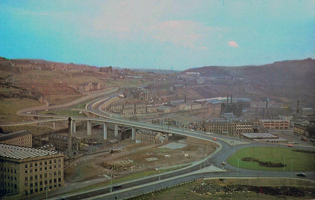
Burdock Way, the modern flyover system, was opened in 1973 to take the A58 and A629 traffic over the River Hebble.
Faced with the problem of very high volumes of through traffic in its town centre, and with the impending construction of the M62 too far to the south to provide relief for the town, Halifax needed a bypass. The steep sided valley that the town centre inhabits prevented a conventional road from being built around the town, and so in the early 1970’s construction began on Burdock Way – one of the most adventurous relief road schemes built in Britain, certainly by a town the size of Halifax.
Only one phase of the futuristic road was ever built, but what exists is a partially grade-separated dual carriageway that runs through deep trenches and over tall viaducts close to the heart of the town. At its eastern end is a truly byzantine piece of traffic engineering that stretches the definition of a roundabout to its limit.
In October 1971 the official celebrations went anything but according to plan. It had been decided to give the people of Halifax a half day holiday so they could attend the opening, but there were not enough police on duty to control the sightseers. It was impossible to get complete silence for the speeches and arrangements to tell the artillery guns at Southowram Road when to fire broke down. They were fired prematurely while an archdeacon was offering prayers. The Mayor, HC McCrae, finally managed to announce that the bridge was officially open and he scurried back to the town hall where he hosted a banquet.
Burdock Way has never been fully completed as it is missing certain sections envisaged in the early 1960s plans. There are a number of reasons for this, but it is mainly owing to West Yorkshire County Council’s cost cutting in the 1970s.
Yorkshire Post
This is the Valley of the Gwangi in the West Riding – minus the dinosaurs.
An urban chasm, the gulf between everything and nothing.
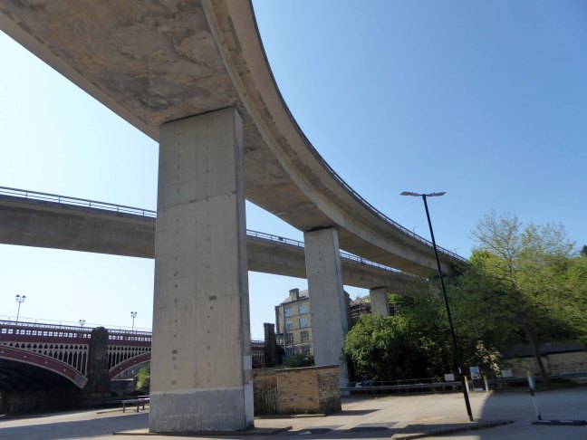
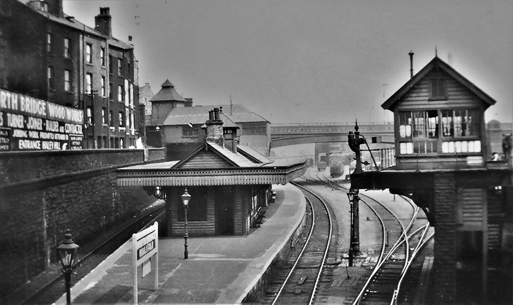
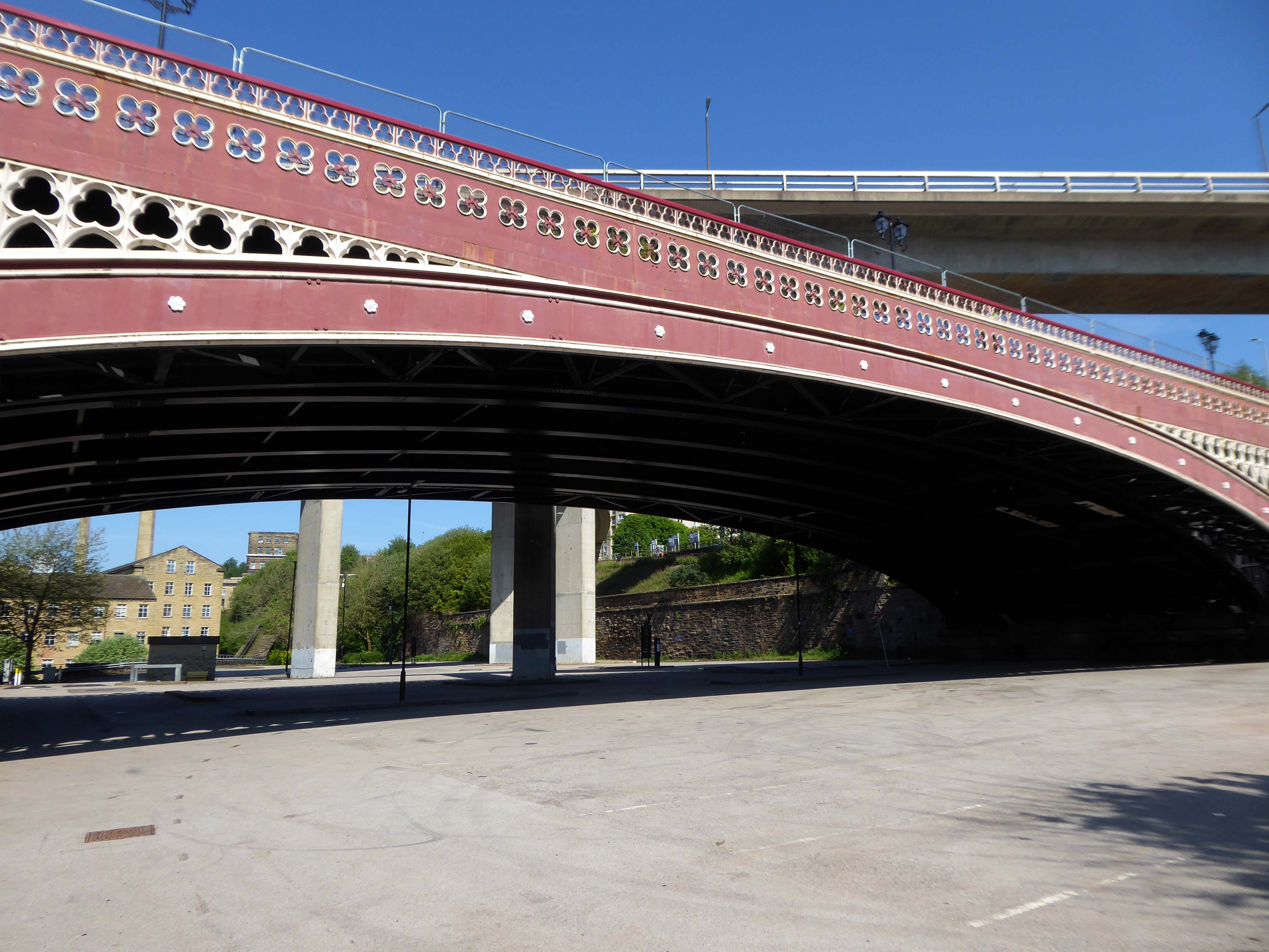
North Bridge is a Victorian iron and stone bridge crossing the valley of the River Hebble, connecting the town to roads to Bradford and Leeds. Replacing an earlier six arch stone bridge it was raised to allow the subsequent construction of the Halifax High Level Railway beneath it, along with an adjoining station.
Opened in 1871 amid chaotic crowd scenes it carried increasingly heavy traffic until it was by-passed by the Burdock Way in 1973.
Having taken a particular interest in this particular piece of public art for some time – I need to go and take a little look.
But what will we see along the way, as we hasten along Rochdale Road?
Which once looked like this, way back when in 1904.
Though some things inevitably come and go, as some things are prone to do.
The city is undergoing yet another reinvention as Manchester becomes – an attractive place to invest and do business.
See, I am doing a new thing!
Now it springs up; do you not perceive it?
I am making a way in the wilderness and streams in the wasteland.
Isaiah 43:19
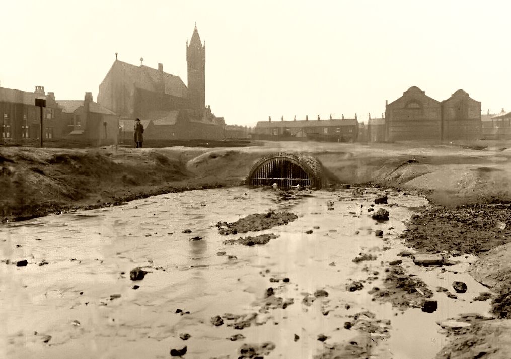
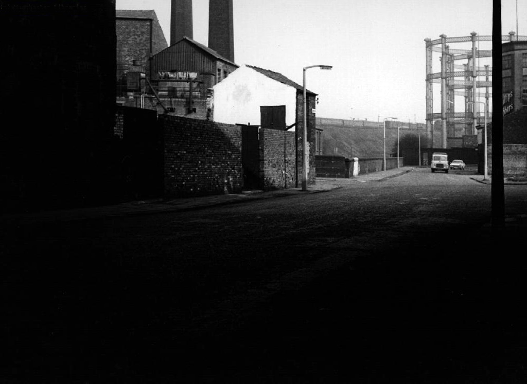
Once there was a gas works here – adjoining Gould Street, seen here in 1958.
The Gould Street Gas Works was a gas manufacturing plant located in Manchester, England. Originally built in 1824, the plant was operated by the Manchester Corporation Gas Department and was in operation from 1833 to 1969. It was named after the street on which it was located, which was named after John Gould, who was a prominent Manchester businessman in the 19th century.
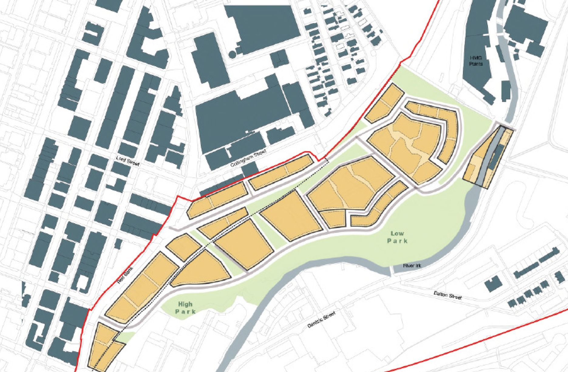
The Gasworks New Town neighbourhood is one of seven envisioned by the £4bn Victoria North masterplan. It will feature nine buildings ranging from 8 to 34 storeys. The 6.6-acre site has most recently been home to a car park but the green development will overwhelmingly prioritise walking and cycling over driving. It will result in tens of millions of pounds being pumped into the city’s economy over the lifetime of the development.
Plans for a trailblazing city centre regeneration scheme that will create more than 1200 homes has been approved by Manchester City Council.
A total of 85 of the 1200, will be affordable homes available through Shared Ownership.
Though as of March 31st 2023 ground is yet to be broken, no signs of the:
New centre of gravity for central Manchester that will create thousands of jobs and inject tens of millions of pounds into the city’s economy.
So you zig-zag wanderers, make the most of these wide open expanses of affordable car parking, while you can.
The future may yet be here today – or the next.
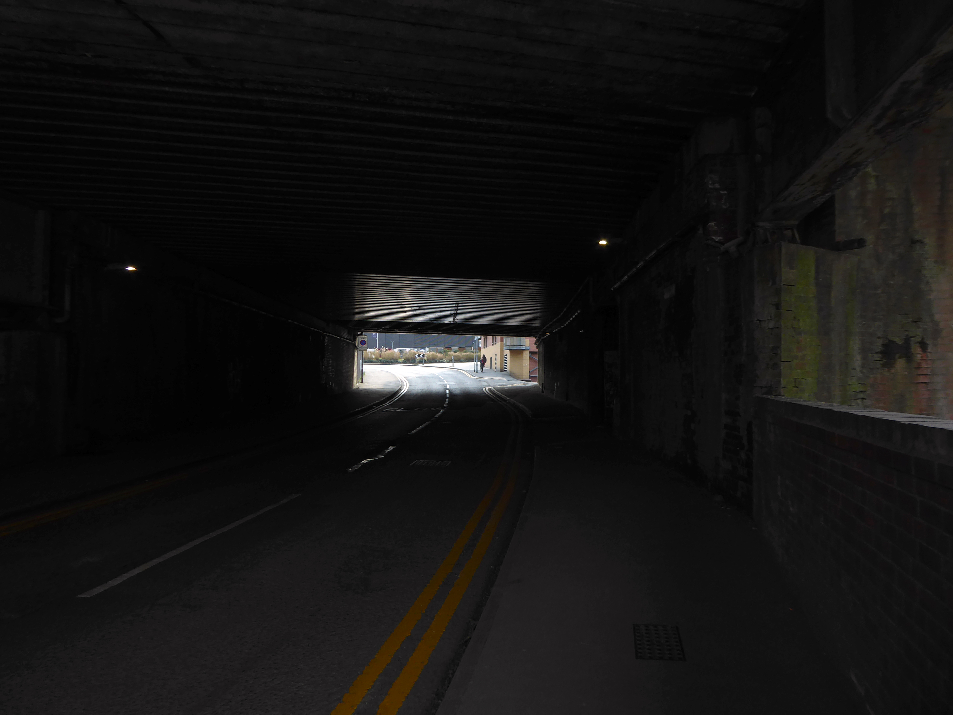
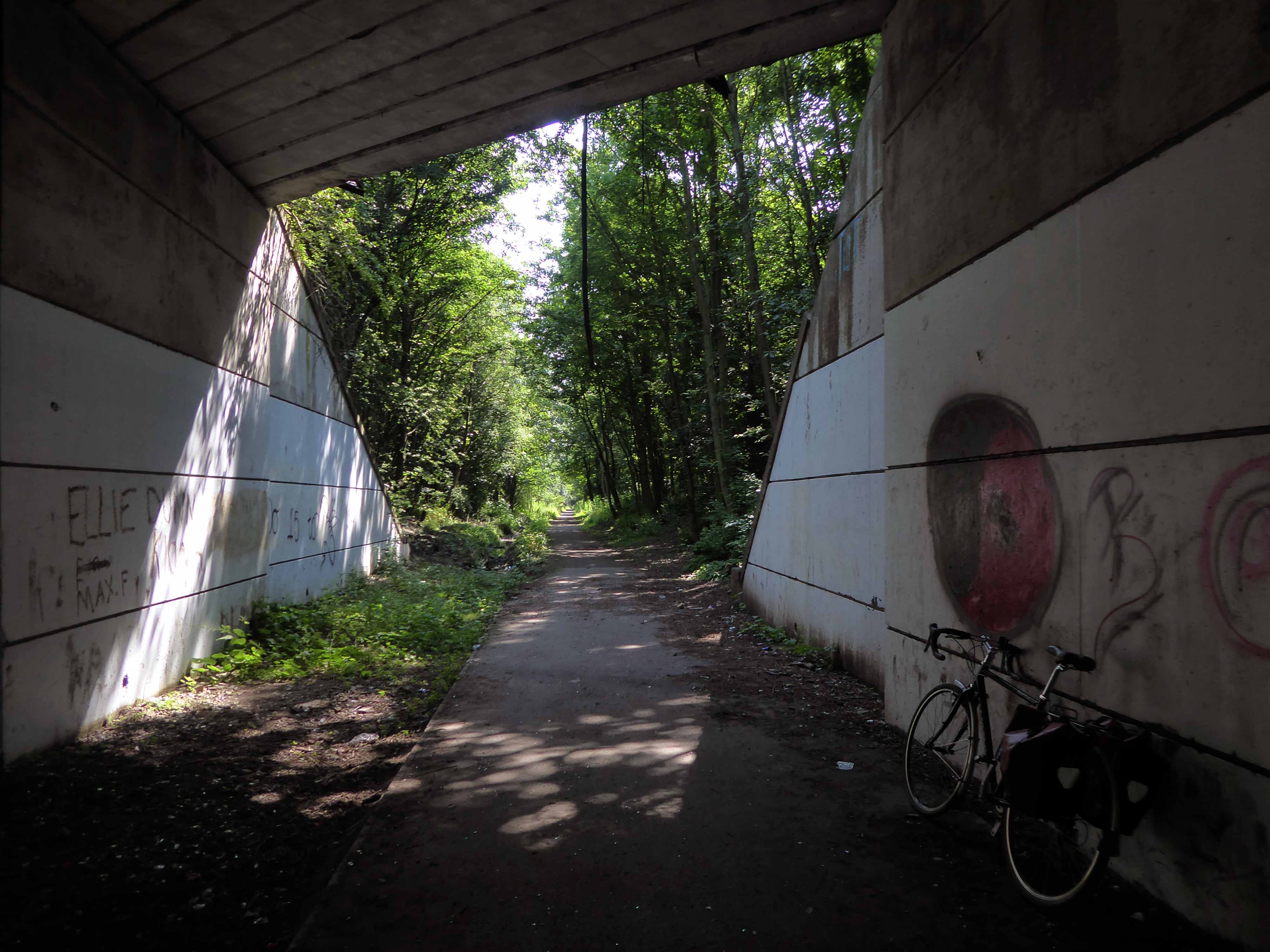
Let’s duck under the railway, through this sad damp pedestrian tunnel – the domain of the cash strapped daytime drinker, transient tagger and disaffected leaflet distributor.
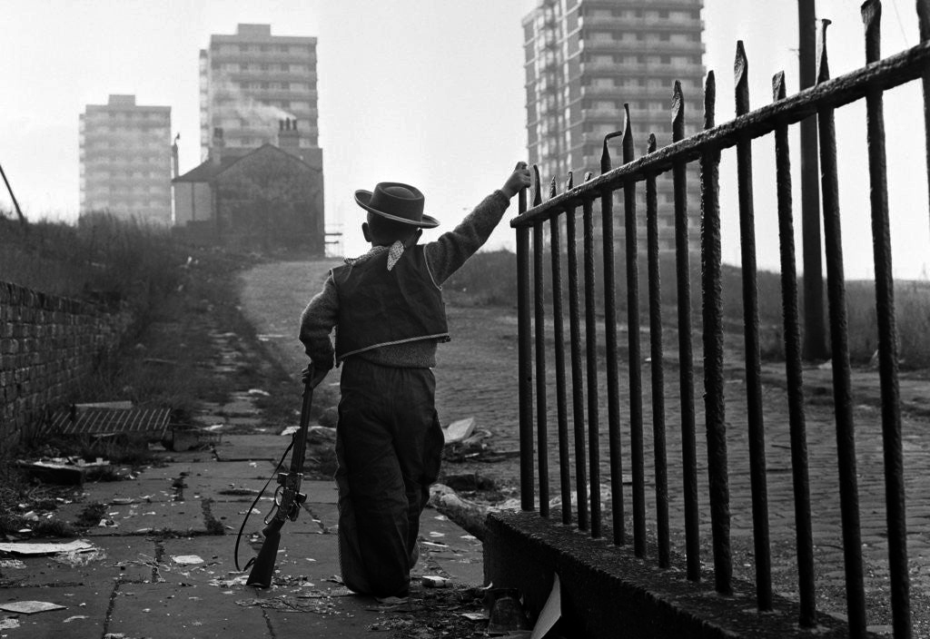
Next thing you know you have emerged into the daylight on Dalton Street – we have been here before seeking the Collyhurst Cowboy.
Photograph: Dennis Hussey
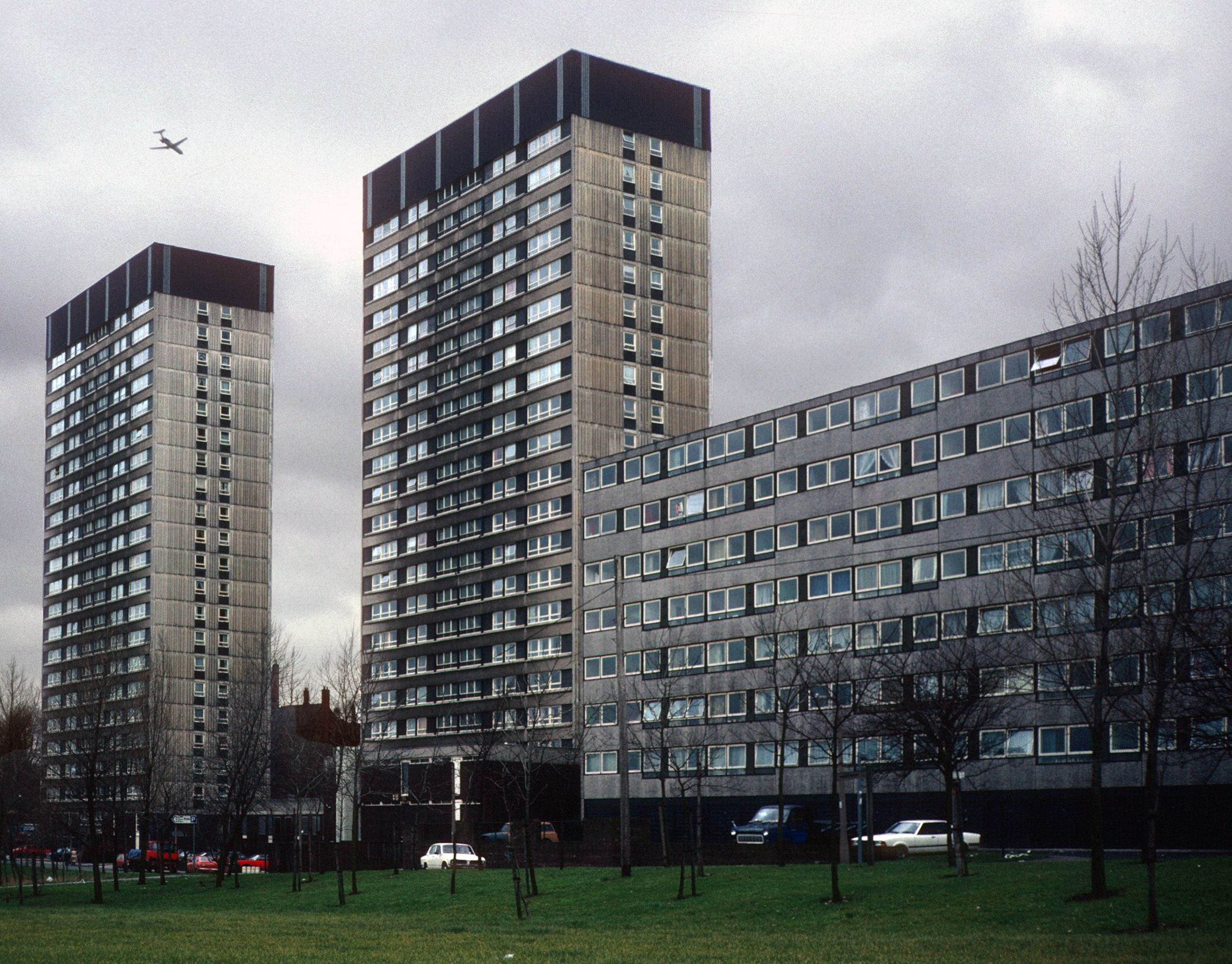
Onwards to Eastford Square.
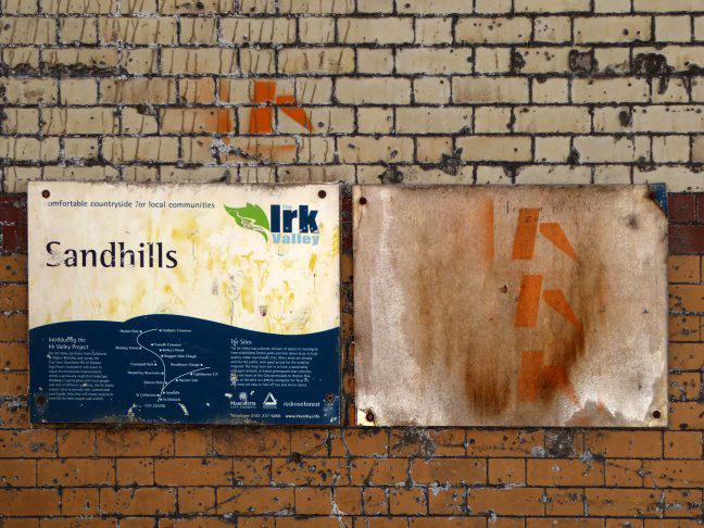
The shops and maisonettes are due to be demolished any day now – no longer to gaze open-eyed upon the former quarry of Sandhills.
Around the front the diggers have been a digging – digging up around the base of the totem.
The work is to be re-sited by the nearby tower blocks.
The end is nigh.
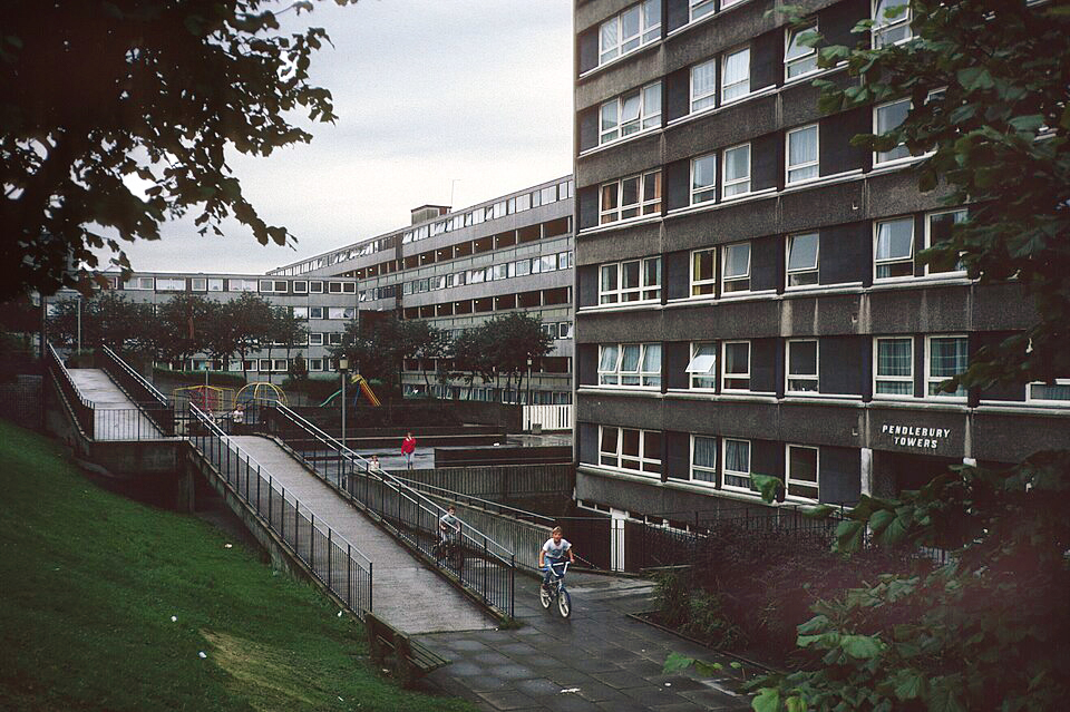
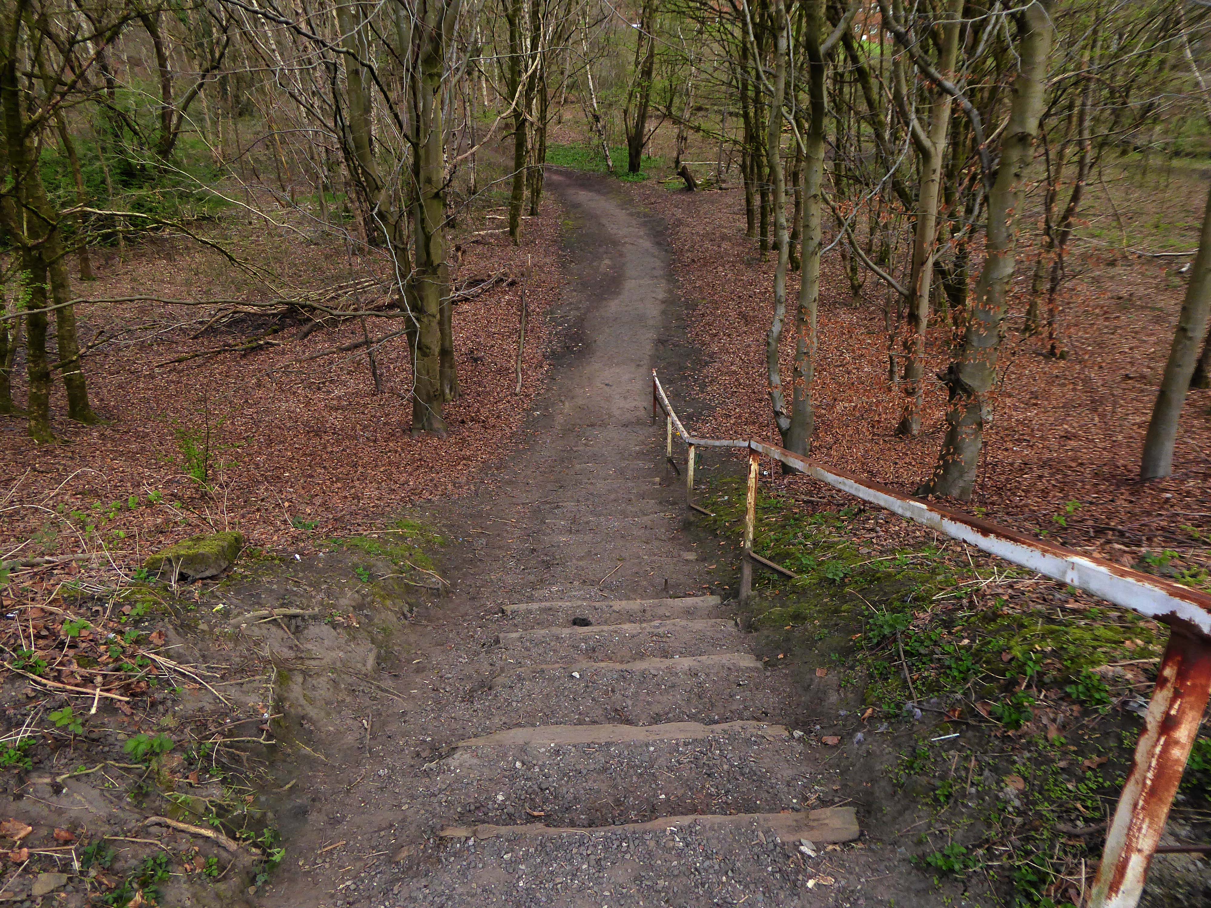
Heading now for Collyhurst Road and the Irk Valley – seen here in 1960.
Looking back on the Square and the Dalton Street flats – Humphries, Dalton, Roach, Vauxhall and Moss Brook Courts under construction.
Vauxhall Street now but a shadow of its former self – the last traces of industry long gone.
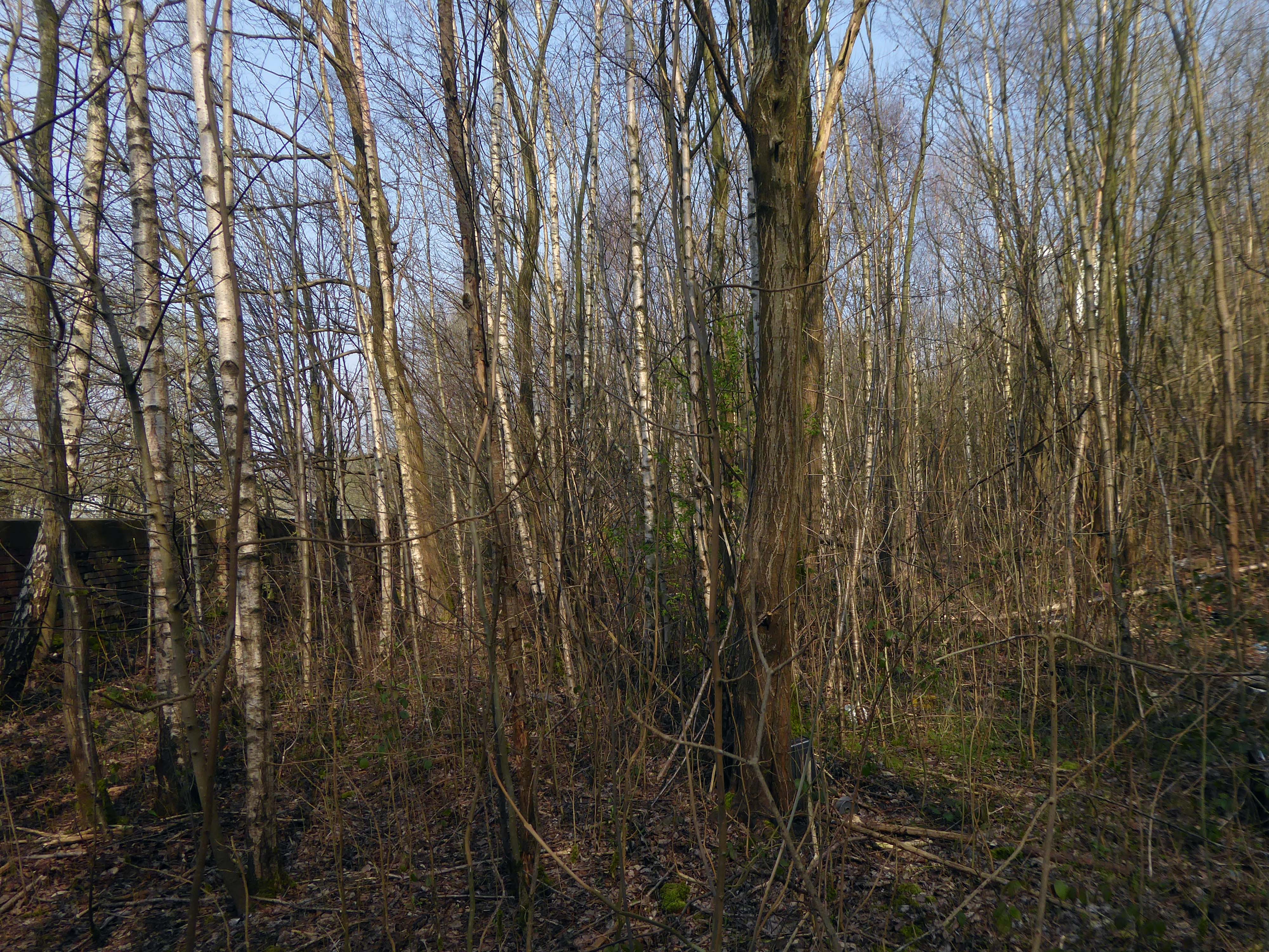
Reclaimed over time by trees and dense underbrush.
Crossing Collyhurst Road and up and over the railway via Barney’s Steps also known as the Lowry Steps.
LS Lowry
By the late 1950’s the whole of this area which we called Barney’s Tip became a refuse tip for Manchester City Council.
The area is in the process of being reconfigured as a delightful country park.
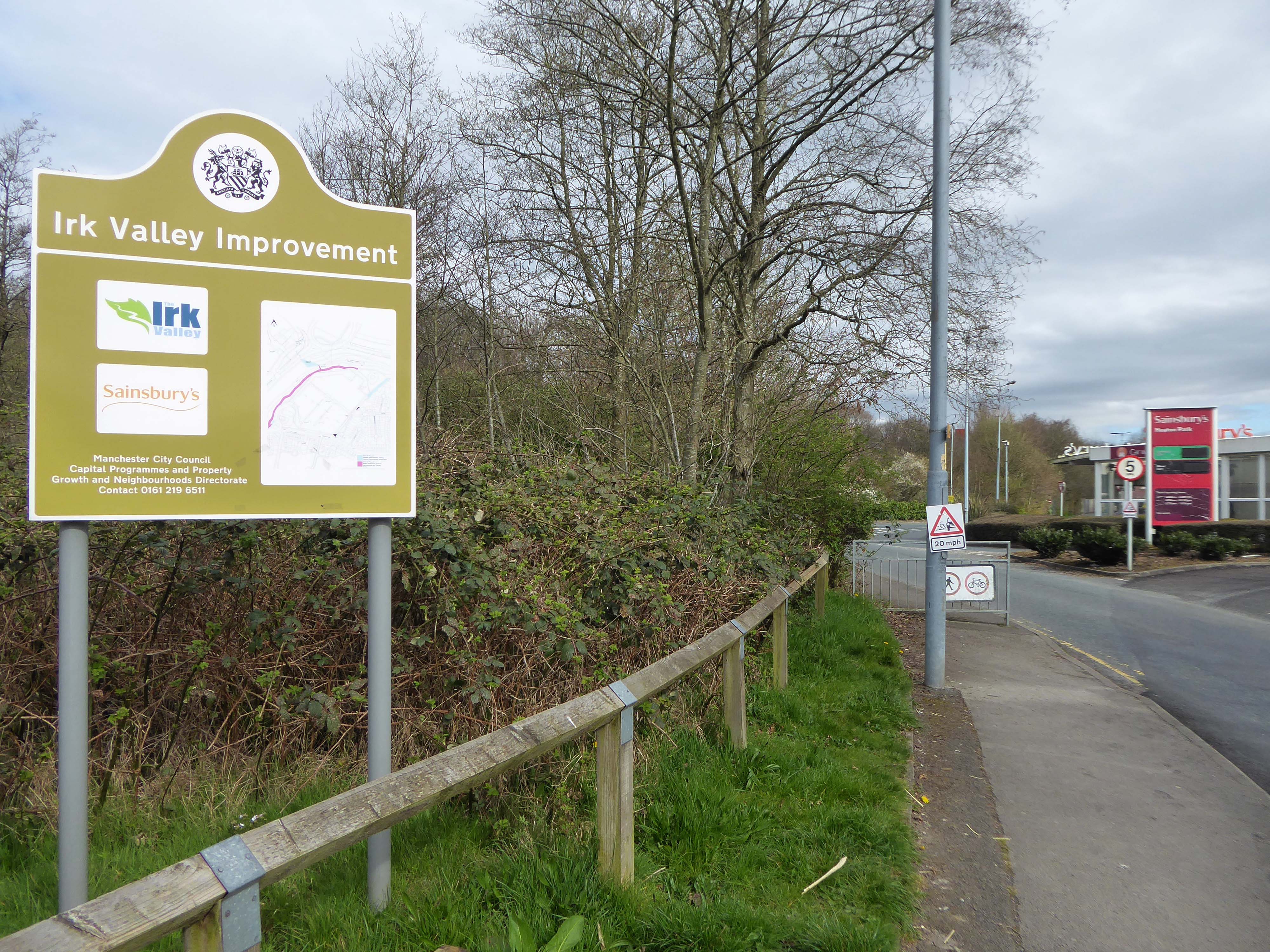
The investment will also help develop an initial phase of the planned City River Park incorporating St Catherine’s Wood as part of a network of public open space, including improvements along the River Irk and works to improve flood resilience, unlocking the potential of the Irk Valley that will characterise the wider Northern Gateway project.
The first phase of the City River Park will begin work to transform former railway architecture to develop the new Viaduct Linear Park north of Victoria Train Station, new stepped public realm space – Red Bank Terraces, along with new green space by the River Irk and the key improvements to St Catherine’s Wood.
Collingham Street is lined with trucks, trailers, stalls and mobile homes.
But there’s nothing temporary about this Cheetham Hill neighbourhood; most residents have lived here for years and many plan to spend the rest of their lives here.
Founded more than forty years ago, it was created by the Showman’s Guild of Great Britain – and it’s reserved exclusively for fairground workers both retired and current.
Built on Queens Road tip, a former rubbish dump, and rented out by Manchester Council, many of the 52 homes belong to older retired showmen or families for whom an itinerant lifestyle has become more challenging.
It’s a close-knit community with a unique shared history.
Though not without its own particular issues it would seem, according to the MEN.
The licensing out of hours team has received noise complaints relating to the premises which was found to be open beyond permitted hours when visited. Officers also identified breaches of the Health Act during inspections in which people were seen smoking shisha pipes in an enclosed extension at the back.
We will leave the Flamingo be and head back into town – but not without giving a nod to this confusing collision between this self-made scrapyard-man chic gate and the ever changing skyline of overheated urban regeneration.
The new creation has come: The old has gone, the new is here!
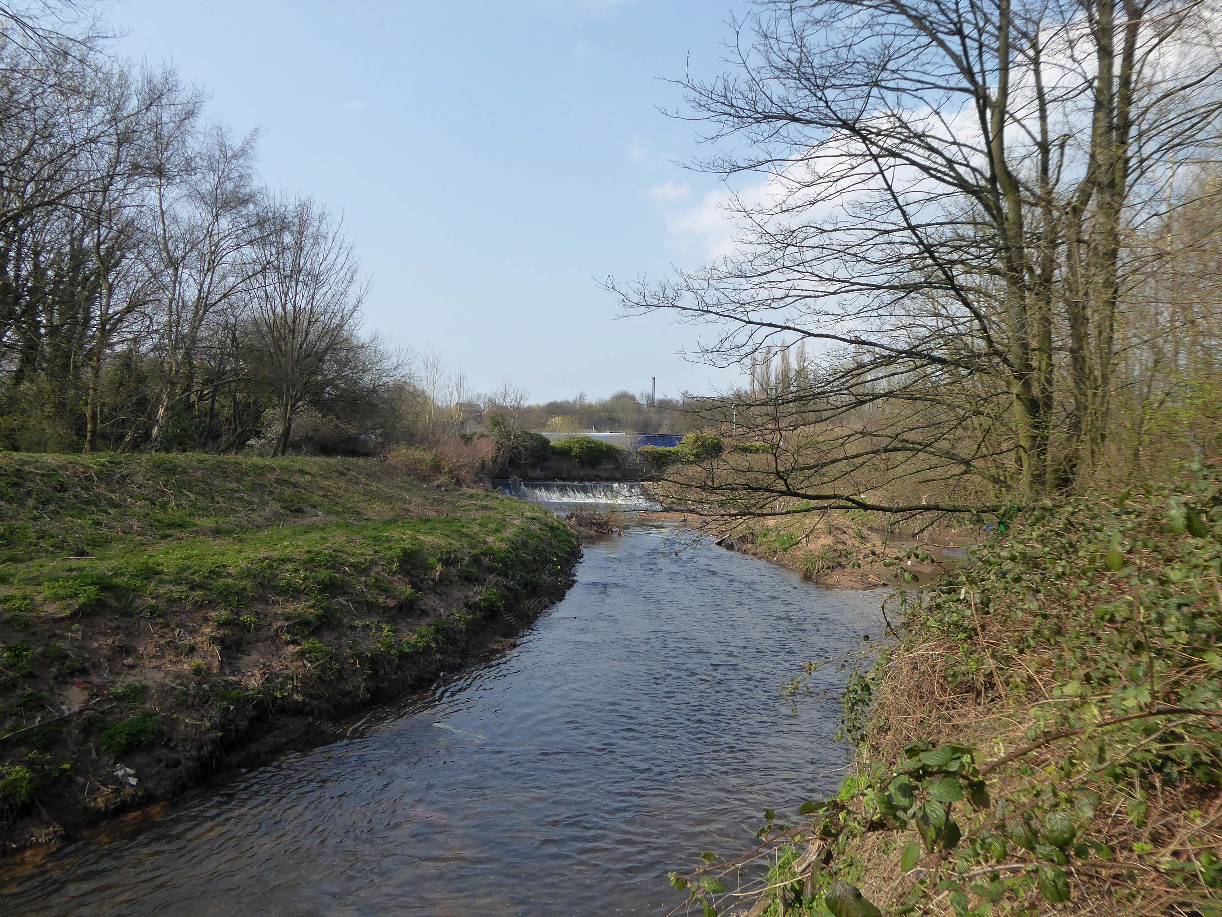
The 19th-century industrial concentrations in the above-named urban areas resulted in the Tame being a much polluted waterway. As well as industrial pollution from the dyes and bleaches used in textile mills, effluent from specialised paper-making cigarette papers, engineering effluents, including base metal washings from battery manufacture, phenols from the huge coal-gas plant in Denton, rain-wash from roads and abandoned coal spoil heaps there was also the sewage effluent from the surrounding population. Up to two-thirds of the river’s flow at its confluence with the Goyt had passed through a sewage works. The anti-pollution efforts of the last thirty years of the 20th century have resulted in positive fauna distributions.
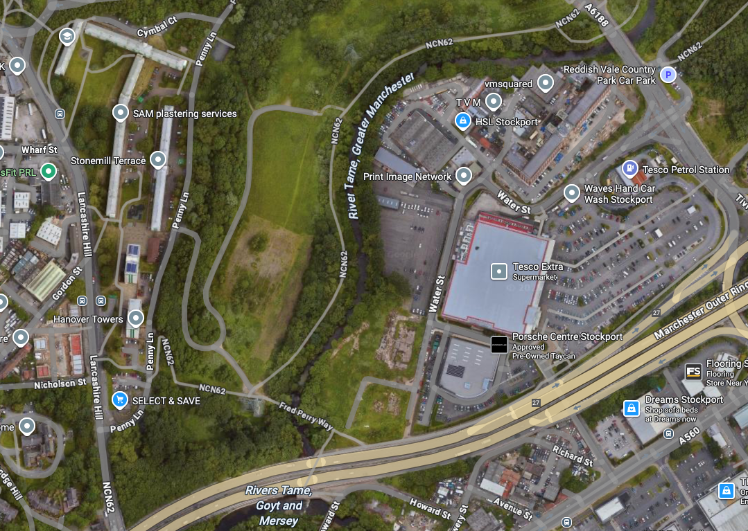
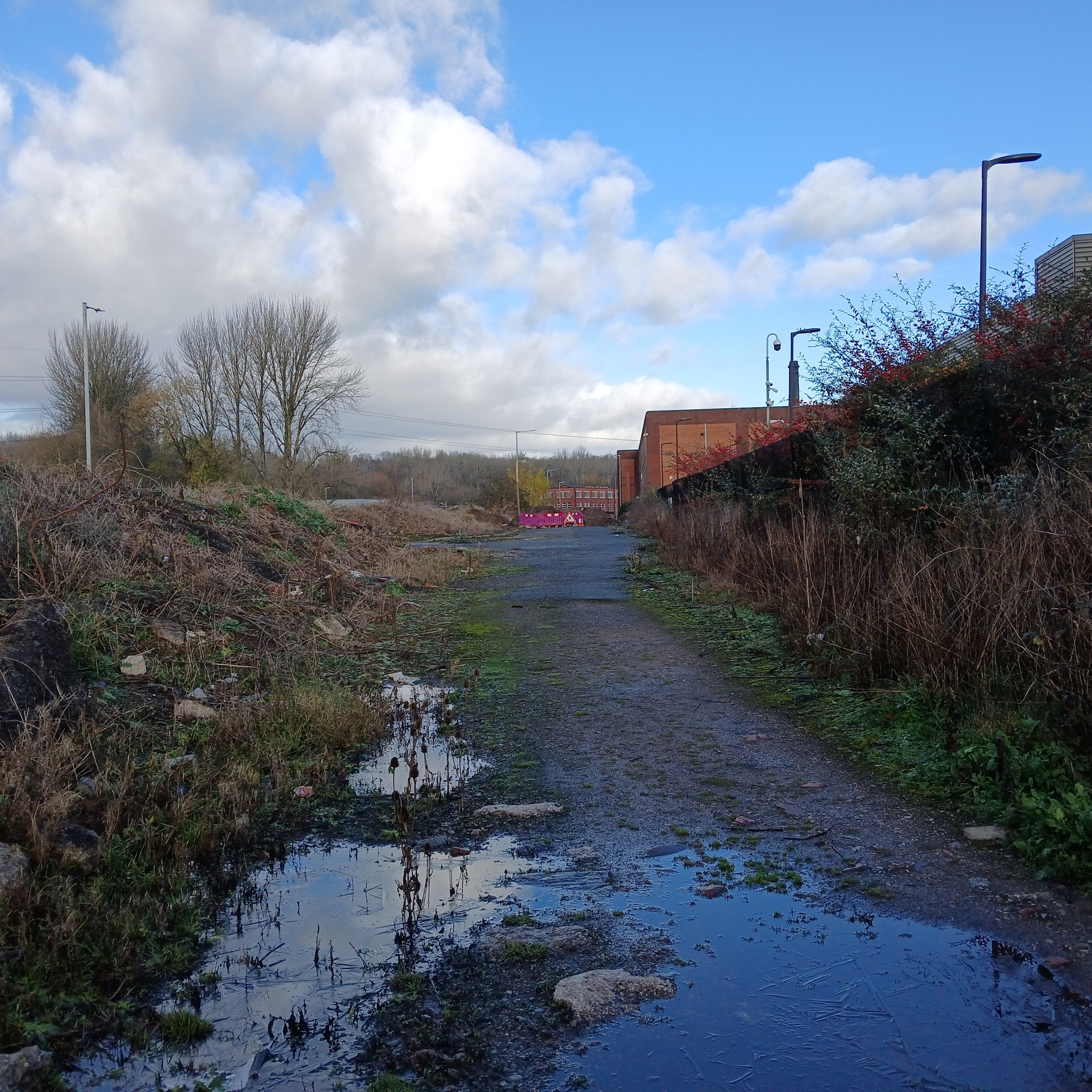
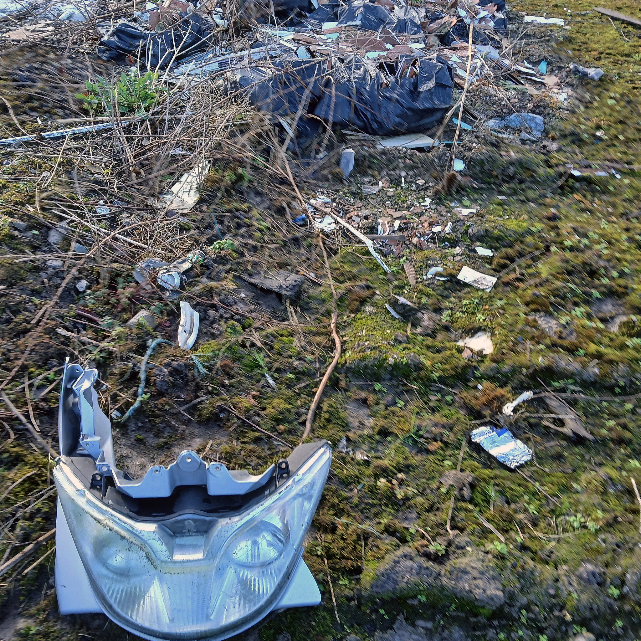
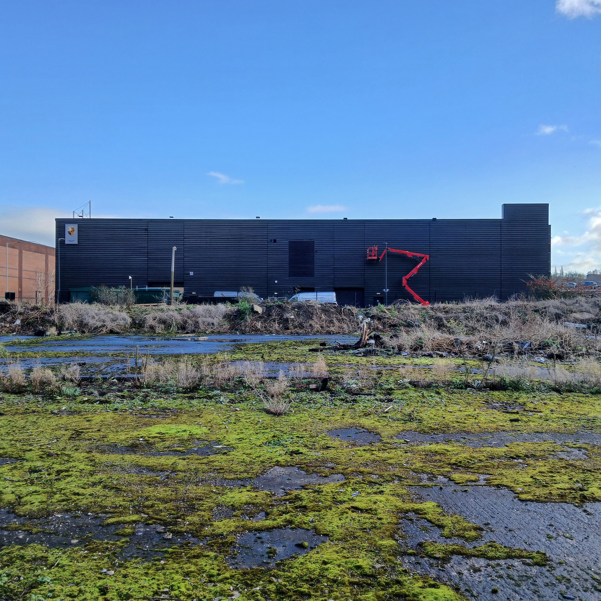
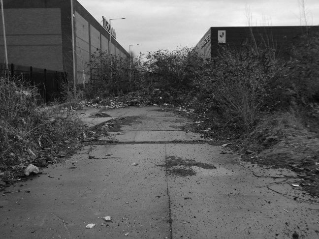
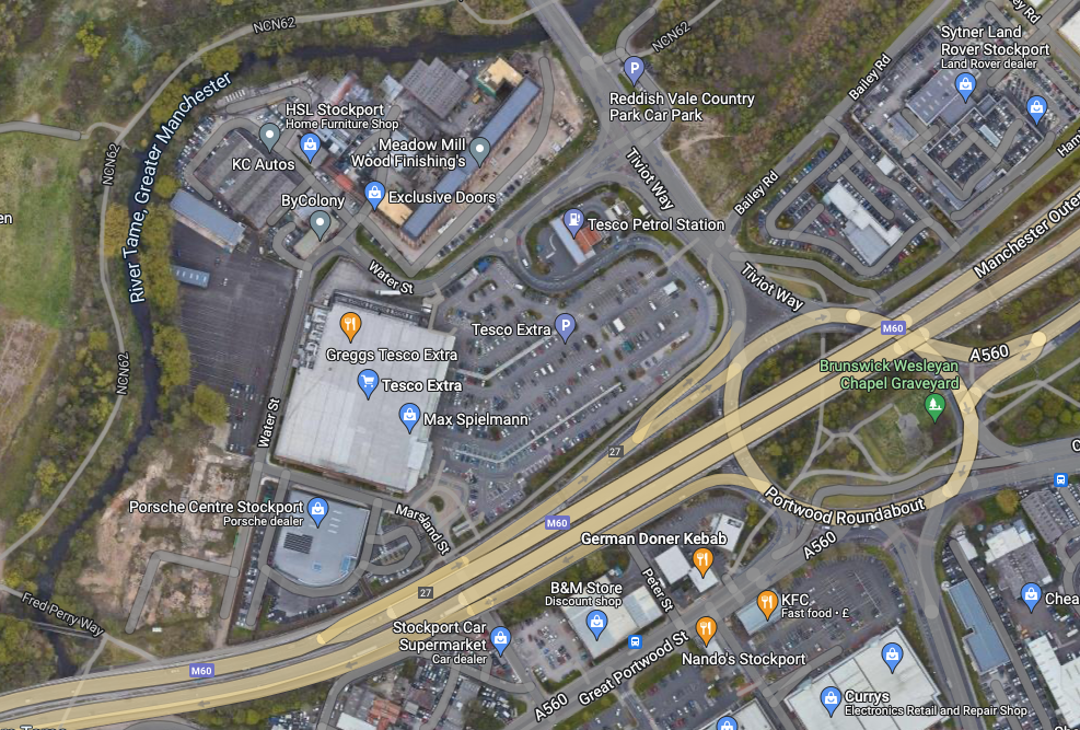
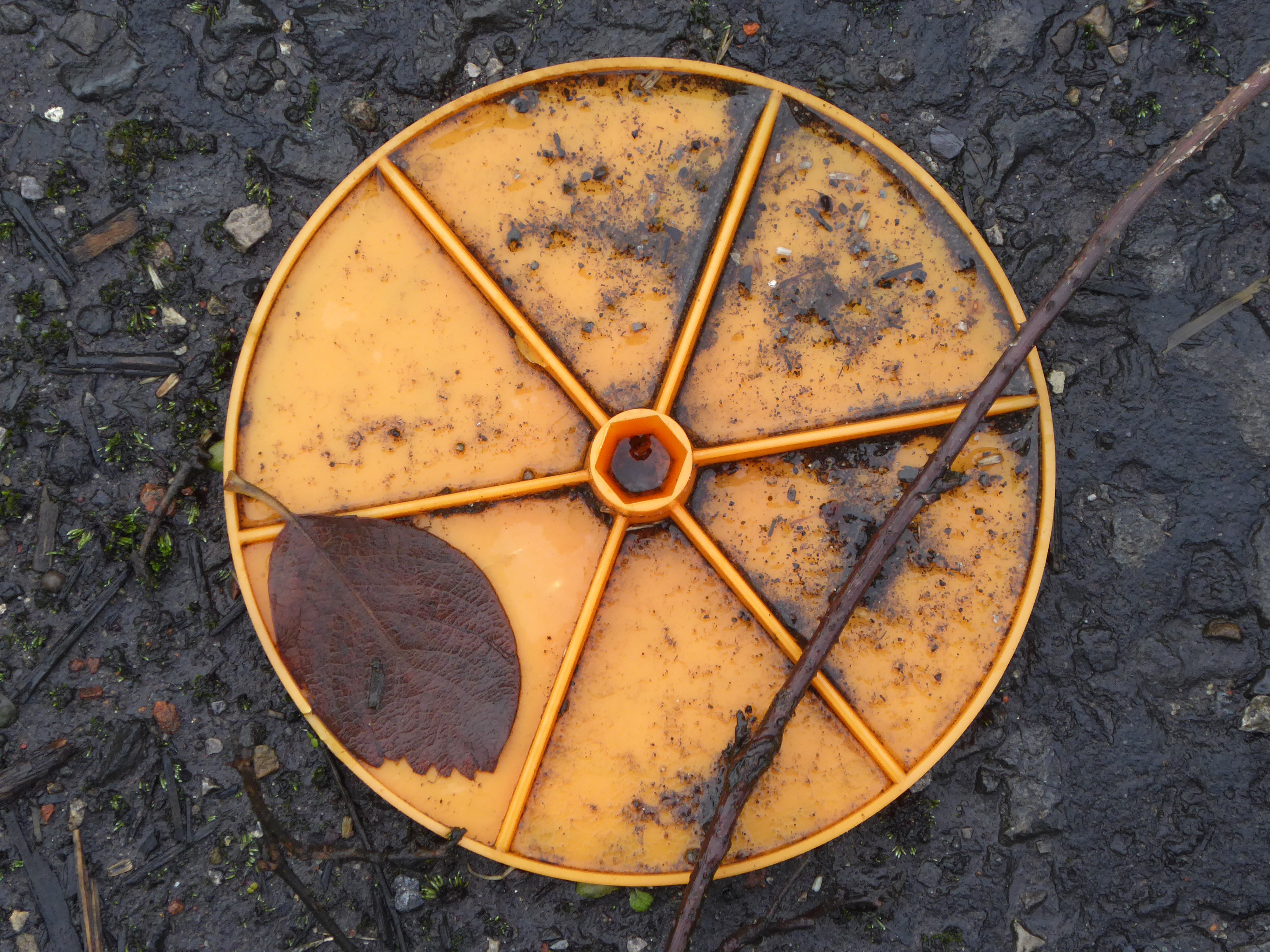
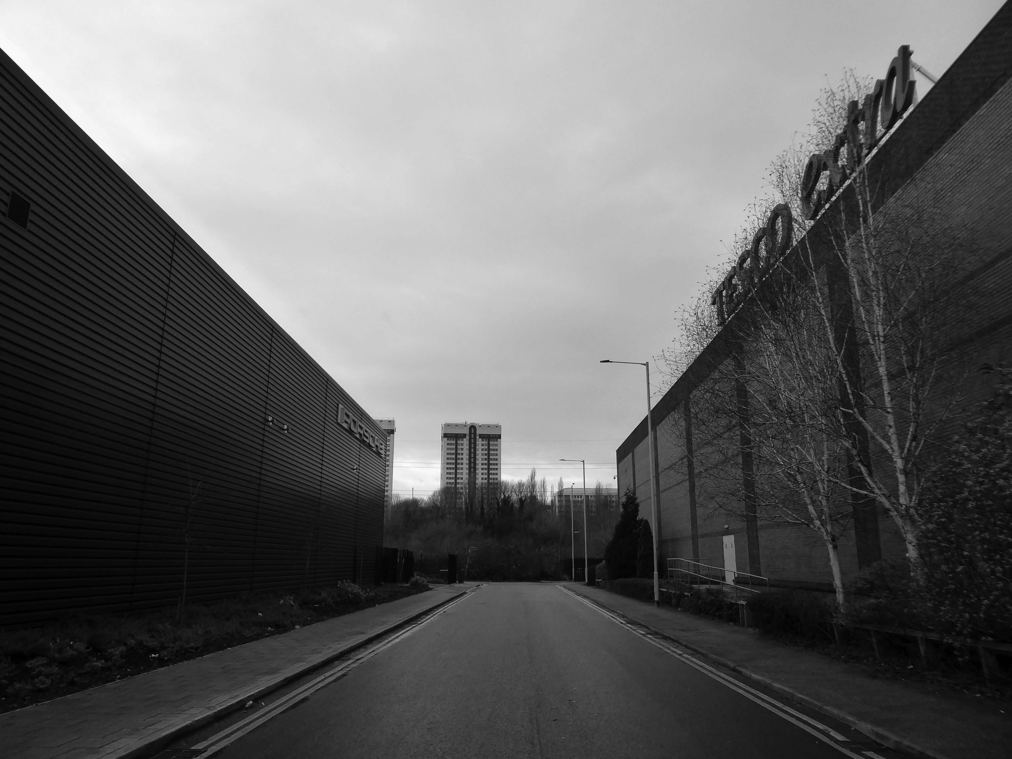
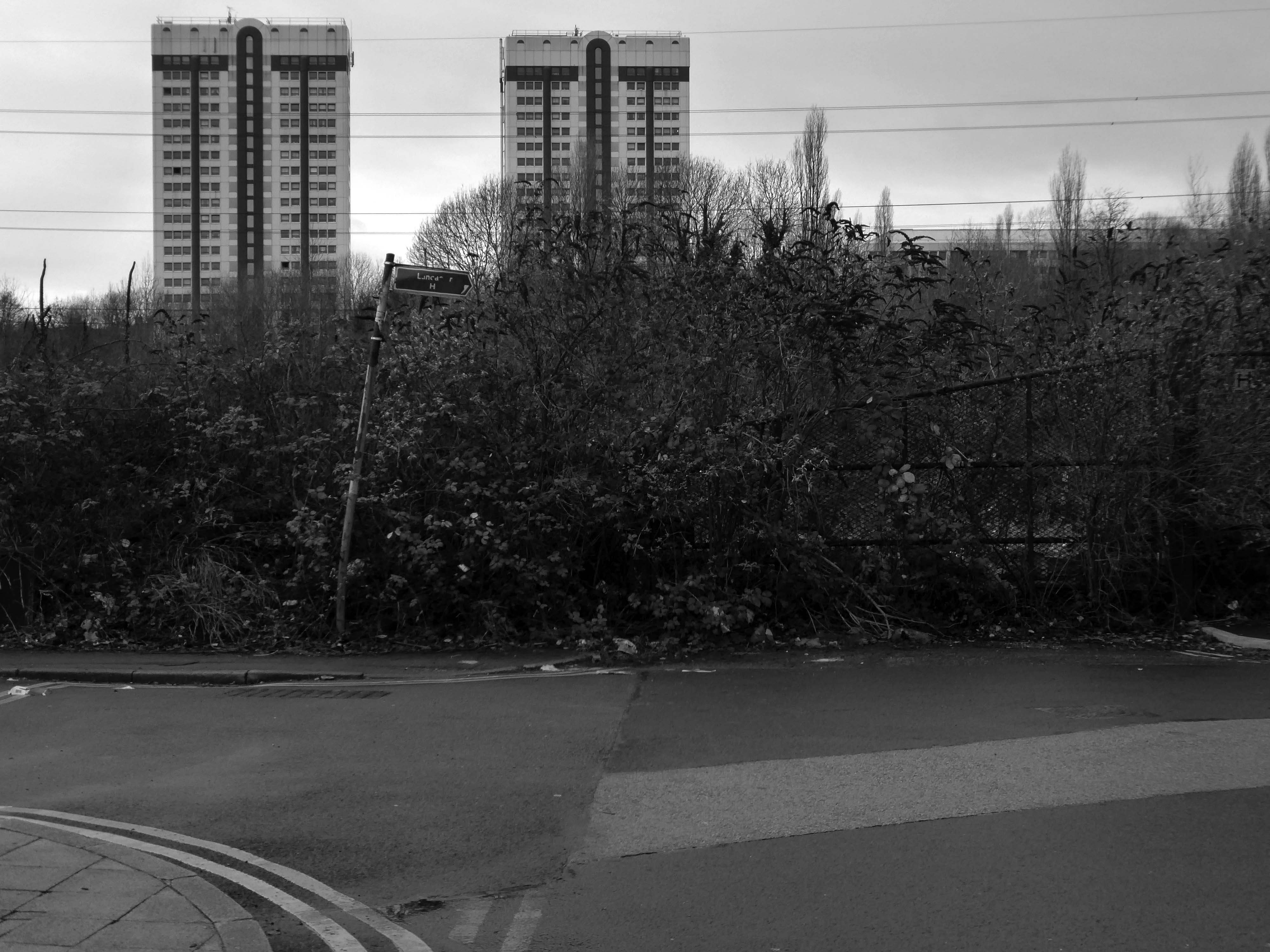
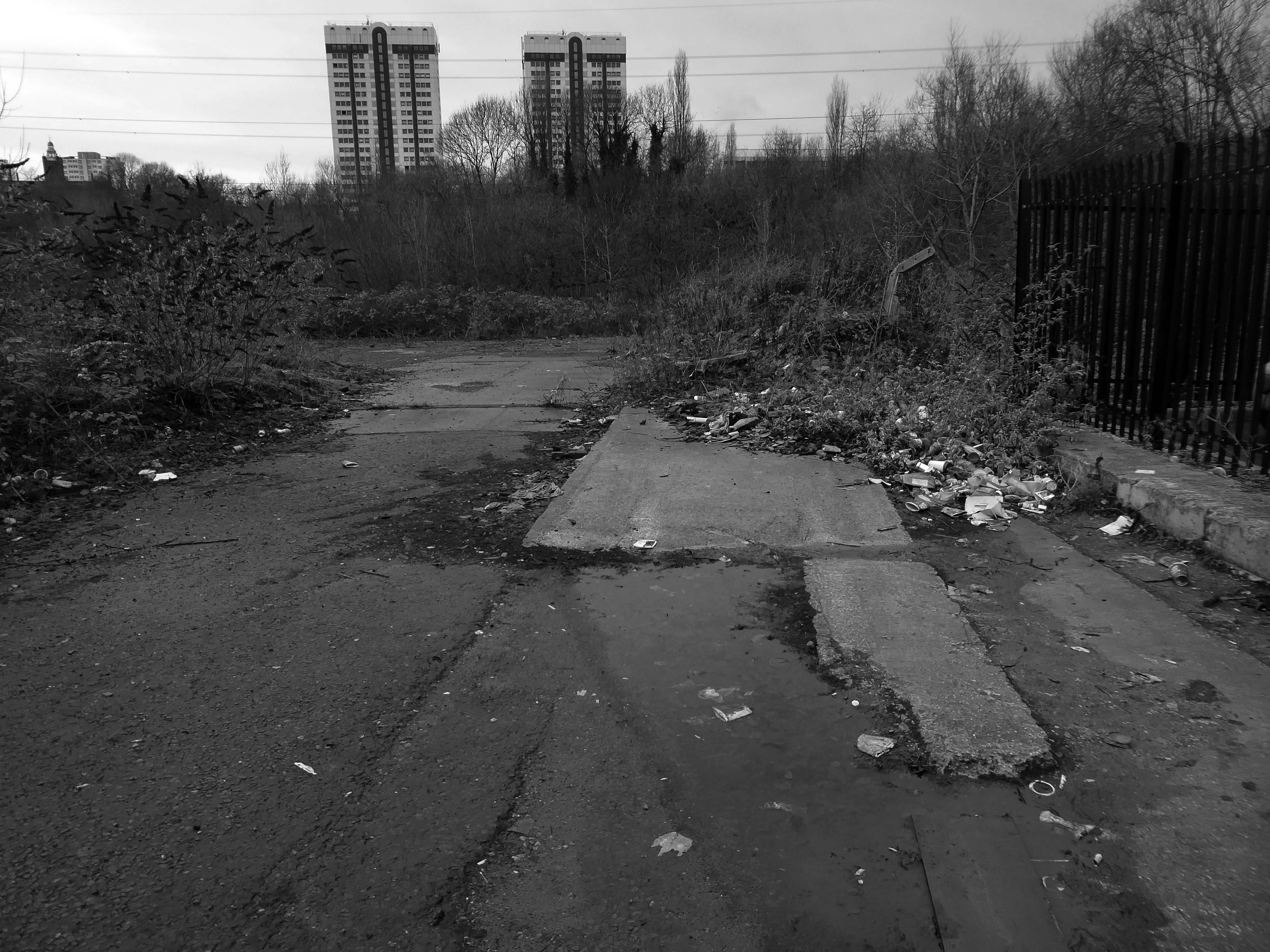
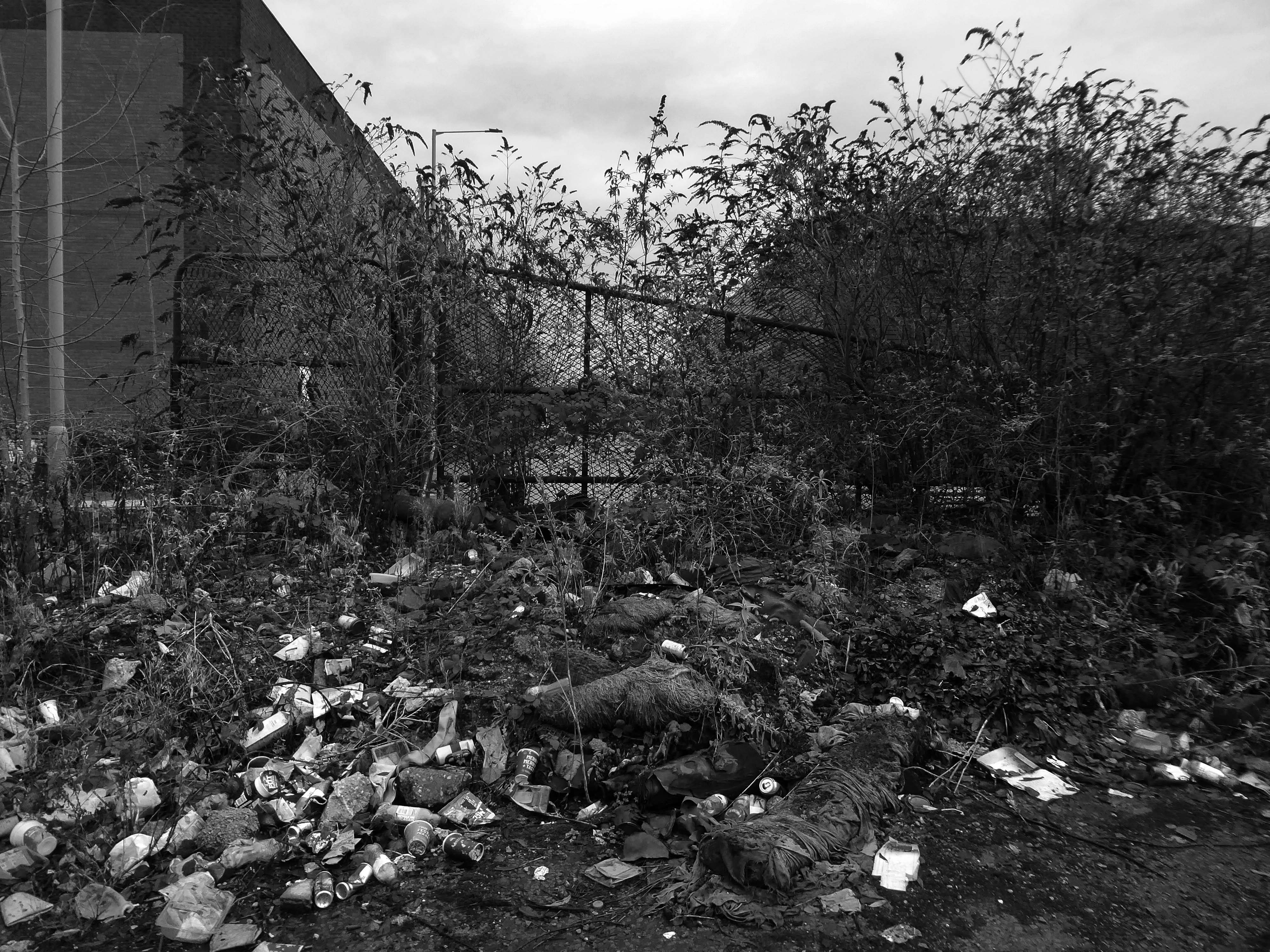
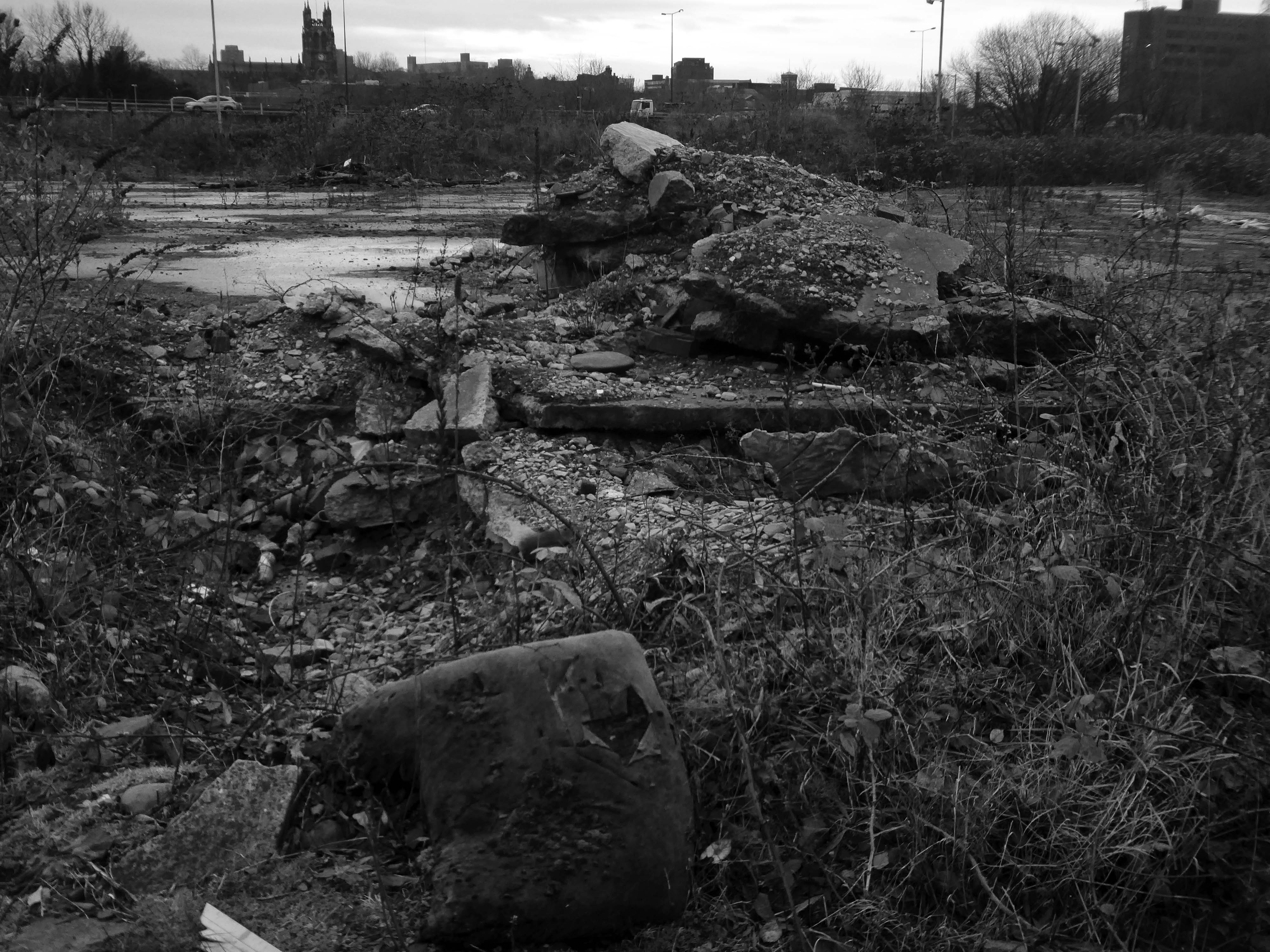
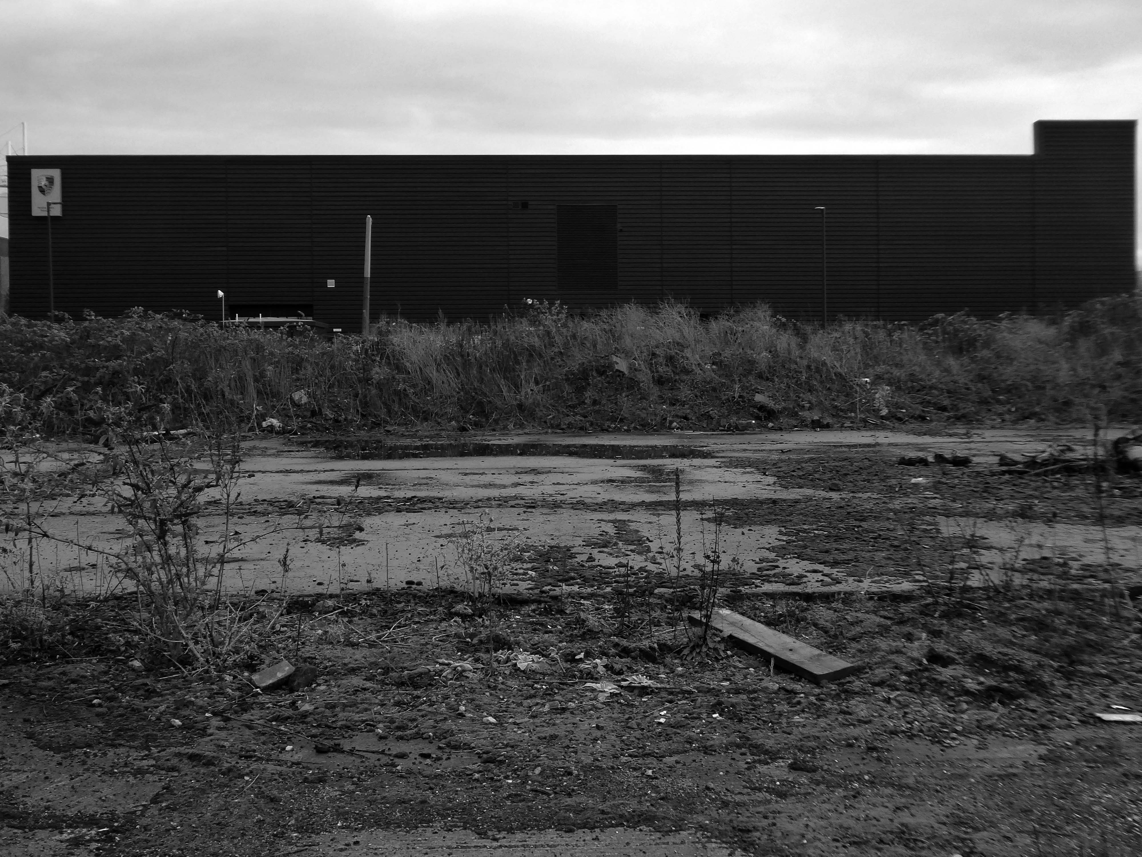
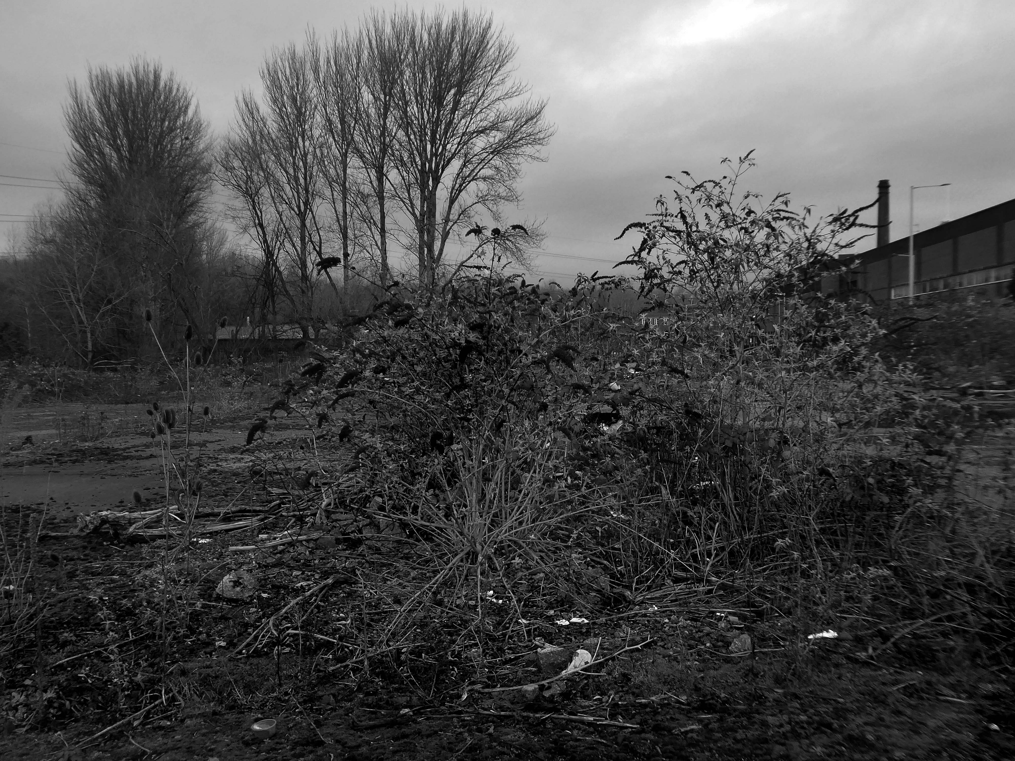
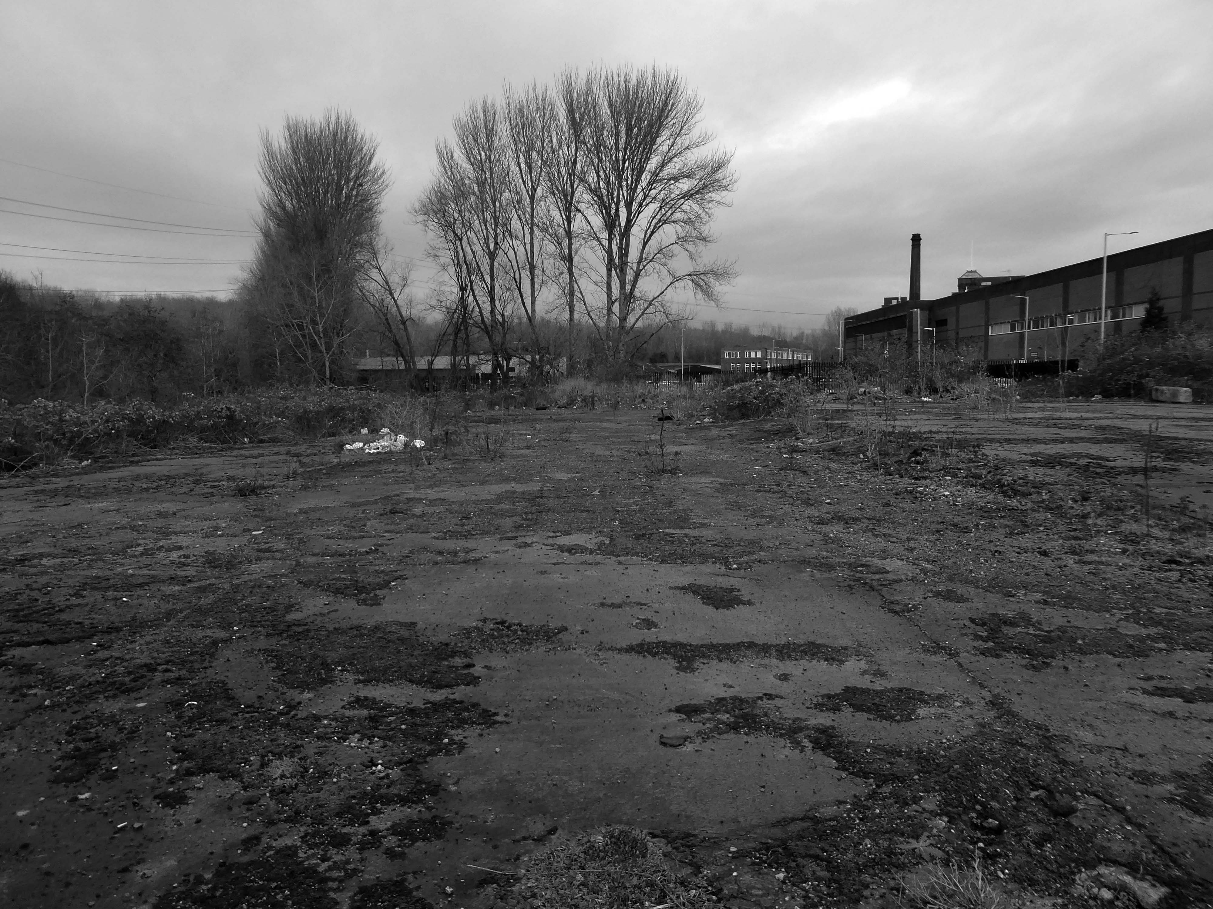
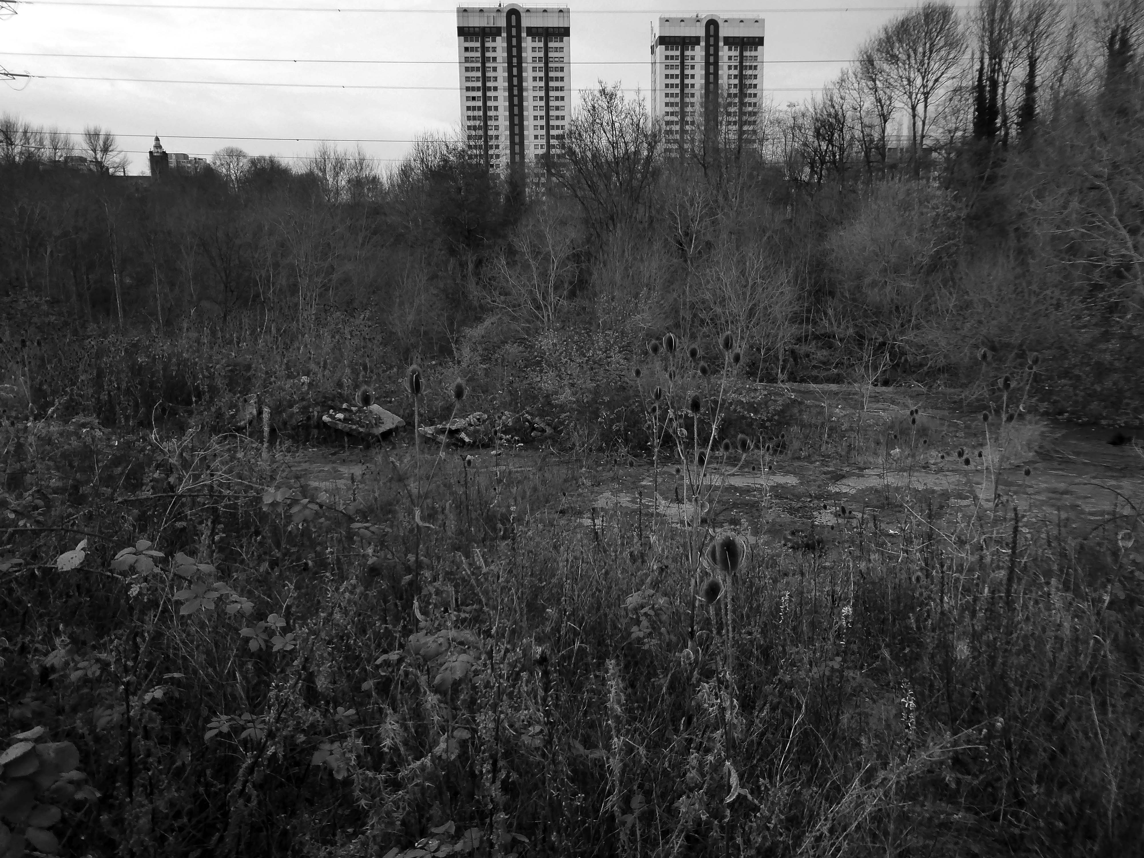
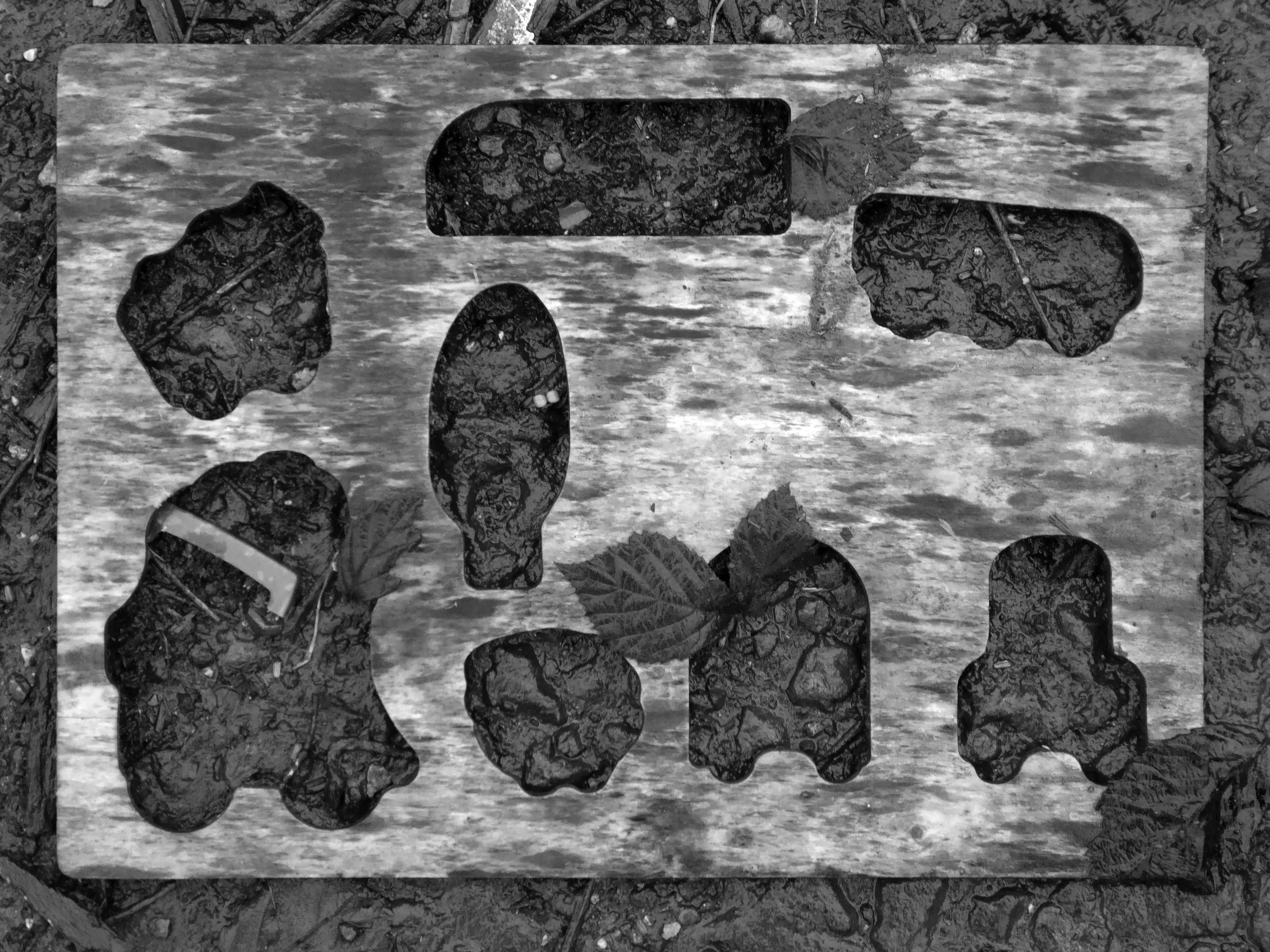
There is a plot of land to the left of Porsche which remains undeveloped, I often walk around this area, what would have once been for myself and others the place of childhood high jinx.
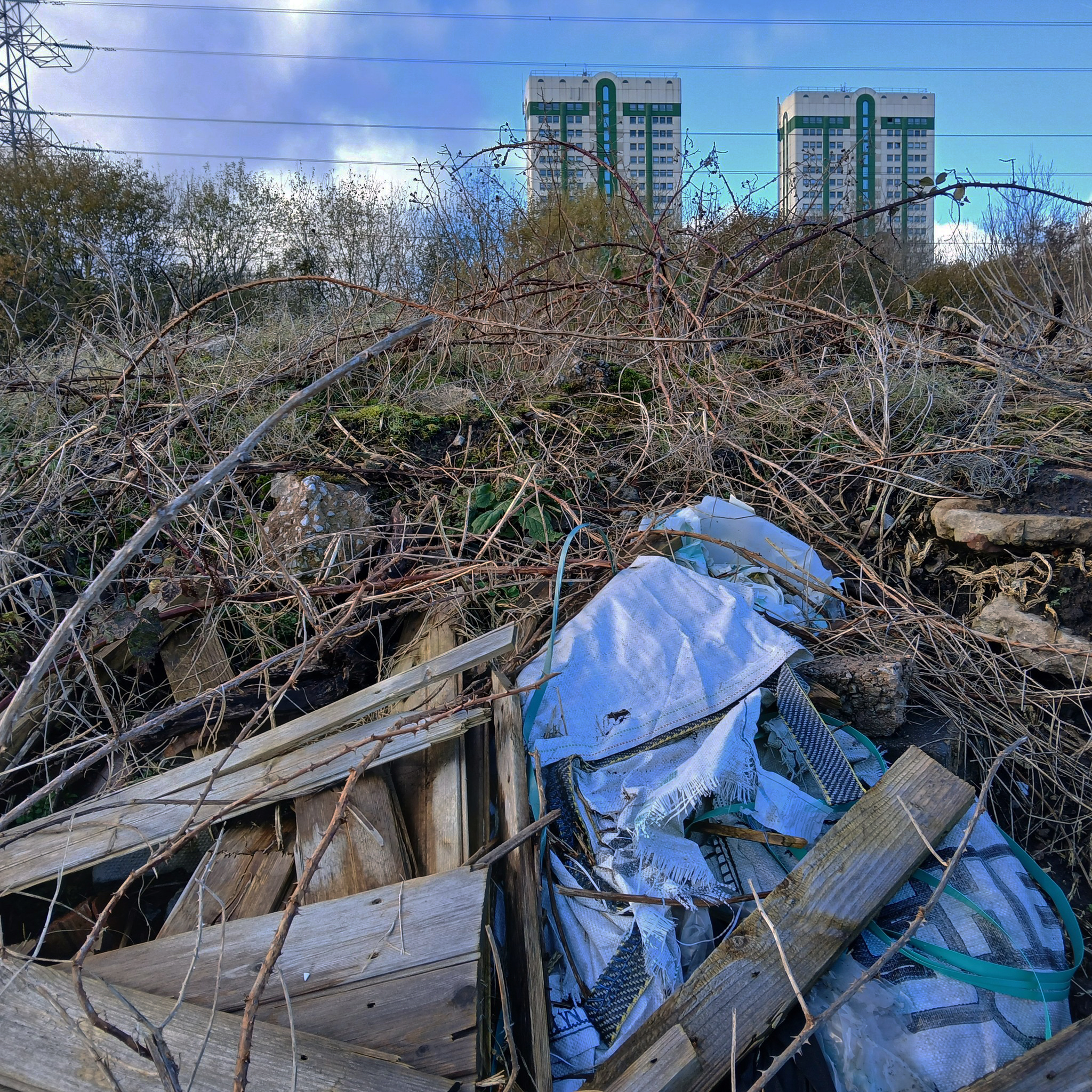
Now it is the domain of the fly-tipper, the home of the homeless, a war zone for a species which has declared war upon itself.
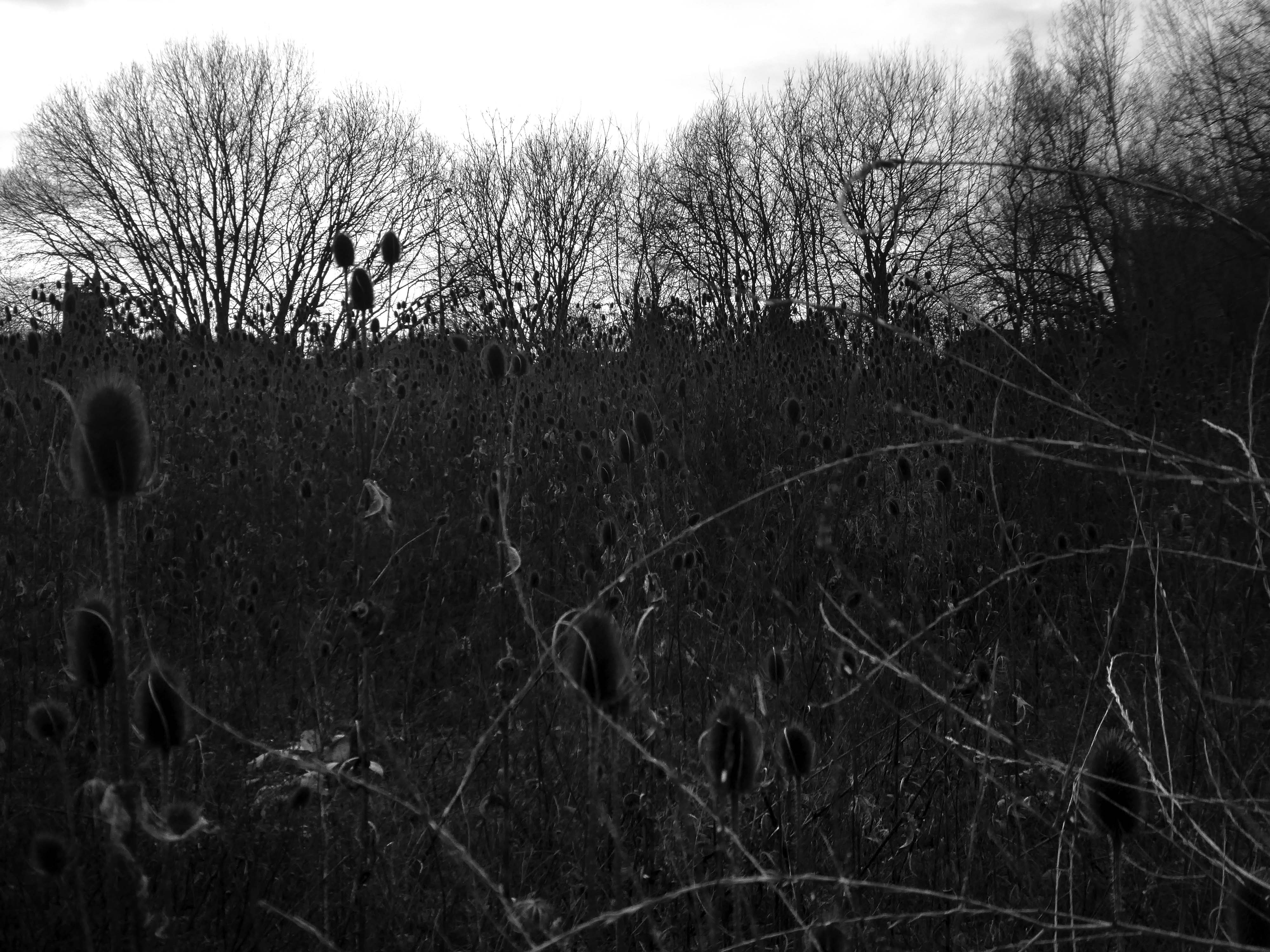
A desert of detritus, interpolated with tangles of brambles, seas of teasels and the ubiquitous buddleia.
This is the unofficial showroom for the unofficial Anthropocene Epoch – always crashing in a different car, during increasingly unseasonal weather, the superabundance of abundance.
It seems that the sun may set on us, before the sun finally sets.
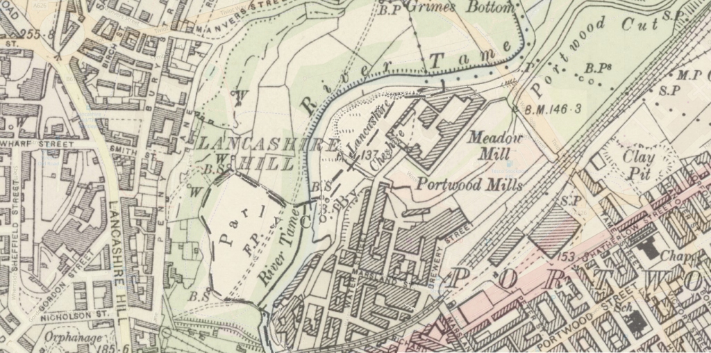
Let’s take a peep at Portwood.
Game over.
Vehicle use affects our whole quality of local life. Traffic can be dangerous and intimidating, dividing communities and making street life unpleasant, whilst air pollution and traffic noise can make urban living uncomfortable.
The impacts of mass consumption are: Misuse of land and resources, exporting pollution and waste from rich countries to poor countries, obesity due to excessive consumption, a cycle of waste, disparities and poverty.
The M60 was developed by connecting and consolidating the existing motorway sections of the M63, M62, and an extended M66. It came into existence as the M60 in 2000, with the completion of the eastern side opening in October.
The original plan called for a completely new motorway, but policy change led to the plan which created the current motorway. As soon as it opened, the motorway got close to its projected maximum volume on significant sections.
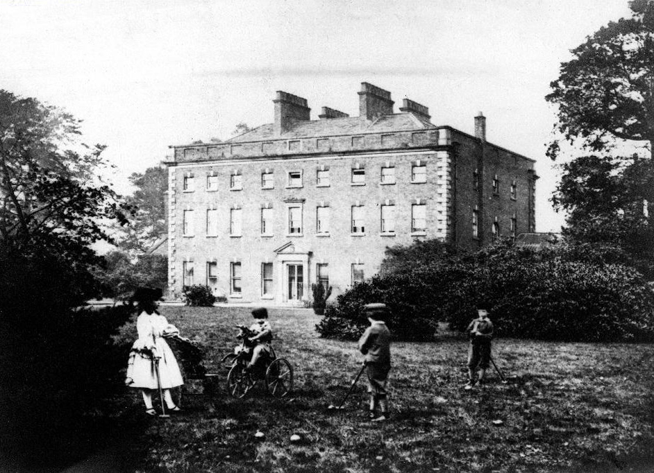
This Palladian mansion was designed and built in 1736 by renowned architect, Giacomo Leoni, who had also been responsible for significant alterations to Lyme Hall during the same period.
Offering an infusion of historical significance coupled with an abundance of living space throughout, Alkrington Hall East, simply must be viewed to be appreciated in full.
During the early 1770’s, the Hall became the largest museum outside of London, when the Hall’s owner, Sir Ashton Lever, exhibited his private collection of natural objects, including live animals. Remaining as an imposing symbol of Leoni’s work, Alkrington Hall remains one of only a few surviving examples throughout England.
In modern times, the Hall has since been carefully and sympathetically separated into 4 sections, and we are pleased to be offering for sale the largest portion of the Hall, with a total floor area comprising of over 7500 SQFT, and living accommodation spread over 4 floors.
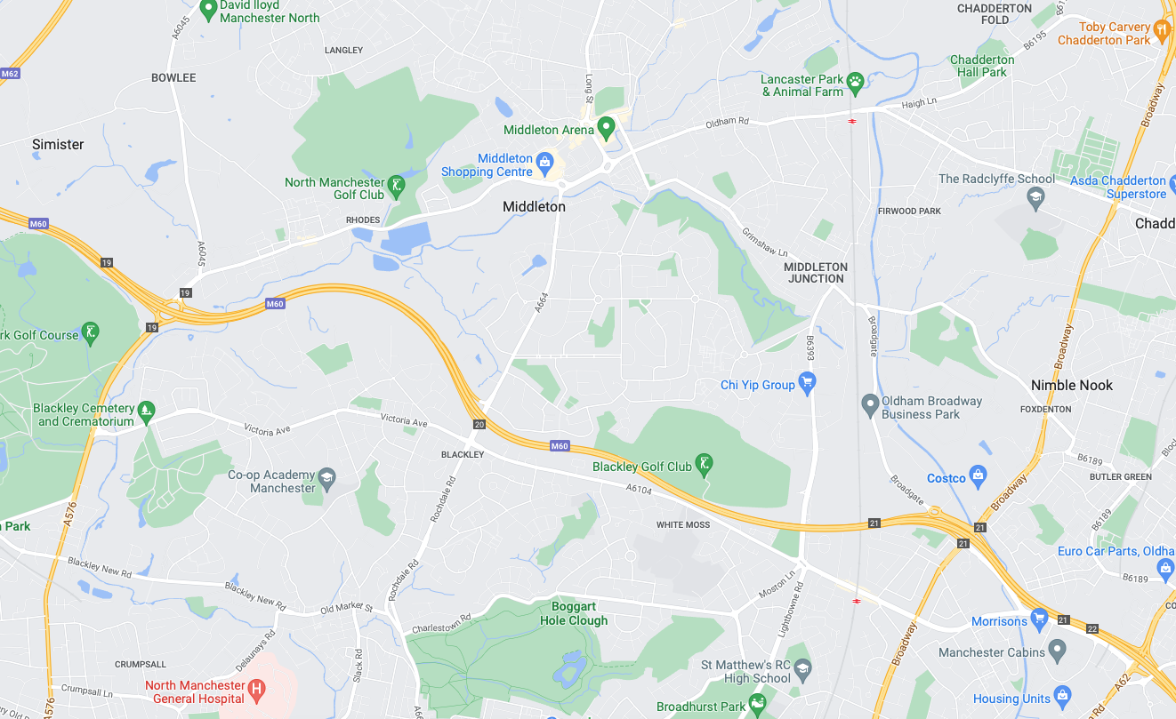
Next thing you know you find yourself in Middleton, where the Irk sort of disappears – you sort of get lost and sort of follow the wrong track, eventually ending up back where you should have been in the first place.
Don’t follow Wince Brook – it’s so far from right that it’s wrong – right?
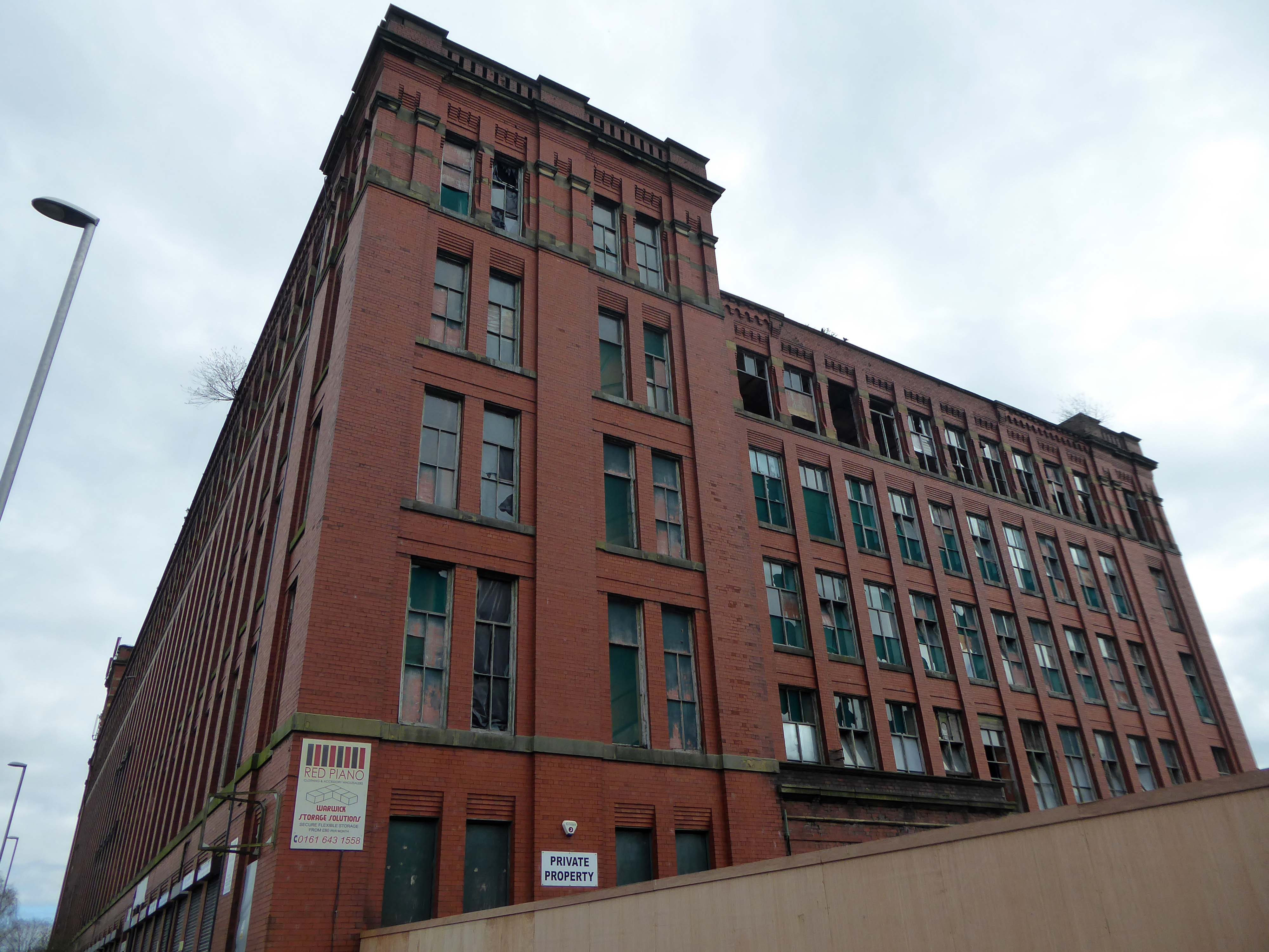
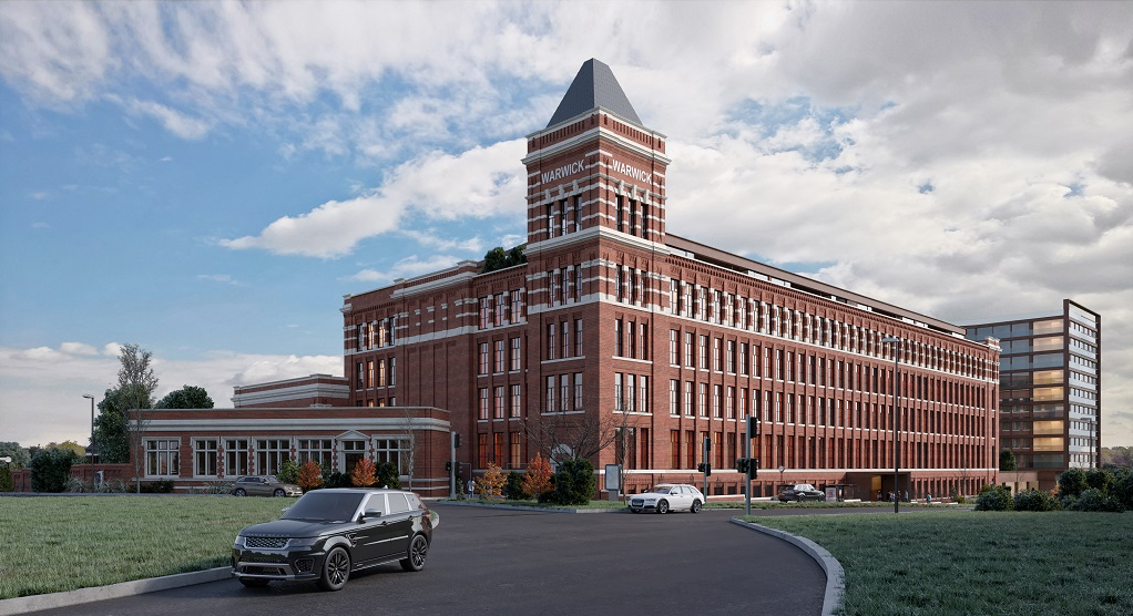
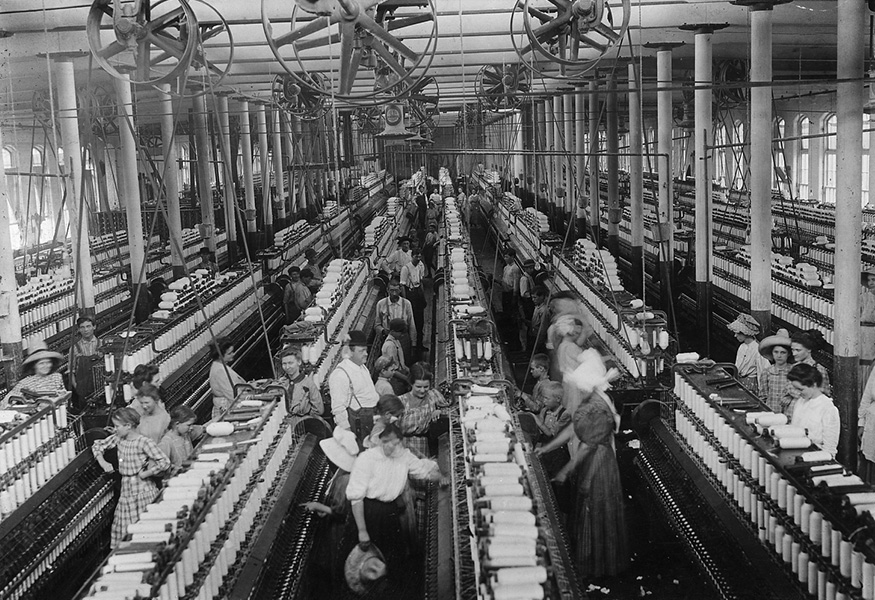
Take a walk up Oldham Road to see Warwick Mill instead.
1907 by G Stott of J Stott and Sons – Red brick with internal cast-iron frame.
There was and Oval Partnership planning for a retail development in 2014 which failed to materialise.
The converted building will provide a showcase for Chinese manufacturers of construction-related products looking to enter the UK and wider European markets. Products on display will include tiles, lighting, furniture, kitchenware, sanitary ware and curtains. A second phase will see the construction of a new building alongside effectively doubling the floor space. In addition the brief includes a range of restaurant, leisure, culture and entertainment facilities threaded through the building. The conversion will open up the existing building in a dramatic way, maximizing permeability and providing a strong visual connection back into the town, promoting public access through the building to the attractive south-facing waterside of the mill.
Permeability failed to be maximised, sadly.
Ambitious plans to refurbish Grade II listed Warwick Mill to create new homes and breathe life into an important building and part of Middleton’s history have been drawn up.
Warwick Mill has recently changed ownership and the new owners, Kam Lei Fong (UK) Ltd, have been working with Rochdale Borough Council over the last nine months to develop proposals to redevelop the site.
A Middleton couple has saved the oldest surviving mill in the town after a two-year renovation project.
Located on Townley Street, Lodge Mill was built in the mid-1800s and was originally a silk weaving mill. It went on to cotton weaving and cloth dying, then to a home for many different small local businesses. Sadly, in the early 2000s, it fell into disrepair and became derelict.
Martin Cove and Paula Hickey bought Lodge Mill on 1 April 2019 and immediately set about replacing and repairing the roof. They also installed a 19.4kw solar PV system so the mill became its own little power station that summer.
In August 2019, the couple opened a small ice cream shop on the ground floor of the mill – named the Ice Cream Shop at Lodge – selling locally-made ice cream from Birch Farm, Heywood.
The ice cream is made using cream from Tetlow Farm’s dairy herd at Slattocks – Martin explained.
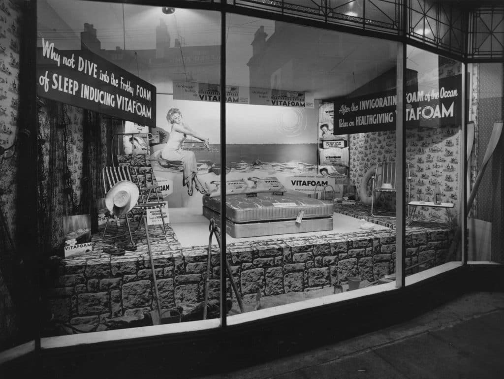
Founded in 1949 on £100 capital, Vitafoam started its original operation manufacturing latex foam products in Oldham, Greater Manchester.
After establishing the business, the company made a major move to its current site in Middleton, Manchester in 1955, acquiring two empty former cotton mills to cope with increased demand.
By 1963, Vitafoam had added the manufacture of polyurethane foam to its business and was providing product speciality for upholstery and bedding markets.
As Vitafoam entered the new millennium the company had made great strides in supplying external foam converters. These rely on Vitafoam to be their business partner and provide their foam needs. This trend continues to grow from strength to strength and is supplemented by our own group conversion companies.
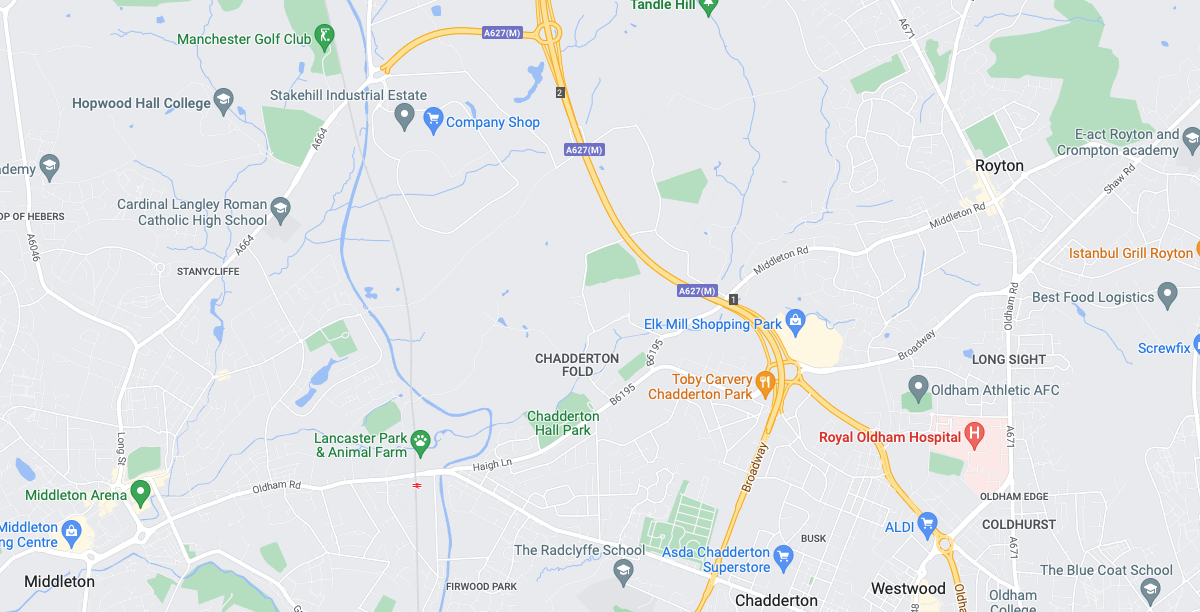
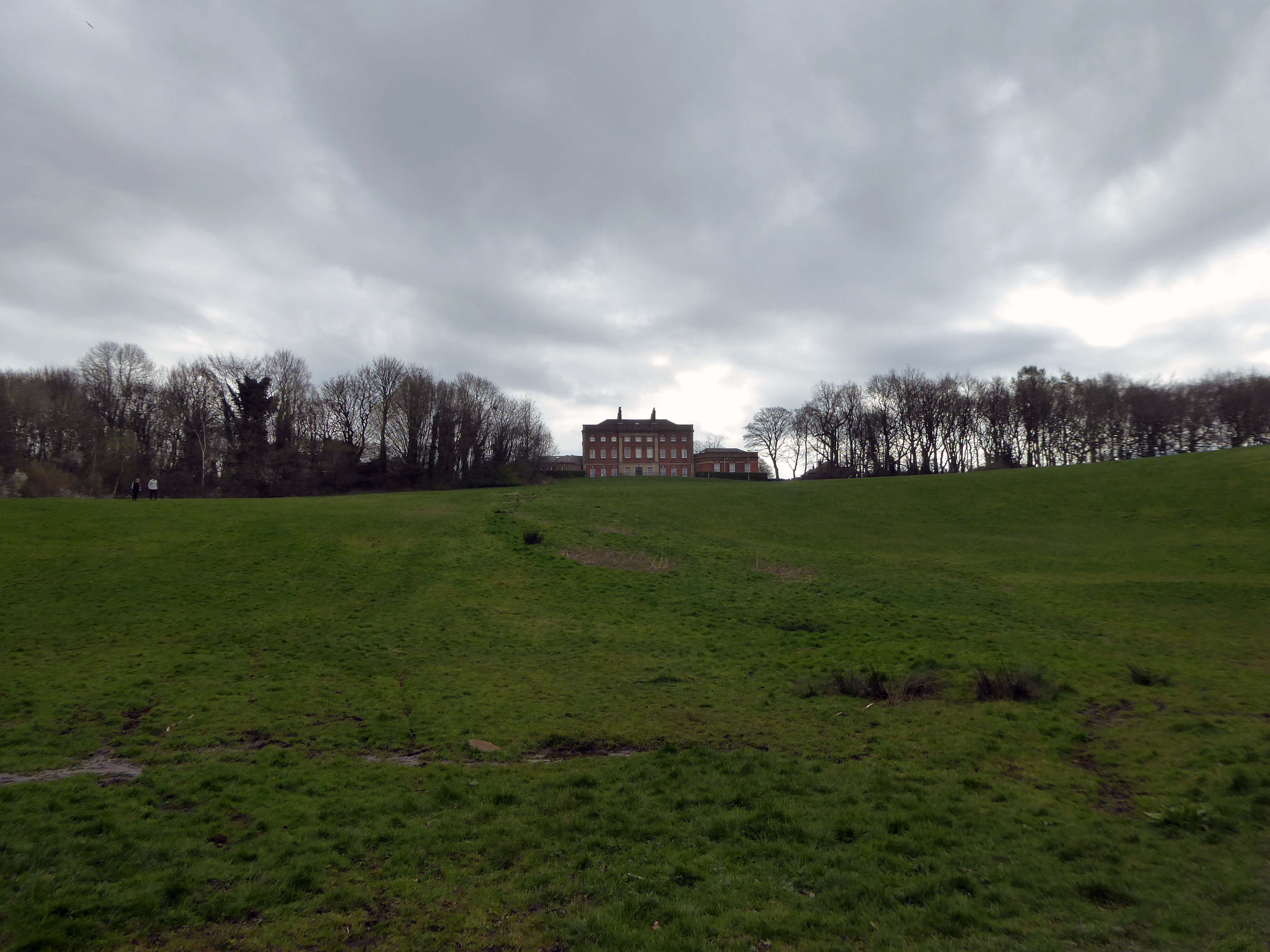
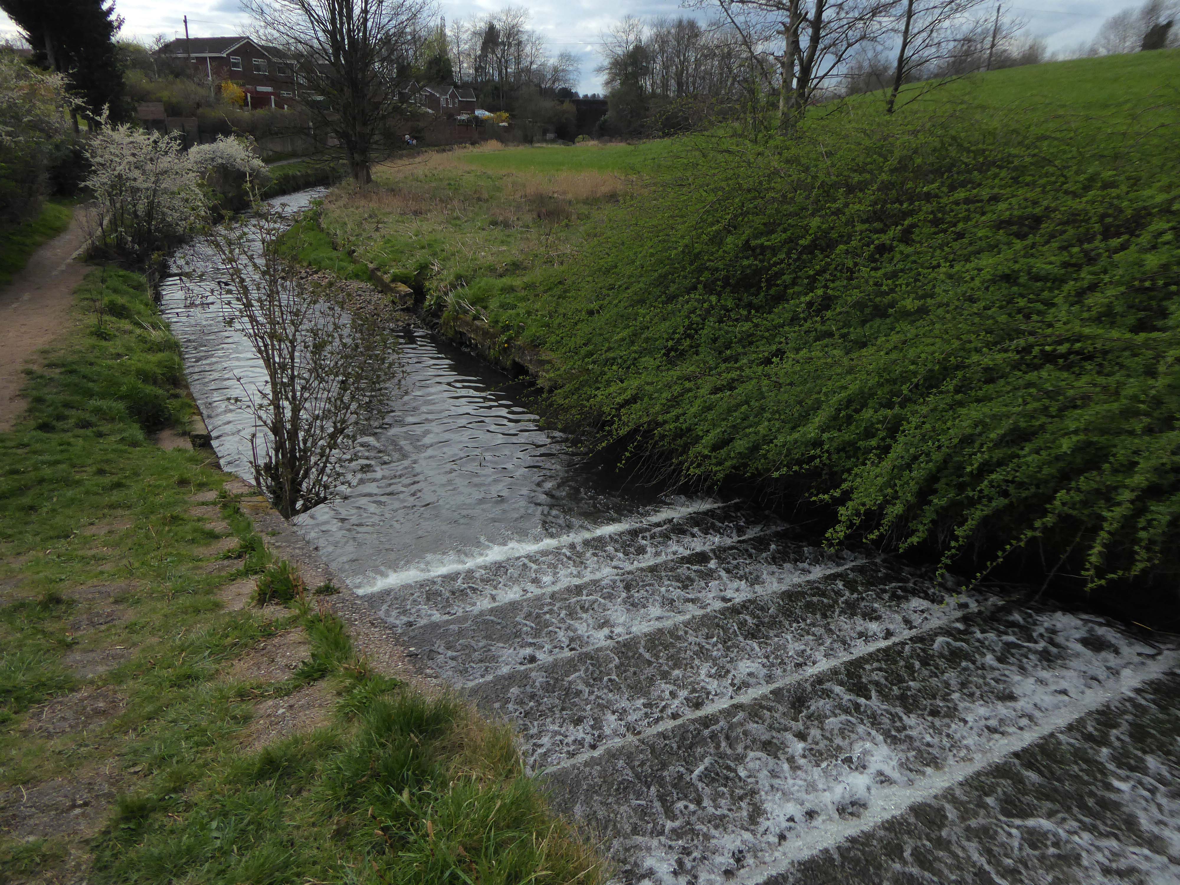
Regaining the river at Chadderton Hall Park.
Its roots stretch back to the 13th century being the land on which Chadderton Hall once stood. It contains a large field area with a small football pitch, a playground area, several flower gardens and a small café situated next to the Park’s bowling green.
Chadderton Hall was first built in the 13th century by Geoffrey de Chadderton, this first hall was in Chadderton Fold slightly to the east of the current park. In 1629 a new hall was built at the site of the current park and was present there until the 20th century when it was demolished in 1939. It was at the end of the 19th Century that the area surrounding Chadderton Hall began to be used for public recreation. A boating lake and a menagerie, including a kangaroo and a lion, were established as part of a Pleasure Garden. These features have long since been demolished but evidence of the boating lake can be seen by the hollowed out area where the playing fields now stand.
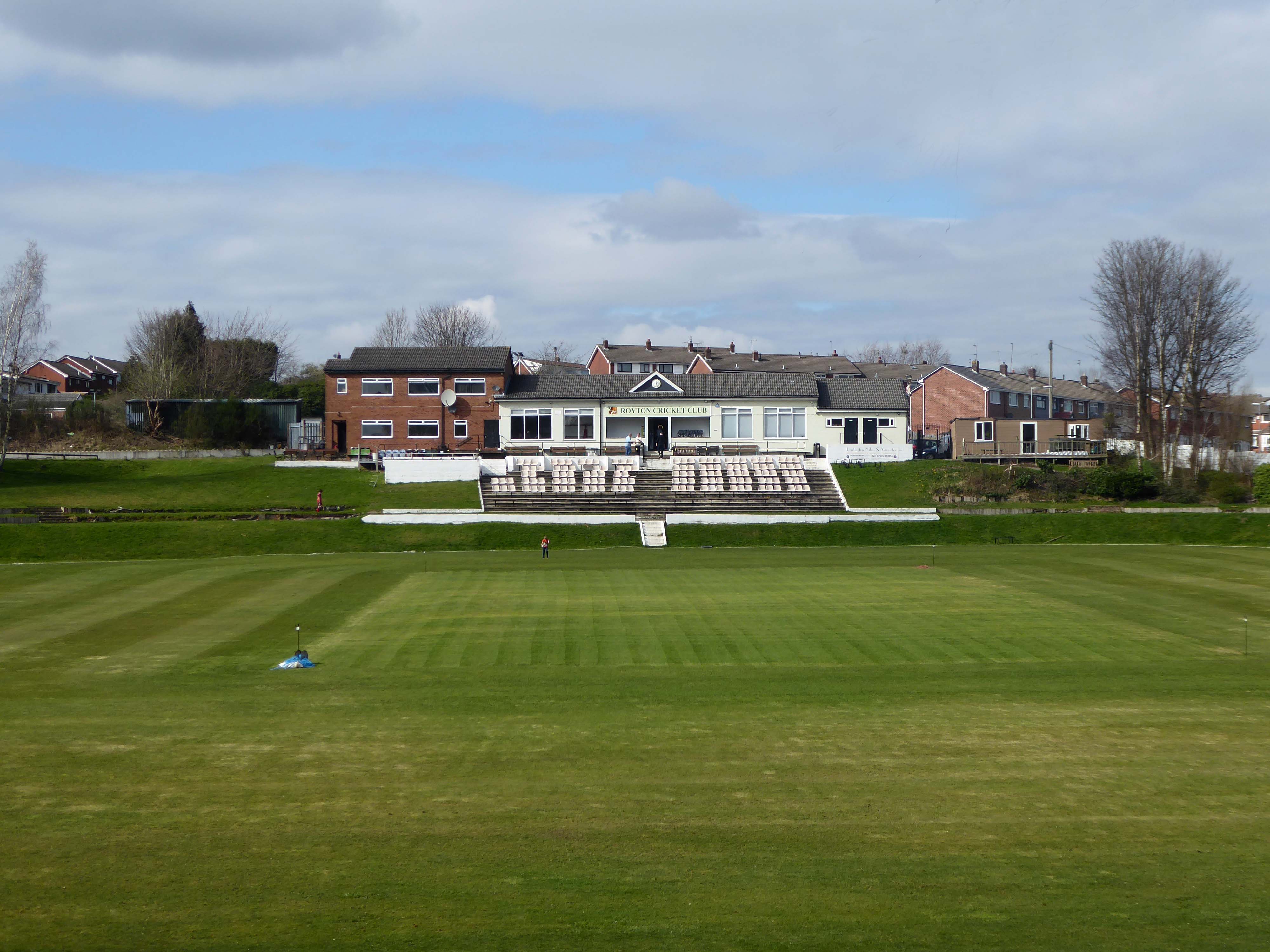
Based in the heart of Thorpe Estate – Royton Cricket, Bowling & Running Club offers a family friendly environment whilst hosting strong, competitive cricket throughout the summer. Bowling throughout the summer along with a Running section – Royton Road Runners, who operate all year round. Along with seasonal events such as our well known firework display along with St Georges Day celebrations – with plans in the pipeline for improvements on current events as well as new exciting projects – it’s a great time to be apart of the club & community!
I have very fond memories of visiting with my dad Eddie Marland as he followed Ashton in the Central Lancashire League – both watching cricket and seeing my dad crown green bowling here.
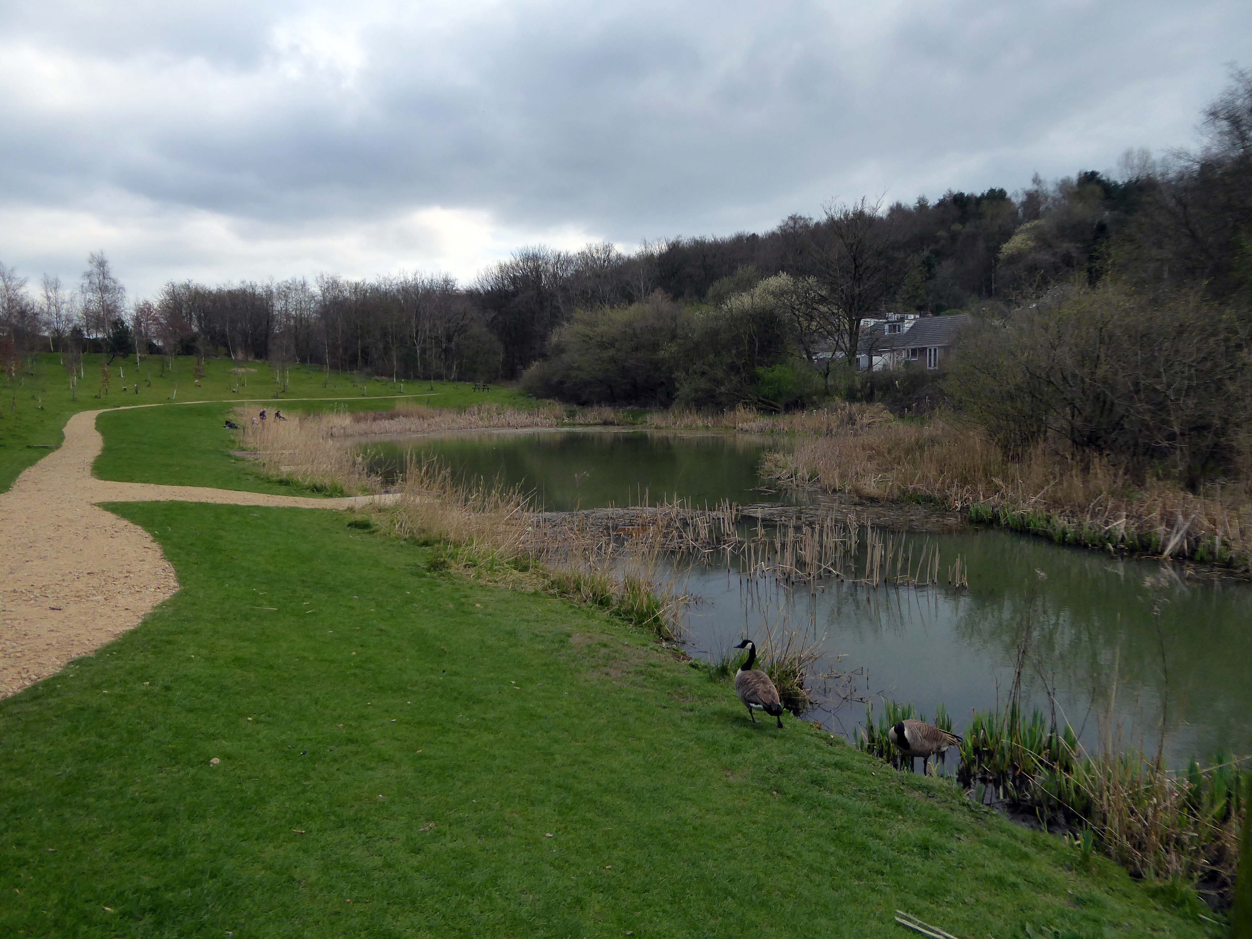
These now full memorial forests were originally donated to Life for a Life by Oldham Metropolitan Borough Council. Salmon Fields meadow sits adjacent to a lovely pond that is used regularly by fishing enthusiasts and is frequently used as a breeding site for Canadian Geese.
Life for a Life planting areas are natural environments where we encourage wildlife and plantlife to flourish, as such additional items should not be added to the tree or the space around it, especially as they can cause damage to the tree.
Please be aware that any prohibited items left on or around memorial trees will be removed.
Although these sites are now full to the planting of new memorial trees if you have an existing memorial tree dedicated you can still upgrade memorial plaques, add additional ashes to a memorial tree, order memorial keepsakes etc.
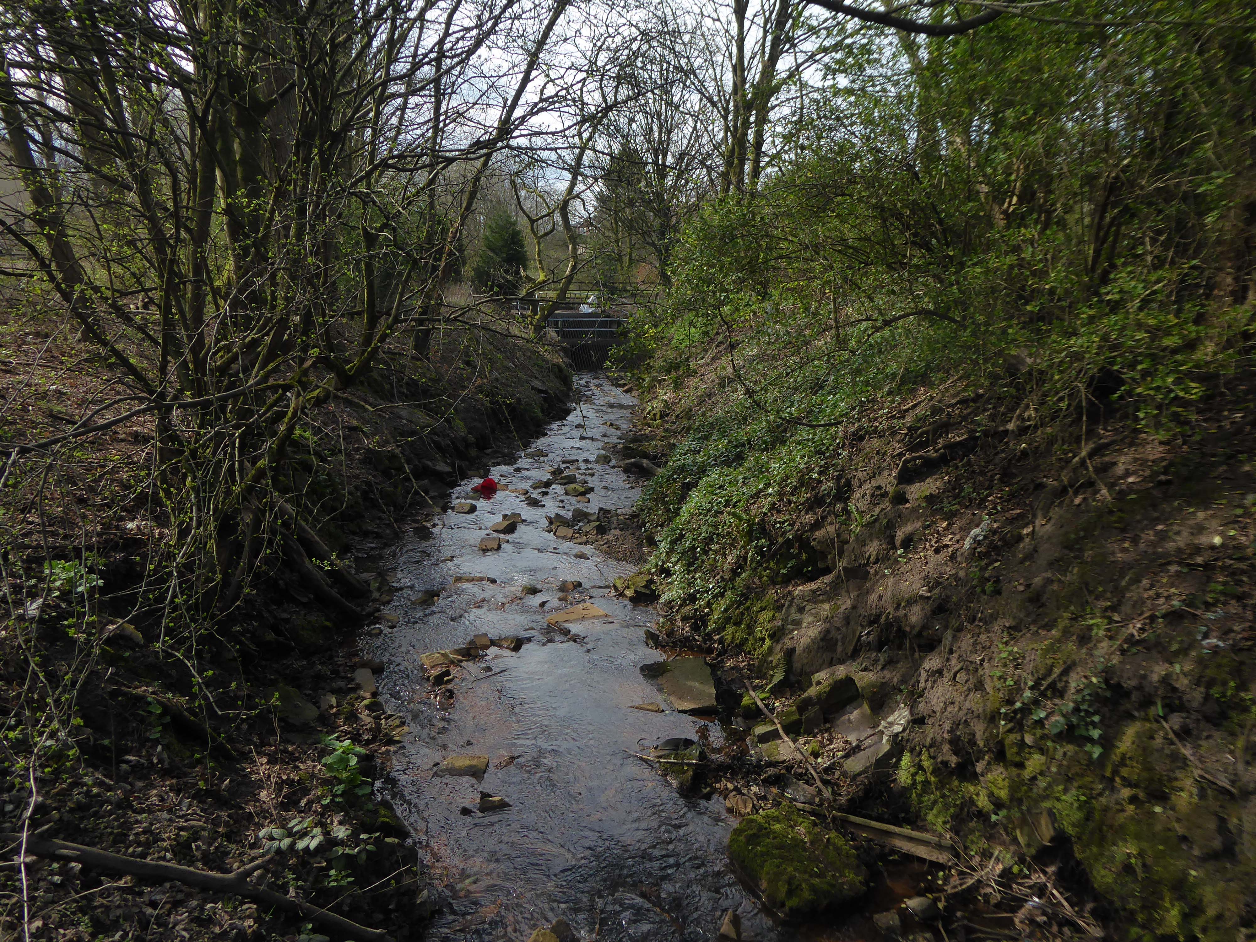
The first leg of a journey to the source of the River Irk beginning behind Victoria, finishing by the Hexagon Towerin Blackley.
The Irk’s name is of obscure etymology, but may be Brittonic in origin and related to the Welsh word iwrch, meaning roebuck
In medieval times, there was a mill by the Irk at which the tenants of the manor ground their corn and its fisheries were controlled by the lord of the manor. In the 16th century, throwing carrion and other offensive matter into the Irk was forbidden. Water for Manchester was drawn from the river before the Industrial Revolution. A bridge over the Irk was recorded in 1381. The river was noted for destructive floods. In 1480, the burgesses of Manchester described the highway between Manchester and Collyhurst which – the water of Irk had worn out. In 1816, of seven bridges over the Irk, six were liable to be flooded after heavy rain but the seventh, the Ducie Bridge completed in 1814 was above flood levels.
According to The New Gazetteer of Lancashire the Irk had – more mill seats upon it than any other stream of its length in the Kingdom and – the eels in this river were formerly remarkable for their fatness, which was attributed to the grease and oils expressed by the mills from the woollen cloths and mixed with the waters.
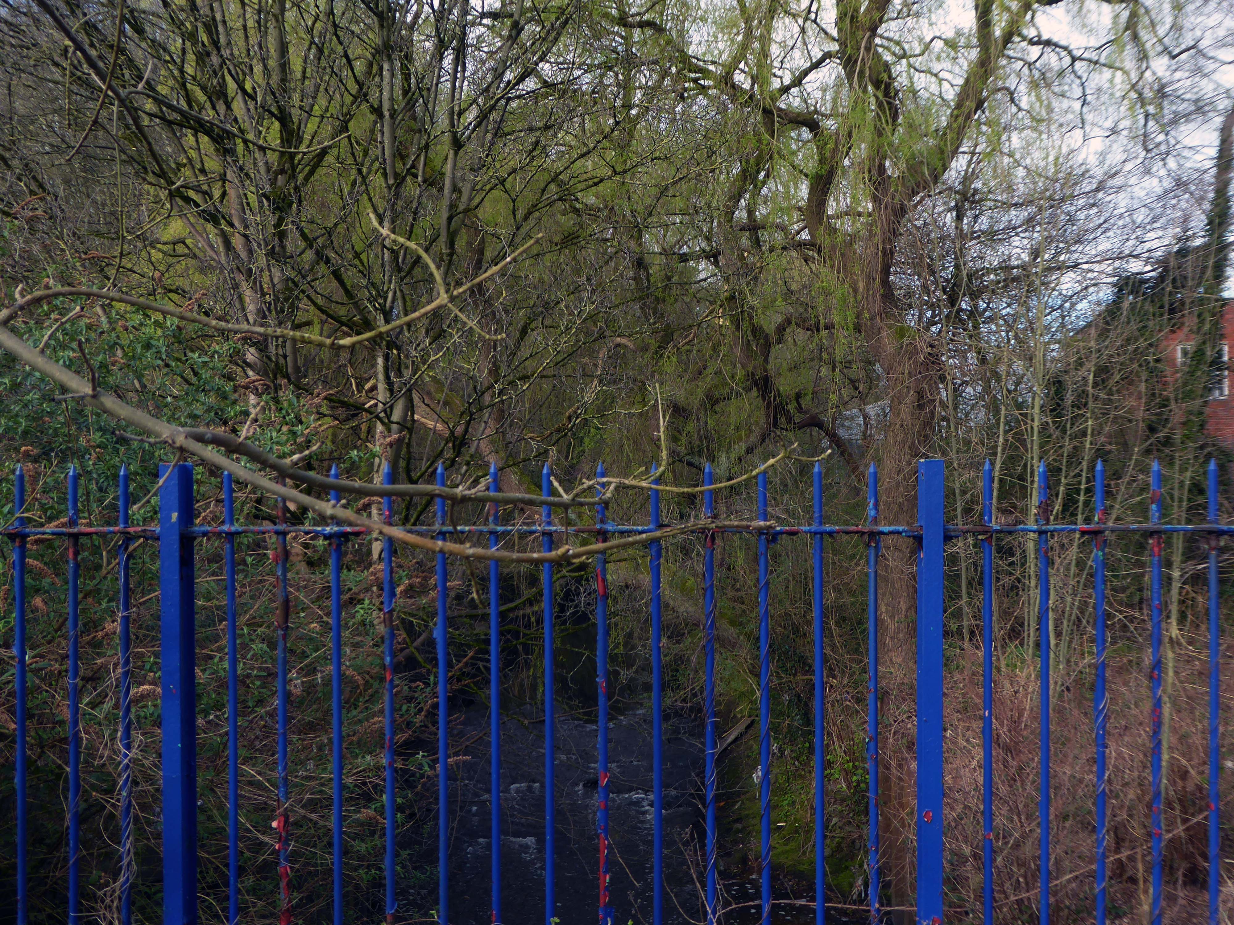
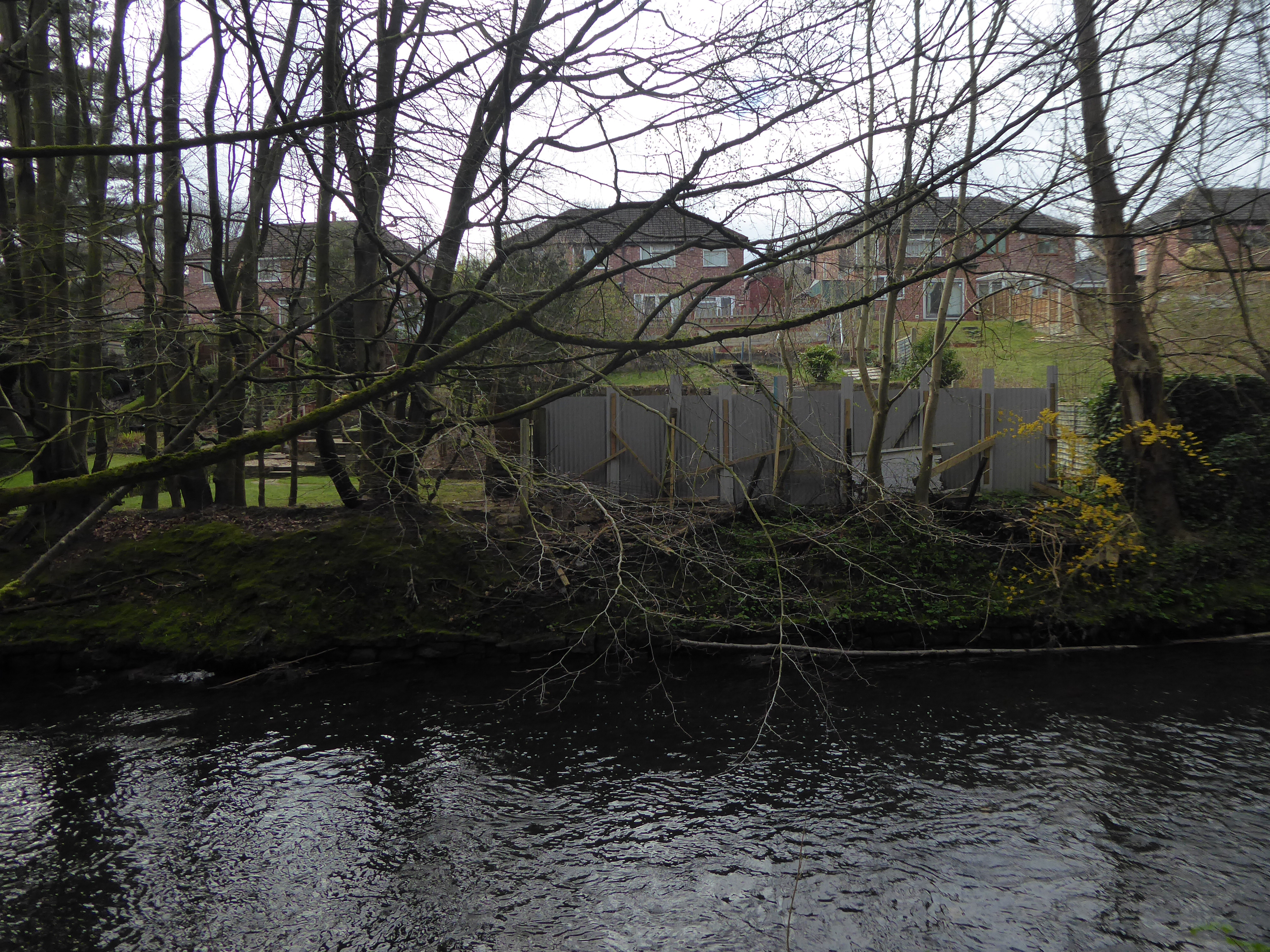
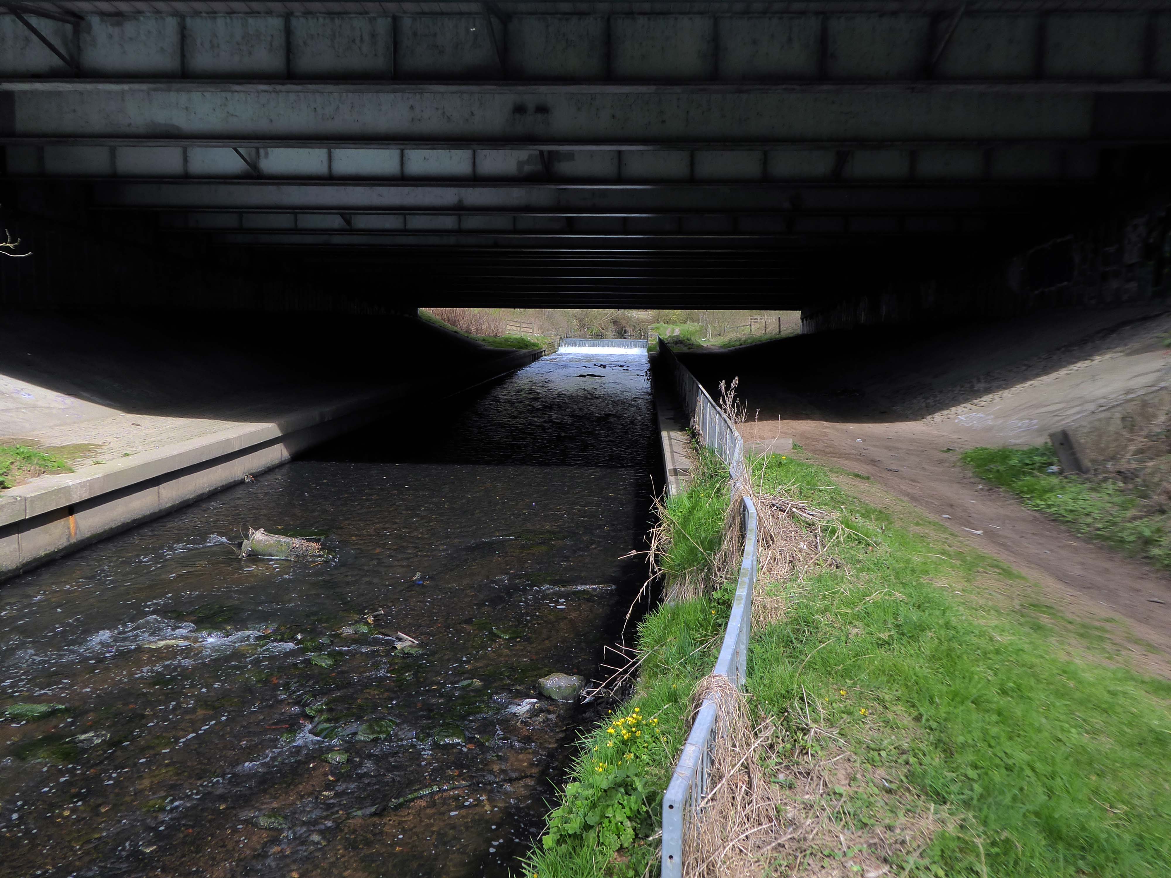
However, by the start of the 20th century the Irk Valley betweenCrumpsall and Blackley had been left a neglected river – not only the blackest but the most sluggish of all rivers.
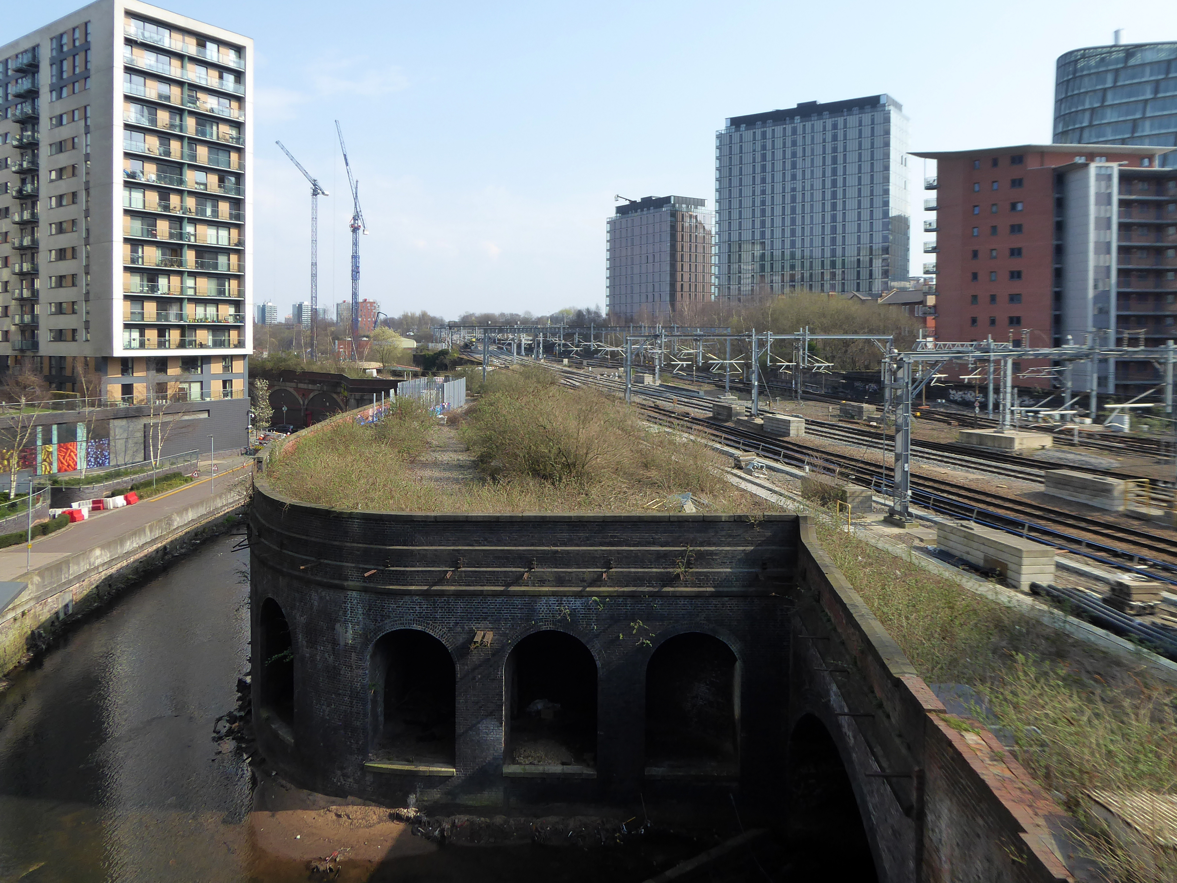
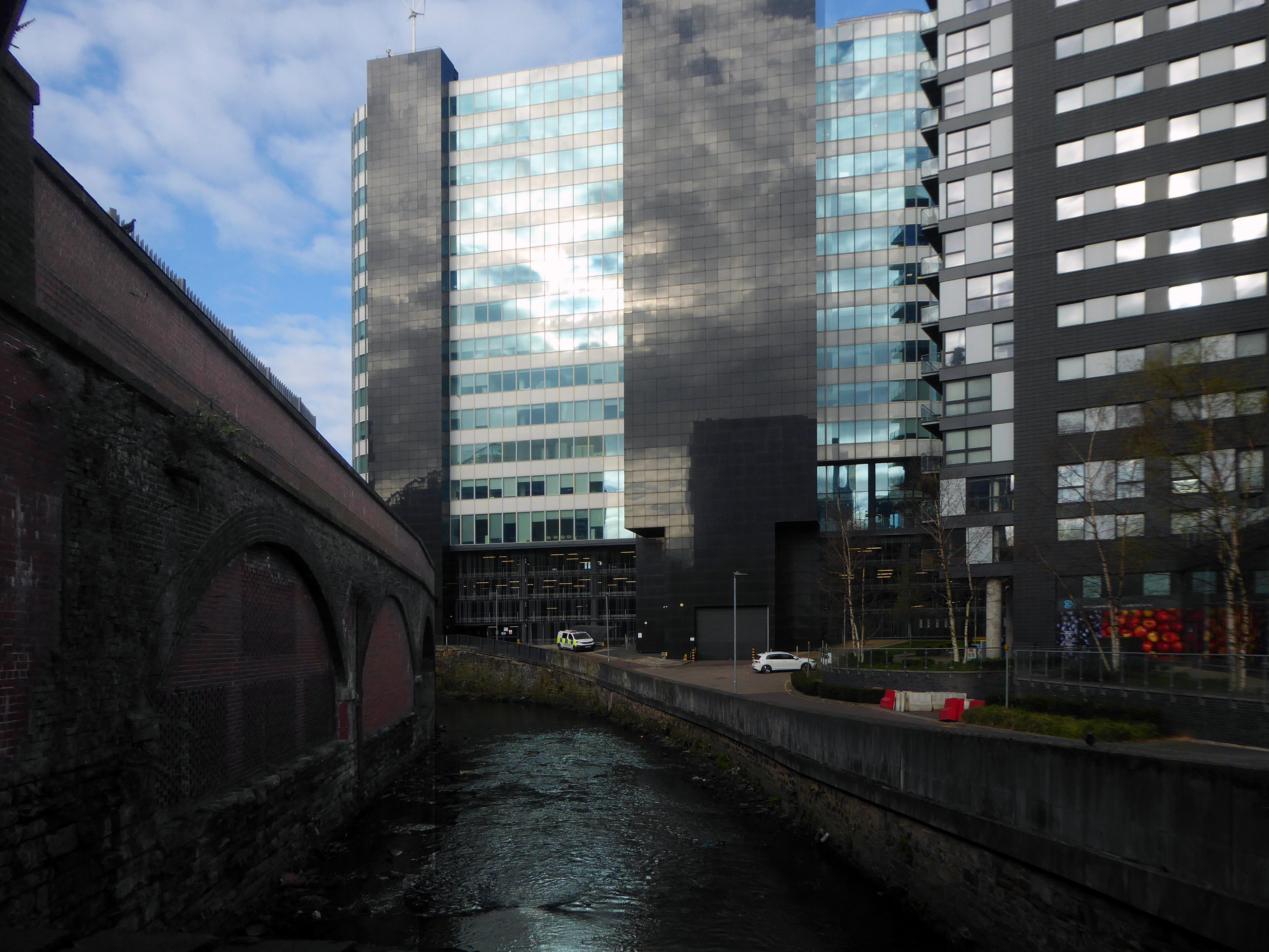
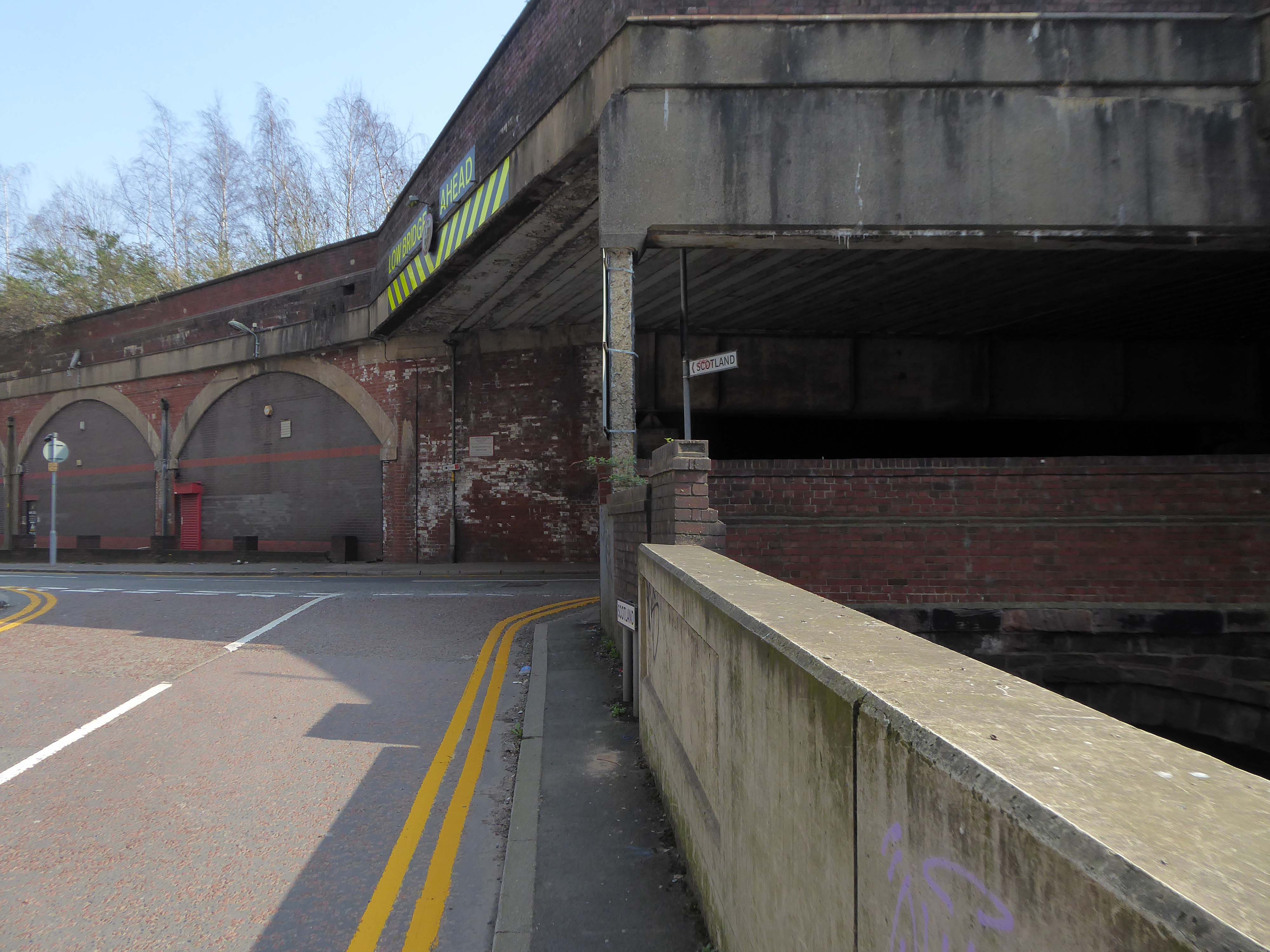
The river emerges from beneath the city into an area named Scotland – a remnant of Manchester’s links with the Jacobite Rebellion.
To the left were the squalid Victorian homes of Red Bank – currently presenting as the Green Quarter.
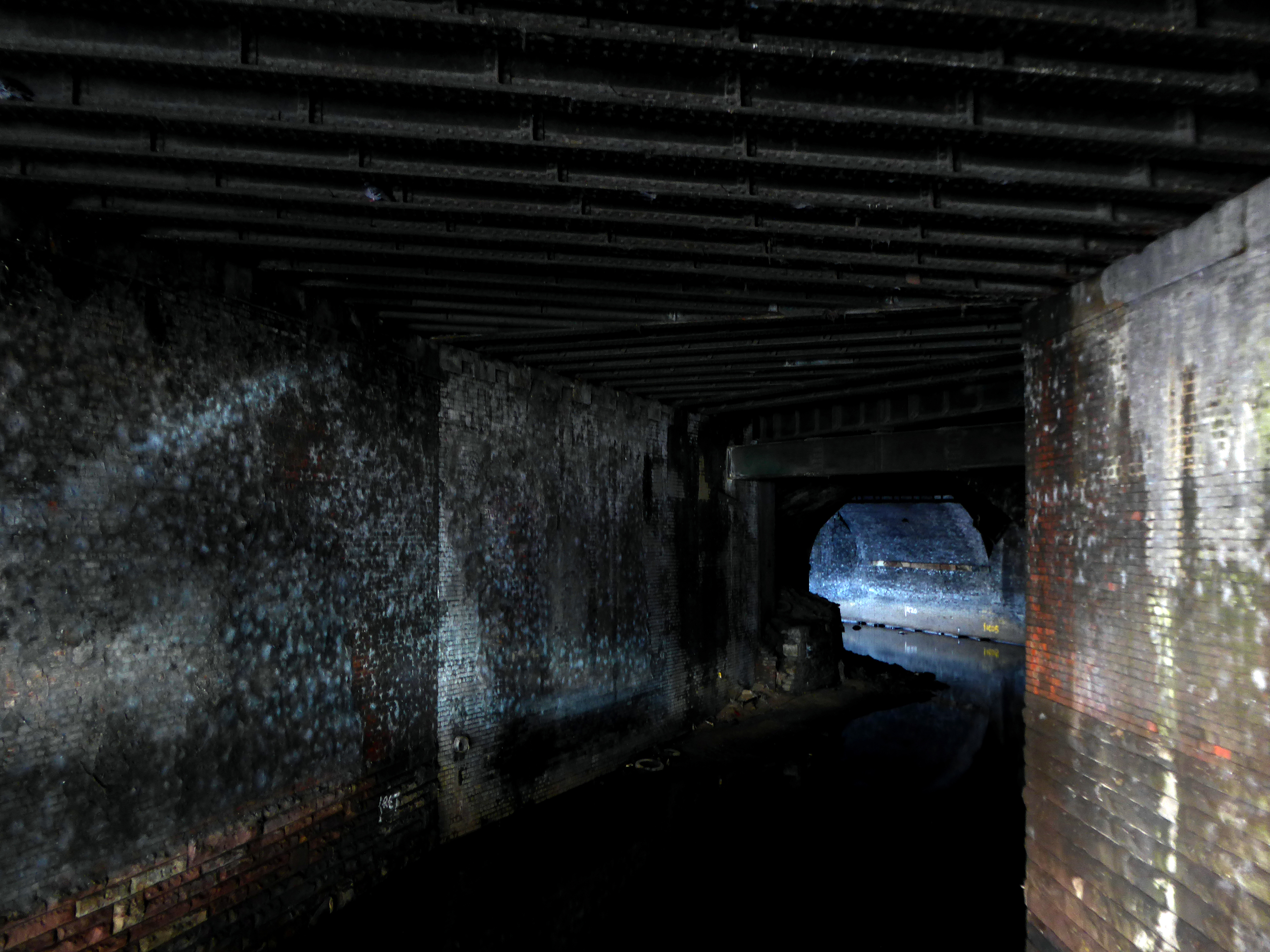
The river briefly becomes subterranean again.
This is a river with an ignominious history – famously damned by émigré Friedrich Engels.
At the bottom flows, or rather stagnates, the Irk, a narrow, coal-black, foul-smelling stream, full of debris and refuse, which it deposits on the shallower right bank.
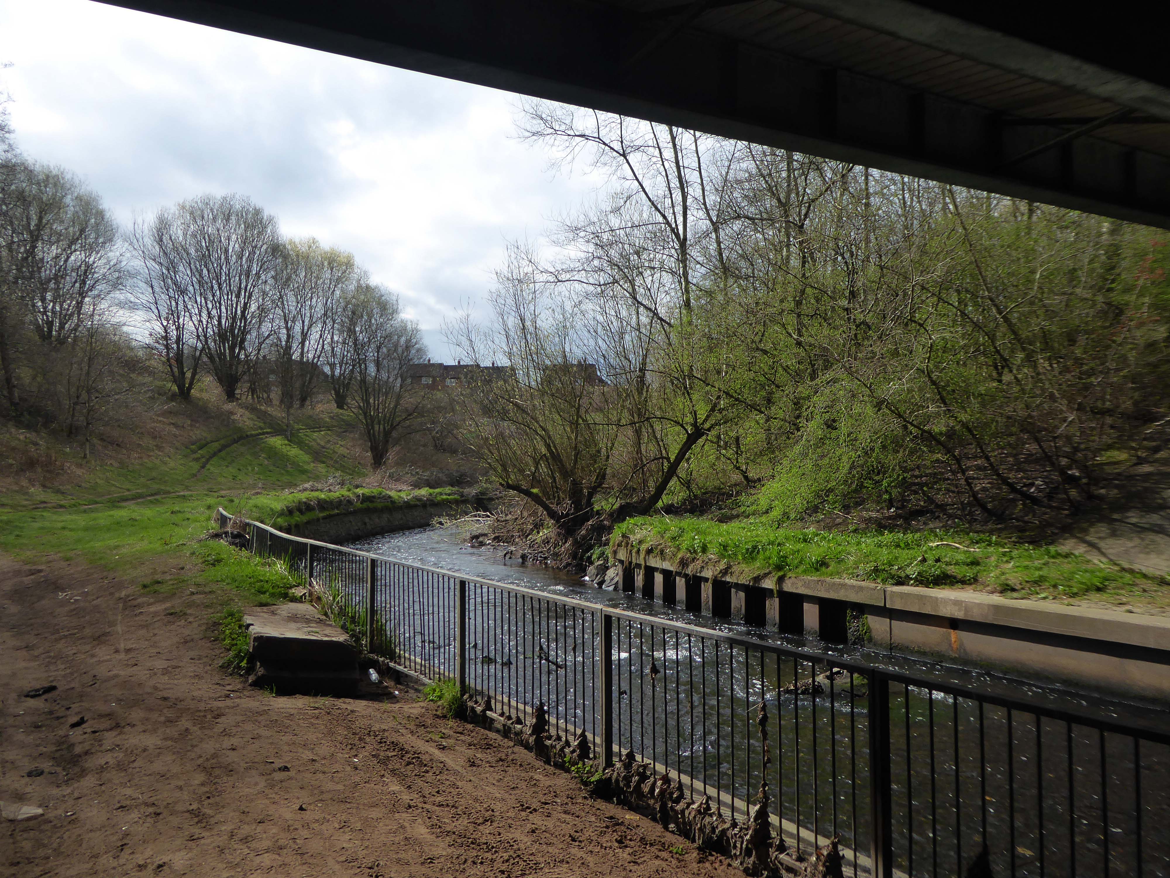
Spanning the defunct railway workings, affording a view of the brightly blooming city centre.
Leaving Collyhurst Road, we journey along Smedley Road.
Seen here in 1934.
Passing beneath Queens Road – Queens Park to the right.
Queen’s Park was one of Britain’s first municipal parks created in 1846. The park was originally arranged around Hendham Hall, home of the Houghton family however this was demolished in 1884.
Dropping down to Hendham Vale.
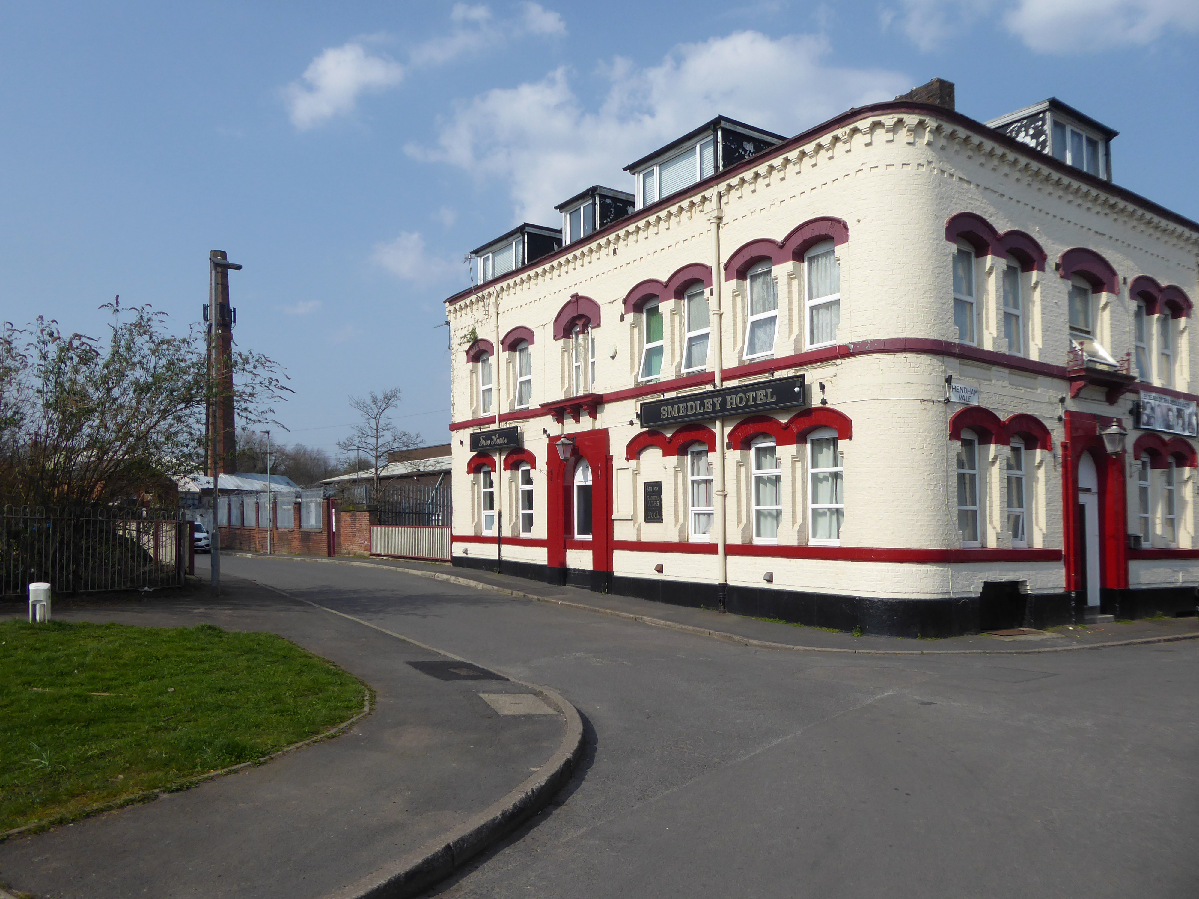
To the right is the Smedley Hotel.
The Smedley Hotel is a very large pub that is hidden away on a quiet back street.Once inside there were a few different rooms and I had a drink in the bar which was fairly large and seemed in need of some attention. The pub still had its old Chesters signs outside and there were three real ales on the bar. I had a drink of Chesters bitter and this was a very nice drink the other beers were Chesters mild and Boddington’s bitter.
I thought this pub would be long gone but it is still standing and I think open for business.
Lost to the world are the Manchester Moderne flats of Kennet House overlooking the Irk Valley on Smedley Lane.
Hendham Way becomes a pedestrianised lane.
Taking the road up and then down, returning to the river, and following the wrong path – alongside the Hapurhey Reservoir and Ponds.
A remnant of the industrial era the reservoirs and ponds, once used by the factories as a source of water, have over the year become a thriving habitat which supports a substantial amount of wildlife.
Then cutting back and regaining the correct path.Finally arriving at the Hexagon Tower.
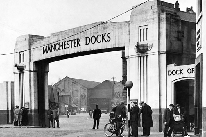
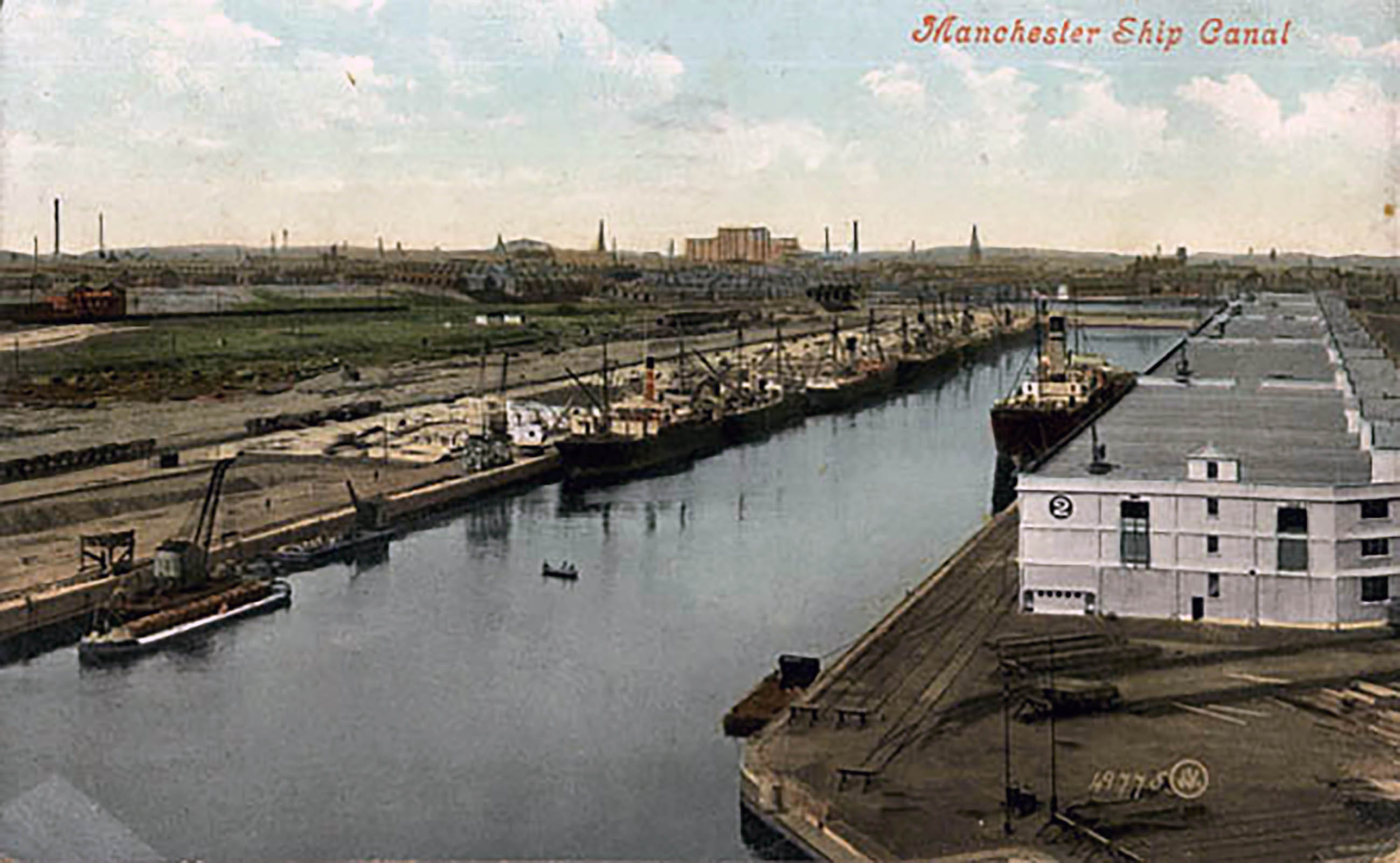
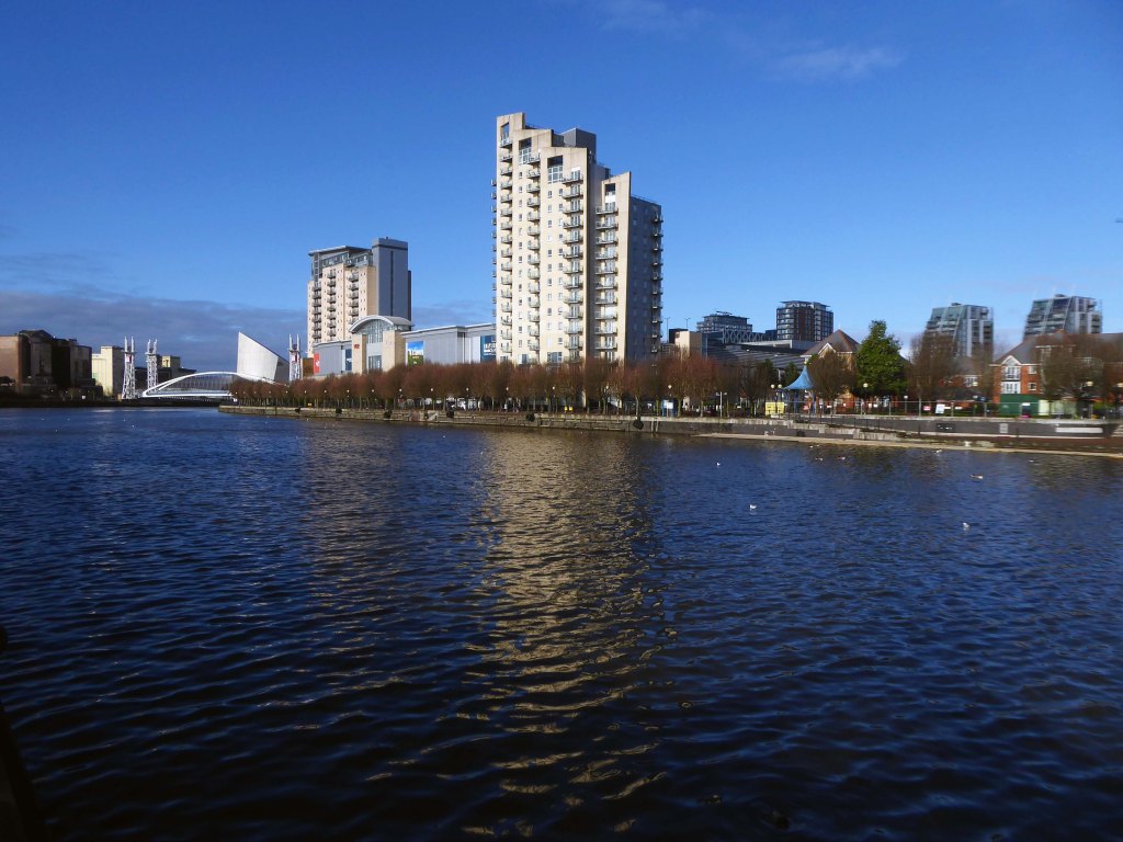
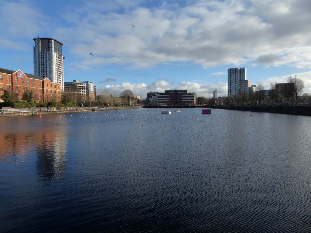
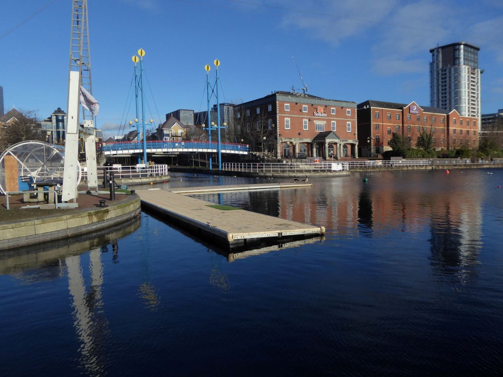
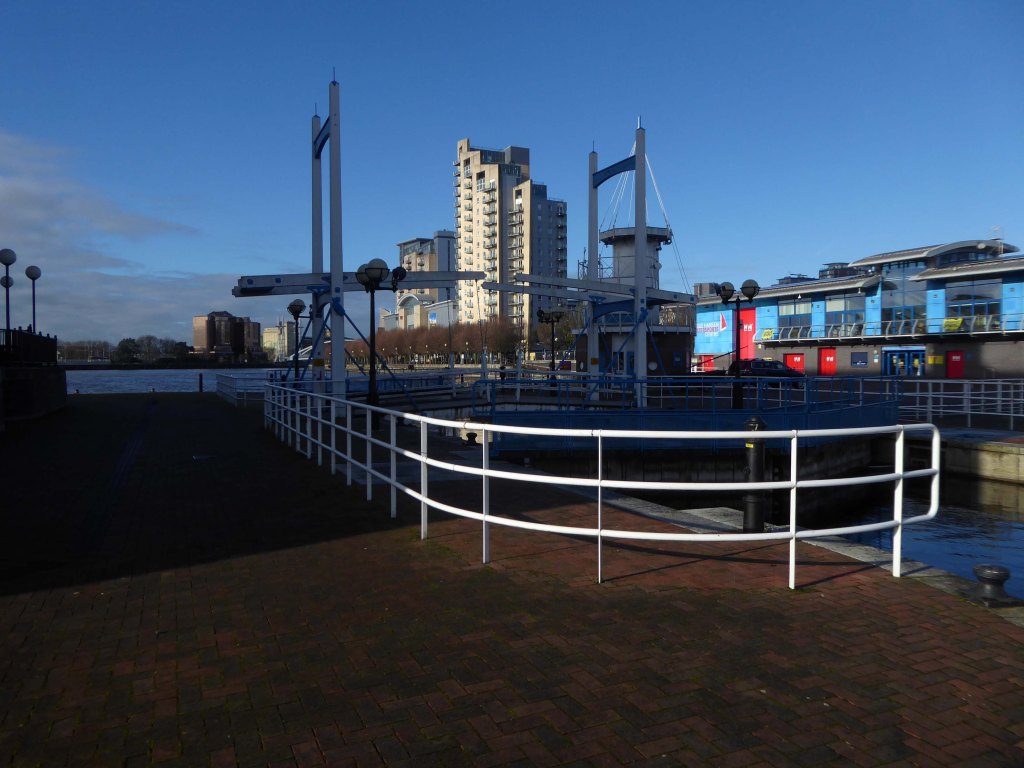
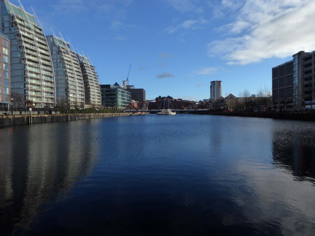
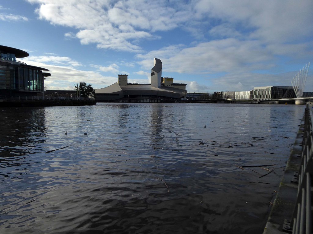
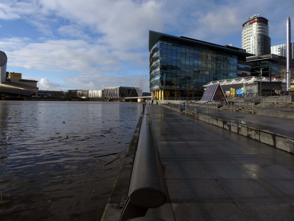
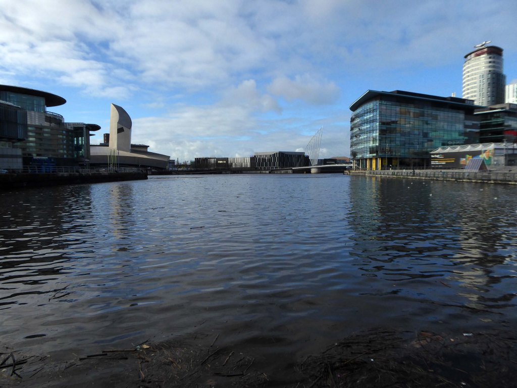
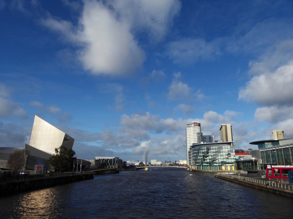
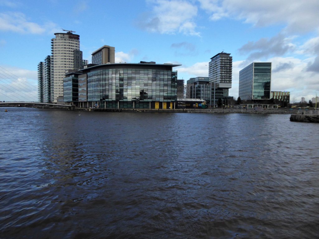
They were situatedin Salford, Stretford and Manchester at the east end of the Manchester Ship Canal. They formed part of the Port of Manchester from 1894 until their closure in 1982. The docks marked the upper reaches of the ship canal,and were a destination for both coastal and ocean-bound vessels carrying cargo and a limited number of passengers, often travelling to and from Canada.
Manchester Docks were divided into two sections; the larger Salford docks to the west of the Trafford Road swing bridge and Pomona docks to the east. Each section consisted of four docks in total, the largest being to the west; Dock 5 at Pomona was never fully completed. Of the eight working docks only one, Dock 1 at Pomona, was within Manchester itself. During much of 1948, Manchester Docks were Britain’s third busiest port owing to damage suffered by the Port of Hull during the Hull Blitz.
During the 1970s the docks began a rapid decline, largely due to containerisation. The increasing size of freight-carrying ships meant they could no longer navigate the ship canal and this, combined with increased trading with Europe and the east, saw use of Manchester Docks decrease. In 1982 the remaining docks closed and the area became derelict. Recognising the need to redevelop the area, Salford City Council purchased the docks in 1984 using a derelict land grant. The Salford Quays Development Plan was adopted in May 1985, proposing complete reclamation and development of the area for commercial, residential and leisure use.
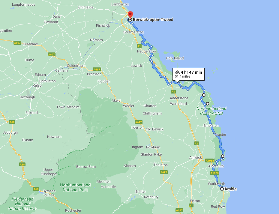
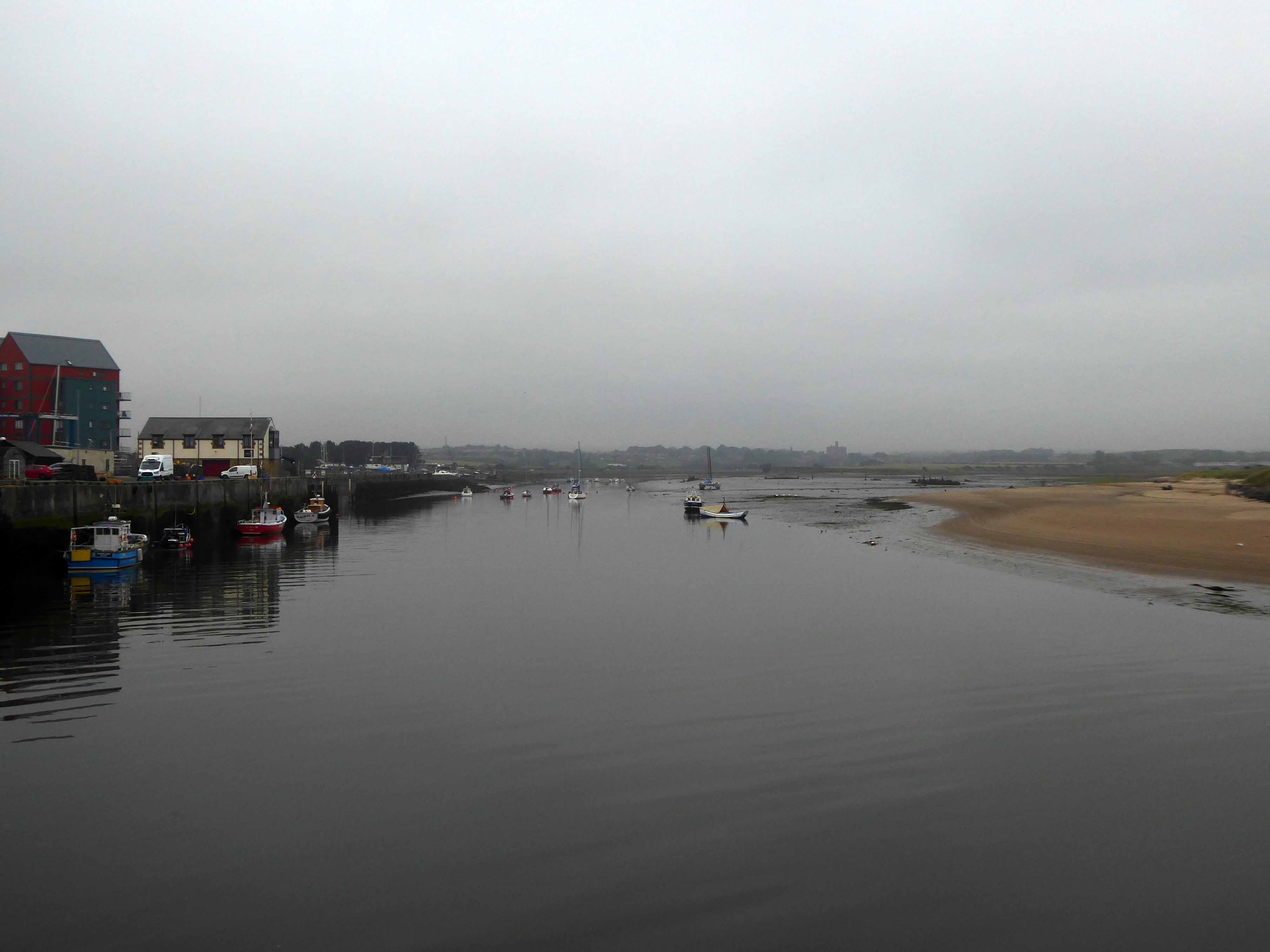
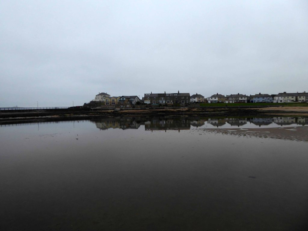
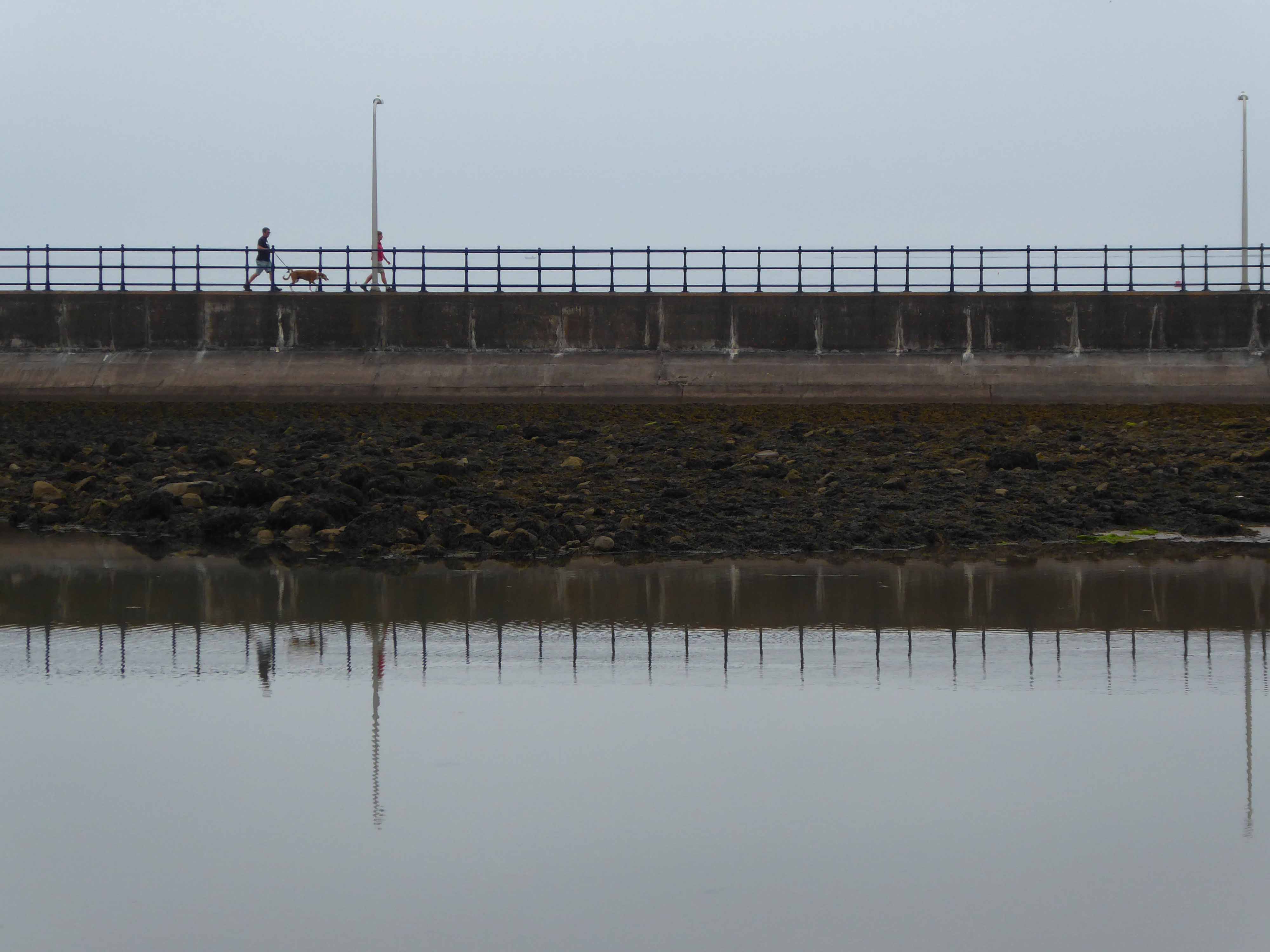
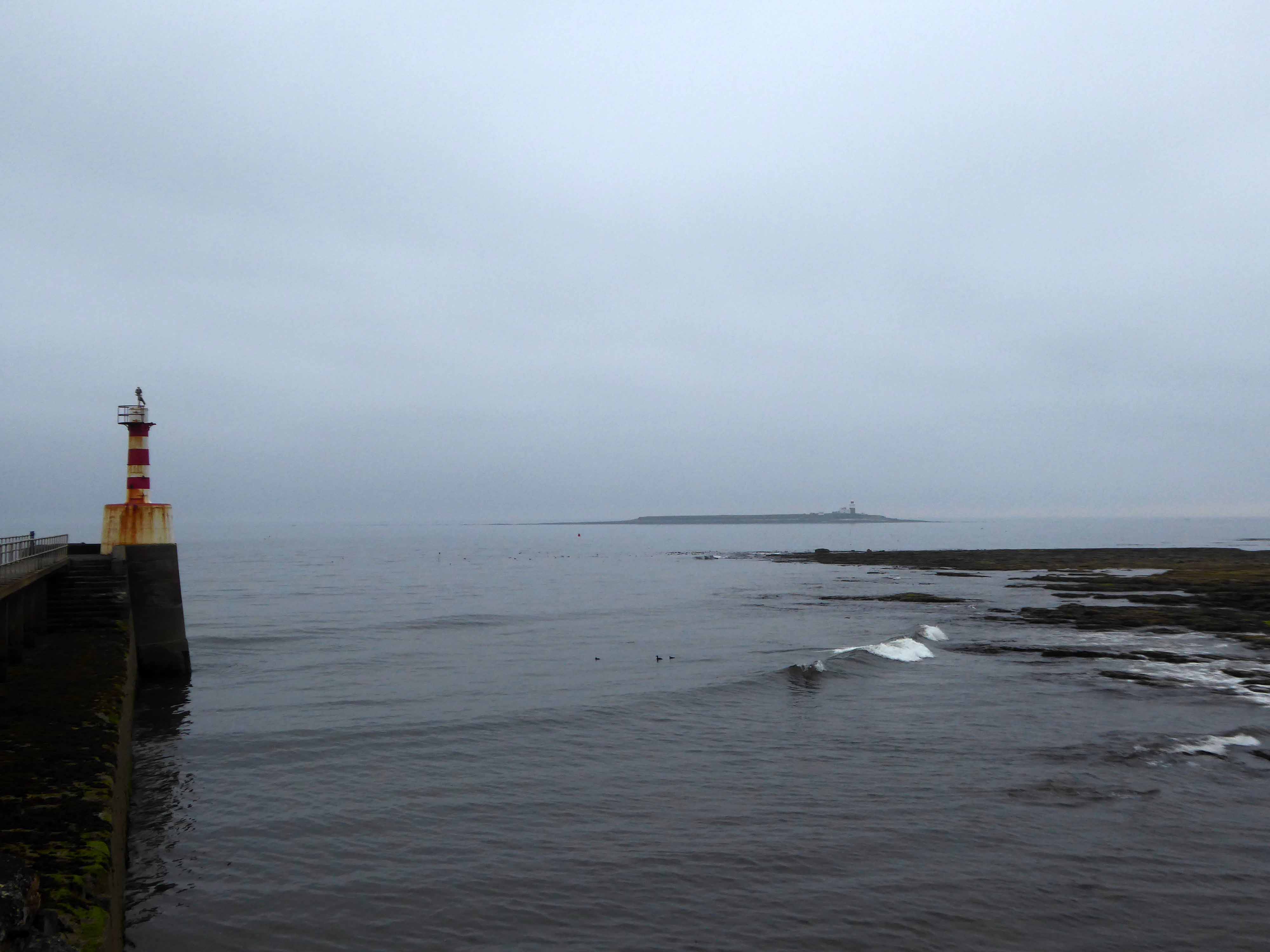
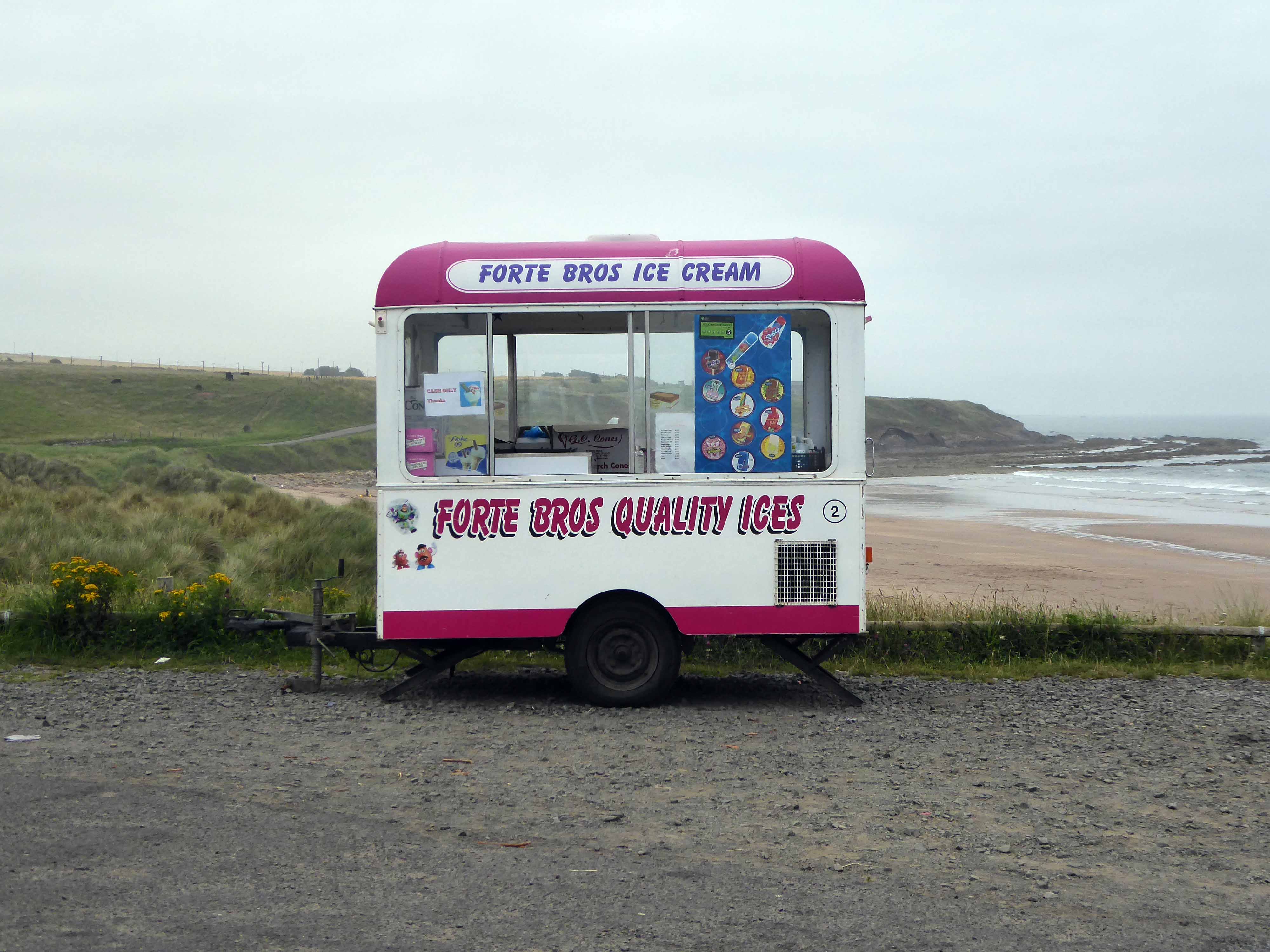
The final day the first sight of cloud and sea mist.
I awoke early and took an amble around Amble.
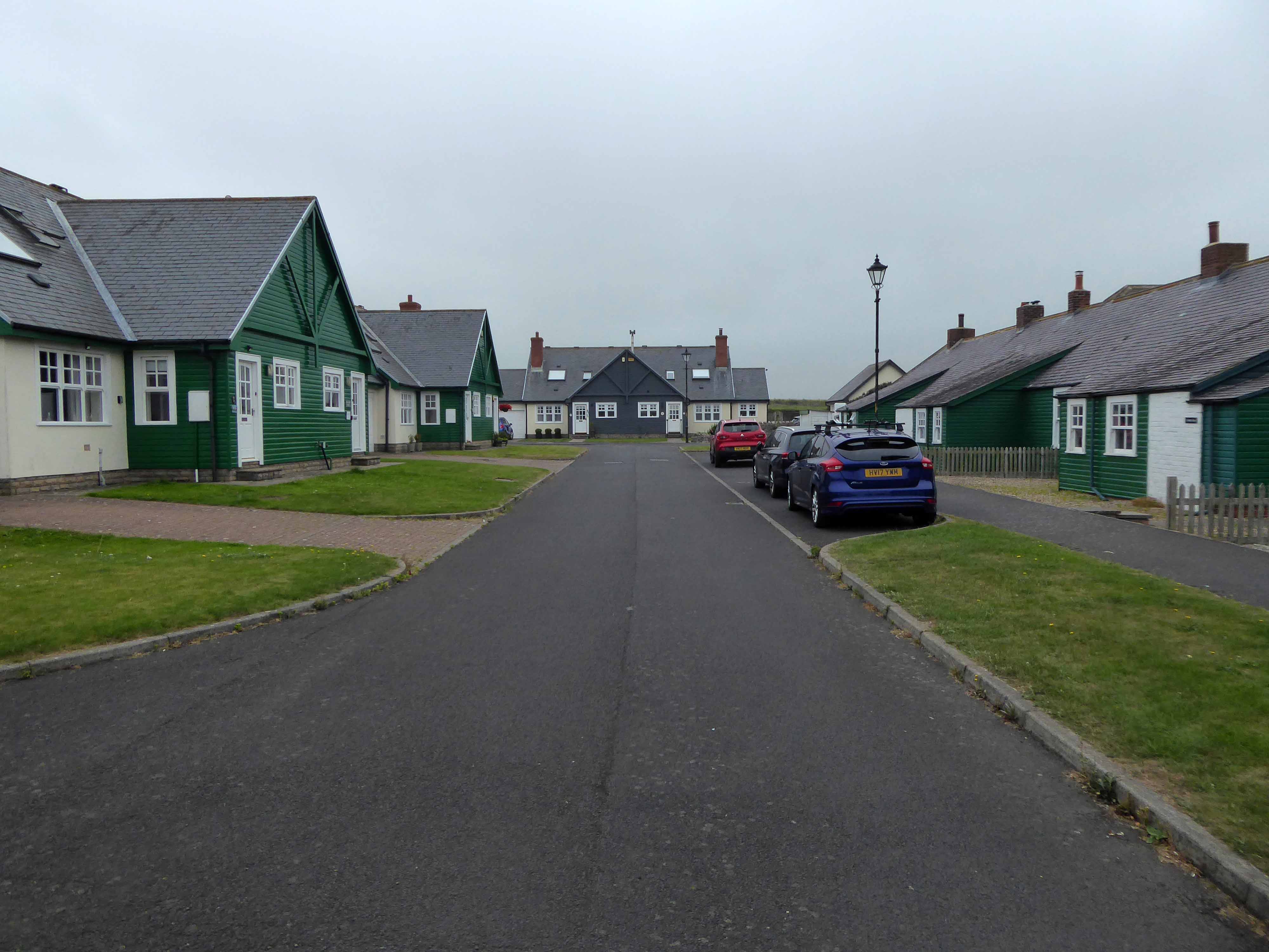
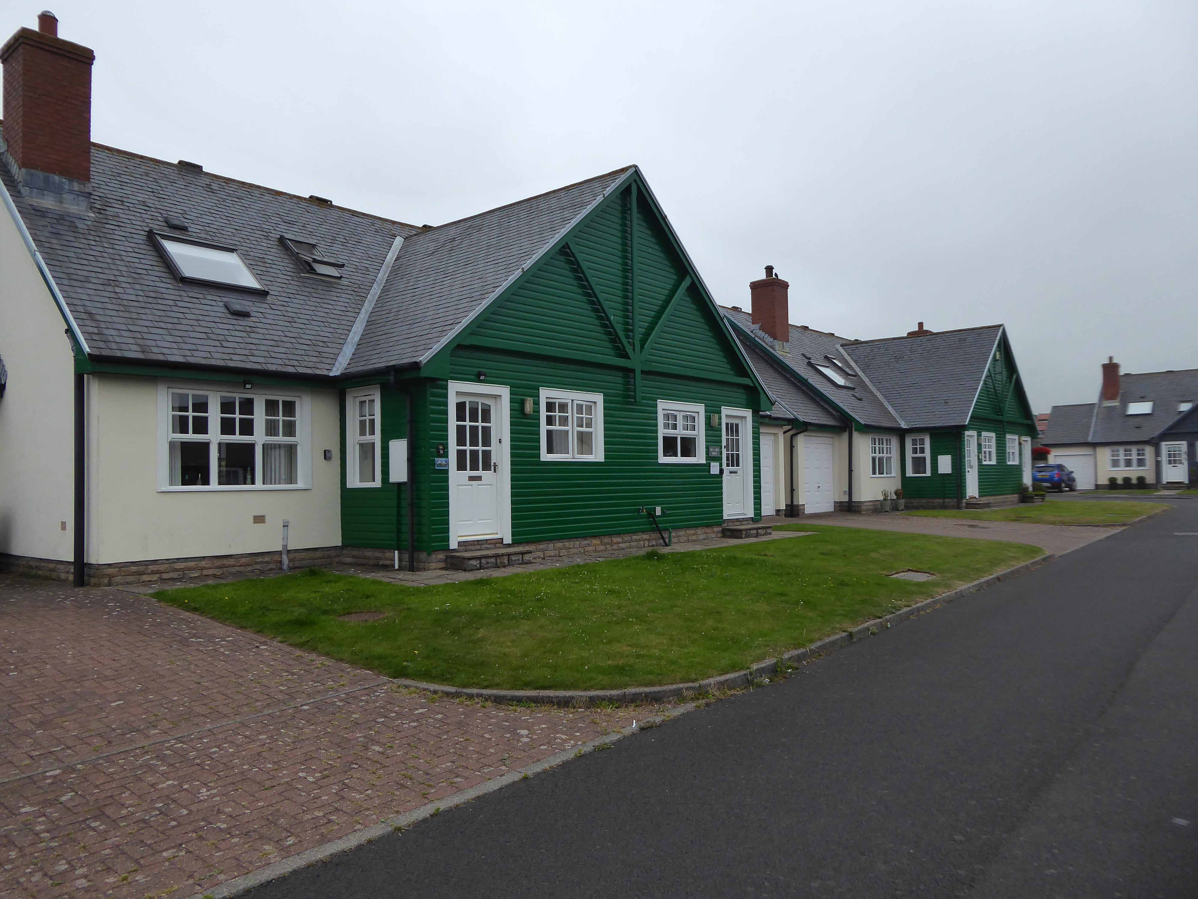
Then off on the road to Warkworth and beyond to Alnmouth – where I revisited a small group of asymmetric post-war dormer bungalows.
Stopping to view the flood plain of the River Aln, chatting perchance with the local environmental officer.
Who explained how the flood defences had been removed, as this encouraged the natural process of flooding and receding to proceed unhindered, thus preventing property from being interminably sodden.
We also discussed the decline in vernacular architecture and the fashion for all that is New England, much to the detriment of New Northumberland.
One day everywhere will look like a someone else’s vision of somewhere else.
The good folk of Craster have wisely prevented the local bus from entering the North Sea.
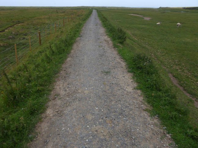
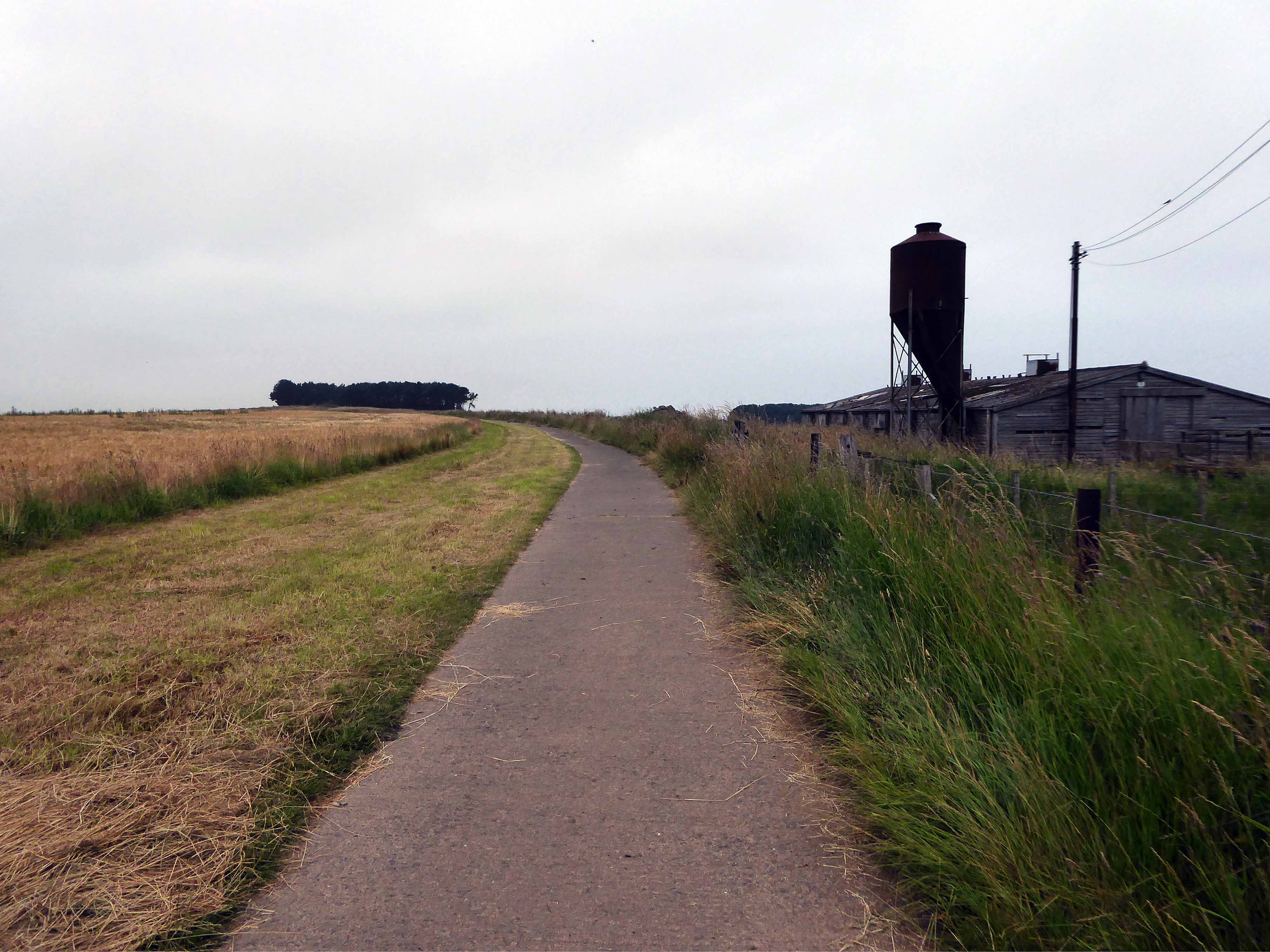
The way north took me over a well laid concrete track.
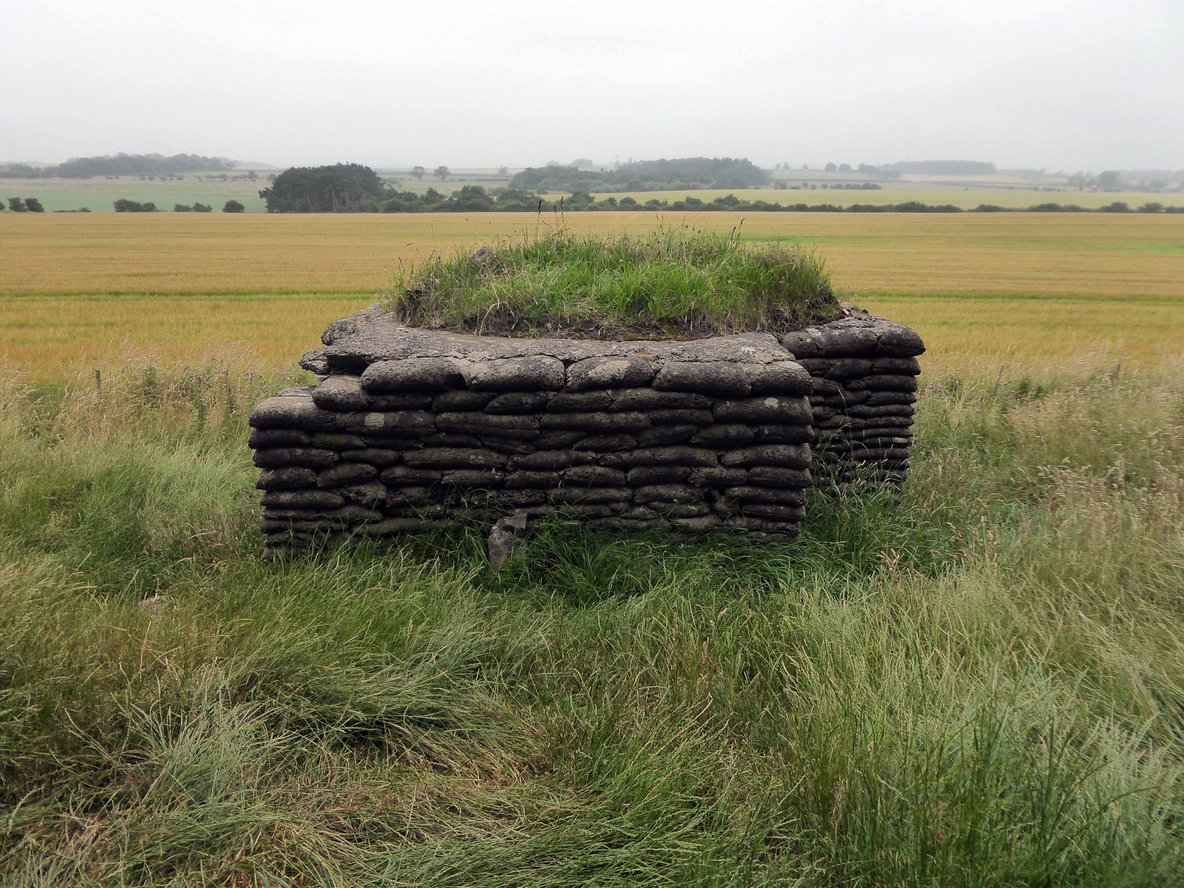
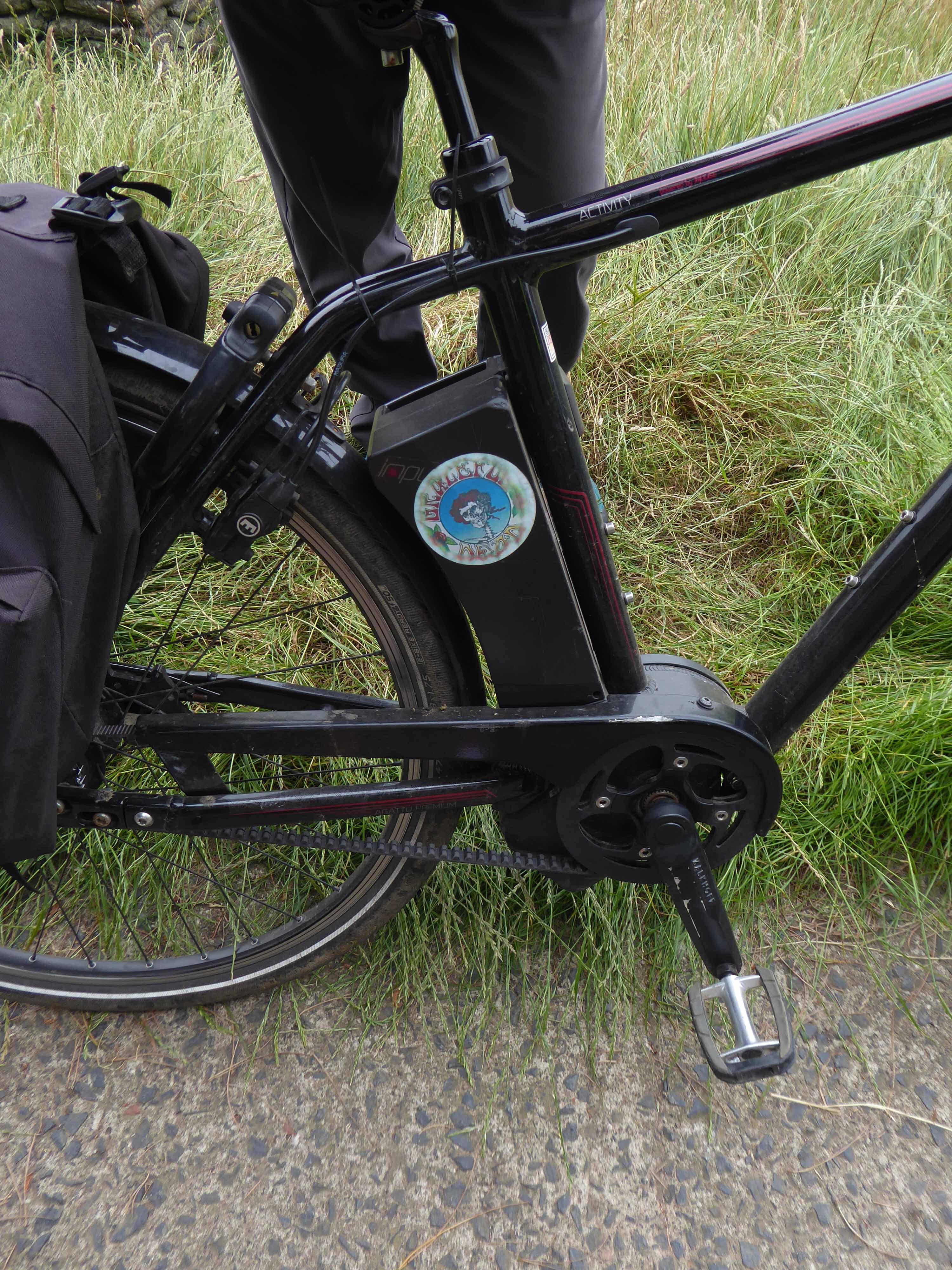
I came upon three wise men from Durham, Rochdale and Doncaster, gathered around a concrete-bag bunker.
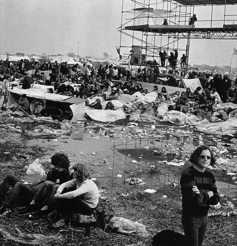
They were all Grateful Dead fans who like me had attended the Bickershaw Festival in 1972.
The first and last outdoor festival I ever done attended, unforgettable.
Weaving down and around quiet lanes I encountered this Walker Evans workshop.
Armstrong Cottages is an estate originally built by Lord Armstrong for the workmen restoring Bamburgh Castle.
The 1901 Census lists the current inhabitants with their provenance and professions.
114 residents are listed for the 19 cottages, of whom 53 are working men employed in the building trade: their professions include stonemasons, joiners, plumbers, rope & pole scaffolders, blacksmiths, and plasterers.
Many come from Northumberland or Scotland, but a significant proportion are from further afield: Cumberland, Westmorland, Lancashire, Durham, Yorkshire, Derbyshire – and one from the Channel Islands.
Seven nights in November will now cost you the best part of a thousand pounds.
The Armstrong family the former owners, made millions from the sale of armaments.
If I thought that war would be fomented, or the interests of humanity suffer, by what I have done, I would greatly regret it. I have no such apprehension.
He also said:
It is our province, as engineers to make the forces of matter obedient to the will of man; those who use the means we supply must be responsible for their legitimate application.
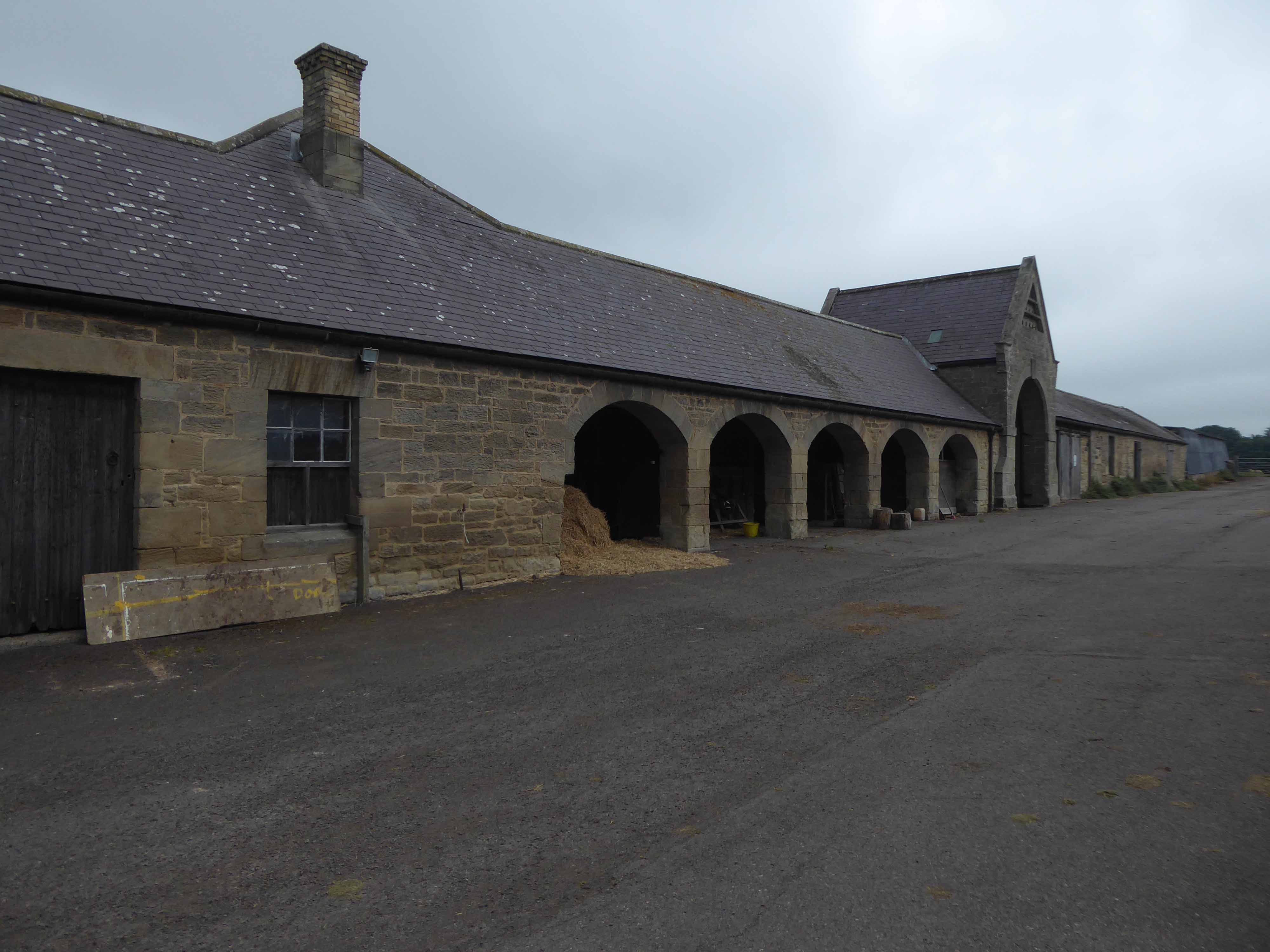
I paused a wee while to take a sip of water and admire the agrarian architecture.
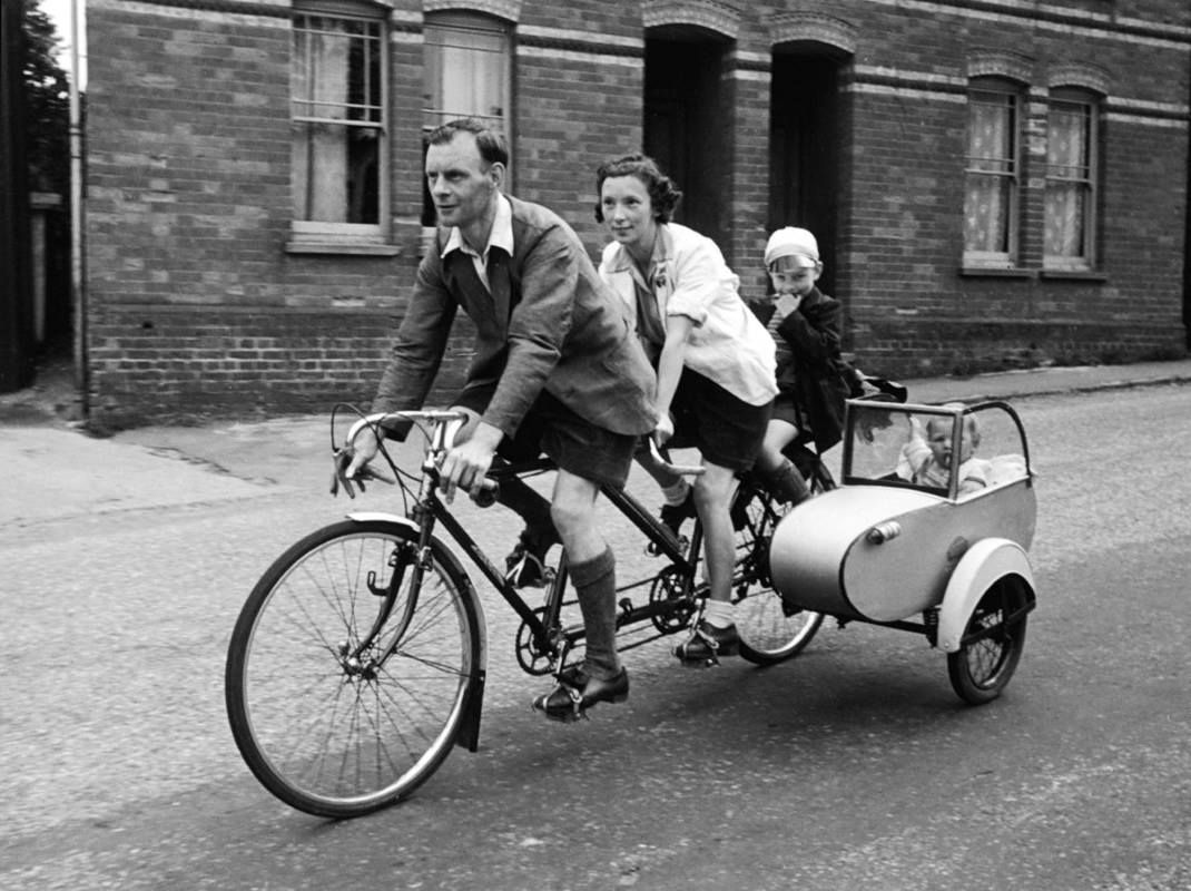
A couple on their bikes stopped to chat, as a babe in arms the lad had been transported by mam and dad, in a sidecar with tandem attached.
Such a delightful and poignant recollection – we wished each other well and went on our way.
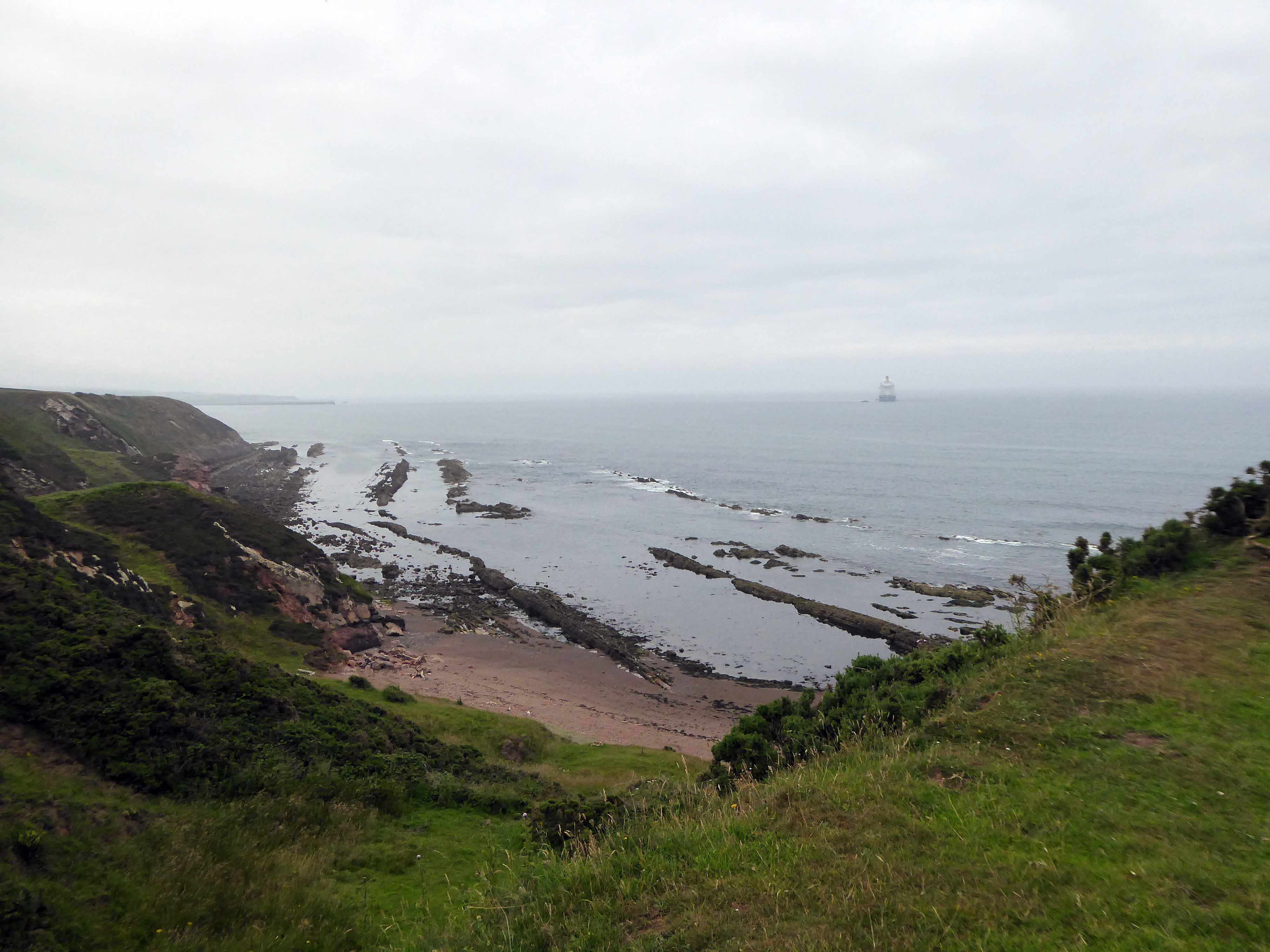
I made my way from the rolling hills back down toward the coast.
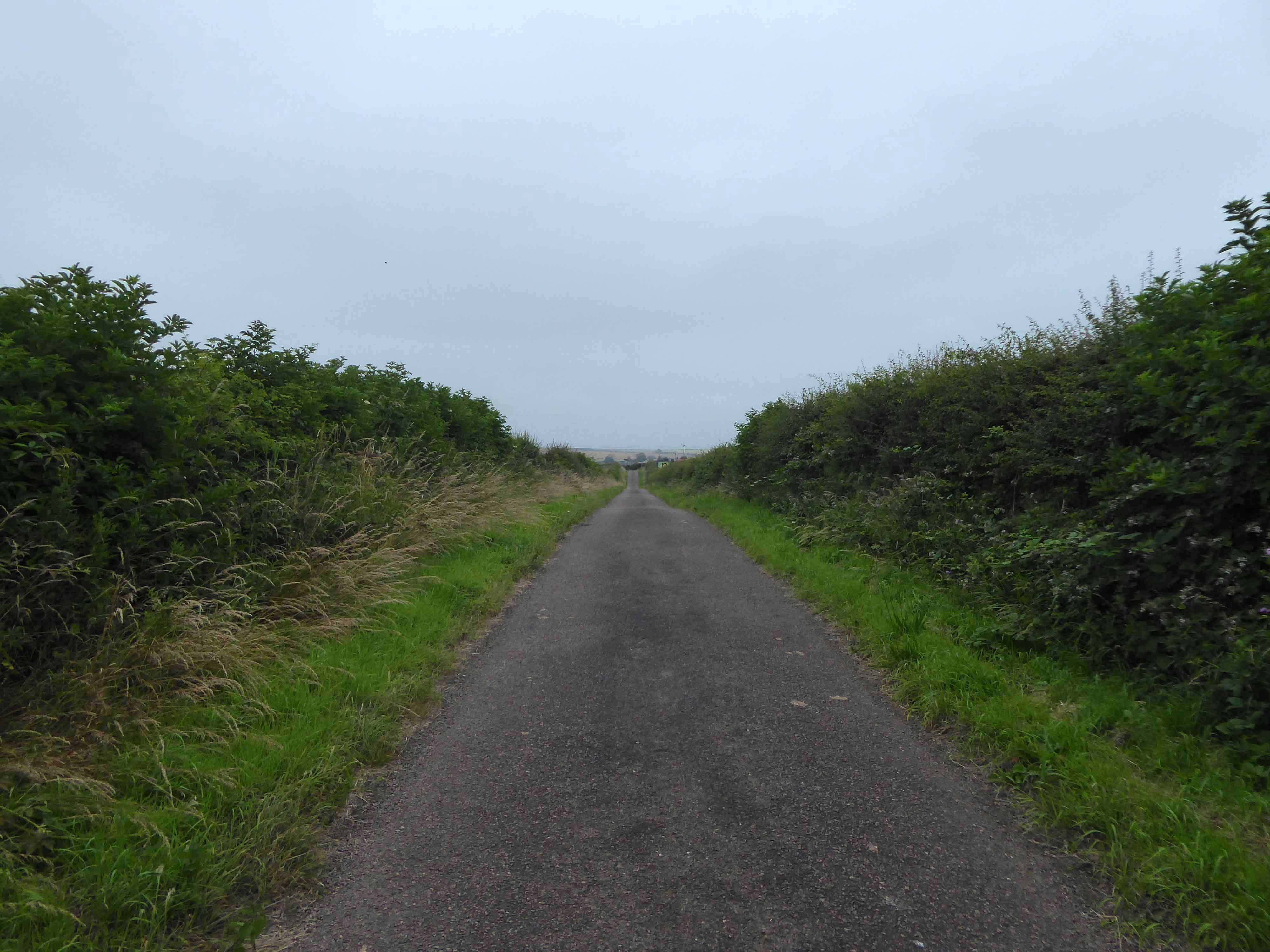
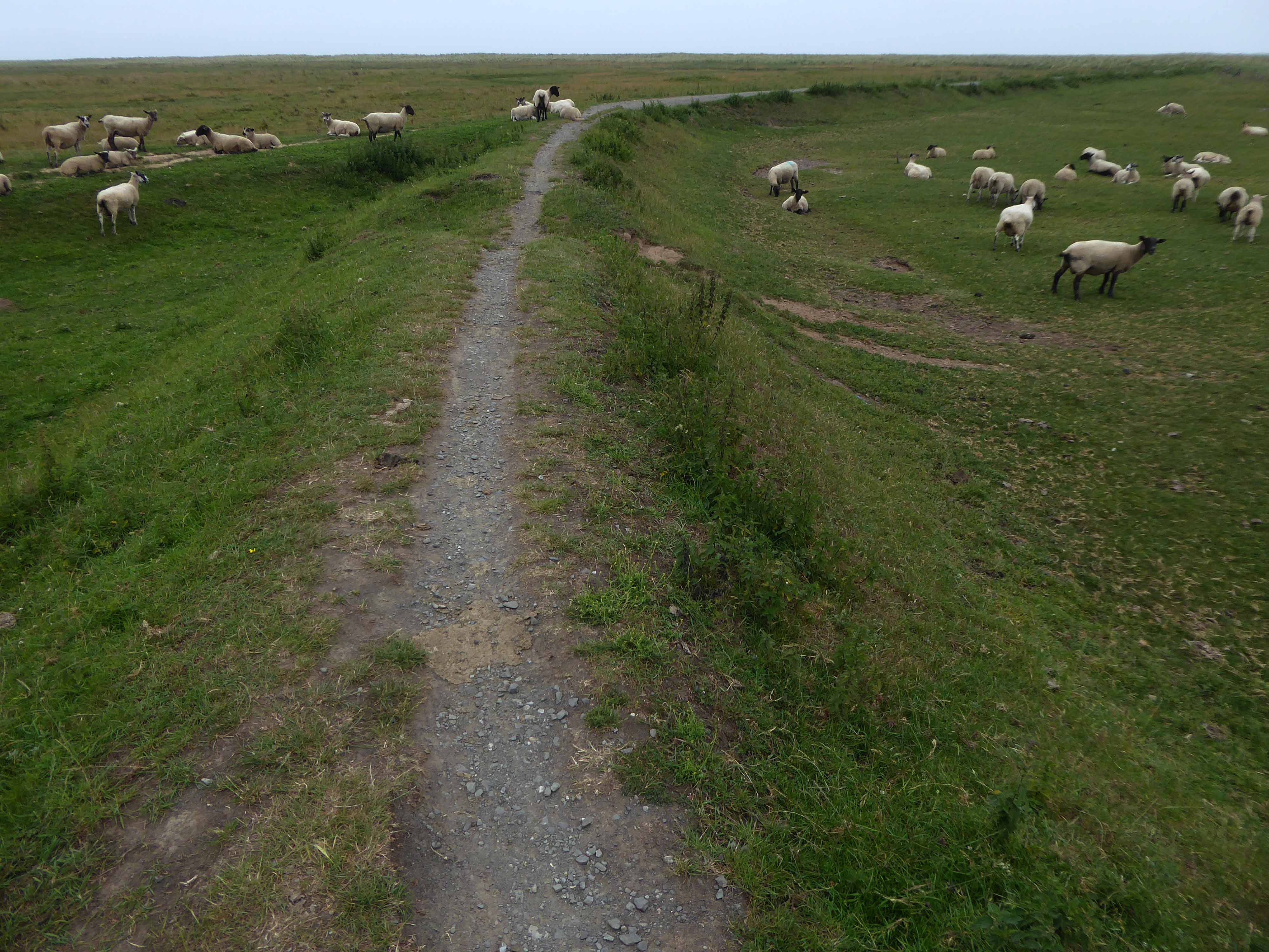
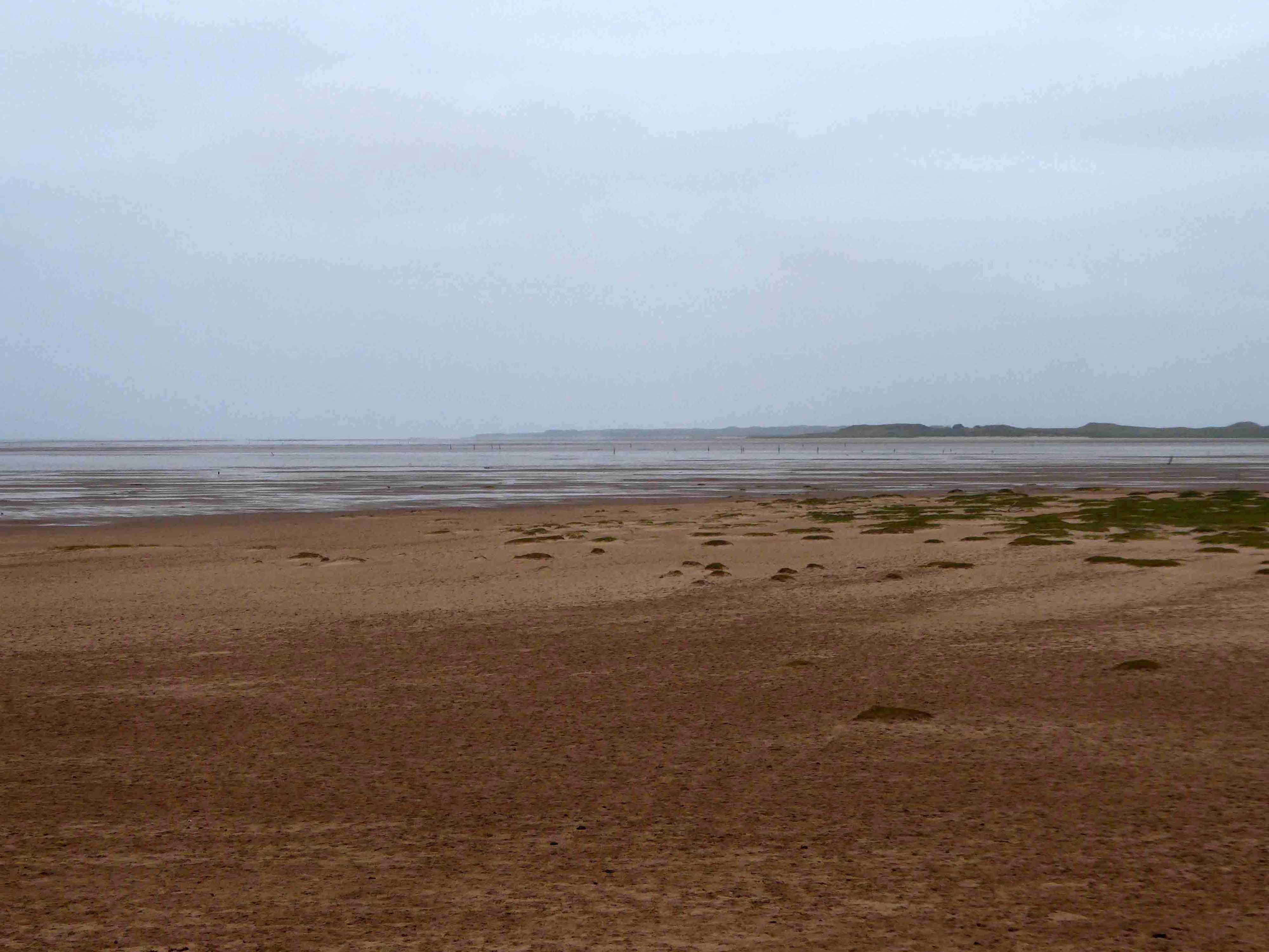
Where a permissive path hugged the shore, which I cautiously shared with some equally cautious sheep.
Looking back toward Lindisfarne.
Looking forward to the past.
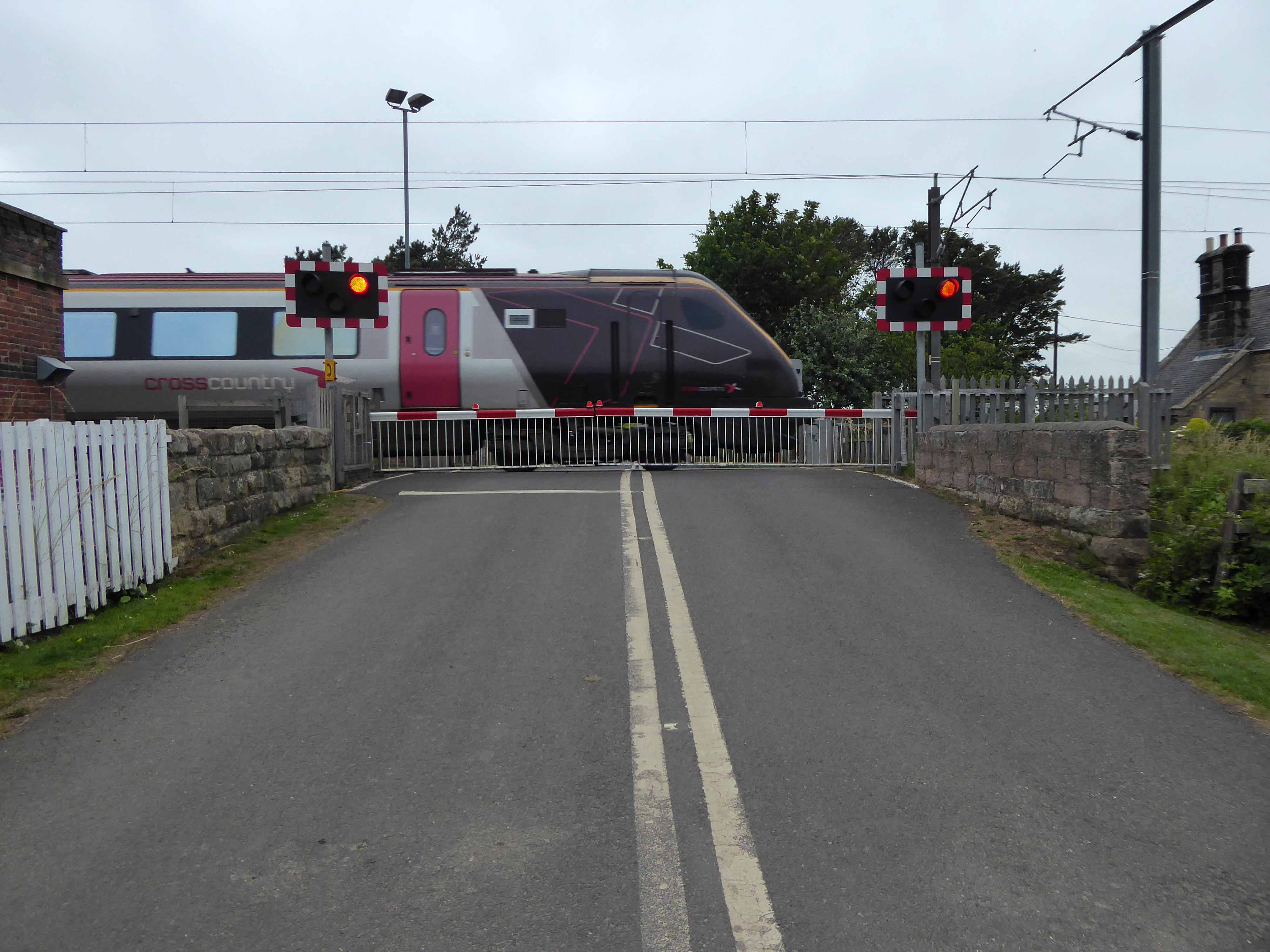
Pausing for the passing of a mainline train.
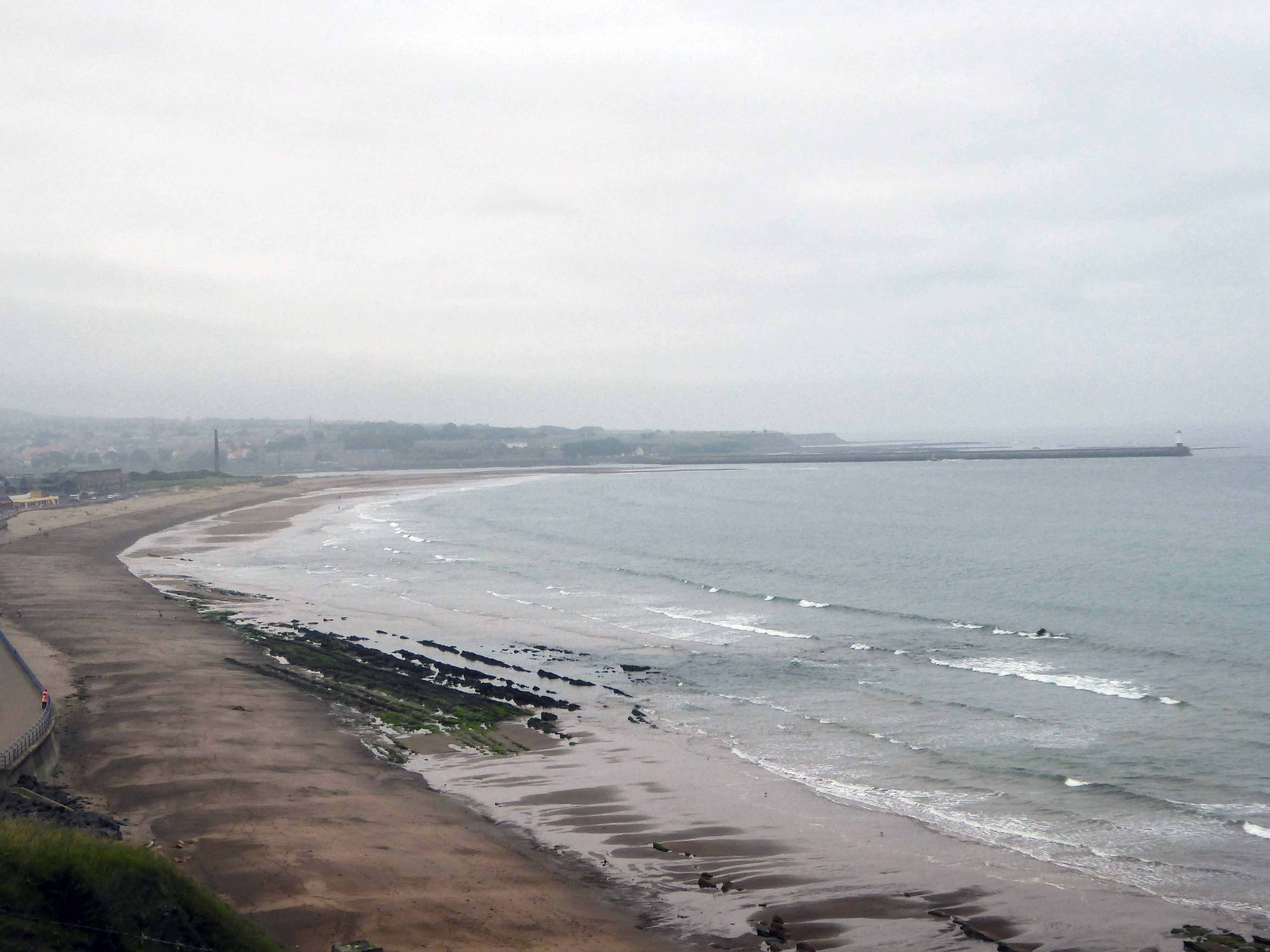
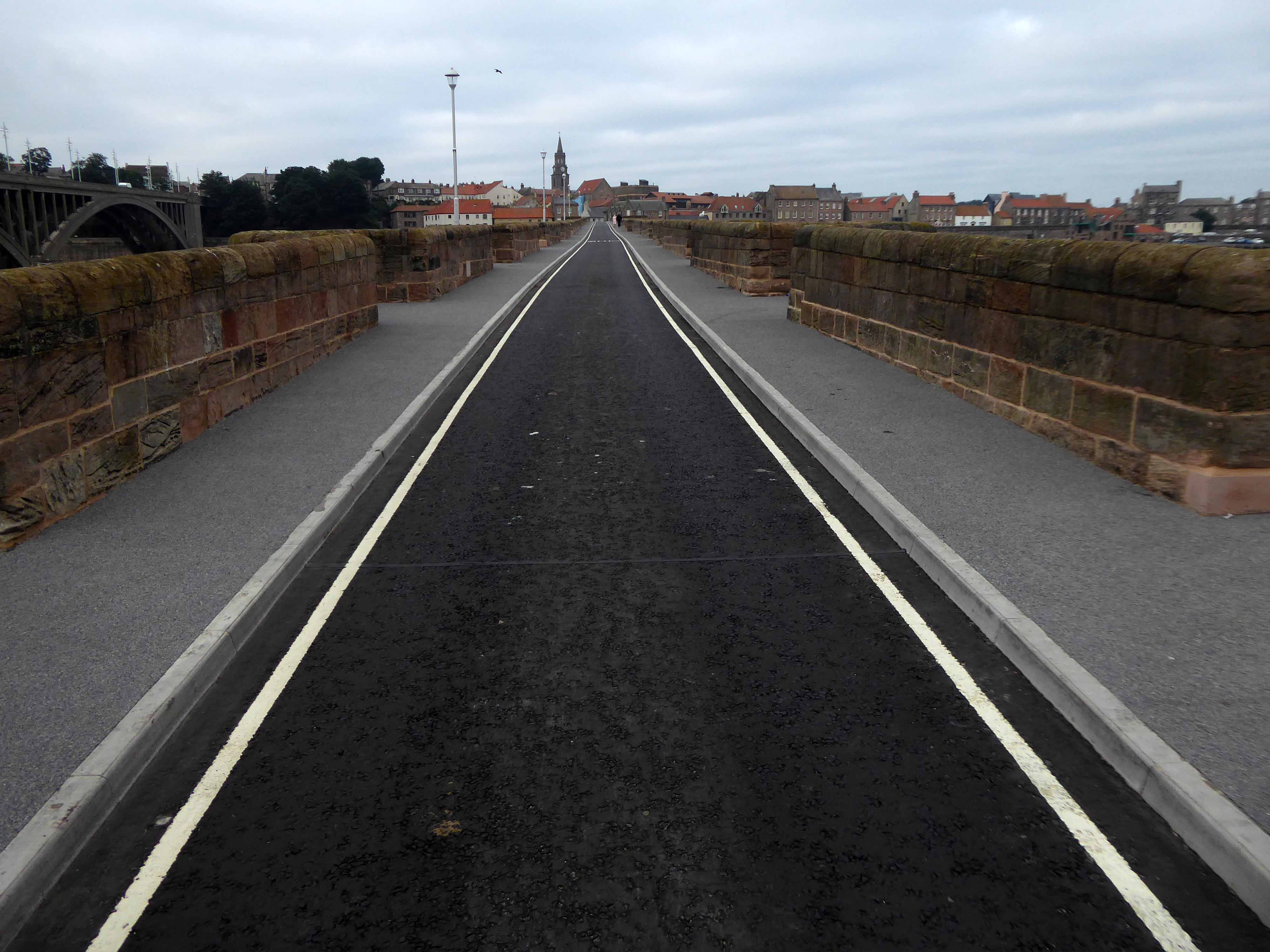
Berwick upon Tweed in view.
Come the evening I spent an hour or two in The Curfew, feasting on fine beer, company, haggis scotch egg and game pie.
Finishing with this well deserved and wonderful, bottle of Oude Geuze.
The final day – so many marvellous miles covered, forever stopping to chat, snap, look and learn.
No finer way to see the world, though so condensed and intense even at touring speed – apologies to all the things that I failed to see.
The building was originally developed by C&A and it is thought that funding for the reliefs might have been provided by the store and/or Northern Arts. It became BHS which subsequently closed, the building is now occupied by Primark, C&A estates still own the site.
Taking a bold leap into the unknown I left the city centre, unwisely following unfamiliar roads, predictably becoming very lost.
I sought assistance from a passing fellow cyclist, very kindly he guided me to Tynemouth, following a mysterious and circuitous course across the undulating terrain – thanks.
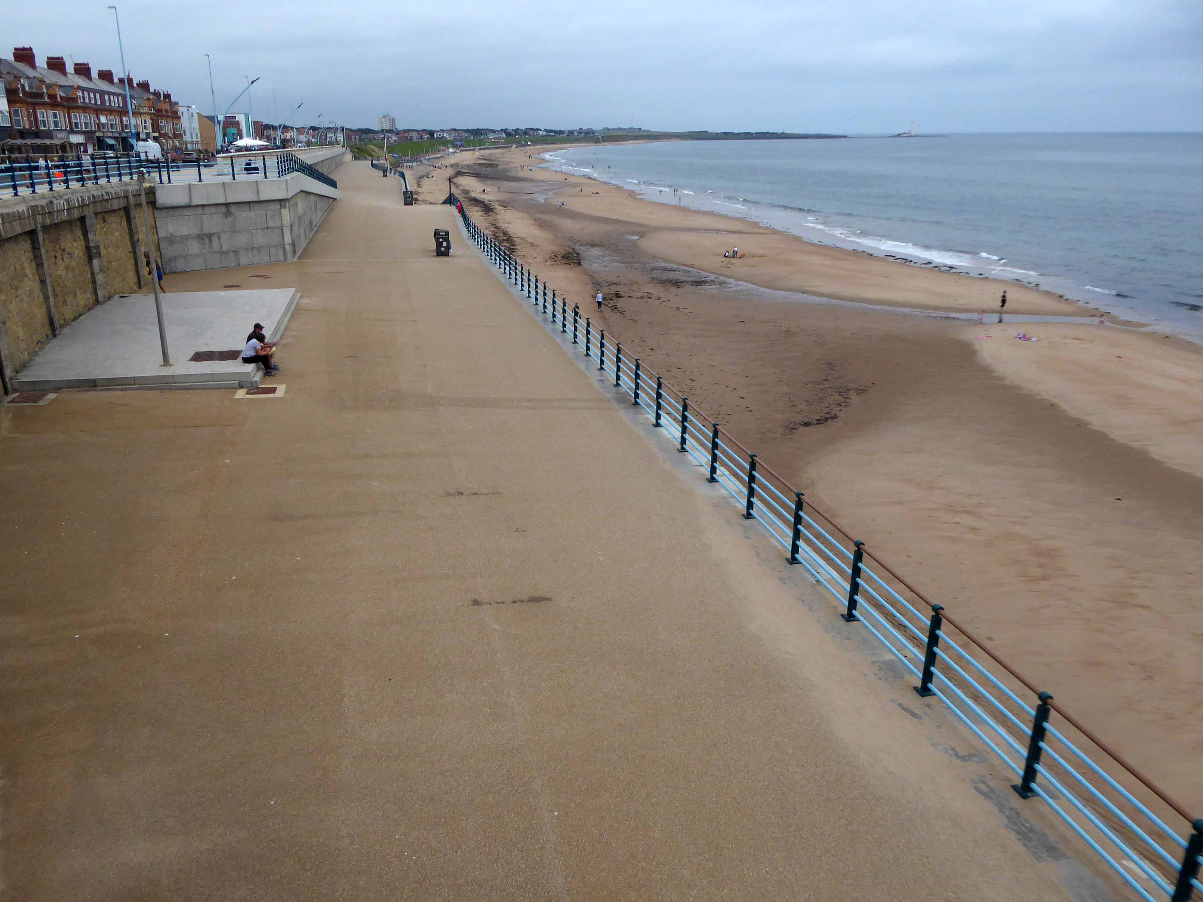
The city quickly becomes the seaside with its attendant retail bricolage.
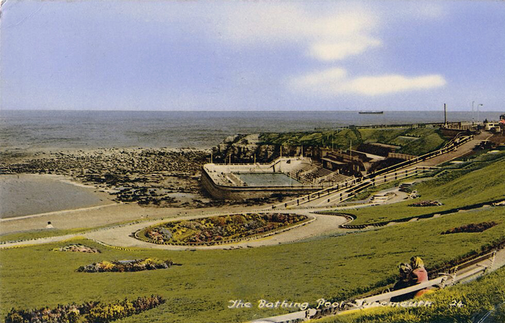
An all too familiar redundant Lido – opened in 1925 and closed in the mid 90’s – but a Friends Group aims to breathe new life into the site.
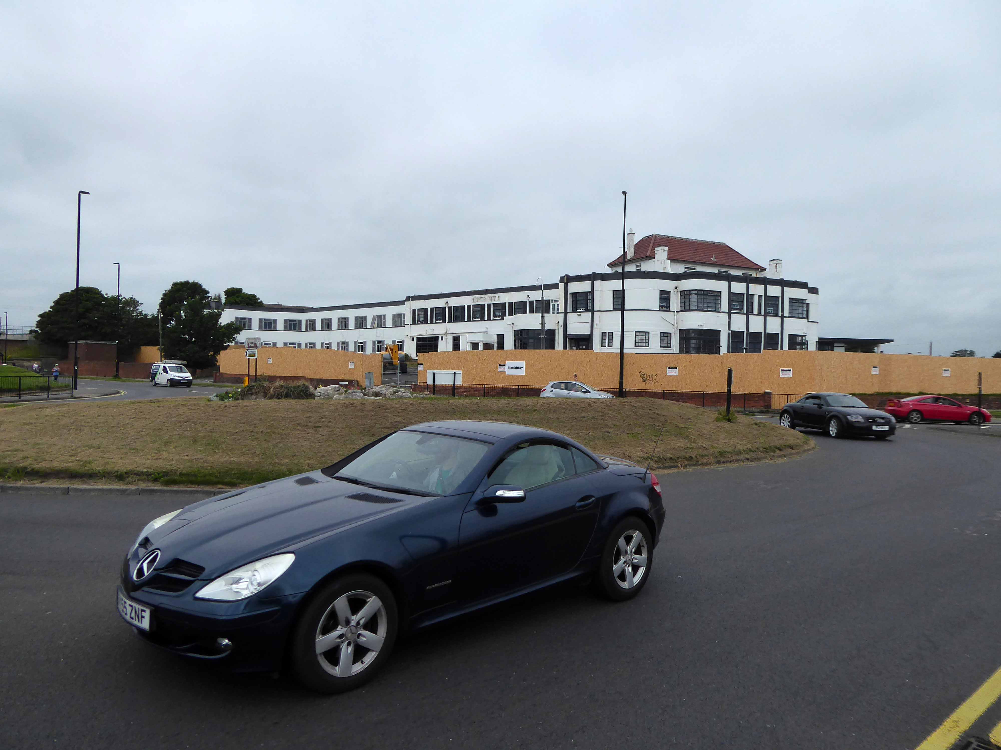
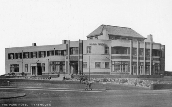
The Park Hotel built in the 1930’s and recently refurbished has been bought by The Inn Collection Group.
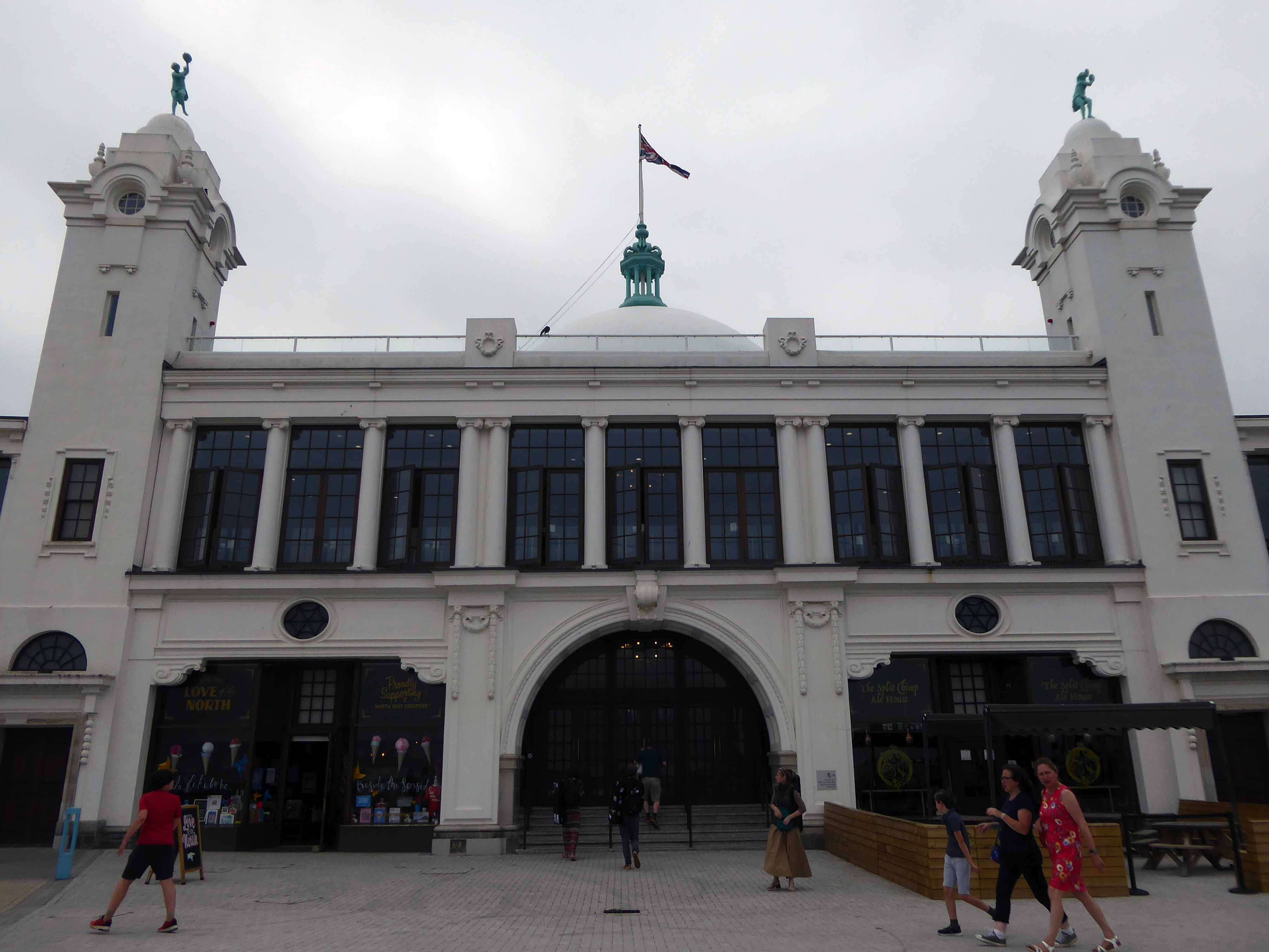
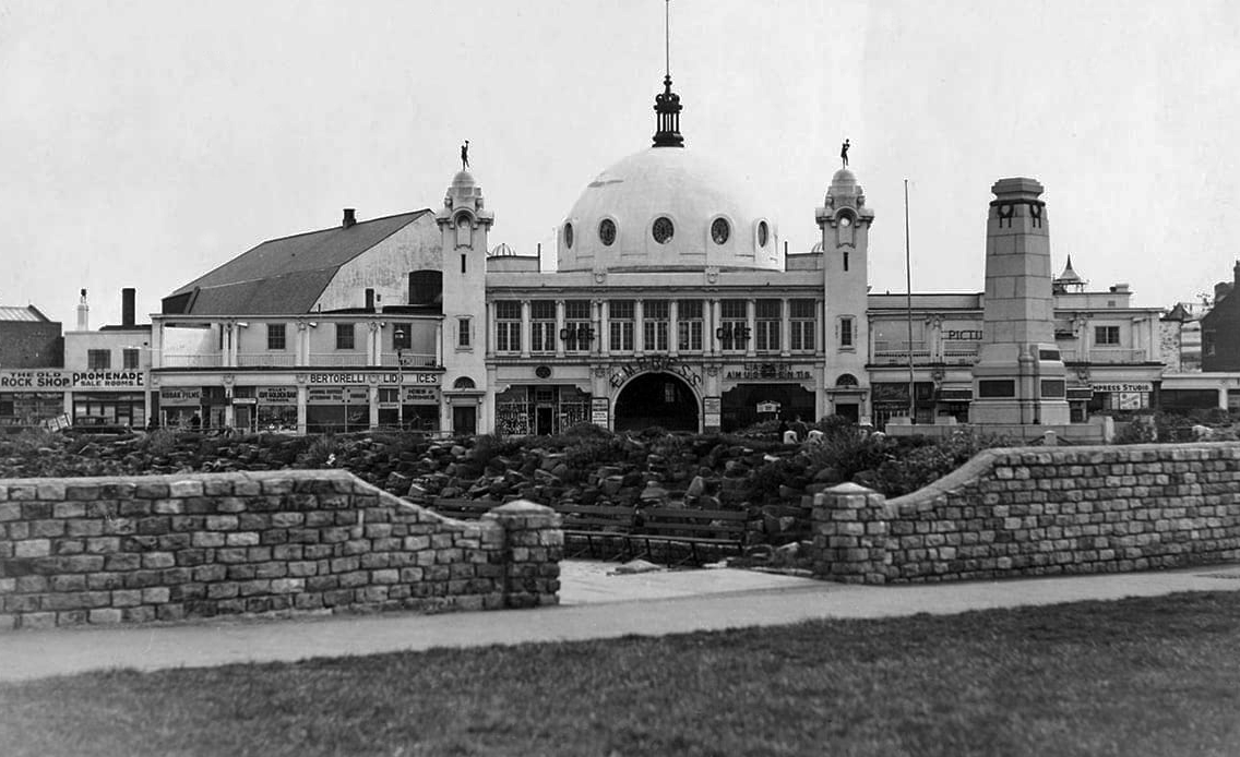
A simple three-arched entrance had been built facing the seafront and the area was now completely enclosed within a boundary. In 1909, large rides appeared, including a Figure Eight rollercoaster and a Water Chute. Elderton and Fail wanted to make a statement and create a new, grand entrance to the fairground. They hired the Newcastle architects Cackett& Burns Dick to survey the site and begin drawing up plans for new Pleasure Buildings.
Building began in February 1910 and the construction was completed by builders Davidson and Miller 60 days later. The use of the revolutionary reinforced concrete technique pioneered by Francois Hennebique was perfect for the job, being cheap and fast. The Dome and surrounding buildings – a theatre and two wings of shop units – opened on 14 May 1910 to great fanfare. Visitors marvelled at the great Spanish City Dome, the second largest in the country at the time after St. Paul’s Cathedral in London, which provided a spectacular meeting place with uninterrupted views from ground level to its ceiling, 75 feet above.
Telegraph-wire cyclists, acrobatic comedians, singing jockeys, mermaids, they all appeared at the Spanish City during its first decade. One of the wings hosted the menagerie, where visitors could see hyenas, antelopes and tigers! This was converted into the Picture House cinema in 1916.
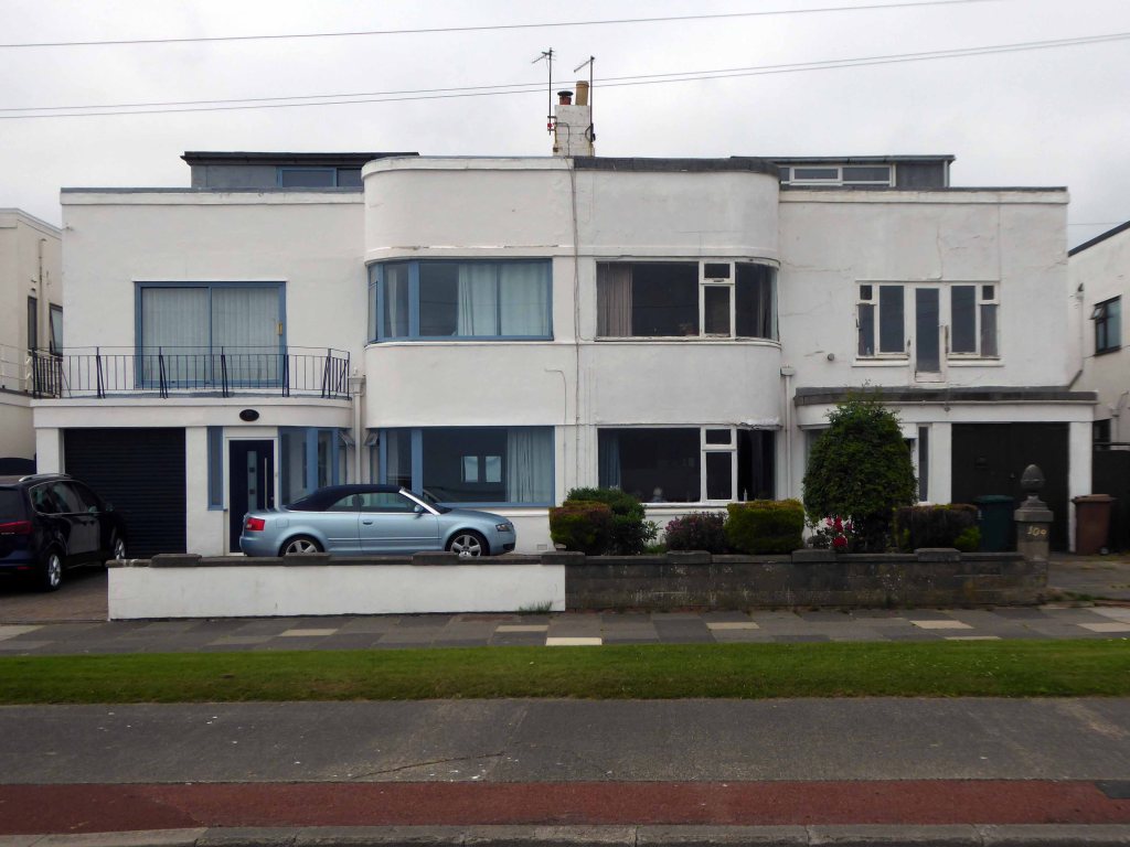
A little further along, a selection of Seaside Moderne semis in various states of amendment and alteration.
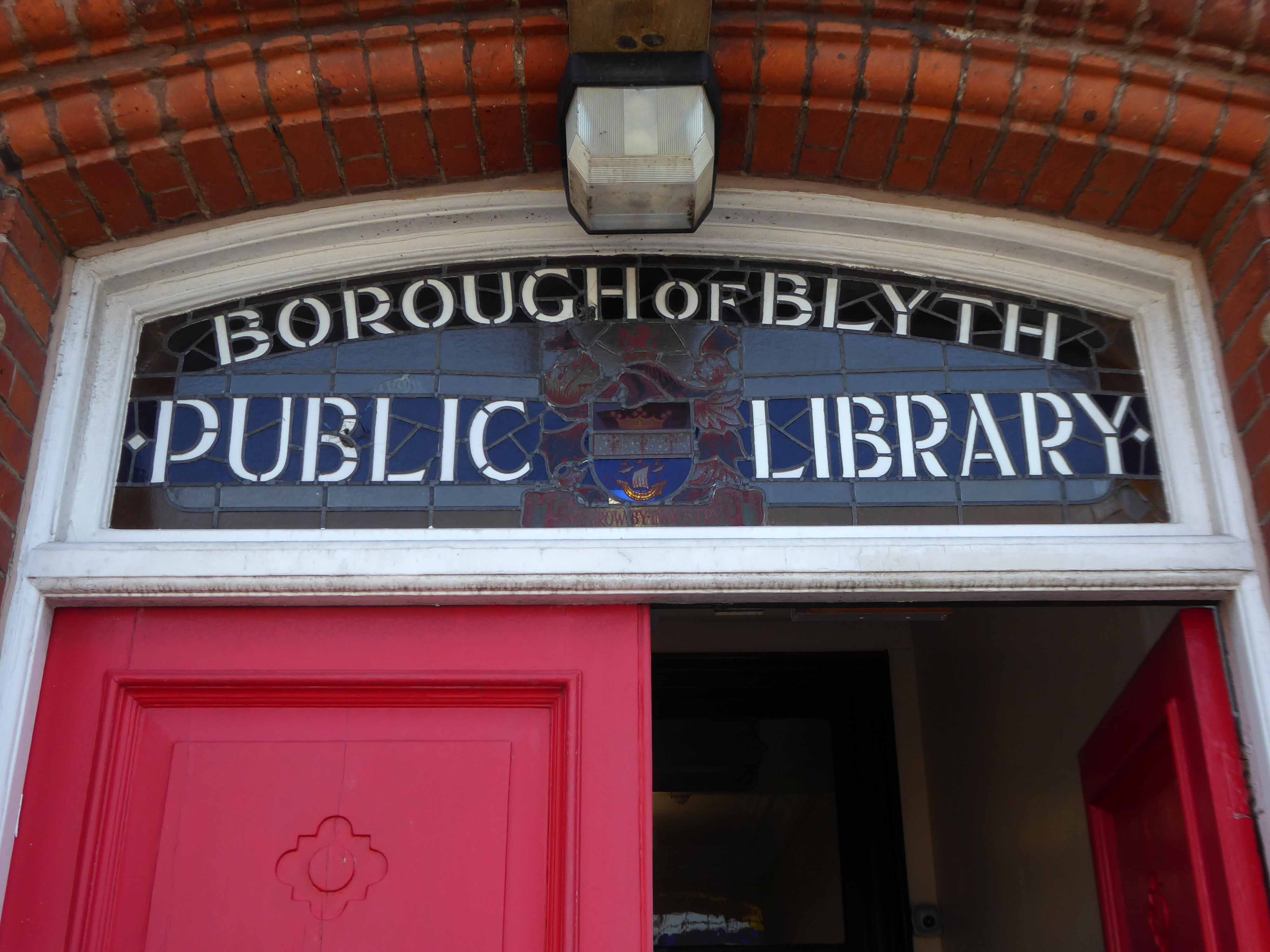
Before I knew it I was in Blyth.
The town edged with military installations
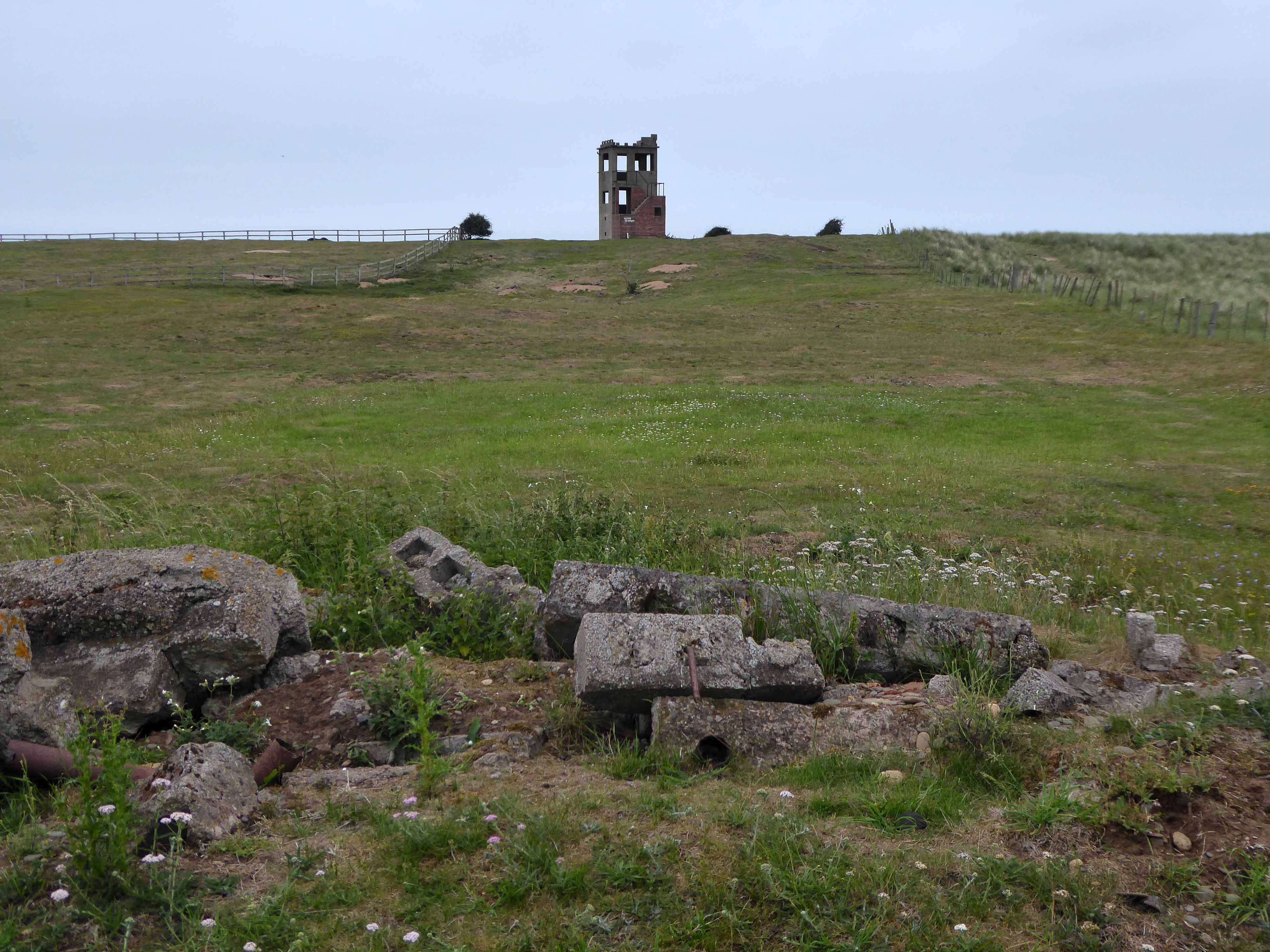
Gloucester Lodge Battery includes the buried, earthwork and standing remains of a multi-phase Second World War heavy anti-aircraft gun battery and radar site, as well as a Cold War heavy anti-aircraft gun and radar site. The battery occupies a level pasture field retaining extensive rig and furrow cultivation.
During WW2 Blyth Harbour was used as a major submarine base and that combined with the heavy industry in the area it made a very good target for the Luftwaffe.
827 men of the 225th Antiaircraft Artillery Searchlight Battalion of the U.S. Army, arrived at this location in early March 1944 and were attached to the 30th British AAA Brigade. Here they sharpened their skills in the high-altitude tracking of aircraft.
The cycle route took me off road along the estuary and under the flyover.
Encountering a brand new factory.
And the remnants of the old power station.
Blyth Power Station – also known as Cambois Power Station, refers to a pair of now demolished coal-fired power stationsThe two stations were built alongside each other on a site near Cambois in Northumberland, on the northern bank of the River Blyth, between its tidal estuary and the North Sea. The stations took their name from the town of Blyth on the opposite bank of the estuary. The power stations’ four large chimneys were a landmark of the Northumberland skyline for over 40 years.
After their closure in 2001, the stations were demolished over the course of two years, ending with the demolition of the stations’ chimneys on 7 December 2003.
UK battery tech investor Britishvolt has unveiled plans to build what is claimed to be Britain’s first gigaplant at the former coal-fired power station in Blyth in Northumberland.
The £2.6 billion project at the 95-hectare Blyth Power Station site will use renewable energy from the UK and possibly hydro-electric power generated in Norway and transmitted 447 miles under the North Sea through the ‘world’s longest inter-connector’ from the North Sea Link project.
By 2027, the firm estimates the gigaplant will be producing around 300,000 lithium-ion batteries a year.
The project is predicted to create 3,000 new jobs in the North East and another 5,000 in the wider supply chain.
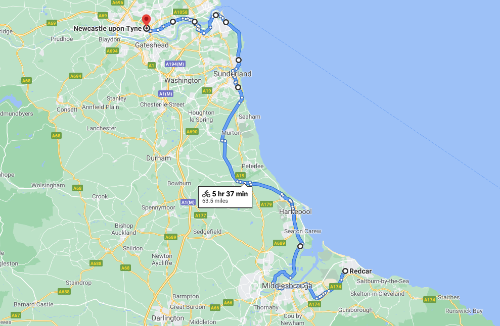
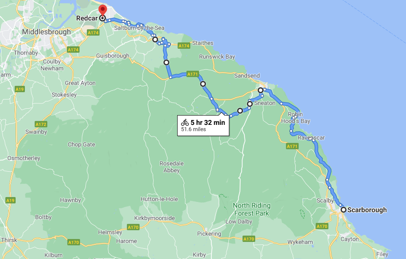
An early start on another sunny day, cycling along long straight roads out of town, towards Middlesborough.
Having previously visited Hull and Scarborough and all points in between.
Slowly passing sleepy factories and desolate bus shelters.
Bunker like social clubs and flower lined roads.
The Albion club in South Bank has stood empty for the last three years.
Now local lad Mark Trainor has the keys – and says opening the doors to the club his own family frequented for years will be a dream come true.
He’s planning to cater for everyone, he says, and it won’t just be all about drinking.
Parents will be able to call in for a coffee after dropping the kids at school, there will be pool nights and Mark’s personal favourite – Pie Day Fridays.
Temenos is a Greek word meaning land cut off and assigned as a sanctuary or holy area.
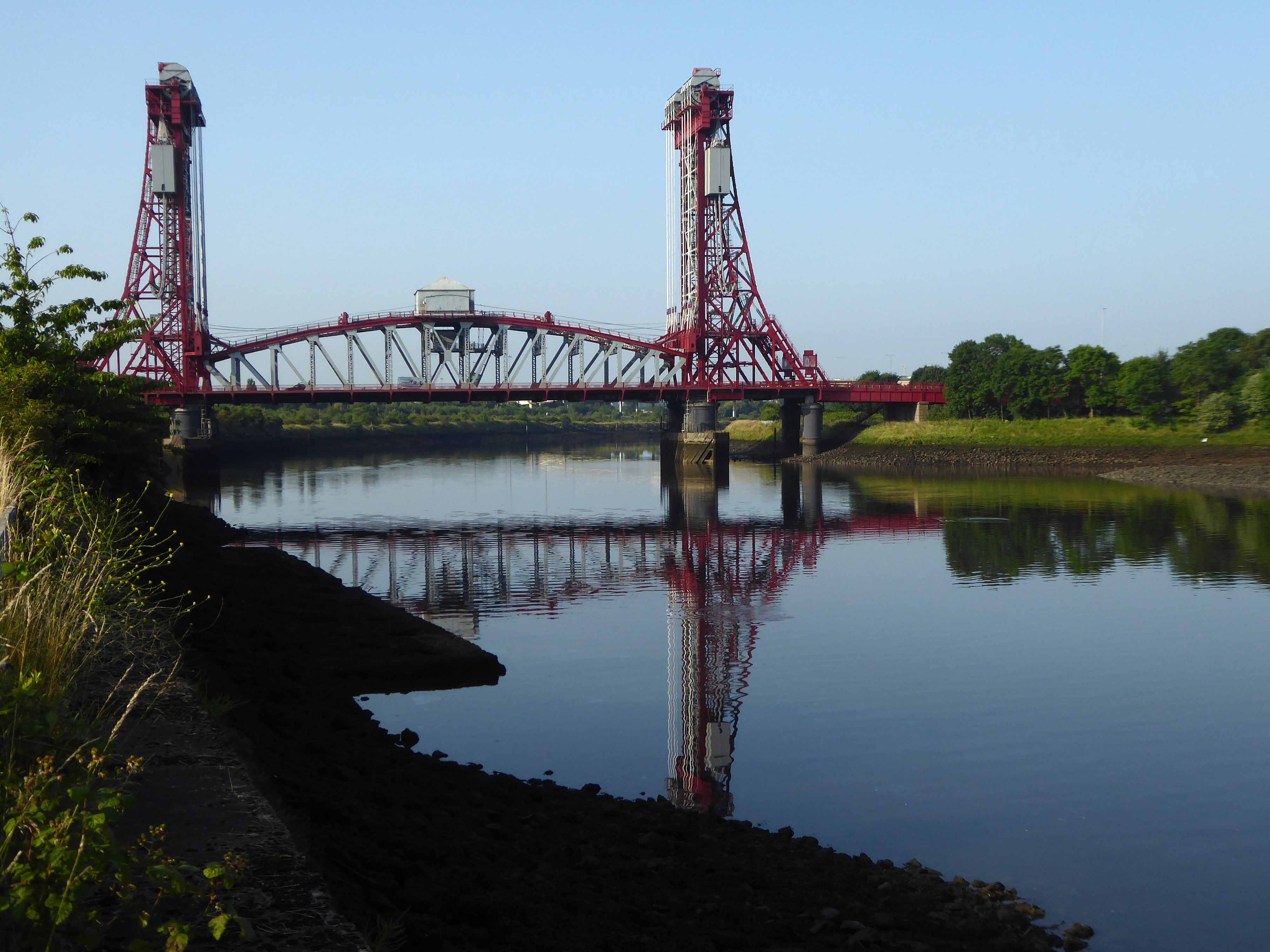
Following a 1907 Act of Parliament the bridge was built at a cost of £68,026 6s 8d by Sir William Arrol & Co. of Glasgow between 1910 and 1911 to replace the Hugh Bell and Erimus steam ferry services. A transporter bridge was chosen because Parliament ruled that the new scheme of crossing the river had to avoid affecting the river navigation.
The opening ceremony on 17 October 1911 was performed by Prince Arthur of Connaught, at its opening the bridge was painted red.
In 1961 the bridge was painted blue.
In 1974, the comedy actor Terry Scott, travelling between his hotel in Middlesbrough and a performance at the Billingham Forum, mistook the bridge for a regular toll crossing and drove his Jaguar off the end of the roadway, landing in the safety netting beneath.
The cycle track followed the river, which sports a fine array of industrial architecture.
Tees Newport Bridge designed by Mott, Hay and Anderson and built by local company Dorman Long who have also been responsible for such structures as the Tyne Bridge and Sydney Harbour Bridge, it was the first large vertical-lift bridge in Britain.
In a slightly more upbeat mode St James the Apostle Owton Manor.
I convinced myself that this building on Station Road Seaton Carew was a former pub, I discovered following consultation with the local studies offices, that it was in fact a former children’s home destined to become a doctors.
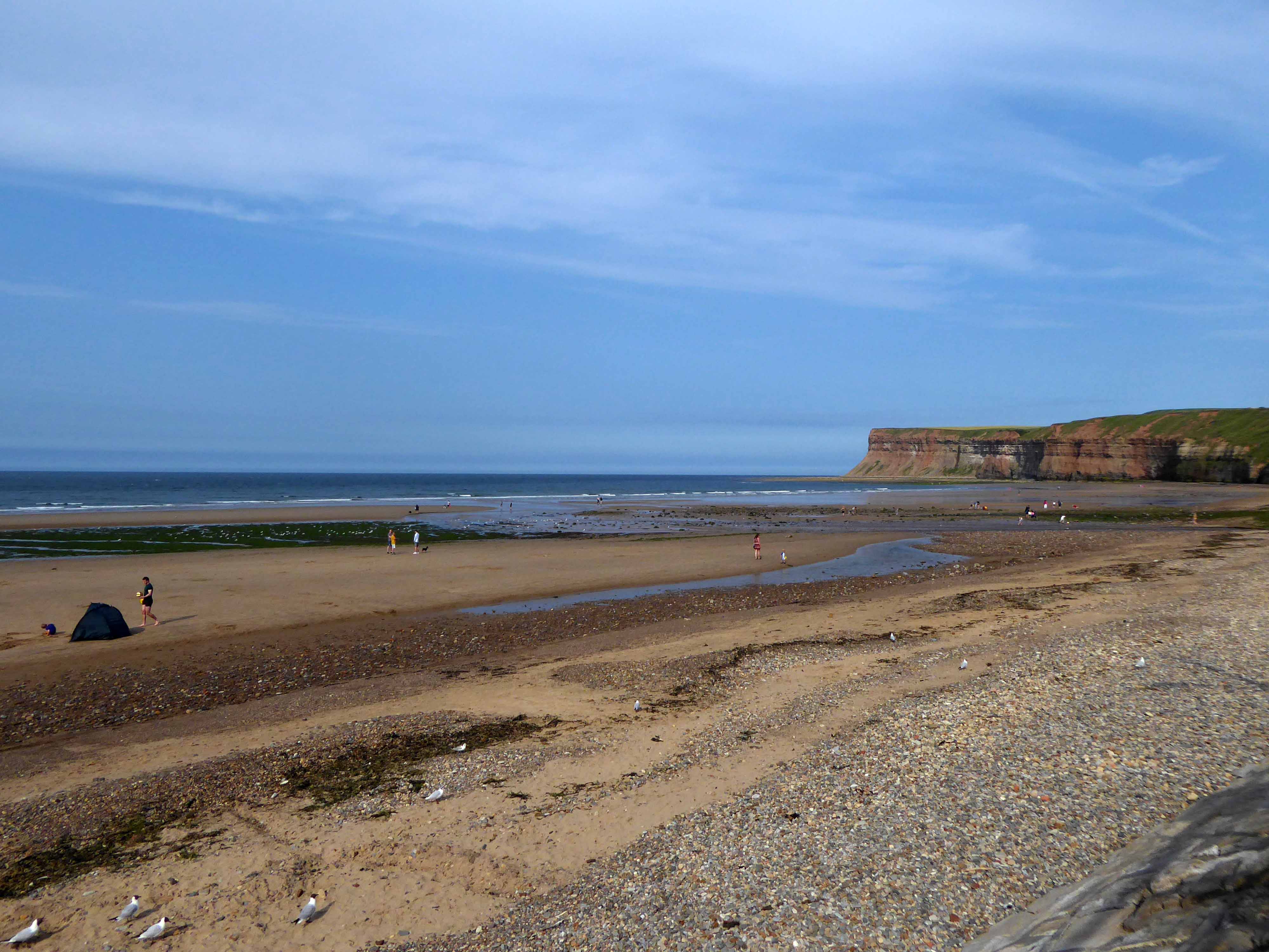
I found myself looking back across the estuary to Redcar.
Northward toward Hartlepool.
Where the bingo was closed and the circus had left town.
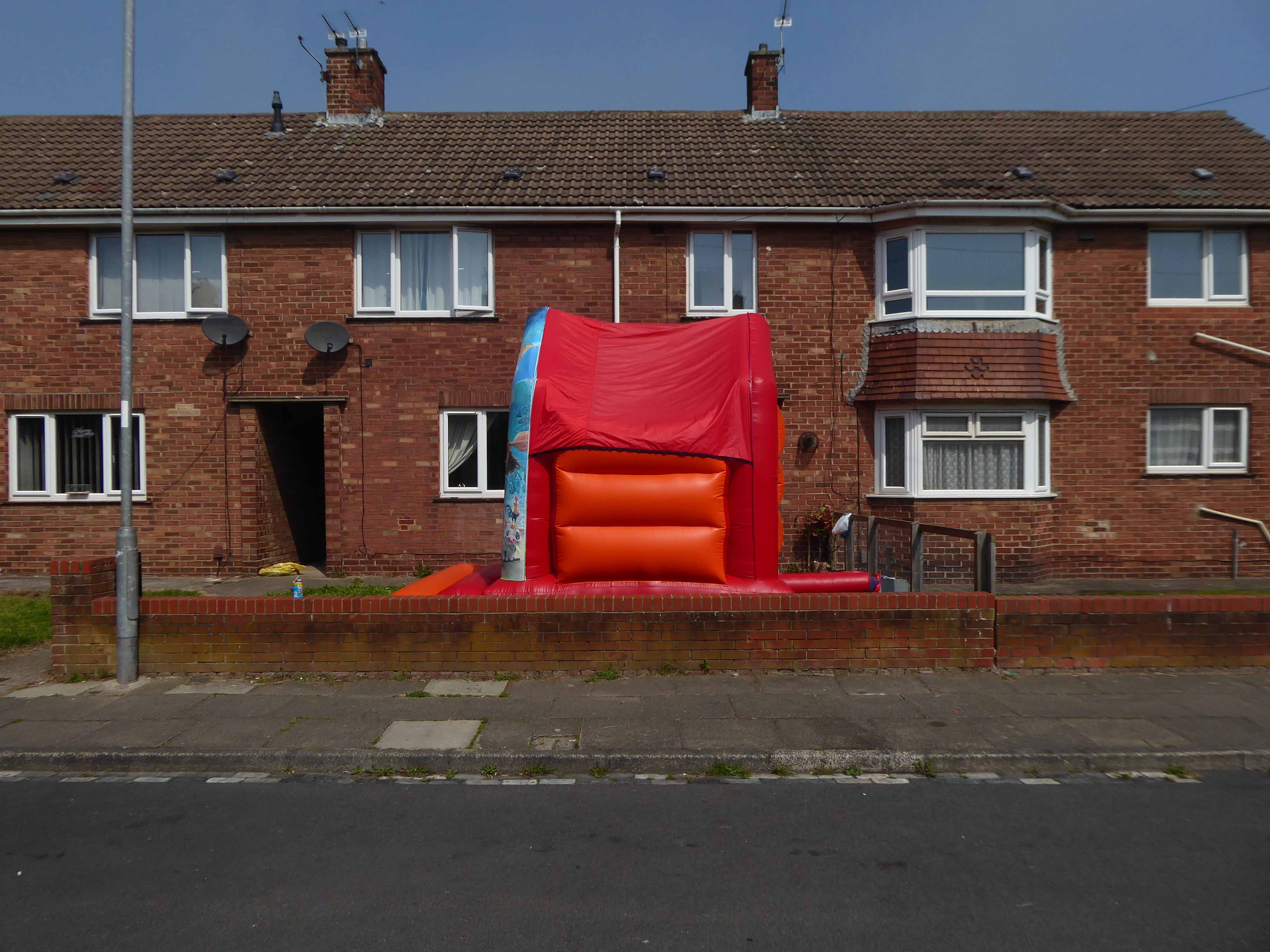
Every Englishman’s home is a bouncy castle.
St John Vianneylocated on King Oswy Drive West View Estate.
Architect: Crawford & Spencer Middlesbrough 1961.
A large post-war church built to serve a housing estate, economically built and with a functional interior. The campanile is a local landmark.
The parish of St John Vianney was created in 1959 to serve the growing West View Estate, on the north side of Hartlepool. The church was opened by Bishop Cunningham on 4 April 1961. The presbytery was built at the same time.
I found myself on yet another former railway line.
The Cycleway was once a railway line designed by George Stephenson to take coal from the Durham coal fields to the docks in Hartlepool, where the coal was then distributed throughout the world.
Seeking assistance from a passing cyclist I negotiated a safe passage to Sunderland.
The Sunderland Synagogue is a former synagogue building in Sunderland, England. The synagogue, on Ryhope Road, was designed by architect Marcus Kenneth Glass and completed in 1928. It is the last surviving synagogue to be designed by Glass.
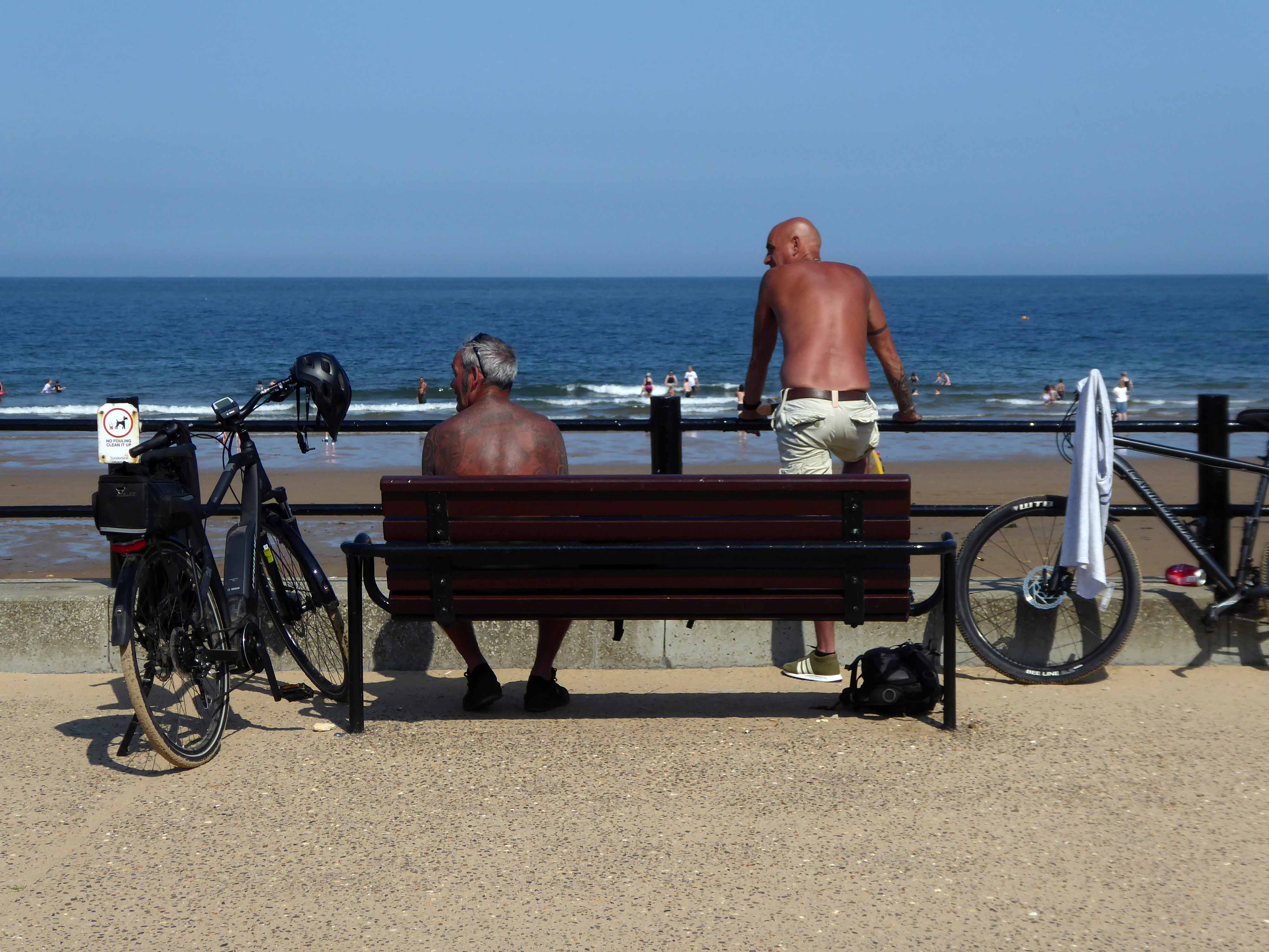
I took a right and arrived in Roker, where I saw these well tanned and tattooed cyclists taking a rest.
Pressed on, largely alongside the coast to South Shields.
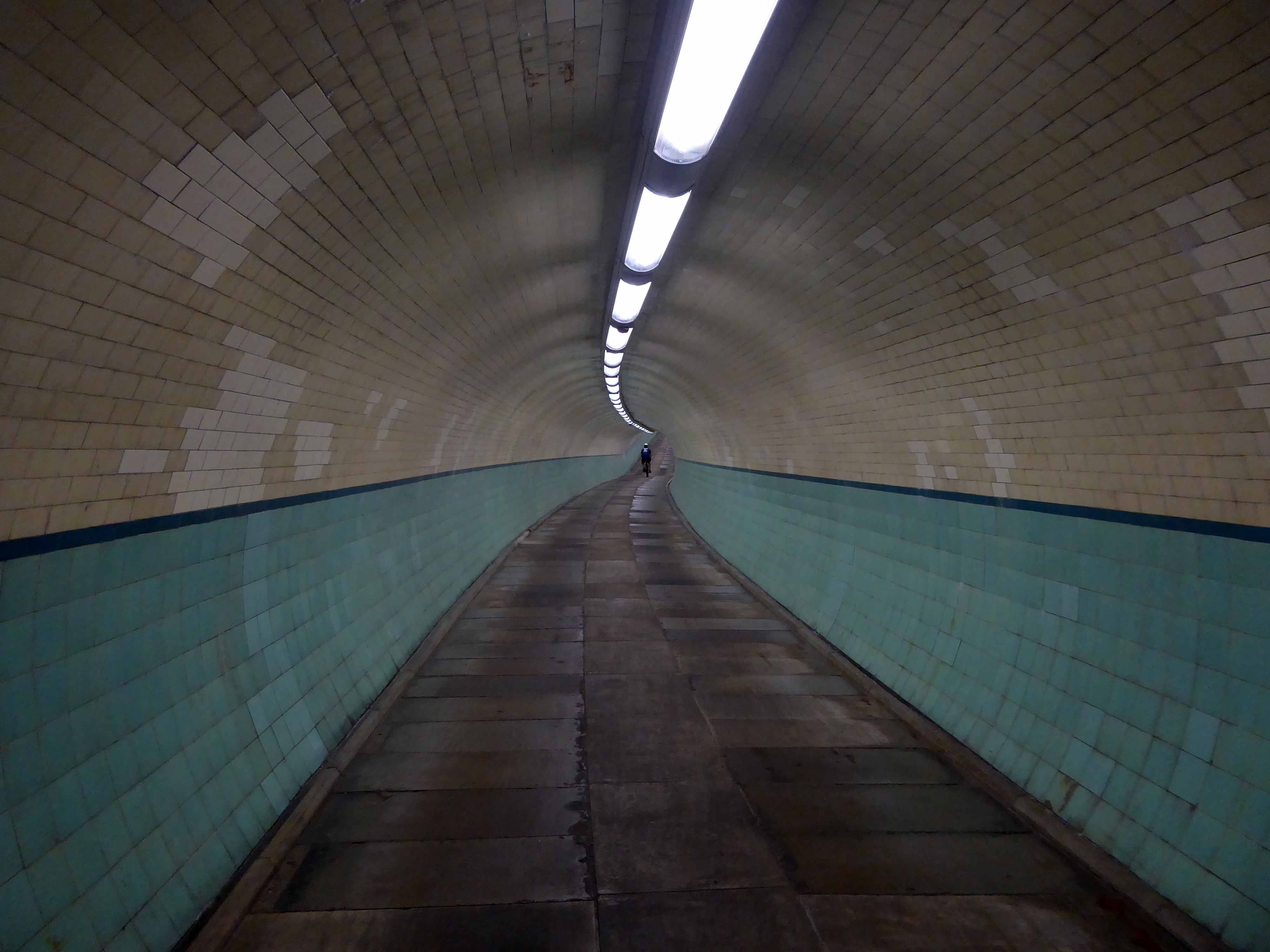
Under advisement from a jolly passing jogger I took the Tyne Pedestrian Tunnel.
Tyne Cyclist and Pedestrian Tunnel was Britain’s first purpose-built cycling tunnel. It runs under the River Tyne between Howdon and Jarrow, and was opened in 1951, heralded as a contribution to the Festival of Britain.
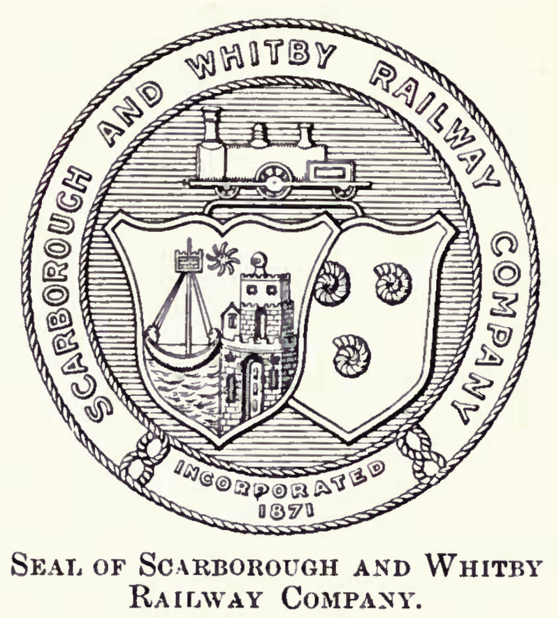
Formerly the Scarbough to Whitby Railway – the line opened in 1885 and closed in 1965 as part of the Beeching Axe.
Yet again I chance upon a delightful post-war home.
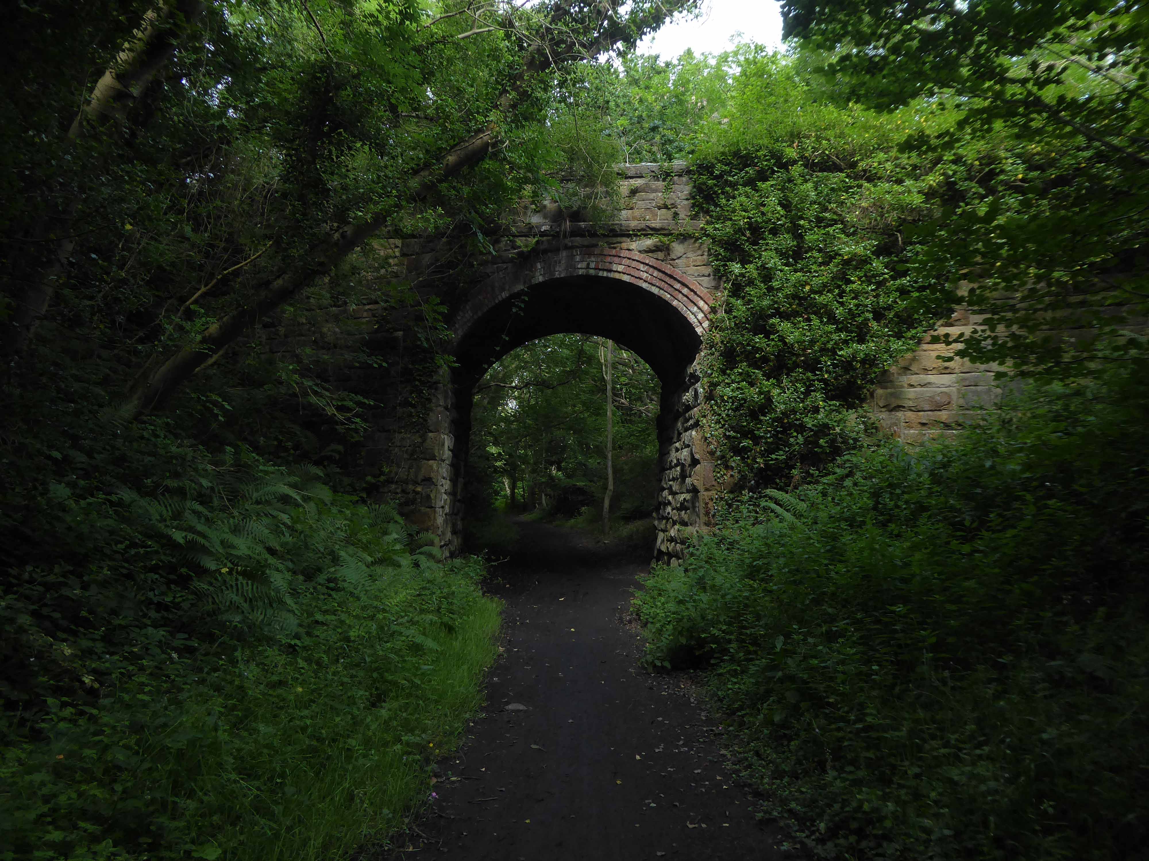
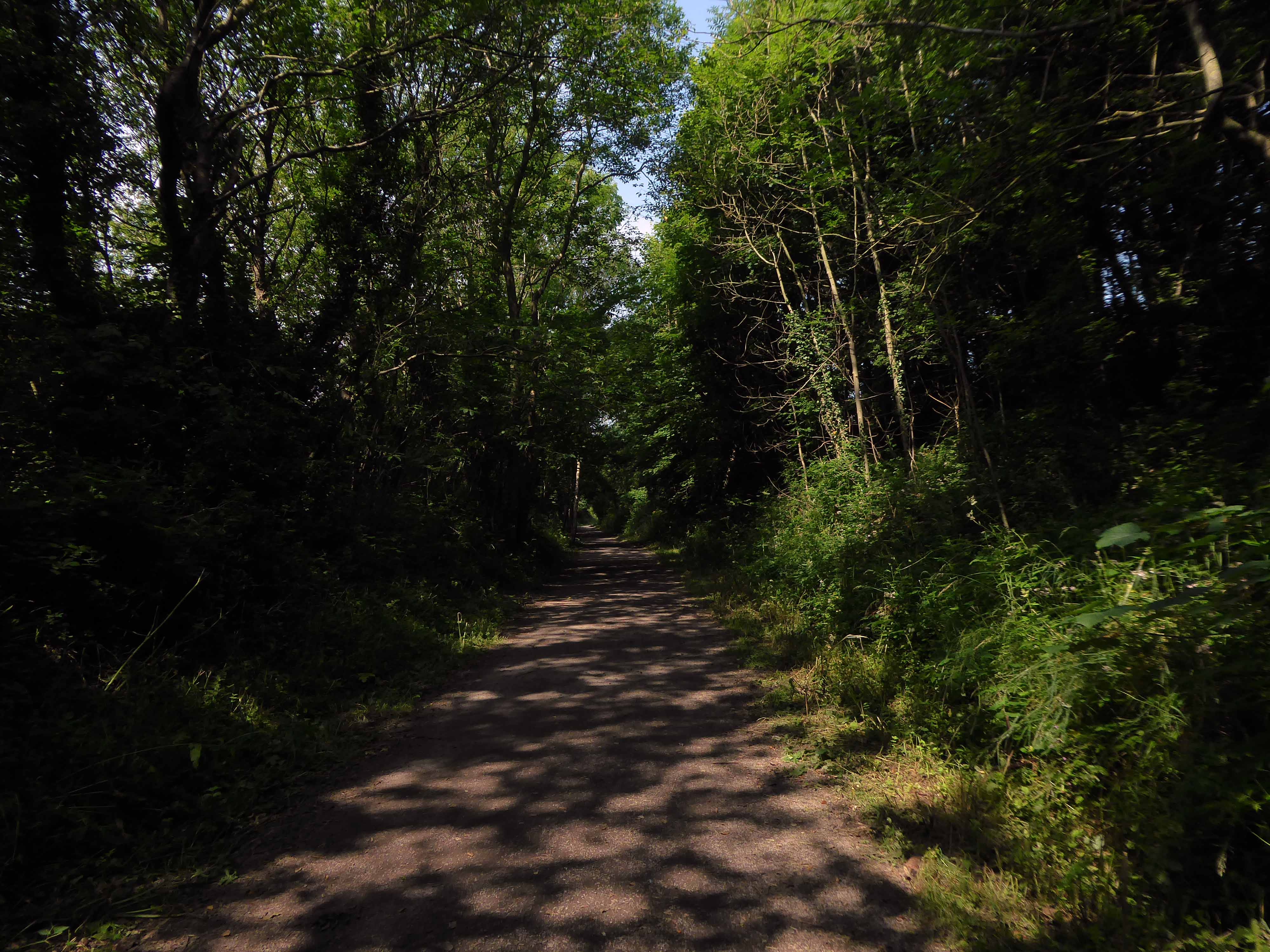
I parted company with the track dropping down to the Esk Valley from the Larpool Viaduct.
Construction began in October 1882 and was complete by October 1884.
Two men fell from the piers during construction, but recovered.
I found myself in Ruswarp, home to this enchanting bus shelter.
I bombed along the main road to Sleights.
There then followed a hesitant ascent, descent, ascent along a badly signed bridleway, fearing that I had climbed the hill in error I retraced, then retraced.
A difficult push ensued, a precipitous path, rough and untended, rising ever higher and higher.
Finally arriving at Aislaby, more than somewhat exhausted – the village is mentioned in the Domesday Book as Asuluesbi.
Pausing to catch my breath I took the wildly undulating road to Egton – along the way I was alerted to the presence of a tea stop by two touring cyclists from Nottingham.
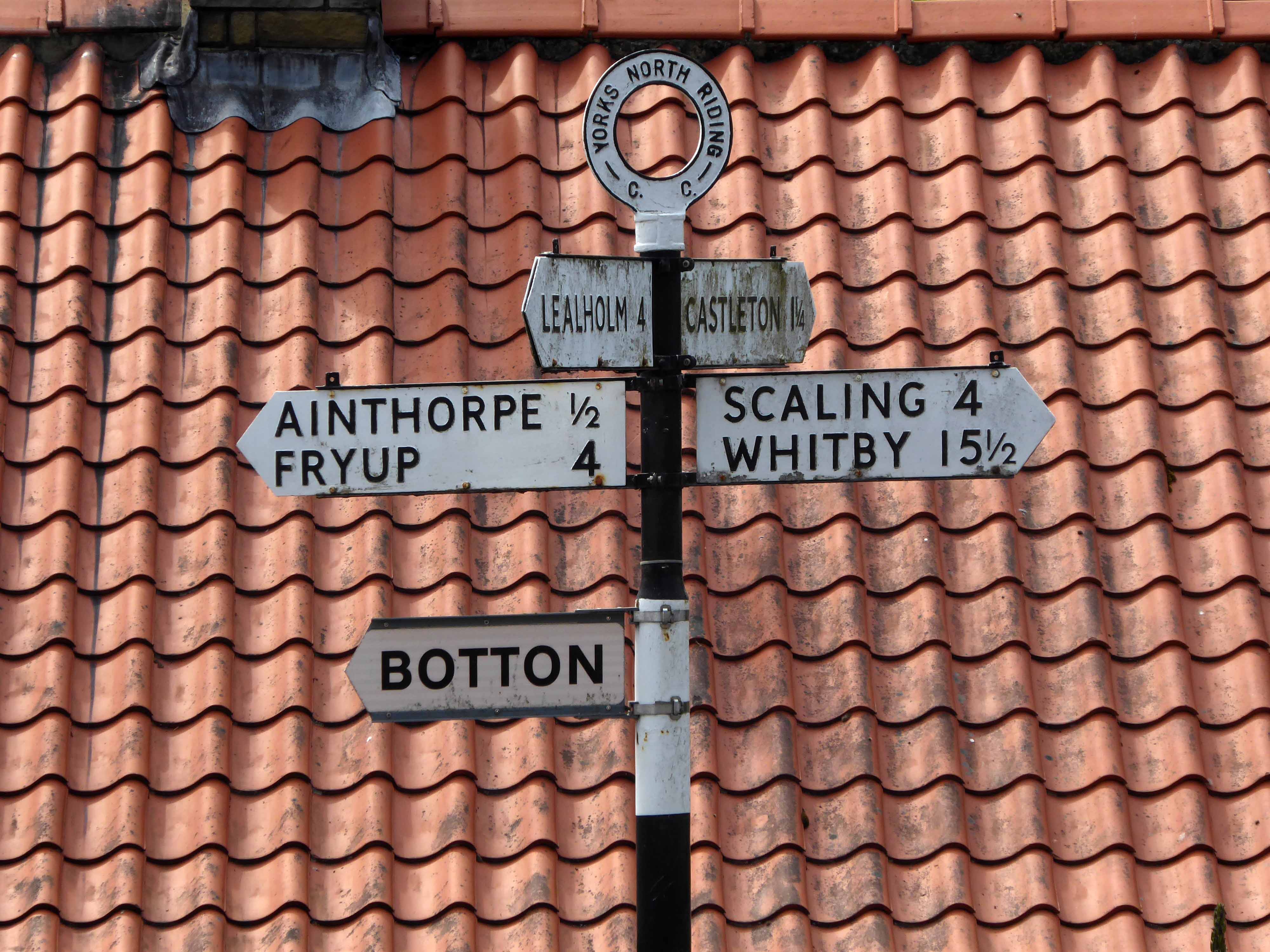
The curious name Fryup probably derives from the Old English reconstruction Frige-hop: Frige was an Anglo-Saxon goddess equated with the Old Norse Frigg; hop denoted a small valley.
An old woman at Fryup was well known locally for keeping the Mark’s e’en watch – 24 April, as she lived alongside a corpse road known as Old Hell Road.
The practice involved a village seer holding vigil between 11pm and 1am to watch for the wraiths of those who would die in the following 12 months.
Castleton Moor ghost.
In the village I was given further directions by two elderly gents, who had been engaged in a discussion concerning their long term mapping of acid rain levels in the area.
One was wearing a Marshall Jefferson t-shirt.
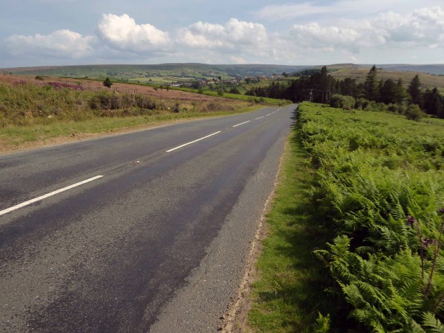
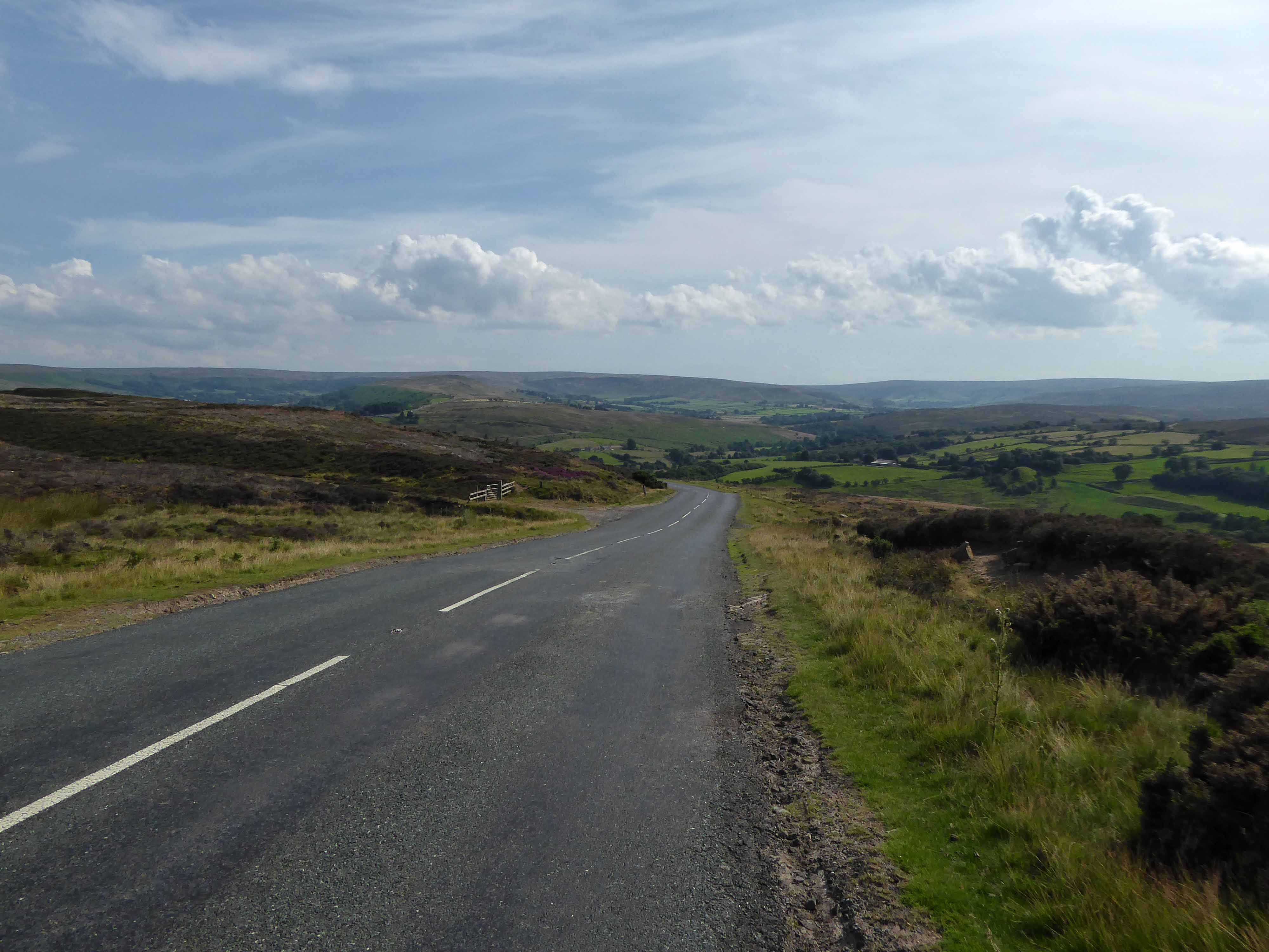
I climbed Langburn Bank onto the flatish open moorland.
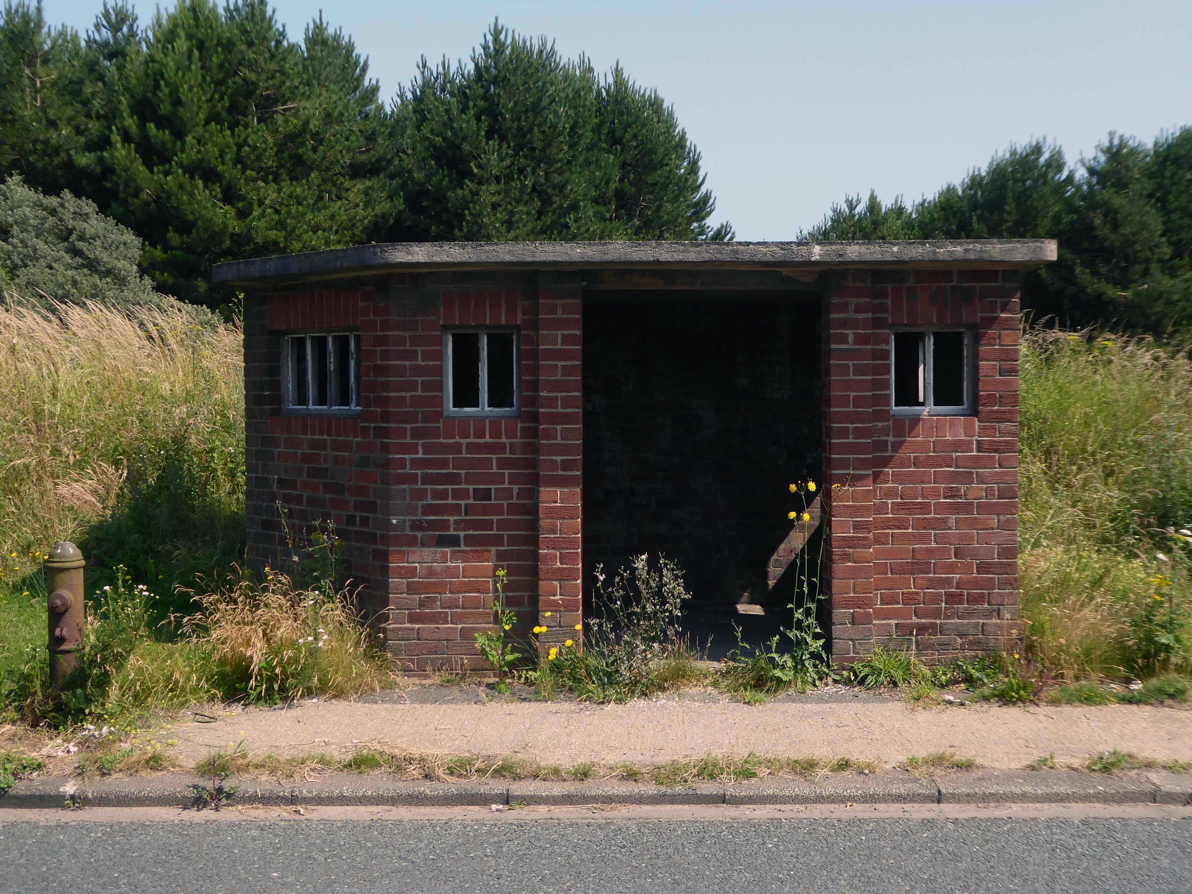
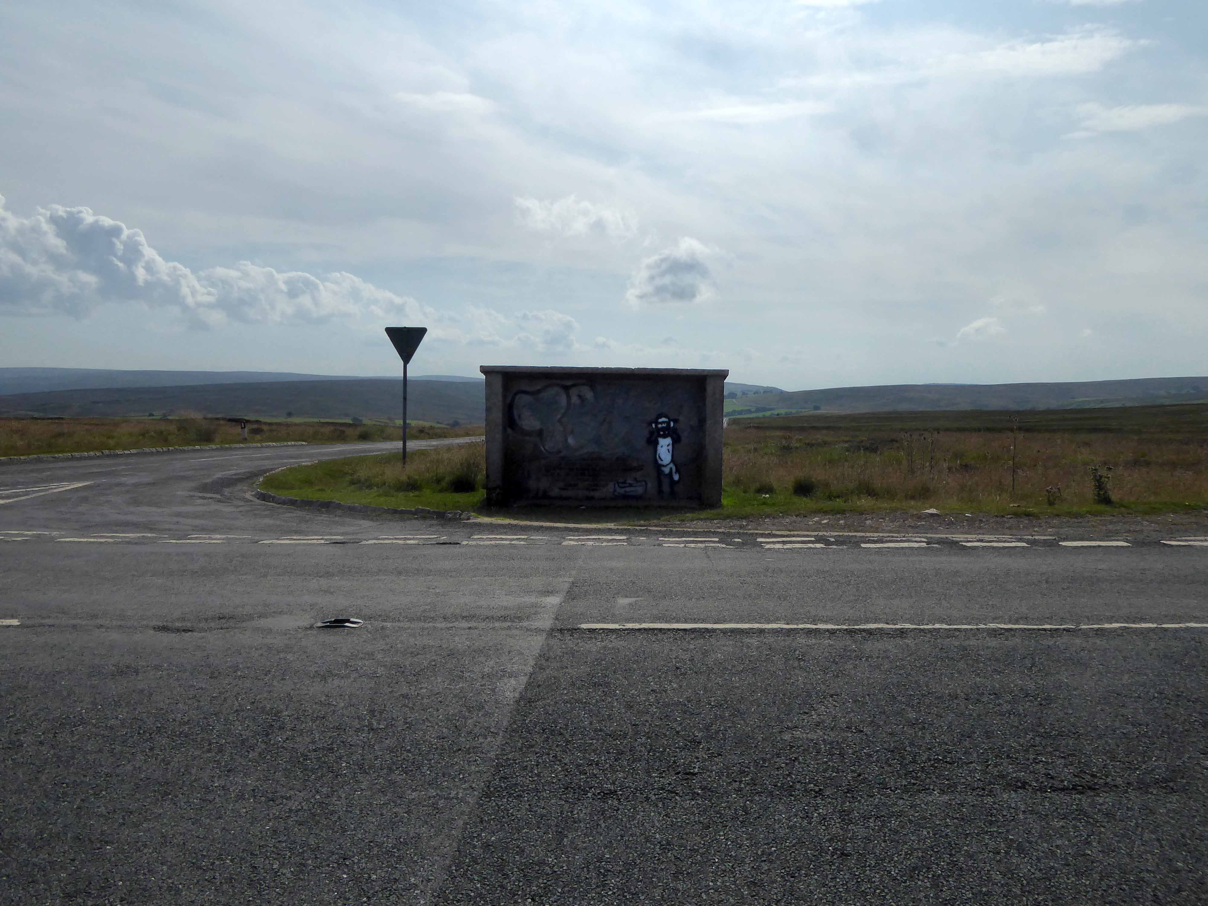
Taking a brief break to snap this concrete shelter.
There then followed a hair stirring series of hairpin descents to the coast at Saltburn.
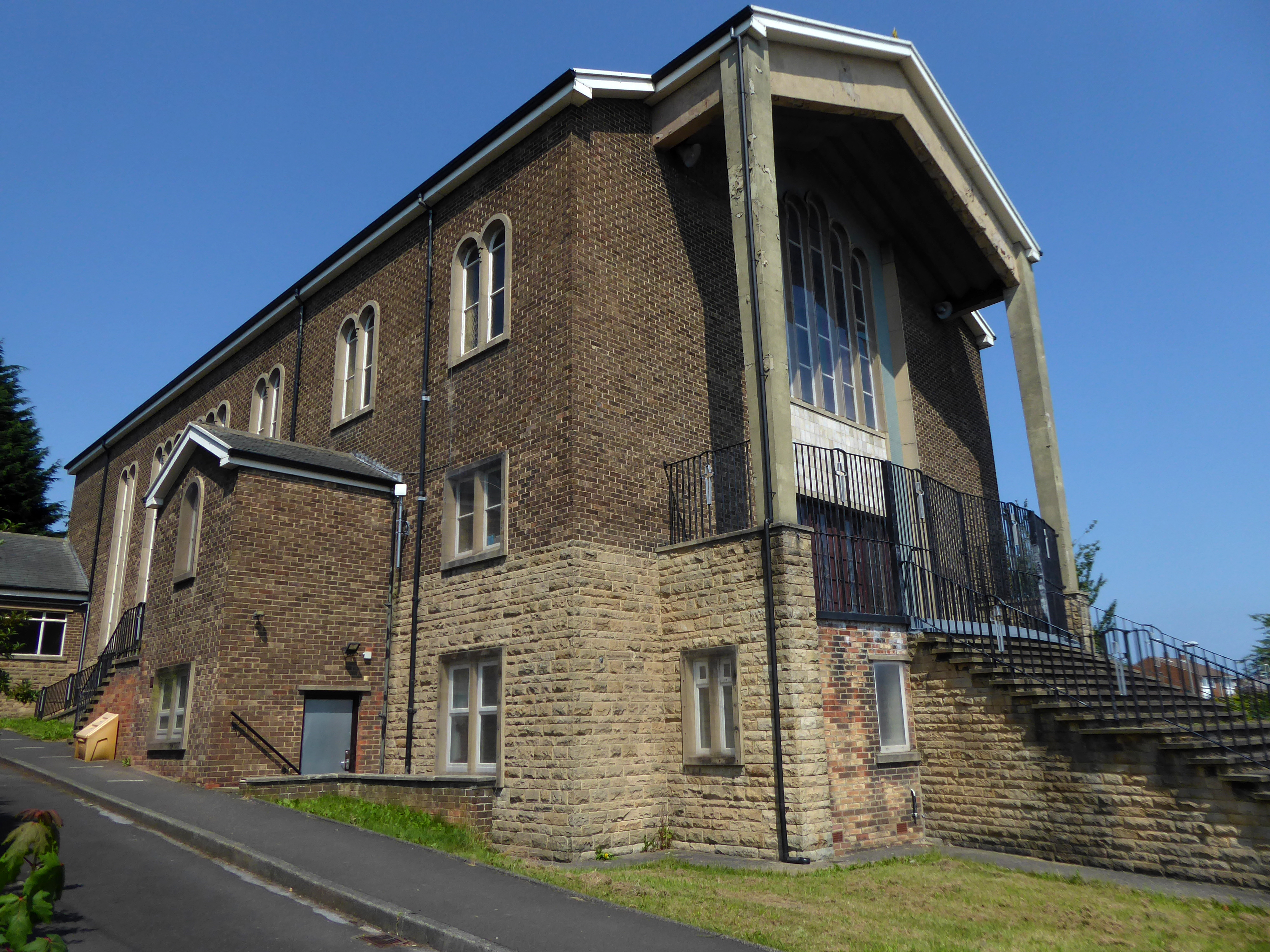
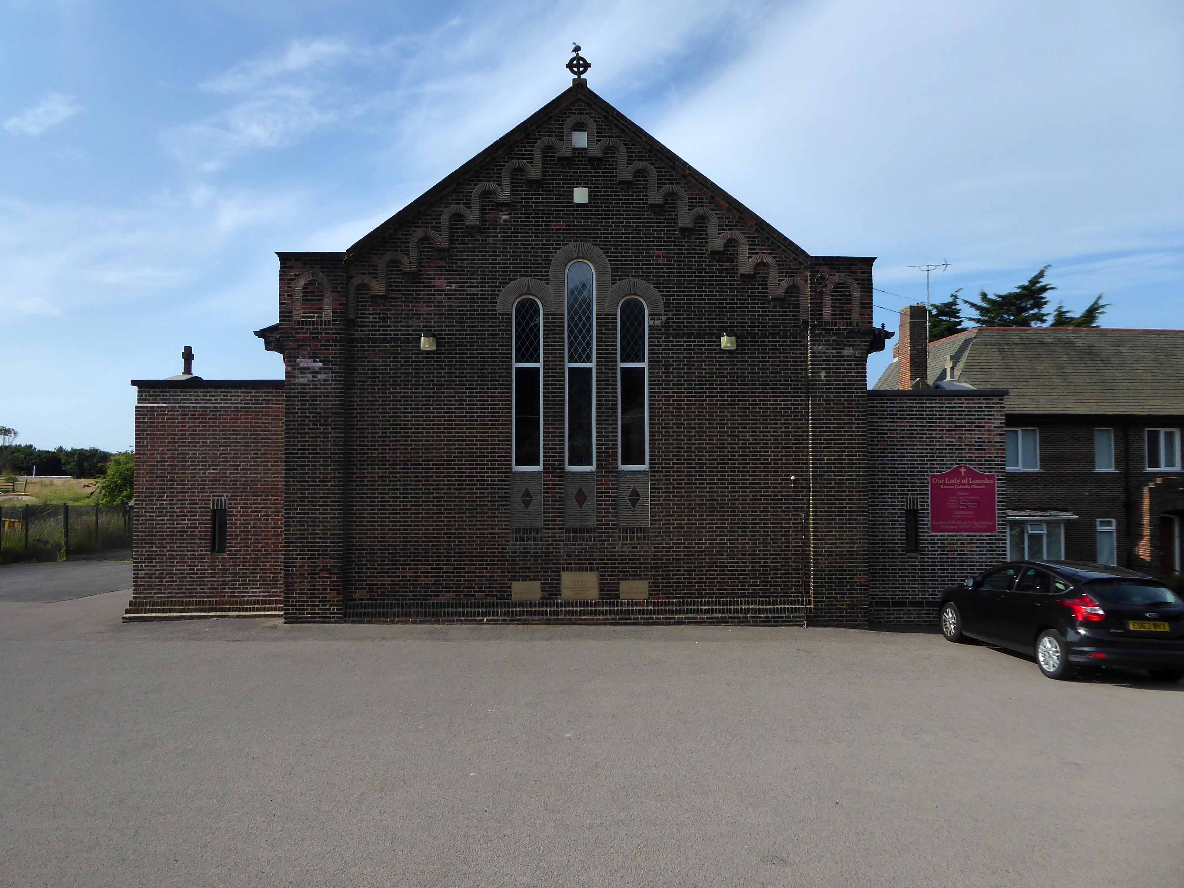
Built in 1928, this church was designed with some care and is an attractive, if fairly modest, Lombard Romanesque-style essay in brick. The use of a semi-circular apse, narrow brickwork and use of tile for decorative effect give it a pleasing appearance, typical of restrained but elegant work between the wars.
I arrived and took a look around, first time in town, here’s what I found.